

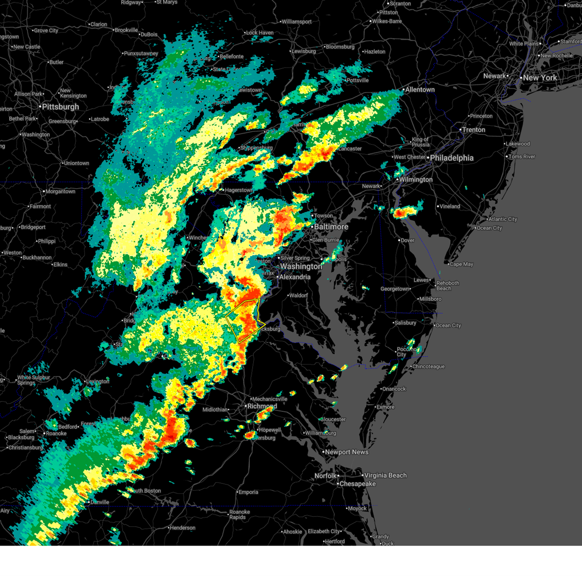
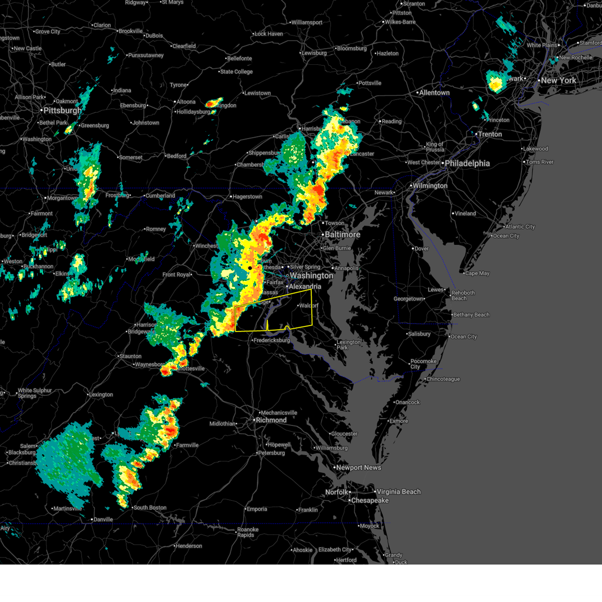
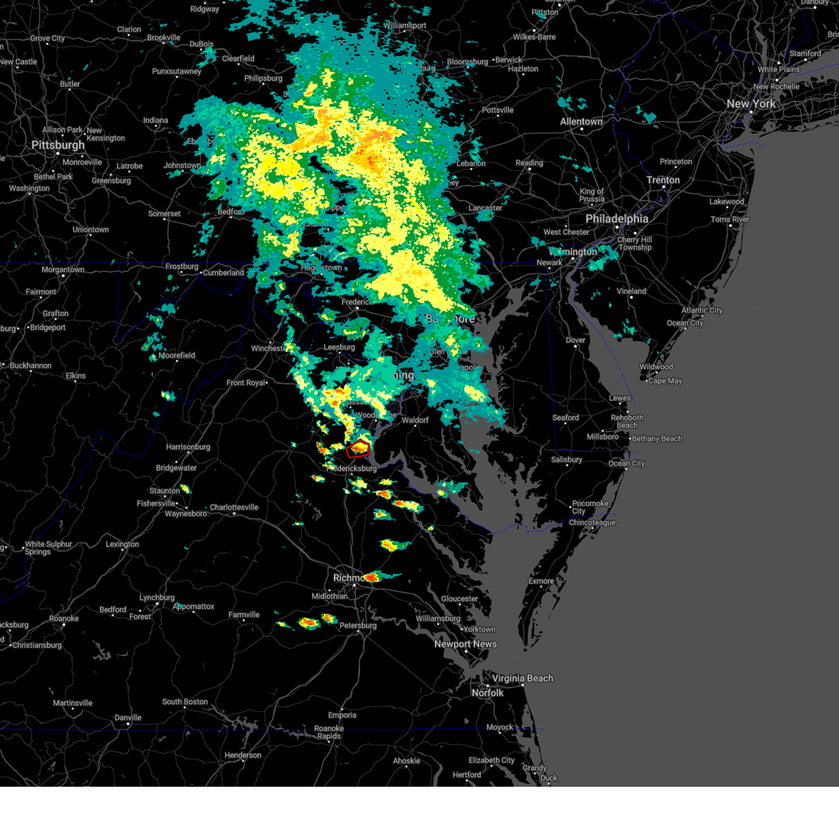
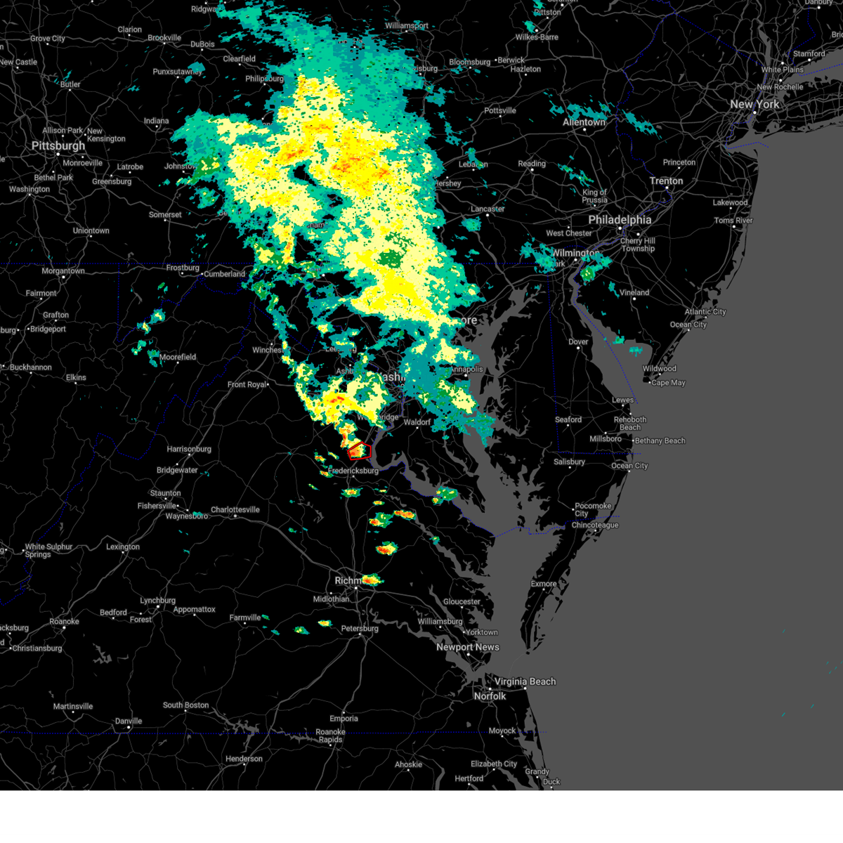
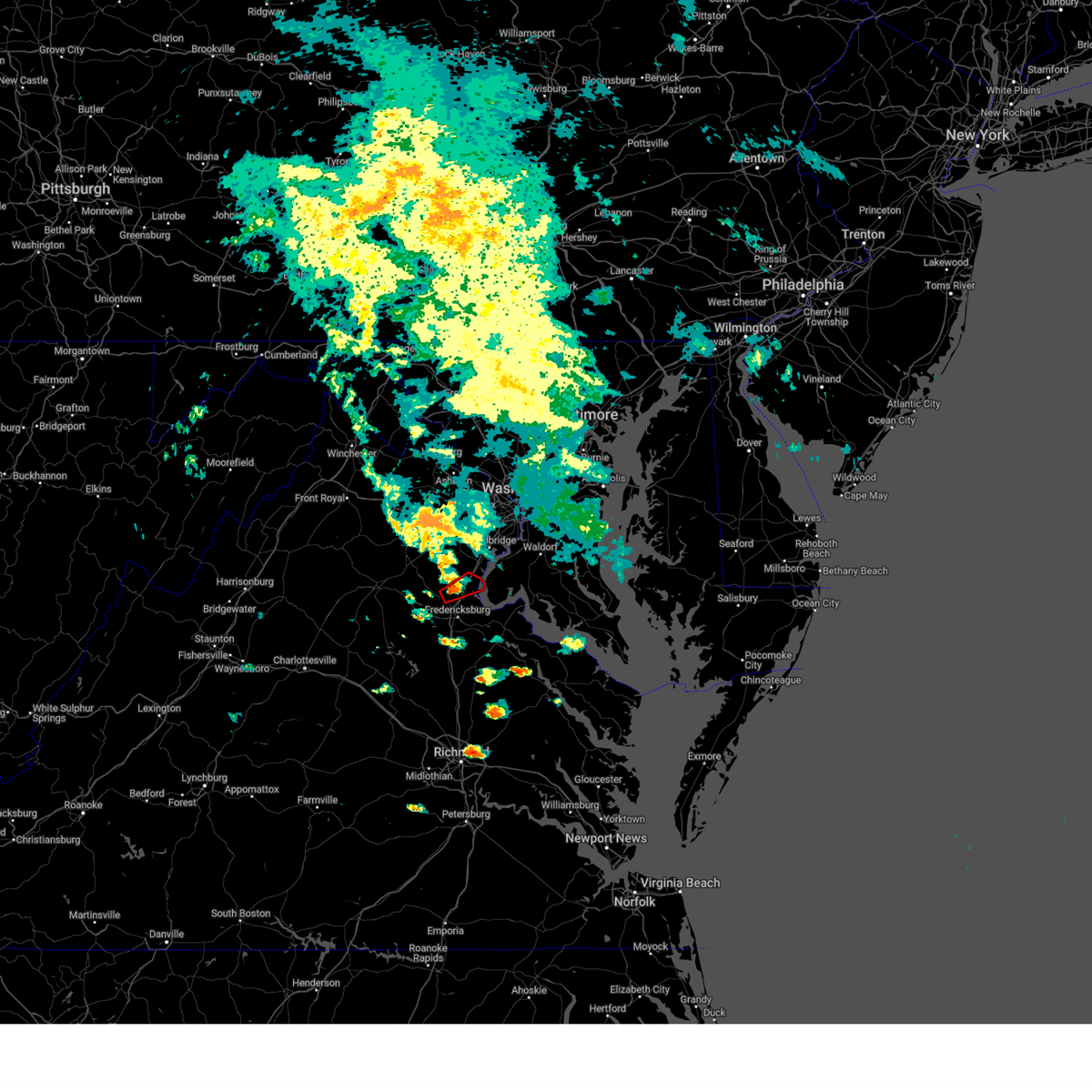
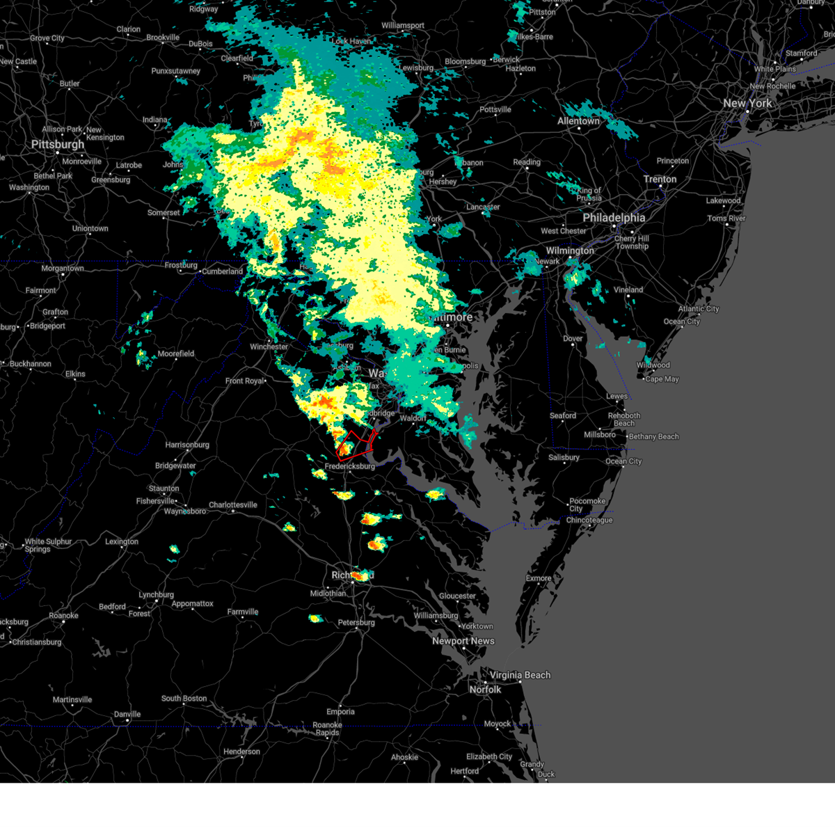
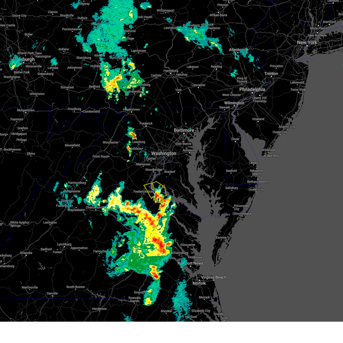
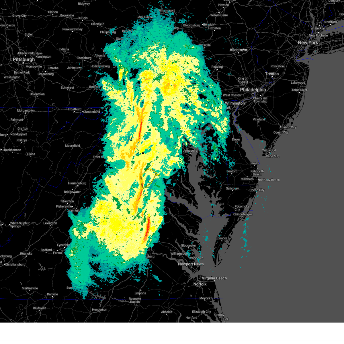
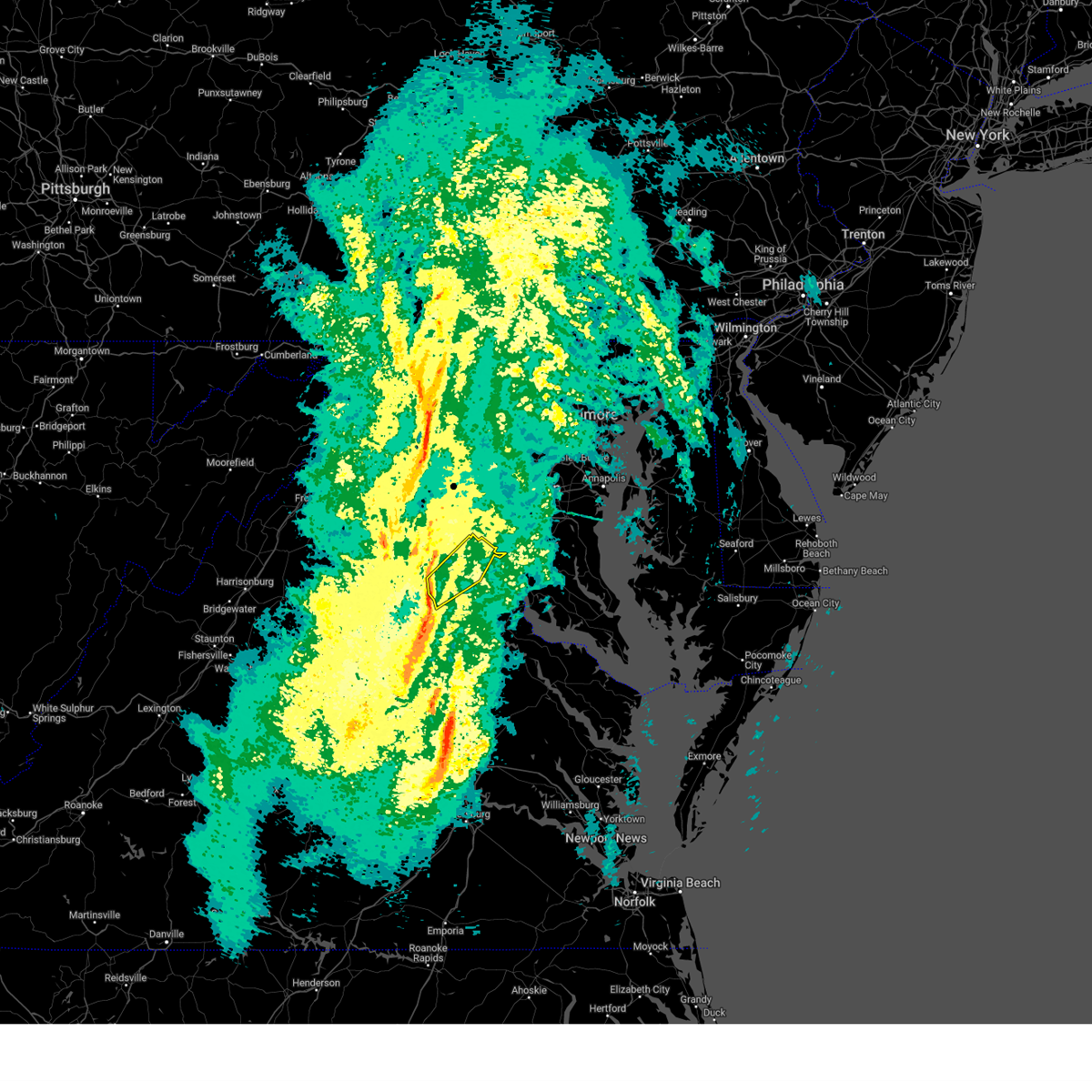
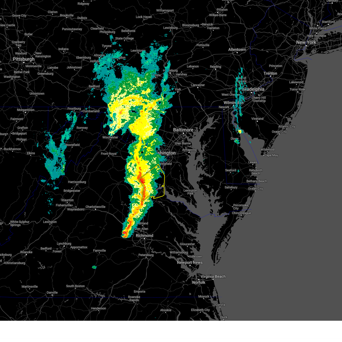
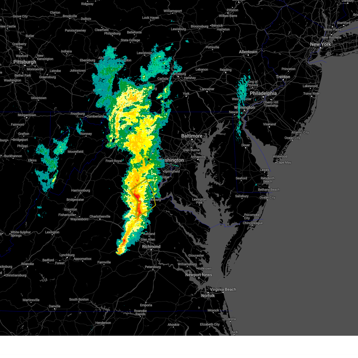
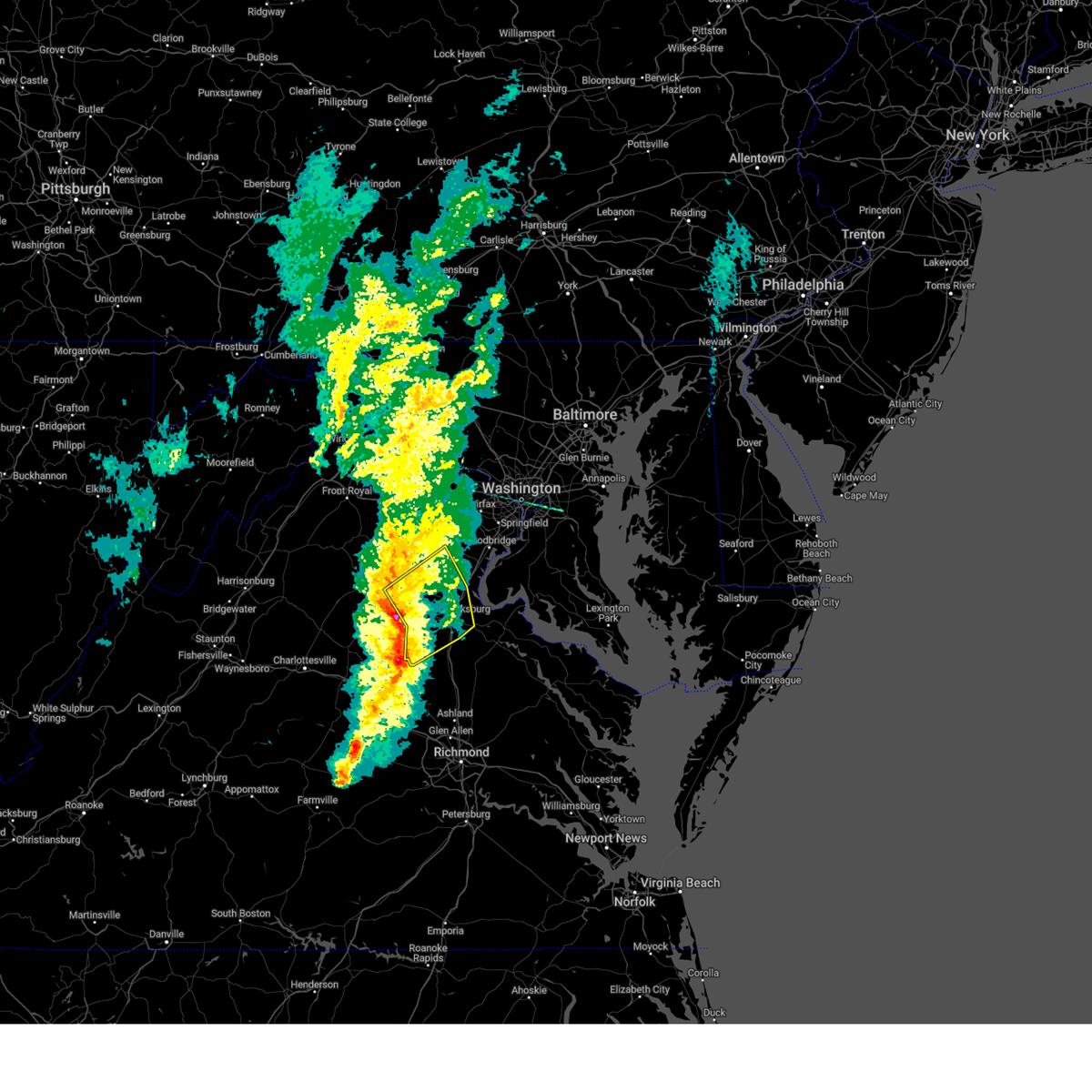
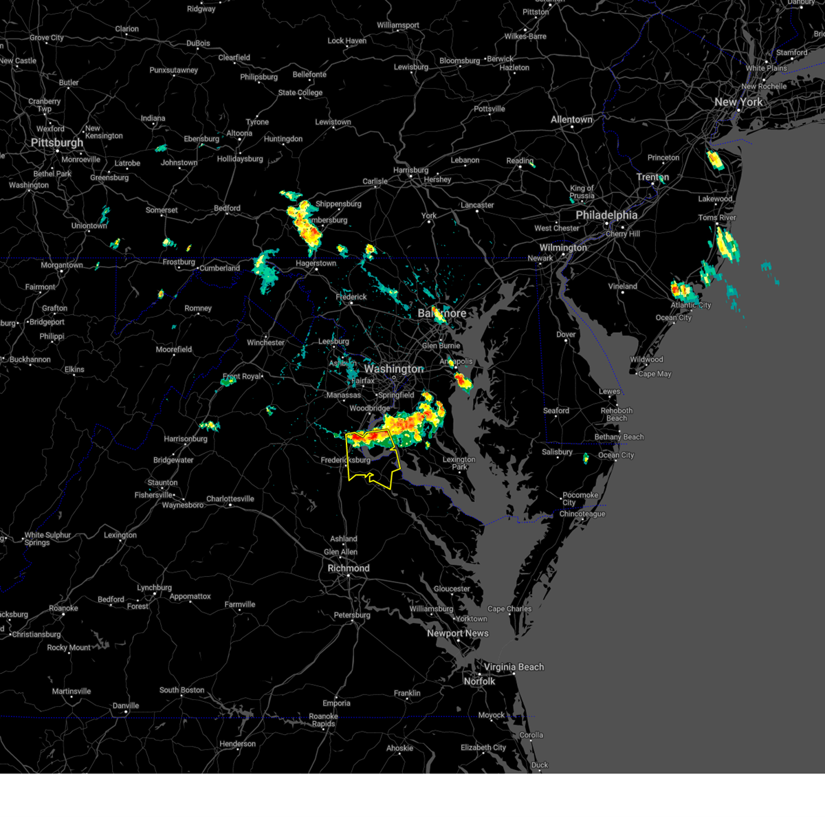
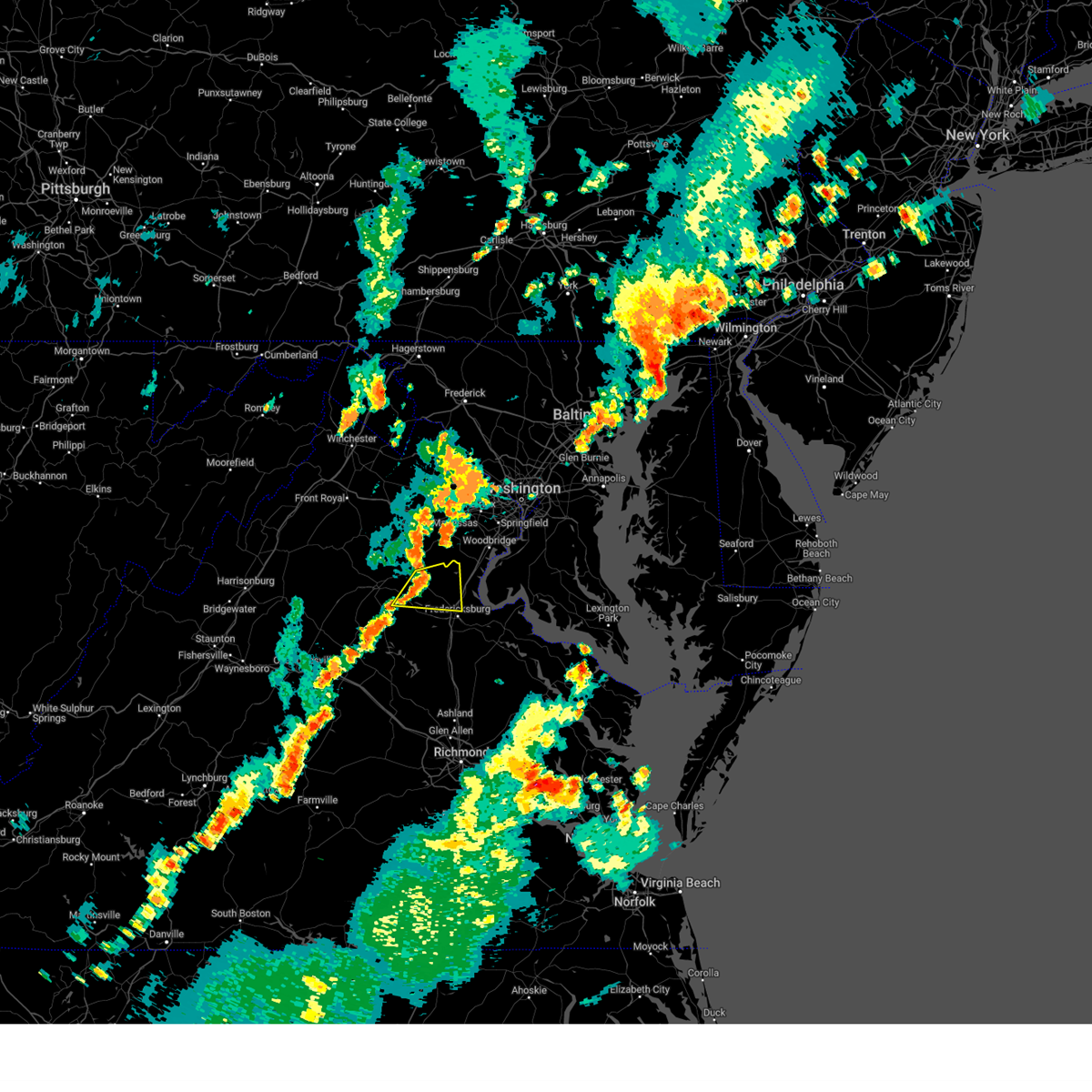
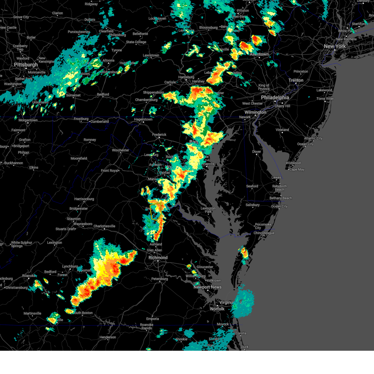
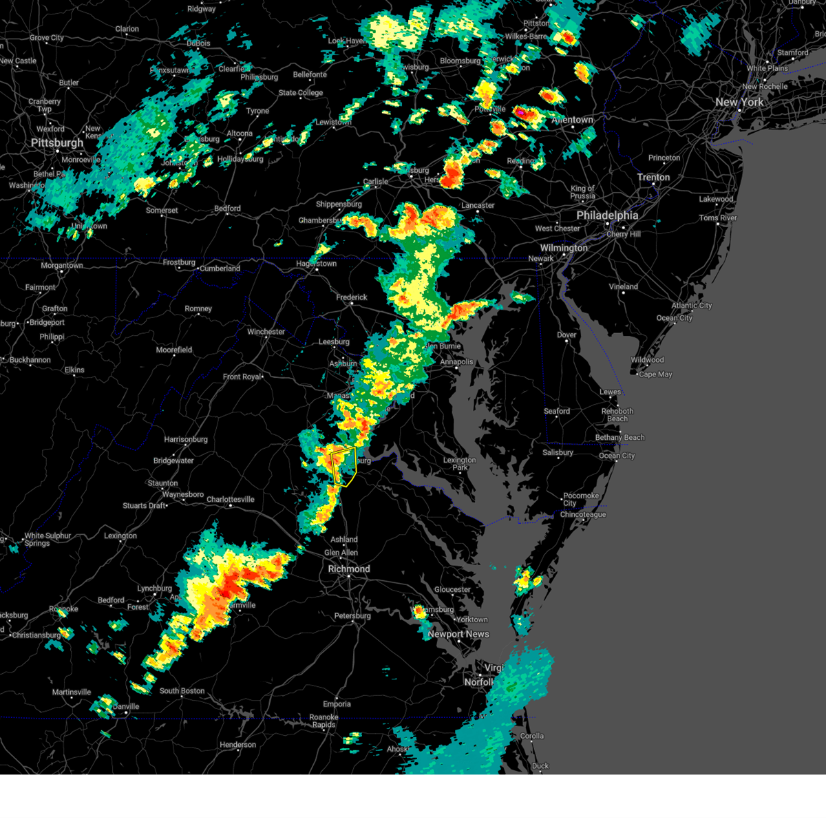
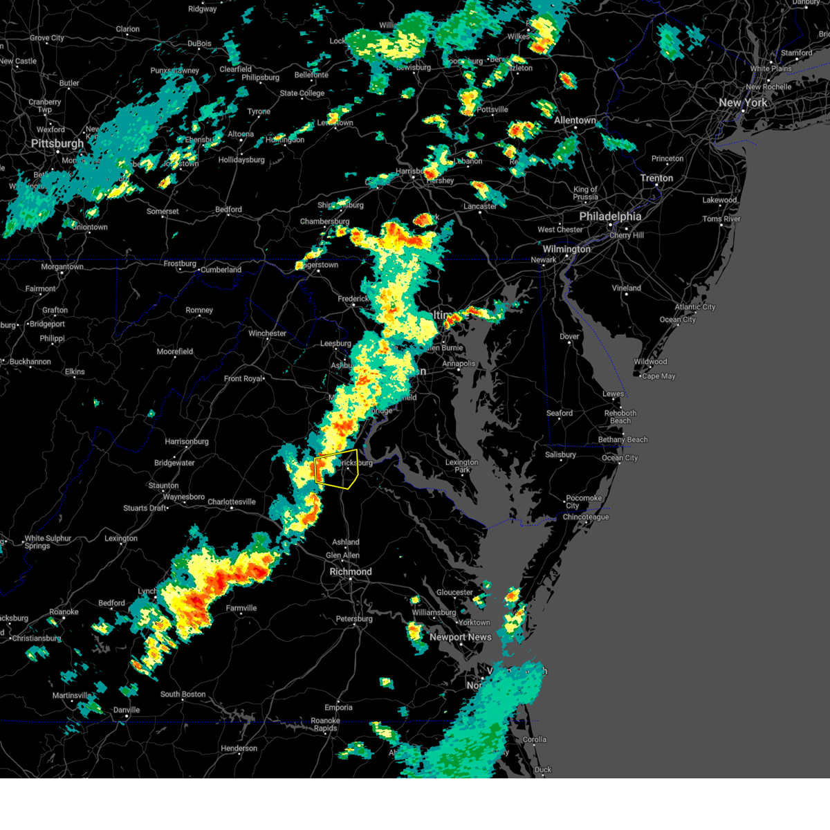
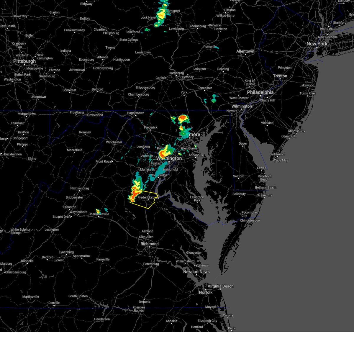
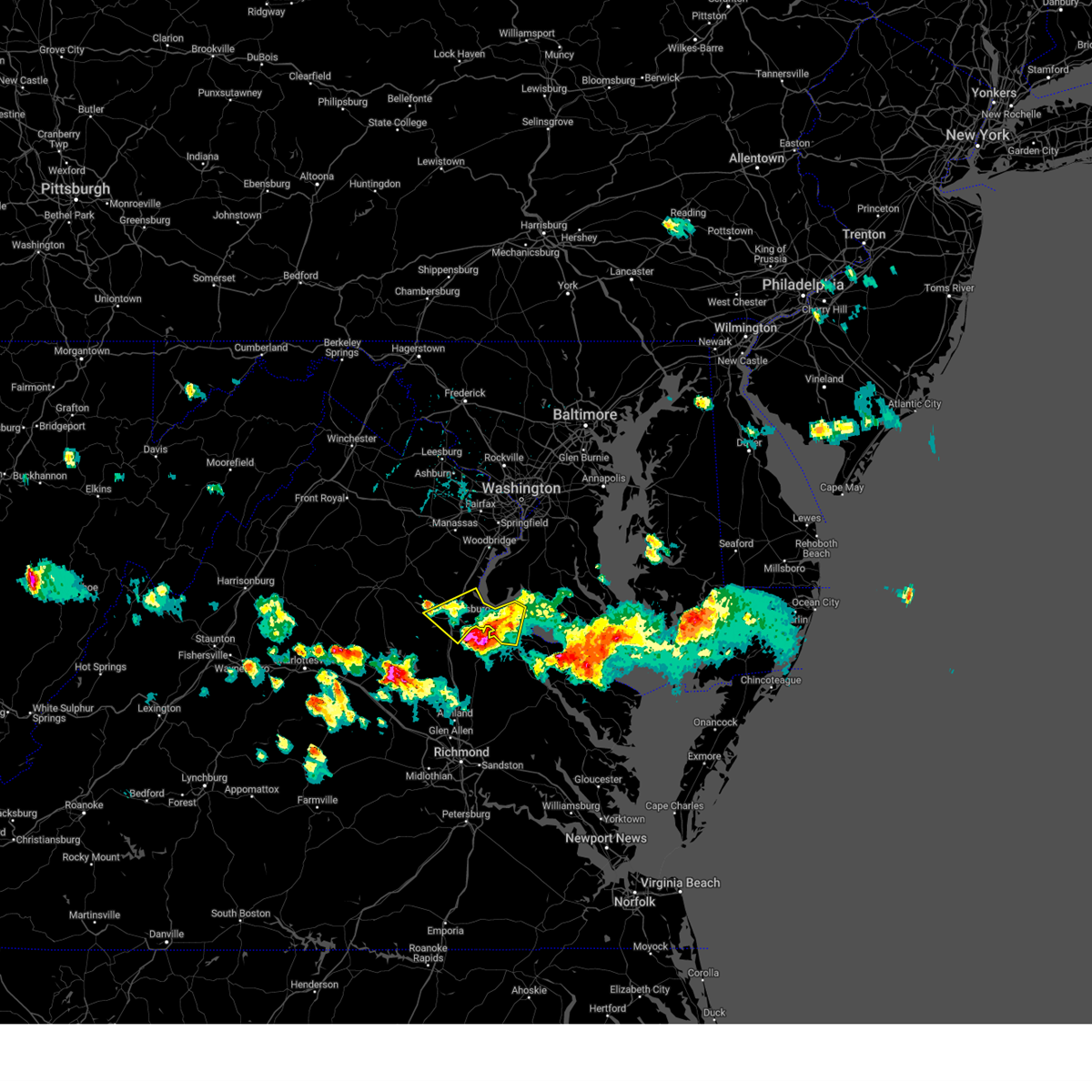
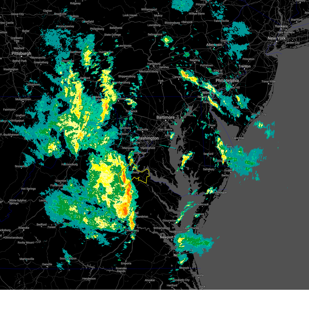
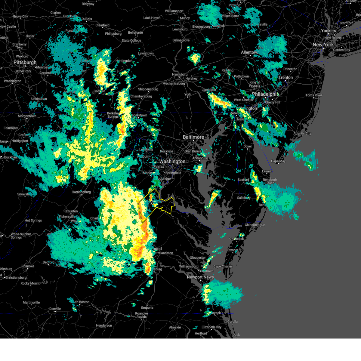
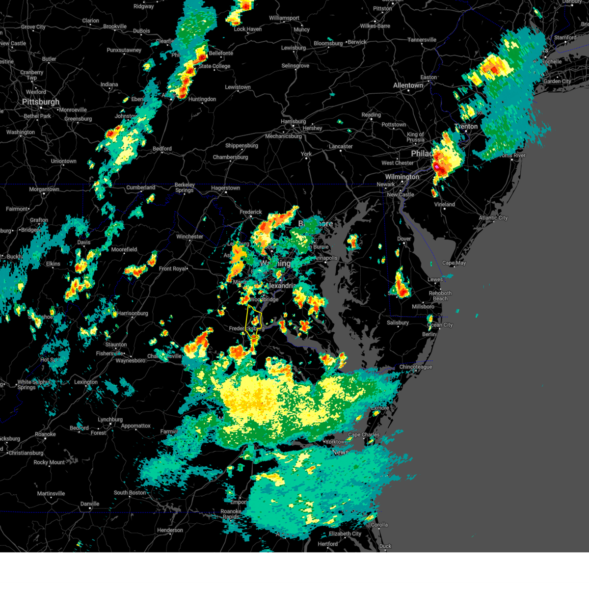
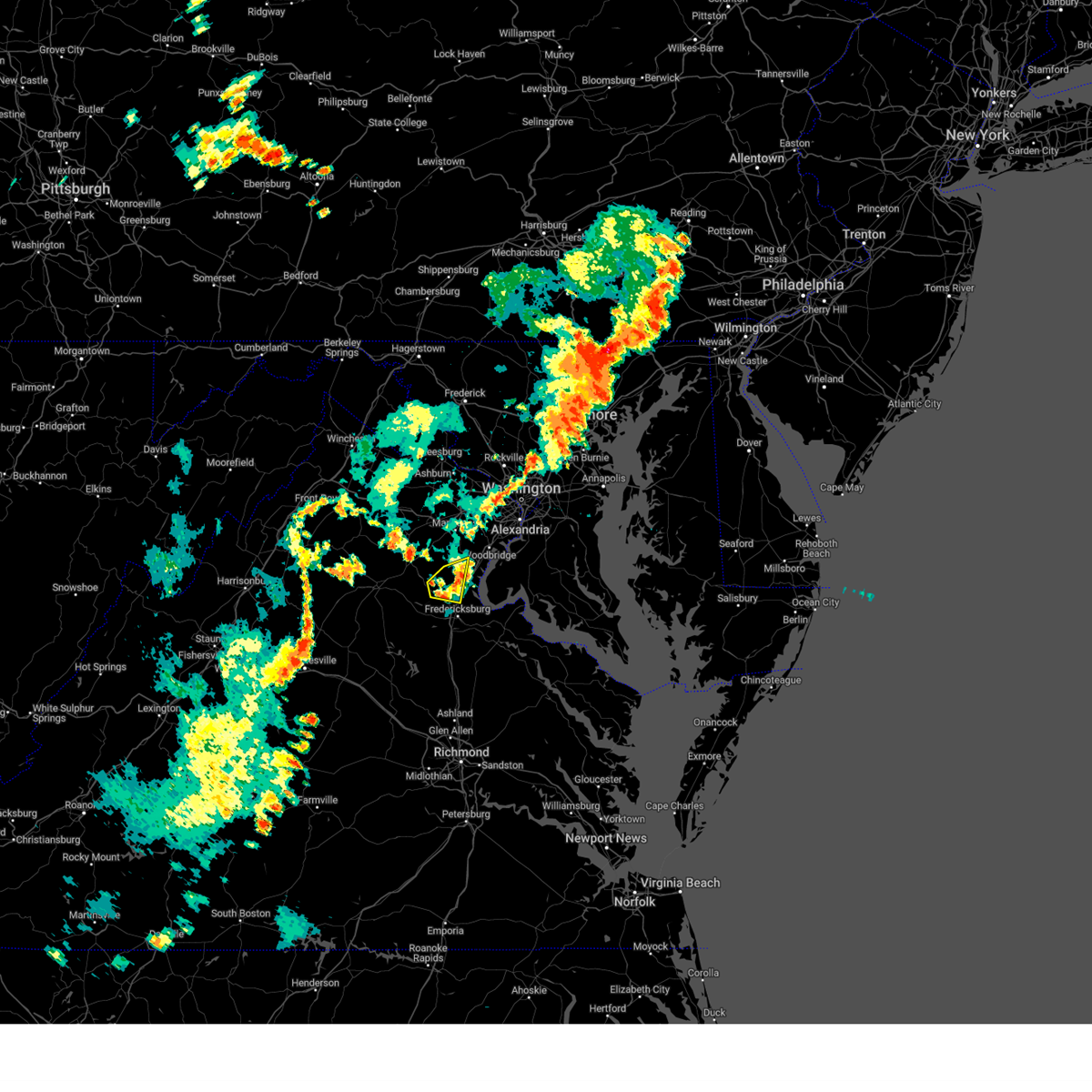
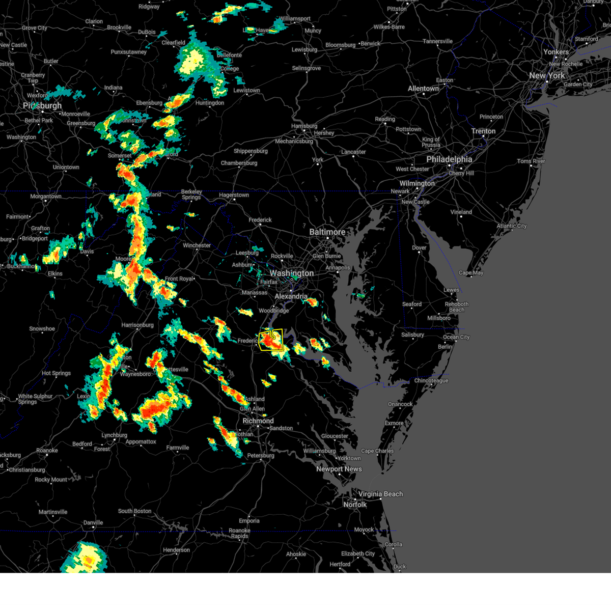
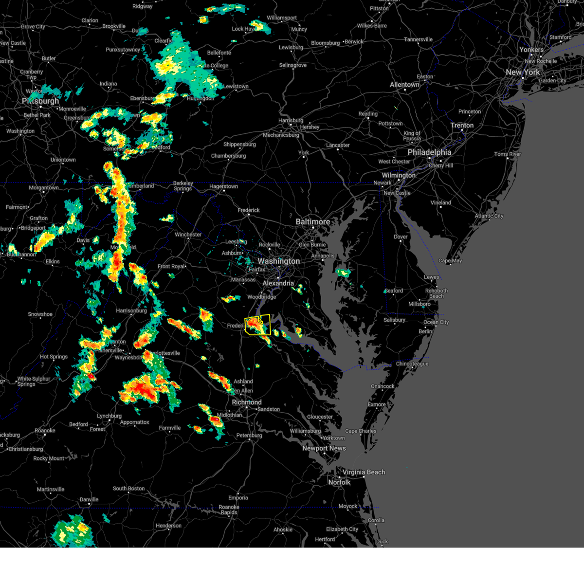
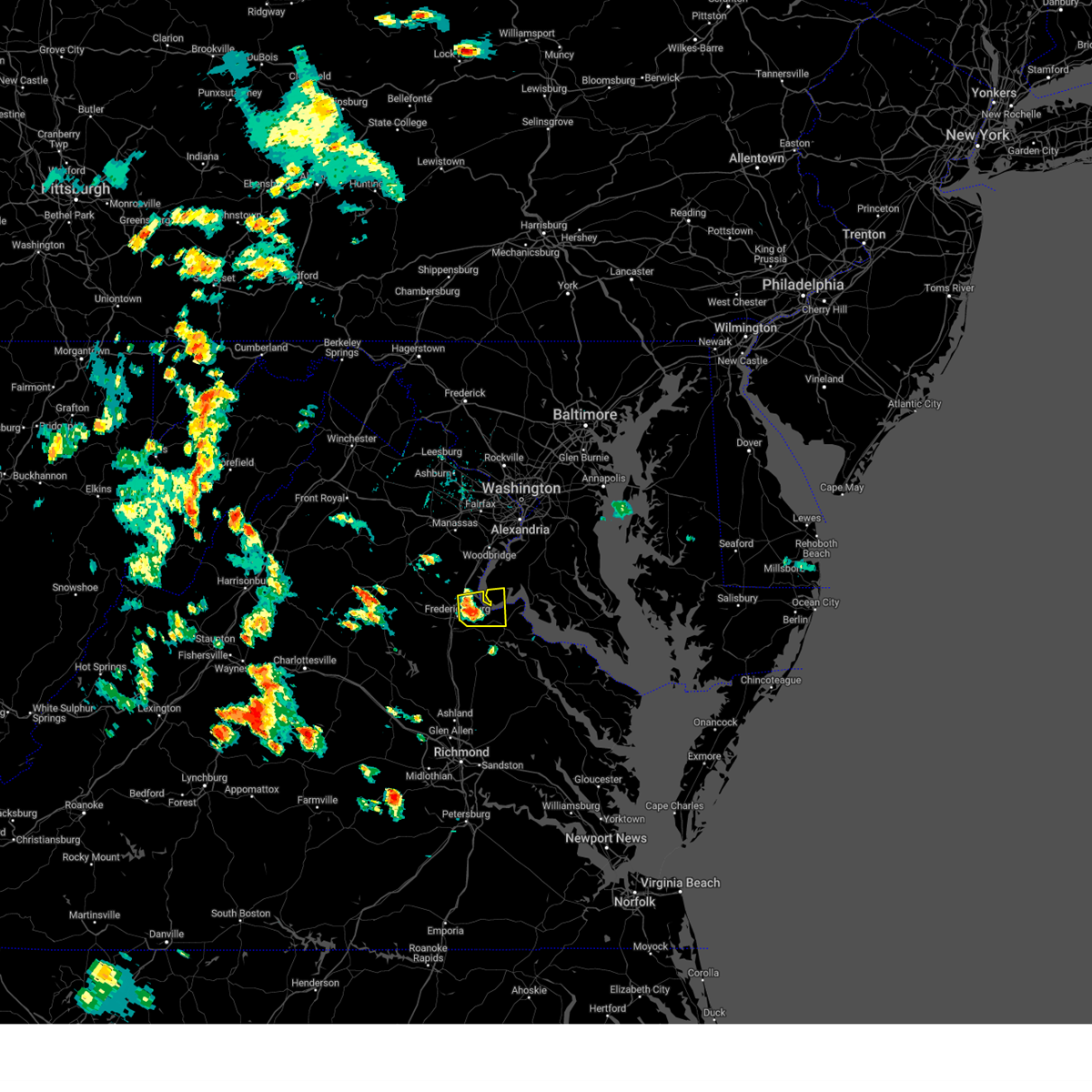
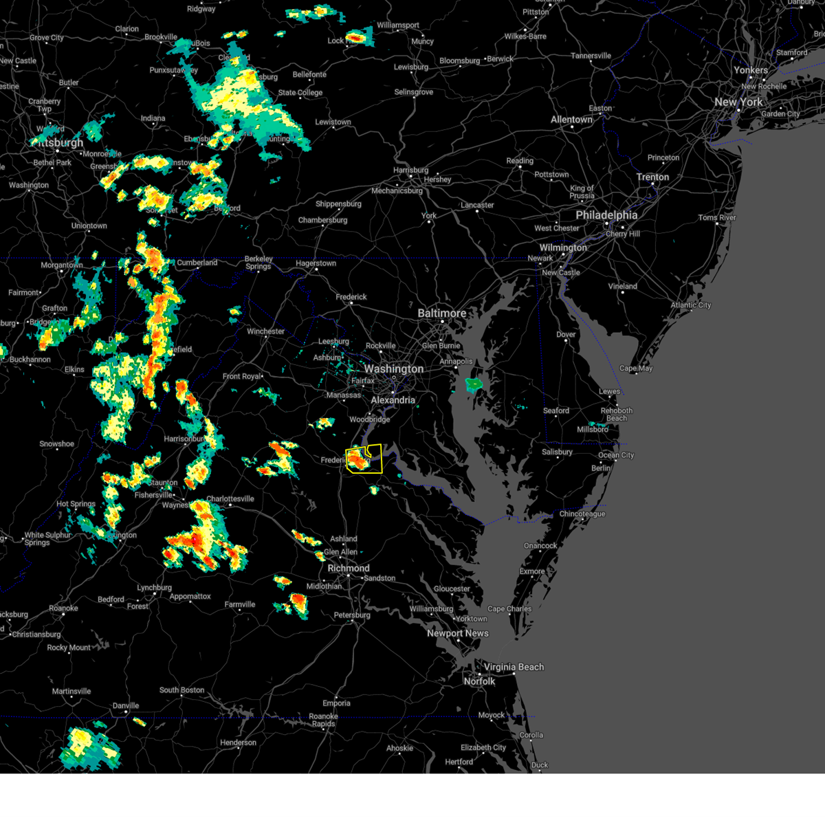
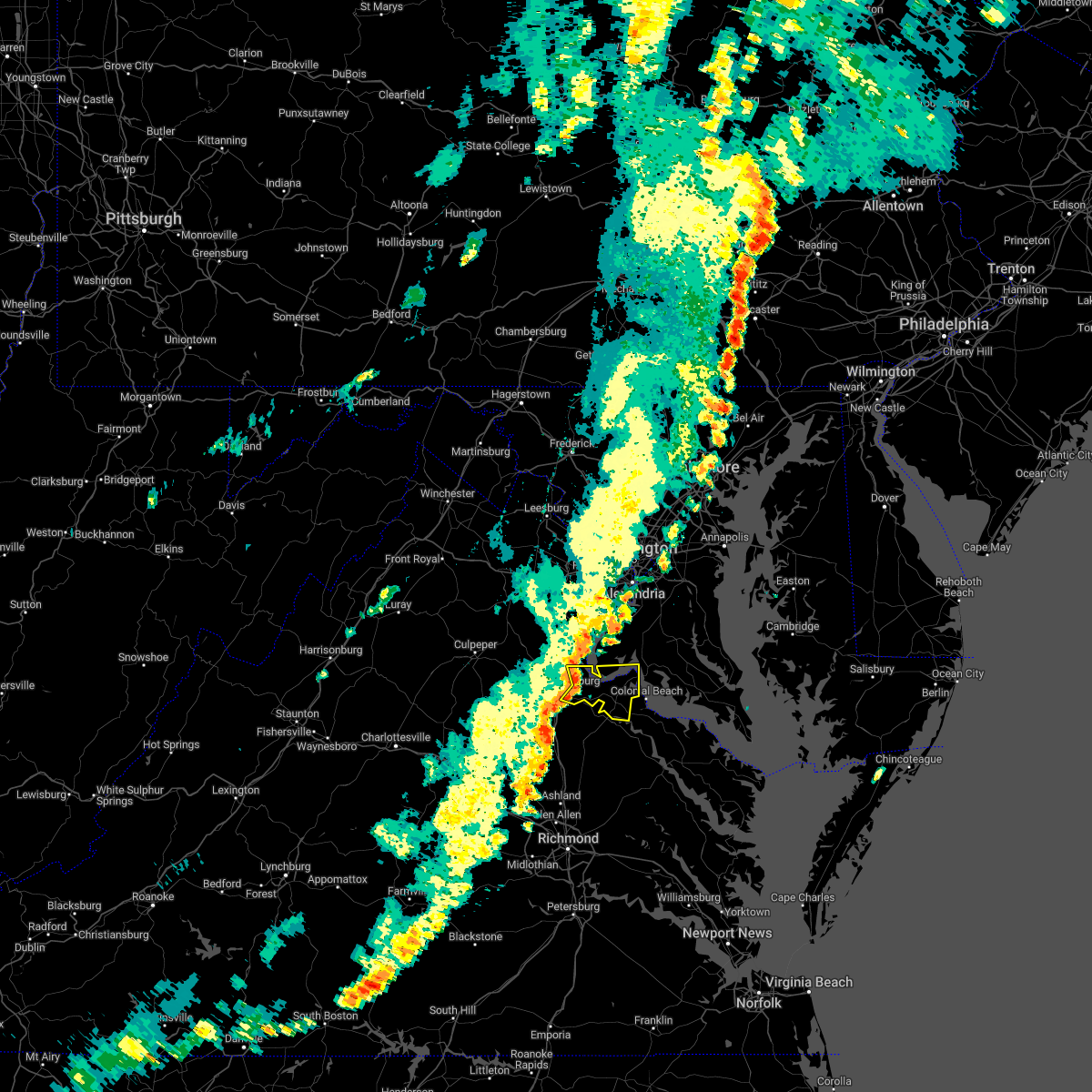
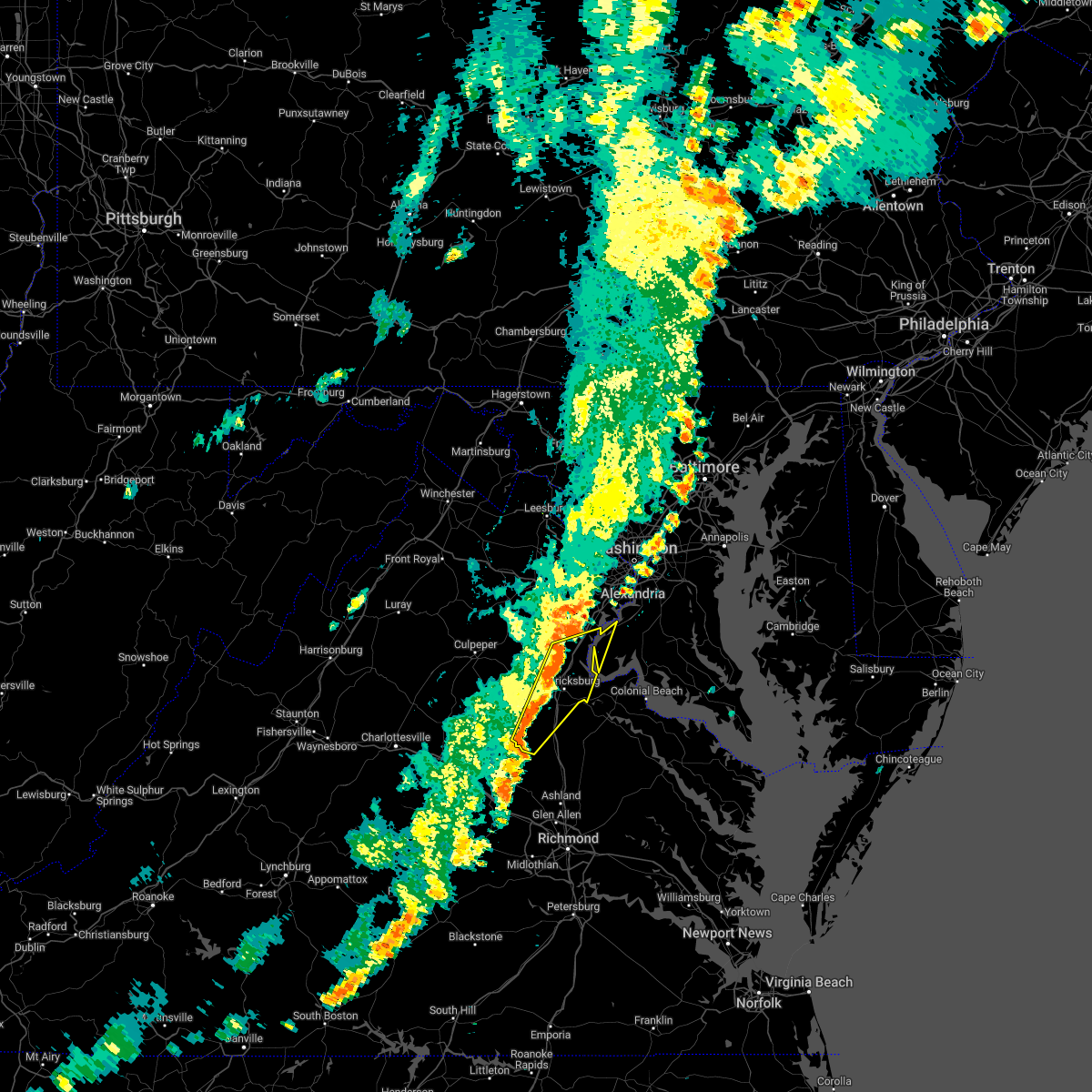
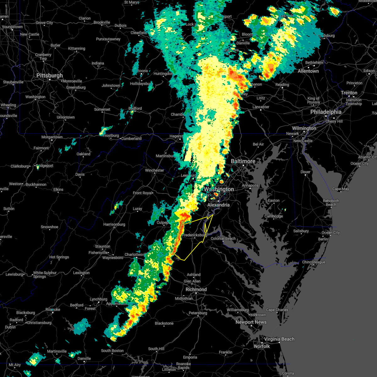
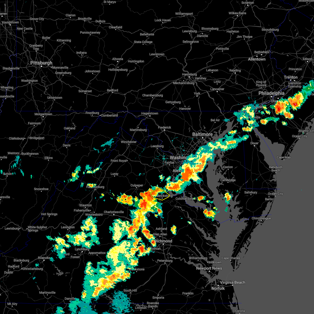
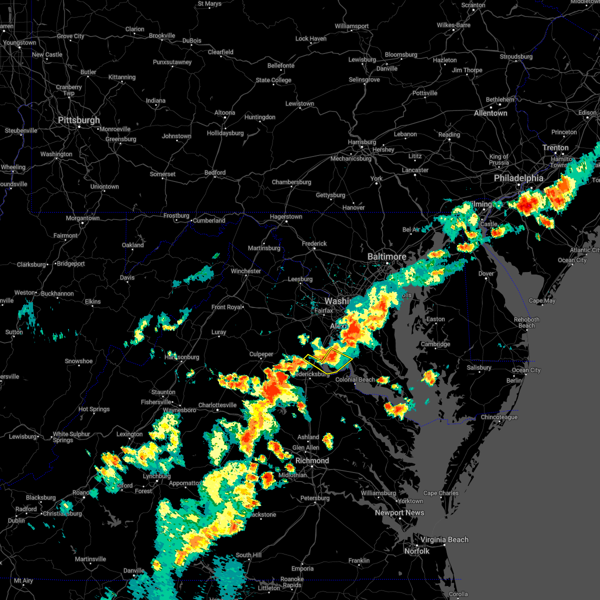
Hail Map for Stafford Courthouse, VA
The Stafford Courthouse, VA area has had 8 reports of on-the-ground hail by trained spotters, and has been under severe weather warnings 33 times during the past 12 months. Doppler radar has detected hail at or near Stafford Courthouse, VA on 56 occasions, including 3 occasions during the past year.
| Name: | Stafford Courthouse, VA |
| Where Located: | 64.4 miles N of Richmond, VA |
| Map: | Google Map for Stafford Courthouse, VA |
| Population: | 4320 |
| Housing Units: | 1188 |
| More Info: | Search Google for Stafford Courthouse, VA |
0
The Top Recent Hail Date for Stafford Courthouse, VA is Monday, May 5, 2025 (40th out of 56)

Hail and Wind Damage Spotted near Stafford Courthouse, VA
| Date / Time | Report Details |
|---|---|
| 7/9/2025 6:01 PM EDT |
 The storms which prompted the warning have weakened below severe limits, and no longer pose an immediate threat to life or property. therefore, the warning has been allowed to expire. however, gusty winds are still possible with these thunderstorms. a severe thunderstorm watch remains in effect until 1000 pm edt for northern and central virginia. The storms which prompted the warning have weakened below severe limits, and no longer pose an immediate threat to life or property. therefore, the warning has been allowed to expire. however, gusty winds are still possible with these thunderstorms. a severe thunderstorm watch remains in effect until 1000 pm edt for northern and central virginia.
|
| 7/9/2025 5:49 PM EDT | Numerous trees down across the city of staffor in stafford county VA, 1.3 miles W of Stafford Courthouse, VA |
| 7/9/2025 5:25 PM EDT |
 Svrlwx the national weather service in sterling virginia has issued a * severe thunderstorm warning for, stafford county in northern virginia, west central king george county in central virginia, the city of fredericksburg in central virginia, southern fauquier county in northern virginia, eastern culpeper county in northern virginia, southeastern prince william county in northern virginia, northeastern spotsylvania county in central virginia, * until 600 pm edt. * at 525 pm edt, severe thunderstorms were located along a line extending from 9 miles northwest of fredericksburg to spotsylvania, moving northeast at 30 mph (radar indicated). Hazards include 60 mph wind gusts. Damaging winds will cause some trees and large branches to fall. this could injure those outdoors, as well as damage homes and vehicles. roadways may become blocked by downed trees. localized power outages are possible. Unsecured light objects may become projectiles. Svrlwx the national weather service in sterling virginia has issued a * severe thunderstorm warning for, stafford county in northern virginia, west central king george county in central virginia, the city of fredericksburg in central virginia, southern fauquier county in northern virginia, eastern culpeper county in northern virginia, southeastern prince william county in northern virginia, northeastern spotsylvania county in central virginia, * until 600 pm edt. * at 525 pm edt, severe thunderstorms were located along a line extending from 9 miles northwest of fredericksburg to spotsylvania, moving northeast at 30 mph (radar indicated). Hazards include 60 mph wind gusts. Damaging winds will cause some trees and large branches to fall. this could injure those outdoors, as well as damage homes and vehicles. roadways may become blocked by downed trees. localized power outages are possible. Unsecured light objects may become projectiles.
|
| 6/19/2025 4:47 PM EDT |
 At 447 pm edt, a severe thunderstorm was located over la plata, moving east at 50 mph (emergency management reports a history of downed trees with this line of storms). Hazards include 60 mph wind gusts. Damaging winds will cause some trees and large branches to fall. this could injure those outdoors, as well as damage homes and vehicles. roadways may become blocked by downed trees. localized power outages are possible. unsecured light objects may become projectiles. Locations impacted include, stafford, waldorf, clinton, fort washington, fort hunt, la plata, shady side, chesapeake beach, deale, prince frederick, quantico, hallowing point, aquia creek, breezy point, port tobacco river, sheridan point, rosaryville, friendly, marlton, and triangle. At 447 pm edt, a severe thunderstorm was located over la plata, moving east at 50 mph (emergency management reports a history of downed trees with this line of storms). Hazards include 60 mph wind gusts. Damaging winds will cause some trees and large branches to fall. this could injure those outdoors, as well as damage homes and vehicles. roadways may become blocked by downed trees. localized power outages are possible. unsecured light objects may become projectiles. Locations impacted include, stafford, waldorf, clinton, fort washington, fort hunt, la plata, shady side, chesapeake beach, deale, prince frederick, quantico, hallowing point, aquia creek, breezy point, port tobacco river, sheridan point, rosaryville, friendly, marlton, and triangle.
|
| 6/19/2025 4:43 PM EDT |
 Svrlwx the national weather service in sterling virginia has issued a * severe thunderstorm warning for, northwestern st. marys county in southern maryland, west central calvert county in southern maryland, southeastern prince georges county in central maryland, central charles county in southern maryland, southern stafford county in northern virginia, southeastern orange county in central virginia, king george county in central virginia, the city of fredericksburg in central virginia, southeastern fauquier county in northern virginia, southeastern culpeper county in northern virginia, spotsylvania county in central virginia, * until 530 pm edt. * at 442 pm edt, severe thunderstorms were located along a line extending from 6 miles northwest of fredericksburg to near spotsylvania to mineral, moving east at 50 mph (radar indicated). Hazards include 60 mph wind gusts. Damaging winds will cause some trees and large branches to fall. this could injure those outdoors, as well as damage homes and vehicles. roadways may become blocked by downed trees. localized power outages are possible. Unsecured light objects may become projectiles. Svrlwx the national weather service in sterling virginia has issued a * severe thunderstorm warning for, northwestern st. marys county in southern maryland, west central calvert county in southern maryland, southeastern prince georges county in central maryland, central charles county in southern maryland, southern stafford county in northern virginia, southeastern orange county in central virginia, king george county in central virginia, the city of fredericksburg in central virginia, southeastern fauquier county in northern virginia, southeastern culpeper county in northern virginia, spotsylvania county in central virginia, * until 530 pm edt. * at 442 pm edt, severe thunderstorms were located along a line extending from 6 miles northwest of fredericksburg to near spotsylvania to mineral, moving east at 50 mph (radar indicated). Hazards include 60 mph wind gusts. Damaging winds will cause some trees and large branches to fall. this could injure those outdoors, as well as damage homes and vehicles. roadways may become blocked by downed trees. localized power outages are possible. Unsecured light objects may become projectiles.
|
| 6/19/2025 4:27 PM EDT |
 Svrlwx the national weather service in sterling virginia has issued a * severe thunderstorm warning for, southeastern anne arundel county in central maryland, northwestern st. marys county in southern maryland, calvert county in southern maryland, southern prince georges county in central maryland, charles county in southern maryland, east central stafford county in northern virginia, southeastern fairfax county in northern virginia, southeastern prince william county in northern virginia, * until 530 pm edt. * at 426 pm edt, a severe thunderstorm was located over quantico, moving east at 50 mph (emergency management). Hazards include 60 mph wind gusts. Damaging winds will cause some trees and large branches to fall. this could injure those outdoors, as well as damage homes and vehicles. roadways may become blocked by downed trees. localized power outages are possible. Unsecured light objects may become projectiles. Svrlwx the national weather service in sterling virginia has issued a * severe thunderstorm warning for, southeastern anne arundel county in central maryland, northwestern st. marys county in southern maryland, calvert county in southern maryland, southern prince georges county in central maryland, charles county in southern maryland, east central stafford county in northern virginia, southeastern fairfax county in northern virginia, southeastern prince william county in northern virginia, * until 530 pm edt. * at 426 pm edt, a severe thunderstorm was located over quantico, moving east at 50 mph (emergency management). Hazards include 60 mph wind gusts. Damaging winds will cause some trees and large branches to fall. this could injure those outdoors, as well as damage homes and vehicles. roadways may become blocked by downed trees. localized power outages are possible. Unsecured light objects may become projectiles.
|
| 6/19/2025 4:15 PM EDT | Trees blew down on i-95 south of courthouse roa in stafford county VA, 0.2 miles W of Stafford Courthouse, VA |
| 6/19/2025 4:05 PM EDT |
 Svrlwx the national weather service in sterling virginia has issued a * severe thunderstorm warning for, northwestern st. marys county in southern maryland, southern prince georges county in central maryland, charles county in southern maryland, stafford county in northern virginia, northeastern king george county in central virginia, southeastern fairfax county in northern virginia, southeastern fauquier county in northern virginia, eastern culpeper county in northern virginia, southeastern prince william county in northern virginia, * until 430 pm edt. * at 405 pm edt, a severe thunderstorm was located 10 miles northwest of stafford, moving east at 55 mph (radar indicated). Hazards include 60 mph wind gusts. Damaging winds will cause some trees and large branches to fall. this could injure those outdoors, as well as damage homes and vehicles. roadways may become blocked by downed trees. localized power outages are possible. Unsecured light objects may become projectiles. Svrlwx the national weather service in sterling virginia has issued a * severe thunderstorm warning for, northwestern st. marys county in southern maryland, southern prince georges county in central maryland, charles county in southern maryland, stafford county in northern virginia, northeastern king george county in central virginia, southeastern fairfax county in northern virginia, southeastern fauquier county in northern virginia, eastern culpeper county in northern virginia, southeastern prince william county in northern virginia, * until 430 pm edt. * at 405 pm edt, a severe thunderstorm was located 10 miles northwest of stafford, moving east at 55 mph (radar indicated). Hazards include 60 mph wind gusts. Damaging winds will cause some trees and large branches to fall. this could injure those outdoors, as well as damage homes and vehicles. roadways may become blocked by downed trees. localized power outages are possible. Unsecured light objects may become projectiles.
|
| 6/8/2025 1:13 PM EDT |
 The storm which prompted the warning has weakened below severe limits, and no longer appears capable of producing a tornado. therefore, the warning will be allowed to expire. however, heavy rain is still possible with this thunderstorm. The storm which prompted the warning has weakened below severe limits, and no longer appears capable of producing a tornado. therefore, the warning will be allowed to expire. however, heavy rain is still possible with this thunderstorm.
|
| 6/8/2025 1:05 PM EDT |
 At 104 pm edt, a severe thunderstorm capable of producing a tornado was located near stafford, moving northeast at 15 mph (radar indicated rotation). Hazards include tornado. For those in the direct path of a tornado touchdown, flying debris will be dangerous to those caught without shelter. damage to roofs, siding, and windows may occur. mobile homes may be damaged or destroyed. tree damage is likely. this dangerous storm will be near, stafford around 110 pm edt. Other locations impacted by this tornadic thunderstorm include ramoth, garrisonville, widewater, aquia, arkendale, and roseville. At 104 pm edt, a severe thunderstorm capable of producing a tornado was located near stafford, moving northeast at 15 mph (radar indicated rotation). Hazards include tornado. For those in the direct path of a tornado touchdown, flying debris will be dangerous to those caught without shelter. damage to roofs, siding, and windows may occur. mobile homes may be damaged or destroyed. tree damage is likely. this dangerous storm will be near, stafford around 110 pm edt. Other locations impacted by this tornadic thunderstorm include ramoth, garrisonville, widewater, aquia, arkendale, and roseville.
|
| 6/8/2025 12:56 PM EDT |
 At 1256 pm edt, a severe thunderstorm capable of producing a tornado was located near stafford, moving northeast at 15 mph (radar indicated rotation). Hazards include tornado. For those in the direct path of a tornado touchdown, flying debris will be dangerous to those caught without shelter. damage to roofs, siding, and windows may occur. mobile homes may be damaged or destroyed. tree damage is likely. this dangerous storm will be near, stafford around 100 pm edt. Other locations impacted by this tornadic thunderstorm include ramoth, widewater, aquia, roseville, glendie, garrisonville, and arkendale. At 1256 pm edt, a severe thunderstorm capable of producing a tornado was located near stafford, moving northeast at 15 mph (radar indicated rotation). Hazards include tornado. For those in the direct path of a tornado touchdown, flying debris will be dangerous to those caught without shelter. damage to roofs, siding, and windows may occur. mobile homes may be damaged or destroyed. tree damage is likely. this dangerous storm will be near, stafford around 100 pm edt. Other locations impacted by this tornadic thunderstorm include ramoth, widewater, aquia, roseville, glendie, garrisonville, and arkendale.
|
| 6/8/2025 12:45 PM EDT |
 Torlwx the national weather service in sterling virginia has issued a * tornado warning for, central stafford county in northern virginia, * until 115 pm edt. * at 1245 pm edt, a severe thunderstorm capable of producing a tornado was located near stafford, moving northeast at 25 mph (radar indicated rotation). Hazards include tornado. For those in the direct path of a tornado touchdown, flying debris will be dangerous to those caught without shelter. damage to roofs, siding, and windows may occur. mobile homes may be damaged or destroyed. tree damage is likely. this dangerous storm will be near, stafford around 1250 pm edt. Other locations impacted by this tornadic thunderstorm include ramoth, widewater, aquia, roseville, glendie, garrisonville, arkendale, ruby, and cherry hill. Torlwx the national weather service in sterling virginia has issued a * tornado warning for, central stafford county in northern virginia, * until 115 pm edt. * at 1245 pm edt, a severe thunderstorm capable of producing a tornado was located near stafford, moving northeast at 25 mph (radar indicated rotation). Hazards include tornado. For those in the direct path of a tornado touchdown, flying debris will be dangerous to those caught without shelter. damage to roofs, siding, and windows may occur. mobile homes may be damaged or destroyed. tree damage is likely. this dangerous storm will be near, stafford around 1250 pm edt. Other locations impacted by this tornadic thunderstorm include ramoth, widewater, aquia, roseville, glendie, garrisonville, arkendale, ruby, and cherry hill.
|
| 5/8/2025 6:10 PM EDT |
 At 610 pm edt, a severe thunderstorm was located over aquia creek, moving southeast at 5 mph (radar indicated). Hazards include 60 mph wind gusts and quarter size hail. Damaging winds will cause some trees and large branches to fall. this could injure those outdoors, as well as damage homes and vehicles. roadways may become blocked by downed trees. localized power outages are possible. unsecured light objects may become projectiles. Locations impacted include, brooke, potomac creek, aquia creek, stafford, arkendale, and fairview beach. At 610 pm edt, a severe thunderstorm was located over aquia creek, moving southeast at 5 mph (radar indicated). Hazards include 60 mph wind gusts and quarter size hail. Damaging winds will cause some trees and large branches to fall. this could injure those outdoors, as well as damage homes and vehicles. roadways may become blocked by downed trees. localized power outages are possible. unsecured light objects may become projectiles. Locations impacted include, brooke, potomac creek, aquia creek, stafford, arkendale, and fairview beach.
|
| 5/8/2025 5:56 PM EDT |
 Svrlwx the national weather service in sterling virginia has issued a * severe thunderstorm warning for, east central stafford county in northern virginia, west central king george county in central virginia, * until 630 pm edt. * at 556 pm edt, a severe thunderstorm was located over aquia creek, moving southeast at 5 mph (radar indicated). Hazards include 60 mph wind gusts and quarter size hail. Damaging winds will cause some trees and large branches to fall. this could injure those outdoors, as well as damage homes and vehicles. roadways may become blocked by downed trees. localized power outages are possible. Unsecured light objects may become projectiles. Svrlwx the national weather service in sterling virginia has issued a * severe thunderstorm warning for, east central stafford county in northern virginia, west central king george county in central virginia, * until 630 pm edt. * at 556 pm edt, a severe thunderstorm was located over aquia creek, moving southeast at 5 mph (radar indicated). Hazards include 60 mph wind gusts and quarter size hail. Damaging winds will cause some trees and large branches to fall. this could injure those outdoors, as well as damage homes and vehicles. roadways may become blocked by downed trees. localized power outages are possible. Unsecured light objects may become projectiles.
|
| 5/5/2025 6:33 PM EDT | Tree down on mountain view roa in stafford county VA, 5.4 miles SE of Stafford Courthouse, VA |
| 5/5/2025 6:27 PM EDT |
 Svrlwx the national weather service in sterling virginia has issued a * severe thunderstorm warning for, western prince georges county in central maryland, northwestern charles county in southern maryland, stafford county in northern virginia, king george county in central virginia, the city of fredericksburg in central virginia, southeastern fairfax county in northern virginia, southeastern fauquier county in northern virginia, southeastern prince william county in northern virginia, the southern city of manassas in northern virginia, northeastern spotsylvania county in central virginia, * until 715 pm edt. * at 627 pm edt, severe thunderstorms were located along a line extending from fredericksburg to near quantico to near port tobacco river, moving northwest at 25 mph (radar indicated). Hazards include 60 mph wind gusts and quarter size hail. Damaging winds will cause some trees and large branches to fall. this could injure those outdoors, as well as damage homes and vehicles. roadways may become blocked by downed trees. localized power outages are possible. Unsecured light objects may become projectiles. Svrlwx the national weather service in sterling virginia has issued a * severe thunderstorm warning for, western prince georges county in central maryland, northwestern charles county in southern maryland, stafford county in northern virginia, king george county in central virginia, the city of fredericksburg in central virginia, southeastern fairfax county in northern virginia, southeastern fauquier county in northern virginia, southeastern prince william county in northern virginia, the southern city of manassas in northern virginia, northeastern spotsylvania county in central virginia, * until 715 pm edt. * at 627 pm edt, severe thunderstorms were located along a line extending from fredericksburg to near quantico to near port tobacco river, moving northwest at 25 mph (radar indicated). Hazards include 60 mph wind gusts and quarter size hail. Damaging winds will cause some trees and large branches to fall. this could injure those outdoors, as well as damage homes and vehicles. roadways may become blocked by downed trees. localized power outages are possible. Unsecured light objects may become projectiles.
|
| 5/5/2025 5:44 PM EDT |
 Svrlwx the national weather service in sterling virginia has issued a * severe thunderstorm warning for, west central charles county in southern maryland, southeastern stafford county in northern virginia, king george county in central virginia, * until 630 pm edt. * at 544 pm edt, a severe thunderstorm was located over king george, moving northwest at 15 mph (radar indicated). Hazards include 60 mph wind gusts and quarter size hail. Damaging winds will cause some trees and large branches to fall. this could injure those outdoors, as well as damage homes and vehicles. roadways may become blocked by downed trees. localized power outages are possible. Unsecured light objects may become projectiles. Svrlwx the national weather service in sterling virginia has issued a * severe thunderstorm warning for, west central charles county in southern maryland, southeastern stafford county in northern virginia, king george county in central virginia, * until 630 pm edt. * at 544 pm edt, a severe thunderstorm was located over king george, moving northwest at 15 mph (radar indicated). Hazards include 60 mph wind gusts and quarter size hail. Damaging winds will cause some trees and large branches to fall. this could injure those outdoors, as well as damage homes and vehicles. roadways may become blocked by downed trees. localized power outages are possible. Unsecured light objects may become projectiles.
|
| 3/5/2025 12:36 PM EST |
 the severe thunderstorm warning has been cancelled and is no longer in effect the severe thunderstorm warning has been cancelled and is no longer in effect
|
| 3/5/2025 12:36 PM EST |
 At 1236 pm est, a severe thunderstorm was located near triangle, or 7 miles north of stafford, moving northeast at 55 mph (radar indicated). Hazards include 60 mph wind gusts. Damaging winds will cause some trees and large branches to fall. this could injure those outdoors, as well as damage homes and vehicles. roadways may become blocked by downed trees. localized power outages are possible. unsecured light objects may become projectiles. Locations impacted include, lake ridge, montclair, roseville, triangle, dale city, independent hill, garrisonville, quantico, ramoth, woodbridge, dumfries, cherry hill, aquia, occoquan, ruby, mason neck, and lorton. At 1236 pm est, a severe thunderstorm was located near triangle, or 7 miles north of stafford, moving northeast at 55 mph (radar indicated). Hazards include 60 mph wind gusts. Damaging winds will cause some trees and large branches to fall. this could injure those outdoors, as well as damage homes and vehicles. roadways may become blocked by downed trees. localized power outages are possible. unsecured light objects may become projectiles. Locations impacted include, lake ridge, montclair, roseville, triangle, dale city, independent hill, garrisonville, quantico, ramoth, woodbridge, dumfries, cherry hill, aquia, occoquan, ruby, mason neck, and lorton.
|
| 3/5/2025 12:26 PM EST |
 Svrlwx the national weather service in sterling virginia has issued a * severe thunderstorm warning for, northern stafford county in northern virginia, southeastern fauquier county in northern virginia, southeastern prince william county in northern virginia, * until 100 pm est. * at 1226 pm est, a severe thunderstorm was located 8 miles west of stafford, moving northeast at 55 mph (radar indicated). Hazards include 60 mph wind gusts. Damaging winds will cause some trees and large branches to fall. this could injure those outdoors, as well as damage homes and vehicles. roadways may become blocked by downed trees. localized power outages are possible. Unsecured light objects may become projectiles. Svrlwx the national weather service in sterling virginia has issued a * severe thunderstorm warning for, northern stafford county in northern virginia, southeastern fauquier county in northern virginia, southeastern prince william county in northern virginia, * until 100 pm est. * at 1226 pm est, a severe thunderstorm was located 8 miles west of stafford, moving northeast at 55 mph (radar indicated). Hazards include 60 mph wind gusts. Damaging winds will cause some trees and large branches to fall. this could injure those outdoors, as well as damage homes and vehicles. roadways may become blocked by downed trees. localized power outages are possible. Unsecured light objects may become projectiles.
|
| 12/31/2024 5:10 PM EST |
 The storms which prompted the warning have moved out of the area. therefore, the warning will be allowed to expire. The storms which prompted the warning have moved out of the area. therefore, the warning will be allowed to expire.
|
| 12/31/2024 5:07 PM EST |
 Svrlwx the national weather service in sterling virginia has issued a * severe thunderstorm warning for, western prince georges county in central maryland, northwestern charles county in southern maryland, stafford county in northern virginia, king george county in central virginia, the eastern city of fredericksburg in central virginia, southeastern fairfax county in northern virginia, southeastern prince william county in northern virginia, east central spotsylvania county in central virginia, * until 530 pm est. * at 507 pm est, severe thunderstorms were located along a line extending from 9 miles west of triangle to stafford to near massaponax, moving northeast at 45 mph (radar indicated). Hazards include 60 mph wind gusts. Damaging winds will cause some trees and large branches to fall. this could injure those outdoors, as well as damage homes and vehicles. roadways may become blocked by downed trees. localized power outages are possible. Unsecured light objects may become projectiles. Svrlwx the national weather service in sterling virginia has issued a * severe thunderstorm warning for, western prince georges county in central maryland, northwestern charles county in southern maryland, stafford county in northern virginia, king george county in central virginia, the eastern city of fredericksburg in central virginia, southeastern fairfax county in northern virginia, southeastern prince william county in northern virginia, east central spotsylvania county in central virginia, * until 530 pm est. * at 507 pm est, severe thunderstorms were located along a line extending from 9 miles west of triangle to stafford to near massaponax, moving northeast at 45 mph (radar indicated). Hazards include 60 mph wind gusts. Damaging winds will cause some trees and large branches to fall. this could injure those outdoors, as well as damage homes and vehicles. roadways may become blocked by downed trees. localized power outages are possible. Unsecured light objects may become projectiles.
|
| 12/31/2024 4:58 PM EST |
 the severe thunderstorm warning has been cancelled and is no longer in effect the severe thunderstorm warning has been cancelled and is no longer in effect
|
| 12/31/2024 4:58 PM EST |
 At 458 pm est, severe thunderstorms were located along a line extending from 7 miles southeast of bealeton to 6 miles northwest of fredericksburg to spotsylvania, moving northeast at 50 mph (radar indicated). Hazards include 60 mph wind gusts and quarter size hail. Damaging winds will cause some trees and large branches to fall. this could injure those outdoors, as well as damage homes and vehicles. roadways may become blocked by downed trees. localized power outages are possible. unsecured light objects may become projectiles. Locations impacted include, stafford, fredericksburg, massaponax, spotsylvania, falmouth, midland, stones corner, leeland, roseville, garrisonville, snell, spring valley, ramoth, aden, heflin, holly corner, white oak, glendie, hartwood, and brookfield. At 458 pm est, severe thunderstorms were located along a line extending from 7 miles southeast of bealeton to 6 miles northwest of fredericksburg to spotsylvania, moving northeast at 50 mph (radar indicated). Hazards include 60 mph wind gusts and quarter size hail. Damaging winds will cause some trees and large branches to fall. this could injure those outdoors, as well as damage homes and vehicles. roadways may become blocked by downed trees. localized power outages are possible. unsecured light objects may become projectiles. Locations impacted include, stafford, fredericksburg, massaponax, spotsylvania, falmouth, midland, stones corner, leeland, roseville, garrisonville, snell, spring valley, ramoth, aden, heflin, holly corner, white oak, glendie, hartwood, and brookfield.
|
| 12/31/2024 4:48 PM EST |
 At 447 pm est, severe thunderstorms were located along a line extending from 8 miles south of bealeton to 9 miles northwest of spotsylvania to 10 miles north of bumpass, moving northeast at 50 mph (radar indicated). Hazards include 60 mph wind gusts and quarter size hail. Damaging winds will cause some trees and large branches to fall. this could injure those outdoors, as well as damage homes and vehicles. roadways may become blocked by downed trees. localized power outages are possible. unsecured light objects may become projectiles. Locations impacted include, stafford, fredericksburg, massaponax, spotsylvania, falmouth, stones corner, roseville, garrisonville, snell, ramoth, heflin, dunavant, white oak, morrisville, ruby, cookstown, somerville, goldvein, leeland, and brokenburg. At 447 pm est, severe thunderstorms were located along a line extending from 8 miles south of bealeton to 9 miles northwest of spotsylvania to 10 miles north of bumpass, moving northeast at 50 mph (radar indicated). Hazards include 60 mph wind gusts and quarter size hail. Damaging winds will cause some trees and large branches to fall. this could injure those outdoors, as well as damage homes and vehicles. roadways may become blocked by downed trees. localized power outages are possible. unsecured light objects may become projectiles. Locations impacted include, stafford, fredericksburg, massaponax, spotsylvania, falmouth, stones corner, roseville, garrisonville, snell, ramoth, heflin, dunavant, white oak, morrisville, ruby, cookstown, somerville, goldvein, leeland, and brokenburg.
|
| 12/31/2024 4:39 PM EST |
 Svrlwx the national weather service in sterling virginia has issued a * severe thunderstorm warning for, stafford county in northern virginia, northeastern orange county in central virginia, the city of fredericksburg in central virginia, southeastern fauquier county in northern virginia, southeastern culpeper county in northern virginia, south central prince william county in northern virginia, spotsylvania county in central virginia, * until 515 pm est. * at 438 pm est, severe thunderstorms were located along a line extending from 8 miles southeast of culpeper to 10 miles west of spotsylvania to 6 miles northeast of mineral, moving northeast at 50 mph (radar indicated). Hazards include 60 mph wind gusts and quarter size hail. Damaging winds will cause some trees and large branches to fall. this could injure those outdoors, as well as damage homes and vehicles. roadways may become blocked by downed trees. localized power outages are possible. Unsecured light objects may become projectiles. Svrlwx the national weather service in sterling virginia has issued a * severe thunderstorm warning for, stafford county in northern virginia, northeastern orange county in central virginia, the city of fredericksburg in central virginia, southeastern fauquier county in northern virginia, southeastern culpeper county in northern virginia, south central prince william county in northern virginia, spotsylvania county in central virginia, * until 515 pm est. * at 438 pm est, severe thunderstorms were located along a line extending from 8 miles southeast of culpeper to 10 miles west of spotsylvania to 6 miles northeast of mineral, moving northeast at 50 mph (radar indicated). Hazards include 60 mph wind gusts and quarter size hail. Damaging winds will cause some trees and large branches to fall. this could injure those outdoors, as well as damage homes and vehicles. roadways may become blocked by downed trees. localized power outages are possible. Unsecured light objects may become projectiles.
|
| 8/26/2024 2:29 PM EDT |
 Svrlwx the national weather service in sterling virginia has issued a * severe thunderstorm warning for, west central charles county in southern maryland, eastern stafford county in northern virginia, king george county in central virginia, northeastern spotsylvania county in central virginia, * until 315 pm edt. * at 228 pm edt, severe thunderstorms were located along a line extending from 7 miles southeast of quantico to near stafford, moving south at 30 mph (radar indicated). Hazards include 60 mph wind gusts. Damaging winds will cause some trees and large branches to fall. this could injure those outdoors, as well as damage homes and vehicles. roadways may become blocked by downed trees. localized power outages are possible. Unsecured light objects may become projectiles. Svrlwx the national weather service in sterling virginia has issued a * severe thunderstorm warning for, west central charles county in southern maryland, eastern stafford county in northern virginia, king george county in central virginia, northeastern spotsylvania county in central virginia, * until 315 pm edt. * at 228 pm edt, severe thunderstorms were located along a line extending from 7 miles southeast of quantico to near stafford, moving south at 30 mph (radar indicated). Hazards include 60 mph wind gusts. Damaging winds will cause some trees and large branches to fall. this could injure those outdoors, as well as damage homes and vehicles. roadways may become blocked by downed trees. localized power outages are possible. Unsecured light objects may become projectiles.
|
| 8/3/2024 6:24 PM EDT | The storm which prompted the warning has moved out of the area. therefore, the warning has been allowed to expire. a severe thunderstorm watch remains in effect until 900 pm edt for central and northern virginia. to report severe weather, contact your nearest law enforcement agency. they will relay your report to the national weather service sterling virginia. |
| 8/3/2024 6:01 PM EDT | A couple calls for trees down in the sotrck and heflin area in stafford county VA, 1.3 miles W of Stafford Courthouse, VA |
| 8/3/2024 5:53 PM EDT |
 At 553 pm edt, a severe thunderstorm was located 11 miles southeast of bealeton, or 13 miles northwest of fredericksburg, moving east at 30 mph (radar indicated). Hazards include 60 mph wind gusts. Damaging winds will cause some trees and large branches to fall. this could injure those outdoors, as well as damage homes and vehicles. roadways may become blocked by downed trees. localized power outages are possible. unsecured light objects may become projectiles. Locations impacted include, falmouth, leeland, roseville, lois, flat run, ramoth, heflin, lignum, storck, holly corner, dunavant, lake of the woods, richardsville, glendie, morrisville, hartwood, ruby, somerville, goldvein, and sumerduck. At 553 pm edt, a severe thunderstorm was located 11 miles southeast of bealeton, or 13 miles northwest of fredericksburg, moving east at 30 mph (radar indicated). Hazards include 60 mph wind gusts. Damaging winds will cause some trees and large branches to fall. this could injure those outdoors, as well as damage homes and vehicles. roadways may become blocked by downed trees. localized power outages are possible. unsecured light objects may become projectiles. Locations impacted include, falmouth, leeland, roseville, lois, flat run, ramoth, heflin, lignum, storck, holly corner, dunavant, lake of the woods, richardsville, glendie, morrisville, hartwood, ruby, somerville, goldvein, and sumerduck.
|
| 8/3/2024 5:35 PM EDT | Svrlwx the national weather service in sterling virginia has issued a * severe thunderstorm warning for, northwestern stafford county in northern virginia, northeastern orange county in central virginia, southeastern fauquier county in northern virginia, southeastern culpeper county in northern virginia, north central spotsylvania county in central virginia, * until 615 pm edt. * at 535 pm edt, a severe thunderstorm was located 9 miles east of culpeper, moving east at 30 mph (radar indicated). Hazards include 60 mph wind gusts. Damaging winds will cause some trees and large branches to fall. this could injure those outdoors, as well as damage homes and vehicles. roadways may become blocked by downed trees. localized power outages are possible. Unsecured light objects may become projectiles. |
| 7/17/2024 6:32 PM EDT |
 the severe thunderstorm warning has been cancelled and is no longer in effect the severe thunderstorm warning has been cancelled and is no longer in effect
|
| 7/17/2024 6:15 PM EDT |
 At 614 pm edt, a severe thunderstorm was located near fredericksburg, moving east at 25 mph (radar indicated). Hazards include 60 mph wind gusts. Damaging winds will cause some trees and large branches to fall. this could injure those outdoors, as well as damage homes and vehicles. roadways may become blocked by downed trees. localized power outages are possible. unsecured light objects may become projectiles. Locations impacted include, stafford, fredericksburg, massaponax, falmouth, brooke, stones corner, leeland, holly corner, white oak, glendie, brookfield, and spring valley. At 614 pm edt, a severe thunderstorm was located near fredericksburg, moving east at 25 mph (radar indicated). Hazards include 60 mph wind gusts. Damaging winds will cause some trees and large branches to fall. this could injure those outdoors, as well as damage homes and vehicles. roadways may become blocked by downed trees. localized power outages are possible. unsecured light objects may become projectiles. Locations impacted include, stafford, fredericksburg, massaponax, falmouth, brooke, stones corner, leeland, holly corner, white oak, glendie, brookfield, and spring valley.
|
| 7/17/2024 6:15 PM EDT |
 the severe thunderstorm warning has been cancelled and is no longer in effect the severe thunderstorm warning has been cancelled and is no longer in effect
|
| 7/17/2024 5:53 PM EDT |
 Svrlwx the national weather service in sterling virginia has issued a * severe thunderstorm warning for, southwestern stafford county in northern virginia, eastern orange county in central virginia, the city of fredericksburg in central virginia, southeastern culpeper county in northern virginia, northeastern spotsylvania county in central virginia, * until 645 pm edt. * at 553 pm edt, a severe thunderstorm was located 9 miles northwest of spotsylvania, or 12 miles west of fredericksburg, moving east at 25 mph (radar indicated). Hazards include 60 mph wind gusts. Damaging winds will cause some trees and large branches to fall. this could injure those outdoors, as well as damage homes and vehicles. roadways may become blocked by downed trees. localized power outages are possible. Unsecured light objects may become projectiles. Svrlwx the national weather service in sterling virginia has issued a * severe thunderstorm warning for, southwestern stafford county in northern virginia, eastern orange county in central virginia, the city of fredericksburg in central virginia, southeastern culpeper county in northern virginia, northeastern spotsylvania county in central virginia, * until 645 pm edt. * at 553 pm edt, a severe thunderstorm was located 9 miles northwest of spotsylvania, or 12 miles west of fredericksburg, moving east at 25 mph (radar indicated). Hazards include 60 mph wind gusts. Damaging winds will cause some trees and large branches to fall. this could injure those outdoors, as well as damage homes and vehicles. roadways may become blocked by downed trees. localized power outages are possible. Unsecured light objects may become projectiles.
|
| 7/15/2024 5:53 PM EDT | At 552 pm edt, a severe thunderstorm was located 8 miles west of fredericksburg, moving southeast at 25 mph (emergency management). Hazards include 60 mph wind gusts. Damaging winds will cause some trees and large branches to fall. this could injure those outdoors, as well as damage homes and vehicles. roadways may become blocked by downed trees. localized power outages are possible. unsecured light objects may become projectiles. Locations impacted include, fredericksburg, potomac creek, aquia creek, massaponax, spotsylvania, falmouth, passapatanzy, stones corner, flat run, ramoth, dunavant, white oak, lake of the woods, cookstown, goldvein, leeland, parker, spring valley, brooke, and chancellorsville. |
| 7/15/2024 5:40 PM EDT |
 Svrlwx the national weather service in sterling virginia has issued a * severe thunderstorm warning for, southern stafford county in northern virginia, northeastern orange county in central virginia, the city of fredericksburg in central virginia, south central fauquier county in northern virginia, southeastern culpeper county in northern virginia, northeastern spotsylvania county in central virginia, * until 630 pm edt. * at 540 pm edt, a severe thunderstorm was located 13 miles northwest of fredericksburg, moving east at 25 mph (emergency management in culpeper county reported numerous trees down from this storm). Hazards include 60 mph wind gusts. Damaging winds will cause some trees and large branches to fall. this could injure those outdoors, as well as damage homes and vehicles. roadways may become blocked by downed trees. localized power outages are possible. Unsecured light objects may become projectiles. Svrlwx the national weather service in sterling virginia has issued a * severe thunderstorm warning for, southern stafford county in northern virginia, northeastern orange county in central virginia, the city of fredericksburg in central virginia, south central fauquier county in northern virginia, southeastern culpeper county in northern virginia, northeastern spotsylvania county in central virginia, * until 630 pm edt. * at 540 pm edt, a severe thunderstorm was located 13 miles northwest of fredericksburg, moving east at 25 mph (emergency management in culpeper county reported numerous trees down from this storm). Hazards include 60 mph wind gusts. Damaging winds will cause some trees and large branches to fall. this could injure those outdoors, as well as damage homes and vehicles. roadways may become blocked by downed trees. localized power outages are possible. Unsecured light objects may become projectiles.
|
| 6/26/2024 9:39 PM EDT |
 The storms which prompted the warning have weakened below severe limits, and no longer pose an immediate threat to life or property. therefore, the warning will be allowed to expire. however, gusty winds and heavy rain are still possible with these thunderstorms. a severe thunderstorm watch remains in effect until midnight edt for southern maryland, and northern, central and northwestern virginia. The storms which prompted the warning have weakened below severe limits, and no longer pose an immediate threat to life or property. therefore, the warning will be allowed to expire. however, gusty winds and heavy rain are still possible with these thunderstorms. a severe thunderstorm watch remains in effect until midnight edt for southern maryland, and northern, central and northwestern virginia.
|
| 5/26/2024 10:18 PM EDT |
 the severe thunderstorm warning has been cancelled and is no longer in effect the severe thunderstorm warning has been cancelled and is no longer in effect
|
| 5/26/2024 9:50 PM EDT |
 Svrlwx the national weather service in sterling virginia has issued a * severe thunderstorm warning for, stafford county in northern virginia, south central loudoun county in northern virginia, king george county in central virginia, northeastern orange county in central virginia, the city of fredericksburg in central virginia, southwestern fairfax county in northern virginia, fauquier county in northern virginia, northeastern culpeper county in northern virginia, the city of manassas park in northern virginia, prince william county in northern virginia, the city of manassas in northern virginia, eastern spotsylvania county in central virginia, * until 1045 pm edt. * at 950 pm edt, severe thunderstorms were located along a line extending from 10 miles south of hume to 11 miles southeast of culpeper to near montpelier, moving northeast at 30 mph (radar indicated). Hazards include 60 mph wind gusts and quarter size hail. Damaging winds will cause some trees and large branches to fall. this could injure those outdoors, as well as damage homes and vehicles. roadways may become blocked by downed trees. localized power outages are possible. Unsecured light objects may become projectiles. Svrlwx the national weather service in sterling virginia has issued a * severe thunderstorm warning for, stafford county in northern virginia, south central loudoun county in northern virginia, king george county in central virginia, northeastern orange county in central virginia, the city of fredericksburg in central virginia, southwestern fairfax county in northern virginia, fauquier county in northern virginia, northeastern culpeper county in northern virginia, the city of manassas park in northern virginia, prince william county in northern virginia, the city of manassas in northern virginia, eastern spotsylvania county in central virginia, * until 1045 pm edt. * at 950 pm edt, severe thunderstorms were located along a line extending from 10 miles south of hume to 11 miles southeast of culpeper to near montpelier, moving northeast at 30 mph (radar indicated). Hazards include 60 mph wind gusts and quarter size hail. Damaging winds will cause some trees and large branches to fall. this could injure those outdoors, as well as damage homes and vehicles. roadways may become blocked by downed trees. localized power outages are possible. Unsecured light objects may become projectiles.
|
| 4/15/2024 5:45 PM EDT |
 the severe thunderstorm warning has been cancelled and is no longer in effect the severe thunderstorm warning has been cancelled and is no longer in effect
|
| 4/15/2024 5:10 PM EDT |
 Svrlwx the national weather service in sterling virginia has issued a * severe thunderstorm warning for, southern stafford county in northern virginia, king george county in central virginia, the city of fredericksburg in central virginia, northeastern spotsylvania county in central virginia, * until 600 pm edt. * at 510 pm edt, severe thunderstorms were located along a line extending from near aquia creek to near fredericksburg to 9 miles north of spotsylvania, moving southeast at 30 mph (radar indicated). Hazards include 60 mph wind gusts and quarter size hail. Damaging winds will cause some trees and large branches to fall. this could injure those outdoors, as well as damage homes and vehicles. roadways may become blocked by downed trees. localized power outages are possible. Unsecured light objects may become projectiles. Svrlwx the national weather service in sterling virginia has issued a * severe thunderstorm warning for, southern stafford county in northern virginia, king george county in central virginia, the city of fredericksburg in central virginia, northeastern spotsylvania county in central virginia, * until 600 pm edt. * at 510 pm edt, severe thunderstorms were located along a line extending from near aquia creek to near fredericksburg to 9 miles north of spotsylvania, moving southeast at 30 mph (radar indicated). Hazards include 60 mph wind gusts and quarter size hail. Damaging winds will cause some trees and large branches to fall. this could injure those outdoors, as well as damage homes and vehicles. roadways may become blocked by downed trees. localized power outages are possible. Unsecured light objects may become projectiles.
|
| 4/15/2024 4:31 PM EDT |
 At 430 pm edt, a severe thunderstorm was located over aquia creek, moving east at 40 mph (radar indicated). Hazards include 60 mph wind gusts and quarter size hail. Damaging winds will cause some trees and large branches to fall. this could injure those outdoors, as well as damage homes and vehicles. roadways may become blocked by downed trees. localized power outages are possible. unsecured light objects may become projectiles. Locations impacted include, stafford, king george, dahlgren, fairview beach, potomac creek, aquia creek, nanjemoy creek, widewater, weedonville, arkendale, brooke, aquia, and berthaville. At 430 pm edt, a severe thunderstorm was located over aquia creek, moving east at 40 mph (radar indicated). Hazards include 60 mph wind gusts and quarter size hail. Damaging winds will cause some trees and large branches to fall. this could injure those outdoors, as well as damage homes and vehicles. roadways may become blocked by downed trees. localized power outages are possible. unsecured light objects may become projectiles. Locations impacted include, stafford, king george, dahlgren, fairview beach, potomac creek, aquia creek, nanjemoy creek, widewater, weedonville, arkendale, brooke, aquia, and berthaville.
|
| 4/15/2024 4:31 PM EDT |
 the severe thunderstorm warning has been cancelled and is no longer in effect the severe thunderstorm warning has been cancelled and is no longer in effect
|
| 4/15/2024 4:22 PM EDT | Quarter sized hail reported 3.7 miles SSE of Stafford Courthouse, VA |
| 4/15/2024 4:15 PM EDT |
 Svrlwx the national weather service in sterling virginia has issued a * severe thunderstorm warning for, west central charles county in southern maryland, central stafford county in northern virginia, northern king george county in central virginia, southeastern fauquier county in northern virginia, * until 500 pm edt. * at 415 pm edt, a severe thunderstorm was located 7 miles northwest of stafford, moving southeast at 40 mph (radar indicated). Hazards include 60 mph wind gusts and quarter size hail. Damaging winds will cause some trees and large branches to fall. this could injure those outdoors, as well as damage homes and vehicles. roadways may become blocked by downed trees. localized power outages are possible. Unsecured light objects may become projectiles. Svrlwx the national weather service in sterling virginia has issued a * severe thunderstorm warning for, west central charles county in southern maryland, central stafford county in northern virginia, northern king george county in central virginia, southeastern fauquier county in northern virginia, * until 500 pm edt. * at 415 pm edt, a severe thunderstorm was located 7 miles northwest of stafford, moving southeast at 40 mph (radar indicated). Hazards include 60 mph wind gusts and quarter size hail. Damaging winds will cause some trees and large branches to fall. this could injure those outdoors, as well as damage homes and vehicles. roadways may become blocked by downed trees. localized power outages are possible. Unsecured light objects may become projectiles.
|
| 4/12/2024 12:35 AM EDT |
 The storms which prompted the warning have weakened below severe limits, and have exited the warned area. therefore, the warning will be allowed to expire. a tornado watch remains in effect until 100 am edt for northern and central virginia. to report severe weather, contact your nearest law enforcement agency. they will relay your report to the national weather service sterling virginia. The storms which prompted the warning have weakened below severe limits, and have exited the warned area. therefore, the warning will be allowed to expire. a tornado watch remains in effect until 100 am edt for northern and central virginia. to report severe weather, contact your nearest law enforcement agency. they will relay your report to the national weather service sterling virginia.
|
| 4/12/2024 12:21 AM EDT |
 Svrlwx the national weather service in sterling virginia has issued a * severe thunderstorm warning for, stafford county in northern virginia, king george county in central virginia, the city of fredericksburg in central virginia, spotsylvania county in central virginia, * until 1245 am edt. * at 1221 am edt, severe thunderstorms were located along a line extending from 11 miles west of fredericksburg to near spotsylvania to near ladysmith, moving northeast at 45 mph (radar indicated). Hazards include 60 mph wind gusts. Damaging winds will cause some trees and large branches to fall. this could injure those outdoors, as well as damage homes and vehicles. roadways may become blocked by downed trees. localized power outages are possible. Unsecured light objects may become projectiles. Svrlwx the national weather service in sterling virginia has issued a * severe thunderstorm warning for, stafford county in northern virginia, king george county in central virginia, the city of fredericksburg in central virginia, spotsylvania county in central virginia, * until 1245 am edt. * at 1221 am edt, severe thunderstorms were located along a line extending from 11 miles west of fredericksburg to near spotsylvania to near ladysmith, moving northeast at 45 mph (radar indicated). Hazards include 60 mph wind gusts. Damaging winds will cause some trees and large branches to fall. this could injure those outdoors, as well as damage homes and vehicles. roadways may become blocked by downed trees. localized power outages are possible. Unsecured light objects may become projectiles.
|
| 9/9/2023 4:10 PM EDT | Several trees and wires blew down in southeastern stafford count in stafford county VA, 4.6 miles NNW of Stafford Courthouse, VA |
| 9/9/2023 4:03 PM EDT |
 At 402 pm edt, a severe thunderstorm was located near potomac creek, moving north at 25 mph (radar indicated). Hazards include 60 mph wind gusts. Damaging winds will cause some trees and large branches to fall. this could injure those outdoors, as well as damage homes and vehicles. roadways may become blocked by downed trees. localized power outages are possible. Unsecured light objects may become projectiles. At 402 pm edt, a severe thunderstorm was located near potomac creek, moving north at 25 mph (radar indicated). Hazards include 60 mph wind gusts. Damaging winds will cause some trees and large branches to fall. this could injure those outdoors, as well as damage homes and vehicles. roadways may become blocked by downed trees. localized power outages are possible. Unsecured light objects may become projectiles.
|
| 7/28/2023 7:45 PM EDT |
 At 745 pm edt, severe thunderstorms were located along a line extending from near bull run to 8 miles northwest of fredericksburg, moving east at 20 mph (radar indicated). Hazards include 60 mph wind gusts. Damaging winds will cause some trees and large branches to fall. this could injure those outdoors, as well as damage homes and vehicles. roadways may become blocked by downed trees. localized power outages are possible. unsecured light objects may become projectiles. locations impacted include, ramoth, heflin, storck, roseville, glendie, garrisonville, hartwood and ruby. hail threat, radar indicated max hail size, <. 75 in wind threat, radar indicated max wind gust, 60 mph. At 745 pm edt, severe thunderstorms were located along a line extending from near bull run to 8 miles northwest of fredericksburg, moving east at 20 mph (radar indicated). Hazards include 60 mph wind gusts. Damaging winds will cause some trees and large branches to fall. this could injure those outdoors, as well as damage homes and vehicles. roadways may become blocked by downed trees. localized power outages are possible. unsecured light objects may become projectiles. locations impacted include, ramoth, heflin, storck, roseville, glendie, garrisonville, hartwood and ruby. hail threat, radar indicated max hail size, <. 75 in wind threat, radar indicated max wind gust, 60 mph.
|
| 7/28/2023 7:30 PM EDT | There were several calls for trees... branches... and wires down across stafford count in stafford county VA, 4.1 miles SE of Stafford Courthouse, VA |
| 7/28/2023 7:01 PM EDT |
 At 701 pm edt, severe thunderstorms were located along a line extending from near warrenton to 13 miles southeast of culpeper, moving east at 20 mph (radar indicated). Hazards include 60 mph wind gusts. Damaging winds will cause some trees and large branches to fall. this could injure those outdoors, as well as damage homes and vehicles. roadways may become blocked by downed trees. localized power outages are possible. Unsecured light objects may become projectiles. At 701 pm edt, severe thunderstorms were located along a line extending from near warrenton to 13 miles southeast of culpeper, moving east at 20 mph (radar indicated). Hazards include 60 mph wind gusts. Damaging winds will cause some trees and large branches to fall. this could injure those outdoors, as well as damage homes and vehicles. roadways may become blocked by downed trees. localized power outages are possible. Unsecured light objects may become projectiles.
|
| 7/25/2023 7:33 PM EDT |
 At 733 pm edt, severe thunderstorms were located along a line extending from near bealeton to 15 miles southeast of warrenton, moving east at 20 mph (radar indicated). Hazards include 60 mph wind gusts and quarter size hail. Damaging winds will cause some trees and large branches to fall. this could injure those outdoors, as well as damage homes and vehicles. roadways may become blocked by downed trees. localized power outages are possible. Unsecured light objects may become projectiles. At 733 pm edt, severe thunderstorms were located along a line extending from near bealeton to 15 miles southeast of warrenton, moving east at 20 mph (radar indicated). Hazards include 60 mph wind gusts and quarter size hail. Damaging winds will cause some trees and large branches to fall. this could injure those outdoors, as well as damage homes and vehicles. roadways may become blocked by downed trees. localized power outages are possible. Unsecured light objects may become projectiles.
|
| 7/1/2023 4:18 PM EDT |
 At 418 pm edt, a severe thunderstorm was located over nanjemoy creek, moving east at 15 mph (radar indicated). Hazards include 60 mph wind gusts and quarter size hail. Damaging winds will cause some trees and large branches to fall. this could injure those outdoors, as well as damage homes and vehicles. roadways may become blocked by downed trees. localized power outages are possible. unsecured light objects may become projectiles. locations impacted include, king george, fairview beach, potomac creek, aquia creek, passapatanzy, brooke, stones corner, weedonville, lambs creek, white oak and sealston. hail threat, radar indicated max hail size, 1. 00 in wind threat, radar indicated max wind gust, 60 mph. At 418 pm edt, a severe thunderstorm was located over nanjemoy creek, moving east at 15 mph (radar indicated). Hazards include 60 mph wind gusts and quarter size hail. Damaging winds will cause some trees and large branches to fall. this could injure those outdoors, as well as damage homes and vehicles. roadways may become blocked by downed trees. localized power outages are possible. unsecured light objects may become projectiles. locations impacted include, king george, fairview beach, potomac creek, aquia creek, passapatanzy, brooke, stones corner, weedonville, lambs creek, white oak and sealston. hail threat, radar indicated max hail size, 1. 00 in wind threat, radar indicated max wind gust, 60 mph.
|
| 7/1/2023 4:00 PM EDT |
 At 400 pm edt, a severe thunderstorm was located over fairview beach, moving east at 15 mph (radar indicated). Hazards include 60 mph wind gusts and quarter size hail. Damaging winds will cause some trees and large branches to fall. this could injure those outdoors, as well as damage homes and vehicles. roadways may become blocked by downed trees. localized power outages are possible. unsecured light objects may become projectiles. locations impacted include, king george, fairview beach, potomac creek, aquia creek, falmouth, passapatanzy, stones corner, leeland, weedonville, brooke, lambs creek, white oak, sealston and brookfield. hail threat, radar indicated max hail size, 1. 00 in wind threat, radar indicated max wind gust, 60 mph. At 400 pm edt, a severe thunderstorm was located over fairview beach, moving east at 15 mph (radar indicated). Hazards include 60 mph wind gusts and quarter size hail. Damaging winds will cause some trees and large branches to fall. this could injure those outdoors, as well as damage homes and vehicles. roadways may become blocked by downed trees. localized power outages are possible. unsecured light objects may become projectiles. locations impacted include, king george, fairview beach, potomac creek, aquia creek, falmouth, passapatanzy, stones corner, leeland, weedonville, brooke, lambs creek, white oak, sealston and brookfield. hail threat, radar indicated max hail size, 1. 00 in wind threat, radar indicated max wind gust, 60 mph.
|
| 7/1/2023 3:40 PM EDT |
 At 340 pm edt, a severe thunderstorm was located near potomac creek, moving east at 15 mph (radar indicated). Hazards include 60 mph wind gusts and quarter size hail. Damaging winds will cause some trees and large branches to fall. this could injure those outdoors, as well as damage homes and vehicles. roadways may become blocked by downed trees. localized power outages are possible. Unsecured light objects may become projectiles. At 340 pm edt, a severe thunderstorm was located near potomac creek, moving east at 15 mph (radar indicated). Hazards include 60 mph wind gusts and quarter size hail. Damaging winds will cause some trees and large branches to fall. this could injure those outdoors, as well as damage homes and vehicles. roadways may become blocked by downed trees. localized power outages are possible. Unsecured light objects may become projectiles.
|
| 8/30/2022 4:50 PM EDT |
 At 450 pm edt, a severe thunderstorm was located near fredericksburg, moving east at 25 mph (radar indicated). Hazards include 60 mph wind gusts. Damaging winds will cause some trees and large branches to fall. this could injure those outdoors, as well as damage homes and vehicles. roadways may become blocked by downed trees. localized power outages are possible. Unsecured light objects may become projectiles. At 450 pm edt, a severe thunderstorm was located near fredericksburg, moving east at 25 mph (radar indicated). Hazards include 60 mph wind gusts. Damaging winds will cause some trees and large branches to fall. this could injure those outdoors, as well as damage homes and vehicles. roadways may become blocked by downed trees. localized power outages are possible. Unsecured light objects may become projectiles.
|
| 8/30/2022 4:39 PM EDT | Power line down near the 1700 block of richmond highwa in stafford county VA, 1.4 miles N of Stafford Courthouse, VA |
| 8/30/2022 4:30 PM EDT |
 At 429 pm edt, severe thunderstorms were located along a line extending from 7 miles northwest of stafford to 7 miles north of bumpass, moving east at 30 mph (radar indicated). Hazards include 60 mph wind gusts. Damaging winds will cause some trees and large branches to fall. this could injure those outdoors, as well as damage homes and vehicles. roadways may become blocked by downed trees. localized power outages are possible. unsecured light objects may become projectiles. locations impacted include, stafford, fredericksburg, quantico, potomac creek, aquia creek, triangle, dumfries, massaponax, spotsylvania, cherry hill, falmouth, passapatanzy, stones corner, roseville, garrisonville, snell, ramoth, partlow, thornburg and white oak. hail threat, radar indicated max hail size, <. 75 in wind threat, radar indicated max wind gust, 60 mph. At 429 pm edt, severe thunderstorms were located along a line extending from 7 miles northwest of stafford to 7 miles north of bumpass, moving east at 30 mph (radar indicated). Hazards include 60 mph wind gusts. Damaging winds will cause some trees and large branches to fall. this could injure those outdoors, as well as damage homes and vehicles. roadways may become blocked by downed trees. localized power outages are possible. unsecured light objects may become projectiles. locations impacted include, stafford, fredericksburg, quantico, potomac creek, aquia creek, triangle, dumfries, massaponax, spotsylvania, cherry hill, falmouth, passapatanzy, stones corner, roseville, garrisonville, snell, ramoth, partlow, thornburg and white oak. hail threat, radar indicated max hail size, <. 75 in wind threat, radar indicated max wind gust, 60 mph.
|
| 8/30/2022 4:26 PM EDT | Tree down near the 100 block of choptank roa in stafford county VA, 5.1 miles SE of Stafford Courthouse, VA |
| 8/30/2022 4:13 PM EDT |
 At 412 pm edt, severe thunderstorms were located along a line extending from 9 miles southeast of bealeton to near mineral, moving east at 30 mph (radar indicated). Hazards include 60 mph wind gusts. Damaging winds will cause some trees and large branches to fall. this could injure those outdoors, as well as damage homes and vehicles. roadways may become blocked by downed trees. localized power outages are possible. Unsecured light objects may become projectiles. At 412 pm edt, severe thunderstorms were located along a line extending from 9 miles southeast of bealeton to near mineral, moving east at 30 mph (radar indicated). Hazards include 60 mph wind gusts. Damaging winds will cause some trees and large branches to fall. this could injure those outdoors, as well as damage homes and vehicles. roadways may become blocked by downed trees. localized power outages are possible. Unsecured light objects may become projectiles.
|
| 7/25/2022 4:51 PM EDT |
 At 450 pm edt, a severe thunderstorm was located 9 miles northwest of fredericksburg, moving east at 30 mph (radar indicated). Hazards include 60 mph wind gusts and quarter size hail. Damaging winds will cause some trees and large branches to fall. this could injure those outdoors, as well as damage homes and vehicles. roadways may become blocked by downed trees. localized power outages are possible. unsecured light objects may become projectiles. locations impacted include, fredericksburg, falmouth, stones corner, leeland, spring valley, brooke, ramoth, storck, holly corner, dunavant, glendie, hartwood and brookfield. hail threat, radar indicated max hail size, 1. 00 in wind threat, radar indicated max wind gust, 60 mph. At 450 pm edt, a severe thunderstorm was located 9 miles northwest of fredericksburg, moving east at 30 mph (radar indicated). Hazards include 60 mph wind gusts and quarter size hail. Damaging winds will cause some trees and large branches to fall. this could injure those outdoors, as well as damage homes and vehicles. roadways may become blocked by downed trees. localized power outages are possible. unsecured light objects may become projectiles. locations impacted include, fredericksburg, falmouth, stones corner, leeland, spring valley, brooke, ramoth, storck, holly corner, dunavant, glendie, hartwood and brookfield. hail threat, radar indicated max hail size, 1. 00 in wind threat, radar indicated max wind gust, 60 mph.
|
| 7/25/2022 4:45 PM EDT |
 At 445 pm edt, a severe thunderstorm was located near fairview beach, moving southeast at 30 mph (radar indicated). Hazards include 60 mph wind gusts and quarter size hail. Damaging winds will cause some trees and large branches to fall. this could injure those outdoors, as well as damage homes and vehicles. roadways may become blocked by downed trees. localized power outages are possible. unsecured light objects may become projectiles. locations impacted include, stafford, potomac creek, aquia creek, port tobacco river, nanjemoy, roseville, welcome, garrisonville, ironsides and arkendale. hail threat, radar indicated max hail size, 1. 00 in wind threat, radar indicated max wind gust, 60 mph. At 445 pm edt, a severe thunderstorm was located near fairview beach, moving southeast at 30 mph (radar indicated). Hazards include 60 mph wind gusts and quarter size hail. Damaging winds will cause some trees and large branches to fall. this could injure those outdoors, as well as damage homes and vehicles. roadways may become blocked by downed trees. localized power outages are possible. unsecured light objects may become projectiles. locations impacted include, stafford, potomac creek, aquia creek, port tobacco river, nanjemoy, roseville, welcome, garrisonville, ironsides and arkendale. hail threat, radar indicated max hail size, 1. 00 in wind threat, radar indicated max wind gust, 60 mph.
|
| 7/25/2022 4:37 PM EDT |
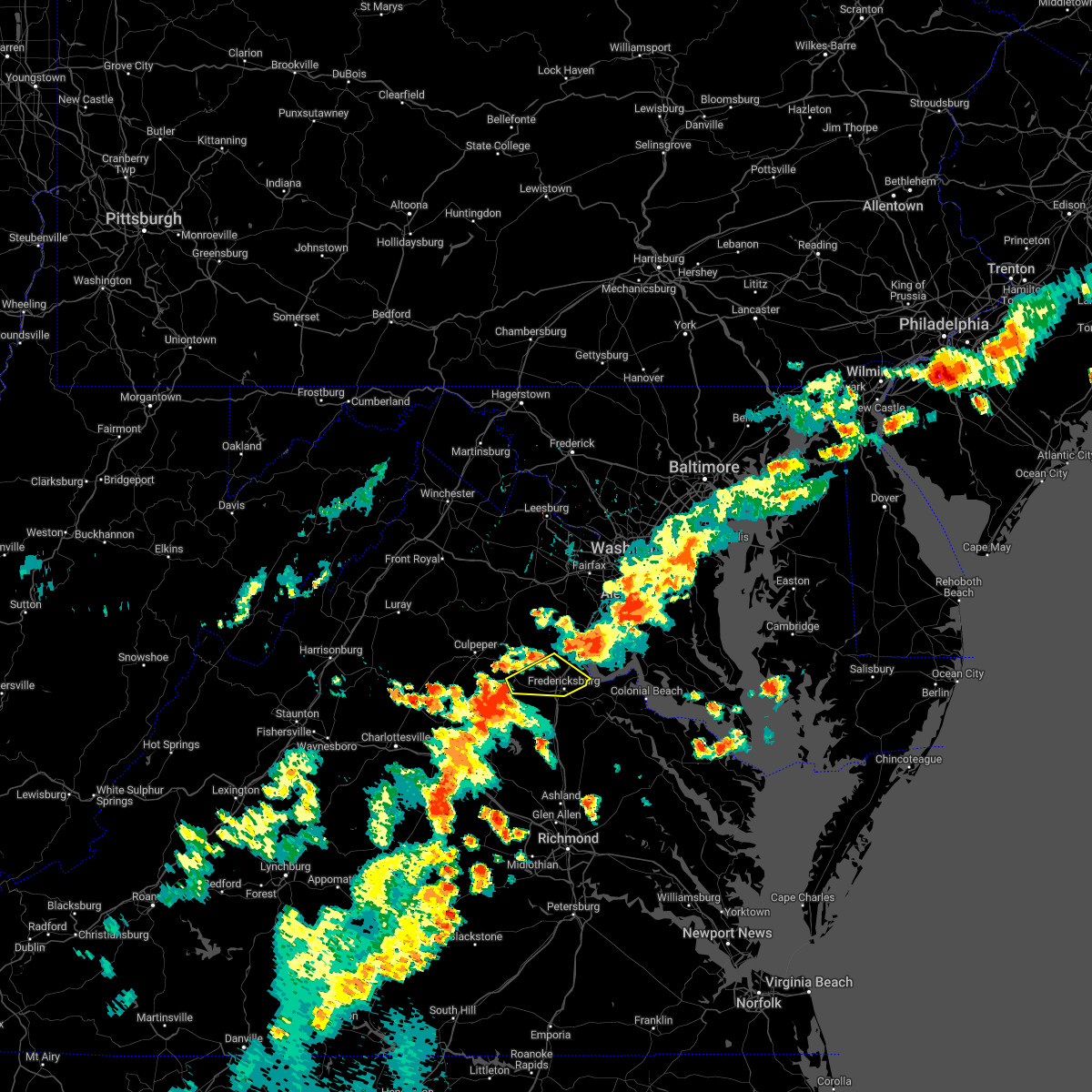 At 437 pm edt, a severe thunderstorm was located 11 miles northwest of spotsylvania, or 12 miles west of fredericksburg, moving east at 35 mph (radar indicated). Hazards include 70 mph wind gusts and ping pong ball size hail. Damaging winds will cause some trees and large branches to fall. this could injure those outdoors, as well as damage homes and vehicles. roadways may become blocked by downed trees. localized power outages are possible. Unsecured light objects may become projectiles. At 437 pm edt, a severe thunderstorm was located 11 miles northwest of spotsylvania, or 12 miles west of fredericksburg, moving east at 35 mph (radar indicated). Hazards include 70 mph wind gusts and ping pong ball size hail. Damaging winds will cause some trees and large branches to fall. this could injure those outdoors, as well as damage homes and vehicles. roadways may become blocked by downed trees. localized power outages are possible. Unsecured light objects may become projectiles.
|
| 7/25/2022 4:28 PM EDT |
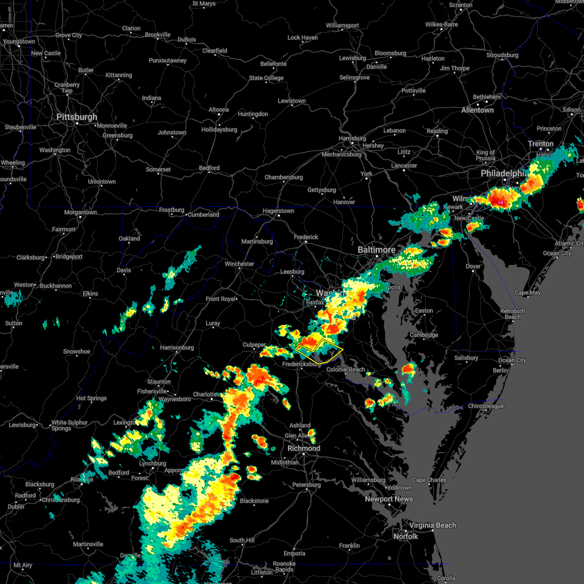 At 428 pm edt, a severe thunderstorm was located near quantico, moving southeast at 30 mph (radar indicated). Hazards include 60 mph wind gusts and quarter size hail. Damaging winds will cause some trees and large branches to fall. this could injure those outdoors, as well as damage homes and vehicles. roadways may become blocked by downed trees. localized power outages are possible. unsecured light objects may become projectiles. locations impacted include, stafford, potomac creek, aquia creek, port tobacco river, nanjemoy, roseville, welcome, garrisonville, ironsides and arkendale. hail threat, radar indicated max hail size, 1. 00 in wind threat, radar indicated max wind gust, 60 mph. At 428 pm edt, a severe thunderstorm was located near quantico, moving southeast at 30 mph (radar indicated). Hazards include 60 mph wind gusts and quarter size hail. Damaging winds will cause some trees and large branches to fall. this could injure those outdoors, as well as damage homes and vehicles. roadways may become blocked by downed trees. localized power outages are possible. unsecured light objects may become projectiles. locations impacted include, stafford, potomac creek, aquia creek, port tobacco river, nanjemoy, roseville, welcome, garrisonville, ironsides and arkendale. hail threat, radar indicated max hail size, 1. 00 in wind threat, radar indicated max wind gust, 60 mph.
|
| 7/25/2022 4:11 PM EDT |
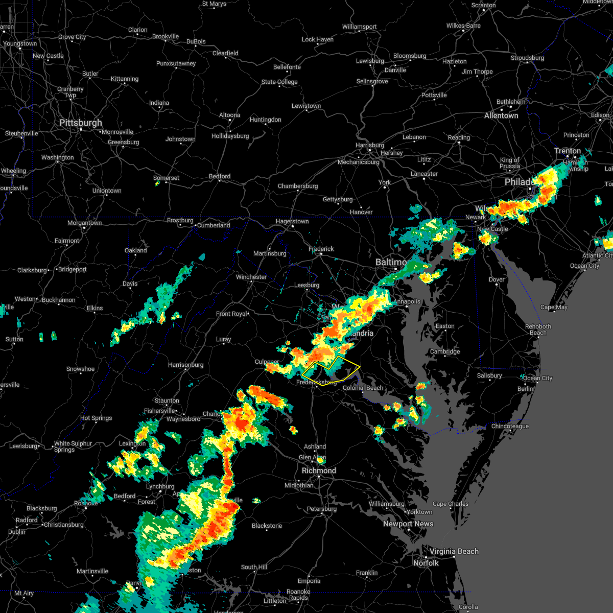 At 411 pm edt, a severe thunderstorm was located near stafford, moving southeast at 30 mph (radar indicated). Hazards include 60 mph wind gusts and quarter size hail. Damaging winds will cause some trees and large branches to fall. this could injure those outdoors, as well as damage homes and vehicles. roadways may become blocked by downed trees. localized power outages are possible. Unsecured light objects may become projectiles. At 411 pm edt, a severe thunderstorm was located near stafford, moving southeast at 30 mph (radar indicated). Hazards include 60 mph wind gusts and quarter size hail. Damaging winds will cause some trees and large branches to fall. this could injure those outdoors, as well as damage homes and vehicles. roadways may become blocked by downed trees. localized power outages are possible. Unsecured light objects may become projectiles.
|
| 7/25/2022 3:58 PM EDT | Trees blew down near green acre driv in stafford county VA, 7.6 miles SE of Stafford Courthouse, VA |
| 7/12/2022 8:09 PM EDT |
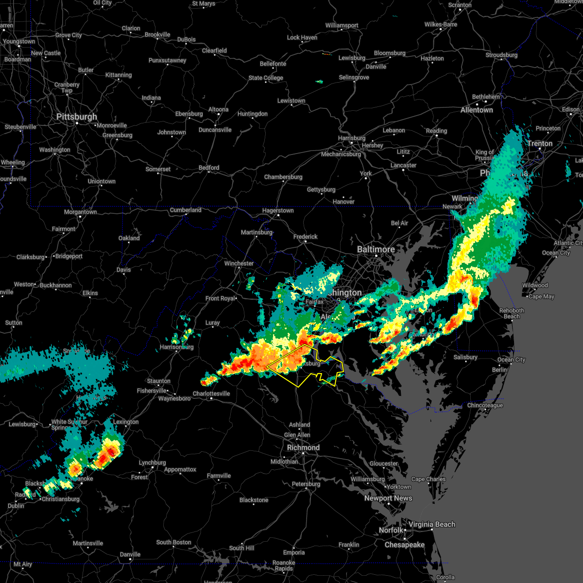 At 809 pm edt, severe thunderstorms were located along a line extending from potomac creek to spotsylvania, moving southeast at 45 mph (radar indicated). Hazards include 60 mph wind gusts and quarter size hail. Damaging winds will cause some trees and large branches to fall. this could injure those outdoors, as well as damage homes and vehicles. roadways may become blocked by downed trees. localized power outages are possible. unsecured light objects may become projectiles. locations impacted include, stafford, fredericksburg, king george, dahlgren, fairview beach, potomac creek, nanjemoy creek, aquia creek, massaponax, spotsylvania, falmouth, passapatanzy, stones corner, potomac beach, weedonville, roseville, ninde, garrisonville, locust grove and ramoth. hail threat, radar indicated max hail size, 1. 00 in wind threat, radar indicated max wind gust, 60 mph. At 809 pm edt, severe thunderstorms were located along a line extending from potomac creek to spotsylvania, moving southeast at 45 mph (radar indicated). Hazards include 60 mph wind gusts and quarter size hail. Damaging winds will cause some trees and large branches to fall. this could injure those outdoors, as well as damage homes and vehicles. roadways may become blocked by downed trees. localized power outages are possible. unsecured light objects may become projectiles. locations impacted include, stafford, fredericksburg, king george, dahlgren, fairview beach, potomac creek, nanjemoy creek, aquia creek, massaponax, spotsylvania, falmouth, passapatanzy, stones corner, potomac beach, weedonville, roseville, ninde, garrisonville, locust grove and ramoth. hail threat, radar indicated max hail size, 1. 00 in wind threat, radar indicated max wind gust, 60 mph.
|
| 7/12/2022 7:53 PM EDT | Trees were down along holly corner road and country manor driv in stafford county VA, 1.3 miles W of Stafford Courthouse, VA |
| 7/12/2022 7:47 PM EDT |
 At 747 pm edt, severe thunderstorms were located along a line extending from 8 miles northwest of stafford to 14 miles southeast of culpeper, moving southeast at 45 mph (radar indicated). Hazards include 60 mph wind gusts and quarter size hail. Damaging winds will cause some trees and large branches to fall. this could injure those outdoors, as well as damage homes and vehicles. roadways may become blocked by downed trees. localized power outages are possible. unsecured light objects may become projectiles. locations impacted include, stafford, fredericksburg, king george, dahlgren, fairview beach, potomac creek, nanjemoy creek, aquia creek, massaponax, spotsylvania, falmouth, passapatanzy, stones corner, potomac beach, weedonville, roseville, ninde, garrisonville, locust grove and ramoth. hail threat, radar indicated max hail size, 1. 00 in wind threat, radar indicated max wind gust, 60 mph. At 747 pm edt, severe thunderstorms were located along a line extending from 8 miles northwest of stafford to 14 miles southeast of culpeper, moving southeast at 45 mph (radar indicated). Hazards include 60 mph wind gusts and quarter size hail. Damaging winds will cause some trees and large branches to fall. this could injure those outdoors, as well as damage homes and vehicles. roadways may become blocked by downed trees. localized power outages are possible. unsecured light objects may become projectiles. locations impacted include, stafford, fredericksburg, king george, dahlgren, fairview beach, potomac creek, nanjemoy creek, aquia creek, massaponax, spotsylvania, falmouth, passapatanzy, stones corner, potomac beach, weedonville, roseville, ninde, garrisonville, locust grove and ramoth. hail threat, radar indicated max hail size, 1. 00 in wind threat, radar indicated max wind gust, 60 mph.
|
| 7/12/2022 7:44 PM EDT |
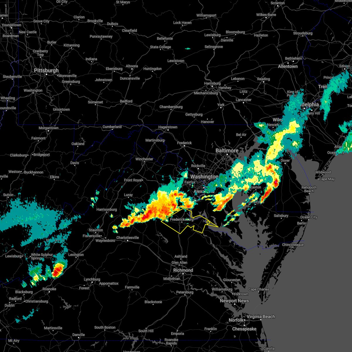 At 743 pm edt, severe thunderstorms were located along a line extending from 10 miles northwest of stafford to 11 miles southeast of culpeper, moving southeast at 45 mph (radar indicated). Hazards include 60 mph wind gusts and quarter size hail. Damaging winds will cause some trees and large branches to fall. this could injure those outdoors, as well as damage homes and vehicles. roadways may become blocked by downed trees. localized power outages are possible. Unsecured light objects may become projectiles. At 743 pm edt, severe thunderstorms were located along a line extending from 10 miles northwest of stafford to 11 miles southeast of culpeper, moving southeast at 45 mph (radar indicated). Hazards include 60 mph wind gusts and quarter size hail. Damaging winds will cause some trees and large branches to fall. this could injure those outdoors, as well as damage homes and vehicles. roadways may become blocked by downed trees. localized power outages are possible. Unsecured light objects may become projectiles.
|
| 6/22/2022 2:24 PM EDT |
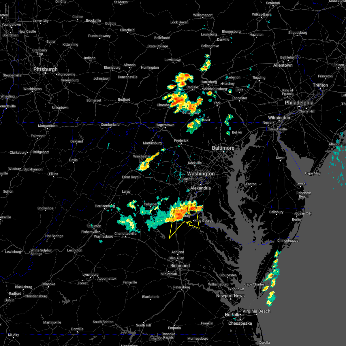 At 223 pm edt, severe thunderstorms with a history of producing damaging winds were located along a line extending from near nanjemoy creek to near potomac creek to fredericksburg, moving south at 45 mph (radar indicated). Hazards include 70 mph wind gusts. Damaging winds will cause considerable damage to trees. this could injure those outdoors, as well as damage homes and vehicles. roadways may become blocked by downed trees. localized power outages are likely. unsecured light objects will become projectiles. locations impacted include, stafford, fredericksburg, king george, fairview beach, potomac creek, aquia creek, massaponax, spotsylvania, falmouth, passapatanzy, stones corner, weedonville, ironsides, snell, ramoth, thornburg, white oak, sealston, jersey and berthaville. thunderstorm damage threat, considerable hail threat, radar indicated max hail size, <. 75 in wind threat, radar indicated max wind gust, 70 mph. At 223 pm edt, severe thunderstorms with a history of producing damaging winds were located along a line extending from near nanjemoy creek to near potomac creek to fredericksburg, moving south at 45 mph (radar indicated). Hazards include 70 mph wind gusts. Damaging winds will cause considerable damage to trees. this could injure those outdoors, as well as damage homes and vehicles. roadways may become blocked by downed trees. localized power outages are likely. unsecured light objects will become projectiles. locations impacted include, stafford, fredericksburg, king george, fairview beach, potomac creek, aquia creek, massaponax, spotsylvania, falmouth, passapatanzy, stones corner, weedonville, ironsides, snell, ramoth, thornburg, white oak, sealston, jersey and berthaville. thunderstorm damage threat, considerable hail threat, radar indicated max hail size, <. 75 in wind threat, radar indicated max wind gust, 70 mph.
|
| 6/22/2022 2:19 PM EDT |
 At 218 pm edt, severe thunderstorms with a history of producing measured wind gusts in excess of 60 mph were located along a line extending from near quantico to near fredericksburg, moving south at 35 mph (radar indicated). Hazards include 65 mph wind gusts. Damaging winds will cause some trees and large branches to fall. this could injure those outdoors, as well as damage homes and vehicles. roadways may become blocked by downed trees. localized power outages are possible. unsecured light objects may become projectiles. locations impacted include, stafford, fredericksburg, king george, quantico, fairview beach, potomac creek, aquia creek, triangle, dumfries, massaponax, spotsylvania, cherry hill, falmouth, passapatanzy, potomac heights, stones corner, weedonville, roseville, garrisonville and ironsides. hail threat, radar indicated max hail size, <. 75 in wind threat, radar indicated max wind gust, 60 mph. At 218 pm edt, severe thunderstorms with a history of producing measured wind gusts in excess of 60 mph were located along a line extending from near quantico to near fredericksburg, moving south at 35 mph (radar indicated). Hazards include 65 mph wind gusts. Damaging winds will cause some trees and large branches to fall. this could injure those outdoors, as well as damage homes and vehicles. roadways may become blocked by downed trees. localized power outages are possible. unsecured light objects may become projectiles. locations impacted include, stafford, fredericksburg, king george, quantico, fairview beach, potomac creek, aquia creek, triangle, dumfries, massaponax, spotsylvania, cherry hill, falmouth, passapatanzy, potomac heights, stones corner, weedonville, roseville, garrisonville and ironsides. hail threat, radar indicated max hail size, <. 75 in wind threat, radar indicated max wind gust, 60 mph.
|
| 6/22/2022 2:15 PM EDT |
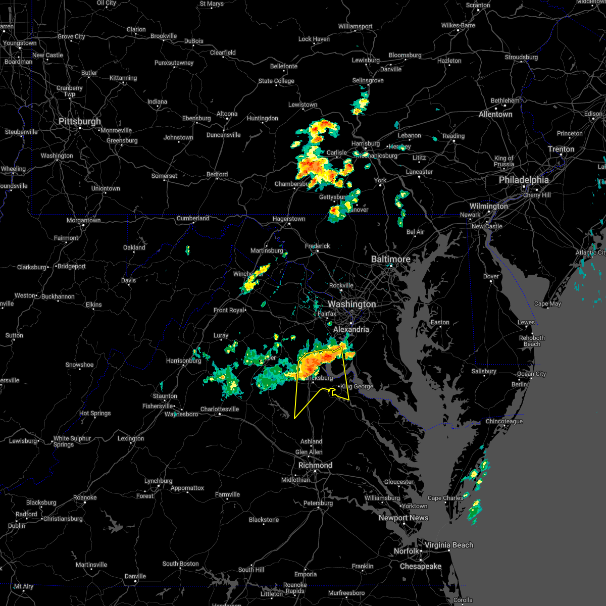 At 214 pm edt, severe thunderstorms were located along a line extending from near quantico to near fredericksburg, moving east at 40 mph (radar indicated). Hazards include 60 mph wind gusts. Damaging winds will cause some trees and large branches to fall. this could injure those outdoors, as well as damage homes and vehicles. roadways may become blocked by downed trees. localized power outages are possible. unsecured light objects may become projectiles. locations impacted include, stafford, fredericksburg, king george, quantico, fairview beach, potomac creek, aquia creek, triangle, dumfries, massaponax, spotsylvania, cherry hill, falmouth, passapatanzy, potomac heights, stones corner, weedonville, roseville, garrisonville and ironsides. hail threat, radar indicated max hail size, <. 75 in wind threat, radar indicated max wind gust, 60 mph. At 214 pm edt, severe thunderstorms were located along a line extending from near quantico to near fredericksburg, moving east at 40 mph (radar indicated). Hazards include 60 mph wind gusts. Damaging winds will cause some trees and large branches to fall. this could injure those outdoors, as well as damage homes and vehicles. roadways may become blocked by downed trees. localized power outages are possible. unsecured light objects may become projectiles. locations impacted include, stafford, fredericksburg, king george, quantico, fairview beach, potomac creek, aquia creek, triangle, dumfries, massaponax, spotsylvania, cherry hill, falmouth, passapatanzy, potomac heights, stones corner, weedonville, roseville, garrisonville and ironsides. hail threat, radar indicated max hail size, <. 75 in wind threat, radar indicated max wind gust, 60 mph.
|
| 6/22/2022 2:06 PM EDT | A tree blew down near the 180 block of ramoth church r in stafford county VA, 2.4 miles SE of Stafford Courthouse, VA |
| 6/22/2022 2:06 PM EDT | Several large trees down near spotter's residence... causing damage to propert in stafford county VA, 4.1 miles ESE of Stafford Courthouse, VA |
| 6/22/2022 1:58 PM EDT |
 At 158 pm edt, severe thunderstorms were located along a line extending from woodbridge to 10 miles northwest of stafford, moving south at 40 mph (radar indicated). Hazards include 60 mph wind gusts. Damaging winds will cause some trees and large branches to fall. this could injure those outdoors, as well as damage homes and vehicles. roadways may become blocked by downed trees. localized power outages are possible. Unsecured light objects may become projectiles. At 158 pm edt, severe thunderstorms were located along a line extending from woodbridge to 10 miles northwest of stafford, moving south at 40 mph (radar indicated). Hazards include 60 mph wind gusts. Damaging winds will cause some trees and large branches to fall. this could injure those outdoors, as well as damage homes and vehicles. roadways may become blocked by downed trees. localized power outages are possible. Unsecured light objects may become projectiles.
|
| 6/8/2022 6:21 PM EDT |
 The severe thunderstorm warning for northern stafford, southwestern fairfax, southeastern fauquier, and southern prince william counties and the city of manassas will expire at 630 pm edt, the storm which prompted the warning has moved out of the area. therefore, the warning will be allowed to expire. however heavy rain is still possible with this thunderstorm. The severe thunderstorm warning for northern stafford, southwestern fairfax, southeastern fauquier, and southern prince william counties and the city of manassas will expire at 630 pm edt, the storm which prompted the warning has moved out of the area. therefore, the warning will be allowed to expire. however heavy rain is still possible with this thunderstorm.
|
| 6/8/2022 6:11 PM EDT |
 At 611 pm edt, a severe thunderstorm was located 9 miles east of bealeton, or 13 miles northwest of stafford, moving northeast at 10 mph (radar indicated). Hazards include 60 mph wind gusts and quarter size hail. Damaging winds will cause some trees and large branches to fall. this could injure those outdoors, as well as damage homes and vehicles. roadways may become blocked by downed trees. localized power outages are possible. unsecured light objects may become projectiles. locations impacted include, dale city, quantico, lake ridge, linton hall, montclair, bull run, triangle, dumfries, manassas, sudley, cherry hill, independent hill, nokesville, catlett, calverton, roseville, garrisonville, ramoth, heflin and morrisville. hail threat, radar indicated max hail size, 1. 00 in wind threat, radar indicated max wind gust, 60 mph. At 611 pm edt, a severe thunderstorm was located 9 miles east of bealeton, or 13 miles northwest of stafford, moving northeast at 10 mph (radar indicated). Hazards include 60 mph wind gusts and quarter size hail. Damaging winds will cause some trees and large branches to fall. this could injure those outdoors, as well as damage homes and vehicles. roadways may become blocked by downed trees. localized power outages are possible. unsecured light objects may become projectiles. locations impacted include, dale city, quantico, lake ridge, linton hall, montclair, bull run, triangle, dumfries, manassas, sudley, cherry hill, independent hill, nokesville, catlett, calverton, roseville, garrisonville, ramoth, heflin and morrisville. hail threat, radar indicated max hail size, 1. 00 in wind threat, radar indicated max wind gust, 60 mph.
|
| 6/8/2022 5:52 PM EDT |
 At 552 pm edt, a severe thunderstorm was located 9 miles southeast of bealeton, or 13 miles northwest of stafford, moving northeast at 10 mph (radar indicated). Hazards include 60 mph wind gusts and quarter size hail. Damaging winds will cause some trees and large branches to fall. this could injure those outdoors, as well as damage homes and vehicles. roadways may become blocked by downed trees. localized power outages are possible. Unsecured light objects may become projectiles. At 552 pm edt, a severe thunderstorm was located 9 miles southeast of bealeton, or 13 miles northwest of stafford, moving northeast at 10 mph (radar indicated). Hazards include 60 mph wind gusts and quarter size hail. Damaging winds will cause some trees and large branches to fall. this could injure those outdoors, as well as damage homes and vehicles. roadways may become blocked by downed trees. localized power outages are possible. Unsecured light objects may become projectiles.
|
| 6/2/2022 5:29 PM EDT |
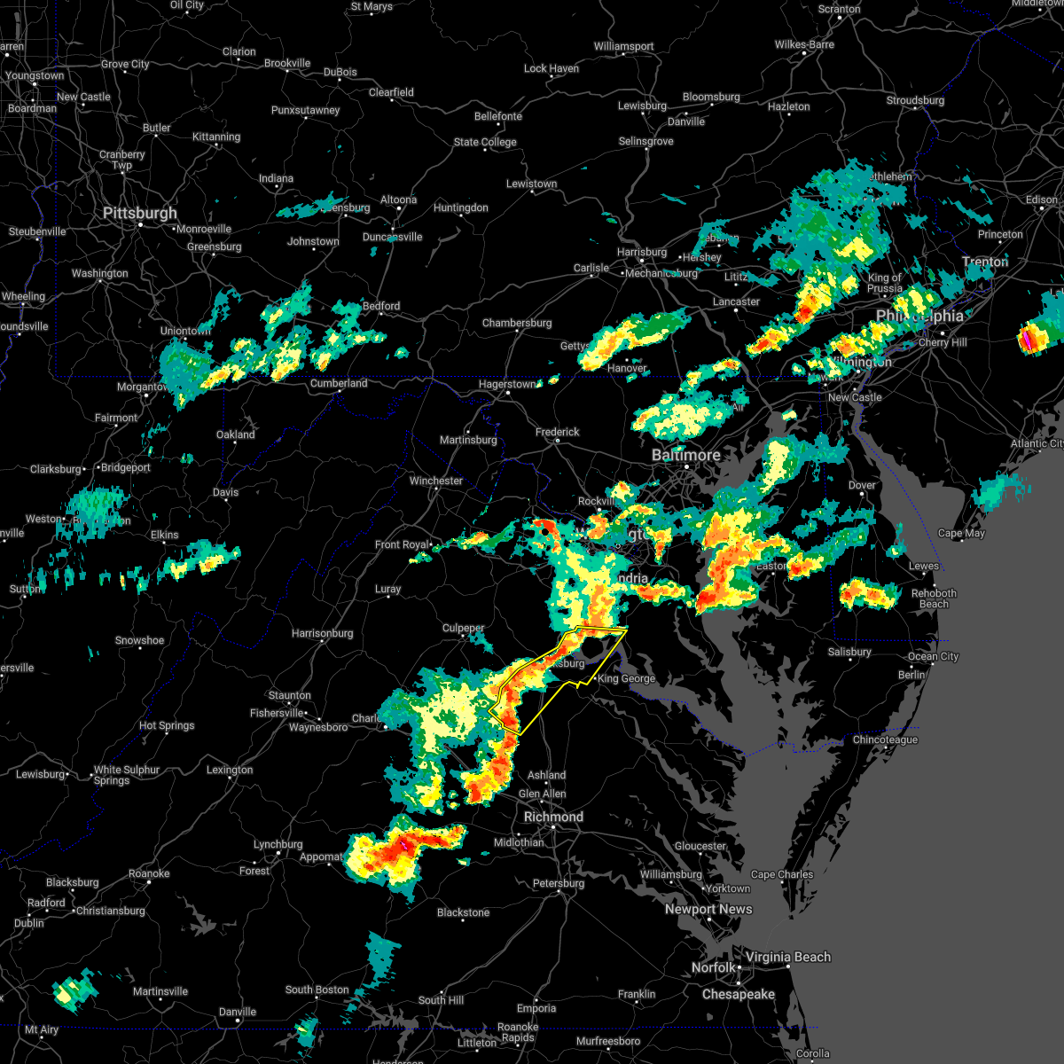 At 529 pm edt, severe thunderstorms were located along a line extending from near aquia creek to 6 miles northeast of bumpass, moving east at 40 mph (radar indicated). Hazards include 60 mph wind gusts and quarter size hail. Damaging winds will cause some trees and large branches to fall. this could injure those outdoors, as well as damage homes and vehicles. roadways may become blocked by downed trees. localized power outages are possible. unsecured light objects may become projectiles. locations impacted include, stafford, fredericksburg, king george, fairview beach, potomac creek, nanjemoy creek, aquia creek, massaponax, spotsylvania, falmouth, passapatanzy, stones corner, ironsides, snell, partlow, glenora, thornburg, white oak, sealston and leeland. hail threat, radar indicated max hail size, 1. 00 in wind threat, radar indicated max wind gust, 60 mph. At 529 pm edt, severe thunderstorms were located along a line extending from near aquia creek to 6 miles northeast of bumpass, moving east at 40 mph (radar indicated). Hazards include 60 mph wind gusts and quarter size hail. Damaging winds will cause some trees and large branches to fall. this could injure those outdoors, as well as damage homes and vehicles. roadways may become blocked by downed trees. localized power outages are possible. unsecured light objects may become projectiles. locations impacted include, stafford, fredericksburg, king george, fairview beach, potomac creek, nanjemoy creek, aquia creek, massaponax, spotsylvania, falmouth, passapatanzy, stones corner, ironsides, snell, partlow, glenora, thornburg, white oak, sealston and leeland. hail threat, radar indicated max hail size, 1. 00 in wind threat, radar indicated max wind gust, 60 mph.
|
| 6/2/2022 5:14 PM EDT |
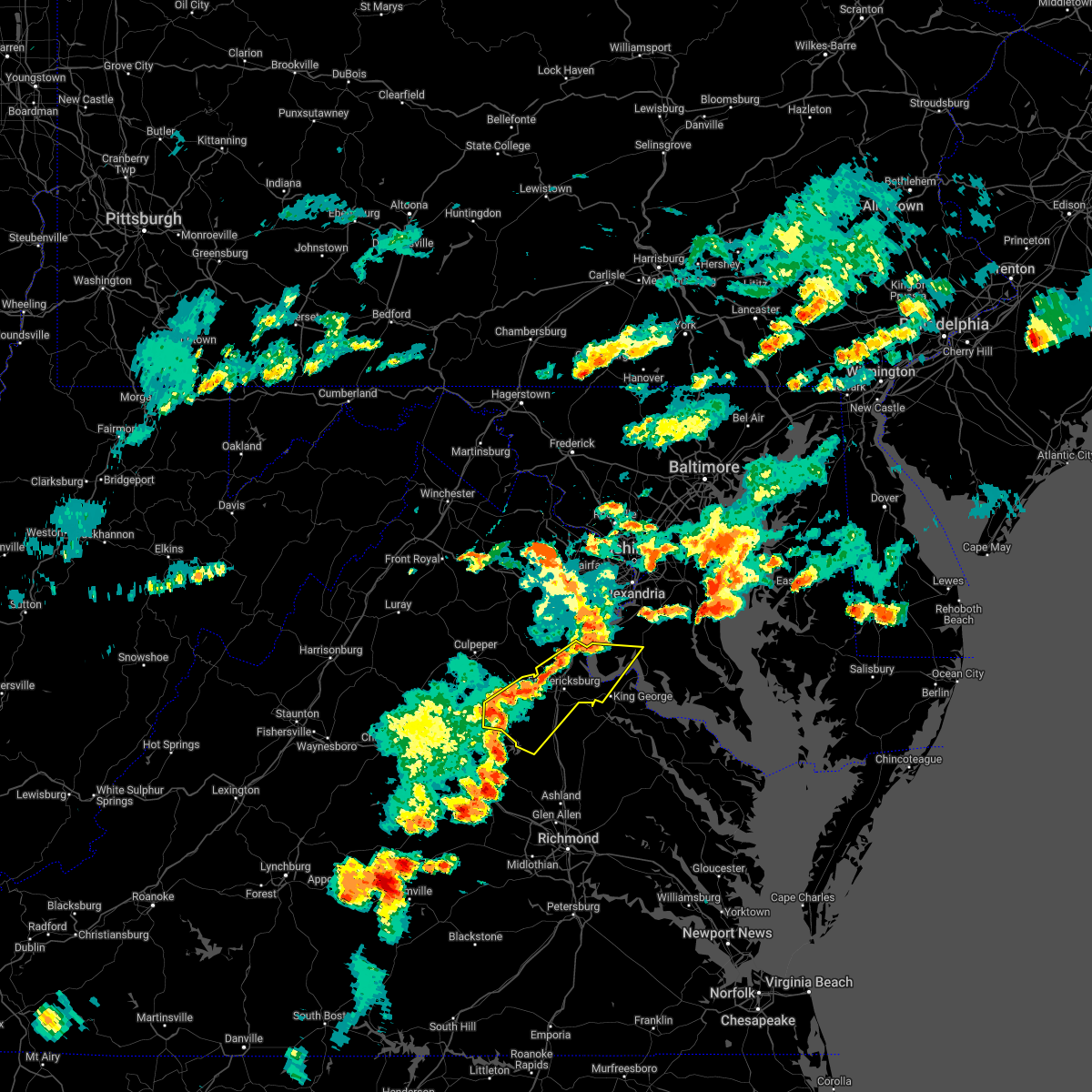 At 514 pm edt, severe thunderstorms were located along a line extending from near stafford to 7 miles north of mineral, moving east at 30 mph (radar indicated). Hazards include 60 mph wind gusts. Damaging winds will cause some trees and large branches to fall. this could injure those outdoors, as well as damage homes and vehicles. roadways may become blocked by downed trees. localized power outages are possible. Unsecured light objects may become projectiles. At 514 pm edt, severe thunderstorms were located along a line extending from near stafford to 7 miles north of mineral, moving east at 30 mph (radar indicated). Hazards include 60 mph wind gusts. Damaging winds will cause some trees and large branches to fall. this could injure those outdoors, as well as damage homes and vehicles. roadways may become blocked by downed trees. localized power outages are possible. Unsecured light objects may become projectiles.
|
| 5/27/2022 11:43 AM EDT |
 At 1142 am edt, severe thunderstorms were located along a line extending from near montclair to near stafford to near fredericksburg, moving east at 35 mph (radar indicated). Hazards include 60 mph wind gusts. Damaging winds will cause some trees and large branches to fall. this could injure those outdoors, as well as damage homes and vehicles. roadways may become blocked by downed trees. localized power outages are possible. Unsecured light objects may become projectiles. At 1142 am edt, severe thunderstorms were located along a line extending from near montclair to near stafford to near fredericksburg, moving east at 35 mph (radar indicated). Hazards include 60 mph wind gusts. Damaging winds will cause some trees and large branches to fall. this could injure those outdoors, as well as damage homes and vehicles. roadways may become blocked by downed trees. localized power outages are possible. Unsecured light objects may become projectiles.
|
| 5/27/2022 11:30 AM EDT |
 At 1130 am edt, severe thunderstorms were located along a line extending from near fredericksburg to near massaponax to milford, moving northeast at 45 mph (radar indicated). Hazards include 60 mph wind gusts. Damaging winds will cause some trees and large branches to fall. this could injure those outdoors, as well as damage homes and vehicles. roadways may become blocked by downed trees. localized power outages are possible. Unsecured light objects may become projectiles. At 1130 am edt, severe thunderstorms were located along a line extending from near fredericksburg to near massaponax to milford, moving northeast at 45 mph (radar indicated). Hazards include 60 mph wind gusts. Damaging winds will cause some trees and large branches to fall. this could injure those outdoors, as well as damage homes and vehicles. roadways may become blocked by downed trees. localized power outages are possible. Unsecured light objects may become projectiles.
|
| 5/22/2022 7:43 PM EDT |
 At 742 pm edt, severe thunderstorms were located along a line extending from randallstown to near fredericksburg, moving east at 30 mph (radar indicated). Hazards include 60 mph wind gusts. Damaging winds will cause some trees and large branches to fall. this could injure those outdoors, as well as damage homes and vehicles. roadways may become blocked by downed trees. localized power outages are possible. unsecured light objects may become projectiles. locations impacted include, arlington, alexandria, stafford, columbia, germantown, dale city, rockville, bethesda, gaithersburg, reston, annandale, olney, springfield, college park, fredericksburg, fort washington, greenbelt, fairfax, langley park and beltsville. hail threat, radar indicated max hail size, <. 75 in wind threat, observed max wind gust, 60 mph. At 742 pm edt, severe thunderstorms were located along a line extending from randallstown to near fredericksburg, moving east at 30 mph (radar indicated). Hazards include 60 mph wind gusts. Damaging winds will cause some trees and large branches to fall. this could injure those outdoors, as well as damage homes and vehicles. roadways may become blocked by downed trees. localized power outages are possible. unsecured light objects may become projectiles. locations impacted include, arlington, alexandria, stafford, columbia, germantown, dale city, rockville, bethesda, gaithersburg, reston, annandale, olney, springfield, college park, fredericksburg, fort washington, greenbelt, fairfax, langley park and beltsville. hail threat, radar indicated max hail size, <. 75 in wind threat, observed max wind gust, 60 mph.
|
| 5/22/2022 7:20 PM EDT |
 At 720 pm edt, severe thunderstorms were located along a line extending from near sykesville to near spotsylvania, moving east at 35 mph (radar indicated). Hazards include 60 mph wind gusts. Damaging winds will cause some trees and large branches to fall. this could injure those outdoors, as well as damage homes and vehicles. roadways may become blocked by downed trees. localized power outages are possible. unsecured light objects may become projectiles. locations impacted include, arlington, alexandria, stafford, columbia, germantown, centreville, dale city, rockville, bethesda, gaithersburg, reston, annandale, olney, springfield, college park, fredericksburg, south riding, fort washington, herndon and greenbelt. hail threat, radar indicated max hail size, <. 75 in wind threat, observed max wind gust, 60 mph. At 720 pm edt, severe thunderstorms were located along a line extending from near sykesville to near spotsylvania, moving east at 35 mph (radar indicated). Hazards include 60 mph wind gusts. Damaging winds will cause some trees and large branches to fall. this could injure those outdoors, as well as damage homes and vehicles. roadways may become blocked by downed trees. localized power outages are possible. unsecured light objects may become projectiles. locations impacted include, arlington, alexandria, stafford, columbia, germantown, centreville, dale city, rockville, bethesda, gaithersburg, reston, annandale, olney, springfield, college park, fredericksburg, south riding, fort washington, herndon and greenbelt. hail threat, radar indicated max hail size, <. 75 in wind threat, observed max wind gust, 60 mph.
|
| 5/22/2022 7:04 PM EDT |
 At 703 pm edt, severe thunderstorms were located along a line extending from near damascus to 13 miles north of mineral, moving east at 30 mph (measured gust to 58 mph at dulles airport). Hazards include 60 mph wind gusts. Damaging winds will cause some trees and large branches to fall. this could injure those outdoors, as well as damage homes and vehicles. roadways may become blocked by downed trees. localized power outages are possible. Unsecured light objects may become projectiles. At 703 pm edt, severe thunderstorms were located along a line extending from near damascus to 13 miles north of mineral, moving east at 30 mph (measured gust to 58 mph at dulles airport). Hazards include 60 mph wind gusts. Damaging winds will cause some trees and large branches to fall. this could injure those outdoors, as well as damage homes and vehicles. roadways may become blocked by downed trees. localized power outages are possible. Unsecured light objects may become projectiles.
|
| 8/27/2021 9:35 PM EDT |
 At 935 pm edt, severe thunderstorms were located along a line extending from near woodbridge to 8 miles west of montclair, moving east at 20 mph (radar indicated). Hazards include 60 mph wind gusts and quarter size hail. Damaging winds will cause some trees and large branches to fall. this could injure those outdoors, as well as damage homes and vehicles. roadways may become blocked by downed trees. localized power outages are possible. Unsecured light objects may become projectiles. At 935 pm edt, severe thunderstorms were located along a line extending from near woodbridge to 8 miles west of montclair, moving east at 20 mph (radar indicated). Hazards include 60 mph wind gusts and quarter size hail. Damaging winds will cause some trees and large branches to fall. this could injure those outdoors, as well as damage homes and vehicles. roadways may become blocked by downed trees. localized power outages are possible. Unsecured light objects may become projectiles.
|
| 8/26/2021 2:56 PM EDT |
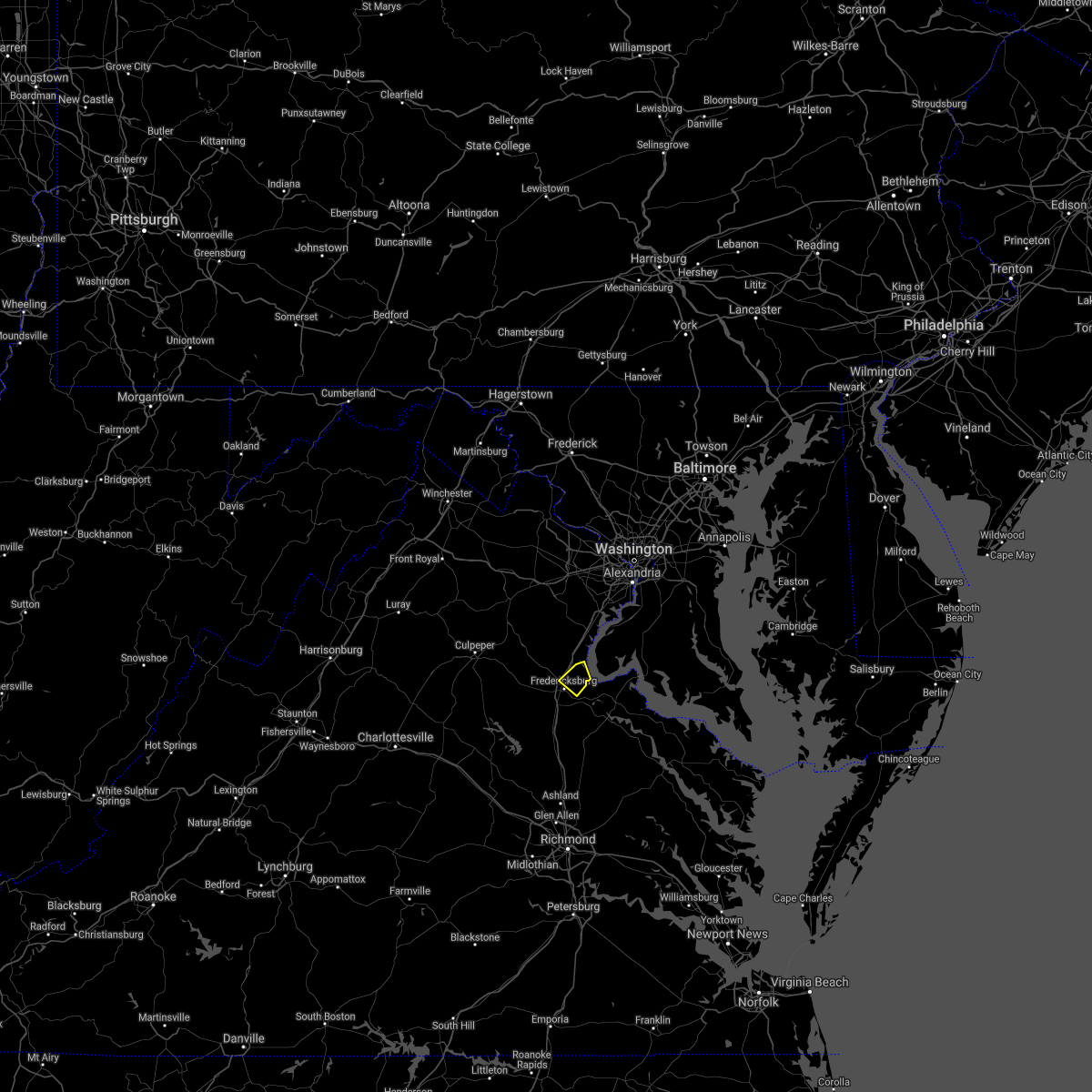 The severe thunderstorm warning for southeastern stafford county will expire at 300 pm edt, the storm which prompted the warning has weakened below severe limits. therefore, the warning will be allowed to expire. however heavy rain is still possible with this thunderstorm, and a flood warning is in effect. to report severe weather, contact your nearest law enforcement agency. they will relay your report to the national weather service sterling virginia. The severe thunderstorm warning for southeastern stafford county will expire at 300 pm edt, the storm which prompted the warning has weakened below severe limits. therefore, the warning will be allowed to expire. however heavy rain is still possible with this thunderstorm, and a flood warning is in effect. to report severe weather, contact your nearest law enforcement agency. they will relay your report to the national weather service sterling virginia.
|
| 8/26/2021 2:47 PM EDT |
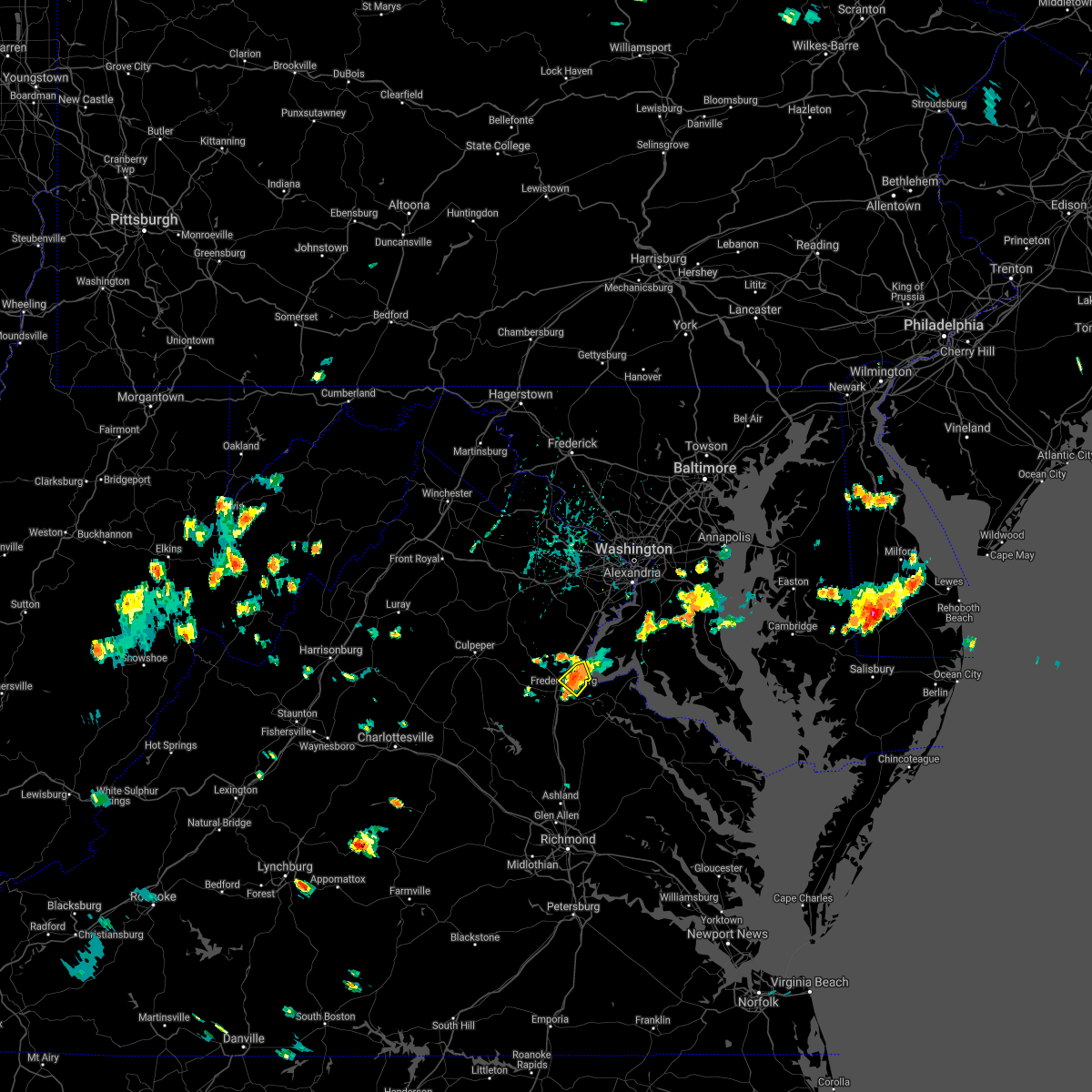 At 247 pm edt, a severe thunderstorm was located near stafford, and is nearly stationary (radar indicated). Hazards include 60 mph wind gusts. Damaging winds will cause some trees and large branches to fall. this could injure those outdoors, as well as damage homes and vehicles. roadways may become blocked by downed trees. localized power outages are possible. unsecured light objects may become projectiles. locations impacted include, aquia creek, falmouth, brooke, stones corner, leeland, white oak, brookfield and spring valley. hail threat, radar indicated max hail size, <. 75 in wind threat, radar indicated max wind gust, 60 mph. At 247 pm edt, a severe thunderstorm was located near stafford, and is nearly stationary (radar indicated). Hazards include 60 mph wind gusts. Damaging winds will cause some trees and large branches to fall. this could injure those outdoors, as well as damage homes and vehicles. roadways may become blocked by downed trees. localized power outages are possible. unsecured light objects may become projectiles. locations impacted include, aquia creek, falmouth, brooke, stones corner, leeland, white oak, brookfield and spring valley. hail threat, radar indicated max hail size, <. 75 in wind threat, radar indicated max wind gust, 60 mph.
|
| 8/26/2021 2:40 PM EDT | Trees down in the 2100 block of va-608 brooke road... and near the intersection of va-608 brooke road and va-628 eskimo hill roa in stafford county VA, 4.4 miles NW of Stafford Courthouse, VA |
| 8/26/2021 2:33 PM EDT |
 At 233 pm edt, a severe thunderstorm was located near stafford, and is nearly stationary (radar indicated). Hazards include 60 mph wind gusts. Damaging winds will cause some trees and large branches to fall. this could injure those outdoors, as well as damage homes and vehicles. roadways may become blocked by downed trees. localized power outages are possible. unsecured light objects may become projectiles. locations impacted include, stafford, aquia creek, falmouth, brooke, stones corner, leeland, white oak, brookfield and spring valley. hail threat, radar indicated max hail size, <. 75 in wind threat, radar indicated max wind gust, 60 mph. At 233 pm edt, a severe thunderstorm was located near stafford, and is nearly stationary (radar indicated). Hazards include 60 mph wind gusts. Damaging winds will cause some trees and large branches to fall. this could injure those outdoors, as well as damage homes and vehicles. roadways may become blocked by downed trees. localized power outages are possible. unsecured light objects may become projectiles. locations impacted include, stafford, aquia creek, falmouth, brooke, stones corner, leeland, white oak, brookfield and spring valley. hail threat, radar indicated max hail size, <. 75 in wind threat, radar indicated max wind gust, 60 mph.
|
| 8/26/2021 2:30 PM EDT | Trees down near the intersection of us-1 jefferson davis highway and shady hill lan in stafford county VA, 1.5 miles NNE of Stafford Courthouse, VA |
| 8/26/2021 2:20 PM EDT |
 At 220 pm edt, a severe thunderstorm was located over stafford, and is nearly stationary (radar indicated). Hazards include 60 mph wind gusts. Damaging winds will cause some trees and large branches to fall. this could injure those outdoors, as well as damage homes and vehicles. roadways may become blocked by downed trees. localized power outages are possible. Unsecured light objects may become projectiles. At 220 pm edt, a severe thunderstorm was located over stafford, and is nearly stationary (radar indicated). Hazards include 60 mph wind gusts. Damaging winds will cause some trees and large branches to fall. this could injure those outdoors, as well as damage homes and vehicles. roadways may become blocked by downed trees. localized power outages are possible. Unsecured light objects may become projectiles.
|
| 8/13/2021 6:05 PM EDT | Several trees down in the brooke are in stafford county VA, 3.6 miles NW of Stafford Courthouse, VA |
| 8/13/2021 6:05 PM EDT |
 At 605 pm edt, a severe thunderstorm was located near fredericksburg, moving east at 15 mph (radar indicated). Hazards include 60 mph wind gusts and quarter size hail. Damaging winds will cause some trees and large branches to fall. this could injure those outdoors, as well as damage homes and vehicles. roadways may become blocked by downed trees. localized power outages are possible. Unsecured light objects may become projectiles. At 605 pm edt, a severe thunderstorm was located near fredericksburg, moving east at 15 mph (radar indicated). Hazards include 60 mph wind gusts and quarter size hail. Damaging winds will cause some trees and large branches to fall. this could injure those outdoors, as well as damage homes and vehicles. roadways may become blocked by downed trees. localized power outages are possible. Unsecured light objects may become projectiles.
|
| 8/13/2021 5:16 PM EDT |
 At 516 pm edt, severe thunderstorms were located along a line extending from near linton hall to 10 miles west of stafford, moving east at 15 mph (radar indicated). Hazards include 60 mph wind gusts and quarter size hail. Damaging winds will cause some trees and large branches to fall. this could injure those outdoors, as well as damage homes and vehicles. roadways may become blocked by downed trees. localized power outages are possible. Unsecured light objects may become projectiles. At 516 pm edt, severe thunderstorms were located along a line extending from near linton hall to 10 miles west of stafford, moving east at 15 mph (radar indicated). Hazards include 60 mph wind gusts and quarter size hail. Damaging winds will cause some trees and large branches to fall. this could injure those outdoors, as well as damage homes and vehicles. roadways may become blocked by downed trees. localized power outages are possible. Unsecured light objects may become projectiles.
|
| 8/11/2021 5:00 PM EDT | A tree blew down onto i-95 at mile marker 140. in stafford county VA, 0.7 miles SSW of Stafford Courthouse, VA |
| 8/11/2021 4:55 PM EDT | A tree blew down near the intersection of holly court and longwood driv in stafford county VA, 7.1 miles SE of Stafford Courthouse, VA |
| 8/11/2021 4:38 PM EDT |
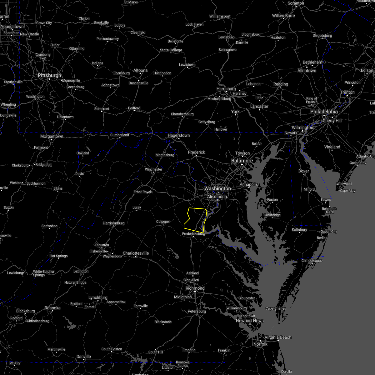 At 438 pm edt, severe thunderstorms were located along a line extending from 6 miles west of dale city to 12 miles northwest of fredericksburg, moving east at 15 mph (radar indicated). Hazards include 60 mph wind gusts. Damaging winds will cause some trees and large branches to fall. this could injure those outdoors, as well as damage homes and vehicles. roadways may become blocked by downed trees. localized power outages are possible. Unsecured light objects may become projectiles. At 438 pm edt, severe thunderstorms were located along a line extending from 6 miles west of dale city to 12 miles northwest of fredericksburg, moving east at 15 mph (radar indicated). Hazards include 60 mph wind gusts. Damaging winds will cause some trees and large branches to fall. this could injure those outdoors, as well as damage homes and vehicles. roadways may become blocked by downed trees. localized power outages are possible. Unsecured light objects may become projectiles.
|
| 7/29/2021 5:39 PM EDT |
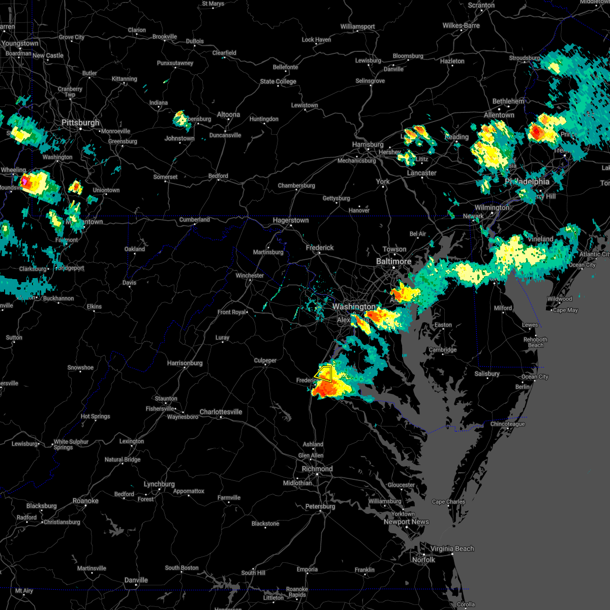 At 539 pm edt, a severe thunderstorm was located near stafford, moving east at 25 mph (radar indicated). Hazards include 60 mph wind gusts. Damaging winds will cause some trees and large branches to fall. this could injure those outdoors, as well as damage homes and vehicles. roadways may become blocked by downed trees. localized power outages are possible. unsecured light objects may become projectiles. Locations impacted include, stafford, potomac creek, aquia creek, brooke and arkendale. At 539 pm edt, a severe thunderstorm was located near stafford, moving east at 25 mph (radar indicated). Hazards include 60 mph wind gusts. Damaging winds will cause some trees and large branches to fall. this could injure those outdoors, as well as damage homes and vehicles. roadways may become blocked by downed trees. localized power outages are possible. unsecured light objects may become projectiles. Locations impacted include, stafford, potomac creek, aquia creek, brooke and arkendale.
|
| 7/29/2021 5:32 PM EDT |
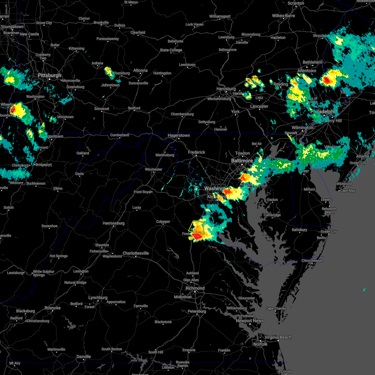 At 531 pm edt, a severe thunderstorm was located near stafford, moving east at 25 mph (radar indicated). Hazards include 60 mph wind gusts and quarter size hail. Damaging winds will cause some trees and large branches to fall. this could injure those outdoors, as well as damage homes and vehicles. roadways may become blocked by downed trees. localized power outages are possible. unsecured light objects may become projectiles. Locations impacted include, stafford, potomac creek, aquia creek, brooke, ramoth, widewater, aquia, glendie, garrisonville and arkendale. At 531 pm edt, a severe thunderstorm was located near stafford, moving east at 25 mph (radar indicated). Hazards include 60 mph wind gusts and quarter size hail. Damaging winds will cause some trees and large branches to fall. this could injure those outdoors, as well as damage homes and vehicles. roadways may become blocked by downed trees. localized power outages are possible. unsecured light objects may become projectiles. Locations impacted include, stafford, potomac creek, aquia creek, brooke, ramoth, widewater, aquia, glendie, garrisonville and arkendale.
|
| 7/29/2021 5:31 PM EDT | Tree down near the intersection of harmlin drive and sherwood drive in stafford county VA, 4.6 miles SE of Stafford Courthouse, VA |
| 7/29/2021 5:21 PM EDT | Tree down near the intersection of harmlin drive and sherwood drive in stafford county VA, 4.6 miles SE of Stafford Courthouse, VA |
| 7/29/2021 5:21 PM EDT |
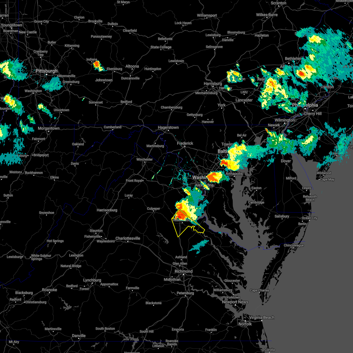 At 520 pm edt, a potentially destructive severe thunderstorm was located near fredericksburg, moving southeast at 35 mph. this is a very dangerous storm (radar indicated). Hazards include two inch hail and 75 mph wind gusts. Expect considerable damage to trees and power lines. your life is at significant risk if outdoors. In addition to some trees falling into homes, wind damage is possible to roofs, sheds, open garages, and mobile homes. At 520 pm edt, a potentially destructive severe thunderstorm was located near fredericksburg, moving southeast at 35 mph. this is a very dangerous storm (radar indicated). Hazards include two inch hail and 75 mph wind gusts. Expect considerable damage to trees and power lines. your life is at significant risk if outdoors. In addition to some trees falling into homes, wind damage is possible to roofs, sheds, open garages, and mobile homes.
|
| 7/29/2021 5:17 PM EDT |
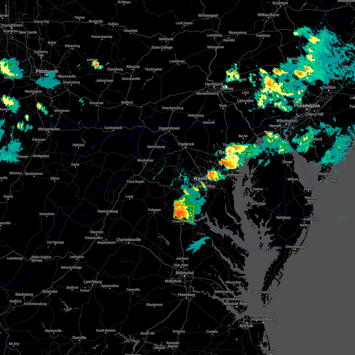 At 517 pm edt, a severe thunderstorm was located 9 miles northwest of stafford, moving east at 25 mph. this is a very dangerous storm (radar indicated). Hazards include 80 mph wind gusts and tennis ball size hail. Expect considerable damage to trees and power lines. your life is at significant risk if outdoors. in addition to some trees falling into homes, wind damage is possible to roofs, sheds, open garages, and mobile homes. Locations impacted include, stafford, quantico, potomac creek, aquia creek, triangle, dumfries, cherry hill, widewater, roseville, garrisonville, arkendale, brooke, ramoth, heflin, aquia, storck, glendie, hartwood, ruby and somerville. At 517 pm edt, a severe thunderstorm was located 9 miles northwest of stafford, moving east at 25 mph. this is a very dangerous storm (radar indicated). Hazards include 80 mph wind gusts and tennis ball size hail. Expect considerable damage to trees and power lines. your life is at significant risk if outdoors. in addition to some trees falling into homes, wind damage is possible to roofs, sheds, open garages, and mobile homes. Locations impacted include, stafford, quantico, potomac creek, aquia creek, triangle, dumfries, cherry hill, widewater, roseville, garrisonville, arkendale, brooke, ramoth, heflin, aquia, storck, glendie, hartwood, ruby and somerville.
|
| 7/29/2021 5:06 PM EDT |
 At 505 pm edt, a potentially destructive severe thunderstorm was located 9 miles southeast of bealeton, or 14 miles northwest of stafford, moving east at 25 mph. this is a very dangerous storm (radar indicated). Hazards include 80 mph wind gusts and tennis ball size hail. Expect considerable damage to trees and power lines. your life is at significant risk if outdoors. in addition to some trees falling into homes, wind damage is possible to roofs, sheds, open garages, and mobile homes. Locations impacted include, stafford, quantico, potomac creek, aquia creek, triangle, dumfries, cherry hill, midland, roseville, garrisonville, ramoth, heflin, morrisville, ruby, somerville, goldvein, widewater, lois, arkendale and brooke. At 505 pm edt, a potentially destructive severe thunderstorm was located 9 miles southeast of bealeton, or 14 miles northwest of stafford, moving east at 25 mph. this is a very dangerous storm (radar indicated). Hazards include 80 mph wind gusts and tennis ball size hail. Expect considerable damage to trees and power lines. your life is at significant risk if outdoors. in addition to some trees falling into homes, wind damage is possible to roofs, sheds, open garages, and mobile homes. Locations impacted include, stafford, quantico, potomac creek, aquia creek, triangle, dumfries, cherry hill, midland, roseville, garrisonville, ramoth, heflin, morrisville, ruby, somerville, goldvein, widewater, lois, arkendale and brooke.
|
| 7/29/2021 5:06 PM EDT |
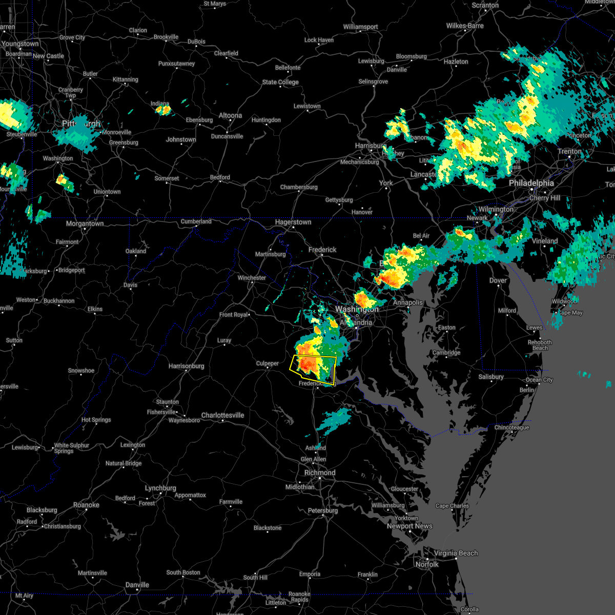 At 505 pm edt, a potentially destructive severe thunderstorm was located 9 miles southeast of bealeton, or 14 miles northwest of stafford, moving east at 25 mph. this is a very dangerous storm (radar indicated). Hazards include 80 mph wind gusts and tennis ball size hail. Expect considerable damage to trees and power lines. your life is at significant risk if outdoors. in addition to some trees falling into homes, wind damage is possible to roofs, sheds, open garages, and mobile homes. Locations impacted include, stafford, quantico, potomac creek, aquia creek, triangle, dumfries, cherry hill, midland, roseville, garrisonville, ramoth, heflin, morrisville, ruby, somerville, goldvein, widewater, lois, arkendale and brooke. At 505 pm edt, a potentially destructive severe thunderstorm was located 9 miles southeast of bealeton, or 14 miles northwest of stafford, moving east at 25 mph. this is a very dangerous storm (radar indicated). Hazards include 80 mph wind gusts and tennis ball size hail. Expect considerable damage to trees and power lines. your life is at significant risk if outdoors. in addition to some trees falling into homes, wind damage is possible to roofs, sheds, open garages, and mobile homes. Locations impacted include, stafford, quantico, potomac creek, aquia creek, triangle, dumfries, cherry hill, midland, roseville, garrisonville, ramoth, heflin, morrisville, ruby, somerville, goldvein, widewater, lois, arkendale and brooke.
|
| 7/29/2021 4:59 PM EDT |
 At 458 pm edt, a severe thunderstorm was located near bealeton, or 14 miles southeast of warrenton, moving east at 25 mph (radar indicated). Hazards include golf ball size hail and 75 mph wind gusts. Expect wind damage to trees and power lines. hail is large enough to dent and damage vehicles. Some hail damage to roofs, siding, and windows is possible. At 458 pm edt, a severe thunderstorm was located near bealeton, or 14 miles southeast of warrenton, moving east at 25 mph (radar indicated). Hazards include golf ball size hail and 75 mph wind gusts. Expect wind damage to trees and power lines. hail is large enough to dent and damage vehicles. Some hail damage to roofs, siding, and windows is possible.
|
| 7/29/2021 4:59 PM EDT |
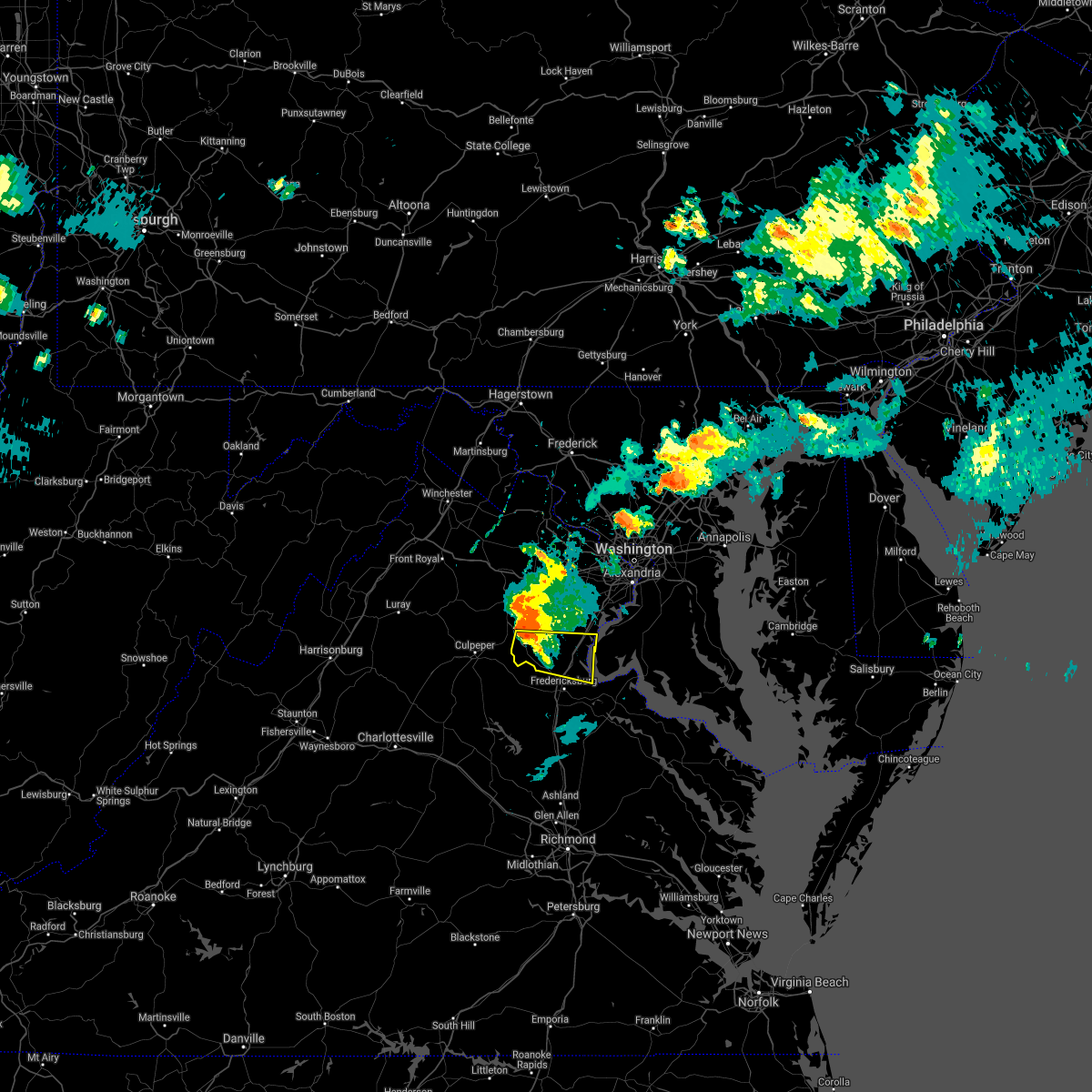 At 458 pm edt, a severe thunderstorm was located near bealeton, or 14 miles southeast of warrenton, moving east at 25 mph (radar indicated). Hazards include golf ball size hail and 75 mph wind gusts. Expect wind damage to trees and power lines. hail is large enough to dent and damage vehicles. Some hail damage to roofs, siding, and windows is possible. At 458 pm edt, a severe thunderstorm was located near bealeton, or 14 miles southeast of warrenton, moving east at 25 mph (radar indicated). Hazards include golf ball size hail and 75 mph wind gusts. Expect wind damage to trees and power lines. hail is large enough to dent and damage vehicles. Some hail damage to roofs, siding, and windows is possible.
|
| 7/26/2021 9:07 PM EDT |
 At 906 pm edt, severe thunderstorms were located along a line extending from 6 miles northeast of potomac creek to 7 miles west of fredericksburg, moving southeast at 15 mph (radar indicated). Hazards include 60 mph wind gusts. Damaging winds will cause some trees and large branches to fall. this could injure those outdoors, as well as damage homes and vehicles. roadways may become blocked by downed trees. localized power outages are possible. Unsecured light objects may become projectiles. At 906 pm edt, severe thunderstorms were located along a line extending from 6 miles northeast of potomac creek to 7 miles west of fredericksburg, moving southeast at 15 mph (radar indicated). Hazards include 60 mph wind gusts. Damaging winds will cause some trees and large branches to fall. this could injure those outdoors, as well as damage homes and vehicles. roadways may become blocked by downed trees. localized power outages are possible. Unsecured light objects may become projectiles.
|
| 7/26/2021 9:07 PM EDT |
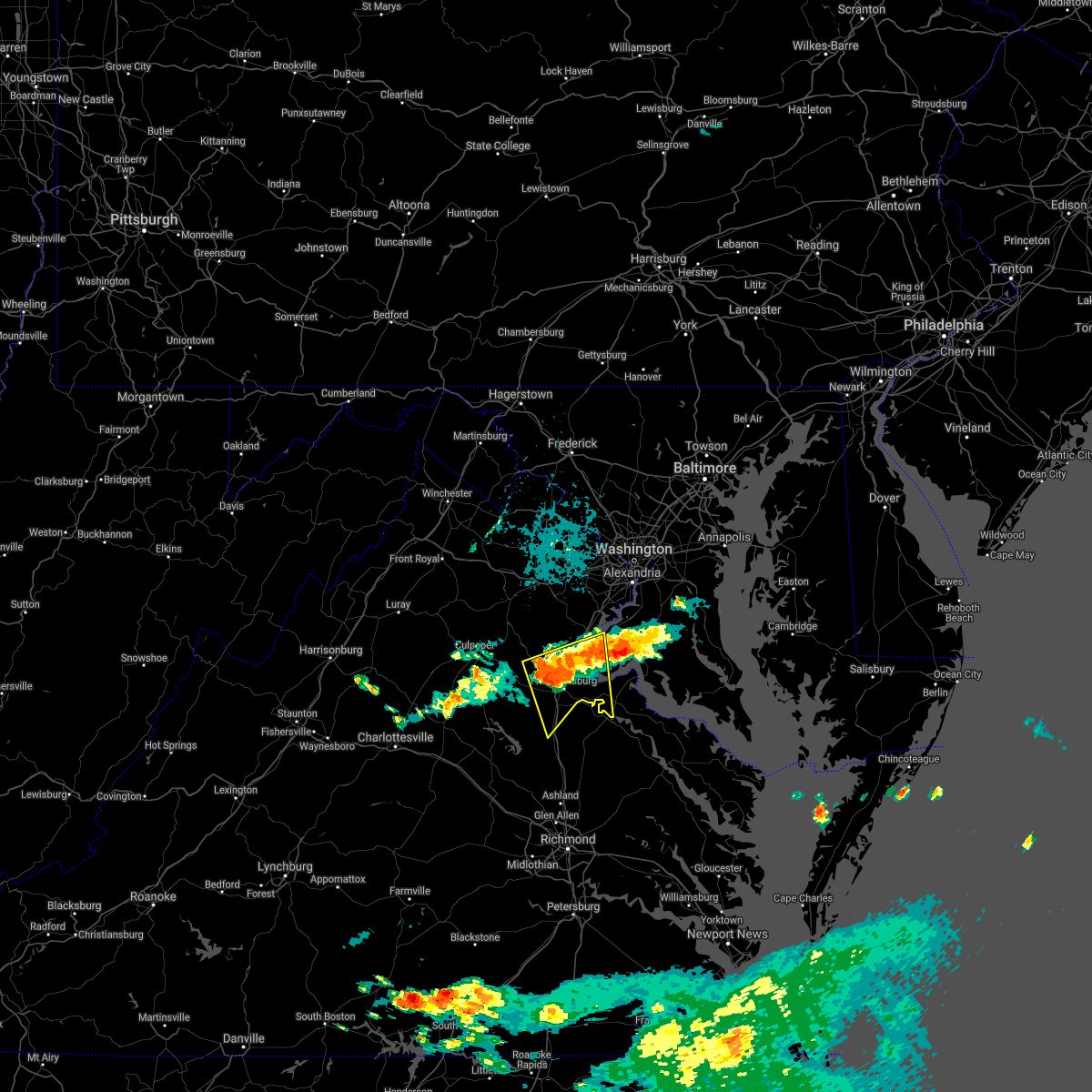 At 906 pm edt, severe thunderstorms were located along a line extending from 6 miles northeast of potomac creek to 7 miles west of fredericksburg, moving southeast at 15 mph (radar indicated). Hazards include 60 mph wind gusts. Damaging winds will cause some trees and large branches to fall. this could injure those outdoors, as well as damage homes and vehicles. roadways may become blocked by downed trees. localized power outages are possible. Unsecured light objects may become projectiles. At 906 pm edt, severe thunderstorms were located along a line extending from 6 miles northeast of potomac creek to 7 miles west of fredericksburg, moving southeast at 15 mph (radar indicated). Hazards include 60 mph wind gusts. Damaging winds will cause some trees and large branches to fall. this could injure those outdoors, as well as damage homes and vehicles. roadways may become blocked by downed trees. localized power outages are possible. Unsecured light objects may become projectiles.
|
| 7/26/2021 8:41 PM EDT |
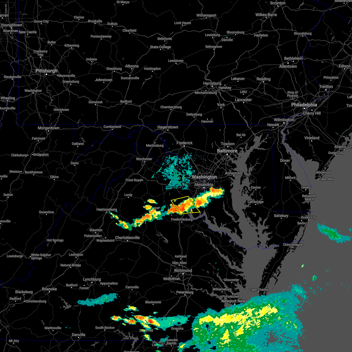 The severe thunderstorm warning for west central charles, northern stafford, southeastern fauquier and southeastern prince william counties will expire at 845 pm edt, the storms which prompted the warning have weakened below severe limits, and no longer pose an immediate threat to life or property. therefore, the warning will be allowed to expire. however gusty winds are still possible with these thunderstorms. The severe thunderstorm warning for west central charles, northern stafford, southeastern fauquier and southeastern prince william counties will expire at 845 pm edt, the storms which prompted the warning have weakened below severe limits, and no longer pose an immediate threat to life or property. therefore, the warning will be allowed to expire. however gusty winds are still possible with these thunderstorms.
|
| 7/26/2021 8:21 PM EDT |
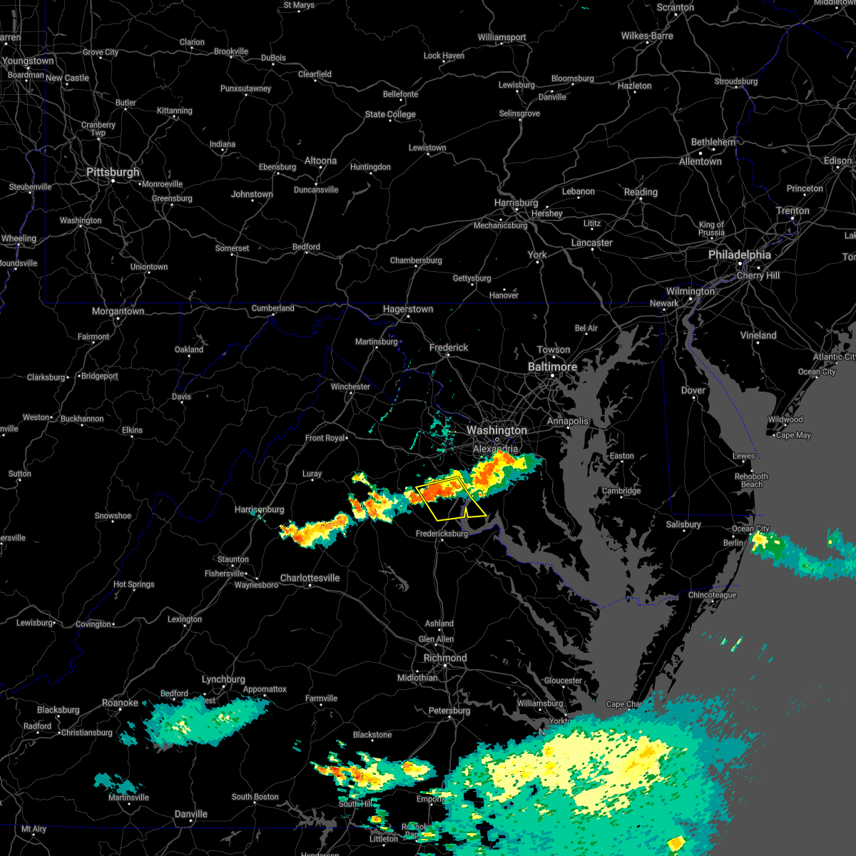 At 820 pm edt, severe thunderstorms were located along a line extending from near woodbridge to 11 miles east of bealeton, moving southeast at 25 mph (radar indicated). Hazards include 60 mph wind gusts. Damaging winds will cause some trees and large branches to fall. this could injure those outdoors, as well as damage homes and vehicles. roadways may become blocked by downed trees. localized power outages are possible. unsecured light objects may become projectiles. Locations impacted include, dale city, quantico, lake ridge, montclair, triangle, dumfries, cherry hill, independent hill, widewater, roseville, garrisonville, arkendale, nanjemoy, aquia, ruby, bristersburg and ramoth. At 820 pm edt, severe thunderstorms were located along a line extending from near woodbridge to 11 miles east of bealeton, moving southeast at 25 mph (radar indicated). Hazards include 60 mph wind gusts. Damaging winds will cause some trees and large branches to fall. this could injure those outdoors, as well as damage homes and vehicles. roadways may become blocked by downed trees. localized power outages are possible. unsecured light objects may become projectiles. Locations impacted include, dale city, quantico, lake ridge, montclair, triangle, dumfries, cherry hill, independent hill, widewater, roseville, garrisonville, arkendale, nanjemoy, aquia, ruby, bristersburg and ramoth.
|
| 7/26/2021 8:01 PM EDT |
 At 801 pm edt, severe thunderstorms were located along a line extending from lake ridge to 8 miles south of linton hall, moving southeast at 25 mph (radar indicated). Hazards include 60 mph wind gusts. Damaging winds will cause some trees and large branches to fall. this could injure those outdoors, as well as damage homes and vehicles. roadways may become blocked by downed trees. localized power outages are possible. Unsecured light objects may become projectiles. At 801 pm edt, severe thunderstorms were located along a line extending from lake ridge to 8 miles south of linton hall, moving southeast at 25 mph (radar indicated). Hazards include 60 mph wind gusts. Damaging winds will cause some trees and large branches to fall. this could injure those outdoors, as well as damage homes and vehicles. roadways may become blocked by downed trees. localized power outages are possible. Unsecured light objects may become projectiles.
|
| 7/14/2021 5:01 PM EDT |
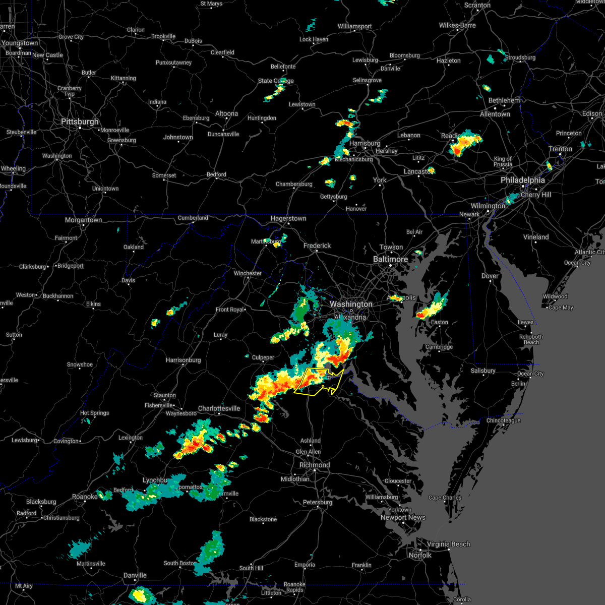 At 501 pm edt, severe thunderstorms were located along a line extending from 6 miles southwest of stafford to fredericksburg to near spotsylvania, moving east at 10 mph (radar indicated). Hazards include 60 mph wind gusts and quarter size hail. Damaging winds will cause some trees and large branches to fall. this could injure those outdoors, as well as damage homes and vehicles. roadways may become blocked by downed trees. localized power outages are possible. Unsecured light objects may become projectiles. At 501 pm edt, severe thunderstorms were located along a line extending from 6 miles southwest of stafford to fredericksburg to near spotsylvania, moving east at 10 mph (radar indicated). Hazards include 60 mph wind gusts and quarter size hail. Damaging winds will cause some trees and large branches to fall. this could injure those outdoors, as well as damage homes and vehicles. roadways may become blocked by downed trees. localized power outages are possible. Unsecured light objects may become projectiles.
|
| 7/14/2021 4:40 PM EDT |
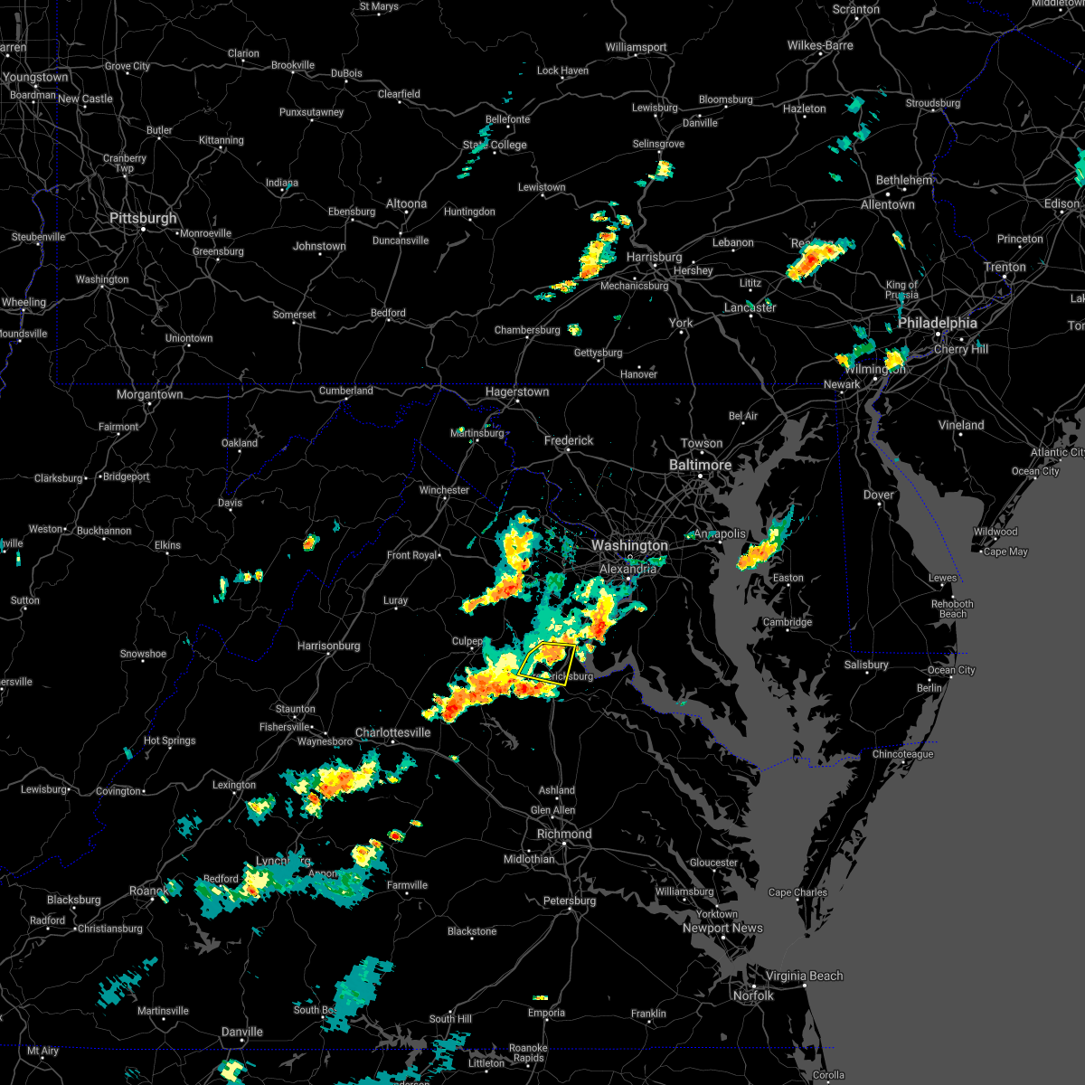 The severe thunderstorm warning for southwestern stafford, northeastern orange, southeastern fauquier, eastern culpeper and north central spotsylvania counties and the northern city of fredericksburg will expire at 445 pm edt, the storm which prompted the warning has weakened below severe limits, and no longer poses an immediate threat to life or property. therefore, the warning will be allowed to expire. The severe thunderstorm warning for southwestern stafford, northeastern orange, southeastern fauquier, eastern culpeper and north central spotsylvania counties and the northern city of fredericksburg will expire at 445 pm edt, the storm which prompted the warning has weakened below severe limits, and no longer poses an immediate threat to life or property. therefore, the warning will be allowed to expire.
|
| 7/14/2021 4:32 PM EDT |
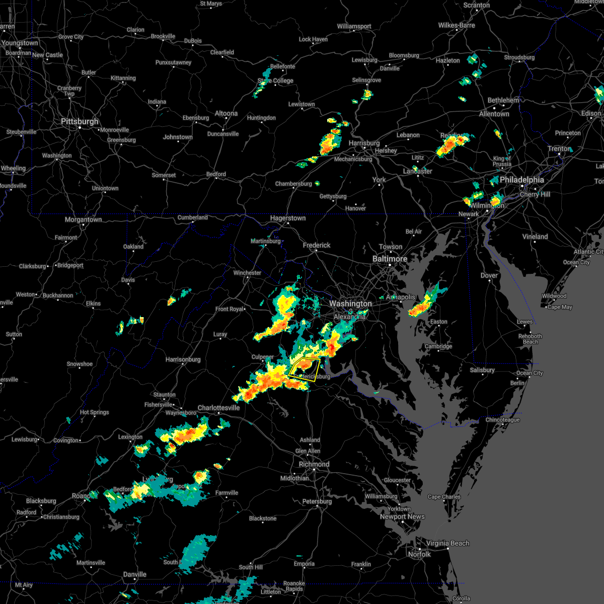 At 432 pm edt, a severe thunderstorm was located 9 miles northwest of fredericksburg, moving east at 25 mph (radar indicated). Hazards include 60 mph wind gusts and quarter size hail. Damaging winds will cause some trees and large branches to fall. this could injure those outdoors, as well as damage homes and vehicles. roadways may become blocked by downed trees. localized power outages are possible. unsecured light objects may become projectiles. Locations impacted include, stafford, fredericksburg, falmouth, leeland, roseville, garrisonville, spring valley, ramoth, heflin, aquia, storck, holly corner, dunavant, glendie, hartwood and brookfield. At 432 pm edt, a severe thunderstorm was located 9 miles northwest of fredericksburg, moving east at 25 mph (radar indicated). Hazards include 60 mph wind gusts and quarter size hail. Damaging winds will cause some trees and large branches to fall. this could injure those outdoors, as well as damage homes and vehicles. roadways may become blocked by downed trees. localized power outages are possible. unsecured light objects may become projectiles. Locations impacted include, stafford, fredericksburg, falmouth, leeland, roseville, garrisonville, spring valley, ramoth, heflin, aquia, storck, holly corner, dunavant, glendie, hartwood and brookfield.
|
| 7/14/2021 4:26 PM EDT | Tree in the roadway near garrisonville road and algrace boulevar in stafford county VA, 5.5 miles SE of Stafford Courthouse, VA |
| 7/14/2021 4:25 PM EDT | Tree down near st adams dr and joshua rd in stafford county VA, 5.8 miles SE of Stafford Courthouse, VA |
| 7/14/2021 4:06 PM EDT |
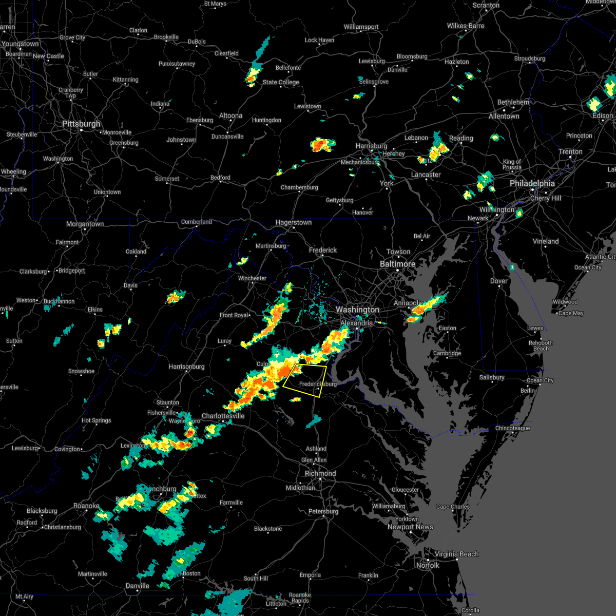 At 406 pm edt, a severe thunderstorm was located 10 miles south of bealeton, or 12 miles east of culpeper, moving east at 25 mph (radar indicated). Hazards include 60 mph wind gusts and quarter size hail. Damaging winds will cause some trees and large branches to fall. this could injure those outdoors, as well as damage homes and vehicles. roadways may become blocked by downed trees. localized power outages are possible. Unsecured light objects may become projectiles. At 406 pm edt, a severe thunderstorm was located 10 miles south of bealeton, or 12 miles east of culpeper, moving east at 25 mph (radar indicated). Hazards include 60 mph wind gusts and quarter size hail. Damaging winds will cause some trees and large branches to fall. this could injure those outdoors, as well as damage homes and vehicles. roadways may become blocked by downed trees. localized power outages are possible. Unsecured light objects may become projectiles.
|
| 6/3/2021 5:48 PM EDT |
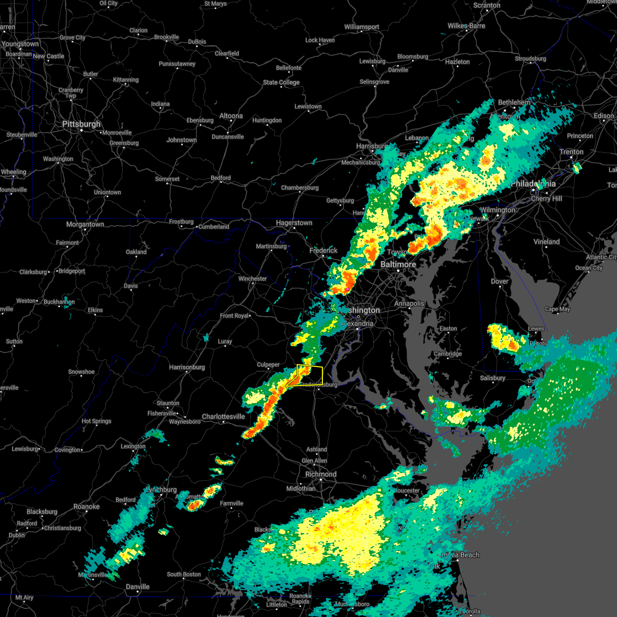 At 547 pm edt, severe thunderstorms were located along a line extending from 9 miles east of bealeton to 11 miles northwest of fredericksburg to 13 miles southeast of culpeper, moving east at 25 mph (radar indicated). Hazards include 60 mph wind gusts. Damaging winds will cause some trees and large branches to fall. this could injure those outdoors, as well as damage homes and vehicles. roadways may become blocked by downed trees. localized power outages are possible. unsecured light objects may become projectiles. Locations impacted include, falmouth, leeland, roseville, garrisonville, ramoth, heflin, storck, holly corner, dunavant, lake of the woods, glendie, hartwood and goldvein. At 547 pm edt, severe thunderstorms were located along a line extending from 9 miles east of bealeton to 11 miles northwest of fredericksburg to 13 miles southeast of culpeper, moving east at 25 mph (radar indicated). Hazards include 60 mph wind gusts. Damaging winds will cause some trees and large branches to fall. this could injure those outdoors, as well as damage homes and vehicles. roadways may become blocked by downed trees. localized power outages are possible. unsecured light objects may become projectiles. Locations impacted include, falmouth, leeland, roseville, garrisonville, ramoth, heflin, storck, holly corner, dunavant, lake of the woods, glendie, hartwood and goldvein.
|
| 6/3/2021 5:19 PM EDT |
 At 519 pm edt, severe thunderstorms were located along a line extending from near bealeton to 16 miles northwest of spotsylvania to 12 miles southeast of culpeper, moving east at 25 mph (radar indicated). Hazards include 60 mph wind gusts. Damaging winds will cause some trees and large branches to fall. this could injure those outdoors, as well as damage homes and vehicles. roadways may become blocked by downed trees. localized power outages are possible. Unsecured light objects may become projectiles. At 519 pm edt, severe thunderstorms were located along a line extending from near bealeton to 16 miles northwest of spotsylvania to 12 miles southeast of culpeper, moving east at 25 mph (radar indicated). Hazards include 60 mph wind gusts. Damaging winds will cause some trees and large branches to fall. this could injure those outdoors, as well as damage homes and vehicles. roadways may become blocked by downed trees. localized power outages are possible. Unsecured light objects may become projectiles.
|
| 5/28/2021 6:26 PM EDT |
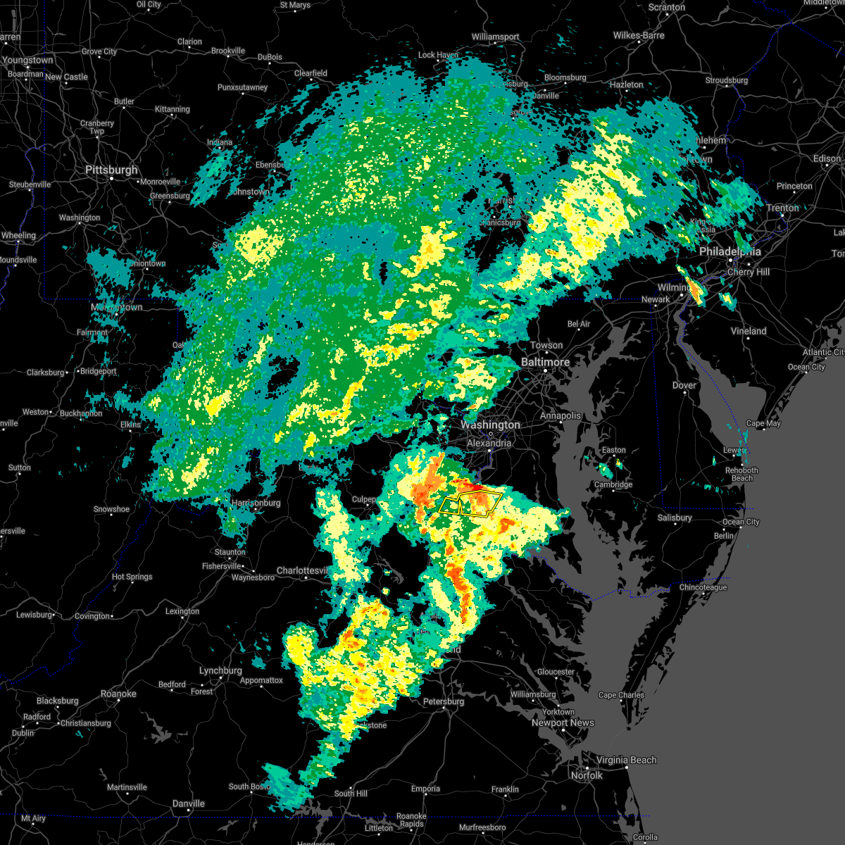 The severe thunderstorm warning for west central charles and northeastern stafford counties will expire at 630 pm edt, the storms which prompted the warning have moved out of the area. therefore, the warning will be allowed to expire. to report severe weather, contact your nearest law enforcement agency. they will relay your report to the national weather service sterling virginia. remember, a severe thunderstorm warning still remains in effect for northwestern charles county. The severe thunderstorm warning for west central charles and northeastern stafford counties will expire at 630 pm edt, the storms which prompted the warning have moved out of the area. therefore, the warning will be allowed to expire. to report severe weather, contact your nearest law enforcement agency. they will relay your report to the national weather service sterling virginia. remember, a severe thunderstorm warning still remains in effect for northwestern charles county.
|
| 5/28/2021 6:13 PM EDT |
 At 613 pm edt, severe thunderstorms were located along a line extending from near stafford to near port tobacco river, moving northeast at 30 mph (radar indicated). Hazards include 60 mph wind gusts. Damaging winds will cause some trees and large branches to fall. this could injure those outdoors, as well as damage homes and vehicles. roadways may become blocked by downed trees. localized power outages are possible. unsecured light objects may become projectiles. Locations impacted include, la plata, quantico, port tobacco river, port tobacco village, widewater, port tobacco, ironsides, ripley, arkendale, rison, nanjemoy, aquia, pisgah, welcome and marbury. At 613 pm edt, severe thunderstorms were located along a line extending from near stafford to near port tobacco river, moving northeast at 30 mph (radar indicated). Hazards include 60 mph wind gusts. Damaging winds will cause some trees and large branches to fall. this could injure those outdoors, as well as damage homes and vehicles. roadways may become blocked by downed trees. localized power outages are possible. unsecured light objects may become projectiles. Locations impacted include, la plata, quantico, port tobacco river, port tobacco village, widewater, port tobacco, ironsides, ripley, arkendale, rison, nanjemoy, aquia, pisgah, welcome and marbury.
|
| 5/28/2021 6:13 PM EDT |
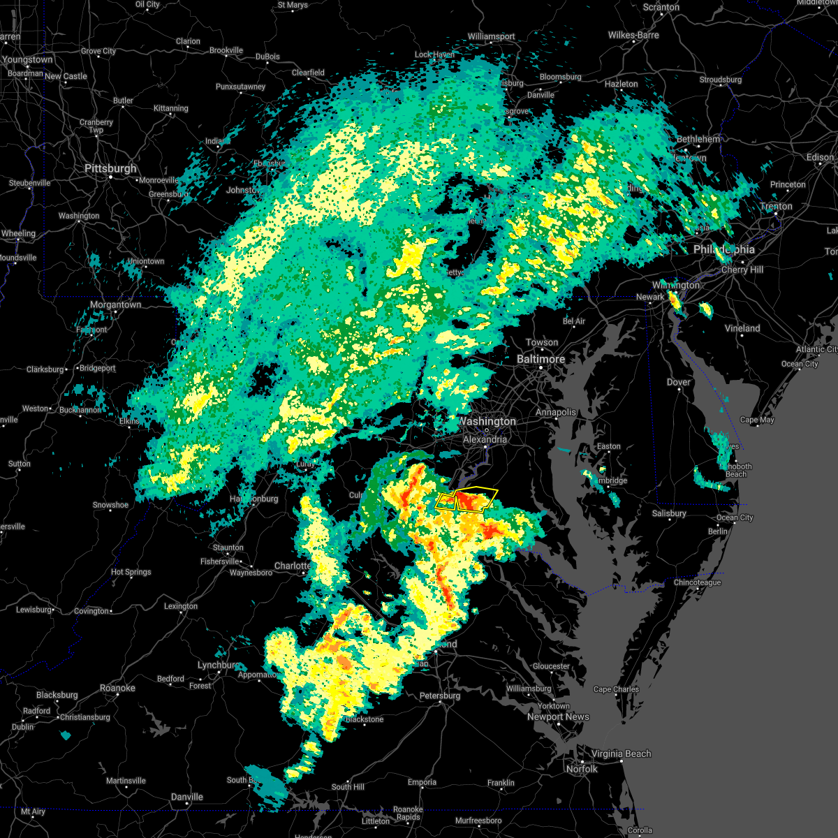 At 613 pm edt, severe thunderstorms were located along a line extending from near stafford to near port tobacco river, moving northeast at 30 mph (radar indicated). Hazards include 60 mph wind gusts. Damaging winds will cause some trees and large branches to fall. this could injure those outdoors, as well as damage homes and vehicles. roadways may become blocked by downed trees. localized power outages are possible. unsecured light objects may become projectiles. Locations impacted include, la plata, quantico, port tobacco river, port tobacco village, widewater, port tobacco, ironsides, ripley, arkendale, rison, nanjemoy, aquia, pisgah, welcome and marbury. At 613 pm edt, severe thunderstorms were located along a line extending from near stafford to near port tobacco river, moving northeast at 30 mph (radar indicated). Hazards include 60 mph wind gusts. Damaging winds will cause some trees and large branches to fall. this could injure those outdoors, as well as damage homes and vehicles. roadways may become blocked by downed trees. localized power outages are possible. unsecured light objects may become projectiles. Locations impacted include, la plata, quantico, port tobacco river, port tobacco village, widewater, port tobacco, ironsides, ripley, arkendale, rison, nanjemoy, aquia, pisgah, welcome and marbury.
|
| 5/28/2021 6:02 PM EDT |
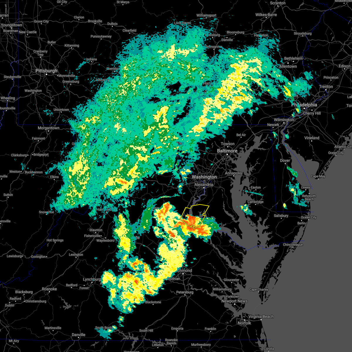 At 601 pm edt, severe thunderstorms were located along a line extending from near fredericksburg to near aquia creek to nanjemoy creek, moving northeast at 30 mph (radar indicated). Hazards include 60 mph wind gusts. Damaging winds will cause some trees and large branches to fall. this could injure those outdoors, as well as damage homes and vehicles. roadways may become blocked by downed trees. localized power outages are possible. unsecured light objects may become projectiles. Locations impacted include, stafford, la plata, king george, dahlgren, quantico, fairview beach, potomac creek, nanjemoy creek, aquia creek, port tobacco river, falmouth, passapatanzy, port tobacco village, stones corner, weedonville, ironsides, pisgah, white oak, sealston and berthaville. At 601 pm edt, severe thunderstorms were located along a line extending from near fredericksburg to near aquia creek to nanjemoy creek, moving northeast at 30 mph (radar indicated). Hazards include 60 mph wind gusts. Damaging winds will cause some trees and large branches to fall. this could injure those outdoors, as well as damage homes and vehicles. roadways may become blocked by downed trees. localized power outages are possible. unsecured light objects may become projectiles. Locations impacted include, stafford, la plata, king george, dahlgren, quantico, fairview beach, potomac creek, nanjemoy creek, aquia creek, port tobacco river, falmouth, passapatanzy, port tobacco village, stones corner, weedonville, ironsides, pisgah, white oak, sealston and berthaville.
|
| 5/28/2021 5:46 PM EDT |
 At 545 pm edt, severe thunderstorms were located along a line extending from near massaponax to near potomac creek to king george, moving northeast at 30 mph (radar indicated). Hazards include 60 mph wind gusts. Damaging winds will cause some trees and large branches to fall. this could injure those outdoors, as well as damage homes and vehicles. roadways may become blocked by downed trees. localized power outages are possible. Unsecured light objects may become projectiles. At 545 pm edt, severe thunderstorms were located along a line extending from near massaponax to near potomac creek to king george, moving northeast at 30 mph (radar indicated). Hazards include 60 mph wind gusts. Damaging winds will cause some trees and large branches to fall. this could injure those outdoors, as well as damage homes and vehicles. roadways may become blocked by downed trees. localized power outages are possible. Unsecured light objects may become projectiles.
|
| 12/24/2020 4:12 PM EST |
 The severe thunderstorm warning for northwestern charles, eastern stafford, south central fairfax and southeastern prince william counties and the extreme southeastern city of manassas park will expire at 415 pm est, the shower which prompted the warning has weakened below severe limits, and no longer poses an immediate threat to life or property. therefore, the warning will be allowed to expire. however gusty winds are still possible with this shower. The severe thunderstorm warning for northwestern charles, eastern stafford, south central fairfax and southeastern prince william counties and the extreme southeastern city of manassas park will expire at 415 pm est, the shower which prompted the warning has weakened below severe limits, and no longer poses an immediate threat to life or property. therefore, the warning will be allowed to expire. however gusty winds are still possible with this shower.
|
| 12/24/2020 3:53 PM EST |
 At 353 pm est, a severe thunderstorm was located near stafford, moving northeast at 55 mph (radar indicated). Hazards include 60 mph wind gusts. Damaging winds will cause some trees and large branches to fall. this could injure those outdoors, as well as damage homes and vehicles. roadways may become blocked by downed trees. localized power outages are possible. unsecured light objects may become projectiles. Locations impacted include, stafford, dale city, fort belvoir, woodbridge, quantico, aquia creek, lake ridge, burke, montclair, lorton, newington, triangle, dumfries, cherry hill, manassas park, fairfax station, independent hill, bryans road, falmouth and mason neck. At 353 pm est, a severe thunderstorm was located near stafford, moving northeast at 55 mph (radar indicated). Hazards include 60 mph wind gusts. Damaging winds will cause some trees and large branches to fall. this could injure those outdoors, as well as damage homes and vehicles. roadways may become blocked by downed trees. localized power outages are possible. unsecured light objects may become projectiles. Locations impacted include, stafford, dale city, fort belvoir, woodbridge, quantico, aquia creek, lake ridge, burke, montclair, lorton, newington, triangle, dumfries, cherry hill, manassas park, fairfax station, independent hill, bryans road, falmouth and mason neck.
|
| 12/24/2020 3:36 PM EST |
 At 335 pm est, a severe thunderstorm was located near fredericksburg, moving northeast at 55 mph (radar indicated). Hazards include 60 mph wind gusts. Damaging winds will cause some trees and large branches to fall. this could injure those outdoors, as well as damage homes and vehicles. roadways may become blocked by downed trees. localized power outages are possible. Unsecured light objects may become projectiles. At 335 pm est, a severe thunderstorm was located near fredericksburg, moving northeast at 55 mph (radar indicated). Hazards include 60 mph wind gusts. Damaging winds will cause some trees and large branches to fall. this could injure those outdoors, as well as damage homes and vehicles. roadways may become blocked by downed trees. localized power outages are possible. Unsecured light objects may become projectiles.
|
| 8/25/2020 8:03 PM EDT |
 At 803 pm edt, severe thunderstorms were located along a line extending from 8 miles east of quantico to near aquia creek to near stafford, moving southeast at 30 mph (radar indicated). Hazards include 60 mph wind gusts. Damaging winds will cause some trees and large branches to fall. this could injure those outdoors, as well as damage homes and vehicles. roadways may become blocked by downed trees. localized power outages are possible. unsecured light objects may become projectiles. Locations impacted include, stafford, waldorf, fredericksburg, la plata, king george, dahlgren, quantico, fairview beach, nanjemoy creek, popes creek, aquia creek, potomac creek, port tobacco river, wicomico, cherry hill, bryans road, falmouth, hughesville, mason neck and charlotte hall. At 803 pm edt, severe thunderstorms were located along a line extending from 8 miles east of quantico to near aquia creek to near stafford, moving southeast at 30 mph (radar indicated). Hazards include 60 mph wind gusts. Damaging winds will cause some trees and large branches to fall. this could injure those outdoors, as well as damage homes and vehicles. roadways may become blocked by downed trees. localized power outages are possible. unsecured light objects may become projectiles. Locations impacted include, stafford, waldorf, fredericksburg, la plata, king george, dahlgren, quantico, fairview beach, nanjemoy creek, popes creek, aquia creek, potomac creek, port tobacco river, wicomico, cherry hill, bryans road, falmouth, hughesville, mason neck and charlotte hall.
|
| 8/25/2020 8:03 PM EDT |
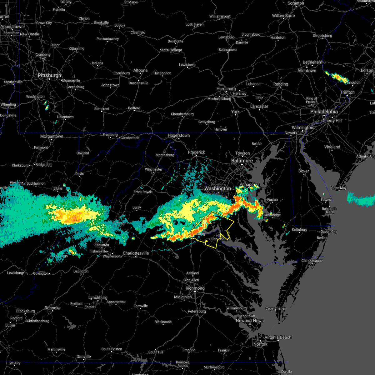 At 803 pm edt, severe thunderstorms were located along a line extending from 8 miles east of quantico to near aquia creek to near stafford, moving southeast at 30 mph (radar indicated). Hazards include 60 mph wind gusts. Damaging winds will cause some trees and large branches to fall. this could injure those outdoors, as well as damage homes and vehicles. roadways may become blocked by downed trees. localized power outages are possible. unsecured light objects may become projectiles. Locations impacted include, stafford, waldorf, fredericksburg, la plata, king george, dahlgren, quantico, fairview beach, nanjemoy creek, popes creek, aquia creek, potomac creek, port tobacco river, wicomico, cherry hill, bryans road, falmouth, hughesville, mason neck and charlotte hall. At 803 pm edt, severe thunderstorms were located along a line extending from 8 miles east of quantico to near aquia creek to near stafford, moving southeast at 30 mph (radar indicated). Hazards include 60 mph wind gusts. Damaging winds will cause some trees and large branches to fall. this could injure those outdoors, as well as damage homes and vehicles. roadways may become blocked by downed trees. localized power outages are possible. unsecured light objects may become projectiles. Locations impacted include, stafford, waldorf, fredericksburg, la plata, king george, dahlgren, quantico, fairview beach, nanjemoy creek, popes creek, aquia creek, potomac creek, port tobacco river, wicomico, cherry hill, bryans road, falmouth, hughesville, mason neck and charlotte hall.
|
| 8/25/2020 7:51 PM EDT | Downed tree on i-95 near mm 141 in stafford county VA, 0.7 miles SSW of Stafford Courthouse, VA |
| 8/25/2020 7:36 PM EDT |
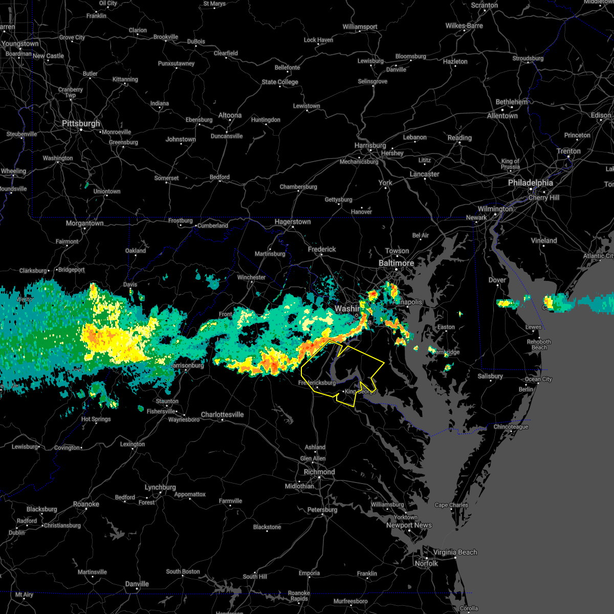 At 735 pm edt, severe thunderstorms were located along a line extending from near lake ridge to near dumfries to 8 miles west of stafford, moving east at 45 mph (radar indicated). Hazards include 60 mph wind gusts. Damaging winds will cause some trees and large branches to fall. this could injure those outdoors, as well as damage homes and vehicles. roadways may become blocked by downed trees. localized power outages are possible. Unsecured light objects may become projectiles. At 735 pm edt, severe thunderstorms were located along a line extending from near lake ridge to near dumfries to 8 miles west of stafford, moving east at 45 mph (radar indicated). Hazards include 60 mph wind gusts. Damaging winds will cause some trees and large branches to fall. this could injure those outdoors, as well as damage homes and vehicles. roadways may become blocked by downed trees. localized power outages are possible. Unsecured light objects may become projectiles.
|
| 8/24/2020 4:05 PM EDT |
 The severe thunderstorm warning for northeastern stafford and southeastern prince william counties will expire at 415 pm edt, the storm which prompted the warning has weakened below severe limits, and no longer poses an immediate threat to life or property. therefore, the warning will be allowed to expire. however heavy rain is still possible with this thunderstorm. The severe thunderstorm warning for northeastern stafford and southeastern prince william counties will expire at 415 pm edt, the storm which prompted the warning has weakened below severe limits, and no longer poses an immediate threat to life or property. therefore, the warning will be allowed to expire. however heavy rain is still possible with this thunderstorm.
|
| 8/24/2020 3:49 PM EDT |
 At 348 pm edt, a severe thunderstorm was located near stafford, moving east at 15 mph (radar indicated). Hazards include 60 mph wind gusts and quarter size hail. Damaging winds will cause some trees and large branches to fall. this could injure those outdoors, as well as damage homes and vehicles. roadways may become blocked by downed trees. localized power outages are possible. unsecured light objects may become projectiles. Locations impacted include, stafford, quantico, aquia creek, triangle, dumfries, cherry hill, widewater, aquia, garrisonville and arkendale. At 348 pm edt, a severe thunderstorm was located near stafford, moving east at 15 mph (radar indicated). Hazards include 60 mph wind gusts and quarter size hail. Damaging winds will cause some trees and large branches to fall. this could injure those outdoors, as well as damage homes and vehicles. roadways may become blocked by downed trees. localized power outages are possible. unsecured light objects may become projectiles. Locations impacted include, stafford, quantico, aquia creek, triangle, dumfries, cherry hill, widewater, aquia, garrisonville and arkendale.
|
| 8/24/2020 3:27 PM EDT |
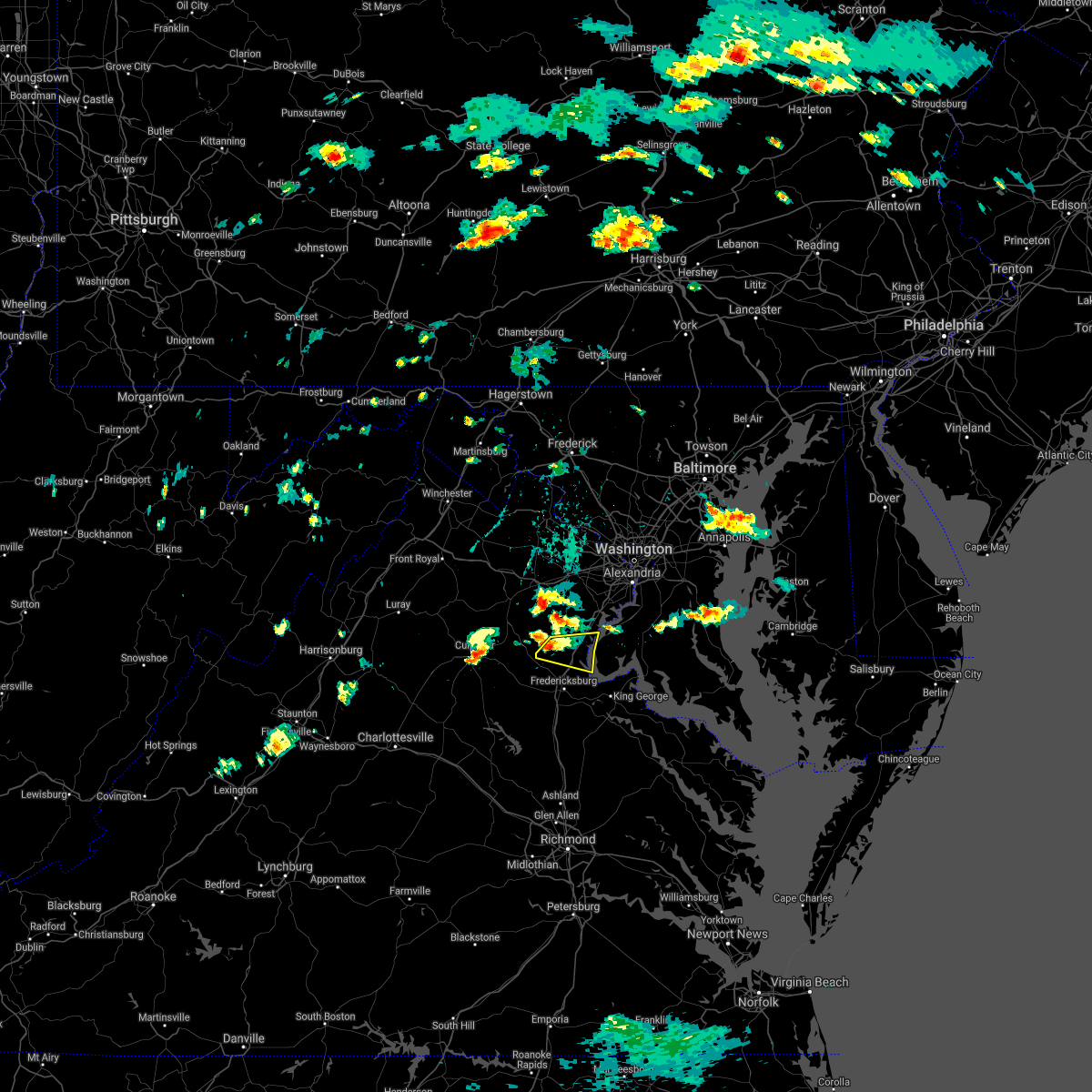 At 327 pm edt, a severe thunderstorm was located 9 miles northwest of stafford, moving east at 15 mph (radar indicated). Hazards include 60 mph wind gusts and quarter size hail. Damaging winds will cause some trees and large branches to fall. this could injure those outdoors, as well as damage homes and vehicles. roadways may become blocked by downed trees. localized power outages are possible. Unsecured light objects may become projectiles. At 327 pm edt, a severe thunderstorm was located 9 miles northwest of stafford, moving east at 15 mph (radar indicated). Hazards include 60 mph wind gusts and quarter size hail. Damaging winds will cause some trees and large branches to fall. this could injure those outdoors, as well as damage homes and vehicles. roadways may become blocked by downed trees. localized power outages are possible. Unsecured light objects may become projectiles.
|
| 8/3/2020 4:03 PM EDT |
 At 403 pm edt, severe thunderstorms were located along a line extending from 10 miles northwest of fredericksburg to near triangle to near la plata, moving north at 25 mph (radar indicated). Hazards include 60 mph wind gusts. Damaging winds will cause some trees and large branches to fall. this could injure those outdoors, as well as damage homes and vehicles. roadways may become blocked by downed trees. localized power outages are possible. unsecured light objects may become projectiles. Locations impacted include, stafford, waldorf, dale city, clinton, springfield, fort washington, fort hunt, groveton, la plata, fort belvoir, woodbridge, national harbor, upper marlboro, quantico, andrews air force base, lake ridge, montclair, camp springs, lorton and franconia. At 403 pm edt, severe thunderstorms were located along a line extending from 10 miles northwest of fredericksburg to near triangle to near la plata, moving north at 25 mph (radar indicated). Hazards include 60 mph wind gusts. Damaging winds will cause some trees and large branches to fall. this could injure those outdoors, as well as damage homes and vehicles. roadways may become blocked by downed trees. localized power outages are possible. unsecured light objects may become projectiles. Locations impacted include, stafford, waldorf, dale city, clinton, springfield, fort washington, fort hunt, groveton, la plata, fort belvoir, woodbridge, national harbor, upper marlboro, quantico, andrews air force base, lake ridge, montclair, camp springs, lorton and franconia.
|
| 8/3/2020 3:39 PM EDT |
 At 337 pm edt, severe thunderstorms were located along a line extending from near spotsylvania to near aquia creek to near popes creek, moving north at 25 mph (radar indicated). Hazards include scattered damagin wind gusts up to 60 mph. Damaging winds will cause some trees and large branches to fall. this could injure those outdoors, as well as damage homes and vehicles. roadways may become blocked by downed trees. localized power outages are possible. Unsecured light objects may become projectiles. At 337 pm edt, severe thunderstorms were located along a line extending from near spotsylvania to near aquia creek to near popes creek, moving north at 25 mph (radar indicated). Hazards include scattered damagin wind gusts up to 60 mph. Damaging winds will cause some trees and large branches to fall. this could injure those outdoors, as well as damage homes and vehicles. roadways may become blocked by downed trees. localized power outages are possible. Unsecured light objects may become projectiles.
|
| 8/3/2020 3:22 PM EDT |
 At 321 pm edt, severe thunderstorms were located along a line extending from near mineral to 6 miles southeast of massaponax to near leonardtown, moving east at 25 mph (radar indicated. a wind gust of 55 mph was measured at cobb point). Hazards include scattered damaging wind gusts of up to 65 mph. the highest winds on radar are currently focused from near cobb point maryland to king george virginia. Damaging winds will cause some trees and large branches to fall. this could injure those outdoors, as well as damage homes and vehicles. roadways may become blocked by downed trees. localized power outages are possible. unsecured light objects may become projectiles. Locations impacted include, stafford, waldorf, fredericksburg, la plata, king george, leonardtown, dahlgren, fairview beach, popes creek, hallowing point, aquia creek, potomac creek, sheridan point, saint clements bay, nanjemoy creek, wicomico river, white point beach, port tobacco river, golden beach and massaponax. At 321 pm edt, severe thunderstorms were located along a line extending from near mineral to 6 miles southeast of massaponax to near leonardtown, moving east at 25 mph (radar indicated. a wind gust of 55 mph was measured at cobb point). Hazards include scattered damaging wind gusts of up to 65 mph. the highest winds on radar are currently focused from near cobb point maryland to king george virginia. Damaging winds will cause some trees and large branches to fall. this could injure those outdoors, as well as damage homes and vehicles. roadways may become blocked by downed trees. localized power outages are possible. unsecured light objects may become projectiles. Locations impacted include, stafford, waldorf, fredericksburg, la plata, king george, leonardtown, dahlgren, fairview beach, popes creek, hallowing point, aquia creek, potomac creek, sheridan point, saint clements bay, nanjemoy creek, wicomico river, white point beach, port tobacco river, golden beach and massaponax.
|
| 8/3/2020 3:13 PM EDT |
 At 313 pm edt, severe thunderstorms were located along a line extending from near mineral to 6 miles north of bowling green to leonardtown, moving northwest at 25 mph (radar indicated). Hazards include scattered damaging wind gusts up to 60 mph. Damaging winds will cause some trees and large branches to fall. this could injure those outdoors, as well as damage homes and vehicles. roadways may become blocked by downed trees. localized power outages are possible. unsecured light objects may become projectiles. Locations impacted include, stafford, waldorf, fredericksburg, la plata, king george, leonardtown, dahlgren, fairview beach, popes creek, hallowing point, aquia creek, potomac creek, sheridan point, saint clements bay, nanjemoy creek, wicomico river, white point beach, port tobacco river, golden beach and massaponax. At 313 pm edt, severe thunderstorms were located along a line extending from near mineral to 6 miles north of bowling green to leonardtown, moving northwest at 25 mph (radar indicated). Hazards include scattered damaging wind gusts up to 60 mph. Damaging winds will cause some trees and large branches to fall. this could injure those outdoors, as well as damage homes and vehicles. roadways may become blocked by downed trees. localized power outages are possible. unsecured light objects may become projectiles. Locations impacted include, stafford, waldorf, fredericksburg, la plata, king george, leonardtown, dahlgren, fairview beach, popes creek, hallowing point, aquia creek, potomac creek, sheridan point, saint clements bay, nanjemoy creek, wicomico river, white point beach, port tobacco river, golden beach and massaponax.
|
| 8/3/2020 2:55 PM EDT |
 At 255 pm edt, severe thunderstorms were located along a line extending from 6 miles northeast of gum spring to bowling green to near white point beach, moving northwest at 25 mph (radar indicated). Hazards include 60 mph wind gusts. Damaging winds will cause some trees and large branches to fall. this could injure those outdoors, as well as damage homes and vehicles. roadways may become blocked by downed trees. localized power outages are possible. Unsecured light objects may become projectiles. At 255 pm edt, severe thunderstorms were located along a line extending from 6 miles northeast of gum spring to bowling green to near white point beach, moving northwest at 25 mph (radar indicated). Hazards include 60 mph wind gusts. Damaging winds will cause some trees and large branches to fall. this could injure those outdoors, as well as damage homes and vehicles. roadways may become blocked by downed trees. localized power outages are possible. Unsecured light objects may become projectiles.
|
| 8/3/2020 2:38 PM EDT |
 At 238 pm edt, a severe thunderstorm was located over aquia creek, moving east at 15 mph (radar indicated). Hazards include 60 mph wind gusts. Damaging winds will cause some trees and large branches to fall. this could injure those outdoors, as well as damage homes and vehicles. roadways may become blocked by downed trees. localized power outages are possible. Unsecured light objects may become projectiles. At 238 pm edt, a severe thunderstorm was located over aquia creek, moving east at 15 mph (radar indicated). Hazards include 60 mph wind gusts. Damaging winds will cause some trees and large branches to fall. this could injure those outdoors, as well as damage homes and vehicles. roadways may become blocked by downed trees. localized power outages are possible. Unsecured light objects may become projectiles.
|
| 8/3/2020 2:38 PM EDT |
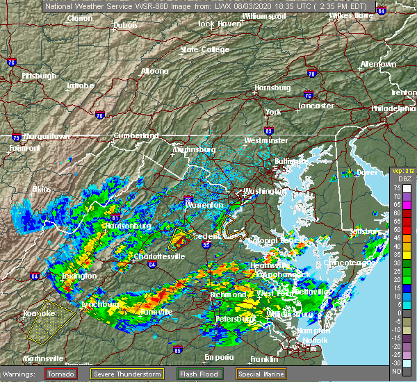 At 238 pm edt, a severe thunderstorm was located over aquia creek, moving east at 15 mph (radar indicated). Hazards include 60 mph wind gusts. Damaging winds will cause some trees and large branches to fall. this could injure those outdoors, as well as damage homes and vehicles. roadways may become blocked by downed trees. localized power outages are possible. Unsecured light objects may become projectiles. At 238 pm edt, a severe thunderstorm was located over aquia creek, moving east at 15 mph (radar indicated). Hazards include 60 mph wind gusts. Damaging winds will cause some trees and large branches to fall. this could injure those outdoors, as well as damage homes and vehicles. roadways may become blocked by downed trees. localized power outages are possible. Unsecured light objects may become projectiles.
|
| 8/3/2020 2:20 PM EDT |
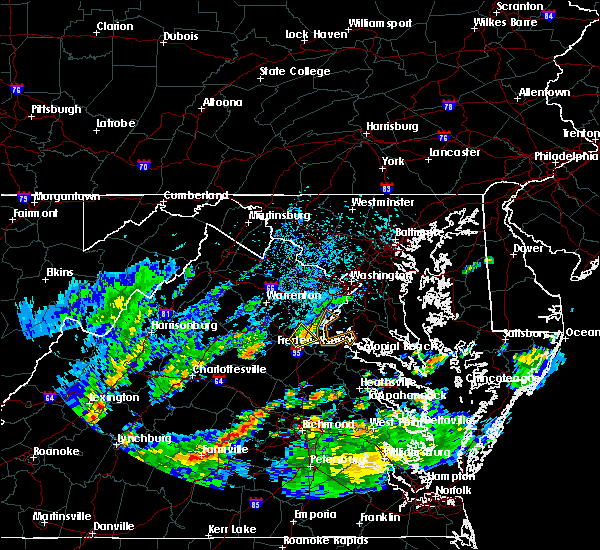 At 219 pm edt, a severe thunderstorm was located near stafford, moving northeast at 10 mph (virginia department of highways confirms trees down in stafford). Hazards include 60 mph wind gusts. Damaging winds will cause some trees and large branches to fall. this could injure those outdoors, as well as damage homes and vehicles. roadways may become blocked by downed trees. localized power outages are possible. unsecured light objects may become projectiles. Locations impacted include, stafford, falmouth, brooke, ramoth, leeland, roseville and glendie. At 219 pm edt, a severe thunderstorm was located near stafford, moving northeast at 10 mph (virginia department of highways confirms trees down in stafford). Hazards include 60 mph wind gusts. Damaging winds will cause some trees and large branches to fall. this could injure those outdoors, as well as damage homes and vehicles. roadways may become blocked by downed trees. localized power outages are possible. unsecured light objects may become projectiles. Locations impacted include, stafford, falmouth, brooke, ramoth, leeland, roseville and glendie.
|
| 8/3/2020 2:18 PM EDT | Tree down at the intersection of hope rd and somerset l in stafford county VA, 1.4 miles WSW of Stafford Courthouse, VA |
| 8/3/2020 2:07 PM EDT |
 At 207 pm edt, a severe thunderstorm was located near fredericksburg, moving northeast at 10 mph (radar indicated). Hazards include 60 mph wind gusts. Damaging winds will cause some trees and large branches to fall. this could injure those outdoors, as well as damage homes and vehicles. roadways may become blocked by downed trees. localized power outages are possible. unsecured light objects may become projectiles. Locations impacted include, stafford, falmouth, brooke, ramoth, leeland, holly corner, roseville, glendie, hartwood and spring valley. At 207 pm edt, a severe thunderstorm was located near fredericksburg, moving northeast at 10 mph (radar indicated). Hazards include 60 mph wind gusts. Damaging winds will cause some trees and large branches to fall. this could injure those outdoors, as well as damage homes and vehicles. roadways may become blocked by downed trees. localized power outages are possible. unsecured light objects may become projectiles. Locations impacted include, stafford, falmouth, brooke, ramoth, leeland, holly corner, roseville, glendie, hartwood and spring valley.
|
| 8/3/2020 2:02 PM EDT |
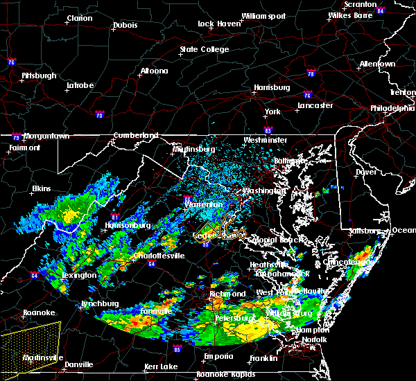 At 201 pm edt, a severe thunderstorm was located near fredericksburg, moving northeast at 10 mph (radar indicated). Hazards include 60 mph wind gusts and quarter size hail. Damaging winds will cause some trees and large branches to fall. this could injure those outdoors, as well as damage homes and vehicles. roadways may become blocked by downed trees. localized power outages are possible. unsecured light objects may become projectiles. Locations impacted include, stafford, falmouth, brooke, ramoth, leeland, holly corner, roseville, glendie, hartwood, ruby and spring valley. At 201 pm edt, a severe thunderstorm was located near fredericksburg, moving northeast at 10 mph (radar indicated). Hazards include 60 mph wind gusts and quarter size hail. Damaging winds will cause some trees and large branches to fall. this could injure those outdoors, as well as damage homes and vehicles. roadways may become blocked by downed trees. localized power outages are possible. unsecured light objects may become projectiles. Locations impacted include, stafford, falmouth, brooke, ramoth, leeland, holly corner, roseville, glendie, hartwood, ruby and spring valley.
|
| 8/3/2020 1:47 PM EDT |
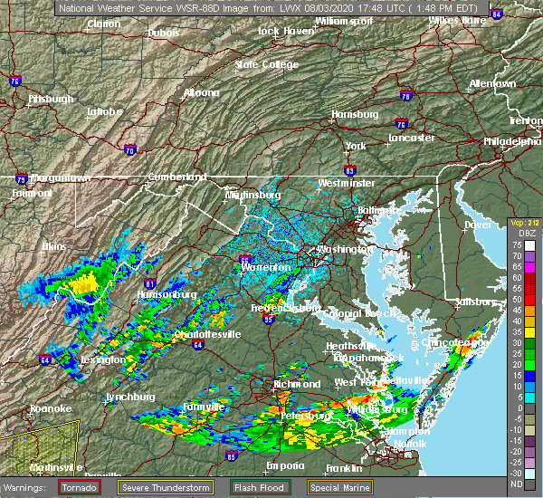 At 146 pm edt, a severe thunderstorm was located near fredericksburg, moving northeast at 10 mph (radar indicated). Hazards include 60 mph wind gusts and quarter size hail. Damaging winds will cause some trees and large branches to fall. this could injure those outdoors, as well as damage homes and vehicles. roadways may become blocked by downed trees. localized power outages are possible. Unsecured light objects may become projectiles. At 146 pm edt, a severe thunderstorm was located near fredericksburg, moving northeast at 10 mph (radar indicated). Hazards include 60 mph wind gusts and quarter size hail. Damaging winds will cause some trees and large branches to fall. this could injure those outdoors, as well as damage homes and vehicles. roadways may become blocked by downed trees. localized power outages are possible. Unsecured light objects may become projectiles.
|
| 7/30/2020 6:43 PM EDT |
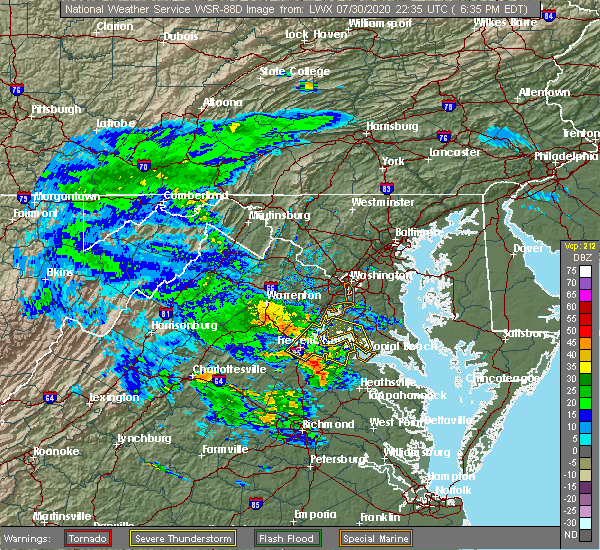 The national weather service in sterling virginia has issued a * severe thunderstorm warning for. southwestern charles county in southern maryland. southeastern stafford county in northern virginia. king george county in central virginia. The city of fredericksburg in central virginia. The national weather service in sterling virginia has issued a * severe thunderstorm warning for. southwestern charles county in southern maryland. southeastern stafford county in northern virginia. king george county in central virginia. The city of fredericksburg in central virginia.
|
| 7/28/2020 6:47 PM EDT | Trees blocking the roadway near the intersection of brooke rd. and raven r in stafford county VA, 4.4 miles NW of Stafford Courthouse, VA |
| 7/28/2020 6:43 PM EDT |
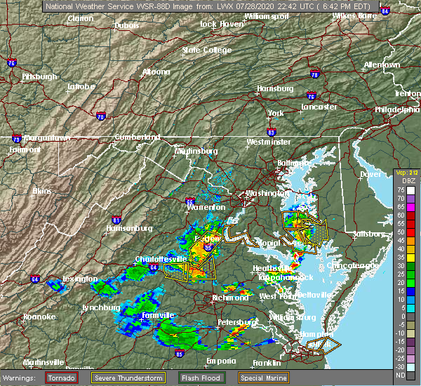 At 643 pm edt, a severe thunderstorm was located over stafford, moving east at 20 mph (radar indicated). Hazards include 60 mph wind gusts. Damaging winds will cause some trees and large branches to fall. this could injure those outdoors, as well as damage homes and vehicles. roadways may become blocked by downed trees. localized power outages are possible. Unsecured light objects may become projectiles. At 643 pm edt, a severe thunderstorm was located over stafford, moving east at 20 mph (radar indicated). Hazards include 60 mph wind gusts. Damaging winds will cause some trees and large branches to fall. this could injure those outdoors, as well as damage homes and vehicles. roadways may become blocked by downed trees. localized power outages are possible. Unsecured light objects may become projectiles.
|
| 7/28/2020 6:35 PM EDT |
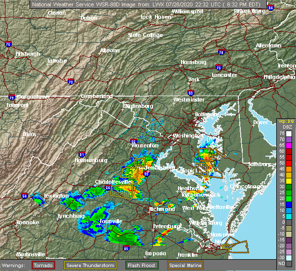 At 635 pm edt, severe thunderstorms were located along a line extending from near stafford to spotsylvania, moving east at 20 mph (radar indicated). Hazards include 60 mph wind gusts. Damaging winds will cause some trees and large branches to fall. this could injure those outdoors, as well as damage homes and vehicles. roadways may become blocked by downed trees. localized power outages are possible. unsecured light objects may become projectiles. Locations impacted include, stafford, fredericksburg, aquia creek, massaponax, spotsylvania, falmouth, stones corner, leeland, brokenburg, roseville, snell, spring valley, alsop, brooke, gatewood, chancellorsville, ramoth, logan, holly corner and post oak. At 635 pm edt, severe thunderstorms were located along a line extending from near stafford to spotsylvania, moving east at 20 mph (radar indicated). Hazards include 60 mph wind gusts. Damaging winds will cause some trees and large branches to fall. this could injure those outdoors, as well as damage homes and vehicles. roadways may become blocked by downed trees. localized power outages are possible. unsecured light objects may become projectiles. Locations impacted include, stafford, fredericksburg, aquia creek, massaponax, spotsylvania, falmouth, stones corner, leeland, brokenburg, roseville, snell, spring valley, alsop, brooke, gatewood, chancellorsville, ramoth, logan, holly corner and post oak.
|
| 7/28/2020 6:10 PM EDT |
 At 610 pm edt, severe thunderstorms were located along a line extending from 11 miles northwest of fredericksburg to 10 miles north of mineral, moving east at 20 mph (radar indicated). Hazards include 60 mph wind gusts. Damaging winds will cause some trees and large branches to fall. this could injure those outdoors, as well as damage homes and vehicles. roadways may become blocked by downed trees. localized power outages are possible. Unsecured light objects may become projectiles. At 610 pm edt, severe thunderstorms were located along a line extending from 11 miles northwest of fredericksburg to 10 miles north of mineral, moving east at 20 mph (radar indicated). Hazards include 60 mph wind gusts. Damaging winds will cause some trees and large branches to fall. this could injure those outdoors, as well as damage homes and vehicles. roadways may become blocked by downed trees. localized power outages are possible. Unsecured light objects may become projectiles.
|
| 7/22/2020 3:57 PM EDT |
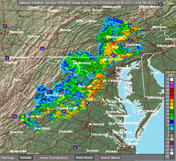 At 357 pm edt, severe thunderstorms were located along a line extending from lake ridge to triangle to near aquia creek, moving east at 20 mph (observed wind damage and doppler radar). Hazards include damaging wind gusts up to 70 mph and isolated hail up to quarter size. Damaging winds will cause some trees and large branches to fall. this could injure those outdoors, as well as damage homes and vehicles. roadways may become blocked by downed trees. localized power outages are possible. unsecured light objects may become projectiles. Locations impacted include, stafford, dale city, fredericksburg, woodbridge, aquia creek, lake ridge, montclair, triangle, dumfries, cherry hill, independent hill, falmouth, stones corner, roseville, garrisonville, ramoth, white oak, ruby, leeland and widewater. At 357 pm edt, severe thunderstorms were located along a line extending from lake ridge to triangle to near aquia creek, moving east at 20 mph (observed wind damage and doppler radar). Hazards include damaging wind gusts up to 70 mph and isolated hail up to quarter size. Damaging winds will cause some trees and large branches to fall. this could injure those outdoors, as well as damage homes and vehicles. roadways may become blocked by downed trees. localized power outages are possible. unsecured light objects may become projectiles. Locations impacted include, stafford, dale city, fredericksburg, woodbridge, aquia creek, lake ridge, montclair, triangle, dumfries, cherry hill, independent hill, falmouth, stones corner, roseville, garrisonville, ramoth, white oak, ruby, leeland and widewater.
|
| 7/22/2020 3:50 PM EDT |
 At 350 pm edt, severe thunderstorms were located along a line extending from near lake ridge to near triangle to near fredericksburg, moving east at 35 mph (radar indicated). Hazards include 70 mph wind gusts and quarter size hail. Damaging winds will cause some trees and large branches to fall. this could injure those outdoors, as well as damage homes and vehicles. roadways may become blocked by downed trees. localized power outages are possible. unsecured light objects may become projectiles. Locations impacted include, stafford, dale city, fredericksburg, woodbridge, aquia creek, lake ridge, montclair, triangle, dumfries, manassas, cherry hill, independent hill, falmouth, stones corner, roseville, garrisonville, ramoth, heflin, white oak and ruby. At 350 pm edt, severe thunderstorms were located along a line extending from near lake ridge to near triangle to near fredericksburg, moving east at 35 mph (radar indicated). Hazards include 70 mph wind gusts and quarter size hail. Damaging winds will cause some trees and large branches to fall. this could injure those outdoors, as well as damage homes and vehicles. roadways may become blocked by downed trees. localized power outages are possible. unsecured light objects may become projectiles. Locations impacted include, stafford, dale city, fredericksburg, woodbridge, aquia creek, lake ridge, montclair, triangle, dumfries, manassas, cherry hill, independent hill, falmouth, stones corner, roseville, garrisonville, ramoth, heflin, white oak and ruby.
|
| 7/22/2020 3:49 PM EDT | Tree reported down on mountain view road near stefanga roa in stafford county VA, 4.1 miles ESE of Stafford Courthouse, VA |
| 7/22/2020 3:49 PM EDT | Tree report down on rock hill church roa in stafford county VA, 7.5 miles SE of Stafford Courthouse, VA |
| 7/22/2020 3:16 PM EDT |
 At 316 pm edt, severe thunderstorms were located along a line extending from near warrenton to near bealeton to 14 miles east of orange, moving east at 20 mph (radar indicated). Hazards include 60 mph wind gusts and quarter size hail. Damaging winds will cause some trees and large branches to fall. this could injure those outdoors, as well as damage homes and vehicles. roadways may become blocked by downed trees. localized power outages are possible. Unsecured light objects may become projectiles. At 316 pm edt, severe thunderstorms were located along a line extending from near warrenton to near bealeton to 14 miles east of orange, moving east at 20 mph (radar indicated). Hazards include 60 mph wind gusts and quarter size hail. Damaging winds will cause some trees and large branches to fall. this could injure those outdoors, as well as damage homes and vehicles. roadways may become blocked by downed trees. localized power outages are possible. Unsecured light objects may become projectiles.
|
| 7/21/2020 7:04 PM EDT | Downed tree at the intersection of rt 1 and hope r in stafford county VA, 1.5 miles NNE of Stafford Courthouse, VA |
| 7/21/2020 7:04 PM EDT | Downed tree at the intersection of rt 1 and hope r in stafford county VA, 1.5 miles NNE of Stafford Courthouse, VA |
| 7/21/2020 7:02 PM EDT |
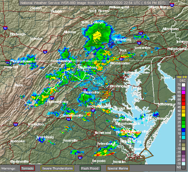 At 702 pm edt, a severe thunderstorm was located near stafford, moving east at 15 mph (radar indicated). Hazards include 60 mph wind gusts and quarter size hail. Damaging winds will cause some trees and large branches to fall. this could injure those outdoors, as well as damage homes and vehicles. roadways may become blocked by downed trees. localized power outages are possible. Unsecured light objects may become projectiles. At 702 pm edt, a severe thunderstorm was located near stafford, moving east at 15 mph (radar indicated). Hazards include 60 mph wind gusts and quarter size hail. Damaging winds will cause some trees and large branches to fall. this could injure those outdoors, as well as damage homes and vehicles. roadways may become blocked by downed trees. localized power outages are possible. Unsecured light objects may become projectiles.
|
| 6/25/2020 8:17 PM EDT |
 At 817 pm edt, a severe thunderstorm was located 8 miles west of montclair, or 9 miles southwest of dale city, moving east at 35 mph (radar indicated). Hazards include 60 mph wind gusts and quarter size hail. Damaging winds will cause some trees and large branches to fall. this could injure those outdoors, as well as damage homes and vehicles. roadways may become blocked by downed trees. localized power outages are possible. Unsecured light objects may become projectiles. At 817 pm edt, a severe thunderstorm was located 8 miles west of montclair, or 9 miles southwest of dale city, moving east at 35 mph (radar indicated). Hazards include 60 mph wind gusts and quarter size hail. Damaging winds will cause some trees and large branches to fall. this could injure those outdoors, as well as damage homes and vehicles. roadways may become blocked by downed trees. localized power outages are possible. Unsecured light objects may become projectiles.
|
| 4/7/2020 3:29 PM EDT |
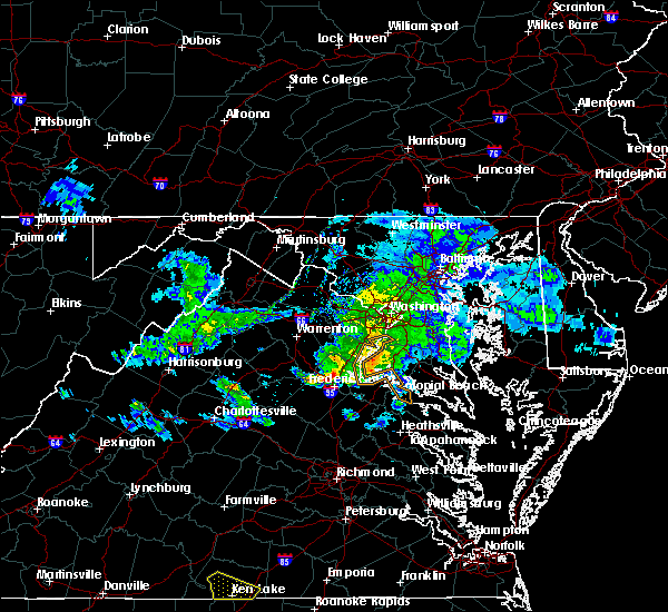 At 328 pm edt, a severe thunderstorm was located near stafford, moving southeast at 40 mph (radar indicated). Hazards include 60 mph wind gusts. Damaging winds will cause some trees and large branches to fall. this could injure those outdoors, as well as damage homes and vehicles. roadways may become blocked by downed trees. localized power outages are possible. Unsecured light objects may become projectiles. At 328 pm edt, a severe thunderstorm was located near stafford, moving southeast at 40 mph (radar indicated). Hazards include 60 mph wind gusts. Damaging winds will cause some trees and large branches to fall. this could injure those outdoors, as well as damage homes and vehicles. roadways may become blocked by downed trees. localized power outages are possible. Unsecured light objects may become projectiles.
|
| 10/31/2019 9:55 PM EDT |
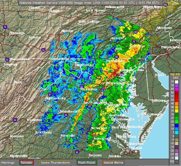 The severe thunderstorm warning for central stafford and southeastern prince william counties and the north central city of fredericksburg will expire at 1000 pm edt, the storm which prompted the warning has weakened below severe limits, and has exited the warned area. therefore, the warning will be allowed to expire. a tornado watch remains in effect until midnight edt for northern and central virginia. The severe thunderstorm warning for central stafford and southeastern prince william counties and the north central city of fredericksburg will expire at 1000 pm edt, the storm which prompted the warning has weakened below severe limits, and has exited the warned area. therefore, the warning will be allowed to expire. a tornado watch remains in effect until midnight edt for northern and central virginia.
|
| 10/31/2019 9:24 PM EDT |
 At 923 pm edt, a severe thunderstorm was located over stafford, moving northeast at 60 mph (emergency management has reported numerous trees down in spotsylvania county associated with this storm). Hazards include 60 mph wind gusts. Damaging winds will cause some trees and large branches to fall. this could injure those outdoors, as well as damage homes and vehicles. roadways may become blocked by downed trees. localized power outages are possible. Unsecured light objects may become projectiles. At 923 pm edt, a severe thunderstorm was located over stafford, moving northeast at 60 mph (emergency management has reported numerous trees down in spotsylvania county associated with this storm). Hazards include 60 mph wind gusts. Damaging winds will cause some trees and large branches to fall. this could injure those outdoors, as well as damage homes and vehicles. roadways may become blocked by downed trees. localized power outages are possible. Unsecured light objects may become projectiles.
|
| 9/11/2019 5:46 PM EDT |
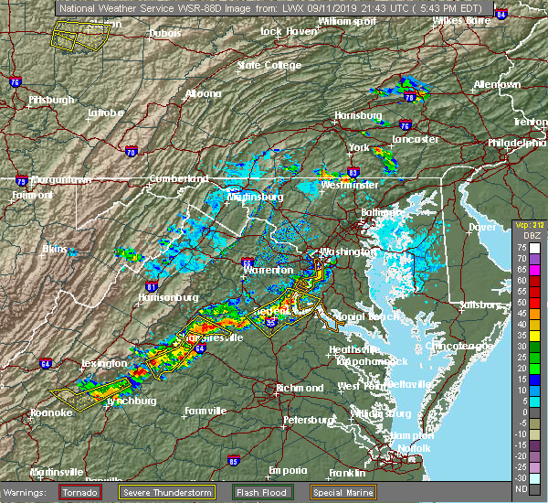 At 545 pm edt, severe thunderstorms were located along a line extending from triangle to near aquia creek to 8 miles west of fredericksburg, moving east at 20 mph (radar indicated). Hazards include 60 mph wind gusts. Damaging winds will cause some trees and large branches to fall. this could injure those outdoors, as well as damage homes and vehicles. roadways may become blocked by downed trees. localized power outages are possible. unsecured light objects may become projectiles. Locations impacted include, stafford, fredericksburg, quantico, fairview beach, potomac creek, nanjemoy creek, aquia creek, montclair, triangle, dumfries, massaponax, spotsylvania, cherry hill, falmouth, passapatanzy, stones corner, roseville, garrisonville, ironsides and ramoth. At 545 pm edt, severe thunderstorms were located along a line extending from triangle to near aquia creek to 8 miles west of fredericksburg, moving east at 20 mph (radar indicated). Hazards include 60 mph wind gusts. Damaging winds will cause some trees and large branches to fall. this could injure those outdoors, as well as damage homes and vehicles. roadways may become blocked by downed trees. localized power outages are possible. unsecured light objects may become projectiles. Locations impacted include, stafford, fredericksburg, quantico, fairview beach, potomac creek, nanjemoy creek, aquia creek, montclair, triangle, dumfries, massaponax, spotsylvania, cherry hill, falmouth, passapatanzy, stones corner, roseville, garrisonville, ironsides and ramoth.
|
| 9/11/2019 5:46 PM EDT |
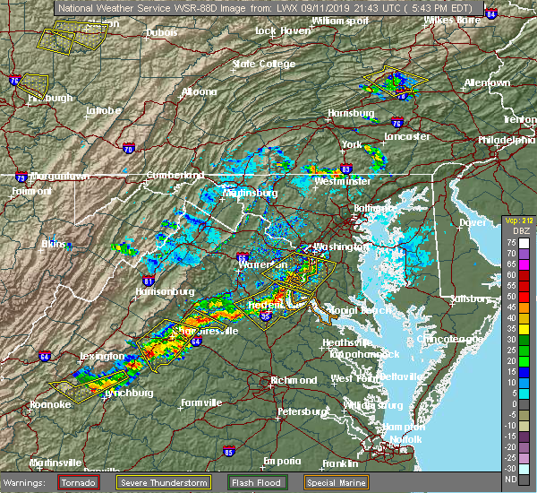 At 545 pm edt, severe thunderstorms were located along a line extending from triangle to near aquia creek to 8 miles west of fredericksburg, moving east at 20 mph (radar indicated). Hazards include 60 mph wind gusts. Damaging winds will cause some trees and large branches to fall. this could injure those outdoors, as well as damage homes and vehicles. roadways may become blocked by downed trees. localized power outages are possible. unsecured light objects may become projectiles. Locations impacted include, stafford, fredericksburg, quantico, fairview beach, potomac creek, nanjemoy creek, aquia creek, montclair, triangle, dumfries, massaponax, spotsylvania, cherry hill, falmouth, passapatanzy, stones corner, roseville, garrisonville, ironsides and ramoth. At 545 pm edt, severe thunderstorms were located along a line extending from triangle to near aquia creek to 8 miles west of fredericksburg, moving east at 20 mph (radar indicated). Hazards include 60 mph wind gusts. Damaging winds will cause some trees and large branches to fall. this could injure those outdoors, as well as damage homes and vehicles. roadways may become blocked by downed trees. localized power outages are possible. unsecured light objects may become projectiles. Locations impacted include, stafford, fredericksburg, quantico, fairview beach, potomac creek, nanjemoy creek, aquia creek, montclair, triangle, dumfries, massaponax, spotsylvania, cherry hill, falmouth, passapatanzy, stones corner, roseville, garrisonville, ironsides and ramoth.
|
| 9/11/2019 5:22 PM EDT |
 At 522 pm edt, severe thunderstorms were located along a line extending from near montclair to 6 miles northwest of stafford to 13 miles south of bealeton, moving east at 20 mph (radar indicated). Hazards include 60 mph wind gusts and quarter size hail. Damaging winds will cause some trees and large branches to fall. this could injure those outdoors, as well as damage homes and vehicles. roadways may become blocked by downed trees. localized power outages are possible. Unsecured light objects may become projectiles. At 522 pm edt, severe thunderstorms were located along a line extending from near montclair to 6 miles northwest of stafford to 13 miles south of bealeton, moving east at 20 mph (radar indicated). Hazards include 60 mph wind gusts and quarter size hail. Damaging winds will cause some trees and large branches to fall. this could injure those outdoors, as well as damage homes and vehicles. roadways may become blocked by downed trees. localized power outages are possible. Unsecured light objects may become projectiles.
|
| 8/20/2019 5:23 PM EDT |
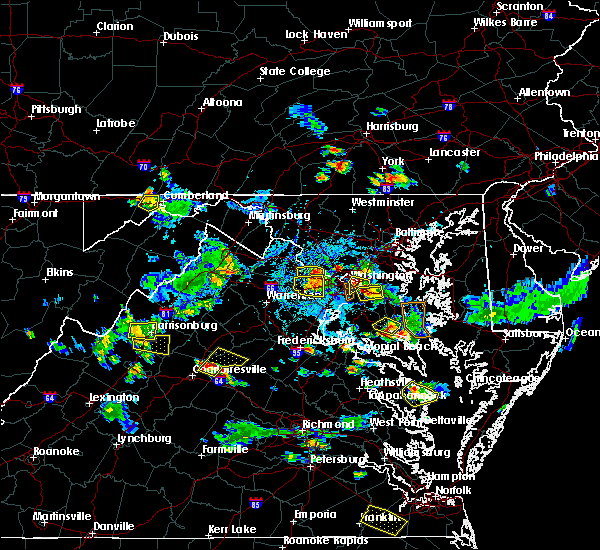 The national weather service in sterling virginia has issued a * severe thunderstorm warning for. southeastern stafford county in northern virginia. until 600 pm edt. At 523 pm edt, a severe thunderstorm was located near fredericksburg, moving northeast at 10 mph. The national weather service in sterling virginia has issued a * severe thunderstorm warning for. southeastern stafford county in northern virginia. until 600 pm edt. At 523 pm edt, a severe thunderstorm was located near fredericksburg, moving northeast at 10 mph.
|
| 8/17/2019 4:55 PM EDT |
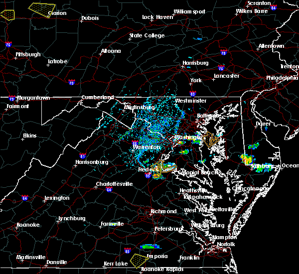 At 455 pm edt, a severe thunderstorm was located near stafford, moving south at 15 mph (radar indicated). Hazards include 60 mph wind gusts and quarter size hail. Damaging winds will cause some trees and large branches to fall. this could injure those outdoors, as well as damage homes and vehicles. roadways may become blocked by downed trees. localized power outages are possible. Unsecured light objects may become projectiles. At 455 pm edt, a severe thunderstorm was located near stafford, moving south at 15 mph (radar indicated). Hazards include 60 mph wind gusts and quarter size hail. Damaging winds will cause some trees and large branches to fall. this could injure those outdoors, as well as damage homes and vehicles. roadways may become blocked by downed trees. localized power outages are possible. Unsecured light objects may become projectiles.
|
| 8/17/2019 4:37 PM EDT |
 At 436 pm edt, a severe thunderstorm was located over stafford, moving south at 10 mph (radar indicated). Hazards include 60 mph wind gusts and quarter size hail. Damaging winds will cause some trees and large branches to fall. this could injure those outdoors, as well as damage homes and vehicles. roadways may become blocked by downed trees. localized power outages are possible. unsecured light objects may become projectiles. Locations impacted include, stafford, potomac creek, aquia creek, passapatanzy, brooke, widewater and arkendale. At 436 pm edt, a severe thunderstorm was located over stafford, moving south at 10 mph (radar indicated). Hazards include 60 mph wind gusts and quarter size hail. Damaging winds will cause some trees and large branches to fall. this could injure those outdoors, as well as damage homes and vehicles. roadways may become blocked by downed trees. localized power outages are possible. unsecured light objects may become projectiles. Locations impacted include, stafford, potomac creek, aquia creek, passapatanzy, brooke, widewater and arkendale.
|
| 8/17/2019 4:13 PM EDT |
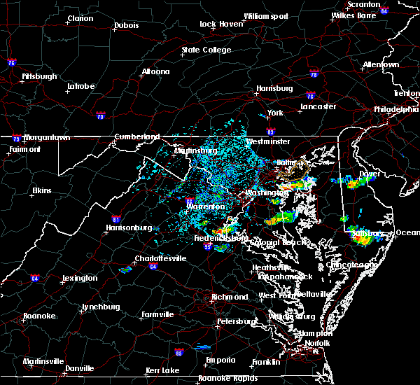 The national weather service in sterling virginia has issued a * severe thunderstorm warning for. west central charles county in southern maryland. east central stafford county in northern virginia. west central king george county in central virginia. Southern prince william county in northern virginia. The national weather service in sterling virginia has issued a * severe thunderstorm warning for. west central charles county in southern maryland. east central stafford county in northern virginia. west central king george county in central virginia. Southern prince william county in northern virginia.
|
| 7/31/2019 5:36 PM EDT |
 At 536 pm edt, severe thunderstorms were located along a line extending from 12 miles west of fredericksburg to 8 miles south of spotsylvania, moving east at 20 mph (radar indicated). Hazards include 60 mph wind gusts and quarter size hail. Damaging winds will cause some trees and large branches to fall. this could injure those outdoors, as well as damage homes and vehicles. roadways may become blocked by downed trees. localized power outages are possible. Unsecured light objects may become projectiles. At 536 pm edt, severe thunderstorms were located along a line extending from 12 miles west of fredericksburg to 8 miles south of spotsylvania, moving east at 20 mph (radar indicated). Hazards include 60 mph wind gusts and quarter size hail. Damaging winds will cause some trees and large branches to fall. this could injure those outdoors, as well as damage homes and vehicles. roadways may become blocked by downed trees. localized power outages are possible. Unsecured light objects may become projectiles.
|
| 7/22/2019 7:36 PM EDT | Tree down on embrey mill rd at eustis in stafford county VA, 2.2 miles SSE of Stafford Courthouse, VA |
| 7/22/2019 7:35 PM EDT |
 A severe thunderstorm warning remains in effect until 745 pm edt for stafford. northwestern king george and southeastern fauquier counties and the northeastern city of fredericksburg. At 734 pm edt, severe thunderstorms were located along a line extending from 6 miles southeast of bealeton to near stafford to near potomac creek, moving northeast at 50 mph. A severe thunderstorm warning remains in effect until 745 pm edt for stafford. northwestern king george and southeastern fauquier counties and the northeastern city of fredericksburg. At 734 pm edt, severe thunderstorms were located along a line extending from 6 miles southeast of bealeton to near stafford to near potomac creek, moving northeast at 50 mph.
|
| 7/22/2019 7:27 PM EDT |
 At 715 pm edt, severe thunderstorms were located along a line extending from 7 miles southeast of culpeper to 10 miles west of fredericksburg to massaponax, moving northeast at 50 mph (radar indicated. this storm has a history of producing wind damage with numerous downed trees reported in albemarle and nelson counties). Hazards include 60 mph wind gusts. Damaging winds will cause some trees and large branches to fall. this could injure those outdoors, as well as damage homes and vehicles. roadways may become blocked by downed trees. localized power outages are possible. Unsecured light objects may become projectiles. At 715 pm edt, severe thunderstorms were located along a line extending from 7 miles southeast of culpeper to 10 miles west of fredericksburg to massaponax, moving northeast at 50 mph (radar indicated. this storm has a history of producing wind damage with numerous downed trees reported in albemarle and nelson counties). Hazards include 60 mph wind gusts. Damaging winds will cause some trees and large branches to fall. this could injure those outdoors, as well as damage homes and vehicles. roadways may become blocked by downed trees. localized power outages are possible. Unsecured light objects may become projectiles.
|
| 7/22/2019 7:16 PM EDT |
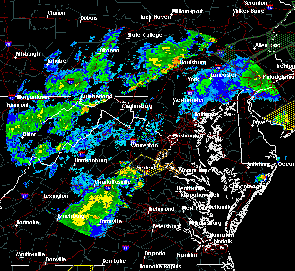 At 715 pm edt, severe thunderstorms were located along a line extending from 7 miles southeast of culpeper to 10 miles west of fredericksburg to massaponax, moving northeast at 50 mph (radar indicated. this storm has a history of producing wind damage with numerous downed trees reported in albemarle and nelson counties). Hazards include 60 mph wind gusts. Damaging winds will cause some trees and large branches to fall. this could injure those outdoors, as well as damage homes and vehicles. roadways may become blocked by downed trees. localized power outages are possible. Unsecured light objects may become projectiles. At 715 pm edt, severe thunderstorms were located along a line extending from 7 miles southeast of culpeper to 10 miles west of fredericksburg to massaponax, moving northeast at 50 mph (radar indicated. this storm has a history of producing wind damage with numerous downed trees reported in albemarle and nelson counties). Hazards include 60 mph wind gusts. Damaging winds will cause some trees and large branches to fall. this could injure those outdoors, as well as damage homes and vehicles. roadways may become blocked by downed trees. localized power outages are possible. Unsecured light objects may become projectiles.
|
| 7/17/2019 5:08 PM EDT |
 At 508 pm edt, severe thunderstorms were located along a line extending from near lake ridge to near stafford, moving northeast at 35 mph (radar indicated). Hazards include 60 mph wind gusts. Damaging winds will cause some trees and large branches to fall. this could injure those outdoors, as well as damage homes and vehicles. roadways may become blocked by downed trees. localized power outages are possible. Unsecured light objects may become projectiles. At 508 pm edt, severe thunderstorms were located along a line extending from near lake ridge to near stafford, moving northeast at 35 mph (radar indicated). Hazards include 60 mph wind gusts. Damaging winds will cause some trees and large branches to fall. this could injure those outdoors, as well as damage homes and vehicles. roadways may become blocked by downed trees. localized power outages are possible. Unsecured light objects may become projectiles.
|
| 6/29/2019 2:38 PM EDT |
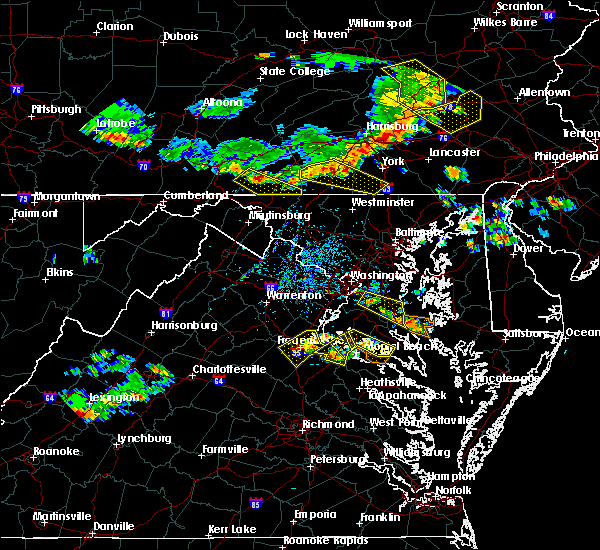 At 238 pm edt, a severe thunderstorm was located over fredericksburg, moving southeast at 20 mph (radar indicated). Hazards include 70 mph wind gusts and quarter size hail. Damaging winds will cause some trees and large branches to fall. this could injure those outdoors, as well as damage homes and vehicles. roadways may become blocked by downed trees. localized power outages are possible. unsecured light objects may become projectiles. Locations impacted include, stafford, fredericksburg, king george, fairview beach, aquia creek, massaponax, spotsylvania, falmouth, passapatanzy, stones corner, leeland, rollins fork, arkendale, spring valley, brooke, chancellorsville, thornburg, lambs creek, white oak and sealston. At 238 pm edt, a severe thunderstorm was located over fredericksburg, moving southeast at 20 mph (radar indicated). Hazards include 70 mph wind gusts and quarter size hail. Damaging winds will cause some trees and large branches to fall. this could injure those outdoors, as well as damage homes and vehicles. roadways may become blocked by downed trees. localized power outages are possible. unsecured light objects may become projectiles. Locations impacted include, stafford, fredericksburg, king george, fairview beach, aquia creek, massaponax, spotsylvania, falmouth, passapatanzy, stones corner, leeland, rollins fork, arkendale, spring valley, brooke, chancellorsville, thornburg, lambs creek, white oak and sealston.
|
| 6/29/2019 2:28 PM EDT |
 At 228 pm edt, a severe thunderstorm was located over fredericksburg, moving southeast at 20 mph (radar indicated). Hazards include 60 mph wind gusts and quarter size hail. Damaging winds will cause some trees and large branches to fall. this could injure those outdoors, as well as damage homes and vehicles. roadways may become blocked by downed trees. localized power outages are possible. Unsecured light objects may become projectiles. At 228 pm edt, a severe thunderstorm was located over fredericksburg, moving southeast at 20 mph (radar indicated). Hazards include 60 mph wind gusts and quarter size hail. Damaging winds will cause some trees and large branches to fall. this could injure those outdoors, as well as damage homes and vehicles. roadways may become blocked by downed trees. localized power outages are possible. Unsecured light objects may become projectiles.
|
| 6/13/2019 5:24 PM EDT |
 At 524 pm edt, severe thunderstorms were located along a line extending from stafford to near fredericksburg to spotsylvania, moving east at 30 mph (radar indicated). Hazards include 60 mph wind gusts. Damaging winds will cause some trees and large branches to fall. this could injure those outdoors, as well as damage homes and vehicles. roadways may become blocked by downed trees. localized power outages are possible. unsecured light objects may become projectiles. Locations impacted include, fredericksburg, king george, fairview beach, massaponax, spotsylvania, falmouth, passapatanzy, stones corner, leeland, brokenburg, snell, spring valley, alsop, brooke, gatewood, post oak, thornburg, lambs creek, white oak and sealston. At 524 pm edt, severe thunderstorms were located along a line extending from stafford to near fredericksburg to spotsylvania, moving east at 30 mph (radar indicated). Hazards include 60 mph wind gusts. Damaging winds will cause some trees and large branches to fall. this could injure those outdoors, as well as damage homes and vehicles. roadways may become blocked by downed trees. localized power outages are possible. unsecured light objects may become projectiles. Locations impacted include, fredericksburg, king george, fairview beach, massaponax, spotsylvania, falmouth, passapatanzy, stones corner, leeland, brokenburg, snell, spring valley, alsop, brooke, gatewood, post oak, thornburg, lambs creek, white oak and sealston.
|
| 6/13/2019 5:19 PM EDT | Tree down on jason lane and greenridge driv in stafford county VA, 1.9 miles WSW of Stafford Courthouse, VA |
| 6/13/2019 5:04 PM EDT |
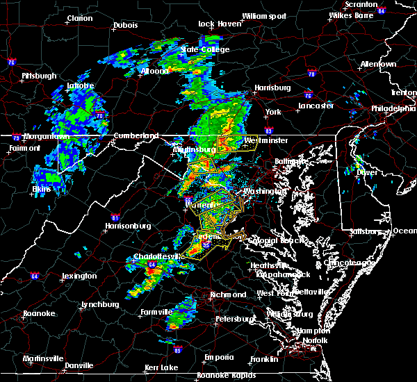 At 503 pm edt, severe thunderstorms were located along a line extending from 7 miles northwest of fredericksburg to near spotsylvania to 10 miles northeast of mineral, moving east at 25 mph (radar indicated). Hazards include 60 mph wind gusts and quarter size hail. Damaging winds will cause some trees and large branches to fall. this could injure those outdoors, as well as damage homes and vehicles. roadways may become blocked by downed trees. localized power outages are possible. Unsecured light objects may become projectiles. At 503 pm edt, severe thunderstorms were located along a line extending from 7 miles northwest of fredericksburg to near spotsylvania to 10 miles northeast of mineral, moving east at 25 mph (radar indicated). Hazards include 60 mph wind gusts and quarter size hail. Damaging winds will cause some trees and large branches to fall. this could injure those outdoors, as well as damage homes and vehicles. roadways may become blocked by downed trees. localized power outages are possible. Unsecured light objects may become projectiles.
|
| 5/30/2019 4:03 PM EDT |
 At 403 pm edt, a severe thunderstorm was located over aquia creek, moving east at 40 mph (radar indicated). Hazards include 60 mph wind gusts. Damaging winds will cause some trees and large branches to fall. this could injure those outdoors, as well as damage homes and vehicles. roadways may become blocked by downed trees. localized power outages are possible. Unsecured light objects may become projectiles. At 403 pm edt, a severe thunderstorm was located over aquia creek, moving east at 40 mph (radar indicated). Hazards include 60 mph wind gusts. Damaging winds will cause some trees and large branches to fall. this could injure those outdoors, as well as damage homes and vehicles. roadways may become blocked by downed trees. localized power outages are possible. Unsecured light objects may become projectiles.
|
| 5/30/2019 4:03 PM EDT |
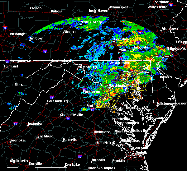 At 403 pm edt, a severe thunderstorm was located over aquia creek, moving east at 40 mph (radar indicated). Hazards include 60 mph wind gusts. Damaging winds will cause some trees and large branches to fall. this could injure those outdoors, as well as damage homes and vehicles. roadways may become blocked by downed trees. localized power outages are possible. Unsecured light objects may become projectiles. At 403 pm edt, a severe thunderstorm was located over aquia creek, moving east at 40 mph (radar indicated). Hazards include 60 mph wind gusts. Damaging winds will cause some trees and large branches to fall. this could injure those outdoors, as well as damage homes and vehicles. roadways may become blocked by downed trees. localized power outages are possible. Unsecured light objects may become projectiles.
|
| 5/25/2019 8:21 PM EDT | Quarter sized hail reported 3.9 miles SSE of Stafford Courthouse, VA |
| 5/25/2019 8:14 PM EDT |
 At 814 pm edt, a severe thunderstorm was located 7 miles northwest of stafford, moving east at 30 mph (radar indicated). Hazards include 60 mph wind gusts and quarter size hail. Damaging winds will cause some trees and large branches to fall. this could injure those outdoors, as well as damage homes and vehicles. roadways may become blocked by downed trees. localized power outages are possible. Unsecured light objects may become projectiles. At 814 pm edt, a severe thunderstorm was located 7 miles northwest of stafford, moving east at 30 mph (radar indicated). Hazards include 60 mph wind gusts and quarter size hail. Damaging winds will cause some trees and large branches to fall. this could injure those outdoors, as well as damage homes and vehicles. roadways may become blocked by downed trees. localized power outages are possible. Unsecured light objects may become projectiles.
|
| 5/25/2019 8:12 PM EDT | Multiple trees down on garrisonville roa in stafford county VA, 6 miles SE of Stafford Courthouse, VA |
| 5/25/2019 8:11 PM EDT | Tree down near the intersection of mountain view road and tree haven lin in stafford county VA, 5.4 miles SE of Stafford Courthouse, VA |
| 5/23/2019 4:11 PM EDT |
 At 411 pm edt, severe thunderstorms were located along a line extending from 7 miles east of quantico to 9 miles north of mineral, moving east at 45 mph (radar indicated). Hazards include 70 mph wind gusts and quarter size hail. Damaging winds will cause some trees and large branches to fall. this could injure those outdoors, as well as damage homes and vehicles. roadways may become blocked by downed trees. localized power outages are possible. unsecured light objects may become projectiles. Locations impacted include, stafford, waldorf, fredericksburg, chesapeake ranch estates, la plata, king george, leonardtown, dahlgren, quantico, fairview beach, hallowing point, aquia creek, saint leonard creek, potomac creek, sheridan point, saint clements bay, greenwell state park, cuckold creek, calvert cliffs and port tobacco river. At 411 pm edt, severe thunderstorms were located along a line extending from 7 miles east of quantico to 9 miles north of mineral, moving east at 45 mph (radar indicated). Hazards include 70 mph wind gusts and quarter size hail. Damaging winds will cause some trees and large branches to fall. this could injure those outdoors, as well as damage homes and vehicles. roadways may become blocked by downed trees. localized power outages are possible. unsecured light objects may become projectiles. Locations impacted include, stafford, waldorf, fredericksburg, chesapeake ranch estates, la plata, king george, leonardtown, dahlgren, quantico, fairview beach, hallowing point, aquia creek, saint leonard creek, potomac creek, sheridan point, saint clements bay, greenwell state park, cuckold creek, calvert cliffs and port tobacco river.
|
| 5/23/2019 3:55 PM EDT |
 At 354 pm edt, severe thunderstorms were located along a line extending from near montclair to near orange, moving east at 45 mph (radar indicated). Hazards include 70 mph wind gusts and quarter size hail. Damaging winds will cause some trees and large branches to fall. this could injure those outdoors, as well as damage homes and vehicles. roadways may become blocked by downed trees. localized power outages are possible. Unsecured light objects may become projectiles. At 354 pm edt, severe thunderstorms were located along a line extending from near montclair to near orange, moving east at 45 mph (radar indicated). Hazards include 70 mph wind gusts and quarter size hail. Damaging winds will cause some trees and large branches to fall. this could injure those outdoors, as well as damage homes and vehicles. roadways may become blocked by downed trees. localized power outages are possible. Unsecured light objects may become projectiles.
|
| 5/23/2019 3:44 PM EDT |
 At 343 pm edt, severe thunderstorms were located along a line extending from 11 miles east of bealeton to 6 miles southwest of orange, moving east at 50 mph (radar indicated). Hazards include 60 mph wind gusts. Damaging winds will cause some trees and large branches to fall. this could injure those outdoors, as well as damage homes and vehicles. roadways may become blocked by downed trees. localized power outages are possible. unsecured light objects may become projectiles. Locations impacted include, stafford, fredericksburg, orange, quantico, aquia creek, triangle, dumfries, spotsylvania, cherry hill, falmouth, gordonsville, eheart, barboursville, verdiersville, montpelier station, locust grove, thornhill, ramoth, heflin and madison mills. At 343 pm edt, severe thunderstorms were located along a line extending from 11 miles east of bealeton to 6 miles southwest of orange, moving east at 50 mph (radar indicated). Hazards include 60 mph wind gusts. Damaging winds will cause some trees and large branches to fall. this could injure those outdoors, as well as damage homes and vehicles. roadways may become blocked by downed trees. localized power outages are possible. unsecured light objects may become projectiles. Locations impacted include, stafford, fredericksburg, orange, quantico, aquia creek, triangle, dumfries, spotsylvania, cherry hill, falmouth, gordonsville, eheart, barboursville, verdiersville, montpelier station, locust grove, thornhill, ramoth, heflin and madison mills.
|
| 5/23/2019 3:28 PM EDT |
 At 328 pm edt, severe thunderstorms were located along a line extending from bealeton to near stanardsville, moving east at 50 mph (radar indicated). Hazards include 60 mph wind gusts. Damaging winds will cause some trees and large branches to fall. this could injure those outdoors, as well as damage homes and vehicles. roadways may become blocked by downed trees. localized power outages are possible. Unsecured light objects may become projectiles. At 328 pm edt, severe thunderstorms were located along a line extending from bealeton to near stanardsville, moving east at 50 mph (radar indicated). Hazards include 60 mph wind gusts. Damaging winds will cause some trees and large branches to fall. this could injure those outdoors, as well as damage homes and vehicles. roadways may become blocked by downed trees. localized power outages are possible. Unsecured light objects may become projectiles.
|
| 5/18/2019 6:49 PM EDT |
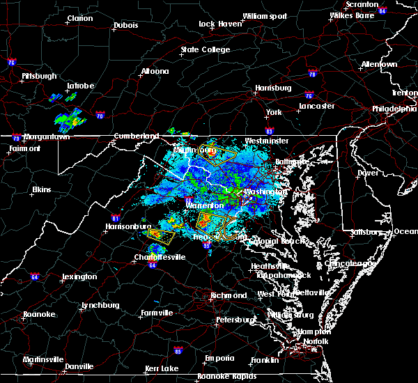 At 631 pm edt, a severe thunderstorm was located 8 miles east of bealeton, or 12 miles southeast of warrenton, moving southeast at 25 mph (radar indicated). Hazards include 60 mph wind gusts and quarter size hail. Damaging winds will cause some trees and large branches to fall. this could injure those outdoors, as well as damage homes and vehicles. roadways may become blocked by downed trees. localized power outages are possible. Unsecured light objects may become projectiles. At 631 pm edt, a severe thunderstorm was located 8 miles east of bealeton, or 12 miles southeast of warrenton, moving southeast at 25 mph (radar indicated). Hazards include 60 mph wind gusts and quarter size hail. Damaging winds will cause some trees and large branches to fall. this could injure those outdoors, as well as damage homes and vehicles. roadways may become blocked by downed trees. localized power outages are possible. Unsecured light objects may become projectiles.
|
| 5/18/2019 6:31 PM EDT |
 At 631 pm edt, a severe thunderstorm was located 8 miles east of bealeton, or 12 miles southeast of warrenton, moving southeast at 25 mph (radar indicated). Hazards include 60 mph wind gusts and quarter size hail. Damaging winds will cause some trees and large branches to fall. this could injure those outdoors, as well as damage homes and vehicles. roadways may become blocked by downed trees. localized power outages are possible. Unsecured light objects may become projectiles. At 631 pm edt, a severe thunderstorm was located 8 miles east of bealeton, or 12 miles southeast of warrenton, moving southeast at 25 mph (radar indicated). Hazards include 60 mph wind gusts and quarter size hail. Damaging winds will cause some trees and large branches to fall. this could injure those outdoors, as well as damage homes and vehicles. roadways may become blocked by downed trees. localized power outages are possible. Unsecured light objects may become projectiles.
|
| 4/26/2019 2:48 PM EDT |
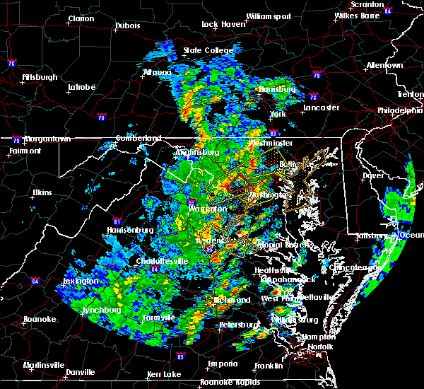 At 248 pm edt, severe thunderstorms were located along a line extending from near fredericksburg to near massaponax, moving east at 45 mph (radar indicated). Hazards include 60 mph wind gusts. Damaging winds will cause some trees and large branches to fall. this could injure those outdoors, as well as damage homes and vehicles. roadways may become blocked by downed trees. localized power outages are possible. unsecured light objects may become projectiles. Locations impacted include, stafford, fredericksburg, king george, dahlgren, fairview beach, potomac creek, aquia creek, massaponax, falmouth, passapatanzy, stones corner, weedonville, roseville, ninde, garrisonville, ramoth, heflin, white oak, sealston and berthaville. At 248 pm edt, severe thunderstorms were located along a line extending from near fredericksburg to near massaponax, moving east at 45 mph (radar indicated). Hazards include 60 mph wind gusts. Damaging winds will cause some trees and large branches to fall. this could injure those outdoors, as well as damage homes and vehicles. roadways may become blocked by downed trees. localized power outages are possible. unsecured light objects may become projectiles. Locations impacted include, stafford, fredericksburg, king george, dahlgren, fairview beach, potomac creek, aquia creek, massaponax, falmouth, passapatanzy, stones corner, weedonville, roseville, ninde, garrisonville, ramoth, heflin, white oak, sealston and berthaville.
|
| 4/26/2019 2:29 PM EDT |
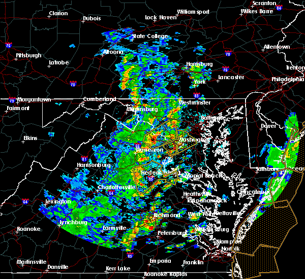 At 228 pm edt, severe thunderstorms were located along a line extending from 15 miles southeast of culpeper to 7 miles southwest of spotsylvania, moving east at 45 mph (radar indicated. these storms have a history of downing numerous trees from albemarle to orange counties). Hazards include 60 mph wind gusts. Damaging winds will cause some trees and large branches to fall. this could injure those outdoors, as well as damage homes and vehicles. roadways may become blocked by downed trees. localized power outages are possible. Unsecured light objects may become projectiles. At 228 pm edt, severe thunderstorms were located along a line extending from 15 miles southeast of culpeper to 7 miles southwest of spotsylvania, moving east at 45 mph (radar indicated. these storms have a history of downing numerous trees from albemarle to orange counties). Hazards include 60 mph wind gusts. Damaging winds will cause some trees and large branches to fall. this could injure those outdoors, as well as damage homes and vehicles. roadways may become blocked by downed trees. localized power outages are possible. Unsecured light objects may become projectiles.
|
| 4/19/2019 8:51 PM EDT |
 The severe thunderstorm warning for northwestern stafford, southeastern fauquier, and south central prince william counties, the city of manassas park and the city of manassas will expire at 900 pm edt, the storms which prompted the warning have weakened below severe limits, and no longer pose an immediate threat to life or property. therefore, the warning will be allowed to expire. a tornado watch remains in effect until midnight edt for northern virginia. The severe thunderstorm warning for northwestern stafford, southeastern fauquier, and south central prince william counties, the city of manassas park and the city of manassas will expire at 900 pm edt, the storms which prompted the warning have weakened below severe limits, and no longer pose an immediate threat to life or property. therefore, the warning will be allowed to expire. a tornado watch remains in effect until midnight edt for northern virginia.
|
| 4/19/2019 8:40 PM EDT |
 At 839 pm edt, severe thunderstorms were located along a line extending from near haymarket to 8 miles south of linton hall to 10 miles northwest of fredericksburg, moving northeast at 30 mph (radar indicated). Hazards include 60 mph wind gusts. Damaging winds will cause some trees and large branches to fall. this could injure those outdoors, as well as damage homes and vehicles. roadways may become blocked by downed trees. localized power outages are possible. unsecured light objects may become projectiles. Locations impacted include, stafford, dale city, montclair, bull run, manassas, sudley, manassas park, independent hill, roseville, garrisonville, ramoth, aquia and ruby. At 839 pm edt, severe thunderstorms were located along a line extending from near haymarket to 8 miles south of linton hall to 10 miles northwest of fredericksburg, moving northeast at 30 mph (radar indicated). Hazards include 60 mph wind gusts. Damaging winds will cause some trees and large branches to fall. this could injure those outdoors, as well as damage homes and vehicles. roadways may become blocked by downed trees. localized power outages are possible. unsecured light objects may become projectiles. Locations impacted include, stafford, dale city, montclair, bull run, manassas, sudley, manassas park, independent hill, roseville, garrisonville, ramoth, aquia and ruby.
|
| 4/19/2019 8:21 PM EDT |
 At 820 pm edt, severe thunderstorms were located along a line extending from 7 miles southeast of warrenton to 7 miles southeast of bealeton to 9 miles northwest of spotsylvania, moving northeast at 30 mph (radar indicated). Hazards include 60 mph wind gusts. Damaging winds will cause some trees and large branches to fall. this could injure those outdoors, as well as damage homes and vehicles. roadways may become blocked by downed trees. localized power outages are possible. Unsecured light objects may become projectiles. At 820 pm edt, severe thunderstorms were located along a line extending from 7 miles southeast of warrenton to 7 miles southeast of bealeton to 9 miles northwest of spotsylvania, moving northeast at 30 mph (radar indicated). Hazards include 60 mph wind gusts. Damaging winds will cause some trees and large branches to fall. this could injure those outdoors, as well as damage homes and vehicles. roadways may become blocked by downed trees. localized power outages are possible. Unsecured light objects may become projectiles.
|
| 4/15/2019 1:45 AM EDT |
 At 144 am edt, severe thunderstorms were located along a line extending from near aquia creek to 6 miles northwest of bowling green, moving east at 60 mph (observed wind. shannon airport in fredericksburg gusted to 63 mph). Hazards include 70 mph wind gusts. Damaging winds will cause some trees and large branches to fall. this could injure those outdoors, as well as damage homes and vehicles. roadways may become blocked by downed trees. localized power outages are possible. unsecured light objects may become projectiles. Locations impacted include, stafford, fredericksburg, king george, dahlgren, fairview beach, potomac creek, nanjemoy creek, aquia creek, massaponax, spotsylvania, falmouth, passapatanzy, stones corner, weedonville, ninde, snell, partlow, thornburg, white oak and sealston. At 144 am edt, severe thunderstorms were located along a line extending from near aquia creek to 6 miles northwest of bowling green, moving east at 60 mph (observed wind. shannon airport in fredericksburg gusted to 63 mph). Hazards include 70 mph wind gusts. Damaging winds will cause some trees and large branches to fall. this could injure those outdoors, as well as damage homes and vehicles. roadways may become blocked by downed trees. localized power outages are possible. unsecured light objects may become projectiles. Locations impacted include, stafford, fredericksburg, king george, dahlgren, fairview beach, potomac creek, nanjemoy creek, aquia creek, massaponax, spotsylvania, falmouth, passapatanzy, stones corner, weedonville, ninde, snell, partlow, thornburg, white oak and sealston.
|
| 4/15/2019 1:39 AM EDT |
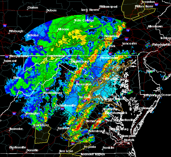 At 138 am edt, severe thunderstorms were located along a line extending from aquia creek to 6 miles northeast of ladysmith, moving northeast at 60 mph (radar indicated). Hazards include 70 mph wind gusts and quarter size hail. Damaging winds will cause some trees and large branches to fall. this could injure those outdoors, as well as damage homes and vehicles. roadways may become blocked by downed trees. localized power outages are possible. unsecured light objects may become projectiles. Locations impacted include, stafford, fredericksburg, king george, dahlgren, fairview beach, potomac creek, nanjemoy creek, aquia creek, massaponax, spotsylvania, falmouth, passapatanzy, stones corner, weedonville, ninde, snell, ramoth, partlow, thornburg and white oak. At 138 am edt, severe thunderstorms were located along a line extending from aquia creek to 6 miles northeast of ladysmith, moving northeast at 60 mph (radar indicated). Hazards include 70 mph wind gusts and quarter size hail. Damaging winds will cause some trees and large branches to fall. this could injure those outdoors, as well as damage homes and vehicles. roadways may become blocked by downed trees. localized power outages are possible. unsecured light objects may become projectiles. Locations impacted include, stafford, fredericksburg, king george, dahlgren, fairview beach, potomac creek, nanjemoy creek, aquia creek, massaponax, spotsylvania, falmouth, passapatanzy, stones corner, weedonville, ninde, snell, ramoth, partlow, thornburg and white oak.
|
| 4/15/2019 1:35 AM EDT | Trees down near and east of staffor in stafford county VA, 1.3 miles W of Stafford Courthouse, VA |
| 4/15/2019 1:26 AM EDT |
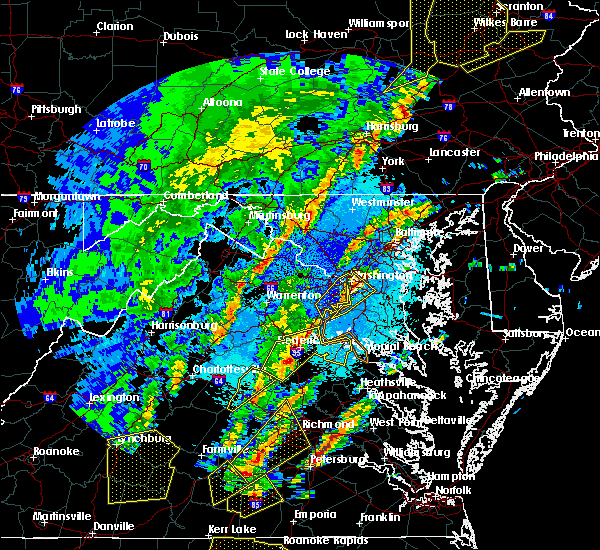 At 126 am edt, severe thunderstorms were located along a line extending from near fredericksburg to 6 miles west of ladysmith, moving east at 60 mph (radar indicated). Hazards include 70 mph wind gusts and quarter size hail. Damaging winds will cause some trees and large branches to fall. this could injure those outdoors, as well as damage homes and vehicles. roadways may become blocked by downed trees. localized power outages are possible. unsecured light objects may become projectiles. Locations impacted include, stafford, fredericksburg, king george, dahlgren, fairview beach, potomac creek, nanjemoy creek, aquia creek, massaponax, spotsylvania, falmouth, passapatanzy, stones corner, weedonville, ninde, snell, ramoth, partlow, glenora and thornburg. At 126 am edt, severe thunderstorms were located along a line extending from near fredericksburg to 6 miles west of ladysmith, moving east at 60 mph (radar indicated). Hazards include 70 mph wind gusts and quarter size hail. Damaging winds will cause some trees and large branches to fall. this could injure those outdoors, as well as damage homes and vehicles. roadways may become blocked by downed trees. localized power outages are possible. unsecured light objects may become projectiles. Locations impacted include, stafford, fredericksburg, king george, dahlgren, fairview beach, potomac creek, nanjemoy creek, aquia creek, massaponax, spotsylvania, falmouth, passapatanzy, stones corner, weedonville, ninde, snell, ramoth, partlow, glenora and thornburg.
|
| 4/15/2019 1:14 AM EDT |
 At 114 am edt, severe thunderstorms were located along a line extending from 6 miles northwest of spotsylvania to near bumpass, moving northeast at 60 mph (radar indicated). Hazards include 60 mph wind gusts. Damaging winds will cause some trees and large branches to fall. this could injure those outdoors, as well as damage homes and vehicles. roadways may become blocked by downed trees. localized power outages are possible. Unsecured light objects may become projectiles. At 114 am edt, severe thunderstorms were located along a line extending from 6 miles northwest of spotsylvania to near bumpass, moving northeast at 60 mph (radar indicated). Hazards include 60 mph wind gusts. Damaging winds will cause some trees and large branches to fall. this could injure those outdoors, as well as damage homes and vehicles. roadways may become blocked by downed trees. localized power outages are possible. Unsecured light objects may become projectiles.
|
| 3/22/2019 5:04 PM EDT |
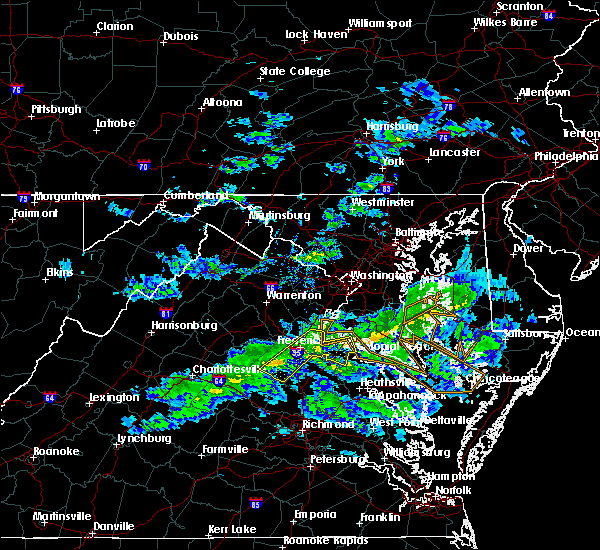 At 504 pm edt, a severe thunderstorm was located near fredericksburg, moving east at 40 mph (measured wind gusts over 55 mph at shannon airport in fredericksburg). Hazards include 60 mph wind gusts. Damaging winds will cause some trees and large branches to fall. this could injure those outdoors, as well as damage homes and vehicles. roadways may become blocked by downed trees. localized power outages are possible. Unsecured light objects may become projectiles. At 504 pm edt, a severe thunderstorm was located near fredericksburg, moving east at 40 mph (measured wind gusts over 55 mph at shannon airport in fredericksburg). Hazards include 60 mph wind gusts. Damaging winds will cause some trees and large branches to fall. this could injure those outdoors, as well as damage homes and vehicles. roadways may become blocked by downed trees. localized power outages are possible. Unsecured light objects may become projectiles.
|
| 9/17/2018 3:11 PM EDT |
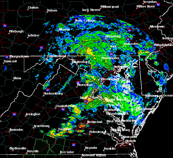 At 310 pm edt, a severe thunderstorm capable of producing a tornado was located near massaponax, or near fredericksburg, moving northeast at 30 mph (radar indicated rotation). Hazards include tornado. For those in the direct path of a tornado touchdown, flying debris will be dangerous to those caught without shelter. damage to roofs, siding, and windows may occur. mobile homes may be damaged or destroyed. tree damage is likely. this dangerous storm will be near, fredericksburg around 320 pm edt. Other locations impacted by this tornadic thunderstorm include brooke, stones corner, leeland, passapatanzy, white oak, sealston, brookfield, spring valley and falmouth. At 310 pm edt, a severe thunderstorm capable of producing a tornado was located near massaponax, or near fredericksburg, moving northeast at 30 mph (radar indicated rotation). Hazards include tornado. For those in the direct path of a tornado touchdown, flying debris will be dangerous to those caught without shelter. damage to roofs, siding, and windows may occur. mobile homes may be damaged or destroyed. tree damage is likely. this dangerous storm will be near, fredericksburg around 320 pm edt. Other locations impacted by this tornadic thunderstorm include brooke, stones corner, leeland, passapatanzy, white oak, sealston, brookfield, spring valley and falmouth.
|
| 8/12/2018 4:33 PM EDT |
 At 433 pm edt, a severe thunderstorm was located over potomac creek, moving east at 30 mph (radar indicated). Hazards include golf ball size hail and 70 mph wind gusts. Expect wind damage to trees and power lines. hail is large enough to dent and damage vehicles. some hail damage to roofs, siding, and windows is possible. Locations impacted include, stafford, fredericksburg, king george, dahlgren, fairview beach, potomac creek, nanjemoy creek, aquia creek, falmouth, passapatanzy, stones corner, potomac beach, weedonville, ninde, white oak, sealston, berthaville, jersey, dogue and leeland. At 433 pm edt, a severe thunderstorm was located over potomac creek, moving east at 30 mph (radar indicated). Hazards include golf ball size hail and 70 mph wind gusts. Expect wind damage to trees and power lines. hail is large enough to dent and damage vehicles. some hail damage to roofs, siding, and windows is possible. Locations impacted include, stafford, fredericksburg, king george, dahlgren, fairview beach, potomac creek, nanjemoy creek, aquia creek, falmouth, passapatanzy, stones corner, potomac beach, weedonville, ninde, white oak, sealston, berthaville, jersey, dogue and leeland.
|
| 8/12/2018 4:24 PM EDT |
 At 424 pm edt, a severe thunderstorm was located near potomac creek, moving east at 20 mph (radar indicated). Hazards include golf ball size hail and 60 mph wind gusts. Expect wind damage to trees and power lines. hail is large enough to dent and damage vehicles. some hail damage to roofs, siding, and windows is possible. Locations impacted include, stafford, fredericksburg, king george, dahlgren, fairview beach, potomac creek, nanjemoy creek, aquia creek, falmouth, passapatanzy, stones corner, potomac beach, weedonville, ninde, white oak, sealston, berthaville, jersey, dogue and leeland. At 424 pm edt, a severe thunderstorm was located near potomac creek, moving east at 20 mph (radar indicated). Hazards include golf ball size hail and 60 mph wind gusts. Expect wind damage to trees and power lines. hail is large enough to dent and damage vehicles. some hail damage to roofs, siding, and windows is possible. Locations impacted include, stafford, fredericksburg, king george, dahlgren, fairview beach, potomac creek, nanjemoy creek, aquia creek, falmouth, passapatanzy, stones corner, potomac beach, weedonville, ninde, white oak, sealston, berthaville, jersey, dogue and leeland.
|
| 8/12/2018 4:14 PM EDT |
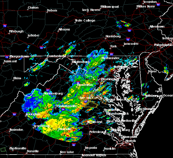 At 413 pm edt, a severe thunderstorm was located near fredericksburg, moving east at 25 mph (radar indicated). Hazards include 60 mph wind gusts and quarter size hail. Damaging winds will cause some trees and large branches to fall. this could injure those outdoors, as well as damage homes and vehicles. roadways may become blocked by downed trees. localized power outages are possible. Unsecured light objects may become projectiles. At 413 pm edt, a severe thunderstorm was located near fredericksburg, moving east at 25 mph (radar indicated). Hazards include 60 mph wind gusts and quarter size hail. Damaging winds will cause some trees and large branches to fall. this could injure those outdoors, as well as damage homes and vehicles. roadways may become blocked by downed trees. localized power outages are possible. Unsecured light objects may become projectiles.
|
| 8/12/2018 4:08 PM EDT |
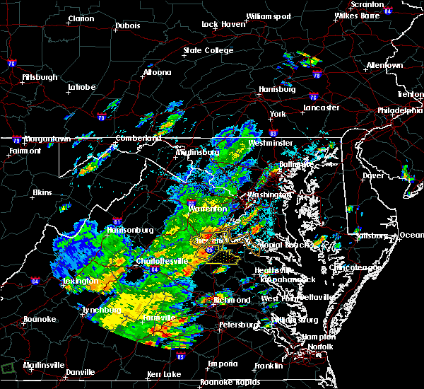 At 408 pm edt, severe thunderstorms were located along a line extending from near stafford to fredericksburg, moving east at 15 mph (radar indicated). Hazards include 60 mph wind gusts. Damaging winds will cause some trees and large branches to fall. this could injure those outdoors, as well as damage homes and vehicles. roadways may become blocked by downed trees. localized power outages are possible. unsecured light objects may become projectiles. Locations impacted include, stafford, fredericksburg, potomac creek, aquia creek, falmouth, stones corner, leeland, widewater, arkendale, spring valley, brooke, ramoth, aquia, white oak and brookfield. At 408 pm edt, severe thunderstorms were located along a line extending from near stafford to fredericksburg, moving east at 15 mph (radar indicated). Hazards include 60 mph wind gusts. Damaging winds will cause some trees and large branches to fall. this could injure those outdoors, as well as damage homes and vehicles. roadways may become blocked by downed trees. localized power outages are possible. unsecured light objects may become projectiles. Locations impacted include, stafford, fredericksburg, potomac creek, aquia creek, falmouth, stones corner, leeland, widewater, arkendale, spring valley, brooke, ramoth, aquia, white oak and brookfield.
|
| 8/12/2018 3:54 PM EDT |
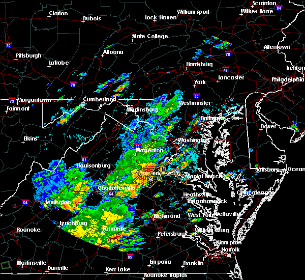 At 354 pm edt, a severe thunderstorm was located near stafford, moving east at 15 mph (radar indicated). Hazards include 60 mph wind gusts. Damaging winds will cause some trees and large branches to fall. this could injure those outdoors, as well as damage homes and vehicles. roadways may become blocked by downed trees. localized power outages are possible. Unsecured light objects may become projectiles. At 354 pm edt, a severe thunderstorm was located near stafford, moving east at 15 mph (radar indicated). Hazards include 60 mph wind gusts. Damaging winds will cause some trees and large branches to fall. this could injure those outdoors, as well as damage homes and vehicles. roadways may become blocked by downed trees. localized power outages are possible. Unsecured light objects may become projectiles.
|
| 5/14/2018 7:23 PM EDT |
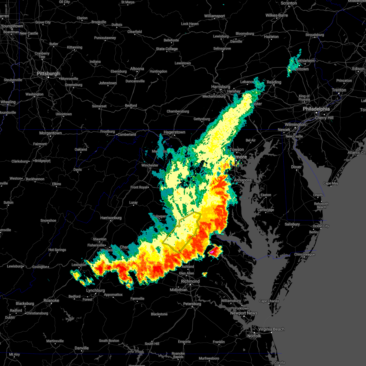 The severe thunderstorm warning for stafford, southeastern prince william and spotsylvania counties and the city of fredericksburg will expire at 730 pm edt, the storms which prompted the warning have moved out of the area. therefore the warning will be allowed to expire. a severe thunderstorm watch remains in effect until 900 pm edt for southern maryland, and northern and central virginia. The severe thunderstorm warning for stafford, southeastern prince william and spotsylvania counties and the city of fredericksburg will expire at 730 pm edt, the storms which prompted the warning have moved out of the area. therefore the warning will be allowed to expire. a severe thunderstorm watch remains in effect until 900 pm edt for southern maryland, and northern and central virginia.
|
| 5/14/2018 7:15 PM EDT |
 At 715 pm edt, severe thunderstorms with a history of producing damaging winds were located along a line extending from near fredericksburg to near kents store, moving southeast at 35 mph (radar indicated). Hazards include 60 mph wind gusts. Damaging winds will cause some trees and large branches to fall. this could injure those outdoors, as well as damage homes and vehicles. roadways may become blocked by downed trees. localized power outages are possible. unsecured light objects may become projectiles. Locations impacted include, stafford, fredericksburg, quantico, potomac creek, aquia creek, triangle, dumfries, massaponax, spotsylvania, cherry hill, falmouth, stones corner, roseville, garrisonville, snell, ramoth, partlow, glenora, thornburg and dunavant. At 715 pm edt, severe thunderstorms with a history of producing damaging winds were located along a line extending from near fredericksburg to near kents store, moving southeast at 35 mph (radar indicated). Hazards include 60 mph wind gusts. Damaging winds will cause some trees and large branches to fall. this could injure those outdoors, as well as damage homes and vehicles. roadways may become blocked by downed trees. localized power outages are possible. unsecured light objects may become projectiles. Locations impacted include, stafford, fredericksburg, quantico, potomac creek, aquia creek, triangle, dumfries, massaponax, spotsylvania, cherry hill, falmouth, stones corner, roseville, garrisonville, snell, ramoth, partlow, glenora, thornburg and dunavant.
|
| 5/14/2018 7:06 PM EDT |
 At 705 pm edt, severe thunderstorms with a history of producing damaging winds and hail were located along a line extending from near fredericksburg to near kents store, moving east at 35 mph (radar indicated). Hazards include 60 mph wind gusts. Damaging winds will cause some trees and large branches to fall. this could injure those outdoors, as well as damage homes and vehicles. roadways may become blocked by downed trees. localized power outages are possible. unsecured light objects may become projectiles. Locations impacted include, stafford, fredericksburg, orange, quantico, aquia creek, potomac creek, triangle, dumfries, massaponax, spotsylvania, cherry hill, falmouth, gordonsville, verdiersville, locust grove, snell, thornhill, ramoth, partlow and thornburg. At 705 pm edt, severe thunderstorms with a history of producing damaging winds and hail were located along a line extending from near fredericksburg to near kents store, moving east at 35 mph (radar indicated). Hazards include 60 mph wind gusts. Damaging winds will cause some trees and large branches to fall. this could injure those outdoors, as well as damage homes and vehicles. roadways may become blocked by downed trees. localized power outages are possible. unsecured light objects may become projectiles. Locations impacted include, stafford, fredericksburg, orange, quantico, aquia creek, potomac creek, triangle, dumfries, massaponax, spotsylvania, cherry hill, falmouth, gordonsville, verdiersville, locust grove, snell, thornhill, ramoth, partlow and thornburg.
|
| 5/14/2018 6:44 PM EDT |
 At 643 pm edt, severe thunderstorms with a history of producing widespread wind damage and large hail were located along a line extending from 9 miles southeast of bealeton to 6 miles north of lake monticello, moving southeast at 35 mph (radar indicated). Hazards include 60 mph wind gusts and quarter size hail. Damaging winds will cause some trees and large branches to fall. this could injure those outdoors, as well as damage homes and vehicles. roadways may become blocked by downed trees. localized power outages are possible. unsecured light objects may become projectiles. Locations impacted include, stafford, fredericksburg, culpeper, orange, quantico, aquia creek, potomac creek, triangle, dumfries, bealeton, massaponax, spotsylvania, cherry hill, falmouth, gordonsville, ruckersville, opal, remington, catlett and calverton. At 643 pm edt, severe thunderstorms with a history of producing widespread wind damage and large hail were located along a line extending from 9 miles southeast of bealeton to 6 miles north of lake monticello, moving southeast at 35 mph (radar indicated). Hazards include 60 mph wind gusts and quarter size hail. Damaging winds will cause some trees and large branches to fall. this could injure those outdoors, as well as damage homes and vehicles. roadways may become blocked by downed trees. localized power outages are possible. unsecured light objects may become projectiles. Locations impacted include, stafford, fredericksburg, culpeper, orange, quantico, aquia creek, potomac creek, triangle, dumfries, bealeton, massaponax, spotsylvania, cherry hill, falmouth, gordonsville, ruckersville, opal, remington, catlett and calverton.
|
| 5/14/2018 6:34 PM EDT |
 At 634 pm edt, severe thunderstorms were located along a line extending from near bealeton to near charlottesville, moving southeast at 35 mph (radar indicated). Hazards include 60 mph wind gusts and quarter size hail. Damaging winds will cause some trees and large branches to fall. this could injure those outdoors, as well as damage homes and vehicles. roadways may become blocked by downed trees. localized power outages are possible. unsecured light objects may become projectiles. Locations impacted include, stafford, fredericksburg, culpeper, warrenton, orange, quantico, aquia creek, potomac creek, triangle, dumfries, bealeton, massaponax, spotsylvania, cherry hill, falmouth, gordonsville, ruckersville, brightwood, opal and remington. At 634 pm edt, severe thunderstorms were located along a line extending from near bealeton to near charlottesville, moving southeast at 35 mph (radar indicated). Hazards include 60 mph wind gusts and quarter size hail. Damaging winds will cause some trees and large branches to fall. this could injure those outdoors, as well as damage homes and vehicles. roadways may become blocked by downed trees. localized power outages are possible. unsecured light objects may become projectiles. Locations impacted include, stafford, fredericksburg, culpeper, warrenton, orange, quantico, aquia creek, potomac creek, triangle, dumfries, bealeton, massaponax, spotsylvania, cherry hill, falmouth, gordonsville, ruckersville, brightwood, opal and remington.
|
| 5/14/2018 6:11 PM EDT |
 At 611 pm edt, severe thunderstorms were located along a line extending from near warrenton to near free union, moving southeast at 35 mph (radar indicated). Hazards include 60 mph wind gusts and quarter size hail. Damaging winds will cause some trees and large branches to fall. this could injure those outdoors, as well as damage homes and vehicles. roadways may become blocked by downed trees. localized power outages are possible. Unsecured light objects may become projectiles. At 611 pm edt, severe thunderstorms were located along a line extending from near warrenton to near free union, moving southeast at 35 mph (radar indicated). Hazards include 60 mph wind gusts and quarter size hail. Damaging winds will cause some trees and large branches to fall. this could injure those outdoors, as well as damage homes and vehicles. roadways may become blocked by downed trees. localized power outages are possible. Unsecured light objects may become projectiles.
|
| 5/10/2018 7:03 PM EDT |
 At 703 pm edt, severe thunderstorms were located along a line extending from 9 miles south of linton hall to 12 miles west of stafford to 10 miles south of bealeton, moving southeast at 35 mph (radar indicated). Hazards include 60 mph wind gusts. Damaging winds will cause some trees and large branches to fall. this could injure those outdoors, as well as damage homes and vehicles. roadways may become blocked by downed trees. localized power outages are possible. unsecured light objects may become projectiles. Locations impacted include, stafford, fredericksburg, potomac creek, aquia creek, falmouth, stones corner, leeland, widewater, roseville, garrisonville, arkendale, spring valley, brooke, ramoth, heflin, aquia, storck, white oak, glendie and hartwood. At 703 pm edt, severe thunderstorms were located along a line extending from 9 miles south of linton hall to 12 miles west of stafford to 10 miles south of bealeton, moving southeast at 35 mph (radar indicated). Hazards include 60 mph wind gusts. Damaging winds will cause some trees and large branches to fall. this could injure those outdoors, as well as damage homes and vehicles. roadways may become blocked by downed trees. localized power outages are possible. unsecured light objects may become projectiles. Locations impacted include, stafford, fredericksburg, potomac creek, aquia creek, falmouth, stones corner, leeland, widewater, roseville, garrisonville, arkendale, spring valley, brooke, ramoth, heflin, aquia, storck, white oak, glendie and hartwood.
|
| 5/10/2018 6:56 PM EDT |
 At 656 pm edt, severe thunderstorms were located along a line extending from 8 miles south of linton hall to 8 miles southeast of bealeton to 9 miles east of culpeper, moving southeast at 35 mph (radar indicated). Hazards include 60 mph wind gusts. Damaging winds will cause some trees and large branches to fall. this could injure those outdoors, as well as damage homes and vehicles. roadways may become blocked by downed trees. localized power outages are possible. unsecured light objects may become projectiles. Locations impacted include, stafford, quantico, potomac creek, aquia creek, triangle, dumfries, cherry hill, falmouth, stones corner, roseville, garrisonville, ramoth, heflin, white oak, morrisville, ruby, somerville, goldvein, leeland and widewater. At 656 pm edt, severe thunderstorms were located along a line extending from 8 miles south of linton hall to 8 miles southeast of bealeton to 9 miles east of culpeper, moving southeast at 35 mph (radar indicated). Hazards include 60 mph wind gusts. Damaging winds will cause some trees and large branches to fall. this could injure those outdoors, as well as damage homes and vehicles. roadways may become blocked by downed trees. localized power outages are possible. unsecured light objects may become projectiles. Locations impacted include, stafford, quantico, potomac creek, aquia creek, triangle, dumfries, cherry hill, falmouth, stones corner, roseville, garrisonville, ramoth, heflin, white oak, morrisville, ruby, somerville, goldvein, leeland and widewater.
|
| 5/10/2018 6:47 PM EDT |
 At 646 pm edt, severe thunderstorms were located along a line extending from 7 miles southwest of linton hall to near bealeton to near culpeper, moving southeast at 35 mph (radar indicated). Hazards include 70 mph wind gusts and quarter size hail. a wind gust of 64 mph was reported at the warrenton airport at 6:45 pm edt. Damaging winds will cause some trees and large branches to fall. this could injure those outdoors, as well as damage homes and vehicles. roadways may become blocked by downed trees. localized power outages are possible. unsecured light objects may become projectiles. Locations impacted include, stafford, fredericksburg, culpeper, quantico, aquia creek, potomac creek, triangle, dumfries, bealeton, massaponax, spotsylvania, cherry hill, falmouth, remington, catlett, calverton, midland, brandy station, locust grove and ramoth. At 646 pm edt, severe thunderstorms were located along a line extending from 7 miles southwest of linton hall to near bealeton to near culpeper, moving southeast at 35 mph (radar indicated). Hazards include 70 mph wind gusts and quarter size hail. a wind gust of 64 mph was reported at the warrenton airport at 6:45 pm edt. Damaging winds will cause some trees and large branches to fall. this could injure those outdoors, as well as damage homes and vehicles. roadways may become blocked by downed trees. localized power outages are possible. unsecured light objects may become projectiles. Locations impacted include, stafford, fredericksburg, culpeper, quantico, aquia creek, potomac creek, triangle, dumfries, bealeton, massaponax, spotsylvania, cherry hill, falmouth, remington, catlett, calverton, midland, brandy station, locust grove and ramoth.
|
| 5/10/2018 6:35 PM EDT |
 At 634 pm edt, severe thunderstorms were located along a line extending from near warrenton to near bealeton to near culpeper, moving southeast at 40 mph (radar indicated). Hazards include 60 mph wind gusts and quarter size hail. Damaging winds will cause some trees and large branches to fall. this could injure those outdoors, as well as damage homes and vehicles. roadways may become blocked by downed trees. localized power outages are possible. unsecured light objects may become projectiles. Locations impacted include, stafford, fredericksburg, culpeper, warrenton, quantico, aquia creek, potomac creek, triangle, dumfries, bealeton, massaponax, spotsylvania, cherry hill, falmouth, opal, remington, catlett, calverton, midland and brandy station. At 634 pm edt, severe thunderstorms were located along a line extending from near warrenton to near bealeton to near culpeper, moving southeast at 40 mph (radar indicated). Hazards include 60 mph wind gusts and quarter size hail. Damaging winds will cause some trees and large branches to fall. this could injure those outdoors, as well as damage homes and vehicles. roadways may become blocked by downed trees. localized power outages are possible. unsecured light objects may become projectiles. Locations impacted include, stafford, fredericksburg, culpeper, warrenton, quantico, aquia creek, potomac creek, triangle, dumfries, bealeton, massaponax, spotsylvania, cherry hill, falmouth, opal, remington, catlett, calverton, midland and brandy station.
|
| 5/10/2018 6:24 PM EDT |
 At 623 pm edt, severe thunderstorms were located along a line extending from near warrenton to 9 miles west of bealeton to 7 miles northwest of culpeper, moving southeast at 35 mph (radar indicated). Hazards include 60 mph wind gusts. Damaging winds will cause some trees and large branches to fall. this could injure those outdoors, as well as damage homes and vehicles. roadways may become blocked by downed trees. localized power outages are possible. Unsecured light objects may become projectiles. At 623 pm edt, severe thunderstorms were located along a line extending from near warrenton to 9 miles west of bealeton to 7 miles northwest of culpeper, moving southeast at 35 mph (radar indicated). Hazards include 60 mph wind gusts. Damaging winds will cause some trees and large branches to fall. this could injure those outdoors, as well as damage homes and vehicles. roadways may become blocked by downed trees. localized power outages are possible. Unsecured light objects may become projectiles.
|
| 5/30/2017 7:17 PM EDT | Golf Ball sized hail reported 4.6 miles SE of Stafford Courthouse, VA, golf ball size hail |
| 5/30/2017 7:17 PM EDT |
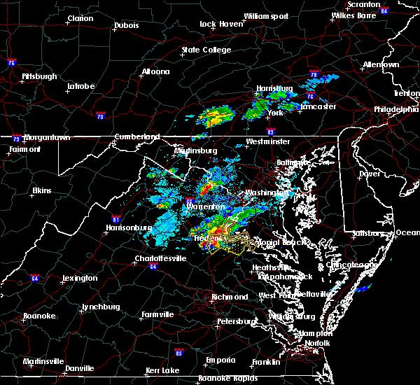 At 717 pm edt, a severe thunderstorm was located near fredericksburg, moving southeast at 25 mph (radar indicated). Hazards include golf ball size hail and 60 mph wind gusts. Expect wind damage to trees and power lines. hail is large enough to dent and damage vehicles. some hail damage to roofs, siding, and windows is possible. Locations impacted include, stafford, fredericksburg, king george, dahlgren, fairview beach, potomac creek, aquia creek, falmouth, passapatanzy, stones corner, leeland, weedonville, ninde, spring valley, brooke, ramoth, lambs creek, white oak, sealston and berthaville. At 717 pm edt, a severe thunderstorm was located near fredericksburg, moving southeast at 25 mph (radar indicated). Hazards include golf ball size hail and 60 mph wind gusts. Expect wind damage to trees and power lines. hail is large enough to dent and damage vehicles. some hail damage to roofs, siding, and windows is possible. Locations impacted include, stafford, fredericksburg, king george, dahlgren, fairview beach, potomac creek, aquia creek, falmouth, passapatanzy, stones corner, leeland, weedonville, ninde, spring valley, brooke, ramoth, lambs creek, white oak, sealston and berthaville.
|
| 5/30/2017 7:14 PM EDT | Quarter sized hail reported 4.6 miles SE of Stafford Courthouse, VA, quarter size hail |
| 5/30/2017 7:07 PM EDT |
 At 707 pm edt, a severe thunderstorm was located near fredericksburg, moving southeast at 25 mph (radar indicated). Hazards include 60 mph wind gusts and quarter size hail. Damaging winds will cause some trees and large branches to fall. this could injure those outdoors, as well as damage homes and vehicles. roadways may become blocked by downed trees. localized power outages are possible. Unsecured light objects may become projectiles. At 707 pm edt, a severe thunderstorm was located near fredericksburg, moving southeast at 25 mph (radar indicated). Hazards include 60 mph wind gusts and quarter size hail. Damaging winds will cause some trees and large branches to fall. this could injure those outdoors, as well as damage homes and vehicles. roadways may become blocked by downed trees. localized power outages are possible. Unsecured light objects may become projectiles.
|
| 5/25/2017 4:55 PM EDT |
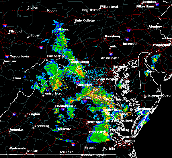 At 455 pm edt, a severe thunderstorm was located near quantico, moving northeast at 15 mph (radar indicated). Hazards include 60 mph wind gusts and quarter size hail. Damaging winds will cause some trees and large branches to fall. this could injure those outdoors, as well as damage homes and vehicles. roadways may become blocked by downed trees. localized power outages are possible. Unsecured light objects may become projectiles. At 455 pm edt, a severe thunderstorm was located near quantico, moving northeast at 15 mph (radar indicated). Hazards include 60 mph wind gusts and quarter size hail. Damaging winds will cause some trees and large branches to fall. this could injure those outdoors, as well as damage homes and vehicles. roadways may become blocked by downed trees. localized power outages are possible. Unsecured light objects may become projectiles.
|
| 5/5/2017 7:49 AM EDT |
 At 749 am edt, severe thunderstorms were located along a line extending from near stafford to 6 miles southeast of fort a.p. hill, moving north at 60 mph (radar indicated). Hazards include 60 mph wind gusts. Damaging winds will cause some trees and large branches to fall. this could injure those outdoors, as well as damage homes and vehicles. roadways may become blocked by downed trees. localized power outages are possible. Unsecured light objects may become projectiles. At 749 am edt, severe thunderstorms were located along a line extending from near stafford to 6 miles southeast of fort a.p. hill, moving north at 60 mph (radar indicated). Hazards include 60 mph wind gusts. Damaging winds will cause some trees and large branches to fall. this could injure those outdoors, as well as damage homes and vehicles. roadways may become blocked by downed trees. localized power outages are possible. Unsecured light objects may become projectiles.
|
| 4/6/2017 12:58 PM EDT |
 At 1257 pm edt, severe thunderstorms were located along a line extending from 6 miles south of warrenton to near bealeton to 15 miles northwest of fredericksburg to near stafford, moving northeast at 55 mph (radar indicated). Hazards include 60 mph wind gusts and quarter size hail. Damaging winds will cause some trees and large branches to fall. this could injure those outdoors, as well as damage homes and vehicles. roadways may become blocked by downed trees. localized power outages are possible. unsecured light objects may become projectiles. weakened. Locations impacted include, stafford, dale city, warrenton, lake ridge, linton hall, montclair, bull run, triangle, dumfries, bealeton, haymarket, manassas, sudley, cherry hill, manassas park, gainesville, new baltimore, independent hill, falmouth and nokesville. At 1257 pm edt, severe thunderstorms were located along a line extending from 6 miles south of warrenton to near bealeton to 15 miles northwest of fredericksburg to near stafford, moving northeast at 55 mph (radar indicated). Hazards include 60 mph wind gusts and quarter size hail. Damaging winds will cause some trees and large branches to fall. this could injure those outdoors, as well as damage homes and vehicles. roadways may become blocked by downed trees. localized power outages are possible. unsecured light objects may become projectiles. weakened. Locations impacted include, stafford, dale city, warrenton, lake ridge, linton hall, montclair, bull run, triangle, dumfries, bealeton, haymarket, manassas, sudley, cherry hill, manassas park, gainesville, new baltimore, independent hill, falmouth and nokesville.
|
| 4/6/2017 12:43 PM EDT |
 At 1243 pm edt, severe thunderstorms were located along a line extending from near culpeper to 14 miles south of bealeton to near spotsylvania, moving northeast at 50 mph (radar indicated). Hazards include 60 mph wind gusts and quarter size hail. Damaging winds will cause some trees and large branches to fall. this could injure those outdoors, as well as damage homes and vehicles. roadways may become blocked by downed trees. localized power outages are possible. Unsecured light objects may become projectiles. At 1243 pm edt, severe thunderstorms were located along a line extending from near culpeper to 14 miles south of bealeton to near spotsylvania, moving northeast at 50 mph (radar indicated). Hazards include 60 mph wind gusts and quarter size hail. Damaging winds will cause some trees and large branches to fall. this could injure those outdoors, as well as damage homes and vehicles. roadways may become blocked by downed trees. localized power outages are possible. Unsecured light objects may become projectiles.
|
| 3/1/2017 1:36 PM EST |
 At 135 pm est, severe thunderstorms were located along a line extending from near montclair to near aquia creek to 6 miles northwest of ladysmith, moving east at 70 mph (radar indicated). Hazards include 70 mph wind gusts. Damaging winds will cause some trees and large branches to fall. this could injure those outdoors, as well as damage homes and vehicles. roadways may become blocked by downed trees. localized power outages are possible. Unsecured light objects may become projectiles. At 135 pm est, severe thunderstorms were located along a line extending from near montclair to near aquia creek to 6 miles northwest of ladysmith, moving east at 70 mph (radar indicated). Hazards include 70 mph wind gusts. Damaging winds will cause some trees and large branches to fall. this could injure those outdoors, as well as damage homes and vehicles. roadways may become blocked by downed trees. localized power outages are possible. Unsecured light objects may become projectiles.
|
| 3/1/2017 1:34 PM EST | Siding damage in stafford county VA, 1.3 miles W of Stafford Courthouse, VA |
| 3/1/2017 1:32 PM EST | Numerous trees down throughout county... some onto homes... sheds blown of foundations in stafford county VA, 1.3 miles W of Stafford Courthouse, VA |
| 3/1/2017 1:28 PM EST |
 At 128 pm est, severe thunderstorms were located along a line extending from north potomac to near lake ridge to 11 miles west of spotsylvania, moving east at 55 mph (radar indicated). Hazards include 60 mph wind gusts. Damaging winds will cause some trees and large branches to fall. this could injure those outdoors, as well as damage homes and vehicles. roadways may become blocked by downed trees. localized power outages are possible. unsecured light objects may become projectiles. Locations impacted include, arlington, alexandria, stafford, centreville, waldorf, dale city, rockville, bethesda, reston, bowie, annandale, clinton, springfield, college park, fredericksburg, fort washington, herndon, greenbelt, fairfax and langley park. At 128 pm est, severe thunderstorms were located along a line extending from north potomac to near lake ridge to 11 miles west of spotsylvania, moving east at 55 mph (radar indicated). Hazards include 60 mph wind gusts. Damaging winds will cause some trees and large branches to fall. this could injure those outdoors, as well as damage homes and vehicles. roadways may become blocked by downed trees. localized power outages are possible. unsecured light objects may become projectiles. Locations impacted include, arlington, alexandria, stafford, centreville, waldorf, dale city, rockville, bethesda, reston, bowie, annandale, clinton, springfield, college park, fredericksburg, fort washington, herndon, greenbelt, fairfax and langley park.
|
| 3/1/2017 1:05 PM EST |
 At 104 pm est, severe thunderstorms were located along a line extending from broadlands to near haymarket to 9 miles east of orange, moving east at 50 mph (radar indicated). Hazards include 60 mph wind gusts. Damaging winds will cause some trees and large branches to fall. this could injure those outdoors, as well as damage homes and vehicles. roadways may become blocked by downed trees. localized power outages are possible. Unsecured light objects may become projectiles. At 104 pm est, severe thunderstorms were located along a line extending from broadlands to near haymarket to 9 miles east of orange, moving east at 50 mph (radar indicated). Hazards include 60 mph wind gusts. Damaging winds will cause some trees and large branches to fall. this could injure those outdoors, as well as damage homes and vehicles. roadways may become blocked by downed trees. localized power outages are possible. Unsecured light objects may become projectiles.
|
| 2/25/2017 2:49 PM EST |
 At 249 pm est, a severe thunderstorm was located near quantico, moving northeast at 55 mph (radar indicated). Hazards include golf ball size hail and 70 mph wind gusts. Expect wind damage to trees and power lines. hail is large enough to dent and damage vehicles. some hail damage to roofs, siding, and windows is possible. Locations impacted include, stafford, quantico, potomac creek, aquia creek, port tobacco river, nanjemoy creek, bryans road, potomac heights, stones corner, marbury, widewater, ironsides, ripley, arkendale, rison, brooke, nanjemoy, aquia, pisgah and welcome. At 249 pm est, a severe thunderstorm was located near quantico, moving northeast at 55 mph (radar indicated). Hazards include golf ball size hail and 70 mph wind gusts. Expect wind damage to trees and power lines. hail is large enough to dent and damage vehicles. some hail damage to roofs, siding, and windows is possible. Locations impacted include, stafford, quantico, potomac creek, aquia creek, port tobacco river, nanjemoy creek, bryans road, potomac heights, stones corner, marbury, widewater, ironsides, ripley, arkendale, rison, brooke, nanjemoy, aquia, pisgah and welcome.
|
| 2/25/2017 2:44 PM EST |
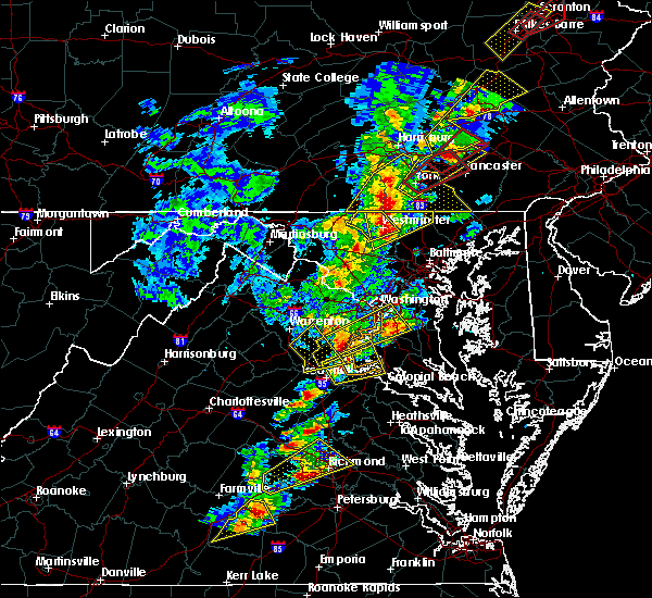 At 244 pm est, a severe thunderstorm was located over aquia creek, moving northeast at 55 mph (radar indicated). Hazards include golf ball size hail and 70 mph wind gusts. Expect wind damage to trees and power lines. hail is large enough to dent and damage vehicles. some hail damage to roofs, siding, and windows is possible. Locations impacted include, stafford, quantico, potomac creek, aquia creek, port tobacco river, nanjemoy creek, bryans road, potomac heights, stones corner, marbury, leeland, widewater, ironsides, ripley, arkendale, rison, brooke, ramoth, nanjemoy and aquia. At 244 pm est, a severe thunderstorm was located over aquia creek, moving northeast at 55 mph (radar indicated). Hazards include golf ball size hail and 70 mph wind gusts. Expect wind damage to trees and power lines. hail is large enough to dent and damage vehicles. some hail damage to roofs, siding, and windows is possible. Locations impacted include, stafford, quantico, potomac creek, aquia creek, port tobacco river, nanjemoy creek, bryans road, potomac heights, stones corner, marbury, leeland, widewater, ironsides, ripley, arkendale, rison, brooke, ramoth, nanjemoy and aquia.
|
| 2/25/2017 2:44 PM EST |
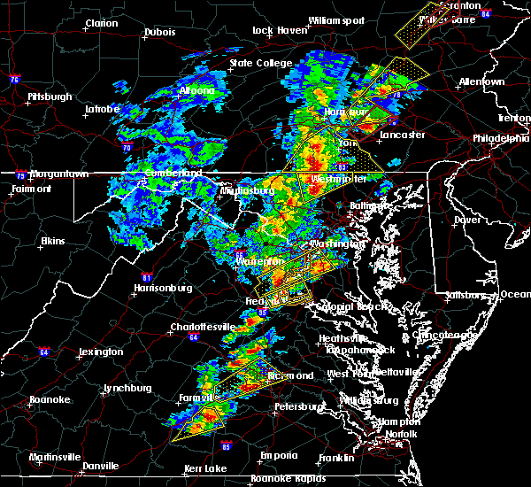 At 244 pm est, a severe thunderstorm was located over aquia creek, moving northeast at 55 mph (radar indicated). Hazards include golf ball size hail and 70 mph wind gusts. Expect wind damage to trees and power lines. hail is large enough to dent and damage vehicles. some hail damage to roofs, siding, and windows is possible. Locations impacted include, stafford, quantico, potomac creek, aquia creek, port tobacco river, nanjemoy creek, bryans road, potomac heights, stones corner, marbury, leeland, widewater, ironsides, ripley, arkendale, rison, brooke, ramoth, nanjemoy and aquia. At 244 pm est, a severe thunderstorm was located over aquia creek, moving northeast at 55 mph (radar indicated). Hazards include golf ball size hail and 70 mph wind gusts. Expect wind damage to trees and power lines. hail is large enough to dent and damage vehicles. some hail damage to roofs, siding, and windows is possible. Locations impacted include, stafford, quantico, potomac creek, aquia creek, port tobacco river, nanjemoy creek, bryans road, potomac heights, stones corner, marbury, leeland, widewater, ironsides, ripley, arkendale, rison, brooke, ramoth, nanjemoy and aquia.
|
| 2/25/2017 2:41 PM EST |
 At 241 pm est, a severe thunderstorm was located over aquia creek, moving northeast at 55 mph (radar indicated). Hazards include 60 mph wind gusts and half dollar size hail. Damaging winds will cause some trees and large branches to fall. this could injure those outdoors, as well as damage homes and vehicles. roadways may become blocked by downed trees. localized power outages are possible. unsecured light objects may become projectiles. Locations impacted include, stafford, king george, dahlgren, quantico, fairview beach, potomac creek, nanjemoy creek, aquia creek, port tobacco river, bryans road, falmouth, passapatanzy, potomac heights, stones corner, ironsides, ramoth, pisgah, white oak, berthaville and marbury. At 241 pm est, a severe thunderstorm was located over aquia creek, moving northeast at 55 mph (radar indicated). Hazards include 60 mph wind gusts and half dollar size hail. Damaging winds will cause some trees and large branches to fall. this could injure those outdoors, as well as damage homes and vehicles. roadways may become blocked by downed trees. localized power outages are possible. unsecured light objects may become projectiles. Locations impacted include, stafford, king george, dahlgren, quantico, fairview beach, potomac creek, nanjemoy creek, aquia creek, port tobacco river, bryans road, falmouth, passapatanzy, potomac heights, stones corner, ironsides, ramoth, pisgah, white oak, berthaville and marbury.
|
| 2/25/2017 2:41 PM EST |
 The severe thunderstorm warning for central stafford. southeastern fauquier. eastern culpeper. southwestern prince william and northern spotsylvania counties will expire at 245 pm est. the storm which prompted the warning has moved out of the area. Therefore the warning will be allowed to expire. The severe thunderstorm warning for central stafford. southeastern fauquier. eastern culpeper. southwestern prince william and northern spotsylvania counties will expire at 245 pm est. the storm which prompted the warning has moved out of the area. Therefore the warning will be allowed to expire.
|
| 2/25/2017 2:41 PM EST |
 At 241 pm est, a severe thunderstorm was located over aquia creek, moving northeast at 55 mph (radar indicated). Hazards include 60 mph wind gusts and half dollar size hail. Damaging winds will cause some trees and large branches to fall. this could injure those outdoors, as well as damage homes and vehicles. roadways may become blocked by downed trees. localized power outages are possible. unsecured light objects may become projectiles. Locations impacted include, stafford, king george, dahlgren, quantico, fairview beach, potomac creek, nanjemoy creek, aquia creek, port tobacco river, bryans road, falmouth, passapatanzy, potomac heights, stones corner, ironsides, ramoth, pisgah, white oak, berthaville and marbury. At 241 pm est, a severe thunderstorm was located over aquia creek, moving northeast at 55 mph (radar indicated). Hazards include 60 mph wind gusts and half dollar size hail. Damaging winds will cause some trees and large branches to fall. this could injure those outdoors, as well as damage homes and vehicles. roadways may become blocked by downed trees. localized power outages are possible. unsecured light objects may become projectiles. Locations impacted include, stafford, king george, dahlgren, quantico, fairview beach, potomac creek, nanjemoy creek, aquia creek, port tobacco river, bryans road, falmouth, passapatanzy, potomac heights, stones corner, ironsides, ramoth, pisgah, white oak, berthaville and marbury.
|
| 2/25/2017 2:36 PM EST | Quarter sized hail reported 3.4 miles SE of Stafford Courthouse, VA, quarter size hail |
| 2/25/2017 2:29 PM EST | Golf Ball sized hail reported 4.6 miles SE of Stafford Courthouse, VA, at courthouse rd. |
| 2/25/2017 2:29 PM EST |
 At 228 pm est, a severe thunderstorm was located 11 miles east of bealeton, or 12 miles northwest of stafford, moving northeast at 50 mph (radar indicated). Hazards include 60 mph wind gusts and half dollar size hail. Damaging winds will cause some trees and large branches to fall. this could injure those outdoors, as well as damage homes and vehicles. roadways may become blocked by downed trees. localized power outages are possible. unsecured light objects may become projectiles. Locations impacted include, stafford, linton hall, bealeton, nokesville, catlett, calverton, midland, roseville, lois, garrisonville, arkendale, ramoth, aden, heflin, aquia, storck, dunavant, glendie, morrisville and hartwood. At 228 pm est, a severe thunderstorm was located 11 miles east of bealeton, or 12 miles northwest of stafford, moving northeast at 50 mph (radar indicated). Hazards include 60 mph wind gusts and half dollar size hail. Damaging winds will cause some trees and large branches to fall. this could injure those outdoors, as well as damage homes and vehicles. roadways may become blocked by downed trees. localized power outages are possible. unsecured light objects may become projectiles. Locations impacted include, stafford, linton hall, bealeton, nokesville, catlett, calverton, midland, roseville, lois, garrisonville, arkendale, ramoth, aden, heflin, aquia, storck, dunavant, glendie, morrisville and hartwood.
|
| 2/25/2017 2:27 PM EST |
 At 226 pm est, a severe thunderstorm was located near fredericksburg, moving northeast at 50 mph (radar indicated). Hazards include 60 mph wind gusts and half dollar size hail. Damaging winds will cause some trees and large branches to fall. this could injure those outdoors, as well as damage homes and vehicles. roadways may become blocked by downed trees. localized power outages are possible. Unsecured light objects may become projectiles. At 226 pm est, a severe thunderstorm was located near fredericksburg, moving northeast at 50 mph (radar indicated). Hazards include 60 mph wind gusts and half dollar size hail. Damaging winds will cause some trees and large branches to fall. this could injure those outdoors, as well as damage homes and vehicles. roadways may become blocked by downed trees. localized power outages are possible. Unsecured light objects may become projectiles.
|
| 2/25/2017 2:27 PM EST |
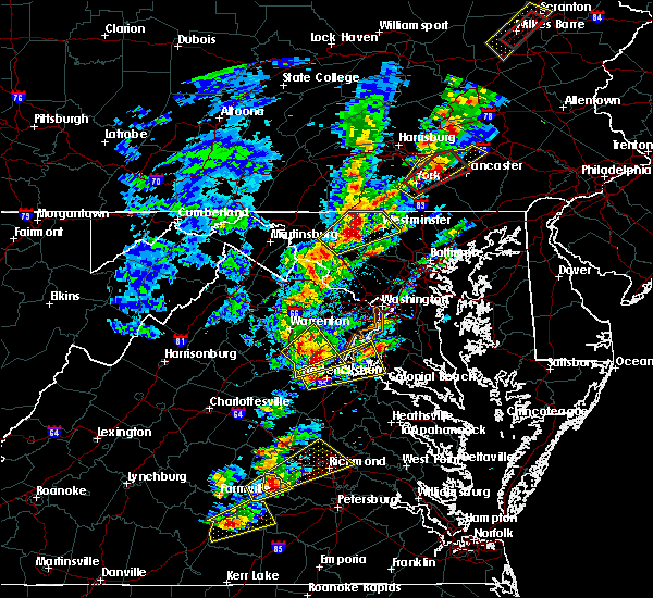 At 226 pm est, a severe thunderstorm was located near fredericksburg, moving northeast at 50 mph (radar indicated). Hazards include 60 mph wind gusts and half dollar size hail. Damaging winds will cause some trees and large branches to fall. this could injure those outdoors, as well as damage homes and vehicles. roadways may become blocked by downed trees. localized power outages are possible. Unsecured light objects may become projectiles. At 226 pm est, a severe thunderstorm was located near fredericksburg, moving northeast at 50 mph (radar indicated). Hazards include 60 mph wind gusts and half dollar size hail. Damaging winds will cause some trees and large branches to fall. this could injure those outdoors, as well as damage homes and vehicles. roadways may become blocked by downed trees. localized power outages are possible. Unsecured light objects may become projectiles.
|
| 2/25/2017 2:22 PM EST |
 At 221 pm est, a severe thunderstorm was located 8 miles southeast of bealeton, or 15 miles west of stafford, moving northeast at 50 mph (radar indicated). Hazards include 60 mph wind gusts and half dollar size hail. Damaging winds will cause some trees and large branches to fall. this could injure those outdoors, as well as damage homes and vehicles. roadways may become blocked by downed trees. localized power outages are possible. unsecured light objects may become projectiles. Locations impacted include, stafford, linton hall, bealeton, nokesville, remington, catlett, calverton, midland, roseville, garrisonville, ramoth, heflin, dunavant, morrisville, ruby, somerville, goldvein, lois, arkendale and aden. At 221 pm est, a severe thunderstorm was located 8 miles southeast of bealeton, or 15 miles west of stafford, moving northeast at 50 mph (radar indicated). Hazards include 60 mph wind gusts and half dollar size hail. Damaging winds will cause some trees and large branches to fall. this could injure those outdoors, as well as damage homes and vehicles. roadways may become blocked by downed trees. localized power outages are possible. unsecured light objects may become projectiles. Locations impacted include, stafford, linton hall, bealeton, nokesville, remington, catlett, calverton, midland, roseville, garrisonville, ramoth, heflin, dunavant, morrisville, ruby, somerville, goldvein, lois, arkendale and aden.
|
| 2/25/2017 2:13 PM EST |
 At 212 pm est, a severe thunderstorm was located 11 miles south of bealeton, or 11 miles east of culpeper, moving northeast at 50 mph (radar indicated). Hazards include 60 mph wind gusts and quarter size hail. Damaging winds will cause some trees and large branches to fall. this could injure those outdoors, as well as damage homes and vehicles. roadways may become blocked by downed trees. localized power outages are possible. unsecured light objects may become projectiles. Locations impacted include, stafford, culpeper, linton hall, bealeton, nokesville, opal, remington, catlett, calverton, midland, elkwood, stevensburg, roseville, brandy station, garrisonville, casanova, locust grove, flat run, ramoth and heflin. At 212 pm est, a severe thunderstorm was located 11 miles south of bealeton, or 11 miles east of culpeper, moving northeast at 50 mph (radar indicated). Hazards include 60 mph wind gusts and quarter size hail. Damaging winds will cause some trees and large branches to fall. this could injure those outdoors, as well as damage homes and vehicles. roadways may become blocked by downed trees. localized power outages are possible. unsecured light objects may become projectiles. Locations impacted include, stafford, culpeper, linton hall, bealeton, nokesville, opal, remington, catlett, calverton, midland, elkwood, stevensburg, roseville, brandy station, garrisonville, casanova, locust grove, flat run, ramoth and heflin.
|
| 2/25/2017 2:02 PM EST |
 At 201 pm est, a severe thunderstorm was located 9 miles south of culpeper, moving northeast at 50 mph (radar indicated). Hazards include 60 mph wind gusts and quarter size hail. Damaging winds will cause some trees and large branches to fall. this could injure those outdoors, as well as damage homes and vehicles. roadways may become blocked by downed trees. localized power outages are possible. Unsecured light objects may become projectiles. At 201 pm est, a severe thunderstorm was located 9 miles south of culpeper, moving northeast at 50 mph (radar indicated). Hazards include 60 mph wind gusts and quarter size hail. Damaging winds will cause some trees and large branches to fall. this could injure those outdoors, as well as damage homes and vehicles. roadways may become blocked by downed trees. localized power outages are possible. Unsecured light objects may become projectiles.
|
| 9/7/2016 6:55 PM EDT | Tree down on power lines on rose hill farm driv in stafford county VA, 5.4 miles ESE of Stafford Courthouse, VA |
| 9/7/2016 6:55 PM EDT | Tree down near the intersection of barbara ann drive and theresa driv in stafford county VA, 3.4 miles SE of Stafford Courthouse, VA |
| 9/7/2016 6:55 PM EDT |
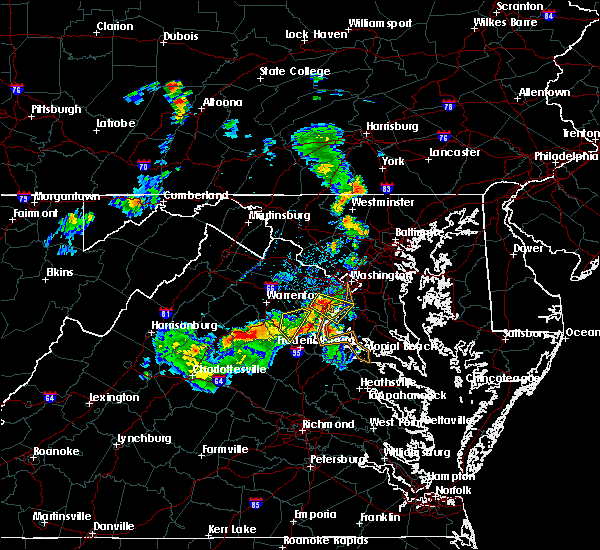 At 655 pm edt, a severe thunderstorm was located near stafford, moving southeast at 35 mph (radar indicated). Hazards include 60 mph wind gusts and quarter size hail. Damaging winds will cause some trees and large branches to fall. this could injure those outdoors, as well as damage homes and vehicles. roadways may become blocked by downed trees. localized power outages are possible. Unsecured light objects may become projectiles. At 655 pm edt, a severe thunderstorm was located near stafford, moving southeast at 35 mph (radar indicated). Hazards include 60 mph wind gusts and quarter size hail. Damaging winds will cause some trees and large branches to fall. this could injure those outdoors, as well as damage homes and vehicles. roadways may become blocked by downed trees. localized power outages are possible. Unsecured light objects may become projectiles.
|
| 8/15/2016 7:37 PM EDT |
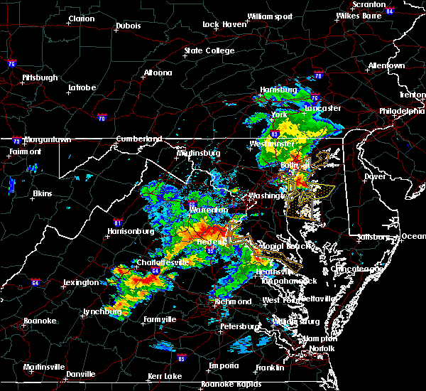 At 736 pm edt, severe thunderstorms were located along a line extending from 6 miles east of bealeton to 12 miles west of stafford to aquia creek, moving northeast at 20 mph (radar indicated). Hazards include 60 mph wind gusts and quarter size hail. Damaging winds will cause some trees and large branches to fall. this could injure those outdoors, as well as damage homes and vehicles. roadways may become blocked by downed trees. localized power outages are possible. Unsecured light objects may become projectiles. At 736 pm edt, severe thunderstorms were located along a line extending from 6 miles east of bealeton to 12 miles west of stafford to aquia creek, moving northeast at 20 mph (radar indicated). Hazards include 60 mph wind gusts and quarter size hail. Damaging winds will cause some trees and large branches to fall. this could injure those outdoors, as well as damage homes and vehicles. roadways may become blocked by downed trees. localized power outages are possible. Unsecured light objects may become projectiles.
|
| 8/14/2016 7:06 PM EDT |
 The severe thunderstorm warning for northeastern stafford county will expire at 715 pm edt, the storms which prompted the warning have weakened below severe limits, and no longer pose an immediate threat to life or property. therefore the warning will be allowed to expire. however gusty winds are still possible with these thunderstorms. The severe thunderstorm warning for northeastern stafford county will expire at 715 pm edt, the storms which prompted the warning have weakened below severe limits, and no longer pose an immediate threat to life or property. therefore the warning will be allowed to expire. however gusty winds are still possible with these thunderstorms.
|
| 8/14/2016 6:54 PM EDT |
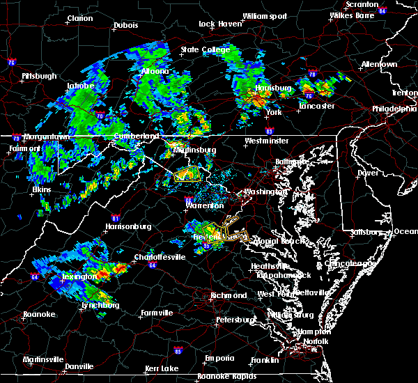 At 653 pm edt, severe thunderstorms were located along a line extending from near triangle to near fairview beach, moving northeast at 40 mph (radar indicated). Hazards include 60 mph wind gusts. Damaging winds will cause some trees and large branches to fall. this could injure those outdoors, as well as damage homes and vehicles. roadways may become blocked by downed trees. localized power outages are possible. unsecured light objects may become projectiles. Locations impacted include, stafford, potomac creek, aquia creek, brooke, garrisonville, arkendale, widewater and aquia. At 653 pm edt, severe thunderstorms were located along a line extending from near triangle to near fairview beach, moving northeast at 40 mph (radar indicated). Hazards include 60 mph wind gusts. Damaging winds will cause some trees and large branches to fall. this could injure those outdoors, as well as damage homes and vehicles. roadways may become blocked by downed trees. localized power outages are possible. unsecured light objects may become projectiles. Locations impacted include, stafford, potomac creek, aquia creek, brooke, garrisonville, arkendale, widewater and aquia.
|
| 8/14/2016 6:43 PM EDT | Tree down in the 1500 block of jefferson davis highwa in stafford county VA, 1.5 miles NNE of Stafford Courthouse, VA |
| 8/14/2016 6:43 PM EDT | Tree down in the 1600 block of mine roa in stafford county VA, 0.7 miles SSE of Stafford Courthouse, VA |
| 8/14/2016 6:41 PM EDT | Multiple trees down in the 300 to 700 block of eskimo hill roa in stafford county VA, 2.8 miles N of Stafford Courthouse, VA |
| 8/14/2016 6:36 PM EDT |
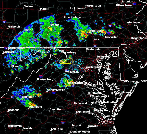 At 636 pm edt, severe thunderstorms were located along a line extending from 8 miles northwest of stafford to near fredericksburg, moving northeast at 35 mph (radar indicated). Hazards include 60 mph wind gusts. Damaging winds will cause some trees and large branches to fall. this could injure those outdoors, as well as damage homes and vehicles. roadways may become blocked by downed trees. localized power outages are possible. Unsecured light objects may become projectiles. At 636 pm edt, severe thunderstorms were located along a line extending from 8 miles northwest of stafford to near fredericksburg, moving northeast at 35 mph (radar indicated). Hazards include 60 mph wind gusts. Damaging winds will cause some trees and large branches to fall. this could injure those outdoors, as well as damage homes and vehicles. roadways may become blocked by downed trees. localized power outages are possible. Unsecured light objects may become projectiles.
|
| 7/18/2016 4:05 PM EDT |
 At 404 pm edt, severe thunderstorms were located along a line extending from 7 miles southeast of linton hall to 6 miles west of montclair to 7 miles west of stafford, moving east at 45 mph (radar indicated). Hazards include 60 mph wind gusts. Damaging winds will cause some trees and large branches to fall. this could injure those outdoors, as well as damage homes and vehicles. roadways may become blocked by downed trees. localized power outages are possible. Unsecured light objects may become projectiles. At 404 pm edt, severe thunderstorms were located along a line extending from 7 miles southeast of linton hall to 6 miles west of montclair to 7 miles west of stafford, moving east at 45 mph (radar indicated). Hazards include 60 mph wind gusts. Damaging winds will cause some trees and large branches to fall. this could injure those outdoors, as well as damage homes and vehicles. roadways may become blocked by downed trees. localized power outages are possible. Unsecured light objects may become projectiles.
|
| 7/18/2016 4:05 PM EDT |
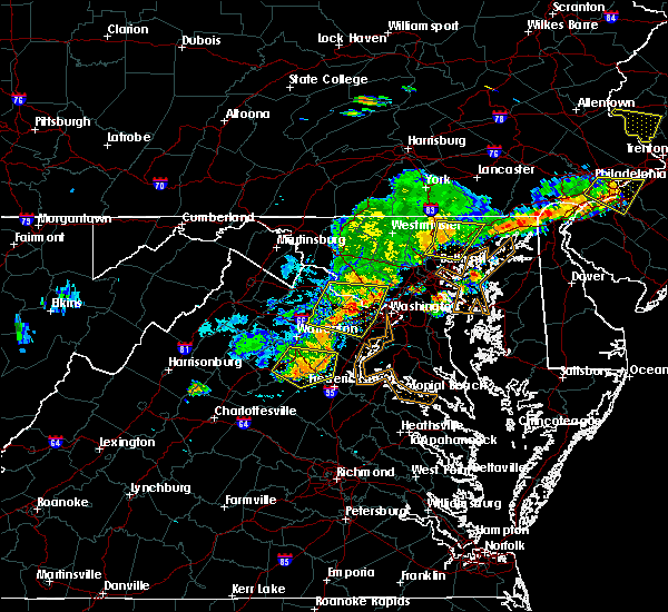 At 404 pm edt, severe thunderstorms were located along a line extending from 7 miles southeast of linton hall to 6 miles west of montclair to 7 miles west of stafford, moving east at 45 mph (radar indicated). Hazards include 60 mph wind gusts. Damaging winds will cause some trees and large branches to fall. this could injure those outdoors, as well as damage homes and vehicles. roadways may become blocked by downed trees. localized power outages are possible. Unsecured light objects may become projectiles. At 404 pm edt, severe thunderstorms were located along a line extending from 7 miles southeast of linton hall to 6 miles west of montclair to 7 miles west of stafford, moving east at 45 mph (radar indicated). Hazards include 60 mph wind gusts. Damaging winds will cause some trees and large branches to fall. this could injure those outdoors, as well as damage homes and vehicles. roadways may become blocked by downed trees. localized power outages are possible. Unsecured light objects may become projectiles.
|
| 6/28/2016 9:44 PM EDT |
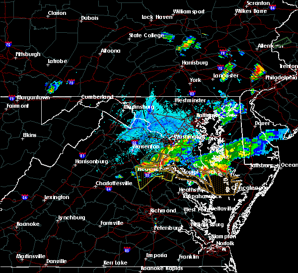 At 944 pm edt, severe thunderstorms were located along a line extending from near quantico to near aquia creek to 13 miles northwest of fredericksburg, moving southeast at 15 mph (radar indicated). Hazards include 60 mph wind gusts and quarter size hail. Damaging winds will cause some trees and large branches to fall. this could injure those outdoors, as well as damage homes and vehicles. roadways may become blocked by downed trees. localized power outages are possible. unsecured light objects may become projectiles. Locations impacted include, stafford, ramoth, arkendale and widewater. At 944 pm edt, severe thunderstorms were located along a line extending from near quantico to near aquia creek to 13 miles northwest of fredericksburg, moving southeast at 15 mph (radar indicated). Hazards include 60 mph wind gusts and quarter size hail. Damaging winds will cause some trees and large branches to fall. this could injure those outdoors, as well as damage homes and vehicles. roadways may become blocked by downed trees. localized power outages are possible. unsecured light objects may become projectiles. Locations impacted include, stafford, ramoth, arkendale and widewater.
|
| 6/28/2016 9:29 PM EDT |
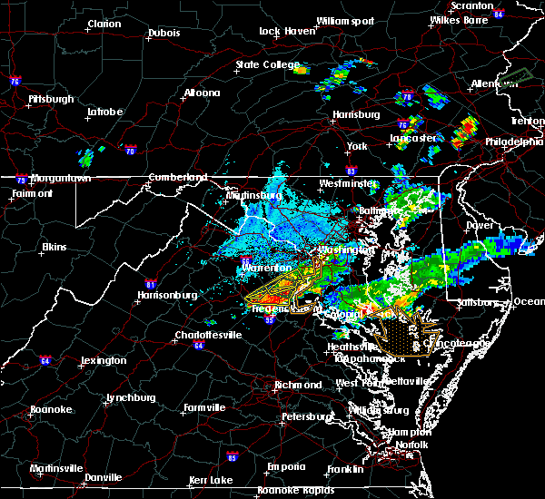 At 929 pm edt, severe thunderstorms were located along a line extending from 11 miles northwest of spotsylvania to near fredericksburg to near potomac creek, moving south at 35 mph (radar indicated). Hazards include 60 mph wind gusts and quarter size hail. Damaging winds will cause some trees and large branches to fall. this could injure those outdoors, as well as damage homes and vehicles. roadways may become blocked by downed trees. localized power outages are possible. Unsecured light objects may become projectiles. At 929 pm edt, severe thunderstorms were located along a line extending from 11 miles northwest of spotsylvania to near fredericksburg to near potomac creek, moving south at 35 mph (radar indicated). Hazards include 60 mph wind gusts and quarter size hail. Damaging winds will cause some trees and large branches to fall. this could injure those outdoors, as well as damage homes and vehicles. roadways may become blocked by downed trees. localized power outages are possible. Unsecured light objects may become projectiles.
|
| 6/28/2016 9:08 PM EDT |
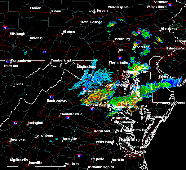 At 908 pm edt, severe thunderstorms were located along a line extending from near burke to 7 miles southeast of bealeton, moving east at 35 mph (radar indicated). Hazards include 60 mph wind gusts and quarter size hail. Damaging winds will cause some trees and large branches to fall. this could injure those outdoors, as well as damage homes and vehicles. roadways may become blocked by downed trees. localized power outages are possible. Unsecured light objects may become projectiles. At 908 pm edt, severe thunderstorms were located along a line extending from near burke to 7 miles southeast of bealeton, moving east at 35 mph (radar indicated). Hazards include 60 mph wind gusts and quarter size hail. Damaging winds will cause some trees and large branches to fall. this could injure those outdoors, as well as damage homes and vehicles. roadways may become blocked by downed trees. localized power outages are possible. Unsecured light objects may become projectiles.
|
| 6/28/2016 7:55 PM EDT | Tree down at courthouse rd and shelton shop rd in stafford county VA, 3.7 miles SE of Stafford Courthouse, VA |
| 6/28/2016 7:32 PM EDT | Multiple trees down near the intersection of garrisonville road and shelton shop roa in stafford county VA, 3.9 miles SSE of Stafford Courthouse, VA |
| 6/16/2016 8:53 PM EDT | Tree down along embrey mill road near winding creek roa in stafford county VA, 2.5 miles SE of Stafford Courthouse, VA |
| 6/16/2016 8:53 PM EDT | Tree down on winding creek road near walpole stree in stafford county VA, 3.1 miles SSE of Stafford Courthouse, VA |
| 6/16/2016 8:35 PM EDT |
 At 835 pm edt, severe thunderstorms were located along a line extending from 8 miles south of linton hall to near boswells tavern, moving east at 65 mph (radar indicated). Hazards include 60 mph wind gusts. Damaging winds will cause some trees and large branches to fall. this could injure those outdoors, as well as damage homes and vehicles. roadways may become blocked by downed trees. localized power outages are possible. Unsecured light objects may become projectiles. At 835 pm edt, severe thunderstorms were located along a line extending from 8 miles south of linton hall to near boswells tavern, moving east at 65 mph (radar indicated). Hazards include 60 mph wind gusts. Damaging winds will cause some trees and large branches to fall. this could injure those outdoors, as well as damage homes and vehicles. roadways may become blocked by downed trees. localized power outages are possible. Unsecured light objects may become projectiles.
|
| 6/16/2016 7:15 PM EDT |
 At 715 pm edt, a severe thunderstorm was located over bull run, or near centreville, moving southeast at 30 mph (radar indicated). Hazards include 60 mph wind gusts and half dollar size hail. Damaging winds will cause some trees and large branches to fall. this could injure those outdoors, as well as damage homes and vehicles. roadways may become blocked by downed trees. localized power outages are possible. Unsecured light objects may become projectiles. At 715 pm edt, a severe thunderstorm was located over bull run, or near centreville, moving southeast at 30 mph (radar indicated). Hazards include 60 mph wind gusts and half dollar size hail. Damaging winds will cause some trees and large branches to fall. this could injure those outdoors, as well as damage homes and vehicles. roadways may become blocked by downed trees. localized power outages are possible. Unsecured light objects may become projectiles.
|
| 6/16/2016 4:45 PM EDT |
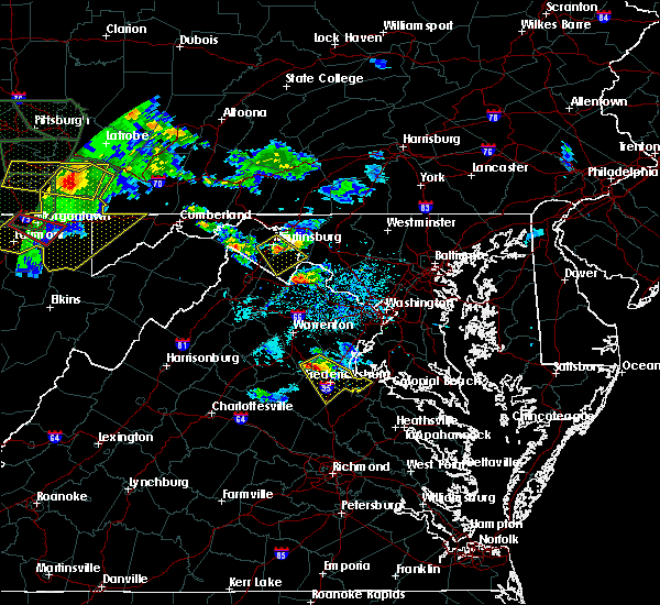 At 444 pm edt, doppler radar indicated a severe thunderstorm capable of producing quarter size hail and damaging winds in excess of 60 mph. this storm was located 10 miles northwest of fredericksburg, and moving southeast at 30 mph. At 444 pm edt, doppler radar indicated a severe thunderstorm capable of producing quarter size hail and damaging winds in excess of 60 mph. this storm was located 10 miles northwest of fredericksburg, and moving southeast at 30 mph.
|
| 6/7/2016 5:27 PM EDT | The severe thunderstorm warning for west central charles, southern prince william, southeastern stafford, southwestern king george and east central spotsylvania counties and the eastern city of fredericksburg will expire at 530 pm edt, the storm which prompted the warning has weakened and exited the warned area. therefore the warning will be allowed to expire. however small hail and gusty winds are still possible with this thunderstorm. |
| 6/7/2016 5:27 PM EDT | The severe thunderstorm warning for west central charles, southern prince william, southeastern stafford, southwestern king george and east central spotsylvania counties and the eastern city of fredericksburg will expire at 530 pm edt, the storm which prompted the warning has weakened and exited the warned area. therefore the warning will be allowed to expire. however small hail and gusty winds are still possible with this thunderstorm. |
| 6/7/2016 5:14 PM EDT |
 At 513 pm edt, a severe thunderstorm was located near potomac creek, moving east at 40 mph (radar indicated. tree damage was reported near glendie with this storm). Hazards include 60 mph wind gusts and quarter size hail. Damaging winds may cause some trees and large branches to fall. this could injure those outdoors, as well as damage homes and vehicles. roadways may become blocked by downed trees. localized power outages are possible. unsecured light objects may become projectiles. Locations impacted include, stafford, fredericksburg, la plata, king george, dahlgren, quantico, fairview beach, potomac creek, aquia creek, port tobacco river, triangle, cherry hill, falmouth, passapatanzy, port tobacco village, port tobacco, white oak, spring valley, lambs creek and welcome. At 513 pm edt, a severe thunderstorm was located near potomac creek, moving east at 40 mph (radar indicated. tree damage was reported near glendie with this storm). Hazards include 60 mph wind gusts and quarter size hail. Damaging winds may cause some trees and large branches to fall. this could injure those outdoors, as well as damage homes and vehicles. roadways may become blocked by downed trees. localized power outages are possible. unsecured light objects may become projectiles. Locations impacted include, stafford, fredericksburg, la plata, king george, dahlgren, quantico, fairview beach, potomac creek, aquia creek, port tobacco river, triangle, cherry hill, falmouth, passapatanzy, port tobacco village, port tobacco, white oak, spring valley, lambs creek and welcome.
|
| 6/7/2016 5:00 PM EDT |
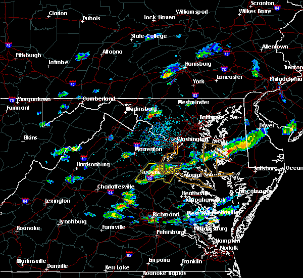 At 459 pm edt, a severe thunderstorm was located over stafford, moving east at 40 mph (radar indicated). Hazards include 60 mph wind gusts and quarter size hail. Damaging winds may cause some trees and large branches to fall. this could injure those outdoors, as well as damage homes and vehicles. roadways may become blocked by downed trees. localized power outages are possible. unsecured light objects may become projectiles. Locations impacted include, stafford, fredericksburg, la plata, king george, dahlgren, quantico, fairview beach, potomac creek, aquia creek, port tobacco river, triangle, spotsylvania, cherry hill, falmouth, passapatanzy, port tobacco village, storck, port tobacco, white oak and spring valley. At 459 pm edt, a severe thunderstorm was located over stafford, moving east at 40 mph (radar indicated). Hazards include 60 mph wind gusts and quarter size hail. Damaging winds may cause some trees and large branches to fall. this could injure those outdoors, as well as damage homes and vehicles. roadways may become blocked by downed trees. localized power outages are possible. unsecured light objects may become projectiles. Locations impacted include, stafford, fredericksburg, la plata, king george, dahlgren, quantico, fairview beach, potomac creek, aquia creek, port tobacco river, triangle, spotsylvania, cherry hill, falmouth, passapatanzy, port tobacco village, storck, port tobacco, white oak and spring valley.
|
| 6/7/2016 4:49 PM EDT |
 At 448 pm edt, a severe thunderstorm was located 8 miles west of stafford, moving east at 40 mph (radar indicated). Hazards include 60 mph wind gusts and quarter size hail. Damaging winds could cause some trees and large branches to fall. this could injure those outdoors, as well as damage homes and vehicles. roadways may become blocked by downed trees. localized power outages are possible. Unsecured light objects may become projectiles. At 448 pm edt, a severe thunderstorm was located 8 miles west of stafford, moving east at 40 mph (radar indicated). Hazards include 60 mph wind gusts and quarter size hail. Damaging winds could cause some trees and large branches to fall. this could injure those outdoors, as well as damage homes and vehicles. roadways may become blocked by downed trees. localized power outages are possible. Unsecured light objects may become projectiles.
|
| 5/14/2016 7:31 PM EDT |
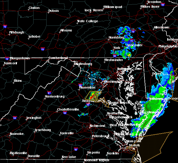 At 729 pm edt, a severe thunderstorm was located near triangle, or near quantico, moving east at 30 mph (radar indicated). Hazards include 60 mph wind gusts and quarter size hail. Damaging winds will cause some trees and large branches to fall. this could injure those outdoors, as well as damage homes and vehicles. roadways may become blocked by downed trees. localized power outages are possible. unsecured light objects may become projectiles. Locations impacted include, stafford, dale city, woodbridge, quantico, aquia creek, montclair, triangle, dumfries, cherry hill, independent hill, mason neck, brooke, garrisonville, ruby, aquia, roseville, arkendale, ramoth, nanjemoy and widewater. At 729 pm edt, a severe thunderstorm was located near triangle, or near quantico, moving east at 30 mph (radar indicated). Hazards include 60 mph wind gusts and quarter size hail. Damaging winds will cause some trees and large branches to fall. this could injure those outdoors, as well as damage homes and vehicles. roadways may become blocked by downed trees. localized power outages are possible. unsecured light objects may become projectiles. Locations impacted include, stafford, dale city, woodbridge, quantico, aquia creek, montclair, triangle, dumfries, cherry hill, independent hill, mason neck, brooke, garrisonville, ruby, aquia, roseville, arkendale, ramoth, nanjemoy and widewater.
|
| 5/14/2016 7:18 PM EDT |
 At 718 pm edt, a severe thunderstorm was located 10 miles southwest of montclair, or 10 miles northwest of stafford, moving east at 30 mph (radar indicated). Hazards include 60 mph wind gusts and quarter size hail. Damaging winds will cause some trees and large branches to fall. this could injure those outdoors, as well as damage homes and vehicles. roadways may become blocked by downed trees. localized power outages are possible. unsecured light objects may become projectiles. Locations impacted include, stafford, dale city, woodbridge, quantico, aquia creek, montclair, triangle, dumfries, cherry hill, independent hill, mason neck, catlett, calverton, storck, bristersburg, sumerduck, heflin, somerville, aquia and roseville. At 718 pm edt, a severe thunderstorm was located 10 miles southwest of montclair, or 10 miles northwest of stafford, moving east at 30 mph (radar indicated). Hazards include 60 mph wind gusts and quarter size hail. Damaging winds will cause some trees and large branches to fall. this could injure those outdoors, as well as damage homes and vehicles. roadways may become blocked by downed trees. localized power outages are possible. unsecured light objects may become projectiles. Locations impacted include, stafford, dale city, woodbridge, quantico, aquia creek, montclair, triangle, dumfries, cherry hill, independent hill, mason neck, catlett, calverton, storck, bristersburg, sumerduck, heflin, somerville, aquia and roseville.
|
| 5/14/2016 6:55 PM EDT |
 At 654 pm edt, a severe thunderstorm was located over bealeton, or 10 miles south of warrenton, moving east at 30 mph (radar indicated). Hazards include 60 mph wind gusts and quarter size hail. Damaging winds will cause some trees and large branches to fall. this could injure those outdoors, as well as damage homes and vehicles. roadways may become blocked by downed trees. localized power outages are possible. Unsecured light objects may become projectiles. At 654 pm edt, a severe thunderstorm was located over bealeton, or 10 miles south of warrenton, moving east at 30 mph (radar indicated). Hazards include 60 mph wind gusts and quarter size hail. Damaging winds will cause some trees and large branches to fall. this could injure those outdoors, as well as damage homes and vehicles. roadways may become blocked by downed trees. localized power outages are possible. Unsecured light objects may become projectiles.
|
| 4/7/2016 6:23 PM EDT |
 The severe thunderstorm warning for stafford, eastern orange, southeastern culpeper, northern spotsylvania and west central king george counties and the city of fredericksburg will expire at 630 pm edt, the storm which prompted the warning has weakened below severe limits, and no longer poses an immediate threat to life or property. therefore the warning will be allowed to expire. however small hail and gusty winds are still possible with this thunderstorm. The severe thunderstorm warning for stafford, eastern orange, southeastern culpeper, northern spotsylvania and west central king george counties and the city of fredericksburg will expire at 630 pm edt, the storm which prompted the warning has weakened below severe limits, and no longer poses an immediate threat to life or property. therefore the warning will be allowed to expire. however small hail and gusty winds are still possible with this thunderstorm.
|
| 4/7/2016 6:05 PM EDT |
 At 605 pm edt, doppler radar indicated a severe thunderstorm capable of producing damaging winds in excess of 60 mph. this storm was located 11 miles northwest of spotsylvania, or 16 miles west of fredericksburg, and moving east at 50 mph. At 605 pm edt, doppler radar indicated a severe thunderstorm capable of producing damaging winds in excess of 60 mph. this storm was located 11 miles northwest of spotsylvania, or 16 miles west of fredericksburg, and moving east at 50 mph.
|
| 2/24/2016 5:34 PM EST |
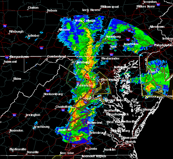 At 533 pm est, doppler radar indicated a line of severe thunderstorms capable of producing tornadoes. these dangerous storms were located along a line extending from dumfries to near fredericksburg, moving northeast at 45 mph. locations impacted include, stafford, fredericksburg, dale city, woodbridge, aquia creek, dumfries, montclair, triangle, falmouth, brooke, garrisonville, stones corner, brookfield, spring valley, hartwood, holly corner, aquia, roseville, arkendale and leeland. At 533 pm est, doppler radar indicated a line of severe thunderstorms capable of producing tornadoes. these dangerous storms were located along a line extending from dumfries to near fredericksburg, moving northeast at 45 mph. locations impacted include, stafford, fredericksburg, dale city, woodbridge, aquia creek, dumfries, montclair, triangle, falmouth, brooke, garrisonville, stones corner, brookfield, spring valley, hartwood, holly corner, aquia, roseville, arkendale and leeland.
|
| 2/24/2016 5:13 PM EST |
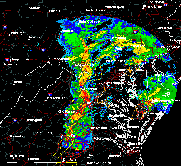 At 512 pm est, doppler radar indicated a severe thunderstorm capable of producing a tornado. this dangerous storm was located near fredericksburg, and moving northeast at 55 mph. At 512 pm est, doppler radar indicated a severe thunderstorm capable of producing a tornado. this dangerous storm was located near fredericksburg, and moving northeast at 55 mph.
|
| 2/24/2016 5:10 PM EST | Trees down on power lines at tacketts mill road and mill lan in stafford county VA, 9.2 miles SE of Stafford Courthouse, VA |
| 2/24/2016 5:00 PM EST |
 At 459 pm est, doppler radar indicated a severe thunderstorm capable of producing a tornado. this dangerous storm was located 9 miles northwest of spotsylvania, or 13 miles west of fredericksburg, moving northeast at 65 mph. locations impacted include, storck, hartwood, heflin, logan, holly corner, parker, dunavant, somerville, chancellorsville, roseville, cookstown, goldvein, ramoth and glendie. At 459 pm est, doppler radar indicated a severe thunderstorm capable of producing a tornado. this dangerous storm was located 9 miles northwest of spotsylvania, or 13 miles west of fredericksburg, moving northeast at 65 mph. locations impacted include, storck, hartwood, heflin, logan, holly corner, parker, dunavant, somerville, chancellorsville, roseville, cookstown, goldvein, ramoth and glendie.
|
| 2/24/2016 4:50 PM EST |
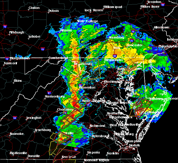 At 450 pm est, doppler radar indicated a severe thunderstorm capable of producing a tornado. this dangerous storm was located 11 miles north of mineral, and moving northeast at 65 mph. At 450 pm est, doppler radar indicated a severe thunderstorm capable of producing a tornado. this dangerous storm was located 11 miles north of mineral, and moving northeast at 65 mph.
|
| 7/1/2015 12:13 AM EDT | Tree down at poplar rd and tacketts mill rd in stafford county VA, 8.5 miles ESE of Stafford Courthouse, VA |
| 6/25/2015 9:55 PM EDT |
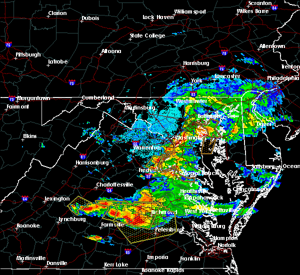 The severe thunderstorm warning for central stafford and southeastern prince william counties will expire at 1000 pm edt, the storm which prompted the warning has weakened below severe limits, and no longer poses an immediate threat to life or property. therefore the warning will be allowed to expire. The severe thunderstorm warning for central stafford and southeastern prince william counties will expire at 1000 pm edt, the storm which prompted the warning has weakened below severe limits, and no longer poses an immediate threat to life or property. therefore the warning will be allowed to expire.
|
| 6/25/2015 9:45 PM EDT |
 At 944 pm edt, doppler radar indicated a severe thunderstorm capable of producing quarter size hail and damaging winds in excess of 60 mph. this storm was located over stafford, moving east at 25 mph. locations impacted include, stafford, aquia creek, dale city, dumfries, montclair, triangle, brooke, garrisonville, aquia, roseville, arkendale, widewater, ramoth and cherry hill. At 944 pm edt, doppler radar indicated a severe thunderstorm capable of producing quarter size hail and damaging winds in excess of 60 mph. this storm was located over stafford, moving east at 25 mph. locations impacted include, stafford, aquia creek, dale city, dumfries, montclair, triangle, brooke, garrisonville, aquia, roseville, arkendale, widewater, ramoth and cherry hill.
|
| 6/25/2015 9:32 PM EDT |
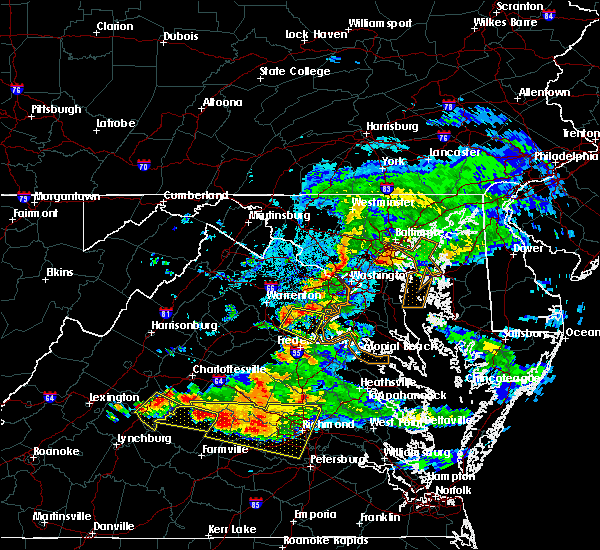 At 931 pm edt, doppler radar indicated a severe thunderstorm capable of producing quarter size hail and damaging winds in excess of 60 mph. this storm was located 10 miles west of montclair, or 11 miles southwest of dale city, moving east at 25 mph. in addition, at 930 pm quarter size hail was reported in stafford. locations impacted include, stafford, aquia creek, dale city, dumfries, montclair, triangle, brooke, garrisonville, aden, ruby, heflin, somerville, aquia, roseville, arkendale, widewater, independent hill, ramoth and cherry hill. At 931 pm edt, doppler radar indicated a severe thunderstorm capable of producing quarter size hail and damaging winds in excess of 60 mph. this storm was located 10 miles west of montclair, or 11 miles southwest of dale city, moving east at 25 mph. in addition, at 930 pm quarter size hail was reported in stafford. locations impacted include, stafford, aquia creek, dale city, dumfries, montclair, triangle, brooke, garrisonville, aden, ruby, heflin, somerville, aquia, roseville, arkendale, widewater, independent hill, ramoth and cherry hill.
|
| 6/25/2015 9:30 PM EDT | Quarter sized hail reported 9.2 miles SE of Stafford Courthouse, VA |
| 6/25/2015 9:18 PM EDT |
 At 917 pm edt, doppler radar indicated a severe thunderstorm capable of producing quarter size hail and damaging winds in excess of 60 mph. this storm was located 7 miles east of bealeton, or 12 miles southeast of warrenton, and moving east at 25 mph. At 917 pm edt, doppler radar indicated a severe thunderstorm capable of producing quarter size hail and damaging winds in excess of 60 mph. this storm was located 7 miles east of bealeton, or 12 miles southeast of warrenton, and moving east at 25 mph.
|
| 6/23/2015 8:00 PM EDT |
 At 800 pm edt, doppler radar indicated a line of severe thunderstorms capable of producing quarter size hail and damaging winds in excess of 60 mph. these storms were located along a line extending from 6 miles south of tilghman island to 8 miles west of stafford, and moving southeast at 30 mph. At 800 pm edt, doppler radar indicated a line of severe thunderstorms capable of producing quarter size hail and damaging winds in excess of 60 mph. these storms were located along a line extending from 6 miles south of tilghman island to 8 miles west of stafford, and moving southeast at 30 mph.
|
| 6/23/2015 7:41 PM EDT |
 At 740 pm edt, doppler radar indicated a line of severe thunderstorms capable of producing quarter size hail and damaging winds in excess of 60 mph. these storms were located along a line extending from near rhode river to 10 miles east of bealeton, moving southeast at 40 mph. locations impacted include, arlington, stafford, bowie, fairfax, falls church, bladensburg, la plata, chesapeake beach, upper marlboro, springfield, mantua, gallaudet university, nationals park, clinton, coral hills, woodbridge, largo, fedex field, rhode river and forestville. At 740 pm edt, doppler radar indicated a line of severe thunderstorms capable of producing quarter size hail and damaging winds in excess of 60 mph. these storms were located along a line extending from near rhode river to 10 miles east of bealeton, moving southeast at 40 mph. locations impacted include, arlington, stafford, bowie, fairfax, falls church, bladensburg, la plata, chesapeake beach, upper marlboro, springfield, mantua, gallaudet university, nationals park, clinton, coral hills, woodbridge, largo, fedex field, rhode river and forestville.
|
| 6/23/2015 7:14 PM EDT |
 At 714 pm edt, doppler radar indicated a line of severe thunderstorms capable of producing quarter size hail and damaging winds in excess of 60 mph. these storms were located along a line extending from near grasonville to 9 miles south of linton hall, and moving southeast at 35 mph. At 714 pm edt, doppler radar indicated a line of severe thunderstorms capable of producing quarter size hail and damaging winds in excess of 60 mph. these storms were located along a line extending from near grasonville to 9 miles south of linton hall, and moving southeast at 35 mph.
|
| 6/20/2015 8:08 PM EDT |
 The tornado warning for northeastern spotsylvania, southwestern stafford and southeastern culpeper counties will expire at 815 pm edt, the storm which prompted the warning has weakened below severe limits, and no longer appears to be capable of producing a tornado. therefore the warning will be allowed to expire. The tornado warning for northeastern spotsylvania, southwestern stafford and southeastern culpeper counties will expire at 815 pm edt, the storm which prompted the warning has weakened below severe limits, and no longer appears to be capable of producing a tornado. therefore the warning will be allowed to expire.
|
| 6/20/2015 7:54 PM EDT |
 The severe thunderstorm warning for northern spotsylvania, stafford, west central fairfax, prince william, eastern fauquier, southeastern loudoun and eastern culpeper counties, the city of manassas and the city of manassas park will expire at 800 pm edt, the storms which prompted the warning have moved out of the area. therefore the warning will be allowed to expire. The severe thunderstorm warning for northern spotsylvania, stafford, west central fairfax, prince william, eastern fauquier, southeastern loudoun and eastern culpeper counties, the city of manassas and the city of manassas park will expire at 800 pm edt, the storms which prompted the warning have moved out of the area. therefore the warning will be allowed to expire.
|
| 6/20/2015 7:49 PM EDT |
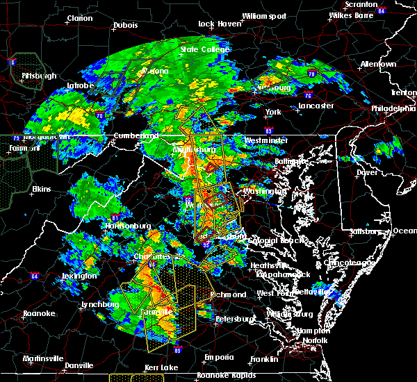 At 749 pm edt, trained weather spotters reported a funnel cloud near fredericksburg. a tornado may develop at any time. doppler radar showed this dangerous storm moving northeast at 30 mph. At 749 pm edt, trained weather spotters reported a funnel cloud near fredericksburg. a tornado may develop at any time. doppler radar showed this dangerous storm moving northeast at 30 mph.
|
| 6/20/2015 7:48 PM EDT |
 At 748 pm edt, doppler radar indicated a line of severe thunderstorms capable of producing damaging winds in excess of 60 mph. these storms were located along a line extending from broadlands to near bull run to 6 miles northwest of fredericksburg, and moving east at 25 mph. At 748 pm edt, doppler radar indicated a line of severe thunderstorms capable of producing damaging winds in excess of 60 mph. these storms were located along a line extending from broadlands to near bull run to 6 miles northwest of fredericksburg, and moving east at 25 mph.
|
| 6/20/2015 7:21 PM EDT |
 At 721 pm edt, doppler radar indicated a line of severe thunderstorms capable of producing damaging winds in excess of 60 mph. these storms were located along a line extending from near arcola to near spotsylvania, and moving east at 30 mph. At 721 pm edt, doppler radar indicated a line of severe thunderstorms capable of producing damaging winds in excess of 60 mph. these storms were located along a line extending from near arcola to near spotsylvania, and moving east at 30 mph.
|
| 6/15/2015 6:23 PM EDT |
 At 623 pm edt, doppler radar indicated a severe thunderstorm capable of producing quarter size hail and damaging winds in excess of 60 mph. this storm was located near potomac creek, and moving east at 35 mph. At 623 pm edt, doppler radar indicated a severe thunderstorm capable of producing quarter size hail and damaging winds in excess of 60 mph. this storm was located near potomac creek, and moving east at 35 mph.
|
| 6/15/2015 6:14 PM EDT |
 At 613 pm edt, doppler radar indicated a severe thunderstorm capable of producing quarter size hail and damaging winds in excess of 60 mph. this storm was located near fredericksburg, moving east at 35 mph. locations impacted include, stafford, fredericksburg, falmouth, chancellorsville, brooke, stones corner, leeland, brookfield, ramoth, spring valley, hartwood, glendie and holly corner. At 613 pm edt, doppler radar indicated a severe thunderstorm capable of producing quarter size hail and damaging winds in excess of 60 mph. this storm was located near fredericksburg, moving east at 35 mph. locations impacted include, stafford, fredericksburg, falmouth, chancellorsville, brooke, stones corner, leeland, brookfield, ramoth, spring valley, hartwood, glendie and holly corner.
|
| 6/15/2015 5:57 PM EDT |
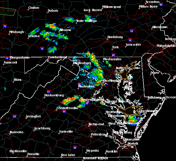 At 557 pm edt, doppler radar indicated a severe thunderstorm capable of producing quarter size hail and damaging winds in excess of 60 mph. this storm was located 10 miles northwest of fredericksburg, and moving east at 25 mph. At 557 pm edt, doppler radar indicated a severe thunderstorm capable of producing quarter size hail and damaging winds in excess of 60 mph. this storm was located 10 miles northwest of fredericksburg, and moving east at 25 mph.
|
| 4/20/2015 8:39 PM EDT | At 838 pm edt, doppler radar indicated a severe thunderstorm capable of producing damaging winds in excess of 60 mph. this storm was located near fredericksburg, moving northeast at 45 mph. locations impacted include, stafford, fredericksburg, aquia creek, potomac creek, massaponax, spotsylvania, post oak, alsop, passapatanzy, spring valley, logan, holly corner, aquia, chancellorsville, arkendale, widewater, snell, glendie, falmouth and brooke. a tornado watch remains in effect until 1000 pm edt for southern maryland and northern virginia. |
| 4/20/2015 8:39 PM EDT | At 838 pm edt, doppler radar indicated a severe thunderstorm capable of producing damaging winds in excess of 60 mph. this storm was located near fredericksburg, moving northeast at 45 mph. locations impacted include, stafford, fredericksburg, aquia creek, potomac creek, massaponax, spotsylvania, post oak, alsop, passapatanzy, spring valley, logan, holly corner, aquia, chancellorsville, arkendale, widewater, snell, glendie, falmouth and brooke. a tornado watch remains in effect until 1000 pm edt for southern maryland and northern virginia. |
| 4/20/2015 8:11 PM EDT | At 811 pm edt, doppler radar indicated a severe thunderstorm capable of producing damaging winds in excess of 60 mph. this storm was located near spotsylvania, or 14 miles southwest of fredericksburg, and moving northeast at 40 mph. |
| 4/20/2015 8:11 PM EDT | At 811 pm edt, doppler radar indicated a severe thunderstorm capable of producing damaging winds in excess of 60 mph. this storm was located near spotsylvania, or 14 miles southwest of fredericksburg, and moving northeast at 40 mph. |
| 6/28/2013 3:35 PM EDT | Measured wind gust of 53 kts in stafford county VA, 2 miles NE of Stafford Courthouse, VA |
| 6/28/2013 3:35 PM EDT | Storm damage reported in stafford county VA, 2 miles NE of Stafford Courthouse, VA |
| 6/26/2013 3:38 PM EDT | Trees and power lines down across route 1 between layhill road and truslow road in stafford county VA, 1.3 miles W of Stafford Courthouse, VA |
| 6/26/2013 3:25 PM EDT | Trees and power lines down across route 1 between layhill road and truslow road in stafford county VA, 1.3 miles W of Stafford Courthouse, VA |
| 7/8/2012 4:47 PM EDT | Tree down at 1500 poplar rd in stafford county VA, 7.4 miles ESE of Stafford Courthouse, VA |
| 6/30/2012 12:35 AM EDT | Large oak trees down on hwy. at rt 1 and layhill ave... blocking 3 lanes in stafford county VA, 2 miles NE of Stafford Courthouse, VA |
| 6/29/2012 10:25 PM EDT | Numerous trees down on winding creek roa in stafford county VA, 3.1 miles SSE of Stafford Courthouse, VA |
| 6/29/2012 10:25 PM EDT | Large oak trees down on hwy. at rt 1 and layhill ave... blocking 3 lanes in stafford county VA, 2 miles NE of Stafford Courthouse, VA |
| 6/29/2012 10:22 PM EDT | Tree blocking the roadway near the intersection of mount view and joshua roa in stafford county VA, 6.2 miles ESE of Stafford Courthouse, VA |
| 6/29/2012 10:22 PM EDT | Numerous trees down on arrowhead driv in stafford county VA, 8.8 miles SE of Stafford Courthouse, VA |
| 5/15/2012 8:05 PM EDT | 2 trees down near intersection of jefferson davis highway and perchwood roa in stafford county VA, 2.3 miles NNE of Stafford Courthouse, VA |
| 1/1/0001 12:00 AM | Extensive tree damage county wide in stafford county VA, 1.3 miles W of Stafford Courthouse, VA |
| 1/1/0001 12:00 AM | Quarter sized hail reported 1 miles SW of Stafford Courthouse, VA |
| 1/1/0001 12:00 AM | Multiple trees and power lines down near decatur r in stafford county VA, 1.3 miles W of Stafford Courthouse, VA |
Hail Maps for Stafford Courthouse, VA
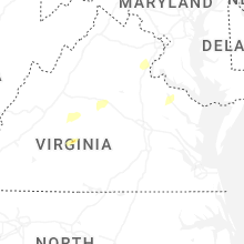


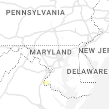
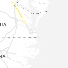
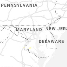


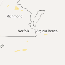


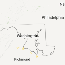


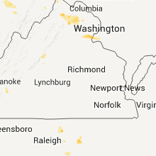


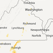

Connect with Interactive Hail Maps