

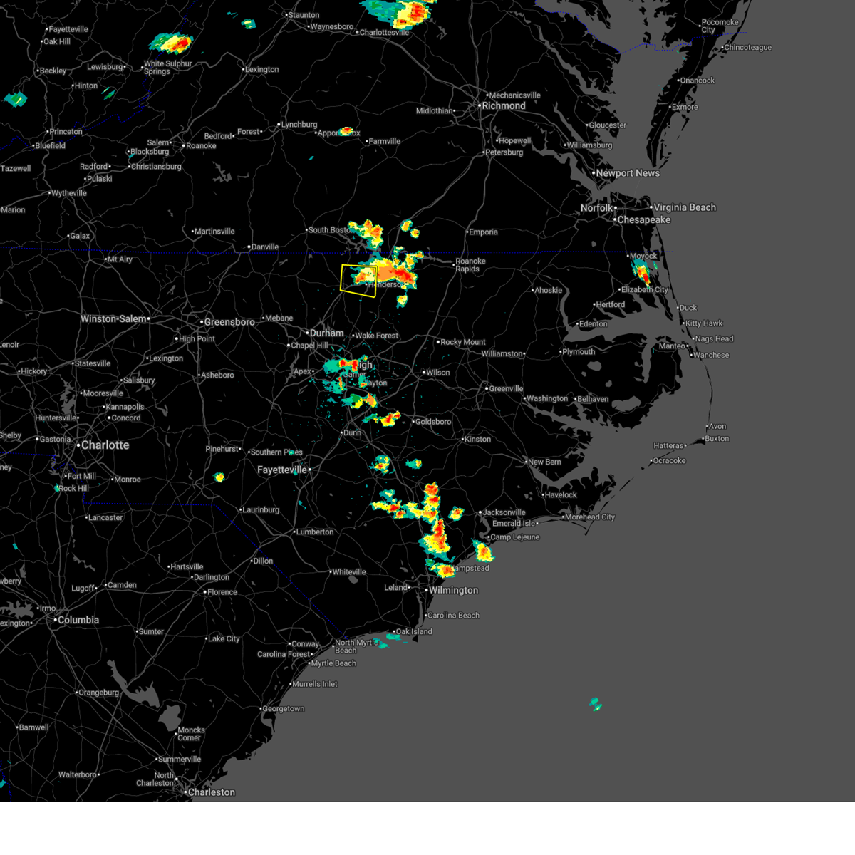
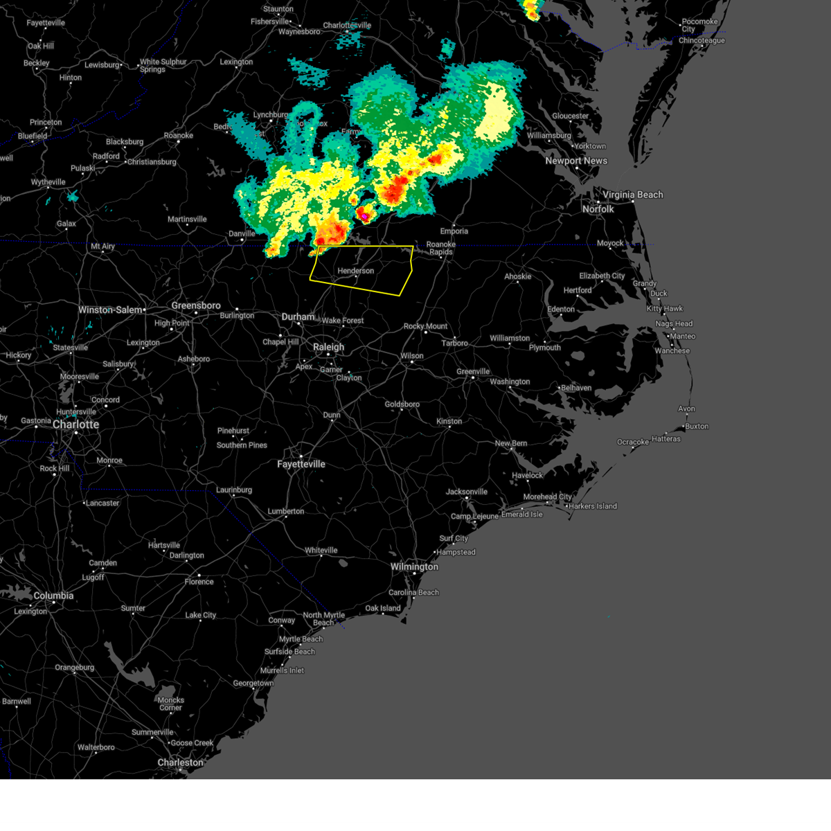
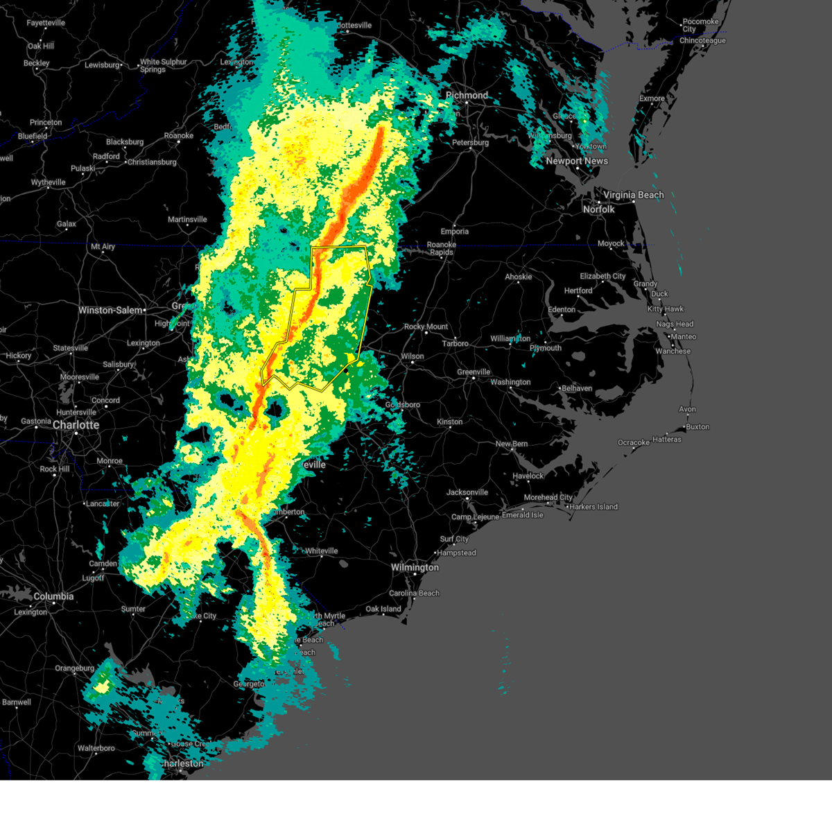
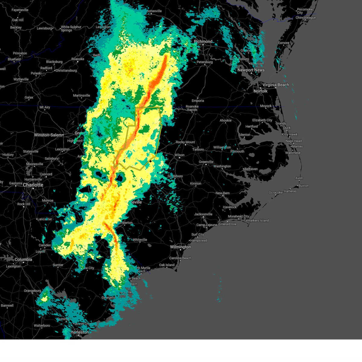
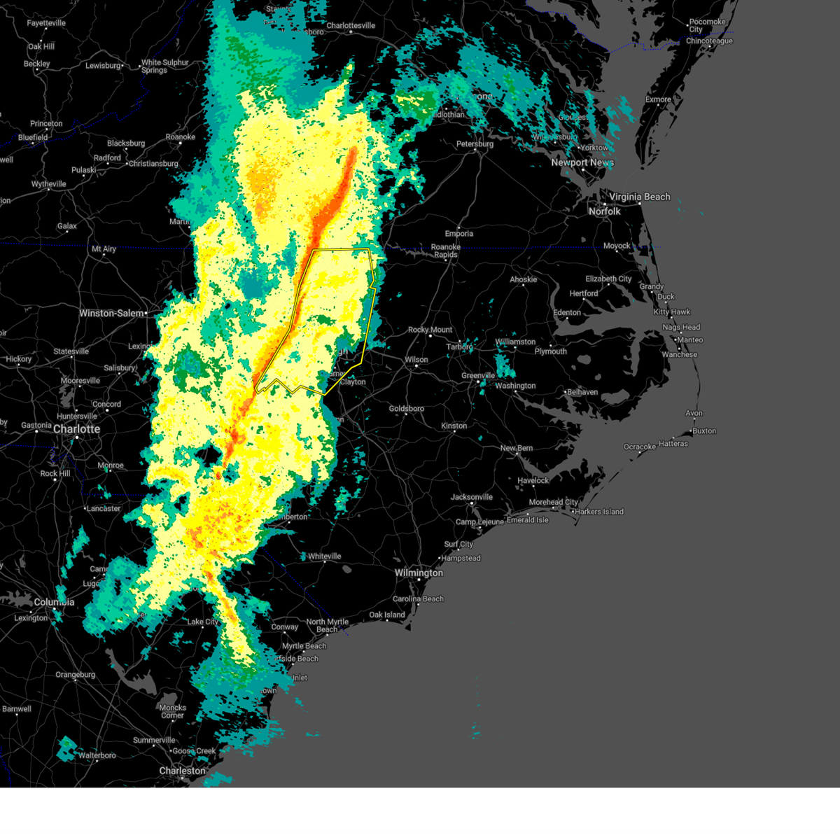
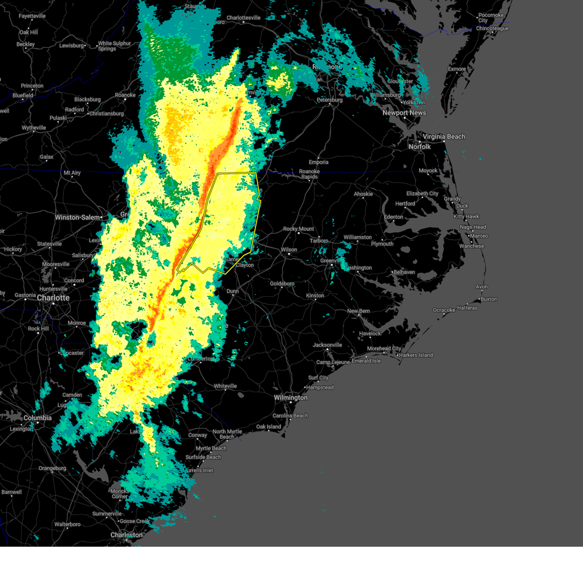
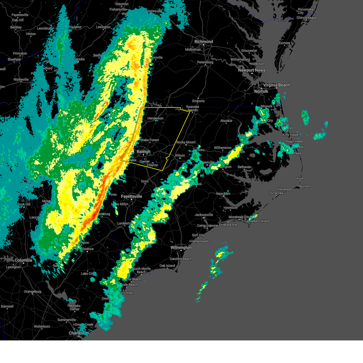
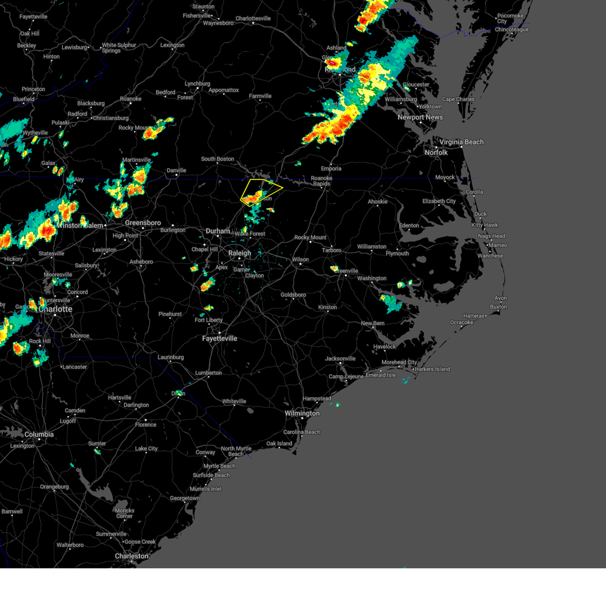
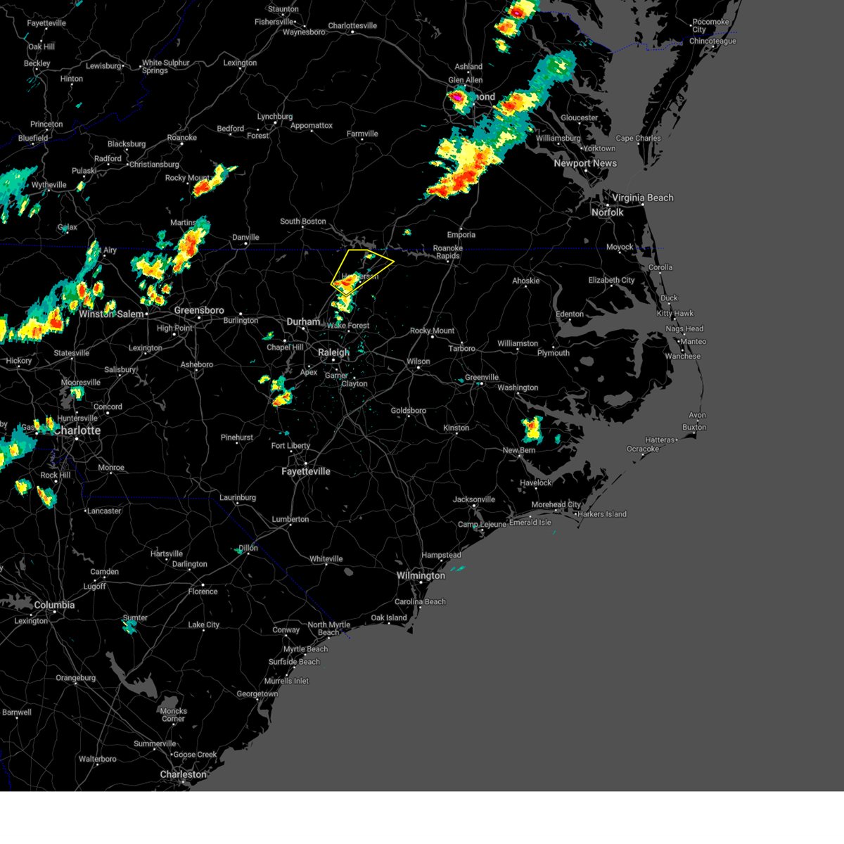
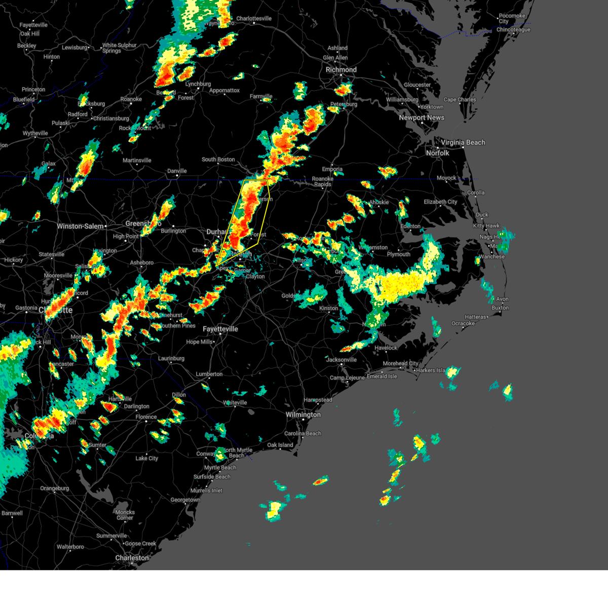
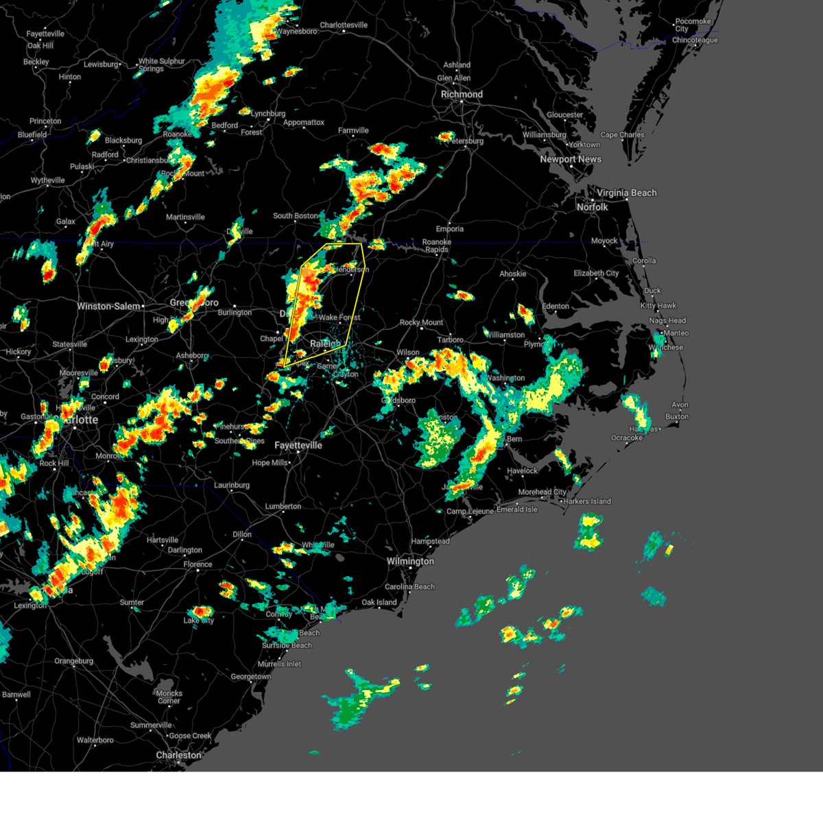
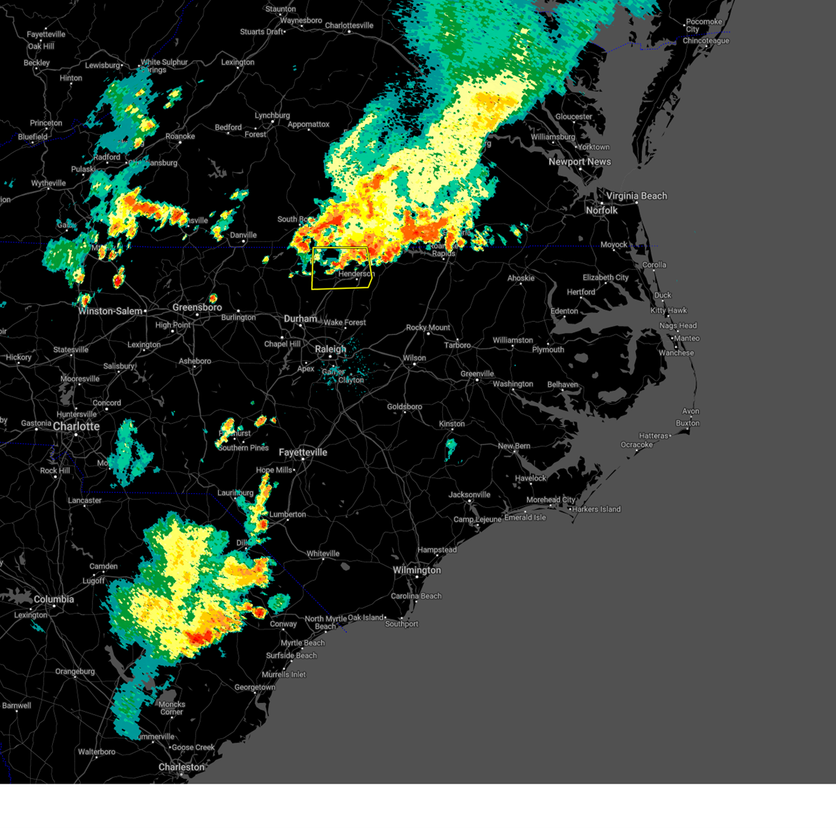
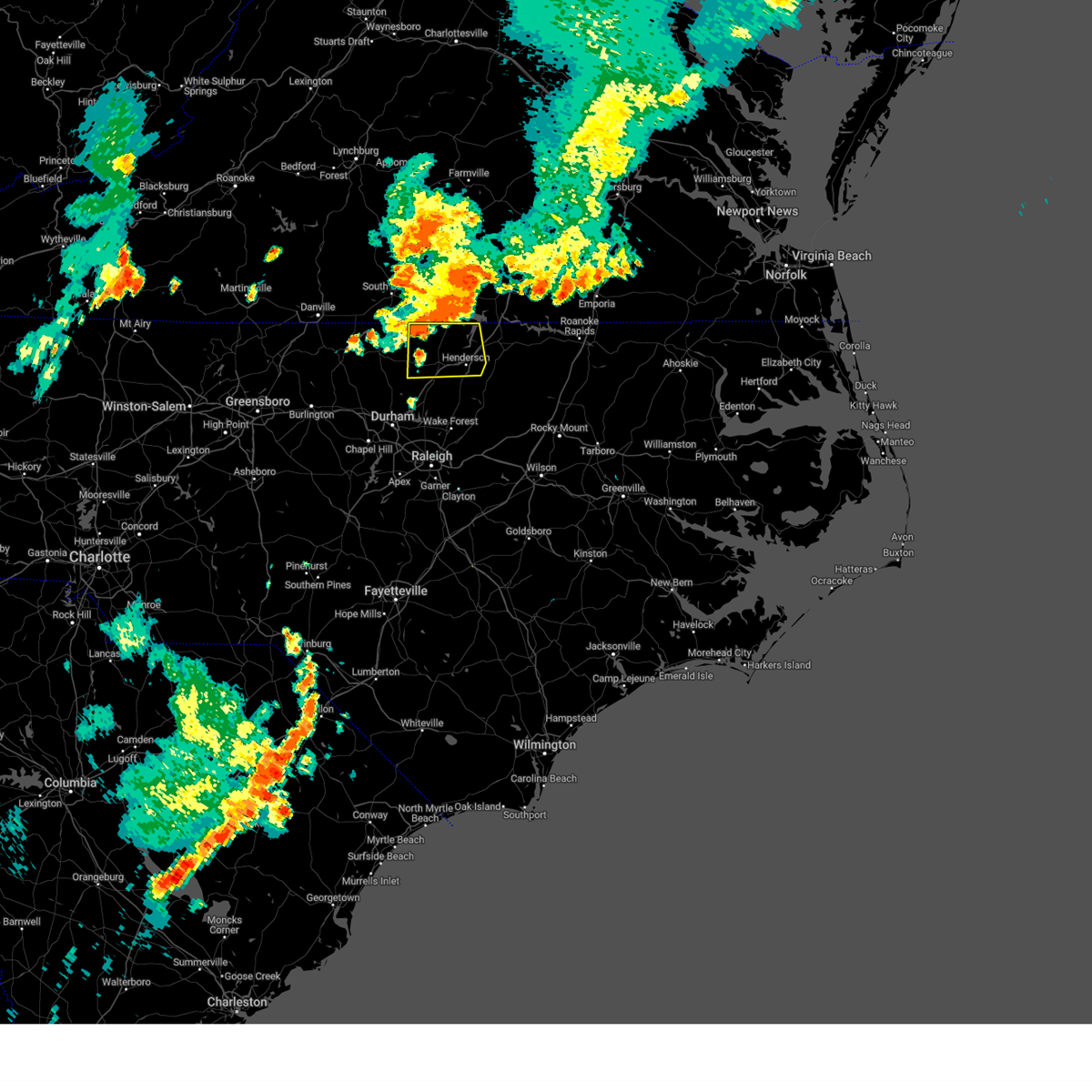
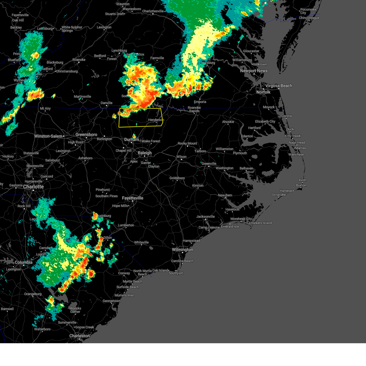
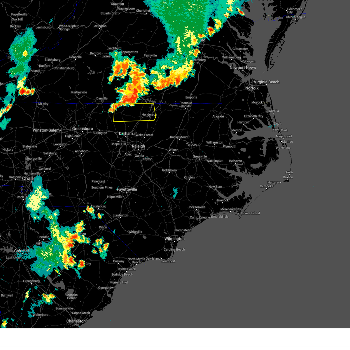
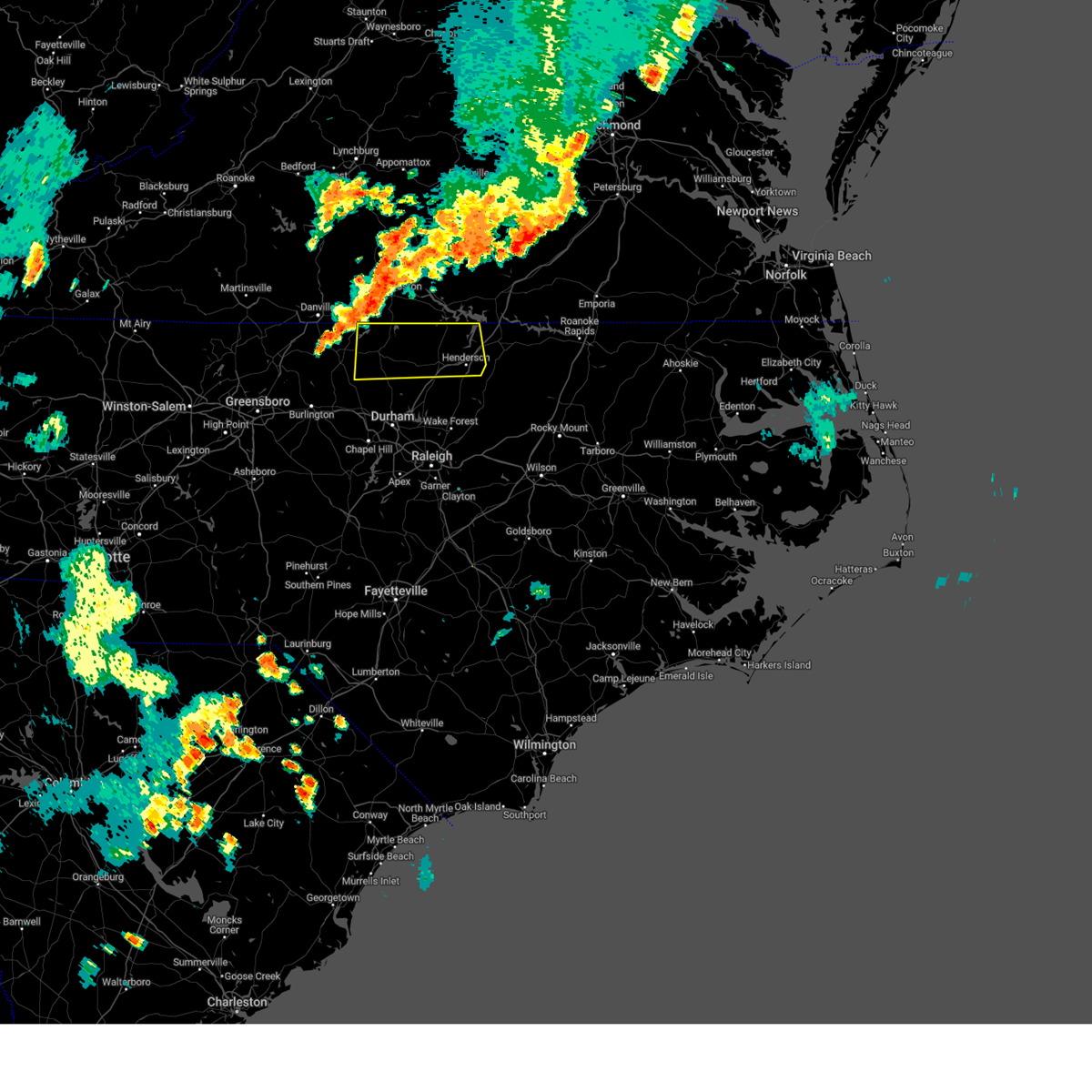
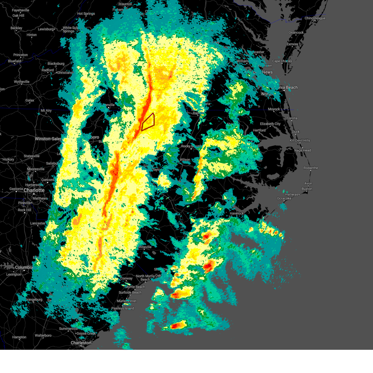
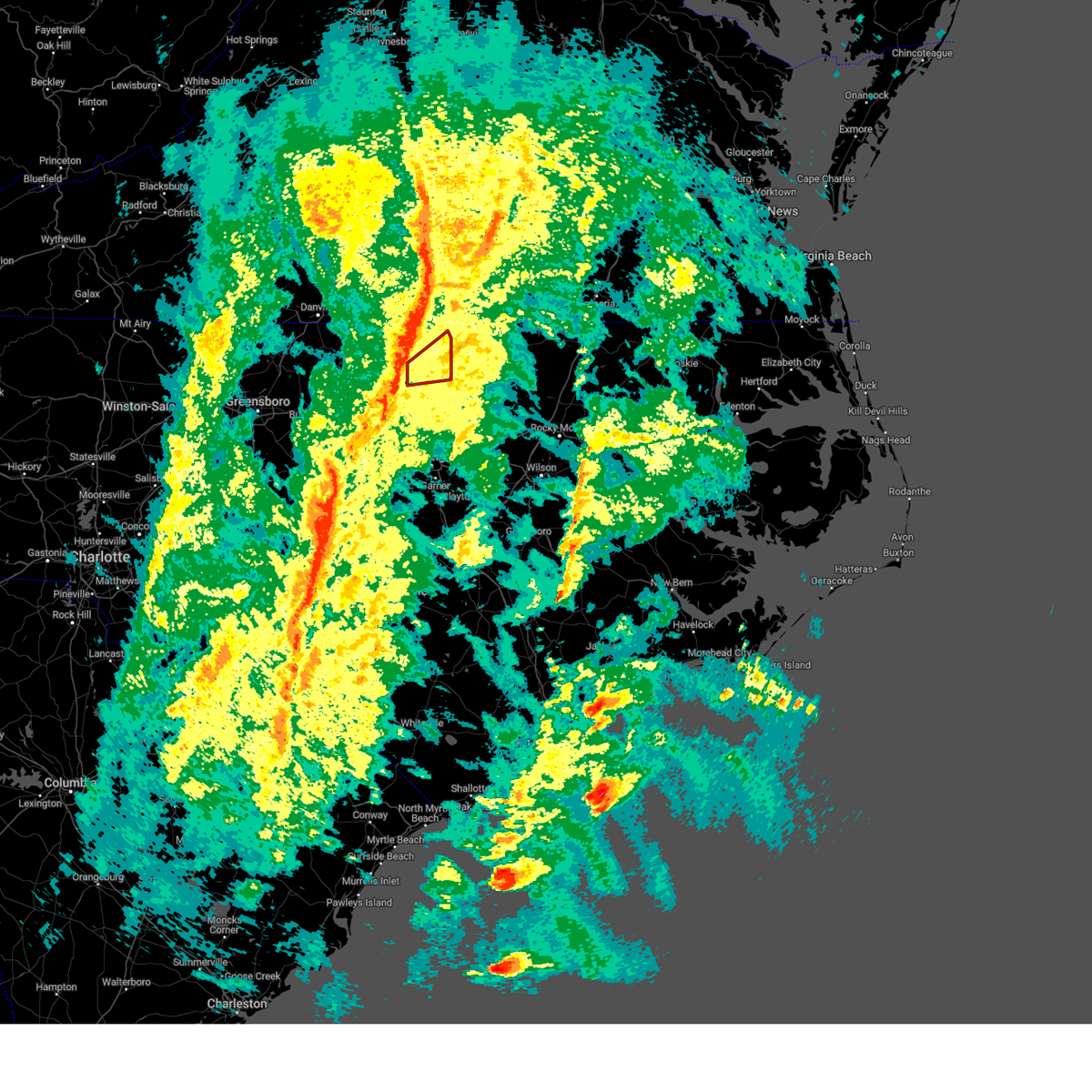
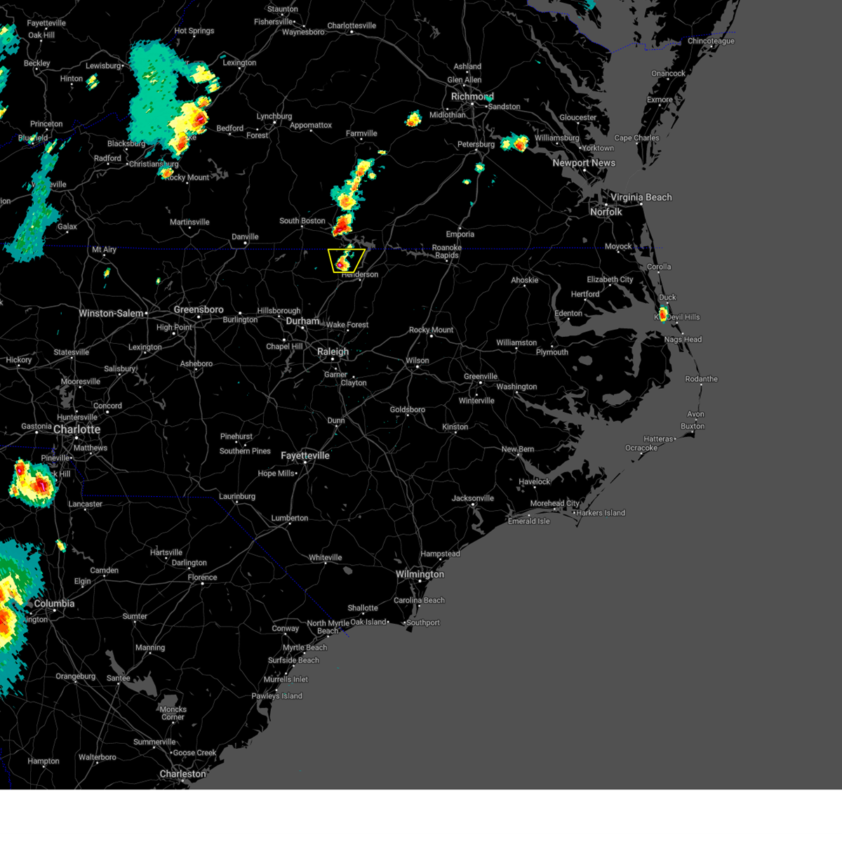
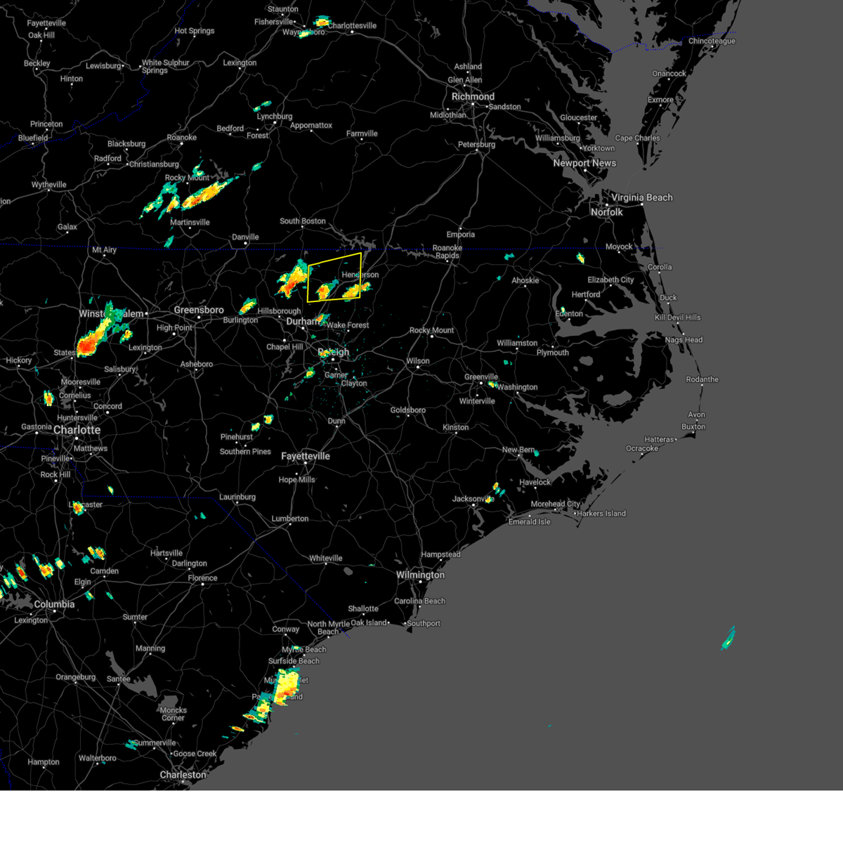
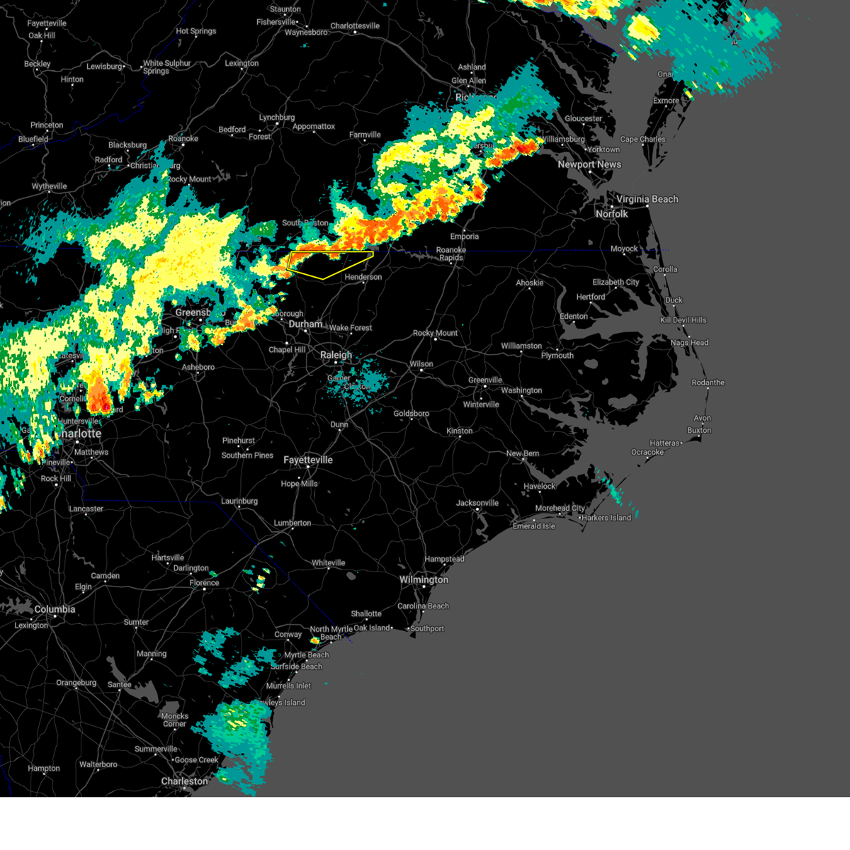
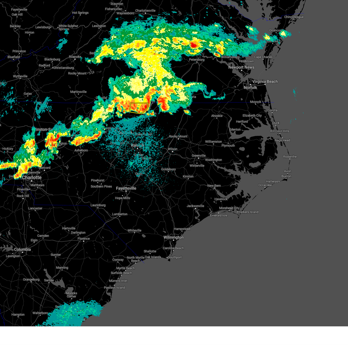
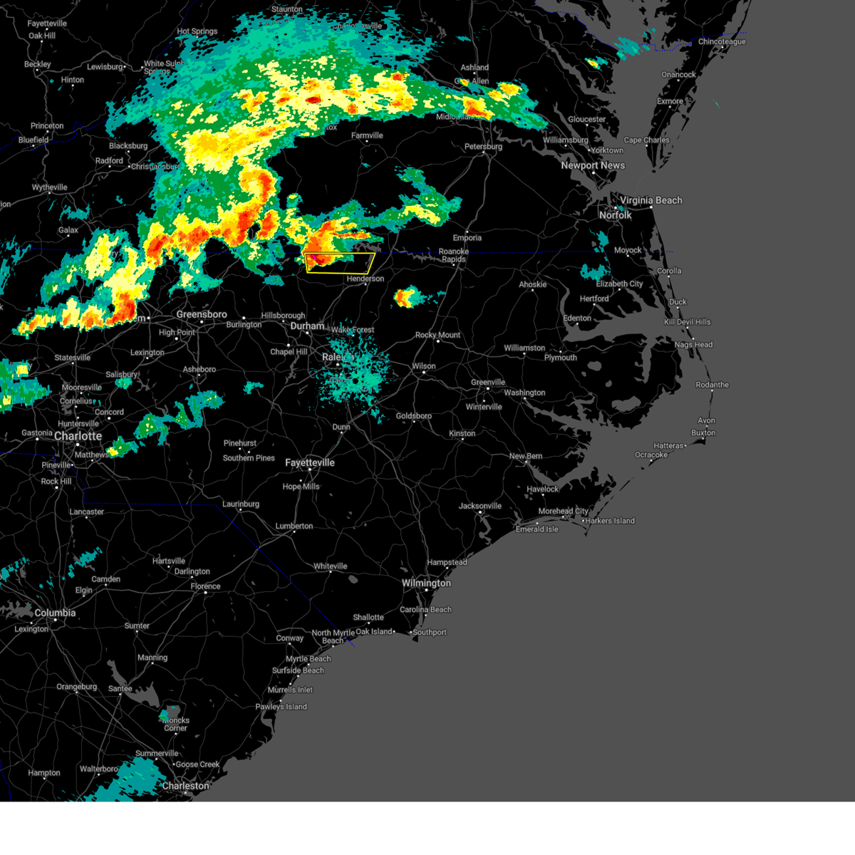
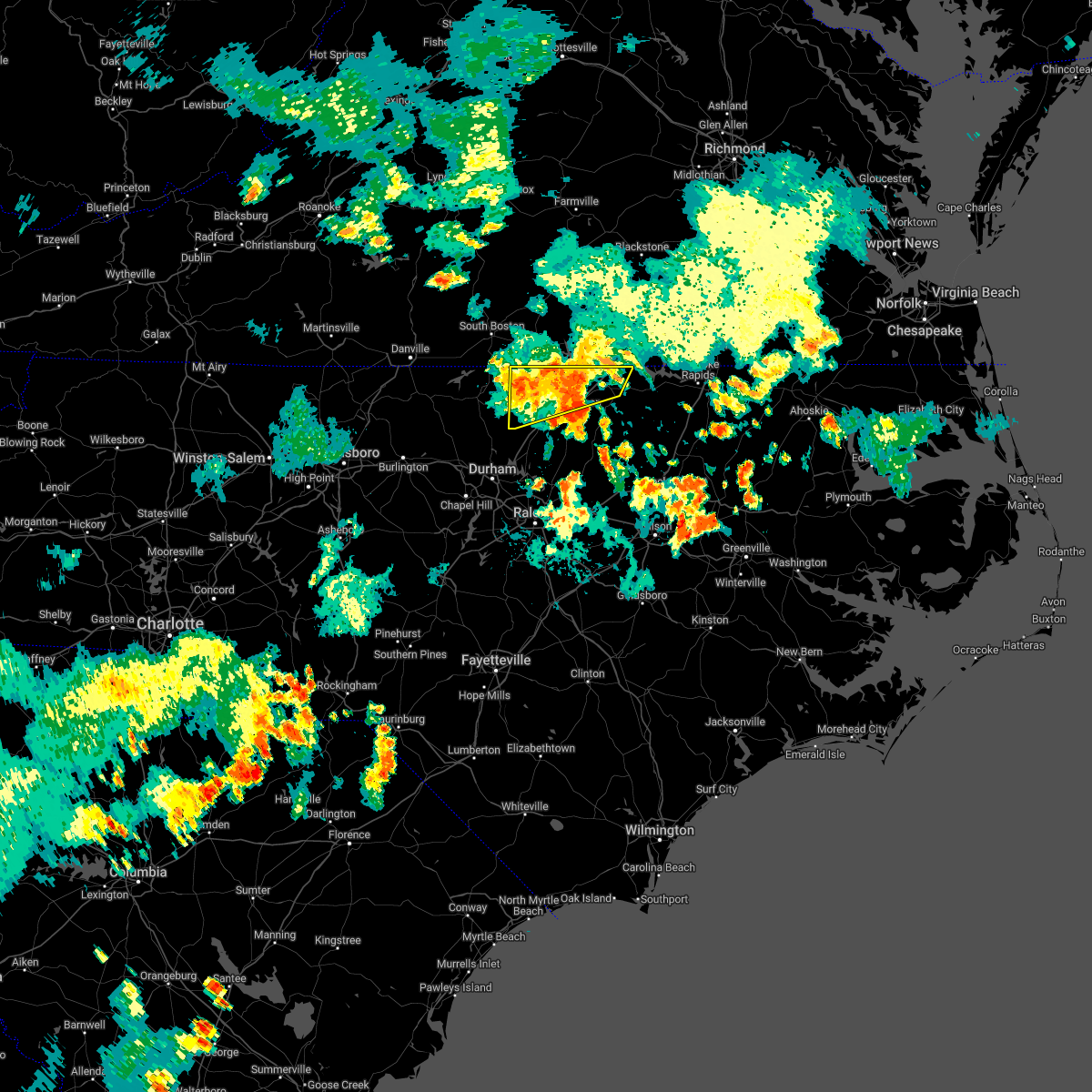
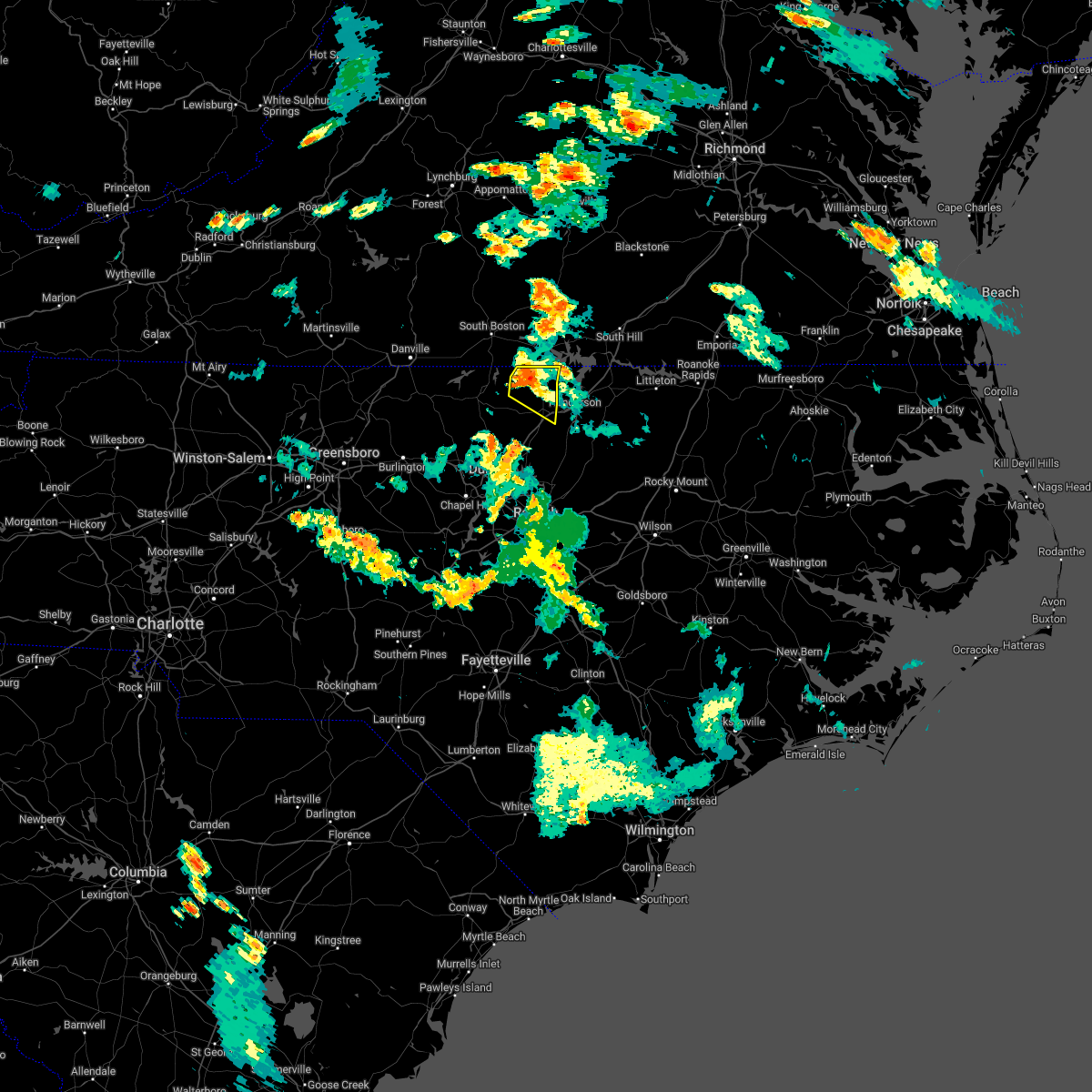
Hail Map for Stovall, NC
The Stovall, NC area has had 0 reports of on-the-ground hail by trained spotters, and has been under severe weather warnings 38 times during the past 12 months. Doppler radar has detected hail at or near Stovall, NC on 43 occasions, including 3 occasions during the past year.
| Name: | Stovall, NC |
| Where Located: | 45.8 miles N of Raleigh, NC |
| Map: | Google Map for Stovall, NC |
| Population: | 418 |
| Housing Units: | 191 |
| More Info: | Search Google for Stovall, NC |
0
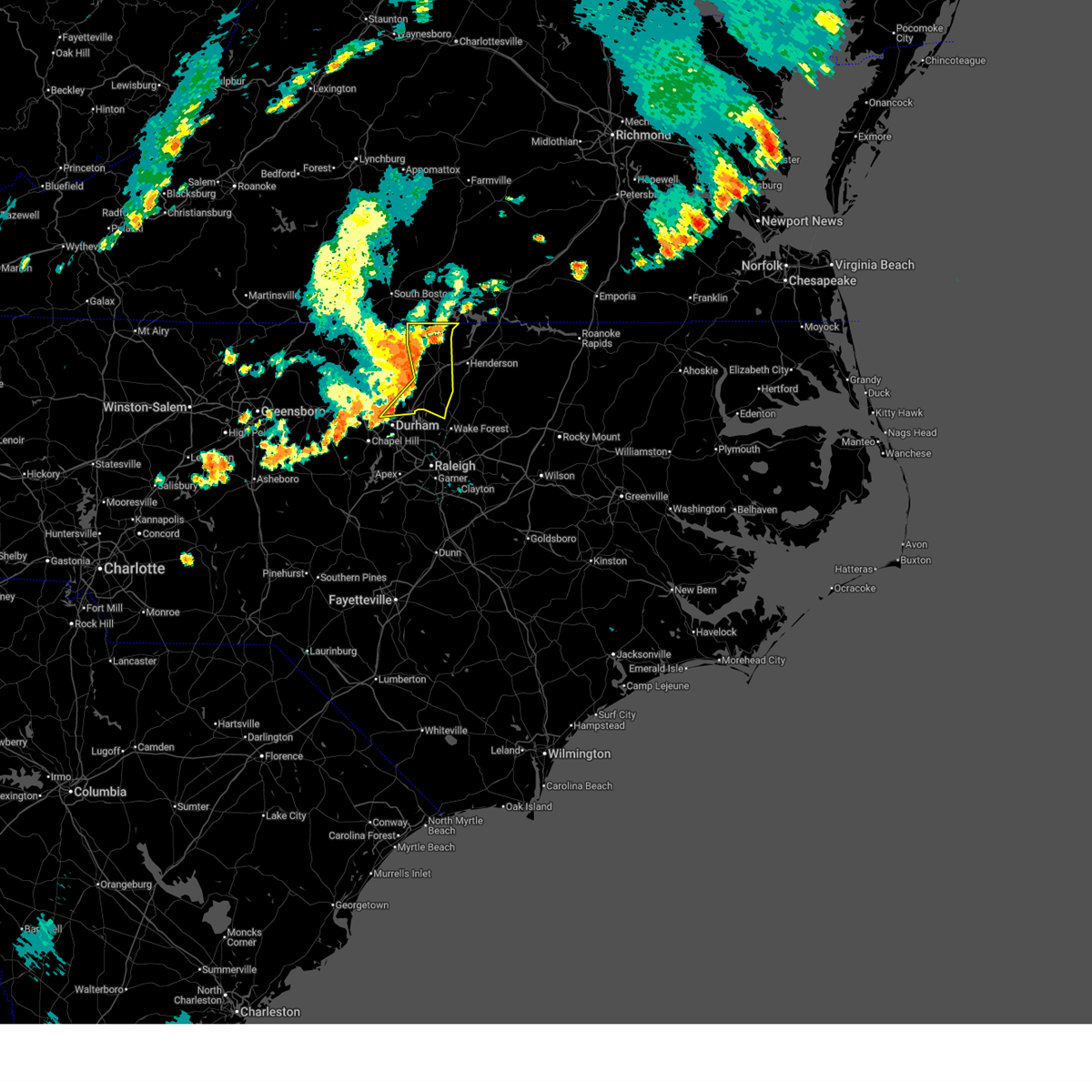
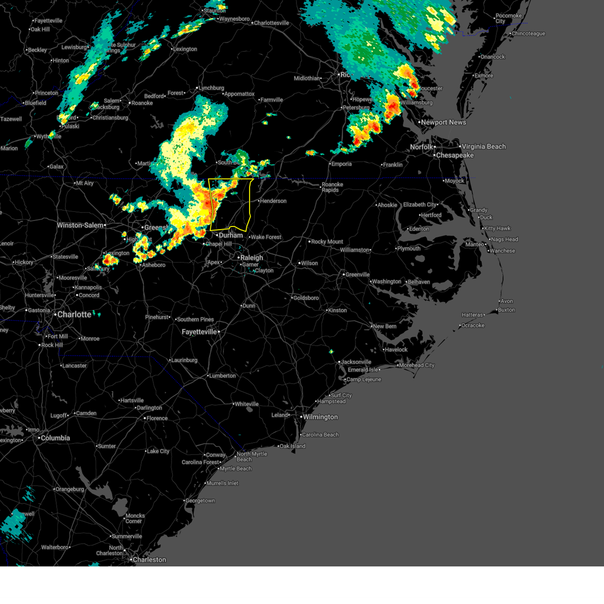
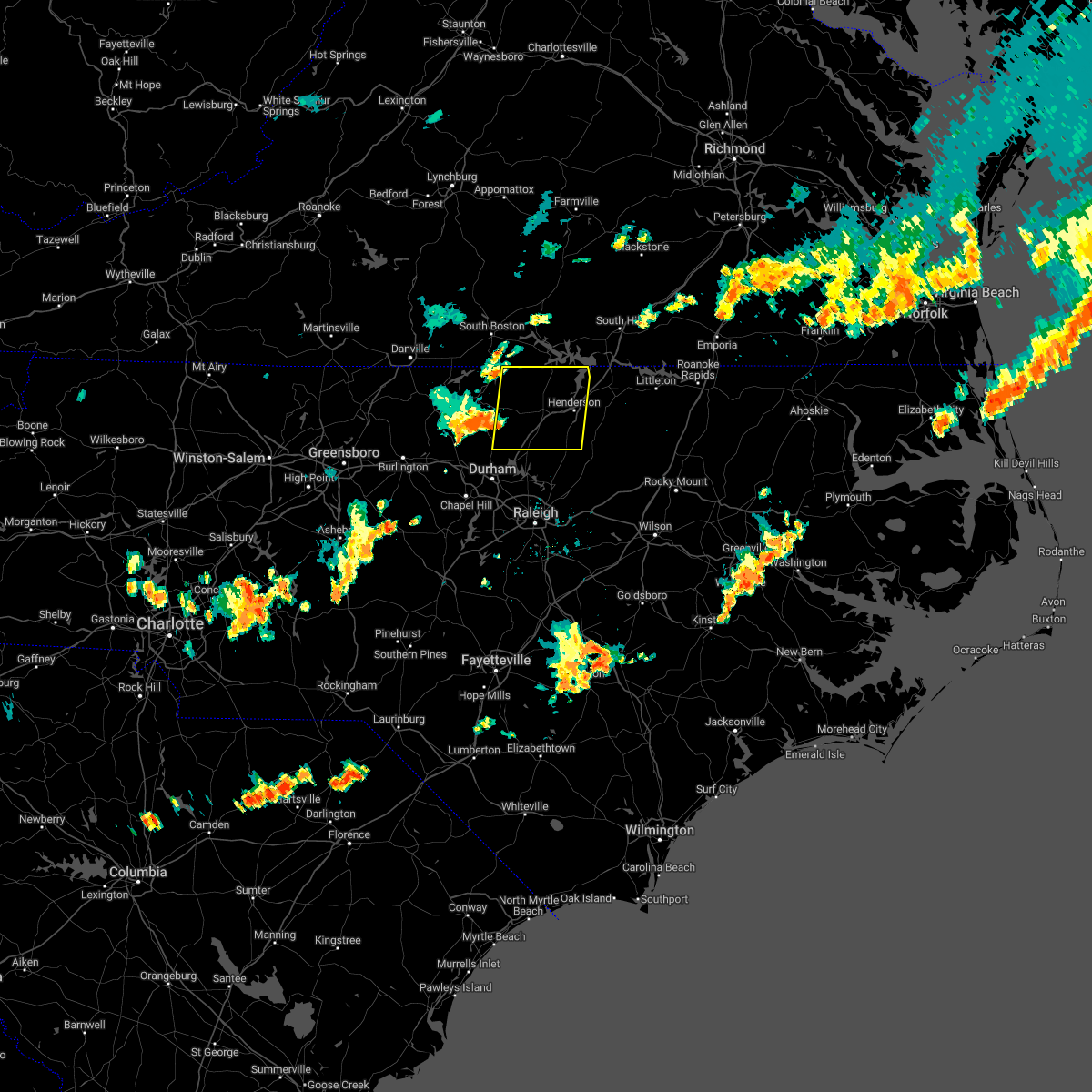
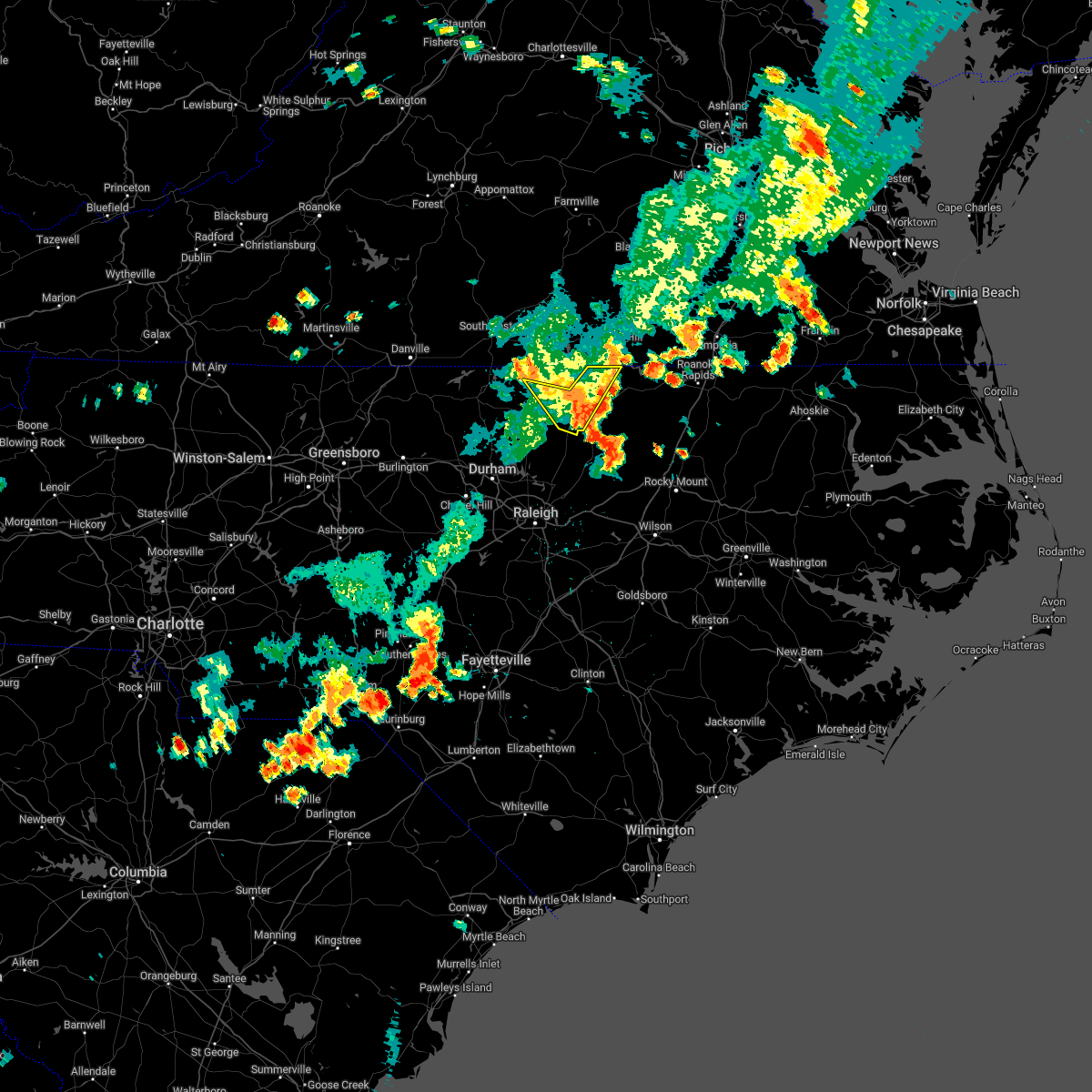
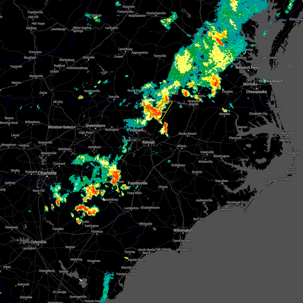
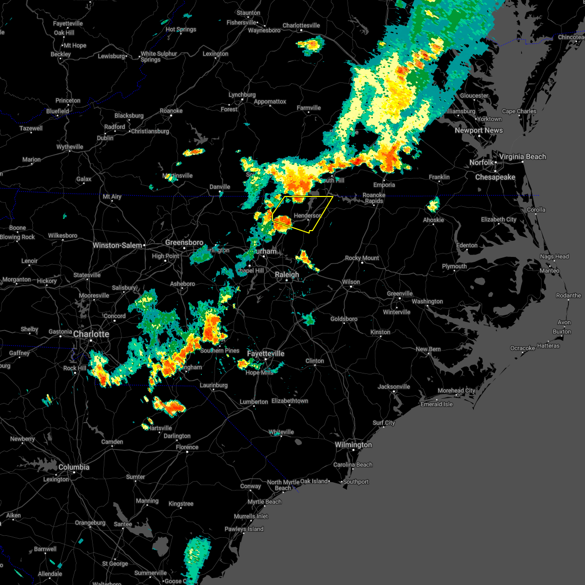
The Top Recent Hail Date for Stovall, NC is Wednesday, July 9, 2025 (43rd out of 43)

Hail and Wind Damage Spotted near Stovall, NC
| Date / Time | Report Details |
|---|---|
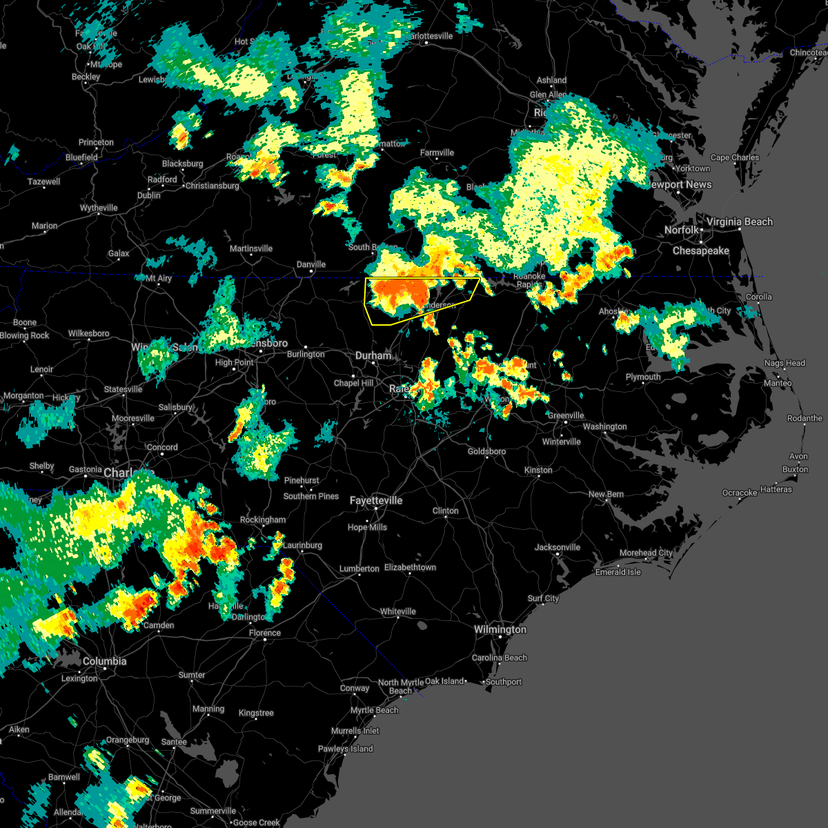
| 7/9/2025 7:58 PM EDT |
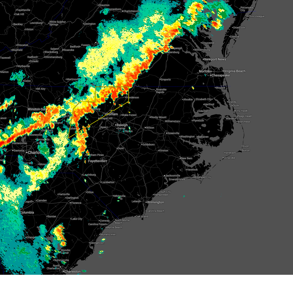
 The storms which prompted the warning have weakened below severe limits, and no longer pose an immediate threat to life or property. therefore, the warning will be allowed to expire. however, strong gusty winds are still possible with these thunderstorms, and they will continue to be monitored for restrengthening. The storms which prompted the warning have weakened below severe limits, and no longer pose an immediate threat to life or property. therefore, the warning will be allowed to expire. however, strong gusty winds are still possible with these thunderstorms, and they will continue to be monitored for restrengthening.
|
| 7/9/2025 7:39 PM EDT |
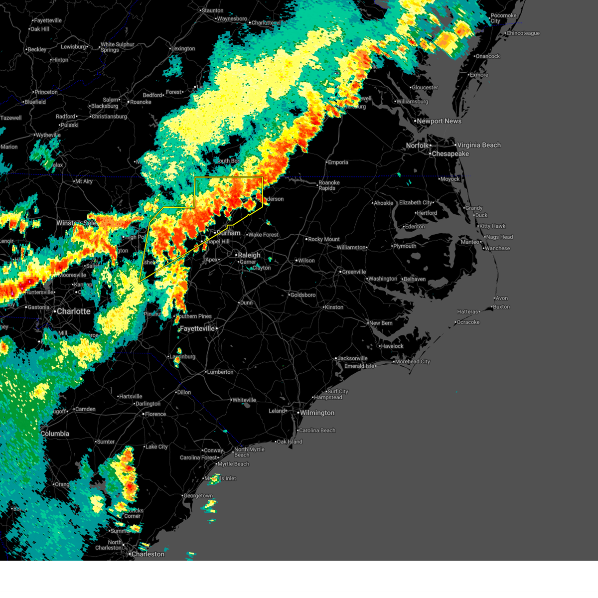
 At 739 pm edt, severe thunderstorms were located along a line extending from 11 miles north of henderson to 9 miles northeast of randleman, moving east at 55 mph (radar indicated). Hazards include 60 mph wind gusts and penny size hail. Expect damage to roofs, siding, and trees. Locations impacted include, durham, chapel hill, burlington, henderson, graham, oxford, roxboro, hillsborough, creedmoor, and siler city. At 739 pm edt, severe thunderstorms were located along a line extending from 11 miles north of henderson to 9 miles northeast of randleman, moving east at 55 mph (radar indicated). Hazards include 60 mph wind gusts and penny size hail. Expect damage to roofs, siding, and trees. Locations impacted include, durham, chapel hill, burlington, henderson, graham, oxford, roxboro, hillsborough, creedmoor, and siler city.
|
| 7/9/2025 7:39 PM EDT |
 the severe thunderstorm warning has been cancelled and is no longer in effect the severe thunderstorm warning has been cancelled and is no longer in effect
|
| 7/9/2025 6:58 PM EDT |
 Svrrah the national weather service in raleigh has issued a * severe thunderstorm warning for, alamance county in central north carolina, southeastern forsyth county in central north carolina, person county in central north carolina, vance county in central north carolina, orange county in central north carolina, davidson county in central north carolina, granville county in central north carolina, randolph county in central north carolina, guilford county in central north carolina, durham county in central north carolina, northwestern chatham county in central north carolina, * until 800 pm edt. * at 658 pm edt, severe thunderstorms were located along a line extending from near virgilina to near linwood, moving southeast at 15 mph (radar indicated). Hazards include 60 mph wind gusts and penny size hail. expect damage to roofs, siding, and trees Svrrah the national weather service in raleigh has issued a * severe thunderstorm warning for, alamance county in central north carolina, southeastern forsyth county in central north carolina, person county in central north carolina, vance county in central north carolina, orange county in central north carolina, davidson county in central north carolina, granville county in central north carolina, randolph county in central north carolina, guilford county in central north carolina, durham county in central north carolina, northwestern chatham county in central north carolina, * until 800 pm edt. * at 658 pm edt, severe thunderstorms were located along a line extending from near virgilina to near linwood, moving southeast at 15 mph (radar indicated). Hazards include 60 mph wind gusts and penny size hail. expect damage to roofs, siding, and trees
|
| 6/25/2025 2:57 PM EDT |
 the severe thunderstorm warning has been cancelled and is no longer in effect the severe thunderstorm warning has been cancelled and is no longer in effect
|
| 6/25/2025 2:27 PM EDT |
 Svrrah the national weather service in raleigh has issued a * severe thunderstorm warning for, central vance county in central north carolina, northeastern granville county in central north carolina, * until 315 pm edt. * at 227 pm edt, a severe thunderstorm was located near henderson, and is nearly stationary (radar indicated). Hazards include 60 mph wind gusts and penny size hail. expect damage to roofs, siding, and trees Svrrah the national weather service in raleigh has issued a * severe thunderstorm warning for, central vance county in central north carolina, northeastern granville county in central north carolina, * until 315 pm edt. * at 227 pm edt, a severe thunderstorm was located near henderson, and is nearly stationary (radar indicated). Hazards include 60 mph wind gusts and penny size hail. expect damage to roofs, siding, and trees
|
| 6/19/2025 7:26 PM EDT | The storms which prompted the warning have weakened below severe limits, and have exited the warned area. therefore, the warning will be allowed to expire. however, gusty winds are still possible with these thunderstorms. a severe thunderstorm watch remains in effect until 1100 pm edt for central north carolina. remember, a severe thunderstorm warning still remains in effect for southern granville county until 815 pm. |
| 6/19/2025 7:03 PM EDT |
 the severe thunderstorm warning has been cancelled and is no longer in effect the severe thunderstorm warning has been cancelled and is no longer in effect
|
| 6/19/2025 7:03 PM EDT |
 At 703 pm edt, severe thunderstorms were located along a line extending from 10 miles southeast of virgilina to 7 miles southwest of oxford to 7 miles north of durham, moving east at 40 mph (radar indicated). Hazards include 60 mph wind gusts. Expect damage to roofs, siding, and trees. Locations impacted include, durham, oxford, creedmoor, butner, stem, stovall, lake michie, lake butner, berea and eno river state park. At 703 pm edt, severe thunderstorms were located along a line extending from 10 miles southeast of virgilina to 7 miles southwest of oxford to 7 miles north of durham, moving east at 40 mph (radar indicated). Hazards include 60 mph wind gusts. Expect damage to roofs, siding, and trees. Locations impacted include, durham, oxford, creedmoor, butner, stem, stovall, lake michie, lake butner, berea and eno river state park.
|
| 6/19/2025 6:40 PM EDT |
 Svrrah the national weather service in raleigh has issued a * severe thunderstorm warning for, eastern person county in central north carolina, granville county in central north carolina, northern durham county in central north carolina, * until 730 pm edt. * at 640 pm edt, a severe thunderstorm was located over rougemont, or 12 miles south of roxboro, moving east at 45 mph (radar indicated). Hazards include 60 mph wind gusts. expect damage to roofs, siding, and trees Svrrah the national weather service in raleigh has issued a * severe thunderstorm warning for, eastern person county in central north carolina, granville county in central north carolina, northern durham county in central north carolina, * until 730 pm edt. * at 640 pm edt, a severe thunderstorm was located over rougemont, or 12 miles south of roxboro, moving east at 45 mph (radar indicated). Hazards include 60 mph wind gusts. expect damage to roofs, siding, and trees
|
| 5/16/2025 5:55 PM EDT |
 At 554 pm edt, a severe thunderstorm was located 9 miles southeast of clarksville, or 14 miles north of henderson, moving east at 45 mph (radar indicated). Hazards include 60 mph wind gusts and penny size hail. Expect damage to roofs, siding, and trees. Locations impacted include, norlina, littleton, stovall, middleburg, macon, gillburg, and afton. At 554 pm edt, a severe thunderstorm was located 9 miles southeast of clarksville, or 14 miles north of henderson, moving east at 45 mph (radar indicated). Hazards include 60 mph wind gusts and penny size hail. Expect damage to roofs, siding, and trees. Locations impacted include, norlina, littleton, stovall, middleburg, macon, gillburg, and afton.
|
| 5/16/2025 5:44 PM EDT |
 At 543 pm edt, a severe thunderstorm was located 7 miles south of clarksville, or 9 miles east of virgilina, moving east at 50 mph (radar indicated). Hazards include 60 mph wind gusts and penny size hail. Expect damage to roofs, siding, and trees. Locations impacted include, henderson, oxford, warrenton, norlina, littleton, stovall, middleburg, macon, gillburg, and afton. At 543 pm edt, a severe thunderstorm was located 7 miles south of clarksville, or 9 miles east of virgilina, moving east at 50 mph (radar indicated). Hazards include 60 mph wind gusts and penny size hail. Expect damage to roofs, siding, and trees. Locations impacted include, henderson, oxford, warrenton, norlina, littleton, stovall, middleburg, macon, gillburg, and afton.
|
| 5/16/2025 5:44 PM EDT |
 the severe thunderstorm warning has been cancelled and is no longer in effect the severe thunderstorm warning has been cancelled and is no longer in effect
|
| 5/16/2025 5:42 PM EDT | Corrects previous non-tstm wnd dmg report from stovall. one tree was blown down near the intersection of highway 15n and school st. in stovall. time estimated by rada in granville county NC, 0.2 miles SE of Stovall, NC |
| 5/16/2025 5:28 PM EDT |
 Svrrah the national weather service in raleigh has issued a * severe thunderstorm warning for, person county in central north carolina, vance county in central north carolina, warren county in central north carolina, northern granville county in central north carolina, northeastern franklin county in central north carolina, * until 615 pm edt. * at 526 pm edt, a severe thunderstorm was located near alton, or 8 miles west of virgilina, moving east at 55 mph (radar indicated). Hazards include 60 mph wind gusts. expect damage to roofs, siding, and trees Svrrah the national weather service in raleigh has issued a * severe thunderstorm warning for, person county in central north carolina, vance county in central north carolina, warren county in central north carolina, northern granville county in central north carolina, northeastern franklin county in central north carolina, * until 615 pm edt. * at 526 pm edt, a severe thunderstorm was located near alton, or 8 miles west of virgilina, moving east at 55 mph (radar indicated). Hazards include 60 mph wind gusts. expect damage to roofs, siding, and trees
|
| 3/5/2025 12:13 PM EST |
 the tornado warning has been cancelled and is no longer in effect the tornado warning has been cancelled and is no longer in effect
|
| 3/5/2025 12:09 PM EST | New severe thunderstorm warnings have been issued for these areas. a tornado watch remains in effect until 100 pm est for central north carolina. |
| 3/5/2025 11:56 AM EST |
 Torrah the national weather service in raleigh has issued a * tornado warning for, northwestern vance county in central north carolina, northeastern granville county in central north carolina, * until 1230 pm est. * at 1155 am est, a severe thunderstorm capable of producing a tornado was located 9 miles south of clarksville, or 13 miles north of oxford, moving northeast at 35 mph (radar indicated rotation). Hazards include tornado. Flying debris will be dangerous to those caught without shelter. mobile homes will be damaged or destroyed. damage to roofs, windows, and vehicles will occur. tree damage is likely. This tornadic thunderstorm will remain over mainly rural areas of northwestern vance and northeastern granville counties, including the following locations, steele creek marina & campground, stovall, bullocksville, kerr lake, and tungsten. Torrah the national weather service in raleigh has issued a * tornado warning for, northwestern vance county in central north carolina, northeastern granville county in central north carolina, * until 1230 pm est. * at 1155 am est, a severe thunderstorm capable of producing a tornado was located 9 miles south of clarksville, or 13 miles north of oxford, moving northeast at 35 mph (radar indicated rotation). Hazards include tornado. Flying debris will be dangerous to those caught without shelter. mobile homes will be damaged or destroyed. damage to roofs, windows, and vehicles will occur. tree damage is likely. This tornadic thunderstorm will remain over mainly rural areas of northwestern vance and northeastern granville counties, including the following locations, steele creek marina & campground, stovall, bullocksville, kerr lake, and tungsten.
|
| 3/5/2025 11:27 AM EST |
 the severe thunderstorm warning has been cancelled and is no longer in effect the severe thunderstorm warning has been cancelled and is no longer in effect
|
| 3/5/2025 11:27 AM EST |
 At 1126 am est, severe thunderstorms were located along a line extending from 7 miles east of virgilina to near butner to 6 miles southeast of pittsboro, moving northeast at 35 mph (radar indicated). Hazards include 60 mph wind gusts. Expect damage to roofs, siding, and trees. Locations impacted include, kittrell, pittsboro, lake wheeler, gillburg, parkwood, bahama, lake benson, kerr lake, wake forest, and knightdale. At 1126 am est, severe thunderstorms were located along a line extending from 7 miles east of virgilina to near butner to 6 miles southeast of pittsboro, moving northeast at 35 mph (radar indicated). Hazards include 60 mph wind gusts. Expect damage to roofs, siding, and trees. Locations impacted include, kittrell, pittsboro, lake wheeler, gillburg, parkwood, bahama, lake benson, kerr lake, wake forest, and knightdale.
|
| 3/5/2025 11:04 AM EST |
 At 1104 am est, severe thunderstorms were located along a line extending from staunton river state park to rougemont to near pittsboro, moving northeast at 35 mph (radar indicated). Hazards include 60 mph wind gusts. Expect damage to roofs, siding, and trees. Locations impacted include, kittrell, pittsboro, lake wheeler, gillburg, parkwood, bahama, lake benson, kerr lake, wake forest, and knightdale. At 1104 am est, severe thunderstorms were located along a line extending from staunton river state park to rougemont to near pittsboro, moving northeast at 35 mph (radar indicated). Hazards include 60 mph wind gusts. Expect damage to roofs, siding, and trees. Locations impacted include, kittrell, pittsboro, lake wheeler, gillburg, parkwood, bahama, lake benson, kerr lake, wake forest, and knightdale.
|
| 3/5/2025 11:01 AM EST |
 Svrrah the national weather service in raleigh has issued a * severe thunderstorm warning for, southeastern person county in central north carolina, vance county in central north carolina, southeastern orange county in central north carolina, granville county in central north carolina, wake county in central north carolina, durham county in central north carolina, eastern chatham county in central north carolina, western franklin county in central north carolina, * until 1215 pm est. * at 1100 am est, severe thunderstorms were located along a line extending from staunton river state park to rougemont to 6 miles south of pittsboro, moving northeast at 35 mph (radar indicated). Hazards include 60 mph wind gusts. expect damage to roofs, siding, and trees Svrrah the national weather service in raleigh has issued a * severe thunderstorm warning for, southeastern person county in central north carolina, vance county in central north carolina, southeastern orange county in central north carolina, granville county in central north carolina, wake county in central north carolina, durham county in central north carolina, eastern chatham county in central north carolina, western franklin county in central north carolina, * until 1215 pm est. * at 1100 am est, severe thunderstorms were located along a line extending from staunton river state park to rougemont to 6 miles south of pittsboro, moving northeast at 35 mph (radar indicated). Hazards include 60 mph wind gusts. expect damage to roofs, siding, and trees
|
| 2/16/2025 8:44 AM EST |
 Svrrah the national weather service in raleigh has issued a * severe thunderstorm warning for, vance county in central north carolina, warren county in central north carolina, western nash county in central north carolina, granville county in central north carolina, northwestern halifax county in central north carolina, wake county in central north carolina, northern johnston county in central north carolina, eastern durham county in central north carolina, northeastern chatham county in central north carolina, franklin county in central north carolina, * until 930 am est. * at 844 am est, severe thunderstorms were located along a line extending from 8 miles southeast of virgilina to 7 miles south of butner to 9 miles southeast of pittsboro, moving northeast at 65 mph (radar indicated). Hazards include 60 mph wind gusts. expect damage to roofs, siding, and trees Svrrah the national weather service in raleigh has issued a * severe thunderstorm warning for, vance county in central north carolina, warren county in central north carolina, western nash county in central north carolina, granville county in central north carolina, northwestern halifax county in central north carolina, wake county in central north carolina, northern johnston county in central north carolina, eastern durham county in central north carolina, northeastern chatham county in central north carolina, franklin county in central north carolina, * until 930 am est. * at 844 am est, severe thunderstorms were located along a line extending from 8 miles southeast of virgilina to 7 miles south of butner to 9 miles southeast of pittsboro, moving northeast at 65 mph (radar indicated). Hazards include 60 mph wind gusts. expect damage to roofs, siding, and trees
|
| 2/16/2025 8:34 AM EST |
 At 834 am est, severe thunderstorms were located along a line extending from near roxboro to chapel hill to near pittsboro, moving east at 75 mph (radar indicated). Hazards include 60 mph wind gusts. Expect damage to roofs, siding, and trees. Locations impacted include, pittsboro, graham, steeds, alamance, siler city, harpers crossroads, parkwood, bahama, altamahaw-ossipee, and staley. At 834 am est, severe thunderstorms were located along a line extending from near roxboro to chapel hill to near pittsboro, moving east at 75 mph (radar indicated). Hazards include 60 mph wind gusts. Expect damage to roofs, siding, and trees. Locations impacted include, pittsboro, graham, steeds, alamance, siler city, harpers crossroads, parkwood, bahama, altamahaw-ossipee, and staley.
|
| 2/16/2025 8:08 AM EST |
 Svrrah the national weather service in raleigh has issued a * severe thunderstorm warning for, alamance county in central north carolina, northwestern moore county in central north carolina, person county in central north carolina, orange county in central north carolina, granville county in central north carolina, northeastern montgomery county in central north carolina, eastern randolph county in central north carolina, eastern guilford county in central north carolina, northwestern lee county in central north carolina, northwestern wake county in central north carolina, durham county in central north carolina, chatham county in central north carolina, * until 900 am est. * at 808 am est, severe thunderstorms were located along a line extending from near camp springs to 10 miles east of randleman to near seagrove, moving northeast at 55 mph (radar indicated). Hazards include 60 mph wind gusts. expect damage to roofs, siding, and trees Svrrah the national weather service in raleigh has issued a * severe thunderstorm warning for, alamance county in central north carolina, northwestern moore county in central north carolina, person county in central north carolina, orange county in central north carolina, granville county in central north carolina, northeastern montgomery county in central north carolina, eastern randolph county in central north carolina, eastern guilford county in central north carolina, northwestern lee county in central north carolina, northwestern wake county in central north carolina, durham county in central north carolina, chatham county in central north carolina, * until 900 am est. * at 808 am est, severe thunderstorms were located along a line extending from near camp springs to 10 miles east of randleman to near seagrove, moving northeast at 55 mph (radar indicated). Hazards include 60 mph wind gusts. expect damage to roofs, siding, and trees
|
| 12/31/2024 8:15 PM EST |
 Svrrah the national weather service in raleigh has issued a * severe thunderstorm warning for, northern vance county in central north carolina, northwestern warren county in central north carolina, northern granville county in central north carolina, * until 900 pm est. * at 815 pm est, a severe thunderstorm was located 8 miles northwest of oxford, moving east at 50 mph (radar indicated). Hazards include 60 mph wind gusts and half dollar size hail. Hail damage to vehicles is expected. Expect wind damage to roofs, siding, and trees. Svrrah the national weather service in raleigh has issued a * severe thunderstorm warning for, northern vance county in central north carolina, northwestern warren county in central north carolina, northern granville county in central north carolina, * until 900 pm est. * at 815 pm est, a severe thunderstorm was located 8 miles northwest of oxford, moving east at 50 mph (radar indicated). Hazards include 60 mph wind gusts and half dollar size hail. Hail damage to vehicles is expected. Expect wind damage to roofs, siding, and trees.
|
| 8/18/2024 5:03 PM EDT |
 At 500 pm edt, a severe thunderstorm was located near henderson, moving northeast at 20 mph (radar indicated). Hazards include 60 mph wind gusts and quarter size hail. Hail damage to vehicles is expected. expect wind damage to roofs, siding, and trees. Locations impacted include, henderson, oxford, norlina, stovall, middleburg, steele creek marina & campground, kerr lake, wise, dabney, and tungsten. At 500 pm edt, a severe thunderstorm was located near henderson, moving northeast at 20 mph (radar indicated). Hazards include 60 mph wind gusts and quarter size hail. Hail damage to vehicles is expected. expect wind damage to roofs, siding, and trees. Locations impacted include, henderson, oxford, norlina, stovall, middleburg, steele creek marina & campground, kerr lake, wise, dabney, and tungsten.
|
| 8/18/2024 4:46 PM EDT |
 Svrrah the national weather service in raleigh has issued a * severe thunderstorm warning for, vance county in central north carolina, northwestern warren county in central north carolina, northeastern granville county in central north carolina, * until 530 pm edt. * at 445 pm edt, a severe thunderstorm was located near henderson, moving northeast at 20 mph (radar indicated). Hazards include 60 mph wind gusts and quarter size hail. Hail damage to vehicles is expected. Expect wind damage to roofs, siding, and trees. Svrrah the national weather service in raleigh has issued a * severe thunderstorm warning for, vance county in central north carolina, northwestern warren county in central north carolina, northeastern granville county in central north carolina, * until 530 pm edt. * at 445 pm edt, a severe thunderstorm was located near henderson, moving northeast at 20 mph (radar indicated). Hazards include 60 mph wind gusts and quarter size hail. Hail damage to vehicles is expected. Expect wind damage to roofs, siding, and trees.
|
| 8/8/2024 8:35 AM EDT |
 the tornado warning has been cancelled and is no longer in effect the tornado warning has been cancelled and is no longer in effect
|
| 8/8/2024 8:23 AM EDT |
 Torrah the national weather service in raleigh has issued a * tornado warning for, southern vance county in central north carolina, central granville county in central north carolina, northwestern franklin county in central north carolina, * until 915 am edt. * at 823 am edt, a severe thunderstorm capable of producing a tornado was located near louisburg, moving northwest at 35 mph (radar indicated rotation). Hazards include tornado. Flying debris will be dangerous to those caught without shelter. mobile homes will be damaged or destroyed. damage to roofs, windows, and vehicles will occur. tree damage is likely. this dangerous storm will be near, henderson and kittrell around 830 am edt. oxford around 840 am edt. Other locations impacted by this tornadic thunderstorm include dabney, south henderson, gillburg, and stovall. Torrah the national weather service in raleigh has issued a * tornado warning for, southern vance county in central north carolina, central granville county in central north carolina, northwestern franklin county in central north carolina, * until 915 am edt. * at 823 am edt, a severe thunderstorm capable of producing a tornado was located near louisburg, moving northwest at 35 mph (radar indicated rotation). Hazards include tornado. Flying debris will be dangerous to those caught without shelter. mobile homes will be damaged or destroyed. damage to roofs, windows, and vehicles will occur. tree damage is likely. this dangerous storm will be near, henderson and kittrell around 830 am edt. oxford around 840 am edt. Other locations impacted by this tornadic thunderstorm include dabney, south henderson, gillburg, and stovall.
|
| 8/3/2024 3:57 PM EDT |
 the severe thunderstorm warning has been cancelled and is no longer in effect the severe thunderstorm warning has been cancelled and is no longer in effect
|
| 8/3/2024 3:57 PM EDT |
 At 356 pm edt, severe thunderstorms were located along a line extending from 6 miles southeast of clarksville to 7 miles southeast of creedmoor, moving northeast at 45 mph (radar indicated). Hazards include 60 mph wind gusts and quarter size hail. Hail damage to vehicles is expected. expect wind damage to roofs, siding, and trees. Locations impacted include, raleigh, cary, henderson, oxford, creedmoor, wake forest, butner, franklinton, kittrell, and rdu international. At 356 pm edt, severe thunderstorms were located along a line extending from 6 miles southeast of clarksville to 7 miles southeast of creedmoor, moving northeast at 45 mph (radar indicated). Hazards include 60 mph wind gusts and quarter size hail. Hail damage to vehicles is expected. expect wind damage to roofs, siding, and trees. Locations impacted include, raleigh, cary, henderson, oxford, creedmoor, wake forest, butner, franklinton, kittrell, and rdu international.
|
| 8/3/2024 3:26 PM EDT |
 Svrrah the national weather service in raleigh has issued a * severe thunderstorm warning for, southeastern person county in central north carolina, vance county in central north carolina, granville county in central north carolina, central wake county in central north carolina, durham county in central north carolina, northeastern chatham county in central north carolina, northwestern franklin county in central north carolina, * until 415 pm edt. * at 326 pm edt, severe thunderstorms were located along a line extending from 9 miles northwest of oxford to 6 miles northwest of cary, moving northeast at 45 mph (radar indicated). Hazards include 60 mph wind gusts and quarter size hail. Hail damage to vehicles is expected. Expect wind damage to roofs, siding, and trees. Svrrah the national weather service in raleigh has issued a * severe thunderstorm warning for, southeastern person county in central north carolina, vance county in central north carolina, granville county in central north carolina, central wake county in central north carolina, durham county in central north carolina, northeastern chatham county in central north carolina, northwestern franklin county in central north carolina, * until 415 pm edt. * at 326 pm edt, severe thunderstorms were located along a line extending from 9 miles northwest of oxford to 6 miles northwest of cary, moving northeast at 45 mph (radar indicated). Hazards include 60 mph wind gusts and quarter size hail. Hail damage to vehicles is expected. Expect wind damage to roofs, siding, and trees.
|
| 7/17/2024 9:11 PM EDT |
 The storm which prompted the warning has weakened below severe limits, and no longer poses an immediate threat to life or property. therefore, the warning will be allowed to expire. however, gusty winds and heavy rain are still possible with this thunderstorm. The storm which prompted the warning has weakened below severe limits, and no longer poses an immediate threat to life or property. therefore, the warning will be allowed to expire. however, gusty winds and heavy rain are still possible with this thunderstorm.
|
| 7/17/2024 8:30 PM EDT |
 the severe thunderstorm warning has been cancelled and is no longer in effect the severe thunderstorm warning has been cancelled and is no longer in effect
|
| 7/17/2024 8:30 PM EDT |
 At 829 pm edt, a severe thunderstorm was located 7 miles southeast of virgilina, moving east at 30 mph (radar indicated). Hazards include 60 mph wind gusts. Expect damage to roofs, siding, and trees. Locations impacted include, henderson, oxford, stovall, middleburg, gillburg, steele creek marina & campground, kerr lake, south henderson, dabney, and tungsten. At 829 pm edt, a severe thunderstorm was located 7 miles southeast of virgilina, moving east at 30 mph (radar indicated). Hazards include 60 mph wind gusts. Expect damage to roofs, siding, and trees. Locations impacted include, henderson, oxford, stovall, middleburg, gillburg, steele creek marina & campground, kerr lake, south henderson, dabney, and tungsten.
|
| 7/17/2024 8:16 PM EDT |
 Svrrah the national weather service in raleigh has issued a * severe thunderstorm warning for, person county in central north carolina, vance county in central north carolina, granville county in central north carolina, * until 915 pm edt. * at 815 pm edt, a severe thunderstorm was located 7 miles southeast of roxboro, moving east at 30 mph (radar indicated). Hazards include 60 mph wind gusts. expect damage to roofs, siding, and trees Svrrah the national weather service in raleigh has issued a * severe thunderstorm warning for, person county in central north carolina, vance county in central north carolina, granville county in central north carolina, * until 915 pm edt. * at 815 pm edt, a severe thunderstorm was located 7 miles southeast of roxboro, moving east at 30 mph (radar indicated). Hazards include 60 mph wind gusts. expect damage to roofs, siding, and trees
|
| 7/17/2024 8:00 PM EDT |
 At 759 pm edt, a severe thunderstorm was located 5 miles northweste of roxboro, moving southeast at 40 mph (radar indicated). Hazards include 60 mph wind gusts. Expect damage to roofs, siding, and trees. Locations impacted include, henderson, oxford, roxboro, concord, stovall, middleburg, gillburg, mayo reservoir, steele creek marina & campground, and kerr lake. At 759 pm edt, a severe thunderstorm was located 5 miles northweste of roxboro, moving southeast at 40 mph (radar indicated). Hazards include 60 mph wind gusts. Expect damage to roofs, siding, and trees. Locations impacted include, henderson, oxford, roxboro, concord, stovall, middleburg, gillburg, mayo reservoir, steele creek marina & campground, and kerr lake.
|
| 7/17/2024 7:27 PM EDT |
 Svrrah the national weather service in raleigh has issued a * severe thunderstorm warning for, person county in central north carolina, vance county in central north carolina, granville county in central north carolina, * until 815 pm edt. * at 726 pm edt, a severe thunderstorm was located over alton, or near turbeville, moving east at 30 mph (radar indicated). Hazards include 60 mph wind gusts. expect damage to roofs, siding, and trees Svrrah the national weather service in raleigh has issued a * severe thunderstorm warning for, person county in central north carolina, vance county in central north carolina, granville county in central north carolina, * until 815 pm edt. * at 726 pm edt, a severe thunderstorm was located over alton, or near turbeville, moving east at 30 mph (radar indicated). Hazards include 60 mph wind gusts. expect damage to roofs, siding, and trees
|
| 1/9/2024 5:53 PM EST |
 At 553 pm est, severe thunderstorms were located along a line extending from near butner to 8 miles south of creedmoor to near cary, moving northeast at 70 mph (radar indicated). Hazards include 60 mph wind gusts. expect damage to roofs, siding, and trees At 553 pm est, severe thunderstorms were located along a line extending from near butner to 8 miles south of creedmoor to near cary, moving northeast at 70 mph (radar indicated). Hazards include 60 mph wind gusts. expect damage to roofs, siding, and trees
|
| 1/9/2024 5:25 PM EST |
 At 524 pm est, a severe squall line capable of producing both tornadoes and extensive straight line wind damage was located near oxford, moving northeast at 50 mph (radar indicated rotation). Hazards include tornado. Flying debris will be dangerous to those caught without shelter. mobile homes will be damaged or destroyed. damage to roofs, windows, and vehicles will occur. tree damage is likely. these dangerous storms will be near, oxford around 530 pm est. Other locations impacted by this tornadic thunderstorm include berea and stovall. At 524 pm est, a severe squall line capable of producing both tornadoes and extensive straight line wind damage was located near oxford, moving northeast at 50 mph (radar indicated rotation). Hazards include tornado. Flying debris will be dangerous to those caught without shelter. mobile homes will be damaged or destroyed. damage to roofs, windows, and vehicles will occur. tree damage is likely. these dangerous storms will be near, oxford around 530 pm est. Other locations impacted by this tornadic thunderstorm include berea and stovall.
|
| 1/9/2024 5:19 PM EST |
 At 517 pm est, a severe squall line capable of producing both tornadoes and extensive straight line wind damage was located 8 miles north of butner, or 10 miles northwest of creedmoor, moving northeast at 50 mph (radar indicated rotation). Hazards include tornado. Flying debris will be dangerous to those caught without shelter. mobile homes will be damaged or destroyed. damage to roofs, windows, and vehicles will occur. tree damage is likely. these dangerous storms will be near, oxford around 525 pm est. Other locations impacted by this tornadic thunderstorm include berea and stovall. At 517 pm est, a severe squall line capable of producing both tornadoes and extensive straight line wind damage was located 8 miles north of butner, or 10 miles northwest of creedmoor, moving northeast at 50 mph (radar indicated rotation). Hazards include tornado. Flying debris will be dangerous to those caught without shelter. mobile homes will be damaged or destroyed. damage to roofs, windows, and vehicles will occur. tree damage is likely. these dangerous storms will be near, oxford around 525 pm est. Other locations impacted by this tornadic thunderstorm include berea and stovall.
|
| 1/9/2024 5:09 PM EST |
 At 509 pm est, a severe thunderstorm capable of producing a tornado was located near rougemont, or 11 miles west of creedmoor, moving northeast at 50 mph (radar indicated rotation). Hazards include tornado. Flying debris will be dangerous to those caught without shelter. mobile homes will be damaged or destroyed. damage to roofs, windows, and vehicles will occur. tree damage is likely. this dangerous storm will be near, oxford around 520 pm est. Other locations impacted by this tornadic thunderstorm include lake michie, lake butner, stovall, moriah, and berea. At 509 pm est, a severe thunderstorm capable of producing a tornado was located near rougemont, or 11 miles west of creedmoor, moving northeast at 50 mph (radar indicated rotation). Hazards include tornado. Flying debris will be dangerous to those caught without shelter. mobile homes will be damaged or destroyed. damage to roofs, windows, and vehicles will occur. tree damage is likely. this dangerous storm will be near, oxford around 520 pm est. Other locations impacted by this tornadic thunderstorm include lake michie, lake butner, stovall, moriah, and berea.
|
| 1/9/2024 5:06 PM EST |
 At 506 pm est, severe thunderstorms were located along a line extending from near virgilina to 6 miles east of hillsborough, moving northeast at 65 mph (radar indicated). Hazards include 60 mph wind gusts. expect damage to roofs, siding, and trees At 506 pm est, severe thunderstorms were located along a line extending from near virgilina to 6 miles east of hillsborough, moving northeast at 65 mph (radar indicated). Hazards include 60 mph wind gusts. expect damage to roofs, siding, and trees
|
| 9/7/2023 5:22 PM EDT |
 At 522 pm edt, a severe thunderstorm was located 10 miles north of oxford, moving north at 15 mph (radar indicated). Hazards include 60 mph wind gusts and half dollar size hail. Hail damage to vehicles is expected. expect wind damage to roofs, siding, and trees. locations impacted include, stovall, tungsten and john h kerr reservoir. hail threat, radar indicated max hail size, 1. 25 in wind threat, radar indicated max wind gust, 60 mph. At 522 pm edt, a severe thunderstorm was located 10 miles north of oxford, moving north at 15 mph (radar indicated). Hazards include 60 mph wind gusts and half dollar size hail. Hail damage to vehicles is expected. expect wind damage to roofs, siding, and trees. locations impacted include, stovall, tungsten and john h kerr reservoir. hail threat, radar indicated max hail size, 1. 25 in wind threat, radar indicated max wind gust, 60 mph.
|
| 9/7/2023 5:16 PM EDT |
 At 516 pm edt, a severe thunderstorm was located 7 miles north of oxford, and is nearly stationary (radar indicated). Hazards include two inch hail and 70 mph wind gusts. People and animals outdoors will be injured. expect hail damage to roofs, siding, windows, and vehicles. expect considerable tree damage. wind damage is also likely to mobile homes, roofs, and outbuildings. locations impacted include, stovall, tungsten and john h kerr reservoir. thunderstorm damage threat, considerable hail threat, radar indicated max hail size, 2. 00 in wind threat, radar indicated max wind gust, 70 mph. At 516 pm edt, a severe thunderstorm was located 7 miles north of oxford, and is nearly stationary (radar indicated). Hazards include two inch hail and 70 mph wind gusts. People and animals outdoors will be injured. expect hail damage to roofs, siding, windows, and vehicles. expect considerable tree damage. wind damage is also likely to mobile homes, roofs, and outbuildings. locations impacted include, stovall, tungsten and john h kerr reservoir. thunderstorm damage threat, considerable hail threat, radar indicated max hail size, 2. 00 in wind threat, radar indicated max wind gust, 70 mph.
|
| 9/7/2023 5:11 PM EDT |
 At 511 pm edt, a severe thunderstorm was located near oxford, moving north at 10 mph (radar indicated). Hazards include two inch hail and 60 mph wind gusts. People and animals outdoors will be injured. expect hail damage to roofs, siding, windows, and vehicles. expect wind damage to roofs, siding, and trees. locations impacted include, stovall, tungsten and john h kerr reservoir. thunderstorm damage threat, considerable hail threat, radar indicated max hail size, 2. 00 in wind threat, radar indicated max wind gust, 60 mph. At 511 pm edt, a severe thunderstorm was located near oxford, moving north at 10 mph (radar indicated). Hazards include two inch hail and 60 mph wind gusts. People and animals outdoors will be injured. expect hail damage to roofs, siding, windows, and vehicles. expect wind damage to roofs, siding, and trees. locations impacted include, stovall, tungsten and john h kerr reservoir. thunderstorm damage threat, considerable hail threat, radar indicated max hail size, 2. 00 in wind threat, radar indicated max wind gust, 60 mph.
|
| 9/7/2023 5:09 PM EDT |
 At 509 pm edt, a severe thunderstorm was located near oxford, moving north at 15 mph (radar indicated). Hazards include 60 mph wind gusts and quarter size hail. Hail damage to vehicles is expected. expect wind damage to roofs, siding, and trees. locations impacted include, stovall, dabney, tungsten and john h kerr reservoir. hail threat, radar indicated max hail size, 1. 00 in wind threat, radar indicated max wind gust, 60 mph. At 509 pm edt, a severe thunderstorm was located near oxford, moving north at 15 mph (radar indicated). Hazards include 60 mph wind gusts and quarter size hail. Hail damage to vehicles is expected. expect wind damage to roofs, siding, and trees. locations impacted include, stovall, dabney, tungsten and john h kerr reservoir. hail threat, radar indicated max hail size, 1. 00 in wind threat, radar indicated max wind gust, 60 mph.
|
| 9/7/2023 5:04 PM EDT |
 At 503 pm edt, a severe thunderstorm was located near oxford, moving north at 10 mph (radar indicated). Hazards include 60 mph wind gusts and quarter size hail. Hail damage to vehicles is expected. Expect wind damage to roofs, siding, and trees. At 503 pm edt, a severe thunderstorm was located near oxford, moving north at 10 mph (radar indicated). Hazards include 60 mph wind gusts and quarter size hail. Hail damage to vehicles is expected. Expect wind damage to roofs, siding, and trees.
|
| 8/15/2023 2:57 PM EDT |
 The severe thunderstorm warning for western vance and central granville counties will expire at 300 pm edt, the storm which prompted the warning has weakened below severe limits, and no longer poses an immediate threat to life or property. therefore, the warning will be allowed to expire. however gusty winds and heavy rain are still possible with this thunderstorm. a severe thunderstorm watch remains in effect until 900 pm edt for central north carolina. The severe thunderstorm warning for western vance and central granville counties will expire at 300 pm edt, the storm which prompted the warning has weakened below severe limits, and no longer poses an immediate threat to life or property. therefore, the warning will be allowed to expire. however gusty winds and heavy rain are still possible with this thunderstorm. a severe thunderstorm watch remains in effect until 900 pm edt for central north carolina.
|
| 8/15/2023 2:16 PM EDT |
 At 215 pm edt, a severe thunderstorm was located near rougemont, or 10 miles southeast of roxboro, moving east at 40 mph (radar indicated). Hazards include ping pong ball size hail and 60 mph wind gusts. People and animals outdoors will be injured. expect hail damage to roofs, siding, windows, and vehicles. Expect wind damage to roofs, siding, and trees. At 215 pm edt, a severe thunderstorm was located near rougemont, or 10 miles southeast of roxboro, moving east at 40 mph (radar indicated). Hazards include ping pong ball size hail and 60 mph wind gusts. People and animals outdoors will be injured. expect hail damage to roofs, siding, windows, and vehicles. Expect wind damage to roofs, siding, and trees.
|
| 7/29/2023 9:23 PM EDT |
 The severe thunderstorm warning for northwestern vance and northern granville counties will expire at 930 pm edt, the storms which prompted the warning have weakened below severe limits, and no longer pose an immediate threat to life or property. therefore, the warning will be allowed to expire. however gusty winds and heavy rain are still possible with these thunderstorms. The severe thunderstorm warning for northwestern vance and northern granville counties will expire at 930 pm edt, the storms which prompted the warning have weakened below severe limits, and no longer pose an immediate threat to life or property. therefore, the warning will be allowed to expire. however gusty winds and heavy rain are still possible with these thunderstorms.
|
| 7/29/2023 9:19 PM EDT |
 At 919 pm edt, severe thunderstorms were located along a line extending from 10 miles north of henderson to 7 miles northwest of oxford, moving east at 30 mph (radar indicated). Hazards include 60 mph wind gusts and penny size hail. Expect damage to roofs, siding, and trees. locations impacted include, stovall, kerr lake, tungsten and john h kerr reservoir. hail threat, radar indicated max hail size, 0. 75 in wind threat, radar indicated max wind gust, 60 mph. At 919 pm edt, severe thunderstorms were located along a line extending from 10 miles north of henderson to 7 miles northwest of oxford, moving east at 30 mph (radar indicated). Hazards include 60 mph wind gusts and penny size hail. Expect damage to roofs, siding, and trees. locations impacted include, stovall, kerr lake, tungsten and john h kerr reservoir. hail threat, radar indicated max hail size, 0. 75 in wind threat, radar indicated max wind gust, 60 mph.
|
| 7/29/2023 9:12 PM EDT | Tree down on us hwy 15 n and stovall roa in granville county NC, 1.6 miles SSW of Stovall, NC |
| 7/29/2023 9:10 PM EDT |
 At 910 pm edt, severe thunderstorms were located along a line extending from 10 miles north of henderson to 8 miles north of oxford to 10 miles southeast of virgilina, moving southeast at 25 mph (radar indicated). Hazards include 60 mph wind gusts and nickel size hail. Expect damage to roofs, siding, and trees. locations impacted include, stovall, kerr lake, tungsten and john h kerr reservoir. hail threat, radar indicated max hail size, 0. 88 in wind threat, radar indicated max wind gust, 60 mph. At 910 pm edt, severe thunderstorms were located along a line extending from 10 miles north of henderson to 8 miles north of oxford to 10 miles southeast of virgilina, moving southeast at 25 mph (radar indicated). Hazards include 60 mph wind gusts and nickel size hail. Expect damage to roofs, siding, and trees. locations impacted include, stovall, kerr lake, tungsten and john h kerr reservoir. hail threat, radar indicated max hail size, 0. 88 in wind threat, radar indicated max wind gust, 60 mph.
|
| 7/29/2023 9:06 PM EDT | Tree down on dalton mill roa in granville county NC, 5 miles SE of Stovall, NC |
| 7/29/2023 9:04 PM EDT | At 904 pm edt, severe thunderstorms were located along a line extending from 10 miles south of clarksville to 9 miles north of oxford to 8 miles south of virgilina, moving east at 30 mph (radar indicated). Hazards include 60 mph wind gusts and nickel size hail. Expect damage to roofs, siding, and trees. locations impacted include, stovall, kerr lake, tungsten and john h kerr reservoir. hail threat, radar indicated max hail size, 0. 88 in wind threat, radar indicated max wind gust, 60 mph. |
| 7/29/2023 8:55 PM EDT |
 At 855 pm edt, severe thunderstorms were located along a line extending from 8 miles southeast of hitesburg to 6 miles south of virgilina to 8 miles east of roxboro, moving southeast at 25 mph (radar indicated). Hazards include 60 mph wind gusts and nickel size hail. Expect damage to roofs, siding, and trees. locations impacted include, stovall, bethel hill, mayo reservoir, kerr lake, tungsten and john h kerr reservoir. hail threat, radar indicated max hail size, 0. 88 in wind threat, radar indicated max wind gust, 60 mph. At 855 pm edt, severe thunderstorms were located along a line extending from 8 miles southeast of hitesburg to 6 miles south of virgilina to 8 miles east of roxboro, moving southeast at 25 mph (radar indicated). Hazards include 60 mph wind gusts and nickel size hail. Expect damage to roofs, siding, and trees. locations impacted include, stovall, bethel hill, mayo reservoir, kerr lake, tungsten and john h kerr reservoir. hail threat, radar indicated max hail size, 0. 88 in wind threat, radar indicated max wind gust, 60 mph.
|
| 7/29/2023 8:45 PM EDT |
 At 844 pm edt, severe thunderstorms were located along a line extending from virgilina to near roxboro, moving east at 20 mph (radar indicated). Hazards include 60 mph wind gusts and nickel size hail. expect damage to roofs, siding, and trees At 844 pm edt, severe thunderstorms were located along a line extending from virgilina to near roxboro, moving east at 20 mph (radar indicated). Hazards include 60 mph wind gusts and nickel size hail. expect damage to roofs, siding, and trees
|
| 7/9/2023 1:58 PM EDT |
 The severe thunderstorm warning for eastern person, vance, southeastern orange, northwestern harnett, granville, central lee, wake, durham, eastern chatham and northwestern franklin counties will expire at 200 pm edt, the storms which prompted the warning have moved out of the area. therefore, the warning will be allowed to expire. however small hail, gusty winds and heavy rain are still possible with these thunderstorms. a severe thunderstorm watch remains in effect until 800 pm edt for central north carolina. to report severe weather, contact your nearest law enforcement agency. they will relay your report to the national weather service raleigh. remember, a severe thunderstorm warning still remains in effect for some areas. The severe thunderstorm warning for eastern person, vance, southeastern orange, northwestern harnett, granville, central lee, wake, durham, eastern chatham and northwestern franklin counties will expire at 200 pm edt, the storms which prompted the warning have moved out of the area. therefore, the warning will be allowed to expire. however small hail, gusty winds and heavy rain are still possible with these thunderstorms. a severe thunderstorm watch remains in effect until 800 pm edt for central north carolina. to report severe weather, contact your nearest law enforcement agency. they will relay your report to the national weather service raleigh. remember, a severe thunderstorm warning still remains in effect for some areas.
|
| 7/9/2023 1:55 PM EDT |
 At 154 pm edt, severe thunderstorms were located along a line extending from the virginia border to near wake forest to near angier to 7 miles northeast of pope afb, moving southeast at 35 mph (radar indicated). Hazards include 60 mph wind gusts and quarter size hail. Hail damage to vehicles is expected. Expect wind damage to roofs, siding, and trees. At 154 pm edt, severe thunderstorms were located along a line extending from the virginia border to near wake forest to near angier to 7 miles northeast of pope afb, moving southeast at 35 mph (radar indicated). Hazards include 60 mph wind gusts and quarter size hail. Hail damage to vehicles is expected. Expect wind damage to roofs, siding, and trees.
|
| 7/9/2023 1:37 PM EDT |
 At 137 pm edt, severe thunderstorms were located along a line extending from 9 miles south of clarksville to 7 miles north of rdu international to near sanford, moving east at 30 mph (radar indicated). Hazards include 60 mph wind gusts and quarter size hail. Hail damage to vehicles is expected. expect wind damage to roofs, siding, and trees. locations impacted include, raleigh, durham, cary, chapel hill, sanford, henderson, oxford, creedmoor, pittsboro and lillington. hail threat, radar indicated max hail size, 1. 00 in wind threat, radar indicated max wind gust, 60 mph. At 137 pm edt, severe thunderstorms were located along a line extending from 9 miles south of clarksville to 7 miles north of rdu international to near sanford, moving east at 30 mph (radar indicated). Hazards include 60 mph wind gusts and quarter size hail. Hail damage to vehicles is expected. expect wind damage to roofs, siding, and trees. locations impacted include, raleigh, durham, cary, chapel hill, sanford, henderson, oxford, creedmoor, pittsboro and lillington. hail threat, radar indicated max hail size, 1. 00 in wind threat, radar indicated max wind gust, 60 mph.
|
| 7/9/2023 1:12 PM EDT |
 At 112 pm edt, severe thunderstorms were located along a line extending from near virgilina to near durham to 7 miles south of goldston in chatham county, moving east at 30 mph (radar indicated). Hazards include 60 mph wind gusts and quarter size hail, heavy rainfall. Hail damage to vehicles is expected. Expect wind damage to roofs, siding, and trees. At 112 pm edt, severe thunderstorms were located along a line extending from near virgilina to near durham to 7 miles south of goldston in chatham county, moving east at 30 mph (radar indicated). Hazards include 60 mph wind gusts and quarter size hail, heavy rainfall. Hail damage to vehicles is expected. Expect wind damage to roofs, siding, and trees.
|
| 7/9/2023 1:01 PM EDT |
 At 100 pm edt, severe thunderstorms were located along a line extending from 7 miles southwest of virgilina to near carrboro to near goldston to 11 miles west of sanford, moving east at 40 mph (law enforcement). Hazards include 60 mph wind gusts and quarter size hail. Hail damage to vehicles is expected. expect wind damage to roofs, siding, and trees. locations impacted include, raleigh, durham, cary, chapel hill, oxford, roxboro, hillsborough, creedmoor, pittsboro and siler city. hail threat, radar indicated max hail size, 1. 00 in wind threat, radar indicated max wind gust, 60 mph. At 100 pm edt, severe thunderstorms were located along a line extending from 7 miles southwest of virgilina to near carrboro to near goldston to 11 miles west of sanford, moving east at 40 mph (law enforcement). Hazards include 60 mph wind gusts and quarter size hail. Hail damage to vehicles is expected. expect wind damage to roofs, siding, and trees. locations impacted include, raleigh, durham, cary, chapel hill, oxford, roxboro, hillsborough, creedmoor, pittsboro and siler city. hail threat, radar indicated max hail size, 1. 00 in wind threat, radar indicated max wind gust, 60 mph.
|
| 7/9/2023 12:47 PM EDT |
 At 1246 pm edt, severe thunderstorms were located along a line extending from near virgilina to near carrboro to near siler city to near north carolina zoo, moving east at 45 mph (radar indicated). Hazards include 60 mph wind gusts and quarter size hail. Hail damage to vehicles is expected. expect wind damage to roofs, siding, and trees. locations impacted include, raleigh, durham, cary, chapel hill, burlington, asheboro, graham, oxford, roxboro and hillsborough. hail threat, radar indicated max hail size, 1. 00 in wind threat, radar indicated max wind gust, 60 mph. At 1246 pm edt, severe thunderstorms were located along a line extending from near virgilina to near carrboro to near siler city to near north carolina zoo, moving east at 45 mph (radar indicated). Hazards include 60 mph wind gusts and quarter size hail. Hail damage to vehicles is expected. expect wind damage to roofs, siding, and trees. locations impacted include, raleigh, durham, cary, chapel hill, burlington, asheboro, graham, oxford, roxboro and hillsborough. hail threat, radar indicated max hail size, 1. 00 in wind threat, radar indicated max wind gust, 60 mph.
|
| 7/9/2023 12:31 PM EDT |
 At 1229 pm edt, a cluster of severe thunderstorms were located along a line extending from person county to randolph county moving east at 40 mph (radar indicated). Hazards include 60 mph wind gusts and quarter size hail heavy rainf and minor flooding. Hail damage to vehicles is expected. Expect wind damage to roofs, siding, and trees. At 1229 pm edt, a cluster of severe thunderstorms were located along a line extending from person county to randolph county moving east at 40 mph (radar indicated). Hazards include 60 mph wind gusts and quarter size hail heavy rainf and minor flooding. Hail damage to vehicles is expected. Expect wind damage to roofs, siding, and trees.
|
| 7/2/2023 3:38 PM EDT |
 At 338 pm edt, severe thunderstorms were located along a line extending from near clarksville to 7 miles southwest of boydton to 9 miles north of henderson to near oxford, moving east at 45 mph (law enforcement). Hazards include 60 mph wind gusts and penny size hail. Expect damage to roofs, siding, and trees. locations impacted include, oxford, stovall, dabney, tungsten, satterwhite point marina, steele creek marina & campground, bullocksville, kerr lake and john h kerr reservoir. hail threat, radar indicated max hail size, 0. 75 in wind threat, observed max wind gust, 60 mph. At 338 pm edt, severe thunderstorms were located along a line extending from near clarksville to 7 miles southwest of boydton to 9 miles north of henderson to near oxford, moving east at 45 mph (law enforcement). Hazards include 60 mph wind gusts and penny size hail. Expect damage to roofs, siding, and trees. locations impacted include, oxford, stovall, dabney, tungsten, satterwhite point marina, steele creek marina & campground, bullocksville, kerr lake and john h kerr reservoir. hail threat, radar indicated max hail size, 0. 75 in wind threat, observed max wind gust, 60 mph.
|
| 7/2/2023 3:16 PM EDT |
 At 316 pm edt, severe thunderstorms were located along a line extending from near buffalo springs to near virgilina to near roxboro, moving east at 40 mph (radar indicated). Hazards include 60 mph wind gusts and penny size hail. expect damage to roofs, siding, and trees At 316 pm edt, severe thunderstorms were located along a line extending from near buffalo springs to near virgilina to near roxboro, moving east at 40 mph (radar indicated). Hazards include 60 mph wind gusts and penny size hail. expect damage to roofs, siding, and trees
|
| 5/16/2023 9:55 PM EDT |
 The severe thunderstorm warning for northwestern vance and northern granville counties will expire at 1000 pm edt, the storm which prompted the warning has weakened below severe limits, and no longer poses an immediate threat to life or property. therefore, the warning will be allowed to expire. a severe thunderstorm watch remains in effect until midnight edt for central north carolina. The severe thunderstorm warning for northwestern vance and northern granville counties will expire at 1000 pm edt, the storm which prompted the warning has weakened below severe limits, and no longer poses an immediate threat to life or property. therefore, the warning will be allowed to expire. a severe thunderstorm watch remains in effect until midnight edt for central north carolina.
|
| 5/16/2023 9:46 PM EDT |
 At 945 pm edt, a severe thunderstorm was located 10 miles north of henderson, moving east at 70 mph (radar indicated). Hazards include 60 mph wind gusts and quarter size hail. Hail damage to vehicles is expected. expect wind damage to roofs, siding, and trees. locations impacted include, stovall, tungsten and john h kerr reservoir. hail threat, radar indicated max hail size, 1. 00 in wind threat, radar indicated max wind gust, 60 mph. At 945 pm edt, a severe thunderstorm was located 10 miles north of henderson, moving east at 70 mph (radar indicated). Hazards include 60 mph wind gusts and quarter size hail. Hail damage to vehicles is expected. expect wind damage to roofs, siding, and trees. locations impacted include, stovall, tungsten and john h kerr reservoir. hail threat, radar indicated max hail size, 1. 00 in wind threat, radar indicated max wind gust, 60 mph.
|
| 5/16/2023 9:37 PM EDT | Corrects previous tstm wnd dmg report from 1 nne stovall. trees were reported down on power lines along us highway 15... just north of puckett stree in granville county NC, 0.9 miles S of Stovall, NC |
| 5/16/2023 9:14 PM EDT |
 At 913 pm edt, a severe thunderstorm was located near virgilina, moving east at 35 mph (radar indicated). Hazards include 60 mph wind gusts and quarter size hail. Hail damage to vehicles is expected. Expect wind damage to roofs, siding, and trees. At 913 pm edt, a severe thunderstorm was located near virgilina, moving east at 35 mph (radar indicated). Hazards include 60 mph wind gusts and quarter size hail. Hail damage to vehicles is expected. Expect wind damage to roofs, siding, and trees.
|
| 5/16/2023 9:13 PM EDT |
 The severe thunderstorm warning for northwestern vance and northeastern granville counties will expire at 915 pm edt, the severe thunderstorm which prompted the warning has weakened. therefore, the warning will be allowed to expire. a severe thunderstorm watch remains in effect until 1000 pm edt for central north carolina. The severe thunderstorm warning for northwestern vance and northeastern granville counties will expire at 915 pm edt, the severe thunderstorm which prompted the warning has weakened. therefore, the warning will be allowed to expire. a severe thunderstorm watch remains in effect until 1000 pm edt for central north carolina.
|
| 5/16/2023 8:59 PM EDT | Trees were reported down on power lines along us highway 15... just north of puckett stree in granville county NC, 0.9 miles S of Stovall, NC |
| 5/16/2023 8:57 PM EDT |
 At 857 pm edt, a severe thunderstorm was located 10 miles south of clarksville, or 11 miles north of oxford, moving east at 35 mph (radar indicated). Hazards include 60 mph wind gusts and quarter size hail. Hail damage to vehicles is expected. expect wind damage to roofs, siding, and trees. locations impacted include, stovall, steele creek marina & campground, kerr lake, tungsten, satterwhite point marina and john h kerr reservoir. hail threat, radar indicated max hail size, 1. 00 in wind threat, radar indicated max wind gust, 60 mph. At 857 pm edt, a severe thunderstorm was located 10 miles south of clarksville, or 11 miles north of oxford, moving east at 35 mph (radar indicated). Hazards include 60 mph wind gusts and quarter size hail. Hail damage to vehicles is expected. expect wind damage to roofs, siding, and trees. locations impacted include, stovall, steele creek marina & campground, kerr lake, tungsten, satterwhite point marina and john h kerr reservoir. hail threat, radar indicated max hail size, 1. 00 in wind threat, radar indicated max wind gust, 60 mph.
|
| 5/16/2023 8:32 PM EDT |
 At 832 pm edt, a severe thunderstorm was located near virgilina, moving east at 35 mph (radar indicated). Hazards include 60 mph wind gusts and quarter size hail. Hail damage to vehicles is expected. Expect wind damage to roofs, siding, and trees. At 832 pm edt, a severe thunderstorm was located near virgilina, moving east at 35 mph (radar indicated). Hazards include 60 mph wind gusts and quarter size hail. Hail damage to vehicles is expected. Expect wind damage to roofs, siding, and trees.
|
| 5/16/2023 6:54 PM EDT |
 The severe thunderstorm warning for northern granville county will expire at 700 pm edt, the storm which prompted the warning has weakened below severe limits, and no longer poses an immediate threat to life or property. therefore, the warning will be allowed to expire. a severe thunderstorm watch remains in effect until 1000 pm edt for central north carolina. The severe thunderstorm warning for northern granville county will expire at 700 pm edt, the storm which prompted the warning has weakened below severe limits, and no longer poses an immediate threat to life or property. therefore, the warning will be allowed to expire. a severe thunderstorm watch remains in effect until 1000 pm edt for central north carolina.
|
| 5/16/2023 6:34 PM EDT |
 At 633 pm edt, a severe thunderstorm was located 9 miles northwest of oxford, moving east at 20 mph (radar indicated). Hazards include 60 mph wind gusts and quarter size hail. Hail damage to vehicles is expected. expect wind damage to roofs, siding, and trees. locations impacted include, oxford, stovall and berea. hail threat, radar indicated max hail size, 1. 00 in wind threat, radar indicated max wind gust, 60 mph. At 633 pm edt, a severe thunderstorm was located 9 miles northwest of oxford, moving east at 20 mph (radar indicated). Hazards include 60 mph wind gusts and quarter size hail. Hail damage to vehicles is expected. expect wind damage to roofs, siding, and trees. locations impacted include, oxford, stovall and berea. hail threat, radar indicated max hail size, 1. 00 in wind threat, radar indicated max wind gust, 60 mph.
|
| 5/16/2023 6:10 PM EDT |
 At 610 pm edt, a severe thunderstorm was located near roxboro, moving southeast at 30 mph (radar indicated). Hazards include 60 mph wind gusts and quarter size hail. Hail damage to vehicles is expected. Expect wind damage to roofs, siding, and trees. At 610 pm edt, a severe thunderstorm was located near roxboro, moving southeast at 30 mph (radar indicated). Hazards include 60 mph wind gusts and quarter size hail. Hail damage to vehicles is expected. Expect wind damage to roofs, siding, and trees.
|
| 5/9/2023 5:43 PM EDT |
 At 543 pm edt, severe thunderstorms were located along a line extending from near claresville to 6 miles southwest of boydton to near dryburg, moving southeast at 20 mph (radar indicated). Hazards include 60 mph wind gusts and quarter size hail. Hail damage to vehicles is expected. Expect wind damage to roofs, siding, and trees. At 543 pm edt, severe thunderstorms were located along a line extending from near claresville to 6 miles southwest of boydton to near dryburg, moving southeast at 20 mph (radar indicated). Hazards include 60 mph wind gusts and quarter size hail. Hail damage to vehicles is expected. Expect wind damage to roofs, siding, and trees.
|
| 7/29/2022 7:38 PM EDT |
 The severe thunderstorm warning for eastern person, vance, granville, north central durham and northwestern franklin counties will expire at 745 pm edt, the storms which prompted the warning have weakened below warning criteria. therefore, the warning will be allowed to expire. however gusty winds and heavy rain are still possible with these thunderstorms. The severe thunderstorm warning for eastern person, vance, granville, north central durham and northwestern franklin counties will expire at 745 pm edt, the storms which prompted the warning have weakened below warning criteria. therefore, the warning will be allowed to expire. however gusty winds and heavy rain are still possible with these thunderstorms.
|
| 7/29/2022 7:28 PM EDT | Power outages due to fallen trees near stovall. time estimated by rada in granville county NC, 0.2 miles SE of Stovall, NC |
| 7/29/2022 7:04 PM EDT |
 At 702 pm edt, a cluster of severe thunderstorms were located from near virgilina to 7 miles east of rougemont, moving east at 20 mph (radar indicated). Hazards include 60 mph wind gusts, heavy rain, and frequent lightning. expect damage to roofs, siding, and trees At 702 pm edt, a cluster of severe thunderstorms were located from near virgilina to 7 miles east of rougemont, moving east at 20 mph (radar indicated). Hazards include 60 mph wind gusts, heavy rain, and frequent lightning. expect damage to roofs, siding, and trees
|
| 7/16/2022 5:39 PM EDT |
 The severe thunderstorm warning for vance, northwestern warren and northeastern granville counties will expire at 545 pm edt, the storm which prompted the warning has weakened below severe limits, and no longer poses an immediate threat to life or property. therefore, the warning will be allowed to expire. however gusty winds and heavy rain are still possible with this thunderstorm. The severe thunderstorm warning for vance, northwestern warren and northeastern granville counties will expire at 545 pm edt, the storm which prompted the warning has weakened below severe limits, and no longer poses an immediate threat to life or property. therefore, the warning will be allowed to expire. however gusty winds and heavy rain are still possible with this thunderstorm.
|
| 7/16/2022 5:25 PM EDT |
 At 525 pm edt, a severe thunderstorm was located over henderson, moving east at 20 mph (radar indicated). Hazards include 60 mph wind gusts and penny size hail. Expect damage to roofs, siding, and trees. locations impacted include, henderson, norlina, kittrell, stovall, middleburg, gillburg, kerr lake, south henderson, wise and dabney. hail threat, radar indicated max hail size, 0. 75 in wind threat, radar indicated max wind gust, 60 mph. At 525 pm edt, a severe thunderstorm was located over henderson, moving east at 20 mph (radar indicated). Hazards include 60 mph wind gusts and penny size hail. Expect damage to roofs, siding, and trees. locations impacted include, henderson, norlina, kittrell, stovall, middleburg, gillburg, kerr lake, south henderson, wise and dabney. hail threat, radar indicated max hail size, 0. 75 in wind threat, radar indicated max wind gust, 60 mph.
|
| 7/16/2022 4:54 PM EDT |
 At 454 pm edt, a severe thunderstorm was located over oxford, moving northeast at 25 mph (radar indicated). Hazards include 60 mph wind gusts and penny size hail. expect damage to roofs, siding, and trees At 454 pm edt, a severe thunderstorm was located over oxford, moving northeast at 25 mph (radar indicated). Hazards include 60 mph wind gusts and penny size hail. expect damage to roofs, siding, and trees
|
| 7/6/2022 8:58 PM EDT |
 At 858 pm edt, severe thunderstorms were located along a line extending from near henderson to 8 miles northwest of oxford, moving southeast at 25 mph (radar indicated). Hazards include 60 mph wind gusts. Expect damage to roofs, siding, and trees. locations impacted include, henderson, oxford, warrenton, norlina, stovall, middleburg, kerr lake, wise and dabney. hail threat, radar indicated max hail size, <. 75 in wind threat, radar indicated max wind gust, 60 mph. At 858 pm edt, severe thunderstorms were located along a line extending from near henderson to 8 miles northwest of oxford, moving southeast at 25 mph (radar indicated). Hazards include 60 mph wind gusts. Expect damage to roofs, siding, and trees. locations impacted include, henderson, oxford, warrenton, norlina, stovall, middleburg, kerr lake, wise and dabney. hail threat, radar indicated max hail size, <. 75 in wind threat, radar indicated max wind gust, 60 mph.
|
| 7/6/2022 8:43 PM EDT |
 At 843 pm edt, severe thunderstorms were located along a line extending from 9 miles northeast of oxford to 7 miles south of virgilina, moving southeast at 30 mph (radar indicated). Hazards include 60 mph wind gusts. Expect damage to roofs, siding, and trees. locations impacted include, henderson, oxford, roxboro, warrenton, norlina, stovall, middleburg, mayo reservoir, and kerr lake. hail threat, radar indicated max hail size, <. 75 in wind threat, radar indicated max wind gust, 60 mph. At 843 pm edt, severe thunderstorms were located along a line extending from 9 miles northeast of oxford to 7 miles south of virgilina, moving southeast at 30 mph (radar indicated). Hazards include 60 mph wind gusts. Expect damage to roofs, siding, and trees. locations impacted include, henderson, oxford, roxboro, warrenton, norlina, stovall, middleburg, mayo reservoir, and kerr lake. hail threat, radar indicated max hail size, <. 75 in wind threat, radar indicated max wind gust, 60 mph.
|
| 7/6/2022 8:10 PM EDT |
 At 809 pm edt, severe thunderstorms were located along a line extending from near clarksville to near cluster springs, moving southeast at 25 mph. in addition, an outflow boundary surging southward well ahead of the storms is producing wind gusts of up to 40 mph (radar indicated). Hazards include 60 mph wind gusts. expect damage to roofs, siding, and trees At 809 pm edt, severe thunderstorms were located along a line extending from near clarksville to near cluster springs, moving southeast at 25 mph. in addition, an outflow boundary surging southward well ahead of the storms is producing wind gusts of up to 40 mph (radar indicated). Hazards include 60 mph wind gusts. expect damage to roofs, siding, and trees
|
| 7/5/2022 6:08 PM EDT |
 At 608 pm edt, severe thunderstorms were located along a line extending from 9 miles southeast of virgilina to 6 miles south of roxboro, moving east at 25 mph (radar indicated). Hazards include 60 mph wind gusts. expect damage to roofs, siding, and trees At 608 pm edt, severe thunderstorms were located along a line extending from 9 miles southeast of virgilina to 6 miles south of roxboro, moving east at 25 mph (radar indicated). Hazards include 60 mph wind gusts. expect damage to roofs, siding, and trees
|
| 7/5/2022 5:19 PM EDT |
 At 518 pm edt, severe thunderstorms were located along a line extending from near south boston to near ringgold, moving southeast at 20 mph (radar indicated). Hazards include 60 mph wind gusts. expect damage to roofs, siding, and trees At 518 pm edt, severe thunderstorms were located along a line extending from near south boston to near ringgold, moving southeast at 20 mph (radar indicated). Hazards include 60 mph wind gusts. expect damage to roofs, siding, and trees
|
| 6/8/2022 7:27 PM EDT |
 The severe thunderstorm warning for northern granville county will expire at 730 pm edt, the storm which prompted the warning has weakened below severe limits, and no longer poses an immediate threat to life or property. therefore, the warning will be allowed to expire. however heavy rain is still possible with this thunderstorm. to report severe weather, contact your nearest law enforcement agency. they will relay your report to the national weather service raleigh. The severe thunderstorm warning for northern granville county will expire at 730 pm edt, the storm which prompted the warning has weakened below severe limits, and no longer poses an immediate threat to life or property. therefore, the warning will be allowed to expire. however heavy rain is still possible with this thunderstorm. to report severe weather, contact your nearest law enforcement agency. they will relay your report to the national weather service raleigh.
|
| 6/8/2022 7:12 PM EDT |
 At 711 pm edt, a severe thunderstorm was located 8 miles southeast of virgilina, moving east at 25 mph (radar indicated). Hazards include 60 mph wind gusts and quarter size hail. Hail damage to vehicles is expected. expect wind damage to roofs, siding, and trees. locations impacted include, oxford, stovall and john h kerr reservoir. hail threat, radar indicated max hail size, 1. 00 in wind threat, radar indicated max wind gust, 60 mph. At 711 pm edt, a severe thunderstorm was located 8 miles southeast of virgilina, moving east at 25 mph (radar indicated). Hazards include 60 mph wind gusts and quarter size hail. Hail damage to vehicles is expected. expect wind damage to roofs, siding, and trees. locations impacted include, oxford, stovall and john h kerr reservoir. hail threat, radar indicated max hail size, 1. 00 in wind threat, radar indicated max wind gust, 60 mph.
|
| 6/8/2022 6:45 PM EDT |
 At 644 pm edt, a severe thunderstorm was located near virgilina, moving east at 25 mph (radar indicated). Hazards include 60 mph wind gusts and quarter size hail. Hail damage to vehicles is expected. expect wind damage to roofs, siding, and trees. locations impacted include, oxford, roxboro, stovall, bethel hill, mayo reservoir, berea and john h kerr reservoir. hail threat, radar indicated max hail size, 1. 00 in wind threat, radar indicated max wind gust, 60 mph. At 644 pm edt, a severe thunderstorm was located near virgilina, moving east at 25 mph (radar indicated). Hazards include 60 mph wind gusts and quarter size hail. Hail damage to vehicles is expected. expect wind damage to roofs, siding, and trees. locations impacted include, oxford, roxboro, stovall, bethel hill, mayo reservoir, berea and john h kerr reservoir. hail threat, radar indicated max hail size, 1. 00 in wind threat, radar indicated max wind gust, 60 mph.
|
| 6/8/2022 6:35 PM EDT |
 At 635 pm edt, a severe thunderstorm was located near alton, or near roxboro, moving east at 20 mph (radar indicated). Hazards include 60 mph wind gusts and penny size hail. expect damage to roofs, siding, and trees At 635 pm edt, a severe thunderstorm was located near alton, or near roxboro, moving east at 20 mph (radar indicated). Hazards include 60 mph wind gusts and penny size hail. expect damage to roofs, siding, and trees
|
| 5/27/2022 10:31 AM EDT |
 At 1030 am edt, severe thunderstorms were located along a line extending from near la crosse to near warrenton to 6 miles south of norlina to 8 miles southeast of henderson to near louisburg to raleigh, moving northeast at 45 mph (radar indicated). Hazards include 60 mph wind gusts. Expect damage to roofs, siding, and trees. locations impacted include, raleigh, durham, cary, henderson, oxford, creedmoor, louisburg, warrenton, wake forest and garner. hail threat, radar indicated max hail size, <. 75 in wind threat, radar indicated max wind gust, 60 mph. At 1030 am edt, severe thunderstorms were located along a line extending from near la crosse to near warrenton to 6 miles south of norlina to 8 miles southeast of henderson to near louisburg to raleigh, moving northeast at 45 mph (radar indicated). Hazards include 60 mph wind gusts. Expect damage to roofs, siding, and trees. locations impacted include, raleigh, durham, cary, henderson, oxford, creedmoor, louisburg, warrenton, wake forest and garner. hail threat, radar indicated max hail size, <. 75 in wind threat, radar indicated max wind gust, 60 mph.
|
| 5/27/2022 10:10 AM EDT |
 At 1009 am edt, severe thunderstorms were located along a line extending from 11 miles north of henderson to near kittrell to 7 miles south of oxford to creedmoor to 6 miles east of durham to 9 miles northwest of lillington, moving northeast at 40 mph (radar indicated). Hazards include 60 mph wind gusts. expect damage to roofs, siding, and trees At 1009 am edt, severe thunderstorms were located along a line extending from 11 miles north of henderson to near kittrell to 7 miles south of oxford to creedmoor to 6 miles east of durham to 9 miles northwest of lillington, moving northeast at 40 mph (radar indicated). Hazards include 60 mph wind gusts. expect damage to roofs, siding, and trees
|
| 5/27/2022 9:43 AM EDT |
 At 941 am edt, severe thunderstorms were located along a line extending from near staunton river state park to near oxford to 10 miles southwest of cary, moving northeast at 35 mph (radar indicated. several trees were reported down near pittsboro with this line of storms). Hazards include 60 mph wind gusts. Expect damage to roofs, siding, and trees. Locations impacted include, raleigh, durham, cary, chapel hill, sanford, henderson, oxford, creedmoor, pittsboro and louisburg. At 941 am edt, severe thunderstorms were located along a line extending from near staunton river state park to near oxford to 10 miles southwest of cary, moving northeast at 35 mph (radar indicated. several trees were reported down near pittsboro with this line of storms). Hazards include 60 mph wind gusts. Expect damage to roofs, siding, and trees. Locations impacted include, raleigh, durham, cary, chapel hill, sanford, henderson, oxford, creedmoor, pittsboro and louisburg.
|
| 5/27/2022 9:20 AM EDT |
 At 919 am edt, severe thunderstorms were located along a line extending from near virgilina to near butner to 7 miles northeast of sanford, moving northeast at 35 mph (radar indicated). Hazards include 60 mph wind gusts. expect damage to roofs, siding, and trees At 919 am edt, severe thunderstorms were located along a line extending from near virgilina to near butner to 7 miles northeast of sanford, moving northeast at 35 mph (radar indicated). Hazards include 60 mph wind gusts. expect damage to roofs, siding, and trees
|
| 5/6/2022 6:18 PM EDT |
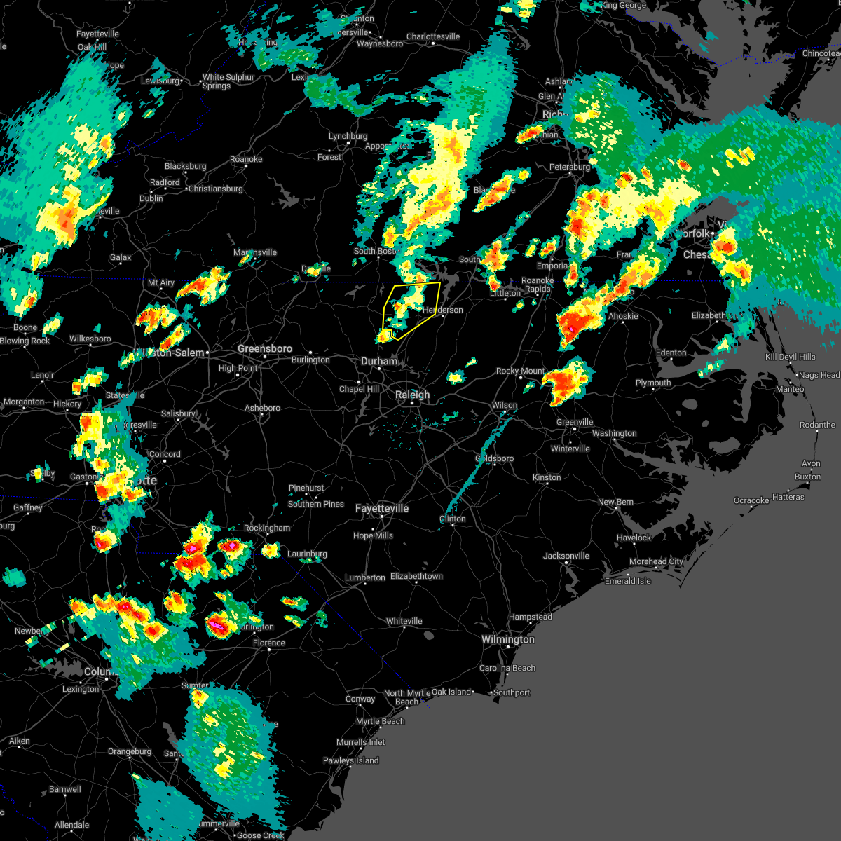 At 618 pm edt, severe thunderstorms were located along a line extending from near buffalo springs to 12 miles northwest of henderson to near oxford, moving northeast at 35 mph (radar indicated). Hazards include 60 mph wind gusts and quarter size hail. Hail damage to vehicles is expected. expect wind damage to roofs, siding, and trees. Locations impacted include, oxford, stem, stovall, dabney, tungsten, moriah, berea, lake butner and john h kerr reservoir. At 618 pm edt, severe thunderstorms were located along a line extending from near buffalo springs to 12 miles northwest of henderson to near oxford, moving northeast at 35 mph (radar indicated). Hazards include 60 mph wind gusts and quarter size hail. Hail damage to vehicles is expected. expect wind damage to roofs, siding, and trees. Locations impacted include, oxford, stem, stovall, dabney, tungsten, moriah, berea, lake butner and john h kerr reservoir.
|
| 5/6/2022 6:11 PM EDT |
 At 611 pm edt, severe thunderstorms were located along a line extending from near virgilina to 6 miles northwest of oxford to 6 miles northeast of butner, moving east at 30 mph (radar indicated). Hazards include 60 mph wind gusts and quarter size hail. Hail damage to vehicles is expected. expect wind damage to roofs, siding, and trees. Locations impacted include, oxford, rougemont, stem, stovall, lake michie, bahama, dabney, lake butner, tungsten and moriah. At 611 pm edt, severe thunderstorms were located along a line extending from near virgilina to 6 miles northwest of oxford to 6 miles northeast of butner, moving east at 30 mph (radar indicated). Hazards include 60 mph wind gusts and quarter size hail. Hail damage to vehicles is expected. expect wind damage to roofs, siding, and trees. Locations impacted include, oxford, rougemont, stem, stovall, lake michie, bahama, dabney, lake butner, tungsten and moriah.
|
| 5/6/2022 6:05 PM EDT |
 At 605 pm edt, severe thunderstorms were located along a line extending from virgilina to 8 miles west of oxford to near butner, moving east at 35 mph (radar indicated). Hazards include 60 mph wind gusts and quarter size hail. Hail damage to vehicles is expected. expect wind damage to roofs, siding, and trees. Locations impacted include, oxford, rougemont, stem, stovall, lake michie, mayo reservoir, bahama, bethel hill, dabney and lake butner. At 605 pm edt, severe thunderstorms were located along a line extending from virgilina to 8 miles west of oxford to near butner, moving east at 35 mph (radar indicated). Hazards include 60 mph wind gusts and quarter size hail. Hail damage to vehicles is expected. expect wind damage to roofs, siding, and trees. Locations impacted include, oxford, rougemont, stem, stovall, lake michie, mayo reservoir, bahama, bethel hill, dabney and lake butner.
|
| 5/6/2022 5:58 PM EDT |
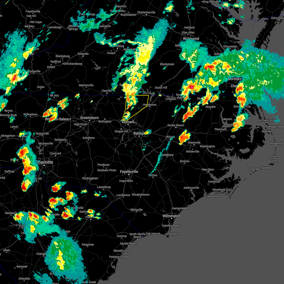 At 558 pm edt, severe thunderstorms were located along a line extending from near virgilina to 9 miles east of roxboro to near rougemont, moving northeast at 30 mph (radar indicated). Hazards include 60 mph wind gusts and quarter size hail. Hail damage to vehicles is expected. Expect wind damage to roofs, siding, and trees. At 558 pm edt, severe thunderstorms were located along a line extending from near virgilina to 9 miles east of roxboro to near rougemont, moving northeast at 30 mph (radar indicated). Hazards include 60 mph wind gusts and quarter size hail. Hail damage to vehicles is expected. Expect wind damage to roofs, siding, and trees.
|
| 4/26/2022 4:26 PM EDT |
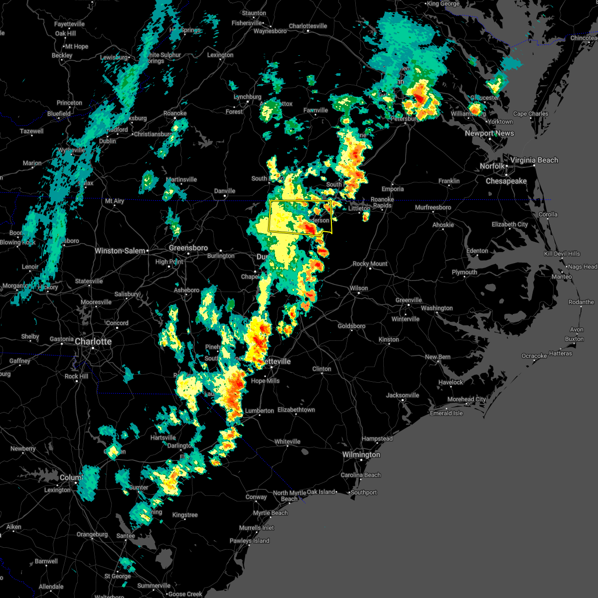 The severe thunderstorm warning for eastern person, vance, western warren and granville counties will expire at 430 pm edt, the storm which prompted the warning has moved out of the area. therefore, the warning will be allowed to expire. The severe thunderstorm warning for eastern person, vance, western warren and granville counties will expire at 430 pm edt, the storm which prompted the warning has moved out of the area. therefore, the warning will be allowed to expire.
|
| 4/26/2022 3:49 PM EDT |
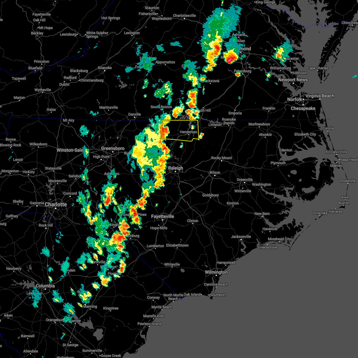 At 348 pm edt, a severe thunderstorm was located 10 miles south of virgilina, moving east at 35 mph (radar indicated). Hazards include 60 mph wind gusts and quarter size hail. Hail damage to vehicles is expected. expect wind damage to roofs, siding, and trees. this severe storm will be near, oxford around 405 pm edt. henderson around 420 pm edt. other locations impacted by this severe thunderstorm include gillburg, mayo reservoir, afton, steele creek marina & campground and middleburg. hail threat, radar indicated max hail size, 1. 00 in wind threat, radar indicated max wind gust, 60 mph. At 348 pm edt, a severe thunderstorm was located 10 miles south of virgilina, moving east at 35 mph (radar indicated). Hazards include 60 mph wind gusts and quarter size hail. Hail damage to vehicles is expected. expect wind damage to roofs, siding, and trees. this severe storm will be near, oxford around 405 pm edt. henderson around 420 pm edt. other locations impacted by this severe thunderstorm include gillburg, mayo reservoir, afton, steele creek marina & campground and middleburg. hail threat, radar indicated max hail size, 1. 00 in wind threat, radar indicated max wind gust, 60 mph.
|
| 4/26/2022 3:31 PM EDT |
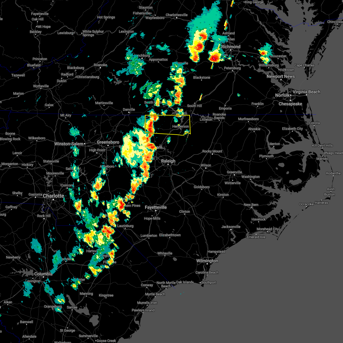 At 331 pm edt, a severe thunderstorm was located over roxboro, moving east at 35 mph (radar indicated). Hazards include 60 mph wind gusts and quarter size hail. Hail damage to vehicles is expected. expect wind damage to roofs, siding, and trees. this severe thunderstorm will be near, oxford around 405 pm edt. henderson around 420 pm edt. other locations impacted by this severe thunderstorm include gillburg, concord, mayo reservoir, afton and steele creek marina & campground. hail threat, radar indicated max hail size, 1. 00 in wind threat, radar indicated max wind gust, 60 mph. At 331 pm edt, a severe thunderstorm was located over roxboro, moving east at 35 mph (radar indicated). Hazards include 60 mph wind gusts and quarter size hail. Hail damage to vehicles is expected. expect wind damage to roofs, siding, and trees. this severe thunderstorm will be near, oxford around 405 pm edt. henderson around 420 pm edt. other locations impacted by this severe thunderstorm include gillburg, concord, mayo reservoir, afton and steele creek marina & campground. hail threat, radar indicated max hail size, 1. 00 in wind threat, radar indicated max wind gust, 60 mph.
|
| 7/18/2021 6:51 PM EDT |
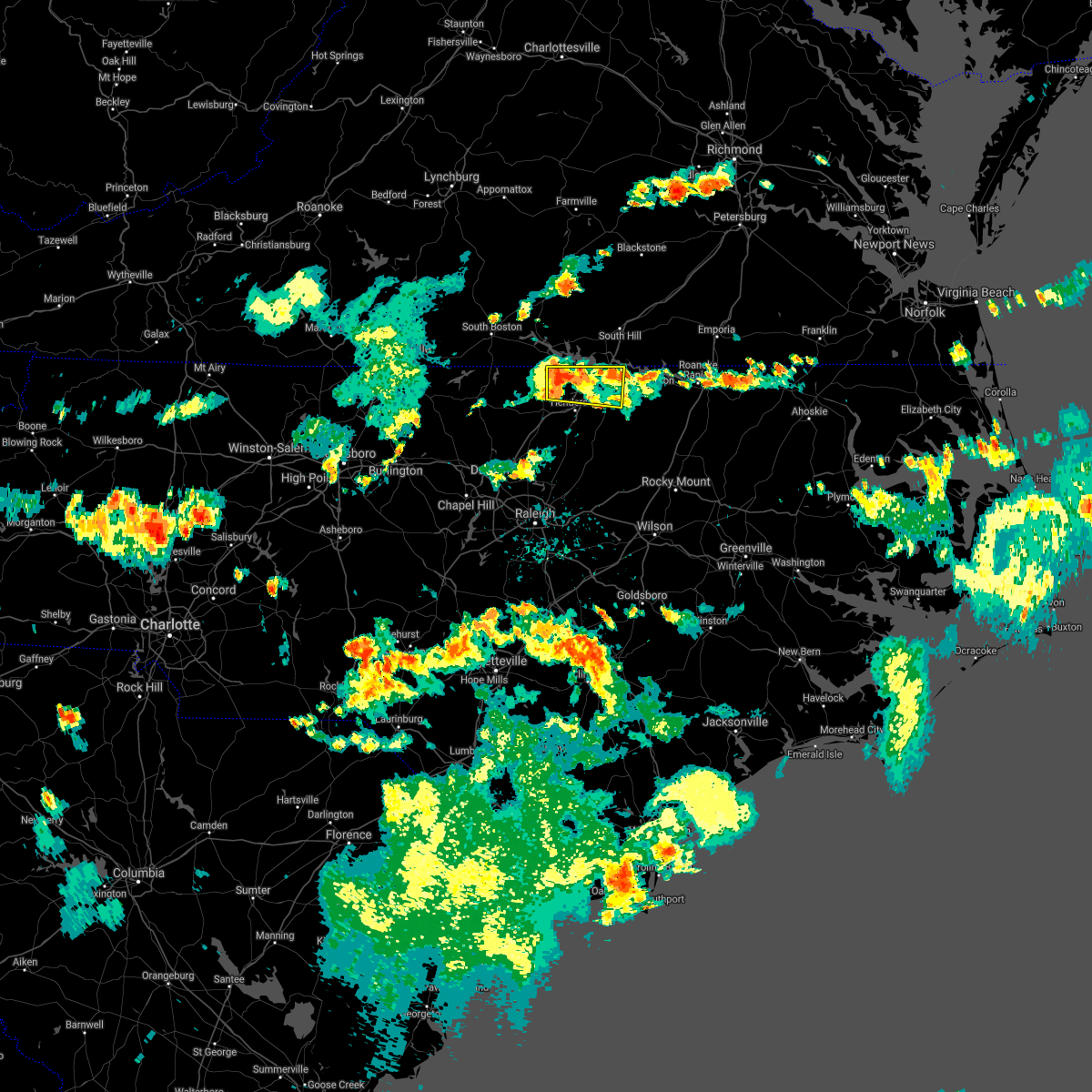 At 651 pm edt, a severe thunderstorm was located 10 miles southeast of clarksville, or 12 miles north of henderson, moving east at 20 mph (radar indicated). Hazards include 60 mph wind gusts. expect damage to roofs, siding, and trees At 651 pm edt, a severe thunderstorm was located 10 miles southeast of clarksville, or 12 miles north of henderson, moving east at 20 mph (radar indicated). Hazards include 60 mph wind gusts. expect damage to roofs, siding, and trees
|
| 7/17/2021 10:37 PM EDT |
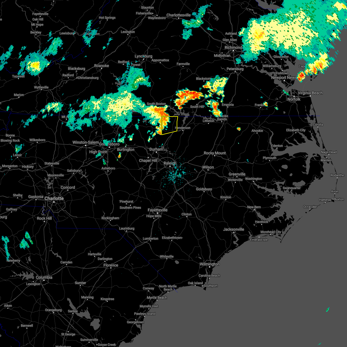 At 1036 pm edt, severe thunderstorms were located along a line extending from hitesburg to 8 miles southeast of virgilina to 8 miles west of oxford, moving east at 35 mph (radar indicated). Hazards include 60 mph wind gusts. Expect damage to roofs, siding, and trees. Locations impacted include, oxford, stovall, berea and john h kerr reservoir. At 1036 pm edt, severe thunderstorms were located along a line extending from hitesburg to 8 miles southeast of virgilina to 8 miles west of oxford, moving east at 35 mph (radar indicated). Hazards include 60 mph wind gusts. Expect damage to roofs, siding, and trees. Locations impacted include, oxford, stovall, berea and john h kerr reservoir.
|
| 7/17/2021 10:20 PM EDT |
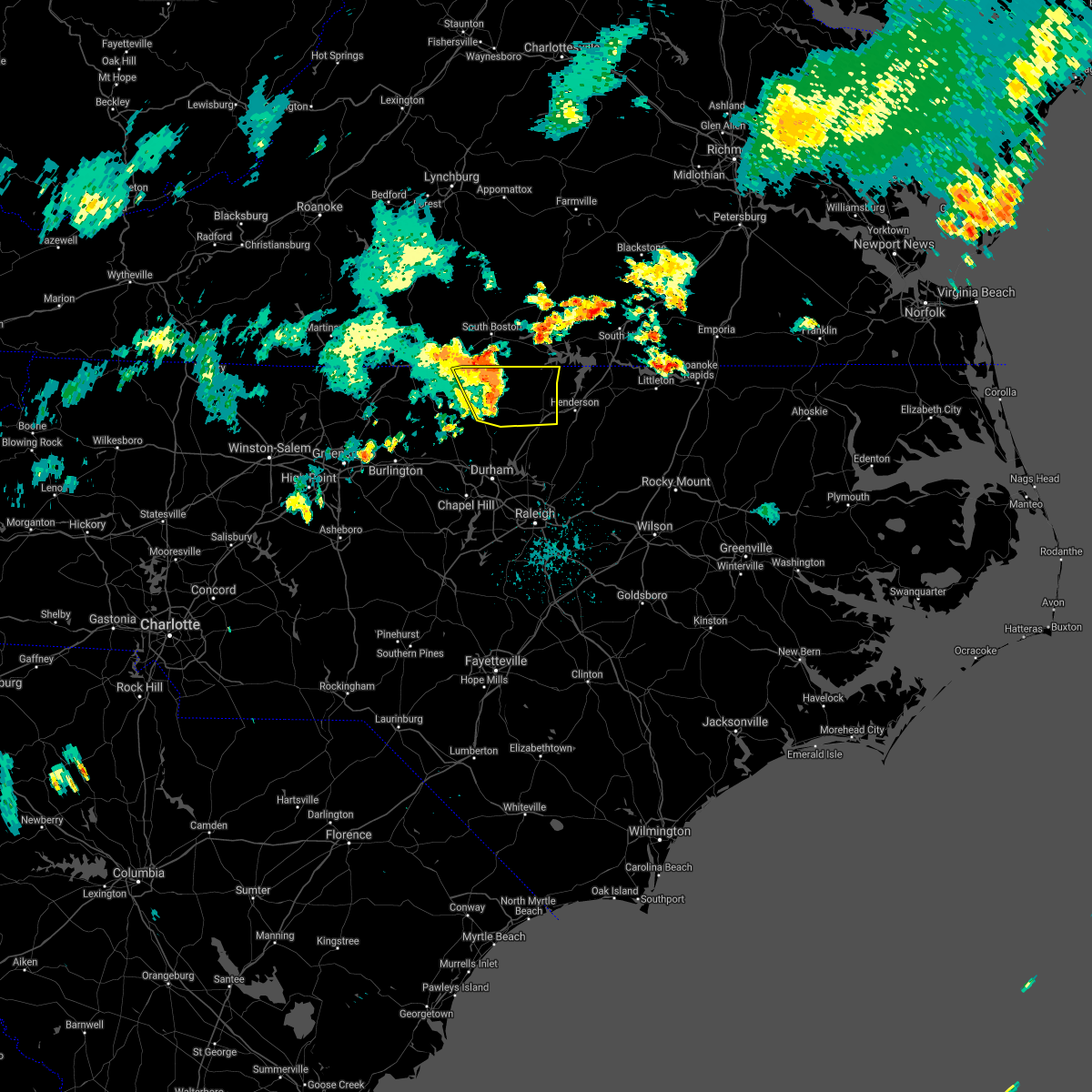 At 1019 pm edt, severe thunderstorms were located along a line extending from near cluster springs to 8 miles east of roxboro to 6 miles north of rougemont, moving east at 45 mph (radar indicated). Hazards include 60 mph wind gusts. Expect damage to roofs, siding, and trees. Locations impacted include, oxford, roxboro, concord, stovall, bethel hill, mayo reservoir, berea, surl, moriah and hyco lake. At 1019 pm edt, severe thunderstorms were located along a line extending from near cluster springs to 8 miles east of roxboro to 6 miles north of rougemont, moving east at 45 mph (radar indicated). Hazards include 60 mph wind gusts. Expect damage to roofs, siding, and trees. Locations impacted include, oxford, roxboro, concord, stovall, bethel hill, mayo reservoir, berea, surl, moriah and hyco lake.
|
| 7/17/2021 9:59 PM EDT |
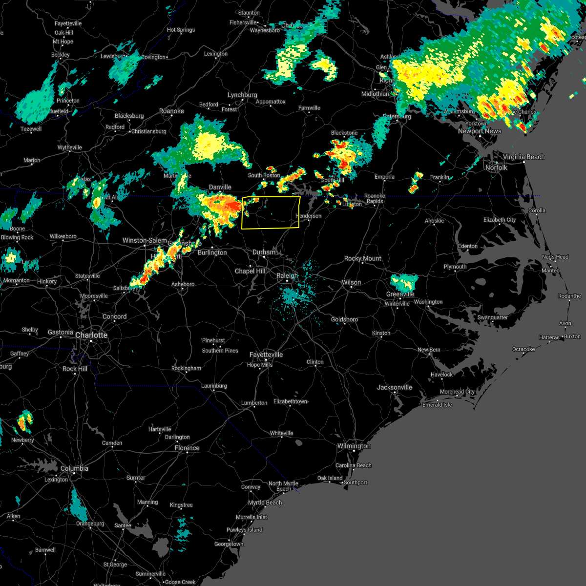 At 958 pm edt, a severe thunderstorm was located over leasburg, or 9 miles west of roxboro, moving east at 35 mph (radar indicated). Hazards include 60 mph wind gusts. expect damage to roofs, siding, and trees At 958 pm edt, a severe thunderstorm was located over leasburg, or 9 miles west of roxboro, moving east at 35 mph (radar indicated). Hazards include 60 mph wind gusts. expect damage to roofs, siding, and trees
|
| 7/1/2021 10:59 PM EDT |
 At 1059 pm edt, severe thunderstorms were located along a line extending from near oxford to near warrenton to 6 miles east of louisburg, moving northeast at 45 mph (radar indicated). Hazards include 60 mph wind gusts and nickel size hail. Expect damage to roofs, siding, and trees. Locations impacted include, henderson, oxford, warrenton, norlina, littleton, kittrell, stovall, middleburg, macon and centerville. At 1059 pm edt, severe thunderstorms were located along a line extending from near oxford to near warrenton to 6 miles east of louisburg, moving northeast at 45 mph (radar indicated). Hazards include 60 mph wind gusts and nickel size hail. Expect damage to roofs, siding, and trees. Locations impacted include, henderson, oxford, warrenton, norlina, littleton, kittrell, stovall, middleburg, macon and centerville.
|
| 7/1/2021 10:42 PM EDT |
 At 1041 pm edt, severe thunderstorms were located along a line extending from oxford to 7 miles northeast of louisburg to zebulon, moving northeast at 50 mph (radar indicated). Hazards include 60 mph wind gusts and nickel size hail. expect damage to roofs, siding, and trees At 1041 pm edt, severe thunderstorms were located along a line extending from oxford to 7 miles northeast of louisburg to zebulon, moving northeast at 50 mph (radar indicated). Hazards include 60 mph wind gusts and nickel size hail. expect damage to roofs, siding, and trees
|
| 4/14/2021 6:41 PM EDT |
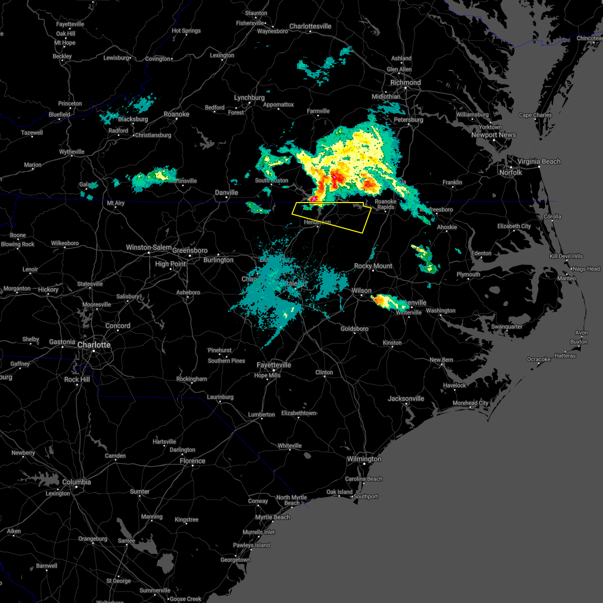 At 639 pm edt, a severe thunderstorm was located over kerr lake over northeastern granville and northern vance county, or 13 miles north of henderson, moving east at 40 mph (radar indicated). Hazards include 60 mph wind gusts and quarter size hail. Hail damage to vehicles is expected. expect wind damage to roofs, siding, and trees. Locations impacted include, kerr lake, lake gaston, warrenton, norlina, littleton, stovall, middleburg, macon, steele creek marina & campground, and wise. At 639 pm edt, a severe thunderstorm was located over kerr lake over northeastern granville and northern vance county, or 13 miles north of henderson, moving east at 40 mph (radar indicated). Hazards include 60 mph wind gusts and quarter size hail. Hail damage to vehicles is expected. expect wind damage to roofs, siding, and trees. Locations impacted include, kerr lake, lake gaston, warrenton, norlina, littleton, stovall, middleburg, macon, steele creek marina & campground, and wise.
|
| 4/14/2021 6:30 PM EDT |
 At 629 pm edt, a severe thunderstorm over kerr lake in northeastern granville and northern vance counties, moving east-southeast at 35 mph (radar indicated). Hazards include 60 mph wind gusts and quarter size hail. Hail damage to vehicles is expected. expect wind damage to roofs, siding, and trees. Locations impacted include, kerr lake, lake gaston, norlina, littleton, stovall, middleburg, macon, gillburg, afton and steele creek marina & campground. At 629 pm edt, a severe thunderstorm over kerr lake in northeastern granville and northern vance counties, moving east-southeast at 35 mph (radar indicated). Hazards include 60 mph wind gusts and quarter size hail. Hail damage to vehicles is expected. expect wind damage to roofs, siding, and trees. Locations impacted include, kerr lake, lake gaston, norlina, littleton, stovall, middleburg, macon, gillburg, afton and steele creek marina & campground.
|
| 4/14/2021 6:13 PM EDT |
 At 611 pm edt, a severe thunderstorm was located 9 miles west- northwest of kerr lake, moving east-southeast at 45 mph (radar indicated). Hazards include quarter size hail. damage to vehicles is expected At 611 pm edt, a severe thunderstorm was located 9 miles west- northwest of kerr lake, moving east-southeast at 45 mph (radar indicated). Hazards include quarter size hail. damage to vehicles is expected
|
| 4/9/2021 5:12 PM EDT |
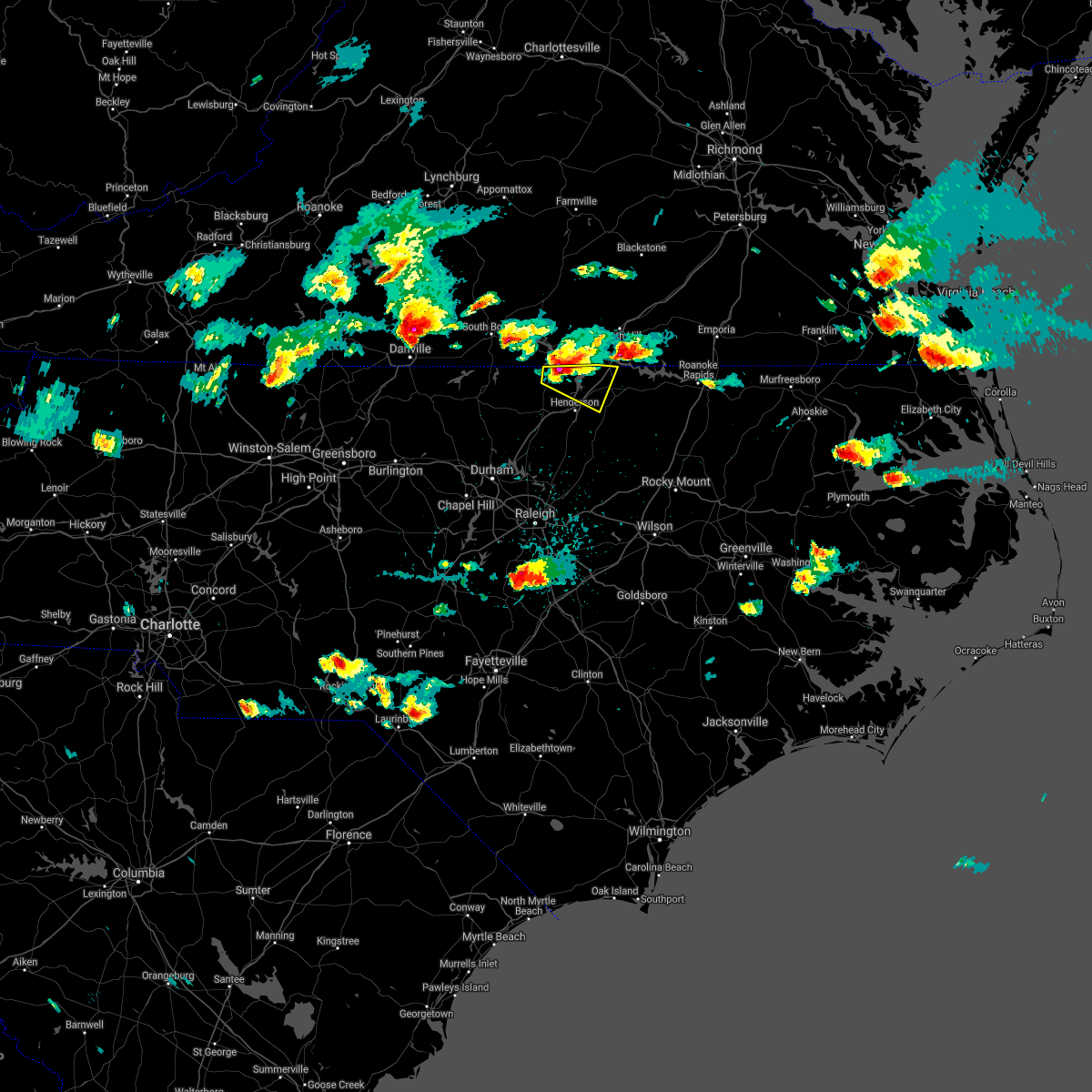 At 510 pm edt, a severe thunderstorm was located 8 miles south of clarksville, or 13 miles north of oxford, moving east at 15 mph (radar indicated). Hazards include 60 mph wind gusts and quarter size hail. Hail damage to vehicles is expected. Expect wind damage to roofs, siding, and trees. At 510 pm edt, a severe thunderstorm was located 8 miles south of clarksville, or 13 miles north of oxford, moving east at 15 mph (radar indicated). Hazards include 60 mph wind gusts and quarter size hail. Hail damage to vehicles is expected. Expect wind damage to roofs, siding, and trees.
|
| 3/18/2021 7:05 PM EDT |
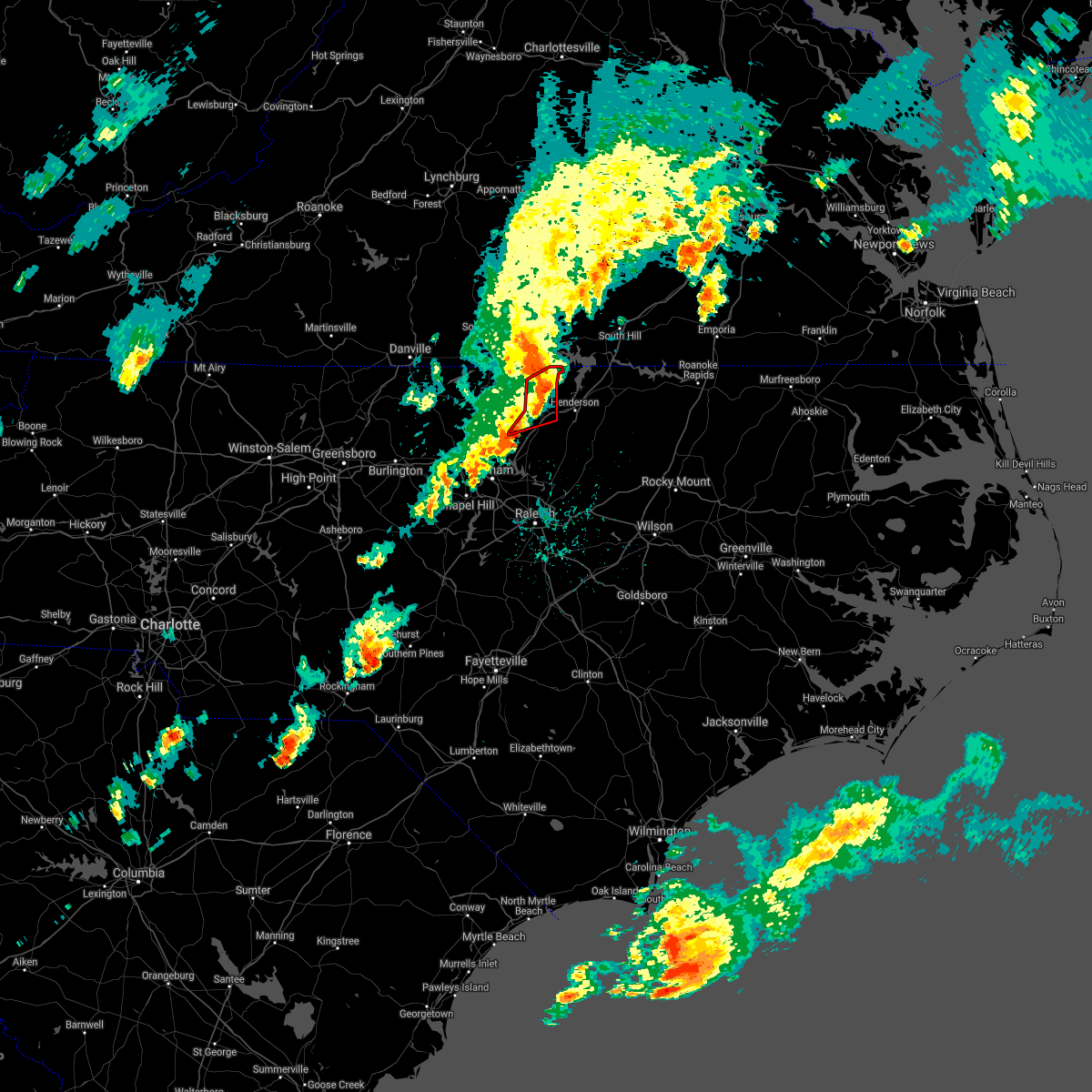 At 702 pm edt, a severe thunderstorm capable of producing a tornado was located along us highway 15 between oxford and stovall, moving northeast at 30 mph (radar indicated rotation). Hazards include tornado. Flying debris will be dangerous to those caught without shelter. mobile homes will be damaged or destroyed. damage to roofs, windows, and vehicles will occur. tree damage is likely. This tornadic thunderstorm will remain over mainly rural areas of northern granville county, including the following locations, tungsten, stovall and john h kerr reservoir. At 702 pm edt, a severe thunderstorm capable of producing a tornado was located along us highway 15 between oxford and stovall, moving northeast at 30 mph (radar indicated rotation). Hazards include tornado. Flying debris will be dangerous to those caught without shelter. mobile homes will be damaged or destroyed. damage to roofs, windows, and vehicles will occur. tree damage is likely. This tornadic thunderstorm will remain over mainly rural areas of northern granville county, including the following locations, tungsten, stovall and john h kerr reservoir.
|
| 3/18/2021 6:41 PM EDT |
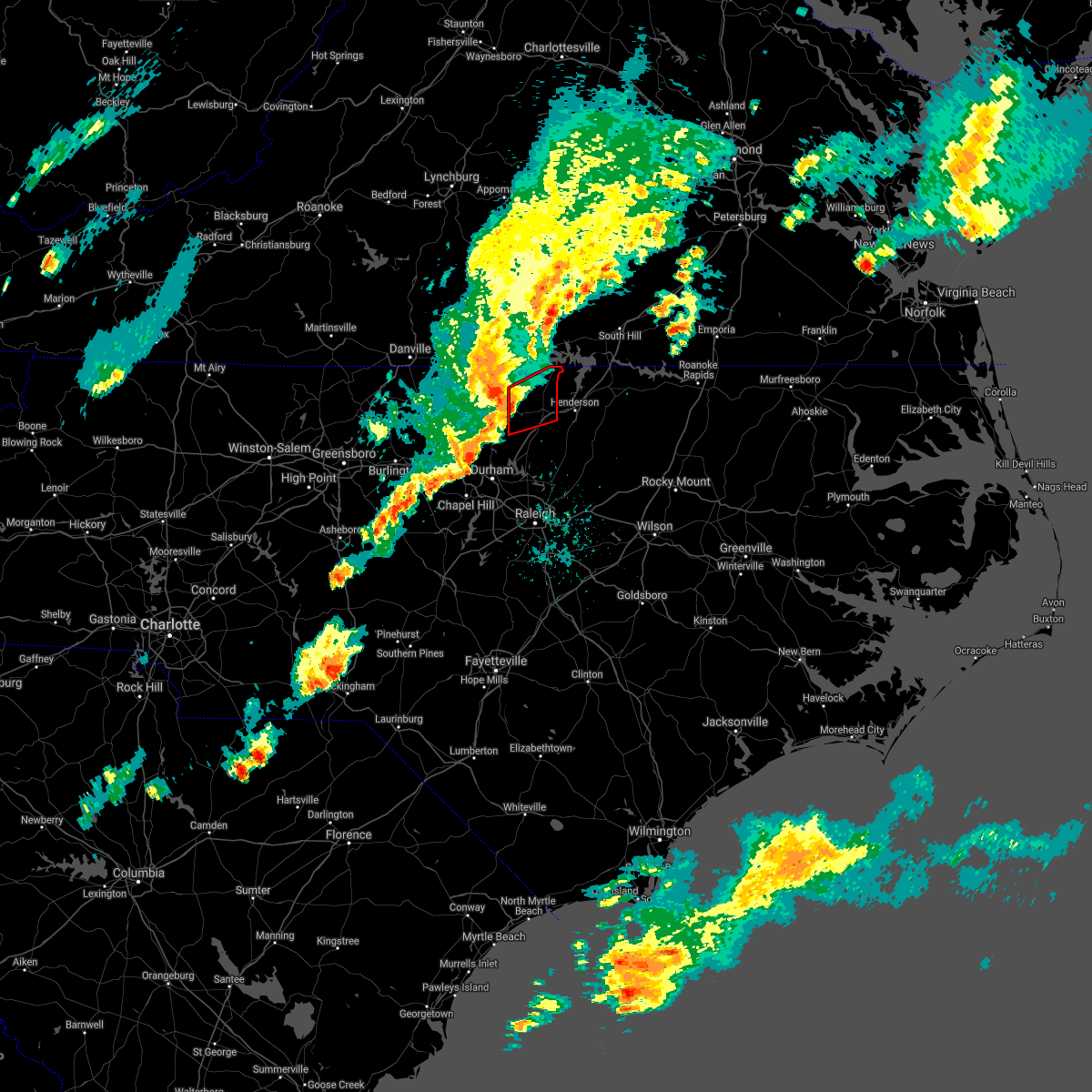 At 641 pm edt, a severe thunderstorm capable of producing a tornado was located near rougemont, or 12 miles southeast of roxboro, moving east at 40 mph (radar indicated rotation). Hazards include tornado. Flying debris will be dangerous to those caught without shelter. mobile homes will be damaged or destroyed. damage to roofs, windows, and vehicles will occur. tree damage is likely. this dangerous storm will be near, oxford around 705 pm edt. Other locations impacted by this tornadic thunderstorm include berea, stovall, tungsten and john h kerr reservoir. At 641 pm edt, a severe thunderstorm capable of producing a tornado was located near rougemont, or 12 miles southeast of roxboro, moving east at 40 mph (radar indicated rotation). Hazards include tornado. Flying debris will be dangerous to those caught without shelter. mobile homes will be damaged or destroyed. damage to roofs, windows, and vehicles will occur. tree damage is likely. this dangerous storm will be near, oxford around 705 pm edt. Other locations impacted by this tornadic thunderstorm include berea, stovall, tungsten and john h kerr reservoir.
|
| 7/17/2020 6:15 PM EDT |
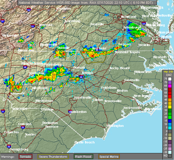 At 614 pm edt, a severe thunderstorm was located near henderson, moving southeast at 15 mph (radar indicated). Hazards include 60 mph wind gusts and quarter size hail. Hail damage to vehicles is expected. expect wind damage to roofs, siding, and trees. Locations impacted include, henderson, oxford, warrenton, norlina, littleton, kittrell, stovall, middleburg, macon and gillburg. At 614 pm edt, a severe thunderstorm was located near henderson, moving southeast at 15 mph (radar indicated). Hazards include 60 mph wind gusts and quarter size hail. Hail damage to vehicles is expected. expect wind damage to roofs, siding, and trees. Locations impacted include, henderson, oxford, warrenton, norlina, littleton, kittrell, stovall, middleburg, macon and gillburg.
|
| 7/17/2020 5:50 PM EDT |
 At 549 pm edt, a severe thunderstorm was located 9 miles north of henderson, moving south southeast at 10 mph (radar indicated). Hazards include 60 mph wind gusts and quarter size hail. Hail damage to vehicles is expected. Expect wind damage to roofs, siding, and trees. At 549 pm edt, a severe thunderstorm was located 9 miles north of henderson, moving south southeast at 10 mph (radar indicated). Hazards include 60 mph wind gusts and quarter size hail. Hail damage to vehicles is expected. Expect wind damage to roofs, siding, and trees.
|
| 4/13/2020 7:38 AM EDT |
 At 738 am edt, severe thunderstorms were located along a line extending from 11 miles north of henderson to near kittrell to creedmoor, moving east at 45 mph (radar indicated). Hazards include 60 mph wind gusts and penny size hail. expect damage to roofs, siding, and trees At 738 am edt, severe thunderstorms were located along a line extending from 11 miles north of henderson to near kittrell to creedmoor, moving east at 45 mph (radar indicated). Hazards include 60 mph wind gusts and penny size hail. expect damage to roofs, siding, and trees
|
| 4/13/2020 7:04 AM EDT |
 At 704 am edt, a severe thunderstorm capable of producing a tornado was located 8 miles southeast of virgilina, moving northeast at 60 mph (radar indicated rotation). Hazards include tornado. Flying debris will be dangerous to those caught without shelter. mobile homes will be damaged or destroyed. damage to roofs, windows, and vehicles will occur. tree damage is likely. This tornadic thunderstorm will remain over mainly rural areas of east central person and northwestern granville counties, including the following locations, stovall. At 704 am edt, a severe thunderstorm capable of producing a tornado was located 8 miles southeast of virgilina, moving northeast at 60 mph (radar indicated rotation). Hazards include tornado. Flying debris will be dangerous to those caught without shelter. mobile homes will be damaged or destroyed. damage to roofs, windows, and vehicles will occur. tree damage is likely. This tornadic thunderstorm will remain over mainly rural areas of east central person and northwestern granville counties, including the following locations, stovall.
|
| 4/13/2020 6:55 AM EDT |
 At 655 am edt, severe thunderstorms were located along a line extending from 7 miles southwest of virgilina to 9 miles northeast of siler city, moving northeast at 45 mph (radar indicated). Hazards include 60 mph wind gusts. Expect damage to roofs, siding, and trees. Locations impacted include, raleigh, durham, chapel hill, burlington, asheboro, graham, oxford, roxboro, hillsborough and creedmoor. At 655 am edt, severe thunderstorms were located along a line extending from 7 miles southwest of virgilina to 9 miles northeast of siler city, moving northeast at 45 mph (radar indicated). Hazards include 60 mph wind gusts. Expect damage to roofs, siding, and trees. Locations impacted include, raleigh, durham, chapel hill, burlington, asheboro, graham, oxford, roxboro, hillsborough and creedmoor.
|
| 4/13/2020 6:41 AM EDT |
 At 641 am edt, a severe thunderstorm capable of producing a tornado was located near rougemont, or 9 miles south of roxboro, moving northeast at 55 mph (radar indicated rotation). Hazards include tornado. Flying debris will be dangerous to those caught without shelter. mobile homes will be damaged or destroyed. damage to roofs, windows, and vehicles will occur. tree damage is likely. this dangerous storm will be near, oxford around 705 am edt. Other locations impacted by this tornadic thunderstorm include bushy fork, berea, surl, stovall and moriah. At 641 am edt, a severe thunderstorm capable of producing a tornado was located near rougemont, or 9 miles south of roxboro, moving northeast at 55 mph (radar indicated rotation). Hazards include tornado. Flying debris will be dangerous to those caught without shelter. mobile homes will be damaged or destroyed. damage to roofs, windows, and vehicles will occur. tree damage is likely. this dangerous storm will be near, oxford around 705 am edt. Other locations impacted by this tornadic thunderstorm include bushy fork, berea, surl, stovall and moriah.
|
| 4/13/2020 6:19 AM EDT |
 At 619 am edt, severe thunderstorms were located along a line extending from milton to north carolina zoo, moving northeast at 60 mph (radar indicated). Hazards include 60 mph wind gusts. expect damage to roofs, siding, and trees At 619 am edt, severe thunderstorms were located along a line extending from milton to north carolina zoo, moving northeast at 60 mph (radar indicated). Hazards include 60 mph wind gusts. expect damage to roofs, siding, and trees
|
| 4/8/2020 7:24 PM EDT |
 The severe thunderstorm warning for alamance, person, orange, northwestern granville, eastern guilford and northwestern durham counties will expire at 730 pm edt, the storms which prompted the warning have moved out of the area. therefore, the warning will be allowed to expire. The severe thunderstorm warning for alamance, person, orange, northwestern granville, eastern guilford and northwestern durham counties will expire at 730 pm edt, the storms which prompted the warning have moved out of the area. therefore, the warning will be allowed to expire.
|
| 4/8/2020 7:03 PM EDT |
 At 702 pm edt, severe thunderstorms were located along a line extending from 6 miles south of virgilina to near rougemont to near hillsborough to near elon, moving southeast at 50 mph (radar indicated). Hazards include 60 mph wind gusts and quarter size hail. Hail damage to vehicles is expected. Expect wind damage to roofs, siding, and trees. At 702 pm edt, severe thunderstorms were located along a line extending from 6 miles south of virgilina to near rougemont to near hillsborough to near elon, moving southeast at 50 mph (radar indicated). Hazards include 60 mph wind gusts and quarter size hail. Hail damage to vehicles is expected. Expect wind damage to roofs, siding, and trees.
|
| 4/8/2020 6:39 PM EDT |
 At 638 pm edt, severe thunderstorms were located along a line extending from near semora to near jericho to near mcleansville, moving southeast at 35 mph (radar indicated). Hazards include 60 mph wind gusts and quarter size hail. Hail damage to vehicles is expected. Expect wind damage to roofs, siding, and trees. At 638 pm edt, severe thunderstorms were located along a line extending from near semora to near jericho to near mcleansville, moving southeast at 35 mph (radar indicated). Hazards include 60 mph wind gusts and quarter size hail. Hail damage to vehicles is expected. Expect wind damage to roofs, siding, and trees.
|
| 4/8/2020 5:47 PM EDT |
 At 547 pm edt, severe thunderstorms were located along a line extending from 6 miles south of virgilina to near leasburg, moving southeast at 40 mph (radar indicated). Hazards include 60 mph wind gusts and quarter to half dollar size hail. Hail damage to vehicles is expected. expect wind damage to roofs, siding, and trees. Locations impacted include, henderson, oxford, roxboro, kittrell, concord, stovall, middleburg, gillburg, mayo reservoir and steele creek marina & campground. At 547 pm edt, severe thunderstorms were located along a line extending from 6 miles south of virgilina to near leasburg, moving southeast at 40 mph (radar indicated). Hazards include 60 mph wind gusts and quarter to half dollar size hail. Hail damage to vehicles is expected. expect wind damage to roofs, siding, and trees. Locations impacted include, henderson, oxford, roxboro, kittrell, concord, stovall, middleburg, gillburg, mayo reservoir and steele creek marina & campground.
|
| 4/8/2020 5:36 PM EDT |
 At 535 pm edt, a severe thunderstorm was located near alton, or 7 miles north of roxboro, moving southeast at 40 mph. a second severe storm will be moving into northwest person county shortly (radar indicated). Hazards include 60 mph wind gusts and quarter size hail. Hail damage to vehicles is expected. Expect wind damage to roofs, siding, and trees. At 535 pm edt, a severe thunderstorm was located near alton, or 7 miles north of roxboro, moving southeast at 40 mph. a second severe storm will be moving into northwest person county shortly (radar indicated). Hazards include 60 mph wind gusts and quarter size hail. Hail damage to vehicles is expected. Expect wind damage to roofs, siding, and trees.
|
| 2/6/2020 1:41 PM EST |
 The severe thunderstorm warning for southern orange, granville, northwestern wake and durham counties will expire at 145 pm est, the storm which prompted the warning has weakened below severe limits, and has exited the warned area. therefore, the warning will be allowed to expire. however gusty winds are still possible with this thunderstorm. a tornado watch remains in effect for central north carolina. The severe thunderstorm warning for southern orange, granville, northwestern wake and durham counties will expire at 145 pm est, the storm which prompted the warning has weakened below severe limits, and has exited the warned area. therefore, the warning will be allowed to expire. however gusty winds are still possible with this thunderstorm. a tornado watch remains in effect for central north carolina.
|
| 2/6/2020 1:21 PM EST |
 At 120 pm est, a severe thunderstorm was located near butner, or near creedmoor, moving east at 55 mph (radar indicated). Hazards include 60 mph wind gusts. Expect damage to roofs, siding, and trees. Locations impacted include, raleigh, durham, chapel hill, oxford, hillsborough, creedmoor, carrboro, butner, stem and stovall. At 120 pm est, a severe thunderstorm was located near butner, or near creedmoor, moving east at 55 mph (radar indicated). Hazards include 60 mph wind gusts. Expect damage to roofs, siding, and trees. Locations impacted include, raleigh, durham, chapel hill, oxford, hillsborough, creedmoor, carrboro, butner, stem and stovall.
|
| 2/6/2020 12:59 PM EST |
 The national weather service in raleigh has issued a * severe thunderstorm warning for. southern person county in central north carolina. orange county in central north carolina. granville county in central north carolina. Northwestern wake county in central north carolina. The national weather service in raleigh has issued a * severe thunderstorm warning for. southern person county in central north carolina. orange county in central north carolina. granville county in central north carolina. Northwestern wake county in central north carolina.
|
| 1/12/2020 12:00 AM EST |
 At 1200 am est, severe thunderstorms were located along a line extending from near scottsburg to 8 miles southwest of cary, moving northeast at 65 mph (radar indicated). Hazards include 60 mph wind gusts. expect damage to roofs, siding, and trees At 1200 am est, severe thunderstorms were located along a line extending from near scottsburg to 8 miles southwest of cary, moving northeast at 65 mph (radar indicated). Hazards include 60 mph wind gusts. expect damage to roofs, siding, and trees
|
| 10/31/2019 8:36 PM EDT |
 At 835 pm edt, severe thunderstorms were located along a line extending from 7 miles east of chase city to 7 miles south of boydton to near oxford, moving northeast at 50 mph (radar indicated). Hazards include 60 mph wind gusts. Expect damage to roofs, siding, and trees. locations impacted include, henderson, oxford, warrenton, norlina, kittrell, stem, stovall, middleburg, macon and ingleside. A tornado watch remains in effect until 1100 pm edt for central north carolina. At 835 pm edt, severe thunderstorms were located along a line extending from 7 miles east of chase city to 7 miles south of boydton to near oxford, moving northeast at 50 mph (radar indicated). Hazards include 60 mph wind gusts. Expect damage to roofs, siding, and trees. locations impacted include, henderson, oxford, warrenton, norlina, kittrell, stem, stovall, middleburg, macon and ingleside. A tornado watch remains in effect until 1100 pm edt for central north carolina.
|
| 10/31/2019 8:23 PM EDT |
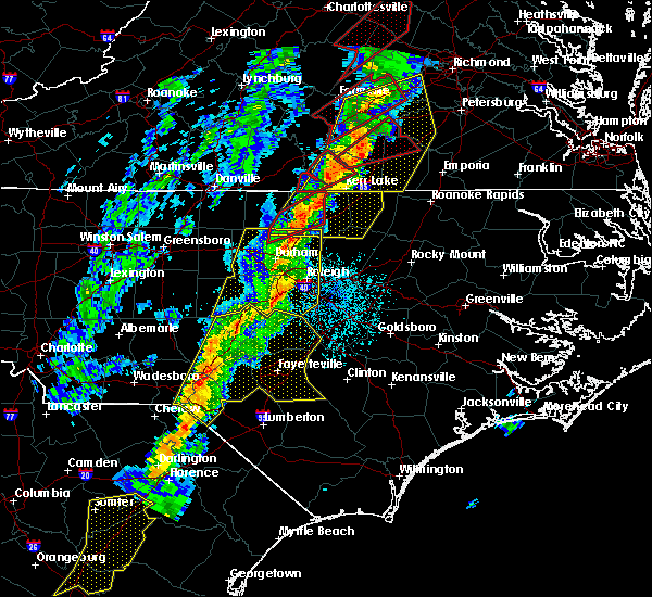 At 822 pm edt, a severe squall line capable of producing both tornadoes and extensive straight line wind damage was located near oxford, moving northeast at 50 mph (radar indicated rotation). Hazards include tornado. Flying debris will be dangerous to those caught without shelter. mobile homes will be damaged or destroyed. damage to roofs, windows, and vehicles will occur. tree damage is likely. Locations impacted include, oxford and stovall. At 822 pm edt, a severe squall line capable of producing both tornadoes and extensive straight line wind damage was located near oxford, moving northeast at 50 mph (radar indicated rotation). Hazards include tornado. Flying debris will be dangerous to those caught without shelter. mobile homes will be damaged or destroyed. damage to roofs, windows, and vehicles will occur. tree damage is likely. Locations impacted include, oxford and stovall.
|
| 10/31/2019 8:15 PM EDT |
 At 814 pm edt, severe thunderstorms were located along a line extending from near clarksville to 10 miles north of oxford to near butner, moving northeast at 50 mph (radar indicated). Hazards include 60 mph wind gusts. expect damage to roofs, siding, and trees At 814 pm edt, severe thunderstorms were located along a line extending from near clarksville to 10 miles north of oxford to near butner, moving northeast at 50 mph (radar indicated). Hazards include 60 mph wind gusts. expect damage to roofs, siding, and trees
|
| 10/31/2019 8:15 PM EDT |
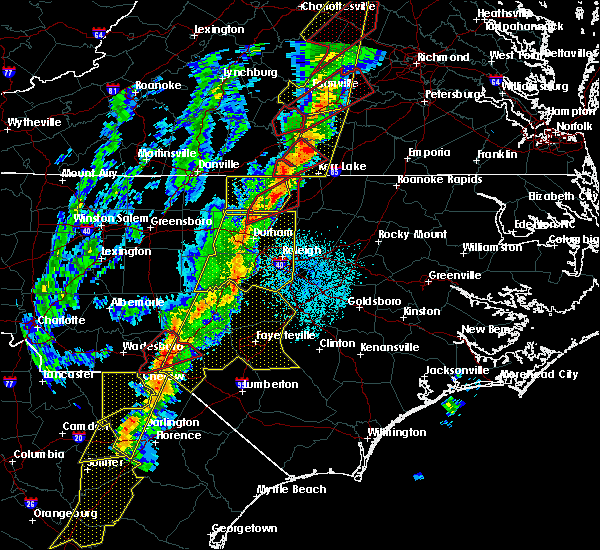 At 813 pm edt, a severe squall line capable of producing both tornadoes and extensive straight line wind damage was located along a line extending from near oxford to near butner, moving northeast at 55 mph. the two circulations capable of producing a tornado, which were embedded within the squall line, were located near berea in granville county and near bahama in durham county, moving northeast at 55 mph (radar indicated rotation). Hazards include tornado. Flying debris will be dangerous to those caught without shelter. mobile homes will be damaged or destroyed. damage to roofs, windows, and vehicles will occur. tree damage is likely. Locations impacted include, oxford, rougemont, stem, stovall, moriah, berea, surl, bahama, lake michie and lake butner. At 813 pm edt, a severe squall line capable of producing both tornadoes and extensive straight line wind damage was located along a line extending from near oxford to near butner, moving northeast at 55 mph. the two circulations capable of producing a tornado, which were embedded within the squall line, were located near berea in granville county and near bahama in durham county, moving northeast at 55 mph (radar indicated rotation). Hazards include tornado. Flying debris will be dangerous to those caught without shelter. mobile homes will be damaged or destroyed. damage to roofs, windows, and vehicles will occur. tree damage is likely. Locations impacted include, oxford, rougemont, stem, stovall, moriah, berea, surl, bahama, lake michie and lake butner.
|
| 10/31/2019 8:03 PM EDT |
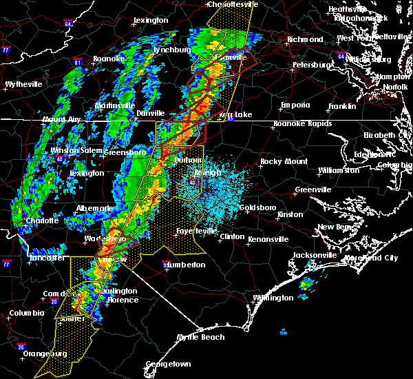 At 803 pm edt, a severe squall line capable of producing both tornadoes and extensive straight line wind damage was located 10 miles west of oxford, moving northeast at 55 mph (radar indicated rotation). Hazards include tornado. Flying debris will be dangerous to those caught without shelter. mobile homes will be damaged or destroyed. damage to roofs, windows, and vehicles will occur. tree damage is likely. Locations impacted include, oxford, rougemont, stem, stovall, moriah, berea, surl, bahama, lake michie and lake butner. At 803 pm edt, a severe squall line capable of producing both tornadoes and extensive straight line wind damage was located 10 miles west of oxford, moving northeast at 55 mph (radar indicated rotation). Hazards include tornado. Flying debris will be dangerous to those caught without shelter. mobile homes will be damaged or destroyed. damage to roofs, windows, and vehicles will occur. tree damage is likely. Locations impacted include, oxford, rougemont, stem, stovall, moriah, berea, surl, bahama, lake michie and lake butner.
|
| 10/31/2019 7:47 PM EDT |
 At 747 pm edt, a severe thunderstorm capable of producing a tornado was located near rougemont, or 10 miles northeast of hillsborough, moving northeast at 55 mph (radar indicated rotation). Hazards include tornado. Flying debris will be dangerous to those caught without shelter. mobile homes will be damaged or destroyed. damage to roofs, windows, and vehicles will occur. Tree damage is likely. At 747 pm edt, a severe thunderstorm capable of producing a tornado was located near rougemont, or 10 miles northeast of hillsborough, moving northeast at 55 mph (radar indicated rotation). Hazards include tornado. Flying debris will be dangerous to those caught without shelter. mobile homes will be damaged or destroyed. damage to roofs, windows, and vehicles will occur. Tree damage is likely.
|
| 8/7/2019 2:17 PM EDT |
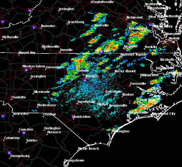 At 217 pm edt, severe thunderstorms were located along a line extending from 7 miles northwest of franklinton to near oxford, moving east at 25 mph (radar indicated). Hazards include 60 mph wind gusts. Expect damage to roofs, siding, and trees. Locations impacted include, henderson, oxford, creedmoor, kittrell, stem, stovall, middleburg, gillburg, steele creek marina & campground and kerr lake. At 217 pm edt, severe thunderstorms were located along a line extending from 7 miles northwest of franklinton to near oxford, moving east at 25 mph (radar indicated). Hazards include 60 mph wind gusts. Expect damage to roofs, siding, and trees. Locations impacted include, henderson, oxford, creedmoor, kittrell, stem, stovall, middleburg, gillburg, steele creek marina & campground and kerr lake.
|
| 8/7/2019 1:16 PM EDT |
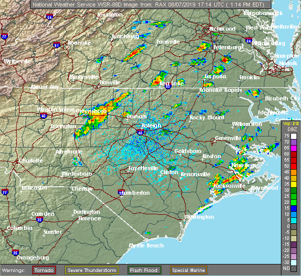 At 115 pm edt, severe thunderstorms were located along a line extending from near roxboro to prospect hill, moving northeast at 25 mph (radar indicated). Hazards include 60 mph wind gusts. expect damage to roofs, siding, and trees At 115 pm edt, severe thunderstorms were located along a line extending from near roxboro to prospect hill, moving northeast at 25 mph (radar indicated). Hazards include 60 mph wind gusts. expect damage to roofs, siding, and trees
|
| 7/22/2019 7:40 PM EDT | Power lines were reported down at 9211 us highway 15 north... north of bulloc in granville county NC, 5.4 miles SSW of Stovall, NC |
| 7/22/2019 7:39 PM EDT |
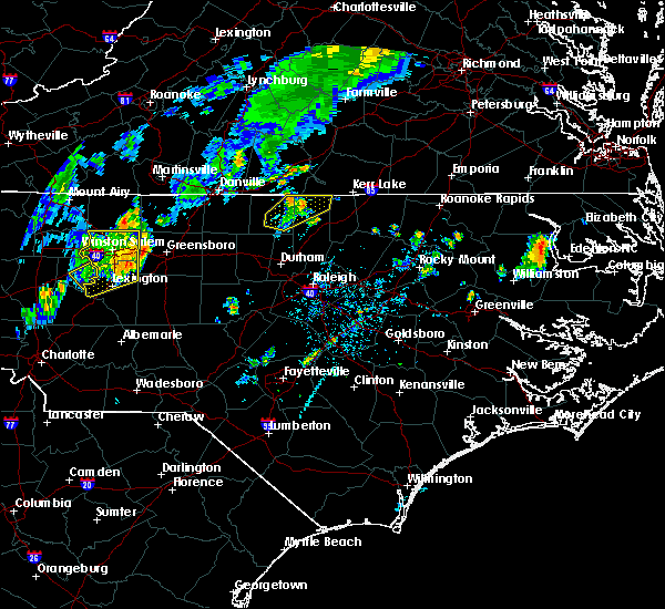 A severe thunderstorm warning remains in effect until 800 pm edt for northeastern granville county. at 738 pm edt, a severe thunderstorm was located 7 miles south of clarksville, or 9 miles east of virgilina, moving northeast at 35 mph. hazard. 60 mph wind gusts. A severe thunderstorm warning remains in effect until 800 pm edt for northeastern granville county. at 738 pm edt, a severe thunderstorm was located 7 miles south of clarksville, or 9 miles east of virgilina, moving northeast at 35 mph. hazard. 60 mph wind gusts.
|
| 7/22/2019 7:20 PM EDT |
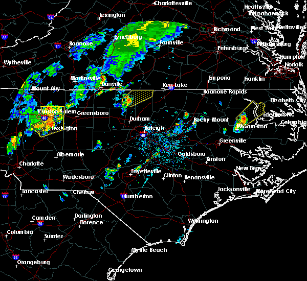 At 720 pm edt, a severe thunderstorm was located 7 miles south of virgilina, moving northeast at 35 mph (radar indicated). Hazards include 60 mph wind gusts. Expect damage to roofs, siding, and trees. Locations impacted include, stovall, bethel hill, mayo reservoir and john h kerr reservoir. At 720 pm edt, a severe thunderstorm was located 7 miles south of virgilina, moving northeast at 35 mph (radar indicated). Hazards include 60 mph wind gusts. Expect damage to roofs, siding, and trees. Locations impacted include, stovall, bethel hill, mayo reservoir and john h kerr reservoir.
|
| 7/22/2019 7:08 PM EDT |
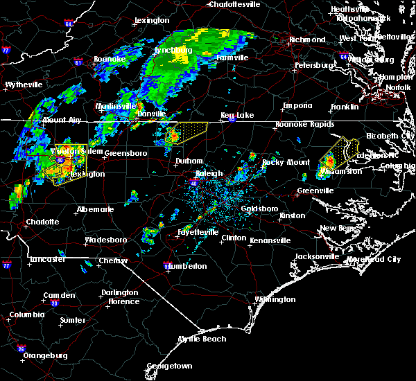 A severe thunderstorm warning remains in effect until 800 pm edt for eastern person and northern granville counties. at 708 pm edt, a severe thunderstorm was located near roxboro, moving northeast at 40 mph. hazard. 60 mph wind gusts. source. Radar indicated. A severe thunderstorm warning remains in effect until 800 pm edt for eastern person and northern granville counties. at 708 pm edt, a severe thunderstorm was located near roxboro, moving northeast at 40 mph. hazard. 60 mph wind gusts. source. Radar indicated.
|
| 7/22/2019 6:43 PM EDT |
 At 643 pm edt, a severe thunderstorm was located near prospect hill, moving northeast at 30 mph (radar indicated). Hazards include 60 mph wind gusts. expect damage to roofs, siding, and trees At 643 pm edt, a severe thunderstorm was located near prospect hill, moving northeast at 30 mph (radar indicated). Hazards include 60 mph wind gusts. expect damage to roofs, siding, and trees
|
| 7/4/2019 4:33 PM EDT |
 At 432 pm edt, a severe thunderstorm was located 7 miles south of virgilina, moving east at 10 mph (radar indicated). Hazards include 60 mph wind gusts and penny size hail. Expect damage to roofs, siding, and trees. Locations impacted include, stovall and john h kerr reservoir. At 432 pm edt, a severe thunderstorm was located 7 miles south of virgilina, moving east at 10 mph (radar indicated). Hazards include 60 mph wind gusts and penny size hail. Expect damage to roofs, siding, and trees. Locations impacted include, stovall and john h kerr reservoir.
|
| 7/4/2019 3:56 PM EDT |
 At 356 pm edt, a nearly stationary severe thunderstorm was located 8 miles south of virgilina, moving east at 10 mph (radar indicated). Hazards include 60 mph wind gusts and penny size hail. expect damage to roofs, siding, and trees At 356 pm edt, a nearly stationary severe thunderstorm was located 8 miles south of virgilina, moving east at 10 mph (radar indicated). Hazards include 60 mph wind gusts and penny size hail. expect damage to roofs, siding, and trees
|
| 6/20/2019 3:26 PM EDT |
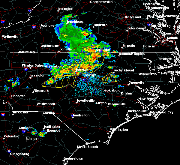 At 325 pm edt, a severe thunderstorm was located near butner, or near creedmoor, moving east at 45 mph. other, severe thunderstorms were located across vance and northern franklin counties (emergency management). Hazards include 60 mph wind gusts and nickel size hail. Expect damage to roofs, siding, and trees. Locations impacted include, durham, henderson, oxford, creedmoor, louisburg, warrenton, wake forest, butner, franklinton and norlina. At 325 pm edt, a severe thunderstorm was located near butner, or near creedmoor, moving east at 45 mph. other, severe thunderstorms were located across vance and northern franklin counties (emergency management). Hazards include 60 mph wind gusts and nickel size hail. Expect damage to roofs, siding, and trees. Locations impacted include, durham, henderson, oxford, creedmoor, louisburg, warrenton, wake forest, butner, franklinton and norlina.
|
| 6/20/2019 3:09 PM EDT |
 At 309 pm edt, severe thunderstorms were located along a line extending from near virgilina to 11 miles northeast of rougemont to graham, moving east at 50 mph (emergency management report numerous trees and powerlines down across north central north carolina, especially portions of person county). Hazards include 70 mph wind gusts and quarter size hail. Hail damage to vehicles is expected. expect considerable tree damage. wind damage is also likely to mobile homes, roofs, and outbuildings. Locations impacted include, durham, chapel hill, burlington, graham, oxford, hillsborough, creedmoor, carrboro, mebane and butner. At 309 pm edt, severe thunderstorms were located along a line extending from near virgilina to 11 miles northeast of rougemont to graham, moving east at 50 mph (emergency management report numerous trees and powerlines down across north central north carolina, especially portions of person county). Hazards include 70 mph wind gusts and quarter size hail. Hail damage to vehicles is expected. expect considerable tree damage. wind damage is also likely to mobile homes, roofs, and outbuildings. Locations impacted include, durham, chapel hill, burlington, graham, oxford, hillsborough, creedmoor, carrboro, mebane and butner.
|
| 6/20/2019 3:06 PM EDT |
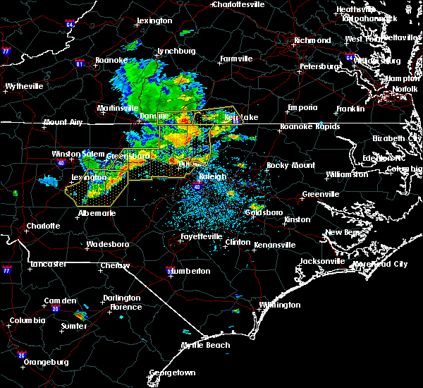 At 304 pm edt, a severe thunderstorm was located near creedmoor, moving northeast at 55 mph. other sever thunderstorms were ongoing or developing across durham and granville counties (emergency management). Hazards include 70 mph wind gusts and nickel size hail. Expect considerable tree damage. Damage is likely to mobile homes, roofs, and outbuildings. At 304 pm edt, a severe thunderstorm was located near creedmoor, moving northeast at 55 mph. other sever thunderstorms were ongoing or developing across durham and granville counties (emergency management). Hazards include 70 mph wind gusts and nickel size hail. Expect considerable tree damage. Damage is likely to mobile homes, roofs, and outbuildings.
|
| 6/20/2019 2:33 PM EDT |
 At 232 pm edt, severe thunderstorms were located along a line extending from near elmo to yanceyville to near high point, moving east at 45 mph (law enforcement). Hazards include 60 mph wind gusts, heavy rainfall, and quarter size hail. this storm has a history of producing wind damage across the western piedmont of nc. Hail damage to vehicles is expected. Expect wind damage to roofs, siding, and trees. At 232 pm edt, severe thunderstorms were located along a line extending from near elmo to yanceyville to near high point, moving east at 45 mph (law enforcement). Hazards include 60 mph wind gusts, heavy rainfall, and quarter size hail. this storm has a history of producing wind damage across the western piedmont of nc. Hail damage to vehicles is expected. Expect wind damage to roofs, siding, and trees.
|
| 4/19/2019 5:58 PM EDT |
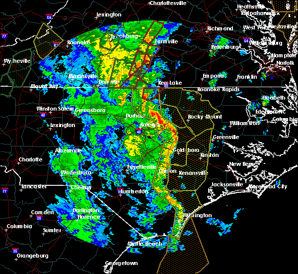 At 558 pm edt, a severe thunderstorm capable of producing a tornado was located 8 miles northwest of henderson, moving northeast at 45 mph (radar indicated rotation). Hazards include tornado. Flying debris will be dangerous to those caught without shelter. mobile homes will be damaged or destroyed. damage to roofs, windows, and vehicles will occur. tree damage is likely. Locations impacted include, stovall, dabney, tungsten, satterwhite point marina, john h kerr reservoir, steele creek marina & campground, bullocksville and kerr lake. At 558 pm edt, a severe thunderstorm capable of producing a tornado was located 8 miles northwest of henderson, moving northeast at 45 mph (radar indicated rotation). Hazards include tornado. Flying debris will be dangerous to those caught without shelter. mobile homes will be damaged or destroyed. damage to roofs, windows, and vehicles will occur. tree damage is likely. Locations impacted include, stovall, dabney, tungsten, satterwhite point marina, john h kerr reservoir, steele creek marina & campground, bullocksville and kerr lake.
|
| 4/19/2019 5:52 PM EDT |
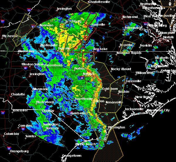 At 552 pm edt, a severe thunderstorm capable of producing a tornado was located near oxford, moving northeast at 45 mph (radar indicated rotation). Hazards include tornado. Flying debris will be dangerous to those caught without shelter. mobile homes will be damaged or destroyed. damage to roofs, windows, and vehicles will occur. tree damage is likely. Locations impacted include, oxford, stovall, dabney, tungsten, satterwhite point marina, john h kerr reservoir, steele creek marina & campground, bullocksville and kerr lake. At 552 pm edt, a severe thunderstorm capable of producing a tornado was located near oxford, moving northeast at 45 mph (radar indicated rotation). Hazards include tornado. Flying debris will be dangerous to those caught without shelter. mobile homes will be damaged or destroyed. damage to roofs, windows, and vehicles will occur. tree damage is likely. Locations impacted include, oxford, stovall, dabney, tungsten, satterwhite point marina, john h kerr reservoir, steele creek marina & campground, bullocksville and kerr lake.
|
| 4/19/2019 5:47 PM EDT |
 At 547 pm edt, severe thunderstorms were located along a line extending from near oxford to near zebulon to 6 miles southwest of walnut creek to near wallace, moving east at 55 mph (radar indicated). Hazards include 60 mph wind gusts and penny size hail. Expect damage to roofs, siding, and trees. locations impacted include, goldsboro, henderson, clinton, oxford, nashville, creedmoor, louisburg, wilson, butner and mount olive. a tornado watch remains in effect until 800 pm edt for central north carolina. A tornado watch also remains in effect until midnight edt for central north carolina. At 547 pm edt, severe thunderstorms were located along a line extending from near oxford to near zebulon to 6 miles southwest of walnut creek to near wallace, moving east at 55 mph (radar indicated). Hazards include 60 mph wind gusts and penny size hail. Expect damage to roofs, siding, and trees. locations impacted include, goldsboro, henderson, clinton, oxford, nashville, creedmoor, louisburg, wilson, butner and mount olive. a tornado watch remains in effect until 800 pm edt for central north carolina. A tornado watch also remains in effect until midnight edt for central north carolina.
|
| 4/19/2019 5:44 PM EDT |
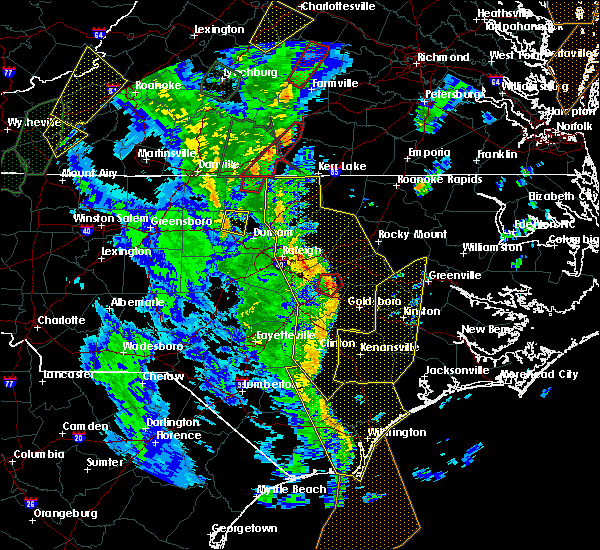 At 544 pm edt, a severe thunderstorm capable of producing a tornado was located over oxford, moving northeast at 40 mph (radar indicated rotation). Hazards include tornado. Flying debris will be dangerous to those caught without shelter. mobile homes will be damaged or destroyed. damage to roofs, windows, and vehicles will occur. Tree damage is likely. At 544 pm edt, a severe thunderstorm capable of producing a tornado was located over oxford, moving northeast at 40 mph (radar indicated rotation). Hazards include tornado. Flying debris will be dangerous to those caught without shelter. mobile homes will be damaged or destroyed. damage to roofs, windows, and vehicles will occur. Tree damage is likely.
|
| 4/19/2019 5:27 PM EDT |
 At 526 pm edt, severe thunderstorms were located along a line extending from 7 miles south of virgilina to near wake forest to 10 miles northwest of mount olive to 9 miles northwest of harrells, moving east at 55 mph (radar indicated). Hazards include 60 mph wind gusts and penny size hail. expect damage to roofs, siding, and trees At 526 pm edt, severe thunderstorms were located along a line extending from 7 miles south of virgilina to near wake forest to 10 miles northwest of mount olive to 9 miles northwest of harrells, moving east at 55 mph (radar indicated). Hazards include 60 mph wind gusts and penny size hail. expect damage to roofs, siding, and trees
|
| 10/11/2018 6:08 PM EDT |
 The severe thunderstorm warning for vance, granville, wake and franklin counties will expire at 615 pm edt, the strong winds which prompted the warning have weakened below severe limits, and no longer pose an immediate threat to life or property. therefore the warning will be allowed to expire. however gusty winds are still possible with these thunderstorms. The severe thunderstorm warning for vance, granville, wake and franklin counties will expire at 615 pm edt, the strong winds which prompted the warning have weakened below severe limits, and no longer pose an immediate threat to life or property. therefore the warning will be allowed to expire. however gusty winds are still possible with these thunderstorms.
|
| 10/11/2018 5:48 PM EDT |
 At 544 pm edt, gusty winds on the backside of tropical storm michael continue to spread southeast across the warned area, producing areas of straight line wind damage as they progress. the front edge of these winds were located along a line extending from near oxford through franklinton to 6 miles south of cary, moving southeast at 35 mph. a quick spin up tornado can`t be ruled out at this time (emergency management confirmed damage reports from these winds across the northwestern piedmont and foothills of north carolina). Hazards include 60 mph wind gusts. Expect damage to roofs, siding, and trees. locations impacted include, raleigh, cary, henderson, oxford, creedmoor, louisburg, wake forest, garner, fuquay-varina and butner. A tornado watch remains in effect until 900 pm edt for central north carolina. At 544 pm edt, gusty winds on the backside of tropical storm michael continue to spread southeast across the warned area, producing areas of straight line wind damage as they progress. the front edge of these winds were located along a line extending from near oxford through franklinton to 6 miles south of cary, moving southeast at 35 mph. a quick spin up tornado can`t be ruled out at this time (emergency management confirmed damage reports from these winds across the northwestern piedmont and foothills of north carolina). Hazards include 60 mph wind gusts. Expect damage to roofs, siding, and trees. locations impacted include, raleigh, cary, henderson, oxford, creedmoor, louisburg, wake forest, garner, fuquay-varina and butner. A tornado watch remains in effect until 900 pm edt for central north carolina.
|
| 10/11/2018 4:43 PM EDT |
 At 441 pm edt, a line of damaging winds mixing south along the western side of tropical storm michael were located along a line extending from 6 miles northeast of roxboro through rougemont to near carrboro, moving southeast at 35 mph. this line of 45 to 60mph winds have produced extensive wind damage across portions of southeastern va and western north carolina. a quick spin up tornado also can`t be ruled out (emergency management). Hazards include 60 mph wind gusts. expect damage to roofs, siding, and trees At 441 pm edt, a line of damaging winds mixing south along the western side of tropical storm michael were located along a line extending from 6 miles northeast of roxboro through rougemont to near carrboro, moving southeast at 35 mph. this line of 45 to 60mph winds have produced extensive wind damage across portions of southeastern va and western north carolina. a quick spin up tornado also can`t be ruled out (emergency management). Hazards include 60 mph wind gusts. expect damage to roofs, siding, and trees
|
| 9/17/2018 5:21 PM EDT |
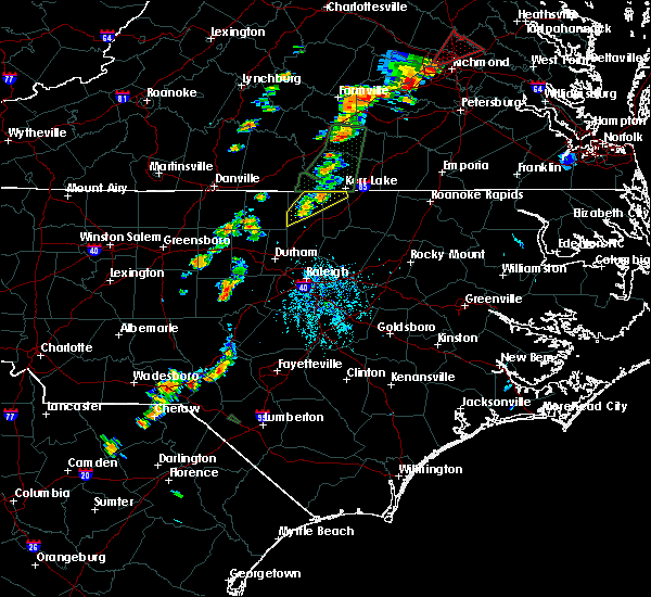 The severe thunderstorm warning for northern vance and northern granville counties will expire at 530 pm edt, the storms which prompted the warning have weakened below severe limits, and no longer pose an immediate threat to life or property. therefore the warning will be allowed to expire. however gusty winds and heavy rain are still possible with these thunderstorms. to report severe weather, contact your nearest law enforcement agency. they will relay your report to the national weather service raleigh. The severe thunderstorm warning for northern vance and northern granville counties will expire at 530 pm edt, the storms which prompted the warning have weakened below severe limits, and no longer pose an immediate threat to life or property. therefore the warning will be allowed to expire. however gusty winds and heavy rain are still possible with these thunderstorms. to report severe weather, contact your nearest law enforcement agency. they will relay your report to the national weather service raleigh.
|
| 9/17/2018 5:02 PM EDT |
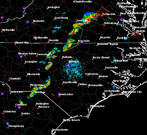 At 502 pm edt, severe thunderstorms were located along a line extending from near clarksville to 9 miles west of oxford, moving northeast at 30 mph (radar indicated). Hazards include 60 mph wind gusts. Expect damage to roofs, siding, and trees. Locations impacted include, stovall, tungsten, berea, john h kerr reservoir, steele creek marina & campground, bullocksville and kerr lake. At 502 pm edt, severe thunderstorms were located along a line extending from near clarksville to 9 miles west of oxford, moving northeast at 30 mph (radar indicated). Hazards include 60 mph wind gusts. Expect damage to roofs, siding, and trees. Locations impacted include, stovall, tungsten, berea, john h kerr reservoir, steele creek marina & campground, bullocksville and kerr lake.
|
| 9/17/2018 4:51 PM EDT |
 At 450 pm edt, severe thunderstorms were located along a line extending from near hitesburg to 7 miles north of oxford to near rougemont, moving northeast at 30 mph (radar indicated). Hazards include 60 mph wind gusts. Expect damage to roofs, siding, and trees. Locations impacted include, stovall, tungsten, moriah, berea, john h kerr reservoir, steele creek marina & campground, bullocksville and kerr lake. At 450 pm edt, severe thunderstorms were located along a line extending from near hitesburg to 7 miles north of oxford to near rougemont, moving northeast at 30 mph (radar indicated). Hazards include 60 mph wind gusts. Expect damage to roofs, siding, and trees. Locations impacted include, stovall, tungsten, moriah, berea, john h kerr reservoir, steele creek marina & campground, bullocksville and kerr lake.
|
| 9/17/2018 4:40 PM EDT |
 At 439 pm edt, severe thunderstorms were located along a line extending from near virgilina to 8 miles northwest of oxford to rougemont, moving northeast at 20 mph (radar indicated). Hazards include 60 mph wind gusts. Expect damage to roofs, siding, and trees. Locations impacted include, rougemont, stovall, tungsten, moriah, berea, john h kerr reservoir, steele creek marina & campground, surl, bullocksville and kerr lake. At 439 pm edt, severe thunderstorms were located along a line extending from near virgilina to 8 miles northwest of oxford to rougemont, moving northeast at 20 mph (radar indicated). Hazards include 60 mph wind gusts. Expect damage to roofs, siding, and trees. Locations impacted include, rougemont, stovall, tungsten, moriah, berea, john h kerr reservoir, steele creek marina & campground, surl, bullocksville and kerr lake.
|
| 9/17/2018 4:11 PM EDT |
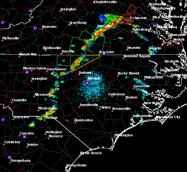 At 410 pm edt, severe thunderstorms were located along a line extending from near roxboro to near rougemont to near hillsborough, moving northeast at 30 mph (radar indicated). Hazards include 60 mph wind gusts and penny size hail. expect damage to roofs, siding, and trees At 410 pm edt, severe thunderstorms were located along a line extending from near roxboro to near rougemont to near hillsborough, moving northeast at 30 mph (radar indicated). Hazards include 60 mph wind gusts and penny size hail. expect damage to roofs, siding, and trees
|
| 9/16/2018 6:36 PM EDT |
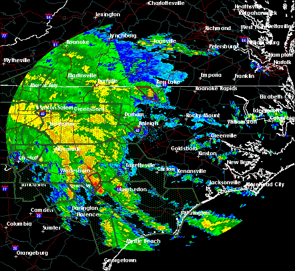 The tornado warning for central vance and northeastern granville counties will expire at 645 pm edt, the storm which prompted the warning has weakened below severe limits, and no longer appears capable of producing a tornado. therefore the warning will be allowed to expire. to report severe weather, contact your nearest law enforcement agency. they will relay your report to the national weather service raleigh. The tornado warning for central vance and northeastern granville counties will expire at 645 pm edt, the storm which prompted the warning has weakened below severe limits, and no longer appears capable of producing a tornado. therefore the warning will be allowed to expire. to report severe weather, contact your nearest law enforcement agency. they will relay your report to the national weather service raleigh.
|
| 9/16/2018 6:24 PM EDT |
 At 624 pm edt, a confirmed tornado was located near henderson, moving northwest at 35 mph (spotter confirmed tornado on i85 near exit 211). Hazards include damaging tornado. Flying debris will be dangerous to those caught without shelter. mobile homes will be damaged or destroyed. damage to roofs, windows, and vehicles will occur. tree damage is likely. Locations impacted include, henderson, stovall, dabney, tungsten and john h kerr reservoir. At 624 pm edt, a confirmed tornado was located near henderson, moving northwest at 35 mph (spotter confirmed tornado on i85 near exit 211). Hazards include damaging tornado. Flying debris will be dangerous to those caught without shelter. mobile homes will be damaged or destroyed. damage to roofs, windows, and vehicles will occur. tree damage is likely. Locations impacted include, henderson, stovall, dabney, tungsten and john h kerr reservoir.
|
| 9/16/2018 6:18 PM EDT |
 At 618 pm edt, a severe thunderstorm capable of producing a tornado was located over henderson, moving northwest at 35 mph (radar indicated rotation). Hazards include tornado. Flying debris will be dangerous to those caught without shelter. mobile homes will be damaged or destroyed. damage to roofs, windows, and vehicles will occur. tree damage is likely. Locations impacted include, henderson, stovall, dabney, tungsten, gillburg, south henderson and john h kerr reservoir. At 618 pm edt, a severe thunderstorm capable of producing a tornado was located over henderson, moving northwest at 35 mph (radar indicated rotation). Hazards include tornado. Flying debris will be dangerous to those caught without shelter. mobile homes will be damaged or destroyed. damage to roofs, windows, and vehicles will occur. tree damage is likely. Locations impacted include, henderson, stovall, dabney, tungsten, gillburg, south henderson and john h kerr reservoir.
|
| 9/16/2018 6:14 PM EDT |
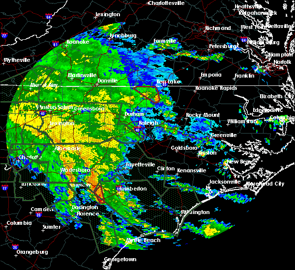 At 614 pm edt, a severe thunderstorm capable of producing a tornado was located near henderson, moving northwest at 30 mph (radar indicated rotation). Hazards include tornado. Flying debris will be dangerous to those caught without shelter. mobile homes will be damaged or destroyed. damage to roofs, windows, and vehicles will occur. tree damage is likely. Locations impacted include, henderson, stovall, middleburg, dabney, satterwhite point marina, tungsten, gillburg, john h kerr reservoir, steele creek marina & campground and bullocksville. At 614 pm edt, a severe thunderstorm capable of producing a tornado was located near henderson, moving northwest at 30 mph (radar indicated rotation). Hazards include tornado. Flying debris will be dangerous to those caught without shelter. mobile homes will be damaged or destroyed. damage to roofs, windows, and vehicles will occur. tree damage is likely. Locations impacted include, henderson, stovall, middleburg, dabney, satterwhite point marina, tungsten, gillburg, john h kerr reservoir, steele creek marina & campground and bullocksville.
|
| 9/16/2018 6:07 PM EDT |
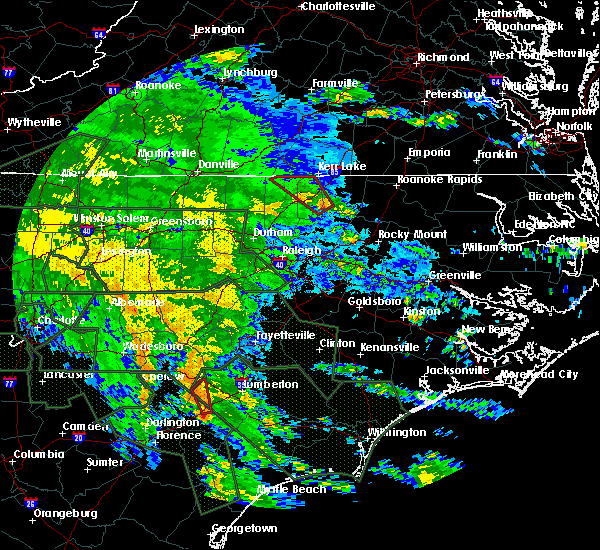 At 607 pm edt, a severe thunderstorm capable of producing a tornado was located 7 miles southeast of henderson, moving northwest at 35 mph (radar indicated rotation). Hazards include tornado. Flying debris will be dangerous to those caught without shelter. mobile homes will be damaged or destroyed. damage to roofs, windows, and vehicles will occur. Tree damage is likely. At 607 pm edt, a severe thunderstorm capable of producing a tornado was located 7 miles southeast of henderson, moving northwest at 35 mph (radar indicated rotation). Hazards include tornado. Flying debris will be dangerous to those caught without shelter. mobile homes will be damaged or destroyed. damage to roofs, windows, and vehicles will occur. Tree damage is likely.
|
| 8/2/2018 4:52 PM EDT |
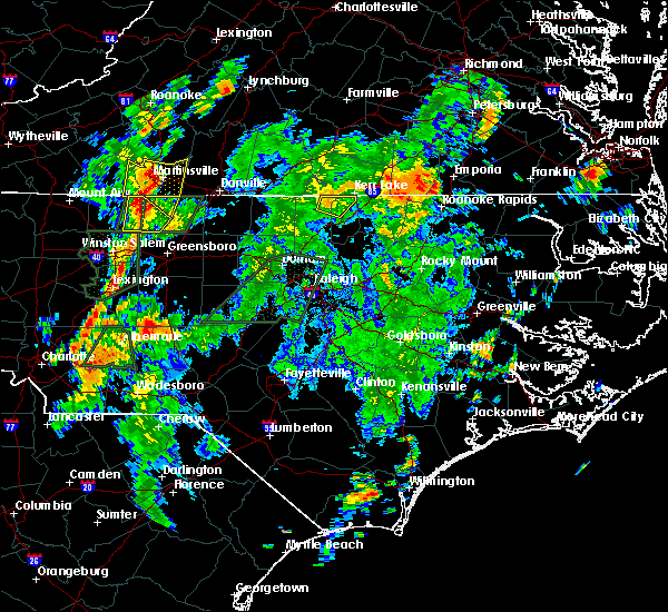 The severe thunderstorm warning for northwestern vance and northeastern granville counties will expire at 500 pm edt, the storm which prompted the warning has weakened below severe limits, and has exited the warned area. therefore, the warning will be allowed to expire. The severe thunderstorm warning for northwestern vance and northeastern granville counties will expire at 500 pm edt, the storm which prompted the warning has weakened below severe limits, and has exited the warned area. therefore, the warning will be allowed to expire.
|
| 8/2/2018 4:44 PM EDT |
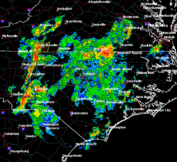 At 444 pm edt, a severe thunderstorm was located 10 miles southeast of clarksville, or 11 miles north of henderson, moving northeast at 35 mph (radar indicated). Hazards include 60 mph wind gusts. Expect damage to roofs, siding, and trees. Locations impacted include, stovall, john h kerr reservoir, steele creek marina & campground, bullocksville, kerr lake and tungsten. At 444 pm edt, a severe thunderstorm was located 10 miles southeast of clarksville, or 11 miles north of henderson, moving northeast at 35 mph (radar indicated). Hazards include 60 mph wind gusts. Expect damage to roofs, siding, and trees. Locations impacted include, stovall, john h kerr reservoir, steele creek marina & campground, bullocksville, kerr lake and tungsten.
|
| 8/2/2018 4:33 PM EDT |
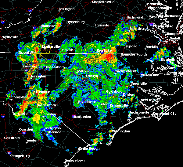 At 433 pm edt, a severe thunderstorm was located near oxford, moving northeast at 35 mph (radar indicated). Hazards include 60 mph wind gusts. expect damage to roofs, siding, and trees At 433 pm edt, a severe thunderstorm was located near oxford, moving northeast at 35 mph (radar indicated). Hazards include 60 mph wind gusts. expect damage to roofs, siding, and trees
|
| 7/22/2018 9:19 PM EDT |
 At 919 pm edt, severe thunderstorms were located along a line extending from near creedmoor to butner to near hillsborough, moving north at 30 mph (radar indicated). Hazards include 60 mph wind gusts and penny size hail. Expect damage to roofs, siding, and trees. Locations impacted include, durham, chapel hill, oxford, roxboro, hillsborough, creedmoor, carrboro, butner, rougemont and concord. At 919 pm edt, severe thunderstorms were located along a line extending from near creedmoor to butner to near hillsborough, moving north at 30 mph (radar indicated). Hazards include 60 mph wind gusts and penny size hail. Expect damage to roofs, siding, and trees. Locations impacted include, durham, chapel hill, oxford, roxboro, hillsborough, creedmoor, carrboro, butner, rougemont and concord.
|
| 7/22/2018 9:02 PM EDT |
 At 902 pm edt, severe thunderstorms were located along a line extending from near creedmoor to 6 miles north of rdu international to near carrboro, moving northwest at 20 mph (radar indicated). Hazards include 60 mph wind gusts and quarter size hail. Hail damage to vehicles is expected. Expect wind damage to roofs, siding, and trees. At 902 pm edt, severe thunderstorms were located along a line extending from near creedmoor to 6 miles north of rdu international to near carrboro, moving northwest at 20 mph (radar indicated). Hazards include 60 mph wind gusts and quarter size hail. Hail damage to vehicles is expected. Expect wind damage to roofs, siding, and trees.
|
| 6/22/2018 12:10 AM EDT |
 At 1210 am edt, severe thunderstorms were located along a line extending from near virgilina to 7 miles southwest of oxford, moving east at 35 mph (radar indicated). Hazards include 60 mph wind gusts. expect damage to roofs, siding, and trees At 1210 am edt, severe thunderstorms were located along a line extending from near virgilina to 7 miles southwest of oxford, moving east at 35 mph (radar indicated). Hazards include 60 mph wind gusts. expect damage to roofs, siding, and trees
|
| 6/22/2018 12:02 AM EDT |
 At 1201 am edt, severe thunderstorms were located along a line extending from near virgilina to 8 miles west of oxford, moving east at 35 mph (radar indicated). Hazards include 60 mph wind gusts. Expect damage to roofs, siding, and trees. Locations impacted include, oxford, stovall, bethel hill, moriah, berea, surl, mayo reservoir and john h kerr reservoir. At 1201 am edt, severe thunderstorms were located along a line extending from near virgilina to 8 miles west of oxford, moving east at 35 mph (radar indicated). Hazards include 60 mph wind gusts. Expect damage to roofs, siding, and trees. Locations impacted include, oxford, stovall, bethel hill, moriah, berea, surl, mayo reservoir and john h kerr reservoir.
|
| 6/21/2018 11:44 PM EDT |
 At 1144 pm edt, severe thunderstorms were located along a line extending from near roxboro to 13 miles southwest of virgilina to near rougemont, moving east at 35 mph (radar indicated). Hazards include 60 mph wind gusts. Expect damage to roofs, siding, and trees. Locations impacted include, oxford, roxboro, stovall, bethel hill, moriah, berea, surl, mayo reservoir and john h kerr reservoir. At 1144 pm edt, severe thunderstorms were located along a line extending from near roxboro to 13 miles southwest of virgilina to near rougemont, moving east at 35 mph (radar indicated). Hazards include 60 mph wind gusts. Expect damage to roofs, siding, and trees. Locations impacted include, oxford, roxboro, stovall, bethel hill, moriah, berea, surl, mayo reservoir and john h kerr reservoir.
|
| 6/21/2018 11:30 PM EDT |
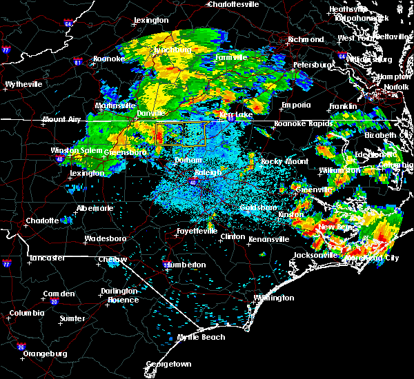 At 1127 pm edt, a severe thunderstorm was located 7 miles southwest of roxboro, moving east at 35 mph (radar indicated). Hazards include 60 mph wind gusts. Expect damage to roofs, siding, and trees. Locations impacted include, oxford, roxboro, concord, stovall, bethel hill, bushy fork, moriah, and berea. At 1127 pm edt, a severe thunderstorm was located 7 miles southwest of roxboro, moving east at 35 mph (radar indicated). Hazards include 60 mph wind gusts. Expect damage to roofs, siding, and trees. Locations impacted include, oxford, roxboro, concord, stovall, bethel hill, bushy fork, moriah, and berea.
|
| 6/21/2018 11:16 PM EDT |
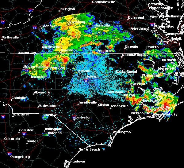 At 1116 pm edt, severe thunderstorms were located along a line extending from semora to near leasburg to near prospect hill, moving east at 35 mph (radar indicated). Hazards include 60 mph wind gusts. expect damage to roofs, siding, and trees At 1116 pm edt, severe thunderstorms were located along a line extending from semora to near leasburg to near prospect hill, moving east at 35 mph (radar indicated). Hazards include 60 mph wind gusts. expect damage to roofs, siding, and trees
|
| 5/10/2018 5:58 PM EDT |
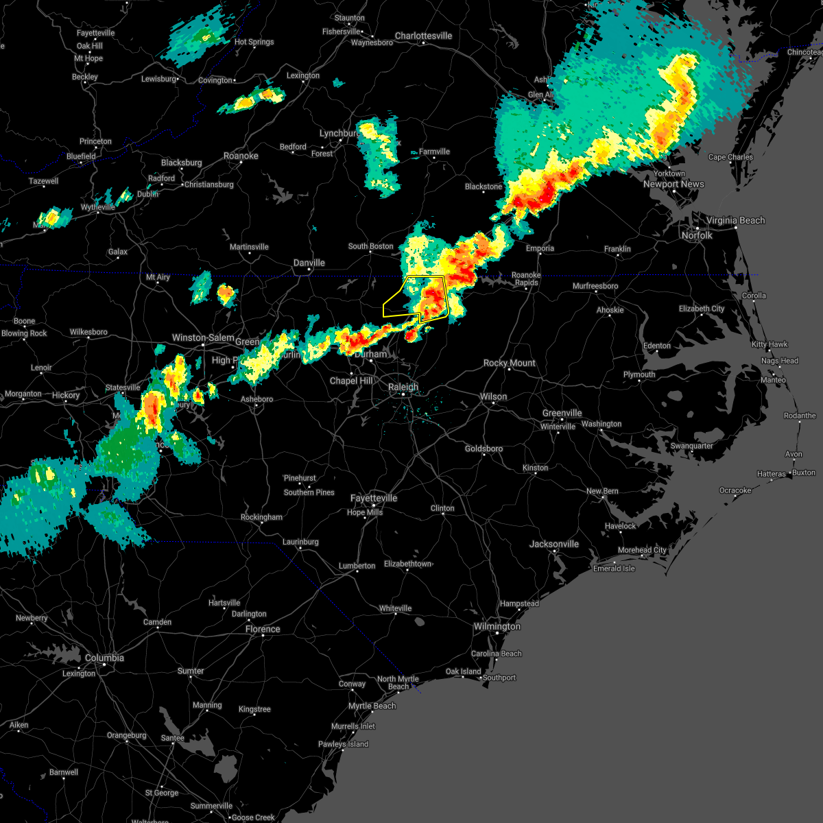 The severe thunderstorm warning for vance and northern granville counties will expire at 600 pm edt, the storms which prompted the warning have moved out of the area. therefore the warning will be allowed to expire. however, heavy rain is still possible with these thunderstorms, which could cause localized ponding on roadways or in urban areas. use caution if traveling. a severe thunderstorm watch remains in effect until 1000 pm edt for central north carolina. remember, a severe thunderstorm warning still remains in effect for the eastern portions of vance county. The severe thunderstorm warning for vance and northern granville counties will expire at 600 pm edt, the storms which prompted the warning have moved out of the area. therefore the warning will be allowed to expire. however, heavy rain is still possible with these thunderstorms, which could cause localized ponding on roadways or in urban areas. use caution if traveling. a severe thunderstorm watch remains in effect until 1000 pm edt for central north carolina. remember, a severe thunderstorm warning still remains in effect for the eastern portions of vance county.
|
| 5/10/2018 5:36 PM EDT |
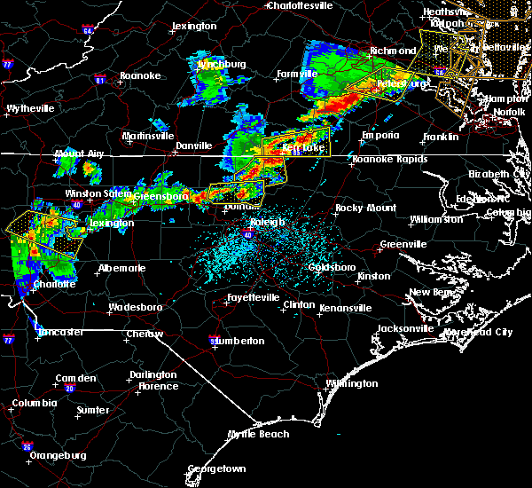 At 535 pm edt, severe thunderstorms were located along a line extending from near clarksville to 10 miles north of henderson to near oxford, moving east at 45 mph (radar indicated). Hazards include 60 mph wind gusts and quarter size hail. Hail damage to vehicles is expected. expect wind damage to roofs, siding, and trees. Locations impacted include, henderson, oxford, stovall, middleburg, gillburg, steele creek marina & campground, kerr lake, south henderson, dabney and tungsten. At 535 pm edt, severe thunderstorms were located along a line extending from near clarksville to 10 miles north of henderson to near oxford, moving east at 45 mph (radar indicated). Hazards include 60 mph wind gusts and quarter size hail. Hail damage to vehicles is expected. expect wind damage to roofs, siding, and trees. Locations impacted include, henderson, oxford, stovall, middleburg, gillburg, steele creek marina & campground, kerr lake, south henderson, dabney and tungsten.
|
| 5/10/2018 5:26 PM EDT |
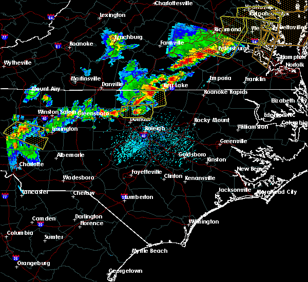 At 524 pm edt, severe thunderstorms were located along a line extending from clarksville to 8 miles northwest of oxford, moving east at 45 mph. these storms are likely to impact portions of kerr lake (radar indicated). Hazards include 60 mph wind gusts and quarter size hail. Hail damage to vehicles is expected. expect wind damage to roofs, siding, and trees. Locations impacted include, henderson, oxford, stovall, middleburg, gillburg, steele creek marina & campground, kerr lake, south henderson, dabney and tungsten. At 524 pm edt, severe thunderstorms were located along a line extending from clarksville to 8 miles northwest of oxford, moving east at 45 mph. these storms are likely to impact portions of kerr lake (radar indicated). Hazards include 60 mph wind gusts and quarter size hail. Hail damage to vehicles is expected. expect wind damage to roofs, siding, and trees. Locations impacted include, henderson, oxford, stovall, middleburg, gillburg, steele creek marina & campground, kerr lake, south henderson, dabney and tungsten.
|
| 5/10/2018 5:23 PM EDT | Two trees blown down along grassy creek road near the bullock communit in granville county NC, 2.9 miles SE of Stovall, NC |
| 5/10/2018 5:18 PM EDT |
 At 517 pm edt, severe thunderstorms were located along a line extending from near hitesburg to 8 miles southeast of virgilina to 10 miles east of roxboro, moving east at 40 mph (radar indicated). Hazards include 60 mph wind gusts and quarter size hail. Hail damage to vehicles is expected. Expect wind damage to roofs, siding, and trees. At 517 pm edt, severe thunderstorms were located along a line extending from near hitesburg to 8 miles southeast of virgilina to 10 miles east of roxboro, moving east at 40 mph (radar indicated). Hazards include 60 mph wind gusts and quarter size hail. Hail damage to vehicles is expected. Expect wind damage to roofs, siding, and trees.
|
| 4/15/2018 10:22 PM EDT |
 At 1021 pm edt, a line of severe thunderstorms stretched from near kerr lake to oxford to raleigh, with indivdual thunderstorm cells moving northeast at 80 mph (radar indicated). Hazards include 60 mph wind gusts. expect damage to roofs, siding, and trees At 1021 pm edt, a line of severe thunderstorms stretched from near kerr lake to oxford to raleigh, with indivdual thunderstorm cells moving northeast at 80 mph (radar indicated). Hazards include 60 mph wind gusts. expect damage to roofs, siding, and trees
|
| 4/15/2018 10:17 PM EDT |
 At 1016 pm edt, a line of severe thunderstorms stretching from kerr lake to near oxford to raleigh was moving east at 15 mph while individual cells in the line were racing north at 85 mph (radar indicated). Hazards include 60 mph wind gusts. Expect damage to roofs, siding, and trees. locations impacted include, raleigh, cary, henderson, oxford, creedmoor, wake forest, butner, franklinton, norlina and kittrell. a tornado watch remains in effect until 1100 pm edt for central north carolina. A tornado watch also remains in effect until 300 am edt for central north carolina. At 1016 pm edt, a line of severe thunderstorms stretching from kerr lake to near oxford to raleigh was moving east at 15 mph while individual cells in the line were racing north at 85 mph (radar indicated). Hazards include 60 mph wind gusts. Expect damage to roofs, siding, and trees. locations impacted include, raleigh, cary, henderson, oxford, creedmoor, wake forest, butner, franklinton, norlina and kittrell. a tornado watch remains in effect until 1100 pm edt for central north carolina. A tornado watch also remains in effect until 300 am edt for central north carolina.
|
| 4/15/2018 9:50 PM EDT |
 At 948 pm edt, a line of severe thunderstorms stretched from near rdu international airport to creedmoor to kerr lake, with individual storms moving north at 50 mph as the line shifts east (radar indicated). Hazards include 60 mph wind gusts. expect damage to roofs, siding, and trees At 948 pm edt, a line of severe thunderstorms stretched from near rdu international airport to creedmoor to kerr lake, with individual storms moving north at 50 mph as the line shifts east (radar indicated). Hazards include 60 mph wind gusts. expect damage to roofs, siding, and trees
|
| 4/15/2018 7:11 PM EDT |
 The severe thunderstorm warning for person, granville, wake and durham counties will expire at 715 pm edt, the storms which prompted the warning have weakened below severe limits, and no longer pose an immediate threat to life or property. therefore the warning will be allowed to expire. however gusty winds and heavy rain are still possible with these thunderstorms. a tornado watch remains in effect until 1100 pm edt for central north carolina. to report severe weather, contact your nearest law enforcement agency. they will relay your report to the national weather service raleigh. remember, a severe thunderstorm warning still remains in effect for southern wake county. The severe thunderstorm warning for person, granville, wake and durham counties will expire at 715 pm edt, the storms which prompted the warning have weakened below severe limits, and no longer pose an immediate threat to life or property. therefore the warning will be allowed to expire. however gusty winds and heavy rain are still possible with these thunderstorms. a tornado watch remains in effect until 1100 pm edt for central north carolina. to report severe weather, contact your nearest law enforcement agency. they will relay your report to the national weather service raleigh. remember, a severe thunderstorm warning still remains in effect for southern wake county.
|
| 4/15/2018 6:39 PM EDT |
 At 638 pm edt, severe thunderstorms were located along a line extending from near south boston to near cary, moving northeast at 45 mph (radar indicated). Hazards include 60 mph wind gusts. Expect damage to roofs, siding, and trees. locations impacted include, raleigh, durham, cary, chapel hill, oxford, roxboro, creedmoor, wake forest, garner and fuquay-varina. A tornado watch remains in effect until 1100 pm edt for central north carolina. At 638 pm edt, severe thunderstorms were located along a line extending from near south boston to near cary, moving northeast at 45 mph (radar indicated). Hazards include 60 mph wind gusts. Expect damage to roofs, siding, and trees. locations impacted include, raleigh, durham, cary, chapel hill, oxford, roxboro, creedmoor, wake forest, garner and fuquay-varina. A tornado watch remains in effect until 1100 pm edt for central north carolina.
|
| 4/15/2018 6:08 PM EDT |
 At 607 pm edt, severe thunderstorms were located along a line extending from milton to 6 miles east of goldston, moving northeast at 45 mph (radar indicated). Hazards include 60 mph wind gusts and quarter size hail. Hail damage to vehicles is expected. Expect wind damage to roofs, siding, and trees. At 607 pm edt, severe thunderstorms were located along a line extending from milton to 6 miles east of goldston, moving northeast at 45 mph (radar indicated). Hazards include 60 mph wind gusts and quarter size hail. Hail damage to vehicles is expected. Expect wind damage to roofs, siding, and trees.
|
| 7/8/2017 7:20 PM EDT |
 At 720 pm edt, a severe thunderstorm was located 8 miles southeast of virgilina, moving east at 30 mph (radar indicated). Hazards include 60 mph wind gusts and quarter size hail. Hail damage to vehicles is expected. Expect wind damage to roofs, siding, and trees. At 720 pm edt, a severe thunderstorm was located 8 miles southeast of virgilina, moving east at 30 mph (radar indicated). Hazards include 60 mph wind gusts and quarter size hail. Hail damage to vehicles is expected. Expect wind damage to roofs, siding, and trees.
|
| 7/5/2017 10:05 PM EDT |
 At 1003 pm edt, severe thunderstorms were located along a line extending from near virgilina to 7 miles north of creedmoor to near durham, moving east at 25 mph (radar indicated). Hazards include 60 mph wind gusts. Expect damage to roofs, siding, and trees. Locations impacted include, durham, oxford, creedmoor, butner, stem, stovall, and lake michie. At 1003 pm edt, severe thunderstorms were located along a line extending from near virgilina to 7 miles north of creedmoor to near durham, moving east at 25 mph (radar indicated). Hazards include 60 mph wind gusts. Expect damage to roofs, siding, and trees. Locations impacted include, durham, oxford, creedmoor, butner, stem, stovall, and lake michie.
|
| 7/5/2017 9:57 PM EDT |
 At 941 pm edt, severe thunderstorms were located along a line extending from near roxboro to near rougemont to near chapel hill, moving east at 25 mph (radar indicated). Hazards include 60 mph wind gusts. Expect damage to roofs, siding, and trees. Locations impacted include, raleigh, durham, chapel hill, oxford, roxboro, creedmoor, butner, rougemont, concord and stem. At 941 pm edt, severe thunderstorms were located along a line extending from near roxboro to near rougemont to near chapel hill, moving east at 25 mph (radar indicated). Hazards include 60 mph wind gusts. Expect damage to roofs, siding, and trees. Locations impacted include, raleigh, durham, chapel hill, oxford, roxboro, creedmoor, butner, rougemont, concord and stem.
|
| 7/5/2017 9:42 PM EDT |
 At 941 pm edt, severe thunderstorms were located along a line extending from near roxboro to near rougemont to near chapel hill, moving east at 25 mph (radar indicated). Hazards include 60 mph wind gusts. Expect damage to roofs, siding, and trees. Locations impacted include, raleigh, durham, chapel hill, oxford, roxboro, creedmoor, butner, rougemont, concord and stem. At 941 pm edt, severe thunderstorms were located along a line extending from near roxboro to near rougemont to near chapel hill, moving east at 25 mph (radar indicated). Hazards include 60 mph wind gusts. Expect damage to roofs, siding, and trees. Locations impacted include, raleigh, durham, chapel hill, oxford, roxboro, creedmoor, butner, rougemont, concord and stem.
|
| 7/5/2017 9:14 PM EDT |
 At 913 pm edt, severe thunderstorms were located along a line extending from near leasburg to 6 miles west of rougemont to near hillsborough, moving east at 25 mph (radar indicated). Hazards include 60 mph wind gusts. expect damage to roofs, siding, and trees At 913 pm edt, severe thunderstorms were located along a line extending from near leasburg to 6 miles west of rougemont to near hillsborough, moving east at 25 mph (radar indicated). Hazards include 60 mph wind gusts. expect damage to roofs, siding, and trees
|
| 5/19/2017 5:56 PM EDT |
 The severe thunderstorm warning for eastern person, vance and granville counties will expire at 600 pm edt, the storm which prompted the warning has weakened below severe limits, and no longer poses an immediate threat to life or property. therefore the warning will be allowed to expire. however gusty winds to 45 or 50 mph are still possible with this thunderstorm, especially in the stem, berea, and oxford areas. occasional lightning will continue to pose hazard. stay indoors until thunder is no longer heard for 10 minutes. The severe thunderstorm warning for eastern person, vance and granville counties will expire at 600 pm edt, the storm which prompted the warning has weakened below severe limits, and no longer poses an immediate threat to life or property. therefore the warning will be allowed to expire. however gusty winds to 45 or 50 mph are still possible with this thunderstorm, especially in the stem, berea, and oxford areas. occasional lightning will continue to pose hazard. stay indoors until thunder is no longer heard for 10 minutes.
|
| 5/19/2017 5:32 PM EDT |
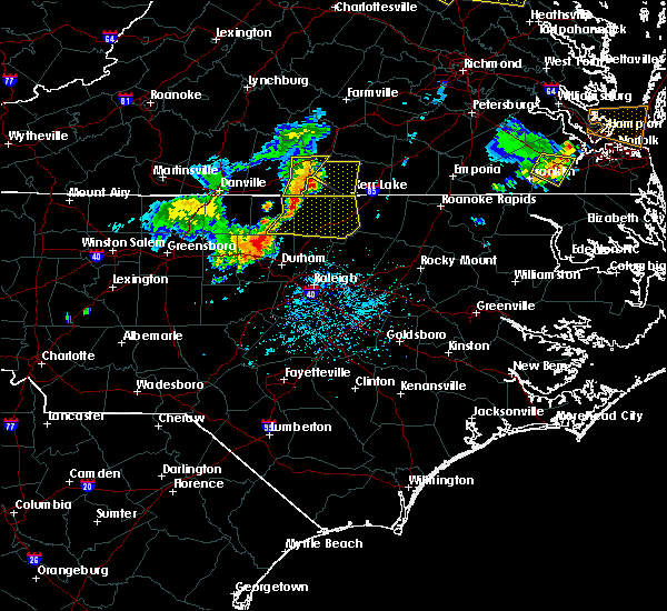 At 530 pm edt, a severe thunderstorm was located 7 miles south of virgilina, moving southeast at 25 mph (radar indicated). Hazards include 60 mph wind gusts and quarter size hail. Expect wind damage to roofs, siding, and trees. Locations impacted include, henderson, oxford, kittrell, stovall, middleburg, gillburg, mayo reservoir, steele creek marina & campground, kerr lake and south henderson. At 530 pm edt, a severe thunderstorm was located 7 miles south of virgilina, moving southeast at 25 mph (radar indicated). Hazards include 60 mph wind gusts and quarter size hail. Expect wind damage to roofs, siding, and trees. Locations impacted include, henderson, oxford, kittrell, stovall, middleburg, gillburg, mayo reservoir, steele creek marina & campground, kerr lake and south henderson.
|
| 5/19/2017 5:18 PM EDT |
 At 516 pm edt, a severe thunderstorm was located near virgilina, moving east-southeast at 30 mph (radar indicated). Hazards include 60 mph wind gusts and quarter size hail. Hail damage may occur. Expect wind damage to siding and trees. At 516 pm edt, a severe thunderstorm was located near virgilina, moving east-southeast at 30 mph (radar indicated). Hazards include 60 mph wind gusts and quarter size hail. Hail damage may occur. Expect wind damage to siding and trees.
|
| 5/11/2017 7:28 PM EDT |
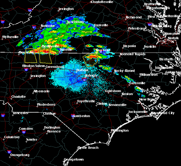 At 726 pm edt, a severe thunderstorm was located 8 miles northwest of henderson, moving southeast at 30 mph (radar indicated). Hazards include 60 mph wind gusts and quarter size hail. Hail damage to vehicles is expected. expect wind damage to roofs, siding, and trees. Locations impacted include, henderson, oxford, kittrell, stovall, middleburg, gillburg, steele creek marina & campground, kerr lake, south henderson and dabney. At 726 pm edt, a severe thunderstorm was located 8 miles northwest of henderson, moving southeast at 30 mph (radar indicated). Hazards include 60 mph wind gusts and quarter size hail. Hail damage to vehicles is expected. expect wind damage to roofs, siding, and trees. Locations impacted include, henderson, oxford, kittrell, stovall, middleburg, gillburg, steele creek marina & campground, kerr lake, south henderson and dabney.
|
| 5/11/2017 7:12 PM EDT |
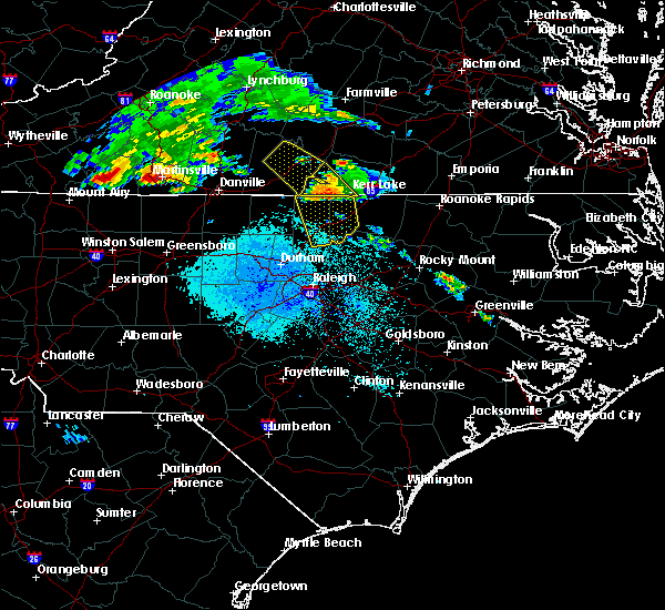 At 711 pm edt, a severe thunderstorm was located 7 miles south of clarksville, or 11 miles east of virgilina, moving southeast at 35 mph (radar indicated). Hazards include 60 mph wind gusts and quarter size hail. Hail damage to vehicles is expected. expect wind damage to roofs, siding, and trees. Locations impacted include, henderson, oxford, kittrell, stovall, middleburg, gillburg, steele creek marina & campground, kerr lake, south henderson and dabney. At 711 pm edt, a severe thunderstorm was located 7 miles south of clarksville, or 11 miles east of virgilina, moving southeast at 35 mph (radar indicated). Hazards include 60 mph wind gusts and quarter size hail. Hail damage to vehicles is expected. expect wind damage to roofs, siding, and trees. Locations impacted include, henderson, oxford, kittrell, stovall, middleburg, gillburg, steele creek marina & campground, kerr lake, south henderson and dabney.
|
| 5/11/2017 6:57 PM EDT |
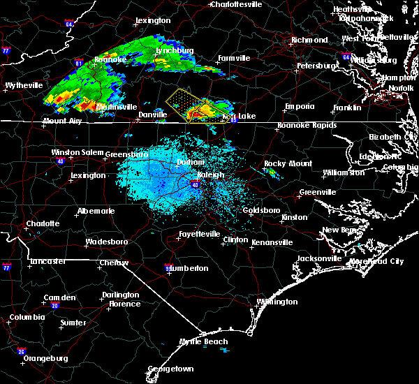 At 657 pm edt, a severe thunderstorm was located near hitesburg, or near virgilina, moving southeast at 35 mph (radar indicated). Hazards include 60 mph wind gusts and quarter size hail. Hail damage to vehicles is expected. Expect wind damage to roofs, siding, and trees. At 657 pm edt, a severe thunderstorm was located near hitesburg, or near virgilina, moving southeast at 35 mph (radar indicated). Hazards include 60 mph wind gusts and quarter size hail. Hail damage to vehicles is expected. Expect wind damage to roofs, siding, and trees.
|
| 5/10/2017 10:11 PM EDT |
 At 1011 pm edt, a severe thunderstorm was located near clarksville, or 10 miles east of virgilina, moving southeast at 30 mph (radar indicated). Hazards include 60 mph wind gusts and half dollar size hail. Hail damage to vehicles is expected. expect wind damage to roofs, siding, and trees. Locations impacted include, henderson, oxford, creedmoor, butner, stem, stovall, middleburg, gillburg, steele creek marina & campground and kerr lake. At 1011 pm edt, a severe thunderstorm was located near clarksville, or 10 miles east of virgilina, moving southeast at 30 mph (radar indicated). Hazards include 60 mph wind gusts and half dollar size hail. Hail damage to vehicles is expected. expect wind damage to roofs, siding, and trees. Locations impacted include, henderson, oxford, creedmoor, butner, stem, stovall, middleburg, gillburg, steele creek marina & campground and kerr lake.
|
| 5/10/2017 9:49 PM EDT |
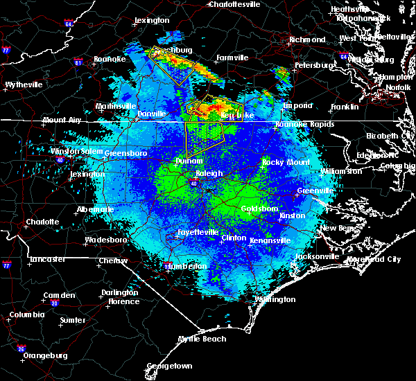 At 948 pm edt, a severe thunderstorm was located over buffalo springs, or 9 miles northeast of virgilina, moving southeast at 30 mph (radar indicated). Hazards include 60 mph wind gusts and half dollar size hail. Hail damage to vehicles is expected. Expect wind damage to roofs, siding, and trees. At 948 pm edt, a severe thunderstorm was located over buffalo springs, or 9 miles northeast of virgilina, moving southeast at 30 mph (radar indicated). Hazards include 60 mph wind gusts and half dollar size hail. Hail damage to vehicles is expected. Expect wind damage to roofs, siding, and trees.
|
| 5/5/2017 5:24 AM EDT |
 At 524 am edt, severe thunderstorms were located along a line extending from 9 miles southeast of virgilina to near oxford to near creedmoor, moving northeast at 45 mph (radar indicated). Hazards include 60 mph wind gusts. Expect damage to roofs, siding, and trees. locations impacted include, oxford, stovall, tungsten and john h kerr reservoir. A tornado watch remains in effect until 900 am edt for central north carolina. At 524 am edt, severe thunderstorms were located along a line extending from 9 miles southeast of virgilina to near oxford to near creedmoor, moving northeast at 45 mph (radar indicated). Hazards include 60 mph wind gusts. Expect damage to roofs, siding, and trees. locations impacted include, oxford, stovall, tungsten and john h kerr reservoir. A tornado watch remains in effect until 900 am edt for central north carolina.
|
| 5/5/2017 4:56 AM EDT |
 At 455 am edt, severe thunderstorms were located along a line extending from 6 miles south of roxboro to near rougemont to 6 miles east of durham, moving northeast at 40 mph (radar indicated). Hazards include 60 mph wind gusts. expect damage to roofs, siding, and trees At 455 am edt, severe thunderstorms were located along a line extending from 6 miles south of roxboro to near rougemont to 6 miles east of durham, moving northeast at 40 mph (radar indicated). Hazards include 60 mph wind gusts. expect damage to roofs, siding, and trees
|
| 4/6/2017 8:10 AM EDT |
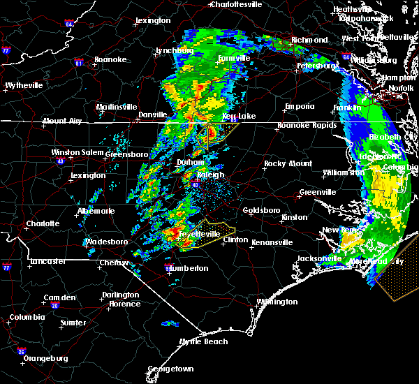 The severe thunderstorm warning for northeastern granville county will expire at 815 am edt, the storm which prompted the warning has moved out of the area. therefore the warning will be allowed to expire. a tornado watch remains in effect until 100 pm edt for central north carolina. to report severe weather, contact your nearest law enforcement agency. they will relay your report to the national weather service raleigh. The severe thunderstorm warning for northeastern granville county will expire at 815 am edt, the storm which prompted the warning has moved out of the area. therefore the warning will be allowed to expire. a tornado watch remains in effect until 100 pm edt for central north carolina. to report severe weather, contact your nearest law enforcement agency. they will relay your report to the national weather service raleigh.
|
| 4/6/2017 8:06 AM EDT |
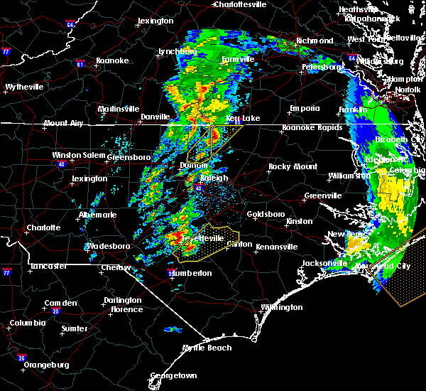 At 805 am edt, a severe thunderstorm was located over oxford, moving northeast at 80 mph (trained weather spotters). Hazards include quarter size hail. Damage to vehicles is expected. locations impacted include, oxford and stovall. A tornado watch remains in effect until 100 pm edt for central north carolina. At 805 am edt, a severe thunderstorm was located over oxford, moving northeast at 80 mph (trained weather spotters). Hazards include quarter size hail. Damage to vehicles is expected. locations impacted include, oxford and stovall. A tornado watch remains in effect until 100 pm edt for central north carolina.
|
| 4/6/2017 7:49 AM EDT |
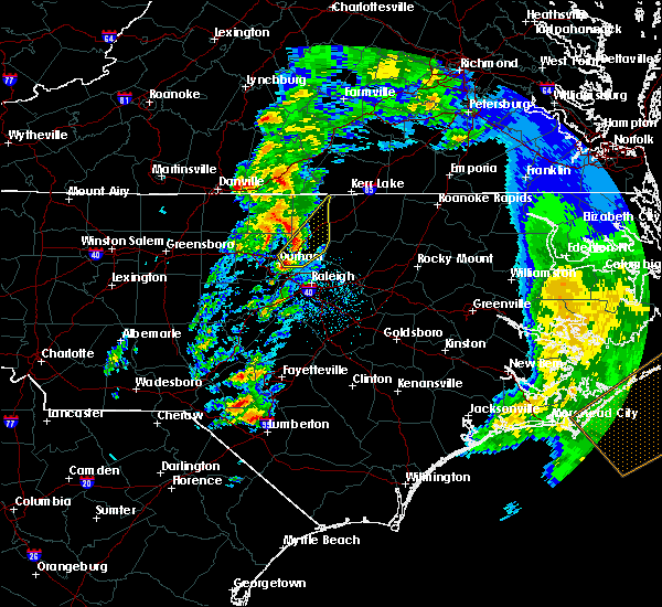 At 748 am edt, a severe thunderstorm was located near butner, or near creedmoor, moving northeast at 85 mph (a trained spotter reported quarter-sized hail in durham at 745 am). Hazards include quarter size hail. Damage to vehicles is expected. locations impacted include, durham, oxford, creedmoor, butner, stem, stovall, falls lake, lake butner, falls lake state rec area and gorman. A tornado watch remains in effect until 100 pm edt for central north carolina. At 748 am edt, a severe thunderstorm was located near butner, or near creedmoor, moving northeast at 85 mph (a trained spotter reported quarter-sized hail in durham at 745 am). Hazards include quarter size hail. Damage to vehicles is expected. locations impacted include, durham, oxford, creedmoor, butner, stem, stovall, falls lake, lake butner, falls lake state rec area and gorman. A tornado watch remains in effect until 100 pm edt for central north carolina.
|
| 4/6/2017 7:43 AM EDT |
 At 741 am edt, a severe thunderstorm was located near pittsboro, moving northeast at 80 mph (radar indicated. a trained spotter also reported dime-sized hail at durham regional hospital at 735 am). Hazards include quarter size hail. Damage to vehicles will be possible. locations impacted include, raleigh, durham, chapel hill, oxford, creedmoor, butner, rdu international, morrisville, stem and stovall. A tornado watch remains in effect until 100 pm edt for central north carolina. At 741 am edt, a severe thunderstorm was located near pittsboro, moving northeast at 80 mph (radar indicated. a trained spotter also reported dime-sized hail at durham regional hospital at 735 am). Hazards include quarter size hail. Damage to vehicles will be possible. locations impacted include, raleigh, durham, chapel hill, oxford, creedmoor, butner, rdu international, morrisville, stem and stovall. A tornado watch remains in effect until 100 pm edt for central north carolina.
|
| 4/6/2017 7:31 AM EDT |
 At 729 am edt, a severe thunderstorm was located near pittsboro, moving northeast at 75 mph (radar indicated). Hazards include quarter size hail. damage to vehicles will be possible At 729 am edt, a severe thunderstorm was located near pittsboro, moving northeast at 75 mph (radar indicated). Hazards include quarter size hail. damage to vehicles will be possible
|
| 2/25/2017 3:27 PM EST |
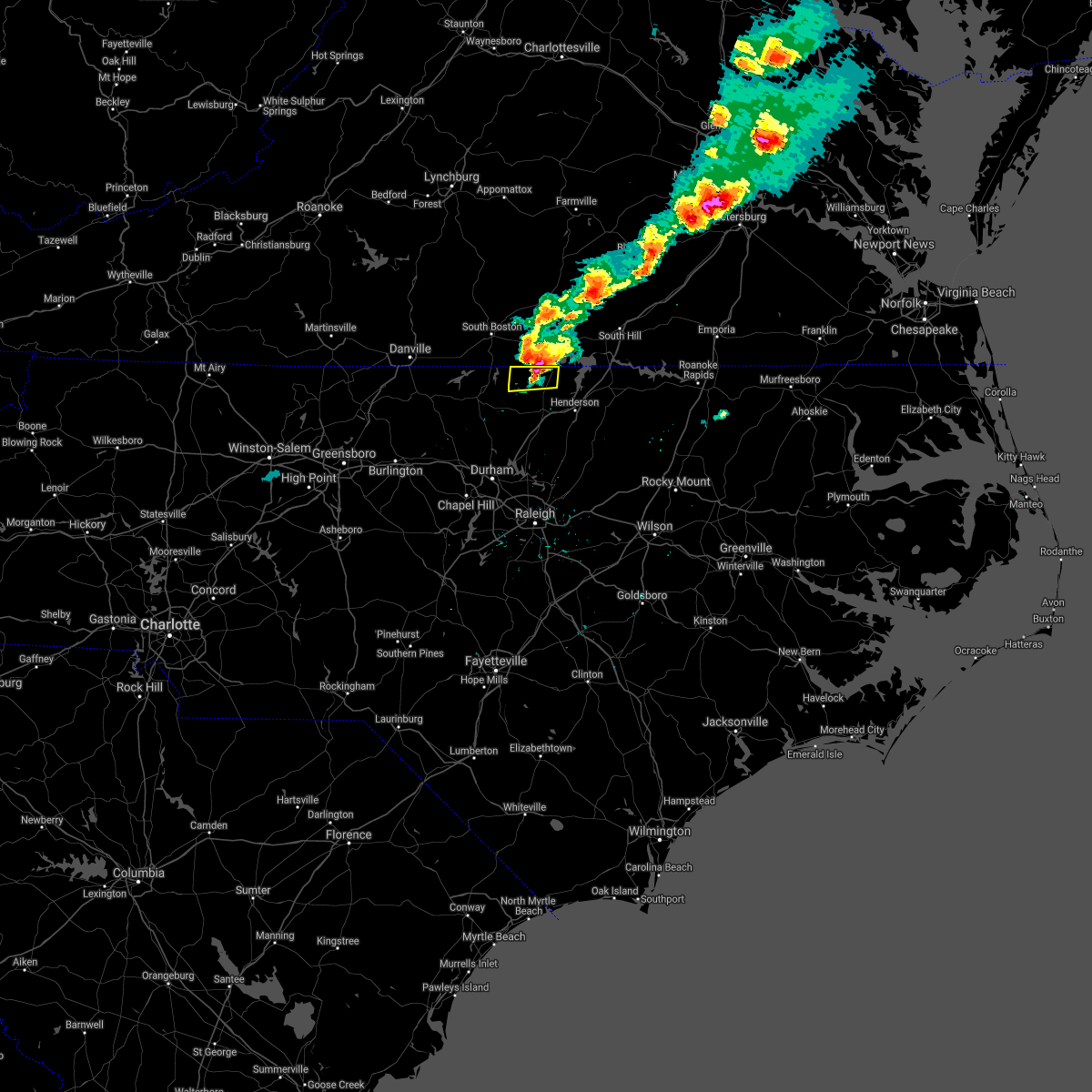 The severe thunderstorm warning for northern granville county will expire at 330 pm est, the storm which prompted the warning has weakened and will soon move northeast across the virginia border. as a result, the warning for granville county will be allowed to expire at 330 pm est. The severe thunderstorm warning for northern granville county will expire at 330 pm est, the storm which prompted the warning has weakened and will soon move northeast across the virginia border. as a result, the warning for granville county will be allowed to expire at 330 pm est.
|
| 2/25/2017 3:20 PM EST |
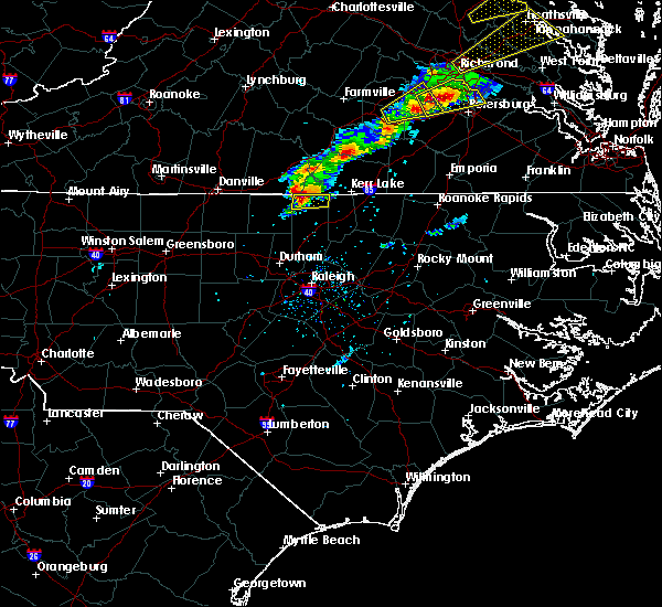 At 319 pm est, a severe thunderstorm was located 7 miles southeast of hitesburg, or 8 miles east of virgilina, moving east at 50 mph (radar indicated). Hazards include 60 mph wind gusts. Expect wind damage to roofs, siding, and trees. Locations impacted include, stovall and john h kerr reservoir. At 319 pm est, a severe thunderstorm was located 7 miles southeast of hitesburg, or 8 miles east of virgilina, moving east at 50 mph (radar indicated). Hazards include 60 mph wind gusts. Expect wind damage to roofs, siding, and trees. Locations impacted include, stovall and john h kerr reservoir.
|
| 2/25/2017 3:15 PM EST |
 At 314 pm est, a severe thunderstorm was located near virgilina, moving east at 55 mph (radar indicated). Hazards include 60 mph wind gusts. Expect wind damage to roofs, siding, and trees. Locations impacted include, stovall, bethel hill, mayo reservoir and john h kerr reservoir. At 314 pm est, a severe thunderstorm was located near virgilina, moving east at 55 mph (radar indicated). Hazards include 60 mph wind gusts. Expect wind damage to roofs, siding, and trees. Locations impacted include, stovall, bethel hill, mayo reservoir and john h kerr reservoir.
|
| 2/25/2017 3:07 PM EST |
 At 306 pm est, a severe thunderstorm was located 6 miles southwest of virgilina, moving east at 45 mph (radar indicated). Hazards include 60 mph wind gusts and dime to penny size hail. Expect wind damage to roofs, siding, and trees. Locations impacted include, roxboro, stovall, bethel hill, mayo reservoir and john h kerr reservoir. At 306 pm est, a severe thunderstorm was located 6 miles southwest of virgilina, moving east at 45 mph (radar indicated). Hazards include 60 mph wind gusts and dime to penny size hail. Expect wind damage to roofs, siding, and trees. Locations impacted include, roxboro, stovall, bethel hill, mayo reservoir and john h kerr reservoir.
|
| 2/25/2017 3:02 PM EST |
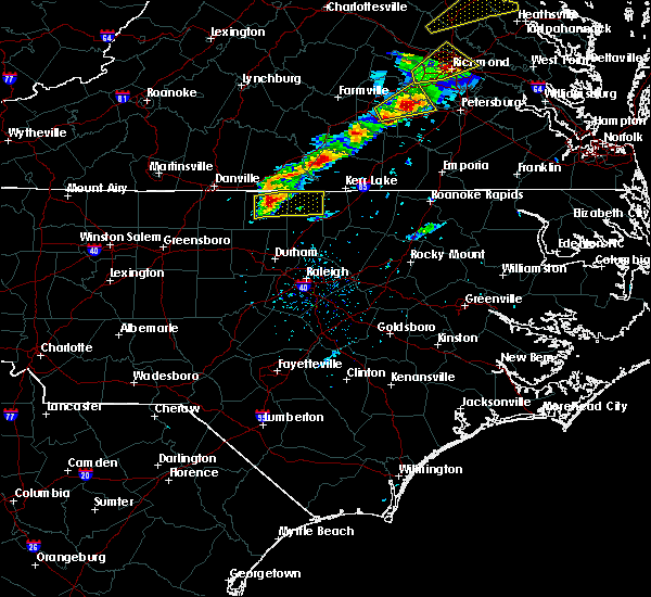 At 300 pm est, a severe thunderstorm was located near roxboro, moving east at 50 mph (radar indicated). Hazards include 60 mph wind gusts and quarter size hail. Expect wind damage to roofs, siding, and trees. quarter size hail may result in minor vehicle damage. Locations impacted include, roxboro, concord, stovall, bethel hill, mayo reservoir, hyco lake and john h kerr reservoir. At 300 pm est, a severe thunderstorm was located near roxboro, moving east at 50 mph (radar indicated). Hazards include 60 mph wind gusts and quarter size hail. Expect wind damage to roofs, siding, and trees. quarter size hail may result in minor vehicle damage. Locations impacted include, roxboro, concord, stovall, bethel hill, mayo reservoir, hyco lake and john h kerr reservoir.
|
| 2/25/2017 2:55 PM EST |
 At 252 pm est, a severe thunderstorm was located over roxboro, moving east at 55 mph (radar indicated). Hazards include 60 mph wind gusts and quarter size hail. Expect wind damage to roofs, siding, and trees. quarter size hail may result in minor vehicle damage. Locations impacted include, roxboro, concord, stovall, bethel hill, bushy fork, hyco lake, mayo reservoir, hyco marina, surl and john h kerr reservoir. At 252 pm est, a severe thunderstorm was located over roxboro, moving east at 55 mph (radar indicated). Hazards include 60 mph wind gusts and quarter size hail. Expect wind damage to roofs, siding, and trees. quarter size hail may result in minor vehicle damage. Locations impacted include, roxboro, concord, stovall, bethel hill, bushy fork, hyco lake, mayo reservoir, hyco marina, surl and john h kerr reservoir.
|
| 2/25/2017 2:49 PM EST |
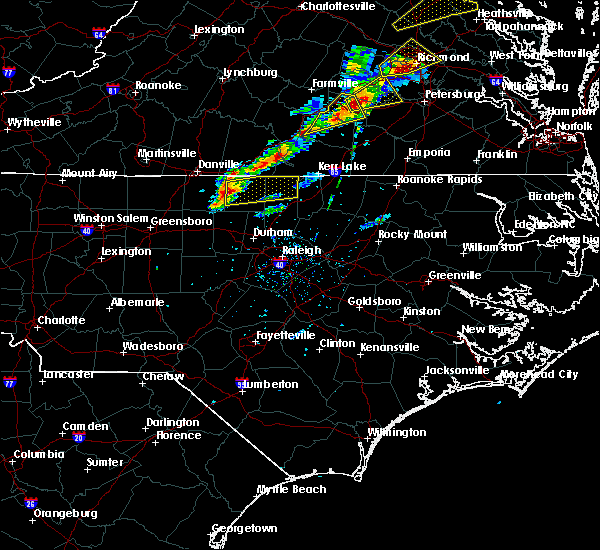 At 249 pm est, a severe thunderstorm was located near roxboro, moving east at 55 mph (radar indicated). Hazards include 60 mph wind gusts. expect damage to roofs, siding, and trees At 249 pm est, a severe thunderstorm was located near roxboro, moving east at 55 mph (radar indicated). Hazards include 60 mph wind gusts. expect damage to roofs, siding, and trees
|
| 9/28/2016 6:21 PM EDT |
 At 620 pm edt, a severe thunderstorm was located 8 miles southeast of virgilina, moving northeast at 15 mph (radar indicated). Hazards include 60 mph wind gusts. Expect damage to roofs. siding. and trees. locations impacted include, stovall, middleburg, satterwhite point marina, steele creek marina & campground, kerr lake, bullocksville, john h kerr reservoir and tungsten. A severe thunderstorm watch remains in effect until 1000 pm edt for central north carolina. At 620 pm edt, a severe thunderstorm was located 8 miles southeast of virgilina, moving northeast at 15 mph (radar indicated). Hazards include 60 mph wind gusts. Expect damage to roofs. siding. and trees. locations impacted include, stovall, middleburg, satterwhite point marina, steele creek marina & campground, kerr lake, bullocksville, john h kerr reservoir and tungsten. A severe thunderstorm watch remains in effect until 1000 pm edt for central north carolina.
|
| 9/28/2016 6:04 PM EDT |
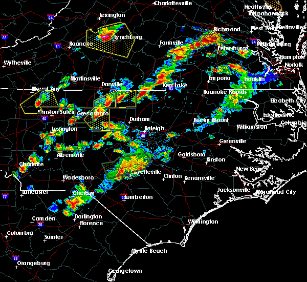 At 604 pm edt, a severe thunderstorm was located 9 miles southeast of virgilina, moving east at 20 mph (radar indicated). Hazards include 60 mph wind gusts and quarter size hail. Hail damage to vehicles is expected. Expect wind damage to roofs, siding, and trees. At 604 pm edt, a severe thunderstorm was located 9 miles southeast of virgilina, moving east at 20 mph (radar indicated). Hazards include 60 mph wind gusts and quarter size hail. Hail damage to vehicles is expected. Expect wind damage to roofs, siding, and trees.
|
| 7/27/2016 7:39 PM EDT |
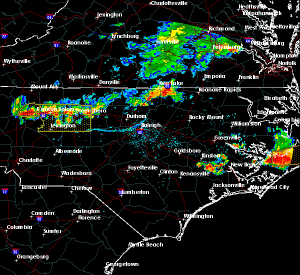 At 738 pm edt, severe thunderstorms were located along a line extending from near norlina to near oxford, moving southeast at 25 mph (radar indicated). Hazards include 60 mph wind gusts and half dollar size hail. Hail damage to vehicles is expected. Expect wind damage to roofs, siding, and trees. At 738 pm edt, severe thunderstorms were located along a line extending from near norlina to near oxford, moving southeast at 25 mph (radar indicated). Hazards include 60 mph wind gusts and half dollar size hail. Hail damage to vehicles is expected. Expect wind damage to roofs, siding, and trees.
|
| 7/27/2016 7:15 PM EDT |
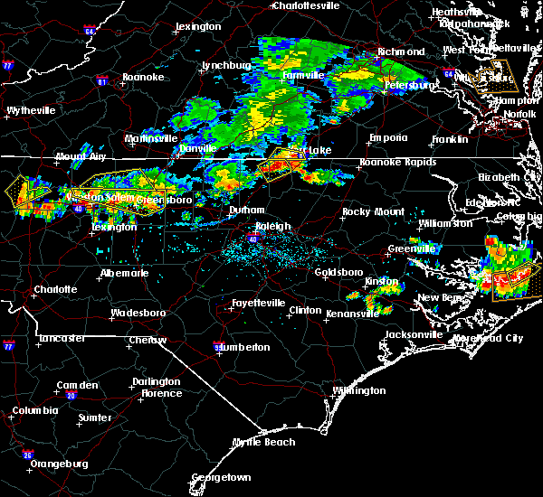 At 713 pm edt, a severe thunderstorm was located over northern vance and granville counties, moving southeast at 10 mph (radar indicated). Hazards include 60 mph wind gusts and quarter size hail. Hail damage to vehicles is expected. expect wind damage to roofs, siding, and trees. Locations impacted include, stovall, satterwhite point marina, dabney, steele creek marina & campground, kerr lake, bullocksville, john h kerr reservoir and tungsten. At 713 pm edt, a severe thunderstorm was located over northern vance and granville counties, moving southeast at 10 mph (radar indicated). Hazards include 60 mph wind gusts and quarter size hail. Hail damage to vehicles is expected. expect wind damage to roofs, siding, and trees. Locations impacted include, stovall, satterwhite point marina, dabney, steele creek marina & campground, kerr lake, bullocksville, john h kerr reservoir and tungsten.
|
| 7/27/2016 6:47 PM EDT |
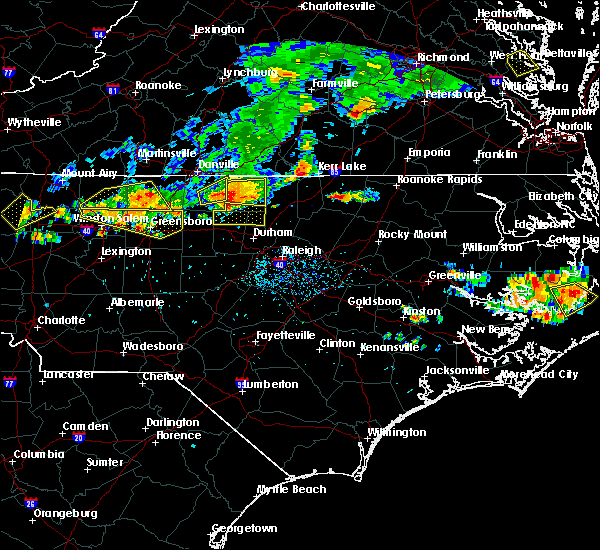 At 646 pm edt, a severe thunderstorm was located 9 miles southeast of clarksville, or 12 miles north of henderson, moving southeast at 15 mph (radar indicated). Hazards include 60 mph wind gusts and quarter size hail. Hail damage to vehicles is expected. Expect wind damage to roofs, siding, and trees. At 646 pm edt, a severe thunderstorm was located 9 miles southeast of clarksville, or 12 miles north of henderson, moving southeast at 15 mph (radar indicated). Hazards include 60 mph wind gusts and quarter size hail. Hail damage to vehicles is expected. Expect wind damage to roofs, siding, and trees.
|
| 7/8/2016 7:20 PM EDT |
 At 719 pm edt, severe thunderstorms were located along a line extending from 7 miles north of norlina to near henderson to near rougemont, moving east at 50 mph (radar indicated). Hazards include 60 mph wind gusts and penny size hail. Expect damage to roofs. siding. and trees. locations impacted include, henderson, oxford, roxboro, kittrell, stem, stovall, middleburg, south henderson, gillburg and surl. A severe thunderstorm watch remains in effect until midnight edt for central north carolina. At 719 pm edt, severe thunderstorms were located along a line extending from 7 miles north of norlina to near henderson to near rougemont, moving east at 50 mph (radar indicated). Hazards include 60 mph wind gusts and penny size hail. Expect damage to roofs. siding. and trees. locations impacted include, henderson, oxford, roxboro, kittrell, stem, stovall, middleburg, south henderson, gillburg and surl. A severe thunderstorm watch remains in effect until midnight edt for central north carolina.
|
| 7/8/2016 6:48 PM EDT |
 At 646 pm edt, severe thunderstorms were located along a line extending from near staunton river state park to near virgilina to near hightowers, moving southeast at 40 mph (radar indicated). Hazards include 60 mph wind gusts and penny size hail. Expect damage to roofs. siding. and trees. locations impacted include, henderson, oxford, roxboro, kittrell, concord, stem, stovall, middleburg, gillburg and hyco lake. A severe thunderstorm watch remains in effect until midnight edt for central north carolina. At 646 pm edt, severe thunderstorms were located along a line extending from near staunton river state park to near virgilina to near hightowers, moving southeast at 40 mph (radar indicated). Hazards include 60 mph wind gusts and penny size hail. Expect damage to roofs. siding. and trees. locations impacted include, henderson, oxford, roxboro, kittrell, concord, stem, stovall, middleburg, gillburg and hyco lake. A severe thunderstorm watch remains in effect until midnight edt for central north carolina.
|
| 7/8/2016 6:30 PM EDT |
 At 628 pm edt, severe thunderstorms were located along a line extending from near clover to near cluster springs to near yanceyville, moving southeast at 35 mph (radar indicated). Hazards include 60 mph wind gusts and penny size hail. Expect damage to roofs. siding. And trees. At 628 pm edt, severe thunderstorms were located along a line extending from near clover to near cluster springs to near yanceyville, moving southeast at 35 mph (radar indicated). Hazards include 60 mph wind gusts and penny size hail. Expect damage to roofs. siding. And trees.
|
| 6/23/2016 7:53 PM EDT |
 At 753 pm edt, severe thunderstorms were located along a line extending from near henderson to near oxford to 6 miles southeast of roxboro, moving southeast at 30 mph (radar indicated). Hazards include 60 mph wind gusts and half dollar size hail. Hail damage to vehicles is expected. Expect wind damage to roofs, siding, and trees. At 753 pm edt, severe thunderstorms were located along a line extending from near henderson to near oxford to 6 miles southeast of roxboro, moving southeast at 30 mph (radar indicated). Hazards include 60 mph wind gusts and half dollar size hail. Hail damage to vehicles is expected. Expect wind damage to roofs, siding, and trees.
|
| 6/23/2016 7:27 PM EDT |
 At 726 pm edt, a severe thunderstorm was located near virgilina, moving southeast at 25 mph (radar indicated). Hazards include two inch hail and 60 mph wind gusts. People and animals outdoors will be injured. expect hail damage to roofs, siding, windows, and vehicles. expect wind damage to roofs, siding, and trees. locations impacted include, stovall, mayo reservoir and bethel hill. A severe thunderstorm watch remains in effect until 1100 pm edt for central north carolina. At 726 pm edt, a severe thunderstorm was located near virgilina, moving southeast at 25 mph (radar indicated). Hazards include two inch hail and 60 mph wind gusts. People and animals outdoors will be injured. expect hail damage to roofs, siding, windows, and vehicles. expect wind damage to roofs, siding, and trees. locations impacted include, stovall, mayo reservoir and bethel hill. A severe thunderstorm watch remains in effect until 1100 pm edt for central north carolina.
|
| 6/23/2016 7:06 PM EDT |
 At 706 pm edt, a severe thunderstorm was located near alton, or 7 miles southeast of turbeville, moving southeast at 25 mph (radar indicated). Hazards include 60 mph wind gusts and half dollar size hail. Hail damage to vehicles is expected. expect wind damage to roofs, siding, and trees. locations impacted include, roxboro, concord, stovall, mayo reservoir, bethel hill and hyco lake. A severe thunderstorm watch remains in effect until 1100 pm edt for central north carolina. At 706 pm edt, a severe thunderstorm was located near alton, or 7 miles southeast of turbeville, moving southeast at 25 mph (radar indicated). Hazards include 60 mph wind gusts and half dollar size hail. Hail damage to vehicles is expected. expect wind damage to roofs, siding, and trees. locations impacted include, roxboro, concord, stovall, mayo reservoir, bethel hill and hyco lake. A severe thunderstorm watch remains in effect until 1100 pm edt for central north carolina.
|
| 6/23/2016 6:54 PM EDT |
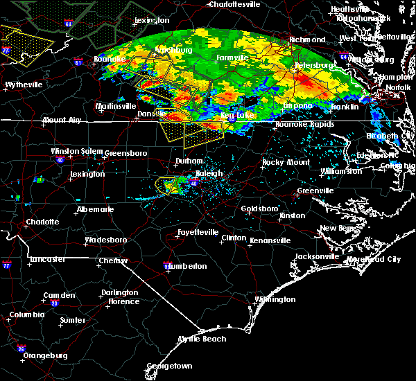 At 653 pm edt, a severe thunderstorm was located over alton, or over turbeville, moving southeast at 30 mph (radar indicated). Hazards include half dollar size hail. damage to vehicles is expected At 653 pm edt, a severe thunderstorm was located over alton, or over turbeville, moving southeast at 30 mph (radar indicated). Hazards include half dollar size hail. damage to vehicles is expected
|
| 6/23/2016 6:35 PM EDT |
 At 635 pm edt, a severe thunderstorm was located 9 miles south of clarksville, or 11 miles southeast of virgilina, moving southeast at 35 mph (radar indicated). Hazards include 60 mph wind gusts and quarter size hail. Hail damage to vehicles is expected. expect wind damage to roofs, siding, and trees. locations impacted include, henderson, oxford, stovall, middleburg, berea, satterwhite point marina, dabney, steele creek marina & campground, kerr lake and bullocksville. A severe thunderstorm watch remains in effect until 1100 pm edt for central north carolina. At 635 pm edt, a severe thunderstorm was located 9 miles south of clarksville, or 11 miles southeast of virgilina, moving southeast at 35 mph (radar indicated). Hazards include 60 mph wind gusts and quarter size hail. Hail damage to vehicles is expected. expect wind damage to roofs, siding, and trees. locations impacted include, henderson, oxford, stovall, middleburg, berea, satterwhite point marina, dabney, steele creek marina & campground, kerr lake and bullocksville. A severe thunderstorm watch remains in effect until 1100 pm edt for central north carolina.
|
| 6/23/2016 6:16 PM EDT |
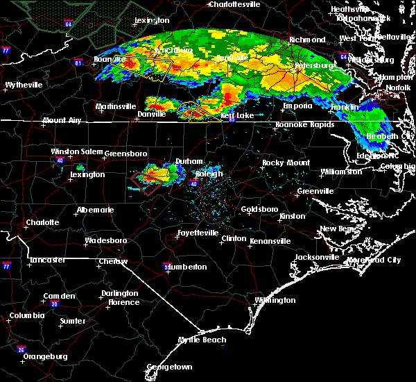 At 615 pm edt, a severe thunderstorm was located over hitesburg, or near virgilina, moving southeast at 35 mph (radar indicated). Hazards include 60 mph wind gusts and quarter size hail. Hail damage to vehicles is expected. Expect wind damage to roofs, siding, and trees. At 615 pm edt, a severe thunderstorm was located over hitesburg, or near virgilina, moving southeast at 35 mph (radar indicated). Hazards include 60 mph wind gusts and quarter size hail. Hail damage to vehicles is expected. Expect wind damage to roofs, siding, and trees.
|
| 6/16/2016 11:29 PM EDT |
 At 1128 pm edt, severe thunderstorms were located along a line extending from near south hill to 8 miles south of boydton to near virgilina, moving east at 45 mph (radar indicated). Hazards include 60 mph wind gusts. Expect damage to roofs. siding. and trees. Locations impacted include, roanoke rapids, henderson, oxford, roxboro, warrenton, halifax, norlina, littleton, enfield and weldon. At 1128 pm edt, severe thunderstorms were located along a line extending from near south hill to 8 miles south of boydton to near virgilina, moving east at 45 mph (radar indicated). Hazards include 60 mph wind gusts. Expect damage to roofs. siding. and trees. Locations impacted include, roanoke rapids, henderson, oxford, roxboro, warrenton, halifax, norlina, littleton, enfield and weldon.
|
| 6/16/2016 11:02 PM EDT |
 At 1102 pm edt, severe thunderstorms were located along a line extending from near kells corner to near clarksville to near cluster springs, moving southeast at 70 mph (radar indicated). Hazards include 60 mph wind gusts. Expect damage to roofs. siding. And trees. At 1102 pm edt, severe thunderstorms were located along a line extending from near kells corner to near clarksville to near cluster springs, moving southeast at 70 mph (radar indicated). Hazards include 60 mph wind gusts. Expect damage to roofs. siding. And trees.
|
| 6/5/2016 7:19 PM EDT |
 At 719 pm edt, a severe thunderstorm was located 8 miles southeast of clarksville, or 13 miles north of henderson, moving east at 40 mph (radar indicated). Hazards include 60 mph wind gusts. Expect damage to roofs. siding. and trees. Locations impacted include, warrenton, norlina, littleton, stovall, middleburg, macon, southpointe and morningstar marinas, drewry, bullocksville and john h kerr reservoir. At 719 pm edt, a severe thunderstorm was located 8 miles southeast of clarksville, or 13 miles north of henderson, moving east at 40 mph (radar indicated). Hazards include 60 mph wind gusts. Expect damage to roofs. siding. and trees. Locations impacted include, warrenton, norlina, littleton, stovall, middleburg, macon, southpointe and morningstar marinas, drewry, bullocksville and john h kerr reservoir.
|
| 6/5/2016 7:17 PM EDT | Granville county 911 reports numerous trees down across the northern-most part of the county. in granville county NC, 4.6 miles SSW of Stovall, NC |
| 6/5/2016 7:04 PM EDT |
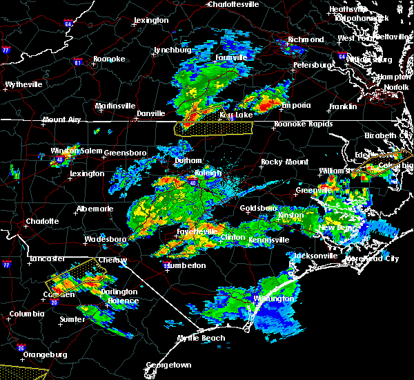 At 703 pm edt, a severe thunderstorm was located 7 miles southeast of virgilina, moving east at 40 mph (radar indicated). Hazards include 60 mph wind gusts and quarter size hail. Hail damage to vehicles is expected. expect wind damage to roofs, siding, and trees. Locations impacted include, warrenton, norlina, littleton, stovall, middleburg, macon, southpointe and morningstar marinas, drewry, bullocksville and john h kerr reservoir. At 703 pm edt, a severe thunderstorm was located 7 miles southeast of virgilina, moving east at 40 mph (radar indicated). Hazards include 60 mph wind gusts and quarter size hail. Hail damage to vehicles is expected. expect wind damage to roofs, siding, and trees. Locations impacted include, warrenton, norlina, littleton, stovall, middleburg, macon, southpointe and morningstar marinas, drewry, bullocksville and john h kerr reservoir.
|
| 6/5/2016 6:56 PM EDT |
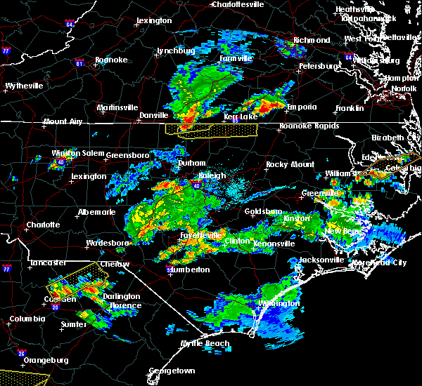 At 655 pm edt, a severe thunderstorm was located 7 miles southwest of virgilina, moving east at 40 mph (radar indicated). Hazards include 60 mph wind gusts and quarter size hail. Hail damage to vehicles is expected. Expect wind damage to roofs, siding, and trees. At 655 pm edt, a severe thunderstorm was located 7 miles southwest of virgilina, moving east at 40 mph (radar indicated). Hazards include 60 mph wind gusts and quarter size hail. Hail damage to vehicles is expected. Expect wind damage to roofs, siding, and trees.
|
| 6/4/2016 3:14 PM EDT |
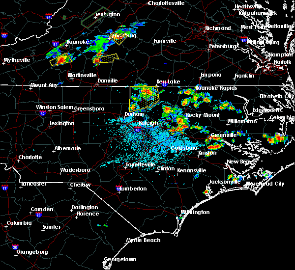 At 310 pm edt, doppler radar indicated a new severe thunderstorm had developed in northern granville county near the vance county border about 7 miles north of oxford, moving east at 10 mph (radar indicated). Hazards include 60 mph wind gusts and penny size hail. Expect damage to roofs. siding. and trees. Locations impacted include, henderson, oxford, creedmoor, butner, kittrell, stem, stovall, middleburg, lake butner and south henderson. At 310 pm edt, doppler radar indicated a new severe thunderstorm had developed in northern granville county near the vance county border about 7 miles north of oxford, moving east at 10 mph (radar indicated). Hazards include 60 mph wind gusts and penny size hail. Expect damage to roofs. siding. and trees. Locations impacted include, henderson, oxford, creedmoor, butner, kittrell, stem, stovall, middleburg, lake butner and south henderson.
|
| 6/4/2016 2:37 PM EDT |
 At 236 pm edt, a severe thunderstorm was located 8 miles west of oxford, moving east at 10 mph (radar indicated). Hazards include 60 mph wind gusts and penny size hail. Expect damage to roofs. siding. And trees. At 236 pm edt, a severe thunderstorm was located 8 miles west of oxford, moving east at 10 mph (radar indicated). Hazards include 60 mph wind gusts and penny size hail. Expect damage to roofs. siding. And trees.
|
| 4/28/2016 7:28 PM EDT |
 At 727 pm edt, a severe thunderstorm was located near oxford, moving east at 25 mph (radar indicated). Hazards include 60 mph wind gusts and quarter size hail. Hail damage to vehicles is expected. Expect wind damage to roofs, siding, and trees. At 727 pm edt, a severe thunderstorm was located near oxford, moving east at 25 mph (radar indicated). Hazards include 60 mph wind gusts and quarter size hail. Hail damage to vehicles is expected. Expect wind damage to roofs, siding, and trees.
|
| 4/28/2016 6:49 PM EDT |
 At 649 pm edt, a severe thunderstorm was located near virgilina, moving east at 20 mph (radar indicated). Hazards include 60 mph wind gusts and quarter size hail. Hail damage to vehicles is expected. expect wind damage to roofs, siding, and trees. Locations impacted include, oxford, roxboro, stovall, mayo reservoir, berea, bethel hill and john h kerr reservoir. At 649 pm edt, a severe thunderstorm was located near virgilina, moving east at 20 mph (radar indicated). Hazards include 60 mph wind gusts and quarter size hail. Hail damage to vehicles is expected. expect wind damage to roofs, siding, and trees. Locations impacted include, oxford, roxboro, stovall, mayo reservoir, berea, bethel hill and john h kerr reservoir.
|
| 4/28/2016 6:16 PM EDT |
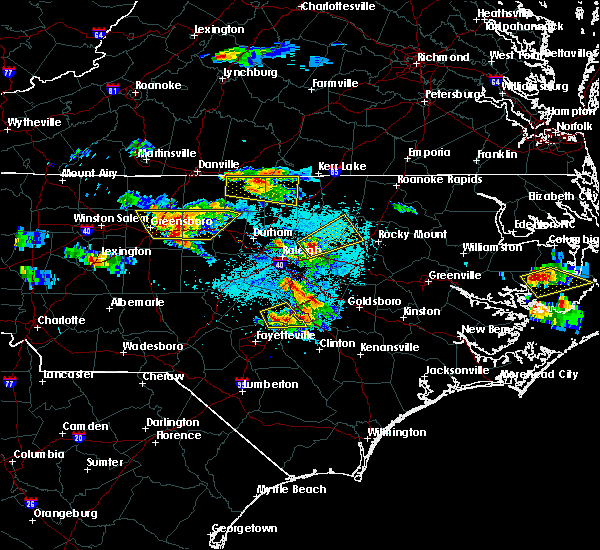 At 616 pm edt, a severe thunderstorm was located near semora, or near turbeville, moving east at 20 mph (radar indicated). Hazards include 60 mph wind gusts and quarter size hail. Hail damage to vehicles is expected. Expect wind damage to roofs, siding, and trees. At 616 pm edt, a severe thunderstorm was located near semora, or near turbeville, moving east at 20 mph (radar indicated). Hazards include 60 mph wind gusts and quarter size hail. Hail damage to vehicles is expected. Expect wind damage to roofs, siding, and trees.
|
| 2/24/2016 4:42 PM EST |
 At 439 pm est, doppler radar continued to track a confirmed tornado. this tornado was located 9 miles north of henderson, moving northeast at 60 mph. destructive straight line winds up to 70 mph and golfball size hail can also be expected with this classic tornadic supercell thunderstorm. locations impacted include, henderson, stovall, middleburg, satterwhite point marina, dabney, steele creek marina & campground, bullocksville, tungsten, john h kerr reservoir and kerr lake. At 439 pm est, doppler radar continued to track a confirmed tornado. this tornado was located 9 miles north of henderson, moving northeast at 60 mph. destructive straight line winds up to 70 mph and golfball size hail can also be expected with this classic tornadic supercell thunderstorm. locations impacted include, henderson, stovall, middleburg, satterwhite point marina, dabney, steele creek marina & campground, bullocksville, tungsten, john h kerr reservoir and kerr lake.
|
| 2/24/2016 4:36 PM EST |
 At 434 pm est, doppler radar was tracking a confirmed tornado. this tornado was located near oxford, moving northeast at 55 mph. this is an extremely dangerous situation. this is a classic supercell thunderstorm. in addition to a tornado, destructive wind gusts up to 70 mph and golfball size hail can be expected with this storm. locations impacted include, henderson, oxford, stovall, middleburg, south henderson, satterwhite point marina, dabney, steele creek marina & campground, bullocksville and tungsten. At 434 pm est, doppler radar was tracking a confirmed tornado. this tornado was located near oxford, moving northeast at 55 mph. this is an extremely dangerous situation. this is a classic supercell thunderstorm. in addition to a tornado, destructive wind gusts up to 70 mph and golfball size hail can be expected with this storm. locations impacted include, henderson, oxford, stovall, middleburg, south henderson, satterwhite point marina, dabney, steele creek marina & campground, bullocksville and tungsten.
|
| 2/24/2016 4:36 PM EST |
 At 435 pm est, doppler radar indicated a line of severe thunderstorms capable of producing large hail up to ping pong ball size and damaging winds in excess of 58 mph. in addition, a tornado may rapidly form in this line. the line was moving east northeast at 35 mph. At 435 pm est, doppler radar indicated a line of severe thunderstorms capable of producing large hail up to ping pong ball size and damaging winds in excess of 58 mph. in addition, a tornado may rapidly form in this line. the line was moving east northeast at 35 mph.
|
| 2/24/2016 4:31 PM EST |
 At 431 pm est, doppler radar was tracking a confirmed tornado. this tornado located over oxford, moving northeast at 55 mph. locations impacted include, henderson, oxford, stem, stovall, middleburg, south henderson, gillburg, bullocksville, tungsten and john h kerr reservoir. At 431 pm est, doppler radar was tracking a confirmed tornado. this tornado located over oxford, moving northeast at 55 mph. locations impacted include, henderson, oxford, stem, stovall, middleburg, south henderson, gillburg, bullocksville, tungsten and john h kerr reservoir.
|
| 2/24/2016 4:20 PM EST |
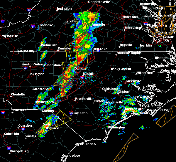 At 419 pm est, doppler radar strongly indicated a severe thunderstorm capable of producing a tornado. this dangerous storm was located near butner, or 7 miles north of creedmoor, moving northeast at 50 mph. locations impacted include, henderson, oxford, creedmoor, butner, kittrell, stem, stovall, middleburg, lake butner and south henderson. At 419 pm est, doppler radar strongly indicated a severe thunderstorm capable of producing a tornado. this dangerous storm was located near butner, or 7 miles north of creedmoor, moving northeast at 50 mph. locations impacted include, henderson, oxford, creedmoor, butner, kittrell, stem, stovall, middleburg, lake butner and south henderson.
|
| 2/24/2016 4:04 PM EST |
 At 404 pm est, doppler radar indicated a severe thunderstorm capable of producing a tornado. this dangerous storm was located near durham, and moving northeast at 55 mph. At 404 pm est, doppler radar indicated a severe thunderstorm capable of producing a tornado. this dangerous storm was located near durham, and moving northeast at 55 mph.
|
| 2/24/2016 3:43 PM EST |
 At 342 pm est, doppler radar indicated a line of severe thunderstorms capable of producing quarter size hail and damaging winds in excess of 58 mph. these storms were located along a line extending from near semora to 6 miles west of carrboro to 9 miles northwest of carthage, and moving northeast at 70 mph. At 342 pm est, doppler radar indicated a line of severe thunderstorms capable of producing quarter size hail and damaging winds in excess of 58 mph. these storms were located along a line extending from near semora to 6 miles west of carrboro to 9 miles northwest of carthage, and moving northeast at 70 mph.
|
| 12/23/2015 6:26 PM EST | The severe thunderstorm warning for southeastern person. granville. northern wake and durham counties will expire at 630 pm est. the severe thunderstorm which prompted the warning has weakened. Therefore the warning will be allowed to expire. |
| 12/23/2015 6:15 PM EST | At 537 pm est, doppler radar indicated a line of severe thundestorms from roxboro to chapel hill and jordan lake, moving east at 55 mph. locally damaging wind is expected along the line with wind gusts to 60 mph. |
| 12/23/2015 5:39 PM EST | At 537 pm est, doppler radar indicated a line of severe thundestorms from roxboro to chapel hill and jordan lake, moving east at 55 mph. locally damaging wind is expected along the line with wind gusts to 60 mph. |
| 9/10/2015 5:36 PM EDT |
 At 534 pm edt, doppler radar continued to indicate a line of severe thunderstorms capable of producing damaging winds in excess of 58 mph. these storms were located along a line extending from 11 miles north of henderson to near oxford, moving east at 20 mph. locations impacted include, henderson, oxford, warrenton, norlina, stovall, middleburg, macon, south henderson, gillburg and drewry. At 534 pm edt, doppler radar continued to indicate a line of severe thunderstorms capable of producing damaging winds in excess of 58 mph. these storms were located along a line extending from 11 miles north of henderson to near oxford, moving east at 20 mph. locations impacted include, henderson, oxford, warrenton, norlina, stovall, middleburg, macon, south henderson, gillburg and drewry.
|
| 9/10/2015 5:22 PM EDT |
 At 522 pm edt, doppler radar indicated a line of severe thunderstorms capable of producing quarter size hail and damaging winds in excess of 58 mph. these storms were located along a line extending from 9 miles south of clarksville to near oxford, and moving east at 20 mph. At 522 pm edt, doppler radar indicated a line of severe thunderstorms capable of producing quarter size hail and damaging winds in excess of 58 mph. these storms were located along a line extending from 9 miles south of clarksville to near oxford, and moving east at 20 mph.
|
| 9/10/2015 4:33 PM EDT |
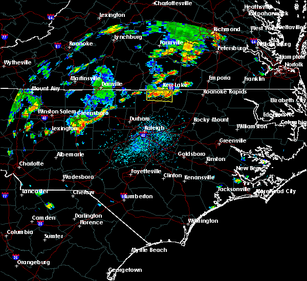 At 431 pm edt, doppler radar continued to indicate a line of severe thunderstorms capable of producing quarter size hail and damaging winds in excess of 58 mph. these storms were located along a line extending from 8 miles north of oxford to near norlina, moving east at 20 mph. locations impacted include, norlina, stovall, middleburg, satterwhite point marina, steele creek marina & campground, drewry, wise, bullocksville, tungsten and john h kerr reservoir. At 431 pm edt, doppler radar continued to indicate a line of severe thunderstorms capable of producing quarter size hail and damaging winds in excess of 58 mph. these storms were located along a line extending from 8 miles north of oxford to near norlina, moving east at 20 mph. locations impacted include, norlina, stovall, middleburg, satterwhite point marina, steele creek marina & campground, drewry, wise, bullocksville, tungsten and john h kerr reservoir.
|
| 9/10/2015 4:13 PM EDT |
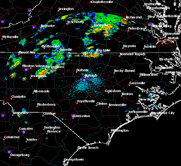 At 413 pm edt, doppler radar indicated a severe thunderstorm capable of producing quarter size hail and damaging winds in excess of 58 mph. this storm was located 8 miles north of oxford, and moving east at 15 mph. At 413 pm edt, doppler radar indicated a severe thunderstorm capable of producing quarter size hail and damaging winds in excess of 58 mph. this storm was located 8 miles north of oxford, and moving east at 15 mph.
|
| 8/6/2015 5:45 PM EDT |
 At 545 pm edt, doppler radar continued to indicate a severe thunderstorm capable of producing damaging winds in excess of 58 mph. this storm was located near littleton, or 7 miles east of warrenton, moving northeast at 40 mph. locations impacted include, roanoke rapids, warrenton, norlina, littleton, stovall, middleburg, macon, medoc mountain state park, southpointe and morningstar marinas and drewry. At 545 pm edt, doppler radar continued to indicate a severe thunderstorm capable of producing damaging winds in excess of 58 mph. this storm was located near littleton, or 7 miles east of warrenton, moving northeast at 40 mph. locations impacted include, roanoke rapids, warrenton, norlina, littleton, stovall, middleburg, macon, medoc mountain state park, southpointe and morningstar marinas and drewry.
|
| 8/6/2015 5:27 PM EDT |
 At 524 pm edt, doppler radar indicated a line of severe thunderstorms capable of producing damaging winds to near 60 mph. the line extended from 10 miles southwest of kerr lake to henderson to 10 miles southwest of warrenton, moving northeast at 35 mph. At 524 pm edt, doppler radar indicated a line of severe thunderstorms capable of producing damaging winds to near 60 mph. the line extended from 10 miles southwest of kerr lake to henderson to 10 miles southwest of warrenton, moving northeast at 35 mph.
|
| 7/18/2015 8:06 PM EDT |
 At 805 pm edt, doppler radar indicated a severe thunderstorm capable of producing quarter size hail and damaging winds in excess of 58 mph. this storm was located near oxford, and moving east at 25 mph. At 805 pm edt, doppler radar indicated a severe thunderstorm capable of producing quarter size hail and damaging winds in excess of 58 mph. this storm was located near oxford, and moving east at 25 mph.
|
| 7/18/2015 7:57 PM EDT | The severe thunderstorm warning for granville county will expire at 800 pm edt, the storm which prompted the warning has weakened below severe limits, and no longer poses an immediate threat to life or property. therefore the warning will be allowed to expire. however heavy rain and frequent lightning is still possible with this thunderstorm. |
| 7/18/2015 7:48 PM EDT |
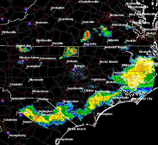 At 748 pm edt, doppler radar continued to indicate a severe thunderstorm capable of producing quarter size hail and damaging winds in excess of 58 mph. this storm was located near oxford, moving east at 20 mph. locations impacted include, oxford, stovall, berea, oak hill and john h kerr reservoir. At 748 pm edt, doppler radar continued to indicate a severe thunderstorm capable of producing quarter size hail and damaging winds in excess of 58 mph. this storm was located near oxford, moving east at 20 mph. locations impacted include, oxford, stovall, berea, oak hill and john h kerr reservoir.
|
| 7/18/2015 7:28 PM EDT |
 At 728 pm edt, doppler radar continued to indicate a severe thunderstorm capable of producing quarter size hail and damaging winds in excess of 58 mph. this storm was located 8 miles north of oxford, moving east at 30 mph. locations impacted include, oxford, roxboro, stovall, mayo reservoir, berea, oak hill, surl, bethel hill, moriah and john h kerr reservoir. At 728 pm edt, doppler radar continued to indicate a severe thunderstorm capable of producing quarter size hail and damaging winds in excess of 58 mph. this storm was located 8 miles north of oxford, moving east at 30 mph. locations impacted include, oxford, roxboro, stovall, mayo reservoir, berea, oak hill, surl, bethel hill, moriah and john h kerr reservoir.
|
| 7/18/2015 7:11 PM EDT |
 At 711 pm edt, doppler radar indicated a severe thunderstorm capable of producing quarter size hail and damaging winds in excess of 58 mph. this storm was located 8 miles south of virgilina, and moving east at 30 mph. At 711 pm edt, doppler radar indicated a severe thunderstorm capable of producing quarter size hail and damaging winds in excess of 58 mph. this storm was located 8 miles south of virgilina, and moving east at 30 mph.
|
| 7/13/2015 10:16 PM EDT |
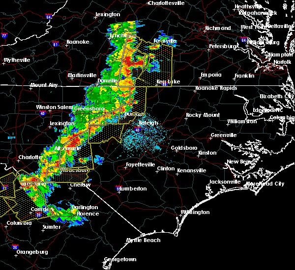 At 1015 pm edt, doppler radar continued to indicate a line of severe thunderstorms capable of producing damaging winds in excess of 58 mph. these storms were located along a line extending from 9 miles south of clarksville to near creedmoor to near durham, moving east at 45 mph. locations impacted include, durham, chapel hill, oxford, creedmoor, butner, stem, stovall, lake butner, lake michie and bethesda. At 1015 pm edt, doppler radar continued to indicate a line of severe thunderstorms capable of producing damaging winds in excess of 58 mph. these storms were located along a line extending from 9 miles south of clarksville to near creedmoor to near durham, moving east at 45 mph. locations impacted include, durham, chapel hill, oxford, creedmoor, butner, stem, stovall, lake butner, lake michie and bethesda.
|
| 7/13/2015 9:38 PM EDT |
 At 938 pm edt, doppler radar indicated a line of severe thunderstorms capable of producing damaging winds in excess of 58 mph. these storms were located along a line extending from near semora to 6 miles east of prospect hill to 8 miles south of graham, and moving east at 30 mph. At 938 pm edt, doppler radar indicated a line of severe thunderstorms capable of producing damaging winds in excess of 58 mph. these storms were located along a line extending from near semora to 6 miles east of prospect hill to 8 miles south of graham, and moving east at 30 mph.
|
| 7/5/2015 10:08 PM EDT |
 The severe thunderstorm warning for north central franklin, vance, northern granville and warren counties will expire at 1015 pm edt, the line of storms which prompted the warning have weakened below severe limits, and no longer poses an immediate threat to life or property. therefore the warning will be allowed to expire. however gusty winds and heavy rain are still possible with these thunderstorms. The severe thunderstorm warning for north central franklin, vance, northern granville and warren counties will expire at 1015 pm edt, the line of storms which prompted the warning have weakened below severe limits, and no longer poses an immediate threat to life or property. therefore the warning will be allowed to expire. however gusty winds and heavy rain are still possible with these thunderstorms.
|
| 7/5/2015 9:54 PM EDT |
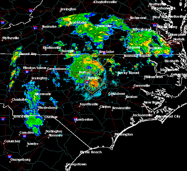 At 954 pm edt, doppler radar continued to indicate a line of severe thunderstorms capable of producing damaging winds in excess of 58 mph. these storms were located along a line extending from 9 miles north of oxford to 9 miles south of warrenton, moving northeast at 30 mph. locations impacted include, henderson, oxford, warrenton, norlina, kittrell, stovall, middleburg, macon, south henderson and oak hill. At 954 pm edt, doppler radar continued to indicate a line of severe thunderstorms capable of producing damaging winds in excess of 58 mph. these storms were located along a line extending from 9 miles north of oxford to 9 miles south of warrenton, moving northeast at 30 mph. locations impacted include, henderson, oxford, warrenton, norlina, kittrell, stovall, middleburg, macon, south henderson and oak hill.
|
| 7/5/2015 9:22 PM EDT |
 At 922 pm edt, doppler radar indicated a line of severe thunderstorms capable of producing damaging winds in excess of 58 mph. these storms were located along a line extending from 9 miles northeast of rougemont to near franklinton, and moving northeast at 30 mph. At 922 pm edt, doppler radar indicated a line of severe thunderstorms capable of producing damaging winds in excess of 58 mph. these storms were located along a line extending from 9 miles northeast of rougemont to near franklinton, and moving northeast at 30 mph.
|
| 6/30/2015 7:43 PM EDT |
 At 742 pm edt, doppler radar continued to indicate severe thunderstorms with damaging winds in excess of 58 mph. these storms were located along a line extending from 7 miles southwest of virgilina to near raleigh, moving northeast at 35 mph. locations impacted include, oxford, creedmoor, wake forest, butner, stem, stovall, lake butner, falls lake state rec area, oak hill and purnell. At 742 pm edt, doppler radar continued to indicate severe thunderstorms with damaging winds in excess of 58 mph. these storms were located along a line extending from 7 miles southwest of virgilina to near raleigh, moving northeast at 35 mph. locations impacted include, oxford, creedmoor, wake forest, butner, stem, stovall, lake butner, falls lake state rec area, oak hill and purnell.
|
| 6/30/2015 7:28 PM EDT |
 At 727 pm edt, doppler radar continued to indicate a line of severe thunderstorms capable of producing damaging winds in excess of 58 mph. these storms were located along a line extending from roxboro to near rdu international, moving northeast at 35 mph. locations impacted include, raleigh, durham, cary, chapel hill, oxford, creedmoor, wake forest, butner, rougemont and rdu international. At 727 pm edt, doppler radar continued to indicate a line of severe thunderstorms capable of producing damaging winds in excess of 58 mph. these storms were located along a line extending from roxboro to near rdu international, moving northeast at 35 mph. locations impacted include, raleigh, durham, cary, chapel hill, oxford, creedmoor, wake forest, butner, rougemont and rdu international.
|
| 6/30/2015 7:02 PM EDT |
 At 701 pm edt, doppler radar indicated a line of severe thunderstorms capable of producing damaging winds in excess of 58 mph. these storms were located along a line extending from near hightowers to 10 miles east of pittsboro, and moving northeast at 35 mph. At 701 pm edt, doppler radar indicated a line of severe thunderstorms capable of producing damaging winds in excess of 58 mph. these storms were located along a line extending from near hightowers to 10 miles east of pittsboro, and moving northeast at 35 mph.
|
| 6/20/2015 8:07 PM EDT |
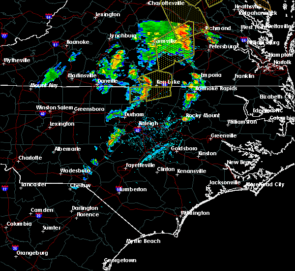 The severe thunderstorm warning for northern granville county will expire at 815 pm edt, the storm which prompted the warning has moved out of the area. therefore the warning will be allowed to expire. to report trees down or any other damage call 8 0 0 4 4 4 7 9 2 8. The severe thunderstorm warning for northern granville county will expire at 815 pm edt, the storm which prompted the warning has moved out of the area. therefore the warning will be allowed to expire. to report trees down or any other damage call 8 0 0 4 4 4 7 9 2 8.
|
| 6/20/2015 7:38 PM EDT |
 At 738 pm edt, doppler radar indicated a severe thunderstorm capable of producing damaging winds in excess of 58 mph. this storm was located near oxford, and moving northeast at 60 mph. At 738 pm edt, doppler radar indicated a severe thunderstorm capable of producing damaging winds in excess of 58 mph. this storm was located near oxford, and moving northeast at 60 mph.
|
| 6/1/2015 6:18 PM EDT | At 617 pm edt, quarter size hail and damaging winds in excess of 58 mph. this storm was located 7 miles south of clarksville, or 12 miles east of virgilina, moving northeast at 15 mph. frequent lightning was also occurring. locations impacted include, stovall, tungsten, steele creek marina & campground and john h kerr reservoir. |
| 6/1/2015 6:03 PM EDT | At 602 pm edt, doppler radar continued to indicate a severe thunderstorm capable of producing quarter size hail and damaging winds in excess of 58 mph. this storm was located 10 miles south of clarksville, or 10 miles north of oxford, moving northeast at 25 mph. locations impacted include, stovall, satterwhite point marina, steele creek marina & campground, kerr lake, bullocksville, tungsten and john h kerr reservoir. |
| 6/1/2015 5:33 PM EDT | At 532 pm edt, doppler radar indicated a severe thunderstorm capable of producing quarter size hail and damaging winds in excess of 58 mph. this storm was located 10 miles east of roxboro, and moving northeast at 15 mph. |
| 7/15/2014 4:25 PM EDT | Tree down on us 15 north in stovall in granville county NC, 0.2 miles SE of Stovall, NC |
| 7/15/2014 4:20 PM EDT | Tree down near little mountain creek rd and crawford currin rd in granville county NC, 1.8 miles E of Stovall, NC |
| 6/13/2013 5:05 PM EDT | Numerous trees and power lines down across northern vance county in vance county NC, 8.2 miles WSW of Stovall, NC |
| 4/19/2013 4:45 PM EDT | Numerous downed trees along highway 15 between stovall and bullock...and north to the state line. also a report of a roof blown off of a bar in granville county NC, 1.8 miles SSW of Stovall, NC |
| 1/1/0001 12:00 AM | Five large trees two feet in diameter were split in half near the intersection of dick blackwell road and mountain creek road. a barn and shed sustained damage as well in granville county NC, 6.3 miles E of Stovall, NC |
| 1/1/0001 12:00 AM | Power line down on mountain r in granville county NC, 0.7 miles NW of Stovall, NC |
| 1/1/0001 12:00 AM | Shed blown 10 feet in the air and destroyed. several shingles removed from home off of grassy creek roa in granville county NC, 0.7 miles ESE of Stovall, NC |
| 1/1/0001 12:00 AM | Tree down blocking eakes r in granville county NC, 4.1 miles E of Stovall, NC |
| 1/1/0001 12:00 AM | Power lines down near the intersection of oak hill rd and cornwall r in granville county NC, 6.2 miles ESE of Stovall, NC |
Hail Maps for Stovall, NC


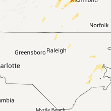


Connect with Interactive Hail Maps