

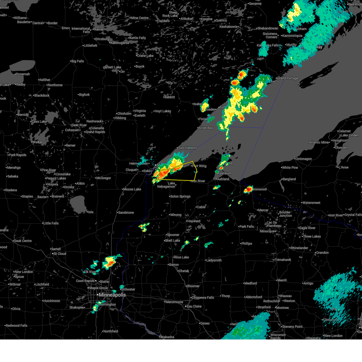
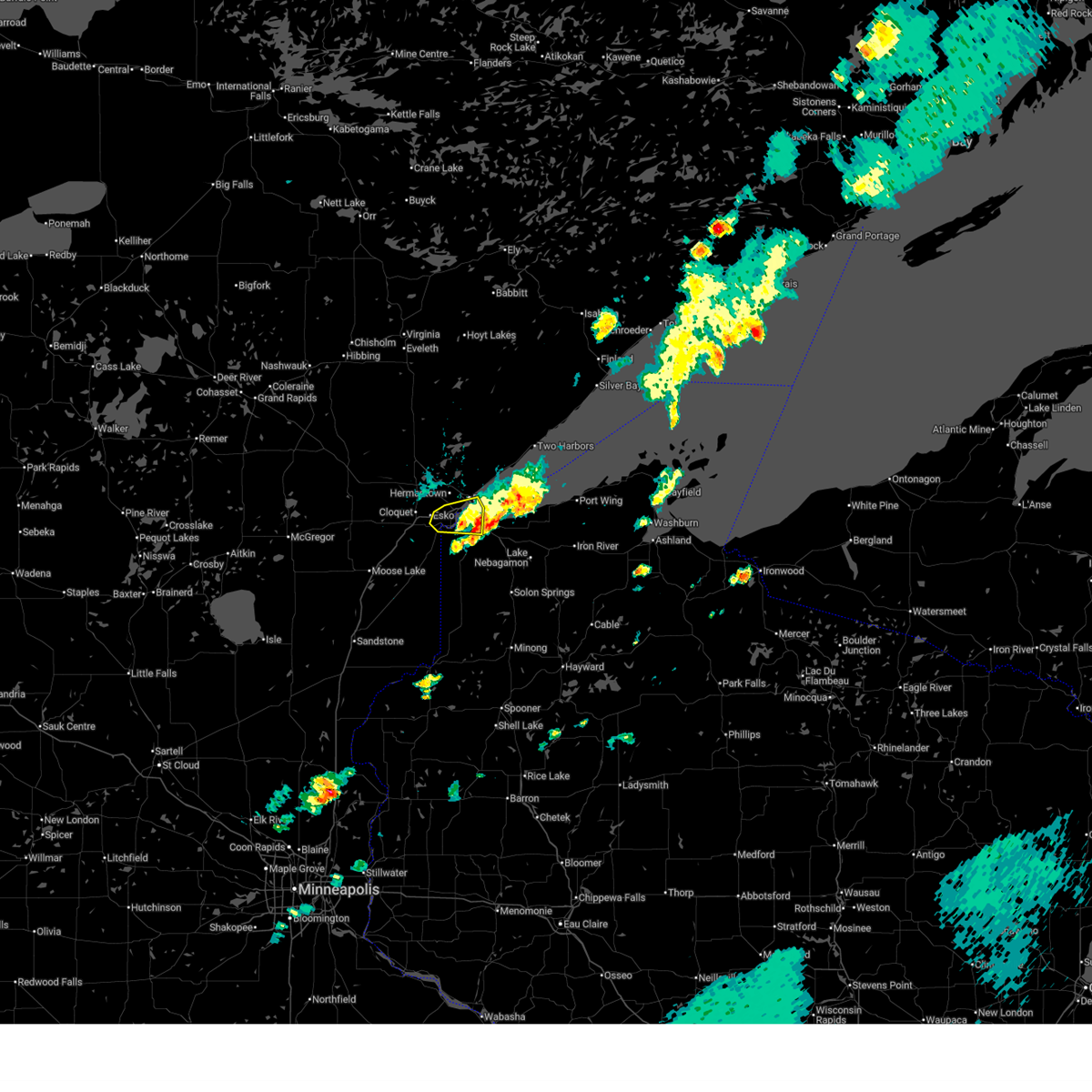
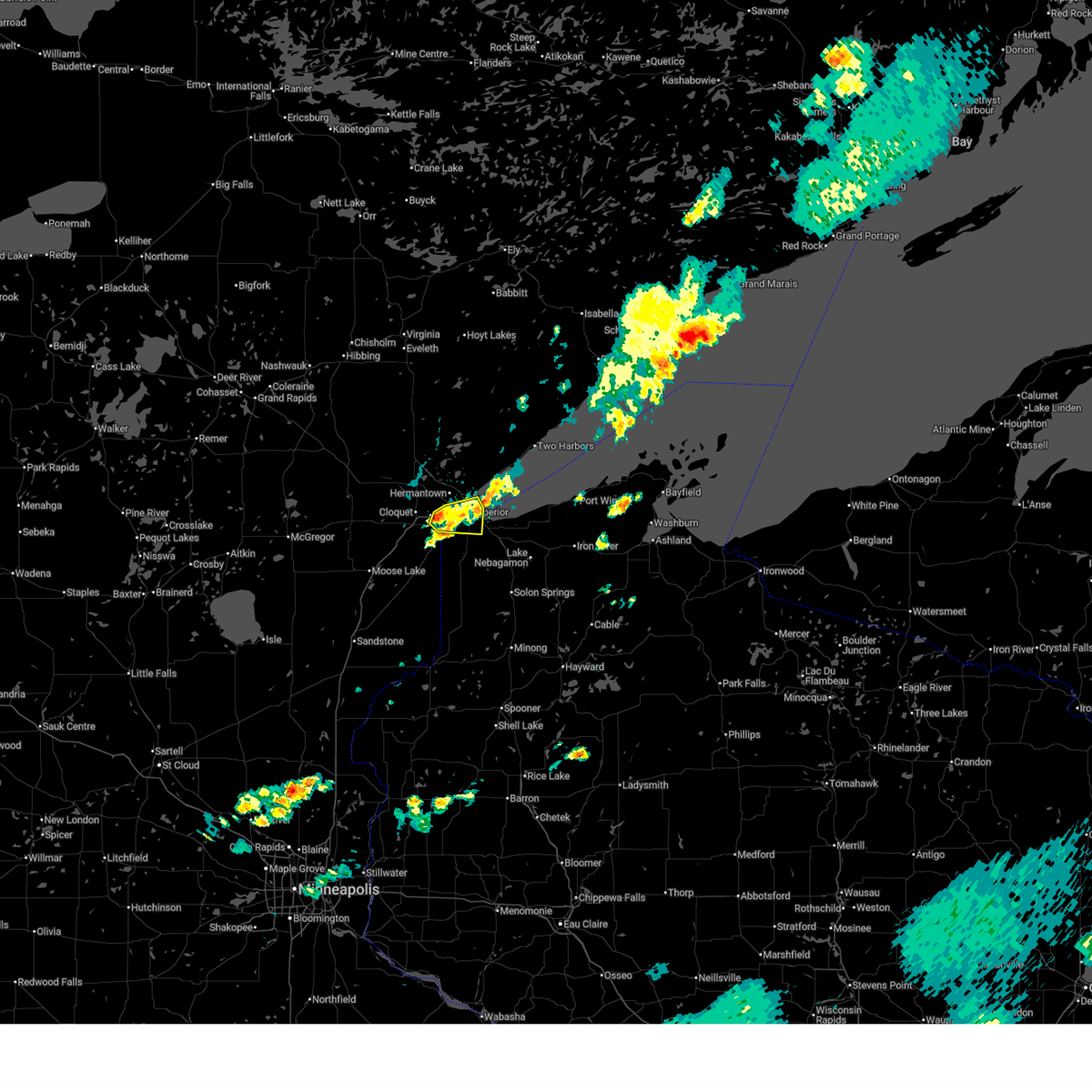
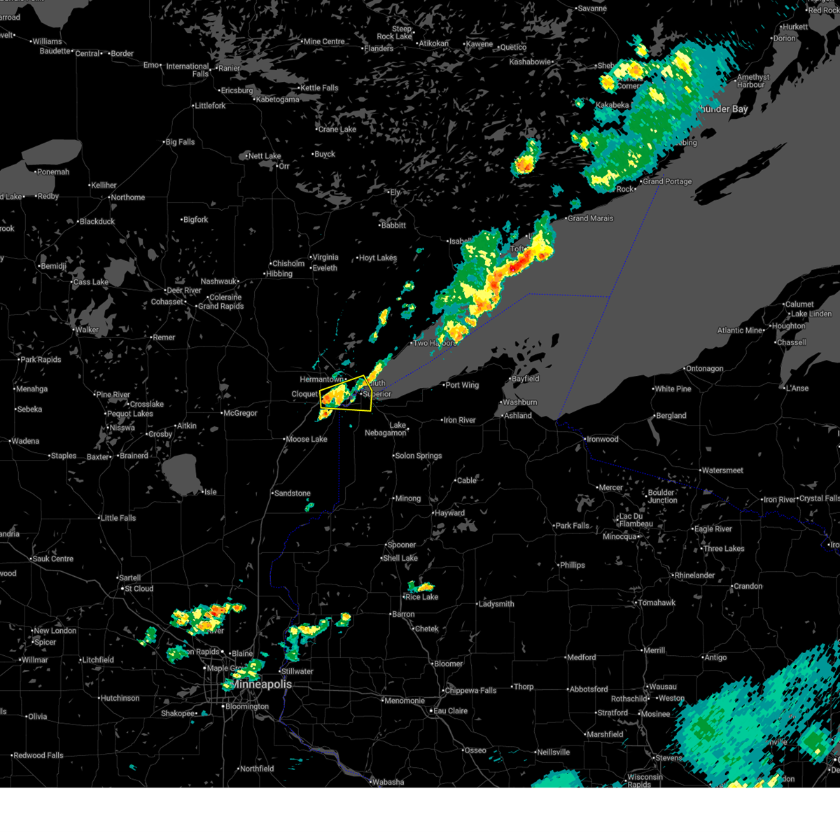
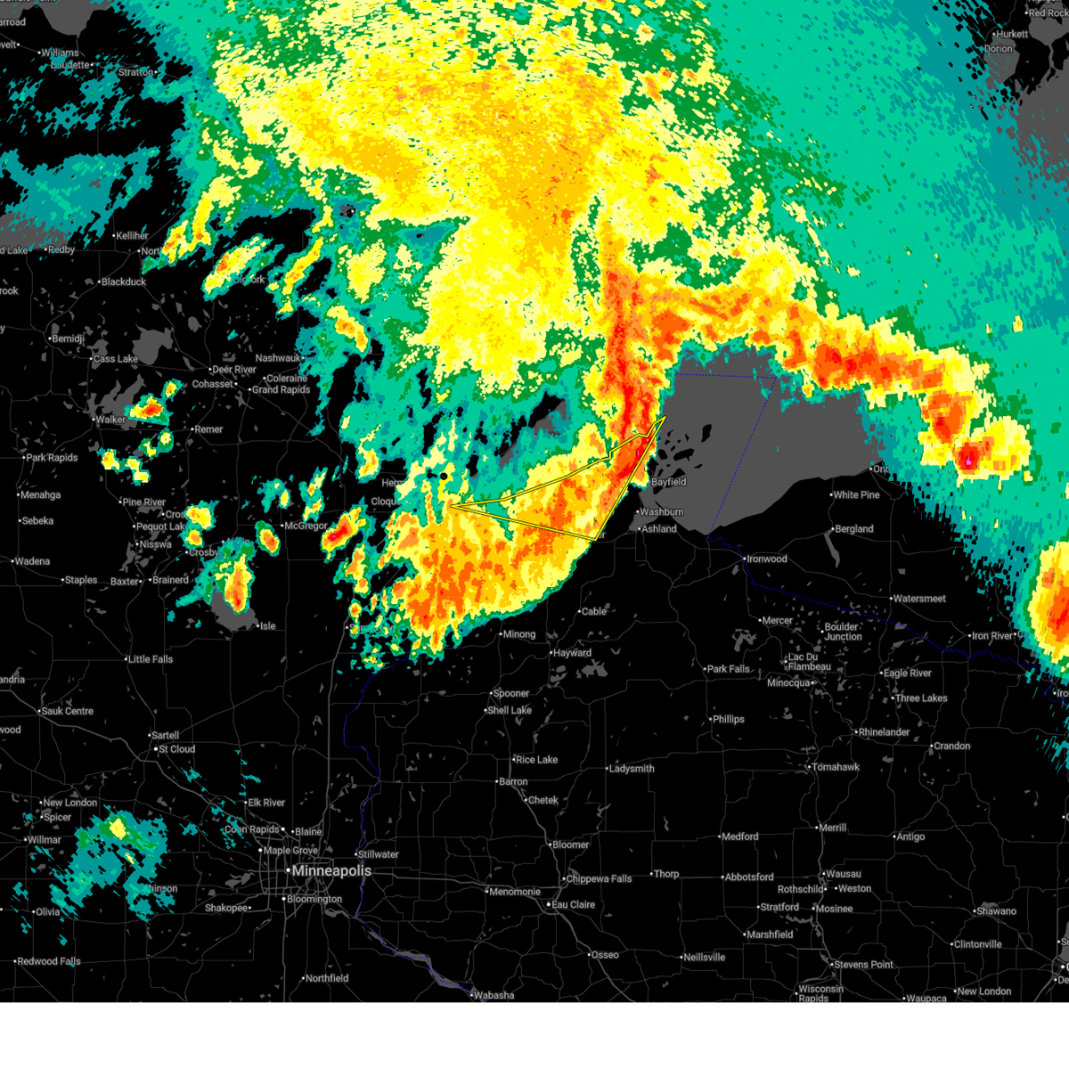
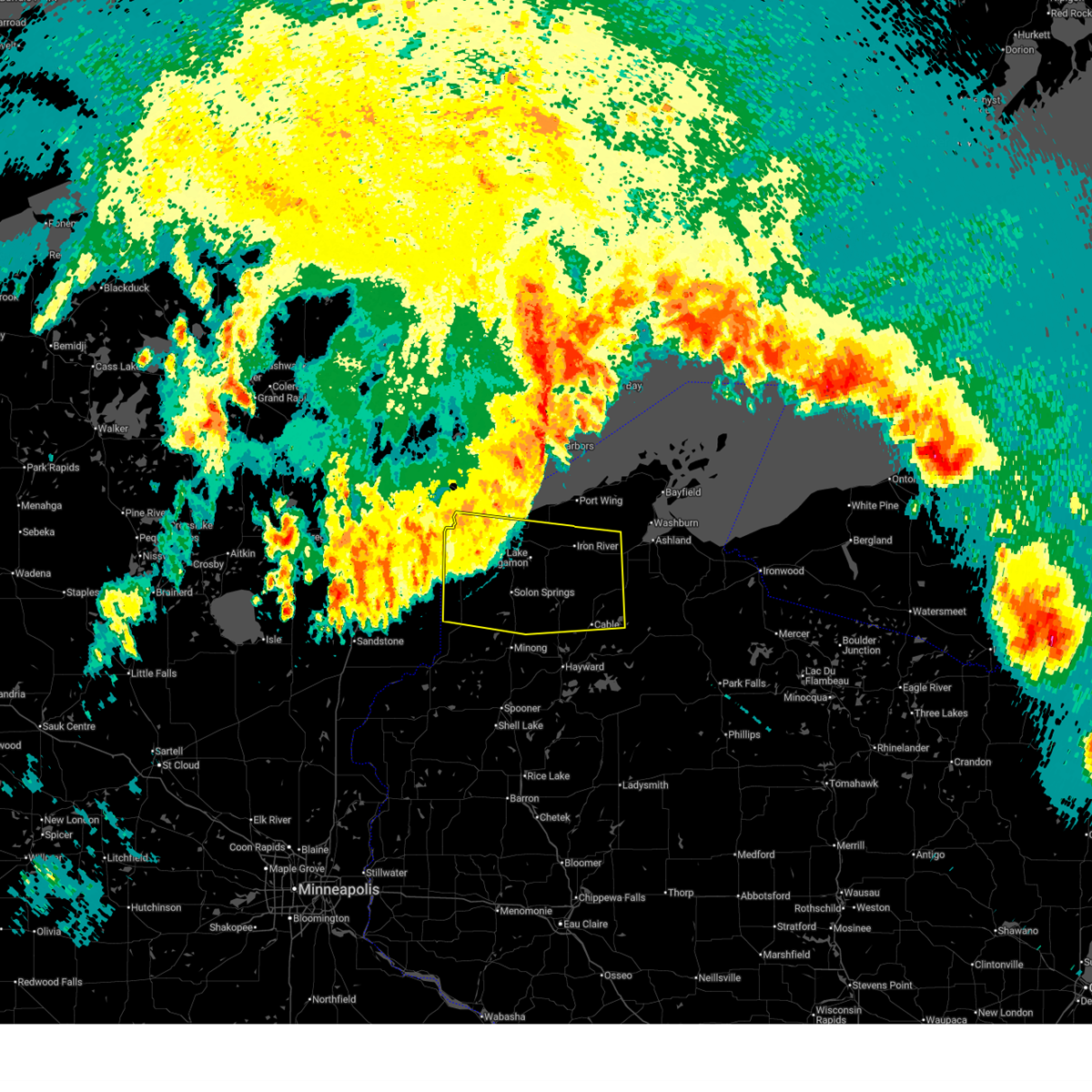
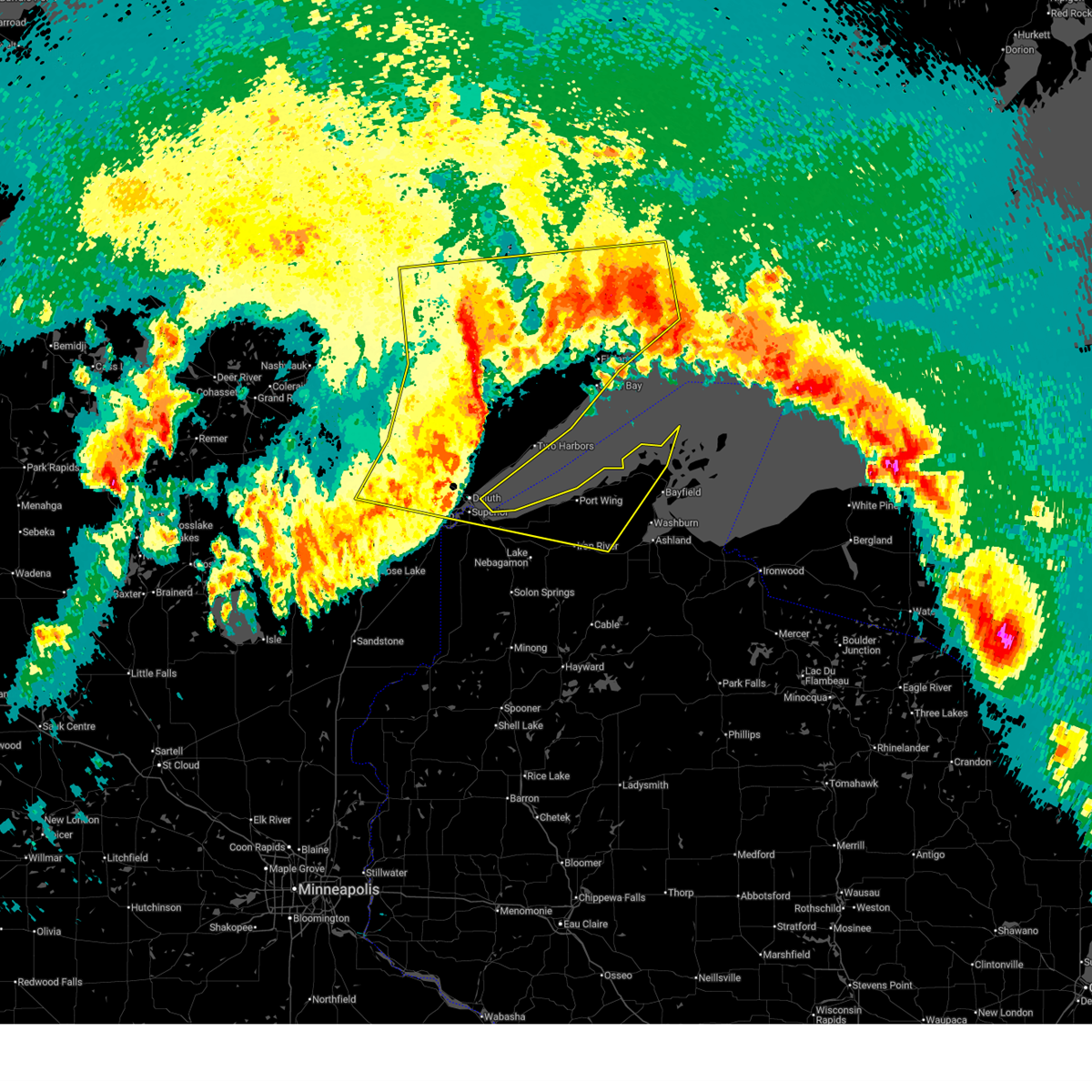
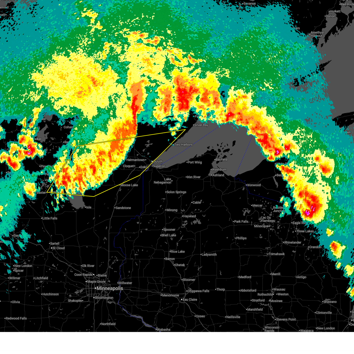
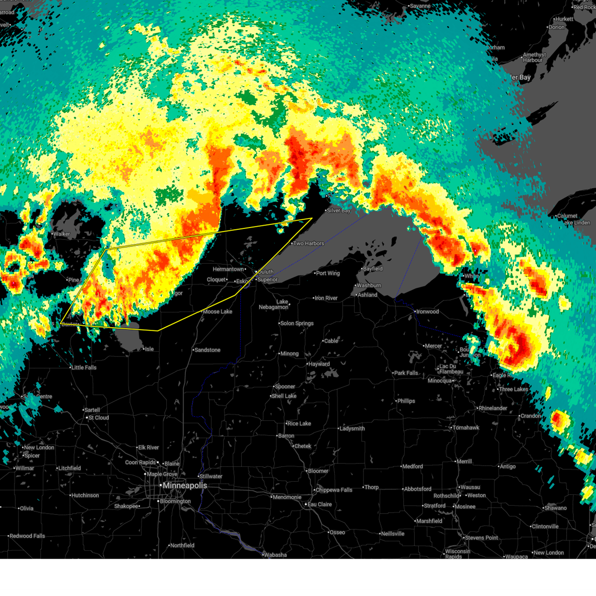
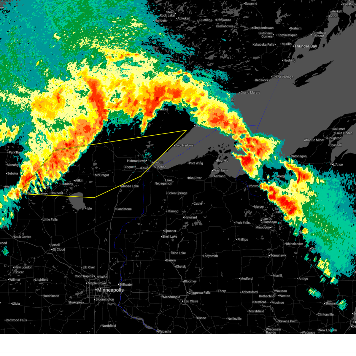
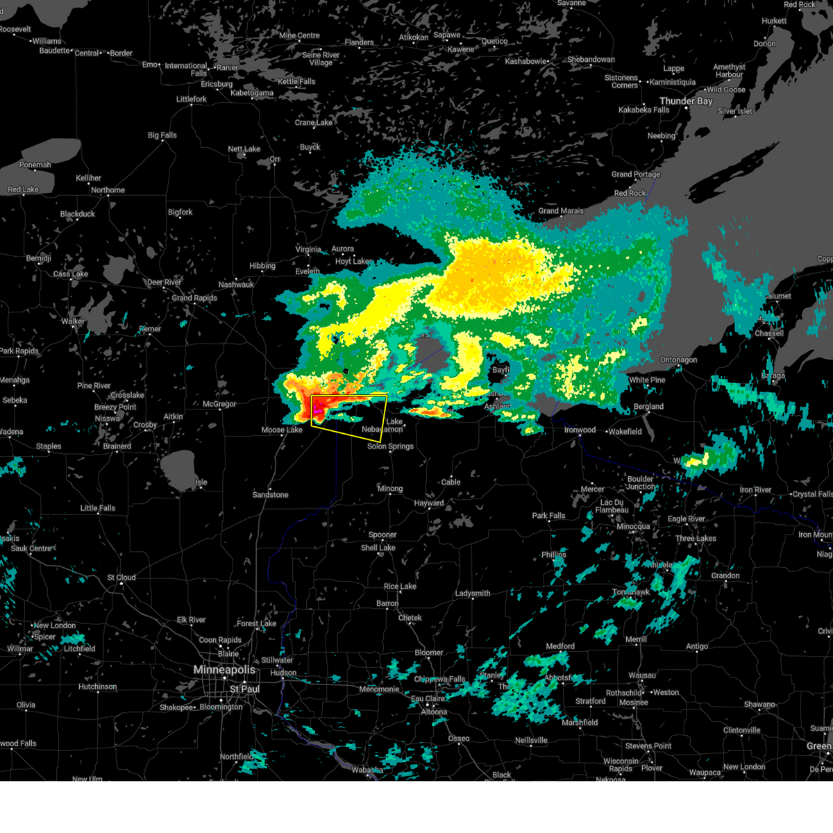
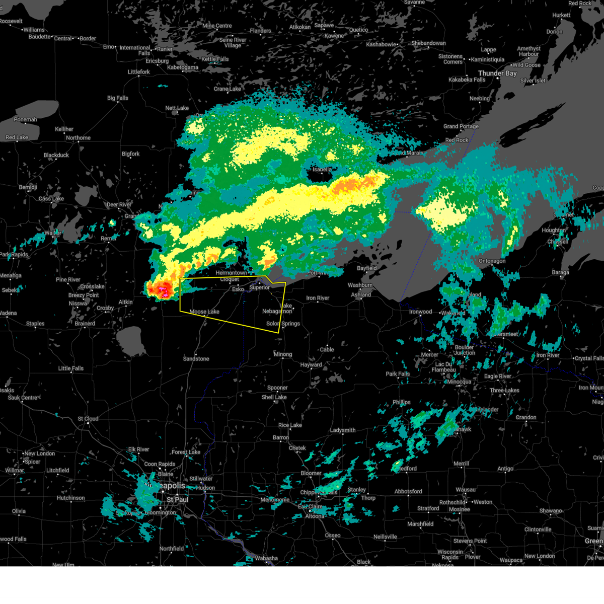
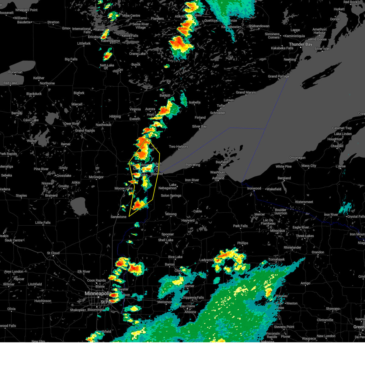
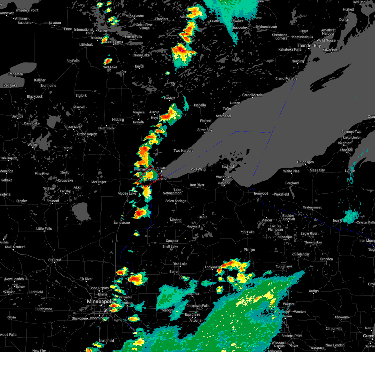
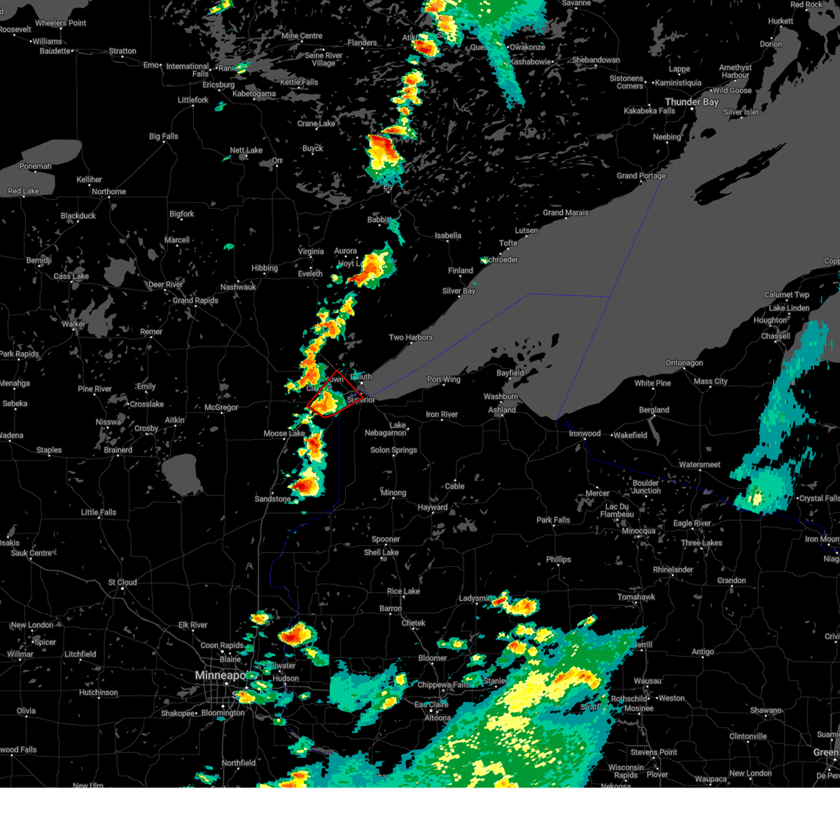
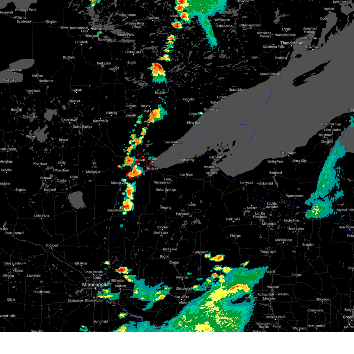
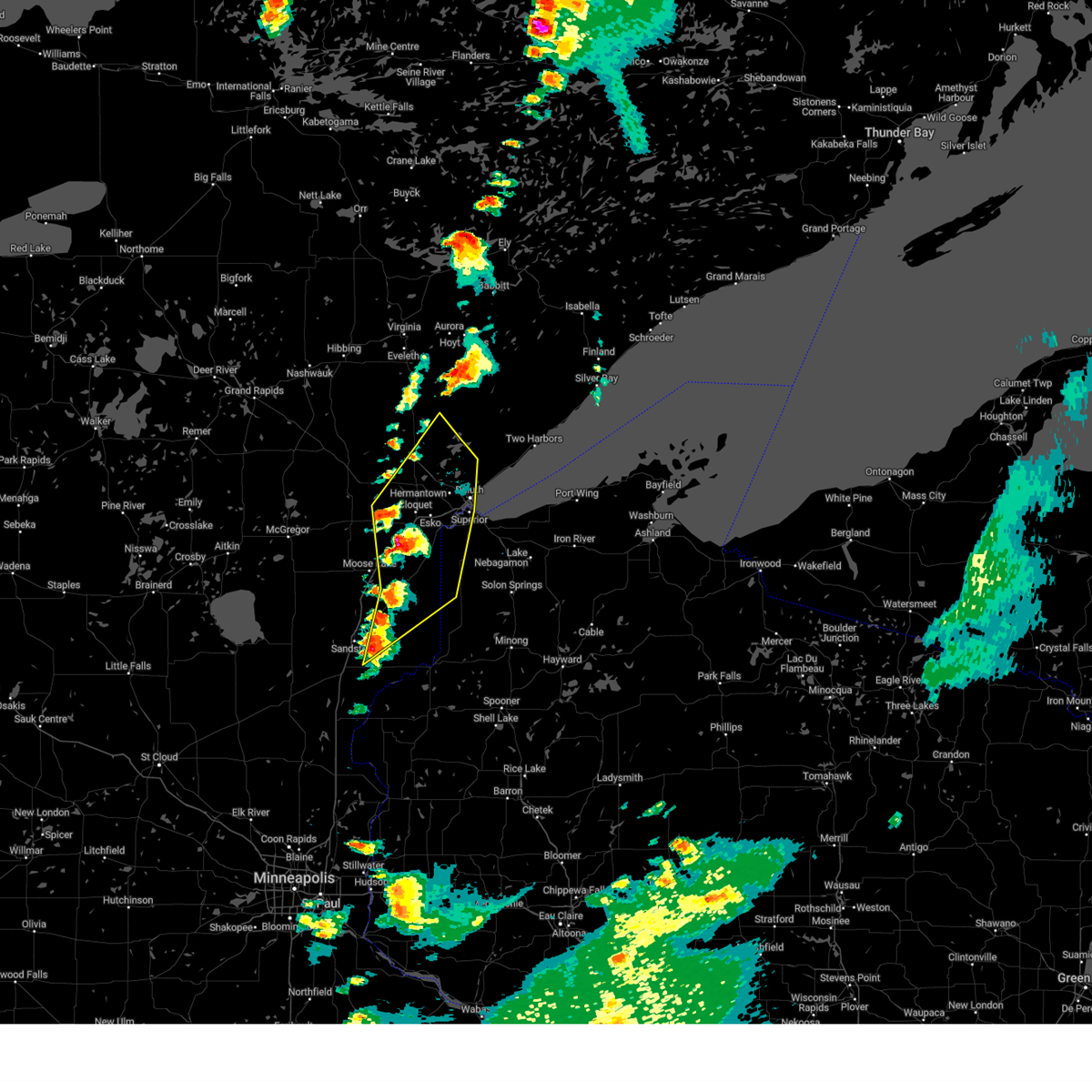
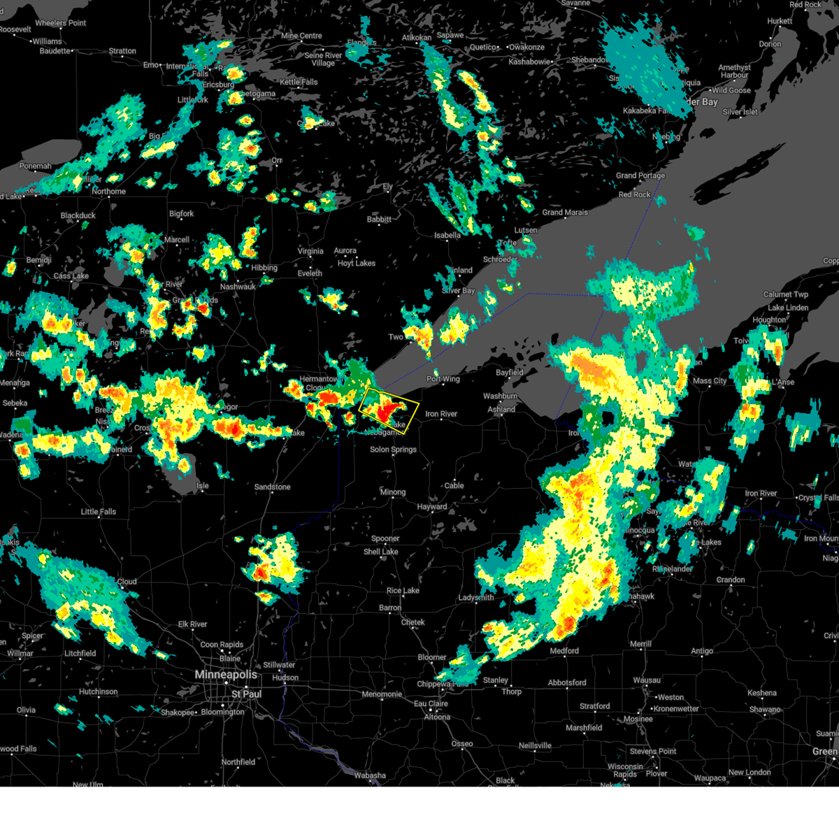
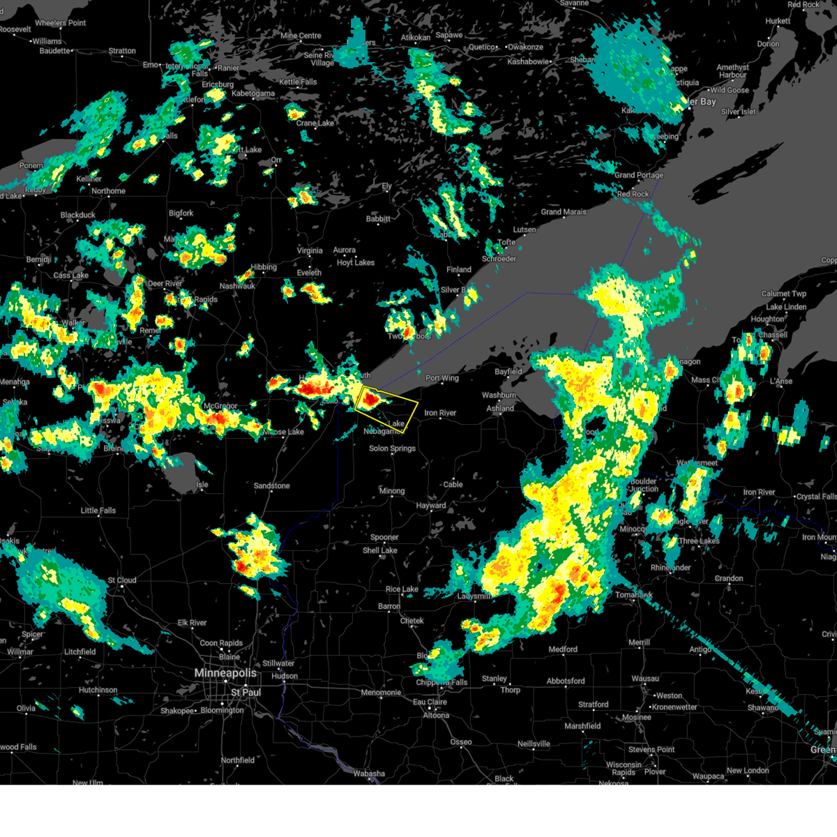
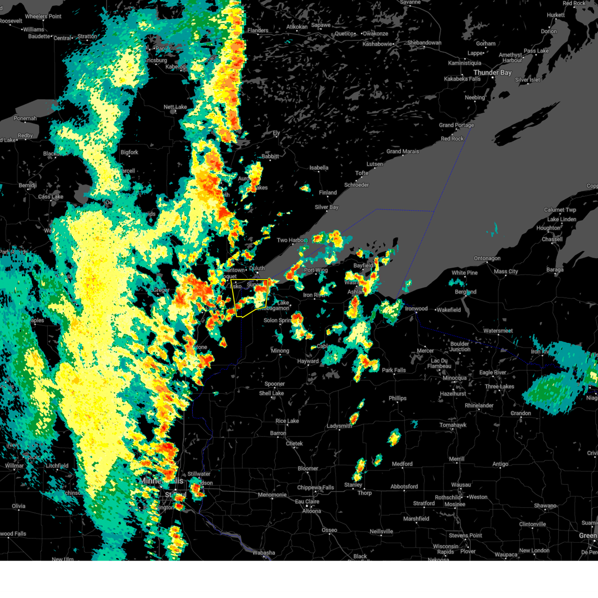
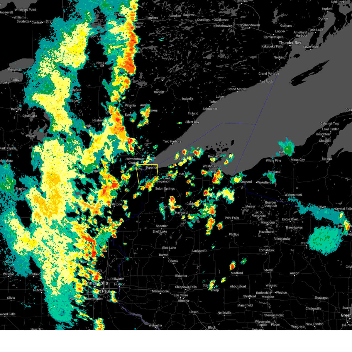
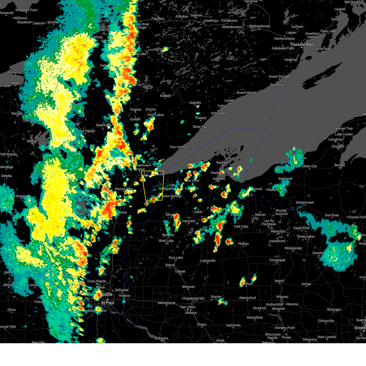
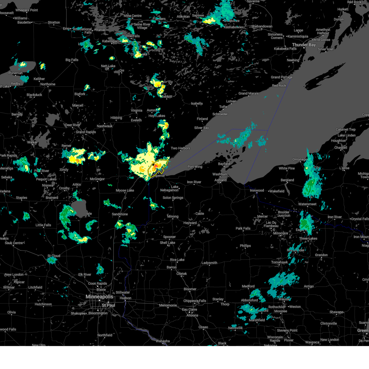
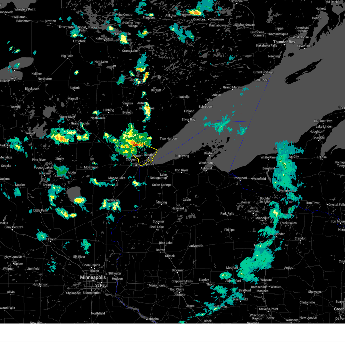
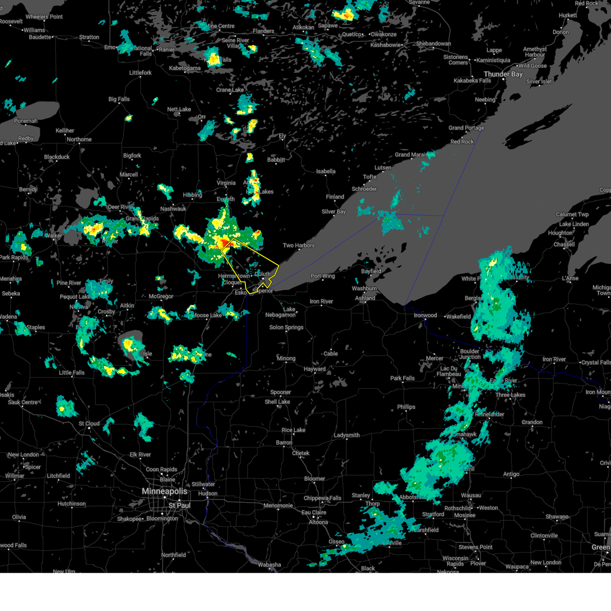
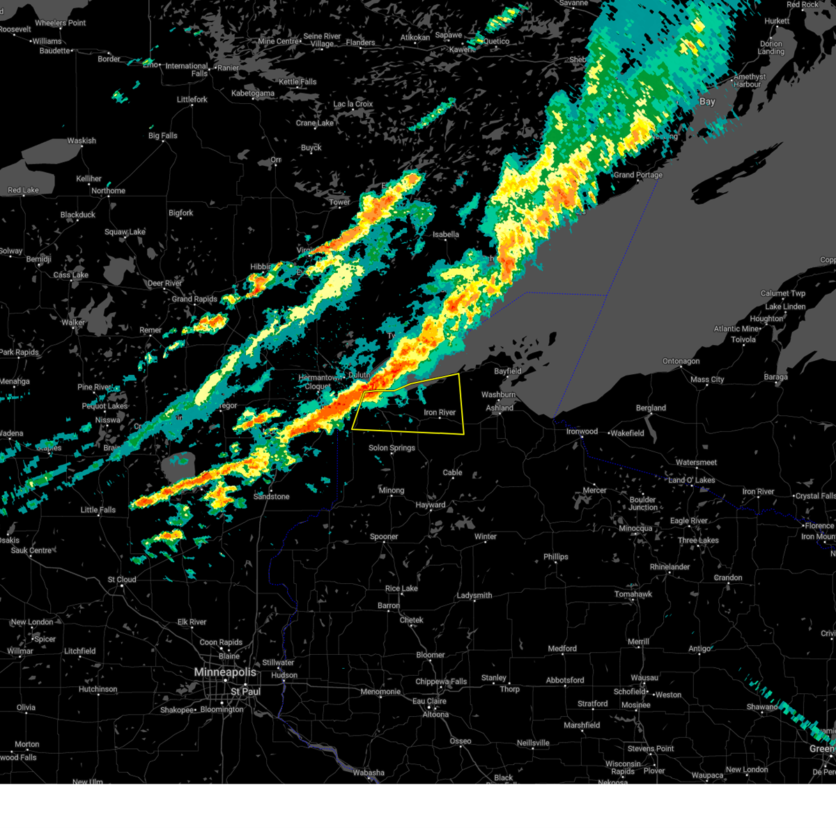
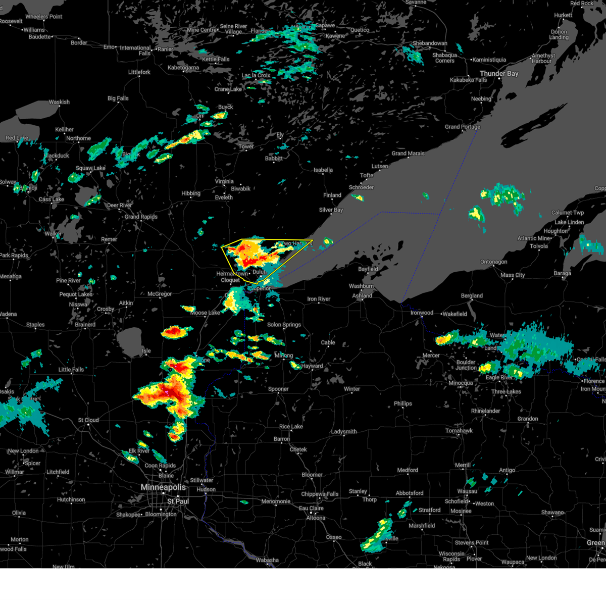
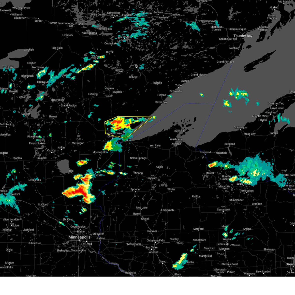
Hail Map for Superior, WI
The Superior, WI area has had 11 reports of on-the-ground hail by trained spotters, and has been under severe weather warnings 50 times during the past 12 months. Doppler radar has detected hail at or near Superior, WI on 68 occasions, including 6 occasions during the past year.
| Name: | Superior, WI |
| Where Located: | 6.5 miles S of Duluth, MN |
| Map: | Google Map for Superior, WI |
| Population: | 27244 |
| Housing Units: | 12328 |
| More Info: | Search Google for Superior, WI |
1
The Top Recent Hail Date for Superior, WI is Thursday, September 19, 2024 (14th out of 68)

Hail and Wind Damage Spotted near Superior, WI
| Date / Time | Report Details |
|---|---|
| 6/29/2025 4:15 PM CDT |
 Svrdlh the national weather service in duluth mn has issued a * severe thunderstorm warning for, west central bayfield county in northwestern wisconsin, northeastern douglas county in northwestern wisconsin, * until 500 pm cdt. * at 415 pm cdt, a severe thunderstorm was located near amnicon falls state park, or 10 miles east of superior, moving east at 25 mph (radar indicated). Hazards include 60 mph wind gusts and quarter size hail. Hail damage to vehicles is expected. expect wind damage to roofs, siding, and trees. This severe thunderstorm will remain over mainly rural areas of west central bayfield and northeastern douglas counties, including the following locations, mouth of brule, cloverland, wentworth, blueberry, and waino. Svrdlh the national weather service in duluth mn has issued a * severe thunderstorm warning for, west central bayfield county in northwestern wisconsin, northeastern douglas county in northwestern wisconsin, * until 500 pm cdt. * at 415 pm cdt, a severe thunderstorm was located near amnicon falls state park, or 10 miles east of superior, moving east at 25 mph (radar indicated). Hazards include 60 mph wind gusts and quarter size hail. Hail damage to vehicles is expected. expect wind damage to roofs, siding, and trees. This severe thunderstorm will remain over mainly rural areas of west central bayfield and northeastern douglas counties, including the following locations, mouth of brule, cloverland, wentworth, blueberry, and waino.
|
| 6/29/2025 4:06 PM CDT |
 The storm which prompted the warning has weakened below severe limits, and has exited the warned area. therefore, the warning will be allowed to expire. however, small hail and heavy rain are still possible with this thunderstorm. The storm which prompted the warning has weakened below severe limits, and has exited the warned area. therefore, the warning will be allowed to expire. however, small hail and heavy rain are still possible with this thunderstorm.
|
| 6/29/2025 4:06 PM CDT |
The storm which prompted the warning has weakened below severe limits, and has exited the warned area. therefore, the warning will be allowed to expire. however, small hail and heavy rain are still possible with this thunderstorm.
|
| 6/29/2025 3:41 PM CDT |
 At 340 pm cdt, a severe thunderstorm was located near proctor, or 8 miles west of superior, moving east at 15 mph (radar indicated). Hazards include 60 mph wind gusts and quarter size hail. Hail damage to vehicles is expected. expect wind damage to roofs, siding, and trees. This severe storm will be near, duluth, superior, and proctor around 345 pm cdt. At 340 pm cdt, a severe thunderstorm was located near proctor, or 8 miles west of superior, moving east at 15 mph (radar indicated). Hazards include 60 mph wind gusts and quarter size hail. Hail damage to vehicles is expected. expect wind damage to roofs, siding, and trees. This severe storm will be near, duluth, superior, and proctor around 345 pm cdt.
|
| 6/29/2025 3:41 PM CDT |
At 340 pm cdt, a severe thunderstorm was located near proctor, or 8 miles west of superior, moving east at 15 mph (radar indicated). Hazards include 60 mph wind gusts and quarter size hail. Hail damage to vehicles is expected. expect wind damage to roofs, siding, and trees. This severe storm will be near, duluth, superior, and proctor around 345 pm cdt.
|
| 6/29/2025 3:26 PM CDT |
 Svrdlh the national weather service in duluth mn has issued a * severe thunderstorm warning for, south central st. louis county in northeastern minnesota, northeastern carlton county in northeastern minnesota, northwestern douglas county in northwestern wisconsin, * until 415 pm cdt. * at 326 pm cdt, a severe thunderstorm was located near thomson, or 7 miles east of cloquet, moving east at 15 mph (radar indicated). Hazards include 60 mph wind gusts and half dollar size hail. Hail damage to vehicles is expected. expect wind damage to roofs, siding, and trees. this severe thunderstorm will be near, duluth, hermantown, proctor, and jay cooke state park around 330 pm cdt. Superior around 340 pm cdt. Svrdlh the national weather service in duluth mn has issued a * severe thunderstorm warning for, south central st. louis county in northeastern minnesota, northeastern carlton county in northeastern minnesota, northwestern douglas county in northwestern wisconsin, * until 415 pm cdt. * at 326 pm cdt, a severe thunderstorm was located near thomson, or 7 miles east of cloquet, moving east at 15 mph (radar indicated). Hazards include 60 mph wind gusts and half dollar size hail. Hail damage to vehicles is expected. expect wind damage to roofs, siding, and trees. this severe thunderstorm will be near, duluth, hermantown, proctor, and jay cooke state park around 330 pm cdt. Superior around 340 pm cdt.
|
| 6/29/2025 3:26 PM CDT |
Svrdlh the national weather service in duluth mn has issued a * severe thunderstorm warning for, south central st. louis county in northeastern minnesota, northeastern carlton county in northeastern minnesota, northwestern douglas county in northwestern wisconsin, * until 415 pm cdt. * at 326 pm cdt, a severe thunderstorm was located near thomson, or 7 miles east of cloquet, moving east at 15 mph (radar indicated). Hazards include 60 mph wind gusts and half dollar size hail. Hail damage to vehicles is expected. expect wind damage to roofs, siding, and trees. this severe thunderstorm will be near, duluth, hermantown, proctor, and jay cooke state park around 330 pm cdt. Superior around 340 pm cdt.
|
| 6/21/2025 3:46 AM CDT |
 the severe thunderstorm warning has been cancelled and is no longer in effect the severe thunderstorm warning has been cancelled and is no longer in effect
|
| 6/21/2025 3:46 AM CDT |
 At 346 am cdt, severe thunderstorms were located along a line extending from near clear lake to 11 miles southeast of illgen city to near cornucopia to 7 miles northeast of iron river, moving east at 50 mph (radar indicated). Hazards include 60 mph wind gusts. Expect damage to roofs, siding, and trees. Locations impacted include, superior, iron river, oulu, port wing, sand island, cornucopia, wisconsin point, apostle island sea caves, herbster, york island, sand bay, cloverland, mouth of brule, meyers beach, waino, eagle island, bark point, red cliff reservation, and apostle islands national lake shore. At 346 am cdt, severe thunderstorms were located along a line extending from near clear lake to 11 miles southeast of illgen city to near cornucopia to 7 miles northeast of iron river, moving east at 50 mph (radar indicated). Hazards include 60 mph wind gusts. Expect damage to roofs, siding, and trees. Locations impacted include, superior, iron river, oulu, port wing, sand island, cornucopia, wisconsin point, apostle island sea caves, herbster, york island, sand bay, cloverland, mouth of brule, meyers beach, waino, eagle island, bark point, red cliff reservation, and apostle islands national lake shore.
|
| 6/21/2025 3:43 AM CDT |
 At 343 am cdt, severe thunderstorms were located along a line extending from near clear lake to 11 miles southeast of illgen city to near cornucopia to 8 miles northeast of iron river, moving east at 60 mph (radar indicated). Hazards include 60 mph wind gusts. Expect damage to roofs, siding, and trees. Locations impacted include, sand bay, sand island and york island. At 343 am cdt, severe thunderstorms were located along a line extending from near clear lake to 11 miles southeast of illgen city to near cornucopia to 8 miles northeast of iron river, moving east at 60 mph (radar indicated). Hazards include 60 mph wind gusts. Expect damage to roofs, siding, and trees. Locations impacted include, sand bay, sand island and york island.
|
| 6/21/2025 3:29 AM CDT |
 At 329 am cdt, severe thunderstorms were located along a line extending from isabella to near silver bay to near herbster to near oulu, moving east at 65 mph (radar indicated). Hazards include 60 mph wind gusts. Expect damage to roofs, siding, and trees. these severe storms will be near, clear lake, little marais, george manitou state park, herbster, sand island, cornucopia, and apostle island sea caves around 335 am cdt. Other locations in the path of these severe thunderstorms include temperance river state park, taconite harbor, sugar loaf cove, sand bay, york island, tofte and devils island. At 329 am cdt, severe thunderstorms were located along a line extending from isabella to near silver bay to near herbster to near oulu, moving east at 65 mph (radar indicated). Hazards include 60 mph wind gusts. Expect damage to roofs, siding, and trees. these severe storms will be near, clear lake, little marais, george manitou state park, herbster, sand island, cornucopia, and apostle island sea caves around 335 am cdt. Other locations in the path of these severe thunderstorms include temperance river state park, taconite harbor, sugar loaf cove, sand bay, york island, tofte and devils island.
|
| 6/21/2025 3:29 AM CDT |
 the severe thunderstorm warning has been cancelled and is no longer in effect the severe thunderstorm warning has been cancelled and is no longer in effect
|
| 6/21/2025 3:19 AM CDT |
 At 319 am cdt, severe thunderstorms were located along a line extending from 7 miles southeast of birch lake to 7 miles northeast of thomas lake near brimson to near larsmont to near wisconsin point, moving east at 50 mph (radar indicated). Hazards include 60 mph wind gusts. Expect damage to roofs, siding, and trees. these severe storms will be near, whyte, castle danger, gooseberry falls state park, and split rock lighthouse state park around 325 am cdt. Other locations in the path of these severe thunderstorms include silver bay, beaver bay, split rock lighthouse, isabella, finland, tettegouche state park, port wing, dumbbell lake, illgen city, herbster, little marais, george manitou state park, clear lake, sugar loaf cove, cornucopia, apostle island sea caves, temperance river state park, taconite harbor, sand bay, sand island, tofte and york island. At 319 am cdt, severe thunderstorms were located along a line extending from 7 miles southeast of birch lake to 7 miles northeast of thomas lake near brimson to near larsmont to near wisconsin point, moving east at 50 mph (radar indicated). Hazards include 60 mph wind gusts. Expect damage to roofs, siding, and trees. these severe storms will be near, whyte, castle danger, gooseberry falls state park, and split rock lighthouse state park around 325 am cdt. Other locations in the path of these severe thunderstorms include silver bay, beaver bay, split rock lighthouse, isabella, finland, tettegouche state park, port wing, dumbbell lake, illgen city, herbster, little marais, george manitou state park, clear lake, sugar loaf cove, cornucopia, apostle island sea caves, temperance river state park, taconite harbor, sand bay, sand island, tofte and york island.
|
| 6/21/2025 3:17 AM CDT |
 Svrdlh the national weather service in duluth mn has issued a * severe thunderstorm warning for, southwestern bayfield county in northwestern wisconsin, douglas county in northwestern wisconsin, * until 400 am cdt. * at 317 am cdt, severe thunderstorms were located along a line extending from 9 miles north of maple to near hawthorne to 8 miles south of foxboro, moving east at 60 mph (radar indicated). Hazards include 60 mph wind gusts. Expect damage to roofs, siding, and trees. severe thunderstorms will be near, lake nebagamon, brule, solon springs, and oulu around 325 am cdt. iron river around 330 am cdt. barnes and gordon around 335 am cdt. Other locations in the path of these severe thunderstorms include ino, town of delta and drummond. Svrdlh the national weather service in duluth mn has issued a * severe thunderstorm warning for, southwestern bayfield county in northwestern wisconsin, douglas county in northwestern wisconsin, * until 400 am cdt. * at 317 am cdt, severe thunderstorms were located along a line extending from 9 miles north of maple to near hawthorne to 8 miles south of foxboro, moving east at 60 mph (radar indicated). Hazards include 60 mph wind gusts. Expect damage to roofs, siding, and trees. severe thunderstorms will be near, lake nebagamon, brule, solon springs, and oulu around 325 am cdt. iron river around 330 am cdt. barnes and gordon around 335 am cdt. Other locations in the path of these severe thunderstorms include ino, town of delta and drummond.
|
| 6/21/2025 3:17 AM CDT |
Svrdlh the national weather service in duluth mn has issued a * severe thunderstorm warning for, southwestern bayfield county in northwestern wisconsin, douglas county in northwestern wisconsin, * until 400 am cdt. * at 317 am cdt, severe thunderstorms were located along a line extending from 9 miles north of maple to near hawthorne to 8 miles south of foxboro, moving east at 60 mph (radar indicated). Hazards include 60 mph wind gusts. Expect damage to roofs, siding, and trees. severe thunderstorms will be near, lake nebagamon, brule, solon springs, and oulu around 325 am cdt. iron river around 330 am cdt. barnes and gordon around 335 am cdt. Other locations in the path of these severe thunderstorms include ino, town of delta and drummond.
|
| 6/21/2025 3:07 AM CDT |
 At 306 am cdt, severe thunderstorms were located along a line extending from near babbitt to near brimson to near french river to superior, moving east at 60 mph (radar indicated). Hazards include 60 mph wind gusts. Expect damage to roofs, siding, and trees. these severe storms will be near, duluth, superior, two harbors, babbitt, thomas lake near brimson, highland lake, wisconsin point, knife river, larsmont, and french river around 310 am cdt. Other locations in the path of these severe thunderstorms include castle danger, whyte, gooseberry falls state park, split rock lighthouse state park, split rock lighthouse, silver bay, beaver bay, isabella, finland, tettegouche state park, port wing, herbster, dumbbell lake, illgen city, little marais, cornucopia, george manitou state park, clear lake, sand island, apostle island sea caves, sand bay, temperance river state park, taconite harbor, sugar loaf cove and york island. At 306 am cdt, severe thunderstorms were located along a line extending from near babbitt to near brimson to near french river to superior, moving east at 60 mph (radar indicated). Hazards include 60 mph wind gusts. Expect damage to roofs, siding, and trees. these severe storms will be near, duluth, superior, two harbors, babbitt, thomas lake near brimson, highland lake, wisconsin point, knife river, larsmont, and french river around 310 am cdt. Other locations in the path of these severe thunderstorms include castle danger, whyte, gooseberry falls state park, split rock lighthouse state park, split rock lighthouse, silver bay, beaver bay, isabella, finland, tettegouche state park, port wing, herbster, dumbbell lake, illgen city, little marais, cornucopia, george manitou state park, clear lake, sand island, apostle island sea caves, sand bay, temperance river state park, taconite harbor, sugar loaf cove and york island.
|
| 6/21/2025 2:53 AM CDT |
 Svrdlh the national weather service in duluth mn has issued a * severe thunderstorm warning for, southwestern cook county in northeastern minnesota, southeastern st. louis county in northeastern minnesota, northeastern carlton county in northeastern minnesota, lake county in northeastern minnesota, northern bayfield county in northwestern wisconsin, northeastern douglas county in northwestern wisconsin, * until 400 am cdt. * at 252 am cdt, severe thunderstorms were located along a line extending from near embarrass to near whiteface reservoir to island lake to near cloquet, moving east at 50 mph (radar indicated). Hazards include 60 mph wind gusts. Expect damage to roofs, siding, and trees. severe thunderstorms will be near, duluth, hermantown, proctor, hoyt lakes, babbitt, fairbanks, wolf lake, city of rice lake, and island lake around 300 am cdt. superior, brimson, and birch lake around 305 am cdt. highland lake, knife river, french river, mcquade harbor, and stoney point around 310 am cdt. Other locations in the path of these severe thunderstorms include two harbors, thomas lake near brimson, wisconsin point, larsmont, whyte, castle danger, gooseberry falls state park, split rock lighthouse state park, split rock lighthouse, silver bay, beaver bay, isabella, finland and tettegouche state park. Svrdlh the national weather service in duluth mn has issued a * severe thunderstorm warning for, southwestern cook county in northeastern minnesota, southeastern st. louis county in northeastern minnesota, northeastern carlton county in northeastern minnesota, lake county in northeastern minnesota, northern bayfield county in northwestern wisconsin, northeastern douglas county in northwestern wisconsin, * until 400 am cdt. * at 252 am cdt, severe thunderstorms were located along a line extending from near embarrass to near whiteface reservoir to island lake to near cloquet, moving east at 50 mph (radar indicated). Hazards include 60 mph wind gusts. Expect damage to roofs, siding, and trees. severe thunderstorms will be near, duluth, hermantown, proctor, hoyt lakes, babbitt, fairbanks, wolf lake, city of rice lake, and island lake around 300 am cdt. superior, brimson, and birch lake around 305 am cdt. highland lake, knife river, french river, mcquade harbor, and stoney point around 310 am cdt. Other locations in the path of these severe thunderstorms include two harbors, thomas lake near brimson, wisconsin point, larsmont, whyte, castle danger, gooseberry falls state park, split rock lighthouse state park, split rock lighthouse, silver bay, beaver bay, isabella, finland and tettegouche state park.
|
| 6/21/2025 2:40 AM CDT |
 At 240 am cdt, severe thunderstorms were located along a line extending from cotton to near cromwell to near upper south long lake, moving east at 55 mph (radar indicated). Hazards include 70 mph wind gusts and penny size hail. Expect considerable tree damage. damage is likely to mobile homes, roofs, and outbuildings. Locations impacted include, duluth, superior, brainerd, cloquet, big sandy lake, mille lacs lake, hermantown, baxter, proctor, crosby, aitkin, scanlon, carlton, hill city, mahtowa, barnum, ironton, deerwood, floodwood, and wrenshall. At 240 am cdt, severe thunderstorms were located along a line extending from cotton to near cromwell to near upper south long lake, moving east at 55 mph (radar indicated). Hazards include 70 mph wind gusts and penny size hail. Expect considerable tree damage. damage is likely to mobile homes, roofs, and outbuildings. Locations impacted include, duluth, superior, brainerd, cloquet, big sandy lake, mille lacs lake, hermantown, baxter, proctor, crosby, aitkin, scanlon, carlton, hill city, mahtowa, barnum, ironton, deerwood, floodwood, and wrenshall.
|
| 6/21/2025 2:40 AM CDT |
 the severe thunderstorm warning has been cancelled and is no longer in effect the severe thunderstorm warning has been cancelled and is no longer in effect
|
| 6/21/2025 2:30 AM CDT |
 At 230 am cdt, severe thunderstorms were located along a line extending from 6 miles west of cotton to near tamarack to near brainerd, moving east at 55 mph (radar indicated). Hazards include 70 mph wind gusts and penny size hail. Expect considerable tree damage. damage is likely to mobile homes, roofs, and outbuildings. Locations impacted include, mille lacs lake, mcgregor, tamarack, mille lacs band east lake area, fond du lac band brookston area, cromwell, brookston, canyon, fond du lac band sawyer area, malmo, cloquet, saginaw, fond du lac band cloquet area, island lake, boulder lake, hermantown, mahtowa, kettle river, pike lake near duluth, duluth, scanlon, carlton, barnum, thomson, city of rice lake, jay cooke state park, proctor, moose lake, wrenshall and superior. At 230 am cdt, severe thunderstorms were located along a line extending from 6 miles west of cotton to near tamarack to near brainerd, moving east at 55 mph (radar indicated). Hazards include 70 mph wind gusts and penny size hail. Expect considerable tree damage. damage is likely to mobile homes, roofs, and outbuildings. Locations impacted include, mille lacs lake, mcgregor, tamarack, mille lacs band east lake area, fond du lac band brookston area, cromwell, brookston, canyon, fond du lac band sawyer area, malmo, cloquet, saginaw, fond du lac band cloquet area, island lake, boulder lake, hermantown, mahtowa, kettle river, pike lake near duluth, duluth, scanlon, carlton, barnum, thomson, city of rice lake, jay cooke state park, proctor, moose lake, wrenshall and superior.
|
| 6/21/2025 1:59 AM CDT |
 Svrdlh the national weather service in duluth mn has issued a * severe thunderstorm warning for, southeastern itasca county in north central minnesota, aitkin county in east central minnesota, southern cass county in north central minnesota, northern pine county in east central minnesota, southern st. louis county in northeastern minnesota, carlton county in northeastern minnesota, crow wing county in east central minnesota, southwestern lake county in northeastern minnesota, * until 300 am cdt. * at 159 am cdt, severe thunderstorms were located along a line extending from near pengilly to 6 miles south of swatara to near staples airport, moving east at 55 mph (radar indicated). Hazards include 70 mph wind gusts and penny size hail. Expect considerable tree damage. damage is likely to mobile homes, roofs, and outbuildings. severe thunderstorms will be near, breezy point, pequot lakes, crosslake, nisswa, gull lake, jacobson, and merrifield around 205 am cdt. brainerd, baxter, crosby, ironton, cuyuna, palisade, and cuyuna country state park around 210 am cdt. big sandy lake, deerwood, libby, and savanna portage state park around 215 am cdt. Other locations in the path of these severe thunderstorms include aitkin, floodwood, mcgregor, meadowlands, upper south long lake, tamarack, mille lacs lake, garrison, mille lacs band east lake area, fond du lac band brookston area, cromwell, brookston, canyon and fond du lac band sawyer area. Svrdlh the national weather service in duluth mn has issued a * severe thunderstorm warning for, southeastern itasca county in north central minnesota, aitkin county in east central minnesota, southern cass county in north central minnesota, northern pine county in east central minnesota, southern st. louis county in northeastern minnesota, carlton county in northeastern minnesota, crow wing county in east central minnesota, southwestern lake county in northeastern minnesota, * until 300 am cdt. * at 159 am cdt, severe thunderstorms were located along a line extending from near pengilly to 6 miles south of swatara to near staples airport, moving east at 55 mph (radar indicated). Hazards include 70 mph wind gusts and penny size hail. Expect considerable tree damage. damage is likely to mobile homes, roofs, and outbuildings. severe thunderstorms will be near, breezy point, pequot lakes, crosslake, nisswa, gull lake, jacobson, and merrifield around 205 am cdt. brainerd, baxter, crosby, ironton, cuyuna, palisade, and cuyuna country state park around 210 am cdt. big sandy lake, deerwood, libby, and savanna portage state park around 215 am cdt. Other locations in the path of these severe thunderstorms include aitkin, floodwood, mcgregor, meadowlands, upper south long lake, tamarack, mille lacs lake, garrison, mille lacs band east lake area, fond du lac band brookston area, cromwell, brookston, canyon and fond du lac band sawyer area.
|
| 6/16/2025 7:05 PM CDT | the severe thunderstorm warning has been cancelled and is no longer in effect |
| 6/16/2025 6:50 PM CDT | At 649 pm cdt, severe thunderstorms were located along a line extending from near fond du lac band sawyer area to near fond du lac band cloquet area to near holyoke, moving northeast at 50 mph (radar indicated). Hazards include 60 mph wind gusts. Expect damage to roofs, siding, and trees. Locations impacted include, duluth, superior, cloquet, hermantown, proctor, scanlon, carlton, mahtowa, wrenshall, oliver, thomson, brookston, jay cooke state park, saginaw, fond du lac band brookston area, fond du lac band cloquet area, pike lake near duluth, fond du lac band sawyer area, city of rice lake, and island lake. |
| 6/16/2025 6:50 PM CDT | the severe thunderstorm warning has been cancelled and is no longer in effect |
| 6/16/2025 6:28 PM CDT | Svrdlh the national weather service in duluth mn has issued a * severe thunderstorm warning for, east central aitkin county in east central minnesota, southwestern st. louis county in northeastern minnesota, carlton county in northeastern minnesota, northwestern douglas county in northwestern wisconsin, * until 715 pm cdt. * at 628 pm cdt, severe thunderstorms were located along a line extending from near tamarack to 6 miles south of cromwell to near kettle river, moving northeast at 50 mph (radar indicated). Hazards include 60 mph wind gusts and quarter size hail. Hail damage to vehicles is expected. Expect wind damage to roofs, siding, and trees. |
| 3/28/2025 4:56 PM CDT |
 the severe thunderstorm warning has been cancelled and is no longer in effect the severe thunderstorm warning has been cancelled and is no longer in effect
|
| 3/28/2025 4:42 PM CDT |
 At 440 pm cdt, severe thunderstorms were located along a line extending from near maple to amnicon falls state park to near pattison state park, moving east at 60 mph (trained weather spotters. at 414 pm...quarter size hail was reported in scotts corner. hail accumulated to a depth of 1 inch in mahtowa with this storm). Hazards include quarter size hail, accumulating hail, and freezing rain. Damage to vehicles is expected. accumulated hail and freezing rain will make roads slippery. these severe storms will be near, hawthorne, oulu, maple, lake nebagamon, and poplar around 445 pm cdt. brule and iron river around 450 pm cdt. washburn and ino around 515 pm cdt. benoit around 525 pm cdt. other locations impacted by these severe thunderstorms include cloverland, wentworth, mason, blueberry, waino, moquah, grand view, and amnicon lake. This storm will also impact us-53 between superior and solon springs, us-2 between superior and iron river, and us-63 between cable and ashland. At 440 pm cdt, severe thunderstorms were located along a line extending from near maple to amnicon falls state park to near pattison state park, moving east at 60 mph (trained weather spotters. at 414 pm...quarter size hail was reported in scotts corner. hail accumulated to a depth of 1 inch in mahtowa with this storm). Hazards include quarter size hail, accumulating hail, and freezing rain. Damage to vehicles is expected. accumulated hail and freezing rain will make roads slippery. these severe storms will be near, hawthorne, oulu, maple, lake nebagamon, and poplar around 445 pm cdt. brule and iron river around 450 pm cdt. washburn and ino around 515 pm cdt. benoit around 525 pm cdt. other locations impacted by these severe thunderstorms include cloverland, wentworth, mason, blueberry, waino, moquah, grand view, and amnicon lake. This storm will also impact us-53 between superior and solon springs, us-2 between superior and iron river, and us-63 between cable and ashland.
|
| 3/28/2025 4:25 PM CDT |
 Svrdlh the national weather service in duluth mn has issued a * severe thunderstorm warning for, central bayfield county in northwestern wisconsin, northern douglas county in northwestern wisconsin, * until 530 pm cdt. * at 423 pm cdt, a severe thunderstorm was located near oliver, or 8 miles south of superior, moving east at 55 mph (trained weather spotters. at 414 pm...quarter size hail was reported in scotts corner. hail accumulated to a depth of one inch). Hazards include quarter size hail, accumulating hail, and freezing rain. Damage to vehicles is expected. accumulated hail and freezing rain will make roads slippery. this severe thunderstorm will be near, south range around 430 pm cdt. amnicon falls state park and poplar around 435 pm cdt. maple around 440 pm cdt. lake nebagamon around 445 pm cdt. brule around 450 pm cdt. oulu and iron river around 455 pm cdt. ino around 510 pm cdt. other locations impacted by this severe thunderstorm include cloverland, wentworth, bennett, mason, blueberry, waino, moquah, amnicon lake, grand view, and lyman lake. This storm will also impact us-53 between superior and solon springs and us-2 between superior and iron river. Svrdlh the national weather service in duluth mn has issued a * severe thunderstorm warning for, central bayfield county in northwestern wisconsin, northern douglas county in northwestern wisconsin, * until 530 pm cdt. * at 423 pm cdt, a severe thunderstorm was located near oliver, or 8 miles south of superior, moving east at 55 mph (trained weather spotters. at 414 pm...quarter size hail was reported in scotts corner. hail accumulated to a depth of one inch). Hazards include quarter size hail, accumulating hail, and freezing rain. Damage to vehicles is expected. accumulated hail and freezing rain will make roads slippery. this severe thunderstorm will be near, south range around 430 pm cdt. amnicon falls state park and poplar around 435 pm cdt. maple around 440 pm cdt. lake nebagamon around 445 pm cdt. brule around 450 pm cdt. oulu and iron river around 455 pm cdt. ino around 510 pm cdt. other locations impacted by this severe thunderstorm include cloverland, wentworth, bennett, mason, blueberry, waino, moquah, amnicon lake, grand view, and lyman lake. This storm will also impact us-53 between superior and solon springs and us-2 between superior and iron river.
|
| 3/28/2025 4:25 PM CDT |
Svrdlh the national weather service in duluth mn has issued a * severe thunderstorm warning for, central bayfield county in northwestern wisconsin, northern douglas county in northwestern wisconsin, * until 530 pm cdt. * at 423 pm cdt, a severe thunderstorm was located near oliver, or 8 miles south of superior, moving east at 55 mph (trained weather spotters. at 414 pm...quarter size hail was reported in scotts corner. hail accumulated to a depth of one inch). Hazards include quarter size hail, accumulating hail, and freezing rain. Damage to vehicles is expected. accumulated hail and freezing rain will make roads slippery. this severe thunderstorm will be near, south range around 430 pm cdt. amnicon falls state park and poplar around 435 pm cdt. maple around 440 pm cdt. lake nebagamon around 445 pm cdt. brule around 450 pm cdt. oulu and iron river around 455 pm cdt. ino around 510 pm cdt. other locations impacted by this severe thunderstorm include cloverland, wentworth, bennett, mason, blueberry, waino, moquah, amnicon lake, grand view, and lyman lake. This storm will also impact us-53 between superior and solon springs and us-2 between superior and iron river.
|
| 3/28/2025 4:16 PM CDT |
 At 414 pm cdt, a severe thunderstorm was located near wrenshall, or 12 miles southeast of cloquet, moving east at 55 mph (trained weather spotters. at 402 pm quarter size hail was reported in mahtowa. hail accumulated to a depth of 1 inch). Hazards include quarter size hail, accumulating hail, and freezing rain. Damage to vehicles is expected. accumulated hail and freezing rain will make roads slippery. this severe storm will be near, pattison state park and oliver around 420 pm cdt. south range around 430 pm cdt. amnicon falls state park around 435 pm cdt. other locations impacted by this severe thunderstorm include pleasant valley, gary new duluth, scotts corner, morgan park, patzau, amnicon lake, lyman lake, and fond du lac. Us-53 between superior and solon springs will be affected by this storm. At 414 pm cdt, a severe thunderstorm was located near wrenshall, or 12 miles southeast of cloquet, moving east at 55 mph (trained weather spotters. at 402 pm quarter size hail was reported in mahtowa. hail accumulated to a depth of 1 inch). Hazards include quarter size hail, accumulating hail, and freezing rain. Damage to vehicles is expected. accumulated hail and freezing rain will make roads slippery. this severe storm will be near, pattison state park and oliver around 420 pm cdt. south range around 430 pm cdt. amnicon falls state park around 435 pm cdt. other locations impacted by this severe thunderstorm include pleasant valley, gary new duluth, scotts corner, morgan park, patzau, amnicon lake, lyman lake, and fond du lac. Us-53 between superior and solon springs will be affected by this storm.
|
| 3/28/2025 4:16 PM CDT |
At 414 pm cdt, a severe thunderstorm was located near wrenshall, or 12 miles southeast of cloquet, moving east at 55 mph (trained weather spotters. at 402 pm quarter size hail was reported in mahtowa. hail accumulated to a depth of 1 inch). Hazards include quarter size hail, accumulating hail, and freezing rain. Damage to vehicles is expected. accumulated hail and freezing rain will make roads slippery. this severe storm will be near, pattison state park and oliver around 420 pm cdt. south range around 430 pm cdt. amnicon falls state park around 435 pm cdt. other locations impacted by this severe thunderstorm include pleasant valley, gary new duluth, scotts corner, morgan park, patzau, amnicon lake, lyman lake, and fond du lac. Us-53 between superior and solon springs will be affected by this storm.
|
| 3/28/2025 4:11 PM CDT |
 At 410 pm cdt, a severe thunderstorm was located near wrenshall, or 11 miles south of cloquet, moving east at 55 mph (radar indicated). Hazards include quarter size hail, accumulating hail, and freezing rain. Damage to vehicles is expected. accumulated hail and freezing rain will make roads slippery. this severe storm will be near, jay cooke state park and wrenshall around 415 pm cdt. pattison state park around 420 pm cdt. south range around 430 pm cdt. amnicon falls state park around 435 pm cdt. Other locations impacted by this severe thunderstorm include pleasant valley, gary new duluth, scotts corner, morgan park, patzau, amnicon lake, lyman lake, and fond du lac. At 410 pm cdt, a severe thunderstorm was located near wrenshall, or 11 miles south of cloquet, moving east at 55 mph (radar indicated). Hazards include quarter size hail, accumulating hail, and freezing rain. Damage to vehicles is expected. accumulated hail and freezing rain will make roads slippery. this severe storm will be near, jay cooke state park and wrenshall around 415 pm cdt. pattison state park around 420 pm cdt. south range around 430 pm cdt. amnicon falls state park around 435 pm cdt. Other locations impacted by this severe thunderstorm include pleasant valley, gary new duluth, scotts corner, morgan park, patzau, amnicon lake, lyman lake, and fond du lac.
|
| 3/28/2025 4:11 PM CDT |
At 410 pm cdt, a severe thunderstorm was located near wrenshall, or 11 miles south of cloquet, moving east at 55 mph (radar indicated). Hazards include quarter size hail, accumulating hail, and freezing rain. Damage to vehicles is expected. accumulated hail and freezing rain will make roads slippery. this severe storm will be near, jay cooke state park and wrenshall around 415 pm cdt. pattison state park around 420 pm cdt. south range around 430 pm cdt. amnicon falls state park around 435 pm cdt. Other locations impacted by this severe thunderstorm include pleasant valley, gary new duluth, scotts corner, morgan park, patzau, amnicon lake, lyman lake, and fond du lac.
|
| 3/28/2025 3:59 PM CDT |
 At 358 pm cdt, a severe thunderstorm was located over mahtowa, or 12 miles southwest of cloquet, moving east at 55 mph (radar indicated). Hazards include ping pong ball size hail. People and animals outdoors will be injured. expect damage to roofs, siding, windows, and vehicles. spotters report hail is covering the ground in the wake of the storm. this severe storm will be near, mahtowa around 405 pm cdt. jay cooke state park and wrenshall around 410 pm cdt. pattison state park around 420 pm cdt. south range around 430 pm cdt. Other locations impacted by this severe thunderstorm include chaffey, pleasant valley, gary new duluth, scotts corner, morgan park, patzau, kettle lake, amnicon lake, sawyer, and lyman lake. At 358 pm cdt, a severe thunderstorm was located over mahtowa, or 12 miles southwest of cloquet, moving east at 55 mph (radar indicated). Hazards include ping pong ball size hail. People and animals outdoors will be injured. expect damage to roofs, siding, windows, and vehicles. spotters report hail is covering the ground in the wake of the storm. this severe storm will be near, mahtowa around 405 pm cdt. jay cooke state park and wrenshall around 410 pm cdt. pattison state park around 420 pm cdt. south range around 430 pm cdt. Other locations impacted by this severe thunderstorm include chaffey, pleasant valley, gary new duluth, scotts corner, morgan park, patzau, kettle lake, amnicon lake, sawyer, and lyman lake.
|
| 3/28/2025 3:59 PM CDT |
 the severe thunderstorm warning has been cancelled and is no longer in effect the severe thunderstorm warning has been cancelled and is no longer in effect
|
| 3/28/2025 3:59 PM CDT |
At 358 pm cdt, a severe thunderstorm was located over mahtowa, or 12 miles southwest of cloquet, moving east at 55 mph (radar indicated). Hazards include ping pong ball size hail. People and animals outdoors will be injured. expect damage to roofs, siding, windows, and vehicles. spotters report hail is covering the ground in the wake of the storm. this severe storm will be near, mahtowa around 405 pm cdt. jay cooke state park and wrenshall around 410 pm cdt. pattison state park around 420 pm cdt. south range around 430 pm cdt. Other locations impacted by this severe thunderstorm include chaffey, pleasant valley, gary new duluth, scotts corner, morgan park, patzau, kettle lake, amnicon lake, sawyer, and lyman lake.
|
| 3/28/2025 3:59 PM CDT |
the severe thunderstorm warning has been cancelled and is no longer in effect
|
| 3/28/2025 3:45 PM CDT |
 At 345 pm cdt, a severe thunderstorm was located near cromwell, or 20 miles southeast of big sandy lake, moving east at 60 mph (radar indicated). Hazards include ping pong ball size hail. People and animals outdoors will be injured. expect damage to roofs, siding, windows, and vehicles. this severe storm will be near, mahtowa around 355 pm cdt. jay cooke state park and wrenshall around 410 pm cdt. pattison state park around 420 pm cdt. south range around 430 pm cdt. hawthorne and poplar around 435 pm cdt. Other locations impacted by this severe thunderstorm include wentworth, pleasant valley, gary new duluth, morgan park, wright, amnicon lake, sawyer, fond du lac, automba, and chaffey. At 345 pm cdt, a severe thunderstorm was located near cromwell, or 20 miles southeast of big sandy lake, moving east at 60 mph (radar indicated). Hazards include ping pong ball size hail. People and animals outdoors will be injured. expect damage to roofs, siding, windows, and vehicles. this severe storm will be near, mahtowa around 355 pm cdt. jay cooke state park and wrenshall around 410 pm cdt. pattison state park around 420 pm cdt. south range around 430 pm cdt. hawthorne and poplar around 435 pm cdt. Other locations impacted by this severe thunderstorm include wentworth, pleasant valley, gary new duluth, morgan park, wright, amnicon lake, sawyer, fond du lac, automba, and chaffey.
|
| 3/28/2025 3:45 PM CDT |
At 345 pm cdt, a severe thunderstorm was located near cromwell, or 20 miles southeast of big sandy lake, moving east at 60 mph (radar indicated). Hazards include ping pong ball size hail. People and animals outdoors will be injured. expect damage to roofs, siding, windows, and vehicles. this severe storm will be near, mahtowa around 355 pm cdt. jay cooke state park and wrenshall around 410 pm cdt. pattison state park around 420 pm cdt. south range around 430 pm cdt. hawthorne and poplar around 435 pm cdt. Other locations impacted by this severe thunderstorm include wentworth, pleasant valley, gary new duluth, morgan park, wright, amnicon lake, sawyer, fond du lac, automba, and chaffey.
|
| 3/28/2025 3:35 PM CDT |
 Svrdlh the national weather service in duluth mn has issued a * severe thunderstorm warning for, northeastern pine county in east central minnesota, south central st. louis county in northeastern minnesota, carlton county in northeastern minnesota, northwestern douglas county in northwestern wisconsin, * until 430 pm cdt. * at 334 pm cdt, a severe thunderstorm was located over tamarack, or 12 miles southeast of big sandy lake, moving east at 55 mph (radar indicated). Hazards include half dollar size hail. Damage to vehicles is expected. this severe thunderstorm will be near, mahtowa and fond du lac band sawyer area around 355 pm cdt. fond du lac band cloquet area around 400 pm cdt. wrenshall and carlton around 405 pm cdt. jay cooke state park and thomson around 410 pm cdt. duluth around 415 pm cdt. oliver around 420 pm cdt. Other locations impacted by this severe thunderstorm include cody, park point, billings park, gary new duluth, morgan park, wright, amnicon lake, sawyer, spirit valley, and automba. Svrdlh the national weather service in duluth mn has issued a * severe thunderstorm warning for, northeastern pine county in east central minnesota, south central st. louis county in northeastern minnesota, carlton county in northeastern minnesota, northwestern douglas county in northwestern wisconsin, * until 430 pm cdt. * at 334 pm cdt, a severe thunderstorm was located over tamarack, or 12 miles southeast of big sandy lake, moving east at 55 mph (radar indicated). Hazards include half dollar size hail. Damage to vehicles is expected. this severe thunderstorm will be near, mahtowa and fond du lac band sawyer area around 355 pm cdt. fond du lac band cloquet area around 400 pm cdt. wrenshall and carlton around 405 pm cdt. jay cooke state park and thomson around 410 pm cdt. duluth around 415 pm cdt. oliver around 420 pm cdt. Other locations impacted by this severe thunderstorm include cody, park point, billings park, gary new duluth, morgan park, wright, amnicon lake, sawyer, spirit valley, and automba.
|
| 3/28/2025 3:35 PM CDT |
Svrdlh the national weather service in duluth mn has issued a * severe thunderstorm warning for, northeastern pine county in east central minnesota, south central st. louis county in northeastern minnesota, carlton county in northeastern minnesota, northwestern douglas county in northwestern wisconsin, * until 430 pm cdt. * at 334 pm cdt, a severe thunderstorm was located over tamarack, or 12 miles southeast of big sandy lake, moving east at 55 mph (radar indicated). Hazards include half dollar size hail. Damage to vehicles is expected. this severe thunderstorm will be near, mahtowa and fond du lac band sawyer area around 355 pm cdt. fond du lac band cloquet area around 400 pm cdt. wrenshall and carlton around 405 pm cdt. jay cooke state park and thomson around 410 pm cdt. duluth around 415 pm cdt. oliver around 420 pm cdt. Other locations impacted by this severe thunderstorm include cody, park point, billings park, gary new duluth, morgan park, wright, amnicon lake, sawyer, spirit valley, and automba.
|
| 9/19/2024 6:27 PM CDT |
 Some of the storms which prompted the warning have weakened below severe limits. tornado warnings remain in effect for portions of south central st. louis county and northeast pine county. a tornado watch remains in effect until 1100 pm cdt for northeastern and east central minnesota, and northwestern wisconsin. Some of the storms which prompted the warning have weakened below severe limits. tornado warnings remain in effect for portions of south central st. louis county and northeast pine county. a tornado watch remains in effect until 1100 pm cdt for northeastern and east central minnesota, and northwestern wisconsin.
|
| 9/19/2024 6:27 PM CDT |
Some of the storms which prompted the warning have weakened below severe limits. tornado warnings remain in effect for portions of south central st. louis county and northeast pine county. a tornado watch remains in effect until 1100 pm cdt for northeastern and east central minnesota, and northwestern wisconsin.
|
| 9/19/2024 6:14 PM CDT |
 the tornado warning has been cancelled and is no longer in effect the tornado warning has been cancelled and is no longer in effect
|
| 9/19/2024 6:06 PM CDT |
 At 606 pm cdt, a severe thunderstorm capable of producing a tornado was located over carlton, or near cloquet, moving northeast at 30 mph (radar indicated rotation). Hazards include tornado and half dollar size hail. this storm has a history of producing funnel clouds. Flying debris will be dangerous to those caught without shelter. mobile homes will be damaged or destroyed. damage to roofs, windows, and vehicles will occur. tree damage is likely. this dangerous storm will be near, duluth, cloquet, scanlon, thomson, and jay cooke state park around 610 pm cdt. hermantown around 615 pm cdt. Other locations in the path of this tornadic thunderstorm include proctor. At 606 pm cdt, a severe thunderstorm capable of producing a tornado was located over carlton, or near cloquet, moving northeast at 30 mph (radar indicated rotation). Hazards include tornado and half dollar size hail. this storm has a history of producing funnel clouds. Flying debris will be dangerous to those caught without shelter. mobile homes will be damaged or destroyed. damage to roofs, windows, and vehicles will occur. tree damage is likely. this dangerous storm will be near, duluth, cloquet, scanlon, thomson, and jay cooke state park around 610 pm cdt. hermantown around 615 pm cdt. Other locations in the path of this tornadic thunderstorm include proctor.
|
| 9/19/2024 6:02 PM CDT |
 At 602 pm cdt, severe thunderstorms were located along a line extending from near saginaw to near thomson to near holyoke to 6 miles northwest of duxbury, moving northeast at 30 mph (radar indicated). Hazards include ping pong ball size hail and 60 mph wind gusts. People and animals outdoors will be injured. expect hail damage to roofs, siding, windows, and vehicles. expect wind damage to roofs, siding, and trees. Locations impacted include, duluth, superior, cloquet, hermantown, proctor, scanlon, carlton, wrenshall, oliver, holyoke, thomson, brookston, jay cooke state park, pike lake near duluth, city of rice lake, saginaw, foxboro, island lake, fond du lac band cloquet area, and boulder lake. At 602 pm cdt, severe thunderstorms were located along a line extending from near saginaw to near thomson to near holyoke to 6 miles northwest of duxbury, moving northeast at 30 mph (radar indicated). Hazards include ping pong ball size hail and 60 mph wind gusts. People and animals outdoors will be injured. expect hail damage to roofs, siding, windows, and vehicles. expect wind damage to roofs, siding, and trees. Locations impacted include, duluth, superior, cloquet, hermantown, proctor, scanlon, carlton, wrenshall, oliver, holyoke, thomson, brookston, jay cooke state park, pike lake near duluth, city of rice lake, saginaw, foxboro, island lake, fond du lac band cloquet area, and boulder lake.
|
| 9/19/2024 6:02 PM CDT |
At 602 pm cdt, severe thunderstorms were located along a line extending from near saginaw to near thomson to near holyoke to 6 miles northwest of duxbury, moving northeast at 30 mph (radar indicated). Hazards include ping pong ball size hail and 60 mph wind gusts. People and animals outdoors will be injured. expect hail damage to roofs, siding, windows, and vehicles. expect wind damage to roofs, siding, and trees. Locations impacted include, duluth, superior, cloquet, hermantown, proctor, scanlon, carlton, wrenshall, oliver, holyoke, thomson, brookston, jay cooke state park, pike lake near duluth, city of rice lake, saginaw, foxboro, island lake, fond du lac band cloquet area, and boulder lake.
|
| 9/19/2024 5:56 PM CDT |
 Tordlh the national weather service in duluth mn has issued a * tornado warning for, southern st. louis county in northeastern minnesota, northeastern carlton county in northeastern minnesota, northwestern douglas county in northwestern wisconsin, * until 630 pm cdt. * at 554 pm cdt, a severe thunderstorm capable of producing a tornado was located near carlton, or 8 miles south of cloquet, moving northeast at 30 mph (radar indicated rotation). Hazards include tornado and half dollar size hail. this storm has had a history of producing funnel clouds. Flying debris will be dangerous to those caught without shelter. mobile homes will be damaged or destroyed. damage to roofs, windows, and vehicles will occur. tree damage is likely. this dangerous storm will be near, cloquet, scanlon, carlton, wrenshall, thomson, jay cooke state park, and fond du lac band cloquet area around 600 pm cdt. duluth around 610 pm cdt. Other locations in the path of this tornadic thunderstorm include hermantown and proctor. Tordlh the national weather service in duluth mn has issued a * tornado warning for, southern st. louis county in northeastern minnesota, northeastern carlton county in northeastern minnesota, northwestern douglas county in northwestern wisconsin, * until 630 pm cdt. * at 554 pm cdt, a severe thunderstorm capable of producing a tornado was located near carlton, or 8 miles south of cloquet, moving northeast at 30 mph (radar indicated rotation). Hazards include tornado and half dollar size hail. this storm has had a history of producing funnel clouds. Flying debris will be dangerous to those caught without shelter. mobile homes will be damaged or destroyed. damage to roofs, windows, and vehicles will occur. tree damage is likely. this dangerous storm will be near, cloquet, scanlon, carlton, wrenshall, thomson, jay cooke state park, and fond du lac band cloquet area around 600 pm cdt. duluth around 610 pm cdt. Other locations in the path of this tornadic thunderstorm include hermantown and proctor.
|
| 9/19/2024 5:43 PM CDT |
 Svrdlh the national weather service in duluth mn has issued a * severe thunderstorm warning for, northeastern pine county in east central minnesota, south central st. louis county in northeastern minnesota, eastern carlton county in northeastern minnesota, northwestern douglas county in northwestern wisconsin, * until 630 pm cdt. * at 543 pm cdt, severe thunderstorms were located along a line extending from near fond du lac band cloquet area to near wrenshall to 6 miles south of nemadji to bruno to near askov, moving northeast at 30 mph (radar indicated). Hazards include ping pong ball size hail and 60 mph wind gusts. People and animals outdoors will be injured. expect hail damage to roofs, siding, windows, and vehicles. Expect wind damage to roofs, siding, and trees. Svrdlh the national weather service in duluth mn has issued a * severe thunderstorm warning for, northeastern pine county in east central minnesota, south central st. louis county in northeastern minnesota, eastern carlton county in northeastern minnesota, northwestern douglas county in northwestern wisconsin, * until 630 pm cdt. * at 543 pm cdt, severe thunderstorms were located along a line extending from near fond du lac band cloquet area to near wrenshall to 6 miles south of nemadji to bruno to near askov, moving northeast at 30 mph (radar indicated). Hazards include ping pong ball size hail and 60 mph wind gusts. People and animals outdoors will be injured. expect hail damage to roofs, siding, windows, and vehicles. Expect wind damage to roofs, siding, and trees.
|
| 9/19/2024 5:43 PM CDT |
Svrdlh the national weather service in duluth mn has issued a * severe thunderstorm warning for, northeastern pine county in east central minnesota, south central st. louis county in northeastern minnesota, eastern carlton county in northeastern minnesota, northwestern douglas county in northwestern wisconsin, * until 630 pm cdt. * at 543 pm cdt, severe thunderstorms were located along a line extending from near fond du lac band cloquet area to near wrenshall to 6 miles south of nemadji to bruno to near askov, moving northeast at 30 mph (radar indicated). Hazards include ping pong ball size hail and 60 mph wind gusts. People and animals outdoors will be injured. expect hail damage to roofs, siding, windows, and vehicles. Expect wind damage to roofs, siding, and trees.
|
| 7/31/2024 5:23 PM CDT | An 18-24 inch diameter silver maple was snapped about 8 feet up in front of the old library. time estimated by rada in douglas county WI, 4.6 miles S of Superior, WI |
| 6/12/2024 7:22 PM CDT |
 Svrdlh the national weather service in duluth mn has issued a * severe thunderstorm warning for, northeastern pine county in east central minnesota, south central st. louis county in northeastern minnesota, carlton county in northeastern minnesota, northwestern douglas county in northwestern wisconsin, * until 800 pm cdt. * at 721 pm cdt, a severe thunderstorm was located near mahtowa, or 9 miles southwest of cloquet, moving southeast at 35 mph (radar indicated). Hazards include ping pong ball size hail and 60 mph wind gusts. People and animals outdoors will be injured. expect hail damage to roofs, siding, windows, and vehicles. expect wind damage to roofs, siding, and trees. this severe thunderstorm will be near, mahtowa around 725 pm cdt. Other locations in the path of this severe thunderstorm include holyoke and foxboro. Svrdlh the national weather service in duluth mn has issued a * severe thunderstorm warning for, northeastern pine county in east central minnesota, south central st. louis county in northeastern minnesota, carlton county in northeastern minnesota, northwestern douglas county in northwestern wisconsin, * until 800 pm cdt. * at 721 pm cdt, a severe thunderstorm was located near mahtowa, or 9 miles southwest of cloquet, moving southeast at 35 mph (radar indicated). Hazards include ping pong ball size hail and 60 mph wind gusts. People and animals outdoors will be injured. expect hail damage to roofs, siding, windows, and vehicles. expect wind damage to roofs, siding, and trees. this severe thunderstorm will be near, mahtowa around 725 pm cdt. Other locations in the path of this severe thunderstorm include holyoke and foxboro.
|
| 6/12/2024 7:22 PM CDT |
Svrdlh the national weather service in duluth mn has issued a * severe thunderstorm warning for, northeastern pine county in east central minnesota, south central st. louis county in northeastern minnesota, carlton county in northeastern minnesota, northwestern douglas county in northwestern wisconsin, * until 800 pm cdt. * at 721 pm cdt, a severe thunderstorm was located near mahtowa, or 9 miles southwest of cloquet, moving southeast at 35 mph (radar indicated). Hazards include ping pong ball size hail and 60 mph wind gusts. People and animals outdoors will be injured. expect hail damage to roofs, siding, windows, and vehicles. expect wind damage to roofs, siding, and trees. this severe thunderstorm will be near, mahtowa around 725 pm cdt. Other locations in the path of this severe thunderstorm include holyoke and foxboro.
|
| 6/5/2024 4:46 PM CDT |
 At 445 pm cdt, a severe thunderstorm was located over amnicon falls state park, or 12 miles southeast of superior, moving east at 40 mph (public reported quarter size hail at the superior airport). Hazards include 60 mph wind gusts and quarter size hail. Hail damage to vehicles is expected. expect wind damage to roofs, siding, and trees. this severe storm will be near, maple and poplar around 450 pm cdt. Lake nebagamon around 455 pm cdt. At 445 pm cdt, a severe thunderstorm was located over amnicon falls state park, or 12 miles southeast of superior, moving east at 40 mph (public reported quarter size hail at the superior airport). Hazards include 60 mph wind gusts and quarter size hail. Hail damage to vehicles is expected. expect wind damage to roofs, siding, and trees. this severe storm will be near, maple and poplar around 450 pm cdt. Lake nebagamon around 455 pm cdt.
|
| 6/5/2024 4:46 PM CDT |
At 445 pm cdt, a severe thunderstorm was located over amnicon falls state park, or 12 miles southeast of superior, moving east at 40 mph (public reported quarter size hail at the superior airport). Hazards include 60 mph wind gusts and quarter size hail. Hail damage to vehicles is expected. expect wind damage to roofs, siding, and trees. this severe storm will be near, maple and poplar around 450 pm cdt. Lake nebagamon around 455 pm cdt.
|
| 6/5/2024 4:37 PM CDT |
 Svrdlh the national weather service in duluth mn has issued a * severe thunderstorm warning for, northern douglas county in northwestern wisconsin, * until 500 pm cdt. * at 436 pm cdt, a severe thunderstorm was located over wisconsin point, or near superior, moving southeast at 35 mph (radar indicated). Hazards include 60 mph wind gusts and penny size hail. Expect damage to roofs, siding, and trees. this severe thunderstorm will be near, superior, amnicon falls state park, and south range around 440 pm cdt. poplar around 445 pm cdt. Lake nebagamon and maple around 455 pm cdt. Svrdlh the national weather service in duluth mn has issued a * severe thunderstorm warning for, northern douglas county in northwestern wisconsin, * until 500 pm cdt. * at 436 pm cdt, a severe thunderstorm was located over wisconsin point, or near superior, moving southeast at 35 mph (radar indicated). Hazards include 60 mph wind gusts and penny size hail. Expect damage to roofs, siding, and trees. this severe thunderstorm will be near, superior, amnicon falls state park, and south range around 440 pm cdt. poplar around 445 pm cdt. Lake nebagamon and maple around 455 pm cdt.
|
| 6/5/2024 4:37 PM CDT |
Svrdlh the national weather service in duluth mn has issued a * severe thunderstorm warning for, northern douglas county in northwestern wisconsin, * until 500 pm cdt. * at 436 pm cdt, a severe thunderstorm was located over wisconsin point, or near superior, moving southeast at 35 mph (radar indicated). Hazards include 60 mph wind gusts and penny size hail. Expect damage to roofs, siding, and trees. this severe thunderstorm will be near, superior, amnicon falls state park, and south range around 440 pm cdt. poplar around 445 pm cdt. Lake nebagamon and maple around 455 pm cdt.
|
| 6/5/2024 4:30 PM CDT | Quarter sized hail reported 2.6 miles S of Superior, WI, delayed report. time estimated from radar. |
| 6/4/2024 6:15 PM CDT |
 The storms which prompted the warning have weakened below severe limits, and no longer pose an immediate threat to life or property. therefore, the warning has been allowed to expire. however, small hail and gusty winds are still possible with these thunderstorms. a severe thunderstorm watch remains in effect until 800 pm cdt for northeastern minnesota. The storms which prompted the warning have weakened below severe limits, and no longer pose an immediate threat to life or property. therefore, the warning has been allowed to expire. however, small hail and gusty winds are still possible with these thunderstorms. a severe thunderstorm watch remains in effect until 800 pm cdt for northeastern minnesota.
|
| 6/4/2024 6:15 PM CDT |
The storms which prompted the warning have weakened below severe limits, and no longer pose an immediate threat to life or property. therefore, the warning has been allowed to expire. however, small hail and gusty winds are still possible with these thunderstorms. a severe thunderstorm watch remains in effect until 800 pm cdt for northeastern minnesota.
|
| 6/4/2024 6:03 PM CDT |
 the severe thunderstorm warning has been cancelled and is no longer in effect the severe thunderstorm warning has been cancelled and is no longer in effect
|
| 6/4/2024 6:03 PM CDT |
 At 602 pm cdt, severe thunderstorms were located along a line extending from near foxboro to near jay cooke state park to near oliver to near south range, moving north at 55 mph (radar indicated). Hazards include 60 mph wind gusts. the strong winds may arrive before the thunderstorm,. Expect damage to roofs, siding, and trees. Locations impacted include, duluth, superior, proctor, oliver, wrenshall, thomson, wisconsin point, south range, jay cooke state park, pattison state park, foxboro, irving, park point, billings park, gary new duluth, morgan park, fond du lac, norton park, esko, and patzau. At 602 pm cdt, severe thunderstorms were located along a line extending from near foxboro to near jay cooke state park to near oliver to near south range, moving north at 55 mph (radar indicated). Hazards include 60 mph wind gusts. the strong winds may arrive before the thunderstorm,. Expect damage to roofs, siding, and trees. Locations impacted include, duluth, superior, proctor, oliver, wrenshall, thomson, wisconsin point, south range, jay cooke state park, pattison state park, foxboro, irving, park point, billings park, gary new duluth, morgan park, fond du lac, norton park, esko, and patzau.
|
| 6/4/2024 6:03 PM CDT |
At 602 pm cdt, severe thunderstorms were located along a line extending from near foxboro to near jay cooke state park to near oliver to near south range, moving north at 55 mph (radar indicated). Hazards include 60 mph wind gusts. the strong winds may arrive before the thunderstorm,. Expect damage to roofs, siding, and trees. Locations impacted include, duluth, superior, proctor, oliver, wrenshall, thomson, wisconsin point, south range, jay cooke state park, pattison state park, foxboro, irving, park point, billings park, gary new duluth, morgan park, fond du lac, norton park, esko, and patzau.
|
| 6/4/2024 6:03 PM CDT |
the severe thunderstorm warning has been cancelled and is no longer in effect
|
| 6/4/2024 5:46 PM CDT |
 Svrdlh the national weather service in duluth mn has issued a * severe thunderstorm warning for, northeastern pine county in east central minnesota, southern st. louis county in northeastern minnesota, eastern carlton county in northeastern minnesota, northwestern douglas county in northwestern wisconsin, * until 615 pm cdt. * at 545 pm cdt, a severe thunderstorm was located near foxboro, or 21 miles south of superior, moving north at 40 mph (radar indicated). Hazards include 60 mph wind gusts and quarter size hail. Hail damage to vehicles is expected. Expect wind damage to roofs, siding, and trees. Svrdlh the national weather service in duluth mn has issued a * severe thunderstorm warning for, northeastern pine county in east central minnesota, southern st. louis county in northeastern minnesota, eastern carlton county in northeastern minnesota, northwestern douglas county in northwestern wisconsin, * until 615 pm cdt. * at 545 pm cdt, a severe thunderstorm was located near foxboro, or 21 miles south of superior, moving north at 40 mph (radar indicated). Hazards include 60 mph wind gusts and quarter size hail. Hail damage to vehicles is expected. Expect wind damage to roofs, siding, and trees.
|
| 6/4/2024 5:46 PM CDT |
Svrdlh the national weather service in duluth mn has issued a * severe thunderstorm warning for, northeastern pine county in east central minnesota, southern st. louis county in northeastern minnesota, eastern carlton county in northeastern minnesota, northwestern douglas county in northwestern wisconsin, * until 615 pm cdt. * at 545 pm cdt, a severe thunderstorm was located near foxboro, or 21 miles south of superior, moving north at 40 mph (radar indicated). Hazards include 60 mph wind gusts and quarter size hail. Hail damage to vehicles is expected. Expect wind damage to roofs, siding, and trees.
|
| 5/10/2024 6:05 PM CDT | Pea size hail and heavy wind around 605 pm blew over a 40 pound deck chair with a steel base and branches around 1.5 inches in diameter came off a few tree in douglas county WI, 4.3 miles SW of Superior, WI |
| 5/10/2024 5:58 PM CDT |
 the severe thunderstorm warning has been cancelled and is no longer in effect the severe thunderstorm warning has been cancelled and is no longer in effect
|
| 5/10/2024 5:50 PM CDT |
 At 550 pm cdt, a severe thunderstorm was located near canyon, or 18 miles north of cloquet, moving southeast at 45 mph (radar indicated). Hazards include 60 mph wind gusts. Expect damage to roofs, siding, and trees. Locations impacted include, duluth, hermantown, city of rice lake, superior and proctor. At 550 pm cdt, a severe thunderstorm was located near canyon, or 18 miles north of cloquet, moving southeast at 45 mph (radar indicated). Hazards include 60 mph wind gusts. Expect damage to roofs, siding, and trees. Locations impacted include, duluth, hermantown, city of rice lake, superior and proctor.
|
| 5/10/2024 5:36 PM CDT |
 At 536 pm cdt, a severe thunderstorm was located near pike lake near duluth, or 15 miles northeast of cloquet, moving southeast at 45 mph (radar indicated). Hazards include 60 mph wind gusts. Expect damage to roofs, siding, and trees. this severe storm will be near, hermantown and pike lake near duluth around 540 pm cdt. duluth and city of rice lake around 545 pm cdt. Other locations in the path of this severe thunderstorm include proctor and superior. At 536 pm cdt, a severe thunderstorm was located near pike lake near duluth, or 15 miles northeast of cloquet, moving southeast at 45 mph (radar indicated). Hazards include 60 mph wind gusts. Expect damage to roofs, siding, and trees. this severe storm will be near, hermantown and pike lake near duluth around 540 pm cdt. duluth and city of rice lake around 545 pm cdt. Other locations in the path of this severe thunderstorm include proctor and superior.
|
| 5/10/2024 5:28 PM CDT |
 Svrdlh the national weather service in duluth mn has issued a * severe thunderstorm warning for, southeastern st. louis county in northeastern minnesota, * until 615 pm cdt. * at 528 pm cdt, a severe thunderstorm was located over canyon, or 18 miles north of cloquet, moving southeast at 45 mph (radar indicated). Hazards include 60 mph wind gusts. Expect damage to roofs, siding, and trees. this severe thunderstorm will be near, hermantown and pike lake near duluth around 540 pm cdt. duluth and city of rice lake around 545 pm cdt. Other locations in the path of this severe thunderstorm include proctor and superior. Svrdlh the national weather service in duluth mn has issued a * severe thunderstorm warning for, southeastern st. louis county in northeastern minnesota, * until 615 pm cdt. * at 528 pm cdt, a severe thunderstorm was located over canyon, or 18 miles north of cloquet, moving southeast at 45 mph (radar indicated). Hazards include 60 mph wind gusts. Expect damage to roofs, siding, and trees. this severe thunderstorm will be near, hermantown and pike lake near duluth around 540 pm cdt. duluth and city of rice lake around 545 pm cdt. Other locations in the path of this severe thunderstorm include proctor and superior.
|
| 8/16/2023 6:40 PM CDT | Report from mping: trees uprooted or snapped; roof blown off. time estimated from rada in douglas county WI, 4.8 miles NW of Superior, WI |
| 8/16/2023 6:40 PM CDT | Report via social media with photo. multiple mature poplar trees snapped 10 to 20 feet off ground. time estimated from rada in douglas county WI, 10.7 miles W of Superior, WI |
| 8/16/2023 6:36 PM CDT | Report of tree down on powerline. time estimated from rada in douglas county WI, 6.4 miles NW of Superior, WI |
| 8/16/2023 6:36 PM CDT | 12-13 inch tree snapped at the bas in douglas county WI, 4.3 miles NW of Superior, WI |
| 8/16/2023 6:36 PM CDT |
 At 636 pm cdt, a severe thunderstorm was located over south range, or 8 miles southeast of superior, moving east at 60 mph (radar indicated). Hazards include 60 mph wind gusts. Expect damage to roofs, siding, and trees. this severe thunderstorm will be near, maple and poplar around 645 pm cdt. brule and oulu around 655 pm cdt. other locations in the path of this severe thunderstorm include port wing. hail threat, radar indicated max hail size, <. 75 in wind threat, radar indicated max wind gust, 60 mph. At 636 pm cdt, a severe thunderstorm was located over south range, or 8 miles southeast of superior, moving east at 60 mph (radar indicated). Hazards include 60 mph wind gusts. Expect damage to roofs, siding, and trees. this severe thunderstorm will be near, maple and poplar around 645 pm cdt. brule and oulu around 655 pm cdt. other locations in the path of this severe thunderstorm include port wing. hail threat, radar indicated max hail size, <. 75 in wind threat, radar indicated max wind gust, 60 mph.
|
| 7/27/2023 3:14 PM CDT |
 At 314 pm cdt, severe thunderstorms were located along a line extending from near larsmont, to near pike lake near duluth, moving east at 50 mph (radar indicated). Hazards include ping pong ball size hail and 60 mph wind gusts. People and animals outdoors will be injured. expect hail damage to roofs, siding, windows, and vehicles. expect wind damage to roofs, siding, and trees. these severe storms will be near, two harbors and larsmont around 320 pm cdt. other locations in the path of these severe thunderstorms include superior, city of rice lake, french river, stoney point and knife river. hail threat, radar indicated max hail size, 1. 50 in wind threat, radar indicated max wind gust, 60 mph. At 314 pm cdt, severe thunderstorms were located along a line extending from near larsmont, to near pike lake near duluth, moving east at 50 mph (radar indicated). Hazards include ping pong ball size hail and 60 mph wind gusts. People and animals outdoors will be injured. expect hail damage to roofs, siding, windows, and vehicles. expect wind damage to roofs, siding, and trees. these severe storms will be near, two harbors and larsmont around 320 pm cdt. other locations in the path of these severe thunderstorms include superior, city of rice lake, french river, stoney point and knife river. hail threat, radar indicated max hail size, 1. 50 in wind threat, radar indicated max wind gust, 60 mph.
|
| 7/27/2023 3:06 PM CDT |
 At 306 pm cdt, severe thunderstorms were located along a line extending from near larsmont, to near saginaw, moving east at 50 mph (radar indicated). Hazards include 60 mph wind gusts and quarter size hail. Hail damage to vehicles is expected. expect wind damage to roofs, siding, and trees. these severe storms will be near, larsmont, knife river and stoney point around 310 pm cdt. two harbors around 315 pm cdt. proctor around 320 pm cdt. other locations in the path of these severe thunderstorms include superior, city of rice lake and french river. hail threat, radar indicated max hail size, 1. 00 in wind threat, radar indicated max wind gust, 60 mph. At 306 pm cdt, severe thunderstorms were located along a line extending from near larsmont, to near saginaw, moving east at 50 mph (radar indicated). Hazards include 60 mph wind gusts and quarter size hail. Hail damage to vehicles is expected. expect wind damage to roofs, siding, and trees. these severe storms will be near, larsmont, knife river and stoney point around 310 pm cdt. two harbors around 315 pm cdt. proctor around 320 pm cdt. other locations in the path of these severe thunderstorms include superior, city of rice lake and french river. hail threat, radar indicated max hail size, 1. 00 in wind threat, radar indicated max wind gust, 60 mph.
|
| 7/27/2023 3:04 PM CDT |
 At 304 pm cdt, severe thunderstorms were located along a line extending from near larsmont, to near saginaw, moving east at 50 mph (radar indicated). Hazards include 60 mph wind gusts and quarter size hail. Hail damage to vehicles is expected. expect wind damage to roofs, siding, and trees. severe thunderstorms will be near, larsmont and knife river around 310 pm cdt. two harbors around 315 pm cdt. other locations in the path of these severe thunderstorms include superior, city of rice lake, french river and stoney point. hail threat, radar indicated max hail size, 1. 00 in wind threat, radar indicated max wind gust, 60 mph. At 304 pm cdt, severe thunderstorms were located along a line extending from near larsmont, to near saginaw, moving east at 50 mph (radar indicated). Hazards include 60 mph wind gusts and quarter size hail. Hail damage to vehicles is expected. expect wind damage to roofs, siding, and trees. severe thunderstorms will be near, larsmont and knife river around 310 pm cdt. two harbors around 315 pm cdt. other locations in the path of these severe thunderstorms include superior, city of rice lake, french river and stoney point. hail threat, radar indicated max hail size, 1. 00 in wind threat, radar indicated max wind gust, 60 mph.
|
| 6/23/2022 8:38 PM CDT |
 At 838 pm cdt, a severe thunderstorm was located near oliver, or 7 miles southwest of superior, moving east at 45 mph (radar indicated). Hazards include quarter size hail. Damage to vehicles is expected. locations impacted include, cloquet, carlton, oliver, wrenshall, thomson, nemadji, pleasant valley, jay cooke state park, and scotts corner. hail threat, radar indicated max hail size, 1. 00 in wind threat, radar indicated max wind gust, <50 mph. At 838 pm cdt, a severe thunderstorm was located near oliver, or 7 miles southwest of superior, moving east at 45 mph (radar indicated). Hazards include quarter size hail. Damage to vehicles is expected. locations impacted include, cloquet, carlton, oliver, wrenshall, thomson, nemadji, pleasant valley, jay cooke state park, and scotts corner. hail threat, radar indicated max hail size, 1. 00 in wind threat, radar indicated max wind gust, <50 mph.
|
| 6/23/2022 8:25 PM CDT |
 At 824 pm cdt, a severe thunderstorm was located over carlton, or near cloquet, moving east at 45 mph (radar indicated). Hazards include 60 mph wind gusts and quarter size hail. Hail damage to vehicles is expected. expect wind damage to roofs, siding, and trees. locations impacted include, oliver. hail threat, radar indicated max hail size, 1. 00 in wind threat, radar indicated max wind gust, 60 mph. At 824 pm cdt, a severe thunderstorm was located over carlton, or near cloquet, moving east at 45 mph (radar indicated). Hazards include 60 mph wind gusts and quarter size hail. Hail damage to vehicles is expected. expect wind damage to roofs, siding, and trees. locations impacted include, oliver. hail threat, radar indicated max hail size, 1. 00 in wind threat, radar indicated max wind gust, 60 mph.
|
| 6/23/2022 8:00 PM CDT |
 At 800 pm cdt, a severe thunderstorm was located 7 miles northeast of kettle river, or 18 miles southwest of cloquet, moving east at 45 mph (radar indicated). Hazards include 60 mph wind gusts and half dollar size hail. Hail damage to vehicles is expected. expect wind damage to roofs, siding, and trees. this severe thunderstorm will be near, barnum and fond du lac band sawyer area around 805 pm cdt. mahtowa around 815 pm cdt. other locations in the path of this severe thunderstorm include fond du lac band cloquet area, scanlon, carlton, wrenshall, thomson and oliver. hail threat, radar indicated max hail size, 1. 25 in wind threat, radar indicated max wind gust, 60 mph. At 800 pm cdt, a severe thunderstorm was located 7 miles northeast of kettle river, or 18 miles southwest of cloquet, moving east at 45 mph (radar indicated). Hazards include 60 mph wind gusts and half dollar size hail. Hail damage to vehicles is expected. expect wind damage to roofs, siding, and trees. this severe thunderstorm will be near, barnum and fond du lac band sawyer area around 805 pm cdt. mahtowa around 815 pm cdt. other locations in the path of this severe thunderstorm include fond du lac band cloquet area, scanlon, carlton, wrenshall, thomson and oliver. hail threat, radar indicated max hail size, 1. 25 in wind threat, radar indicated max wind gust, 60 mph.
|
| 5/30/2022 8:33 PM CDT |
 At 833 pm cdt, severe thunderstorms were located along a line extending from near fond du lac band cloquet area, to holyoke, to 8 miles north of cloverton, moving northeast at 55 mph (law enforcement). Hazards include 70 mph wind gusts and penny size hail. Expect considerable tree damage. damage is likely to mobile homes, roofs, and outbuildings. Locations impacted include, superior, cloquet, hermantown, proctor, scanlon, carlton, mahtowa, wrenshall, oliver, dairyland, holyoke, thomson, cloverton, wisconsin point, nemadji, south range, duxbury, saginaw, foxboro, and fond du lac band cloquet area. At 833 pm cdt, severe thunderstorms were located along a line extending from near fond du lac band cloquet area, to holyoke, to 8 miles north of cloverton, moving northeast at 55 mph (law enforcement). Hazards include 70 mph wind gusts and penny size hail. Expect considerable tree damage. damage is likely to mobile homes, roofs, and outbuildings. Locations impacted include, superior, cloquet, hermantown, proctor, scanlon, carlton, mahtowa, wrenshall, oliver, dairyland, holyoke, thomson, cloverton, wisconsin point, nemadji, south range, duxbury, saginaw, foxboro, and fond du lac band cloquet area.
|
| 5/30/2022 8:33 PM CDT |
At 833 pm cdt, severe thunderstorms were located along a line extending from near fond du lac band cloquet area, to holyoke, to 8 miles north of cloverton, moving northeast at 55 mph (law enforcement). Hazards include 70 mph wind gusts and penny size hail. Expect considerable tree damage. damage is likely to mobile homes, roofs, and outbuildings. Locations impacted include, superior, cloquet, hermantown, proctor, scanlon, carlton, mahtowa, wrenshall, oliver, dairyland, holyoke, thomson, cloverton, wisconsin point, nemadji, south range, duxbury, saginaw, foxboro, and fond du lac band cloquet area.
|
| 5/30/2022 8:17 PM CDT |
 At 817 pm cdt, severe thunderstorms were located along a line extending from near barnum, to 7 miles northeast of bruno, to duxbury, moving northeast at 65 mph (law enforcement). Hazards include 70 mph wind gusts and quarter size hail. Hail damage to vehicles is expected. expect considerable tree damage. wind damage is also likely to mobile homes, roofs, and outbuildings. This storm has a history of producing wind damage. At 817 pm cdt, severe thunderstorms were located along a line extending from near barnum, to 7 miles northeast of bruno, to duxbury, moving northeast at 65 mph (law enforcement). Hazards include 70 mph wind gusts and quarter size hail. Hail damage to vehicles is expected. expect considerable tree damage. wind damage is also likely to mobile homes, roofs, and outbuildings. This storm has a history of producing wind damage.
|
| 5/30/2022 8:17 PM CDT |
At 817 pm cdt, severe thunderstorms were located along a line extending from near barnum, to 7 miles northeast of bruno, to duxbury, moving northeast at 65 mph (law enforcement). Hazards include 70 mph wind gusts and quarter size hail. Hail damage to vehicles is expected. expect considerable tree damage. wind damage is also likely to mobile homes, roofs, and outbuildings. This storm has a history of producing wind damage.
|
| 5/30/2022 6:20 AM CDT |
 At 620 am cdt, severe thunderstorms were located along a line extending from near warba, to 6 miles southeast of floodwood, to 9 miles northwest of dairyland, moving east at 55 mph (radar indicated). Hazards include 60 mph wind gusts and penny size hail. Expect damage to roofs, siding, and trees. locations impacted include, superior, hibbing, cloquet, hermantown, proctor, coleraine, hawthorne, keewatin, scanlon, nashwauk, carlton, swan river, mahtowa, poplar, floodwood, cotton, wrenshall, oliver, taconite, and cromwell. hail threat, radar indicated max hail size, 0. 75 in wind threat, radar indicated max wind gust, 60 mph. At 620 am cdt, severe thunderstorms were located along a line extending from near warba, to 6 miles southeast of floodwood, to 9 miles northwest of dairyland, moving east at 55 mph (radar indicated). Hazards include 60 mph wind gusts and penny size hail. Expect damage to roofs, siding, and trees. locations impacted include, superior, hibbing, cloquet, hermantown, proctor, coleraine, hawthorne, keewatin, scanlon, nashwauk, carlton, swan river, mahtowa, poplar, floodwood, cotton, wrenshall, oliver, taconite, and cromwell. hail threat, radar indicated max hail size, 0. 75 in wind threat, radar indicated max wind gust, 60 mph.
|
| 5/30/2022 6:20 AM CDT |
At 620 am cdt, severe thunderstorms were located along a line extending from near warba, to 6 miles southeast of floodwood, to 9 miles northwest of dairyland, moving east at 55 mph (radar indicated). Hazards include 60 mph wind gusts and penny size hail. Expect damage to roofs, siding, and trees. locations impacted include, superior, hibbing, cloquet, hermantown, proctor, coleraine, hawthorne, keewatin, scanlon, nashwauk, carlton, swan river, mahtowa, poplar, floodwood, cotton, wrenshall, oliver, taconite, and cromwell. hail threat, radar indicated max hail size, 0. 75 in wind threat, radar indicated max wind gust, 60 mph.
|
| 5/30/2022 6:03 AM CDT |
 At 603 am cdt, severe thunderstorms were located along a line extending from near hill city, to 6 miles northwest of cromwell, to near duxbury, moving east at 55 mph (radar indicated). Hazards include 60 mph wind gusts and penny size hail. Expect damage to roofs, siding, and trees. locations impacted include, fond du lac band sawyer area, swan river, fond du lac band brookston area, cloquet, fond du lac band cloquet area, scanlon, carlton, floodwood, wrenshall, thomson, superior, proctor, oliver and meadowlands. hail threat, radar indicated max hail size, 0. 75 in wind threat, radar indicated max wind gust, 60 mph. At 603 am cdt, severe thunderstorms were located along a line extending from near hill city, to 6 miles northwest of cromwell, to near duxbury, moving east at 55 mph (radar indicated). Hazards include 60 mph wind gusts and penny size hail. Expect damage to roofs, siding, and trees. locations impacted include, fond du lac band sawyer area, swan river, fond du lac band brookston area, cloquet, fond du lac band cloquet area, scanlon, carlton, floodwood, wrenshall, thomson, superior, proctor, oliver and meadowlands. hail threat, radar indicated max hail size, 0. 75 in wind threat, radar indicated max wind gust, 60 mph.
|
| 5/30/2022 6:03 AM CDT |
At 603 am cdt, severe thunderstorms were located along a line extending from near hill city, to 6 miles northwest of cromwell, to near duxbury, moving east at 55 mph (radar indicated). Hazards include 60 mph wind gusts and penny size hail. Expect damage to roofs, siding, and trees. locations impacted include, fond du lac band sawyer area, swan river, fond du lac band brookston area, cloquet, fond du lac band cloquet area, scanlon, carlton, floodwood, wrenshall, thomson, superior, proctor, oliver and meadowlands. hail threat, radar indicated max hail size, 0. 75 in wind threat, radar indicated max wind gust, 60 mph.
|
| 5/30/2022 5:49 AM CDT |
 At 548 am cdt, severe thunderstorms were located along a line extending from swatara, to near tamarack, to 6 miles west of mille lacs band lena lake area, moving northeast at 55 mph (radar indicated). Hazards include 60 mph wind gusts and penny size hail. Expect damage to roofs, siding, and trees. severe thunderstorms will be near, tamarack around 555 am cdt. duxbury around 600 am cdt. cromwell and cloverton around 605 am cdt. other locations in the path of these severe thunderstorms include floodwood, warba, gunn, taconite, foxboro, keewatin, nashwauk, meadowlands and pengilly. hail threat, radar indicated max hail size, 0. 75 in wind threat, radar indicated max wind gust, 60 mph. At 548 am cdt, severe thunderstorms were located along a line extending from swatara, to near tamarack, to 6 miles west of mille lacs band lena lake area, moving northeast at 55 mph (radar indicated). Hazards include 60 mph wind gusts and penny size hail. Expect damage to roofs, siding, and trees. severe thunderstorms will be near, tamarack around 555 am cdt. duxbury around 600 am cdt. cromwell and cloverton around 605 am cdt. other locations in the path of these severe thunderstorms include floodwood, warba, gunn, taconite, foxboro, keewatin, nashwauk, meadowlands and pengilly. hail threat, radar indicated max hail size, 0. 75 in wind threat, radar indicated max wind gust, 60 mph.
|
| 5/30/2022 5:49 AM CDT |
At 548 am cdt, severe thunderstorms were located along a line extending from swatara, to near tamarack, to 6 miles west of mille lacs band lena lake area, moving northeast at 55 mph (radar indicated). Hazards include 60 mph wind gusts and penny size hail. Expect damage to roofs, siding, and trees. severe thunderstorms will be near, tamarack around 555 am cdt. duxbury around 600 am cdt. cromwell and cloverton around 605 am cdt. other locations in the path of these severe thunderstorms include floodwood, warba, gunn, taconite, foxboro, keewatin, nashwauk, meadowlands and pengilly. hail threat, radar indicated max hail size, 0. 75 in wind threat, radar indicated max wind gust, 60 mph.
|
| 5/30/2022 4:31 AM CDT |
 At 430 am cdt, a severe thunderstorm was located near mahtowa, or 13 miles southwest of cloquet, moving northeast at 50 mph (public reports of hail up to one and a half inches in moose lake). Hazards include ping pong ball size hail and 60 mph wind gusts. People and animals outdoors will be injured. expect hail damage to roofs, siding, windows, and vehicles. expect wind damage to roofs, siding, and trees. locations impacted include, fond du lac band sawyer area, scanlon, carlton, fond du lac band brookston area, fond du lac band cloquet area, cloquet, saginaw, hermantown and pike lake near duluth. hail threat, radar indicated max hail size, 1. 50 in wind threat, radar indicated max wind gust, 60 mph. At 430 am cdt, a severe thunderstorm was located near mahtowa, or 13 miles southwest of cloquet, moving northeast at 50 mph (public reports of hail up to one and a half inches in moose lake). Hazards include ping pong ball size hail and 60 mph wind gusts. People and animals outdoors will be injured. expect hail damage to roofs, siding, windows, and vehicles. expect wind damage to roofs, siding, and trees. locations impacted include, fond du lac band sawyer area, scanlon, carlton, fond du lac band brookston area, fond du lac band cloquet area, cloquet, saginaw, hermantown and pike lake near duluth. hail threat, radar indicated max hail size, 1. 50 in wind threat, radar indicated max wind gust, 60 mph.
|
| 5/30/2022 4:12 AM CDT |
 At 412 am cdt, a severe thunderstorm was located near kettle river, or 26 miles southwest of cloquet, moving northeast at 50 mph (radar indicated). Hazards include 60 mph wind gusts and quarter size hail. Hail damage to vehicles is expected. expect wind damage to roofs, siding, and trees. this severe thunderstorm will be near, moose lake around 415 am cdt. barnum around 425 am cdt. mahtowa and fond du lac band sawyer area around 430 am cdt. other locations in the path of this severe thunderstorm include fond du lac band brookston area, fond du lac band cloquet area, cloquet, scanlon, brookston, saginaw, hermantown and pike lake near duluth. hail threat, radar indicated max hail size, 1. 00 in wind threat, radar indicated max wind gust, 60 mph. At 412 am cdt, a severe thunderstorm was located near kettle river, or 26 miles southwest of cloquet, moving northeast at 50 mph (radar indicated). Hazards include 60 mph wind gusts and quarter size hail. Hail damage to vehicles is expected. expect wind damage to roofs, siding, and trees. this severe thunderstorm will be near, moose lake around 415 am cdt. barnum around 425 am cdt. mahtowa and fond du lac band sawyer area around 430 am cdt. other locations in the path of this severe thunderstorm include fond du lac band brookston area, fond du lac band cloquet area, cloquet, scanlon, brookston, saginaw, hermantown and pike lake near duluth. hail threat, radar indicated max hail size, 1. 00 in wind threat, radar indicated max wind gust, 60 mph.
|
| 5/18/2022 4:29 PM CDT |
 At 429 pm cdt, severe thunderstorms were located along a line extending from near highland lake, to near french river, to near holyoke, moving east at 50 mph (radar indicated). Hazards include 70 mph wind gusts and nickel size hail. Expect considerable tree damage. damage is likely to mobile homes, roofs, and outbuildings. locations impacted include, highland lake, french river, stoney point, knife river, castle danger, split rock lighthouse, port wing, hawthorne, solon springs, herbster and lake nebagamon. thunderstorm damage threat, considerable hail threat, radar indicated max hail size, 0. 88 in wind threat, radar indicated max wind gust, 70 mph. At 429 pm cdt, severe thunderstorms were located along a line extending from near highland lake, to near french river, to near holyoke, moving east at 50 mph (radar indicated). Hazards include 70 mph wind gusts and nickel size hail. Expect considerable tree damage. damage is likely to mobile homes, roofs, and outbuildings. locations impacted include, highland lake, french river, stoney point, knife river, castle danger, split rock lighthouse, port wing, hawthorne, solon springs, herbster and lake nebagamon. thunderstorm damage threat, considerable hail threat, radar indicated max hail size, 0. 88 in wind threat, radar indicated max wind gust, 70 mph.
|
| 5/18/2022 4:29 PM CDT |
At 429 pm cdt, severe thunderstorms were located along a line extending from near highland lake, to near french river, to near holyoke, moving east at 50 mph (radar indicated). Hazards include 70 mph wind gusts and nickel size hail. Expect considerable tree damage. damage is likely to mobile homes, roofs, and outbuildings. locations impacted include, highland lake, french river, stoney point, knife river, castle danger, split rock lighthouse, port wing, hawthorne, solon springs, herbster and lake nebagamon. thunderstorm damage threat, considerable hail threat, radar indicated max hail size, 0. 88 in wind threat, radar indicated max wind gust, 70 mph.
|
| 5/18/2022 4:10 PM CDT |
 At 409 pm cdt, severe thunderstorms were located along a line extending from 7 miles south of whiteface reservoir, to near pike lake near duluth, to near barnum, moving east at 50 mph (radar indicated). Hazards include 70 mph wind gusts and nickel size hail. Expect considerable tree damage. damage is likely to mobile homes, roofs, and outbuildings. severe thunderstorms will be near, hermantown around 415 pm cdt. superior and city of rice lake around 420 pm cdt. other locations in the path of these severe thunderstorms include holyoke, highland lake, french river, thomas lake near brimson, stoney point, foxboro, knife river, castle danger, split rock lighthouse, hawthorne, solon springs, port wing and herbster. thunderstorm damage threat, considerable hail threat, radar indicated max hail size, 0. 88 in wind threat, radar indicated max wind gust, 70 mph. At 409 pm cdt, severe thunderstorms were located along a line extending from 7 miles south of whiteface reservoir, to near pike lake near duluth, to near barnum, moving east at 50 mph (radar indicated). Hazards include 70 mph wind gusts and nickel size hail. Expect considerable tree damage. damage is likely to mobile homes, roofs, and outbuildings. severe thunderstorms will be near, hermantown around 415 pm cdt. superior and city of rice lake around 420 pm cdt. other locations in the path of these severe thunderstorms include holyoke, highland lake, french river, thomas lake near brimson, stoney point, foxboro, knife river, castle danger, split rock lighthouse, hawthorne, solon springs, port wing and herbster. thunderstorm damage threat, considerable hail threat, radar indicated max hail size, 0. 88 in wind threat, radar indicated max wind gust, 70 mph.
|
| 5/18/2022 4:10 PM CDT |
At 409 pm cdt, severe thunderstorms were located along a line extending from 7 miles south of whiteface reservoir, to near pike lake near duluth, to near barnum, moving east at 50 mph (radar indicated). Hazards include 70 mph wind gusts and nickel size hail. Expect considerable tree damage. damage is likely to mobile homes, roofs, and outbuildings. severe thunderstorms will be near, hermantown around 415 pm cdt. superior and city of rice lake around 420 pm cdt. other locations in the path of these severe thunderstorms include holyoke, highland lake, french river, thomas lake near brimson, stoney point, foxboro, knife river, castle danger, split rock lighthouse, hawthorne, solon springs, port wing and herbster. thunderstorm damage threat, considerable hail threat, radar indicated max hail size, 0. 88 in wind threat, radar indicated max wind gust, 70 mph.
|
| 7/26/2021 11:07 PM CDT |
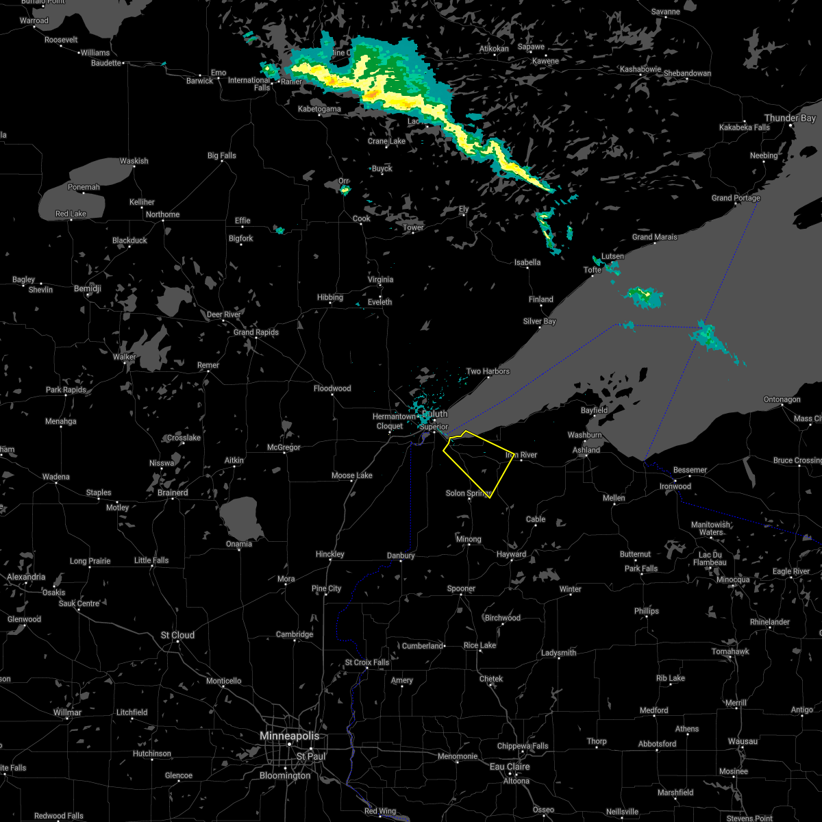 At 1107 pm cdt, a severe thunderstorm was located over poplar, or 18 miles southeast of superior, moving southeast at 40 mph (radar indicated). Hazards include 60 mph wind gusts and quarter size hail. Hail damage to vehicles is expected. expect wind damage to roofs, siding, and trees. Locations impacted include, lake nebagamon and brule. At 1107 pm cdt, a severe thunderstorm was located over poplar, or 18 miles southeast of superior, moving southeast at 40 mph (radar indicated). Hazards include 60 mph wind gusts and quarter size hail. Hail damage to vehicles is expected. expect wind damage to roofs, siding, and trees. Locations impacted include, lake nebagamon and brule.
|
| 7/26/2021 10:56 PM CDT |
 At 1055 pm cdt, a severe thunderstorm was located near south range, or 11 miles southeast of superior, moving southeast at 40 mph (radar indicated). Hazards include 60 mph wind gusts and quarter size hail. Hail damage to vehicles is expected. expect wind damage to roofs, siding, and trees. this severe thunderstorm will be near, hawthorne and poplar around 1105 pm cdt. maple around 1110 pm cdt. Other locations in the path of this severe thunderstorm include lake nebagamon and brule. At 1055 pm cdt, a severe thunderstorm was located near south range, or 11 miles southeast of superior, moving southeast at 40 mph (radar indicated). Hazards include 60 mph wind gusts and quarter size hail. Hail damage to vehicles is expected. expect wind damage to roofs, siding, and trees. this severe thunderstorm will be near, hawthorne and poplar around 1105 pm cdt. maple around 1110 pm cdt. Other locations in the path of this severe thunderstorm include lake nebagamon and brule.
|
| 7/26/2021 8:08 PM CDT |
 At 808 pm cdt, a severe thunderstorm was located over superior, moving southeast at 45 mph (radar indicated). Hazards include 60 mph wind gusts and quarter size hail. Hail damage to vehicles is expected. expect wind damage to roofs, siding, and trees. Locations impacted include, duluth, superior, hermantown, proctor, oliver, south range, wisconsin point, city of rice lake, irving, cody, park point, billings park, gary new duluth, morgan park, lakeside-lester park, spirit valley, central hillside, norton park, piedmont heights, and duluth heights. At 808 pm cdt, a severe thunderstorm was located over superior, moving southeast at 45 mph (radar indicated). Hazards include 60 mph wind gusts and quarter size hail. Hail damage to vehicles is expected. expect wind damage to roofs, siding, and trees. Locations impacted include, duluth, superior, hermantown, proctor, oliver, south range, wisconsin point, city of rice lake, irving, cody, park point, billings park, gary new duluth, morgan park, lakeside-lester park, spirit valley, central hillside, norton park, piedmont heights, and duluth heights.
|
| 7/26/2021 8:08 PM CDT |
At 808 pm cdt, a severe thunderstorm was located over superior, moving southeast at 45 mph (radar indicated). Hazards include 60 mph wind gusts and quarter size hail. Hail damage to vehicles is expected. expect wind damage to roofs, siding, and trees. Locations impacted include, duluth, superior, hermantown, proctor, oliver, south range, wisconsin point, city of rice lake, irving, cody, park point, billings park, gary new duluth, morgan park, lakeside-lester park, spirit valley, central hillside, norton park, piedmont heights, and duluth heights.
|
| 7/26/2021 7:48 PM CDT |
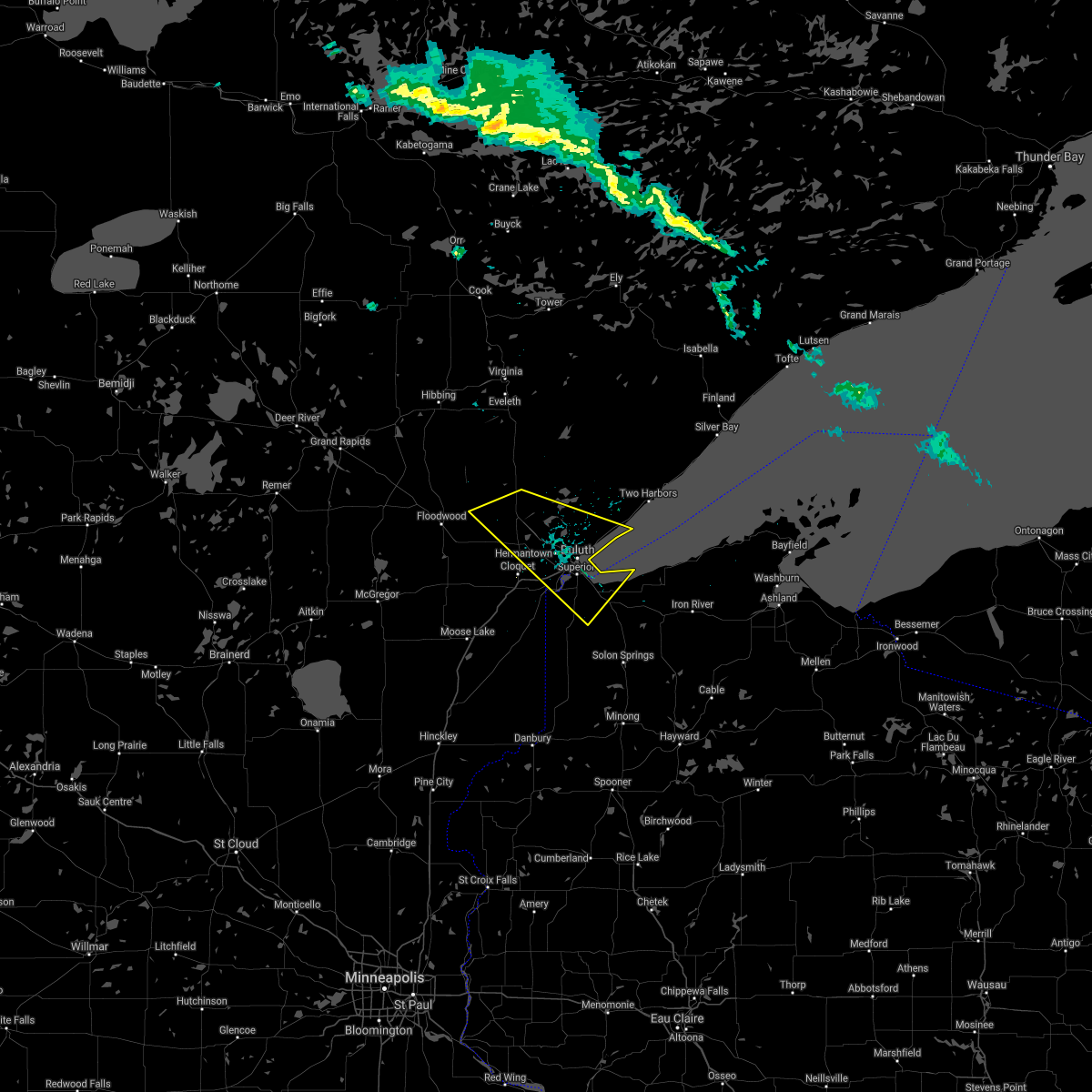 At 748 pm cdt, a severe thunderstorm was located near pike lake near duluth, or 14 miles northeast of cloquet, moving southeast at 35 mph (radar indicated). Hazards include 60 mph wind gusts and half dollar size hail. Hail damage to vehicles is expected. expect wind damage to roofs, siding, and trees. Locations impacted include, pike lake near duluth, hermantown, proctor, superior, oliver, wisconsin point and south range. At 748 pm cdt, a severe thunderstorm was located near pike lake near duluth, or 14 miles northeast of cloquet, moving southeast at 35 mph (radar indicated). Hazards include 60 mph wind gusts and half dollar size hail. Hail damage to vehicles is expected. expect wind damage to roofs, siding, and trees. Locations impacted include, pike lake near duluth, hermantown, proctor, superior, oliver, wisconsin point and south range.
|
| 7/26/2021 7:48 PM CDT |
At 748 pm cdt, a severe thunderstorm was located near pike lake near duluth, or 14 miles northeast of cloquet, moving southeast at 35 mph (radar indicated). Hazards include 60 mph wind gusts and half dollar size hail. Hail damage to vehicles is expected. expect wind damage to roofs, siding, and trees. Locations impacted include, pike lake near duluth, hermantown, proctor, superior, oliver, wisconsin point and south range.
|
| 7/26/2021 7:30 PM CDT |
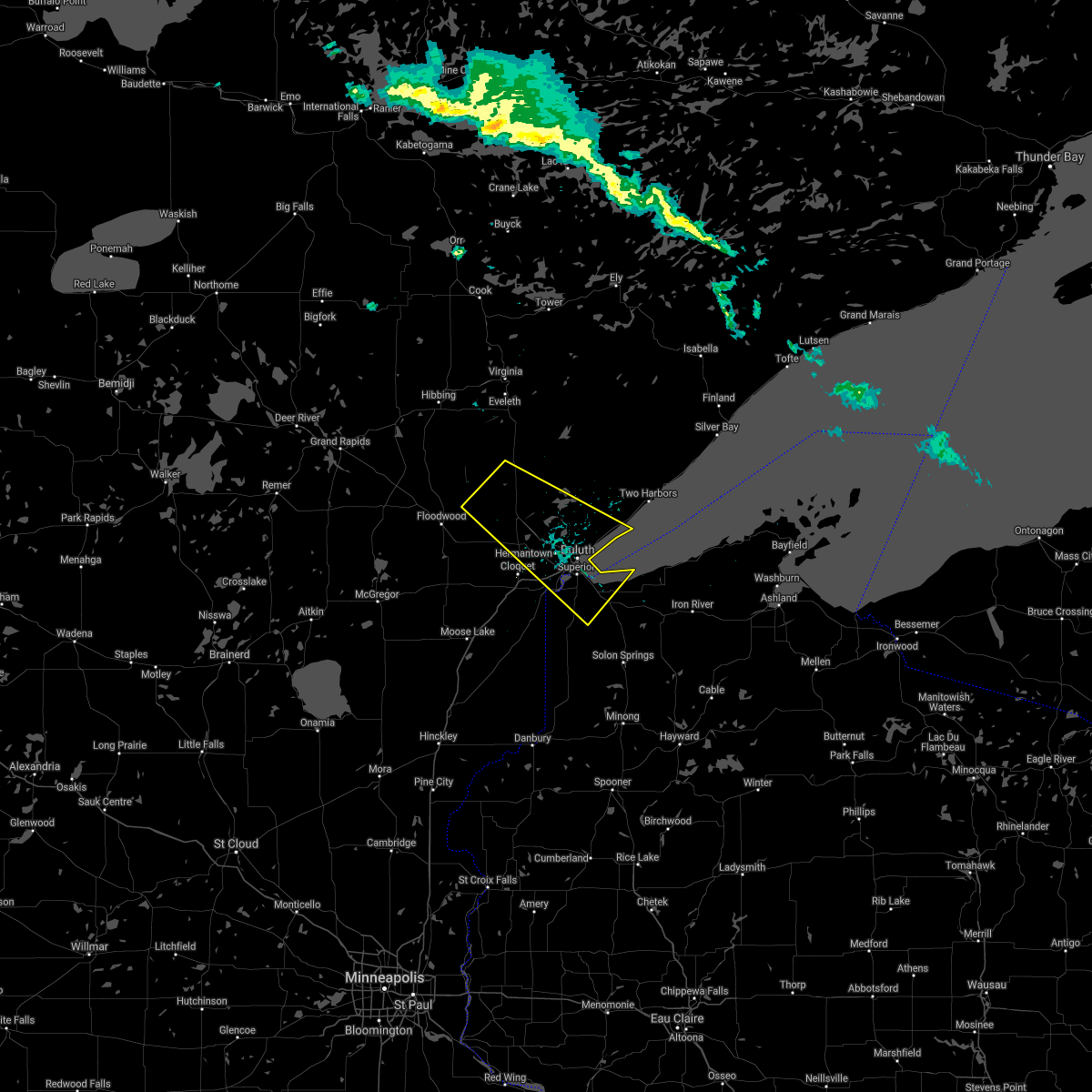 At 730 pm cdt, a severe thunderstorm was located near canyon, or 20 miles north of cloquet, moving southeast at 35 mph (radar indicated). Hazards include 60 mph wind gusts and half dollar size hail. Hail damage to vehicles is expected. expect wind damage to roofs, siding, and trees. this severe thunderstorm will be near, saginaw around 750 pm cdt. Other locations in the path of this severe thunderstorm include pike lake near duluth, hermantown, proctor, superior, oliver, wisconsin point and south range. At 730 pm cdt, a severe thunderstorm was located near canyon, or 20 miles north of cloquet, moving southeast at 35 mph (radar indicated). Hazards include 60 mph wind gusts and half dollar size hail. Hail damage to vehicles is expected. expect wind damage to roofs, siding, and trees. this severe thunderstorm will be near, saginaw around 750 pm cdt. Other locations in the path of this severe thunderstorm include pike lake near duluth, hermantown, proctor, superior, oliver, wisconsin point and south range.
|
| 7/26/2021 7:30 PM CDT |
At 730 pm cdt, a severe thunderstorm was located near canyon, or 20 miles north of cloquet, moving southeast at 35 mph (radar indicated). Hazards include 60 mph wind gusts and half dollar size hail. Hail damage to vehicles is expected. expect wind damage to roofs, siding, and trees. this severe thunderstorm will be near, saginaw around 750 pm cdt. Other locations in the path of this severe thunderstorm include pike lake near duluth, hermantown, proctor, superior, oliver, wisconsin point and south range.
|
| 7/24/2021 5:35 AM CDT |
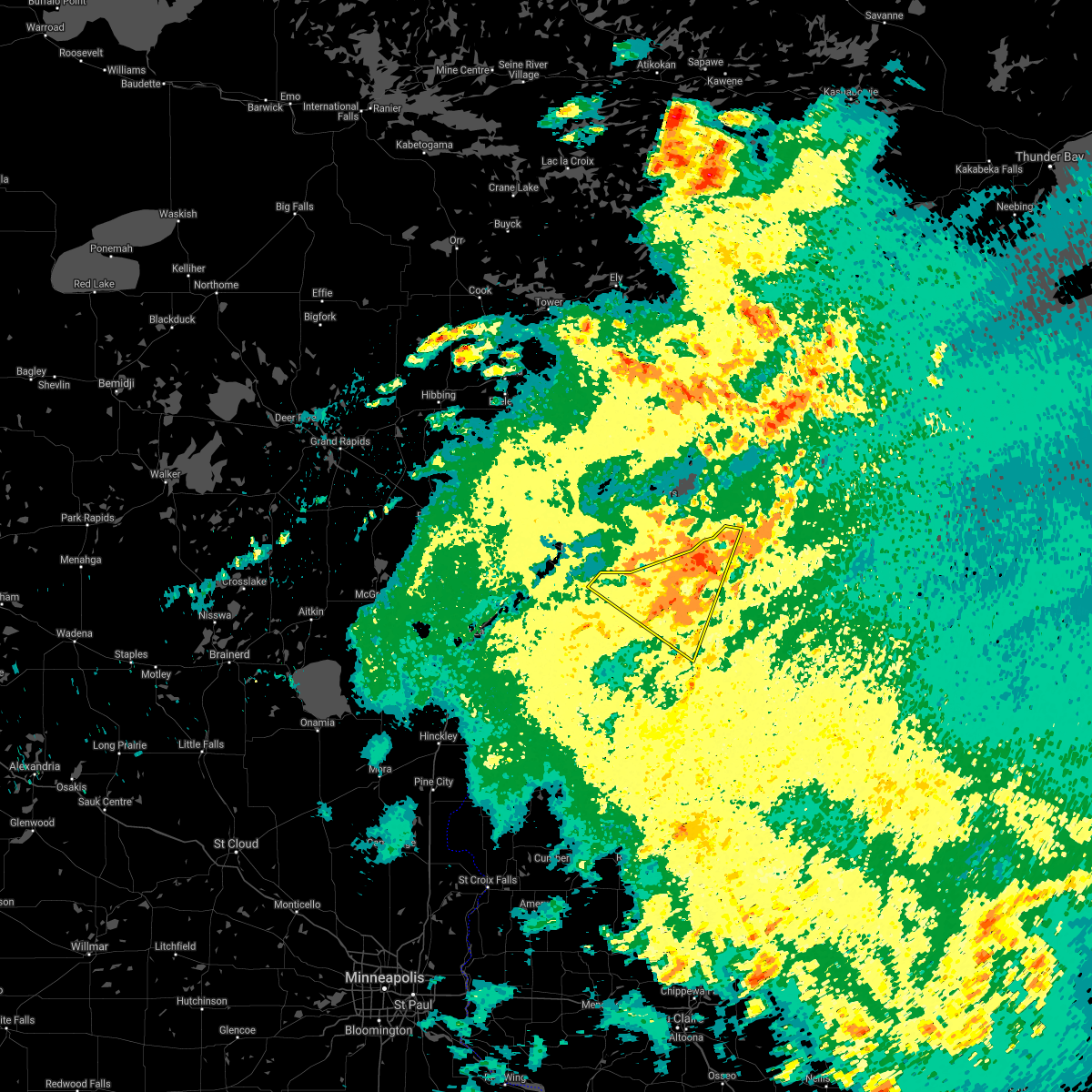 At 534 am cdt, a severe thunderstorm was located near oulu, or 28 miles east of superior, moving east at 50 mph (trained weather spotters). Hazards include 60 mph wind gusts. Expect damage to roofs, siding, and trees. this storm has produced gusts over 60 mph. Locations impacted include, superior, iron river, lake nebagamon, maple, brule, poplar, oulu, port wing, wisconsin point, herbster, cloverland, wentworth, mouth of brule, amnicon falls state park, blueberry, and waino. At 534 am cdt, a severe thunderstorm was located near oulu, or 28 miles east of superior, moving east at 50 mph (trained weather spotters). Hazards include 60 mph wind gusts. Expect damage to roofs, siding, and trees. this storm has produced gusts over 60 mph. Locations impacted include, superior, iron river, lake nebagamon, maple, brule, poplar, oulu, port wing, wisconsin point, herbster, cloverland, wentworth, mouth of brule, amnicon falls state park, blueberry, and waino.
|
| 7/24/2021 5:19 AM CDT |
 At 518 am cdt, a severe thunderstorm was located 10 miles southeast of french river, or 15 miles east of superior, moving east at 50 mph (trained weather spotters). Hazards include 70 mph wind gusts. Expect considerable tree damage. damage is likely to mobile homes, roofs, and outbuildings. gusts to 65 mph have been reported at the duluth international airport. Locations impacted include, duluth, superior, hermantown, proctor, hawthorne, iron river, lake nebagamon, barnes, maple, brule, poplar, oulu, oliver, port wing, herbster, wisconsin point, city of rice lake, french river, south range, and larsmont. At 518 am cdt, a severe thunderstorm was located 10 miles southeast of french river, or 15 miles east of superior, moving east at 50 mph (trained weather spotters). Hazards include 70 mph wind gusts. Expect considerable tree damage. damage is likely to mobile homes, roofs, and outbuildings. gusts to 65 mph have been reported at the duluth international airport. Locations impacted include, duluth, superior, hermantown, proctor, hawthorne, iron river, lake nebagamon, barnes, maple, brule, poplar, oulu, oliver, port wing, herbster, wisconsin point, city of rice lake, french river, south range, and larsmont.
|
| 7/24/2021 5:19 AM CDT |
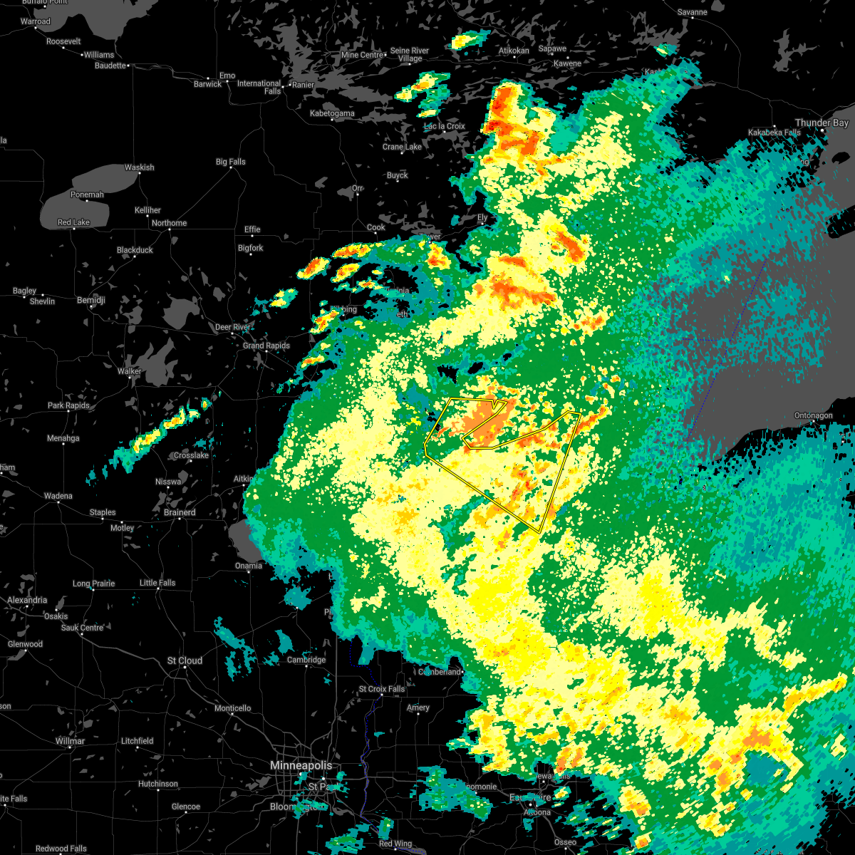 At 518 am cdt, a severe thunderstorm was located 10 miles southeast of french river, or 15 miles east of superior, moving east at 50 mph (trained weather spotters). Hazards include 70 mph wind gusts. Expect considerable tree damage. damage is likely to mobile homes, roofs, and outbuildings. gusts to 65 mph have been reported at the duluth international airport. Locations impacted include, duluth, superior, hermantown, proctor, hawthorne, iron river, lake nebagamon, barnes, maple, brule, poplar, oulu, oliver, port wing, herbster, wisconsin point, city of rice lake, french river, south range, and larsmont. At 518 am cdt, a severe thunderstorm was located 10 miles southeast of french river, or 15 miles east of superior, moving east at 50 mph (trained weather spotters). Hazards include 70 mph wind gusts. Expect considerable tree damage. damage is likely to mobile homes, roofs, and outbuildings. gusts to 65 mph have been reported at the duluth international airport. Locations impacted include, duluth, superior, hermantown, proctor, hawthorne, iron river, lake nebagamon, barnes, maple, brule, poplar, oulu, oliver, port wing, herbster, wisconsin point, city of rice lake, french river, south range, and larsmont.
|
| 7/24/2021 5:19 AM CDT |
At 518 am cdt, a severe thunderstorm was located 10 miles southeast of french river, or 15 miles east of superior, moving east at 50 mph (trained weather spotters). Hazards include 70 mph wind gusts. Expect considerable tree damage. damage is likely to mobile homes, roofs, and outbuildings. gusts to 65 mph have been reported at the duluth international airport. Locations impacted include, duluth, superior, hermantown, proctor, hawthorne, iron river, lake nebagamon, barnes, maple, brule, poplar, oulu, oliver, port wing, herbster, wisconsin point, city of rice lake, french river, south range, and larsmont.
|
| 7/24/2021 5:07 AM CDT |
 At 506 am cdt, a severe thunderstorm was located over duluth, moving east at 50 mph (trained weather spotters). Hazards include 70 mph wind gusts. Expect considerable tree damage. Damage is likely to mobile homes, roofs, and outbuildings. At 506 am cdt, a severe thunderstorm was located over duluth, moving east at 50 mph (trained weather spotters). Hazards include 70 mph wind gusts. Expect considerable tree damage. Damage is likely to mobile homes, roofs, and outbuildings.
|
| 7/24/2021 5:07 AM CDT |
At 506 am cdt, a severe thunderstorm was located over duluth, moving east at 50 mph (trained weather spotters). Hazards include 70 mph wind gusts. Expect considerable tree damage. Damage is likely to mobile homes, roofs, and outbuildings.
|
| 7/24/2021 5:07 AM CDT |
At 506 am cdt, a severe thunderstorm was located over duluth, moving east at 50 mph (trained weather spotters). Hazards include 70 mph wind gusts. Expect considerable tree damage. Damage is likely to mobile homes, roofs, and outbuildings.
|
| 7/23/2021 9:08 PM CDT |
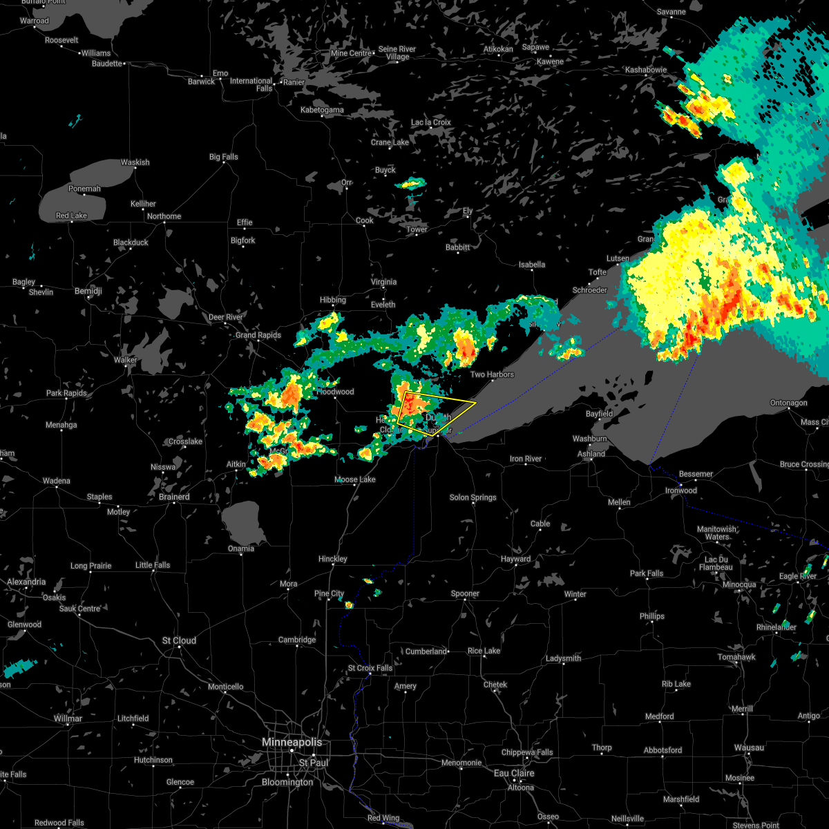 At 905 pm cdt, a severe thunderstorm was located near hermantown, or near duluth, moving east at 35 mph (at 842 pm, law enforcement reported trees down near culver with these storms. doppler radar indicated 70 mph winds at 905 pm). Hazards include 70 mph wind gusts and penny size hail. Expect considerable tree damage. damage is likely to mobile homes, roofs, and outbuildings. this severe storm will be near, canal park around 915 pm cdt. Other locations in the path of this severe thunderstorm include duluth and french river. At 905 pm cdt, a severe thunderstorm was located near hermantown, or near duluth, moving east at 35 mph (at 842 pm, law enforcement reported trees down near culver with these storms. doppler radar indicated 70 mph winds at 905 pm). Hazards include 70 mph wind gusts and penny size hail. Expect considerable tree damage. damage is likely to mobile homes, roofs, and outbuildings. this severe storm will be near, canal park around 915 pm cdt. Other locations in the path of this severe thunderstorm include duluth and french river.
|
| 7/23/2021 8:56 PM CDT |
 At 856 pm cdt, a severe thunderstorm was located over pike lake near duluth, or 9 miles northwest of duluth, moving east at 35 mph (radar indicated). Hazards include 60 mph wind gusts and penny size hail. Expect damage to roofs, siding, and trees. this severe thunderstorm will be near, hermantown and proctor around 905 pm cdt. superior and city of rice lake around 915 pm cdt. Other locations in the path of this severe thunderstorm include duluth and french river. At 856 pm cdt, a severe thunderstorm was located over pike lake near duluth, or 9 miles northwest of duluth, moving east at 35 mph (radar indicated). Hazards include 60 mph wind gusts and penny size hail. Expect damage to roofs, siding, and trees. this severe thunderstorm will be near, hermantown and proctor around 905 pm cdt. superior and city of rice lake around 915 pm cdt. Other locations in the path of this severe thunderstorm include duluth and french river.
|
| 6/11/2021 10:08 AM CDT |
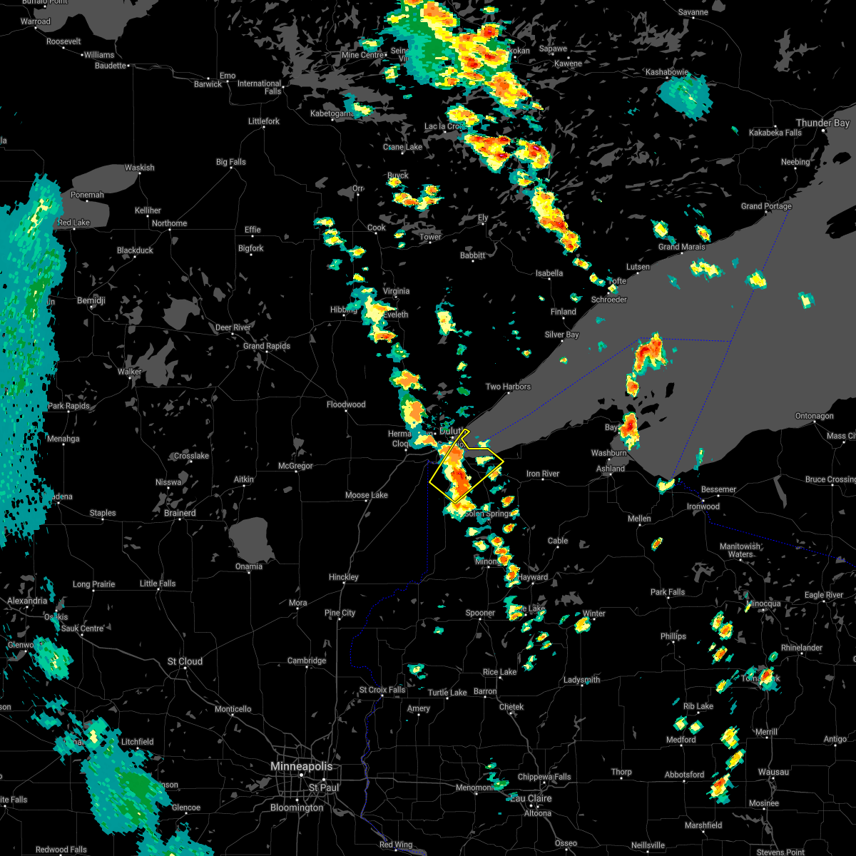 At 1007 am cdt, a severe thunderstorm was located over south range, or 8 miles southeast of superior, moving northeast at 20 mph (trained weather spotters). Hazards include quarter size hail. Damage to vehicles is expected. Locations impacted include, duluth, superior, poplar, oliver, wisconsin point, south range, park point, wentworth, amnicon falls state park, pattison state park, and amnicon lake. At 1007 am cdt, a severe thunderstorm was located over south range, or 8 miles southeast of superior, moving northeast at 20 mph (trained weather spotters). Hazards include quarter size hail. Damage to vehicles is expected. Locations impacted include, duluth, superior, poplar, oliver, wisconsin point, south range, park point, wentworth, amnicon falls state park, pattison state park, and amnicon lake.
|
| 6/11/2021 10:08 AM CDT |
At 1007 am cdt, a severe thunderstorm was located over south range, or 8 miles southeast of superior, moving northeast at 20 mph (trained weather spotters). Hazards include quarter size hail. Damage to vehicles is expected. Locations impacted include, duluth, superior, poplar, oliver, wisconsin point, south range, park point, wentworth, amnicon falls state park, pattison state park, and amnicon lake.
|
| 6/11/2021 9:55 AM CDT | Quarter sized hail reported 5.1 miles N of Superior, WI |
| 6/11/2021 9:50 AM CDT | Quarter sized hail reported 7.2 miles N of Superior, WI, cocorahs observer. |
| 6/11/2021 9:50 AM CDT |
 At 949 am cdt, a severe thunderstorm was located 7 miles southwest of south range, or 11 miles south of superior, moving northeast at 25 mph (radar indicated). Hazards include quarter size hail. damage to vehicles is expected At 949 am cdt, a severe thunderstorm was located 7 miles southwest of south range, or 11 miles south of superior, moving northeast at 25 mph (radar indicated). Hazards include quarter size hail. damage to vehicles is expected
|
| 6/11/2021 9:50 AM CDT |
At 949 am cdt, a severe thunderstorm was located 7 miles southwest of south range, or 11 miles south of superior, moving northeast at 25 mph (radar indicated). Hazards include quarter size hail. damage to vehicles is expected
|
| 6/11/2021 9:47 AM CDT | Quarter sized hail reported 3.9 miles S of Superior, WI |
| 8/14/2020 8:07 PM CDT |
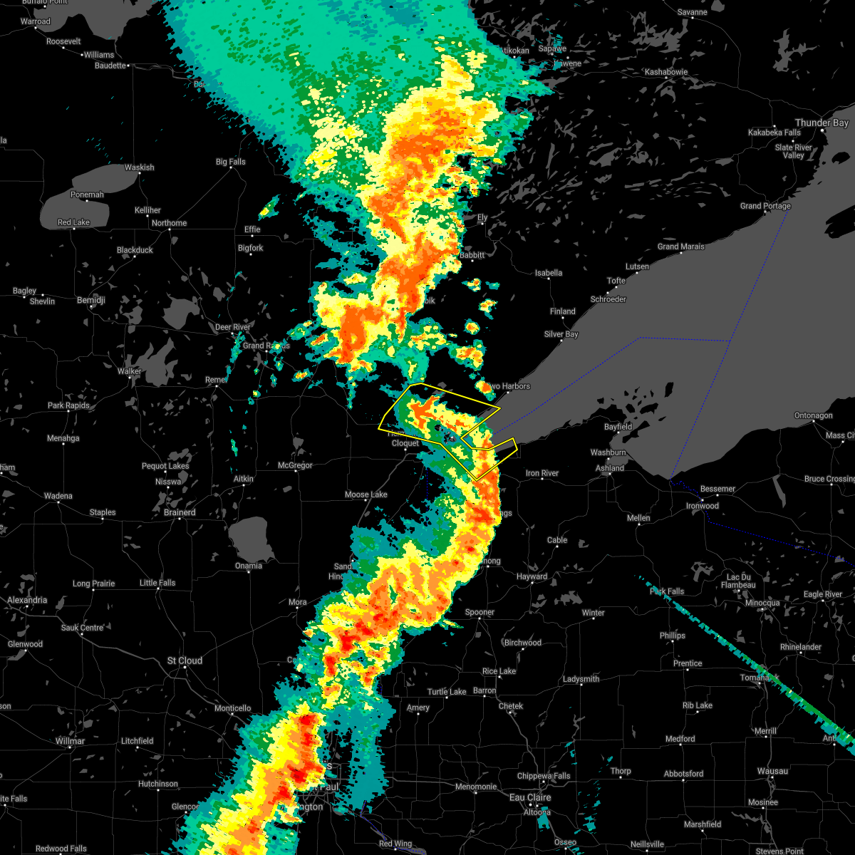 At 806 pm cdt, severe thunderstorms were located along a line extending from near saginaw, to near city of rice lake, to 7 miles northeast of wisconsin point, to 7 miles north of poplar, moving northeast at 45 mph (radar indicated). Hazards include 60 mph wind gusts. Expect damage to roofs, siding, and trees. Locations impacted include, duluth, superior, hermantown, proctor, brookston, saginaw, island lake, wisconsin point, pike lake near duluth, knife river, city of rice lake, french river, fond du lac reservation, grand lake, fredenberg, culver, cody, park point, billings park, and palmers. At 806 pm cdt, severe thunderstorms were located along a line extending from near saginaw, to near city of rice lake, to 7 miles northeast of wisconsin point, to 7 miles north of poplar, moving northeast at 45 mph (radar indicated). Hazards include 60 mph wind gusts. Expect damage to roofs, siding, and trees. Locations impacted include, duluth, superior, hermantown, proctor, brookston, saginaw, island lake, wisconsin point, pike lake near duluth, knife river, city of rice lake, french river, fond du lac reservation, grand lake, fredenberg, culver, cody, park point, billings park, and palmers.
|
| 8/14/2020 7:57 PM CDT |
 At 756 pm cdt, severe thunderstorms were located along a line extending from fond du lac reservation, to near hermantown, to wisconsin point, to near south range, moving northeast at 45 mph (radar indicated). Hazards include 60 mph wind gusts. Expect damage to roofs, siding, and trees. Locations impacted include, duluth, superior, cloquet, hermantown, proctor, scanlon, oliver, brookston, wisconsin point, pike lake near duluth, city of rice lake, french river, south range, saginaw, fond du lac reservation, island lake, knife river, grand lake, fredenberg, and mahnomen. At 756 pm cdt, severe thunderstorms were located along a line extending from fond du lac reservation, to near hermantown, to wisconsin point, to near south range, moving northeast at 45 mph (radar indicated). Hazards include 60 mph wind gusts. Expect damage to roofs, siding, and trees. Locations impacted include, duluth, superior, cloquet, hermantown, proctor, scanlon, oliver, brookston, wisconsin point, pike lake near duluth, city of rice lake, french river, south range, saginaw, fond du lac reservation, island lake, knife river, grand lake, fredenberg, and mahnomen.
|
| 8/14/2020 7:57 PM CDT |
At 756 pm cdt, severe thunderstorms were located along a line extending from fond du lac reservation, to near hermantown, to wisconsin point, to near south range, moving northeast at 45 mph (radar indicated). Hazards include 60 mph wind gusts. Expect damage to roofs, siding, and trees. Locations impacted include, duluth, superior, cloquet, hermantown, proctor, scanlon, oliver, brookston, wisconsin point, pike lake near duluth, city of rice lake, french river, south range, saginaw, fond du lac reservation, island lake, knife river, grand lake, fredenberg, and mahnomen.
|
| 8/14/2020 7:52 PM CDT | Large tree down in superior. report with picture received via facebook. time estimated by rada in douglas county WI, 4.7 miles S of Superior, WI |
| 8/14/2020 7:47 PM CDT | A large tree was uprooted near duluth city hall. a few other reports of downed trees and branches were received from the central part of superior as well. time estimate in douglas county WI, 4.6 miles S of Superior, WI |
| 8/14/2020 7:42 PM CDT |
 At 742 pm cdt, severe thunderstorms were located along a line extending from 6 miles southwest of fond du lac reservation, to near carlton, to near wrenshall, to near foxboro, moving northeast at 45 mph (radar indicated). Hazards include 70 mph wind gusts. Expect considerable tree damage. damage is likely to mobile homes, roofs, and outbuildings. Locations impacted include, duluth, superior, cloquet, hermantown, proctor, hawthorne, lake nebagamon, scanlon, carlton, maple, mahtowa, poplar, wrenshall, oliver, thomson, brookston, wisconsin point, pike lake near duluth, city of rice lake, and french river. At 742 pm cdt, severe thunderstorms were located along a line extending from 6 miles southwest of fond du lac reservation, to near carlton, to near wrenshall, to near foxboro, moving northeast at 45 mph (radar indicated). Hazards include 70 mph wind gusts. Expect considerable tree damage. damage is likely to mobile homes, roofs, and outbuildings. Locations impacted include, duluth, superior, cloquet, hermantown, proctor, hawthorne, lake nebagamon, scanlon, carlton, maple, mahtowa, poplar, wrenshall, oliver, thomson, brookston, wisconsin point, pike lake near duluth, city of rice lake, and french river.
|
| 8/14/2020 7:42 PM CDT |
At 742 pm cdt, severe thunderstorms were located along a line extending from 6 miles southwest of fond du lac reservation, to near carlton, to near wrenshall, to near foxboro, moving northeast at 45 mph (radar indicated). Hazards include 70 mph wind gusts. Expect considerable tree damage. damage is likely to mobile homes, roofs, and outbuildings. Locations impacted include, duluth, superior, cloquet, hermantown, proctor, hawthorne, lake nebagamon, scanlon, carlton, maple, mahtowa, poplar, wrenshall, oliver, thomson, brookston, wisconsin point, pike lake near duluth, city of rice lake, and french river.
|
| 8/14/2020 7:41 PM CDT |
 At 741 pm cdt, severe thunderstorms were located along a line extending from 6 miles southwest of fond du lac reservation, to near carlton, to near wrenshall, to near foxboro, moving northeast at 50 mph (radar indicated). Hazards include 70 mph wind gusts. Expect considerable tree damage. Damage is likely to mobile homes, roofs, and outbuildings. At 741 pm cdt, severe thunderstorms were located along a line extending from 6 miles southwest of fond du lac reservation, to near carlton, to near wrenshall, to near foxboro, moving northeast at 50 mph (radar indicated). Hazards include 70 mph wind gusts. Expect considerable tree damage. Damage is likely to mobile homes, roofs, and outbuildings.
|
| 8/14/2020 7:41 PM CDT |
At 741 pm cdt, severe thunderstorms were located along a line extending from 6 miles southwest of fond du lac reservation, to near carlton, to near wrenshall, to near foxboro, moving northeast at 50 mph (radar indicated). Hazards include 70 mph wind gusts. Expect considerable tree damage. Damage is likely to mobile homes, roofs, and outbuildings.
|
| 7/18/2020 9:03 PM CDT | Quarter sized hail reported 7.9 miles N of Superior, WI, hail estimated at least quarter size... falling at time of report. |
| 7/18/2020 8:50 PM CDT | Quarter sized hail reported 7.9 miles N of Superior, WI, largest hail stones- mostly dime to nickle size hail. |
| 7/18/2020 8:28 PM CDT |
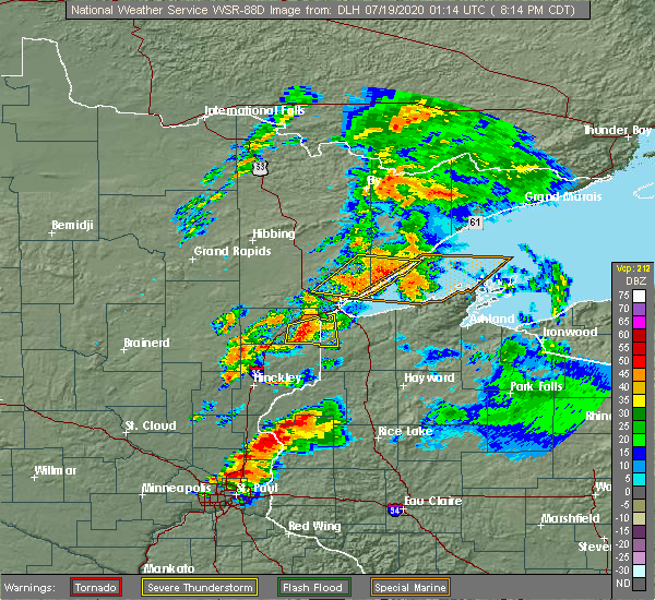 At 827 pm cdt, a severe thunderstorm was located near wrenshall, or 13 miles south of cloquet, moving east at 40 mph. trained weather spotters reported one inch diameter hail near mahtowa at 820 pm cdt (trained weather spotters). Hazards include 60 mph wind gusts and half dollar size hail. Hail damage to vehicles is expected. expect wind damage to roofs, siding, and trees. Locations impacted include, duluth, superior, carlton, mahtowa, oliver, wrenshall, holyoke, thomson, nemadji, foxboro, pleasant valley, jay cooke state park, chaffey, scotts corner, and patzau. At 827 pm cdt, a severe thunderstorm was located near wrenshall, or 13 miles south of cloquet, moving east at 40 mph. trained weather spotters reported one inch diameter hail near mahtowa at 820 pm cdt (trained weather spotters). Hazards include 60 mph wind gusts and half dollar size hail. Hail damage to vehicles is expected. expect wind damage to roofs, siding, and trees. Locations impacted include, duluth, superior, carlton, mahtowa, oliver, wrenshall, holyoke, thomson, nemadji, foxboro, pleasant valley, jay cooke state park, chaffey, scotts corner, and patzau.
|
| 7/18/2020 8:17 PM CDT |
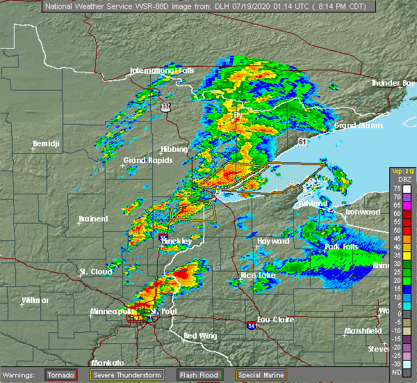 At 816 pm cdt, a severe thunderstorm was located near nemadji, or 14 miles south of cloquet, moving east at 40 mph. trained weather spotters reported one inch diameter hail in barnum around 813 pm cdt (trained weather spotters). Hazards include 60 mph wind gusts and half dollar size hail. Hail damage to vehicles is expected. expect wind damage to roofs, siding, and trees. Locations impacted include, duluth, superior, carlton, mahtowa, barnum, oliver, wrenshall, holyoke, thomson, nemadji, foxboro, pleasant valley, jay cooke state park, chaffey, scotts corner, and patzau. At 816 pm cdt, a severe thunderstorm was located near nemadji, or 14 miles south of cloquet, moving east at 40 mph. trained weather spotters reported one inch diameter hail in barnum around 813 pm cdt (trained weather spotters). Hazards include 60 mph wind gusts and half dollar size hail. Hail damage to vehicles is expected. expect wind damage to roofs, siding, and trees. Locations impacted include, duluth, superior, carlton, mahtowa, barnum, oliver, wrenshall, holyoke, thomson, nemadji, foxboro, pleasant valley, jay cooke state park, chaffey, scotts corner, and patzau.
|
| 7/18/2020 8:09 PM CDT |
 At 809 pm cdt, a severe thunderstorm was located over barnum, or 16 miles southwest of cloquet, moving east at 40 mph (radar indicated). Hazards include 60 mph wind gusts and half dollar size hail. Hail damage to vehicles is expected. expect wind damage to roofs, siding, and trees. Locations impacted include, duluth, superior, carlton, mahtowa, barnum, oliver, wrenshall, holyoke, thomson, nemadji, foxboro, pleasant valley, moose lake state park, jay cooke state park, chaffey, harlis, scotts corner, and patzau. At 809 pm cdt, a severe thunderstorm was located over barnum, or 16 miles southwest of cloquet, moving east at 40 mph (radar indicated). Hazards include 60 mph wind gusts and half dollar size hail. Hail damage to vehicles is expected. expect wind damage to roofs, siding, and trees. Locations impacted include, duluth, superior, carlton, mahtowa, barnum, oliver, wrenshall, holyoke, thomson, nemadji, foxboro, pleasant valley, moose lake state park, jay cooke state park, chaffey, harlis, scotts corner, and patzau.
|
| 7/18/2020 8:09 PM CDT |
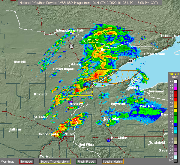 At 809 pm cdt, a severe thunderstorm was located over barnum, or 16 miles southwest of cloquet, moving east at 40 mph (radar indicated). Hazards include 60 mph wind gusts and half dollar size hail. Hail damage to vehicles is expected. expect wind damage to roofs, siding, and trees. Locations impacted include, duluth, superior, carlton, mahtowa, barnum, oliver, wrenshall, holyoke, thomson, nemadji, foxboro, pleasant valley, moose lake state park, jay cooke state park, chaffey, harlis, scotts corner, and patzau. At 809 pm cdt, a severe thunderstorm was located over barnum, or 16 miles southwest of cloquet, moving east at 40 mph (radar indicated). Hazards include 60 mph wind gusts and half dollar size hail. Hail damage to vehicles is expected. expect wind damage to roofs, siding, and trees. Locations impacted include, duluth, superior, carlton, mahtowa, barnum, oliver, wrenshall, holyoke, thomson, nemadji, foxboro, pleasant valley, moose lake state park, jay cooke state park, chaffey, harlis, scotts corner, and patzau.
|
| 7/18/2020 7:56 PM CDT |
 At 756 pm cdt, a severe thunderstorm was located near kettle river, or 21 miles southwest of cloquet, moving east at 35 mph (radar indicated). Hazards include 60 mph wind gusts and half dollar size hail. Hail damage to vehicles is expected. Expect wind damage to roofs, siding, and trees. At 756 pm cdt, a severe thunderstorm was located near kettle river, or 21 miles southwest of cloquet, moving east at 35 mph (radar indicated). Hazards include 60 mph wind gusts and half dollar size hail. Hail damage to vehicles is expected. Expect wind damage to roofs, siding, and trees.
|
| 7/18/2020 7:56 PM CDT |
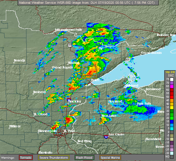 At 756 pm cdt, a severe thunderstorm was located near kettle river, or 21 miles southwest of cloquet, moving east at 35 mph (radar indicated). Hazards include 60 mph wind gusts and half dollar size hail. Hail damage to vehicles is expected. Expect wind damage to roofs, siding, and trees. At 756 pm cdt, a severe thunderstorm was located near kettle river, or 21 miles southwest of cloquet, moving east at 35 mph (radar indicated). Hazards include 60 mph wind gusts and half dollar size hail. Hail damage to vehicles is expected. Expect wind damage to roofs, siding, and trees.
|
| 7/18/2020 1:11 AM CDT |
 At 110 am cdt, a severe thunderstorm capable of producing a tornado was located near south range, or 11 miles south of superior, moving northeast at 30 mph (radar indicated rotation). Hazards include tornado. Flying debris will be dangerous to those caught without shelter. mobile homes will be damaged or destroyed. damage to roofs, windows, and vehicles will occur. tree damage is likely. this dangerous storm will be near, south range around 120 am cdt. poplar around 135 am cdt. maple around 140 am cdt. Other locations impacted by this tornadic thunderstorm include amnicon falls state park, blueberry and wentworth. At 110 am cdt, a severe thunderstorm capable of producing a tornado was located near south range, or 11 miles south of superior, moving northeast at 30 mph (radar indicated rotation). Hazards include tornado. Flying debris will be dangerous to those caught without shelter. mobile homes will be damaged or destroyed. damage to roofs, windows, and vehicles will occur. tree damage is likely. this dangerous storm will be near, south range around 120 am cdt. poplar around 135 am cdt. maple around 140 am cdt. Other locations impacted by this tornadic thunderstorm include amnicon falls state park, blueberry and wentworth.
|
| 7/14/2020 12:27 AM CDT |
 The severe thunderstorm warning for southeastern st. louis and southwestern lake counties will expire at 1230 am cdt, the storms which prompted the warning have weakened below severe limits, and no longer pose an immediate threat to life or property. therefore, the warning will be allowed to expire. however gusty winds and heavy rain are still possible with these thunderstorms. a severe thunderstorm watch remains in effect until 200 am cdt for northeastern minnesota. The severe thunderstorm warning for southeastern st. louis and southwestern lake counties will expire at 1230 am cdt, the storms which prompted the warning have weakened below severe limits, and no longer pose an immediate threat to life or property. therefore, the warning will be allowed to expire. however gusty winds and heavy rain are still possible with these thunderstorms. a severe thunderstorm watch remains in effect until 200 am cdt for northeastern minnesota.
|
| 7/14/2020 12:15 AM CDT |
 At 1215 am cdt, severe thunderstorms were located along a line extending from 8 miles southwest of whyte, to 8 miles east of island lake, to near cloquet, moving east at 45 mph (radar indicated). Hazards include 60 mph wind gusts and quarter size hail. Hail damage to vehicles is expected. expect wind damage to roofs, siding, and trees. these severe storms will be near, larsmont, knife river and pike lake near duluth around 1230 am cdt. hermantown and proctor around 1235 am cdt. two harbors around 1240 am cdt. superior, silver bay and castle danger around 1245 am cdt. Other locations impacted by these severe thunderstorms include grand lake, cody, fredenberg, wales, palmers, fish lake, lakeside-lester park, spirit valley, central hillside and piedmont heights. At 1215 am cdt, severe thunderstorms were located along a line extending from 8 miles southwest of whyte, to 8 miles east of island lake, to near cloquet, moving east at 45 mph (radar indicated). Hazards include 60 mph wind gusts and quarter size hail. Hail damage to vehicles is expected. expect wind damage to roofs, siding, and trees. these severe storms will be near, larsmont, knife river and pike lake near duluth around 1230 am cdt. hermantown and proctor around 1235 am cdt. two harbors around 1240 am cdt. superior, silver bay and castle danger around 1245 am cdt. Other locations impacted by these severe thunderstorms include grand lake, cody, fredenberg, wales, palmers, fish lake, lakeside-lester park, spirit valley, central hillside and piedmont heights.
|
| 7/13/2020 11:57 PM CDT |
 At 1157 pm cdt, severe thunderstorms were located along a line extending from near fairbanks, to near boulder lake, to 8 miles west of fond du lac reservation, moving southeast at 45 mph (radar indicated). Hazards include 60 mph wind gusts and quarter size hail. Hail damage to vehicles is expected. expect wind damage to roofs, siding, and trees. severe thunderstorms will be near, fairbanks and boulder lake around 1205 am cdt. island lake around 1210 am cdt. cloquet, fond du lac reservation and saginaw around 1215 am cdt. duluth, scanlon and french river around 1225 am cdt. proctor, knife river and larsmont around 1230 am cdt. Other locations impacted by these severe thunderstorms include grand lake, cody, fredenberg, wales, palmers, fish lake, lakeside-lester park, spirit valley, central hillside and norton park. At 1157 pm cdt, severe thunderstorms were located along a line extending from near fairbanks, to near boulder lake, to 8 miles west of fond du lac reservation, moving southeast at 45 mph (radar indicated). Hazards include 60 mph wind gusts and quarter size hail. Hail damage to vehicles is expected. expect wind damage to roofs, siding, and trees. severe thunderstorms will be near, fairbanks and boulder lake around 1205 am cdt. island lake around 1210 am cdt. cloquet, fond du lac reservation and saginaw around 1215 am cdt. duluth, scanlon and french river around 1225 am cdt. proctor, knife river and larsmont around 1230 am cdt. Other locations impacted by these severe thunderstorms include grand lake, cody, fredenberg, wales, palmers, fish lake, lakeside-lester park, spirit valley, central hillside and norton park.
|
| 7/8/2020 10:09 PM CDT |
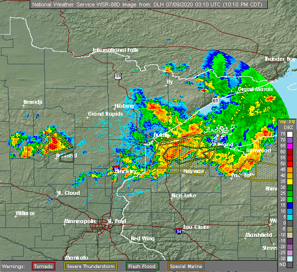 The severe thunderstorm warning for western bayfield and douglas counties will expire at 1015 pm cdt, the storms which prompted the warning have moved out of the area. therefore, the warning will be allowed to expire. a new warning has been issued downstream. a severe thunderstorm watch remains in effect until midnight cdt for northwestern wisconsin. The severe thunderstorm warning for western bayfield and douglas counties will expire at 1015 pm cdt, the storms which prompted the warning have moved out of the area. therefore, the warning will be allowed to expire. a new warning has been issued downstream. a severe thunderstorm watch remains in effect until midnight cdt for northwestern wisconsin.
|
| 7/8/2020 9:42 PM CDT |
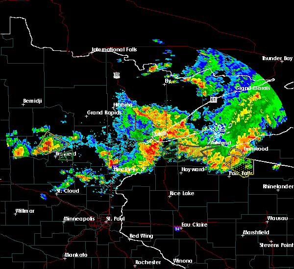 At 942 pm cdt, severe thunderstorms were located along a line extending from near wisconsin point, to near hawthorne, to near dairyland, moving east at 55 mph (radar indicated). Hazards include 60 mph wind gusts and nickel size hail. expect damage to roofs, siding, and trees At 942 pm cdt, severe thunderstorms were located along a line extending from near wisconsin point, to near hawthorne, to near dairyland, moving east at 55 mph (radar indicated). Hazards include 60 mph wind gusts and nickel size hail. expect damage to roofs, siding, and trees
|
| 7/5/2020 7:23 PM CDT | Quarter sized hail reported 7.9 miles N of Superior, WI |
| 9/15/2018 2:11 AM CDT | A 12 inch diameter 40 foot tall pine tree was blown down onto a dec in douglas county WI, 3.9 miles SE of Superior, WI |
| 9/15/2018 2:06 AM CDT |
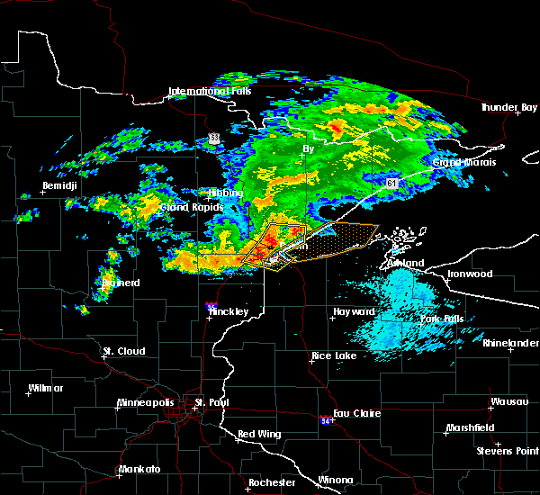 At 206 am cdt, severe thunderstorms were located along a line extending from near boulder lake, to near duluth, to scanlon, moving east at 30 mph (radar indicated). Hazards include 70 mph wind gusts and nickel size hail. Expect considerable tree damage. damage is likely to mobile homes, roofs, and outbuildings. Locations impacted include, duluth, superior, cloquet, hermantown, proctor, scanlon, carlton, oliver, wrenshall, thomson, boulder lake, island lake, wisconsin point, pike lake near duluth, city of rice lake, french river, fond du lac reservation, fredenberg, irving, and cody. At 206 am cdt, severe thunderstorms were located along a line extending from near boulder lake, to near duluth, to scanlon, moving east at 30 mph (radar indicated). Hazards include 70 mph wind gusts and nickel size hail. Expect considerable tree damage. damage is likely to mobile homes, roofs, and outbuildings. Locations impacted include, duluth, superior, cloquet, hermantown, proctor, scanlon, carlton, oliver, wrenshall, thomson, boulder lake, island lake, wisconsin point, pike lake near duluth, city of rice lake, french river, fond du lac reservation, fredenberg, irving, and cody.
|
| 9/15/2018 2:06 AM CDT |
At 206 am cdt, severe thunderstorms were located along a line extending from near boulder lake, to near duluth, to scanlon, moving east at 30 mph (radar indicated). Hazards include 70 mph wind gusts and nickel size hail. Expect considerable tree damage. damage is likely to mobile homes, roofs, and outbuildings. Locations impacted include, duluth, superior, cloquet, hermantown, proctor, scanlon, carlton, oliver, wrenshall, thomson, boulder lake, island lake, wisconsin point, pike lake near duluth, city of rice lake, french river, fond du lac reservation, fredenberg, irving, and cody.
|
| 9/15/2018 1:44 AM CDT |
 At 144 am cdt, severe thunderstorms were located along a line extending from 7 miles northeast of canyon, to pike lake near duluth, to near fond du lac reservation, moving east at 30 mph (radar indicated). Hazards include 70 mph wind gusts and nickel size hail. Expect considerable tree damage. Damage is likely to mobile homes, roofs, and outbuildings. At 144 am cdt, severe thunderstorms were located along a line extending from 7 miles northeast of canyon, to pike lake near duluth, to near fond du lac reservation, moving east at 30 mph (radar indicated). Hazards include 70 mph wind gusts and nickel size hail. Expect considerable tree damage. Damage is likely to mobile homes, roofs, and outbuildings.
|
| 9/15/2018 1:44 AM CDT |
At 144 am cdt, severe thunderstorms were located along a line extending from 7 miles northeast of canyon, to pike lake near duluth, to near fond du lac reservation, moving east at 30 mph (radar indicated). Hazards include 70 mph wind gusts and nickel size hail. Expect considerable tree damage. Damage is likely to mobile homes, roofs, and outbuildings.
|
| 8/31/2018 10:45 PM CDT |
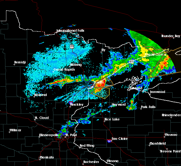 At 1045 pm cdt, severe thunderstorms were located along a line extending from 6 miles north of poplar in douglas county, to near hawthorne, to 10 miles south of south range, moving east at 55 mph (radar indicated). Hazards include 70 mph wind gusts and nickel size hail. Expect considerable tree damage. damage is likely to mobile homes, roofs, and outbuildings. Locations impacted include, superior, hawthorne, lake nebagamon, maple, brule, poplar in douglas county, solon springs, south range, bennett, wentworth, amnicon lake, amnicon falls state park, blueberry, waino, and lyman lake. At 1045 pm cdt, severe thunderstorms were located along a line extending from 6 miles north of poplar in douglas county, to near hawthorne, to 10 miles south of south range, moving east at 55 mph (radar indicated). Hazards include 70 mph wind gusts and nickel size hail. Expect considerable tree damage. damage is likely to mobile homes, roofs, and outbuildings. Locations impacted include, superior, hawthorne, lake nebagamon, maple, brule, poplar in douglas county, solon springs, south range, bennett, wentworth, amnicon lake, amnicon falls state park, blueberry, waino, and lyman lake.
|
| 8/31/2018 10:31 PM CDT |
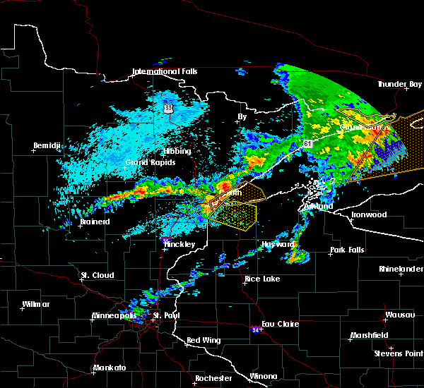 At 1031 pm cdt, severe thunderstorms were located along a line extending from wisconsin point, to near south range, to near foxboro, moving southeast at 55 mph (radar indicated). Hazards include 70 mph wind gusts and nickel size hail. Expect considerable tree damage. Damage is likely to mobile homes, roofs, and outbuildings. At 1031 pm cdt, severe thunderstorms were located along a line extending from wisconsin point, to near south range, to near foxboro, moving southeast at 55 mph (radar indicated). Hazards include 70 mph wind gusts and nickel size hail. Expect considerable tree damage. Damage is likely to mobile homes, roofs, and outbuildings.
|
| 8/31/2018 10:31 PM CDT |
At 1031 pm cdt, severe thunderstorms were located along a line extending from wisconsin point, to near south range, to near foxboro, moving southeast at 55 mph (radar indicated). Hazards include 70 mph wind gusts and nickel size hail. Expect considerable tree damage. Damage is likely to mobile homes, roofs, and outbuildings.
|
| 8/31/2018 10:21 PM CDT |
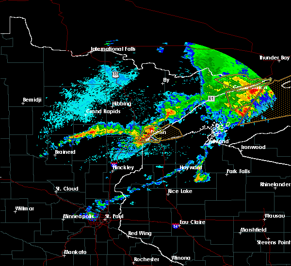 At 1021 pm cdt, severe thunderstorms were located along a line extending from near city of rice lake, to duluth, to near oliver, moving east at 55 mph (radar indicated). Hazards include golf ball size hail and 70 mph wind gusts. People and animals outdoors will be injured. expect hail damage to roofs, siding, windows, and vehicles. expect considerable tree damage. wind damage is also likely to mobile homes, roofs, and outbuildings. Locations impacted include, duluth, superior, hermantown, proctor, oliver, thomson, wisconsin point, city of rice lake, french river, irving, cody, park point, billings park, gary new duluth, morgan park, lakeside-lester park, spirit valley, central hillside, jay cooke state park, and norton park. At 1021 pm cdt, severe thunderstorms were located along a line extending from near city of rice lake, to duluth, to near oliver, moving east at 55 mph (radar indicated). Hazards include golf ball size hail and 70 mph wind gusts. People and animals outdoors will be injured. expect hail damage to roofs, siding, windows, and vehicles. expect considerable tree damage. wind damage is also likely to mobile homes, roofs, and outbuildings. Locations impacted include, duluth, superior, hermantown, proctor, oliver, thomson, wisconsin point, city of rice lake, french river, irving, cody, park point, billings park, gary new duluth, morgan park, lakeside-lester park, spirit valley, central hillside, jay cooke state park, and norton park.
|
| 8/31/2018 10:21 PM CDT |
At 1021 pm cdt, severe thunderstorms were located along a line extending from near city of rice lake, to duluth, to near oliver, moving east at 55 mph (radar indicated). Hazards include golf ball size hail and 70 mph wind gusts. People and animals outdoors will be injured. expect hail damage to roofs, siding, windows, and vehicles. expect considerable tree damage. wind damage is also likely to mobile homes, roofs, and outbuildings. Locations impacted include, duluth, superior, hermantown, proctor, oliver, thomson, wisconsin point, city of rice lake, french river, irving, cody, park point, billings park, gary new duluth, morgan park, lakeside-lester park, spirit valley, central hillside, jay cooke state park, and norton park.
|
| 8/31/2018 10:14 PM CDT |
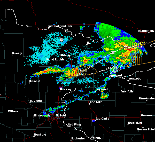 At 1014 pm cdt, severe thunderstorms were located along a line extending from near pike lake near duluth, to near hermantown, to near thomson, moving east at 55 mph (radar indicated. at 1014 pm, quarter size hail was reported at the national weather service). Hazards include golf ball size hail and 70 mph wind gusts. People and animals outdoors will be injured. expect hail damage to roofs, siding, windows, and vehicles. expect considerable tree damage. wind damage is also likely to mobile homes, roofs, and outbuildings. Locations impacted include, duluth, superior, cloquet, hermantown, proctor, scanlon, carlton, oliver, wrenshall, thomson, wisconsin point, pike lake near duluthgolf ball, city of rice lake, french river, island lake, grand lake, fredenberg, irving, cody, and park point. At 1014 pm cdt, severe thunderstorms were located along a line extending from near pike lake near duluth, to near hermantown, to near thomson, moving east at 55 mph (radar indicated. at 1014 pm, quarter size hail was reported at the national weather service). Hazards include golf ball size hail and 70 mph wind gusts. People and animals outdoors will be injured. expect hail damage to roofs, siding, windows, and vehicles. expect considerable tree damage. wind damage is also likely to mobile homes, roofs, and outbuildings. Locations impacted include, duluth, superior, cloquet, hermantown, proctor, scanlon, carlton, oliver, wrenshall, thomson, wisconsin point, pike lake near duluthgolf ball, city of rice lake, french river, island lake, grand lake, fredenberg, irving, cody, and park point.
|
| 8/31/2018 10:14 PM CDT |
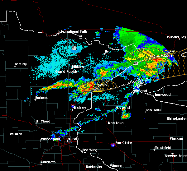 At 1014 pm cdt, severe thunderstorms were located along a line extending from near pike lake near duluth, to near hermantown, to near thomson, moving east at 55 mph (radar indicated. at 1014 pm, quarter size hail was reported at the national weather service). Hazards include golf ball size hail and 70 mph wind gusts. People and animals outdoors will be injured. expect hail damage to roofs, siding, windows, and vehicles. expect considerable tree damage. wind damage is also likely to mobile homes, roofs, and outbuildings. Locations impacted include, duluth, superior, cloquet, hermantown, proctor, scanlon, carlton, oliver, wrenshall, thomson, wisconsin point, pike lake near duluthgolf ball, city of rice lake, french river, island lake, grand lake, fredenberg, irving, cody, and park point. At 1014 pm cdt, severe thunderstorms were located along a line extending from near pike lake near duluth, to near hermantown, to near thomson, moving east at 55 mph (radar indicated. at 1014 pm, quarter size hail was reported at the national weather service). Hazards include golf ball size hail and 70 mph wind gusts. People and animals outdoors will be injured. expect hail damage to roofs, siding, windows, and vehicles. expect considerable tree damage. wind damage is also likely to mobile homes, roofs, and outbuildings. Locations impacted include, duluth, superior, cloquet, hermantown, proctor, scanlon, carlton, oliver, wrenshall, thomson, wisconsin point, pike lake near duluthgolf ball, city of rice lake, french river, island lake, grand lake, fredenberg, irving, cody, and park point.
|
| 8/31/2018 10:14 PM CDT |
At 1014 pm cdt, severe thunderstorms were located along a line extending from near pike lake near duluth, to near hermantown, to near thomson, moving east at 55 mph (radar indicated. at 1014 pm, quarter size hail was reported at the national weather service). Hazards include golf ball size hail and 70 mph wind gusts. People and animals outdoors will be injured. expect hail damage to roofs, siding, windows, and vehicles. expect considerable tree damage. wind damage is also likely to mobile homes, roofs, and outbuildings. Locations impacted include, duluth, superior, cloquet, hermantown, proctor, scanlon, carlton, oliver, wrenshall, thomson, wisconsin point, pike lake near duluthgolf ball, city of rice lake, french river, island lake, grand lake, fredenberg, irving, cody, and park point.
|
| 8/31/2018 10:02 PM CDT |
 The national weather service in duluth mn has issued a * severe thunderstorm warning for. southeastern st. louis county in northeastern minnesota. northeastern carlton county in northeastern minnesota. northwestern douglas county in northwestern wisconsin. Until 1030 pm cdt. The national weather service in duluth mn has issued a * severe thunderstorm warning for. southeastern st. louis county in northeastern minnesota. northeastern carlton county in northeastern minnesota. northwestern douglas county in northwestern wisconsin. Until 1030 pm cdt.
|
| 8/31/2018 10:02 PM CDT |
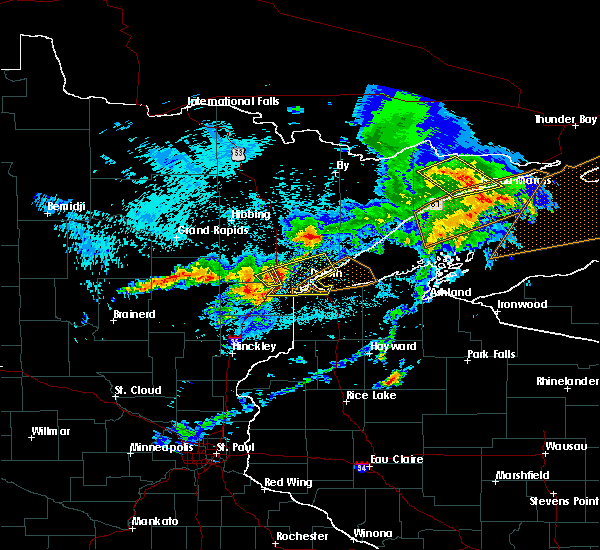 At 1002 pm cdt, severe thunderstorms were located along a line extending from saginaw, to near scanlon, to near carlton, moving east at 55 mph (radar indicated). Hazards include golf ball size hail and 70 mph wind gusts. People and animals outdoors will be injured. expect hail damage to roofs, siding, windows, and vehicles. expect considerable tree damage. Wind damage is also likely to mobile homes, roofs, and outbuildings. At 1002 pm cdt, severe thunderstorms were located along a line extending from saginaw, to near scanlon, to near carlton, moving east at 55 mph (radar indicated). Hazards include golf ball size hail and 70 mph wind gusts. People and animals outdoors will be injured. expect hail damage to roofs, siding, windows, and vehicles. expect considerable tree damage. Wind damage is also likely to mobile homes, roofs, and outbuildings.
|
| 8/31/2018 10:02 PM CDT |
The national weather service in duluth mn has issued a * severe thunderstorm warning for. southeastern st. louis county in northeastern minnesota. northeastern carlton county in northeastern minnesota. northwestern douglas county in northwestern wisconsin. Until 1030 pm cdt.
|
| 8/31/2018 10:02 PM CDT |
At 1002 pm cdt, severe thunderstorms were located along a line extending from saginaw, to near scanlon, to near carlton, moving east at 55 mph (radar indicated). Hazards include golf ball size hail and 70 mph wind gusts. People and animals outdoors will be injured. expect hail damage to roofs, siding, windows, and vehicles. expect considerable tree damage. Wind damage is also likely to mobile homes, roofs, and outbuildings.
|
| 8/31/2018 8:35 PM CDT |
 At 835 pm cdt, severe thunderstorms were located along a line extending from near fairbanks, to near wolf lake, to 7 miles northwest of french river, moving east at 65 mph (radar indicated). Hazards include 70 mph wind gusts and penny size hail. Expect considerable tree damage. damage is likely to mobile homes, roofs, and outbuildings. Locations impacted include, duluth, superior, hermantown, two harbors, fairbanks, wolf lake, boulder lake, larsmont, brimson, whyte, island lake, castle danger, knife river, city of rice lake, thomas lake near brimson, whiteface reservoir, highland lake, french river, irving, and alger. At 835 pm cdt, severe thunderstorms were located along a line extending from near fairbanks, to near wolf lake, to 7 miles northwest of french river, moving east at 65 mph (radar indicated). Hazards include 70 mph wind gusts and penny size hail. Expect considerable tree damage. damage is likely to mobile homes, roofs, and outbuildings. Locations impacted include, duluth, superior, hermantown, two harbors, fairbanks, wolf lake, boulder lake, larsmont, brimson, whyte, island lake, castle danger, knife river, city of rice lake, thomas lake near brimson, whiteface reservoir, highland lake, french river, irving, and alger.
|
| 8/31/2018 8:23 PM CDT |
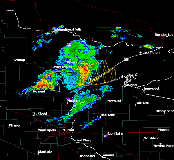 At 812 pm cdt, severe thunderstorms were located along a line extending from 6 miles north of cotton, to near canyon, to near scanlon, moving east at 55 mph. these storms have weakened in the past 15 minutes, but still remain capable of producing widespread damaging winds (radar indicated). Hazards include 70 mph wind gusts and penny size hail. Expect considerable tree damage. damage is likely to mobile homes, roofs, and outbuildings. Locations impacted include, duluth, superior, cloquet, hermantown, two harbors, proctor, scanlon, carlton, cotton, thomson, brookston, fairbanks, wolf lake, boulder lake, brimson, pike lake near duluth, city of rice lake, thomas lake near brimson, whiteface reservoir, and canyon. At 812 pm cdt, severe thunderstorms were located along a line extending from 6 miles north of cotton, to near canyon, to near scanlon, moving east at 55 mph. these storms have weakened in the past 15 minutes, but still remain capable of producing widespread damaging winds (radar indicated). Hazards include 70 mph wind gusts and penny size hail. Expect considerable tree damage. damage is likely to mobile homes, roofs, and outbuildings. Locations impacted include, duluth, superior, cloquet, hermantown, two harbors, proctor, scanlon, carlton, cotton, thomson, brookston, fairbanks, wolf lake, boulder lake, brimson, pike lake near duluth, city of rice lake, thomas lake near brimson, whiteface reservoir, and canyon.
|
| 8/31/2018 8:23 PM CDT |
 At 823 pm cdt, severe thunderstorms were located along a line extending from near whiteface reservoir, to near boulder lake, to proctor, moving east at 55 mph (radar indicated). Hazards include 75 mph wind gusts and penny size hail. Expect considerable tree damage. damage is likely to mobile homes, roofs, and outbuildings. locations impacted include, duluth, superior, cloquet, hermantown, two harbors, proctor, scanlon, carlton, cotton, thomson, fairbanks, wolf lake, boulder lake, brimson, pike lake near duluth, city of rice lake, thomas lake near brimson, whiteface reservoir, french river, and larsmont. Specifically, people in areas between whiteface reservoir and island lake should seek shelter immediately!. At 823 pm cdt, severe thunderstorms were located along a line extending from near whiteface reservoir, to near boulder lake, to proctor, moving east at 55 mph (radar indicated). Hazards include 75 mph wind gusts and penny size hail. Expect considerable tree damage. damage is likely to mobile homes, roofs, and outbuildings. locations impacted include, duluth, superior, cloquet, hermantown, two harbors, proctor, scanlon, carlton, cotton, thomson, fairbanks, wolf lake, boulder lake, brimson, pike lake near duluth, city of rice lake, thomas lake near brimson, whiteface reservoir, french river, and larsmont. Specifically, people in areas between whiteface reservoir and island lake should seek shelter immediately!.
|
| 8/31/2018 8:13 PM CDT |
 At 812 pm cdt, severe thunderstorms were located along a line extending from 6 miles north of cotton, to near canyon, to near scanlon, moving east at 55 mph. these storms have weakened in the past 15 minutes, but still remain capable of producing widespread damaging winds (radar indicated). Hazards include 70 mph wind gusts and penny size hail. Expect considerable tree damage. damage is likely to mobile homes, roofs, and outbuildings. Locations impacted include, duluth, superior, cloquet, hermantown, two harbors, proctor, scanlon, carlton, cotton, thomson, brookston, fairbanks, wolf lake, boulder lake, brimson, pike lake near duluth, city of rice lake, thomas lake near brimson, whiteface reservoir, and canyon. At 812 pm cdt, severe thunderstorms were located along a line extending from 6 miles north of cotton, to near canyon, to near scanlon, moving east at 55 mph. these storms have weakened in the past 15 minutes, but still remain capable of producing widespread damaging winds (radar indicated). Hazards include 70 mph wind gusts and penny size hail. Expect considerable tree damage. damage is likely to mobile homes, roofs, and outbuildings. Locations impacted include, duluth, superior, cloquet, hermantown, two harbors, proctor, scanlon, carlton, cotton, thomson, brookston, fairbanks, wolf lake, boulder lake, brimson, pike lake near duluth, city of rice lake, thomas lake near brimson, whiteface reservoir, and canyon.
|
| 8/31/2018 8:13 PM CDT |
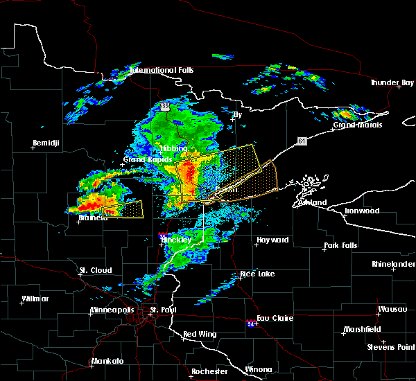 At 812 pm cdt, severe thunderstorms were located along a line extending from 6 miles north of cotton, to near canyon, to near scanlon, moving east at 55 mph. these storms have weakened in the past 15 minutes, but still remain capable of producing widespread damaging winds (radar indicated). Hazards include 70 mph wind gusts and penny size hail. Expect considerable tree damage. damage is likely to mobile homes, roofs, and outbuildings. Locations impacted include, duluth, superior, cloquet, hermantown, two harbors, proctor, scanlon, carlton, cotton, thomson, brookston, fairbanks, wolf lake, boulder lake, brimson, pike lake near duluth, city of rice lake, thomas lake near brimson, whiteface reservoir, and canyon. At 812 pm cdt, severe thunderstorms were located along a line extending from 6 miles north of cotton, to near canyon, to near scanlon, moving east at 55 mph. these storms have weakened in the past 15 minutes, but still remain capable of producing widespread damaging winds (radar indicated). Hazards include 70 mph wind gusts and penny size hail. Expect considerable tree damage. damage is likely to mobile homes, roofs, and outbuildings. Locations impacted include, duluth, superior, cloquet, hermantown, two harbors, proctor, scanlon, carlton, cotton, thomson, brookston, fairbanks, wolf lake, boulder lake, brimson, pike lake near duluth, city of rice lake, thomas lake near brimson, whiteface reservoir, and canyon.
|
| 8/31/2018 8:02 PM CDT |
 At 802 pm cdt, dangerous severe thunderstorms were located along a line extending from near toivola, to near brookston, to 7 miles southwest of cloquet, moving east-northeast at 60 mph. these are very dangerous storms with a history of producing widespread wind damage across aitkin county between 7 and 8 pm (radar indicated). Hazards include 90 mph wind gusts and penny size hail. You are in a life-threatening situation. flying debris may be deadly to those caught without shelter. mobile homes will be heavily damaged or destroyed. homes and businesses will have substantial roof and window damage. Expect extensive tree damage and power outages. At 802 pm cdt, dangerous severe thunderstorms were located along a line extending from near toivola, to near brookston, to 7 miles southwest of cloquet, moving east-northeast at 60 mph. these are very dangerous storms with a history of producing widespread wind damage across aitkin county between 7 and 8 pm (radar indicated). Hazards include 90 mph wind gusts and penny size hail. You are in a life-threatening situation. flying debris may be deadly to those caught without shelter. mobile homes will be heavily damaged or destroyed. homes and businesses will have substantial roof and window damage. Expect extensive tree damage and power outages.
|
| 6/30/2018 3:28 AM CDT |
 At 327 am cdt, severe thunderstorms were located along a line extending from 7 miles west of boulder lake, to near proctor, to 6 miles north of duxbury, moving east at 45 mph (radar indicated). Hazards include 60 mph wind gusts and quarter size hail. Hail damage to vehicles is expected. expect wind damage to roofs, siding, and trees. these severe storms will be near, hermantown, proctor and oliver around 335 am cdt. duluth, boulder lake and island lake around 340 am cdt. superior, dairyland, wisconsin point and south range around 345 am cdt. Other locations impacted by these severe thunderstorms include cody, billings park, gary new duluth, duquette, fish lake, moose junction, amnicon lake, banning state park, spirit valley, and jay cooke state park. At 327 am cdt, severe thunderstorms were located along a line extending from 7 miles west of boulder lake, to near proctor, to 6 miles north of duxbury, moving east at 45 mph (radar indicated). Hazards include 60 mph wind gusts and quarter size hail. Hail damage to vehicles is expected. expect wind damage to roofs, siding, and trees. these severe storms will be near, hermantown, proctor and oliver around 335 am cdt. duluth, boulder lake and island lake around 340 am cdt. superior, dairyland, wisconsin point and south range around 345 am cdt. Other locations impacted by these severe thunderstorms include cody, billings park, gary new duluth, duquette, fish lake, moose junction, amnicon lake, banning state park, spirit valley, and jay cooke state park.
|
| 6/30/2018 3:28 AM CDT |
At 327 am cdt, severe thunderstorms were located along a line extending from 7 miles west of boulder lake, to near proctor, to 6 miles north of duxbury, moving east at 45 mph (radar indicated). Hazards include 60 mph wind gusts and quarter size hail. Hail damage to vehicles is expected. expect wind damage to roofs, siding, and trees. these severe storms will be near, hermantown, proctor and oliver around 335 am cdt. duluth, boulder lake and island lake around 340 am cdt. superior, dairyland, wisconsin point and south range around 345 am cdt. Other locations impacted by these severe thunderstorms include cody, billings park, gary new duluth, duquette, fish lake, moose junction, amnicon lake, banning state park, spirit valley, and jay cooke state park.
|
| 6/30/2018 3:16 AM CDT |
 At 315 am cdt, severe thunderstorms were located along a line extending from near canyon, to scanlon, to near bruno, moving east at 45 mph (radar indicated). Hazards include 60 mph wind gusts and quarter size hail. Hail damage to vehicles is expected. expect wind damage to roofs, siding, and trees. these severe storms will be near, carlton, wrenshall and thomson around 320 am cdt. hermantown and proctor around 330 am cdt. oliver, boulder lake and cloverton around 335 am cdt. superior and island lake around 340 am cdt. dairyland, wisconsin point and south range around 345 am cdt. Other locations impacted by these severe thunderstorms include cody, billings park, gary new duluth, duquette, fish lake, moose junction, amnicon lake, banning state park, spirit valley, and jay cooke state park. At 315 am cdt, severe thunderstorms were located along a line extending from near canyon, to scanlon, to near bruno, moving east at 45 mph (radar indicated). Hazards include 60 mph wind gusts and quarter size hail. Hail damage to vehicles is expected. expect wind damage to roofs, siding, and trees. these severe storms will be near, carlton, wrenshall and thomson around 320 am cdt. hermantown and proctor around 330 am cdt. oliver, boulder lake and cloverton around 335 am cdt. superior and island lake around 340 am cdt. dairyland, wisconsin point and south range around 345 am cdt. Other locations impacted by these severe thunderstorms include cody, billings park, gary new duluth, duquette, fish lake, moose junction, amnicon lake, banning state park, spirit valley, and jay cooke state park.
|
| 6/30/2018 3:16 AM CDT |
At 315 am cdt, severe thunderstorms were located along a line extending from near canyon, to scanlon, to near bruno, moving east at 45 mph (radar indicated). Hazards include 60 mph wind gusts and quarter size hail. Hail damage to vehicles is expected. expect wind damage to roofs, siding, and trees. these severe storms will be near, carlton, wrenshall and thomson around 320 am cdt. hermantown and proctor around 330 am cdt. oliver, boulder lake and cloverton around 335 am cdt. superior and island lake around 340 am cdt. dairyland, wisconsin point and south range around 345 am cdt. Other locations impacted by these severe thunderstorms include cody, billings park, gary new duluth, duquette, fish lake, moose junction, amnicon lake, banning state park, spirit valley, and jay cooke state park.
|
| 6/30/2018 3:00 AM CDT |
 At 259 am cdt, severe thunderstorms were located along a line extending from near meadowlands, to 6 miles southwest of fond du lac reservation, to near askov, moving east at 45 mph (radar indicated). Hazards include 60 mph wind gusts and quarter size hail. Hail damage to vehicles is expected. expect wind damage to roofs, siding, and trees. severe thunderstorms will be near, cloquet around 310 am cdt. scanlon, fond du lac reservation and canyon around 315 am cdt. carlton, wrenshall and thomson around 320 am cdt. hermantown, proctor and oliver around 330 am cdt. boulder lake, cloverton and island lake around 335 am cdt. duluth and superior around 340 am cdt. dairyland, wisconsin point and south range around 345 am cdt. Other locations impacted by these severe thunderstorms include cody, billings park, gary new duluth, duquette, fish lake, moose junction, amnicon lake, banning state park, spirit valley, and jay cooke state park. At 259 am cdt, severe thunderstorms were located along a line extending from near meadowlands, to 6 miles southwest of fond du lac reservation, to near askov, moving east at 45 mph (radar indicated). Hazards include 60 mph wind gusts and quarter size hail. Hail damage to vehicles is expected. expect wind damage to roofs, siding, and trees. severe thunderstorms will be near, cloquet around 310 am cdt. scanlon, fond du lac reservation and canyon around 315 am cdt. carlton, wrenshall and thomson around 320 am cdt. hermantown, proctor and oliver around 330 am cdt. boulder lake, cloverton and island lake around 335 am cdt. duluth and superior around 340 am cdt. dairyland, wisconsin point and south range around 345 am cdt. Other locations impacted by these severe thunderstorms include cody, billings park, gary new duluth, duquette, fish lake, moose junction, amnicon lake, banning state park, spirit valley, and jay cooke state park.
|
| 6/30/2018 3:00 AM CDT |
At 259 am cdt, severe thunderstorms were located along a line extending from near meadowlands, to 6 miles southwest of fond du lac reservation, to near askov, moving east at 45 mph (radar indicated). Hazards include 60 mph wind gusts and quarter size hail. Hail damage to vehicles is expected. expect wind damage to roofs, siding, and trees. severe thunderstorms will be near, cloquet around 310 am cdt. scanlon, fond du lac reservation and canyon around 315 am cdt. carlton, wrenshall and thomson around 320 am cdt. hermantown, proctor and oliver around 330 am cdt. boulder lake, cloverton and island lake around 335 am cdt. duluth and superior around 340 am cdt. dairyland, wisconsin point and south range around 345 am cdt. Other locations impacted by these severe thunderstorms include cody, billings park, gary new duluth, duquette, fish lake, moose junction, amnicon lake, banning state park, spirit valley, and jay cooke state park.
|
| 6/17/2018 2:47 PM CDT |
 At 247 pm cdt, severe thunderstorms were located along a line extending from near holyoke, to 7 miles southeast of hinckley, moving east at 40 mph (radar indicated). Hazards include 70 mph wind gusts and quarter size hail. Hail damage to vehicles is expected. expect considerable tree damage. wind damage is also likely to mobile homes, roofs, and outbuildings. locations impacted include, pine city, hinckley, sandstone, rock creek, grantsburg, carlton, mahtowa, barnum, willow river, wrenshall, oliver, askov, rutledge, holyoke, thomson, brook park, bruno, henriette, cloverton, and nemadji. A tornado watch remains in effect until 900 pm cdt for northeastern and east central minnesota, and northwestern wisconsin. At 247 pm cdt, severe thunderstorms were located along a line extending from near holyoke, to 7 miles southeast of hinckley, moving east at 40 mph (radar indicated). Hazards include 70 mph wind gusts and quarter size hail. Hail damage to vehicles is expected. expect considerable tree damage. wind damage is also likely to mobile homes, roofs, and outbuildings. locations impacted include, pine city, hinckley, sandstone, rock creek, grantsburg, carlton, mahtowa, barnum, willow river, wrenshall, oliver, askov, rutledge, holyoke, thomson, brook park, bruno, henriette, cloverton, and nemadji. A tornado watch remains in effect until 900 pm cdt for northeastern and east central minnesota, and northwestern wisconsin.
|
| 6/17/2018 2:31 PM CDT |
 At 231 pm cdt, severe thunderstorms were located along a line extending from near french river, to near proctor, moving east at 30 mph (radar indicated). Hazards include 70 mph wind gusts and quarter size hail. Hail damage to vehicles is expected. expect considerable tree damage. wind damage is also likely to mobile homes, roofs, and outbuildings. locations impacted include, duluth, superior, hermantown, proctor, oliver, south range, wisconsin point, city of rice lake, french river, irving, cody, park point, billings park, gary new duluth, morgan park, palmers, lakeside-lester park, spirit valley, central hillside, and norton park. A tornado watch remains in effect until 900 pm cdt for northeastern minnesota, and northwestern wisconsin. At 231 pm cdt, severe thunderstorms were located along a line extending from near french river, to near proctor, moving east at 30 mph (radar indicated). Hazards include 70 mph wind gusts and quarter size hail. Hail damage to vehicles is expected. expect considerable tree damage. wind damage is also likely to mobile homes, roofs, and outbuildings. locations impacted include, duluth, superior, hermantown, proctor, oliver, south range, wisconsin point, city of rice lake, french river, irving, cody, park point, billings park, gary new duluth, morgan park, palmers, lakeside-lester park, spirit valley, central hillside, and norton park. A tornado watch remains in effect until 900 pm cdt for northeastern minnesota, and northwestern wisconsin.
|
| 6/17/2018 2:31 PM CDT |
At 231 pm cdt, severe thunderstorms were located along a line extending from near french river, to near proctor, moving east at 30 mph (radar indicated). Hazards include 70 mph wind gusts and quarter size hail. Hail damage to vehicles is expected. expect considerable tree damage. wind damage is also likely to mobile homes, roofs, and outbuildings. locations impacted include, duluth, superior, hermantown, proctor, oliver, south range, wisconsin point, city of rice lake, french river, irving, cody, park point, billings park, gary new duluth, morgan park, palmers, lakeside-lester park, spirit valley, central hillside, and norton park. A tornado watch remains in effect until 900 pm cdt for northeastern minnesota, and northwestern wisconsin.
|
| 6/17/2018 2:29 PM CDT |
 At 228 pm cdt, severe thunderstorms were located along a line extending from near barnum, to near quamba, moving east at 45 mph (radar indicated). Hazards include 70 mph wind gusts and quarter size hail. Hail damage to vehicles is expected. expect considerable tree damage. Wind damage is also likely to mobile homes, roofs, and outbuildings. At 228 pm cdt, severe thunderstorms were located along a line extending from near barnum, to near quamba, moving east at 45 mph (radar indicated). Hazards include 70 mph wind gusts and quarter size hail. Hail damage to vehicles is expected. expect considerable tree damage. Wind damage is also likely to mobile homes, roofs, and outbuildings.
|
| 6/17/2018 2:16 PM CDT |
 At 215 pm cdt, severe thunderstorms were located along a line extending from near the city of rice lake, to scanlon, moving east at 30 mph (radar indicated). Hazards include 70 mph wind gusts and quarter size hail. Hail damage to vehicles is expected. expect considerable tree damage. Wind damage is also likely to mobile homes, roofs, and outbuildings. At 215 pm cdt, severe thunderstorms were located along a line extending from near the city of rice lake, to scanlon, moving east at 30 mph (radar indicated). Hazards include 70 mph wind gusts and quarter size hail. Hail damage to vehicles is expected. expect considerable tree damage. Wind damage is also likely to mobile homes, roofs, and outbuildings.
|
| 6/17/2018 2:16 PM CDT |
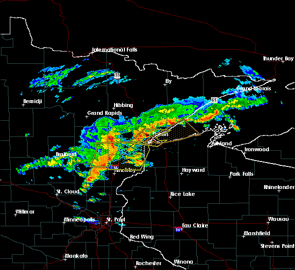 At 215 pm cdt, severe thunderstorms were located along a line extending from near the city of rice lake, to scanlon, moving east at 30 mph (radar indicated). Hazards include 70 mph wind gusts and quarter size hail. Hail damage to vehicles is expected. expect considerable tree damage. Wind damage is also likely to mobile homes, roofs, and outbuildings. At 215 pm cdt, severe thunderstorms were located along a line extending from near the city of rice lake, to scanlon, moving east at 30 mph (radar indicated). Hazards include 70 mph wind gusts and quarter size hail. Hail damage to vehicles is expected. expect considerable tree damage. Wind damage is also likely to mobile homes, roofs, and outbuildings.
|
| 6/17/2018 2:16 PM CDT |
At 215 pm cdt, severe thunderstorms were located along a line extending from near the city of rice lake, to scanlon, moving east at 30 mph (radar indicated). Hazards include 70 mph wind gusts and quarter size hail. Hail damage to vehicles is expected. expect considerable tree damage. Wind damage is also likely to mobile homes, roofs, and outbuildings.
|
| 6/17/2018 1:53 PM CDT |
 At 153 pm cdt, a severe thunderstorm was located over pike lake near duluth, or 11 miles northeast of cloquet, moving east at 30 mph (radar indicated). Hazards include 70 mph wind gusts and quarter size hail. Hail damage to vehicles is expected. expect considerable tree damage. Wind damage is also likely to mobile homes, roofs, and outbuildings. At 153 pm cdt, a severe thunderstorm was located over pike lake near duluth, or 11 miles northeast of cloquet, moving east at 30 mph (radar indicated). Hazards include 70 mph wind gusts and quarter size hail. Hail damage to vehicles is expected. expect considerable tree damage. Wind damage is also likely to mobile homes, roofs, and outbuildings.
|
| 6/15/2018 12:45 PM CDT |
 At 1245 pm cdt, severe thunderstorms were located along a line extending from 6 miles east of island lake, to near duluth, to near oliver, moving east at 50 mph (radar indicated). Hazards include 60 mph wind gusts. Expect damage to roofs, siding, and trees. Locations impacted include, duluth, superior, cloquet, hermantown, proctor, scanlon, pike lake near duluth, city of rice lake, french river, island lake, grand lake, fredenberg, irving, cody, billings park, morgan park, palmers, fish lake, lakeside-lester park, and spirit valley. At 1245 pm cdt, severe thunderstorms were located along a line extending from 6 miles east of island lake, to near duluth, to near oliver, moving east at 50 mph (radar indicated). Hazards include 60 mph wind gusts. Expect damage to roofs, siding, and trees. Locations impacted include, duluth, superior, cloquet, hermantown, proctor, scanlon, pike lake near duluth, city of rice lake, french river, island lake, grand lake, fredenberg, irving, cody, billings park, morgan park, palmers, fish lake, lakeside-lester park, and spirit valley.
|
| 6/15/2018 12:45 PM CDT |
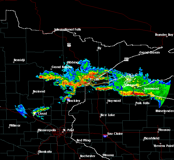 At 1245 pm cdt, severe thunderstorms were located along a line extending from 6 miles east of island lake, to near duluth, to near oliver, moving east at 50 mph (radar indicated). Hazards include 60 mph wind gusts. Expect damage to roofs, siding, and trees. Locations impacted include, duluth, superior, cloquet, hermantown, proctor, scanlon, pike lake near duluth, city of rice lake, french river, island lake, grand lake, fredenberg, irving, cody, billings park, morgan park, palmers, fish lake, lakeside-lester park, and spirit valley. At 1245 pm cdt, severe thunderstorms were located along a line extending from 6 miles east of island lake, to near duluth, to near oliver, moving east at 50 mph (radar indicated). Hazards include 60 mph wind gusts. Expect damage to roofs, siding, and trees. Locations impacted include, duluth, superior, cloquet, hermantown, proctor, scanlon, pike lake near duluth, city of rice lake, french river, island lake, grand lake, fredenberg, irving, cody, billings park, morgan park, palmers, fish lake, lakeside-lester park, and spirit valley.
|
| 6/15/2018 12:31 PM CDT |
 At 1231 pm cdt, severe thunderstorms were located along a line extending from 6 miles east of canyon, to near saginaw, to cloquet, moving east at 50 mph (radar indicated). Hazards include 60 mph wind gusts and penny size hail. expect damage to roofs, siding, and trees At 1231 pm cdt, severe thunderstorms were located along a line extending from 6 miles east of canyon, to near saginaw, to cloquet, moving east at 50 mph (radar indicated). Hazards include 60 mph wind gusts and penny size hail. expect damage to roofs, siding, and trees
|
| 9/22/2017 7:14 AM CDT |
 At 713 am cdt, a severe thunderstorm was located near french river, or 12 miles northeast of duluth, moving northeast at 45 mph. a gust to 61 mph was reported at the duluth international airport (radar indicated). Hazards include 65 mph wind gusts and penny size hail. expect damage to roofs, siding, and trees At 713 am cdt, a severe thunderstorm was located near french river, or 12 miles northeast of duluth, moving northeast at 45 mph. a gust to 61 mph was reported at the duluth international airport (radar indicated). Hazards include 65 mph wind gusts and penny size hail. expect damage to roofs, siding, and trees
|
| 9/22/2017 6:49 AM CDT |
 At 649 am cdt, a severe thunderstorm was located near hermantown, or 8 miles northeast of cloquet, moving northeast at 50 mph (radar indicated). Hazards include 60 mph wind gusts and quarter size hail. Hail damage to vehicles is expected. expect wind damage to roofs, siding, and trees. Locations impacted include, duluth, superior, cloquet, hermantown, proctor, scanlon, carlton, mahtowa, wrenshall, oliver, thomson, pike lake near duluth, saginaw, island lake, boulder lake, grand lake, fredenberg, mahnomen, irving, and cody. At 649 am cdt, a severe thunderstorm was located near hermantown, or 8 miles northeast of cloquet, moving northeast at 50 mph (radar indicated). Hazards include 60 mph wind gusts and quarter size hail. Hail damage to vehicles is expected. expect wind damage to roofs, siding, and trees. Locations impacted include, duluth, superior, cloquet, hermantown, proctor, scanlon, carlton, mahtowa, wrenshall, oliver, thomson, pike lake near duluth, saginaw, island lake, boulder lake, grand lake, fredenberg, mahnomen, irving, and cody.
|
| 9/22/2017 6:41 AM CDT |
 At 641 am cdt, a severe thunderstorm was located over cloquet, moving northeast at 45 mph (radar indicated). Hazards include 60 mph wind gusts and quarter size hail. Hail damage to vehicles is expected. Expect wind damage to roofs, siding, and trees. At 641 am cdt, a severe thunderstorm was located over cloquet, moving northeast at 45 mph (radar indicated). Hazards include 60 mph wind gusts and quarter size hail. Hail damage to vehicles is expected. Expect wind damage to roofs, siding, and trees.
|
| 9/20/2017 3:49 AM CDT |
 At 349 am cdt, severe thunderstorms were located along a line extending from 6 miles north of poplar in douglas county, to 7 miles east of dairyland, moving east at 50 mph (radar indicated). Hazards include 60 mph wind gusts and nickel size hail. Expect damage to roofs, siding, and trees. Locations impacted include, duluth, superior, hawthorne, lake nebagamon, wascott, maple, poplar in douglas county, solon springs, gordon, dairyland, south range, wisconsin point, bennett, cloverland, cozy corner, park point, mouth of brule, moose junction, amnicon lake, and blueberry. At 349 am cdt, severe thunderstorms were located along a line extending from 6 miles north of poplar in douglas county, to 7 miles east of dairyland, moving east at 50 mph (radar indicated). Hazards include 60 mph wind gusts and nickel size hail. Expect damage to roofs, siding, and trees. Locations impacted include, duluth, superior, hawthorne, lake nebagamon, wascott, maple, poplar in douglas county, solon springs, gordon, dairyland, south range, wisconsin point, bennett, cloverland, cozy corner, park point, mouth of brule, moose junction, amnicon lake, and blueberry.
|
| 9/20/2017 3:49 AM CDT |
At 349 am cdt, severe thunderstorms were located along a line extending from 6 miles north of poplar in douglas county, to 7 miles east of dairyland, moving east at 50 mph (radar indicated). Hazards include 60 mph wind gusts and nickel size hail. Expect damage to roofs, siding, and trees. Locations impacted include, duluth, superior, hawthorne, lake nebagamon, wascott, maple, poplar in douglas county, solon springs, gordon, dairyland, south range, wisconsin point, bennett, cloverland, cozy corner, park point, mouth of brule, moose junction, amnicon lake, and blueberry.
|
| 9/20/2017 3:34 AM CDT |
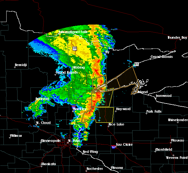 At 333 am cdt, severe thunderstorms were located along a line extending from wisconsin point, to near cloverton, moving east at 50 mph (radar indicated). Hazards include 60 mph wind gusts and nickel size hail. Expect damage to roofs, siding, and trees. Locations impacted include, duluth, superior, hawthorne, lake nebagamon, wascott, maple, poplar in douglas county, solon springs, oliver, gordon, dairyland, south range, foxboro, wisconsin point, bennett, cloverland, cozy corner, park point, billings park, and mouth of brule. At 333 am cdt, severe thunderstorms were located along a line extending from wisconsin point, to near cloverton, moving east at 50 mph (radar indicated). Hazards include 60 mph wind gusts and nickel size hail. Expect damage to roofs, siding, and trees. Locations impacted include, duluth, superior, hawthorne, lake nebagamon, wascott, maple, poplar in douglas county, solon springs, oliver, gordon, dairyland, south range, foxboro, wisconsin point, bennett, cloverland, cozy corner, park point, billings park, and mouth of brule.
|
| 9/20/2017 3:34 AM CDT |
At 333 am cdt, severe thunderstorms were located along a line extending from wisconsin point, to near cloverton, moving east at 50 mph (radar indicated). Hazards include 60 mph wind gusts and nickel size hail. Expect damage to roofs, siding, and trees. Locations impacted include, duluth, superior, hawthorne, lake nebagamon, wascott, maple, poplar in douglas county, solon springs, oliver, gordon, dairyland, south range, foxboro, wisconsin point, bennett, cloverland, cozy corner, park point, billings park, and mouth of brule.
|
| 9/20/2017 3:32 AM CDT |
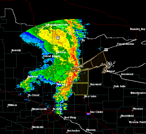 At 331 am cdt, a severe thunderstorm was located near french river, or 11 miles northeast of duluth, moving northeast at 55 mph (radar indicated). Hazards include 60 mph wind gusts and penny size hail. Expect damage to roofs, siding, and trees. Locations impacted include, duluth, superior, hermantown, proctor, boulder lake, island lake, french river, fredenberg, irving, cody, morgan park, palmers, spirit valley, central hillside, norton park, lakeside-lester park, piedmont heights, duluth heights, lincoln park, and denfeld. At 331 am cdt, a severe thunderstorm was located near french river, or 11 miles northeast of duluth, moving northeast at 55 mph (radar indicated). Hazards include 60 mph wind gusts and penny size hail. Expect damage to roofs, siding, and trees. Locations impacted include, duluth, superior, hermantown, proctor, boulder lake, island lake, french river, fredenberg, irving, cody, morgan park, palmers, spirit valley, central hillside, norton park, lakeside-lester park, piedmont heights, duluth heights, lincoln park, and denfeld.
|
| 9/20/2017 3:24 AM CDT |
 At 324 am cdt, a severe thunderstorm was located over the city of rice lake and duluth, moving northeast at 50 mph (radar indicated). Hazards include 60 mph wind gusts and penny size hail. Expect damage to roofs, siding, and trees. Locations impacted include, duluth, superior, hermantown, proctor, boulder lake, island lake, pike lake near duluth, french river, fredenberg, irving, cody, morgan park, palmers, fish lake, spirit valley, central hillside, norton park, lakeside-lester park, piedmont heights, and duluth heights. At 324 am cdt, a severe thunderstorm was located over the city of rice lake and duluth, moving northeast at 50 mph (radar indicated). Hazards include 60 mph wind gusts and penny size hail. Expect damage to roofs, siding, and trees. Locations impacted include, duluth, superior, hermantown, proctor, boulder lake, island lake, pike lake near duluth, french river, fredenberg, irving, cody, morgan park, palmers, fish lake, spirit valley, central hillside, norton park, lakeside-lester park, piedmont heights, and duluth heights.
|
| 9/20/2017 3:16 AM CDT |
 At 316 am cdt, severe thunderstorms were located along a line extending from near proctor, to near danbury, moving east at 50 mph (radar indicated). Hazards include 60 mph wind gusts and nickel size hail. expect damage to roofs, siding, and trees At 316 am cdt, severe thunderstorms were located along a line extending from near proctor, to near danbury, moving east at 50 mph (radar indicated). Hazards include 60 mph wind gusts and nickel size hail. expect damage to roofs, siding, and trees
|
| 9/20/2017 3:16 AM CDT |
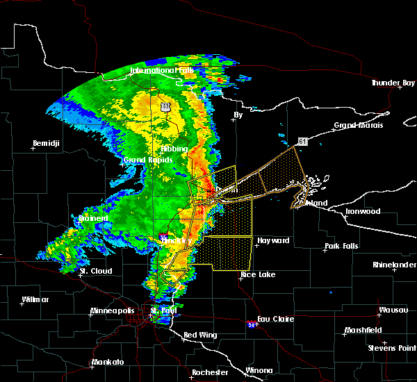 At 316 am cdt, severe thunderstorms were located along a line extending from near proctor, to near danbury, moving east at 50 mph (radar indicated). Hazards include 60 mph wind gusts and nickel size hail. expect damage to roofs, siding, and trees At 316 am cdt, severe thunderstorms were located along a line extending from near proctor, to near danbury, moving east at 50 mph (radar indicated). Hazards include 60 mph wind gusts and nickel size hail. expect damage to roofs, siding, and trees
|
| 9/20/2017 3:16 AM CDT |
At 316 am cdt, severe thunderstorms were located along a line extending from near proctor, to near danbury, moving east at 50 mph (radar indicated). Hazards include 60 mph wind gusts and nickel size hail. expect damage to roofs, siding, and trees
|
| 9/20/2017 3:16 AM CDT |
At 316 am cdt, severe thunderstorms were located along a line extending from near proctor, to near danbury, moving east at 50 mph (radar indicated). Hazards include 60 mph wind gusts and nickel size hail. expect damage to roofs, siding, and trees
|
| 9/20/2017 3:10 AM CDT |
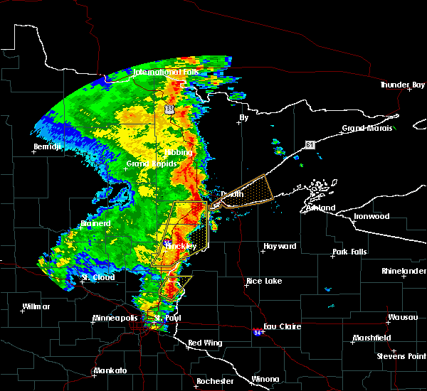 At 309 am cdt, severe thunderstorms were located along a line extending from near saginaw, to thomson, moving northeast at 55 mph (radar indicated). Hazards include 60 mph wind gusts and penny size hail. expect damage to roofs, siding, and trees At 309 am cdt, severe thunderstorms were located along a line extending from near saginaw, to thomson, moving northeast at 55 mph (radar indicated). Hazards include 60 mph wind gusts and penny size hail. expect damage to roofs, siding, and trees
|
| 7/21/2017 8:32 PM CDT |
 At 832 pm cdt, a severe thunderstorm was located over wrenshall, or 9 miles southeast of cloquet, moving east at 35 mph (radar indicated). Hazards include 60 mph wind gusts and penny size hail. Expect damage to roofs, siding, and trees. this severe storm will be near, foxboro around 845 pm cdt. Other locations impacted by this severe thunderstorm include pleasant valley, gary new duluth, munger, morgan park, sawyer, fond du lac, mahnomen, jay cooke state park, norton park, and esko. At 832 pm cdt, a severe thunderstorm was located over wrenshall, or 9 miles southeast of cloquet, moving east at 35 mph (radar indicated). Hazards include 60 mph wind gusts and penny size hail. Expect damage to roofs, siding, and trees. this severe storm will be near, foxboro around 845 pm cdt. Other locations impacted by this severe thunderstorm include pleasant valley, gary new duluth, munger, morgan park, sawyer, fond du lac, mahnomen, jay cooke state park, norton park, and esko.
|
| 7/21/2017 8:20 PM CDT |
 At 820 pm cdt, a severe thunderstorm was located near carlton, or near cloquet, moving east at 30 mph (radar indicated). Hazards include 60 mph wind gusts and penny size hail. Expect damage to roofs, siding, and trees. this severe storm will be near, scanlon around 825 pm cdt. carlton around 830 pm cdt. wrenshall and thomson around 835 pm cdt. oliver and foxboro around 845 pm cdt. Other locations impacted by this severe thunderstorm include gowan, cody, grand lake, pleasant valley, gary new duluth, munger, morgan park, sawyer, spirit valley, and fond du lac. At 820 pm cdt, a severe thunderstorm was located near carlton, or near cloquet, moving east at 30 mph (radar indicated). Hazards include 60 mph wind gusts and penny size hail. Expect damage to roofs, siding, and trees. this severe storm will be near, scanlon around 825 pm cdt. carlton around 830 pm cdt. wrenshall and thomson around 835 pm cdt. oliver and foxboro around 845 pm cdt. Other locations impacted by this severe thunderstorm include gowan, cody, grand lake, pleasant valley, gary new duluth, munger, morgan park, sawyer, spirit valley, and fond du lac.
|
| 7/21/2017 7:59 PM CDT |
 At 757 pm cdt, a severe thunderstorm was located near cromwell, or 12 miles west of cloquet, moving east at 35 mph (radar indicated). Hazards include 60 mph wind gusts and nickel size hail. Expect damage to roofs, siding, and trees. this severe thunderstorm will be near, mahtowa and barnum around 810 pm cdt. scanlon around 820 pm cdt. carlton, wrenshall and thomson around 825 pm cdt. holyoke around 830 pm cdt. oliver and foxboro around 840 pm cdt. Other locations impacted by this severe thunderstorm include gowan, cody, grand lake, gary new duluth, morgan park, wright, sawyer, spirit valley, jay cooke state park, and norton park. At 757 pm cdt, a severe thunderstorm was located near cromwell, or 12 miles west of cloquet, moving east at 35 mph (radar indicated). Hazards include 60 mph wind gusts and nickel size hail. Expect damage to roofs, siding, and trees. this severe thunderstorm will be near, mahtowa and barnum around 810 pm cdt. scanlon around 820 pm cdt. carlton, wrenshall and thomson around 825 pm cdt. holyoke around 830 pm cdt. oliver and foxboro around 840 pm cdt. Other locations impacted by this severe thunderstorm include gowan, cody, grand lake, gary new duluth, morgan park, wright, sawyer, spirit valley, jay cooke state park, and norton park.
|
| 7/21/2017 6:59 PM CDT |
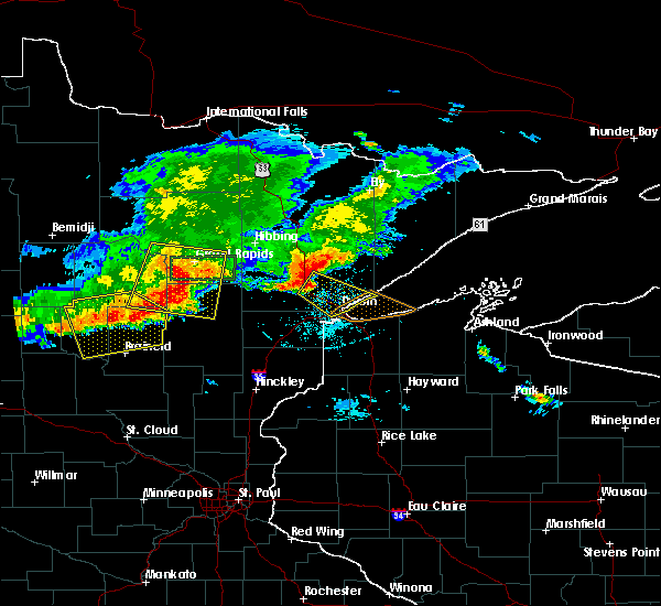 At 658 pm cdt, a severe thunderstorm was located near canyon, or 17 miles northwest of duluth, moving southeast at 35 mph (radar indicated). Hazards include 70 mph wind gusts and quarter size hail. Hail damage to vehicles is expected. expect considerable tree damage. wind damage is also likely to mobile homes, roofs, and outbuildings. Numerous reports of tree damage and strong winds have bee reported with this storm. At 658 pm cdt, a severe thunderstorm was located near canyon, or 17 miles northwest of duluth, moving southeast at 35 mph (radar indicated). Hazards include 70 mph wind gusts and quarter size hail. Hail damage to vehicles is expected. expect considerable tree damage. wind damage is also likely to mobile homes, roofs, and outbuildings. Numerous reports of tree damage and strong winds have bee reported with this storm.
|
| 7/6/2017 5:52 AM CDT |
 At 552 am cdt, strong to severe thunderstorms were located along a line extending from near whiteface reservoir, to duluth, to 7 miles northwest of dairyland, moving east at 30 mph (radar indicated). Hazards include storms have weakened in the past 15 minutes but remain capable of isolated 60 mph wind gusts. Expect damage to roofs, siding, and trees. Locations impacted include, duluth, superior, cloquet, hermantown, proctor, hawthorne, scanlon, carlton, poplar in douglas county, solon springs, cotton, wrenshall, oliver, gordon, holyoke, thomson, wolf lake, boulder lake, brimson, and wisconsin point. At 552 am cdt, strong to severe thunderstorms were located along a line extending from near whiteface reservoir, to duluth, to 7 miles northwest of dairyland, moving east at 30 mph (radar indicated). Hazards include storms have weakened in the past 15 minutes but remain capable of isolated 60 mph wind gusts. Expect damage to roofs, siding, and trees. Locations impacted include, duluth, superior, cloquet, hermantown, proctor, hawthorne, scanlon, carlton, poplar in douglas county, solon springs, cotton, wrenshall, oliver, gordon, holyoke, thomson, wolf lake, boulder lake, brimson, and wisconsin point.
|
| 7/6/2017 5:52 AM CDT |
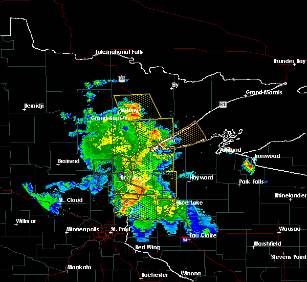 At 552 am cdt, strong to severe thunderstorms were located along a line extending from near whiteface reservoir, to duluth, to 7 miles northwest of dairyland, moving east at 30 mph (radar indicated). Hazards include storms have weakened in the past 15 minutes but remain capable of isolated 60 mph wind gusts. Expect damage to roofs, siding, and trees. Locations impacted include, duluth, superior, cloquet, hermantown, proctor, hawthorne, scanlon, carlton, poplar in douglas county, solon springs, cotton, wrenshall, oliver, gordon, holyoke, thomson, wolf lake, boulder lake, brimson, and wisconsin point. At 552 am cdt, strong to severe thunderstorms were located along a line extending from near whiteface reservoir, to duluth, to 7 miles northwest of dairyland, moving east at 30 mph (radar indicated). Hazards include storms have weakened in the past 15 minutes but remain capable of isolated 60 mph wind gusts. Expect damage to roofs, siding, and trees. Locations impacted include, duluth, superior, cloquet, hermantown, proctor, hawthorne, scanlon, carlton, poplar in douglas county, solon springs, cotton, wrenshall, oliver, gordon, holyoke, thomson, wolf lake, boulder lake, brimson, and wisconsin point.
|
| 7/6/2017 5:52 AM CDT |
At 552 am cdt, strong to severe thunderstorms were located along a line extending from near whiteface reservoir, to duluth, to 7 miles northwest of dairyland, moving east at 30 mph (radar indicated). Hazards include storms have weakened in the past 15 minutes but remain capable of isolated 60 mph wind gusts. Expect damage to roofs, siding, and trees. Locations impacted include, duluth, superior, cloquet, hermantown, proctor, hawthorne, scanlon, carlton, poplar in douglas county, solon springs, cotton, wrenshall, oliver, gordon, holyoke, thomson, wolf lake, boulder lake, brimson, and wisconsin point.
|
| 7/6/2017 5:31 AM CDT |
 At 531 am cdt, severe thunderstorms were located along a line extending from 6 miles northeast of cotton, to near hermantown, to 8 miles south of holyoke, moving east at 55 mph (radar indicated). Hazards include 60 mph wind gusts and penny size hail. expect damage to roofs, siding, and trees At 531 am cdt, severe thunderstorms were located along a line extending from 6 miles northeast of cotton, to near hermantown, to 8 miles south of holyoke, moving east at 55 mph (radar indicated). Hazards include 60 mph wind gusts and penny size hail. expect damage to roofs, siding, and trees
|
| 7/6/2017 5:31 AM CDT |
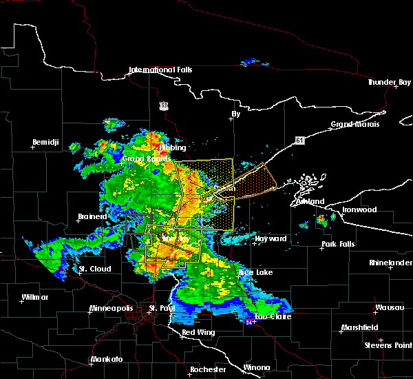 At 531 am cdt, severe thunderstorms were located along a line extending from 6 miles northeast of cotton, to near hermantown, to 8 miles south of holyoke, moving east at 55 mph (radar indicated). Hazards include 60 mph wind gusts and penny size hail. expect damage to roofs, siding, and trees At 531 am cdt, severe thunderstorms were located along a line extending from 6 miles northeast of cotton, to near hermantown, to 8 miles south of holyoke, moving east at 55 mph (radar indicated). Hazards include 60 mph wind gusts and penny size hail. expect damage to roofs, siding, and trees
|
| 7/6/2017 5:31 AM CDT |
At 531 am cdt, severe thunderstorms were located along a line extending from 6 miles northeast of cotton, to near hermantown, to 8 miles south of holyoke, moving east at 55 mph (radar indicated). Hazards include 60 mph wind gusts and penny size hail. expect damage to roofs, siding, and trees
|
| 7/6/2017 5:17 AM CDT |
 At 515 am cdt, severe thunderstorms were located along a line extending from near toivola, to near cloquet, to near bruno, moving east at 50 mph (radar indicated). Hazards include 70 mph wind gusts and quarter size hail. Hail damage to vehicles is expected. expect considerable tree damage. wind damage is also likely to mobile homes, roofs, and outbuildings. Locations impacted include, duluth, superior, cloquet, hermantown, proctor, scanlon, carlton, mahtowa, barnum, floodwood, cotton, willow river, wrenshall, oliver, cromwell, holyoke, kettle river, toivola, thomson, and brookston. At 515 am cdt, severe thunderstorms were located along a line extending from near toivola, to near cloquet, to near bruno, moving east at 50 mph (radar indicated). Hazards include 70 mph wind gusts and quarter size hail. Hail damage to vehicles is expected. expect considerable tree damage. wind damage is also likely to mobile homes, roofs, and outbuildings. Locations impacted include, duluth, superior, cloquet, hermantown, proctor, scanlon, carlton, mahtowa, barnum, floodwood, cotton, willow river, wrenshall, oliver, cromwell, holyoke, kettle river, toivola, thomson, and brookston.
|
| 7/6/2017 5:02 AM CDT |
 At 502 am cdt, severe thunderstorms were located along a line extending from 8 miles west of toivola, to 6 miles north of cromwell, to 6 miles west of willow river, moving east at 50 mph (radar indicated). Hazards include 70 mph wind gusts and quarter size hail. Hail damage to vehicles is expected. expect considerable tree damage. wind damage is also likely to mobile homes, roofs, and outbuildings. locations impacted include, duluth, superior, cloquet, hermantown, proctor, scanlon, carlton, swan river, mahtowa, barnum, floodwood, cotton, willow river, wrenshall, oliver, cromwell, holyoke, warba, kettle river, and toivola. This also includes interstate 35 between barnum and duluth and state highway 61 between duluth and two harbors. At 502 am cdt, severe thunderstorms were located along a line extending from 8 miles west of toivola, to 6 miles north of cromwell, to 6 miles west of willow river, moving east at 50 mph (radar indicated). Hazards include 70 mph wind gusts and quarter size hail. Hail damage to vehicles is expected. expect considerable tree damage. wind damage is also likely to mobile homes, roofs, and outbuildings. locations impacted include, duluth, superior, cloquet, hermantown, proctor, scanlon, carlton, swan river, mahtowa, barnum, floodwood, cotton, willow river, wrenshall, oliver, cromwell, holyoke, warba, kettle river, and toivola. This also includes interstate 35 between barnum and duluth and state highway 61 between duluth and two harbors.
|
| 7/6/2017 4:44 AM CDT |
 At 443 am cdt, severe thunderstorms were located along a line extending from near warba, to 6 miles north of tamarack, to 6 miles north of mcgrath, moving east at 50 mph (radar indicated). Hazards include 70 mph wind gusts and quarter size hail. Hail damage to vehicles is expected. expect considerable tree damage. Wind damage is also likely to mobile homes, roofs, and outbuildings. At 443 am cdt, severe thunderstorms were located along a line extending from near warba, to 6 miles north of tamarack, to 6 miles north of mcgrath, moving east at 50 mph (radar indicated). Hazards include 70 mph wind gusts and quarter size hail. Hail damage to vehicles is expected. expect considerable tree damage. Wind damage is also likely to mobile homes, roofs, and outbuildings.
|
| 5/28/2017 11:17 AM CDT |
 At 1115 am cdt, a severe thunderstorm was located over superior, moving east at 15 mph (radar indicated. tremendous amounts of pea to half inch size hail was reported in areas of west duluth and morgan park when the storm when through). Hazards include quarter size hail. Damage to vehicles is expected. this severe storm will be near, wisconsin point around 1130 am cdt. Other locations impacted by this severe thunderstorm include billings park, amnicon falls state park, and park point. At 1115 am cdt, a severe thunderstorm was located over superior, moving east at 15 mph (radar indicated. tremendous amounts of pea to half inch size hail was reported in areas of west duluth and morgan park when the storm when through). Hazards include quarter size hail. Damage to vehicles is expected. this severe storm will be near, wisconsin point around 1130 am cdt. Other locations impacted by this severe thunderstorm include billings park, amnicon falls state park, and park point.
|
| 5/28/2017 11:17 AM CDT |
At 1115 am cdt, a severe thunderstorm was located over superior, moving east at 15 mph (radar indicated. tremendous amounts of pea to half inch size hail was reported in areas of west duluth and morgan park when the storm when through). Hazards include quarter size hail. Damage to vehicles is expected. this severe storm will be near, wisconsin point around 1130 am cdt. Other locations impacted by this severe thunderstorm include billings park, amnicon falls state park, and park point.
|
| 5/28/2017 11:04 AM CDT |
 At 1103 am cdt, a severe thunderstorm was located over oliver, or near superior, moving east at 15 mph (radar indicated). Hazards include quarter size hail. Damage to vehicles is expected. this severe storm will be near, superior around 1120 am cdt. wisconsin point and south range around 1130 am cdt. Other locations impacted by this severe thunderstorm include billings park and amnicon falls state park. At 1103 am cdt, a severe thunderstorm was located over oliver, or near superior, moving east at 15 mph (radar indicated). Hazards include quarter size hail. Damage to vehicles is expected. this severe storm will be near, superior around 1120 am cdt. wisconsin point and south range around 1130 am cdt. Other locations impacted by this severe thunderstorm include billings park and amnicon falls state park.
|
| 5/28/2017 11:04 AM CDT |
At 1103 am cdt, a severe thunderstorm was located over oliver, or near superior, moving east at 15 mph (radar indicated). Hazards include quarter size hail. Damage to vehicles is expected. this severe storm will be near, superior around 1120 am cdt. wisconsin point and south range around 1130 am cdt. Other locations impacted by this severe thunderstorm include billings park and amnicon falls state park.
|
| 5/28/2017 10:50 AM CDT |
 At 1049 am cdt, a severe thunderstorm was located near oliver, or near superior, moving east at 20 mph (radar indicated). Hazards include quarter size hail. Damage to vehicles is expected. this severe thunderstorm will be near, oliver around 1055 am cdt. superior around 1110 am cdt. wisconsin point and south range around 1125 am cdt. Other locations impacted by this severe thunderstorm include billings park, amnicon falls state park, and park point. At 1049 am cdt, a severe thunderstorm was located near oliver, or near superior, moving east at 20 mph (radar indicated). Hazards include quarter size hail. Damage to vehicles is expected. this severe thunderstorm will be near, oliver around 1055 am cdt. superior around 1110 am cdt. wisconsin point and south range around 1125 am cdt. Other locations impacted by this severe thunderstorm include billings park, amnicon falls state park, and park point.
|
| 5/28/2017 10:50 AM CDT |
At 1049 am cdt, a severe thunderstorm was located near oliver, or near superior, moving east at 20 mph (radar indicated). Hazards include quarter size hail. Damage to vehicles is expected. this severe thunderstorm will be near, oliver around 1055 am cdt. superior around 1110 am cdt. wisconsin point and south range around 1125 am cdt. Other locations impacted by this severe thunderstorm include billings park, amnicon falls state park, and park point.
|
| 8/4/2016 4:59 AM CDT |
 At 457 am cdt, severe thunderstorms were located along a line extending from 6 miles east of wisconsin point, to 8 miles east of dairyland, moving east at 55 mph (radar indicated). Hazards include 70 mph wind gusts and penny size hail. Expect considerable tree damage. Damage is likely to mobile homes, roofs, and outbuildings. At 457 am cdt, severe thunderstorms were located along a line extending from 6 miles east of wisconsin point, to 8 miles east of dairyland, moving east at 55 mph (radar indicated). Hazards include 70 mph wind gusts and penny size hail. Expect considerable tree damage. Damage is likely to mobile homes, roofs, and outbuildings.
|
| 8/4/2016 4:43 AM CDT |
 At 441 am cdt, severe thunderstorms were located along a line extending from 6 miles east of boulder lake, to near south range, moving east at 50 mph. these are very dangerous storms (radar indicated). Hazards include 80 mph wind gusts and penny size hail. Flying debris will be dangerous to those caught without shelter. mobile homes will be heavily damaged. expect considerable damage to roofs, windows, and vehicles. extensive tree damage and power outages are likely. these severe storms will be near, hawthorne around 450 am cdt. poplar in douglas county around 455 am cdt. two harbors and maple around 500 am cdt. Other locations impacted by these severe thunderstorms include billings park, lakewood twp, pattison state park, chester park, kenwood, wentworth, morley hts/parkview, patzau, waino and east hillside. At 441 am cdt, severe thunderstorms were located along a line extending from 6 miles east of boulder lake, to near south range, moving east at 50 mph. these are very dangerous storms (radar indicated). Hazards include 80 mph wind gusts and penny size hail. Flying debris will be dangerous to those caught without shelter. mobile homes will be heavily damaged. expect considerable damage to roofs, windows, and vehicles. extensive tree damage and power outages are likely. these severe storms will be near, hawthorne around 450 am cdt. poplar in douglas county around 455 am cdt. two harbors and maple around 500 am cdt. Other locations impacted by these severe thunderstorms include billings park, lakewood twp, pattison state park, chester park, kenwood, wentworth, morley hts/parkview, patzau, waino and east hillside.
|
| 8/4/2016 4:43 AM CDT |
At 441 am cdt, severe thunderstorms were located along a line extending from 6 miles east of boulder lake, to near south range, moving east at 50 mph. these are very dangerous storms (radar indicated). Hazards include 80 mph wind gusts and penny size hail. Flying debris will be dangerous to those caught without shelter. mobile homes will be heavily damaged. expect considerable damage to roofs, windows, and vehicles. extensive tree damage and power outages are likely. these severe storms will be near, hawthorne around 450 am cdt. poplar in douglas county around 455 am cdt. two harbors and maple around 500 am cdt. Other locations impacted by these severe thunderstorms include billings park, lakewood twp, pattison state park, chester park, kenwood, wentworth, morley hts/parkview, patzau, waino and east hillside.
|
| 8/4/2016 4:37 AM CDT |
 At 434 am cdt, severe thunderstorms were located along a line extending from boulder lake, to near oliver, moving east at 50 mph (radar indicated). Hazards include 70 mph wind gusts and penny size hail. Expect considerable tree damage. damage is likely to mobile homes, roofs, and outbuildings. these severe storms will be near, south range and wisconsin point around 445 am cdt. hawthorne around 450 am cdt. poplar in douglas county around 455 am cdt. two harbors, lake nebagamon and maple around 500 am cdt. Other locations impacted by these severe thunderstorms include prosit, billings park, lakewood twp, pattison state park, chester park, wentworth, morley hts/parkview, alborn, patzau and waino. At 434 am cdt, severe thunderstorms were located along a line extending from boulder lake, to near oliver, moving east at 50 mph (radar indicated). Hazards include 70 mph wind gusts and penny size hail. Expect considerable tree damage. damage is likely to mobile homes, roofs, and outbuildings. these severe storms will be near, south range and wisconsin point around 445 am cdt. hawthorne around 450 am cdt. poplar in douglas county around 455 am cdt. two harbors, lake nebagamon and maple around 500 am cdt. Other locations impacted by these severe thunderstorms include prosit, billings park, lakewood twp, pattison state park, chester park, wentworth, morley hts/parkview, alborn, patzau and waino.
|
| 8/4/2016 4:37 AM CDT |
At 434 am cdt, severe thunderstorms were located along a line extending from boulder lake, to near oliver, moving east at 50 mph (radar indicated). Hazards include 70 mph wind gusts and penny size hail. Expect considerable tree damage. damage is likely to mobile homes, roofs, and outbuildings. these severe storms will be near, south range and wisconsin point around 445 am cdt. hawthorne around 450 am cdt. poplar in douglas county around 455 am cdt. two harbors, lake nebagamon and maple around 500 am cdt. Other locations impacted by these severe thunderstorms include prosit, billings park, lakewood twp, pattison state park, chester park, wentworth, morley hts/parkview, alborn, patzau and waino.
|
| 8/4/2016 4:15 AM CDT |
 At 414 am cdt, severe thunderstorms were located along a line extending from canyon, to near nemadji, moving east at 50 mph (radar indicated). Hazards include 70 mph wind gusts and penny size hail. Expect considerable tree damage. damage is likely to mobile homes, roofs, and outbuildings. severe thunderstorms will be near, foxboro around 425 am cdt. duluth and boulder lake around 430 am cdt. superior around 440 am cdt. hawthorne around 450 am cdt. poplar in douglas county around 455 am cdt. two harbors, lake nebagamon, maple and brule around 500 am cdt. Other locations impacted by these severe thunderstorms include prosit, billings park, lakewood twp, pattison state park, chester park, wentworth, morley hts/parkview, alborn, patzau and waino. At 414 am cdt, severe thunderstorms were located along a line extending from canyon, to near nemadji, moving east at 50 mph (radar indicated). Hazards include 70 mph wind gusts and penny size hail. Expect considerable tree damage. damage is likely to mobile homes, roofs, and outbuildings. severe thunderstorms will be near, foxboro around 425 am cdt. duluth and boulder lake around 430 am cdt. superior around 440 am cdt. hawthorne around 450 am cdt. poplar in douglas county around 455 am cdt. two harbors, lake nebagamon, maple and brule around 500 am cdt. Other locations impacted by these severe thunderstorms include prosit, billings park, lakewood twp, pattison state park, chester park, wentworth, morley hts/parkview, alborn, patzau and waino.
|
| 8/4/2016 4:15 AM CDT |
At 414 am cdt, severe thunderstorms were located along a line extending from canyon, to near nemadji, moving east at 50 mph (radar indicated). Hazards include 70 mph wind gusts and penny size hail. Expect considerable tree damage. damage is likely to mobile homes, roofs, and outbuildings. severe thunderstorms will be near, foxboro around 425 am cdt. duluth and boulder lake around 430 am cdt. superior around 440 am cdt. hawthorne around 450 am cdt. poplar in douglas county around 455 am cdt. two harbors, lake nebagamon, maple and brule around 500 am cdt. Other locations impacted by these severe thunderstorms include prosit, billings park, lakewood twp, pattison state park, chester park, wentworth, morley hts/parkview, alborn, patzau and waino.
|
| 7/21/2016 3:53 AM CDT |
 At 352 am cdt, severe thunderstorms were located along a line extending from near brimson, to south range, moving east at 45 mph. these are very dangerous storms (trained weather spotters). Hazards include 80 mph wind gusts and half dollar size hail. Flying debris will be dangerous to those caught without shelter. mobile homes will be heavily damaged. expect considerable damage to roofs, windows, and vehicles. extensive tree damage and power outages are likely. severe thunderstorms will be near, brimson around 355 am cdt. Other locations impacted by these severe thunderstorms include billings park, lakewood twp, chester park, kenwood, pequaywan lake, morley hts/parkview, east hillside, lakeside-lester park, palmers and congdon park. At 352 am cdt, severe thunderstorms were located along a line extending from near brimson, to south range, moving east at 45 mph. these are very dangerous storms (trained weather spotters). Hazards include 80 mph wind gusts and half dollar size hail. Flying debris will be dangerous to those caught without shelter. mobile homes will be heavily damaged. expect considerable damage to roofs, windows, and vehicles. extensive tree damage and power outages are likely. severe thunderstorms will be near, brimson around 355 am cdt. Other locations impacted by these severe thunderstorms include billings park, lakewood twp, chester park, kenwood, pequaywan lake, morley hts/parkview, east hillside, lakeside-lester park, palmers and congdon park.
|
| 7/21/2016 3:53 AM CDT |
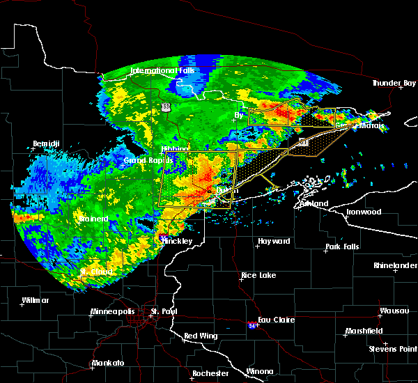 At 352 am cdt, severe thunderstorms were located along a line extending from near brimson, to south range, moving east at 45 mph. these are very dangerous storms (trained weather spotters). Hazards include 80 mph wind gusts and half dollar size hail. Flying debris will be dangerous to those caught without shelter. mobile homes will be heavily damaged. expect considerable damage to roofs, windows, and vehicles. extensive tree damage and power outages are likely. severe thunderstorms will be near, brimson around 355 am cdt. Other locations impacted by these severe thunderstorms include billings park, lakewood twp, chester park, kenwood, pequaywan lake, morley hts/parkview, east hillside, lakeside-lester park, palmers and congdon park. At 352 am cdt, severe thunderstorms were located along a line extending from near brimson, to south range, moving east at 45 mph. these are very dangerous storms (trained weather spotters). Hazards include 80 mph wind gusts and half dollar size hail. Flying debris will be dangerous to those caught without shelter. mobile homes will be heavily damaged. expect considerable damage to roofs, windows, and vehicles. extensive tree damage and power outages are likely. severe thunderstorms will be near, brimson around 355 am cdt. Other locations impacted by these severe thunderstorms include billings park, lakewood twp, chester park, kenwood, pequaywan lake, morley hts/parkview, east hillside, lakeside-lester park, palmers and congdon park.
|
| 7/21/2016 3:53 AM CDT |
At 352 am cdt, severe thunderstorms were located along a line extending from near brimson, to south range, moving east at 45 mph. these are very dangerous storms (trained weather spotters). Hazards include 80 mph wind gusts and half dollar size hail. Flying debris will be dangerous to those caught without shelter. mobile homes will be heavily damaged. expect considerable damage to roofs, windows, and vehicles. extensive tree damage and power outages are likely. severe thunderstorms will be near, brimson around 355 am cdt. Other locations impacted by these severe thunderstorms include billings park, lakewood twp, chester park, kenwood, pequaywan lake, morley hts/parkview, east hillside, lakeside-lester park, palmers and congdon park.
|
| 7/21/2016 3:44 AM CDT |
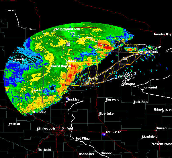 At 343 am cdt, severe thunderstorms were located along a line extending from near wolf lake, to near oliver, moving east at 45 mph. these are very dangerous storms (trained weather spotters). Hazards include 80 mph wind gusts and half dollar size hail. Flying debris will be dangerous to those caught without shelter. mobile homes will be heavily damaged. expect considerable damage to roofs, windows, and vehicles. extensive tree damage and power outages are likely. these severe storms will be near, fairbanks, wolf lake and brimson around 350 am cdt. Other locations impacted by these severe thunderstorms include billings park, lakewood twp, markham, chester park, kenwood, pequaywan lake, morley hts/parkview, east hillside, fish lake and taft. At 343 am cdt, severe thunderstorms were located along a line extending from near wolf lake, to near oliver, moving east at 45 mph. these are very dangerous storms (trained weather spotters). Hazards include 80 mph wind gusts and half dollar size hail. Flying debris will be dangerous to those caught without shelter. mobile homes will be heavily damaged. expect considerable damage to roofs, windows, and vehicles. extensive tree damage and power outages are likely. these severe storms will be near, fairbanks, wolf lake and brimson around 350 am cdt. Other locations impacted by these severe thunderstorms include billings park, lakewood twp, markham, chester park, kenwood, pequaywan lake, morley hts/parkview, east hillside, fish lake and taft.
|
| 7/21/2016 3:44 AM CDT |
At 343 am cdt, severe thunderstorms were located along a line extending from near wolf lake, to near oliver, moving east at 45 mph. these are very dangerous storms (trained weather spotters). Hazards include 80 mph wind gusts and half dollar size hail. Flying debris will be dangerous to those caught without shelter. mobile homes will be heavily damaged. expect considerable damage to roofs, windows, and vehicles. extensive tree damage and power outages are likely. these severe storms will be near, fairbanks, wolf lake and brimson around 350 am cdt. Other locations impacted by these severe thunderstorms include billings park, lakewood twp, markham, chester park, kenwood, pequaywan lake, morley hts/parkview, east hillside, fish lake and taft.
|
| 7/21/2016 3:35 AM CDT |
 At 335 am cdt, severe thunderstorms were located along a line extending from near whiteface reservoir, to near oliver, moving east at 45 mph. these are very dangerous storms (trained weather spotters). Hazards include 80 mph wind gusts and half dollar size hail. Flying debris will be dangerous to those caught without shelter. mobile homes will be heavily damaged. expect considerable damage to roofs, windows, and vehicles. extensive tree damage and power outages are likely. these severe storms will be near, superior, fairbanks and wolf lake around 345 am cdt. south range, brimson and wisconsin point around 350 am cdt. Other locations impacted by these severe thunderstorms include prosit, billings park, lakewood twp, chester park, morley hts/parkview, alborn, east hillside, taft, congdon park and twig. At 335 am cdt, severe thunderstorms were located along a line extending from near whiteface reservoir, to near oliver, moving east at 45 mph. these are very dangerous storms (trained weather spotters). Hazards include 80 mph wind gusts and half dollar size hail. Flying debris will be dangerous to those caught without shelter. mobile homes will be heavily damaged. expect considerable damage to roofs, windows, and vehicles. extensive tree damage and power outages are likely. these severe storms will be near, superior, fairbanks and wolf lake around 345 am cdt. south range, brimson and wisconsin point around 350 am cdt. Other locations impacted by these severe thunderstorms include prosit, billings park, lakewood twp, chester park, morley hts/parkview, alborn, east hillside, taft, congdon park and twig.
|
| 7/21/2016 3:35 AM CDT |
At 335 am cdt, severe thunderstorms were located along a line extending from near whiteface reservoir, to near oliver, moving east at 45 mph. these are very dangerous storms (trained weather spotters). Hazards include 80 mph wind gusts and half dollar size hail. Flying debris will be dangerous to those caught without shelter. mobile homes will be heavily damaged. expect considerable damage to roofs, windows, and vehicles. extensive tree damage and power outages are likely. these severe storms will be near, superior, fairbanks and wolf lake around 345 am cdt. south range, brimson and wisconsin point around 350 am cdt. Other locations impacted by these severe thunderstorms include prosit, billings park, lakewood twp, chester park, morley hts/parkview, alborn, east hillside, taft, congdon park and twig.
|
| 7/21/2016 3:21 AM CDT |
 At 319 am cdt, severe thunderstorms were located along a line extending from 6 miles west of whiteface reservoir, to near wrenshall, moving east at 55 mph (radar indicated). Hazards include 70 mph wind gusts and half dollar size hail. Hail damage to vehicles is expected. expect considerable tree damage. wind damage is also likely to mobile homes, roofs, and outbuildings. these severe storms will be near, whiteface reservoir around 330 am cdt. oliver and duluth around 335 am cdt. fairbanks, wolf lake and wisconsin point around 340 am cdt. superior, south range and brimson around 345 am cdt. Other locations impacted by these severe thunderstorms include prosit, billings park, lakewood twp, chester park, morley hts/parkview, alborn, east hillside, gowan, taft and congdon park. At 319 am cdt, severe thunderstorms were located along a line extending from 6 miles west of whiteface reservoir, to near wrenshall, moving east at 55 mph (radar indicated). Hazards include 70 mph wind gusts and half dollar size hail. Hail damage to vehicles is expected. expect considerable tree damage. wind damage is also likely to mobile homes, roofs, and outbuildings. these severe storms will be near, whiteface reservoir around 330 am cdt. oliver and duluth around 335 am cdt. fairbanks, wolf lake and wisconsin point around 340 am cdt. superior, south range and brimson around 345 am cdt. Other locations impacted by these severe thunderstorms include prosit, billings park, lakewood twp, chester park, morley hts/parkview, alborn, east hillside, gowan, taft and congdon park.
|
| 7/21/2016 3:21 AM CDT |
At 319 am cdt, severe thunderstorms were located along a line extending from 6 miles west of whiteface reservoir, to near wrenshall, moving east at 55 mph (radar indicated). Hazards include 70 mph wind gusts and half dollar size hail. Hail damage to vehicles is expected. expect considerable tree damage. wind damage is also likely to mobile homes, roofs, and outbuildings. these severe storms will be near, whiteface reservoir around 330 am cdt. oliver and duluth around 335 am cdt. fairbanks, wolf lake and wisconsin point around 340 am cdt. superior, south range and brimson around 345 am cdt. Other locations impacted by these severe thunderstorms include prosit, billings park, lakewood twp, chester park, morley hts/parkview, alborn, east hillside, gowan, taft and congdon park.
|
| 7/21/2016 3:00 AM CDT |
 At 257 am cdt, severe thunderstorms were located along a line extending from near cherry, to near cromwell, moving east at 45 mph (radar indicated). Hazards include 60 mph wind gusts. Expect damage to roofs. siding. and trees. severe thunderstorms will be near, eveleth around 315 am cdt. cloquet around 325 am cdt. scanlon and carlton around 330 am cdt. wrenshall and thomson around 335 am cdt. whiteface reservoir around 340 am cdt. duluth, proctor and oliver around 345 am cdt. superior and wolf lake around 350 am cdt. Other locations impacted by these severe thunderstorms include prosit, billings park, lakewood twp, chester park, morley hts/parkview, alborn, east hillside, gowan, taft and congdon park. At 257 am cdt, severe thunderstorms were located along a line extending from near cherry, to near cromwell, moving east at 45 mph (radar indicated). Hazards include 60 mph wind gusts. Expect damage to roofs. siding. and trees. severe thunderstorms will be near, eveleth around 315 am cdt. cloquet around 325 am cdt. scanlon and carlton around 330 am cdt. wrenshall and thomson around 335 am cdt. whiteface reservoir around 340 am cdt. duluth, proctor and oliver around 345 am cdt. superior and wolf lake around 350 am cdt. Other locations impacted by these severe thunderstorms include prosit, billings park, lakewood twp, chester park, morley hts/parkview, alborn, east hillside, gowan, taft and congdon park.
|
| 7/21/2016 3:00 AM CDT |
At 257 am cdt, severe thunderstorms were located along a line extending from near cherry, to near cromwell, moving east at 45 mph (radar indicated). Hazards include 60 mph wind gusts. Expect damage to roofs. siding. and trees. severe thunderstorms will be near, eveleth around 315 am cdt. cloquet around 325 am cdt. scanlon and carlton around 330 am cdt. wrenshall and thomson around 335 am cdt. whiteface reservoir around 340 am cdt. duluth, proctor and oliver around 345 am cdt. superior and wolf lake around 350 am cdt. Other locations impacted by these severe thunderstorms include prosit, billings park, lakewood twp, chester park, morley hts/parkview, alborn, east hillside, gowan, taft and congdon park.
|
| 7/11/2016 5:34 PM CDT |
 At 534 pm cdt, severe thunderstorms were located along a line extending from near maple, to near gordon, moving east at 30 mph (radar indicated). Hazards include 60 mph wind gusts and quarter size hail. Hail damage to vehicles is expected. expect wind damage to roofs, siding, and trees. these severe storms will be near, brule around 550 pm cdt. oulu around 555 pm cdt. barnes and port wing around 600 pm cdt. Other locations impacted by these severe thunderstorms include middle eau claire lake, lyman lake, upper eau claire lake, cloverland, wentworth, blueberry, amnicon falls state park, bennett, mouth of brule and saint croix flowage. At 534 pm cdt, severe thunderstorms were located along a line extending from near maple, to near gordon, moving east at 30 mph (radar indicated). Hazards include 60 mph wind gusts and quarter size hail. Hail damage to vehicles is expected. expect wind damage to roofs, siding, and trees. these severe storms will be near, brule around 550 pm cdt. oulu around 555 pm cdt. barnes and port wing around 600 pm cdt. Other locations impacted by these severe thunderstorms include middle eau claire lake, lyman lake, upper eau claire lake, cloverland, wentworth, blueberry, amnicon falls state park, bennett, mouth of brule and saint croix flowage.
|
| 7/11/2016 5:22 PM CDT |
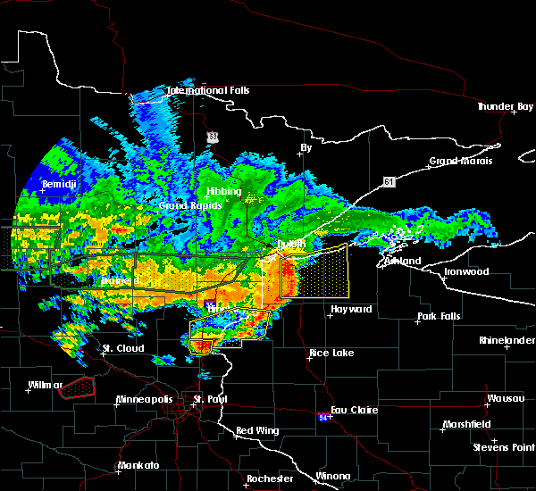 At 522 pm cdt, severe thunderstorms were located along a line extending from near south range, to near gordon, moving east at 30 mph (radar indicated). Hazards include 60 mph wind gusts and quarter size hail. Hail damage to vehicles is expected. expect wind damage to roofs, siding, and trees. these severe storms will be near, poplar in douglas county around 530 pm cdt. maple around 535 pm cdt. lake nebagamon around 545 pm cdt. barnes, brule and oulu around 555 pm cdt. iron river around 600 pm cdt. Other locations impacted by these severe thunderstorms include middle eau claire lake, lyman lake, upper eau claire lake, cloverland, wentworth, blueberry, amnicon falls state park, bennett, mouth of brule and saint croix flowage. At 522 pm cdt, severe thunderstorms were located along a line extending from near south range, to near gordon, moving east at 30 mph (radar indicated). Hazards include 60 mph wind gusts and quarter size hail. Hail damage to vehicles is expected. expect wind damage to roofs, siding, and trees. these severe storms will be near, poplar in douglas county around 530 pm cdt. maple around 535 pm cdt. lake nebagamon around 545 pm cdt. barnes, brule and oulu around 555 pm cdt. iron river around 600 pm cdt. Other locations impacted by these severe thunderstorms include middle eau claire lake, lyman lake, upper eau claire lake, cloverland, wentworth, blueberry, amnicon falls state park, bennett, mouth of brule and saint croix flowage.
|
| 7/11/2016 5:10 PM CDT |
 At 509 pm cdt, severe thunderstorms were located along a line extending from south range, to 8 miles east of dairyland, moving east at 30 mph (radar indicated). Hazards include 60 mph wind gusts and quarter size hail. Hail damage to vehicles is expected. expect wind damage to roofs, siding, and trees. severe thunderstorms will be near, hawthorne around 520 pm cdt. solon springs and gordon around 525 pm cdt. poplar in douglas county around 530 pm cdt. lake nebagamon around 540 pm cdt. brule and oulu around 550 pm cdt. iron river and port wing around 600 pm cdt. Other locations impacted by these severe thunderstorms include middle eau claire lake, lyman lake, upper eau claire lake, cloverland, wentworth, blueberry, amnicon falls state park, bennett, mouth of brule and saint croix flowage. At 509 pm cdt, severe thunderstorms were located along a line extending from south range, to 8 miles east of dairyland, moving east at 30 mph (radar indicated). Hazards include 60 mph wind gusts and quarter size hail. Hail damage to vehicles is expected. expect wind damage to roofs, siding, and trees. severe thunderstorms will be near, hawthorne around 520 pm cdt. solon springs and gordon around 525 pm cdt. poplar in douglas county around 530 pm cdt. lake nebagamon around 540 pm cdt. brule and oulu around 550 pm cdt. iron river and port wing around 600 pm cdt. Other locations impacted by these severe thunderstorms include middle eau claire lake, lyman lake, upper eau claire lake, cloverland, wentworth, blueberry, amnicon falls state park, bennett, mouth of brule and saint croix flowage.
|
| 6/25/2016 5:44 PM CDT |
 At 544 pm cdt, severe thunderstorms were located along a line extending from near brule to near solon springs to near duxbury, moving east at 45 mph (radar indicated). Hazards include 60 mph wind gusts. Expect damage to roofs. siding. And trees. At 544 pm cdt, severe thunderstorms were located along a line extending from near brule to near solon springs to near duxbury, moving east at 45 mph (radar indicated). Hazards include 60 mph wind gusts. Expect damage to roofs. siding. And trees.
|
| 6/25/2016 5:33 PM CDT |
 At 533 pm cdt, a severe thunderstorm was located over hawthorne, or 19 miles southeast of superior, moving east at 35 mph (radar indicated). Hazards include 60 mph wind gusts. Expect damage to roofs. siding. and trees. locations impacted include, duluth, superior, hawthorne, lake nebagamon, maple, brule, poplar in douglas county, solon springs, oliver, south range, wisconsin point, bennett, cloverland, billings park, pattison state park, wentworth, waino, patzau, blueberry and mouth of brule. A tornado watch remains in effect until 900 pm cdt for northeastern minnesota, and northwestern wisconsin. At 533 pm cdt, a severe thunderstorm was located over hawthorne, or 19 miles southeast of superior, moving east at 35 mph (radar indicated). Hazards include 60 mph wind gusts. Expect damage to roofs. siding. and trees. locations impacted include, duluth, superior, hawthorne, lake nebagamon, maple, brule, poplar in douglas county, solon springs, oliver, south range, wisconsin point, bennett, cloverland, billings park, pattison state park, wentworth, waino, patzau, blueberry and mouth of brule. A tornado watch remains in effect until 900 pm cdt for northeastern minnesota, and northwestern wisconsin.
|
| 6/25/2016 5:33 PM CDT |
At 533 pm cdt, a severe thunderstorm was located over hawthorne, or 19 miles southeast of superior, moving east at 35 mph (radar indicated). Hazards include 60 mph wind gusts. Expect damage to roofs. siding. and trees. locations impacted include, duluth, superior, hawthorne, lake nebagamon, maple, brule, poplar in douglas county, solon springs, oliver, south range, wisconsin point, bennett, cloverland, billings park, pattison state park, wentworth, waino, patzau, blueberry and mouth of brule. A tornado watch remains in effect until 900 pm cdt for northeastern minnesota, and northwestern wisconsin.
|
| 6/25/2016 5:14 PM CDT |
 At 514 pm cdt, a severe thunderstorm was located over south range, or 9 miles southeast of superior, moving east at 45 mph (radar indicated). Hazards include 60 mph wind gusts and penny size hail. Expect damage to roofs. siding. And trees. At 514 pm cdt, a severe thunderstorm was located over south range, or 9 miles southeast of superior, moving east at 45 mph (radar indicated). Hazards include 60 mph wind gusts and penny size hail. Expect damage to roofs. siding. And trees.
|
| 6/25/2016 5:14 PM CDT |
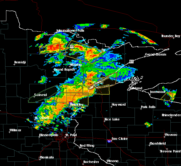 At 514 pm cdt, a severe thunderstorm was located over south range, or 9 miles southeast of superior, moving east at 45 mph (radar indicated). Hazards include 60 mph wind gusts and penny size hail. Expect damage to roofs. siding. And trees. At 514 pm cdt, a severe thunderstorm was located over south range, or 9 miles southeast of superior, moving east at 45 mph (radar indicated). Hazards include 60 mph wind gusts and penny size hail. Expect damage to roofs. siding. And trees.
|
| 6/25/2016 5:14 PM CDT |
At 514 pm cdt, a severe thunderstorm was located over south range, or 9 miles southeast of superior, moving east at 45 mph (radar indicated). Hazards include 60 mph wind gusts and penny size hail. Expect damage to roofs. siding. And trees.
|
| 6/25/2016 5:14 PM CDT |
At 514 pm cdt, a severe thunderstorm was located over south range, or 9 miles southeast of superior, moving east at 45 mph (radar indicated). Hazards include 60 mph wind gusts and penny size hail. Expect damage to roofs. siding. And trees.
|
| 6/25/2016 5:05 PM CDT |
 At 504 pm cdt, a severe thunderstorm was located over duluth, moving east at 45 mph (radar indicated). Hazards include 70 mph wind gusts and quarter size hail. Hail damage to vehicles is expected. expect considerable tree damage. wind damage is also likely to mobile homes, roofs, and outbuildings. locations impacted include, duluth, superior, cloquet, hermantown, two harbors, proctor, hawthorne, lake nebagamon, scanlon, carlton, maple, brule, poplar in douglas county, wrenshall, oliver, holyoke, thomson, south range, saginaw and foxboro. A tornado watch remains in effect until 900 pm cdt for northeastern minnesota, and northwestern wisconsin. At 504 pm cdt, a severe thunderstorm was located over duluth, moving east at 45 mph (radar indicated). Hazards include 70 mph wind gusts and quarter size hail. Hail damage to vehicles is expected. expect considerable tree damage. wind damage is also likely to mobile homes, roofs, and outbuildings. locations impacted include, duluth, superior, cloquet, hermantown, two harbors, proctor, hawthorne, lake nebagamon, scanlon, carlton, maple, brule, poplar in douglas county, wrenshall, oliver, holyoke, thomson, south range, saginaw and foxboro. A tornado watch remains in effect until 900 pm cdt for northeastern minnesota, and northwestern wisconsin.
|
| 6/25/2016 5:05 PM CDT |
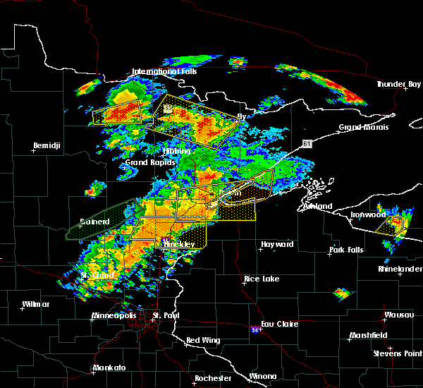 At 504 pm cdt, a severe thunderstorm was located over duluth, moving east at 45 mph (radar indicated). Hazards include 70 mph wind gusts and quarter size hail. Hail damage to vehicles is expected. expect considerable tree damage. wind damage is also likely to mobile homes, roofs, and outbuildings. locations impacted include, duluth, superior, cloquet, hermantown, two harbors, proctor, hawthorne, lake nebagamon, scanlon, carlton, maple, brule, poplar in douglas county, wrenshall, oliver, holyoke, thomson, south range, saginaw and foxboro. A tornado watch remains in effect until 900 pm cdt for northeastern minnesota, and northwestern wisconsin. At 504 pm cdt, a severe thunderstorm was located over duluth, moving east at 45 mph (radar indicated). Hazards include 70 mph wind gusts and quarter size hail. Hail damage to vehicles is expected. expect considerable tree damage. wind damage is also likely to mobile homes, roofs, and outbuildings. locations impacted include, duluth, superior, cloquet, hermantown, two harbors, proctor, hawthorne, lake nebagamon, scanlon, carlton, maple, brule, poplar in douglas county, wrenshall, oliver, holyoke, thomson, south range, saginaw and foxboro. A tornado watch remains in effect until 900 pm cdt for northeastern minnesota, and northwestern wisconsin.
|
| 6/25/2016 5:05 PM CDT |
At 504 pm cdt, a severe thunderstorm was located over duluth, moving east at 45 mph (radar indicated). Hazards include 70 mph wind gusts and quarter size hail. Hail damage to vehicles is expected. expect considerable tree damage. wind damage is also likely to mobile homes, roofs, and outbuildings. locations impacted include, duluth, superior, cloquet, hermantown, two harbors, proctor, hawthorne, lake nebagamon, scanlon, carlton, maple, brule, poplar in douglas county, wrenshall, oliver, holyoke, thomson, south range, saginaw and foxboro. A tornado watch remains in effect until 900 pm cdt for northeastern minnesota, and northwestern wisconsin.
|
| 6/25/2016 4:52 PM CDT |
 At 451 pm cdt, a severe thunderstorm was located over proctor, or 7 miles west of superior, moving east at 40 mph (radar indicated. this storm has a history of producing wind damage in the cromwell and cloquet areas). Hazards include 70 mph wind gusts and quarter size hail. Hail damage to vehicles is expected. expect considerable tree damage. wind damage is also likely to mobile homes, roofs, and outbuildings. locations impacted include, duluth, superior, cloquet, hermantown, two harbors, proctor, hawthorne, lake nebagamon, scanlon, carlton, maple, brule, barnum, mahtowa, poplar in douglas county, wrenshall, oliver, holyoke, thomson and brookston. A tornado watch remains in effect until 900 pm cdt for northeastern minnesota, and northwestern wisconsin. At 451 pm cdt, a severe thunderstorm was located over proctor, or 7 miles west of superior, moving east at 40 mph (radar indicated. this storm has a history of producing wind damage in the cromwell and cloquet areas). Hazards include 70 mph wind gusts and quarter size hail. Hail damage to vehicles is expected. expect considerable tree damage. wind damage is also likely to mobile homes, roofs, and outbuildings. locations impacted include, duluth, superior, cloquet, hermantown, two harbors, proctor, hawthorne, lake nebagamon, scanlon, carlton, maple, brule, barnum, mahtowa, poplar in douglas county, wrenshall, oliver, holyoke, thomson and brookston. A tornado watch remains in effect until 900 pm cdt for northeastern minnesota, and northwestern wisconsin.
|
| 6/25/2016 4:52 PM CDT |
At 451 pm cdt, a severe thunderstorm was located over proctor, or 7 miles west of superior, moving east at 40 mph (radar indicated. this storm has a history of producing wind damage in the cromwell and cloquet areas). Hazards include 70 mph wind gusts and quarter size hail. Hail damage to vehicles is expected. expect considerable tree damage. wind damage is also likely to mobile homes, roofs, and outbuildings. locations impacted include, duluth, superior, cloquet, hermantown, two harbors, proctor, hawthorne, lake nebagamon, scanlon, carlton, maple, brule, barnum, mahtowa, poplar in douglas county, wrenshall, oliver, holyoke, thomson and brookston. A tornado watch remains in effect until 900 pm cdt for northeastern minnesota, and northwestern wisconsin.
|
| 6/25/2016 4:36 PM CDT |
 At 435 pm cdt, a severe thunderstorm was located near carlton, or near cloquet, moving east at 50 mph. this is a very dangerous storm (radar indicated). Hazards include 80 mph wind gusts and quarter size hail. Flying debris will be dangerous to those caught without shelter. mobile homes will be heavily damaged. expect considerable damage to roofs, windows, and vehicles. Extensive tree damage and power outages are likely. At 435 pm cdt, a severe thunderstorm was located near carlton, or near cloquet, moving east at 50 mph. this is a very dangerous storm (radar indicated). Hazards include 80 mph wind gusts and quarter size hail. Flying debris will be dangerous to those caught without shelter. mobile homes will be heavily damaged. expect considerable damage to roofs, windows, and vehicles. Extensive tree damage and power outages are likely.
|
| 6/25/2016 4:36 PM CDT |
At 435 pm cdt, a severe thunderstorm was located near carlton, or near cloquet, moving east at 50 mph. this is a very dangerous storm (radar indicated). Hazards include 80 mph wind gusts and quarter size hail. Flying debris will be dangerous to those caught without shelter. mobile homes will be heavily damaged. expect considerable damage to roofs, windows, and vehicles. Extensive tree damage and power outages are likely.
|
| 6/19/2016 9:56 PM CDT |
 The severe thunderstorm warning for eastern carlton and northwestern douglas counties will expire at 1000 pm cdt, the storm which prompted the warning has weakened below severe limits, and no longer pose an immediate threat to life or property. therefore the warning will be allowed to expire. however small hail and gusty winds are still possible with this thunderstorm. a severe thunderstorm watch remains in effect until 1100 pm cdt for northeastern minnesota, and northwestern wisconsin. The severe thunderstorm warning for eastern carlton and northwestern douglas counties will expire at 1000 pm cdt, the storm which prompted the warning has weakened below severe limits, and no longer pose an immediate threat to life or property. therefore the warning will be allowed to expire. however small hail and gusty winds are still possible with this thunderstorm. a severe thunderstorm watch remains in effect until 1100 pm cdt for northeastern minnesota, and northwestern wisconsin.
|
| 6/19/2016 9:56 PM CDT |
The severe thunderstorm warning for eastern carlton and northwestern douglas counties will expire at 1000 pm cdt, the storm which prompted the warning has weakened below severe limits, and no longer pose an immediate threat to life or property. therefore the warning will be allowed to expire. however small hail and gusty winds are still possible with this thunderstorm. a severe thunderstorm watch remains in effect until 1100 pm cdt for northeastern minnesota, and northwestern wisconsin.
|
| 6/19/2016 9:19 PM CDT |
 At 919 pm cdt, a severe thunderstorm was located near mahtowa, or 7 miles southwest of cloquet, moving east at 55 mph (radar indicated). Hazards include golf ball size hail and 70 mph wind gusts. People and animals outdoors will be injured. expect hail damage to roofs, siding, windows, and vehicles. expect considerable tree damage. wind damage is also likely to mobile homes, roofs, and outbuildings. this severe thunderstorm will be near, scanlon around 925 pm cdt. carlton, wrenshall and thomson around 930 pm cdt. oliver around 940 pm cdt. superior around 945 pm cdt. south range and wisconsin point around 950 pm cdt. Other locations impacted by this severe thunderstorm include billings park, pattison state park, sawyer, scotts corner, pleasant valley, jay cooke state park, esko, amnicon lake and patzau. At 919 pm cdt, a severe thunderstorm was located near mahtowa, or 7 miles southwest of cloquet, moving east at 55 mph (radar indicated). Hazards include golf ball size hail and 70 mph wind gusts. People and animals outdoors will be injured. expect hail damage to roofs, siding, windows, and vehicles. expect considerable tree damage. wind damage is also likely to mobile homes, roofs, and outbuildings. this severe thunderstorm will be near, scanlon around 925 pm cdt. carlton, wrenshall and thomson around 930 pm cdt. oliver around 940 pm cdt. superior around 945 pm cdt. south range and wisconsin point around 950 pm cdt. Other locations impacted by this severe thunderstorm include billings park, pattison state park, sawyer, scotts corner, pleasant valley, jay cooke state park, esko, amnicon lake and patzau.
|
| 6/19/2016 9:19 PM CDT |
At 919 pm cdt, a severe thunderstorm was located near mahtowa, or 7 miles southwest of cloquet, moving east at 55 mph (radar indicated). Hazards include golf ball size hail and 70 mph wind gusts. People and animals outdoors will be injured. expect hail damage to roofs, siding, windows, and vehicles. expect considerable tree damage. wind damage is also likely to mobile homes, roofs, and outbuildings. this severe thunderstorm will be near, scanlon around 925 pm cdt. carlton, wrenshall and thomson around 930 pm cdt. oliver around 940 pm cdt. superior around 945 pm cdt. south range and wisconsin point around 950 pm cdt. Other locations impacted by this severe thunderstorm include billings park, pattison state park, sawyer, scotts corner, pleasant valley, jay cooke state park, esko, amnicon lake and patzau.
|
| 6/19/2016 9:06 PM CDT |
 At 906 pm cdt, severe thunderstorms were located along a line extending from south range to 7 miles east of dairyland, moving east at 45 mph (radar indicated). Hazards include 70 mph wind gusts and ping pong ball size hail. People and animals outdoors will be injured. expect hail damage to roofs, siding, windows, and vehicles. expect considerable tree damage. wind damage is also likely to mobile homes, roofs, and outbuildings. these severe storms will be near, hawthorne, maple, poplar in douglas county and gordon around 915 pm cdt. Other locations impacted by these severe thunderstorms include pattison state park, lyman lake, scotts corner, wentworth, nickerson, pleasant valley, belden, patzau, chaffey and kingsdale. At 906 pm cdt, severe thunderstorms were located along a line extending from south range to 7 miles east of dairyland, moving east at 45 mph (radar indicated). Hazards include 70 mph wind gusts and ping pong ball size hail. People and animals outdoors will be injured. expect hail damage to roofs, siding, windows, and vehicles. expect considerable tree damage. wind damage is also likely to mobile homes, roofs, and outbuildings. these severe storms will be near, hawthorne, maple, poplar in douglas county and gordon around 915 pm cdt. Other locations impacted by these severe thunderstorms include pattison state park, lyman lake, scotts corner, wentworth, nickerson, pleasant valley, belden, patzau, chaffey and kingsdale.
|
| 6/19/2016 9:06 PM CDT |
At 906 pm cdt, severe thunderstorms were located along a line extending from south range to 7 miles east of dairyland, moving east at 45 mph (radar indicated). Hazards include 70 mph wind gusts and ping pong ball size hail. People and animals outdoors will be injured. expect hail damage to roofs, siding, windows, and vehicles. expect considerable tree damage. wind damage is also likely to mobile homes, roofs, and outbuildings. these severe storms will be near, hawthorne, maple, poplar in douglas county and gordon around 915 pm cdt. Other locations impacted by these severe thunderstorms include pattison state park, lyman lake, scotts corner, wentworth, nickerson, pleasant valley, belden, patzau, chaffey and kingsdale.
|
| 6/19/2016 9:04 PM CDT | Large tree blown down in east end of superio in douglas county WI, 3.9 miles SSW of Superior, WI |
| 6/19/2016 8:47 PM CDT |
 At 846 pm cdt, severe thunderstorms were located along a line extending from oliver to near dairyland, moving east at 50 mph (radar indicated). Hazards include 70 mph wind gusts and ping pong ball size hail. People and animals outdoors will be injured. expect hail damage to roofs, siding, windows, and vehicles. expect considerable tree damage. wind damage is also likely to mobile homes, roofs, and outbuildings. these severe storms will be near, superior around 850 pm cdt. wisconsin point around 855 pm cdt. south range around 900 pm cdt. hawthorne around 905 pm cdt. poplar in douglas county, solon springs and gordon around 910 pm cdt. lake nebagamon and maple around 915 pm cdt. Other locations impacted by these severe thunderstorms include pattison state park, lyman lake, scotts corner, wentworth, nickerson, pleasant valley, belden, patzau, chaffey and kingsdale. At 846 pm cdt, severe thunderstorms were located along a line extending from oliver to near dairyland, moving east at 50 mph (radar indicated). Hazards include 70 mph wind gusts and ping pong ball size hail. People and animals outdoors will be injured. expect hail damage to roofs, siding, windows, and vehicles. expect considerable tree damage. wind damage is also likely to mobile homes, roofs, and outbuildings. these severe storms will be near, superior around 850 pm cdt. wisconsin point around 855 pm cdt. south range around 900 pm cdt. hawthorne around 905 pm cdt. poplar in douglas county, solon springs and gordon around 910 pm cdt. lake nebagamon and maple around 915 pm cdt. Other locations impacted by these severe thunderstorms include pattison state park, lyman lake, scotts corner, wentworth, nickerson, pleasant valley, belden, patzau, chaffey and kingsdale.
|
| 6/19/2016 8:47 PM CDT |
At 846 pm cdt, severe thunderstorms were located along a line extending from oliver to near dairyland, moving east at 50 mph (radar indicated). Hazards include 70 mph wind gusts and ping pong ball size hail. People and animals outdoors will be injured. expect hail damage to roofs, siding, windows, and vehicles. expect considerable tree damage. wind damage is also likely to mobile homes, roofs, and outbuildings. these severe storms will be near, superior around 850 pm cdt. wisconsin point around 855 pm cdt. south range around 900 pm cdt. hawthorne around 905 pm cdt. poplar in douglas county, solon springs and gordon around 910 pm cdt. lake nebagamon and maple around 915 pm cdt. Other locations impacted by these severe thunderstorms include pattison state park, lyman lake, scotts corner, wentworth, nickerson, pleasant valley, belden, patzau, chaffey and kingsdale.
|
| 6/19/2016 8:24 PM CDT |
 At 823 pm cdt, severe thunderstorms were located along a line extending from 6 miles north of mahtowa to near bruno, moving east at 55 mph (radar indicated). Hazards include 70 mph wind gusts and ping pong ball size hail. People and animals outdoors will be injured. expect hail damage to roofs, siding, windows, and vehicles. expect considerable tree damage. wind damage is also likely to mobile homes, roofs, and outbuildings. severe thunderstorms will be near, carlton, wrenshall and thomson around 835 pm cdt. oliver and dairyland around 845 pm cdt. superior around 850 pm cdt. south range and wisconsin point around 855 pm cdt. hawthorne around 900 pm cdt. maple, poplar in douglas county and gordon around 905 pm cdt. lake nebagamon around 910 pm cdt. Other locations impacted by these severe thunderstorms include pattison state park, lyman lake, scotts corner, wentworth, nickerson, pleasant valley, belden, patzau, chaffey and kingsdale. At 823 pm cdt, severe thunderstorms were located along a line extending from 6 miles north of mahtowa to near bruno, moving east at 55 mph (radar indicated). Hazards include 70 mph wind gusts and ping pong ball size hail. People and animals outdoors will be injured. expect hail damage to roofs, siding, windows, and vehicles. expect considerable tree damage. wind damage is also likely to mobile homes, roofs, and outbuildings. severe thunderstorms will be near, carlton, wrenshall and thomson around 835 pm cdt. oliver and dairyland around 845 pm cdt. superior around 850 pm cdt. south range and wisconsin point around 855 pm cdt. hawthorne around 900 pm cdt. maple, poplar in douglas county and gordon around 905 pm cdt. lake nebagamon around 910 pm cdt. Other locations impacted by these severe thunderstorms include pattison state park, lyman lake, scotts corner, wentworth, nickerson, pleasant valley, belden, patzau, chaffey and kingsdale.
|
| 6/19/2016 8:24 PM CDT |
At 823 pm cdt, severe thunderstorms were located along a line extending from 6 miles north of mahtowa to near bruno, moving east at 55 mph (radar indicated). Hazards include 70 mph wind gusts and ping pong ball size hail. People and animals outdoors will be injured. expect hail damage to roofs, siding, windows, and vehicles. expect considerable tree damage. wind damage is also likely to mobile homes, roofs, and outbuildings. severe thunderstorms will be near, carlton, wrenshall and thomson around 835 pm cdt. oliver and dairyland around 845 pm cdt. superior around 850 pm cdt. south range and wisconsin point around 855 pm cdt. hawthorne around 900 pm cdt. maple, poplar in douglas county and gordon around 905 pm cdt. lake nebagamon around 910 pm cdt. Other locations impacted by these severe thunderstorms include pattison state park, lyman lake, scotts corner, wentworth, nickerson, pleasant valley, belden, patzau, chaffey and kingsdale.
|
| 6/5/2016 2:25 PM CDT |
 At 225 pm cdt, a severe thunderstorm was located over oliver, or near superior, moving southeast at 45 mph (radar indicated). Hazards include 60 mph wind gusts and half dollar size hail. Hail damage to vehicles is expected. Expect wind damage to roofs, siding, and trees. At 225 pm cdt, a severe thunderstorm was located over oliver, or near superior, moving southeast at 45 mph (radar indicated). Hazards include 60 mph wind gusts and half dollar size hail. Hail damage to vehicles is expected. Expect wind damage to roofs, siding, and trees.
|
| 6/5/2016 2:25 PM CDT |
At 225 pm cdt, a severe thunderstorm was located over oliver, or near superior, moving southeast at 45 mph (radar indicated). Hazards include 60 mph wind gusts and half dollar size hail. Hail damage to vehicles is expected. Expect wind damage to roofs, siding, and trees.
|
| 6/5/2016 1:18 PM CDT |
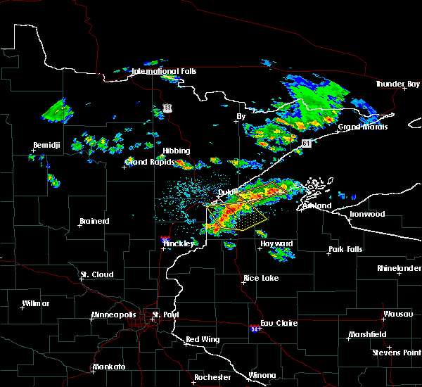 At 117 pm cdt, severe thunderstorms were located along a line extending from near maple to near south range to near oliver, moving southeast at 40 mph (radar indicated). Hazards include 60 mph wind gusts and penny size hail. Expect damage to roofs. siding. and trees. Locations impacted include, superior, hawthorne, lake nebagamon, barnes, maple, brule, poplar in douglas county, solon springs, oliver, south range, bennett, cloverland, pattison state park, lyman lake, wentworth, blueberry, amnicon falls state park and amnicon lake. At 117 pm cdt, severe thunderstorms were located along a line extending from near maple to near south range to near oliver, moving southeast at 40 mph (radar indicated). Hazards include 60 mph wind gusts and penny size hail. Expect damage to roofs. siding. and trees. Locations impacted include, superior, hawthorne, lake nebagamon, barnes, maple, brule, poplar in douglas county, solon springs, oliver, south range, bennett, cloverland, pattison state park, lyman lake, wentworth, blueberry, amnicon falls state park and amnicon lake.
|
| 6/5/2016 1:18 PM CDT |
At 117 pm cdt, severe thunderstorms were located along a line extending from near maple to near south range to near oliver, moving southeast at 40 mph (radar indicated). Hazards include 60 mph wind gusts and penny size hail. Expect damage to roofs. siding. and trees. Locations impacted include, superior, hawthorne, lake nebagamon, barnes, maple, brule, poplar in douglas county, solon springs, oliver, south range, bennett, cloverland, pattison state park, lyman lake, wentworth, blueberry, amnicon falls state park and amnicon lake.
|
| 6/5/2016 12:55 PM CDT |
 At 1255 pm cdt, severe thunderstorms were located along a line extending from near french river to near duluth to near saginaw, moving southeast at 40 mph (radar indicated). Hazards include 60 mph wind gusts and quarter size hail. Hail damage to vehicles is expected. Expect wind damage to roofs, siding, and trees. At 1255 pm cdt, severe thunderstorms were located along a line extending from near french river to near duluth to near saginaw, moving southeast at 40 mph (radar indicated). Hazards include 60 mph wind gusts and quarter size hail. Hail damage to vehicles is expected. Expect wind damage to roofs, siding, and trees.
|
| 6/5/2016 12:55 PM CDT |
At 1255 pm cdt, severe thunderstorms were located along a line extending from near french river to near duluth to near saginaw, moving southeast at 40 mph (radar indicated). Hazards include 60 mph wind gusts and quarter size hail. Hail damage to vehicles is expected. Expect wind damage to roofs, siding, and trees.
|
| 6/5/2016 12:42 PM CDT |
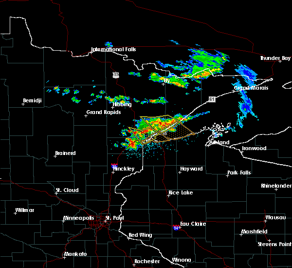 At 1242 pm cdt, severe thunderstorms were located along a line extending from near arnold, to pike lake near duluth to near saginaw, moving southeast at 40 mph (radar indicated). Hazards include 70 mph wind gusts and quarter size hail. Hail damage to vehicles is expected. expect considerable tree damage. wind damage is also likely to mobile homes, roofs, and outbuildings. Locations impacted include, duluth, superior, hermantown, proctor, oliver, saginaw, pike lake near duluth, arnold, grand lake, irving, billings park, chester park, kenwood, morley hts/parkview, east hillside, lakeside-lester park, congdon park, denfeld, wild rice lake and twig. At 1242 pm cdt, severe thunderstorms were located along a line extending from near arnold, to pike lake near duluth to near saginaw, moving southeast at 40 mph (radar indicated). Hazards include 70 mph wind gusts and quarter size hail. Hail damage to vehicles is expected. expect considerable tree damage. wind damage is also likely to mobile homes, roofs, and outbuildings. Locations impacted include, duluth, superior, hermantown, proctor, oliver, saginaw, pike lake near duluth, arnold, grand lake, irving, billings park, chester park, kenwood, morley hts/parkview, east hillside, lakeside-lester park, congdon park, denfeld, wild rice lake and twig.
|
| 6/5/2016 12:30 PM CDT |
 At 1230 pm cdt, a severe thunderstorm was located near canyon, or 18 miles north of cloquet, moving southeast at 40 mph (radar indicated). Hazards include 60 mph wind gusts and quarter size hail. Hail damage to vehicles is expected. Expect wind damage to roofs, siding, and trees. At 1230 pm cdt, a severe thunderstorm was located near canyon, or 18 miles north of cloquet, moving southeast at 40 mph (radar indicated). Hazards include 60 mph wind gusts and quarter size hail. Hail damage to vehicles is expected. Expect wind damage to roofs, siding, and trees.
|
| 6/5/2016 12:30 PM CDT |
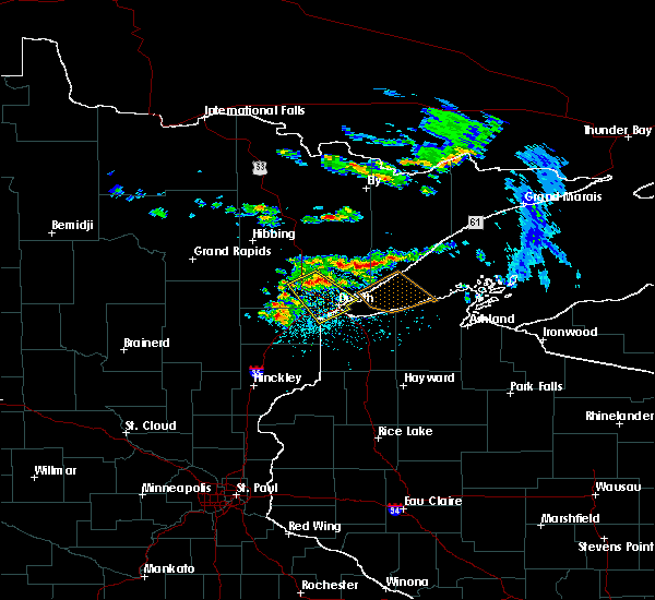 At 1230 pm cdt, a severe thunderstorm was located near canyon, or 18 miles north of cloquet, moving southeast at 40 mph (radar indicated). Hazards include 60 mph wind gusts and quarter size hail. Hail damage to vehicles is expected. Expect wind damage to roofs, siding, and trees. At 1230 pm cdt, a severe thunderstorm was located near canyon, or 18 miles north of cloquet, moving southeast at 40 mph (radar indicated). Hazards include 60 mph wind gusts and quarter size hail. Hail damage to vehicles is expected. Expect wind damage to roofs, siding, and trees.
|
| 6/29/2015 11:44 AM CDT |
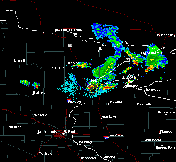 At 1144 am cdt, severe thunderstorms were located along a line extending from superior to near patzau, moving south at 35 mph (radar indicated). Hazards include quarter size hail and 60 mph wind gusts. Hail damage to vehicles is expected. Expect wind damage to roofs, siding and trees. At 1144 am cdt, severe thunderstorms were located along a line extending from superior to near patzau, moving south at 35 mph (radar indicated). Hazards include quarter size hail and 60 mph wind gusts. Hail damage to vehicles is expected. Expect wind damage to roofs, siding and trees.
|
| 6/29/2015 11:40 AM CDT | Golf Ball sized hail reported 6.3 miles WNW of Superior, WI, northland camping and rv park |
| 6/29/2015 11:34 AM CDT |
 At 1134 am cdt, a severe thunderstorm was located near oliver, or near superior, moving southeast at 30 mph (radar indicated). Hazards include 60 mph wind gusts and nickel size hail. Expect damage to roofs. Siding and trees. At 1134 am cdt, a severe thunderstorm was located near oliver, or near superior, moving southeast at 30 mph (radar indicated). Hazards include 60 mph wind gusts and nickel size hail. Expect damage to roofs. Siding and trees.
|
| 6/29/2015 11:34 AM CDT |
At 1134 am cdt, a severe thunderstorm was located near oliver, or near superior, moving southeast at 30 mph (radar indicated). Hazards include 60 mph wind gusts and nickel size hail. Expect damage to roofs. Siding and trees.
|
| 6/29/2015 11:21 AM CDT |
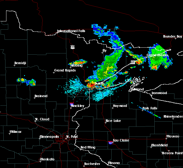 At 1120 am cdt, a severe thunderstorm was located over west duluth and proctor, moving southeast at 40 mph (radar indicated). Hazards include 60 mph wind gusts and nickel size hail. Expect damage to trees and roofs. this severe storm will be near, oliver and cannal park around 1125 am cdt. superior around 1130 am cdt. Other locations impacted by this severe thunderstorm include cody, kenwood, bayview heights, riverside, central business district, central hillside, east hillside, duluth heights, gary new duluth and smithville. At 1120 am cdt, a severe thunderstorm was located over west duluth and proctor, moving southeast at 40 mph (radar indicated). Hazards include 60 mph wind gusts and nickel size hail. Expect damage to trees and roofs. this severe storm will be near, oliver and cannal park around 1125 am cdt. superior around 1130 am cdt. Other locations impacted by this severe thunderstorm include cody, kenwood, bayview heights, riverside, central business district, central hillside, east hillside, duluth heights, gary new duluth and smithville.
|
| 6/29/2015 11:21 AM CDT |
At 1120 am cdt, a severe thunderstorm was located over west duluth and proctor, moving southeast at 40 mph (radar indicated). Hazards include 60 mph wind gusts and nickel size hail. Expect damage to trees and roofs. this severe storm will be near, oliver and cannal park around 1125 am cdt. superior around 1130 am cdt. Other locations impacted by this severe thunderstorm include cody, kenwood, bayview heights, riverside, central business district, central hillside, east hillside, duluth heights, gary new duluth and smithville.
|
| 6/22/2015 6:35 AM CDT |
 At 634 am cdt, a severe thunderstorm was located over south range, or near superior, moving east at 35 mph (radar indicated). Hazards include 60 mph wind gusts and half dollar size hail. Hail damage to vehicles is expected. expect wind damage to roofs, siding and trees. Locations impacted include, superior, poplar, south range and wentworth. At 634 am cdt, a severe thunderstorm was located over south range, or near superior, moving east at 35 mph (radar indicated). Hazards include 60 mph wind gusts and half dollar size hail. Hail damage to vehicles is expected. expect wind damage to roofs, siding and trees. Locations impacted include, superior, poplar, south range and wentworth.
|
| 6/22/2015 6:19 AM CDT |
 At 618 am cdt, a severe thunderstorm was located near oliver, or 9 miles southwest of superior, moving east at 35 mph (radar indicated). Hazards include half dollar size hail and 60 mph wind gusts. Hail damage to vehicles is expected. Expect wind damage to roofs, siding and trees. At 618 am cdt, a severe thunderstorm was located near oliver, or 9 miles southwest of superior, moving east at 35 mph (radar indicated). Hazards include half dollar size hail and 60 mph wind gusts. Hail damage to vehicles is expected. Expect wind damage to roofs, siding and trees.
|
| 6/22/2015 6:19 AM CDT |
At 618 am cdt, a severe thunderstorm was located near oliver, or 9 miles southwest of superior, moving east at 35 mph (radar indicated). Hazards include half dollar size hail and 60 mph wind gusts. Hail damage to vehicles is expected. Expect wind damage to roofs, siding and trees.
|
| 6/29/2014 12:51 PM CDT | Quarter sized hail reported 3.9 miles SSW of Superior, WI, measured at the courthouse. |
| 9/12/2011 4:42 PM CDT | Quarter sized hail reported 6 miles S of Superior, WI, at grand ave and i-35 |
| 1/1/0001 12:00 AM | Half Dollar sized hail reported 3.9 miles SSW of Superior, WI, estimated from a submitted photo. |
Hail Maps for Superior, WI
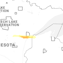


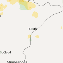


Connect with Interactive Hail Maps