

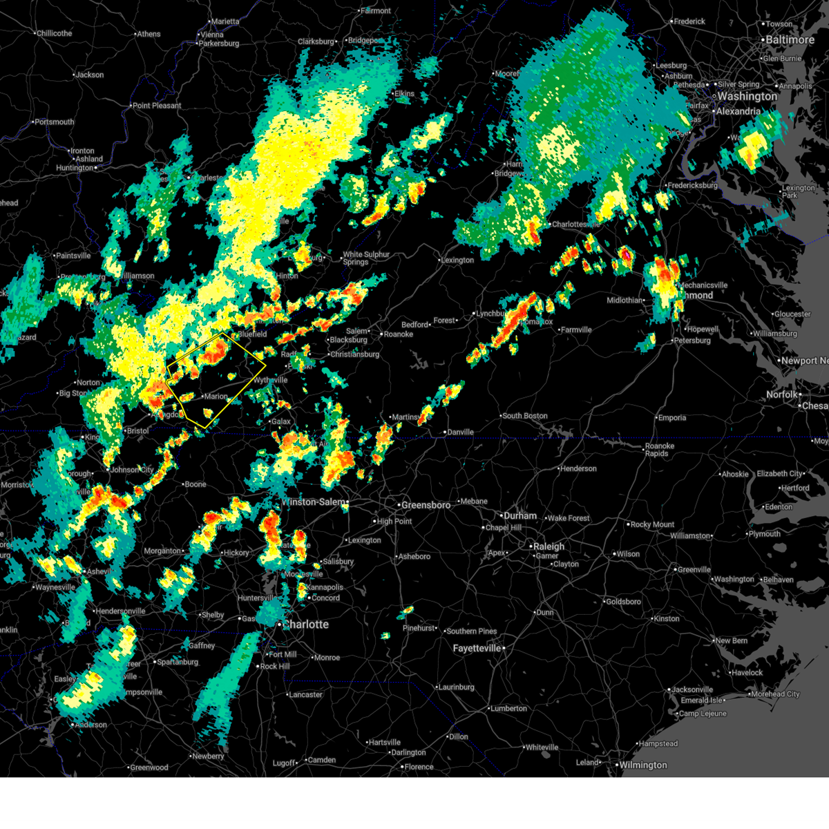
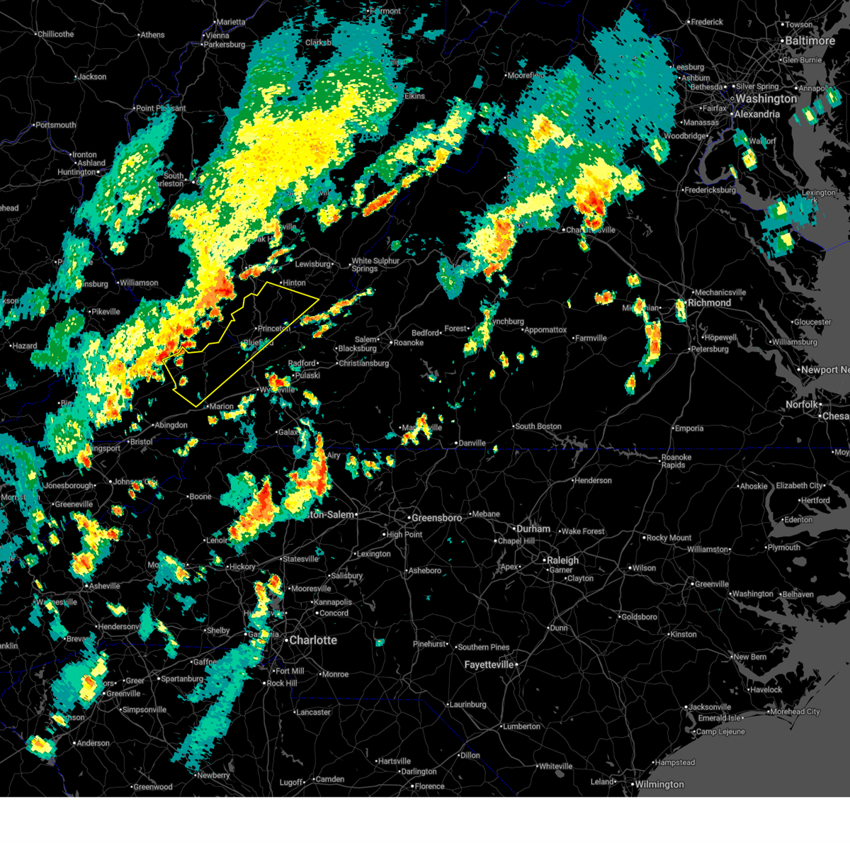
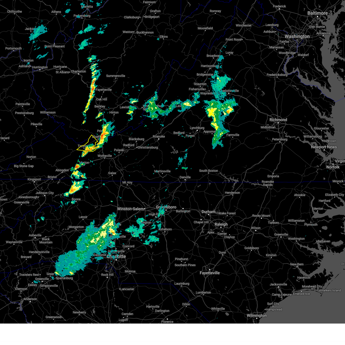
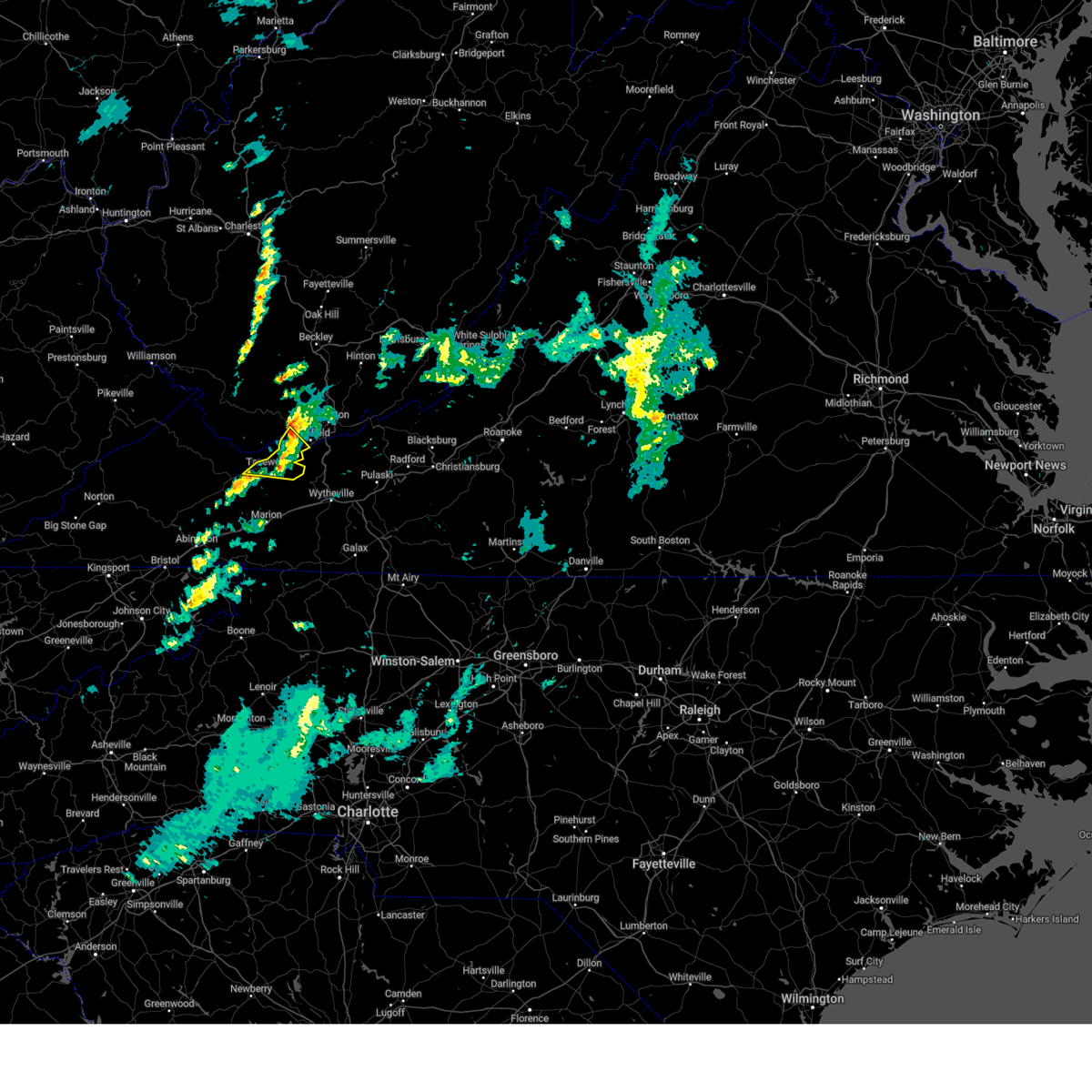
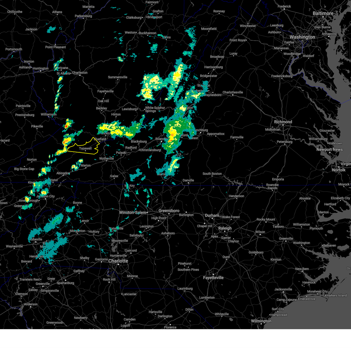
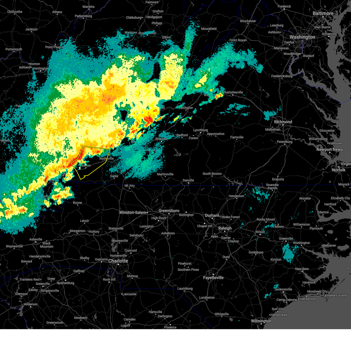
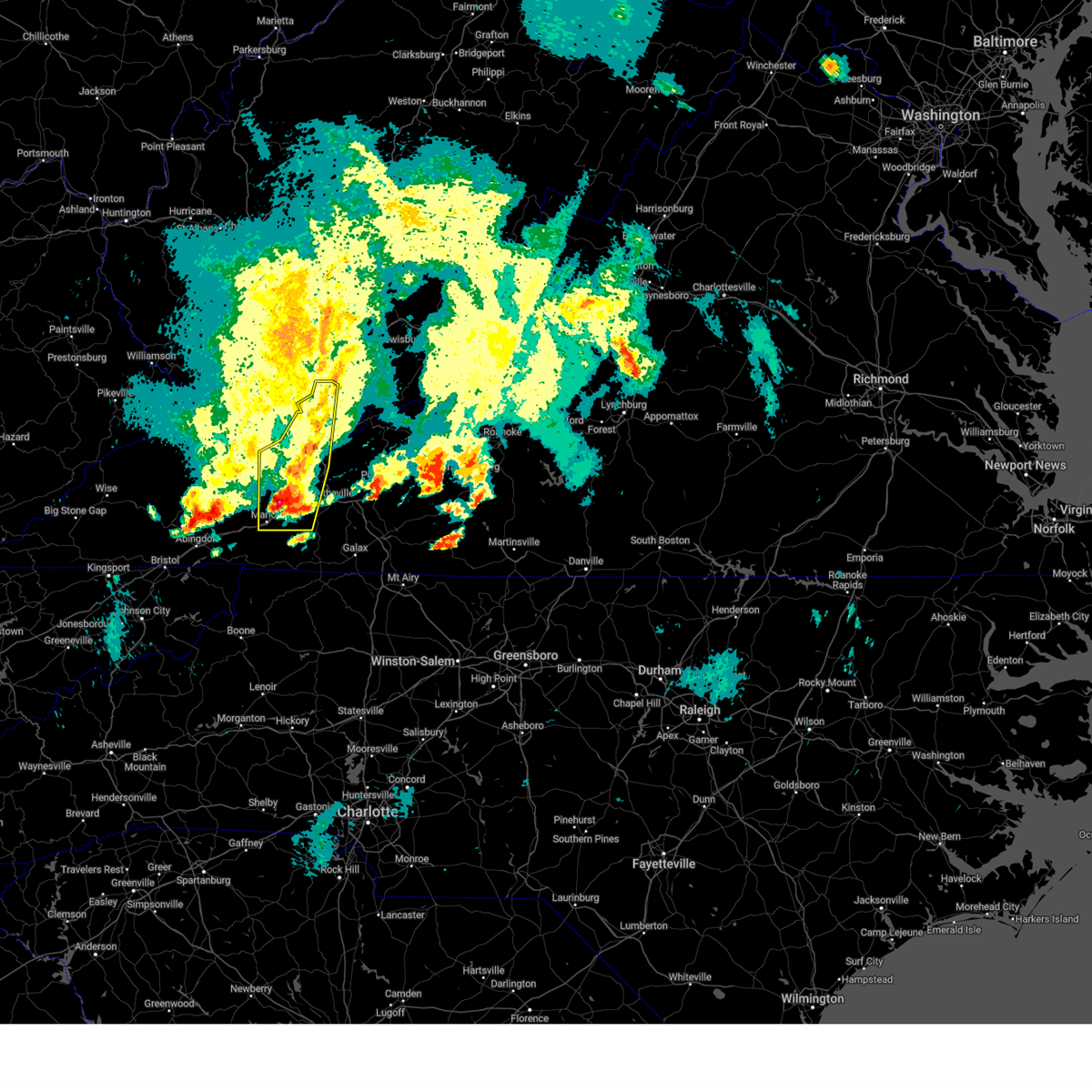
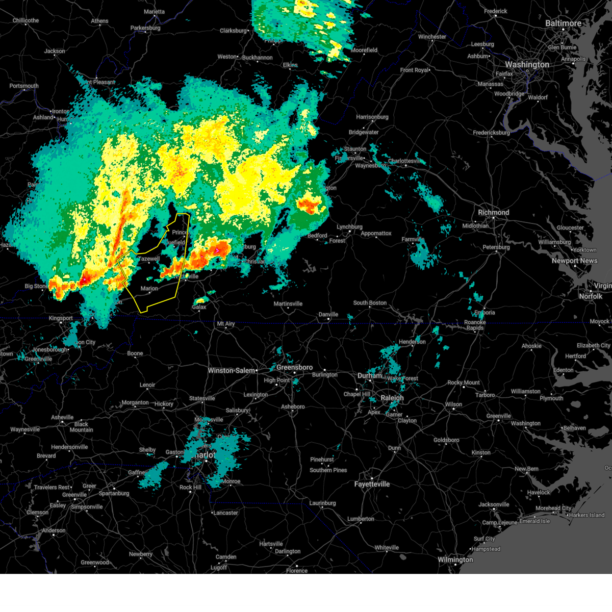
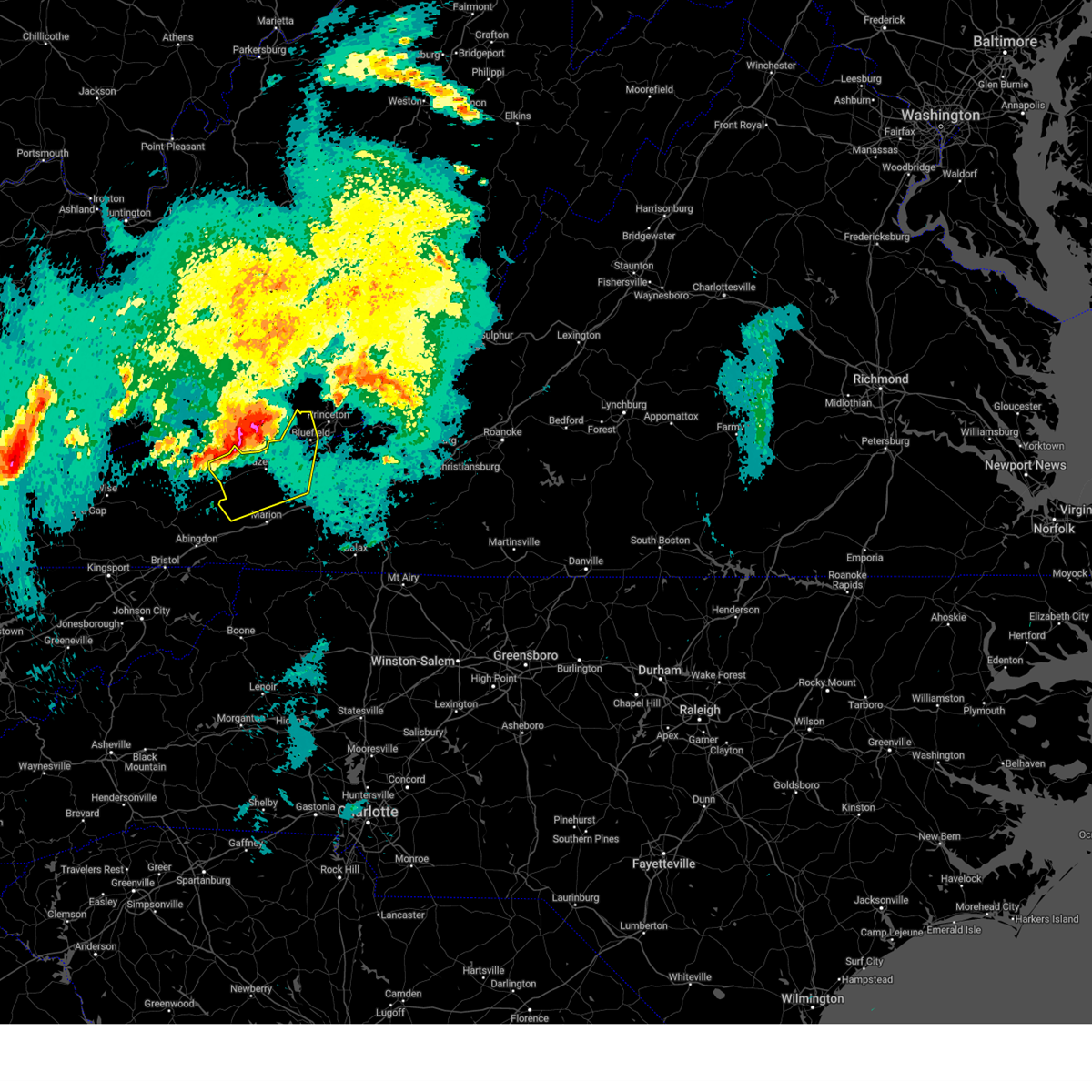
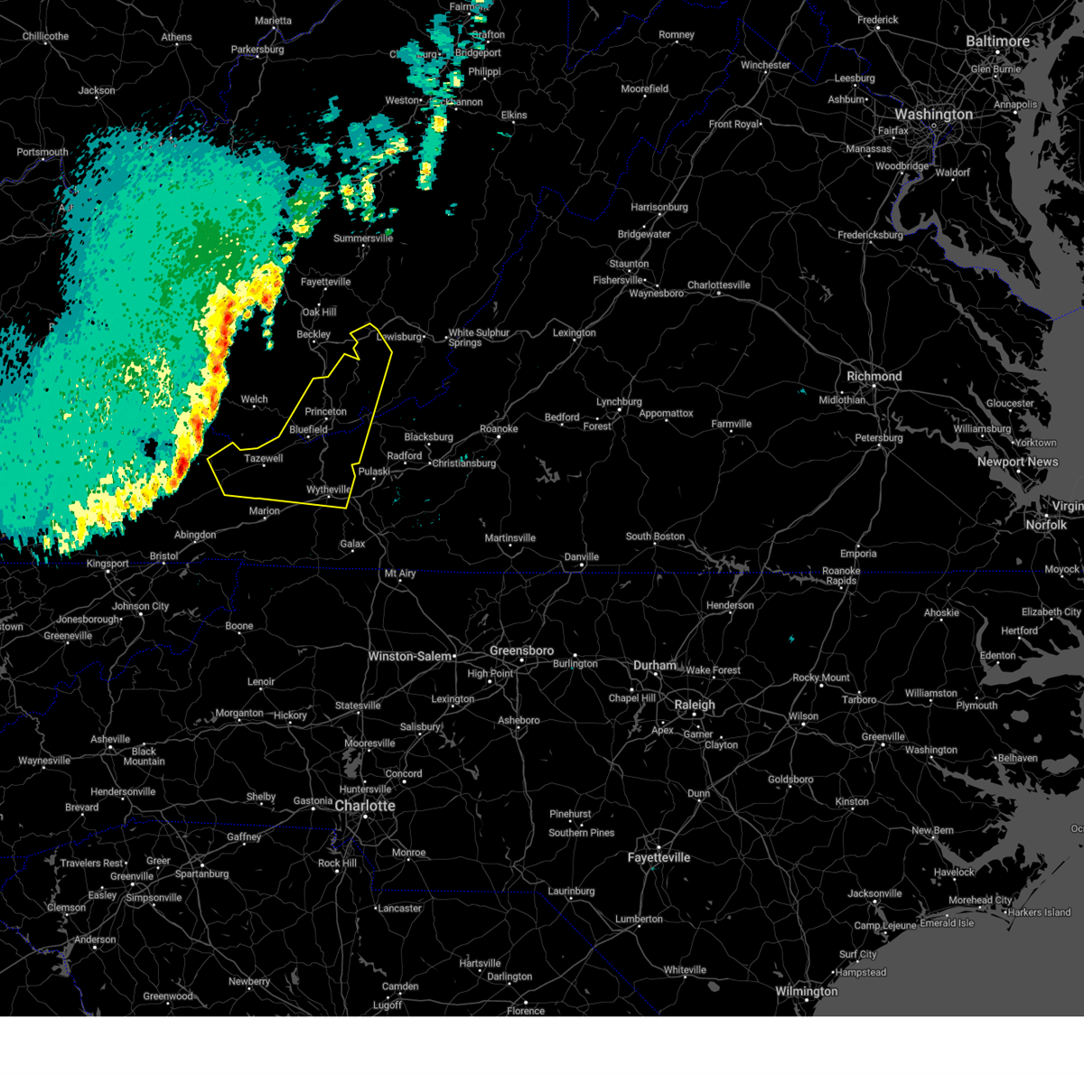
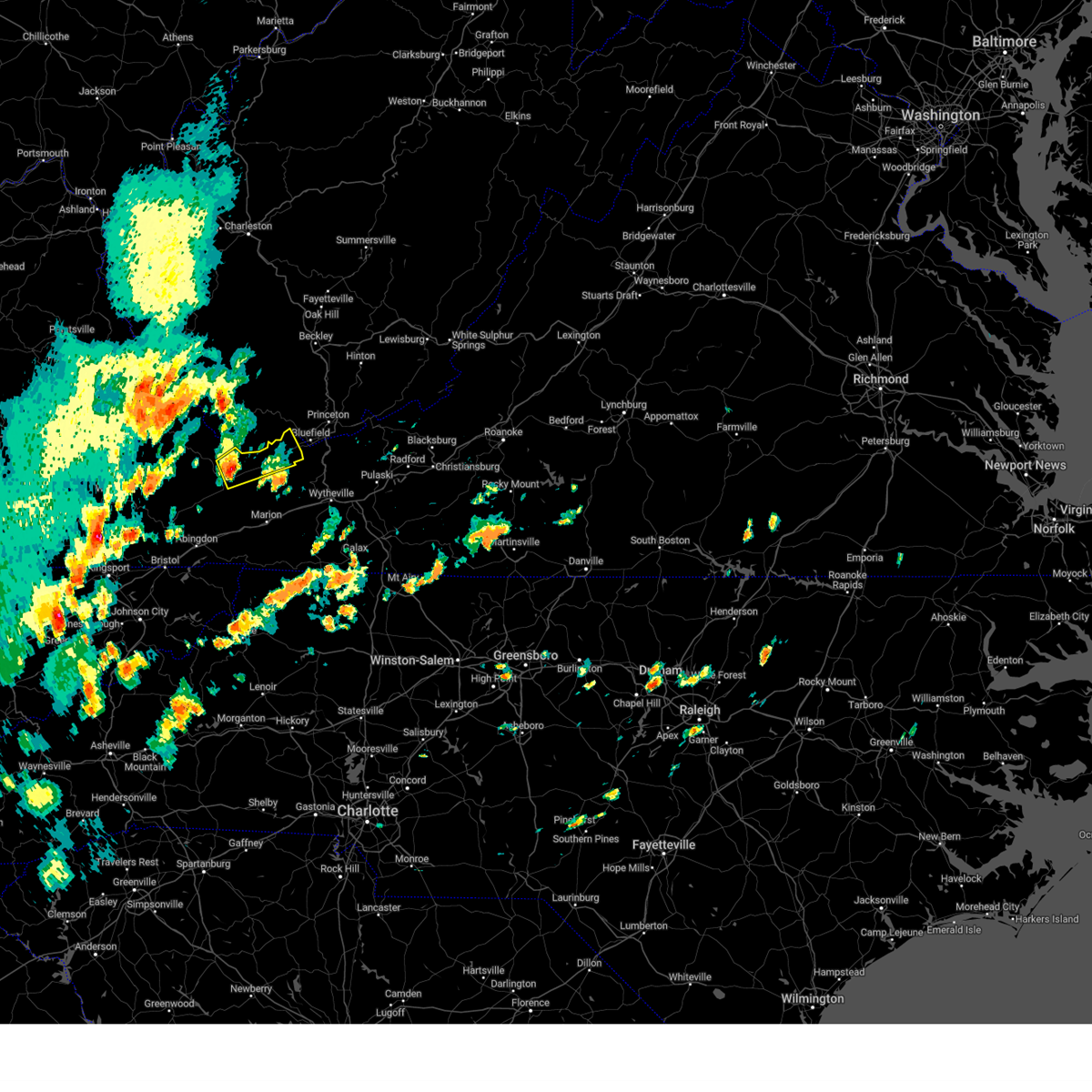
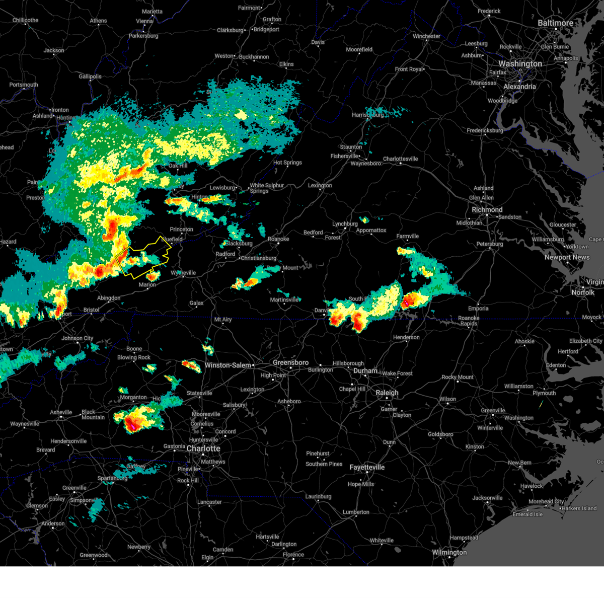
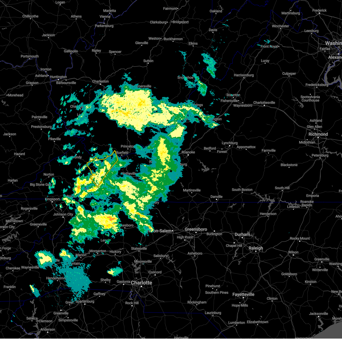
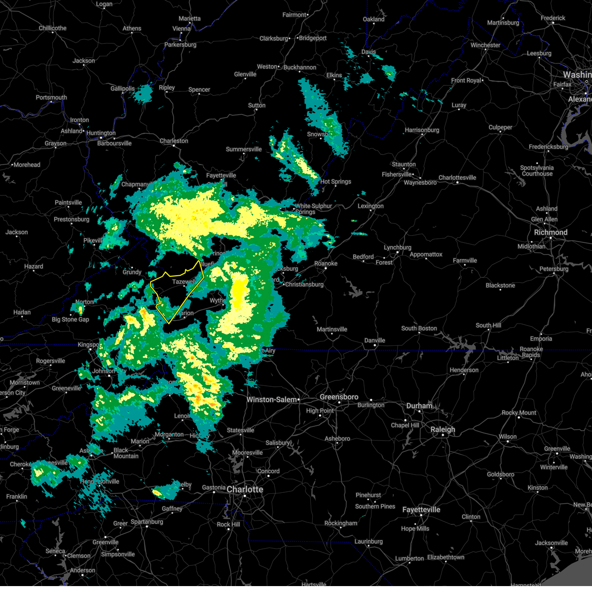
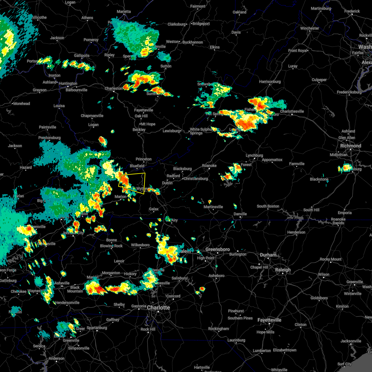
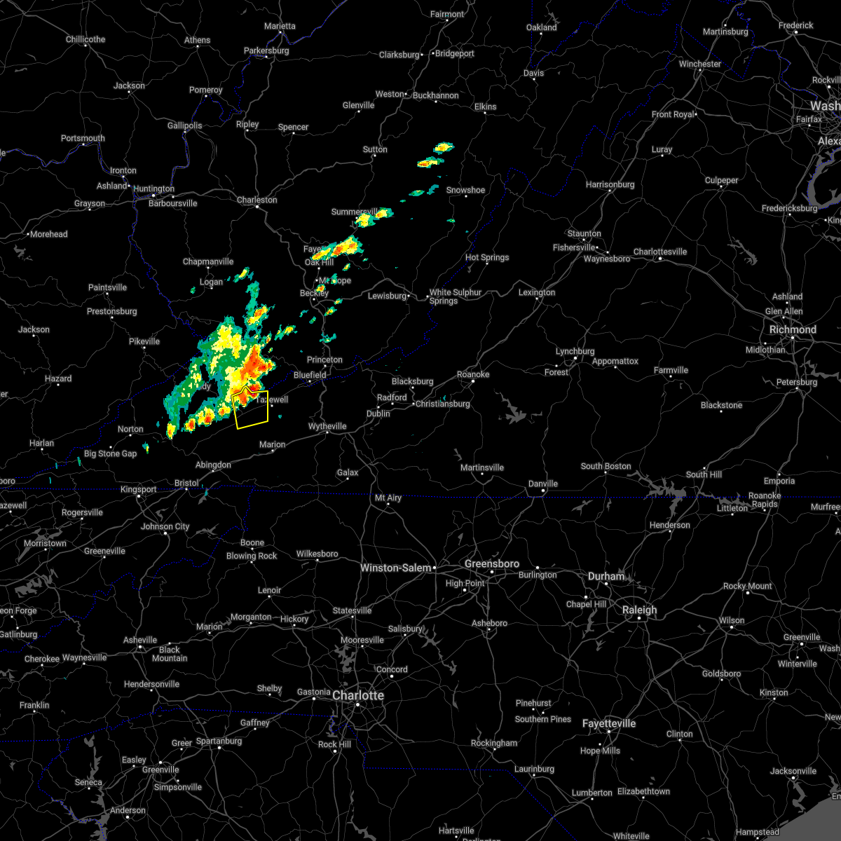
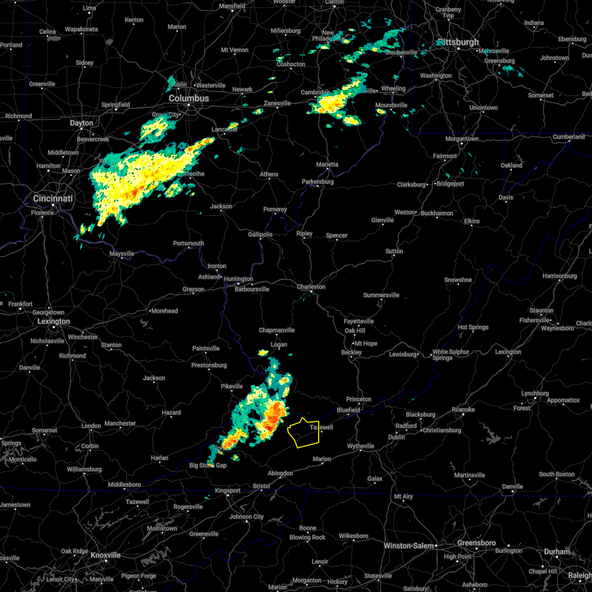
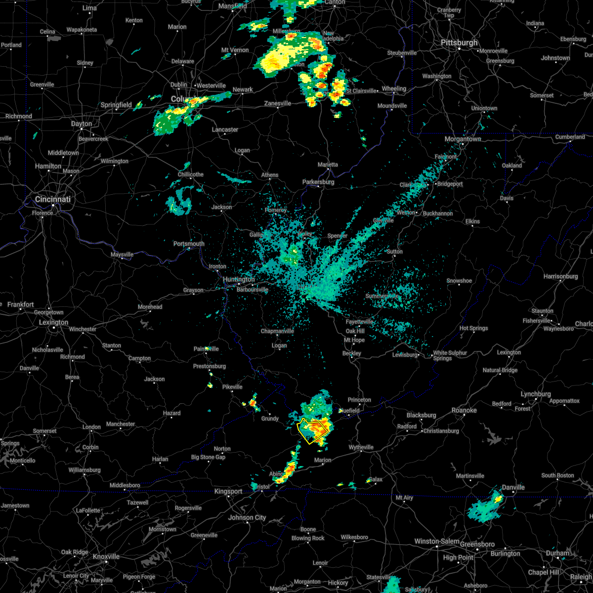
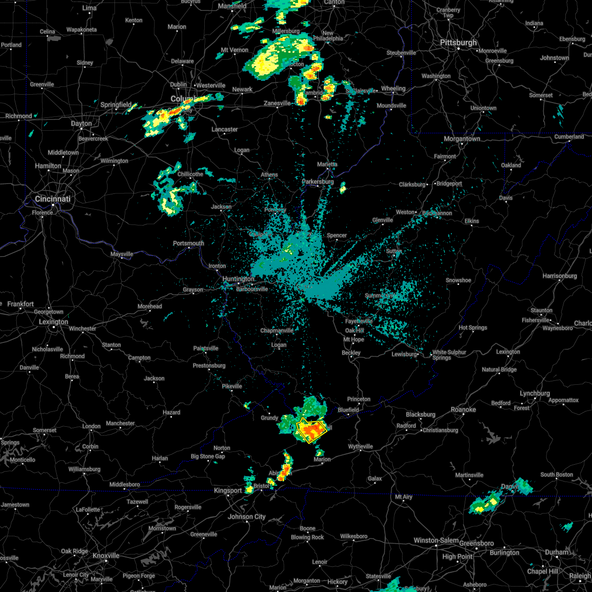
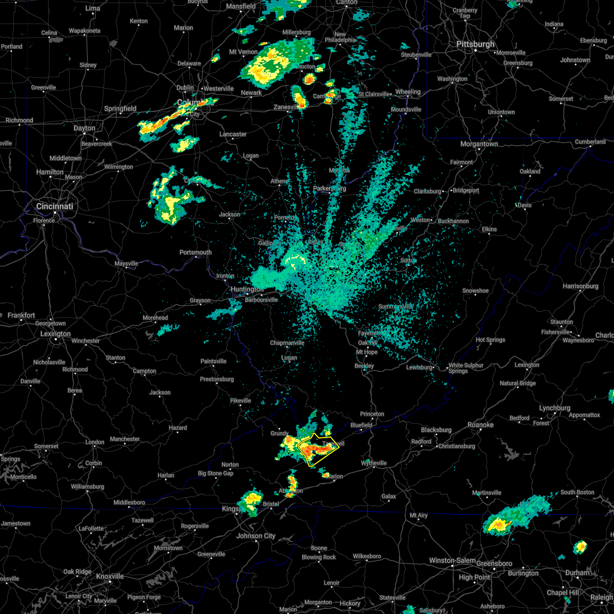
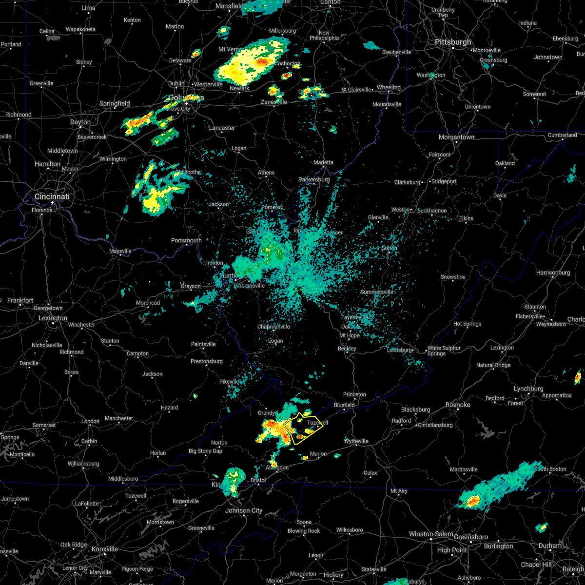
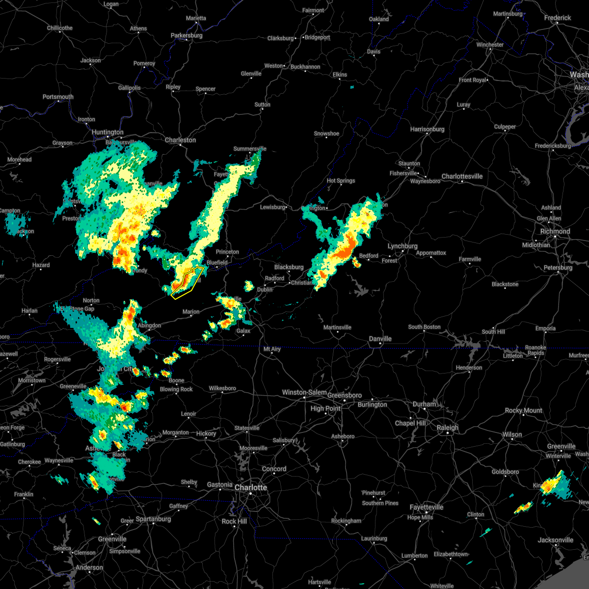
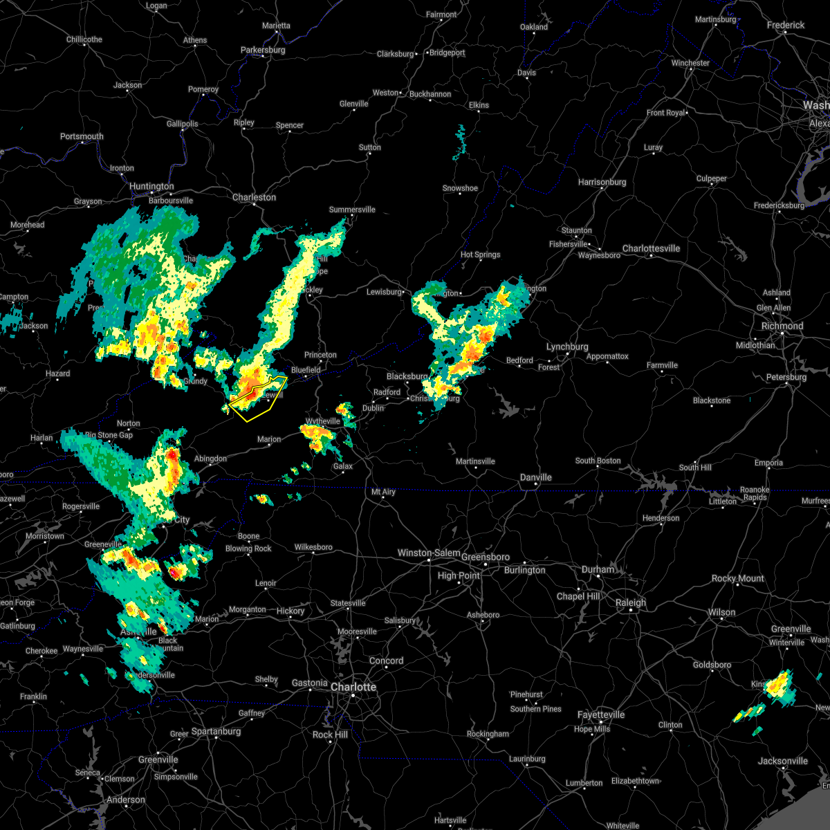
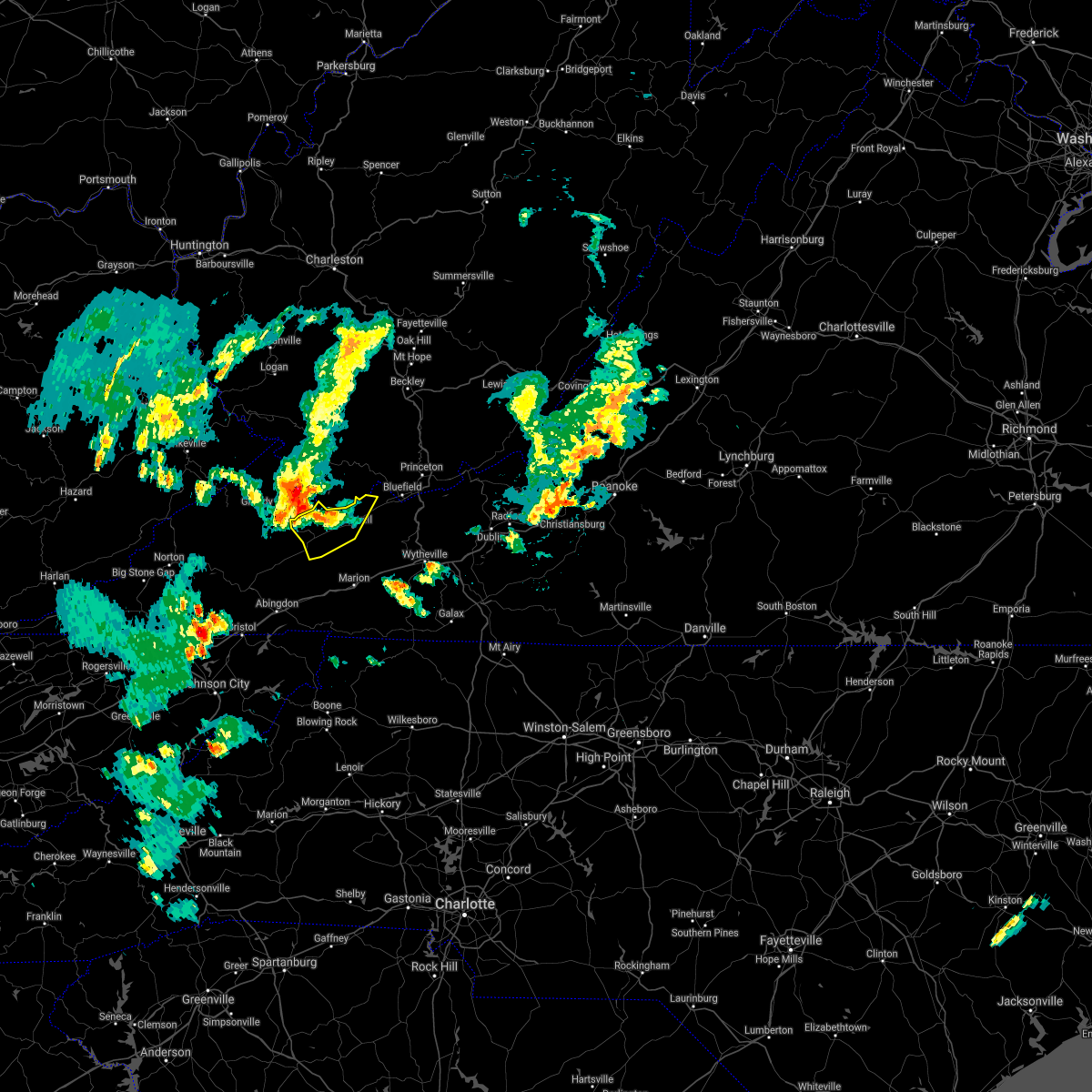
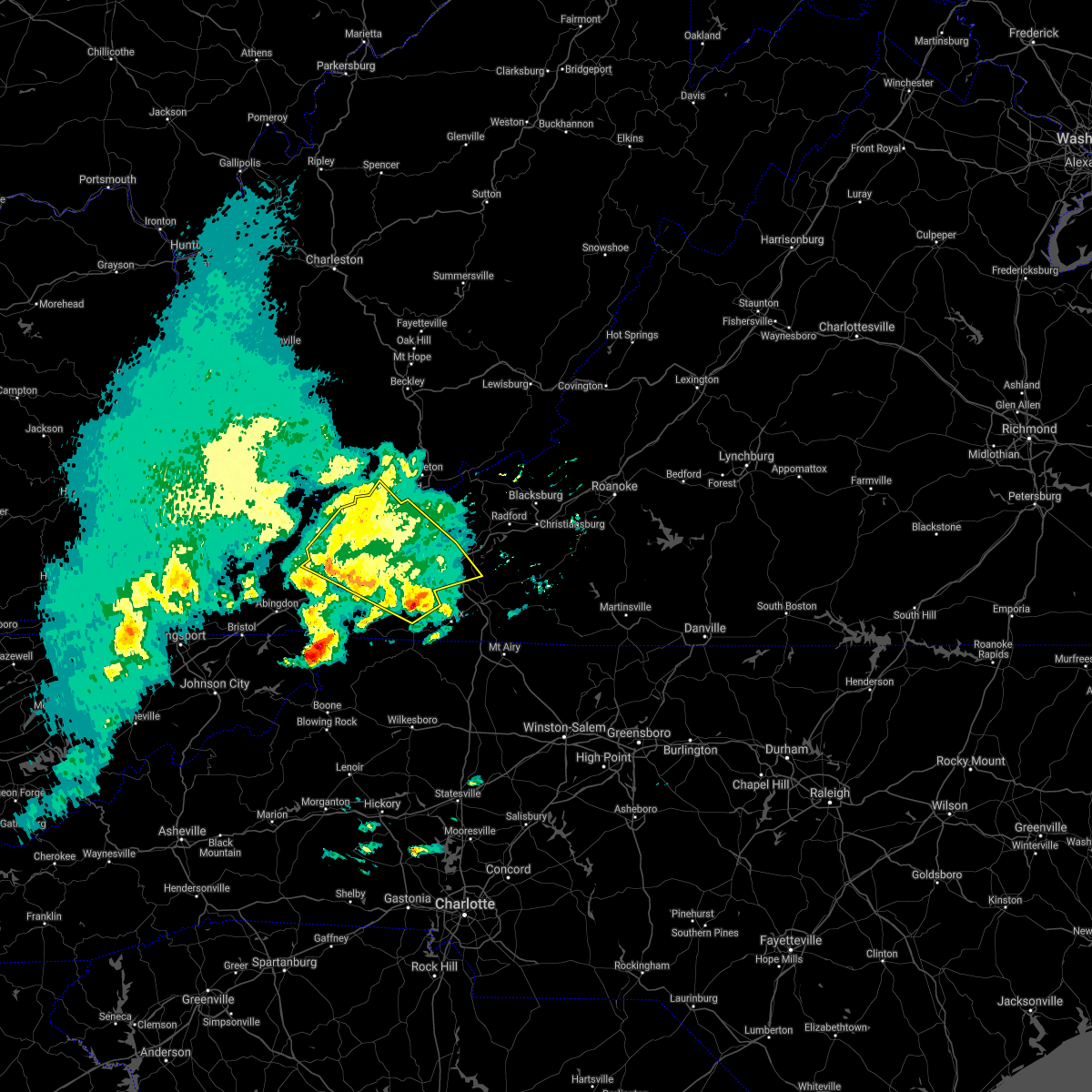
Hail Map for Tazewell, VA
The Tazewell, VA area has had 15 reports of on-the-ground hail by trained spotters, and has been under severe weather warnings 19 times during the past 12 months. Doppler radar has detected hail at or near Tazewell, VA on 23 occasions, including 3 occasions during the past year.
| Name: | Tazewell, VA |
| Where Located: | 54.1 miles NE of Bristol, TN |
| Map: | Google Map for Tazewell, VA |
| Population: | 4627 |
| Housing Units: | 2204 |
| More Info: | Search Google for Tazewell, VA |
1
The Top Recent Hail Date for Tazewell, VA is Tuesday, September 24, 2024 (6th out of 23)

Hail and Wind Damage Spotted near Tazewell, VA
| Date / Time | Report Details |
|---|---|
| 7/1/2025 6:22 PM EDT |
 Svrrnk the national weather service in blacksburg has issued a * severe thunderstorm warning for, smyth county in southwestern virginia, tazewell county in southwestern virginia, southern bland county in southwestern virginia, western wythe county in southwestern virginia, southwestern grayson county in southwestern virginia, * until 730 pm edt. * at 622 pm edt, a severe thunderstorm was located over burkes garden, moving southeast at 15 mph (radar indicated). Hazards include 60 mph wind gusts. expect damage to roofs, siding, and trees Svrrnk the national weather service in blacksburg has issued a * severe thunderstorm warning for, smyth county in southwestern virginia, tazewell county in southwestern virginia, southern bland county in southwestern virginia, western wythe county in southwestern virginia, southwestern grayson county in southwestern virginia, * until 730 pm edt. * at 622 pm edt, a severe thunderstorm was located over burkes garden, moving southeast at 15 mph (radar indicated). Hazards include 60 mph wind gusts. expect damage to roofs, siding, and trees
|
| 7/1/2025 5:36 PM EDT |
 Svrrnk the national weather service in blacksburg has issued a * severe thunderstorm warning for, northwestern giles county in southwestern virginia, northwestern smyth county in southwestern virginia, tazewell county in southwestern virginia, central bland county in southwestern virginia, southern summers county in southeastern west virginia, mercer county in southeastern west virginia, southwestern monroe county in southeastern west virginia, * until 630 pm edt. * at 536 pm edt, severe thunderstorms were located along a line extending from near mullens to 6 miles east of davenport, moving southeast at 20 mph (radar indicated). Hazards include 60 mph wind gusts. expect damage to roofs, siding, and trees Svrrnk the national weather service in blacksburg has issued a * severe thunderstorm warning for, northwestern giles county in southwestern virginia, northwestern smyth county in southwestern virginia, tazewell county in southwestern virginia, central bland county in southwestern virginia, southern summers county in southeastern west virginia, mercer county in southeastern west virginia, southwestern monroe county in southeastern west virginia, * until 630 pm edt. * at 536 pm edt, severe thunderstorms were located along a line extending from near mullens to 6 miles east of davenport, moving southeast at 20 mph (radar indicated). Hazards include 60 mph wind gusts. expect damage to roofs, siding, and trees
|
| 5/30/2025 1:53 PM EDT |
 The storm which prompted the warning has moved out of the area. therefore, the warning will be allowed to expire. however, gusty winds are still possible with this thunderstorm. a tornado watch remains in effect until 800 pm edt for southwestern virginia, and southeastern west virginia. The storm which prompted the warning has moved out of the area. therefore, the warning will be allowed to expire. however, gusty winds are still possible with this thunderstorm. a tornado watch remains in effect until 800 pm edt for southwestern virginia, and southeastern west virginia.
|
| 5/30/2025 1:37 PM EDT |
 At 136 pm edt, a severe thunderstorm was located near boissevain, or 11 miles north of tazewell, moving east at 30 mph (radar indicated). Hazards include 60 mph wind gusts. Expect damage to roofs, siding, and trees. Locations impacted include, bluefield, tazewell, burkes garden, pocahontas, gratton, tiptop, and boissevain. At 136 pm edt, a severe thunderstorm was located near boissevain, or 11 miles north of tazewell, moving east at 30 mph (radar indicated). Hazards include 60 mph wind gusts. Expect damage to roofs, siding, and trees. Locations impacted include, bluefield, tazewell, burkes garden, pocahontas, gratton, tiptop, and boissevain.
|
| 5/30/2025 12:50 PM EDT |
 Svrrnk the national weather service in blacksburg has issued a * severe thunderstorm warning for, tazewell county in southwestern virginia, * until 200 pm edt. * at 1249 pm edt, a severe thunderstorm was located 7 miles northwest of glen burke, or 10 miles east of grundy, moving east at 30 mph (radar indicated). Hazards include 60 mph wind gusts. expect damage to roofs, siding, and trees Svrrnk the national weather service in blacksburg has issued a * severe thunderstorm warning for, tazewell county in southwestern virginia, * until 200 pm edt. * at 1249 pm edt, a severe thunderstorm was located 7 miles northwest of glen burke, or 10 miles east of grundy, moving east at 30 mph (radar indicated). Hazards include 60 mph wind gusts. expect damage to roofs, siding, and trees
|
| 5/17/2025 2:50 AM EDT |
 Svrrnk the national weather service in blacksburg has issued a * severe thunderstorm warning for, smyth county in southwestern virginia, southeastern tazewell county in southwestern virginia, southwestern bland county in southwestern virginia, northwestern wythe county in southwestern virginia, * until 330 am edt. * at 249 am edt, severe thunderstorms were located along a line extending from tazewell to near asberrys to near saltville, moving east at 35 mph (radar indicated). Hazards include 60 mph wind gusts and quarter size hail. Hail damage to vehicles is expected. Expect wind damage to roofs, siding, and trees. Svrrnk the national weather service in blacksburg has issued a * severe thunderstorm warning for, smyth county in southwestern virginia, southeastern tazewell county in southwestern virginia, southwestern bland county in southwestern virginia, northwestern wythe county in southwestern virginia, * until 330 am edt. * at 249 am edt, severe thunderstorms were located along a line extending from tazewell to near asberrys to near saltville, moving east at 35 mph (radar indicated). Hazards include 60 mph wind gusts and quarter size hail. Hail damage to vehicles is expected. Expect wind damage to roofs, siding, and trees.
|
| 5/16/2025 3:25 PM EDT |
 At 325 pm edt, severe thunderstorms were located along a line extending from sandlick to near ceres to hungry mother state park, moving east at 55 mph (radar indicated). Hazards include 60 mph wind gusts and quarter size hail. Hail damage to vehicles is expected. expect wind damage to roofs, siding, and trees. Locations impacted include, bluefield, bland, princeton, marion, tazewell, rural retreat, and matoaka. At 325 pm edt, severe thunderstorms were located along a line extending from sandlick to near ceres to hungry mother state park, moving east at 55 mph (radar indicated). Hazards include 60 mph wind gusts and quarter size hail. Hail damage to vehicles is expected. expect wind damage to roofs, siding, and trees. Locations impacted include, bluefield, bland, princeton, marion, tazewell, rural retreat, and matoaka.
|
| 5/16/2025 2:57 PM EDT |
 Svrrnk the national weather service in blacksburg has issued a * severe thunderstorm warning for, smyth county in southwestern virginia, tazewell county in southwestern virginia, central bland county in southwestern virginia, western wythe county in southwestern virginia, mercer county in southeastern west virginia, * until 400 pm edt. * at 256 pm edt, severe thunderstorms were located along a line extending from 8 miles south of hanover to 8 miles northeast of lebanon to 11 miles south of trammel, moving east at 60 mph (radar indicated). Hazards include 60 mph wind gusts and quarter size hail. Hail damage to vehicles is expected. Expect wind damage to roofs, siding, and trees. Svrrnk the national weather service in blacksburg has issued a * severe thunderstorm warning for, smyth county in southwestern virginia, tazewell county in southwestern virginia, central bland county in southwestern virginia, western wythe county in southwestern virginia, mercer county in southeastern west virginia, * until 400 pm edt. * at 256 pm edt, severe thunderstorms were located along a line extending from 8 miles south of hanover to 8 miles northeast of lebanon to 11 miles south of trammel, moving east at 60 mph (radar indicated). Hazards include 60 mph wind gusts and quarter size hail. Hail damage to vehicles is expected. Expect wind damage to roofs, siding, and trees.
|
| 5/16/2025 2:29 PM EDT | The storms which prompted the warning have moved out of the area. therefore, the warning will be allowed to expire. a severe thunderstorm watch remains in effect until 600 pm edt for northwestern north carolina, southwestern virginia, and southeastern west virginia. |
| 5/16/2025 1:51 PM EDT |
 At 151 pm edt, severe thunderstorms were located along a line extending from gary to bandy to raven, moving east at 45 mph (radar indicated). Hazards include 70 mph wind gusts and ping pong ball size hail. People and animals outdoors will be injured. expect hail damage to roofs, siding, windows, and vehicles. expect considerable tree damage. wind damage is also likely to mobile homes, roofs, and outbuildings. Locations impacted include, bluefield, richlands, tazewell, saltville, cedar bluff, matoaka, and ceres. At 151 pm edt, severe thunderstorms were located along a line extending from gary to bandy to raven, moving east at 45 mph (radar indicated). Hazards include 70 mph wind gusts and ping pong ball size hail. People and animals outdoors will be injured. expect hail damage to roofs, siding, windows, and vehicles. expect considerable tree damage. wind damage is also likely to mobile homes, roofs, and outbuildings. Locations impacted include, bluefield, richlands, tazewell, saltville, cedar bluff, matoaka, and ceres.
|
| 5/16/2025 1:31 PM EDT |
 Svrrnk the national weather service in blacksburg has issued a * severe thunderstorm warning for, northwestern smyth county in southwestern virginia, tazewell county in southwestern virginia, western bland county in southwestern virginia, northwestern wythe county in southwestern virginia, southwestern mercer county in southeastern west virginia, * until 230 pm edt. * at 128 pm edt, severe thunderstorms were located along a line extending from 11 miles southeast of argo to near grundy to near clintwood, moving east at 45 mph (radar indicated). Hazards include 60 mph wind gusts and half dollar size hail. Hail damage to vehicles is expected. Expect wind damage to roofs, siding, and trees. Svrrnk the national weather service in blacksburg has issued a * severe thunderstorm warning for, northwestern smyth county in southwestern virginia, tazewell county in southwestern virginia, western bland county in southwestern virginia, northwestern wythe county in southwestern virginia, southwestern mercer county in southeastern west virginia, * until 230 pm edt. * at 128 pm edt, severe thunderstorms were located along a line extending from 11 miles southeast of argo to near grundy to near clintwood, moving east at 45 mph (radar indicated). Hazards include 60 mph wind gusts and half dollar size hail. Hail damage to vehicles is expected. Expect wind damage to roofs, siding, and trees.
|
| 3/31/2025 4:12 AM EDT |
 The storms which prompted the warning have weakened below severe limits, and no longer pose an immediate threat to life or property. therefore, the warning will be allowed to expire. however, gusty winds are still possible with these thunderstorms. The storms which prompted the warning have weakened below severe limits, and no longer pose an immediate threat to life or property. therefore, the warning will be allowed to expire. however, gusty winds are still possible with these thunderstorms.
|
| 3/31/2025 3:48 AM EDT |
 At 348 am edt, severe thunderstorms were located along a line extending from gratton to prosperity, moving east at 55 mph (radar indicated). Hazards include 60 mph wind gusts. Expect damage to roofs, siding, and trees. locations impacted include, bluefield, wytheville, bland, princeton, tazewell, hinton, and narrows. This includes the following location mercer county airport. At 348 am edt, severe thunderstorms were located along a line extending from gratton to prosperity, moving east at 55 mph (radar indicated). Hazards include 60 mph wind gusts. Expect damage to roofs, siding, and trees. locations impacted include, bluefield, wytheville, bland, princeton, tazewell, hinton, and narrows. This includes the following location mercer county airport.
|
| 3/31/2025 3:11 AM EDT |
 Svrrnk the national weather service in blacksburg has issued a * severe thunderstorm warning for, western giles county in southwestern virginia, northern smyth county in southwestern virginia, tazewell county in southwestern virginia, bland county in southwestern virginia, northwestern wythe county in southwestern virginia, summers county in southeastern west virginia, mercer county in southeastern west virginia, western monroe county in southeastern west virginia, * until 415 am edt. * at 310 am edt, severe thunderstorms were located along a line extending from near davenport to near amherstdale-robinette, moving east at 55 mph (radar indicated). Hazards include 60 mph wind gusts. expect damage to roofs, siding, and trees Svrrnk the national weather service in blacksburg has issued a * severe thunderstorm warning for, western giles county in southwestern virginia, northern smyth county in southwestern virginia, tazewell county in southwestern virginia, bland county in southwestern virginia, northwestern wythe county in southwestern virginia, summers county in southeastern west virginia, mercer county in southeastern west virginia, western monroe county in southeastern west virginia, * until 415 am edt. * at 310 am edt, severe thunderstorms were located along a line extending from near davenport to near amherstdale-robinette, moving east at 55 mph (radar indicated). Hazards include 60 mph wind gusts. expect damage to roofs, siding, and trees
|
| 9/24/2024 4:27 PM EDT |
 The storm which prompted the warning has weakened below severe limits, and no longer poses an immediate threat to life or property. therefore, the warning will be allowed to expire. The storm which prompted the warning has weakened below severe limits, and no longer poses an immediate threat to life or property. therefore, the warning will be allowed to expire.
|
| 9/24/2024 3:56 PM EDT |
 At 355 pm edt, a severe thunderstorm was located over tiptop, or 7 miles northwest of burkes garden, moving east at 30 mph (radar indicated). Hazards include 60 mph wind gusts and quarter size hail. Hail damage to vehicles is expected. expect wind damage to roofs, siding, and trees. locations impacted include, bluefield, princeton, matoaka, rocky gap, bastian, burkes garden, and pocahontas. This includes the following location mercer county airport. At 355 pm edt, a severe thunderstorm was located over tiptop, or 7 miles northwest of burkes garden, moving east at 30 mph (radar indicated). Hazards include 60 mph wind gusts and quarter size hail. Hail damage to vehicles is expected. expect wind damage to roofs, siding, and trees. locations impacted include, bluefield, princeton, matoaka, rocky gap, bastian, burkes garden, and pocahontas. This includes the following location mercer county airport.
|
| 9/24/2024 3:40 PM EDT | Half Dollar sized hail reported 3.2 miles ESE of Tazewell, VA, quarter to half-dollar size hail. |
| 9/24/2024 3:30 PM EDT |
 Svrrnk the national weather service in blacksburg has issued a * severe thunderstorm warning for, tazewell county in southwestern virginia, northwestern bland county in southwestern virginia, southwestern mercer county in southeastern west virginia, * until 430 pm edt. * at 330 pm edt, a severe thunderstorm was located over cliffield, or 7 miles west of tazewell, moving northeast at 30 mph (radar indicated). Hazards include 60 mph wind gusts and quarter size hail. Hail damage to vehicles is expected. Expect wind damage to roofs, siding, and trees. Svrrnk the national weather service in blacksburg has issued a * severe thunderstorm warning for, tazewell county in southwestern virginia, northwestern bland county in southwestern virginia, southwestern mercer county in southeastern west virginia, * until 430 pm edt. * at 330 pm edt, a severe thunderstorm was located over cliffield, or 7 miles west of tazewell, moving northeast at 30 mph (radar indicated). Hazards include 60 mph wind gusts and quarter size hail. Hail damage to vehicles is expected. Expect wind damage to roofs, siding, and trees.
|
| 8/31/2024 4:40 PM EDT | Power lines and large trees down county wide. reported by tazewell county 911 call cente in tazewell county VA, 0.5 miles W of Tazewell, VA |
| 8/30/2024 6:50 PM EDT |
 The storm which prompted the warning has weakened below severe limits, and has exited the warned area. therefore, the warning will be allowed to expire. The storm which prompted the warning has weakened below severe limits, and has exited the warned area. therefore, the warning will be allowed to expire.
|
| 8/30/2024 6:27 PM EDT | Tree down on witten valley roa in tazewell county VA, 6.5 miles ENE of Tazewell, VA |
| 8/30/2024 6:06 PM EDT |
 Svrrnk the national weather service in blacksburg has issued a * severe thunderstorm warning for, southern tazewell county in southwestern virginia, * until 700 pm edt. * at 606 pm edt, a severe thunderstorm was located near tazewell, and is nearly stationary (radar indicated). Hazards include 60 mph wind gusts and quarter size hail. Hail damage to vehicles is expected. Expect wind damage to roofs, siding, and trees. Svrrnk the national weather service in blacksburg has issued a * severe thunderstorm warning for, southern tazewell county in southwestern virginia, * until 700 pm edt. * at 606 pm edt, a severe thunderstorm was located near tazewell, and is nearly stationary (radar indicated). Hazards include 60 mph wind gusts and quarter size hail. Hail damage to vehicles is expected. Expect wind damage to roofs, siding, and trees.
|
| 8/30/2024 6:05 PM EDT | Tree and power lines dow in tazewell county VA, 5.2 miles SSE of Tazewell, VA |
| 8/30/2024 5:58 PM EDT | Tree down along u.s. 46 in tazewell county VA, 6.3 miles ENE of Tazewell, VA |
| 7/5/2024 3:25 PM EDT |
 The storm which prompted the warning has weakened below severe limits, and no longer poses an immediate threat to life or property. therefore, the warning will be allowed to expire. a severe thunderstorm watch remains in effect until 700 pm edt for southwestern virginia, and southeastern west virginia. The storm which prompted the warning has weakened below severe limits, and no longer poses an immediate threat to life or property. therefore, the warning will be allowed to expire. a severe thunderstorm watch remains in effect until 700 pm edt for southwestern virginia, and southeastern west virginia.
|
| 7/5/2024 2:49 PM EDT |
 Svrrnk the national weather service in blacksburg has issued a * severe thunderstorm warning for, tazewell county in southwestern virginia, * until 330 pm edt. * at 248 pm edt, a severe thunderstorm was located over bandy, or near cedar bluff, moving east at 25 mph (radar indicated). Hazards include 60 mph wind gusts and quarter size hail. Hail damage to vehicles is expected. Expect wind damage to roofs, siding, and trees. Svrrnk the national weather service in blacksburg has issued a * severe thunderstorm warning for, tazewell county in southwestern virginia, * until 330 pm edt. * at 248 pm edt, a severe thunderstorm was located over bandy, or near cedar bluff, moving east at 25 mph (radar indicated). Hazards include 60 mph wind gusts and quarter size hail. Hail damage to vehicles is expected. Expect wind damage to roofs, siding, and trees.
|
| 6/30/2024 3:23 PM EDT |
 At 323 pm edt, a severe thunderstorm was located over ceres, moving southeast at 20 mph (radar indicated). Hazards include 60 mph wind gusts and quarter size hail. Hail damage to vehicles is expected. expect wind damage to roofs, siding, and trees. Locations impacted include, wytheville, marion, tazewell, rural retreat, ceres, mount rogers national recreation area, and speedwell. At 323 pm edt, a severe thunderstorm was located over ceres, moving southeast at 20 mph (radar indicated). Hazards include 60 mph wind gusts and quarter size hail. Hail damage to vehicles is expected. expect wind damage to roofs, siding, and trees. Locations impacted include, wytheville, marion, tazewell, rural retreat, ceres, mount rogers national recreation area, and speedwell.
|
| 6/30/2024 3:04 PM EDT |
 Svrrnk the national weather service in blacksburg has issued a * severe thunderstorm warning for, northeastern smyth county in southwestern virginia, southeastern tazewell county in southwestern virginia, southern bland county in southwestern virginia, wythe county in southwestern virginia, north central grayson county in southwestern virginia, * until 400 pm edt. * at 303 pm edt, a severe thunderstorm was located near tazewell, moving southeast at 25 mph (radar indicated). Hazards include 60 mph wind gusts and quarter size hail. Hail damage to vehicles is expected. Expect wind damage to roofs, siding, and trees. Svrrnk the national weather service in blacksburg has issued a * severe thunderstorm warning for, northeastern smyth county in southwestern virginia, southeastern tazewell county in southwestern virginia, southern bland county in southwestern virginia, wythe county in southwestern virginia, north central grayson county in southwestern virginia, * until 400 pm edt. * at 303 pm edt, a severe thunderstorm was located near tazewell, moving southeast at 25 mph (radar indicated). Hazards include 60 mph wind gusts and quarter size hail. Hail damage to vehicles is expected. Expect wind damage to roofs, siding, and trees.
|
| 5/26/2024 4:52 PM EDT |
 At 450 pm edt, severe thunderstorms were located along a line extending from boissevain to near nebo to grayson highlands state park, moving east at 45 mph (law enforcement. multiple trees have been blown down across smyth county from this line of storms). Hazards include 60 mph wind gusts and quarter size hail. Hail damage to vehicles is expected. expect wind damage to roofs, siding, and trees. Locations impacted include, marion, bluefield, tazewell, chilhowie, rural retreat, ceres, and mount rogers national recreation area. At 450 pm edt, severe thunderstorms were located along a line extending from boissevain to near nebo to grayson highlands state park, moving east at 45 mph (law enforcement. multiple trees have been blown down across smyth county from this line of storms). Hazards include 60 mph wind gusts and quarter size hail. Hail damage to vehicles is expected. expect wind damage to roofs, siding, and trees. Locations impacted include, marion, bluefield, tazewell, chilhowie, rural retreat, ceres, and mount rogers national recreation area.
|
| 5/26/2024 4:43 PM EDT | At least two trees were blown down by thunderstorm winds around the town of tazewel in tazewell county VA, 0.9 miles NE of Tazewell, VA |
| 5/26/2024 4:23 PM EDT |
 At 422 pm edt, severe thunderstorms were located along a line extending from near war to near allison gap to 7 miles southeast of abingdon, moving east at 50 mph (radar indicated). Hazards include 60 mph wind gusts and quarter size hail. Hail damage to vehicles is expected. expect wind damage to roofs, siding, and trees. Locations impacted include, marion, richlands, bluefield, tazewell, saltville, chilhowie, and rural retreat. At 422 pm edt, severe thunderstorms were located along a line extending from near war to near allison gap to 7 miles southeast of abingdon, moving east at 50 mph (radar indicated). Hazards include 60 mph wind gusts and quarter size hail. Hail damage to vehicles is expected. expect wind damage to roofs, siding, and trees. Locations impacted include, marion, richlands, bluefield, tazewell, saltville, chilhowie, and rural retreat.
|
| 5/26/2024 4:07 PM EDT |
 Svrrnk the national weather service in blacksburg has issued a * severe thunderstorm warning for, smyth county in southwestern virginia, tazewell county in southwestern virginia, western bland county in southwestern virginia, western wythe county in southwestern virginia, western grayson county in southwestern virginia, southwestern mercer county in southeastern west virginia, * until 515 pm edt. * at 407 pm edt, severe thunderstorms were located along a line extending from 7 miles east of grundy to near lebanon to near bristol va, moving east at 50 mph (radar indicated). Hazards include 60 mph wind gusts. expect damage to roofs, siding, and trees Svrrnk the national weather service in blacksburg has issued a * severe thunderstorm warning for, smyth county in southwestern virginia, tazewell county in southwestern virginia, western bland county in southwestern virginia, western wythe county in southwestern virginia, western grayson county in southwestern virginia, southwestern mercer county in southeastern west virginia, * until 515 pm edt. * at 407 pm edt, severe thunderstorms were located along a line extending from 7 miles east of grundy to near lebanon to near bristol va, moving east at 50 mph (radar indicated). Hazards include 60 mph wind gusts. expect damage to roofs, siding, and trees
|
| 2/12/2024 11:26 PM EST |
 At 1124 pm est, severe thunderstorms were located along a line extending from near tiptop to near ceres to rural retreat to near volney to mount jefferson, moving east at 50 mph (law enforcement). Hazards include 60 mph wind gusts. downed trees. Expect damage to roofs, siding, and trees. at just after 11pm, there were reports of trees down in saltville and chilhowie. locations impacted include, marion, bluefield, tazewell, jefferson, west jefferson, lansing, and mouth of wilson. hail threat, radar indicated max hail size, <. 75 in wind threat, radar indicated max wind gust, 60 mph. At 1124 pm est, severe thunderstorms were located along a line extending from near tiptop to near ceres to rural retreat to near volney to mount jefferson, moving east at 50 mph (law enforcement). Hazards include 60 mph wind gusts. downed trees. Expect damage to roofs, siding, and trees. at just after 11pm, there were reports of trees down in saltville and chilhowie. locations impacted include, marion, bluefield, tazewell, jefferson, west jefferson, lansing, and mouth of wilson. hail threat, radar indicated max hail size, <. 75 in wind threat, radar indicated max wind gust, 60 mph.
|
| 2/12/2024 11:16 PM EST | Tree fell on hous in tazewell county VA, 4 miles ESE of Tazewell, VA |
| 2/12/2024 10:56 PM EST |
 At 1054 pm est, severe thunderstorms were located along a line extending from near glen burke to mountain city, moving east at 50 mph (radar indicated). Hazards include 60 mph wind gusts. expect damage to roofs, siding, and trees At 1054 pm est, severe thunderstorms were located along a line extending from near glen burke to mountain city, moving east at 50 mph (radar indicated). Hazards include 60 mph wind gusts. expect damage to roofs, siding, and trees
|
| 7/29/2023 4:28 PM EDT |
 At 428 pm edt, severe thunderstorms were located along a line extending from near bluefield to near asberrys, moving east at 30 mph (radar indicated). Hazards include 60 mph wind gusts. expect damage to roofs, siding, and trees At 428 pm edt, severe thunderstorms were located along a line extending from near bluefield to near asberrys, moving east at 30 mph (radar indicated). Hazards include 60 mph wind gusts. expect damage to roofs, siding, and trees
|
| 7/28/2023 5:20 PM EDT |
 At 520 pm edt, severe thunderstorms were located along a line extending from sinking creek to radford to near wytheville to marion, moving southeast at 35 mph (radar indicated). Hazards include 60 mph wind gusts. Expect damage to roofs, siding, and trees. locations impacted include, blacksburg, salem, christiansburg, radford, pulaski, wytheville, and bland. this includes the following location virginia tech. hail threat, radar indicated max hail size, <. 75 in wind threat, radar indicated max wind gust, 60 mph. At 520 pm edt, severe thunderstorms were located along a line extending from sinking creek to radford to near wytheville to marion, moving southeast at 35 mph (radar indicated). Hazards include 60 mph wind gusts. Expect damage to roofs, siding, and trees. locations impacted include, blacksburg, salem, christiansburg, radford, pulaski, wytheville, and bland. this includes the following location virginia tech. hail threat, radar indicated max hail size, <. 75 in wind threat, radar indicated max wind gust, 60 mph.
|
| 7/28/2023 5:13 PM EDT |
 The severe thunderstorm warning for giles, northwestern smyth, tazewell, bland, greenbrier, summers, mercer and monroe counties will expire at 515 pm edt, the storms which prompted the warning have moved out of the area. therefore, the warning will be allowed to expire. a severe thunderstorm watch remains in effect until 1100 pm edt for southwestern and west central virginia, and southeastern west virginia. The severe thunderstorm warning for giles, northwestern smyth, tazewell, bland, greenbrier, summers, mercer and monroe counties will expire at 515 pm edt, the storms which prompted the warning have moved out of the area. therefore, the warning will be allowed to expire. a severe thunderstorm watch remains in effect until 1100 pm edt for southwestern and west central virginia, and southeastern west virginia.
|
| 7/28/2023 4:51 PM EDT |
 At 451 pm edt, severe thunderstorms were located along a line extending from wolfcreek to near narrows to suiter to near broadford, moving southeast at 45 mph (radar indicated). Hazards include 60 mph wind gusts. expect damage to roofs, siding, and trees At 451 pm edt, severe thunderstorms were located along a line extending from wolfcreek to near narrows to suiter to near broadford, moving southeast at 45 mph (radar indicated). Hazards include 60 mph wind gusts. expect damage to roofs, siding, and trees
|
| 7/28/2023 4:31 PM EDT |
 At 431 pm edt, severe thunderstorms were located along a line extending from 6 miles northwest of bingham to near hix to pipestem resort state park to near amonate, moving southeast at 60 mph (radar indicated). Hazards include 60 mph wind gusts. Expect damage to roofs, siding, and trees. locations impacted include, alleghany, bluefield, bland, princeton, richlands, tazewell, and lewisburg. this includes the following locations the west virginia state fairgrounds and mercer county airport. hail threat, radar indicated max hail size, <. 75 in wind threat, radar indicated max wind gust, 60 mph. At 431 pm edt, severe thunderstorms were located along a line extending from 6 miles northwest of bingham to near hix to pipestem resort state park to near amonate, moving southeast at 60 mph (radar indicated). Hazards include 60 mph wind gusts. Expect damage to roofs, siding, and trees. locations impacted include, alleghany, bluefield, bland, princeton, richlands, tazewell, and lewisburg. this includes the following locations the west virginia state fairgrounds and mercer county airport. hail threat, radar indicated max hail size, <. 75 in wind threat, radar indicated max wind gust, 60 mph.
|
| 7/28/2023 4:03 PM EDT |
 At 402 pm edt, severe thunderstorms were located along a line extending from 6 miles south of burnwell to near sophia to near hanover, moving east at 30 mph (radar indicated). Hazards include 60 mph wind gusts. expect damage to roofs, siding, and trees At 402 pm edt, severe thunderstorms were located along a line extending from 6 miles south of burnwell to near sophia to near hanover, moving east at 30 mph (radar indicated). Hazards include 60 mph wind gusts. expect damage to roofs, siding, and trees
|
| 6/4/2023 5:35 PM EDT | Several trees down along sr 62 in tazewell county VA, 9.3 miles W of Tazewell, VA |
| 6/4/2023 5:32 PM EDT | Quarter sized hail reported 9.7 miles WNW of Tazewell, VA |
| 5/16/2023 6:22 PM EDT |
 At 621 pm edt, severe thunderstorms were located along a line extending from near clear fork to quarry, moving east at 40 mph (radar indicated). Hazards include 60 mph wind gusts. expect damage to roofs, siding, and trees At 621 pm edt, severe thunderstorms were located along a line extending from near clear fork to quarry, moving east at 40 mph (radar indicated). Hazards include 60 mph wind gusts. expect damage to roofs, siding, and trees
|
| 5/16/2023 6:07 PM EDT |
 At 606 pm edt, a severe thunderstorm was located near cliffield, or near tazewell, moving east at 50 mph (radar indicated). Hazards include 60 mph wind gusts. Expect damage to roofs, siding, and trees. locations impacted include, richlands, bluefield, tazewell, cedar bluff, burkes garden, pocahontas, and raven. hail threat, radar indicated max hail size, <. 75 in wind threat, radar indicated max wind gust, 60 mph. At 606 pm edt, a severe thunderstorm was located near cliffield, or near tazewell, moving east at 50 mph (radar indicated). Hazards include 60 mph wind gusts. Expect damage to roofs, siding, and trees. locations impacted include, richlands, bluefield, tazewell, cedar bluff, burkes garden, pocahontas, and raven. hail threat, radar indicated max hail size, <. 75 in wind threat, radar indicated max wind gust, 60 mph.
|
| 5/16/2023 5:37 PM EDT |
 At 537 pm edt, a severe thunderstorm was located near grundy, moving east at 55 mph (radar indicated). Hazards include 60 mph wind gusts and quarter size hail. Hail damage to vehicles is expected. Expect wind damage to roofs, siding, and trees. At 537 pm edt, a severe thunderstorm was located near grundy, moving east at 55 mph (radar indicated). Hazards include 60 mph wind gusts and quarter size hail. Hail damage to vehicles is expected. Expect wind damage to roofs, siding, and trees.
|
| 5/16/2023 3:56 PM EDT |
 At 354 pm edt, a severe thunderstorm was located near gratton, or near burkes garden, moving east at 25 mph (radar indicated). Hazards include 60 mph wind gusts and quarter size hail. Hail damage to vehicles is expected. expect wind damage to roofs, siding, and trees. locations impacted include, ceres, burkes garden, and suiter. hail threat, radar indicated max hail size, 1. 00 in wind threat, radar indicated max wind gust, 60 mph. At 354 pm edt, a severe thunderstorm was located near gratton, or near burkes garden, moving east at 25 mph (radar indicated). Hazards include 60 mph wind gusts and quarter size hail. Hail damage to vehicles is expected. expect wind damage to roofs, siding, and trees. locations impacted include, ceres, burkes garden, and suiter. hail threat, radar indicated max hail size, 1. 00 in wind threat, radar indicated max wind gust, 60 mph.
|
| 5/16/2023 3:42 PM EDT |
 At 342 pm edt, a severe thunderstorm was located over tazewell, moving east at 30 mph (radar indicated). Hazards include 60 mph wind gusts and quarter size hail. Hail damage to vehicles is expected. Expect wind damage to roofs, siding, and trees. At 342 pm edt, a severe thunderstorm was located over tazewell, moving east at 30 mph (radar indicated). Hazards include 60 mph wind gusts and quarter size hail. Hail damage to vehicles is expected. Expect wind damage to roofs, siding, and trees.
|
| 3/3/2023 6:15 PM EST | Tree down along whittens mill roa in tazewell county VA, 2.7 miles SW of Tazewell, VA |
| 3/3/2023 5:25 PM EST |
 The severe thunderstorm warning for northwestern smyth and tazewell counties will expire at 530 pm est, the storm which prompted the warning has weakened below severe limits, and no longer poses an immediate threat to life or property. therefore, the warning will be allowed to expire. however gusty winds are still possible with this thunderstorm. The severe thunderstorm warning for northwestern smyth and tazewell counties will expire at 530 pm est, the storm which prompted the warning has weakened below severe limits, and no longer poses an immediate threat to life or property. therefore, the warning will be allowed to expire. however gusty winds are still possible with this thunderstorm.
|
| 3/3/2023 5:14 PM EST |
 At 514 pm est, a severe thunderstorm was located near allison gap, or 7 miles northwest of saltville, moving northeast at 60 mph (radar indicated). Hazards include 60 mph wind gusts. Expect damage to roofs, siding, and trees. locations impacted include, richlands, tazewell, saltville, chilhowie, cedar bluff, pocahontas, and raven. hail threat, radar indicated max hail size, <. 75 in wind threat, radar indicated max wind gust, 60 mph. At 514 pm est, a severe thunderstorm was located near allison gap, or 7 miles northwest of saltville, moving northeast at 60 mph (radar indicated). Hazards include 60 mph wind gusts. Expect damage to roofs, siding, and trees. locations impacted include, richlands, tazewell, saltville, chilhowie, cedar bluff, pocahontas, and raven. hail threat, radar indicated max hail size, <. 75 in wind threat, radar indicated max wind gust, 60 mph.
|
| 3/3/2023 5:00 PM EST |
 At 500 pm est, a severe thunderstorm was located near allison gap, or near saltville, moving northeast at 60 mph (radar indicated). Hazards include 60 mph wind gusts. expect damage to roofs, siding, and trees At 500 pm est, a severe thunderstorm was located near allison gap, or near saltville, moving northeast at 60 mph (radar indicated). Hazards include 60 mph wind gusts. expect damage to roofs, siding, and trees
|
| 7/6/2022 4:16 PM EDT | Several large limbs down along clearfork roa in tazewell county VA, 6 miles W of Tazewell, VA |
| 7/6/2022 4:08 PM EDT |
 At 408 pm edt, a severe thunderstorm was located near gratton, or near burkes garden, moving east at 15 mph (radar indicated). Hazards include 60 mph wind gusts and quarter size hail. Hail damage to vehicles is expected. Expect wind damage to roofs, siding, and trees. At 408 pm edt, a severe thunderstorm was located near gratton, or near burkes garden, moving east at 15 mph (radar indicated). Hazards include 60 mph wind gusts and quarter size hail. Hail damage to vehicles is expected. Expect wind damage to roofs, siding, and trees.
|
| 6/17/2022 3:36 PM EDT |
 At 334 pm edt, severe thunderstorms were located along a line extending from renick to lewisburg to union to bland to broadford, moving southeast at 55 mph (radar indicated). Hazards include 60 mph wind gusts. Expect damage to roofs, siding, and trees. locations impacted include, bluefield, bland, princeton, richlands, tazewell, lewisburg, and pearisburg. this includes the following locations the west virginia state fairgrounds and mercer county airport. hail threat, radar indicated max hail size, <. 75 in wind threat, radar indicated max wind gust, 60 mph. At 334 pm edt, severe thunderstorms were located along a line extending from renick to lewisburg to union to bland to broadford, moving southeast at 55 mph (radar indicated). Hazards include 60 mph wind gusts. Expect damage to roofs, siding, and trees. locations impacted include, bluefield, bland, princeton, richlands, tazewell, lewisburg, and pearisburg. this includes the following locations the west virginia state fairgrounds and mercer county airport. hail threat, radar indicated max hail size, <. 75 in wind threat, radar indicated max wind gust, 60 mph.
|
| 6/17/2022 3:02 PM EDT |
 At 301 pm edt, severe thunderstorms were located along a line extending from near richwood to abingdon, moving southeast at 55 mph (radar indicated). Hazards include 60 mph wind gusts. expect damage to roofs, siding, and trees At 301 pm edt, severe thunderstorms were located along a line extending from near richwood to abingdon, moving southeast at 55 mph (radar indicated). Hazards include 60 mph wind gusts. expect damage to roofs, siding, and trees
|
| 6/17/2022 1:13 AM EDT |
 At 113 am edt, severe thunderstorms were located along a line extending from near lindside to near chapel to near tiptop, moving southeast at 20 mph (radar indicated). Hazards include 60 mph wind gusts and quarter size hail. Hail damage to vehicles is expected. expect wind damage to roofs, siding, and trees. locations impacted include, bluefield, princeton, pearisburg, narrows, pembroke, peterstown, and rocky gap. this includes the following location mercer county airport. hail threat, radar indicated max hail size, 1. 00 in wind threat, radar indicated max wind gust, 60 mph. At 113 am edt, severe thunderstorms were located along a line extending from near lindside to near chapel to near tiptop, moving southeast at 20 mph (radar indicated). Hazards include 60 mph wind gusts and quarter size hail. Hail damage to vehicles is expected. expect wind damage to roofs, siding, and trees. locations impacted include, bluefield, princeton, pearisburg, narrows, pembroke, peterstown, and rocky gap. this includes the following location mercer county airport. hail threat, radar indicated max hail size, 1. 00 in wind threat, radar indicated max wind gust, 60 mph.
|
| 6/17/2022 12:52 AM EDT |
 At 1252 am edt, severe thunderstorms were located along a line extending from near indian mills to oakvale to near war, moving southeast at 20 mph (radar indicated). Hazards include 60 mph wind gusts and quarter size hail. Hail damage to vehicles is expected. Expect wind damage to roofs, siding, and trees. At 1252 am edt, severe thunderstorms were located along a line extending from near indian mills to oakvale to near war, moving southeast at 20 mph (radar indicated). Hazards include 60 mph wind gusts and quarter size hail. Hail damage to vehicles is expected. Expect wind damage to roofs, siding, and trees.
|
| 6/14/2022 4:49 AM EDT |
 At 449 am edt, a severe thunderstorm was located over nebo, or 7 miles southwest of ceres, moving southeast at 55 mph (radar indicated). Hazards include 60 mph wind gusts and quarter size hail. Hail damage to vehicles is expected. Expect wind damage to roofs, siding, and trees. At 449 am edt, a severe thunderstorm was located over nebo, or 7 miles southwest of ceres, moving southeast at 55 mph (radar indicated). Hazards include 60 mph wind gusts and quarter size hail. Hail damage to vehicles is expected. Expect wind damage to roofs, siding, and trees.
|
| 6/14/2022 4:27 AM EDT | Multiple trees dow in tazewell county VA, 1.2 miles E of Tazewell, VA |
| 6/13/2022 11:56 PM EDT |
 The severe thunderstorm warning for northwestern pulaski, southwestern giles, northeastern tazewell, bland, wythe and mercer counties will expire at midnight edt, the storms which prompted the warning have weakened below severe limits, and no longer pose an immediate threat to life or property. therefore, the warning will be allowed to expire. however gusty winds and heavy rain are still possible with these thunderstorms. a severe thunderstorm watch remains in effect until 100 am edt for southwestern virginia, and southeastern west virginia. The severe thunderstorm warning for northwestern pulaski, southwestern giles, northeastern tazewell, bland, wythe and mercer counties will expire at midnight edt, the storms which prompted the warning have weakened below severe limits, and no longer pose an immediate threat to life or property. therefore, the warning will be allowed to expire. however gusty winds and heavy rain are still possible with these thunderstorms. a severe thunderstorm watch remains in effect until 100 am edt for southwestern virginia, and southeastern west virginia.
|
| 6/13/2022 11:18 PM EDT |
 At 1117 pm edt, severe thunderstorms were located along a line extending from glen lyn to near suiter, moving southeast at 30 mph (radar indicated). Hazards include 70 mph wind gusts. Expect considerable tree damage. damage is likely to mobile homes, roofs, and outbuildings. locations impacted include, bluefield, pulaski, wytheville, bland, princeton, tazewell, and narrows. this includes the following location, the mercer county airport. thunderstorm damage threat, considerable hail threat, radar indicated max hail size, <. 75 in wind threat, radar indicated max wind gust, 70 mph. At 1117 pm edt, severe thunderstorms were located along a line extending from glen lyn to near suiter, moving southeast at 30 mph (radar indicated). Hazards include 70 mph wind gusts. Expect considerable tree damage. damage is likely to mobile homes, roofs, and outbuildings. locations impacted include, bluefield, pulaski, wytheville, bland, princeton, tazewell, and narrows. this includes the following location, the mercer county airport. thunderstorm damage threat, considerable hail threat, radar indicated max hail size, <. 75 in wind threat, radar indicated max wind gust, 70 mph.
|
| 6/13/2022 10:44 PM EDT |
 At 1043 pm edt, severe thunderstorms were located along a line extending from near camp creek to near tiptop, moving southeast at 30 mph (radar indicated). Hazards include 70 mph wind gusts. Expect considerable tree damage. Damage is likely to mobile homes, roofs, and outbuildings. At 1043 pm edt, severe thunderstorms were located along a line extending from near camp creek to near tiptop, moving southeast at 30 mph (radar indicated). Hazards include 70 mph wind gusts. Expect considerable tree damage. Damage is likely to mobile homes, roofs, and outbuildings.
|
| 6/2/2022 12:54 PM EDT | One tree down on baptist valley road and burkett driv in tazewell county VA, 2.9 miles ESE of Tazewell, VA |
| 6/2/2022 12:48 PM EDT | Report from mping: 1-inch tree limbs broken; shingles blown of in tazewell county VA, 6.1 miles E of Tazewell, VA |
| 6/2/2022 12:41 PM EDT |
 At 1241 pm edt, a severe thunderstorm was located over amonate, or 7 miles northwest of tazewell, moving east at 50 mph (radar indicated). Hazards include 60 mph wind gusts and quarter size hail. Hail damage to vehicles is expected. expect wind damage to roofs, siding, and trees. locations impacted include, richlands, tazewell, cedar bluff, jewell ridge, amonate, claypool hill, and cliffield. hail threat, radar indicated max hail size, 1. 00 in wind threat, radar indicated max wind gust, 60 mph. At 1241 pm edt, a severe thunderstorm was located over amonate, or 7 miles northwest of tazewell, moving east at 50 mph (radar indicated). Hazards include 60 mph wind gusts and quarter size hail. Hail damage to vehicles is expected. expect wind damage to roofs, siding, and trees. locations impacted include, richlands, tazewell, cedar bluff, jewell ridge, amonate, claypool hill, and cliffield. hail threat, radar indicated max hail size, 1. 00 in wind threat, radar indicated max wind gust, 60 mph.
|
| 6/2/2022 12:08 PM EDT |
 At 1208 pm edt, a severe thunderstorm was located near davenport, moving east at 30 mph (radar indicated). Hazards include 60 mph wind gusts and quarter size hail. Hail damage to vehicles is expected. Expect wind damage to roofs, siding, and trees. At 1208 pm edt, a severe thunderstorm was located near davenport, moving east at 30 mph (radar indicated). Hazards include 60 mph wind gusts and quarter size hail. Hail damage to vehicles is expected. Expect wind damage to roofs, siding, and trees.
|
| 8/14/2021 12:35 AM EDT |
 The severe thunderstorm warning for central tazewell county will expire at 1245 am edt, the storm which prompted the warning has weakened below severe limits, and no longer poses an immediate threat to life or property. therefore, the warning will be allowed to expire. The severe thunderstorm warning for central tazewell county will expire at 1245 am edt, the storm which prompted the warning has weakened below severe limits, and no longer poses an immediate threat to life or property. therefore, the warning will be allowed to expire.
|
| 8/14/2021 12:21 AM EDT |
 At 1221 am edt, a severe thunderstorm was located over cliffield, or near tazewell, moving northeast at 10 mph (radar indicated). Hazards include 60 mph wind gusts. Expect damage to roofs, siding, and trees. locations impacted include, tazewell, bandy, amonate, cliffield, and jewell ridge. hail threat, radar indicated max hail size, <. 75 in wind threat, radar indicated max wind gust, 60 mph. At 1221 am edt, a severe thunderstorm was located over cliffield, or near tazewell, moving northeast at 10 mph (radar indicated). Hazards include 60 mph wind gusts. Expect damage to roofs, siding, and trees. locations impacted include, tazewell, bandy, amonate, cliffield, and jewell ridge. hail threat, radar indicated max hail size, <. 75 in wind threat, radar indicated max wind gust, 60 mph.
|
| 8/14/2021 12:15 AM EDT | Tree down on witten valley road near frog level. time estimated by rada in tazewell county VA, 3.9 miles ENE of Tazewell, VA |
| 8/14/2021 12:05 AM EDT |
 At 1204 am edt, a severe thunderstorm was located over cedar bluff, moving northeast at 20 mph (radar indicated). Hazards include 60 mph wind gusts. Expect damage to roofs, siding, and trees. locations impacted include, richlands, tazewell, cedar bluff, raven, glen burke, jewell ridge, and amonate. hail threat, radar indicated max hail size, <. 75 in wind threat, radar indicated max wind gust, 60 mph. At 1204 am edt, a severe thunderstorm was located over cedar bluff, moving northeast at 20 mph (radar indicated). Hazards include 60 mph wind gusts. Expect damage to roofs, siding, and trees. locations impacted include, richlands, tazewell, cedar bluff, raven, glen burke, jewell ridge, and amonate. hail threat, radar indicated max hail size, <. 75 in wind threat, radar indicated max wind gust, 60 mph.
|
| 8/13/2021 11:48 PM EDT |
 At 1146 pm edt, a severe thunderstorm was located near raven, or near richlands, moving northeast at 15 mph (radar indicated). Hazards include 60 mph wind gusts. expect damage to roofs, siding, and trees At 1146 pm edt, a severe thunderstorm was located near raven, or near richlands, moving northeast at 15 mph (radar indicated). Hazards include 60 mph wind gusts. expect damage to roofs, siding, and trees
|
| 7/10/2021 5:52 PM EDT |
 At 551 pm edt, severe thunderstorms were located along a line extending from near tiptop to tazewell to near cliffield, moving east at 30 mph (radar indicated). Hazards include 60 mph wind gusts. Expect damage to roofs, siding, and trees. Locations impacted include, tazewell, and tiptop. At 551 pm edt, severe thunderstorms were located along a line extending from near tiptop to tazewell to near cliffield, moving east at 30 mph (radar indicated). Hazards include 60 mph wind gusts. Expect damage to roofs, siding, and trees. Locations impacted include, tazewell, and tiptop.
|
| 7/10/2021 5:39 PM EDT |
 At 538 pm edt, severe thunderstorms were located along a line extending from 7 miles south of gary to near tazewell to near cliffield, moving southeast at 30 mph (radar indicated). Hazards include 60 mph wind gusts. Expect damage to roofs, siding, and trees. Locations impacted include, richlands, tazewell, cedar bluff, claypool hill, cliffield, tiptop, and amonate. At 538 pm edt, severe thunderstorms were located along a line extending from 7 miles south of gary to near tazewell to near cliffield, moving southeast at 30 mph (radar indicated). Hazards include 60 mph wind gusts. Expect damage to roofs, siding, and trees. Locations impacted include, richlands, tazewell, cedar bluff, claypool hill, cliffield, tiptop, and amonate.
|
| 7/10/2021 5:05 PM EDT |
 At 504 pm edt, a severe thunderstorm was located near jewell ridge, or 11 miles north of richlands, moving southeast at 30 mph (radar indicated). Hazards include 60 mph wind gusts. expect damage to roofs, siding, and trees At 504 pm edt, a severe thunderstorm was located near jewell ridge, or 11 miles north of richlands, moving southeast at 30 mph (radar indicated). Hazards include 60 mph wind gusts. expect damage to roofs, siding, and trees
|
| 3/27/2021 1:58 PM EDT |
 At 158 pm edt, severe thunderstorms were located along a line extending from near bluefield to blowing rock, moving east at 40 mph (radar indicated). Hazards include 60 mph wind gusts and quarter size hail. Hail damage to vehicles is expected. expect wind damage to roofs, siding, and trees. locations impacted include, boone, marion, bluefield, tazewell, jefferson, rural retreat, and west jefferson. This includes the following location appalachian state university. At 158 pm edt, severe thunderstorms were located along a line extending from near bluefield to blowing rock, moving east at 40 mph (radar indicated). Hazards include 60 mph wind gusts and quarter size hail. Hail damage to vehicles is expected. expect wind damage to roofs, siding, and trees. locations impacted include, boone, marion, bluefield, tazewell, jefferson, rural retreat, and west jefferson. This includes the following location appalachian state university.
|
| 3/27/2021 1:15 PM EDT |
 At 114 pm edt, severe thunderstorms were located along a line extending from glen burke to near bakersville, moving east at 40 mph (radar indicated). Hazards include 60 mph wind gusts and quarter size hail. Hail damage to vehicles is expected. Expect wind damage to roofs, siding, and trees. At 114 pm edt, severe thunderstorms were located along a line extending from glen burke to near bakersville, moving east at 40 mph (radar indicated). Hazards include 60 mph wind gusts and quarter size hail. Hail damage to vehicles is expected. Expect wind damage to roofs, siding, and trees.
|
| 3/27/2021 12:20 PM EDT |
 At 1220 pm edt, severe thunderstorms were located along a line extending from near asberrys to comers rock, moving northeast at 50 mph (radar indicated). Hazards include 60 mph wind gusts and half dollar size hail. Hail damage to vehicles is expected. expect wind damage to roofs, siding, and trees. Locations impacted include, wytheville, bland, marion, bluefield, tazewell, rural retreat, and ceres. At 1220 pm edt, severe thunderstorms were located along a line extending from near asberrys to comers rock, moving northeast at 50 mph (radar indicated). Hazards include 60 mph wind gusts and half dollar size hail. Hail damage to vehicles is expected. expect wind damage to roofs, siding, and trees. Locations impacted include, wytheville, bland, marion, bluefield, tazewell, rural retreat, and ceres.
|
| 3/27/2021 11:52 AM EDT |
 At 1151 am edt, severe thunderstorms were located along a line extending from near abingdon to nella, moving northeast at 50 mph (radar indicated). Hazards include 60 mph wind gusts and quarter size hail. Hail damage to vehicles is expected. Expect wind damage to roofs, siding, and trees. At 1151 am edt, severe thunderstorms were located along a line extending from near abingdon to nella, moving northeast at 50 mph (radar indicated). Hazards include 60 mph wind gusts and quarter size hail. Hail damage to vehicles is expected. Expect wind damage to roofs, siding, and trees.
|
| 3/18/2021 7:01 PM EDT |
 At 701 pm edt, a severe thunderstorm was located over tazewell, moving northeast at 25 mph (radar indicated). Hazards include 60 mph wind gusts and quarter size hail. Hail damage to vehicles is expected. expect wind damage to roofs, siding, and trees. Locations impacted include, tazewell, tiptop, and gratton. At 701 pm edt, a severe thunderstorm was located over tazewell, moving northeast at 25 mph (radar indicated). Hazards include 60 mph wind gusts and quarter size hail. Hail damage to vehicles is expected. expect wind damage to roofs, siding, and trees. Locations impacted include, tazewell, tiptop, and gratton.
|
| 3/18/2021 6:55 PM EDT | Quarter sized hail reported 3.8 miles NNE of Tazewell, VA, multiple viewer photos of quarter size in the thompson valley... va. |
| 3/18/2021 6:53 PM EDT |
 At 653 pm edt, a severe thunderstorm was located near tazewell, moving northeast at 30 mph (radar indicated). Hazards include 60 mph wind gusts and quarter size hail. Hail damage to vehicles is expected. expect wind damage to roofs, siding, and trees. Locations impacted include, tazewell, burkes garden, tiptop, gratton, and asberrys. At 653 pm edt, a severe thunderstorm was located near tazewell, moving northeast at 30 mph (radar indicated). Hazards include 60 mph wind gusts and quarter size hail. Hail damage to vehicles is expected. expect wind damage to roofs, siding, and trees. Locations impacted include, tazewell, burkes garden, tiptop, gratton, and asberrys.
|
| 3/18/2021 6:52 PM EDT | Golf Ball sized hail reported 4.8 miles N of Tazewell, VA |
| 3/18/2021 6:44 PM EDT |
 At 644 pm edt, a severe thunderstorm was located over asberrys, or 7 miles southwest of tazewell, moving northeast at 25 mph (radar indicated). Hazards include 60 mph wind gusts and quarter size hail. Hail damage to vehicles is expected. expect wind damage to roofs, siding, and trees. Locations impacted include, tazewell, burkes garden, tiptop, gratton, and asberrys. At 644 pm edt, a severe thunderstorm was located over asberrys, or 7 miles southwest of tazewell, moving northeast at 25 mph (radar indicated). Hazards include 60 mph wind gusts and quarter size hail. Hail damage to vehicles is expected. expect wind damage to roofs, siding, and trees. Locations impacted include, tazewell, burkes garden, tiptop, gratton, and asberrys.
|
| 3/18/2021 6:35 PM EDT |
 At 635 pm edt, a severe thunderstorm was located near broadford, or 10 miles northeast of saltville, moving northeast at 25 mph (radar indicated). Hazards include 60 mph wind gusts and quarter size hail. Hail damage to vehicles is expected. Expect wind damage to roofs, siding, and trees. At 635 pm edt, a severe thunderstorm was located near broadford, or 10 miles northeast of saltville, moving northeast at 25 mph (radar indicated). Hazards include 60 mph wind gusts and quarter size hail. Hail damage to vehicles is expected. Expect wind damage to roofs, siding, and trees.
|
| 8/6/2020 3:53 PM EDT | A few trees were observed down along burkes garden rd coming over the ridge from gratton into burkes garde in tazewell county VA, 8.2 miles W of Tazewell, VA |
| 1/12/2020 7:57 PM EST | Trees and limbs blown down. some minor structural damage to home. timing estimated by rada in tazewell county VA, 9.5 miles WNW of Tazewell, VA |
| 1/11/2020 7:57 PM EST |
 At 756 pm est, severe thunderstorms were located along a line extending from gratton to near thomas bridge to rominger, moving east at 50 mph (radar indicated). Hazards include 70 mph wind gusts and quarter size hail. Hail damage to vehicles is expected. expect considerable tree damage. wind damage is also likely to mobile homes, roofs, and outbuildings. locations impacted include, boone, marion, richlands, bluefield, tazewell, saltville, and chilhowie. This includes the following location appalachian state university. At 756 pm est, severe thunderstorms were located along a line extending from gratton to near thomas bridge to rominger, moving east at 50 mph (radar indicated). Hazards include 70 mph wind gusts and quarter size hail. Hail damage to vehicles is expected. expect considerable tree damage. wind damage is also likely to mobile homes, roofs, and outbuildings. locations impacted include, boone, marion, richlands, bluefield, tazewell, saltville, and chilhowie. This includes the following location appalachian state university.
|
| 1/11/2020 7:42 PM EST |
 At 741 pm est, severe thunderstorms were located along a line extending from near raven to near chilhowie to near elk park, moving east at 50 mph (radar indicated). Hazards include 60 mph wind gusts and quarter size hail. Hail damage to vehicles is expected. expect wind damage to roofs, siding, and trees. locations impacted include, boone, marion, richlands, bluefield, tazewell, saltville, and chilhowie. This includes the following location appalachian state university. At 741 pm est, severe thunderstorms were located along a line extending from near raven to near chilhowie to near elk park, moving east at 50 mph (radar indicated). Hazards include 60 mph wind gusts and quarter size hail. Hail damage to vehicles is expected. expect wind damage to roofs, siding, and trees. locations impacted include, boone, marion, richlands, bluefield, tazewell, saltville, and chilhowie. This includes the following location appalachian state university.
|
| 1/11/2020 7:27 PM EST |
 At 726 pm est, severe thunderstorms were located along a line extending from near cleveland va to abingdon to near erwin, moving east at 40 mph (radar indicated). Hazards include 60 mph wind gusts and quarter size hail. Hail damage to vehicles is expected. Expect wind damage to roofs, siding, and trees. At 726 pm est, severe thunderstorms were located along a line extending from near cleveland va to abingdon to near erwin, moving east at 40 mph (radar indicated). Hazards include 60 mph wind gusts and quarter size hail. Hail damage to vehicles is expected. Expect wind damage to roofs, siding, and trees.
|
| 10/31/2019 2:45 PM EDT |
 At 242 pm edt, severe thunderstorms were located along a line extending from camden on gauley to near marion, moving northeast at 70 mph (radar indicated). Hazards include 60 mph wind gusts. expect damage to roofs, siding, and trees At 242 pm edt, severe thunderstorms were located along a line extending from camden on gauley to near marion, moving northeast at 70 mph (radar indicated). Hazards include 60 mph wind gusts. expect damage to roofs, siding, and trees
|
| 10/31/2019 2:45 PM EDT |
 The national weather service in blacksburg has issued a * severe thunderstorm warning for. giles county in southwestern virginia. smyth county in southwestern virginia. tazewell county in southwestern virginia. Bland county in southwestern virginia. The national weather service in blacksburg has issued a * severe thunderstorm warning for. giles county in southwestern virginia. smyth county in southwestern virginia. tazewell county in southwestern virginia. Bland county in southwestern virginia.
|
| 10/31/2019 2:41 PM EDT | Large tree down due to high wind gusts blocking entire street. timing estimated by rada in tazewell county VA, 1.3 miles N of Tazewell, VA |
| 10/31/2019 2:31 PM EDT | Powerlines down. timing estimated by rada in tazewell county VA, 4 miles ESE of Tazewell, VA |
| 10/31/2019 2:06 PM EDT |
 At 205 pm edt, severe thunderstorms were located along a line extending from 7 miles southwest of summersville to near quarry, moving east at 60 mph (radar indicated). Hazards include 60 mph wind gusts. Expect damage to roofs, siding, and trees. locations impacted include, bluefield, wytheville, bland, princeton, marion, richlands, and tazewell. this includes the following location mercer county airport. A tornado watch remains in effect until 700 pm edt for northwestern north carolina, southwestern virginia, and southeastern west virginia. At 205 pm edt, severe thunderstorms were located along a line extending from 7 miles southwest of summersville to near quarry, moving east at 60 mph (radar indicated). Hazards include 60 mph wind gusts. Expect damage to roofs, siding, and trees. locations impacted include, bluefield, wytheville, bland, princeton, marion, richlands, and tazewell. this includes the following location mercer county airport. A tornado watch remains in effect until 700 pm edt for northwestern north carolina, southwestern virginia, and southeastern west virginia.
|
| 10/31/2019 1:32 PM EDT |
 At 130 pm edt, severe thunderstorms were located along a line extending from near oceana to near bristol va, moving northeast at 55 mph (radar indicated). Hazards include 60 mph wind gusts. expect damage to roofs, siding, and trees At 130 pm edt, severe thunderstorms were located along a line extending from near oceana to near bristol va, moving northeast at 55 mph (radar indicated). Hazards include 60 mph wind gusts. expect damage to roofs, siding, and trees
|
| 10/31/2019 1:32 PM EDT |
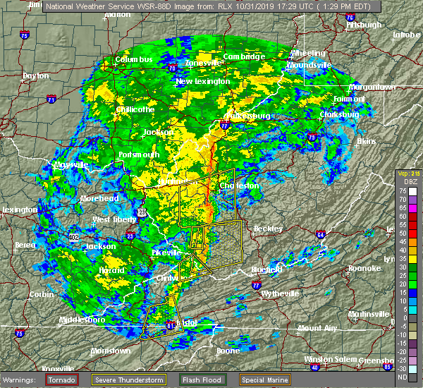 At 130 pm edt, severe thunderstorms were located along a line extending from near oceana to near bristol va, moving northeast at 55 mph (radar indicated). Hazards include 60 mph wind gusts. expect damage to roofs, siding, and trees At 130 pm edt, severe thunderstorms were located along a line extending from near oceana to near bristol va, moving northeast at 55 mph (radar indicated). Hazards include 60 mph wind gusts. expect damage to roofs, siding, and trees
|
| 6/17/2019 3:21 PM EDT |
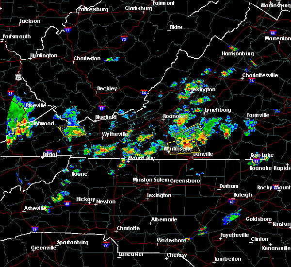 The severe thunderstorm warning for southwestern tazewell and western bland counties will expire at 330 pm edt, the storm which prompted the warning has weakened below severe limits, and no longer poses an immediate threat to life or property. therefore, the warning will be allowed to expire. however heavy rain is still possible with this thunderstorm. when it is safe to do so, please send your reports of hail of any size, as well as reports of any wind damage, including downed trees or large limbs, to the national weather service by calling toll free at 1, 8 6 6, 2 1 5, 4 3 2 4. reports and pictures can also be shared on the national weather service blacksburg facebook page and on twitter. The severe thunderstorm warning for southwestern tazewell and western bland counties will expire at 330 pm edt, the storm which prompted the warning has weakened below severe limits, and no longer poses an immediate threat to life or property. therefore, the warning will be allowed to expire. however heavy rain is still possible with this thunderstorm. when it is safe to do so, please send your reports of hail of any size, as well as reports of any wind damage, including downed trees or large limbs, to the national weather service by calling toll free at 1, 8 6 6, 2 1 5, 4 3 2 4. reports and pictures can also be shared on the national weather service blacksburg facebook page and on twitter.
|
| 6/17/2019 3:17 PM EDT |
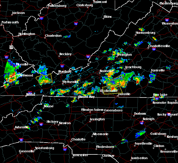 At 316 pm edt, a severe thunderstorm was located near cliffield, moving east at 20 mph (radar indicated). Hazards include 60 mph wind gusts and quarter size hail. Hail damage to vehicles is expected. expect wind damage to roofs, siding, and trees. Locations impacted include, richlands, tazewell, cedar bluff, raven, and glen burke. At 316 pm edt, a severe thunderstorm was located near cliffield, moving east at 20 mph (radar indicated). Hazards include 60 mph wind gusts and quarter size hail. Hail damage to vehicles is expected. expect wind damage to roofs, siding, and trees. Locations impacted include, richlands, tazewell, cedar bluff, raven, and glen burke.
|
| 6/17/2019 2:42 PM EDT |
 At 242 pm edt, a severe thunderstorm was located over richlands, moving east at 20 mph (radar indicated). Hazards include 60 mph wind gusts and quarter size hail. Hail damage to vehicles is expected. expect wind damage to roofs, siding, and trees. Locations impacted include, richlands, tazewell, cedar bluff, raven, and amonate. At 242 pm edt, a severe thunderstorm was located over richlands, moving east at 20 mph (radar indicated). Hazards include 60 mph wind gusts and quarter size hail. Hail damage to vehicles is expected. expect wind damage to roofs, siding, and trees. Locations impacted include, richlands, tazewell, cedar bluff, raven, and amonate.
|
| 6/17/2019 2:32 PM EDT |
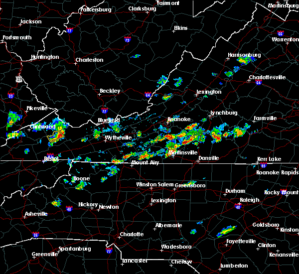 At 232 pm edt, a severe thunderstorm was located over raven, moving east at 20 mph (radar indicated). Hazards include 60 mph wind gusts and quarter size hail. Hail damage to vehicles is expected. Expect wind damage to roofs, siding, and trees. At 232 pm edt, a severe thunderstorm was located over raven, moving east at 20 mph (radar indicated). Hazards include 60 mph wind gusts and quarter size hail. Hail damage to vehicles is expected. Expect wind damage to roofs, siding, and trees.
|
| 6/2/2019 5:55 PM EDT |
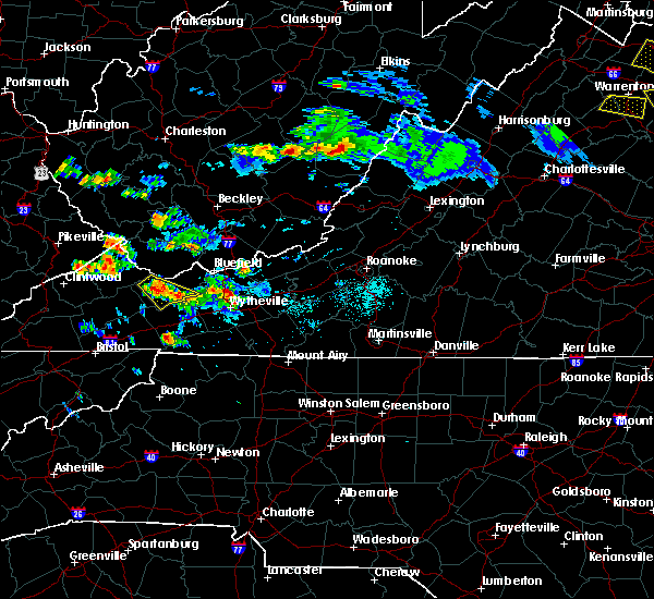 The severe thunderstorm warning for central tazewell county will expire at 600 pm edt, the storm which prompted the warning has weakened below severe limits, and no longer poses an immediate threat to life or property. therefore, the warning will be allowed to expire. a severe thunderstorm watch remains in effect until 800 pm edt for southeastern west virginia. when it is safe to do so, please send your reports of hail of any size, as well as reports of any wind damage, including downed trees or large limbs, to the national weather service by calling toll free at 1, 8 6 6, 2 1 5, 4 3 2 4. reports and pictures can also be shared on the national weather service blacksburg facebook page and on twitter. The severe thunderstorm warning for central tazewell county will expire at 600 pm edt, the storm which prompted the warning has weakened below severe limits, and no longer poses an immediate threat to life or property. therefore, the warning will be allowed to expire. a severe thunderstorm watch remains in effect until 800 pm edt for southeastern west virginia. when it is safe to do so, please send your reports of hail of any size, as well as reports of any wind damage, including downed trees or large limbs, to the national weather service by calling toll free at 1, 8 6 6, 2 1 5, 4 3 2 4. reports and pictures can also be shared on the national weather service blacksburg facebook page and on twitter.
|
| 6/2/2019 5:24 PM EDT |
 At 522 pm edt, a severe thunderstorm was located near cliffield, moving southeast at 30 mph (radar indicated). Hazards include 60 mph wind gusts and quarter size hail. Hail damage to vehicles is expected. expect wind damage to roofs, siding, and trees. Locations impacted include, tazewell,. At 522 pm edt, a severe thunderstorm was located near cliffield, moving southeast at 30 mph (radar indicated). Hazards include 60 mph wind gusts and quarter size hail. Hail damage to vehicles is expected. expect wind damage to roofs, siding, and trees. Locations impacted include, tazewell,.
|
| 6/2/2019 5:07 PM EDT |
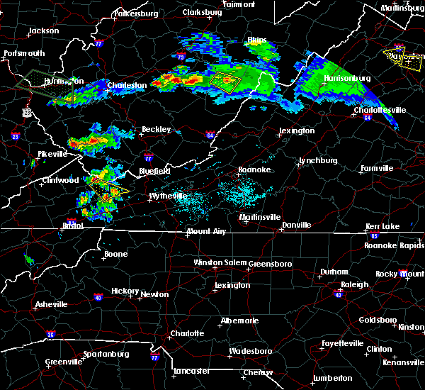 At 507 pm edt, a severe thunderstorm was located over bandy, moving southeast at 30 mph (radar indicated). Hazards include 60 mph wind gusts and quarter size hail. Hail damage to vehicles is expected. Expect wind damage to roofs, siding, and trees. At 507 pm edt, a severe thunderstorm was located over bandy, moving southeast at 30 mph (radar indicated). Hazards include 60 mph wind gusts and quarter size hail. Hail damage to vehicles is expected. Expect wind damage to roofs, siding, and trees.
|
| 6/2/2019 5:02 PM EDT | Tree down blocking road in 1200 block of maiden springs rd. time estimated by rada in tazewell county VA, 12.1 miles NE of Tazewell, VA |
| 5/29/2019 4:57 PM EDT |
 The severe thunderstorm warning for western giles. smyth. tazewell. bland. western wythe. summers. mercer and western monroe counties will expire at 500 pm edt. The storms which prompted the warning have moved out of the area, but additional storms are expected so a new warning has been issued for a portion of the area. The severe thunderstorm warning for western giles. smyth. tazewell. bland. western wythe. summers. mercer and western monroe counties will expire at 500 pm edt. The storms which prompted the warning have moved out of the area, but additional storms are expected so a new warning has been issued for a portion of the area.
|
| 5/29/2019 4:57 PM EDT |
 The severe thunderstorm warning for western giles, smyth, tazewell, bland, western wythe, summers, mercer and western monroe counties will expire at 500 pm edt, the storms which prompted the warning have moved out of the area, but additional storms are expected so a new warning has been issued for a portion of the area. a severe thunderstorm watch remains in effect until 800 pm edt for southwestern and west central virginia, and southeastern west virginia. when it is safe to do so, please send your reports of hail of any size, as well as reports of any wind damage, including downed trees or large limbs, to the national weather service by calling toll free at 1, 8 6 6, 2 1 5, 4 3 2 4. reports and pictures can also be shared on the national weather service blacksburg facebook page and on twitter. The severe thunderstorm warning for western giles, smyth, tazewell, bland, western wythe, summers, mercer and western monroe counties will expire at 500 pm edt, the storms which prompted the warning have moved out of the area, but additional storms are expected so a new warning has been issued for a portion of the area. a severe thunderstorm watch remains in effect until 800 pm edt for southwestern and west central virginia, and southeastern west virginia. when it is safe to do so, please send your reports of hail of any size, as well as reports of any wind damage, including downed trees or large limbs, to the national weather service by calling toll free at 1, 8 6 6, 2 1 5, 4 3 2 4. reports and pictures can also be shared on the national weather service blacksburg facebook page and on twitter.
|
| 5/29/2019 4:55 PM EDT |
 At 454 pm edt, severe thunderstorms were located along a line extending from chapel to near thomas bridge, moving east at 30 mph. additional storms will be moring into the region from the west (radar indicated). Hazards include 60 mph wind gusts and quarter size hail. Hail damage to vehicles is expected. Expect wind damage to roofs, siding, and trees. At 454 pm edt, severe thunderstorms were located along a line extending from chapel to near thomas bridge, moving east at 30 mph. additional storms will be moring into the region from the west (radar indicated). Hazards include 60 mph wind gusts and quarter size hail. Hail damage to vehicles is expected. Expect wind damage to roofs, siding, and trees.
|
| 5/29/2019 4:02 PM EDT |
 At 401 pm edt, severe thunderstorms were located along a line extending from near bradley to near coal city to near welch to near lebanon, moving east at 45 mph (radar indicated). Hazards include 70 mph wind gusts and quarter size hail. Hail damage to vehicles is expected. expect considerable tree damage. wind damage is also likely to mobile homes, roofs, and outbuildings. locations impacted include, bluefield, wytheville, bland, princeton, and marion. This includes the following location mercer county airport. At 401 pm edt, severe thunderstorms were located along a line extending from near bradley to near coal city to near welch to near lebanon, moving east at 45 mph (radar indicated). Hazards include 70 mph wind gusts and quarter size hail. Hail damage to vehicles is expected. expect considerable tree damage. wind damage is also likely to mobile homes, roofs, and outbuildings. locations impacted include, bluefield, wytheville, bland, princeton, and marion. This includes the following location mercer county airport.
|
| 5/29/2019 3:25 PM EDT |
 At 324 pm edt, severe thunderstorms were located along a line extending from wharton to 6 miles southeast of argo to 8 miles south of trammel, moving east at 40 mph (radar indicated). Hazards include 60 mph wind gusts and quarter size hail. Hail damage to vehicles is expected. Expect wind damage to roofs, siding, and trees. At 324 pm edt, severe thunderstorms were located along a line extending from wharton to 6 miles southeast of argo to 8 miles south of trammel, moving east at 40 mph (radar indicated). Hazards include 60 mph wind gusts and quarter size hail. Hail damage to vehicles is expected. Expect wind damage to roofs, siding, and trees.
|
| 5/26/2019 9:27 PM EDT |
 At 926 pm edt, severe thunderstorms were located along a line extending from pipestem resort state park to near montcalm to near broadford, moving east at 45 mph. multiple trees were reported down in tazewell county (law enforcement). Hazards include 60 mph wind gusts. Expect damage to roofs, siding, and trees. locations impacted include, bluefield, bland, princeton, tazewell, and athens. This includes the following location mercer county airport. At 926 pm edt, severe thunderstorms were located along a line extending from pipestem resort state park to near montcalm to near broadford, moving east at 45 mph. multiple trees were reported down in tazewell county (law enforcement). Hazards include 60 mph wind gusts. Expect damage to roofs, siding, and trees. locations impacted include, bluefield, bland, princeton, tazewell, and athens. This includes the following location mercer county airport.
|
| 5/26/2019 9:17 PM EDT | Multiple trees dow in tazewell county VA, 9.7 miles NNE of Tazewell, VA |
| 5/26/2019 9:15 PM EDT | Tree down. time from rada in tazewell county VA, 2.9 miles ENE of Tazewell, VA |
| 5/26/2019 9:05 PM EDT |
 At 905 pm edt, severe thunderstorms were located along a line extending from near camp creek state park to near gary to 8 miles west of allison gap, moving east at 45 mph. trees have already been reported down in richlands (law enforcement). Hazards include 60 mph wind gusts. expect damage to roofs, siding, and trees At 905 pm edt, severe thunderstorms were located along a line extending from near camp creek state park to near gary to 8 miles west of allison gap, moving east at 45 mph. trees have already been reported down in richlands (law enforcement). Hazards include 60 mph wind gusts. expect damage to roofs, siding, and trees
|
| 4/14/2019 8:32 PM EDT |
 At 831 pm edt, severe thunderstorms were located along a line extending from near stanaford to near ceres, moving northeast at 60 mph (radar indicated). Hazards include 60 mph wind gusts. expect damage to roofs, siding, and trees At 831 pm edt, severe thunderstorms were located along a line extending from near stanaford to near ceres, moving northeast at 60 mph (radar indicated). Hazards include 60 mph wind gusts. expect damage to roofs, siding, and trees
|
| 4/4/2018 2:17 AM EDT |
 At 216 am edt, severe thunderstorms were located along a line extending from near red jacket to woodman to near davenport to 12 miles southeast of norton, moving east at 60 mph (radar indicated). Hazards include 60 mph wind gusts. expect damage to roofs, siding, and trees At 216 am edt, severe thunderstorms were located along a line extending from near red jacket to woodman to near davenport to 12 miles southeast of norton, moving east at 60 mph (radar indicated). Hazards include 60 mph wind gusts. expect damage to roofs, siding, and trees
|
| 11/18/2017 10:32 PM EST |
 At 1031 pm est, severe thunderstorms were located along a line extending from coaldale to near tazewell to near allison gap, moving east at 65 mph (radar indicated. wind gusts of 60 mph were reported at the tri-cities airport near bristol, tn within the last 30 minutes). Hazards include 60 mph wind gusts. expect damage to roofs, siding, and trees At 1031 pm est, severe thunderstorms were located along a line extending from coaldale to near tazewell to near allison gap, moving east at 65 mph (radar indicated. wind gusts of 60 mph were reported at the tri-cities airport near bristol, tn within the last 30 minutes). Hazards include 60 mph wind gusts. expect damage to roofs, siding, and trees
|
| 5/27/2017 7:21 PM EDT |
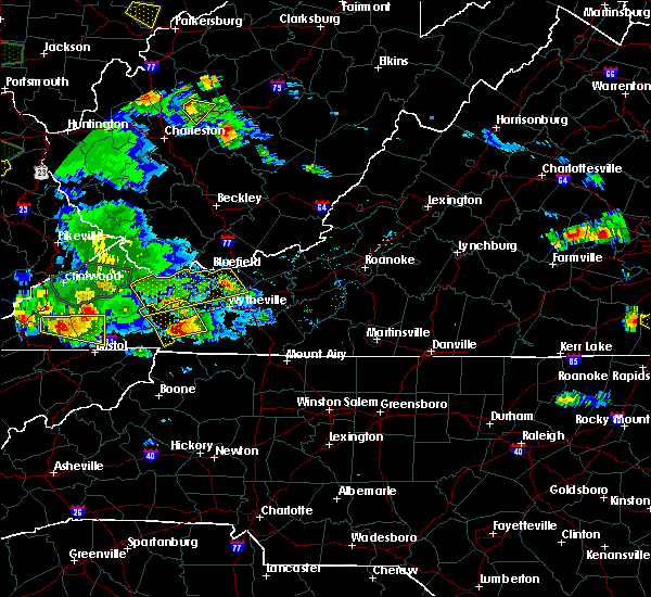 The severe thunderstorm warning for northwestern smyth, tazewell, bland and northwestern wythe counties will expire at 730 pm edt, the storm which prompted the warning has weakened below severe limits, and no longer poses an immediate threat to life or property. therefore the warning will be allowed to expire. a severe thunderstorm watch remains in effect until 200 am edt for northwestern north carolina, and southwestern virginia. when it is safe to do so, please send your reports of hail of any size, as well as reports of any wind damage, including downed trees or large limbs, to the national weather service by calling toll free at 1, 8 6 6, 2 1 5, 4 3 2 4. reports and pictures can also be shared on the national weather service blacksburg facebook page and on twitter. The severe thunderstorm warning for northwestern smyth, tazewell, bland and northwestern wythe counties will expire at 730 pm edt, the storm which prompted the warning has weakened below severe limits, and no longer poses an immediate threat to life or property. therefore the warning will be allowed to expire. a severe thunderstorm watch remains in effect until 200 am edt for northwestern north carolina, and southwestern virginia. when it is safe to do so, please send your reports of hail of any size, as well as reports of any wind damage, including downed trees or large limbs, to the national weather service by calling toll free at 1, 8 6 6, 2 1 5, 4 3 2 4. reports and pictures can also be shared on the national weather service blacksburg facebook page and on twitter.
|
| 5/27/2017 6:55 PM EDT |
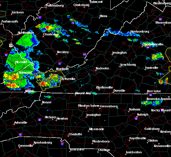 At 654 pm edt, a severe thunderstorm was located over burkes garden, moving east at 30 mph (radar indicated). Hazards include 60 mph wind gusts and quarter size hail. Hail damage to vehicles is expected. expect wind damage to roofs, siding, and trees. Locations impacted include, bland, richlands, bluefield, tazewell, and cedar bluff. At 654 pm edt, a severe thunderstorm was located over burkes garden, moving east at 30 mph (radar indicated). Hazards include 60 mph wind gusts and quarter size hail. Hail damage to vehicles is expected. expect wind damage to roofs, siding, and trees. Locations impacted include, bland, richlands, bluefield, tazewell, and cedar bluff.
|
| 5/27/2017 6:30 PM EDT | Quarter sized hail reported 4.1 miles NE of Tazewell, VA, video report on twitter relayed by travis roberts/wvva of hail up to quarter size in thompson valley. |
| 5/27/2017 6:30 PM EDT |
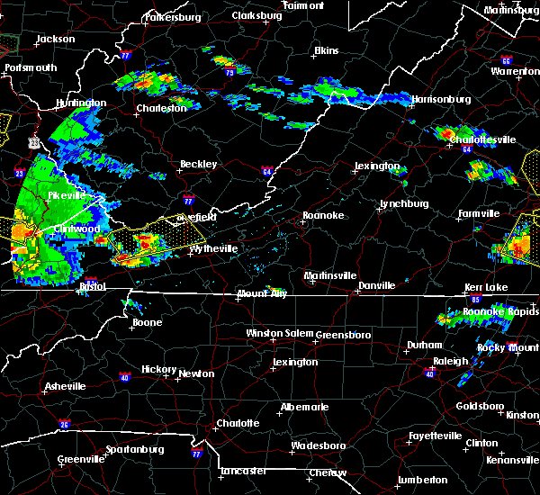 At 630 pm edt, a severe thunderstorm was located over asberrys, moving east at 35 mph (radar indicated). Hazards include 60 mph wind gusts and quarter size hail. Hail damage to vehicles is expected. Expect wind damage to roofs, siding, and trees. At 630 pm edt, a severe thunderstorm was located over asberrys, moving east at 35 mph (radar indicated). Hazards include 60 mph wind gusts and quarter size hail. Hail damage to vehicles is expected. Expect wind damage to roofs, siding, and trees.
|
| 5/24/2017 3:12 PM EDT |
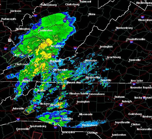 At 311 pm edt, a severe thunderstorm was located near gratton, moving northeast at 35 mph (radar indicated). Hazards include 60 mph wind gusts. Expect damage to roofs, siding, and trees. Locations impacted include, bland, bluefield, tazewell, ceres, and bastian. At 311 pm edt, a severe thunderstorm was located near gratton, moving northeast at 35 mph (radar indicated). Hazards include 60 mph wind gusts. Expect damage to roofs, siding, and trees. Locations impacted include, bland, bluefield, tazewell, ceres, and bastian.
|
| 5/24/2017 3:00 PM EDT | One tree down that took down power lines on blackhorse road in tazewell county VA, 1.4 miles ESE of Tazewell, VA |
| 5/24/2017 2:57 PM EDT |
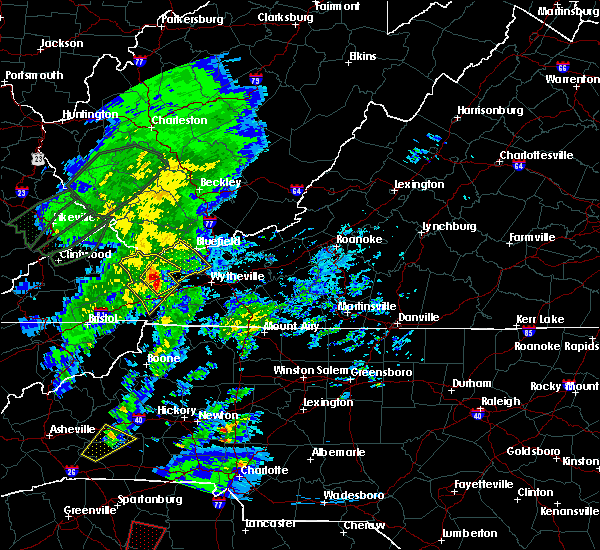 At 257 pm edt, a severe thunderstorm was located over asberrys, moving northeast at 35 mph (radar indicated). Hazards include 60 mph wind gusts. expect damage to roofs, siding, and trees At 257 pm edt, a severe thunderstorm was located over asberrys, moving northeast at 35 mph (radar indicated). Hazards include 60 mph wind gusts. expect damage to roofs, siding, and trees
|
| 5/24/2017 2:45 PM EDT |
 At 244 pm edt, a severe thunderstorm was located over broadford, moving northeast at 35 mph (radar indicated). Hazards include 60 mph wind gusts. Expect damage to roofs, siding, and trees. Locations impacted include, marion, richlands, tazewell, saltville, and chilhowie. At 244 pm edt, a severe thunderstorm was located over broadford, moving northeast at 35 mph (radar indicated). Hazards include 60 mph wind gusts. Expect damage to roofs, siding, and trees. Locations impacted include, marion, richlands, tazewell, saltville, and chilhowie.
|
| 5/24/2017 2:32 PM EDT |
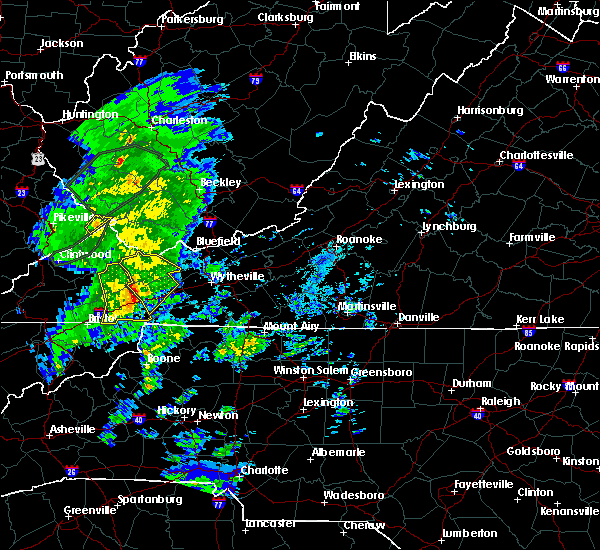 At 231 pm edt, a severe thunderstorm was located over allison gap, moving northeast at 40 mph (radar indicated). Hazards include 60 mph wind gusts. Expect damage to roofs, siding, and trees. Locations impacted include, marion, richlands, tazewell, saltville, and chilhowie. At 231 pm edt, a severe thunderstorm was located over allison gap, moving northeast at 40 mph (radar indicated). Hazards include 60 mph wind gusts. Expect damage to roofs, siding, and trees. Locations impacted include, marion, richlands, tazewell, saltville, and chilhowie.
|
| 5/24/2017 2:14 PM EDT |
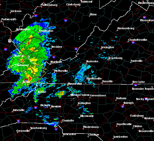 At 214 pm edt, a severe thunderstorm was located near abingdon, moving northeast at 45 mph (radar indicated). Hazards include 60 mph wind gusts. expect damage to roofs, siding, and trees At 214 pm edt, a severe thunderstorm was located near abingdon, moving northeast at 45 mph (radar indicated). Hazards include 60 mph wind gusts. expect damage to roofs, siding, and trees
|
| 3/1/2017 10:52 AM EST |
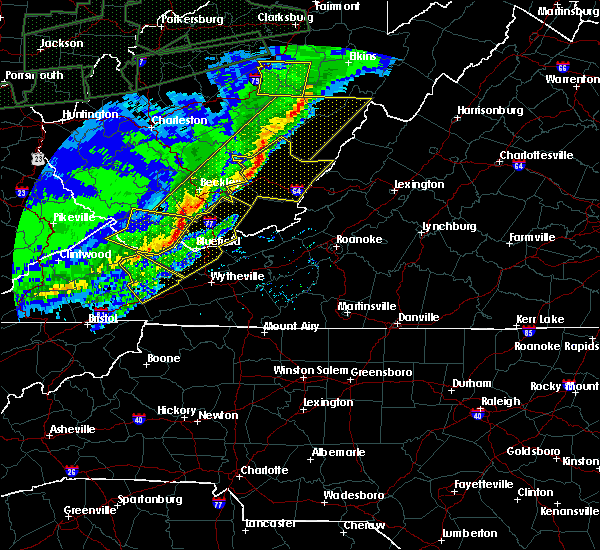 At 1052 am est, severe thunderstorms were located along a line extending from jewell ridge to raven to near davenport, moving southeast at 50 mph (radar indicated). Hazards include 60 mph wind gusts and quarter size hail. Hail damage to vehicles is expected. Expect wind damage to roofs, siding, and trees. At 1052 am est, severe thunderstorms were located along a line extending from jewell ridge to raven to near davenport, moving southeast at 50 mph (radar indicated). Hazards include 60 mph wind gusts and quarter size hail. Hail damage to vehicles is expected. Expect wind damage to roofs, siding, and trees.
|
| 3/1/2017 10:43 AM EST |
 At 1043 am est, severe thunderstorms were located along a line extending from near oceana to near welch to 6 miles west of war, moving southeast at 50 mph (radar indicated). Hazards include 60 mph wind gusts and quarter size hail. Hail damage to vehicles is expected. Expect wind damage to roofs, siding, and trees. At 1043 am est, severe thunderstorms were located along a line extending from near oceana to near welch to 6 miles west of war, moving southeast at 50 mph (radar indicated). Hazards include 60 mph wind gusts and quarter size hail. Hail damage to vehicles is expected. Expect wind damage to roofs, siding, and trees.
|
| 8/16/2016 8:38 PM EDT |
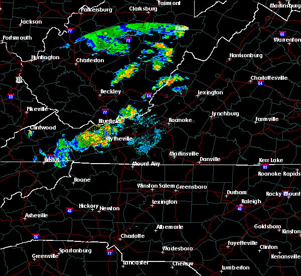 The severe thunderstorm warning for southeastern tazewell, northeastern smyth, northwestern wythe and central bland counties will expire at 845 pm edt, the storms which prompted the warning have weakened below severe limits, and no longer pose an immediate threat to life or property. therefore the warning will be allowed to expire. however heavy rain is still possible with these thunderstorms over bland and tazewell counties, mainly from burkes garden to ceres. when it is safe to do so, please send your reports of hail of any size, as well as reports of any wind damage, including downed trees or large limbs, to the national weather service by calling toll free at 1, 8 6 6, 2 1 5, 4 3 2 4. reports and pictures can also be shared on the national weather service blacksburg facebook page and on twitter. The severe thunderstorm warning for southeastern tazewell, northeastern smyth, northwestern wythe and central bland counties will expire at 845 pm edt, the storms which prompted the warning have weakened below severe limits, and no longer pose an immediate threat to life or property. therefore the warning will be allowed to expire. however heavy rain is still possible with these thunderstorms over bland and tazewell counties, mainly from burkes garden to ceres. when it is safe to do so, please send your reports of hail of any size, as well as reports of any wind damage, including downed trees or large limbs, to the national weather service by calling toll free at 1, 8 6 6, 2 1 5, 4 3 2 4. reports and pictures can also be shared on the national weather service blacksburg facebook page and on twitter.
|
| 8/16/2016 8:24 PM EDT |
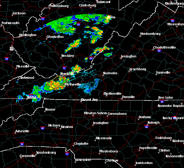 At 823 pm edt, severe thunderstorms were located along a line extending from near asberrys to near ceres to near rural retreat, moving northeast at 30 mph (radar indicated. at numerous trees were reported down 2 miles northwest of marion at 755 pm). Hazards include 60 mph wind gusts. Expect damage to roofs. siding. and trees. Locations impacted include, bland, bluefield, ceres, burkes garden, and bastian. At 823 pm edt, severe thunderstorms were located along a line extending from near asberrys to near ceres to near rural retreat, moving northeast at 30 mph (radar indicated. at numerous trees were reported down 2 miles northwest of marion at 755 pm). Hazards include 60 mph wind gusts. Expect damage to roofs. siding. and trees. Locations impacted include, bland, bluefield, ceres, burkes garden, and bastian.
|
| 8/16/2016 8:01 PM EDT |
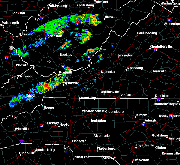 At 801 pm edt, severe thunderstorms were located along a line extending from near broadford to near asberrys to near atkins, moving northeast at 25 mph (radar indicated. at 738 pm quarter sized hail was reported saltville). Hazards include 60 mph wind gusts. Expect damage to roofs. siding. and trees. Locations impacted include, bland, marion, bluefield, tazewell, and ceres. At 801 pm edt, severe thunderstorms were located along a line extending from near broadford to near asberrys to near atkins, moving northeast at 25 mph (radar indicated. at 738 pm quarter sized hail was reported saltville). Hazards include 60 mph wind gusts. Expect damage to roofs. siding. and trees. Locations impacted include, bland, marion, bluefield, tazewell, and ceres.
|
| 8/16/2016 7:37 PM EDT |
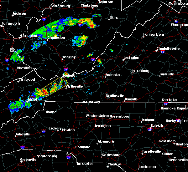 At 737 pm edt, a severe thunderstorm was located over broadford, moving northeast at 30 mph (radar indicated). Hazards include 60 mph wind gusts and half dollar size hail. Hail damage to vehicles is expected. Expect wind damage to roofs, siding, and trees. At 737 pm edt, a severe thunderstorm was located over broadford, moving northeast at 30 mph (radar indicated). Hazards include 60 mph wind gusts and half dollar size hail. Hail damage to vehicles is expected. Expect wind damage to roofs, siding, and trees.
|
| 8/14/2016 6:47 PM EDT |
 At 646 pm edt, severe thunderstorms were located along a line extending from gratton to burkes garden to near ceres, moving northeast at 20 mph (radar indicated). Hazards include 60 mph wind gusts. Expect damage to roofs. siding. and trees. locations impacted include, bluefield, tazewell, burkes garden, bastian, and rocky gap. This includes the following location mercer county airport. At 646 pm edt, severe thunderstorms were located along a line extending from gratton to burkes garden to near ceres, moving northeast at 20 mph (radar indicated). Hazards include 60 mph wind gusts. Expect damage to roofs. siding. and trees. locations impacted include, bluefield, tazewell, burkes garden, bastian, and rocky gap. This includes the following location mercer county airport.
|
| 8/14/2016 6:46 PM EDT | Large tree limbs blown dow in tazewell county VA, 9.5 miles WNW of Tazewell, VA |
| 8/14/2016 6:32 PM EDT |
 At 632 pm edt, severe thunderstorms were located along a line extending from near gratton to near burkes garden to ceres, moving northeast at 25 mph (radar indicated). Hazards include 60 mph wind gusts. Expect damage to roofs. siding. And trees. At 632 pm edt, severe thunderstorms were located along a line extending from near gratton to near burkes garden to ceres, moving northeast at 25 mph (radar indicated). Hazards include 60 mph wind gusts. Expect damage to roofs. siding. And trees.
|
| 7/6/2016 9:23 PM EDT |
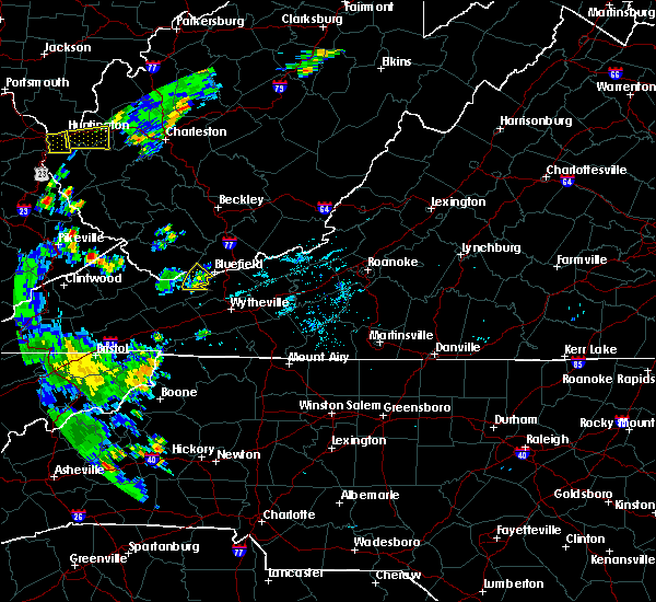 The severe thunderstorm warning for northeastern tazewell county will expire at 930 pm edt, the storm which prompted the warning has weakened below severe limits, and no longer poses an immediate threat to life or property. therefore the warning will be allowed to expire. locally heavy rain is still possible with this thunderstorm and occasional lightning. when it is safe to do so, please send your reports of hail of any size, as well as any reports of wind damage, including downed trees or large limbs, to the national weather service by calling toll free at 1, 8 6 6, 2 1 5, 4 3 2 4. reports and pictures can also be shared on the national weather service blacksburg facebook page and on twitter. The severe thunderstorm warning for northeastern tazewell county will expire at 930 pm edt, the storm which prompted the warning has weakened below severe limits, and no longer poses an immediate threat to life or property. therefore the warning will be allowed to expire. locally heavy rain is still possible with this thunderstorm and occasional lightning. when it is safe to do so, please send your reports of hail of any size, as well as any reports of wind damage, including downed trees or large limbs, to the national weather service by calling toll free at 1, 8 6 6, 2 1 5, 4 3 2 4. reports and pictures can also be shared on the national weather service blacksburg facebook page and on twitter.
|
| 7/6/2016 9:14 PM EDT |
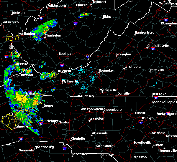 At 914 pm edt, a severe thunderstorm was located near gratton, moving east at 35 mph (radar indicated). Hazards include 60 mph wind gusts. Expect damage to roofs. siding. and trees. Locations impacted include, bluefield, pocahontas, gratton, boissevain, and tiptop. At 914 pm edt, a severe thunderstorm was located near gratton, moving east at 35 mph (radar indicated). Hazards include 60 mph wind gusts. Expect damage to roofs. siding. and trees. Locations impacted include, bluefield, pocahontas, gratton, boissevain, and tiptop.
|
| 7/6/2016 8:58 PM EDT |
 At 857 pm edt, a severe thunderstorm was located just north of tazewell, moving east at 40 mph (radar indicated). Hazards include 60 mph wind gusts. Expect damage to roofs. siding. and trees. Locations impacted include, bluefield, tazewell, pocahontas, boissevain, and gratton. At 857 pm edt, a severe thunderstorm was located just north of tazewell, moving east at 40 mph (radar indicated). Hazards include 60 mph wind gusts. Expect damage to roofs. siding. and trees. Locations impacted include, bluefield, tazewell, pocahontas, boissevain, and gratton.
|
| 7/6/2016 8:45 PM EDT |
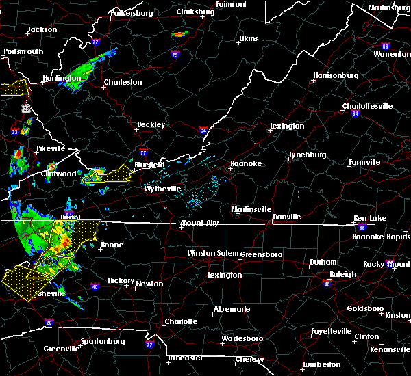 At 845 pm edt, a severe thunderstorm was located near amonate, moving east at 30 mph (radar indicated). Hazards include 60 mph wind gusts. Expect damage to roofs. siding. and trees. Locations impacted include, bluefield, tazewell, pocahontas, boissevain, and gratton. At 845 pm edt, a severe thunderstorm was located near amonate, moving east at 30 mph (radar indicated). Hazards include 60 mph wind gusts. Expect damage to roofs. siding. and trees. Locations impacted include, bluefield, tazewell, pocahontas, boissevain, and gratton.
|
| 7/6/2016 8:29 PM EDT |
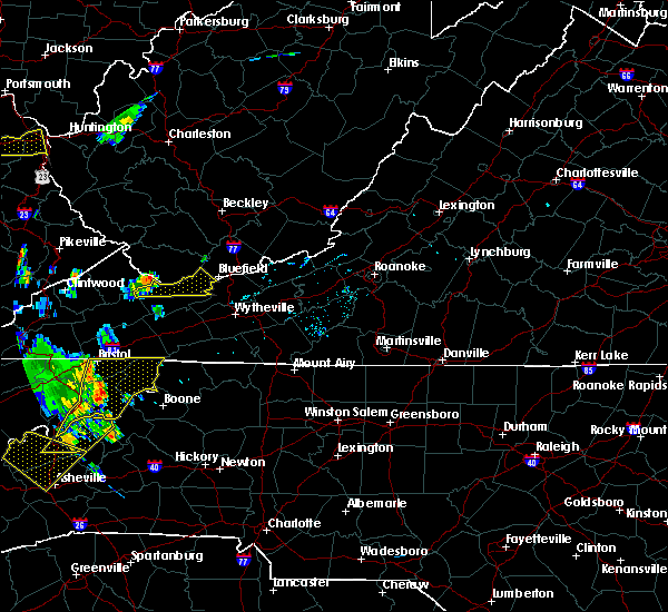 At 828 pm edt, a severe thunderstorm was located near jewell ridge, moving east at 30 mph (radar indicated). Hazards include 60 mph wind gusts. Expect damage to roofs. siding. And trees. At 828 pm edt, a severe thunderstorm was located near jewell ridge, moving east at 30 mph (radar indicated). Hazards include 60 mph wind gusts. Expect damage to roofs. siding. And trees.
|
| 6/23/2016 8:52 PM EDT |
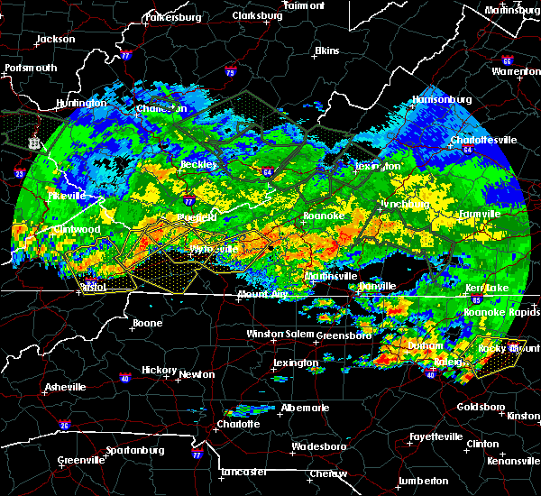 At 852 pm edt, severe thunderstorms were located along a line extending from near tiptop to broadford, moving east at 45 mph (radar indicated). Hazards include 70 mph wind gusts. Expect considerable tree damage. damage is likely to mobile homes, roofs, and outbuildings. Locations impacted include, bluefield, tazewell, saltville, burkes garden, and rocky gap. At 852 pm edt, severe thunderstorms were located along a line extending from near tiptop to broadford, moving east at 45 mph (radar indicated). Hazards include 70 mph wind gusts. Expect considerable tree damage. damage is likely to mobile homes, roofs, and outbuildings. Locations impacted include, bluefield, tazewell, saltville, burkes garden, and rocky gap.
|
| 6/23/2016 8:51 PM EDT |
 At 850 pm edt, severe thunderstorms were located along a line extending from near boissevain to quarry, moving east at 50 mph (radar indicated). Hazards include 60 mph wind gusts. Expect damage to roofs. siding. And trees. At 850 pm edt, severe thunderstorms were located along a line extending from near boissevain to quarry, moving east at 50 mph (radar indicated). Hazards include 60 mph wind gusts. Expect damage to roofs. siding. And trees.
|
| 6/23/2016 8:48 PM EDT |
 At 848 pm edt, severe thunderstorms were located along a line extending from near christiansburg to copper valley to near max meadows, moving east at 65 mph (radar indicated). Hazards include 60 mph wind gusts. Expect damage to roofs. siding. and trees. Locations impacted include, christiansburg, radford, pulaski, wytheville, and bland. At 848 pm edt, severe thunderstorms were located along a line extending from near christiansburg to copper valley to near max meadows, moving east at 65 mph (radar indicated). Hazards include 60 mph wind gusts. Expect damage to roofs. siding. and trees. Locations impacted include, christiansburg, radford, pulaski, wytheville, and bland.
|
| 6/23/2016 8:37 PM EDT |
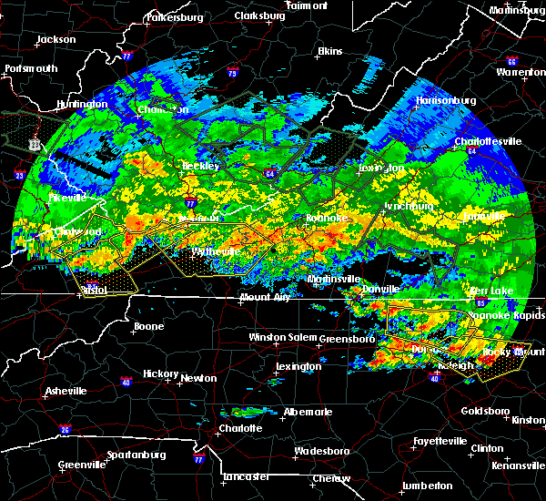 At 837 pm edt, severe thunderstorms were located along a line extending from near war to near allison gap, moving southeast at 60 mph (radar indicated). Hazards include 70 mph wind gusts. Expect considerable tree damage. damage is likely to mobile homes, roofs, and outbuildings. Locations impacted include, richlands, bluefield, tazewell, saltville, and cedar bluff. At 837 pm edt, severe thunderstorms were located along a line extending from near war to near allison gap, moving southeast at 60 mph (radar indicated). Hazards include 70 mph wind gusts. Expect considerable tree damage. damage is likely to mobile homes, roofs, and outbuildings. Locations impacted include, richlands, bluefield, tazewell, saltville, and cedar bluff.
|
| 6/23/2016 8:35 PM EDT |
 At 834 pm edt, severe thunderstorms were located along a line extending from near fairlawn to draper to near favonia, moving southeast at 45 mph (radar indicated). Hazards include 60 mph wind gusts. Expect damage to roofs. siding. and trees. Locations impacted include, blacksburg, christiansburg, radford, pulaski, and wytheville. At 834 pm edt, severe thunderstorms were located along a line extending from near fairlawn to draper to near favonia, moving southeast at 45 mph (radar indicated). Hazards include 60 mph wind gusts. Expect damage to roofs. siding. and trees. Locations impacted include, blacksburg, christiansburg, radford, pulaski, and wytheville.
|
| 6/23/2016 8:15 PM EDT |
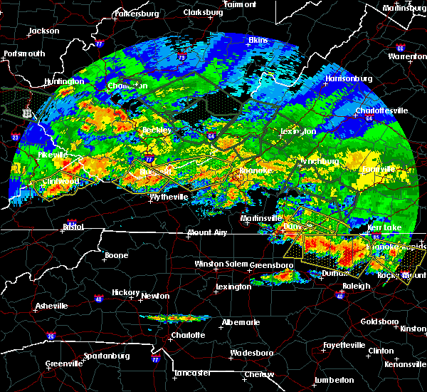 At 814 pm edt, severe thunderstorms were located along a line extending from near war to davenport, moving east at 45 mph (radar indicated). Hazards include 60 mph wind gusts. Expect damage to roofs. siding. And trees. At 814 pm edt, severe thunderstorms were located along a line extending from near war to davenport, moving east at 45 mph (radar indicated). Hazards include 60 mph wind gusts. Expect damage to roofs. siding. And trees.
|
| 6/23/2016 8:12 PM EDT |
 At 812 pm edt, severe thunderstorms were located along a line extending from narrows to mechanicsburg to gratton, moving southeast at 45 mph (radar indicated). Hazards include 60 mph wind gusts. Expect damage to roofs. siding. And trees. At 812 pm edt, severe thunderstorms were located along a line extending from narrows to mechanicsburg to gratton, moving southeast at 45 mph (radar indicated). Hazards include 60 mph wind gusts. Expect damage to roofs. siding. And trees.
|
| 6/21/2016 6:57 PM EDT | The severe thunderstorm warning for northwestern grayson, tazewell, smyth, southwestern wythe and southwestern bland counties will expire at 700 pm edt, the storm which prompted the warning has weakened below severe limits, and no longer poses an immediate threat to life or property. therefore the warning will be allowed to expire. however gusty winds and heavy rain are still possible with this thunderstorm. a severe thunderstorm watch remains in effect until 1000 pm edt for virginia and west virginia. when it is safe to do so, please send your reports of hail of any size, as well as any reports of wind damage, including downed trees or large limbs, to the national weather service by calling toll free at 1, 8 6 6, 2 1 5, 4 3 2 4. reports and pictures can also be shared on the national weather service blacksburg facebook page and on twitter. |
| 6/21/2016 6:22 PM EDT |
 At 621 pm edt, a severe thunderstorm was located over cliffield, moving southeast at 35 mph (radar indicated). Hazards include 60 mph wind gusts and quarter size hail. Hail damage to vehicles is expected. expect wind damage to roofs, siding, and trees. Locations impacted include, marion, richlands, tazewell, saltville, and chilhowie. At 621 pm edt, a severe thunderstorm was located over cliffield, moving southeast at 35 mph (radar indicated). Hazards include 60 mph wind gusts and quarter size hail. Hail damage to vehicles is expected. expect wind damage to roofs, siding, and trees. Locations impacted include, marion, richlands, tazewell, saltville, and chilhowie.
|
| 6/21/2016 6:06 PM EDT |
 At 605 pm edt, a severe thunderstorm was located over glen burke, moving southeast at 40 mph (radar indicated). Hazards include 60 mph wind gusts and quarter size hail. Hail damage to vehicles is expected. Expect wind damage to roofs, siding, and trees. At 605 pm edt, a severe thunderstorm was located over glen burke, moving southeast at 40 mph (radar indicated). Hazards include 60 mph wind gusts and quarter size hail. Hail damage to vehicles is expected. Expect wind damage to roofs, siding, and trees.
|
| 6/16/2016 9:22 PM EDT |
 At 922 pm edt, a severe thunderstorm was located over cliffield, moving southeast at 35 mph (radar indicated). Hazards include 60 mph wind gusts and quarter size hail. Hail damage to vehicles is expected. expect wind damage to roofs, siding, and trees. Locations impacted include, richlands, tazewell, cedar bluff, asberrys, and broadford. At 922 pm edt, a severe thunderstorm was located over cliffield, moving southeast at 35 mph (radar indicated). Hazards include 60 mph wind gusts and quarter size hail. Hail damage to vehicles is expected. expect wind damage to roofs, siding, and trees. Locations impacted include, richlands, tazewell, cedar bluff, asberrys, and broadford.
|
| 6/16/2016 9:17 PM EDT |
 At 916 pm edt, a severe thunderstorm was located over gratton, moving southeast at 30 mph (radar indicated). Hazards include 60 mph wind gusts and quarter size hail. Hail damage to vehicles is expected. Expect wind damage to roofs, siding, and trees. At 916 pm edt, a severe thunderstorm was located over gratton, moving southeast at 30 mph (radar indicated). Hazards include 60 mph wind gusts and quarter size hail. Hail damage to vehicles is expected. Expect wind damage to roofs, siding, and trees.
|
| 6/16/2016 9:17 PM EDT |
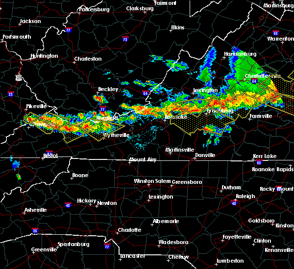 At 916 pm edt, a severe thunderstorm was located over gratton, moving southeast at 30 mph (radar indicated). Hazards include 60 mph wind gusts and quarter size hail. Hail damage to vehicles is expected. Expect wind damage to roofs, siding, and trees. At 916 pm edt, a severe thunderstorm was located over gratton, moving southeast at 30 mph (radar indicated). Hazards include 60 mph wind gusts and quarter size hail. Hail damage to vehicles is expected. Expect wind damage to roofs, siding, and trees.
|
| 6/16/2016 9:02 PM EDT |
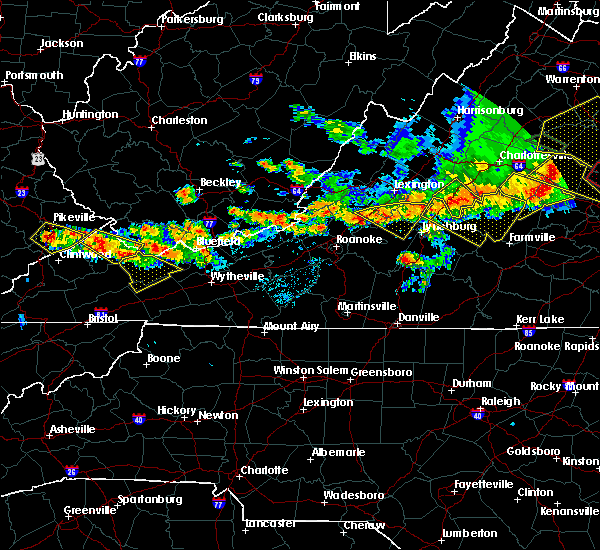 At 900 pm edt, a severe thunderstorm was located near jewell ridge, moving southeast at 25 mph (radar indicated). Hazards include 60 mph wind gusts and quarter size hail. Hail damage to vehicles is expected. Expect wind damage to roofs, siding, and trees. At 900 pm edt, a severe thunderstorm was located near jewell ridge, moving southeast at 25 mph (radar indicated). Hazards include 60 mph wind gusts and quarter size hail. Hail damage to vehicles is expected. Expect wind damage to roofs, siding, and trees.
|
| 6/4/2016 6:56 PM EDT |
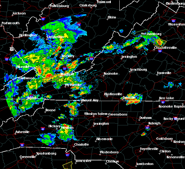 At 654 pm edt, severe thunderstorms were located from amonate to bossevain, moving northeast at 25 mph (radar indicated). Hazards include 60 mph wind gusts. Expect damage to roofs. siding. and trees. Locations impacted include, bluefield, tazewell, pocahontas, cliffield, and boissevain. At 654 pm edt, severe thunderstorms were located from amonate to bossevain, moving northeast at 25 mph (radar indicated). Hazards include 60 mph wind gusts. Expect damage to roofs. siding. and trees. Locations impacted include, bluefield, tazewell, pocahontas, cliffield, and boissevain.
|
| 6/4/2016 6:36 PM EDT |
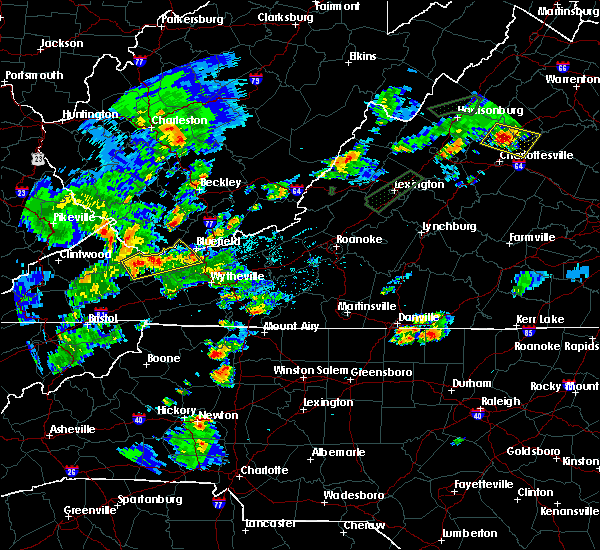 At 635 pm edt, a severe thunderstorm was located near bandy, moving northeast at 25 mph (radar indicated). Hazards include 60 mph wind gusts. Expect damage to roofs. siding. And trees. At 635 pm edt, a severe thunderstorm was located near bandy, moving northeast at 25 mph (radar indicated). Hazards include 60 mph wind gusts. Expect damage to roofs. siding. And trees.
|
| 3/14/2016 4:38 PM EDT |
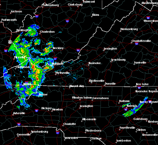 The severe thunderstorm warning for northeastern tazewell and west central bland counties will expire at 445 pm edt, the storm which prompted the warning has weakened below severe limits, and no longer poses an immediate threat to life or property. therefore the warning will be allowed to expire. when it is safe to do so, please send your reports of hail of any size, as well as any reports of wind damage, including downed trees or large limbs, to the national weather service by calling toll free at 1, 8 6 6, 2 1 5, 4 3 2 4. reports and pictures can also be shared on the national weather service blacksburg facebook page and on twitter. The severe thunderstorm warning for northeastern tazewell and west central bland counties will expire at 445 pm edt, the storm which prompted the warning has weakened below severe limits, and no longer poses an immediate threat to life or property. therefore the warning will be allowed to expire. when it is safe to do so, please send your reports of hail of any size, as well as any reports of wind damage, including downed trees or large limbs, to the national weather service by calling toll free at 1, 8 6 6, 2 1 5, 4 3 2 4. reports and pictures can also be shared on the national weather service blacksburg facebook page and on twitter.
|
| 3/14/2016 4:25 PM EDT | Quarter sized hail reported 4.9 miles W of Tazewell, VA, 911 call center reports hail of quarter size within the city of gratton in tazwell county... va. |
| 3/14/2016 4:22 PM EDT |
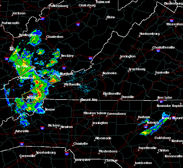 At 422 pm edt, a severe thunderstorm was located near gratton, moving northeast at 35 mph (radar indicated). Hazards include 60 mph wind gusts and quarter size hail. Hail damage to vehicles is expected. expect wind damage to roofs, siding, and trees. Locations impacted include, bluefield, tazewell, burkes garden, gratton, and tiptop. At 422 pm edt, a severe thunderstorm was located near gratton, moving northeast at 35 mph (radar indicated). Hazards include 60 mph wind gusts and quarter size hail. Hail damage to vehicles is expected. expect wind damage to roofs, siding, and trees. Locations impacted include, bluefield, tazewell, burkes garden, gratton, and tiptop.
|
| 3/14/2016 4:07 PM EDT |
 At 407 pm edt, a severe thunderstorm was located near tazewell, moving northeast at 35 mph (radar indicated). Hazards include 60 mph wind gusts and quarter size hail. Hail damage to vehicles is expected. Expect wind damage to roofs, siding, and trees. At 407 pm edt, a severe thunderstorm was located near tazewell, moving northeast at 35 mph (radar indicated). Hazards include 60 mph wind gusts and quarter size hail. Hail damage to vehicles is expected. Expect wind damage to roofs, siding, and trees.
|
| 3/14/2016 4:07 PM EDT |
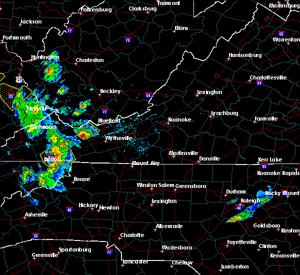 At 407 pm edt, a severe thunderstorm was located near tazewell, moving northeast at 35 mph (radar indicated). Hazards include 60 mph wind gusts and quarter size hail. Hail damage to vehicles is expected. Expect wind damage to roofs, siding, and trees. At 407 pm edt, a severe thunderstorm was located near tazewell, moving northeast at 35 mph (radar indicated). Hazards include 60 mph wind gusts and quarter size hail. Hail damage to vehicles is expected. Expect wind damage to roofs, siding, and trees.
|
| 7/14/2015 8:21 PM EDT |
 At 821 pm edt, severe thunderstorms were located along a line extending from princeton to near bandy to trammel, moving south at 45 mph (radar indicated). Hazards include 60 mph wind gusts and quarter size hail. Hail damage to vehicles is expected. expect wind damage to roofs, siding and trees. locations impacted include, bluefield, wytheville, bland, princeton, and marion. This includes mercer county airport. At 821 pm edt, severe thunderstorms were located along a line extending from princeton to near bandy to trammel, moving south at 45 mph (radar indicated). Hazards include 60 mph wind gusts and quarter size hail. Hail damage to vehicles is expected. expect wind damage to roofs, siding and trees. locations impacted include, bluefield, wytheville, bland, princeton, and marion. This includes mercer county airport.
|
| 7/14/2015 8:01 PM EDT |
 At 801 pm edt, severe thunderstorms were located along a line extending from near mullens to near war to john flannagan lake, moving south at 40 mph (radar indicated). Hazards include 60 mph wind gusts and quarter size hail. Hail damage to vehicles is expected. Expect wind damage to roofs, siding and trees. At 801 pm edt, severe thunderstorms were located along a line extending from near mullens to near war to john flannagan lake, moving south at 40 mph (radar indicated). Hazards include 60 mph wind gusts and quarter size hail. Hail damage to vehicles is expected. Expect wind damage to roofs, siding and trees.
|
| 7/13/2015 6:22 PM EDT |
 At 621 pm edt, severe thunderstorms were located along a line extending from near hinton to richlands, moving east at 50 mph (radar indicated). Hazards include 60 mph wind gusts. Expect damage to roofs. siding and trees. locations impacted include, bluefield, princeton, richlands, tazewell, and hinton. This includes mercer county airport. At 621 pm edt, severe thunderstorms were located along a line extending from near hinton to richlands, moving east at 50 mph (radar indicated). Hazards include 60 mph wind gusts. Expect damage to roofs. siding and trees. locations impacted include, bluefield, princeton, richlands, tazewell, and hinton. This includes mercer county airport.
|
| 7/13/2015 6:22 PM EDT |
 At 537 pm edt, severe thunderstorms were located along a line extending from near dry creek to near war, moving east at 50 mph. another severe thunderstorm was developing in western tazewell just west of claypool hill and is also rapidly approaching severe limits (radar indicated). Hazards include 70 mph wind gusts and quarter size hail. Hail damage to vehicles is expected. expect considerable tree damage. Wind damage is also likely to mobile homes, roofs and outbuildings. At 537 pm edt, severe thunderstorms were located along a line extending from near dry creek to near war, moving east at 50 mph. another severe thunderstorm was developing in western tazewell just west of claypool hill and is also rapidly approaching severe limits (radar indicated). Hazards include 70 mph wind gusts and quarter size hail. Hail damage to vehicles is expected. expect considerable tree damage. Wind damage is also likely to mobile homes, roofs and outbuildings.
|
| 7/13/2015 6:08 PM EDT | Multiple trees down around the county. start time was estimated based off off radar. 608 - 636pm in tazewell county VA, 0.9 miles NE of Tazewell, VA |
| 7/13/2015 5:39 PM EDT |
 At 537 pm edt, severe thunderstorms were located along a line extending from near dry creek to near war, moving east at 50 mph. another severe thunderstorm was developing in western tazewell just west of claypool hill and is also rapidly approaching severe limits (radar indicated). Hazards include 70 mph wind gusts and quarter size hail. Hail damage to vehicles is expected. expect considerable tree damage. Wind damage is also likely to mobile homes, roofs and outbuildings. At 537 pm edt, severe thunderstorms were located along a line extending from near dry creek to near war, moving east at 50 mph. another severe thunderstorm was developing in western tazewell just west of claypool hill and is also rapidly approaching severe limits (radar indicated). Hazards include 70 mph wind gusts and quarter size hail. Hail damage to vehicles is expected. expect considerable tree damage. Wind damage is also likely to mobile homes, roofs and outbuildings.
|
| 6/21/2015 5:52 PM EDT |
 The severe thunderstorm warning for southwestern giles, tazewell and bland counties will expire at 600 pm edt, the storm which prompted the warning has moved out of the area. therefore the warning will be allowed to expire. a severe thunderstorm watch remains in effect until 800 pm edt for southwestern virginia and southeastern west virginia. when it is safe to do so, please send your reports of hail of any size, as well as any reports of wind damage, including downed trees or large limbs, to the national weather service by calling toll free at 1, 8 6 6, 2 1 5, 4 3 2 4. reports and pictures can also be shared on the national weather service blacksburg facebook page and on twitter. The severe thunderstorm warning for southwestern giles, tazewell and bland counties will expire at 600 pm edt, the storm which prompted the warning has moved out of the area. therefore the warning will be allowed to expire. a severe thunderstorm watch remains in effect until 800 pm edt for southwestern virginia and southeastern west virginia. when it is safe to do so, please send your reports of hail of any size, as well as any reports of wind damage, including downed trees or large limbs, to the national weather service by calling toll free at 1, 8 6 6, 2 1 5, 4 3 2 4. reports and pictures can also be shared on the national weather service blacksburg facebook page and on twitter.
|
| 6/21/2015 5:30 PM EDT |
 At 529 pm edt, a severe thunderstorm was located over suiter, moving southeast at 30 mph (radar indicated). Hazards include 60 mph wind gusts and quarter size hail. Hail damage to vehicles is expected. expect wind damage to roofs, siding and trees. Locations impacted include, bland, richlands, bluefield, tazewell, and cedar bluff. At 529 pm edt, a severe thunderstorm was located over suiter, moving southeast at 30 mph (radar indicated). Hazards include 60 mph wind gusts and quarter size hail. Hail damage to vehicles is expected. expect wind damage to roofs, siding and trees. Locations impacted include, bland, richlands, bluefield, tazewell, and cedar bluff.
|
| 6/21/2015 4:55 PM EDT |
 At 454 pm edt, a severe thunderstorm was located near tiptop, moving southeast at 30 mph (radar indicated). Hazards include 60 mph wind gusts and quarter size hail. Hail damage to vehicles is expected. Expect wind damage to roofs, siding and trees. At 454 pm edt, a severe thunderstorm was located near tiptop, moving southeast at 30 mph (radar indicated). Hazards include 60 mph wind gusts and quarter size hail. Hail damage to vehicles is expected. Expect wind damage to roofs, siding and trees.
|
| 6/18/2015 7:23 PM EDT | At 722 pm edt, a severe thunderstorms was located just southeast of richlands, moving southeast at 25 mph (radar indicated). Hazards include 60 mph wind gusts. Expect damage to roofs. siding and trees. Locations impacted include, tazewell, cedar bluff, burkes garden, asberrys, and cliffield. |
| 6/18/2015 6:48 PM EDT | At 648 pm edt, severe thunderstorms were located along a line extending from near bandy to near raven, moving southeast at 25 mph (radar indicated). Hazards include 60 mph wind gusts and quarter size hail. Hail damage to vehicles is expected. Expect wind damage to roofs, siding and trees. |
| 6/8/2015 6:49 PM EDT | At 647 pm edt, severe thunderstorms were located along a line extending from tiptop virginia, to 8 miles northwest of whitetop, moving east at 40 mph (radar indicated). Hazards include 60 mph wind gusts. Expect damage to roofs. siding and trees. Locations impacted include, marion, bluefield, tazewell, saltville, chilhowie and mount rogers. |
| 6/8/2015 6:32 PM EDT | At 630 pm edt, severe thunderstorms were located along a line extending from near tazewell, to south of abingdon, moving east at 40 mph (radar indicated). Hazards include 60 mph wind gusts. Expect damage to roofs. siding and trees. Locations impacted include, marion, richlands, bluefield, tazewell, saltville chilhowie and mount rogers. |
| 6/8/2015 6:09 PM EDT | At 606 pm edt, severe thunderstorms were located along a line extending from near richlands to bristol virginia, moving east at 35 mph (radar indicated). Hazards include 60 mph wind gusts. Expect damage to roofs. Siding and trees. |
| 7/18/2013 3:30 PM EDT | Quarter sized hail reported 1.4 miles ESE of Tazewell, VA, hail up to quarter size |
| 7/5/2012 2:35 PM EDT | Multiple trees down on thompson valley in tazewell county VA, 4.1 miles NE of Tazewell, VA |
| 7/1/2012 11:05 PM EDT | The tazewell county sheriffs office has reported multiple trees blown down in the community of tazewel in tazewell county VA, 0.9 miles NE of Tazewell, VA |
| 7/1/2012 10:55 AM EDT | 6 inch diameter tree down along with several others. dime size hai in tazewell county VA, 6.1 miles E of Tazewell, VA |
| 6/30/2012 8:10 PM EDT | Golf Ball sized hail reported 5.5 miles W of Tazewell, VA, gratton in tazewell |
| 6/30/2012 8:05 PM EDT | Quarter sized hail reported 2.7 miles ESE of Tazewell, VA, quarter size hail on mobile drive |
| 6/30/2012 8:00 PM EDT | Golf Ball sized hail reported 0.8 miles NW of Tazewell, VA, hill street |
| 6/30/2012 7:56 PM EDT | Quarter sized hail reported 1.4 miles ESE of Tazewell, VA, quarter size hail on whitley branch road |
| 6/30/2012 7:56 PM EDT | Hen Egg sized hail reported 0.6 miles E of Tazewell, VA |
| 6/30/2012 7:54 PM EDT | Hen Egg sized hail reported 1.5 miles NNE of Tazewell, VA, damage to vehicles. |
| 6/30/2012 7:40 PM EDT | Quarter sized hail reported 3.2 miles ESE of Tazewell, VA, baptist valley road |
| 6/30/2012 7:00 PM EDT | Quarter sized hail reported 9 miles WNW of Tazewell, VA |
| 6/29/2012 8:55 PM EDT | Numerous trees and powerlines down in north tazewell along fairground road...east riverside drive...cochran hollow road...east fincastle street...hill street...whitley in tazewell county VA, 0.6 miles E of Tazewell, VA |
| 6/29/2012 8:52 PM EDT | Numerous trees and powerlines down along hubble hill rd...maplewood drive...gratton road...pounding mill branch...cherry hills drive...fincastle road...hill street...po in tazewell county VA, 0.9 miles NE of Tazewell, VA |
| 6/29/2012 8:45 PM EDT | Trees down on jumps road in tazewell county VA, 6.7 miles E of Tazewell, VA |
| 6/29/2012 8:42 PM EDT | Trees down on dry fork road in tazewell county VA, 7.6 miles ESE of Tazewell, VA |
| 6/29/2012 8:41 PM EDT | Trees down on stoney ridge road at horsepen road in tazewell county VA, 5 miles SSE of Tazewell, VA |
| 1/1/0001 12:00 AM | Trees down on adria r in tazewell county VA, 2.8 miles SE of Tazewell, VA |
| 1/1/0001 12:00 AM | One tree down on route 16 near the smyth county line. time estimated from rada in tazewell county VA, 9 miles N of Tazewell, VA |
| 1/1/0001 12:00 AM | Tree down near wittens mills in tazewell county VA, 2.7 miles SW of Tazewell, VA |
| 1/1/0001 12:00 AM | Tree down along route 460 eastbound near the intersection of route 781 in tazewell county VA, 3.4 miles SW of Tazewell, VA |
| 1/1/0001 12:00 AM | Tree down on central avenue in tazewell county VA, 0.9 miles NE of Tazewell, VA |
| 1/1/0001 12:00 AM | Tree down in thompson valley in tazewell county VA, 4.1 miles NE of Tazewell, VA |
Hail Maps for Tazewell, VA
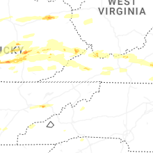


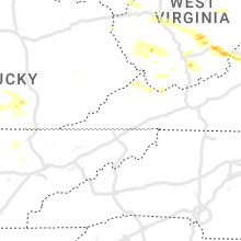


Connect with Interactive Hail Maps