

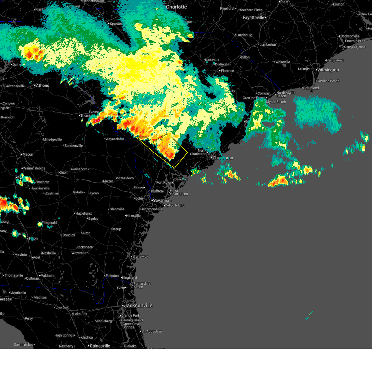
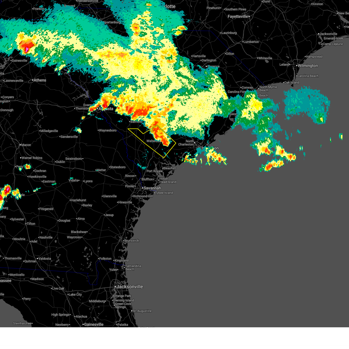
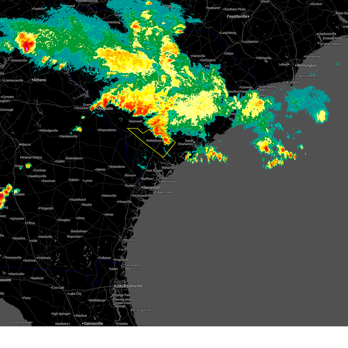
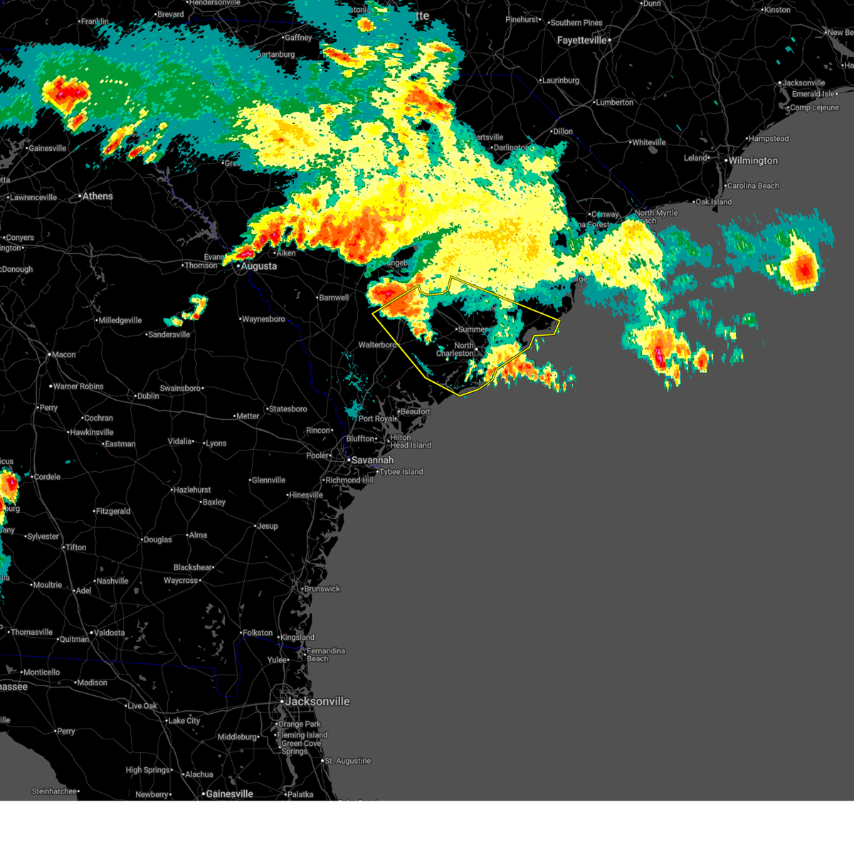
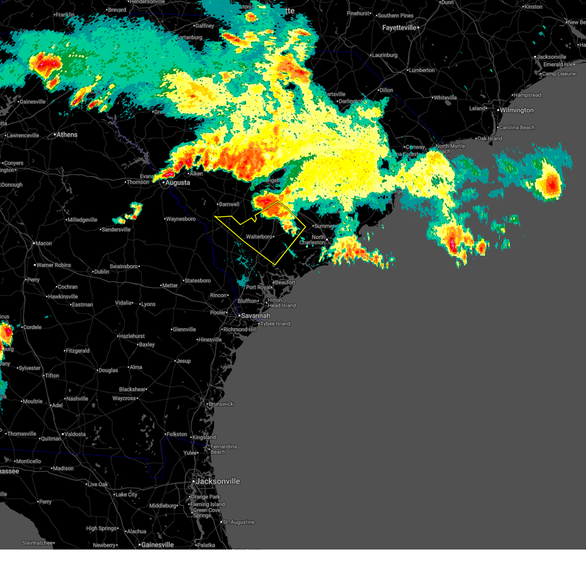
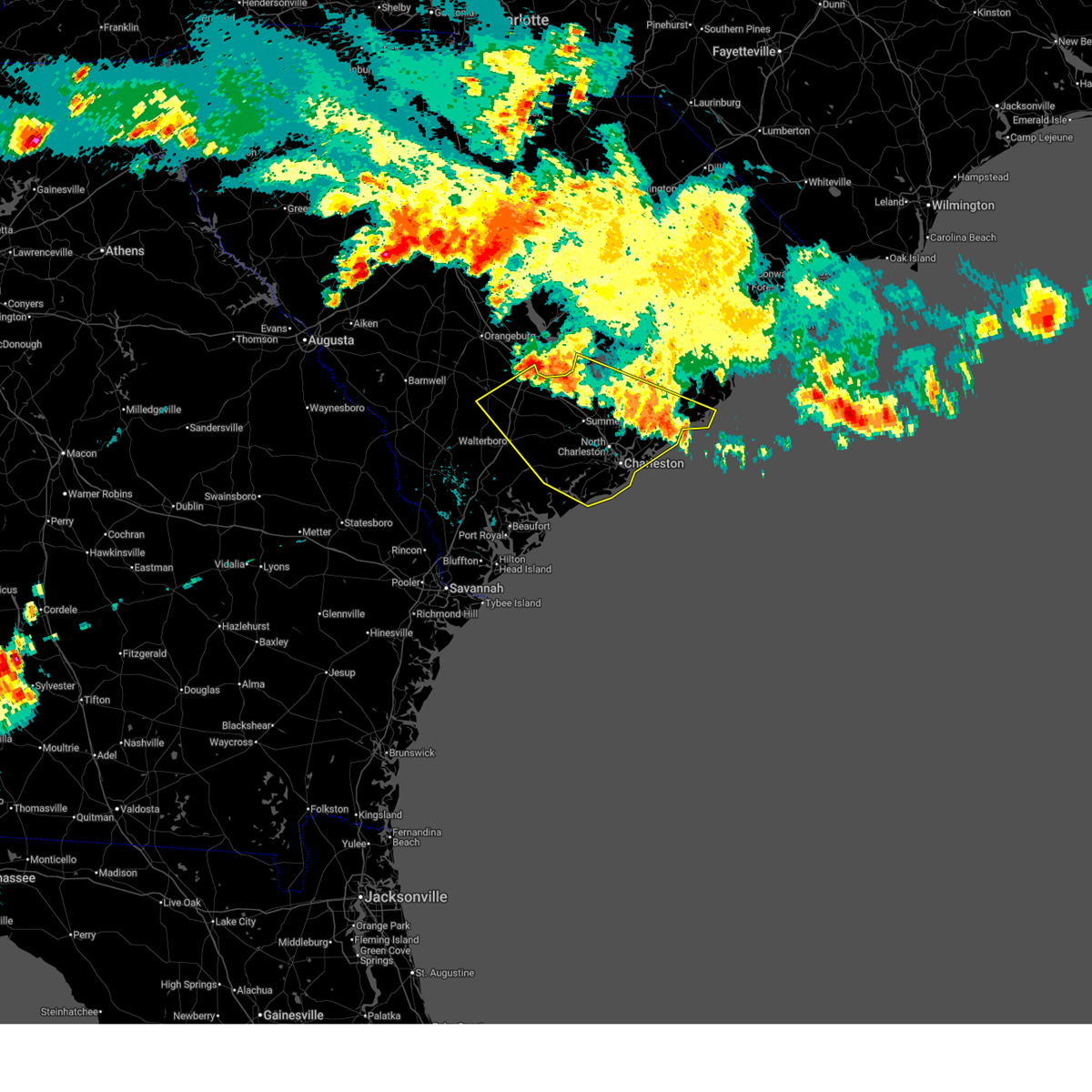
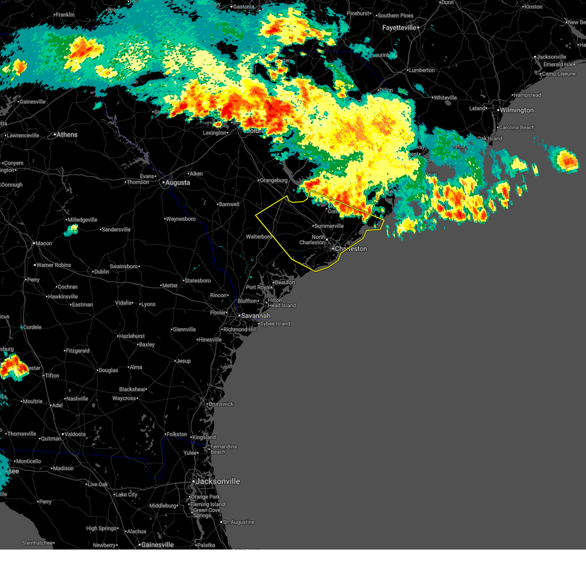
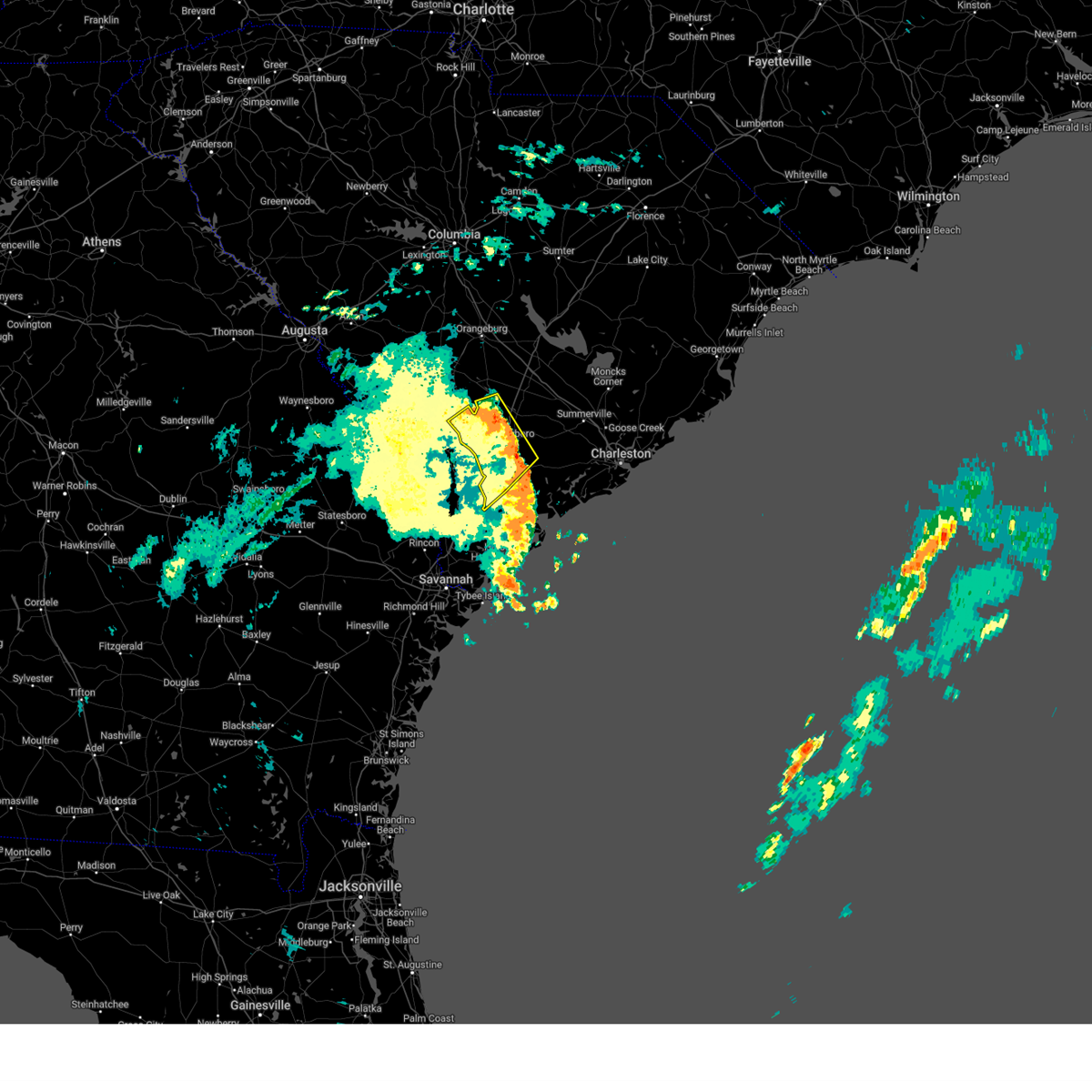
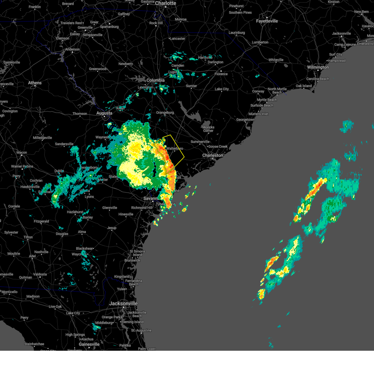
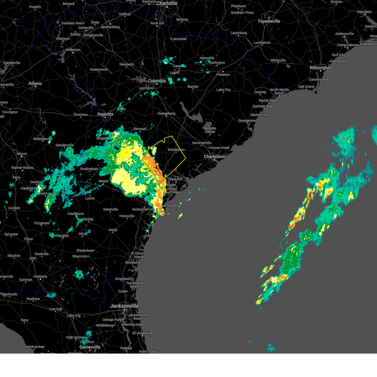
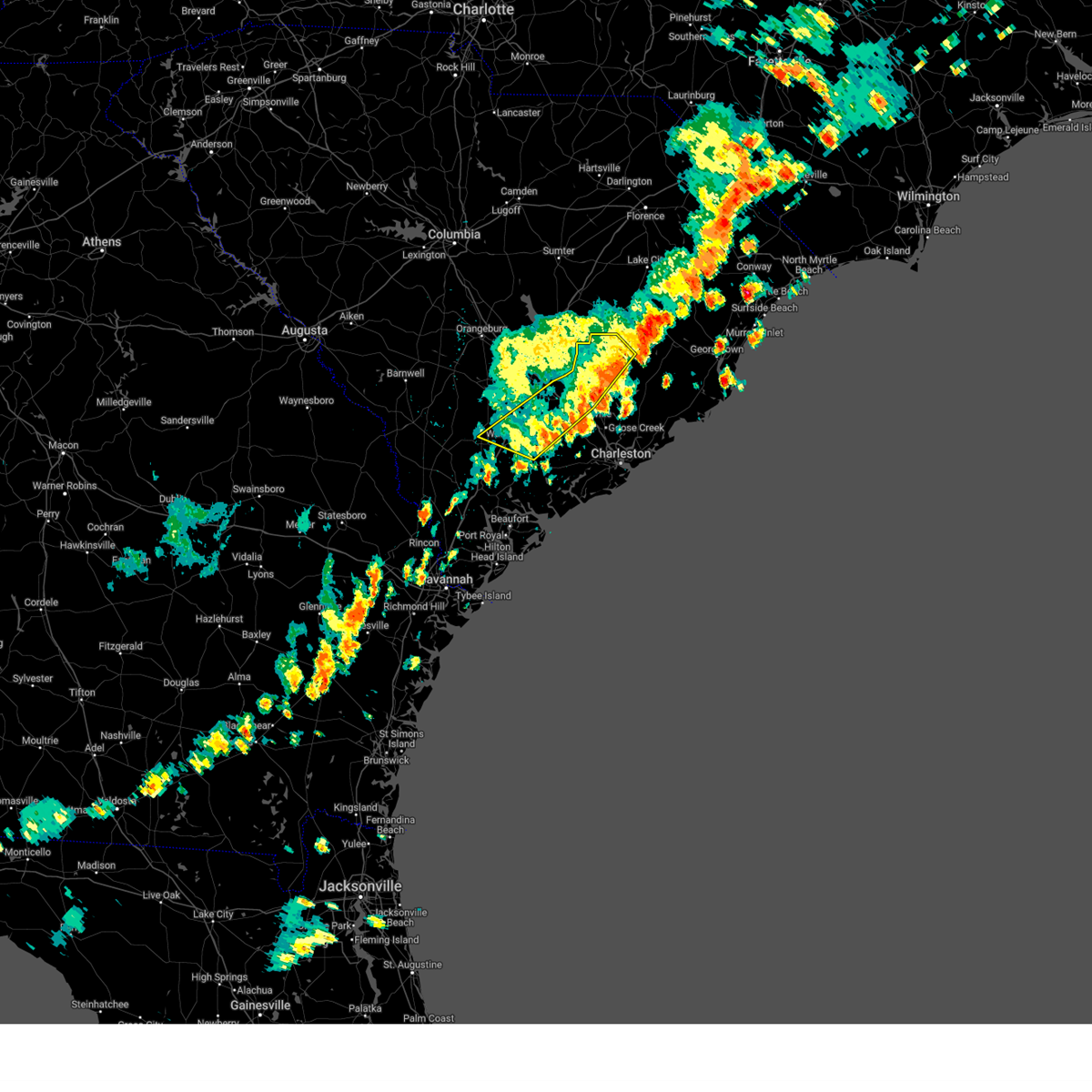
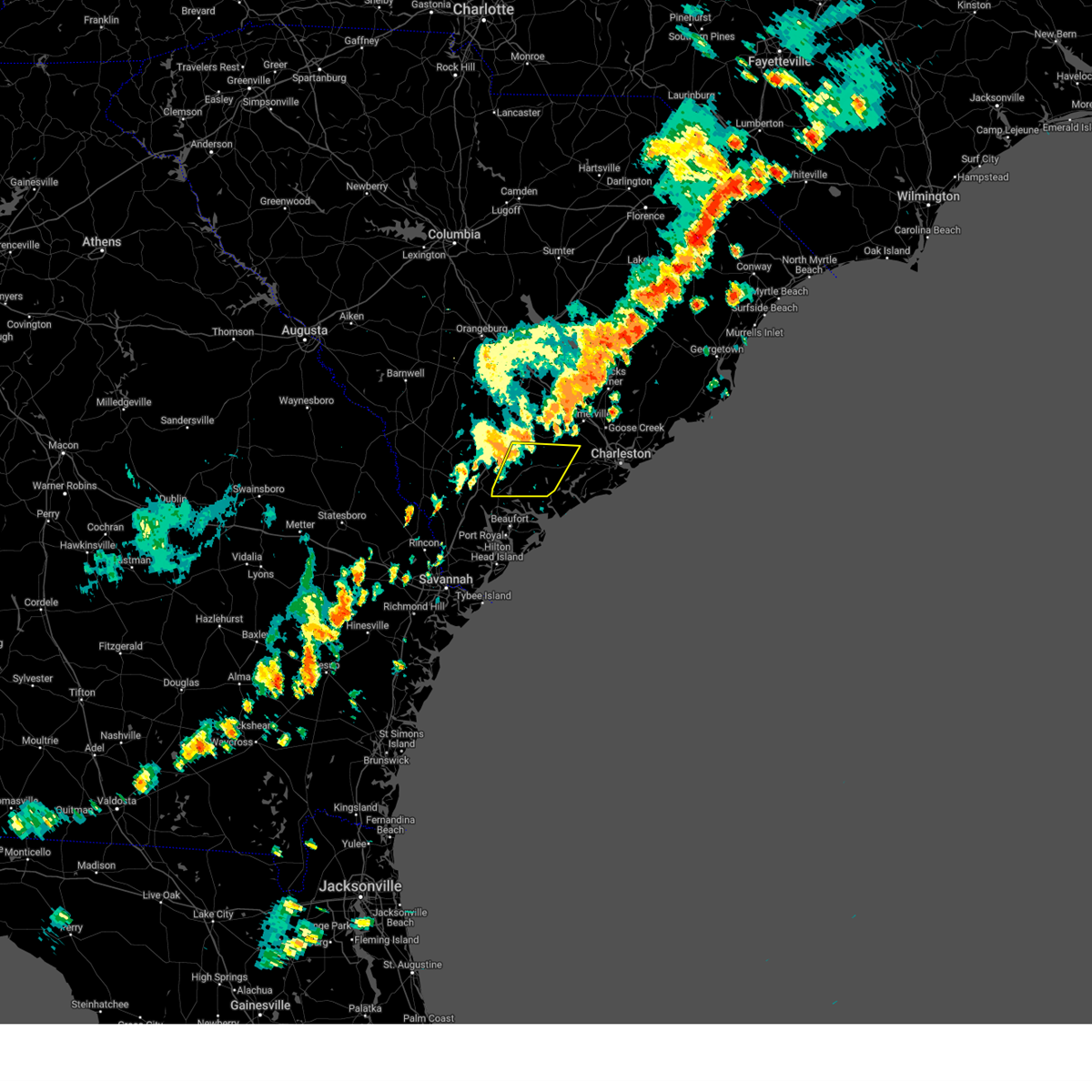
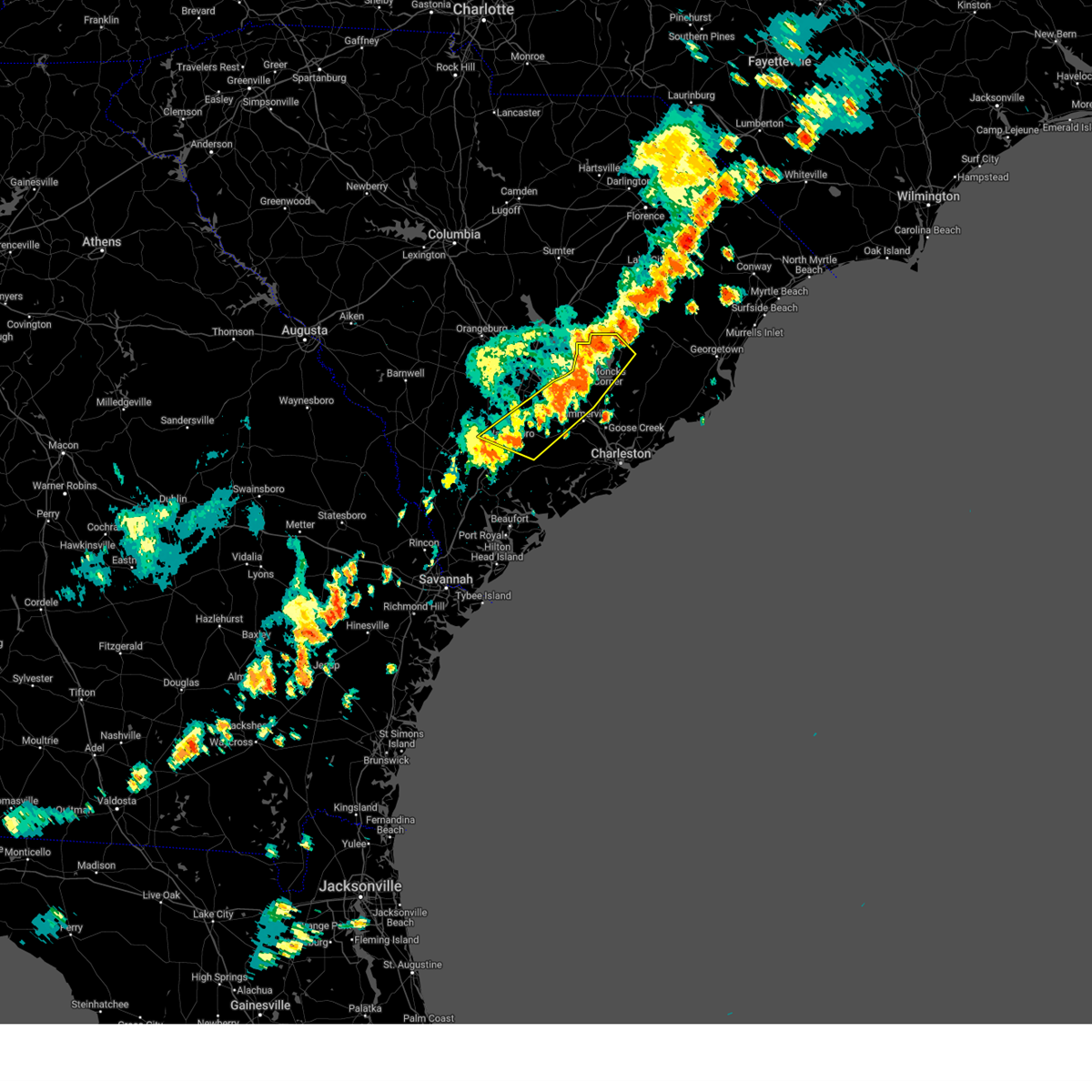
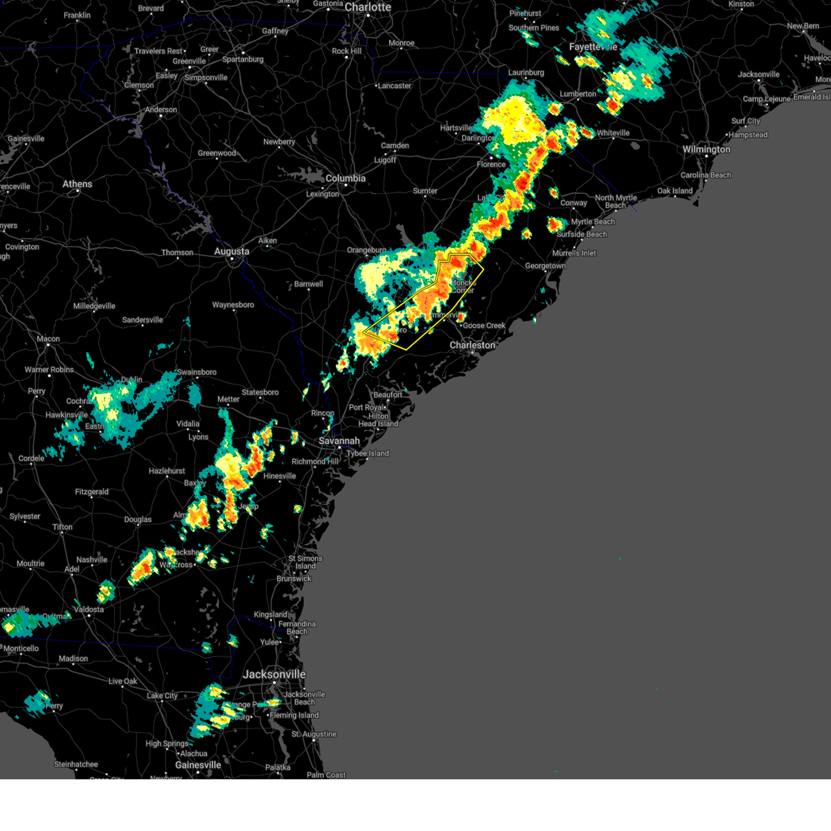
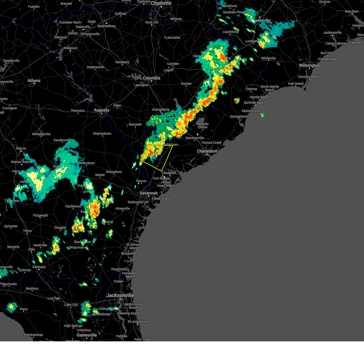
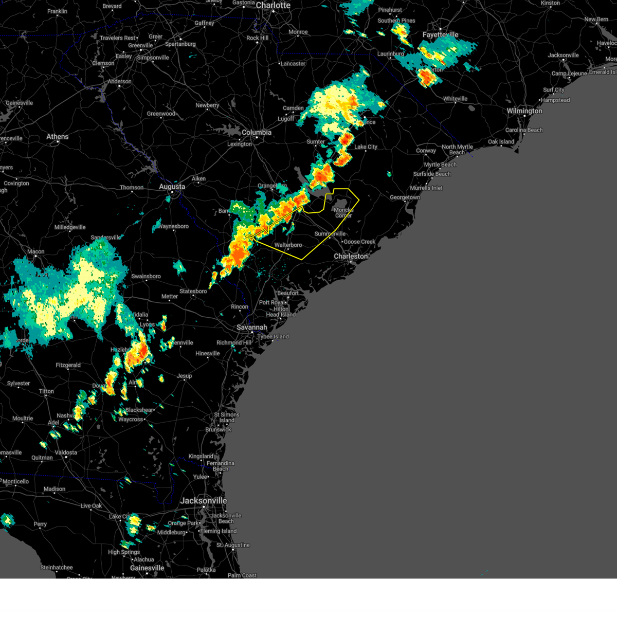
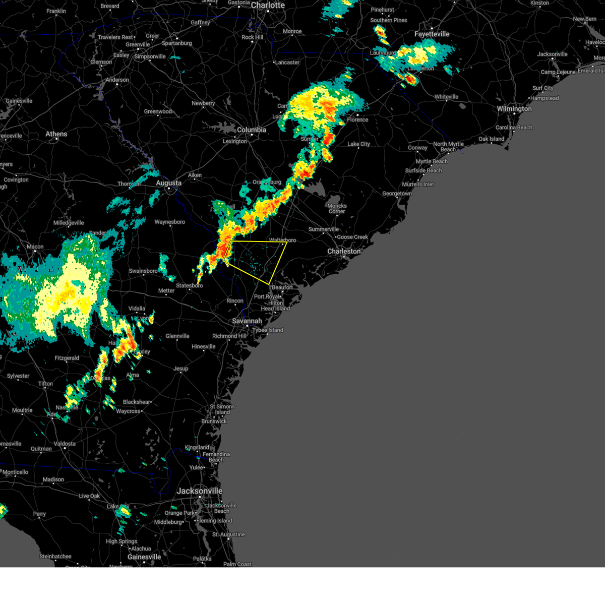
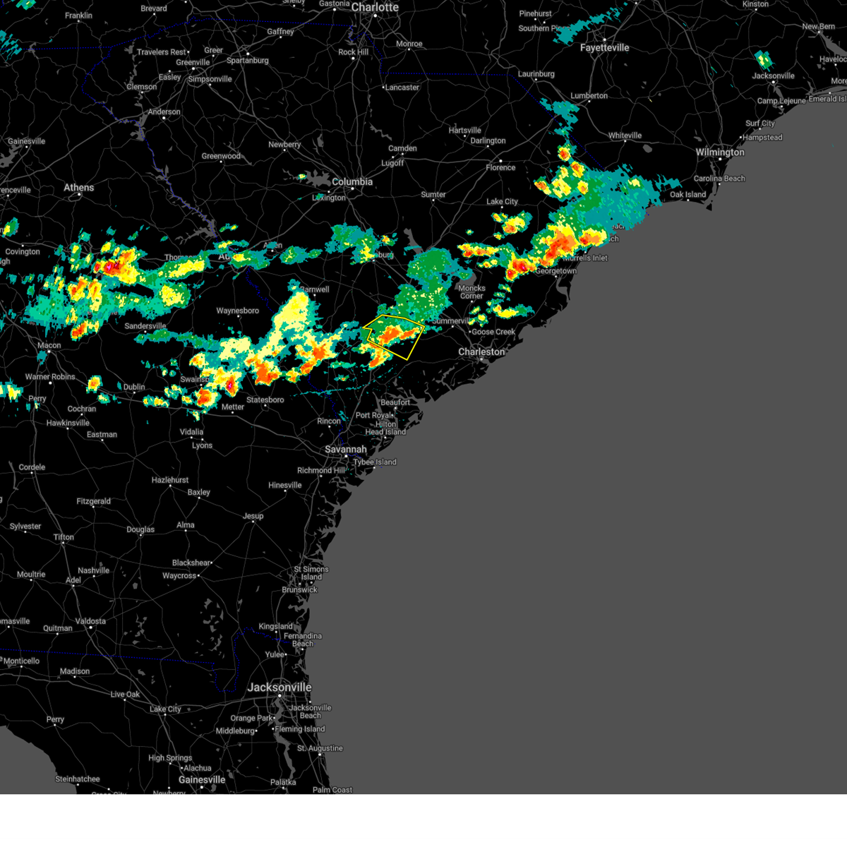
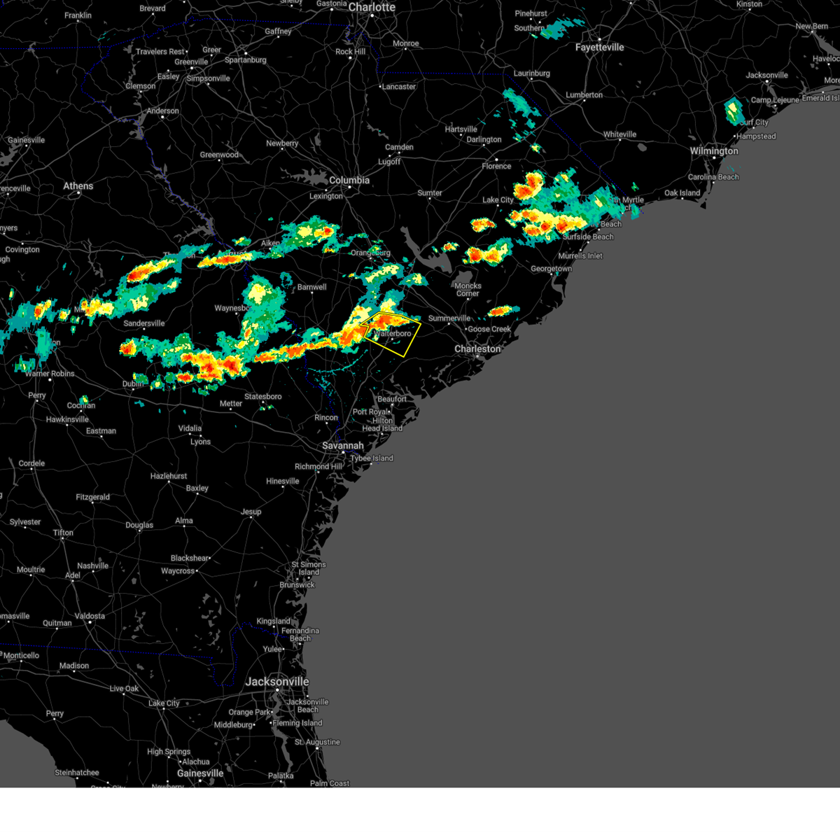
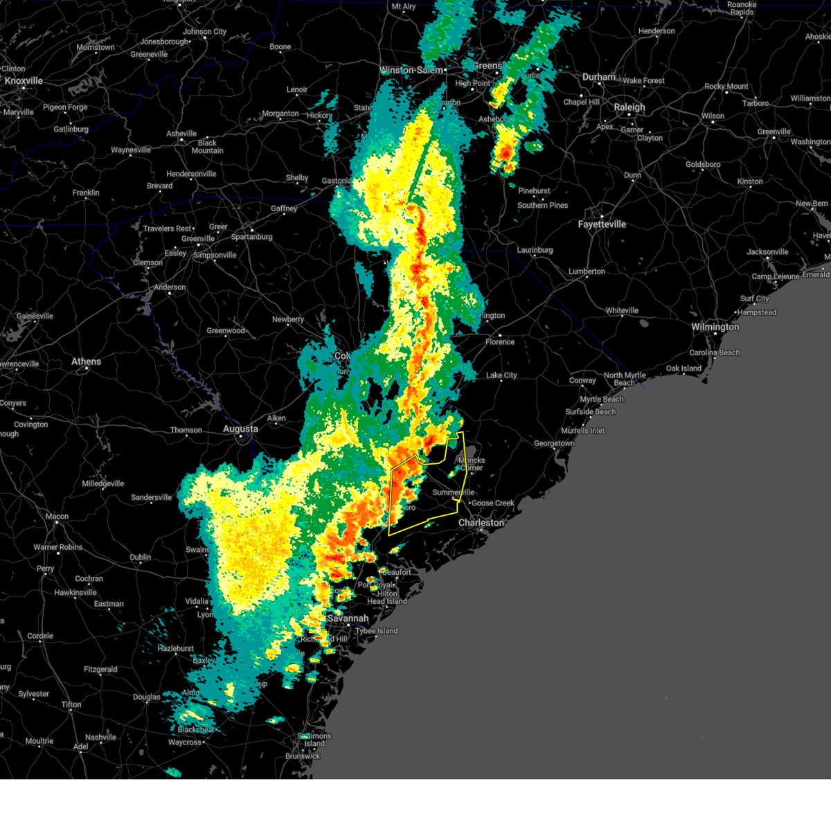
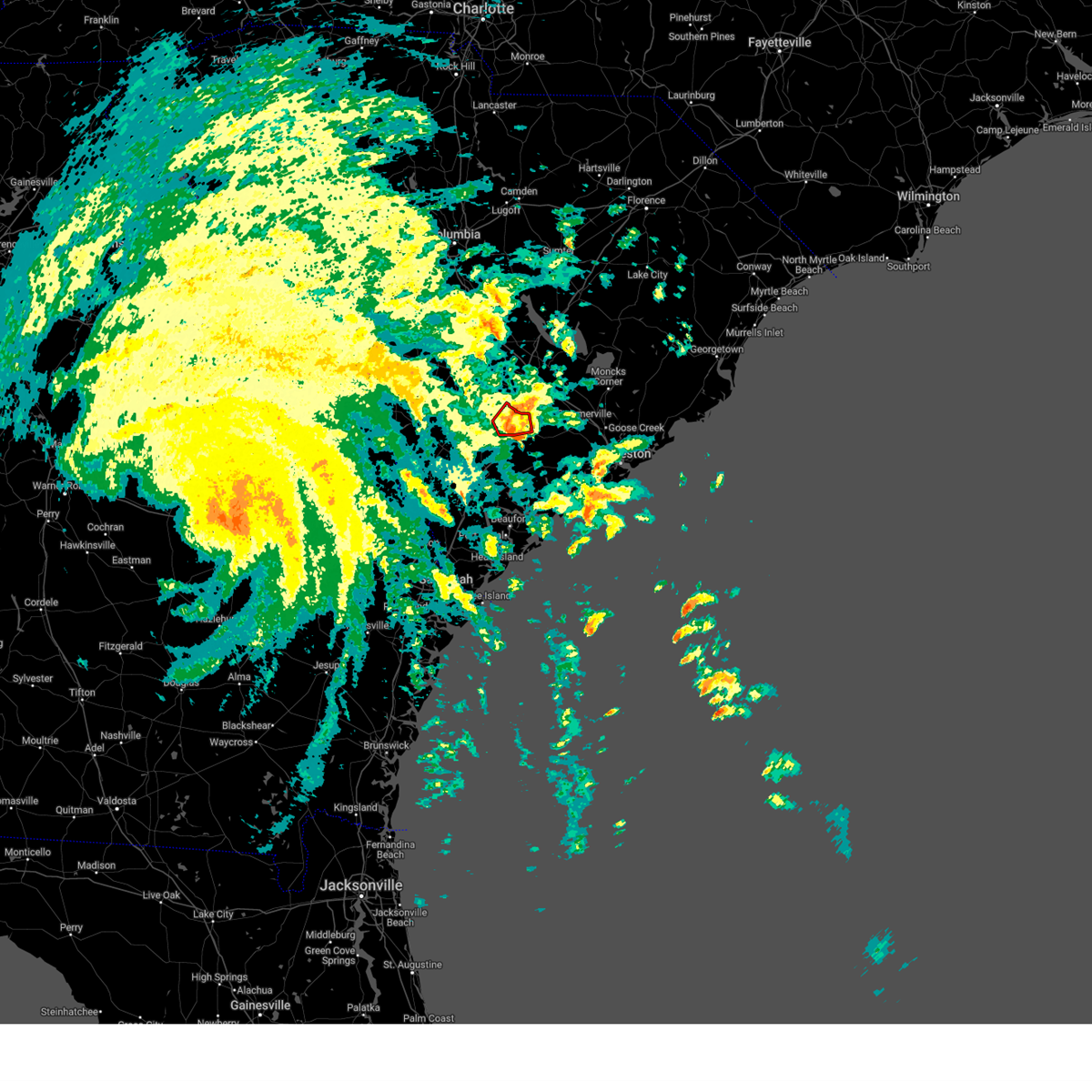
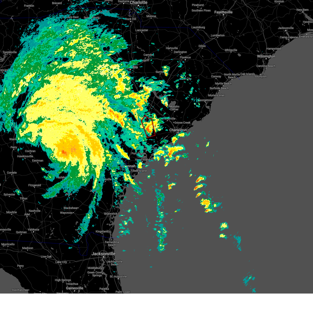
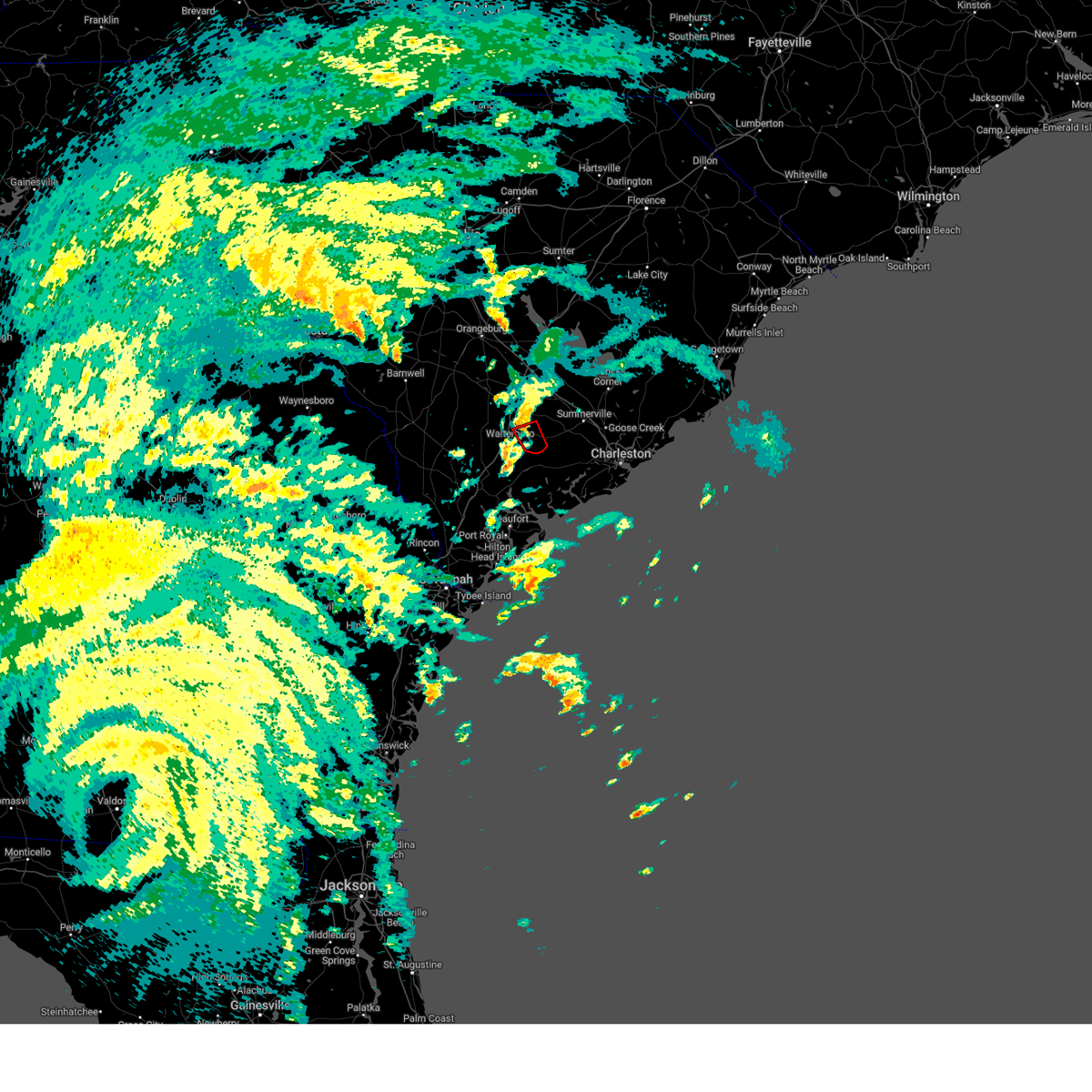
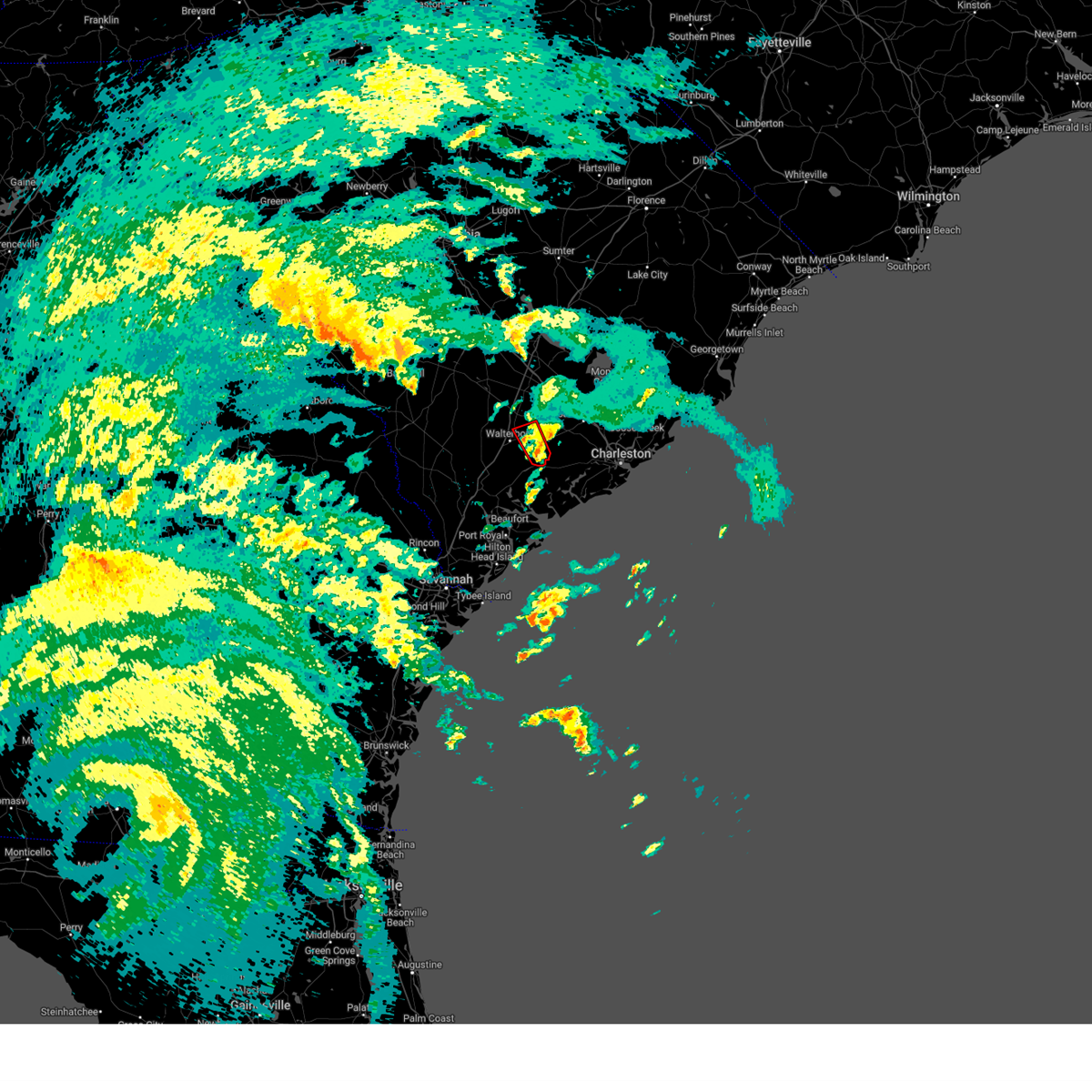
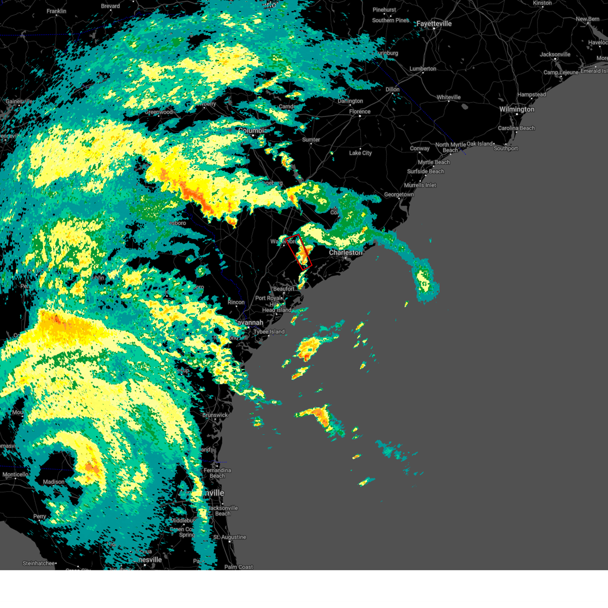
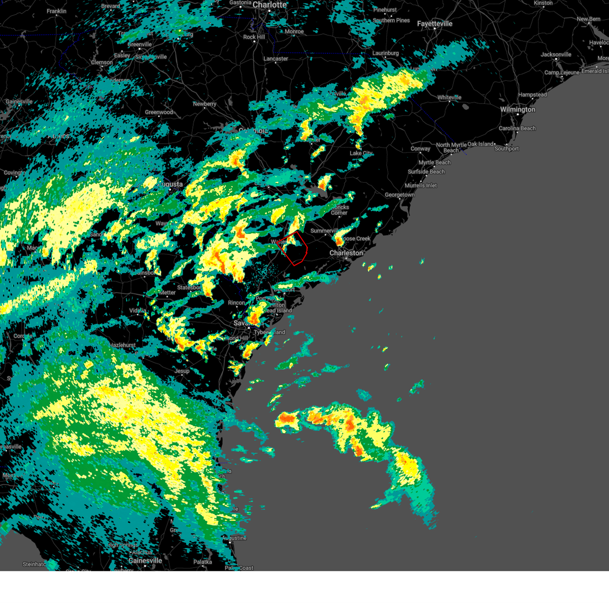
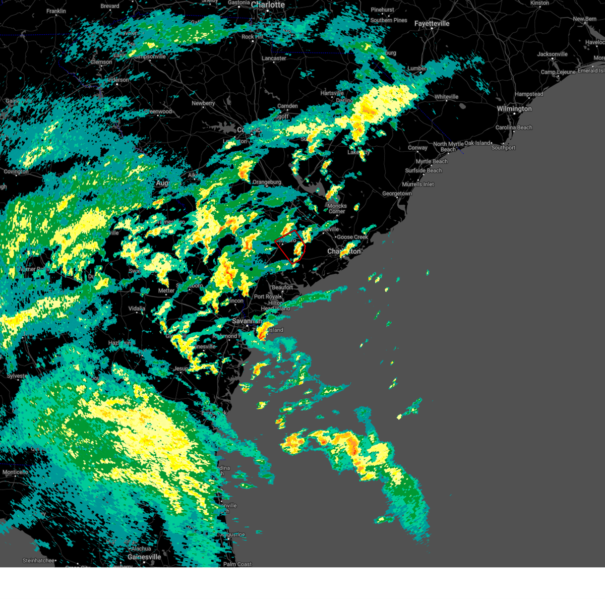
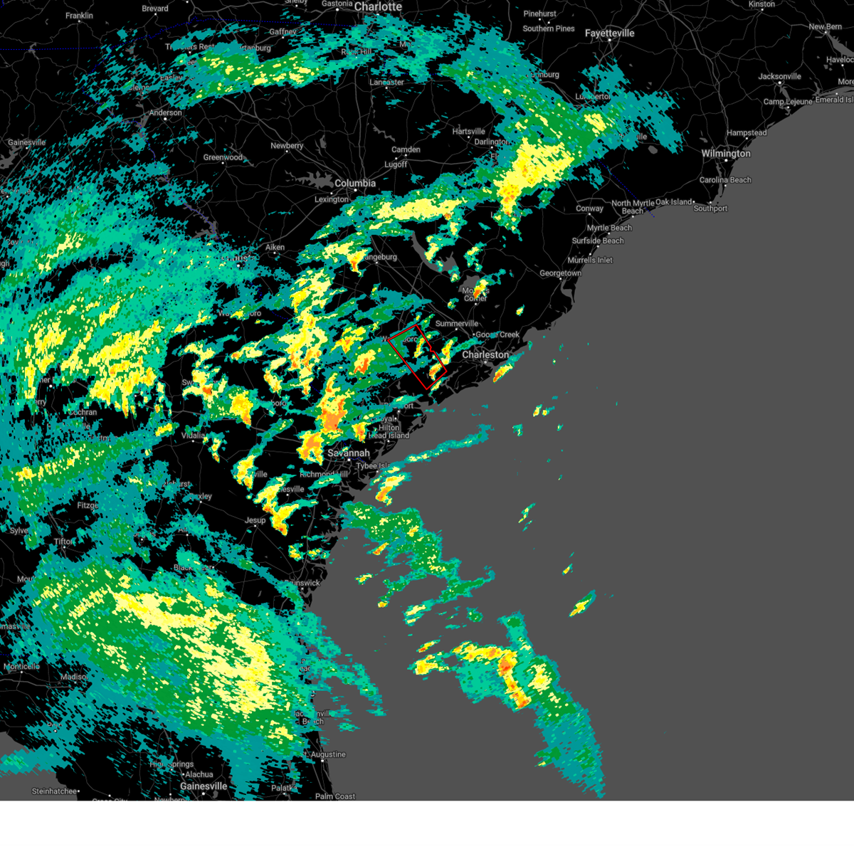
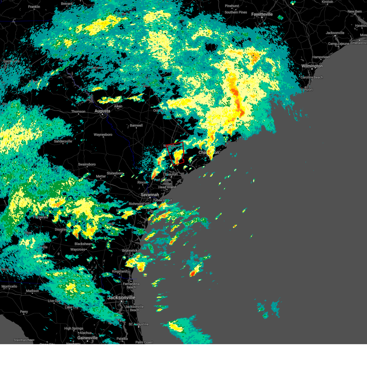
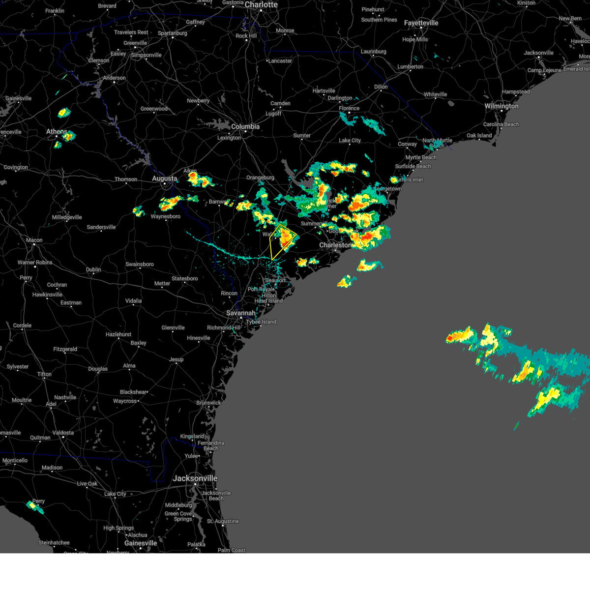
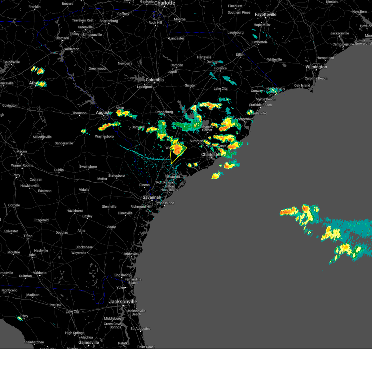
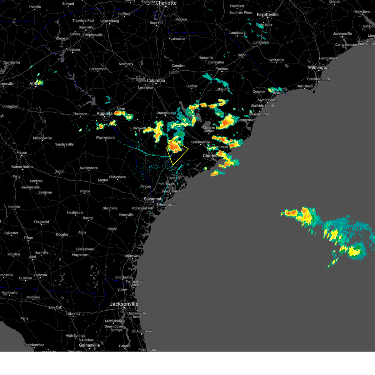
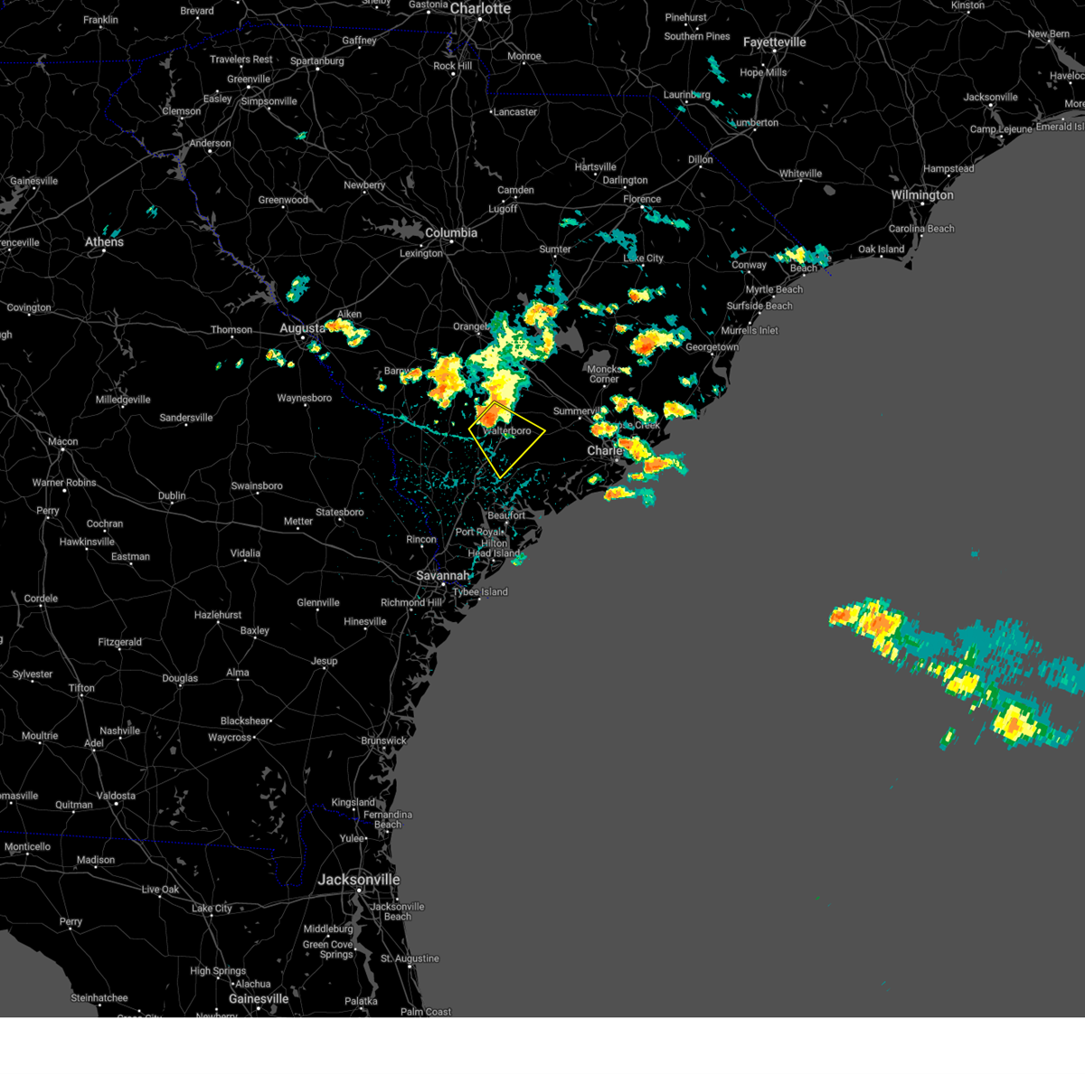
Hail Map for Walterboro, SC
The Walterboro, SC area has had 6 reports of on-the-ground hail by trained spotters, and has been under severe weather warnings 49 times during the past 12 months. Doppler radar has detected hail at or near Walterboro, SC on 55 occasions, including 2 occasions during the past year.
| Name: | Walterboro, SC |
| Where Located: | 43.4 miles WSW of Charleston, SC |
| Map: | Google Map for Walterboro, SC |
| Population: | 5398 |
| Housing Units: | 2579 |
| More Info: | Search Google for Walterboro, SC |
0
The Top Recent Hail Date for Walterboro, SC is Wednesday, July 9, 2025 (18th out of 55)

Hail and Wind Damage Spotted near Walterboro, SC
| Date / Time | Report Details |
|---|---|
| 7/7/2025 4:48 PM EDT | Tree down on pine grove road near the intersection with benton farm road. this was due to thunderstorm outflow. time estimated by rada in colleton county SC, 7.2 miles E of Walterboro, SC |
| 6/25/2025 10:56 PM EDT | Emergency manager reported a tree down on the block of 1500 wichman street. it's blocking both lane in colleton county SC, 1.5 miles W of Walterboro, SC |
| 6/25/2025 10:15 PM EDT |
 At 1015 pm edt, severe thunderstorms were located along a line from over white hall to over lodge, moving southwest at 25 mph (radar indicated). Hazards include 70 mph wind gusts and ping pong ball size hail. People and animals outdoors will be injured. expect hail damage to roofs, siding, windows, and vehicles. expect considerable tree damage. wind damage is also likely to mobile homes, roofs, and outbuildings. locations impacted include, cottageville, walterboro, smoaks, williams, ruffin, colleton, lodge, islandton, sycamore and ulmer. This includes i-95 in south carolina between mile markers 42 and 68. At 1015 pm edt, severe thunderstorms were located along a line from over white hall to over lodge, moving southwest at 25 mph (radar indicated). Hazards include 70 mph wind gusts and ping pong ball size hail. People and animals outdoors will be injured. expect hail damage to roofs, siding, windows, and vehicles. expect considerable tree damage. wind damage is also likely to mobile homes, roofs, and outbuildings. locations impacted include, cottageville, walterboro, smoaks, williams, ruffin, colleton, lodge, islandton, sycamore and ulmer. This includes i-95 in south carolina between mile markers 42 and 68.
|
| 6/25/2025 10:06 PM EDT |
 At 1006 pm edt, severe thunderstorms were located along a line from over ritter to over lodge, moving southwest at 25 mph (radar indicated). Hazards include 70 mph wind gusts and quarter size hail. Hail damage to vehicles is expected. expect considerable tree damage. wind damage is also likely to mobile homes, roofs, and outbuildings. locations impacted include, cottageville, walterboro, smoaks, williams, ruffin, colleton, lodge, islandton, sycamore and ulmer. This includes i-95 in south carolina between mile markers 42 and 68. At 1006 pm edt, severe thunderstorms were located along a line from over ritter to over lodge, moving southwest at 25 mph (radar indicated). Hazards include 70 mph wind gusts and quarter size hail. Hail damage to vehicles is expected. expect considerable tree damage. wind damage is also likely to mobile homes, roofs, and outbuildings. locations impacted include, cottageville, walterboro, smoaks, williams, ruffin, colleton, lodge, islandton, sycamore and ulmer. This includes i-95 in south carolina between mile markers 42 and 68.
|
| 6/25/2025 10:01 PM EDT | Emergency manager reported at tree down at the intersection of azalea patch road and bethel road. it's blocking both lane in colleton county SC, 7.6 miles ESE of Walterboro, SC |
| 6/25/2025 10:01 PM EDT |
 At 1001 pm edt, severe thunderstorms were located along a line from over ritter to near padgetts, moving southwest at 25 mph (radar indicated). Hazards include 60 mph wind gusts and small hail. Expect damage to roofs, siding, and trees. locations impacted include, walterboro, colleton, cottageville, sycamore, smoaks, lodge, williams, ulmer, ruffin and islandton. This includes i-95 in south carolina between mile markers 42 and 68. At 1001 pm edt, severe thunderstorms were located along a line from over ritter to near padgetts, moving southwest at 25 mph (radar indicated). Hazards include 60 mph wind gusts and small hail. Expect damage to roofs, siding, and trees. locations impacted include, walterboro, colleton, cottageville, sycamore, smoaks, lodge, williams, ulmer, ruffin and islandton. This includes i-95 in south carolina between mile markers 42 and 68.
|
| 6/25/2025 10:01 PM EDT |
 the severe thunderstorm warning has been cancelled and is no longer in effect the severe thunderstorm warning has been cancelled and is no longer in effect
|
| 6/25/2025 9:52 PM EDT | Emergency manager reported a tree down on the block of 1500 wichman street. it's blocking both lane in colleton county SC, 1.5 miles W of Walterboro, SC |
| 6/25/2025 9:42 PM EDT | Emergency manager reported a tree and power line down on the 3600 block of mount carmel road. one lane of the road was blocke in colleton county SC, 5.3 miles SSE of Walterboro, SC |
| 6/25/2025 9:40 PM EDT |
 The severe thunderstorm warning that was previously in effect has been reissued for colleton and dorchester counties and is in effect until 1030 pm edt. please refer to that bulletin for the latest severe weather information. a severe thunderstorm watch remains in effect until 1200 am edt for a portion of southeast south carolina. The severe thunderstorm warning that was previously in effect has been reissued for colleton and dorchester counties and is in effect until 1030 pm edt. please refer to that bulletin for the latest severe weather information. a severe thunderstorm watch remains in effect until 1200 am edt for a portion of southeast south carolina.
|
| 6/25/2025 9:33 PM EDT |
 Svrchs the national weather service in charleston has issued a * severe thunderstorm warning for portions of, allendale county in southeastern south carolina, beaufort county in southeastern south carolina, colleton county in southeastern south carolina, dorchester county in southeastern south carolina, hampton county in southeastern south carolina, * until 1030 pm edt. * at 933 pm edt, severe thunderstorms were located along a line from over cottageville to 12 miles north of lodge, moving southwest at 25 mph (radar indicated). Hazards include 60 mph wind gusts. expect damage to roofs, siding, and trees Svrchs the national weather service in charleston has issued a * severe thunderstorm warning for portions of, allendale county in southeastern south carolina, beaufort county in southeastern south carolina, colleton county in southeastern south carolina, dorchester county in southeastern south carolina, hampton county in southeastern south carolina, * until 1030 pm edt. * at 933 pm edt, severe thunderstorms were located along a line from over cottageville to 12 miles north of lodge, moving southwest at 25 mph (radar indicated). Hazards include 60 mph wind gusts. expect damage to roofs, siding, and trees
|
| 6/25/2025 9:06 PM EDT |
 At 906 pm edt, a combination of a severe wind shift and severe thunderstorms were located along a line from 7 miles southeast of capers inlet to over reevesville, moving southwest at 25 mph (trained spotters reported. at 855 pm, wind gust to 58 mph was observed at the charleston harbor pilot office in downtown charleston). Hazards include 60 mph wind gusts. Expect damage to roofs, siding, and trees. locations impacted include, moncks corner, mcclellanville, goose creek, ladson, hanahan, north charleston, mount pleasant, summerville, saint george and walterboro. this includes the following highways, i-26 between mile markers 171 and 221. i-526 between mile markers 11 and 31. I-95 in south carolina between mile markers 59 and 85. At 906 pm edt, a combination of a severe wind shift and severe thunderstorms were located along a line from 7 miles southeast of capers inlet to over reevesville, moving southwest at 25 mph (trained spotters reported. at 855 pm, wind gust to 58 mph was observed at the charleston harbor pilot office in downtown charleston). Hazards include 60 mph wind gusts. Expect damage to roofs, siding, and trees. locations impacted include, moncks corner, mcclellanville, goose creek, ladson, hanahan, north charleston, mount pleasant, summerville, saint george and walterboro. this includes the following highways, i-26 between mile markers 171 and 221. i-526 between mile markers 11 and 31. I-95 in south carolina between mile markers 59 and 85.
|
| 6/25/2025 8:38 PM EDT |
 Svrchs the national weather service in charleston has issued a * severe thunderstorm warning for portions of, berkeley county in southeastern south carolina, charleston county in southeastern south carolina, colleton county in southeastern south carolina, dorchester county in southeastern south carolina, * until 945 pm edt. * at 838 pm edt, severe thunderstorms were located along a line from near awendaw to 5 miles northeast of harleyville, moving southwest at 40 mph (law enforcement reported. at 835 pm, law enforcement continued to report wind damage occurring across northern and central berkeley county). Hazards include 60 mph wind gusts. expect damage to roofs, siding, and trees Svrchs the national weather service in charleston has issued a * severe thunderstorm warning for portions of, berkeley county in southeastern south carolina, charleston county in southeastern south carolina, colleton county in southeastern south carolina, dorchester county in southeastern south carolina, * until 945 pm edt. * at 838 pm edt, severe thunderstorms were located along a line from near awendaw to 5 miles northeast of harleyville, moving southwest at 40 mph (law enforcement reported. at 835 pm, law enforcement continued to report wind damage occurring across northern and central berkeley county). Hazards include 60 mph wind gusts. expect damage to roofs, siding, and trees
|
| 6/10/2025 10:06 AM EDT |
 The severe thunderstorm warning that was previously in effect has been reissued for colleton county and is in effect until 1045 am edt. please refer to that bulletin for the latest severe weather information. The severe thunderstorm warning that was previously in effect has been reissued for colleton county and is in effect until 1045 am edt. please refer to that bulletin for the latest severe weather information.
|
| 6/10/2025 10:04 AM EDT |
 Svrchs the national weather service in charleston has issued a * severe thunderstorm warning for portions of, berkeley county in southeastern south carolina, charleston county in southeastern south carolina, colleton county in southeastern south carolina, dorchester county in southeastern south carolina, * until 1045 am edt. * at 1004 am edt, severe thunderstorms were located along a line from over round o to 5 miles west of edisto beach, moving northeast at 60 mph (radar indicated). Hazards include 60 mph wind gusts. expect damage to roofs, siding, and trees Svrchs the national weather service in charleston has issued a * severe thunderstorm warning for portions of, berkeley county in southeastern south carolina, charleston county in southeastern south carolina, colleton county in southeastern south carolina, dorchester county in southeastern south carolina, * until 1045 am edt. * at 1004 am edt, severe thunderstorms were located along a line from over round o to 5 miles west of edisto beach, moving northeast at 60 mph (radar indicated). Hazards include 60 mph wind gusts. expect damage to roofs, siding, and trees
|
| 6/10/2025 9:53 AM EDT | Tree down on mable t willis blv in colleton county SC, 2 miles NNE of Walterboro, SC |
| 6/10/2025 9:53 AM EDT | Tree down at bells hwy and stokes r in colleton county SC, 3.9 miles SE of Walterboro, SC |
| 6/10/2025 9:53 AM EDT | Tree down at stormy ln and bells hw in colleton county SC, 2.6 miles SE of Walterboro, SC |
| 6/10/2025 9:47 AM EDT |
 At 947 am edt, severe thunderstorms were located along a line from near ashton to 6 miles east of dale, moving northeast at 50 mph (radar indicated). Hazards include 60 mph wind gusts. Expect damage to roofs, siding, and trees. locations impacted include, walterboro, yemassee, colleton, smoaks, lodge, williams, hendersonville, ruffin, ritter and islandton. This includes i-95 in south carolina between mile markers 42 and 67. At 947 am edt, severe thunderstorms were located along a line from near ashton to 6 miles east of dale, moving northeast at 50 mph (radar indicated). Hazards include 60 mph wind gusts. Expect damage to roofs, siding, and trees. locations impacted include, walterboro, yemassee, colleton, smoaks, lodge, williams, hendersonville, ruffin, ritter and islandton. This includes i-95 in south carolina between mile markers 42 and 67.
|
| 6/10/2025 9:47 AM EDT |
 the severe thunderstorm warning has been cancelled and is no longer in effect the severe thunderstorm warning has been cancelled and is no longer in effect
|
| 6/10/2025 9:26 AM EDT |
 Svrchs the national weather service in charleston has issued a * severe thunderstorm warning for portions of, beaufort county in southeastern south carolina, colleton county in southeastern south carolina, hampton county in southeastern south carolina, jasper county in southeastern south carolina, * until 1015 am edt. * at 926 am edt, severe thunderstorms were located along a line from over lake warren state park to over old house, moving northeast at 40 mph (radar indicated). Hazards include 60 mph wind gusts. expect damage to roofs, siding, and trees Svrchs the national weather service in charleston has issued a * severe thunderstorm warning for portions of, beaufort county in southeastern south carolina, colleton county in southeastern south carolina, hampton county in southeastern south carolina, jasper county in southeastern south carolina, * until 1015 am edt. * at 926 am edt, severe thunderstorms were located along a line from over lake warren state park to over old house, moving northeast at 40 mph (radar indicated). Hazards include 60 mph wind gusts. expect damage to roofs, siding, and trees
|
| 6/8/2025 1:21 PM EDT |
 the severe thunderstorm warning has been cancelled and is no longer in effect the severe thunderstorm warning has been cancelled and is no longer in effect
|
| 6/8/2025 1:10 PM EDT |
 The storms which prompted the warning have moved out of the area. therefore, the warning will be allowed to expire. however, gusty winds and heavy rain are still possible with these thunderstorms. a severe thunderstorm watch remains in effect until 500 pm edt for a portion of southeast south carolina. The storms which prompted the warning have moved out of the area. therefore, the warning will be allowed to expire. however, gusty winds and heavy rain are still possible with these thunderstorms. a severe thunderstorm watch remains in effect until 500 pm edt for a portion of southeast south carolina.
|
| 6/8/2025 1:03 PM EDT |
 the severe thunderstorm warning has been cancelled and is no longer in effect the severe thunderstorm warning has been cancelled and is no longer in effect
|
| 6/8/2025 1:03 PM EDT |
 At 103 pm edt, severe thunderstorms were located along a line from 5 miles northwest of jacksonboro to over pocotaligo, moving east at 30 mph (radar indicated). Hazards include 60 mph wind gusts and small hail. Expect damage to roofs, siding, and trees. Locations impacted include, walterboro, hollywood, ravenel, meggett, ashepoo, jacksonboro, green pond, ritter, adams run and white hall. At 103 pm edt, severe thunderstorms were located along a line from 5 miles northwest of jacksonboro to over pocotaligo, moving east at 30 mph (radar indicated). Hazards include 60 mph wind gusts and small hail. Expect damage to roofs, siding, and trees. Locations impacted include, walterboro, hollywood, ravenel, meggett, ashepoo, jacksonboro, green pond, ritter, adams run and white hall.
|
| 6/8/2025 12:55 PM EDT |
 The storm which prompted the warning has moved out of the area. therefore, the warning will be allowed to expire. a severe thunderstorm watch remains in effect until 500 pm edt for a portion of southeast south carolina. The storm which prompted the warning has moved out of the area. therefore, the warning will be allowed to expire. a severe thunderstorm watch remains in effect until 500 pm edt for a portion of southeast south carolina.
|
| 6/8/2025 12:50 PM EDT |
 At 1250 pm edt, severe thunderstorms were located along a line from over bonneau to over cottageville, moving east at 40 mph (radar indicated). Hazards include 60 mph wind gusts and small hail. Expect damage to roofs, siding, and trees. locations impacted include, summerville, moncks corner, walterboro, givhans ferry state park, dorchester, ridgeville, saint stephen, cottageville, harleyville and bonneau. this includes the following highways, i-26 between mile markers 181 and 198. I-95 in south carolina between mile markers 55 and 67. At 1250 pm edt, severe thunderstorms were located along a line from over bonneau to over cottageville, moving east at 40 mph (radar indicated). Hazards include 60 mph wind gusts and small hail. Expect damage to roofs, siding, and trees. locations impacted include, summerville, moncks corner, walterboro, givhans ferry state park, dorchester, ridgeville, saint stephen, cottageville, harleyville and bonneau. this includes the following highways, i-26 between mile markers 181 and 198. I-95 in south carolina between mile markers 55 and 67.
|
| 6/8/2025 12:50 PM EDT |
 the severe thunderstorm warning has been cancelled and is no longer in effect the severe thunderstorm warning has been cancelled and is no longer in effect
|
| 6/8/2025 12:48 PM EDT | Tree reported down in the 8600 block of green pond highway... likely from thunderstorm outflow. time estimated from rada in colleton county SC, 9.8 miles NNW of Walterboro, SC |
| 6/8/2025 12:48 PM EDT |
 Svrchs the national weather service in charleston has issued a * severe thunderstorm warning for portions of, beaufort county in southeastern south carolina, charleston county in southeastern south carolina, colleton county in southeastern south carolina, dorchester county in southeastern south carolina, jasper county in southeastern south carolina, * until 130 pm edt. * at 1248 pm edt, severe thunderstorms were located along a line from near ritter to near pineland, moving east at 30 mph (radar indicated). Hazards include 60 mph wind gusts and small hail. expect damage to roofs, siding, and trees Svrchs the national weather service in charleston has issued a * severe thunderstorm warning for portions of, beaufort county in southeastern south carolina, charleston county in southeastern south carolina, colleton county in southeastern south carolina, dorchester county in southeastern south carolina, jasper county in southeastern south carolina, * until 130 pm edt. * at 1248 pm edt, severe thunderstorms were located along a line from near ritter to near pineland, moving east at 30 mph (radar indicated). Hazards include 60 mph wind gusts and small hail. expect damage to roofs, siding, and trees
|
| 6/8/2025 12:45 PM EDT | Tree reported down in the 200 block of gruber street. time estimated from rada in colleton county SC, 1.5 miles W of Walterboro, SC |
| 6/8/2025 12:35 PM EDT |
 the severe thunderstorm warning has been cancelled and is no longer in effect the severe thunderstorm warning has been cancelled and is no longer in effect
|
| 6/8/2025 12:35 PM EDT |
 At 1235 pm edt, a severe thunderstorm was located over early branch, moving east at 35 mph (radar indicated). Hazards include 60 mph wind gusts and small hail. Expect damage to roofs, siding, and trees. locations impacted include, walterboro, hampton, yemassee, varnville, estill, furman, scotia, early branch, cummings and mcphersonville. This includes i-95 in south carolina between mile markers 28 and 58. At 1235 pm edt, a severe thunderstorm was located over early branch, moving east at 35 mph (radar indicated). Hazards include 60 mph wind gusts and small hail. Expect damage to roofs, siding, and trees. locations impacted include, walterboro, hampton, yemassee, varnville, estill, furman, scotia, early branch, cummings and mcphersonville. This includes i-95 in south carolina between mile markers 28 and 58.
|
| 6/8/2025 12:10 PM EDT |
 Svrchs the national weather service in charleston has issued a * severe thunderstorm warning for portions of, allendale county in southeastern south carolina, berkeley county in southeastern south carolina, colleton county in southeastern south carolina, dorchester county in southeastern south carolina, * until 115 pm edt. * at 1210 pm edt, severe thunderstorms were located along a line from 14 miles north of harleyville to over colleton, moving east at 40 mph (radar indicated). Hazards include 60 mph wind gusts and small hail. expect damage to roofs, siding, and trees Svrchs the national weather service in charleston has issued a * severe thunderstorm warning for portions of, allendale county in southeastern south carolina, berkeley county in southeastern south carolina, colleton county in southeastern south carolina, dorchester county in southeastern south carolina, * until 115 pm edt. * at 1210 pm edt, severe thunderstorms were located along a line from 14 miles north of harleyville to over colleton, moving east at 40 mph (radar indicated). Hazards include 60 mph wind gusts and small hail. expect damage to roofs, siding, and trees
|
| 6/8/2025 12:00 PM EDT |
 Svrchs the national weather service in charleston has issued a * severe thunderstorm warning for portions of, allendale county in southeastern south carolina, beaufort county in southeastern south carolina, colleton county in southeastern south carolina, hampton county in southeastern south carolina, jasper county in southeastern south carolina, * until 100 pm edt. * at noon edt, a severe thunderstorm was located over gifford, moving east at 35 mph (radar indicated). Hazards include 60 mph wind gusts and small hail. expect damage to roofs, siding, and trees Svrchs the national weather service in charleston has issued a * severe thunderstorm warning for portions of, allendale county in southeastern south carolina, beaufort county in southeastern south carolina, colleton county in southeastern south carolina, hampton county in southeastern south carolina, jasper county in southeastern south carolina, * until 100 pm edt. * at noon edt, a severe thunderstorm was located over gifford, moving east at 35 mph (radar indicated). Hazards include 60 mph wind gusts and small hail. expect damage to roofs, siding, and trees
|
| 4/23/2025 4:12 PM EDT |
 The storm which prompted the warning has weakened below severe limits, and no longer poses an immediate threat to life or property. therefore, the warning will be allowed to expire. however, gusty winds are still possible with this thunderstorm. to report severe weather, contact your nearest law enforcement agency. they will send your report to the national weather service office. The storm which prompted the warning has weakened below severe limits, and no longer poses an immediate threat to life or property. therefore, the warning will be allowed to expire. however, gusty winds are still possible with this thunderstorm. to report severe weather, contact your nearest law enforcement agency. they will send your report to the national weather service office.
|
| 4/23/2025 3:28 PM EDT |
 Svrchs the national weather service in charleston has issued a * severe thunderstorm warning for portions of, colleton county in southeastern south carolina, dorchester county in southeastern south carolina, * until 415 pm edt. * at 328 pm edt, a severe thunderstorm was located near ruffin, moving southeast at 15 mph (radar indicated). Hazards include 60 mph wind gusts and quarter size hail. Hail damage to vehicles is expected. Expect wind damage to roofs, siding, and trees. Svrchs the national weather service in charleston has issued a * severe thunderstorm warning for portions of, colleton county in southeastern south carolina, dorchester county in southeastern south carolina, * until 415 pm edt. * at 328 pm edt, a severe thunderstorm was located near ruffin, moving southeast at 15 mph (radar indicated). Hazards include 60 mph wind gusts and quarter size hail. Hail damage to vehicles is expected. Expect wind damage to roofs, siding, and trees.
|
| 3/31/2025 6:06 PM EDT | Tree on roadwa in colleton county SC, 7.2 miles E of Walterboro, SC |
| 3/31/2025 5:47 PM EDT | Tree on building/residenc in colleton county SC, 11.1 miles SSW of Walterboro, SC |
| 3/31/2025 5:38 PM EDT |
 Svrchs the national weather service in charleston has issued a * severe thunderstorm warning for portions of, berkeley county in southeastern south carolina, colleton county in southeastern south carolina, dorchester county in southeastern south carolina, * until 645 pm edt. * at 538 pm edt, severe thunderstorms were located along a line from 8 miles northeast of reevesville to over ritter, moving east at 45 mph (radar indicated). Hazards include 60 mph wind gusts and small hail. expect damage to roofs, siding, and trees Svrchs the national weather service in charleston has issued a * severe thunderstorm warning for portions of, berkeley county in southeastern south carolina, colleton county in southeastern south carolina, dorchester county in southeastern south carolina, * until 645 pm edt. * at 538 pm edt, severe thunderstorms were located along a line from 8 miles northeast of reevesville to over ritter, moving east at 45 mph (radar indicated). Hazards include 60 mph wind gusts and small hail. expect damage to roofs, siding, and trees
|
| 9/27/2024 4:08 AM EDT |
 the tornado warning has been cancelled and is no longer in effect the tornado warning has been cancelled and is no longer in effect
|
| 9/27/2024 4:03 AM EDT |
 At 403 am edt, a severe thunderstorm capable of producing a tornado was located over canadys, moving north at 65 mph (radar indicated rotation). Hazards include tornado. Flying debris will be dangerous to those caught without shelter. mobile homes will be damaged or destroyed. damage to roofs, windows and vehicles will occur. tree damage is likely. locations impacted include, walterboro, canadys, rhodes crossroads, sidney, springtown, stokes and hiotts. This includes i-95 in south carolina between mile markers 60 and 69. At 403 am edt, a severe thunderstorm capable of producing a tornado was located over canadys, moving north at 65 mph (radar indicated rotation). Hazards include tornado. Flying debris will be dangerous to those caught without shelter. mobile homes will be damaged or destroyed. damage to roofs, windows and vehicles will occur. tree damage is likely. locations impacted include, walterboro, canadys, rhodes crossroads, sidney, springtown, stokes and hiotts. This includes i-95 in south carolina between mile markers 60 and 69.
|
| 9/27/2024 3:48 AM EDT |
 Torchs the national weather service in charleston has issued a * tornado warning for portions of, colleton county in southeastern south carolina, * until 415 am edt. * at 348 am edt, a severe thunderstorm capable of producing a tornado was located near ashepoo, moving north at 65 mph (radar indicated rotation). Hazards include tornado. Flying debris will be dangerous to those caught without shelter. mobile homes will be damaged or destroyed. damage to roofs, windows and vehicles will occur. Tree damage is likely. Torchs the national weather service in charleston has issued a * tornado warning for portions of, colleton county in southeastern south carolina, * until 415 am edt. * at 348 am edt, a severe thunderstorm capable of producing a tornado was located near ashepoo, moving north at 65 mph (radar indicated rotation). Hazards include tornado. Flying debris will be dangerous to those caught without shelter. mobile homes will be damaged or destroyed. damage to roofs, windows and vehicles will occur. Tree damage is likely.
|
| 9/27/2024 12:55 AM EDT |
 The storm which prompted the warning has moved out of the area. therefore, the warning will be allowed to expire. to report severe weather, contact your nearest law enforcement agency. they will send your report to the national weather service office. a tornado watch remains in effect until 800 am edt friday for a portion of southeast south carolina. The storm which prompted the warning has moved out of the area. therefore, the warning will be allowed to expire. to report severe weather, contact your nearest law enforcement agency. they will send your report to the national weather service office. a tornado watch remains in effect until 800 am edt friday for a portion of southeast south carolina.
|
| 9/27/2024 12:42 AM EDT |
 At 1242 am edt, a severe thunderstorm capable of producing a tornado was located near cottageville, moving northwest at 50 mph (radar indicated rotation). Hazards include tornado. Flying debris will be dangerous to those caught without shelter. mobile homes will be damaged or destroyed. damage to roofs, windows and vehicles will occur. tree damage is likely. Locations impacted include, walterboro, cottageville, round o, gloverville and hiotts. At 1242 am edt, a severe thunderstorm capable of producing a tornado was located near cottageville, moving northwest at 50 mph (radar indicated rotation). Hazards include tornado. Flying debris will be dangerous to those caught without shelter. mobile homes will be damaged or destroyed. damage to roofs, windows and vehicles will occur. tree damage is likely. Locations impacted include, walterboro, cottageville, round o, gloverville and hiotts.
|
| 9/27/2024 12:36 AM EDT |
 At 1236 am edt, a severe thunderstorm capable of producing a tornado was located near jacksonboro, moving northwest at 50 mph (radar indicated rotation). Hazards include tornado. Flying debris will be dangerous to those caught without shelter. mobile homes will be damaged or destroyed. damage to roofs, windows and vehicles will occur. tree damage is likely. Locations impacted include, walterboro, cottageville, round o, jacksonboro, gloverville, hiotts and beck landing. At 1236 am edt, a severe thunderstorm capable of producing a tornado was located near jacksonboro, moving northwest at 50 mph (radar indicated rotation). Hazards include tornado. Flying debris will be dangerous to those caught without shelter. mobile homes will be damaged or destroyed. damage to roofs, windows and vehicles will occur. tree damage is likely. Locations impacted include, walterboro, cottageville, round o, jacksonboro, gloverville, hiotts and beck landing.
|
| 9/27/2024 12:36 AM EDT |
 the tornado warning has been cancelled and is no longer in effect the tornado warning has been cancelled and is no longer in effect
|
| 9/27/2024 12:28 AM EDT |
 Torchs the national weather service in charleston has issued a * tornado warning for portions of, charleston county in southeastern south carolina, colleton county in southeastern south carolina, * until 100 am edt. * at 1228 am edt, a severe thunderstorm capable of producing a tornado was located near jacksonboro, moving northwest at 50 mph (radar indicated rotation). Hazards include tornado. Flying debris will be dangerous to those caught without shelter. mobile homes will be damaged or destroyed. damage to roofs, windows and vehicles will occur. Tree damage is likely. Torchs the national weather service in charleston has issued a * tornado warning for portions of, charleston county in southeastern south carolina, colleton county in southeastern south carolina, * until 100 am edt. * at 1228 am edt, a severe thunderstorm capable of producing a tornado was located near jacksonboro, moving northwest at 50 mph (radar indicated rotation). Hazards include tornado. Flying debris will be dangerous to those caught without shelter. mobile homes will be damaged or destroyed. damage to roofs, windows and vehicles will occur. Tree damage is likely.
|
| 9/26/2024 10:13 PM EDT |
 The storm which prompted the warning has weakened below severe limits, and no longer appears capable of producing a tornado. therefore, the warning will be allowed to expire. a tornado watch remains in effect until 800 am edt friday for a portion of southeast south carolina. The storm which prompted the warning has weakened below severe limits, and no longer appears capable of producing a tornado. therefore, the warning will be allowed to expire. a tornado watch remains in effect until 800 am edt friday for a portion of southeast south carolina.
|
| 9/26/2024 9:56 PM EDT |
 At 956 pm edt, a severe thunderstorm capable of producing a tornado was located near jacksonboro, moving northwest at 40 mph (radar indicated rotation). Hazards include tornado. Flying debris will be dangerous to those caught without shelter. mobile homes will be damaged or destroyed. damage to roofs, windows and vehicles will occur. tree damage is likely. locations impacted include, walterboro, cottageville, round o, ashepoo, jacksonboro, neyles, gloverville, thayer, drawdy and lowcountry regional airport. This includes i-95 in south carolina between mile markers 56 and 61. At 956 pm edt, a severe thunderstorm capable of producing a tornado was located near jacksonboro, moving northwest at 40 mph (radar indicated rotation). Hazards include tornado. Flying debris will be dangerous to those caught without shelter. mobile homes will be damaged or destroyed. damage to roofs, windows and vehicles will occur. tree damage is likely. locations impacted include, walterboro, cottageville, round o, ashepoo, jacksonboro, neyles, gloverville, thayer, drawdy and lowcountry regional airport. This includes i-95 in south carolina between mile markers 56 and 61.
|
| 9/26/2024 9:56 PM EDT |
 the tornado warning has been cancelled and is no longer in effect the tornado warning has been cancelled and is no longer in effect
|
| 9/26/2024 9:40 PM EDT |
 Torchs the national weather service in charleston has issued a * tornado warning for portions of, charleston county in southeastern south carolina, colleton county in southeastern south carolina, * until 1015 pm edt. * at 940 pm edt, a severe thunderstorm capable of producing a tornado was located over adams run, moving northwest at 40 mph (radar indicated rotation). Hazards include tornado. Flying debris will be dangerous to those caught without shelter. mobile homes will be damaged or destroyed. damage to roofs, windows and vehicles will occur. Tree damage is likely. Torchs the national weather service in charleston has issued a * tornado warning for portions of, charleston county in southeastern south carolina, colleton county in southeastern south carolina, * until 1015 pm edt. * at 940 pm edt, a severe thunderstorm capable of producing a tornado was located over adams run, moving northwest at 40 mph (radar indicated rotation). Hazards include tornado. Flying debris will be dangerous to those caught without shelter. mobile homes will be damaged or destroyed. damage to roofs, windows and vehicles will occur. Tree damage is likely.
|
| 9/26/2024 8:40 PM EDT |
 The storm which prompted the warning has weakened below severe limits, and no longer appears capable of producing a tornado. therefore, the warning will be allowed to expire. a tornado watch remains in effect until 900 pm edt for a portion of southeast south carolina. The storm which prompted the warning has weakened below severe limits, and no longer appears capable of producing a tornado. therefore, the warning will be allowed to expire. a tornado watch remains in effect until 900 pm edt for a portion of southeast south carolina.
|
| 9/26/2024 8:28 PM EDT |
 At 828 pm edt, a severe thunderstorm capable of producing a tornado was located over walterboro, moving north at 30 mph (radar indicated rotation). Hazards include tornado. Flying debris will be dangerous to those caught without shelter. mobile homes will be damaged or destroyed. damage to roofs, windows and vehicles will occur. tree damage is likely. locations impacted include, walterboro, colleton medical center, lowcountry regional airport, thayer, rhodes crossroads, drawdy and stokes. This includes i-95 in south carolina between mile markers 53 and 61. At 828 pm edt, a severe thunderstorm capable of producing a tornado was located over walterboro, moving north at 30 mph (radar indicated rotation). Hazards include tornado. Flying debris will be dangerous to those caught without shelter. mobile homes will be damaged or destroyed. damage to roofs, windows and vehicles will occur. tree damage is likely. locations impacted include, walterboro, colleton medical center, lowcountry regional airport, thayer, rhodes crossroads, drawdy and stokes. This includes i-95 in south carolina between mile markers 53 and 61.
|
| 9/26/2024 8:17 PM EDT |
 At 817 pm edt, a severe thunderstorm capable of producing a tornado was located near walterboro, moving northwest at 40 mph (radar indicated rotation). Hazards include tornado. Flying debris will be dangerous to those caught without shelter. mobile homes will be damaged or destroyed. damage to roofs, windows and vehicles will occur. tree damage is likely. locations impacted include, walterboro, ritter, green pond, ashepoo, drawdy, thayer, lowcountry regional airport, colleton medical center, neyles and rhodes crossroads. This includes i-95 in south carolina between mile markers 53 and 61. At 817 pm edt, a severe thunderstorm capable of producing a tornado was located near walterboro, moving northwest at 40 mph (radar indicated rotation). Hazards include tornado. Flying debris will be dangerous to those caught without shelter. mobile homes will be damaged or destroyed. damage to roofs, windows and vehicles will occur. tree damage is likely. locations impacted include, walterboro, ritter, green pond, ashepoo, drawdy, thayer, lowcountry regional airport, colleton medical center, neyles and rhodes crossroads. This includes i-95 in south carolina between mile markers 53 and 61.
|
| 9/26/2024 8:12 PM EDT |
 At 812 pm edt, a severe thunderstorm capable of producing a tornado was located over ashepoo, moving north at 25 mph (radar indicated rotation). Hazards include tornado. Flying debris will be dangerous to those caught without shelter. mobile homes will be damaged or destroyed. damage to roofs, windows and vehicles will occur. tree damage is likely. locations impacted include, walterboro, ritter, green pond, ashepoo, round o, drawdy, neyles, thayer, lowcountry regional airport and colleton medical center. This includes i-95 in south carolina between mile markers 53 and 61. At 812 pm edt, a severe thunderstorm capable of producing a tornado was located over ashepoo, moving north at 25 mph (radar indicated rotation). Hazards include tornado. Flying debris will be dangerous to those caught without shelter. mobile homes will be damaged or destroyed. damage to roofs, windows and vehicles will occur. tree damage is likely. locations impacted include, walterboro, ritter, green pond, ashepoo, round o, drawdy, neyles, thayer, lowcountry regional airport and colleton medical center. This includes i-95 in south carolina between mile markers 53 and 61.
|
| 9/26/2024 8:02 PM EDT |
 Torchs the national weather service in charleston has issued a * tornado warning for portions of, colleton county in southeastern south carolina, * until 845 pm edt. * at 802 pm edt, a severe thunderstorm capable of producing a tornado was located over ashepoo, moving north at 30 mph (radar indicated rotation). Hazards include tornado. Flying debris will be dangerous to those caught without shelter. mobile homes will be damaged or destroyed. damage to roofs, windows and vehicles will occur. Tree damage is likely. Torchs the national weather service in charleston has issued a * tornado warning for portions of, colleton county in southeastern south carolina, * until 845 pm edt. * at 802 pm edt, a severe thunderstorm capable of producing a tornado was located over ashepoo, moving north at 30 mph (radar indicated rotation). Hazards include tornado. Flying debris will be dangerous to those caught without shelter. mobile homes will be damaged or destroyed. damage to roofs, windows and vehicles will occur. Tree damage is likely.
|
| 8/13/2024 4:23 PM EDT |
 The storm which prompted the warning has weakened below severe limits, and no longer poses an immediate threat to life or property. therefore, the warning will be allowed to expire. however, gusty winds and heavy rain are still possible with this thunderstorm. The storm which prompted the warning has weakened below severe limits, and no longer poses an immediate threat to life or property. therefore, the warning will be allowed to expire. however, gusty winds and heavy rain are still possible with this thunderstorm.
|
| 8/13/2024 4:12 PM EDT |
 At 412 pm edt, a severe thunderstorm was located near round o, moving southeast at 20 mph (radar indicated). Hazards include 60 mph wind gusts. Expect damage to trees and powerlines. locations impacted include: walterboro, cottageville, round o, ritter, and white hall. This warning includes i-95 in south carolina between mile markers 53 and 61. At 412 pm edt, a severe thunderstorm was located near round o, moving southeast at 20 mph (radar indicated). Hazards include 60 mph wind gusts. Expect damage to trees and powerlines. locations impacted include: walterboro, cottageville, round o, ritter, and white hall. This warning includes i-95 in south carolina between mile markers 53 and 61.
|
| 8/13/2024 3:53 PM EDT |
 At 353 pm edt, a severe thunderstorm was located near walterboro, moving southeast at 10 mph (radar indicated). Hazards include 60 mph wind gusts. Expect damage to trees and powerlines. locations impacted include: walterboro, cottageville, hendersonville, round o, ritter, and white hall. This warning includes i-95 in south carolina between mile markers 49 and 68. At 353 pm edt, a severe thunderstorm was located near walterboro, moving southeast at 10 mph (radar indicated). Hazards include 60 mph wind gusts. Expect damage to trees and powerlines. locations impacted include: walterboro, cottageville, hendersonville, round o, ritter, and white hall. This warning includes i-95 in south carolina between mile markers 49 and 68.
|
| 8/13/2024 3:35 PM EDT |
 Svrchs the national weather service in charleston has issued a * severe thunderstorm warning for portions of, colleton county in southeastern south carolina, * until 430 pm edt. * at 335 pm edt, a severe thunderstorm was located over ruffin, moving southeast at 5 mph (radar indicated). Hazards include 60 mph wind gusts and quarter size hail. Minor hail damage to vehicles is possible. expect wind damage to trees and powerlines. locations impacted include: walterboro, cottageville, williams, hendersonville, round o, ruffin, ritter, and white hall. This warning includes i-95 in south carolina between mile markers 47 and 68. Svrchs the national weather service in charleston has issued a * severe thunderstorm warning for portions of, colleton county in southeastern south carolina, * until 430 pm edt. * at 335 pm edt, a severe thunderstorm was located over ruffin, moving southeast at 5 mph (radar indicated). Hazards include 60 mph wind gusts and quarter size hail. Minor hail damage to vehicles is possible. expect wind damage to trees and powerlines. locations impacted include: walterboro, cottageville, williams, hendersonville, round o, ruffin, ritter, and white hall. This warning includes i-95 in south carolina between mile markers 47 and 68.
|
| 8/8/2024 10:45 PM EDT | Colleton county emergency management reported a tree down near the intersection of round o road and sidneys road. the tree was blocking both lanes of the roadwa in colleton county SC, 8.9 miles SW of Walterboro, SC |
| 8/8/2024 7:12 PM EDT | Colleton county emergency management reported a tree down on longleaf drive near jefferies highwa in colleton county SC, 1.7 miles SSW of Walterboro, SC |
| 8/2/2024 3:48 PM EDT | Tree down in the 2200 block of bells highwa in colleton county SC, 2.1 miles SE of Walterboro, SC |
| 8/2/2024 3:34 PM EDT | Tree down and blocking both lanes in the 100 block of bailey s in colleton county SC, 1.6 miles WNW of Walterboro, SC |
| 8/2/2024 3:30 PM EDT | Tree down blocking both lanes in the 3500 block of pleasant grove r in colleton county SC, 6.6 miles SSW of Walterboro, SC |
| 7/26/2024 6:10 PM EDT | Colleton emergency manager reported a tree down blocking both lanes on sandy dam lan in colleton county SC, 3.5 miles WNW of Walterboro, SC |
| 7/20/2024 3:27 PM EDT | Tree down on lands end road. time estimated by rada in colleton county SC, 0.4 miles SW of Walterboro, SC |
| 7/15/2024 3:28 PM EDT | A 911 call center reported a tree down along ritter rd between possom corner rd and blue house lan in colleton county SC, 9 miles NNW of Walterboro, SC |
| 6/27/2024 5:09 PM EDT | Tree down on roa in colleton county SC, 1.1 miles NNE of Walterboro, SC |
| 6/27/2024 5:09 PM EDT | Tree down on churchill r in colleton county SC, 0.5 miles NNE of Walterboro, SC |
| 6/27/2024 5:03 PM EDT | Tree down blocking both lanes on hendersonville highwa in colleton county SC, 2 miles NNE of Walterboro, SC |
| 6/27/2024 5:02 PM EDT | Tree down blocking both lane in colleton county SC, 4.8 miles NNE of Walterboro, SC |
| 6/26/2024 3:33 PM EDT | Tree down on tabor road. time estimated by rada in colleton county SC, 6.5 miles ESE of Walterboro, SC |
| 6/25/2024 5:54 PM EDT | A colleton county emergency manager reported a tree down near the intersection of can city road and mount carmel roa in colleton county SC, 7.3 miles S of Walterboro, SC |
| 6/10/2024 7:22 PM EDT |
 At 721 pm edt, a severe thunderstorm was located near delemar crossroads, moving northeast at 35 mph (radar indicated). Hazards include tennis ball size hail and 60 mph wind gusts. People and animals outdoors will be injured. expect hail damage to roofs, siding, windows, and vehicles. expect wind damage to trees and powerlines. locations impacted include: walterboro, givhans ferry state park, ravenel, meggett, cottageville, givhans, jacksonboro, ritter, round o, delemar crossroads, green pond, adams run, and ashepoo. This warning includes i-95 in south carolina near mile marker 51. At 721 pm edt, a severe thunderstorm was located near delemar crossroads, moving northeast at 35 mph (radar indicated). Hazards include tennis ball size hail and 60 mph wind gusts. People and animals outdoors will be injured. expect hail damage to roofs, siding, windows, and vehicles. expect wind damage to trees and powerlines. locations impacted include: walterboro, givhans ferry state park, ravenel, meggett, cottageville, givhans, jacksonboro, ritter, round o, delemar crossroads, green pond, adams run, and ashepoo. This warning includes i-95 in south carolina near mile marker 51.
|
| 6/10/2024 7:08 PM EDT |
 Svrchs the national weather service in charleston has issued a * severe thunderstorm warning for portions of, charleston county in southeastern south carolina, colleton county in southeastern south carolina, dorchester county in southeastern south carolina, * until 800 pm edt. * at 704 pm edt, a severe thunderstorm was located over jacksonboro, moving northeast at 30 mph (radar indicated). Hazards include ping pong ball size hail and 60 mph wind gusts. People and animals outdoors will be injured. expect hail damage to roofs, siding, windows, and vehicles. expect wind damage to trees and powerlines. locations impacted include: walterboro, givhans ferry state park, ravenel, meggett, cottageville, givhans, jacksonboro, ritter, round o, delemar crossroads, green pond, adams run, and ashepoo. This warning includes i-95 in south carolina near mile marker 51. Svrchs the national weather service in charleston has issued a * severe thunderstorm warning for portions of, charleston county in southeastern south carolina, colleton county in southeastern south carolina, dorchester county in southeastern south carolina, * until 800 pm edt. * at 704 pm edt, a severe thunderstorm was located over jacksonboro, moving northeast at 30 mph (radar indicated). Hazards include ping pong ball size hail and 60 mph wind gusts. People and animals outdoors will be injured. expect hail damage to roofs, siding, windows, and vehicles. expect wind damage to trees and powerlines. locations impacted include: walterboro, givhans ferry state park, ravenel, meggett, cottageville, givhans, jacksonboro, ritter, round o, delemar crossroads, green pond, adams run, and ashepoo. This warning includes i-95 in south carolina near mile marker 51.
|
| 6/10/2024 7:06 PM EDT | South carolina highway patrol reported a tree down along green pond highway. time estimated via rada in colleton county SC, 9.8 miles NNW of Walterboro, SC |
| 6/6/2024 2:30 AM EDT | Colleton county emergency management reported a tree down near the 2600 block of hendersonville highway that was blocking one lane. the tree likely came down due to thu in colleton county SC, 3.3 miles NNE of Walterboro, SC |
| 5/9/2024 2:17 PM EDT | Tree down on sc hwy 64 near ravenwood plantatio in colleton county SC, 8.1 miles NW of Walterboro, SC |
| 5/9/2024 1:43 PM EDT |
 Svrchs the national weather service in charleston has issued a * severe thunderstorm warning for portions of, charleston county in southeastern south carolina, colleton county in southeastern south carolina, berkeley county in southeastern south carolina, dorchester county in southeastern south carolina, * until 245 pm edt. * at 142 pm edt, severe thunderstorms were located along a line extending from near ritter to near crowfield plantation, moving southeast at 40 mph (radar indicated). Hazards include 60 mph wind gusts and penny size hail. Expect damage to trees and powerlines. locations impacted include: north charleston, mount pleasant, summerville, goose creek, hanahan, walterboro, edisto beach, fort sumter, downtown charleston, west ashley, daniel island, naval weapons station charleston, johns island, ladson, and i-26/i-526 interchange. this warning includes the following interstates: i-26 between mile markers 198 and 221. i-526 between mile markers 11 and 31. I-95 in south carolina between mile markers 50 and 52. Svrchs the national weather service in charleston has issued a * severe thunderstorm warning for portions of, charleston county in southeastern south carolina, colleton county in southeastern south carolina, berkeley county in southeastern south carolina, dorchester county in southeastern south carolina, * until 245 pm edt. * at 142 pm edt, severe thunderstorms were located along a line extending from near ritter to near crowfield plantation, moving southeast at 40 mph (radar indicated). Hazards include 60 mph wind gusts and penny size hail. Expect damage to trees and powerlines. locations impacted include: north charleston, mount pleasant, summerville, goose creek, hanahan, walterboro, edisto beach, fort sumter, downtown charleston, west ashley, daniel island, naval weapons station charleston, johns island, ladson, and i-26/i-526 interchange. this warning includes the following interstates: i-26 between mile markers 198 and 221. i-526 between mile markers 11 and 31. I-95 in south carolina between mile markers 50 and 52.
|
| 5/9/2024 1:23 PM EDT |
 The storms which prompted the warning have weakened below severe limits, and no longer pose an immediate threat to life or property. therefore, the warning will be allowed to expire. however, gusty winds are still possible with these thunderstorms. a tornado watch remains in effect until 700 pm edt for southeastern south carolina. to report severe weather, contact your nearest law enforcement agency. they will relay your report to the national weather service charleston. The storms which prompted the warning have weakened below severe limits, and no longer pose an immediate threat to life or property. therefore, the warning will be allowed to expire. however, gusty winds are still possible with these thunderstorms. a tornado watch remains in effect until 700 pm edt for southeastern south carolina. to report severe weather, contact your nearest law enforcement agency. they will relay your report to the national weather service charleston.
|
| 5/9/2024 1:16 PM EDT |
 At 116 pm edt, severe thunderstorms were located along a line extending from near harleyville to near dorchester to near canadys, moving east at 40 mph (radar indicated). Hazards include 70 mph wind gusts and penny size hail. Expect considerable tree damage. damage is likely to mobile homes, roofs, and outbuildings. locations impacted include: saint george, harleyville, and canadys. this warning includes the following interstates: i-26 between mile markers 176 and 184. I-95 in south carolina between mile markers 59 and 72. At 116 pm edt, severe thunderstorms were located along a line extending from near harleyville to near dorchester to near canadys, moving east at 40 mph (radar indicated). Hazards include 70 mph wind gusts and penny size hail. Expect considerable tree damage. damage is likely to mobile homes, roofs, and outbuildings. locations impacted include: saint george, harleyville, and canadys. this warning includes the following interstates: i-26 between mile markers 176 and 184. I-95 in south carolina between mile markers 59 and 72.
|
| 5/9/2024 1:04 PM EDT |
 Svrchs the national weather service in charleston has issued a * severe thunderstorm warning for portions of, charleston county in southeastern south carolina, colleton county in southeastern south carolina, berkeley county in southeastern south carolina, dorchester county in southeastern south carolina, * until 145 pm edt. * at 103 pm edt, severe thunderstorms were located along a line extending from 6 miles southeast of saint george to near canadys, moving east at 35 mph (radar indicated). Hazards include 60 mph wind gusts and penny size hail. Expect damage to trees and powerlines. locations impacted include: north charleston, summerville, goose creek, hanahan, walterboro, givhans ferry state park, naval weapons station charleston, ladson, i-26/i-526 interchange, west ashley, johns island, dorchester, hollywood, ravenel, and ridgeville. this warning includes the following interstates: i-26 between mile markers 184 and 215. i-526 between mile markers 16 and 21. I-95 in south carolina between mile markers 57 and 62. Svrchs the national weather service in charleston has issued a * severe thunderstorm warning for portions of, charleston county in southeastern south carolina, colleton county in southeastern south carolina, berkeley county in southeastern south carolina, dorchester county in southeastern south carolina, * until 145 pm edt. * at 103 pm edt, severe thunderstorms were located along a line extending from 6 miles southeast of saint george to near canadys, moving east at 35 mph (radar indicated). Hazards include 60 mph wind gusts and penny size hail. Expect damage to trees and powerlines. locations impacted include: north charleston, summerville, goose creek, hanahan, walterboro, givhans ferry state park, naval weapons station charleston, ladson, i-26/i-526 interchange, west ashley, johns island, dorchester, hollywood, ravenel, and ridgeville. this warning includes the following interstates: i-26 between mile markers 184 and 215. i-526 between mile markers 16 and 21. I-95 in south carolina between mile markers 57 and 62.
|
| 5/9/2024 12:35 PM EDT |
 At 1235 pm edt, severe thunderstorms were located along a line extending from branchville to near smoaks to lodge, moving east at 40 mph (radar indicated). Hazards include 70 mph wind gusts and penny size hail. Expect considerable tree damage. damage is likely to mobile homes, roofs, and outbuildings. locations impacted include: saint george, colleton, harleyville, reevesville, smoaks, lodge, williams, ruffin, padgetts, ashton, and canadys. this warning includes the following interstates: i-26 between mile markers 171 and 184. I-95 in south carolina between mile markers 59 and 85. At 1235 pm edt, severe thunderstorms were located along a line extending from branchville to near smoaks to lodge, moving east at 40 mph (radar indicated). Hazards include 70 mph wind gusts and penny size hail. Expect considerable tree damage. damage is likely to mobile homes, roofs, and outbuildings. locations impacted include: saint george, colleton, harleyville, reevesville, smoaks, lodge, williams, ruffin, padgetts, ashton, and canadys. this warning includes the following interstates: i-26 between mile markers 171 and 184. I-95 in south carolina between mile markers 59 and 85.
|
| 5/9/2024 12:25 PM EDT |
 Svrchs the national weather service in charleston has issued a * severe thunderstorm warning for portions of, colleton county in southeastern south carolina, dorchester county in southeastern south carolina, * until 130 pm edt. * at 1225 pm edt, severe thunderstorms were located along a line extending from 6 miles west of branchville to 8 miles north of lodge to 6 miles north of rivers bridge state park, moving east at 40 mph (radar indicated). Hazards include 60 mph wind gusts and penny size hail. Expect damage to trees and powerlines. locations impacted include: saint george, colleton, harleyville, reevesville, smoaks, lodge, williams, ruffin, padgetts, ashton, and canadys. this warning includes the following interstates: i-26 between mile markers 171 and 184. I-95 in south carolina between mile markers 59 and 85. Svrchs the national weather service in charleston has issued a * severe thunderstorm warning for portions of, colleton county in southeastern south carolina, dorchester county in southeastern south carolina, * until 130 pm edt. * at 1225 pm edt, severe thunderstorms were located along a line extending from 6 miles west of branchville to 8 miles north of lodge to 6 miles north of rivers bridge state park, moving east at 40 mph (radar indicated). Hazards include 60 mph wind gusts and penny size hail. Expect damage to trees and powerlines. locations impacted include: saint george, colleton, harleyville, reevesville, smoaks, lodge, williams, ruffin, padgetts, ashton, and canadys. this warning includes the following interstates: i-26 between mile markers 171 and 184. I-95 in south carolina between mile markers 59 and 85.
|
| 5/6/2024 6:45 PM EDT | Two trees down reported in walterboro. one at industrial road and jefferies highway... the other at otis road and sunny drive. time estimated from rada in colleton county SC, 2.5 miles SSW of Walterboro, SC |
| 1/9/2024 3:53 PM EST | Power pole and powerlines down on penny creek driv in colleton county SC, 4.6 miles ESE of Walterboro, SC |
| 1/9/2024 3:45 PM EST | Tree down near the intersection of amelia lane and hudson mill roa in colleton county SC, 7.3 miles E of Walterboro, SC |
| 1/9/2024 3:28 PM EST |
 At 328 pm est, severe thunderstorms were located along a line extending from near smoaks to near tarboro, moving northeast at 55 mph (radar indicated). Hazards include 60 mph wind gusts. Expect damage to trees and powerlines. locations impacted include: beaufort, walterboro, ridgeland, saint george, yemassee, givhans ferry state park, dorchester, cottageville, harleyville, reevesville, smoaks, williams, coosawhatchie, ruffin, and gardens corner. this warning includes the following interstates: i-26 between mile markers 171 and 186. i-95 in south carolina between mile markers 23 and 85. hail threat, radar indicated max hail size, <. 75 in wind threat, radar indicated max wind gust, 60 mph. At 328 pm est, severe thunderstorms were located along a line extending from near smoaks to near tarboro, moving northeast at 55 mph (radar indicated). Hazards include 60 mph wind gusts. Expect damage to trees and powerlines. locations impacted include: beaufort, walterboro, ridgeland, saint george, yemassee, givhans ferry state park, dorchester, cottageville, harleyville, reevesville, smoaks, williams, coosawhatchie, ruffin, and gardens corner. this warning includes the following interstates: i-26 between mile markers 171 and 186. i-95 in south carolina between mile markers 23 and 85. hail threat, radar indicated max hail size, <. 75 in wind threat, radar indicated max wind gust, 60 mph.
|
| 1/9/2024 3:25 PM EST |
 At 325 pm est, severe thunderstorms were located along a line extending from near smoaks to near tarboro, moving northeast at 55 mph (radar indicated). Hazards include 60 mph wind gusts and quarter size hail. Minor hail damage to vehicles is possible. expect wind damage to trees and powerlines. locations impacted include: beaufort, walterboro, ridgeland, saint george, yemassee, givhans ferry state park, dorchester, cottageville, harleyville, reevesville, smoaks, williams, coosawhatchie, ruffin, and gardens corner. this warning includes the following interstates: i-26 between mile markers 171 and 186. i-95 in south carolina between mile markers 23 and 85. hail threat, radar indicated max hail size, 1. 00 in wind threat, radar indicated max wind gust, 60 mph. At 325 pm est, severe thunderstorms were located along a line extending from near smoaks to near tarboro, moving northeast at 55 mph (radar indicated). Hazards include 60 mph wind gusts and quarter size hail. Minor hail damage to vehicles is possible. expect wind damage to trees and powerlines. locations impacted include: beaufort, walterboro, ridgeland, saint george, yemassee, givhans ferry state park, dorchester, cottageville, harleyville, reevesville, smoaks, williams, coosawhatchie, ruffin, and gardens corner. this warning includes the following interstates: i-26 between mile markers 171 and 186. i-95 in south carolina between mile markers 23 and 85. hail threat, radar indicated max hail size, 1. 00 in wind threat, radar indicated max wind gust, 60 mph.
|
| 1/9/2024 2:14 PM EST | Tree down at 432 maplewood driv in colleton county SC, 1.3 miles SW of Walterboro, SC |
| 9/11/2023 7:04 PM EDT |
 At 704 pm edt, severe thunderstorms were located along a line extending from near jacksonboro to near green pond to near yemassee, moving southeast at 20 mph (radar indicated). Hazards include 60 mph wind gusts and penny size hail. Expect damage to trees and powerlines. locations impacted include: beaufort, walterboro, yemassee, clarendon, hollywood, meggett, gardens corner, jacksonboro, ritter, hendersonville, green pond, laurel bay, dale, sheldon, and adams run. this warning includes i-95 in south carolina between mile markers 45 and 54. hail threat, radar indicated max hail size, 0. 75 in wind threat, radar indicated max wind gust, 60 mph. At 704 pm edt, severe thunderstorms were located along a line extending from near jacksonboro to near green pond to near yemassee, moving southeast at 20 mph (radar indicated). Hazards include 60 mph wind gusts and penny size hail. Expect damage to trees and powerlines. locations impacted include: beaufort, walterboro, yemassee, clarendon, hollywood, meggett, gardens corner, jacksonboro, ritter, hendersonville, green pond, laurel bay, dale, sheldon, and adams run. this warning includes i-95 in south carolina between mile markers 45 and 54. hail threat, radar indicated max hail size, 0. 75 in wind threat, radar indicated max wind gust, 60 mph.
|
| 9/11/2023 6:57 PM EDT |
 At 656 pm edt, severe thunderstorms were located along a line extending from jacksonboro to near green pond to near yemassee, moving southeast at 20 mph (radar indicated). Hazards include 60 mph wind gusts and nickel size hail. Expect damage to trees and powerlines. locations impacted include: beaufort, walterboro, yemassee, clarendon, hollywood, meggett, gardens corner, jacksonboro, ritter, hendersonville, green pond, laurel bay, dale, sheldon, and adams run. this warning includes i-95 in south carolina between mile markers 39 and 60. hail threat, radar indicated max hail size, 0. 88 in wind threat, radar indicated max wind gust, 60 mph. At 656 pm edt, severe thunderstorms were located along a line extending from jacksonboro to near green pond to near yemassee, moving southeast at 20 mph (radar indicated). Hazards include 60 mph wind gusts and nickel size hail. Expect damage to trees and powerlines. locations impacted include: beaufort, walterboro, yemassee, clarendon, hollywood, meggett, gardens corner, jacksonboro, ritter, hendersonville, green pond, laurel bay, dale, sheldon, and adams run. this warning includes i-95 in south carolina between mile markers 39 and 60. hail threat, radar indicated max hail size, 0. 88 in wind threat, radar indicated max wind gust, 60 mph.
|
| 9/11/2023 6:50 PM EDT | 1 tree down at 10000 green pond hw in colleton county SC, 10.6 miles NNW of Walterboro, SC |
| 9/11/2023 6:38 PM EDT |
 At 638 pm edt, a severe thunderstorm was located over ritter, moving southeast at 20 mph (radar indicated). Hazards include 60 mph wind gusts and quarter size hail. Minor hail damage to vehicles is possible. expect wind damage to trees and powerlines. locations impacted include: beaufort, walterboro, yemassee, clarendon, hollywood, meggett, gardens corner, jacksonboro, ritter, hendersonville, islandton, green pond, laurel bay, dale, and sheldon. this warning includes i-95 in south carolina between mile markers 34 and 60. hail threat, radar indicated max hail size, 1. 00 in wind threat, radar indicated max wind gust, 60 mph. At 638 pm edt, a severe thunderstorm was located over ritter, moving southeast at 20 mph (radar indicated). Hazards include 60 mph wind gusts and quarter size hail. Minor hail damage to vehicles is possible. expect wind damage to trees and powerlines. locations impacted include: beaufort, walterboro, yemassee, clarendon, hollywood, meggett, gardens corner, jacksonboro, ritter, hendersonville, islandton, green pond, laurel bay, dale, and sheldon. this warning includes i-95 in south carolina between mile markers 34 and 60. hail threat, radar indicated max hail size, 1. 00 in wind threat, radar indicated max wind gust, 60 mph.
|
| 9/11/2023 4:53 PM EDT |
 The severe thunderstorm warning for portions of colleton, berkeley and dorchester counties will expire at 500 pm edt, the storms which prompted the warning have weakened below severe limits, and no longer pose an immediate threat to life or property. therefore, the warning will be allowed to expire. however, gusty winds and heavy rain are still possible with these thunderstorms. The severe thunderstorm warning for portions of colleton, berkeley and dorchester counties will expire at 500 pm edt, the storms which prompted the warning have weakened below severe limits, and no longer pose an immediate threat to life or property. therefore, the warning will be allowed to expire. however, gusty winds and heavy rain are still possible with these thunderstorms.
|
| 9/11/2023 4:40 PM EDT |
 At 440 pm edt, severe thunderstorms were located along a line extending from near round o to 8 miles southwest of pinopolis, moving southeast at 15 mph (radar indicated). Hazards include 60 mph wind gusts. Expect damage to trees and powerlines. locations impacted include: summerville, walterboro, givhans ferry state park, ladson, dorchester, ridgeville, cottageville, givhans, jedburg, ritter, round o, sangaree, and knightsville. this warning includes i-26 between mile markers 183 and 202. hail threat, radar indicated max hail size, <. 75 in wind threat, radar indicated max wind gust, 60 mph. At 440 pm edt, severe thunderstorms were located along a line extending from near round o to 8 miles southwest of pinopolis, moving southeast at 15 mph (radar indicated). Hazards include 60 mph wind gusts. Expect damage to trees and powerlines. locations impacted include: summerville, walterboro, givhans ferry state park, ladson, dorchester, ridgeville, cottageville, givhans, jedburg, ritter, round o, sangaree, and knightsville. this warning includes i-26 between mile markers 183 and 202. hail threat, radar indicated max hail size, <. 75 in wind threat, radar indicated max wind gust, 60 mph.
|
| 9/11/2023 4:23 PM EDT |
 At 423 pm edt, severe thunderstorms were located along a line extending from near canadys to 6 miles northeast of dorchester, moving southeast at 15 mph (radar indicated). Hazards include 60 mph wind gusts and penny size hail. Expect damage to trees and powerlines. locations impacted include: summerville, walterboro, givhans ferry state park, ladson, dorchester, ridgeville, cottageville, harleyville, givhans, jedburg, canadys, ritter, round o, sangaree, and knightsville. this warning includes the following interstates: i-26 between mile markers 180 and 202. i-95 in south carolina between mile markers 65 and 72. hail threat, radar indicated max hail size, 0. 75 in wind threat, radar indicated max wind gust, 60 mph. At 423 pm edt, severe thunderstorms were located along a line extending from near canadys to 6 miles northeast of dorchester, moving southeast at 15 mph (radar indicated). Hazards include 60 mph wind gusts and penny size hail. Expect damage to trees and powerlines. locations impacted include: summerville, walterboro, givhans ferry state park, ladson, dorchester, ridgeville, cottageville, harleyville, givhans, jedburg, canadys, ritter, round o, sangaree, and knightsville. this warning includes the following interstates: i-26 between mile markers 180 and 202. i-95 in south carolina between mile markers 65 and 72. hail threat, radar indicated max hail size, 0. 75 in wind threat, radar indicated max wind gust, 60 mph.
|
| 9/11/2023 4:06 PM EDT |
 At 406 pm edt, severe thunderstorms were located along a line extending from near canadys to near harleyville, moving southeast at 15 mph (radar indicated). Hazards include 60 mph wind gusts and penny size hail. Expect damage to trees and powerlines. locations impacted include: summerville, walterboro, saint george, givhans ferry state park, ladson, dorchester, ridgeville, cottageville, harleyville, givhans, jedburg, canadys, ritter, round o, and sangaree. this warning includes the following interstates: i-26 between mile markers 178 and 202. i-95 in south carolina between mile markers 56 and 74. hail threat, radar indicated max hail size, 0. 75 in wind threat, radar indicated max wind gust, 60 mph. At 406 pm edt, severe thunderstorms were located along a line extending from near canadys to near harleyville, moving southeast at 15 mph (radar indicated). Hazards include 60 mph wind gusts and penny size hail. Expect damage to trees and powerlines. locations impacted include: summerville, walterboro, saint george, givhans ferry state park, ladson, dorchester, ridgeville, cottageville, harleyville, givhans, jedburg, canadys, ritter, round o, and sangaree. this warning includes the following interstates: i-26 between mile markers 178 and 202. i-95 in south carolina between mile markers 56 and 74. hail threat, radar indicated max hail size, 0. 75 in wind threat, radar indicated max wind gust, 60 mph.
|
| 8/11/2023 1:42 PM EDT |
 The severe thunderstorm warning for portions of hampton and colleton counties will expire at 145 pm edt, the storm which prompted the warning has weakened below severe limits, and no longer poses an immediate threat to life or property. therefore, the warning will be allowed to expire. however, gusty winds are still possible with this thunderstorm. The severe thunderstorm warning for portions of hampton and colleton counties will expire at 145 pm edt, the storm which prompted the warning has weakened below severe limits, and no longer poses an immediate threat to life or property. therefore, the warning will be allowed to expire. however, gusty winds are still possible with this thunderstorm.
|
| 8/11/2023 1:41 PM EDT | Colleton county emergency management reported a tree down at the 1700 block of penny creek driv in colleton county SC, 5.7 miles ESE of Walterboro, SC |
| 8/11/2023 1:35 PM EDT |
 At 135 pm edt, a severe thunderstorm was located near islandton, moving east at 30 mph (radar indicated). Hazards include 60 mph wind gusts. Expect damage to trees and powerlines. locations impacted include: walterboro, varnville, hendersonville, islandton, early branch, miley, cummings, almeda intersection, and white hall. this warning includes i-95 in south carolina between mile markers 41 and 60. hail threat, radar indicated max hail size, <. 75 in wind threat, radar indicated max wind gust, 60 mph. At 135 pm edt, a severe thunderstorm was located near islandton, moving east at 30 mph (radar indicated). Hazards include 60 mph wind gusts. Expect damage to trees and powerlines. locations impacted include: walterboro, varnville, hendersonville, islandton, early branch, miley, cummings, almeda intersection, and white hall. this warning includes i-95 in south carolina between mile markers 41 and 60. hail threat, radar indicated max hail size, <. 75 in wind threat, radar indicated max wind gust, 60 mph.
|
| 8/11/2023 1:24 PM EDT |
 At 124 pm edt, a severe thunderstorm was located over islandton, moving east at 30 mph (radar indicated). Hazards include 60 mph wind gusts. Expect damage to trees and powerlines. locations impacted include: walterboro, hampton, yemassee, lake warren state park, varnville, crocketville, miley, hendersonville, islandton, early branch, cummings, mcphersonville, almeda intersection, and white hall. this warning includes i-95 in south carolina between mile markers 37 and 60. hail threat, radar indicated max hail size, <. 75 in wind threat, radar indicated max wind gust, 60 mph. At 124 pm edt, a severe thunderstorm was located over islandton, moving east at 30 mph (radar indicated). Hazards include 60 mph wind gusts. Expect damage to trees and powerlines. locations impacted include: walterboro, hampton, yemassee, lake warren state park, varnville, crocketville, miley, hendersonville, islandton, early branch, cummings, mcphersonville, almeda intersection, and white hall. this warning includes i-95 in south carolina between mile markers 37 and 60. hail threat, radar indicated max hail size, <. 75 in wind threat, radar indicated max wind gust, 60 mph.
|
| 8/11/2023 1:12 PM EDT |
 At 112 pm edt, a severe thunderstorm was located over varnville, moving east at 30 mph (radar indicated). Hazards include 60 mph wind gusts. Expect damage to trees and powerlines. locations impacted include: walterboro, hampton, yemassee, lake warren state park, varnville, brunson, gifford, luray, crocketville, miley, hendersonville, islandton, early branch, cummings, and mcphersonville. this warning includes i-95 in south carolina between mile markers 37 and 60. hail threat, radar indicated max hail size, <. 75 in wind threat, radar indicated max wind gust, 60 mph. At 112 pm edt, a severe thunderstorm was located over varnville, moving east at 30 mph (radar indicated). Hazards include 60 mph wind gusts. Expect damage to trees and powerlines. locations impacted include: walterboro, hampton, yemassee, lake warren state park, varnville, brunson, gifford, luray, crocketville, miley, hendersonville, islandton, early branch, cummings, and mcphersonville. this warning includes i-95 in south carolina between mile markers 37 and 60. hail threat, radar indicated max hail size, <. 75 in wind threat, radar indicated max wind gust, 60 mph.
|
| 8/11/2023 1:00 PM EDT |
 At 1258 pm edt, a severe thunderstorm was located over lake warren state park, moving east at 30 mph (radar indicated). Hazards include 60 mph wind gusts. Expect damage to trees and powerlines. locations impacted include: walterboro, hampton, yemassee, lake warren state park, varnville, fairfax, brunson, gifford, luray, crocketville, miley, hendersonville, islandton, early branch, and cummings. this warning includes i-95 in south carolina between mile markers 37 and 60. hail threat, radar indicated max hail size, <. 75 in wind threat, radar indicated max wind gust, 60 mph. At 1258 pm edt, a severe thunderstorm was located over lake warren state park, moving east at 30 mph (radar indicated). Hazards include 60 mph wind gusts. Expect damage to trees and powerlines. locations impacted include: walterboro, hampton, yemassee, lake warren state park, varnville, fairfax, brunson, gifford, luray, crocketville, miley, hendersonville, islandton, early branch, and cummings. this warning includes i-95 in south carolina between mile markers 37 and 60. hail threat, radar indicated max hail size, <. 75 in wind threat, radar indicated max wind gust, 60 mph.
|
| 8/8/2023 10:03 PM EDT | Emergency manager reported a tree down along 3500 bonnie doon rd. time was estimated via radar dat in colleton county SC, 11.6 miles NW of Walterboro, SC |
| 8/7/2023 8:42 PM EDT |
 At 841 pm edt, severe thunderstorms were located along a line extending from near round o to ritter to sheldon, moving southeast at 30 mph (emergency management. these storms have a history of producing wind damage. colleton county emergency management has reported several trees down across the county so far). Hazards include 60 mph wind gusts. Expect damage to trees and powerlines. locations impacted include: north charleston, summerville, beaufort, yemassee, hollywood, ravenel, meggett, cottageville, bennetts point, gardens corner, jacksonboro, ritter, hendersonville, round o, and delemar crossroads. hail threat, radar indicated max hail size, <. 75 in wind threat, radar indicated max wind gust, 60 mph. At 841 pm edt, severe thunderstorms were located along a line extending from near round o to ritter to sheldon, moving southeast at 30 mph (emergency management. these storms have a history of producing wind damage. colleton county emergency management has reported several trees down across the county so far). Hazards include 60 mph wind gusts. Expect damage to trees and powerlines. locations impacted include: north charleston, summerville, beaufort, yemassee, hollywood, ravenel, meggett, cottageville, bennetts point, gardens corner, jacksonboro, ritter, hendersonville, round o, and delemar crossroads. hail threat, radar indicated max hail size, <. 75 in wind threat, radar indicated max wind gust, 60 mph.
|
| 8/7/2023 8:41 PM EDT | Colleton county emergency management reported a tree and power lines down near 3000 ritter road. the tree was blocking one lane of the roa in colleton county SC, 9.4 miles N of Walterboro, SC |
| 8/7/2023 8:36 PM EDT | Tree down blocking both lanes at 3726 hendersonville hw in colleton county SC, 4.8 miles NNE of Walterboro, SC |
| 8/7/2023 8:36 PM EDT | Tree down on black creek rd blocking both lane in colleton county SC, 8 miles NNE of Walterboro, SC |
| 8/7/2023 8:33 PM EDT | Tree down on hendersonville hwy blocking one lan in colleton county SC, 7.6 miles NNE of Walterboro, SC |
| 8/7/2023 8:26 PM EDT |
 At 825 pm edt, severe thunderstorms were located along a line extending from near ridgeville to near round o to yemassee, moving east at 50 mph (emergency management. at 800 pm edt, colleton county emergency management reported several trees down in the county). Hazards include 60 mph wind gusts. Expect damage to trees and powerlines. locations impacted include: walterboro, saint george, givhans ferry state park, dorchester, cottageville, harleyville, reevesville, canadys, ritter, hendersonville, round o, green pond, early branch, ashepoo, and white hall. this warning includes the following interstates: i-26 between mile markers 171 and 187. i-95 in south carolina between mile markers 41 and 85. hail threat, radar indicated max hail size, <. 75 in wind threat, radar indicated max wind gust, 60 mph. At 825 pm edt, severe thunderstorms were located along a line extending from near ridgeville to near round o to yemassee, moving east at 50 mph (emergency management. at 800 pm edt, colleton county emergency management reported several trees down in the county). Hazards include 60 mph wind gusts. Expect damage to trees and powerlines. locations impacted include: walterboro, saint george, givhans ferry state park, dorchester, cottageville, harleyville, reevesville, canadys, ritter, hendersonville, round o, green pond, early branch, ashepoo, and white hall. this warning includes the following interstates: i-26 between mile markers 171 and 187. i-95 in south carolina between mile markers 41 and 85. hail threat, radar indicated max hail size, <. 75 in wind threat, radar indicated max wind gust, 60 mph.
|
| 8/7/2023 8:11 PM EDT | Tree down blocking both lanes of sniders hw in colleton county SC, 6.9 miles ENE of Walterboro, SC |
| 8/7/2023 8:10 PM EDT | Tree down on scuffletown rd blocking both lane in colleton county SC, 8.6 miles ENE of Walterboro, SC |
| 8/7/2023 7:49 PM EDT |
 At 749 pm edt, severe thunderstorms were located along a line extending from near reevesville to near smoaks to almeda intersection, moving east at 35 mph (radar indicated). Hazards include 60 mph wind gusts. Expect damage to trees and powerlines. locations impacted include: walterboro, hampton, saint george, givhans ferry state park, dorchester, colleton, varnville, cottageville, harleyville, reevesville, smoaks, williams, ruffin, hendersonville, and round o. this warning includes the following interstates: i-26 between mile markers 171 and 187. i-95 in south carolina between mile markers 41 and 85. hail threat, radar indicated max hail size, <. 75 in wind threat, radar indicated max wind gust, 60 mph. At 749 pm edt, severe thunderstorms were located along a line extending from near reevesville to near smoaks to almeda intersection, moving east at 35 mph (radar indicated). Hazards include 60 mph wind gusts. Expect damage to trees and powerlines. locations impacted include: walterboro, hampton, saint george, givhans ferry state park, dorchester, colleton, varnville, cottageville, harleyville, reevesville, smoaks, williams, ruffin, hendersonville, and round o. this warning includes the following interstates: i-26 between mile markers 171 and 187. i-95 in south carolina between mile markers 41 and 85. hail threat, radar indicated max hail size, <. 75 in wind threat, radar indicated max wind gust, 60 mph.
|
| 7/31/2023 10:40 PM EDT |
 The severe thunderstorm warning for portions of colleton, berkeley and dorchester counties will expire at 1045 pm edt, the storms which prompted the warning have weakened below severe limits, and no longer pose an immediate threat to life or property. therefore, the warning will be allowed to expire. however, gusty winds of 45 to 55 mph and heavy rain are still possible with these thunderstorms. The severe thunderstorm warning for portions of colleton, berkeley and dorchester counties will expire at 1045 pm edt, the storms which prompted the warning have weakened below severe limits, and no longer pose an immediate threat to life or property. therefore, the warning will be allowed to expire. however, gusty winds of 45 to 55 mph and heavy rain are still possible with these thunderstorms.
|
| 7/31/2023 10:36 PM EDT | Colleton county emergency management reported a tree down along the 8800 block... 7000 block and 6700 block of charleston highway due to thunderstorm outflo in colleton county SC, 8.1 miles NW of Walterboro, SC |
| 7/31/2023 10:32 PM EDT |
 At 1032 pm edt, severe thunderstorms were located along a line extending from near ruffin to near cottageville to dorchester, moving south at 35 mph (radar indicated). Hazards include 60 mph wind gusts. Expect damage to trees and powerlines. locations impacted include: walterboro, givhans ferry state park, dorchester, ridgeville, cottageville, hendersonville, round o, and ruffin. this warning includes the following interstates: i-26 between mile markers 182 and 192. i-95 in south carolina between mile markers 42 and 64. hail threat, radar indicated max hail size, <. 75 in wind threat, observed max wind gust, 60 mph. At 1032 pm edt, severe thunderstorms were located along a line extending from near ruffin to near cottageville to dorchester, moving south at 35 mph (radar indicated). Hazards include 60 mph wind gusts. Expect damage to trees and powerlines. locations impacted include: walterboro, givhans ferry state park, dorchester, ridgeville, cottageville, hendersonville, round o, and ruffin. this warning includes the following interstates: i-26 between mile markers 182 and 192. i-95 in south carolina between mile markers 42 and 64. hail threat, radar indicated max hail size, <. 75 in wind threat, observed max wind gust, 60 mph.
|
| 7/31/2023 10:19 PM EDT | Colleton county emergency management reported a tree down along the 100 block of doctors creek roa in colleton county SC, 3.9 miles SE of Walterboro, SC |
| 7/31/2023 10:15 PM EDT |
 At 1015 pm edt, severe thunderstorms were located along a line extending from ruffin to near canadys to near harleyville, moving southeast at 25 mph (law enforcement. at 1012 pm, the dorchester county 911 center reported trees down in the northern part of the county). Hazards include 60 mph wind gusts. Expect damage to trees and powerlines. locations impacted include: walterboro, saint george, givhans ferry state park, dorchester, colleton, ridgeville, cottageville, harleyville, reevesville, smoaks, lodge, williams, ruffin, canadys, and hendersonville. this warning includes the following interstates: i-26 between mile markers 171 and 192. i-95 in south carolina between mile markers 42 and 85. hail threat, radar indicated max hail size, <. 75 in wind threat, observed max wind gust, 60 mph. At 1015 pm edt, severe thunderstorms were located along a line extending from ruffin to near canadys to near harleyville, moving southeast at 25 mph (law enforcement. at 1012 pm, the dorchester county 911 center reported trees down in the northern part of the county). Hazards include 60 mph wind gusts. Expect damage to trees and powerlines. locations impacted include: walterboro, saint george, givhans ferry state park, dorchester, colleton, ridgeville, cottageville, harleyville, reevesville, smoaks, lodge, williams, ruffin, canadys, and hendersonville. this warning includes the following interstates: i-26 between mile markers 171 and 192. i-95 in south carolina between mile markers 42 and 85. hail threat, radar indicated max hail size, <. 75 in wind threat, observed max wind gust, 60 mph.
|
| 7/31/2023 10:06 PM EDT |
 At 1005 pm edt, severe thunderstorms were located along a line extending from williams to near canadys to near harleyville, moving southeast at 30 mph (radar indicated). Hazards include 60 mph wind gusts. Expect damage to trees and powerlines. locations impacted include: walterboro, saint george, givhans ferry state park, dorchester, colleton, ridgeville, cottageville, harleyville, reevesville, smoaks, lodge, williams, ruffin, canadys, and hendersonville. this warning includes the following interstates: i-26 between mile markers 171 and 192. i-95 in south carolina between mile markers 42 and 85. hail threat, radar indicated max hail size, <. 75 in wind threat, radar indicated max wind gust, 60 mph. At 1005 pm edt, severe thunderstorms were located along a line extending from williams to near canadys to near harleyville, moving southeast at 30 mph (radar indicated). Hazards include 60 mph wind gusts. Expect damage to trees and powerlines. locations impacted include: walterboro, saint george, givhans ferry state park, dorchester, colleton, ridgeville, cottageville, harleyville, reevesville, smoaks, lodge, williams, ruffin, canadys, and hendersonville. this warning includes the following interstates: i-26 between mile markers 171 and 192. i-95 in south carolina between mile markers 42 and 85. hail threat, radar indicated max hail size, <. 75 in wind threat, radar indicated max wind gust, 60 mph.
|
| 7/31/2023 9:44 PM EDT |
 At 944 pm edt, severe thunderstorms were located along a line extending from near padgetts to reevesville to 7 miles west of holly hill, moving southeast at 15 mph (radar indicated). Hazards include 60 mph wind gusts and penny size hail. Expect damage to trees and powerlines. locations impacted include: walterboro, saint george, givhans ferry state park, dorchester, colleton, ridgeville, cottageville, harleyville, reevesville, smoaks, lodge, williams, ruffin, canadys, and hendersonville. this warning includes the following interstates: i-26 between mile markers 171 and 192. i-95 in south carolina between mile markers 42 and 85. hail threat, radar indicated max hail size, 0. 75 in wind threat, radar indicated max wind gust, 60 mph. At 944 pm edt, severe thunderstorms were located along a line extending from near padgetts to reevesville to 7 miles west of holly hill, moving southeast at 15 mph (radar indicated). Hazards include 60 mph wind gusts and penny size hail. Expect damage to trees and powerlines. locations impacted include: walterboro, saint george, givhans ferry state park, dorchester, colleton, ridgeville, cottageville, harleyville, reevesville, smoaks, lodge, williams, ruffin, canadys, and hendersonville. this warning includes the following interstates: i-26 between mile markers 171 and 192. i-95 in south carolina between mile markers 42 and 85. hail threat, radar indicated max hail size, 0. 75 in wind threat, radar indicated max wind gust, 60 mph.
|
| 7/30/2023 9:02 PM EDT |
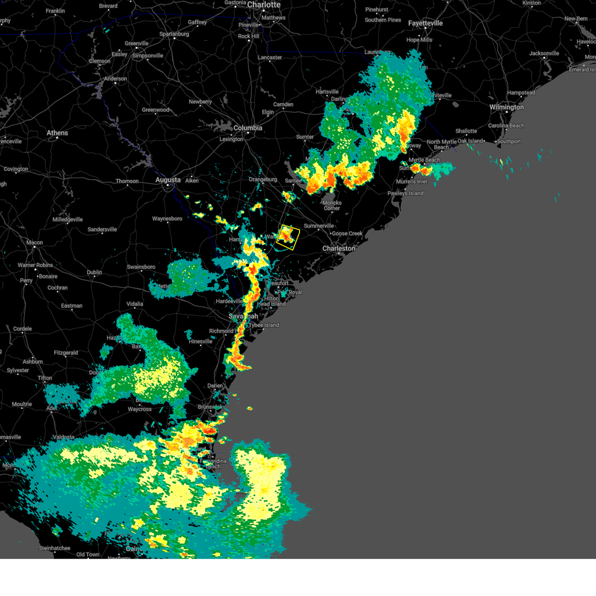 At 902 pm edt, a severe thunderstorm was located over round o, moving east at 20 mph (radar indicated). Hazards include 60 mph wind gusts. Expect damage to trees and powerlines. locations impacted include: walterboro, cottageville, round o, and canadys. hail threat, radar indicated max hail size, <. 75 in wind threat, radar indicated max wind gust, 60 mph. At 902 pm edt, a severe thunderstorm was located over round o, moving east at 20 mph (radar indicated). Hazards include 60 mph wind gusts. Expect damage to trees and powerlines. locations impacted include: walterboro, cottageville, round o, and canadys. hail threat, radar indicated max hail size, <. 75 in wind threat, radar indicated max wind gust, 60 mph.
|
| 7/30/2023 8:48 PM EDT | Tree down blocking both lanes arond the 2000 block of merrick drive. tree down blocking one lane around the 2700 block of coolers dairy road. time estimated by rada in colleton county SC, 7.2 miles WSW of Walterboro, SC |
| 7/30/2023 8:46 PM EDT | Emergency manager reported a tree down along the 6400 block of jefferies hwy... blocking both lanes. time was estimated via radar dat in colleton county SC, 5.7 miles SSW of Walterboro, SC |
| 7/30/2023 8:45 PM EDT | Tree down blocking both lanes on sidneys road... near the intersection of cottageville highway. time estimated by rada in colleton county SC, 3.1 miles WSW of Walterboro, SC |
| 7/30/2023 8:45 PM EDT | Tree down blocking one lane on featherbed road... near cottageville highway. time estimated by rada in colleton county SC, 5.8 miles WSW of Walterboro, SC |
| 7/30/2023 8:45 PM EDT |
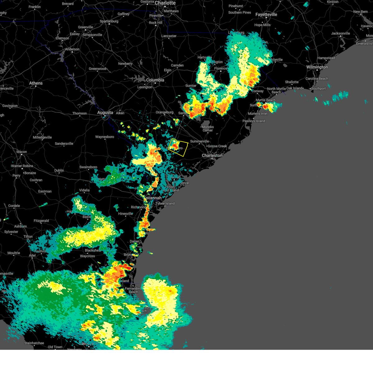 At 845 pm edt, a severe thunderstorm was located near round o, moving east at 25 mph (radar indicated). Hazards include 60 mph wind gusts. Expect damage to trees and powerlines. locations impacted include: walterboro, cottageville, round o, and canadys. this warning includes i-95 in south carolina between mile markers 56 and 69. hail threat, radar indicated max hail size, <. 75 in wind threat, radar indicated max wind gust, 60 mph. At 845 pm edt, a severe thunderstorm was located near round o, moving east at 25 mph (radar indicated). Hazards include 60 mph wind gusts. Expect damage to trees and powerlines. locations impacted include: walterboro, cottageville, round o, and canadys. this warning includes i-95 in south carolina between mile markers 56 and 69. hail threat, radar indicated max hail size, <. 75 in wind threat, radar indicated max wind gust, 60 mph.
|
| 7/30/2023 8:40 PM EDT | Tree and lines down blocking road around the 3100 block of sidneys road. tree down blocking lane around the 1300 block of industrial road. tree down blocking both lanes in colleton county SC, 5.3 miles SW of Walterboro, SC |
| 7/30/2023 8:40 PM EDT | Multiple trees down. one tree blocking lanes around the 700 block of chestnut road. one tree down blocking lanes around the 400 block of keegan drive. one tree down at in colleton county SC, 5.4 miles SW of Walterboro, SC |
| 7/30/2023 8:34 PM EDT | Tree down around the 6400 block of jefferies highway blocking both lanes. time estimated by rada in colleton county SC, 5.7 miles SSW of Walterboro, SC |
| 7/20/2023 10:33 PM EDT | Multiple trees reported down between the 4200 and the 6000 blocks of charleston highway. time estimated from rada in colleton county SC, 4.6 miles WNW of Walterboro, SC |
| 7/20/2023 10:33 PM EDT | Multiple trees reported down between the 4200 and the 6000 blocks of charleston highway. time estimated from rada in colleton county SC, 4.6 miles WNW of Walterboro, SC |
| 7/20/2023 10:10 PM EDT |
 At 1010 pm edt, severe thunderstorms were located along a line extending from near islandton to 6 miles northeast of bowman, moving east at 40 mph (radar indicated). Hazards include 60 mph wind gusts and quarter size hail. Minor hail damage to vehicles is possible. expect wind damage to trees and powerlines. locations impacted include: summerville, walterboro, saint george, givhans ferry state park, dorchester, ridgeville, cottageville, harleyville, reevesville, smoaks, williams, givhans, ruffin, jedburg, and canadys. this warning includes the following interstates: i-26 between mile markers 171 and 189. i-95 in south carolina between mile markers 45 and 85. hail threat, radar indicated max hail size, 1. 00 in wind threat, radar indicated max wind gust, 60 mph. At 1010 pm edt, severe thunderstorms were located along a line extending from near islandton to 6 miles northeast of bowman, moving east at 40 mph (radar indicated). Hazards include 60 mph wind gusts and quarter size hail. Minor hail damage to vehicles is possible. expect wind damage to trees and powerlines. locations impacted include: summerville, walterboro, saint george, givhans ferry state park, dorchester, ridgeville, cottageville, harleyville, reevesville, smoaks, williams, givhans, ruffin, jedburg, and canadys. this warning includes the following interstates: i-26 between mile markers 171 and 189. i-95 in south carolina between mile markers 45 and 85. hail threat, radar indicated max hail size, 1. 00 in wind threat, radar indicated max wind gust, 60 mph.
|
| 6/19/2023 11:16 AM EDT |
 At 1116 am edt, severe thunderstorms were located along a line extending from near reevesville to near gardens corner, moving east at 20 mph (radar indicated). Hazards include 60 mph wind gusts. Expect damage to trees and powerlines. locations impacted include: walterboro, saint george, reevesville, smoaks, ruffin, gardens corner, jacksonboro, canadys, ritter, hendersonville, round o, green pond, ashepoo, and white hall. this warning includes i-95 in south carolina between mile markers 46 and 79. hail threat, radar indicated max hail size, <. 75 in wind threat, radar indicated max wind gust, 60 mph. At 1116 am edt, severe thunderstorms were located along a line extending from near reevesville to near gardens corner, moving east at 20 mph (radar indicated). Hazards include 60 mph wind gusts. Expect damage to trees and powerlines. locations impacted include: walterboro, saint george, reevesville, smoaks, ruffin, gardens corner, jacksonboro, canadys, ritter, hendersonville, round o, green pond, ashepoo, and white hall. this warning includes i-95 in south carolina between mile markers 46 and 79. hail threat, radar indicated max hail size, <. 75 in wind threat, radar indicated max wind gust, 60 mph.
|
| 6/19/2023 10:58 AM EDT |
 At 1058 am edt, severe thunderstorms were located along a line extending from near smoaks to sheldon, moving east at 20 mph (radar indicated). Hazards include 60 mph wind gusts. Expect damage to trees and powerlines. locations impacted include: walterboro, saint george, yemassee, colleton, reevesville, smoaks, williams, ruffin, gardens corner, jacksonboro, canadys, ritter, hendersonville, round o, and green pond. this warning includes i-95 in south carolina between mile markers 42 and 79. hail threat, radar indicated max hail size, <. 75 in wind threat, radar indicated max wind gust, 60 mph. At 1058 am edt, severe thunderstorms were located along a line extending from near smoaks to sheldon, moving east at 20 mph (radar indicated). Hazards include 60 mph wind gusts. Expect damage to trees and powerlines. locations impacted include: walterboro, saint george, yemassee, colleton, reevesville, smoaks, williams, ruffin, gardens corner, jacksonboro, canadys, ritter, hendersonville, round o, and green pond. this warning includes i-95 in south carolina between mile markers 42 and 79. hail threat, radar indicated max hail size, <. 75 in wind threat, radar indicated max wind gust, 60 mph.
|
| 6/19/2023 10:44 AM EDT |
 At 1043 am edt, severe thunderstorms were located along a line extending from 7 miles north of lodge to near sheldon, moving northeast at 25 mph (radar indicated). Hazards include 60 mph wind gusts. Expect damage to trees and powerlines. locations impacted include: walterboro, saint george, yemassee, colleton, reevesville, smoaks, lodge, williams, ruffin, gardens corner, ashton, hendersonville, round o, green pond, and padgetts. this warning includes i-95 in south carolina between mile markers 32 and 79. hail threat, radar indicated max hail size, <. 75 in wind threat, radar indicated max wind gust, 60 mph. At 1043 am edt, severe thunderstorms were located along a line extending from 7 miles north of lodge to near sheldon, moving northeast at 25 mph (radar indicated). Hazards include 60 mph wind gusts. Expect damage to trees and powerlines. locations impacted include: walterboro, saint george, yemassee, colleton, reevesville, smoaks, lodge, williams, ruffin, gardens corner, ashton, hendersonville, round o, green pond, and padgetts. this warning includes i-95 in south carolina between mile markers 32 and 79. hail threat, radar indicated max hail size, <. 75 in wind threat, radar indicated max wind gust, 60 mph.
|
| 6/14/2023 7:49 PM EDT | Emergency manager reports a tree down blocking both lanes along the 7700 block of pleasant grove rd. time was estimated via radar dat in colleton county SC, 9.6 miles SW of Walterboro, SC |
| 6/14/2023 7:36 PM EDT | Emergency manager reports tree down on the 100 block of tabor rd blocking both lanes. time was estimated via radar dat in colleton county SC, 6.7 miles ESE of Walterboro, SC |
| 6/11/2023 5:20 PM EDT | Tree down at the 800 block of cooks hill roa in colleton county SC, 4.4 miles NNW of Walterboro, SC |
| 6/11/2023 5:11 PM EDT | Tree down at the 1700 block of hampton stree in colleton county SC, 2.1 miles WNW of Walterboro, SC |
| 6/11/2023 5:08 PM EDT | Tree down at 705 poplar street in walterboro. time estimated from rada in colleton county SC, 2.1 miles WNW of Walterboro, SC |
| 6/11/2023 5:05 PM EDT | Tree down at 1800 block of jefferies highwa in colleton county SC, 1.9 miles SSW of Walterboro, SC |
| 6/11/2023 5:03 PM EDT |
 At 502 pm edt, severe thunderstorms were located along a line extending from near reevesville to mcphersonville to near ebenezer, moving east at 45 mph (law enforcement. at 502 pm, colleton county officials reported trees blown down in multiple locations across the county). Hazards include 60 mph wind gusts and penny size hail. Expect damage to trees and powerlines. locations impacted include: bluffton, beaufort, port royal, walterboro, ridgeland, springfield, saint george, givhans ferry state park, dorchester, clarendon, jasper, rincon, hardeeville, ridgeville, and cottageville. this warning includes the following interstates: i-26 between mile markers 172 and 191. i-95 in south carolina between mile markers 6 and 28. hail threat, radar indicated max hail size, 0. 75 in wind threat, radar indicated max wind gust, 60 mph. At 502 pm edt, severe thunderstorms were located along a line extending from near reevesville to mcphersonville to near ebenezer, moving east at 45 mph (law enforcement. at 502 pm, colleton county officials reported trees blown down in multiple locations across the county). Hazards include 60 mph wind gusts and penny size hail. Expect damage to trees and powerlines. locations impacted include: bluffton, beaufort, port royal, walterboro, ridgeland, springfield, saint george, givhans ferry state park, dorchester, clarendon, jasper, rincon, hardeeville, ridgeville, and cottageville. this warning includes the following interstates: i-26 between mile markers 172 and 191. i-95 in south carolina between mile markers 6 and 28. hail threat, radar indicated max hail size, 0. 75 in wind threat, radar indicated max wind gust, 60 mph.
|
| 6/11/2023 4:50 PM EDT |
 At 450 pm edt, severe thunderstorms were located along a line extending from near smoaks to near pineland, moving east at 30 mph (radar indicated). Hazards include 60 mph wind gusts and penny size hail. Expect damage to trees and powerlines. locations impacted include: walterboro, hampton, saint george, yemassee, colleton, varnville, furman, reevesville, smoaks, lodge, williams, coosawhatchie, ruffin, gardens corner, and miley. this warning includes i-95 in south carolina between mile markers 28 and 85. hail threat, radar indicated max hail size, 0. 75 in wind threat, radar indicated max wind gust, 60 mph. At 450 pm edt, severe thunderstorms were located along a line extending from near smoaks to near pineland, moving east at 30 mph (radar indicated). Hazards include 60 mph wind gusts and penny size hail. Expect damage to trees and powerlines. locations impacted include: walterboro, hampton, saint george, yemassee, colleton, varnville, furman, reevesville, smoaks, lodge, williams, coosawhatchie, ruffin, gardens corner, and miley. this warning includes i-95 in south carolina between mile markers 28 and 85. hail threat, radar indicated max hail size, 0. 75 in wind threat, radar indicated max wind gust, 60 mph.
|
| 6/11/2023 4:30 PM EDT |
 At 430 pm edt, severe thunderstorms were located along a line extending from near lodge to robertville, moving northeast at 35 mph (radar indicated). Hazards include 60 mph wind gusts and penny size hail. Expect damage to trees and powerlines. locations impacted include: walterboro, hampton, saint george, yemassee, lake warren state park, colleton, varnville, estill, brunson, furman, scotia, reevesville, luray, smoaks, and lodge. this warning includes i-95 in south carolina between mile markers 28 and 85. hail threat, radar indicated max hail size, 0. 75 in wind threat, radar indicated max wind gust, 60 mph. At 430 pm edt, severe thunderstorms were located along a line extending from near lodge to robertville, moving northeast at 35 mph (radar indicated). Hazards include 60 mph wind gusts and penny size hail. Expect damage to trees and powerlines. locations impacted include: walterboro, hampton, saint george, yemassee, lake warren state park, colleton, varnville, estill, brunson, furman, scotia, reevesville, luray, smoaks, and lodge. this warning includes i-95 in south carolina between mile markers 28 and 85. hail threat, radar indicated max hail size, 0. 75 in wind threat, radar indicated max wind gust, 60 mph.
|
| 8/11/2022 5:29 PM EDT | Tree blocking the road along the 2600 block of jones swamps road. time estimated based on rada in colleton county SC, 5.1 miles SSE of Walterboro, SC |
| 8/11/2022 5:21 PM EDT | Tree down near the intersection of hendersonville highway and bomar place. time estimated based on rada in colleton county SC, 0.9 miles ENE of Walterboro, SC |
| 8/3/2022 4:09 PM EDT |
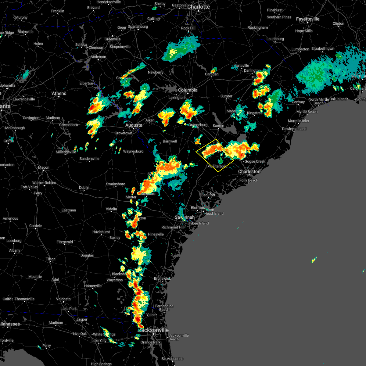 At 408 pm edt, severe thunderstorms were located along a line extending from near saint george to near givhans ferry state park, moving northwest at 10 mph (county warning point reported trees down). Hazards include 60 mph wind gusts and half dollar size hail. Minor hail damage to vehicles is possible. expect wind damage to trees and powerlines. locations impacted include: summerville, saint george, givhans ferry state park, dorchester, ridgeville, cottageville, harleyville, reevesville, smoaks, givhans, canadys, round o and knightsville. this warning includes the following interstates: i-26 between mile markers 171 and 178. i-95 in south carolina between mile markers 61 and 85. hail threat, radar indicated max hail size, 1. 25 in wind threat, radar indicated max wind gust, 60 mph. At 408 pm edt, severe thunderstorms were located along a line extending from near saint george to near givhans ferry state park, moving northwest at 10 mph (county warning point reported trees down). Hazards include 60 mph wind gusts and half dollar size hail. Minor hail damage to vehicles is possible. expect wind damage to trees and powerlines. locations impacted include: summerville, saint george, givhans ferry state park, dorchester, ridgeville, cottageville, harleyville, reevesville, smoaks, givhans, canadys, round o and knightsville. this warning includes the following interstates: i-26 between mile markers 171 and 178. i-95 in south carolina between mile markers 61 and 85. hail threat, radar indicated max hail size, 1. 25 in wind threat, radar indicated max wind gust, 60 mph.
|
| 8/3/2022 3:48 PM EDT |
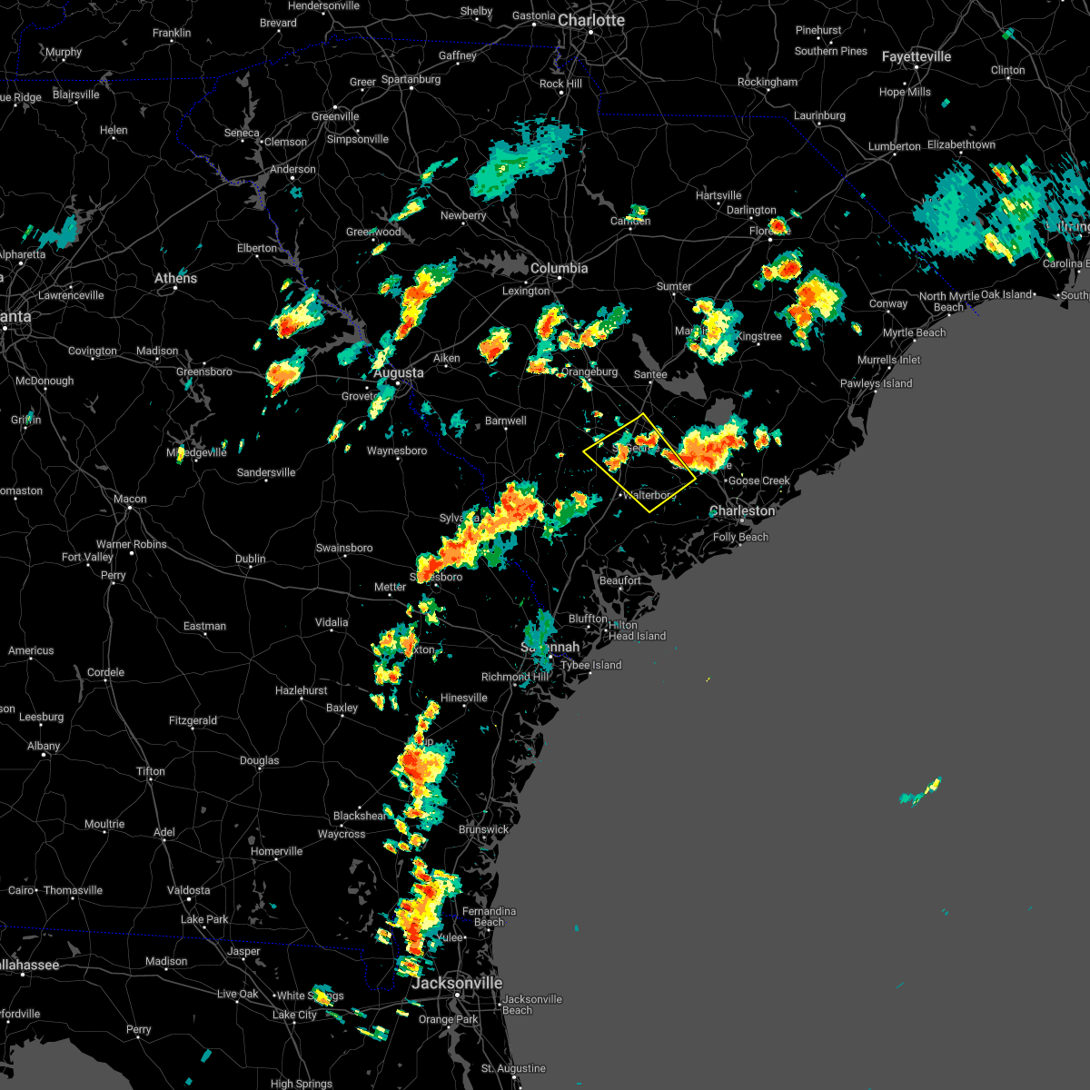 At 348 pm edt, severe thunderstorms were located along a line extending from near dorchester to near knightsville, moving west at 5 mph (radar indicated). Hazards include 60 mph wind gusts and quarter size hail. Minor hail damage to vehicles is possible. expect wind damage to trees and powerlines. locations impacted include: summerville, saint george, givhans ferry state park, dorchester, ridgeville, cottageville, harleyville, reevesville, smoaks, givhans, canadys, round o and knightsville. this warning includes the following interstates: i-26 between mile markers 171 and 178. i-95 in south carolina between mile markers 61 and 85. hail threat, radar indicated max hail size, 1. 00 in wind threat, radar indicated max wind gust, 60 mph. At 348 pm edt, severe thunderstorms were located along a line extending from near dorchester to near knightsville, moving west at 5 mph (radar indicated). Hazards include 60 mph wind gusts and quarter size hail. Minor hail damage to vehicles is possible. expect wind damage to trees and powerlines. locations impacted include: summerville, saint george, givhans ferry state park, dorchester, ridgeville, cottageville, harleyville, reevesville, smoaks, givhans, canadys, round o and knightsville. this warning includes the following interstates: i-26 between mile markers 171 and 178. i-95 in south carolina between mile markers 61 and 85. hail threat, radar indicated max hail size, 1. 00 in wind threat, radar indicated max wind gust, 60 mph.
|
| 7/23/2022 7:49 PM EDT |
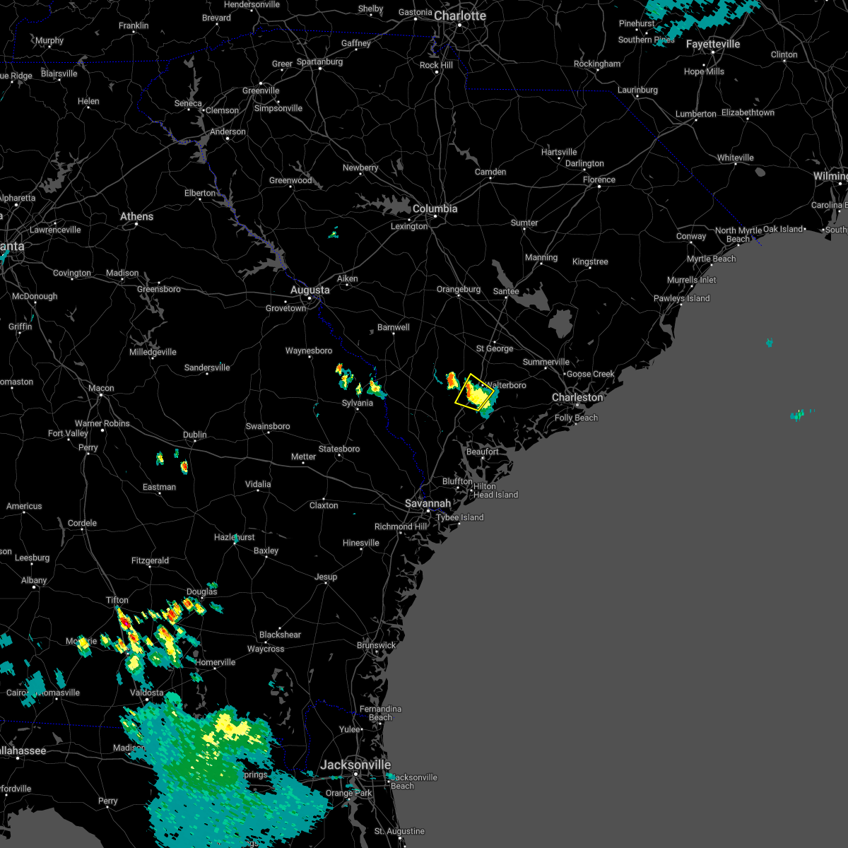 At 749 pm edt, a severe thunderstorm was located near hendersonville, and is nearly stationary (radar indicated). Hazards include 60 mph wind gusts and penny size hail. Expect damage to trees and powerlines. locations impacted include: walterboro and hendersonville. this warning includes i-95 in south carolina between mile markers 46 and 58. hail threat, radar indicated max hail size, 0. 75 in wind threat, radar indicated max wind gust, 60 mph. At 749 pm edt, a severe thunderstorm was located near hendersonville, and is nearly stationary (radar indicated). Hazards include 60 mph wind gusts and penny size hail. Expect damage to trees and powerlines. locations impacted include: walterboro and hendersonville. this warning includes i-95 in south carolina between mile markers 46 and 58. hail threat, radar indicated max hail size, 0. 75 in wind threat, radar indicated max wind gust, 60 mph.
|
| 7/23/2022 7:38 PM EDT |
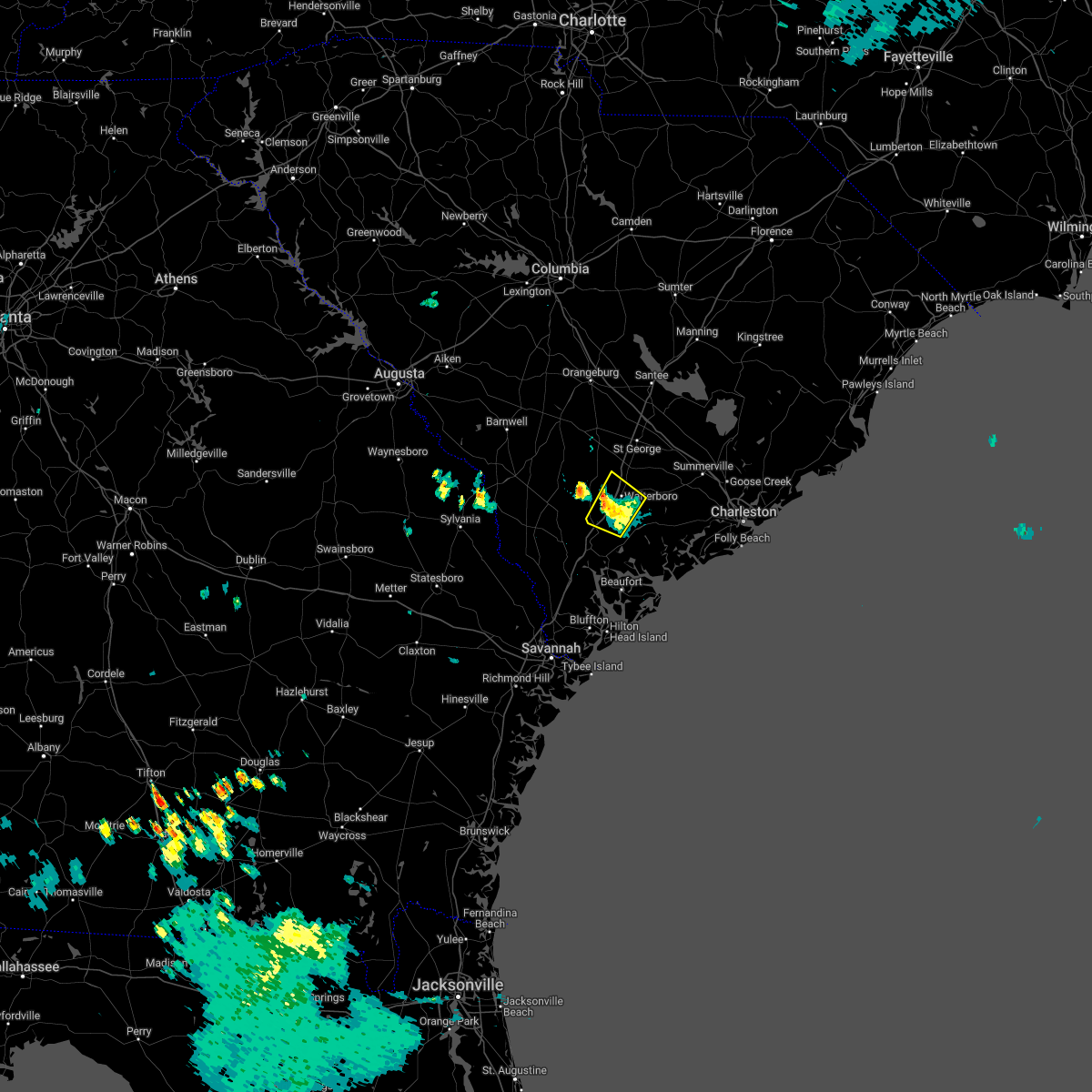 At 738 pm edt, a severe thunderstorm was located near hendersonville, and is nearly stationary (radar indicated). Hazards include 60 mph wind gusts and penny size hail. Expect damage to trees and powerlines. locations impacted include: walterboro, hendersonville, ritter and white hall. this warning includes i-95 in south carolina between mile markers 44 and 62. hail threat, radar indicated max hail size, 0. 75 in wind threat, radar indicated max wind gust, 60 mph. At 738 pm edt, a severe thunderstorm was located near hendersonville, and is nearly stationary (radar indicated). Hazards include 60 mph wind gusts and penny size hail. Expect damage to trees and powerlines. locations impacted include: walterboro, hendersonville, ritter and white hall. this warning includes i-95 in south carolina between mile markers 44 and 62. hail threat, radar indicated max hail size, 0. 75 in wind threat, radar indicated max wind gust, 60 mph.
|
| 7/23/2022 7:12 PM EDT |
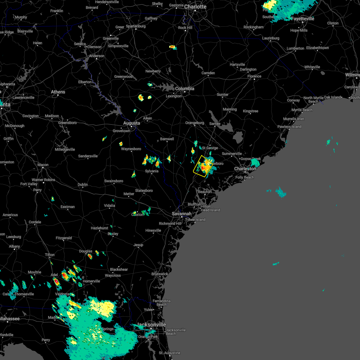 At 711 pm edt, a severe thunderstorm was located over hendersonville, and is nearly stationary (radar indicated). Hazards include 60 mph wind gusts and quarter size hail. Minor hail damage to vehicles is possible. expect wind damage to trees and powerlines. locations impacted include: walterboro, hendersonville, ritter and white hall. this warning includes i-95 in south carolina between mile markers 44 and 62. hail threat, radar indicated max hail size, 1. 00 in wind threat, radar indicated max wind gust, 60 mph. At 711 pm edt, a severe thunderstorm was located over hendersonville, and is nearly stationary (radar indicated). Hazards include 60 mph wind gusts and quarter size hail. Minor hail damage to vehicles is possible. expect wind damage to trees and powerlines. locations impacted include: walterboro, hendersonville, ritter and white hall. this warning includes i-95 in south carolina between mile markers 44 and 62. hail threat, radar indicated max hail size, 1. 00 in wind threat, radar indicated max wind gust, 60 mph.
|
| 7/8/2022 5:48 PM EDT |
 At 548 pm edt, a severe thunderstorm was located near walterboro, moving northeast at 25 mph (radar indicated). Hazards include 60 mph wind gusts. Expect damage to trees and powerlines. locations impacted include: summerville, walterboro, givhans ferry state park, dorchester, ridgeville, cottageville, round o, givhans, jedburg, jacksonboro, ashepoo and knightsville. this warning includes the following interstates: i-26 between mile markers 185 and 192. i-95 in south carolina between mile markers 55 and 59. hail threat, radar indicated max hail size, <. 75 in wind threat, radar indicated max wind gust, 60 mph. At 548 pm edt, a severe thunderstorm was located near walterboro, moving northeast at 25 mph (radar indicated). Hazards include 60 mph wind gusts. Expect damage to trees and powerlines. locations impacted include: summerville, walterboro, givhans ferry state park, dorchester, ridgeville, cottageville, round o, givhans, jedburg, jacksonboro, ashepoo and knightsville. this warning includes the following interstates: i-26 between mile markers 185 and 192. i-95 in south carolina between mile markers 55 and 59. hail threat, radar indicated max hail size, <. 75 in wind threat, radar indicated max wind gust, 60 mph.
|
| 7/4/2022 3:52 PM EDT | Tree down at churchill rd at overhill rd due to thunderstorm outflo in colleton county SC, 0.3 miles SE of Walterboro, SC |
| 7/4/2022 3:45 PM EDT | Tree down at charleston hwy and ritter rd due to thunderstorm outflo in colleton county SC, 7.7 miles NW of Walterboro, SC |
| 7/4/2022 3:45 PM EDT | Tree down at charleston hwy and saint peters rd due to thunderstorm outflo in colleton county SC, 6.8 miles NW of Walterboro, SC |
| 7/4/2022 3:39 PM EDT | Tree down at cottageville hwy/featherbed rd due to thunderstorm outflo in colleton county SC, 5.8 miles WSW of Walterboro, SC |
| 6/23/2022 8:13 PM EDT | Colleton county emergency manager reported a tree down on road at 1400 block of penny creek drive and a tree down on mobile home at 4900 block of bells highway. there w in colleton county SC, 4.4 miles ESE of Walterboro, SC |
| 6/17/2022 8:54 PM EDT |
 At 853 pm edt, a severe thunderstorm was located near ritter, moving southeast at 35 mph (radar indicated). Hazards include 60 mph wind gusts and penny size hail. Expect damage to trees and powerlines. locations impacted include: north charleston, summerville, walterboro, saint george, givhans ferry state park, ladson, dorchester, colleton, ridgeville, cottageville, harleyville, reevesville, smoaks, lodge and williams. this warning includes the following interstates: i-26 between mile markers 171 and 189. i-95 in south carolina between mile markers 43 and 85. hail threat, radar indicated max hail size, 0. 75 in wind threat, radar indicated max wind gust, 60 mph. At 853 pm edt, a severe thunderstorm was located near ritter, moving southeast at 35 mph (radar indicated). Hazards include 60 mph wind gusts and penny size hail. Expect damage to trees and powerlines. locations impacted include: north charleston, summerville, walterboro, saint george, givhans ferry state park, ladson, dorchester, colleton, ridgeville, cottageville, harleyville, reevesville, smoaks, lodge and williams. this warning includes the following interstates: i-26 between mile markers 171 and 189. i-95 in south carolina between mile markers 43 and 85. hail threat, radar indicated max hail size, 0. 75 in wind threat, radar indicated max wind gust, 60 mph.
|
| 6/17/2022 8:48 PM EDT | Tree reported down on green pond highway at windwood road. powerlines also reported down. time estimated from rada in colleton county SC, 2 miles NNW of Walterboro, SC |
| 6/17/2022 8:48 PM EDT | Tree reported down and blocking roadway in the 500 block of cooks hill road. time estimated from rada in colleton county SC, 4.2 miles NNW of Walterboro, SC |
| 6/17/2022 8:48 PM EDT | Tree reported down in the 3900 block of charleston highway. tree was blocking the roadway. time estimated from rada in colleton county SC, 5 miles NW of Walterboro, SC |
| 6/17/2022 8:48 PM EDT | Tree down along the 2400 block of saint peters road. time estimated based on rada in colleton county SC, 5.9 miles WNW of Walterboro, SC |
| 6/17/2022 8:48 PM EDT | Tree in roadway at wintergreen road and jefferies hiway. both lanes of the hiway are blocked and there was a collisio in colleton county SC, 5.7 miles ESE of Walterboro, SC |
| 6/17/2022 8:47 PM EDT | Tree down and blocking the road near the intersection of cooks hill road and poor farm road. time estimated based on rada in colleton county SC, 4.4 miles NNW of Walterboro, SC |
| 6/17/2022 8:47 PM EDT | Tree down and powerlines down along cooks hill road. time estimated based on rada in colleton county SC, 5.6 miles NW of Walterboro, SC |
| 6/17/2022 8:46 PM EDT | Tree blown down and blocking the road near the intersection of charleston highway and whpporwill lane. time estimated based on rada in colleton county SC, 5 miles NW of Walterboro, SC |
| 6/17/2022 8:45 PM EDT | Tree reported down in the 900 block of live oak street. time estimated from rada in colleton county SC, 2.7 miles W of Walterboro, SC |
| 6/17/2022 8:45 PM EDT | Tree down along the 3900 block of charleston highway. time estimated based on rada in colleton county SC, 3.7 miles WNW of Walterboro, SC |
| 6/17/2022 8:45 PM EDT | Tree down along the 3900 block of charleston highway. time estimated based on rada in colleton county SC, 3.7 miles WNW of Walterboro, SC |
| 6/17/2022 8:45 PM EDT | Tree down near the intersection of hampton street and brittlebank road. time estimated based on rada in colleton county SC, 3.5 miles WNW of Walterboro, SC |
| 6/17/2022 8:45 PM EDT | Tree down in the 3700 block of charleston highway. time estimated from rada in colleton county SC, 4.6 miles WNW of Walterboro, SC |
| 6/17/2022 8:45 PM EDT | Tree down and blocking the road along the 1800 block of the green pond highway. time estimated based on rada in colleton county SC, 2.7 miles NNW of Walterboro, SC |
| 6/17/2022 8:44 PM EDT | Tree down near the intersection of brittlebank road and charleston highway. roadway was damaged. powerlines also down. time estimated based on rada in colleton county SC, 2.4 miles NW of Walterboro, SC |
| 6/17/2022 8:43 PM EDT | Tree down near the intsection of keegan drive and cromwell lane. time estimated based on rada in colleton county SC, 4.9 miles SW of Walterboro, SC |
| 6/17/2022 8:42 PM EDT | Tree down along the 900 block of strickland street. time estimated based on rada in colleton county SC, 1.6 miles WNW of Walterboro, SC |
| 6/17/2022 8:42 PM EDT | Tree down near the intersection of hendersonville highway and mable t. willis blvd and near the intersection of hendersonville highway and sniders highway. time estimat in colleton county SC, 2 miles NNE of Walterboro, SC |
| 6/17/2022 8:42 PM EDT | Tree down along the 2400 block of cottageville highway. time estimated based on rada in colleton county SC, 4 miles WSW of Walterboro, SC |
| 6/17/2022 8:42 PM EDT | Tree down along the 900 block of live oak street. time estimated based on rada in colleton county SC, 2.7 miles W of Walterboro, SC |
| 6/17/2022 8:42 PM EDT | Tree reported down in the 1100 block of south jefferies blvd. time estimated from rada in colleton county SC, 1.1 miles NNE of Walterboro, SC |
| 6/17/2022 8:41 PM EDT | Tree down and blocking the highway near the intersection of jefferies road and beach road. powerlines down as well. time estimated based on rada in colleton county SC, 1.4 miles NE of Walterboro, SC |
| 6/17/2022 8:41 PM EDT | Tree down along the 100 block of wintergreen road. tree blocked the road. time estimated based on rada in colleton county SC, 1.9 miles SSW of Walterboro, SC |
| 6/17/2022 8:38 PM EDT | Tree down in the 1800 block of jefferies highway. time estimated based on rada in colleton county SC, 1.3 miles SW of Walterboro, SC |
| 6/17/2022 8:38 PM EDT | Tree down along the 200 block of robertson blvd. time estimated based on rada in colleton county SC, 1 miles SSE of Walterboro, SC |
| 6/17/2022 8:38 PM EDT | Tree down along the 1400 block of hiers corner road. time estimated based on rada in colleton county SC, 0.8 miles ESE of Walterboro, SC |
| 6/17/2022 8:35 PM EDT | Tree down and blocking the road near maple ridge road and weans road. time estimated based on rada in colleton county SC, 8.6 miles S of Walterboro, SC |
| 6/17/2022 8:15 PM EDT |
 At 815 pm edt, severe thunderstorms were located along a line extending from near bowman to near lodge, moving southeast at 20 mph (radar indicated). Hazards include 60 mph wind gusts and nickel size hail. Expect damage to trees and powerlines. locations impacted include: north charleston, summerville, walterboro, saint george, givhans ferry state park, ladson, dorchester, colleton, ridgeville, cottageville, harleyville, reevesville, smoaks, lodge and williams. this warning includes the following interstates: i-26 between mile markers 171 and 189. i-95 in south carolina between mile markers 43 and 85. hail threat, radar indicated max hail size, 0. 88 in wind threat, radar indicated max wind gust, 60 mph. At 815 pm edt, severe thunderstorms were located along a line extending from near bowman to near lodge, moving southeast at 20 mph (radar indicated). Hazards include 60 mph wind gusts and nickel size hail. Expect damage to trees and powerlines. locations impacted include: north charleston, summerville, walterboro, saint george, givhans ferry state park, ladson, dorchester, colleton, ridgeville, cottageville, harleyville, reevesville, smoaks, lodge and williams. this warning includes the following interstates: i-26 between mile markers 171 and 189. i-95 in south carolina between mile markers 43 and 85. hail threat, radar indicated max hail size, 0. 88 in wind threat, radar indicated max wind gust, 60 mph.
|
| 6/16/2022 8:31 PM EDT | Sc highway patrol reports a tree down at the intersection of augusta highway and jefferies highway. time estimated by radar. damage due to thunderstorm outflo in colleton county SC, 11.1 miles SSW of Walterboro, SC |
| 5/23/2022 7:11 PM EDT |
 At 710 pm edt, severe thunderstorms were located along a line extending from near holly hill to near round o to near hendersonville, moving east at 40 mph (radar indicated. also, these thunderstorms have a history of blowing down trees). Hazards include 60 mph wind gusts. Expect damage to trees and powerlines. locations impacted include: walterboro, saint george, cottageville, reevesville, round o, green pond, canadys, ritter, white hall and hendersonville. this warning includes i-95 in south carolina between mile markers 69 and 82. hail threat, radar indicated max hail size, <. 75 in wind threat, radar indicated max wind gust, 60 mph. At 710 pm edt, severe thunderstorms were located along a line extending from near holly hill to near round o to near hendersonville, moving east at 40 mph (radar indicated. also, these thunderstorms have a history of blowing down trees). Hazards include 60 mph wind gusts. Expect damage to trees and powerlines. locations impacted include: walterboro, saint george, cottageville, reevesville, round o, green pond, canadys, ritter, white hall and hendersonville. this warning includes i-95 in south carolina between mile markers 69 and 82. hail threat, radar indicated max hail size, <. 75 in wind threat, radar indicated max wind gust, 60 mph.
|
| 5/23/2022 7:00 PM EDT |
 At 659 pm edt, severe thunderstorms were located along a line extending from near reevesville to near round o to near yemassee, moving east at 50 mph (law enforcement reported trees down in eastern hampton county and western colleton county). Hazards include 60 mph wind gusts. Expect damage to trees and powerlines. locations impacted include: walterboro, saint george, cottageville, reevesville, smoaks, hendersonville, round o, green pond, canadys, ritter and white hall. this warning includes i-95 in south carolina between mile markers 42 and 82. hail threat, radar indicated max hail size, <. 75 in wind threat, radar indicated max wind gust, 60 mph. At 659 pm edt, severe thunderstorms were located along a line extending from near reevesville to near round o to near yemassee, moving east at 50 mph (law enforcement reported trees down in eastern hampton county and western colleton county). Hazards include 60 mph wind gusts. Expect damage to trees and powerlines. locations impacted include: walterboro, saint george, cottageville, reevesville, smoaks, hendersonville, round o, green pond, canadys, ritter and white hall. this warning includes i-95 in south carolina between mile markers 42 and 82. hail threat, radar indicated max hail size, <. 75 in wind threat, radar indicated max wind gust, 60 mph.
|
| 5/23/2022 6:41 PM EDT | Tree down near the intersection of benton farm road and hudson mill road. time estimated based on rada in colleton county SC, 4.9 miles E of Walterboro, SC |
| 5/23/2022 6:26 PM EDT |
 At 626 pm edt, severe thunderstorms were located along a line extending from lodge to gillisonville, moving northeast at 40 mph (radar indicated). Hazards include 60 mph wind gusts. Expect damage to trees and powerlines. locations impacted include: walterboro, saint george, yemassee, colleton, varnville, cottageville, reevesville, smoaks, lodge, williams, ruffin, miley, grays, ashton and hendersonville. this warning includes i-95 in south carolina between mile markers 35 and 82. hail threat, radar indicated max hail size, <. 75 in wind threat, radar indicated max wind gust, 60 mph. At 626 pm edt, severe thunderstorms were located along a line extending from lodge to gillisonville, moving northeast at 40 mph (radar indicated). Hazards include 60 mph wind gusts. Expect damage to trees and powerlines. locations impacted include: walterboro, saint george, yemassee, colleton, varnville, cottageville, reevesville, smoaks, lodge, williams, ruffin, miley, grays, ashton and hendersonville. this warning includes i-95 in south carolina between mile markers 35 and 82. hail threat, radar indicated max hail size, <. 75 in wind threat, radar indicated max wind gust, 60 mph.
|
| 5/6/2022 5:54 PM EDT |
 At 554 pm edt, severe thunderstorms were located along a line extending from near bamberg to lodge to near early branch, moving northeast at 70 mph (radar indicated). Hazards include 60 mph wind gusts. Expect damage to trees and powerlines. locations impacted include: walterboro, colleton, smoaks, lodge, williams, islandton, ruffin, padgetts, ashton and canadys. this warning includes i-95 in south carolina between mile markers 56 and 69. hail threat, radar indicated max hail size, <. 75 in wind threat, radar indicated max wind gust, 60 mph. At 554 pm edt, severe thunderstorms were located along a line extending from near bamberg to lodge to near early branch, moving northeast at 70 mph (radar indicated). Hazards include 60 mph wind gusts. Expect damage to trees and powerlines. locations impacted include: walterboro, colleton, smoaks, lodge, williams, islandton, ruffin, padgetts, ashton and canadys. this warning includes i-95 in south carolina between mile markers 56 and 69. hail threat, radar indicated max hail size, <. 75 in wind threat, radar indicated max wind gust, 60 mph.
|
| 5/6/2022 5:41 PM EDT |
 At 541 pm edt, severe thunderstorms were located along a line extending from near ulmer to near crocketville to near grays, moving northeast at 65 mph (radar indicated). Hazards include 60 mph wind gusts. Expect damage to trees and powerlines. locations impacted include: walterboro, allendale, hampton, lake warren state park, colleton, varnville, estill, fairfax, cottageville, brunson, gifford, furman, sycamore, luray and smoaks. this warning includes i-95 in south carolina between mile markers 49 and 69. hail threat, radar indicated max hail size, <. 75 in wind threat, radar indicated max wind gust, 60 mph. At 541 pm edt, severe thunderstorms were located along a line extending from near ulmer to near crocketville to near grays, moving northeast at 65 mph (radar indicated). Hazards include 60 mph wind gusts. Expect damage to trees and powerlines. locations impacted include: walterboro, allendale, hampton, lake warren state park, colleton, varnville, estill, fairfax, cottageville, brunson, gifford, furman, sycamore, luray and smoaks. this warning includes i-95 in south carolina between mile markers 49 and 69. hail threat, radar indicated max hail size, <. 75 in wind threat, radar indicated max wind gust, 60 mph.
|
| 4/6/2022 11:14 PM EDT |
 At 1113 pm edt, severe thunderstorms were located along a line extending from near saint george to near seabrook island, moving east at 50 mph (the beaufort warning point reported numerous trees and powerlines down). Hazards include 60 mph wind gusts. Expect damage to trees and powerlines. locations impacted include: north charleston, mount pleasant, summerville, goose creek, hanahan, moncks corner, walterboro, saint george, edisto beach, fort sumter, downtown charleston, west ashley, daniel island, givhans ferry state park and naval weapons station charleston. this warning includes the following interstates: i-26 between mile markers 171 and 221. i-526 between mile markers 11 and 31. i-95 in south carolina between mile markers 61 and 85. hail threat, radar indicated max hail size, <. 75 in wind threat, radar indicated max wind gust, 60 mph. At 1113 pm edt, severe thunderstorms were located along a line extending from near saint george to near seabrook island, moving east at 50 mph (the beaufort warning point reported numerous trees and powerlines down). Hazards include 60 mph wind gusts. Expect damage to trees and powerlines. locations impacted include: north charleston, mount pleasant, summerville, goose creek, hanahan, moncks corner, walterboro, saint george, edisto beach, fort sumter, downtown charleston, west ashley, daniel island, givhans ferry state park and naval weapons station charleston. this warning includes the following interstates: i-26 between mile markers 171 and 221. i-526 between mile markers 11 and 31. i-95 in south carolina between mile markers 61 and 85. hail threat, radar indicated max hail size, <. 75 in wind threat, radar indicated max wind gust, 60 mph.
|
| 4/6/2022 11:10 PM EDT |
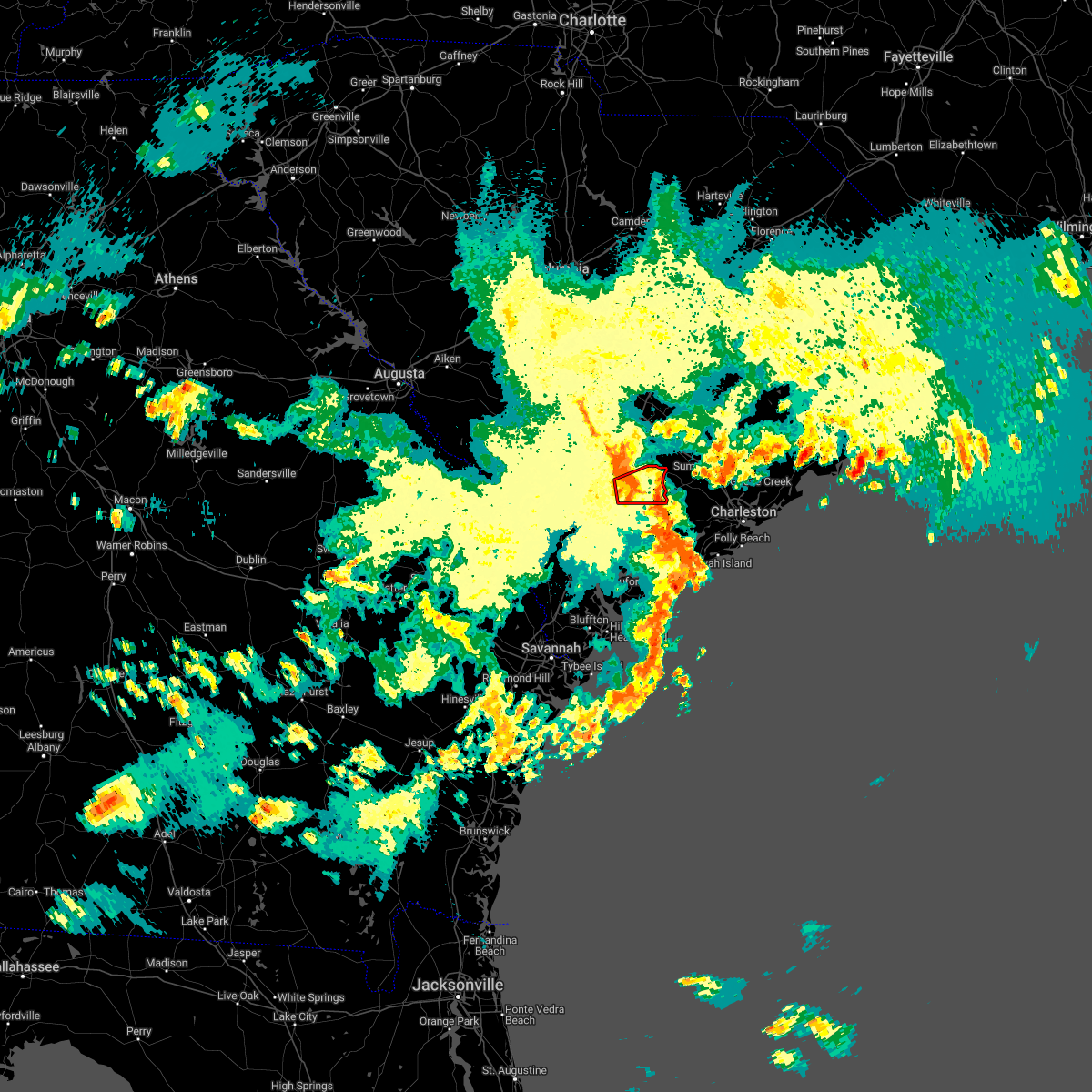 At 1110 pm edt, a severe thunderstorm capable of producing a tornado was located over walterboro, moving east at 35 mph (radar indicated rotation). Hazards include tornado. Flying debris will be dangerous to those caught without shelter. mobile homes will be damaged or destroyed. damage to roofs, windows, and vehicles will occur. tree damage is likely. locations impacted include: walterboro, cottageville and round o. This warning includes i-95 in south carolina between mile markers 58 and 63. At 1110 pm edt, a severe thunderstorm capable of producing a tornado was located over walterboro, moving east at 35 mph (radar indicated rotation). Hazards include tornado. Flying debris will be dangerous to those caught without shelter. mobile homes will be damaged or destroyed. damage to roofs, windows, and vehicles will occur. tree damage is likely. locations impacted include: walterboro, cottageville and round o. This warning includes i-95 in south carolina between mile markers 58 and 63.
|
| 4/6/2022 11:02 PM EDT | Colleton fire and rescue reported damage around a home in the 400 block of sandy springs circle. a fence on the property was damaged and scattered nearby... a metal gaz in colleton county SC, 3.3 miles ESE of Walterboro, SC |
| 4/6/2022 10:59 PM EDT |
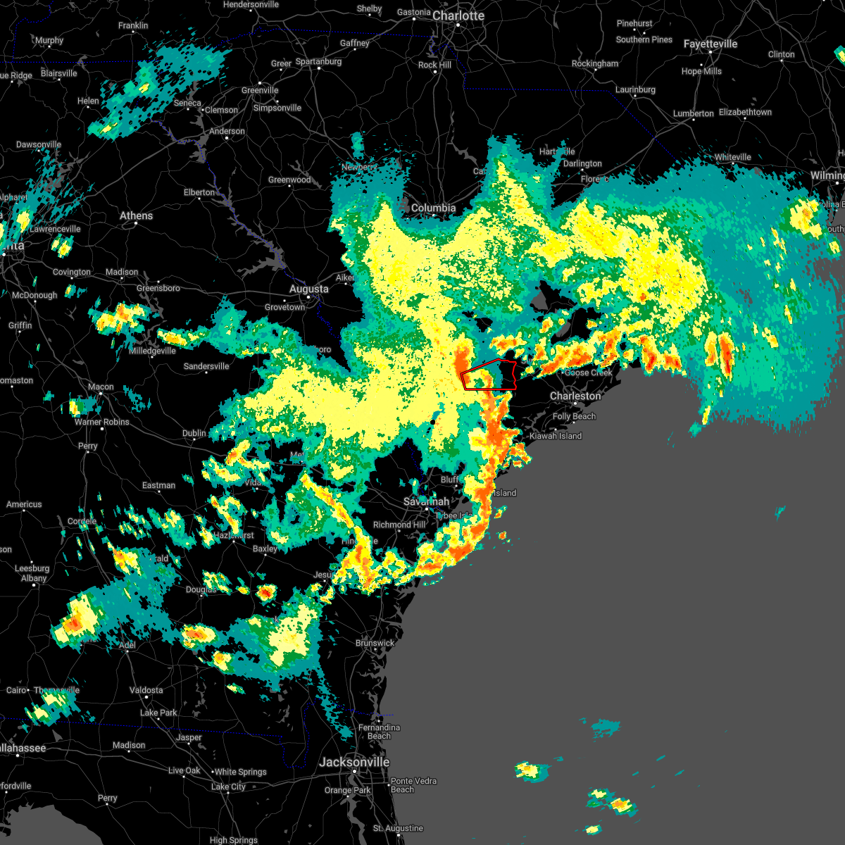 At 1059 pm edt, a severe thunderstorm capable of producing a tornado was located near walterboro, moving east at 35 mph (radar indicated rotation). Hazards include tornado. Flying debris will be dangerous to those caught without shelter. mobile homes will be damaged or destroyed. damage to roofs, windows, and vehicles will occur. tree damage is likely. locations impacted include: walterboro, cottageville and round o. This warning includes i-95 in south carolina between mile markers 54 and 64. At 1059 pm edt, a severe thunderstorm capable of producing a tornado was located near walterboro, moving east at 35 mph (radar indicated rotation). Hazards include tornado. Flying debris will be dangerous to those caught without shelter. mobile homes will be damaged or destroyed. damage to roofs, windows, and vehicles will occur. tree damage is likely. locations impacted include: walterboro, cottageville and round o. This warning includes i-95 in south carolina between mile markers 54 and 64.
|
| 4/6/2022 10:53 PM EDT |
 At 1053 pm edt, severe thunderstorms were located along a line extending from smoaks to near bennetts point, moving east at 50 mph (radar indicated). Hazards include 60 mph wind gusts and penny size hail. Expect damage to trees and powerlines. locations impacted include: north charleston, mount pleasant, summerville, goose creek, hanahan, moncks corner, walterboro, saint george, edisto beach, fort sumter, downtown charleston, west ashley, daniel island, givhans ferry state park and naval weapons station charleston. this warning includes the following interstates: i-26 between mile markers 171 and 221. i-526 between mile markers 11 and 31. i-95 in south carolina between mile markers 48 and 85. hail threat, radar indicated max hail size, 0. 75 in wind threat, radar indicated max wind gust, 60 mph. At 1053 pm edt, severe thunderstorms were located along a line extending from smoaks to near bennetts point, moving east at 50 mph (radar indicated). Hazards include 60 mph wind gusts and penny size hail. Expect damage to trees and powerlines. locations impacted include: north charleston, mount pleasant, summerville, goose creek, hanahan, moncks corner, walterboro, saint george, edisto beach, fort sumter, downtown charleston, west ashley, daniel island, givhans ferry state park and naval weapons station charleston. this warning includes the following interstates: i-26 between mile markers 171 and 221. i-526 between mile markers 11 and 31. i-95 in south carolina between mile markers 48 and 85. hail threat, radar indicated max hail size, 0. 75 in wind threat, radar indicated max wind gust, 60 mph.
|
| 4/6/2022 8:43 PM EDT |
 At 842 pm edt, a severe thunderstorm was located near jacksonboro, moving northeast at 35 mph (radar indicated). Hazards include 60 mph wind gusts. Expect damage to trees and powerlines. locations impacted include: north charleston, summerville, hanahan, ladson, givhans ferry state park, dorchester, ravenel, ridgeville, cottageville, givhans, jedburg, jacksonboro, ritter, round o and delemar crossroads. this warning includes i-26 between mile markers 202 and 208. hail threat, radar indicated max hail size, <. 75 in wind threat, radar indicated max wind gust, 60 mph. At 842 pm edt, a severe thunderstorm was located near jacksonboro, moving northeast at 35 mph (radar indicated). Hazards include 60 mph wind gusts. Expect damage to trees and powerlines. locations impacted include: north charleston, summerville, hanahan, ladson, givhans ferry state park, dorchester, ravenel, ridgeville, cottageville, givhans, jedburg, jacksonboro, ritter, round o and delemar crossroads. this warning includes i-26 between mile markers 202 and 208. hail threat, radar indicated max hail size, <. 75 in wind threat, radar indicated max wind gust, 60 mph.
|
| 4/6/2022 8:30 PM EDT |
 At 830 pm edt, a severe thunderstorm was located over green pond, moving northeast at 25 mph (radar indicated). Hazards include 60 mph wind gusts and nickel size hail. Expect damage to trees and powerlines. locations impacted include: north charleston, summerville, hanahan, ladson, givhans ferry state park, dorchester, ravenel, ridgeville, cottageville, givhans, jedburg, jacksonboro, ritter, hendersonville and round o. this warning includes i-26 between mile markers 202 and 208. hail threat, radar indicated max hail size, 0. 88 in wind threat, radar indicated max wind gust, 60 mph. At 830 pm edt, a severe thunderstorm was located over green pond, moving northeast at 25 mph (radar indicated). Hazards include 60 mph wind gusts and nickel size hail. Expect damage to trees and powerlines. locations impacted include: north charleston, summerville, hanahan, ladson, givhans ferry state park, dorchester, ravenel, ridgeville, cottageville, givhans, jedburg, jacksonboro, ritter, hendersonville and round o. this warning includes i-26 between mile markers 202 and 208. hail threat, radar indicated max hail size, 0. 88 in wind threat, radar indicated max wind gust, 60 mph.
|
| 4/6/2022 7:55 PM EDT |
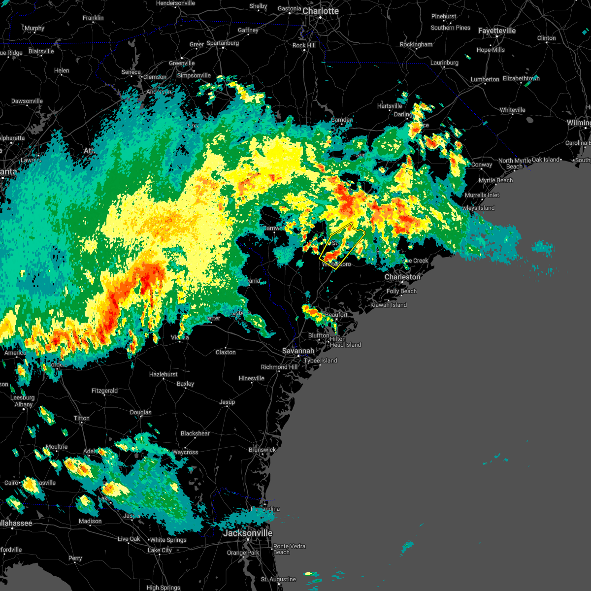 At 755 pm edt, a severe thunderstorm was located near ruffin, moving northeast at 25 mph (radar indicated). Hazards include 60 mph wind gusts and quarter size hail. Minor hail damage to vehicles is possible. expect wind damage to trees and powerlines. locations impacted include: walterboro, saint george, harleyville, reevesville, smoaks, williams, ruffin and canadys. this warning includes the following interstates: i-26 between mile markers 171 and 182. i-95 in south carolina between mile markers 58 and 85. hail threat, radar indicated max hail size, 1. 00 in wind threat, radar indicated max wind gust, 60 mph. At 755 pm edt, a severe thunderstorm was located near ruffin, moving northeast at 25 mph (radar indicated). Hazards include 60 mph wind gusts and quarter size hail. Minor hail damage to vehicles is possible. expect wind damage to trees and powerlines. locations impacted include: walterboro, saint george, harleyville, reevesville, smoaks, williams, ruffin and canadys. this warning includes the following interstates: i-26 between mile markers 171 and 182. i-95 in south carolina between mile markers 58 and 85. hail threat, radar indicated max hail size, 1. 00 in wind threat, radar indicated max wind gust, 60 mph.
|
| 4/6/2022 6:21 PM EDT |
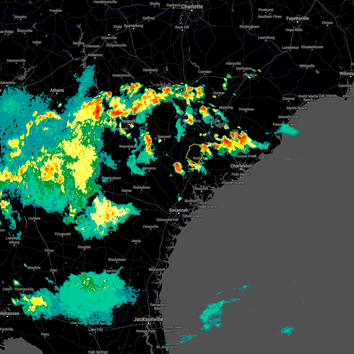 The severe thunderstorm warning for portions of colleton county will expire at 630 pm edt, the storm which prompted the warning has moved out of the area. therefore, the warning will be allowed to expire. The severe thunderstorm warning for portions of colleton county will expire at 630 pm edt, the storm which prompted the warning has moved out of the area. therefore, the warning will be allowed to expire.
|
| 4/6/2022 6:11 PM EDT |
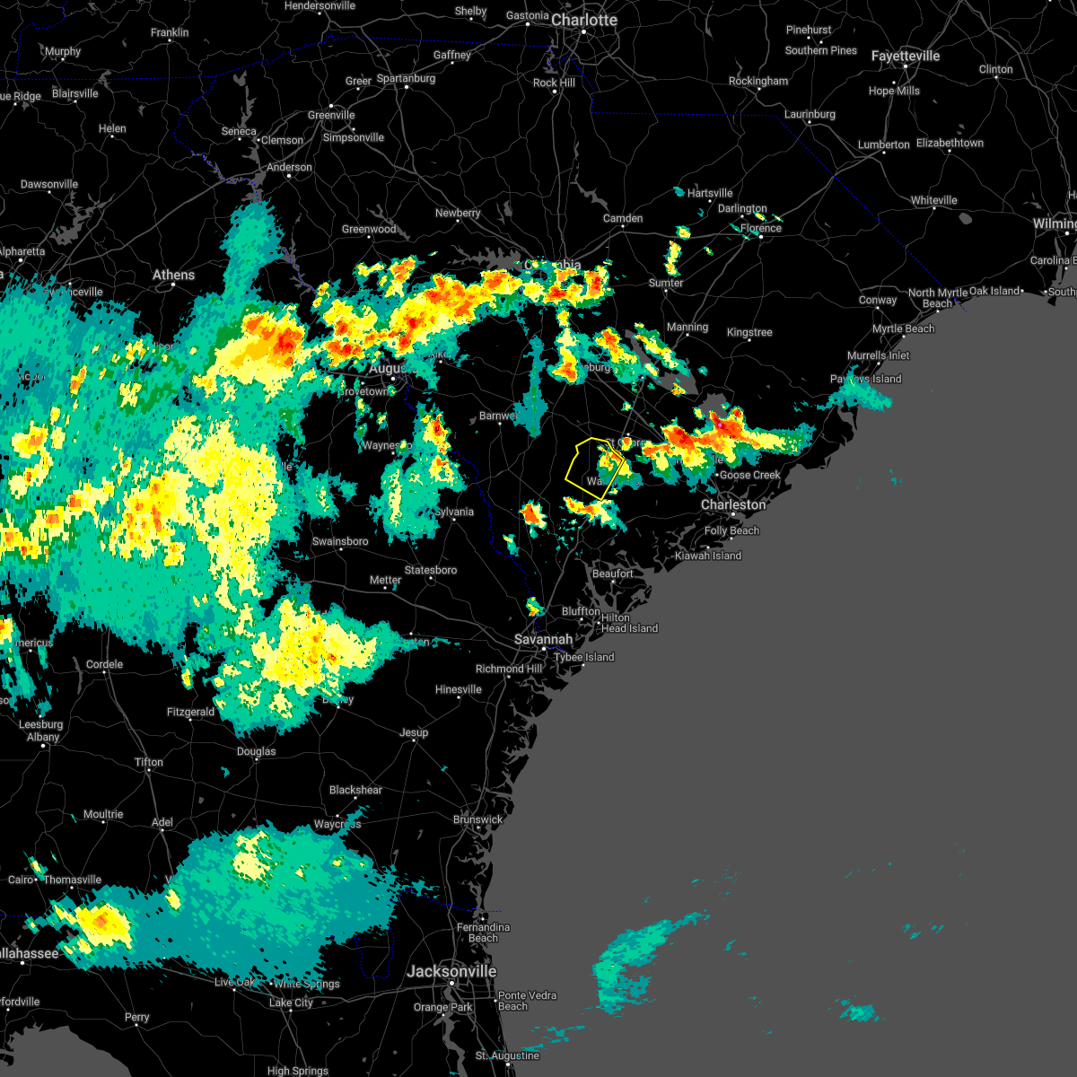 At 610 pm edt, a severe thunderstorm was located near smoaks, moving northeast at 30 mph (radar indicated). Hazards include 60 mph wind gusts and penny size hail. Expect damage to trees and powerlines. locations impacted include: colleton, smoaks, williams, padgetts, canadys and ruffin. this warning includes i-95 in south carolina between mile markers 56 and 69. hail threat, radar indicated max hail size, 0. 75 in wind threat, radar indicated max wind gust, 60 mph. At 610 pm edt, a severe thunderstorm was located near smoaks, moving northeast at 30 mph (radar indicated). Hazards include 60 mph wind gusts and penny size hail. Expect damage to trees and powerlines. locations impacted include: colleton, smoaks, williams, padgetts, canadys and ruffin. this warning includes i-95 in south carolina between mile markers 56 and 69. hail threat, radar indicated max hail size, 0. 75 in wind threat, radar indicated max wind gust, 60 mph.
|
| 4/6/2022 5:53 PM EDT |
 The severe thunderstorm warning for portions of colleton and dorchester counties will expire at 600 pm edt, the storm which prompted the warning has moved out of the area. therefore, the warning will be allowed to expire. remember, a severe thunderstorm warning still remains in effect for portions of colleton and dorchester counties. The severe thunderstorm warning for portions of colleton and dorchester counties will expire at 600 pm edt, the storm which prompted the warning has moved out of the area. therefore, the warning will be allowed to expire. remember, a severe thunderstorm warning still remains in effect for portions of colleton and dorchester counties.
|
| 4/6/2022 5:49 PM EDT |
 At 549 pm edt, a severe thunderstorm was located over ruffin, moving northeast at 30 mph (radar indicated). Hazards include 60 mph wind gusts and penny size hail. Expect damage to trees and powerlines. locations impacted include: colleton, smoaks, williams, padgetts, canadys and ruffin. this warning includes i-95 in south carolina between mile markers 56 and 69. hail threat, radar indicated max hail size, 0. 75 in wind threat, radar indicated max wind gust, 60 mph. At 549 pm edt, a severe thunderstorm was located over ruffin, moving northeast at 30 mph (radar indicated). Hazards include 60 mph wind gusts and penny size hail. Expect damage to trees and powerlines. locations impacted include: colleton, smoaks, williams, padgetts, canadys and ruffin. this warning includes i-95 in south carolina between mile markers 56 and 69. hail threat, radar indicated max hail size, 0. 75 in wind threat, radar indicated max wind gust, 60 mph.
|
| 4/6/2022 5:34 PM EDT |
 At 533 pm edt, a severe thunderstorm was located over round o, moving northeast at 25 mph (radar indicated). Hazards include 60 mph wind gusts and penny size hail. Expect damage to trees and powerlines. locations impacted include: walterboro, cottageville and round o. hail threat, radar indicated max hail size, 0. 75 in wind threat, radar indicated max wind gust, 60 mph. At 533 pm edt, a severe thunderstorm was located over round o, moving northeast at 25 mph (radar indicated). Hazards include 60 mph wind gusts and penny size hail. Expect damage to trees and powerlines. locations impacted include: walterboro, cottageville and round o. hail threat, radar indicated max hail size, 0. 75 in wind threat, radar indicated max wind gust, 60 mph.
|
| 4/6/2022 5:29 PM EDT |
 At 529 pm edt, a severe thunderstorm was located near islandton, moving northeast at 30 mph (radar indicated). Hazards include 60 mph wind gusts and penny size hail. Expect damage to trees and powerlines. locations impacted include: colleton, smoaks, lodge, williams, islandton, ruffin, padgetts, canadys and almeda intersection. this warning includes i-95 in south carolina between mile markers 56 and 69. hail threat, radar indicated max hail size, 0. 75 in wind threat, radar indicated max wind gust, 60 mph. At 529 pm edt, a severe thunderstorm was located near islandton, moving northeast at 30 mph (radar indicated). Hazards include 60 mph wind gusts and penny size hail. Expect damage to trees and powerlines. locations impacted include: colleton, smoaks, lodge, williams, islandton, ruffin, padgetts, canadys and almeda intersection. this warning includes i-95 in south carolina between mile markers 56 and 69. hail threat, radar indicated max hail size, 0. 75 in wind threat, radar indicated max wind gust, 60 mph.
|
| 4/6/2022 5:07 PM EDT |
 At 506 pm edt, a severe thunderstorm was located near ritter, moving northeast at 25 mph (radar indicated). Hazards include 60 mph wind gusts and penny size hail. Expect damage to trees and powerlines. locations impacted include: walterboro, cottageville, round o and ritter. this warning includes i-95 in south carolina between mile markers 52 and 56. hail threat, radar indicated max hail size, 0. 75 in wind threat, radar indicated max wind gust, 60 mph. At 506 pm edt, a severe thunderstorm was located near ritter, moving northeast at 25 mph (radar indicated). Hazards include 60 mph wind gusts and penny size hail. Expect damage to trees and powerlines. locations impacted include: walterboro, cottageville, round o and ritter. this warning includes i-95 in south carolina between mile markers 52 and 56. hail threat, radar indicated max hail size, 0. 75 in wind threat, radar indicated max wind gust, 60 mph.
|
| 4/5/2022 7:15 PM EDT | Storm damage reported in colleton county SC, 2.3 miles WSW of Walterboro, SC |
| 4/5/2022 7:14 PM EDT |
 At 713 pm edt, severe thunderstorms were located along a line extending from 6 miles northeast of round o to cottageville to green pond, moving east at 60 mph (radar indicated). Hazards include 60 mph wind gusts and penny size hail. Expect damage to trees and powerlines. locations impacted include: north charleston, summerville, goose creek, hanahan, beaufort, walterboro, saint george, west ashley, daniel island, givhans ferry state park, naval weapons station charleston, ladson, i-26/i-526 interchange, downtown charleston and johns island. this warning includes the following interstates: i-26 between mile markers 171 and 219. i-526 between mile markers 11 and 26. i-95 in south carolina between mile markers 58 and 85. hail threat, radar indicated max hail size, 0. 75 in wind threat, radar indicated max wind gust, 60 mph. At 713 pm edt, severe thunderstorms were located along a line extending from 6 miles northeast of round o to cottageville to green pond, moving east at 60 mph (radar indicated). Hazards include 60 mph wind gusts and penny size hail. Expect damage to trees and powerlines. locations impacted include: north charleston, summerville, goose creek, hanahan, beaufort, walterboro, saint george, west ashley, daniel island, givhans ferry state park, naval weapons station charleston, ladson, i-26/i-526 interchange, downtown charleston and johns island. this warning includes the following interstates: i-26 between mile markers 171 and 219. i-526 between mile markers 11 and 26. i-95 in south carolina between mile markers 58 and 85. hail threat, radar indicated max hail size, 0. 75 in wind threat, radar indicated max wind gust, 60 mph.
|
| 4/5/2022 6:37 PM EDT | South carolina highway patrol reported a tree down near the intersection of ruffin road and jones swamp road. time estimated from radar dat in colleton county SC, 4.2 miles SSE of Walterboro, SC |
| 12/30/2021 4:25 PM EST |
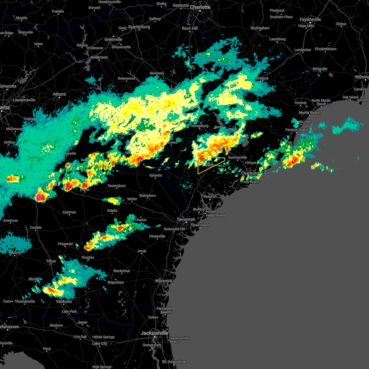 At 425 pm est, a severe thunderstorm was located over ruffin, moving east at 40 mph (radar indicated). Hazards include 60 mph wind gusts and quarter size hail. Minor hail damage to vehicles is possible. expect wind damage to trees and powerlines. locations impacted include: walterboro, smoaks, williams, canadys and ruffin. this warning includes i-95 in south carolina between mile markers 55 and 69. hail threat, radar indicated max hail size, 1. 00 in wind threat, radar indicated max wind gust, 60 mph. At 425 pm est, a severe thunderstorm was located over ruffin, moving east at 40 mph (radar indicated). Hazards include 60 mph wind gusts and quarter size hail. Minor hail damage to vehicles is possible. expect wind damage to trees and powerlines. locations impacted include: walterboro, smoaks, williams, canadys and ruffin. this warning includes i-95 in south carolina between mile markers 55 and 69. hail threat, radar indicated max hail size, 1. 00 in wind threat, radar indicated max wind gust, 60 mph.
|
| 12/30/2021 4:11 PM EST |
 At 410 pm est, a severe thunderstorm was located over ashton, moving east at 20 mph (radar indicated). Hazards include 60 mph wind gusts and quarter size hail. Minor hail damage to vehicles is possible. expect wind damage to trees and powerlines. locations impacted include: walterboro, colleton, smoaks, lodge, williams, islandton, ruffin, padgetts, ashton and canadys. this warning includes i-95 in south carolina between mile markers 55 and 69. hail threat, radar indicated max hail size, 1. 00 in wind threat, radar indicated max wind gust, 60 mph. At 410 pm est, a severe thunderstorm was located over ashton, moving east at 20 mph (radar indicated). Hazards include 60 mph wind gusts and quarter size hail. Minor hail damage to vehicles is possible. expect wind damage to trees and powerlines. locations impacted include: walterboro, colleton, smoaks, lodge, williams, islandton, ruffin, padgetts, ashton and canadys. this warning includes i-95 in south carolina between mile markers 55 and 69. hail threat, radar indicated max hail size, 1. 00 in wind threat, radar indicated max wind gust, 60 mph.
|
| 8/31/2021 5:10 PM EDT | Emergency manager reported damage to a power pole on the 8000 block of green pond hwy. time was estimated via radar dat in colleton county SC, 8.5 miles NNW of Walterboro, SC |
| 8/24/2021 4:13 PM EDT | South carolina highway patrol reported a tree down on pine grove road near hudson mill roa in colleton county SC, 7.8 miles E of Walterboro, SC |
| 8/2/2021 8:31 PM EDT | South carolina highway patrol reports a tree down near the intersection of augusta highway and byrd farm road. time estimated based on rada in colleton county SC, 11.7 miles SSW of Walterboro, SC |
| 7/18/2021 2:34 PM EDT | Sc highway patrol reported a tree down at the intersection of mccleod road and mt carmel road. time estimated by rada in colleton county SC, 6.5 miles S of Walterboro, SC |
| 7/9/2021 7:38 PM EDT |
 At 738 pm edt, a severe thunderstorm was located over hendersonville, moving southeast at 15 mph (radar indicated). Hazards include 60 mph wind gusts and quarter size hail. Minor hail damage to vehicles is possible. Expect wind damage to trees and powerlines. At 738 pm edt, a severe thunderstorm was located over hendersonville, moving southeast at 15 mph (radar indicated). Hazards include 60 mph wind gusts and quarter size hail. Minor hail damage to vehicles is possible. Expect wind damage to trees and powerlines.
|
| 5/4/2021 7:23 PM EDT |
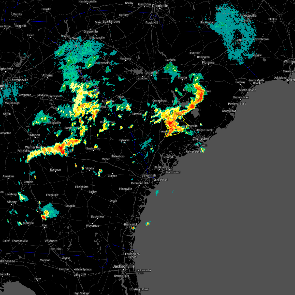 At 722 pm edt, severe thunderstorms were located along a line extending from near reevesville to near canadys to walterboro, moving northeast at 40 mph (radar indicated. these storms have a history of producing tree damage across portions of colleton county). Hazards include 60 mph wind gusts and penny size hail. Expect damage to trees and powerlines. locations impacted include, walterboro, saint george, givhans ferry state park, dorchester, ridgeville, cottageville, harleyville, reevesville, round o, givhans, jedburg and canadys. this warning includes, i-26 between mile markers 171 and 189. I-95 in south carolina between mile markers 53 and 85. At 722 pm edt, severe thunderstorms were located along a line extending from near reevesville to near canadys to walterboro, moving northeast at 40 mph (radar indicated. these storms have a history of producing tree damage across portions of colleton county). Hazards include 60 mph wind gusts and penny size hail. Expect damage to trees and powerlines. locations impacted include, walterboro, saint george, givhans ferry state park, dorchester, ridgeville, cottageville, harleyville, reevesville, round o, givhans, jedburg and canadys. this warning includes, i-26 between mile markers 171 and 189. I-95 in south carolina between mile markers 53 and 85.
|
| 5/4/2021 7:19 PM EDT | Tree in roadway at welch creek and coolers dairy road. vehicle collided with the downed tree. time estimated from rada in colleton county SC, 6.7 miles WSW of Walterboro, SC |
| 5/4/2021 7:16 PM EDT | Tree in roadway at us15 and robertson blvd. time estimated from rada in colleton county SC, 1.3 miles SW of Walterboro, SC |
| 5/4/2021 7:13 PM EDT | Tree in roadway at cougar nation dr and jefferies highwa in colleton county SC, 3.7 miles SW of Walterboro, SC |
| 5/4/2021 7:13 PM EDT | Tree in roadway at cougar nation dr and jefferies highwa in colleton county SC, 3.7 miles SW of Walterboro, SC |
| 5/4/2021 7:06 PM EDT |
 At 705 pm edt, severe thunderstorms were located along a line extending from near padgetts to near ruffin to near cottageville, moving northeast at 25 mph (radar indicated). Hazards include 60 mph wind gusts and half dollar size hail. Minor hail damage to vehicles is possible. expect wind damage to trees and powerlines. locations impacted include, walterboro, saint george, givhans ferry state park, dorchester, colleton, ridgeville, cottageville, harleyville, reevesville, smoaks, lodge, williams, givhans, ruffin and jedburg. this warning includes, i-26 between mile markers 171 and 189. I-95 in south carolina between mile markers 53 and 85. At 705 pm edt, severe thunderstorms were located along a line extending from near padgetts to near ruffin to near cottageville, moving northeast at 25 mph (radar indicated). Hazards include 60 mph wind gusts and half dollar size hail. Minor hail damage to vehicles is possible. expect wind damage to trees and powerlines. locations impacted include, walterboro, saint george, givhans ferry state park, dorchester, colleton, ridgeville, cottageville, harleyville, reevesville, smoaks, lodge, williams, givhans, ruffin and jedburg. this warning includes, i-26 between mile markers 171 and 189. I-95 in south carolina between mile markers 53 and 85.
|
| 5/4/2021 7:00 PM EDT | Tree in roadway at tabor road and bells highway. time estimated from rada in colleton county SC, 5.9 miles ESE of Walterboro, SC |
| 5/4/2021 6:59 PM EDT |
 At 659 pm edt, severe thunderstorms were located along a line extending from near lodge to near walterboro, moving northeast at 35 mph (radar indicated). Hazards include 60 mph wind gusts and quarter size hail. Minor hail damage to vehicles is possible. Expect wind damage to trees and powerlines. At 659 pm edt, severe thunderstorms were located along a line extending from near lodge to near walterboro, moving northeast at 35 mph (radar indicated). Hazards include 60 mph wind gusts and quarter size hail. Minor hail damage to vehicles is possible. Expect wind damage to trees and powerlines.
|
| 5/4/2021 6:52 PM EDT |
 At 651 pm edt, severe thunderstorms were located along a line extending from near givhans to near delemar crossroads to near hollywood, moving northeast at 40 mph (radar indicated). Hazards include 60 mph wind gusts. Expect damage to trees and powerlines. locations impacted include, north charleston, summerville, goose creek, hanahan, naval weapons station charleston, ladson, givhans ferry state park, ravenel, ridgeville, cottageville, givhans, crowfield plantation, jedburg, charleston airport and college park. This warning includes i-26 between mile markers 190 and 211. At 651 pm edt, severe thunderstorms were located along a line extending from near givhans to near delemar crossroads to near hollywood, moving northeast at 40 mph (radar indicated). Hazards include 60 mph wind gusts. Expect damage to trees and powerlines. locations impacted include, north charleston, summerville, goose creek, hanahan, naval weapons station charleston, ladson, givhans ferry state park, ravenel, ridgeville, cottageville, givhans, crowfield plantation, jedburg, charleston airport and college park. This warning includes i-26 between mile markers 190 and 211.
|
| 5/4/2021 6:40 PM EDT |
 At 639 pm edt, severe thunderstorms were located along a line extending from near cottageville to near delemar crossroads to yonges island, moving northeast at 40 mph (radar indicated). Hazards include 60 mph wind gusts. Expect damage to trees and powerlines. locations impacted include, north charleston, mount pleasant, summerville, goose creek, hanahan, walterboro, fort sumter, downtown charleston, west ashley, daniel island, givhans ferry state park, naval weapons station charleston, johns island, ladson and i-26/i-526 interchange. this warning includes, i-26 between mile markers 190 and 221. i-526 between mile markers 11 and 31. I-95 in south carolina between mile markers 47 and 50. At 639 pm edt, severe thunderstorms were located along a line extending from near cottageville to near delemar crossroads to yonges island, moving northeast at 40 mph (radar indicated). Hazards include 60 mph wind gusts. Expect damage to trees and powerlines. locations impacted include, north charleston, mount pleasant, summerville, goose creek, hanahan, walterboro, fort sumter, downtown charleston, west ashley, daniel island, givhans ferry state park, naval weapons station charleston, johns island, ladson and i-26/i-526 interchange. this warning includes, i-26 between mile markers 190 and 221. i-526 between mile markers 11 and 31. I-95 in south carolina between mile markers 47 and 50.
|
| 5/4/2021 6:18 PM EDT | Tree in roadway at wee hope loop and bonnie doon road. time estimated from rada in colleton county SC, 11.6 miles NW of Walterboro, SC |
| 5/4/2021 6:17 PM EDT |
 At 617 pm edt, severe thunderstorms were located along a line extending from ritter to near ashepoo to near bennetts point, moving northeast at 40 mph (radar indicated). Hazards include 60 mph wind gusts and quarter size hail. Minor hail damage to vehicles is possible. Expect wind damage to trees and powerlines. At 617 pm edt, severe thunderstorms were located along a line extending from ritter to near ashepoo to near bennetts point, moving northeast at 40 mph (radar indicated). Hazards include 60 mph wind gusts and quarter size hail. Minor hail damage to vehicles is possible. Expect wind damage to trees and powerlines.
|
| 5/3/2021 6:43 PM EDT |
 At 643 pm edt, a severe thunderstorm was located over lodge, moving east at 40 mph (radar indicated). Hazards include 60 mph wind gusts and quarter size hail. Minor hail damage to vehicles is possible. Expect wind damage to trees and powerlines. At 643 pm edt, a severe thunderstorm was located over lodge, moving east at 40 mph (radar indicated). Hazards include 60 mph wind gusts and quarter size hail. Minor hail damage to vehicles is possible. Expect wind damage to trees and powerlines.
|
| 3/31/2021 7:47 PM EDT | Tree down on hendersonville highway near see saw roa in colleton county SC, 4.8 miles NNE of Walterboro, SC |
| 3/31/2021 5:54 PM EDT | Quarter sized hail reported 10.4 miles SSW of Walterboro, SC, canadys fire department reports quarter sized hail. |
| 12/24/2020 6:51 PM EST |
 The tornado warning for hampton and colleton counties will expire at 700 pm est, the storm which prompted the warning is expected to continue to weaken and no longer appears capable of producing a tornado. therefore the warning will be allowed to expire. however gusty winds are still possible. The tornado warning for hampton and colleton counties will expire at 700 pm est, the storm which prompted the warning is expected to continue to weaken and no longer appears capable of producing a tornado. therefore the warning will be allowed to expire. however gusty winds are still possible.
|
| 12/24/2020 6:43 PM EST | Highway patrol reported tree down at benton farm road and pine grove road. time estimated from rada in colleton county SC, 7.2 miles E of Walterboro, SC |
| 12/24/2020 6:34 PM EST |
 At 634 pm est, a severe thunderstorm capable of producing a tornado was located near miley, moving northeast at 45 mph (radar indicated rotation). Hazards include tornado. Flying debris will be dangerous to those caught without shelter. mobile homes will be damaged or destroyed. damage to roofs, windows, and vehicles will occur. tree damage is likely. locations impacted include, walterboro, colleton, smoaks, williams, islandton, ruffin, padgetts, miley, cummings and ashton. This warning includes i-95 in south carolina between mile markers 53 and 63. At 634 pm est, a severe thunderstorm capable of producing a tornado was located near miley, moving northeast at 45 mph (radar indicated rotation). Hazards include tornado. Flying debris will be dangerous to those caught without shelter. mobile homes will be damaged or destroyed. damage to roofs, windows, and vehicles will occur. tree damage is likely. locations impacted include, walterboro, colleton, smoaks, williams, islandton, ruffin, padgetts, miley, cummings and ashton. This warning includes i-95 in south carolina between mile markers 53 and 63.
|
| 12/24/2020 6:25 PM EST |
 At 625 pm est, a severe thunderstorm capable of producing a tornado was located over hampton, moving northeast at 45 mph (radar indicated rotation). Hazards include tornado. Flying debris will be dangerous to those caught without shelter. mobile homes will be damaged or destroyed. damage to roofs, windows, and vehicles will occur. Tree damage is likely. At 625 pm est, a severe thunderstorm capable of producing a tornado was located over hampton, moving northeast at 45 mph (radar indicated rotation). Hazards include tornado. Flying debris will be dangerous to those caught without shelter. mobile homes will be damaged or destroyed. damage to roofs, windows, and vehicles will occur. Tree damage is likely.
|
| 9/25/2020 8:02 PM EDT |
 At 802 pm edt, a severe thunderstorm was located near ritter, moving east at 20 mph (radar indicated). Hazards include 60 mph wind gusts and quarter size hail. Minor hail damage to vehicles is possible. Expect wind damage to trees and powerlines. At 802 pm edt, a severe thunderstorm was located near ritter, moving east at 20 mph (radar indicated). Hazards include 60 mph wind gusts and quarter size hail. Minor hail damage to vehicles is possible. Expect wind damage to trees and powerlines.
|
| 9/25/2020 5:22 PM EDT | Sc highway patrol reported a tree down on jefferies hwy and branch ave. time estimated by radar and time of repor in colleton county SC, 5.5 miles SSW of Walterboro, SC |
| 8/26/2020 4:40 PM EDT |
 At 440 pm edt, a severe thunderstorm was located near cottageville, moving southeast at 25 mph (radar indicated). Hazards include 60 mph wind gusts and quarter size hail. Minor hail damage to vehicles is possible. Expect wind damage to trees and powerlines. At 440 pm edt, a severe thunderstorm was located near cottageville, moving southeast at 25 mph (radar indicated). Hazards include 60 mph wind gusts and quarter size hail. Minor hail damage to vehicles is possible. Expect wind damage to trees and powerlines.
|
| 8/14/2020 7:00 PM EDT | Schp reported a tree down on bells hwy at tabor r in colleton county SC, 6.7 miles ESE of Walterboro, SC |
| 8/14/2020 6:53 PM EDT |
 The severe thunderstorm warning for beaufort, hampton, colleton and jasper counties will expire at 700 pm edt, the storm which prompted the warning has weakened below severe limits, and no longer poses an immediate threat to life or property. therefore the warning will be allowed to expire. however gusty winds are still possible with this thunderstorm. The severe thunderstorm warning for beaufort, hampton, colleton and jasper counties will expire at 700 pm edt, the storm which prompted the warning has weakened below severe limits, and no longer poses an immediate threat to life or property. therefore the warning will be allowed to expire. however gusty winds are still possible with this thunderstorm.
|
| 8/14/2020 6:43 PM EDT |
 At 641 pm edt, a severe thunderstorm was located near cummings, moving north at 30 mph (law enforcement). Hazards include 60 mph wind gusts and penny size hail. Expect damage to trees and powerlines. locations impacted include, walterboro, yemassee, gardens corner, ritter, hendersonville, islandton, green pond, sheldon, early branch, cummings, mcphersonville, pocotaligo and white hall. This warning includes i-95 in south carolina between mile markers 34 and 54. At 641 pm edt, a severe thunderstorm was located near cummings, moving north at 30 mph (law enforcement). Hazards include 60 mph wind gusts and penny size hail. Expect damage to trees and powerlines. locations impacted include, walterboro, yemassee, gardens corner, ritter, hendersonville, islandton, green pond, sheldon, early branch, cummings, mcphersonville, pocotaligo and white hall. This warning includes i-95 in south carolina between mile markers 34 and 54.
|
| 8/14/2020 6:17 PM EDT |
 At 617 pm edt, a severe thunderstorm was located near gillisonville, moving north at 30 mph (law enforcement). Hazards include 60 mph wind gusts and penny size hail. expect damage to trees and powerlines At 617 pm edt, a severe thunderstorm was located near gillisonville, moving north at 30 mph (law enforcement). Hazards include 60 mph wind gusts and penny size hail. expect damage to trees and powerlines
|
| 8/10/2020 9:20 PM EDT |
 The severe thunderstorm warning for hampton and colleton counties will expire at 930 pm edt, the storm which prompted the warning has weakened below severe limits, and no longer pose an immediate threat to life or property. therefore the warning will be allowed to expire. The severe thunderstorm warning for hampton and colleton counties will expire at 930 pm edt, the storm which prompted the warning has weakened below severe limits, and no longer pose an immediate threat to life or property. therefore the warning will be allowed to expire.
|
| 8/10/2020 9:04 PM EDT |
 At 903 pm edt, a severe thunderstorm was located over hendersonville, moving northeast at 25 mph (radar indicated. at 839 pm south carolina highway patrol reported a tree down near the intersection of interstate 95 and highway 17 in northern jasper county. ). Hazards include 60 mph wind gusts. Expect damage to trees and powerlines. locations impacted include, walterboro, yemassee, hendersonville, early branch, mcphersonville and ritter. This warning includes i-95 in south carolina between mile markers 35 and 58. At 903 pm edt, a severe thunderstorm was located over hendersonville, moving northeast at 25 mph (radar indicated. at 839 pm south carolina highway patrol reported a tree down near the intersection of interstate 95 and highway 17 in northern jasper county. ). Hazards include 60 mph wind gusts. Expect damage to trees and powerlines. locations impacted include, walterboro, yemassee, hendersonville, early branch, mcphersonville and ritter. This warning includes i-95 in south carolina between mile markers 35 and 58.
|
| 8/10/2020 8:41 PM EDT | Schp reported a tree down on hendersonville highway near highway 21 alternate. event time was determined from radar dat in colleton county SC, 6.1 miles NNE of Walterboro, SC |
| 8/10/2020 8:29 PM EDT |
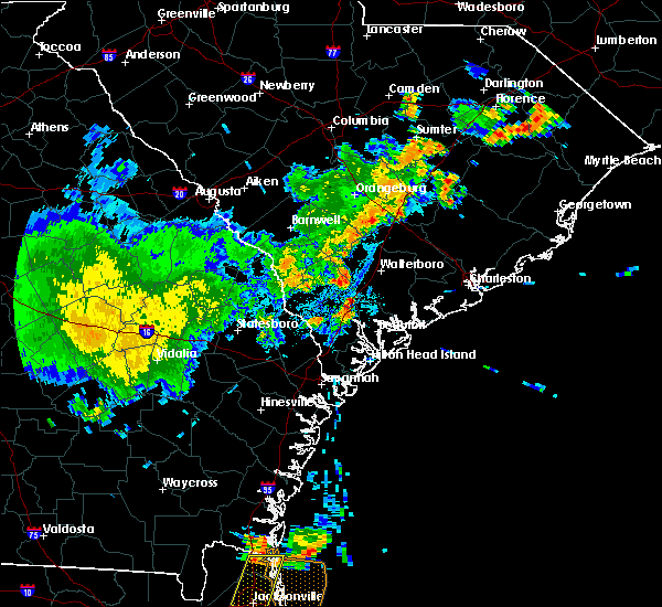 At 828 pm edt, a severe thunderstorm was located near pocotaligo, moving northeast at 15 mph (radar indicated). Hazards include 60 mph wind gusts and penny size hail. expect damage to trees and powerlines At 828 pm edt, a severe thunderstorm was located near pocotaligo, moving northeast at 15 mph (radar indicated). Hazards include 60 mph wind gusts and penny size hail. expect damage to trees and powerlines
|
| 6/27/2020 9:06 PM EDT | A tree was reported down at tabor road and bell's highway due to thunderstorm outflo in colleton county SC, 6.7 miles ESE of Walterboro, SC |
| 4/13/2020 7:07 AM EDT |
 The tornado warning for colleton county will expire at 715 am edt, the storm which prompted the warning has moved out of the area. therefore the warning will be allowed to expire. a tornado warning remains in effect in eastern colleton county. The tornado warning for colleton county will expire at 715 am edt, the storm which prompted the warning has moved out of the area. therefore the warning will be allowed to expire. a tornado warning remains in effect in eastern colleton county.
|
| 4/13/2020 6:54 AM EDT | Possible tornado. on hampton road... trees in back yard snapped off uprooted or gone. part of a roof from another residence in back yard. power lines dow in colleton county SC, 0.4 miles SW of Walterboro, SC |
| 4/13/2020 6:54 AM EDT | Possible tornado. on hampton road... trees in back yard snapped off uprooted or gone. part of a roof from another residence in back yard. power lines dow in colleton county SC, 0.4 miles SW of Walterboro, SC |
| 4/13/2020 6:54 AM EDT | A trained spotter reported that two individuals are trapped in a house with two trees on it. the lowcountry airport also has unknown damage. possible tornado damag in colleton county SC, 2.1 miles W of Walterboro, SC |
| 4/13/2020 6:54 AM EDT |
 At 653 am edt, a confirmed large and destructive tornado was located over walterboro, moving east at 50 mph. tornado emergency for walterboro. this is a particularly dangerous situation. take cover now! (radar confirmed tornado). Hazards include deadly tornado. You are in a life-threatening situation. flying debris may be deadly to those caught without shelter. mobile homes will be destroyed. considerable damage to homes, businesses, and vehicles is likely and complete destruction is possible. locations impacted include, walterboro and round o. This warning includes i-95 in south carolina between mile markers 52 and 63. At 653 am edt, a confirmed large and destructive tornado was located over walterboro, moving east at 50 mph. tornado emergency for walterboro. this is a particularly dangerous situation. take cover now! (radar confirmed tornado). Hazards include deadly tornado. You are in a life-threatening situation. flying debris may be deadly to those caught without shelter. mobile homes will be destroyed. considerable damage to homes, businesses, and vehicles is likely and complete destruction is possible. locations impacted include, walterboro and round o. This warning includes i-95 in south carolina between mile markers 52 and 63.
|
| 4/13/2020 6:52 AM EDT | Tree on a house in walterboro. also several trees down along route us 17 along the south side of the city limit in colleton county SC, 0.4 miles SW of Walterboro, SC |
| 4/13/2020 6:47 AM EDT |
 At 647 am edt, a confirmed tornado was located near walterboro, moving east at 55 mph (radar confirmed tornado). Hazards include damaging tornado and quarter size hail. Flying debris will be dangerous to those caught without shelter. mobile homes will be damaged or destroyed. damage to roofs, windows, and vehicles will occur. tree damage is likely. locations impacted include, walterboro and round o. This warning includes i-95 in south carolina between mile markers 49 and 64. At 647 am edt, a confirmed tornado was located near walterboro, moving east at 55 mph (radar confirmed tornado). Hazards include damaging tornado and quarter size hail. Flying debris will be dangerous to those caught without shelter. mobile homes will be damaged or destroyed. damage to roofs, windows, and vehicles will occur. tree damage is likely. locations impacted include, walterboro and round o. This warning includes i-95 in south carolina between mile markers 49 and 64.
|
| 4/13/2020 6:38 AM EDT |
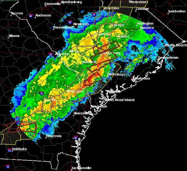 At 638 am edt, a tornado producing storm was located near islandton, moving east at 50 mph (radar confirmed tornado). Hazards include damaging tornado and quarter size hail. Flying debris will be dangerous to those caught without shelter. mobile homes will be damaged or destroyed. damage to roofs, windows, and vehicles will occur. Tree damage is likely. At 638 am edt, a tornado producing storm was located near islandton, moving east at 50 mph (radar confirmed tornado). Hazards include damaging tornado and quarter size hail. Flying debris will be dangerous to those caught without shelter. mobile homes will be damaged or destroyed. damage to roofs, windows, and vehicles will occur. Tree damage is likely.
|
| 4/13/2020 6:22 AM EDT |
 At 622 am edt, severe thunderstorms were located along a line extending from near lodge to egypt, moving east at 30 mph (radar indicated). Hazards include 60 mph wind gusts and penny size hail. expect damage to trees and powerlines At 622 am edt, severe thunderstorms were located along a line extending from near lodge to egypt, moving east at 30 mph (radar indicated). Hazards include 60 mph wind gusts and penny size hail. expect damage to trees and powerlines
|
| 3/31/2020 5:19 PM EDT |
 At 518 pm edt, a severe thunderstorm was located over mcphersonville, moving east at 50 mph (radar indicated). Hazards include 60 mph wind gusts. Expect damage to trees and powerlines. locations impacted include, walterboro, yemassee, round o, garnett, pineland, early branch, tarboro, robertville, mcphersonville and grays. This warning includes i-95 in south carolina between mile markers 39 and 56. At 518 pm edt, a severe thunderstorm was located over mcphersonville, moving east at 50 mph (radar indicated). Hazards include 60 mph wind gusts. Expect damage to trees and powerlines. locations impacted include, walterboro, yemassee, round o, garnett, pineland, early branch, tarboro, robertville, mcphersonville and grays. This warning includes i-95 in south carolina between mile markers 39 and 56.
|
| 3/31/2020 5:09 PM EDT |
 At 508 pm edt, severe thunderstorms were located along a line extending from ridgeville to near round o to near grays, moving east at 40 mph (radar indicated). Hazards include 60 mph wind gusts and quarter size hail. Minor hail damage to vehicles is possible. Expect wind damage to trees and powerlines. At 508 pm edt, severe thunderstorms were located along a line extending from ridgeville to near round o to near grays, moving east at 40 mph (radar indicated). Hazards include 60 mph wind gusts and quarter size hail. Minor hail damage to vehicles is possible. Expect wind damage to trees and powerlines.
|
| 3/31/2020 4:56 PM EDT |
 At 456 pm edt, severe thunderstorms were located along a line extending from near walterboro to near tarboro, moving east at 50 mph (radar indicated). Hazards include 60 mph wind gusts. Expect damage to trees and powerlines. locations impacted include, walterboro, hampton, yemassee, lake warren state park, varnville, estill, furman, scotia, luray, lena, tarboro, grays, round o, islandton and garnett. This warning includes i-95 in south carolina between mile markers 39 and 65. At 456 pm edt, severe thunderstorms were located along a line extending from near walterboro to near tarboro, moving east at 50 mph (radar indicated). Hazards include 60 mph wind gusts. Expect damage to trees and powerlines. locations impacted include, walterboro, hampton, yemassee, lake warren state park, varnville, estill, furman, scotia, luray, lena, tarboro, grays, round o, islandton and garnett. This warning includes i-95 in south carolina between mile markers 39 and 65.
|
| 3/31/2020 4:29 PM EDT |
 At 429 pm edt, severe thunderstorms were located along a line extending from near miley to near oliver, moving east at 50 mph (radar indicated). Hazards include 60 mph wind gusts. expect damage to trees and powerlines At 429 pm edt, severe thunderstorms were located along a line extending from near miley to near oliver, moving east at 50 mph (radar indicated). Hazards include 60 mph wind gusts. expect damage to trees and powerlines
|
| 9/9/2019 4:10 PM EDT |
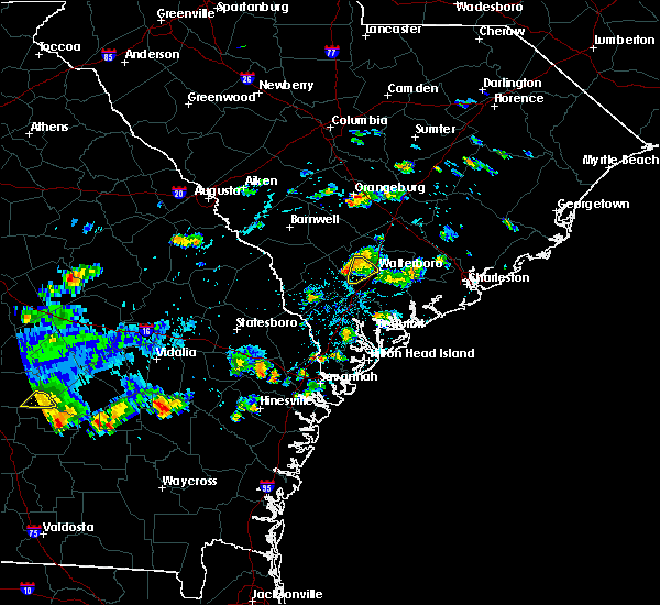 The severe thunderstorm warning for colleton county will expire at 415 pm edt, the storm which prompted the warning has moved out of the area. therefore the warning will be allowed to expire. The severe thunderstorm warning for colleton county will expire at 415 pm edt, the storm which prompted the warning has moved out of the area. therefore the warning will be allowed to expire.
|
| 9/9/2019 3:59 PM EDT |
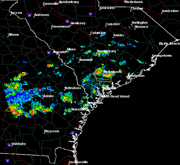 At 359 pm edt, a severe thunderstorm was located 9 miles northwest of walterboro, and is nearly stationary (radar indicated). Hazards include 60 mph wind gusts and penny size hail. Expect damage to trees and powerlines. locations impacted include, walterboro and ruffin. This warning includes i-95 in south carolina between mile markers 55 and 58. At 359 pm edt, a severe thunderstorm was located 9 miles northwest of walterboro, and is nearly stationary (radar indicated). Hazards include 60 mph wind gusts and penny size hail. Expect damage to trees and powerlines. locations impacted include, walterboro and ruffin. This warning includes i-95 in south carolina between mile markers 55 and 58.
|
| 9/9/2019 3:46 PM EDT |
 At 346 pm edt, a severe thunderstorm was located 8 miles west of walterboro, and is nearly stationary (radar indicated). Hazards include 60 mph wind gusts and quarter size hail. Minor hail damage to vehicles is possible. expect wind damage to trees and powerlines. locations impacted include, walterboro, hendersonville, green pond, ruffin, jacksonboro, ashepoo, ritter and white hall. This warning includes i-95 in south carolina between mile markers 42 and 58. At 346 pm edt, a severe thunderstorm was located 8 miles west of walterboro, and is nearly stationary (radar indicated). Hazards include 60 mph wind gusts and quarter size hail. Minor hail damage to vehicles is possible. expect wind damage to trees and powerlines. locations impacted include, walterboro, hendersonville, green pond, ruffin, jacksonboro, ashepoo, ritter and white hall. This warning includes i-95 in south carolina between mile markers 42 and 58.
|
| 9/9/2019 3:45 PM EDT | Schp reported a tree down at the 2100 block of benton farm roa in colleton county SC, 4.9 miles E of Walterboro, SC |
| 9/9/2019 3:18 PM EDT |
 At 317 pm edt, a severe thunderstorm was located over walterboro, moving south at 5 mph (radar indicated). Hazards include 60 mph wind gusts and quarter size hail. Minor hail damage to vehicles is possible. Expect wind damage to trees and powerlines. At 317 pm edt, a severe thunderstorm was located over walterboro, moving south at 5 mph (radar indicated). Hazards include 60 mph wind gusts and quarter size hail. Minor hail damage to vehicles is possible. Expect wind damage to trees and powerlines.
|
| 8/14/2019 5:06 PM EDT |
 The severe thunderstorm warning for beaufort and colleton counties will expire at 515 pm edt, the storms which prompted the warning have weakened below severe limits, and no longer pose an immediate threat to life or property. therefore the warning will be allowed to expire. however heavy rain is still possible with these thunderstorms. The severe thunderstorm warning for beaufort and colleton counties will expire at 515 pm edt, the storms which prompted the warning have weakened below severe limits, and no longer pose an immediate threat to life or property. therefore the warning will be allowed to expire. however heavy rain is still possible with these thunderstorms.
|
| 8/14/2019 4:43 PM EDT |
 At 443 pm edt, severe thunderstorms were located along a line extending from 7 miles northeast of yemassee to 9 miles southeast of walterboro to 12 miles southwest of slands bridge, moving southeast at 5 mph (radar indicated). Hazards include 60 mph wind gusts and penny size hail. Expect damage to trees and powerlines. locations impacted include, walterboro, cottageville, hendersonville, round o, green pond, jacksonboro, ashepoo and ritter. This warning includes i-95 in south carolina between mile markers 43 and 55. At 443 pm edt, severe thunderstorms were located along a line extending from 7 miles northeast of yemassee to 9 miles southeast of walterboro to 12 miles southwest of slands bridge, moving southeast at 5 mph (radar indicated). Hazards include 60 mph wind gusts and penny size hail. Expect damage to trees and powerlines. locations impacted include, walterboro, cottageville, hendersonville, round o, green pond, jacksonboro, ashepoo and ritter. This warning includes i-95 in south carolina between mile markers 43 and 55.
|
| 8/14/2019 4:27 PM EDT |
 At 427 pm edt, severe thunderstorms were located along a line extending from 9 miles north of yemassee to 6 miles southeast of walterboro to 12 miles south of givhans ferry state park, moving east at 10 mph (radar indicated). Hazards include 60 mph wind gusts and nickel size hail. Expect damage to trees and powerlines. locations impacted include, walterboro, cottageville, hendersonville, round o, islandton, green pond, ruffin and jacksonboro. This warning includes i-95 in south carolina between mile markers 43 and 70. At 427 pm edt, severe thunderstorms were located along a line extending from 9 miles north of yemassee to 6 miles southeast of walterboro to 12 miles south of givhans ferry state park, moving east at 10 mph (radar indicated). Hazards include 60 mph wind gusts and nickel size hail. Expect damage to trees and powerlines. locations impacted include, walterboro, cottageville, hendersonville, round o, islandton, green pond, ruffin and jacksonboro. This warning includes i-95 in south carolina between mile markers 43 and 70.
|
| 8/14/2019 4:09 PM EDT |
 At 408 pm edt, a severe thunderstorm was located near walterboro, moving northeast at 10 mph (radar indicated). Hazards include 60 mph wind gusts and nickel size hail. expect damage to trees and powerlines At 408 pm edt, a severe thunderstorm was located near walterboro, moving northeast at 10 mph (radar indicated). Hazards include 60 mph wind gusts and nickel size hail. expect damage to trees and powerlines
|
| 7/17/2019 9:21 PM EDT |
 The severe thunderstorm warning for colleton county will expire at 930 pm edt, the storms which prompted the warning have weakened below severe limits, and no longer pose an immediate threat to life or property. therefore the warning will be allowed to expire. The severe thunderstorm warning for colleton county will expire at 930 pm edt, the storms which prompted the warning have weakened below severe limits, and no longer pose an immediate threat to life or property. therefore the warning will be allowed to expire.
|
| 7/17/2019 9:11 PM EDT |
 At 911 pm edt, severe thunderstorms were located along a line extending from 6 miles southeast of walterboro to 18 miles southwest of givhans ferry state park to 15 miles northeast of yemassee, moving east at 15 mph (radar indicated). Hazards include 60 mph wind gusts. Expect damage to trees and powerlines. Locations impacted include, ashepoo and ritter. At 911 pm edt, severe thunderstorms were located along a line extending from 6 miles southeast of walterboro to 18 miles southwest of givhans ferry state park to 15 miles northeast of yemassee, moving east at 15 mph (radar indicated). Hazards include 60 mph wind gusts. Expect damage to trees and powerlines. Locations impacted include, ashepoo and ritter.
|
| 7/17/2019 8:39 PM EDT | South carolina highway patrol reported tree down on 200 block of robert e lee driv in colleton county SC, 2.3 miles S of Walterboro, SC |
| 7/17/2019 8:39 PM EDT | South carolina highway patrol reported a tree down estates drive near the intersection with lemon roa in colleton county SC, 2.5 miles SSW of Walterboro, SC |
| 7/17/2019 8:35 PM EDT |
 At 835 pm edt, severe thunderstorms were located along a line extending from near walterboro to 22 miles southwest of givhans ferry state park to 9 miles northeast of yemassee, moving east at 15 mph (radar indicated). Hazards include 60 mph wind gusts and penny size hail. expect damage to trees and powerlines At 835 pm edt, severe thunderstorms were located along a line extending from near walterboro to 22 miles southwest of givhans ferry state park to 9 miles northeast of yemassee, moving east at 15 mph (radar indicated). Hazards include 60 mph wind gusts and penny size hail. expect damage to trees and powerlines
|
| 7/17/2019 8:19 PM EDT | South carolina highway patrol reported tree down on cavanaugh road near black creek roa in colleton county SC, 9 miles NE of Walterboro, SC |
| 7/3/2019 9:42 PM EDT | The severe thunderstorm warning for colleton and dorchester counties will expire at 945 pm edt, the storm which prompted the warning has weakened below severe limits, and no longer pose an immediate threat to life or property. therefore the warning will be allowed to expire. to report severe weather, contact your nearest law enforcement agency. they will relay your report to the national weather service charleston. |
| 7/3/2019 9:26 PM EDT |
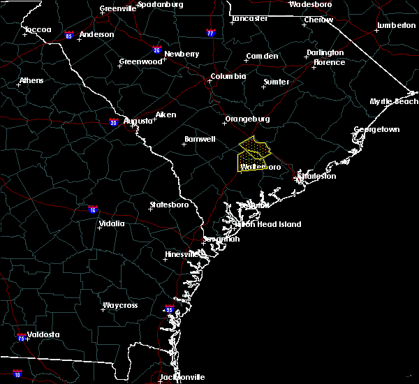 At 925 pm edt, a severe thunderstorm was located 9 miles south of saint george, moving south at 10 mph (radar indicated). Hazards include 60 mph wind gusts and quarter size hail. Minor hail damage to vehicles is possible. expect wind damage to trees and powerlines. locations impacted include, walterboro, givhans ferry state park, cottageville, round o and canadys. This warning includes i-95 in south carolina between mile markers 57 and 71. At 925 pm edt, a severe thunderstorm was located 9 miles south of saint george, moving south at 10 mph (radar indicated). Hazards include 60 mph wind gusts and quarter size hail. Minor hail damage to vehicles is possible. expect wind damage to trees and powerlines. locations impacted include, walterboro, givhans ferry state park, cottageville, round o and canadys. This warning includes i-95 in south carolina between mile markers 57 and 71.
|
| 7/3/2019 8:55 PM EDT |
 At 854 pm edt, a severe thunderstorm was located near saint george, moving southeast at 10 mph (radar indicated). Hazards include 60 mph wind gusts and half dollar size hail. Minor hail damage to vehicles is possible. Expect wind damage to trees and powerlines. At 854 pm edt, a severe thunderstorm was located near saint george, moving southeast at 10 mph (radar indicated). Hazards include 60 mph wind gusts and half dollar size hail. Minor hail damage to vehicles is possible. Expect wind damage to trees and powerlines.
|
| 6/22/2019 5:24 PM EDT |
 At 524 pm edt, severe thunderstorms were located along a line extending from 11 miles north of beaufort to near edisto beach, moving east at 35 mph (radar indicated). Hazards include 60 mph wind gusts. Expect damage to trees and powerlines. locations impacted include, beaufort, walterboro, edisto beach, clarendon, hollywood, meggett, cottageville and bennetts point. This warning includes i-95 in south carolina between mile markers 49 and 55. At 524 pm edt, severe thunderstorms were located along a line extending from 11 miles north of beaufort to near edisto beach, moving east at 35 mph (radar indicated). Hazards include 60 mph wind gusts. Expect damage to trees and powerlines. locations impacted include, beaufort, walterboro, edisto beach, clarendon, hollywood, meggett, cottageville and bennetts point. This warning includes i-95 in south carolina between mile markers 49 and 55.
|
| 6/22/2019 4:51 PM EDT |
 At 451 pm edt, severe thunderstorms were located along a line extending from near yemassee to 6 miles north of beaufort, moving east at 45 mph (radar indicated). Hazards include 60 mph wind gusts. expect damage to trees and powerlines At 451 pm edt, severe thunderstorms were located along a line extending from near yemassee to 6 miles north of beaufort, moving east at 45 mph (radar indicated). Hazards include 60 mph wind gusts. expect damage to trees and powerlines
|
| 6/22/2019 5:21 AM EDT |
 At 520 am edt, severe thunderstorms were located along a line extending from 12 miles southeast of bamberg to 6 miles northwest of allendale, moving east at 35 mph (radar indicated). Hazards include 60 mph wind gusts and quarter size hail. Minor hail damage to vehicles is possible. expect wind damage to trees and powerlines. locations impacted include, walterboro, allendale, hampton, lake warren state park, indian field, saint george, givhans ferry state park and dorchester. this warning includes, i-26 between mile markers 171 and 189. I-95 in south carolina between mile markers 51 and 85. At 520 am edt, severe thunderstorms were located along a line extending from 12 miles southeast of bamberg to 6 miles northwest of allendale, moving east at 35 mph (radar indicated). Hazards include 60 mph wind gusts and quarter size hail. Minor hail damage to vehicles is possible. expect wind damage to trees and powerlines. locations impacted include, walterboro, allendale, hampton, lake warren state park, indian field, saint george, givhans ferry state park and dorchester. this warning includes, i-26 between mile markers 171 and 189. I-95 in south carolina between mile markers 51 and 85.
|
| 6/22/2019 4:51 AM EDT |
 At 450 am edt, severe thunderstorms were located along a line extending from 6 miles south of denmark to near plant vogtle, moving east at 35 mph (radar indicated). Hazards include 60 mph wind gusts and quarter size hail. Minor hail damage to vehicles is possible. Expect wind damage to trees and powerlines. At 450 am edt, severe thunderstorms were located along a line extending from 6 miles south of denmark to near plant vogtle, moving east at 35 mph (radar indicated). Hazards include 60 mph wind gusts and quarter size hail. Minor hail damage to vehicles is possible. Expect wind damage to trees and powerlines.
|
| 6/20/2019 7:28 PM EDT | Schp reported a tree down on rodeo dr at sc6 in colleton county SC, 4.6 miles WNW of Walterboro, SC |
| 6/20/2019 7:28 PM EDT | Schp reported a tree down on charleston hw in colleton county SC, 5 miles NW of Walterboro, SC |
| 6/20/2019 7:25 PM EDT | Schp reported a tree down on bedon rd near us17 in colleton county SC, 3.4 miles WSW of Walterboro, SC |
| 6/20/2019 7:24 PM EDT | Schp reported a tree down on green pond hw in colleton county SC, 2 miles NNW of Walterboro, SC |
| 6/20/2019 7:24 PM EDT |
 At 724 pm edt, severe thunderstorms were located along a line extending from 7 miles north of summerville to 6 miles northeast of walterboro to near yemassee, moving east at 40 mph (radar indicated). Hazards include 60 mph wind gusts. expect damage to trees and powerlines At 724 pm edt, severe thunderstorms were located along a line extending from 7 miles north of summerville to 6 miles northeast of walterboro to near yemassee, moving east at 40 mph (radar indicated). Hazards include 60 mph wind gusts. expect damage to trees and powerlines
|
| 6/20/2019 7:14 PM EDT | Schp reported a tree down on i-95 at mm53 and mm4 in colleton county SC, 7.3 miles NE of Walterboro, SC |
| 6/20/2019 7:09 PM EDT |
 At 709 pm edt, severe thunderstorms were located along a line extending from 14 miles east of indian field to 11 miles east of hampton, moving east at 35 mph (radar indicated). Hazards include 60 mph wind gusts. Expect damage to trees and powerlines. locations impacted include, summerville, goose creek, walterboro, slands bridge, givhans ferry state park, saint george, ladson and dorchester. this warning includes, i-26 between mile markers 177 and 204. I-95 in south carolina between mile markers 42 and 77. At 709 pm edt, severe thunderstorms were located along a line extending from 14 miles east of indian field to 11 miles east of hampton, moving east at 35 mph (radar indicated). Hazards include 60 mph wind gusts. Expect damage to trees and powerlines. locations impacted include, summerville, goose creek, walterboro, slands bridge, givhans ferry state park, saint george, ladson and dorchester. this warning includes, i-26 between mile markers 177 and 204. I-95 in south carolina between mile markers 42 and 77.
|
| 6/20/2019 6:35 PM EDT |
 At 634 pm edt, severe thunderstorms were located along a line extending from 10 miles northeast of indian field to 13 miles south of bamberg, moving southeast at 45 mph (radar indicated). Hazards include 60 mph wind gusts. expect damage to trees and powerlines At 634 pm edt, severe thunderstorms were located along a line extending from 10 miles northeast of indian field to 13 miles south of bamberg, moving southeast at 45 mph (radar indicated). Hazards include 60 mph wind gusts. expect damage to trees and powerlines
|
| 6/18/2019 10:58 PM EDT |
 At 1058 pm edt, a severe thunderstorm was located near lake warren state park, moving northeast at 30 mph (radar indicated). Hazards include 60 mph wind gusts and penny size hail. Expect damage to trees and powerlines. locations impacted include, walterboro, hampton, yemassee, lake warren state park, colleton, varnville, estill and furman. This warning includes i-95 in south carolina between mile markers 39 and 56. At 1058 pm edt, a severe thunderstorm was located near lake warren state park, moving northeast at 30 mph (radar indicated). Hazards include 60 mph wind gusts and penny size hail. Expect damage to trees and powerlines. locations impacted include, walterboro, hampton, yemassee, lake warren state park, colleton, varnville, estill and furman. This warning includes i-95 in south carolina between mile markers 39 and 56.
|
| 6/18/2019 10:44 PM EDT |
 The national weather service in charleston has issued a * severe thunderstorm warning for portions of. hampton county in southeastern south carolina. colleton county in southeastern south carolina. jasper county in southeastern south carolina. Until 1145 pm edt. The national weather service in charleston has issued a * severe thunderstorm warning for portions of. hampton county in southeastern south carolina. colleton county in southeastern south carolina. jasper county in southeastern south carolina. Until 1145 pm edt.
|
| 6/5/2019 3:40 PM EDT | Sc highway patrol reported tree down at the intersection of penny creek road and tabor roa in colleton county SC, 5.7 miles ESE of Walterboro, SC |
| 5/4/2019 3:41 PM EDT |
 The severe thunderstorm warning for colleton and dorchester counties will expire at 345 pm edt, the storm which prompted the warning has weakened below severe limits, and have exited the warned area. therefore the warning will be allowed to expire. to report severe weather, contact your nearest law enforcement agency. they will relay your report to the national weather service charleston. The severe thunderstorm warning for colleton and dorchester counties will expire at 345 pm edt, the storm which prompted the warning has weakened below severe limits, and have exited the warned area. therefore the warning will be allowed to expire. to report severe weather, contact your nearest law enforcement agency. they will relay your report to the national weather service charleston.
|
| 5/4/2019 3:17 PM EDT |
 At 317 pm edt, a severe thunderstorm was located 8 miles southwest of saint george, moving northeast at 20 mph (radar indicated). Hazards include 60 mph wind gusts and quarter size hail. Minor hail damage to vehicles is possible. expect wind damage to trees and powerlines. locations impacted include, walterboro, cottageville, williams, round o, canadys and ruffin. This warning includes i-95 in south carolina between mile markers 54 and 74. At 317 pm edt, a severe thunderstorm was located 8 miles southwest of saint george, moving northeast at 20 mph (radar indicated). Hazards include 60 mph wind gusts and quarter size hail. Minor hail damage to vehicles is possible. expect wind damage to trees and powerlines. locations impacted include, walterboro, cottageville, williams, round o, canadys and ruffin. This warning includes i-95 in south carolina between mile markers 54 and 74.
|
| 5/4/2019 2:58 PM EDT | Sc state highway patrol reported a tree down at the intersection of azalea patch and hudson mill roads. time was estimated from radar dat in colleton county SC, 4.9 miles E of Walterboro, SC |
| 5/4/2019 2:49 PM EDT |
 At 249 pm edt, a severe thunderstorm was located 11 miles east of hampton, moving northeast at 15 mph (radar indicated). Hazards include 60 mph wind gusts and quarter size hail. Minor hail damage to vehicles is possible. Expect wind damage to trees and powerlines. At 249 pm edt, a severe thunderstorm was located 11 miles east of hampton, moving northeast at 15 mph (radar indicated). Hazards include 60 mph wind gusts and quarter size hail. Minor hail damage to vehicles is possible. Expect wind damage to trees and powerlines.
|
| 4/19/2019 2:02 PM EDT |
 At 201 pm edt, severe thunderstorms were located along a line extending from 13 miles north of indian field to near givhans ferry state park to 14 miles northwest of edisto beach, moving northeast at 50 mph (radar indicated. these thunderstorms have a history of producing wind damage). Hazards include 70 mph wind gusts. Expect considerable tree damage. damage is likely to mobile homes, roofs, and outbuildings. locations impacted include, charleston, north charleston, mount pleasant, summerville, goose creek, hanahan, moncks corner and walterboro. this warning includes, i-26 between mile markers 171 and 221. i-526 between mile markers 11 and 31. I-95 in south carolina between mile markers 69 and 85. At 201 pm edt, severe thunderstorms were located along a line extending from 13 miles north of indian field to near givhans ferry state park to 14 miles northwest of edisto beach, moving northeast at 50 mph (radar indicated. these thunderstorms have a history of producing wind damage). Hazards include 70 mph wind gusts. Expect considerable tree damage. damage is likely to mobile homes, roofs, and outbuildings. locations impacted include, charleston, north charleston, mount pleasant, summerville, goose creek, hanahan, moncks corner and walterboro. this warning includes, i-26 between mile markers 171 and 221. i-526 between mile markers 11 and 31. I-95 in south carolina between mile markers 69 and 85.
|
| 4/19/2019 1:53 PM EDT | Two trees down on augusta hwy near canady in colleton county SC, 11.1 miles SSW of Walterboro, SC |
| 4/19/2019 1:50 PM EDT |
 At 150 pm edt, a severe squall line capable of producing both tornadoes and extensive straight line wind damage was located near walterboro, moving northeast at 45 mph (radar indicated rotation). Hazards include tornado. Flying debris will be dangerous to those caught without shelter. mobile homes will be damaged or destroyed. damage to roofs, windows, and vehicles will occur. tree damage is likely. locations impacted include, canadys. This warning includes i-95 in south carolina between mile markers 62 and 68. At 150 pm edt, a severe squall line capable of producing both tornadoes and extensive straight line wind damage was located near walterboro, moving northeast at 45 mph (radar indicated rotation). Hazards include tornado. Flying debris will be dangerous to those caught without shelter. mobile homes will be damaged or destroyed. damage to roofs, windows, and vehicles will occur. tree damage is likely. locations impacted include, canadys. This warning includes i-95 in south carolina between mile markers 62 and 68.
|
| 4/19/2019 1:45 PM EDT | A power line was reported down by a member of the publi in colleton county SC, 1.6 miles S of Walterboro, SC |
| 4/19/2019 1:44 PM EDT | Several large trees blown down. also brief period of pea to dime size hai in colleton county SC, 3.7 miles S of Walterboro, SC |
| 4/19/2019 1:42 PM EDT |
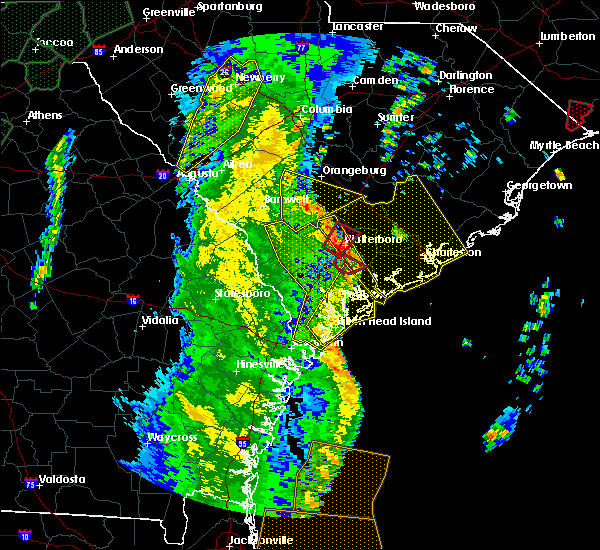 At 142 pm edt, a severe squall line capable of producing both tornadoes and extensive straight line wind damage was located near walterboro, moving northeast at 45 mph (radar indicated rotation). Hazards include tornado. Flying debris will be dangerous to those caught without shelter. mobile homes will be damaged or destroyed. damage to roofs, windows, and vehicles will occur. tree damage is likely. locations impacted include, walterboro and canadys. This warning includes i-95 in south carolina between mile markers 51 and 68. At 142 pm edt, a severe squall line capable of producing both tornadoes and extensive straight line wind damage was located near walterboro, moving northeast at 45 mph (radar indicated rotation). Hazards include tornado. Flying debris will be dangerous to those caught without shelter. mobile homes will be damaged or destroyed. damage to roofs, windows, and vehicles will occur. tree damage is likely. locations impacted include, walterboro and canadys. This warning includes i-95 in south carolina between mile markers 51 and 68.
|
| 4/19/2019 1:40 PM EDT | A tree was reported to have fallen onto a house by the colleton county fire-rescu in colleton county SC, 1.2 miles SE of Walterboro, SC |
| 4/19/2019 1:40 PM EDT | A small cinderblock building was demolished on sniders hw in colleton county SC, 2.9 miles NNE of Walterboro, SC |
| 4/19/2019 1:40 PM EDT | Trees and power lines reported down in 12 different places around walterbor in colleton county SC, 0.4 miles SW of Walterboro, SC |
| 4/19/2019 1:40 PM EDT | Power lines down on charleston hw in colleton county SC, 9.4 miles NW of Walterboro, SC |
| 4/19/2019 1:40 PM EDT |
 At 138 pm edt, severe thunderstorms were located along a line extending from 7 miles southeast of bamberg to 14 miles northwest of edisto beach, moving northeast at 90 mph (radar indicated. these thunderstorms have a history of producing wind damage). Hazards include 70 mph wind gusts. Expect considerable tree damage. Damage is likely to mobile homes, roofs, and outbuildings. At 138 pm edt, severe thunderstorms were located along a line extending from 7 miles southeast of bamberg to 14 miles northwest of edisto beach, moving northeast at 90 mph (radar indicated. these thunderstorms have a history of producing wind damage). Hazards include 70 mph wind gusts. Expect considerable tree damage. Damage is likely to mobile homes, roofs, and outbuildings.
|
| 4/19/2019 1:39 PM EDT | Power lines down on azalea patch r in colleton county SC, 5.5 miles E of Walterboro, SC |
| 4/19/2019 1:37 PM EDT | Tree down on green pond hw in colleton county SC, 8.5 miles NNW of Walterboro, SC |
| 4/19/2019 1:37 PM EDT |
 At 137 pm edt, severe thunderstorms capable of producing both tornadoes and extensive straight line wind damage were located near walterboro, moving northeast at 45 mph (radar indicated rotation). Hazards include tornado. Flying debris will be dangerous to those caught without shelter. mobile homes will be damaged or destroyed. damage to roofs, windows, and vehicles will occur. Tree damage is likely. At 137 pm edt, severe thunderstorms capable of producing both tornadoes and extensive straight line wind damage were located near walterboro, moving northeast at 45 mph (radar indicated rotation). Hazards include tornado. Flying debris will be dangerous to those caught without shelter. mobile homes will be damaged or destroyed. damage to roofs, windows, and vehicles will occur. Tree damage is likely.
|
| 4/19/2019 1:26 PM EDT |
 At 123 pm edt, severe thunderstorms were located along a line extending from 7 miles northeast of allendale to 8 miles northwest of beaufort, moving northeast at 55 mph (radar indicated). Hazards include 70 mph wind gusts. Expect considerable tree damage. damage is likely to mobile homes, roofs, and outbuildings. locations impacted include, hilton head island, bluffton, beaufort, port royal, walterboro, ridgeland, allendale and hampton. those attending the rbc heritage golf tournament at harbour town are in the path of this storm and should prepare for imminent, dangerous weather conditions. Seek shelter now! this warning includes i-95 in south carolina between mile markers 15 and 66. At 123 pm edt, severe thunderstorms were located along a line extending from 7 miles northeast of allendale to 8 miles northwest of beaufort, moving northeast at 55 mph (radar indicated). Hazards include 70 mph wind gusts. Expect considerable tree damage. damage is likely to mobile homes, roofs, and outbuildings. locations impacted include, hilton head island, bluffton, beaufort, port royal, walterboro, ridgeland, allendale and hampton. those attending the rbc heritage golf tournament at harbour town are in the path of this storm and should prepare for imminent, dangerous weather conditions. Seek shelter now! this warning includes i-95 in south carolina between mile markers 15 and 66.
|
| 4/19/2019 1:07 PM EDT |
 At 104 pm edt, severe thunderstorms were located along a line extending from 8 miles southwest of allendale to 7 miles northwest of bluffton, moving northeast at 55 mph (radar indicated. these thunderstorms have been producing wind damage). Hazards include 70 mph wind gusts. Expect considerable tree damage. damage is likely to mobile homes, roofs, and outbuildings. locations impacted include, hilton head island, bluffton, beaufort, port royal, walterboro, ridgeland, allendale and hampton. those attending the rbc heritage golf tournament at harbour town are in the path of this storm and should prepare for imminent, dangerous weather conditions. Seek shelter now! this warning includes i-95 in south carolina between mile markers 2 and 66. At 104 pm edt, severe thunderstorms were located along a line extending from 8 miles southwest of allendale to 7 miles northwest of bluffton, moving northeast at 55 mph (radar indicated. these thunderstorms have been producing wind damage). Hazards include 70 mph wind gusts. Expect considerable tree damage. damage is likely to mobile homes, roofs, and outbuildings. locations impacted include, hilton head island, bluffton, beaufort, port royal, walterboro, ridgeland, allendale and hampton. those attending the rbc heritage golf tournament at harbour town are in the path of this storm and should prepare for imminent, dangerous weather conditions. Seek shelter now! this warning includes i-95 in south carolina between mile markers 2 and 66.
|
| 4/19/2019 12:49 PM EDT |
 At 1247 pm edt, severe thunderstorms were located along a line extending from 6 miles east of sylvania to 6 miles north of savannah, moving northeast at 55 mph (radar indicated. at 1246 pm edt a wind gust to 66 mph was reported at the savannah airport). Hazards include 70 mph wind gusts. Expect considerable tree damage. Damage is likely to mobile homes, roofs, and outbuildings. At 1247 pm edt, severe thunderstorms were located along a line extending from 6 miles east of sylvania to 6 miles north of savannah, moving northeast at 55 mph (radar indicated. at 1246 pm edt a wind gust to 66 mph was reported at the savannah airport). Hazards include 70 mph wind gusts. Expect considerable tree damage. Damage is likely to mobile homes, roofs, and outbuildings.
|
| 4/14/2019 6:29 PM EDT |
 At 629 pm edt, severe thunderstorms were located along a line extending from 6 miles northwest of indian field to 6 miles south of saint george to 9 miles northwest of yemassee, moving northeast at 60 mph (radar indicated). Hazards include 60 mph wind gusts and penny size hail. Expect damage to trees and powerlines. locations impacted include, summerville, walterboro, hampton, yemassee, slands bridge, givhans ferry state park, indian field and saint george. This warning includes i-95 in south carolina between mile markers 39 and 85. At 629 pm edt, severe thunderstorms were located along a line extending from 6 miles northwest of indian field to 6 miles south of saint george to 9 miles northwest of yemassee, moving northeast at 60 mph (radar indicated). Hazards include 60 mph wind gusts and penny size hail. Expect damage to trees and powerlines. locations impacted include, summerville, walterboro, hampton, yemassee, slands bridge, givhans ferry state park, indian field and saint george. This warning includes i-95 in south carolina between mile markers 39 and 85.
|
| 4/14/2019 6:11 PM EDT |
 At 611 pm edt, severe thunderstorms were located along a line extending from 15 miles southeast of bamberg to 9 miles northwest of walterboro to 11 miles south of lake warren state park, moving northeast at 50 mph (radar indicated). Hazards include 60 mph wind gusts and penny size hail. Expect damage to trees and powerlines. locations impacted include, summerville, walterboro, hampton, yemassee, lake warren state park, indian field, saint george and slands bridge. This warning includes i-95 in south carolina between mile markers 28 and 85. At 611 pm edt, severe thunderstorms were located along a line extending from 15 miles southeast of bamberg to 9 miles northwest of walterboro to 11 miles south of lake warren state park, moving northeast at 50 mph (radar indicated). Hazards include 60 mph wind gusts and penny size hail. Expect damage to trees and powerlines. locations impacted include, summerville, walterboro, hampton, yemassee, lake warren state park, indian field, saint george and slands bridge. This warning includes i-95 in south carolina between mile markers 28 and 85.
|
| 4/14/2019 5:48 PM EDT |
 At 548 pm edt, severe thunderstorms were located along a line extending from near hampton to 9 miles southeast of lake warren state park, moving northeast at 70 mph (radar indicated). Hazards include 60 mph wind gusts and penny size hail. expect damage to trees and powerlines At 548 pm edt, severe thunderstorms were located along a line extending from near hampton to 9 miles southeast of lake warren state park, moving northeast at 70 mph (radar indicated). Hazards include 60 mph wind gusts and penny size hail. expect damage to trees and powerlines
|
| 8/18/2018 7:38 PM EDT |
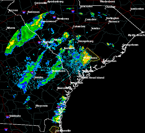 At 738 pm edt, severe thunderstorms were located along a line extending from near saint george to 8 miles south of givhans ferry state park, moving northeast at 30 mph (radar indicated). Hazards include 60 mph wind gusts and penny size hail. Expect damage to trees and powerlines. locations impacted include, north charleston, summerville, walterboro, middleton place, indian field, archdale, slands bridge and givhans ferry state park. this warning includes, i-26 between mile markers 171 and 189. I-95 in south carolina between mile markers 57 and 82. At 738 pm edt, severe thunderstorms were located along a line extending from near saint george to 8 miles south of givhans ferry state park, moving northeast at 30 mph (radar indicated). Hazards include 60 mph wind gusts and penny size hail. Expect damage to trees and powerlines. locations impacted include, north charleston, summerville, walterboro, middleton place, indian field, archdale, slands bridge and givhans ferry state park. this warning includes, i-26 between mile markers 171 and 189. I-95 in south carolina between mile markers 57 and 82.
|
| 8/18/2018 7:24 PM EDT |
 At 724 pm edt, severe thunderstorms were located along a line extending from 13 miles southwest of saint george to 6 miles southeast of walterboro, moving northeast at 20 mph (radar indicated). Hazards include 60 mph wind gusts. Minor hail damage to vehicles is possible. Expect wind damage to trees and powerlines. At 724 pm edt, severe thunderstorms were located along a line extending from 13 miles southwest of saint george to 6 miles southeast of walterboro, moving northeast at 20 mph (radar indicated). Hazards include 60 mph wind gusts. Minor hail damage to vehicles is possible. Expect wind damage to trees and powerlines.
|
| 8/9/2018 7:37 PM EDT | South carolina highway patrol reported a tree down on charleston highway near the intersection with st. peters roa in colleton county SC, 6.8 miles NW of Walterboro, SC |
| 8/9/2018 7:33 PM EDT | South carolina highway patrol reported a tree down in the 2200 block of green pond highwa in colleton county SC, 2.9 miles NNW of Walterboro, SC |
| 8/9/2018 7:33 PM EDT | South carolina highway patrol reported a tree down on highway 303 near rivers stree in colleton county SC, 2.7 miles NNW of Walterboro, SC |
| 8/9/2018 7:33 PM EDT | South carolina highway patrol reported a tree down on highway 64 about a half mile from rodeo driv in colleton county SC, 3.7 miles WNW of Walterboro, SC |
| 8/9/2018 7:28 PM EDT | South carolina highway patrol reported a tree down in the 2000 block of bells highwa in colleton county SC, 1.8 miles SSE of Walterboro, SC |
| 8/9/2018 7:26 PM EDT | South carolina highway patrol reported 2 trees down on i-95. one tree was down near mile marker 53 northbound and the other was down between mile markers 54 and 5 in colleton county SC, 2 miles ENE of Walterboro, SC |
| 8/9/2018 7:18 PM EDT | Trained spotter reported a tree down on us 17 north alternat in colleton county SC, 6.9 miles NNE of Walterboro, SC |
| 8/9/2018 7:14 PM EDT | Colleton county fire and rescue reported a large tree down blocking all four lanes of south jefferies boulevar in colleton county SC, 1.1 miles NNE of Walterboro, SC |
| 8/9/2018 7:13 PM EDT |
 At 713 pm edt, a severe thunderstorm was located over walterboro, moving east at 10 mph (radar indicated). Hazards include 60 mph wind gusts. expect damage to trees and powerlines At 713 pm edt, a severe thunderstorm was located over walterboro, moving east at 10 mph (radar indicated). Hazards include 60 mph wind gusts. expect damage to trees and powerlines
|
| 8/9/2018 7:09 PM EDT | Trained spotter reported multiple trees down on ivanhoe road. time estimated by rada in colleton county SC, 0.5 miles NNE of Walterboro, SC |
| 8/9/2018 7:08 PM EDT | South carolina highway patrol reported a tree down in the 2300 block of hendersonville highway and us-17 alternat in colleton county SC, 2 miles NNE of Walterboro, SC |
| 8/9/2018 7:00 PM EDT | South carolina highway patrol reported a tree down in the 1200 block of penny creek driv in colleton county SC, 5.1 miles ESE of Walterboro, SC |
| 6/25/2018 5:30 PM EDT | South carolina highway patrol reported a tree down on edward road near the intersection with black creek road. the tree was blown down by thunderstorm outflo in colleton county SC, 9.3 miles NE of Walterboro, SC |
| 6/25/2018 12:29 AM EDT |
 At 1229 am edt, severe thunderstorms were located along a line extending from 14 miles southeast of walterboro to near ridgeland to 9 miles north of bay, moving southeast at 40 mph (radar indicated). Hazards include 60 mph wind gusts. Expect damage to trees and powerlines. locations impacted include, bluffton, beaufort, port royal, walterboro, ridgeland, springfield, yemassee and clarendon. this warning includes, i-95 in south carolina between mile markers 2 and 64. I-95 in georgia between mile markers 109 and 112. At 1229 am edt, severe thunderstorms were located along a line extending from 14 miles southeast of walterboro to near ridgeland to 9 miles north of bay, moving southeast at 40 mph (radar indicated). Hazards include 60 mph wind gusts. Expect damage to trees and powerlines. locations impacted include, bluffton, beaufort, port royal, walterboro, ridgeland, springfield, yemassee and clarendon. this warning includes, i-95 in south carolina between mile markers 2 and 64. I-95 in georgia between mile markers 109 and 112.
|
| 6/25/2018 12:16 AM EDT | Tree down across peniel roa in colleton county SC, 3.8 miles NNE of Walterboro, SC |
| 6/25/2018 12:11 AM EDT | South carolina highway patrol reported a tree down on cane branch road near the intersection with pellum roa in colleton county SC, 5.8 miles ENE of Walterboro, SC |
| 6/24/2018 11:58 PM EDT |
 At 1158 pm edt, severe thunderstorms were located along a line extending from near walterboro to 16 miles south of lake warren state park to middleground, moving southeast at 35 mph (radar indicated). Hazards include 60 mph wind gusts. expect damage to trees and powerlines At 1158 pm edt, severe thunderstorms were located along a line extending from near walterboro to 16 miles south of lake warren state park to middleground, moving southeast at 35 mph (radar indicated). Hazards include 60 mph wind gusts. expect damage to trees and powerlines
|
| 6/24/2018 11:41 PM EDT |
 At 1141 pm edt, severe thunderstorms were located along a line extending from near givhans ferry state park to 9 miles southeast of sylvania, moving south at 35 mph (radar indicated). Hazards include 60 mph wind gusts. Expect damage to trees and powerlines. locations impacted include, walterboro, hampton, yemassee, lake warren state park, indian field, saint george, colleton and varnville. this warning includes, i-26 between mile markers 171 and 175. I-95 in south carolina between mile markers 38 and 85. At 1141 pm edt, severe thunderstorms were located along a line extending from near givhans ferry state park to 9 miles southeast of sylvania, moving south at 35 mph (radar indicated). Hazards include 60 mph wind gusts. Expect damage to trees and powerlines. locations impacted include, walterboro, hampton, yemassee, lake warren state park, indian field, saint george, colleton and varnville. this warning includes, i-26 between mile markers 171 and 175. I-95 in south carolina between mile markers 38 and 85.
|
| 6/24/2018 11:41 PM EDT |
 At 1107 pm edt, severe thunderstorms were located along a line extending from near indian field to near allendale, moving southeast at 35 mph (radar indicated). Hazards include 60 mph wind gusts. expect damage to trees and powerlines At 1107 pm edt, severe thunderstorms were located along a line extending from near indian field to near allendale, moving southeast at 35 mph (radar indicated). Hazards include 60 mph wind gusts. expect damage to trees and powerlines
|
| 6/24/2018 11:08 PM EDT |
 At 1107 pm edt, severe thunderstorms were located along a line extending from near indian field to near allendale, moving southeast at 35 mph (radar indicated). Hazards include 60 mph wind gusts. expect damage to trees and powerlines At 1107 pm edt, severe thunderstorms were located along a line extending from near indian field to near allendale, moving southeast at 35 mph (radar indicated). Hazards include 60 mph wind gusts. expect damage to trees and powerlines
|
| 6/14/2018 5:22 PM EDT |
 The severe thunderstorm warning for charleston, colleton, berkeley and dorchester counties will expire at 530 pm edt, the storms which prompted the warning have weakened below severe limits, and no longer pose an immediate threat to life or property. therefore the warning will be allowed to expire. to report severe weather, contact your nearest law enforcement agency. they will relay your report to the national weather service charleston. The severe thunderstorm warning for charleston, colleton, berkeley and dorchester counties will expire at 530 pm edt, the storms which prompted the warning have weakened below severe limits, and no longer pose an immediate threat to life or property. therefore the warning will be allowed to expire. to report severe weather, contact your nearest law enforcement agency. they will relay your report to the national weather service charleston.
|
| 6/14/2018 5:09 PM EDT |
 At 509 pm edt, severe thunderstorms were located along a line extending from 14 miles west of mcclellanville to near walterboro, moving southeast at 15 mph (radar indicated). Hazards include 60 mph wind gusts. Expect damage to trees and powerlines. locations impacted include, charleston, north charleston, mount pleasant, summerville, goose creek, hanahan, walterboro and mcclellanville. this warning includes, i-26 between mile markers 197 and 218. i-526 between mile markers 14 and 26. I-95 in south carolina between mile markers 55 and 64. At 509 pm edt, severe thunderstorms were located along a line extending from 14 miles west of mcclellanville to near walterboro, moving southeast at 15 mph (radar indicated). Hazards include 60 mph wind gusts. Expect damage to trees and powerlines. locations impacted include, charleston, north charleston, mount pleasant, summerville, goose creek, hanahan, walterboro and mcclellanville. this warning includes, i-26 between mile markers 197 and 218. i-526 between mile markers 14 and 26. I-95 in south carolina between mile markers 55 and 64.
|
| 6/14/2018 4:51 PM EDT |
 At 451 pm edt, severe thunderstorms were located along a line extending from 14 miles northeast of naval weapons station charleston to 6 miles north of walterboro, moving southeast at 15 mph (radar indicated). Hazards include 60 mph wind gusts and penny size hail. Expect damage to trees and powerlines. locations impacted include, charleston, north charleston, mount pleasant, summerville, goose creek, hanahan, walterboro and mcclellanville. this warning includes, i-26 between mile markers 191 and 218. i-526 between mile markers 14 and 26. I-95 in south carolina between mile markers 55 and 68. At 451 pm edt, severe thunderstorms were located along a line extending from 14 miles northeast of naval weapons station charleston to 6 miles north of walterboro, moving southeast at 15 mph (radar indicated). Hazards include 60 mph wind gusts and penny size hail. Expect damage to trees and powerlines. locations impacted include, charleston, north charleston, mount pleasant, summerville, goose creek, hanahan, walterboro and mcclellanville. this warning includes, i-26 between mile markers 191 and 218. i-526 between mile markers 14 and 26. I-95 in south carolina between mile markers 55 and 68.
|
| 6/14/2018 4:34 PM EDT | Schp reported a tree down at augusta highway and round o road. time determined from radar dat in colleton county SC, 10.5 miles SSW of Walterboro, SC |
| 6/14/2018 4:29 PM EDT |
 The national weather service in charleston has issued a * severe thunderstorm warning for portions of. charleston county in southeastern south carolina. colleton county in southeastern south carolina. berkeley county in southeastern south carolina. Dorchester county in southeastern south carolina. The national weather service in charleston has issued a * severe thunderstorm warning for portions of. charleston county in southeastern south carolina. colleton county in southeastern south carolina. berkeley county in southeastern south carolina. Dorchester county in southeastern south carolina.
|
| 6/2/2018 6:22 PM EDT | Trees and powerpole down near the intersection of north jefferies and ivanhoe road. time estimated from radar dat in colleton county SC, 0.4 miles SW of Walterboro, SC |
| 3/20/2018 3:09 PM EDT |
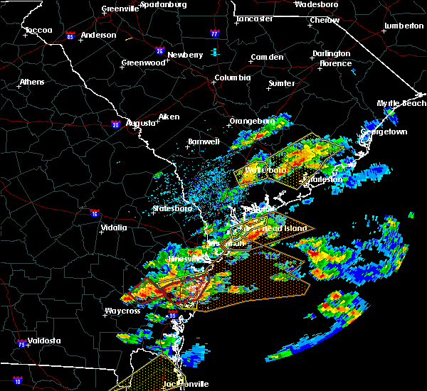 At 308 pm edt, severe thunderstorms were located along a line extending from near walterboro to 14 miles northeast of yemassee, moving east at 45 mph (radar indicated). Hazards include 60 mph wind gusts and quarter size hail. Minor hail damage to vehicles is possible. expect wind damage to trees and powerlines. locations impacted include, walterboro, cottageville, hendersonville and round o. This warning includes i-95 in south carolina between mile markers 51 and 63. At 308 pm edt, severe thunderstorms were located along a line extending from near walterboro to 14 miles northeast of yemassee, moving east at 45 mph (radar indicated). Hazards include 60 mph wind gusts and quarter size hail. Minor hail damage to vehicles is possible. expect wind damage to trees and powerlines. locations impacted include, walterboro, cottageville, hendersonville and round o. This warning includes i-95 in south carolina between mile markers 51 and 63.
|
| 3/20/2018 2:52 PM EDT |
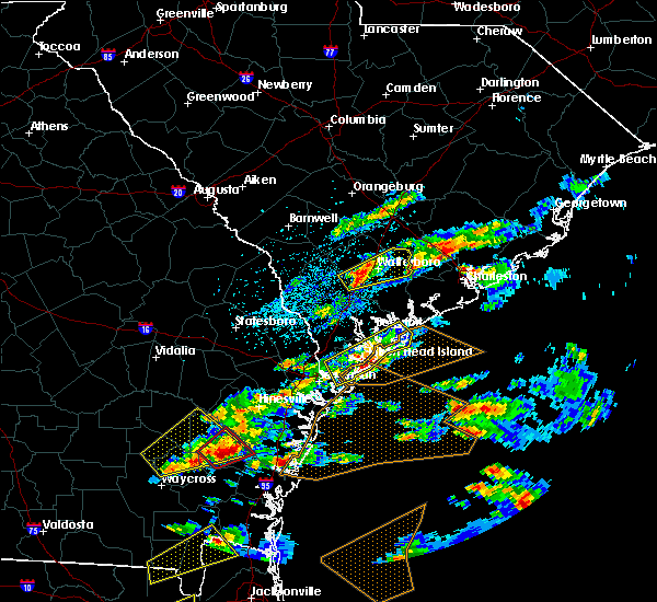 At 252 pm edt, a severe thunderstorm was located 11 miles north of yemassee, moving east at 40 mph (radar indicated). Hazards include 60 mph wind gusts and half dollar size hail. Minor hail damage to vehicles is possible. Expect wind damage to trees and powerlines. At 252 pm edt, a severe thunderstorm was located 11 miles north of yemassee, moving east at 40 mph (radar indicated). Hazards include 60 mph wind gusts and half dollar size hail. Minor hail damage to vehicles is possible. Expect wind damage to trees and powerlines.
|
| 3/20/2018 4:26 AM EDT |
 At 425 am edt, severe thunderstorms were located along a line extending from 7 miles southwest of walterboro to 10 miles southeast of lake warren state park, moving east at 50 mph (radar indicated). Hazards include 60 mph wind gusts and penny size hail. expect damage to trees and powerlines At 425 am edt, severe thunderstorms were located along a line extending from 7 miles southwest of walterboro to 10 miles southeast of lake warren state park, moving east at 50 mph (radar indicated). Hazards include 60 mph wind gusts and penny size hail. expect damage to trees and powerlines
|
| 10/23/2017 7:44 PM EDT | Warning point reported tree down on car and power lines down near the intersection of wichman street and paul street in colleton county SC, 1 miles WNW of Walterboro, SC |
| 10/23/2017 7:39 PM EDT | Warning point reported trees down on coolers dairy road and merrick roa in colleton county SC, 7.6 miles SW of Walterboro, SC |
| 10/23/2017 7:37 PM EDT | Warning point reported trees down on sniders highway near cypress pond roa in colleton county SC, 4.1 miles ENE of Walterboro, SC |
| 7/15/2017 5:15 PM EDT |
 At 515 pm edt, a severe thunderstorm was located 8 miles south of walterboro, moving east at 10 mph (radar indicated). Hazards include 60 mph wind gusts and quarter size hail. Minor hail damage to vehicles is possible. Expect wind damage to trees and powerlines. At 515 pm edt, a severe thunderstorm was located 8 miles south of walterboro, moving east at 10 mph (radar indicated). Hazards include 60 mph wind gusts and quarter size hail. Minor hail damage to vehicles is possible. Expect wind damage to trees and powerlines.
|
| 7/8/2017 8:59 PM EDT |
 At 859 pm edt, severe thunderstorms were located along a line extending from near indian field to 7 miles northwest of walterboro, moving east at 30 mph (radar indicated). Hazards include 60 mph wind gusts and penny size hail. expect damage to trees and powerlines At 859 pm edt, severe thunderstorms were located along a line extending from near indian field to 7 miles northwest of walterboro, moving east at 30 mph (radar indicated). Hazards include 60 mph wind gusts and penny size hail. expect damage to trees and powerlines
|
| 5/4/2017 8:25 PM EDT | Sc state hwy patrol reports tree in roadway on round o road near sc hwy 61. possible tornado in colleton county SC, 10.2 miles SSW of Walterboro, SC |
| 5/4/2017 8:14 PM EDT | Trainned spotter reports damage area approximately 1/4 to 1/2 mile wide along mcleod rd east of interstate 95. possible tornado in colleton county SC, 6 miles SSW of Walterboro, SC |
| 5/4/2017 8:13 PM EDT |
 At 812 pm edt, a severe thunderstorm capable of producing a tornado was located 3 miles north of walterboro, moving northeast at 35 mph (radar indicated rotation). Hazards include tornado. Flying debris will be dangerous to those caught without shelter. mobile homes will be damaged or destroyed. damage to roofs, windows, and vehicles will occur. Tree damage is likely. At 812 pm edt, a severe thunderstorm capable of producing a tornado was located 3 miles north of walterboro, moving northeast at 35 mph (radar indicated rotation). Hazards include tornado. Flying debris will be dangerous to those caught without shelter. mobile homes will be damaged or destroyed. damage to roofs, windows, and vehicles will occur. Tree damage is likely.
|
| 5/4/2017 8:10 PM EDT | Trained spotter reports hwy 64 blocked by numerous trees down just west of interstate 95. possible tornado in colleton county SC, 2.1 miles SE of Walterboro, SC |
| 5/4/2017 8:06 PM EDT |
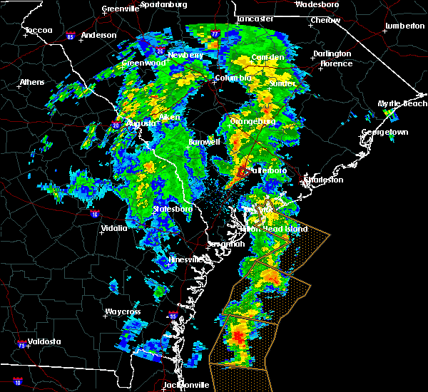 At 805 pm edt, a severe thunderstorm capable of producing a tornado was located 3 miles west of walterboro, moving northeast at 30 mph (radar indicated rotation). Hazards include tornado. Flying debris will be dangerous to those caught without shelter. mobile homes will be damaged or destroyed. damage to roofs, windows, and vehicles will occur. tree damage is likely. locations impacted include, northern walterboro. This warning includes i-95 in south carolina between mile markers 56 and 61. At 805 pm edt, a severe thunderstorm capable of producing a tornado was located 3 miles west of walterboro, moving northeast at 30 mph (radar indicated rotation). Hazards include tornado. Flying debris will be dangerous to those caught without shelter. mobile homes will be damaged or destroyed. damage to roofs, windows, and vehicles will occur. tree damage is likely. locations impacted include, northern walterboro. This warning includes i-95 in south carolina between mile markers 56 and 61.
|
| 5/4/2017 8:04 PM EDT | Sc state hwy patrol reports a tree down at the intersection of penny creek rd and doctors creek rd. possible tornado in colleton county SC, 3.8 miles ESE of Walterboro, SC |
| 5/4/2017 7:58 PM EDT | Several power lines snapped. one tree snapped in half. damage due to possible tornad in colleton county SC, 3.6 miles ENE of Walterboro, SC |
| 5/4/2017 7:57 PM EDT |
 At 756 pm edt, a severe thunderstorm capable of producing a tornado was located 3 miles southwest of walterboro, moving northeast at 20 mph (radar indicated rotation). Hazards include tornado. Flying debris will be dangerous to those caught without shelter. mobile homes will be damaged or destroyed. damage to roofs, windows, and vehicles will occur. tree damage is likely. locations impacted include, walterboro. This warning includes i-95 in south carolina between mile markers 52 and 61. At 756 pm edt, a severe thunderstorm capable of producing a tornado was located 3 miles southwest of walterboro, moving northeast at 20 mph (radar indicated rotation). Hazards include tornado. Flying debris will be dangerous to those caught without shelter. mobile homes will be damaged or destroyed. damage to roofs, windows, and vehicles will occur. tree damage is likely. locations impacted include, walterboro. This warning includes i-95 in south carolina between mile markers 52 and 61.
|
| 5/4/2017 7:55 PM EDT | Windowns blow out of and roof damage to house in the 1500 block of cane break rd. possible tornado in colleton county SC, 5.4 miles NE of Walterboro, SC |
| 5/4/2017 7:51 PM EDT |
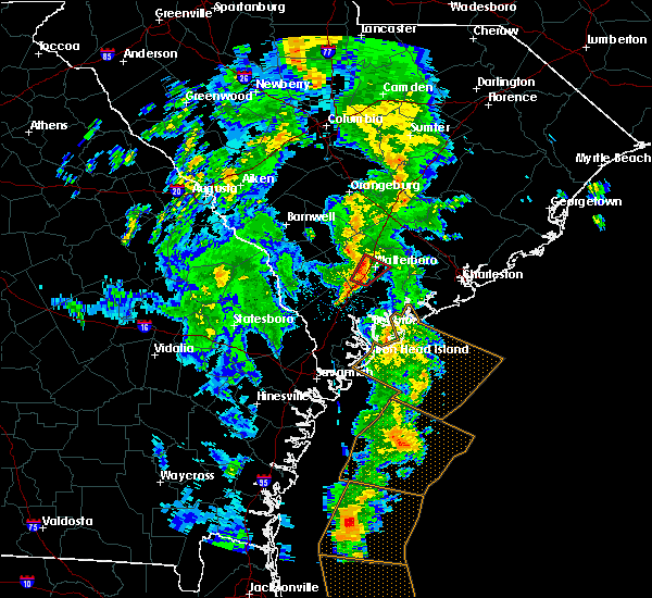 At 751 pm edt, a severe thunderstorm capable of producing a tornado was located 7 miles southwest of walterboro, moving northeast at 35 mph (radar indicated rotation). Hazards include tornado. Flying debris will be dangerous to those caught without shelter. mobile homes will be damaged or destroyed. damage to roofs, windows, and vehicles will occur. Tree damage is likely. At 751 pm edt, a severe thunderstorm capable of producing a tornado was located 7 miles southwest of walterboro, moving northeast at 35 mph (radar indicated rotation). Hazards include tornado. Flying debris will be dangerous to those caught without shelter. mobile homes will be damaged or destroyed. damage to roofs, windows, and vehicles will occur. Tree damage is likely.
|
| 5/4/2017 7:48 PM EDT | Trainned spotter reports numerous power poles snapped and trees down on black creek rd near interstate 95. possible tornado in colleton county SC, 8.6 miles NE of Walterboro, SC |
| 4/5/2017 3:53 PM EDT |
 At 352 pm edt, a severe thunderstorm was located 7 miles south of walterboro, moving northeast at 50 mph (radar indicated). Hazards include 60 mph wind gusts and penny size hail. Expect damage to roofs, siding, and trees. locations impacted include, walterboro, cottageville, hendersonville, round o, ritter and white hall. A tornado watch remains in effect until 800 pm edt for southeastern south carolina. At 352 pm edt, a severe thunderstorm was located 7 miles south of walterboro, moving northeast at 50 mph (radar indicated). Hazards include 60 mph wind gusts and penny size hail. Expect damage to roofs, siding, and trees. locations impacted include, walterboro, cottageville, hendersonville, round o, ritter and white hall. A tornado watch remains in effect until 800 pm edt for southeastern south carolina.
|
| 4/5/2017 3:43 PM EDT |
 At 343 pm edt, a severe thunderstorm was located near yemassee, moving northeast at 40 mph (radar indicated). Hazards include 60 mph wind gusts and quarter size hail. Hail damage to vehicles is expected. expect wind damage to roofs, siding, and trees. locations impacted include, walterboro, cottageville, hendersonville, round o, canadys, ritter and white hall. A tornado watch remains in effect until 800 pm edt for southeastern south carolina. At 343 pm edt, a severe thunderstorm was located near yemassee, moving northeast at 40 mph (radar indicated). Hazards include 60 mph wind gusts and quarter size hail. Hail damage to vehicles is expected. expect wind damage to roofs, siding, and trees. locations impacted include, walterboro, cottageville, hendersonville, round o, canadys, ritter and white hall. A tornado watch remains in effect until 800 pm edt for southeastern south carolina.
|
| 4/5/2017 3:28 PM EDT |
 At 327 pm edt, a severe thunderstorm was located near yemassee, moving northeast at 50 mph (radar indicated). Hazards include 60 mph wind gusts and quarter size hail. Hail damage to vehicles is expected. Expect wind damage to roofs, siding, and trees. At 327 pm edt, a severe thunderstorm was located near yemassee, moving northeast at 50 mph (radar indicated). Hazards include 60 mph wind gusts and quarter size hail. Hail damage to vehicles is expected. Expect wind damage to roofs, siding, and trees.
|
| 4/3/2017 5:50 PM EDT |
 At 550 pm edt, a severe thunderstorm was located near givhans ferry state park, moving east at 45 mph (radar indicated). Hazards include 60 mph wind gusts. Expect damage to roofs, siding, and trees. Locations impacted include, walterboro, cottageville, hendersonville, round o and ritter. At 550 pm edt, a severe thunderstorm was located near givhans ferry state park, moving east at 45 mph (radar indicated). Hazards include 60 mph wind gusts. Expect damage to roofs, siding, and trees. Locations impacted include, walterboro, cottageville, hendersonville, round o and ritter.
|
| 4/3/2017 5:42 PM EDT | South carolina highway patrol reported a tree down on charleston highway near bonnie doone roa in colleton county SC, 7.3 miles NW of Walterboro, SC |
| 4/3/2017 5:39 PM EDT | South carolina highway patrol reported a tree down in the 7500 block of green pond highwa in colleton county SC, 8.5 miles NNW of Walterboro, SC |
| 4/3/2017 5:39 PM EDT | South carolina highway patrol reported a tree down in the 6000 block of green pond highwa in colleton county SC, 5.7 miles NNW of Walterboro, SC |
| 4/3/2017 5:38 PM EDT |
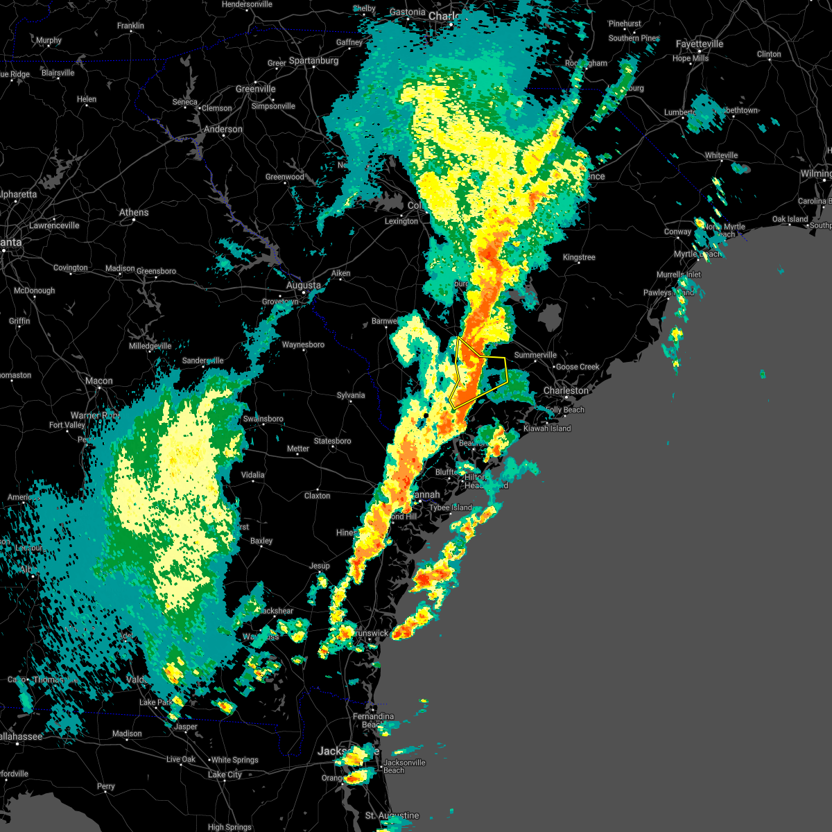 At 538 pm edt, a severe thunderstorm was located 8 miles north of walterboro, moving east at 35 mph (radar indicated). Hazards include 60 mph wind gusts. Expect damage to roofs, siding, and trees. Locations impacted include, walterboro, cottageville, hendersonville, round o and ritter. At 538 pm edt, a severe thunderstorm was located 8 miles north of walterboro, moving east at 35 mph (radar indicated). Hazards include 60 mph wind gusts. Expect damage to roofs, siding, and trees. Locations impacted include, walterboro, cottageville, hendersonville, round o and ritter.
|
| 4/3/2017 5:22 PM EDT |
 At 522 pm edt, a severe thunderstorm was located 8 miles northwest of walterboro, moving northeast at 35 mph (radar indicated). Hazards include 60 mph wind gusts and penny size hail. Expect damage to roofs, siding, and trees. locations impacted include, walterboro, colleton, cottageville, smoaks, williams, hendersonville, round o and islandton. A tornado watch remains in effect until 900 pm edt for southeastern south carolina. At 522 pm edt, a severe thunderstorm was located 8 miles northwest of walterboro, moving northeast at 35 mph (radar indicated). Hazards include 60 mph wind gusts and penny size hail. Expect damage to roofs, siding, and trees. locations impacted include, walterboro, colleton, cottageville, smoaks, williams, hendersonville, round o and islandton. A tornado watch remains in effect until 900 pm edt for southeastern south carolina.
|
| 4/3/2017 4:59 PM EDT |
 At 459 pm edt, a severe thunderstorm was located 9 miles east of hampton, moving northeast at 35 mph (radar indicated). Hazards include 60 mph wind gusts and quarter size hail. Hail damage to vehicles is expected. Expect wind damage to roofs, siding, and trees. At 459 pm edt, a severe thunderstorm was located 9 miles east of hampton, moving northeast at 35 mph (radar indicated). Hazards include 60 mph wind gusts and quarter size hail. Hail damage to vehicles is expected. Expect wind damage to roofs, siding, and trees.
|
| 3/22/2017 12:30 AM EDT | Public reported a tree down on i-95 near exit 5 in colleton county SC, 1.8 miles SSE of Walterboro, SC |
| 3/22/2017 12:26 AM EDT | Tree reported down near intersection of hiers corner road and bells highwa in colleton county SC, 1 miles SSE of Walterboro, SC |
| 1/21/2017 4:38 PM EST |
 The severe thunderstorm warning for beaufort, charleston, colleton, berkeley, dorchester and jasper counties will expire at 445 pm est, the storms which prompted the warning have weakened below severe limits, and no longer pose an immediate threat to life or property. therefore the warning will be allowed to expire. however gusty winds are still possible with these thunderstorms. The severe thunderstorm warning for beaufort, charleston, colleton, berkeley, dorchester and jasper counties will expire at 445 pm est, the storms which prompted the warning have weakened below severe limits, and no longer pose an immediate threat to life or property. therefore the warning will be allowed to expire. however gusty winds are still possible with these thunderstorms.
|
| 1/21/2017 4:12 PM EST |
 At 411 pm est, severe thunderstorms were located along a line extending from near saint george to 14 miles southwest of slands bridge to 6 miles east of beaufort, moving east at 45 mph (radar indicated). Hazards include 60 mph wind gusts. Expect damage to roofs, siding, and trees. locations impacted include, charleston, north charleston, summerville, goose creek, hanahan, beaufort, port royal and moncks corner. A tornado watch remains in effect until 700 pm est for southeastern south carolina. At 411 pm est, severe thunderstorms were located along a line extending from near saint george to 14 miles southwest of slands bridge to 6 miles east of beaufort, moving east at 45 mph (radar indicated). Hazards include 60 mph wind gusts. Expect damage to roofs, siding, and trees. locations impacted include, charleston, north charleston, summerville, goose creek, hanahan, beaufort, port royal and moncks corner. A tornado watch remains in effect until 700 pm est for southeastern south carolina.
|
| 1/21/2017 4:04 PM EST | Tree reported down at the intersection of paul street and wichman street. time estimated based on rada in colleton county SC, 1 miles WNW of Walterboro, SC |
| 1/21/2017 3:56 PM EST |
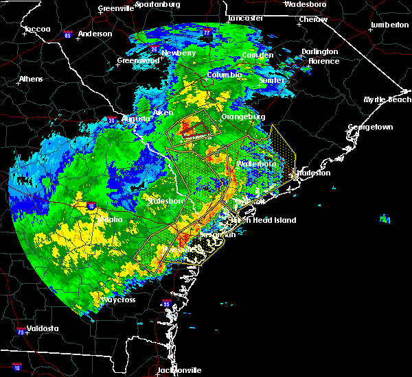 At 356 pm est, severe thunderstorms were located along a line extending from 16 miles southeast of bamberg to 10 miles south of walterboro to near port royal, moving east at 65 mph (radar indicated). Hazards include 60 mph wind gusts. expect damage to roofs, siding, and trees At 356 pm est, severe thunderstorms were located along a line extending from 16 miles southeast of bamberg to 10 miles south of walterboro to near port royal, moving east at 65 mph (radar indicated). Hazards include 60 mph wind gusts. expect damage to roofs, siding, and trees
|
| 8/18/2016 6:10 PM EDT |
 At 609 pm edt, a severe thunderstorm was located 10 miles northwest of walterboro, moving east at 10 mph (radar indicated). Hazards include 60 mph wind gusts and quarter size hail. Hail damage to vehicles is expected. expect wind damage to roofs, siding, and trees. Locations impacted include, walterboro, colleton, smoaks, williams, canadys, islandton, ruffin and ashton. At 609 pm edt, a severe thunderstorm was located 10 miles northwest of walterboro, moving east at 10 mph (radar indicated). Hazards include 60 mph wind gusts and quarter size hail. Hail damage to vehicles is expected. expect wind damage to roofs, siding, and trees. Locations impacted include, walterboro, colleton, smoaks, williams, canadys, islandton, ruffin and ashton.
|
| 8/18/2016 5:33 PM EDT |
 At 532 pm edt, a severe thunderstorm was located 16 miles northwest of walterboro, moving east at 10 mph (radar indicated). Hazards include 60 mph wind gusts and quarter size hail. Hail damage to vehicles is expected. Expect wind damage to roofs, siding, and trees. At 532 pm edt, a severe thunderstorm was located 16 miles northwest of walterboro, moving east at 10 mph (radar indicated). Hazards include 60 mph wind gusts and quarter size hail. Hail damage to vehicles is expected. Expect wind damage to roofs, siding, and trees.
|
| 7/21/2016 5:07 PM EDT |
 At 507 pm edt, a severe thunderstorm was located 15 miles southeast of walterboro, moving west at 10 mph (radar indicated). Hazards include 60 mph wind gusts. Expect damage to roofs. siding. and trees. Locations impacted include, beaufort, walterboro, yemassee, sheldon, hendersonville, white hall, ritter and ashepoo. At 507 pm edt, a severe thunderstorm was located 15 miles southeast of walterboro, moving west at 10 mph (radar indicated). Hazards include 60 mph wind gusts. Expect damage to roofs. siding. and trees. Locations impacted include, beaufort, walterboro, yemassee, sheldon, hendersonville, white hall, ritter and ashepoo.
|
| 7/21/2016 4:53 PM EDT |
 At 453 pm edt, a severe thunderstorm was located 16 miles southeast of walterboro, moving west at 10 mph (radar indicated). Hazards include 60 mph wind gusts. Expect damage to roofs. siding. And trees. At 453 pm edt, a severe thunderstorm was located 16 miles southeast of walterboro, moving west at 10 mph (radar indicated). Hazards include 60 mph wind gusts. Expect damage to roofs. siding. And trees.
|
| 7/21/2016 3:50 PM EDT |
 At 350 pm edt, a severe thunderstorm was located over indian field, and is nearly stationary (radar indicated). Hazards include 60 mph wind gusts and quarter size hail. Hail damage to vehicles is expected. expect wind damage to roofs, siding, and trees. Locations impacted include, summerville, walterboro, saint george, slands bridge, indian field, givhans ferry state park, ladson and dorchester. At 350 pm edt, a severe thunderstorm was located over indian field, and is nearly stationary (radar indicated). Hazards include 60 mph wind gusts and quarter size hail. Hail damage to vehicles is expected. expect wind damage to roofs, siding, and trees. Locations impacted include, summerville, walterboro, saint george, slands bridge, indian field, givhans ferry state park, ladson and dorchester.
|
| 7/21/2016 3:38 PM EDT |
 At 338 pm edt, a severe thunderstorm was located near indian field, moving south at 5 mph (radar indicated). Hazards include 60 mph wind gusts and quarter size hail. Hail damage to vehicles is expected. expect wind damage to roofs, siding, and trees. Locations impacted include, summerville, walterboro, saint george, slands bridge, indian field, givhans ferry state park, ladson and dorchester. At 338 pm edt, a severe thunderstorm was located near indian field, moving south at 5 mph (radar indicated). Hazards include 60 mph wind gusts and quarter size hail. Hail damage to vehicles is expected. expect wind damage to roofs, siding, and trees. Locations impacted include, summerville, walterboro, saint george, slands bridge, indian field, givhans ferry state park, ladson and dorchester.
|
| 7/21/2016 3:22 PM EDT |
 At 322 pm edt, a severe thunderstorm was located near indian field, moving southeast at 15 mph (radar indicated). Hazards include 60 mph wind gusts and quarter size hail. Hail damage to vehicles is expected. Expect wind damage to roofs, siding, and trees. At 322 pm edt, a severe thunderstorm was located near indian field, moving southeast at 15 mph (radar indicated). Hazards include 60 mph wind gusts and quarter size hail. Hail damage to vehicles is expected. Expect wind damage to roofs, siding, and trees.
|
| 7/20/2016 3:53 PM EDT | Tree down and blocking road on overlook lane. caused by otuflow boundary from thunderstorm in colleton county SC, 5 miles E of Walterboro, SC |
| 7/20/2016 3:42 PM EDT |
 At 341 pm edt, severe thunderstorms were located along a line extending from 7 miles northeast of walterboro to 12 miles south of slands bridge, moving south at 15 mph (radar indicated). Hazards include 60 mph wind gusts. Expect damage to roofs. siding. and trees. Locations impacted include, walterboro, hollywood, ravenel, meggett, cottageville, round o, ashepoo and ritter. At 341 pm edt, severe thunderstorms were located along a line extending from 7 miles northeast of walterboro to 12 miles south of slands bridge, moving south at 15 mph (radar indicated). Hazards include 60 mph wind gusts. Expect damage to roofs. siding. and trees. Locations impacted include, walterboro, hollywood, ravenel, meggett, cottageville, round o, ashepoo and ritter.
|
| 7/20/2016 3:32 PM EDT |
 At 332 pm edt, severe thunderstorms were located along a line extending from 8 miles northeast of walterboro to 10 miles south of slands bridge, moving southwest at 10 mph (radar indicated). Hazards include 60 mph wind gusts. Expect damage to roofs. siding. and trees. Locations impacted include, walterboro, hollywood, ravenel, meggett, cottageville, round o, ashepoo and ritter. At 332 pm edt, severe thunderstorms were located along a line extending from 8 miles northeast of walterboro to 10 miles south of slands bridge, moving southwest at 10 mph (radar indicated). Hazards include 60 mph wind gusts. Expect damage to roofs. siding. and trees. Locations impacted include, walterboro, hollywood, ravenel, meggett, cottageville, round o, ashepoo and ritter.
|
| 7/20/2016 3:14 PM EDT |
 At 313 pm edt, severe thunderstorms were located along a line extending from 7 miles southwest of givhans ferry state park to near slands bridge, moving south at 15 mph (radar indicated). Hazards include 60 mph wind gusts. Expect damage to roofs. siding. And trees. At 313 pm edt, severe thunderstorms were located along a line extending from 7 miles southwest of givhans ferry state park to near slands bridge, moving south at 15 mph (radar indicated). Hazards include 60 mph wind gusts. Expect damage to roofs. siding. And trees.
|
| 7/19/2016 7:47 PM EDT |
 At 746 pm edt, severe thunderstorms were located along a line extending from 18 miles north of yemassee to near walterboro, moving south at 5 mph (radar indicated). Hazards include 70 mph wind gusts and quarter size hail. Hail damage to vehicles is expected. expect considerable tree damage. wind damage is also likely to mobile homes, roofs, and outbuildings. Locations impacted include, walterboro, ritter, ruffin and hendersonville. At 746 pm edt, severe thunderstorms were located along a line extending from 18 miles north of yemassee to near walterboro, moving south at 5 mph (radar indicated). Hazards include 70 mph wind gusts and quarter size hail. Hail damage to vehicles is expected. expect considerable tree damage. wind damage is also likely to mobile homes, roofs, and outbuildings. Locations impacted include, walterboro, ritter, ruffin and hendersonville.
|
| 7/19/2016 7:46 PM EDT | Quarter sized hail reported 6.7 miles E of Walterboro, SC, colleton county dispatch reported hail slightly larger than quarters near crossing of indian creek rd and hudson mill rd. |
| 7/19/2016 7:38 PM EDT |
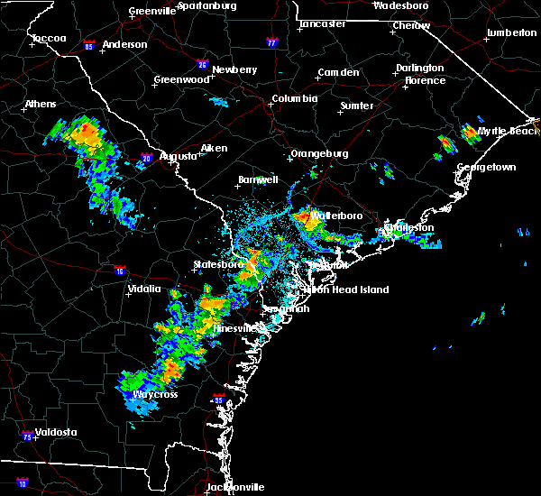 At 738 pm edt, severe thunderstorms were located along a line extending from 16 miles southwest of saint george to near walterboro, and are nearly stationary (radar indicated). Hazards include 60 mph wind gusts and penny size hail. Expect damage to roofs. siding. And trees. At 738 pm edt, severe thunderstorms were located along a line extending from 16 miles southwest of saint george to near walterboro, and are nearly stationary (radar indicated). Hazards include 60 mph wind gusts and penny size hail. Expect damage to roofs. siding. And trees.
|
| 7/9/2016 2:03 AM EDT | Tree down near the intersection of the charleston highway and smoak road. time estimated based on radar and nearby surface observations from the walterboro airpor in colleton county SC, 2.9 miles WNW of Walterboro, SC |
| 7/9/2016 1:22 AM EDT |
 At 120 am edt, severe thunderstorms were located along a line extending from 6 miles east of indian field to near allendale, moving southeast at 40 mph (radar indicated). Hazards include 60 mph wind gusts and nickel size hail. Expect damage to roofs. siding. and trees. Locations impacted include, walterboro, allendale, hampton, saint george, indian field, lake warren state park, williams. At 120 am edt, severe thunderstorms were located along a line extending from 6 miles east of indian field to near allendale, moving southeast at 40 mph (radar indicated). Hazards include 60 mph wind gusts and nickel size hail. Expect damage to roofs. siding. and trees. Locations impacted include, walterboro, allendale, hampton, saint george, indian field, lake warren state park, williams.
|
| 7/9/2016 12:53 AM EDT |
 At 1252 am edt, a severe thunderstorm was located 11 miles south of savannah river site, moving southeast at 45 mph (radar indicated). Hazards include 60 mph wind gusts and nickel size hail. Expect damage to roofs. siding. And trees. At 1252 am edt, a severe thunderstorm was located 11 miles south of savannah river site, moving southeast at 45 mph (radar indicated). Hazards include 60 mph wind gusts and nickel size hail. Expect damage to roofs. siding. And trees.
|
| 7/6/2016 5:43 PM EDT |
 At 542 pm edt, a severe thunderstorm was located 7 miles east of walterboro, moving east at 30 mph (radar indicated). Hazards include 60 mph wind gusts. Expect damage to roofs. siding. and trees. Locations impacted include, walterboro, givhans ferry state park, ridgeville, cottageville, canadys, round o, givhans and ritter. At 542 pm edt, a severe thunderstorm was located 7 miles east of walterboro, moving east at 30 mph (radar indicated). Hazards include 60 mph wind gusts. Expect damage to roofs. siding. and trees. Locations impacted include, walterboro, givhans ferry state park, ridgeville, cottageville, canadys, round o, givhans and ritter.
|
| 7/6/2016 5:21 PM EDT |
 At 521 pm edt, a severe thunderstorm was located near walterboro, moving east at 25 mph (radar indicated). Hazards include 60 mph wind gusts. Expect damage to roofs. siding. And trees. At 521 pm edt, a severe thunderstorm was located near walterboro, moving east at 25 mph (radar indicated). Hazards include 60 mph wind gusts. Expect damage to roofs. siding. And trees.
|
| 6/28/2016 6:09 PM EDT |
 The severe thunderstorm warning for hampton and colleton counties will expire at 615 pm edt, the storms which prompted the warning have weakened below severe limits, and no longer pose an immediate threat to life or property. therefore the warning will be allowed to expire. however gusty winds and heavy rain are still possible with these thunderstorms. The severe thunderstorm warning for hampton and colleton counties will expire at 615 pm edt, the storms which prompted the warning have weakened below severe limits, and no longer pose an immediate threat to life or property. therefore the warning will be allowed to expire. however gusty winds and heavy rain are still possible with these thunderstorms.
|
| 6/28/2016 5:39 PM EDT |
 At 539 pm edt, severe thunderstorms were located along a line extending from near walterboro to 6 miles north of hampton, moving east at 10 mph (radar indicated). Hazards include 60 mph wind gusts. Expect damage to roofs. siding. and trees. Locations impacted include, walterboro, hampton, colleton, varnville, cottageville, brunson, williams and miley. At 539 pm edt, severe thunderstorms were located along a line extending from near walterboro to 6 miles north of hampton, moving east at 10 mph (radar indicated). Hazards include 60 mph wind gusts. Expect damage to roofs. siding. and trees. Locations impacted include, walterboro, hampton, colleton, varnville, cottageville, brunson, williams and miley.
|
| 6/28/2016 5:17 PM EDT | Tree reported down across the road near the 3000 block of coolers dairy road. time estimated based on rada in colleton county SC, 7.2 miles WSW of Walterboro, SC |
| 6/28/2016 5:13 PM EDT |
 At 512 pm edt, severe thunderstorms were located along a line extending from 6 miles northwest of walterboro to near hampton, moving east at 25 mph (radar indicated). Hazards include 60 mph wind gusts and penny size hail. Expect damage to roofs. siding. And trees. At 512 pm edt, severe thunderstorms were located along a line extending from 6 miles northwest of walterboro to near hampton, moving east at 25 mph (radar indicated). Hazards include 60 mph wind gusts and penny size hail. Expect damage to roofs. siding. And trees.
|
| 6/17/2016 4:58 PM EDT |
 At 456 pm edt, severe thunderstorms were located along a line extending from 12 miles southwest of fort sumter to 12 miles north of edisto beach, moving south at 40 mph (radar indicated). Hazards include 60 mph wind gusts. Expect damage to roofs. siding. and trees. Locations impacted include, edisto beach, hollywood. At 456 pm edt, severe thunderstorms were located along a line extending from 12 miles southwest of fort sumter to 12 miles north of edisto beach, moving south at 40 mph (radar indicated). Hazards include 60 mph wind gusts. Expect damage to roofs. siding. and trees. Locations impacted include, edisto beach, hollywood.
|
| 6/17/2016 4:34 PM EDT |
 At 434 pm edt, severe thunderstorms were located along a line extending from near lake warren state park to near walterboro, moving southeast at 30 mph. these are very dangerous storms (radar indicated). Hazards include 80 mph wind gusts and quarter size hail. Flying debris will be dangerous to those caught without shelter. mobile homes will be heavily damaged. expect considerable damage to roofs, windows, and vehicles. extensive tree damage and power outages are likely. Locations impacted include, walterboro, hampton, yemassee, lake warren state park, colleton, varnville, estill and brunson. At 434 pm edt, severe thunderstorms were located along a line extending from near lake warren state park to near walterboro, moving southeast at 30 mph. these are very dangerous storms (radar indicated). Hazards include 80 mph wind gusts and quarter size hail. Flying debris will be dangerous to those caught without shelter. mobile homes will be heavily damaged. expect considerable damage to roofs, windows, and vehicles. extensive tree damage and power outages are likely. Locations impacted include, walterboro, hampton, yemassee, lake warren state park, colleton, varnville, estill and brunson.
|
| 6/17/2016 4:27 PM EDT |
 At 426 pm edt, severe thunderstorms were located along a line extending from 9 miles south of mcclellanville to 6 miles east of walterboro, moving southeast at 30 mph (trained weather spotters). Hazards include 60 mph wind gusts and penny size hail. Expect damage to roofs. siding. And trees. At 426 pm edt, severe thunderstorms were located along a line extending from 9 miles south of mcclellanville to 6 miles east of walterboro, moving southeast at 30 mph (trained weather spotters). Hazards include 60 mph wind gusts and penny size hail. Expect damage to roofs. siding. And trees.
|
| 6/17/2016 4:25 PM EDT | Sc state highway patrol reports tree down in roadway on sc 64 near rodeo dr. time estiamted from radar in colleton county SC, 4.6 miles WNW of Walterboro, SC |
| 6/17/2016 4:08 PM EDT |
 At 407 pm edt, severe thunderstorms were located along a line extending from near lake warren state park to 7 miles northeast of walterboro, moving southeast at 20 mph (radar indicated). Hazards include 60 mph wind gusts and quarter size hail. Hail damage to vehicles is expected. Expect wind damage to roofs, siding, and trees. At 407 pm edt, severe thunderstorms were located along a line extending from near lake warren state park to 7 miles northeast of walterboro, moving southeast at 20 mph (radar indicated). Hazards include 60 mph wind gusts and quarter size hail. Hail damage to vehicles is expected. Expect wind damage to roofs, siding, and trees.
|
| 6/17/2016 4:06 PM EDT | Sc state hwy patrol reports tree down on burlington rd near the intersection of pleasant grove rd. time estimated from radar in colleton county SC, 7 miles SSW of Walterboro, SC |
| 6/17/2016 4:06 PM EDT | Sc state hwy patrol reports a tree down in the roadway near the intersection of burlington rd and creekbed ln. time estimated from radar in colleton county SC, 7.2 miles SSW of Walterboro, SC |
| 6/12/2016 4:12 PM EDT |
 At 412 pm edt, severe thunderstorms were located along a line extending from 9 miles east of hampton to near lake warren state park, moving east at 25 mph (radar indicated). Hazards include 60 mph wind gusts. Expect damage to roofs. siding. And trees. At 412 pm edt, severe thunderstorms were located along a line extending from 9 miles east of hampton to near lake warren state park, moving east at 25 mph (radar indicated). Hazards include 60 mph wind gusts. Expect damage to roofs. siding. And trees.
|
| 6/3/2016 6:40 PM EDT | Sc highway patrol reported a tree down and in the roadway on hw-303 near the intersection with ritter roa in colleton county SC, 8.5 miles NNW of Walterboro, SC |
| 9/10/2015 7:35 PM EDT | Tree down at dantzler lane and hendersonville hwy. time estimate in colleton county SC, 4 miles NNE of Walterboro, SC |
| 8/31/2015 1:15 AM EDT | Sc state highway patrol reported that a tree was blown down onto jefferies highway. time was estimated from radar dat in colleton county SC, 1.9 miles SSW of Walterboro, SC |
| 7/23/2015 4:56 PM EDT |
 At 456 pm edt, a severe thunderstorm was located near walterboro, moving east at 25 mph (radar indicated). Hazards include 60 mph wind gusts. Expect damage to roofs. siding and trees. Locations impacted include, walterboro, cottageville, round o and ritter. At 456 pm edt, a severe thunderstorm was located near walterboro, moving east at 25 mph (radar indicated). Hazards include 60 mph wind gusts. Expect damage to roofs. siding and trees. Locations impacted include, walterboro, cottageville, round o and ritter.
|
| 7/23/2015 4:47 PM EDT | Sc highway patrol reports 2 trees down near the 1100 and 1200 blocks of green pond highwa in colleton county SC, 1.2 miles NNW of Walterboro, SC |
| 7/23/2015 4:41 PM EDT |
 At 441 pm edt, a severe thunderstorm was located over walterboro, moving southeast at 20 mph (radar indicated). Hazards include 60 mph wind gusts and quarter size hail. Hail damage to vehicles is expected. Expect wind damage to roofs, siding and trees. At 441 pm edt, a severe thunderstorm was located over walterboro, moving southeast at 20 mph (radar indicated). Hazards include 60 mph wind gusts and quarter size hail. Hail damage to vehicles is expected. Expect wind damage to roofs, siding and trees.
|
| 7/19/2015 3:09 PM EDT | Sc state hwy patrol reports a tree down on hudson mill rd near the intersection with little elbow dr in colleton county SC, 4.3 miles E of Walterboro, SC |
| 7/18/2015 9:27 PM EDT |
 At 926 pm edt, severe thunderstorms were located along a line extending from 9 miles west of saint george to near allendale, moving southeast at 15 mph (radar indicated). Hazards include 60 mph wind gusts. Expect damage to roofs. siding and trees. Locations impacted include, walterboro, hampton, lake warren state park, colleton, varnville, estill, fairfax and brunson. At 926 pm edt, severe thunderstorms were located along a line extending from 9 miles west of saint george to near allendale, moving southeast at 15 mph (radar indicated). Hazards include 60 mph wind gusts. Expect damage to roofs. siding and trees. Locations impacted include, walterboro, hampton, lake warren state park, colleton, varnville, estill, fairfax and brunson.
|
| 7/18/2015 8:51 PM EDT |
 At 850 pm edt, a severe thunderstorm was located 7 miles northeast of allendale, moving southeast at 25 mph (radar indicated). Hazards include 60 mph wind gusts and nickel size hail. Expect damage to roofs. Siding and trees. At 850 pm edt, a severe thunderstorm was located 7 miles northeast of allendale, moving southeast at 25 mph (radar indicated). Hazards include 60 mph wind gusts and nickel size hail. Expect damage to roofs. Siding and trees.
|
| 7/3/2015 2:07 PM EDT |
 At 206 pm edt, severe thunderstorms were located along a line extending from 7 miles southeast of islandton to southern lake moultrie, moving east at 35 mph (radar indicated). Hazards include 60 mph wind gusts. Expect damage to roofs. siding and trees. Locations impacted include, summerville, moncks corner, walterboro and givhans ferry state park, harleyville, smoaks, canadys, cat hole, williams and islandton. At 206 pm edt, severe thunderstorms were located along a line extending from 7 miles southeast of islandton to southern lake moultrie, moving east at 35 mph (radar indicated). Hazards include 60 mph wind gusts. Expect damage to roofs. siding and trees. Locations impacted include, summerville, moncks corner, walterboro and givhans ferry state park, harleyville, smoaks, canadys, cat hole, williams and islandton.
|
| 7/3/2015 2:00 PM EDT | Sc highway patrol reports a tree down and in the roadway on pleasant grove road near the intersection with mcleod road. time estimated from rada in colleton county SC, 6.5 miles S of Walterboro, SC |
| 7/3/2015 1:59 PM EDT |
 At 159 pm edt, severe thunderstorms were located along a line extending from near islandton to near southern lake moultrie, moving east at 35 mph (radar indicated). Hazards include 60 mph wind gusts. Expect damage to roofs. siding and trees. Locations impacted include, islandton, canadys, cat hole, harleyville, smoaks, summerville, moncks corner, walterboro, saint george, givhans ferry state park and indian field. At 159 pm edt, severe thunderstorms were located along a line extending from near islandton to near southern lake moultrie, moving east at 35 mph (radar indicated). Hazards include 60 mph wind gusts. Expect damage to roofs. siding and trees. Locations impacted include, islandton, canadys, cat hole, harleyville, smoaks, summerville, moncks corner, walterboro, saint george, givhans ferry state park and indian field.
|
| 7/3/2015 1:55 PM EDT | Tree down on wolfe creek roa in colleton county SC, 5.4 miles SSE of Walterboro, SC |
| 7/3/2015 1:47 PM EDT |
 At 146 pm edt, severe thunderstorms were located along a line extending from near ashton to 6 miles southwest of cross, moving east at 40 mph (radar indicated). Hazards include 60 mph wind gusts. Expect damage to roofs. siding and trees. Locations impacted include, harleyville, smoaks, canadys, cat hole, , williams, ruffin, islandton, summerville, moncks corner, walterboro, saint george, givhans ferry state park and indian field. At 146 pm edt, severe thunderstorms were located along a line extending from near ashton to 6 miles southwest of cross, moving east at 40 mph (radar indicated). Hazards include 60 mph wind gusts. Expect damage to roofs. siding and trees. Locations impacted include, harleyville, smoaks, canadys, cat hole, , williams, ruffin, islandton, summerville, moncks corner, walterboro, saint george, givhans ferry state park and indian field.
|
| 7/3/2015 1:30 PM EDT |
 At 130 pm edt, severe thunderstorms were located along a line extending from 6 miles northwest of lodge to near holly hill, moving east at 35 mph (radar indicated). Hazards include 60 mph wind gusts. Expect damage to roofs. siding and trees. Locations impacted include, harleyville, smoaks, canadys, summerville, moncks corner, walterboro, saint george, givhans ferry state park and indian field. At 130 pm edt, severe thunderstorms were located along a line extending from 6 miles northwest of lodge to near holly hill, moving east at 35 mph (radar indicated). Hazards include 60 mph wind gusts. Expect damage to roofs. siding and trees. Locations impacted include, harleyville, smoaks, canadys, summerville, moncks corner, walterboro, saint george, givhans ferry state park and indian field.
|
| 7/3/2015 1:17 PM EDT |
 At 116 pm edt, severe thunderstorms were located along a line extending from near ulmer to 6 miles north of indian field, moving east at 35 mph (radar indicated). Hazards include 60 mph wind gusts. Expect damage to roofs. Siding and trees. At 116 pm edt, severe thunderstorms were located along a line extending from near ulmer to 6 miles north of indian field, moving east at 35 mph (radar indicated). Hazards include 60 mph wind gusts. Expect damage to roofs. Siding and trees.
|
| 7/2/2015 7:42 PM EDT |
 At 740 pm edt, severe thunderstorms were located along a line extending from near jamestown to near calawassie island, moving east at 55 mph (radar indicated). Hazards include 70 mph wind gusts. Expect considerable tree damage. damage is likely to mobile homes, roofs and outbuildings. locations impacted include, beaufort, parris island, fripp island, charleston, north charleston, mount pleasant, summerville, hilton head island, goose creek, hanahan and bluffton. those attending the music festival in the north charleston park circle area at river front park are in the path of these storms and should prepare for imminent dangerous weather conditions. Seek shelter now!. At 740 pm edt, severe thunderstorms were located along a line extending from near jamestown to near calawassie island, moving east at 55 mph (radar indicated). Hazards include 70 mph wind gusts. Expect considerable tree damage. damage is likely to mobile homes, roofs and outbuildings. locations impacted include, beaufort, parris island, fripp island, charleston, north charleston, mount pleasant, summerville, hilton head island, goose creek, hanahan and bluffton. those attending the music festival in the north charleston park circle area at river front park are in the path of these storms and should prepare for imminent dangerous weather conditions. Seek shelter now!.
|
| 7/2/2015 7:33 PM EDT |
 At 731 pm edt, severe thunderstorms were located along a line extending from near bonneau to old house, moving east at 70 mph (radar indicated). Hazards include 60 mph wind gusts. Expect damage to roofs. siding and trees. locations impacted include, charleston, north charleston, mount pleasant, summerville, hilton head island, goose creek, moncks corner, hanahan, laurel bay, ashepoo, jacksonboro and bluffton. those attending the music festival at river front park in north charleston and park circle area are in the path of these storms and should prepare for imminent dangerous weather conditions. Seek shelter now!. At 731 pm edt, severe thunderstorms were located along a line extending from near bonneau to old house, moving east at 70 mph (radar indicated). Hazards include 60 mph wind gusts. Expect damage to roofs. siding and trees. locations impacted include, charleston, north charleston, mount pleasant, summerville, hilton head island, goose creek, moncks corner, hanahan, laurel bay, ashepoo, jacksonboro and bluffton. those attending the music festival at river front park in north charleston and park circle area are in the path of these storms and should prepare for imminent dangerous weather conditions. Seek shelter now!.
|
| 7/2/2015 7:07 PM EDT |
 At 706 pm edt, severe thunderstorms were located along a line extending from st. stephen to near white hall, moving east at 65 mph (radar indicated). Hazards include 60 mph wind gusts. Expect damage to roofs. Siding and trees. At 706 pm edt, severe thunderstorms were located along a line extending from st. stephen to near white hall, moving east at 65 mph (radar indicated). Hazards include 60 mph wind gusts. Expect damage to roofs. Siding and trees.
|
| 7/2/2015 7:06 PM EDT | Sc state hwy patrol reports a tree down on interstate 95 nb at mile marker 46 in colleton county SC, 10 miles NE of Walterboro, SC |
| 7/2/2015 6:44 PM EDT |
 At 642 pm edt, severe thunderstorms were located along a line extending from ashton to scotia to near stilson, moving east at 30 mph (radar indicated). Hazards include 60 mph wind gusts. Expect damage to roofs. siding and trees. Locations impacted include, walterboro, ridgeland, springfield, hampton, yemassee, islandton, varnville, lake warren state park, ashton, kildare, oaky, shawnee and pineland. At 642 pm edt, severe thunderstorms were located along a line extending from ashton to scotia to near stilson, moving east at 30 mph (radar indicated). Hazards include 60 mph wind gusts. Expect damage to roofs. siding and trees. Locations impacted include, walterboro, ridgeland, springfield, hampton, yemassee, islandton, varnville, lake warren state park, ashton, kildare, oaky, shawnee and pineland.
|
| 7/2/2015 6:21 PM EDT |
 At 620 pm edt, severe thunderstorms were located along a line extending from near sycamore to near shirley to near denmark, moving east at 40 mph (radar indicated). Hazards include 60 mph wind gusts and penny size hail. Expect damage to roofs. Siding and trees. At 620 pm edt, severe thunderstorms were located along a line extending from near sycamore to near shirley to near denmark, moving east at 40 mph (radar indicated). Hazards include 60 mph wind gusts and penny size hail. Expect damage to roofs. Siding and trees.
|
| 6/30/2015 6:03 PM EDT |
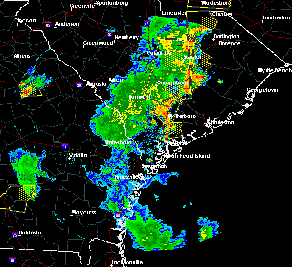 At 602 pm edt, severe thunderstorms were located along a line extending from near indian field to green pond, moving east at 25 mph (radar indicated). Hazards include 60 mph wind gusts and penny size hail. Expect damage to roofs. siding and trees. Locations impacted include, walterboro, indian field and saint george. At 602 pm edt, severe thunderstorms were located along a line extending from near indian field to green pond, moving east at 25 mph (radar indicated). Hazards include 60 mph wind gusts and penny size hail. Expect damage to roofs. siding and trees. Locations impacted include, walterboro, indian field and saint george.
|
| 6/30/2015 5:56 PM EDT | Tree down across road at the intersection of w washington st and dowling ave in colleton county SC, 0.6 miles NW of Walterboro, SC |
| 6/30/2015 5:53 PM EDT | Sc state hwy patrol reports tree down blocking traffic on robertson blvd near the intersection with lemacks st in colleton county SC, 1.5 miles W of Walterboro, SC |
| 6/30/2015 5:49 PM EDT |
 At 548 pm edt, severe thunderstorms were scattered along a line extending from near reevesville to near white hall, moving east at 30 mph (radar indicated). Hazards include 60 mph wind gusts and penny size hail. Expect damage to roofs. siding and trees. Locations impacted include, walterboro, yemassee, saint george and indian field. At 548 pm edt, severe thunderstorms were scattered along a line extending from near reevesville to near white hall, moving east at 30 mph (radar indicated). Hazards include 60 mph wind gusts and penny size hail. Expect damage to roofs. siding and trees. Locations impacted include, walterboro, yemassee, saint george and indian field.
|
| 6/30/2015 5:26 PM EDT |
 At 526 pm edt, severe thunderstorms were located along a line extending from near branchville to almeda intersection, moving east at 25 mph (radar indicated). Hazards include 60 mph wind gusts. Expect damage to roofs. Siding and trees. At 526 pm edt, severe thunderstorms were located along a line extending from near branchville to almeda intersection, moving east at 25 mph (radar indicated). Hazards include 60 mph wind gusts. Expect damage to roofs. Siding and trees.
|
| 6/25/2015 6:41 PM EDT | Tree down on poplar st at hayden s in colleton county SC, 2.1 miles WNW of Walterboro, SC |
| 6/25/2015 6:32 PM EDT |
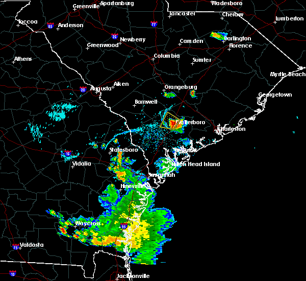 At 631 pm edt, a severe thunderstorm was located near walterboro, and is nearly stationary (radar indicated. this storm has a history of producing wind damage near walterboro). Hazards include 60 mph wind gusts and quarter size hail. Hail damage to vehicles is expected. expect wind damage to roofs, siding and trees. Locations impacted include, walterboro. At 631 pm edt, a severe thunderstorm was located near walterboro, and is nearly stationary (radar indicated. this storm has a history of producing wind damage near walterboro). Hazards include 60 mph wind gusts and quarter size hail. Hail damage to vehicles is expected. expect wind damage to roofs, siding and trees. Locations impacted include, walterboro.
|
| 6/25/2015 6:18 PM EDT |
 At 617 pm edt, a severe thunderstorm was located near walterboro, and is nearly stationary (radar indicated. at 603 pm and 612 pm...law enforcement reported a couple of trees down along bells highway in and just northwest of walterboro). Hazards include 60 mph wind gusts and quarter size hail. Hail damage to vehicles is expected. expect wind damage to roofs, siding and trees. Locations impacted include, walterboro. At 617 pm edt, a severe thunderstorm was located near walterboro, and is nearly stationary (radar indicated. at 603 pm and 612 pm...law enforcement reported a couple of trees down along bells highway in and just northwest of walterboro). Hazards include 60 mph wind gusts and quarter size hail. Hail damage to vehicles is expected. expect wind damage to roofs, siding and trees. Locations impacted include, walterboro.
|
| 6/25/2015 6:12 PM EDT | Tree down on bells highway at mcclure lan in colleton county SC, 3.4 miles SE of Walterboro, SC |
| 6/25/2015 6:05 PM EDT |
 At 604 pm edt, a severe thunderstorm was located near walterboro, and is nearly stationary (radar indicated). Hazards include 60 mph wind gusts and quarter size hail. Hail damage to vehicles is expected. Expect wind damage to roofs, siding and trees. At 604 pm edt, a severe thunderstorm was located near walterboro, and is nearly stationary (radar indicated). Hazards include 60 mph wind gusts and quarter size hail. Hail damage to vehicles is expected. Expect wind damage to roofs, siding and trees.
|
| 6/25/2015 6:03 PM EDT | Tree in roadway on kimbrell st at bells highwa in colleton county SC, 1 miles SSE of Walterboro, SC |
| 6/22/2015 8:32 PM EDT |
 At 831 pm edt, a severe thunderstorm was located over dale, or near beaufort, and is nearly stationary (radar indicated). Hazards include 60 mph wind gusts and penny size hail. Expect damage to roofs. siding and trees. Locations impacted include, bluffton, beaufort, port royal, walterboro, ridgeland and yemassee. At 831 pm edt, a severe thunderstorm was located over dale, or near beaufort, and is nearly stationary (radar indicated). Hazards include 60 mph wind gusts and penny size hail. Expect damage to roofs. siding and trees. Locations impacted include, bluffton, beaufort, port royal, walterboro, ridgeland and yemassee.
|
| 6/22/2015 8:11 PM EDT |
 At 811 pm edt, severe thunderstorms were located along a line extending from near ladys island to near yemassee, moving southeast at 10 mph (radar indicated). Hazards include 60 mph wind gusts and quarter size hail. Hail damage to vehicles is expected. expect wind damage to roofs, siding and trees. Locations impacted include, bluffton, beaufort, port royal, walterboro, ridgeland and yemassee. At 811 pm edt, severe thunderstorms were located along a line extending from near ladys island to near yemassee, moving southeast at 10 mph (radar indicated). Hazards include 60 mph wind gusts and quarter size hail. Hail damage to vehicles is expected. expect wind damage to roofs, siding and trees. Locations impacted include, bluffton, beaufort, port royal, walterboro, ridgeland and yemassee.
|
| 6/22/2015 7:53 PM EDT |
 At 753 pm edt, a severe thunderstorm was located near white hall, or near yemassee, moving southwest at 15 mph (radar indicated). Hazards include 60 mph wind gusts and quarter size hail. Hail damage to vehicles is expected. Expect wind damage to roofs, siding and trees. At 753 pm edt, a severe thunderstorm was located near white hall, or near yemassee, moving southwest at 15 mph (radar indicated). Hazards include 60 mph wind gusts and quarter size hail. Hail damage to vehicles is expected. Expect wind damage to roofs, siding and trees.
|
| 6/9/2015 8:07 PM EDT |
 At 807 pm edt, severe thunderstorms were located along a line extending from white hall to folly field, moving northeast at 35 mph (radar indicated). Hazards include 60 mph wind gusts and penny size hail. Expect damage to roofs. Siding and trees. At 807 pm edt, severe thunderstorms were located along a line extending from white hall to folly field, moving northeast at 35 mph (radar indicated). Hazards include 60 mph wind gusts and penny size hail. Expect damage to roofs. Siding and trees.
|
| 5/11/2015 3:18 PM EDT | At 317 pm edt, a severe thunderstorm was located near givhans ferry state park, moving northeast at 15 mph (radar indicated). Hazards include 60 mph wind gusts. Expect damage to roofs. siding and trees. this thunderstorm blew a tree down onto round o road. locations impacted include, walterboro. 75in. |
| 5/11/2015 2:57 PM EDT | At 257 pm edt, a severe thunderstorm was located near cottageville, or 12 miles south of givhans ferry state park, moving east at 15 mph (radar indicated). Hazards include 60 mph wind gusts and quarter size hail. Hail damage to vehicles is expected. expect wind damage to roofs, siding and trees. locations impacted include, walterboro. 1. 00in. |
| 5/11/2015 2:43 PM EDT | At 243 pm edt, a severe thunderstorm was located near cottageville, or 9 miles east of walterboro, moving east at 15 mph (radar indicated). Hazards include 60 mph wind gusts and quarter size hail. Hail damage to vehicles is expected. Expect wind damage to roofs, siding and trees. |
| 4/19/2015 5:48 PM EDT | Trees across coolers dairy road near chestnut road. time estimated based on rada in colleton county SC, 5.8 miles WSW of Walterboro, SC |
| 4/19/2015 5:40 PM EDT | At 539 pm edt, severe thunderstorms were located along a line extending from near indian field to 6 miles south of ashepoo, moving northeast at 40 mph (radar indicated). Hazards include 60 mph wind gusts. Expect damage to roofs. siding and trees. locations impacted include, walterboro, indian field and saint george. a tornado watch remains in effect until 800 pm edt for southeastern south carolina. 75in. |
| 4/19/2015 5:38 PM EDT | Sc highway patrol reports a tree down and in the roadway on charleston highway near the intersection with smoak road. time estimated from rada in colleton county SC, 2.9 miles WNW of Walterboro, SC |
| 4/19/2015 5:24 PM EDT | The severe thunderstorm warning for colleton and hampton counties will expire at 530 pm edt, the line of storms which prompted the warning have moved out of the area. therefore the warning will be allowed to expire. however gusty winds are still possible with these thunderstorms. another severe thunderstorm warning remains in effect for colleton county until 615 pm. a tornado watch remains in effect until 800 pm edt for southeastern south carolina. |
| 4/19/2015 5:15 PM EDT | At 514 pm edt, severe thunderstorms were located along a line extending from near smoaks to pocotaligo, moving northeast at 40 mph (radar indicated. this line of storms has a history of producing damaging winds). Hazards include 60 mph wind gusts. Expect damage to roofs. Siding and trees. |
| 4/19/2015 5:02 PM EDT | At 501 pm edt, severe thunderstorms were located along a line extending from near padgetts to near mcphersonville, moving northeast at 45 mph (radar indicated). Hazards include 60 mph wind gusts. Expect damage to roofs. siding and trees. locations impacted include, walterboro. a tornado watch remains in effect until 800 pm edt for southeastern south carolina. 75in. |
| 4/19/2015 4:36 PM EDT | At 435 pm edt, severe thunderstorms were located along a line extending from near ulmer to near robertville, moving east at 60 mph (radar indicated. at 430 pm edt...law enforcement reported trees blow down near allendale). Hazards include 60 mph wind gusts. Expect damage to roofs. Siding and trees. |
| 10/14/2014 6:52 PM EDT | Tree in roadway near doctors creek road and bells hwy. report from sc highway patro in colleton county SC, 3.9 miles SE of Walterboro, SC |
| 10/14/2014 6:51 PM EDT | South carolina highway patrol reported a tree down at the intersection of cooks hill road and rodeo drive. time was estimated from radar dat in colleton county SC, 4.4 miles NNW of Walterboro, SC |
| 9/22/2014 4:10 PM EDT | South carolina highway patrol reported that a tree was blown down at the intersection of sidneys and welch creek roads. time was estimated from radar dat in colleton county SC, 5.8 miles SW of Walterboro, SC |
| 7/15/2014 4:34 PM EDT | Tree down at us hwy 15 and honey drive in colleton county SC, 4.9 miles SSW of Walterboro, SC |
| 7/14/2014 3:58 PM EDT | Sc highway patrol reports a tree down and in the roadway on hendersonville highway near the intersection with great swamp road. time estimated from rada in colleton county SC, 4.8 miles NNE of Walterboro, SC |
| 6/22/2014 2:25 PM EDT | Power lines down in the roadway maple ridge road at highway 6 in colleton county SC, 10.9 miles SSW of Walterboro, SC |
| 6/6/2014 9:44 PM EDT | Tree in roadway at ivanhoe road and north jeffries blv in colleton county SC, 0.4 miles SW of Walterboro, SC |
| 6/6/2014 9:30 PM EDT | Sc highway patrol reports a tree down and in the roadway at ritter road near bowman lan in colleton county SC, 7.1 miles NNW of Walterboro, SC |
| 9/3/2013 6:52 PM EDT | Trees down along ritter road between hendersonville highway and blue house roa in colleton county SC, 9.6 miles NNE of Walterboro, SC |
| 9/3/2013 6:47 PM EDT | Tree down near the intersection of ritter road and highway 17a in colleton county SC, 9.6 miles NNE of Walterboro, SC |
| 9/3/2013 6:43 PM EDT | Tree down near the intersection of possum corner road and saratoga lan in colleton county SC, 7.5 miles NNW of Walterboro, SC |
| 9/3/2013 6:34 PM EDT | Quarter sized hail reported 0.4 miles SW of Walterboro, SC, quarter size hail near the hampton street theatre. |
| 9/3/2013 6:21 PM EDT | Highway patrol reported tree down at the intersection of tabor road and penny creek driv in colleton county SC, 5.7 miles ESE of Walterboro, SC |
| 7/17/2013 6:40 PM EDT | Law enforcement reported one tree down along stokes road. time estimated by rada in colleton county SC, 4.3 miles SE of Walterboro, SC |
| 7/17/2013 6:06 PM EDT | 3 trees down in walterboro near interstate 95. time estimated by rada in colleton county SC, 1.4 miles NE of Walterboro, SC |
| 7/1/2013 2:54 PM EDT | 2 trees down on mount carmel road near wolf creek road. time estimated by rada in colleton county SC, 7.3 miles S of Walterboro, SC |
| 6/19/2013 4:54 PM EDT | Tree down reported at the intersection of coolers dairy road and cottageville highwa in colleton county SC, 4.7 miles WSW of Walterboro, SC |
| 6/18/2013 3:59 PM EDT | Tree down at the intersection of peniel road and hendersonville highway route 17 in colleton county SC, 3.3 miles NNE of Walterboro, SC |
| 6/10/2013 7:32 PM EDT | Colleton county reported a tree down on a powerline at milestone lane. time estimated by rada in colleton county SC, 1.9 miles SSW of Walterboro, SC |
| 6/10/2013 7:27 PM EDT | Colleton county reported a tree down at the 600 block of green pond road. time estimated by rada in colleton county SC, 1.2 miles NNW of Walterboro, SC |
| 6/10/2013 7:27 PM EDT | Colleton county reported a tree down at the 4000 block of mount carmel road. time estimated by rada in colleton county SC, 5.1 miles S of Walterboro, SC |
| 6/10/2013 4:15 PM EDT | Tree down reported at the intersection of black creek road and hendersonville highwa in colleton county SC, 8.4 miles NNE of Walterboro, SC |
| 6/10/2013 3:45 PM EDT | Tree down reported on the 500 block of knights avenu in colleton county SC, 4.3 miles SSW of Walterboro, SC |
| 4/19/2013 6:07 PM EDT | Trees down on featherbed roa in colleton county SC, 5 miles W of Walterboro, SC |
| 4/19/2013 6:06 PM EDT | Trees down near the intersection of stokes road and west bells highwa in colleton county SC, 3.9 miles SE of Walterboro, SC |
| 4/19/2013 5:59 PM EDT | Trees down near the intersection of doctors creek road and state road s-15-6 in colleton county SC, 3.8 miles ESE of Walterboro, SC |
| 4/19/2013 5:55 PM EDT | Trees down near the intersection of hendersonville highway and dantzler lan in colleton county SC, 4 miles NNE of Walterboro, SC |
| 4/19/2013 5:55 PM EDT | Tree in roadway at welch creek road and sidneys roa in colleton county SC, 5.8 miles SW of Walterboro, SC |
| 4/19/2013 5:53 PM EDT | Tree down at railroad street and kimbrell stree in colleton county SC, 1.2 miles SE of Walterboro, SC |
| 4/19/2013 5:39 PM EDT | Tree in roadway interstate 95 at mile marker 42 n in colleton county SC, 2 miles ENE of Walterboro, SC |
| 3/18/2013 10:48 PM EDT | Sc highway patrol reports a tree down and in the roadway on hendersonville highway about 2 miles south of hendersonvill in colleton county SC, 9.7 miles NNE of Walterboro, SC |
| 1/30/2013 10:10 PM EST | Tree down along interstate 95...near mile marker 5 in colleton county SC, 1.4 miles E of Walterboro, SC |
| 11/4/2012 6:21 PM EDT | South carolina highway patrol reported a tree down on cypress pond roa in colleton county SC, 3.7 miles E of Walterboro, SC |
| 11/4/2012 5:06 PM EDT | South carolina highway patrol reported a tree down on round o road...south of state road 6 in colleton county SC, 9.9 miles SSW of Walterboro, SC |
| 8/17/2012 4:21 PM EDT | Trees down in hendersonville. time estimated based on rada in colleton county SC, 8.6 miles NNE of Walterboro, SC |
| 8/17/2012 4:20 PM EDT | Trees and powerlines down near the intersection of robertson blvd and bells highwa in colleton county SC, 1 miles SSW of Walterboro, SC |
| 8/2/2012 5:26 PM EDT | Sc highway patrol reported a tree down on cannon rd at round o r in colleton county SC, 9.6 miles SW of Walterboro, SC |
| 8/2/2012 5:13 PM EDT | Sc highway patrol reported a tree down on cane branch r in colleton county SC, 8.2 miles ENE of Walterboro, SC |
| 8/2/2012 4:59 PM EDT | Sc highway patrol reported a tree down on rodeo dr near poor farm r in colleton county SC, 4.4 miles NNW of Walterboro, SC |
| 7/27/2012 3:41 PM EDT | The colleton county 911 center relayed a report of a tree down near the intersection of hiers corner road and forest circl in colleton county SC, 0.3 miles SE of Walterboro, SC |
| 7/27/2012 3:34 PM EDT | A tree was reported down along interstate 95 near beach roa in colleton county SC, 2 miles ENE of Walterboro, SC |
| 7/27/2012 3:34 PM EDT | One tree was reported down along interstate 95 between black creek road and crosby corner roa in colleton county SC, 5 miles NE of Walterboro, SC |
| 7/17/2012 3:20 PM EDT | Dispatch center reported a car hit a tree that fell on jefferies blvd in walterbor in colleton county SC, 0.4 miles SW of Walterboro, SC |
| 7/11/2012 4:43 PM EDT | The colleton county warning point relayed a report of one tree down near the intersection of coolers dairy road and benjamin roa in colleton county SC, 5 miles WSW of Walterboro, SC |
| 7/11/2012 4:34 PM EDT | South carolina highway patrol reports a tree down on ivanhoe rd in walterboro in colleton county SC, 0.4 miles SW of Walterboro, SC |
| 7/10/2012 5:36 PM EDT | Sc highway patrol reports a tree down on hendersonville highwa in colleton county SC, 9.1 miles NNE of Walterboro, SC |
| 7/1/2012 7:37 PM EDT | Emergency manager relayed reports of 33 trees and 17 power lines down in and around walterboro. time estimated from rada in colleton county SC, 0.4 miles SW of Walterboro, SC |
| 7/1/2012 7:37 PM EDT | Tree in roa in colleton county SC, 6.7 miles SW of Walterboro, SC |
| 6/11/2012 3:10 PM EDT | South carolina highway patrol reports a tree down near mt carmel road and i-9 in colleton county SC, 2.5 miles SSE of Walterboro, SC |
| 6/1/2012 5:56 PM EDT | Tree down at welch creek road and neda circle in colleton county SC, 6.7 miles WSW of Walterboro, SC |
| 6/1/2012 5:29 PM EDT | 1 tree down on winding creek road off of snyders highway. time based on rada in colleton county SC, 5.5 miles ENE of Walterboro, SC |
| 1/1/0001 12:00 AM | Sc highway patrol reports a tree down and in the roadway at the intersection of maple ridge road and weans roa in colleton county SC, 9.3 miles S of Walterboro, SC |
| 1/1/0001 12:00 AM | Law enforcement reported one tree down near pleasant grove church on jefferies highwa in colleton county SC, 7.4 miles SSW of Walterboro, SC |
| 1/1/0001 12:00 AM | The public reported 1 tree down with partial damage to a front porch of a hom in colleton county SC, 0.4 miles SW of Walterboro, SC |
| 1/1/0001 12:00 AM | Law enforcement reported 1 tree down along ruffin roa in colleton county SC, 4 miles SSE of Walterboro, SC |
| 1/1/0001 12:00 AM | Law enforcement reported 1 tree down along mt carmel roa in colleton county SC, 7.3 miles S of Walterboro, SC |
| 1/1/0001 12:00 AM | Law enforcement reported one tree down near the intersection of great swamp road and hendersonville highwa in colleton county SC, 4 miles NNE of Walterboro, SC |
| 1/1/0001 12:00 AM | One tree down blocking portions of bells highway and doctors creek road. time estimated by rada in colleton county SC, 3.9 miles SE of Walterboro, SC |
| 1/1/0001 12:00 AM | Tree down at ritter rd and green pond hw in colleton county SC, 8.5 miles NNW of Walterboro, SC |
| 1/1/0001 12:00 AM | Tree down on hollis ct near ritter r in colleton county SC, 7.7 miles NNW of Walterboro, SC |
| 1/1/0001 12:00 AM | Tree down at chestnut rd and sidneys r in colleton county SC, 4 miles SW of Walterboro, SC |
| 1/1/0001 12:00 AM | Tree down at maple ridge rd and red bank r in colleton county SC, 10.1 miles SSW of Walterboro, SC |
| 1/1/0001 12:00 AM | Tree down on mt carmel roa in colleton county SC, 1.8 miles SSE of Walterboro, SC |
| 1/1/0001 12:00 AM | Tree down at intersection of edward road and black creek roa in colleton county SC, 9.8 miles NE of Walterboro, SC |
| 1/1/0001 12:00 AM | Tree blown down on roadway at candle light road in colleton county SC, 6 miles SSW of Walterboro, SC |
| 1/1/0001 12:00 AM | South carolina highway patrol reported one tree down near the intersection of saint peters road and highway 6 in colleton county SC, 6.8 miles NW of Walterboro, SC |
| 1/1/0001 12:00 AM | South carolina highway patrol reported one tree down near the intersection of jefferies blvd and oakland driv in colleton county SC, 1.1 miles NNE of Walterboro, SC |
| 1/1/0001 12:00 AM | South carolina highway patrol reported one tree down near the intersection of jones swamp road and wolfe creek roa in colleton county SC, 5.1 miles SSE of Walterboro, SC |
| 1/1/0001 12:00 AM | Report of a tree down on a power line. time estimated by radar in colleton county SC, 7.9 miles E of Walterboro, SC |
| 1/1/0001 12:00 AM | Large tree blown down across the road near the intersection of ritter road and bluehouse road. time estimated based on rada in colleton county SC, 9.5 miles N of Walterboro, SC |
| 1/1/0001 12:00 AM | Several trees and large branches down near the intersection of orchard road and mewville roa in colleton county SC, 9.4 miles NNE of Walterboro, SC |
| 1/1/0001 12:00 AM | One tree down along mighty cougar driv in colleton county SC, 3.1 miles SW of Walterboro, SC |
| 1/1/0001 12:00 AM | Trees down along interstate 95 near exit 59. time estimated based on rada in colleton county SC, 6.5 miles S of Walterboro, SC |
| 1/1/0001 12:00 AM | Tree down at ritter road and catholic hill road in colleton county SC, 8.8 miles N of Walterboro, SC |
| 1/1/0001 12:00 AM | County officials relayed numerous reports of trees and power lines down. time estimated by rada in colleton county SC, 0.4 miles SW of Walterboro, SC |
| 1/1/0001 12:00 AM | County officials relayed numerous reports of trees down across the northern portion of the county. time estimated by rada in colleton county SC, 4.8 miles SE of Walterboro, SC |
| 1/1/0001 12:00 AM | Quarter sized hail reported 0.4 miles SW of Walterboro, SC, public report of quarter size hail and large oak tree down on hudson mills road. |
| 1/1/0001 12:00 AM | Public report of quarter size hail and large oak tree down on hudson mills roa in colleton county SC, 0.4 miles SW of Walterboro, SC |
| 1/1/0001 12:00 AM | Trees downed by thunderstorm winds in colleton county SC, 8.9 miles SW of Walterboro, SC |
| 1/1/0001 12:00 AM | Law enforcement reported 1 tree down near the intersection of ruffin road and mount carmel roa in colleton county SC, 3.1 miles SSE of Walterboro, SC |
| 1/1/0001 12:00 AM | Quarter sized hail reported 0.4 miles SW of Walterboro, SC, trained spotter reported quarter-size hail for 7 minutes |
| 1/1/0001 12:00 AM | Colleton state park reported several trees down on park property and 3 trees down at the entrance along jefferies highwa in colleton county SC, 11.1 miles SSW of Walterboro, SC |
| 1/1/0001 12:00 AM | Quarter sized hail reported 0.4 miles SW of Walterboro, SC |
Hail Maps for Walterboro, SC


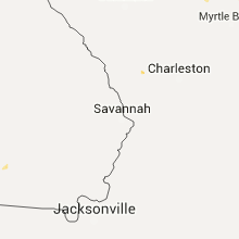


Connect with Interactive Hail Maps