

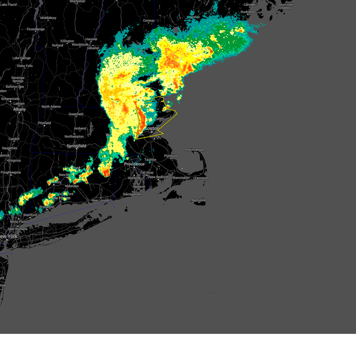
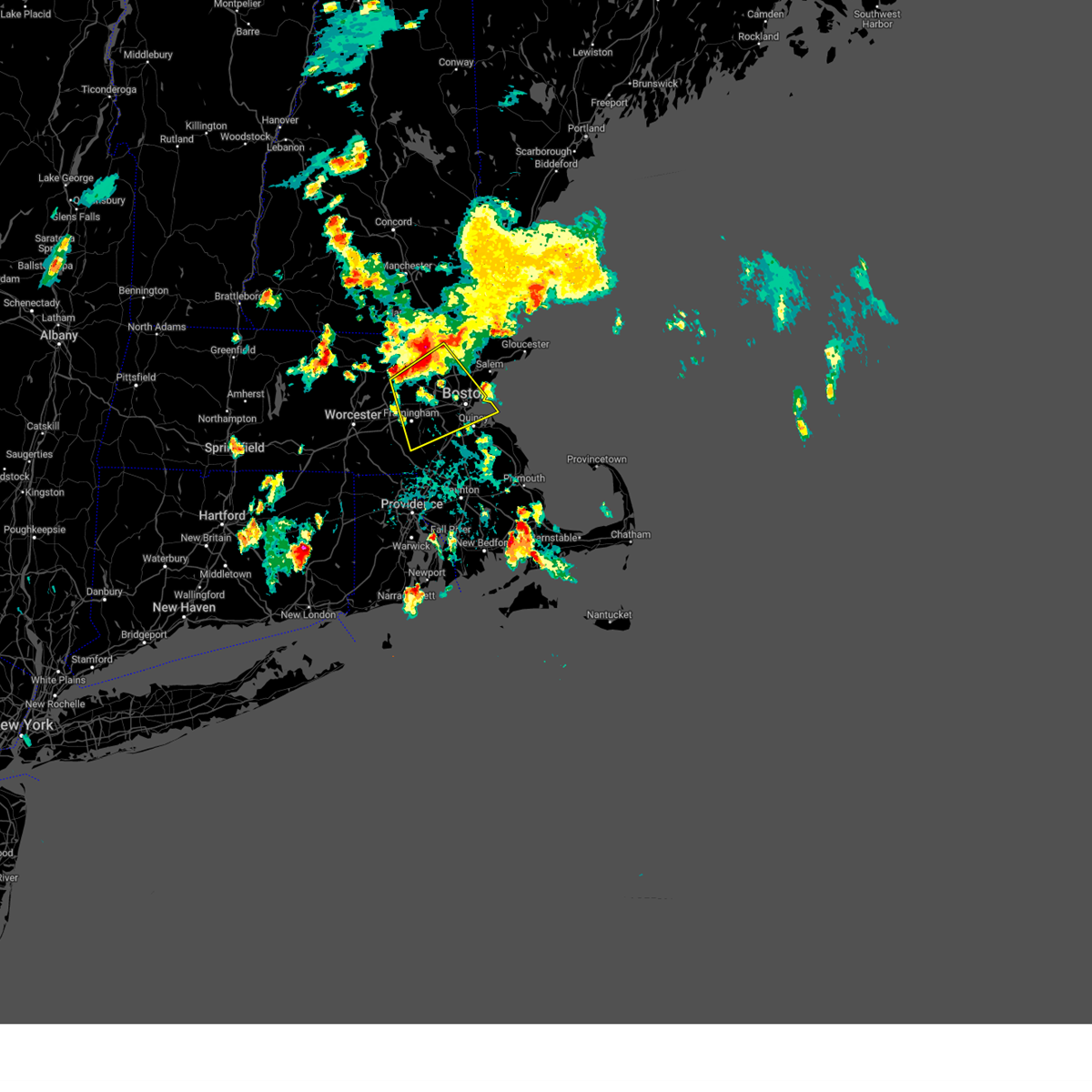
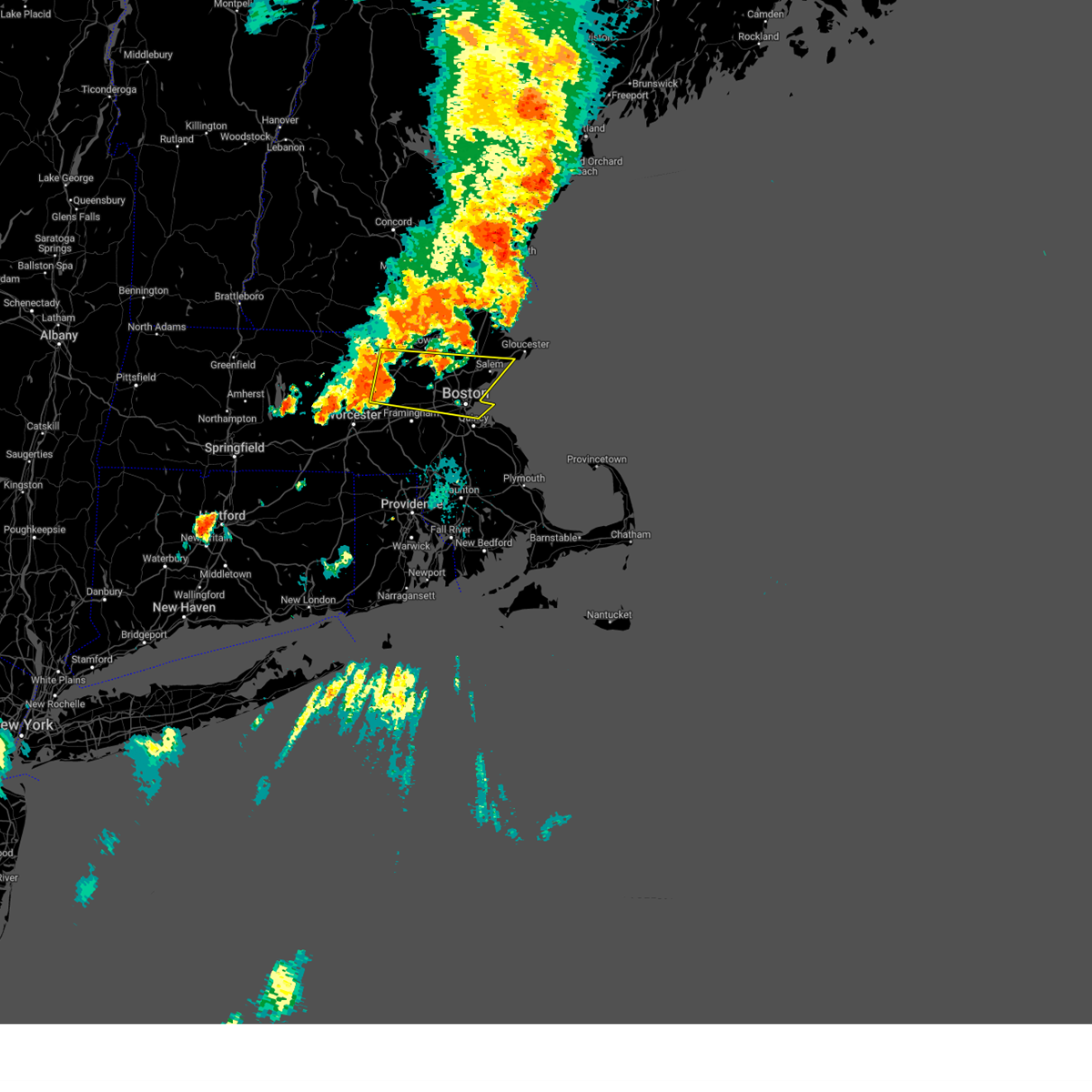
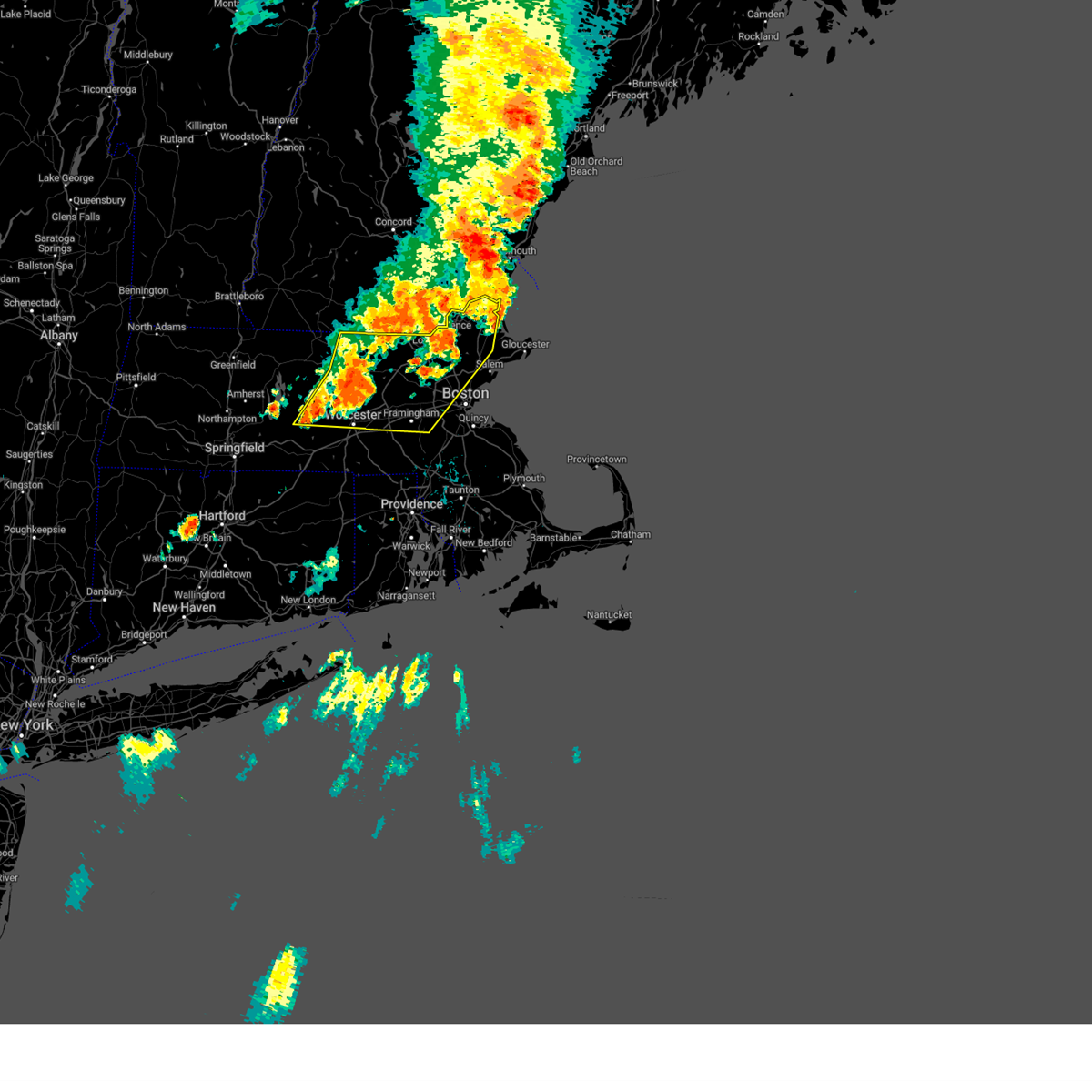
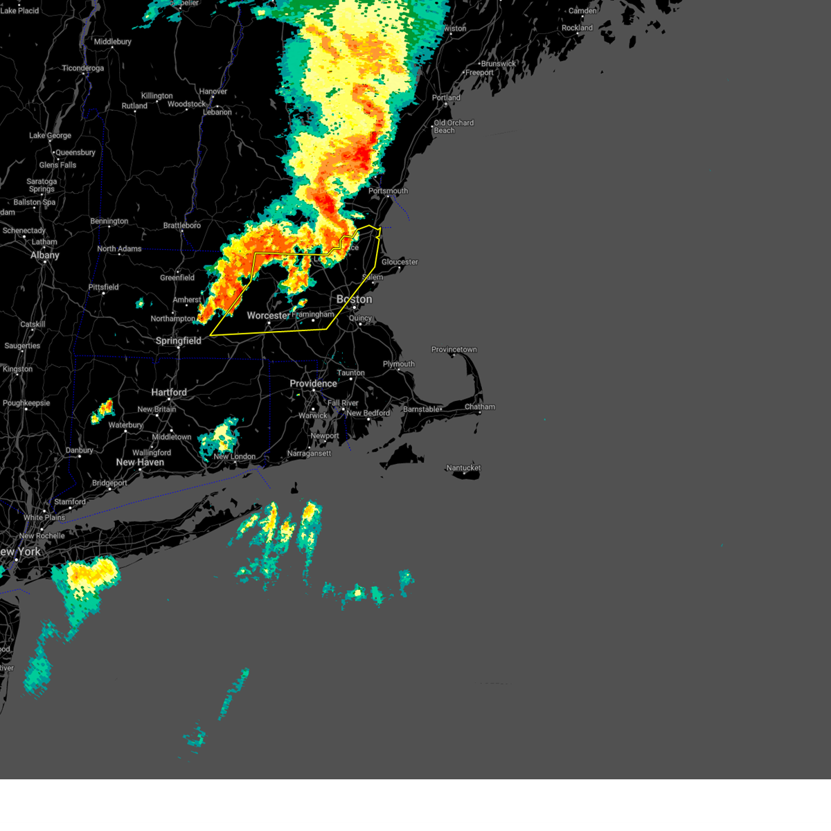
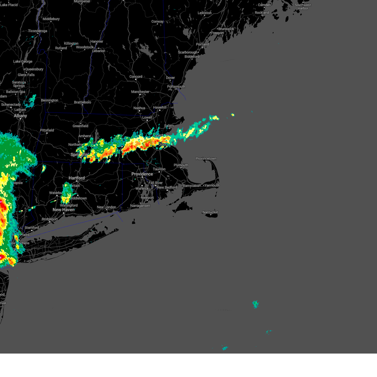
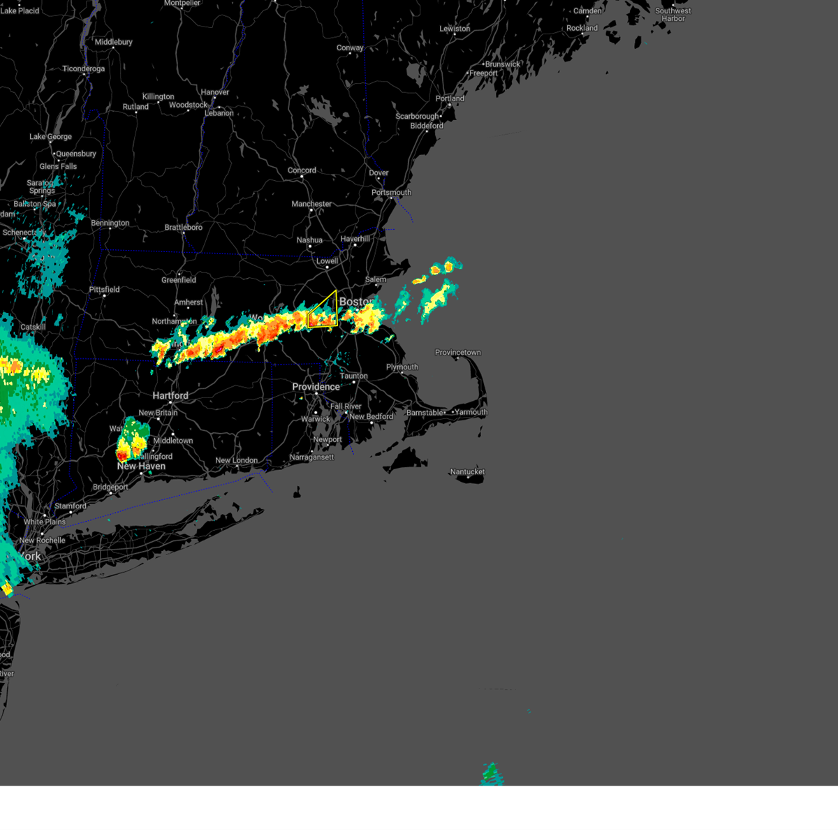
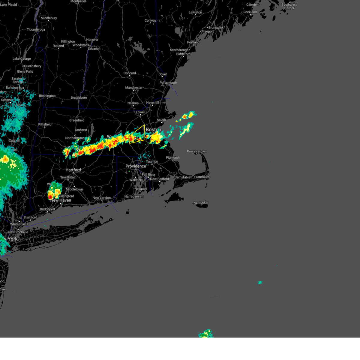
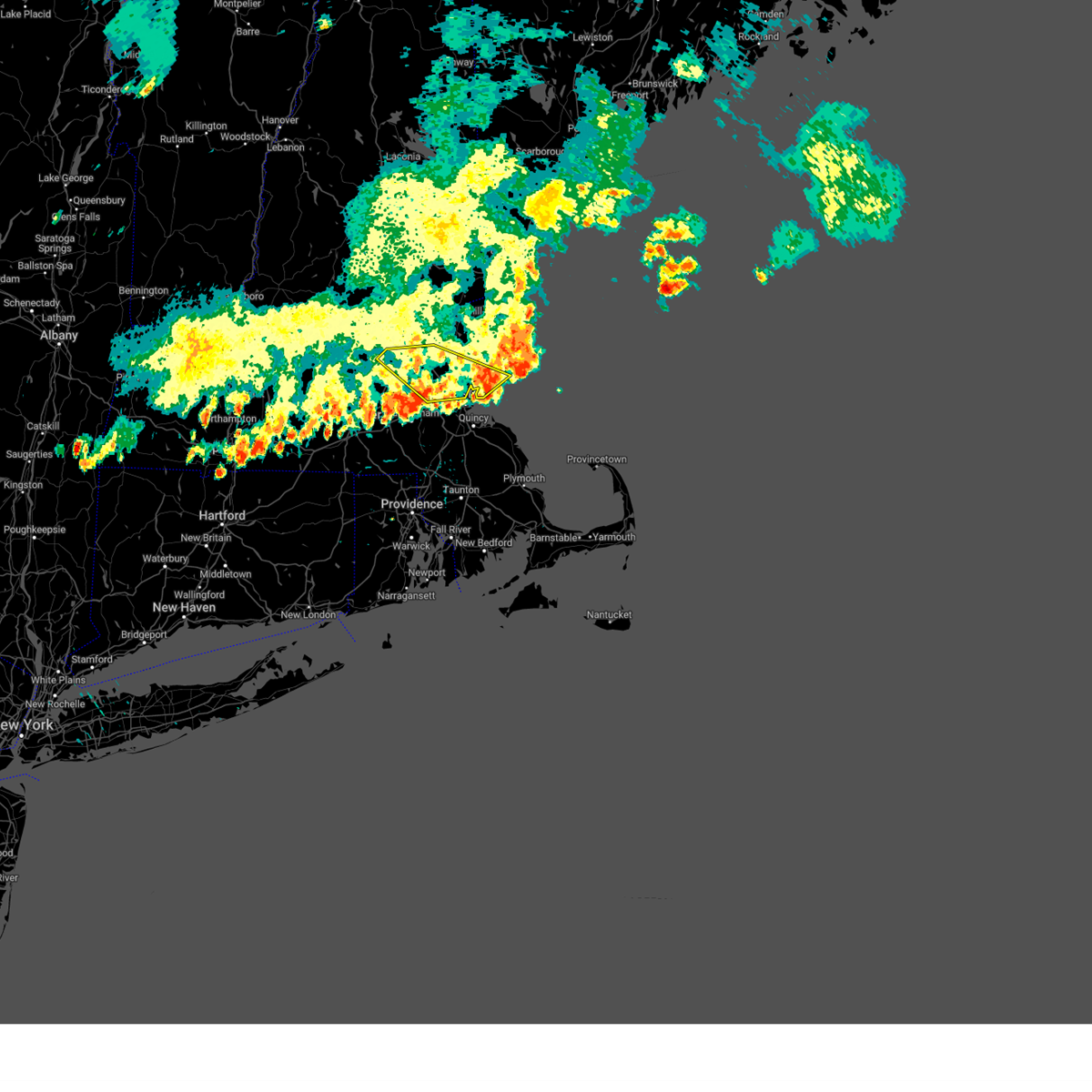
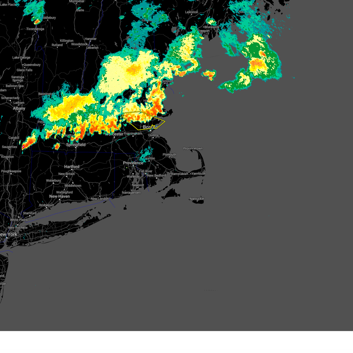
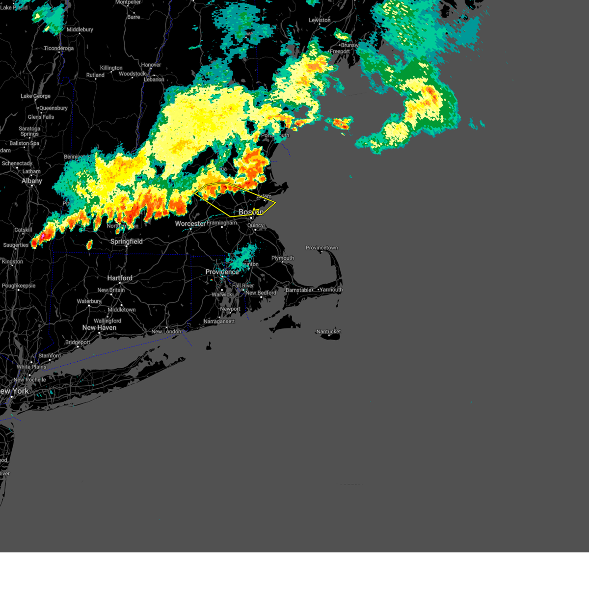
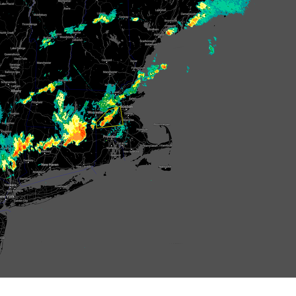
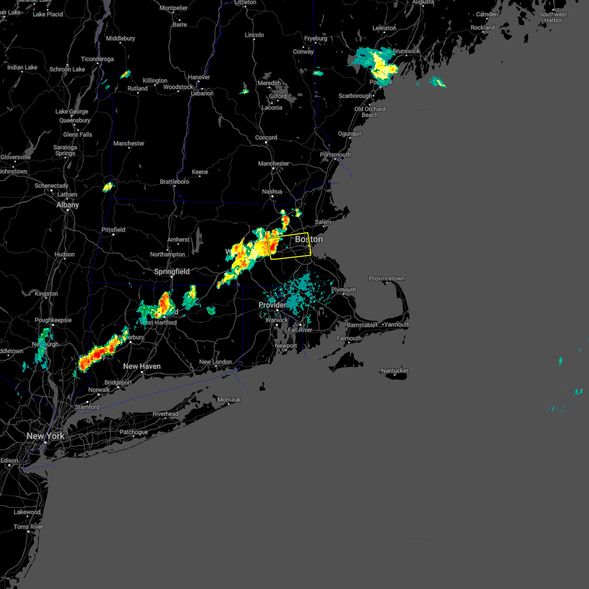
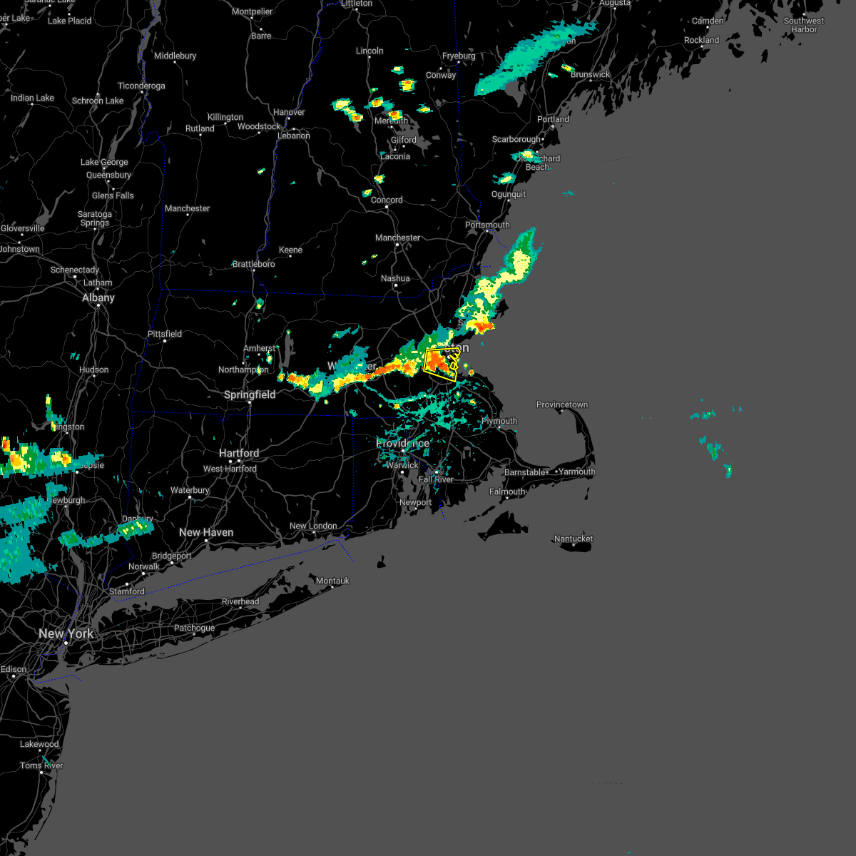
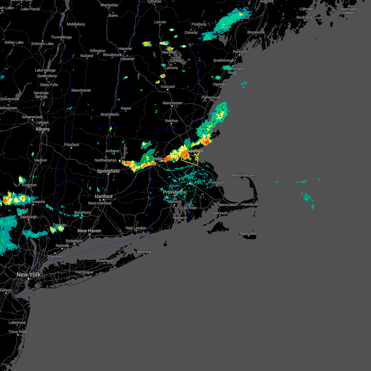
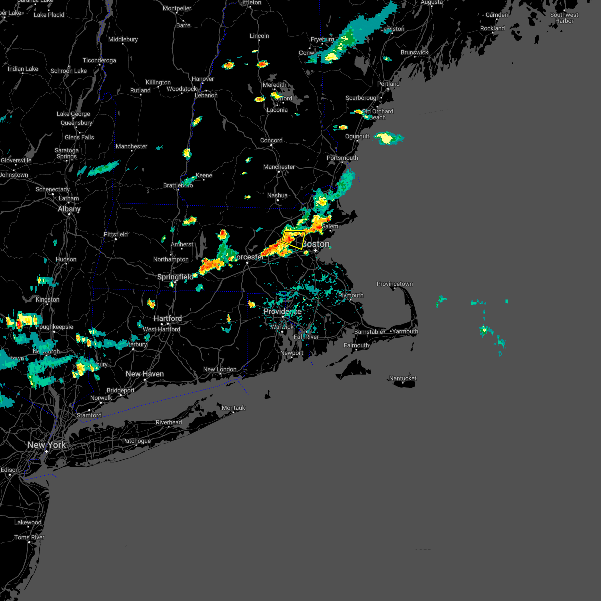
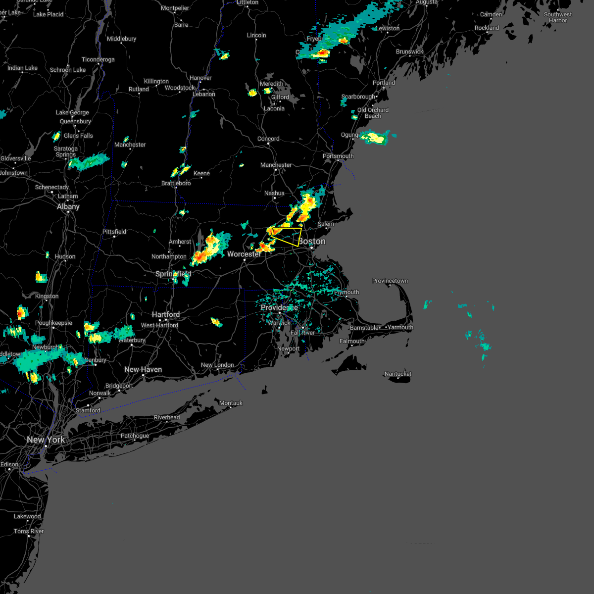
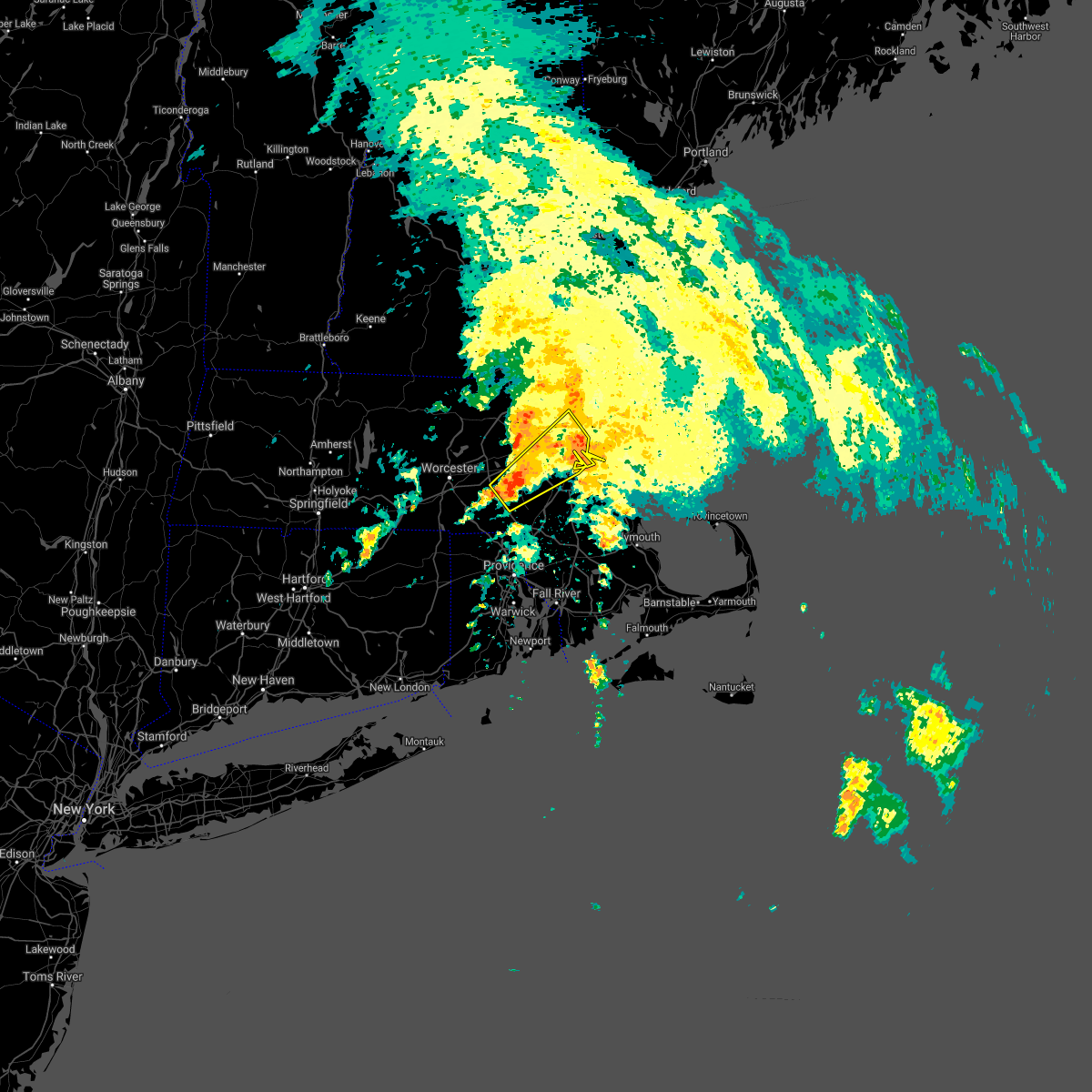
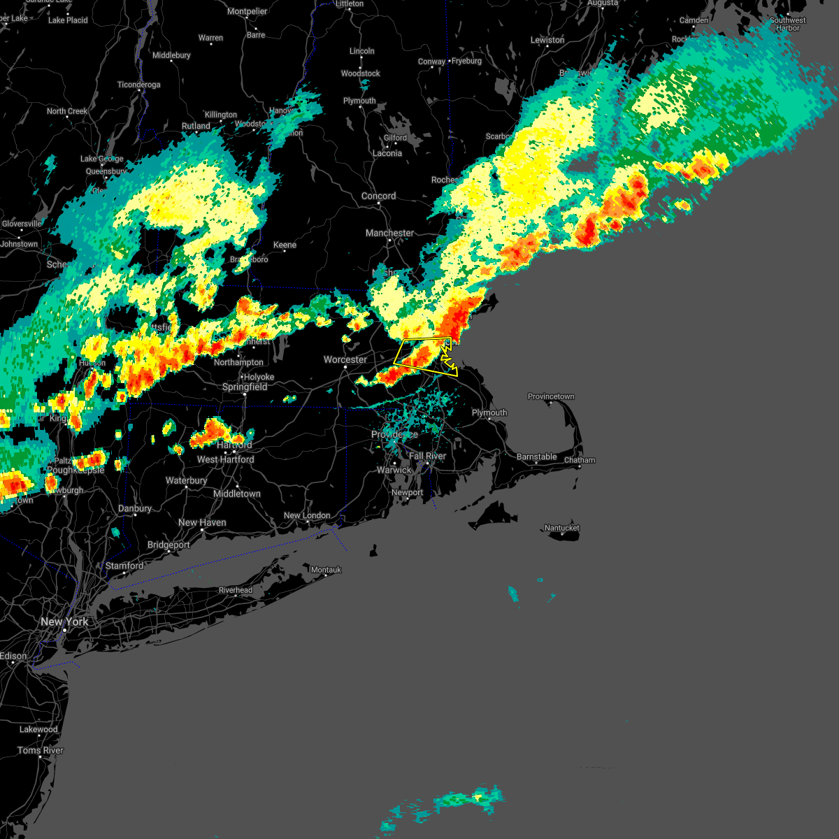
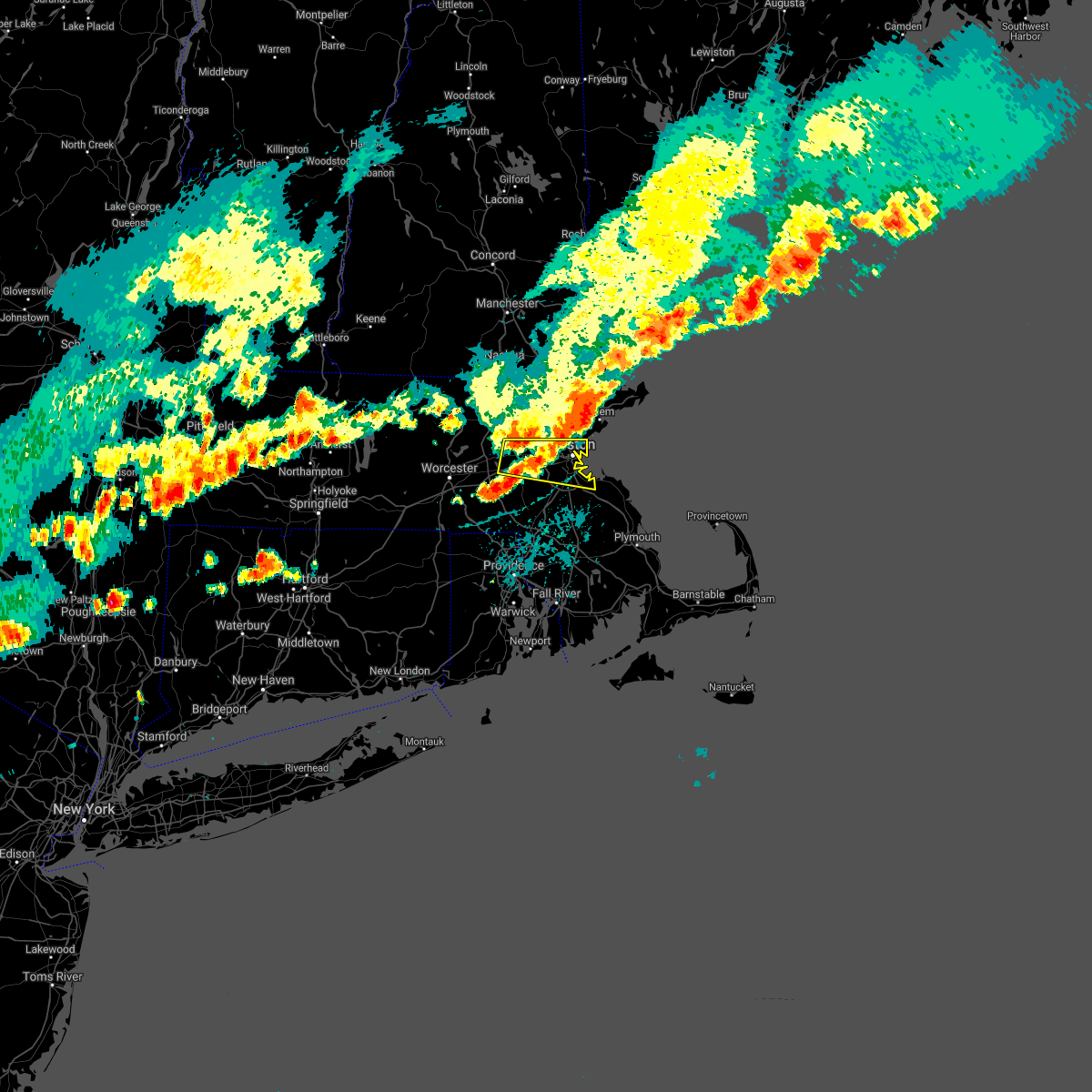
Hail Map for Waltham, MA
The Waltham, MA area has had 3 reports of on-the-ground hail by trained spotters, and has been under severe weather warnings 17 times during the past 12 months. Doppler radar has detected hail at or near Waltham, MA on 14 occasions.
| Name: | Waltham, MA |
| Where Located: | 39.2 miles NNE of Providence, RI |
| Map: | Google Map for Waltham, MA |
| Population: | 60632 |
| Housing Units: | 24926 |
| More Info: | Search Google for Waltham, MA |
0
The Top Recent Hail Date for Waltham, MA is Friday, June 14, 2024 (14th out of 14)

Hail and Wind Damage Spotted near Waltham, MA
| Date / Time | Report Details |
|---|---|
| 5/3/2025 5:43 PM EDT |
 Svrbox the national weather service in boston/norton has issued a * severe thunderstorm warning for, essex county in northeastern massachusetts, suffolk county in eastern massachusetts, north central norfolk county in eastern massachusetts, eastern middlesex county in northeastern massachusetts, * until 630 pm edt. * at 541 pm edt, severe thunderstorms were located along a line extending from near methuen to wilmington to newton, moving east at 45 mph (automated weather station reported. at 535 pm edt, a wind gust of 52 mph was reported at bedford hanscom field airport). Hazards include 60 mph wind gusts. expect damage to trees and power lines Svrbox the national weather service in boston/norton has issued a * severe thunderstorm warning for, essex county in northeastern massachusetts, suffolk county in eastern massachusetts, north central norfolk county in eastern massachusetts, eastern middlesex county in northeastern massachusetts, * until 630 pm edt. * at 541 pm edt, severe thunderstorms were located along a line extending from near methuen to wilmington to newton, moving east at 45 mph (automated weather station reported. at 535 pm edt, a wind gust of 52 mph was reported at bedford hanscom field airport). Hazards include 60 mph wind gusts. expect damage to trees and power lines
|
| 5/3/2025 5:29 PM EDT |
 At 528 pm edt, severe thunderstorms were located along a line extending from tyngsborough to near concord to hopedale, moving east at 40 mph (automated weather station reported. at 455 pm edt, a wind gust of 61 mph was reported at worcester airport). Hazards include 60 mph wind gusts. Expect damage to trees and power lines. Locations impacted include, sudbury, woburn, belmont, lynn, dunstable, everett, carlisle, cambridge, lexington, waltham, dracut, acton, north reading, dedham, hopedale, chelsea, wilmington, lincoln, arlington, and methuen. At 528 pm edt, severe thunderstorms were located along a line extending from tyngsborough to near concord to hopedale, moving east at 40 mph (automated weather station reported. at 455 pm edt, a wind gust of 61 mph was reported at worcester airport). Hazards include 60 mph wind gusts. Expect damage to trees and power lines. Locations impacted include, sudbury, woburn, belmont, lynn, dunstable, everett, carlisle, cambridge, lexington, waltham, dracut, acton, north reading, dedham, hopedale, chelsea, wilmington, lincoln, arlington, and methuen.
|
| 5/3/2025 5:29 PM EDT |
 the severe thunderstorm warning has been cancelled and is no longer in effect the severe thunderstorm warning has been cancelled and is no longer in effect
|
| 5/3/2025 5:08 PM EDT | At 507 pm edt, a severe thunderstorm was located over lancaster, or near leominster, moving east at 55 mph (automated weather station reported. at 455 pm edt, a wind gust of 61 mph was reported at worcester airport). Hazards include 60 mph wind gusts. Expect damage to trees and power lines. Locations impacted include, leominster, west boylston, marlborough, boylston, sterling, northborough, sudbury, maynard, carlisle, stow, harvard, acton, shirley, ayer, lincoln, westford, princeton, berlin, hudson, and lancaster. |
| 5/3/2025 5:06 PM EDT | Svrbox the national weather service in boston/norton has issued a * severe thunderstorm warning for, northeastern windham county in northern connecticut, western essex county in northeastern massachusetts, suffolk county in eastern massachusetts, eastern worcester county in central massachusetts, central norfolk county in eastern massachusetts, middlesex county in northeastern massachusetts, * until 545 pm edt. * at 505 pm edt, severe thunderstorms were located along a line extending from fitchburg to near berlin to webster, moving east at 40 mph (automated weather station reported. at 455 pm edt, a wind gust of 61 mph was reported at worcester airport). Hazards include 60 mph wind gusts. expect damage to trees and power lines |
| 5/3/2025 4:41 PM EDT |
 Svrbox the national weather service in boston/norton has issued a * severe thunderstorm warning for, central worcester county in central massachusetts, central middlesex county in northeastern massachusetts, * until 530 pm edt. * at 441 pm edt, a severe thunderstorm was located over oakham, or 15 miles west of worcester, moving east at 55 mph (radar indicated). Hazards include 60 mph wind gusts and nickel size hail. expect damage to trees and power lines Svrbox the national weather service in boston/norton has issued a * severe thunderstorm warning for, central worcester county in central massachusetts, central middlesex county in northeastern massachusetts, * until 530 pm edt. * at 441 pm edt, a severe thunderstorm was located over oakham, or 15 miles west of worcester, moving east at 55 mph (radar indicated). Hazards include 60 mph wind gusts and nickel size hail. expect damage to trees and power lines
|
| 8/15/2024 4:12 PM EDT |
 Svrbox the national weather service in boston/norton has issued a * severe thunderstorm warning for, norfolk county in eastern massachusetts, suffolk county in eastern massachusetts, southeastern middlesex county in northeastern massachusetts, northwestern plymouth county in southeastern massachusetts, northwestern bristol county in southeastern massachusetts, * until 500 pm edt. * at 411 pm edt, a severe thunderstorm was located over needham, moving southeast at 35 mph (radar indicated). Hazards include 60 mph wind gusts and quarter size hail. Hail damage to vehicles is expected. Expect wind damage to trees and power lines. Svrbox the national weather service in boston/norton has issued a * severe thunderstorm warning for, norfolk county in eastern massachusetts, suffolk county in eastern massachusetts, southeastern middlesex county in northeastern massachusetts, northwestern plymouth county in southeastern massachusetts, northwestern bristol county in southeastern massachusetts, * until 500 pm edt. * at 411 pm edt, a severe thunderstorm was located over needham, moving southeast at 35 mph (radar indicated). Hazards include 60 mph wind gusts and quarter size hail. Hail damage to vehicles is expected. Expect wind damage to trees and power lines.
|
| 8/15/2024 3:42 PM EDT |
 Svrbox the national weather service in boston/norton has issued a * severe thunderstorm warning for, southwestern essex county in northeastern massachusetts, east central worcester county in central massachusetts, northern norfolk county in eastern massachusetts, suffolk county in eastern massachusetts, eastern middlesex county in northeastern massachusetts, northern plymouth county in southeastern massachusetts, * until 430 pm edt. * at 340 pm edt, a severe thunderstorm was located over carlisle, or over billerica, moving southeast at 30 mph (law enforcement. this storm has a history of producing strong winds capable of minor tree damage). Hazards include 60 mph wind gusts and nickel size hail. expect damage to trees and power lines Svrbox the national weather service in boston/norton has issued a * severe thunderstorm warning for, southwestern essex county in northeastern massachusetts, east central worcester county in central massachusetts, northern norfolk county in eastern massachusetts, suffolk county in eastern massachusetts, eastern middlesex county in northeastern massachusetts, northern plymouth county in southeastern massachusetts, * until 430 pm edt. * at 340 pm edt, a severe thunderstorm was located over carlisle, or over billerica, moving southeast at 30 mph (law enforcement. this storm has a history of producing strong winds capable of minor tree damage). Hazards include 60 mph wind gusts and nickel size hail. expect damage to trees and power lines
|
| 7/17/2024 7:35 PM EDT |
 the severe thunderstorm warning has been cancelled and is no longer in effect the severe thunderstorm warning has been cancelled and is no longer in effect
|
| 7/17/2024 7:32 PM EDT |
 At 731 pm edt, severe thunderstorms were located along a line extending from near dracut to near wilmington to near weston, moving east at 35 mph (radar indicated). Hazards include 60 mph wind gusts. Expect damage to roofs, siding, and trees. Locations impacted include, lowell, lynn, lawrence, haverhill, waltham, malden, medford, revere, peabody, methuen, arlington, salem, billerica, beverly, woburn, chelmsford, andover, lexington, dracut, and tewksbury. At 731 pm edt, severe thunderstorms were located along a line extending from near dracut to near wilmington to near weston, moving east at 35 mph (radar indicated). Hazards include 60 mph wind gusts. Expect damage to roofs, siding, and trees. Locations impacted include, lowell, lynn, lawrence, haverhill, waltham, malden, medford, revere, peabody, methuen, arlington, salem, billerica, beverly, woburn, chelmsford, andover, lexington, dracut, and tewksbury.
|
| 7/17/2024 7:32 PM EDT |
 the severe thunderstorm warning has been cancelled and is no longer in effect the severe thunderstorm warning has been cancelled and is no longer in effect
|
| 7/17/2024 7:12 PM EDT |
 Svrbox the national weather service in boston/norton has issued a * severe thunderstorm warning for, essex county in northeastern massachusetts, east central worcester county in central massachusetts, north central suffolk county in eastern massachusetts, middlesex county in northeastern massachusetts, * until 815 pm edt. * at 711 pm edt, severe thunderstorms were located along a line extending from dunstable to near acton to marlborough, moving east at 35 mph (radar indicated). Hazards include 60 mph wind gusts. expect damage to roofs, siding, and trees Svrbox the national weather service in boston/norton has issued a * severe thunderstorm warning for, essex county in northeastern massachusetts, east central worcester county in central massachusetts, north central suffolk county in eastern massachusetts, middlesex county in northeastern massachusetts, * until 815 pm edt. * at 711 pm edt, severe thunderstorms were located along a line extending from dunstable to near acton to marlborough, moving east at 35 mph (radar indicated). Hazards include 60 mph wind gusts. expect damage to roofs, siding, and trees
|
| 7/16/2024 9:25 PM EDT | the severe thunderstorm warning has been cancelled and is no longer in effect |
| 7/16/2024 9:10 PM EDT |
 Svrbox the national weather service in boston/norton has issued a * severe thunderstorm warning for, southern essex county in northeastern massachusetts, east central worcester county in central massachusetts, north central norfolk county in eastern massachusetts, suffolk county in eastern massachusetts, middlesex county in northeastern massachusetts, * until 1015 pm edt. * at 910 pm edt, severe thunderstorms were located along a line extending from chelmsford to near lincoln to westborough, moving east at 45 mph (radar indicated). Hazards include 60 mph wind gusts. expect damage to roofs, siding, and trees Svrbox the national weather service in boston/norton has issued a * severe thunderstorm warning for, southern essex county in northeastern massachusetts, east central worcester county in central massachusetts, north central norfolk county in eastern massachusetts, suffolk county in eastern massachusetts, middlesex county in northeastern massachusetts, * until 1015 pm edt. * at 910 pm edt, severe thunderstorms were located along a line extending from chelmsford to near lincoln to westborough, moving east at 45 mph (radar indicated). Hazards include 60 mph wind gusts. expect damage to roofs, siding, and trees
|
| 7/16/2024 8:51 PM EDT |
 At 851 pm edt, severe thunderstorms were located along a line extending from near nashua to ayer to near worcester, moving east at 55 mph (radar indicated). Hazards include 60 mph wind gusts. Expect damage to roofs, siding, and trees. Locations impacted include, boston, worcester, lowell, cambridge, lynn, newton, lawrence, somerville, framingham, haverhill, waltham, malden, medford, peabody, methuen, arlington, leominster, fitchburg, billerica, and marlborough. At 851 pm edt, severe thunderstorms were located along a line extending from near nashua to ayer to near worcester, moving east at 55 mph (radar indicated). Hazards include 60 mph wind gusts. Expect damage to roofs, siding, and trees. Locations impacted include, boston, worcester, lowell, cambridge, lynn, newton, lawrence, somerville, framingham, haverhill, waltham, malden, medford, peabody, methuen, arlington, leominster, fitchburg, billerica, and marlborough.
|
| 7/16/2024 8:51 PM EDT |
 the severe thunderstorm warning has been cancelled and is no longer in effect the severe thunderstorm warning has been cancelled and is no longer in effect
|
| 7/16/2024 8:32 PM EDT |
 Svrbox the national weather service in boston/norton has issued a * severe thunderstorm warning for, essex county in northeastern massachusetts, central worcester county in central massachusetts, north central norfolk county in eastern massachusetts, northwestern suffolk county in eastern massachusetts, eastern hampshire county in western massachusetts, middlesex county in northeastern massachusetts, northeastern hampden county in western massachusetts, * until 915 pm edt. * at 830 pm edt, severe thunderstorms were located along a line extending from greenville to westminster to west brookfield, moving east at 45 mph (radar indicated). Hazards include 60 mph wind gusts. expect damage to roofs, siding, and trees Svrbox the national weather service in boston/norton has issued a * severe thunderstorm warning for, essex county in northeastern massachusetts, central worcester county in central massachusetts, north central norfolk county in eastern massachusetts, northwestern suffolk county in eastern massachusetts, eastern hampshire county in western massachusetts, middlesex county in northeastern massachusetts, northeastern hampden county in western massachusetts, * until 915 pm edt. * at 830 pm edt, severe thunderstorms were located along a line extending from greenville to westminster to west brookfield, moving east at 45 mph (radar indicated). Hazards include 60 mph wind gusts. expect damage to roofs, siding, and trees
|
| 6/26/2024 8:35 PM EDT |
 At 835 pm edt, a severe thunderstorm was located over wellesley, moving east at 25 mph (radar indicated). Hazards include 60 mph wind gusts. Expect damage to roofs, siding, and trees. Locations impacted include, newton, framingham, waltham, natick, needham, wellesley, wayland, weston, dover, and sherborn. At 835 pm edt, a severe thunderstorm was located over wellesley, moving east at 25 mph (radar indicated). Hazards include 60 mph wind gusts. Expect damage to roofs, siding, and trees. Locations impacted include, newton, framingham, waltham, natick, needham, wellesley, wayland, weston, dover, and sherborn.
|
| 6/26/2024 8:18 PM EDT |
 At 817 pm edt, a severe thunderstorm was located over framingham, moving northeast at 25 mph (radar indicated). Hazards include 60 mph wind gusts. Expect damage to roofs, siding, and trees. Locations impacted include, newton, framingham, waltham, natick, lexington, needham, wellesley, sudbury, ashland, bedford, wayland, weston, lincoln, dover, and sherborn. At 817 pm edt, a severe thunderstorm was located over framingham, moving northeast at 25 mph (radar indicated). Hazards include 60 mph wind gusts. Expect damage to roofs, siding, and trees. Locations impacted include, newton, framingham, waltham, natick, lexington, needham, wellesley, sudbury, ashland, bedford, wayland, weston, lincoln, dover, and sherborn.
|
| 6/26/2024 8:18 PM EDT |
 the severe thunderstorm warning has been cancelled and is no longer in effect the severe thunderstorm warning has been cancelled and is no longer in effect
|
| 6/26/2024 8:10 PM EDT |
 Svrbox the national weather service in boston/norton has issued a * severe thunderstorm warning for, eastern worcester county in central massachusetts, north central norfolk county in eastern massachusetts, south central middlesex county in northeastern massachusetts, * until 900 pm edt. * at 810 pm edt, a severe thunderstorm was located over ashland, or near framingham, moving northeast at 25 mph (radar indicated). Hazards include 60 mph wind gusts. expect damage to roofs, siding, and trees Svrbox the national weather service in boston/norton has issued a * severe thunderstorm warning for, eastern worcester county in central massachusetts, north central norfolk county in eastern massachusetts, south central middlesex county in northeastern massachusetts, * until 900 pm edt. * at 810 pm edt, a severe thunderstorm was located over ashland, or near framingham, moving northeast at 25 mph (radar indicated). Hazards include 60 mph wind gusts. expect damage to roofs, siding, and trees
|
| 6/20/2024 8:50 PM EDT |
 The storms which prompted the warning have weakened below severe limits, and no longer pose an immediate threat to life or property. therefore, the warning will be allowed to expire. however gusty winds and heavy rain are still possible with these thunderstorms. a severe thunderstorm watch remains in effect until 1100 pm edt for eastern, central and northeastern massachusetts. The storms which prompted the warning have weakened below severe limits, and no longer pose an immediate threat to life or property. therefore, the warning will be allowed to expire. however gusty winds and heavy rain are still possible with these thunderstorms. a severe thunderstorm watch remains in effect until 1100 pm edt for eastern, central and northeastern massachusetts.
|
| 6/20/2024 8:22 PM EDT |
 At 822 pm edt, severe thunderstorms were located along a line extending from middleton to carlisle to harvard, moving southeast at 25 mph (radar indicated). Hazards include 60 mph wind gusts. Expect damage to roofs, siding, and trees. Locations impacted include, lowell, cambridge, lynn, somerville, waltham, malden, medford, revere, peabody, arlington, everett, salem, billerica, woburn, chelmsford, andover, watertown, lexington, tewksbury, and melrose. At 822 pm edt, severe thunderstorms were located along a line extending from middleton to carlisle to harvard, moving southeast at 25 mph (radar indicated). Hazards include 60 mph wind gusts. Expect damage to roofs, siding, and trees. Locations impacted include, lowell, cambridge, lynn, somerville, waltham, malden, medford, revere, peabody, arlington, everett, salem, billerica, woburn, chelmsford, andover, watertown, lexington, tewksbury, and melrose.
|
| 6/20/2024 8:05 PM EDT |
 Svrbox the national weather service in boston/norton has issued a * severe thunderstorm warning for, southwestern essex county in northeastern massachusetts, northeastern worcester county in central massachusetts, northeastern middlesex county in northeastern massachusetts, * until 900 pm edt. * at 804 pm edt, severe thunderstorms were located along a line extending from andover to near westford to near lunenburg, moving east at 25 mph (radar indicated). Hazards include 60 mph wind gusts. expect damage to roofs, siding, and trees Svrbox the national weather service in boston/norton has issued a * severe thunderstorm warning for, southwestern essex county in northeastern massachusetts, northeastern worcester county in central massachusetts, northeastern middlesex county in northeastern massachusetts, * until 900 pm edt. * at 804 pm edt, severe thunderstorms were located along a line extending from andover to near westford to near lunenburg, moving east at 25 mph (radar indicated). Hazards include 60 mph wind gusts. expect damage to roofs, siding, and trees
|
| 6/14/2024 1:35 PM EDT |
 At 133 pm edt, severe thunderstorms were located along a line extending from wakefield to newton to medfield, moving east at 35 mph (trained weather spotters. several reports of downed trees and powerlines have been reported between 125 and 130 pm in the towns of cambridge, arlington and medford). Hazards include 60 mph wind gusts. Expect damage to roofs, siding, and trees. Locations impacted include, boston, cambridge, quincy, lynn, newton, somerville, framingham, waltham, malden, brookline, medford, weymouth, revere, peabody, arlington, everett, salem, beverly, woburn, and braintree. At 133 pm edt, severe thunderstorms were located along a line extending from wakefield to newton to medfield, moving east at 35 mph (trained weather spotters. several reports of downed trees and powerlines have been reported between 125 and 130 pm in the towns of cambridge, arlington and medford). Hazards include 60 mph wind gusts. Expect damage to roofs, siding, and trees. Locations impacted include, boston, cambridge, quincy, lynn, newton, somerville, framingham, waltham, malden, brookline, medford, weymouth, revere, peabody, arlington, everett, salem, beverly, woburn, and braintree.
|
| 6/14/2024 1:22 PM EDT |
 Svrbox the national weather service in boston/norton has issued a * severe thunderstorm warning for, southeastern essex county in northeastern massachusetts, southeastern worcester county in central massachusetts, norfolk county in eastern massachusetts, suffolk county in eastern massachusetts, southeastern middlesex county in northeastern massachusetts, northwestern plymouth county in southeastern massachusetts, * until 215 pm edt. * at 122 pm edt, severe thunderstorms were located along a line extending from woburn to wellesley to medway, moving east at 35 mph (radar indicated). Hazards include 60 mph wind gusts. expect damage to roofs, siding, and trees Svrbox the national weather service in boston/norton has issued a * severe thunderstorm warning for, southeastern essex county in northeastern massachusetts, southeastern worcester county in central massachusetts, norfolk county in eastern massachusetts, suffolk county in eastern massachusetts, southeastern middlesex county in northeastern massachusetts, northwestern plymouth county in southeastern massachusetts, * until 215 pm edt. * at 122 pm edt, severe thunderstorms were located along a line extending from woburn to wellesley to medway, moving east at 35 mph (radar indicated). Hazards include 60 mph wind gusts. expect damage to roofs, siding, and trees
|
| 9/8/2023 3:10 PM EDT |
 At 310 pm edt, severe thunderstorms were located along a line extending from near pelham to north andover to near weston, moving northeast at 45 mph (trained weather spotters reported several trees downed in chelmsford and westford ma between 240 pm and 245 pm). Hazards include 60 mph wind gusts and quarter size hail. Hail damage to vehicles is expected. expect wind damage to roofs, siding, and trees. locations impacted include, boston, lowell, cambridge, quincy, lynn, newton, lawrence, somerville, haverhill, waltham, malden, brookline, medford, revere, peabody, methuen, arlington, everett, salem, and billerica. hail threat, radar indicated max hail size, 1. 00 in wind threat, radar indicated max wind gust, 60 mph. At 310 pm edt, severe thunderstorms were located along a line extending from near pelham to north andover to near weston, moving northeast at 45 mph (trained weather spotters reported several trees downed in chelmsford and westford ma between 240 pm and 245 pm). Hazards include 60 mph wind gusts and quarter size hail. Hail damage to vehicles is expected. expect wind damage to roofs, siding, and trees. locations impacted include, boston, lowell, cambridge, quincy, lynn, newton, lawrence, somerville, haverhill, waltham, malden, brookline, medford, revere, peabody, methuen, arlington, everett, salem, and billerica. hail threat, radar indicated max hail size, 1. 00 in wind threat, radar indicated max wind gust, 60 mph.
|
| 9/8/2023 2:52 PM EDT |
 At 252 pm edt, severe thunderstorms were located along a line extending from pepperell to carlisle to sherborn, moving northeast at 40 mph (radar indicated). Hazards include 60 mph wind gusts and quarter size hail. Hail damage to vehicles is expected. Expect wind damage to roofs, siding, and trees. At 252 pm edt, severe thunderstorms were located along a line extending from pepperell to carlisle to sherborn, moving northeast at 40 mph (radar indicated). Hazards include 60 mph wind gusts and quarter size hail. Hail damage to vehicles is expected. Expect wind damage to roofs, siding, and trees.
|
| 9/8/2023 2:38 PM EDT |
 At 238 pm edt, a severe thunderstorm was located over wayland, or over framingham, moving northeast at 40 mph (radar indicated). Hazards include 60 mph wind gusts and quarter size hail. Hail damage to vehicles is expected. expect wind damage to roofs, siding, and trees. locations impacted include, newton, framingham, waltham, medford, arlington, billerica, marlborough, woburn, andover, natick, watertown, lexington, tewksbury, wellesley, melrose, saugus, wakefield, reading, belmont, and burlington. hail threat, radar indicated max hail size, 1. 00 in wind threat, radar indicated max wind gust, 60 mph. At 238 pm edt, a severe thunderstorm was located over wayland, or over framingham, moving northeast at 40 mph (radar indicated). Hazards include 60 mph wind gusts and quarter size hail. Hail damage to vehicles is expected. expect wind damage to roofs, siding, and trees. locations impacted include, newton, framingham, waltham, medford, arlington, billerica, marlborough, woburn, andover, natick, watertown, lexington, tewksbury, wellesley, melrose, saugus, wakefield, reading, belmont, and burlington. hail threat, radar indicated max hail size, 1. 00 in wind threat, radar indicated max wind gust, 60 mph.
|
| 9/8/2023 2:15 PM EDT |
 At 215 pm edt, a severe thunderstorm was located over grafton, or near shrewsbury, moving northeast at 35 mph (radar indicated). Hazards include 60 mph wind gusts and quarter size hail. Hail damage to vehicles is expected. Expect wind damage to roofs, siding, and trees. At 215 pm edt, a severe thunderstorm was located over grafton, or near shrewsbury, moving northeast at 35 mph (radar indicated). Hazards include 60 mph wind gusts and quarter size hail. Hail damage to vehicles is expected. Expect wind damage to roofs, siding, and trees.
|
| 8/18/2023 8:56 AM EDT |
 At 855 am edt, a severe thunderstorm was located over hopedale, or near milford, moving northeast at 40 mph (radar indicated). Hazards include 60 mph wind gusts and nickel size hail. expect damage to roofs, siding, and trees At 855 am edt, a severe thunderstorm was located over hopedale, or near milford, moving northeast at 40 mph (radar indicated). Hazards include 60 mph wind gusts and nickel size hail. expect damage to roofs, siding, and trees
|
| 8/8/2023 11:02 AM EDT |
 At 1102 am edt, severe thunderstorms were located along a line extending from reading to near quincy to randolph, moving northeast at 30 mph (radar indicated). Hazards include 60 mph wind gusts. Expect damage to roofs, siding, and trees. Locations impacted include, boston, cambridge, quincy, lynn, newton, somerville, waltham, malden, brookline, medford, revere, peabody, arlington, everett, salem, beverly, woburn, chelsea, watertown, and lexington. At 1102 am edt, severe thunderstorms were located along a line extending from reading to near quincy to randolph, moving northeast at 30 mph (radar indicated). Hazards include 60 mph wind gusts. Expect damage to roofs, siding, and trees. Locations impacted include, boston, cambridge, quincy, lynn, newton, somerville, waltham, malden, brookline, medford, revere, peabody, arlington, everett, salem, beverly, woburn, chelsea, watertown, and lexington.
|
| 8/8/2023 10:21 AM EDT |
 At 1020 am edt, severe thunderstorms were located along a line extending from wayland to medfield to wrentham, moving northeast at 30 mph (radar indicated). Hazards include 60 mph wind gusts. expect damage to roofs, siding, and trees At 1020 am edt, severe thunderstorms were located along a line extending from wayland to medfield to wrentham, moving northeast at 30 mph (radar indicated). Hazards include 60 mph wind gusts. expect damage to roofs, siding, and trees
|
| 7/27/2023 5:46 PM EDT |
 At 546 pm edt, a severe thunderstorm was located over holliston, or near milford, moving east at 40 mph (radar indicated). Hazards include 60 mph wind gusts. Expect damage to trees and power lines. locations impacted include, boston, newton, framingham, waltham, marlborough, natick, watertown, franklin, lexington, needham, norwood, milford, wellesley, stoughton, dedham, belmont, walpole, canton, westborough and grafton. hail threat, radar indicated max hail size, <. 75 in wind threat, radar indicated max wind gust, 60 mph. At 546 pm edt, a severe thunderstorm was located over holliston, or near milford, moving east at 40 mph (radar indicated). Hazards include 60 mph wind gusts. Expect damage to trees and power lines. locations impacted include, boston, newton, framingham, waltham, marlborough, natick, watertown, franklin, lexington, needham, norwood, milford, wellesley, stoughton, dedham, belmont, walpole, canton, westborough and grafton. hail threat, radar indicated max hail size, <. 75 in wind threat, radar indicated max wind gust, 60 mph.
|
| 7/27/2023 5:27 PM EDT |
 At 527 pm edt, a severe thunderstorm was located over northbridge, or near milford, moving east at 40 mph (radar indicated). Hazards include 60 mph wind gusts. expect damage to trees and power lines At 527 pm edt, a severe thunderstorm was located over northbridge, or near milford, moving east at 40 mph (radar indicated). Hazards include 60 mph wind gusts. expect damage to trees and power lines
|
| 7/25/2023 6:05 PM EDT | Tree down blocking loring road. relayed by amateur radi in middlesex county MA, 2.4 miles NE of Waltham, MA |
| 7/25/2023 3:48 PM EDT |
 At 347 pm edt, a severe thunderstorm was located over westborough, or near marlborough, moving east at 20 mph (radar indicated). Hazards include 60 mph wind gusts and quarter size hail. Expect wind damage to trees and power lines. Minor hail damage to vehicles is possible. At 347 pm edt, a severe thunderstorm was located over westborough, or near marlborough, moving east at 20 mph (radar indicated). Hazards include 60 mph wind gusts and quarter size hail. Expect wind damage to trees and power lines. Minor hail damage to vehicles is possible.
|
| 7/25/2023 2:55 PM EDT | Tree down on car on high stree in middlesex county MA, 0.8 miles NW of Waltham, MA |
| 7/25/2023 2:50 PM EDT | Tree down blocking part of weston street. tree down blocking road on luke road. relayed by amateur radi in middlesex county MA, 1 miles ENE of Waltham, MA |
| 7/25/2023 2:50 PM EDT |
 At 250 pm edt, a severe thunderstorm was located over belmont, or over watertown, moving east at 20 mph (radar indicated). Hazards include 60 mph wind gusts and quarter size hail. Expect wind damage to trees and power lines. Minor hail damage to vehicles is possible. At 250 pm edt, a severe thunderstorm was located over belmont, or over watertown, moving east at 20 mph (radar indicated). Hazards include 60 mph wind gusts and quarter size hail. Expect wind damage to trees and power lines. Minor hail damage to vehicles is possible.
|
| 6/14/2023 7:43 PM EDT |
 At 743 pm edt, a severe thunderstorm was located over somerville, moving north at 40 mph (radar indicated). Hazards include 60 mph wind gusts and penny size hail. Expect damage to trees and power lines. locations impacted include, boston, cambridge, quincy, lynn, newton, somerville, waltham, malden, brookline, medford, weymouth, revere, peabody, arlington, everett, salem, billerica, beverly, woburn and braintree. hail threat, radar indicated max hail size, 0. 75 in wind threat, radar indicated max wind gust, 60 mph. At 743 pm edt, a severe thunderstorm was located over somerville, moving north at 40 mph (radar indicated). Hazards include 60 mph wind gusts and penny size hail. Expect damage to trees and power lines. locations impacted include, boston, cambridge, quincy, lynn, newton, somerville, waltham, malden, brookline, medford, weymouth, revere, peabody, arlington, everett, salem, billerica, beverly, woburn and braintree. hail threat, radar indicated max hail size, 0. 75 in wind threat, radar indicated max wind gust, 60 mph.
|
| 6/14/2023 7:27 PM EDT |
 At 727 pm edt, a severe thunderstorm was located over dedham, or over milton, moving north at 40 mph (radar indicated). Hazards include 60 mph wind gusts and penny size hail. expect damage to trees and power lines At 727 pm edt, a severe thunderstorm was located over dedham, or over milton, moving north at 40 mph (radar indicated). Hazards include 60 mph wind gusts and penny size hail. expect damage to trees and power lines
|
| 8/26/2022 4:07 PM EDT | At 407 pm edt, severe thunderstorms were located along a line extending from everett to norfolk to near killingly, moving east at 30 mph (radar indicated). Hazards include 60 mph wind gusts and nickel size hail. Expect damage to trees and power lines. locations impacted include, boston, cambridge, quincy, lynn, newton, somerville, framingham, waltham, malden, brookline, medford, revere, peabody, arlington, everett, salem, woonsocket, marlborough, woburn and chelsea. hail threat, radar indicated max hail size, 0. 88 in wind threat, radar indicated max wind gust, 60 mph. |
| 8/26/2022 4:07 PM EDT | At 407 pm edt, severe thunderstorms were located along a line extending from everett to norfolk to near killingly, moving east at 30 mph (radar indicated). Hazards include 60 mph wind gusts and nickel size hail. Expect damage to trees and power lines. locations impacted include, boston, cambridge, quincy, lynn, newton, somerville, framingham, waltham, malden, brookline, medford, revere, peabody, arlington, everett, salem, woonsocket, marlborough, woburn and chelsea. hail threat, radar indicated max hail size, 0. 88 in wind threat, radar indicated max wind gust, 60 mph. |
| 8/26/2022 4:07 PM EDT | At 407 pm edt, severe thunderstorms were located along a line extending from everett to norfolk to near killingly, moving east at 30 mph (radar indicated). Hazards include 60 mph wind gusts and nickel size hail. Expect damage to trees and power lines. locations impacted include, boston, cambridge, quincy, lynn, newton, somerville, framingham, waltham, malden, brookline, medford, revere, peabody, arlington, everett, salem, woonsocket, marlborough, woburn and chelsea. hail threat, radar indicated max hail size, 0. 88 in wind threat, radar indicated max wind gust, 60 mph. |
| 8/26/2022 3:47 PM EDT | At 346 pm edt, severe thunderstorms were located along a line extending from waltham to bellingham to near scotland, moving east at 35 mph (radar indicated). Hazards include 60 mph wind gusts and nickel size hail. Expect damage to trees and power lines. locations impacted include, boston, worcester, cambridge, quincy, lynn, newton, somerville, framingham, waltham, malden, brookline, medford, revere, peabody, arlington, everett, salem, woonsocket, marlborough and woburn. hail threat, radar indicated max hail size, 0. 88 in wind threat, radar indicated max wind gust, 60 mph. |
| 8/26/2022 3:47 PM EDT | At 346 pm edt, severe thunderstorms were located along a line extending from waltham to bellingham to near scotland, moving east at 35 mph (radar indicated). Hazards include 60 mph wind gusts and nickel size hail. Expect damage to trees and power lines. locations impacted include, boston, worcester, cambridge, quincy, lynn, newton, somerville, framingham, waltham, malden, brookline, medford, revere, peabody, arlington, everett, salem, woonsocket, marlborough and woburn. hail threat, radar indicated max hail size, 0. 88 in wind threat, radar indicated max wind gust, 60 mph. |
| 8/26/2022 3:47 PM EDT | At 346 pm edt, severe thunderstorms were located along a line extending from waltham to bellingham to near scotland, moving east at 35 mph (radar indicated). Hazards include 60 mph wind gusts and nickel size hail. Expect damage to trees and power lines. locations impacted include, boston, worcester, cambridge, quincy, lynn, newton, somerville, framingham, waltham, malden, brookline, medford, revere, peabody, arlington, everett, salem, woonsocket, marlborough and woburn. hail threat, radar indicated max hail size, 0. 88 in wind threat, radar indicated max wind gust, 60 mph. |
| 8/26/2022 3:24 PM EDT | At 324 pm edt, severe thunderstorms were located along a line extending from near framingham to douglas to columbia, moving east at 35 mph (radar indicated). Hazards include 60 mph wind gusts and nickel size hail. expect damage to trees and power lines |
| 8/26/2022 3:24 PM EDT | At 324 pm edt, severe thunderstorms were located along a line extending from near framingham to douglas to columbia, moving east at 35 mph (radar indicated). Hazards include 60 mph wind gusts and nickel size hail. expect damage to trees and power lines |
| 8/26/2022 3:24 PM EDT | At 324 pm edt, severe thunderstorms were located along a line extending from near framingham to douglas to columbia, moving east at 35 mph (radar indicated). Hazards include 60 mph wind gusts and nickel size hail. expect damage to trees and power lines |
| 8/7/2022 7:23 PM EDT |
 At 722 pm edt, a severe thunderstorm was located over belmont, or over arlington, moving east at 35 mph (trained weather spotters). Hazards include 60 mph wind gusts. Expect damage to trees and power lines. locations impacted include, boston, cambridge, newton, somerville, waltham, malden, brookline, medford, arlington, everett, woburn, watertown, lexington, needham, wellesley, melrose, belmont, stoneham, winchester and weston. hail threat, radar indicated max hail size, <. 75 in wind threat, observed max wind gust, 60 mph. At 722 pm edt, a severe thunderstorm was located over belmont, or over arlington, moving east at 35 mph (trained weather spotters). Hazards include 60 mph wind gusts. Expect damage to trees and power lines. locations impacted include, boston, cambridge, newton, somerville, waltham, malden, brookline, medford, arlington, everett, woburn, watertown, lexington, needham, wellesley, melrose, belmont, stoneham, winchester and weston. hail threat, radar indicated max hail size, <. 75 in wind threat, observed max wind gust, 60 mph.
|
| 8/7/2022 7:17 PM EDT | In waltham... multiple trees were down... at wyman street at trapelo road and at marguerite avenue at trapelo roa in middlesex county MA, 1.8 miles SSE of Waltham, MA |
| 8/7/2022 7:15 PM EDT | In lincoln two large trees down with wires down at old concord road... tree down on route 126... large branch down at 1400 block of concord road... and tree down on wir in middlesex county MA, 4.1 miles SE of Waltham, MA |
| 8/7/2022 7:14 PM EDT | In weston... tree down at highland street at lexington street at spring road. tree on to wires at merriam street at jones road and at church street near rail trail entr in middlesex county MA, 1.5 miles ENE of Waltham, MA |
| 8/7/2022 7:01 PM EDT |
 At 701 pm edt, a severe thunderstorm was located over wayland, or near framingham, moving east at 25 mph (radar indicated). Hazards include 60 mph wind gusts. Expect damage to trees and power lines. locations impacted include, boston, cambridge, newton, somerville, framingham, waltham, malden, brookline, medford, arlington, everett, marlborough, woburn, natick, watertown, lexington, needham, wellesley, melrose and belmont. hail threat, radar indicated max hail size, <. 75 in wind threat, radar indicated max wind gust, 60 mph. At 701 pm edt, a severe thunderstorm was located over wayland, or near framingham, moving east at 25 mph (radar indicated). Hazards include 60 mph wind gusts. Expect damage to trees and power lines. locations impacted include, boston, cambridge, newton, somerville, framingham, waltham, malden, brookline, medford, arlington, everett, marlborough, woburn, natick, watertown, lexington, needham, wellesley, melrose and belmont. hail threat, radar indicated max hail size, <. 75 in wind threat, radar indicated max wind gust, 60 mph.
|
| 8/7/2022 6:42 PM EDT |
 At 641 pm edt, a severe thunderstorm was located over marlborough, moving east at 40 mph (radar indicated). Hazards include 60 mph wind gusts. expect damage to trees and power lines At 641 pm edt, a severe thunderstorm was located over marlborough, moving east at 40 mph (radar indicated). Hazards include 60 mph wind gusts. expect damage to trees and power lines
|
| 8/5/2022 4:19 PM EDT |
 At 417 pm edt, a severe thunderstorm was located over brookline, moving east at 15 mph (amateur radio and trained weather spotters. between 411 and 415 pm, multiple reports of trees and power lines down in milton in waltham and milton). Hazards include 60 mph wind gusts and penny size hail. Expect damage to trees and power lines. locations impacted include, boston, cambridge, quincy, newton, somerville, waltham, brookline, medford, revere, arlington, everett, braintree, chelsea, watertown, needham, wellesley, milton, belmont, dedham and winthrop. hail threat, radar indicated max hail size, 0. 75 in wind threat, radar indicated max wind gust, 60 mph. At 417 pm edt, a severe thunderstorm was located over brookline, moving east at 15 mph (amateur radio and trained weather spotters. between 411 and 415 pm, multiple reports of trees and power lines down in milton in waltham and milton). Hazards include 60 mph wind gusts and penny size hail. Expect damage to trees and power lines. locations impacted include, boston, cambridge, quincy, newton, somerville, waltham, brookline, medford, revere, arlington, everett, braintree, chelsea, watertown, needham, wellesley, milton, belmont, dedham and winthrop. hail threat, radar indicated max hail size, 0. 75 in wind threat, radar indicated max wind gust, 60 mph.
|
| 8/5/2022 4:15 PM EDT | Tree down on ivring street. relayed by amateur radi in middlesex county MA, 0.4 miles ESE of Waltham, MA |
| 8/5/2022 4:15 PM EDT | Tree on roadway. relayed by amateur radi in middlesex county MA, 2.7 miles ENE of Waltham, MA |
| 8/5/2022 4:10 PM EDT |
 At 410 pm edt, a severe thunderstorm was located over newton, moving east at 15 mph (radar indicated). Hazards include 60 mph wind gusts and penny size hail. expect damage to trees and power lines At 410 pm edt, a severe thunderstorm was located over newton, moving east at 15 mph (radar indicated). Hazards include 60 mph wind gusts and penny size hail. expect damage to trees and power lines
|
| 8/5/2022 3:45 PM EDT |
 At 344 pm edt, a severe thunderstorm was located over concord, or near lexington, moving east at 15 mph (radar indicated). Hazards include 60 mph wind gusts and quarter size hail. Expect wind damage to trees and power lines. minor hail damage to vehicles is possible. at 333 pm edt, amateur radio reported tree damage in acton, ma. locations impacted include, waltham, arlington, billerica, woburn, lexington, belmont, burlington, acton, concord, bedford, weston, lincoln and carlisle. hail threat, radar indicated max hail size, 1. 00 in wind threat, radar indicated max wind gust, 60 mph. At 344 pm edt, a severe thunderstorm was located over concord, or near lexington, moving east at 15 mph (radar indicated). Hazards include 60 mph wind gusts and quarter size hail. Expect wind damage to trees and power lines. minor hail damage to vehicles is possible. at 333 pm edt, amateur radio reported tree damage in acton, ma. locations impacted include, waltham, arlington, billerica, woburn, lexington, belmont, burlington, acton, concord, bedford, weston, lincoln and carlisle. hail threat, radar indicated max hail size, 1. 00 in wind threat, radar indicated max wind gust, 60 mph.
|
| 8/5/2022 3:24 PM EDT |
 At 324 pm edt, a severe thunderstorm was located over acton, or 9 miles southwest of chelmsford, moving east at 15 mph (radar indicated). Hazards include 60 mph wind gusts and quarter size hail. Expect wind damage to trees and power lines. Minor hail damage to vehicles is possible. At 324 pm edt, a severe thunderstorm was located over acton, or 9 miles southwest of chelmsford, moving east at 15 mph (radar indicated). Hazards include 60 mph wind gusts and quarter size hail. Expect wind damage to trees and power lines. Minor hail damage to vehicles is possible.
|
| 7/2/2022 6:20 PM EDT |
 The severe thunderstorm warning for northwestern norfolk, southwestern suffolk, eastern worcester and southeastern middlesex counties will expire at 630 pm edt, the storm which prompted the warning has moved out of the area. therefore, the warning will be allowed to expire. however gusty winds and heavy rain are still possible with this thunderstorm. a severe thunderstorm watch remains in effect until 900 pm edt for eastern, central and northeastern massachusetts. The severe thunderstorm warning for northwestern norfolk, southwestern suffolk, eastern worcester and southeastern middlesex counties will expire at 630 pm edt, the storm which prompted the warning has moved out of the area. therefore, the warning will be allowed to expire. however gusty winds and heavy rain are still possible with this thunderstorm. a severe thunderstorm watch remains in effect until 900 pm edt for eastern, central and northeastern massachusetts.
|
| 7/2/2022 5:52 PM EDT |
 At 552 pm edt, a severe thunderstorm was located over southborough, or near framingham, moving east at 25 mph (radar indicated). Hazards include 60 mph wind gusts and penny size hail. expect damage to trees and power lines At 552 pm edt, a severe thunderstorm was located over southborough, or near framingham, moving east at 25 mph (radar indicated). Hazards include 60 mph wind gusts and penny size hail. expect damage to trees and power lines
|
| 5/22/2022 4:59 PM EDT |
 At 458 pm edt, a severe thunderstorm was located over dover, or near natick, moving northeast at 30 mph (radar indicated). Hazards include 60 mph wind gusts and quarter size hail. Expect wind damage to trees and power lines. Minor hail damage to vehicles is possible. At 458 pm edt, a severe thunderstorm was located over dover, or near natick, moving northeast at 30 mph (radar indicated). Hazards include 60 mph wind gusts and quarter size hail. Expect wind damage to trees and power lines. Minor hail damage to vehicles is possible.
|
| 3/7/2022 10:42 PM EST |
 At 1042 pm est, severe thunderstorms were located along a line extending from 13 miles northeast of rockport to bellingham, moving east at 70 mph (radar indicated). Hazards include 60 mph wind gusts. Expect damage to trees and power lines. locations impacted include, boston, cambridge, quincy, lynn, newton, somerville, framingham, waltham, malden, brookline, medford, revere, peabody, arlington, everett, salem, beverly, woburn, chelsea and natick. hail threat, radar indicated max hail size, <. 75 in wind threat, radar indicated max wind gust, 60 mph. At 1042 pm est, severe thunderstorms were located along a line extending from 13 miles northeast of rockport to bellingham, moving east at 70 mph (radar indicated). Hazards include 60 mph wind gusts. Expect damage to trees and power lines. locations impacted include, boston, cambridge, quincy, lynn, newton, somerville, framingham, waltham, malden, brookline, medford, revere, peabody, arlington, everett, salem, beverly, woburn, chelsea and natick. hail threat, radar indicated max hail size, <. 75 in wind threat, radar indicated max wind gust, 60 mph.
|
| 3/7/2022 10:16 PM EST |
 At 1015 pm est, severe thunderstorms were located along a line extending from near haverhill to near southbridge, moving east at 70 mph (radar indicated). Hazards include 60 mph wind gusts. expect damage to trees and power lines At 1015 pm est, severe thunderstorms were located along a line extending from near haverhill to near southbridge, moving east at 70 mph (radar indicated). Hazards include 60 mph wind gusts. expect damage to trees and power lines
|
| 11/13/2021 5:55 PM EST |
 At 555 pm est, severe thunderstorms were located along a line extending from boston to duxbury to rochester, moving east at 50 mph (radar indicated). Hazards include 60 mph wind gusts. expect damage to trees and power lines At 555 pm est, severe thunderstorms were located along a line extending from boston to duxbury to rochester, moving east at 50 mph (radar indicated). Hazards include 60 mph wind gusts. expect damage to trees and power lines
|
| 11/13/2021 5:49 PM EST |
 At 549 pm est, severe thunderstorms were located along a line extending from winchester to halifax, moving northeast at 60 mph (radar indicated). Hazards include 60 mph wind gusts and penny size hail. Expect damage to trees and power lines. Locations impacted include, boston, cambridge, brockton, quincy, newton, waltham, brookline, weymouth, arlington, braintree, natick, randolph, watertown, needham, norwood, wellesley, milton, stoughton, bridgewater and belmont. At 549 pm est, severe thunderstorms were located along a line extending from winchester to halifax, moving northeast at 60 mph (radar indicated). Hazards include 60 mph wind gusts and penny size hail. Expect damage to trees and power lines. Locations impacted include, boston, cambridge, brockton, quincy, newton, waltham, brookline, weymouth, arlington, braintree, natick, randolph, watertown, needham, norwood, wellesley, milton, stoughton, bridgewater and belmont.
|
| 11/13/2021 5:34 PM EST |
 At 534 pm est, severe thunderstorms were located along a line extending from framingham to near dighton, moving northeast at 50 mph (radar indicated). Hazards include 60 mph wind gusts and penny size hail. Expect damage to trees and power lines. Locations impacted include, boston, cambridge, brockton, quincy, newton, framingham, waltham, brookline, taunton, weymouth, arlington, braintree, natick, randolph, watertown, franklin, needham, north attleborough, norwood and milford. At 534 pm est, severe thunderstorms were located along a line extending from framingham to near dighton, moving northeast at 50 mph (radar indicated). Hazards include 60 mph wind gusts and penny size hail. Expect damage to trees and power lines. Locations impacted include, boston, cambridge, brockton, quincy, newton, framingham, waltham, brookline, taunton, weymouth, arlington, braintree, natick, randolph, watertown, franklin, needham, north attleborough, norwood and milford.
|
| 11/13/2021 5:26 PM EST |
 At 526 pm est, severe thunderstorms were located along a line extending from westborough to seekonk, moving northeast at 50 mph (radar indicated). Hazards include 60 mph wind gusts and penny size hail. expect damage to trees and power lines At 526 pm est, severe thunderstorms were located along a line extending from westborough to seekonk, moving northeast at 50 mph (radar indicated). Hazards include 60 mph wind gusts and penny size hail. expect damage to trees and power lines
|
| 9/28/2021 10:24 AM EDT |
 The severe thunderstorm warning for southwestern suffolk, norfolk, southeastern worcester, southeastern middlesex, northwestern bristol and northeastern providence counties will expire at 1030 am edt, additional thunderstorms with heavy rain, small hail and gusty winds will continue to impact this region over the next hour. however, the core of the strongest storm has exited the region. therefore, the warning will be allowed to expire. however small hail, gusty winds and heavy rain are still possible with this thunderstorm. The severe thunderstorm warning for southwestern suffolk, norfolk, southeastern worcester, southeastern middlesex, northwestern bristol and northeastern providence counties will expire at 1030 am edt, additional thunderstorms with heavy rain, small hail and gusty winds will continue to impact this region over the next hour. however, the core of the strongest storm has exited the region. therefore, the warning will be allowed to expire. however small hail, gusty winds and heavy rain are still possible with this thunderstorm.
|
| 9/28/2021 10:03 AM EDT |
 At 1002 am edt, a severe thunderstorm was located over holbrook, or near randolph, moving east at 40 mph (trained weather spotters reported penny sized hail in cumberland rhode island at 940 am). Hazards include quarter size hail. Minor hail damage to vehicles is possible. locations impacted include, boston, worcester, quincy, newton, framingham, waltham, brookline, weymouth, arlington, woonsocket, braintree, shrewsbury, cumberland, natick, randolph, watertown, franklin, lexington, needham and north attleborough. hail threat, radar indicated max hail size, 1. 00 in wind threat, radar indicated max wind gust, <50 mph. At 1002 am edt, a severe thunderstorm was located over holbrook, or near randolph, moving east at 40 mph (trained weather spotters reported penny sized hail in cumberland rhode island at 940 am). Hazards include quarter size hail. Minor hail damage to vehicles is possible. locations impacted include, boston, worcester, quincy, newton, framingham, waltham, brookline, weymouth, arlington, woonsocket, braintree, shrewsbury, cumberland, natick, randolph, watertown, franklin, lexington, needham and north attleborough. hail threat, radar indicated max hail size, 1. 00 in wind threat, radar indicated max wind gust, <50 mph.
|
| 9/28/2021 9:29 AM EDT |
 At 928 am edt, a severe thunderstorm was located over woonsocket, moving northeast at 35 mph (radar indicated). Hazards include quarter size hail. minor hail damage to vehicles is possible At 928 am edt, a severe thunderstorm was located over woonsocket, moving northeast at 35 mph (radar indicated). Hazards include quarter size hail. minor hail damage to vehicles is possible
|
| 8/19/2021 12:32 PM EDT |
 At 1231 pm edt, a severe thunderstorm was located over cambridge, moving northeast at 25 mph (radar indicated). Hazards include 60 mph wind gusts and penny size hail. expect damage to trees and power lines At 1231 pm edt, a severe thunderstorm was located over cambridge, moving northeast at 25 mph (radar indicated). Hazards include 60 mph wind gusts and penny size hail. expect damage to trees and power lines
|
| 8/19/2021 12:14 PM EDT |
 At 1214 pm edt, a severe thunderstorm was located over watertown, moving northeast at 25 mph (radar indicated). Hazards include 60 mph wind gusts and quarter size hail. Expect wind damage to trees and power lines. minor hail damage to vehicles is possible. Locations impacted include, boston, cambridge, quincy, lynn, newton, somerville, framingham, waltham, malden, brookline, medford, revere, arlington, everett, woburn, chelsea, natick, watertown, lexington and needham. At 1214 pm edt, a severe thunderstorm was located over watertown, moving northeast at 25 mph (radar indicated). Hazards include 60 mph wind gusts and quarter size hail. Expect wind damage to trees and power lines. minor hail damage to vehicles is possible. Locations impacted include, boston, cambridge, quincy, lynn, newton, somerville, framingham, waltham, malden, brookline, medford, revere, arlington, everett, woburn, chelsea, natick, watertown, lexington and needham.
|
| 8/19/2021 11:36 AM EDT |
 At 1136 am edt, a severe thunderstorm was located over holliston, or near natick, moving northeast at 25 mph (radar indicated). Hazards include 60 mph wind gusts and quarter size hail. Expect wind damage to trees and power lines. Minor hail damage to vehicles is possible. At 1136 am edt, a severe thunderstorm was located over holliston, or near natick, moving northeast at 25 mph (radar indicated). Hazards include 60 mph wind gusts and quarter size hail. Expect wind damage to trees and power lines. Minor hail damage to vehicles is possible.
|
| 7/27/2021 7:46 PM EDT |
 At 743 pm edt, severe thunderstorms were located along a line extending from near ipswich to cumberland, moving southeast at 30 mph (radar indicated. multiple trees and powerlines have been downed in newton, waltham, cambridge, brookline and dover. in addition, at 735 pm a 61 mph wind gust was reported at the boston logan international airport). Hazards include 60 mph wind gusts and nickel size hail. Expect damage to trees and power lines. Locations impacted include, boston, cambridge, brockton, quincy, lynn, newton, somerville, waltham, malden, brookline, medford, taunton, weymouth, revere, peabody, arlington, everett, salem, woonsocket and beverly. At 743 pm edt, severe thunderstorms were located along a line extending from near ipswich to cumberland, moving southeast at 30 mph (radar indicated. multiple trees and powerlines have been downed in newton, waltham, cambridge, brookline and dover. in addition, at 735 pm a 61 mph wind gust was reported at the boston logan international airport). Hazards include 60 mph wind gusts and nickel size hail. Expect damage to trees and power lines. Locations impacted include, boston, cambridge, brockton, quincy, lynn, newton, somerville, waltham, malden, brookline, medford, taunton, weymouth, revere, peabody, arlington, everett, salem, woonsocket and beverly.
|
| 7/27/2021 7:26 PM EDT |
 At 725 pm edt, severe thunderstorms were located along a line extending from rowley to woonsocket, moving southeast at 30 mph (radar indicated. these storms have a history of producing downed trees and powerlines in worcester, wellesley and westborough). Hazards include 60 mph wind gusts and nickel size hail. expect damage to trees and power lines At 725 pm edt, severe thunderstorms were located along a line extending from rowley to woonsocket, moving southeast at 30 mph (radar indicated. these storms have a history of producing downed trees and powerlines in worcester, wellesley and westborough). Hazards include 60 mph wind gusts and nickel size hail. expect damage to trees and power lines
|
| 7/27/2021 7:14 PM EDT |
 At 713 pm edt, severe thunderstorms were located along a line extending from littleton to near sutton, moving east at 40 mph (trained weather spotters. multiple trees and powerlines have been downed in worcester and westborough from these severe thunderstorms). Hazards include 60 mph wind gusts and nickel size hail. Expect damage to trees and power lines. Locations impacted include, boston, worcester, cambridge, brockton, quincy, newton, somerville, framingham, waltham, malden, brookline, medford, weymouth, revere, arlington, everett, billerica, marlborough, woburn and braintree. At 713 pm edt, severe thunderstorms were located along a line extending from littleton to near sutton, moving east at 40 mph (trained weather spotters. multiple trees and powerlines have been downed in worcester and westborough from these severe thunderstorms). Hazards include 60 mph wind gusts and nickel size hail. Expect damage to trees and power lines. Locations impacted include, boston, worcester, cambridge, brockton, quincy, newton, somerville, framingham, waltham, malden, brookline, medford, weymouth, revere, arlington, everett, billerica, marlborough, woburn and braintree.
|
| 7/27/2021 6:57 PM EDT |
 At 656 pm edt, severe thunderstorms were located along a line extending from ayer to auburn, moving east at 35 mph (trained weather spotters. multiple trees and powerlines been downed in worcester from these severe thunderstorms. in addition, a 52 mph wind gust was reported at worcester airport at 633 pm). Hazards include 60 mph wind gusts and quarter size hail. Expect wind damage to trees and power lines. minor hail damage to vehicles is possible. Locations impacted include, boston, worcester, cambridge, brockton, quincy, newton, somerville, framingham, waltham, malden, brookline, medford, weymouth, revere, arlington, everett, leominster, fitchburg, billerica and marlborough. At 656 pm edt, severe thunderstorms were located along a line extending from ayer to auburn, moving east at 35 mph (trained weather spotters. multiple trees and powerlines been downed in worcester from these severe thunderstorms. in addition, a 52 mph wind gust was reported at worcester airport at 633 pm). Hazards include 60 mph wind gusts and quarter size hail. Expect wind damage to trees and power lines. minor hail damage to vehicles is possible. Locations impacted include, boston, worcester, cambridge, brockton, quincy, newton, somerville, framingham, waltham, malden, brookline, medford, weymouth, revere, arlington, everett, leominster, fitchburg, billerica and marlborough.
|
| 7/27/2021 6:33 PM EDT |
 At 632 pm edt, severe thunderstorms were located along a line extending from near fitchburg to leicester, moving east at 40 mph (radar indicated). Hazards include 60 mph wind gusts and nickel size hail. expect damage to trees and power lines At 632 pm edt, severe thunderstorms were located along a line extending from near fitchburg to leicester, moving east at 40 mph (radar indicated). Hazards include 60 mph wind gusts and nickel size hail. expect damage to trees and power lines
|
| 7/6/2021 5:44 PM EDT |
 At 543 pm edt, a severe thunderstorm was located over waltham, moving east at 30 mph (radar indicated). Hazards include 60 mph wind gusts and penny size hail. Expect damage to trees and power lines. Locations impacted include, boston, cambridge, lynn, newton, somerville, waltham, malden, brookline, medford, revere, arlington, everett, woburn, chelsea, watertown, lexington, milton, melrose, saugus and wakefield. At 543 pm edt, a severe thunderstorm was located over waltham, moving east at 30 mph (radar indicated). Hazards include 60 mph wind gusts and penny size hail. Expect damage to trees and power lines. Locations impacted include, boston, cambridge, lynn, newton, somerville, waltham, malden, brookline, medford, revere, arlington, everett, woburn, chelsea, watertown, lexington, milton, melrose, saugus and wakefield.
|
| 7/6/2021 5:13 PM EDT |
 At 512 pm edt, a severe thunderstorm was located over stow, or near marlborough, moving east at 30 mph (radar indicated). Hazards include 60 mph wind gusts and penny size hail. expect damage to trees and power lines At 512 pm edt, a severe thunderstorm was located over stow, or near marlborough, moving east at 30 mph (radar indicated). Hazards include 60 mph wind gusts and penny size hail. expect damage to trees and power lines
|
| 6/30/2021 6:26 PM EDT |
 At 625 pm edt, a severe thunderstorm was located over brookline, moving east at 35 mph (radar indicated). Hazards include 60 mph wind gusts. Expect damage to trees and power lines. Locations impacted include, boston, cambridge, quincy, newton, somerville, waltham, malden, brookline, medford, weymouth, revere, arlington, everett, braintree, chelsea, natick, watertown, needham, wellesley and milton. At 625 pm edt, a severe thunderstorm was located over brookline, moving east at 35 mph (radar indicated). Hazards include 60 mph wind gusts. Expect damage to trees and power lines. Locations impacted include, boston, cambridge, quincy, newton, somerville, waltham, malden, brookline, medford, weymouth, revere, arlington, everett, braintree, chelsea, natick, watertown, needham, wellesley and milton.
|
| 6/30/2021 6:22 PM EDT |
 At 622 pm edt, a severe thunderstorm was located over brookline, moving east at 30 mph (radar indicated). Hazards include 60 mph wind gusts. Expect damage to trees and power lines. Locations impacted include, boston, cambridge, quincy, newton, somerville, framingham, waltham, malden, brookline, medford, weymouth, revere, arlington, everett, braintree, chelsea, natick, watertown, lexington and needham. At 622 pm edt, a severe thunderstorm was located over brookline, moving east at 30 mph (radar indicated). Hazards include 60 mph wind gusts. Expect damage to trees and power lines. Locations impacted include, boston, cambridge, quincy, newton, somerville, framingham, waltham, malden, brookline, medford, weymouth, revere, arlington, everett, braintree, chelsea, natick, watertown, lexington and needham.
|
| 6/30/2021 6:15 PM EDT |
 At 615 pm edt, a severe thunderstorm was located over framingham, moving east at 35 mph (radar indicated). Hazards include 60 mph wind gusts. Expect damage to trees and power lines. Locations impacted include, boston, cambridge, quincy, newton, somerville, framingham, waltham, malden, brookline, medford, weymouth, revere, arlington, everett, marlborough, braintree, chelsea, natick, watertown and lexington. At 615 pm edt, a severe thunderstorm was located over framingham, moving east at 35 mph (radar indicated). Hazards include 60 mph wind gusts. Expect damage to trees and power lines. Locations impacted include, boston, cambridge, quincy, newton, somerville, framingham, waltham, malden, brookline, medford, weymouth, revere, arlington, everett, marlborough, braintree, chelsea, natick, watertown and lexington.
|
| 6/30/2021 5:54 PM EDT |
 At 553 pm edt, a severe thunderstorm was located over northborough, or near marlborough, moving east at 35 mph (radar indicated). Hazards include 60 mph wind gusts. expect damage to trees and power lines At 553 pm edt, a severe thunderstorm was located over northborough, or near marlborough, moving east at 35 mph (radar indicated). Hazards include 60 mph wind gusts. expect damage to trees and power lines
|
| 11/15/2020 10:48 PM EST |
 At 1047 pm est, severe thunderstorms were located along a line extending from litchfield to near littleton to near mendon, moving east at 50 mph (radar indicated). Hazards include 60 mph wind gusts. Expect damage to trees and power lines. Locations impacted include, boston, lowell, cambridge, brockton, quincy, lynn, newton, lawrence, somerville, framingham, haverhill, waltham, malden, brookline, medford, weymouth, revere, peabody, methuen and arlington. At 1047 pm est, severe thunderstorms were located along a line extending from litchfield to near littleton to near mendon, moving east at 50 mph (radar indicated). Hazards include 60 mph wind gusts. Expect damage to trees and power lines. Locations impacted include, boston, lowell, cambridge, brockton, quincy, lynn, newton, lawrence, somerville, framingham, haverhill, waltham, malden, brookline, medford, weymouth, revere, peabody, methuen and arlington.
|
| 11/15/2020 10:22 PM EST |
 At 1022 pm est, severe thunderstorms were located along a line extending from new ipswich to princeton to near woodstock, moving east at 50 mph (radar indicated). Hazards include 60 mph wind gusts. expect damage to trees and power lines At 1022 pm est, severe thunderstorms were located along a line extending from new ipswich to princeton to near woodstock, moving east at 50 mph (radar indicated). Hazards include 60 mph wind gusts. expect damage to trees and power lines
|
| 10/7/2020 6:08 PM EDT |
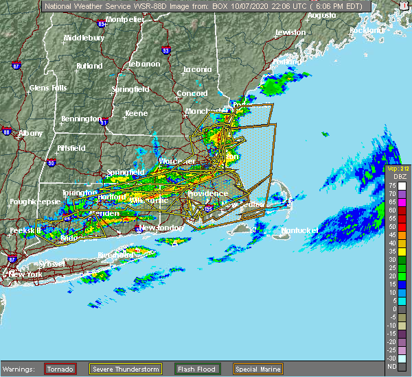 The severe thunderstorm warning for suffolk, northeastern norfolk, essex, southeastern worcester and eastern middlesex counties will expire at 615 pm edt, the storms which prompted the warning will move to east of the area. therefore, the warning will be allowed to expire. The severe thunderstorm warning for suffolk, northeastern norfolk, essex, southeastern worcester and eastern middlesex counties will expire at 615 pm edt, the storms which prompted the warning will move to east of the area. therefore, the warning will be allowed to expire.
|
| 10/7/2020 5:50 PM EDT |
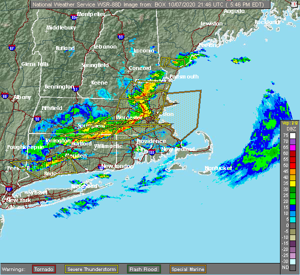 At 549 pm edt, severe thunderstorms were located along a line extending from methuen to lexington to southborough, moving east at 70 mph. these storms are prodcing widespread wind damage (radar indicated). Hazards include 70 mph wind gusts. Expect considerable damage to trees and power lines. damage is likely to mobile homes and outbuildings. Locations impacted include, boston, lowell, cambridge, quincy, lynn, newton, lawrence, somerville, framingham, haverhill, waltham, malden, brookline, medford, revere, peabody, methuen, arlington, everett and salem. At 549 pm edt, severe thunderstorms were located along a line extending from methuen to lexington to southborough, moving east at 70 mph. these storms are prodcing widespread wind damage (radar indicated). Hazards include 70 mph wind gusts. Expect considerable damage to trees and power lines. damage is likely to mobile homes and outbuildings. Locations impacted include, boston, lowell, cambridge, quincy, lynn, newton, lawrence, somerville, framingham, haverhill, waltham, malden, brookline, medford, revere, peabody, methuen, arlington, everett and salem.
|
| 10/7/2020 5:27 PM EDT |
 At 526 pm edt, severe thunderstorms were located along a line extending from brookline to near sterling to near spencer, moving east at 70 mph (radar indicated). Hazards include 70 mph wind gusts. Expect considerable damage to trees and power lines. Damage is likely to mobile homes and outbuildings. At 526 pm edt, severe thunderstorms were located along a line extending from brookline to near sterling to near spencer, moving east at 70 mph (radar indicated). Hazards include 70 mph wind gusts. Expect considerable damage to trees and power lines. Damage is likely to mobile homes and outbuildings.
|
| 8/23/2020 5:32 PM EDT |
 At 531 pm edt, a severe thunderstorm was located over newton, moving east at 15 mph (radar indicated. in addition, these storms have a history of numerous wind damage, downed trees, and scattered power outages across central and northeast massachusetts. seek an indoor shelter immediately). Hazards include 60 mph wind gusts and quarter size hail. Expect wind damage to trees and power lines. minor hail damage to vehicles is possible. Locations impacted include, boston, cambridge, quincy, lynn, newton, somerville, framingham, waltham, malden, brookline, medford, weymouth, revere, arlington, everett, braintree, chelsea, natick, randolph and watertown. At 531 pm edt, a severe thunderstorm was located over newton, moving east at 15 mph (radar indicated. in addition, these storms have a history of numerous wind damage, downed trees, and scattered power outages across central and northeast massachusetts. seek an indoor shelter immediately). Hazards include 60 mph wind gusts and quarter size hail. Expect wind damage to trees and power lines. minor hail damage to vehicles is possible. Locations impacted include, boston, cambridge, quincy, lynn, newton, somerville, framingham, waltham, malden, brookline, medford, weymouth, revere, arlington, everett, braintree, chelsea, natick, randolph and watertown.
|
| 8/23/2020 5:16 PM EDT |
 At 514 pm edt, a severe thunderstorm was located over lynn, moving east at 15 mph (trained weather spotters continue to report pockets of significant wind damage and downed trees across central and northeast massachusetts. seek an indoor shelter immediately). Hazards include 60 mph wind gusts and quarter size hail. Expect wind damage to trees and power lines. minor hail damage to vehicles is possible. Locations impacted include, boston, cambridge, lynn, newton, somerville, framingham, waltham, malden, brookline, medford, revere, peabody, arlington, everett, salem, beverly, chelsea, natick, watertown and lexington. At 514 pm edt, a severe thunderstorm was located over lynn, moving east at 15 mph (trained weather spotters continue to report pockets of significant wind damage and downed trees across central and northeast massachusetts. seek an indoor shelter immediately). Hazards include 60 mph wind gusts and quarter size hail. Expect wind damage to trees and power lines. minor hail damage to vehicles is possible. Locations impacted include, boston, cambridge, lynn, newton, somerville, framingham, waltham, malden, brookline, medford, revere, peabody, arlington, everett, salem, beverly, chelsea, natick, watertown and lexington.
|
| 8/23/2020 5:12 PM EDT |
 At 510 pm edt, a severe thunderstorm was located over wellesley, moving east at 15 mph (radar indicated. these thunderstorms have a history of wind and tree damage across many parts of central and northeast massachusetts. seek an indoor shelter immediately). Hazards include 60 mph wind gusts and quarter size hail. Expect wind damage to trees and power lines. Minor hail damage to vehicles is possible. At 510 pm edt, a severe thunderstorm was located over wellesley, moving east at 15 mph (radar indicated. these thunderstorms have a history of wind and tree damage across many parts of central and northeast massachusetts. seek an indoor shelter immediately). Hazards include 60 mph wind gusts and quarter size hail. Expect wind damage to trees and power lines. Minor hail damage to vehicles is possible.
|
| 8/23/2020 5:03 PM EDT |
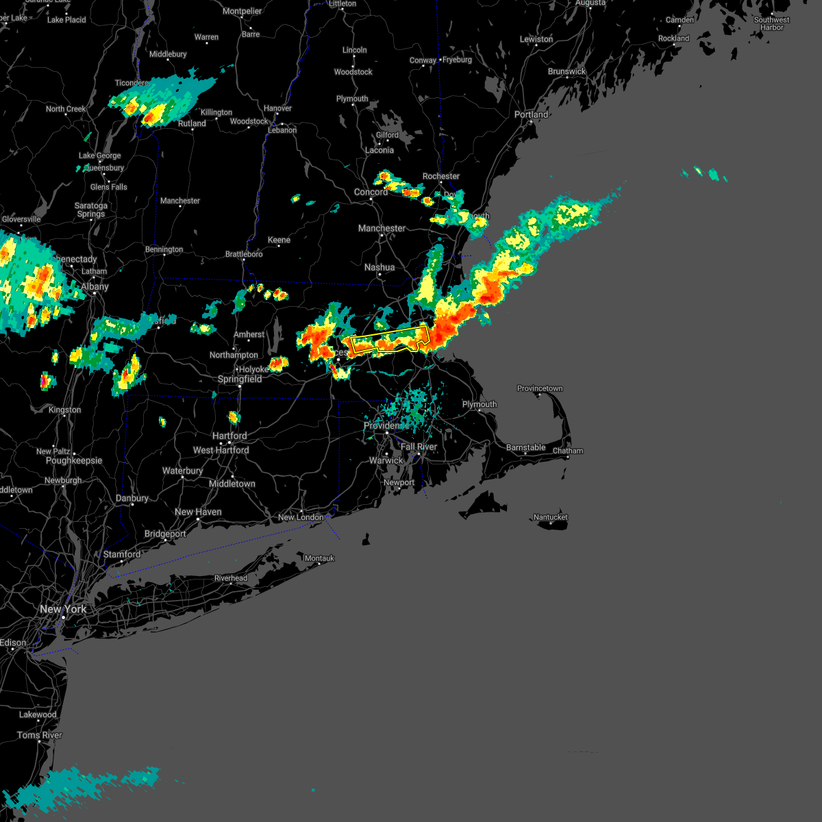 At 503 pm edt, a severe thunderstorm was located over waltham, moving east at 15 mph (radar indicated). Hazards include 60 mph wind gusts and quarter size hail. Expect wind damage to trees and power lines. minor hail damage to vehicles is possible. Locations impacted include, boston, cambridge, newton, somerville, framingham, waltham, brookline, medford, arlington, marlborough, natick, watertown, lexington, wellesley, belmont, stoneham, winchester, hudson, concord and sudbury. At 503 pm edt, a severe thunderstorm was located over waltham, moving east at 15 mph (radar indicated). Hazards include 60 mph wind gusts and quarter size hail. Expect wind damage to trees and power lines. minor hail damage to vehicles is possible. Locations impacted include, boston, cambridge, newton, somerville, framingham, waltham, brookline, medford, arlington, marlborough, natick, watertown, lexington, wellesley, belmont, stoneham, winchester, hudson, concord and sudbury.
|
| 8/23/2020 4:42 PM EDT |
 At 440 pm edt, a severe thunderstorm was located over reading, or near woburn, moving east at 15 mph (trained weather spotters have indicated numerous reports of wind damage and downed trees across parts of this region over the past hour. current radar indicates strong winds will be entering watertown, stoneham, melrose, cambridge and boston). Hazards include 60 mph wind gusts and quarter size hail. Expect wind damage to trees and power lines. minor hail damage to vehicles is possible. Locations impacted include, boston, cambridge, lynn, newton, somerville, framingham, waltham, malden, brookline, medford, revere, peabody, arlington, everett, salem, billerica, beverly, marlborough, woburn and chelsea. At 440 pm edt, a severe thunderstorm was located over reading, or near woburn, moving east at 15 mph (trained weather spotters have indicated numerous reports of wind damage and downed trees across parts of this region over the past hour. current radar indicates strong winds will be entering watertown, stoneham, melrose, cambridge and boston). Hazards include 60 mph wind gusts and quarter size hail. Expect wind damage to trees and power lines. minor hail damage to vehicles is possible. Locations impacted include, boston, cambridge, lynn, newton, somerville, framingham, waltham, malden, brookline, medford, revere, peabody, arlington, everett, salem, billerica, beverly, marlborough, woburn and chelsea.
|
| 8/23/2020 4:34 PM EDT |
 At 433 pm edt, a severe thunderstorm was located over reading, or near woburn, moving east at 15 mph (radar indicated). Hazards include 60 mph wind gusts and quarter size hail. Expect wind damage to trees and power lines. Minor hail damage to vehicles is possible. At 433 pm edt, a severe thunderstorm was located over reading, or near woburn, moving east at 15 mph (radar indicated). Hazards include 60 mph wind gusts and quarter size hail. Expect wind damage to trees and power lines. Minor hail damage to vehicles is possible.
|
| 8/23/2020 4:26 PM EDT |
 At 426 pm edt, a severe thunderstorm was located over sudbury, or near framingham, moving east at 15 mph (radar indicated). Hazards include 60 mph wind gusts and quarter size hail. Expect wind damage to trees and power lines. minor hail damage to vehicles is possible. Locations impacted include, boston, cambridge, newton, somerville, framingham, waltham, malden, brookline, medford, arlington, marlborough, woburn, natick, watertown, lexington, wellesley, reading, belmont, burlington and acton. At 426 pm edt, a severe thunderstorm was located over sudbury, or near framingham, moving east at 15 mph (radar indicated). Hazards include 60 mph wind gusts and quarter size hail. Expect wind damage to trees and power lines. minor hail damage to vehicles is possible. Locations impacted include, boston, cambridge, newton, somerville, framingham, waltham, malden, brookline, medford, arlington, marlborough, woburn, natick, watertown, lexington, wellesley, reading, belmont, burlington and acton.
|
| 8/23/2020 4:12 PM EDT |
 At 412 pm edt, a severe thunderstorm was located over stow, or near marlborough, moving east at 15 mph (radar indicated). Hazards include 60 mph wind gusts and quarter size hail. Expect wind damage to trees and power lines. Minor hail damage to vehicles is possible. At 412 pm edt, a severe thunderstorm was located over stow, or near marlborough, moving east at 15 mph (radar indicated). Hazards include 60 mph wind gusts and quarter size hail. Expect wind damage to trees and power lines. Minor hail damage to vehicles is possible.
|
| 7/23/2020 5:07 PM EDT |
 At 446 pm edt, a severe thunderstorm was located over newton, moving east at 30 mph (radar indicated). Hazards include 60 mph wind gusts and quarter size hail. Expect wind damage to trees and power lines. minor hail damage to vehicles is possible. Locations impacted include, newton, waltham, natick, lexington, needham, wellesley, dedham, westwood, wayland, weston, dover and sherborn. At 446 pm edt, a severe thunderstorm was located over newton, moving east at 30 mph (radar indicated). Hazards include 60 mph wind gusts and quarter size hail. Expect wind damage to trees and power lines. minor hail damage to vehicles is possible. Locations impacted include, newton, waltham, natick, lexington, needham, wellesley, dedham, westwood, wayland, weston, dover and sherborn.
|
| 7/23/2020 4:46 PM EDT |
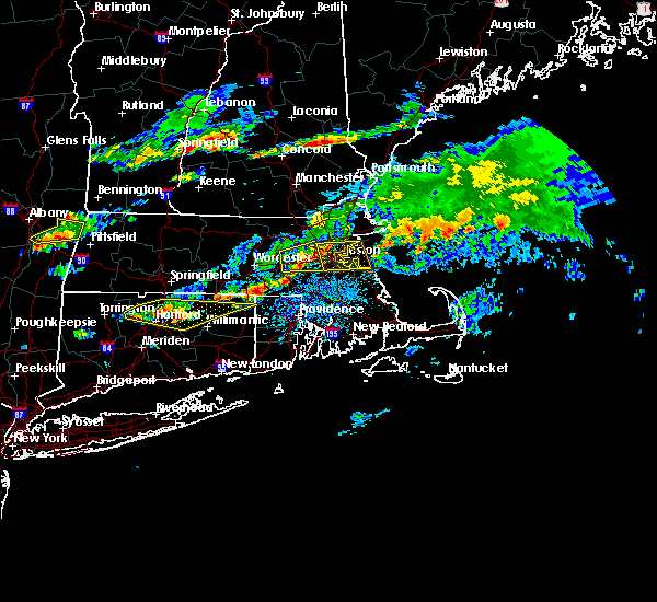 At 446 pm edt, a severe thunderstorm was located over newton, moving east at 30 mph (radar indicated). Hazards include 60 mph wind gusts and quarter size hail. Expect wind damage to trees and power lines. minor hail damage to vehicles is possible. Locations impacted include, newton, waltham, natick, lexington, needham, wellesley, dedham, westwood, wayland, weston, dover and sherborn. At 446 pm edt, a severe thunderstorm was located over newton, moving east at 30 mph (radar indicated). Hazards include 60 mph wind gusts and quarter size hail. Expect wind damage to trees and power lines. minor hail damage to vehicles is possible. Locations impacted include, newton, waltham, natick, lexington, needham, wellesley, dedham, westwood, wayland, weston, dover and sherborn.
|
| 7/23/2020 4:39 PM EDT | Tree down on wires on ripley stree in middlesex county MA, 0.8 miles S of Waltham, MA |
| 7/23/2020 4:33 PM EDT |
 At 433 pm edt, a severe thunderstorm was located over watertown, moving east at 30 mph (radar indicated). Hazards include 60 mph wind gusts and penny size hail. expect damage to trees and power lines At 433 pm edt, a severe thunderstorm was located over watertown, moving east at 30 mph (radar indicated). Hazards include 60 mph wind gusts and penny size hail. expect damage to trees and power lines
|
| 7/23/2020 4:28 PM EDT | Tree down on state route 30 at ash street. tree down on a car on route 30 at high meadow roa in middlesex county MA, 1.5 miles ENE of Waltham, MA |
| 7/23/2020 4:19 PM EDT |
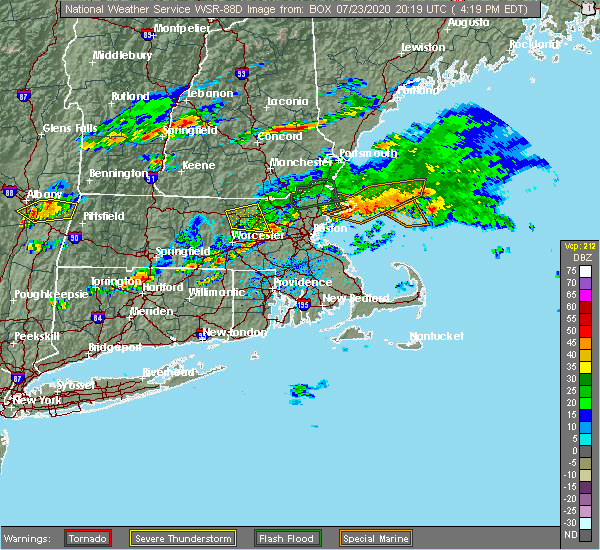 The national weather service in boston/norton has issued a * severe thunderstorm warning for. north central norfolk county in eastern massachusetts. eastern worcester county in central massachusetts. southeastern middlesex county in northeastern massachusetts. Until 515 pm edt. The national weather service in boston/norton has issued a * severe thunderstorm warning for. north central norfolk county in eastern massachusetts. eastern worcester county in central massachusetts. southeastern middlesex county in northeastern massachusetts. Until 515 pm edt.
|
| 7/5/2020 10:49 PM EDT |
 At 1048 pm edt, a severe thunderstorm was located over wellesley, moving southeast at 20 mph (radar indicated. at 1012 pm, trees were downed in wayland). Hazards include 60 mph wind gusts and quarter size hail. Expect wind damage to trees and power lines. minor hail damage to vehicles is possible. Locations impacted include, boston, brockton, quincy, newton, framingham, waltham, brookline, weymouth, braintree, natick, randolph, watertown, needham, norwood, wellesley, milton, stoughton, dedham, walpole and easton. At 1048 pm edt, a severe thunderstorm was located over wellesley, moving southeast at 20 mph (radar indicated. at 1012 pm, trees were downed in wayland). Hazards include 60 mph wind gusts and quarter size hail. Expect wind damage to trees and power lines. minor hail damage to vehicles is possible. Locations impacted include, boston, brockton, quincy, newton, framingham, waltham, brookline, weymouth, braintree, natick, randolph, watertown, needham, norwood, wellesley, milton, stoughton, dedham, walpole and easton.
|
| 7/5/2020 10:28 PM EDT |
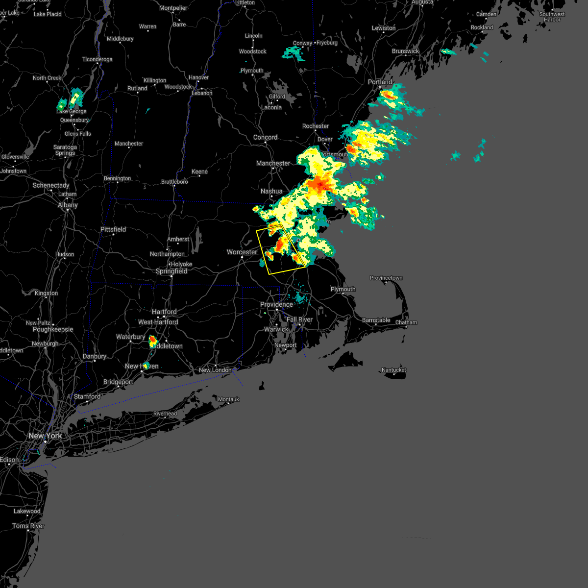 The severe thunderstorm warning for southwestern suffolk, northwestern norfolk, east central worcester and southeastern middlesex counties will expire at 1030 pm edt, the severe thunderstorm which prompted the warning remains severe. a new severe thunderstorm warning has been issued for suffolk and norfolk counties until 1130 pm. The severe thunderstorm warning for southwestern suffolk, northwestern norfolk, east central worcester and southeastern middlesex counties will expire at 1030 pm edt, the severe thunderstorm which prompted the warning remains severe. a new severe thunderstorm warning has been issued for suffolk and norfolk counties until 1130 pm.
|
| 7/5/2020 10:25 PM EDT |
 At 1024 pm edt, a severe thunderstorm was located over wayland, or near framingham, moving southeast at 15 mph (radar indicated. at 1013 pm, trees were downed in stow from this severe thunderstorm). Hazards include 60 mph wind gusts and quarter size hail. Expect wind damage to trees and power lines. Minor hail damage to vehicles is possible. At 1024 pm edt, a severe thunderstorm was located over wayland, or near framingham, moving southeast at 15 mph (radar indicated. at 1013 pm, trees were downed in stow from this severe thunderstorm). Hazards include 60 mph wind gusts and quarter size hail. Expect wind damage to trees and power lines. Minor hail damage to vehicles is possible.
|
| 7/5/2020 10:17 PM EDT |
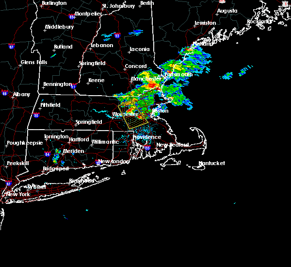 At 1015 pm edt, a severe thunderstorm was located over dover, or over natick. another severe thunderstorm was over maynard. each of these storms were moving southeast at 25 mph (radar indicated. at 1012 pm, mutiple trees and wires were downed in wayland). Hazards include 60 mph wind gusts and quarter size hail. Expect wind damage to trees and power lines. minor hail damage to vehicles is possible. Locations impacted include, boston, newton, framingham, waltham, marlborough, natick, franklin, needham, norwood, milford, wellesley, dedham, walpole, acton, canton, hudson, westborough, concord, sudbury and ashland. At 1015 pm edt, a severe thunderstorm was located over dover, or over natick. another severe thunderstorm was over maynard. each of these storms were moving southeast at 25 mph (radar indicated. at 1012 pm, mutiple trees and wires were downed in wayland). Hazards include 60 mph wind gusts and quarter size hail. Expect wind damage to trees and power lines. minor hail damage to vehicles is possible. Locations impacted include, boston, newton, framingham, waltham, marlborough, natick, franklin, needham, norwood, milford, wellesley, dedham, walpole, acton, canton, hudson, westborough, concord, sudbury and ashland.
|
| 7/5/2020 10:02 PM EDT |
 At 1000 pm edt, a severe thunderstorm was located over wayland. another severe thunderstorm was located 2 miles west of harvard. each of these storms were moving southeast at 25 mph (radar indicated. several trees have been downed in the acton and boxborough between 935 and 945 pm). Hazards include hail up to ping pong ball size and 60 mph wind gusts. Expect wind damage to trees and power lines. minor hail damage to vehicles is possible. Locations impacted include, boston, newton, framingham, waltham, marlborough, chelmsford, natick, franklin, needham, norwood, milford, wellesley, dedham, walpole, westford, acton, canton, hudson, westborough and concord. At 1000 pm edt, a severe thunderstorm was located over wayland. another severe thunderstorm was located 2 miles west of harvard. each of these storms were moving southeast at 25 mph (radar indicated. several trees have been downed in the acton and boxborough between 935 and 945 pm). Hazards include hail up to ping pong ball size and 60 mph wind gusts. Expect wind damage to trees and power lines. minor hail damage to vehicles is possible. Locations impacted include, boston, newton, framingham, waltham, marlborough, chelmsford, natick, franklin, needham, norwood, milford, wellesley, dedham, walpole, westford, acton, canton, hudson, westborough and concord.
|
| 7/5/2020 9:45 PM EDT |
 At 944 pm edt, a severe thunderstorm was located over stow, or near maynard, moving southeast at 25 mph (radar indicated. at 924 pm, a tree was downed in harvard, ma from this severe storm). Hazards include ping pong ball size hail and 60 mph wind gusts. Expect wind damage to trees and power lines. minor hail damage to vehicles is possible. Locations impacted include, boston, newton, framingham, waltham, marlborough, chelmsford, natick, franklin, needham, norwood, milford, wellesley, dedham, walpole, westford, acton, canton, hudson, westborough and concord. At 944 pm edt, a severe thunderstorm was located over stow, or near maynard, moving southeast at 25 mph (radar indicated. at 924 pm, a tree was downed in harvard, ma from this severe storm). Hazards include ping pong ball size hail and 60 mph wind gusts. Expect wind damage to trees and power lines. minor hail damage to vehicles is possible. Locations impacted include, boston, newton, framingham, waltham, marlborough, chelmsford, natick, franklin, needham, norwood, milford, wellesley, dedham, walpole, westford, acton, canton, hudson, westborough and concord.
|
| 7/5/2020 9:31 PM EDT |
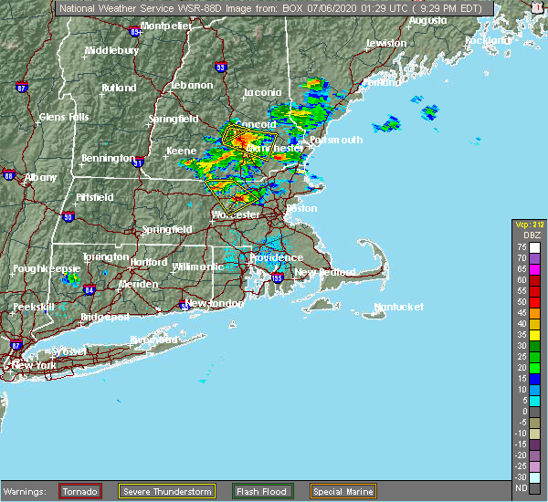 At 930 pm edt, a severe thunderstorm was located over boxborough, or 8 miles north of marlborough, moving southeast at 25 mph (radar indicated). Hazards include ping pong ball size hail and 60 mph wind gusts. Expect wind damage to trees and power lines. Minor hail damage to vehicles is possible. At 930 pm edt, a severe thunderstorm was located over boxborough, or 8 miles north of marlborough, moving southeast at 25 mph (radar indicated). Hazards include ping pong ball size hail and 60 mph wind gusts. Expect wind damage to trees and power lines. Minor hail damage to vehicles is possible.
|
| 7/2/2020 9:12 PM EDT |
 The severe thunderstorm warning for suffolk, northeastern norfolk and southeastern middlesex counties will expire at 915 pm edt, though this severe thunderstorm warning will expire at 915 pm, the severe thunderstorm which prompted the warning remains capable of producing wind damage. a new severe thunderstorm warning has been issued for parts of norfolk and western suffolk counties until 1015 pm. The severe thunderstorm warning for suffolk, northeastern norfolk and southeastern middlesex counties will expire at 915 pm edt, though this severe thunderstorm warning will expire at 915 pm, the severe thunderstorm which prompted the warning remains capable of producing wind damage. a new severe thunderstorm warning has been issued for parts of norfolk and western suffolk counties until 1015 pm.
|
| 7/2/2020 8:57 PM EDT |
 At 855 pm edt, a severe thunderstorm was located over wellesley, moving south at 25 mph (trained weather spotters. this storm has a history of wind damage from carlisle, bedford, weston and waltham between 830 and 850 pm). Hazards include 60 mph wind gusts. Expect damage to trees and power lines. Locations impacted include, boston, cambridge, quincy, newton, somerville, framingham, waltham, brookline, medford, arlington, braintree, natick, randolph, watertown, lexington, needham, norwood, wellesley, milton and stoughton. At 855 pm edt, a severe thunderstorm was located over wellesley, moving south at 25 mph (trained weather spotters. this storm has a history of wind damage from carlisle, bedford, weston and waltham between 830 and 850 pm). Hazards include 60 mph wind gusts. Expect damage to trees and power lines. Locations impacted include, boston, cambridge, quincy, newton, somerville, framingham, waltham, brookline, medford, arlington, braintree, natick, randolph, watertown, lexington, needham, norwood, wellesley, milton and stoughton.
|
| 7/2/2020 8:47 PM EDT | Tree down blocking route 20 in middlesex county MA, 1.5 miles ENE of Waltham, MA |
| 7/2/2020 8:43 PM EDT |
 At 841 pm edt, a severe thunderstorm was located over waltham, moving south at 25 mph (trained weather spotters and doppler radar. multiple trees and were downed in carlisle and bedford between 830 and 832 pm). Hazards include 60 mph wind gusts. Expect damage to trees and power lines. Locations impacted include, boston, cambridge, quincy, newton, somerville, framingham, waltham, brookline, medford, arlington, billerica, woburn, braintree, natick, randolph, watertown, lexington, needham, norwood and wellesley. At 841 pm edt, a severe thunderstorm was located over waltham, moving south at 25 mph (trained weather spotters and doppler radar. multiple trees and were downed in carlisle and bedford between 830 and 832 pm). Hazards include 60 mph wind gusts. Expect damage to trees and power lines. Locations impacted include, boston, cambridge, quincy, newton, somerville, framingham, waltham, brookline, medford, arlington, billerica, woburn, braintree, natick, randolph, watertown, lexington, needham, norwood and wellesley.
|
| 7/2/2020 8:40 PM EDT | Large tree down and wires down on bedford street in middlesex county MA, 4.1 miles SE of Waltham, MA |
| 7/2/2020 8:22 PM EDT |
 At 821 pm edt, a severe thunderstorm was located over bedford, or near lexington, moving south at 25 mph (radar indicated). Hazards include 60 mph wind gusts. expect damage to trees and power lines At 821 pm edt, a severe thunderstorm was located over bedford, or near lexington, moving south at 25 mph (radar indicated). Hazards include 60 mph wind gusts. expect damage to trees and power lines
|
| 6/28/2020 2:03 PM EDT |
 At 201 pm edt, a severe thunderstorm was located near hull, or near boston, moving east at 20 mph (radar indicated. trained spotters have also reported downed trees in newton and penny size hail in jamaica plain). Hazards include 60 mph wind gusts and quarter size hail. Expect wind damage to trees and power lines. minor hail damage to vehicles is possible. Locations impacted include, boston, cambridge, quincy, newton, somerville, waltham, malden, brookline, medford, weymouth, revere, arlington, everett, braintree, chelsea, natick, watertown, lexington, needham and wellesley. At 201 pm edt, a severe thunderstorm was located near hull, or near boston, moving east at 20 mph (radar indicated. trained spotters have also reported downed trees in newton and penny size hail in jamaica plain). Hazards include 60 mph wind gusts and quarter size hail. Expect wind damage to trees and power lines. minor hail damage to vehicles is possible. Locations impacted include, boston, cambridge, quincy, newton, somerville, waltham, malden, brookline, medford, weymouth, revere, arlington, everett, braintree, chelsea, natick, watertown, lexington, needham and wellesley.
|
| 6/28/2020 1:56 PM EDT |
 At 153 pm edt, a severe thunderstorm was located over boston, moving east at 20 mph (radar indicated and trained spotter reports). Hazards include 60 mph wind gusts and quarter size hail. Trained spotters have reported downed trees and power lines in newton. expect wind damage to trees and power lines. minor hail damage to vehicles is possible. Locations impacted include, boston, cambridge, quincy, newton, somerville, waltham, malden, brookline, medford, weymouth, revere, arlington, everett, braintree, chelsea, natick, watertown, lexington, needham and wellesley. At 153 pm edt, a severe thunderstorm was located over boston, moving east at 20 mph (radar indicated and trained spotter reports). Hazards include 60 mph wind gusts and quarter size hail. Trained spotters have reported downed trees and power lines in newton. expect wind damage to trees and power lines. minor hail damage to vehicles is possible. Locations impacted include, boston, cambridge, quincy, newton, somerville, waltham, malden, brookline, medford, weymouth, revere, arlington, everett, braintree, chelsea, natick, watertown, lexington, needham and wellesley.
|
| 6/28/2020 1:26 PM EDT |
 At 125 pm edt, a severe thunderstorm was located over watertown, moving east at 20 mph (radar indicated). Hazards include 60 mph wind gusts and quarter size hail. Expect wind damage to trees and power lines. Minor hail damage to vehicles is possible. At 125 pm edt, a severe thunderstorm was located over watertown, moving east at 20 mph (radar indicated). Hazards include 60 mph wind gusts and quarter size hail. Expect wind damage to trees and power lines. Minor hail damage to vehicles is possible.
|
| 6/6/2020 9:33 PM EDT |
 At 932 pm edt, a severe thunderstorm was located over dedham, or near milton, moving southeast at 30 mph. there has been a history of widespread downed trees and power lines (trained weather spotters). Hazards include 60 mph wind gusts and quarter size hail. Expect wind damage to trees and power lines. minor hail damage to vehicles is possible. Locations impacted include, boston, cambridge, quincy, newton, somerville, waltham, malden, brookline, medford, weymouth, revere, arlington, everett, braintree, chelsea, natick, randolph, watertown, lexington and needham. At 932 pm edt, a severe thunderstorm was located over dedham, or near milton, moving southeast at 30 mph. there has been a history of widespread downed trees and power lines (trained weather spotters). Hazards include 60 mph wind gusts and quarter size hail. Expect wind damage to trees and power lines. minor hail damage to vehicles is possible. Locations impacted include, boston, cambridge, quincy, newton, somerville, waltham, malden, brookline, medford, weymouth, revere, arlington, everett, braintree, chelsea, natick, randolph, watertown, lexington and needham.
|
| 6/6/2020 9:24 PM EDT |
 At 923 pm edt, a severe thunderstorm was located over needham, moving southeast at 30 mph (radar indicated. this storm has a history of producing wind damage in sudbury, stow, clinton and bolton massachusetts). Hazards include 60 mph wind gusts and quarter size hail. Expect wind damage to trees and power lines. minor hail damage to vehicles is possible. Locations impacted include, boston, cambridge, quincy, newton, somerville, waltham, malden, brookline, medford, weymouth, revere, arlington, everett, braintree, chelsea, natick, randolph, watertown, lexington and needham. At 923 pm edt, a severe thunderstorm was located over needham, moving southeast at 30 mph (radar indicated. this storm has a history of producing wind damage in sudbury, stow, clinton and bolton massachusetts). Hazards include 60 mph wind gusts and quarter size hail. Expect wind damage to trees and power lines. minor hail damage to vehicles is possible. Locations impacted include, boston, cambridge, quincy, newton, somerville, waltham, malden, brookline, medford, weymouth, revere, arlington, everett, braintree, chelsea, natick, randolph, watertown, lexington and needham.
|
| 6/6/2020 9:15 PM EDT |
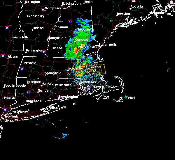 At 914 pm edt, a severe thunderstorm was located over weston, or over waltham, moving east at 30 mph (trained weather spotters report that this storm has a history of producing wind damage across the stow and hudson massachusetts areas). Hazards include 60 mph wind gusts and quarter size hail. Expect wind damage to trees and power lines. minor hail damage to vehicles is possible. Locations impacted include, boston, cambridge, newton, somerville, framingham, waltham, malden, brookline, medford, arlington, woburn, natick, watertown, lexington, needham, wellesley, melrose, wakefield, belmont and dedham. At 914 pm edt, a severe thunderstorm was located over weston, or over waltham, moving east at 30 mph (trained weather spotters report that this storm has a history of producing wind damage across the stow and hudson massachusetts areas). Hazards include 60 mph wind gusts and quarter size hail. Expect wind damage to trees and power lines. minor hail damage to vehicles is possible. Locations impacted include, boston, cambridge, newton, somerville, framingham, waltham, malden, brookline, medford, arlington, woburn, natick, watertown, lexington, needham, wellesley, melrose, wakefield, belmont and dedham.
|
| 6/6/2020 9:12 PM EDT |
 At 911 pm edt, a severe thunderstorm was located over weston, or near waltham, moving east at 30 mph (radar indicated and this storm has a history of producing wind damage). Hazards include 60 mph wind gusts and quarter size hail. Expect wind damage to trees and power lines. Minor hail damage to vehicles is possible. At 911 pm edt, a severe thunderstorm was located over weston, or near waltham, moving east at 30 mph (radar indicated and this storm has a history of producing wind damage). Hazards include 60 mph wind gusts and quarter size hail. Expect wind damage to trees and power lines. Minor hail damage to vehicles is possible.
|
| 6/6/2020 9:00 PM EDT |
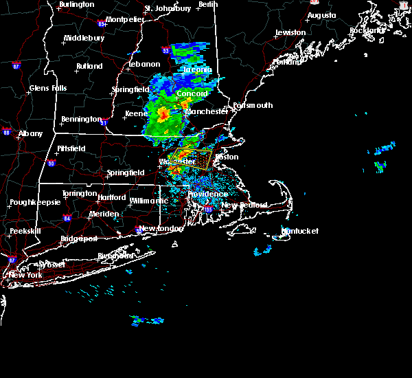 At 900 pm edt, a severe thunderstorm was located over maynard, or 7 miles north of framingham, moving east at 30 mph (trained weather spotters). Hazards include 60 mph wind gusts and quarter size hail. Expect wind damage to trees and power lines. minor hail damage to vehicles is possible. Locations impacted include, boston, cambridge, newton, somerville, framingham, waltham, malden, brookline, medford, arlington, marlborough, woburn, natick, watertown, lexington, needham, wellesley, melrose, wakefield and belmont. At 900 pm edt, a severe thunderstorm was located over maynard, or 7 miles north of framingham, moving east at 30 mph (trained weather spotters). Hazards include 60 mph wind gusts and quarter size hail. Expect wind damage to trees and power lines. minor hail damage to vehicles is possible. Locations impacted include, boston, cambridge, newton, somerville, framingham, waltham, malden, brookline, medford, arlington, marlborough, woburn, natick, watertown, lexington, needham, wellesley, melrose, wakefield and belmont.
|
| 6/6/2020 8:53 PM EDT |
 At 851 pm edt, a severe thunderstorm was located over stow, or near marlborough, moving east at 30 mph (trained weather spotters reported part of a tree and wires down in lancaster at 847 pm. a tree was also reported down in clinton at 843 pm). Hazards include 60 mph wind gusts and quarter size hail. Expect wind damage to trees and power lines. minor hail damage to vehicles is possible. Locations impacted include, boston, cambridge, newton, somerville, framingham, waltham, malden, brookline, medford, arlington, marlborough, woburn, natick, watertown, lexington, needham, wellesley, melrose, wakefield and belmont. At 851 pm edt, a severe thunderstorm was located over stow, or near marlborough, moving east at 30 mph (trained weather spotters reported part of a tree and wires down in lancaster at 847 pm. a tree was also reported down in clinton at 843 pm). Hazards include 60 mph wind gusts and quarter size hail. Expect wind damage to trees and power lines. minor hail damage to vehicles is possible. Locations impacted include, boston, cambridge, newton, somerville, framingham, waltham, malden, brookline, medford, arlington, marlborough, woburn, natick, watertown, lexington, needham, wellesley, melrose, wakefield and belmont.
|
| 6/6/2020 8:47 PM EDT |
 At 847 pm edt, a severe thunderstorm was located over bolton, or near marlborough, moving east at 30 mph (radar indicated). Hazards include 60 mph wind gusts and quarter size hail. Expect wind damage to trees and power lines. minor hail damage to vehicles is possible. Locations impacted include, boston, cambridge, newton, somerville, framingham, waltham, malden, brookline, medford, arlington, marlborough, woburn, natick, watertown, lexington, needham, wellesley, melrose, wakefield and belmont. At 847 pm edt, a severe thunderstorm was located over bolton, or near marlborough, moving east at 30 mph (radar indicated). Hazards include 60 mph wind gusts and quarter size hail. Expect wind damage to trees and power lines. minor hail damage to vehicles is possible. Locations impacted include, boston, cambridge, newton, somerville, framingham, waltham, malden, brookline, medford, arlington, marlborough, woburn, natick, watertown, lexington, needham, wellesley, melrose, wakefield and belmont.
|
| 6/6/2020 8:38 PM EDT |
 At 837 pm edt, a severe thunderstorm was located over lancaster, or near leominster, moving east at 30 mph (radar indicated). Hazards include 60 mph wind gusts and quarter size hail. Expect wind damage to trees and power lines. Minor hail damage to vehicles is possible. At 837 pm edt, a severe thunderstorm was located over lancaster, or near leominster, moving east at 30 mph (radar indicated). Hazards include 60 mph wind gusts and quarter size hail. Expect wind damage to trees and power lines. Minor hail damage to vehicles is possible.
|
| 5/15/2020 8:59 PM EDT |
 At 858 pm edt, severe thunderstorms were located along a line extending from reading to belmont to northbridge, moving east at 45 mph (radar indicated). Hazards include 60 mph wind gusts. expect damage to trees and power lines At 858 pm edt, severe thunderstorms were located along a line extending from reading to belmont to northbridge, moving east at 45 mph (radar indicated). Hazards include 60 mph wind gusts. expect damage to trees and power lines
|
| 5/15/2020 8:51 PM EDT |
 At 850 pm edt, a severe thunderstorm was located over reading, or near woburn, moving east at 45 mph (radar indicated. at 837 pm, two trees were downed in north chelmsford from these storms). Hazards include 60 mph wind gusts. Expect damage to trees and power lines. Locations impacted include, lowell, newton, lawrence, framingham, haverhill, waltham, methuen, arlington, billerica, marlborough, woburn, chelmsford, andover, lexington, dracut, tewksbury, north andover, wellesley, reading and belmont. At 850 pm edt, a severe thunderstorm was located over reading, or near woburn, moving east at 45 mph (radar indicated. at 837 pm, two trees were downed in north chelmsford from these storms). Hazards include 60 mph wind gusts. Expect damage to trees and power lines. Locations impacted include, lowell, newton, lawrence, framingham, haverhill, waltham, methuen, arlington, billerica, marlborough, woburn, chelmsford, andover, lexington, dracut, tewksbury, north andover, wellesley, reading and belmont.
|
| 5/15/2020 8:08 PM EDT |
 At 808 pm edt, a severe thunderstorm was located over townsend, or near fitchburg, moving east at 45 mph (radar indicated). Hazards include 60 mph wind gusts and quarter size hail. Expect wind damage to trees and power lines. Minor hail damage to vehicles is possible. At 808 pm edt, a severe thunderstorm was located over townsend, or near fitchburg, moving east at 45 mph (radar indicated). Hazards include 60 mph wind gusts and quarter size hail. Expect wind damage to trees and power lines. Minor hail damage to vehicles is possible.
|
| 9/4/2019 6:45 PM EDT | Trees and wires own on grant street in middlesex county MA, 0.8 miles S of Waltham, MA |
| 8/7/2019 11:25 PM EDT |
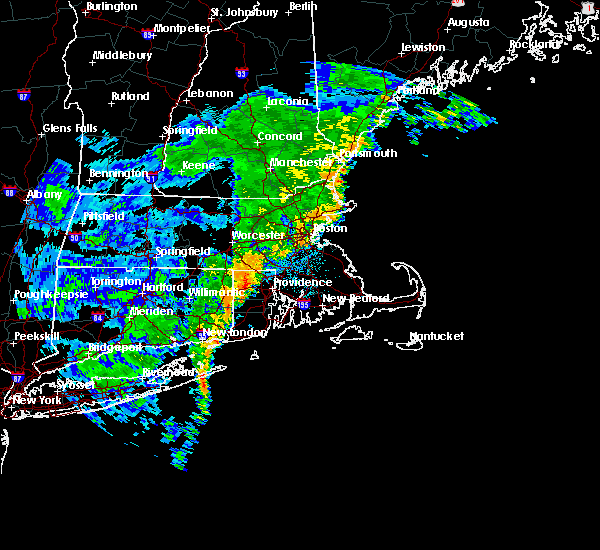 The severe thunderstorm warning for central norfolk, suffolk, south central essex and southeastern middlesex counties will expire at 1130 pm edt, the storm which prompted the warning has weakened below severe limits, and no longer poses an immediate threat to life or property. therefore, the warning will be allowed to expire. however gusty winds and heavy rain are still possible with this thunderstorm. The severe thunderstorm warning for central norfolk, suffolk, south central essex and southeastern middlesex counties will expire at 1130 pm edt, the storm which prompted the warning has weakened below severe limits, and no longer poses an immediate threat to life or property. therefore, the warning will be allowed to expire. however gusty winds and heavy rain are still possible with this thunderstorm.
|
| 8/7/2019 11:06 PM EDT |
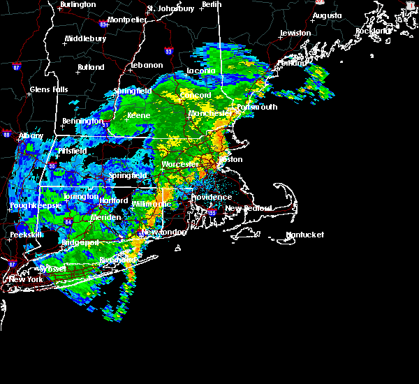 At 1106 pm edt, a severe thunderstorm was located over dedham, or near milton, moving northeast at 25 mph (radar indicated). Hazards include 60 mph wind gusts. Expect damage to trees and power lines. Locations impacted include, boston, cambridge, quincy, lynn, newton, somerville, framingham, waltham, malden, brookline, medford, revere, peabody, arlington, everett, salem, beverly, woburn, chelsea and natick. At 1106 pm edt, a severe thunderstorm was located over dedham, or near milton, moving northeast at 25 mph (radar indicated). Hazards include 60 mph wind gusts. Expect damage to trees and power lines. Locations impacted include, boston, cambridge, quincy, lynn, newton, somerville, framingham, waltham, malden, brookline, medford, revere, peabody, arlington, everett, salem, beverly, woburn, chelsea and natick.
|
| 8/7/2019 10:50 PM EDT |
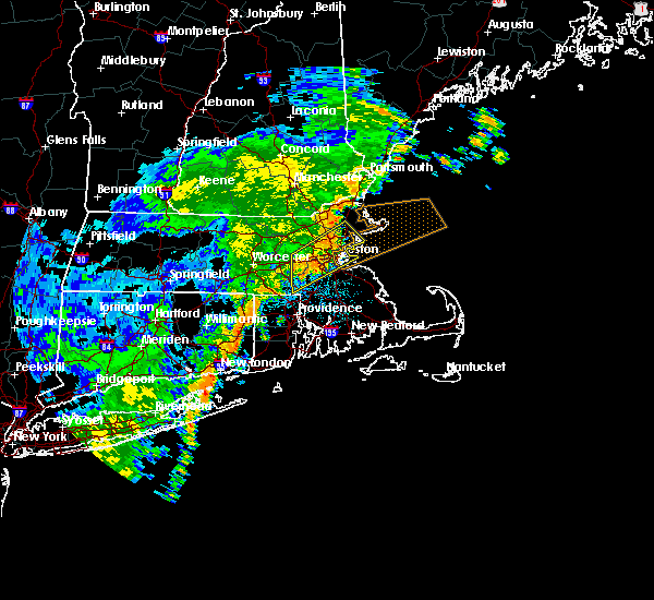 At 1050 pm edt, a severe thunderstorm was located over everett, moving northeast at 30 mph (radar indicated). Hazards include 60 mph wind gusts. Expect damage to trees and power lines. Locations impacted include, boston, cambridge, quincy, lynn, newton, somerville, framingham, waltham, malden, brookline, medford, revere, peabody, arlington, everett, salem, beverly, woburn, chelsea and natick. At 1050 pm edt, a severe thunderstorm was located over everett, moving northeast at 30 mph (radar indicated). Hazards include 60 mph wind gusts. Expect damage to trees and power lines. Locations impacted include, boston, cambridge, quincy, lynn, newton, somerville, framingham, waltham, malden, brookline, medford, revere, peabody, arlington, everett, salem, beverly, woburn, chelsea and natick.
|
| 8/7/2019 10:30 PM EDT |
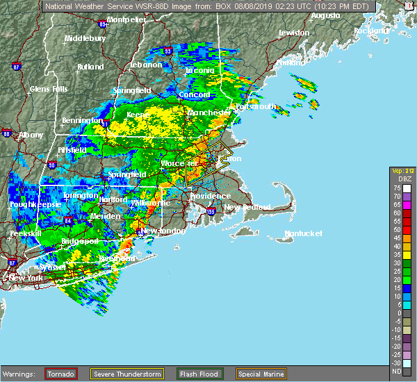 At 1030 pm edt, a severe thunderstorm was located over needham, moving northeast at 30 mph (radar indicated). Hazards include 60 mph wind gusts and penny size hail. expect damage to trees and power lines At 1030 pm edt, a severe thunderstorm was located over needham, moving northeast at 30 mph (radar indicated). Hazards include 60 mph wind gusts and penny size hail. expect damage to trees and power lines
|
| 8/7/2019 9:45 PM EDT |
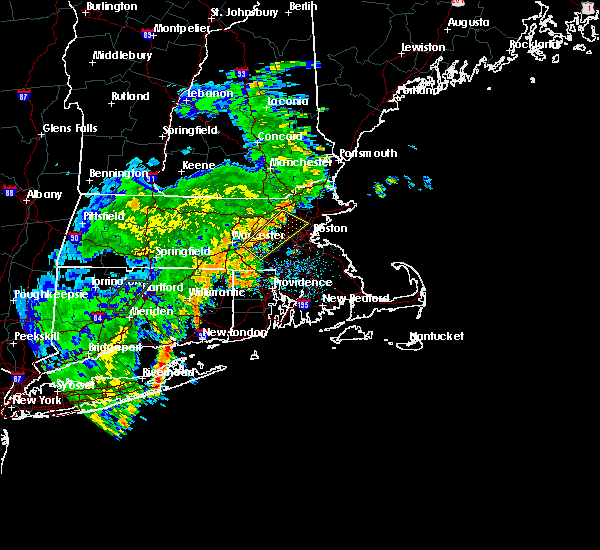 At 945 pm edt, a severe thunderstorm was located over bedford, or near lexington, moving northeast at 25 mph (radar indicated). Hazards include 60 mph wind gusts. Expect damage to trees and power lines. Locations impacted include, cambridge, newton, somerville, framingham, waltham, medford, arlington, billerica, marlborough, woburn, shrewsbury, chelmsford, natick, watertown, lexington, milford, wellesley, melrose, belmont and burlington. At 945 pm edt, a severe thunderstorm was located over bedford, or near lexington, moving northeast at 25 mph (radar indicated). Hazards include 60 mph wind gusts. Expect damage to trees and power lines. Locations impacted include, cambridge, newton, somerville, framingham, waltham, medford, arlington, billerica, marlborough, woburn, shrewsbury, chelmsford, natick, watertown, lexington, milford, wellesley, melrose, belmont and burlington.
|
| 8/7/2019 9:31 PM EDT |
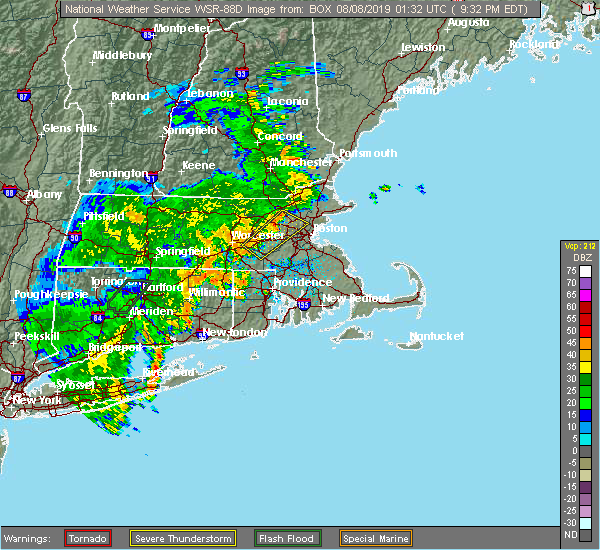 At 931 pm edt, a severe thunderstorm was located over lincoln, or near waltham, moving northeast at 25 mph (radar indicated). Hazards include 60 mph wind gusts. Expect damage to trees and power lines. Locations impacted include, cambridge, newton, somerville, framingham, waltham, medford, arlington, billerica, marlborough, woburn, shrewsbury, chelmsford, natick, watertown, lexington, milford, wellesley, melrose, belmont and burlington. At 931 pm edt, a severe thunderstorm was located over lincoln, or near waltham, moving northeast at 25 mph (radar indicated). Hazards include 60 mph wind gusts. Expect damage to trees and power lines. Locations impacted include, cambridge, newton, somerville, framingham, waltham, medford, arlington, billerica, marlborough, woburn, shrewsbury, chelmsford, natick, watertown, lexington, milford, wellesley, melrose, belmont and burlington.
|
| 8/7/2019 9:14 PM EDT |
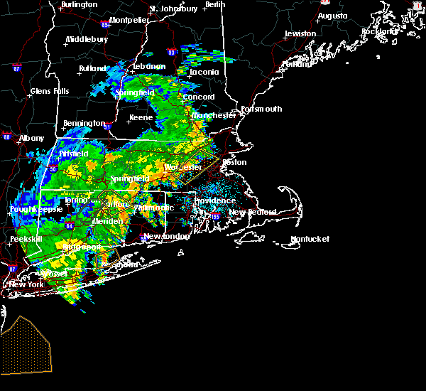 At 858 pm edt, a severe thunderstorm was located over southborough, or near framingham, moving northeast at 25 mph (radar indicated). Hazards include 60 mph wind gusts. expect damage to trees and power lines At 858 pm edt, a severe thunderstorm was located over southborough, or near framingham, moving northeast at 25 mph (radar indicated). Hazards include 60 mph wind gusts. expect damage to trees and power lines
|
| 8/7/2019 8:58 PM EDT |
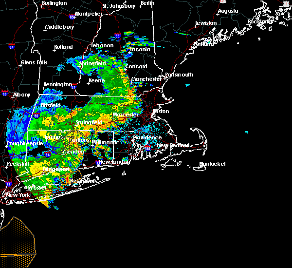 At 858 pm edt, a severe thunderstorm was located over southborough, or near framingham, moving northeast at 25 mph (radar indicated). Hazards include 60 mph wind gusts. expect damage to trees and power lines At 858 pm edt, a severe thunderstorm was located over southborough, or near framingham, moving northeast at 25 mph (radar indicated). Hazards include 60 mph wind gusts. expect damage to trees and power lines
|
| 7/17/2019 5:56 PM EDT |
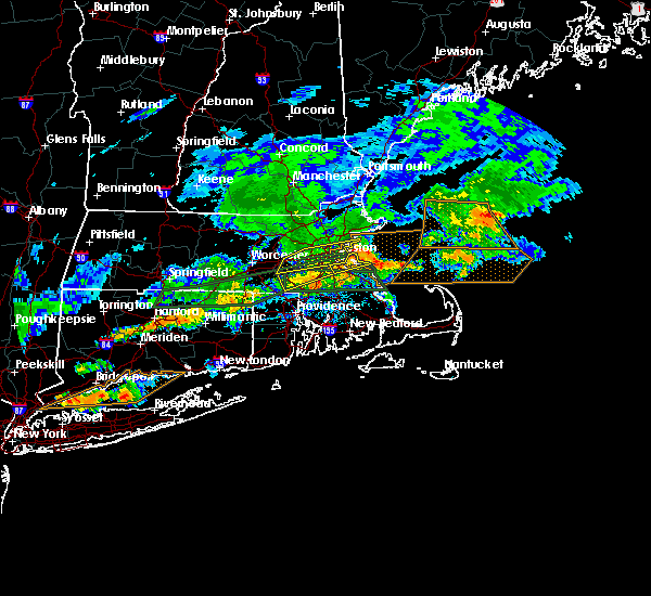 The severe thunderstorm warning for east central worcester, northeastern norfolk, suffolk, south central essex and southeastern middlesex counties will expire at 600 pm edt, the storm which prompted the warning has moved out of the area. therefore, the warning will be allowed to expire. however heavy rain is still possible with this thunderstorm. a severe thunderstorm watch remains in effect until 1000 pm edt for eastern, central and northeastern massachusetts. &&. The severe thunderstorm warning for east central worcester, northeastern norfolk, suffolk, south central essex and southeastern middlesex counties will expire at 600 pm edt, the storm which prompted the warning has moved out of the area. therefore, the warning will be allowed to expire. however heavy rain is still possible with this thunderstorm. a severe thunderstorm watch remains in effect until 1000 pm edt for eastern, central and northeastern massachusetts. &&.
|
| 7/17/2019 5:40 PM EDT | Trees down on colburn street in middlesex county MA, 0.8 miles S of Waltham, MA |
| 7/17/2019 5:33 PM EDT | Large tree down blocking road on conant road and summer street in middlesex county MA, 1.5 miles ENE of Waltham, MA |
| 7/17/2019 5:21 PM EDT |
 The severe thunderstorm warning for east central worcester, southwestern essex and central middlesex counties will expire at 530 pm edt, the storms which prompted the warning have moved out of the area. therefore, the warning will be allowed to expire. a severe thunderstorm watch remains in effect until 1000 pm edt for central and northeastern massachusetts. &&. The severe thunderstorm warning for east central worcester, southwestern essex and central middlesex counties will expire at 530 pm edt, the storms which prompted the warning have moved out of the area. therefore, the warning will be allowed to expire. a severe thunderstorm watch remains in effect until 1000 pm edt for central and northeastern massachusetts. &&.
|
| 7/17/2019 5:19 PM EDT |
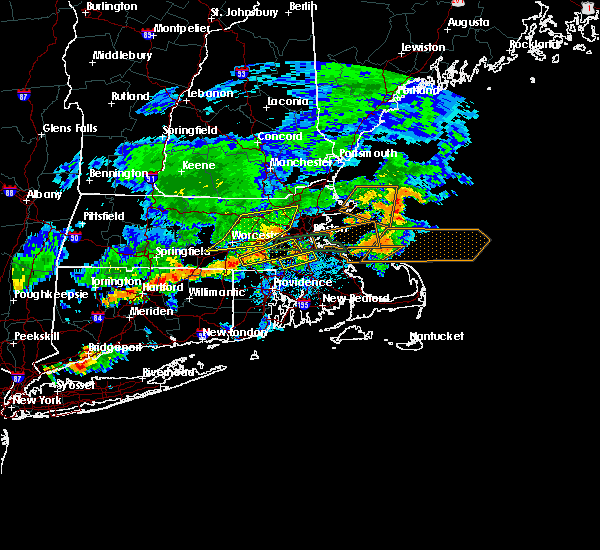 At 517 pm edt, severe thunderstorms were located along a line extending from near weston to framingham to hopkinton, moving east at 60 mph. the core of strongest winds should pass through wellesley, newton, brookline, and boston. take cover now! (radar indicated). Hazards include 60 mph wind gusts. Expect damage to trees and power lines. severe thunderstorms will be near, somerville, arlington, lexington, belmont and lincoln around 525 pm edt. newton, waltham, malden, watertown and melrose around 530 pm edt. cambridge, brookline, needham, dedham and westwood around 535 pm edt. boston, medford, everett, chelsea and swampscott around 540 pm edt. Quincy, lynn, revere, milton, saugus, winthrop and nahant around 545 pm edt. At 517 pm edt, severe thunderstorms were located along a line extending from near weston to framingham to hopkinton, moving east at 60 mph. the core of strongest winds should pass through wellesley, newton, brookline, and boston. take cover now! (radar indicated). Hazards include 60 mph wind gusts. Expect damage to trees and power lines. severe thunderstorms will be near, somerville, arlington, lexington, belmont and lincoln around 525 pm edt. newton, waltham, malden, watertown and melrose around 530 pm edt. cambridge, brookline, needham, dedham and westwood around 535 pm edt. boston, medford, everett, chelsea and swampscott around 540 pm edt. Quincy, lynn, revere, milton, saugus, winthrop and nahant around 545 pm edt.
|
| 7/17/2019 4:42 PM EDT |
 At 442 pm edt, severe thunderstorms were located along a line extending from near lancaster to near west boylston to east brookfield, moving east at 40 mph (radar indicated). Hazards include 60 mph wind gusts. expect damage to trees and power lines At 442 pm edt, severe thunderstorms were located along a line extending from near lancaster to near west boylston to east brookfield, moving east at 40 mph (radar indicated). Hazards include 60 mph wind gusts. expect damage to trees and power lines
|
| 6/30/2019 2:54 PM EDT |
 At 254 pm edt, a severe thunderstorm was located over somerville, moving southeast at 15 mph (radar indicated). Hazards include 60 mph wind gusts and quarter size hail. Hail damage to vehicles is possible. expect damage to trees and power lines. Locations impacted include, boston, cambridge, quincy, lynn, newton, somerville, waltham, malden, brookline, medford, weymouth, revere, arlington, everett, braintree, chelsea, randolph, watertown, milton and melrose. At 254 pm edt, a severe thunderstorm was located over somerville, moving southeast at 15 mph (radar indicated). Hazards include 60 mph wind gusts and quarter size hail. Hail damage to vehicles is possible. expect damage to trees and power lines. Locations impacted include, boston, cambridge, quincy, lynn, newton, somerville, waltham, malden, brookline, medford, weymouth, revere, arlington, everett, braintree, chelsea, randolph, watertown, milton and melrose.
|
| 6/30/2019 2:42 PM EDT |
 At 241 pm edt, a severe thunderstorm was located over winchester, or over medford, moving southeast at 15 mph (radar indicated). Hazards include 60 mph wind gusts and quarter size hail. Hail damage to vehicles is possible. expect damage to trees and power lines. Locations impacted include, boston, cambridge, quincy, lynn, newton, somerville, waltham, malden, brookline, medford, weymouth, revere, arlington, everett, woburn, braintree, chelsea, randolph, watertown and lexington. At 241 pm edt, a severe thunderstorm was located over winchester, or over medford, moving southeast at 15 mph (radar indicated). Hazards include 60 mph wind gusts and quarter size hail. Hail damage to vehicles is possible. expect damage to trees and power lines. Locations impacted include, boston, cambridge, quincy, lynn, newton, somerville, waltham, malden, brookline, medford, weymouth, revere, arlington, everett, woburn, braintree, chelsea, randolph, watertown and lexington.
|
| 6/30/2019 2:37 PM EDT |
 At 237 pm edt, a severe thunderstorm was located over winchester, or over woburn, moving southeast at 15 mph (radar indicated). Hazards include 60 mph wind gusts and quarter size hail. Hail damage to vehicles is possible. Expect damage to trees and power lines. At 237 pm edt, a severe thunderstorm was located over winchester, or over woburn, moving southeast at 15 mph (radar indicated). Hazards include 60 mph wind gusts and quarter size hail. Hail damage to vehicles is possible. Expect damage to trees and power lines.
|
| 6/29/2019 3:40 PM EDT |
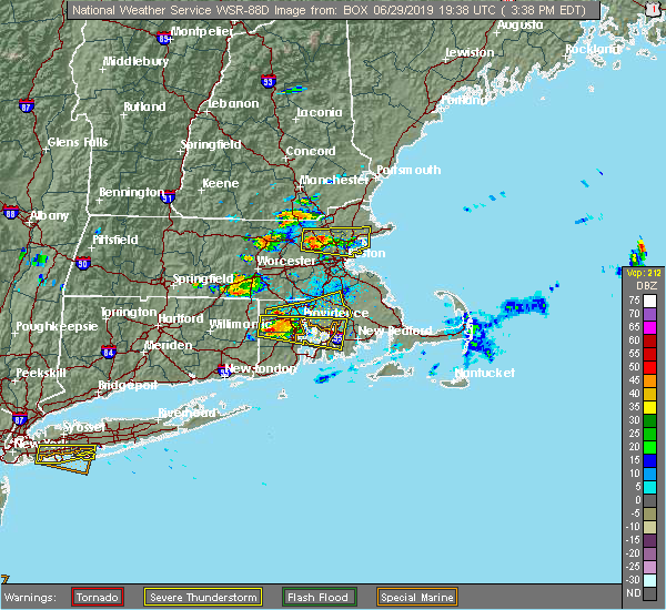 At 339 pm edt, a severe thunderstorm was located over burlington, or over woburn, moving east at 15 mph (radar indicated). Hazards include 60 mph wind gusts and penny size hail. Expect damage to trees and power lines. Locations impacted include, boston, lowell, lynn, somerville, malden, medford, revere, peabody, arlington, everett, salem, billerica, beverly, woburn, chelsea, chelmsford, andover, lexington, tewksbury and north andover. At 339 pm edt, a severe thunderstorm was located over burlington, or over woburn, moving east at 15 mph (radar indicated). Hazards include 60 mph wind gusts and penny size hail. Expect damage to trees and power lines. Locations impacted include, boston, lowell, lynn, somerville, malden, medford, revere, peabody, arlington, everett, salem, billerica, beverly, woburn, chelsea, chelmsford, andover, lexington, tewksbury and north andover.
|
| 6/29/2019 3:17 PM EDT |
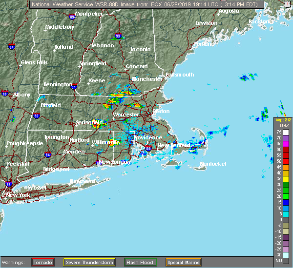 At 317 pm edt, a severe thunderstorm was located over bedford, or near billerica, moving east at 20 mph (radar indicated). Hazards include 60 mph wind gusts and penny size hail. expect damage to trees and power lines At 317 pm edt, a severe thunderstorm was located over bedford, or near billerica, moving east at 20 mph (radar indicated). Hazards include 60 mph wind gusts and penny size hail. expect damage to trees and power lines
|
| 10/29/2018 9:55 AM EDT |
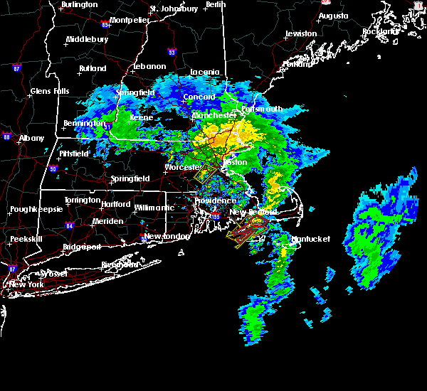 At 954 am edt, a severe thunderstorm was located over dover, or near needham, moving northeast at 30 mph (radar indicated). Hazards include 60 mph wind gusts. expect damage to trees and power lines At 954 am edt, a severe thunderstorm was located over dover, or near needham, moving northeast at 30 mph (radar indicated). Hazards include 60 mph wind gusts. expect damage to trees and power lines
|
| 9/6/2018 4:23 PM EDT |
 At 422 pm edt, a severe thunderstorm was located over hopkinton, or near milford, moving east at 45 mph (radar indicated). Hazards include 60 mph wind gusts and quarter size hail. Hail damage to vehicles is possible. Expect damage to trees and power lines. At 422 pm edt, a severe thunderstorm was located over hopkinton, or near milford, moving east at 45 mph (radar indicated). Hazards include 60 mph wind gusts and quarter size hail. Hail damage to vehicles is possible. Expect damage to trees and power lines.
|
| 8/8/2018 8:39 PM EDT |
 A severe thunderstorm warning remains in effect until 915 pm edt for northeastern norfolk. suffolk and southeastern middlesex counties. at 838 pm edt, severe thunderstorms were located along a line extending from lynnfield to newton, moving east at 25 mph. hazard. 60 mph wind gusts. A severe thunderstorm warning remains in effect until 915 pm edt for northeastern norfolk. suffolk and southeastern middlesex counties. at 838 pm edt, severe thunderstorms were located along a line extending from lynnfield to newton, moving east at 25 mph. hazard. 60 mph wind gusts.
|
| 8/8/2018 8:23 PM EDT |
 At 822 pm edt, a severe thunderstorm was located over salem, moving east at 40 mph (radar indicated). Hazards include 60 mph wind gusts. Expect damage to trees and power lines. Locations impacted include, cambridge, somerville, framingham, waltham, malden, medford, arlington, everett, billerica, woburn, watertown, lexington, melrose, saugus, wakefield, reading, belmont, burlington, wilmington and stoneham. At 822 pm edt, a severe thunderstorm was located over salem, moving east at 40 mph (radar indicated). Hazards include 60 mph wind gusts. Expect damage to trees and power lines. Locations impacted include, cambridge, somerville, framingham, waltham, malden, medford, arlington, everett, billerica, woburn, watertown, lexington, melrose, saugus, wakefield, reading, belmont, burlington, wilmington and stoneham.
|
| 8/8/2018 8:11 PM EDT |
 At 811 pm edt, severe thunderstorms were located along a line extending from burlington to framingham, moving east at 25 mph (radar indicated). Hazards include 60 mph wind gusts. expect damage to trees and power lines At 811 pm edt, severe thunderstorms were located along a line extending from burlington to framingham, moving east at 25 mph (radar indicated). Hazards include 60 mph wind gusts. expect damage to trees and power lines
|
| 8/8/2018 7:58 PM EDT |
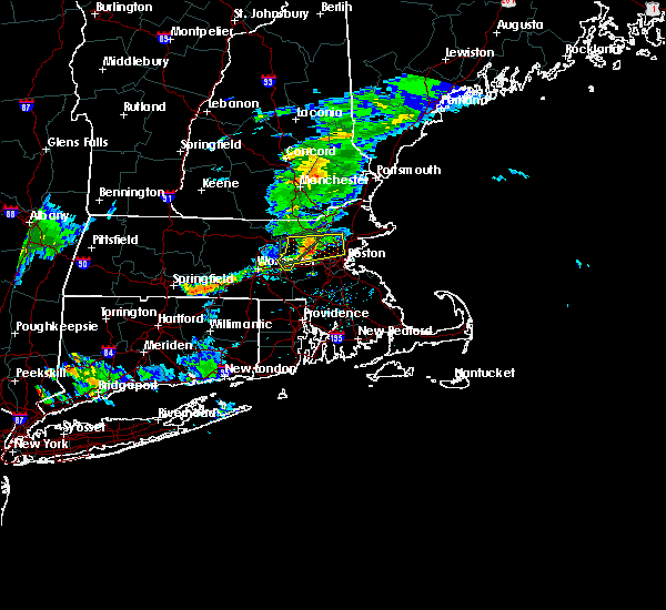 At 757 pm edt, a severe thunderstorm was located over lexington, moving east at 35 mph (radar indicated). Hazards include 60 mph wind gusts. Expect damage to trees and power lines. Locations impacted include, cambridge, somerville, framingham, waltham, malden, medford, arlington, everett, billerica, marlborough, woburn, chelmsford, watertown, lexington, tewksbury, melrose, saugus, wakefield, reading and belmont. At 757 pm edt, a severe thunderstorm was located over lexington, moving east at 35 mph (radar indicated). Hazards include 60 mph wind gusts. Expect damage to trees and power lines. Locations impacted include, cambridge, somerville, framingham, waltham, malden, medford, arlington, everett, billerica, marlborough, woburn, chelmsford, watertown, lexington, tewksbury, melrose, saugus, wakefield, reading and belmont.
|
| 8/8/2018 7:50 PM EDT |
 At 749 pm edt, a severe thunderstorm was located over lincoln, or near lexington, moving east at 40 mph (radar indicated). Hazards include 60 mph wind gusts. expect damage to trees and power lines At 749 pm edt, a severe thunderstorm was located over lincoln, or near lexington, moving east at 40 mph (radar indicated). Hazards include 60 mph wind gusts. expect damage to trees and power lines
|
| 7/17/2018 1:41 PM EDT |
 The severe thunderstorm warning for northeastern worcester and central middlesex counties will expire at 145 pm edt, the storm which prompted the warning has moved out of the area. therefore, the warning will be allowed to expire. a severe thunderstorm watch remains in effect until 700 pm edt for central and northeastern massachusetts. The severe thunderstorm warning for northeastern worcester and central middlesex counties will expire at 145 pm edt, the storm which prompted the warning has moved out of the area. therefore, the warning will be allowed to expire. a severe thunderstorm watch remains in effect until 700 pm edt for central and northeastern massachusetts.
|
| 7/17/2018 1:33 PM EDT |
 At 133 pm edt, severe thunderstorms were located along a line extending from georgetown to acton, moving east at 35 mph (radar indicated). Hazards include 60 mph wind gusts. expect damage to trees and power lines At 133 pm edt, severe thunderstorms were located along a line extending from georgetown to acton, moving east at 35 mph (radar indicated). Hazards include 60 mph wind gusts. expect damage to trees and power lines
|
| 7/17/2018 12:57 PM EDT |
 The national weather service in boston/norton has issued a * severe thunderstorm warning for. northeastern worcester county in central massachusetts. central middlesex county in northeastern massachusetts. until 145 pm edt. At 1257 pm edt, a severe thunderstorm was located over leominster,. The national weather service in boston/norton has issued a * severe thunderstorm warning for. northeastern worcester county in central massachusetts. central middlesex county in northeastern massachusetts. until 145 pm edt. At 1257 pm edt, a severe thunderstorm was located over leominster,.
|
| 6/18/2018 6:50 PM EDT |
 At 649 pm edt, severe thunderstorms were located along a line extending from bedford to near lincoln to near maynard, moving east at 40 mph (radar indicated). Hazards include 70 mph wind gusts. Expect considerable tree damage. damage is likely to mobile homes and outbuildings. Locations impacted include, boston, cambridge, lynn, newton, somerville, waltham, malden, brookline, medford, revere, peabody, arlington, everett, salem, leominster, billerica, beverly, marlborough, woburn and chelsea. At 649 pm edt, severe thunderstorms were located along a line extending from bedford to near lincoln to near maynard, moving east at 40 mph (radar indicated). Hazards include 70 mph wind gusts. Expect considerable tree damage. damage is likely to mobile homes and outbuildings. Locations impacted include, boston, cambridge, lynn, newton, somerville, waltham, malden, brookline, medford, revere, peabody, arlington, everett, salem, leominster, billerica, beverly, marlborough, woburn and chelsea.
|
| 6/18/2018 6:26 PM EDT |
 At 625 pm edt, severe thunderstorms were located along a line extending from near shirley to lancaster to sterling, moving east at 55 mph (radar indicated). Hazards include 70 mph wind gusts. Expect considerable tree damage. Damage is likely to mobile homes and outbuildings. At 625 pm edt, severe thunderstorms were located along a line extending from near shirley to lancaster to sterling, moving east at 55 mph (radar indicated). Hazards include 70 mph wind gusts. Expect considerable tree damage. Damage is likely to mobile homes and outbuildings.
|
| 5/15/2018 5:28 PM EDT | Tree down on forest street in middlesex county MA, 0.8 miles S of Waltham, MA |
| 5/15/2018 4:59 PM EDT |
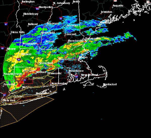 At 458 pm edt, a severe thunderstorm was located over sudbury, or near framingham, moving east at 40 mph (radar indicated). Hazards include 60 mph wind gusts and quarter size hail. Hail damage to vehicles is possible. Expect damage to trees and power lines. At 458 pm edt, a severe thunderstorm was located over sudbury, or near framingham, moving east at 40 mph (radar indicated). Hazards include 60 mph wind gusts and quarter size hail. Hail damage to vehicles is possible. Expect damage to trees and power lines.
|
| 8/2/2017 3:42 PM EDT |
 At 341 pm edt, a severe thunderstorm was located over acton, or 8 miles northeast of marlborough, moving east at 10 mph (radar indicated). Hazards include 60 mph wind gusts and quarter size hail. Hail damage to vehicles is possible. expect damage to trees and power lines. Locations impacted include, lowell, waltham, billerica, marlborough, chelmsford, lexington, burlington, westford, acton, hudson, concord, sudbury, bedford, wayland, tyngsborough, groton, maynard, littleton, lancaster and ayer. At 341 pm edt, a severe thunderstorm was located over acton, or 8 miles northeast of marlborough, moving east at 10 mph (radar indicated). Hazards include 60 mph wind gusts and quarter size hail. Hail damage to vehicles is possible. expect damage to trees and power lines. Locations impacted include, lowell, waltham, billerica, marlborough, chelmsford, lexington, burlington, westford, acton, hudson, concord, sudbury, bedford, wayland, tyngsborough, groton, maynard, littleton, lancaster and ayer.
|
| 8/2/2017 3:29 PM EDT |
 At 329 pm edt, a severe thunderstorm was located over acton, or 8 miles northeast of marlborough, and is nearly stationary (radar indicated). Hazards include 60 mph wind gusts and quarter size hail. Hail damage to vehicles is possible. Expect damage to trees and power lines. At 329 pm edt, a severe thunderstorm was located over acton, or 8 miles northeast of marlborough, and is nearly stationary (radar indicated). Hazards include 60 mph wind gusts and quarter size hail. Hail damage to vehicles is possible. Expect damage to trees and power lines.
|
| 7/12/2017 6:20 PM EDT |
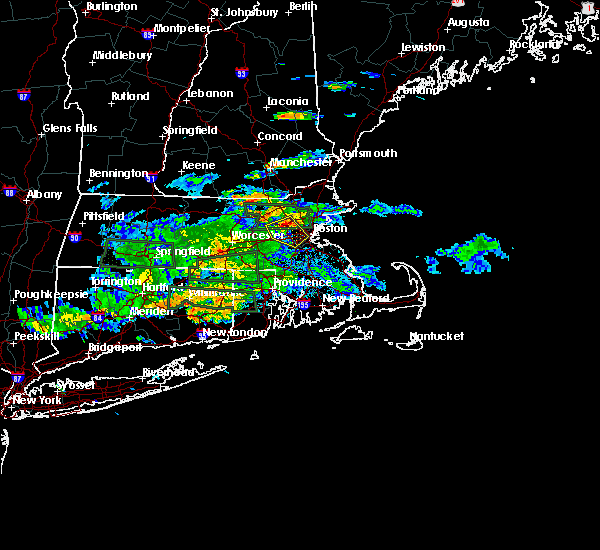 At 620 pm edt, a severe thunderstorm was located over lincoln, or over waltham, moving southeast at 15 mph (radar indicated). Hazards include 60 mph wind gusts. expect damage to trees and power lines At 620 pm edt, a severe thunderstorm was located over lincoln, or over waltham, moving southeast at 15 mph (radar indicated). Hazards include 60 mph wind gusts. expect damage to trees and power lines
|
| 6/27/2017 1:12 PM EDT |
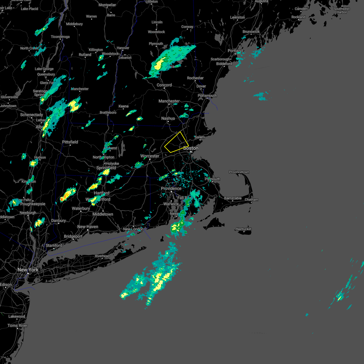 The severe thunderstorm warning for northeastern middlesex county will expire at 515 pm edt, the storm which prompted the warning has weakened below severe limits, and no longer poses an immediate threat to life or property. therefore the warning will be allowed to expire. however small hail is still possible with this thunderstorm. The severe thunderstorm warning for northeastern middlesex county will expire at 515 pm edt, the storm which prompted the warning has weakened below severe limits, and no longer poses an immediate threat to life or property. therefore the warning will be allowed to expire. however small hail is still possible with this thunderstorm.
|
| 6/27/2017 12:51 PM EDT |
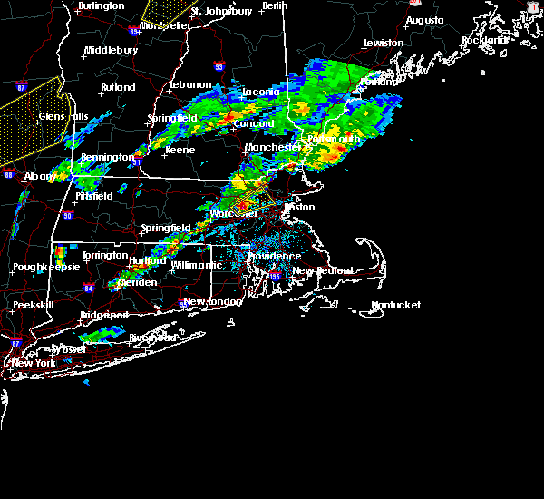 At 450 pm edt, a severe thunderstorm was located over maynard, or 8 miles north of framingham, moving northeast at 35 mph (trained weather spotters reported quarter sized hail in maynard massachusetts). Hazards include quarter size hail. Damage to vehicles is possible. Locations impacted include, waltham, medford, arlington, billerica, woburn, chelmsford, lexington, tewksbury, belmont, burlington, wilmington, acton, stoneham, winchester, hudson, concord, sudbury, bedford, wayland and weston. At 450 pm edt, a severe thunderstorm was located over maynard, or 8 miles north of framingham, moving northeast at 35 mph (trained weather spotters reported quarter sized hail in maynard massachusetts). Hazards include quarter size hail. Damage to vehicles is possible. Locations impacted include, waltham, medford, arlington, billerica, woburn, chelmsford, lexington, tewksbury, belmont, burlington, wilmington, acton, stoneham, winchester, hudson, concord, sudbury, bedford, wayland and weston.
|
| 6/27/2017 12:46 PM EDT |
 At 444 pm edt, a severe thunderstorm was located over maynard, or near marlborough, moving northeast at 35 mph (radar indicated. hail up to half inch has been reported with this size). Hazards include quarter size hail and wind gusts up to 40 mph. damage to vehicles is possible At 444 pm edt, a severe thunderstorm was located over maynard, or near marlborough, moving northeast at 35 mph (radar indicated. hail up to half inch has been reported with this size). Hazards include quarter size hail and wind gusts up to 40 mph. damage to vehicles is possible
|
| 6/23/2017 1:56 PM EDT |
 At 156 pm edt, severe thunderstorms were located along a line extending from bedford to somerville, moving northeast at 45 mph (radar indicated). Hazards include 60 mph wind gusts. expect damage to trees and power lines At 156 pm edt, severe thunderstorms were located along a line extending from bedford to somerville, moving northeast at 45 mph (radar indicated). Hazards include 60 mph wind gusts. expect damage to trees and power lines
|
| 6/13/2017 5:05 PM EDT |
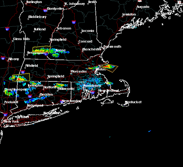 At 505 pm edt, a severe thunderstorm was located over arlington, moving southeast at 55 mph (radar indicated). Hazards include 60 mph wind gusts and quarter size hail. Hail damage to vehicles is possible. Expect damage to trees and power lines. At 505 pm edt, a severe thunderstorm was located over arlington, moving southeast at 55 mph (radar indicated). Hazards include 60 mph wind gusts and quarter size hail. Hail damage to vehicles is possible. Expect damage to trees and power lines.
|
| 5/19/2017 12:26 AM EDT |
 At 1225 am edt, severe thunderstorms were located along a line extending from near concord to near mendon to near putnam, moving east at 45 mph (radar indicated). Hazards include 60 mph wind gusts. Expect damage to trees and power lines. Locations impacted include, boston, cambridge, quincy, newton, somerville, pawtucket, framingham, waltham, malden, brookline, medford, revere, arlington, everett, woonsocket, billerica, woburn, chelsea, coventry and cumberland. At 1225 am edt, severe thunderstorms were located along a line extending from near concord to near mendon to near putnam, moving east at 45 mph (radar indicated). Hazards include 60 mph wind gusts. Expect damage to trees and power lines. Locations impacted include, boston, cambridge, quincy, newton, somerville, pawtucket, framingham, waltham, malden, brookline, medford, revere, arlington, everett, woonsocket, billerica, woburn, chelsea, coventry and cumberland.
|
| 5/19/2017 12:04 AM EDT |
 At 1204 am edt, severe thunderstorms were located along a line extending from clinton to near douglas to near ashford, moving east at 40 mph (radar indicated). Hazards include 60 mph wind gusts. expect damage to trees and power lines At 1204 am edt, severe thunderstorms were located along a line extending from clinton to near douglas to near ashford, moving east at 40 mph (radar indicated). Hazards include 60 mph wind gusts. expect damage to trees and power lines
|
| 5/18/2017 9:43 PM EDT |
 At 942 pm edt, a severe thunderstorm was located near templeton, or 10 miles east of orange, moving east at 55 mph (radar indicated). Hazards include 60 mph wind gusts. expect damage to trees and power lines At 942 pm edt, a severe thunderstorm was located near templeton, or 10 miles east of orange, moving east at 55 mph (radar indicated). Hazards include 60 mph wind gusts. expect damage to trees and power lines
|
| 10/21/2016 8:57 PM EDT |
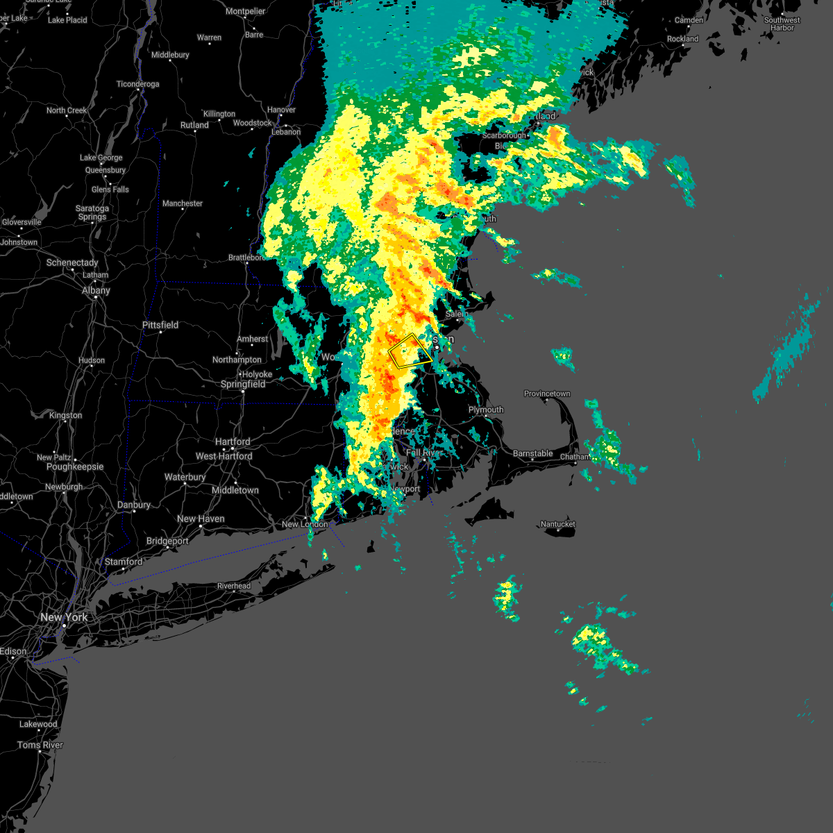 The severe thunderstorm warning for north central norfolk. southwestern suffolk and southeastern middlesex counties will expire at 900 pm edt. the storm which prompted the warning has weakened below severe limits. therefore. The warning will be allowed to expire. The severe thunderstorm warning for north central norfolk. southwestern suffolk and southeastern middlesex counties will expire at 900 pm edt. the storm which prompted the warning has weakened below severe limits. therefore. The warning will be allowed to expire.
|
| 10/21/2016 8:40 PM EDT |
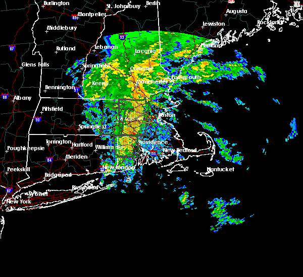 At 840 pm edt, a severe thunderstorm was located over newton, moving northeast at 30 mph (radar indicated). Hazards include 60 mph wind gusts. Expect damage to roofs. siding. and trees. Locations impacted include, boston, newton, framingham, waltham, brookline, natick, watertown, lexington, needham, wellesley, dedham, sudbury, wayland, weston, lincoln, dover and sherborn. At 840 pm edt, a severe thunderstorm was located over newton, moving northeast at 30 mph (radar indicated). Hazards include 60 mph wind gusts. Expect damage to roofs. siding. and trees. Locations impacted include, boston, newton, framingham, waltham, brookline, natick, watertown, lexington, needham, wellesley, dedham, sudbury, wayland, weston, lincoln, dover and sherborn.
|
| 10/21/2016 8:08 PM EDT |
 At 808 pm edt, a severe thunderstorm was located over hopkinton, or near milford, moving northeast at 30 mph (radar indicated). Hazards include 60 mph wind gusts. Expect damage to roofs. siding. And trees. At 808 pm edt, a severe thunderstorm was located over hopkinton, or near milford, moving northeast at 30 mph (radar indicated). Hazards include 60 mph wind gusts. Expect damage to roofs. siding. And trees.
|
| 9/11/2016 10:15 AM EDT | Trees and wires down in the warrendale section of the city in middlesex county MA, 0.8 miles S of Waltham, MA |
| 9/11/2016 10:14 AM EDT |
 At 1014 am edt, severe thunderstorms were located along a line extending from north andover to hopedale, moving east at 45 mph (radar indicated). Hazards include 60 mph wind gusts. Expect damage to roofs. siding. and trees. Locations impacted include, boston, cambridge, brockton, quincy, lynn, newton, lawrence, somerville, framingham, haverhill, waltham, malden, brookline, medford, weymouth, revere, peabody, methuen, arlington and everett. At 1014 am edt, severe thunderstorms were located along a line extending from north andover to hopedale, moving east at 45 mph (radar indicated). Hazards include 60 mph wind gusts. Expect damage to roofs. siding. and trees. Locations impacted include, boston, cambridge, brockton, quincy, lynn, newton, lawrence, somerville, framingham, haverhill, waltham, malden, brookline, medford, weymouth, revere, peabody, methuen, arlington and everett.
|
| 9/11/2016 10:10 AM EDT |
 The severe thunderstorm warning for northwestern essex, southeastern hampshire, southeastern hampden, worcester and middlesex counties will expire at 1015 am edt, the storms which prompted the warning have moved out of the area. therefore, the warning will be allowed to expire. The severe thunderstorm warning for northwestern essex, southeastern hampshire, southeastern hampden, worcester and middlesex counties will expire at 1015 am edt, the storms which prompted the warning have moved out of the area. therefore, the warning will be allowed to expire.
|
| 9/11/2016 9:53 AM EDT |
 At 952 am edt, severe thunderstorms were located along a line extending from tyngsborough to near oxford, moving east at 45 mph (radar indicated). Hazards include 60 mph wind gusts. Expect damage to roofs. siding. And trees. At 952 am edt, severe thunderstorms were located along a line extending from tyngsborough to near oxford, moving east at 45 mph (radar indicated). Hazards include 60 mph wind gusts. Expect damage to roofs. siding. And trees.
|
| 9/11/2016 9:23 AM EDT |
 At 922 am edt, severe thunderstorms were located along a line extending from near new boston to near westminster to north brookfield to west hartford, moving east at 45 mph (radar indicated). Hazards include 60 mph wind gusts. Expect damage to roofs. siding. And trees. At 922 am edt, severe thunderstorms were located along a line extending from near new boston to near westminster to north brookfield to west hartford, moving east at 45 mph (radar indicated). Hazards include 60 mph wind gusts. Expect damage to roofs. siding. And trees.
|
| 8/22/2016 3:19 AM EDT |
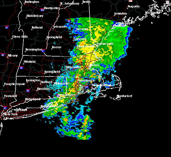 At 319 am edt, a severe thunderstorm capable of producing a tornado was located over concord, or near lexington, moving northeast at 35 mph (radar indicated rotation). Hazards include tornado. Flying debris will be dangerous to those caught without shelter. mobile homes will be damaged or destroyed. damage to roofs, windows, and vehicles will occur. tree damage is likely. This dangerous storm will be near, lexington around 330 am edt. At 319 am edt, a severe thunderstorm capable of producing a tornado was located over concord, or near lexington, moving northeast at 35 mph (radar indicated rotation). Hazards include tornado. Flying debris will be dangerous to those caught without shelter. mobile homes will be damaged or destroyed. damage to roofs, windows, and vehicles will occur. tree damage is likely. This dangerous storm will be near, lexington around 330 am edt.
|
| 8/22/2016 3:01 AM EDT |
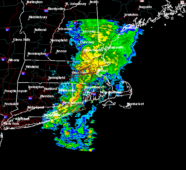 At 300 am edt, a severe thunderstorm capable of producing a tornado was located near sudbury, or near marlborough, moving northeast at 35 mph (radar indicated rotation). Hazards include tornado. Flying debris will be dangerous to those caught without shelter. mobile homes will be damaged or destroyed. damage to roofs, windows, and vehicles will occur. tree damage is likely. this dangerous storm will be near, natick, sudbury, wayland and maynard around 310 am edt. acton and weston around 315 am edt. waltham, concord and lincoln around 320 am edt. Newton, lexington and bedford around 325 am edt. At 300 am edt, a severe thunderstorm capable of producing a tornado was located near sudbury, or near marlborough, moving northeast at 35 mph (radar indicated rotation). Hazards include tornado. Flying debris will be dangerous to those caught without shelter. mobile homes will be damaged or destroyed. damage to roofs, windows, and vehicles will occur. tree damage is likely. this dangerous storm will be near, natick, sudbury, wayland and maynard around 310 am edt. acton and weston around 315 am edt. waltham, concord and lincoln around 320 am edt. Newton, lexington and bedford around 325 am edt.
|
| 8/22/2016 2:51 AM EDT |
 At 250 am edt, severe thunderstorms were located along a line extending from berlin to westborough, moving northeast at 35 mph (radar indicated). Hazards include 60 mph wind gusts. Expect damage to roofs. siding. And trees. At 250 am edt, severe thunderstorms were located along a line extending from berlin to westborough, moving northeast at 35 mph (radar indicated). Hazards include 60 mph wind gusts. Expect damage to roofs. siding. And trees.
|
| 8/14/2016 8:08 PM EDT |
 At 808 pm edt, severe thunderstorms were located along a line extending from hopkinton to near upton to near uxbridge, moving east northeast at 35 mph (radar indicated). Hazards include 60 mph wind gusts. Expect damage to roofs. siding. And trees. At 808 pm edt, severe thunderstorms were located along a line extending from hopkinton to near upton to near uxbridge, moving east northeast at 35 mph (radar indicated). Hazards include 60 mph wind gusts. Expect damage to roofs. siding. And trees.
|
| 7/23/2016 7:35 PM EDT | Branch down on a garage on charles stree in middlesex county MA, 0.8 miles S of Waltham, MA |
| 7/23/2016 7:06 PM EDT |
 At 704 pm edt, a cluster of severe thunderstorms was dropping south from far northern new hampshire. however, damaging wind gusts were occurring out of ahead the actual thunderstorms (trained weather spotters have reported wind damage in north central and northeast massachusetts). Hazards include 60 mph wind gusts. Expect damage to roofs. siding. And trees. At 704 pm edt, a cluster of severe thunderstorms was dropping south from far northern new hampshire. however, damaging wind gusts were occurring out of ahead the actual thunderstorms (trained weather spotters have reported wind damage in north central and northeast massachusetts). Hazards include 60 mph wind gusts. Expect damage to roofs. siding. And trees.
|
| 7/23/2016 5:46 PM EDT |
 At 546 pm edt, a severe thunderstorm was located over winchester, or over woburn, moving east at 20 mph (radar indicated). Hazards include 60 mph wind gusts and quarter size hail. Hail damage to vehicles is expected. Expect wind damage to roofs, siding, and trees. At 546 pm edt, a severe thunderstorm was located over winchester, or over woburn, moving east at 20 mph (radar indicated). Hazards include 60 mph wind gusts and quarter size hail. Hail damage to vehicles is expected. Expect wind damage to roofs, siding, and trees.
|
| 7/22/2016 8:31 PM EDT |
 At 830 pm edt, a severe thunderstorm was located over dover, or near needham, moving east at 25 mph (radar indicated). Hazards include 60 mph wind gusts and quarter size hail. Hail damage to vehicles is expected. Expect wind damage to roofs, siding, and trees. At 830 pm edt, a severe thunderstorm was located over dover, or near needham, moving east at 25 mph (radar indicated). Hazards include 60 mph wind gusts and quarter size hail. Hail damage to vehicles is expected. Expect wind damage to roofs, siding, and trees.
|
| 7/18/2016 4:04 PM EDT |
 At 404 pm edt, a severe thunderstorm was located over ashland, or over framingham, moving east at 35 mph (radar indicated). Hazards include 60 mph wind gusts and quarter size hail. Hail damage to vehicles is expected. expect wind damage to roofs, siding, and trees. Locations impacted include, boston, cambridge, newton, somerville, framingham, waltham, malden, brookline, medford, arlington, everett, natick, watertown, needham, wellesley, melrose, belmont, dedham, stoneham and sudbury. At 404 pm edt, a severe thunderstorm was located over ashland, or over framingham, moving east at 35 mph (radar indicated). Hazards include 60 mph wind gusts and quarter size hail. Hail damage to vehicles is expected. expect wind damage to roofs, siding, and trees. Locations impacted include, boston, cambridge, newton, somerville, framingham, waltham, malden, brookline, medford, arlington, everett, natick, watertown, needham, wellesley, melrose, belmont, dedham, stoneham and sudbury.
|
| 7/18/2016 3:53 PM EDT |
 At 352 pm edt, a severe thunderstorm was located over westborough, or near marlborough, moving east at 40 mph (radar indicated). Hazards include 60 mph wind gusts and quarter size hail. Hail damage to vehicles is expected. Expect wind damage to roofs, siding, and trees. At 352 pm edt, a severe thunderstorm was located over westborough, or near marlborough, moving east at 40 mph (radar indicated). Hazards include 60 mph wind gusts and quarter size hail. Hail damage to vehicles is expected. Expect wind damage to roofs, siding, and trees.
|
| 2/25/2016 3:21 AM EST |
 The severe thunderstorm warning for northwestern bristol, west central essex, western norfolk, southeastern worcester and middlesex counties will expire at 330 am est, the storm which prompted the warning has weakened below severe limits although strong winds may linger. The severe thunderstorm warning for northwestern bristol, west central essex, western norfolk, southeastern worcester and middlesex counties will expire at 330 am est, the storm which prompted the warning has weakened below severe limits although strong winds may linger.
|
| 2/25/2016 2:40 AM EST |
 At 239 am est, doppler radar indicated a severe thunderstorm capable of producing destructive winds in excess of 70 mph. this storm was located over upton, or near milford, and was moving northeast at 115 mph. At 239 am est, doppler radar indicated a severe thunderstorm capable of producing destructive winds in excess of 70 mph. this storm was located over upton, or near milford, and was moving northeast at 115 mph.
|
| 8/4/2015 4:10 PM EDT | Hen Egg sized hail reported 0.2 miles SW of Waltham, MA |
| 8/4/2015 4:09 PM EDT |
 At 409 pm edt, doppler radar indicated a line of severe thunderstorms capable of producing large damaging hail up to golf ball size and damaging winds in excess of 60 mph. these storms were located along a line extending from bedford to needham to medway, moving east at 40 mph. locations impacted include, boston, cambridge, brockton, quincy, lynn, newton, somerville, framingham, waltham, malden, brookline, medford, weymouth, revere, peabody, arlington, everett, salem, billerica and beverly. At 409 pm edt, doppler radar indicated a line of severe thunderstorms capable of producing large damaging hail up to golf ball size and damaging winds in excess of 60 mph. these storms were located along a line extending from bedford to needham to medway, moving east at 40 mph. locations impacted include, boston, cambridge, brockton, quincy, lynn, newton, somerville, framingham, waltham, malden, brookline, medford, weymouth, revere, peabody, arlington, everett, salem, billerica and beverly.
|
| 8/4/2015 4:09 PM EDT |
 A severe thunderstorm warning remains in effect until 445 pm edt for southern essex. northwestern plymouth. norfolk. suffolk and southeastern middlesex counties. at 409 pm edt. doppler radar indicated a line of severe thunderstorms capable of producing large damaging hail up to golf ball size and damaging winds in excess of 60 mph. These storms were. A severe thunderstorm warning remains in effect until 445 pm edt for southern essex. northwestern plymouth. norfolk. suffolk and southeastern middlesex counties. at 409 pm edt. doppler radar indicated a line of severe thunderstorms capable of producing large damaging hail up to golf ball size and damaging winds in excess of 60 mph. These storms were.
|
| 8/4/2015 4:05 PM EDT | Quarter sized hail reported 0.2 miles SW of Waltham, MA |
| 8/4/2015 4:00 PM EDT | Ping Pong Ball sized hail reported 3 miles E of Waltham, MA |
| 8/4/2015 4:00 PM EDT | Tree and wires down on amory road in middlesex county MA, 0.2 miles SW of Waltham, MA |
| 8/4/2015 3:50 PM EDT |
 The national weather service in taunton has issued a * severe thunderstorm warning for. southern essex county in northeastern massachusetts. northwestern plymouth county in southeastern massachusetts. norfolk county in eastern massachusetts. Southeastern worcester county in central massachusetts. The national weather service in taunton has issued a * severe thunderstorm warning for. southern essex county in northeastern massachusetts. northwestern plymouth county in southeastern massachusetts. norfolk county in eastern massachusetts. Southeastern worcester county in central massachusetts.
|
| 8/4/2015 3:50 PM EDT |
 At 349 pm edt, doppler radar indicated a line of severe thunderstorms capable of producing half dollar size hail and damaging winds in excess of 60 mph. these storms were located along a line extending from littleton to framingham to near northbridge, and was moving east at 40 mph. * some locations impacted include, boston, cambridge, brockton, quincy, lynn, newton, somerville, framingham, waltham, malden, brookline, medford, weymouth, revere, peabody, arlington, everett, salem, billerica and beverly. At 349 pm edt, doppler radar indicated a line of severe thunderstorms capable of producing half dollar size hail and damaging winds in excess of 60 mph. these storms were located along a line extending from littleton to framingham to near northbridge, and was moving east at 40 mph. * some locations impacted include, boston, cambridge, brockton, quincy, lynn, newton, somerville, framingham, waltham, malden, brookline, medford, weymouth, revere, peabody, arlington, everett, salem, billerica and beverly.
|
| 8/4/2015 3:45 PM EDT |
 At 344 pm edt, doppler radar indicated a severe thunderstorm capable of producing large damaging hail up to golf ball size and damaging winds in excess of 60 mph. this storm was located over marlborough, moving east at 30 mph. in addition, at 3:44 pm, golf ball size hail was reported in marlborough. locations impacted include, worcester, framingham, waltham, billerica, marlborough, shrewsbury, chelmsford, natick, lexington, milford, burlington, wilmington, westford, acton, hudson, westborough, grafton, concord, sudbury and ashland. At 344 pm edt, doppler radar indicated a severe thunderstorm capable of producing large damaging hail up to golf ball size and damaging winds in excess of 60 mph. this storm was located over marlborough, moving east at 30 mph. in addition, at 3:44 pm, golf ball size hail was reported in marlborough. locations impacted include, worcester, framingham, waltham, billerica, marlborough, shrewsbury, chelmsford, natick, lexington, milford, burlington, wilmington, westford, acton, hudson, westborough, grafton, concord, sudbury and ashland.
|
| 8/4/2015 3:35 PM EDT |
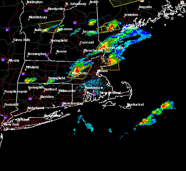 At 335 pm edt, doppler radar indicated a severe thunderstorm capable of producing large hail up to ping pong ball size and damaging winds in excess of 60 mph. this storm was located over northborough, or near marlborough, moving east at 40 mph. locations impacted include, worcester, framingham, waltham, leominster, billerica, marlborough, shrewsbury, chelmsford, natick, lexington, milford, burlington, wilmington, westford, acton, hudson, westborough, grafton, concord and sudbury. At 335 pm edt, doppler radar indicated a severe thunderstorm capable of producing large hail up to ping pong ball size and damaging winds in excess of 60 mph. this storm was located over northborough, or near marlborough, moving east at 40 mph. locations impacted include, worcester, framingham, waltham, leominster, billerica, marlborough, shrewsbury, chelmsford, natick, lexington, milford, burlington, wilmington, westford, acton, hudson, westborough, grafton, concord and sudbury.
|
| 8/4/2015 3:24 PM EDT |
 At 323 pm edt, doppler radar indicated a severe thunderstorm capable of producing quarter size hail and damaging winds in excess of 60 mph. this storm was located over princeton, or 8 miles southwest of leominster, and was moving east at 30 mph. * some locations impacted include, worcester, framingham, waltham, leominster, fitchburg, billerica, marlborough, shrewsbury, chelmsford, natick, lexington, milford, burlington, wilmington, westford, acton, hudson, westborough, grafton and concord. At 323 pm edt, doppler radar indicated a severe thunderstorm capable of producing quarter size hail and damaging winds in excess of 60 mph. this storm was located over princeton, or 8 miles southwest of leominster, and was moving east at 30 mph. * some locations impacted include, worcester, framingham, waltham, leominster, fitchburg, billerica, marlborough, shrewsbury, chelmsford, natick, lexington, milford, burlington, wilmington, westford, acton, hudson, westborough, grafton and concord.
|
| 7/3/2014 10:48 PM EDT | Tree down blocking shade stree in middlesex county MA, 0.8 miles S of Waltham, MA |
| 6/23/2012 5:19 PM EDT | Forest street at trapelo flooded and impassable in middlesex county MA, 0.8 miles S of Waltham, MA |
Hail Maps for Waltham, MA


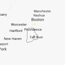


Connect with Interactive Hail Maps