

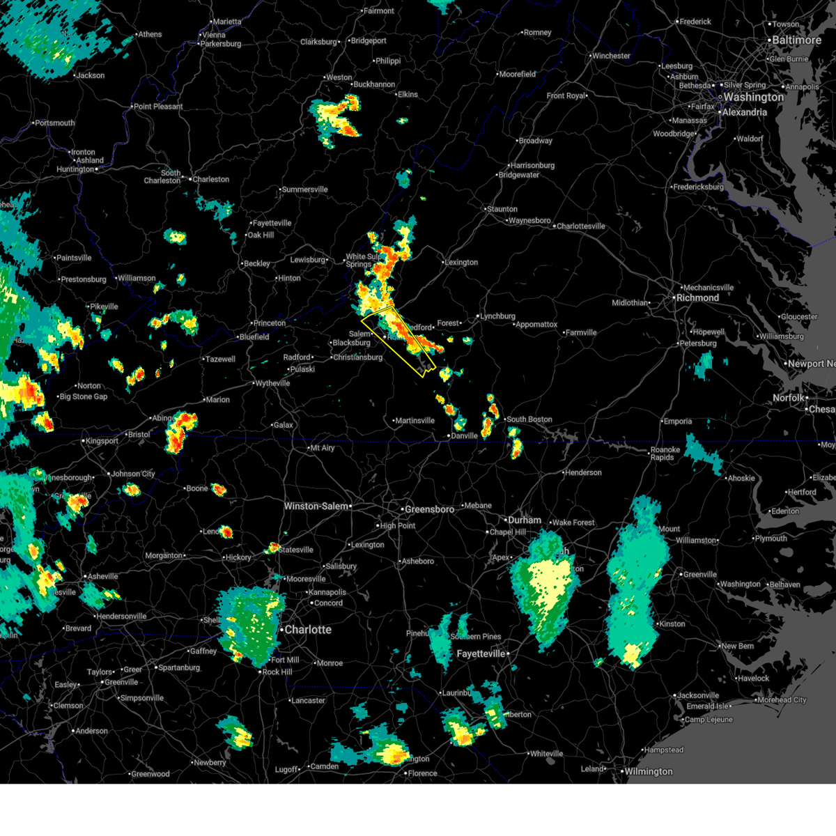
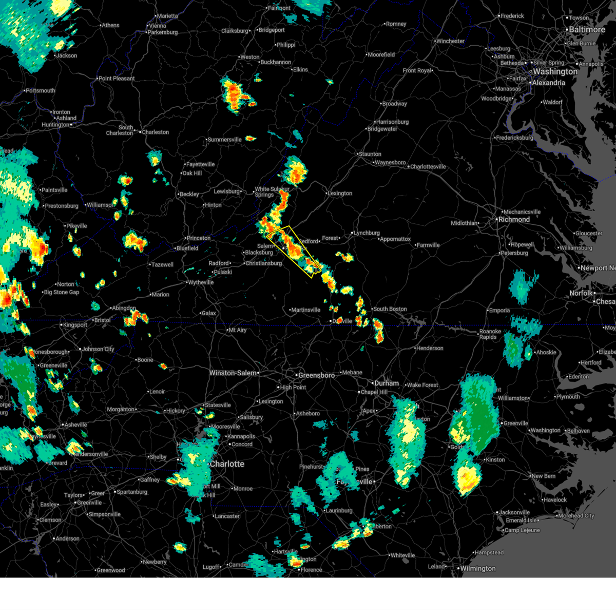
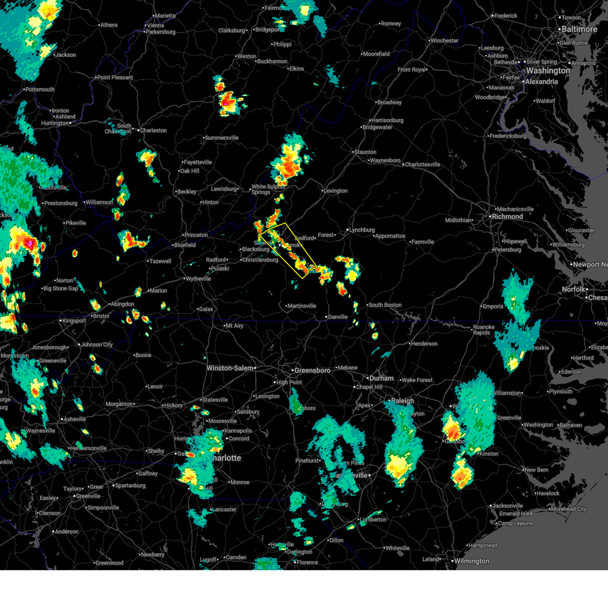
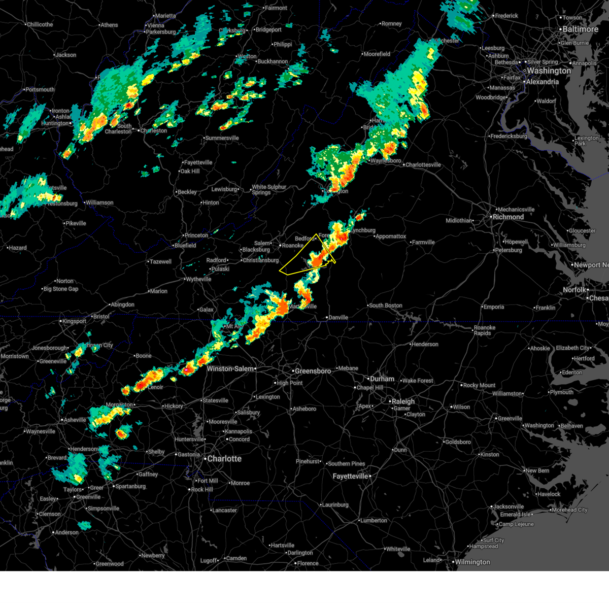
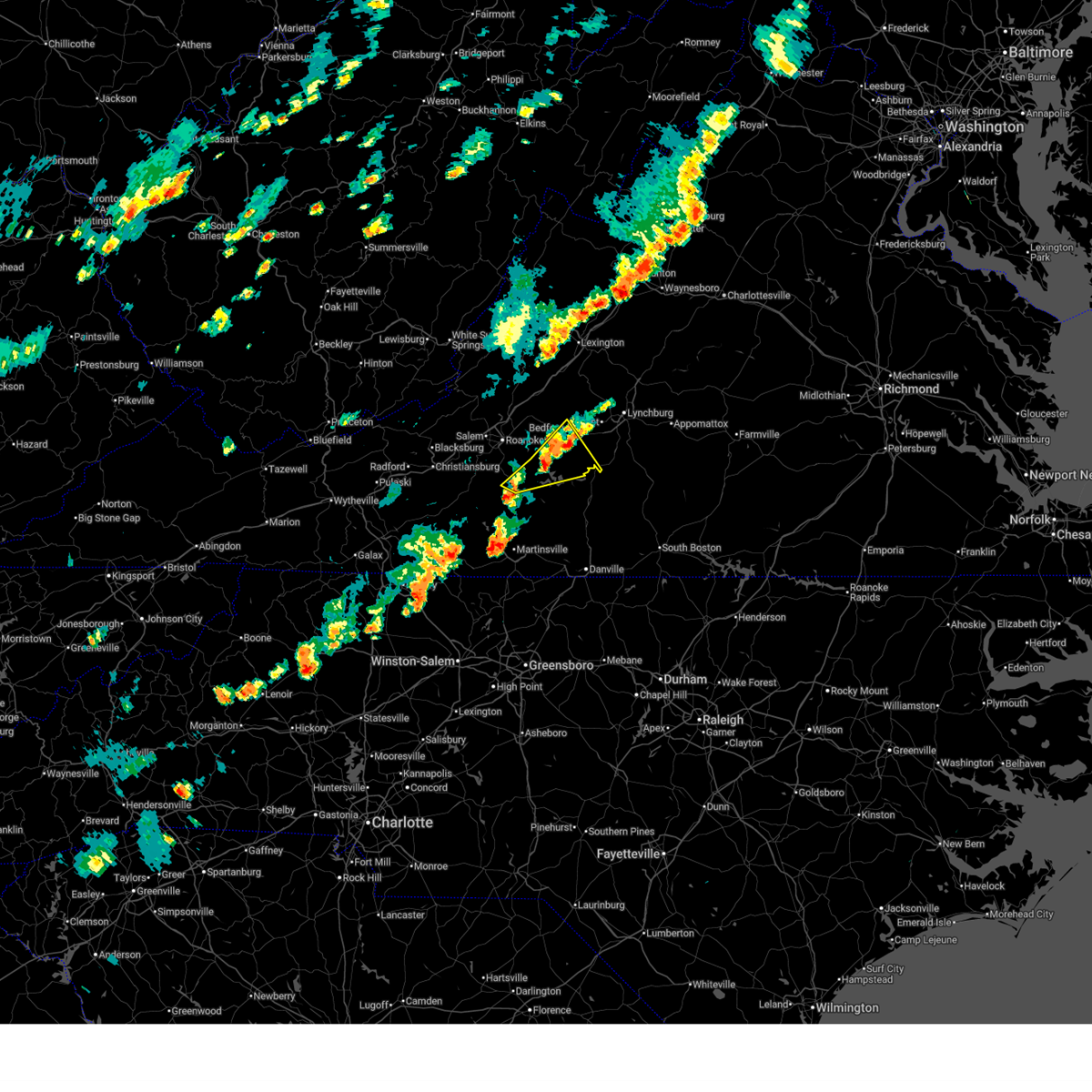
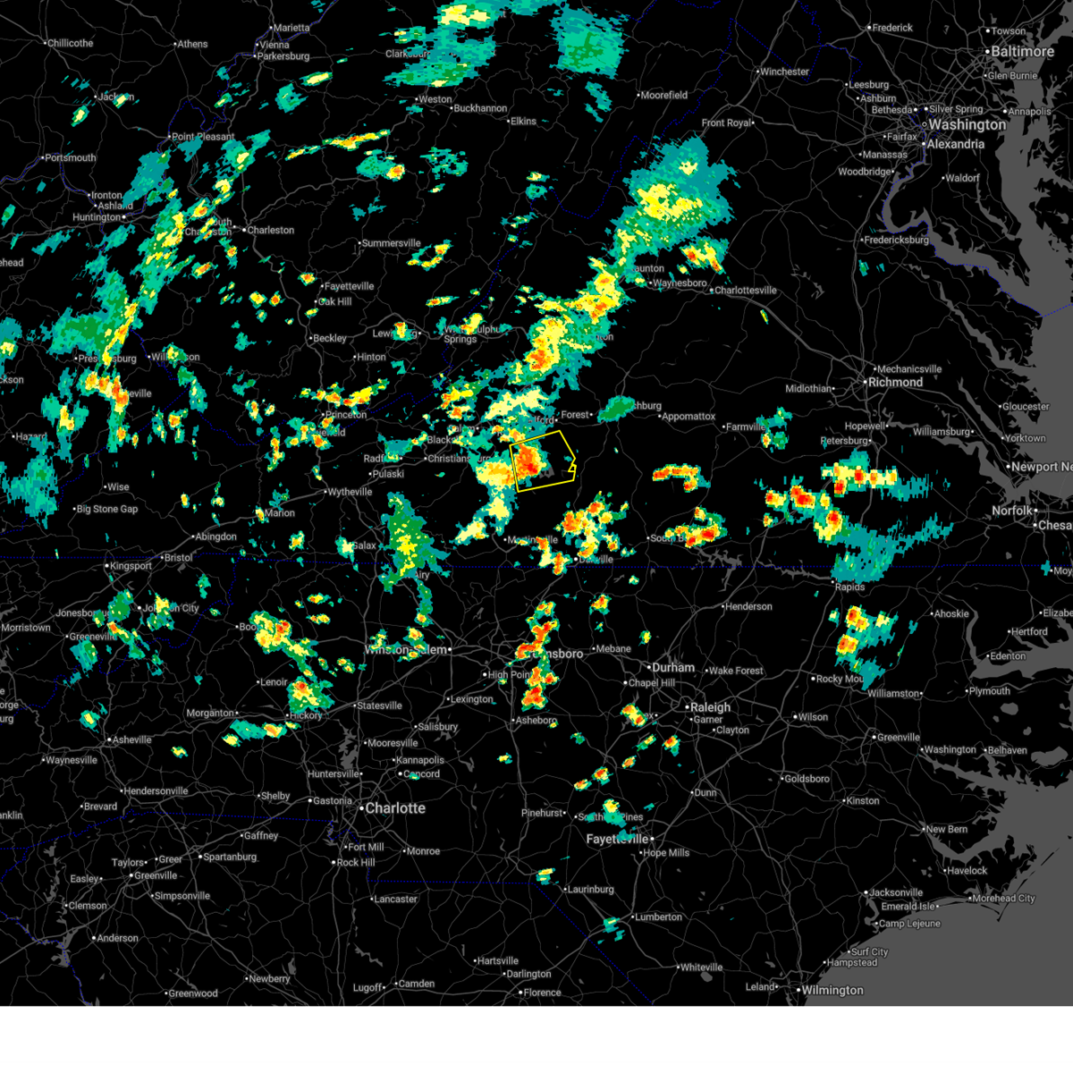
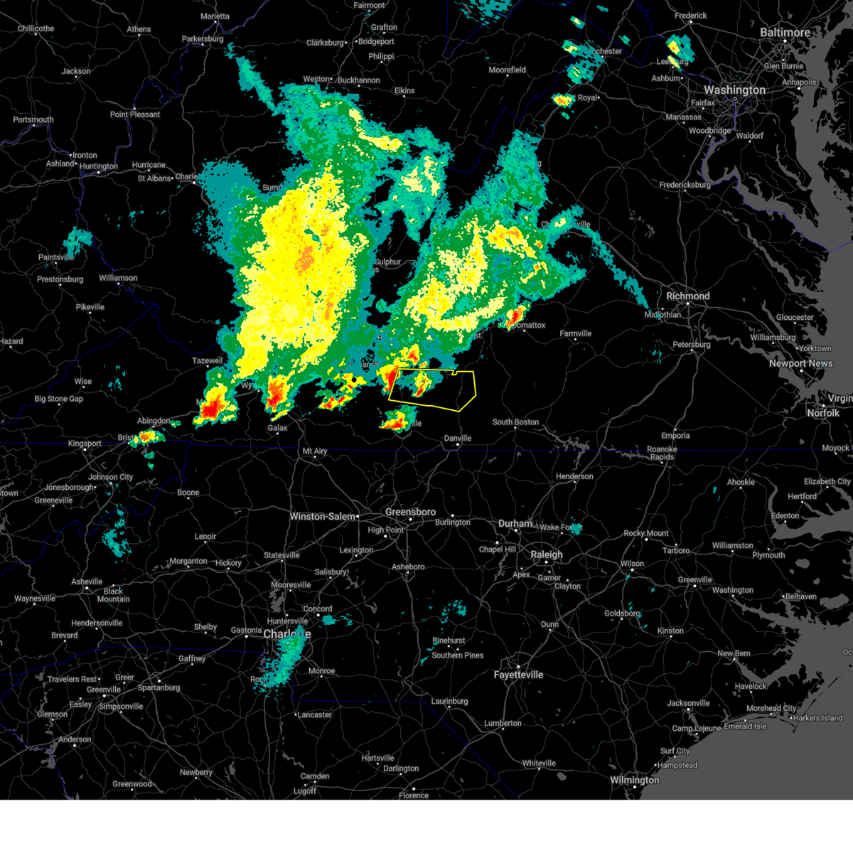
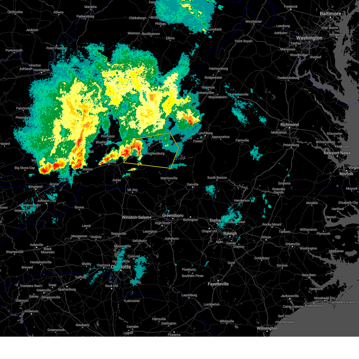
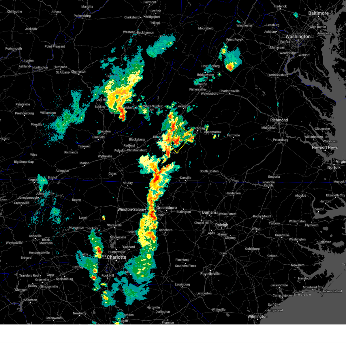
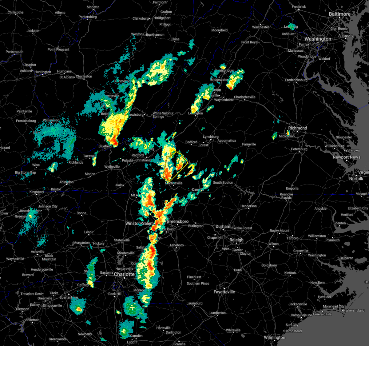
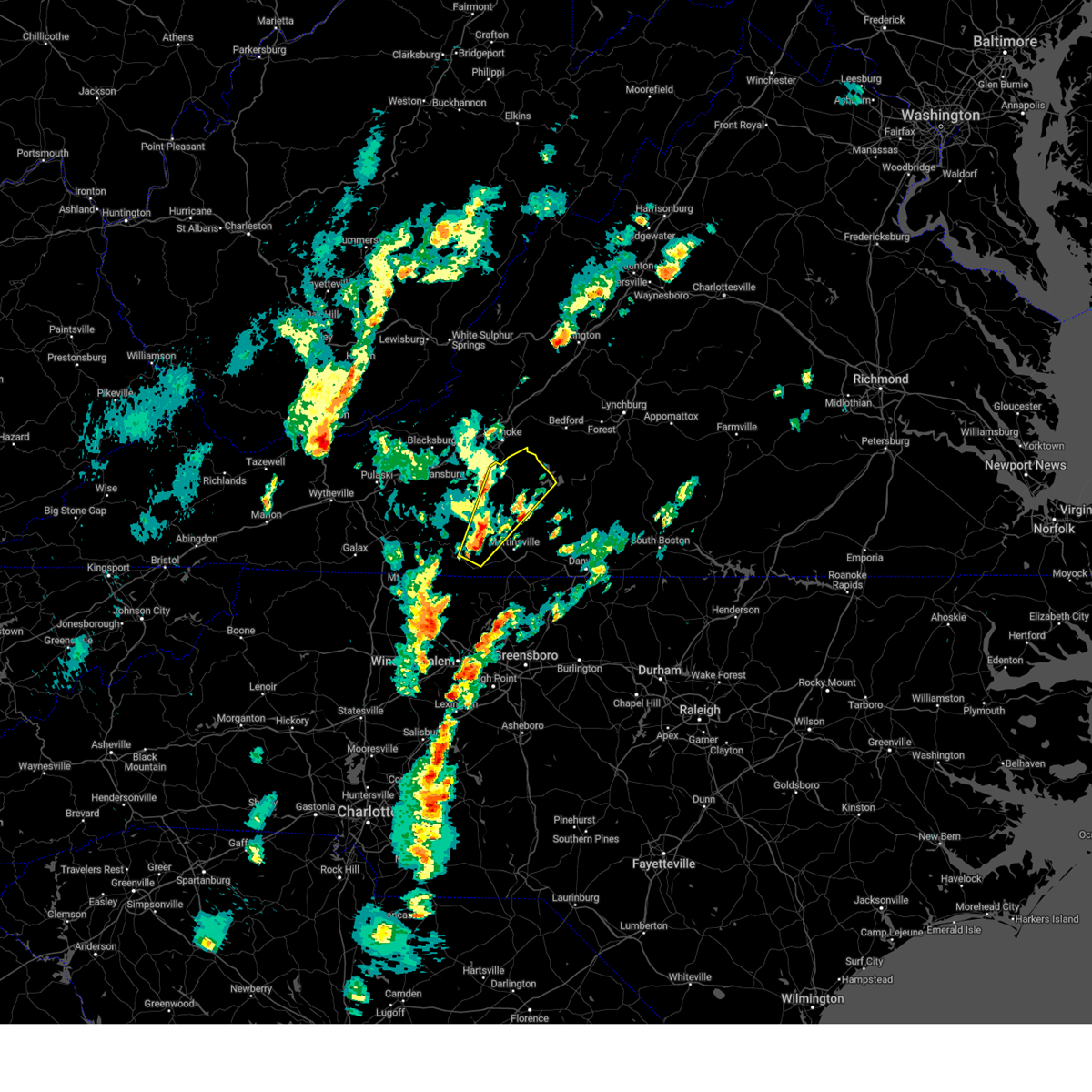
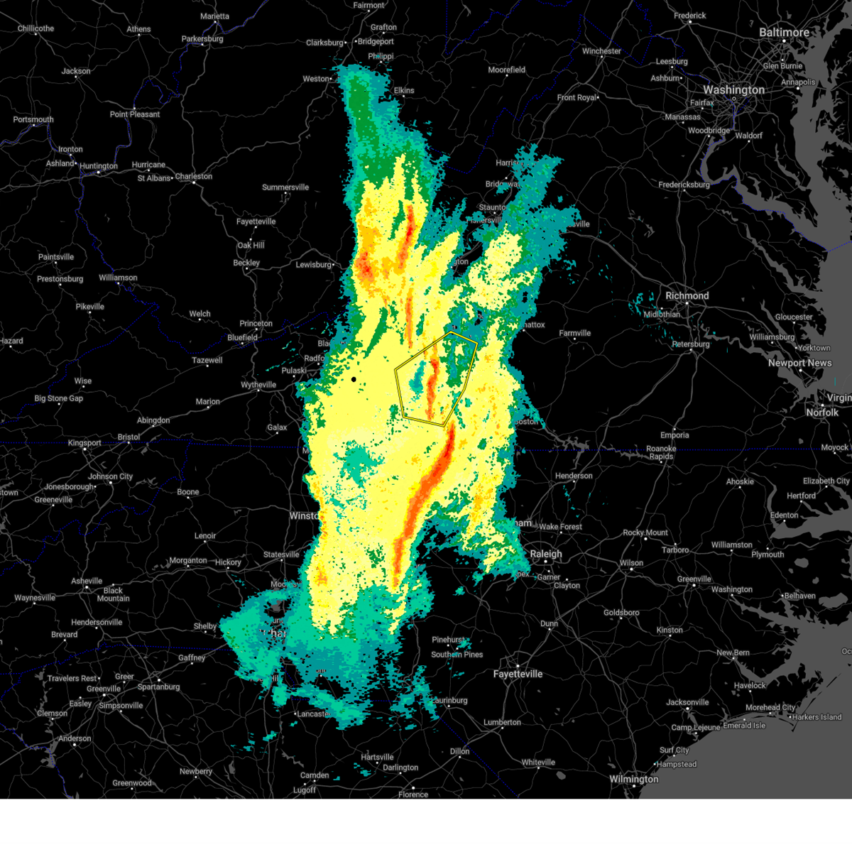
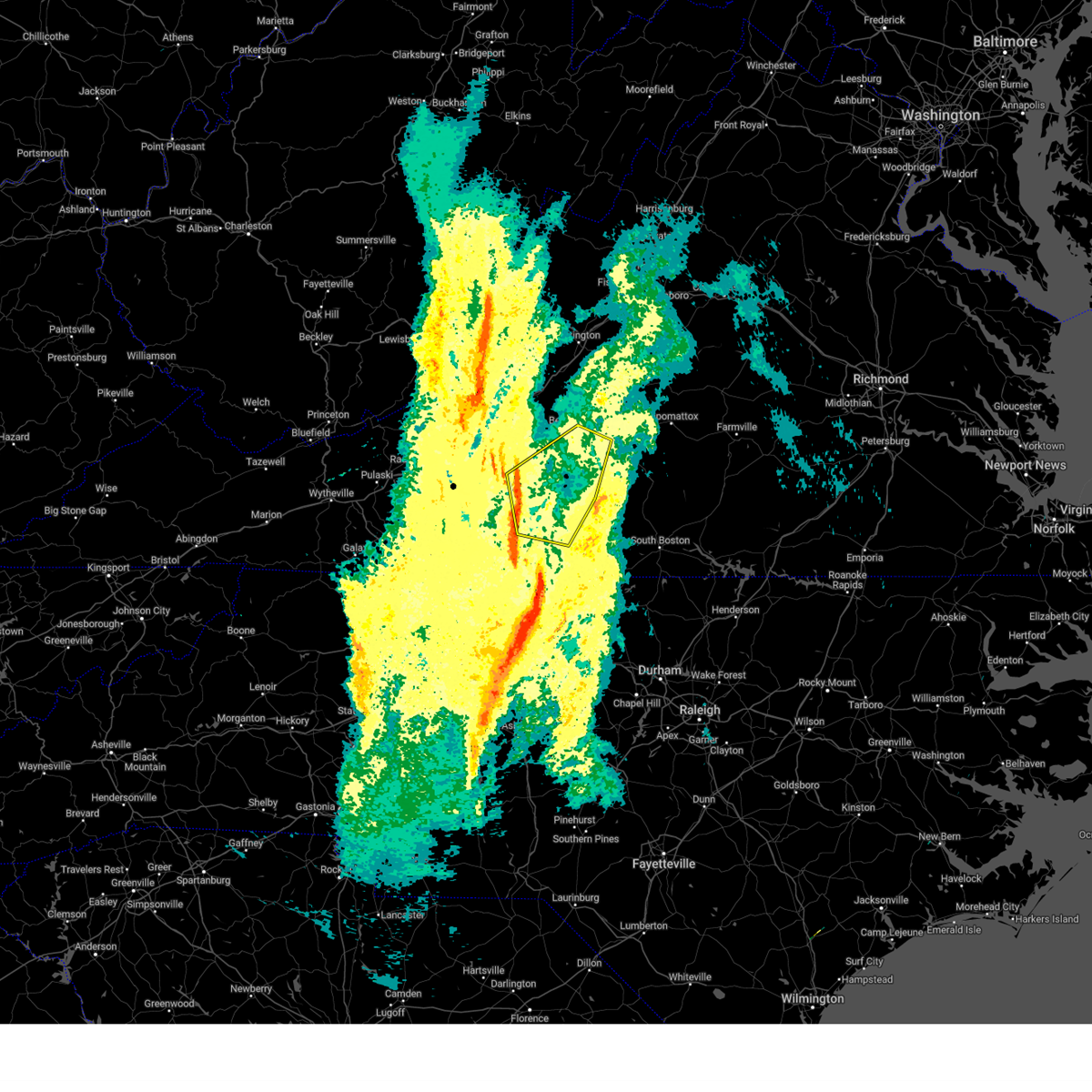
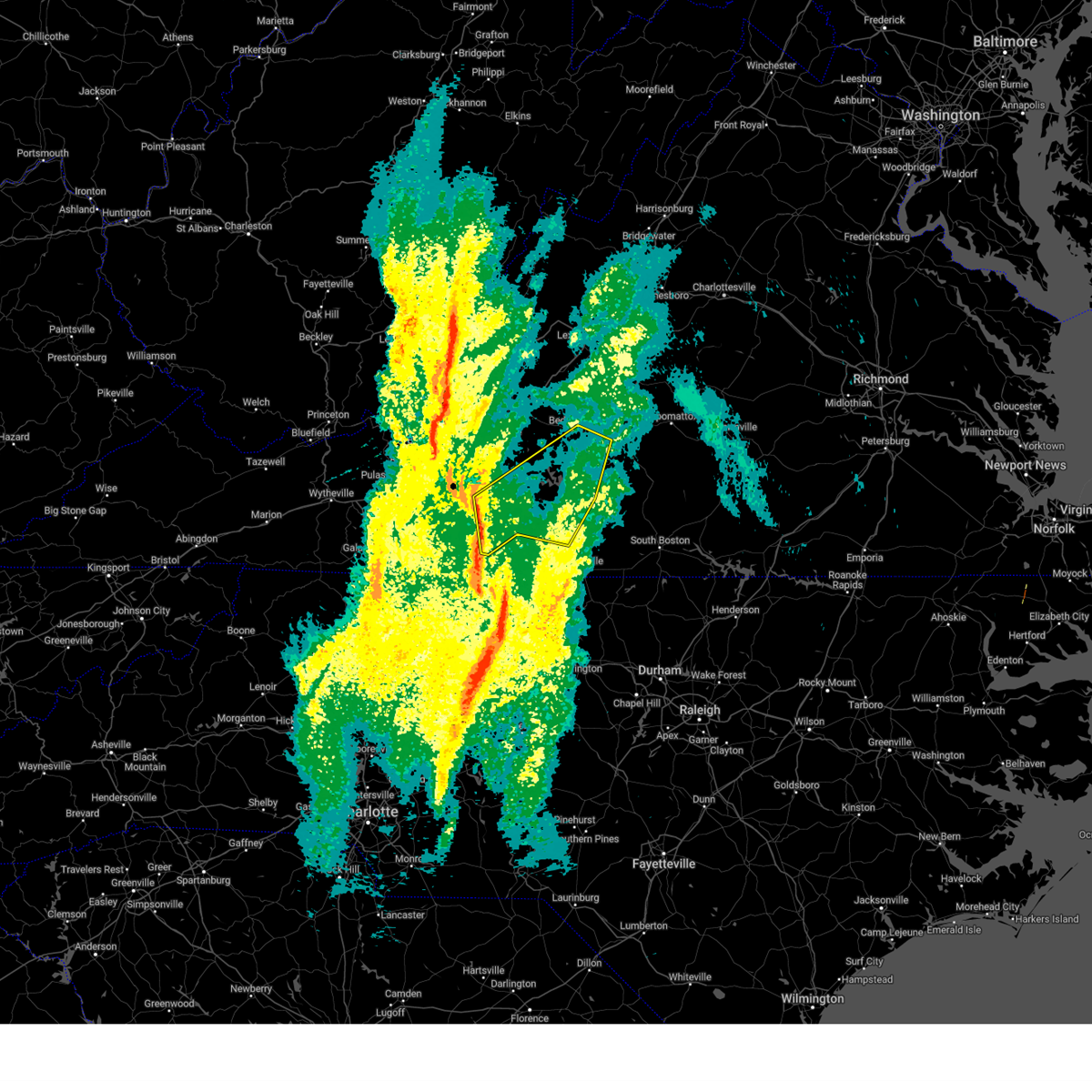
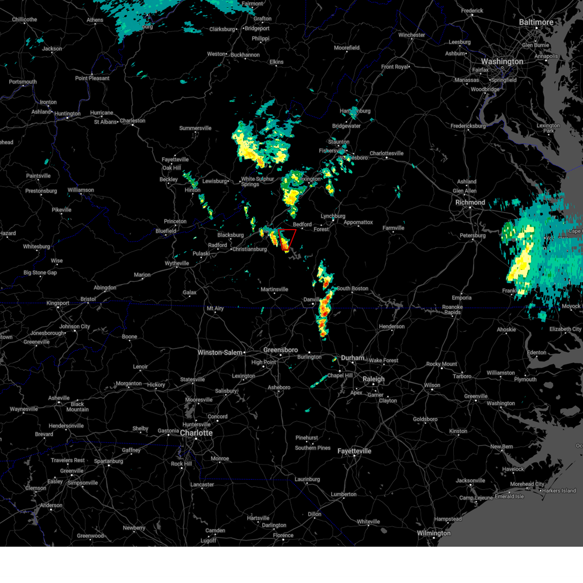
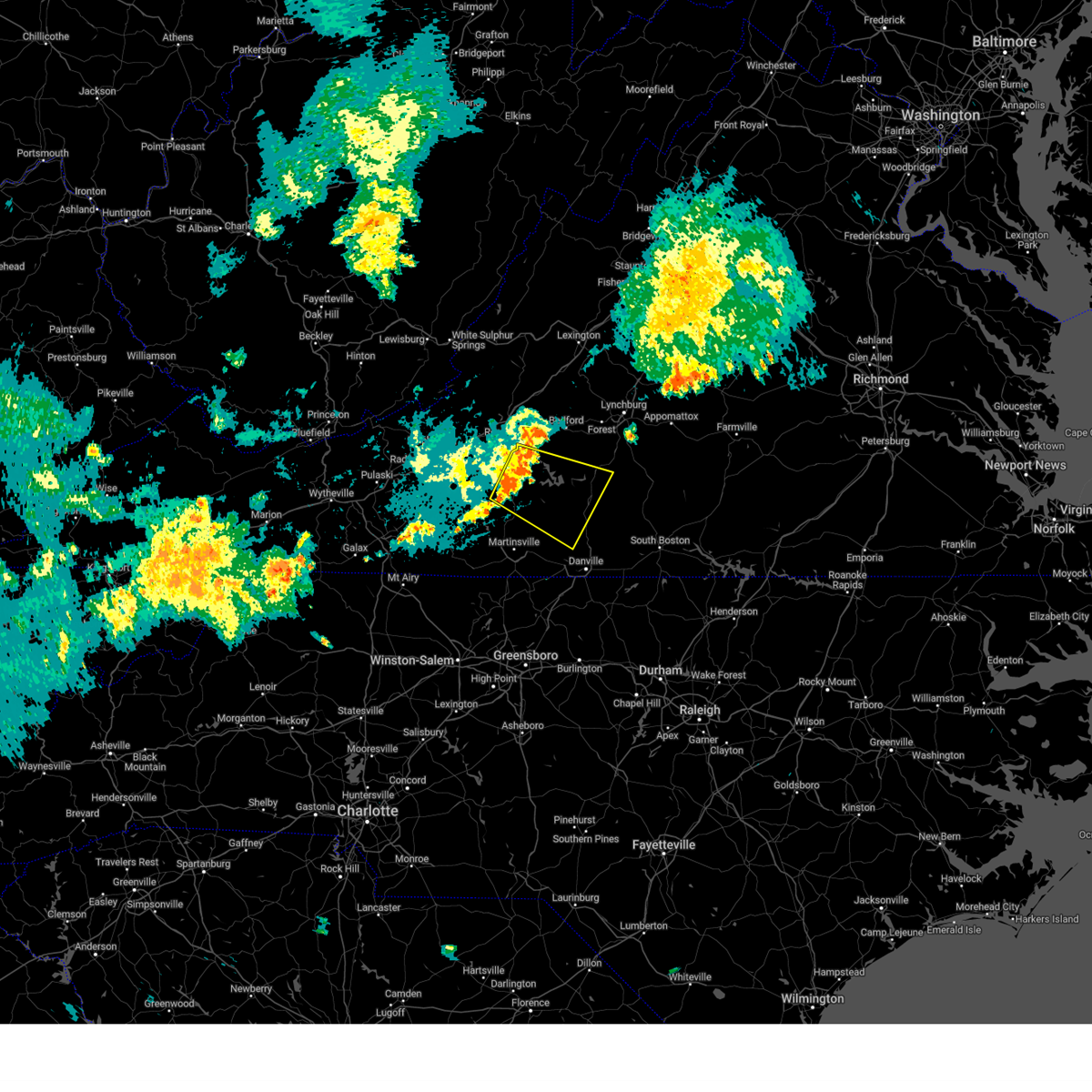
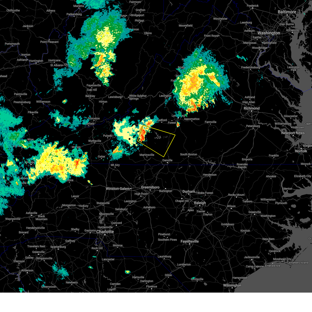
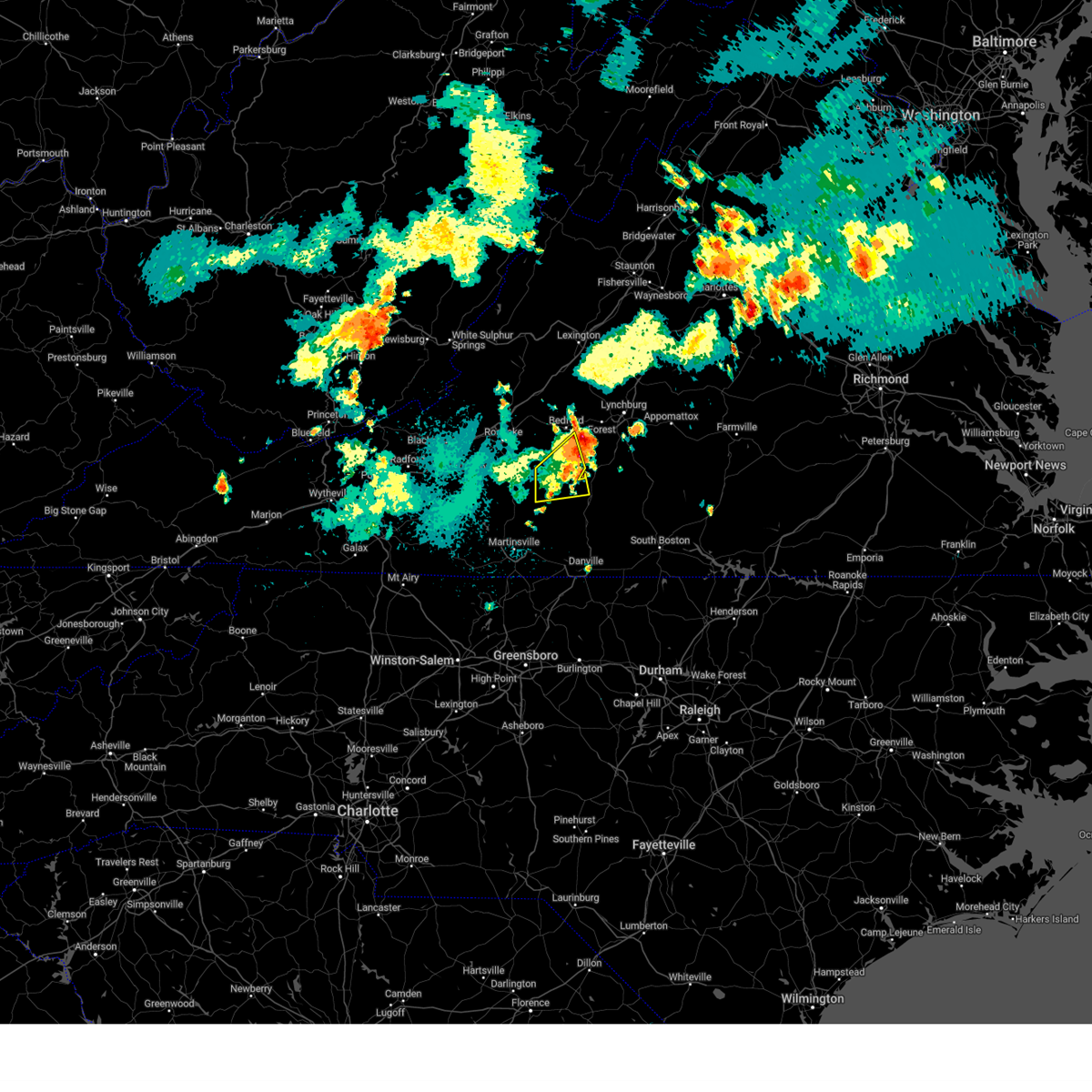
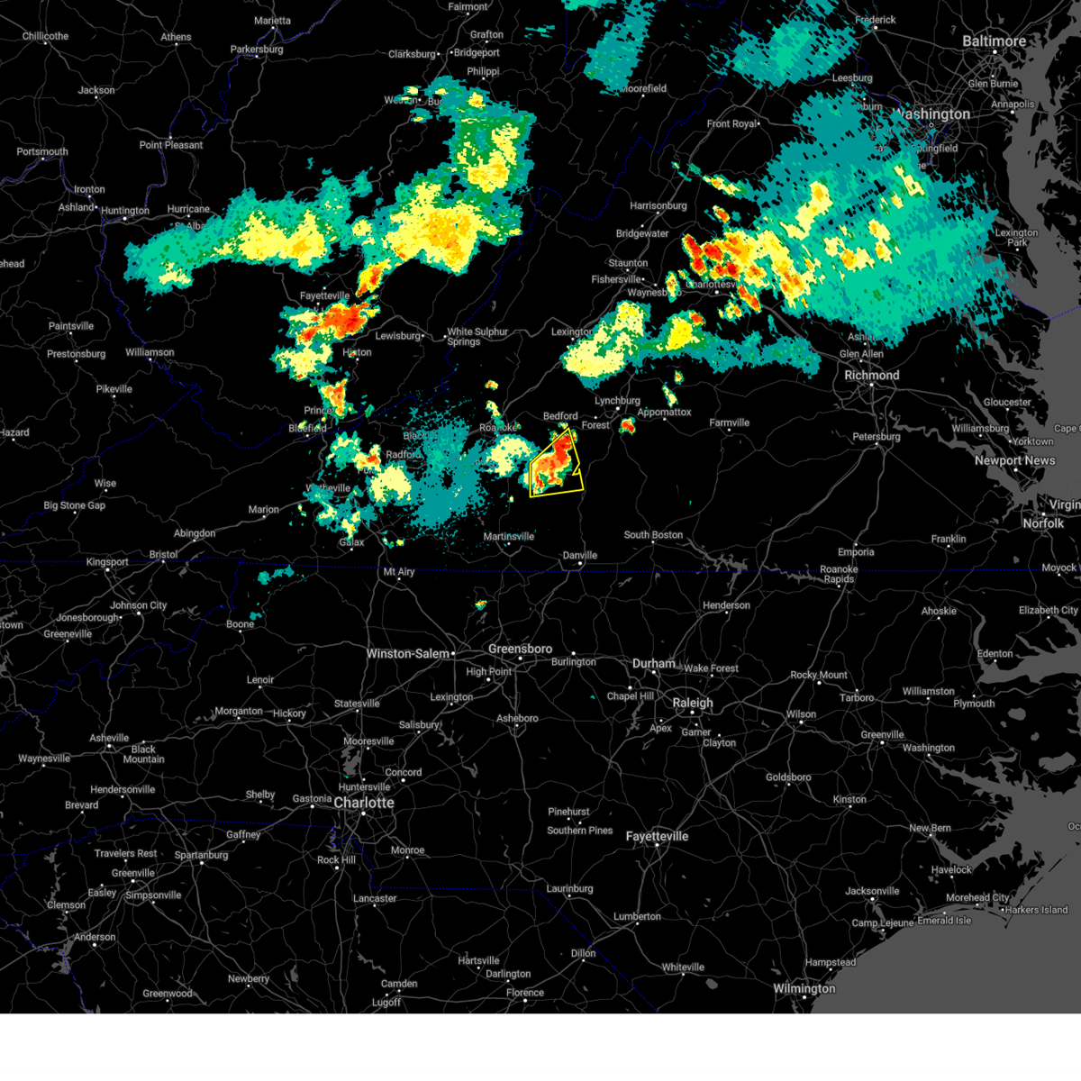
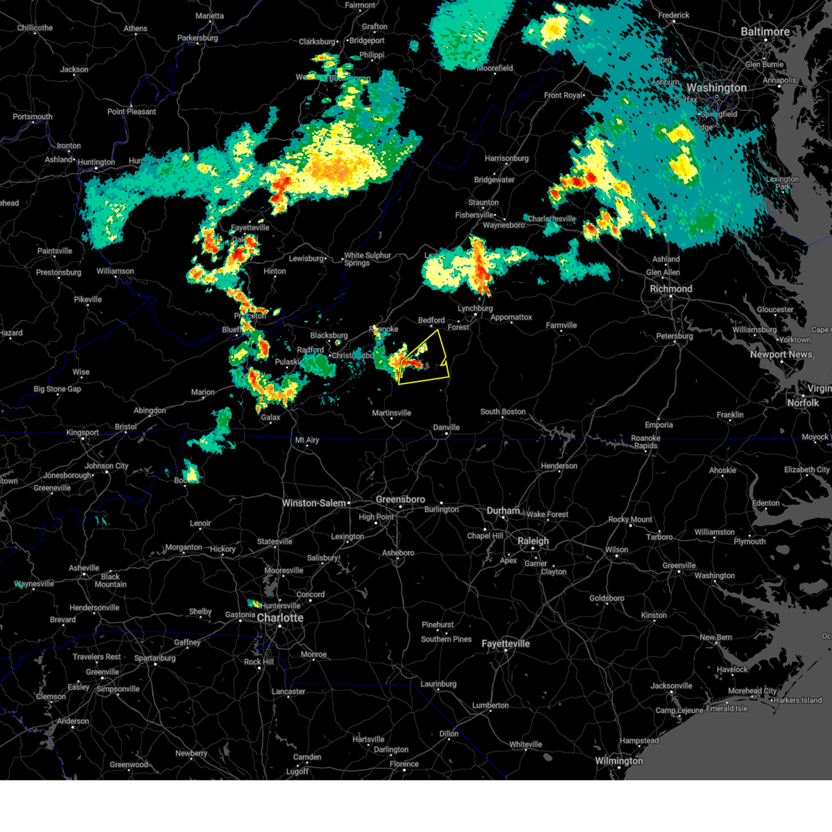
Hail Map for Westlake Corner, VA
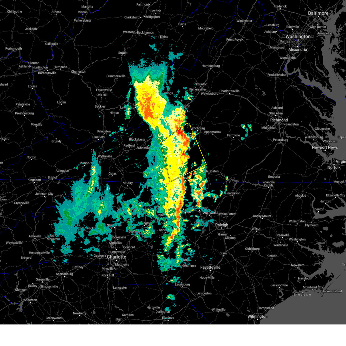
The Westlake Corner, VA area has had 13 reports of on-the-ground hail by trained spotters, and has been under severe weather warnings 65 times during the past 12 months. Doppler radar has detected hail at or near Westlake Corner, VA on 59 occasions, including 5 occasions during the past year.
| Name: | Westlake Corner, VA |
| Where Located: | 16.8 miles SE of Roanoke, VA |
| Map: | Google Map for Westlake Corner, VA |
| Population: | 976 |
| Housing Units: | 663 |
| More Info: | Search Google for Westlake Corner, VA |
3
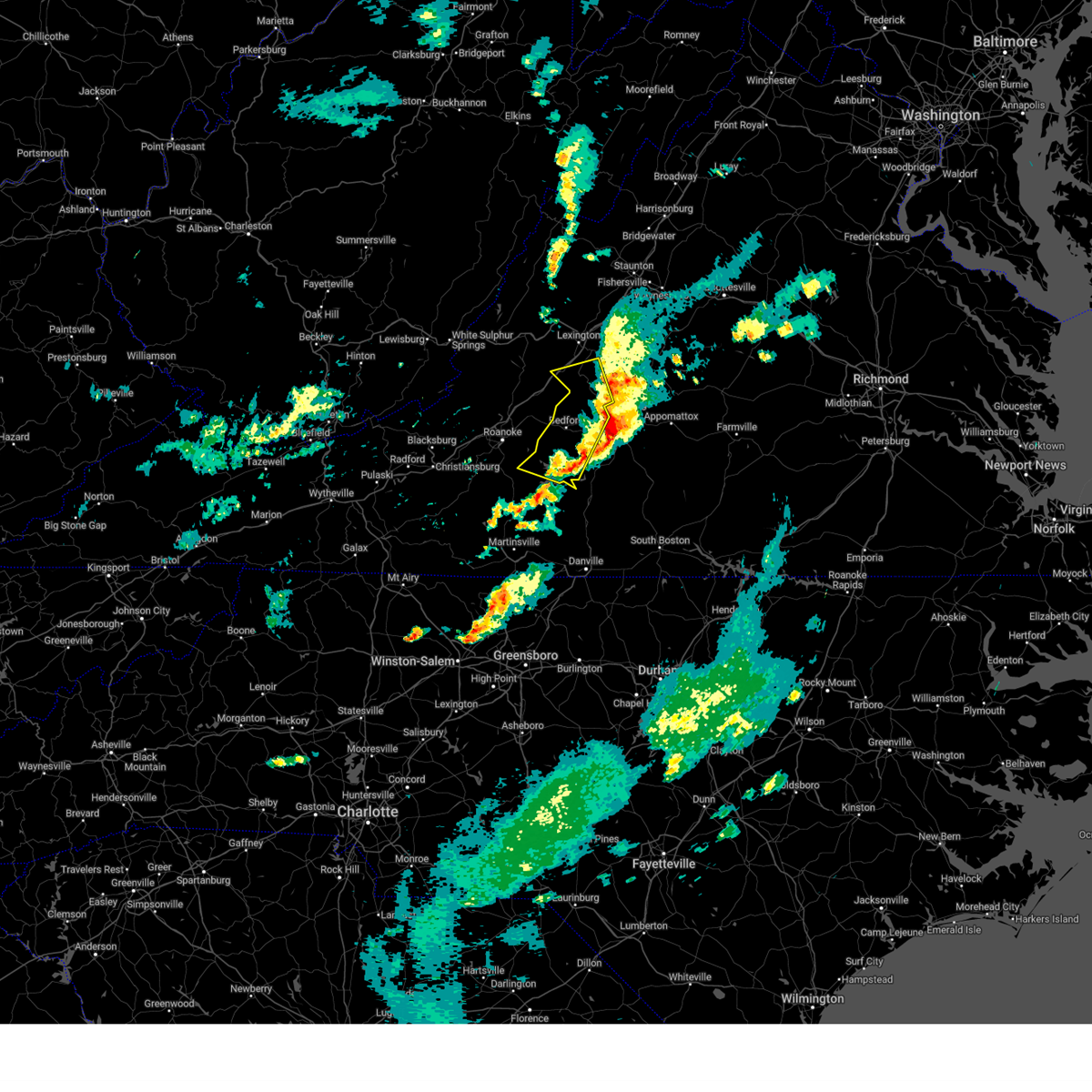
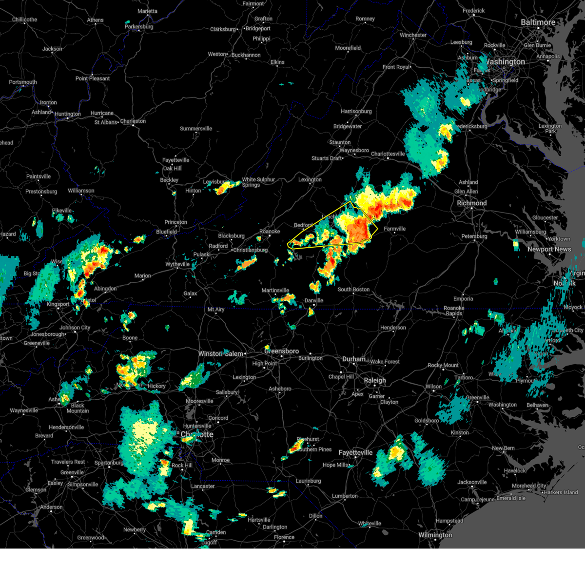
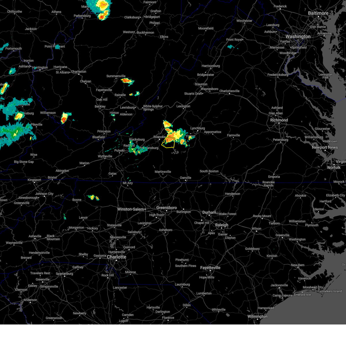
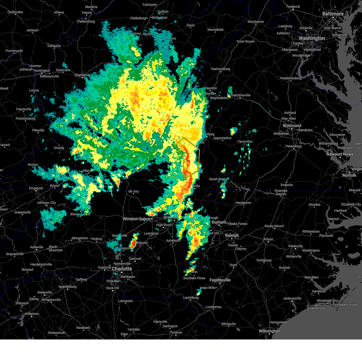
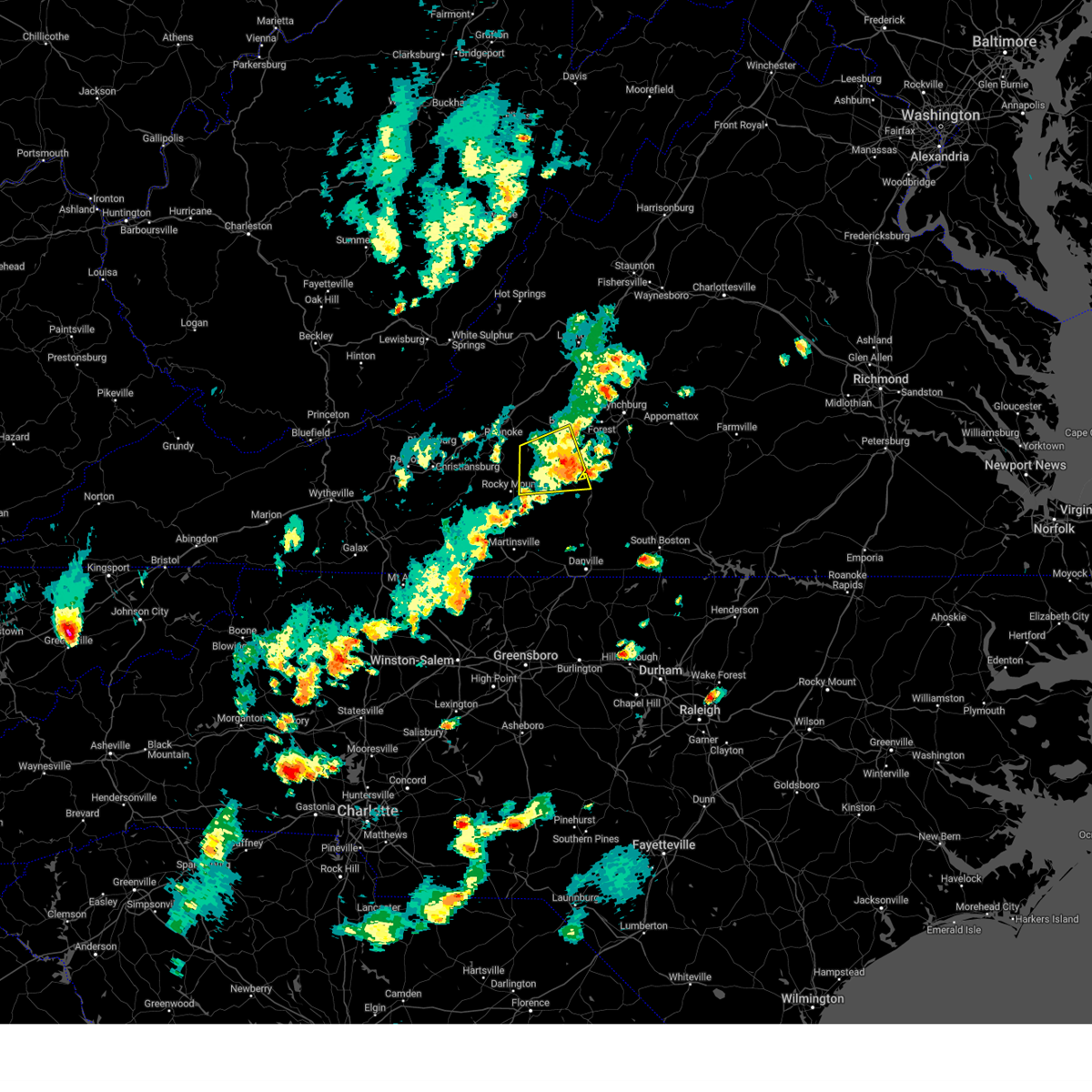
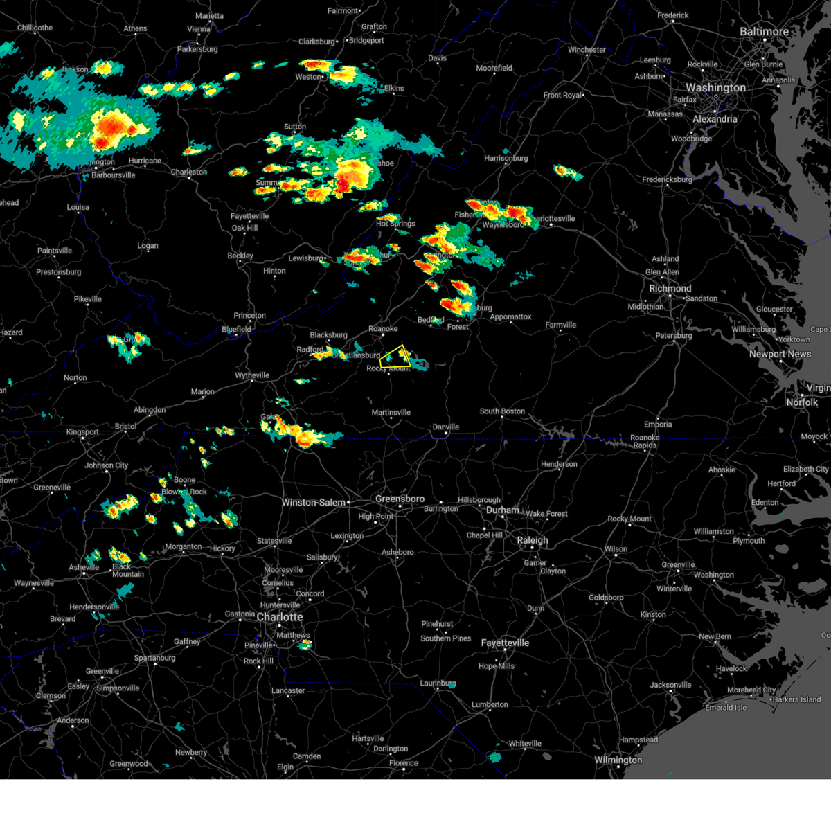
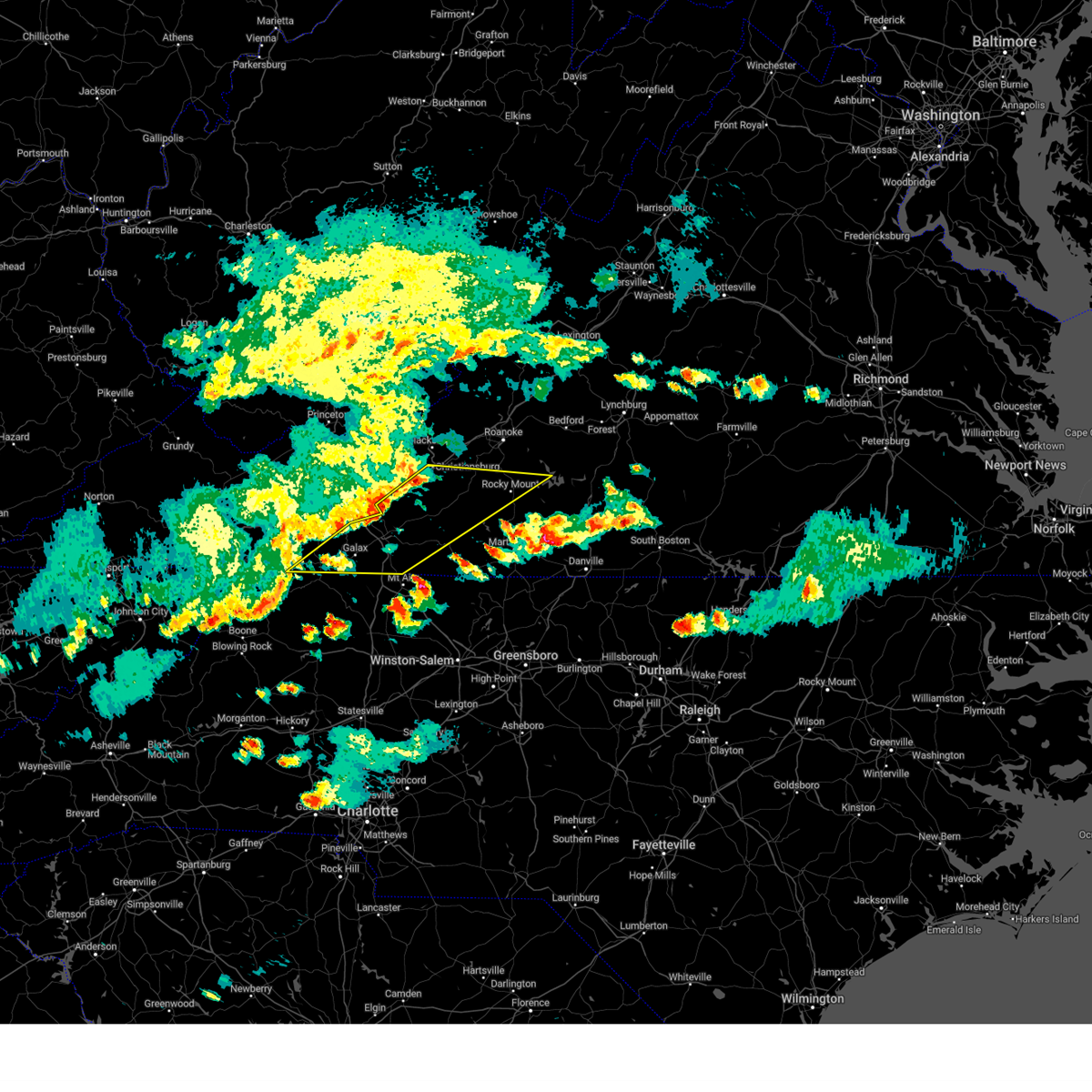
The Top Recent Hail Date for Westlake Corner, VA is Saturday, May 3, 2025 (5th out of 59)

Hail and Wind Damage Spotted near Westlake Corner, VA
| Date / Time | Report Details |
|---|---|
| 6/27/2025 8:13 PM EDT |
 The storm which prompted the warning has moved out of the area. therefore, the warning will be allowed to expire. however, gusty winds are still possible with this thunderstorm. remember, a severe thunderstorm warning still remains in effect for western bedford and southern botetourt counties until 9:15 pm edt!. The storm which prompted the warning has moved out of the area. therefore, the warning will be allowed to expire. however, gusty winds are still possible with this thunderstorm. remember, a severe thunderstorm warning still remains in effect for western bedford and southern botetourt counties until 9:15 pm edt!.
|
| 6/27/2025 7:46 PM EDT |
 At 746 pm edt, a severe thunderstorm was located over vinton, moving northwest at 20 mph (radar indicated). Hazards include 60 mph wind gusts. Expect damage to roofs, siding, and trees. Locations impacted include, roanoke, salem, vinton, troutville, stewartsville, moneta, and catawba. At 746 pm edt, a severe thunderstorm was located over vinton, moving northwest at 20 mph (radar indicated). Hazards include 60 mph wind gusts. Expect damage to roofs, siding, and trees. Locations impacted include, roanoke, salem, vinton, troutville, stewartsville, moneta, and catawba.
|
| 6/27/2025 7:20 PM EDT |
 Svrrnk the national weather service in blacksburg has issued a * severe thunderstorm warning for, central roanoke county in west central virginia, the city of salem in west central virginia, the city of roanoke in west central virginia, southwestern bedford county in south central virginia, southwestern botetourt county in west central virginia, northeastern franklin county in west central virginia, * until 815 pm edt. * at 719 pm edt, a severe thunderstorm was located near northwest smith mountain lake, or near stewartsville, moving northwest at 20 mph (radar indicated). Hazards include 60 mph wind gusts and quarter size hail. Hail damage to vehicles is expected. Expect wind damage to roofs, siding, and trees. Svrrnk the national weather service in blacksburg has issued a * severe thunderstorm warning for, central roanoke county in west central virginia, the city of salem in west central virginia, the city of roanoke in west central virginia, southwestern bedford county in south central virginia, southwestern botetourt county in west central virginia, northeastern franklin county in west central virginia, * until 815 pm edt. * at 719 pm edt, a severe thunderstorm was located near northwest smith mountain lake, or near stewartsville, moving northwest at 20 mph (radar indicated). Hazards include 60 mph wind gusts and quarter size hail. Hail damage to vehicles is expected. Expect wind damage to roofs, siding, and trees.
|
| 6/19/2025 2:59 PM EDT |
 The storm which prompted the warning has moved out of the area. therefore, the warning will be allowed to expire. however, gusty winds and heavy rain are still possible with this thunderstorm between huddleston and leesville. a severe thunderstorm watch remains in effect until 900 pm edt for central, south central, southwestern and west central virginia. The storm which prompted the warning has moved out of the area. therefore, the warning will be allowed to expire. however, gusty winds and heavy rain are still possible with this thunderstorm between huddleston and leesville. a severe thunderstorm watch remains in effect until 900 pm edt for central, south central, southwestern and west central virginia.
|
| 6/19/2025 2:24 PM EDT |
 the severe thunderstorm warning has been cancelled and is no longer in effect the severe thunderstorm warning has been cancelled and is no longer in effect
|
| 6/19/2025 2:24 PM EDT |
 At 223 pm edt, a severe thunderstorm was located over westlake corner, or near moneta, moving east at 35 mph (radar indicated). Hazards include 60 mph wind gusts and quarter size hail. Hail damage to vehicles is expected. expect wind damage to roofs, siding, and trees. Locations impacted include, bedford, rocky mount, altavista, hurt, huddleston, moneta, and leesville. At 223 pm edt, a severe thunderstorm was located over westlake corner, or near moneta, moving east at 35 mph (radar indicated). Hazards include 60 mph wind gusts and quarter size hail. Hail damage to vehicles is expected. expect wind damage to roofs, siding, and trees. Locations impacted include, bedford, rocky mount, altavista, hurt, huddleston, moneta, and leesville.
|
| 6/19/2025 2:17 PM EDT | Multiple trees down at the intersection of pea ridge ln and brooks mill roa in franklin county VA, 2 miles NE of Westlake Corner, VA |
| 6/19/2025 2:15 PM EDT | Seven trees uproote in franklin county VA, 2.4 miles ENE of Westlake Corner, VA |
| 6/19/2025 2:15 PM EDT | 911 call center in franklin county reported that multiple trees are down near brooks mill road in wirtz... v in franklin county VA, 2.4 miles NE of Westlake Corner, VA |
| 6/19/2025 2:15 PM EDT | Tree is down and blocking keffer road near hardy... v in franklin county VA, 3.9 miles SE of Westlake Corner, VA |
| 6/19/2025 2:15 PM EDT | Four trees are down on hardy road in franklin county... va. one is completely blocking the roadwa in franklin county VA, 4.8 miles SE of Westlake Corner, VA |
| 6/19/2025 2:05 PM EDT |
 Svrrnk the national weather service in blacksburg has issued a * severe thunderstorm warning for, southeastern roanoke county in west central virginia, southwestern campbell county in central virginia, southwestern bedford county in south central virginia, northeastern franklin county in west central virginia, * until 300 pm edt. * at 205 pm edt, a severe thunderstorm was located over burnt chimney, or 7 miles east of boones mill, moving east at 25 mph (radar indicated). Hazards include 60 mph wind gusts and quarter size hail. Hail damage to vehicles is expected. Expect wind damage to roofs, siding, and trees. Svrrnk the national weather service in blacksburg has issued a * severe thunderstorm warning for, southeastern roanoke county in west central virginia, southwestern campbell county in central virginia, southwestern bedford county in south central virginia, northeastern franklin county in west central virginia, * until 300 pm edt. * at 205 pm edt, a severe thunderstorm was located over burnt chimney, or 7 miles east of boones mill, moving east at 25 mph (radar indicated). Hazards include 60 mph wind gusts and quarter size hail. Hail damage to vehicles is expected. Expect wind damage to roofs, siding, and trees.
|
| 6/15/2025 3:25 PM EDT |
 The storm which prompted the warning has weakened below severe limits, and no longer poses an immediate threat to life or property. therefore, the warning will be allowed to expire. however, heavy rain is still possible with this thunderstorm. The storm which prompted the warning has weakened below severe limits, and no longer poses an immediate threat to life or property. therefore, the warning will be allowed to expire. however, heavy rain is still possible with this thunderstorm.
|
| 6/15/2025 2:54 PM EDT |
 At 254 pm edt, a severe thunderstorm was located over north shore, or near moneta, moving east at 20 mph (radar indicated). Hazards include 60 mph wind gusts and quarter size hail. Hail damage to vehicles is expected. expect wind damage to roofs, siding, and trees. Locations impacted include, moneta, huddleston, penhook, smith mountain lake state park, western smith mountain lake, union hall, and northwest smith mountain lake. At 254 pm edt, a severe thunderstorm was located over north shore, or near moneta, moving east at 20 mph (radar indicated). Hazards include 60 mph wind gusts and quarter size hail. Hail damage to vehicles is expected. expect wind damage to roofs, siding, and trees. Locations impacted include, moneta, huddleston, penhook, smith mountain lake state park, western smith mountain lake, union hall, and northwest smith mountain lake.
|
| 6/15/2025 2:36 PM EDT | Thunderstorm winds blew down one tree along the 3000 block of burnt chimney roa in franklin county VA, 3.7 miles ENE of Westlake Corner, VA |
| 6/15/2025 2:25 PM EDT |
 Svrrnk the national weather service in blacksburg has issued a * severe thunderstorm warning for, northwestern pittsylvania county in south central virginia, southwestern bedford county in south central virginia, northeastern franklin county in west central virginia, * until 330 pm edt. * at 225 pm edt, a severe thunderstorm was located over burnt chimney, or near rocky mount, moving east at 15 mph (radar indicated). Hazards include 60 mph wind gusts and quarter size hail. Hail damage to vehicles is expected. Expect wind damage to roofs, siding, and trees. Svrrnk the national weather service in blacksburg has issued a * severe thunderstorm warning for, northwestern pittsylvania county in south central virginia, southwestern bedford county in south central virginia, northeastern franklin county in west central virginia, * until 330 pm edt. * at 225 pm edt, a severe thunderstorm was located over burnt chimney, or near rocky mount, moving east at 15 mph (radar indicated). Hazards include 60 mph wind gusts and quarter size hail. Hail damage to vehicles is expected. Expect wind damage to roofs, siding, and trees.
|
| 6/15/2025 2:08 PM EDT |
 The storm which prompted the warning has weakened below severe limits, and no longer poses an immediate threat to life or property. therefore, the warning will be allowed to expire. The storm which prompted the warning has weakened below severe limits, and no longer poses an immediate threat to life or property. therefore, the warning will be allowed to expire.
|
| 6/15/2025 1:55 PM EDT |
 At 154 pm edt, a severe thunderstorm was located over burnt chimney, or near boones mill, moving east at 10 mph (radar indicated). Hazards include 60 mph wind gusts and quarter size hail. Hail damage to vehicles is expected. expect wind damage to roofs, siding, and trees. Locations impacted include, rocky mount, boones mill, burnt chimney, western smith mountain lake, wirtz, and westlake corner. At 154 pm edt, a severe thunderstorm was located over burnt chimney, or near boones mill, moving east at 10 mph (radar indicated). Hazards include 60 mph wind gusts and quarter size hail. Hail damage to vehicles is expected. expect wind damage to roofs, siding, and trees. Locations impacted include, rocky mount, boones mill, burnt chimney, western smith mountain lake, wirtz, and westlake corner.
|
| 6/15/2025 1:27 PM EDT |
 Svrrnk the national weather service in blacksburg has issued a * severe thunderstorm warning for, central franklin county in west central virginia, * until 215 pm edt. * at 127 pm edt, a severe thunderstorm was located over wirtz, or near boones mill, moving east at 10 mph (radar indicated). Hazards include 60 mph wind gusts and quarter size hail. Hail damage to vehicles is expected. Expect wind damage to roofs, siding, and trees. Svrrnk the national weather service in blacksburg has issued a * severe thunderstorm warning for, central franklin county in west central virginia, * until 215 pm edt. * at 127 pm edt, a severe thunderstorm was located over wirtz, or near boones mill, moving east at 10 mph (radar indicated). Hazards include 60 mph wind gusts and quarter size hail. Hail damage to vehicles is expected. Expect wind damage to roofs, siding, and trees.
|
| 5/30/2025 4:40 PM EDT |
 The storm which prompted the warning has moved out of the area. therefore, the warning will be allowed to expire. however, gusty winds are still possible with this thunderstorm. a tornado watch remains in effect until 800 pm edt for central, south central and west central virginia. The storm which prompted the warning has moved out of the area. therefore, the warning will be allowed to expire. however, gusty winds are still possible with this thunderstorm. a tornado watch remains in effect until 800 pm edt for central, south central and west central virginia.
|
| 5/30/2025 4:14 PM EDT |
 At 414 pm edt, a severe thunderstorm was located near snowden, or near glasgow, moving east at 20 mph (radar indicated). Hazards include 60 mph wind gusts. Expect damage to roofs, siding, and trees. Locations impacted include, bedford, glasgow, huddleston, big island, moneta, forest, and coleman falls. At 414 pm edt, a severe thunderstorm was located near snowden, or near glasgow, moving east at 20 mph (radar indicated). Hazards include 60 mph wind gusts. Expect damage to roofs, siding, and trees. Locations impacted include, bedford, glasgow, huddleston, big island, moneta, forest, and coleman falls.
|
| 5/30/2025 4:14 PM EDT |
 the severe thunderstorm warning has been cancelled and is no longer in effect the severe thunderstorm warning has been cancelled and is no longer in effect
|
| 5/30/2025 4:11 PM EDT | One tree down across north church driv in franklin county VA, 1.9 miles SSE of Westlake Corner, VA |
| 5/30/2025 4:04 PM EDT | Tree down on goodview roa in bedford county VA, 7.5 miles SSE of Westlake Corner, VA |
| 5/30/2025 3:28 PM EDT |
 Svrrnk the national weather service in blacksburg has issued a * severe thunderstorm warning for, east central roanoke county in west central virginia, southwestern rockbridge county in west central virginia, the northeastern city of roanoke in west central virginia, bedford county in south central virginia, southern botetourt county in west central virginia, west central amherst county in central virginia, northeastern franklin county in west central virginia, * until 445 pm edt. * at 328 pm edt, a severe thunderstorm was located over springwood, or near buchanan, moving east at 20 mph (radar indicated). Hazards include 60 mph wind gusts. expect damage to roofs, siding, and trees Svrrnk the national weather service in blacksburg has issued a * severe thunderstorm warning for, east central roanoke county in west central virginia, southwestern rockbridge county in west central virginia, the northeastern city of roanoke in west central virginia, bedford county in south central virginia, southern botetourt county in west central virginia, west central amherst county in central virginia, northeastern franklin county in west central virginia, * until 445 pm edt. * at 328 pm edt, a severe thunderstorm was located over springwood, or near buchanan, moving east at 20 mph (radar indicated). Hazards include 60 mph wind gusts. expect damage to roofs, siding, and trees
|
| 5/17/2025 4:11 AM EDT |
 Svrrnk the national weather service in blacksburg has issued a * severe thunderstorm warning for, central pittsylvania county in south central virginia, south central bedford county in south central virginia, northeastern henry county in south central virginia, southeastern franklin county in west central virginia, * until 500 am edt. * at 411 am edt, severe thunderstorms were located along a line extending from near moneta to near sydnorsville, moving southeast at 35 mph (radar indicated). Hazards include 60 mph wind gusts and quarter size hail. Hail damage to vehicles is expected. Expect wind damage to roofs, siding, and trees. Svrrnk the national weather service in blacksburg has issued a * severe thunderstorm warning for, central pittsylvania county in south central virginia, south central bedford county in south central virginia, northeastern henry county in south central virginia, southeastern franklin county in west central virginia, * until 500 am edt. * at 411 am edt, severe thunderstorms were located along a line extending from near moneta to near sydnorsville, moving southeast at 35 mph (radar indicated). Hazards include 60 mph wind gusts and quarter size hail. Hail damage to vehicles is expected. Expect wind damage to roofs, siding, and trees.
|
| 5/16/2025 3:56 PM EDT |
 Svrrnk the national weather service in blacksburg has issued a * severe thunderstorm warning for, northwestern pittsylvania county in south central virginia, south central bedford county in south central virginia, southeastern franklin county in west central virginia, * until 500 pm edt. * at 355 pm edt, a severe thunderstorm was located over rocky mount, moving east at 50 mph (radar indicated). Hazards include 60 mph wind gusts and quarter size hail. Hail damage to vehicles is expected. Expect wind damage to roofs, siding, and trees. Svrrnk the national weather service in blacksburg has issued a * severe thunderstorm warning for, northwestern pittsylvania county in south central virginia, south central bedford county in south central virginia, southeastern franklin county in west central virginia, * until 500 pm edt. * at 355 pm edt, a severe thunderstorm was located over rocky mount, moving east at 50 mph (radar indicated). Hazards include 60 mph wind gusts and quarter size hail. Hail damage to vehicles is expected. Expect wind damage to roofs, siding, and trees.
|
| 5/16/2025 3:49 PM EDT |
 At 348 pm edt, a severe thunderstorm was located near ferrum, moving east at 50 mph (radar indicated). Hazards include 70 mph wind gusts and quarter size hail. Hail damage to vehicles is expected. expect considerable tree damage. wind damage is also likely to mobile homes, roofs, and outbuildings. Locations impacted include, rocky mount, boones mill, copper hill, ferrum, burnt chimney, callaway, and northwest smith mountain lake. At 348 pm edt, a severe thunderstorm was located near ferrum, moving east at 50 mph (radar indicated). Hazards include 70 mph wind gusts and quarter size hail. Hail damage to vehicles is expected. expect considerable tree damage. wind damage is also likely to mobile homes, roofs, and outbuildings. Locations impacted include, rocky mount, boones mill, copper hill, ferrum, burnt chimney, callaway, and northwest smith mountain lake.
|
| 5/16/2025 3:49 PM EDT |
 the severe thunderstorm warning has been cancelled and is no longer in effect the severe thunderstorm warning has been cancelled and is no longer in effect
|
| 5/16/2025 3:30 PM EDT |
 the severe thunderstorm warning has been cancelled and is no longer in effect the severe thunderstorm warning has been cancelled and is no longer in effect
|
| 5/16/2025 3:30 PM EDT |
 At 330 pm edt, a severe thunderstorm was located over crockett springs, or near shawsville, moving east at 50 mph (radar indicated). Hazards include 70 mph wind gusts and quarter size hail. Hail damage to vehicles is expected. expect considerable tree damage. wind damage is also likely to mobile homes, roofs, and outbuildings. Locations impacted include, roanoke, blacksburg, salem, christiansburg, vinton, rocky mount, and boones mill. At 330 pm edt, a severe thunderstorm was located over crockett springs, or near shawsville, moving east at 50 mph (radar indicated). Hazards include 70 mph wind gusts and quarter size hail. Hail damage to vehicles is expected. expect considerable tree damage. wind damage is also likely to mobile homes, roofs, and outbuildings. Locations impacted include, roanoke, blacksburg, salem, christiansburg, vinton, rocky mount, and boones mill.
|
| 5/16/2025 3:22 PM EDT |
 At 321 pm edt, a severe thunderstorm was located near christiansburg, moving east at 55 mph (mesonet observation). Hazards include 70 mph wind gusts and quarter size hail. Hail damage to vehicles is expected. expect considerable tree damage. wind damage is also likely to mobile homes, roofs, and outbuildings. Locations impacted include, roanoke, blacksburg, salem, christiansburg, radford, vinton, and rocky mount. At 321 pm edt, a severe thunderstorm was located near christiansburg, moving east at 55 mph (mesonet observation). Hazards include 70 mph wind gusts and quarter size hail. Hail damage to vehicles is expected. expect considerable tree damage. wind damage is also likely to mobile homes, roofs, and outbuildings. Locations impacted include, roanoke, blacksburg, salem, christiansburg, radford, vinton, and rocky mount.
|
| 5/16/2025 3:22 PM EDT |
 the severe thunderstorm warning has been cancelled and is no longer in effect the severe thunderstorm warning has been cancelled and is no longer in effect
|
| 5/16/2025 3:05 PM EDT |
 Svrrnk the national weather service in blacksburg has issued a * severe thunderstorm warning for, roanoke county in west central virginia, northeastern pulaski county in southwestern virginia, east central giles county in southwestern virginia, southern craig county in southwestern virginia, the city of radford in southwestern virginia, the city of salem in west central virginia, northern floyd county in southwestern virginia, the city of roanoke in west central virginia, west central bedford county in south central virginia, southwestern botetourt county in west central virginia, central franklin county in west central virginia, montgomery county in southwestern virginia, * until 400 pm edt. * at 305 pm edt, severe thunderstorms were located along a line extending from huffman to near christiansburg to near copper valley, moving east at 40 mph (radar indicated). Hazards include 60 mph wind gusts and quarter size hail. Hail damage to vehicles is expected. Expect wind damage to roofs, siding, and trees. Svrrnk the national weather service in blacksburg has issued a * severe thunderstorm warning for, roanoke county in west central virginia, northeastern pulaski county in southwestern virginia, east central giles county in southwestern virginia, southern craig county in southwestern virginia, the city of radford in southwestern virginia, the city of salem in west central virginia, northern floyd county in southwestern virginia, the city of roanoke in west central virginia, west central bedford county in south central virginia, southwestern botetourt county in west central virginia, central franklin county in west central virginia, montgomery county in southwestern virginia, * until 400 pm edt. * at 305 pm edt, severe thunderstorms were located along a line extending from huffman to near christiansburg to near copper valley, moving east at 40 mph (radar indicated). Hazards include 60 mph wind gusts and quarter size hail. Hail damage to vehicles is expected. Expect wind damage to roofs, siding, and trees.
|
| 5/3/2025 4:44 PM EDT |
 the severe thunderstorm warning has been cancelled and is no longer in effect the severe thunderstorm warning has been cancelled and is no longer in effect
|
| 5/3/2025 4:34 PM EDT |
 At 433 pm edt, a severe thunderstorm was located near westlake corner, or 8 miles southwest of moneta, moving north at 45 mph (radar indicated). Hazards include 60 mph wind gusts. Expect damage to roofs, siding, and trees. Locations impacted include, rocky mount, penhook, burnt chimney, western smith mountain lake, union hall, north shore, and westlake corner. At 433 pm edt, a severe thunderstorm was located near westlake corner, or 8 miles southwest of moneta, moving north at 45 mph (radar indicated). Hazards include 60 mph wind gusts. Expect damage to roofs, siding, and trees. Locations impacted include, rocky mount, penhook, burnt chimney, western smith mountain lake, union hall, north shore, and westlake corner.
|
| 5/3/2025 4:34 PM EDT |
 the severe thunderstorm warning has been cancelled and is no longer in effect the severe thunderstorm warning has been cancelled and is no longer in effect
|
| 5/3/2025 4:27 PM EDT |
 The storm which prompted the warning has weakened below severe limits, and no longer poses an immediate threat to life or property. therefore, the warning will be allowed to expire. however, small hail, gusty winds and heavy rain are still possible with this thunderstorm. The storm which prompted the warning has weakened below severe limits, and no longer poses an immediate threat to life or property. therefore, the warning will be allowed to expire. however, small hail, gusty winds and heavy rain are still possible with this thunderstorm.
|
| 5/3/2025 4:13 PM EDT |
 Svrrnk the national weather service in blacksburg has issued a * severe thunderstorm warning for, the city of martinsville in south central virginia, western henry county in south central virginia, eastern franklin county in west central virginia, * until 500 pm edt. * at 412 pm edt, a severe thunderstorm was located over figsboro, or near bassett, moving northeast at 45 mph (radar indicated). Hazards include 60 mph wind gusts. expect damage to roofs, siding, and trees Svrrnk the national weather service in blacksburg has issued a * severe thunderstorm warning for, the city of martinsville in south central virginia, western henry county in south central virginia, eastern franklin county in west central virginia, * until 500 pm edt. * at 412 pm edt, a severe thunderstorm was located over figsboro, or near bassett, moving northeast at 45 mph (radar indicated). Hazards include 60 mph wind gusts. expect damage to roofs, siding, and trees
|
| 5/3/2025 4:09 PM EDT |
 the severe thunderstorm warning has been cancelled and is no longer in effect the severe thunderstorm warning has been cancelled and is no longer in effect
|
| 5/3/2025 4:09 PM EDT |
 At 408 pm edt, a severe thunderstorm was located near bedford, moving northeast at 25 mph (radar indicated). Hazards include 60 mph wind gusts and quarter size hail. Hail damage to vehicles is expected. expect wind damage to roofs, siding, and trees. locations impacted include, bedford, moneta, huddleston, forest, smith mountain lake state park, goode, and westlake corner. This includes the following location the national d-day memorial. At 408 pm edt, a severe thunderstorm was located near bedford, moving northeast at 25 mph (radar indicated). Hazards include 60 mph wind gusts and quarter size hail. Hail damage to vehicles is expected. expect wind damage to roofs, siding, and trees. locations impacted include, bedford, moneta, huddleston, forest, smith mountain lake state park, goode, and westlake corner. This includes the following location the national d-day memorial.
|
| 5/3/2025 4:06 PM EDT |
 The storm which prompted the warning has weakened below severe limits, and no longer poses an immediate threat to life or property. therefore, the warning will be allowed to expire. however, small hail and gusty winds are still possible with this thunderstorm. The storm which prompted the warning has weakened below severe limits, and no longer poses an immediate threat to life or property. therefore, the warning will be allowed to expire. however, small hail and gusty winds are still possible with this thunderstorm.
|
| 5/3/2025 3:48 PM EDT |
 Svrrnk the national weather service in blacksburg has issued a * severe thunderstorm warning for, central bedford county in south central virginia, northeastern franklin county in west central virginia, * until 430 pm edt. * at 348 pm edt, a severe thunderstorm was located over moneta, moving northeast at 25 mph (radar indicated). Hazards include 60 mph wind gusts and quarter size hail. Hail damage to vehicles is expected. Expect wind damage to roofs, siding, and trees. Svrrnk the national weather service in blacksburg has issued a * severe thunderstorm warning for, central bedford county in south central virginia, northeastern franklin county in west central virginia, * until 430 pm edt. * at 348 pm edt, a severe thunderstorm was located over moneta, moving northeast at 25 mph (radar indicated). Hazards include 60 mph wind gusts and quarter size hail. Hail damage to vehicles is expected. Expect wind damage to roofs, siding, and trees.
|
| 5/3/2025 3:37 PM EDT |
 the severe thunderstorm warning has been cancelled and is no longer in effect the severe thunderstorm warning has been cancelled and is no longer in effect
|
| 5/3/2025 3:37 PM EDT |
 At 336 pm edt, a severe thunderstorm was located near ferrum, moving northeast at 30 mph (radar indicated). Hazards include 60 mph wind gusts and quarter size hail. Hail damage to vehicles is expected. expect wind damage to roofs, siding, and trees. Locations impacted include, rocky mount, boones mill, sydnorsville, ferrum, penhook, burnt chimney, and northwest smith mountain lake. At 336 pm edt, a severe thunderstorm was located near ferrum, moving northeast at 30 mph (radar indicated). Hazards include 60 mph wind gusts and quarter size hail. Hail damage to vehicles is expected. expect wind damage to roofs, siding, and trees. Locations impacted include, rocky mount, boones mill, sydnorsville, ferrum, penhook, burnt chimney, and northwest smith mountain lake.
|
| 5/3/2025 3:28 PM EDT |
 At 327 pm edt, a severe thunderstorm was located near philpott dam, or near bassett, moving northeast at 30 mph (radar indicated). Hazards include 60 mph wind gusts and quarter size hail. Hail damage to vehicles is expected. expect wind damage to roofs, siding, and trees. Locations impacted include, rocky mount, boones mill, sydnorsville, ferrum, bassett, penhook, and burnt chimney. At 327 pm edt, a severe thunderstorm was located near philpott dam, or near bassett, moving northeast at 30 mph (radar indicated). Hazards include 60 mph wind gusts and quarter size hail. Hail damage to vehicles is expected. expect wind damage to roofs, siding, and trees. Locations impacted include, rocky mount, boones mill, sydnorsville, ferrum, bassett, penhook, and burnt chimney.
|
| 5/3/2025 3:28 PM EDT |
 the severe thunderstorm warning has been cancelled and is no longer in effect the severe thunderstorm warning has been cancelled and is no longer in effect
|
| 5/3/2025 3:11 PM EDT |
 Svrrnk the national weather service in blacksburg has issued a * severe thunderstorm warning for, northwestern henry county in south central virginia, northeastern patrick county in southwestern virginia, franklin county in west central virginia, * until 415 pm edt. * at 311 pm edt, a severe thunderstorm was located over sanville, or near bassett, moving northeast at 30 mph (radar indicated). Hazards include 60 mph wind gusts and quarter size hail. Hail damage to vehicles is expected. Expect wind damage to roofs, siding, and trees. Svrrnk the national weather service in blacksburg has issued a * severe thunderstorm warning for, northwestern henry county in south central virginia, northeastern patrick county in southwestern virginia, franklin county in west central virginia, * until 415 pm edt. * at 311 pm edt, a severe thunderstorm was located over sanville, or near bassett, moving northeast at 30 mph (radar indicated). Hazards include 60 mph wind gusts and quarter size hail. Hail damage to vehicles is expected. Expect wind damage to roofs, siding, and trees.
|
| 3/5/2025 9:41 AM EST |
 The storms which prompted the warning have weakened below severe limits, and no longer pose an immediate threat to life or property. therefore, the warning will be allowed to expire. however, gusty winds and heavy rain are still possible with these storms. a tornado watch remains in effect until 100 pm est for north central north carolina. The storms which prompted the warning have weakened below severe limits, and no longer pose an immediate threat to life or property. therefore, the warning will be allowed to expire. however, gusty winds and heavy rain are still possible with these storms. a tornado watch remains in effect until 100 pm est for north central north carolina.
|
| 3/5/2025 9:15 AM EST |
 the severe thunderstorm warning has been cancelled and is no longer in effect the severe thunderstorm warning has been cancelled and is no longer in effect
|
| 3/5/2025 9:15 AM EST |
 At 915 am est, severe thunderstorms were located along a line extending from wirtz to sydnorsville to martinsville, moving northeast at 50 mph (radar indicated). Hazards include 60 mph wind gusts. Expect damage to roofs, siding, and trees. Locations impacted include, rocky mount, altavista, hurt, gretna, huddleston, moneta, and penhook. At 915 am est, severe thunderstorms were located along a line extending from wirtz to sydnorsville to martinsville, moving northeast at 50 mph (radar indicated). Hazards include 60 mph wind gusts. Expect damage to roofs, siding, and trees. Locations impacted include, rocky mount, altavista, hurt, gretna, huddleston, moneta, and penhook.
|
| 3/5/2025 9:00 AM EST |
 Svrrnk the national weather service in blacksburg has issued a * severe thunderstorm warning for, southwestern campbell county in central virginia, northwestern pittsylvania county in south central virginia, southern bedford county in south central virginia, northern henry county in south central virginia, northeastern patrick county in southwestern virginia, franklin county in west central virginia, * until 945 am est. * at 900 am est, severe thunderstorms were located along a line extending from near ferrum to bassett to near penns store, moving northeast at 50 mph (radar indicated). Hazards include 60 mph wind gusts. expect damage to roofs, siding, and trees Svrrnk the national weather service in blacksburg has issued a * severe thunderstorm warning for, southwestern campbell county in central virginia, northwestern pittsylvania county in south central virginia, southern bedford county in south central virginia, northern henry county in south central virginia, northeastern patrick county in southwestern virginia, franklin county in west central virginia, * until 945 am est. * at 900 am est, severe thunderstorms were located along a line extending from near ferrum to bassett to near penns store, moving northeast at 50 mph (radar indicated). Hazards include 60 mph wind gusts. expect damage to roofs, siding, and trees
|
| 9/29/2024 5:29 PM EDT |
 At 529 pm edt, a severe thunderstorm capable of producing a tornado was located over westlake corner, or 7 miles southwest of moneta, moving northeast at 10 mph (radar indicated rotation). Hazards include tornado. Flying debris will be dangerous to those caught without shelter. mobile homes will be damaged or destroyed. damage to roofs, windows, and vehicles will occur. tree damage is likely. Locations impacted include, westlake corner, and north shore. At 529 pm edt, a severe thunderstorm capable of producing a tornado was located over westlake corner, or 7 miles southwest of moneta, moving northeast at 10 mph (radar indicated rotation). Hazards include tornado. Flying debris will be dangerous to those caught without shelter. mobile homes will be damaged or destroyed. damage to roofs, windows, and vehicles will occur. tree damage is likely. Locations impacted include, westlake corner, and north shore.
|
| 9/29/2024 5:12 PM EDT |
 Torrnk the national weather service in blacksburg has issued a * tornado warning for, northeastern franklin county in west central virginia, * until 545 pm edt. * at 512 pm edt, a severe thunderstorm capable of producing a tornado was located over western smith mountain lake, or 7 miles northwest of penhook, moving northeast at 15 mph (radar indicated rotation). Hazards include tornado. Flying debris will be dangerous to those caught without shelter. mobile homes will be damaged or destroyed. damage to roofs, windows, and vehicles will occur. Tree damage is likely. Torrnk the national weather service in blacksburg has issued a * tornado warning for, northeastern franklin county in west central virginia, * until 545 pm edt. * at 512 pm edt, a severe thunderstorm capable of producing a tornado was located over western smith mountain lake, or 7 miles northwest of penhook, moving northeast at 15 mph (radar indicated rotation). Hazards include tornado. Flying debris will be dangerous to those caught without shelter. mobile homes will be damaged or destroyed. damage to roofs, windows, and vehicles will occur. Tree damage is likely.
|
| 9/27/2024 5:10 PM EDT |
 At 510 pm edt, a severe thunderstorm capable of producing a tornado was located over chamblissburg, or near stewartsville, moving north at 25 mph (radar indicated rotation). Hazards include tornado. Flying debris will be dangerous to those caught without shelter. mobile homes will be damaged or destroyed. damage to roofs, windows, and vehicles will occur. tree damage is likely. Locations impacted include, stewartsville, chamblissburg, and goodview. At 510 pm edt, a severe thunderstorm capable of producing a tornado was located over chamblissburg, or near stewartsville, moving north at 25 mph (radar indicated rotation). Hazards include tornado. Flying debris will be dangerous to those caught without shelter. mobile homes will be damaged or destroyed. damage to roofs, windows, and vehicles will occur. tree damage is likely. Locations impacted include, stewartsville, chamblissburg, and goodview.
|
| 9/27/2024 5:10 PM EDT |
 the tornado warning has been cancelled and is no longer in effect the tornado warning has been cancelled and is no longer in effect
|
| 9/27/2024 4:56 PM EDT |
 Torrnk the national weather service in blacksburg has issued a * tornado warning for, west central bedford county in south central virginia, northeastern franklin county in west central virginia, * until 530 pm edt. * at 456 pm edt, a severe thunderstorm capable of producing a tornado was located over northwest smith mountain lake, or near moneta, moving north at 25 mph (radar indicated rotation). Hazards include tornado. Flying debris will be dangerous to those caught without shelter. mobile homes will be damaged or destroyed. damage to roofs, windows, and vehicles will occur. Tree damage is likely. Torrnk the national weather service in blacksburg has issued a * tornado warning for, west central bedford county in south central virginia, northeastern franklin county in west central virginia, * until 530 pm edt. * at 456 pm edt, a severe thunderstorm capable of producing a tornado was located over northwest smith mountain lake, or near moneta, moving north at 25 mph (radar indicated rotation). Hazards include tornado. Flying debris will be dangerous to those caught without shelter. mobile homes will be damaged or destroyed. damage to roofs, windows, and vehicles will occur. Tree damage is likely.
|
| 9/25/2024 9:24 PM EDT |
 the severe thunderstorm warning has been cancelled and is no longer in effect the severe thunderstorm warning has been cancelled and is no longer in effect
|
| 9/25/2024 8:39 PM EDT |
 Svrrnk the national weather service in blacksburg has issued a * severe thunderstorm warning for, roanoke county in west central virginia, the city of salem in west central virginia, northeastern floyd county in southwestern virginia, the city of roanoke in west central virginia, west central bedford county in south central virginia, southwestern botetourt county in west central virginia, northeastern patrick county in southwestern virginia, franklin county in west central virginia, eastern montgomery county in southwestern virginia, * until 945 pm edt. * at 838 pm edt, severe thunderstorms were located along a line extending from near burnt chimney to near ferrum to endicott, moving north at 40 mph (radar indicated). Hazards include 60 mph wind gusts and quarter size hail. Hail damage to vehicles is expected. Expect wind damage to roofs, siding, and trees. Svrrnk the national weather service in blacksburg has issued a * severe thunderstorm warning for, roanoke county in west central virginia, the city of salem in west central virginia, northeastern floyd county in southwestern virginia, the city of roanoke in west central virginia, west central bedford county in south central virginia, southwestern botetourt county in west central virginia, northeastern patrick county in southwestern virginia, franklin county in west central virginia, eastern montgomery county in southwestern virginia, * until 945 pm edt. * at 838 pm edt, severe thunderstorms were located along a line extending from near burnt chimney to near ferrum to endicott, moving north at 40 mph (radar indicated). Hazards include 60 mph wind gusts and quarter size hail. Hail damage to vehicles is expected. Expect wind damage to roofs, siding, and trees.
|
| 8/31/2024 8:41 PM EDT |
 the severe thunderstorm warning has been cancelled and is no longer in effect the severe thunderstorm warning has been cancelled and is no longer in effect
|
| 8/31/2024 8:26 PM EDT |
 At 825 pm edt, a severe thunderstorm was located over rocky mount, moving southeast at 25 mph (radar indicated). Hazards include 60 mph wind gusts. Expect damage to roofs, siding, and trees. Locations impacted include, rocky mount, altavista, hurt, chatham, gretna, moneta, and penhook. At 825 pm edt, a severe thunderstorm was located over rocky mount, moving southeast at 25 mph (radar indicated). Hazards include 60 mph wind gusts. Expect damage to roofs, siding, and trees. Locations impacted include, rocky mount, altavista, hurt, chatham, gretna, moneta, and penhook.
|
| 8/31/2024 8:26 PM EDT |
 the severe thunderstorm warning has been cancelled and is no longer in effect the severe thunderstorm warning has been cancelled and is no longer in effect
|
| 8/31/2024 8:10 PM EDT |
 Svrrnk the national weather service in blacksburg has issued a * severe thunderstorm warning for, southeastern roanoke county in west central virginia, southwestern campbell county in central virginia, central pittsylvania county in south central virginia, the southeastern city of roanoke in west central virginia, southwestern bedford county in south central virginia, northeastern henry county in south central virginia, franklin county in west central virginia, * until 915 pm edt. * at 810 pm edt, a severe thunderstorm was located near wirtz, or near boones mill, moving southeast at 25 mph (radar indicated). Hazards include 60 mph wind gusts. expect damage to roofs, siding, and trees Svrrnk the national weather service in blacksburg has issued a * severe thunderstorm warning for, southeastern roanoke county in west central virginia, southwestern campbell county in central virginia, central pittsylvania county in south central virginia, the southeastern city of roanoke in west central virginia, southwestern bedford county in south central virginia, northeastern henry county in south central virginia, franklin county in west central virginia, * until 915 pm edt. * at 810 pm edt, a severe thunderstorm was located near wirtz, or near boones mill, moving southeast at 25 mph (radar indicated). Hazards include 60 mph wind gusts. expect damage to roofs, siding, and trees
|
| 8/29/2024 9:15 PM EDT |
 The storm which prompted the warning has moved out of the area. therefore, the warning has been allowed to expire. The storm which prompted the warning has moved out of the area. therefore, the warning has been allowed to expire.
|
| 8/29/2024 8:49 PM EDT |
 At 849 pm edt, a severe thunderstorm was located near smith mountain lake state park, or near huddleston, moving northeast at 5 mph (radar indicated). Hazards include 60 mph wind gusts and quarter size hail. Hail damage to vehicles is expected. expect wind damage to roofs, siding, and trees. Locations impacted include, moneta, huddleston, penhook, smith mountain lake state park, pittsville, union hall, and north shore. At 849 pm edt, a severe thunderstorm was located near smith mountain lake state park, or near huddleston, moving northeast at 5 mph (radar indicated). Hazards include 60 mph wind gusts and quarter size hail. Hail damage to vehicles is expected. expect wind damage to roofs, siding, and trees. Locations impacted include, moneta, huddleston, penhook, smith mountain lake state park, pittsville, union hall, and north shore.
|
| 8/29/2024 8:38 PM EDT | Tree and powerline downed by thunderstorm winds near the intersection of radford church road and whitehouse roa in bedford county VA, 7 miles WSW of Westlake Corner, VA |
| 8/29/2024 8:32 PM EDT | Multiple trees down on white house roa in bedford county VA, 7 miles WSW of Westlake Corner, VA |
| 8/29/2024 8:17 PM EDT | Tree down on power line along brooks mill roa in franklin county VA, 2.4 miles NE of Westlake Corner, VA |
| 8/29/2024 8:13 PM EDT |
 Svrrnk the national weather service in blacksburg has issued a * severe thunderstorm warning for, northwestern pittsylvania county in south central virginia, south central bedford county in south central virginia, east central franklin county in west central virginia, * until 915 pm edt. * at 813 pm edt, a severe thunderstorm was located over north shore, or near penhook, moving east at 5 mph (radar indicated). Hazards include 60 mph wind gusts and quarter size hail. Hail damage to vehicles is expected. Expect wind damage to roofs, siding, and trees. Svrrnk the national weather service in blacksburg has issued a * severe thunderstorm warning for, northwestern pittsylvania county in south central virginia, south central bedford county in south central virginia, east central franklin county in west central virginia, * until 915 pm edt. * at 813 pm edt, a severe thunderstorm was located over north shore, or near penhook, moving east at 5 mph (radar indicated). Hazards include 60 mph wind gusts and quarter size hail. Hail damage to vehicles is expected. Expect wind damage to roofs, siding, and trees.
|
| 8/29/2024 8:11 PM EDT |
 At 811 pm edt, a severe thunderstorm was located near westlake corner, or 7 miles northwest of penhook, moving northeast at 10 mph (radar indicated). Hazards include 60 mph wind gusts and quarter size hail. Hail damage to vehicles is expected. expect wind damage to roofs, siding, and trees. Locations impacted include, rocky mount, moneta, chamblissburg, burnt chimney, western smith mountain lake, northwest smith mountain lake, and goodview. At 811 pm edt, a severe thunderstorm was located near westlake corner, or 7 miles northwest of penhook, moving northeast at 10 mph (radar indicated). Hazards include 60 mph wind gusts and quarter size hail. Hail damage to vehicles is expected. expect wind damage to roofs, siding, and trees. Locations impacted include, rocky mount, moneta, chamblissburg, burnt chimney, western smith mountain lake, northwest smith mountain lake, and goodview.
|
| 8/29/2024 8:04 PM EDT | Power pole down with lines across roadway near intersection of burnt chimney road and 3 oaks roa in franklin county VA, 4.8 miles ENE of Westlake Corner, VA |
| 8/29/2024 8:01 PM EDT |
 At 801 pm edt, a severe thunderstorm was located over burnt chimney, or 7 miles east of boones mill, moving northeast at 10 mph (radar indicated). Hazards include 60 mph wind gusts and quarter size hail. Hail damage to vehicles is expected. expect wind damage to roofs, siding, and trees. Locations impacted include, rocky mount, moneta, stewartsville, chamblissburg, burnt chimney, western smith mountain lake, and northwest smith mountain lake. At 801 pm edt, a severe thunderstorm was located over burnt chimney, or 7 miles east of boones mill, moving northeast at 10 mph (radar indicated). Hazards include 60 mph wind gusts and quarter size hail. Hail damage to vehicles is expected. expect wind damage to roofs, siding, and trees. Locations impacted include, rocky mount, moneta, stewartsville, chamblissburg, burnt chimney, western smith mountain lake, and northwest smith mountain lake.
|
| 8/29/2024 7:40 PM EDT |
 Svrrnk the national weather service in blacksburg has issued a * severe thunderstorm warning for, southwestern bedford county in south central virginia, northeastern franklin county in west central virginia, * until 845 pm edt. * at 740 pm edt, a severe thunderstorm was located over wirtz, or near rocky mount, moving northeast at 10 mph (radar indicated). Hazards include 60 mph wind gusts and quarter size hail. Hail damage to vehicles is expected. Expect wind damage to roofs, siding, and trees. Svrrnk the national weather service in blacksburg has issued a * severe thunderstorm warning for, southwestern bedford county in south central virginia, northeastern franklin county in west central virginia, * until 845 pm edt. * at 740 pm edt, a severe thunderstorm was located over wirtz, or near rocky mount, moving northeast at 10 mph (radar indicated). Hazards include 60 mph wind gusts and quarter size hail. Hail damage to vehicles is expected. Expect wind damage to roofs, siding, and trees.
|
| 7/17/2024 5:52 PM EDT |
 the severe thunderstorm warning has been cancelled and is no longer in effect the severe thunderstorm warning has been cancelled and is no longer in effect
|
| 7/17/2024 5:52 PM EDT |
 At 551 pm edt, a severe thunderstorm was located over appomattox national historic park, or near appomattox, moving east at 25 mph (radar indicated). Hazards include 60 mph wind gusts. Expect damage to roofs, siding, and trees. locations impacted include, lynchburg, bedford, appomattox, huddleston, moneta, bent creek, and concord. This includes the following locations liberty university and lynchburg airport. At 551 pm edt, a severe thunderstorm was located over appomattox national historic park, or near appomattox, moving east at 25 mph (radar indicated). Hazards include 60 mph wind gusts. Expect damage to roofs, siding, and trees. locations impacted include, lynchburg, bedford, appomattox, huddleston, moneta, bent creek, and concord. This includes the following locations liberty university and lynchburg airport.
|
| 7/17/2024 5:35 PM EDT | At 533 pm edt, a severe thunderstorm was located over concord, moving east at 40 mph (radar indicated. at 507 pm downed trees were reported 3 miles north of the lynchburg airport). Hazards include 60 mph wind gusts. Expect damage to roofs, siding, and trees. locations impacted include, lynchburg, bedford, amherst, appomattox, huddleston, moneta, and bent creek. This includes the following locations liberty university, the national d-day memorial, and lynchburg airport. |
| 7/17/2024 5:09 PM EDT | Svrrnk the national weather service in blacksburg has issued a * severe thunderstorm warning for, appomattox county in central virginia, central campbell county in central virginia, bedford county in south central virginia, southern amherst county in central virginia, the city of lynchburg in central virginia, northeastern franklin county in west central virginia, * until 615 pm edt. * at 509 pm edt, a severe thunderstorm was located over bedford, moving east at 20 mph (radar indicated). Hazards include 60 mph wind gusts. expect damage to roofs, siding, and trees |
| 6/17/2024 7:56 PM EDT | Trees and powerlines down west of goodview. note: reports received as of the end of the calendar day on june 17... 202 in bedford county VA, 8.7 miles SSE of Westlake Corner, VA |
| 6/17/2024 7:50 PM EDT |
 Svrrnk the national weather service in blacksburg has issued a * severe thunderstorm warning for, southwestern bedford county in south central virginia, northeastern franklin county in west central virginia, * until 845 pm edt. * at 750 pm edt, a severe thunderstorm was located over chamblissburg, or near stewartsville, moving south at 5 mph (radar indicated). Hazards include 60 mph wind gusts. expect damage to roofs, siding, and trees Svrrnk the national weather service in blacksburg has issued a * severe thunderstorm warning for, southwestern bedford county in south central virginia, northeastern franklin county in west central virginia, * until 845 pm edt. * at 750 pm edt, a severe thunderstorm was located over chamblissburg, or near stewartsville, moving south at 5 mph (radar indicated). Hazards include 60 mph wind gusts. expect damage to roofs, siding, and trees
|
| 5/26/2024 7:19 PM EDT |
 At 718 pm edt, severe thunderstorms were located along a line extending from timberlake to near leesville to near sago, moving east at 45 mph (radar indicated). Hazards include 60 mph wind gusts. Expect damage to roofs, siding, and trees. locations impacted include, lynchburg, bedford, altavista, hurt, chatham, gretna, and huddleston. This includes the following locations liberty university, the national d-day memorial, and lynchburg airport. At 718 pm edt, severe thunderstorms were located along a line extending from timberlake to near leesville to near sago, moving east at 45 mph (radar indicated). Hazards include 60 mph wind gusts. Expect damage to roofs, siding, and trees. locations impacted include, lynchburg, bedford, altavista, hurt, chatham, gretna, and huddleston. This includes the following locations liberty university, the national d-day memorial, and lynchburg airport.
|
| 5/26/2024 7:07 PM EDT | Tree down on hendricks store roa in bedford county VA, 5 miles WSW of Westlake Corner, VA |
| 5/26/2024 7:02 PM EDT |
 the severe thunderstorm warning has been cancelled and is no longer in effect the severe thunderstorm warning has been cancelled and is no longer in effect
|
| 5/26/2024 7:02 PM EDT |
 At 701 pm edt, severe thunderstorms were located along a line extending from bedford to near moneta to near ferrum, moving east at 35 mph (radar indicated). Hazards include 60 mph wind gusts. Expect damage to roofs, siding, and trees. locations impacted include, lynchburg, bedford, rocky mount, altavista, hurt, chatham, and gretna. This includes the following locations liberty university, the national d-day memorial, and lynchburg airport. At 701 pm edt, severe thunderstorms were located along a line extending from bedford to near moneta to near ferrum, moving east at 35 mph (radar indicated). Hazards include 60 mph wind gusts. Expect damage to roofs, siding, and trees. locations impacted include, lynchburg, bedford, rocky mount, altavista, hurt, chatham, and gretna. This includes the following locations liberty university, the national d-day memorial, and lynchburg airport.
|
| 5/26/2024 6:24 PM EDT |
 Svrrnk the national weather service in blacksburg has issued a * severe thunderstorm warning for, eastern roanoke county in west central virginia, campbell county in central virginia, the southeastern city of salem in west central virginia, northern pittsylvania county in south central virginia, the city of roanoke in west central virginia, bedford county in south central virginia, southeastern amherst county in central virginia, the city of lynchburg in central virginia, franklin county in west central virginia, * until 730 pm edt. * at 624 pm edt, severe thunderstorms were located along a line extending from hollins to near boones mill to endicott, moving east at 45 mph (radar indicated). Hazards include 60 mph wind gusts. expect damage to roofs, siding, and trees Svrrnk the national weather service in blacksburg has issued a * severe thunderstorm warning for, eastern roanoke county in west central virginia, campbell county in central virginia, the southeastern city of salem in west central virginia, northern pittsylvania county in south central virginia, the city of roanoke in west central virginia, bedford county in south central virginia, southeastern amherst county in central virginia, the city of lynchburg in central virginia, franklin county in west central virginia, * until 730 pm edt. * at 624 pm edt, severe thunderstorms were located along a line extending from hollins to near boones mill to endicott, moving east at 45 mph (radar indicated). Hazards include 60 mph wind gusts. expect damage to roofs, siding, and trees
|
| 4/11/2024 9:36 PM EDT |
 the severe thunderstorm warning has been cancelled and is no longer in effect the severe thunderstorm warning has been cancelled and is no longer in effect
|
| 4/11/2024 9:36 PM EDT |
 At 936 pm edt, severe thunderstorms were located along a line extending from near chamblissburg to near huddleston to near climax, moving northeast at 45 mph (radar indicated). Hazards include 60 mph wind gusts. Expect damage to roofs, siding, and trees. locations impacted include, bedford, altavista, hurt, gretna, huddleston, callands, and moneta. This includes the following location the national d-day memorial. At 936 pm edt, severe thunderstorms were located along a line extending from near chamblissburg to near huddleston to near climax, moving northeast at 45 mph (radar indicated). Hazards include 60 mph wind gusts. Expect damage to roofs, siding, and trees. locations impacted include, bedford, altavista, hurt, gretna, huddleston, callands, and moneta. This includes the following location the national d-day memorial.
|
| 4/11/2024 9:31 PM EDT | At least one tree blown down by thunderstorm wind in bedford county VA, 6.7 miles SW of Westlake Corner, VA |
| 4/11/2024 9:08 PM EDT |
 Svrrnk the national weather service in blacksburg has issued a * severe thunderstorm warning for, southwestern campbell county in central virginia, central pittsylvania county in south central virginia, southern bedford county in south central virginia, eastern henry county in south central virginia, eastern franklin county in west central virginia, * until 1015 pm edt. * at 908 pm edt, severe thunderstorms were located along a line extending from wirtz to near sontag to leatherwood, moving northeast at 50 mph (radar indicated). Hazards include 60 mph wind gusts. expect damage to roofs, siding, and trees Svrrnk the national weather service in blacksburg has issued a * severe thunderstorm warning for, southwestern campbell county in central virginia, central pittsylvania county in south central virginia, southern bedford county in south central virginia, eastern henry county in south central virginia, eastern franklin county in west central virginia, * until 1015 pm edt. * at 908 pm edt, severe thunderstorms were located along a line extending from wirtz to near sontag to leatherwood, moving northeast at 50 mph (radar indicated). Hazards include 60 mph wind gusts. expect damage to roofs, siding, and trees
|
| 4/11/2024 8:30 PM EDT | Powerlines down on diamond hill road near goodview roa in bedford county VA, 5.4 miles S of Westlake Corner, VA |
| 4/3/2024 12:17 PM EDT |
 Svrrnk the national weather service in blacksburg has issued a * severe thunderstorm warning for, southwestern campbell county in central virginia, northwestern pittsylvania county in south central virginia, southern bedford county in south central virginia, eastern franklin county in west central virginia, * until 100 pm edt. * at 1217 pm edt, severe thunderstorms were located along a line extending from westlake corner to near ferrum, moving east at 45 mph (radar indicated). Hazards include 60 mph wind gusts. expect damage to roofs, siding, and trees Svrrnk the national weather service in blacksburg has issued a * severe thunderstorm warning for, southwestern campbell county in central virginia, northwestern pittsylvania county in south central virginia, southern bedford county in south central virginia, eastern franklin county in west central virginia, * until 100 pm edt. * at 1217 pm edt, severe thunderstorms were located along a line extending from westlake corner to near ferrum, moving east at 45 mph (radar indicated). Hazards include 60 mph wind gusts. expect damage to roofs, siding, and trees
|
| 9/12/2023 4:50 PM EDT |
 The severe thunderstorm warning for northwestern pittsylvania, southwestern bedford and northeastern franklin counties will expire at 500 pm edt, the storm which prompted the warning has weakened below severe limits, and has exited the warned area. therefore, the warning will be allowed to expire. however, heavy rain is still possible with this thunderstorm. The severe thunderstorm warning for northwestern pittsylvania, southwestern bedford and northeastern franklin counties will expire at 500 pm edt, the storm which prompted the warning has weakened below severe limits, and has exited the warned area. therefore, the warning will be allowed to expire. however, heavy rain is still possible with this thunderstorm.
|
| 9/12/2023 4:36 PM EDT |
 At 435 pm edt, a severe thunderstorm was located over moneta, moving east at 25 mph (radar indicated). Hazards include 60 mph wind gusts and quarter size hail. Hail damage to vehicles is expected. expect wind damage to roofs, siding, and trees. locations impacted include, bedford, huddleston, moneta, penhook, burnt chimney, northwest smith mountain lake, and goodview. this includes the following location the national d-day memorial. hail threat, radar indicated max hail size, 1. 00 in wind threat, radar indicated max wind gust, 60 mph. At 435 pm edt, a severe thunderstorm was located over moneta, moving east at 25 mph (radar indicated). Hazards include 60 mph wind gusts and quarter size hail. Hail damage to vehicles is expected. expect wind damage to roofs, siding, and trees. locations impacted include, bedford, huddleston, moneta, penhook, burnt chimney, northwest smith mountain lake, and goodview. this includes the following location the national d-day memorial. hail threat, radar indicated max hail size, 1. 00 in wind threat, radar indicated max wind gust, 60 mph.
|
| 9/12/2023 4:15 PM EDT |
 At 415 pm edt, a severe thunderstorm was located near burnt chimney, or 9 miles southwest of moneta, moving east at 15 mph (radar indicated). Hazards include 60 mph wind gusts and quarter size hail. Hail damage to vehicles is expected. expect wind damage to roofs, siding, and trees. locations impacted include, bedford, rocky mount, huddleston, moneta, penhook, burnt chimney, and northwest smith mountain lake. this includes the following location the national d-day memorial. hail threat, radar indicated max hail size, 1. 00 in wind threat, radar indicated max wind gust, 60 mph. At 415 pm edt, a severe thunderstorm was located near burnt chimney, or 9 miles southwest of moneta, moving east at 15 mph (radar indicated). Hazards include 60 mph wind gusts and quarter size hail. Hail damage to vehicles is expected. expect wind damage to roofs, siding, and trees. locations impacted include, bedford, rocky mount, huddleston, moneta, penhook, burnt chimney, and northwest smith mountain lake. this includes the following location the national d-day memorial. hail threat, radar indicated max hail size, 1. 00 in wind threat, radar indicated max wind gust, 60 mph.
|
| 9/12/2023 3:58 PM EDT |
 At 357 pm edt, a severe thunderstorm was located over burnt chimney, or near boones mill, moving east at 15 mph (radar indicated). Hazards include 60 mph wind gusts and quarter size hail. Hail damage to vehicles is expected. Expect wind damage to roofs, siding, and trees. At 357 pm edt, a severe thunderstorm was located over burnt chimney, or near boones mill, moving east at 15 mph (radar indicated). Hazards include 60 mph wind gusts and quarter size hail. Hail damage to vehicles is expected. Expect wind damage to roofs, siding, and trees.
|
| 7/28/2023 6:42 PM EDT |
 The severe thunderstorm warning for east central craig, floyd, northwestern bedford, carroll, northwestern henry, patrick and franklin counties and the city of galax will expire at 645 pm edt, the storms which prompted the warning have moved out of the area. therefore, the warning will be allowed to expire. a severe thunderstorm watch remains in effect until 1100 pm edt for southwestern and west central virginia, and southeastern west virginia. The severe thunderstorm warning for east central craig, floyd, northwestern bedford, carroll, northwestern henry, patrick and franklin counties and the city of galax will expire at 645 pm edt, the storms which prompted the warning have moved out of the area. therefore, the warning will be allowed to expire. a severe thunderstorm watch remains in effect until 1100 pm edt for southwestern and west central virginia, and southeastern west virginia.
|
| 7/28/2023 6:35 PM EDT |
 At 634 pm edt, severe thunderstorms were located along a line extending from near montvale to near ferrum to near charity to rocky knob recreation area, moving southwest at 10 mph (radar indicated). Hazards include 60 mph wind gusts. Expect damage to roofs, siding, and trees. locations impacted include, roanoke, salem, vinton, galax, bedford, rocky mount, and hillsville. this includes the following locations the salem fairgrounds, the national d-day memorial, and roanoke regional airport. hail threat, radar indicated max hail size, <. 75 in wind threat, radar indicated max wind gust, 60 mph. At 634 pm edt, severe thunderstorms were located along a line extending from near montvale to near ferrum to near charity to rocky knob recreation area, moving southwest at 10 mph (radar indicated). Hazards include 60 mph wind gusts. Expect damage to roofs, siding, and trees. locations impacted include, roanoke, salem, vinton, galax, bedford, rocky mount, and hillsville. this includes the following locations the salem fairgrounds, the national d-day memorial, and roanoke regional airport. hail threat, radar indicated max hail size, <. 75 in wind threat, radar indicated max wind gust, 60 mph.
|
| 7/28/2023 6:29 PM EDT |
 At 629 pm edt, severe thunderstorms were located along a line extending from vesuvius to near pleasant view to rocky mount, moving east at 30 mph (radar indicated). Hazards include 60 mph wind gusts. expect damage to roofs, siding, and trees At 629 pm edt, severe thunderstorms were located along a line extending from vesuvius to near pleasant view to rocky mount, moving east at 30 mph (radar indicated). Hazards include 60 mph wind gusts. expect damage to roofs, siding, and trees
|
| 7/28/2023 6:20 PM EDT | Multiple trees down on booker t washington highway near burnt chimne in franklin county VA, 5 miles E of Westlake Corner, VA |
| 7/28/2023 5:33 PM EDT |
 At 533 pm edt, severe thunderstorms were located along a line extending from new castle to near crockett springs to near claytor lake state park to allisonia, moving east at 50 mph (radar indicated). Hazards include 60 mph wind gusts. expect damage to roofs, siding, and trees At 533 pm edt, severe thunderstorms were located along a line extending from new castle to near crockett springs to near claytor lake state park to allisonia, moving east at 50 mph (radar indicated). Hazards include 60 mph wind gusts. expect damage to roofs, siding, and trees
|
| 7/13/2023 3:39 PM EDT |
 The severe thunderstorm warning for northeastern franklin county will expire at 345 pm edt, the storm which prompted the warning has weakened below severe limits, and has exited the warned area. therefore, the warning will be allowed to expire. The severe thunderstorm warning for northeastern franklin county will expire at 345 pm edt, the storm which prompted the warning has weakened below severe limits, and has exited the warned area. therefore, the warning will be allowed to expire.
|
| 7/13/2023 3:13 PM EDT |
 At 313 pm edt, a severe thunderstorm was located over wirtz, or over boones mill, moving east at 20 mph (radar indicated). Hazards include 60 mph wind gusts. Expect damage to roofs, siding, and trees. locations impacted include, boones mill, burnt chimney, wirtz, and westlake corner. hail threat, radar indicated max hail size, <. 75 in wind threat, radar indicated max wind gust, 60 mph. At 313 pm edt, a severe thunderstorm was located over wirtz, or over boones mill, moving east at 20 mph (radar indicated). Hazards include 60 mph wind gusts. Expect damage to roofs, siding, and trees. locations impacted include, boones mill, burnt chimney, wirtz, and westlake corner. hail threat, radar indicated max hail size, <. 75 in wind threat, radar indicated max wind gust, 60 mph.
|
| 7/13/2023 3:03 PM EDT |
 At 302 pm edt, a severe thunderstorm was located over boones mill, moving east at 20 mph (radar indicated). Hazards include 60 mph wind gusts and quarter size hail. Hail damage to vehicles is expected. Expect wind damage to roofs, siding, and trees. At 302 pm edt, a severe thunderstorm was located over boones mill, moving east at 20 mph (radar indicated). Hazards include 60 mph wind gusts and quarter size hail. Hail damage to vehicles is expected. Expect wind damage to roofs, siding, and trees.
|
| 5/16/2023 8:11 PM EDT |
 At 811 pm edt, severe thunderstorms were located along a line extending from near hurt to near price, moving east at 60 mph (radar indicated). Hazards include 70 mph wind gusts. Expect considerable tree damage. damage is likely to mobile homes, roofs, and outbuildings. locations impacted include, martinsville, stuart, hurt, chatham, gretna, penhook, and ararat. this includes the following locations the martinsville speedway and martinsville airport. thunderstorm damage threat, considerable hail threat, radar indicated max hail size, <. 75 in wind threat, radar indicated max wind gust, 70 mph. At 811 pm edt, severe thunderstorms were located along a line extending from near hurt to near price, moving east at 60 mph (radar indicated). Hazards include 70 mph wind gusts. Expect considerable tree damage. damage is likely to mobile homes, roofs, and outbuildings. locations impacted include, martinsville, stuart, hurt, chatham, gretna, penhook, and ararat. this includes the following locations the martinsville speedway and martinsville airport. thunderstorm damage threat, considerable hail threat, radar indicated max hail size, <. 75 in wind threat, radar indicated max wind gust, 70 mph.
|
| 5/16/2023 7:40 PM EDT |
 At 739 pm edt, severe thunderstorms were located along a line extending from near wirtz to near ararat, moving east at 55 mph (radar indicated). Hazards include 60 mph wind gusts. expect damage to roofs, siding, and trees At 739 pm edt, severe thunderstorms were located along a line extending from near wirtz to near ararat, moving east at 55 mph (radar indicated). Hazards include 60 mph wind gusts. expect damage to roofs, siding, and trees
|
| 5/16/2023 7:28 PM EDT |
 At 727 pm edt, severe thunderstorms were located along a line extending from near boones mill to near fancy gap, moving east at 55 mph (radar indicated). Hazards include 60 mph wind gusts. Expect damage to roofs, siding, and trees. locations impacted include, galax, rocky mount, hillsville, independence, fries, floyd, and copper hill. hail threat, radar indicated max hail size, <. 75 in wind threat, radar indicated max wind gust, 60 mph. At 727 pm edt, severe thunderstorms were located along a line extending from near boones mill to near fancy gap, moving east at 55 mph (radar indicated). Hazards include 60 mph wind gusts. Expect damage to roofs, siding, and trees. locations impacted include, galax, rocky mount, hillsville, independence, fries, floyd, and copper hill. hail threat, radar indicated max hail size, <. 75 in wind threat, radar indicated max wind gust, 60 mph.
|
| 5/16/2023 7:10 PM EDT |
 At 710 pm edt, severe thunderstorms were located along a line extending from near crockett springs to fries, moving east at 55 mph (radar indicated). Hazards include 60 mph wind gusts. expect damage to roofs, siding, and trees At 710 pm edt, severe thunderstorms were located along a line extending from near crockett springs to fries, moving east at 55 mph (radar indicated). Hazards include 60 mph wind gusts. expect damage to roofs, siding, and trees
|
| 4/22/2023 9:55 AM EDT |
 The severe thunderstorm warning for east central roanoke, western campbell, pittsylvania, northwestern halifax, bedford, eastern henry and eastern franklin counties will expire at 1000 am edt, the storms which prompted the warning have weakened below severe limits, and no longer pose an immediate threat to life or property. therefore, the warning will be allowed to expire. The severe thunderstorm warning for east central roanoke, western campbell, pittsylvania, northwestern halifax, bedford, eastern henry and eastern franklin counties will expire at 1000 am edt, the storms which prompted the warning have weakened below severe limits, and no longer pose an immediate threat to life or property. therefore, the warning will be allowed to expire.
|
| 4/22/2023 9:26 AM EDT | Thunderstorm winds blew down one tree along goodview roa in bedford county VA, 6.8 miles S of Westlake Corner, VA |
| 4/22/2023 9:26 AM EDT |
 At 925 am edt, severe thunderstorms were located along a line extending from chamblissburg to near swansonville, moving northeast at 40 mph (radar indicated). Hazards include 60 mph wind gusts. Expect damage to roofs, siding, and trees. locations impacted include, bedford, altavista, hurt, chatham, gretna, stewartsville, and big island. this includes the following location the national d-day memorial. hail threat, radar indicated max hail size, <. 75 in wind threat, radar indicated max wind gust, 60 mph. At 925 am edt, severe thunderstorms were located along a line extending from chamblissburg to near swansonville, moving northeast at 40 mph (radar indicated). Hazards include 60 mph wind gusts. Expect damage to roofs, siding, and trees. locations impacted include, bedford, altavista, hurt, chatham, gretna, stewartsville, and big island. this includes the following location the national d-day memorial. hail threat, radar indicated max hail size, <. 75 in wind threat, radar indicated max wind gust, 60 mph.
|
| 4/22/2023 9:25 AM EDT | Thunderstorm winds blew down one tree along wilderness wa in bedford county VA, 4 miles WSW of Westlake Corner, VA |
| 4/22/2023 9:25 AM EDT | Thunderstorm winds blew down one tree along horseshoe bend roa in bedford county VA, 5.4 miles S of Westlake Corner, VA |
| 4/22/2023 9:12 AM EDT |
 The severe thunderstorm warning for northwestern rockingham, northeastern floyd, western pittsylvania, southwestern bedford, henry and franklin counties and the city of martinsville will expire at 915 am edt, the severe thunderstorm which prompted the warning has moved out of the warned area. therefore, the warning will be allowed to expire. remember, a severe thunderstorm warning still remains in effect for franklin county and eastern henry county, including the city of martinsville. The severe thunderstorm warning for northwestern rockingham, northeastern floyd, western pittsylvania, southwestern bedford, henry and franklin counties and the city of martinsville will expire at 915 am edt, the severe thunderstorm which prompted the warning has moved out of the warned area. therefore, the warning will be allowed to expire. remember, a severe thunderstorm warning still remains in effect for franklin county and eastern henry county, including the city of martinsville.
|
| 4/22/2023 9:07 AM EDT |
 At 906 am edt, severe thunderstorms were located along a line extending from near boones mill to near ridgeway, moving northeast at 40 mph (radar indicated). Hazards include 60 mph wind gusts. expect damage to roofs, siding, and trees At 906 am edt, severe thunderstorms were located along a line extending from near boones mill to near ridgeway, moving northeast at 40 mph (radar indicated). Hazards include 60 mph wind gusts. expect damage to roofs, siding, and trees
|
| 4/22/2023 9:00 AM EDT |
 At 859 am edt, a severe thunderstorm was located over burnt chimney, or near rocky mount, moving northeast at 60 mph (radar indicated). Hazards include 60 mph wind gusts. Expect damage to roofs, siding, and trees. locations impacted include, martinsville, rocky mount, boones mill, copper hill, ferrum, axton, and penhook. this includes the following locations the martinsville speedway and martinsville airport. hail threat, radar indicated max hail size, <. 75 in wind threat, radar indicated max wind gust, 60 mph. At 859 am edt, a severe thunderstorm was located over burnt chimney, or near rocky mount, moving northeast at 60 mph (radar indicated). Hazards include 60 mph wind gusts. Expect damage to roofs, siding, and trees. locations impacted include, martinsville, rocky mount, boones mill, copper hill, ferrum, axton, and penhook. this includes the following locations the martinsville speedway and martinsville airport. hail threat, radar indicated max hail size, <. 75 in wind threat, radar indicated max wind gust, 60 mph.
|
| 4/22/2023 8:40 AM EDT |
 At 839 am edt, a severe thunderstorm was located near fairy stone state park, or 9 miles northwest of bassett, moving northeast at 60 mph (radar indicated). Hazards include 60 mph wind gusts. Expect damage to roofs, siding, and trees. locations impacted include, martinsville, rocky mount, stuart, floyd, boones mill, copper hill, and ferrum. this includes the following locations the martinsville speedway and martinsville airport. hail threat, radar indicated max hail size, <. 75 in wind threat, radar indicated max wind gust, 60 mph. At 839 am edt, a severe thunderstorm was located near fairy stone state park, or 9 miles northwest of bassett, moving northeast at 60 mph (radar indicated). Hazards include 60 mph wind gusts. Expect damage to roofs, siding, and trees. locations impacted include, martinsville, rocky mount, stuart, floyd, boones mill, copper hill, and ferrum. this includes the following locations the martinsville speedway and martinsville airport. hail threat, radar indicated max hail size, <. 75 in wind threat, radar indicated max wind gust, 60 mph.
|
| 4/22/2023 8:25 AM EDT | Thunderstorm winds blew down one tree along wilderness wa in bedford county VA, 4 miles WSW of Westlake Corner, VA |
| 4/22/2023 8:24 AM EDT |
 At 824 am edt, a severe thunderstorm was located near stuart, moving northeast at 60 mph (radar indicated). Hazards include 60 mph wind gusts. expect damage to roofs, siding, and trees At 824 am edt, a severe thunderstorm was located near stuart, moving northeast at 60 mph (radar indicated). Hazards include 60 mph wind gusts. expect damage to roofs, siding, and trees
|
| 8/10/2022 2:20 PM EDT |
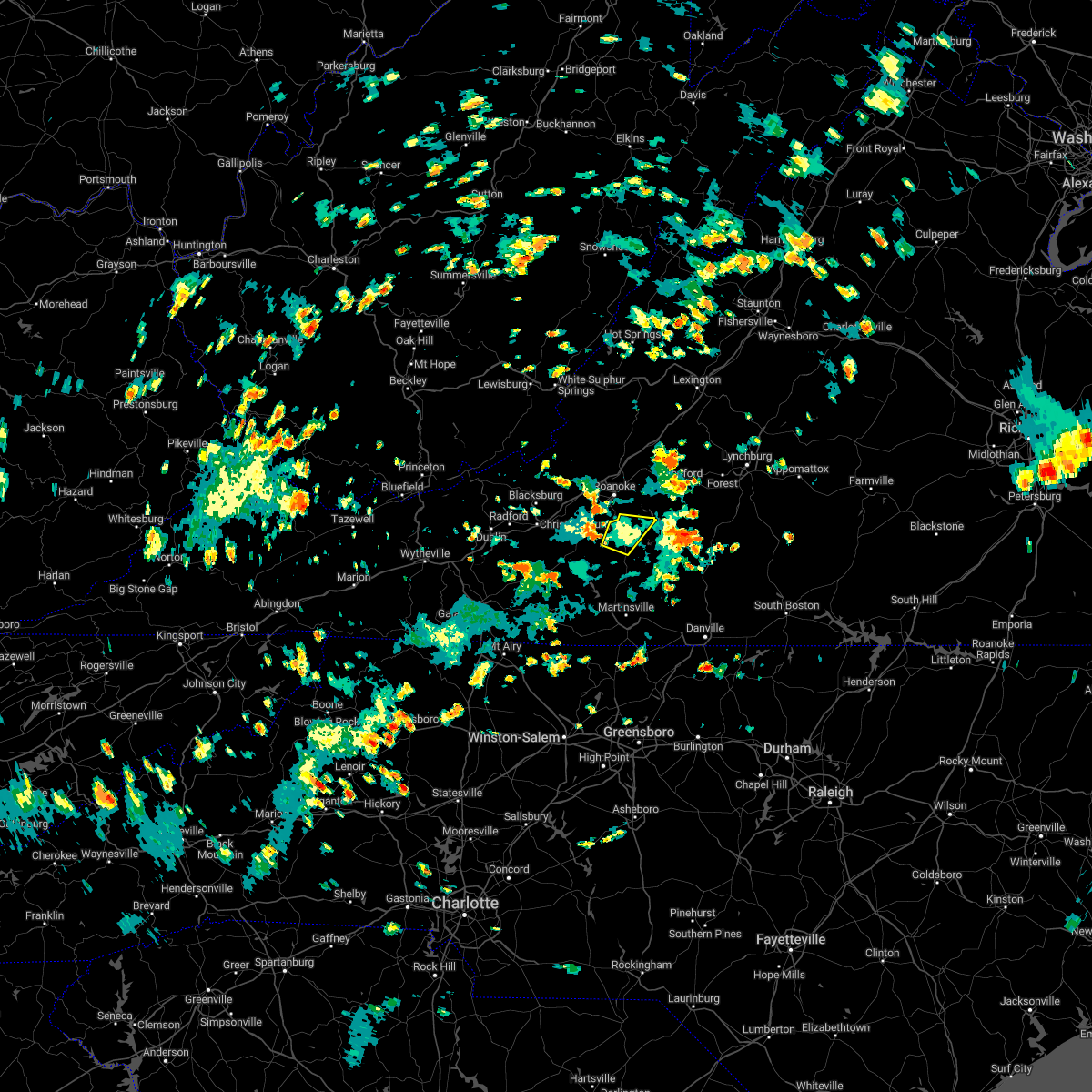 The severe thunderstorm warning for northeastern franklin county will expire at 230 pm edt, the storm which prompted the warning has weakened below severe limits, and no longer poses an immediate threat to life or property. therefore, the warning will be allowed to expire. however heavy rain is still possible with this thunderstorm. The severe thunderstorm warning for northeastern franklin county will expire at 230 pm edt, the storm which prompted the warning has weakened below severe limits, and no longer poses an immediate threat to life or property. therefore, the warning will be allowed to expire. however heavy rain is still possible with this thunderstorm.
|
| 8/10/2022 2:02 PM EDT |
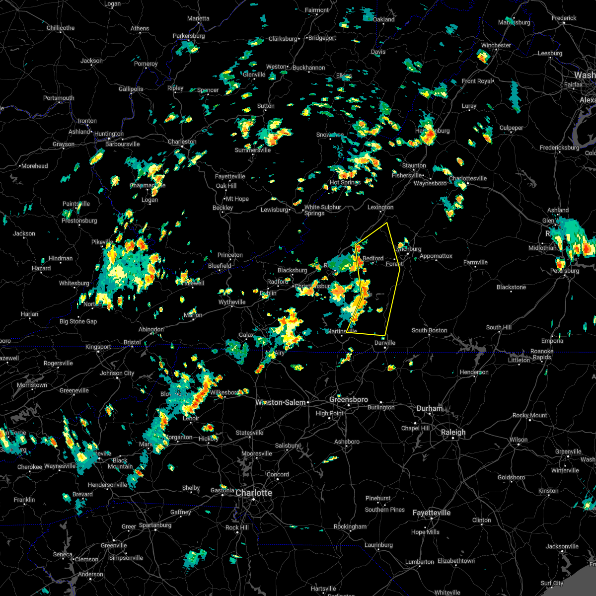 At 202 pm edt, severe thunderstorms were located along a line extending from near peaks of otter recreation area to near smith mountain lake state park to leatherwood, moving northeast at 20 mph (radar indicated). Hazards include 60 mph wind gusts and quarter size hail. Hail damage to vehicles is expected. Expect wind damage to roofs, siding, and trees. At 202 pm edt, severe thunderstorms were located along a line extending from near peaks of otter recreation area to near smith mountain lake state park to leatherwood, moving northeast at 20 mph (radar indicated). Hazards include 60 mph wind gusts and quarter size hail. Hail damage to vehicles is expected. Expect wind damage to roofs, siding, and trees.
|
| 8/10/2022 1:53 PM EDT |
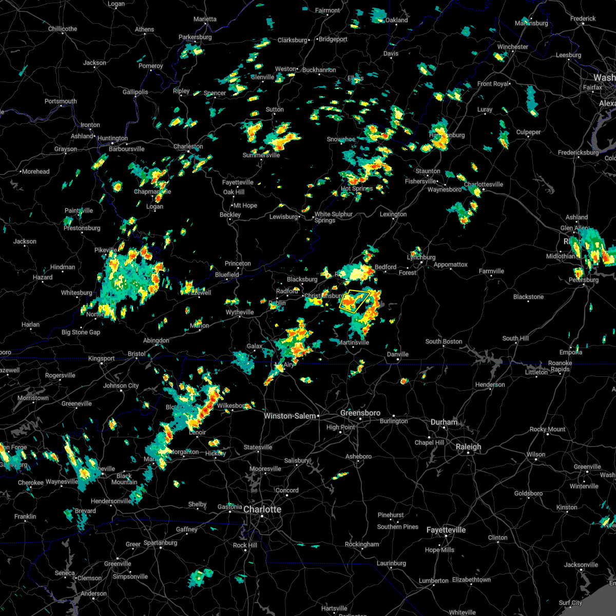 At 152 pm edt, a severe thunderstorm was located over boones mill, and is nearly stationary (radar indicated). Hazards include 60 mph wind gusts and half dollar size hail. Hail damage to vehicles is expected. expect wind damage to roofs, siding, and trees. locations impacted include, rocky mount, boones mill, burnt chimney, wirtz, and westlake corner. hail threat, radar indicated max hail size, 1. 25 in wind threat, radar indicated max wind gust, 60 mph. At 152 pm edt, a severe thunderstorm was located over boones mill, and is nearly stationary (radar indicated). Hazards include 60 mph wind gusts and half dollar size hail. Hail damage to vehicles is expected. expect wind damage to roofs, siding, and trees. locations impacted include, rocky mount, boones mill, burnt chimney, wirtz, and westlake corner. hail threat, radar indicated max hail size, 1. 25 in wind threat, radar indicated max wind gust, 60 mph.
|
| 8/10/2022 1:27 PM EDT |
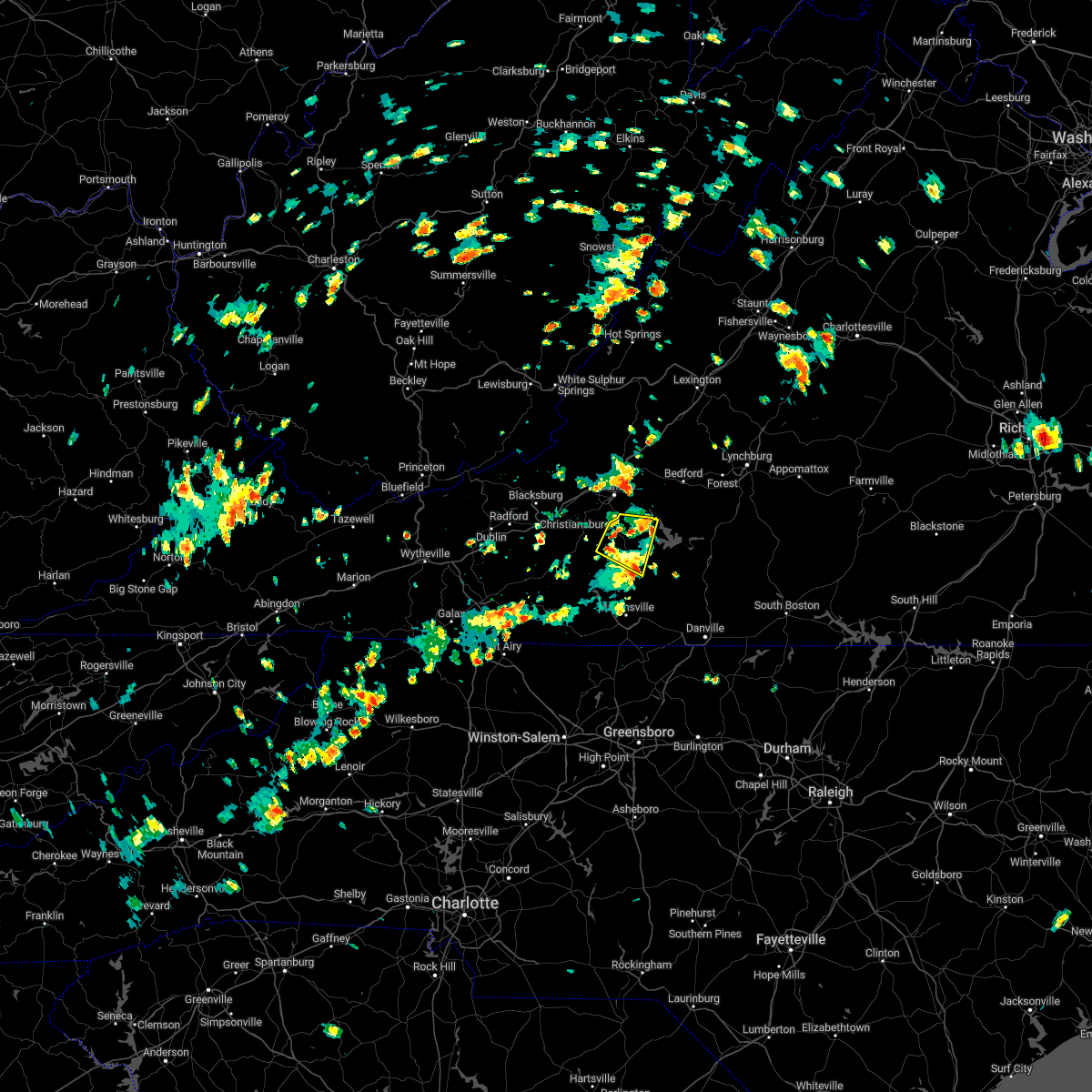 At 126 pm edt, a severe thunderstorm was located over wirtz, or near boones mill, moving east at 10 mph (radar indicated). Hazards include 60 mph wind gusts and half dollar size hail. Hail damage to vehicles is expected. Expect wind damage to roofs, siding, and trees. At 126 pm edt, a severe thunderstorm was located over wirtz, or near boones mill, moving east at 10 mph (radar indicated). Hazards include 60 mph wind gusts and half dollar size hail. Hail damage to vehicles is expected. Expect wind damage to roofs, siding, and trees.
|
| 7/25/2022 2:45 PM EDT | Tree down along south old moneta road near downtown moneta drive. time estimated from rada in bedford county VA, 6.7 miles SW of Westlake Corner, VA |
| 7/25/2022 2:44 PM EDT |
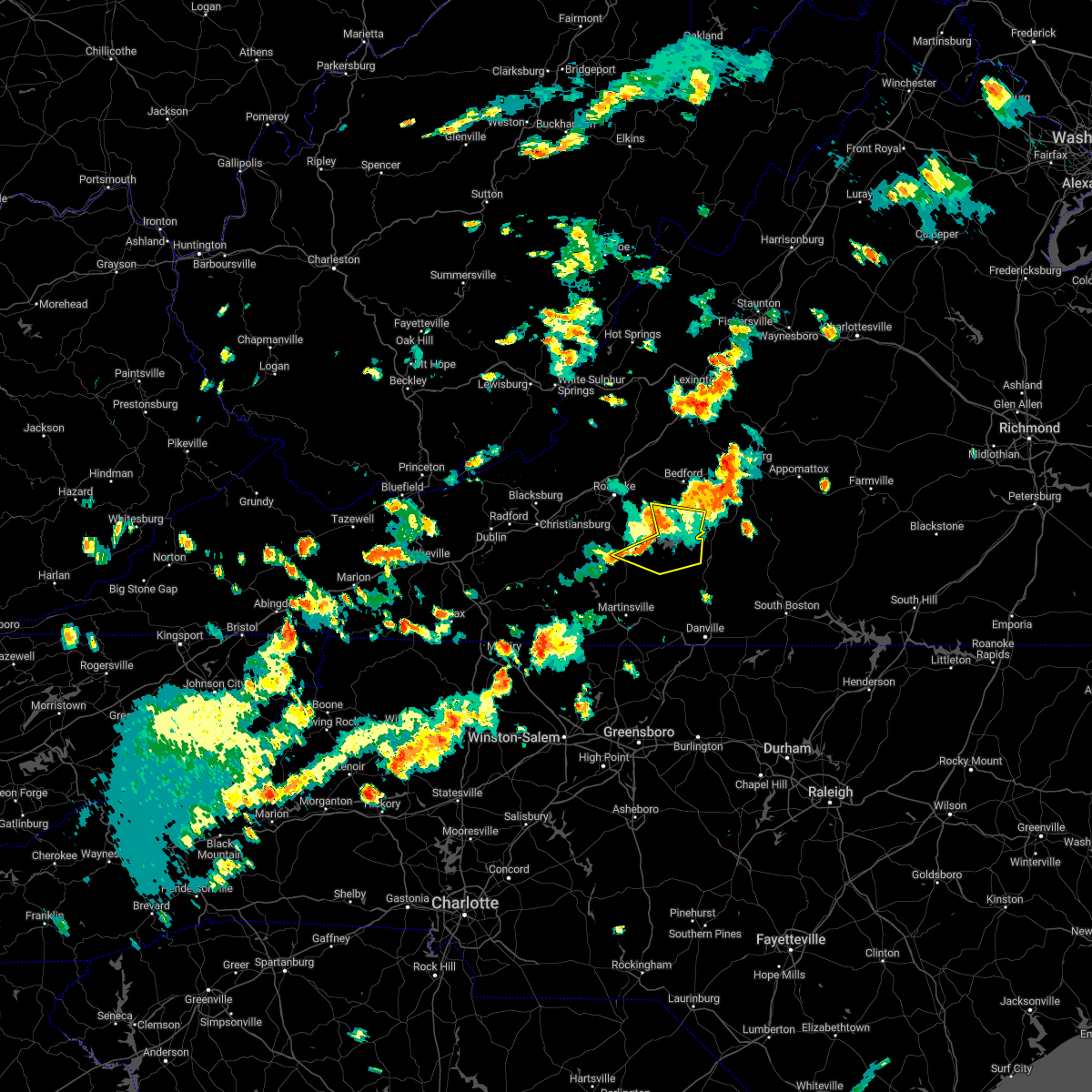 At 244 pm edt, severe thunderstorms were located along a line extending from moneta to union hall to near sontag, moving east at 20 mph (radar indicated). Hazards include 60 mph wind gusts and quarter size hail. Hail damage to vehicles is expected. expect wind damage to roofs, siding, and trees. locations impacted include, rocky mount, huddleston, moneta, penhook, southern smith mountain lake, smith mountain lake state park, and western smith mountain lake. hail threat, radar indicated max hail size, 1. 00 in wind threat, radar indicated max wind gust, 60 mph. At 244 pm edt, severe thunderstorms were located along a line extending from moneta to union hall to near sontag, moving east at 20 mph (radar indicated). Hazards include 60 mph wind gusts and quarter size hail. Hail damage to vehicles is expected. expect wind damage to roofs, siding, and trees. locations impacted include, rocky mount, huddleston, moneta, penhook, southern smith mountain lake, smith mountain lake state park, and western smith mountain lake. hail threat, radar indicated max hail size, 1. 00 in wind threat, radar indicated max wind gust, 60 mph.
|
| 7/25/2022 2:26 PM EDT |
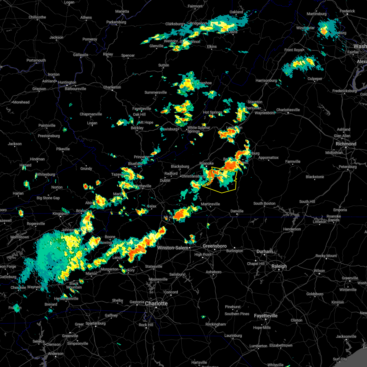 At 226 pm edt, severe thunderstorms were located along a line extending from northwest smith mountain lake to near western smith mountain lake to near rocky mount, moving east at 20 mph (radar indicated). Hazards include 60 mph wind gusts and quarter size hail. Hail damage to vehicles is expected. Expect wind damage to roofs, siding, and trees. At 226 pm edt, severe thunderstorms were located along a line extending from northwest smith mountain lake to near western smith mountain lake to near rocky mount, moving east at 20 mph (radar indicated). Hazards include 60 mph wind gusts and quarter size hail. Hail damage to vehicles is expected. Expect wind damage to roofs, siding, and trees.
|
| 7/25/2022 2:09 PM EDT | Multiple trees and power lines down along hardy road from post office to intersection with wysong mill road at 2:13p in franklin county VA, 8 miles SSE of Westlake Corner, VA |
| 7/25/2022 1:41 PM EDT |
 At 139 pm edt, a severe thunderstorm was located over crockett springs, or near shawsville, moving east at 35 mph. this storm has a history of creating wind gusts in excess of 45 mph (radar indicated). Hazards include 60 mph wind gusts. expect damage to roofs, siding, and trees At 139 pm edt, a severe thunderstorm was located over crockett springs, or near shawsville, moving east at 35 mph. this storm has a history of creating wind gusts in excess of 45 mph (radar indicated). Hazards include 60 mph wind gusts. expect damage to roofs, siding, and trees
|
| 7/12/2022 9:10 PM EDT |
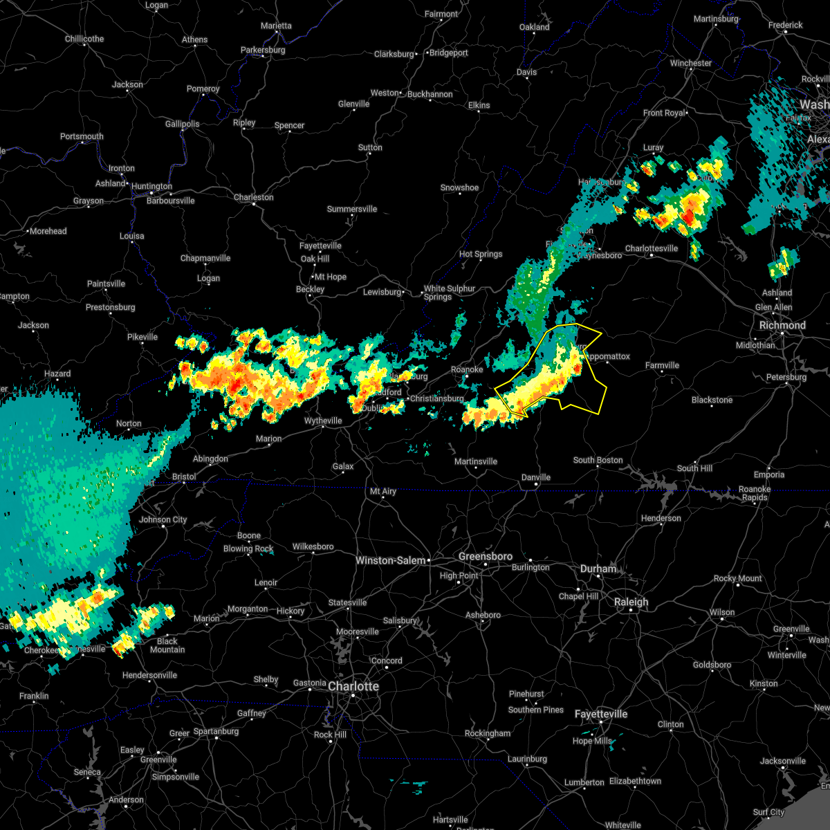 The severe thunderstorm warning for campbell, central bedford, and southern amherst counties and the city of lynchburg will expire at 915 pm edt, the storms which prompted the warning have weakened below severe limits, and no longer pose an immediate threat to life or property. therefore, the warning will be allowed to expire. however gusty winds and heavy rain are still possible with these thunderstorms. a severe thunderstorm watch remains in effect until 1000 pm edt for central, south central and west central virginia. The severe thunderstorm warning for campbell, central bedford, and southern amherst counties and the city of lynchburg will expire at 915 pm edt, the storms which prompted the warning have weakened below severe limits, and no longer pose an immediate threat to life or property. therefore, the warning will be allowed to expire. however gusty winds and heavy rain are still possible with these thunderstorms. a severe thunderstorm watch remains in effect until 1000 pm edt for central, south central and west central virginia.
|
| 7/12/2022 9:06 PM EDT |
 The severe thunderstorm warning for northeastern floyd and franklin counties will expire at 915 pm edt, the storms which prompted the warning have weakened below severe limits, and no longer pose an immediate threat to life or property. therefore, the warning will be allowed to expire. however gusty winds and heavy rain are still possible with these thunderstorms. a severe thunderstorm watch remains in effect until 1000 pm edt for south central, central, southwestern and west central virginia. The severe thunderstorm warning for northeastern floyd and franklin counties will expire at 915 pm edt, the storms which prompted the warning have weakened below severe limits, and no longer pose an immediate threat to life or property. therefore, the warning will be allowed to expire. however gusty winds and heavy rain are still possible with these thunderstorms. a severe thunderstorm watch remains in effect until 1000 pm edt for south central, central, southwestern and west central virginia.
|
| 7/12/2022 8:59 PM EDT |
 At 859 pm edt, severe thunderstorms were located along a line extending from near bocock to smith mountain lake state park, moving southeast at 25 mph (radar indicated). Hazards include 60 mph wind gusts and quarter size hail. Hail damage to vehicles is expected. expect wind damage to roofs, siding, and trees. locations impacted include, lynchburg, altavista, amherst, brookneal, huddleston, moneta, and concord. hail threat, radar indicated max hail size, 1. 00 in wind threat, radar indicated max wind gust, 60 mph. At 859 pm edt, severe thunderstorms were located along a line extending from near bocock to smith mountain lake state park, moving southeast at 25 mph (radar indicated). Hazards include 60 mph wind gusts and quarter size hail. Hail damage to vehicles is expected. expect wind damage to roofs, siding, and trees. locations impacted include, lynchburg, altavista, amherst, brookneal, huddleston, moneta, and concord. hail threat, radar indicated max hail size, 1. 00 in wind threat, radar indicated max wind gust, 60 mph.
|
| 7/12/2022 8:57 PM EDT |
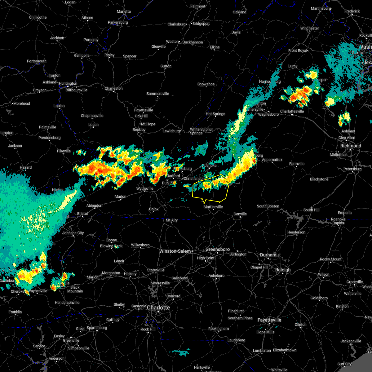 At 856 pm edt, severe thunderstorms were located along a line extending from north shore to near callaway, moving east at 40 mph (radar indicated). Hazards include 60 mph wind gusts and penny size hail. Expect damage to roofs, siding, and trees. locations impacted include, rocky mount, boones mill, copper hill, sydnorsville, ferrum, penhook, and snow creek. hail threat, radar indicated max hail size, 0. 75 in wind threat, radar indicated max wind gust, 60 mph. At 856 pm edt, severe thunderstorms were located along a line extending from north shore to near callaway, moving east at 40 mph (radar indicated). Hazards include 60 mph wind gusts and penny size hail. Expect damage to roofs, siding, and trees. locations impacted include, rocky mount, boones mill, copper hill, sydnorsville, ferrum, penhook, and snow creek. hail threat, radar indicated max hail size, 0. 75 in wind threat, radar indicated max wind gust, 60 mph.
|
| 7/12/2022 8:48 PM EDT |
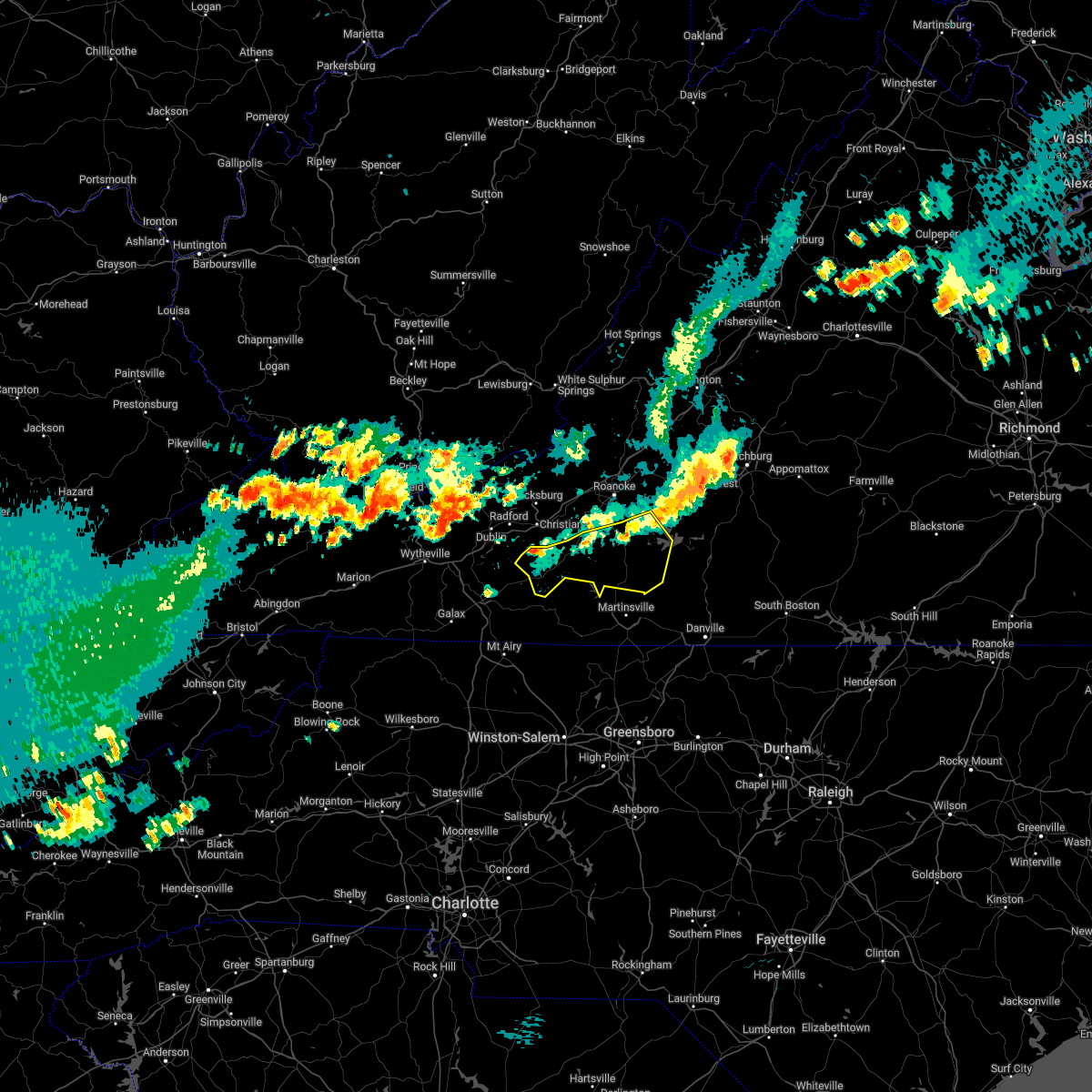 At 847 pm edt, severe thunderstorms were located along a line extending from near westlake corner to near floyd, moving southeast at 30 mph (radar indicated). Hazards include 60 mph wind gusts and penny size hail. Expect damage to roofs, siding, and trees. locations impacted include, rocky mount, floyd, boones mill, copper hill, sydnorsville, ferrum, and penhook. hail threat, radar indicated max hail size, 0. 75 in wind threat, radar indicated max wind gust, 60 mph. At 847 pm edt, severe thunderstorms were located along a line extending from near westlake corner to near floyd, moving southeast at 30 mph (radar indicated). Hazards include 60 mph wind gusts and penny size hail. Expect damage to roofs, siding, and trees. locations impacted include, rocky mount, floyd, boones mill, copper hill, sydnorsville, ferrum, and penhook. hail threat, radar indicated max hail size, 0. 75 in wind threat, radar indicated max wind gust, 60 mph.
|
| 7/12/2022 8:35 PM EDT |
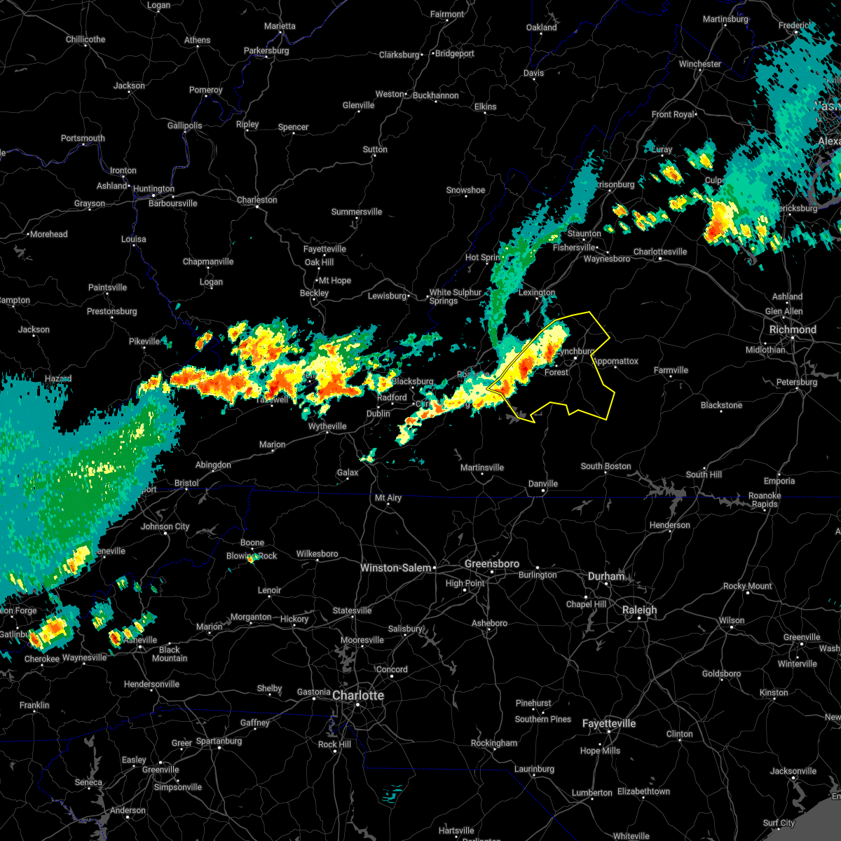 At 835 pm edt, severe thunderstorms were located along a line extending from near boonsboro to goodview, moving southeast at 20 mph (radar indicated). Hazards include ping pong ball size hail and 60 mph wind gusts. People and animals outdoors will be injured. expect hail damage to roofs, siding, windows, and vehicles. expect wind damage to roofs, siding, and trees. locations impacted include, lynchburg, bedford, altavista, amherst, brookneal, huddleston, and big island. hail threat, radar indicated max hail size, 1. 50 in wind threat, radar indicated max wind gust, 60 mph. At 835 pm edt, severe thunderstorms were located along a line extending from near boonsboro to goodview, moving southeast at 20 mph (radar indicated). Hazards include ping pong ball size hail and 60 mph wind gusts. People and animals outdoors will be injured. expect hail damage to roofs, siding, windows, and vehicles. expect wind damage to roofs, siding, and trees. locations impacted include, lynchburg, bedford, altavista, amherst, brookneal, huddleston, and big island. hail threat, radar indicated max hail size, 1. 50 in wind threat, radar indicated max wind gust, 60 mph.
|
| 7/12/2022 8:21 PM EDT |
 At 821 pm edt, severe thunderstorms were located along a line extending from stewartsville to near pilot, moving southeast at 25 mph (radar indicated). Hazards include 60 mph wind gusts and quarter size hail. Hail damage to vehicles is expected. Expect wind damage to roofs, siding, and trees. At 821 pm edt, severe thunderstorms were located along a line extending from stewartsville to near pilot, moving southeast at 25 mph (radar indicated). Hazards include 60 mph wind gusts and quarter size hail. Hail damage to vehicles is expected. Expect wind damage to roofs, siding, and trees.
|
| 7/12/2022 7:58 PM EDT |
 At 756 pm edt, severe thunderstorms were located along a line extending from natural bridge to near lithia, moving east at 25 mph (radar indicated. at 7:54pm power lines were reported down near buchanan). Hazards include ping pong ball size hail and 60 mph wind gusts. People and animals outdoors will be injured. expect hail damage to roofs, siding, windows, and vehicles. Expect wind damage to roofs, siding, and trees. At 756 pm edt, severe thunderstorms were located along a line extending from natural bridge to near lithia, moving east at 25 mph (radar indicated. at 7:54pm power lines were reported down near buchanan). Hazards include ping pong ball size hail and 60 mph wind gusts. People and animals outdoors will be injured. expect hail damage to roofs, siding, windows, and vehicles. Expect wind damage to roofs, siding, and trees.
|
| 7/5/2022 3:50 PM EDT |
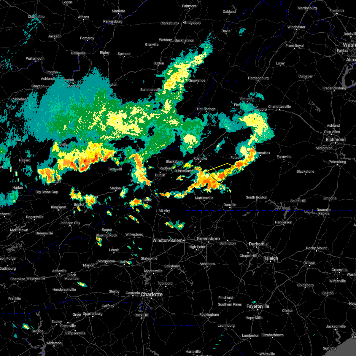 The severe thunderstorm warning for northwestern pittsylvania, southwestern bedford and northeastern franklin counties will expire at 400 pm edt, the storm which prompted the warning has weakened below severe limits, and has exited the warned area. therefore, the warning will be allowed to expire. The severe thunderstorm warning for northwestern pittsylvania, southwestern bedford and northeastern franklin counties will expire at 400 pm edt, the storm which prompted the warning has weakened below severe limits, and has exited the warned area. therefore, the warning will be allowed to expire.
|
| 7/5/2022 3:37 PM EDT |
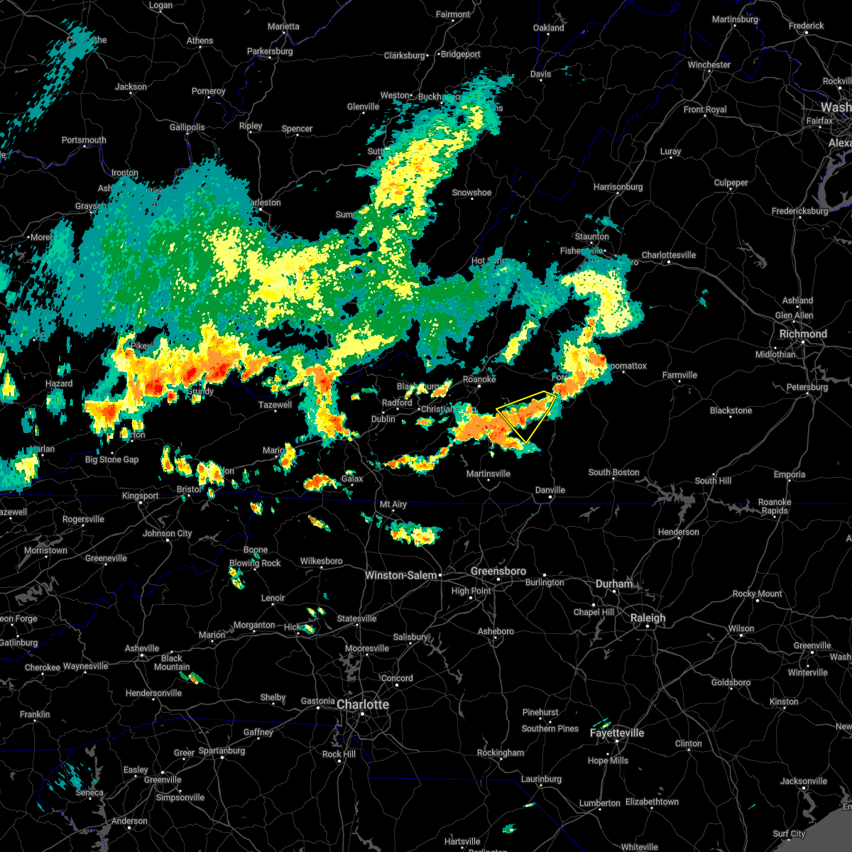 At 337 pm edt, a severe thunderstorm was located near smith mountain lake state park, or near huddleston, moving southeast at 20 mph (radar indicated). Hazards include 60 mph wind gusts and quarter size hail. Hail damage to vehicles is expected. expect wind damage to roofs, siding, and trees. locations impacted include, huddleston, penhook, moneta, smith mountain lake state park, union hall, north shore, and westlake corner. hail threat, radar indicated max hail size, 1. 00 in wind threat, radar indicated max wind gust, 60 mph. At 337 pm edt, a severe thunderstorm was located near smith mountain lake state park, or near huddleston, moving southeast at 20 mph (radar indicated). Hazards include 60 mph wind gusts and quarter size hail. Hail damage to vehicles is expected. expect wind damage to roofs, siding, and trees. locations impacted include, huddleston, penhook, moneta, smith mountain lake state park, union hall, north shore, and westlake corner. hail threat, radar indicated max hail size, 1. 00 in wind threat, radar indicated max wind gust, 60 mph.
|
| 7/5/2022 3:15 PM EDT |
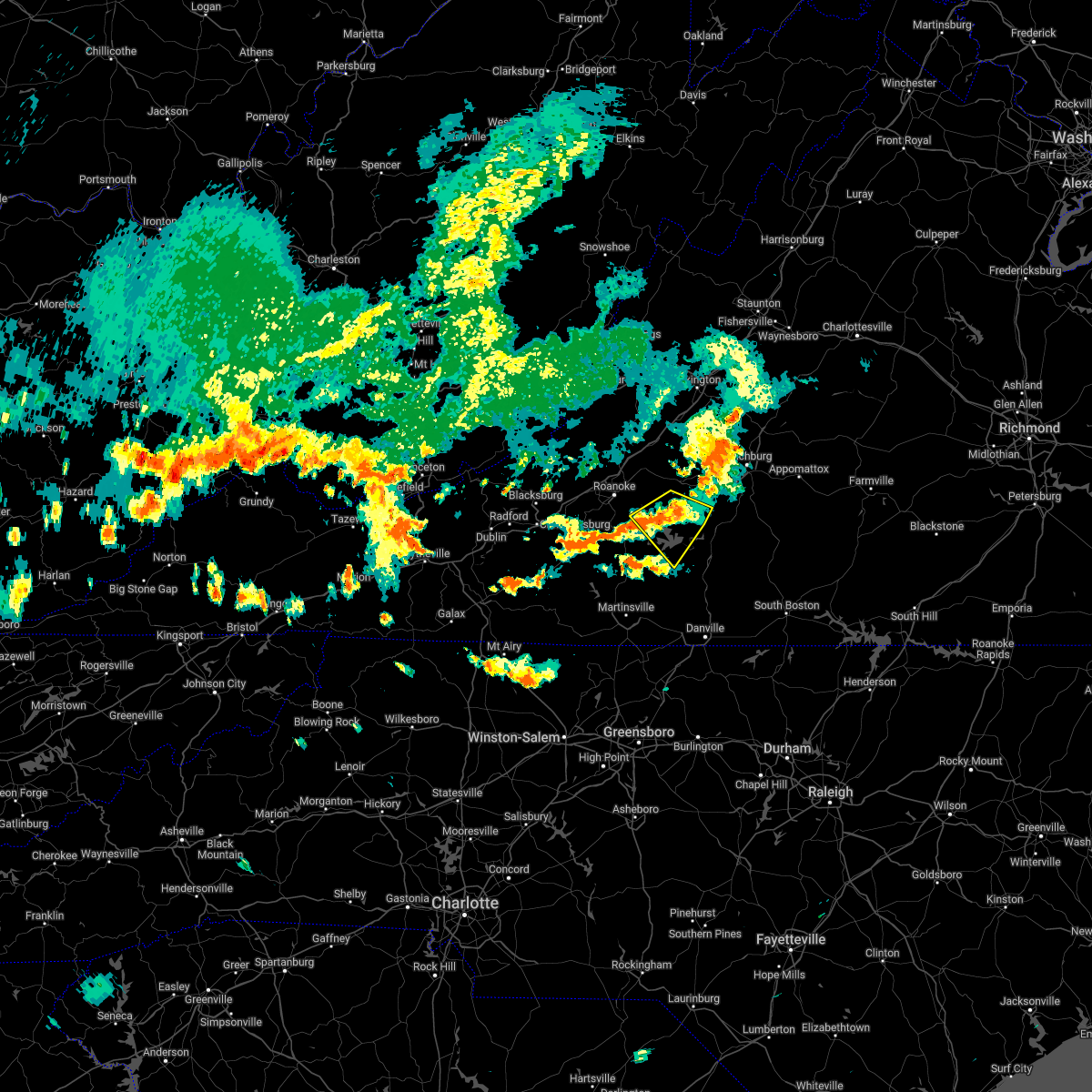 At 314 pm edt, a severe thunderstorm was located over moneta, moving southeast at 20 mph (radar indicated). Hazards include 60 mph wind gusts and quarter size hail. Hail damage to vehicles is expected. expect wind damage to roofs, siding, and trees. locations impacted include, moneta, huddleston, penhook, smith mountain lake state park, union hall, northwest smith mountain lake, and goodview. hail threat, radar indicated max hail size, 1. 00 in wind threat, radar indicated max wind gust, 60 mph. At 314 pm edt, a severe thunderstorm was located over moneta, moving southeast at 20 mph (radar indicated). Hazards include 60 mph wind gusts and quarter size hail. Hail damage to vehicles is expected. expect wind damage to roofs, siding, and trees. locations impacted include, moneta, huddleston, penhook, smith mountain lake state park, union hall, northwest smith mountain lake, and goodview. hail threat, radar indicated max hail size, 1. 00 in wind threat, radar indicated max wind gust, 60 mph.
|
| 7/5/2022 3:03 PM EDT | Tree down at residenc in franklin county VA, 3.9 miles S of Westlake Corner, VA |
| 7/5/2022 3:00 PM EDT | Corrects previous tstm wnd dmg report from goodview. numerous trees down in the goodview are in bedford county VA, 6.7 miles S of Westlake Corner, VA |
| 7/5/2022 2:59 PM EDT |
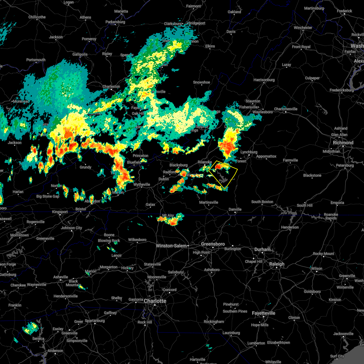 At 259 pm edt, a severe thunderstorm was located over goodview, or near moneta, moving southeast at 20 mph (radar indicated). Hazards include 60 mph wind gusts and quarter size hail. Hail damage to vehicles is expected. Expect wind damage to roofs, siding, and trees. At 259 pm edt, a severe thunderstorm was located over goodview, or near moneta, moving southeast at 20 mph (radar indicated). Hazards include 60 mph wind gusts and quarter size hail. Hail damage to vehicles is expected. Expect wind damage to roofs, siding, and trees.
|
| 7/5/2022 2:56 PM EDT | Numerous trees down in the goodview are in bedford county VA, 6.7 miles S of Westlake Corner, VA |
| 7/5/2022 2:48 PM EDT | Numerous trees down in the chamblissburg area... including along route 2 in bedford county VA, 9.4 miles S of Westlake Corner, VA |
| 7/2/2022 3:58 PM EDT |
 At 358 pm edt, a severe thunderstorm was located over vinton, moving east at 15 mph (radar indicated). Hazards include 60 mph wind gusts and quarter size hail. Hail damage to vehicles is expected. expect wind damage to roofs, siding, and trees. locations impacted include, roanoke, vinton, boones mill, stewartsville, bent mountain, burnt chimney, and hollins. hail threat, radar indicated max hail size, 1. 00 in wind threat, radar indicated max wind gust, 60 mph. At 358 pm edt, a severe thunderstorm was located over vinton, moving east at 15 mph (radar indicated). Hazards include 60 mph wind gusts and quarter size hail. Hail damage to vehicles is expected. expect wind damage to roofs, siding, and trees. locations impacted include, roanoke, vinton, boones mill, stewartsville, bent mountain, burnt chimney, and hollins. hail threat, radar indicated max hail size, 1. 00 in wind threat, radar indicated max wind gust, 60 mph.
|
| 7/2/2022 3:39 PM EDT |
 At 338 pm edt, a severe thunderstorm was located over cave spring, or over roanoke, moving east at 15 mph (radar indicated). Hazards include 60 mph wind gusts and quarter size hail. Hail damage to vehicles is expected. Expect wind damage to roofs, siding, and trees. At 338 pm edt, a severe thunderstorm was located over cave spring, or over roanoke, moving east at 15 mph (radar indicated). Hazards include 60 mph wind gusts and quarter size hail. Hail damage to vehicles is expected. Expect wind damage to roofs, siding, and trees.
|
| 6/17/2022 4:15 PM EDT |
 At 413 pm edt, severe thunderstorms were located along a line extending from vesuvius to near wirtz to near indian valley, moving southeast at 50 mph (radar indicated). Hazards include 70 mph wind gusts. Expect considerable tree damage. Damage is likely to mobile homes, roofs, and outbuildings. At 413 pm edt, severe thunderstorms were located along a line extending from vesuvius to near wirtz to near indian valley, moving southeast at 50 mph (radar indicated). Hazards include 70 mph wind gusts. Expect considerable tree damage. Damage is likely to mobile homes, roofs, and outbuildings.
|
| 6/17/2022 1:37 AM EDT |
 The severe thunderstorm warning for eastern roanoke, west central bedford, southwestern botetourt and north central franklin counties and the city of roanoke will expire at 145 am edt, the storm which prompted the warning has weakened below severe limits, and has exited the warned area. therefore, the warning will be allowed to expire. however gusty winds and heavy rain are still possible with this thunderstorm. The severe thunderstorm warning for eastern roanoke, west central bedford, southwestern botetourt and north central franklin counties and the city of roanoke will expire at 145 am edt, the storm which prompted the warning has weakened below severe limits, and has exited the warned area. therefore, the warning will be allowed to expire. however gusty winds and heavy rain are still possible with this thunderstorm.
|
| 6/17/2022 1:23 AM EDT |
 At 123 am edt, a severe thunderstorm was located near northwest smith mountain lake, or near stewartsville, moving southeast at 30 mph (radar indicated). Hazards include 70 mph wind gusts and half dollar size hail. Hail damage to vehicles is expected. expect considerable tree damage. wind damage is also likely to mobile homes, roofs, and outbuildings. locations impacted include, roanoke, vinton, troutville, stewartsville, montvale, hollins, and northwest smith mountain lake. this includes the following location roanoke regional airport. thunderstorm damage threat, considerable hail threat, radar indicated max hail size, 1. 25 in wind threat, radar indicated max wind gust, 70 mph. At 123 am edt, a severe thunderstorm was located near northwest smith mountain lake, or near stewartsville, moving southeast at 30 mph (radar indicated). Hazards include 70 mph wind gusts and half dollar size hail. Hail damage to vehicles is expected. expect considerable tree damage. wind damage is also likely to mobile homes, roofs, and outbuildings. locations impacted include, roanoke, vinton, troutville, stewartsville, montvale, hollins, and northwest smith mountain lake. this includes the following location roanoke regional airport. thunderstorm damage threat, considerable hail threat, radar indicated max hail size, 1. 25 in wind threat, radar indicated max wind gust, 70 mph.
|
| 6/17/2022 12:52 AM EDT |
 At 1251 am edt, a severe thunderstorm was located near vinton, moving southeast at 15 mph (radar indicated). Hazards include 60 mph wind gusts and half dollar size hail. Hail damage to vehicles is expected. expect wind damage to roofs, siding, and trees. locations impacted include, roanoke, vinton, troutville, stewartsville, montvale, hollins, and northwest smith mountain lake. this includes the following location roanoke regional airport. hail threat, radar indicated max hail size, 1. 25 in wind threat, radar indicated max wind gust, 60 mph. At 1251 am edt, a severe thunderstorm was located near vinton, moving southeast at 15 mph (radar indicated). Hazards include 60 mph wind gusts and half dollar size hail. Hail damage to vehicles is expected. expect wind damage to roofs, siding, and trees. locations impacted include, roanoke, vinton, troutville, stewartsville, montvale, hollins, and northwest smith mountain lake. this includes the following location roanoke regional airport. hail threat, radar indicated max hail size, 1. 25 in wind threat, radar indicated max wind gust, 60 mph.
|
| 6/17/2022 12:38 AM EDT |
 At 1238 am edt, a severe thunderstorm was located over cloverdale, or near vinton, moving southeast at 20 mph (radar indicated). Hazards include 60 mph wind gusts and quarter size hail. Hail damage to vehicles is expected. Expect wind damage to roofs, siding, and trees. At 1238 am edt, a severe thunderstorm was located over cloverdale, or near vinton, moving southeast at 20 mph (radar indicated). Hazards include 60 mph wind gusts and quarter size hail. Hail damage to vehicles is expected. Expect wind damage to roofs, siding, and trees.
|
| 6/14/2022 1:26 PM EDT |
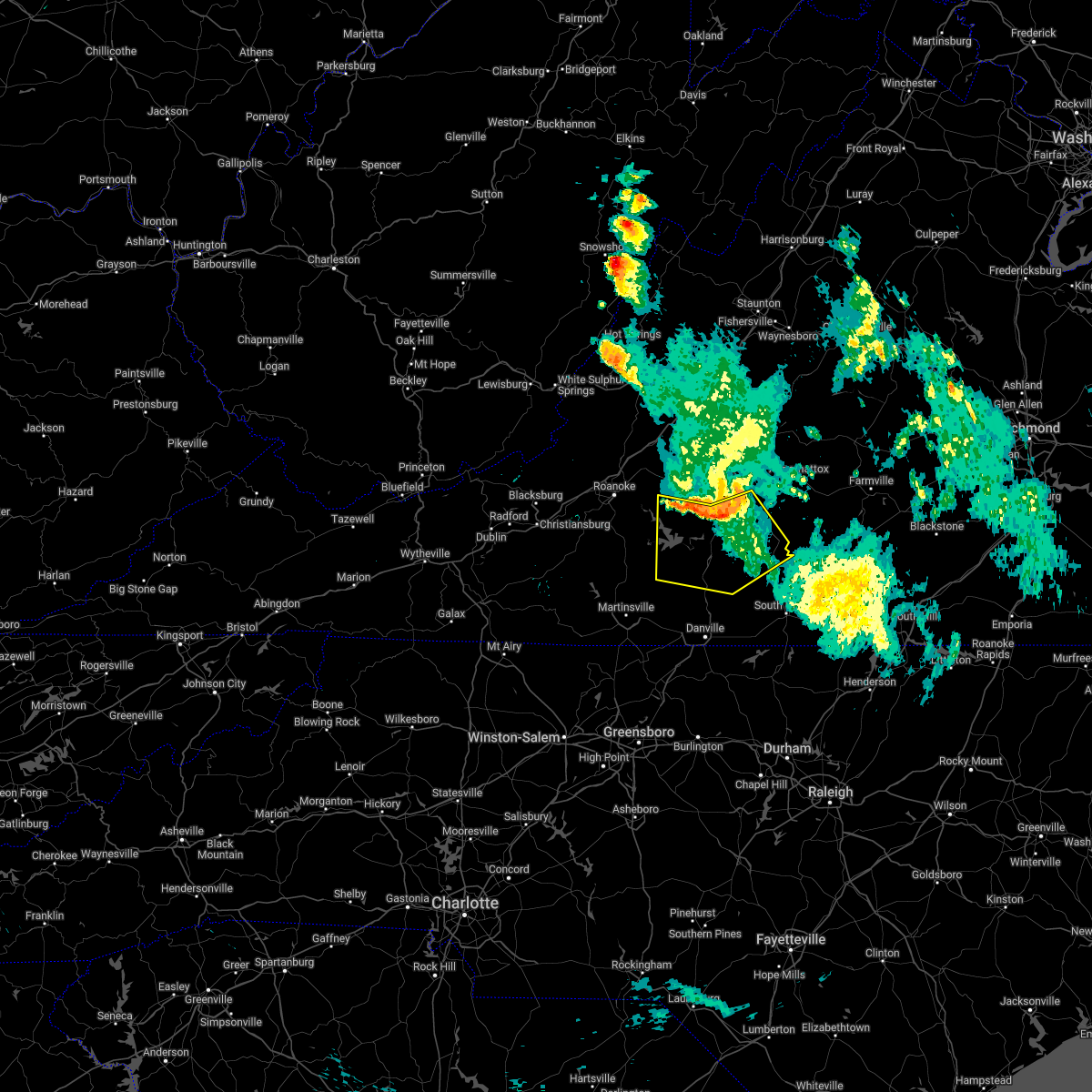 At 126 pm edt, severe thunderstorms were located along a line extending from near rustburg to near altavista to near moneta, moving south at 40 mph (radar indicated). Hazards include 60 mph wind gusts. expect damage to roofs, siding, and trees At 126 pm edt, severe thunderstorms were located along a line extending from near rustburg to near altavista to near moneta, moving south at 40 mph (radar indicated). Hazards include 60 mph wind gusts. expect damage to roofs, siding, and trees
|
| 6/14/2022 12:36 AM EDT |
 The severe thunderstorm warning for roanoke, east central pulaski, southeastern craig, northeastern floyd, bedford, botetourt, franklin and montgomery counties, the city of radford, the city of salem and the city of roanoke will expire at 1245 am edt, the storms which prompted the warning have weakened below severe limits, and no longer pose an immediate threat to life or property. therefore, the warning will be allowed to expire. however gusty winds are still possible with these thunderstorms. The severe thunderstorm warning for roanoke, east central pulaski, southeastern craig, northeastern floyd, bedford, botetourt, franklin and montgomery counties, the city of radford, the city of salem and the city of roanoke will expire at 1245 am edt, the storms which prompted the warning have weakened below severe limits, and no longer pose an immediate threat to life or property. therefore, the warning will be allowed to expire. however gusty winds are still possible with these thunderstorms.
|
| 6/14/2022 12:15 AM EDT |
 At 1214 am edt, severe thunderstorms were located along a line extending from near bent mountain to fairfield, moving southeast at 45 mph (radar indicated). Hazards include 60 mph wind gusts. Expect damage to roofs, siding, and trees. locations impacted include, roanoke, blacksburg, salem, christiansburg, radford, vinton, and bedford. this includes the following locations virginia tech, the salem fairgrounds, the national d-day memorial, and roanoke regional airport. hail threat, radar indicated max hail size, <. 75 in wind threat, radar indicated max wind gust, 60 mph. At 1214 am edt, severe thunderstorms were located along a line extending from near bent mountain to fairfield, moving southeast at 45 mph (radar indicated). Hazards include 60 mph wind gusts. Expect damage to roofs, siding, and trees. locations impacted include, roanoke, blacksburg, salem, christiansburg, radford, vinton, and bedford. this includes the following locations virginia tech, the salem fairgrounds, the national d-day memorial, and roanoke regional airport. hail threat, radar indicated max hail size, <. 75 in wind threat, radar indicated max wind gust, 60 mph.
|
| 6/13/2022 11:55 PM EDT |
 At 1155 pm edt, severe thunderstorms were located along a line extending from near shawsville to goshen, moving southeast at 45 mph (radar indicated). Hazards include 60 mph wind gusts. Expect damage to roofs, siding, and trees. locations impacted include, roanoke, blacksburg, salem, christiansburg, radford, vinton, and lexington. this includes the following locations virginia tech, vmi, the salem fairgrounds, the national d-day memorial, and roanoke regional airport. hail threat, radar indicated max hail size, <. 75 in wind threat, radar indicated max wind gust, 60 mph. At 1155 pm edt, severe thunderstorms were located along a line extending from near shawsville to goshen, moving southeast at 45 mph (radar indicated). Hazards include 60 mph wind gusts. Expect damage to roofs, siding, and trees. locations impacted include, roanoke, blacksburg, salem, christiansburg, radford, vinton, and lexington. this includes the following locations virginia tech, vmi, the salem fairgrounds, the national d-day memorial, and roanoke regional airport. hail threat, radar indicated max hail size, <. 75 in wind threat, radar indicated max wind gust, 60 mph.
|
| 6/13/2022 11:41 PM EDT |
 At 1140 pm edt, severe thunderstorms were located along a line extending from blacksburg to near millboro, moving southeast at 40 mph (radar indicated). Hazards include 70 mph wind gusts. Expect considerable tree damage. Damage is likely to mobile homes, roofs, and outbuildings. At 1140 pm edt, severe thunderstorms were located along a line extending from blacksburg to near millboro, moving southeast at 40 mph (radar indicated). Hazards include 70 mph wind gusts. Expect considerable tree damage. Damage is likely to mobile homes, roofs, and outbuildings.
|
| 5/27/2022 7:07 AM EDT |
 At 707 am edt, a severe thunderstorm was located over fieldale, or near martinsville, moving northeast at 50 mph (radar indicated). Hazards include 60 mph wind gusts. expect damage to roofs, siding, and trees At 707 am edt, a severe thunderstorm was located over fieldale, or near martinsville, moving northeast at 50 mph (radar indicated). Hazards include 60 mph wind gusts. expect damage to roofs, siding, and trees
|
| 5/27/2022 6:55 AM EDT |
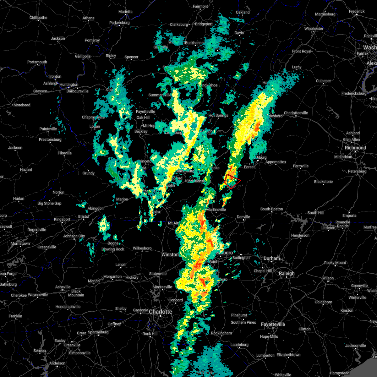 The tornado warning for southwestern bedford and northeastern franklin counties will expire at 700 am edt, the tornado warning that was previously in effect has been reissued for eastern bedford county until 730 am edt. please refer to that bulletin for the latest severe weather information. however gusty winds and heavy rain are still possible with this thunderstorm. a tornado watch remains in effect until 200 pm edt for south central, central and west central virginia. The tornado warning for southwestern bedford and northeastern franklin counties will expire at 700 am edt, the tornado warning that was previously in effect has been reissued for eastern bedford county until 730 am edt. please refer to that bulletin for the latest severe weather information. however gusty winds and heavy rain are still possible with this thunderstorm. a tornado watch remains in effect until 200 pm edt for south central, central and west central virginia.
|
| 5/27/2022 6:53 AM EDT |
 At 653 am edt, a severe thunderstorm capable of producing a tornado was located over moneta, moving northeast at 35 mph (radar indicated rotation). Hazards include tornado. Flying debris will be dangerous to those caught without shelter. mobile homes will be damaged or destroyed. damage to roofs, windows, and vehicles will occur. Tree damage is likely. At 653 am edt, a severe thunderstorm capable of producing a tornado was located over moneta, moving northeast at 35 mph (radar indicated rotation). Hazards include tornado. Flying debris will be dangerous to those caught without shelter. mobile homes will be damaged or destroyed. damage to roofs, windows, and vehicles will occur. Tree damage is likely.
|
| 5/27/2022 6:49 AM EDT |
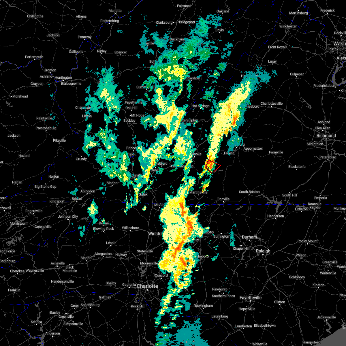 At 649 am edt, a severe thunderstorm capable of producing a tornado was located near moneta, moving northeast at 30 mph (radar indicated rotation). Hazards include tornado. Flying debris will be dangerous to those caught without shelter. mobile homes will be damaged or destroyed. damage to roofs, windows, and vehicles will occur. tree damage is likely. Locations impacted include, moneta, penhook, smith mountain lake state park, north shore, westlake corner, and union hall. At 649 am edt, a severe thunderstorm capable of producing a tornado was located near moneta, moving northeast at 30 mph (radar indicated rotation). Hazards include tornado. Flying debris will be dangerous to those caught without shelter. mobile homes will be damaged or destroyed. damage to roofs, windows, and vehicles will occur. tree damage is likely. Locations impacted include, moneta, penhook, smith mountain lake state park, north shore, westlake corner, and union hall.
|
| 5/27/2022 6:34 AM EDT |
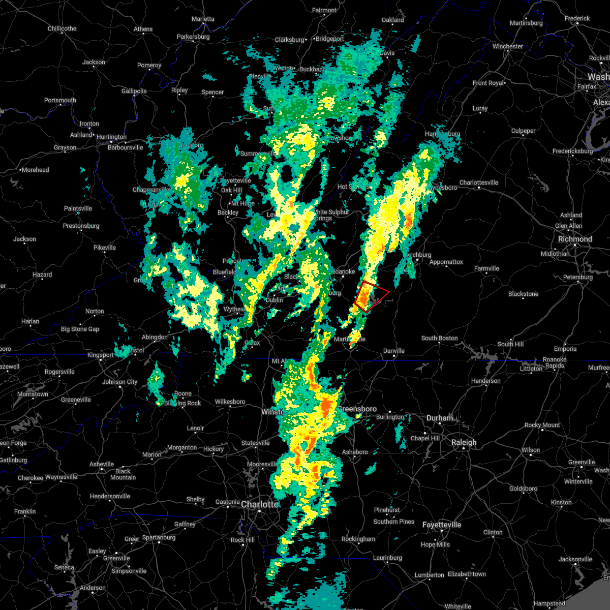 At 633 am edt, a severe thunderstorm capable of producing a tornado was located over union hall, or near penhook, moving northeast at 35 mph (radar indicated rotation). Hazards include tornado. Flying debris will be dangerous to those caught without shelter. mobile homes will be damaged or destroyed. damage to roofs, windows, and vehicles will occur. tree damage is likely. Locations impacted include, moneta, penhook, smith mountain lake state park, western smith mountain lake, union hall, northwest smith mountain lake, and goodview. At 633 am edt, a severe thunderstorm capable of producing a tornado was located over union hall, or near penhook, moving northeast at 35 mph (radar indicated rotation). Hazards include tornado. Flying debris will be dangerous to those caught without shelter. mobile homes will be damaged or destroyed. damage to roofs, windows, and vehicles will occur. tree damage is likely. Locations impacted include, moneta, penhook, smith mountain lake state park, western smith mountain lake, union hall, northwest smith mountain lake, and goodview.
|
| 5/27/2022 6:24 AM EDT |
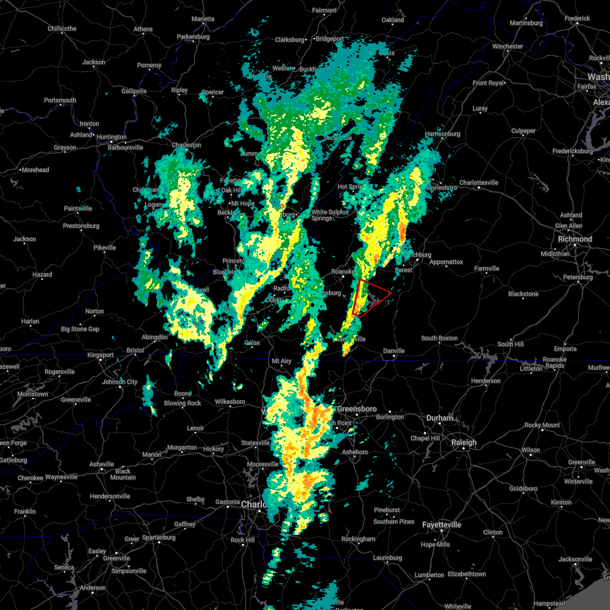 At 623 am edt, a severe thunderstorm capable of producing a tornado was located near sontag, or 7 miles east of rocky mount, moving northeast at 35 mph (radar indicated rotation). Hazards include tornado. Flying debris will be dangerous to those caught without shelter. mobile homes will be damaged or destroyed. damage to roofs, windows, and vehicles will occur. Tree damage is likely. At 623 am edt, a severe thunderstorm capable of producing a tornado was located near sontag, or 7 miles east of rocky mount, moving northeast at 35 mph (radar indicated rotation). Hazards include tornado. Flying debris will be dangerous to those caught without shelter. mobile homes will be damaged or destroyed. damage to roofs, windows, and vehicles will occur. Tree damage is likely.
|
| 5/26/2022 11:13 PM EDT |
 The severe thunderstorm warning for rockingham, western pittsylvania, southwestern bedford, henry and franklin counties and the city of martinsville will expire at 1115 pm edt, the storms which prompted the warning have weakened below severe limits, and have exited the warned area. therefore, the warning will be allowed to expire. however small hail, gusty winds and heavy rain are still possible with these thunderstorms. The severe thunderstorm warning for rockingham, western pittsylvania, southwestern bedford, henry and franklin counties and the city of martinsville will expire at 1115 pm edt, the storms which prompted the warning have weakened below severe limits, and have exited the warned area. therefore, the warning will be allowed to expire. however small hail, gusty winds and heavy rain are still possible with these thunderstorms.
|
| 5/26/2022 11:07 PM EDT |
 At 1106 pm edt, severe thunderstorms were located along a line extending from montvale to moneta to near sago, moving northeast at 45 mph (radar indicated). Hazards include 60 mph wind gusts. expect damage to roofs, siding, and trees At 1106 pm edt, severe thunderstorms were located along a line extending from montvale to moneta to near sago, moving northeast at 45 mph (radar indicated). Hazards include 60 mph wind gusts. expect damage to roofs, siding, and trees
|
| 5/26/2022 10:45 PM EDT |
 At 1045 pm edt, severe thunderstorms were located along a line extending from burnt chimney to near wentworth, moving northeast at 35 mph (radar indicated). Hazards include 60 mph wind gusts. Expect damage to roofs, siding, and trees. locations impacted include, eden, reidsville, martinsville, rocky mount, wentworth, stoneville, and ferrum. This includes the following locations the martinsville speedway and martinsville airport. At 1045 pm edt, severe thunderstorms were located along a line extending from burnt chimney to near wentworth, moving northeast at 35 mph (radar indicated). Hazards include 60 mph wind gusts. Expect damage to roofs, siding, and trees. locations impacted include, eden, reidsville, martinsville, rocky mount, wentworth, stoneville, and ferrum. This includes the following locations the martinsville speedway and martinsville airport.
|
| 5/26/2022 10:13 PM EDT |
 At 1013 pm edt, severe thunderstorms were located along a line extending from near callaway to near pine hall, moving east at 25 mph (radar indicated). Hazards include 60 mph wind gusts. expect damage to roofs, siding, and trees At 1013 pm edt, severe thunderstorms were located along a line extending from near callaway to near pine hall, moving east at 25 mph (radar indicated). Hazards include 60 mph wind gusts. expect damage to roofs, siding, and trees
|
| 5/6/2022 8:54 PM EDT |
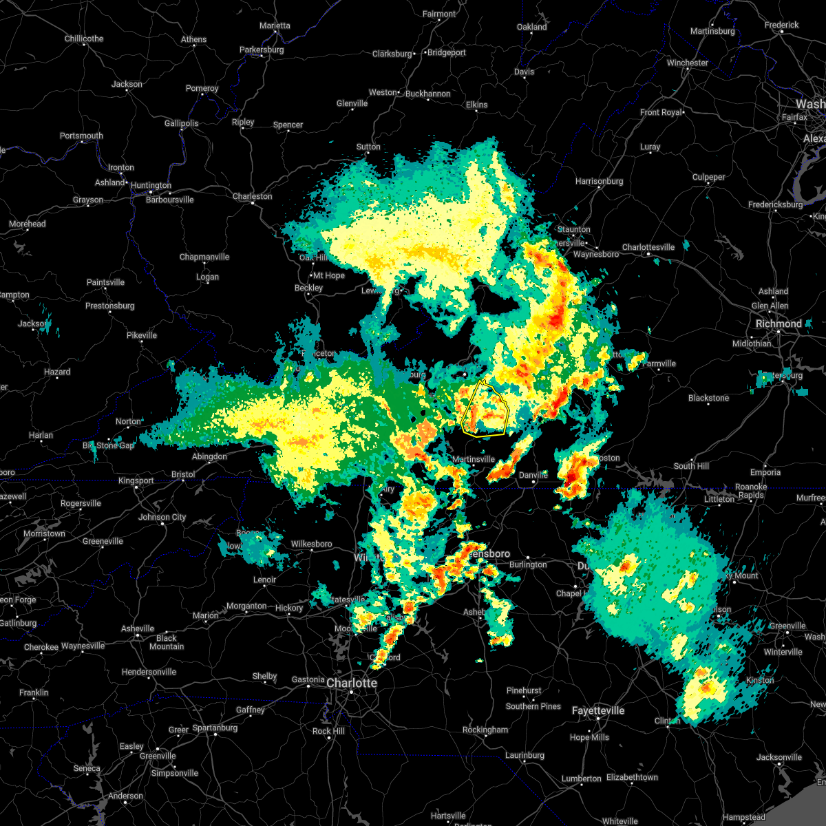 At 853 pm edt, a severe thunderstorm was located over rocky mount, moving northeast at 40 mph (radar indicated). Hazards include 60 mph wind gusts. Expect damage to roofs, siding, and trees. locations impacted include, rocky mount, penhook, sydnorsville, ferrum, burnt chimney, northwest smith mountain lake, and westlake corner. hail threat, radar indicated max hail size, <. 75 in wind threat, radar indicated max wind gust, 60 mph. At 853 pm edt, a severe thunderstorm was located over rocky mount, moving northeast at 40 mph (radar indicated). Hazards include 60 mph wind gusts. Expect damage to roofs, siding, and trees. locations impacted include, rocky mount, penhook, sydnorsville, ferrum, burnt chimney, northwest smith mountain lake, and westlake corner. hail threat, radar indicated max hail size, <. 75 in wind threat, radar indicated max wind gust, 60 mph.
|
| 5/6/2022 8:41 PM EDT |
 At 840 pm edt, a severe thunderstorm was located near ferrum, moving northeast at 30 mph (radar indicated). Hazards include 60 mph wind gusts and quarter size hail. Hail damage to vehicles is expected. Expect wind damage to roofs, siding, and trees. At 840 pm edt, a severe thunderstorm was located near ferrum, moving northeast at 30 mph (radar indicated). Hazards include 60 mph wind gusts and quarter size hail. Hail damage to vehicles is expected. Expect wind damage to roofs, siding, and trees.
|
| 5/6/2022 8:18 PM EDT |
 At 817 pm edt, severe thunderstorms were located along a line extending from buchanan to near stewartsville to near goodview, moving east at 35 mph (radar indicated). Hazards include 60 mph wind gusts. Expect damage to roofs, siding, and trees. locations impacted include, bedford, buchanan, troutville, stewartsville, montvale, moneta, and fincastle. hail threat, radar indicated max hail size, <. 75 in wind threat, radar indicated max wind gust, 60 mph. At 817 pm edt, severe thunderstorms were located along a line extending from buchanan to near stewartsville to near goodview, moving east at 35 mph (radar indicated). Hazards include 60 mph wind gusts. Expect damage to roofs, siding, and trees. locations impacted include, bedford, buchanan, troutville, stewartsville, montvale, moneta, and fincastle. hail threat, radar indicated max hail size, <. 75 in wind threat, radar indicated max wind gust, 60 mph.
|
| 5/3/2022 4:20 PM EDT |
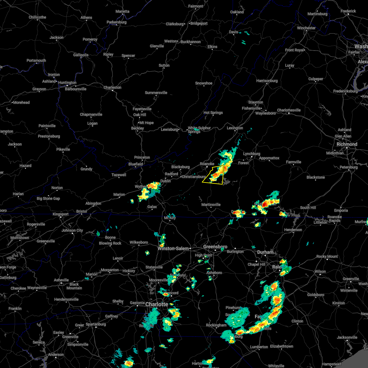 The severe thunderstorm warning for southwestern bedford and northeastern franklin counties will expire at 430 pm edt, the storm which prompted the warning has weakened below severe limits, and no longer poses an immediate threat to life or property. therefore, the warning will be allowed to expire. The severe thunderstorm warning for southwestern bedford and northeastern franklin counties will expire at 430 pm edt, the storm which prompted the warning has weakened below severe limits, and no longer poses an immediate threat to life or property. therefore, the warning will be allowed to expire.
|
| 5/3/2022 4:04 PM EDT |
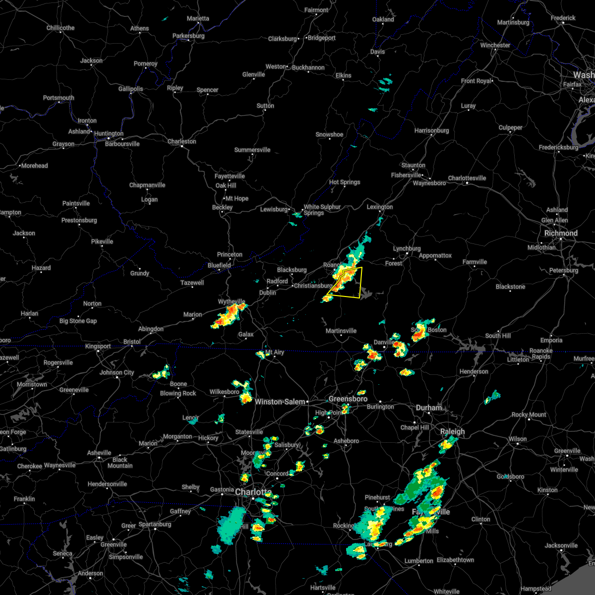 At 403 pm edt, a severe thunderstorm was located over burnt chimney, or near boones mill, moving east at 15 mph (radar indicated). Hazards include 60 mph wind gusts and quarter size hail. Hail damage to vehicles is expected. expect wind damage to roofs, siding, and trees. locations impacted include, boones mill, stewartsville, chamblissburg, burnt chimney, western smith mountain lake, northwest smith mountain lake, and goodview. hail threat, radar indicated max hail size, 1. 00 in wind threat, radar indicated max wind gust, 60 mph. At 403 pm edt, a severe thunderstorm was located over burnt chimney, or near boones mill, moving east at 15 mph (radar indicated). Hazards include 60 mph wind gusts and quarter size hail. Hail damage to vehicles is expected. expect wind damage to roofs, siding, and trees. locations impacted include, boones mill, stewartsville, chamblissburg, burnt chimney, western smith mountain lake, northwest smith mountain lake, and goodview. hail threat, radar indicated max hail size, 1. 00 in wind threat, radar indicated max wind gust, 60 mph.
|
| 5/3/2022 3:47 PM EDT |
 At 346 pm edt, a severe thunderstorm was located over boones mill, moving east at 15 mph (radar indicated). Hazards include 60 mph wind gusts and quarter size hail. Hail damage to vehicles is expected. expect wind damage to roofs, siding, and trees. locations impacted include, boones mill, stewartsville, chamblissburg, burnt chimney, western smith mountain lake, northwest smith mountain lake, and goodview. hail threat, radar indicated max hail size, 1. 00 in wind threat, radar indicated max wind gust, 60 mph. At 346 pm edt, a severe thunderstorm was located over boones mill, moving east at 15 mph (radar indicated). Hazards include 60 mph wind gusts and quarter size hail. Hail damage to vehicles is expected. expect wind damage to roofs, siding, and trees. locations impacted include, boones mill, stewartsville, chamblissburg, burnt chimney, western smith mountain lake, northwest smith mountain lake, and goodview. hail threat, radar indicated max hail size, 1. 00 in wind threat, radar indicated max wind gust, 60 mph.
|
| 5/3/2022 3:32 PM EDT |
 At 332 pm edt, a severe thunderstorm was located near boones mill, moving east at 15 mph (radar indicated). Hazards include 60 mph wind gusts and quarter size hail. Hail damage to vehicles is expected. Expect wind damage to roofs, siding, and trees. At 332 pm edt, a severe thunderstorm was located near boones mill, moving east at 15 mph (radar indicated). Hazards include 60 mph wind gusts and quarter size hail. Hail damage to vehicles is expected. Expect wind damage to roofs, siding, and trees.
|
| 3/23/2022 9:41 PM EDT |
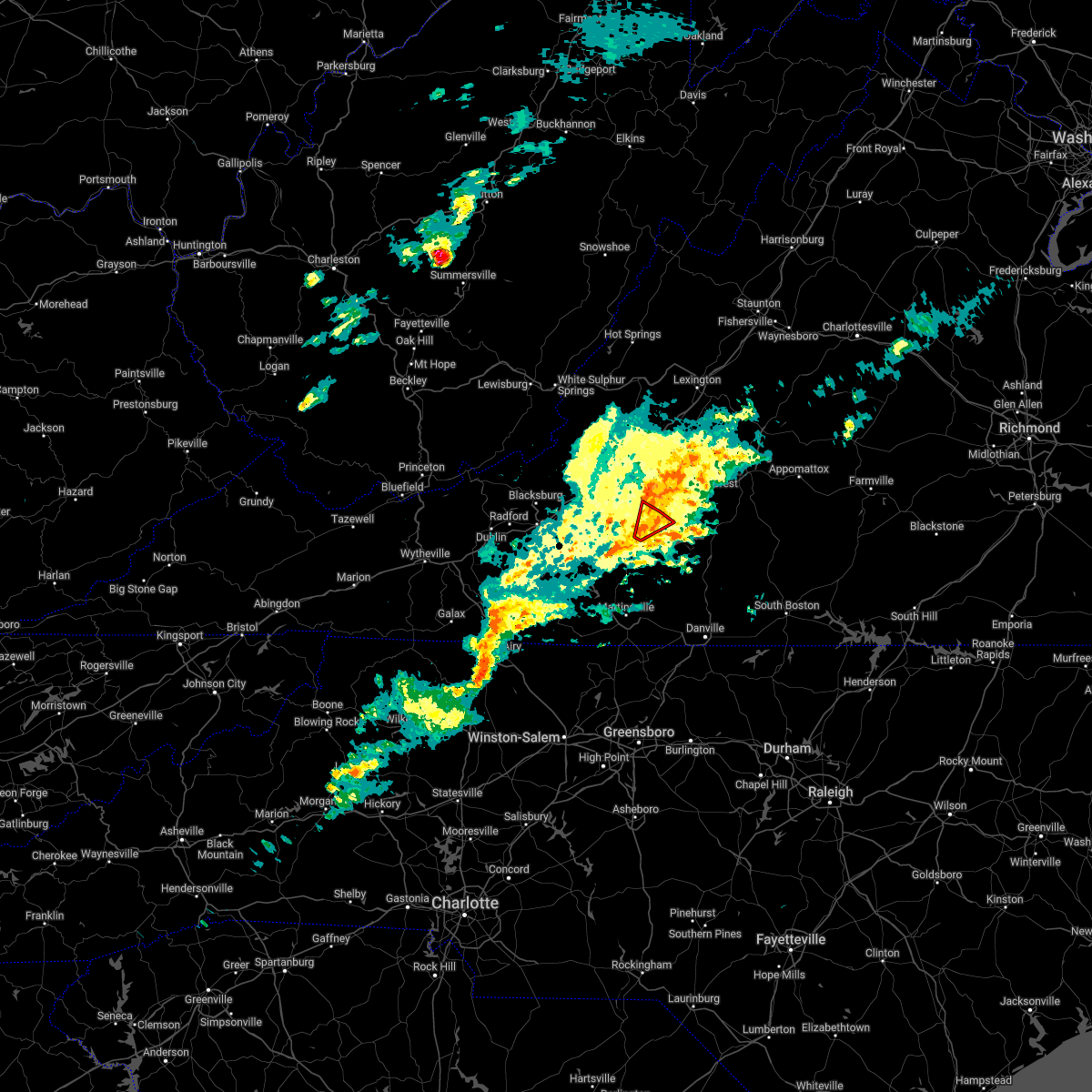 At 940 pm edt, a severe thunderstorm capable of producing a tornado was located near burnt chimney, or 9 miles southwest of moneta, moving northeast at 35 mph (radar indicated rotation). Hazards include tornado. Flying debris will be dangerous to those caught without shelter. mobile homes will be damaged or destroyed. damage to roofs, windows, and vehicles will occur. tree damage is likely. Locations impacted include, northwest smith mountain lake, westlake corner, goodview, and north shore. At 940 pm edt, a severe thunderstorm capable of producing a tornado was located near burnt chimney, or 9 miles southwest of moneta, moving northeast at 35 mph (radar indicated rotation). Hazards include tornado. Flying debris will be dangerous to those caught without shelter. mobile homes will be damaged or destroyed. damage to roofs, windows, and vehicles will occur. tree damage is likely. Locations impacted include, northwest smith mountain lake, westlake corner, goodview, and north shore.
|
| 3/23/2022 9:27 PM EDT |
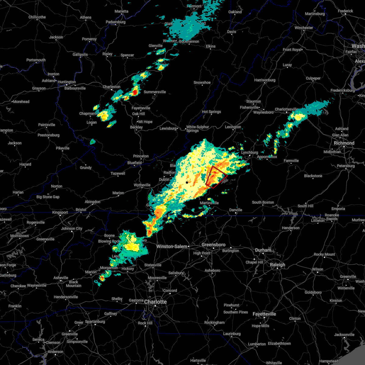 At 927 pm edt, a severe thunderstorm capable of producing a tornado was located over rocky mount, moving northeast at 30 mph (radar indicated rotation). Hazards include tornado. Flying debris will be dangerous to those caught without shelter. mobile homes will be damaged or destroyed. damage to roofs, windows, and vehicles will occur. Tree damage is likely. At 927 pm edt, a severe thunderstorm capable of producing a tornado was located over rocky mount, moving northeast at 30 mph (radar indicated rotation). Hazards include tornado. Flying debris will be dangerous to those caught without shelter. mobile homes will be damaged or destroyed. damage to roofs, windows, and vehicles will occur. Tree damage is likely.
|
| 9/8/2021 2:57 PM EDT |
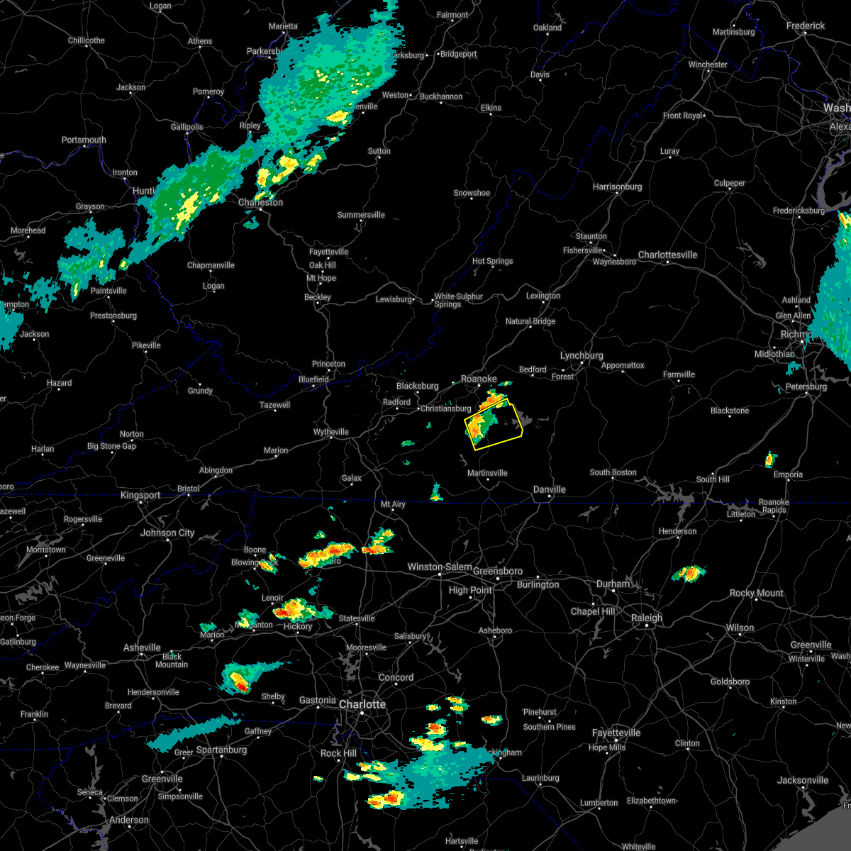 A severe thunderstorm warning remains in effect until 345 pm edt for central franklin county. at 256 pm edt, a severe thunderstorm was located over rocky mount, moving east at 40 mph. hazard. 60 mph wind gusts and pea size hail. source. Radar indicated. A severe thunderstorm warning remains in effect until 345 pm edt for central franklin county. at 256 pm edt, a severe thunderstorm was located over rocky mount, moving east at 40 mph. hazard. 60 mph wind gusts and pea size hail. source. Radar indicated.
|
| 9/8/2021 2:43 PM EDT |
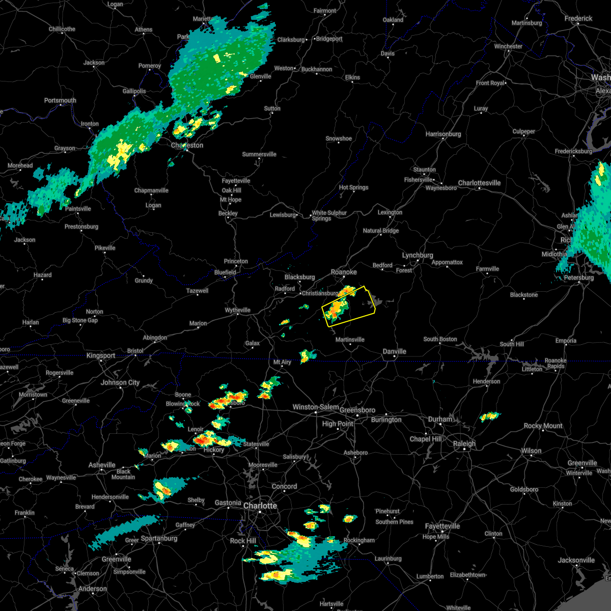 At 242 pm edt, a severe thunderstorm was located near callaway, or near ferrum, moving east at 20 mph (radar indicated). Hazards include 60 mph wind gusts and quarter size hail. Hail damage to vehicles is expected. Expect wind damage to roofs, siding, and trees. At 242 pm edt, a severe thunderstorm was located near callaway, or near ferrum, moving east at 20 mph (radar indicated). Hazards include 60 mph wind gusts and quarter size hail. Hail damage to vehicles is expected. Expect wind damage to roofs, siding, and trees.
|
| 8/27/2021 5:06 PM EDT |
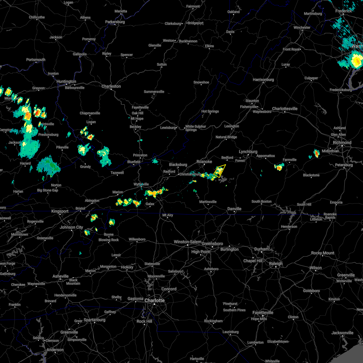 The severe thunderstorm warning for southwestern bedford and northeastern franklin counties will expire at 515 pm edt, the storm which prompted the warning has weakened below severe limits, and no longer poses an immediate threat to life or property. therefore, the warning will be allowed to expire. however, gusty winds are still possible with this thunderstorm. The severe thunderstorm warning for southwestern bedford and northeastern franklin counties will expire at 515 pm edt, the storm which prompted the warning has weakened below severe limits, and no longer poses an immediate threat to life or property. therefore, the warning will be allowed to expire. however, gusty winds are still possible with this thunderstorm.
|
| 8/27/2021 4:58 PM EDT |
 At 458 pm edt, a severe thunderstorm was located over western smith mountain lake, or near rocky mount, moving southeast at 10 mph (radar indicated). Hazards include 60 mph wind gusts and quarter size hail. Hail damage to vehicles is expected. expect wind damage to roofs, siding, and trees. locations impacted include, union hall, western smith mountain lake, southern smith mountain lake, north shore, and westlake corner. hail threat, radar indicated max hail size, 1. 00 in wind threat, radar indicated max wind gust, 60 mph. At 458 pm edt, a severe thunderstorm was located over western smith mountain lake, or near rocky mount, moving southeast at 10 mph (radar indicated). Hazards include 60 mph wind gusts and quarter size hail. Hail damage to vehicles is expected. expect wind damage to roofs, siding, and trees. locations impacted include, union hall, western smith mountain lake, southern smith mountain lake, north shore, and westlake corner. hail threat, radar indicated max hail size, 1. 00 in wind threat, radar indicated max wind gust, 60 mph.
|
| 8/27/2021 4:57 PM EDT |
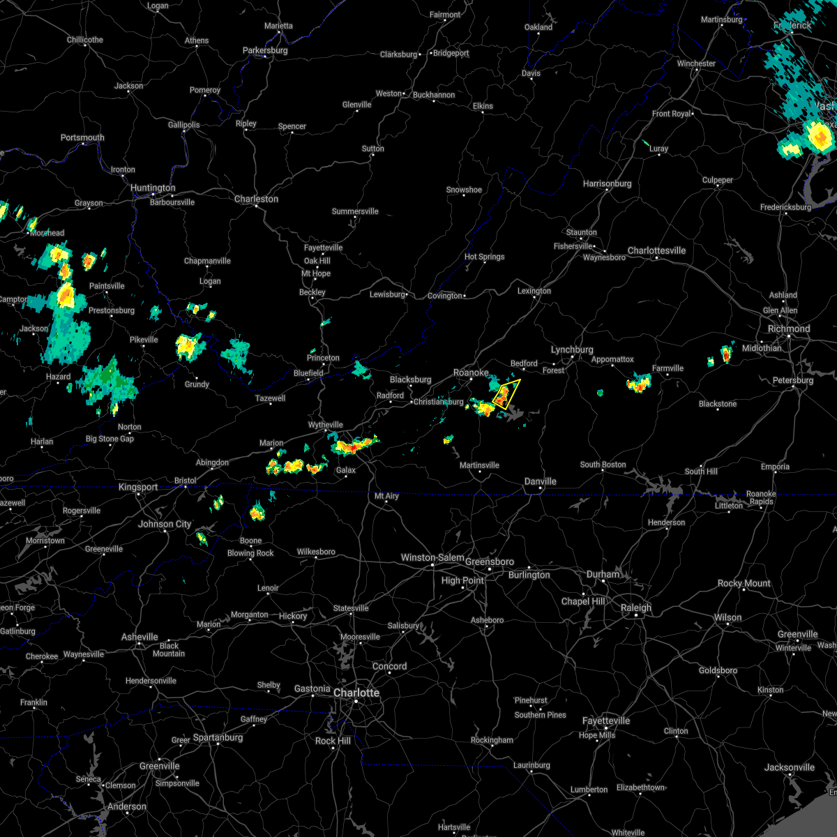 At 456 pm edt, a severe thunderstorm was located over westlake corner, or near moneta, moving east at 15 mph (radar indicated). Hazards include 60 mph wind gusts. Expect damage to roofs, siding, and trees. locations impacted include, moneta, northwest smith mountain lake, westlake corner, and north shore. hail threat, radar indicated max hail size, <. 75 in wind threat, radar indicated max wind gust, 60 mph. At 456 pm edt, a severe thunderstorm was located over westlake corner, or near moneta, moving east at 15 mph (radar indicated). Hazards include 60 mph wind gusts. Expect damage to roofs, siding, and trees. locations impacted include, moneta, northwest smith mountain lake, westlake corner, and north shore. hail threat, radar indicated max hail size, <. 75 in wind threat, radar indicated max wind gust, 60 mph.
|
| 8/27/2021 4:39 PM EDT |
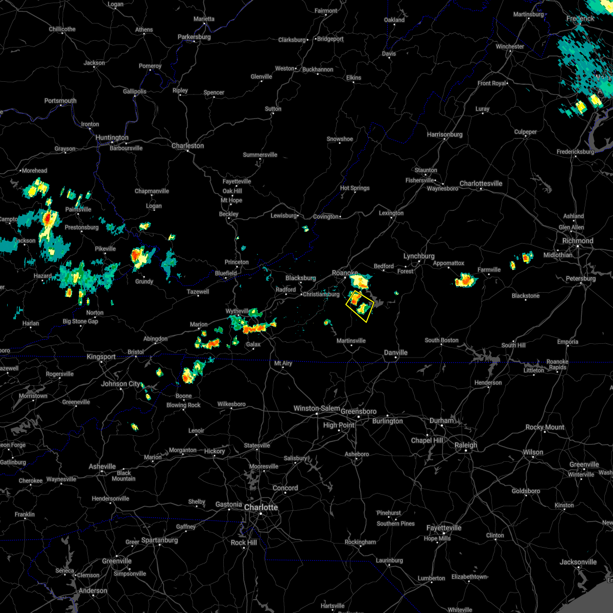 At 439 pm edt, a severe thunderstorm was located over burnt chimney, or near rocky mount, moving southeast at 5 mph (radar indicated). Hazards include 60 mph wind gusts and quarter size hail. Hail damage to vehicles is expected. Expect wind damage to roofs, siding, and trees. At 439 pm edt, a severe thunderstorm was located over burnt chimney, or near rocky mount, moving southeast at 5 mph (radar indicated). Hazards include 60 mph wind gusts and quarter size hail. Hail damage to vehicles is expected. Expect wind damage to roofs, siding, and trees.
|
| 8/27/2021 4:32 PM EDT |
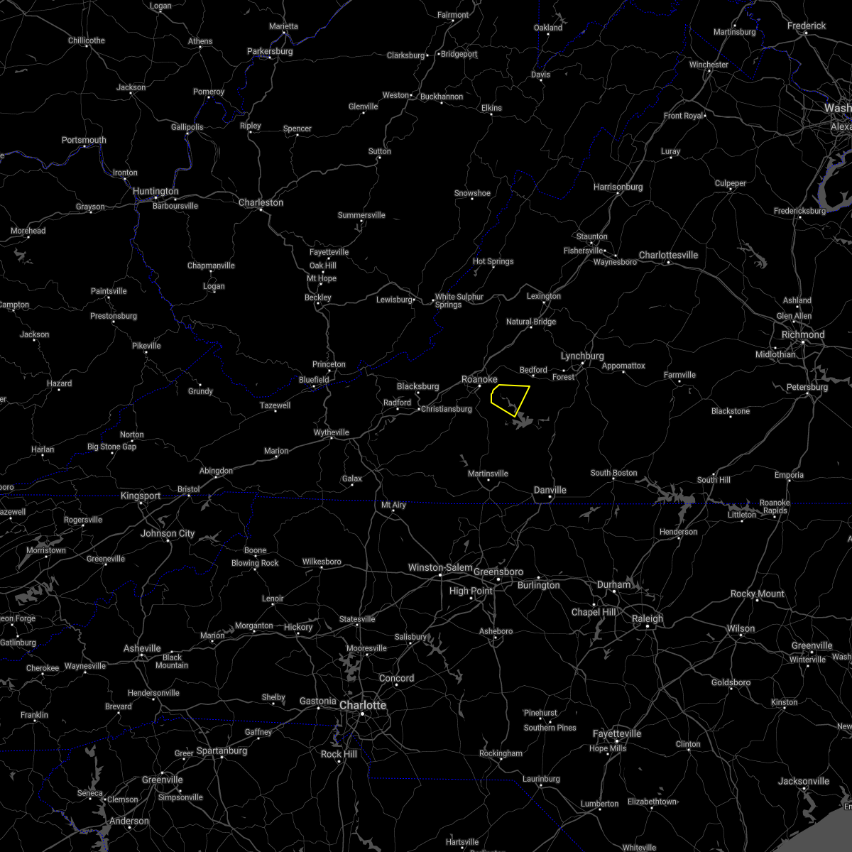 At 431 pm edt, a severe thunderstorm was located near goodview, or near stewartsville, moving southeast at 5 mph (radar indicated). Hazards include 60 mph wind gusts. Expect damage to roofs, siding, and trees. locations impacted include, moneta, stewartsville, chamblissburg, northwest smith mountain lake, goodview, westlake corner, and north shore. hail threat, radar indicated max hail size, <. 75 in wind threat, radar indicated max wind gust, 60 mph. At 431 pm edt, a severe thunderstorm was located near goodview, or near stewartsville, moving southeast at 5 mph (radar indicated). Hazards include 60 mph wind gusts. Expect damage to roofs, siding, and trees. locations impacted include, moneta, stewartsville, chamblissburg, northwest smith mountain lake, goodview, westlake corner, and north shore. hail threat, radar indicated max hail size, <. 75 in wind threat, radar indicated max wind gust, 60 mph.
|
| 8/27/2021 4:13 PM EDT |
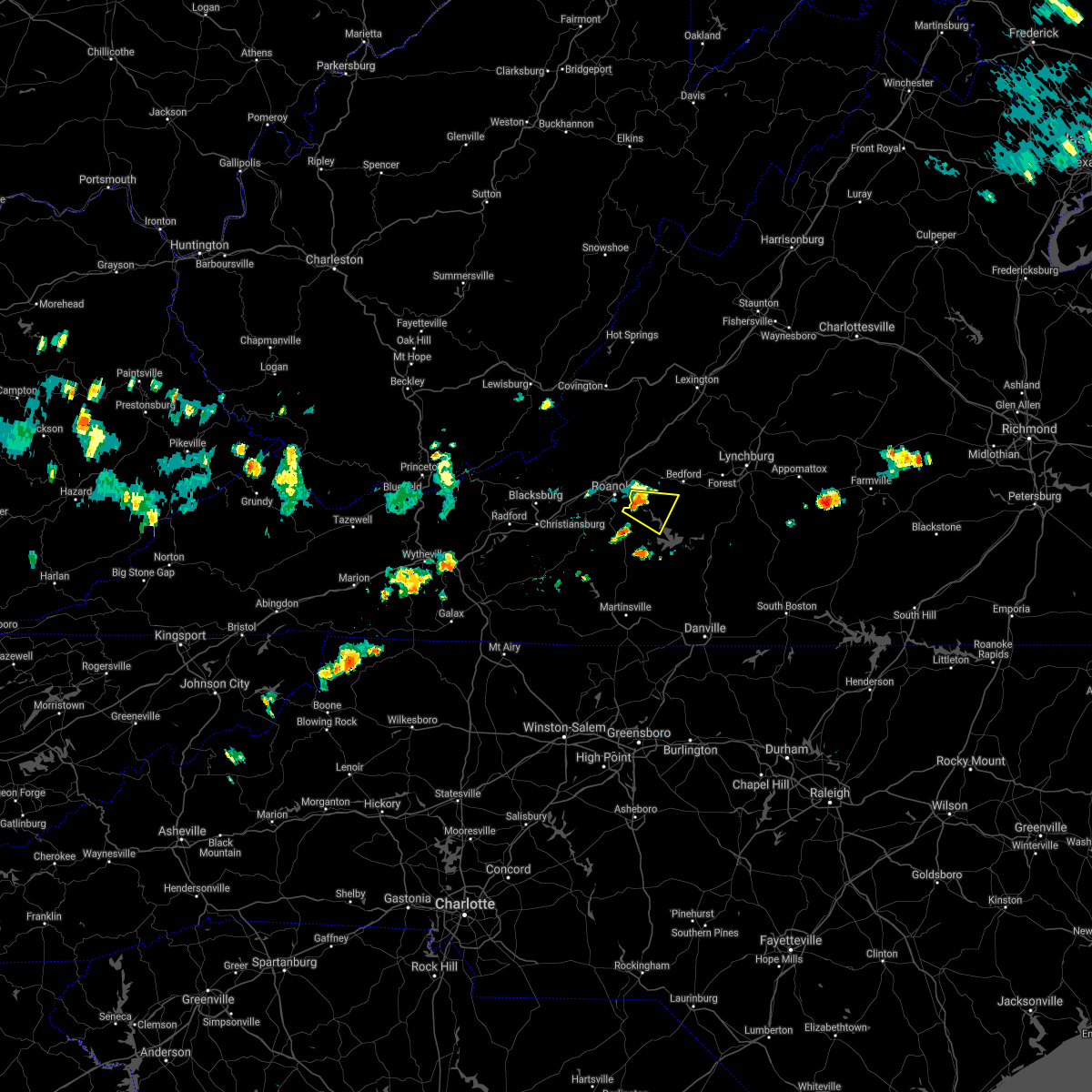 At 412 pm edt, a severe thunderstorm was located over stewartsville, moving east at 5 mph (radar indicated). Hazards include 60 mph wind gusts and quarter size hail. Hail damage to vehicles is expected. Expect wind damage to roofs, siding, and trees. At 412 pm edt, a severe thunderstorm was located over stewartsville, moving east at 5 mph (radar indicated). Hazards include 60 mph wind gusts and quarter size hail. Hail damage to vehicles is expected. Expect wind damage to roofs, siding, and trees.
|
| 8/12/2021 3:12 PM EDT |
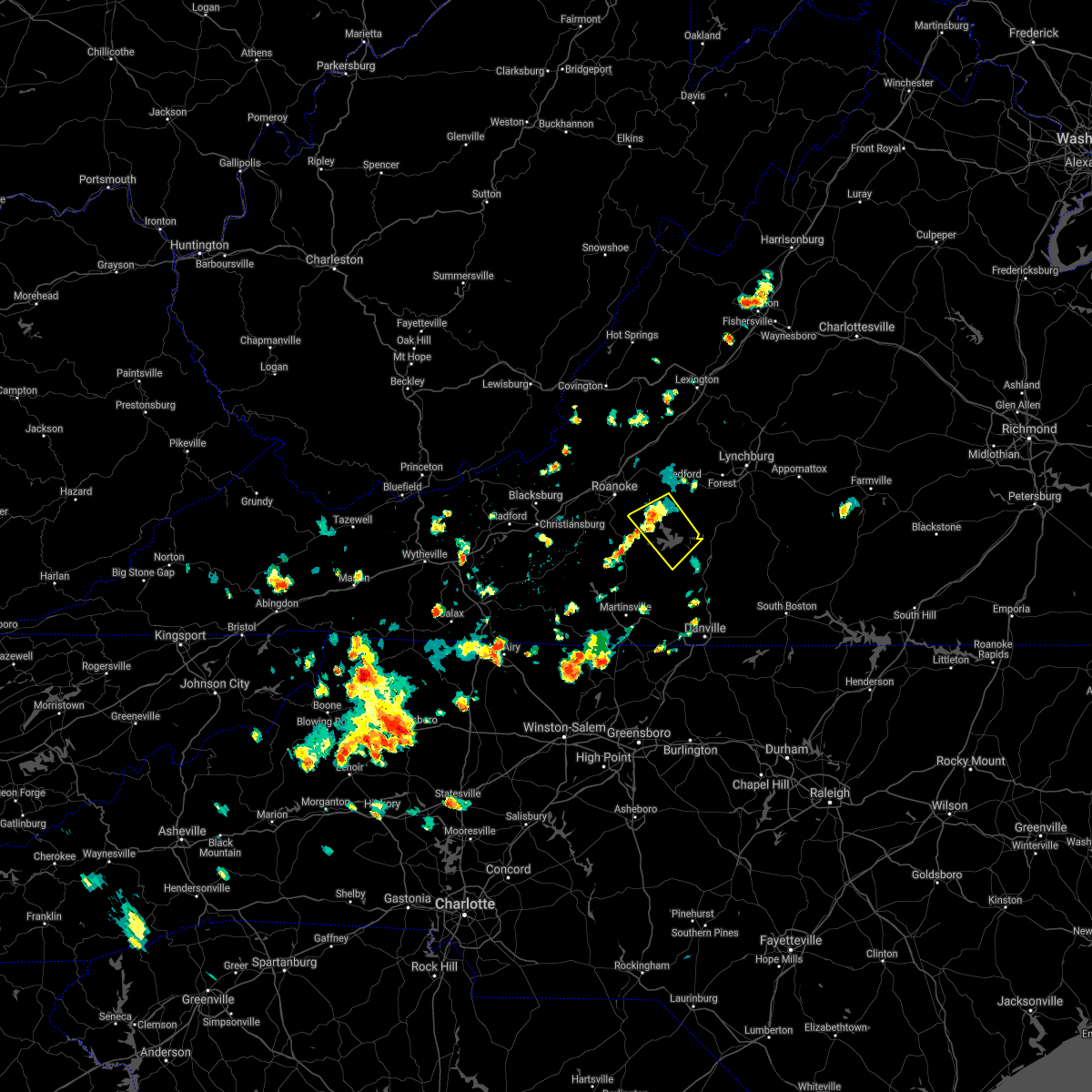 The severe thunderstorm warning for northwestern pittsylvania, southwestern bedford and northeastern franklin counties will expire at 315 pm edt, the storm which prompted the warning has weakened below severe limits, and no longer poses an immediate threat to life or property. therefore, the warning will be allowed to expire. however small hail, gusty winds and heavy rain are still possible with this thunderstorm. The severe thunderstorm warning for northwestern pittsylvania, southwestern bedford and northeastern franklin counties will expire at 315 pm edt, the storm which prompted the warning has weakened below severe limits, and no longer poses an immediate threat to life or property. therefore, the warning will be allowed to expire. however small hail, gusty winds and heavy rain are still possible with this thunderstorm.
|
| 8/12/2021 2:59 PM EDT | Multiple trees down north of the westlake corner are in franklin county VA, 1.8 miles S of Westlake Corner, VA |
| 8/12/2021 2:53 PM EDT |
 At 251 pm edt, a severe thunderstorm was located over westlake corner, or near moneta, moving southeast at 20 mph (radar indicated). Hazards include 60 mph wind gusts and quarter size hail. Hail damage to vehicles is expected. expect wind damage to roofs, siding, and trees. locations impacted include, moneta, penhook, smith mountain lake state park, union hall, northwest smith mountain lake, goodview, and north shore. hail threat, radar indicated max hail size, 1. 00 in wind threat, radar indicated max wind gust, 60 mph. At 251 pm edt, a severe thunderstorm was located over westlake corner, or near moneta, moving southeast at 20 mph (radar indicated). Hazards include 60 mph wind gusts and quarter size hail. Hail damage to vehicles is expected. expect wind damage to roofs, siding, and trees. locations impacted include, moneta, penhook, smith mountain lake state park, union hall, northwest smith mountain lake, goodview, and north shore. hail threat, radar indicated max hail size, 1. 00 in wind threat, radar indicated max wind gust, 60 mph.
|
| 8/12/2021 2:35 PM EDT |
 At 235 pm edt, a severe thunderstorm was located over northwest smith mountain lake, or near moneta, moving southeast at 20 mph (radar indicated). Hazards include 60 mph wind gusts and quarter size hail. Hail damage to vehicles is expected. expect wind damage to roofs, siding, and trees. locations impacted include, stewartsville, huddleston, moneta, penhook, leesville, northwest smith mountain lake, and goodview. hail threat, radar indicated max hail size, 1. 00 in wind threat, radar indicated max wind gust, 60 mph. At 235 pm edt, a severe thunderstorm was located over northwest smith mountain lake, or near moneta, moving southeast at 20 mph (radar indicated). Hazards include 60 mph wind gusts and quarter size hail. Hail damage to vehicles is expected. expect wind damage to roofs, siding, and trees. locations impacted include, stewartsville, huddleston, moneta, penhook, leesville, northwest smith mountain lake, and goodview. hail threat, radar indicated max hail size, 1. 00 in wind threat, radar indicated max wind gust, 60 mph.
|
| 8/12/2021 2:12 PM EDT |
 At 212 pm edt, a severe thunderstorm was located over stewartsville, moving southeast at 20 mph (radar indicated). Hazards include 60 mph wind gusts and quarter size hail. Hail damage to vehicles is expected. Expect wind damage to roofs, siding, and trees. At 212 pm edt, a severe thunderstorm was located over stewartsville, moving southeast at 20 mph (radar indicated). Hazards include 60 mph wind gusts and quarter size hail. Hail damage to vehicles is expected. Expect wind damage to roofs, siding, and trees.
|
| 8/11/2021 3:40 PM EDT | Trees down south of monet in bedford county VA, 6.3 miles SW of Westlake Corner, VA |
| 8/11/2021 3:40 PM EDT |
 At 340 pm edt, a severe thunderstorm was located over north shore, or near moneta, moving east at 10 mph (radar indicated). Hazards include 60 mph wind gusts and quarter size hail. Hail damage to vehicles is expected. Expect wind damage to roofs, siding, and trees. At 340 pm edt, a severe thunderstorm was located over north shore, or near moneta, moving east at 10 mph (radar indicated). Hazards include 60 mph wind gusts and quarter size hail. Hail damage to vehicles is expected. Expect wind damage to roofs, siding, and trees.
|
| 8/10/2021 3:26 PM EDT |
 At 326 pm edt, severe thunderstorms were located along a line extending from goode to near north shore, moving east at 20 mph (radar indicated). Hazards include 60 mph wind gusts and quarter size hail. Hail damage to vehicles is expected. expect wind damage to roofs, siding, and trees. locations impacted include, bedford, huddleston, moneta, forest, evington, leesville, and burnt chimney. this includes the following locations the national d-day memorial and lynchburg airport. hail threat, radar indicated max hail size, 1. 00 in wind threat, radar indicated max wind gust, 60 mph. At 326 pm edt, severe thunderstorms were located along a line extending from goode to near north shore, moving east at 20 mph (radar indicated). Hazards include 60 mph wind gusts and quarter size hail. Hail damage to vehicles is expected. expect wind damage to roofs, siding, and trees. locations impacted include, bedford, huddleston, moneta, forest, evington, leesville, and burnt chimney. this includes the following locations the national d-day memorial and lynchburg airport. hail threat, radar indicated max hail size, 1. 00 in wind threat, radar indicated max wind gust, 60 mph.
|
| 8/10/2021 2:57 PM EDT |
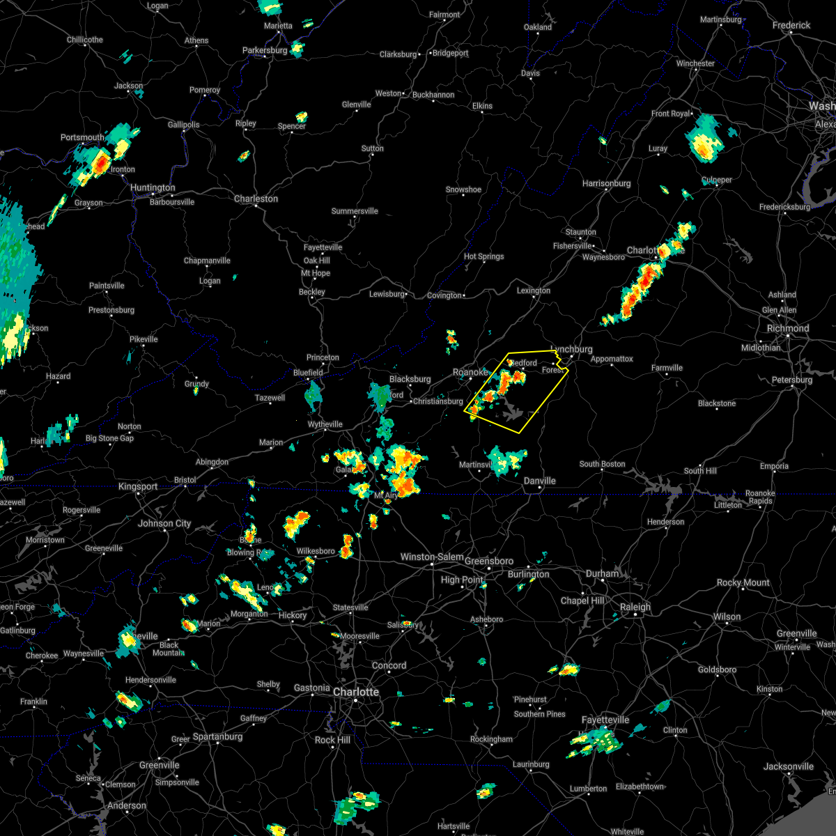 At 257 pm edt, severe thunderstorms were located along a line extending from thaxton to near burnt chimney, moving east at 15 mph (radar indicated). Hazards include 60 mph wind gusts and quarter size hail. Hail damage to vehicles is expected. Expect wind damage to roofs, siding, and trees. At 257 pm edt, severe thunderstorms were located along a line extending from thaxton to near burnt chimney, moving east at 15 mph (radar indicated). Hazards include 60 mph wind gusts and quarter size hail. Hail damage to vehicles is expected. Expect wind damage to roofs, siding, and trees.
|
| 7/26/2021 2:06 PM EDT |
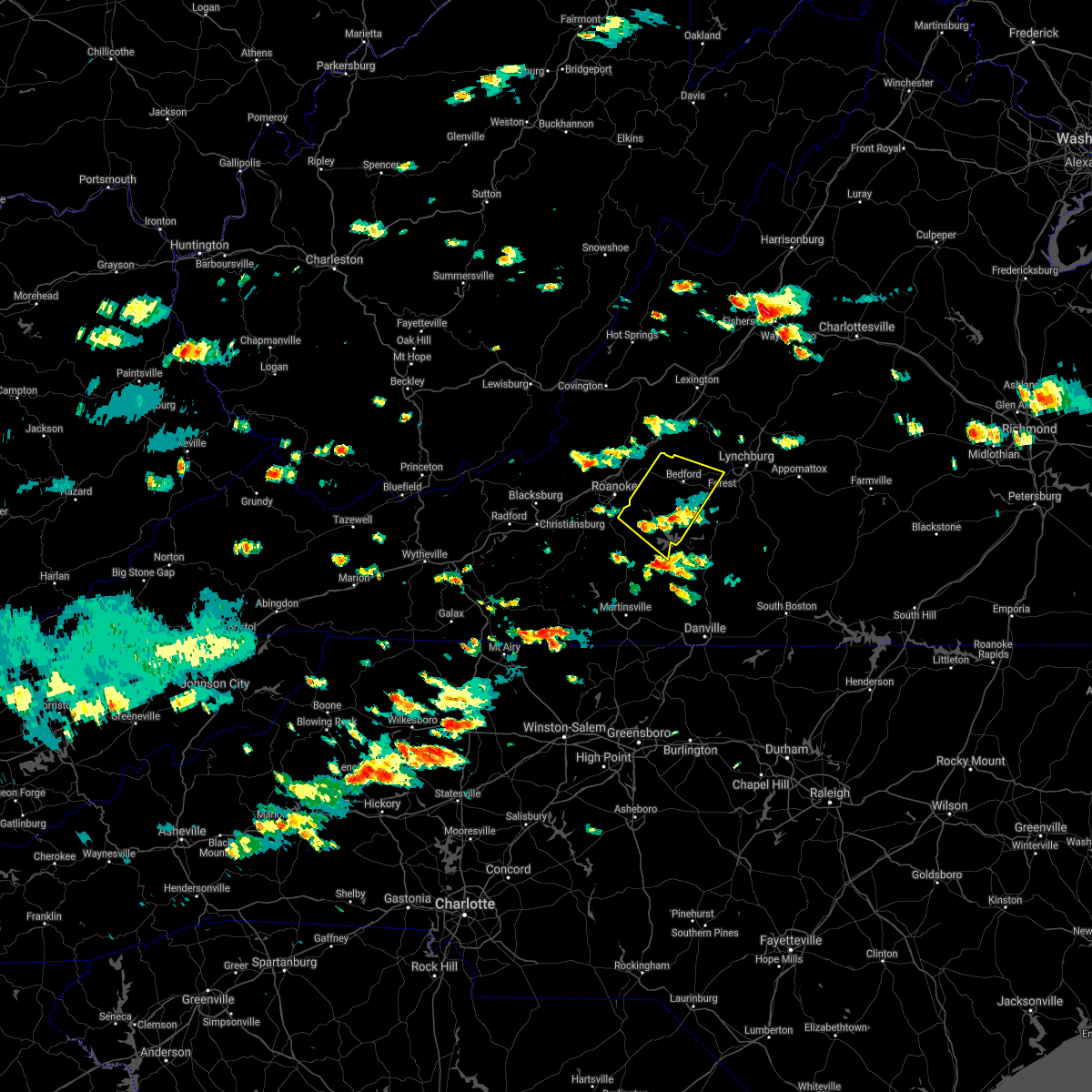 The severe thunderstorm warning for bedford and northeastern franklin counties will expire at 215 pm edt, the severe thunderstorm which prompted the warning has weakened. therefore, the warning will be allowed to expire. a severe thunderstorm watch remains in effect until 800 pm edt for central, south central, southwestern and west central virginia. when it is safe to do so, please send your reports of hail of any size, as well as reports of any wind damage, including downed trees or large limbs, to the national weather service by calling toll free at 1, 8 6 6, 2 1 5, 4 3 2 4. reports and pictures can also be shared on the national weather service blacksburg facebook page and on twitter. The severe thunderstorm warning for bedford and northeastern franklin counties will expire at 215 pm edt, the severe thunderstorm which prompted the warning has weakened. therefore, the warning will be allowed to expire. a severe thunderstorm watch remains in effect until 800 pm edt for central, south central, southwestern and west central virginia. when it is safe to do so, please send your reports of hail of any size, as well as reports of any wind damage, including downed trees or large limbs, to the national weather service by calling toll free at 1, 8 6 6, 2 1 5, 4 3 2 4. reports and pictures can also be shared on the national weather service blacksburg facebook page and on twitter.
|
| 7/26/2021 1:35 PM EDT |
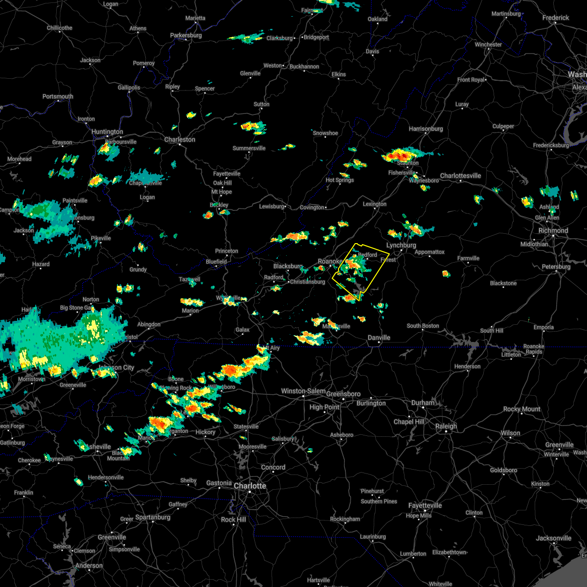 At 134 pm edt, a severe thunderstorm was located over stewartsville, moving southeast at 15 mph (radar indicated). Hazards include 60 mph wind gusts and quarter size hail. Hail damage to vehicles is expected. expect wind damage to roofs, siding, and trees. locations impacted include, bedford, stewartsville, huddleston, montvale, moneta, penhook, and forest. This includes the following location the national d-day memorial. At 134 pm edt, a severe thunderstorm was located over stewartsville, moving southeast at 15 mph (radar indicated). Hazards include 60 mph wind gusts and quarter size hail. Hail damage to vehicles is expected. expect wind damage to roofs, siding, and trees. locations impacted include, bedford, stewartsville, huddleston, montvale, moneta, penhook, and forest. This includes the following location the national d-day memorial.
|
| 7/26/2021 1:23 PM EDT |
 At 122 pm edt, a severe thunderstorm was located near stewartsville, moving southeast at 15 mph (radar indicated). Hazards include 60 mph wind gusts and quarter size hail. Hail damage to vehicles is expected. expect wind damage to roofs, siding, and trees. locations impacted include, vinton, bedford, stewartsville, huddleston, moneta, penhook, and montvale. This includes the following location the national d-day memorial. At 122 pm edt, a severe thunderstorm was located near stewartsville, moving southeast at 15 mph (radar indicated). Hazards include 60 mph wind gusts and quarter size hail. Hail damage to vehicles is expected. expect wind damage to roofs, siding, and trees. locations impacted include, vinton, bedford, stewartsville, huddleston, moneta, penhook, and montvale. This includes the following location the national d-day memorial.
|
| 7/26/2021 1:07 PM EDT |
 At 107 pm edt, a severe thunderstorm was located near laymantown, or near vinton, moving southeast at 15 mph (radar indicated). Hazards include 60 mph wind gusts and quarter size hail. Hail damage to vehicles is expected. Expect wind damage to roofs, siding, and trees. At 107 pm edt, a severe thunderstorm was located near laymantown, or near vinton, moving southeast at 15 mph (radar indicated). Hazards include 60 mph wind gusts and quarter size hail. Hail damage to vehicles is expected. Expect wind damage to roofs, siding, and trees.
|
| 7/17/2021 7:20 PM EDT |
 At 720 pm edt, severe thunderstorms were located along a line extending from 6 miles southeast of montebello to near stewartsville, moving southeast at 20 mph (radar indicated). Hazards include 60 mph wind gusts. Expect damage to roofs, siding, and trees. locations impacted include, bedford, amherst, forks of buffalo, stewartsville, big island, moneta, and clifford. This includes the following location the national d-day memorial. At 720 pm edt, severe thunderstorms were located along a line extending from 6 miles southeast of montebello to near stewartsville, moving southeast at 20 mph (radar indicated). Hazards include 60 mph wind gusts. Expect damage to roofs, siding, and trees. locations impacted include, bedford, amherst, forks of buffalo, stewartsville, big island, moneta, and clifford. This includes the following location the national d-day memorial.
|
| 7/17/2021 6:51 PM EDT |
 At 651 pm edt, severe thunderstorms were located along a line extending from vesuvius to near laymantown, moving southeast at 20 mph (radar indicated). Hazards include 60 mph wind gusts. Expect damage to roofs, siding, and trees. locations impacted include, lexington, buena vista, bedford, amherst, buchanan, glasgow, and troutville. This includes the following locations vmi and the national d-day memorial. At 651 pm edt, severe thunderstorms were located along a line extending from vesuvius to near laymantown, moving southeast at 20 mph (radar indicated). Hazards include 60 mph wind gusts. Expect damage to roofs, siding, and trees. locations impacted include, lexington, buena vista, bedford, amherst, buchanan, glasgow, and troutville. This includes the following locations vmi and the national d-day memorial.
|
| 7/17/2021 6:25 PM EDT |
 At 625 pm edt, severe thunderstorms were located along a line extending from near brownsburg to near daleville, moving southeast at 20 mph (radar indicated). Hazards include 60 mph wind gusts. expect damage to roofs, siding, and trees At 625 pm edt, severe thunderstorms were located along a line extending from near brownsburg to near daleville, moving southeast at 20 mph (radar indicated). Hazards include 60 mph wind gusts. expect damage to roofs, siding, and trees
|
| 7/17/2021 12:38 PM EDT | Tree dow in franklin county VA, 1.3 miles SSE of Westlake Corner, VA |
| 6/13/2021 9:07 PM EDT |
 The severe thunderstorm warning for roanoke, northwestern pittsylvania, southwestern bedford and central franklin counties, the city of salem and the city of roanoke will expire at 915 pm edt, the storms which prompted the warning have moved out of the area. therefore, the warning will be allowed to expire. a severe thunderstorm watch remains in effect until 1000 pm edt for southwestern virginia. when it is safe to do so, please send your reports of hail of any size, as well as reports of any wind damage, including downed trees or large limbs, to the national weather service by calling toll free at 1, 8 6 6, 2 1 5, 4 3 2 4. reports and pictures can also be shared on the national weather service blacksburg facebook page and on twitter. The severe thunderstorm warning for roanoke, northwestern pittsylvania, southwestern bedford and central franklin counties, the city of salem and the city of roanoke will expire at 915 pm edt, the storms which prompted the warning have moved out of the area. therefore, the warning will be allowed to expire. a severe thunderstorm watch remains in effect until 1000 pm edt for southwestern virginia. when it is safe to do so, please send your reports of hail of any size, as well as reports of any wind damage, including downed trees or large limbs, to the national weather service by calling toll free at 1, 8 6 6, 2 1 5, 4 3 2 4. reports and pictures can also be shared on the national weather service blacksburg facebook page and on twitter.
|
| 6/13/2021 8:44 PM EDT |
 At 843 pm edt, severe thunderstorms were located along a line extending from copper hill to near rocky mount to penhook, moving south at 25 mph (radar indicated). Hazards include 60 mph wind gusts. Expect damage to roofs, siding, and trees. locations impacted include, roanoke, salem, vinton, rocky mount, boones mill, bent mountain, and penhook. This includes the following location the salem fairgrounds. At 843 pm edt, severe thunderstorms were located along a line extending from copper hill to near rocky mount to penhook, moving south at 25 mph (radar indicated). Hazards include 60 mph wind gusts. Expect damage to roofs, siding, and trees. locations impacted include, roanoke, salem, vinton, rocky mount, boones mill, bent mountain, and penhook. This includes the following location the salem fairgrounds.
|
| 6/13/2021 8:13 PM EDT |
 The severe thunderstorm warning for central roanoke, west central campbell, southern bedford, southwestern botetourt and northeastern franklin counties, the city of salem and the city of roanoke will expire at 815 pm edt, the storms which prompted the warning have moved out of the northern portions of the warned area. therefore, the warning will be allowed to expire. remember, a new severe thunderstorm warning still remains in effect for roanoke county, the city of roanoke, the city of salem, northern franklin county, and southern bedford county. a severe thunderstorm watch remains in effect until 1000 pm edt for southwestern and west central virginia, and southeastern west virginia. when it is safe to do so, please send your reports of hail of any size, as well as reports of any wind damage, including downed trees or large limbs, to the national weather service by calling toll free at 1, 8 6 6, 2 1 5, 4 3 2 4. reports and pictures can also be shared on the national weather service blacksburg facebook page and on twitter. The severe thunderstorm warning for central roanoke, west central campbell, southern bedford, southwestern botetourt and northeastern franklin counties, the city of salem and the city of roanoke will expire at 815 pm edt, the storms which prompted the warning have moved out of the northern portions of the warned area. therefore, the warning will be allowed to expire. remember, a new severe thunderstorm warning still remains in effect for roanoke county, the city of roanoke, the city of salem, northern franklin county, and southern bedford county. a severe thunderstorm watch remains in effect until 1000 pm edt for southwestern and west central virginia, and southeastern west virginia. when it is safe to do so, please send your reports of hail of any size, as well as reports of any wind damage, including downed trees or large limbs, to the national weather service by calling toll free at 1, 8 6 6, 2 1 5, 4 3 2 4. reports and pictures can also be shared on the national weather service blacksburg facebook page and on twitter.
|
| 6/13/2021 8:09 PM EDT |
 At 809 pm edt, severe thunderstorms were located along a line extending from near salem to near burnt chimney to near moneta, moving south at 25 mph (radar indicated). Hazards include 60 mph wind gusts and quarter size hail. Hail damage to vehicles is expected. Expect wind damage to roofs, siding, and trees. At 809 pm edt, severe thunderstorms were located along a line extending from near salem to near burnt chimney to near moneta, moving south at 25 mph (radar indicated). Hazards include 60 mph wind gusts and quarter size hail. Hail damage to vehicles is expected. Expect wind damage to roofs, siding, and trees.
|
| 6/13/2021 8:00 PM EDT | Tree dow in bedford county VA, 5.3 miles SSW of Westlake Corner, VA |
| 6/13/2021 7:55 PM EDT |
 At 755 pm edt, severe thunderstorms were located along a line extending from near evington to near moneta to near salem, moving south at 10 mph (radar indicated). Hazards include 60 mph wind gusts and quarter size hail. Hail damage to vehicles is expected. expect wind damage to roofs, siding, and trees. locations impacted include, roanoke, salem, vinton, bedford, altavista, stewartsville, and huddleston. This includes the following locations the salem fairgrounds, the national d-day memorial, and roanoke regional airport. At 755 pm edt, severe thunderstorms were located along a line extending from near evington to near moneta to near salem, moving south at 10 mph (radar indicated). Hazards include 60 mph wind gusts and quarter size hail. Hail damage to vehicles is expected. expect wind damage to roofs, siding, and trees. locations impacted include, roanoke, salem, vinton, bedford, altavista, stewartsville, and huddleston. This includes the following locations the salem fairgrounds, the national d-day memorial, and roanoke regional airport.
|
| 6/13/2021 7:13 PM EDT |
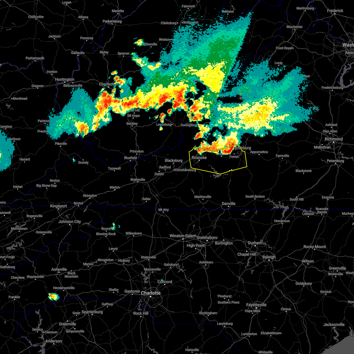 At 712 pm edt, severe thunderstorms were located along a line extending from near boonsboro to thaxton to near catawba, moving south at 35 mph (radar indicated). Hazards include 60 mph wind gusts and quarter size hail. Hail damage to vehicles is expected. Expect wind damage to roofs, siding, and trees. At 712 pm edt, severe thunderstorms were located along a line extending from near boonsboro to thaxton to near catawba, moving south at 35 mph (radar indicated). Hazards include 60 mph wind gusts and quarter size hail. Hail damage to vehicles is expected. Expect wind damage to roofs, siding, and trees.
|
| 6/10/2021 1:53 PM EDT |
 At 152 pm edt, severe thunderstorms were located along a line extending from near oriskany to near roanoke to near copper hill, moving east at 15 mph (radar indicated). Hazards include 60 mph wind gusts and quarter size hail. Hail damage to vehicles is expected. Expect wind damage to roofs, siding, and trees. At 152 pm edt, severe thunderstorms were located along a line extending from near oriskany to near roanoke to near copper hill, moving east at 15 mph (radar indicated). Hazards include 60 mph wind gusts and quarter size hail. Hail damage to vehicles is expected. Expect wind damage to roofs, siding, and trees.
|
| 5/4/2021 3:05 PM EDT |
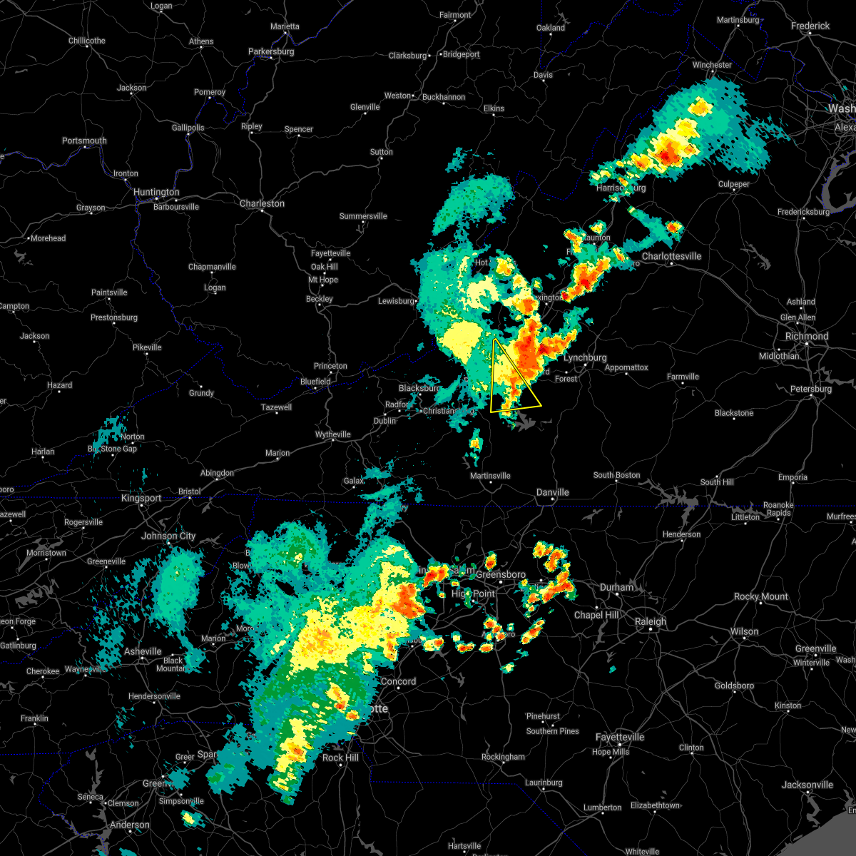 The severe thunderstorm warning for east central roanoke, southwestern bedford, south central botetourt and northeastern franklin counties will expire at 315 pm edt, the storm which prompted the warning has moved out of the area. therefore, the warning will be allowed to expire. a severe thunderstorm watch remains in effect until 800 pm edt for central, south central, southwestern and west central virginia. when it is safe to do so, please send your reports of hail of any size, as well as reports of any wind damage, including downed trees or large limbs, to the national weather service by calling toll free at 1, 8 6 6, 2 1 5, 4 3 2 4. reports and pictures can also be shared on the national weather service blacksburg facebook page and on twitter. The severe thunderstorm warning for east central roanoke, southwestern bedford, south central botetourt and northeastern franklin counties will expire at 315 pm edt, the storm which prompted the warning has moved out of the area. therefore, the warning will be allowed to expire. a severe thunderstorm watch remains in effect until 800 pm edt for central, south central, southwestern and west central virginia. when it is safe to do so, please send your reports of hail of any size, as well as reports of any wind damage, including downed trees or large limbs, to the national weather service by calling toll free at 1, 8 6 6, 2 1 5, 4 3 2 4. reports and pictures can also be shared on the national weather service blacksburg facebook page and on twitter.
|
| 5/4/2021 2:57 PM EDT |
 A severe thunderstorm warning remains in effect until 315 pm edt for east central roanoke. southwestern bedford. south central botetourt and northeastern franklin counties. At 256 pm edt, a severe thunderstorm was located over vinton, moving northeast at 30 mph. A severe thunderstorm warning remains in effect until 315 pm edt for east central roanoke. southwestern bedford. south central botetourt and northeastern franklin counties. At 256 pm edt, a severe thunderstorm was located over vinton, moving northeast at 30 mph.
|
| 5/4/2021 2:40 PM EDT |
 At 240 pm edt, a severe thunderstorm was located over cave spring, or near roanoke, moving northeast at 40 mph (radar indicated). Hazards include 60 mph wind gusts and quarter size hail. Hail damage to vehicles is expected. expect wind damage to roofs, siding, and trees. locations impacted include, roanoke, salem, vinton, troutville, boones mill, stewartsville, and moneta. This includes the following locations the salem fairgrounds and roanoke regional airport. At 240 pm edt, a severe thunderstorm was located over cave spring, or near roanoke, moving northeast at 40 mph (radar indicated). Hazards include 60 mph wind gusts and quarter size hail. Hail damage to vehicles is expected. expect wind damage to roofs, siding, and trees. locations impacted include, roanoke, salem, vinton, troutville, boones mill, stewartsville, and moneta. This includes the following locations the salem fairgrounds and roanoke regional airport.
|
| 5/4/2021 2:22 PM EDT |
 At 222 pm edt, a severe thunderstorm was located over shawsville, moving northeast at 30 mph (radar indicated). Hazards include 60 mph wind gusts and quarter size hail. Hail damage to vehicles is expected. Expect wind damage to roofs, siding, and trees. At 222 pm edt, a severe thunderstorm was located over shawsville, moving northeast at 30 mph (radar indicated). Hazards include 60 mph wind gusts and quarter size hail. Hail damage to vehicles is expected. Expect wind damage to roofs, siding, and trees.
|
| 3/27/2021 3:50 PM EDT |
 The severe thunderstorm warning for southeastern stokes, western rockingham, southeastern roanoke, central henry and eastern franklin counties and the city of martinsville will expire at 400 pm edt, the storms which prompted the warning have moved out of the area. therefore, the warning will be allowed to expire. however heavy rain is still possible with these thunderstorms. a severe thunderstorm watch remains in effect until 800 pm edt for north central and northwestern north carolina, and south central, southwestern and west central virginia. when it is safe to do so, please send your reports of hail of any size, as well as reports of any wind damage, including downed trees or large limbs, to the national weather service by calling toll free at 1, 8 6 6, 2 1 5, 4 3 2 4. reports and pictures can also be shared on the national weather service blacksburg facebook page and on twitter. The severe thunderstorm warning for southeastern stokes, western rockingham, southeastern roanoke, central henry and eastern franklin counties and the city of martinsville will expire at 400 pm edt, the storms which prompted the warning have moved out of the area. therefore, the warning will be allowed to expire. however heavy rain is still possible with these thunderstorms. a severe thunderstorm watch remains in effect until 800 pm edt for north central and northwestern north carolina, and south central, southwestern and west central virginia. when it is safe to do so, please send your reports of hail of any size, as well as reports of any wind damage, including downed trees or large limbs, to the national weather service by calling toll free at 1, 8 6 6, 2 1 5, 4 3 2 4. reports and pictures can also be shared on the national weather service blacksburg facebook page and on twitter.
|
| 3/27/2021 3:40 PM EDT |
 At 340 pm edt, severe thunderstorms were located along a line extending from near goodview to near sontag to near leatherwood to pine hall, moving east at 50 mph (radar indicated). Hazards include 60 mph wind gusts. Expect damage to roofs, siding, and trees. locations impacted include, eden, martinsville, rocky mount, mayodan, madison, walnut cove, and stoneville. This includes the following locations the martinsville speedway and martinsville airport. At 340 pm edt, severe thunderstorms were located along a line extending from near goodview to near sontag to near leatherwood to pine hall, moving east at 50 mph (radar indicated). Hazards include 60 mph wind gusts. Expect damage to roofs, siding, and trees. locations impacted include, eden, martinsville, rocky mount, mayodan, madison, walnut cove, and stoneville. This includes the following locations the martinsville speedway and martinsville airport.
|
| 3/27/2021 3:24 PM EDT |
 At 323 pm edt, severe thunderstorms were located along a line extending from roanoke mountain to stanleytown to germanton, moving east at 55 mph (radar indicated). Hazards include 60 mph wind gusts. Expect damage to roofs, siding, and trees. locations impacted include, eden, martinsville, rocky mount, mayodan, madison, walnut cove, and stoneville. This includes the following locations the martinsville speedway and martinsville airport. At 323 pm edt, severe thunderstorms were located along a line extending from roanoke mountain to stanleytown to germanton, moving east at 55 mph (radar indicated). Hazards include 60 mph wind gusts. Expect damage to roofs, siding, and trees. locations impacted include, eden, martinsville, rocky mount, mayodan, madison, walnut cove, and stoneville. This includes the following locations the martinsville speedway and martinsville airport.
|
| 3/27/2021 3:06 PM EDT |
 At 305 pm edt, severe thunderstorms were located along a line extending from terrys fork to near stuart to near courtney, moving east at 50 mph (radar indicated). Hazards include 60 mph wind gusts. Expect damage to roofs, siding, and trees. locations impacted include, christiansburg, eden, martinsville, mount airy, rocky mount, elkin, and fairview. This includes the following locations the martinsville speedway and martinsville airport. At 305 pm edt, severe thunderstorms were located along a line extending from terrys fork to near stuart to near courtney, moving east at 50 mph (radar indicated). Hazards include 60 mph wind gusts. Expect damage to roofs, siding, and trees. locations impacted include, christiansburg, eden, martinsville, mount airy, rocky mount, elkin, and fairview. This includes the following locations the martinsville speedway and martinsville airport.
|
| 3/27/2021 2:59 PM EDT |
 A severe thunderstorm warning remains in effect until 330 pm edt for southwestern campbell. northwestern pittsylvania and southeastern bedford counties. At 259 pm edt, a severe thunderstorm was located near huddleston, moving east at 50 mph. A severe thunderstorm warning remains in effect until 330 pm edt for southwestern campbell. northwestern pittsylvania and southeastern bedford counties. At 259 pm edt, a severe thunderstorm was located near huddleston, moving east at 50 mph.
|
| 3/27/2021 2:56 PM EDT |
 At 256 pm edt, severe thunderstorms were located along a line extending from near pilot to ararat to near buck shoals, moving east at 50 mph (radar indicated). Hazards include 60 mph wind gusts. expect damage to roofs, siding, and trees At 256 pm edt, severe thunderstorms were located along a line extending from near pilot to ararat to near buck shoals, moving east at 50 mph (radar indicated). Hazards include 60 mph wind gusts. expect damage to roofs, siding, and trees
|
| 3/27/2021 2:48 PM EDT |
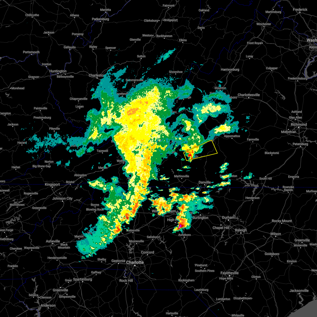 At 247 pm edt, a severe thunderstorm was located over western smith mountain lake, or near penhook, moving east at 50 mph (radar indicated). Hazards include quarter size hail. Damage to vehicles is expected. Locations impacted include, altavista, hurt, huddleston, moneta, evington, penhook, and leesville. At 247 pm edt, a severe thunderstorm was located over western smith mountain lake, or near penhook, moving east at 50 mph (radar indicated). Hazards include quarter size hail. Damage to vehicles is expected. Locations impacted include, altavista, hurt, huddleston, moneta, evington, penhook, and leesville.
|
| 3/27/2021 2:38 PM EDT |
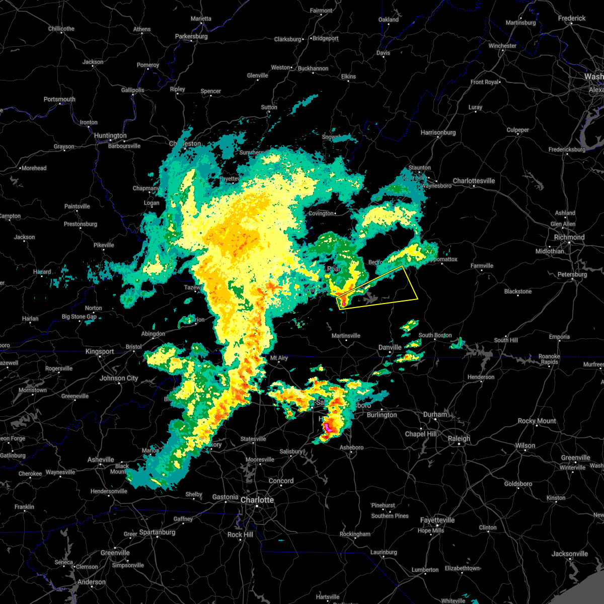 At 238 pm edt, a severe thunderstorm was located over rocky mount, moving east at 50 mph (radar indicated). Hazards include quarter size hail. damage to vehicles is expected At 238 pm edt, a severe thunderstorm was located over rocky mount, moving east at 50 mph (radar indicated). Hazards include quarter size hail. damage to vehicles is expected
|
| 8/6/2020 9:39 PM EDT |
 The severe thunderstorm warning for central campbell, southeastern bedford and east central franklin counties will expire at 945 pm edt, the storm which prompted the warning has weakened below severe limits, and no longer poses an immediate threat to life or property. therefore, the warning will be allowed to expire. when it is safe to do so, please send your reports of hail of any size, as well as reports of any wind damage, including downed trees or large limbs, to the national weather service by calling toll free at 1, 8 6 6, 2 1 5, 4 3 2 4. reports and pictures can also be shared on the national weather service blacksburg facebook page and on twitter. The severe thunderstorm warning for central campbell, southeastern bedford and east central franklin counties will expire at 945 pm edt, the storm which prompted the warning has weakened below severe limits, and no longer poses an immediate threat to life or property. therefore, the warning will be allowed to expire. when it is safe to do so, please send your reports of hail of any size, as well as reports of any wind damage, including downed trees or large limbs, to the national weather service by calling toll free at 1, 8 6 6, 2 1 5, 4 3 2 4. reports and pictures can also be shared on the national weather service blacksburg facebook page and on twitter.
|
| 8/6/2020 9:35 PM EDT |
 At 934 pm edt, a severe thunderstorm was located over rustburg, moving northeast at 30 mph (radar indicated). Hazards include 60 mph wind gusts. Expect damage to roofs, siding, and trees. Locations impacted include, altavista, huddleston, concord, rustburg, evington, penhook, and leesville. At 934 pm edt, a severe thunderstorm was located over rustburg, moving northeast at 30 mph (radar indicated). Hazards include 60 mph wind gusts. Expect damage to roofs, siding, and trees. Locations impacted include, altavista, huddleston, concord, rustburg, evington, penhook, and leesville.
|
| 8/6/2020 9:15 PM EDT |
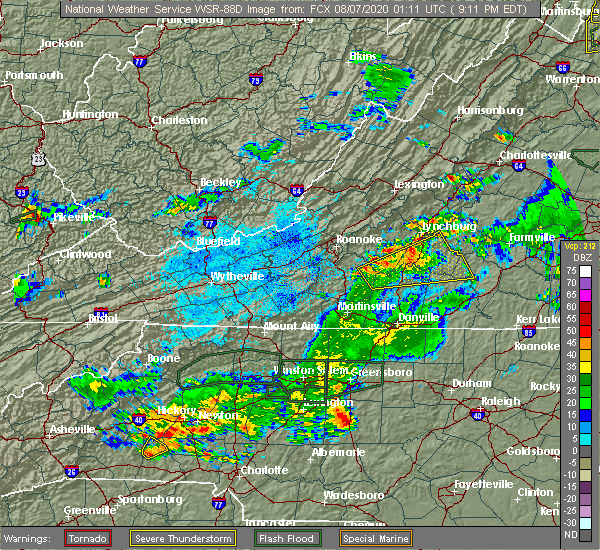 At 915 pm edt, a severe thunderstorm was located near altavista, moving northeast at 20 mph (radar indicated). Hazards include 60 mph wind gusts. Expect damage to roofs, siding, and trees. Locations impacted include, altavista, hurt, brookneal, huddleston, concord, rustburg, and penhook. At 915 pm edt, a severe thunderstorm was located near altavista, moving northeast at 20 mph (radar indicated). Hazards include 60 mph wind gusts. Expect damage to roofs, siding, and trees. Locations impacted include, altavista, hurt, brookneal, huddleston, concord, rustburg, and penhook.
|
| 8/6/2020 9:00 PM EDT |
 At 859 pm edt, a severe thunderstorm was located over leesville, or over altavista, moving northeast at 20 mph (radar indicated). Hazards include 60 mph wind gusts. Expect damage to roofs, siding, and trees. Locations impacted include, altavista, hurt, gretna, brookneal, phenix, huddleston, and penhook. At 859 pm edt, a severe thunderstorm was located over leesville, or over altavista, moving northeast at 20 mph (radar indicated). Hazards include 60 mph wind gusts. Expect damage to roofs, siding, and trees. Locations impacted include, altavista, hurt, gretna, brookneal, phenix, huddleston, and penhook.
|
| 8/6/2020 8:47 PM EDT |
 At 847 pm edt, a severe thunderstorm was located over leesville, or near huddleston, moving northeast at 20 mph (radar indicated). Hazards include 60 mph wind gusts and quarter size hail. Hail damage to vehicles is expected. Expect wind damage to roofs, siding, and trees. At 847 pm edt, a severe thunderstorm was located over leesville, or near huddleston, moving northeast at 20 mph (radar indicated). Hazards include 60 mph wind gusts and quarter size hail. Hail damage to vehicles is expected. Expect wind damage to roofs, siding, and trees.
|
| 8/3/2020 3:06 PM EDT |
 The severe thunderstorm warning for central bedford and northeastern franklin counties will expire at 315 pm edt, the storm which prompted the warning has weakened below severe limits, and has exited the warned area. therefore, the warning will be allowed to expire. however gusty winds and heavy rain are still possible with this thunderstorm. when it is safe to do so, please send your reports of hail of any size, as well as reports of any wind damage, including downed trees or large limbs, to the national weather service by calling toll free at 1, 8 6 6, 2 1 5, 4 3 2 4. reports and pictures can also be shared on the national weather service blacksburg facebook page and on twitter. The severe thunderstorm warning for central bedford and northeastern franklin counties will expire at 315 pm edt, the storm which prompted the warning has weakened below severe limits, and has exited the warned area. therefore, the warning will be allowed to expire. however gusty winds and heavy rain are still possible with this thunderstorm. when it is safe to do so, please send your reports of hail of any size, as well as reports of any wind damage, including downed trees or large limbs, to the national weather service by calling toll free at 1, 8 6 6, 2 1 5, 4 3 2 4. reports and pictures can also be shared on the national weather service blacksburg facebook page and on twitter.
|
| 8/3/2020 2:45 PM EDT |
 At 244 pm edt, a severe thunderstorm was located over moneta, moving northeast at 30 mph (radar indicated). Hazards include 60 mph wind gusts. Expect damage to roofs, siding, and trees. locations impacted include, bedford, huddleston, moneta, forest, northwest smith mountain lake, goodview, and westlake corner. This includes the following location the national d-day memorial. At 244 pm edt, a severe thunderstorm was located over moneta, moving northeast at 30 mph (radar indicated). Hazards include 60 mph wind gusts. Expect damage to roofs, siding, and trees. locations impacted include, bedford, huddleston, moneta, forest, northwest smith mountain lake, goodview, and westlake corner. This includes the following location the national d-day memorial.
|
| 8/3/2020 2:31 PM EDT |
 At 230 pm edt, a severe thunderstorm was located over western smith mountain lake, or 7 miles northwest of penhook, moving northeast at 30 mph (radar indicated). Hazards include 60 mph wind gusts. expect damage to roofs, siding, and trees At 230 pm edt, a severe thunderstorm was located over western smith mountain lake, or 7 miles northwest of penhook, moving northeast at 30 mph (radar indicated). Hazards include 60 mph wind gusts. expect damage to roofs, siding, and trees
|
| 8/3/2020 2:07 PM EDT |
 The severe thunderstorm warning for northeastern floyd, northwestern pittsylvania, southwestern bedford, henry, franklin and eastern patrick counties and the city of martinsville will expire at 215 pm edt, the storms which prompted the warning have weakened below severe limits, and no longer pose an immediate threat to life or property. therefore, the warning will be allowed to expire. however gusty winds and heavy rain are still possible with these thunderstorms. when it is safe to do so, please send your reports of hail of any size, as well as reports of any wind damage, including downed trees or large limbs, to the national weather service by calling toll free at 1, 8 6 6, 2 1 5, 4 3 2 4. reports and pictures can also be shared on the national weather service blacksburg facebook page and on twitter. The severe thunderstorm warning for northeastern floyd, northwestern pittsylvania, southwestern bedford, henry, franklin and eastern patrick counties and the city of martinsville will expire at 215 pm edt, the storms which prompted the warning have weakened below severe limits, and no longer pose an immediate threat to life or property. therefore, the warning will be allowed to expire. however gusty winds and heavy rain are still possible with these thunderstorms. when it is safe to do so, please send your reports of hail of any size, as well as reports of any wind damage, including downed trees or large limbs, to the national weather service by calling toll free at 1, 8 6 6, 2 1 5, 4 3 2 4. reports and pictures can also be shared on the national weather service blacksburg facebook page and on twitter.
|
| 8/3/2020 2:02 PM EDT |
 At 201 pm edt, severe thunderstorms were located along a line extending from near sago to near patrick springs, moving north at 30 mph (radar indicated). Hazards include 60 mph wind gusts. Expect damage to roofs, siding, and trees. Locations impacted include, martinsville, rocky mount, floyd, boones mill, ferrum, moneta, and penhook. At 201 pm edt, severe thunderstorms were located along a line extending from near sago to near patrick springs, moving north at 30 mph (radar indicated). Hazards include 60 mph wind gusts. Expect damage to roofs, siding, and trees. Locations impacted include, martinsville, rocky mount, floyd, boones mill, ferrum, moneta, and penhook.
|
| 8/3/2020 1:46 PM EDT |
 At 146 pm edt, severe thunderstorms were located along a line extending from near swansonville to critz, moving north at 30 mph (radar indicated). Hazards include 60 mph wind gusts. Expect damage to roofs, siding, and trees. locations impacted include, martinsville, rocky mount, stuart, floyd, boones mill, ferrum, and francisco. This includes the following locations the martinsville speedway and martinsville airport. At 146 pm edt, severe thunderstorms were located along a line extending from near swansonville to critz, moving north at 30 mph (radar indicated). Hazards include 60 mph wind gusts. Expect damage to roofs, siding, and trees. locations impacted include, martinsville, rocky mount, stuart, floyd, boones mill, ferrum, and francisco. This includes the following locations the martinsville speedway and martinsville airport.
|
| 8/3/2020 1:37 PM EDT |
 At 137 pm edt, severe thunderstorms were located along a line extending from near swansonville to near penns store, moving north at 30 mph (radar indicated). Hazards include 60 mph wind gusts. Expect damage to roofs, siding, and trees. locations impacted include, martinsville, rocky mount, stuart, floyd, boones mill, danbury, and ferrum. This includes the following locations the martinsville speedway and martinsville airport. At 137 pm edt, severe thunderstorms were located along a line extending from near swansonville to near penns store, moving north at 30 mph (radar indicated). Hazards include 60 mph wind gusts. Expect damage to roofs, siding, and trees. locations impacted include, martinsville, rocky mount, stuart, floyd, boones mill, danbury, and ferrum. This includes the following locations the martinsville speedway and martinsville airport.
|
| 8/3/2020 1:18 PM EDT |
 At 117 pm edt, severe thunderstorms were located along a line extending from near mayfield to near prestonville, moving north at 30 mph (radar indicated). Hazards include 60 mph wind gusts. expect damage to roofs, siding, and trees At 117 pm edt, severe thunderstorms were located along a line extending from near mayfield to near prestonville, moving north at 30 mph (radar indicated). Hazards include 60 mph wind gusts. expect damage to roofs, siding, and trees
|
| 8/2/2020 2:46 PM EDT |
 At 246 pm edt, a severe thunderstorm was located near western smith mountain lake, or near rocky mount, moving northeast at 35 mph (radar indicated). Hazards include 60 mph wind gusts. Expect damage to roofs, siding, and trees. Locations impacted include, rocky mount, penhook, burnt chimney, western smith mountain lake, union hall, sontag, and northwest smith mountain lake. At 246 pm edt, a severe thunderstorm was located near western smith mountain lake, or near rocky mount, moving northeast at 35 mph (radar indicated). Hazards include 60 mph wind gusts. Expect damage to roofs, siding, and trees. Locations impacted include, rocky mount, penhook, burnt chimney, western smith mountain lake, union hall, sontag, and northwest smith mountain lake.
|
| 8/2/2020 2:37 PM EDT |
 At 236 pm edt, a severe thunderstorm was located near rocky mount, moving northeast at 35 mph (radar indicated). Hazards include 60 mph wind gusts. Expect damage to roofs, siding, and trees. Locations impacted include, rocky mount, penhook, ferrum, burnt chimney, northwest smith mountain lake, westlake corner, and southern smith mountain lake. At 236 pm edt, a severe thunderstorm was located near rocky mount, moving northeast at 35 mph (radar indicated). Hazards include 60 mph wind gusts. Expect damage to roofs, siding, and trees. Locations impacted include, rocky mount, penhook, ferrum, burnt chimney, northwest smith mountain lake, westlake corner, and southern smith mountain lake.
|
| 8/2/2020 2:25 PM EDT |
 At 225 pm edt, a severe thunderstorm was located over ferrum, moving northeast at 35 mph (radar indicated). Hazards include 60 mph wind gusts and quarter size hail. Hail damage to vehicles is expected. Expect wind damage to roofs, siding, and trees. At 225 pm edt, a severe thunderstorm was located over ferrum, moving northeast at 35 mph (radar indicated). Hazards include 60 mph wind gusts and quarter size hail. Hail damage to vehicles is expected. Expect wind damage to roofs, siding, and trees.
|
| 7/23/2020 4:15 PM EDT |
 At 413 pm edt, a severe thunderstorm was located over leatherwood, or near martinsville, moving northeast at 15 mph (radar indicated). Hazards include 60 mph wind gusts and quarter size hail. Hail damage to vehicles is expected. expect wind damage to roofs, siding, and trees. Locations impacted include, axton, penhook, snow creek, leatherwood, burnt chimney, northwest smith mountain lake, and mountain valley. At 413 pm edt, a severe thunderstorm was located over leatherwood, or near martinsville, moving northeast at 15 mph (radar indicated). Hazards include 60 mph wind gusts and quarter size hail. Hail damage to vehicles is expected. expect wind damage to roofs, siding, and trees. Locations impacted include, axton, penhook, snow creek, leatherwood, burnt chimney, northwest smith mountain lake, and mountain valley.
|
| 7/23/2020 3:49 PM EDT |
 At 347 pm edt, a severe thunderstorm was located over villa heights, or over martinsville with another severe thunderstorm over sontag in southeast franklin county, moving northeast at 15 mph (radar indicated). Hazards include 60 mph wind gusts and quarter size hail. Hail damage to vehicles is expected. expect wind damage to roofs, siding, and trees. locations impacted include, martinsville, rocky mount, axton, penhook, spencer, bassett, and sydnorsville. This includes the following locations the martinsville speedway and martinsville airport. At 347 pm edt, a severe thunderstorm was located over villa heights, or over martinsville with another severe thunderstorm over sontag in southeast franklin county, moving northeast at 15 mph (radar indicated). Hazards include 60 mph wind gusts and quarter size hail. Hail damage to vehicles is expected. expect wind damage to roofs, siding, and trees. locations impacted include, martinsville, rocky mount, axton, penhook, spencer, bassett, and sydnorsville. This includes the following locations the martinsville speedway and martinsville airport.
|
| 7/23/2020 3:36 PM EDT |
 At 336 pm edt, a severe thunderstorm was located over spencer, moving northeast at 15 mph (radar indicated). Hazards include 60 mph wind gusts and quarter size hail. Hail damage to vehicles is expected. Expect wind damage to roofs, siding, and trees. At 336 pm edt, a severe thunderstorm was located over spencer, moving northeast at 15 mph (radar indicated). Hazards include 60 mph wind gusts and quarter size hail. Hail damage to vehicles is expected. Expect wind damage to roofs, siding, and trees.
|
| 7/21/2020 4:03 PM EDT |
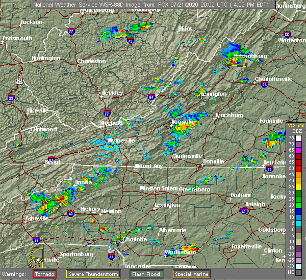 At 401 pm edt, a severe thunderstorm was located over chamblissburg, or near stewartsville, moving east at 15 mph (radar indicated). Hazards include 60 mph wind gusts. expect damage to roofs, siding, and trees and powerlines At 401 pm edt, a severe thunderstorm was located over chamblissburg, or near stewartsville, moving east at 15 mph (radar indicated). Hazards include 60 mph wind gusts. expect damage to roofs, siding, and trees and powerlines
|
| 7/21/2020 3:40 PM EDT |
 At 338 pm edt, a severe thunderstorm was located between roanoke city and boones mill, moving very slowly to the northeast at 10 to 15 mph. downburst winds are possible from this thunderstorm (radar indicated). Hazards include 60 mph wind gusts and quarter size hail. Hail damage to vehicles is expected. expect wind damage to roofs, siding, and trees. Locations impacted include, roanoke, vinton, troutville, boones mill, stewartsville, montvale, and moneta. At 338 pm edt, a severe thunderstorm was located between roanoke city and boones mill, moving very slowly to the northeast at 10 to 15 mph. downburst winds are possible from this thunderstorm (radar indicated). Hazards include 60 mph wind gusts and quarter size hail. Hail damage to vehicles is expected. expect wind damage to roofs, siding, and trees. Locations impacted include, roanoke, vinton, troutville, boones mill, stewartsville, montvale, and moneta.
|
| 7/21/2020 3:22 PM EDT |
 At 322 pm edt, a severe thunderstorm was located over cave spring, or near boones mill, moving northeast at 15 mph (radar indicated). Hazards include 60 mph wind gusts and quarter size hail. Hail damage to vehicles is expected. Expect wind damage to roofs, siding, and trees. At 322 pm edt, a severe thunderstorm was located over cave spring, or near boones mill, moving northeast at 15 mph (radar indicated). Hazards include 60 mph wind gusts and quarter size hail. Hail damage to vehicles is expected. Expect wind damage to roofs, siding, and trees.
|
| 6/4/2020 2:58 PM EDT |
 The severe thunderstorm warning for southwestern bedford and central franklin counties will expire at 300 pm edt, the severe thunderstorm which prompted the warning has weakened. therefore, the warning will be allowed to expire. however, heavy rainfall and lightning will remain a threat for the next half hour. when it is safe to do so, please send your reports of hail of any size, as well as reports of any wind damage, including downed trees or large limbs, to the national weather service by calling toll free at 1, 8 6 6, 2 1 5, 4 3 2 4. reports and pictures can also be shared on the national weather service blacksburg facebook page and on twitter. The severe thunderstorm warning for southwestern bedford and central franklin counties will expire at 300 pm edt, the severe thunderstorm which prompted the warning has weakened. therefore, the warning will be allowed to expire. however, heavy rainfall and lightning will remain a threat for the next half hour. when it is safe to do so, please send your reports of hail of any size, as well as reports of any wind damage, including downed trees or large limbs, to the national weather service by calling toll free at 1, 8 6 6, 2 1 5, 4 3 2 4. reports and pictures can also be shared on the national weather service blacksburg facebook page and on twitter.
|
| 6/4/2020 2:10 PM EDT |
 At 209 pm edt, one severe thunderstorm was located near ferrum, and another severe thunderstorm was located near wirtz. both storms are moving northeast at 15 mph (radar indicated). Hazards include 60 mph wind gusts and quarter size hail. Hail damage to vehicles is expected. expect wind damage to roofs, siding, and trees. Locations impacted include, rocky mount, boones mill, stewartsville, ferrum, moneta, burnt chimney, and northwest smith mountain lake. At 209 pm edt, one severe thunderstorm was located near ferrum, and another severe thunderstorm was located near wirtz. both storms are moving northeast at 15 mph (radar indicated). Hazards include 60 mph wind gusts and quarter size hail. Hail damage to vehicles is expected. expect wind damage to roofs, siding, and trees. Locations impacted include, rocky mount, boones mill, stewartsville, ferrum, moneta, burnt chimney, and northwest smith mountain lake.
|
| 6/4/2020 1:56 PM EDT |
 At 154 pm edt, a couple of severe thunderstorms were located near ferrum and callaway, moving northeast at 15 mph (radar indicated). Hazards include 60 mph wind gusts and quarter size hail. Hail damage to vehicles is expected. Expect wind damage to roofs, siding, and trees. At 154 pm edt, a couple of severe thunderstorms were located near ferrum and callaway, moving northeast at 15 mph (radar indicated). Hazards include 60 mph wind gusts and quarter size hail. Hail damage to vehicles is expected. Expect wind damage to roofs, siding, and trees.
|
| 4/13/2020 5:24 AM EDT |
 At 523 am edt, severe thunderstorms were located along a line extending from near leesville to near ellisboro, moving northeast at 35 mph (radar indicated). Hazards include 60 mph wind gusts. Expect damage to roofs, siding, and trees. locations impacted include, eden, martinsville, altavista, wentworth, mayodan, madison, and walnut cove. this includes the following locations the martinsville speedway and martinsville airport. A tornado watch remains in effect until noon edt for north central north carolina, and central and south central virginia. At 523 am edt, severe thunderstorms were located along a line extending from near leesville to near ellisboro, moving northeast at 35 mph (radar indicated). Hazards include 60 mph wind gusts. Expect damage to roofs, siding, and trees. locations impacted include, eden, martinsville, altavista, wentworth, mayodan, madison, and walnut cove. this includes the following locations the martinsville speedway and martinsville airport. A tornado watch remains in effect until noon edt for north central north carolina, and central and south central virginia.
|
| 4/13/2020 5:15 AM EDT |
 At 514 am edt, severe thunderstorms were located along a line extending from leesville to near pine hall, moving northeast at 35 mph (radar indicated). Hazards include 60 mph wind gusts. Expect damage to roofs, siding, and trees. locations impacted include, eden, martinsville, altavista, wentworth, mayodan, madison, and walnut cove. this includes the following locations the martinsville speedway and martinsville airport. A tornado watch remains in effect until noon edt for north central north carolina, and central and south central virginia. At 514 am edt, severe thunderstorms were located along a line extending from leesville to near pine hall, moving northeast at 35 mph (radar indicated). Hazards include 60 mph wind gusts. Expect damage to roofs, siding, and trees. locations impacted include, eden, martinsville, altavista, wentworth, mayodan, madison, and walnut cove. this includes the following locations the martinsville speedway and martinsville airport. A tornado watch remains in effect until noon edt for north central north carolina, and central and south central virginia.
|
| 4/13/2020 5:13 AM EDT |
 At 513 am edt, a severe thunderstorm capable of producing a tornado was located near figsboro, or near sydnorsville, moving northeast at 45 mph (radar indicated rotation). Hazards include tornado. Flying debris will be dangerous to those caught without shelter. mobile homes will be damaged or destroyed. damage to roofs, windows, and vehicles will occur. tree damage is likely. Locations impacted include, sydnorsville, penhook, snow creek, leatherwood, mountain valley, westlake corner, and southern smith mountain lake. At 513 am edt, a severe thunderstorm capable of producing a tornado was located near figsboro, or near sydnorsville, moving northeast at 45 mph (radar indicated rotation). Hazards include tornado. Flying debris will be dangerous to those caught without shelter. mobile homes will be damaged or destroyed. damage to roofs, windows, and vehicles will occur. tree damage is likely. Locations impacted include, sydnorsville, penhook, snow creek, leatherwood, mountain valley, westlake corner, and southern smith mountain lake.
|
| 4/13/2020 5:01 AM EDT |
 At 501 am edt, a severe thunderstorm capable of producing a tornado was located over martinsville, moving northeast at 55 mph (radar indicated rotation). Hazards include tornado. Flying debris will be dangerous to those caught without shelter. mobile homes will be damaged or destroyed. damage to roofs, windows, and vehicles will occur. Tree damage is likely. At 501 am edt, a severe thunderstorm capable of producing a tornado was located over martinsville, moving northeast at 55 mph (radar indicated rotation). Hazards include tornado. Flying debris will be dangerous to those caught without shelter. mobile homes will be damaged or destroyed. damage to roofs, windows, and vehicles will occur. Tree damage is likely.
|
| 4/13/2020 4:46 AM EDT |
 At 445 am edt, severe thunderstorms were located along a line extending from near penhook to near winston-salem, moving northeast at 35 mph (radar indicated). Hazards include 60 mph wind gusts. Expect damage to roofs, siding, and trees. locations impacted include, eden, martinsville, altavista, wentworth, mayodan, madison, and walnut cove. This includes the following locations the martinsville speedway and martinsville airport. At 445 am edt, severe thunderstorms were located along a line extending from near penhook to near winston-salem, moving northeast at 35 mph (radar indicated). Hazards include 60 mph wind gusts. Expect damage to roofs, siding, and trees. locations impacted include, eden, martinsville, altavista, wentworth, mayodan, madison, and walnut cove. This includes the following locations the martinsville speedway and martinsville airport.
|
| 4/13/2020 4:35 AM EDT |
 At 435 am edt, severe thunderstorms were located along a line extending from near sontag to near clemmons, moving northeast at 35 mph (radar indicated). Hazards include 60 mph wind gusts. expect damage to roofs, siding, and trees At 435 am edt, severe thunderstorms were located along a line extending from near sontag to near clemmons, moving northeast at 35 mph (radar indicated). Hazards include 60 mph wind gusts. expect damage to roofs, siding, and trees
|
| 4/8/2020 5:06 PM EDT |
 At 506 pm edt, a severe thunderstorm was located near sontag, or near penhook, moving southeast at 30 mph (radar indicated). Hazards include 60 mph wind gusts and quarter size hail. Hail damage to vehicles is expected. expect wind damage to roofs, siding, and trees. Locations impacted include, penhook, callands, sago, western smith mountain lake, pittsville, union hall, and sontag. At 506 pm edt, a severe thunderstorm was located near sontag, or near penhook, moving southeast at 30 mph (radar indicated). Hazards include 60 mph wind gusts and quarter size hail. Hail damage to vehicles is expected. expect wind damage to roofs, siding, and trees. Locations impacted include, penhook, callands, sago, western smith mountain lake, pittsville, union hall, and sontag.
|
| 4/8/2020 4:55 PM EDT |
 At 455 pm edt, a severe thunderstorm was located over rocky mount, moving southeast at 30 mph (radar indicated). Hazards include 60 mph wind gusts and quarter size hail. Hail damage to vehicles is expected. Expect wind damage to roofs, siding, and trees. At 455 pm edt, a severe thunderstorm was located over rocky mount, moving southeast at 30 mph (radar indicated). Hazards include 60 mph wind gusts and quarter size hail. Hail damage to vehicles is expected. Expect wind damage to roofs, siding, and trees.
|
| 1/11/2020 11:08 PM EST |
 The severe thunderstorm warning for eastern stokes, rockingham, western pittsylvania, southwestern bedford, henry, franklin and southeastern patrick counties and the city of martinsville will expire at 1115 pm est, the storms which prompted the warning have moved out of the area. therefore, the warning will be allowed to expire. however gusty winds are still possible with these thunderstorms. a severe thunderstorm watch remains in effect until 100 am est for north central and northwestern north carolina, and south central, central, southwestern and west central virginia. when it is safe to do so, please send your reports of hail of any size, as well as reports of any wind damage, including downed trees or large limbs, to the national weather service by calling toll free at 1, 8 6 6, 2 1 5, 4 3 2 4. reports and pictures can also be shared on the national weather service blacksburg facebook page and on twitter. The severe thunderstorm warning for eastern stokes, rockingham, western pittsylvania, southwestern bedford, henry, franklin and southeastern patrick counties and the city of martinsville will expire at 1115 pm est, the storms which prompted the warning have moved out of the area. therefore, the warning will be allowed to expire. however gusty winds are still possible with these thunderstorms. a severe thunderstorm watch remains in effect until 100 am est for north central and northwestern north carolina, and south central, central, southwestern and west central virginia. when it is safe to do so, please send your reports of hail of any size, as well as reports of any wind damage, including downed trees or large limbs, to the national weather service by calling toll free at 1, 8 6 6, 2 1 5, 4 3 2 4. reports and pictures can also be shared on the national weather service blacksburg facebook page and on twitter.
|
| 1/11/2020 10:40 PM EST |
 At 1039 pm est, severe thunderstorms were located along a line extending from near arcadia to near bethany, moving east at 45 mph (radar indicated). Hazards include 60 mph wind gusts. expect damage to roofs, siding, and trees At 1039 pm est, severe thunderstorms were located along a line extending from near arcadia to near bethany, moving east at 45 mph (radar indicated). Hazards include 60 mph wind gusts. expect damage to roofs, siding, and trees
|
| 1/11/2020 9:43 PM EST |
 At 942 pm est, severe thunderstorms were located along a line extending from near huffman to near courtney, moving northeast at 50 mph (radar indicated). Hazards include 70 mph wind gusts. Expect considerable tree damage. Damage is likely to mobile homes, roofs, and outbuildings. At 942 pm est, severe thunderstorms were located along a line extending from near huffman to near courtney, moving northeast at 50 mph (radar indicated). Hazards include 70 mph wind gusts. Expect considerable tree damage. Damage is likely to mobile homes, roofs, and outbuildings.
|
| 10/31/2019 5:21 PM EDT |
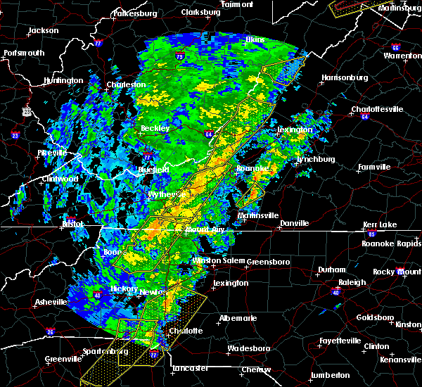 The severe thunderstorm warning for eastern franklin county will expire at 530 pm edt, the storm which prompted the warning has moved out of the area. therefore, the warning will be allowed to expire. a tornado watch remains in effect until 1100 pm edt for north central north carolina, and south central, central, southwestern and west central virginia. when it is safe to do so, please send your reports of hail of any size, as well as reports of any wind damage, including downed trees or large limbs, to the national weather service by calling toll free at 1, 8 6 6, 2 1 5, 4 3 2 4. reports and pictures can also be shared on the national weather service blacksburg facebook page and on twitter. The severe thunderstorm warning for eastern franklin county will expire at 530 pm edt, the storm which prompted the warning has moved out of the area. therefore, the warning will be allowed to expire. a tornado watch remains in effect until 1100 pm edt for north central north carolina, and south central, central, southwestern and west central virginia. when it is safe to do so, please send your reports of hail of any size, as well as reports of any wind damage, including downed trees or large limbs, to the national weather service by calling toll free at 1, 8 6 6, 2 1 5, 4 3 2 4. reports and pictures can also be shared on the national weather service blacksburg facebook page and on twitter.
|
| 10/31/2019 5:03 PM EDT |
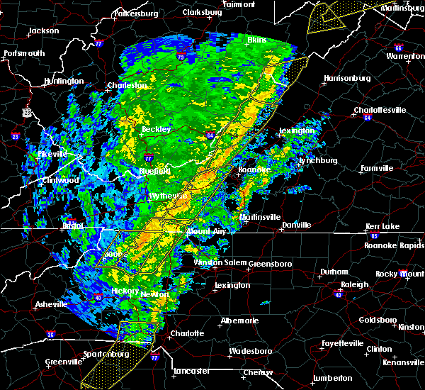 At 503 pm edt, a severe thunderstorm was located near sydnorsville, moving northeast at 45 mph (radar indicated). Hazards include 60 mph wind gusts. expect damage to roofs, siding, and trees At 503 pm edt, a severe thunderstorm was located near sydnorsville, moving northeast at 45 mph (radar indicated). Hazards include 60 mph wind gusts. expect damage to roofs, siding, and trees
|
| 9/28/2019 2:49 PM EDT |
 At 249 pm edt, severe thunderstorms extended from vinton to near boones mill, moving southeast at 15 mph (radar indicated). Hazards include 60 mph wind gusts and quarter size hail. Hail damage to vehicles is expected. expect wind damage to roofs, siding, and trees. Locations impacted include, vinton, boones mill, stewartsville, moneta, and burnt chimney. At 249 pm edt, severe thunderstorms extended from vinton to near boones mill, moving southeast at 15 mph (radar indicated). Hazards include 60 mph wind gusts and quarter size hail. Hail damage to vehicles is expected. expect wind damage to roofs, siding, and trees. Locations impacted include, vinton, boones mill, stewartsville, moneta, and burnt chimney.
|
| 9/28/2019 2:29 PM EDT |
 At 229 pm edt, severe thunderstorms were located along a line extending from hollins to poages mill, moving southeast at 15 mph (radar indicated). Hazards include 60 mph wind gusts and quarter size hail. Hail damage to vehicles is expected. Expect wind damage to roofs, siding, and trees. At 229 pm edt, severe thunderstorms were located along a line extending from hollins to poages mill, moving southeast at 15 mph (radar indicated). Hazards include 60 mph wind gusts and quarter size hail. Hail damage to vehicles is expected. Expect wind damage to roofs, siding, and trees.
|
| 9/11/2019 7:39 PM EDT |
 The severe thunderstorm warning for southern bedford and northeastern franklin counties will expire at 745 pm edt, the storms which prompted the warning have moved out of the area. therefore, the warning will be allowed to expire. when it is safe to do so, please send your reports of hail of any size, as well as reports of any wind damage, including downed trees or large limbs, to the national weather service by calling toll free at 1, 8 6 6, 2 1 5, 4 3 2 4. reports and pictures can also be shared on the national weather service blacksburg facebook page and on twitter. The severe thunderstorm warning for southern bedford and northeastern franklin counties will expire at 745 pm edt, the storms which prompted the warning have moved out of the area. therefore, the warning will be allowed to expire. when it is safe to do so, please send your reports of hail of any size, as well as reports of any wind damage, including downed trees or large limbs, to the national weather service by calling toll free at 1, 8 6 6, 2 1 5, 4 3 2 4. reports and pictures can also be shared on the national weather service blacksburg facebook page and on twitter.
|
| 9/11/2019 7:21 PM EDT |
 At 721 pm edt, severe thunderstorms were located along a line extending from 7 miles southeast of bedford to near north shore, moving southeast at 15 mph (radar indicated). Hazards include 60 mph wind gusts. Expect damage to roofs, siding, and trees. locations impacted include, bedford, huddleston, moneta, penhook, and forest. This includes the following location the national d-day memorial. At 721 pm edt, severe thunderstorms were located along a line extending from 7 miles southeast of bedford to near north shore, moving southeast at 15 mph (radar indicated). Hazards include 60 mph wind gusts. Expect damage to roofs, siding, and trees. locations impacted include, bedford, huddleston, moneta, penhook, and forest. This includes the following location the national d-day memorial.
|
| 9/11/2019 6:49 PM EDT |
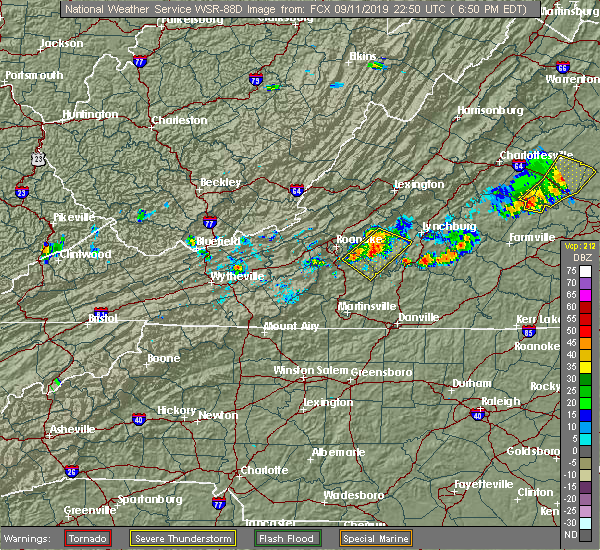 At 649 pm edt, severe thunderstorms were located along a line extending from near peaks of otter summit to near burnt chimney, moving east at 10 mph (radar indicated). Hazards include 60 mph wind gusts and quarter size hail. Hail damage to vehicles is expected. Expect wind damage to roofs, siding, and trees. At 649 pm edt, severe thunderstorms were located along a line extending from near peaks of otter summit to near burnt chimney, moving east at 10 mph (radar indicated). Hazards include 60 mph wind gusts and quarter size hail. Hail damage to vehicles is expected. Expect wind damage to roofs, siding, and trees.
|
| 8/22/2019 3:31 PM EDT |
 At 331 pm edt, severe thunderstorms were located along a line extending from near centenary to near leesville, moving east at 75 mph (radar indicated). Hazards include 60 mph wind gusts. expect damage to roofs, siding, and trees At 331 pm edt, severe thunderstorms were located along a line extending from near centenary to near leesville, moving east at 75 mph (radar indicated). Hazards include 60 mph wind gusts. expect damage to roofs, siding, and trees
|
| 8/22/2019 2:54 PM EDT |
 The national weather service in blacksburg has issued a * severe thunderstorm warning for. the city of martinsville in south central virginia. bedford county in south central virginia. henry county in south central virginia. The city of lynchburg in central virginia. The national weather service in blacksburg has issued a * severe thunderstorm warning for. the city of martinsville in south central virginia. bedford county in south central virginia. henry county in south central virginia. The city of lynchburg in central virginia.
|
| 8/22/2019 2:30 PM EDT |
 At 230 pm edt, severe thunderstorms were located along a line extending from arcadia to vinton to near terrys fork, moving east at 25 mph (radar indicated). Hazards include 60 mph wind gusts. Expect damage to roofs, siding, and trees. locations impacted include, roanoke, salem, vinton, bedford, and rocky mount. This includes the following locations the salem fairgrounds, the national d-day memorial, and roanoke regional airport. At 230 pm edt, severe thunderstorms were located along a line extending from arcadia to vinton to near terrys fork, moving east at 25 mph (radar indicated). Hazards include 60 mph wind gusts. Expect damage to roofs, siding, and trees. locations impacted include, roanoke, salem, vinton, bedford, and rocky mount. This includes the following locations the salem fairgrounds, the national d-day memorial, and roanoke regional airport.
|
| 8/22/2019 1:48 PM EDT |
 At 148 pm edt, severe thunderstorms were located along a line extending from near oriskany to near glenvar to childress, moving east at 20 mph (radar indicated). Hazards include 60 mph wind gusts. expect damage to roofs, siding, and trees At 148 pm edt, severe thunderstorms were located along a line extending from near oriskany to near glenvar to childress, moving east at 20 mph (radar indicated). Hazards include 60 mph wind gusts. expect damage to roofs, siding, and trees
|
| 8/20/2019 3:02 PM EDT |
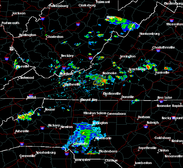 At 302 pm edt, a severe thunderstorm was located over wirtz, and is nearly stationary (radar indicated). Hazards include 60 mph wind gusts and quarter size hail. Hail damage to vehicles is expected. expect wind damage to roofs, siding, and trees. Locations impacted include, rocky mount, boones mill, burnt chimney, wirtz, and western smith mountain lake. At 302 pm edt, a severe thunderstorm was located over wirtz, and is nearly stationary (radar indicated). Hazards include 60 mph wind gusts and quarter size hail. Hail damage to vehicles is expected. expect wind damage to roofs, siding, and trees. Locations impacted include, rocky mount, boones mill, burnt chimney, wirtz, and western smith mountain lake.
|
| 8/20/2019 2:52 PM EDT |
 The severe thunderstorm warning for northeastern franklin county will expire at 300 pm edt, the storm which prompted the warning has weakened below severe limits, and no longer poses an immediate threat to life or property. therefore, the warning will be allowed to expire. when it is safe to do so, please send your reports of hail of any size, as well as reports of any wind damage, including downed trees or large limbs, to the national weather service by calling toll free at 1, 8 6 6, 2 1 5, 4 3 2 4. reports and pictures can also be shared on the national weather service blacksburg facebook page and on twitter. The severe thunderstorm warning for northeastern franklin county will expire at 300 pm edt, the storm which prompted the warning has weakened below severe limits, and no longer poses an immediate threat to life or property. therefore, the warning will be allowed to expire. when it is safe to do so, please send your reports of hail of any size, as well as reports of any wind damage, including downed trees or large limbs, to the national weather service by calling toll free at 1, 8 6 6, 2 1 5, 4 3 2 4. reports and pictures can also be shared on the national weather service blacksburg facebook page and on twitter.
|
| 8/20/2019 2:41 PM EDT |
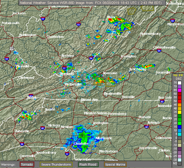 The national weather service in blacksburg has issued a * severe thunderstorm warning for. central franklin county in west central virginia. Until 345 pm edt * at 241 pm edt, a severe thunderstorm was located over boones mill, and is nearly stationary. The national weather service in blacksburg has issued a * severe thunderstorm warning for. central franklin county in west central virginia. Until 345 pm edt * at 241 pm edt, a severe thunderstorm was located over boones mill, and is nearly stationary.
|
| 8/20/2019 2:38 PM EDT |
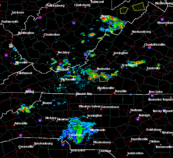 At 206 pm edt, a severe thunderstorm was located over western smith mountain lake, moving north at 10 mph (radar indicated). Hazards include 60 mph wind gusts and quarter size hail. Hail damage to vehicles is expected. Expect wind damage to roofs, siding, and trees. At 206 pm edt, a severe thunderstorm was located over western smith mountain lake, moving north at 10 mph (radar indicated). Hazards include 60 mph wind gusts and quarter size hail. Hail damage to vehicles is expected. Expect wind damage to roofs, siding, and trees.
|
| 8/20/2019 2:32 PM EDT |
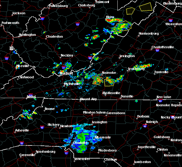 At 232 pm edt, a severe thunderstorm was located near goodview, moving north at 5 mph (radar indicated). Hazards include 60 mph wind gusts and quarter size hail. Hail damage to vehicles is expected. Expect wind damage to roofs, siding, and trees. At 232 pm edt, a severe thunderstorm was located near goodview, moving north at 5 mph (radar indicated). Hazards include 60 mph wind gusts and quarter size hail. Hail damage to vehicles is expected. Expect wind damage to roofs, siding, and trees.
|
| 8/20/2019 2:27 PM EDT |
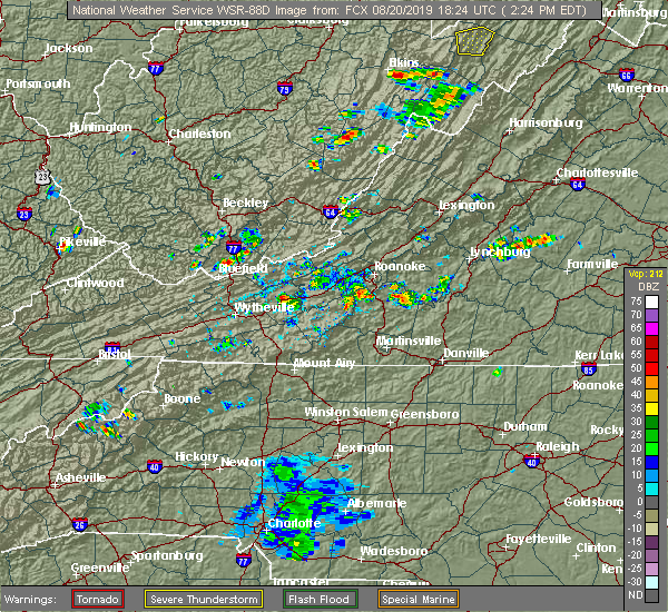 At 226 pm edt, a severe thunderstorm was located over westlake corner, moving north at 10 mph (radar indicated). Hazards include 60 mph wind gusts and quarter size hail. Hail damage to vehicles is expected. expect wind damage to roofs, siding, and trees. Locations impacted include, penhook, burnt chimney, western smith mountain lake, union hall, and north shore. At 226 pm edt, a severe thunderstorm was located over westlake corner, moving north at 10 mph (radar indicated). Hazards include 60 mph wind gusts and quarter size hail. Hail damage to vehicles is expected. expect wind damage to roofs, siding, and trees. Locations impacted include, penhook, burnt chimney, western smith mountain lake, union hall, and north shore.
|
| 8/20/2019 2:12 PM EDT | Porch torn off a house... and blown 100 feet into the backyard. multiple tree limbs dow in franklin county VA, 4.8 miles ENE of Westlake Corner, VA |
| 8/20/2019 2:12 PM EDT | Power line down off burnt chimney roa in franklin county VA, 4.8 miles ENE of Westlake Corner, VA |
| 8/20/2019 2:11 PM EDT | Tree down on 3 oaks r in franklin county VA, 4.2 miles ENE of Westlake Corner, VA |
| 8/20/2019 2:06 PM EDT |
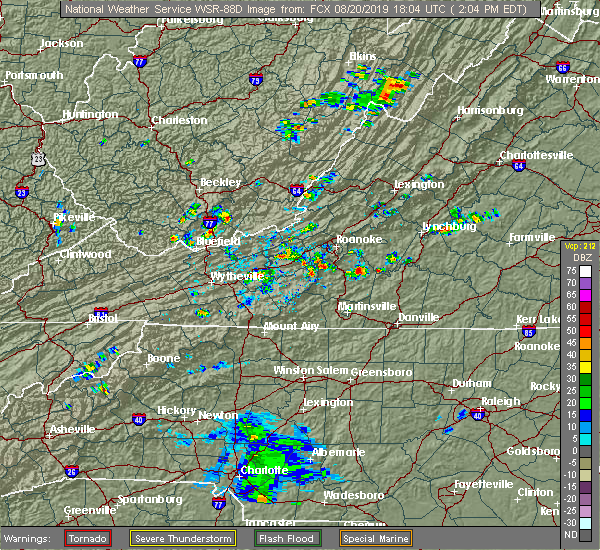 At 206 pm edt, a severe thunderstorm was located over western smith mountain lake, moving north at 10 mph (radar indicated). Hazards include 60 mph wind gusts and quarter size hail. Hail damage to vehicles is expected. Expect wind damage to roofs, siding, and trees. At 206 pm edt, a severe thunderstorm was located over western smith mountain lake, moving north at 10 mph (radar indicated). Hazards include 60 mph wind gusts and quarter size hail. Hail damage to vehicles is expected. Expect wind damage to roofs, siding, and trees.
|
| 8/15/2019 7:25 PM EDT |
 At 724 pm edt, a severe thunderstorm was located over stewartsville, moving southeast at 10 mph (radar indicated). Hazards include 60 mph wind gusts and quarter size hail. Hail damage to vehicles is expected. Expect wind damage to roofs, siding, and trees. At 724 pm edt, a severe thunderstorm was located over stewartsville, moving southeast at 10 mph (radar indicated). Hazards include 60 mph wind gusts and quarter size hail. Hail damage to vehicles is expected. Expect wind damage to roofs, siding, and trees.
|
| 8/9/2019 4:14 PM EDT |
 At 414 pm edt, a severe thunderstorm was located near moneta, moving southeast at 30 mph (radar indicated). Hazards include 60 mph wind gusts and quarter size hail. Hail damage to vehicles is expected. expect wind damage to roofs, siding, and trees. Locations impacted include, altavista, hurt, chatham, gretna, and huddleston. At 414 pm edt, a severe thunderstorm was located near moneta, moving southeast at 30 mph (radar indicated). Hazards include 60 mph wind gusts and quarter size hail. Hail damage to vehicles is expected. expect wind damage to roofs, siding, and trees. Locations impacted include, altavista, hurt, chatham, gretna, and huddleston.
|
| 8/9/2019 4:02 PM EDT |
 At 401 pm edt, a severe thunderstorm was located over goodview, moving southeast at 30 mph (radar indicated). Hazards include 60 mph wind gusts and quarter size hail. Hail damage to vehicles is expected. Expect wind damage to roofs, siding, and trees. At 401 pm edt, a severe thunderstorm was located over goodview, moving southeast at 30 mph (radar indicated). Hazards include 60 mph wind gusts and quarter size hail. Hail damage to vehicles is expected. Expect wind damage to roofs, siding, and trees.
|
| 8/9/2019 4:00 PM EDT | Wdbj7 reports that considerable damage occurred in moneta near the spring valley farm. a roof was ripped off a barn. this caused damage to a loft apartment and furnitur in bedford county VA, 6.7 miles SW of Westlake Corner, VA |
| 7/22/2019 4:58 PM EDT |
 The severe thunderstorm warning for southwestern campbell, southern bedford and northeastern franklin counties will expire at 500 pm edt, the storm which prompted the warning has weakened below severe limits, and no longer poses an immediate threat to life or property. therefore, the warning will be allowed to expire. however heavy rain is still possible with this thunderstorm. when it is safe to do so, please send your reports of hail of any size, as well as reports of any wind damage, including downed trees or large limbs, to the national weather service by calling toll free at 1, 8 6 6, 2 1 5, 4 3 2 4. reports and pictures can also be shared on the national weather service blacksburg facebook page and on twitter. The severe thunderstorm warning for southwestern campbell, southern bedford and northeastern franklin counties will expire at 500 pm edt, the storm which prompted the warning has weakened below severe limits, and no longer poses an immediate threat to life or property. therefore, the warning will be allowed to expire. however heavy rain is still possible with this thunderstorm. when it is safe to do so, please send your reports of hail of any size, as well as reports of any wind damage, including downed trees or large limbs, to the national weather service by calling toll free at 1, 8 6 6, 2 1 5, 4 3 2 4. reports and pictures can also be shared on the national weather service blacksburg facebook page and on twitter.
|
| 7/22/2019 4:52 PM EDT | About a half dozen trees down in the moneta area. time estimated from rada in bedford county VA, 6.3 miles WSW of Westlake Corner, VA |
| 7/22/2019 4:41 PM EDT |
 At 439 pm edt, a severe thunderstorm was located near evington, moving northeast at 25 mph (radar indicated). Hazards include 60 mph wind gusts and quarter size hail. Hail damage to vehicles is expected. expect wind damage to roofs, siding, and trees. Locations impacted include, altavista, hurt, moneta, huddleston, and forest. At 439 pm edt, a severe thunderstorm was located near evington, moving northeast at 25 mph (radar indicated). Hazards include 60 mph wind gusts and quarter size hail. Hail damage to vehicles is expected. expect wind damage to roofs, siding, and trees. Locations impacted include, altavista, hurt, moneta, huddleston, and forest.
|
| 7/22/2019 3:55 PM EDT |
 At 355 pm edt, a severe thunderstorm was located over north shore, moving northeast at 25 mph (radar indicated). Hazards include 60 mph wind gusts and quarter size hail. Hail damage to vehicles is expected. Expect wind damage to roofs, siding, and trees. At 355 pm edt, a severe thunderstorm was located over north shore, moving northeast at 25 mph (radar indicated). Hazards include 60 mph wind gusts and quarter size hail. Hail damage to vehicles is expected. Expect wind damage to roofs, siding, and trees.
|
| 7/4/2019 2:10 PM EDT |
 The severe thunderstorm warning for northwestern pittsylvania, southwestern bedford and northeastern franklin counties will expire at 215 pm edt, the storm which prompted the warning has weakened below severe limits, and no longer poses an immediate threat to life or property. therefore, the warning will be allowed to expire. when it is safe to do so, please send your reports of hail of any size, as well as reports of any wind damage, including downed trees or large limbs, to the national weather service by calling toll free at 1, 8 6 6, 2 1 5, 4 3 2 4. reports and pictures can also be shared on the national weather service blacksburg facebook page and on twitter. The severe thunderstorm warning for northwestern pittsylvania, southwestern bedford and northeastern franklin counties will expire at 215 pm edt, the storm which prompted the warning has weakened below severe limits, and no longer poses an immediate threat to life or property. therefore, the warning will be allowed to expire. when it is safe to do so, please send your reports of hail of any size, as well as reports of any wind damage, including downed trees or large limbs, to the national weather service by calling toll free at 1, 8 6 6, 2 1 5, 4 3 2 4. reports and pictures can also be shared on the national weather service blacksburg facebook page and on twitter.
|
| 7/4/2019 2:03 PM EDT |
 At 203 pm edt, a severe thunderstorm was located over western smith mountain lake, moving northeast at 15 mph (radar indicated). Hazards include 60 mph wind gusts. Expect damage to roofs, siding, and trees. Locations impacted include, penhook, smith mountain lake state park, western smith mountain lake, union hall, and northwest smith mountain lake. At 203 pm edt, a severe thunderstorm was located over western smith mountain lake, moving northeast at 15 mph (radar indicated). Hazards include 60 mph wind gusts. Expect damage to roofs, siding, and trees. Locations impacted include, penhook, smith mountain lake state park, western smith mountain lake, union hall, and northwest smith mountain lake.
|
| 7/4/2019 1:44 PM EDT |
 At 144 pm edt, a severe thunderstorm was located over sontag, moving northeast at 15 mph (radar indicated). Hazards include 60 mph wind gusts. Expect damage to roofs, siding, and trees. Locations impacted include, rocky mount, sydnorsville, penhook, burnt chimney, and northwest smith mountain lake. At 144 pm edt, a severe thunderstorm was located over sontag, moving northeast at 15 mph (radar indicated). Hazards include 60 mph wind gusts. Expect damage to roofs, siding, and trees. Locations impacted include, rocky mount, sydnorsville, penhook, burnt chimney, and northwest smith mountain lake.
|
| 7/4/2019 1:25 PM EDT |
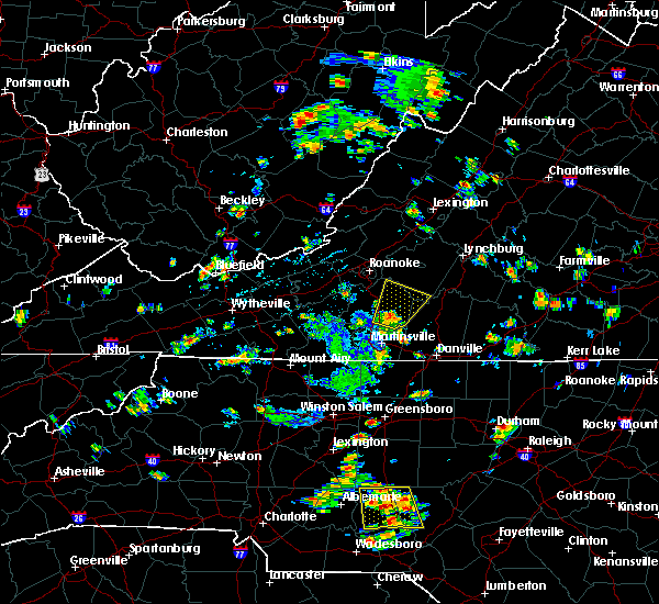 At 125 pm edt, a severe thunderstorm was located over sontag, moving northeast at 15 mph (radar indicated). Hazards include 60 mph wind gusts. expect damage to roofs, siding, and trees At 125 pm edt, a severe thunderstorm was located over sontag, moving northeast at 15 mph (radar indicated). Hazards include 60 mph wind gusts. expect damage to roofs, siding, and trees
|
| 7/2/2019 7:24 PM EDT |
 The severe thunderstorm warning for northwestern pittsylvania and franklin counties will expire at 730 pm edt, the storms which prompted the warning have weakened below severe limits and have exited the warned area. therefore, the warning will be allowed to expire. when it is safe to do so, please send your reports of hail of any size, as well as reports of any wind damage, including downed trees or large limbs, to the national weather service by calling toll free at 1, 8 6 6, 2 1 5, 4 3 2 4. reports and pictures can also be shared on the national weather service blacksburg facebook page and on twitter. The severe thunderstorm warning for northwestern pittsylvania and franklin counties will expire at 730 pm edt, the storms which prompted the warning have weakened below severe limits and have exited the warned area. therefore, the warning will be allowed to expire. when it is safe to do so, please send your reports of hail of any size, as well as reports of any wind damage, including downed trees or large limbs, to the national weather service by calling toll free at 1, 8 6 6, 2 1 5, 4 3 2 4. reports and pictures can also be shared on the national weather service blacksburg facebook page and on twitter.
|
| 7/2/2019 6:48 PM EDT |
 At 647 pm edt, severe thunderstorms were located along a line extending from near ferrum to southern smith mountain lake, moving southeast at 20 mph (radar indicated). Hazards include 60 mph wind gusts and quarter size hail. Hail damage to vehicles is expected. expect wind damage to roofs, siding, and trees. Locations impacted include, rocky mount, sydnorsville, ferrum, penhook, and snow creek. At 647 pm edt, severe thunderstorms were located along a line extending from near ferrum to southern smith mountain lake, moving southeast at 20 mph (radar indicated). Hazards include 60 mph wind gusts and quarter size hail. Hail damage to vehicles is expected. expect wind damage to roofs, siding, and trees. Locations impacted include, rocky mount, sydnorsville, ferrum, penhook, and snow creek.
|
| 7/2/2019 6:27 PM EDT |
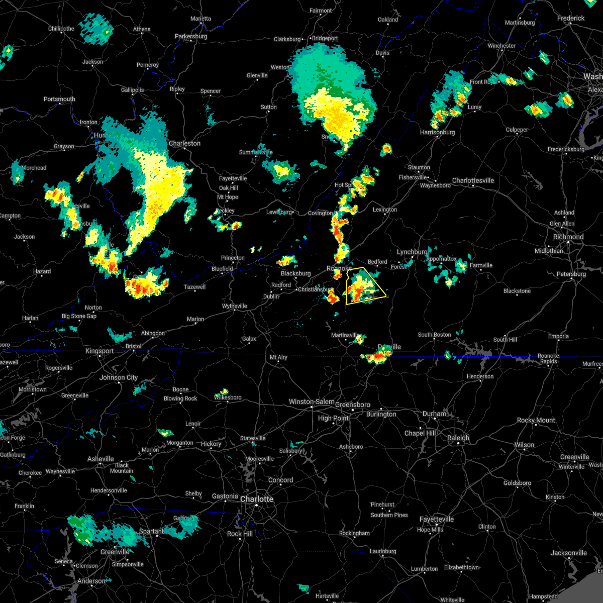 The severe thunderstorm warning for southwestern bedford and northeastern franklin counties will expire at 630 pm edt, the storm which prompted the warning has moved out of the area. therefore, the warning will be allowed to expire. when it is safe to do so, please send your reports of hail of any size, as well as reports of any wind damage, including downed trees or large limbs, to the national weather service by calling toll free at 1, 8 6 6, 2 1 5, 4 3 2 4. reports and pictures can also be shared on the national weather service blacksburg facebook page and on twitter. remember, a new severe thunderstorm warning is now in effect for southern bedford, franklin, and western pittsylvania counties until 730 pm edt. The severe thunderstorm warning for southwestern bedford and northeastern franklin counties will expire at 630 pm edt, the storm which prompted the warning has moved out of the area. therefore, the warning will be allowed to expire. when it is safe to do so, please send your reports of hail of any size, as well as reports of any wind damage, including downed trees or large limbs, to the national weather service by calling toll free at 1, 8 6 6, 2 1 5, 4 3 2 4. reports and pictures can also be shared on the national weather service blacksburg facebook page and on twitter. remember, a new severe thunderstorm warning is now in effect for southern bedford, franklin, and western pittsylvania counties until 730 pm edt.
|
| 7/2/2019 6:25 PM EDT |
 At 625 pm edt, severe thunderstorms were located along a line extending from near callaway to westlake corner, moving southeast at 20 mph (radar indicated). Hazards include 60 mph wind gusts and quarter size hail. Hail damage to vehicles is expected. Expect wind damage to roofs, siding, and trees. At 625 pm edt, severe thunderstorms were located along a line extending from near callaway to westlake corner, moving southeast at 20 mph (radar indicated). Hazards include 60 mph wind gusts and quarter size hail. Hail damage to vehicles is expected. Expect wind damage to roofs, siding, and trees.
|
| 7/2/2019 6:05 PM EDT | Spotter on social media sent photo of tree down in burnt chimney. time estimated from rada in franklin county VA, 6.7 miles E of Westlake Corner, VA |
| 7/2/2019 5:52 PM EDT |
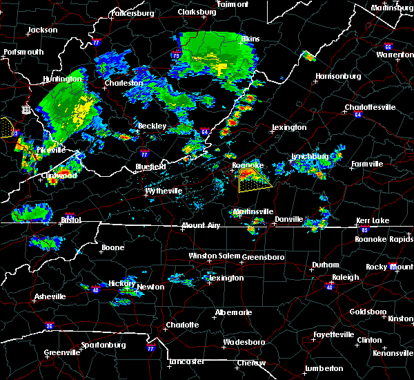 At 551 pm edt, a severe thunderstorm was located over goodview, moving southeast at 15 mph (county officials have reported trees down in western bedford county along route 24). Hazards include 60 mph wind gusts and quarter size hail. Hail damage to vehicles is expected. expect wind damage to roofs, siding, and trees. Locations impacted include, moneta, stewartsville, smith mountain lake state park, chamblissburg, and burnt chimney. At 551 pm edt, a severe thunderstorm was located over goodview, moving southeast at 15 mph (county officials have reported trees down in western bedford county along route 24). Hazards include 60 mph wind gusts and quarter size hail. Hail damage to vehicles is expected. expect wind damage to roofs, siding, and trees. Locations impacted include, moneta, stewartsville, smith mountain lake state park, chamblissburg, and burnt chimney.
|
| 7/2/2019 5:29 PM EDT |
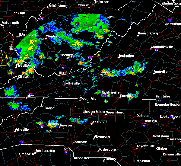 The national weather service in blacksburg has issued a * severe thunderstorm warning for. southwestern bedford county in south central virginia. northeastern franklin county in west central virginia. Until 630 pm edt * at 529 pm edt, a severe thunderstorm was located over. The national weather service in blacksburg has issued a * severe thunderstorm warning for. southwestern bedford county in south central virginia. northeastern franklin county in west central virginia. Until 630 pm edt * at 529 pm edt, a severe thunderstorm was located over.
|
| 6/29/2019 4:38 PM EDT |
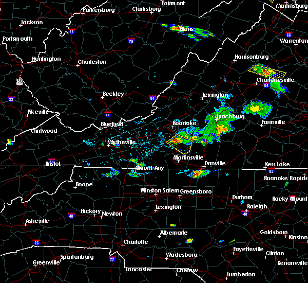 At 438 pm edt, a severe thunderstorm was located over rocky mount, moving southeast at 15 mph (radar indicated). Hazards include 60 mph wind gusts and quarter size hail. Hail damage to vehicles is expected. expect wind damage to roofs, siding, and trees. Locations impacted include, rocky mount, sydnorsville, penhook, ferrum, and snow creek. At 438 pm edt, a severe thunderstorm was located over rocky mount, moving southeast at 15 mph (radar indicated). Hazards include 60 mph wind gusts and quarter size hail. Hail damage to vehicles is expected. expect wind damage to roofs, siding, and trees. Locations impacted include, rocky mount, sydnorsville, penhook, ferrum, and snow creek.
|
| 6/29/2019 4:23 PM EDT |
 At 422 pm edt, a severe thunderstorm was located over wirtz, moving southeast at 20 mph (radar indicated). Hazards include 60 mph wind gusts and quarter size hail. Hail damage to vehicles is expected. Expect wind damage to roofs, siding, and trees. At 422 pm edt, a severe thunderstorm was located over wirtz, moving southeast at 20 mph (radar indicated). Hazards include 60 mph wind gusts and quarter size hail. Hail damage to vehicles is expected. Expect wind damage to roofs, siding, and trees.
|
| 6/24/2019 10:44 PM EDT | Thunderstorm winds blew down a tree near the intersection of lost mountain road and burnt chimney roa in franklin county VA, 3.2 miles ENE of Westlake Corner, VA |
| 6/24/2019 10:43 PM EDT |
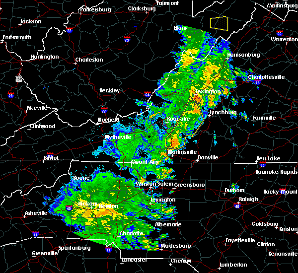 At 1042 pm edt, severe thunderstorms were located along a line extending from near buena vista to near sedalia to sontag, moving northeast at 35 mph (radar indicated). Hazards include 60 mph wind gusts. Expect damage to roofs, siding, and trees. locations impacted include, bedford, rocky mount, glasgow, huddleston, and big island. This includes the following location the national d-day memorial. At 1042 pm edt, severe thunderstorms were located along a line extending from near buena vista to near sedalia to sontag, moving northeast at 35 mph (radar indicated). Hazards include 60 mph wind gusts. Expect damage to roofs, siding, and trees. locations impacted include, bedford, rocky mount, glasgow, huddleston, and big island. This includes the following location the national d-day memorial.
|
| 6/24/2019 10:32 PM EDT |
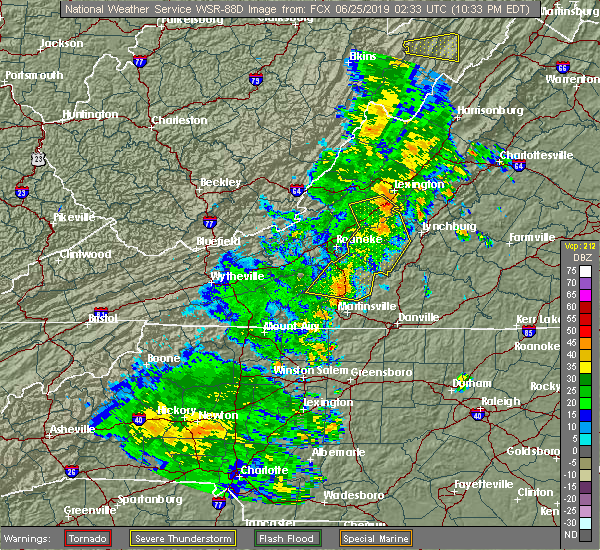 At 1030 pm edt, severe thunderstorms were located along a line extending from near natural bridge to thaxton to near ferrum, moving northeast at 35 mph (radar indicated). Hazards include 60 mph wind gusts. Expect damage to roofs, siding, and trees. locations impacted include, bedford, rocky mount, buchanan, glasgow, and boones mill. this includes the following location the national d-day memorial. The most intense part of this line extends from natural bridge to arcadia to thaxton. At 1030 pm edt, severe thunderstorms were located along a line extending from near natural bridge to thaxton to near ferrum, moving northeast at 35 mph (radar indicated). Hazards include 60 mph wind gusts. Expect damage to roofs, siding, and trees. locations impacted include, bedford, rocky mount, buchanan, glasgow, and boones mill. this includes the following location the national d-day memorial. The most intense part of this line extends from natural bridge to arcadia to thaxton.
|
| 6/24/2019 10:16 PM EDT |
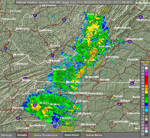 At 1016 pm edt, severe thunderstorms were located along a line extending from eagle rock to near lithia to stewartsville, moving northeast at 35 mph (radar indicated). Hazards include 60 mph wind gusts. expect damage to roofs, siding, and trees At 1016 pm edt, severe thunderstorms were located along a line extending from eagle rock to near lithia to stewartsville, moving northeast at 35 mph (radar indicated). Hazards include 60 mph wind gusts. expect damage to roofs, siding, and trees
|
| 6/2/2019 7:53 PM EDT |
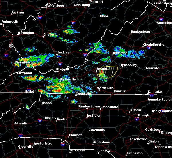 At 753 pm edt, severe thunderstorms were located along a line extending from near montvale to goodview to near burnt chimney, moving east at 35 mph (radar indicated). Hazards include 60 mph wind gusts and quarter size hail. Hail damage to vehicles is expected. Expect wind damage to roofs, siding, and trees. At 753 pm edt, severe thunderstorms were located along a line extending from near montvale to goodview to near burnt chimney, moving east at 35 mph (radar indicated). Hazards include 60 mph wind gusts and quarter size hail. Hail damage to vehicles is expected. Expect wind damage to roofs, siding, and trees.
|
| 5/31/2019 5:34 PM EDT |
 At 532 pm edt, severe thunderstorms were located along a line extending from near sedalia to near leesville to near climax, moving east at 40 mph (radar indicated. public has reported golf ball- sized hail with this thunderstorm. in addition, radar is detecting rotation in east central franklin county). Hazards include 60 mph wind gusts and half dollar size hail. Hail damage to vehicles is expected. expect wind damage to roofs, siding, and trees. locations impacted include, bedford, huddleston, moneta, penhook, and forest. This includes the following location the national d-day memorial. At 532 pm edt, severe thunderstorms were located along a line extending from near sedalia to near leesville to near climax, moving east at 40 mph (radar indicated. public has reported golf ball- sized hail with this thunderstorm. in addition, radar is detecting rotation in east central franklin county). Hazards include 60 mph wind gusts and half dollar size hail. Hail damage to vehicles is expected. expect wind damage to roofs, siding, and trees. locations impacted include, bedford, huddleston, moneta, penhook, and forest. This includes the following location the national d-day memorial.
|
| 5/31/2019 5:05 PM EDT |
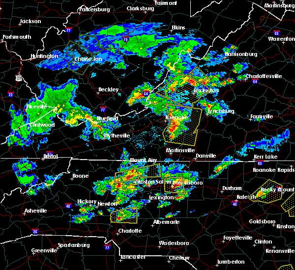 At 503 pm edt, severe thunderstorms were located along a line extending from near lithia to westlake corner to near sontag, moving east at 40 mph (radar indicated). Hazards include 60 mph wind gusts and half dollar size hail. Hail damage to vehicles is expected. expect wind damage to roofs, siding, and trees. locations impacted include, bedford, rocky mount, buchanan, troutville, and boones mill. This includes the following location the national d-day memorial. At 503 pm edt, severe thunderstorms were located along a line extending from near lithia to westlake corner to near sontag, moving east at 40 mph (radar indicated). Hazards include 60 mph wind gusts and half dollar size hail. Hail damage to vehicles is expected. expect wind damage to roofs, siding, and trees. locations impacted include, bedford, rocky mount, buchanan, troutville, and boones mill. This includes the following location the national d-day memorial.
|
| 5/31/2019 4:39 PM EDT |
 The national weather service in blacksburg has issued a * severe thunderstorm warning for. southern roanoke county in west central virginia. northwestern pittsylvania county in south central virginia. southern city of roanoke in west central virginia. bedford county in south central virginia. Southeastern. The national weather service in blacksburg has issued a * severe thunderstorm warning for. southern roanoke county in west central virginia. northwestern pittsylvania county in south central virginia. southern city of roanoke in west central virginia. bedford county in south central virginia. Southeastern.
|
| 5/31/2019 2:09 PM EDT | Numerous trees and limbs down reported by viewer to local television media. one tree uprooted... falling and breaking out a window of a home on smith mountain lak in bedford county VA, 3.5 miles WSW of Westlake Corner, VA |
| 5/29/2019 6:11 PM EDT |
 The severe thunderstorm warning for southwestern campbell, north central pittsylvania and southern bedford counties will expire at 615 pm edt, the severe thunderstorm which prompted the warning has moved out of the warned area. therefore, the warning will be allowed to expire. a severe thunderstorm watch remains in effect until 800 pm edt for central, south central, southwestern and west central virginia. when it is safe to do so, please send your reports of hail of any size, as well as reports of any wind damage, including downed trees or large limbs, to the national weather service by calling toll free at 1, 8 6 6, 2 1 5, 4 3 2 4. reports and pictures can also be shared on the national weather service blacksburg facebook page and on twitter. The severe thunderstorm warning for southwestern campbell, north central pittsylvania and southern bedford counties will expire at 615 pm edt, the severe thunderstorm which prompted the warning has moved out of the warned area. therefore, the warning will be allowed to expire. a severe thunderstorm watch remains in effect until 800 pm edt for central, south central, southwestern and west central virginia. when it is safe to do so, please send your reports of hail of any size, as well as reports of any wind damage, including downed trees or large limbs, to the national weather service by calling toll free at 1, 8 6 6, 2 1 5, 4 3 2 4. reports and pictures can also be shared on the national weather service blacksburg facebook page and on twitter.
|
| 5/29/2019 5:45 PM EDT |
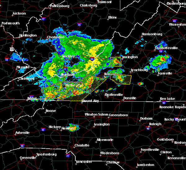 At 544 pm edt, a severe thunderstorm was located near moneta, moving east at 30 mph (radar indicated). Hazards include 60 mph wind gusts. Expect damage to roofs, siding, and trees. locations impacted include, bedford, altavista, hurt, moneta, and huddleston. This includes the following location the national d-day memorial. At 544 pm edt, a severe thunderstorm was located near moneta, moving east at 30 mph (radar indicated). Hazards include 60 mph wind gusts. Expect damage to roofs, siding, and trees. locations impacted include, bedford, altavista, hurt, moneta, and huddleston. This includes the following location the national d-day memorial.
|
| 5/29/2019 5:36 PM EDT | Wsls viewer reported shattered windows to a residence on emmaus church rd in moneta. time estimated from rada in bedford county VA, 8.3 miles SSW of Westlake Corner, VA |
| 5/29/2019 5:34 PM EDT | Multiple trees down between sandy level rd and goodview r in bedford county VA, 8.8 miles S of Westlake Corner, VA |
| 5/29/2019 5:30 PM EDT | Tree down on trailer on bruno drive. no injuries reporte in bedford county VA, 8.1 miles S of Westlake Corner, VA |
| 5/29/2019 5:26 PM EDT |
 At 526 pm edt, a severe thunderstorm was located over goodview, moving east at 30 mph (radar indicated). Hazards include 60 mph wind gusts and quarter size hail. Hail damage to vehicles is expected. Expect wind damage to roofs, siding, and trees. At 526 pm edt, a severe thunderstorm was located over goodview, moving east at 30 mph (radar indicated). Hazards include 60 mph wind gusts and quarter size hail. Hail damage to vehicles is expected. Expect wind damage to roofs, siding, and trees.
|
| 4/19/2019 10:56 AM EDT |
 The tornado warning for northeastern franklin county will expire at 1100 am edt, the storm which prompted the warning has moved out of the area. therefore, the warning will be allowed to expire. a tornado watch remains in effect until 500 pm edt for south central, central, southwestern and west central virginia. when it is safe to do so, please send your reports of hail of any size, as well as reports of any wind damage, including downed trees or large limbs, to the national weather service by calling toll free at 1, 8 6 6, 2 1 5, 4 3 2 4. reports and pictures can also be shared on the national weather service blacksburg facebook page and on twitter. The tornado warning for northeastern franklin county will expire at 1100 am edt, the storm which prompted the warning has moved out of the area. therefore, the warning will be allowed to expire. a tornado watch remains in effect until 500 pm edt for south central, central, southwestern and west central virginia. when it is safe to do so, please send your reports of hail of any size, as well as reports of any wind damage, including downed trees or large limbs, to the national weather service by calling toll free at 1, 8 6 6, 2 1 5, 4 3 2 4. reports and pictures can also be shared on the national weather service blacksburg facebook page and on twitter.
|
| 4/19/2019 10:48 AM EDT |
 At 1048 am edt, a confirmed tornado was located over western smith mountain lake, moving northeast at 40 mph (radar confirmed tornado). Hazards include damaging tornado and quarter size hail. Flying debris will be dangerous to those caught without shelter. mobile homes will be damaged or destroyed. damage to roofs, windows, and vehicles will occur. tree damage is likely. Locations impacted include, northwest smith mountain lake, western smith mountain lake, westlake corner, north shore, and union hall. At 1048 am edt, a confirmed tornado was located over western smith mountain lake, moving northeast at 40 mph (radar confirmed tornado). Hazards include damaging tornado and quarter size hail. Flying debris will be dangerous to those caught without shelter. mobile homes will be damaged or destroyed. damage to roofs, windows, and vehicles will occur. tree damage is likely. Locations impacted include, northwest smith mountain lake, western smith mountain lake, westlake corner, north shore, and union hall.
|
| 4/19/2019 10:36 AM EDT |
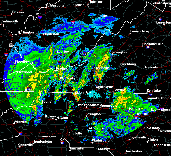 At 1035 am edt, a confirmed tornado was located over sontag, moving northeast at 45 mph (radar confirmed tornado). Hazards include damaging tornado and quarter size hail. Flying debris will be dangerous to those caught without shelter. mobile homes will be damaged or destroyed. damage to roofs, windows, and vehicles will occur. tree damage is likely. Locations impacted include, penhook, western smith mountain lake, union hall, sontag, and northwest smith mountain lake. At 1035 am edt, a confirmed tornado was located over sontag, moving northeast at 45 mph (radar confirmed tornado). Hazards include damaging tornado and quarter size hail. Flying debris will be dangerous to those caught without shelter. mobile homes will be damaged or destroyed. damage to roofs, windows, and vehicles will occur. tree damage is likely. Locations impacted include, penhook, western smith mountain lake, union hall, sontag, and northwest smith mountain lake.
|
| 4/19/2019 10:27 AM EDT |
 At 1027 am edt, a severe thunderstorm capable of producing a tornado was located near sydnorsville, moving northeast at 40 mph (radar indicated rotation). Hazards include tornado and quarter size hail. Flying debris will be dangerous to those caught without shelter. mobile homes will be damaged or destroyed. damage to roofs, windows, and vehicles will occur. Tree damage is likely. At 1027 am edt, a severe thunderstorm capable of producing a tornado was located near sydnorsville, moving northeast at 40 mph (radar indicated rotation). Hazards include tornado and quarter size hail. Flying debris will be dangerous to those caught without shelter. mobile homes will be damaged or destroyed. damage to roofs, windows, and vehicles will occur. Tree damage is likely.
|
| 4/14/2019 11:47 PM EDT |
 At 1147 pm edt, severe thunderstorms were located along a line extending from near glen wilton to near callaway, moving east at 40 mph (radar indicated). Hazards include 60 mph wind gusts. Expect damage to roofs, siding, and trees. locations impacted include, roanoke, salem, vinton, rocky mount, and clifton forge. this includes the following locations the salem fairgrounds and roanoke regional airport. A tornado watch remains in effect until 500 am edt for central, south central, southwestern and west central virginia. At 1147 pm edt, severe thunderstorms were located along a line extending from near glen wilton to near callaway, moving east at 40 mph (radar indicated). Hazards include 60 mph wind gusts. Expect damage to roofs, siding, and trees. locations impacted include, roanoke, salem, vinton, rocky mount, and clifton forge. this includes the following locations the salem fairgrounds and roanoke regional airport. A tornado watch remains in effect until 500 am edt for central, south central, southwestern and west central virginia.
|
| 4/14/2019 11:09 PM EDT |
 At 1108 pm edt, severe thunderstorms were located along a line extending from near jordan mines to near childress, moving east at 40 mph (radar indicated). Hazards include 60 mph wind gusts. expect damage to roofs, siding, and trees At 1108 pm edt, severe thunderstorms were located along a line extending from near jordan mines to near childress, moving east at 40 mph (radar indicated). Hazards include 60 mph wind gusts. expect damage to roofs, siding, and trees
|
| 4/14/2019 1:21 PM EDT |
 At 120 pm edt, a severe thunderstorm capable of producing a tornado was located over sontag, moving northeast at 40 mph. rotation has recently weakened again on this storm, but reintensification is possible (radar indicated rotation). Hazards include tornado. Flying debris will be dangerous to those caught without shelter. mobile homes will be damaged or destroyed. damage to roofs, windows, and vehicles will occur. tree damage is likely. Locations impacted include, union hall, northwest smith mountain lake, north shore, western smith mountain lake, and westlake corner. At 120 pm edt, a severe thunderstorm capable of producing a tornado was located over sontag, moving northeast at 40 mph. rotation has recently weakened again on this storm, but reintensification is possible (radar indicated rotation). Hazards include tornado. Flying debris will be dangerous to those caught without shelter. mobile homes will be damaged or destroyed. damage to roofs, windows, and vehicles will occur. tree damage is likely. Locations impacted include, union hall, northwest smith mountain lake, north shore, western smith mountain lake, and westlake corner.
|
| 4/14/2019 1:09 PM EDT |
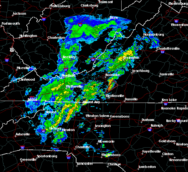 At 109 pm edt, a severe thunderstorm capable of producing a tornado was located near sydnorsville, moving northeast at 40 mph (radar indicated rotation). Hazards include tornado. Flying debris will be dangerous to those caught without shelter. mobile homes will be damaged or destroyed. damage to roofs, windows, and vehicles will occur. Tree damage is likely. At 109 pm edt, a severe thunderstorm capable of producing a tornado was located near sydnorsville, moving northeast at 40 mph (radar indicated rotation). Hazards include tornado. Flying debris will be dangerous to those caught without shelter. mobile homes will be damaged or destroyed. damage to roofs, windows, and vehicles will occur. Tree damage is likely.
|
| 4/8/2019 4:41 PM EDT |
 At 439 pm edt, severe thunderstorms were located along a line extending from near amherst to near goode to north shore, moving east at 30 mph (radar indicated). Hazards include 60 mph wind gusts and quarter size hail. Hail damage to vehicles is expected. Expect wind damage to roofs, siding, and trees. At 439 pm edt, severe thunderstorms were located along a line extending from near amherst to near goode to north shore, moving east at 30 mph (radar indicated). Hazards include 60 mph wind gusts and quarter size hail. Hail damage to vehicles is expected. Expect wind damage to roofs, siding, and trees.
|
| 8/13/2018 5:43 PM EDT |
 The severe thunderstorm warning for southeastern roanoke, southwestern bedford and northeastern franklin counties will expire at 545 pm edt, the storm which prompted the warning has weakened below severe limits, and no longer poses an immediate threat to life or property. therefore, the warning will be allowed to expire. when it is safe to do so, please send your reports of hail of any size, as well as reports of any wind damage, including downed trees or large limbs, to the national weather service by calling toll free at 1, 8 6 6, 2 1 5, 4 3 2 4. reports and pictures can also be shared on the national weather service blacksburg facebook page and on twitter. The severe thunderstorm warning for southeastern roanoke, southwestern bedford and northeastern franklin counties will expire at 545 pm edt, the storm which prompted the warning has weakened below severe limits, and no longer poses an immediate threat to life or property. therefore, the warning will be allowed to expire. when it is safe to do so, please send your reports of hail of any size, as well as reports of any wind damage, including downed trees or large limbs, to the national weather service by calling toll free at 1, 8 6 6, 2 1 5, 4 3 2 4. reports and pictures can also be shared on the national weather service blacksburg facebook page and on twitter.
|
| 8/13/2018 5:42 PM EDT | Two large tree branches down in bedford county VA, 6.2 miles SSE of Westlake Corner, VA |
| 8/13/2018 4:50 PM EDT |
 At 450 pm edt, a severe thunderstorm was located over stewartsville, moving southeast at 15 mph (radar indicated). Hazards include 60 mph wind gusts and quarter size hail. Hail damage to vehicles is expected. expect wind damage to roofs, siding, and trees. Locations impacted include, vinton, stewartsville, moneta, burnt chimney, and northwest smith mountain lake. At 450 pm edt, a severe thunderstorm was located over stewartsville, moving southeast at 15 mph (radar indicated). Hazards include 60 mph wind gusts and quarter size hail. Hail damage to vehicles is expected. expect wind damage to roofs, siding, and trees. Locations impacted include, vinton, stewartsville, moneta, burnt chimney, and northwest smith mountain lake.
|
| 8/13/2018 4:40 PM EDT |
 At 440 pm edt, a severe thunderstorm was located over stewartsville, moving southeast at 15 mph (radar indicated). Hazards include 60 mph wind gusts and quarter size hail. Hail damage to vehicles is expected. Expect wind damage to roofs, siding, and trees. At 440 pm edt, a severe thunderstorm was located over stewartsville, moving southeast at 15 mph (radar indicated). Hazards include 60 mph wind gusts and quarter size hail. Hail damage to vehicles is expected. Expect wind damage to roofs, siding, and trees.
|
| 8/3/2018 4:27 PM EDT |
 At 426 pm edt, severe thunderstorms were located along a line extending from near moneta to near smith mountain lake state park to callands to near monroeton, moving northeast at 25 mph (radar indicated). Hazards include 60 mph wind gusts. expect damage to roofs, siding, and trees At 426 pm edt, severe thunderstorms were located along a line extending from near moneta to near smith mountain lake state park to callands to near monroeton, moving northeast at 25 mph (radar indicated). Hazards include 60 mph wind gusts. expect damage to roofs, siding, and trees
|
| 8/2/2018 3:56 PM EDT |
 At 355 pm edt, severe thunderstorms were located along a line extending from near montvale to near northwest smith mountain lake, moving northeast at 15 mph (radar indicated). Hazards include 60 mph wind gusts. Expect damage to roofs, siding, and trees. Locations impacted include, vinton, bedford, stewartsville, montvale, and moneta. At 355 pm edt, severe thunderstorms were located along a line extending from near montvale to near northwest smith mountain lake, moving northeast at 15 mph (radar indicated). Hazards include 60 mph wind gusts. Expect damage to roofs, siding, and trees. Locations impacted include, vinton, bedford, stewartsville, montvale, and moneta.
|
| 8/2/2018 3:34 PM EDT |
 At 333 pm edt, severe thunderstorms were located along a line extending from near stewartsville to near burnt chimney, moving northeast at 15 mph (radar indicated). Hazards include 60 mph wind gusts and quarter size hail. Hail damage to vehicles is expected. Expect wind damage to roofs, siding, and trees. At 333 pm edt, severe thunderstorms were located along a line extending from near stewartsville to near burnt chimney, moving northeast at 15 mph (radar indicated). Hazards include 60 mph wind gusts and quarter size hail. Hail damage to vehicles is expected. Expect wind damage to roofs, siding, and trees.
|
| 8/1/2018 6:18 PM EDT |
 At 617 pm edt, severe thunderstorms were located along a line extending from near ferrum to fieldale to near mayodan, moving northeast at 25 mph (radar indicated). Hazards include 60 mph wind gusts. Expect damage to roofs, siding, and trees. locations impacted include, martinsville, rocky mount, axton, penhook, and spencer. This includes the following locations the martinsville speedway and martinsville airport. At 617 pm edt, severe thunderstorms were located along a line extending from near ferrum to fieldale to near mayodan, moving northeast at 25 mph (radar indicated). Hazards include 60 mph wind gusts. Expect damage to roofs, siding, and trees. locations impacted include, martinsville, rocky mount, axton, penhook, and spencer. This includes the following locations the martinsville speedway and martinsville airport.
|
| 8/1/2018 5:57 PM EDT |
 At 555 pm edt, severe thunderstorms were located along a line extending from fairy stone state park to penns store to near meadows, moving northeast at 25 mph (radar indicated). Hazards include 60 mph wind gusts. expect damage to roofs, siding, and trees At 555 pm edt, severe thunderstorms were located along a line extending from fairy stone state park to penns store to near meadows, moving northeast at 25 mph (radar indicated). Hazards include 60 mph wind gusts. expect damage to roofs, siding, and trees
|
| 7/11/2018 4:07 PM EDT |
 At 406 pm edt, a severe thunderstorm was located near ajax, moving south at 15 mph (radar indicated). Hazards include 60 mph wind gusts and quarter size hail. Hail damage to vehicles is expected. expect wind damage to roofs, siding, and trees. Locations impacted include, chatham, penhook, callands, sago, and smith mountain lake state park. At 406 pm edt, a severe thunderstorm was located near ajax, moving south at 15 mph (radar indicated). Hazards include 60 mph wind gusts and quarter size hail. Hail damage to vehicles is expected. expect wind damage to roofs, siding, and trees. Locations impacted include, chatham, penhook, callands, sago, and smith mountain lake state park.
|
| 7/11/2018 3:28 PM EDT |
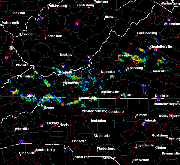 At 327 pm edt, a severe thunderstorm was located over westlake corner, moving south at 20 mph (radar indicated). Hazards include 60 mph wind gusts and quarter size hail. Hail damage to vehicles is expected. Expect wind damage to roofs, siding, and trees. At 327 pm edt, a severe thunderstorm was located over westlake corner, moving south at 20 mph (radar indicated). Hazards include 60 mph wind gusts and quarter size hail. Hail damage to vehicles is expected. Expect wind damage to roofs, siding, and trees.
|
| 6/22/2018 3:51 PM EDT | One tree blown down near the intersection of dickerson mill road and saunders grove drive in bedford county VA, 10.2 miles S of Westlake Corner, VA |
| 6/13/2018 5:13 PM EDT |
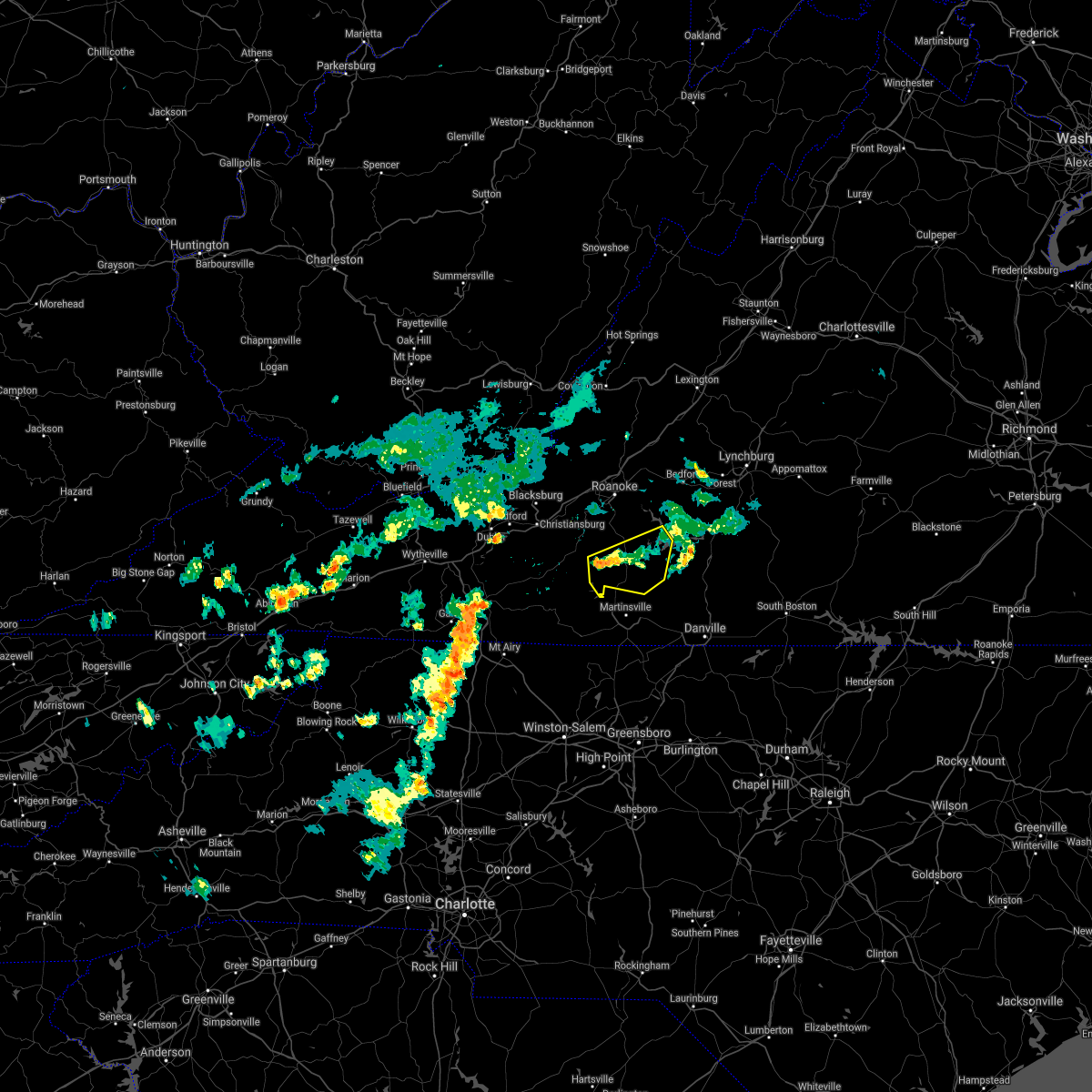 The severe thunderstorm warning for southern franklin county will expire at 515 pm edt. the storms which prompted the warning have weakened below severe limits, and no longer pose an immediate threat to life or property. therefore, the warning will be allowed to expire. When it is safe to do so, please send your reports of hail of any. The severe thunderstorm warning for southern franklin county will expire at 515 pm edt. the storms which prompted the warning have weakened below severe limits, and no longer pose an immediate threat to life or property. therefore, the warning will be allowed to expire. When it is safe to do so, please send your reports of hail of any.
|
| 6/13/2018 5:00 PM EDT |
 At 500 pm edt, severe thunderstorms were located along a line extending from north shore to near western smith mountain lake to near ferrum, moving southeast at 10 mph (radar indicated). Hazards include 60 mph wind gusts and quarter size hail. Hail damage to vehicles is expected. expect wind damage to roofs, siding, and trees. Locations impacted include, rocky mount, penhook, sydnorsville, ferrum, and snow creek. At 500 pm edt, severe thunderstorms were located along a line extending from north shore to near western smith mountain lake to near ferrum, moving southeast at 10 mph (radar indicated). Hazards include 60 mph wind gusts and quarter size hail. Hail damage to vehicles is expected. expect wind damage to roofs, siding, and trees. Locations impacted include, rocky mount, penhook, sydnorsville, ferrum, and snow creek.
|
| 6/13/2018 4:34 PM EDT |
 At 434 pm edt, severe thunderstorms were located along a line extending from northwest smith mountain lake to near burnt chimney to near callaway, moving southeast at 10 mph (radar indicated). Hazards include 60 mph wind gusts and quarter size hail. Hail damage to vehicles is expected. expect wind damage to roofs, siding, and trees. Locations impacted include, rocky mount, sydnorsville, ferrum, penhook, and snow creek. At 434 pm edt, severe thunderstorms were located along a line extending from northwest smith mountain lake to near burnt chimney to near callaway, moving southeast at 10 mph (radar indicated). Hazards include 60 mph wind gusts and quarter size hail. Hail damage to vehicles is expected. expect wind damage to roofs, siding, and trees. Locations impacted include, rocky mount, sydnorsville, ferrum, penhook, and snow creek.
|
| 6/13/2018 4:15 PM EDT |
 At 415 pm edt, severe thunderstorms were located along a line extending from near northwest smith mountain lake to burnt chimney to callaway, moving southeast at 10 mph (radar indicated). Hazards include 60 mph wind gusts and quarter size hail. Hail damage to vehicles is expected. Expect wind damage to roofs, siding, and trees. At 415 pm edt, severe thunderstorms were located along a line extending from near northwest smith mountain lake to burnt chimney to callaway, moving southeast at 10 mph (radar indicated). Hazards include 60 mph wind gusts and quarter size hail. Hail damage to vehicles is expected. Expect wind damage to roofs, siding, and trees.
|
| 6/10/2018 6:28 PM EDT |
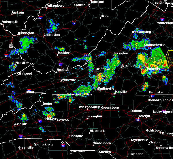 At 627 pm edt, severe thunderstorms were located along a line extending from roanoke mountain to near boones mill to near rocky mount to ferrum, moving east at 15 mph (radar indicated). Hazards include 60 mph wind gusts and quarter size hail. Hail damage to vehicles is expected. expect wind damage to roofs, siding, and trees. Locations impacted include, rocky mount, burnt chimney, western smith mountain lake, union hall, and northwest smith mountain lake. At 627 pm edt, severe thunderstorms were located along a line extending from roanoke mountain to near boones mill to near rocky mount to ferrum, moving east at 15 mph (radar indicated). Hazards include 60 mph wind gusts and quarter size hail. Hail damage to vehicles is expected. expect wind damage to roofs, siding, and trees. Locations impacted include, rocky mount, burnt chimney, western smith mountain lake, union hall, and northwest smith mountain lake.
|
| 6/10/2018 6:18 PM EDT |
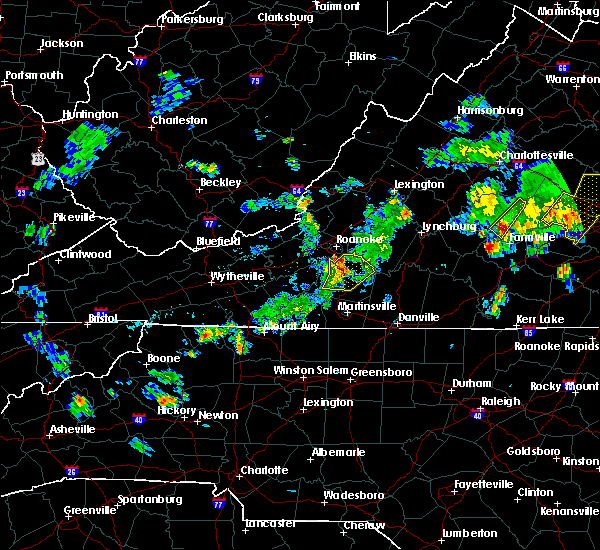 At 618 pm edt, severe thunderstorms were located along a line extending from near cave spring to boones mill to near rocky mount to near ferrum, moving east at 15 mph (radar indicated). Hazards include 60 mph wind gusts and quarter size hail. Hail damage to vehicles is expected. expect wind damage to roofs, siding, and trees. Locations impacted include, rocky mount, boones mill, ferrum, burnt chimney, and western smith mountain lake. At 618 pm edt, severe thunderstorms were located along a line extending from near cave spring to boones mill to near rocky mount to near ferrum, moving east at 15 mph (radar indicated). Hazards include 60 mph wind gusts and quarter size hail. Hail damage to vehicles is expected. expect wind damage to roofs, siding, and trees. Locations impacted include, rocky mount, boones mill, ferrum, burnt chimney, and western smith mountain lake.
|
| 6/10/2018 5:57 PM EDT |
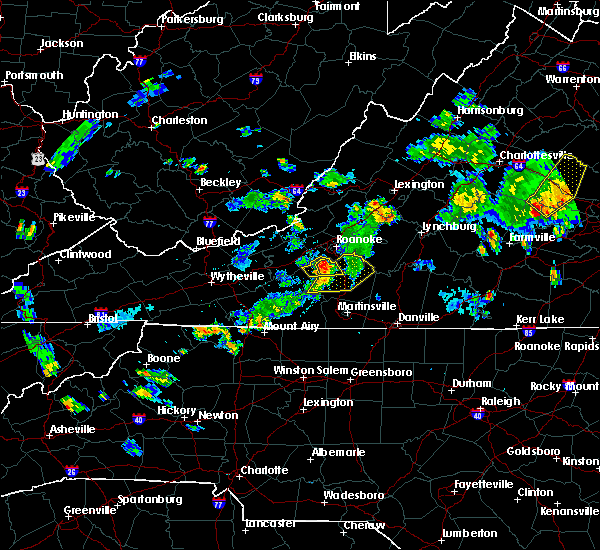 At 557 pm edt, severe thunderstorms were located along a line extending from bent mountain to near copper hill to near callaway to endicott, moving east at 15 mph (radar indicated). Hazards include 60 mph wind gusts. expect damage to roofs, siding, and trees At 557 pm edt, severe thunderstorms were located along a line extending from bent mountain to near copper hill to near callaway to endicott, moving east at 15 mph (radar indicated). Hazards include 60 mph wind gusts. expect damage to roofs, siding, and trees
|
| 6/10/2018 5:00 PM EDT | Multiple trees down along brooks mill roa in franklin county VA, 2.8 miles NE of Westlake Corner, VA |
| 6/10/2018 3:13 PM EDT |
 At 312 pm edt, a severe thunderstorm was located near smith mountain lake state park, moving southeast at 20 mph. this storm has produced wind damage near burnt chimney (radar indicated). Hazards include 60 mph wind gusts and quarter size hail. Hail damage to vehicles is expected. expect wind damage to roofs, siding, and trees. Locations impacted include, gretna, moneta, penhook, burnt chimney, and northwest smith mountain lake. At 312 pm edt, a severe thunderstorm was located near smith mountain lake state park, moving southeast at 20 mph. this storm has produced wind damage near burnt chimney (radar indicated). Hazards include 60 mph wind gusts and quarter size hail. Hail damage to vehicles is expected. expect wind damage to roofs, siding, and trees. Locations impacted include, gretna, moneta, penhook, burnt chimney, and northwest smith mountain lake.
|
| 6/10/2018 3:00 PM EDT | Multiple trees down along brooks mill roa in franklin county VA, 2.8 miles NE of Westlake Corner, VA |
| 6/10/2018 3:00 PM EDT | Quarter sized hail reported 1.2 miles ESE of Westlake Corner, VA, various sizes... but largest estimated to be quarter size. time radar estimated. |
| 6/10/2018 2:42 PM EDT | Tree down on lost mountain road. time radar estimate in franklin county VA, 1.8 miles ESE of Westlake Corner, VA |
| 6/10/2018 2:42 PM EDT | Tree down on middle valley road in franklin county VA, 2.8 miles SSE of Westlake Corner, VA |
| 6/10/2018 2:33 PM EDT |
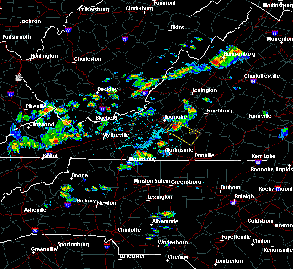 At 233 pm edt, a severe thunderstorm was located over northwest smith mountain lake, moving southeast at 20 mph (radar indicated). Hazards include 60 mph wind gusts and quarter size hail. Hail damage to vehicles is expected. Expect wind damage to roofs, siding, and trees. At 233 pm edt, a severe thunderstorm was located over northwest smith mountain lake, moving southeast at 20 mph (radar indicated). Hazards include 60 mph wind gusts and quarter size hail. Hail damage to vehicles is expected. Expect wind damage to roofs, siding, and trees.
|
| 5/22/2018 6:52 PM EDT |
 At 652 pm edt, severe thunderstorms were located along a line extending from near peaks of otter summit to near bedford to northwest smith mountain lake, moving east at 20 mph (radar indicated). Hazards include 60 mph wind gusts and quarter size hail. Hail damage to vehicles is expected. Expect wind damage to roofs, siding, and trees. At 652 pm edt, severe thunderstorms were located along a line extending from near peaks of otter summit to near bedford to northwest smith mountain lake, moving east at 20 mph (radar indicated). Hazards include 60 mph wind gusts and quarter size hail. Hail damage to vehicles is expected. Expect wind damage to roofs, siding, and trees.
|
| 5/15/2018 4:10 PM EDT |
 The severe thunderstorm warning for northeastern roanoke, southwestern bedford, southwestern botetourt and northeastern franklin counties, the city of salem and the city of roanoke will expire at 415 pm edt, the storm which prompted the warning has weakened below severe limits, and no longer poses an immediate threat to life or property. therefore, the warning will be allowed to expire. however heavy rain is still possible with this thunderstorm. when it is safe to do so, please send your reports of hail of any size, as well as reports of any wind damage, including downed trees or large limbs, to the national weather service by calling toll free at 1, 8 6 6, 2 1 5, 4 3 2 4. reports and pictures can also be shared on the national weather service blacksburg facebook page and on twitter. The severe thunderstorm warning for northeastern roanoke, southwestern bedford, southwestern botetourt and northeastern franklin counties, the city of salem and the city of roanoke will expire at 415 pm edt, the storm which prompted the warning has weakened below severe limits, and no longer poses an immediate threat to life or property. therefore, the warning will be allowed to expire. however heavy rain is still possible with this thunderstorm. when it is safe to do so, please send your reports of hail of any size, as well as reports of any wind damage, including downed trees or large limbs, to the national weather service by calling toll free at 1, 8 6 6, 2 1 5, 4 3 2 4. reports and pictures can also be shared on the national weather service blacksburg facebook page and on twitter.
|
| 5/15/2018 3:45 PM EDT |
 At 343 pm edt, a severe thunderstorm was located near blue ridge, moving east at 15 mph (trained weather spotters). Hazards include quarter size hail. Damage to vehicles is expected. locations impacted include, roanoke, salem, vinton, bedford, and troutville. This includes the following locations the salem fairgrounds and roanoke regional airport. At 343 pm edt, a severe thunderstorm was located near blue ridge, moving east at 15 mph (trained weather spotters). Hazards include quarter size hail. Damage to vehicles is expected. locations impacted include, roanoke, salem, vinton, bedford, and troutville. This includes the following locations the salem fairgrounds and roanoke regional airport.
|
| 5/15/2018 3:11 PM EDT |
 At 311 pm edt, a severe thunderstorm was located over cloverdale, moving east at 15 mph (radar indicated). Hazards include 60 mph wind gusts and quarter size hail. Hail damage to vehicles is expected. Expect wind damage to roofs, siding, and trees. At 311 pm edt, a severe thunderstorm was located over cloverdale, moving east at 15 mph (radar indicated). Hazards include 60 mph wind gusts and quarter size hail. Hail damage to vehicles is expected. Expect wind damage to roofs, siding, and trees.
|
| 4/15/2018 6:20 PM EDT | Debris of cattle barn in road in bedford county VA, 8.5 miles SSW of Westlake Corner, VA |
| 4/15/2018 6:12 PM EDT |
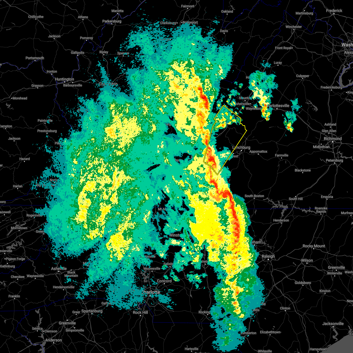 At 611 pm edt, a severe thunderstorm was located near chamblissburg, moving northeast at 50 mph (radar indicated). Hazards include 60 mph wind gusts and quarter size hail. Hail damage to vehicles is expected. Expect wind damage to roofs, siding, and trees. At 611 pm edt, a severe thunderstorm was located near chamblissburg, moving northeast at 50 mph (radar indicated). Hazards include 60 mph wind gusts and quarter size hail. Hail damage to vehicles is expected. Expect wind damage to roofs, siding, and trees.
|
| 4/15/2018 5:57 PM EDT |
 At 557 pm edt, severe thunderstorms were located along a line extending from fincastle to western smith mountain lake, moving northeast at 55 mph (radar indicated). Hazards include 60 mph wind gusts and quarter size hail. Hail damage to vehicles is expected. expect wind damage to roofs, siding, and trees. locations impacted include, roanoke, vinton, bedford, rocky mount, and buchanan. this includes the following location the national d-day memorial. A tornado watch remains in effect until 1100 pm edt for north central north carolina, and central, south central, southwestern and west central virginia. At 557 pm edt, severe thunderstorms were located along a line extending from fincastle to western smith mountain lake, moving northeast at 55 mph (radar indicated). Hazards include 60 mph wind gusts and quarter size hail. Hail damage to vehicles is expected. expect wind damage to roofs, siding, and trees. locations impacted include, roanoke, vinton, bedford, rocky mount, and buchanan. this includes the following location the national d-day memorial. A tornado watch remains in effect until 1100 pm edt for north central north carolina, and central, south central, southwestern and west central virginia.
|
| 4/15/2018 5:39 PM EDT |
 At 539 pm edt, severe thunderstorms were located along a line extending from near cave spring to sydnorsville, moving north at 50 mph (radar indicated). Hazards include 60 mph wind gusts and quarter size hail. Hail damage to vehicles is expected. expect wind damage to roofs, siding, and trees. locations impacted include, roanoke, salem, martinsville, vinton, and bedford. this includes the following locations the martinsville speedway, the salem fairgrounds, the national d-day memorial, martinsville airport, and roanoke regional airport. A tornado watch remains in effect until 1100 pm edt for north central north carolina, and central, south central, southwestern and west central virginia. At 539 pm edt, severe thunderstorms were located along a line extending from near cave spring to sydnorsville, moving north at 50 mph (radar indicated). Hazards include 60 mph wind gusts and quarter size hail. Hail damage to vehicles is expected. expect wind damage to roofs, siding, and trees. locations impacted include, roanoke, salem, martinsville, vinton, and bedford. this includes the following locations the martinsville speedway, the salem fairgrounds, the national d-day memorial, martinsville airport, and roanoke regional airport. A tornado watch remains in effect until 1100 pm edt for north central north carolina, and central, south central, southwestern and west central virginia.
|
| 4/15/2018 5:28 PM EDT |
 At 528 pm edt, severe thunderstorms were located along a line extending from near bent mountain to figsboro, moving northeast at 50 mph (radar indicated). Hazards include 60 mph wind gusts and quarter size hail. Hail damage to vehicles is expected. expect wind damage to roofs, siding, and trees. locations impacted include, roanoke, salem, martinsville, vinton, and bedford. this includes the following locations the martinsville speedway, the salem fairgrounds, the national d-day memorial, martinsville airport, and roanoke regional airport. A tornado watch remains in effect until 1100 pm edt for north central north carolina, and central, south central, southwestern and west central virginia. At 528 pm edt, severe thunderstorms were located along a line extending from near bent mountain to figsboro, moving northeast at 50 mph (radar indicated). Hazards include 60 mph wind gusts and quarter size hail. Hail damage to vehicles is expected. expect wind damage to roofs, siding, and trees. locations impacted include, roanoke, salem, martinsville, vinton, and bedford. this includes the following locations the martinsville speedway, the salem fairgrounds, the national d-day memorial, martinsville airport, and roanoke regional airport. A tornado watch remains in effect until 1100 pm edt for north central north carolina, and central, south central, southwestern and west central virginia.
|
| 4/15/2018 5:12 PM EDT |
 At 511 pm edt, severe thunderstorms were located along a line extending from near endicott to near price, moving north at 60 mph (radar indicated). Hazards include 60 mph wind gusts and quarter size hail. Hail damage to vehicles is expected. Expect wind damage to roofs, siding, and trees. At 511 pm edt, severe thunderstorms were located along a line extending from near endicott to near price, moving north at 60 mph (radar indicated). Hazards include 60 mph wind gusts and quarter size hail. Hail damage to vehicles is expected. Expect wind damage to roofs, siding, and trees.
|
| 10/23/2017 7:40 PM EDT |
 At 740 pm edt, severe thunderstorms were located along a line extending from near hollins to near northwest smith mountain lake to near burnt chimney, moving northeast at 70 mph (radar indicated). Hazards include 60 mph wind gusts and quarter size hail. Hail damage to vehicles is expected. Expect wind damage to roofs, siding, and trees. At 740 pm edt, severe thunderstorms were located along a line extending from near hollins to near northwest smith mountain lake to near burnt chimney, moving northeast at 70 mph (radar indicated). Hazards include 60 mph wind gusts and quarter size hail. Hail damage to vehicles is expected. Expect wind damage to roofs, siding, and trees.
|
| 7/18/2017 5:48 PM EDT |
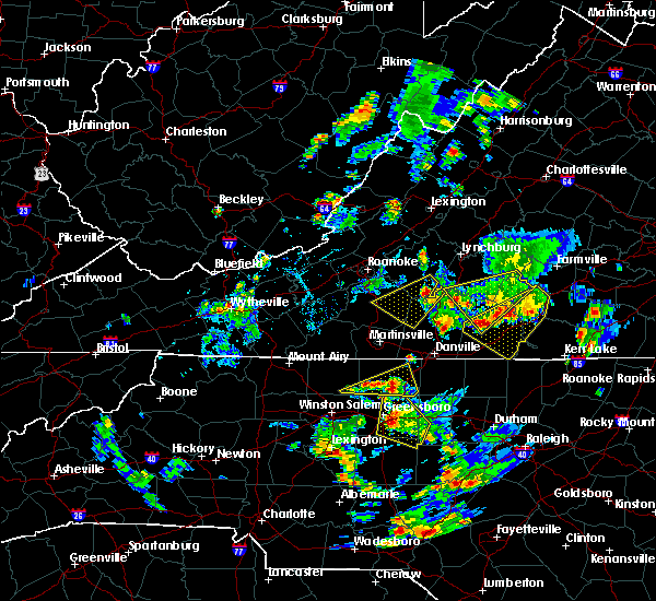 At 548 pm edt, a severe thunderstorm was located near huddleston, moving southwest at 15 mph (radar indicated). Hazards include 60 mph wind gusts and quarter size hail. Hail damage to vehicles is expected. Expect wind damage to roofs, siding, and trees. At 548 pm edt, a severe thunderstorm was located near huddleston, moving southwest at 15 mph (radar indicated). Hazards include 60 mph wind gusts and quarter size hail. Hail damage to vehicles is expected. Expect wind damage to roofs, siding, and trees.
|
| 7/18/2017 5:21 PM EDT |
 At 457 pm edt, a severe thunderstorm was located near roanoke mountain, moving south at 10 mph (radar indicated). Hazards include 60 mph wind gusts and quarter size hail. Hail damage to vehicles is expected. expect wind damage to roofs, siding, and trees. Locations impacted include, roanoke, vinton, rocky mount, boones mill, and stewartsville. At 457 pm edt, a severe thunderstorm was located near roanoke mountain, moving south at 10 mph (radar indicated). Hazards include 60 mph wind gusts and quarter size hail. Hail damage to vehicles is expected. expect wind damage to roofs, siding, and trees. Locations impacted include, roanoke, vinton, rocky mount, boones mill, and stewartsville.
|
| 7/18/2017 4:58 PM EDT |
 At 433 pm edt, a severe thunderstorm was located near vinton, moving south at 25 mph (radar indicated). Hazards include 60 mph wind gusts and quarter size hail. Hail damage to vehicles is expected. expect wind damage to roofs, siding, and trees. Locations impacted include, roanoke, vinton, rocky mount, boones mill, and stewartsville. At 433 pm edt, a severe thunderstorm was located near vinton, moving south at 25 mph (radar indicated). Hazards include 60 mph wind gusts and quarter size hail. Hail damage to vehicles is expected. expect wind damage to roofs, siding, and trees. Locations impacted include, roanoke, vinton, rocky mount, boones mill, and stewartsville.
|
| 7/18/2017 4:34 PM EDT |
 At 433 pm edt, a severe thunderstorm was located near vinton, moving south at 25 mph (radar indicated). Hazards include 60 mph wind gusts and quarter size hail. Hail damage to vehicles is expected. expect wind damage to roofs, siding, and trees. Locations impacted include, roanoke, vinton, rocky mount, boones mill, and stewartsville. At 433 pm edt, a severe thunderstorm was located near vinton, moving south at 25 mph (radar indicated). Hazards include 60 mph wind gusts and quarter size hail. Hail damage to vehicles is expected. expect wind damage to roofs, siding, and trees. Locations impacted include, roanoke, vinton, rocky mount, boones mill, and stewartsville.
|
| 7/18/2017 4:28 PM EDT |
 At 427 pm edt, a severe thunderstorm was located over stewartsville, moving south at 25 mph (radar indicated). Hazards include 60 mph wind gusts and quarter size hail. Hail damage to vehicles is expected. Expect wind damage to roofs, siding, and trees. At 427 pm edt, a severe thunderstorm was located over stewartsville, moving south at 25 mph (radar indicated). Hazards include 60 mph wind gusts and quarter size hail. Hail damage to vehicles is expected. Expect wind damage to roofs, siding, and trees.
|
| 6/15/2017 7:06 PM EDT | One tree down on lost mountain rd. near 122. time radar estimate in franklin county VA, 1.2 miles ESE of Westlake Corner, VA |
| 6/15/2017 6:28 PM EDT |
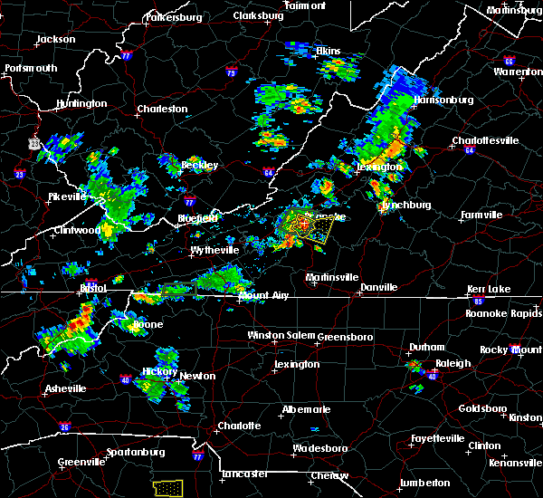 At 627 pm edt, a severe thunderstorm was located over vinton, moving east at 10 mph (radar indicated). Hazards include 60 mph wind gusts and quarter size hail. Hail damage to vehicles is expected. Expect wind damage to roofs, siding, and trees. At 627 pm edt, a severe thunderstorm was located over vinton, moving east at 10 mph (radar indicated). Hazards include 60 mph wind gusts and quarter size hail. Hail damage to vehicles is expected. Expect wind damage to roofs, siding, and trees.
|
| 6/4/2017 4:30 PM EDT | Trees down in franklin county VA, 0.5 miles S of Westlake Corner, VA |
| 5/24/2017 7:03 PM EDT | One tree down near the intersection of eton road and deep woods road in franklin county VA, 6 miles SE of Westlake Corner, VA |
| 5/19/2017 2:45 PM EDT | Golf Ball sized hail reported 3.3 miles SW of Westlake Corner, VA, time estimated by radar. |
| 5/19/2017 12:27 PM EDT |
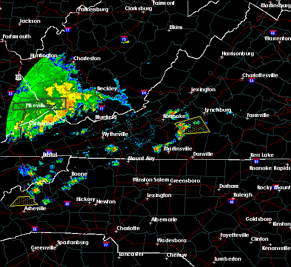 At 1227 pm edt, a severe thunderstorm was located over smith mountain lake state park, moving east at 30 mph (radar indicated). Hazards include 60 mph wind gusts. expect damage to trees and power lines At 1227 pm edt, a severe thunderstorm was located over smith mountain lake state park, moving east at 30 mph (radar indicated). Hazards include 60 mph wind gusts. expect damage to trees and power lines
|
| 5/5/2017 4:08 AM EDT |
 At 408 am edt, a severe thunderstorm was located near pittsville, moving northeast at 55 mph (radar indicated). Hazards include 60 mph wind gusts. Expect damage to trees and power lines. Locations impacted include, bedford, altavista, hurt, huddleston, and callands. At 408 am edt, a severe thunderstorm was located near pittsville, moving northeast at 55 mph (radar indicated). Hazards include 60 mph wind gusts. Expect damage to trees and power lines. Locations impacted include, bedford, altavista, hurt, huddleston, and callands.
|
| 5/5/2017 3:45 AM EDT |
 At 344 am edt, a severe thunderstorm was located over mountain valley, moving northeast at 50 mph (radar indicated). Hazards include 60 mph wind gusts. expect damage to trees and power lines At 344 am edt, a severe thunderstorm was located over mountain valley, moving northeast at 50 mph (radar indicated). Hazards include 60 mph wind gusts. expect damage to trees and power lines
|
| 5/1/2017 7:27 PM EDT |
 The severe thunderstorm warning for eastern rockingham, caswell, campbell, pittsylvania, southern bedford, south central amherst, and eastern henry counties, the city of danville and the city of lynchburg will expire at 730 pm edt, the storms which prompted the warning have moved out of the area. therefore the warning will be allowed to expire. however, a severe thunderstorm warning has been re-issued for eastern campbell, eastern pittsylvania, southeastern amherst and halifax counties in virginia and extreme southeastern caswell county in north carolina until 815 pm. a severe thunderstorm watch remains in effect until 1100 pm edt for north central north carolina, and central, south central and west central virginia. when it is safe to do so, please send your reports of hail of any size, as well as reports of any wind damage, including downed trees or large limbs, to the national weather service by calling toll free at 1, 8 6 6, 2 1 5, 4 3 2 4. reports and pictures can also be shared on the national weather service blacksburg facebook page and on twitter. The severe thunderstorm warning for eastern rockingham, caswell, campbell, pittsylvania, southern bedford, south central amherst, and eastern henry counties, the city of danville and the city of lynchburg will expire at 730 pm edt, the storms which prompted the warning have moved out of the area. therefore the warning will be allowed to expire. however, a severe thunderstorm warning has been re-issued for eastern campbell, eastern pittsylvania, southeastern amherst and halifax counties in virginia and extreme southeastern caswell county in north carolina until 815 pm. a severe thunderstorm watch remains in effect until 1100 pm edt for north central north carolina, and central, south central and west central virginia. when it is safe to do so, please send your reports of hail of any size, as well as reports of any wind damage, including downed trees or large limbs, to the national weather service by calling toll free at 1, 8 6 6, 2 1 5, 4 3 2 4. reports and pictures can also be shared on the national weather service blacksburg facebook page and on twitter.
|
| 5/1/2017 6:53 PM EDT |
 At 652 pm edt, severe thunderstorms were located along a line extending from near evington to near chatham to near camp springs, moving northeast at 45 mph (law enforcement). Hazards include 60 mph wind gusts and quarter size hail. Minor damage to vehicles is possible. expect wind damage to trees and power lines. Locations impacted include, lynchburg, danville, eden, reidsville, and bedford. At 652 pm edt, severe thunderstorms were located along a line extending from near evington to near chatham to near camp springs, moving northeast at 45 mph (law enforcement). Hazards include 60 mph wind gusts and quarter size hail. Minor damage to vehicles is possible. expect wind damage to trees and power lines. Locations impacted include, lynchburg, danville, eden, reidsville, and bedford.
|
| 5/1/2017 6:25 PM EDT |
 At 625 pm edt, severe thunderstorms were located along a line extending from near north shore to near sandy river to 7 miles north of greensboro, moving northeast at 45 mph (law enforcement). Hazards include 60 mph wind gusts and quarter size hail. Minor damage to vehicles is possible. Expect wind damage to trees and power lines. At 625 pm edt, severe thunderstorms were located along a line extending from near north shore to near sandy river to 7 miles north of greensboro, moving northeast at 45 mph (law enforcement). Hazards include 60 mph wind gusts and quarter size hail. Minor damage to vehicles is possible. Expect wind damage to trees and power lines.
|
| 3/1/2017 12:52 PM EST |
 The severe thunderstorm warning for southwestern bedford and eastern franklin counties will expire at 100 pm est, the storms which prompted the warning have moved out of the warned area. therefore, the warning will be allowed to expire. however gusty winds and heavy rain are still possible with these thunderstorms. a severe thunderstorm watch remains in effect until 500 pm est for north central north carolina, and south central, central, southwestern and west central virginia. when it is safe to do so, please send your reports of hail of any size, as well as reports of any wind damage, including downed trees or large limbs, to the national weather service by calling toll free at 1, 8 6 6, 2 1 5, 4 3 2 4. reports and pictures can also be shared on the national weather service blacksburg facebook page and on twitter. The severe thunderstorm warning for southwestern bedford and eastern franklin counties will expire at 100 pm est, the storms which prompted the warning have moved out of the warned area. therefore, the warning will be allowed to expire. however gusty winds and heavy rain are still possible with these thunderstorms. a severe thunderstorm watch remains in effect until 500 pm est for north central north carolina, and south central, central, southwestern and west central virginia. when it is safe to do so, please send your reports of hail of any size, as well as reports of any wind damage, including downed trees or large limbs, to the national weather service by calling toll free at 1, 8 6 6, 2 1 5, 4 3 2 4. reports and pictures can also be shared on the national weather service blacksburg facebook page and on twitter.
|
| 3/1/2017 12:48 PM EST |
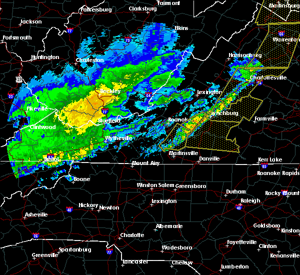 At 1248 pm est, severe thunderstorms were located along a line extending from near goode to near smith mountain lake state park to near sontag, moving east at 60 mph (radar indicated). Hazards include 60 mph wind gusts. Expect damage to roofs, siding, and trees. Locations impacted include, rocky mount, sydnorsville, moneta, penhook, and snow creek. At 1248 pm est, severe thunderstorms were located along a line extending from near goode to near smith mountain lake state park to near sontag, moving east at 60 mph (radar indicated). Hazards include 60 mph wind gusts. Expect damage to roofs, siding, and trees. Locations impacted include, rocky mount, sydnorsville, moneta, penhook, and snow creek.
|
| 3/1/2017 12:36 PM EST |
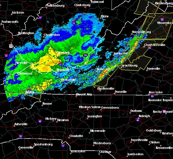 At 1236 pm est, severe thunderstorms were located along a line extending from near bedford to near western smith mountain lake to near rocky mount, moving east at 60 mph (radar indicated). Hazards include 60 mph wind gusts. Expect damage to roofs, siding, and trees. Locations impacted include, rocky mount, sydnorsville, ferrum, moneta, and penhook. At 1236 pm est, severe thunderstorms were located along a line extending from near bedford to near western smith mountain lake to near rocky mount, moving east at 60 mph (radar indicated). Hazards include 60 mph wind gusts. Expect damage to roofs, siding, and trees. Locations impacted include, rocky mount, sydnorsville, ferrum, moneta, and penhook.
|
| 3/1/2017 12:26 PM EST |
 At 1225 pm est, severe thunderstorms were located along a line extending from montvale to boones mill to near callaway, moving east at 60 mph (radar indicated). Hazards include 60 mph wind gusts. Expect damage to roofs, siding, and trees. Locations impacted include, roanoke, vinton, rocky mount, floyd, and boones mill. At 1225 pm est, severe thunderstorms were located along a line extending from montvale to boones mill to near callaway, moving east at 60 mph (radar indicated). Hazards include 60 mph wind gusts. Expect damage to roofs, siding, and trees. Locations impacted include, roanoke, vinton, rocky mount, floyd, and boones mill.
|
| 3/1/2017 12:15 PM EST |
 At 1215 pm est, severe thunderstorms were located along a line extending from troutville to near bent mountain to near terrys fork, moving east at 60 mph (radar indicated). Hazards include 60 mph wind gusts. Expect damage to roofs, siding, and trees. locations impacted include, roanoke, salem, vinton, rocky mount, and floyd. This includes the following locations the salem fairgrounds and roanoke regional airport. At 1215 pm est, severe thunderstorms were located along a line extending from troutville to near bent mountain to near terrys fork, moving east at 60 mph (radar indicated). Hazards include 60 mph wind gusts. Expect damage to roofs, siding, and trees. locations impacted include, roanoke, salem, vinton, rocky mount, and floyd. This includes the following locations the salem fairgrounds and roanoke regional airport.
|
| 3/1/2017 12:00 PM EST |
 At 1159 am est, severe thunderstorms were located along a line extending from abbott to near christiansburg to graysontown, moving east at 60 mph (radar indicated). Hazards include 60 mph wind gusts. expect damage to roofs, siding, and trees At 1159 am est, severe thunderstorms were located along a line extending from abbott to near christiansburg to graysontown, moving east at 60 mph (radar indicated). Hazards include 60 mph wind gusts. expect damage to roofs, siding, and trees
|
| 9/30/2016 9:01 AM EDT |
 At 901 am edt, a severe thunderstorm was located near roanoke mountain, moving north at 25 mph (radar indicated). Hazards include 60 mph wind gusts and quarter size hail. Hail damage to vehicles is expected. expect wind damage to roofs, siding, and trees. Locations impacted include, rocky mount, boones mill, sydnorsville, ferrum, and copper hill. At 901 am edt, a severe thunderstorm was located near roanoke mountain, moving north at 25 mph (radar indicated). Hazards include 60 mph wind gusts and quarter size hail. Hail damage to vehicles is expected. expect wind damage to roofs, siding, and trees. Locations impacted include, rocky mount, boones mill, sydnorsville, ferrum, and copper hill.
|
| 9/30/2016 8:47 AM EDT |
 At 846 am edt, a severe thunderstorm was located near rocky mount, moving north at 35 mph (radar indicated). Hazards include 60 mph wind gusts and quarter size hail. Hail damage to vehicles is expected. Expect wind damage to roofs, siding, and trees. At 846 am edt, a severe thunderstorm was located near rocky mount, moving north at 35 mph (radar indicated). Hazards include 60 mph wind gusts and quarter size hail. Hail damage to vehicles is expected. Expect wind damage to roofs, siding, and trees.
|
| 9/30/2016 8:19 AM EDT |
 At 818 am edt, a severe thunderstorm was located near callaway, moving north at 30 mph (radar indicated). Hazards include 60 mph wind gusts and quarter size hail. Hail damage to vehicles is expected. expect wind damage to roofs, siding, and trees. Locations impacted include, rocky mount, boones mill, sydnorsville, ferrum, and bassett. At 818 am edt, a severe thunderstorm was located near callaway, moving north at 30 mph (radar indicated). Hazards include 60 mph wind gusts and quarter size hail. Hail damage to vehicles is expected. expect wind damage to roofs, siding, and trees. Locations impacted include, rocky mount, boones mill, sydnorsville, ferrum, and bassett.
|
| 9/30/2016 7:55 AM EDT |
 At 754 am edt, a severe thunderstorm was located near endicott, moving north at 30 mph (radar indicated). Hazards include 60 mph wind gusts and quarter size hail. Hail damage to vehicles is expected. expect wind damage to roofs, siding, and trees. Locations impacted include, rocky mount, boones mill, sydnorsville, ferrum, and bassett. At 754 am edt, a severe thunderstorm was located near endicott, moving north at 30 mph (radar indicated). Hazards include 60 mph wind gusts and quarter size hail. Hail damage to vehicles is expected. expect wind damage to roofs, siding, and trees. Locations impacted include, rocky mount, boones mill, sydnorsville, ferrum, and bassett.
|
| 9/30/2016 7:39 AM EDT |
 At 738 am edt, a severe thunderstorm was located near sanville, moving north at 30 mph (radar indicated). Hazards include two inch hail and 60 mph wind gusts. People and animals outdoors will be injured. expect hail damage to roofs, siding, windows, and vehicles. Expect wind damage to roofs, siding, and trees. At 738 am edt, a severe thunderstorm was located near sanville, moving north at 30 mph (radar indicated). Hazards include two inch hail and 60 mph wind gusts. People and animals outdoors will be injured. expect hail damage to roofs, siding, windows, and vehicles. Expect wind damage to roofs, siding, and trees.
|
| 9/29/2016 6:20 PM EDT |
 At 620 pm edt, a severe thunderstorm was located over chamblissburg, moving northeast at 15 mph (radar indicated). Hazards include 60 mph wind gusts and half dollar size hail. Hail damage to vehicles is expected. Expect wind damage to roofs, siding, and trees. At 620 pm edt, a severe thunderstorm was located over chamblissburg, moving northeast at 15 mph (radar indicated). Hazards include 60 mph wind gusts and half dollar size hail. Hail damage to vehicles is expected. Expect wind damage to roofs, siding, and trees.
|
| 9/29/2016 5:54 PM EDT |
 At 553 pm edt, a severe thunderstorm was located near stewartsville, moving northeast at 25 mph (radar indicated). Hazards include 60 mph wind gusts and half dollar size hail. Hail damage to vehicles is expected. expect wind damage to roofs, siding, and trees. Locations impacted include, roanoke, vinton, rocky mount, boones mill, and stewartsville. At 553 pm edt, a severe thunderstorm was located near stewartsville, moving northeast at 25 mph (radar indicated). Hazards include 60 mph wind gusts and half dollar size hail. Hail damage to vehicles is expected. expect wind damage to roofs, siding, and trees. Locations impacted include, roanoke, vinton, rocky mount, boones mill, and stewartsville.
|
| 9/29/2016 5:18 PM EDT |
 At 518 pm edt, a severe thunderstorm was located over wirtz, moving northeast at 20 mph (radar indicated). Hazards include quarter size hail. damage to vehicles is expected At 518 pm edt, a severe thunderstorm was located over wirtz, moving northeast at 20 mph (radar indicated). Hazards include quarter size hail. damage to vehicles is expected
|
| 9/28/2016 4:52 PM EDT |
 At 452 pm edt, severe thunderstorms were located along a line extending from blue ridge to near stewartsville to near vinton, moving east at 25 mph (radar indicated). Hazards include 60 mph wind gusts and quarter size hail. Hail damage to vehicles is expected. Expect wind damage to roofs, siding, and trees. At 452 pm edt, severe thunderstorms were located along a line extending from blue ridge to near stewartsville to near vinton, moving east at 25 mph (radar indicated). Hazards include 60 mph wind gusts and quarter size hail. Hail damage to vehicles is expected. Expect wind damage to roofs, siding, and trees.
|
| 8/31/2016 6:23 PM EDT |
 At 623 pm edt, a severe thunderstorm was located near stewartsville, and is nearly stationary (radar indicated). Hazards include 60 mph wind gusts and quarter size hail. Hail damage to vehicles is expected. expect wind damage to roofs, siding, and trees. Locations impacted include, moneta, stewartsville, northwest smith mountain lake, westlake corner, and goodview. At 623 pm edt, a severe thunderstorm was located near stewartsville, and is nearly stationary (radar indicated). Hazards include 60 mph wind gusts and quarter size hail. Hail damage to vehicles is expected. expect wind damage to roofs, siding, and trees. Locations impacted include, moneta, stewartsville, northwest smith mountain lake, westlake corner, and goodview.
|
| 8/31/2016 5:52 PM EDT |
 At 552 pm edt, a severe thunderstorm was located over stewartsville, moving east at 5 mph (radar indicated). Hazards include 60 mph wind gusts and quarter size hail. Hail damage to vehicles is expected. Expect wind damage to roofs, siding, and trees. At 552 pm edt, a severe thunderstorm was located over stewartsville, moving east at 5 mph (radar indicated). Hazards include 60 mph wind gusts and quarter size hail. Hail damage to vehicles is expected. Expect wind damage to roofs, siding, and trees.
|
| 8/17/2016 4:20 PM EDT |
 At 419 pm edt, severe thunderstorms were located along a line extending from near bedford to near huddleston to near smith mountain lake state park, moving northeast at 30 mph (radar indicated). Hazards include 60 mph wind gusts and quarter size hail. Hail damage to vehicles is expected. expect wind damage to roofs, siding, and trees. locations impacted include, bedford, huddleston, montvale, forest, and moneta. This includes the following location the national d day memorial. At 419 pm edt, severe thunderstorms were located along a line extending from near bedford to near huddleston to near smith mountain lake state park, moving northeast at 30 mph (radar indicated). Hazards include 60 mph wind gusts and quarter size hail. Hail damage to vehicles is expected. expect wind damage to roofs, siding, and trees. locations impacted include, bedford, huddleston, montvale, forest, and moneta. This includes the following location the national d day memorial.
|
| 8/17/2016 3:48 PM EDT |
 At 348 pm edt, severe thunderstorms were located along a line extending from montvale to goodview to near western smith mountain lake, moving northeast at 45 mph (radar indicated). Hazards include 60 mph wind gusts and quarter size hail. Hail damage to vehicles is expected. Expect wind damage to roofs, siding, and trees. At 348 pm edt, severe thunderstorms were located along a line extending from montvale to goodview to near western smith mountain lake, moving northeast at 45 mph (radar indicated). Hazards include 60 mph wind gusts and quarter size hail. Hail damage to vehicles is expected. Expect wind damage to roofs, siding, and trees.
|
| 8/15/2016 7:10 PM EDT |
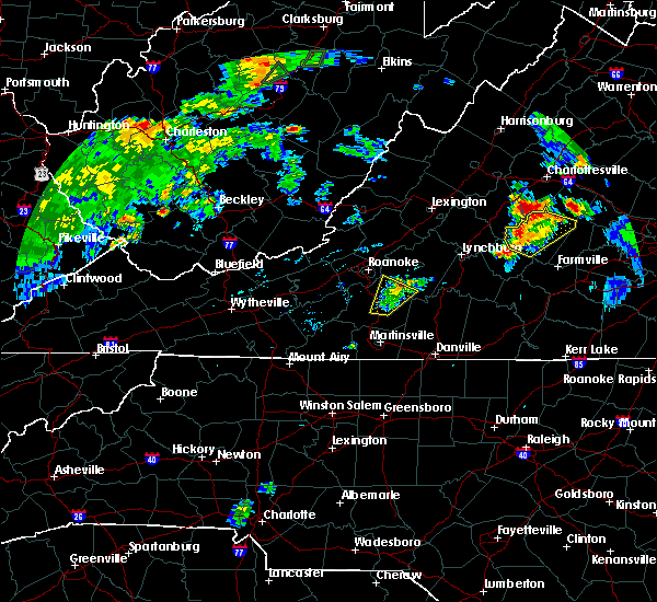 The severe thunderstorm warning for northeastern franklin and southwestern bedford counties will expire at 715 pm edt, the storm which prompted the warning has weakened below severe limits. therefore, the warning will be allowed to expire. however heavy rain is still possible with this thunderstorm. when it is safe to do so, please send your reports of hail of any size, as well as reports of any wind damage, including downed trees or large limbs, to the national weather service by calling toll free at 1, 8 6 6, 2 1 5, 4 3 2 4. reports and pictures can also be shared on the national weather service blacksburg facebook page and on twitter. The severe thunderstorm warning for northeastern franklin and southwestern bedford counties will expire at 715 pm edt, the storm which prompted the warning has weakened below severe limits. therefore, the warning will be allowed to expire. however heavy rain is still possible with this thunderstorm. when it is safe to do so, please send your reports of hail of any size, as well as reports of any wind damage, including downed trees or large limbs, to the national weather service by calling toll free at 1, 8 6 6, 2 1 5, 4 3 2 4. reports and pictures can also be shared on the national weather service blacksburg facebook page and on twitter.
|
| 8/15/2016 6:52 PM EDT |
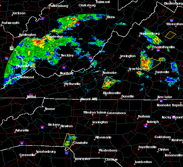 At 651 pm edt, a severe thunderstorm was located near burnt chimney, moving northeast at 25 mph (radar indicated). Hazards include 60 mph wind gusts. Expect damage to roofs. siding. and trees. Locations impacted include, rocky mount, northwest smith mountain lake, north shore, burnt chimney, and westlake corner. At 651 pm edt, a severe thunderstorm was located near burnt chimney, moving northeast at 25 mph (radar indicated). Hazards include 60 mph wind gusts. Expect damage to roofs. siding. and trees. Locations impacted include, rocky mount, northwest smith mountain lake, north shore, burnt chimney, and westlake corner.
|
| 8/15/2016 6:34 PM EDT |
 At 634 pm edt, a severe thunderstorm was located over rocky mount, moving northeast at 15 mph (radar indicated). Hazards include 60 mph wind gusts. Expect damage to roofs. siding. And trees. At 634 pm edt, a severe thunderstorm was located over rocky mount, moving northeast at 15 mph (radar indicated). Hazards include 60 mph wind gusts. Expect damage to roofs. siding. And trees.
|
| 8/15/2016 2:56 PM EDT |
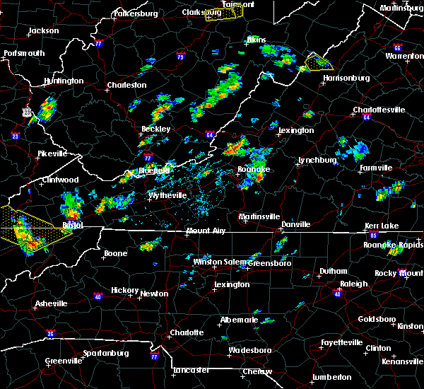 At 255 pm edt, a severe thunderstorm was located over chamblissburg, moving northeast at 20 mph (radar indicated). Hazards include 60 mph wind gusts. Expect damage to roofs. siding. And trees. At 255 pm edt, a severe thunderstorm was located over chamblissburg, moving northeast at 20 mph (radar indicated). Hazards include 60 mph wind gusts. Expect damage to roofs. siding. And trees.
|
| 8/6/2016 8:45 PM EDT |
 At 844 pm edt, severe thunderstorms were located along a line extending from altavista to near leesville to near pittsville, moving southeast at 25 mph (radar indicated). Hazards include 60 mph wind gusts. Expect damage to roofs. siding. and trees. Locations impacted include, altavista, hurt, chatham, gretna, and mt airy. At 844 pm edt, severe thunderstorms were located along a line extending from altavista to near leesville to near pittsville, moving southeast at 25 mph (radar indicated). Hazards include 60 mph wind gusts. Expect damage to roofs. siding. and trees. Locations impacted include, altavista, hurt, chatham, gretna, and mt airy.
|
| 8/6/2016 8:26 PM EDT |
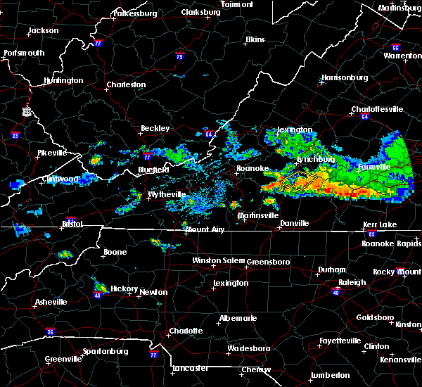 At 825 pm edt, severe thunderstorms were located along a line extending from near leesville to near huddleston to north shore, moving southeast at 25 mph (radar indicated). Hazards include 60 mph wind gusts. Expect damage to roofs. siding. And trees. At 825 pm edt, severe thunderstorms were located along a line extending from near leesville to near huddleston to north shore, moving southeast at 25 mph (radar indicated). Hazards include 60 mph wind gusts. Expect damage to roofs. siding. And trees.
|
| 7/28/2016 10:45 PM EDT |
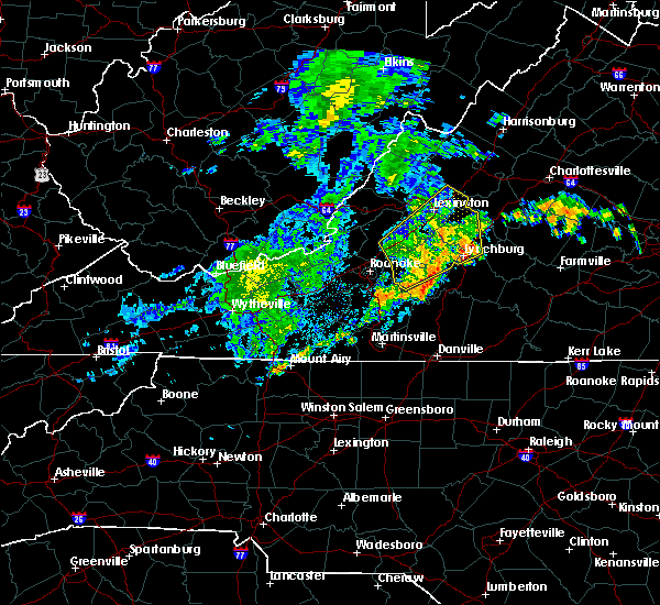 At 1044 pm edt, severe thunderstorms were located along a line extending from near arcadia to near sedalia to 7 miles southeast of bedford, moving northeast at 40 mph (radar indicated). Hazards include 60 mph wind gusts. Expect damage to roofs. siding. and trees. locations impacted include, lynchburg, bedford, amherst, big island, and forest. This includes the following location the national d day memorial. At 1044 pm edt, severe thunderstorms were located along a line extending from near arcadia to near sedalia to 7 miles southeast of bedford, moving northeast at 40 mph (radar indicated). Hazards include 60 mph wind gusts. Expect damage to roofs. siding. and trees. locations impacted include, lynchburg, bedford, amherst, big island, and forest. This includes the following location the national d day memorial.
|
| 7/28/2016 10:31 PM EDT | One tree down on white house road near moneta in bedford county VA, 6.7 miles SW of Westlake Corner, VA |
| 7/28/2016 10:26 PM EDT |
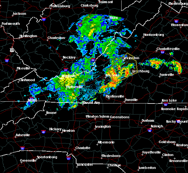 At 1024 pm edt, severe thunderstorms were located along a line extending from near lithia to montvale to westlake corner, moving northeast at 40 mph (radar indicated). Hazards include 60 mph wind gusts. Expect damage to roofs. siding. And trees. At 1024 pm edt, severe thunderstorms were located along a line extending from near lithia to montvale to westlake corner, moving northeast at 40 mph (radar indicated). Hazards include 60 mph wind gusts. Expect damage to roofs. siding. And trees.
|
| 7/28/2016 6:23 PM EDT |
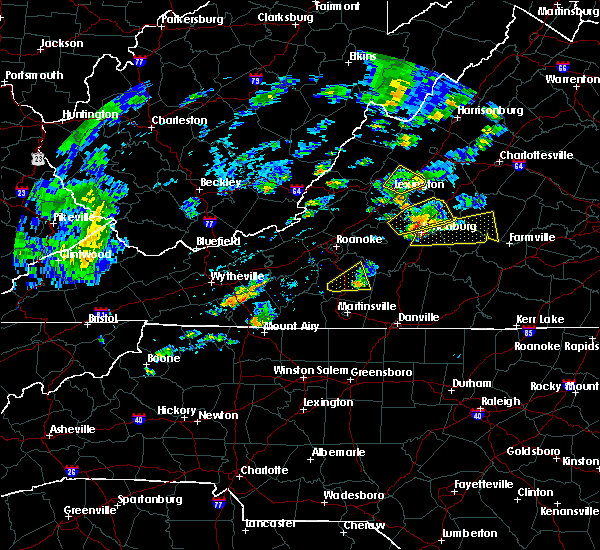 The severe thunderstorm warning for central franklin county will expire at 630 pm edt, the storm which prompted the warning has weakened below severe limits, and no longer poses an immediate threat to life or property. therefore the warning will be allowed to expire. a severe thunderstorm watch remains in effect until 1000 pm edt for south central, west central, southwestern and central virginia. when it is safe to do so, please send your reports of hail of any size, as well as any reports of wind damage, including downed trees or large limbs, to the national weather service by calling toll free at 1, 8 6 6, 2 1 5, 4 3 2 4. reports and pictures can also be shared on the national weather service blacksburg facebook page and on twitter. The severe thunderstorm warning for central franklin county will expire at 630 pm edt, the storm which prompted the warning has weakened below severe limits, and no longer poses an immediate threat to life or property. therefore the warning will be allowed to expire. a severe thunderstorm watch remains in effect until 1000 pm edt for south central, west central, southwestern and central virginia. when it is safe to do so, please send your reports of hail of any size, as well as any reports of wind damage, including downed trees or large limbs, to the national weather service by calling toll free at 1, 8 6 6, 2 1 5, 4 3 2 4. reports and pictures can also be shared on the national weather service blacksburg facebook page and on twitter.
|
| 7/28/2016 5:56 PM EDT |
 At 556 pm edt, a severe thunderstorm was located near ferrum, moving east at 20 mph (radar indicated). Hazards include 60 mph wind gusts. Expect damage to roofs. siding. and trees. Locations impacted include, rocky mount, ferrum, western smith mountain lake, sontag, and union hall. At 556 pm edt, a severe thunderstorm was located near ferrum, moving east at 20 mph (radar indicated). Hazards include 60 mph wind gusts. Expect damage to roofs. siding. and trees. Locations impacted include, rocky mount, ferrum, western smith mountain lake, sontag, and union hall.
|
| 7/28/2016 5:37 PM EDT |
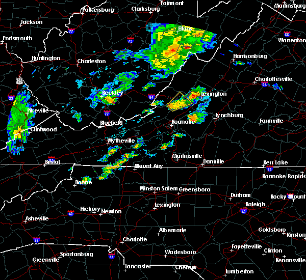 At 536 pm edt, a severe thunderstorm was located near endicott, moving northeast at 20 mph (radar indicated). Hazards include 60 mph wind gusts. Expect damage to roofs. siding. And trees. At 536 pm edt, a severe thunderstorm was located near endicott, moving northeast at 20 mph (radar indicated). Hazards include 60 mph wind gusts. Expect damage to roofs. siding. And trees.
|
| 7/27/2016 3:49 PM EDT |
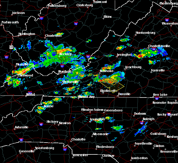 At 349 pm edt, a severe thunderstorm was located over north shore, moving east at 5 mph (radar indicated). Hazards include 60 mph wind gusts and quarter size hail. Hail damage to vehicles is expected. expect wind damage to roofs, siding, and trees. Locations impacted include, penhook, north shore, burnt chimney, pittsville, and westlake corner. At 349 pm edt, a severe thunderstorm was located over north shore, moving east at 5 mph (radar indicated). Hazards include 60 mph wind gusts and quarter size hail. Hail damage to vehicles is expected. expect wind damage to roofs, siding, and trees. Locations impacted include, penhook, north shore, burnt chimney, pittsville, and westlake corner.
|
| 7/27/2016 3:34 PM EDT |
 At 333 pm edt, a severe thunderstorm was located over westlake corner, moving east at 5 mph (radar indicated). Hazards include 60 mph wind gusts and quarter size hail. Hail damage to vehicles is expected. expect wind damage to roofs, siding, and trees. Locations impacted include, penhook, moneta, huddleston, north shore, and burnt chimney. At 333 pm edt, a severe thunderstorm was located over westlake corner, moving east at 5 mph (radar indicated). Hazards include 60 mph wind gusts and quarter size hail. Hail damage to vehicles is expected. expect wind damage to roofs, siding, and trees. Locations impacted include, penhook, moneta, huddleston, north shore, and burnt chimney.
|
| 7/27/2016 3:18 PM EDT |
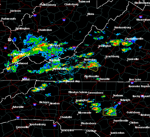 At 316 pm edt, a severe thunderstorm was located over westlake corner, moving east at 5 mph (radar indicated). Hazards include 60 mph wind gusts and quarter size hail. Hail damage to vehicles is expected. expect wind damage to roofs, siding, and trees. Locations impacted include, penhook, huddleston, moneta, northwest smith mountain lake, and north shore. At 316 pm edt, a severe thunderstorm was located over westlake corner, moving east at 5 mph (radar indicated). Hazards include 60 mph wind gusts and quarter size hail. Hail damage to vehicles is expected. expect wind damage to roofs, siding, and trees. Locations impacted include, penhook, huddleston, moneta, northwest smith mountain lake, and north shore.
|
| 7/27/2016 3:15 PM EDT | Five trees down on middle valley road in franklin county VA, 2.5 miles SE of Westlake Corner, VA |
| 7/27/2016 3:15 PM EDT | One tree down on northridge road near the intersection with hardy road in franklin county VA, 3.9 miles SE of Westlake Corner, VA |
| 7/27/2016 3:02 PM EDT |
 At 301 pm edt, a severe thunderstorm was located over westlake corner, moving east at 5 mph (radar indicated). Hazards include 60 mph wind gusts and quarter size hail. Hail damage to vehicles is expected. Expect wind damage to roofs, siding, and trees. At 301 pm edt, a severe thunderstorm was located over westlake corner, moving east at 5 mph (radar indicated). Hazards include 60 mph wind gusts and quarter size hail. Hail damage to vehicles is expected. Expect wind damage to roofs, siding, and trees.
|
| 7/14/2016 3:13 PM EDT |
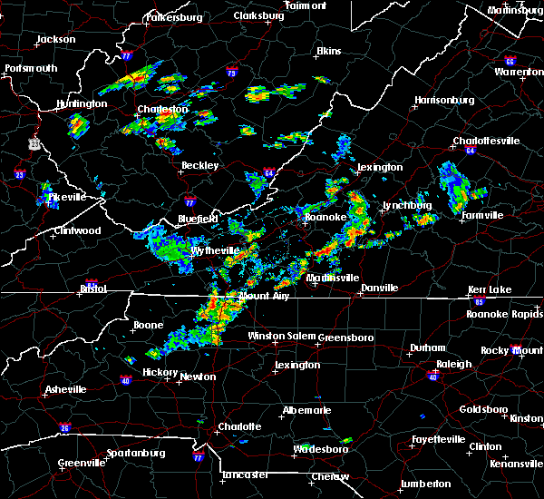 At 313 pm edt, a severe thunderstorm was located over union hall, moving southeast at 35 mph (radar indicated). Hazards include 60 mph wind gusts. Expect damage to roofs. siding. And trees. At 313 pm edt, a severe thunderstorm was located over union hall, moving southeast at 35 mph (radar indicated). Hazards include 60 mph wind gusts. Expect damage to roofs. siding. And trees.
|
| 7/8/2016 5:58 PM EDT |
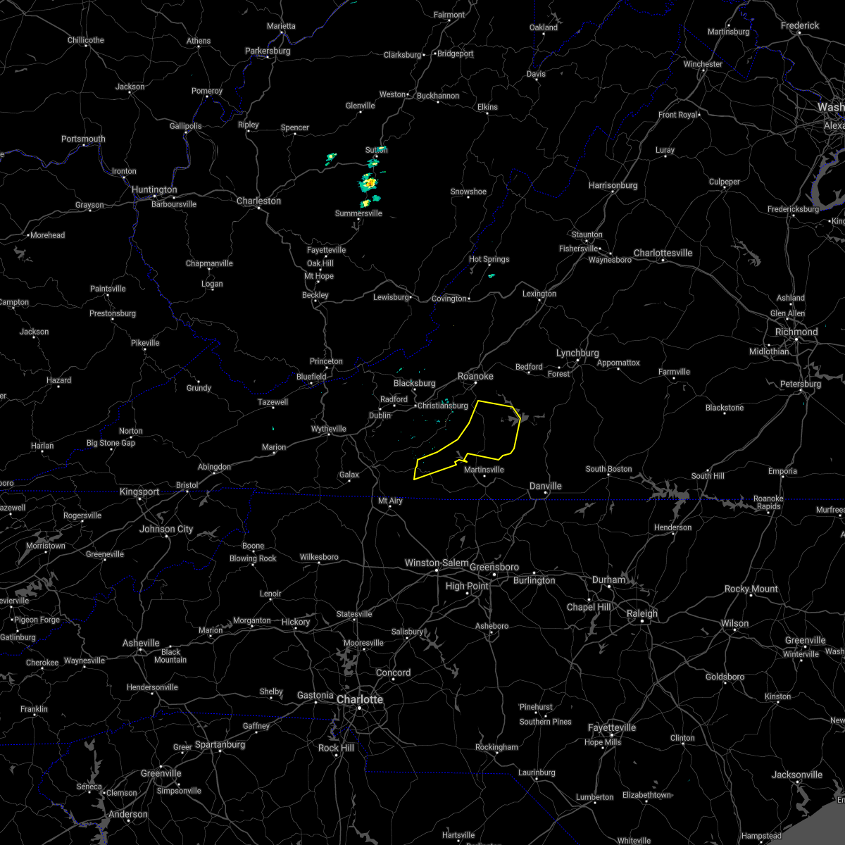 The severe thunderstorm warning for northeastern patrick and franklin counties will expire at 600 pm edt, the storms which prompted the warning have moved out of the area. therefore the warning will be allowed to expire. however heavy rain is still possible with these thunderstorms. a severe thunderstorm watch remains in effect until 1000 pm edt for north carolina and virginia. when it is safe to do so, please send your reports of hail of any size, as well as any reports of wind damage, including downed trees or large limbs, to the national weather service by calling toll free at 1, 8 6 6, 2 1 5, 4 3 2 4. reports and pictures can also be shared on the national weather service blacksburg facebook page and on twitter. The severe thunderstorm warning for northeastern patrick and franklin counties will expire at 600 pm edt, the storms which prompted the warning have moved out of the area. therefore the warning will be allowed to expire. however heavy rain is still possible with these thunderstorms. a severe thunderstorm watch remains in effect until 1000 pm edt for north carolina and virginia. when it is safe to do so, please send your reports of hail of any size, as well as any reports of wind damage, including downed trees or large limbs, to the national weather service by calling toll free at 1, 8 6 6, 2 1 5, 4 3 2 4. reports and pictures can also be shared on the national weather service blacksburg facebook page and on twitter.
|
| 7/8/2016 5:42 PM EDT |
 A severe thunderstorm warning remains in effect until 600 pm edt for northeastern patrick and franklin counties. at 541 pm edt. severe thunderstorms were located along a line extending from north shore to near snow creek to buffalo ridge. Moving east at 45 mph. A severe thunderstorm warning remains in effect until 600 pm edt for northeastern patrick and franklin counties. at 541 pm edt. severe thunderstorms were located along a line extending from north shore to near snow creek to buffalo ridge. Moving east at 45 mph.
|
| 7/8/2016 5:42 PM EDT |
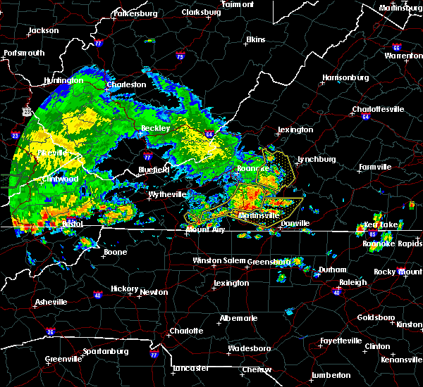 A severe thunderstorm warning remains in effect until 600 pm edt for northeastern patrick and franklin counties. at 541 pm edt. severe thunderstorms were located along a line extending from north shore to near snow creek to buffalo ridge. Moving east at 45 mph. A severe thunderstorm warning remains in effect until 600 pm edt for northeastern patrick and franklin counties. at 541 pm edt. severe thunderstorms were located along a line extending from north shore to near snow creek to buffalo ridge. Moving east at 45 mph.
|
| 7/8/2016 5:42 PM EDT |
 At 541 pm edt, severe thunderstorms were located along a line extending from north shore to near snow creek to buffalo ridge, moving east at 45 mph (radar indicated). Hazards include 70 mph wind gusts and quarter size hail. Hail damage to vehicles is expected. expect considerable tree damage. wind damage is also likely to mobile homes, roofs, and outbuildings. Locations impacted include, rocky mount, woolwine, penhook, sydnorsville, and ferrum. At 541 pm edt, severe thunderstorms were located along a line extending from north shore to near snow creek to buffalo ridge, moving east at 45 mph (radar indicated). Hazards include 70 mph wind gusts and quarter size hail. Hail damage to vehicles is expected. expect considerable tree damage. wind damage is also likely to mobile homes, roofs, and outbuildings. Locations impacted include, rocky mount, woolwine, penhook, sydnorsville, and ferrum.
|
| 7/8/2016 5:19 PM EDT |
 At 517 pm edt, severe thunderstorms were located along a line extending from near eagle rock to near blue ridge to roanoke mountain, moving east at 40 mph (radar indicated. at 508 pm...a wind gust to 60 mph was reported the roanoke airport). Hazards include 60 mph wind gusts. Expect damage to roofs. siding. and trees. locations impacted include, roanoke, vinton, bedford, altavista, and buchanan. This includes the national d day memorial and roanoke regional airport. At 517 pm edt, severe thunderstorms were located along a line extending from near eagle rock to near blue ridge to roanoke mountain, moving east at 40 mph (radar indicated. at 508 pm...a wind gust to 60 mph was reported the roanoke airport). Hazards include 60 mph wind gusts. Expect damage to roofs. siding. and trees. locations impacted include, roanoke, vinton, bedford, altavista, and buchanan. This includes the national d day memorial and roanoke regional airport.
|
| 7/8/2016 5:16 PM EDT |
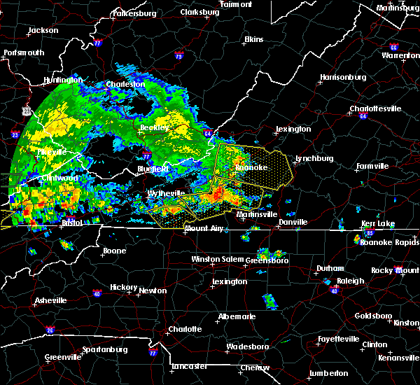 At 515 pm edt, severe thunderstorms were located along a line extending from near copper hill to near endicott to alum ridge, moving southeast at 25 mph (radar indicated). Hazards include 60 mph wind gusts and quarter size hail. Hail damage to vehicles is expected. expect wind damage to roofs, siding, and trees. Locations impacted include, rocky mount, floyd, boones mill, woolwine, and bent mountain. At 515 pm edt, severe thunderstorms were located along a line extending from near copper hill to near endicott to alum ridge, moving southeast at 25 mph (radar indicated). Hazards include 60 mph wind gusts and quarter size hail. Hail damage to vehicles is expected. expect wind damage to roofs, siding, and trees. Locations impacted include, rocky mount, floyd, boones mill, woolwine, and bent mountain.
|
| 7/8/2016 5:05 PM EDT |
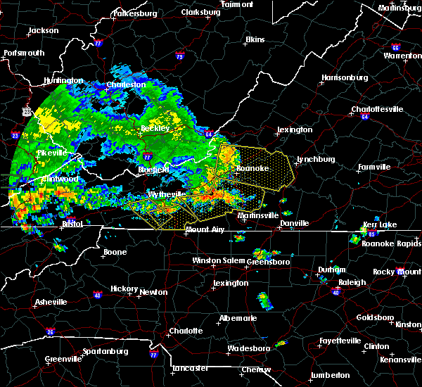 At 504 pm edt, severe thunderstorms were located along a line extending from shawsville to near check to near indian valley, moving southeast at 25 mph (radar indicated). Hazards include 60 mph wind gusts and quarter size hail. Hail damage to vehicles is expected. Expect wind damage to roofs, siding, and trees. At 504 pm edt, severe thunderstorms were located along a line extending from shawsville to near check to near indian valley, moving southeast at 25 mph (radar indicated). Hazards include 60 mph wind gusts and quarter size hail. Hail damage to vehicles is expected. Expect wind damage to roofs, siding, and trees.
|
| 7/8/2016 4:57 PM EDT |
 At 456 pm edt, severe thunderstorms were located along a line extending from jordan mines to near new castle to glenvar, moving east at 40 mph (radar indicated). Hazards include 60 mph wind gusts. Expect damage to roofs. siding. And trees. At 456 pm edt, severe thunderstorms were located along a line extending from jordan mines to near new castle to glenvar, moving east at 40 mph (radar indicated). Hazards include 60 mph wind gusts. Expect damage to roofs. siding. And trees.
|
| 7/4/2016 11:41 PM EDT |
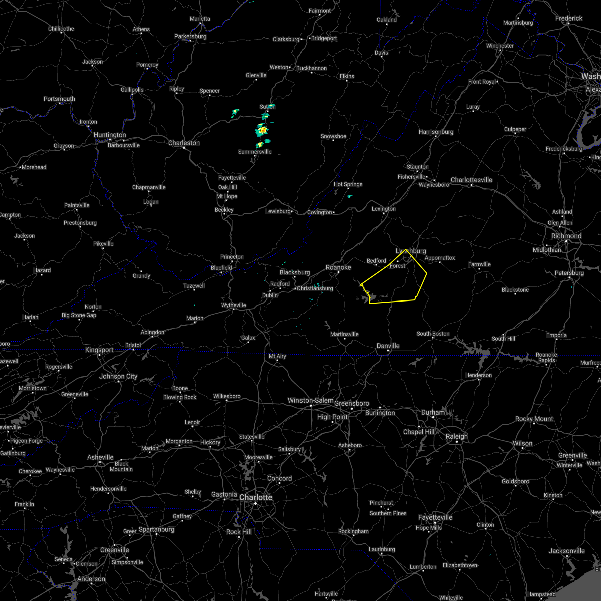 The severe thunderstorm warning for northern pittsylvania, campbell and southeastern bedford counties and the city of lynchburg will expire at 1145 pm edt, the storms which prompted the warning have moved out of the area. a new severe thunderstorm warning has been issued to the east. therefore this warning will be allowed to expire. however heavy rain is still possible with these thunderstorms. when it is safe to do so, please send your reports of hail of any size, as well as any reports of wind damage, including downed trees or large limbs, to the national weather service by calling toll free at 1, 8 6 6, 2 1 5, 4 3 2 4. reports and pictures can also be shared on the national weather service blacksburg facebook page and on twitter. The severe thunderstorm warning for northern pittsylvania, campbell and southeastern bedford counties and the city of lynchburg will expire at 1145 pm edt, the storms which prompted the warning have moved out of the area. a new severe thunderstorm warning has been issued to the east. therefore this warning will be allowed to expire. however heavy rain is still possible with these thunderstorms. when it is safe to do so, please send your reports of hail of any size, as well as any reports of wind damage, including downed trees or large limbs, to the national weather service by calling toll free at 1, 8 6 6, 2 1 5, 4 3 2 4. reports and pictures can also be shared on the national weather service blacksburg facebook page and on twitter.
|
| 7/4/2016 11:24 PM EDT |
 At 1122 pm edt, severe thunderstorms were located along a line extending from near madison heights to near rustburg to near hodges, moving east at 40 mph (radar indicated). Hazards include 60 mph wind gusts and penny size hail. Expect damage to roofs. siding. and trees. locations impacted include, lynchburg, altavista, hurt, rustburg, and huddleston. This includes liberty university and lynchburg airport. At 1122 pm edt, severe thunderstorms were located along a line extending from near madison heights to near rustburg to near hodges, moving east at 40 mph (radar indicated). Hazards include 60 mph wind gusts and penny size hail. Expect damage to roofs. siding. and trees. locations impacted include, lynchburg, altavista, hurt, rustburg, and huddleston. This includes liberty university and lynchburg airport.
|
| 7/4/2016 11:00 PM EDT |
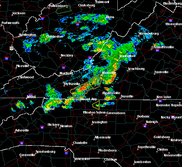 At 1059 pm edt, severe thunderstorms were located along a line extending from near bedford to moneta to north shore, moving east at 40 mph (radar indicated). Hazards include 60 mph wind gusts. Expect damage to roofs. siding. And trees. At 1059 pm edt, severe thunderstorms were located along a line extending from near bedford to moneta to north shore, moving east at 40 mph (radar indicated). Hazards include 60 mph wind gusts. Expect damage to roofs. siding. And trees.
|
| 6/16/2016 10:23 PM EDT |
 The severe thunderstorm warning for southeastern pulaski, southeastern roanoke, franklin, floyd and south central montgomery counties will expire at 1030 pm edt, the storms which prompted the warning have weakened below severe limits, and have exited the warned area. therefore the warning will be allowed to expire. however gusty winds and heavy rain are still possible with these thunderstorms. when it is safe to do so, please send your reports of hail of any size, as well as any reports of wind damage, including downed trees or large limbs, to the national weather service by calling toll free at 1, 8 6 6, 2 1 5, 4 3 2 4. reports and pictures can also be shared on the national weather service blacksburg facebook page and on twitter. The severe thunderstorm warning for southeastern pulaski, southeastern roanoke, franklin, floyd and south central montgomery counties will expire at 1030 pm edt, the storms which prompted the warning have weakened below severe limits, and have exited the warned area. therefore the warning will be allowed to expire. however gusty winds and heavy rain are still possible with these thunderstorms. when it is safe to do so, please send your reports of hail of any size, as well as any reports of wind damage, including downed trees or large limbs, to the national weather service by calling toll free at 1, 8 6 6, 2 1 5, 4 3 2 4. reports and pictures can also be shared on the national weather service blacksburg facebook page and on twitter.
|
| 6/16/2016 10:13 PM EDT |
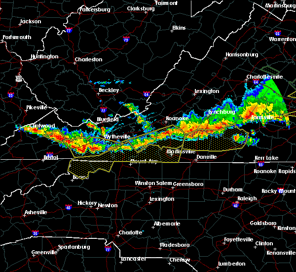 At 1012 pm edt, severe thunderstorms were located along a line extending from north shore to near callaway to near floyd, moving southeast at 40 mph (radar indicated). Hazards include 60 mph wind gusts and nickel size hail. Expect damage to roofs. siding. and trees. Locations impacted include, rocky mount, floyd, boones mill, willis, and penhook. At 1012 pm edt, severe thunderstorms were located along a line extending from north shore to near callaway to near floyd, moving southeast at 40 mph (radar indicated). Hazards include 60 mph wind gusts and nickel size hail. Expect damage to roofs. siding. and trees. Locations impacted include, rocky mount, floyd, boones mill, willis, and penhook.
|
| 6/16/2016 10:10 PM EDT |
 The severe thunderstorm warning for southwestern appomattox, campbell and southern bedford counties will expire at 1015 pm edt, the storms which prompted the warning have moved out of the area. therefore the warning will be allowed to expire. however gusty winds and heavy rain are still possible with these thunderstorms. when it is safe to do so, please send your reports of hail of any size, as well as any reports of wind damage, including downed trees or large limbs, to the national weather service by calling toll free at 1, 8 6 6, 2 1 5, 4 3 2 4. reports and pictures can also be shared on the national weather service blacksburg facebook page and on twitter. The severe thunderstorm warning for southwestern appomattox, campbell and southern bedford counties will expire at 1015 pm edt, the storms which prompted the warning have moved out of the area. therefore the warning will be allowed to expire. however gusty winds and heavy rain are still possible with these thunderstorms. when it is safe to do so, please send your reports of hail of any size, as well as any reports of wind damage, including downed trees or large limbs, to the national weather service by calling toll free at 1, 8 6 6, 2 1 5, 4 3 2 4. reports and pictures can also be shared on the national weather service blacksburg facebook page and on twitter.
|
| 6/16/2016 10:04 PM EDT | Trees down at the intersection of landmark road and poteet road near wirt in franklin county VA, 6.7 miles E of Westlake Corner, VA |
| 6/16/2016 10:02 PM EDT |
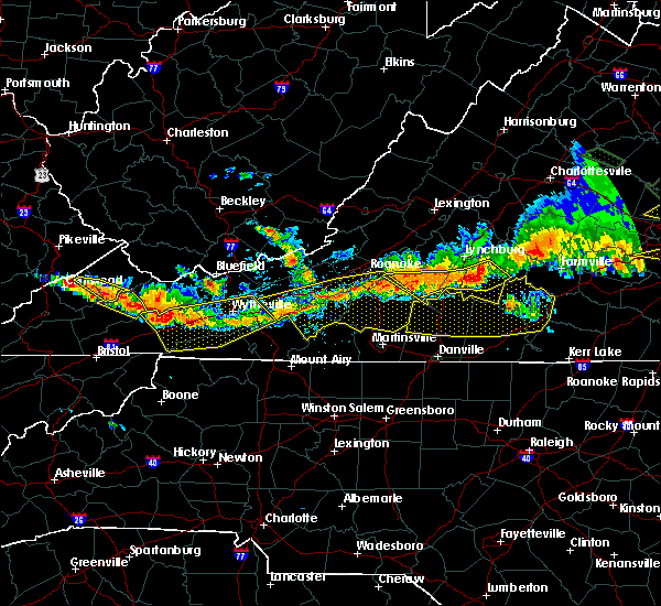 At 1001 pm edt, severe thunderstorms were located along a line extending from evergreen to near gladys to near huddleston, moving southeast at 30 mph (radar indicated). Hazards include 60 mph wind gusts and quarter size hail. Hail damage to vehicles is expected. expect wind damage to roofs, siding, and trees. Locations impacted include, altavista, hurt, brookneal, rustburg, and stewartsville. At 1001 pm edt, severe thunderstorms were located along a line extending from evergreen to near gladys to near huddleston, moving southeast at 30 mph (radar indicated). Hazards include 60 mph wind gusts and quarter size hail. Hail damage to vehicles is expected. expect wind damage to roofs, siding, and trees. Locations impacted include, altavista, hurt, brookneal, rustburg, and stewartsville.
|
| 6/16/2016 9:51 PM EDT |
 At 950 pm edt, severe thunderstorms were located along a line extending from appomattox to near rustburg to near moneta, moving southeast at 30 mph (radar indicated). Hazards include 60 mph wind gusts and quarter size hail. Hail damage to vehicles is expected. expect wind damage to roofs, siding, and trees. locations impacted include, lynchburg, bedford, altavista, appomattox, and hurt. This includes the following locations liberty university, the national d day memorial, and lynchburg airport. At 950 pm edt, severe thunderstorms were located along a line extending from appomattox to near rustburg to near moneta, moving southeast at 30 mph (radar indicated). Hazards include 60 mph wind gusts and quarter size hail. Hail damage to vehicles is expected. expect wind damage to roofs, siding, and trees. locations impacted include, lynchburg, bedford, altavista, appomattox, and hurt. This includes the following locations liberty university, the national d day memorial, and lynchburg airport.
|
| 6/16/2016 9:48 PM EDT |
 At 948 pm edt, severe thunderstorms were located along a line extending from near vinton to near bent mountain to near childress, moving southeast at 40 mph (radar indicated). Hazards include 60 mph wind gusts and quarter size hail. Hail damage to vehicles is expected. Expect wind damage to roofs, siding, and trees. At 948 pm edt, severe thunderstorms were located along a line extending from near vinton to near bent mountain to near childress, moving southeast at 40 mph (radar indicated). Hazards include 60 mph wind gusts and quarter size hail. Hail damage to vehicles is expected. Expect wind damage to roofs, siding, and trees.
|
| 6/4/2016 1:42 PM EDT | Tree down on booker t washington hwy in franklin county VA, 3.9 miles E of Westlake Corner, VA |
| 5/12/2016 4:27 PM EDT | The severe thunderstorm warning for northeastern roanoke, southern botetourt and southwestern bedford counties, the city of salem and the city of roanoke will expire at 430 pm edt, the storm which prompted the warning has weakened below severe limits, and no longer poses an immediate threat to life or property. therefore the warning will be allowed to expire. however heavy rain is still possible with this thunderstorm. when it is safe to do so, please send your reports of hail of any size, as well as any reports of wind damage, including downed trees or large limbs, to the national weather service by calling toll free at 1, 8 6 6, 2 1 5, 4 3 2 4. reports and pictures can also be shared on the national weather service blacksburg facebook page and on twitter. |
| 5/12/2016 4:09 PM EDT |
 At 407 pm edt, a severe thunderstorm was located near vinton, moving east at 15 mph (radar indicated). Hazards include 60 mph wind gusts and quarter size hail. Hail damage to vehicles is expected. expect wind damage to roofs, siding, and trees. locations impacted include, roanoke, salem, vinton, troutville, and stewartsville. This includes the salem fairgrounds and roanoke regional airport. At 407 pm edt, a severe thunderstorm was located near vinton, moving east at 15 mph (radar indicated). Hazards include 60 mph wind gusts and quarter size hail. Hail damage to vehicles is expected. expect wind damage to roofs, siding, and trees. locations impacted include, roanoke, salem, vinton, troutville, and stewartsville. This includes the salem fairgrounds and roanoke regional airport.
|
| 5/12/2016 4:07 PM EDT |
 At 407 pm edt, a severe thunderstorm was located near vinton, moving east at 15 mph (radar indicated). Hazards include 60 mph wind gusts and quarter size hail. Hail damage to vehicles is expected. expect wind damage to roofs, siding, and trees. locations impacted include, roanoke, salem, vinton, troutville, and stewartsville. This includes the salem fairgrounds and roanoke regional airport. At 407 pm edt, a severe thunderstorm was located near vinton, moving east at 15 mph (radar indicated). Hazards include 60 mph wind gusts and quarter size hail. Hail damage to vehicles is expected. expect wind damage to roofs, siding, and trees. locations impacted include, roanoke, salem, vinton, troutville, and stewartsville. This includes the salem fairgrounds and roanoke regional airport.
|
| 5/12/2016 3:32 PM EDT |
 At 332 pm edt, a severe thunderstorm was located near hollins, moving east at 15 mph (radar indicated). Hazards include 60 mph wind gusts and quarter size hail. Hail damage to vehicles is expected. Expect wind damage to roofs, siding, and trees. At 332 pm edt, a severe thunderstorm was located near hollins, moving east at 15 mph (radar indicated). Hazards include 60 mph wind gusts and quarter size hail. Hail damage to vehicles is expected. Expect wind damage to roofs, siding, and trees.
|
| 5/11/2016 4:52 PM EDT |
 The severe thunderstorm warning for northwestern pittsylvania, southeastern roanoke, northeastern franklin and southwestern bedford counties will expire at 500 pm edt, the storm which prompted the warning has moved out of the area. therefore the warning will be allowed to expire. when it is safe to do so, please send your reports of hail of any size, as well as any reports of wind damage, including downed trees or large limbs, to the national weather service by calling toll free at 1, 8 6 6, 2 1 5, 4 3 2 4. reports and pictures can also be shared on the national weather service blacksburg facebook page and on twitter. The severe thunderstorm warning for northwestern pittsylvania, southeastern roanoke, northeastern franklin and southwestern bedford counties will expire at 500 pm edt, the storm which prompted the warning has moved out of the area. therefore the warning will be allowed to expire. when it is safe to do so, please send your reports of hail of any size, as well as any reports of wind damage, including downed trees or large limbs, to the national weather service by calling toll free at 1, 8 6 6, 2 1 5, 4 3 2 4. reports and pictures can also be shared on the national weather service blacksburg facebook page and on twitter.
|
| 5/11/2016 4:22 PM EDT |
 The severe thunderstorm warning for east central roanoke and southwestern bedford counties and the city of roanoke will expire at 430 pm edt, the storm which prompted the warning has weakened below severe limits, and has exited the warned area. therefore the warning will be allowed to expire. when it is safe to do so, please send your reports of hail of any size, as well as any reports of wind damage, including downed trees or large limbs, to the national weather service by calling toll free at 1, 8 6 6, 2 1 5, 4 3 2 4. reports and pictures can also be shared on the national weather service blacksburg facebook page and on twitter. The severe thunderstorm warning for east central roanoke and southwestern bedford counties and the city of roanoke will expire at 430 pm edt, the storm which prompted the warning has weakened below severe limits, and has exited the warned area. therefore the warning will be allowed to expire. when it is safe to do so, please send your reports of hail of any size, as well as any reports of wind damage, including downed trees or large limbs, to the national weather service by calling toll free at 1, 8 6 6, 2 1 5, 4 3 2 4. reports and pictures can also be shared on the national weather service blacksburg facebook page and on twitter.
|
| 5/11/2016 4:19 PM EDT |
 At 419 pm edt, a severe thunderstorm was located over westlake corner, moving southeast at 20 mph (radar indicated). Hazards include 60 mph wind gusts and quarter size hail. Hail damage to vehicles is expected. expect wind damage to roofs, siding, and trees. Locations impacted include, moneta, huddleston, penhook, north shore, and northwest smith mountain lake. At 419 pm edt, a severe thunderstorm was located over westlake corner, moving southeast at 20 mph (radar indicated). Hazards include 60 mph wind gusts and quarter size hail. Hail damage to vehicles is expected. expect wind damage to roofs, siding, and trees. Locations impacted include, moneta, huddleston, penhook, north shore, and northwest smith mountain lake.
|
| 5/11/2016 4:12 PM EDT | Tree down on booker t washington hwy in franklin county VA, 1.8 miles ESE of Westlake Corner, VA |
| 5/11/2016 4:12 PM EDT |
 At 411 pm edt, a severe thunderstorm was located over chamblissburg, moving southeast at 20 mph (radar indicated). Hazards include 60 mph wind gusts and quarter size hail. Hail damage to vehicles is expected. expect wind damage to roofs, siding, and trees. Locations impacted include, roanoke, vinton, stewartsville, moneta, and chamblissburg. At 411 pm edt, a severe thunderstorm was located over chamblissburg, moving southeast at 20 mph (radar indicated). Hazards include 60 mph wind gusts and quarter size hail. Hail damage to vehicles is expected. expect wind damage to roofs, siding, and trees. Locations impacted include, roanoke, vinton, stewartsville, moneta, and chamblissburg.
|
| 5/11/2016 4:06 PM EDT | Tree down on booker t washington hwy in franklin county VA, 1.8 miles ESE of Westlake Corner, VA |
| 5/11/2016 4:06 PM EDT | Tree down on edwardsville rd in franklin county VA, 4.7 miles ESE of Westlake Corner, VA |
| 5/11/2016 3:58 PM EDT |
 At 358 pm edt, a severe thunderstorm was located near roanoke mountain, moving southeast at 20 mph (radar indicated). Hazards include 60 mph wind gusts and quarter size hail. Hail damage to vehicles is expected. Expect wind damage to roofs, siding, and trees. At 358 pm edt, a severe thunderstorm was located near roanoke mountain, moving southeast at 20 mph (radar indicated). Hazards include 60 mph wind gusts and quarter size hail. Hail damage to vehicles is expected. Expect wind damage to roofs, siding, and trees.
|
| 5/11/2016 3:53 PM EDT |
 At 352 pm edt, a severe thunderstorm was located over vinton, moving southeast at 20 mph (radar indicated). Hazards include 60 mph wind gusts and quarter size hail. Hail damage to vehicles is expected. expect wind damage to roofs, siding, and trees. locations impacted include, roanoke, vinton, stewartsville, moneta, and goodview. This includes roanoke regional airport. At 352 pm edt, a severe thunderstorm was located over vinton, moving southeast at 20 mph (radar indicated). Hazards include 60 mph wind gusts and quarter size hail. Hail damage to vehicles is expected. expect wind damage to roofs, siding, and trees. locations impacted include, roanoke, vinton, stewartsville, moneta, and goodview. This includes roanoke regional airport.
|
| 5/11/2016 3:29 PM EDT |
 At 329 pm edt, a severe thunderstorm was located over hollins, moving southeast at 20 mph (radar indicated). Hazards include 60 mph wind gusts and quarter size hail. Hail damage to vehicles is expected. Expect wind damage to roofs, siding, and trees. At 329 pm edt, a severe thunderstorm was located over hollins, moving southeast at 20 mph (radar indicated). Hazards include 60 mph wind gusts and quarter size hail. Hail damage to vehicles is expected. Expect wind damage to roofs, siding, and trees.
|
| 5/2/2016 4:32 PM EDT |
 At 432 pm edt, a severe thunderstorm was located near rocky mount, moving east at 30 mph (radar indicated). Hazards include ping pong ball size hail and 60 mph wind gusts. People and animals outdoors will be injured. expect hail damage to roofs, siding, windows, and vehicles. expect wind damage to roofs, siding, and trees. Locations impacted include, rocky mount, penhook, ferrum, westlake corner, and union hall. At 432 pm edt, a severe thunderstorm was located near rocky mount, moving east at 30 mph (radar indicated). Hazards include ping pong ball size hail and 60 mph wind gusts. People and animals outdoors will be injured. expect hail damage to roofs, siding, windows, and vehicles. expect wind damage to roofs, siding, and trees. Locations impacted include, rocky mount, penhook, ferrum, westlake corner, and union hall.
|
| 5/2/2016 4:15 PM EDT |
 At 415 pm edt, a severe thunderstorm was located near ferrum, moving east at 30 mph (radar indicated). Hazards include ping pong ball size hail and 60 mph wind gusts. People and animals outdoors will be injured. expect hail damage to roofs, siding, windows, and vehicles. Expect wind damage to roofs, siding, and trees. At 415 pm edt, a severe thunderstorm was located near ferrum, moving east at 30 mph (radar indicated). Hazards include ping pong ball size hail and 60 mph wind gusts. People and animals outdoors will be injured. expect hail damage to roofs, siding, windows, and vehicles. Expect wind damage to roofs, siding, and trees.
|
| 9/4/2015 5:37 PM EDT |
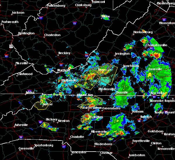 The severe thunderstorm warning for northwestern pittsylvania, northeastern franklin and central bedford counties will expire at 545 pm edt, the storm which prompted the warning has weakened below severe limits, and has exited the warned area. therefore the warning will be allowed to expire. when it is safe to do so, please send your reports of hail of any size, as well as any reports of wind damage, including downed trees or large limbs, to the national weather service by calling toll free at 1, 8 6 6, 2 1 5, 4 3 2 4. reports and pictures can also be shared on the national weather service blacksburg facebook page and on twitter. The severe thunderstorm warning for northwestern pittsylvania, northeastern franklin and central bedford counties will expire at 545 pm edt, the storm which prompted the warning has weakened below severe limits, and has exited the warned area. therefore the warning will be allowed to expire. when it is safe to do so, please send your reports of hail of any size, as well as any reports of wind damage, including downed trees or large limbs, to the national weather service by calling toll free at 1, 8 6 6, 2 1 5, 4 3 2 4. reports and pictures can also be shared on the national weather service blacksburg facebook page and on twitter.
|
| 9/4/2015 5:30 PM EDT | Quarter sized hail reported 6.6 miles SSE of Westlake Corner, VA, quarter size hail on thomason lane |
| 9/4/2015 4:58 PM EDT |
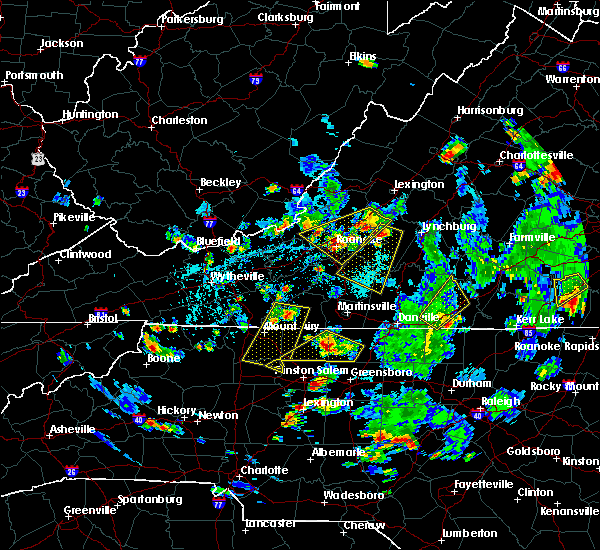 At 458 pm edt, a severe thunderstorm was located over d-day memorial, moving southwest at 30 mph (radar indicated). Hazards include 60 mph wind gusts and quarter size hail. Hail damage to vehicles is expected. expect wind damage to roofs, siding and trees. locations impacted include, bedford, rocky mount, penhook, huddleston, and bedford city. This includes the national d day memorial. At 458 pm edt, a severe thunderstorm was located over d-day memorial, moving southwest at 30 mph (radar indicated). Hazards include 60 mph wind gusts and quarter size hail. Hail damage to vehicles is expected. expect wind damage to roofs, siding and trees. locations impacted include, bedford, rocky mount, penhook, huddleston, and bedford city. This includes the national d day memorial.
|
| 9/4/2015 4:49 PM EDT |
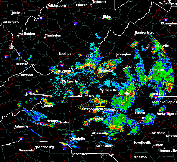 At 448 pm edt, a severe thunderstorm was located near bedford city, moving southwest at 35 mph (radar indicated). Hazards include 60 mph wind gusts and quarter size hail. Hail damage to vehicles is expected. Expect wind damage to roofs, siding and trees. At 448 pm edt, a severe thunderstorm was located near bedford city, moving southwest at 35 mph (radar indicated). Hazards include 60 mph wind gusts and quarter size hail. Hail damage to vehicles is expected. Expect wind damage to roofs, siding and trees.
|
| 7/14/2015 9:34 PM EDT |
 At 933 pm edt, severe thunderstorms were located along a line extending from near lynchburg city to westlake corner, moving east at 40 mph (radar indicated). Hazards include 60 mph wind gusts and quarter size hail. Hail damage to vehicles is expected. expect wind damage to roofs, siding and trees. locations impacted include, lynchburg, bedford, big island, lynchburg city, and huddleston. This includes the following locations liberty university, the national d day memorial, and lynchburg airport. At 933 pm edt, severe thunderstorms were located along a line extending from near lynchburg city to westlake corner, moving east at 40 mph (radar indicated). Hazards include 60 mph wind gusts and quarter size hail. Hail damage to vehicles is expected. expect wind damage to roofs, siding and trees. locations impacted include, lynchburg, bedford, big island, lynchburg city, and huddleston. This includes the following locations liberty university, the national d day memorial, and lynchburg airport.
|
| 7/14/2015 9:22 PM EDT |
 At 921 pm edt, severe thunderstorms were located along a line extending from sedalia to near northwest smith mountain lake, moving southeast at 25 mph (radar indicated). Hazards include 60 mph wind gusts and quarter size hail. Hail damage to vehicles is expected. expect wind damage to roofs, siding and trees. locations impacted include, roanoke, lynchburg, vinton, bedford, and stewartsville. This includes the following locations liberty university, the national d day memorial, and lynchburg airport. At 921 pm edt, severe thunderstorms were located along a line extending from sedalia to near northwest smith mountain lake, moving southeast at 25 mph (radar indicated). Hazards include 60 mph wind gusts and quarter size hail. Hail damage to vehicles is expected. expect wind damage to roofs, siding and trees. locations impacted include, roanoke, lynchburg, vinton, bedford, and stewartsville. This includes the following locations liberty university, the national d day memorial, and lynchburg airport.
|
| 7/14/2015 9:01 PM EDT |
 At 900 pm edt, severe thunderstorms were located along a line extending from near arcadia to near stewartsville, moving southeast at 20 mph (radar indicated). Hazards include 60 mph wind gusts and quarter size hail. Hail damage to vehicles is expected. Expect wind damage to roofs, siding and trees. At 900 pm edt, severe thunderstorms were located along a line extending from near arcadia to near stewartsville, moving southeast at 20 mph (radar indicated). Hazards include 60 mph wind gusts and quarter size hail. Hail damage to vehicles is expected. Expect wind damage to roofs, siding and trees.
|
| 7/13/2015 8:56 PM EDT |
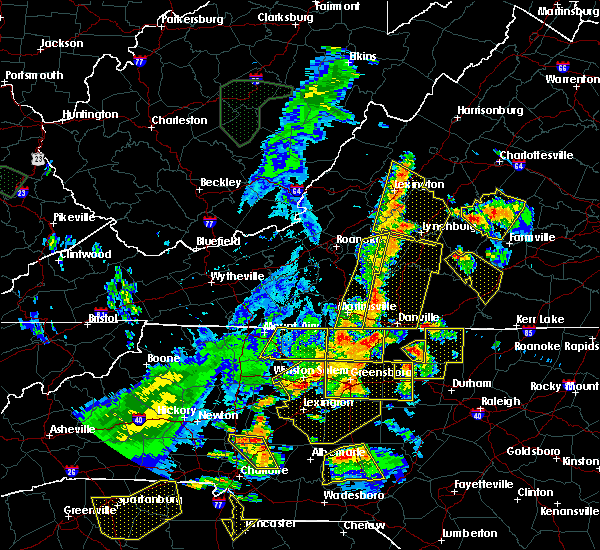 The severe thunderstorm warning for eastern franklin, henry and southwestern bedford counties and the city of martinsville will expire at 900 pm edt, the storms which prompted the warning have moved east out of the area. therefore the warning will be allowed to expire. light to moderate rain and occasional cloud-to-ground lightning will continue in the area for another hour or so. a severe thunderstorm watch remains in effect until 100 am edt for north central north carolina and southwestern virginia. when it is safe to do so, please send your reports of hail of any size, as well as any reports of wind damage, including downed trees or large limbs, to the national weather service by calling toll free at 1, 8 6 6, 2 1 5, 4 3 2 4. reports and pictures can also be shared on the national weather service blacksburg facebook page and on twitter. The severe thunderstorm warning for eastern franklin, henry and southwestern bedford counties and the city of martinsville will expire at 900 pm edt, the storms which prompted the warning have moved east out of the area. therefore the warning will be allowed to expire. light to moderate rain and occasional cloud-to-ground lightning will continue in the area for another hour or so. a severe thunderstorm watch remains in effect until 100 am edt for north central north carolina and southwestern virginia. when it is safe to do so, please send your reports of hail of any size, as well as any reports of wind damage, including downed trees or large limbs, to the national weather service by calling toll free at 1, 8 6 6, 2 1 5, 4 3 2 4. reports and pictures can also be shared on the national weather service blacksburg facebook page and on twitter.
|
| 7/13/2015 8:48 PM EDT |
 At 847 pm edt, severe thunderstorms were located along a line extending from near d-day memorial to near sandy level, moving southeast at 15 mph (radar indicated). Hazards include 60 mph wind gusts. Expect damage to roofs. siding and trees. locations impacted include, martinsville, bedford, martinsville city, axton, and moneta. This includes the following locations the martinsville speedway, the national d day memorial, and martinsville airport. At 847 pm edt, severe thunderstorms were located along a line extending from near d-day memorial to near sandy level, moving southeast at 15 mph (radar indicated). Hazards include 60 mph wind gusts. Expect damage to roofs. siding and trees. locations impacted include, martinsville, bedford, martinsville city, axton, and moneta. This includes the following locations the martinsville speedway, the national d day memorial, and martinsville airport.
|
| 7/13/2015 7:59 PM EDT |
 At 757 pm edt, severe thunderstorms were located along a line extending from near fincastle to copper hill to critz, moving east at 45 mph (radar indicated). Hazards include 60 mph wind gusts. Expect damage to roofs. Siding and trees. At 757 pm edt, severe thunderstorms were located along a line extending from near fincastle to copper hill to critz, moving east at 45 mph (radar indicated). Hazards include 60 mph wind gusts. Expect damage to roofs. Siding and trees.
|
| 7/13/2015 1:39 AM EDT |
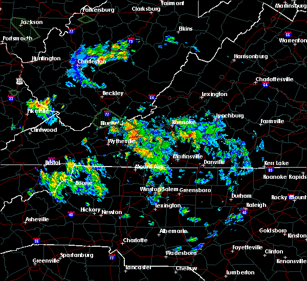 At 138 am edt, a severe thunderstorm was located across the north end of smith mountain lake, moving southeast at 5 mph (radar indicated). Hazards include 60 mph wind gusts. Expect damage to roofs. Siding and trees. At 138 am edt, a severe thunderstorm was located across the north end of smith mountain lake, moving southeast at 5 mph (radar indicated). Hazards include 60 mph wind gusts. Expect damage to roofs. Siding and trees.
|
| 6/25/2015 4:51 PM EDT |
 At 450 pm edt, a severe thunderstorm was located near union hall, moving southeast at 20 mph (radar indicated). Hazards include 70 mph wind gusts and ping pong ball size hail. People and animals outdoors will be injured. expect hail damage to roofs, siding, windows and vehicles. expect considerable tree damage. wind damage is also likely to mobile homes, roofs and outbuildings. Locations impacted include, penhook, north shore, union hall, ajax, and western smith mountain lake. At 450 pm edt, a severe thunderstorm was located near union hall, moving southeast at 20 mph (radar indicated). Hazards include 70 mph wind gusts and ping pong ball size hail. People and animals outdoors will be injured. expect hail damage to roofs, siding, windows and vehicles. expect considerable tree damage. wind damage is also likely to mobile homes, roofs and outbuildings. Locations impacted include, penhook, north shore, union hall, ajax, and western smith mountain lake.
|
| 6/25/2015 4:29 PM EDT |
 At 429 pm edt, a severe thunderstorm was located over western smith mountain lake, moving east at 10 mph (radar indicated). Hazards include 60 mph wind gusts and half dollar size hail. Hail damage to vehicles is expected. Expect wind damage to roofs, siding and trees. At 429 pm edt, a severe thunderstorm was located over western smith mountain lake, moving east at 10 mph (radar indicated). Hazards include 60 mph wind gusts and half dollar size hail. Hail damage to vehicles is expected. Expect wind damage to roofs, siding and trees.
|
| 6/21/2015 6:57 PM EDT | The severe thunderstorm warning for northwestern pittsylvania, southeastern roanoke, franklin and southwestern bedford counties will expire at 700 pm edt, the storm which prompted the warning has weakened below severe limits, and has exited the warned area. therefore the warning will be allowed to expire. a severe thunderstorm watch remains in effect until 800 pm edt for southwestern virginia. when it is safe to do so, please send your reports of hail of any size, as well as any reports of wind damage, including downed trees or large limbs, to the national weather service by calling toll free at 1, 8 6 6, 2 1 5, 4 3 2 4. reports and pictures can also be shared on the national weather service blacksburg facebook page and on twitter. |
| 6/21/2015 6:18 PM EDT |
 At 617 pm edt, a severe thunderstorm was located over north shore, moving east at 25 mph (radar indicated). Hazards include 60 mph wind gusts and quarter size hail. Hail damage to vehicles is expected. expect wind damage to roofs, siding and trees. Locations impacted include, rocky mount, boones mill, penhook, huddleston, and ferrum. At 617 pm edt, a severe thunderstorm was located over north shore, moving east at 25 mph (radar indicated). Hazards include 60 mph wind gusts and quarter size hail. Hail damage to vehicles is expected. expect wind damage to roofs, siding and trees. Locations impacted include, rocky mount, boones mill, penhook, huddleston, and ferrum.
|
| 6/21/2015 6:15 PM EDT | Multiple trees down on burnt chimney rd in franklin county VA, 2.8 miles NE of Westlake Corner, VA |
| 6/21/2015 5:56 PM EDT |
 At 555 pm edt, a severe thunderstorm was located over burnt chimney, moving east at 25 mph (radar indicated). Hazards include 60 mph wind gusts and quarter size hail. Hail damage to vehicles is expected. Expect wind damage to roofs, siding and trees. At 555 pm edt, a severe thunderstorm was located over burnt chimney, moving east at 25 mph (radar indicated). Hazards include 60 mph wind gusts and quarter size hail. Hail damage to vehicles is expected. Expect wind damage to roofs, siding and trees.
|
| 6/19/2015 5:48 PM EDT |
 At 547 pm edt, a severe thunderstorm was located near ferrum, moving east at 40 mph (radar indicated). Hazards include 60 mph wind gusts and quarter size hail. Hail damage to vehicles is expected. expect wind damage to roofs, siding and trees. Locations impacted include, rocky mount, penhook, ferrum, sydnorsville, and north shore. At 547 pm edt, a severe thunderstorm was located near ferrum, moving east at 40 mph (radar indicated). Hazards include 60 mph wind gusts and quarter size hail. Hail damage to vehicles is expected. expect wind damage to roofs, siding and trees. Locations impacted include, rocky mount, penhook, ferrum, sydnorsville, and north shore.
|
| 6/19/2015 5:29 PM EDT |
 At 529 pm edt, a severe thunderstorm was located over endicott, moving east at 25 mph (radar indicated). Hazards include 60 mph wind gusts and quarter size hail. Hail damage to vehicles is expected. Expect wind damage to roofs, siding and trees. At 529 pm edt, a severe thunderstorm was located over endicott, moving east at 25 mph (radar indicated). Hazards include 60 mph wind gusts and quarter size hail. Hail damage to vehicles is expected. Expect wind damage to roofs, siding and trees.
|
| 6/18/2015 6:00 PM EDT | Wsls reported. 3 trees down on 122 near lakeside tire and hardy rd. 1 blocking both lanes in franklin county VA, 3 miles ESE of Westlake Corner, VA |
| 6/18/2015 5:53 PM EDT | At 552 pm edt, a severe thunderstorm was located near the west end of smith mountain lake, moving east-southeast at 40 mph (radar indicated). Hazards include 60 mph wind gusts. Expect damage to roofs. Siding and trees. |
| 6/17/2015 5:51 PM EDT |
 At 550 pm edt, severe thunderstorms were located along a line extending from near bedford to near huddleston to near pittsville, moving east at 30 mph (radar indicated). Hazards include 60 mph wind gusts. Expect damage to roofs. siding and trees. Locations impacted include, moneta, huddleston, penhook, north shore, and westlake corner. At 550 pm edt, severe thunderstorms were located along a line extending from near bedford to near huddleston to near pittsville, moving east at 30 mph (radar indicated). Hazards include 60 mph wind gusts. Expect damage to roofs. siding and trees. Locations impacted include, moneta, huddleston, penhook, north shore, and westlake corner.
|
| 6/17/2015 5:36 PM EDT | Quarter sized hail reported 3.2 miles NE of Westlake Corner, VA, quarter sized hail fell for a three minute period. |
| 6/17/2015 5:09 PM EDT |
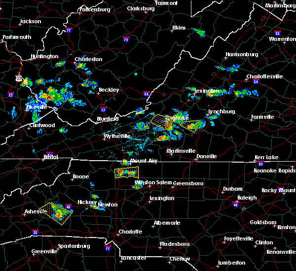 At 508 pm edt, severe thunderstorms were located along a line extending from near blue ridge to near stewartsville to burnt chimney, moving east at 30 mph (radar indicated). Hazards include 60 mph wind gusts. Expect damage to roofs. Siding and trees. At 508 pm edt, severe thunderstorms were located along a line extending from near blue ridge to near stewartsville to burnt chimney, moving east at 30 mph (radar indicated). Hazards include 60 mph wind gusts. Expect damage to roofs. Siding and trees.
|
| 6/14/2015 3:55 PM EDT |
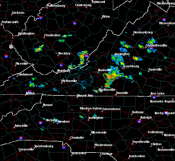 A severe thunderstorm warning remains in effect until 445 pm edt for northeastern franklin and southwestern bedford counties. at 354 pm edt. a severe thunderstorm was located over moneta. moving southeast at 20 mph toward smith mountain lake. hazard. 60 mph wind gusts. source. Radar indicated. A severe thunderstorm warning remains in effect until 445 pm edt for northeastern franklin and southwestern bedford counties. at 354 pm edt. a severe thunderstorm was located over moneta. moving southeast at 20 mph toward smith mountain lake. hazard. 60 mph wind gusts. source. Radar indicated.
|
| 6/14/2015 3:38 PM EDT |
 At 338 pm edt, a severe thunderstorm was located over goodview, moving southeast at 15 mph (radar indicated). Hazards include 60 mph wind gusts. Expect damage to roofs. Siding and trees. At 338 pm edt, a severe thunderstorm was located over goodview, moving southeast at 15 mph (radar indicated). Hazards include 60 mph wind gusts. Expect damage to roofs. Siding and trees.
|
| 6/8/2015 4:12 PM EDT | The severe thunderstorm warning for northwestern pittsylvania, eastern franklin and southwestern bedford counties will expire at 415 pm edt, the storm which prompted the warning has weakened below severe limits, and has exited the warned area. therefore the warning will be allowed to expire. however gusty winds are still possible with this thunderstorm and may be hazard over the eastern end of smith mountain lake. a severe thunderstorm watch remains in effect until 800 pm edt for west central virginia. when it is safe to do so, please send your reports of hail of any size, as well as any reports of wind damage, including downed trees or large limbs, to the national weather service by calling toll free at 1, 8 6 6, 2 1 5, 4 3 2 4. reports and pictures can also be shared on the national weather service blacksburg facebook page and on twitter. |
| 6/8/2015 3:48 PM EDT |
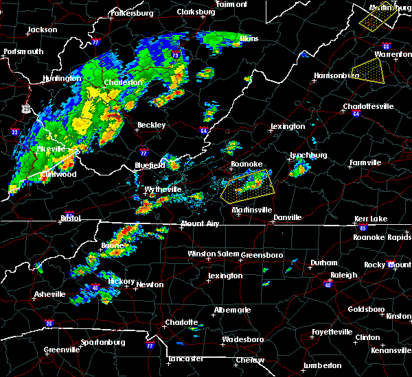 At 346 pm edt, a severe thunderstorm was located over smith mountain lake, moving east at 20 mph (radar indicated). Hazards include 60 mph wind gusts and penny size hail. Expect damage to roofs. siding and trees. Locations impacted include, rocky mount, penhook, huddleston, sydnorsville, and moneta. At 346 pm edt, a severe thunderstorm was located over smith mountain lake, moving east at 20 mph (radar indicated). Hazards include 60 mph wind gusts and penny size hail. Expect damage to roofs. siding and trees. Locations impacted include, rocky mount, penhook, huddleston, sydnorsville, and moneta.
|
| 6/8/2015 3:33 PM EDT | 2 trees down along hardy rd in franklin county VA, 3.4 miles SE of Westlake Corner, VA |
| 6/8/2015 3:19 PM EDT |
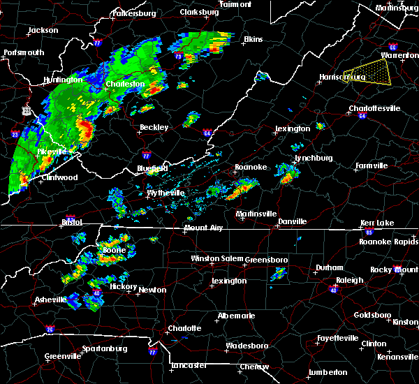 At 316 pm edt, a line of storms were from burnt chimney to ferrum, moving east at 15 mph (radar indicated). Hazards include 60 mph wind gusts and quarter size hail. Hail damage to vehicles is expected. Expect wind damage to roofs, siding and trees. At 316 pm edt, a line of storms were from burnt chimney to ferrum, moving east at 15 mph (radar indicated). Hazards include 60 mph wind gusts and quarter size hail. Hail damage to vehicles is expected. Expect wind damage to roofs, siding and trees.
|
| 7/24/2014 2:44 PM EDT | One tree down on sandy level road in bedford county VA, 9.4 miles S of Westlake Corner, VA |
| 6/20/2014 4:00 PM EDT | Quarter sized hail reported 5.5 miles SSW of Westlake Corner, VA |
| 7/16/2013 5:45 PM EDT | Quarter sized hail reported 6 miles SE of Westlake Corner, VA, near rt 634 and rt 804 |
| 6/26/2013 3:20 PM EDT | A few trees down in the hardy area along wysong mill road and deepwoods roa in franklin county VA, 4.3 miles SSE of Westlake Corner, VA |
| 6/13/2013 3:15 PM EDT | Trees and power lines down on thomasson mill rd in bedford county VA, 7 miles SSE of Westlake Corner, VA |
| 6/13/2013 3:10 PM EDT | Large limbs down in the smith mtn area in bedford county VA, 6.3 miles SW of Westlake Corner, VA |
| 6/13/2013 2:48 PM EDT | Quarter sized hail reported 7.4 miles S of Westlake Corner, VA, sun tree drive |
| 6/10/2013 3:53 PM EDT | One large tree blown down across route 122 near monet in bedford county VA, 6.3 miles SW of Westlake Corner, VA |
| 6/10/2013 3:35 PM EDT | Tree down on peters pike road near jubal early highway in franklin county VA, 7.2 miles E of Westlake Corner, VA |
| 7/27/2012 4:32 PM EDT | Tree down on lynville drive in franklin county VA, 6 miles SSE of Westlake Corner, VA |
| 7/27/2012 4:09 PM EDT | Tree down at hardy rd and lynville creek in franklin county VA, 5.7 miles SE of Westlake Corner, VA |
| 7/27/2012 4:07 PM EDT | Hwy sign blown down at routes 122 and 11 in franklin county VA, 5.7 miles E of Westlake Corner, VA |
| 7/16/2012 4:42 PM EDT | Trees down at the intersection of routes 122 and 11 in franklin county VA, 6.7 miles E of Westlake Corner, VA |
| 7/16/2012 4:22 PM EDT | Trees down at the intersection of routes 122 and 11 in franklin county VA, 6.7 miles E of Westlake Corner, VA |
| 7/8/2012 7:10 PM EDT | Power lines down on rt 24 in bedford county VA, 9.4 miles S of Westlake Corner, VA |
| 7/8/2012 7:09 PM EDT | 3 trees down in chamblissburg. tree diameter were 8-10 inche in bedford county VA, 10.1 miles S of Westlake Corner, VA |
| 7/4/2012 7:15 PM EDT | Trees down on truman hill road in hardy in franklin county VA, 6.8 miles SE of Westlake Corner, VA |
| 6/1/2012 5:30 PM EDT | Multiple trees down in bedford county VA, 6.3 miles SW of Westlake Corner, VA |
| 3/28/2012 8:10 PM EDT | Tree branch fell on traile in bedford county VA, 6.3 miles SW of Westlake Corner, VA |
| 3/24/2012 5:00 PM EDT | Quarter sized hail reported 6.3 miles SW of Westlake Corner, VA |
| 3/20/2012 5:55 PM EDT | Quarter sized hail reported 1.6 miles SE of Westlake Corner, VA |
| 3/20/2012 5:45 PM EDT | Quarter sized hail reported 2.5 miles SE of Westlake Corner, VA, hail lasted 5 minutes. fell on middle valley road just outside of the town of hardy near west lake corner. no street address available. |
| 3/20/2012 5:06 PM EDT | Quarter sized hail reported 8 miles SW of Westlake Corner, VA |
| 1/1/0001 12:00 AM | Power lines down on burnt chimney road in franklin county VA, 6.7 miles E of Westlake Corner, VA |
| 1/1/0001 12:00 AM | Several trees down in and around the city in bedford county VA, 7.2 miles SW of Westlake Corner, VA |
| 1/1/0001 12:00 AM | Several trees down in bedford county VA, 8.1 miles SSE of Westlake Corner, VA |
| 1/1/0001 12:00 AM | Tree blown down on route 68 in franklin county VA, 6.7 miles E of Westlake Corner, VA |
| 1/1/0001 12:00 AM | Tree down on state route 634 in franklin county VA, 3.8 miles ESE of Westlake Corner, VA |
| 1/1/0001 12:00 AM | Trees were blown down in the 6000 block of truman hill roa in franklin county VA, 7.2 miles SE of Westlake Corner, VA |
| 1/1/0001 12:00 AM | Quarter sized hail reported 6.7 miles E of Westlake Corner, VA, quarter size hail |
| 1/1/0001 12:00 AM | Quarter sized hail reported 6.1 miles E of Westlake Corner, VA, on highway 116 west of post office |
| 1/1/0001 12:00 AM | One tree down near intersection of middle valley road and northridge roa in franklin county VA, 3.4 miles SSE of Westlake Corner, VA |
| 1/1/0001 12:00 AM | Power line down along idlewood roa in franklin county VA, 3.4 miles SSE of Westlake Corner, VA |
| 1/1/0001 12:00 AM | One tree down on hardy roa in franklin county VA, 4.8 miles SE of Westlake Corner, VA |
| 1/1/0001 12:00 AM | One tree down on eton roa in franklin county VA, 5.5 miles SE of Westlake Corner, VA |
| 1/1/0001 12:00 AM | Tree down on state route 756 in bedford county VA, 8.1 miles S of Westlake Corner, VA |
| 1/1/0001 12:00 AM | Tree down on state route 655 in bedford county VA, 5.4 miles SW of Westlake Corner, VA |
| 1/1/0001 12:00 AM | Tree down at the intersection of hardy road and booker t washington highway in franklin county VA, 2.5 miles ESE of Westlake Corner, VA |
Hail Maps for Westlake Corner, VA


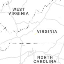

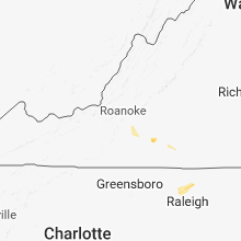


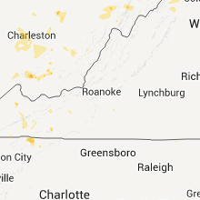


Connect with Interactive Hail Maps