

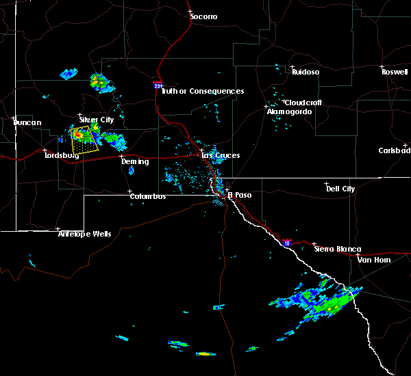
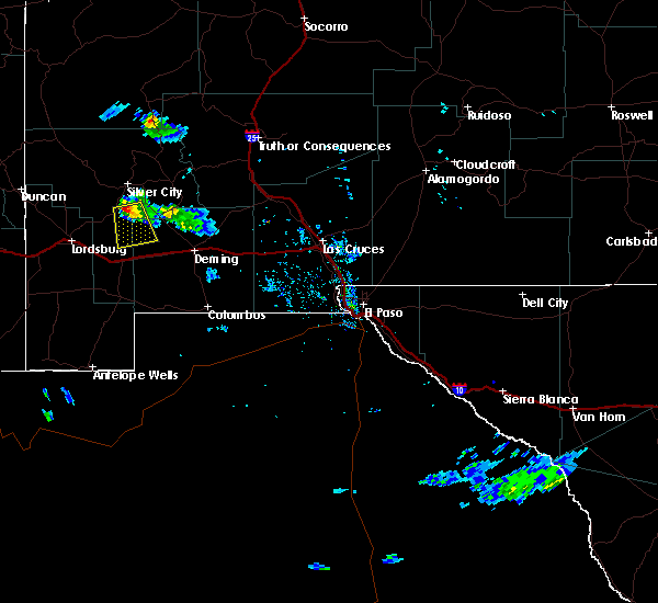
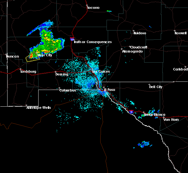
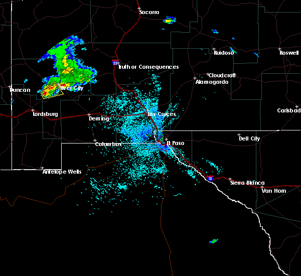
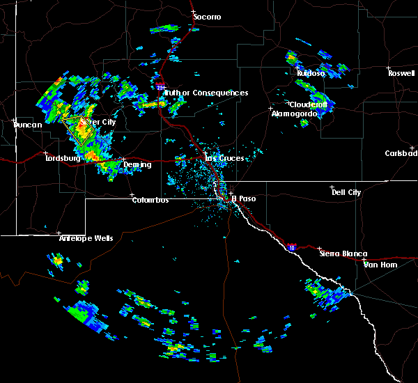
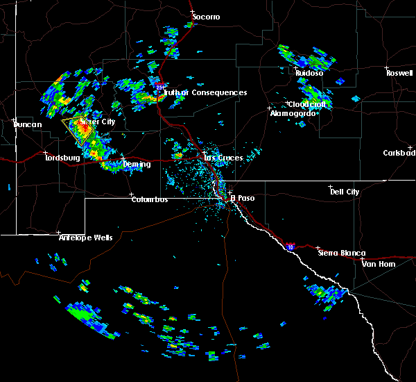
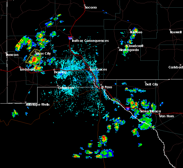
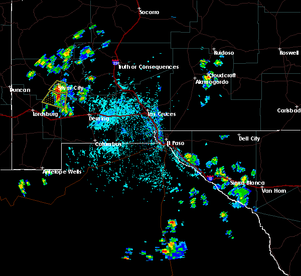
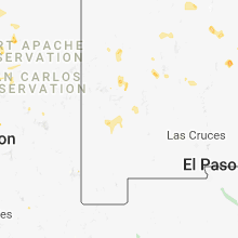
Hail Map for White Signal, NM
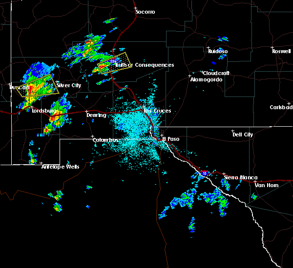
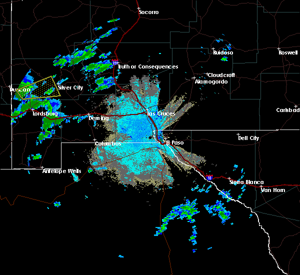
The White Signal, NM area has had 0 reports of on-the-ground hail by trained spotters, and has been under severe weather warnings 0 times during the past 12 months. Doppler radar has detected hail at or near White Signal, NM on 9 occasions, including 1 occasion during the past year.
| Name: | White Signal, NM |
| Where Located: | 15 miles SSW of Silver City, NM |
| Map: | Google Map for White Signal, NM |
| Population: | 181 |
| Housing Units: | 93 |
| More Info: | Search Google for White Signal, NM |
1
The Top Recent Hail Date for White Signal, NM is Monday, August 5, 2024 (2nd out of 9)

Hail and Wind Damage Spotted near White Signal, NM
| Date / Time | Report Details |
|---|---|
| 9/26/2018 5:53 PM MDT |
 At 552 pm mdt, a severe thunderstorm was located 9 miles southeast of white signal, or 15 miles south of hurley, moving south at 15 mph (radar indicated). Hazards include 60 mph wind gusts and quarter size hail. Hail damage to vehicles is expected. expect wind damage to roofs, siding, and trees. Locations impacted include, white signal. At 552 pm mdt, a severe thunderstorm was located 9 miles southeast of white signal, or 15 miles south of hurley, moving south at 15 mph (radar indicated). Hazards include 60 mph wind gusts and quarter size hail. Hail damage to vehicles is expected. expect wind damage to roofs, siding, and trees. Locations impacted include, white signal.
|
| 9/26/2018 5:33 PM MDT |
 At 532 pm mdt, a severe thunderstorm was located 6 miles east of white signal, or 11 miles south of tyrone, moving south at 15 mph (radar indicated). Hazards include 60 mph wind gusts and quarter size hail. Hail damage to vehicles is expected. Expect wind damage to roofs, siding, and trees. At 532 pm mdt, a severe thunderstorm was located 6 miles east of white signal, or 11 miles south of tyrone, moving south at 15 mph (radar indicated). Hazards include 60 mph wind gusts and quarter size hail. Hail damage to vehicles is expected. Expect wind damage to roofs, siding, and trees.
|
| 9/1/2018 9:54 PM MDT |
 The severe thunderstorm warning for east central grant and northwestern luna counties will expire at 1000 pm mdt, the storm which prompted the warning has weakened below severe limits, and no longer poses an immediate threat to life or property. therefore, the warning will be allowed to expire. however gusty winds and heavy rain are still possible with this thunderstorm. The severe thunderstorm warning for east central grant and northwestern luna counties will expire at 1000 pm mdt, the storm which prompted the warning has weakened below severe limits, and no longer poses an immediate threat to life or property. therefore, the warning will be allowed to expire. however gusty winds and heavy rain are still possible with this thunderstorm.
|
| 9/1/2018 9:40 PM MDT |
 At 939 pm mdt, a severe thunderstorm was located 8 miles west of faywood, moving east at 30 mph (radar indicated). Hazards include 60 mph wind gusts and quarter size hail. Hail damage to vehicles is expected. expect wind damage to roofs, siding, and trees. Locations impacted include, faywood, tyrone mine, silver city, north hurley, bayard, hurley, tyrone, city of rocks state park, santa clara, and white signal. At 939 pm mdt, a severe thunderstorm was located 8 miles west of faywood, moving east at 30 mph (radar indicated). Hazards include 60 mph wind gusts and quarter size hail. Hail damage to vehicles is expected. expect wind damage to roofs, siding, and trees. Locations impacted include, faywood, tyrone mine, silver city, north hurley, bayard, hurley, tyrone, city of rocks state park, santa clara, and white signal.
|
| 9/1/2018 9:15 PM MDT |
 At 915 pm mdt, a severe thunderstorm was located near hurley, moving east at 25 mph (radar indicated). Hazards include 60 mph wind gusts and quarter size hail. Hail damage to vehicles is expected. Expect wind damage to roofs, siding, and trees. At 915 pm mdt, a severe thunderstorm was located near hurley, moving east at 25 mph (radar indicated). Hazards include 60 mph wind gusts and quarter size hail. Hail damage to vehicles is expected. Expect wind damage to roofs, siding, and trees.
|
| 10/9/2016 12:58 AM MDT |
 At 1257 am mdt, a severe thunderstorm was located 4 miles west of tyrone, moving northeast at 25 mph (radar indicated). Hazards include quarter size hail. Damage to vehicles is expected. Locations impacted include, tyrone, oak grove, tyrone mine, and mangas valley. At 1257 am mdt, a severe thunderstorm was located 4 miles west of tyrone, moving northeast at 25 mph (radar indicated). Hazards include quarter size hail. Damage to vehicles is expected. Locations impacted include, tyrone, oak grove, tyrone mine, and mangas valley.
|
| 10/9/2016 12:30 AM MDT |
 At 1229 am mdt, a severe thunderstorm was located 4 miles south of oak grove, or 12 miles southwest of tyrone, moving east at 20 mph (radar indicated). Hazards include ping pong ball size hail and 60 mph wind gusts. People and animals outdoors will be injured. expect hail damage to roofs, siding, windows, and vehicles. Expect wind damage to roofs, siding, and trees. At 1229 am mdt, a severe thunderstorm was located 4 miles south of oak grove, or 12 miles southwest of tyrone, moving east at 20 mph (radar indicated). Hazards include ping pong ball size hail and 60 mph wind gusts. People and animals outdoors will be injured. expect hail damage to roofs, siding, windows, and vehicles. Expect wind damage to roofs, siding, and trees.
|
| 6/9/2016 3:54 PM MDT |
 The severe thunderstorm warning for central grant and northwestern luna counties will expire at 400 pm mdt, the storm which prompted the warning has weakened below severe limits, and no longer poses an immediate threat to life or property. therefore the warning will be allowed to expire. however small. The severe thunderstorm warning for central grant and northwestern luna counties will expire at 400 pm mdt, the storm which prompted the warning has weakened below severe limits, and no longer poses an immediate threat to life or property. therefore the warning will be allowed to expire. however small.
|
| 6/9/2016 3:35 PM MDT |
 At 334 pm mdt, a severe thunderstorm was located 4 miles east of tyrone, or 5 miles southeast of silver city, moving west at 5 to 10 mph (radar indicated). Hazards include 60 mph wind gusts and quarter size hail. Hail damage to vehicles is expected. Expect wind damage to roofs, siding, and trees. At 334 pm mdt, a severe thunderstorm was located 4 miles east of tyrone, or 5 miles southeast of silver city, moving west at 5 to 10 mph (radar indicated). Hazards include 60 mph wind gusts and quarter size hail. Hail damage to vehicles is expected. Expect wind damage to roofs, siding, and trees.
|
| 10/20/2015 12:45 PM MDT |
 At 1244 pm mdt, possible severe thunderstorms were moving into the area moving northeast at 40 mph (radar indicated). Hazards include 60 mph wind gusts and quarter size hail. Hail damage to vehicles is expected. Expect wind damage to roofs, siding and trees. At 1244 pm mdt, possible severe thunderstorms were moving into the area moving northeast at 40 mph (radar indicated). Hazards include 60 mph wind gusts and quarter size hail. Hail damage to vehicles is expected. Expect wind damage to roofs, siding and trees.
|
| 10/5/2015 3:44 PM MDT |
 At 336 pm mdt, a severe thunderstorm was located over arenas valley, or 4 miles east of silver city, moving northeast at 20 mph (radar indicated). Hazards include 60 mph wind gusts and quarter size hail. Hail damage to vehicles is expected. expect wind damage to roofs, siding and trees. Locations impacted include, silver city, lake roberts, bayard, santa clara, hurley, white signal, little walnut village, camp thunderbird, north hurley, pinos altos, arenas valley, hanover, fierro, fort bayard, cobre, mimbres, georgetown, tyrone, mcmillan campground, cherry creek campground. At 336 pm mdt, a severe thunderstorm was located over arenas valley, or 4 miles east of silver city, moving northeast at 20 mph (radar indicated). Hazards include 60 mph wind gusts and quarter size hail. Hail damage to vehicles is expected. expect wind damage to roofs, siding and trees. Locations impacted include, silver city, lake roberts, bayard, santa clara, hurley, white signal, little walnut village, camp thunderbird, north hurley, pinos altos, arenas valley, hanover, fierro, fort bayard, cobre, mimbres, georgetown, tyrone, mcmillan campground, cherry creek campground.
|
| 10/5/2015 3:14 PM MDT |
 At 313 pm mdt, a severe thunderstorm was located near tyrone, or 6 miles south of silver city, moving northeast at 20 mph (radar indicated). Hazards include 60 mph wind gusts and quarter size hail or larger. Hail damage to vehicles is expected. Expect wind damage to roofs, siding and trees. At 313 pm mdt, a severe thunderstorm was located near tyrone, or 6 miles south of silver city, moving northeast at 20 mph (radar indicated). Hazards include 60 mph wind gusts and quarter size hail or larger. Hail damage to vehicles is expected. Expect wind damage to roofs, siding and trees.
|
| 8/16/2015 3:58 PM MDT |
 At 358 pm mdt, a severe thunderstorm was located 4 miles northeast of white signal, or 13 miles south of silver city, moving southwest at 15 mph (radar indicated). Hazards include 60 mph wind gusts and penny size hail. Expect damage to roofs. siding and trees. Locations impacted include, white signal. At 358 pm mdt, a severe thunderstorm was located 4 miles northeast of white signal, or 13 miles south of silver city, moving southwest at 15 mph (radar indicated). Hazards include 60 mph wind gusts and penny size hail. Expect damage to roofs. siding and trees. Locations impacted include, white signal.
|
| 8/16/2015 3:34 PM MDT |
 At 333 pm mdt, a severe thunderstorm was located near tyrone, or 8 miles south of silver city, moving southwest at 10 mph (radar indicated). Hazards include 60 mph wind gusts and quarter size hail. Hail damage to vehicles is expected. Expect wind damage to roofs, siding and trees. At 333 pm mdt, a severe thunderstorm was located near tyrone, or 8 miles south of silver city, moving southwest at 10 mph (radar indicated). Hazards include 60 mph wind gusts and quarter size hail. Hail damage to vehicles is expected. Expect wind damage to roofs, siding and trees.
|
| 7/10/2015 11:57 AM MDT |
 At 1156 am mdt, a severe thunderstorm was located near redrock, moving east at 25 mph (radar indicated). Hazards include 60 mph wind gusts and half dollar size hail. Hail damage to vehicles is expected. expect wind damage to roofs, siding and trees. Locations impacted include, silver city, redrock, mangas springs, and tyrone. At 1156 am mdt, a severe thunderstorm was located near redrock, moving east at 25 mph (radar indicated). Hazards include 60 mph wind gusts and half dollar size hail. Hail damage to vehicles is expected. expect wind damage to roofs, siding and trees. Locations impacted include, silver city, redrock, mangas springs, and tyrone.
|
| 7/10/2015 11:32 AM MDT |
 At 1131 am mdt, a severe thunderstorm was located 9 miles southeast of virden, or 9 miles southwest of redrock, moving east at 25 mph (radar indicated). Hazards include 60 mph wind gusts and half dollar size hail. Hail damage to vehicles is expected. Expect wind damage to roofs, siding and trees. At 1131 am mdt, a severe thunderstorm was located 9 miles southeast of virden, or 9 miles southwest of redrock, moving east at 25 mph (radar indicated). Hazards include 60 mph wind gusts and half dollar size hail. Hail damage to vehicles is expected. Expect wind damage to roofs, siding and trees.
|
| 6/16/2015 3:00 PM MDT |
 At 258 pm mdt, doppler radar indicated a severe thunderstorm capable of producing quarter size hail and damaging winds in excess of 60 mph. this storm was located over arenas valley, or near silver city, and moving south at 35 mph. At 258 pm mdt, doppler radar indicated a severe thunderstorm capable of producing quarter size hail and damaging winds in excess of 60 mph. this storm was located over arenas valley, or near silver city, and moving south at 35 mph.
|
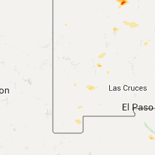
Hail Maps for White Signal, NM


Connect with Interactive Hail Maps