

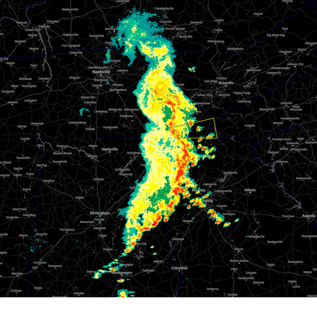
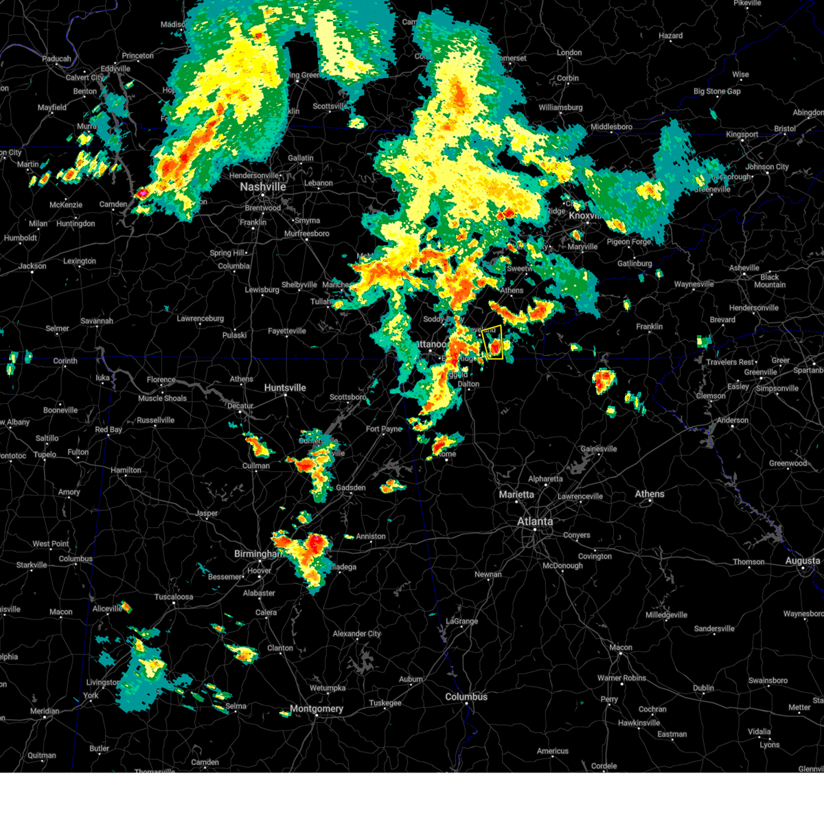
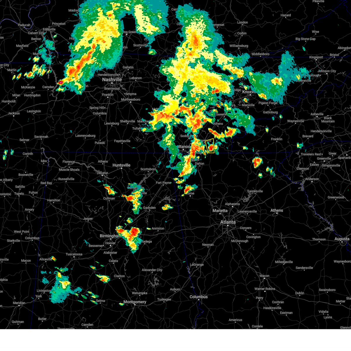
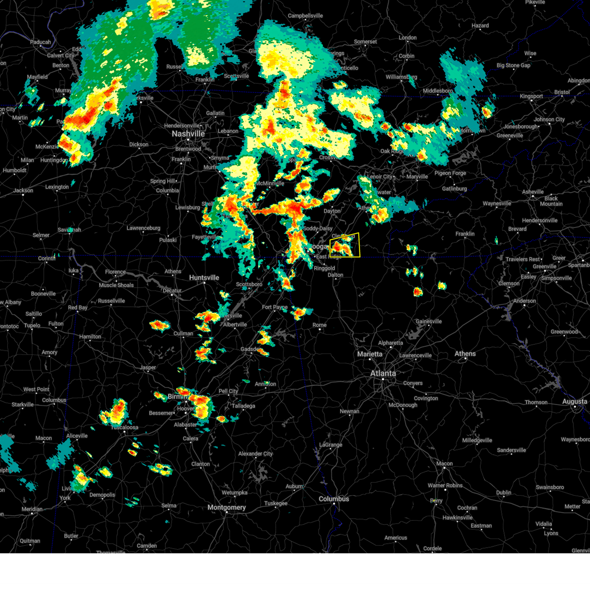
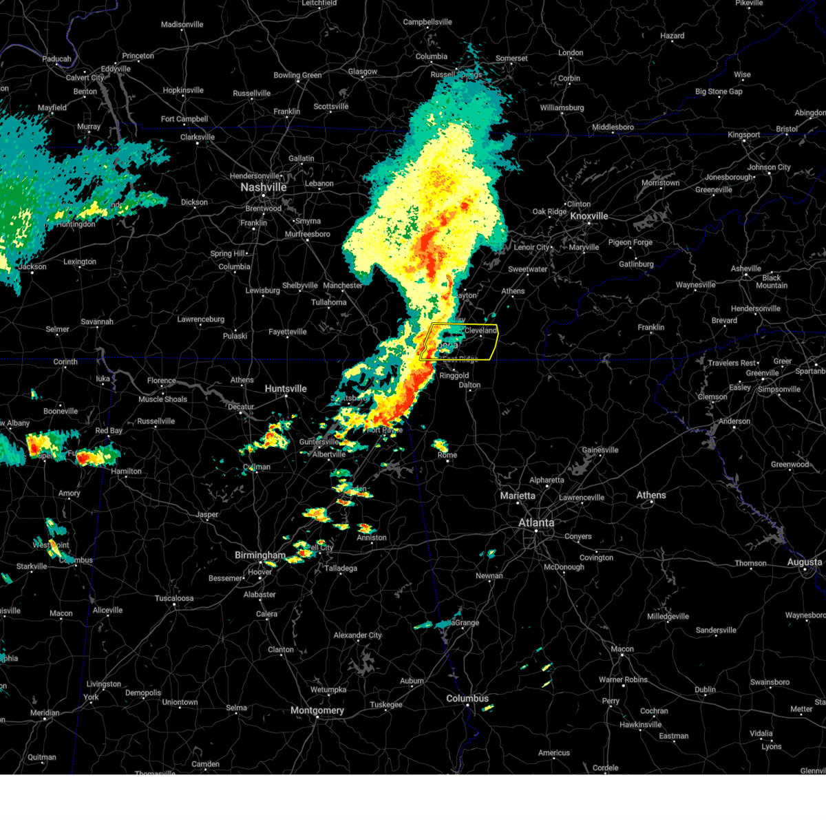
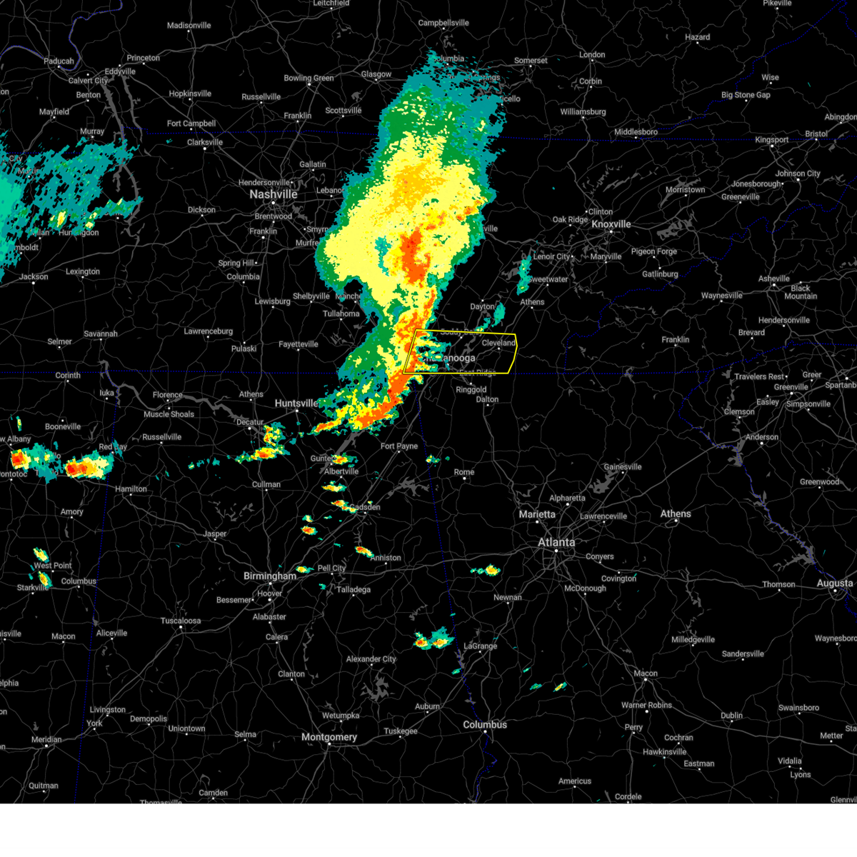
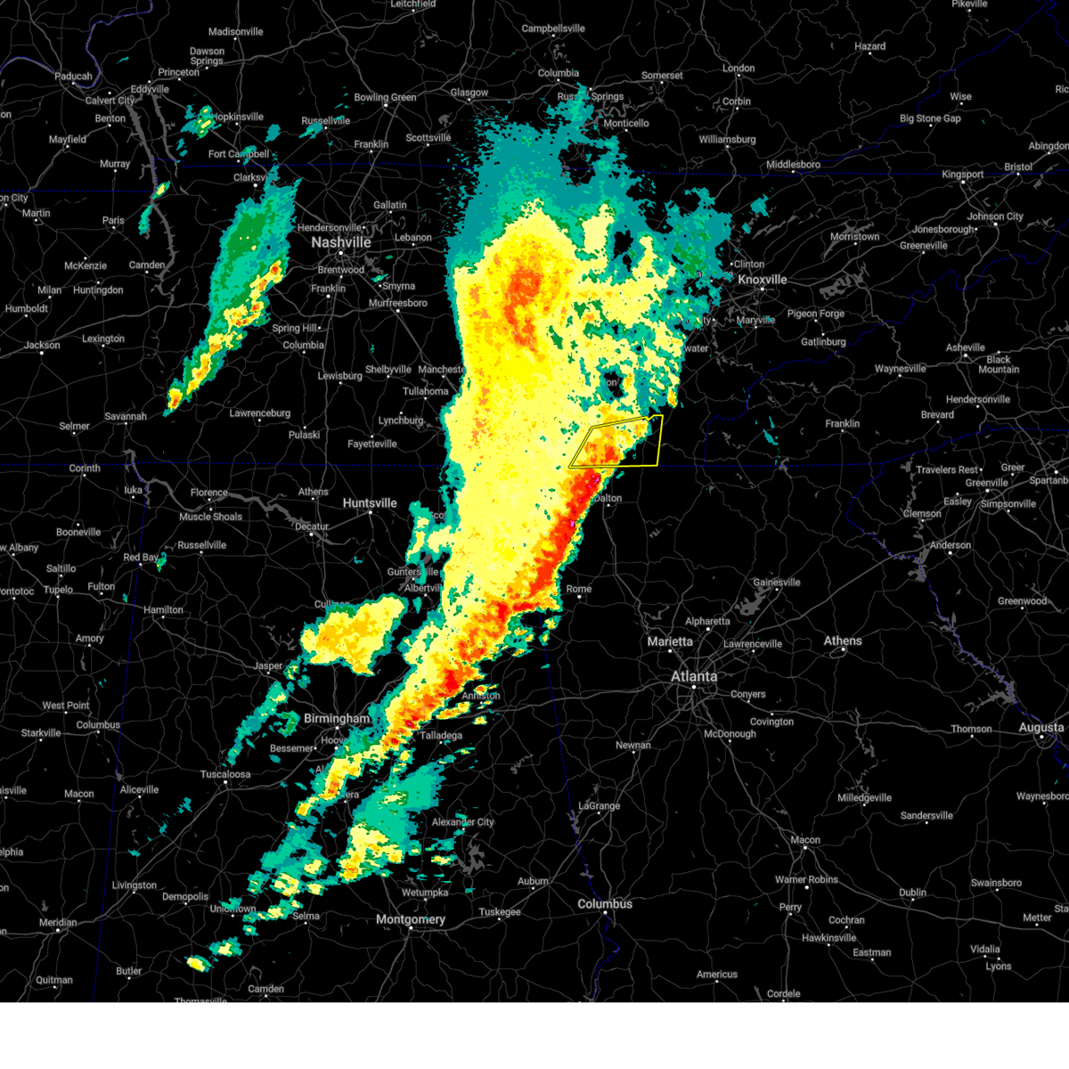
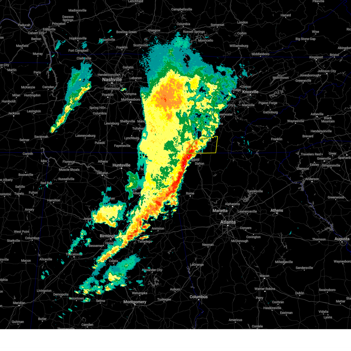
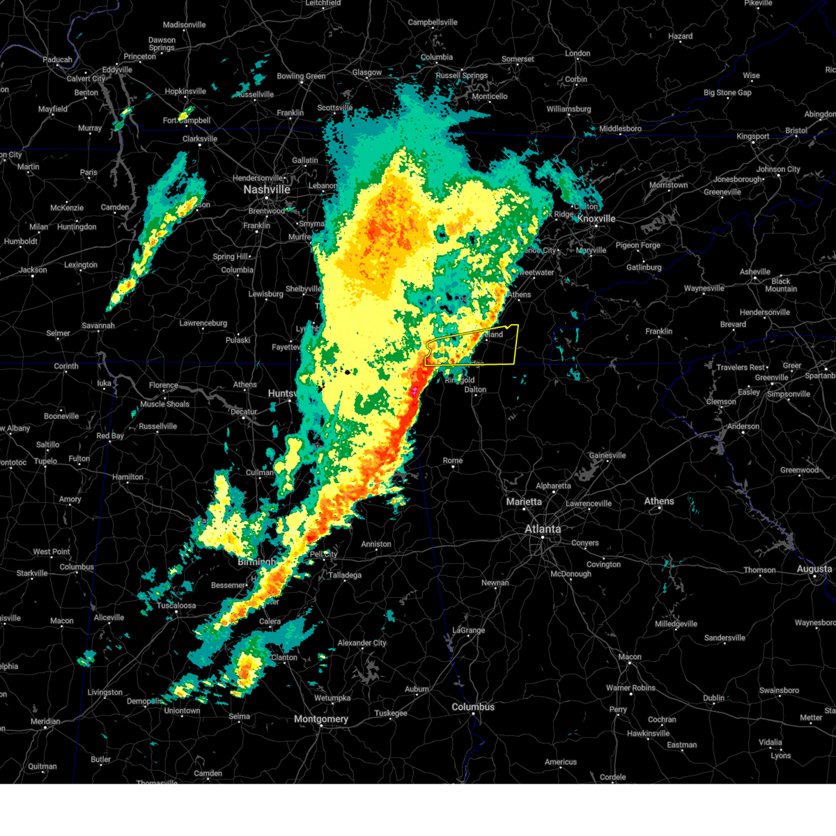
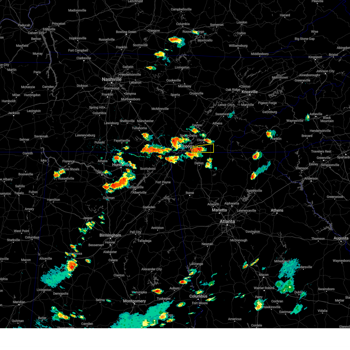
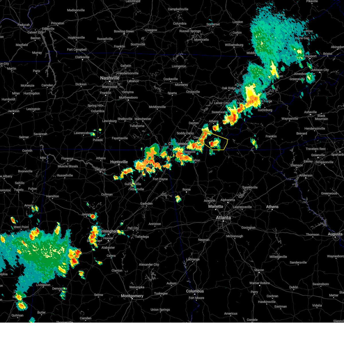
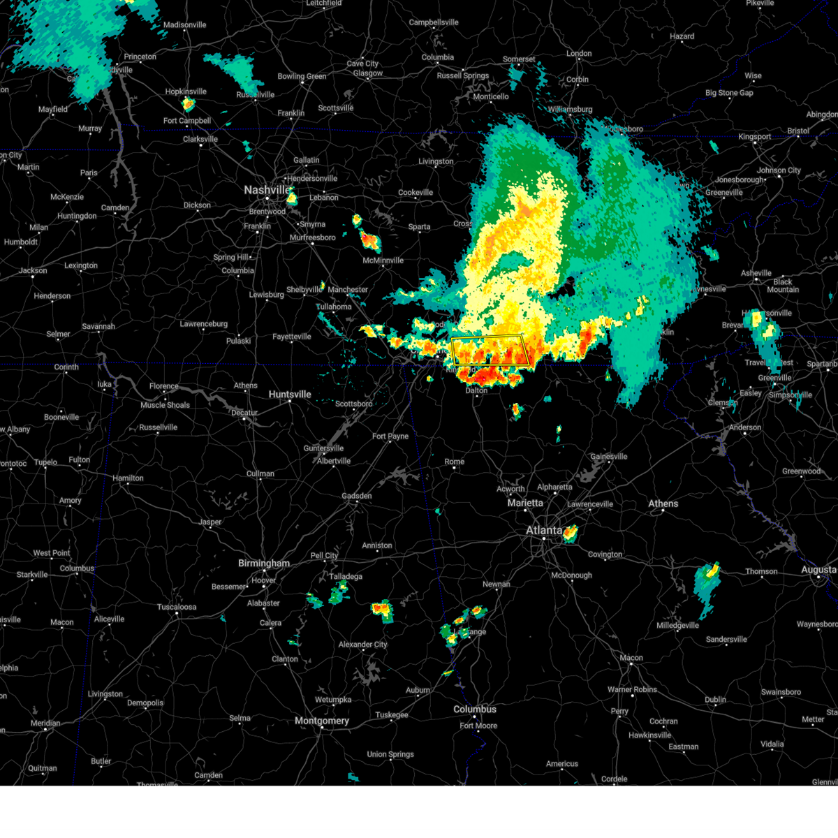
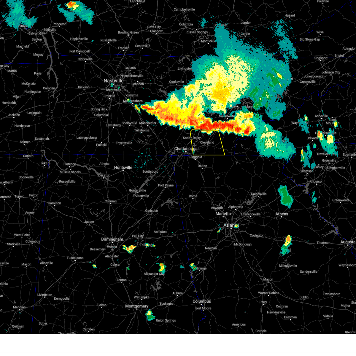
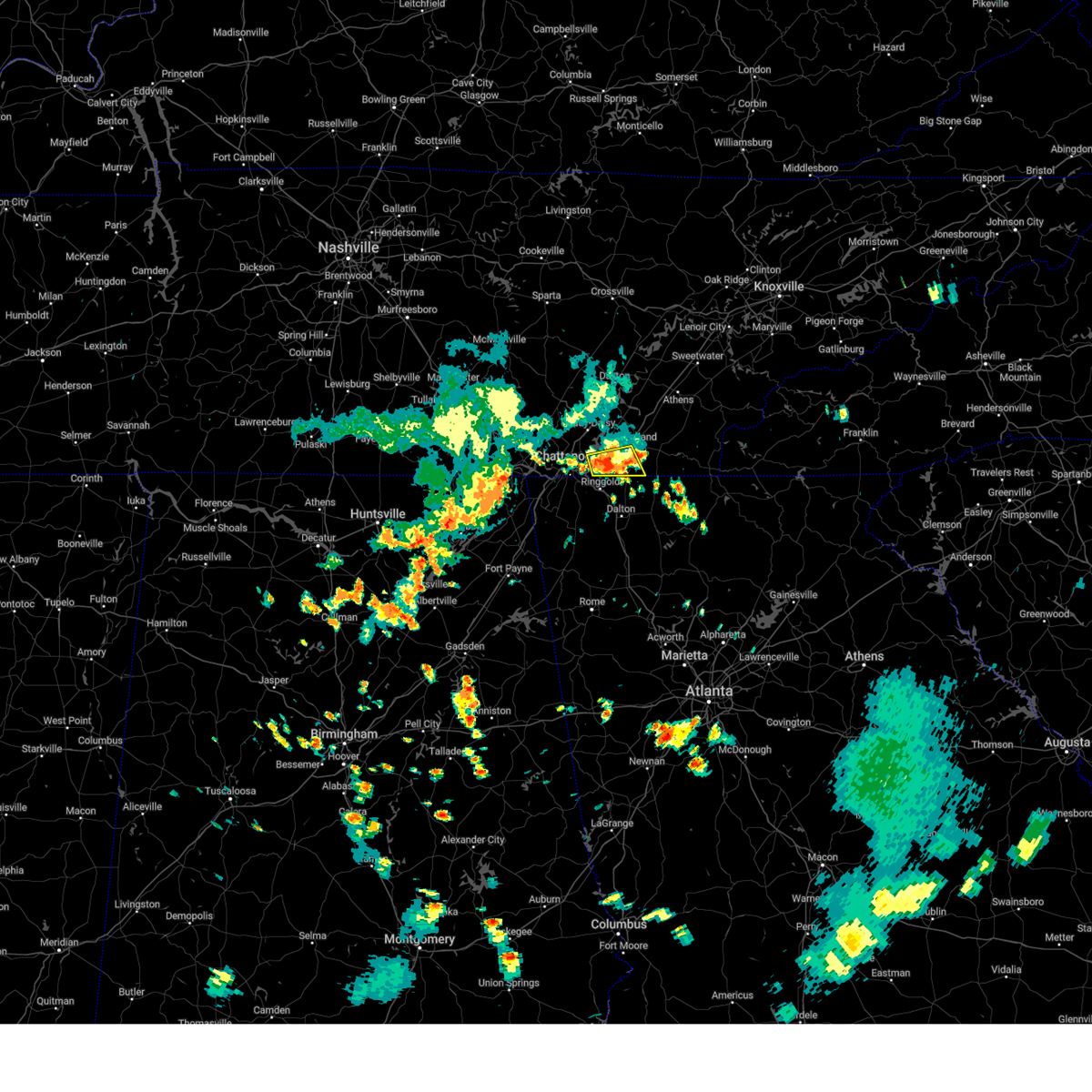
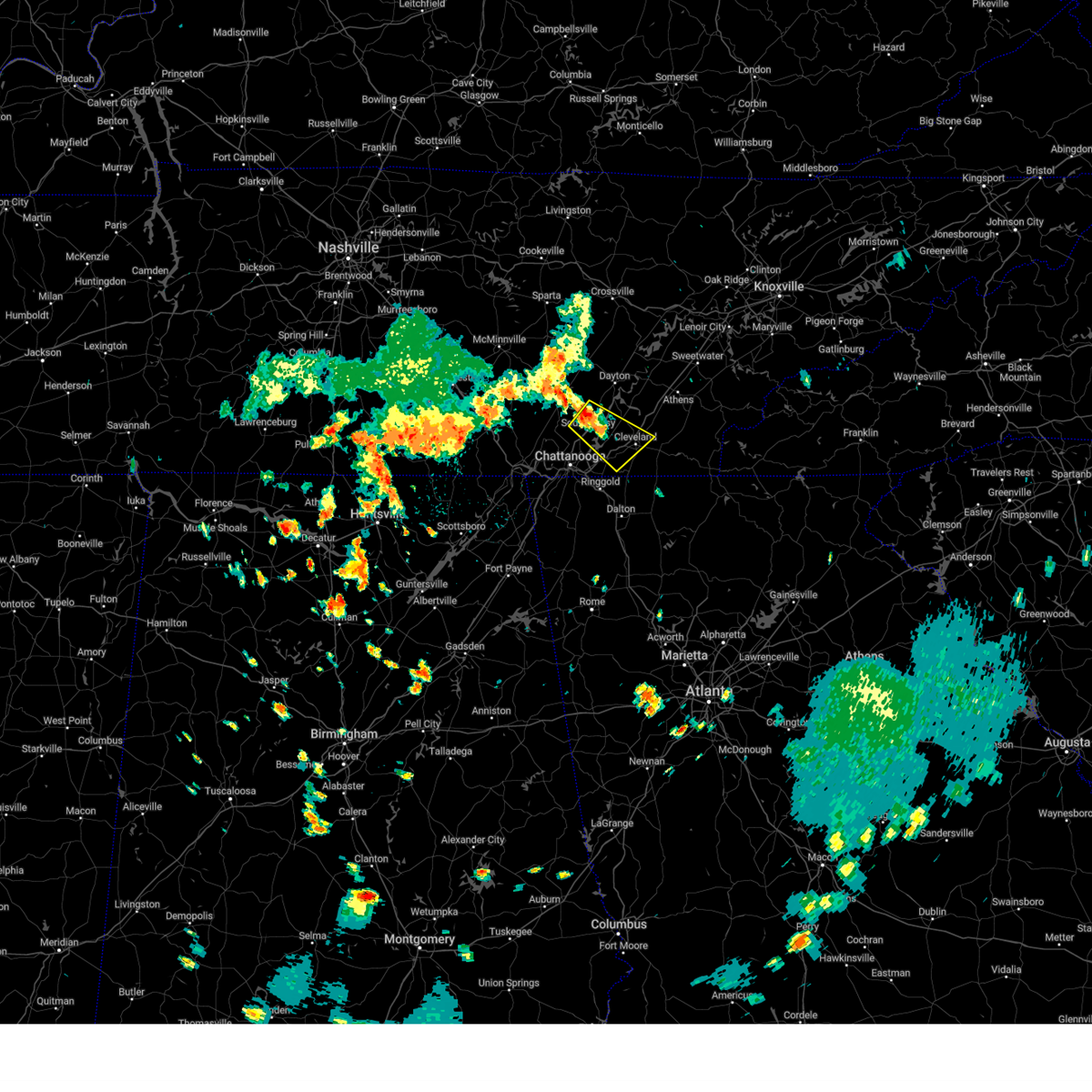
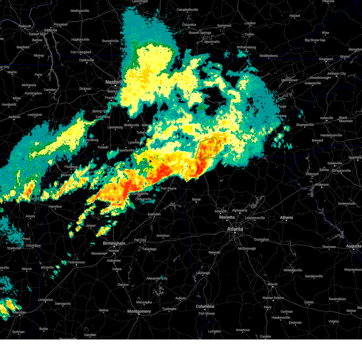
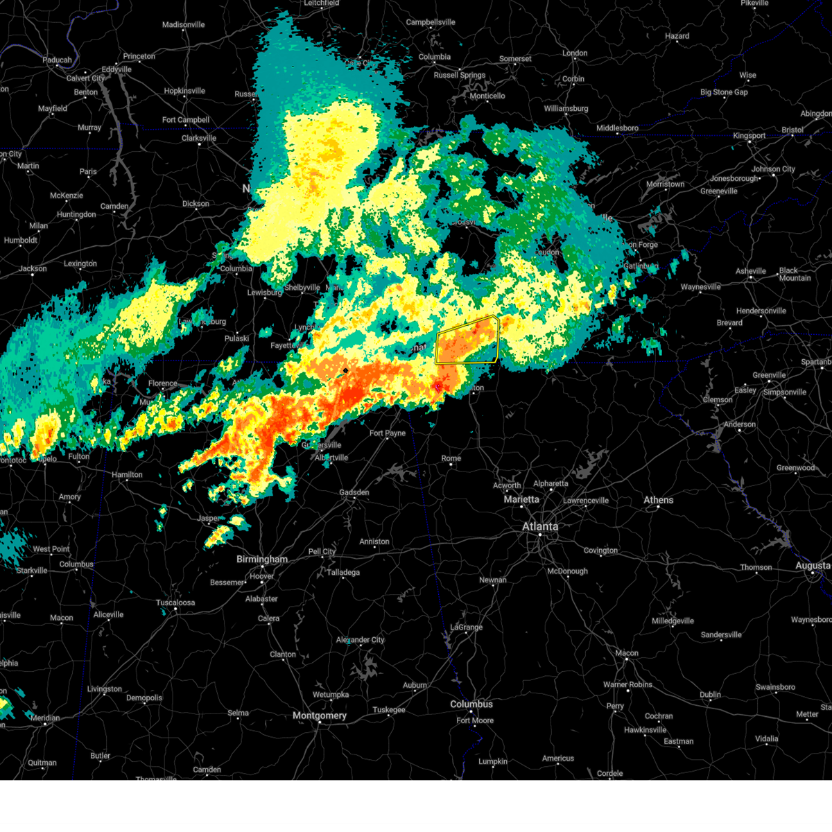
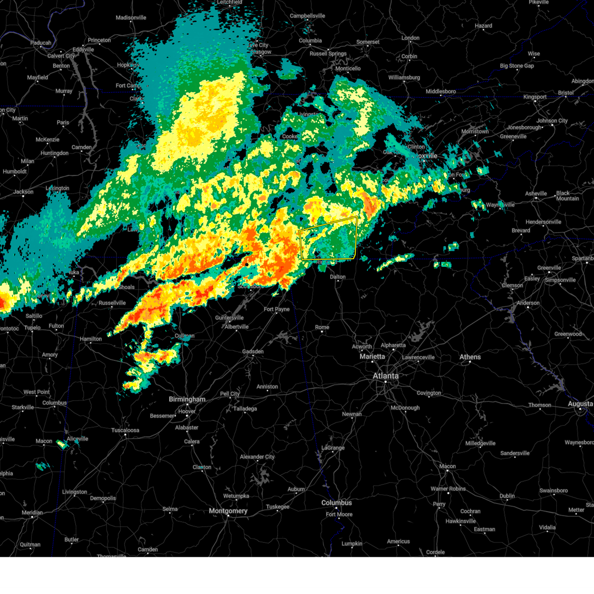
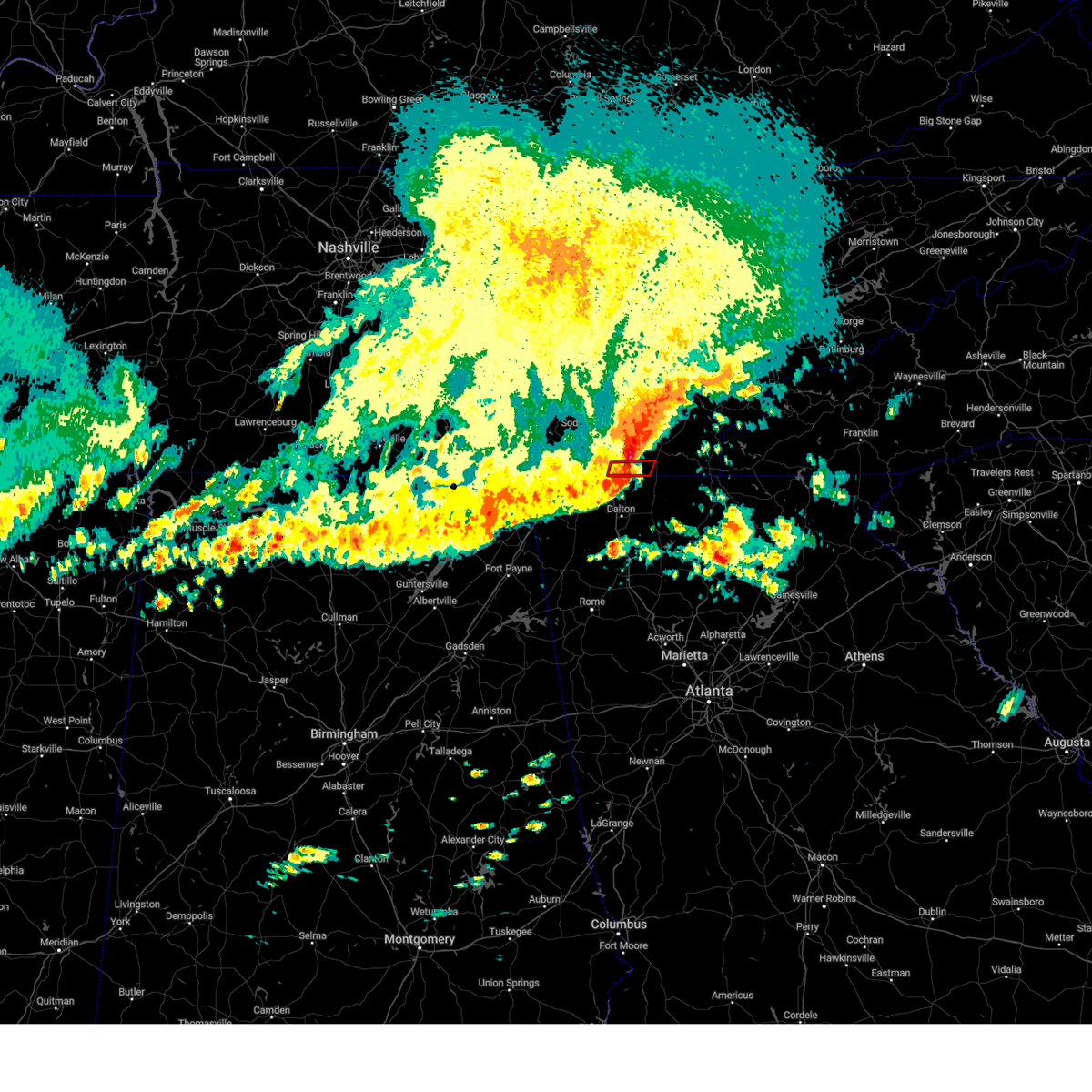
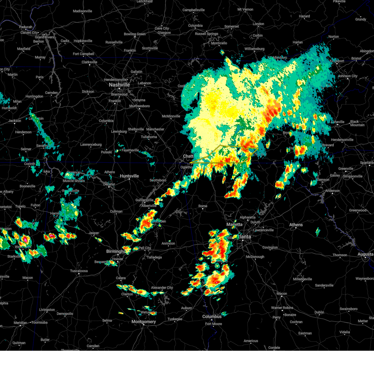
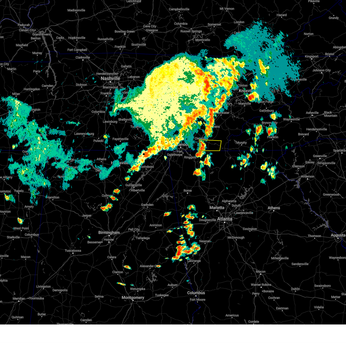
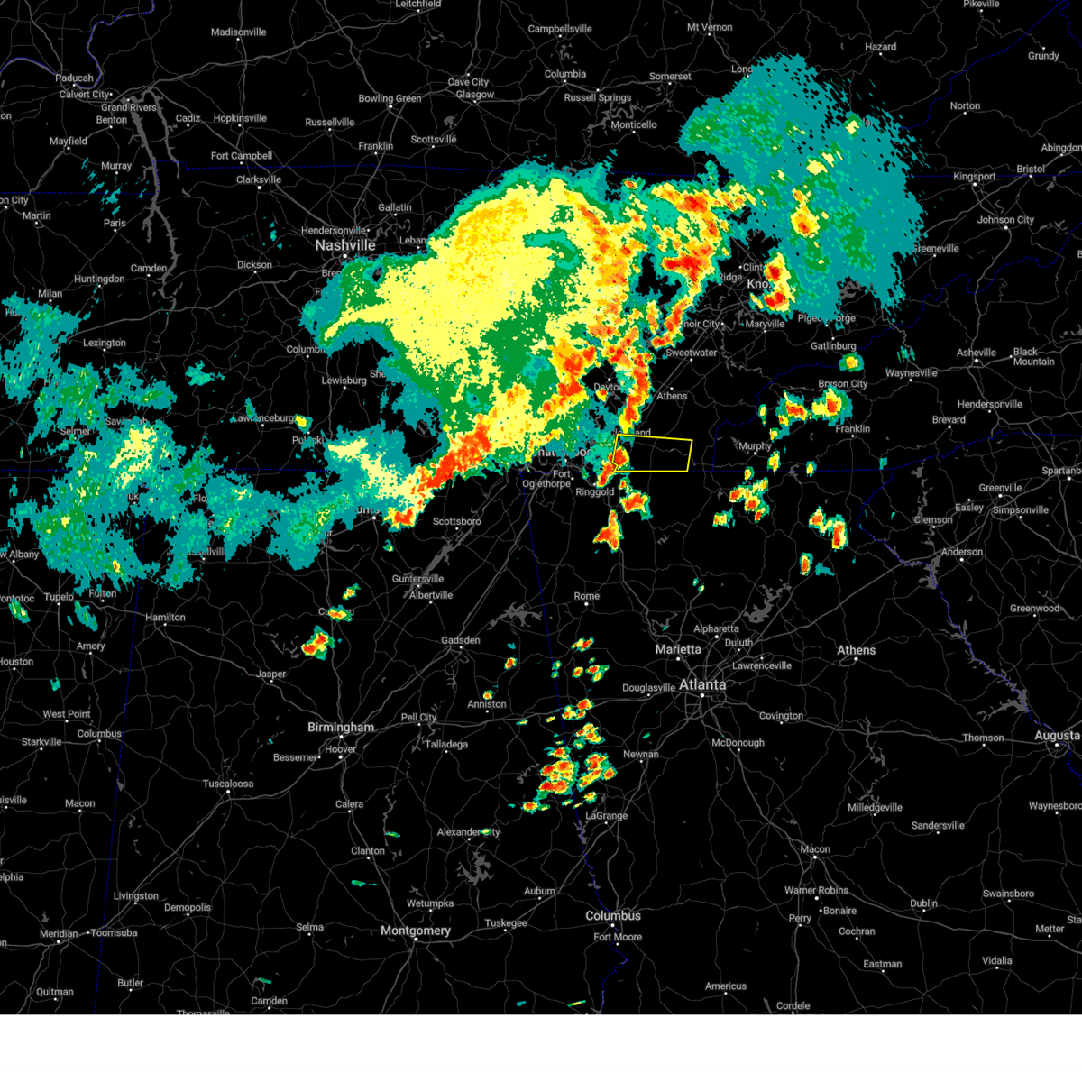
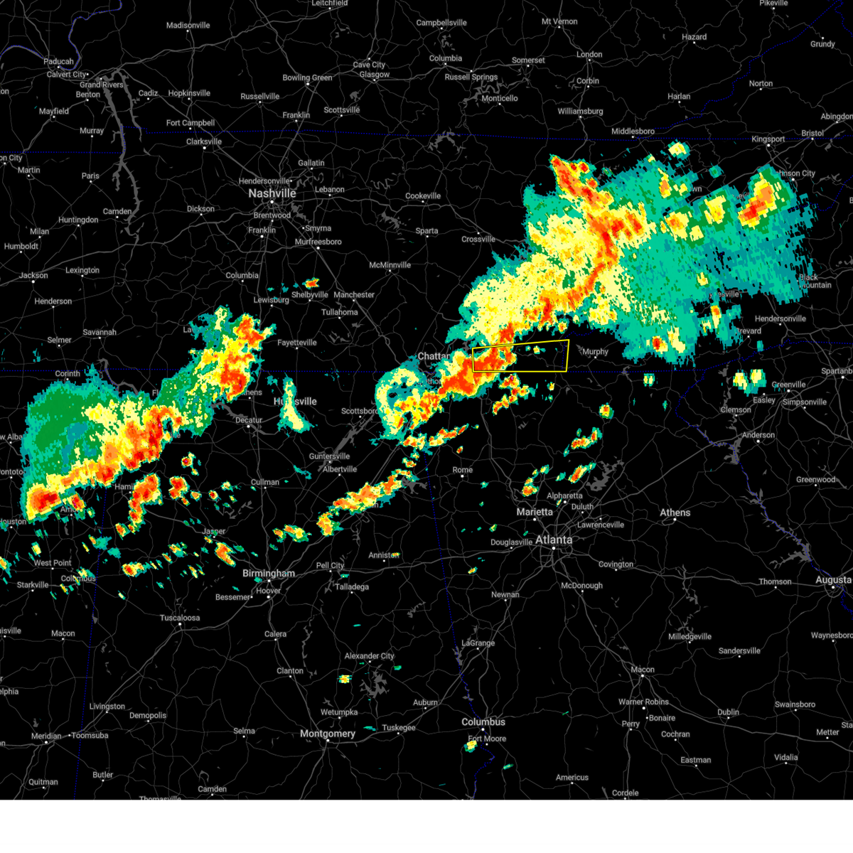
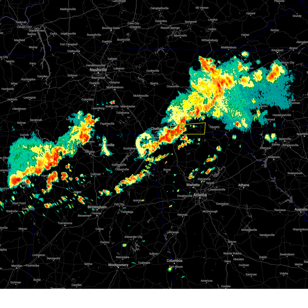
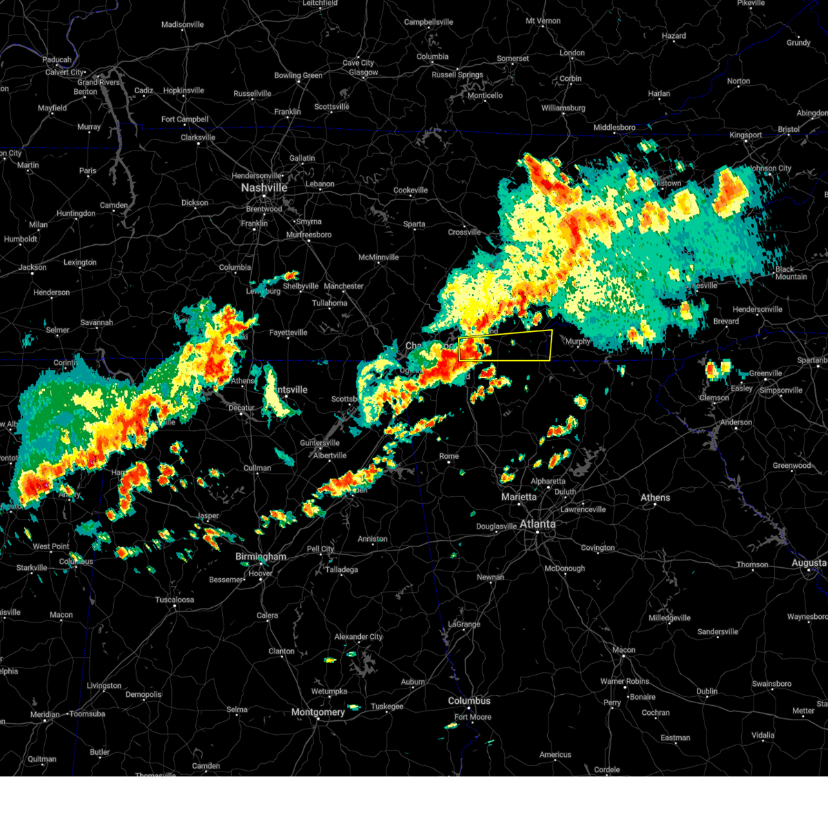
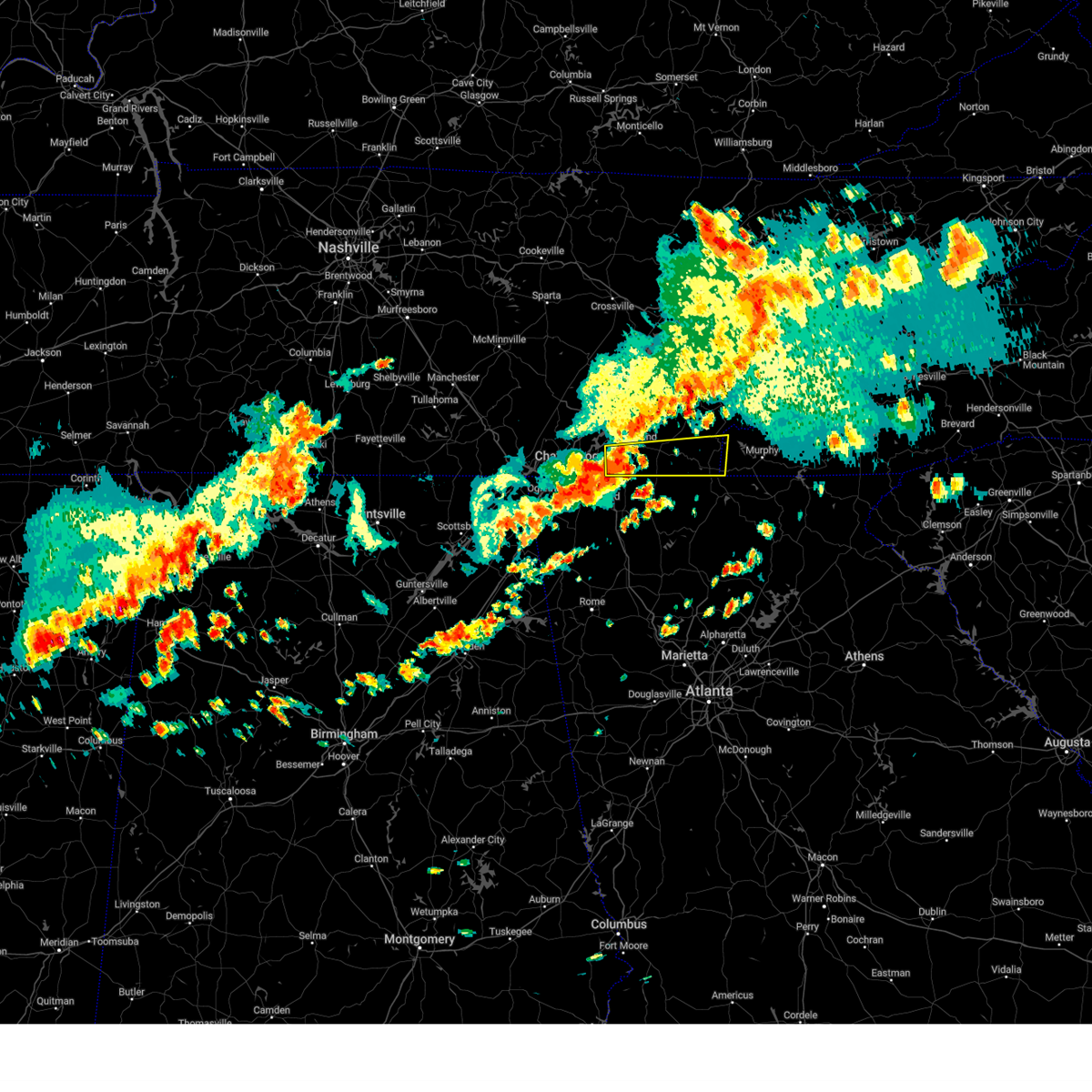
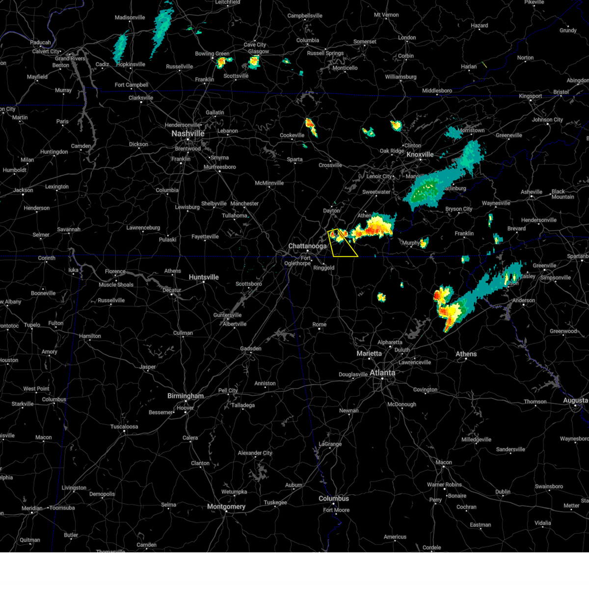
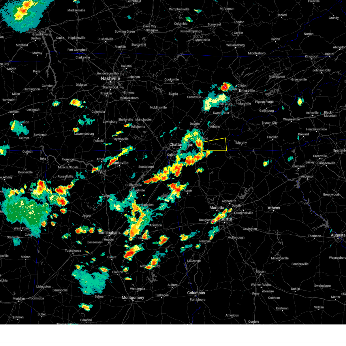
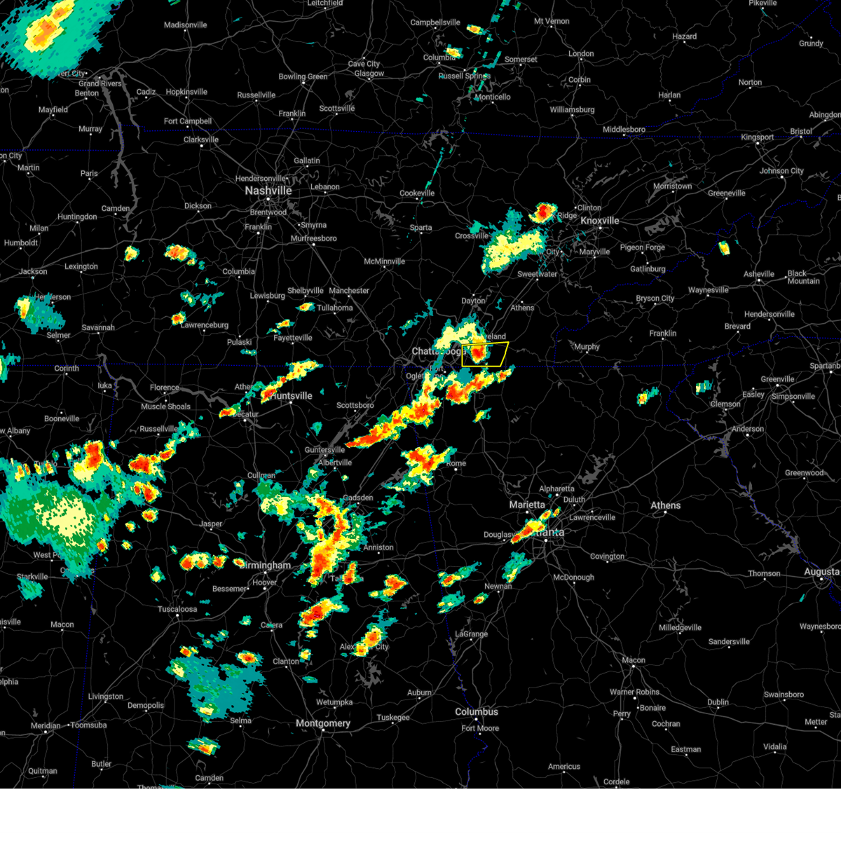
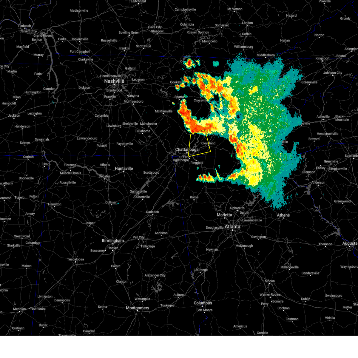
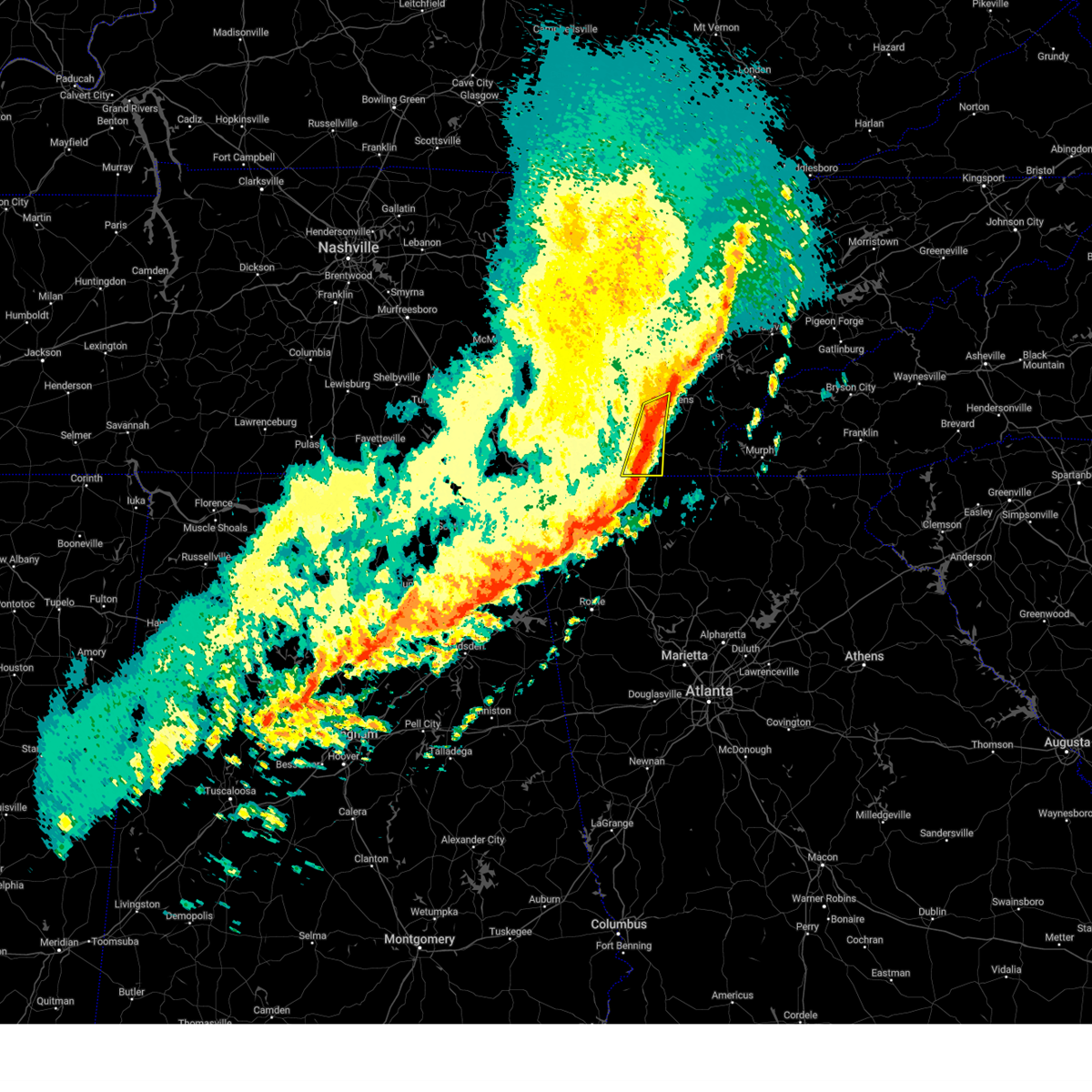
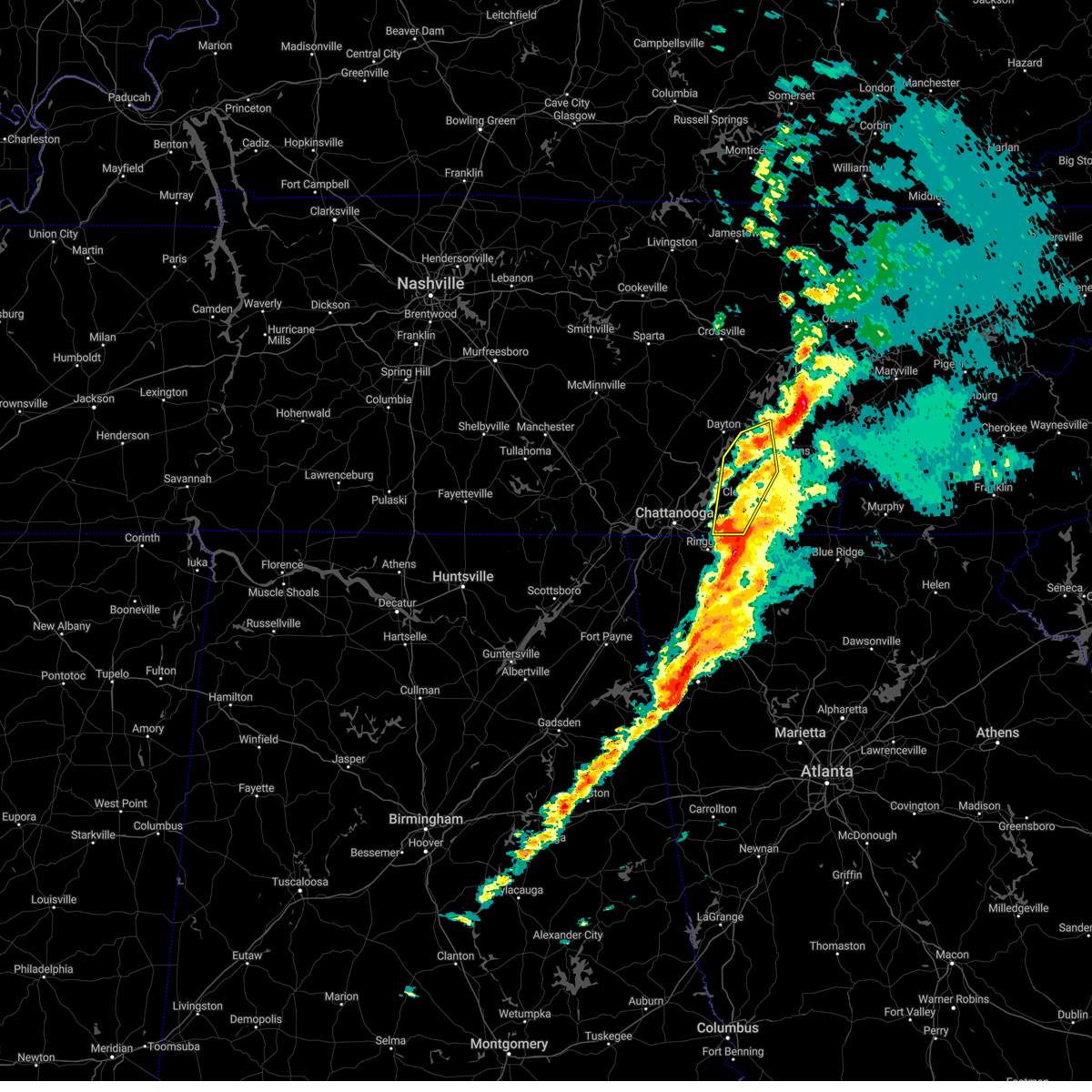
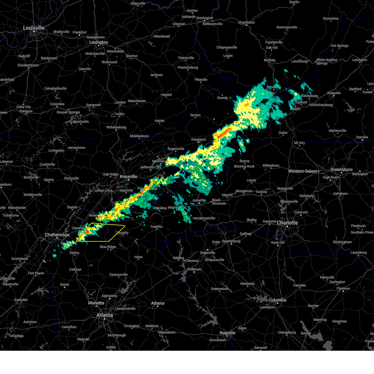
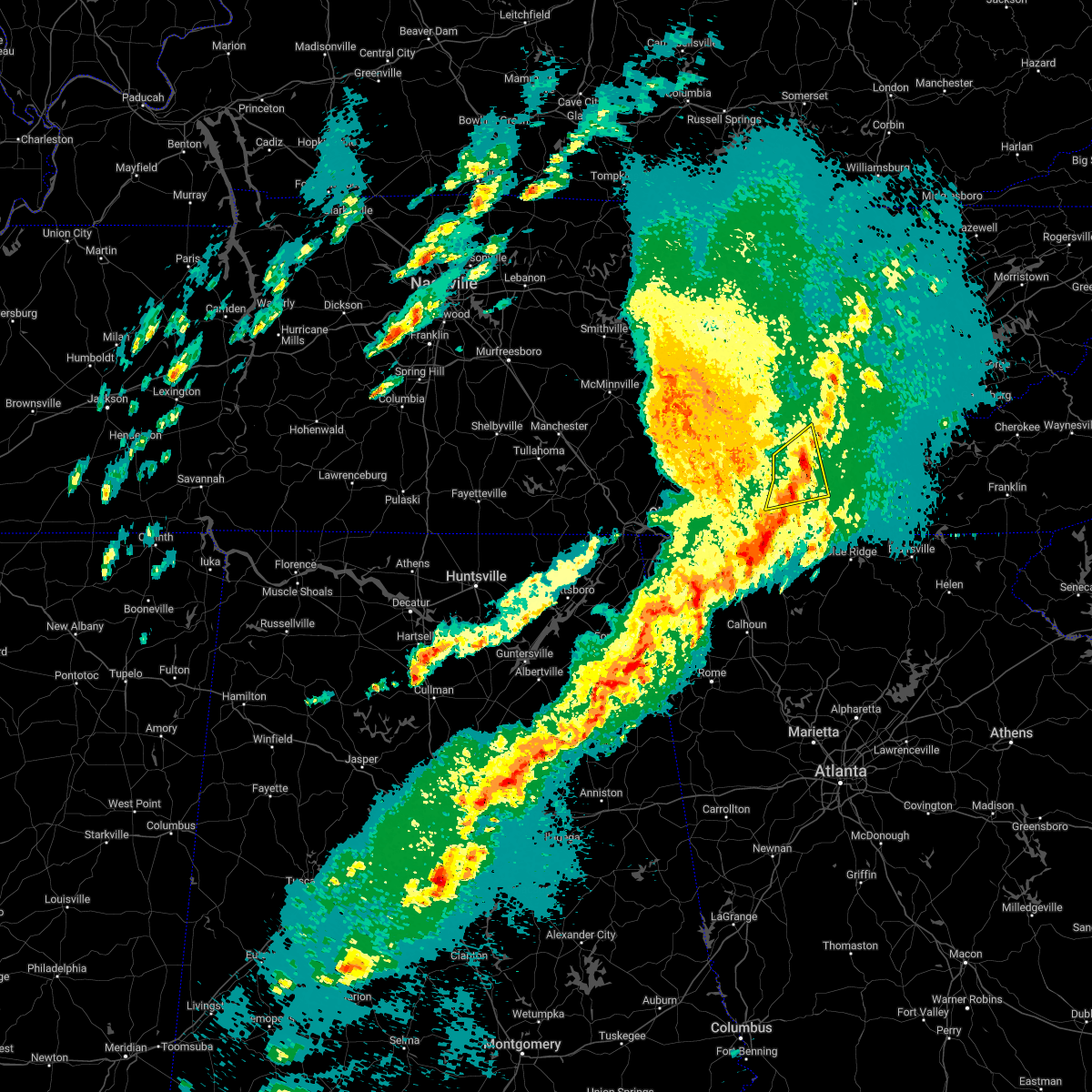
Hail Map for Wildwood Lake, TN
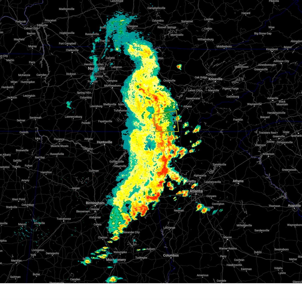
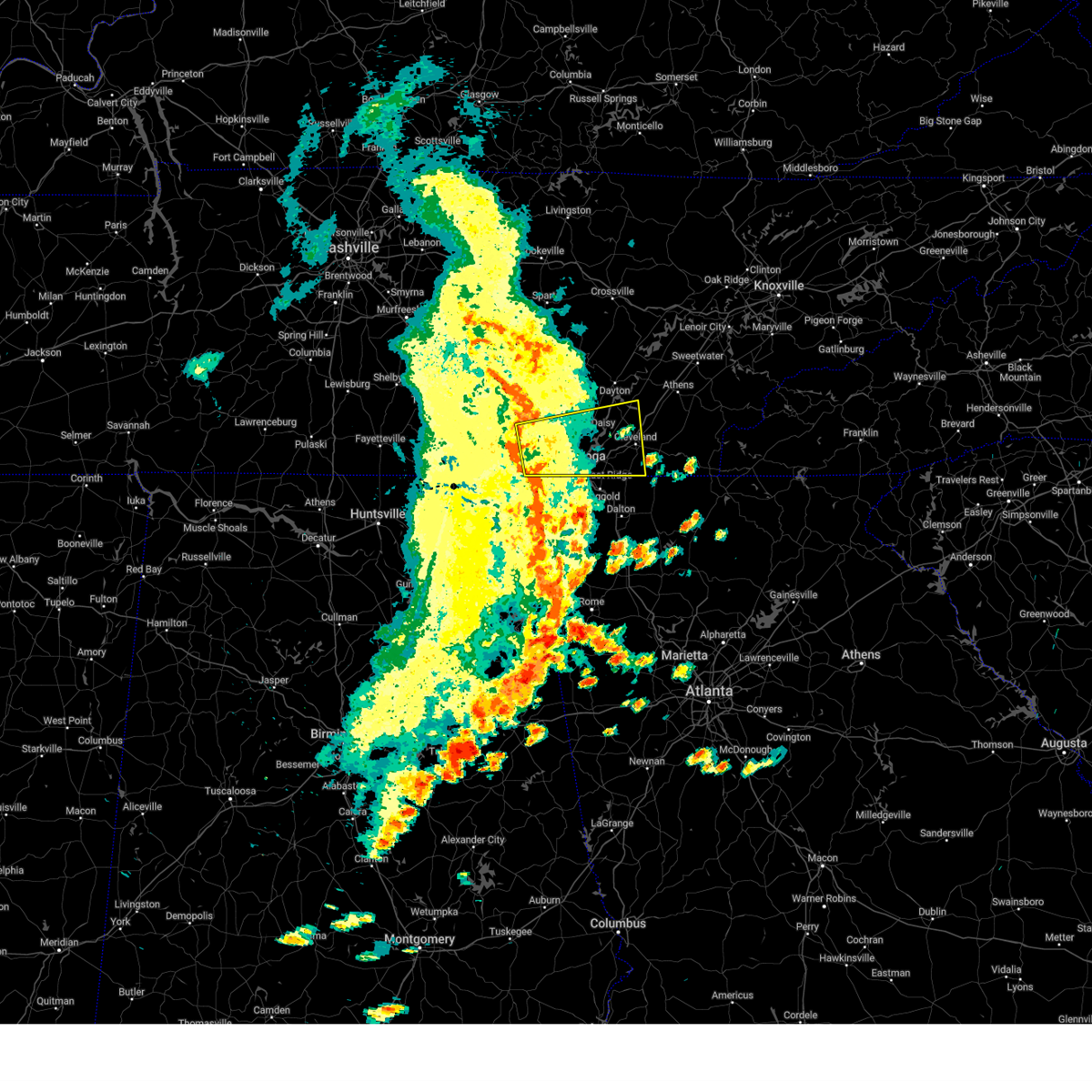
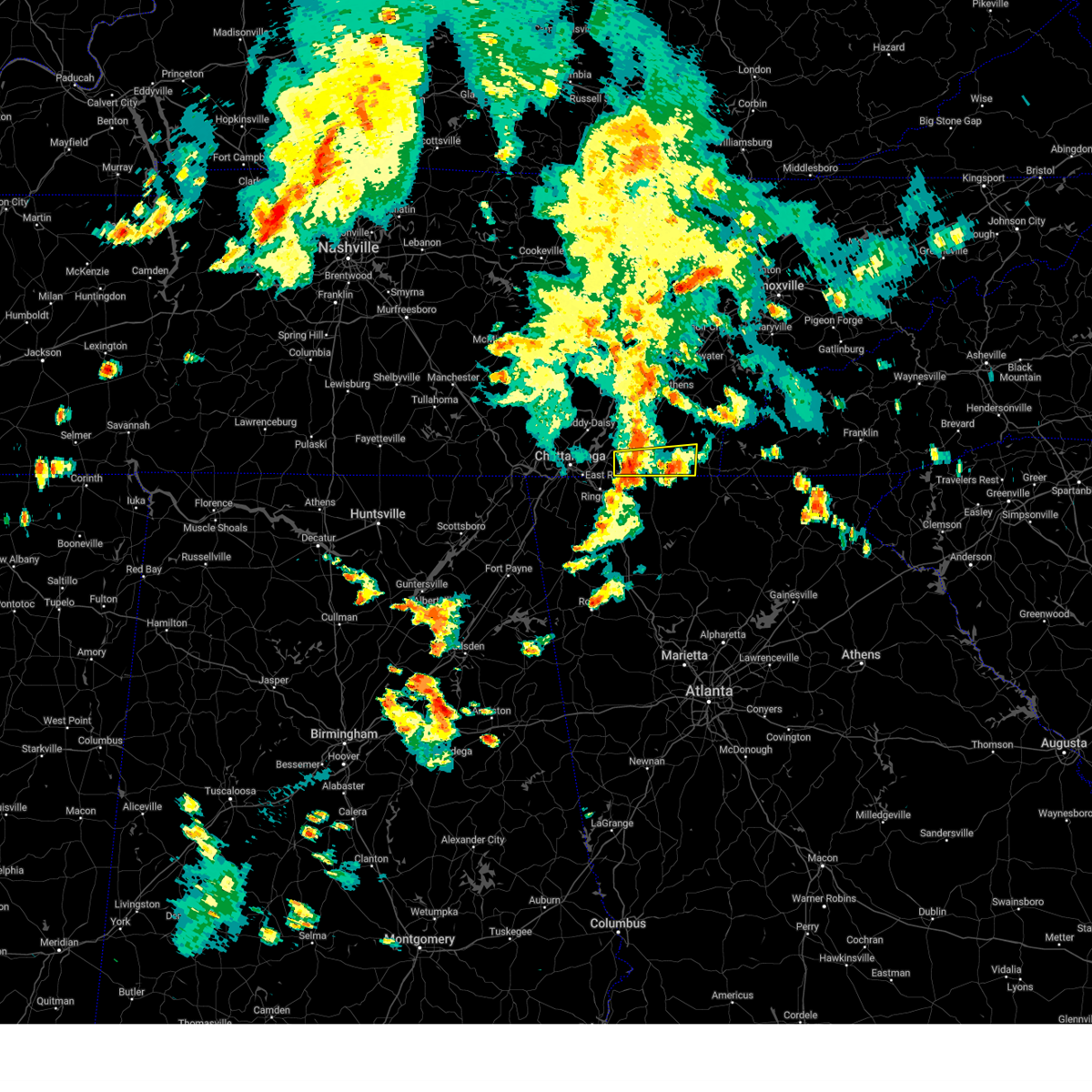
The Wildwood Lake, TN area has had 0 reports of on-the-ground hail by trained spotters, and has been under severe weather warnings 47 times during the past 12 months. Doppler radar has detected hail at or near Wildwood Lake, TN on 46 occasions, including 4 occasions during the past year.
| Name: | Wildwood Lake, TN |
| Where Located: | 26 miles E of Chattanooga, TN |
| Map: | Google Map for Wildwood Lake, TN |
| Population: | 3124 |
| Housing Units: | 1364 |
| More Info: | Search Google for Wildwood Lake, TN |
1
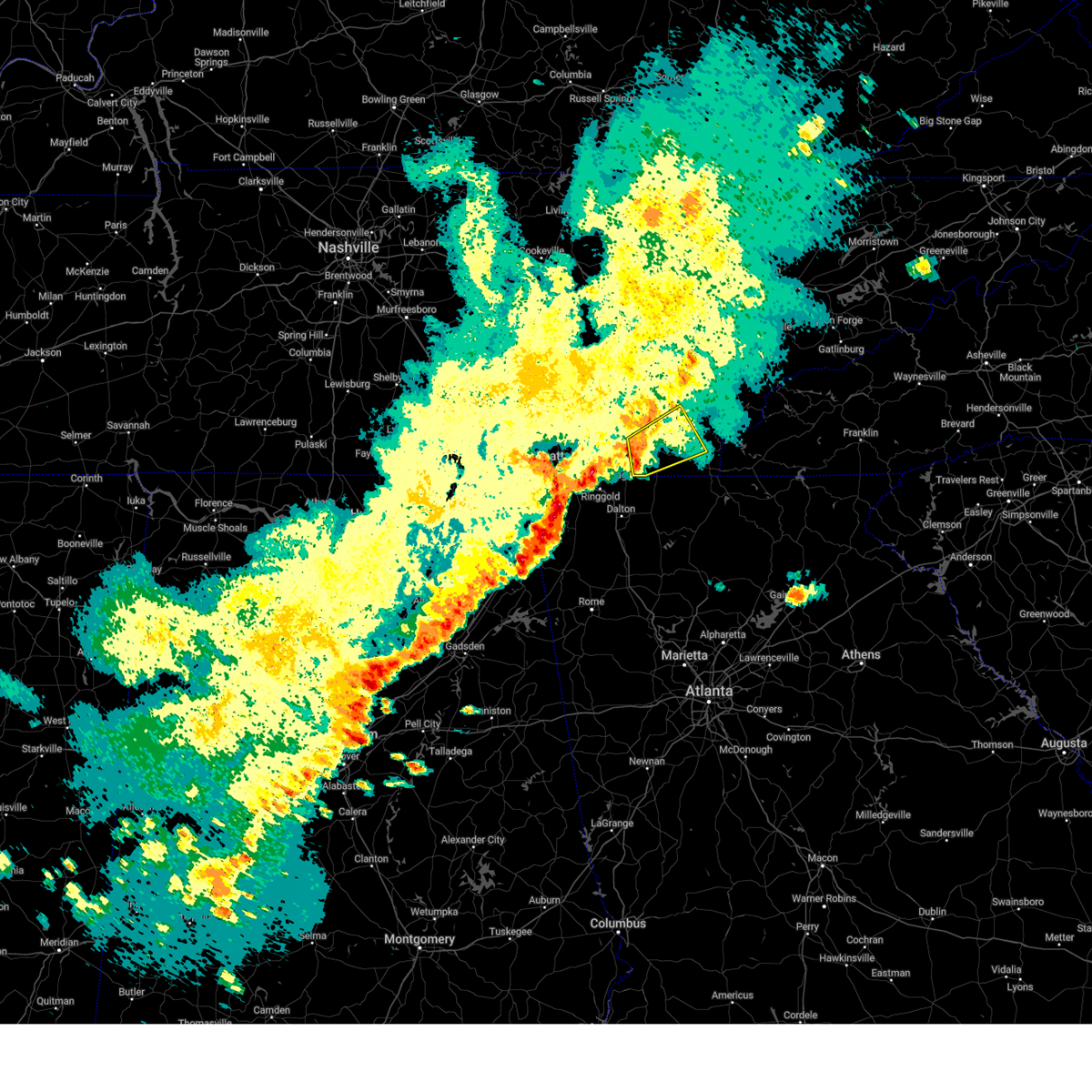
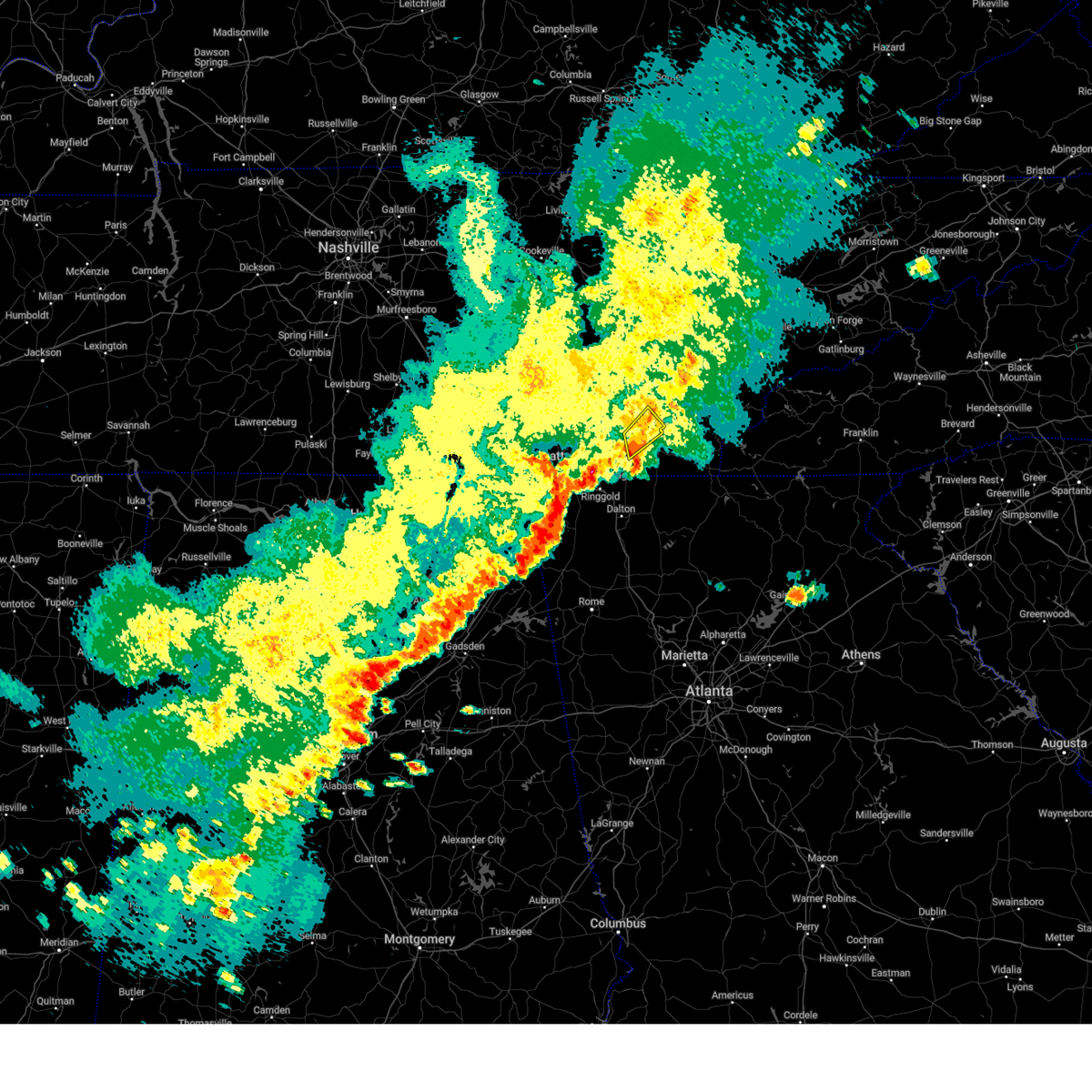
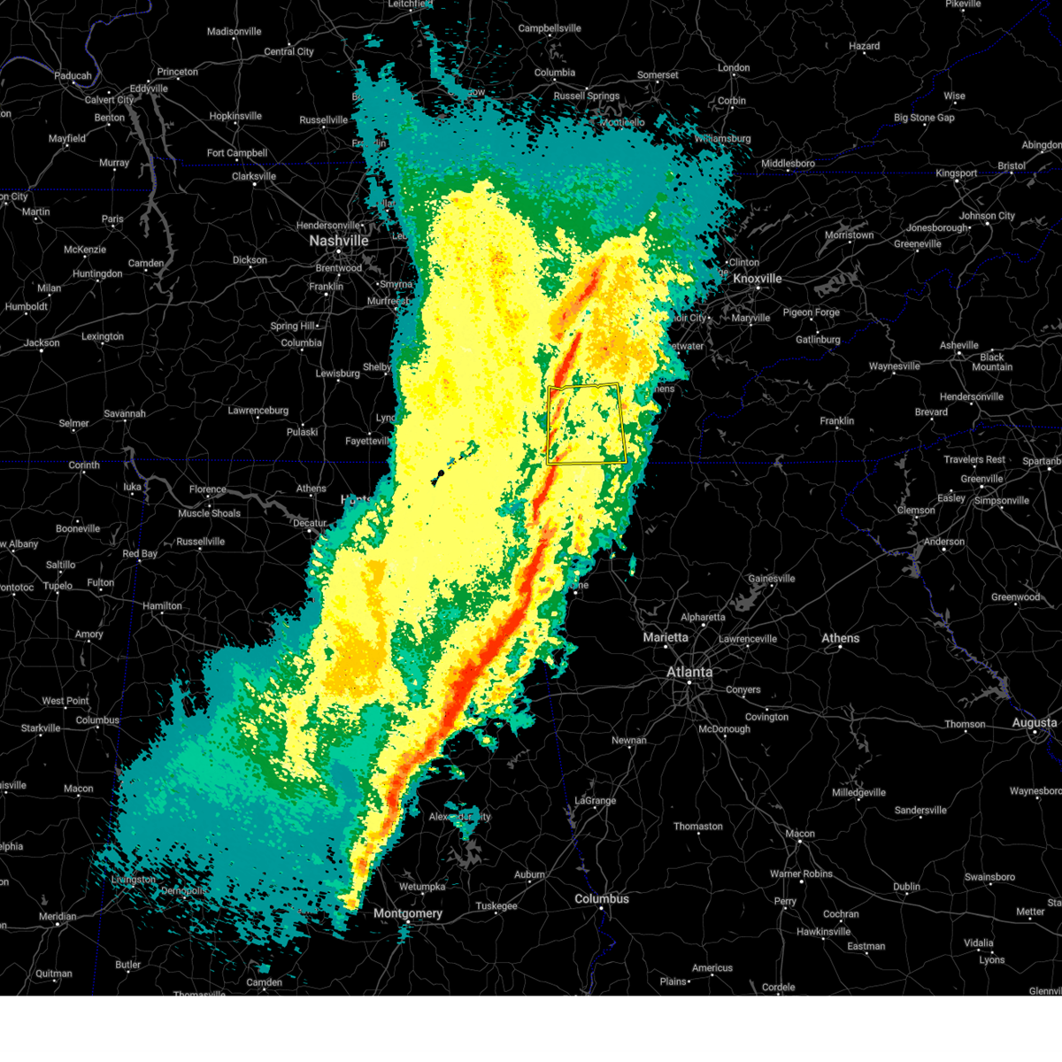
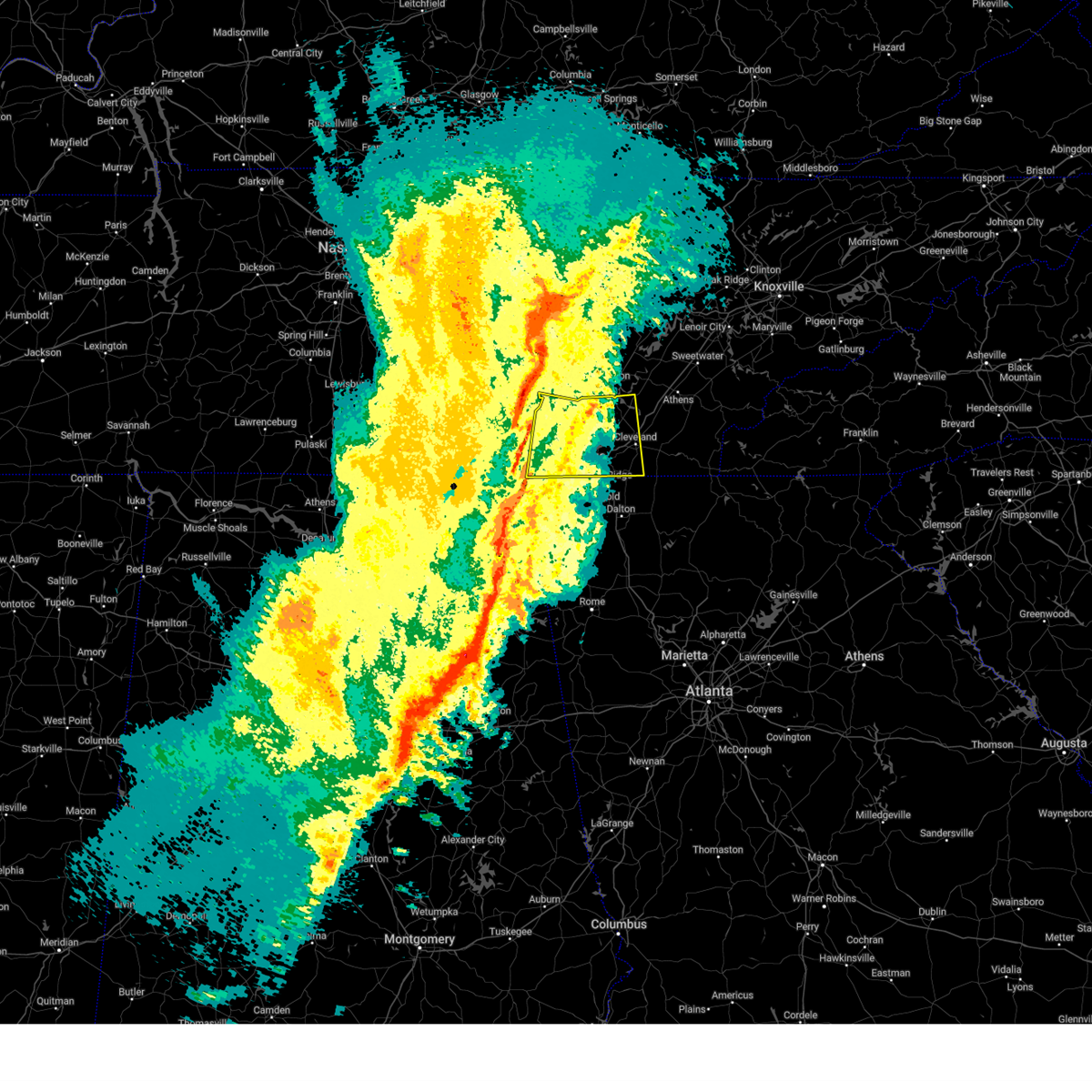
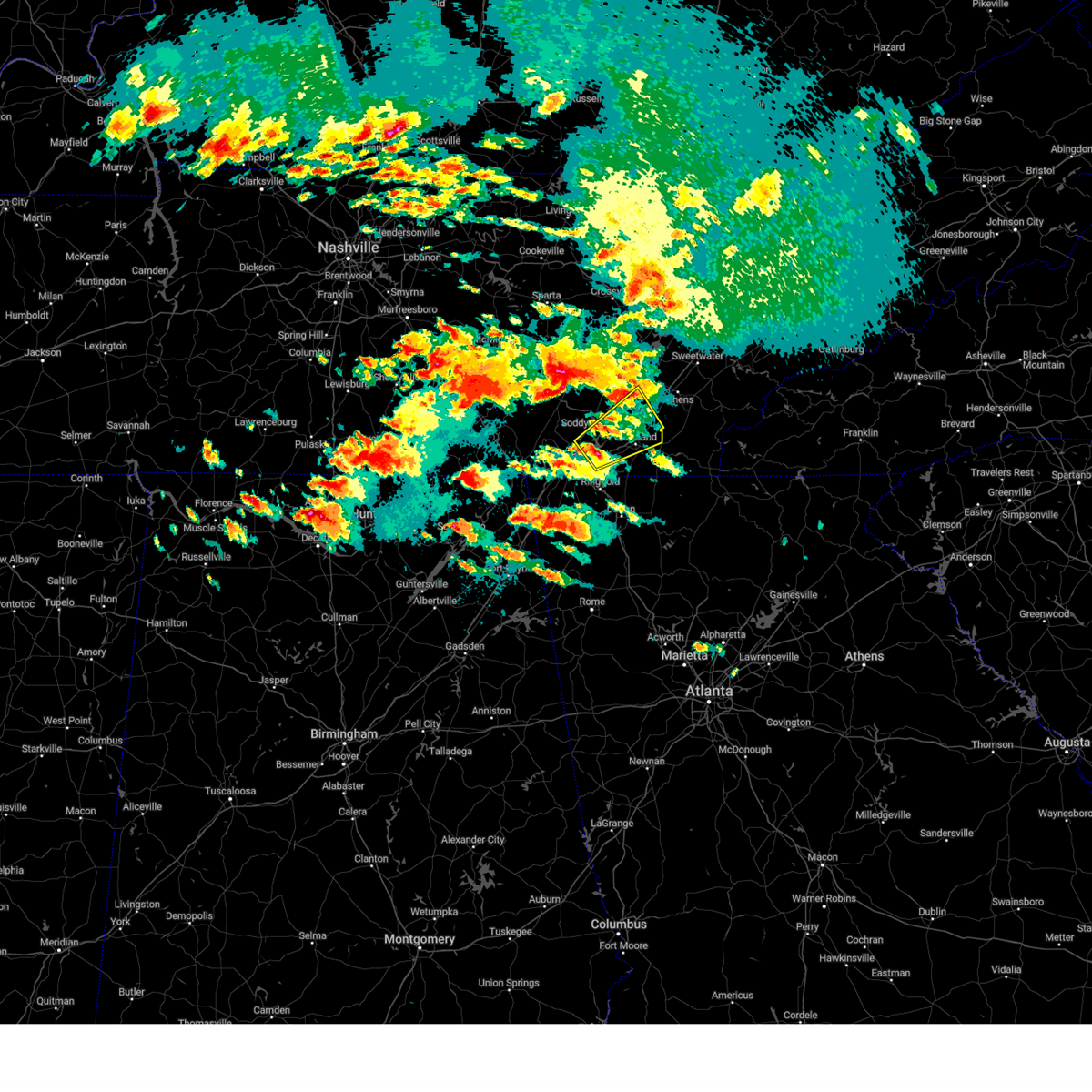
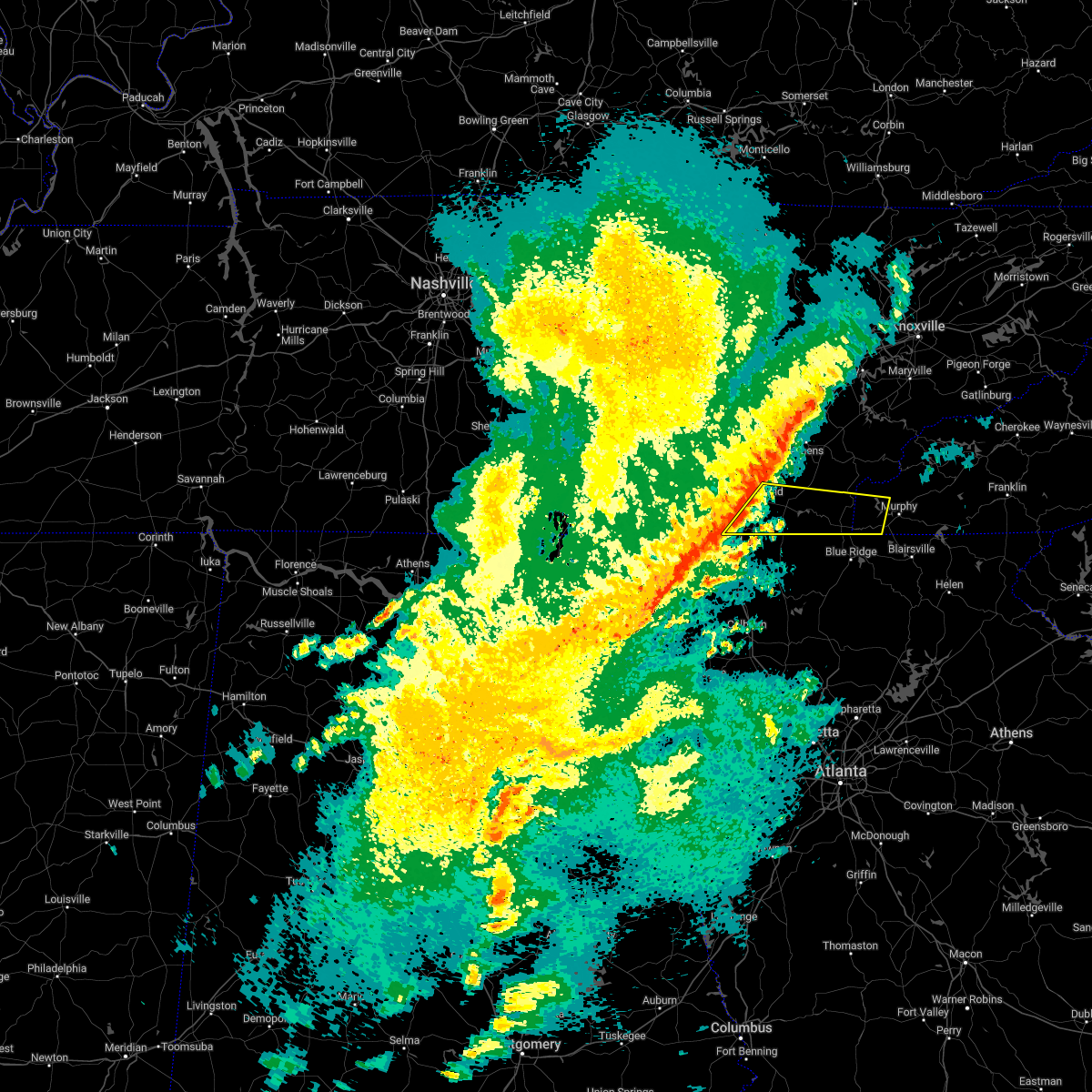
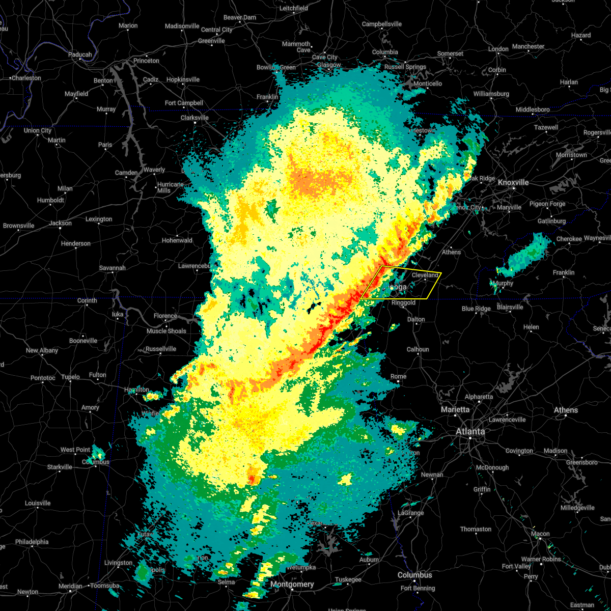
The Top Recent Hail Date for Wildwood Lake, TN is Friday, June 6, 2025 (18th out of 46)
Hail and Wind Damage Spotted near Wildwood Lake, TN
| Date / Time | Report Details |
|---|---|
| 7/4/2025 4:19 PM EDT |
 Svrmrx the national weather service in morristown has issued a * severe thunderstorm warning for, southeastern bradley county in east tennessee, western polk county in east tennessee, * until 500 pm edt. * at 418 pm edt, a severe thunderstorm was located 9 miles south of benton, moving west at 10 mph (radar indicated). Hazards include 60 mph wind gusts. expect damage to roofs, siding, and trees Svrmrx the national weather service in morristown has issued a * severe thunderstorm warning for, southeastern bradley county in east tennessee, western polk county in east tennessee, * until 500 pm edt. * at 418 pm edt, a severe thunderstorm was located 9 miles south of benton, moving west at 10 mph (radar indicated). Hazards include 60 mph wind gusts. expect damage to roofs, siding, and trees
|
| 6/7/2025 5:25 PM EDT |
 At 525 pm edt, a severe thunderstorm was located near benton, moving east at 65 mph (radar indicated). Hazards include 60 mph wind gusts. Expect damage to roofs, siding, and trees. locations impacted include, cleveland, benton, ducktown, east cleveland, wildwood lake, south cleveland, william l. davenport refuge, waterville, big frog mountain, and parksville. This includes interstate 75 in tennessee between mile markers 24 and 29. At 525 pm edt, a severe thunderstorm was located near benton, moving east at 65 mph (radar indicated). Hazards include 60 mph wind gusts. Expect damage to roofs, siding, and trees. locations impacted include, cleveland, benton, ducktown, east cleveland, wildwood lake, south cleveland, william l. davenport refuge, waterville, big frog mountain, and parksville. This includes interstate 75 in tennessee between mile markers 24 and 29.
|
| 6/7/2025 5:25 PM EDT |
 the severe thunderstorm warning has been cancelled and is no longer in effect the severe thunderstorm warning has been cancelled and is no longer in effect
|
| 6/7/2025 5:15 PM EDT | A tree was downed on hwy 225 at coffey church roa in murray county GA, 8.9 miles NNW of Wildwood Lake, TN |
| 6/7/2025 5:10 PM EDT |
 Svrmrx the national weather service in morristown has issued a * severe thunderstorm warning for, western cherokee county in southwestern north carolina, bradley county in east tennessee, polk county in east tennessee, southeastern mcminn county in east tennessee, southwestern monroe county in east tennessee, southeastern hamilton county in east tennessee, * until 600 pm edt. * at 510 pm edt, a severe thunderstorm was located over south cleveland, or near cleveland, moving east at 60 mph (radar indicated). Hazards include 60 mph wind gusts. expect damage to roofs, siding, and trees Svrmrx the national weather service in morristown has issued a * severe thunderstorm warning for, western cherokee county in southwestern north carolina, bradley county in east tennessee, polk county in east tennessee, southeastern mcminn county in east tennessee, southwestern monroe county in east tennessee, southeastern hamilton county in east tennessee, * until 600 pm edt. * at 510 pm edt, a severe thunderstorm was located over south cleveland, or near cleveland, moving east at 60 mph (radar indicated). Hazards include 60 mph wind gusts. expect damage to roofs, siding, and trees
|
| 6/7/2025 4:58 PM EDT |
 the severe thunderstorm warning has been cancelled and is no longer in effect the severe thunderstorm warning has been cancelled and is no longer in effect
|
| 6/7/2025 4:58 PM EDT |
 At 458 pm edt/358 pm cdt/, severe thunderstorms were located along a line extending from near soddy-daisy to near ridgeside, moving east at 50 mph (radar indicated). Hazards include 70 mph wind gusts. Expect considerable tree damage. damage is likely to mobile homes, roofs, and outbuildings. locations impacted include, chattanooga, cleveland, soddy-daisy, signal mountain, walden, lakesite, ridgeside, south cleveland, fairmount, and harrison. This includes interstate 75 in tennessee between mile markers 1 and 29. At 458 pm edt/358 pm cdt/, severe thunderstorms were located along a line extending from near soddy-daisy to near ridgeside, moving east at 50 mph (radar indicated). Hazards include 70 mph wind gusts. Expect considerable tree damage. damage is likely to mobile homes, roofs, and outbuildings. locations impacted include, chattanooga, cleveland, soddy-daisy, signal mountain, walden, lakesite, ridgeside, south cleveland, fairmount, and harrison. This includes interstate 75 in tennessee between mile markers 1 and 29.
|
| 6/7/2025 4:36 PM EDT |
 Svrmrx the national weather service in morristown has issued a * severe thunderstorm warning for, bradley county in east tennessee, southwestern meigs county in east tennessee, southern sequatchie county in east tennessee, eastern marion county in east tennessee, hamilton county in east tennessee, * until 515 pm edt/415 pm cdt/. * at 435 pm edt/335 pm cdt/, severe thunderstorms were located along a line extending from 6 miles northwest of whitwell to near trenton, moving east at 50 mph. these are destructive storms for the chattanooga metro area (radar indicated). Hazards include 80 mph wind gusts. Flying debris will be dangerous to those caught without shelter. mobile homes will be heavily damaged. expect considerable damage to roofs, windows, and vehicles. Extensive tree damage and power outages are likely. Svrmrx the national weather service in morristown has issued a * severe thunderstorm warning for, bradley county in east tennessee, southwestern meigs county in east tennessee, southern sequatchie county in east tennessee, eastern marion county in east tennessee, hamilton county in east tennessee, * until 515 pm edt/415 pm cdt/. * at 435 pm edt/335 pm cdt/, severe thunderstorms were located along a line extending from 6 miles northwest of whitwell to near trenton, moving east at 50 mph. these are destructive storms for the chattanooga metro area (radar indicated). Hazards include 80 mph wind gusts. Flying debris will be dangerous to those caught without shelter. mobile homes will be heavily damaged. expect considerable damage to roofs, windows, and vehicles. Extensive tree damage and power outages are likely.
|
| 6/6/2025 7:12 PM EDT | the severe thunderstorm warning has been cancelled and is no longer in effect |
| 6/6/2025 6:39 PM EDT |
 Svrmrx the national weather service in morristown has issued a * severe thunderstorm warning for, southern bradley county in east tennessee, southwestern polk county in east tennessee, southeastern hamilton county in east tennessee, * until 730 pm edt. * at 639 pm edt, a severe thunderstorm was located near wildwood lake, or 8 miles south of cleveland, moving east at 35 mph (radar indicated). Hazards include 60 mph wind gusts and quarter size hail. Hail damage to vehicles is expected. Expect wind damage to roofs, siding, and trees. Svrmrx the national weather service in morristown has issued a * severe thunderstorm warning for, southern bradley county in east tennessee, southwestern polk county in east tennessee, southeastern hamilton county in east tennessee, * until 730 pm edt. * at 639 pm edt, a severe thunderstorm was located near wildwood lake, or 8 miles south of cleveland, moving east at 35 mph (radar indicated). Hazards include 60 mph wind gusts and quarter size hail. Hail damage to vehicles is expected. Expect wind damage to roofs, siding, and trees.
|
| 6/6/2025 6:19 PM EDT |
 At 619 pm edt, a severe thunderstorm was located near benton, moving east at 20 mph (radar indicated). Hazards include 60 mph wind gusts and quarter size hail. Hail damage to vehicles is expected. expect wind damage to roofs, siding, and trees. Locations impacted include, cleveland, east cleveland, wildwood lake, conasauga, and gap springs. At 619 pm edt, a severe thunderstorm was located near benton, moving east at 20 mph (radar indicated). Hazards include 60 mph wind gusts and quarter size hail. Hail damage to vehicles is expected. expect wind damage to roofs, siding, and trees. Locations impacted include, cleveland, east cleveland, wildwood lake, conasauga, and gap springs.
|
| 6/6/2025 6:19 PM EDT |
 the severe thunderstorm warning has been cancelled and is no longer in effect the severe thunderstorm warning has been cancelled and is no longer in effect
|
| 6/6/2025 5:39 PM EDT |
 Svrmrx the national weather service in morristown has issued a * severe thunderstorm warning for, bradley county in east tennessee, southwestern polk county in east tennessee, southeastern hamilton county in east tennessee, * until 630 pm edt. * at 538 pm edt, a severe thunderstorm was located over south cleveland, or 7 miles southwest of cleveland, moving east at 20 mph (radar indicated). Hazards include 60 mph wind gusts and quarter size hail. Hail damage to vehicles is expected. Expect wind damage to roofs, siding, and trees. Svrmrx the national weather service in morristown has issued a * severe thunderstorm warning for, bradley county in east tennessee, southwestern polk county in east tennessee, southeastern hamilton county in east tennessee, * until 630 pm edt. * at 538 pm edt, a severe thunderstorm was located over south cleveland, or 7 miles southwest of cleveland, moving east at 20 mph (radar indicated). Hazards include 60 mph wind gusts and quarter size hail. Hail damage to vehicles is expected. Expect wind damage to roofs, siding, and trees.
|
| 5/25/2025 6:48 PM EDT | the severe thunderstorm warning has been cancelled and is no longer in effect |
| 5/25/2025 6:36 PM EDT | At 636 pm edt, severe thunderstorms were located along a line extending from lakesite to near harrison to near ringgold, moving east at 45 mph (radar indicated). Hazards include 60 mph wind gusts and penny size hail. Expect damage to roofs, siding, and trees. locations impacted include, chattanooga, waterville, east brainerd, south cleveland, hopewell, lakesite, red clay state park, harrison bay state park, flint springs, and collegedale. This includes interstate 75 in tennessee between mile markers 1 and 29. |
| 5/25/2025 6:24 PM EDT |
 At 623 pm edt, severe thunderstorms were located along a line extending from near walden to chattanooga to rossville, moving east at 45 mph (radar indicated). Hazards include 60 mph wind gusts and penny size hail. Expect damage to roofs, siding, and trees. locations impacted include, waterville, south cleveland, lookout mountain, lakesite, red clay state park, flint springs, collegedale, east ridge, cleveland, and ooltewah. This includes interstate 75 in tennessee between mile markers 1 and 29. At 623 pm edt, severe thunderstorms were located along a line extending from near walden to chattanooga to rossville, moving east at 45 mph (radar indicated). Hazards include 60 mph wind gusts and penny size hail. Expect damage to roofs, siding, and trees. locations impacted include, waterville, south cleveland, lookout mountain, lakesite, red clay state park, flint springs, collegedale, east ridge, cleveland, and ooltewah. This includes interstate 75 in tennessee between mile markers 1 and 29.
|
| 5/25/2025 6:24 PM EDT |
 the severe thunderstorm warning has been cancelled and is no longer in effect the severe thunderstorm warning has been cancelled and is no longer in effect
|
| 5/25/2025 6:12 PM EDT | At 611 pm edt/511 pm cdt/, severe thunderstorms were located along a line extending from near fairmount to near signal mountain to near lookout mountain, moving east at 30 mph (radar indicated). Hazards include 60 mph wind gusts and penny size hail. Expect damage to roofs, siding, and trees. locations impacted include, waterville, south cleveland, lookout mountain, lakesite, red clay state park, flint springs, collegedale, east ridge, cleveland, and ooltewah. This includes interstate 75 in tennessee between mile markers 1 and 29. |
| 5/25/2025 5:58 PM EDT |
 Svrmrx the national weather service in morristown has issued a * severe thunderstorm warning for, bradley county in east tennessee, southeastern sequatchie county in east tennessee, eastern marion county in east tennessee, hamilton county in east tennessee, * until 700 pm edt/600 pm cdt/. * at 557 pm edt/457 pm cdt/, severe thunderstorms were located along a line extending from 7 miles south of gruetli-laager to near jasper to near stevenson, moving east at 40 mph (radar indicated). Hazards include 60 mph wind gusts and penny size hail. expect damage to roofs, siding, and trees Svrmrx the national weather service in morristown has issued a * severe thunderstorm warning for, bradley county in east tennessee, southeastern sequatchie county in east tennessee, eastern marion county in east tennessee, hamilton county in east tennessee, * until 700 pm edt/600 pm cdt/. * at 557 pm edt/457 pm cdt/, severe thunderstorms were located along a line extending from 7 miles south of gruetli-laager to near jasper to near stevenson, moving east at 40 mph (radar indicated). Hazards include 60 mph wind gusts and penny size hail. expect damage to roofs, siding, and trees
|
| 5/3/2025 5:52 PM EDT |
 The storm which prompted the warning has weakened below severe limits, and no longer poses an immediate threat to life or property. therefore, the warning will be allowed to expire. however, gusty winds are still possible with this thunderstorm. The storm which prompted the warning has weakened below severe limits, and no longer poses an immediate threat to life or property. therefore, the warning will be allowed to expire. however, gusty winds are still possible with this thunderstorm.
|
| 5/3/2025 5:43 PM EDT |
 At 543 pm edt, a severe thunderstorm was located near south cleveland, or 10 miles southwest of cleveland, moving east at 55 mph (radar indicated). Hazards include 60 mph wind gusts. Expect damage to roofs, siding, and trees. locations impacted include, waterville, conasauga, east brainerd, south cleveland, parksville, red clay state park, flint springs, benton, collegedale, and cleveland. This includes interstate 75 in tennessee between mile markers 1 and 28. At 543 pm edt, a severe thunderstorm was located near south cleveland, or 10 miles southwest of cleveland, moving east at 55 mph (radar indicated). Hazards include 60 mph wind gusts. Expect damage to roofs, siding, and trees. locations impacted include, waterville, conasauga, east brainerd, south cleveland, parksville, red clay state park, flint springs, benton, collegedale, and cleveland. This includes interstate 75 in tennessee between mile markers 1 and 28.
|
| 5/3/2025 5:21 PM EDT |
 Svrmrx the national weather service in morristown has issued a * severe thunderstorm warning for, bradley county in east tennessee, western polk county in east tennessee, southern hamilton county in east tennessee, * until 600 pm edt. * at 520 pm edt, a severe thunderstorm was located over rossville, or near chattanooga, moving east at 55 mph (radar indicated). Hazards include 60 mph wind gusts. expect damage to roofs, siding, and trees Svrmrx the national weather service in morristown has issued a * severe thunderstorm warning for, bradley county in east tennessee, western polk county in east tennessee, southern hamilton county in east tennessee, * until 600 pm edt. * at 520 pm edt, a severe thunderstorm was located over rossville, or near chattanooga, moving east at 55 mph (radar indicated). Hazards include 60 mph wind gusts. expect damage to roofs, siding, and trees
|
| 5/2/2025 7:38 PM EDT | The storm which prompted the warning has moved out of the area. therefore, the warning will be allowed to expire. however, gusty winds are still possible with this thunderstorm. a severe thunderstorm watch remains in effect until 900 pm edt for east tennessee. |
| 5/2/2025 7:17 PM EDT | At 716 pm edt, a severe thunderstorm was located near south cleveland, or 7 miles west of cleveland, moving northeast at 20 mph (radar indicated). Hazards include 60 mph wind gusts. Expect damage to roofs, siding, and trees. locations impacted include, waterville, east brainerd, south cleveland, red clay state park, flint springs, collegedale, ooltewah, mcdonald, wildwood lake, and apison. This includes interstate 75 in tennessee near mile marker 3, and between mile markers 7 and 17. |
| 5/2/2025 6:53 PM EDT |
 Svrmrx the national weather service in morristown has issued a * severe thunderstorm warning for, southeastern bradley county in east tennessee, western polk county in east tennessee, south central mcminn county in east tennessee, * until 745 pm edt. * at 652 pm edt, a severe thunderstorm was located near east cleveland, or near cleveland, moving northeast at 30 mph (radar indicated). Hazards include 60 mph wind gusts. expect damage to roofs, siding, and trees Svrmrx the national weather service in morristown has issued a * severe thunderstorm warning for, southeastern bradley county in east tennessee, western polk county in east tennessee, south central mcminn county in east tennessee, * until 745 pm edt. * at 652 pm edt, a severe thunderstorm was located near east cleveland, or near cleveland, moving northeast at 30 mph (radar indicated). Hazards include 60 mph wind gusts. expect damage to roofs, siding, and trees
|
| 5/2/2025 6:49 PM EDT |
 the severe thunderstorm warning has been cancelled and is no longer in effect the severe thunderstorm warning has been cancelled and is no longer in effect
|
| 5/2/2025 6:49 PM EDT |
 At 648 pm edt, severe thunderstorms were located along a line extending from near charleston to wildwood lake, moving east at 30 mph (radar indicated). Hazards include 60 mph wind gusts and penny size hail. Expect damage to roofs, siding, and trees. locations impacted include, charleston, south cleveland, calhoun, east cleveland, hopewell, cleveland, tasso, and wildwood lake. This includes interstate 75 in tennessee between mile markers 22 and 37. At 648 pm edt, severe thunderstorms were located along a line extending from near charleston to wildwood lake, moving east at 30 mph (radar indicated). Hazards include 60 mph wind gusts and penny size hail. Expect damage to roofs, siding, and trees. locations impacted include, charleston, south cleveland, calhoun, east cleveland, hopewell, cleveland, tasso, and wildwood lake. This includes interstate 75 in tennessee between mile markers 22 and 37.
|
| 5/2/2025 6:44 PM EDT |
 Svrmrx the national weather service in morristown has issued a * severe thunderstorm warning for, southwestern bradley county in east tennessee, southeastern hamilton county in east tennessee, * until 730 pm edt. * at 644 pm edt, a severe thunderstorm was located near harrison, or 7 miles east of chattanooga, moving northeast at 20 mph (radar indicated). Hazards include 60 mph wind gusts. expect damage to roofs, siding, and trees Svrmrx the national weather service in morristown has issued a * severe thunderstorm warning for, southwestern bradley county in east tennessee, southeastern hamilton county in east tennessee, * until 730 pm edt. * at 644 pm edt, a severe thunderstorm was located near harrison, or 7 miles east of chattanooga, moving northeast at 20 mph (radar indicated). Hazards include 60 mph wind gusts. expect damage to roofs, siding, and trees
|
| 5/2/2025 6:33 PM EDT | At 633 pm edt, severe thunderstorms were located along a line extending from 10 miles northwest of cleveland to 6 miles southeast of harrison, moving northeast at 20 mph (radar indicated). Hazards include 60 mph wind gusts and penny size hail. Expect damage to roofs, siding, and trees. locations impacted include, charleston, east brainerd, south cleveland, calhoun, hopewell, lakesite, harrison bay state park, collegedale, cleveland, and big spring. This includes interstate 75 in tennessee between mile markers 7 and 37. |
| 5/2/2025 6:15 PM EDT | Svrmrx the national weather service in morristown has issued a * severe thunderstorm warning for, bradley county in east tennessee, southwestern meigs county in east tennessee, southwestern mcminn county in east tennessee, southeastern hamilton county in east tennessee, * until 700 pm edt. * at 614 pm edt, a severe thunderstorm was located near harrison, or 10 miles northeast of chattanooga, moving northeast at 20 mph (radar indicated). Hazards include 60 mph wind gusts and penny size hail. expect damage to roofs, siding, and trees |
| 2/16/2025 3:25 AM EST |
 The storm which prompted the warning has weakened below severe limits, and has exited the warned area. therefore, the warning will be allowed to expire. however, gusty winds and heavy rain are still possible with this thunderstorm. a tornado watch remains in effect until 900 am est/800 am cst/ for east tennessee. The storm which prompted the warning has weakened below severe limits, and has exited the warned area. therefore, the warning will be allowed to expire. however, gusty winds and heavy rain are still possible with this thunderstorm. a tornado watch remains in effect until 900 am est/800 am cst/ for east tennessee.
|
| 2/16/2025 3:01 AM EST |
 At 301 am est/201 am cst/, a severe thunderstorm was located over soddy-daisy, or 12 miles southeast of dunlap, moving east at 60 mph (radar indicated). Hazards include 60 mph wind gusts. Expect damage to roofs, siding, and trees. locations impacted include, chattanooga, cleveland, soddy-daisy, signal mountain, rossville, walden, lakesite, ridgeside, south cleveland, and fairmount. This includes interstate 75 in tennessee between mile markers 1 and 28. At 301 am est/201 am cst/, a severe thunderstorm was located over soddy-daisy, or 12 miles southeast of dunlap, moving east at 60 mph (radar indicated). Hazards include 60 mph wind gusts. Expect damage to roofs, siding, and trees. locations impacted include, chattanooga, cleveland, soddy-daisy, signal mountain, rossville, walden, lakesite, ridgeside, south cleveland, and fairmount. This includes interstate 75 in tennessee between mile markers 1 and 28.
|
| 2/16/2025 3:01 AM EST |
 the severe thunderstorm warning has been cancelled and is no longer in effect the severe thunderstorm warning has been cancelled and is no longer in effect
|
| 2/16/2025 1:41 AM CST |
 Svrmrx the national weather service in morristown has issued a * severe thunderstorm warning for, western bradley county in east tennessee, sequatchie county in east tennessee, south central bledsoe county in east tennessee, southwestern meigs county in east tennessee, eastern marion county in east tennessee, hamilton county in east tennessee, * until 330 am est/230 am cst/. * at 241 am est/141 am cst/, a severe thunderstorm was located near whitwell, or 7 miles northeast of jasper, moving east at 60 mph (radar indicated). Hazards include 60 mph wind gusts. expect damage to roofs, siding, and trees Svrmrx the national weather service in morristown has issued a * severe thunderstorm warning for, western bradley county in east tennessee, sequatchie county in east tennessee, south central bledsoe county in east tennessee, southwestern meigs county in east tennessee, eastern marion county in east tennessee, hamilton county in east tennessee, * until 330 am est/230 am cst/. * at 241 am est/141 am cst/, a severe thunderstorm was located near whitwell, or 7 miles northeast of jasper, moving east at 60 mph (radar indicated). Hazards include 60 mph wind gusts. expect damage to roofs, siding, and trees
|
| 8/17/2024 4:04 PM EDT |
 the severe thunderstorm warning has been cancelled and is no longer in effect the severe thunderstorm warning has been cancelled and is no longer in effect
|
| 8/17/2024 3:54 PM EDT |
 the severe thunderstorm warning has been cancelled and is no longer in effect the severe thunderstorm warning has been cancelled and is no longer in effect
|
| 8/17/2024 3:54 PM EDT |
 At 354 pm edt, a severe thunderstorm was located near wildwood lake, or 10 miles southeast of cleveland, moving east at 20 mph (radar indicated). Hazards include 60 mph wind gusts and penny size hail. Expect damage to roofs, siding, and trees. Locations impacted include, wildwood lake, south cleveland, waterville, conasauga, red clay state park, flint springs, gap springs, and apison. At 354 pm edt, a severe thunderstorm was located near wildwood lake, or 10 miles southeast of cleveland, moving east at 20 mph (radar indicated). Hazards include 60 mph wind gusts and penny size hail. Expect damage to roofs, siding, and trees. Locations impacted include, wildwood lake, south cleveland, waterville, conasauga, red clay state park, flint springs, gap springs, and apison.
|
| 8/17/2024 3:34 PM EDT |
 Svrmrx the national weather service in morristown has issued a * severe thunderstorm warning for, southern bradley county in east tennessee, southwestern polk county in east tennessee, southeastern hamilton county in east tennessee, * until 415 pm edt. * at 333 pm edt, a severe thunderstorm was located near south cleveland, or 10 miles south of cleveland, moving east at 20 mph (radar indicated). Hazards include 60 mph wind gusts and quarter size hail. Hail damage to vehicles is expected. Expect wind damage to roofs, siding, and trees. Svrmrx the national weather service in morristown has issued a * severe thunderstorm warning for, southern bradley county in east tennessee, southwestern polk county in east tennessee, southeastern hamilton county in east tennessee, * until 415 pm edt. * at 333 pm edt, a severe thunderstorm was located near south cleveland, or 10 miles south of cleveland, moving east at 20 mph (radar indicated). Hazards include 60 mph wind gusts and quarter size hail. Hail damage to vehicles is expected. Expect wind damage to roofs, siding, and trees.
|
| 8/16/2024 5:45 PM EDT |
 Svrmrx the national weather service in morristown has issued a * severe thunderstorm warning for, northeastern bradley county in east tennessee, polk county in east tennessee, southwestern mcminn county in east tennessee, * until 645 pm edt. * at 545 pm edt, a severe thunderstorm was located near charleston, or near cleveland, moving southeast at 25 mph (radar indicated). Hazards include 60 mph wind gusts and nickel size hail. expect damage to roofs, siding, and trees Svrmrx the national weather service in morristown has issued a * severe thunderstorm warning for, northeastern bradley county in east tennessee, polk county in east tennessee, southwestern mcminn county in east tennessee, * until 645 pm edt. * at 545 pm edt, a severe thunderstorm was located near charleston, or near cleveland, moving southeast at 25 mph (radar indicated). Hazards include 60 mph wind gusts and nickel size hail. expect damage to roofs, siding, and trees
|
| 7/30/2024 6:30 PM EDT |
 the severe thunderstorm warning has been cancelled and is no longer in effect the severe thunderstorm warning has been cancelled and is no longer in effect
|
| 7/30/2024 6:30 PM EDT |
 At 626 pm edt, severe thunderstorms were located along a line extending from 6 miles east of charleston to near lakesite, moving southeast at 15 mph (radar indicated). Hazards include 60 mph wind gusts and penny size hail. Expect damage to roofs, siding, and trees. locations impacted include, chattanooga, cleveland, benton, south cleveland, harrison, east cleveland, wildwood lake, collegedale, waterville, and conasauga. This includes interstate 75 in tennessee between mile markers 5 and 24. At 626 pm edt, severe thunderstorms were located along a line extending from 6 miles east of charleston to near lakesite, moving southeast at 15 mph (radar indicated). Hazards include 60 mph wind gusts and penny size hail. Expect damage to roofs, siding, and trees. locations impacted include, chattanooga, cleveland, benton, south cleveland, harrison, east cleveland, wildwood lake, collegedale, waterville, and conasauga. This includes interstate 75 in tennessee between mile markers 5 and 24.
|
| 7/30/2024 5:45 PM EDT |
 Svrmrx the national weather service in morristown has issued a * severe thunderstorm warning for, bradley county in east tennessee, southwestern meigs county in east tennessee, western polk county in east tennessee, southwestern mcminn county in east tennessee, eastern hamilton county in east tennessee, * until 645 pm edt. * at 544 pm edt, severe thunderstorms were located along a line extending from 7 miles north of charleston to 8 miles north of soddy-daisy, moving southeast at 30 mph (radar indicated). Hazards include 60 mph wind gusts and penny size hail. expect damage to roofs, siding, and trees Svrmrx the national weather service in morristown has issued a * severe thunderstorm warning for, bradley county in east tennessee, southwestern meigs county in east tennessee, western polk county in east tennessee, southwestern mcminn county in east tennessee, eastern hamilton county in east tennessee, * until 645 pm edt. * at 544 pm edt, severe thunderstorms were located along a line extending from 7 miles north of charleston to 8 miles north of soddy-daisy, moving southeast at 30 mph (radar indicated). Hazards include 60 mph wind gusts and penny size hail. expect damage to roofs, siding, and trees
|
| 7/29/2024 5:49 PM EDT |
 At 549 pm edt, a severe thunderstorm was located near cohutta, or 8 miles northeast of ringgold, moving southeast at 25 mph (radar indicated). Hazards include 60 mph wind gusts. Expect damage to roofs, siding, and trees. locations impacted include, chattanooga, cleveland, south cleveland, wildwood lake, harrison, collegedale, mcdonald, east brainerd, red clay state park, and flint springs. This includes interstate 75 in tennessee between mile markers 5 and 17. At 549 pm edt, a severe thunderstorm was located near cohutta, or 8 miles northeast of ringgold, moving southeast at 25 mph (radar indicated). Hazards include 60 mph wind gusts. Expect damage to roofs, siding, and trees. locations impacted include, chattanooga, cleveland, south cleveland, wildwood lake, harrison, collegedale, mcdonald, east brainerd, red clay state park, and flint springs. This includes interstate 75 in tennessee between mile markers 5 and 17.
|
| 7/29/2024 5:39 PM EDT |
 The storm which prompted the warning has moved out of the area. therefore, the warning will be allowed to expire. however, gusty winds are still possible with this thunderstorm. remember, a severe thunderstorm warning still remains in effect for southeastern hamilton county and southwestern bradley county until 600 pm edt. The storm which prompted the warning has moved out of the area. therefore, the warning will be allowed to expire. however, gusty winds are still possible with this thunderstorm. remember, a severe thunderstorm warning still remains in effect for southeastern hamilton county and southwestern bradley county until 600 pm edt.
|
| 7/29/2024 5:28 PM EDT |
 At 528 pm edt, a severe thunderstorm was located 7 miles east of lakesite, or 8 miles west of cleveland, moving southeast at 20 mph (radar indicated). Hazards include 60 mph wind gusts. Expect damage to roofs, siding, and trees. locations impacted include, chattanooga, cleveland, soddy-daisy, lakesite, south cleveland, harrison, east cleveland, wildwood lake, collegedale, and hopewell. This includes interstate 75 in tennessee between mile markers 11 and 27. At 528 pm edt, a severe thunderstorm was located 7 miles east of lakesite, or 8 miles west of cleveland, moving southeast at 20 mph (radar indicated). Hazards include 60 mph wind gusts. Expect damage to roofs, siding, and trees. locations impacted include, chattanooga, cleveland, soddy-daisy, lakesite, south cleveland, harrison, east cleveland, wildwood lake, collegedale, and hopewell. This includes interstate 75 in tennessee between mile markers 11 and 27.
|
| 7/29/2024 5:28 PM EDT |
 the severe thunderstorm warning has been cancelled and is no longer in effect the severe thunderstorm warning has been cancelled and is no longer in effect
|
| 7/29/2024 5:26 PM EDT |
 Svrmrx the national weather service in morristown has issued a * severe thunderstorm warning for, southwestern bradley county in east tennessee, southeastern hamilton county in east tennessee, * until 600 pm edt. * at 525 pm edt, a severe thunderstorm was located over harrison, or 9 miles northeast of chattanooga, moving southeast at 25 mph (radar indicated). Hazards include 60 mph wind gusts. expect damage to roofs, siding, and trees Svrmrx the national weather service in morristown has issued a * severe thunderstorm warning for, southwestern bradley county in east tennessee, southeastern hamilton county in east tennessee, * until 600 pm edt. * at 525 pm edt, a severe thunderstorm was located over harrison, or 9 miles northeast of chattanooga, moving southeast at 25 mph (radar indicated). Hazards include 60 mph wind gusts. expect damage to roofs, siding, and trees
|
| 7/29/2024 4:55 PM EDT |
 Svrmrx the national weather service in morristown has issued a * severe thunderstorm warning for, northwestern bradley county in east tennessee, east central sequatchie county in east tennessee, eastern hamilton county in east tennessee, * until 545 pm edt/445 pm cdt/. * at 455 pm edt/355 pm cdt/, a severe thunderstorm was located over soddy-daisy, or 12 miles southeast of dunlap, moving southeast at 20 mph (radar indicated). Hazards include 60 mph wind gusts. expect damage to roofs, siding, and trees Svrmrx the national weather service in morristown has issued a * severe thunderstorm warning for, northwestern bradley county in east tennessee, east central sequatchie county in east tennessee, eastern hamilton county in east tennessee, * until 545 pm edt/445 pm cdt/. * at 455 pm edt/355 pm cdt/, a severe thunderstorm was located over soddy-daisy, or 12 miles southeast of dunlap, moving southeast at 20 mph (radar indicated). Hazards include 60 mph wind gusts. expect damage to roofs, siding, and trees
|
| 5/27/2024 4:44 AM EDT |
 At 444 am edt, a severe thunderstorm was located over south cleveland, or 7 miles southwest of cleveland, moving east at 40 mph (radar indicated). Hazards include 60 mph wind gusts and penny size hail. Expect damage to roofs, siding, and trees. locations impacted include, chattanooga, cleveland, charleston, south cleveland, east cleveland, wildwood lake, harrison, collegedale, calhoun, and waterville. This includes interstate 75 in tennessee between mile markers 6 and 35. At 444 am edt, a severe thunderstorm was located over south cleveland, or 7 miles southwest of cleveland, moving east at 40 mph (radar indicated). Hazards include 60 mph wind gusts and penny size hail. Expect damage to roofs, siding, and trees. locations impacted include, chattanooga, cleveland, charleston, south cleveland, east cleveland, wildwood lake, harrison, collegedale, calhoun, and waterville. This includes interstate 75 in tennessee between mile markers 6 and 35.
|
| 5/27/2024 4:30 AM EDT |
 At 429 am edt, a severe thunderstorm was located near harrison, or 8 miles east of chattanooga, moving east at 45 mph (radar indicated). Hazards include 60 mph wind gusts and quarter size hail. Hail damage to vehicles is expected. expect wind damage to roofs, siding, and trees. locations impacted include, chattanooga, cleveland, soddy-daisy, rossville, walden, lakesite, charleston, ridgeside, south cleveland, and harrison. This includes interstate 75 in tennessee between mile markers 1 and 35. At 429 am edt, a severe thunderstorm was located near harrison, or 8 miles east of chattanooga, moving east at 45 mph (radar indicated). Hazards include 60 mph wind gusts and quarter size hail. Hail damage to vehicles is expected. expect wind damage to roofs, siding, and trees. locations impacted include, chattanooga, cleveland, soddy-daisy, rossville, walden, lakesite, charleston, ridgeside, south cleveland, and harrison. This includes interstate 75 in tennessee between mile markers 1 and 35.
|
| 5/27/2024 4:30 AM EDT |
 the severe thunderstorm warning has been cancelled and is no longer in effect the severe thunderstorm warning has been cancelled and is no longer in effect
|
| 5/27/2024 4:03 AM EDT |
 Svrmrx the national weather service in morristown has issued a * severe thunderstorm warning for, bradley county in east tennessee, southwestern meigs county in east tennessee, southeastern sequatchie county in east tennessee, southwestern mcminn county in east tennessee, east central marion county in east tennessee, hamilton county in east tennessee, * until 500 am edt/400 am cdt/. * at 402 am edt/302 am cdt/, a severe thunderstorm was located near signal mountain, or 10 miles west of chattanooga, moving east at 40 mph (radar indicated). Hazards include 60 mph wind gusts and quarter size hail. Hail damage to vehicles is expected. Expect wind damage to roofs, siding, and trees. Svrmrx the national weather service in morristown has issued a * severe thunderstorm warning for, bradley county in east tennessee, southwestern meigs county in east tennessee, southeastern sequatchie county in east tennessee, southwestern mcminn county in east tennessee, east central marion county in east tennessee, hamilton county in east tennessee, * until 500 am edt/400 am cdt/. * at 402 am edt/302 am cdt/, a severe thunderstorm was located near signal mountain, or 10 miles west of chattanooga, moving east at 40 mph (radar indicated). Hazards include 60 mph wind gusts and quarter size hail. Hail damage to vehicles is expected. Expect wind damage to roofs, siding, and trees.
|
| 5/9/2024 6:16 AM EDT |
 At 616 am edt, severe thunderstorms were located along a line extending from near benton to near wildwood lake to 6 miles east of cohutta, moving east at 65 mph (radar indicated). Hazards include 70 mph wind gusts and half dollar size hail. Hail damage to vehicles is expected. expect considerable tree damage. wind damage is also likely to mobile homes, roofs, and outbuildings. locations impacted include, cleveland, south cleveland, east cleveland, wildwood lake, collegedale, mcdonald, waterville, red clay state park, flint springs, and apison. This includes interstate 75 in tennessee between mile markers 15 and 24. At 616 am edt, severe thunderstorms were located along a line extending from near benton to near wildwood lake to 6 miles east of cohutta, moving east at 65 mph (radar indicated). Hazards include 70 mph wind gusts and half dollar size hail. Hail damage to vehicles is expected. expect considerable tree damage. wind damage is also likely to mobile homes, roofs, and outbuildings. locations impacted include, cleveland, south cleveland, east cleveland, wildwood lake, collegedale, mcdonald, waterville, red clay state park, flint springs, and apison. This includes interstate 75 in tennessee between mile markers 15 and 24.
|
| 5/9/2024 6:12 AM EDT |
 Svrmrx the national weather service in morristown has issued a * severe thunderstorm warning for, cherokee county in southwestern north carolina, bradley county in east tennessee, polk county in east tennessee, mcminn county in east tennessee, monroe county in east tennessee, * until 715 am edt. * at 611 am edt, severe thunderstorms were located along a line extending from near athens to near charleston to cleveland to cohutta, moving east at 50 mph (radar indicated). Hazards include 60 mph wind gusts and quarter size hail. Hail damage to vehicles is expected. Expect wind damage to roofs, siding, and trees. Svrmrx the national weather service in morristown has issued a * severe thunderstorm warning for, cherokee county in southwestern north carolina, bradley county in east tennessee, polk county in east tennessee, mcminn county in east tennessee, monroe county in east tennessee, * until 715 am edt. * at 611 am edt, severe thunderstorms were located along a line extending from near athens to near charleston to cleveland to cohutta, moving east at 50 mph (radar indicated). Hazards include 60 mph wind gusts and quarter size hail. Hail damage to vehicles is expected. Expect wind damage to roofs, siding, and trees.
|
| 5/9/2024 6:09 AM EDT |
 Tormrx the national weather service in morristown has issued a * tornado warning for, southern bradley county in east tennessee, southeastern hamilton county in east tennessee, * until 645 am edt. * at 608 am edt, a severe thunderstorm capable of producing a tornado was located near cohutta, or 9 miles northeast of ringgold, moving east at 30 mph (radar indicated rotation). Hazards include tornado. Flying debris will be dangerous to those caught without shelter. mobile homes will be damaged or destroyed. damage to roofs, windows, and vehicles will occur. tree damage is likely. This tornadic thunderstorm will remain over mainly rural areas of southern bradley and southeastern hamilton counties, including the following locations, red clay state park, flint springs, apison, gap springs, and collegedale. Tormrx the national weather service in morristown has issued a * tornado warning for, southern bradley county in east tennessee, southeastern hamilton county in east tennessee, * until 645 am edt. * at 608 am edt, a severe thunderstorm capable of producing a tornado was located near cohutta, or 9 miles northeast of ringgold, moving east at 30 mph (radar indicated rotation). Hazards include tornado. Flying debris will be dangerous to those caught without shelter. mobile homes will be damaged or destroyed. damage to roofs, windows, and vehicles will occur. tree damage is likely. This tornadic thunderstorm will remain over mainly rural areas of southern bradley and southeastern hamilton counties, including the following locations, red clay state park, flint springs, apison, gap springs, and collegedale.
|
| 5/9/2024 6:05 AM EDT |
 At 604 am edt, severe thunderstorms were located along a line extending from cleveland to south cleveland to near ringgold, moving east at 50 mph (radar indicated). Hazards include 70 mph wind gusts and half dollar size hail. Hail damage to vehicles is expected. expect considerable tree damage. wind damage is also likely to mobile homes, roofs, and outbuildings. locations impacted include, chattanooga, cleveland, soddy-daisy, rossville, lakesite, ridgeside, south cleveland, harrison, east cleveland, and wildwood lake. This includes interstate 75 in tennessee between mile markers 1 and 24. At 604 am edt, severe thunderstorms were located along a line extending from cleveland to south cleveland to near ringgold, moving east at 50 mph (radar indicated). Hazards include 70 mph wind gusts and half dollar size hail. Hail damage to vehicles is expected. expect considerable tree damage. wind damage is also likely to mobile homes, roofs, and outbuildings. locations impacted include, chattanooga, cleveland, soddy-daisy, rossville, lakesite, ridgeside, south cleveland, harrison, east cleveland, and wildwood lake. This includes interstate 75 in tennessee between mile markers 1 and 24.
|
| 5/9/2024 5:35 AM EDT |
 Svrmrx the national weather service in morristown has issued a * severe thunderstorm warning for, southern bradley county in east tennessee, hamilton county in east tennessee, * until 630 am edt. * at 534 am edt, severe thunderstorms were located along a line extending from near dunlap to near whitwell to 9 miles west of south pittsburg, moving east at 50 mph (radar indicated). Hazards include 70 mph wind gusts and half dollar size hail. Hail damage to vehicles is expected. expect considerable tree damage. Wind damage is also likely to mobile homes, roofs, and outbuildings. Svrmrx the national weather service in morristown has issued a * severe thunderstorm warning for, southern bradley county in east tennessee, hamilton county in east tennessee, * until 630 am edt. * at 534 am edt, severe thunderstorms were located along a line extending from near dunlap to near whitwell to 9 miles west of south pittsburg, moving east at 50 mph (radar indicated). Hazards include 70 mph wind gusts and half dollar size hail. Hail damage to vehicles is expected. expect considerable tree damage. Wind damage is also likely to mobile homes, roofs, and outbuildings.
|
| 5/8/2024 10:17 PM EDT |
 Svrmrx the national weather service in morristown has issued a * severe thunderstorm warning for, bradley county in east tennessee, polk county in east tennessee, * until 1115 pm edt. * at 1017 pm edt, a severe thunderstorm was located over south cleveland, or 7 miles south of cleveland, moving east at 45 mph (radar indicated). Hazards include ping pong ball size hail and 60 mph wind gusts. People and animals outdoors will be injured. expect hail damage to roofs, siding, windows, and vehicles. Expect wind damage to roofs, siding, and trees. Svrmrx the national weather service in morristown has issued a * severe thunderstorm warning for, bradley county in east tennessee, polk county in east tennessee, * until 1115 pm edt. * at 1017 pm edt, a severe thunderstorm was located over south cleveland, or 7 miles south of cleveland, moving east at 45 mph (radar indicated). Hazards include ping pong ball size hail and 60 mph wind gusts. People and animals outdoors will be injured. expect hail damage to roofs, siding, windows, and vehicles. Expect wind damage to roofs, siding, and trees.
|
| 5/8/2024 9:35 PM EDT |
 Svrmrx the national weather service in morristown has issued a * severe thunderstorm warning for, bradley county in east tennessee, southwestern meigs county in east tennessee, southwestern mcminn county in east tennessee, southeastern hamilton county in east tennessee, * until 1015 pm edt. * at 935 pm edt, a severe thunderstorm was located over harrison, or 8 miles northeast of chattanooga, moving northeast at 35 mph (radar indicated). Hazards include ping pong ball size hail and 60 mph wind gusts. People and animals outdoors will be injured. expect hail damage to roofs, siding, windows, and vehicles. Expect wind damage to roofs, siding, and trees. Svrmrx the national weather service in morristown has issued a * severe thunderstorm warning for, bradley county in east tennessee, southwestern meigs county in east tennessee, southwestern mcminn county in east tennessee, southeastern hamilton county in east tennessee, * until 1015 pm edt. * at 935 pm edt, a severe thunderstorm was located over harrison, or 8 miles northeast of chattanooga, moving northeast at 35 mph (radar indicated). Hazards include ping pong ball size hail and 60 mph wind gusts. People and animals outdoors will be injured. expect hail damage to roofs, siding, windows, and vehicles. Expect wind damage to roofs, siding, and trees.
|
| 8/12/2023 4:11 PM EDT |
 The severe thunderstorm warning for northwestern cherokee, bradley, polk and southeastern hamilton counties will expire at 415 pm edt, the storms which prompted the warning have weakened below severe limits, and have exited the warned area. therefore, the warning will be allowed to expire. however, gusty winds and heavy rain are still possible with these thunderstorms. a severe thunderstorm watch remains in effect until 700 pm edt for east tennessee. a severe thunderstorm watch also remains in effect until 800 pm edt for southwestern north carolina. The severe thunderstorm warning for northwestern cherokee, bradley, polk and southeastern hamilton counties will expire at 415 pm edt, the storms which prompted the warning have weakened below severe limits, and have exited the warned area. therefore, the warning will be allowed to expire. however, gusty winds and heavy rain are still possible with these thunderstorms. a severe thunderstorm watch remains in effect until 700 pm edt for east tennessee. a severe thunderstorm watch also remains in effect until 800 pm edt for southwestern north carolina.
|
| 8/12/2023 3:34 PM EDT |
 At 334 pm edt, severe thunderstorms were located along a line extending from near charleston to near south cleveland to rossville, moving east at 40 mph (law enforcement reported trees down in marion and hamilton counties). Hazards include 60 mph wind gusts. expect damage to roofs, siding, and trees At 334 pm edt, severe thunderstorms were located along a line extending from near charleston to near south cleveland to rossville, moving east at 40 mph (law enforcement reported trees down in marion and hamilton counties). Hazards include 60 mph wind gusts. expect damage to roofs, siding, and trees
|
| 8/12/2023 3:11 PM EDT |
 At 311 pm edt, a severe thunderstorm was located near wildwood lake, or 10 miles south of cleveland, moving east at 30 mph (radar indicated). Hazards include 70 mph wind gusts and penny size hail. Expect considerable tree damage. damage is likely to mobile homes, roofs, and outbuildings. locations impacted include, cleveland, benton, south cleveland, east cleveland, wildwood lake, waterville, conasauga, big frog mountain, parksville, and flint springs. This includes interstate 75 in tennessee near mile marker 23. At 311 pm edt, a severe thunderstorm was located near wildwood lake, or 10 miles south of cleveland, moving east at 30 mph (radar indicated). Hazards include 70 mph wind gusts and penny size hail. Expect considerable tree damage. damage is likely to mobile homes, roofs, and outbuildings. locations impacted include, cleveland, benton, south cleveland, east cleveland, wildwood lake, waterville, conasauga, big frog mountain, parksville, and flint springs. This includes interstate 75 in tennessee near mile marker 23.
|
| 8/12/2023 3:00 PM EDT |
 At 300 pm edt, a severe thunderstorm was located near south cleveland, or 10 miles south of cleveland, moving east at 30 mph (radar indicated). Hazards include 60 mph wind gusts and penny size hail. expect damage to roofs, siding, and trees At 300 pm edt, a severe thunderstorm was located near south cleveland, or 10 miles south of cleveland, moving east at 30 mph (radar indicated). Hazards include 60 mph wind gusts and penny size hail. expect damage to roofs, siding, and trees
|
| 8/10/2023 5:39 AM EDT |
 At 539 am edt, severe thunderstorms were located along a line extending from 6 miles southeast of madisonville to 9 miles east of etowah to 9 miles south of benton, moving east at 60 mph (radar indicated). Hazards include 60 mph wind gusts. Expect damage to roofs, siding, and trees. locations impacted include, benton, etowah, englewood, tellico plains, conasauga, big frog mountain, parksville, reliance, bullet creek, and archville. hail threat, radar indicated max hail size, <. 75 in wind threat, radar indicated max wind gust, 60 mph. At 539 am edt, severe thunderstorms were located along a line extending from 6 miles southeast of madisonville to 9 miles east of etowah to 9 miles south of benton, moving east at 60 mph (radar indicated). Hazards include 60 mph wind gusts. Expect damage to roofs, siding, and trees. locations impacted include, benton, etowah, englewood, tellico plains, conasauga, big frog mountain, parksville, reliance, bullet creek, and archville. hail threat, radar indicated max hail size, <. 75 in wind threat, radar indicated max wind gust, 60 mph.
|
| 8/10/2023 4:57 AM EDT |
 At 456 am edt, severe thunderstorms were located along a line extending from 9 miles southwest of dayton to near soddy-daisy to 6 miles west of lookout mountain, moving east at 60 mph (radar indicated). Hazards include 60 mph wind gusts. expect damage to roofs, siding, and trees At 456 am edt, severe thunderstorms were located along a line extending from 9 miles southwest of dayton to near soddy-daisy to 6 miles west of lookout mountain, moving east at 60 mph (radar indicated). Hazards include 60 mph wind gusts. expect damage to roofs, siding, and trees
|
| 8/7/2023 2:31 PM EDT |
 At 231 pm edt, a severe thunderstorm was located over wildwood lake, or 9 miles south of cleveland, moving east at 55 mph (radar indicated). Hazards include 70 mph wind gusts and quarter size hail. Hail damage to vehicles is expected. expect considerable tree damage. wind damage is also likely to mobile homes, roofs, and outbuildings. A gust of 68 mph was also reported at lovell field. At 231 pm edt, a severe thunderstorm was located over wildwood lake, or 9 miles south of cleveland, moving east at 55 mph (radar indicated). Hazards include 70 mph wind gusts and quarter size hail. Hail damage to vehicles is expected. expect considerable tree damage. wind damage is also likely to mobile homes, roofs, and outbuildings. A gust of 68 mph was also reported at lovell field.
|
| 8/7/2023 2:24 PM EDT |
 At 224 pm edt, a severe thunderstorm was located over chattanooga, moving east at 50 mph (radar indicated). Hazards include 60 mph wind gusts and quarter size hail. Hail damage to vehicles is expected. Expect wind damage to roofs, siding, and trees. At 224 pm edt, a severe thunderstorm was located over chattanooga, moving east at 50 mph (radar indicated). Hazards include 60 mph wind gusts and quarter size hail. Hail damage to vehicles is expected. Expect wind damage to roofs, siding, and trees.
|
| 7/25/2023 6:09 PM EDT |
 At 607 pm edt, a severe thunderstorm was located near cleveland, moving south at 15 mph (radar indicated). Hazards include 60 mph wind gusts and quarter size hail. Hail damage to vehicles is expected. Expect wind damage to roofs, siding, and trees. At 607 pm edt, a severe thunderstorm was located near cleveland, moving south at 15 mph (radar indicated). Hazards include 60 mph wind gusts and quarter size hail. Hail damage to vehicles is expected. Expect wind damage to roofs, siding, and trees.
|
| 7/2/2023 4:54 PM EDT |
 At 454 pm edt, a severe thunderstorm was located near wildwood lake, or 8 miles southeast of cleveland, moving east at 35 mph (radar indicated). Hazards include 60 mph wind gusts. expect damage to roofs, siding, and trees At 454 pm edt, a severe thunderstorm was located near wildwood lake, or 8 miles southeast of cleveland, moving east at 35 mph (radar indicated). Hazards include 60 mph wind gusts. expect damage to roofs, siding, and trees
|
| 7/2/2023 4:40 PM EDT |
 At 438 pm edt, a severe thunderstorm was located near south cleveland, or 11 miles southwest of cleveland, moving east at 30 mph (law enforcement. numerous trees and power lines have been reported down across portions of southern hamilton county). Hazards include 60 mph wind gusts and quarter size hail. Hail damage to vehicles is expected. expect wind damage to roofs, siding, and trees. locations impacted include, chattanooga, cleveland, south cleveland, east cleveland, wildwood lake, collegedale, waterville, east brainerd, red clay state park and flint springs. this includes interstate 75 in tennessee between mile markers 10 and 19. hail threat, radar indicated max hail size, 1. 00 in wind threat, radar indicated max wind gust, 60 mph. At 438 pm edt, a severe thunderstorm was located near south cleveland, or 11 miles southwest of cleveland, moving east at 30 mph (law enforcement. numerous trees and power lines have been reported down across portions of southern hamilton county). Hazards include 60 mph wind gusts and quarter size hail. Hail damage to vehicles is expected. expect wind damage to roofs, siding, and trees. locations impacted include, chattanooga, cleveland, south cleveland, east cleveland, wildwood lake, collegedale, waterville, east brainerd, red clay state park and flint springs. this includes interstate 75 in tennessee between mile markers 10 and 19. hail threat, radar indicated max hail size, 1. 00 in wind threat, radar indicated max wind gust, 60 mph.
|
| 7/2/2023 4:20 PM EDT |
 At 419 pm edt, a severe thunderstorm was located near harrison, or near chattanooga, moving east at 30 mph (radar indicated). Hazards include 60 mph wind gusts and quarter size hail. Hail damage to vehicles is expected. Expect wind damage to roofs, siding, and trees. At 419 pm edt, a severe thunderstorm was located near harrison, or near chattanooga, moving east at 30 mph (radar indicated). Hazards include 60 mph wind gusts and quarter size hail. Hail damage to vehicles is expected. Expect wind damage to roofs, siding, and trees.
|
| 6/30/2023 11:26 AM EDT |
 The severe thunderstorm warning for western bradley and southeastern hamilton counties will expire at 1130 am edt, the storm which prompted the warning has weakened below severe limits, and no longer poses an immediate threat to life or property. therefore, the warning will be allowed to expire. however gusty winds and heavy rain are still possible with this thunderstorm. The severe thunderstorm warning for western bradley and southeastern hamilton counties will expire at 1130 am edt, the storm which prompted the warning has weakened below severe limits, and no longer poses an immediate threat to life or property. therefore, the warning will be allowed to expire. however gusty winds and heavy rain are still possible with this thunderstorm.
|
| 6/30/2023 11:11 AM EDT |
 At 1110 am edt, a severe thunderstorm was located over lakesite, or 13 miles west of cleveland, moving southeast at 30 mph (radar indicated). Hazards include 60 mph wind gusts. Expect damage to roofs, siding, and trees. locations impacted include, chattanooga, cleveland, soddy-daisy, lakesite, ridgeside, south cleveland, harrison, wildwood lake, collegedale and waterville. this includes interstate 75 in tennessee between mile markers 1 and 24. hail threat, radar indicated max hail size, <. 75 in wind threat, radar indicated max wind gust, 60 mph. At 1110 am edt, a severe thunderstorm was located over lakesite, or 13 miles west of cleveland, moving southeast at 30 mph (radar indicated). Hazards include 60 mph wind gusts. Expect damage to roofs, siding, and trees. locations impacted include, chattanooga, cleveland, soddy-daisy, lakesite, ridgeside, south cleveland, harrison, wildwood lake, collegedale and waterville. this includes interstate 75 in tennessee between mile markers 1 and 24. hail threat, radar indicated max hail size, <. 75 in wind threat, radar indicated max wind gust, 60 mph.
|
| 6/30/2023 10:49 AM EDT |
 At 1049 am edt, a severe thunderstorm was located near soddy-daisy, or 12 miles east of dunlap, moving south at 30 mph (radar indicated). Hazards include 60 mph wind gusts. expect damage to roofs, siding, and trees At 1049 am edt, a severe thunderstorm was located near soddy-daisy, or 12 miles east of dunlap, moving south at 30 mph (radar indicated). Hazards include 60 mph wind gusts. expect damage to roofs, siding, and trees
|
| 6/25/2023 3:27 PM EDT |
 At 327 pm edt/227 pm cdt/, severe thunderstorms were located along a line extending from ducktown to 6 miles east of wildwood lake to 6 miles southeast of dunlap, moving southeast at 35 mph (radar indicated). Hazards include 60 mph wind gusts and quarter size hail. Hail damage to vehicles is expected. Expect wind damage to roofs, siding, and trees. At 327 pm edt/227 pm cdt/, severe thunderstorms were located along a line extending from ducktown to 6 miles east of wildwood lake to 6 miles southeast of dunlap, moving southeast at 35 mph (radar indicated). Hazards include 60 mph wind gusts and quarter size hail. Hail damage to vehicles is expected. Expect wind damage to roofs, siding, and trees.
|
| 6/25/2023 2:54 PM EDT |
 At 254 pm edt/154 pm cdt/, severe thunderstorms were located along a line extending from 6 miles northeast of charleston to 10 miles southeast of dayton to 12 miles west of pikeville, moving south at 25 mph (radar indicated). Hazards include 60 mph wind gusts and quarter size hail. Hail damage to vehicles is expected. Expect wind damage to roofs, siding, and trees. At 254 pm edt/154 pm cdt/, severe thunderstorms were located along a line extending from 6 miles northeast of charleston to 10 miles southeast of dayton to 12 miles west of pikeville, moving south at 25 mph (radar indicated). Hazards include 60 mph wind gusts and quarter size hail. Hail damage to vehicles is expected. Expect wind damage to roofs, siding, and trees.
|
| 6/15/2023 3:45 PM EDT |
 At 344 pm edt, a severe thunderstorm was located near harrison, or 10 miles west of cleveland, moving southeast at 15 mph (radar indicated). Hazards include 60 mph wind gusts and penny size hail. Expect damage to roofs, siding, and trees. locations impacted include, chattanooga, cleveland, lakesite, south cleveland, harrison, east cleveland, wildwood lake, collegedale, waterville and red clay state park. this includes interstate 75 in tennessee between mile markers 9 and 23. hail threat, radar indicated max hail size, 0. 75 in wind threat, radar indicated max wind gust, 60 mph. At 344 pm edt, a severe thunderstorm was located near harrison, or 10 miles west of cleveland, moving southeast at 15 mph (radar indicated). Hazards include 60 mph wind gusts and penny size hail. Expect damage to roofs, siding, and trees. locations impacted include, chattanooga, cleveland, lakesite, south cleveland, harrison, east cleveland, wildwood lake, collegedale, waterville and red clay state park. this includes interstate 75 in tennessee between mile markers 9 and 23. hail threat, radar indicated max hail size, 0. 75 in wind threat, radar indicated max wind gust, 60 mph.
|
| 6/15/2023 3:26 PM EDT |
 At 325 pm edt, a severe thunderstorm was located over lakesite, or 11 miles northeast of chattanooga, moving southeast at 15 mph (radar indicated). Hazards include 60 mph wind gusts and penny size hail. expect damage to roofs, siding, and trees At 325 pm edt, a severe thunderstorm was located over lakesite, or 11 miles northeast of chattanooga, moving southeast at 15 mph (radar indicated). Hazards include 60 mph wind gusts and penny size hail. expect damage to roofs, siding, and trees
|
| 3/25/2023 3:17 AM EDT |
 At 316 am edt, a severe thunderstorm was located over cleveland, moving east at 45 mph (radar indicated). Hazards include 60 mph wind gusts. Expect damage to roofs, siding, and trees. locations impacted include, cleveland, charleston, south cleveland, east cleveland, wildwood lake, calhoun, riceville, waterville, conasauga and red clay state park. this includes interstate 75 in tennessee between mile markers 25 and 45. hail threat, radar indicated max hail size, <. 75 in wind threat, radar indicated max wind gust, 60 mph. At 316 am edt, a severe thunderstorm was located over cleveland, moving east at 45 mph (radar indicated). Hazards include 60 mph wind gusts. Expect damage to roofs, siding, and trees. locations impacted include, cleveland, charleston, south cleveland, east cleveland, wildwood lake, calhoun, riceville, waterville, conasauga and red clay state park. this includes interstate 75 in tennessee between mile markers 25 and 45. hail threat, radar indicated max hail size, <. 75 in wind threat, radar indicated max wind gust, 60 mph.
|
| 3/25/2023 2:52 AM EDT |
 At 251 am edt, a severe thunderstorm was located over chattanooga, moving east at 45 mph (radar indicated). Hazards include 60 mph wind gusts. expect damage to roofs, siding, and trees At 251 am edt, a severe thunderstorm was located over chattanooga, moving east at 45 mph (radar indicated). Hazards include 60 mph wind gusts. expect damage to roofs, siding, and trees
|
| 3/3/2023 2:48 PM EST |
 At 247 pm est, a severe thunderstorm was located near cohutta, or 10 miles northeast of ringgold, moving southwest at 40 mph (radar indicated). Hazards include 70 mph wind gusts. Expect considerable tree damage. damage is likely to mobile homes, roofs, and outbuildings. locations impacted include, cleveland, decatur, charleston, south cleveland, east cleveland, wildwood lake, collegedale, calhoun, waterville and hillsview. this includes interstate 75 in tennessee between mile markers 13 and 43. time, mot, loc 1947z 027deg 130kt 3502 8497 thunderstorm damage threat, considerable hail threat, radar indicated max hail size, <. 75 in wind threat, observed max wind gust, 70 mph. At 247 pm est, a severe thunderstorm was located near cohutta, or 10 miles northeast of ringgold, moving southwest at 40 mph (radar indicated). Hazards include 70 mph wind gusts. Expect considerable tree damage. damage is likely to mobile homes, roofs, and outbuildings. locations impacted include, cleveland, decatur, charleston, south cleveland, east cleveland, wildwood lake, collegedale, calhoun, waterville and hillsview. this includes interstate 75 in tennessee between mile markers 13 and 43. time, mot, loc 1947z 027deg 130kt 3502 8497 thunderstorm damage threat, considerable hail threat, radar indicated max hail size, <. 75 in wind threat, observed max wind gust, 70 mph.
|
| 3/3/2023 2:33 PM EST |
 At 233 pm est, a severe thunderstorm was located near athens, moving northeast at 40 mph (radar indicated). Hazards include 70 mph wind gusts. Expect considerable tree damage. Damage is likely to mobile homes, roofs, and outbuildings. At 233 pm est, a severe thunderstorm was located near athens, moving northeast at 40 mph (radar indicated). Hazards include 70 mph wind gusts. Expect considerable tree damage. Damage is likely to mobile homes, roofs, and outbuildings.
|
| 3/3/2023 2:07 PM EST |
 At 207 pm est/107 pm cst/, a severe thunderstorm was located 8 miles northeast of soddy-daisy, or 9 miles southwest of dayton, moving northeast at 40 mph (radar indicated). Hazards include 70 mph wind gusts. Expect considerable tree damage. Damage is likely to mobile homes, roofs, and outbuildings. At 207 pm est/107 pm cst/, a severe thunderstorm was located 8 miles northeast of soddy-daisy, or 9 miles southwest of dayton, moving northeast at 40 mph (radar indicated). Hazards include 70 mph wind gusts. Expect considerable tree damage. Damage is likely to mobile homes, roofs, and outbuildings.
|
| 2/27/2023 5:16 PM EST |
 At 516 pm est, severe thunderstorms were located along a line extending from near etowah to near cohutta, moving east at 30 mph (radar indicated). Hazards include 60 mph wind gusts. expect damage to roofs, siding, and trees At 516 pm est, severe thunderstorms were located along a line extending from near etowah to near cohutta, moving east at 30 mph (radar indicated). Hazards include 60 mph wind gusts. expect damage to roofs, siding, and trees
|
| 1/12/2023 12:23 PM EST |
 The severe thunderstorm warning for northeastern bradley, northwestern polk and southern mcminn counties will expire at 1230 pm est, the storms which prompted the warning have weakened below severe limits, and no longer pose an immediate threat to life or property. therefore, the warning will be allowed to expire. a tornado watch remains in effect until 500 pm est for east tennessee. to report severe weather, contact your nearest law enforcement agency. they will relay your report to the national weather service morristown. The severe thunderstorm warning for northeastern bradley, northwestern polk and southern mcminn counties will expire at 1230 pm est, the storms which prompted the warning have weakened below severe limits, and no longer pose an immediate threat to life or property. therefore, the warning will be allowed to expire. a tornado watch remains in effect until 500 pm est for east tennessee. to report severe weather, contact your nearest law enforcement agency. they will relay your report to the national weather service morristown.
|
| 1/12/2023 12:12 PM EST |
 At 1212 pm est, severe thunderstorms were located along a line extending from near charleston to near east cleveland, moving east at 55 mph (radar indicated). Hazards include 60 mph wind gusts. Expect damage to roofs, siding, and trees. locations impacted include, athens, benton, etowah, charleston, wildwood lake, niota, calhoun, riceville, reliance and hiwassee ocoee state park. this includes interstate 75 in tennessee between mile markers 36 and 50. hail threat, radar indicated max hail size, <. 75 in wind threat, radar indicated max wind gust, 60 mph. At 1212 pm est, severe thunderstorms were located along a line extending from near charleston to near east cleveland, moving east at 55 mph (radar indicated). Hazards include 60 mph wind gusts. Expect damage to roofs, siding, and trees. locations impacted include, athens, benton, etowah, charleston, wildwood lake, niota, calhoun, riceville, reliance and hiwassee ocoee state park. this includes interstate 75 in tennessee between mile markers 36 and 50. hail threat, radar indicated max hail size, <. 75 in wind threat, radar indicated max wind gust, 60 mph.
|
| 1/12/2023 12:00 PM EST |
 At 1200 pm est, severe thunderstorms were located along a line extending from 9 miles west of charleston to near south cleveland, moving east at 50 mph (radar indicated). Hazards include 60 mph wind gusts. Expect damage to roofs, siding, and trees. locations impacted include, cleveland, athens, benton, etowah, charleston, south cleveland, east cleveland, wildwood lake, niota and calhoun. this includes interstate 75 in tennessee between mile markers 18 and 52. hail threat, radar indicated max hail size, <. 75 in wind threat, radar indicated max wind gust, 60 mph. At 1200 pm est, severe thunderstorms were located along a line extending from 9 miles west of charleston to near south cleveland, moving east at 50 mph (radar indicated). Hazards include 60 mph wind gusts. Expect damage to roofs, siding, and trees. locations impacted include, cleveland, athens, benton, etowah, charleston, south cleveland, east cleveland, wildwood lake, niota and calhoun. this includes interstate 75 in tennessee between mile markers 18 and 52. hail threat, radar indicated max hail size, <. 75 in wind threat, radar indicated max wind gust, 60 mph.
|
| 1/12/2023 11:49 AM EST |
 At 1148 am est, a severe thunderstorm was located near lakesite, or 9 miles west of cleveland, moving east at 55 mph (radar indicated). Hazards include 60 mph wind gusts. expect damage to roofs, siding, and trees At 1148 am est, a severe thunderstorm was located near lakesite, or 9 miles west of cleveland, moving east at 55 mph (radar indicated). Hazards include 60 mph wind gusts. expect damage to roofs, siding, and trees
|
| 1/3/2023 2:46 PM EST |
 At 245 pm est, severe thunderstorms were located along a line extending from near charleston to near south cleveland to near ringgold, moving east at 45 mph (radar indicated). Hazards include 60 mph wind gusts. expect damage to roofs, siding, and trees At 245 pm est, severe thunderstorms were located along a line extending from near charleston to near south cleveland to near ringgold, moving east at 45 mph (radar indicated). Hazards include 60 mph wind gusts. expect damage to roofs, siding, and trees
|
| 1/3/2023 2:43 PM EST |
 At 242 pm est, severe thunderstorms were located along a line extending from 6 miles north of cleveland to near ringgold, moving east at 40 mph (radar indicated). Hazards include 60 mph wind gusts. Expect damage to roofs, siding, and trees. locations impacted include, chattanooga, cleveland, soddy-daisy, signal mountain, walden, lakesite, ridgeside, south cleveland, harrison and east cleveland. this includes interstate 75 in tennessee between mile markers 1 and 28. hail threat, radar indicated max hail size, <. 75 in wind threat, observed max wind gust, 60 mph. At 242 pm est, severe thunderstorms were located along a line extending from 6 miles north of cleveland to near ringgold, moving east at 40 mph (radar indicated). Hazards include 60 mph wind gusts. Expect damage to roofs, siding, and trees. locations impacted include, chattanooga, cleveland, soddy-daisy, signal mountain, walden, lakesite, ridgeside, south cleveland, harrison and east cleveland. this includes interstate 75 in tennessee between mile markers 1 and 28. hail threat, radar indicated max hail size, <. 75 in wind threat, observed max wind gust, 60 mph.
|
| 1/3/2023 2:17 PM EST |
 At 216 pm est/116 pm cst/, a severe thunderstorm was located near lookout mountain, or 9 miles west of chattanooga, moving east at 45 mph (radar indicated). Hazards include 60 mph wind gusts. expect damage to roofs, siding, and trees At 216 pm est/116 pm cst/, a severe thunderstorm was located near lookout mountain, or 9 miles west of chattanooga, moving east at 45 mph (radar indicated). Hazards include 60 mph wind gusts. expect damage to roofs, siding, and trees
|
| 8/5/2022 5:37 PM EDT |
 At 537 pm edt, a severe thunderstorm was located near wildwood lake, or 11 miles south of cleveland, moving north at 15 mph (radar indicated). Hazards include 60 mph wind gusts and nickel size hail. expect damage to roofs, siding, and trees At 537 pm edt, a severe thunderstorm was located near wildwood lake, or 11 miles south of cleveland, moving north at 15 mph (radar indicated). Hazards include 60 mph wind gusts and nickel size hail. expect damage to roofs, siding, and trees
|
| 5/6/2022 3:55 PM EDT |
 At 355 pm edt, a severe thunderstorm was located near ridgeside, or near chattanooga, moving east at 40 mph (radar indicated). Hazards include 60 mph wind gusts and penny size hail. Expect damage to roofs, siding, and trees. locations impacted include, chattanooga, cleveland, lakesite, south cleveland, harrison, east cleveland, wildwood lake, collegedale, waterville and east brainerd. this includes interstate 75 in tennessee between mile markers 1 and 27. hail threat, radar indicated max hail size, 0. 75 in wind threat, radar indicated max wind gust, 60 mph. At 355 pm edt, a severe thunderstorm was located near ridgeside, or near chattanooga, moving east at 40 mph (radar indicated). Hazards include 60 mph wind gusts and penny size hail. Expect damage to roofs, siding, and trees. locations impacted include, chattanooga, cleveland, lakesite, south cleveland, harrison, east cleveland, wildwood lake, collegedale, waterville and east brainerd. this includes interstate 75 in tennessee between mile markers 1 and 27. hail threat, radar indicated max hail size, 0. 75 in wind threat, radar indicated max wind gust, 60 mph.
|
| 5/6/2022 3:41 PM EDT |
 At 341 pm edt, a severe thunderstorm was located over rossville, or near chattanooga, moving east at 40 mph (radar indicated). Hazards include 60 mph wind gusts and penny size hail. expect damage to roofs, siding, and trees At 341 pm edt, a severe thunderstorm was located over rossville, or near chattanooga, moving east at 40 mph (radar indicated). Hazards include 60 mph wind gusts and penny size hail. expect damage to roofs, siding, and trees
|
| 1/1/2022 10:20 PM EST |
 At 1020 pm est, a severe thunderstorm was located over harrison, or near chattanooga, moving east at 55 mph (radar indicated). Hazards include 60 mph wind gusts. Expect damage to roofs, siding, and trees. locations impacted include, chattanooga, cleveland, soddy-daisy, rossville, lakesite, charleston, ridgeside, south cleveland, harrison and east cleveland. This includes interstate 75 in tennessee between mile markers 1 and 34. At 1020 pm est, a severe thunderstorm was located over harrison, or near chattanooga, moving east at 55 mph (radar indicated). Hazards include 60 mph wind gusts. Expect damage to roofs, siding, and trees. locations impacted include, chattanooga, cleveland, soddy-daisy, rossville, lakesite, charleston, ridgeside, south cleveland, harrison and east cleveland. This includes interstate 75 in tennessee between mile markers 1 and 34.
|
| 1/1/2022 10:10 PM EST |
 At 1010 pm est, a severe thunderstorm was located over ridgeside, or over chattanooga, moving east at 55 mph (radar indicated). Hazards include 60 mph wind gusts. Expect damage to roofs, siding, and trees. locations impacted include, chattanooga, cleveland, soddy-daisy, signal mountain, rossville, walden, lakesite, charleston, ridgeside and south cleveland. This includes interstate 75 in tennessee between mile markers 1 and 34. At 1010 pm est, a severe thunderstorm was located over ridgeside, or over chattanooga, moving east at 55 mph (radar indicated). Hazards include 60 mph wind gusts. Expect damage to roofs, siding, and trees. locations impacted include, chattanooga, cleveland, soddy-daisy, signal mountain, rossville, walden, lakesite, charleston, ridgeside and south cleveland. This includes interstate 75 in tennessee between mile markers 1 and 34.
|
| 1/1/2022 9:55 PM EST |
 At 955 pm est/855 pm cst/, a severe thunderstorm was located 7 miles southeast of jasper, moving east at 55 mph (radar indicated). Hazards include 60 mph wind gusts. expect damage to roofs, siding, and trees At 955 pm est/855 pm cst/, a severe thunderstorm was located 7 miles southeast of jasper, moving east at 55 mph (radar indicated). Hazards include 60 mph wind gusts. expect damage to roofs, siding, and trees
|
| 12/29/2021 9:08 PM EST |
 At 907 pm est, severe thunderstorms were located along a line extending from near charleston to cleveland to 7 miles west of south cleveland, moving east at 65 mph (radar indicated). Hazards include 60 mph wind gusts. expect damage to roofs, siding, and trees At 907 pm est, severe thunderstorms were located along a line extending from near charleston to cleveland to 7 miles west of south cleveland, moving east at 65 mph (radar indicated). Hazards include 60 mph wind gusts. expect damage to roofs, siding, and trees
|
| 3/27/2021 6:56 AM EDT |
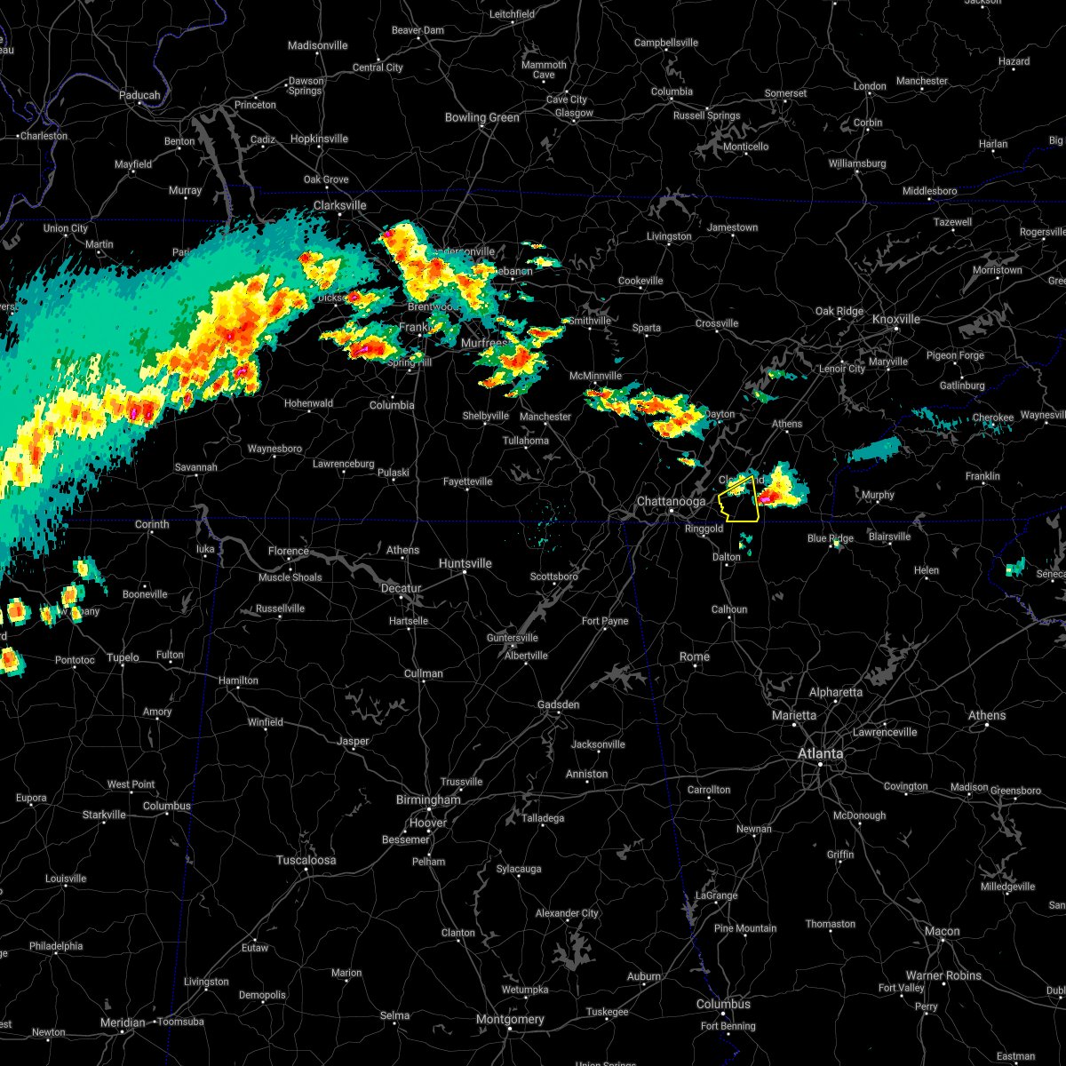 The severe thunderstorm warning for southwestern bradley county will expire at 700 am edt, the storm which prompted the warning has moved out of the area. therefore, the warning will be allowed to expire. The severe thunderstorm warning for southwestern bradley county will expire at 700 am edt, the storm which prompted the warning has moved out of the area. therefore, the warning will be allowed to expire.
|
| 3/27/2021 6:36 AM EDT |
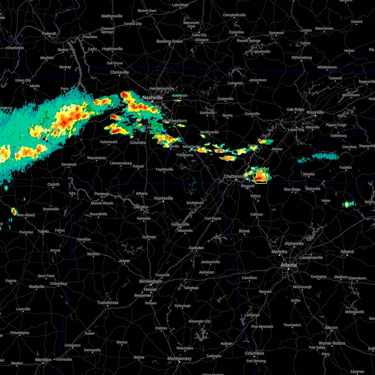 At 636 am edt, a severe thunderstorm was located near south cleveland, or 9 miles south of cleveland, moving east at 35 mph (radar indicated). Hazards include ping pong ball size hail. People and animals outdoors will be injured. expect damage to roofs, siding, windows, and vehicles. locations impacted include, cleveland, south cleveland, east cleveland, wildwood lake, mcdonald, waterville, red clay state park, flint springs, gap springs and tasso. This includes interstate 75 in tennessee between mile markers 20 and 21. At 636 am edt, a severe thunderstorm was located near south cleveland, or 9 miles south of cleveland, moving east at 35 mph (radar indicated). Hazards include ping pong ball size hail. People and animals outdoors will be injured. expect damage to roofs, siding, windows, and vehicles. locations impacted include, cleveland, south cleveland, east cleveland, wildwood lake, mcdonald, waterville, red clay state park, flint springs, gap springs and tasso. This includes interstate 75 in tennessee between mile markers 20 and 21.
|
| 3/27/2021 6:23 AM EDT |
 At 622 am edt, a severe thunderstorm was located 7 miles north of ringgold, moving east at 30 mph (radar indicated). Hazards include ping pong ball size hail. People and animals outdoors will be injured. expect damage to roofs, siding, windows, and vehicles. locations impacted include, chattanooga, cleveland, south cleveland, east cleveland, wildwood lake, collegedale, waterville, east brainerd, red clay state park and flint springs. This includes interstate 75 in tennessee between mile markers 11 and 12. At 622 am edt, a severe thunderstorm was located 7 miles north of ringgold, moving east at 30 mph (radar indicated). Hazards include ping pong ball size hail. People and animals outdoors will be injured. expect damage to roofs, siding, windows, and vehicles. locations impacted include, chattanooga, cleveland, south cleveland, east cleveland, wildwood lake, collegedale, waterville, east brainerd, red clay state park and flint springs. This includes interstate 75 in tennessee between mile markers 11 and 12.
|
| 3/27/2021 6:08 AM EDT |
 At 608 am edt, a severe thunderstorm was located near ridgeside, or near chattanooga, moving east at 30 mph (radar indicated). Hazards include half dollar size hail. damage to vehicles is expected At 608 am edt, a severe thunderstorm was located near ridgeside, or near chattanooga, moving east at 30 mph (radar indicated). Hazards include half dollar size hail. damage to vehicles is expected
|
| 6/28/2020 8:35 PM EDT |
 The severe thunderstorm warning for southwestern bradley and southeastern hamilton counties will expire at 845 pm edt, the storm which prompted the warning has weakened below severe limits, and has exited the warned area. therefore, the warning will be allowed to expire. however gusty winds are still possible with this thunderstorm. The severe thunderstorm warning for southwestern bradley and southeastern hamilton counties will expire at 845 pm edt, the storm which prompted the warning has weakened below severe limits, and has exited the warned area. therefore, the warning will be allowed to expire. however gusty winds are still possible with this thunderstorm.
|
| 6/28/2020 8:27 PM EDT |
 At 827 pm edt, a severe thunderstorm was located near cohutta, or 12 miles south of cleveland, moving southeast at 35 mph (radar indicated). Hazards include 60 mph wind gusts. Expect damage to roofs, siding, and trees. Locations impacted include, south cleveland, wildwood lake, collegedale, red clay state park, flint springs, apison, gap springs, mcdonald and ooltewah. At 827 pm edt, a severe thunderstorm was located near cohutta, or 12 miles south of cleveland, moving southeast at 35 mph (radar indicated). Hazards include 60 mph wind gusts. Expect damage to roofs, siding, and trees. Locations impacted include, south cleveland, wildwood lake, collegedale, red clay state park, flint springs, apison, gap springs, mcdonald and ooltewah.
|
| 6/28/2020 8:17 PM EDT |
 At 817 pm edt, a severe thunderstorm was located near south cleveland, or 10 miles southwest of cleveland, moving southeast at 35 mph (radar indicated). Hazards include 60 mph wind gusts. expect damage to roofs, siding, and trees At 817 pm edt, a severe thunderstorm was located near south cleveland, or 10 miles southwest of cleveland, moving southeast at 35 mph (radar indicated). Hazards include 60 mph wind gusts. expect damage to roofs, siding, and trees
|
| 5/3/2020 7:31 PM EDT |
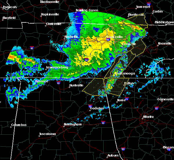 At 731 pm edt, severe thunderstorms were located along a line extending from near spring city to near chickamauga, moving east at 55 mph (radar indicated). Hazards include 60 mph wind gusts. expect damage to roofs, siding, and trees At 731 pm edt, severe thunderstorms were located along a line extending from near spring city to near chickamauga, moving east at 55 mph (radar indicated). Hazards include 60 mph wind gusts. expect damage to roofs, siding, and trees
|
| 4/13/2020 12:31 AM EDT |
 At 1230 am edt, a severe thunderstorm was located near eton, or 9 miles northwest of chatsworth, moving northeast at 60 mph (radar indicated). Hazards include 60 mph wind gusts. expect damage to roofs, siding, and trees At 1230 am edt, a severe thunderstorm was located near eton, or 9 miles northwest of chatsworth, moving northeast at 60 mph (radar indicated). Hazards include 60 mph wind gusts. expect damage to roofs, siding, and trees
|
| 4/12/2020 11:42 PM EDT |
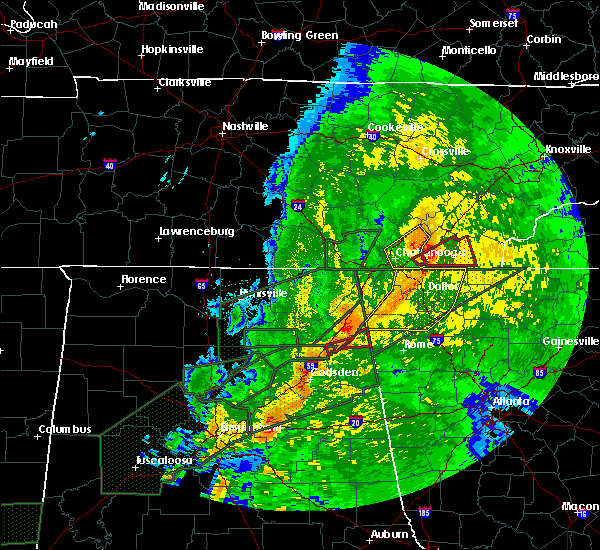 At 1142 pm edt, a severe thunderstorm capable of producing a tornado was located over south cleveland, or near cleveland, moving east at 45 mph (radar indicated rotation). Hazards include tornado. Flying debris will be dangerous to those caught without shelter. mobile homes will be damaged or destroyed. damage to roofs, windows, and vehicles will occur. tree damage is likely. this dangerous storm will be near, cleveland, wildwood lake and east cleveland around 1150 pm edt. benton around 1205 am edt. other locations impacted by this tornadic thunderstorm include waterville and tasso. This includes interstate 75 in tennessee between mile markers 18 and 26. At 1142 pm edt, a severe thunderstorm capable of producing a tornado was located over south cleveland, or near cleveland, moving east at 45 mph (radar indicated rotation). Hazards include tornado. Flying debris will be dangerous to those caught without shelter. mobile homes will be damaged or destroyed. damage to roofs, windows, and vehicles will occur. tree damage is likely. this dangerous storm will be near, cleveland, wildwood lake and east cleveland around 1150 pm edt. benton around 1205 am edt. other locations impacted by this tornadic thunderstorm include waterville and tasso. This includes interstate 75 in tennessee between mile markers 18 and 26.
|
| 4/12/2020 11:41 PM EDT |
 At 1141 pm edt, severe thunderstorms were located along a line extending from 7 miles northwest of cleveland to near south cleveland to cohutta, moving east at 50 mph (radar indicated). Hazards include 70 mph wind gusts. Expect considerable tree damage. Damage is likely to mobile homes, roofs, and outbuildings. At 1141 pm edt, severe thunderstorms were located along a line extending from 7 miles northwest of cleveland to near south cleveland to cohutta, moving east at 50 mph (radar indicated). Hazards include 70 mph wind gusts. Expect considerable tree damage. Damage is likely to mobile homes, roofs, and outbuildings.
|
| 4/12/2020 11:38 PM EDT |
 At 1138 pm edt, a confirmed large and extremely dangerous tornado was located near south cleveland, or 8 miles southwest of cleveland, moving northeast at 40 mph. this is a particularly dangerous situation. take cover now! (radar confirmed tornado). Hazards include damaging tornado. You are in a life-threatening situation. flying debris may be deadly to those caught without shelter. mobile homes will be destroyed. considerable damage to homes, businesses, and vehicles is likely and complete destruction is possible. the tornado will be near, east cleveland and wildwood lake around 1150 pm edt. cleveland around 1155 pm edt. benton around 1210 am edt. other locations impacted by this tornadic thunderstorm include mcdonald, waterville and tasso. This includes interstate 75 in tennessee between mile markers 19 and 23. At 1138 pm edt, a confirmed large and extremely dangerous tornado was located near south cleveland, or 8 miles southwest of cleveland, moving northeast at 40 mph. this is a particularly dangerous situation. take cover now! (radar confirmed tornado). Hazards include damaging tornado. You are in a life-threatening situation. flying debris may be deadly to those caught without shelter. mobile homes will be destroyed. considerable damage to homes, businesses, and vehicles is likely and complete destruction is possible. the tornado will be near, east cleveland and wildwood lake around 1150 pm edt. cleveland around 1155 pm edt. benton around 1210 am edt. other locations impacted by this tornadic thunderstorm include mcdonald, waterville and tasso. This includes interstate 75 in tennessee between mile markers 19 and 23.
|
| 4/12/2020 11:28 PM EDT |
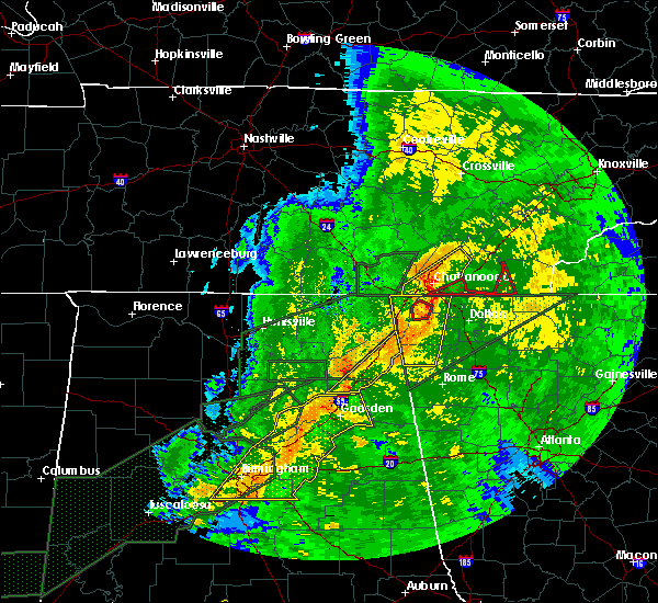 At 1128 pm edt, a confirmed large and extremely dangerous tornado was located near harrison, or 9 miles east of chattanooga, moving east at 45 mph. this is a particularly dangerous situation. take cover now! (radar confirmed tornado). Hazards include damaging tornado. You are in a life-threatening situation. flying debris may be deadly to those caught without shelter. mobile homes will be destroyed. considerable damage to homes, businesses, and vehicles is likely and complete destruction is possible. the tornado will be near, wildwood lake and south cleveland around 1145 pm edt. east cleveland around 1150 pm edt. benton around 1200 am edt. other locations impacted by this tornadic thunderstorm include mcdonald, waterville, flint springs, parksville and tasso. This includes interstate 75 in tennessee between mile markers 19 and 23. At 1128 pm edt, a confirmed large and extremely dangerous tornado was located near harrison, or 9 miles east of chattanooga, moving east at 45 mph. this is a particularly dangerous situation. take cover now! (radar confirmed tornado). Hazards include damaging tornado. You are in a life-threatening situation. flying debris may be deadly to those caught without shelter. mobile homes will be destroyed. considerable damage to homes, businesses, and vehicles is likely and complete destruction is possible. the tornado will be near, wildwood lake and south cleveland around 1145 pm edt. east cleveland around 1150 pm edt. benton around 1200 am edt. other locations impacted by this tornadic thunderstorm include mcdonald, waterville, flint springs, parksville and tasso. This includes interstate 75 in tennessee between mile markers 19 and 23.
|
| 2/12/2020 9:56 PM EST |
 The severe thunderstorm warning for southeastern rhea, southwestern loudon, bradley, meigs, mcminn, northwestern monroe, southeastern hamilton and southwestern roane counties will expire at 1000 pm est, the storms which prompted the warning have weakened below severe limits, and no longer pose an immediate threat to life or property. therefore, the warning will be allowed to expire. however gusty winds are still possible with these thunderstorms. The severe thunderstorm warning for southeastern rhea, southwestern loudon, bradley, meigs, mcminn, northwestern monroe, southeastern hamilton and southwestern roane counties will expire at 1000 pm est, the storms which prompted the warning have weakened below severe limits, and no longer pose an immediate threat to life or property. therefore, the warning will be allowed to expire. however gusty winds are still possible with these thunderstorms.
|
| 2/12/2020 9:31 PM EST |
 At 931 pm est, severe thunderstorms were located along a line extending from near fairview to 7 miles north of charleston to near ringgold, moving east at 40 mph (radar indicated). Hazards include 60 mph wind gusts. Expect damage to roofs, siding, and trees. Locations impacted include, chattanooga, cleveland, athens, sweetwater, decatur, etowah, lakesite, charleston, ridgeside and south cleveland. At 931 pm est, severe thunderstorms were located along a line extending from near fairview to 7 miles north of charleston to near ringgold, moving east at 40 mph (radar indicated). Hazards include 60 mph wind gusts. Expect damage to roofs, siding, and trees. Locations impacted include, chattanooga, cleveland, athens, sweetwater, decatur, etowah, lakesite, charleston, ridgeside and south cleveland.
|
| 2/12/2020 8:56 PM EST |
 At 855 pm est/755 pm cst/, severe thunderstorms were located along a line extending from 7 miles northwest of spring city to 7 miles north of soddy-daisy to near trenton, moving east at 40 mph (radar indicated). Hazards include 60 mph wind gusts. expect damage to roofs, siding, and trees At 855 pm est/755 pm cst/, severe thunderstorms were located along a line extending from 7 miles northwest of spring city to 7 miles north of soddy-daisy to near trenton, moving east at 40 mph (radar indicated). Hazards include 60 mph wind gusts. expect damage to roofs, siding, and trees
|
| 1/11/2020 4:39 PM EST |
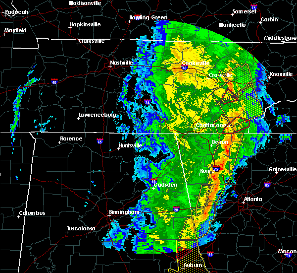 The severe thunderstorm warning for southeastern bradley and western polk counties will expire at 445 pm est, the storms which prompted the warning have weakened below severe limits, and no longer pose an immediate threat to life or property. therefore, the warning will be allowed to expire. however gusty winds are still possible with these thunderstorms. a tornado watch remains in effect until 900 pm est for east tennessee. remember, a tornado warning still remains in effect for polk county in east tennessee. The severe thunderstorm warning for southeastern bradley and western polk counties will expire at 445 pm est, the storms which prompted the warning have weakened below severe limits, and no longer pose an immediate threat to life or property. therefore, the warning will be allowed to expire. however gusty winds are still possible with these thunderstorms. a tornado watch remains in effect until 900 pm est for east tennessee. remember, a tornado warning still remains in effect for polk county in east tennessee.
|
| 1/11/2020 4:32 PM EST |
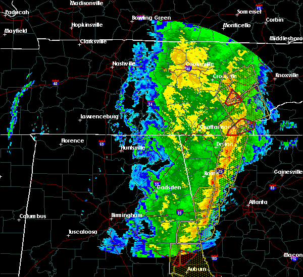 At 431 pm est, severe thunderstorms were located along a line extending from 7 miles east of spring city to 9 miles southeast of etowah, moving east at 60 mph (radar indicated). Hazards include 70 mph wind gusts. Expect considerable tree damage. damage is likely to mobile homes, roofs, and outbuildings. Locations impacted include, cleveland, benton, charleston, east cleveland, wildwood lake, south cleveland, waterville, conasauga, parksville and gap springs. At 431 pm est, severe thunderstorms were located along a line extending from 7 miles east of spring city to 9 miles southeast of etowah, moving east at 60 mph (radar indicated). Hazards include 70 mph wind gusts. Expect considerable tree damage. damage is likely to mobile homes, roofs, and outbuildings. Locations impacted include, cleveland, benton, charleston, east cleveland, wildwood lake, south cleveland, waterville, conasauga, parksville and gap springs.
|
| 1/11/2020 4:25 PM EST |
 At 425 pm est, severe thunderstorms were located along a line extending from near spring city to 8 miles east of benton, moving east at 60 mph (radar indicated). Hazards include 70 mph wind gusts. Expect considerable tree damage. damage is likely to mobile homes, roofs, and outbuildings. Locations impacted include, cleveland, dayton, benton, charleston, east cleveland, wildwood lake, south cleveland, calhoun, waterville and conasauga. At 425 pm est, severe thunderstorms were located along a line extending from near spring city to 8 miles east of benton, moving east at 60 mph (radar indicated). Hazards include 70 mph wind gusts. Expect considerable tree damage. damage is likely to mobile homes, roofs, and outbuildings. Locations impacted include, cleveland, dayton, benton, charleston, east cleveland, wildwood lake, south cleveland, calhoun, waterville and conasauga.
|
| 1/11/2020 4:08 PM EST |
 At 408 pm est/308 pm cst/, severe thunderstorms were located along a line extending from 6 miles east of pikeville to near east cleveland, moving northeast at 65 mph (radar indicated). Hazards include 70 mph wind gusts. Expect considerable tree damage. damage is likely to mobile homes, roofs, and outbuildings. Locations impacted include, cleveland, dayton, pikeville, benton, charleston, south cleveland, east cleveland, wildwood lake, collegedale and graysville. At 408 pm est/308 pm cst/, severe thunderstorms were located along a line extending from 6 miles east of pikeville to near east cleveland, moving northeast at 65 mph (radar indicated). Hazards include 70 mph wind gusts. Expect considerable tree damage. damage is likely to mobile homes, roofs, and outbuildings. Locations impacted include, cleveland, dayton, pikeville, benton, charleston, south cleveland, east cleveland, wildwood lake, collegedale and graysville.
|
| 1/11/2020 3:49 PM EST |
 At 348 pm est/248 pm cst/, severe thunderstorms were located along a line extending from near tracy city to near trenton, moving east at 60 mph (radar indicated). Hazards include 70 mph wind gusts. Expect considerable tree damage. Damage is likely to mobile homes, roofs, and outbuildings. At 348 pm est/248 pm cst/, severe thunderstorms were located along a line extending from near tracy city to near trenton, moving east at 60 mph (radar indicated). Hazards include 70 mph wind gusts. Expect considerable tree damage. Damage is likely to mobile homes, roofs, and outbuildings.
|
| 6/24/2019 5:29 PM EDT |
 At 529 pm edt, a severe thunderstorm was located near cleveland, moving east at 35 mph (radar indicated). Hazards include 60 mph wind gusts and penny size hail. expect damage to roofs, siding, and trees At 529 pm edt, a severe thunderstorm was located near cleveland, moving east at 35 mph (radar indicated). Hazards include 60 mph wind gusts and penny size hail. expect damage to roofs, siding, and trees
|
| 6/21/2019 11:57 PM EDT |
 At 1157 pm edt, severe thunderstorms were located along a line extending from 7 miles southwest of madisonville to near charleston to near ringgold, moving east at 40 mph (radar indicated). Hazards include 65 mph wind gusts and quarter size hail. Hail damage to vehicles is expected. expect wind damage to roofs, siding, and trees. locations impacted include, cleveland, athens, benton, ducktown, etowah, charleston, south cleveland, east cleveland, wildwood lake, englewood, tellico plains, calhoun, william l. Davenport refuge, waterville, big frog mountain, hillsview, parksville, red clay state park, bullet creek and copperhill. At 1157 pm edt, severe thunderstorms were located along a line extending from 7 miles southwest of madisonville to near charleston to near ringgold, moving east at 40 mph (radar indicated). Hazards include 65 mph wind gusts and quarter size hail. Hail damage to vehicles is expected. expect wind damage to roofs, siding, and trees. locations impacted include, cleveland, athens, benton, ducktown, etowah, charleston, south cleveland, east cleveland, wildwood lake, englewood, tellico plains, calhoun, william l. Davenport refuge, waterville, big frog mountain, hillsview, parksville, red clay state park, bullet creek and copperhill.
|
| 6/21/2019 11:47 PM EDT |
 At 1146 pm edt, severe thunderstorms were located along a line extending from near athens to charleston to near chickamauga, moving east at 50 mph (radar indicated). Hazards include 65 mph wind gusts and quarter size hail. Hail damage to vehicles is expected. expect wind damage to roofs, siding, and trees. locations impacted include, chattanooga, cleveland, athens, benton, ducktown, soddy-daisy, etowah, lakesite, charleston, ridgeside, harrison, east cleveland, south cleveland, wildwood lake, red bank, collegedale, englewood, tellico plains, calhoun and william l. Davenport refuge. At 1146 pm edt, severe thunderstorms were located along a line extending from near athens to charleston to near chickamauga, moving east at 50 mph (radar indicated). Hazards include 65 mph wind gusts and quarter size hail. Hail damage to vehicles is expected. expect wind damage to roofs, siding, and trees. locations impacted include, chattanooga, cleveland, athens, benton, ducktown, soddy-daisy, etowah, lakesite, charleston, ridgeside, harrison, east cleveland, south cleveland, wildwood lake, red bank, collegedale, englewood, tellico plains, calhoun and william l. Davenport refuge.
|
| 6/21/2019 11:47 PM EDT |
 A severe thunderstorm warning remains in effect until 1230 am edt for bradley. polk. southwestern meigs. southern mcminn. southwestern monroe and southeastern hamilton counties. At 1146 pm edt, severe thunderstorms were located along a line extending from near athens to charleston to near chickamauga, moving east at 50 mph. A severe thunderstorm warning remains in effect until 1230 am edt for bradley. polk. southwestern meigs. southern mcminn. southwestern monroe and southeastern hamilton counties. At 1146 pm edt, severe thunderstorms were located along a line extending from near athens to charleston to near chickamauga, moving east at 50 mph.
|
| 6/21/2019 11:25 PM EDT |
 At 1124 pm edt, severe thunderstorms were located along a line extending from decatur to 8 miles northeast of soddy-daisy to near trenton, moving east at 40 mph (radar indicated). Hazards include 60 mph wind gusts and quarter size hail. Hail damage to vehicles is expected. Expect wind damage to roofs, siding, and trees. At 1124 pm edt, severe thunderstorms were located along a line extending from decatur to 8 miles northeast of soddy-daisy to near trenton, moving east at 40 mph (radar indicated). Hazards include 60 mph wind gusts and quarter size hail. Hail damage to vehicles is expected. Expect wind damage to roofs, siding, and trees.
|
| 6/20/2019 6:39 AM EDT |
 At 639 am edt, severe thunderstorms were located along a line extending from 9 miles northwest of spring city to near dayton to 11 miles northwest of charleston to near cohutta, moving northeast at 50 mph (law enforcement). Hazards include 60 mph wind gusts. Expect damage to roofs, siding, and trees. Locations impacted include, cleveland, dayton, decatur, charleston, south cleveland, east cleveland, wildwood lake, graysville, calhoun, waterville, stinging fork falls state park, hopewell, red clay state park, flint springs, big spring, gap springs, tasso, mcdonald, evensville and old washington. At 639 am edt, severe thunderstorms were located along a line extending from 9 miles northwest of spring city to near dayton to 11 miles northwest of charleston to near cohutta, moving northeast at 50 mph (law enforcement). Hazards include 60 mph wind gusts. Expect damage to roofs, siding, and trees. Locations impacted include, cleveland, dayton, decatur, charleston, south cleveland, east cleveland, wildwood lake, graysville, calhoun, waterville, stinging fork falls state park, hopewell, red clay state park, flint springs, big spring, gap springs, tasso, mcdonald, evensville and old washington.
|
| 6/20/2019 6:31 AM EDT |
 At 629 am edt, severe thunderstorms were located along a line extending from 8 miles south of crossville to near wildwood lake, moving east at 50 mph (radar indicated). Hazards include 60 mph wind gusts. expect damage to roofs, siding, and trees At 629 am edt, severe thunderstorms were located along a line extending from 8 miles south of crossville to near wildwood lake, moving east at 50 mph (radar indicated). Hazards include 60 mph wind gusts. expect damage to roofs, siding, and trees
|
| 6/20/2019 6:13 AM EDT |
 At 612 am edt/512 am cdt/, severe thunderstorms were located along a line extending from near pikeville to near dunlap to near walden to near ringgold, moving northeast at 45 mph (law enforcement). Hazards include 70 mph wind gusts. Expect considerable tree damage. damage is likely to mobile homes, roofs, and outbuildings. Locations impacted include, chattanooga, cleveland, dayton, dunlap, pikeville, decatur, soddy-daisy, signal mountain, rossville, walden, lakesite, charleston, ridgeside, harrison, east cleveland, south cleveland, fairmount, wildwood lake, red bank and collegedale. At 612 am edt/512 am cdt/, severe thunderstorms were located along a line extending from near pikeville to near dunlap to near walden to near ringgold, moving northeast at 45 mph (law enforcement). Hazards include 70 mph wind gusts. Expect considerable tree damage. damage is likely to mobile homes, roofs, and outbuildings. Locations impacted include, chattanooga, cleveland, dayton, dunlap, pikeville, decatur, soddy-daisy, signal mountain, rossville, walden, lakesite, charleston, ridgeside, harrison, east cleveland, south cleveland, fairmount, wildwood lake, red bank and collegedale.
|
| 6/20/2019 4:57 AM CDT |
 At 555 am edt/455 am cdt/, severe thunderstorms were located along a line extending from 10 miles west of pikeville to 6 miles north of whitwell to near signal mountain to near la fayette, moving northeast at 50 mph (law enforcement). Hazards include 70 mph wind gusts. Expect considerable tree damage. Damage is likely to mobile homes, roofs, and outbuildings. At 555 am edt/455 am cdt/, severe thunderstorms were located along a line extending from 10 miles west of pikeville to 6 miles north of whitwell to near signal mountain to near la fayette, moving northeast at 50 mph (law enforcement). Hazards include 70 mph wind gusts. Expect considerable tree damage. Damage is likely to mobile homes, roofs, and outbuildings.
|
| 5/4/2019 11:29 AM EDT |
 At 1052 am edt, severe thunderstorms were located along a line extending from near lakesite to 6 miles southeast of harrison to tunnel hill, moving northeast at 30 mph (radar indicated). Hazards include 60 mph wind gusts and nickel size hail. expect damage to roofs, siding, and trees At 1052 am edt, severe thunderstorms were located along a line extending from near lakesite to 6 miles southeast of harrison to tunnel hill, moving northeast at 30 mph (radar indicated). Hazards include 60 mph wind gusts and nickel size hail. expect damage to roofs, siding, and trees
|
| 5/4/2019 10:52 AM EDT |
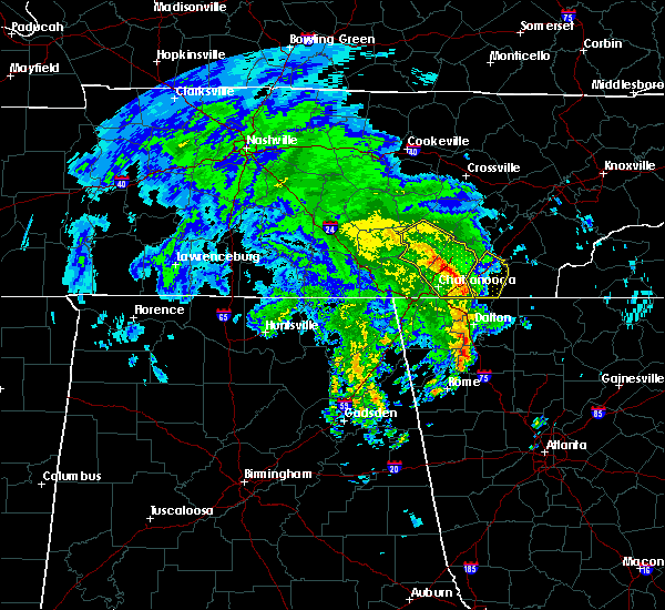 At 1052 am edt, severe thunderstorms were located along a line extending from near lakesite to 6 miles southeast of harrison to tunnel hill, moving northeast at 30 mph (radar indicated). Hazards include 60 mph wind gusts and nickel size hail. expect damage to roofs, siding, and trees At 1052 am edt, severe thunderstorms were located along a line extending from near lakesite to 6 miles southeast of harrison to tunnel hill, moving northeast at 30 mph (radar indicated). Hazards include 60 mph wind gusts and nickel size hail. expect damage to roofs, siding, and trees
|
| 11/6/2018 4:44 AM EST |
 At 444 am est, severe thunderstorms were located along a line extending from charleston to near cohutta, moving east at 45 mph (radar indicated). Hazards include 60 mph wind gusts. expect damage to roofs, siding, and trees At 444 am est, severe thunderstorms were located along a line extending from charleston to near cohutta, moving east at 45 mph (radar indicated). Hazards include 60 mph wind gusts. expect damage to roofs, siding, and trees
|
| 11/6/2018 4:39 AM EST |
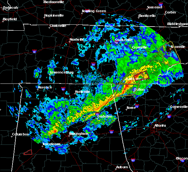 At 438 am est, a severe thunderstorm capable of producing a tornado was located over cleveland, moving east at 45 mph (radar indicated rotation). Hazards include tornado. Flying debris will be dangerous to those caught without shelter. mobile homes will be damaged or destroyed. damage to roofs, windows, and vehicles will occur. tree damage is likely. this dangerous storm will be near, charleston around 455 am est. benton around 500 am est. Other locations impacted by this tornadic thunderstorm include reliance, waterville, calhoun, dentville, tasso and hopewell. At 438 am est, a severe thunderstorm capable of producing a tornado was located over cleveland, moving east at 45 mph (radar indicated rotation). Hazards include tornado. Flying debris will be dangerous to those caught without shelter. mobile homes will be damaged or destroyed. damage to roofs, windows, and vehicles will occur. tree damage is likely. this dangerous storm will be near, charleston around 455 am est. benton around 500 am est. Other locations impacted by this tornadic thunderstorm include reliance, waterville, calhoun, dentville, tasso and hopewell.
|
| 11/6/2018 4:24 AM EST |
 At 423 am est, severe thunderstorms were located along a line extending from 6 miles north of cleveland to near ringgold, moving east at 50 mph (emergency management). Hazards include 60 mph wind gusts. Expect damage to roofs, siding, and trees. locations impacted include, chattanooga, cleveland, lakesite, charleston, ridgeside, south cleveland, harrison, east cleveland, wildwood lake, collegedale, waterville, east brainerd, lookout mountain, hopewell, red clay state park, harrison bay state park, flint springs, east ridge, tasso and ooltewah. a tornado watch remains in effect until 700 am est for east tennessee. A tornado watch also remains in effect until 900 am est for east tennessee. At 423 am est, severe thunderstorms were located along a line extending from 6 miles north of cleveland to near ringgold, moving east at 50 mph (emergency management). Hazards include 60 mph wind gusts. Expect damage to roofs, siding, and trees. locations impacted include, chattanooga, cleveland, lakesite, charleston, ridgeside, south cleveland, harrison, east cleveland, wildwood lake, collegedale, waterville, east brainerd, lookout mountain, hopewell, red clay state park, harrison bay state park, flint springs, east ridge, tasso and ooltewah. a tornado watch remains in effect until 700 am est for east tennessee. A tornado watch also remains in effect until 900 am est for east tennessee.
|
| 11/6/2018 4:00 AM EST |
 At 358 am est, severe thunderstorms were located along a line extending from soddy-daisy to near lookout mountain, moving east at 50 mph (emergency management). Hazards include 60 mph wind gusts. expect damage to roofs, siding, and trees At 358 am est, severe thunderstorms were located along a line extending from soddy-daisy to near lookout mountain, moving east at 50 mph (emergency management). Hazards include 60 mph wind gusts. expect damage to roofs, siding, and trees
|
| 7/21/2018 4:28 AM EDT |
 At 428 am edt, severe thunderstorms were located along a line extending from 7 miles southeast of benton to 6 miles west of south cleveland, moving southeast at 35 mph (radar indicated). Hazards include 60 mph wind gusts. Expect damage to roofs, siding, and trees. locations impacted include, cleveland, benton, ducktown, south cleveland, wildwood lake, collegedale, william l. Davenport refuge, waterville, conasauga, big frog mountain, parksville, turtletown, red clay state park, copperhill, flint springs, archville, gap springs, apison and ooltewah. At 428 am edt, severe thunderstorms were located along a line extending from 7 miles southeast of benton to 6 miles west of south cleveland, moving southeast at 35 mph (radar indicated). Hazards include 60 mph wind gusts. Expect damage to roofs, siding, and trees. locations impacted include, cleveland, benton, ducktown, south cleveland, wildwood lake, collegedale, william l. Davenport refuge, waterville, conasauga, big frog mountain, parksville, turtletown, red clay state park, copperhill, flint springs, archville, gap springs, apison and ooltewah.
|
| 7/21/2018 4:05 AM EDT |
 The national weather service in morristown has issued a * severe thunderstorm warning for. bradley county in east tennessee. polk county in east tennessee. southwestern mcminn county in east tennessee. Southeastern hamilton county in east tennessee. The national weather service in morristown has issued a * severe thunderstorm warning for. bradley county in east tennessee. polk county in east tennessee. southwestern mcminn county in east tennessee. Southeastern hamilton county in east tennessee.
|
| 7/21/2018 2:15 AM EDT |
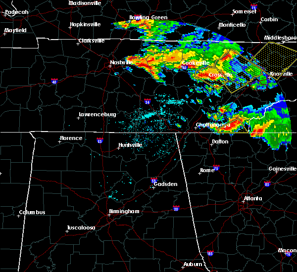 At 215 am edt, severe thunderstorms were located along a line extending from 10 miles east of benton to near wildwood lake, moving southeast at 30 mph (radar indicated). Hazards include 60 mph wind gusts. Expect damage to roofs, siding, and trees. locations impacted include, benton, ducktown, wildwood lake, william l. davenport refuge, conasauga, big frog mountain, parksville, reliance, copperhill, archville and gap springs. A tornado watch remains in effect until 400 am edt for east tennessee. At 215 am edt, severe thunderstorms were located along a line extending from 10 miles east of benton to near wildwood lake, moving southeast at 30 mph (radar indicated). Hazards include 60 mph wind gusts. Expect damage to roofs, siding, and trees. locations impacted include, benton, ducktown, wildwood lake, william l. davenport refuge, conasauga, big frog mountain, parksville, reliance, copperhill, archville and gap springs. A tornado watch remains in effect until 400 am edt for east tennessee.
|
| 7/21/2018 2:02 AM EDT |
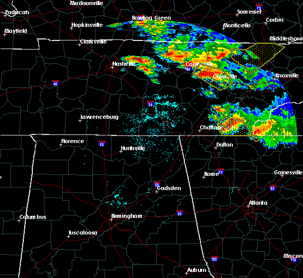 At 202 am edt, a severe thunderstorm was located near benton, moving southeast at 40 mph (radar indicated). Hazards include 70 mph wind gusts and quarter size hail. Hail damage to vehicles is expected. expect considerable tree damage. Wind damage is also likely to mobile homes, roofs, and outbuildings. At 202 am edt, a severe thunderstorm was located near benton, moving southeast at 40 mph (radar indicated). Hazards include 70 mph wind gusts and quarter size hail. Hail damage to vehicles is expected. expect considerable tree damage. Wind damage is also likely to mobile homes, roofs, and outbuildings.
|
| 6/28/2018 9:54 AM CDT |
 At 1054 am edt/954 am cdt/, a severe thunderstorm was located near fairmount, or 9 miles south of dunlap, moving south at 20 mph (radar indicated). Hazards include 60 mph wind gusts and penny size hail. Expect damage to roofs, siding, and trees. Locations impacted include, chattanooga, dunlap, soddy-daisy, signal mountain, walden, lakesite, whitwell, south cleveland, fairmount, harrison, wildwood lake, red bank, collegedale, powells crossroads, cartwright, flat top mountain, north chickamauga creek gorge, ooltewah, mcdonald and middle valley. At 1054 am edt/954 am cdt/, a severe thunderstorm was located near fairmount, or 9 miles south of dunlap, moving south at 20 mph (radar indicated). Hazards include 60 mph wind gusts and penny size hail. Expect damage to roofs, siding, and trees. Locations impacted include, chattanooga, dunlap, soddy-daisy, signal mountain, walden, lakesite, whitwell, south cleveland, fairmount, harrison, wildwood lake, red bank, collegedale, powells crossroads, cartwright, flat top mountain, north chickamauga creek gorge, ooltewah, mcdonald and middle valley.
|
| 6/28/2018 9:15 AM CDT |
 At 1014 am edt/914 am cdt/, a severe thunderstorm was located near dunlap, moving south at 15 mph (radar indicated). Hazards include 60 mph wind gusts and penny size hail. expect damage to roofs, siding, and trees At 1014 am edt/914 am cdt/, a severe thunderstorm was located near dunlap, moving south at 15 mph (radar indicated). Hazards include 60 mph wind gusts and penny size hail. expect damage to roofs, siding, and trees
|
| 6/26/2018 7:48 PM EDT |
 At 748 pm edt/648 pm cdt/, severe thunderstorms were located along a line extending from near murphy to near jasper, moving south at 25 mph (radar indicated). Hazards include 60 mph wind gusts and penny size hail. Expect damage to roofs, siding, and trees. Locations impacted include, chattanooga, cleveland, jasper, andrews, murphy, benton, ducktown, hayesville, soddy-daisy, signal mountain, south pittsburg, walden, lakesite, whitwell, kimball, monteagle, ridgeside, harrison, east cleveland and south cleveland. At 748 pm edt/648 pm cdt/, severe thunderstorms were located along a line extending from near murphy to near jasper, moving south at 25 mph (radar indicated). Hazards include 60 mph wind gusts and penny size hail. Expect damage to roofs, siding, and trees. Locations impacted include, chattanooga, cleveland, jasper, andrews, murphy, benton, ducktown, hayesville, soddy-daisy, signal mountain, south pittsburg, walden, lakesite, whitwell, kimball, monteagle, ridgeside, harrison, east cleveland and south cleveland.
|
| 6/26/2018 7:17 PM EDT |
 At 716 pm edt/616 pm cdt/, severe thunderstorms were located along a line extending from 10 miles north of murphy to near whitwell, moving south at 30 mph (radar indicated). Hazards include 60 mph wind gusts and penny size hail. expect damage to roofs, siding, and trees At 716 pm edt/616 pm cdt/, severe thunderstorms were located along a line extending from 10 miles north of murphy to near whitwell, moving south at 30 mph (radar indicated). Hazards include 60 mph wind gusts and penny size hail. expect damage to roofs, siding, and trees
|
| 6/24/2018 6:03 PM EDT |
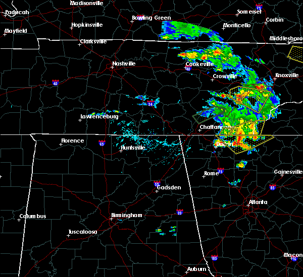 At 603 pm edt, a severe thunderstorm was located near wildwood lake, or 9 miles southwest of benton, moving east at 30 mph (radar indicated). Hazards include 60 mph wind gusts and penny size hail. Expect damage to roofs, siding, and trees. Locations impacted include, wildwood lake, gap springs and conasauga. At 603 pm edt, a severe thunderstorm was located near wildwood lake, or 9 miles southwest of benton, moving east at 30 mph (radar indicated). Hazards include 60 mph wind gusts and penny size hail. Expect damage to roofs, siding, and trees. Locations impacted include, wildwood lake, gap springs and conasauga.
|
| 6/24/2018 5:44 PM EDT |
 At 544 pm edt, a severe thunderstorm was located over south cleveland, or 7 miles southwest of cleveland, moving east at 30 mph (radar indicated). Hazards include 60 mph wind gusts and penny size hail. expect damage to roofs, siding, and trees At 544 pm edt, a severe thunderstorm was located over south cleveland, or 7 miles southwest of cleveland, moving east at 30 mph (radar indicated). Hazards include 60 mph wind gusts and penny size hail. expect damage to roofs, siding, and trees
|
| 6/24/2018 5:21 PM EDT |
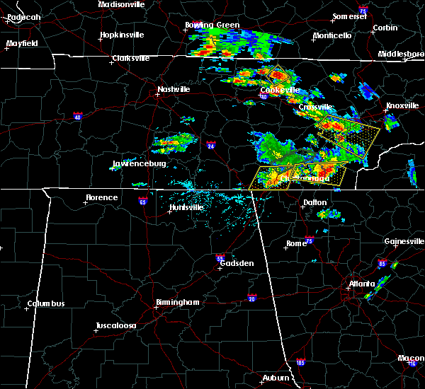 At 520 pm edt, a severe thunderstorm was located over benton, moving east at 25 mph (radar indicated). Hazards include 60 mph wind gusts and quarter size hail. Hail damage to vehicles is expected. expect wind damage to roofs, siding, and trees. Locations impacted include, cleveland, benton, etowah, charleston, south cleveland, east cleveland, wildwood lake, harrison, calhoun, waterville, parksville, hopewell, reliance, archville, hiwassee ocoee state park, tasso, mcdonald, dentville and harrison bay state park. At 520 pm edt, a severe thunderstorm was located over benton, moving east at 25 mph (radar indicated). Hazards include 60 mph wind gusts and quarter size hail. Hail damage to vehicles is expected. expect wind damage to roofs, siding, and trees. Locations impacted include, cleveland, benton, etowah, charleston, south cleveland, east cleveland, wildwood lake, harrison, calhoun, waterville, parksville, hopewell, reliance, archville, hiwassee ocoee state park, tasso, mcdonald, dentville and harrison bay state park.
|
| 6/24/2018 5:04 PM EDT |
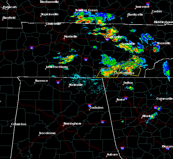 At 503 pm edt, a severe thunderstorm was located near cleveland, moving east at 15 mph (radar indicated). Hazards include 60 mph wind gusts and quarter size hail. Hail damage to vehicles is expected. Expect wind damage to roofs, siding, and trees. At 503 pm edt, a severe thunderstorm was located near cleveland, moving east at 15 mph (radar indicated). Hazards include 60 mph wind gusts and quarter size hail. Hail damage to vehicles is expected. Expect wind damage to roofs, siding, and trees.
|
| 6/23/2018 2:36 PM EDT |
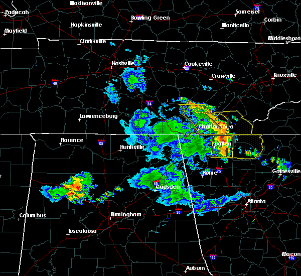 At 236 pm edt, severe thunderstorms were located along a line extending from 10 miles northeast of soddy-daisy to near wildwood lake to 8 miles east of cohutta, moving east at 50 mph (radar indicated). Hazards include 60 mph wind gusts and quarter size hail. Hail damage to vehicles is expected. Expect wind damage to roofs, siding, and trees. At 236 pm edt, severe thunderstorms were located along a line extending from 10 miles northeast of soddy-daisy to near wildwood lake to 8 miles east of cohutta, moving east at 50 mph (radar indicated). Hazards include 60 mph wind gusts and quarter size hail. Hail damage to vehicles is expected. Expect wind damage to roofs, siding, and trees.
|
| 6/23/2018 2:18 PM EDT |
 At 216 pm edt/116 pm cdt/, severe thunderstorms were located along a line extending from 9 miles northwest of dunlap to near lakesite to near ringgold, moving east at 50 mph (radar indicated). Hazards include 70 mph wind gusts and quarter size hail. Hail damage to vehicles is expected. expect considerable tree damage. wind damage is also likely to mobile homes, roofs, and outbuildings. Locations impacted include, chattanooga, cleveland, dunlap, soddy-daisy, walden, lakesite, charleston, ridgeside, south cleveland, harrison, east cleveland, wildwood lake, fairmount, red bank, collegedale, waterville, flat top mountain, north chickamauga creek gorge, red clay state park and flint springs. At 216 pm edt/116 pm cdt/, severe thunderstorms were located along a line extending from 9 miles northwest of dunlap to near lakesite to near ringgold, moving east at 50 mph (radar indicated). Hazards include 70 mph wind gusts and quarter size hail. Hail damage to vehicles is expected. expect considerable tree damage. wind damage is also likely to mobile homes, roofs, and outbuildings. Locations impacted include, chattanooga, cleveland, dunlap, soddy-daisy, walden, lakesite, charleston, ridgeside, south cleveland, harrison, east cleveland, wildwood lake, fairmount, red bank, collegedale, waterville, flat top mountain, north chickamauga creek gorge, red clay state park and flint springs.
|
| 6/23/2018 1:54 PM EDT |
 At 153 pm edt/1253 pm cdt/, severe thunderstorms were located along a line extending from gruetli-laager to near whitwell to near chattanooga valley, moving east at 50 mph (radar indicated). Hazards include 70 mph wind gusts and quarter size hail. Hail damage to vehicles is expected. expect considerable tree damage. Wind damage is also likely to mobile homes, roofs, and outbuildings. At 153 pm edt/1253 pm cdt/, severe thunderstorms were located along a line extending from gruetli-laager to near whitwell to near chattanooga valley, moving east at 50 mph (radar indicated). Hazards include 70 mph wind gusts and quarter size hail. Hail damage to vehicles is expected. expect considerable tree damage. Wind damage is also likely to mobile homes, roofs, and outbuildings.
|
| 4/4/2018 2:04 AM EDT |
 At 203 am edt, a severe thunderstorm was located near east cleveland, or near cleveland, moving east at 50 mph (radar indicated). Hazards include 60 mph wind gusts and quarter size hail. Hail damage to vehicles is expected. Expect wind damage to roofs, siding, and trees. At 203 am edt, a severe thunderstorm was located near east cleveland, or near cleveland, moving east at 50 mph (radar indicated). Hazards include 60 mph wind gusts and quarter size hail. Hail damage to vehicles is expected. Expect wind damage to roofs, siding, and trees.
|
| 4/4/2018 1:38 AM EDT |
 At 138 am edt, severe thunderstorms were located along a line extending from fairview to near ringgold, moving east at 45 mph (radar indicated). Hazards include 60 mph wind gusts and quarter size hail. Hail damage to vehicles is expected. expect wind damage to roofs, siding, and trees. Locations impacted include, chattanooga, cleveland, athens, sweetwater, decatur, soddy-daisy, rossville, lakesite, charleston, ridgeside, south cleveland, harrison, east cleveland, wildwood lake, collegedale, niota, calhoun, waterville, hillsview and clear water. At 138 am edt, severe thunderstorms were located along a line extending from fairview to near ringgold, moving east at 45 mph (radar indicated). Hazards include 60 mph wind gusts and quarter size hail. Hail damage to vehicles is expected. expect wind damage to roofs, siding, and trees. Locations impacted include, chattanooga, cleveland, athens, sweetwater, decatur, soddy-daisy, rossville, lakesite, charleston, ridgeside, south cleveland, harrison, east cleveland, wildwood lake, collegedale, niota, calhoun, waterville, hillsview and clear water.
|
| 4/4/2018 1:15 AM EDT |
 At 115 am edt, severe thunderstorms were located along a line extending from near spring city to near lookout mountain, moving east at 50 mph (radar indicated). Hazards include 60 mph wind gusts and quarter size hail. Hail damage to vehicles is expected. Expect wind damage to roofs, siding, and trees. At 115 am edt, severe thunderstorms were located along a line extending from near spring city to near lookout mountain, moving east at 50 mph (radar indicated). Hazards include 60 mph wind gusts and quarter size hail. Hail damage to vehicles is expected. Expect wind damage to roofs, siding, and trees.
|
| 11/7/2017 10:37 AM EST |
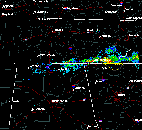 At 1037 am est, a severe thunderstorm was located 10 miles south of benton, moving southeast at 45 mph (radar indicated). Hazards include 60 mph wind gusts. Expect damage to roofs, siding, and trees. Locations impacted include, cleveland, benton, east cleveland, wildwood lake, south cleveland, waterville, conasauga, big frog mountain, parksville and gap springs. At 1037 am est, a severe thunderstorm was located 10 miles south of benton, moving southeast at 45 mph (radar indicated). Hazards include 60 mph wind gusts. Expect damage to roofs, siding, and trees. Locations impacted include, cleveland, benton, east cleveland, wildwood lake, south cleveland, waterville, conasauga, big frog mountain, parksville and gap springs.
|
| 11/7/2017 10:27 AM EST |
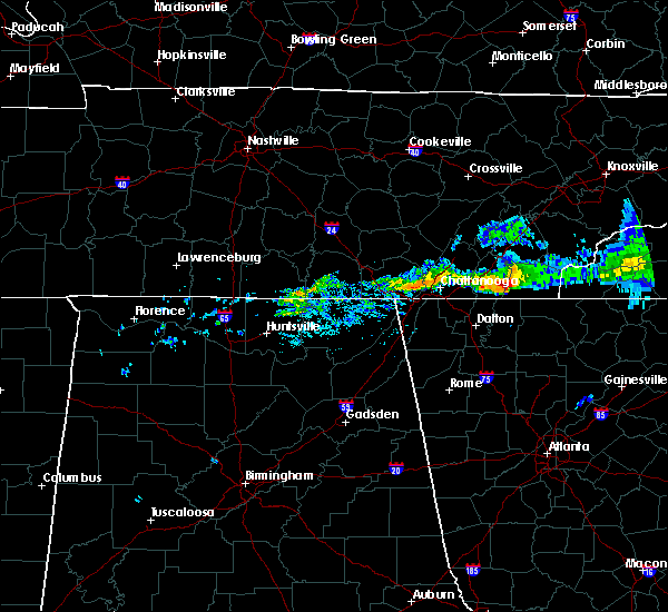 At 1027 am est, a severe thunderstorm was located 7 miles southwest of benton, moving southeast at 50 mph (radar indicated). Hazards include 60 mph wind gusts. expect damage to roofs, siding, and trees At 1027 am est, a severe thunderstorm was located 7 miles southwest of benton, moving southeast at 50 mph (radar indicated). Hazards include 60 mph wind gusts. expect damage to roofs, siding, and trees
|
| 7/1/2017 4:29 PM EDT |
 At 429 pm edt, a severe thunderstorm was located 8 miles east of wildwood lake, or 8 miles southwest of benton, moving east at 20 mph (radar indicated). Hazards include 60 mph wind gusts and quarter size hail. Hail damage to vehicles is expected. expect wind damage to roofs, siding, and trees. Locations impacted include, wildwood lake, conasauga, parksville and gap springs. At 429 pm edt, a severe thunderstorm was located 8 miles east of wildwood lake, or 8 miles southwest of benton, moving east at 20 mph (radar indicated). Hazards include 60 mph wind gusts and quarter size hail. Hail damage to vehicles is expected. expect wind damage to roofs, siding, and trees. Locations impacted include, wildwood lake, conasauga, parksville and gap springs.
|
| 7/1/2017 4:15 PM EDT |
 At 414 pm edt, a severe thunderstorm was located over wildwood lake, or near cleveland, moving southeast at 10 mph (radar indicated). Hazards include 60 mph wind gusts and quarter size hail. Hail damage to vehicles is expected. Expect wind damage to roofs, siding, and trees. At 414 pm edt, a severe thunderstorm was located over wildwood lake, or near cleveland, moving southeast at 10 mph (radar indicated). Hazards include 60 mph wind gusts and quarter size hail. Hail damage to vehicles is expected. Expect wind damage to roofs, siding, and trees.
|
| 5/27/2017 11:01 PM EDT |
 At 1101 pm edt/1001 pm cdt/, severe thunderstorms were located along a line extending from 9 miles north of fontana village to 10 miles south of madisonville to near etowah to near harrison to 8 miles southeast of sewanee, moving southeast at 45 mph (radar indicated). Hazards include 70 mph wind gusts and quarter size hail. Hail damage to vehicles is expected. expect considerable tree damage. wind damage is also likely to mobile homes, roofs, and outbuildings. Locations impacted include, chattanooga, cleveland, jasper, soddy-daisy, signal mountain, etowah, south pittsburg, walden, lakesite, whitwell, kimball, monteagle, charleston, ridgeside, harrison, east cleveland, south cleveland, fairmount, wildwood lake and red bank. At 1101 pm edt/1001 pm cdt/, severe thunderstorms were located along a line extending from 9 miles north of fontana village to 10 miles south of madisonville to near etowah to near harrison to 8 miles southeast of sewanee, moving southeast at 45 mph (radar indicated). Hazards include 70 mph wind gusts and quarter size hail. Hail damage to vehicles is expected. expect considerable tree damage. wind damage is also likely to mobile homes, roofs, and outbuildings. Locations impacted include, chattanooga, cleveland, jasper, soddy-daisy, signal mountain, etowah, south pittsburg, walden, lakesite, whitwell, kimball, monteagle, charleston, ridgeside, harrison, east cleveland, south cleveland, fairmount, wildwood lake and red bank.
|
| 5/27/2017 10:39 PM EDT |
 At 1039 pm edt/939 pm cdt/, severe thunderstorms were located along a line extending from near louisville to 7 miles west of madisonville to 6 miles southwest of athens to near dunlap, moving southeast at 45 mph (radar indicated). Hazards include 70 mph wind gusts and quarter size hail. Hail damage to vehicles is expected. expect considerable tree damage. wind damage is also likely to mobile homes, roofs, and outbuildings. Locations impacted include, chattanooga, cleveland, maryville, athens, alcoa, sweetwater, loudon, madisonville, jasper, decatur, soddy-daisy, signal mountain, etowah, south pittsburg, louisville, walden, lakesite, whitwell, tracy city and kimball. At 1039 pm edt/939 pm cdt/, severe thunderstorms were located along a line extending from near louisville to 7 miles west of madisonville to 6 miles southwest of athens to near dunlap, moving southeast at 45 mph (radar indicated). Hazards include 70 mph wind gusts and quarter size hail. Hail damage to vehicles is expected. expect considerable tree damage. wind damage is also likely to mobile homes, roofs, and outbuildings. Locations impacted include, chattanooga, cleveland, maryville, athens, alcoa, sweetwater, loudon, madisonville, jasper, decatur, soddy-daisy, signal mountain, etowah, south pittsburg, louisville, walden, lakesite, whitwell, tracy city and kimball.
|
| 5/27/2017 10:08 PM EDT |
 At 1008 pm edt/908 pm cdt/, severe thunderstorms were located along a line extending from oliver springs to 6 miles east of spring city to 6 miles north of dayton to 7 miles north of gruetli-laager, moving southeast at 45 mph (radar indicated). Hazards include 70 mph wind gusts and quarter size hail. Hail damage to vehicles is expected. expect considerable tree damage. Wind damage is also likely to mobile homes, roofs, and outbuildings. At 1008 pm edt/908 pm cdt/, severe thunderstorms were located along a line extending from oliver springs to 6 miles east of spring city to 6 miles north of dayton to 7 miles north of gruetli-laager, moving southeast at 45 mph (radar indicated). Hazards include 70 mph wind gusts and quarter size hail. Hail damage to vehicles is expected. expect considerable tree damage. Wind damage is also likely to mobile homes, roofs, and outbuildings.
|
| 5/24/2017 10:05 AM EDT | Six trees dow in bradley county TN, 6.5 miles W of Wildwood Lake, TN |
| 5/24/2017 10:01 AM EDT |
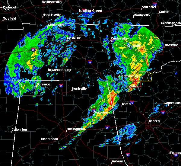 At 1000 am edt, a severe thunderstorm was located 7 miles northwest of eton, or 11 miles north of chatsworth, moving northeast at 45 mph (radar indicated). Hazards include 60 mph wind gusts. expect damage to roofs, siding, and trees At 1000 am edt, a severe thunderstorm was located 7 miles northwest of eton, or 11 miles north of chatsworth, moving northeast at 45 mph (radar indicated). Hazards include 60 mph wind gusts. expect damage to roofs, siding, and trees
|
| 3/21/2017 7:23 PM EDT |
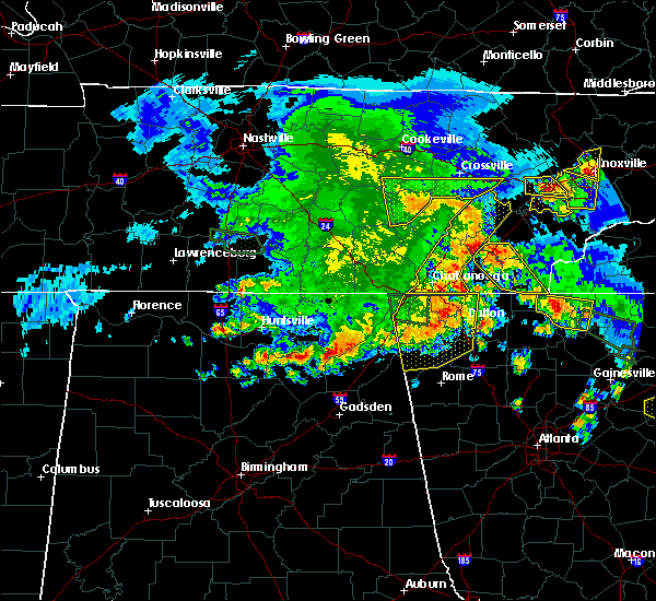 At 722 pm edt, severe thunderstorms were located along a line extending from near spring city to 6 miles west of decatur to 9 miles southeast of dayton to 8 miles west of charleston to near south cleveland to cohutta, moving east at 55 mph (radar indicated). Hazards include 60 mph wind gusts and quarter size hail. Hail damage to vehicles is expected. Expect wind damage to roofs, siding, and trees. At 722 pm edt, severe thunderstorms were located along a line extending from near spring city to 6 miles west of decatur to 9 miles southeast of dayton to 8 miles west of charleston to near south cleveland to cohutta, moving east at 55 mph (radar indicated). Hazards include 60 mph wind gusts and quarter size hail. Hail damage to vehicles is expected. Expect wind damage to roofs, siding, and trees.
|
| 3/21/2017 6:45 PM EDT |
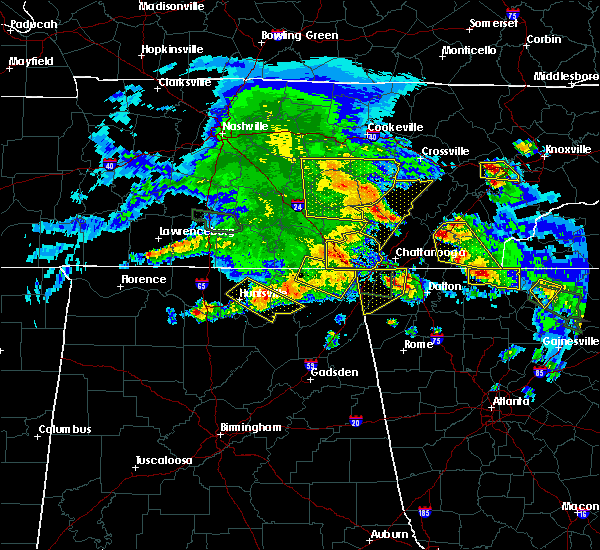 At 644 pm edt, severe thunderstorms were located along a line extending from 8 miles west of charleston to near benton, moving east at 20 mph (public). Hazards include ping pong ball size hail and 60 mph wind gusts. People and animals outdoors will be injured. expect hail damage to roofs, siding, windows, and vehicles. expect wind damage to roofs, siding, and trees. locations impacted include, cleveland, benton, ducktown, charleston, east cleveland, wildwood lake, south cleveland, calhoun, william l. davenport refuge, riceville, waterville, big frog mountain, hillsview, parksville, hopewell, copperhill, reliance, archville, tasso and hiwassee ocoee s. P At 644 pm edt, severe thunderstorms were located along a line extending from 8 miles west of charleston to near benton, moving east at 20 mph (public). Hazards include ping pong ball size hail and 60 mph wind gusts. People and animals outdoors will be injured. expect hail damage to roofs, siding, windows, and vehicles. expect wind damage to roofs, siding, and trees. locations impacted include, cleveland, benton, ducktown, charleston, east cleveland, wildwood lake, south cleveland, calhoun, william l. davenport refuge, riceville, waterville, big frog mountain, hillsview, parksville, hopewell, copperhill, reliance, archville, tasso and hiwassee ocoee s. P
|
| 3/21/2017 6:35 PM EDT |
 At 635 pm edt, severe thunderstorms were located along a line extending from 10 miles northwest of cleveland to near east cleveland, moving east at 20 mph (radar indicated). Hazards include 60 mph wind gusts and quarter size hail. Hail damage to vehicles is expected. Expect wind damage to roofs, siding, and trees. At 635 pm edt, severe thunderstorms were located along a line extending from 10 miles northwest of cleveland to near east cleveland, moving east at 20 mph (radar indicated). Hazards include 60 mph wind gusts and quarter size hail. Hail damage to vehicles is expected. Expect wind damage to roofs, siding, and trees.
|
| 3/21/2017 5:34 PM EDT |
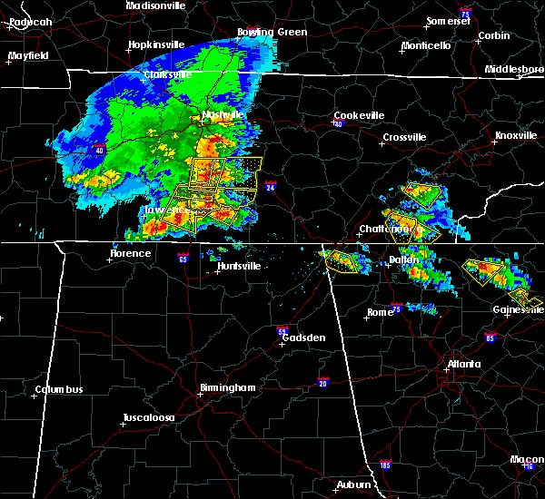 At 534 pm edt, a severe thunderstorm was located near east cleveland, or near cleveland, moving southeast at 20 mph (trained weather spotters). Hazards include 60 mph wind gusts and half dollar size hail. Hail damage to vehicles is expected. expect wind damage to roofs, siding, and trees. Locations impacted include, cleveland, wildwood lake, east cleveland, south cleveland, waterville and tasso. At 534 pm edt, a severe thunderstorm was located near east cleveland, or near cleveland, moving southeast at 20 mph (trained weather spotters). Hazards include 60 mph wind gusts and half dollar size hail. Hail damage to vehicles is expected. expect wind damage to roofs, siding, and trees. Locations impacted include, cleveland, wildwood lake, east cleveland, south cleveland, waterville and tasso.
|
| 3/21/2017 5:22 PM EDT |
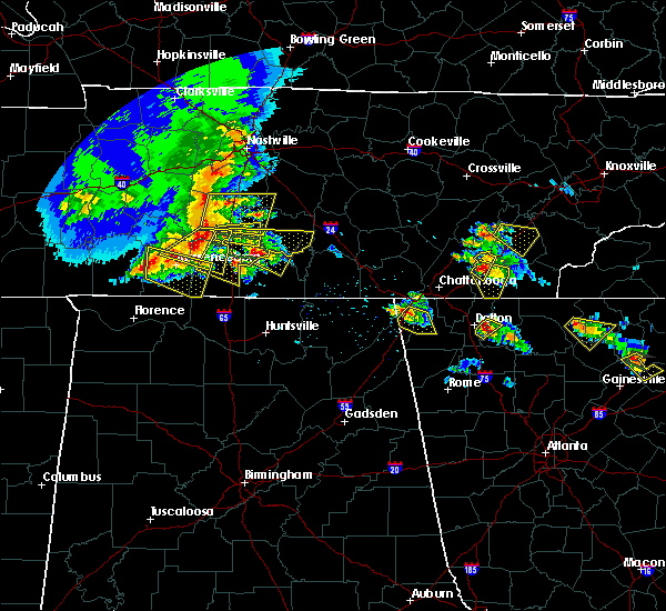 At 522 pm edt, a severe thunderstorm was located over cleveland, moving southeast at 20 mph (trained weather spotters reported hail up to golf ball size in cleveland). Hazards include golf ball size hail and 60 mph wind gusts. People and animals outdoors will be injured. expect hail damage to roofs, siding, windows, and vehicles. expect wind damage to roofs, siding, and trees. Locations impacted include, cleveland, south cleveland, east cleveland, wildwood lake, waterville, hopewell, flint springs, gap springs and tasso. At 522 pm edt, a severe thunderstorm was located over cleveland, moving southeast at 20 mph (trained weather spotters reported hail up to golf ball size in cleveland). Hazards include golf ball size hail and 60 mph wind gusts. People and animals outdoors will be injured. expect hail damage to roofs, siding, windows, and vehicles. expect wind damage to roofs, siding, and trees. Locations impacted include, cleveland, south cleveland, east cleveland, wildwood lake, waterville, hopewell, flint springs, gap springs and tasso.
|
| 3/21/2017 5:10 PM EDT |
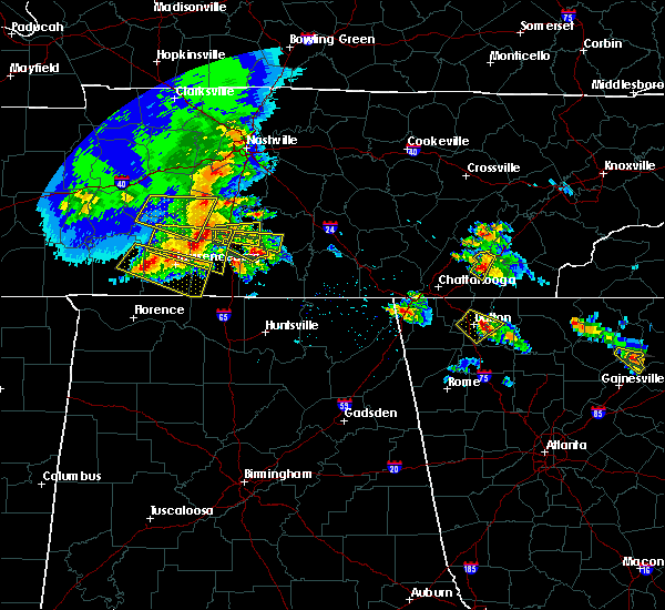 At 510 pm edt, a severe thunderstorm was located near cleveland, moving southeast at 15 mph (radar indicated). Hazards include ping pong ball size hail and 60 mph wind gusts. People and animals outdoors will be injured. expect hail damage to roofs, siding, windows, and vehicles. Expect wind damage to roofs, siding, and trees. At 510 pm edt, a severe thunderstorm was located near cleveland, moving southeast at 15 mph (radar indicated). Hazards include ping pong ball size hail and 60 mph wind gusts. People and animals outdoors will be injured. expect hail damage to roofs, siding, windows, and vehicles. Expect wind damage to roofs, siding, and trees.
|
| 3/1/2017 4:05 PM EST |
 At 403 pm est, severe thunderstorms were located along a line extending from 9 miles south of madisonville to near benton to near cohutta, moving east at 50 mph (radar indicated). Hazards include 60 mph wind gusts and quarter size hail. Hail damage to vehicles is expected. expect wind damage to roofs, siding, and trees. locations impacted include, benton, ducktown, wildwood lake, south cleveland, tellico plains, william l. davenport refuge, waterville, conasauga, big frog mountain, parksville, turtletown, bullet creek, reliance, flint springs, archville, gap springs, mount vernon, hiwassee ocoee s. p. and copperhill. A tornado watch remains in effect until 700 pm est for southwestern north carolina, and eastern tennessee. At 403 pm est, severe thunderstorms were located along a line extending from 9 miles south of madisonville to near benton to near cohutta, moving east at 50 mph (radar indicated). Hazards include 60 mph wind gusts and quarter size hail. Hail damage to vehicles is expected. expect wind damage to roofs, siding, and trees. locations impacted include, benton, ducktown, wildwood lake, south cleveland, tellico plains, william l. davenport refuge, waterville, conasauga, big frog mountain, parksville, turtletown, bullet creek, reliance, flint springs, archville, gap springs, mount vernon, hiwassee ocoee s. p. and copperhill. A tornado watch remains in effect until 700 pm est for southwestern north carolina, and eastern tennessee.
|
| 3/1/2017 3:35 PM EST |
 At 333 pm est, a severe thunderstorm was located over cleveland, moving east at 45 mph (radar indicated). Hazards include 60 mph wind gusts and quarter size hail. Hail damage to vehicles is expected. Expect wind damage to roofs, siding, and trees. At 333 pm est, a severe thunderstorm was located over cleveland, moving east at 45 mph (radar indicated). Hazards include 60 mph wind gusts and quarter size hail. Hail damage to vehicles is expected. Expect wind damage to roofs, siding, and trees.
|
| 11/30/2016 6:17 AM EST |
 At 616 am est, severe thunderstorms were located along a line extending from near eagleton village to near wildwood lake, moving northeast at 45 mph (radar indicated). Hazards include 60 mph wind gusts and penny size hail. Expect damage to roofs. siding. and trees. locations impacted include, chattanooga, cleveland, athens, sweetwater, madisonville, benton, ducktown, etowah, charleston, south cleveland, east cleveland, wildwood lake, collegedale, englewood, vonore, tellico plains, niota, calhoun, ooltewah and parksville. A tornado watch remains in effect until 1100 am est for eastern tennessee. At 616 am est, severe thunderstorms were located along a line extending from near eagleton village to near wildwood lake, moving northeast at 45 mph (radar indicated). Hazards include 60 mph wind gusts and penny size hail. Expect damage to roofs. siding. and trees. locations impacted include, chattanooga, cleveland, athens, sweetwater, madisonville, benton, ducktown, etowah, charleston, south cleveland, east cleveland, wildwood lake, collegedale, englewood, vonore, tellico plains, niota, calhoun, ooltewah and parksville. A tornado watch remains in effect until 1100 am est for eastern tennessee.
|
| 11/30/2016 5:46 AM EST |
 At 545 am est, severe thunderstorms were located along a line extending from 8 miles northeast of madisonville to near ringgold, moving northeast at 45 mph (radar indicated). Hazards include 70 mph wind gusts and penny size hail. Expect considerable tree damage. Damage is likely to mobile homes, roofs, and outbuildings. At 545 am est, severe thunderstorms were located along a line extending from 8 miles northeast of madisonville to near ringgold, moving northeast at 45 mph (radar indicated). Hazards include 70 mph wind gusts and penny size hail. Expect considerable tree damage. Damage is likely to mobile homes, roofs, and outbuildings.
|
| 11/30/2016 5:42 AM EST |
 At 542 am est, severe thunderstorms were located along a line extending from near madisonville to 6 miles northwest of cohutta, moving east at 40 mph (radar indicated). Hazards include 70 mph wind gusts and penny size hail. Expect considerable tree damage. damage is likely to mobile homes, roofs, and outbuildings. locations impacted include, chattanooga, cleveland, athens, sweetwater, madisonville, charleston, ridgeside, harrison, wildwood lake, south cleveland, east cleveland, collegedale, englewood, niota, calhoun, mcdonald, riceville, ooltewah, east brainerd and clear water. A tornado watch remains in effect until 1100 am est for eastern tennessee. At 542 am est, severe thunderstorms were located along a line extending from near madisonville to 6 miles northwest of cohutta, moving east at 40 mph (radar indicated). Hazards include 70 mph wind gusts and penny size hail. Expect considerable tree damage. damage is likely to mobile homes, roofs, and outbuildings. locations impacted include, chattanooga, cleveland, athens, sweetwater, madisonville, charleston, ridgeside, harrison, wildwood lake, south cleveland, east cleveland, collegedale, englewood, niota, calhoun, mcdonald, riceville, ooltewah, east brainerd and clear water. A tornado watch remains in effect until 1100 am est for eastern tennessee.
|
| 11/30/2016 5:32 AM EST |
 At 532 am est, severe thunderstorms were located along a line extending from near maryville to 13 miles northwest of town of santeetlah to 6 miles southeast of benton, moving east at 50 mph (radar indicated). Hazards include 60 mph wind gusts and penny size hail. Expect damage to roofs. siding. and trees. locations impacted include, cleveland, athens, madisonville, benton, ducktown, etowah, charleston, wildwood lake, south cleveland, east cleveland, englewood, vonore, tellico plains, calhoun, riceville, fort loudon s. p,. parksville, mount vernon, citico beach and bullet creek. A tornado watch remains in effect until 1100 am est for eastern tennessee. At 532 am est, severe thunderstorms were located along a line extending from near maryville to 13 miles northwest of town of santeetlah to 6 miles southeast of benton, moving east at 50 mph (radar indicated). Hazards include 60 mph wind gusts and penny size hail. Expect damage to roofs. siding. and trees. locations impacted include, cleveland, athens, madisonville, benton, ducktown, etowah, charleston, wildwood lake, south cleveland, east cleveland, englewood, vonore, tellico plains, calhoun, riceville, fort loudon s. p,. parksville, mount vernon, citico beach and bullet creek. A tornado watch remains in effect until 1100 am est for eastern tennessee.
|
| 11/30/2016 5:30 AM EST |
 At 530 am est, severe thunderstorms were located along a line extending from 8 miles southwest of fairview to 6 miles northwest of south cleveland, moving east at 50 mph (radar indicated). Hazards include 60 mph wind gusts and penny size hail. Expect damage to roofs. siding. And trees. At 530 am est, severe thunderstorms were located along a line extending from 8 miles southwest of fairview to 6 miles northwest of south cleveland, moving east at 50 mph (radar indicated). Hazards include 60 mph wind gusts and penny size hail. Expect damage to roofs. siding. And trees.
|
| 11/30/2016 5:14 AM EST |
 At 514 am est, severe thunderstorms were located along a line extending from 10 miles southwest of maryville to 8 miles south of madisonville to near wildwood lake, moving east at 50 mph (radar indicated). Hazards include 70 mph wind gusts and penny size hail. Expect considerable tree damage. Damage is likely to mobile homes, roofs, and outbuildings. At 514 am est, severe thunderstorms were located along a line extending from 10 miles southwest of maryville to 8 miles south of madisonville to near wildwood lake, moving east at 50 mph (radar indicated). Hazards include 70 mph wind gusts and penny size hail. Expect considerable tree damage. Damage is likely to mobile homes, roofs, and outbuildings.
|
| 11/30/2016 4:55 AM EST |
 At 455 am est, severe thunderstorms were located along a line extending from near athens to 6 miles east of charleston to near south cleveland, moving east at 50 mph (radar indicated). Hazards include 70 mph wind gusts and nickel size hail. Expect considerable tree damage. damage is likely to mobile homes, roofs, and outbuildings. locations impacted include, cleveland, athens, madisonville, decatur, benton, etowah, charleston, wildwood lake, south cleveland, east cleveland, collegedale, englewood, niota, calhoun, mcdonald, riceville, big spring, parksville, mount vernon and bullet creek. A tornado watch remains in effect until 1100 am est for eastern tennessee. At 455 am est, severe thunderstorms were located along a line extending from near athens to 6 miles east of charleston to near south cleveland, moving east at 50 mph (radar indicated). Hazards include 70 mph wind gusts and nickel size hail. Expect considerable tree damage. damage is likely to mobile homes, roofs, and outbuildings. locations impacted include, cleveland, athens, madisonville, decatur, benton, etowah, charleston, wildwood lake, south cleveland, east cleveland, collegedale, englewood, niota, calhoun, mcdonald, riceville, big spring, parksville, mount vernon and bullet creek. A tornado watch remains in effect until 1100 am est for eastern tennessee.
|
| 11/30/2016 4:42 AM EST |
 At 441 am est, severe thunderstorms were located along a line extending from near decatur to near charleston to near harrison, moving east at 50 mph (radar indicated). Hazards include 70 mph wind gusts and nickel size hail. Expect considerable tree damage. Damage is likely to mobile homes, roofs, and outbuildings. At 441 am est, severe thunderstorms were located along a line extending from near decatur to near charleston to near harrison, moving east at 50 mph (radar indicated). Hazards include 70 mph wind gusts and nickel size hail. Expect considerable tree damage. Damage is likely to mobile homes, roofs, and outbuildings.
|
| 11/30/2016 4:34 AM EST |
 At 433 am est, severe thunderstorms were located along a line extending from kingston to 6 miles southeast of decatur to 6 miles south of harrison, moving east at 45 mph (radar indicated). Hazards include 70 mph wind gusts and nickel size hail. Expect considerable tree damage. damage is likely to mobile homes, roofs, and outbuildings. locations impacted include, chattanooga, cleveland, athens, dayton, sweetwater, loudon, decatur, soddy-daisy, fairview, lakesite, charleston, ridgeside, harrison, south cleveland, east cleveland, wildwood lake, red bank, collegedale, graysville and niota. A tornado watch remains in effect until 1100 am est for eastern tennessee. At 433 am est, severe thunderstorms were located along a line extending from kingston to 6 miles southeast of decatur to 6 miles south of harrison, moving east at 45 mph (radar indicated). Hazards include 70 mph wind gusts and nickel size hail. Expect considerable tree damage. damage is likely to mobile homes, roofs, and outbuildings. locations impacted include, chattanooga, cleveland, athens, dayton, sweetwater, loudon, decatur, soddy-daisy, fairview, lakesite, charleston, ridgeside, harrison, south cleveland, east cleveland, wildwood lake, red bank, collegedale, graysville and niota. A tornado watch remains in effect until 1100 am est for eastern tennessee.
|
| 11/30/2016 4:12 AM EST |
 At 412 am est/312 am cst/, severe thunderstorms were located along a line extending from 6 miles southwest of rockwood to 6 miles south of dayton to lookout mountain, moving east at 50 mph (radar indicated). Hazards include 60 mph wind gusts. Expect damage to roofs. siding. And trees. At 412 am est/312 am cst/, severe thunderstorms were located along a line extending from 6 miles southwest of rockwood to 6 miles south of dayton to lookout mountain, moving east at 50 mph (radar indicated). Hazards include 60 mph wind gusts. Expect damage to roofs. siding. And trees.
|
| 11/30/2016 2:18 AM EST |
 At 218 am est, a severe thunderstorm capable of producing a tornado was located over wildwood lake, or near cleveland, moving northeast at 50 mph (radar indicated rotation). Hazards include tornado. Flying debris will be dangerous to those caught without shelter. mobile homes will be damaged or destroyed. damage to roofs, windows, and vehicles will occur. tree damage is likely. this dangerous storm will be near, benton around 230 am est. Other locations impacted by this tornadic thunderstorm include tasso, conasauga, parksville, gap springs, waterville and flint springs. At 218 am est, a severe thunderstorm capable of producing a tornado was located over wildwood lake, or near cleveland, moving northeast at 50 mph (radar indicated rotation). Hazards include tornado. Flying debris will be dangerous to those caught without shelter. mobile homes will be damaged or destroyed. damage to roofs, windows, and vehicles will occur. tree damage is likely. this dangerous storm will be near, benton around 230 am est. Other locations impacted by this tornadic thunderstorm include tasso, conasauga, parksville, gap springs, waterville and flint springs.
|
| 11/30/2016 2:00 AM EST |
 At 159 am est, a severe thunderstorm capable of producing a tornado was located near cohutta, or near ringgold, moving northeast at 50 mph (radar indicated rotation). Hazards include tornado. Flying debris will be dangerous to those caught without shelter. mobile homes will be damaged or destroyed. damage to roofs, windows, and vehicles will occur. tree damage is likely. this dangerous storm will be near, wildwood lake, south cleveland and east cleveland around 215 am est. benton around 230 am est. other locations impacted by this tornadic thunderstorm include mcdonald, apison, collegedale, flint springs, ooltewah, waterville, tasso, conasauga, parksville and red clay s. P At 159 am est, a severe thunderstorm capable of producing a tornado was located near cohutta, or near ringgold, moving northeast at 50 mph (radar indicated rotation). Hazards include tornado. Flying debris will be dangerous to those caught without shelter. mobile homes will be damaged or destroyed. damage to roofs, windows, and vehicles will occur. tree damage is likely. this dangerous storm will be near, wildwood lake, south cleveland and east cleveland around 215 am est. benton around 230 am est. other locations impacted by this tornadic thunderstorm include mcdonald, apison, collegedale, flint springs, ooltewah, waterville, tasso, conasauga, parksville and red clay s. P
|
| 11/30/2016 12:46 AM EST |
 At 1246 am est, a severe thunderstorm capable of producing a tornado was located over lakesite, or 10 miles northeast of chattanooga, moving northeast at 55 mph (radar indicated rotation). Hazards include tornado and quarter size hail. Flying debris will be dangerous to those caught without shelter. mobile homes will be damaged or destroyed. damage to roofs, windows, and vehicles will occur. tree damage is likely. this dangerous storm will be near, cleveland around 100 am est. other locations impacted by this tornadic thunderstorm include mcdonald, ooltewah, middle valley, shady grove, hopewell, red bank, waterville, harrison bay s. p,. Falling water and lookout mountain. At 1246 am est, a severe thunderstorm capable of producing a tornado was located over lakesite, or 10 miles northeast of chattanooga, moving northeast at 55 mph (radar indicated rotation). Hazards include tornado and quarter size hail. Flying debris will be dangerous to those caught without shelter. mobile homes will be damaged or destroyed. damage to roofs, windows, and vehicles will occur. tree damage is likely. this dangerous storm will be near, cleveland around 100 am est. other locations impacted by this tornadic thunderstorm include mcdonald, ooltewah, middle valley, shady grove, hopewell, red bank, waterville, harrison bay s. p,. Falling water and lookout mountain.
|
| 11/30/2016 12:34 AM EST |
 At 1234 am est, a severe thunderstorm capable of producing a tornado was located over chattanooga, moving northeast at 50 mph (radar indicated rotation). Hazards include tornado and quarter size hail. Flying debris will be dangerous to those caught without shelter. mobile homes will be damaged or destroyed. damage to roofs, windows, and vehicles will occur. tree damage is likely. this dangerous storm will be near, harrison around 1245 am est. lakesite around 1250 am est. cleveland, east cleveland and south cleveland around 100 am est. other locations impacted by this tornadic thunderstorm include mcdonald, ooltewah, middle valley, shady grove, hopewell, red bank, waterville, harrison bay s. p,. Falling water and lookout mountain. At 1234 am est, a severe thunderstorm capable of producing a tornado was located over chattanooga, moving northeast at 50 mph (radar indicated rotation). Hazards include tornado and quarter size hail. Flying debris will be dangerous to those caught without shelter. mobile homes will be damaged or destroyed. damage to roofs, windows, and vehicles will occur. tree damage is likely. this dangerous storm will be near, harrison around 1245 am est. lakesite around 1250 am est. cleveland, east cleveland and south cleveland around 100 am est. other locations impacted by this tornadic thunderstorm include mcdonald, ooltewah, middle valley, shady grove, hopewell, red bank, waterville, harrison bay s. p,. Falling water and lookout mountain.
|
| 8/28/2016 4:49 PM EDT |
 At 449 pm edt, a severe thunderstorm was located over cleveland, moving west at 15 mph (radar indicated). Hazards include 60 mph wind gusts and quarter size hail. Hail damage to vehicles is expected. expect wind damage to roofs, siding, and trees. Locations impacted include, cleveland, south cleveland, east cleveland, wildwood lake, mcdonald, hopewell, waterville and tasso. At 449 pm edt, a severe thunderstorm was located over cleveland, moving west at 15 mph (radar indicated). Hazards include 60 mph wind gusts and quarter size hail. Hail damage to vehicles is expected. expect wind damage to roofs, siding, and trees. Locations impacted include, cleveland, south cleveland, east cleveland, wildwood lake, mcdonald, hopewell, waterville and tasso.
|
| 8/28/2016 4:32 PM EDT |
 At 432 pm edt, a severe thunderstorm was located near east cleveland, or near benton, moving west at 15 mph (radar indicated). Hazards include 60 mph wind gusts and quarter size hail. Hail damage to vehicles is expected. expect wind damage to roofs, siding, and trees. Locations impacted include, cleveland, south cleveland, east cleveland, wildwood lake, mcdonald, hopewell, waterville and tasso. At 432 pm edt, a severe thunderstorm was located near east cleveland, or near benton, moving west at 15 mph (radar indicated). Hazards include 60 mph wind gusts and quarter size hail. Hail damage to vehicles is expected. expect wind damage to roofs, siding, and trees. Locations impacted include, cleveland, south cleveland, east cleveland, wildwood lake, mcdonald, hopewell, waterville and tasso.
|
| 8/28/2016 4:09 PM EDT |
 At 409 pm edt, a severe thunderstorm was located near south cleveland, or 9 miles southwest of cleveland, moving northwest at 15 mph (radar indicated). Hazards include 60 mph wind gusts and penny size hail. Expect damage to roofs. siding. And trees. At 409 pm edt, a severe thunderstorm was located near south cleveland, or 9 miles southwest of cleveland, moving northwest at 15 mph (radar indicated). Hazards include 60 mph wind gusts and penny size hail. Expect damage to roofs. siding. And trees.
|
| 8/17/2016 7:57 PM EDT |
 The severe thunderstorm warning for southwestern bradley and southeastern hamilton counties will expire at 800 pm edt, the storm which prompted the warning has weakened below severe limits, and no longer pose an immediate threat to life or property. therefore, the warning will be allowed to expire. however gusty winds and heavy rain are still possible with this thunderstorm. The severe thunderstorm warning for southwestern bradley and southeastern hamilton counties will expire at 800 pm edt, the storm which prompted the warning has weakened below severe limits, and no longer pose an immediate threat to life or property. therefore, the warning will be allowed to expire. however gusty winds and heavy rain are still possible with this thunderstorm.
|
| 8/17/2016 7:29 PM EDT |
 At 726 pm edt, a severe thunderstorm was located near south cleveland, or 10 miles northeast of ringgold, moving east at 10 mph. the storm has shown some signs of weakening but could strengthen at any time (radar indicated). Hazards include 60 mph wind gusts and penny size hail. Expect damage to roofs. siding. and trees. locations impacted include, cleveland, south cleveland, east cleveland, wildwood lake, collegedale, mcdonald, apison, flint springs, waterville, red clay s. p. And ooltewah. At 726 pm edt, a severe thunderstorm was located near south cleveland, or 10 miles northeast of ringgold, moving east at 10 mph. the storm has shown some signs of weakening but could strengthen at any time (radar indicated). Hazards include 60 mph wind gusts and penny size hail. Expect damage to roofs. siding. and trees. locations impacted include, cleveland, south cleveland, east cleveland, wildwood lake, collegedale, mcdonald, apison, flint springs, waterville, red clay s. p. And ooltewah.
|
| 8/17/2016 7:14 PM EDT |
 At 712 pm edt, a severe thunderstorm was located near harrison, or 10 miles north of ringgold, moving east at 10 mph (radar indicated). Hazards include 60 mph wind gusts and quarter size hail. very heavy rainfall is also occurring with this storm. Hail damage to vehicles is expected. Expect wind damage to roofs, siding, and trees. At 712 pm edt, a severe thunderstorm was located near harrison, or 10 miles north of ringgold, moving east at 10 mph (radar indicated). Hazards include 60 mph wind gusts and quarter size hail. very heavy rainfall is also occurring with this storm. Hail damage to vehicles is expected. Expect wind damage to roofs, siding, and trees.
|
| 7/9/2016 1:00 AM EDT | Trees down in the oldfort communit in polk county TN, 7.9 miles WNW of Wildwood Lake, TN |
| 7/9/2016 12:49 AM EDT |
 At 1248 am edt, a severe thunderstorm was located near south cleveland, or 10 miles south of cleveland, moving southeast at 25 mph (radar indicated). Hazards include 60 mph wind gusts and quarter size hail. Hail damage to vehicles is expected. expect wind damage to roofs, siding, and trees. locations impacted include, cleveland, south cleveland, wildwood lake, collegedale, mcdonald, apison, flint springs, waterville, red clay s. p. And ooltewah. At 1248 am edt, a severe thunderstorm was located near south cleveland, or 10 miles south of cleveland, moving southeast at 25 mph (radar indicated). Hazards include 60 mph wind gusts and quarter size hail. Hail damage to vehicles is expected. expect wind damage to roofs, siding, and trees. locations impacted include, cleveland, south cleveland, wildwood lake, collegedale, mcdonald, apison, flint springs, waterville, red clay s. p. And ooltewah.
|
| 7/9/2016 12:47 AM EDT |
 At 1246 am edt, a severe thunderstorm was located over wildwood lake, or near cleveland, moving east at 55 mph (radar indicated). Hazards include 60 mph wind gusts and quarter size hail. Hail damage to vehicles is expected. Expect wind damage to roofs, siding, and trees. At 1246 am edt, a severe thunderstorm was located over wildwood lake, or near cleveland, moving east at 55 mph (radar indicated). Hazards include 60 mph wind gusts and quarter size hail. Hail damage to vehicles is expected. Expect wind damage to roofs, siding, and trees.
|
| 7/9/2016 12:38 AM EDT |
 At 1238 am edt, a severe thunderstorm was located near south cleveland, or 9 miles southwest of cleveland, moving east at 35 mph (radar indicated). Hazards include 60 mph wind gusts and quarter size hail. Hail damage to vehicles is expected. expect wind damage to roofs, siding, and trees. locations impacted include, chattanooga, cleveland, lakesite, harrison, south cleveland, wildwood lake, collegedale, mcdonald, apison, flint springs, ooltewah, east brainerd, waterville, east ridge, harrison bay s. p,. red clay s. p. And middle valley. At 1238 am edt, a severe thunderstorm was located near south cleveland, or 9 miles southwest of cleveland, moving east at 35 mph (radar indicated). Hazards include 60 mph wind gusts and quarter size hail. Hail damage to vehicles is expected. expect wind damage to roofs, siding, and trees. locations impacted include, chattanooga, cleveland, lakesite, harrison, south cleveland, wildwood lake, collegedale, mcdonald, apison, flint springs, ooltewah, east brainerd, waterville, east ridge, harrison bay s. p,. red clay s. p. And middle valley.
|
| 7/9/2016 12:28 AM EDT |
 At 1227 am edt, a severe thunderstorm was located over ridgeside, or near chattanooga, moving southeast at 25 mph (radar indicated). Hazards include 60 mph wind gusts and quarter size hail. Hail damage to vehicles is expected. expect wind damage to roofs, siding, and trees. locations impacted include, chattanooga, cleveland, soddy-daisy, signal mountain, walden, lakesite, ridgeside, harrison, fairmount, wildwood lake, south cleveland, red bank, collegedale, mcdonald, ooltewah, east brainerd, east ridge, harrison bay s. p,. North chickamauga creek gorge and falling water. At 1227 am edt, a severe thunderstorm was located over ridgeside, or near chattanooga, moving southeast at 25 mph (radar indicated). Hazards include 60 mph wind gusts and quarter size hail. Hail damage to vehicles is expected. expect wind damage to roofs, siding, and trees. locations impacted include, chattanooga, cleveland, soddy-daisy, signal mountain, walden, lakesite, ridgeside, harrison, fairmount, wildwood lake, south cleveland, red bank, collegedale, mcdonald, ooltewah, east brainerd, east ridge, harrison bay s. p,. North chickamauga creek gorge and falling water.
|
| 7/9/2016 12:19 AM EDT |
 At 1219 am edt/1119 pm cdt/, a severe thunderstorm was located over chattanooga, moving southeast at 25 mph (radar indicated). Hazards include 60 mph wind gusts and quarter size hail. Hail damage to vehicles is expected. expect wind damage to roofs, siding, and trees. Locations impacted include, chattanooga, cleveland, soddy-daisy, signal mountain, walden, lakesite, whitwell, ridgeside, harrison, fairmount, wildwood lake, south cleveland, red bank, collegedale, powells crossroads, mcdonald, martin springs, ooltewah, east brainerd and east ridge. At 1219 am edt/1119 pm cdt/, a severe thunderstorm was located over chattanooga, moving southeast at 25 mph (radar indicated). Hazards include 60 mph wind gusts and quarter size hail. Hail damage to vehicles is expected. expect wind damage to roofs, siding, and trees. Locations impacted include, chattanooga, cleveland, soddy-daisy, signal mountain, walden, lakesite, whitwell, ridgeside, harrison, fairmount, wildwood lake, south cleveland, red bank, collegedale, powells crossroads, mcdonald, martin springs, ooltewah, east brainerd and east ridge.
|
| 7/9/2016 12:10 AM EDT |
 At 1209 am edt/1109 pm cdt/, a severe thunderstorm was located near signal mountain, or near chattanooga, moving southeast at 25 mph (radar indicated). Hazards include 60 mph wind gusts. Expect damage to roofs. siding. And trees. At 1209 am edt/1109 pm cdt/, a severe thunderstorm was located near signal mountain, or near chattanooga, moving southeast at 25 mph (radar indicated). Hazards include 60 mph wind gusts. Expect damage to roofs. siding. And trees.
|
| 7/6/2016 8:27 PM EDT |
 At 826 pm edt, severe thunderstorms were located along a line extending from near murphy to near ducktown to near benton to near harrison, moving southeast at 30 mph (radar indicated). Hazards include 60 mph wind gusts. Expect damage to roofs. siding. and trees. Locations impacted include, chattanooga, cleveland, murphy, benton, ducktown, soddy-daisy, signal mountain, walden, lakesite, charleston, ridgeside, harrison, south cleveland, east cleveland, fairmount, wildwood lake, red bank, collegedale, graysville and calhoun. At 826 pm edt, severe thunderstorms were located along a line extending from near murphy to near ducktown to near benton to near harrison, moving southeast at 30 mph (radar indicated). Hazards include 60 mph wind gusts. Expect damage to roofs. siding. and trees. Locations impacted include, chattanooga, cleveland, murphy, benton, ducktown, soddy-daisy, signal mountain, walden, lakesite, charleston, ridgeside, harrison, south cleveland, east cleveland, fairmount, wildwood lake, red bank, collegedale, graysville and calhoun.
|
| 7/6/2016 8:12 PM EDT |
 At 812 pm edt, severe thunderstorms were located along a line extending from 6 miles north of blairsville to near ducktown to near charleston to near walden, moving southeast at 55 mph (radar indicated). Hazards include 60 mph wind gusts. Expect damage to roofs. siding. And trees. At 812 pm edt, severe thunderstorms were located along a line extending from 6 miles north of blairsville to near ducktown to near charleston to near walden, moving southeast at 55 mph (radar indicated). Hazards include 60 mph wind gusts. Expect damage to roofs. siding. And trees.
|
| 7/22/2015 4:55 PM EDT |
 At 455 pm edt, a severe thunderstorm was located 7 miles south of south cleveland, or 12 miles south of cleveland, moving east at 20 mph (radar indicated). Hazards include 60 mph wind gusts and quarter size hail. Hail damage to vehicles is expected. expect wind damage to roofs, siding and trees. Locations impacted include, wildwood lake, south cleveland, collegedale, flint springs, ooltewah, gap springs and waterville. At 455 pm edt, a severe thunderstorm was located 7 miles south of south cleveland, or 12 miles south of cleveland, moving east at 20 mph (radar indicated). Hazards include 60 mph wind gusts and quarter size hail. Hail damage to vehicles is expected. expect wind damage to roofs, siding and trees. Locations impacted include, wildwood lake, south cleveland, collegedale, flint springs, ooltewah, gap springs and waterville.
|
| 7/22/2015 4:40 PM EDT |
 At 439 pm edt, a severe thunderstorm was located 8 miles southwest of south cleveland, or 14 miles east of chattanooga, moving east at 20 mph (radar indicated). Hazards include 60 mph wind gusts and quarter size hail. Hail damage to vehicles is expected. Expect wind damage to roofs, siding and trees. At 439 pm edt, a severe thunderstorm was located 8 miles southwest of south cleveland, or 14 miles east of chattanooga, moving east at 20 mph (radar indicated). Hazards include 60 mph wind gusts and quarter size hail. Hail damage to vehicles is expected. Expect wind damage to roofs, siding and trees.
|
| 7/14/2015 6:50 PM EDT |
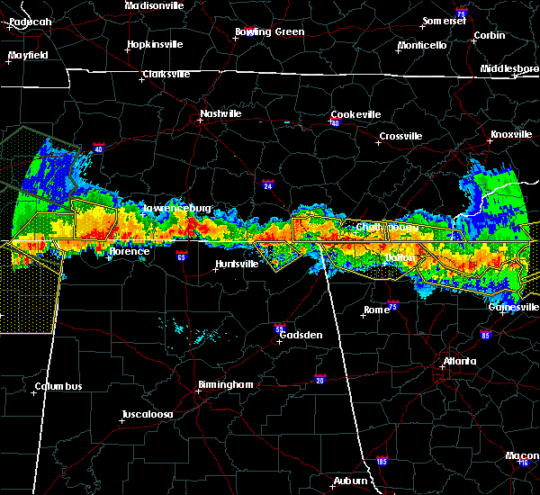 At 650 pm edt, severe thunderstorms were located along a line extending from near south cleveland to 8 miles southwest of ducktown, moving south at 25 mph (radar indicated). Hazards include 60 mph wind gusts and nickel size hail. Expect damage to roofs. siding and trees. Locations impacted include, cleveland, wildwood lake, south cleveland, flint springs, big frog mountain, gap springs, conasauga and waterville. At 650 pm edt, severe thunderstorms were located along a line extending from near south cleveland to 8 miles southwest of ducktown, moving south at 25 mph (radar indicated). Hazards include 60 mph wind gusts and nickel size hail. Expect damage to roofs. siding and trees. Locations impacted include, cleveland, wildwood lake, south cleveland, flint springs, big frog mountain, gap springs, conasauga and waterville.
|
| 7/14/2015 6:31 PM EDT |
 At 630 pm edt, severe thunderstorms were located along a line extending from near south cleveland to 10 miles southeast of ducktown, moving southeast at 35 mph (radar indicated). Hazards include 60 mph wind gusts and nickel size hail. Expect damage to roofs. siding and trees. Locations impacted include, cleveland, ducktown, east cleveland, wildwood lake, south cleveland, parksville, conasauga, waterville, flint springs, hot house, gap springs, archville and big frog mountain. At 630 pm edt, severe thunderstorms were located along a line extending from near south cleveland to 10 miles southeast of ducktown, moving southeast at 35 mph (radar indicated). Hazards include 60 mph wind gusts and nickel size hail. Expect damage to roofs. siding and trees. Locations impacted include, cleveland, ducktown, east cleveland, wildwood lake, south cleveland, parksville, conasauga, waterville, flint springs, hot house, gap springs, archville and big frog mountain.
|
| 7/14/2015 6:23 PM EDT |
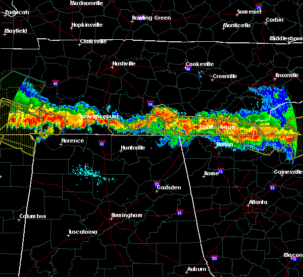 At 621 pm edt, severe thunderstorms were located along a line extending from near south cleveland to 7 miles east of ducktown, moving southeast at 35 mph (this line of storms has a history of producing wind damage). Hazards include 60 mph wind gusts and quarter size hail. Hail damage to vehicles is expected. Expect wind damage to roofs, siding and trees. At 621 pm edt, severe thunderstorms were located along a line extending from near south cleveland to 7 miles east of ducktown, moving southeast at 35 mph (this line of storms has a history of producing wind damage). Hazards include 60 mph wind gusts and quarter size hail. Hail damage to vehicles is expected. Expect wind damage to roofs, siding and trees.
|
| 7/14/2015 6:17 PM EDT |
 At 616 pm edt, severe thunderstorms were located along a line extending from 7 miles east of ducktown to near cleveland, moving south at 25 mph (radar indicated). Hazards include 60 mph wind gusts and quarter size hail. Hail damage to vehicles is expected. expect wind damage to roofs, siding and trees. Locations impacted include, cleveland, benton, ducktown, east cleveland, wildwood lake, south cleveland, culberson, tasso, parksville, conasauga, waterville, turtletown, flint springs, hot house, reliance, big frog mountain, archville, gap springs and hopewell. At 616 pm edt, severe thunderstorms were located along a line extending from 7 miles east of ducktown to near cleveland, moving south at 25 mph (radar indicated). Hazards include 60 mph wind gusts and quarter size hail. Hail damage to vehicles is expected. expect wind damage to roofs, siding and trees. Locations impacted include, cleveland, benton, ducktown, east cleveland, wildwood lake, south cleveland, culberson, tasso, parksville, conasauga, waterville, turtletown, flint springs, hot house, reliance, big frog mountain, archville, gap springs and hopewell.
|
| 7/14/2015 6:03 PM EDT |
 At 602 pm edt, severe thunderstorms were located along a line extending from 7 miles northeast of ducktown to near cleveland, moving south at 30 mph (radar indicated). Hazards include 60 mph wind gusts and quarter size hail. Hail damage to vehicles is expected. expect wind damage to roofs, siding and trees. Locations impacted include, cleveland, benton, ducktown, charleston, east cleveland, wildwood lake, south cleveland, calhoun, culberson, tasso, dentville, parksville, conasauga, waterville, turtletown, flint springs, hot house, reliance, big frog mountain and archville. At 602 pm edt, severe thunderstorms were located along a line extending from 7 miles northeast of ducktown to near cleveland, moving south at 30 mph (radar indicated). Hazards include 60 mph wind gusts and quarter size hail. Hail damage to vehicles is expected. expect wind damage to roofs, siding and trees. Locations impacted include, cleveland, benton, ducktown, charleston, east cleveland, wildwood lake, south cleveland, calhoun, culberson, tasso, dentville, parksville, conasauga, waterville, turtletown, flint springs, hot house, reliance, big frog mountain and archville.
|
| 7/14/2015 6:03 PM EDT |
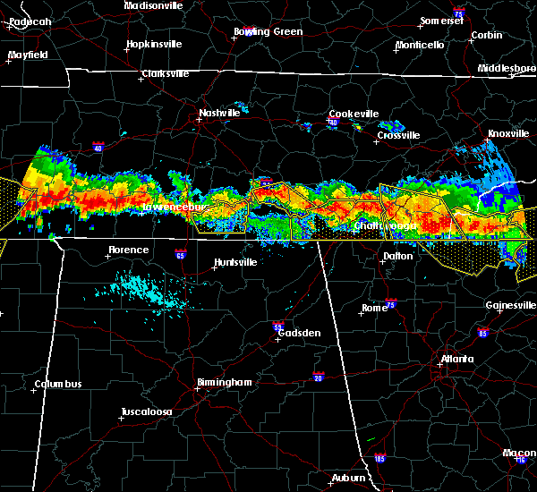 At 602 pm edt, severe thunderstorms were located along a line extending from 7 miles northeast of ducktown to near cleveland, moving south at 30 mph (radar indicated). Hazards include 60 mph wind gusts and quarter size hail. Hail damage to vehicles is expected. expect wind damage to roofs, siding and trees. Locations impacted include, cleveland, benton, ducktown, charleston, east cleveland, wildwood lake, south cleveland, calhoun, culberson, tasso, dentville, parksville, conasauga, waterville, turtletown, flint springs, hot house, reliance, big frog mountain and archville. At 602 pm edt, severe thunderstorms were located along a line extending from 7 miles northeast of ducktown to near cleveland, moving south at 30 mph (radar indicated). Hazards include 60 mph wind gusts and quarter size hail. Hail damage to vehicles is expected. expect wind damage to roofs, siding and trees. Locations impacted include, cleveland, benton, ducktown, charleston, east cleveland, wildwood lake, south cleveland, calhoun, culberson, tasso, dentville, parksville, conasauga, waterville, turtletown, flint springs, hot house, reliance, big frog mountain and archville.
|
| 7/14/2015 4:43 PM CDT |
 At 542 pm edt /442 pm cdt/, severe thunderstorms were located along a line extending from near dayton to 12 miles northwest of dunlap, moving south at 30 mph (radar indicated). Hazards include 60 mph wind gusts and quarter size hail. Hail damage to vehicles is expected. expect wind damage to roofs, siding and trees. Locations impacted include, chattanooga, cleveland, dayton, dunlap, jasper, soddy-daisy, signal mountain, south pittsburg, walden, lakesite, whitwell, kimball, monteagle, ridgeside, harrison, fairmount, south cleveland, red bank, collegedale and graysville. At 542 pm edt /442 pm cdt/, severe thunderstorms were located along a line extending from near dayton to 12 miles northwest of dunlap, moving south at 30 mph (radar indicated). Hazards include 60 mph wind gusts and quarter size hail. Hail damage to vehicles is expected. expect wind damage to roofs, siding and trees. Locations impacted include, chattanooga, cleveland, dayton, dunlap, jasper, soddy-daisy, signal mountain, south pittsburg, walden, lakesite, whitwell, kimball, monteagle, ridgeside, harrison, fairmount, south cleveland, red bank, collegedale and graysville.
|
| 7/14/2015 5:40 PM EDT |
 At 539 pm edt, severe thunderstorms were located along a line extending from 13 miles north of ducktown to 6 miles southeast of dayton, moving south at 30 mph (radar indicated). Hazards include 60 mph wind gusts and quarter size hail. Hail damage to vehicles is expected. expect wind damage to roofs, siding and trees. Locations impacted include, cleveland, athens, dayton, benton, ducktown, etowah, charleston, east cleveland, wildwood lake, south cleveland, englewood, calhoun, culberson, big spring, dentville, hillsview, conasauga, flint springs, hot house and bullet creek. At 539 pm edt, severe thunderstorms were located along a line extending from 13 miles north of ducktown to 6 miles southeast of dayton, moving south at 30 mph (radar indicated). Hazards include 60 mph wind gusts and quarter size hail. Hail damage to vehicles is expected. expect wind damage to roofs, siding and trees. Locations impacted include, cleveland, athens, dayton, benton, ducktown, etowah, charleston, east cleveland, wildwood lake, south cleveland, englewood, calhoun, culberson, big spring, dentville, hillsview, conasauga, flint springs, hot house and bullet creek.
|
| 7/14/2015 5:40 PM EDT |
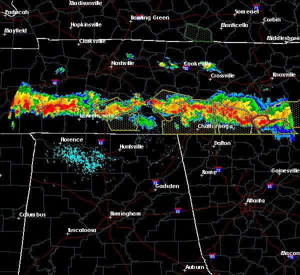 At 539 pm edt, severe thunderstorms were located along a line extending from 13 miles north of ducktown to 6 miles southeast of dayton, moving south at 30 mph (radar indicated). Hazards include 60 mph wind gusts and quarter size hail. Hail damage to vehicles is expected. expect wind damage to roofs, siding and trees. Locations impacted include, cleveland, athens, dayton, benton, ducktown, etowah, charleston, east cleveland, wildwood lake, south cleveland, englewood, calhoun, culberson, big spring, dentville, hillsview, conasauga, flint springs, hot house and bullet creek. At 539 pm edt, severe thunderstorms were located along a line extending from 13 miles north of ducktown to 6 miles southeast of dayton, moving south at 30 mph (radar indicated). Hazards include 60 mph wind gusts and quarter size hail. Hail damage to vehicles is expected. expect wind damage to roofs, siding and trees. Locations impacted include, cleveland, athens, dayton, benton, ducktown, etowah, charleston, east cleveland, wildwood lake, south cleveland, englewood, calhoun, culberson, big spring, dentville, hillsview, conasauga, flint springs, hot house and bullet creek.
|
| 7/14/2015 4:27 PM CDT |
 At 526 pm edt /426 pm cdt/, severe thunderstorms were located along a line extending from 6 miles southwest of decatur to 23 miles north of monteagle, moving south at 20 mph (radar indicated). Hazards include 60 mph wind gusts and half dollar size hail. Hail damage to vehicles is expected. Expect wind damage to roofs, siding and trees. At 526 pm edt /426 pm cdt/, severe thunderstorms were located along a line extending from 6 miles southwest of decatur to 23 miles north of monteagle, moving south at 20 mph (radar indicated). Hazards include 60 mph wind gusts and half dollar size hail. Hail damage to vehicles is expected. Expect wind damage to roofs, siding and trees.
|
| 7/14/2015 5:23 PM EDT |
 At 522 pm edt, severe thunderstorms were located along a line extending from 10 miles east of etowah to 6 miles east of dayton, moving south at 25 mph (radar indicated). Hazards include 60 mph wind gusts and half dollar size hail. Hail damage to vehicles is expected. Expect wind damage to roofs, siding and trees. At 522 pm edt, severe thunderstorms were located along a line extending from 10 miles east of etowah to 6 miles east of dayton, moving south at 25 mph (radar indicated). Hazards include 60 mph wind gusts and half dollar size hail. Hail damage to vehicles is expected. Expect wind damage to roofs, siding and trees.
|
| 7/14/2015 5:23 PM EDT |
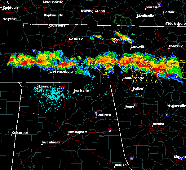 At 522 pm edt, severe thunderstorms were located along a line extending from 10 miles east of etowah to 6 miles east of dayton, moving south at 25 mph (radar indicated). Hazards include 60 mph wind gusts and half dollar size hail. Hail damage to vehicles is expected. Expect wind damage to roofs, siding and trees. At 522 pm edt, severe thunderstorms were located along a line extending from 10 miles east of etowah to 6 miles east of dayton, moving south at 25 mph (radar indicated). Hazards include 60 mph wind gusts and half dollar size hail. Hail damage to vehicles is expected. Expect wind damage to roofs, siding and trees.
|
| 6/26/2015 4:36 PM EDT | At 436 pm edt, a severe thunderstorm was located over cleveland, moving northeast at 15 mph (radar indicated). Hazards include 60 mph wind gusts and penny size hail. Expect damage to roofs. Siding and trees. |
| 6/26/2015 4:11 PM EDT | At 410 pm edt, a severe thunderstorm was located near south cleveland, or 8 miles south of cleveland, moving northeast at 10 mph (radar indicated). Hazards include 60 mph wind gusts and quarter size hail. Hail damage to vehicles is expected. expect wind damage to roofs, siding and trees. locations impacted include, chattanooga, cleveland, south cleveland, east cleveland, wildwood lake, collegedale, mcdonald, apison, flint springs, ooltewah, east brainerd, waterville, red clay s. p,. harrison bay s. p. And east ridge. |
| 6/26/2015 3:53 PM EDT | At 351 pm edt, a severe thunderstorm was located near south cleveland, or 11 miles southwest of cleveland, moving north at 20 mph (radar indicated). Hazards include 60 mph wind gusts and penny size hail. Expect damage to roofs. Siding and trees. |
| 6/24/2015 5:08 PM EDT |
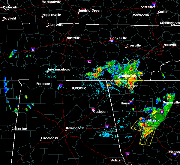 At 508 pm edt, a severe thunderstorm was located over cohutta, or 11 miles northeast of ringgold, moving southeast at 15 mph (radar indicated). Hazards include 60 mph wind gusts and quarter size hail. Hail damage to vehicles is expected. expect wind damage to roofs, siding and trees. locations impacted include, cleveland, wildwood lake, east cleveland, south cleveland, flint springs, waterville, conasauga, gap springs and red clay s. P At 508 pm edt, a severe thunderstorm was located over cohutta, or 11 miles northeast of ringgold, moving southeast at 15 mph (radar indicated). Hazards include 60 mph wind gusts and quarter size hail. Hail damage to vehicles is expected. expect wind damage to roofs, siding and trees. locations impacted include, cleveland, wildwood lake, east cleveland, south cleveland, flint springs, waterville, conasauga, gap springs and red clay s. P
|
| 6/24/2015 4:51 PM EDT |
 At 451 pm edt, a severe thunderstorm was located near cohutta, or 10 miles northeast of ringgold, moving southeast at 15 mph (radar indicated). Hazards include 60 mph wind gusts and quarter size hail. Hail damage to vehicles is expected. Expect wind damage to roofs, siding and trees. At 451 pm edt, a severe thunderstorm was located near cohutta, or 10 miles northeast of ringgold, moving southeast at 15 mph (radar indicated). Hazards include 60 mph wind gusts and quarter size hail. Hail damage to vehicles is expected. Expect wind damage to roofs, siding and trees.
|
| 6/24/2015 3:29 PM CDT |
 At 429 pm edt /329 pm cdt/, severe thunderstorms were located along a line extending from near benton to near ridgeside to 7 miles northwest of lookout mountain to near jasper, moving southeast at 15 mph (radar indicated). Hazards include 60 mph wind gusts and quarter size hail. Hail damage to vehicles is expected. expect wind damage to roofs, siding and trees. Locations impacted include, chattanooga, cleveland, dayton, dunlap, jasper, benton, soddy-daisy, signal mountain, south pittsburg, walden, lakesite, whitwell, kimball, charleston, ridgeside, harrison, south cleveland, east cleveland, fairmount and wildwood lake. At 429 pm edt /329 pm cdt/, severe thunderstorms were located along a line extending from near benton to near ridgeside to 7 miles northwest of lookout mountain to near jasper, moving southeast at 15 mph (radar indicated). Hazards include 60 mph wind gusts and quarter size hail. Hail damage to vehicles is expected. expect wind damage to roofs, siding and trees. Locations impacted include, chattanooga, cleveland, dayton, dunlap, jasper, benton, soddy-daisy, signal mountain, south pittsburg, walden, lakesite, whitwell, kimball, charleston, ridgeside, harrison, south cleveland, east cleveland, fairmount and wildwood lake.
|
| 6/24/2015 3:06 PM CDT |
 At 406 pm edt /306 pm cdt/, severe thunderstorms were located along a line extending from near etowah to near chattanooga to near whitwell to near monteagle, moving south at 20 mph (radar indicated). Hazards include 60 mph wind gusts and quarter size hail. Hail damage to vehicles is expected. expect wind damage to roofs, siding and trees. Locations impacted include, chattanooga, cleveland, dayton, dunlap, jasper, benton, soddy-daisy, signal mountain, south pittsburg, walden, lakesite, whitwell, kimball, monteagle, charleston, ridgeside, harrison, south cleveland, east cleveland and fairmount. At 406 pm edt /306 pm cdt/, severe thunderstorms were located along a line extending from near etowah to near chattanooga to near whitwell to near monteagle, moving south at 20 mph (radar indicated). Hazards include 60 mph wind gusts and quarter size hail. Hail damage to vehicles is expected. expect wind damage to roofs, siding and trees. Locations impacted include, chattanooga, cleveland, dayton, dunlap, jasper, benton, soddy-daisy, signal mountain, south pittsburg, walden, lakesite, whitwell, kimball, monteagle, charleston, ridgeside, harrison, south cleveland, east cleveland and fairmount.
|
| 6/24/2015 2:54 PM CDT |
 At 354 pm edt /254 pm cdt/, severe thunderstorms were located along a line extending from 6 miles southwest of etowah to near monteagle, moving southeast at 10 mph (radar indicated). Hazards include 60 mph wind gusts and quarter size hail. Hail damage to vehicles is expected. expect wind damage to roofs, siding and trees. Locations impacted include, chattanooga, cleveland, dayton, dunlap, jasper, benton, soddy-daisy, signal mountain, south pittsburg, walden, lakesite, whitwell, kimball, monteagle, charleston, ridgeside, harrison, south cleveland, east cleveland and fairmount. At 354 pm edt /254 pm cdt/, severe thunderstorms were located along a line extending from 6 miles southwest of etowah to near monteagle, moving southeast at 10 mph (radar indicated). Hazards include 60 mph wind gusts and quarter size hail. Hail damage to vehicles is expected. expect wind damage to roofs, siding and trees. Locations impacted include, chattanooga, cleveland, dayton, dunlap, jasper, benton, soddy-daisy, signal mountain, south pittsburg, walden, lakesite, whitwell, kimball, monteagle, charleston, ridgeside, harrison, south cleveland, east cleveland and fairmount.
|
| 6/24/2015 2:39 PM CDT |
 At 338 pm edt /238 pm cdt/, severe thunderstorms were located along a line extending from 6 miles west of etowah to monteagle, moving southeast at 10 mph (radar indicated). Hazards include 60 mph wind gusts and quarter size hail. Hail damage to vehicles is expected. Expect wind damage to roofs, siding and trees. At 338 pm edt /238 pm cdt/, severe thunderstorms were located along a line extending from 6 miles west of etowah to monteagle, moving southeast at 10 mph (radar indicated). Hazards include 60 mph wind gusts and quarter size hail. Hail damage to vehicles is expected. Expect wind damage to roofs, siding and trees.
|
| 6/19/2015 1:28 PM EDT | The severe thunderstorm warning for northwestern polk, central bradley and southern mcminn counties will expire at 130 pm edt, the storm which prompted the warning has weakened below severe limits, and no longer pose an immediate threat to life or property. therefore the warning will be allowed to expire. however small hail and gusty winds are still possible with this thunderstorm. to report severe weather, contact your nearest law enforcement agency. they will relay your report to the national weather service morristown. |
| 6/19/2015 1:01 PM EDT |
 At 101 pm edt, a severe thunderstorm was located near charleston, or near cleveland, moving northeast at 15 mph (radar indicated). Hazards include 60 mph wind gusts and quarter size hail. Hail damage to vehicles is expected. expect wind damage to roofs, siding and trees. locations impacted include, cleveland, athens, benton, etowah, charleston, east cleveland, calhoun, hopewell, riceville, dentville, tasso and hiwassee ocoee s. P At 101 pm edt, a severe thunderstorm was located near charleston, or near cleveland, moving northeast at 15 mph (radar indicated). Hazards include 60 mph wind gusts and quarter size hail. Hail damage to vehicles is expected. expect wind damage to roofs, siding and trees. locations impacted include, cleveland, athens, benton, etowah, charleston, east cleveland, calhoun, hopewell, riceville, dentville, tasso and hiwassee ocoee s. P
|
| 6/19/2015 12:47 PM EDT |
 At 1247 pm edt, a severe thunderstorm was located near cleveland, moving northeast at 20 mph (radar indicated). Hazards include 60 mph wind gusts and quarter size hail. Hail damage to vehicles is expected. Expect wind damage to roofs, siding and trees. At 1247 pm edt, a severe thunderstorm was located near cleveland, moving northeast at 20 mph (radar indicated). Hazards include 60 mph wind gusts and quarter size hail. Hail damage to vehicles is expected. Expect wind damage to roofs, siding and trees.
|
| 6/8/2015 7:44 PM EDT | At 744 pm edt, severe thunderstorms were located along a line extending from 10 miles southeast of madisonville to 11 miles south of benton, moving east at 35 mph (radar indicated). Hazards include 60 mph wind gusts and nickel size hail. Expect damage to roofs. siding and trees. Locations impacted include, cleveland, athens, sweetwater, madisonville, murphy, benton, ducktown, etowah, charleston, south cleveland, east cleveland, wildwood lake, collegedale, englewood, vonore, tellico plains, niota, calhoun, parksville and mount vernon. |
| 6/8/2015 7:44 PM EDT | At 744 pm edt, severe thunderstorms were located along a line extending from 10 miles southeast of madisonville to 11 miles south of benton, moving east at 35 mph (radar indicated). Hazards include 60 mph wind gusts and nickel size hail. Expect damage to roofs. siding and trees. Locations impacted include, cleveland, athens, sweetwater, madisonville, murphy, benton, ducktown, etowah, charleston, south cleveland, east cleveland, wildwood lake, collegedale, englewood, vonore, tellico plains, niota, calhoun, parksville and mount vernon. |
| 6/8/2015 7:15 PM EDT | At 715 pm edt, severe thunderstorms were located along a line extending from near etowah to cohutta, moving east at 30 mph (radar indicated). Hazards include 65 mph wind gusts and penny size hail. Expect damage to roofs. siding and trees. Locations impacted include, cleveland, athens, sweetwater, madisonville, murphy, benton, ducktown, etowah, charleston, south cleveland, east cleveland, wildwood lake, collegedale, englewood, vonore, tellico plains, niota, calhoun, parksville and mount vernon. |
| 6/8/2015 7:15 PM EDT | At 715 pm edt, severe thunderstorms were located along a line extending from near etowah to cohutta, moving east at 30 mph (radar indicated). Hazards include 65 mph wind gusts and penny size hail. Expect damage to roofs. siding and trees. Locations impacted include, cleveland, athens, sweetwater, madisonville, murphy, benton, ducktown, etowah, charleston, south cleveland, east cleveland, wildwood lake, collegedale, englewood, vonore, tellico plains, niota, calhoun, parksville and mount vernon. |
| 6/8/2015 6:55 PM EDT | At 655 pm edt, severe thunderstorms were located along a line extending from near athens to near east cleveland, moving east at 35 mph (radar indicated). Hazards include 60 mph wind gusts and penny size hail. Expect damage to roofs. Siding and trees. |
| 6/8/2015 6:55 PM EDT | At 655 pm edt, severe thunderstorms were located along a line extending from near athens to near east cleveland, moving east at 35 mph (radar indicated). Hazards include 60 mph wind gusts and penny size hail. Expect damage to roofs. Siding and trees. |
| 6/8/2015 5:29 PM EDT | At 528 pm edt, a severe thunderstorm was located over cleveland, moving northeast at 30 mph (radar indicated). Hazards include 60 mph wind gusts. Expect damage to roofs. siding and trees. Locations impacted include, cleveland, charleston, south cleveland, east cleveland, wildwood lake, calhoun, mcdonald, hopewell, big spring, waterville and tasso. |
| 6/8/2015 5:16 PM EDT | At 515 pm edt, a severe thunderstorm was located near south cleveland, or 8 miles west of cleveland, moving northeast at 35 mph (radar indicated). Hazards include 60 mph wind gusts and penny size hail. Expect damage to roofs. siding and trees. locations impacted include, chattanooga, cleveland, lakesite, charleston, ridgeside, harrison, south cleveland, east cleveland, wildwood lake, collegedale, calhoun, mcdonald, ooltewah, east brainerd, hopewell, waterville, east ridge, tasso, harrison bay s. p. And big spring. |
| 6/8/2015 4:57 PM EDT | At 457 pm edt, a severe thunderstorm was located near ridgeside, or near chattanooga, moving northeast at 30 mph (radar indicated). Hazards include 60 mph wind gusts and penny size hail. Expect damage to roofs. Siding and trees. |
| 5/31/2015 2:03 PM EDT | At 202 pm edt, a severe thunderstorm was located near cleveland, moving northeast at 20 mph (radar indicated). Hazards include 60 mph wind gusts and penny size hail. Expect damage to roofs. siding and trees. locations impacted include, cleveland, benton, charleston, south cleveland, east cleveland, wildwood lake, harrison, calhoun, mcdonald, flint springs, gap springs, hopewell, waterville, tasso, conasauga, birchwood and harrison bay s. P |
| 5/31/2015 1:45 PM EDT | At 145 pm edt, a severe thunderstorm was located over south cleveland, or near cleveland, moving northeast at 10 mph (radar indicated). Hazards include 60 mph wind gusts and penny size hail. Expect damage to roofs. Siding and trees. |
| 4/3/2015 9:15 PM EDT | A severe thunderstorm warning remains in effect until 1000 pm edt for southwestern monroe. mcminn. polk. meigs. bradley and hamilton counties. at 915 pm edt. severe thunderstorms were located along a line extending from 8 miles west of sweetwater to near soddy-daisy. Moving east at 30 mph. |
| 4/3/2015 8:58 PM EDT | The national weather service in morristown has issued a * severe thunderstorm warning for. southwestern monroe county in eastern tennessee. mcminn county in eastern tennessee. polk county in eastern tennessee. Meigs county in eastern tennessee. |
| 3/18/2013 4:25 PM EDT | One tree down on bates pike r in bradley county TN, 6.5 miles W of Wildwood Lake, TN |
| 1/1/0001 12:00 AM | Large tree down on power lines in the old fort communit in polk county TN, 8.7 miles WNW of Wildwood Lake, TN |
| 1/1/0001 12:00 AM | Murray county 911 relayed reports of 3 downed trees on highway 411 in northern murray count in murray county GA, 10.2 miles NW of Wildwood Lake, TN |
| 1/1/0001 12:00 AM | Few trees and a flag pole dow in bradley county TN, 3.9 miles SW of Wildwood Lake, TN |
Hail Maps for Wildwood Lake, TN


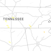


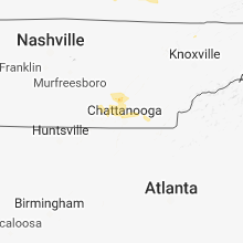


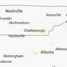


Connect with Interactive Hail Maps