

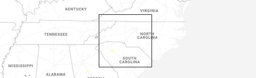
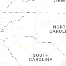
Hail Map for Saturday, May 17, 2025
Number of Impacted Households on 5/17/2025
0
Impacted by 1" or Larger Hail
0
Impacted by 1.75" or Larger Hail
0
Impacted by 2.5" or Larger Hail
Square Miles of Populated Area Impacted on 5/17/2025
0
Impacted by 1" or Larger Hail
0
Impacted by 1.75" or Larger Hail
0
Impacted by 2.5" or Larger Hail
Cities Most Affected by Hail Storms of 5/17/2025
| Hail Size | Demographics of Zip Codes Affected | ||||||
|---|---|---|---|---|---|---|---|
| City | Count | Average | Largest | Pop Density | House Value | Income | Age |
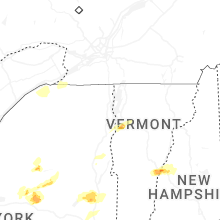
Hail and Wind Damage Spotted on 5/17/2025
Filter by Report Type:Hail ReportsWind Reports
Vermont
| Local Time | Report Details |
|---|---|
| 9:20 AM EDT | Tree down on berlin pond road in washington county VT, 35 miles SE of Burlington, VT |
Georgia
| Local Time | Report Details |
|---|---|
| 9:27 AM EDT | Several trees down along halls bridge roa in butts county GA, 40 miles SE of Atlanta, GA |
Connect with Interactive Hail Maps