

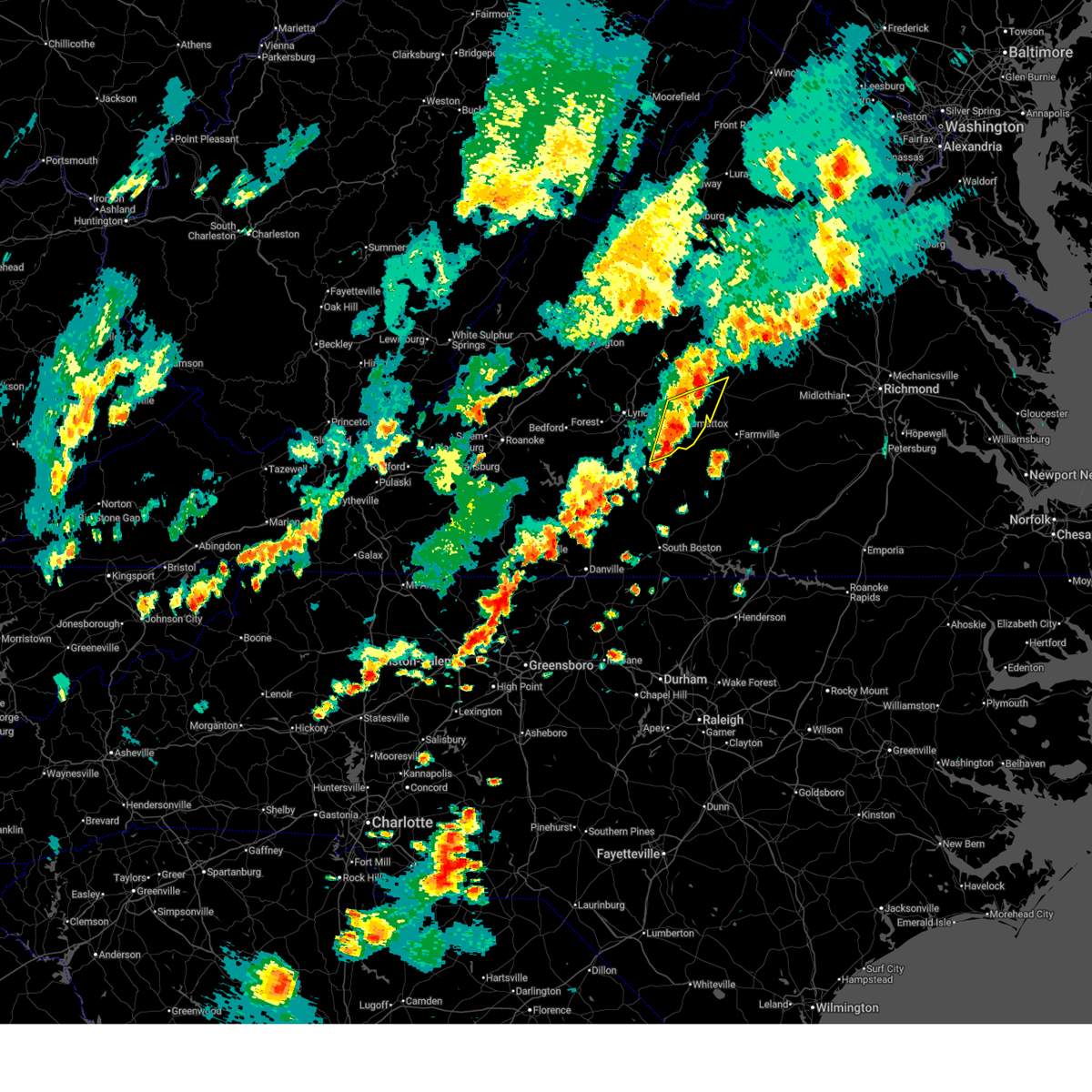
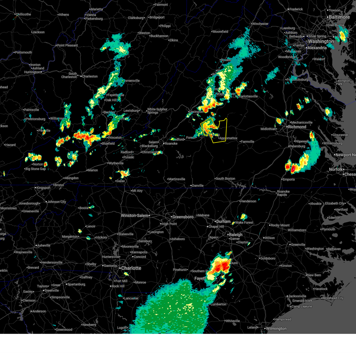
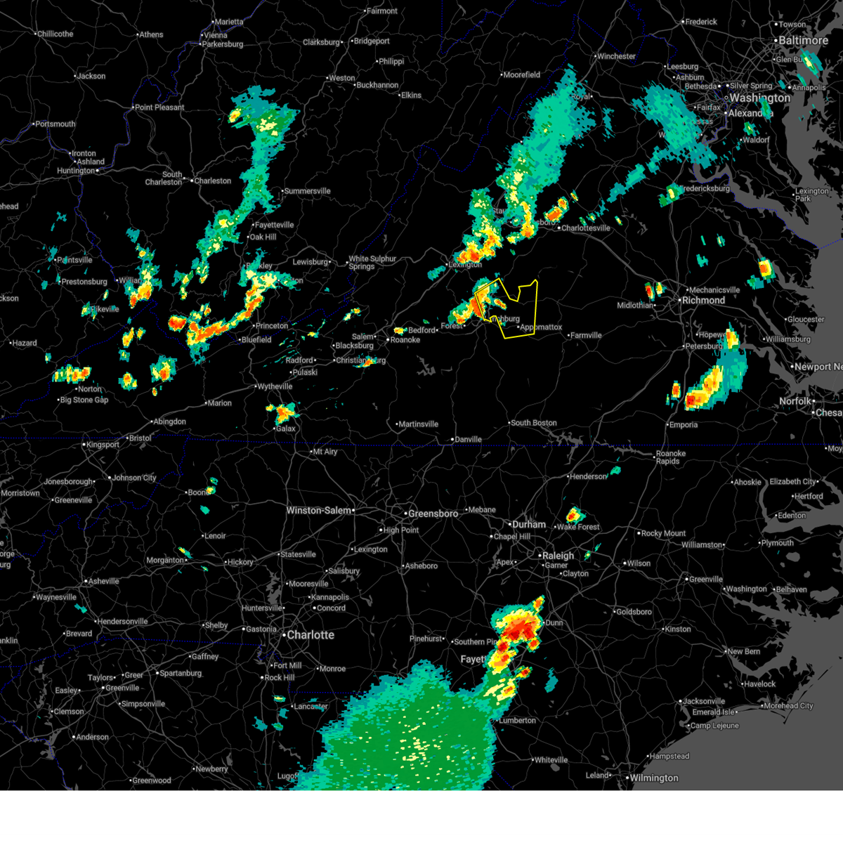
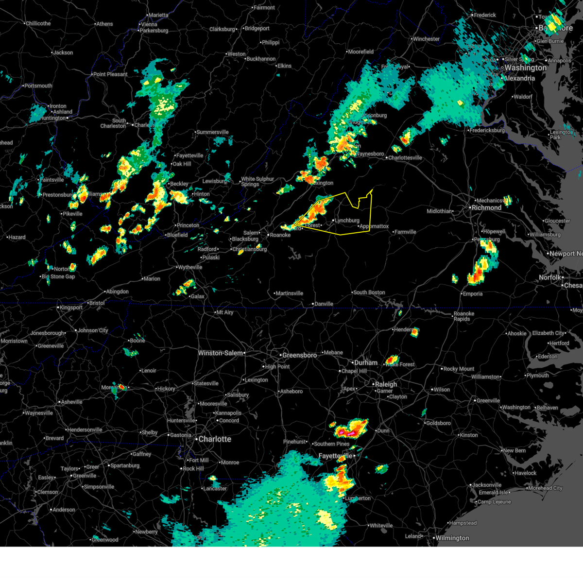
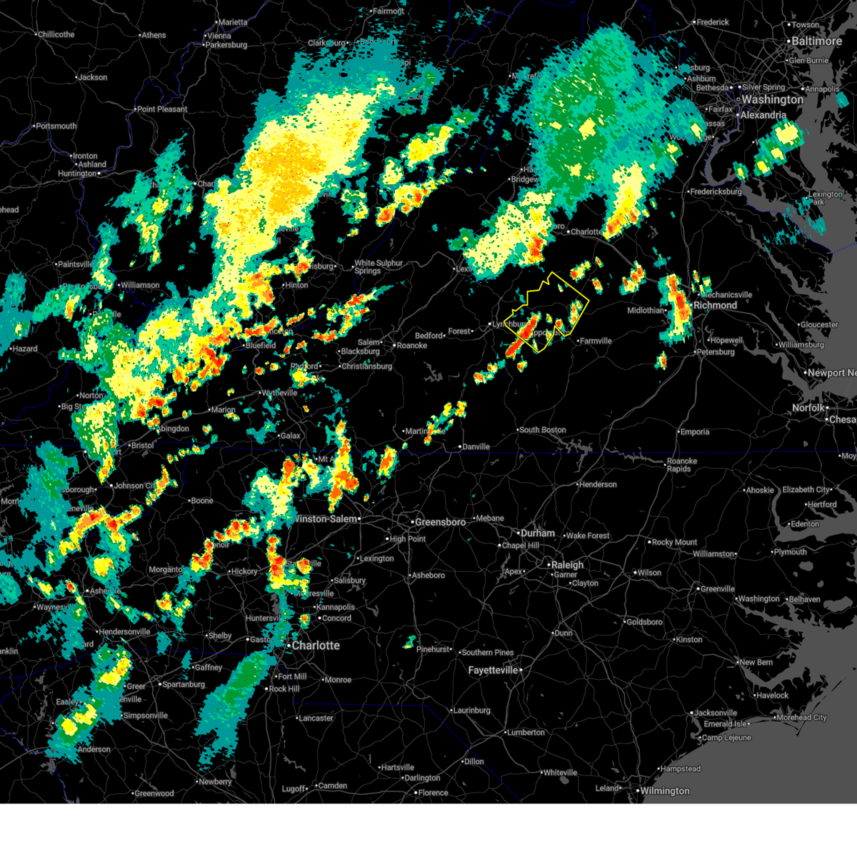
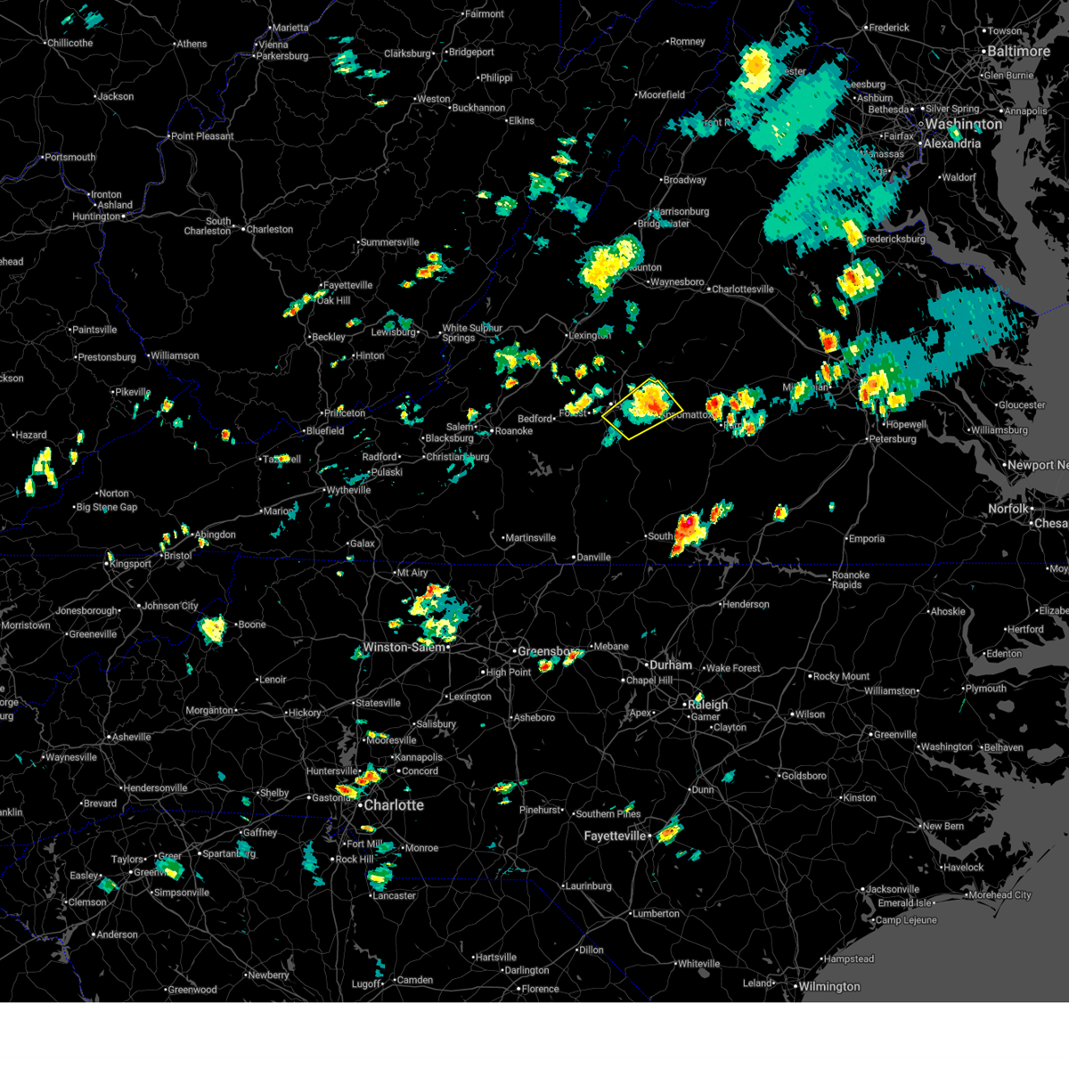
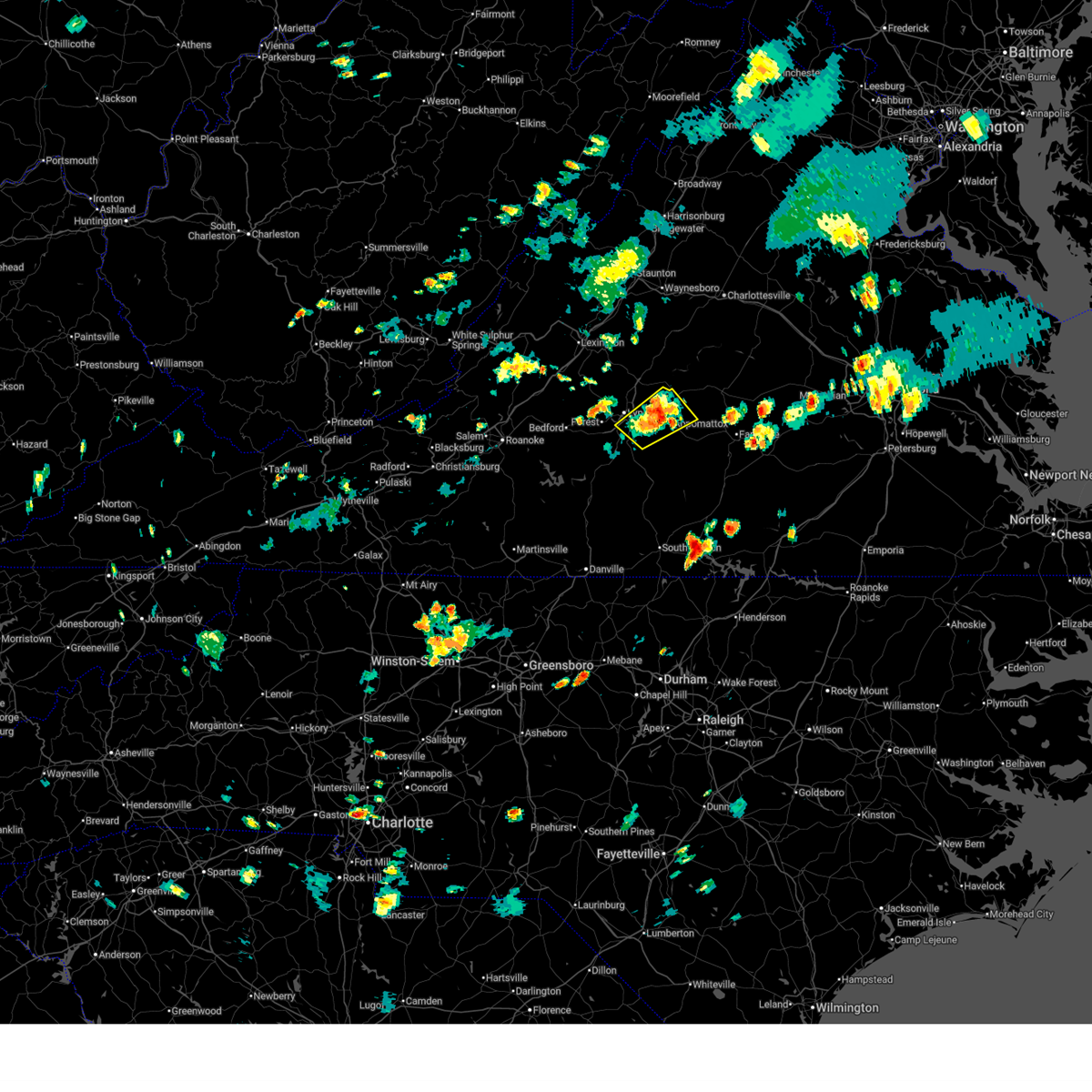
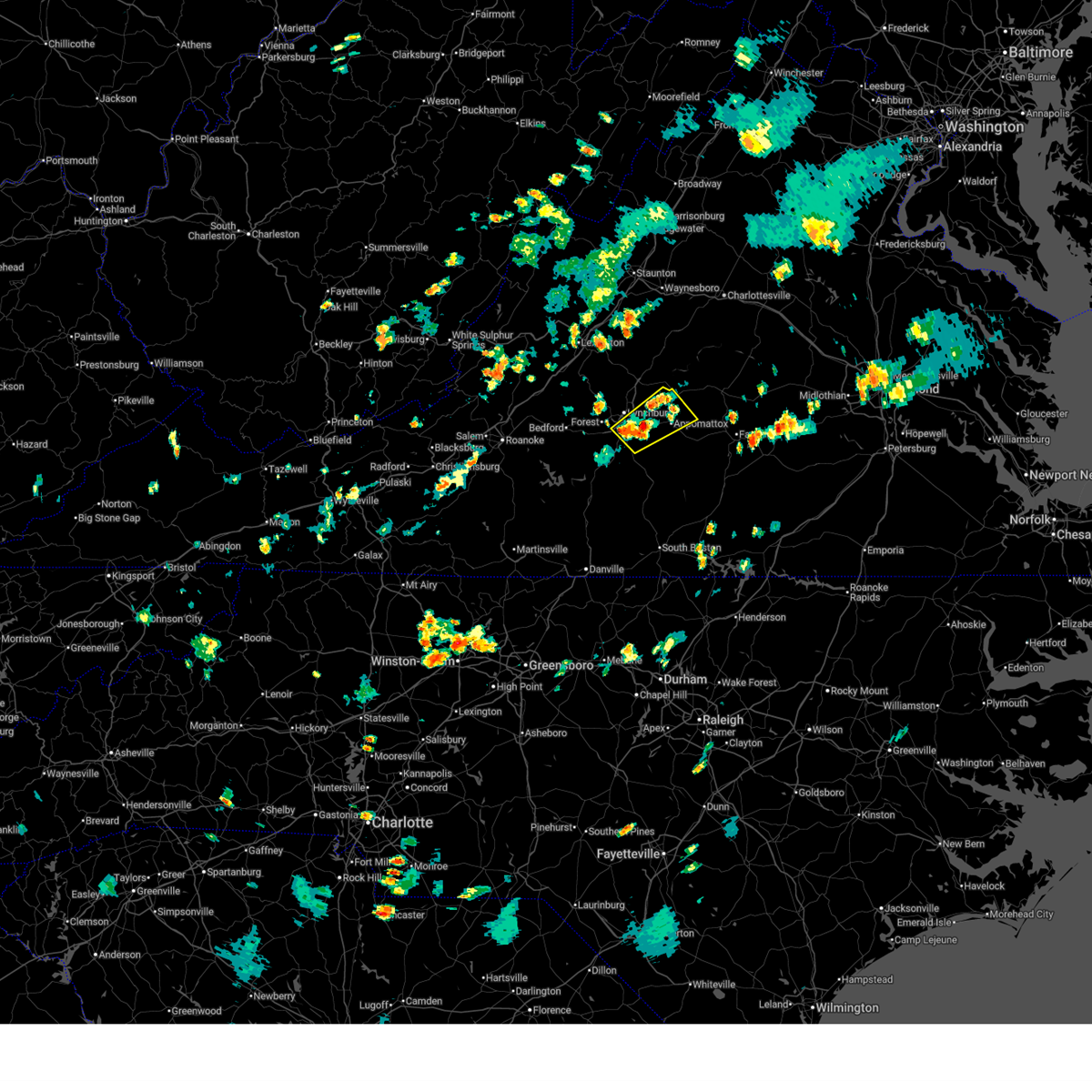
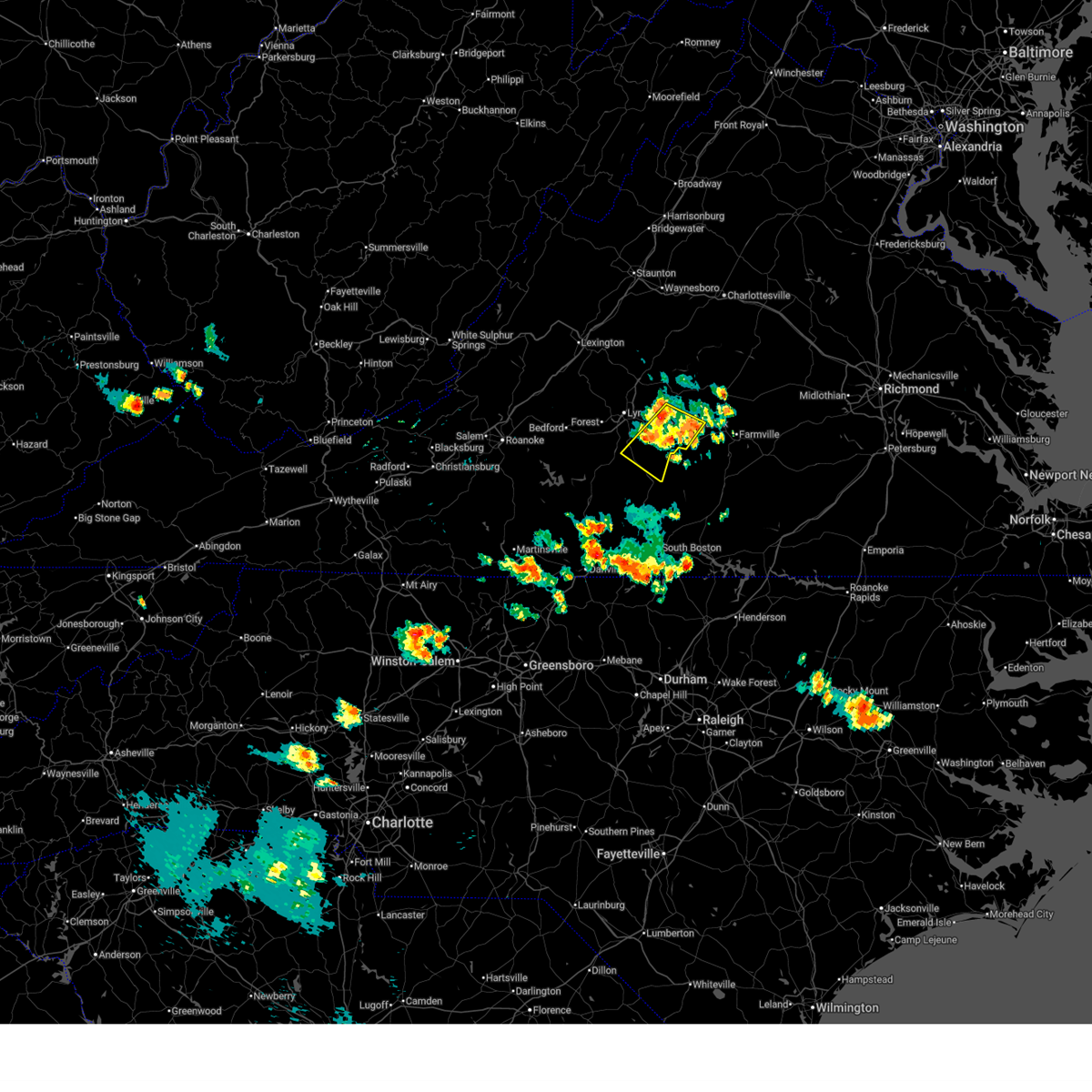
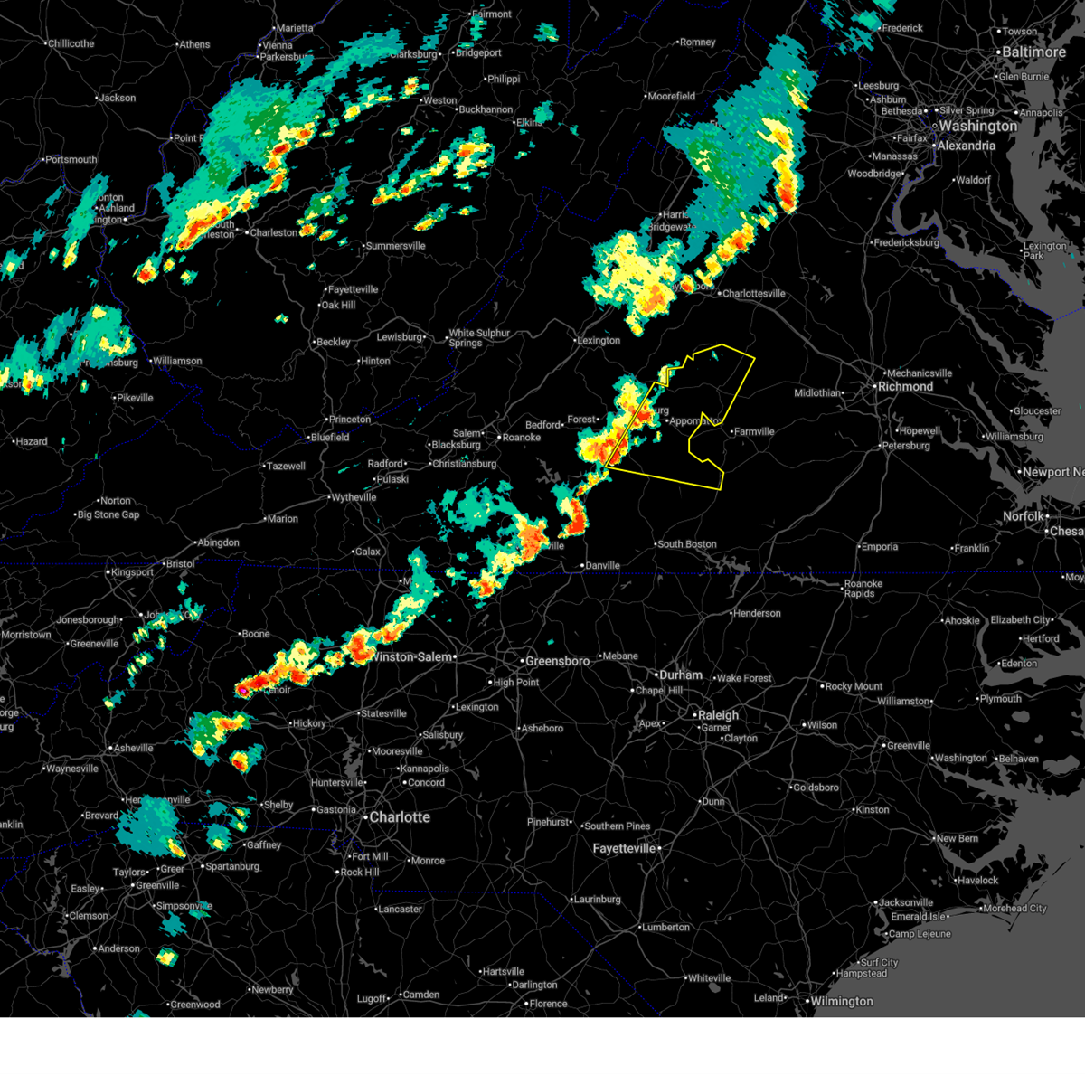
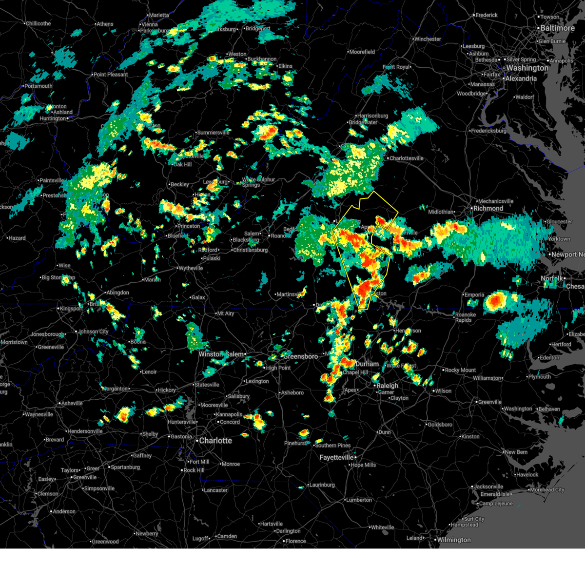
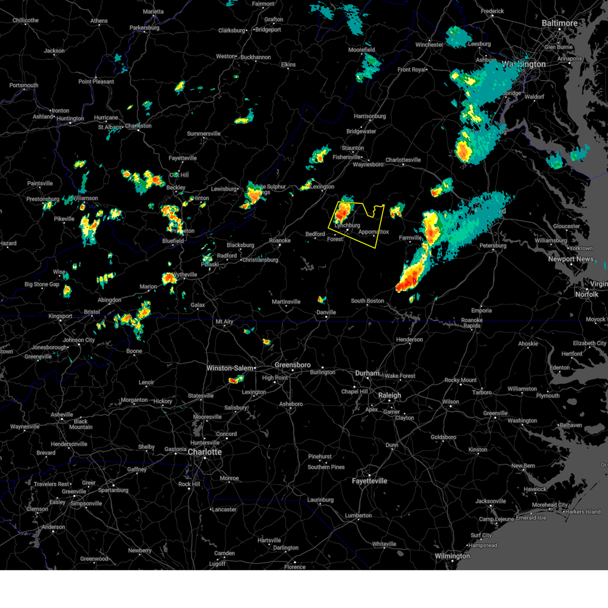
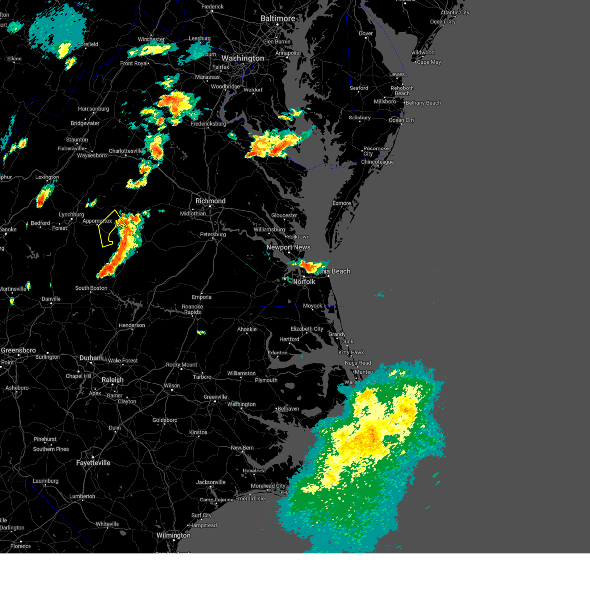
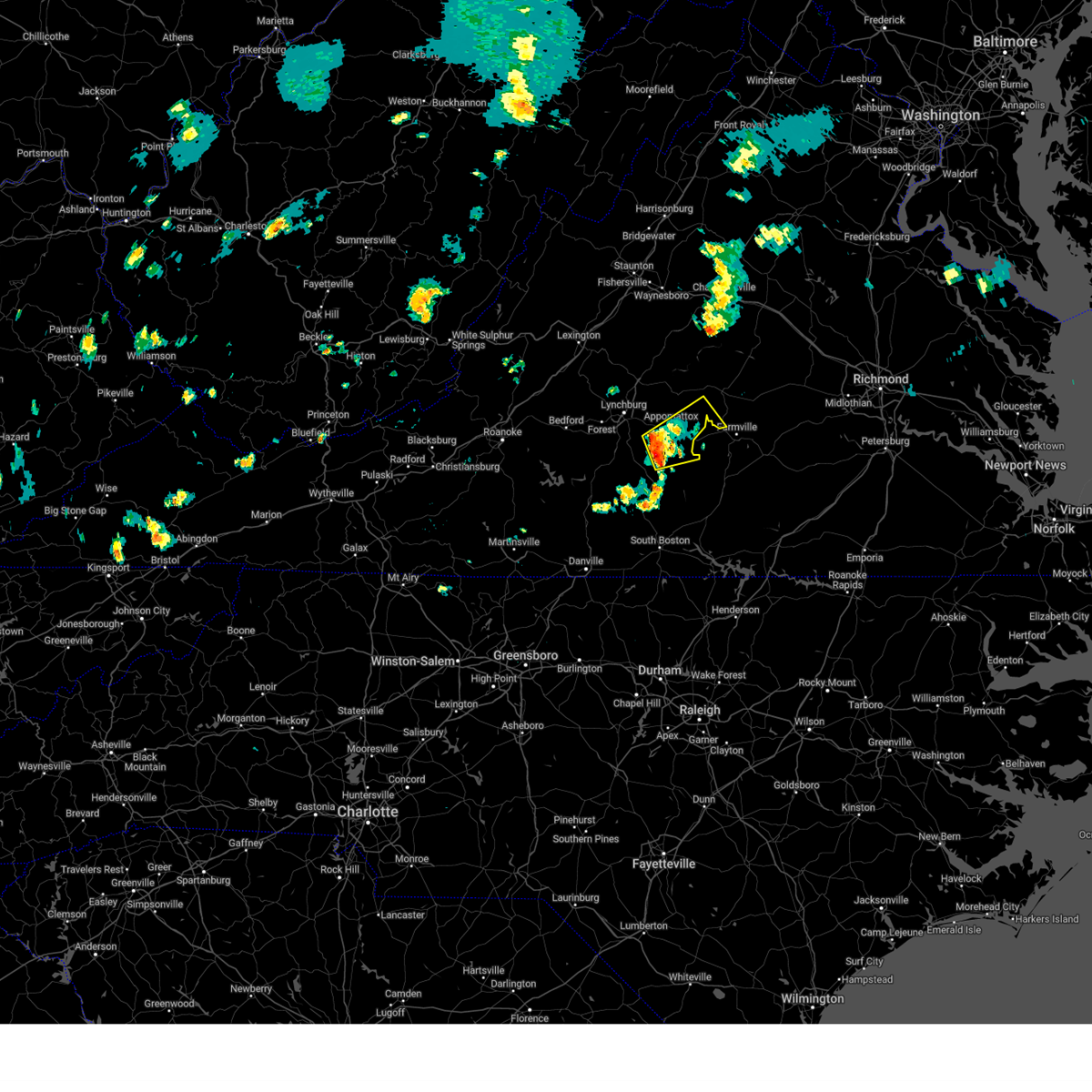
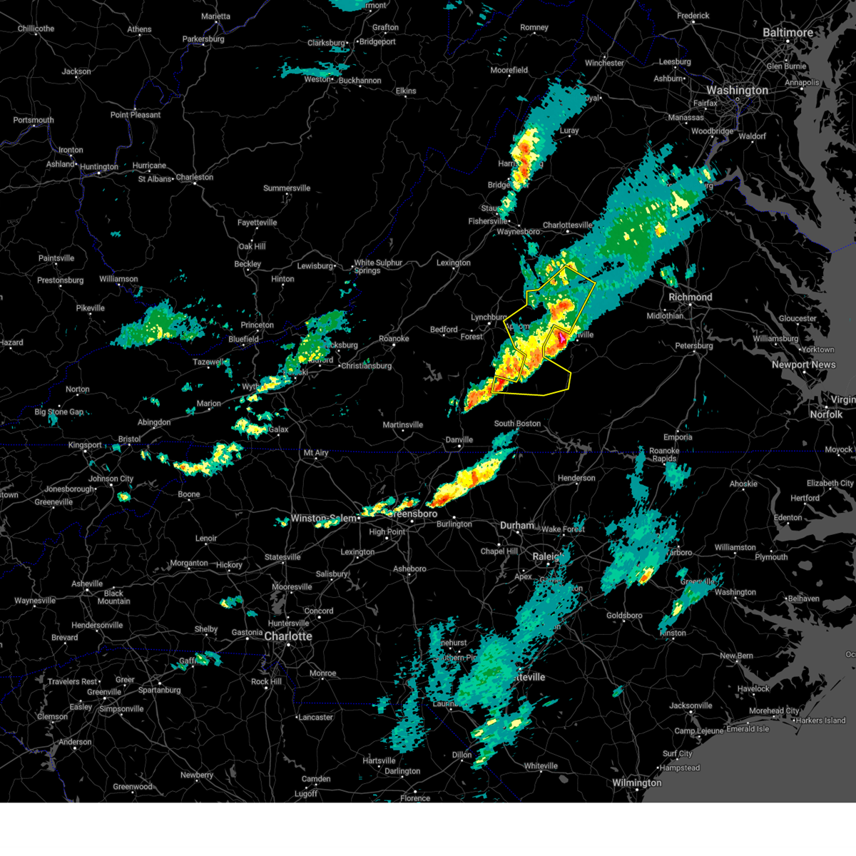
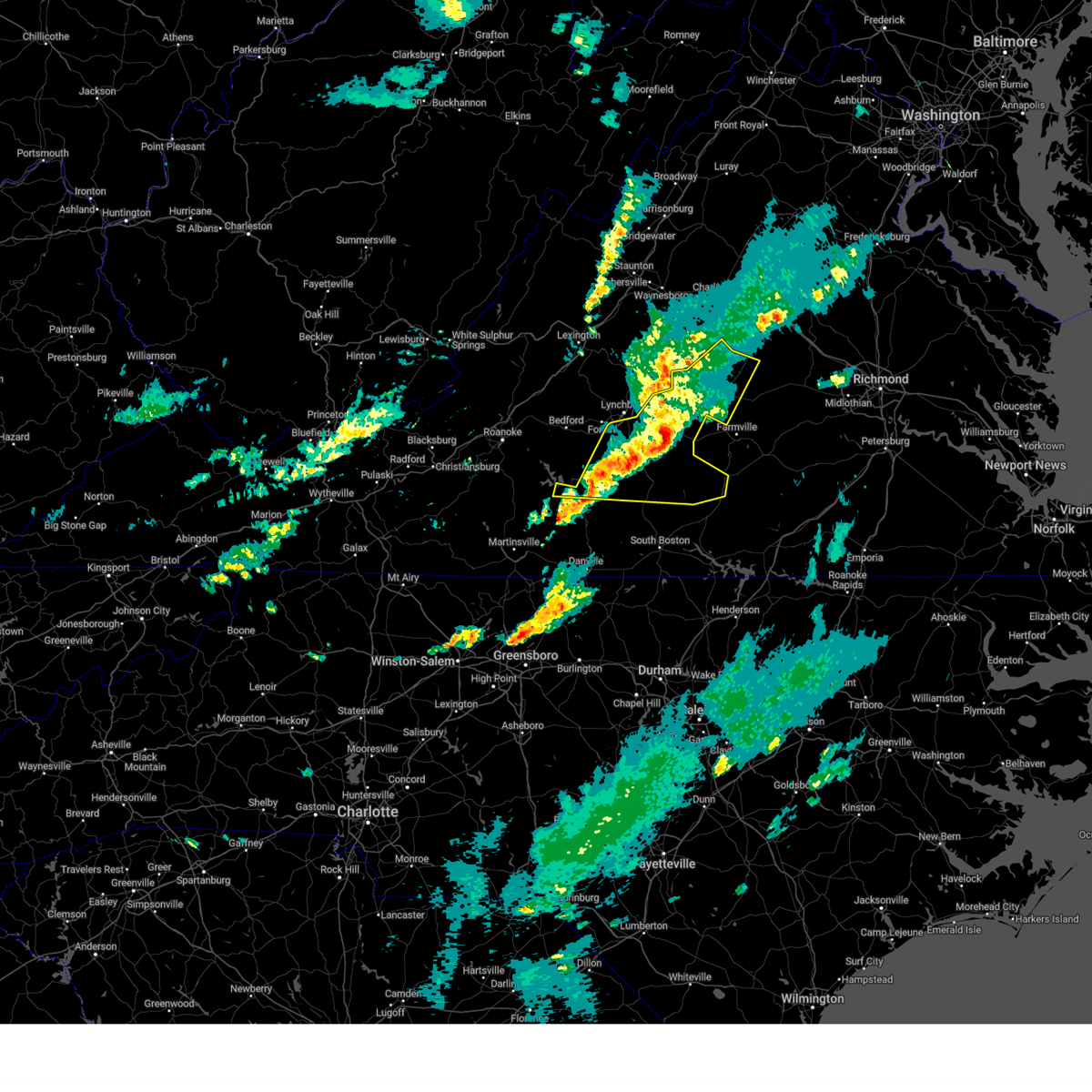
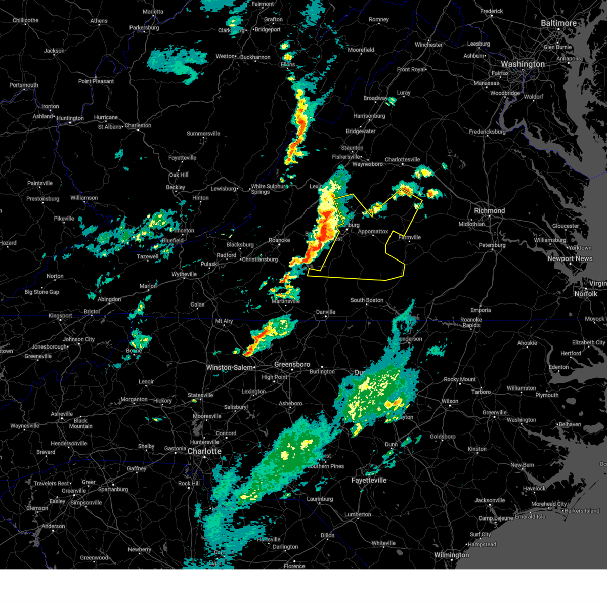
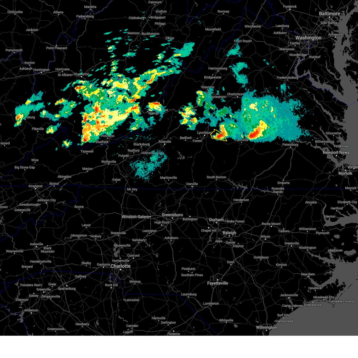
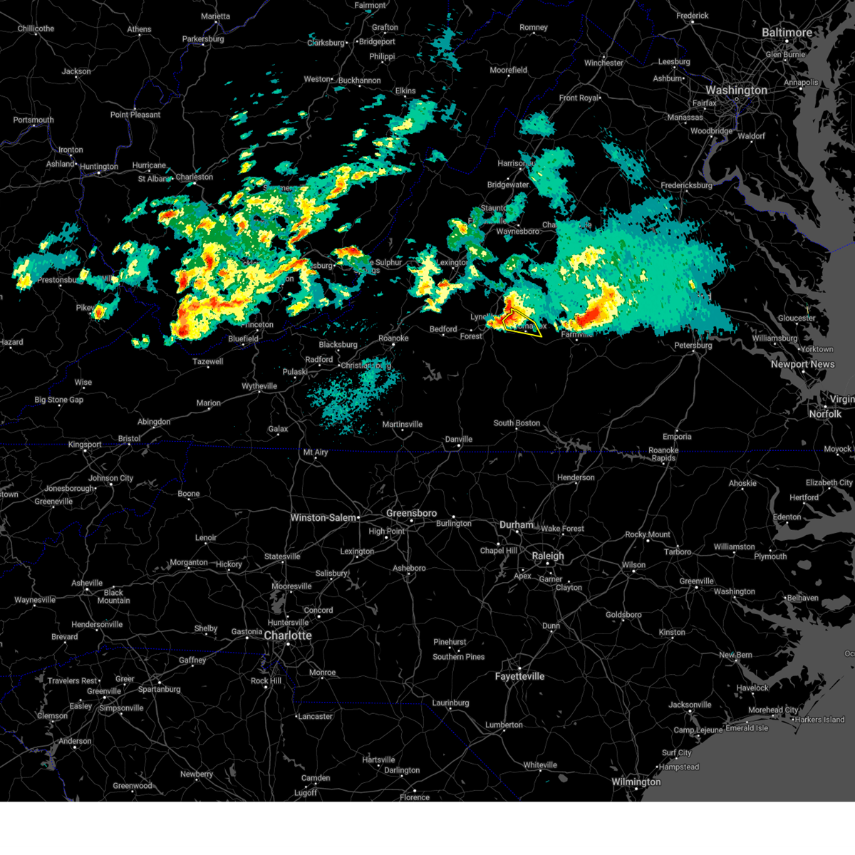
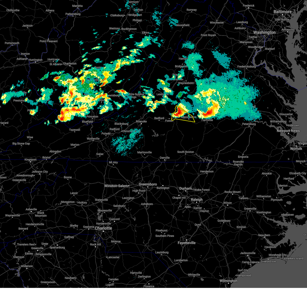
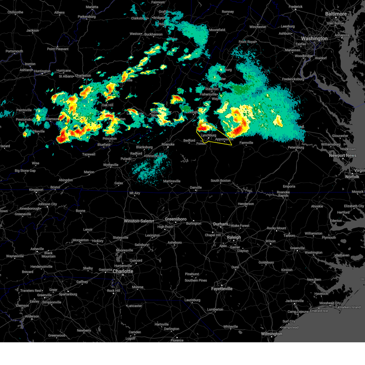
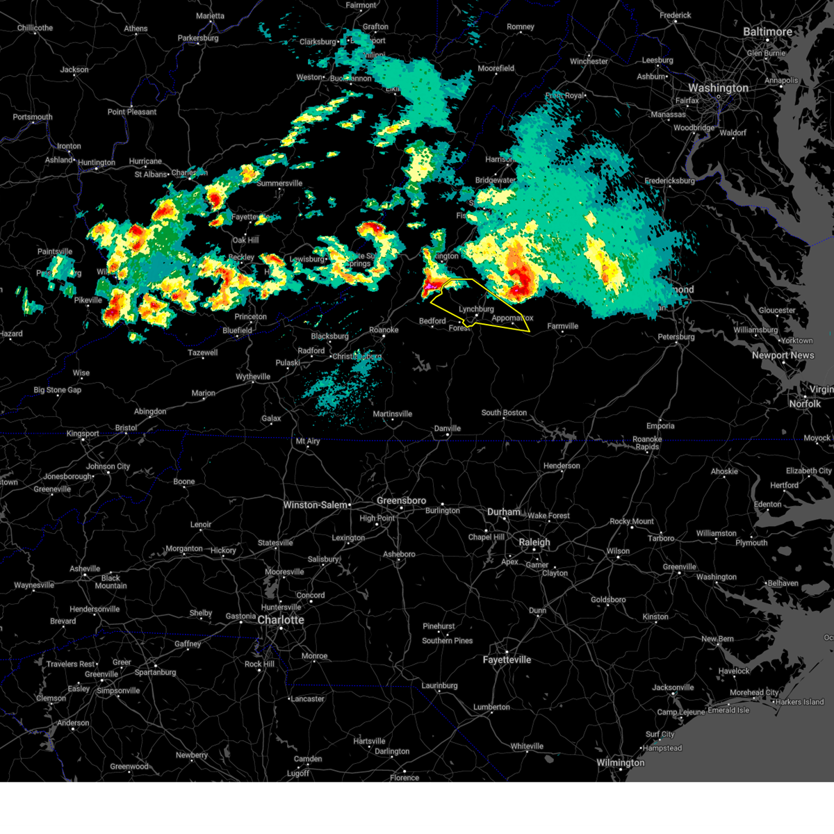
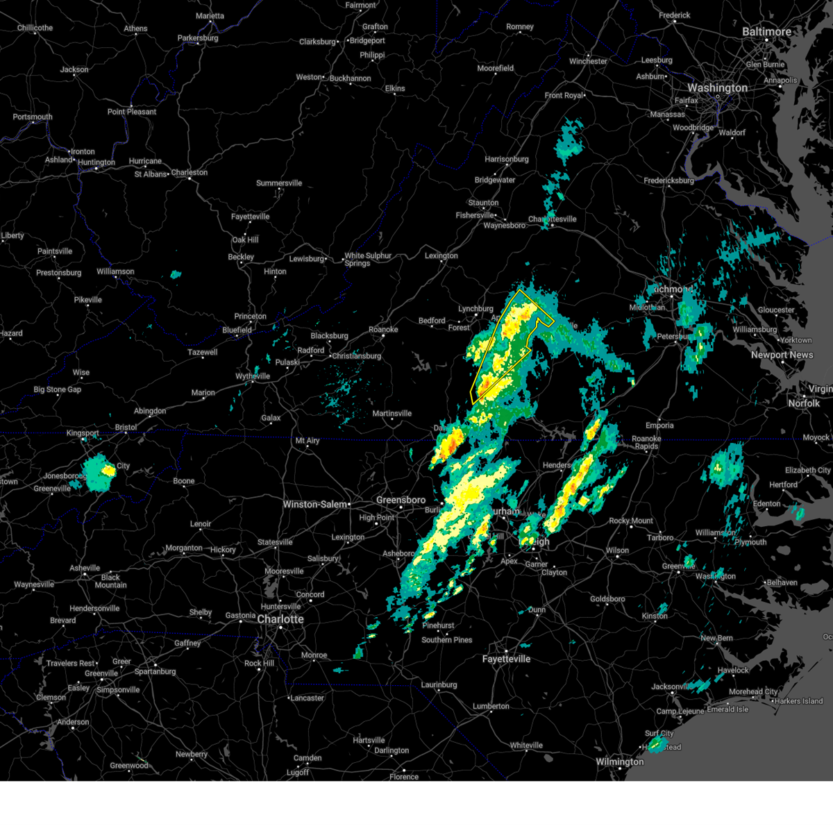
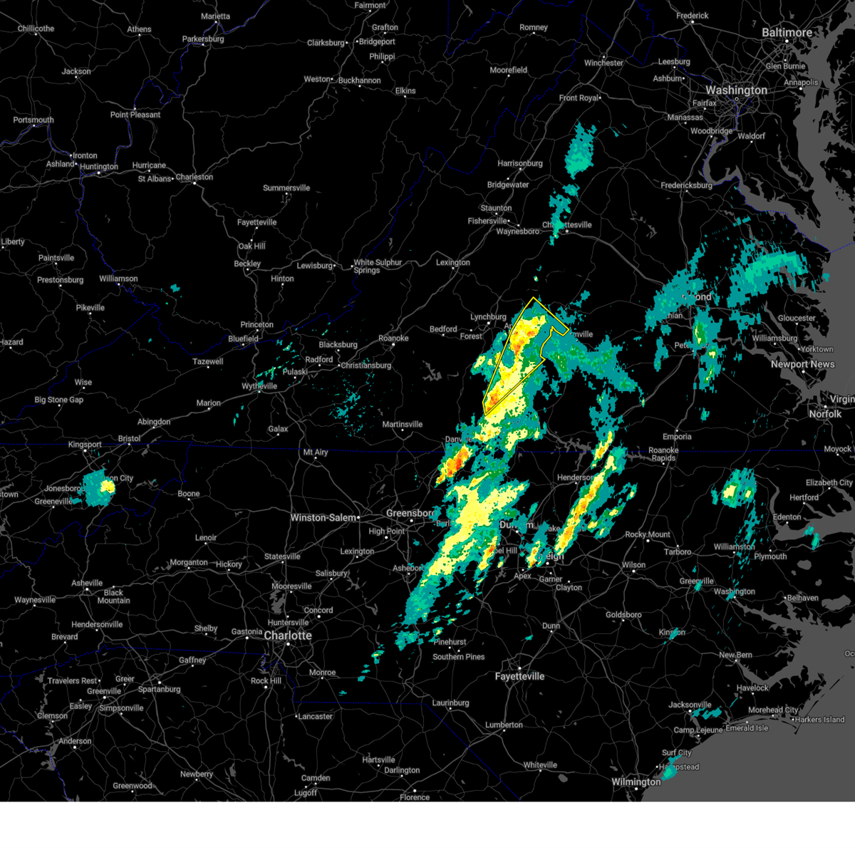
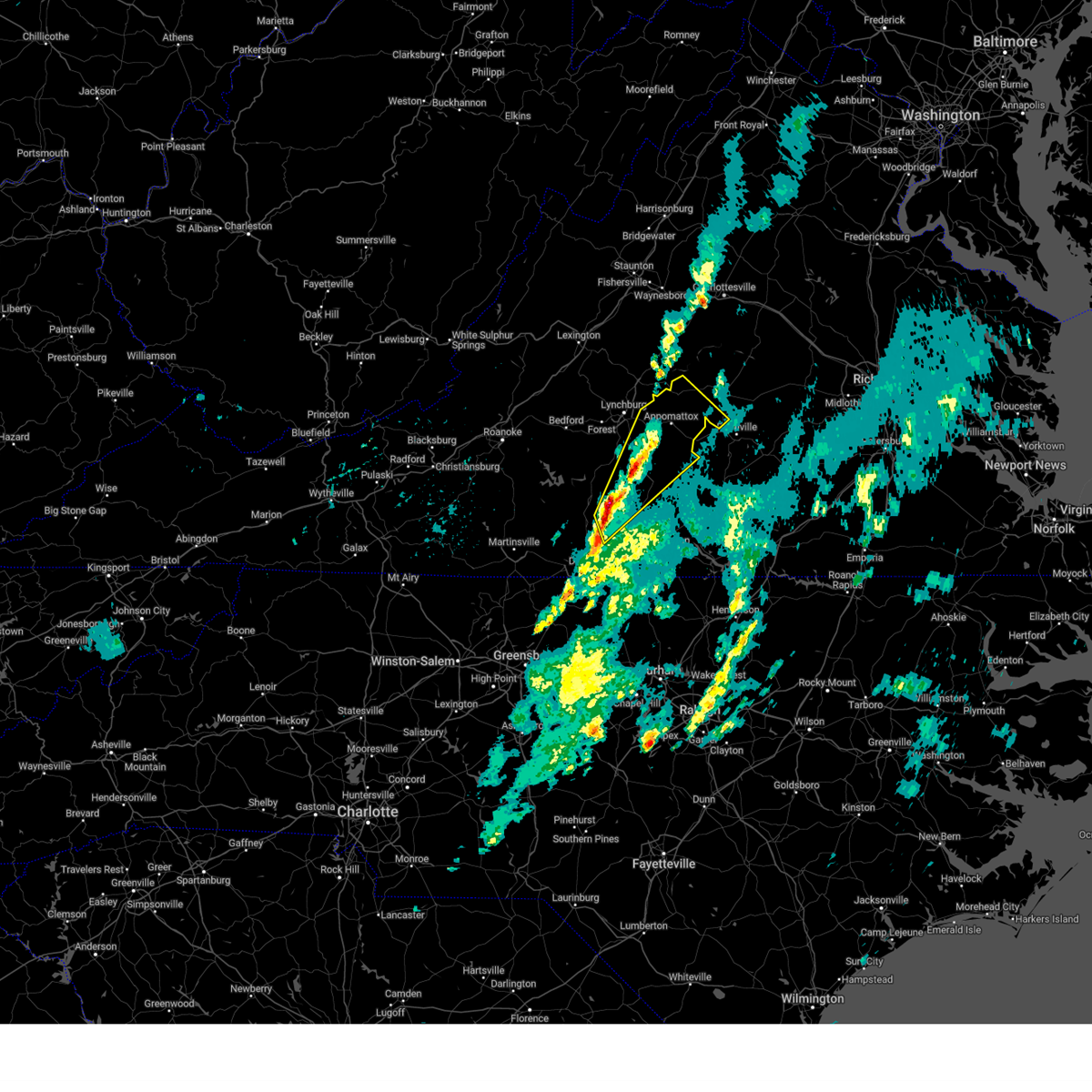
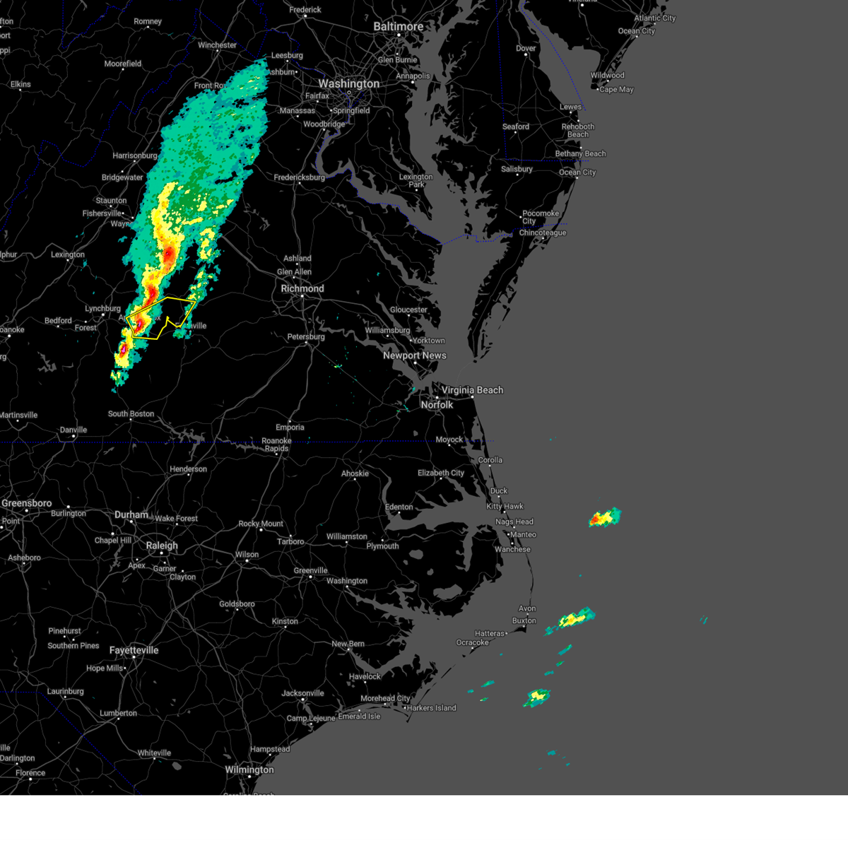
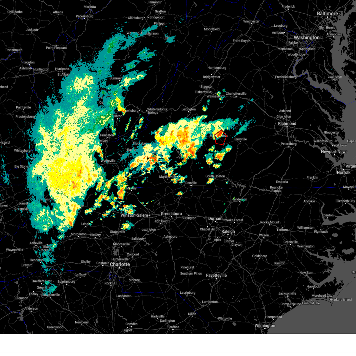
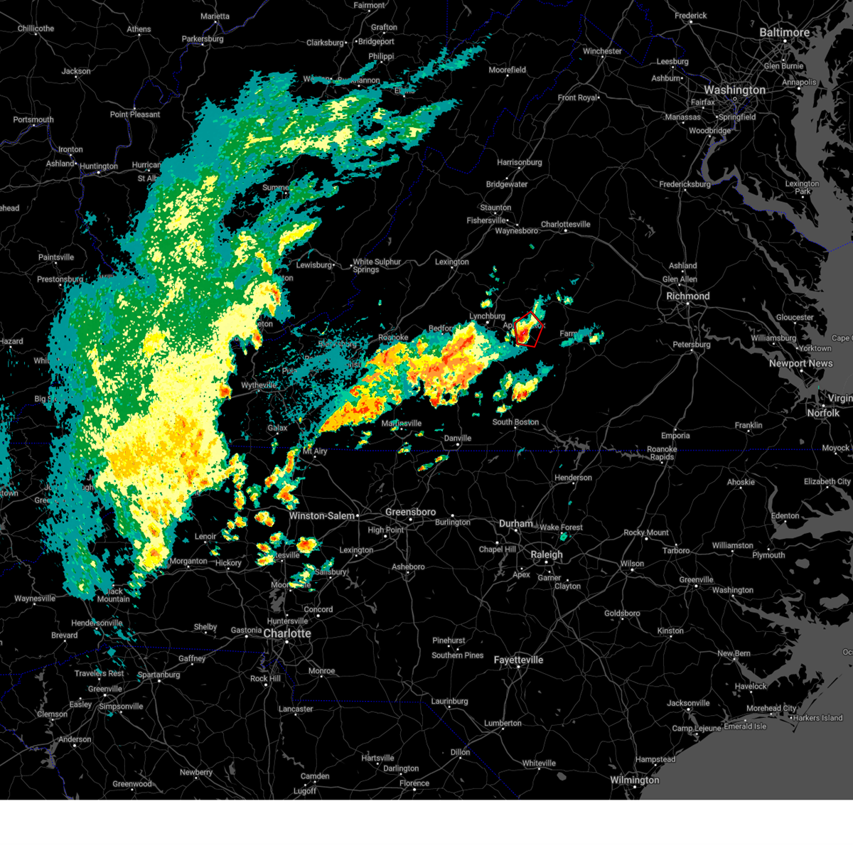
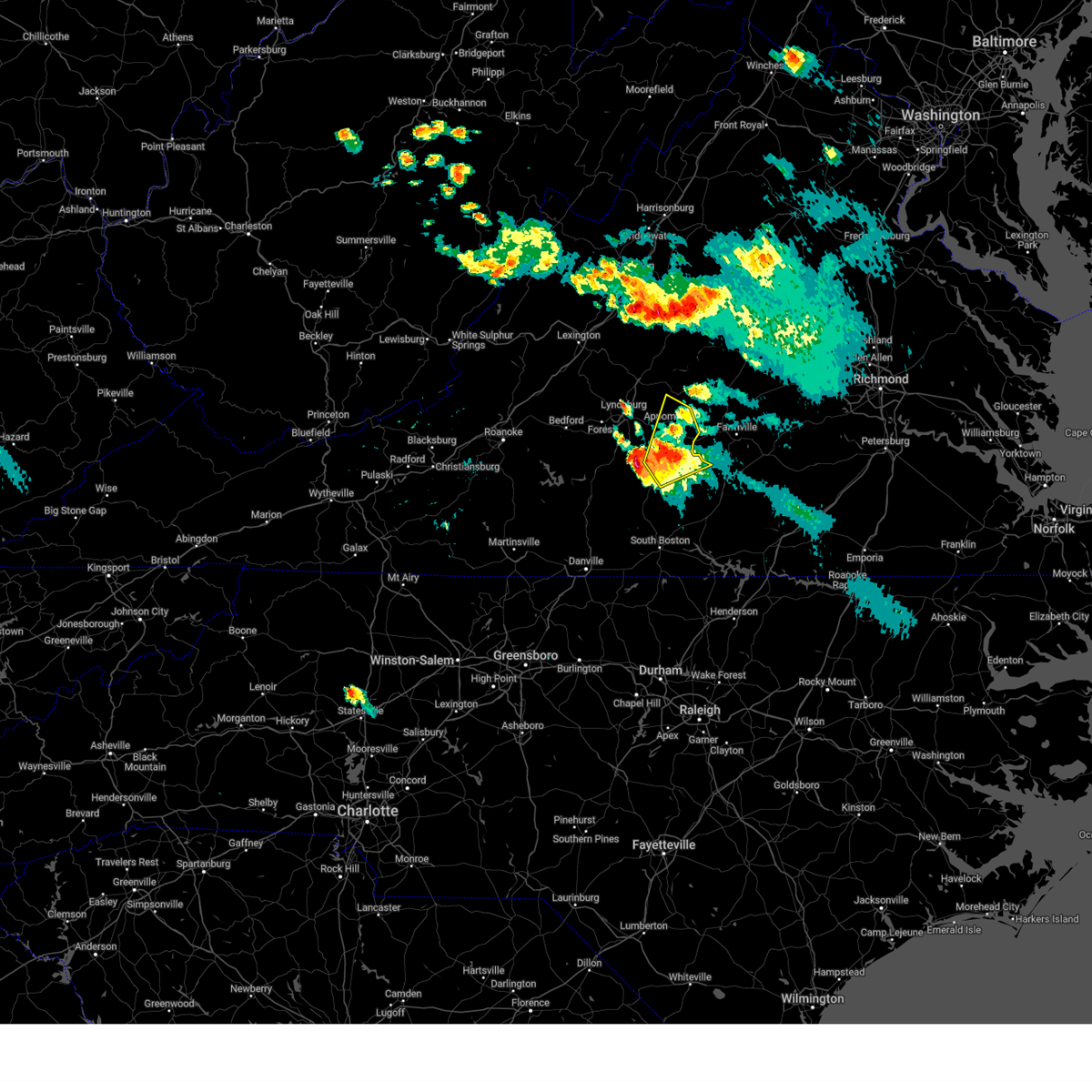
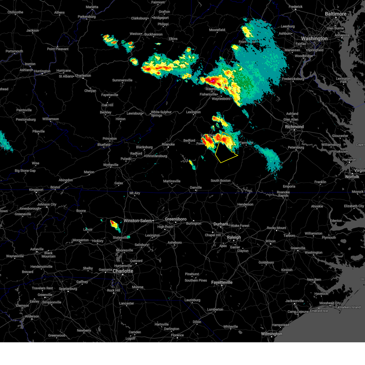
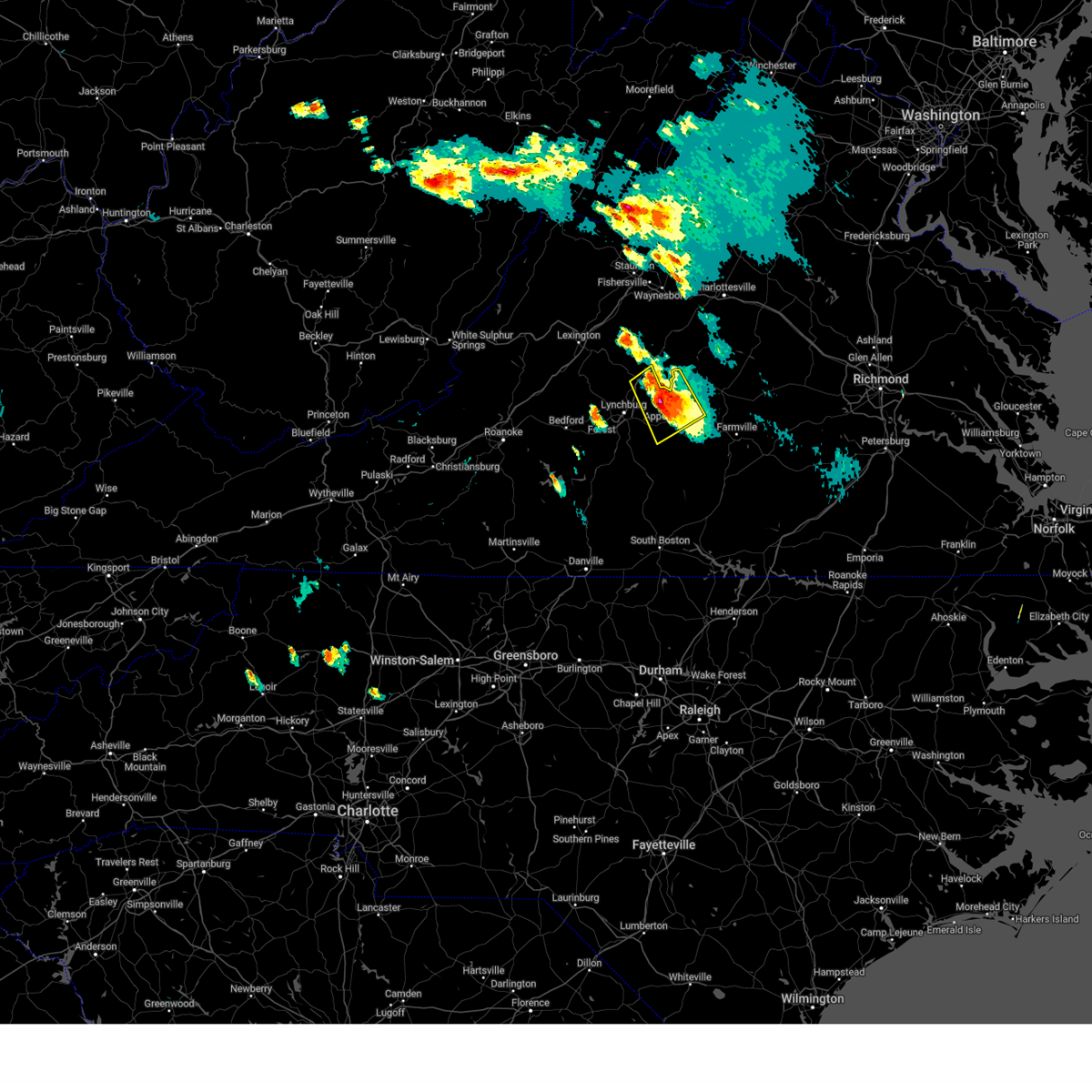
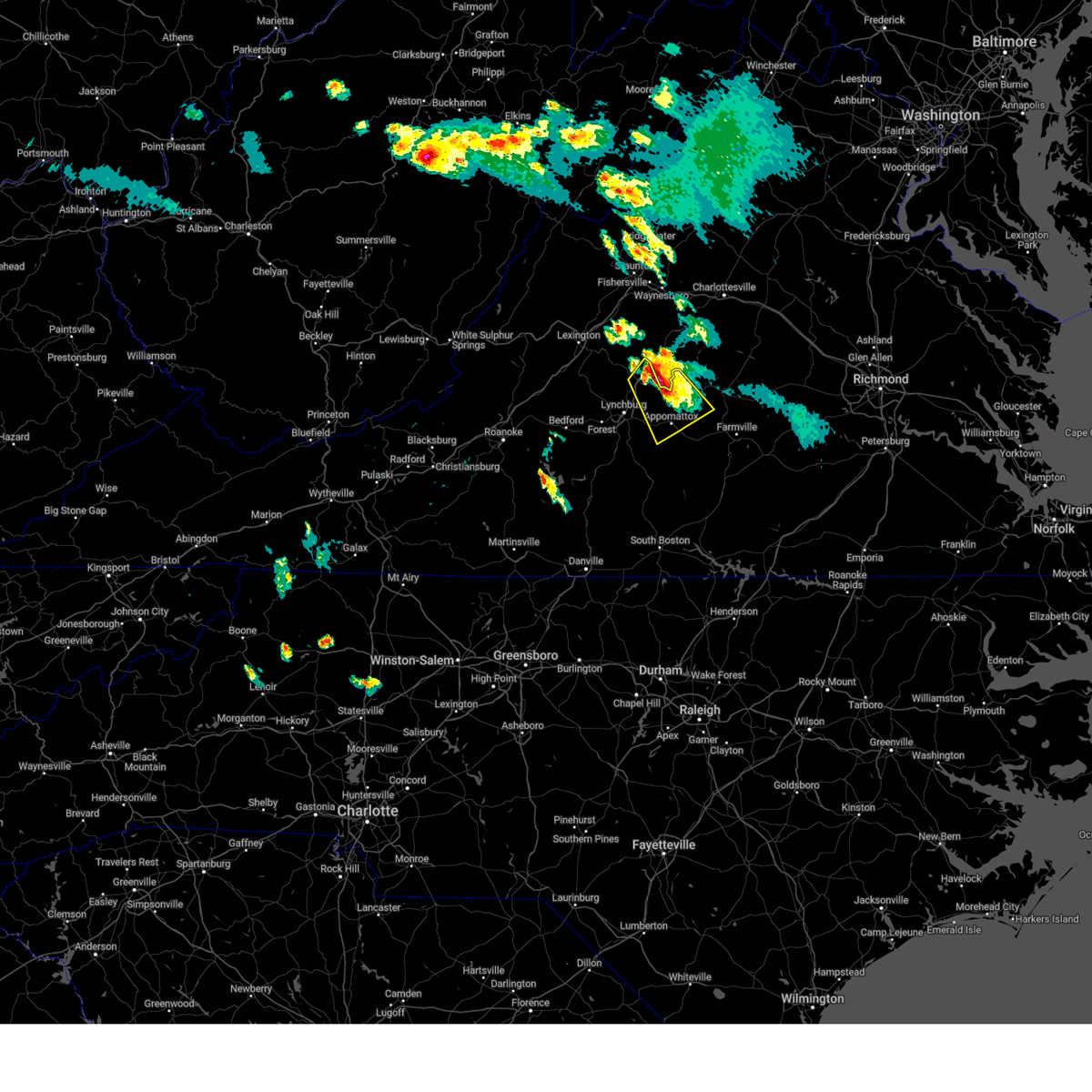
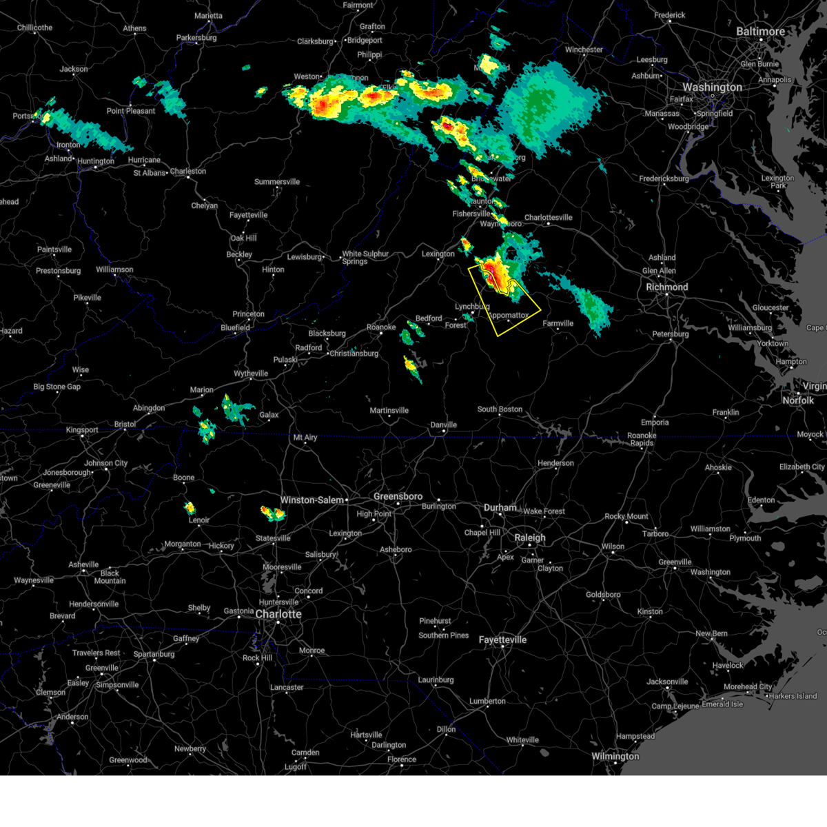
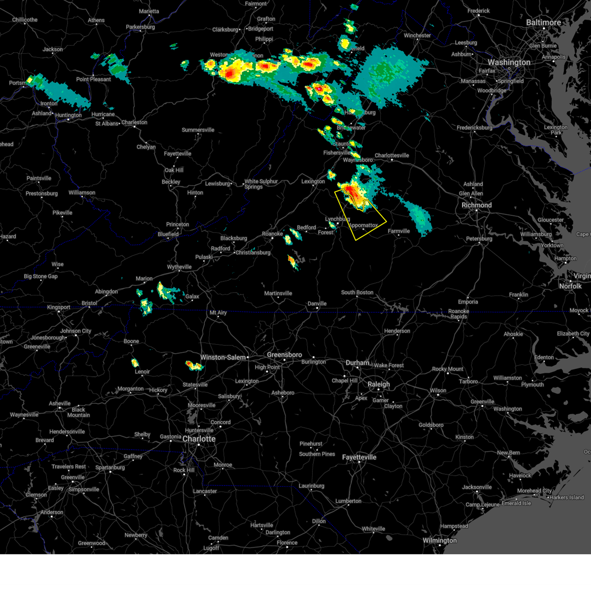
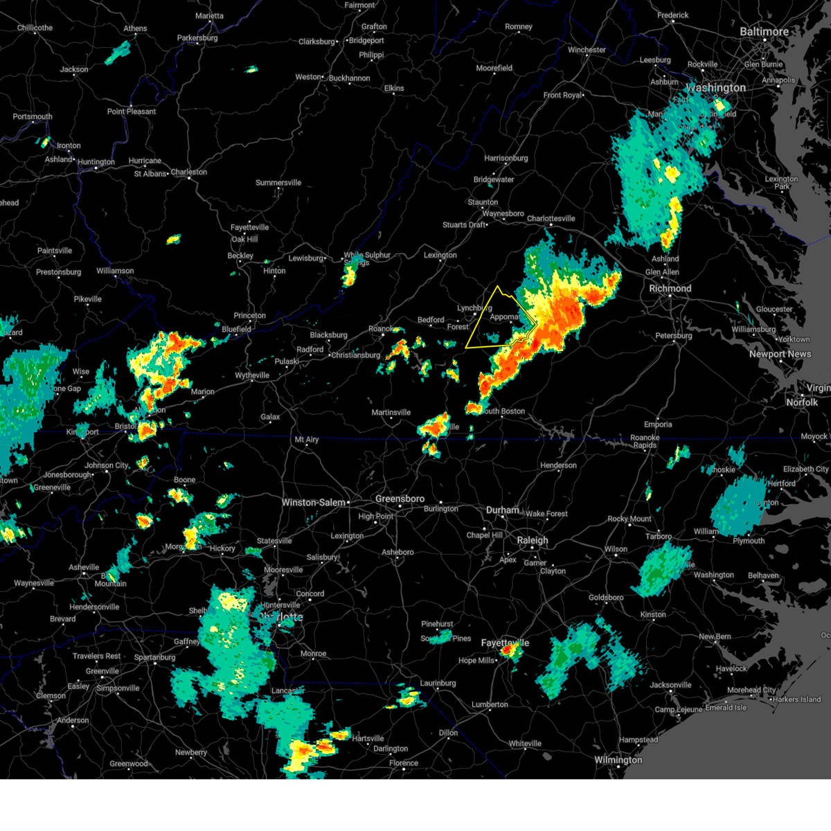
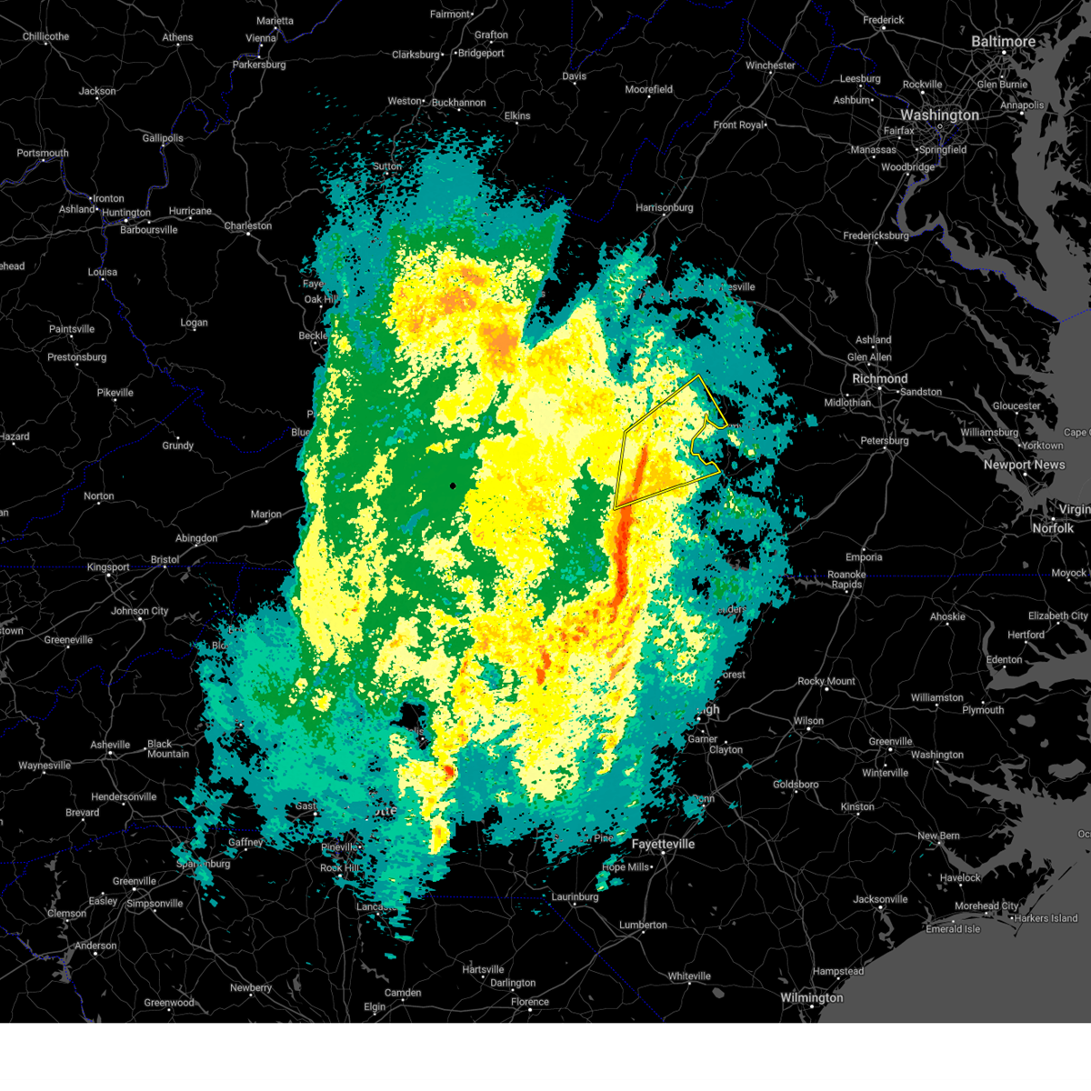
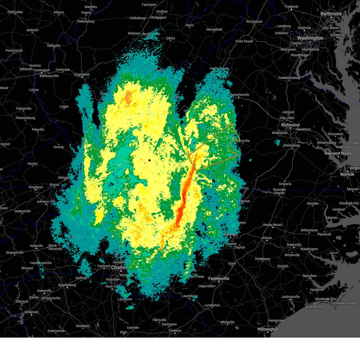
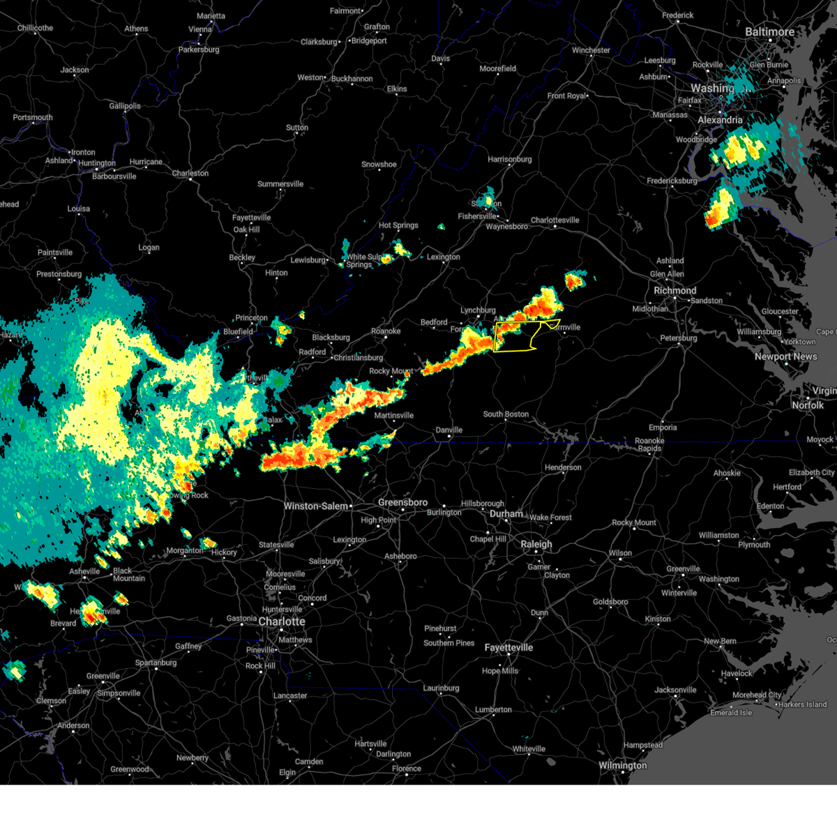
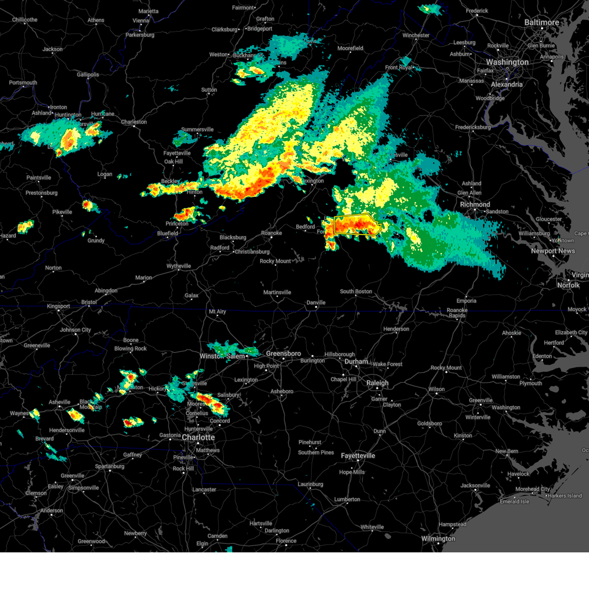
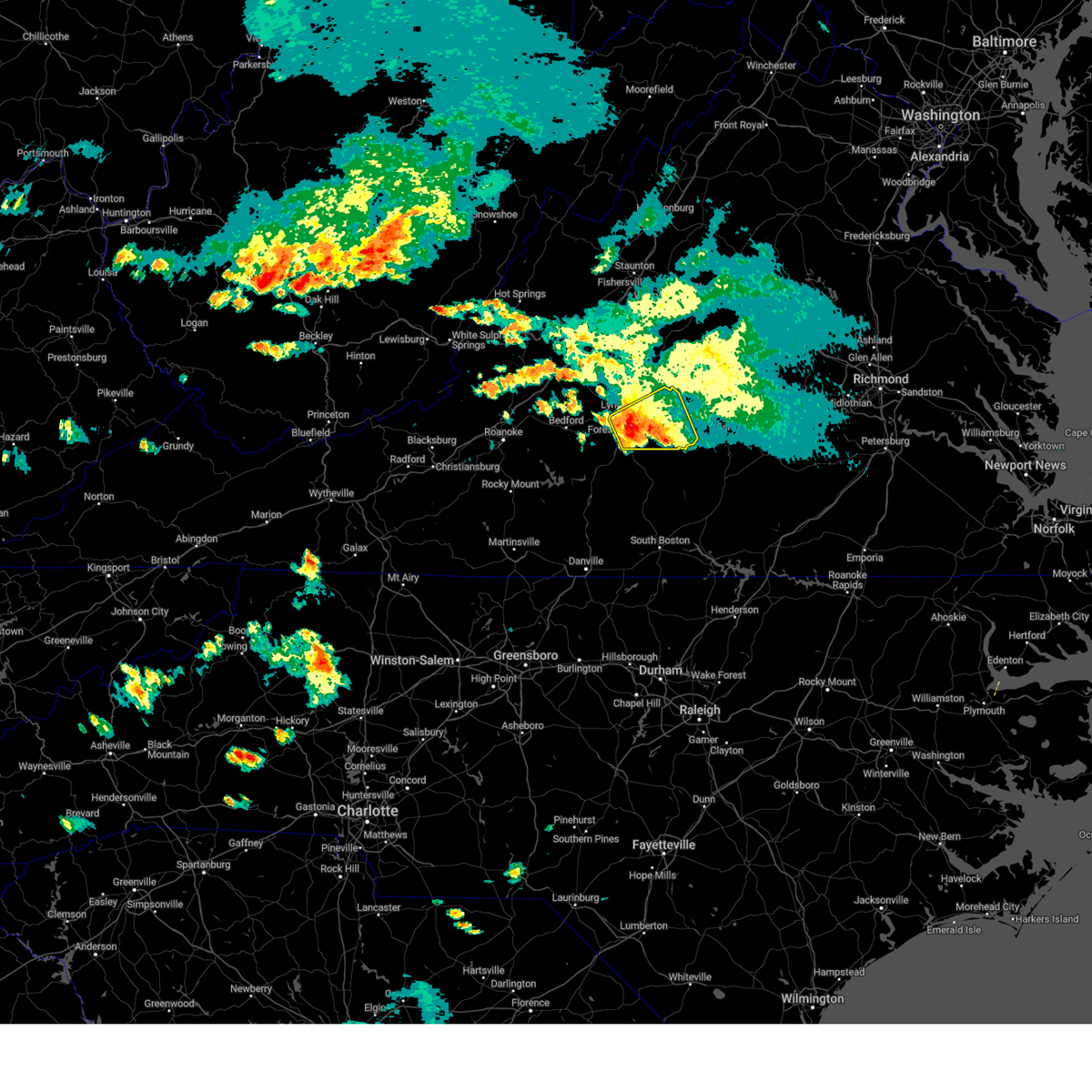
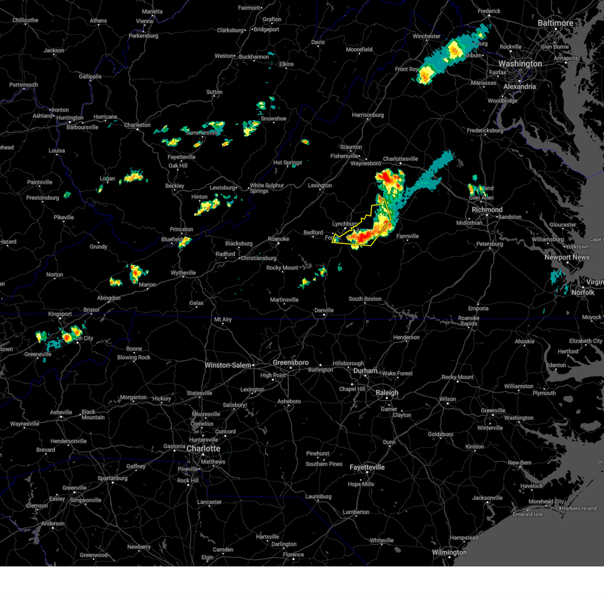
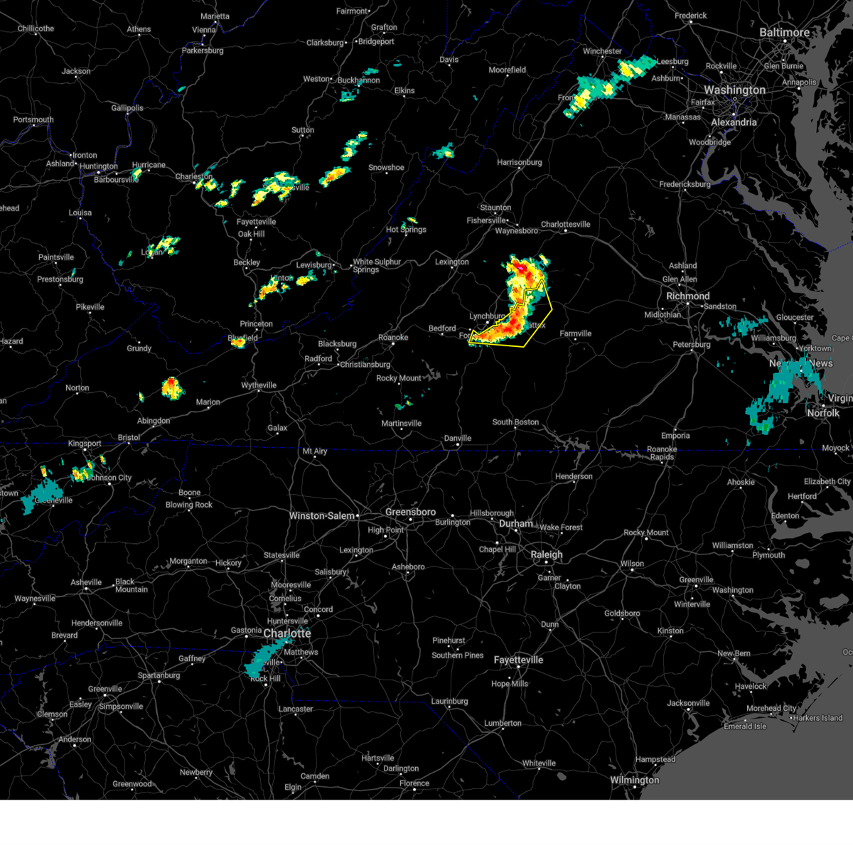
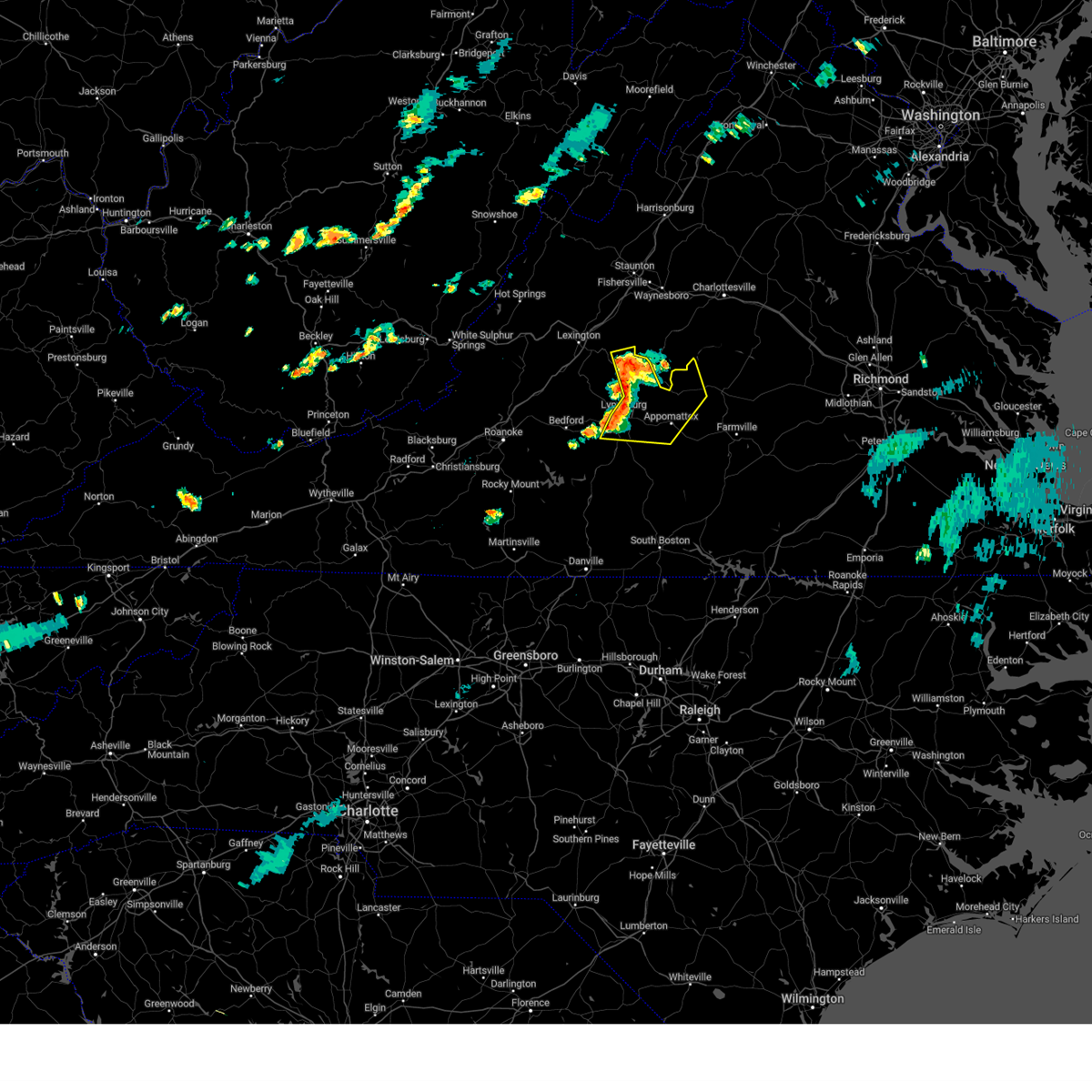
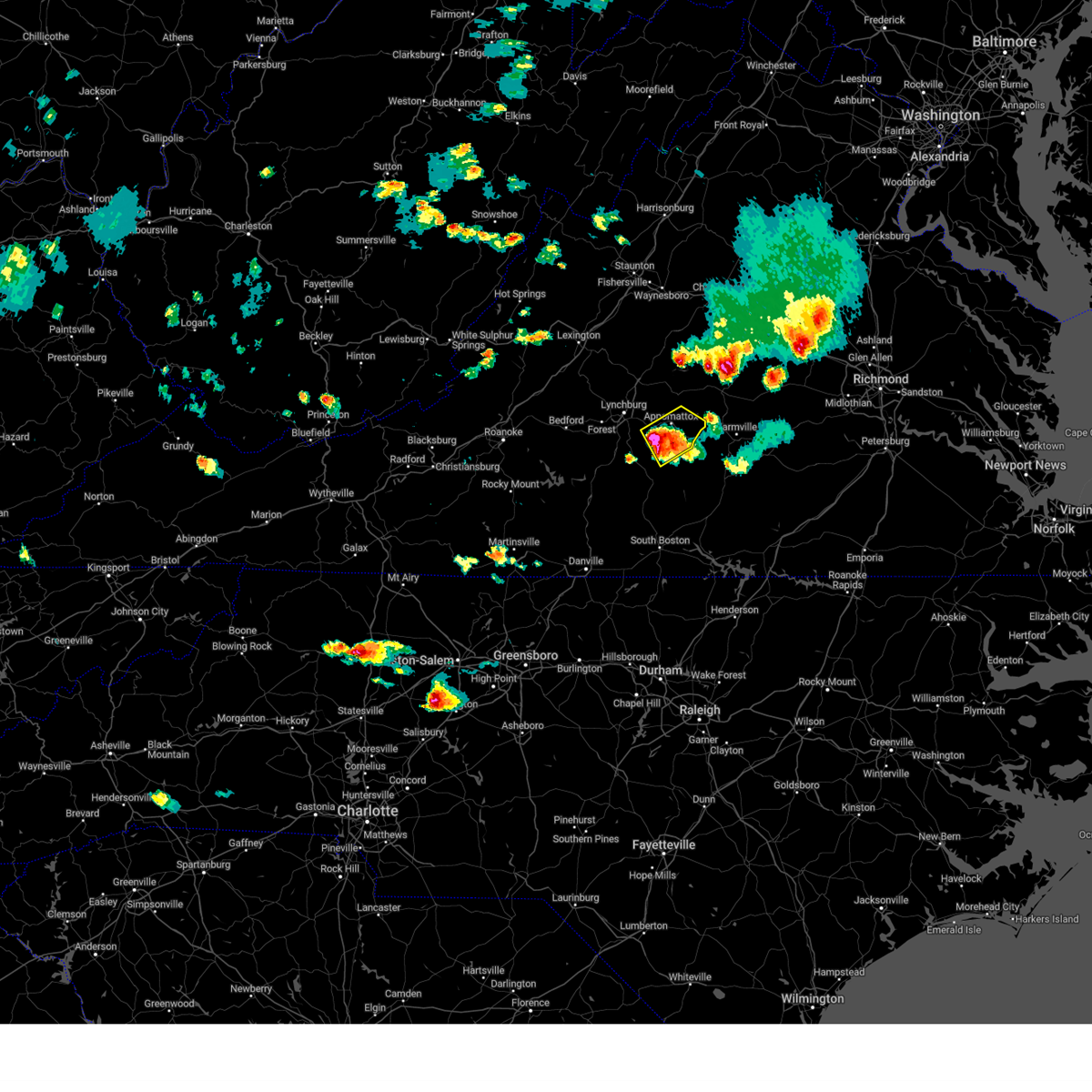
Hail Map for Appomattox, VA
The Appomattox, VA area has had 6 reports of on-the-ground hail by trained spotters, and has been under severe weather warnings 66 times during the past 12 months. Doppler radar has detected hail at or near Appomattox, VA on 35 occasions, including 5 occasions during the past year.
| Name: | Appomattox, VA |
| Where Located: | 61.6 miles E of Roanoke, VA |
| Map: | Google Map for Appomattox, VA |
| Population: | 1733 |
| Housing Units: | 849 |
| More Info: | Search Google for Appomattox, VA |
5
The Top Recent Hail Date for Appomattox, VA is Tuesday, December 31, 2024 (1st out of 35)

Hail and Wind Damage Spotted near Appomattox, VA
| Date / Time | Report Details |
|---|---|
| 7/9/2025 5:24 PM EDT | Thunderstorm winds blew down one tree near the intersection of route 460 and hixburg roa in appomattox county VA, 5.4 miles NW of Appomattox, VA |
| 7/9/2025 5:22 PM EDT | Thunderstorm winds blew down one tree along the 2200 block of red house roa in appomattox county VA, 8.9 miles N of Appomattox, VA |
| 7/9/2025 5:10 PM EDT | Thunderstorm winds blew down one tree near the intersection of central church road and warren lan in appomattox county VA, 6.9 miles N of Appomattox, VA |
| 7/9/2025 5:09 PM EDT | Thunderstorm winds blew down one tree along the 2600 block of promise land roa in appomattox county VA, 6.3 miles NNE of Appomattox, VA |
| 7/9/2025 5:09 PM EDT |
 At 509 pm edt, severe thunderstorms were located along a line extending from near tower hill to near mike, moving northeast at 30 mph (radar indicated). Hazards include 60 mph wind gusts and half dollar size hail. Hail damage to vehicles is expected. expect wind damage to roofs, siding, and trees. Locations impacted include, buckingham, appomattox, pamplin city, toga, mike, appomattox national historic park, and andersonville. At 509 pm edt, severe thunderstorms were located along a line extending from near tower hill to near mike, moving northeast at 30 mph (radar indicated). Hazards include 60 mph wind gusts and half dollar size hail. Hail damage to vehicles is expected. expect wind damage to roofs, siding, and trees. Locations impacted include, buckingham, appomattox, pamplin city, toga, mike, appomattox national historic park, and andersonville.
|
| 7/9/2025 4:40 PM EDT | Svrrnk the national weather service in blacksburg has issued a * severe thunderstorm warning for, appomattox county in central virginia, eastern campbell county in central virginia, southwestern buckingham county in central virginia, * until 545 pm edt. * at 440 pm edt, severe thunderstorms were located along a line extending from stonewall to gladys, moving northeast at 30 mph (radar indicated). Hazards include 60 mph wind gusts. expect damage to roofs, siding, and trees |
| 7/8/2025 6:38 PM EDT |
 The storms which prompted the warning have weakened below severe limits, and have exited the warned area. therefore, the warning will be allowed to expire. however, gusty winds are still possible with these thunderstorms. a severe thunderstorm watch remains in effect until 900 pm edt for central and south central virginia. The storms which prompted the warning have weakened below severe limits, and have exited the warned area. therefore, the warning will be allowed to expire. however, gusty winds are still possible with these thunderstorms. a severe thunderstorm watch remains in effect until 900 pm edt for central and south central virginia.
|
| 7/8/2025 6:24 PM EDT |
 At 623 pm edt, severe thunderstorms were located along a line extending from near bent creek to near stonewall to lynchburg, moving east at 30 mph (radar indicated). Hazards include 60 mph wind gusts. Expect damage to roofs, siding, and trees. Locations impacted include, amherst, appomattox, bent creek, clifford, madison heights, appomattox national historic park, and stonewall. At 623 pm edt, severe thunderstorms were located along a line extending from near bent creek to near stonewall to lynchburg, moving east at 30 mph (radar indicated). Hazards include 60 mph wind gusts. Expect damage to roofs, siding, and trees. Locations impacted include, amherst, appomattox, bent creek, clifford, madison heights, appomattox national historic park, and stonewall.
|
| 7/8/2025 6:24 PM EDT |
 the severe thunderstorm warning has been cancelled and is no longer in effect the severe thunderstorm warning has been cancelled and is no longer in effect
|
| 7/8/2025 5:40 PM EDT |
 Svrrnk the national weather service in blacksburg has issued a * severe thunderstorm warning for, appomattox county in central virginia, northeastern campbell county in central virginia, northeastern bedford county in south central virginia, western buckingham county in central virginia, amherst county in central virginia, the city of lynchburg in central virginia, * until 645 pm edt. * at 540 pm edt, severe thunderstorms were located along a line extending from near naola to near forest to near bedford, moving east at 30 mph (radar indicated). Hazards include 60 mph wind gusts. expect damage to roofs, siding, and trees Svrrnk the national weather service in blacksburg has issued a * severe thunderstorm warning for, appomattox county in central virginia, northeastern campbell county in central virginia, northeastern bedford county in south central virginia, western buckingham county in central virginia, amherst county in central virginia, the city of lynchburg in central virginia, * until 645 pm edt. * at 540 pm edt, severe thunderstorms were located along a line extending from near naola to near forest to near bedford, moving east at 30 mph (radar indicated). Hazards include 60 mph wind gusts. expect damage to roofs, siding, and trees
|
| 7/1/2025 7:09 PM EDT |
 The storm which prompted the warning has weakened below severe limits, and has exited the warned area. therefore, the warning will be allowed to expire. a severe thunderstorm watch remains in effect until 900 pm edt for central and south central virginia. The storm which prompted the warning has weakened below severe limits, and has exited the warned area. therefore, the warning will be allowed to expire. a severe thunderstorm watch remains in effect until 900 pm edt for central and south central virginia.
|
| 7/1/2025 6:31 PM EDT | At 631 pm edt, a severe thunderstorm was located near toga, or 9 miles northeast of appomattox, moving northeast at 25 mph (radar indicated). Hazards include 60 mph wind gusts. Expect damage to roofs, siding, and trees. Locations impacted include, buckingham, appomattox, dillwyn, bent creek, pamplin city, appomattox national historic park, and andersonville. |
| 7/1/2025 6:25 PM EDT | Tree down in the state forest across woolridge road near state park roa in appomattox county VA, 9.6 miles WSW of Appomattox, VA |
| 7/1/2025 6:15 PM EDT | Corrects previous tstm wnd dmg report from 3 s appomattox. tree down on red house roa in appomattox county VA, 2.7 miles N of Appomattox, VA |
| 7/1/2025 6:08 PM EDT |
 Svrrnk the national weather service in blacksburg has issued a * severe thunderstorm warning for, appomattox county in central virginia, buckingham county in central virginia, * until 715 pm edt. * at 608 pm edt, a severe thunderstorm was located over appomattox, moving northeast at 30 mph (radar indicated). Hazards include 60 mph wind gusts. expect damage to roofs, siding, and trees Svrrnk the national weather service in blacksburg has issued a * severe thunderstorm warning for, appomattox county in central virginia, buckingham county in central virginia, * until 715 pm edt. * at 608 pm edt, a severe thunderstorm was located over appomattox, moving northeast at 30 mph (radar indicated). Hazards include 60 mph wind gusts. expect damage to roofs, siding, and trees
|
| 6/29/2025 6:46 PM EDT |
 the severe thunderstorm warning has been cancelled and is no longer in effect the severe thunderstorm warning has been cancelled and is no longer in effect
|
| 6/29/2025 6:27 PM EDT |
 At 627 pm edt, a severe thunderstorm was located over oakville, or near appomattox, moving northeast at 15 mph (radar indicated). Hazards include 60 mph wind gusts and quarter size hail. Hail damage to vehicles is expected. expect wind damage to roofs, siding, and trees. Locations impacted include, lynchburg, appomattox, bent creek, concord, rustburg, appomattox national historic park, and riverville. At 627 pm edt, a severe thunderstorm was located over oakville, or near appomattox, moving northeast at 15 mph (radar indicated). Hazards include 60 mph wind gusts and quarter size hail. Hail damage to vehicles is expected. expect wind damage to roofs, siding, and trees. Locations impacted include, lynchburg, appomattox, bent creek, concord, rustburg, appomattox national historic park, and riverville.
|
| 6/29/2025 5:58 PM EDT |
 Svrrnk the national weather service in blacksburg has issued a * severe thunderstorm warning for, appomattox county in central virginia, northeastern campbell county in central virginia, southeastern amherst county in central virginia, the southeastern city of lynchburg in central virginia, * until 700 pm edt. * at 557 pm edt, a severe thunderstorm was located over concord, moving northeast at 15 mph (radar indicated). Hazards include 60 mph wind gusts and half dollar size hail. Hail damage to vehicles is expected. Expect wind damage to roofs, siding, and trees. Svrrnk the national weather service in blacksburg has issued a * severe thunderstorm warning for, appomattox county in central virginia, northeastern campbell county in central virginia, southeastern amherst county in central virginia, the southeastern city of lynchburg in central virginia, * until 700 pm edt. * at 557 pm edt, a severe thunderstorm was located over concord, moving northeast at 15 mph (radar indicated). Hazards include 60 mph wind gusts and half dollar size hail. Hail damage to vehicles is expected. Expect wind damage to roofs, siding, and trees.
|
| 6/25/2025 11:41 PM EDT |
 The storm which prompted the warning has weakened below severe limits, and no longer poses an immediate threat to life or property. therefore, the warning will be allowed to expire. however, gusty winds and heavy rain are still possible with this thunderstorm. The storm which prompted the warning has weakened below severe limits, and no longer poses an immediate threat to life or property. therefore, the warning will be allowed to expire. however, gusty winds and heavy rain are still possible with this thunderstorm.
|
| 6/25/2025 11:19 PM EDT |
 At 1119 pm edt, a severe thunderstorm was located near spring mills, or near concord, moving southwest at 10 mph (radar indicated). Hazards include 60 mph wind gusts. Expect damage to roofs, siding, and trees. Locations impacted include, appomattox, concord, rustburg, pamplin city, appomattox national historic park, gladys, and hixburg. At 1119 pm edt, a severe thunderstorm was located near spring mills, or near concord, moving southwest at 10 mph (radar indicated). Hazards include 60 mph wind gusts. Expect damage to roofs, siding, and trees. Locations impacted include, appomattox, concord, rustburg, pamplin city, appomattox national historic park, gladys, and hixburg.
|
| 6/25/2025 10:57 PM EDT |
 Svrrnk the national weather service in blacksburg has issued a * severe thunderstorm warning for, appomattox county in central virginia, eastern campbell county in central virginia, * until 1145 pm edt. * at 1057 pm edt, a severe thunderstorm was located near spring mills, or near appomattox, moving southwest at 10 mph (radar indicated). Hazards include 60 mph wind gusts. expect damage to roofs, siding, and trees Svrrnk the national weather service in blacksburg has issued a * severe thunderstorm warning for, appomattox county in central virginia, eastern campbell county in central virginia, * until 1145 pm edt. * at 1057 pm edt, a severe thunderstorm was located near spring mills, or near appomattox, moving southwest at 10 mph (radar indicated). Hazards include 60 mph wind gusts. expect damage to roofs, siding, and trees
|
| 6/19/2025 3:38 PM EDT |
 the severe thunderstorm warning has been cancelled and is no longer in effect the severe thunderstorm warning has been cancelled and is no longer in effect
|
| 6/19/2025 3:38 PM EDT |
 At 337 pm edt, severe thunderstorms were located along a line extending from centenary to near hixburg to near mike, moving east at 55 mph (radar indicated). Hazards include 60 mph wind gusts. Expect damage to roofs, siding, and trees. Locations impacted include, buckingham, appomattox, keysville, charlotte court house, dillwyn, phenix, and red house. At 337 pm edt, severe thunderstorms were located along a line extending from centenary to near hixburg to near mike, moving east at 55 mph (radar indicated). Hazards include 60 mph wind gusts. Expect damage to roofs, siding, and trees. Locations impacted include, buckingham, appomattox, keysville, charlotte court house, dillwyn, phenix, and red house.
|
| 6/19/2025 3:14 PM EDT |
 Svrrnk the national weather service in blacksburg has issued a * severe thunderstorm warning for, appomattox county in central virginia, northern charlotte county in south central virginia, eastern campbell county in central virginia, buckingham county in central virginia, east central amherst county in central virginia, * until 415 pm edt. * at 314 pm edt, severe thunderstorms were located along a line extending from near wingina to near stonewall to hodges, moving east at 50 mph (radar indicated). Hazards include 60 mph wind gusts. expect damage to roofs, siding, and trees Svrrnk the national weather service in blacksburg has issued a * severe thunderstorm warning for, appomattox county in central virginia, northern charlotte county in south central virginia, eastern campbell county in central virginia, buckingham county in central virginia, east central amherst county in central virginia, * until 415 pm edt. * at 314 pm edt, severe thunderstorms were located along a line extending from near wingina to near stonewall to hodges, moving east at 50 mph (radar indicated). Hazards include 60 mph wind gusts. expect damage to roofs, siding, and trees
|
| 6/15/2025 5:22 PM EDT |
 The storms which prompted the warning have weakened below severe limits, and no longer pose an immediate threat to life or property. therefore, the warning will be allowed to expire. however, heavy rain is still possible with these thunderstorms. The storms which prompted the warning have weakened below severe limits, and no longer pose an immediate threat to life or property. therefore, the warning will be allowed to expire. however, heavy rain is still possible with these thunderstorms.
|
| 6/15/2025 5:02 PM EDT |
 At 501 pm edt, severe thunderstorms were located along a line extending from near riverville to near drakes branch, moving northeast at 20 mph (radar indicated). Hazards include 60 mph wind gusts. Expect damage to roofs, siding, and trees. Locations impacted include, buckingham, appomattox, keysville, charlotte court house, dillwyn, phenix, and redoak. At 501 pm edt, severe thunderstorms were located along a line extending from near riverville to near drakes branch, moving northeast at 20 mph (radar indicated). Hazards include 60 mph wind gusts. Expect damage to roofs, siding, and trees. Locations impacted include, buckingham, appomattox, keysville, charlotte court house, dillwyn, phenix, and redoak.
|
| 6/15/2025 4:40 PM EDT |
 At 439 pm edt, severe thunderstorms were located along a line extending from stonewall to clover, moving northeast at 30 mph (radar indicated). Hazards include 60 mph wind gusts and quarter size hail. Hail damage to vehicles is expected. expect wind damage to roofs, siding, and trees. Locations impacted include, buckingham, south boston, appomattox, halifax, brookneal, keysville, and charlotte court house. At 439 pm edt, severe thunderstorms were located along a line extending from stonewall to clover, moving northeast at 30 mph (radar indicated). Hazards include 60 mph wind gusts and quarter size hail. Hail damage to vehicles is expected. expect wind damage to roofs, siding, and trees. Locations impacted include, buckingham, south boston, appomattox, halifax, brookneal, keysville, and charlotte court house.
|
| 6/15/2025 4:21 PM EDT |
 Svrrnk the national weather service in blacksburg has issued a * severe thunderstorm warning for, appomattox county in central virginia, charlotte county in south central virginia, eastern campbell county in central virginia, central halifax county in south central virginia, buckingham county in central virginia, southeastern amherst county in central virginia, * until 530 pm edt. * at 420 pm edt, severe thunderstorms were located along a line extending from near concord to near dryburg, moving northeast at 30 mph (radar indicated). Hazards include 60 mph wind gusts and quarter size hail. Hail damage to vehicles is expected. Expect wind damage to roofs, siding, and trees. Svrrnk the national weather service in blacksburg has issued a * severe thunderstorm warning for, appomattox county in central virginia, charlotte county in south central virginia, eastern campbell county in central virginia, central halifax county in south central virginia, buckingham county in central virginia, southeastern amherst county in central virginia, * until 530 pm edt. * at 420 pm edt, severe thunderstorms were located along a line extending from near concord to near dryburg, moving northeast at 30 mph (radar indicated). Hazards include 60 mph wind gusts and quarter size hail. Hail damage to vehicles is expected. Expect wind damage to roofs, siding, and trees.
|
| 6/8/2025 7:40 PM EDT | The storm which prompted the warning has weakened below severe limits, and no longer poses an immediate threat to life or property. therefore, the warning will be allowed to expire. however, gusty winds and heavy rain are still possible with this thunderstorm. a tornado watch remains in effect until 1000 pm edt for central virginia. a severe thunderstorm watch remains in effect until 1000 pm edt for central, south central and west central virginia. |
| 6/8/2025 7:18 PM EDT | At 718 pm edt, a severe thunderstorm was located near falconerville, or near amherst, moving east at 25 mph (radar indicated). Hazards include 60 mph wind gusts and quarter size hail. Hail damage to vehicles is expected. expect wind damage to roofs, siding, and trees. Locations impacted include, amherst, appomattox, bent creek, clifford, concord, madison heights, and appomattox national historic park. |
| 6/8/2025 7:18 PM EDT | the severe thunderstorm warning has been cancelled and is no longer in effect |
| 6/8/2025 6:51 PM EDT |
 Svrrnk the national weather service in blacksburg has issued a * severe thunderstorm warning for, western appomattox county in central virginia, northeastern campbell county in central virginia, northeastern bedford county in south central virginia, west central buckingham county in central virginia, amherst county in central virginia, the city of lynchburg in central virginia, * until 745 pm edt. * at 650 pm edt, a severe thunderstorm was located near naola, or 7 miles east of big island, moving east at 25 mph (radar indicated). Hazards include 60 mph wind gusts and quarter size hail. Hail damage to vehicles is expected. Expect wind damage to roofs, siding, and trees. Svrrnk the national weather service in blacksburg has issued a * severe thunderstorm warning for, western appomattox county in central virginia, northeastern campbell county in central virginia, northeastern bedford county in south central virginia, west central buckingham county in central virginia, amherst county in central virginia, the city of lynchburg in central virginia, * until 745 pm edt. * at 650 pm edt, a severe thunderstorm was located near naola, or 7 miles east of big island, moving east at 25 mph (radar indicated). Hazards include 60 mph wind gusts and quarter size hail. Hail damage to vehicles is expected. Expect wind damage to roofs, siding, and trees.
|
| 6/8/2025 6:10 PM EDT |
 The storm which prompted the warning has moved out of the area. therefore, the warning will be allowed to expire. a tornado watch remains in effect until 1000 pm edt for central virginia. a severe thunderstorm watch remains in effect until 1000 pm edt for central and south central virginia. The storm which prompted the warning has moved out of the area. therefore, the warning will be allowed to expire. a tornado watch remains in effect until 1000 pm edt for central virginia. a severe thunderstorm watch remains in effect until 1000 pm edt for central and south central virginia.
|
| 6/8/2025 5:40 PM EDT | At 539 pm edt, a severe thunderstorm was located over evergreen, or near red house, moving northeast at 25 mph (radar indicated). Hazards include 60 mph wind gusts and quarter size hail. Hail damage to vehicles is expected. expect wind damage to roofs, siding, and trees. Locations impacted include, pamplin city, hixburg, madisonville, evergreen, and toga. |
| 6/8/2025 5:40 PM EDT | the severe thunderstorm warning has been cancelled and is no longer in effect |
| 6/8/2025 5:19 PM EDT |
 Svrrnk the national weather service in blacksburg has issued a * severe thunderstorm warning for, southern appomattox county in central virginia, northwestern charlotte county in south central virginia, east central campbell county in central virginia, southwestern buckingham county in central virginia, * until 615 pm edt. * at 518 pm edt, a severe thunderstorm was located over mike, or near red house, moving northeast at 25 mph (radar indicated). Hazards include 60 mph wind gusts and quarter size hail. Hail damage to vehicles is expected. Expect wind damage to roofs, siding, and trees. Svrrnk the national weather service in blacksburg has issued a * severe thunderstorm warning for, southern appomattox county in central virginia, northwestern charlotte county in south central virginia, east central campbell county in central virginia, southwestern buckingham county in central virginia, * until 615 pm edt. * at 518 pm edt, a severe thunderstorm was located over mike, or near red house, moving northeast at 25 mph (radar indicated). Hazards include 60 mph wind gusts and quarter size hail. Hail damage to vehicles is expected. Expect wind damage to roofs, siding, and trees.
|
| 5/30/2025 5:39 PM EDT |
 the severe thunderstorm warning has been cancelled and is no longer in effect the severe thunderstorm warning has been cancelled and is no longer in effect
|
| 5/30/2025 5:39 PM EDT |
 At 538 pm edt, severe thunderstorms were located along a line extending from columbia to cumberland to near farmville to near hampden sydney, moving east at 50 mph (radar indicated). Hazards include 60 mph wind gusts. Expect damage to roofs, siding, and trees. Locations impacted include, buckingham, appomattox, keysville, charlotte court house, dillwyn, phenix, and red house. At 538 pm edt, severe thunderstorms were located along a line extending from columbia to cumberland to near farmville to near hampden sydney, moving east at 50 mph (radar indicated). Hazards include 60 mph wind gusts. Expect damage to roofs, siding, and trees. Locations impacted include, buckingham, appomattox, keysville, charlotte court house, dillwyn, phenix, and red house.
|
| 5/30/2025 5:08 PM EDT |
 At 507 pm edt, severe thunderstorms were located along a line extending from near wingina to 6 miles north of hixburg to near evergreen to near hat creek, moving east at 50 mph (radar indicated). Hazards include 60 mph wind gusts. Expect damage to roofs, siding, and trees. Locations impacted include, lynchburg, buckingham, altavista, appomattox, hurt, gretna, and brookneal. At 507 pm edt, severe thunderstorms were located along a line extending from near wingina to 6 miles north of hixburg to near evergreen to near hat creek, moving east at 50 mph (radar indicated). Hazards include 60 mph wind gusts. Expect damage to roofs, siding, and trees. Locations impacted include, lynchburg, buckingham, altavista, appomattox, hurt, gretna, and brookneal.
|
| 5/30/2025 5:08 PM EDT |
 the severe thunderstorm warning has been cancelled and is no longer in effect the severe thunderstorm warning has been cancelled and is no longer in effect
|
| 5/30/2025 4:22 PM EDT |
 Svrrnk the national weather service in blacksburg has issued a * severe thunderstorm warning for, appomattox county in central virginia, charlotte county in south central virginia, campbell county in central virginia, northern pittsylvania county in south central virginia, northwestern halifax county in south central virginia, buckingham county in central virginia, amherst county in central virginia, the city of lynchburg in central virginia, * until 545 pm edt. * at 421 pm edt, severe thunderstorms were located along a line extending from near pleasant view to near goode to near huddleston to smith mountain lake state park, moving east at 50 mph (radar indicated). Hazards include 60 mph wind gusts. expect damage to roofs, siding, and trees Svrrnk the national weather service in blacksburg has issued a * severe thunderstorm warning for, appomattox county in central virginia, charlotte county in south central virginia, campbell county in central virginia, northern pittsylvania county in south central virginia, northwestern halifax county in south central virginia, buckingham county in central virginia, amherst county in central virginia, the city of lynchburg in central virginia, * until 545 pm edt. * at 421 pm edt, severe thunderstorms were located along a line extending from near pleasant view to near goode to near huddleston to smith mountain lake state park, moving east at 50 mph (radar indicated). Hazards include 60 mph wind gusts. expect damage to roofs, siding, and trees
|
| 5/16/2025 4:01 PM EDT |
 Svrrnk the national weather service in blacksburg has issued a * severe thunderstorm warning for, appomattox county in central virginia, southern buckingham county in central virginia, * until 500 pm edt. * at 400 pm edt, a severe thunderstorm was located near appomattox national historic park, or near appomattox, moving east at 45 mph (radar indicated). Hazards include 60 mph wind gusts and quarter size hail. Hail damage to vehicles is expected. Expect wind damage to roofs, siding, and trees. Svrrnk the national weather service in blacksburg has issued a * severe thunderstorm warning for, appomattox county in central virginia, southern buckingham county in central virginia, * until 500 pm edt. * at 400 pm edt, a severe thunderstorm was located near appomattox national historic park, or near appomattox, moving east at 45 mph (radar indicated). Hazards include 60 mph wind gusts and quarter size hail. Hail damage to vehicles is expected. Expect wind damage to roofs, siding, and trees.
|
| 4/14/2025 10:13 PM EDT |
 The storm which prompted the warning has moved out of the area. therefore, the warning will be allowed to expire. however, gusty winds are still possible with this thunderstorm. a severe thunderstorm watch remains in effect until 1100 pm edt for central virginia. The storm which prompted the warning has moved out of the area. therefore, the warning will be allowed to expire. however, gusty winds are still possible with this thunderstorm. a severe thunderstorm watch remains in effect until 1100 pm edt for central virginia.
|
| 4/14/2025 10:04 PM EDT |
 the severe thunderstorm warning has been cancelled and is no longer in effect the severe thunderstorm warning has been cancelled and is no longer in effect
|
| 4/14/2025 10:04 PM EDT |
 At 1003 pm edt, a severe thunderstorm was located near bent creek, moving east at 50 mph (radar indicated). Hazards include 60 mph wind gusts. Expect damage to roofs, siding, and trees. Locations impacted include, appomattox, stonewall, oakville, and appomattox national historic park. At 1003 pm edt, a severe thunderstorm was located near bent creek, moving east at 50 mph (radar indicated). Hazards include 60 mph wind gusts. Expect damage to roofs, siding, and trees. Locations impacted include, appomattox, stonewall, oakville, and appomattox national historic park.
|
| 4/14/2025 9:56 PM EDT |
 the severe thunderstorm warning has been cancelled and is no longer in effect the severe thunderstorm warning has been cancelled and is no longer in effect
|
| 4/14/2025 9:56 PM EDT |
 At 955 pm edt, a severe thunderstorm was located near riverville, or near amherst, moving east at 50 mph (radar indicated). Hazards include 60 mph wind gusts. Expect damage to roofs, siding, and trees. locations impacted include, lynchburg, amherst, appomattox, concord, madison heights, appomattox national historic park, and falconerville. This includes the following location liberty university. At 955 pm edt, a severe thunderstorm was located near riverville, or near amherst, moving east at 50 mph (radar indicated). Hazards include 60 mph wind gusts. Expect damage to roofs, siding, and trees. locations impacted include, lynchburg, amherst, appomattox, concord, madison heights, appomattox national historic park, and falconerville. This includes the following location liberty university.
|
| 4/14/2025 9:43 PM EDT |
 At 943 pm edt, a severe thunderstorm was located near falconerville, or 8 miles west of amherst, moving east at 50 mph (radar indicated). Hazards include 60 mph wind gusts. Expect damage to roofs, siding, and trees. locations impacted include, lynchburg, amherst, appomattox, concord, big island, forest, and coleman falls. This includes the following location liberty university. At 943 pm edt, a severe thunderstorm was located near falconerville, or 8 miles west of amherst, moving east at 50 mph (radar indicated). Hazards include 60 mph wind gusts. Expect damage to roofs, siding, and trees. locations impacted include, lynchburg, amherst, appomattox, concord, big island, forest, and coleman falls. This includes the following location liberty university.
|
| 4/14/2025 9:32 PM EDT |
 Svrrnk the national weather service in blacksburg has issued a * severe thunderstorm warning for, northern appomattox county in central virginia, northeastern campbell county in central virginia, northeastern bedford county in south central virginia, southern amherst county in central virginia, the city of lynchburg in central virginia, * until 1015 pm edt. * at 931 pm edt, a severe thunderstorm was located over snowden, or near glasgow, moving east at 50 mph (radar indicated). Hazards include 60 mph wind gusts. expect damage to roofs, siding, and trees Svrrnk the national weather service in blacksburg has issued a * severe thunderstorm warning for, northern appomattox county in central virginia, northeastern campbell county in central virginia, northeastern bedford county in south central virginia, southern amherst county in central virginia, the city of lynchburg in central virginia, * until 1015 pm edt. * at 931 pm edt, a severe thunderstorm was located over snowden, or near glasgow, moving east at 50 mph (radar indicated). Hazards include 60 mph wind gusts. expect damage to roofs, siding, and trees
|
| 3/16/2025 10:21 PM EDT |
 the severe thunderstorm warning has been cancelled and is no longer in effect the severe thunderstorm warning has been cancelled and is no longer in effect
|
| 3/16/2025 10:18 PM EDT |
 At 1017 pm edt, a severe thunderstorm was located over mike, or near red house, moving northeast at 50 mph (radar indicated). Hazards include 60 mph wind gusts and quarter size hail. Hail damage to vehicles is expected. expect wind damage to roofs, siding, and trees. Locations impacted include, appomattox, brookneal, red house, pamplin city, cody, appomattox national historic park, and sheppards. At 1017 pm edt, a severe thunderstorm was located over mike, or near red house, moving northeast at 50 mph (radar indicated). Hazards include 60 mph wind gusts and quarter size hail. Hail damage to vehicles is expected. expect wind damage to roofs, siding, and trees. Locations impacted include, appomattox, brookneal, red house, pamplin city, cody, appomattox national historic park, and sheppards.
|
| 3/16/2025 10:04 PM EDT |
 Svrrnk the national weather service in blacksburg has issued a * severe thunderstorm warning for, appomattox county in central virginia, northwestern charlotte county in south central virginia, campbell county in central virginia, northeastern pittsylvania county in south central virginia, northwestern halifax county in south central virginia, southwestern buckingham county in central virginia, * until 1100 pm edt. * at 1003 pm edt, a severe thunderstorm was located over straightstone, or near mt airy, moving northeast at 55 mph (radar indicated). Hazards include 60 mph wind gusts and quarter size hail. Hail damage to vehicles is expected. Expect wind damage to roofs, siding, and trees. Svrrnk the national weather service in blacksburg has issued a * severe thunderstorm warning for, appomattox county in central virginia, northwestern charlotte county in south central virginia, campbell county in central virginia, northeastern pittsylvania county in south central virginia, northwestern halifax county in south central virginia, southwestern buckingham county in central virginia, * until 1100 pm edt. * at 1003 pm edt, a severe thunderstorm was located over straightstone, or near mt airy, moving northeast at 55 mph (radar indicated). Hazards include 60 mph wind gusts and quarter size hail. Hail damage to vehicles is expected. Expect wind damage to roofs, siding, and trees.
|
| 12/31/2024 3:31 PM EST |
 Svrrnk the national weather service in blacksburg has issued a * severe thunderstorm warning for, central appomattox county in central virginia, southern buckingham county in central virginia, * until 430 pm est. * at 330 pm est, severe thunderstorms were located along a line extending from near appomattox to near evergreen, moving northeast at 55 mph (radar indicated). Hazards include 60 mph wind gusts and quarter size hail. Hail damage to vehicles is expected. Expect wind damage to roofs, siding, and trees. Svrrnk the national weather service in blacksburg has issued a * severe thunderstorm warning for, central appomattox county in central virginia, southern buckingham county in central virginia, * until 430 pm est. * at 330 pm est, severe thunderstorms were located along a line extending from near appomattox to near evergreen, moving northeast at 55 mph (radar indicated). Hazards include 60 mph wind gusts and quarter size hail. Hail damage to vehicles is expected. Expect wind damage to roofs, siding, and trees.
|
| 12/31/2024 3:30 PM EST | Quarter sized hail reported 1 miles SE of Appomattox, VA, spotter observed a good amount of dime to penny-sized hail and at least some quarter-sized hail at the walmart in appomattox. |
| 9/25/2024 9:42 PM EDT |
 The storm which prompted the warning has weakened below severe limits, and no longer appears capable of producing a tornado. therefore, the warning will be allowed to expire. The storm which prompted the warning has weakened below severe limits, and no longer appears capable of producing a tornado. therefore, the warning will be allowed to expire.
|
| 9/25/2024 9:09 PM EDT |
 Torrnk the national weather service in blacksburg has issued a * tornado warning for, central appomattox county in central virginia, * until 945 pm edt. * at 909 pm edt, a severe thunderstorm capable of producing a tornado was located over appomattox, moving north at 10 mph (radar indicated rotation). Hazards include tornado. Flying debris will be dangerous to those caught without shelter. mobile homes will be damaged or destroyed. damage to roofs, windows, and vehicles will occur. Tree damage is likely. Torrnk the national weather service in blacksburg has issued a * tornado warning for, central appomattox county in central virginia, * until 945 pm edt. * at 909 pm edt, a severe thunderstorm capable of producing a tornado was located over appomattox, moving north at 10 mph (radar indicated rotation). Hazards include tornado. Flying debris will be dangerous to those caught without shelter. mobile homes will be damaged or destroyed. damage to roofs, windows, and vehicles will occur. Tree damage is likely.
|
| 9/21/2024 7:29 PM EDT |
 The storm which prompted the warning has moved out of the area. therefore, the warning will be allowed to expire. remember, a severe thunderstorm warning still remains in effect for much of campbell county and part of far western charlotte county until 815 pm edt. The storm which prompted the warning has moved out of the area. therefore, the warning will be allowed to expire. remember, a severe thunderstorm warning still remains in effect for much of campbell county and part of far western charlotte county until 815 pm edt.
|
| 9/21/2024 6:46 PM EDT | Thunderstorm winds blew down a power line at 238 morningside d in appomattox county VA, 0.9 miles NE of Appomattox, VA |
| 9/21/2024 6:45 PM EDT | Power lines blown down near the intersection of church st. and sunnydal in appomattox county VA, 0.6 miles NNE of Appomattox, VA |
| 9/21/2024 6:30 PM EDT |
 Svrrnk the national weather service in blacksburg has issued a * severe thunderstorm warning for, appomattox county in central virginia, northwestern charlotte county in south central virginia, southeastern campbell county in central virginia, * until 730 pm edt. * at 630 pm edt, a severe thunderstorm was located over appomattox, moving south at 20 mph (radar indicated). Hazards include golf ball size hail and 60 mph wind gusts. People and animals outdoors will be injured. expect hail damage to roofs, siding, windows, and vehicles. Expect wind damage to roofs, siding, and trees. Svrrnk the national weather service in blacksburg has issued a * severe thunderstorm warning for, appomattox county in central virginia, northwestern charlotte county in south central virginia, southeastern campbell county in central virginia, * until 730 pm edt. * at 630 pm edt, a severe thunderstorm was located over appomattox, moving south at 20 mph (radar indicated). Hazards include golf ball size hail and 60 mph wind gusts. People and animals outdoors will be injured. expect hail damage to roofs, siding, windows, and vehicles. Expect wind damage to roofs, siding, and trees.
|
| 9/21/2024 6:05 PM EDT |
 At 605 pm edt, a severe thunderstorm was located over oakville, or near bent creek, moving south at 30 mph (public). Hazards include two inch hail and 70 mph wind gusts. People and animals outdoors will be injured. expect hail damage to roofs, siding, windows, and vehicles. expect considerable tree damage. wind damage is also likely to mobile homes, roofs, and outbuildings. Locations impacted include, amherst, appomattox, bent creek, appomattox national historic park, riverville, new glasgow, and stonewall. At 605 pm edt, a severe thunderstorm was located over oakville, or near bent creek, moving south at 30 mph (public). Hazards include two inch hail and 70 mph wind gusts. People and animals outdoors will be injured. expect hail damage to roofs, siding, windows, and vehicles. expect considerable tree damage. wind damage is also likely to mobile homes, roofs, and outbuildings. Locations impacted include, amherst, appomattox, bent creek, appomattox national historic park, riverville, new glasgow, and stonewall.
|
| 9/21/2024 5:39 PM EDT |
 At 538 pm edt, a severe thunderstorm was located near new glasgow, or near amherst, moving southeast at 25 mph (radar indicated). Hazards include two inch hail and 70 mph wind gusts. People and animals outdoors will be injured. expect hail damage to roofs, siding, windows, and vehicles. expect considerable tree damage. wind damage is also likely to mobile homes, roofs, and outbuildings. Locations impacted include, amherst, appomattox, bent creek, clifford, appomattox national historic park, stonewall, and spout spring. At 538 pm edt, a severe thunderstorm was located near new glasgow, or near amherst, moving southeast at 25 mph (radar indicated). Hazards include two inch hail and 70 mph wind gusts. People and animals outdoors will be injured. expect hail damage to roofs, siding, windows, and vehicles. expect considerable tree damage. wind damage is also likely to mobile homes, roofs, and outbuildings. Locations impacted include, amherst, appomattox, bent creek, clifford, appomattox national historic park, stonewall, and spout spring.
|
| 9/21/2024 5:27 PM EDT |
 At 527 pm edt, a severe thunderstorm was located over new glasgow, or over clifford, moving southeast at 30 mph (radar indicated). Hazards include 60 mph wind gusts and half dollar size hail. Hail damage to vehicles is expected. expect wind damage to roofs, siding, and trees. Locations impacted include, amherst, appomattox, bent creek, clifford, appomattox national historic park, stonewall, and spout spring. At 527 pm edt, a severe thunderstorm was located over new glasgow, or over clifford, moving southeast at 30 mph (radar indicated). Hazards include 60 mph wind gusts and half dollar size hail. Hail damage to vehicles is expected. expect wind damage to roofs, siding, and trees. Locations impacted include, amherst, appomattox, bent creek, clifford, appomattox national historic park, stonewall, and spout spring.
|
| 9/21/2024 5:23 PM EDT |
 Svrrnk the national weather service in blacksburg has issued a * severe thunderstorm warning for, appomattox county in central virginia, southwestern buckingham county in central virginia, eastern amherst county in central virginia, * until 630 pm edt. * at 522 pm edt, a severe thunderstorm was located over clifford, moving southeast at 30 mph (radar indicated). Hazards include 60 mph wind gusts and half dollar size hail. Hail damage to vehicles is expected. Expect wind damage to roofs, siding, and trees. Svrrnk the national weather service in blacksburg has issued a * severe thunderstorm warning for, appomattox county in central virginia, southwestern buckingham county in central virginia, eastern amherst county in central virginia, * until 630 pm edt. * at 522 pm edt, a severe thunderstorm was located over clifford, moving southeast at 30 mph (radar indicated). Hazards include 60 mph wind gusts and half dollar size hail. Hail damage to vehicles is expected. Expect wind damage to roofs, siding, and trees.
|
| 8/3/2024 7:14 PM EDT |
 The storm which prompted the warning has moved out of the area. therefore, the warning will be allowed to expire. a severe thunderstorm watch remains in effect until 900 pm edt for central and south central virginia. The storm which prompted the warning has moved out of the area. therefore, the warning will be allowed to expire. a severe thunderstorm watch remains in effect until 900 pm edt for central and south central virginia.
|
| 8/3/2024 6:38 PM EDT |
 At 637 pm edt, a severe thunderstorm was located near mike, or 8 miles west of red house, moving east at 10 mph (radar indicated). Hazards include 60 mph wind gusts and quarter size hail. Hail damage to vehicles is expected. expect wind damage to roofs, siding, and trees. Locations impacted include, appomattox, brookneal, red house, pamplin city, mike, hat creek, and long island. At 637 pm edt, a severe thunderstorm was located near mike, or 8 miles west of red house, moving east at 10 mph (radar indicated). Hazards include 60 mph wind gusts and quarter size hail. Hail damage to vehicles is expected. expect wind damage to roofs, siding, and trees. Locations impacted include, appomattox, brookneal, red house, pamplin city, mike, hat creek, and long island.
|
| 8/3/2024 6:11 PM EDT | Tree down across roadwa in appomattox county VA, 4.2 miles NNE of Appomattox, VA |
| 8/3/2024 6:11 PM EDT | Svrrnk the national weather service in blacksburg has issued a * severe thunderstorm warning for, southern appomattox county in central virginia, northwestern charlotte county in south central virginia, southeastern campbell county in central virginia, * until 715 pm edt. * at 610 pm edt, a severe thunderstorm was located over spring mills, or 8 miles west of red house, moving east at 10 mph (radar indicated). Hazards include 60 mph wind gusts. expect damage to roofs, siding, and trees |
| 8/2/2024 4:46 PM EDT | Thunderstorm winds blew down a tree on 258 willow oak roa in appomattox county VA, 4.8 miles N of Appomattox, VA |
| 8/2/2024 4:46 PM EDT | Thunderstorm winds blew down a tree at the intersection of red house road and robinson roa in appomattox county VA, 8.9 miles N of Appomattox, VA |
| 8/2/2024 4:45 PM EDT | Thunderstorm winds blew down a tree at the intersection of red house road and cub cree in appomattox county VA, 6.8 miles N of Appomattox, VA |
| 8/2/2024 4:45 PM EDT | Thunderstorm winds blew down a tree on 2398 red house roa in appomattox county VA, 8.3 miles N of Appomattox, VA |
| 8/2/2024 4:45 PM EDT | Thunderstorm winds blew down a tree on 1286 narrow passage roa in appomattox county VA, 7.4 miles NNE of Appomattox, VA |
| 8/2/2024 4:44 PM EDT | Thunderstorm winds blew down a power line on 3878 promise land roa in appomattox county VA, 4.9 miles NNE of Appomattox, VA |
| 8/2/2024 4:43 PM EDT | Thunderstorm winds blew down a tree at the intersection of red house road and fox ridge lan in appomattox county VA, 7.5 miles N of Appomattox, VA |
| 8/2/2024 4:35 PM EDT |
 Svrrnk the national weather service in blacksburg has issued a * severe thunderstorm warning for, appomattox county in central virginia, northern charlotte county in south central virginia, eastern campbell county in central virginia, * until 515 pm edt. * at 434 pm edt, a severe thunderstorm was located over spring mills, or 7 miles northwest of red house, moving northeast at 20 mph (radar indicated). Hazards include 60 mph wind gusts and quarter size hail. Hail damage to vehicles is expected. Expect wind damage to roofs, siding, and trees. Svrrnk the national weather service in blacksburg has issued a * severe thunderstorm warning for, appomattox county in central virginia, northern charlotte county in south central virginia, eastern campbell county in central virginia, * until 515 pm edt. * at 434 pm edt, a severe thunderstorm was located over spring mills, or 7 miles northwest of red house, moving northeast at 20 mph (radar indicated). Hazards include 60 mph wind gusts and quarter size hail. Hail damage to vehicles is expected. Expect wind damage to roofs, siding, and trees.
|
| 7/30/2024 1:52 PM EDT | Tree downed by thunderstorm winds on spring grove roa in appomattox county VA, 6.6 miles SE of Appomattox, VA |
| 7/18/2024 12:08 PM EDT | Tree down along double bridges road near salem road. time estimated from rada in appomattox county VA, 4.7 miles NNE of Appomattox, VA |
| 7/17/2024 6:24 PM EDT |
 The storm which prompted the warning has moved out of the area. therefore, the warning has been allowed to expire. a severe thunderstorm watch remains in effect until 1000 pm edt for central and south central virginia. The storm which prompted the warning has moved out of the area. therefore, the warning has been allowed to expire. a severe thunderstorm watch remains in effect until 1000 pm edt for central and south central virginia.
|
| 7/17/2024 6:03 PM EDT |
 At 602 pm edt, a severe thunderstorm was located over hixburg, or near appomattox, moving east at 20 mph (radar indicated). Hazards include 60 mph wind gusts. Expect damage to roofs, siding, and trees. Locations impacted include, appomattox, bent creek, concord, rustburg, pamplin city, appomattox national historic park, and stonewall. At 602 pm edt, a severe thunderstorm was located over hixburg, or near appomattox, moving east at 20 mph (radar indicated). Hazards include 60 mph wind gusts. Expect damage to roofs, siding, and trees. Locations impacted include, appomattox, bent creek, concord, rustburg, pamplin city, appomattox national historic park, and stonewall.
|
| 7/17/2024 6:03 PM EDT |
 the severe thunderstorm warning has been cancelled and is no longer in effect the severe thunderstorm warning has been cancelled and is no longer in effect
|
| 7/17/2024 5:52 PM EDT |
 the severe thunderstorm warning has been cancelled and is no longer in effect the severe thunderstorm warning has been cancelled and is no longer in effect
|
| 7/17/2024 5:52 PM EDT |
 At 551 pm edt, a severe thunderstorm was located over appomattox national historic park, or near appomattox, moving east at 25 mph (radar indicated). Hazards include 60 mph wind gusts. Expect damage to roofs, siding, and trees. locations impacted include, lynchburg, bedford, appomattox, huddleston, moneta, bent creek, and concord. This includes the following locations liberty university and lynchburg airport. At 551 pm edt, a severe thunderstorm was located over appomattox national historic park, or near appomattox, moving east at 25 mph (radar indicated). Hazards include 60 mph wind gusts. Expect damage to roofs, siding, and trees. locations impacted include, lynchburg, bedford, appomattox, huddleston, moneta, bent creek, and concord. This includes the following locations liberty university and lynchburg airport.
|
| 7/17/2024 5:35 PM EDT | At 533 pm edt, a severe thunderstorm was located over concord, moving east at 40 mph (radar indicated. at 507 pm downed trees were reported 3 miles north of the lynchburg airport). Hazards include 60 mph wind gusts. Expect damage to roofs, siding, and trees. locations impacted include, lynchburg, bedford, amherst, appomattox, huddleston, moneta, and bent creek. This includes the following locations liberty university, the national d-day memorial, and lynchburg airport. |
| 7/17/2024 5:09 PM EDT | Svrrnk the national weather service in blacksburg has issued a * severe thunderstorm warning for, appomattox county in central virginia, central campbell county in central virginia, bedford county in south central virginia, southern amherst county in central virginia, the city of lynchburg in central virginia, northeastern franklin county in west central virginia, * until 615 pm edt. * at 509 pm edt, a severe thunderstorm was located over bedford, moving east at 20 mph (radar indicated). Hazards include 60 mph wind gusts. expect damage to roofs, siding, and trees |
| 7/4/2024 6:36 PM EDT | Tree down on road. time estimated from rada in appomattox county VA, 2.7 miles ESE of Appomattox, VA |
| 5/26/2024 8:50 PM EDT |
 The storms which prompted the warning have moved out of the area. therefore, the warning will be allowed to expire. a severe thunderstorm watch remains in effect until 1100 pm edt for central and south central virginia. The storms which prompted the warning have moved out of the area. therefore, the warning will be allowed to expire. a severe thunderstorm watch remains in effect until 1100 pm edt for central and south central virginia.
|
| 5/26/2024 8:14 PM EDT |
 At 814 pm edt, severe thunderstorms were located along a line extending from near afton to near toga to near phenix, moving east at 40 mph (radar indicated). Hazards include 60 mph wind gusts. Expect damage to roofs, siding, and trees. Locations impacted include, buckingham, appomattox, brookneal, keysville, charlotte court house, dillwyn, and phenix. At 814 pm edt, severe thunderstorms were located along a line extending from near afton to near toga to near phenix, moving east at 40 mph (radar indicated). Hazards include 60 mph wind gusts. Expect damage to roofs, siding, and trees. Locations impacted include, buckingham, appomattox, brookneal, keysville, charlotte court house, dillwyn, and phenix.
|
| 5/26/2024 8:14 PM EDT |
 the severe thunderstorm warning has been cancelled and is no longer in effect the severe thunderstorm warning has been cancelled and is no longer in effect
|
| 5/26/2024 8:09 PM EDT | Thunderstorm winds blew down a tree near the intersection of red house road and cub creek roa in appomattox county VA, 6.8 miles N of Appomattox, VA |
| 5/26/2024 8:04 PM EDT | Thunderstorm winds blew down a tree along the 100 block of woodland road close to the intersection with wildwood roa in appomattox county VA, 3.5 miles NE of Appomattox, VA |
| 5/26/2024 7:54 PM EDT |
 the severe thunderstorm warning has been cancelled and is no longer in effect the severe thunderstorm warning has been cancelled and is no longer in effect
|
| 5/26/2024 7:54 PM EDT |
 At 753 pm edt, severe thunderstorms were located along a line extending from amherst to oakville to near brookneal, moving east at 40 mph (radar indicated). Hazards include 60 mph wind gusts. Expect damage to roofs, siding, and trees. Locations impacted include, lynchburg, buckingham, altavista, amherst, appomattox, hurt, and brookneal. At 753 pm edt, severe thunderstorms were located along a line extending from amherst to oakville to near brookneal, moving east at 40 mph (radar indicated). Hazards include 60 mph wind gusts. Expect damage to roofs, siding, and trees. Locations impacted include, lynchburg, buckingham, altavista, amherst, appomattox, hurt, and brookneal.
|
| 5/26/2024 7:24 PM EDT |
 Svrrnk the national weather service in blacksburg has issued a * severe thunderstorm warning for, appomattox county in central virginia, northern charlotte county in south central virginia, northeastern rockbridge county in west central virginia, campbell county in central virginia, northeastern pittsylvania county in south central virginia, north central halifax county in south central virginia, buckingham county in central virginia, amherst county in central virginia, the city of lynchburg in central virginia, * until 900 pm edt. * at 723 pm edt, severe thunderstorms were located along a line extending from rockbridge baths to lynchburg to near hurt, moving east at 40 mph (radar indicated). Hazards include 60 mph wind gusts. expect damage to roofs, siding, and trees Svrrnk the national weather service in blacksburg has issued a * severe thunderstorm warning for, appomattox county in central virginia, northern charlotte county in south central virginia, northeastern rockbridge county in west central virginia, campbell county in central virginia, northeastern pittsylvania county in south central virginia, north central halifax county in south central virginia, buckingham county in central virginia, amherst county in central virginia, the city of lynchburg in central virginia, * until 900 pm edt. * at 723 pm edt, severe thunderstorms were located along a line extending from rockbridge baths to lynchburg to near hurt, moving east at 40 mph (radar indicated). Hazards include 60 mph wind gusts. expect damage to roofs, siding, and trees
|
| 4/11/2024 10:54 PM EDT | Tree down on spruce drive near railroad lane in the pamplin are in appomattox county VA, 5 miles NW of Appomattox, VA |
| 4/11/2024 10:29 PM EDT | Tree down on roadwa in appomattox county VA, 8.2 miles SSE of Appomattox, VA |
| 4/11/2024 10:21 PM EDT |
 Svrrnk the national weather service in blacksburg has issued a * severe thunderstorm warning for, appomattox county in central virginia, charlotte county in south central virginia, central halifax county in south central virginia, buckingham county in central virginia, * until 1115 pm edt. * at 1020 pm edt, severe thunderstorms were located along a line extending from near madison heights to near crystal hill, moving northeast at 45 mph (radar indicated). Hazards include 60 mph wind gusts. expect damage to roofs, siding, and trees Svrrnk the national weather service in blacksburg has issued a * severe thunderstorm warning for, appomattox county in central virginia, charlotte county in south central virginia, central halifax county in south central virginia, buckingham county in central virginia, * until 1115 pm edt. * at 1020 pm edt, severe thunderstorms were located along a line extending from near madison heights to near crystal hill, moving northeast at 45 mph (radar indicated). Hazards include 60 mph wind gusts. expect damage to roofs, siding, and trees
|
| 1/9/2024 3:52 PM EST |
 The severe thunderstorm warning for appomattox, northern charlotte, eastern campbell, east central pittsylvania, northwestern halifax and southwestern buckingham counties will expire at 400 pm est, the storm which prompted the warning has moved out of the area. therefore, the warning will be allowed to expire. however, heavy rain is still possible with this thunderstorm. a tornado watch remains in effect until 900 pm est for north central north carolina, and central and south central virginia. The severe thunderstorm warning for appomattox, northern charlotte, eastern campbell, east central pittsylvania, northwestern halifax and southwestern buckingham counties will expire at 400 pm est, the storm which prompted the warning has moved out of the area. therefore, the warning will be allowed to expire. however, heavy rain is still possible with this thunderstorm. a tornado watch remains in effect until 900 pm est for north central north carolina, and central and south central virginia.
|
| 1/9/2024 3:42 PM EST | Thunderstorm winds blew down a tree on old courthouse roa in appomattox county VA, 1.7 miles SSW of Appomattox, VA |
| 1/9/2024 3:37 PM EST | Thunderstorm winds blew down one tree on phelps branch roa in appomattox county VA, 3.7 miles SE of Appomattox, VA |
| 1/9/2024 3:25 PM EST |
 At 324 pm est, a severe thunderstorm was located near mike, or 8 miles north of brookneal, moving northeast at 45 mph (radar indicated). Hazards include 60 mph wind gusts. Expect damage to roofs, siding, and trees. locations impacted include, appomattox, brookneal, charlotte court house, phenix, red house, concord, and rustburg. hail threat, radar indicated max hail size, <. 75 in wind threat, radar indicated max wind gust, 60 mph. At 324 pm est, a severe thunderstorm was located near mike, or 8 miles north of brookneal, moving northeast at 45 mph (radar indicated). Hazards include 60 mph wind gusts. Expect damage to roofs, siding, and trees. locations impacted include, appomattox, brookneal, charlotte court house, phenix, red house, concord, and rustburg. hail threat, radar indicated max hail size, <. 75 in wind threat, radar indicated max wind gust, 60 mph.
|
| 1/9/2024 2:56 PM EST |
 At 255 pm est, a severe thunderstorm was located near gretna, moving northeast at 50 mph (radar indicated). Hazards include 60 mph wind gusts. expect damage to roofs, siding, and trees At 255 pm est, a severe thunderstorm was located near gretna, moving northeast at 50 mph (radar indicated). Hazards include 60 mph wind gusts. expect damage to roofs, siding, and trees
|
| 9/12/2023 6:40 PM EDT |
 The severe thunderstorm warning for eastern appomattox, charlotte, southeastern campbell, northeastern halifax and southern buckingham counties will expire at 645 pm edt, the storms which prompted the warning have weakened below severe limits, and no longer pose an immediate threat to life or property. therefore, the warning will be allowed to expire. however, small hail is still possible with these thunderstorms. The severe thunderstorm warning for eastern appomattox, charlotte, southeastern campbell, northeastern halifax and southern buckingham counties will expire at 645 pm edt, the storms which prompted the warning have weakened below severe limits, and no longer pose an immediate threat to life or property. therefore, the warning will be allowed to expire. however, small hail is still possible with these thunderstorms.
|
| 9/12/2023 6:09 PM EDT |
 At 609 pm edt, severe thunderstorms were located along a line extending from near toga to near phenix, moving northeast at 35 mph (radar indicated). Hazards include 60 mph wind gusts and quarter size hail. Hail damage to vehicles is expected. expect wind damage to roofs, siding, and trees. locations impacted include, appomattox, keysville, charlotte court house, phenix, redoak, red house, and clover. hail threat, radar indicated max hail size, 1. 00 in wind threat, radar indicated max wind gust, 60 mph. At 609 pm edt, severe thunderstorms were located along a line extending from near toga to near phenix, moving northeast at 35 mph (radar indicated). Hazards include 60 mph wind gusts and quarter size hail. Hail damage to vehicles is expected. expect wind damage to roofs, siding, and trees. locations impacted include, appomattox, keysville, charlotte court house, phenix, redoak, red house, and clover. hail threat, radar indicated max hail size, 1. 00 in wind threat, radar indicated max wind gust, 60 mph.
|
| 9/12/2023 5:48 PM EDT |
 At 547 pm edt, severe thunderstorms were located along a line extending from appomattox to near crystal hill, moving northeast at 35 mph (radar indicated). Hazards include 60 mph wind gusts and quarter size hail. Hail damage to vehicles is expected. Expect wind damage to roofs, siding, and trees. At 547 pm edt, severe thunderstorms were located along a line extending from appomattox to near crystal hill, moving northeast at 35 mph (radar indicated). Hazards include 60 mph wind gusts and quarter size hail. Hail damage to vehicles is expected. Expect wind damage to roofs, siding, and trees.
|
| 9/8/2023 7:42 PM EDT | Tree downed by thunderstorm winds near on old evergreen roa in appomattox county VA, 5.2 miles NW of Appomattox, VA |
| 7/29/2023 6:19 PM EDT |
 At 619 pm edt, severe thunderstorms were located along a line extending from near hixburg to near spring mills, moving east at 35 mph (radar indicated). Hazards include 60 mph wind gusts. expect damage to roofs, siding, and trees At 619 pm edt, severe thunderstorms were located along a line extending from near hixburg to near spring mills, moving east at 35 mph (radar indicated). Hazards include 60 mph wind gusts. expect damage to roofs, siding, and trees
|
| 7/28/2023 8:06 PM EDT | Tree down on patteson school roa in appomattox county VA, 0.1 miles ESE of Appomattox, VA |
| 7/28/2023 7:26 PM EDT | Corrects previous tstm wnd dmg report from 3 nne appomattox. one tree down on patteson school roa in appomattox county VA, 3.2 miles SSW of Appomattox, VA |
| 7/28/2023 7:20 PM EDT |
 At 719 pm edt, severe thunderstorms were located along a line extending from near bent creek to near tower hill to spring mills, moving east at 30 mph (radar indicated). Hazards include 60 mph wind gusts. expect damage to roofs, siding, and trees At 719 pm edt, severe thunderstorms were located along a line extending from near bent creek to near tower hill to spring mills, moving east at 30 mph (radar indicated). Hazards include 60 mph wind gusts. expect damage to roofs, siding, and trees
|
| 7/28/2023 6:26 PM EDT | One tree down on patteson school roa in appomattox county VA, 3.2 miles SSW of Appomattox, VA |
| 7/13/2023 8:16 PM EDT |
 At 815 pm edt, severe thunderstorms were located along a line extending from bocock to near hixburg, moving southeast at 15 mph (radar indicated). Hazards include 60 mph wind gusts and quarter size hail. Hail damage to vehicles is expected. expect wind damage to roofs, siding, and trees. locations impacted include, lynchburg, appomattox, concord, madison heights, appomattox national historic park, stonewall, and hixburg. hail threat, radar indicated max hail size, 1. 00 in wind threat, radar indicated max wind gust, 60 mph. At 815 pm edt, severe thunderstorms were located along a line extending from bocock to near hixburg, moving southeast at 15 mph (radar indicated). Hazards include 60 mph wind gusts and quarter size hail. Hail damage to vehicles is expected. expect wind damage to roofs, siding, and trees. locations impacted include, lynchburg, appomattox, concord, madison heights, appomattox national historic park, stonewall, and hixburg. hail threat, radar indicated max hail size, 1. 00 in wind threat, radar indicated max wind gust, 60 mph.
|
| 7/13/2023 7:41 PM EDT |
 At 741 pm edt, a severe thunderstorm was located near madison heights, or near lynchburg, moving east at 30 mph (radar indicated). Hazards include 60 mph wind gusts and quarter size hail. Hail damage to vehicles is expected. Expect wind damage to roofs, siding, and trees. At 741 pm edt, a severe thunderstorm was located near madison heights, or near lynchburg, moving east at 30 mph (radar indicated). Hazards include 60 mph wind gusts and quarter size hail. Hail damage to vehicles is expected. Expect wind damage to roofs, siding, and trees.
|
| 1/1/0001 12:00 AM | Tree down on roadway at the intersection of reedy springs road and double springs roa in appomattox county VA, 3.8 miles NNE of Appomattox, VA |
| 7/13/2023 7:17 PM EDT |
 At 716 pm edt, severe thunderstorms were located along a line extending from appomattox national historic park to near red house to near wren, moving east at 15 mph (radar indicated). Hazards include 60 mph wind gusts and quarter size hail. Hail damage to vehicles is expected. expect wind damage to roofs, siding, and trees. locations impacted include, appomattox, charlotte court house, phenix, red house, pamplin city, madisonville, and abilene. hail threat, radar indicated max hail size, 1. 00 in wind threat, radar indicated max wind gust, 60 mph. At 716 pm edt, severe thunderstorms were located along a line extending from appomattox national historic park to near red house to near wren, moving east at 15 mph (radar indicated). Hazards include 60 mph wind gusts and quarter size hail. Hail damage to vehicles is expected. expect wind damage to roofs, siding, and trees. locations impacted include, appomattox, charlotte court house, phenix, red house, pamplin city, madisonville, and abilene. hail threat, radar indicated max hail size, 1. 00 in wind threat, radar indicated max wind gust, 60 mph.
|
| 7/13/2023 6:59 PM EDT |
 At 658 pm edt, severe thunderstorms were located along a line extending from near appomattox, to near mike, to near hat creek, moving east at 15 mph (radar indicated). Hazards include 60 mph wind gusts and quarter size hail. Hail damage to vehicles is expected. Expect wind damage to roofs, siding, and trees. At 658 pm edt, severe thunderstorms were located along a line extending from near appomattox, to near mike, to near hat creek, moving east at 15 mph (radar indicated). Hazards include 60 mph wind gusts and quarter size hail. Hail damage to vehicles is expected. Expect wind damage to roofs, siding, and trees.
|
| 7/13/2023 6:38 PM EDT |
 At 638 pm edt, a severe thunderstorm was located over concord, moving east at 25 mph (radar indicated). Hazards include 60 mph wind gusts and quarter size hail. Hail damage to vehicles is expected. expect wind damage to roofs, siding, and trees. Locations impacted include, lynchburg, appomattox, bent creek, concord, rustburg, pamplin city, and appomattox national historic park. At 638 pm edt, a severe thunderstorm was located over concord, moving east at 25 mph (radar indicated). Hazards include 60 mph wind gusts and quarter size hail. Hail damage to vehicles is expected. expect wind damage to roofs, siding, and trees. Locations impacted include, lynchburg, appomattox, bent creek, concord, rustburg, pamplin city, and appomattox national historic park.
|
| 1/1/0001 12:00 AM | Tree down across pumping station road near breezy hill road. time estimated from rada in appomattox county VA, 3.7 miles ENE of Appomattox, VA |
| 7/13/2023 6:26 PM EDT |
 At 625 pm edt, a severe thunderstorm was located over bocock, or near concord, moving east at 30 mph (radar indicated). Hazards include 60 mph wind gusts and quarter size hail. Hail damage to vehicles is expected. Expect wind damage to roofs, siding, and trees. At 625 pm edt, a severe thunderstorm was located over bocock, or near concord, moving east at 30 mph (radar indicated). Hazards include 60 mph wind gusts and quarter size hail. Hail damage to vehicles is expected. Expect wind damage to roofs, siding, and trees.
|
| 7/13/2023 5:43 PM EDT |
 At 543 pm edt, a severe thunderstorm was located over spring mills, or 7 miles southeast of concord, moving southeast at 20 mph (radar indicated). Hazards include 60 mph wind gusts and quarter size hail. Hail damage to vehicles is expected. expect wind damage to roofs, siding, and trees. locations impacted include, rustburg, mike, spring mills, evergreen, and spout spring. hail threat, radar indicated max hail size, 1. 00 in wind threat, radar indicated max wind gust, 60 mph. At 543 pm edt, a severe thunderstorm was located over spring mills, or 7 miles southeast of concord, moving southeast at 20 mph (radar indicated). Hazards include 60 mph wind gusts and quarter size hail. Hail damage to vehicles is expected. expect wind damage to roofs, siding, and trees. locations impacted include, rustburg, mike, spring mills, evergreen, and spout spring. hail threat, radar indicated max hail size, 1. 00 in wind threat, radar indicated max wind gust, 60 mph.
|
| 7/3/2023 9:53 PM EDT |
 The severe thunderstorm warning for southern appomattox and east central campbell counties will expire at 1000 pm edt, the storms which prompted the warning have weakened below severe limits, and have exited the warned area. therefore, the warning will be allowed to expire. a severe thunderstorm watch remains in effect until 1000 pm edt for central and south central virginia. The severe thunderstorm warning for southern appomattox and east central campbell counties will expire at 1000 pm edt, the storms which prompted the warning have weakened below severe limits, and have exited the warned area. therefore, the warning will be allowed to expire. a severe thunderstorm watch remains in effect until 1000 pm edt for central and south central virginia.
|
| 7/3/2023 9:43 PM EDT |
 At 943 pm edt, severe thunderstorms were located along a line extending from near cumberland to near guinea mills to prospect, moving east at 25 mph (radar indicated). Hazards include 60 mph wind gusts and quarter size hail. Hail damage to vehicles is expected. expect wind damage to roofs, siding, and trees. locations impacted include, appomattox, pamplin city, hixburg, appomattox national historic park, and evergreen. hail threat, radar indicated max hail size, 1. 00 in wind threat, radar indicated max wind gust, 60 mph. At 943 pm edt, severe thunderstorms were located along a line extending from near cumberland to near guinea mills to prospect, moving east at 25 mph (radar indicated). Hazards include 60 mph wind gusts and quarter size hail. Hail damage to vehicles is expected. expect wind damage to roofs, siding, and trees. locations impacted include, appomattox, pamplin city, hixburg, appomattox national historic park, and evergreen. hail threat, radar indicated max hail size, 1. 00 in wind threat, radar indicated max wind gust, 60 mph.
|
| 7/3/2023 9:24 PM EDT | Thunderstorm winds blew a tree onto the road near the intersection of old evergreen road and old bethany roa in appomattox county VA, 7.2 miles NNW of Appomattox, VA |
| 7/3/2023 9:15 PM EDT | Thunderstorm winds blew a tree down on the road near the intersection of purdum mill road and country club lan in appomattox county VA, 3 miles NNE of Appomattox, VA |
| 7/3/2023 9:07 PM EDT | Thunderstorm winds blew a tree down on the road near police tower roa in appomattox county VA, 1 miles SE of Appomattox, VA |
| 7/3/2023 8:55 PM EDT |
 The severe thunderstorm warning for appomattox, northeastern campbell and southwestern buckingham counties will expire at 900 pm edt, the storms which prompted the warning have moved out of the area. therefore, the warning will be allowed to expire. a severe thunderstorm watch remains in effect until 1000 pm edt for central and south central virginia. The severe thunderstorm warning for appomattox, northeastern campbell and southwestern buckingham counties will expire at 900 pm edt, the storms which prompted the warning have moved out of the area. therefore, the warning will be allowed to expire. a severe thunderstorm watch remains in effect until 1000 pm edt for central and south central virginia.
|
| 7/3/2023 8:54 PM EDT |
 At 853 pm edt, severe thunderstorms were located along a line extending from near toga to near appomattox national historic park to near spout spring, moving east at 25 mph (radar indicated). Hazards include 60 mph wind gusts and quarter size hail. Hail damage to vehicles is expected. Expect wind damage to roofs, siding, and trees. At 853 pm edt, severe thunderstorms were located along a line extending from near toga to near appomattox national historic park to near spout spring, moving east at 25 mph (radar indicated). Hazards include 60 mph wind gusts and quarter size hail. Hail damage to vehicles is expected. Expect wind damage to roofs, siding, and trees.
|
| 7/3/2023 8:30 PM EDT | Corrects previous tstm wnd dmg report from 2 sse oakville. thunderstorm winds blew down at least two trees near the intersection of dean johns place and oakville roa in appomattox county VA, 3.7 miles SSE of Appomattox, VA |
| 7/3/2023 8:30 PM EDT |
 At 830 pm edt, severe thunderstorms were located along a line extending from near new glasgow to near bent creek to concord, moving east at 25 mph (radar indicated). Hazards include 60 mph wind gusts and quarter size hail. Hail damage to vehicles is expected. expect wind damage to roofs, siding, and trees. locations impacted include, appomattox, bent creek, concord, rustburg, appomattox national historic park, stonewall, and bocock. this includes the following location lynchburg airport. hail threat, radar indicated max hail size, 1. 00 in wind threat, radar indicated max wind gust, 60 mph. At 830 pm edt, severe thunderstorms were located along a line extending from near new glasgow to near bent creek to concord, moving east at 25 mph (radar indicated). Hazards include 60 mph wind gusts and quarter size hail. Hail damage to vehicles is expected. expect wind damage to roofs, siding, and trees. locations impacted include, appomattox, bent creek, concord, rustburg, appomattox national historic park, stonewall, and bocock. this includes the following location lynchburg airport. hail threat, radar indicated max hail size, 1. 00 in wind threat, radar indicated max wind gust, 60 mph.
|
| 7/3/2023 8:03 PM EDT |
 At 803 pm edt, severe thunderstorms were located along a line extending from near forks of buffalo to near falconerville to near timberlake, moving east at 25 mph (radar indicated). Hazards include 60 mph wind gusts and quarter size hail. Hail damage to vehicles is expected. Expect wind damage to roofs, siding, and trees. At 803 pm edt, severe thunderstorms were located along a line extending from near forks of buffalo to near falconerville to near timberlake, moving east at 25 mph (radar indicated). Hazards include 60 mph wind gusts and quarter size hail. Hail damage to vehicles is expected. Expect wind damage to roofs, siding, and trees.
|
| 6/26/2023 7:36 PM EDT |
 At 736 pm edt, a severe thunderstorm was located over pamplin city, or 7 miles southeast of appomattox, moving northeast at 25 mph (radar indicated). Hazards include 60 mph wind gusts and quarter size hail. Hail damage to vehicles is expected. expect wind damage to roofs, siding, and trees. locations impacted include, buckingham, appomattox, dillwyn, pamplin city, toga, appomattox national historic park, and sheppards. hail threat, radar indicated max hail size, 1. 00 in wind threat, radar indicated max wind gust, 60 mph. At 736 pm edt, a severe thunderstorm was located over pamplin city, or 7 miles southeast of appomattox, moving northeast at 25 mph (radar indicated). Hazards include 60 mph wind gusts and quarter size hail. Hail damage to vehicles is expected. expect wind damage to roofs, siding, and trees. locations impacted include, buckingham, appomattox, dillwyn, pamplin city, toga, appomattox national historic park, and sheppards. hail threat, radar indicated max hail size, 1. 00 in wind threat, radar indicated max wind gust, 60 mph.
|
| 6/26/2023 7:29 PM EDT | Tree down on roa in appomattox county VA, 6.8 miles N of Appomattox, VA |
| 6/26/2023 7:12 PM EDT |
 At 712 pm edt, a severe thunderstorm was located over mike, or near red house, moving northeast at 25 mph (radar indicated). Hazards include 60 mph wind gusts and quarter size hail. Hail damage to vehicles is expected. Expect wind damage to roofs, siding, and trees. At 712 pm edt, a severe thunderstorm was located over mike, or near red house, moving northeast at 25 mph (radar indicated). Hazards include 60 mph wind gusts and quarter size hail. Hail damage to vehicles is expected. Expect wind damage to roofs, siding, and trees.
|
| 6/26/2023 7:10 PM EDT | Tree across roa in appomattox county VA, 3.2 miles ENE of Appomattox, VA |
| 6/26/2023 6:44 PM EDT |
 At 644 pm edt, a severe thunderstorm was located near spring mills, or near appomattox, moving northeast at 30 mph (radar indicated). Hazards include 60 mph wind gusts and half dollar size hail. Hail damage to vehicles is expected. expect wind damage to roofs, siding, and trees. locations impacted include, appomattox, red house, pamplin city, mike, appomattox national historic park, hixburg, and spout spring. hail threat, radar indicated max hail size, 1. 25 in wind threat, radar indicated max wind gust, 60 mph. At 644 pm edt, a severe thunderstorm was located near spring mills, or near appomattox, moving northeast at 30 mph (radar indicated). Hazards include 60 mph wind gusts and half dollar size hail. Hail damage to vehicles is expected. expect wind damage to roofs, siding, and trees. locations impacted include, appomattox, red house, pamplin city, mike, appomattox national historic park, hixburg, and spout spring. hail threat, radar indicated max hail size, 1. 25 in wind threat, radar indicated max wind gust, 60 mph.
|
| 6/26/2023 6:23 PM EDT |
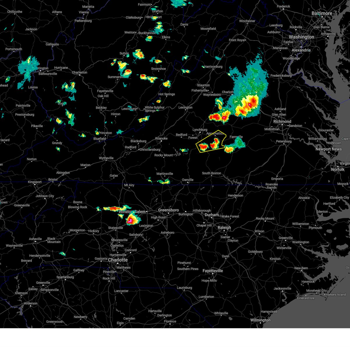 At 622 pm edt, a severe thunderstorm was located over mike, or near red house, moving northeast at 20 mph (radar indicated). Hazards include 60 mph wind gusts and quarter size hail. Hail damage to vehicles is expected. Expect wind damage to roofs, siding, and trees. At 622 pm edt, a severe thunderstorm was located over mike, or near red house, moving northeast at 20 mph (radar indicated). Hazards include 60 mph wind gusts and quarter size hail. Hail damage to vehicles is expected. Expect wind damage to roofs, siding, and trees.
|
| 4/22/2023 10:55 AM EDT | Thunderstorm winds blew down one tree at the intersection of old courthouse road and hollywood roa in appomattox county VA, 7.3 miles SW of Appomattox, VA |
| 4/6/2023 5:10 PM EDT |
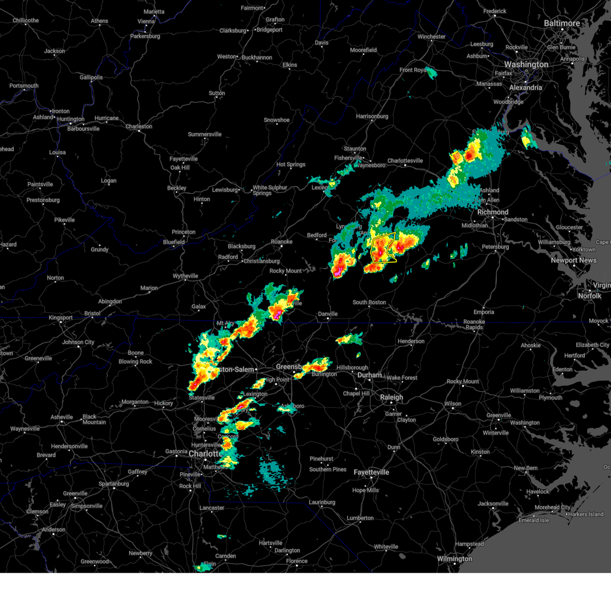 At 510 pm edt, a severe thunderstorm was located near red house, moving east at 30 mph (radar indicated). Hazards include golf ball size hail and 60 mph wind gusts. People and animals outdoors will be injured. expect hail damage to roofs, siding, windows, and vehicles. expect wind damage to roofs, siding, and trees. locations impacted include, red house, pamplin city, madisonville, hixburg, wren, evergreen, and cullen. thunderstorm damage threat, considerable hail threat, radar indicated max hail size, 1. 75 in wind threat, radar indicated max wind gust, 60 mph. At 510 pm edt, a severe thunderstorm was located near red house, moving east at 30 mph (radar indicated). Hazards include golf ball size hail and 60 mph wind gusts. People and animals outdoors will be injured. expect hail damage to roofs, siding, windows, and vehicles. expect wind damage to roofs, siding, and trees. locations impacted include, red house, pamplin city, madisonville, hixburg, wren, evergreen, and cullen. thunderstorm damage threat, considerable hail threat, radar indicated max hail size, 1. 75 in wind threat, radar indicated max wind gust, 60 mph.
|
| 4/6/2023 4:58 PM EDT |
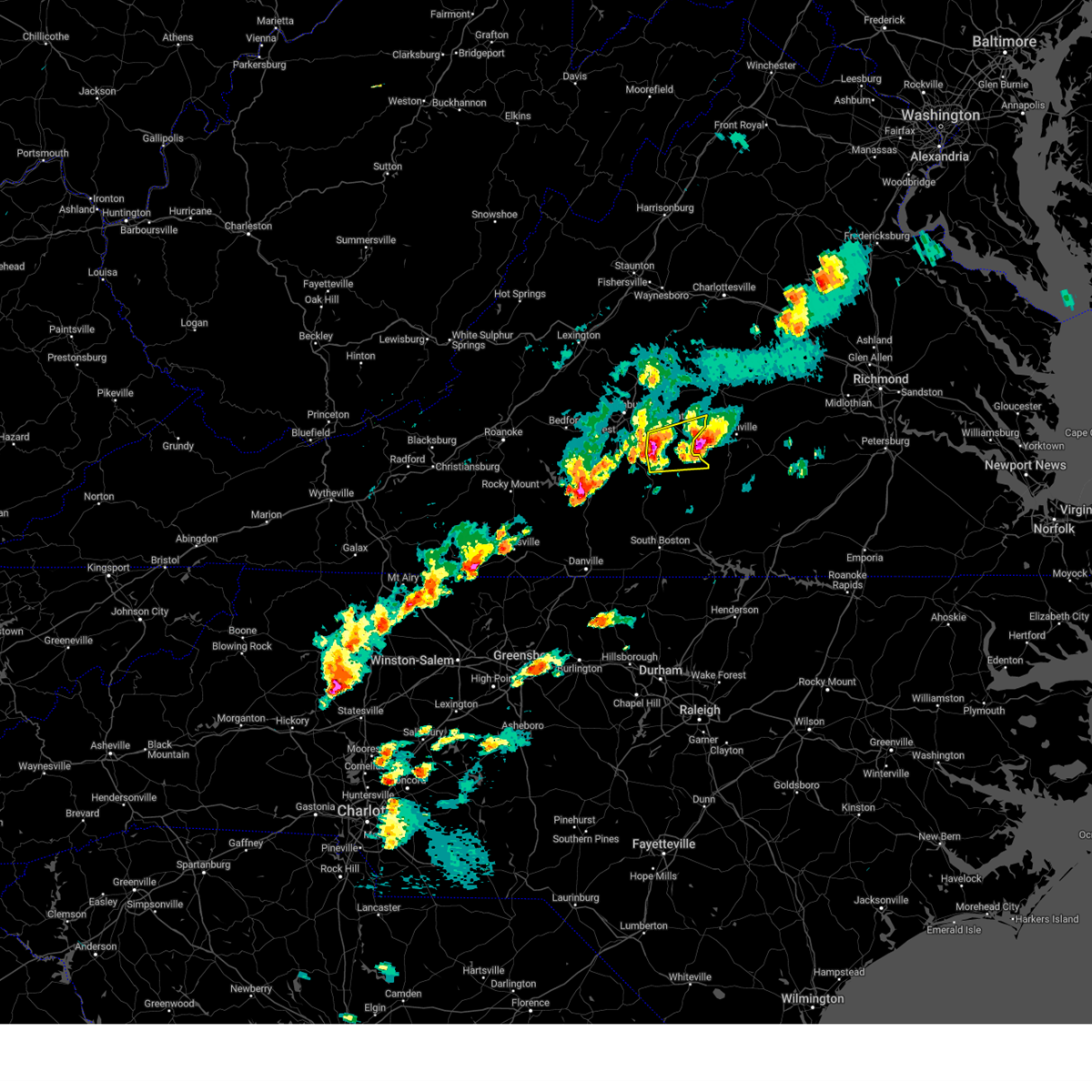 At 458 pm edt, a severe thunderstorm was located over mike, or near red house, moving east at 30 mph (radar indicated). Hazards include golf ball size hail and 60 mph wind gusts. People and animals outdoors will be injured. expect hail damage to roofs, siding, windows, and vehicles. expect wind damage to roofs, siding, and trees. locations impacted include, red house, pamplin city, madisonville, mike, cullen, hat creek, and hixburg. thunderstorm damage threat, considerable hail threat, radar indicated max hail size, 1. 75 in wind threat, radar indicated max wind gust, 60 mph. At 458 pm edt, a severe thunderstorm was located over mike, or near red house, moving east at 30 mph (radar indicated). Hazards include golf ball size hail and 60 mph wind gusts. People and animals outdoors will be injured. expect hail damage to roofs, siding, windows, and vehicles. expect wind damage to roofs, siding, and trees. locations impacted include, red house, pamplin city, madisonville, mike, cullen, hat creek, and hixburg. thunderstorm damage threat, considerable hail threat, radar indicated max hail size, 1. 75 in wind threat, radar indicated max wind gust, 60 mph.
|
| 4/6/2023 4:41 PM EDT |
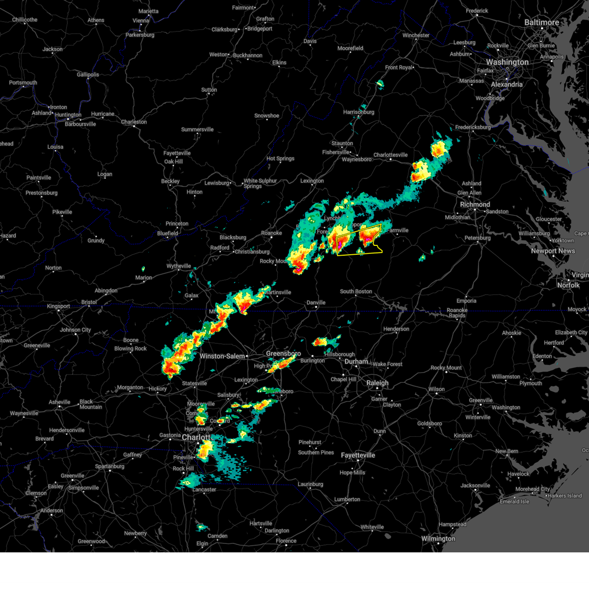 At 440 pm edt, a severe thunderstorm was located over gladys, or near rustburg, moving east at 25 mph (radar indicated). Hazards include golf ball size hail and 60 mph wind gusts. People and animals outdoors will be injured. expect hail damage to roofs, siding, windows, and vehicles. Expect wind damage to roofs, siding, and trees. At 440 pm edt, a severe thunderstorm was located over gladys, or near rustburg, moving east at 25 mph (radar indicated). Hazards include golf ball size hail and 60 mph wind gusts. People and animals outdoors will be injured. expect hail damage to roofs, siding, windows, and vehicles. Expect wind damage to roofs, siding, and trees.
|
| 4/6/2023 4:36 PM EDT |
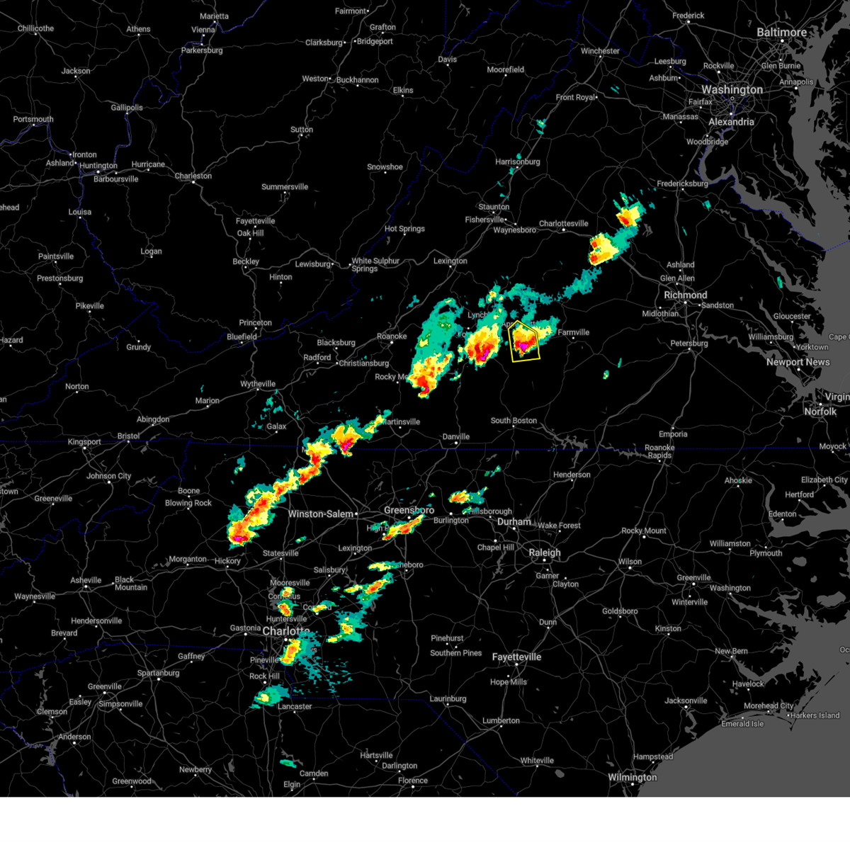 At 436 pm edt, a severe thunderstorm was located near red house, moving east at 30 mph (radar indicated). Hazards include golf ball size hail and 60 mph wind gusts. People and animals outdoors will be injured. expect hail damage to roofs, siding, windows, and vehicles. expect wind damage to roofs, siding, and trees. locations impacted include, appomattox, red house, mike, appomattox national historic park, spout spring, evergreen, and madisonville. thunderstorm damage threat, considerable hail threat, radar indicated max hail size, 1. 75 in wind threat, radar indicated max wind gust, 60 mph. At 436 pm edt, a severe thunderstorm was located near red house, moving east at 30 mph (radar indicated). Hazards include golf ball size hail and 60 mph wind gusts. People and animals outdoors will be injured. expect hail damage to roofs, siding, windows, and vehicles. expect wind damage to roofs, siding, and trees. locations impacted include, appomattox, red house, mike, appomattox national historic park, spout spring, evergreen, and madisonville. thunderstorm damage threat, considerable hail threat, radar indicated max hail size, 1. 75 in wind threat, radar indicated max wind gust, 60 mph.
|
| 4/6/2023 4:18 PM EDT |
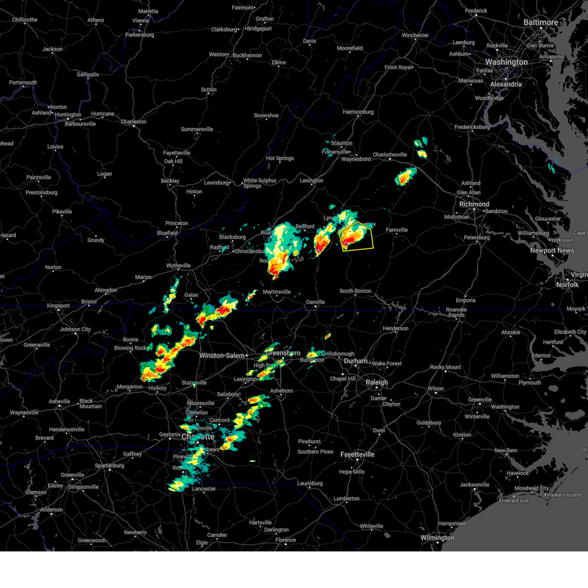 At 418 pm edt, a severe thunderstorm was located over spring mills, or near rustburg, moving northeast at 25 mph (radar indicated). Hazards include golf ball size hail and 60 mph wind gusts. People and animals outdoors will be injured. expect hail damage to roofs, siding, windows, and vehicles. expect wind damage to roofs, siding, and trees. locations impacted include, appomattox, red house, concord, rustburg, mike, appomattox national historic park, and spout spring. thunderstorm damage threat, considerable hail threat, radar indicated max hail size, 1. 75 in wind threat, radar indicated max wind gust, 60 mph. At 418 pm edt, a severe thunderstorm was located over spring mills, or near rustburg, moving northeast at 25 mph (radar indicated). Hazards include golf ball size hail and 60 mph wind gusts. People and animals outdoors will be injured. expect hail damage to roofs, siding, windows, and vehicles. expect wind damage to roofs, siding, and trees. locations impacted include, appomattox, red house, concord, rustburg, mike, appomattox national historic park, and spout spring. thunderstorm damage threat, considerable hail threat, radar indicated max hail size, 1. 75 in wind threat, radar indicated max wind gust, 60 mph.
|
| 4/6/2023 4:01 PM EDT |
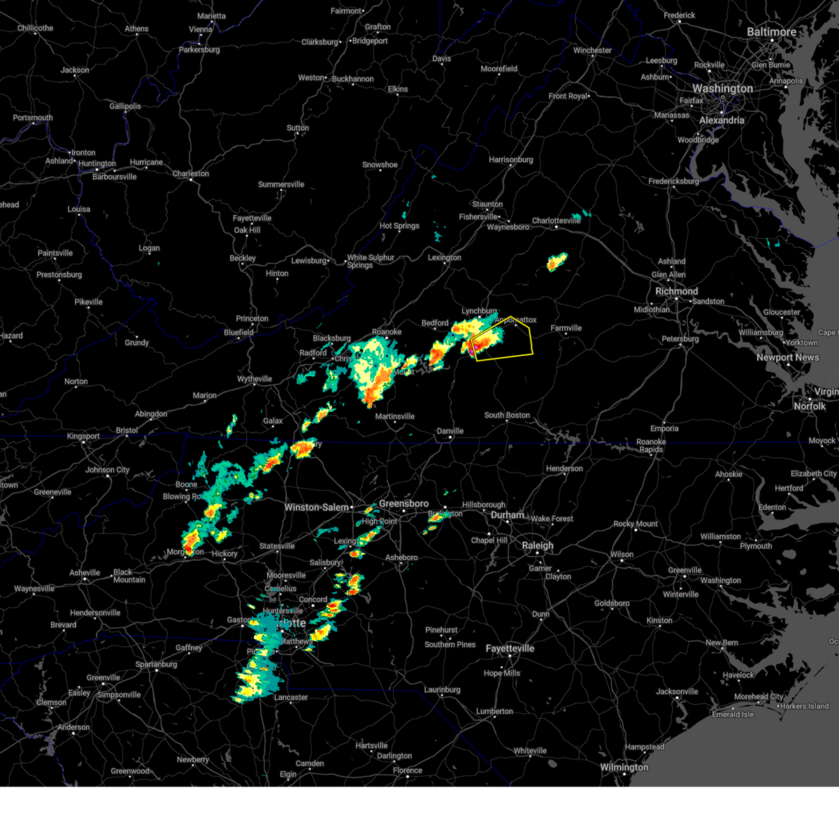 At 401 pm edt, a severe thunderstorm was located over gladys, or near rustburg, moving northeast at 25 mph (radar indicated). Hazards include golf ball size hail and 60 mph wind gusts. People and animals outdoors will be injured. expect hail damage to roofs, siding, windows, and vehicles. Expect wind damage to roofs, siding, and trees. At 401 pm edt, a severe thunderstorm was located over gladys, or near rustburg, moving northeast at 25 mph (radar indicated). Hazards include golf ball size hail and 60 mph wind gusts. People and animals outdoors will be injured. expect hail damage to roofs, siding, windows, and vehicles. Expect wind damage to roofs, siding, and trees.
|
| 9/25/2022 3:11 PM EDT |
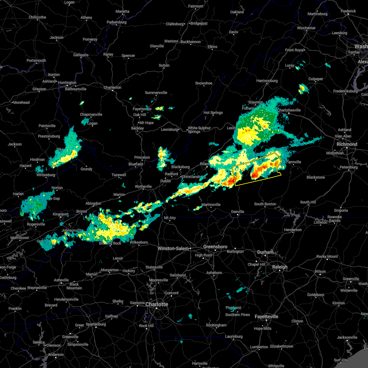 At 311 pm edt, a severe thunderstorm was located near gladys, or 8 miles southeast of rustburg, moving northeast at 45 mph (radar indicated). Hazards include 60 mph wind gusts and quarter size hail. Hail damage to vehicles is expected. expect wind damage to roofs, siding, and trees. locations impacted include, altavista, appomattox, hurt, red house, concord, rustburg, and evington. this includes the following location lynchburg airport. hail threat, radar indicated max hail size, 1. 00 in wind threat, radar indicated max wind gust, 60 mph. At 311 pm edt, a severe thunderstorm was located near gladys, or 8 miles southeast of rustburg, moving northeast at 45 mph (radar indicated). Hazards include 60 mph wind gusts and quarter size hail. Hail damage to vehicles is expected. expect wind damage to roofs, siding, and trees. locations impacted include, altavista, appomattox, hurt, red house, concord, rustburg, and evington. this includes the following location lynchburg airport. hail threat, radar indicated max hail size, 1. 00 in wind threat, radar indicated max wind gust, 60 mph.
|
| 9/25/2022 2:57 PM EDT |
 At 257 pm edt, a severe thunderstorm was located near rustburg, moving east at 65 mph (radar indicated). Hazards include 60 mph wind gusts and quarter size hail. Hail damage to vehicles is expected. Expect wind damage to roofs, siding, and trees. At 257 pm edt, a severe thunderstorm was located near rustburg, moving east at 65 mph (radar indicated). Hazards include 60 mph wind gusts and quarter size hail. Hail damage to vehicles is expected. Expect wind damage to roofs, siding, and trees.
|
| 7/25/2022 3:12 PM EDT |
 The severe thunderstorm warning for western appomattox, central campbell, east central bedford, and southeastern amherst counties and the city of lynchburg will expire at 315 pm edt, the storms which prompted the warning have moved out of the area. therefore, the warning will be allowed to expire. a severe thunderstorm watch remains in effect until 1000 pm edt for central, south central and west central virginia. The severe thunderstorm warning for western appomattox, central campbell, east central bedford, and southeastern amherst counties and the city of lynchburg will expire at 315 pm edt, the storms which prompted the warning have moved out of the area. therefore, the warning will be allowed to expire. a severe thunderstorm watch remains in effect until 1000 pm edt for central, south central and west central virginia.
|
| 7/25/2022 3:11 PM EDT |
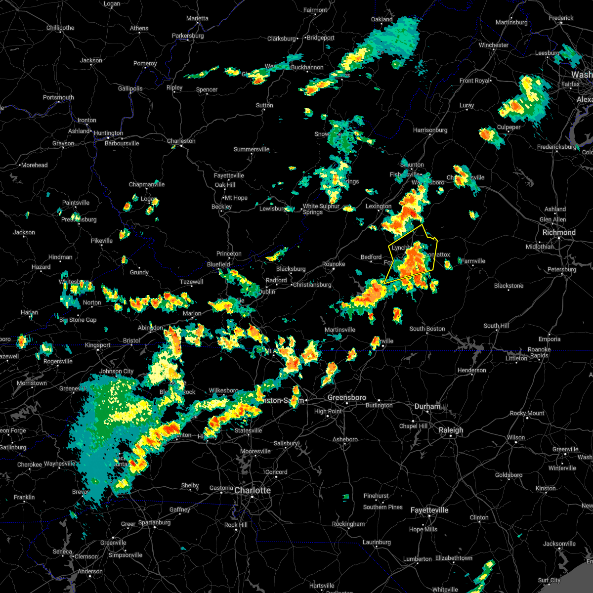 The severe thunderstorm warning for western appomattox, central campbell, east central bedford, and southeastern amherst counties and the city of lynchburg will expire at 315 pm edt, the storms which prompted the warning have moved out of the area. therefore, the warning will be allowed to expire. a severe thunderstorm watch remains in effect until 1000 pm edt for central, south central and west central virginia. The severe thunderstorm warning for western appomattox, central campbell, east central bedford, and southeastern amherst counties and the city of lynchburg will expire at 315 pm edt, the storms which prompted the warning have moved out of the area. therefore, the warning will be allowed to expire. a severe thunderstorm watch remains in effect until 1000 pm edt for central, south central and west central virginia.
|
| 7/25/2022 2:43 PM EDT |
 At 242 pm edt, severe thunderstorms were located along a line extending from near madison heights to bocock to near evington, moving northeast at 40 mph (radar indicated). Hazards include 60 mph wind gusts and quarter size hail. Hail damage to vehicles is expected. Expect wind damage to roofs, siding, and trees. At 242 pm edt, severe thunderstorms were located along a line extending from near madison heights to bocock to near evington, moving northeast at 40 mph (radar indicated). Hazards include 60 mph wind gusts and quarter size hail. Hail damage to vehicles is expected. Expect wind damage to roofs, siding, and trees.
|
| 7/16/2022 1:38 PM EDT |
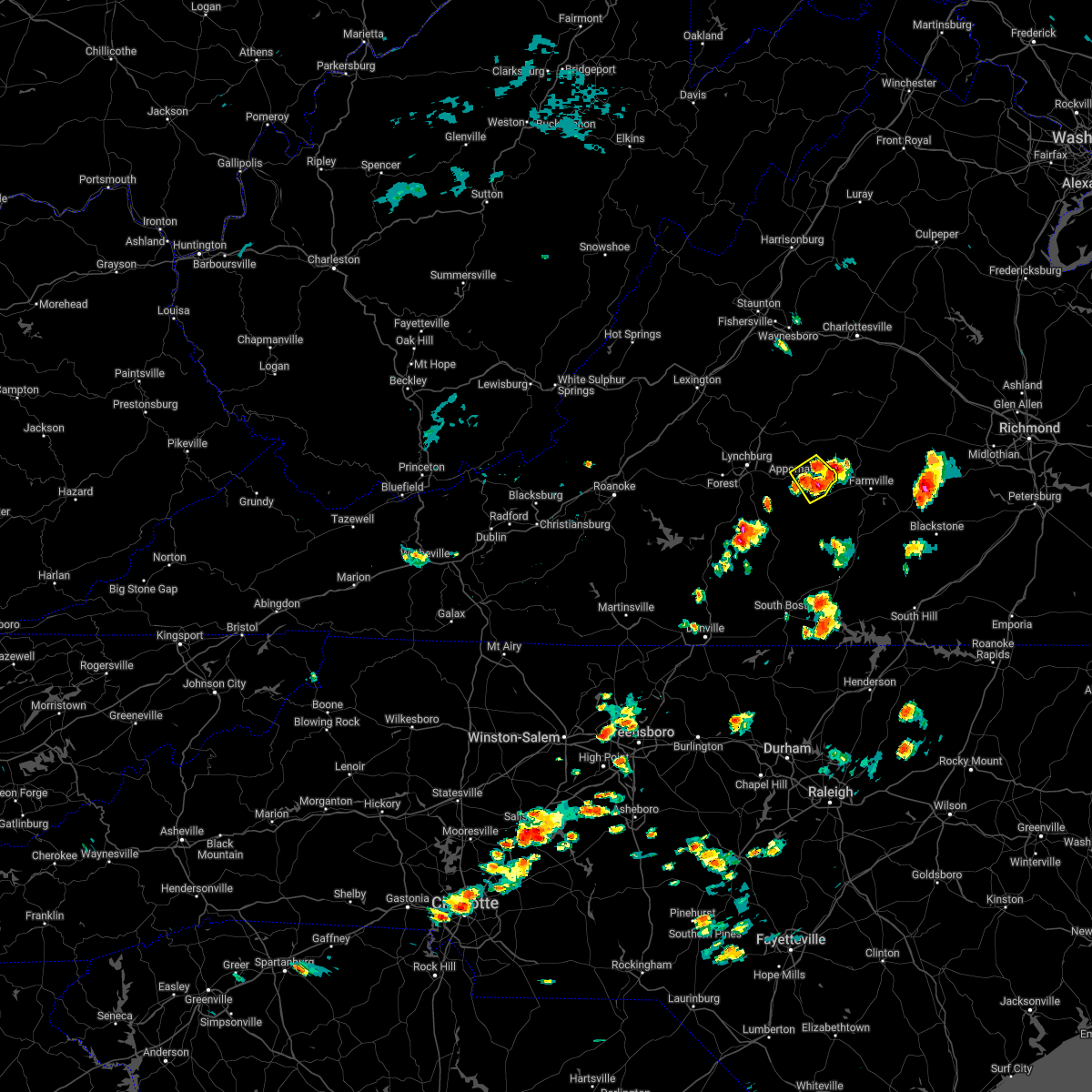 At 138 pm edt, a severe thunderstorm was located near hixburg, or 7 miles east of appomattox, moving northeast at 15 mph (radar indicated). Hazards include 60 mph wind gusts and quarter size hail. Hail damage to vehicles is expected. expect wind damage to roofs, siding, and trees. locations impacted include, appomattox, pamplin city, hixburg, appomattox national historic park, and evergreen. hail threat, radar indicated max hail size, 1. 00 in wind threat, radar indicated max wind gust, 60 mph. At 138 pm edt, a severe thunderstorm was located near hixburg, or 7 miles east of appomattox, moving northeast at 15 mph (radar indicated). Hazards include 60 mph wind gusts and quarter size hail. Hail damage to vehicles is expected. expect wind damage to roofs, siding, and trees. locations impacted include, appomattox, pamplin city, hixburg, appomattox national historic park, and evergreen. hail threat, radar indicated max hail size, 1. 00 in wind threat, radar indicated max wind gust, 60 mph.
|
| 7/16/2022 1:24 PM EDT |
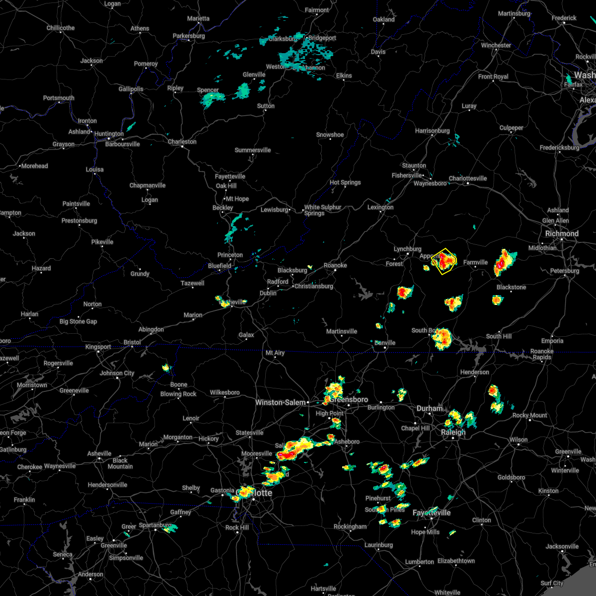 At 124 pm edt, a severe thunderstorm was located near appomattox national historic park, or near appomattox, moving northeast at 15 mph (radar indicated). Hazards include 60 mph wind gusts and quarter size hail. Hail damage to vehicles is expected. expect wind damage to roofs, siding, and trees. locations impacted include, appomattox, pamplin city, hixburg, appomattox national historic park, and evergreen. hail threat, radar indicated max hail size, 1. 00 in wind threat, radar indicated max wind gust, 60 mph. At 124 pm edt, a severe thunderstorm was located near appomattox national historic park, or near appomattox, moving northeast at 15 mph (radar indicated). Hazards include 60 mph wind gusts and quarter size hail. Hail damage to vehicles is expected. expect wind damage to roofs, siding, and trees. locations impacted include, appomattox, pamplin city, hixburg, appomattox national historic park, and evergreen. hail threat, radar indicated max hail size, 1. 00 in wind threat, radar indicated max wind gust, 60 mph.
|
| 7/16/2022 1:14 PM EDT | One tree down along cedar tree road due to thunderstorm wind in appomattox county VA, 4 miles NNW of Appomattox, VA |
| 7/16/2022 1:12 PM EDT |
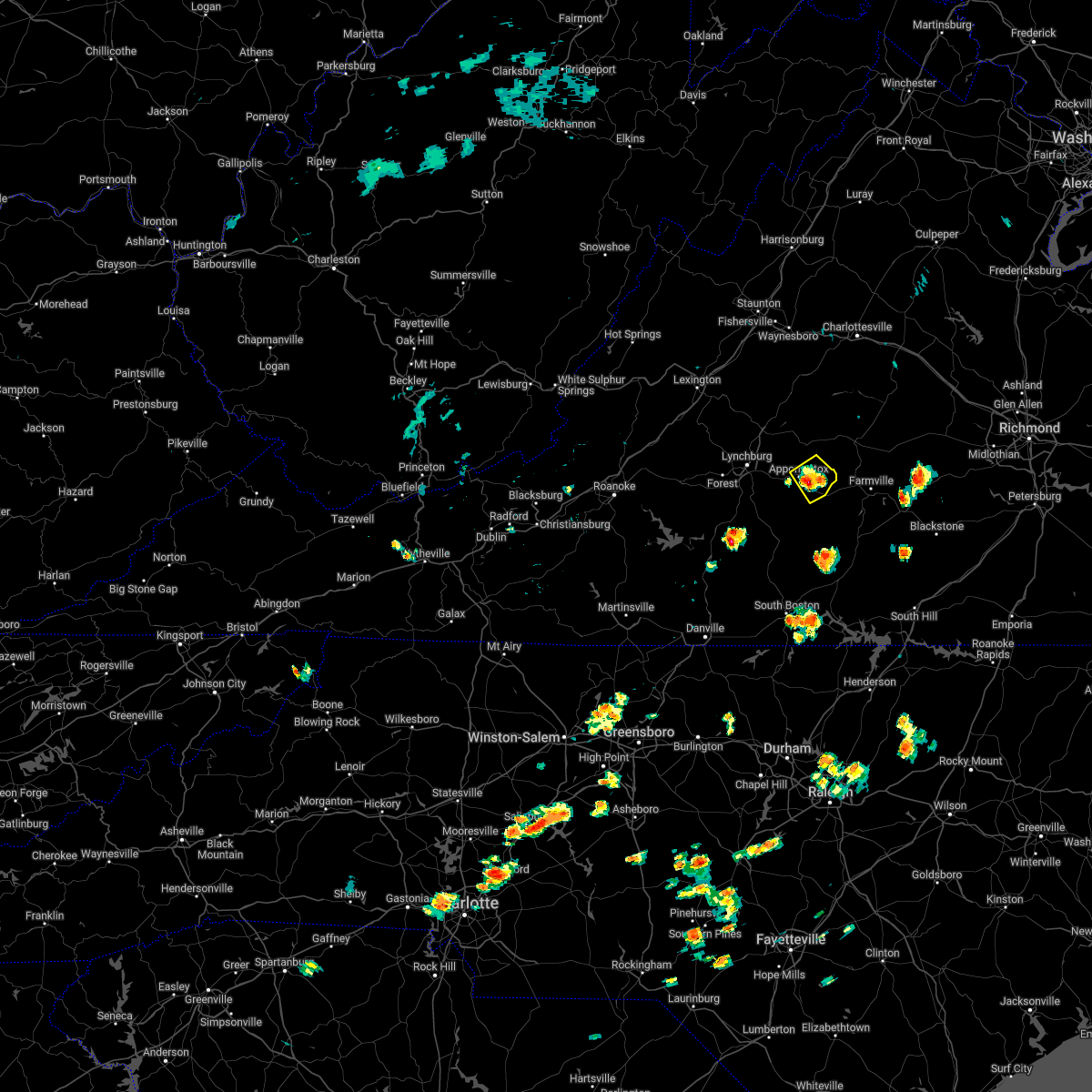 At 111 pm edt, a severe thunderstorm was located over evergreen, or near appomattox, moving northeast at 15 mph (radar indicated). Hazards include 60 mph wind gusts and quarter size hail. Hail damage to vehicles is expected. Expect wind damage to roofs, siding, and trees. At 111 pm edt, a severe thunderstorm was located over evergreen, or near appomattox, moving northeast at 15 mph (radar indicated). Hazards include 60 mph wind gusts and quarter size hail. Hail damage to vehicles is expected. Expect wind damage to roofs, siding, and trees.
|
| 7/6/2022 6:08 PM EDT |
 The severe thunderstorm warning for central appomattox and buckingham counties will expire at 615 pm edt, the storms which prompted the warning have moved out of the area. therefore, the warning will be allowed to expire. a severe thunderstorm watch remains in effect until 1100 pm edt for central and south central virginia. The severe thunderstorm warning for central appomattox and buckingham counties will expire at 615 pm edt, the storms which prompted the warning have moved out of the area. therefore, the warning will be allowed to expire. a severe thunderstorm watch remains in effect until 1100 pm edt for central and south central virginia.
|
| 7/6/2022 5:57 PM EDT |
 At 556 pm edt, severe thunderstorms were located along a line extending from near lakeside village to near gold hill to sheppards to near pamplin city, moving east at 35 mph (radar indicated). Hazards include 60 mph wind gusts. Expect damage to roofs, siding, and trees. locations impacted include, buckingham, appomattox, dillwyn, pamplin city, toga, appomattox national historic park, and sheppards. hail threat, radar indicated max hail size, <. 75 in wind threat, radar indicated max wind gust, 60 mph. At 556 pm edt, severe thunderstorms were located along a line extending from near lakeside village to near gold hill to sheppards to near pamplin city, moving east at 35 mph (radar indicated). Hazards include 60 mph wind gusts. Expect damage to roofs, siding, and trees. locations impacted include, buckingham, appomattox, dillwyn, pamplin city, toga, appomattox national historic park, and sheppards. hail threat, radar indicated max hail size, <. 75 in wind threat, radar indicated max wind gust, 60 mph.
|
| 7/6/2022 5:56 PM EDT | Tree down on roadwa in appomattox county VA, 0.1 miles ESE of Appomattox, VA |
| 7/6/2022 5:55 PM EDT | Multiple trees down along north creek road and oakville roa in appomattox county VA, 4.8 miles SSE of Appomattox, VA |
| 7/6/2022 5:39 PM EDT |
 At 539 pm edt, severe thunderstorms were located along a line extending from near new canton to near buckingham to near hixburg to near spring mills, moving east at 35 mph (radar indicated). Hazards include 60 mph wind gusts and penny size hail. Expect damage to roofs, siding, and trees. locations impacted include, buckingham, appomattox, dillwyn, bent creek, pamplin city, appomattox national historic park, and sheppards. hail threat, radar indicated max hail size, 0. 75 in wind threat, radar indicated max wind gust, 60 mph. At 539 pm edt, severe thunderstorms were located along a line extending from near new canton to near buckingham to near hixburg to near spring mills, moving east at 35 mph (radar indicated). Hazards include 60 mph wind gusts and penny size hail. Expect damage to roofs, siding, and trees. locations impacted include, buckingham, appomattox, dillwyn, bent creek, pamplin city, appomattox national historic park, and sheppards. hail threat, radar indicated max hail size, 0. 75 in wind threat, radar indicated max wind gust, 60 mph.
|
| 7/6/2022 5:11 PM EDT |
 At 511 pm edt, severe thunderstorms were located along a line extending from near schuyler to near wingina to near riverville to bocock, moving east at 35 mph (radar indicated). Hazards include 60 mph wind gusts and quarter size hail. Hail damage to vehicles is expected. Expect wind damage to roofs, siding, and trees. At 511 pm edt, severe thunderstorms were located along a line extending from near schuyler to near wingina to near riverville to bocock, moving east at 35 mph (radar indicated). Hazards include 60 mph wind gusts and quarter size hail. Hail damage to vehicles is expected. Expect wind damage to roofs, siding, and trees.
|
| 7/2/2022 4:07 PM EDT |
 At 407 pm edt, severe thunderstorms were located along a line extending from near andersonville to spring mills to near timberlake, moving south at 15 mph (law enforcement). Hazards include 60 mph wind gusts and quarter size hail. Hail damage to vehicles is expected. expect wind damage to roofs, siding, and trees. locations impacted include, appomattox, concord, rustburg, pamplin city, appomattox national historic park, hixburg, and bocock. hail threat, radar indicated max hail size, 1. 00 in wind threat, radar indicated max wind gust, 60 mph. At 407 pm edt, severe thunderstorms were located along a line extending from near andersonville to spring mills to near timberlake, moving south at 15 mph (law enforcement). Hazards include 60 mph wind gusts and quarter size hail. Hail damage to vehicles is expected. expect wind damage to roofs, siding, and trees. locations impacted include, appomattox, concord, rustburg, pamplin city, appomattox national historic park, hixburg, and bocock. hail threat, radar indicated max hail size, 1. 00 in wind threat, radar indicated max wind gust, 60 mph.
|
| 7/2/2022 3:57 PM EDT |
 At 356 pm edt, severe thunderstorms were located along a line extending from dillwyn to appomattox national historic park to lynchburg, moving east at 20 mph (law enforcement). Hazards include 60 mph wind gusts and quarter size hail. Hail damage to vehicles is expected. expect wind damage to roofs, siding, and trees. locations impacted include, appomattox, concord, rustburg, pamplin city, appomattox national historic park, sheppards, and stonewall. hail threat, radar indicated max hail size, 1. 00 in wind threat, radar indicated max wind gust, 60 mph. At 356 pm edt, severe thunderstorms were located along a line extending from dillwyn to appomattox national historic park to lynchburg, moving east at 20 mph (law enforcement). Hazards include 60 mph wind gusts and quarter size hail. Hail damage to vehicles is expected. expect wind damage to roofs, siding, and trees. locations impacted include, appomattox, concord, rustburg, pamplin city, appomattox national historic park, sheppards, and stonewall. hail threat, radar indicated max hail size, 1. 00 in wind threat, radar indicated max wind gust, 60 mph.
|
| 7/2/2022 3:45 PM EDT |
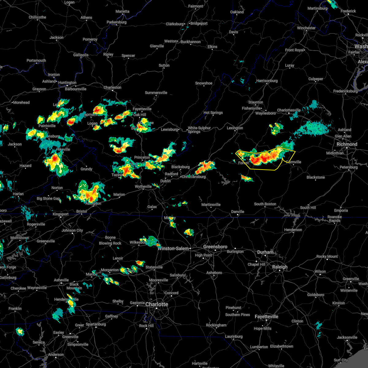 At 345 pm edt, severe thunderstorms were located along a line extending from dillwyn to appomattox to boonsboro, moving east at 20 mph (law enforcement reported tree down in the concord area). Hazards include 60 mph wind gusts and quarter size hail. Hail damage to vehicles is expected. expect wind damage to roofs, siding, and trees. locations impacted include, lynchburg, appomattox, concord, rustburg, forest, pamplin city, and madison heights. this includes the following locations liberty university and lynchburg airport. hail threat, radar indicated max hail size, 1. 00 in wind threat, radar indicated max wind gust, 60 mph. At 345 pm edt, severe thunderstorms were located along a line extending from dillwyn to appomattox to boonsboro, moving east at 20 mph (law enforcement reported tree down in the concord area). Hazards include 60 mph wind gusts and quarter size hail. Hail damage to vehicles is expected. expect wind damage to roofs, siding, and trees. locations impacted include, lynchburg, appomattox, concord, rustburg, forest, pamplin city, and madison heights. this includes the following locations liberty university and lynchburg airport. hail threat, radar indicated max hail size, 1. 00 in wind threat, radar indicated max wind gust, 60 mph.
|
| 7/2/2022 3:43 PM EDT | Tree down on oakville road between appomattox and oakvill in appomattox county VA, 2.5 miles SSE of Appomattox, VA |
| 7/2/2022 3:40 PM EDT | Tree down on spanish oaks r in appomattox county VA, 6.6 miles SSE of Appomattox, VA |
| 7/2/2022 3:21 PM EDT |
 At 320 pm edt, severe thunderstorms were located along a line extending from near buckingham to stonewall to near coleman falls, moving east at 20 mph (radar indicated). Hazards include 60 mph wind gusts and quarter size hail. Hail damage to vehicles is expected. Expect wind damage to roofs, siding, and trees. At 320 pm edt, severe thunderstorms were located along a line extending from near buckingham to stonewall to near coleman falls, moving east at 20 mph (radar indicated). Hazards include 60 mph wind gusts and quarter size hail. Hail damage to vehicles is expected. Expect wind damage to roofs, siding, and trees.
|
| 6/22/2022 7:49 PM EDT |
 At 749 pm edt, a severe thunderstorm was located near red house, moving south at 30 mph (radar indicated). Hazards include 60 mph wind gusts and quarter size hail. Hail damage to vehicles is expected. expect wind damage to roofs, siding, and trees. locations impacted include, appomattox, charlotte court house, phenix, red house, concord, pamplin city, and madisonville. hail threat, radar indicated max hail size, 1. 00 in wind threat, radar indicated max wind gust, 60 mph. At 749 pm edt, a severe thunderstorm was located near red house, moving south at 30 mph (radar indicated). Hazards include 60 mph wind gusts and quarter size hail. Hail damage to vehicles is expected. expect wind damage to roofs, siding, and trees. locations impacted include, appomattox, charlotte court house, phenix, red house, concord, pamplin city, and madisonville. hail threat, radar indicated max hail size, 1. 00 in wind threat, radar indicated max wind gust, 60 mph.
|
| 6/22/2022 7:39 PM EDT | Tree down on rt. 727 north... in the vicinity of cub creek r in appomattox county VA, 6.8 miles N of Appomattox, VA |
| 6/22/2022 7:38 PM EDT | Tree down along red house road near richwood estates r in appomattox county VA, 4.1 miles N of Appomattox, VA |
| 6/22/2022 7:29 PM EDT |
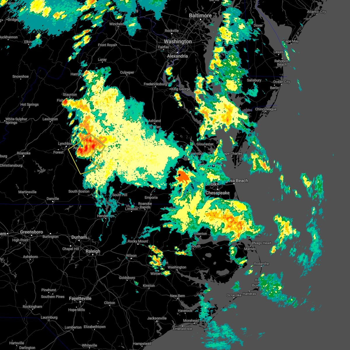 At 729 pm edt, a severe thunderstorm was located near appomattox national historic park, or near appomattox, moving southeast at 30 mph (radar indicated). Hazards include 60 mph wind gusts and quarter size hail. Hail damage to vehicles is expected. Expect wind damage to roofs, siding, and trees. At 729 pm edt, a severe thunderstorm was located near appomattox national historic park, or near appomattox, moving southeast at 30 mph (radar indicated). Hazards include 60 mph wind gusts and quarter size hail. Hail damage to vehicles is expected. Expect wind damage to roofs, siding, and trees.
|
| 6/22/2022 7:11 PM EDT |
 At 711 pm edt, a severe thunderstorm was located near wingina, or near buckingham, moving south at 45 mph (radar indicated). Hazards include 60 mph wind gusts and quarter size hail. Hail damage to vehicles is expected. expect wind damage to roofs, siding, and trees. locations impacted include, buckingham, appomattox, dillwyn, phenix, bent creek, pamplin city, and madisonville. hail threat, radar indicated max hail size, 1. 00 in wind threat, radar indicated max wind gust, 60 mph. At 711 pm edt, a severe thunderstorm was located near wingina, or near buckingham, moving south at 45 mph (radar indicated). Hazards include 60 mph wind gusts and quarter size hail. Hail damage to vehicles is expected. expect wind damage to roofs, siding, and trees. locations impacted include, buckingham, appomattox, dillwyn, phenix, bent creek, pamplin city, and madisonville. hail threat, radar indicated max hail size, 1. 00 in wind threat, radar indicated max wind gust, 60 mph.
|
| 6/22/2022 6:39 PM EDT |
 At 639 pm edt, a severe thunderstorm was located over centenary, or 10 miles north of buckingham, moving south at 65 mph (radar indicated). Hazards include 60 mph wind gusts and quarter size hail. Hail damage to vehicles is expected. Expect wind damage to roofs, siding, and trees. At 639 pm edt, a severe thunderstorm was located over centenary, or 10 miles north of buckingham, moving south at 65 mph (radar indicated). Hazards include 60 mph wind gusts and quarter size hail. Hail damage to vehicles is expected. Expect wind damage to roofs, siding, and trees.
|
| 6/17/2022 5:41 PM EDT |
 The severe thunderstorm warning for appomattox, northern campbell, buckingham, amherst counties and the city of lynchburg will expire at 545 pm edt, the storms which prompted the warning have weakened below severe limits, and no longer pose an immediate threat to life or property. therefore, the warning will be allowed to expire. however heavy rain is still possible with these thunderstorms. a severe thunderstorm watch remains in effect until 800 pm edt for central and south central virginia. The severe thunderstorm warning for appomattox, northern campbell, buckingham, amherst counties and the city of lynchburg will expire at 545 pm edt, the storms which prompted the warning have weakened below severe limits, and no longer pose an immediate threat to life or property. therefore, the warning will be allowed to expire. however heavy rain is still possible with these thunderstorms. a severe thunderstorm watch remains in effect until 800 pm edt for central and south central virginia.
|
| 6/17/2022 5:32 PM EDT |
 At 529 pm edt, severe thunderstorms were located along a line extending from 6 miles north of schuyler to appomattox national historic park, moving east at 45 mph (radar indicated). Hazards include 60 mph wind gusts. Expect damage to roofs, siding, and trees. locations impacted include, lynchburg, buckingham, appomattox, dillwyn, bent creek, concord, and pamplin city. hail threat, radar indicated max hail size, <. 75 in wind threat, radar indicated max wind gust, 60 mph. At 529 pm edt, severe thunderstorms were located along a line extending from 6 miles north of schuyler to appomattox national historic park, moving east at 45 mph (radar indicated). Hazards include 60 mph wind gusts. Expect damage to roofs, siding, and trees. locations impacted include, lynchburg, buckingham, appomattox, dillwyn, bent creek, concord, and pamplin city. hail threat, radar indicated max hail size, <. 75 in wind threat, radar indicated max wind gust, 60 mph.
|
| 6/17/2022 5:16 PM EDT | Tree down on buck creek roa in appomattox county VA, 4.4 miles SE of Appomattox, VA |
| 6/17/2022 4:53 PM EDT |
 At 451 pm edt, severe thunderstorms were located along a line extending from stuarts draft to buena vista, to elon and boonsvoro, moving east at 45 mph (radar indicated). Hazards include 70 mph wind gusts. Expect considerable tree damage. Damage is likely to mobile homes, roofs, and outbuildings. At 451 pm edt, severe thunderstorms were located along a line extending from stuarts draft to buena vista, to elon and boonsvoro, moving east at 45 mph (radar indicated). Hazards include 70 mph wind gusts. Expect considerable tree damage. Damage is likely to mobile homes, roofs, and outbuildings.
|
| 6/16/2022 4:09 PM EDT |
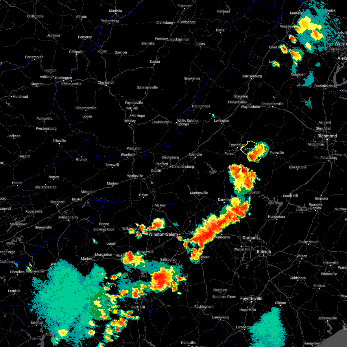 The severe thunderstorm warning for appomattox and northeastern campbell counties will expire at 415 pm edt, the storm which prompted the warning has moved out of the area. therefore, the warning will be allowed to expire. however small hail, gusty winds and heavy rain are still possible with this thunderstorm. a severe thunderstorm watch remains in effect until 900 pm edt for central and south central virginia. remember, a severe thunderstorm warning still remains in effect for portions of appomattox, charolotte, campbell, and halifax counties until 445 pm edt. The severe thunderstorm warning for appomattox and northeastern campbell counties will expire at 415 pm edt, the storm which prompted the warning has moved out of the area. therefore, the warning will be allowed to expire. however small hail, gusty winds and heavy rain are still possible with this thunderstorm. a severe thunderstorm watch remains in effect until 900 pm edt for central and south central virginia. remember, a severe thunderstorm warning still remains in effect for portions of appomattox, charolotte, campbell, and halifax counties until 445 pm edt.
|
| 6/16/2022 4:07 PM EDT |
 At 407 pm edt, a severe thunderstorm was located near mike, or near red house, moving southeast at 30 mph (radar indicated). Hazards include 60 mph wind gusts and quarter size hail. Hail damage to vehicles is expected. Expect wind damage to roofs, siding, and trees. At 407 pm edt, a severe thunderstorm was located near mike, or near red house, moving southeast at 30 mph (radar indicated). Hazards include 60 mph wind gusts and quarter size hail. Hail damage to vehicles is expected. Expect wind damage to roofs, siding, and trees.
|
| 6/16/2022 3:54 PM EDT |
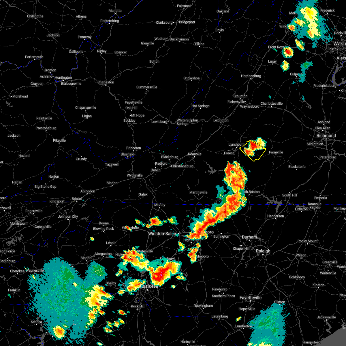 At 354 pm edt, a severe thunderstorm was located over oakville, or near appomattox, moving east at 20 mph (radar indicated). Hazards include 60 mph wind gusts and quarter size hail. Hail damage to vehicles is expected. expect wind damage to roofs, siding, and trees. locations impacted include, appomattox, concord, pamplin city, appomattox national historic park, stonewall, hixburg, and oakville. hail threat, radar indicated max hail size, 1. 00 in wind threat, radar indicated max wind gust, 60 mph. At 354 pm edt, a severe thunderstorm was located over oakville, or near appomattox, moving east at 20 mph (radar indicated). Hazards include 60 mph wind gusts and quarter size hail. Hail damage to vehicles is expected. expect wind damage to roofs, siding, and trees. locations impacted include, appomattox, concord, pamplin city, appomattox national historic park, stonewall, hixburg, and oakville. hail threat, radar indicated max hail size, 1. 00 in wind threat, radar indicated max wind gust, 60 mph.
|
| 6/16/2022 3:53 PM EDT |
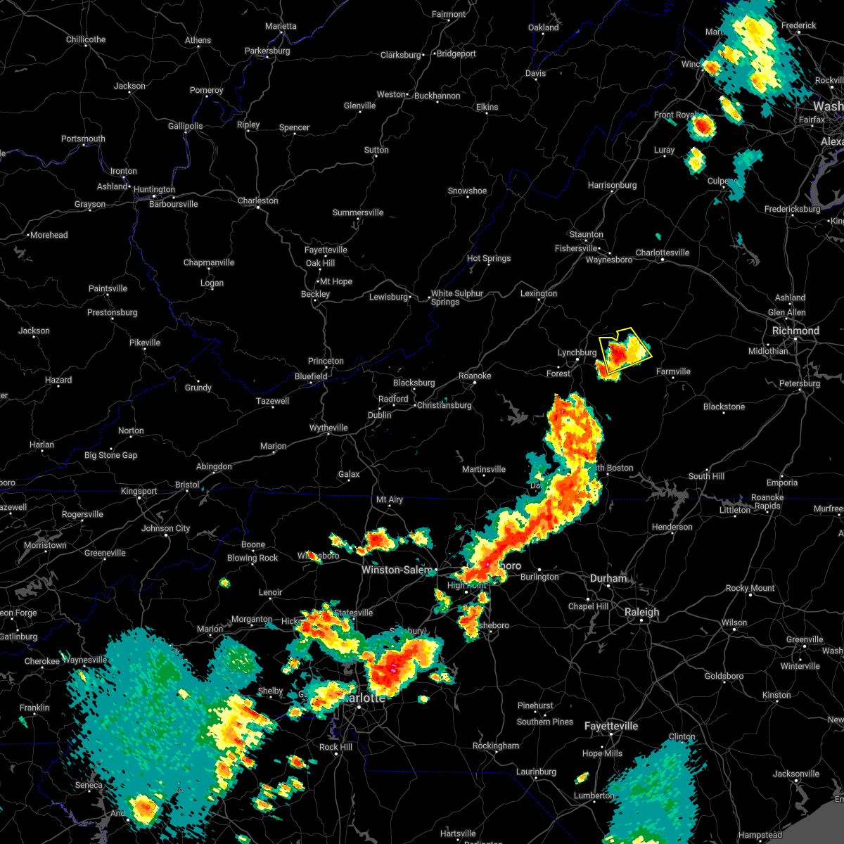 The severe thunderstorm warning for northern appomattox, southwestern buckingham and east central amherst counties will expire at 400 pm edt, the storm which prompted the warning has moved out of the area. therefore, the warning will be allowed to expire. however small hail, gusty winds and heavy rain are still possible with this thunderstorm. a severe thunderstorm watch remains in effect until 900 pm edt for central and south central virginia. remember, a severe thunderstorm warning still remains in effect for portions of appomattox and buckingjam counties until 415 pm edt. The severe thunderstorm warning for northern appomattox, southwestern buckingham and east central amherst counties will expire at 400 pm edt, the storm which prompted the warning has moved out of the area. therefore, the warning will be allowed to expire. however small hail, gusty winds and heavy rain are still possible with this thunderstorm. a severe thunderstorm watch remains in effect until 900 pm edt for central and south central virginia. remember, a severe thunderstorm warning still remains in effect for portions of appomattox and buckingjam counties until 415 pm edt.
|
| 6/16/2022 3:44 PM EDT |
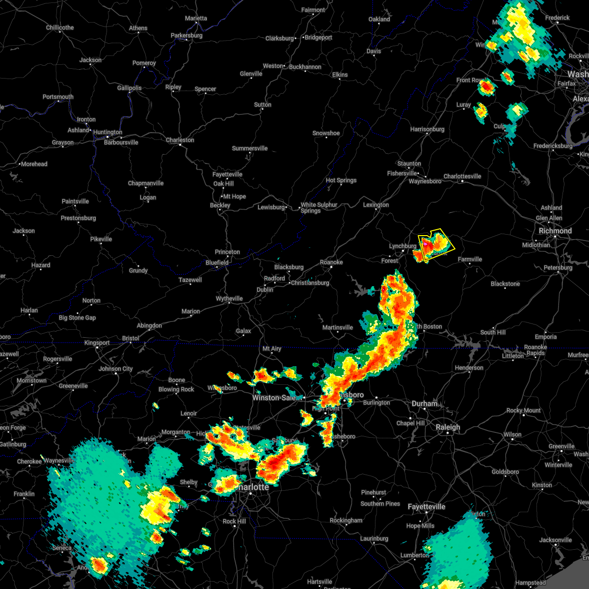 At 344 pm edt, a severe thunderstorm was located over appomattox national historic park, or near appomattox, moving south at 20 mph (radar indicated). Hazards include 60 mph wind gusts and quarter size hail. Hail damage to vehicles is expected. expect wind damage to roofs, siding, and trees. locations impacted include, appomattox, bent creek, appomattox national historic park, riverville, oakville, tower hill, and toga. hail threat, radar indicated max hail size, 1. 00 in wind threat, radar indicated max wind gust, 60 mph. At 344 pm edt, a severe thunderstorm was located over appomattox national historic park, or near appomattox, moving south at 20 mph (radar indicated). Hazards include 60 mph wind gusts and quarter size hail. Hail damage to vehicles is expected. expect wind damage to roofs, siding, and trees. locations impacted include, appomattox, bent creek, appomattox national historic park, riverville, oakville, tower hill, and toga. hail threat, radar indicated max hail size, 1. 00 in wind threat, radar indicated max wind gust, 60 mph.
|
| 6/16/2022 3:36 PM EDT | Tree down. time estimated from rada in appomattox county VA, 8.4 miles S of Appomattox, VA |
| 6/16/2022 3:30 PM EDT | Tree down on lime plant roa in appomattox county VA, 8.7 miles SSE of Appomattox, VA |
| 6/16/2022 3:30 PM EDT |
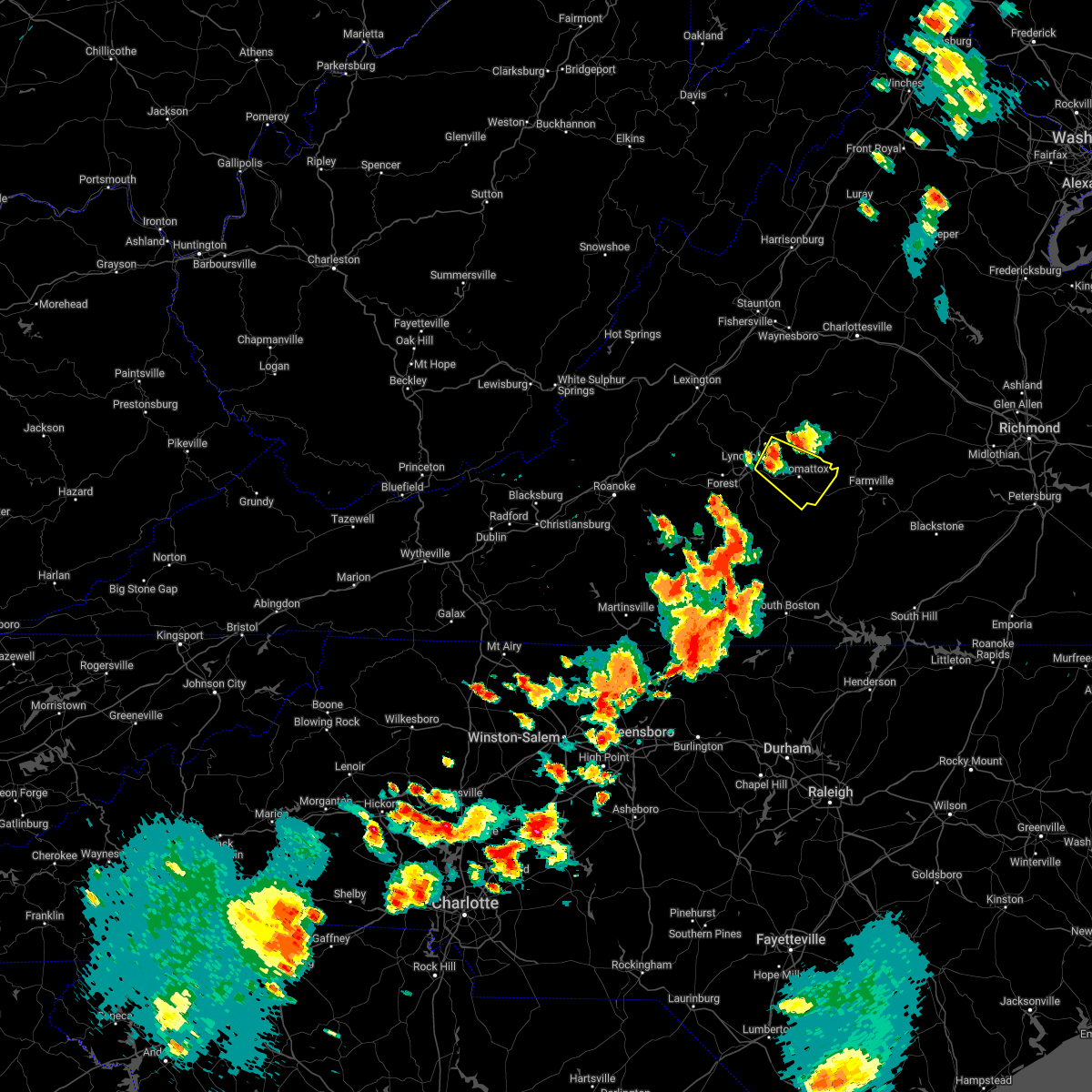 At 329 pm edt, a severe thunderstorm was located over stonewall, or near concord, moving east at 20 mph (radar indicated). Hazards include 60 mph wind gusts and quarter size hail. Hail damage to vehicles is expected. Expect wind damage to roofs, siding, and trees. At 329 pm edt, a severe thunderstorm was located over stonewall, or near concord, moving east at 20 mph (radar indicated). Hazards include 60 mph wind gusts and quarter size hail. Hail damage to vehicles is expected. Expect wind damage to roofs, siding, and trees.
|
| 6/16/2022 3:09 PM EDT |
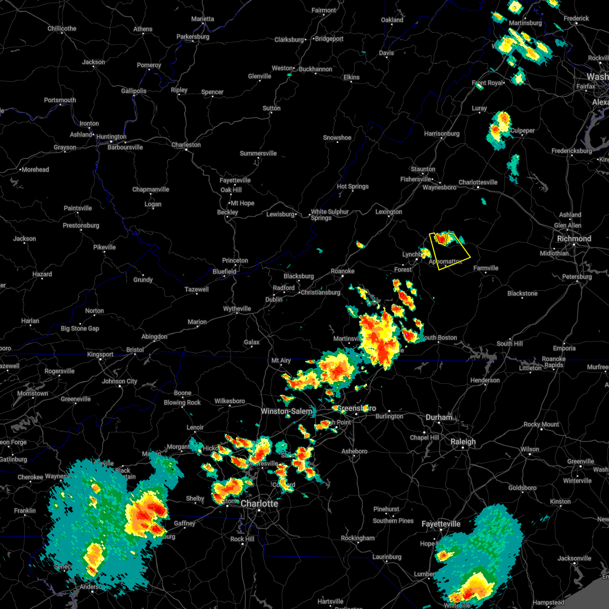 At 308 pm edt, a severe thunderstorm was located near bent creek, moving south at 20 mph (radar indicated). Hazards include 60 mph wind gusts and quarter size hail. Hail damage to vehicles is expected. Expect wind damage to roofs, siding, and trees. At 308 pm edt, a severe thunderstorm was located near bent creek, moving south at 20 mph (radar indicated). Hazards include 60 mph wind gusts and quarter size hail. Hail damage to vehicles is expected. Expect wind damage to roofs, siding, and trees.
|
| 6/2/2022 5:06 PM EDT |
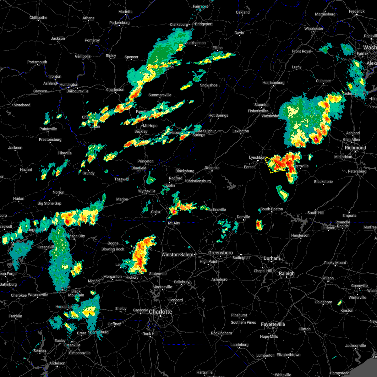 At 504 pm edt, severe thunderstorms was located from oakville to anderson, moving northeast at 35 mph (radar indicated). Hazards include 60 mph wind gusts and half dollar size hail. Hail damage to vehicles is expected. expect wind damage to roofs, siding, and trees. locations impacted include, appomattox, stonewall, spout spring, and evergreen. hail threat, radar indicated max hail size, 1. 25 in wind threat, radar indicated max wind gust, 60 mph. At 504 pm edt, severe thunderstorms was located from oakville to anderson, moving northeast at 35 mph (radar indicated). Hazards include 60 mph wind gusts and half dollar size hail. Hail damage to vehicles is expected. expect wind damage to roofs, siding, and trees. locations impacted include, appomattox, stonewall, spout spring, and evergreen. hail threat, radar indicated max hail size, 1. 25 in wind threat, radar indicated max wind gust, 60 mph.
|
| 6/2/2022 5:01 PM EDT | Tree down blocking a lane of richmond hwy (us 460 in appomattox county VA, 2 miles NW of Appomattox, VA |
| 6/2/2022 5:00 PM EDT |
 At 459 pm edt, severe thunderstorms were located along a line extending from near fork union to near appomattox national historic park, moving east at 35 mph (radar indicated). Hazards include 60 mph wind gusts and quarter size hail. Hail damage to vehicles is expected. expect wind damage to roofs, siding, and trees. locations impacted include, buckingham, appomattox, dillwyn, new canton, toga, appomattox national historic park, and centenary. hail threat, radar indicated max hail size, 1. 00 in wind threat, radar indicated max wind gust, 60 mph. At 459 pm edt, severe thunderstorms were located along a line extending from near fork union to near appomattox national historic park, moving east at 35 mph (radar indicated). Hazards include 60 mph wind gusts and quarter size hail. Hail damage to vehicles is expected. expect wind damage to roofs, siding, and trees. locations impacted include, buckingham, appomattox, dillwyn, new canton, toga, appomattox national historic park, and centenary. hail threat, radar indicated max hail size, 1. 00 in wind threat, radar indicated max wind gust, 60 mph.
|
| 6/2/2022 4:59 PM EDT | Tree down on powerline on richmond hwy near pamplin v in appomattox county VA, 5 miles NW of Appomattox, VA |
| 6/2/2022 4:56 PM EDT | Tree down on country club r in appomattox county VA, 3.1 miles NE of Appomattox, VA |
| 6/2/2022 4:48 PM EDT |
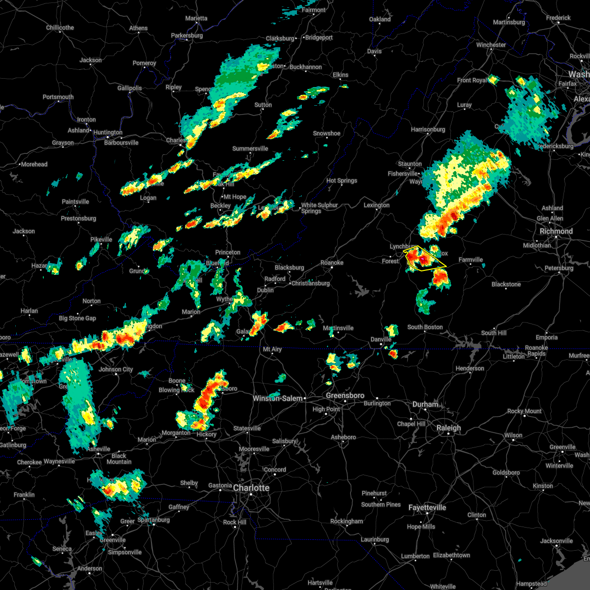 At 447 pm edt, severe thunderstorms were clustered near concord, moving northeast at 35 mph (radar indicated). Hazards include 60 mph wind gusts and half dollar size hail. Hail damage to vehicles is expected. expect wind damage to roofs, siding, and trees. locations impacted include, appomattox, concord, stonewall, spout spring, evergreen, bocock, and madison heights. hail threat, radar indicated max hail size, 1. 25 in wind threat, radar indicated max wind gust, 60 mph. At 447 pm edt, severe thunderstorms were clustered near concord, moving northeast at 35 mph (radar indicated). Hazards include 60 mph wind gusts and half dollar size hail. Hail damage to vehicles is expected. expect wind damage to roofs, siding, and trees. locations impacted include, appomattox, concord, stonewall, spout spring, evergreen, bocock, and madison heights. hail threat, radar indicated max hail size, 1. 25 in wind threat, radar indicated max wind gust, 60 mph.
|
| 6/2/2022 4:40 PM EDT |
 At 438 pm edt, severe thunderstorms were located between bocock, concord, and spout spring, moving northeast at 35 mph (radar indicated). Hazards include 60 mph wind gusts and quarter size hail. Hail damage to vehicles is expected. Expect wind damage to roofs, siding, and trees. At 438 pm edt, severe thunderstorms were located between bocock, concord, and spout spring, moving northeast at 35 mph (radar indicated). Hazards include 60 mph wind gusts and quarter size hail. Hail damage to vehicles is expected. Expect wind damage to roofs, siding, and trees.
|
| 6/2/2022 4:33 PM EDT |
 At 432 pm edt, severe thunderstorms were located along a line extending from 7 miles north of centenary to near riverville, moving southeast at 35 mph (radar indicated). Hazards include 60 mph wind gusts. expect damage to roofs, siding, and trees At 432 pm edt, severe thunderstorms were located along a line extending from 7 miles north of centenary to near riverville, moving southeast at 35 mph (radar indicated). Hazards include 60 mph wind gusts. expect damage to roofs, siding, and trees
|
| 5/28/2022 9:23 AM EDT | One tree down due to thunderstorm winds at the intersection of river ridge road and morning star roa in appomattox county VA, 4.8 miles W of Appomattox, VA |
| 5/27/2022 6:42 PM EDT | 1 tree down on river ridge roa in appomattox county VA, 4.3 miles W of Appomattox, VA |
| 5/27/2022 6:06 PM EDT |
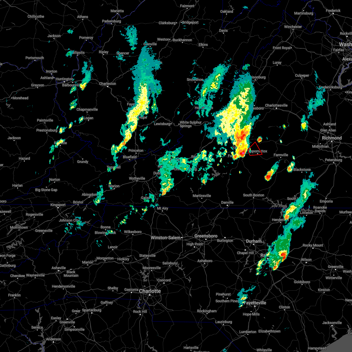 At 606 pm edt, a severe thunderstorm capable of producing a tornado was located over stonewall, or over concord, moving northeast at 30 mph (radar indicated rotation). Hazards include tornado. Flying debris will be dangerous to those caught without shelter. mobile homes will be damaged or destroyed. damage to roofs, windows, and vehicles will occur. tree damage is likely. Locations impacted include, appomattox, stonewall, oakville, appomattox national historic park, and spout spring. At 606 pm edt, a severe thunderstorm capable of producing a tornado was located over stonewall, or over concord, moving northeast at 30 mph (radar indicated rotation). Hazards include tornado. Flying debris will be dangerous to those caught without shelter. mobile homes will be damaged or destroyed. damage to roofs, windows, and vehicles will occur. tree damage is likely. Locations impacted include, appomattox, stonewall, oakville, appomattox national historic park, and spout spring.
|
| 5/27/2022 5:57 PM EDT |
 At 556 pm edt, a severe thunderstorm capable of producing a tornado was located over bocock, or near rustburg, moving northeast at 30 mph (radar indicated rotation). Hazards include tornado and quarter size hail. Flying debris will be dangerous to those caught without shelter. mobile homes will be damaged or destroyed. damage to roofs, windows, and vehicles will occur. tree damage is likely. Locations impacted include, appomattox, concord, rustburg, appomattox national historic park, stonewall, oakville, and bocock. At 556 pm edt, a severe thunderstorm capable of producing a tornado was located over bocock, or near rustburg, moving northeast at 30 mph (radar indicated rotation). Hazards include tornado and quarter size hail. Flying debris will be dangerous to those caught without shelter. mobile homes will be damaged or destroyed. damage to roofs, windows, and vehicles will occur. tree damage is likely. Locations impacted include, appomattox, concord, rustburg, appomattox national historic park, stonewall, oakville, and bocock.
|
| 5/27/2022 5:51 PM EDT |
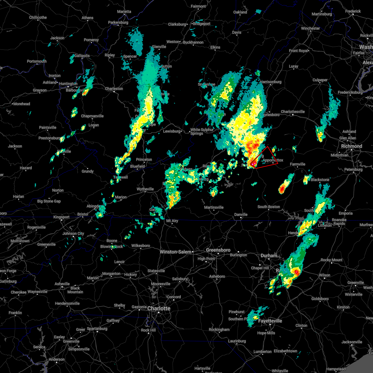 At 550 pm edt, a severe thunderstorm capable of producing a tornado was located near bocock, or near rustburg, moving northeast at 25 mph (radar indicated rotation). Hazards include tornado and quarter size hail. Flying debris will be dangerous to those caught without shelter. mobile homes will be damaged or destroyed. damage to roofs, windows, and vehicles will occur. Tree damage is likely. At 550 pm edt, a severe thunderstorm capable of producing a tornado was located near bocock, or near rustburg, moving northeast at 25 mph (radar indicated rotation). Hazards include tornado and quarter size hail. Flying debris will be dangerous to those caught without shelter. mobile homes will be damaged or destroyed. damage to roofs, windows, and vehicles will occur. Tree damage is likely.
|
| 5/27/2022 9:12 AM EDT |
 At 912 am edt, a severe thunderstorm was located over mike, or near red house, moving northeast at 30 mph (radar indicated). Hazards include 60 mph wind gusts. Expect damage to roofs, siding, and trees. Locations impacted include, buckingham, appomattox, dillwyn, red house, bent creek, concord, and pamplin city. At 912 am edt, a severe thunderstorm was located over mike, or near red house, moving northeast at 30 mph (radar indicated). Hazards include 60 mph wind gusts. Expect damage to roofs, siding, and trees. Locations impacted include, buckingham, appomattox, dillwyn, red house, bent creek, concord, and pamplin city.
|
| 5/27/2022 9:00 AM EDT |
 At 900 am edt, a severe thunderstorm was located over mike, or 7 miles west of red house, moving northeast at 50 mph (radar indicated). Hazards include 60 mph wind gusts. expect damage to roofs, siding, and trees At 900 am edt, a severe thunderstorm was located over mike, or 7 miles west of red house, moving northeast at 50 mph (radar indicated). Hazards include 60 mph wind gusts. expect damage to roofs, siding, and trees
|
| 5/22/2022 4:30 PM EDT | A tree was blown down by thunderstorm winds along wildway roa in appomattox county VA, 7.9 miles SSW of Appomattox, VA |
| 5/6/2022 9:50 PM EDT |
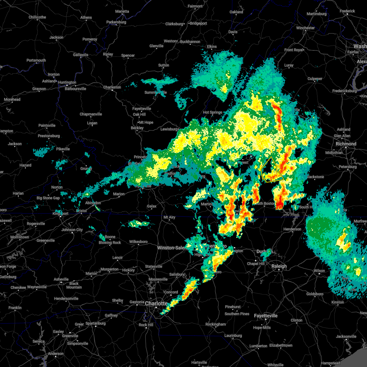 The severe thunderstorm warning for south central appomattox, northern charlotte and east central campbell counties will expire at 1000 pm edt, the storm which prompted the warning has weakened below severe limits, and no longer poses an immediate threat to life or property. therefore, the warning will be allowed to expire. a tornado watch remains in effect until midnight edt for central and south central virginia. The severe thunderstorm warning for south central appomattox, northern charlotte and east central campbell counties will expire at 1000 pm edt, the storm which prompted the warning has weakened below severe limits, and no longer poses an immediate threat to life or property. therefore, the warning will be allowed to expire. a tornado watch remains in effect until midnight edt for central and south central virginia.
|
| 5/6/2022 9:32 PM EDT |
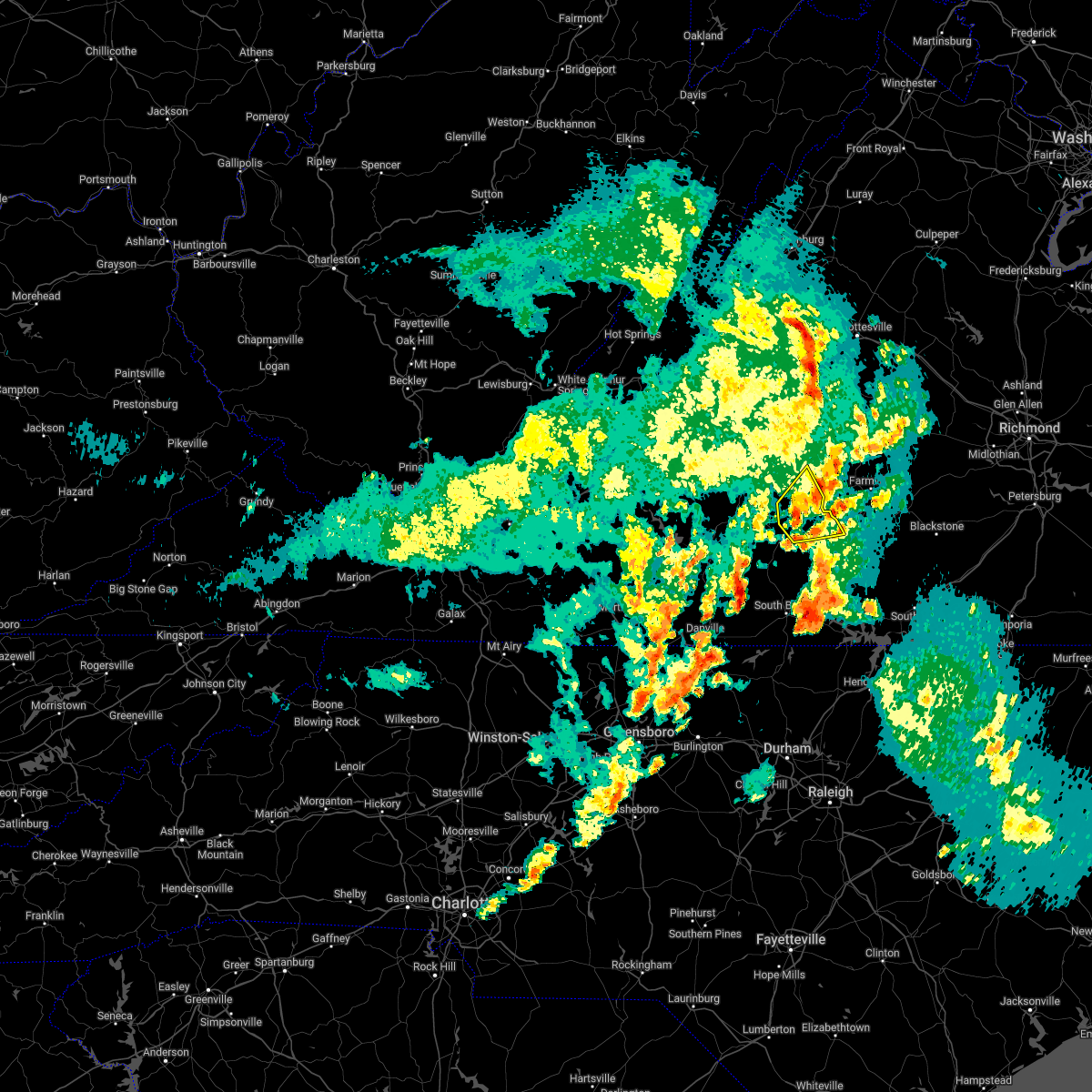 At 932 pm edt, a severe thunderstorm was located over red house, moving east at 30 mph (radar indicated). Hazards include 60 mph wind gusts and quarter size hail. Hail damage to vehicles is expected. expect wind damage to roofs, siding, and trees. locations impacted include, appomattox, charlotte court house, phenix, red house, pamplin city, madisonville, and cullen. hail threat, radar indicated max hail size, 1. 00 in wind threat, radar indicated max wind gust, 60 mph. At 932 pm edt, a severe thunderstorm was located over red house, moving east at 30 mph (radar indicated). Hazards include 60 mph wind gusts and quarter size hail. Hail damage to vehicles is expected. expect wind damage to roofs, siding, and trees. locations impacted include, appomattox, charlotte court house, phenix, red house, pamplin city, madisonville, and cullen. hail threat, radar indicated max hail size, 1. 00 in wind threat, radar indicated max wind gust, 60 mph.
|
| 5/6/2022 9:14 PM EDT |
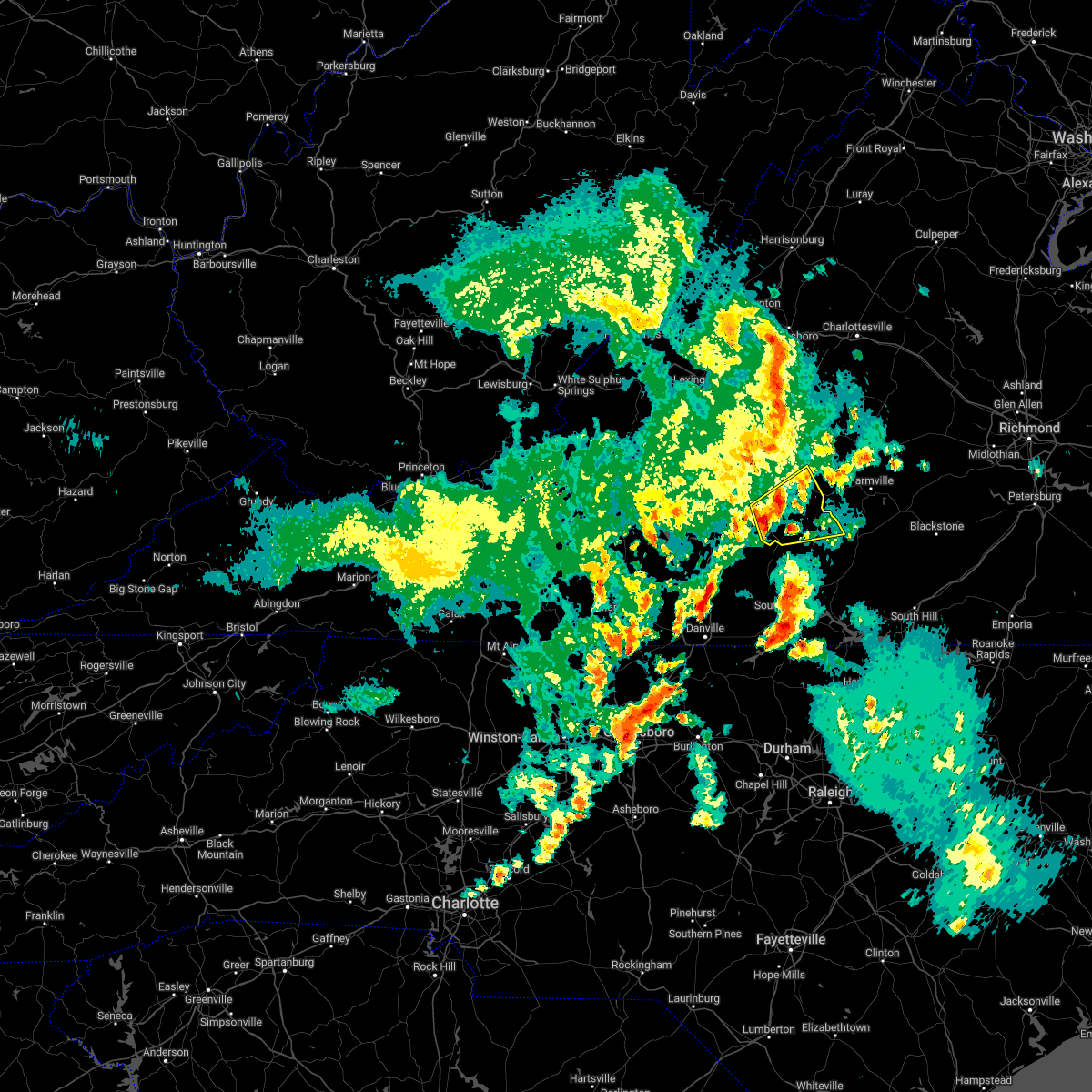 At 914 pm edt, a severe thunderstorm was located near hat creek, or 7 miles north of brookneal, moving northeast at 30 mph (radar indicated). Hazards include 60 mph wind gusts and quarter size hail. Hail damage to vehicles is expected. expect wind damage to roofs, siding, and trees. locations impacted include, appomattox, brookneal, charlotte court house, phenix, red house, pamplin city, and madisonville. hail threat, radar indicated max hail size, 1. 00 in wind threat, radar indicated max wind gust, 60 mph. At 914 pm edt, a severe thunderstorm was located near hat creek, or 7 miles north of brookneal, moving northeast at 30 mph (radar indicated). Hazards include 60 mph wind gusts and quarter size hail. Hail damage to vehicles is expected. expect wind damage to roofs, siding, and trees. locations impacted include, appomattox, brookneal, charlotte court house, phenix, red house, pamplin city, and madisonville. hail threat, radar indicated max hail size, 1. 00 in wind threat, radar indicated max wind gust, 60 mph.
|
| 5/6/2022 8:58 PM EDT |
 At 858 pm edt, a severe thunderstorm was located over long island, or 8 miles west of brookneal, moving east at 30 mph (radar indicated). Hazards include 60 mph wind gusts and quarter size hail. Hail damage to vehicles is expected. Expect wind damage to roofs, siding, and trees. At 858 pm edt, a severe thunderstorm was located over long island, or 8 miles west of brookneal, moving east at 30 mph (radar indicated). Hazards include 60 mph wind gusts and quarter size hail. Hail damage to vehicles is expected. Expect wind damage to roofs, siding, and trees.
|
| 5/3/2022 6:00 PM EDT |
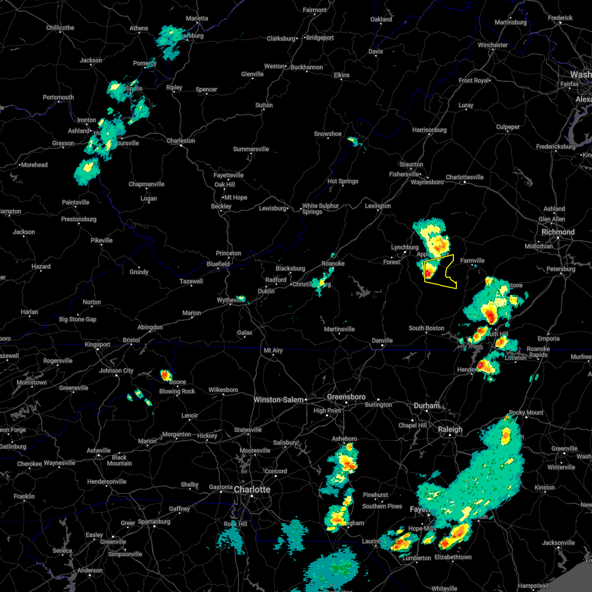 At 559 pm edt, a severe thunderstorm was located near red house, moving east at 25 mph (radar indicated). Hazards include 60 mph wind gusts and quarter size hail. Hail damage to vehicles is expected. expect wind damage to roofs, siding, and trees. locations impacted include, red house, pamplin city, madisonville, mike, cullen, hixburg, and evergreen. hail threat, radar indicated max hail size, 1. 00 in wind threat, radar indicated max wind gust, 60 mph. At 559 pm edt, a severe thunderstorm was located near red house, moving east at 25 mph (radar indicated). Hazards include 60 mph wind gusts and quarter size hail. Hail damage to vehicles is expected. expect wind damage to roofs, siding, and trees. locations impacted include, red house, pamplin city, madisonville, mike, cullen, hixburg, and evergreen. hail threat, radar indicated max hail size, 1. 00 in wind threat, radar indicated max wind gust, 60 mph.
|
| 5/3/2022 5:52 PM EDT |
 At 551 pm edt, a severe thunderstorm was located over mike, or near red house, moving east at 25 mph (radar indicated). Hazards include 60 mph wind gusts and quarter size hail. Hail damage to vehicles is expected. expect wind damage to roofs, siding, and trees. locations impacted include, appomattox, red house, pamplin city, madisonville, mike, cullen, and hixburg. hail threat, radar indicated max hail size, 1. 00 in wind threat, radar indicated max wind gust, 60 mph. At 551 pm edt, a severe thunderstorm was located over mike, or near red house, moving east at 25 mph (radar indicated). Hazards include 60 mph wind gusts and quarter size hail. Hail damage to vehicles is expected. expect wind damage to roofs, siding, and trees. locations impacted include, appomattox, red house, pamplin city, madisonville, mike, cullen, and hixburg. hail threat, radar indicated max hail size, 1. 00 in wind threat, radar indicated max wind gust, 60 mph.
|
| 5/3/2022 5:34 PM EDT |
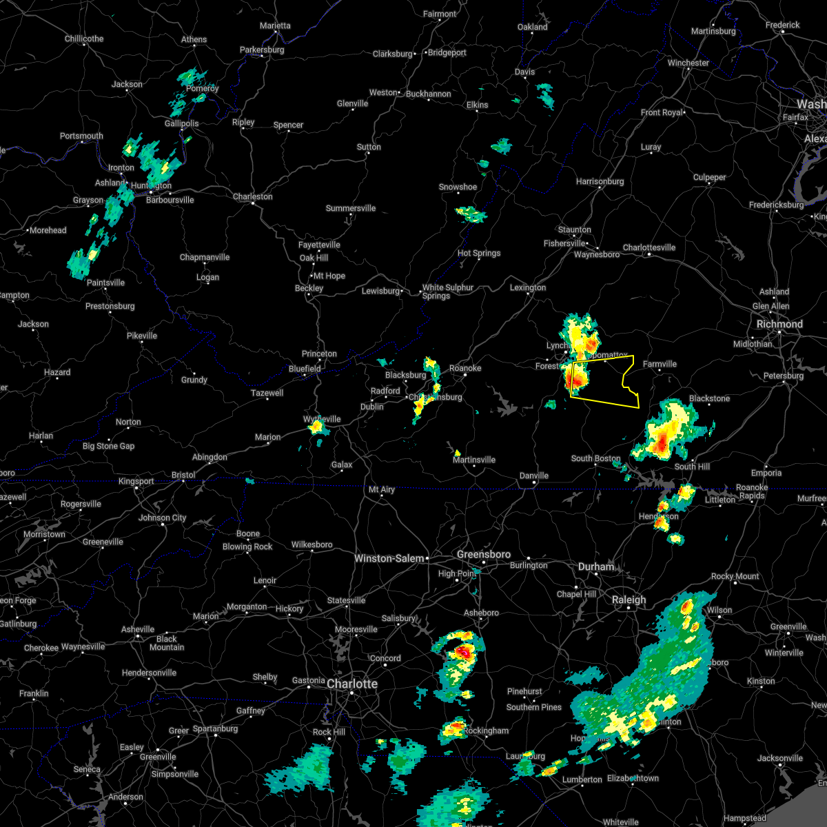 At 533 pm edt, a severe thunderstorm was located near spring mills, or near rustburg, moving east at 25 mph (radar indicated). Hazards include 60 mph wind gusts and quarter size hail. Hail damage to vehicles is expected. Expect wind damage to roofs, siding, and trees. At 533 pm edt, a severe thunderstorm was located near spring mills, or near rustburg, moving east at 25 mph (radar indicated). Hazards include 60 mph wind gusts and quarter size hail. Hail damage to vehicles is expected. Expect wind damage to roofs, siding, and trees.
|
| 10/25/2021 8:12 PM EDT |
 The severe thunderstorm warning for appomattox, northern charlotte, southeastern campbell and buckingham counties will expire at 815 pm edt, the storms which prompted the warning have moved out of the area. therefore, the warning will be allowed to expire. a severe thunderstorm watch remains in effect until 100 am edt for central and south central virginia. The severe thunderstorm warning for appomattox, northern charlotte, southeastern campbell and buckingham counties will expire at 815 pm edt, the storms which prompted the warning have moved out of the area. therefore, the warning will be allowed to expire. a severe thunderstorm watch remains in effect until 100 am edt for central and south central virginia.
|
| 10/25/2021 7:54 PM EDT |
 At 753 pm edt, severe thunderstorms were located along a line extending from near palmyra to near dillwyn to hixburg, moving northeast at 40 mph (radar indicated). Hazards include 60 mph wind gusts and quarter size hail. Hail damage to vehicles is expected. expect wind damage to roofs, siding, and trees. locations impacted include, buckingham, appomattox, dillwyn, red house, pamplin city, madisonville, and cullen. hail threat, radar indicated max hail size, 1. 00 in wind threat, radar indicated max wind gust, 60 mph. At 753 pm edt, severe thunderstorms were located along a line extending from near palmyra to near dillwyn to hixburg, moving northeast at 40 mph (radar indicated). Hazards include 60 mph wind gusts and quarter size hail. Hail damage to vehicles is expected. expect wind damage to roofs, siding, and trees. locations impacted include, buckingham, appomattox, dillwyn, red house, pamplin city, madisonville, and cullen. hail threat, radar indicated max hail size, 1. 00 in wind threat, radar indicated max wind gust, 60 mph.
|
| 10/25/2021 7:38 PM EDT | Multiple trees down on rough creek roa in appomattox county VA, 5.5 miles WNW of Appomattox, VA |
| 10/25/2021 7:25 PM EDT | Powerline down across watt abbitt roa in appomattox county VA, 7.9 miles SSW of Appomattox, VA |
| 10/25/2021 7:25 PM EDT | Tree fell on a shed with a vehicle insid in appomattox county VA, 6 miles SW of Appomattox, VA |
| 10/25/2021 7:24 PM EDT | Numerous trees were blown down between the 1100 and 1700 block of watt abbott road. a portion of a roof was blown off two barns on wagon wheel roa in appomattox county VA, 7 miles SW of Appomattox, VA |
| 10/25/2021 7:23 PM EDT | Tree down on a powerline near walnut hill roa in appomattox county VA, 9.3 miles SSW of Appomattox, VA |
| 10/25/2021 7:22 PM EDT |
 At 721 pm edt, severe thunderstorms were located along a line extending from wingina to near oakville to near gladys, moving northeast at 50 mph (radar indicated). Hazards include 60 mph wind gusts and quarter size hail. Hail damage to vehicles is expected. Expect wind damage to roofs, siding, and trees. At 721 pm edt, severe thunderstorms were located along a line extending from wingina to near oakville to near gladys, moving northeast at 50 mph (radar indicated). Hazards include 60 mph wind gusts and quarter size hail. Hail damage to vehicles is expected. Expect wind damage to roofs, siding, and trees.
|
| 10/25/2021 7:12 PM EDT | Tree down across n creek driv in appomattox county VA, 4.8 miles SSE of Appomattox, VA |
| 8/29/2021 1:50 AM EDT |
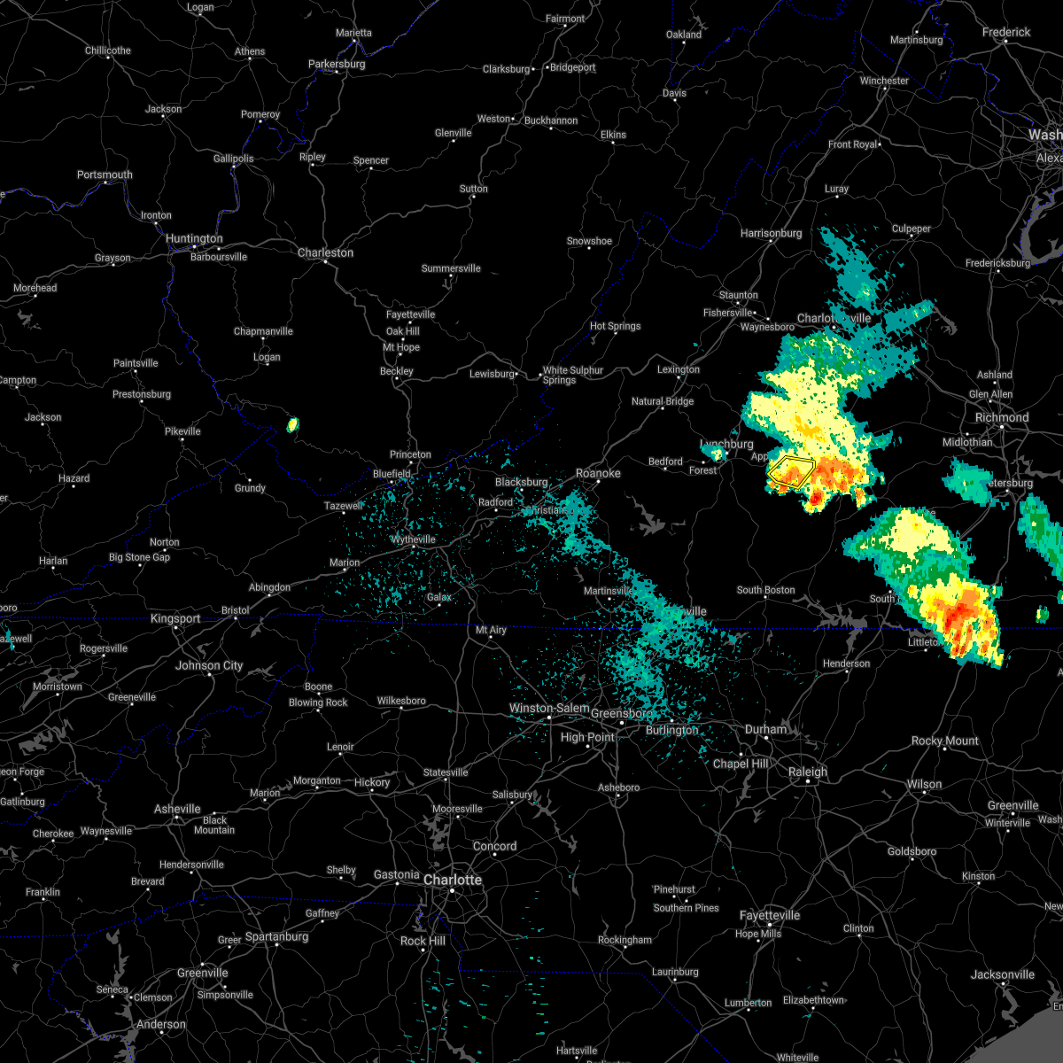 The severe thunderstorm warning for southeastern appomattox county will expire at 200 am edt, the storms which prompted the warning have weakened below severe limits, and have exited the warned area. therefore, the warning will be allowed to expire. The severe thunderstorm warning for southeastern appomattox county will expire at 200 am edt, the storms which prompted the warning have weakened below severe limits, and have exited the warned area. therefore, the warning will be allowed to expire.
|
| 8/29/2021 1:41 AM EDT |
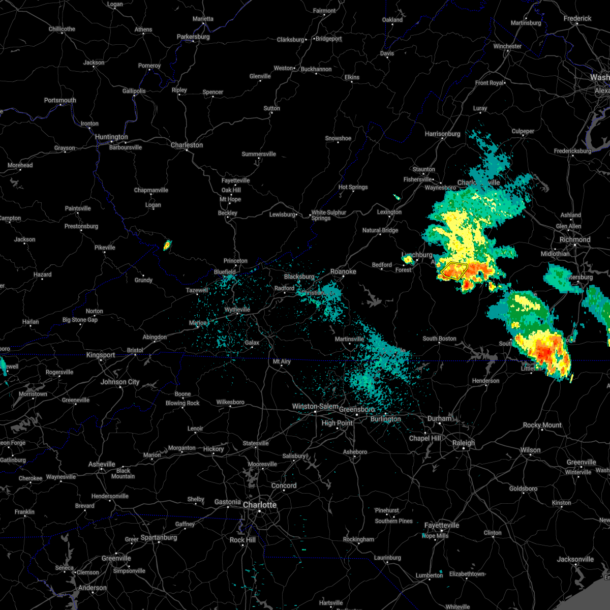 At 141 am edt, severe thunderstorms were located along a line extending from near evergreen to near prospect, moving southeast at 10 mph (radar indicated). Hazards include 60 mph wind gusts and quarter size hail. Hail damage to vehicles is expected. expect wind damage to roofs, siding, and trees. locations impacted include, appomattox, pamplin city, hixburg, appomattox national historic park, and evergreen. hail threat, radar indicated max hail size, 1. 00 in wind threat, radar indicated max wind gust, 60 mph. At 141 am edt, severe thunderstorms were located along a line extending from near evergreen to near prospect, moving southeast at 10 mph (radar indicated). Hazards include 60 mph wind gusts and quarter size hail. Hail damage to vehicles is expected. expect wind damage to roofs, siding, and trees. locations impacted include, appomattox, pamplin city, hixburg, appomattox national historic park, and evergreen. hail threat, radar indicated max hail size, 1. 00 in wind threat, radar indicated max wind gust, 60 mph.
|
| 8/29/2021 1:26 AM EDT |
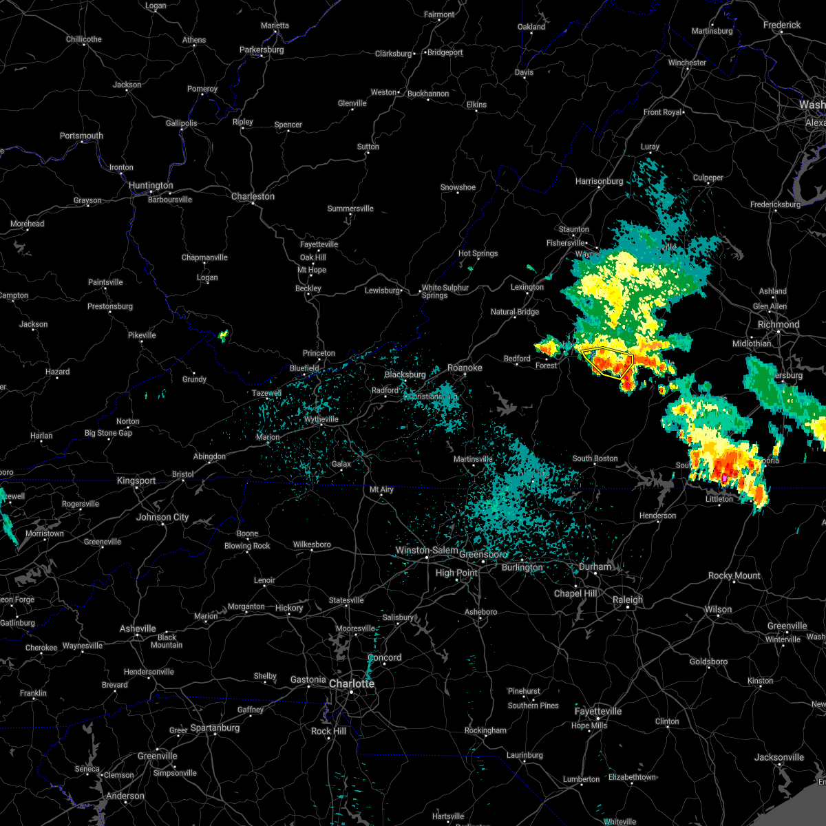 At 126 am edt, severe thunderstorms were located along a line extending from near spout spring to near hixburg, moving southeast at 10 mph (radar indicated). Hazards include 60 mph wind gusts and quarter size hail. Hail damage to vehicles is expected. expect wind damage to roofs, siding, and trees. locations impacted include, appomattox, pamplin city, appomattox national historic park, stonewall, hixburg, oakville, and spout spring. hail threat, radar indicated max hail size, 1. 00 in wind threat, radar indicated max wind gust, 60 mph. At 126 am edt, severe thunderstorms were located along a line extending from near spout spring to near hixburg, moving southeast at 10 mph (radar indicated). Hazards include 60 mph wind gusts and quarter size hail. Hail damage to vehicles is expected. expect wind damage to roofs, siding, and trees. locations impacted include, appomattox, pamplin city, appomattox national historic park, stonewall, hixburg, oakville, and spout spring. hail threat, radar indicated max hail size, 1. 00 in wind threat, radar indicated max wind gust, 60 mph.
|
| 8/29/2021 1:17 AM EDT |
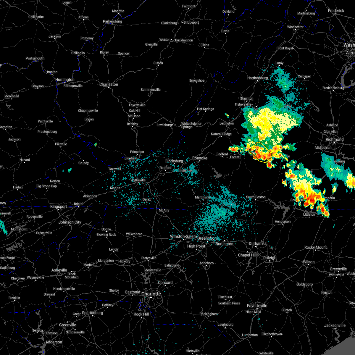 At 116 am edt, severe thunderstorms were located along a line extending from near oakville to near hixburg, moving northwest at 10 mph (radar indicated). Hazards include 60 mph wind gusts and quarter size hail. Hail damage to vehicles is expected. expect wind damage to roofs, siding, and trees. locations impacted include, appomattox, bent creek, pamplin city, appomattox national historic park, stonewall, hixburg, and oakville. hail threat, radar indicated max hail size, 1. 00 in wind threat, radar indicated max wind gust, 60 mph. At 116 am edt, severe thunderstorms were located along a line extending from near oakville to near hixburg, moving northwest at 10 mph (radar indicated). Hazards include 60 mph wind gusts and quarter size hail. Hail damage to vehicles is expected. expect wind damage to roofs, siding, and trees. locations impacted include, appomattox, bent creek, pamplin city, appomattox national historic park, stonewall, hixburg, and oakville. hail threat, radar indicated max hail size, 1. 00 in wind threat, radar indicated max wind gust, 60 mph.
|
| 8/29/2021 12:59 AM EDT |
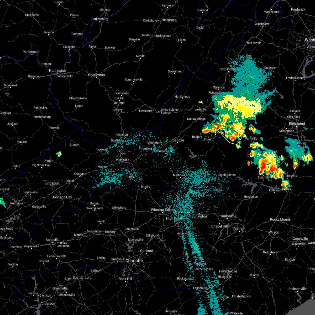 At 1259 am edt, severe thunderstorms were located along a line extending from near falconerville to evergreen, moving southeast at 5 mph (radar indicated). Hazards include 60 mph wind gusts and quarter size hail. Hail damage to vehicles is expected. Expect wind damage to roofs, siding, and trees. At 1259 am edt, severe thunderstorms were located along a line extending from near falconerville to evergreen, moving southeast at 5 mph (radar indicated). Hazards include 60 mph wind gusts and quarter size hail. Hail damage to vehicles is expected. Expect wind damage to roofs, siding, and trees.
|
| 8/29/2021 12:48 AM EDT |
 At 1247 am edt, severe thunderstorms were located along a line extending from falconerville to near appomattox national historic park, moving southeast at 10 mph (radar indicated). Hazards include 60 mph wind gusts and quarter size hail. Hail damage to vehicles is expected. expect wind damage to roofs, siding, and trees. locations impacted include, buckingham, amherst, appomattox, dillwyn, clifford, bent creek, and appomattox national historic park. hail threat, radar indicated max hail size, 1. 00 in wind threat, radar indicated max wind gust, 60 mph. At 1247 am edt, severe thunderstorms were located along a line extending from falconerville to near appomattox national historic park, moving southeast at 10 mph (radar indicated). Hazards include 60 mph wind gusts and quarter size hail. Hail damage to vehicles is expected. expect wind damage to roofs, siding, and trees. locations impacted include, buckingham, amherst, appomattox, dillwyn, clifford, bent creek, and appomattox national historic park. hail threat, radar indicated max hail size, 1. 00 in wind threat, radar indicated max wind gust, 60 mph.
|
| 8/29/2021 12:07 AM EDT |
 At 1207 am edt, severe thunderstorms were located along a line extending from near forks of buffalo to near appomattox national historic park, moving northeast at 25 mph (radar indicated). Hazards include 60 mph wind gusts and quarter size hail. Hail damage to vehicles is expected. Expect wind damage to roofs, siding, and trees. At 1207 am edt, severe thunderstorms were located along a line extending from near forks of buffalo to near appomattox national historic park, moving northeast at 25 mph (radar indicated). Hazards include 60 mph wind gusts and quarter size hail. Hail damage to vehicles is expected. Expect wind damage to roofs, siding, and trees.
|
| 8/22/2021 9:28 PM EDT | Tree reported down at the intersection of double bridges road and salem roa in appomattox county VA, 4.7 miles NNE of Appomattox, VA |
| 8/22/2021 9:28 PM EDT | A tree down on a powerline along the 4300 block of promise land roa in appomattox county VA, 4.9 miles NNE of Appomattox, VA |
| 8/22/2021 9:22 PM EDT |
 At 922 pm edt, a severe thunderstorm was located near spring mills, or near appomattox, moving south at 30 mph (radar indicated). Hazards include 60 mph wind gusts and quarter size hail. Hail damage to vehicles is expected. Expect wind damage to roofs, siding, and trees. At 922 pm edt, a severe thunderstorm was located near spring mills, or near appomattox, moving south at 30 mph (radar indicated). Hazards include 60 mph wind gusts and quarter size hail. Hail damage to vehicles is expected. Expect wind damage to roofs, siding, and trees.
|
| 8/22/2021 9:19 PM EDT | One tree reported down along county road 727 near appomattox high schoo in appomattox county VA, 1.3 miles N of Appomattox, VA |
| 8/13/2021 4:04 PM EDT | Tree down on roadwa in appomattox county VA, 6.9 miles SE of Appomattox, VA |
| 8/10/2021 5:10 PM EDT |
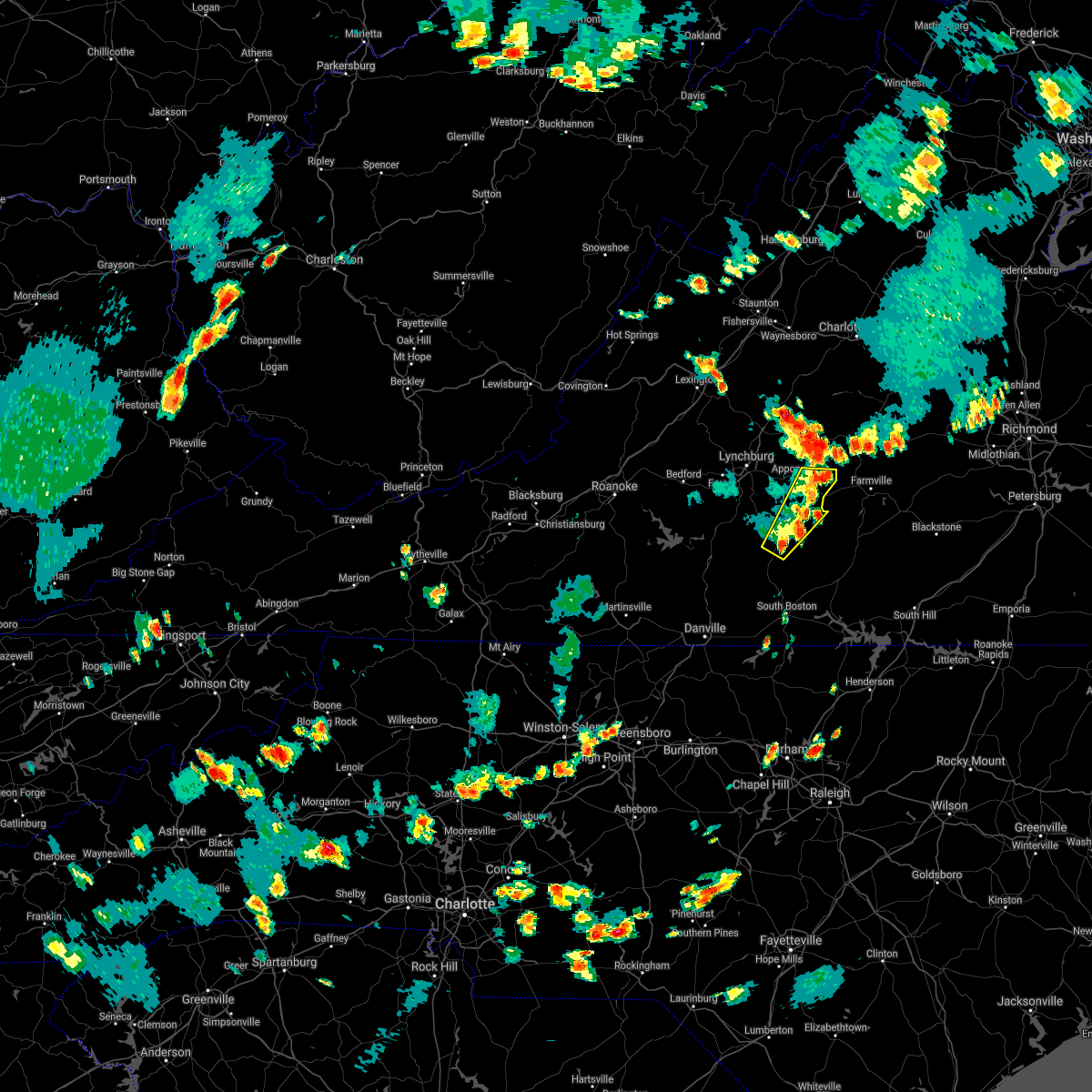 The severe thunderstorm warning for southeastern appomattox, northwestern charlotte, southeastern campbell and northern halifax counties will expire at 515 pm edt, the storms which prompted the warning have weakened below severe limits, and no longer pose an immediate threat to life or property. therefore, the warning will be allowed to expire. however gusty winds and heavy rain are still possible with these thunderstorms. The severe thunderstorm warning for southeastern appomattox, northwestern charlotte, southeastern campbell and northern halifax counties will expire at 515 pm edt, the storms which prompted the warning have weakened below severe limits, and no longer pose an immediate threat to life or property. therefore, the warning will be allowed to expire. however gusty winds and heavy rain are still possible with these thunderstorms.
|
| 8/10/2021 5:06 PM EDT |
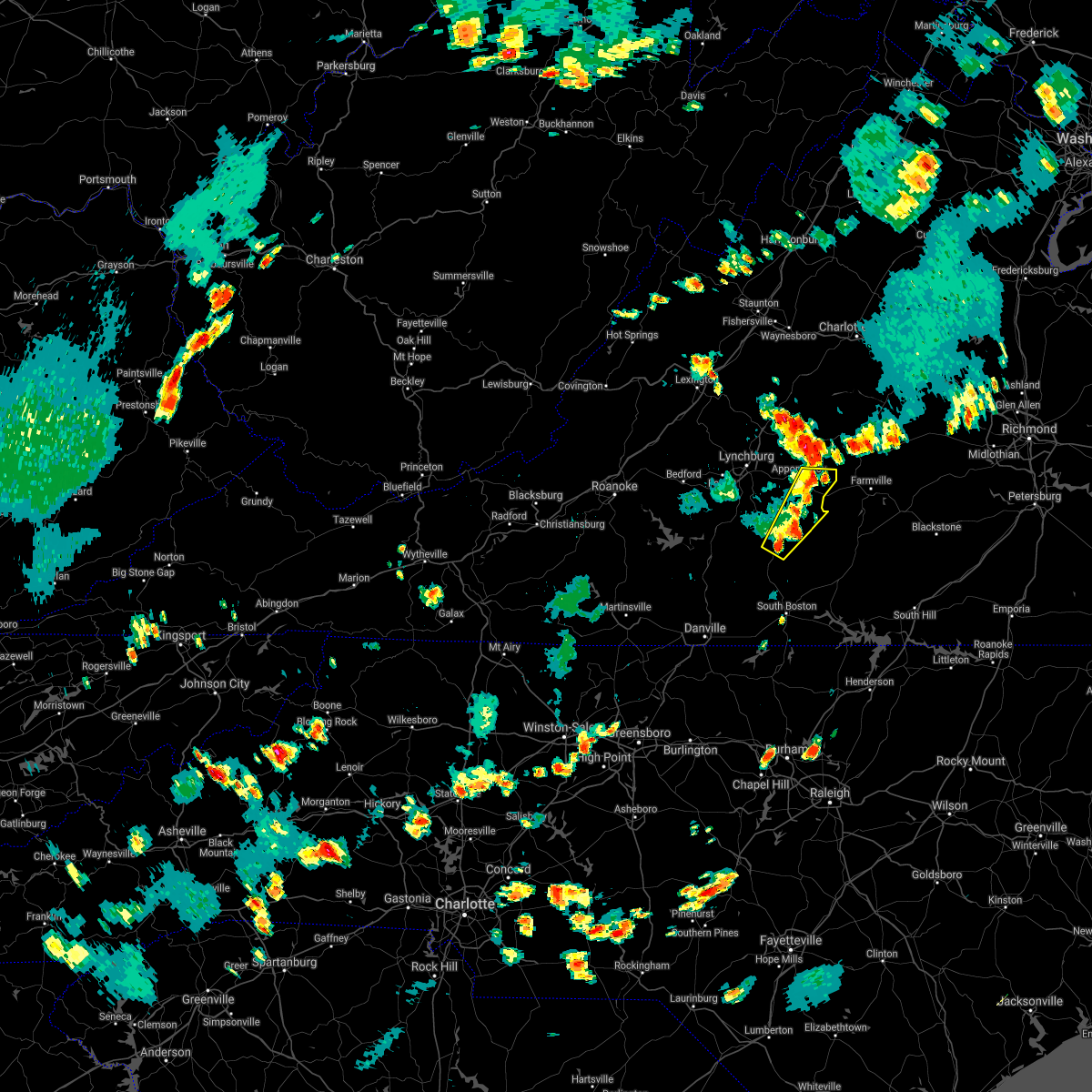 At 506 pm edt, severe thunderstorms were located along a line extending from evergreen to near long island, moving east at 15 mph (radar indicated). Hazards include 60 mph wind gusts and quarter size hail. Hail damage to vehicles is expected. expect wind damage to roofs, siding, and trees. locations impacted include, appomattox, brookneal, red house, pamplin city, madisonville, mike, and appomattox national historic park. hail threat, radar indicated max hail size, 1. 00 in wind threat, radar indicated max wind gust, 60 mph. At 506 pm edt, severe thunderstorms were located along a line extending from evergreen to near long island, moving east at 15 mph (radar indicated). Hazards include 60 mph wind gusts and quarter size hail. Hail damage to vehicles is expected. expect wind damage to roofs, siding, and trees. locations impacted include, appomattox, brookneal, red house, pamplin city, madisonville, mike, and appomattox national historic park. hail threat, radar indicated max hail size, 1. 00 in wind threat, radar indicated max wind gust, 60 mph.
|
| 8/10/2021 4:51 PM EDT |
 At 450 pm edt, severe thunderstorms were located along a line extending from near spout spring to near long island, moving east at 15 mph (vdot reports multiple trees down in the gladys and yellow branch areas). Hazards include 60 mph wind gusts and quarter size hail. Hail damage to vehicles is expected. expect wind damage to roofs, siding, and trees. locations impacted include, appomattox, brookneal, red house, pamplin city, madisonville, appomattox national historic park, and long island. hail threat, radar indicated max hail size, 1. 00 in wind threat, radar indicated max wind gust, 60 mph. At 450 pm edt, severe thunderstorms were located along a line extending from near spout spring to near long island, moving east at 15 mph (vdot reports multiple trees down in the gladys and yellow branch areas). Hazards include 60 mph wind gusts and quarter size hail. Hail damage to vehicles is expected. expect wind damage to roofs, siding, and trees. locations impacted include, appomattox, brookneal, red house, pamplin city, madisonville, appomattox national historic park, and long island. hail threat, radar indicated max hail size, 1. 00 in wind threat, radar indicated max wind gust, 60 mph.
|
| 8/10/2021 4:37 PM EDT |
 At 436 pm edt, severe thunderstorms were located along a line extending from spout spring to hodges, moving east at 15 mph (radar indicated). Hazards include 60 mph wind gusts and quarter size hail. Hail damage to vehicles is expected. expect wind damage to roofs, siding, and trees. locations impacted include, appomattox, brookneal, red house, concord, rustburg, pamplin city, and madisonville. hail threat, radar indicated max hail size, 1. 00 in wind threat, radar indicated max wind gust, 60 mph. At 436 pm edt, severe thunderstorms were located along a line extending from spout spring to hodges, moving east at 15 mph (radar indicated). Hazards include 60 mph wind gusts and quarter size hail. Hail damage to vehicles is expected. expect wind damage to roofs, siding, and trees. locations impacted include, appomattox, brookneal, red house, concord, rustburg, pamplin city, and madisonville. hail threat, radar indicated max hail size, 1. 00 in wind threat, radar indicated max wind gust, 60 mph.
|
| 8/10/2021 4:14 PM EDT |
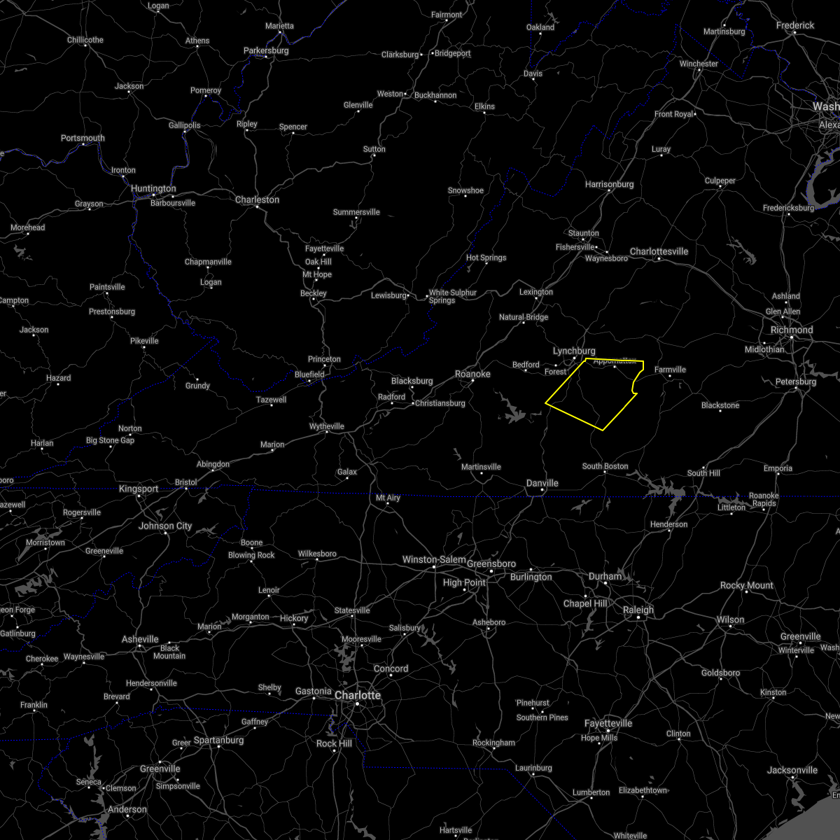 At 414 pm edt, severe thunderstorms were located along a line extending from near concord to altavista, moving east at 20 mph (radar indicated). Hazards include 60 mph wind gusts and quarter size hail. Hail damage to vehicles is expected. Expect wind damage to roofs, siding, and trees. At 414 pm edt, severe thunderstorms were located along a line extending from near concord to altavista, moving east at 20 mph (radar indicated). Hazards include 60 mph wind gusts and quarter size hail. Hail damage to vehicles is expected. Expect wind damage to roofs, siding, and trees.
|
| 7/26/2021 5:18 PM EDT |
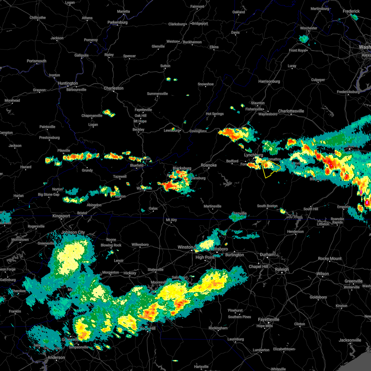 At 518 pm edt, a severe thunderstorm was located over stonewall, or near concord, and is nearly stationary (radar indicated). Hazards include 60 mph wind gusts and quarter size hail. Hail damage to vehicles is expected. expect wind damage to roofs, siding, and trees. Locations impacted include, appomattox, pamplin city, mike, spout spring, spring mills, and evergreen. At 518 pm edt, a severe thunderstorm was located over stonewall, or near concord, and is nearly stationary (radar indicated). Hazards include 60 mph wind gusts and quarter size hail. Hail damage to vehicles is expected. expect wind damage to roofs, siding, and trees. Locations impacted include, appomattox, pamplin city, mike, spout spring, spring mills, and evergreen.
|
| 7/26/2021 4:32 PM EDT |
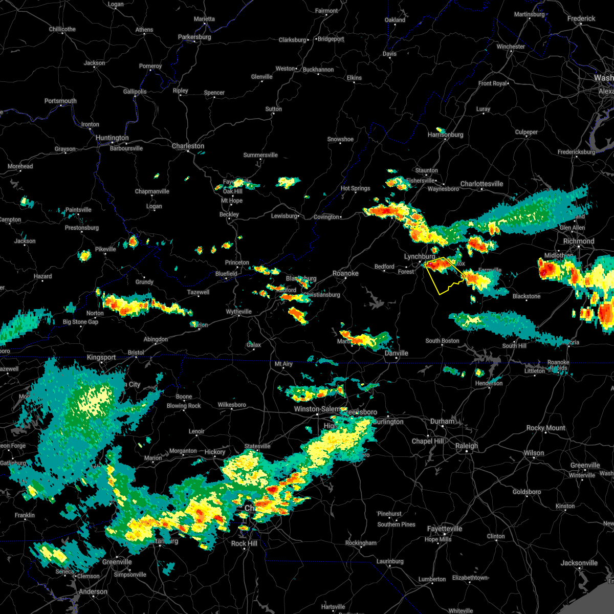 At 432 pm edt, a severe thunderstorm was located near concord, and is nearly stationary (radar indicated). Hazards include 60 mph wind gusts and quarter size hail. Hail damage to vehicles is expected. Expect wind damage to roofs, siding, and trees. At 432 pm edt, a severe thunderstorm was located near concord, and is nearly stationary (radar indicated). Hazards include 60 mph wind gusts and quarter size hail. Hail damage to vehicles is expected. Expect wind damage to roofs, siding, and trees.
|
| 7/25/2021 8:17 PM EDT |
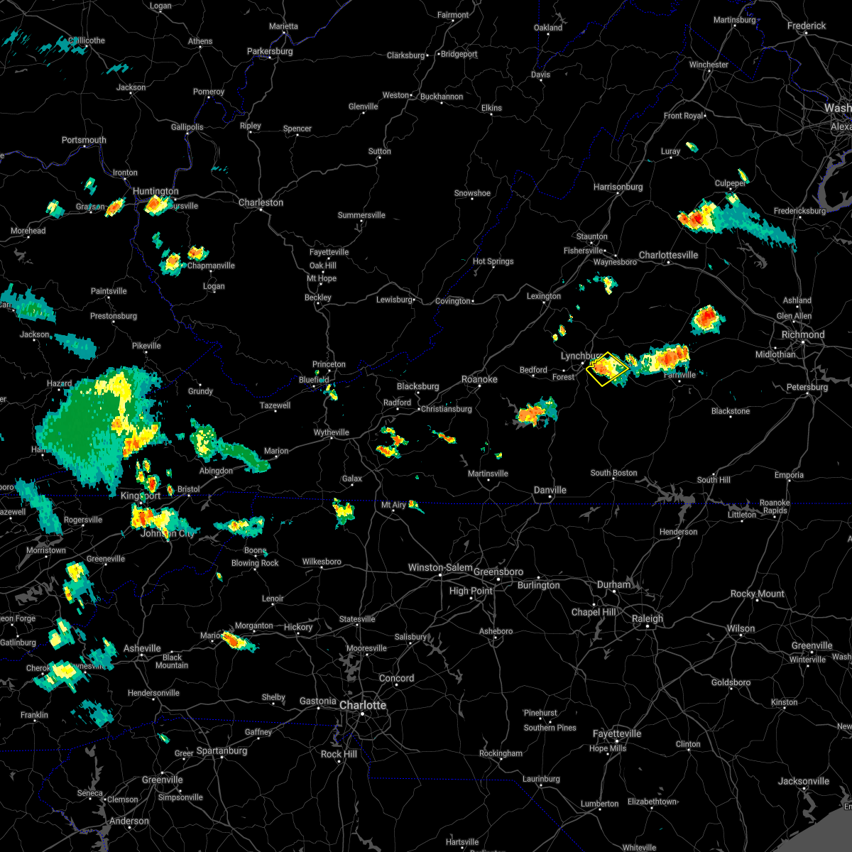 At 816 pm edt, a severe thunderstorm was located near stonewall, or near concord, moving southeast at 10 mph (radar indicated). Hazards include 60 mph wind gusts. Expect damage to roofs, siding, and trees. Locations impacted include, appomattox, concord, stonewall, appomattox national historic park, spout spring, and oakville. At 816 pm edt, a severe thunderstorm was located near stonewall, or near concord, moving southeast at 10 mph (radar indicated). Hazards include 60 mph wind gusts. Expect damage to roofs, siding, and trees. Locations impacted include, appomattox, concord, stonewall, appomattox national historic park, spout spring, and oakville.
|
| 7/25/2021 7:57 PM EDT |
 At 757 pm edt, a severe thunderstorm was located near madison heights, or near lynchburg, moving southeast at 10 mph (radar indicated). Hazards include 60 mph wind gusts and quarter size hail. Hail damage to vehicles is expected. Expect wind damage to roofs, siding, and trees. At 757 pm edt, a severe thunderstorm was located near madison heights, or near lynchburg, moving southeast at 10 mph (radar indicated). Hazards include 60 mph wind gusts and quarter size hail. Hail damage to vehicles is expected. Expect wind damage to roofs, siding, and trees.
|
| 7/17/2021 2:50 PM EDT |
 The severe thunderstorm warning for southwestern appomattox and eastern campbell counties will expire at 300 pm edt, the storm which prompted the warning has moved out of the area. therefore, the warning will be allowed to expire. when it is safe to do so, please send your reports of hail of any size, as well as reports of any wind damage, including downed trees or large limbs, to the national weather service by calling toll free at 1, 8 6 6, 2 1 5, 4 3 2 4. reports and pictures can also be shared on the national weather service blacksburg facebook page and on twitter. The severe thunderstorm warning for southwestern appomattox and eastern campbell counties will expire at 300 pm edt, the storm which prompted the warning has moved out of the area. therefore, the warning will be allowed to expire. when it is safe to do so, please send your reports of hail of any size, as well as reports of any wind damage, including downed trees or large limbs, to the national weather service by calling toll free at 1, 8 6 6, 2 1 5, 4 3 2 4. reports and pictures can also be shared on the national weather service blacksburg facebook page and on twitter.
|
| 7/17/2021 2:31 PM EDT |
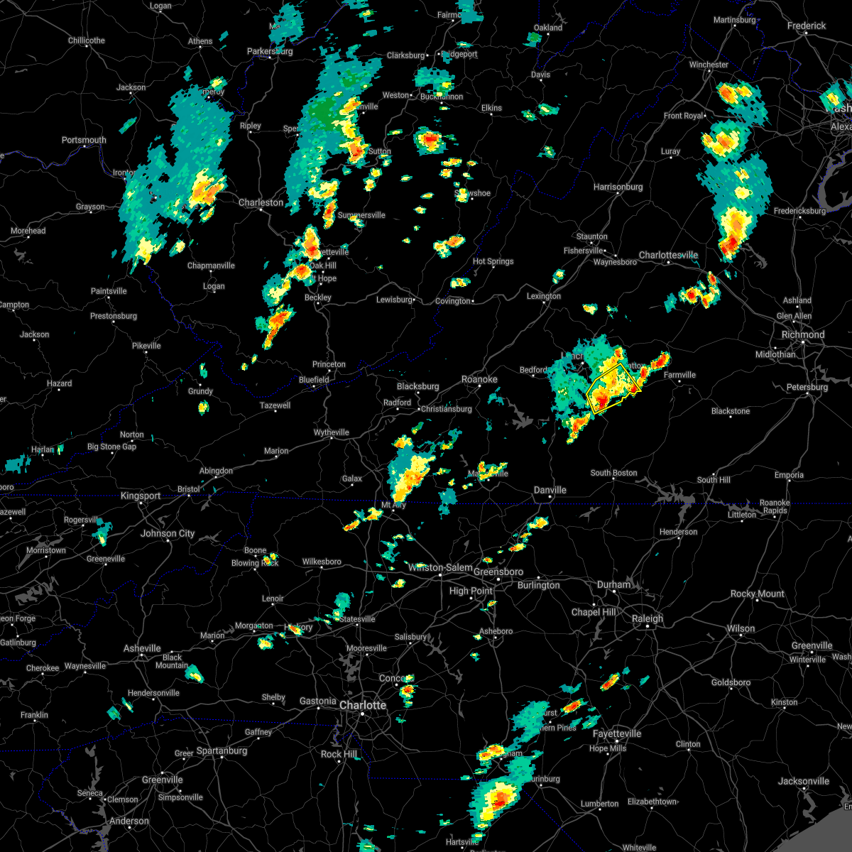 At 230 pm edt, a severe thunderstorm was located near mike, or 8 miles north of brookneal, moving east at 10 mph (radar indicated). Hazards include 60 mph wind gusts and quarter size hail. Hail damage to vehicles is expected. expect wind damage to roofs, siding, and trees. Locations impacted include, appomattox, rustburg, mike, gladys, spout spring, spring mills, and evergreen. At 230 pm edt, a severe thunderstorm was located near mike, or 8 miles north of brookneal, moving east at 10 mph (radar indicated). Hazards include 60 mph wind gusts and quarter size hail. Hail damage to vehicles is expected. expect wind damage to roofs, siding, and trees. Locations impacted include, appomattox, rustburg, mike, gladys, spout spring, spring mills, and evergreen.
|
| 7/17/2021 2:19 PM EDT |
 At 219 pm edt, a severe thunderstorm was located near concord, moving northeast at 15 mph (radar indicated). Hazards include 60 mph wind gusts. Expect damage to roofs, siding, and trees. Locations impacted include, appomattox, concord, rustburg, mike, gladys, long island, and stonewall. At 219 pm edt, a severe thunderstorm was located near concord, moving northeast at 15 mph (radar indicated). Hazards include 60 mph wind gusts. Expect damage to roofs, siding, and trees. Locations impacted include, appomattox, concord, rustburg, mike, gladys, long island, and stonewall.
|
| 7/17/2021 1:56 PM EDT |
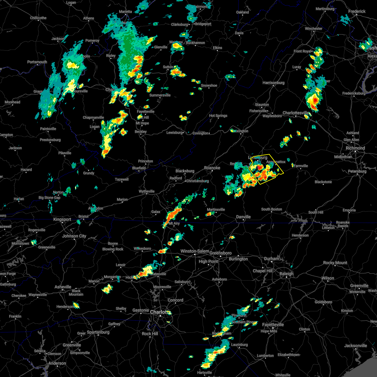 At 156 pm edt, a severe thunderstorm was located near gladys, or 7 miles southwest of rustburg, moving northeast at 15 mph (radar indicated). Hazards include 60 mph wind gusts and quarter size hail. Hail damage to vehicles is expected. Expect wind damage to roofs, siding, and trees. At 156 pm edt, a severe thunderstorm was located near gladys, or 7 miles southwest of rustburg, moving northeast at 15 mph (radar indicated). Hazards include 60 mph wind gusts and quarter size hail. Hail damage to vehicles is expected. Expect wind damage to roofs, siding, and trees.
|
| 5/28/2021 4:09 PM EDT | One tree down near intersection of red house and country estates roa in appomattox county VA, 2 miles N of Appomattox, VA |
| 5/4/2021 4:36 PM EDT |
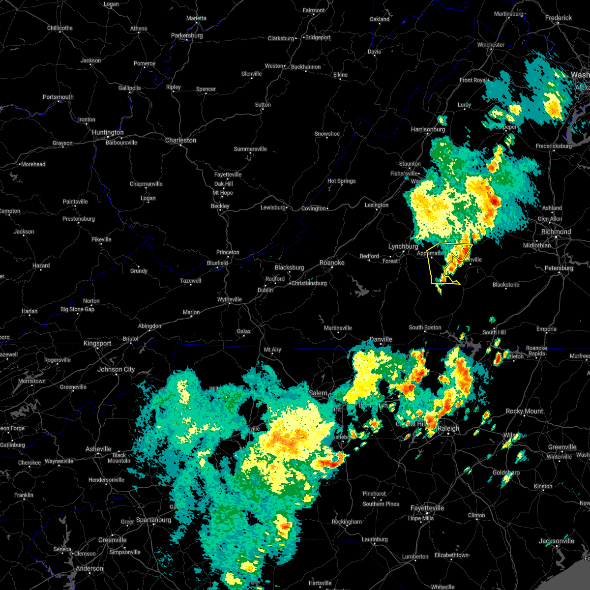 The severe thunderstorm warning for central appomattox, northern charlotte and southern buckingham counties will expire at 445 pm edt, the storm which prompted the warning has moved out of the area. therefore, the warning will be allowed to expire. a severe thunderstorm watch remains in effect until 800 pm edt for central and south central virginia. when it is safe to do so, please send your reports of hail of any size, as well as reports of any wind damage, including downed trees or large limbs, to the national weather service by calling toll free at 1, 8 6 6, 2 1 5, 4 3 2 4. reports and pictures can also be shared on the national weather service blacksburg facebook page and on twitter. The severe thunderstorm warning for central appomattox, northern charlotte and southern buckingham counties will expire at 445 pm edt, the storm which prompted the warning has moved out of the area. therefore, the warning will be allowed to expire. a severe thunderstorm watch remains in effect until 800 pm edt for central and south central virginia. when it is safe to do so, please send your reports of hail of any size, as well as reports of any wind damage, including downed trees or large limbs, to the national weather service by calling toll free at 1, 8 6 6, 2 1 5, 4 3 2 4. reports and pictures can also be shared on the national weather service blacksburg facebook page and on twitter.
|
| 5/4/2021 4:24 PM EDT | Tree down along holiday lake roa in appomattox county VA, 10.4 miles W of Appomattox, VA |
| 5/4/2021 4:24 PM EDT |
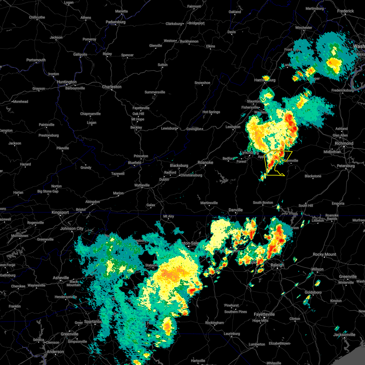 At 424 pm edt, a severe thunderstorm was located over evergreen, or near appomattox, moving east at 40 mph (radar indicated). Hazards include 60 mph wind gusts. Expect damage to roofs, siding, and trees. Locations impacted include, appomattox, red house, pamplin city, madisonville, abilene, appomattox national historic park, and sheppards. At 424 pm edt, a severe thunderstorm was located over evergreen, or near appomattox, moving east at 40 mph (radar indicated). Hazards include 60 mph wind gusts. Expect damage to roofs, siding, and trees. Locations impacted include, appomattox, red house, pamplin city, madisonville, abilene, appomattox national historic park, and sheppards.
|
| 5/4/2021 4:12 PM EDT | Tree down along liberty chapel roa in appomattox county VA, 7.7 miles S of Appomattox, VA |
| 5/4/2021 4:11 PM EDT | Tree down along oakville roa in appomattox county VA, 3.1 miles SSE of Appomattox, VA |
| 5/4/2021 4:00 PM EDT |
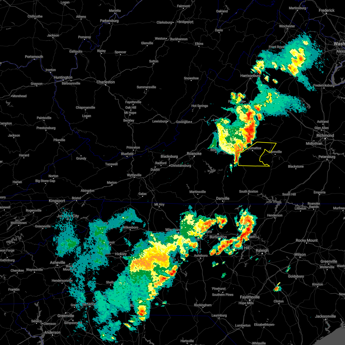 At 359 pm edt, a severe thunderstorm was located near rustburg, moving east at 40 mph (radar indicated). Hazards include 60 mph wind gusts. Expect damage to roofs, siding, and trees. Locations impacted include, appomattox, red house, concord, rustburg, pamplin city, madisonville, and appomattox national historic park. At 359 pm edt, a severe thunderstorm was located near rustburg, moving east at 40 mph (radar indicated). Hazards include 60 mph wind gusts. Expect damage to roofs, siding, and trees. Locations impacted include, appomattox, red house, concord, rustburg, pamplin city, madisonville, and appomattox national historic park.
|
| 5/4/2021 3:50 PM EDT |
 At 349 pm edt, a severe thunderstorm was located near rustburg, moving east at 40 mph (radar indicated). Hazards include 60 mph wind gusts. expect damage to roofs, siding, and trees At 349 pm edt, a severe thunderstorm was located near rustburg, moving east at 40 mph (radar indicated). Hazards include 60 mph wind gusts. expect damage to roofs, siding, and trees
|
| 4/8/2021 10:02 PM EDT |
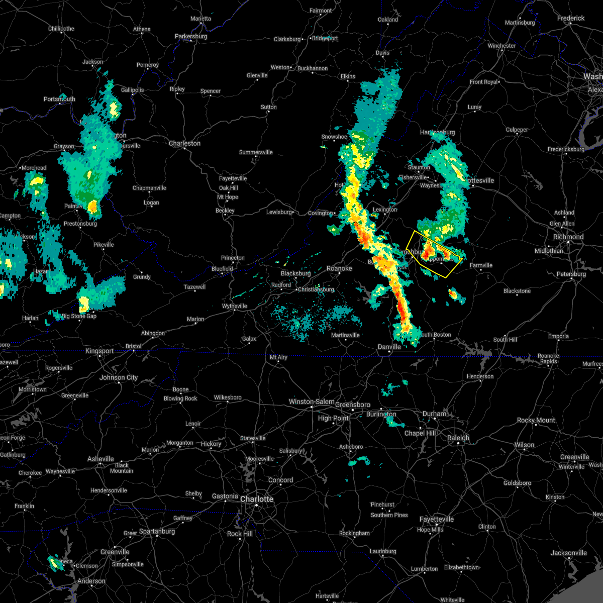 At 1002 pm edt, a severe thunderstorm was located over falconerville, or near amherst, moving north at 15 mph (radar indicated). Hazards include quarter size hail. Damage to vehicles is expected. Locations impacted include, amherst, appomattox, concord, appomattox national historic park, falconerville, riverville, and stonewall. At 1002 pm edt, a severe thunderstorm was located over falconerville, or near amherst, moving north at 15 mph (radar indicated). Hazards include quarter size hail. Damage to vehicles is expected. Locations impacted include, amherst, appomattox, concord, appomattox national historic park, falconerville, riverville, and stonewall.
|
| 4/8/2021 9:44 PM EDT |
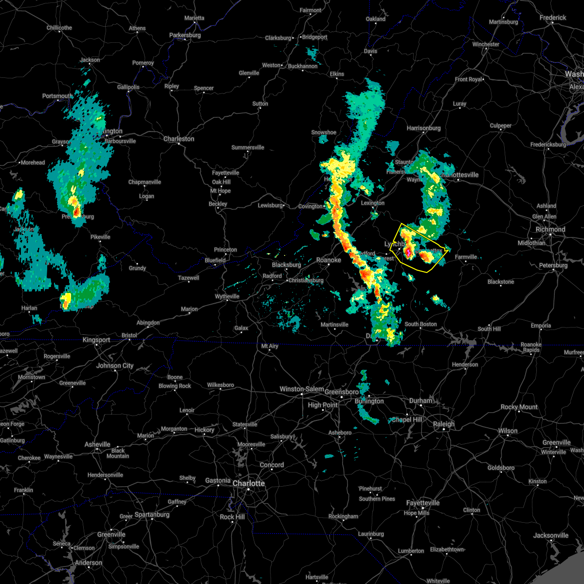 At 944 pm edt, a severe thunderstorm was located near madison heights, or near lynchburg, moving north at 15 mph (radar indicated). Hazards include quarter size hail. Damage to vehicles is expected. locations impacted include, lynchburg, amherst, appomattox, concord, rustburg, madison heights, and appomattox national historic park. This includes the following location liberty university. At 944 pm edt, a severe thunderstorm was located near madison heights, or near lynchburg, moving north at 15 mph (radar indicated). Hazards include quarter size hail. Damage to vehicles is expected. locations impacted include, lynchburg, amherst, appomattox, concord, rustburg, madison heights, and appomattox national historic park. This includes the following location liberty university.
|
| 4/8/2021 9:21 PM EDT |
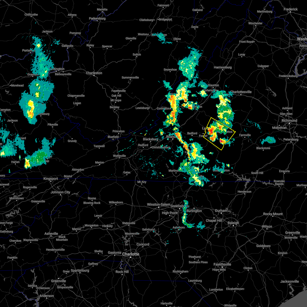 At 919 pm edt, a cluster of severe thunderstorms was located between lynchburg, hat creek, evergreen and stonewall, moving north at 15 mph (radar indicated). Hazards include quarter size hail. damage to vehicles is expected At 919 pm edt, a cluster of severe thunderstorms was located between lynchburg, hat creek, evergreen and stonewall, moving north at 15 mph (radar indicated). Hazards include quarter size hail. damage to vehicles is expected
|
| 7/28/2020 4:23 PM EDT |
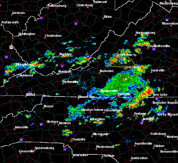 The severe thunderstorm warning for appomattox county will expire at 430 pm edt, the storm which prompted the warning has weakened below severe limits, and has exited the warned area. therefore, the warning will be allowed to expire. when it is safe to do so, please send your reports of hail of any size, as well as reports of any wind damage, including downed trees or large limbs, to the national weather service by calling toll free at 1, 8 6 6, 2 1 5, 4 3 2 4. reports and pictures can also be shared on the national weather service blacksburg facebook page and on twitter. The severe thunderstorm warning for appomattox county will expire at 430 pm edt, the storm which prompted the warning has weakened below severe limits, and has exited the warned area. therefore, the warning will be allowed to expire. when it is safe to do so, please send your reports of hail of any size, as well as reports of any wind damage, including downed trees or large limbs, to the national weather service by calling toll free at 1, 8 6 6, 2 1 5, 4 3 2 4. reports and pictures can also be shared on the national weather service blacksburg facebook page and on twitter.
|
| 7/28/2020 4:09 PM EDT |
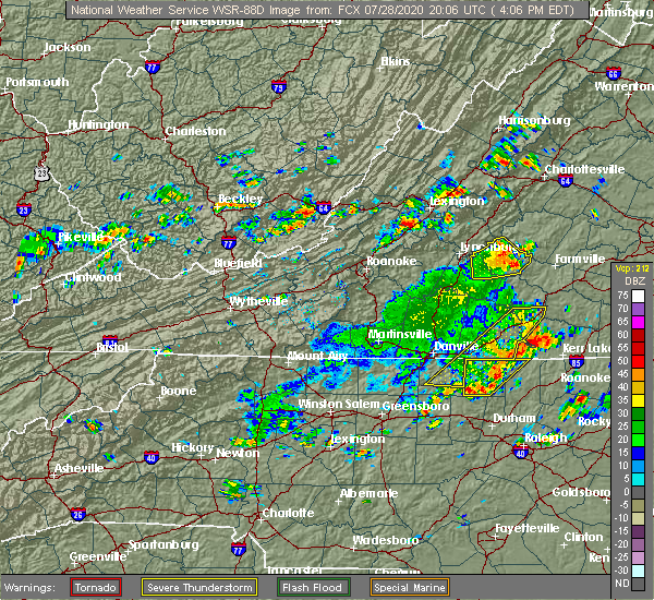 At 407 pm edt, a severe thunderstorm was located over appomattox national historic park, or over appomattox, moving east at 25 mph. trees were reported down north of concord at 355 pm, just within appomattox county (law enforcement). Hazards include 60 mph wind gusts and quarter size hail. Hail damage to vehicles is expected. expect wind damage to roofs, siding, and trees. Locations impacted include, appomattox, bent creek, pamplin city, appomattox national historic park, stonewall, hixburg, and oakville. At 407 pm edt, a severe thunderstorm was located over appomattox national historic park, or over appomattox, moving east at 25 mph. trees were reported down north of concord at 355 pm, just within appomattox county (law enforcement). Hazards include 60 mph wind gusts and quarter size hail. Hail damage to vehicles is expected. expect wind damage to roofs, siding, and trees. Locations impacted include, appomattox, bent creek, pamplin city, appomattox national historic park, stonewall, hixburg, and oakville.
|
| 7/28/2020 3:59 PM EDT | Tree down along near intersection of phelps branch and police tower roa in appomattox county VA, 3.2 miles SE of Appomattox, VA |
| 7/28/2020 3:56 PM EDT |
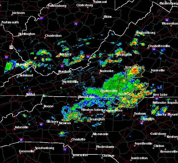 At 356 pm edt, a severe thunderstorm was located over spout spring, or near appomattox, moving northeast at 25 mph (radar indicated). Hazards include 60 mph wind gusts and quarter size hail. Hail damage to vehicles is expected. expect wind damage to roofs, siding, and trees. Locations impacted include, appomattox, bent creek, concord, rustburg, pamplin city, appomattox national historic park, and stonewall. At 356 pm edt, a severe thunderstorm was located over spout spring, or near appomattox, moving northeast at 25 mph (radar indicated). Hazards include 60 mph wind gusts and quarter size hail. Hail damage to vehicles is expected. expect wind damage to roofs, siding, and trees. Locations impacted include, appomattox, bent creek, concord, rustburg, pamplin city, appomattox national historic park, and stonewall.
|
| 7/28/2020 3:53 PM EDT | Tree down along red house roa in appomattox county VA, 0.6 miles NNE of Appomattox, VA |
| 7/28/2020 3:50 PM EDT | Tree down near intersection of richmond highway and sleepy hollow driv in appomattox county VA, 3.4 miles E of Appomattox, VA |
| 7/28/2020 3:34 PM EDT |
 At 333 pm edt, a severe thunderstorm was located near rustburg, moving east at 25 mph (radar indicated). Hazards include 60 mph wind gusts and quarter size hail. Hail damage to vehicles is expected. Expect wind damage to roofs, siding, and trees. At 333 pm edt, a severe thunderstorm was located near rustburg, moving east at 25 mph (radar indicated). Hazards include 60 mph wind gusts and quarter size hail. Hail damage to vehicles is expected. Expect wind damage to roofs, siding, and trees.
|
| 7/22/2020 5:03 PM EDT |
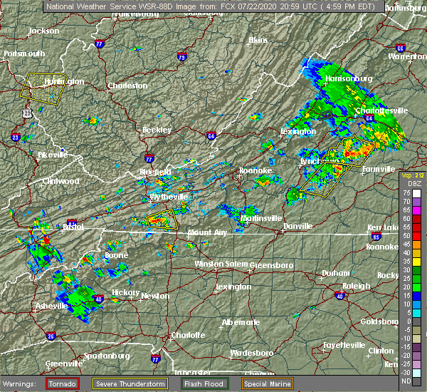 At 501 pm edt, severe thunderstorms were located along a line extending from near appomattox national historic park to near brookneal, moving east at 15 mph. numerous trees have been reported down near the city of appomattox because of these storms (public). Hazards include 60 mph wind gusts and quarter size hail. Hail damage to vehicles is expected. expect wind damage to roofs, siding, and trees. Locations impacted include, appomattox, red house, pamplin city, mike, appomattox national historic park, hixburg, and spring mills. At 501 pm edt, severe thunderstorms were located along a line extending from near appomattox national historic park to near brookneal, moving east at 15 mph. numerous trees have been reported down near the city of appomattox because of these storms (public). Hazards include 60 mph wind gusts and quarter size hail. Hail damage to vehicles is expected. expect wind damage to roofs, siding, and trees. Locations impacted include, appomattox, red house, pamplin city, mike, appomattox national historic park, hixburg, and spring mills.
|
| 7/22/2020 4:56 PM EDT |
 At 454 pm edt, severe thunderstorms were located along a line extending from near appomattox national historic park to near brookneal, moving east at 15 mph. numerous trees have been reported down near the city of appomattox (public). Hazards include 60 mph wind gusts and quarter size hail. Hail damage to vehicles is expected. expect wind damage to roofs, siding, and trees. Locations impacted include, appomattox, brookneal, red house, pamplin city, appomattox national historic park, gladys, and long island. At 454 pm edt, severe thunderstorms were located along a line extending from near appomattox national historic park to near brookneal, moving east at 15 mph. numerous trees have been reported down near the city of appomattox (public). Hazards include 60 mph wind gusts and quarter size hail. Hail damage to vehicles is expected. expect wind damage to roofs, siding, and trees. Locations impacted include, appomattox, brookneal, red house, pamplin city, appomattox national historic park, gladys, and long island.
|
| 7/22/2020 4:41 PM EDT | Tree dow in appomattox county VA, 2.2 miles WSW of Appomattox, VA |
| 7/22/2020 4:36 PM EDT | Tree fell on roa in appomattox county VA, 1 miles SE of Appomattox, VA |
| 7/22/2020 4:36 PM EDT | Tree dow in appomattox county VA, 2.5 miles SSE of Appomattox, VA |
| 7/22/2020 4:29 PM EDT |
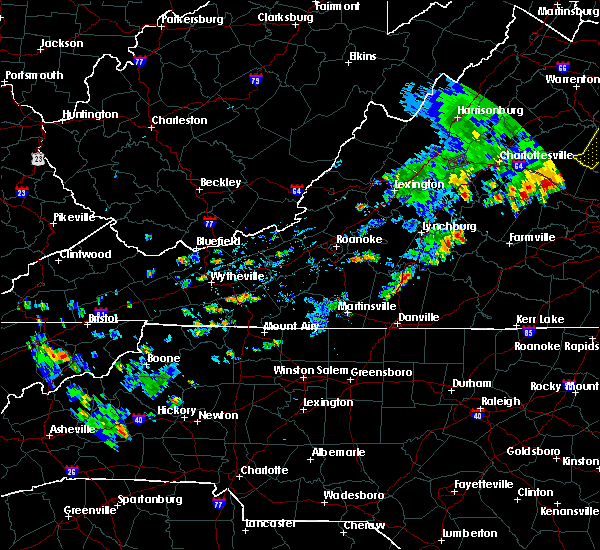 At 429 pm edt, severe thunderstorms were located along a line extending from oakville to near long island, moving east at 15 mph (radar indicated). Hazards include 60 mph wind gusts and quarter size hail. Hail damage to vehicles is expected. Expect wind damage to roofs, siding, and trees. At 429 pm edt, severe thunderstorms were located along a line extending from oakville to near long island, moving east at 15 mph (radar indicated). Hazards include 60 mph wind gusts and quarter size hail. Hail damage to vehicles is expected. Expect wind damage to roofs, siding, and trees.
|
| 7/10/2020 8:54 PM EDT | One tree blown down on red house road between promise land road and deer ru in appomattox county VA, 2.7 miles N of Appomattox, VA |
| 7/10/2020 8:51 PM EDT | One tree blown down on linden stree in appomattox county VA, 0.6 miles NNE of Appomattox, VA |
| 7/10/2020 8:49 PM EDT | One tree blown down near the intersection of old courthouse road and anderson mill roa in appomattox county VA, 3.4 miles SW of Appomattox, VA |
| 7/5/2020 9:21 PM EDT |
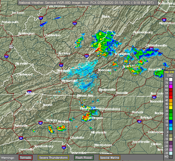 The severe thunderstorm warning for appomattox, north central charlotte and northeastern campbell counties will expire at 930 pm edt, the storm which prompted the warning has weakened below severe limits, and no longer poses an immediate threat to life or property. therefore, the warning will be allowed to expire. however heavy rain is still possible with this thunderstorm. when it is safe to do so, please send your reports of hail of any size, as well as reports of any wind damage, including downed trees or large limbs, to the national weather service by calling toll free at 1, 8 6 6, 2 1 5, 4 3 2 4. reports and pictures can also be shared on the national weather service blacksburg facebook page and on twitter. The severe thunderstorm warning for appomattox, north central charlotte and northeastern campbell counties will expire at 930 pm edt, the storm which prompted the warning has weakened below severe limits, and no longer poses an immediate threat to life or property. therefore, the warning will be allowed to expire. however heavy rain is still possible with this thunderstorm. when it is safe to do so, please send your reports of hail of any size, as well as reports of any wind damage, including downed trees or large limbs, to the national weather service by calling toll free at 1, 8 6 6, 2 1 5, 4 3 2 4. reports and pictures can also be shared on the national weather service blacksburg facebook page and on twitter.
|
| 7/5/2020 9:01 PM EDT |
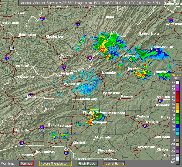 At 900 pm edt, a severe thunderstorm was located over appomattox, moving north at 15 mph (radar indicated). Hazards include 60 mph wind gusts and quarter size hail. Hail damage to vehicles is expected. expect wind damage to roofs, siding, and trees. Locations impacted include, appomattox, concord, pamplin city, appomattox national historic park, stonewall, hixburg, and oakville. At 900 pm edt, a severe thunderstorm was located over appomattox, moving north at 15 mph (radar indicated). Hazards include 60 mph wind gusts and quarter size hail. Hail damage to vehicles is expected. expect wind damage to roofs, siding, and trees. Locations impacted include, appomattox, concord, pamplin city, appomattox national historic park, stonewall, hixburg, and oakville.
|
| 7/5/2020 9:00 PM EDT | A thunderstorm produced damaging winds... which brought a tree down along purdum mill road... just south of the intersection with country club roa in appomattox county VA, 3 miles NNE of Appomattox, VA |
| 7/5/2020 8:47 PM EDT | Tree down on power line along promise land roa in appomattox county VA, 4.9 miles NNE of Appomattox, VA |
| 7/5/2020 8:38 PM EDT | Tree down along promise land roa in appomattox county VA, 4.9 miles NNE of Appomattox, VA |
| 7/5/2020 8:35 PM EDT |
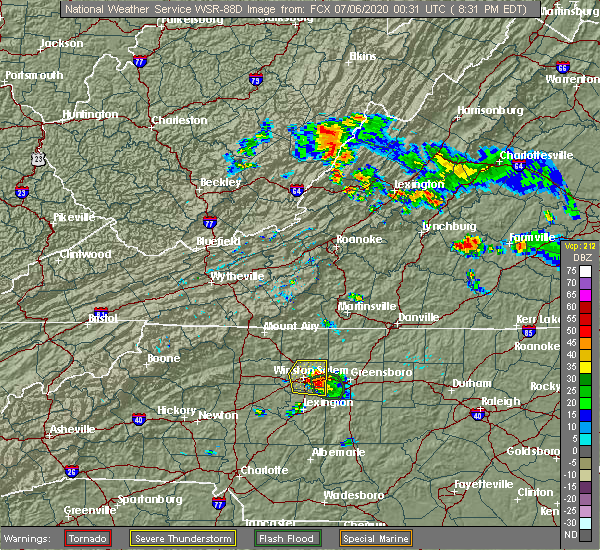 At 834 pm edt, a severe thunderstorm was located over evergreen, or near appomattox, moving north at 15 mph (radar indicated). Hazards include 60 mph wind gusts and quarter size hail. Hail damage to vehicles is expected. Expect wind damage to roofs, siding, and trees. At 834 pm edt, a severe thunderstorm was located over evergreen, or near appomattox, moving north at 15 mph (radar indicated). Hazards include 60 mph wind gusts and quarter size hail. Hail damage to vehicles is expected. Expect wind damage to roofs, siding, and trees.
|
| 7/5/2020 8:29 PM EDT | Tree down on red house roa in appomattox county VA, 4.1 miles N of Appomattox, VA |
| 7/5/2020 6:42 PM EDT | Quarter sized hail reported 3.4 miles N of Appomattox, VA |
| 4/13/2020 6:19 AM EDT |
 At 619 am edt, severe thunderstorms were located along a line extending from near toga to milton, moving northeast at 50 mph (radar indicated). Hazards include 60 mph wind gusts. Expect damage to roofs, siding, and trees. locations impacted include, south boston, yanceyville, appomattox, halifax, brookneal, phenix, and turbeville. A tornado watch remains in effect until noon edt for north central north carolina, and central and south central virginia. At 619 am edt, severe thunderstorms were located along a line extending from near toga to milton, moving northeast at 50 mph (radar indicated). Hazards include 60 mph wind gusts. Expect damage to roofs, siding, and trees. locations impacted include, south boston, yanceyville, appomattox, halifax, brookneal, phenix, and turbeville. A tornado watch remains in effect until noon edt for north central north carolina, and central and south central virginia.
|
| 4/13/2020 6:00 AM EDT |
 At 600 am edt, severe thunderstorms were located along a line extending from near stonewall to bethel, moving northeast at 50 mph (radar indicated). Hazards include 60 mph wind gusts. Expect damage to roofs, siding, and trees. locations impacted include, danville, reidsville, south boston, yanceyville, appomattox, bethel, and halifax. this includes the following location danville airport. A tornado watch remains in effect until noon edt for north central north carolina, and central and south central virginia. At 600 am edt, severe thunderstorms were located along a line extending from near stonewall to bethel, moving northeast at 50 mph (radar indicated). Hazards include 60 mph wind gusts. Expect damage to roofs, siding, and trees. locations impacted include, danville, reidsville, south boston, yanceyville, appomattox, bethel, and halifax. this includes the following location danville airport. A tornado watch remains in effect until noon edt for north central north carolina, and central and south central virginia.
|
| 4/13/2020 5:51 AM EDT |
 At 551 am edt, severe thunderstorms were located along a line extending from near concord to near lawsonville, moving northeast at 50 mph (radar indicated). Hazards include 60 mph wind gusts. Expect damage to roofs, siding, and trees. locations impacted include, danville, eden, reidsville, south boston, altavista, wentworth, and yanceyville. this includes the following location danville airport. A tornado watch remains in effect until noon edt for north central north carolina, and central and south central virginia. At 551 am edt, severe thunderstorms were located along a line extending from near concord to near lawsonville, moving northeast at 50 mph (radar indicated). Hazards include 60 mph wind gusts. Expect damage to roofs, siding, and trees. locations impacted include, danville, eden, reidsville, south boston, altavista, wentworth, and yanceyville. this includes the following location danville airport. A tornado watch remains in effect until noon edt for north central north carolina, and central and south central virginia.
|
| 4/13/2020 5:30 AM EDT |
 At 530 am edt, severe thunderstorms were located along a line extending from evington to near monroeton, moving northeast at 50 mph (radar indicated). Hazards include 60 mph wind gusts. expect damage to roofs, siding, and trees At 530 am edt, severe thunderstorms were located along a line extending from evington to near monroeton, moving northeast at 50 mph (radar indicated). Hazards include 60 mph wind gusts. expect damage to roofs, siding, and trees
|
| 4/8/2020 6:36 AM EDT |
 At 635 am edt, severe thunderstorms were located along a line extending from 6 miles north of centenary to near peaks of otter summit, moving east at 60 mph (radar indicated). Hazards include 60 mph wind gusts. expect damage to roofs, siding, and trees At 635 am edt, severe thunderstorms were located along a line extending from 6 miles north of centenary to near peaks of otter summit, moving east at 60 mph (radar indicated). Hazards include 60 mph wind gusts. expect damage to roofs, siding, and trees
|
| 1/12/2020 12:10 AM EST |
 At 1209 am est, severe thunderstorms were located along a line extending from near hadensville to virgilina, moving east at 60 mph (radar indicated). Hazards include 60 mph wind gusts. Expect damage to roofs, siding, and trees. Locations impacted include, buckingham, south boston, appomattox, halifax, brookneal, keysville, and charlotte court house. At 1209 am est, severe thunderstorms were located along a line extending from near hadensville to virgilina, moving east at 60 mph (radar indicated). Hazards include 60 mph wind gusts. Expect damage to roofs, siding, and trees. Locations impacted include, buckingham, south boston, appomattox, halifax, brookneal, keysville, and charlotte court house.
|
| 1/11/2020 11:53 PM EST |
 At 1152 pm est, severe thunderstorms were located along a line extending from near palmyra to near roxboro, moving northeast at 70 mph (radar indicated). Hazards include 70 mph wind gusts. Expect considerable tree damage. damage is likely to mobile homes, roofs, and outbuildings. a power pole was snapped near the lynchburg airport from these storms. Locations impacted include, buckingham, south boston, appomattox, halifax, brookneal, keysville, and charlotte court house. At 1152 pm est, severe thunderstorms were located along a line extending from near palmyra to near roxboro, moving northeast at 70 mph (radar indicated). Hazards include 70 mph wind gusts. Expect considerable tree damage. damage is likely to mobile homes, roofs, and outbuildings. a power pole was snapped near the lynchburg airport from these storms. Locations impacted include, buckingham, south boston, appomattox, halifax, brookneal, keysville, and charlotte court house.
|
| 1/11/2020 11:27 PM EST |
 At 1127 pm est, severe thunderstorms were located along a line extending from near crozet to near turbeville, moving east at 60 mph (radar indicated). Hazards include 70 mph wind gusts. Expect considerable tree damage. Damage is likely to mobile homes, roofs, and outbuildings. At 1127 pm est, severe thunderstorms were located along a line extending from near crozet to near turbeville, moving east at 60 mph (radar indicated). Hazards include 70 mph wind gusts. Expect considerable tree damage. Damage is likely to mobile homes, roofs, and outbuildings.
|
| 10/31/2019 7:06 PM EDT |
 At 705 pm edt, severe thunderstorms were located along a line extending from near riverville to near blanch, moving northeast at 70 mph (radar indicated). Hazards include 60 mph wind gusts. expect damage to roofs, siding, and trees At 705 pm edt, severe thunderstorms were located along a line extending from near riverville to near blanch, moving northeast at 70 mph (radar indicated). Hazards include 60 mph wind gusts. expect damage to roofs, siding, and trees
|
| 9/29/2019 7:59 PM EDT |
 At 758 pm edt, severe thunderstorms were located along a line extending from near leesville to gladys to near spring mills to near hixburg, moving southeast at 15 mph (radar indicated). Hazards include 60 mph wind gusts. Expect damage to roofs, siding, and trees. Locations impacted include, altavista, appomattox, brookneal, rustburg, and pamplin city. At 758 pm edt, severe thunderstorms were located along a line extending from near leesville to gladys to near spring mills to near hixburg, moving southeast at 15 mph (radar indicated). Hazards include 60 mph wind gusts. Expect damage to roofs, siding, and trees. Locations impacted include, altavista, appomattox, brookneal, rustburg, and pamplin city.
|
| 9/29/2019 7:21 PM EDT |
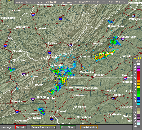 At 721 pm edt, severe thunderstorms were located along a line extending from 6 miles northeast of huddleston to near rustburg to concord to near tower hill, moving southeast at 15 mph (radar indicated). Hazards include 60 mph wind gusts. expect damage to roofs, siding, and trees At 721 pm edt, severe thunderstorms were located along a line extending from 6 miles northeast of huddleston to near rustburg to concord to near tower hill, moving southeast at 15 mph (radar indicated). Hazards include 60 mph wind gusts. expect damage to roofs, siding, and trees
|
| 9/9/2019 6:32 PM EDT |
 At 630 pm edt, a severe thunderstorm was located near appomattox, moving south at 25 mph (radar indicated). Hazards include 60 mph wind gusts and quarter size hail. Hail damage to vehicles is expected. expect wind damage to roofs, siding, and trees. Locations impacted include, appomattox, pamplin city, hixburg, appomattox national historic park, and evergreen. At 630 pm edt, a severe thunderstorm was located near appomattox, moving south at 25 mph (radar indicated). Hazards include 60 mph wind gusts and quarter size hail. Hail damage to vehicles is expected. expect wind damage to roofs, siding, and trees. Locations impacted include, appomattox, pamplin city, hixburg, appomattox national historic park, and evergreen.
|
| 9/9/2019 6:20 PM EDT | Tree down at appomattox middle schoo in appomattox county VA, 0.1 miles ESE of Appomattox, VA |
| 9/9/2019 6:11 PM EDT | One large tree down on oakville roa in appomattox county VA, 5.9 miles SSE of Appomattox, VA |
| 9/9/2019 6:08 PM EDT | More than a dozen trees down in the oakville area... particularly on virginia highway 26 between oakville and appomattox. highway 26 near oakville was blocked going tow in appomattox county VA, 5.4 miles SSE of Appomattox, VA |
| 9/9/2019 6:08 PM EDT |
 At 608 pm edt, a severe thunderstorm was located near tower hill, or just south of bent creek moving south at 25 mph (radar indicated). Hazards include 60 mph wind gusts and quarter size hail. Hail damage to vehicles is expected. expect wind damage to roofs, siding, and trees. Locations impacted include, appomattox, bent creek, pamplin city, appomattox national historic park, and riverville. At 608 pm edt, a severe thunderstorm was located near tower hill, or just south of bent creek moving south at 25 mph (radar indicated). Hazards include 60 mph wind gusts and quarter size hail. Hail damage to vehicles is expected. expect wind damage to roofs, siding, and trees. Locations impacted include, appomattox, bent creek, pamplin city, appomattox national historic park, and riverville.
|
| 9/9/2019 5:48 PM EDT |
 At 546 pm edt, a severe thunderstorm was located near buffalo springs, or five miles northwest of bent creek, moving south at 25 mph (radar indicated). Hazards include 60 mph wind gusts and quarter size hail. Hail damage to vehicles is expected. Expect wind damage to roofs, siding, and trees. At 546 pm edt, a severe thunderstorm was located near buffalo springs, or five miles northwest of bent creek, moving south at 25 mph (radar indicated). Hazards include 60 mph wind gusts and quarter size hail. Hail damage to vehicles is expected. Expect wind damage to roofs, siding, and trees.
|
| 8/23/2019 6:00 PM EDT | Tree down on power lines in the 1500 block of morning star road. time estimated from rada in appomattox county VA, 3.9 miles WNW of Appomattox, VA |
| 8/23/2019 4:20 PM EDT |
 At 418 pm edt, severe thunderstorms were located along a line extending from near appomattox national historic park to near spout spring, moving southeast at 20 mph (radar indicated). Hazards include 60 mph wind gusts. Expect damage to roofs, siding, and trees. Locations impacted include, appomattox, pamplin city, hixburg, appomattox national historic park, and evergreen. At 418 pm edt, severe thunderstorms were located along a line extending from near appomattox national historic park to near spout spring, moving southeast at 20 mph (radar indicated). Hazards include 60 mph wind gusts. Expect damage to roofs, siding, and trees. Locations impacted include, appomattox, pamplin city, hixburg, appomattox national historic park, and evergreen.
|
| 8/23/2019 4:08 PM EDT |
 At 407 pm edt, severe thunderstorms were located along a line extending from near appomattox national historic park to near spout spring, moving southeast at 20 mph (radar indicated). Hazards include 60 mph wind gusts. Expect damage to roofs, siding, and trees. locations impacted include, lynchburg, appomattox, bent creek, concord, and rustburg. This includes the following location liberty university. At 407 pm edt, severe thunderstorms were located along a line extending from near appomattox national historic park to near spout spring, moving southeast at 20 mph (radar indicated). Hazards include 60 mph wind gusts. Expect damage to roofs, siding, and trees. locations impacted include, lynchburg, appomattox, bent creek, concord, and rustburg. This includes the following location liberty university.
|
| 8/23/2019 4:00 PM EDT | Corrects previous tstm wnd dmg report from 3 nne evergreen. tree down on power lines in the 1500 block of morning star road. time estimated from rada in appomattox county VA, 3.9 miles WNW of Appomattox, VA |
| 8/23/2019 3:37 PM EDT |
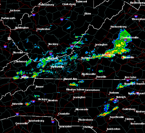 At 337 pm edt, severe thunderstorms were located along a line extending from riverville to near madison heights, moving southeast at 20 mph (radar indicated). Hazards include 60 mph wind gusts. expect damage to roofs, siding, and trees At 337 pm edt, severe thunderstorms were located along a line extending from riverville to near madison heights, moving southeast at 20 mph (radar indicated). Hazards include 60 mph wind gusts. expect damage to roofs, siding, and trees
|
| 8/22/2019 4:16 PM EDT |
 At 414 pm edt, severe thunderstorms were located along a line extending from near montpelier to near darlington heights, moving east at 75 mph (radar indicated). Hazards include 60 mph wind gusts. Expect damage to roofs, siding, and trees. locations impacted include, lynchburg, danville, buckingham, altavista, and appomattox. This includes the following locations liberty university, danville airport, and lynchburg airport. At 414 pm edt, severe thunderstorms were located along a line extending from near montpelier to near darlington heights, moving east at 75 mph (radar indicated). Hazards include 60 mph wind gusts. Expect damage to roofs, siding, and trees. locations impacted include, lynchburg, danville, buckingham, altavista, and appomattox. This includes the following locations liberty university, danville airport, and lynchburg airport.
|
| 8/22/2019 4:07 PM EDT |
 The national weather service in blacksburg has issued a * severe thunderstorm warning for. southern appomattox county in central virginia. charlotte county in south central virginia. southeastern campbell county in central virginia. Southeastern pittsylvania county in south central virginia. The national weather service in blacksburg has issued a * severe thunderstorm warning for. southern appomattox county in central virginia. charlotte county in south central virginia. southeastern campbell county in central virginia. Southeastern pittsylvania county in south central virginia.
|
| 8/22/2019 3:31 PM EDT |
 At 331 pm edt, severe thunderstorms were located along a line extending from near centenary to near leesville, moving east at 75 mph (radar indicated). Hazards include 60 mph wind gusts. expect damage to roofs, siding, and trees At 331 pm edt, severe thunderstorms were located along a line extending from near centenary to near leesville, moving east at 75 mph (radar indicated). Hazards include 60 mph wind gusts. expect damage to roofs, siding, and trees
|
| 7/22/2019 5:39 PM EDT |
 The national weather service in blacksburg has issued a * severe thunderstorm warning for. appomattox county in central virginia. buckingham county in central virginia. northeastern amherst county in central virginia. Until 645 pm edt. The national weather service in blacksburg has issued a * severe thunderstorm warning for. appomattox county in central virginia. buckingham county in central virginia. northeastern amherst county in central virginia. Until 645 pm edt.
|
| 7/21/2019 4:42 PM EDT | Appomattox county dispatch reports trees down on rt 460 near appomattox. event time radar-estimate in appomattox county VA, 0.4 miles W of Appomattox, VA |
| 7/21/2019 3:42 PM EDT | Corrects previous tstm wnd dmg report time from 1 e appomattox. appomattox county dispatch reports trees down on rt 460 near appomattox. event time radar-estimate in appomattox county VA, 0.4 miles W of Appomattox, VA |
| 7/21/2019 3:00 PM EDT | Appomattox county dispatch reports trees down on stonewall rd near oakville. event time radar-estimate in appomattox county VA, 5.7 miles SSE of Appomattox, VA |
| 7/21/2019 2:59 PM EDT |
 At 257 pm edt, severe thunderstorms were located along a line extending from near big island to near appomattox national historic park, moving northeast at 20 mph (the public reported quarter sized hail along with multiple trees and power lines down in the city of lynchburg). Hazards include 60 mph wind gusts and quarter size hail. Hail damage to vehicles is expected. expect wind damage to roofs, siding, and trees. locations impacted include, lynchburg, buckingham, amherst, appomattox, and forks of buffalo. This includes the following location liberty university. At 257 pm edt, severe thunderstorms were located along a line extending from near big island to near appomattox national historic park, moving northeast at 20 mph (the public reported quarter sized hail along with multiple trees and power lines down in the city of lynchburg). Hazards include 60 mph wind gusts and quarter size hail. Hail damage to vehicles is expected. expect wind damage to roofs, siding, and trees. locations impacted include, lynchburg, buckingham, amherst, appomattox, and forks of buffalo. This includes the following location liberty university.
|
| 7/21/2019 2:54 PM EDT | Corrects previous tstm wnd dmg report from 1 e appomattox. corrects previous tstm wnd dmg report time from 1 e appomattox. appomattox county dispatch reports trees down in appomattox county VA, 0.4 miles W of Appomattox, VA |
| 7/21/2019 2:35 PM EDT |
 At 234 pm edt, severe thunderstorms were located along a line extending from sedalia to near appomattox, moving northeast at 30 mph (radar indicated). Hazards include 60 mph wind gusts and quarter size hail. Hail damage to vehicles is expected. Expect wind damage to roofs, siding, and trees. At 234 pm edt, severe thunderstorms were located along a line extending from sedalia to near appomattox, moving northeast at 30 mph (radar indicated). Hazards include 60 mph wind gusts and quarter size hail. Hail damage to vehicles is expected. Expect wind damage to roofs, siding, and trees.
|
| 7/15/2019 6:36 PM EDT |
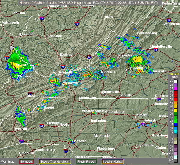 The severe thunderstorm warning for appomattox, southwestern buckingham and southeastern amherst counties will expire at 645 pm edt, the storms which prompted the warning have weakened below severe limits, and no longer poses an immediate threat to life or property. therefore, the warning will be allowed to expire. when it is safe to do so, please send your reports of hail of any size, as well as reports of any wind damage, including downed trees or large limbs, to the national weather service by calling toll free at 1, 8 6 6, 2 1 5, 4 3 2 4. reports and pictures can also be shared on the national weather service blacksburg facebook page and on twitter. The severe thunderstorm warning for appomattox, southwestern buckingham and southeastern amherst counties will expire at 645 pm edt, the storms which prompted the warning have weakened below severe limits, and no longer poses an immediate threat to life or property. therefore, the warning will be allowed to expire. when it is safe to do so, please send your reports of hail of any size, as well as reports of any wind damage, including downed trees or large limbs, to the national weather service by calling toll free at 1, 8 6 6, 2 1 5, 4 3 2 4. reports and pictures can also be shared on the national weather service blacksburg facebook page and on twitter.
|
| 7/15/2019 6:18 PM EDT |
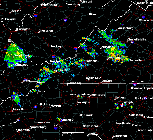 At 617 pm edt, a severe thunderstorm was located over bent creek, moving southeast at 20 mph (radar indicated). Hazards include 60 mph wind gusts and quarter size hail. Hail damage to vehicles is expected. expect wind damage to roofs, siding, and trees. Locations impacted include, amherst, appomattox, bent creek, appomattox national historic park, and andersonville. At 617 pm edt, a severe thunderstorm was located over bent creek, moving southeast at 20 mph (radar indicated). Hazards include 60 mph wind gusts and quarter size hail. Hail damage to vehicles is expected. expect wind damage to roofs, siding, and trees. Locations impacted include, amherst, appomattox, bent creek, appomattox national historic park, and andersonville.
|
| 7/15/2019 5:45 PM EDT |
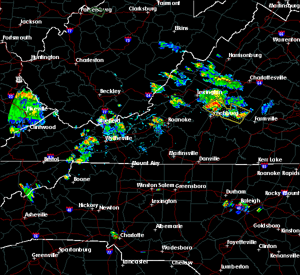 At 544 pm edt, a severe thunderstorm was located over amherst, moving southeast at 20 mph (radar indicated). Hazards include 60 mph wind gusts and quarter size hail. Hail damage to vehicles is expected. Expect wind damage to roofs, siding, and trees. At 544 pm edt, a severe thunderstorm was located over amherst, moving southeast at 20 mph (radar indicated). Hazards include 60 mph wind gusts and quarter size hail. Hail damage to vehicles is expected. Expect wind damage to roofs, siding, and trees.
|
| 5/11/2019 6:20 PM EDT |
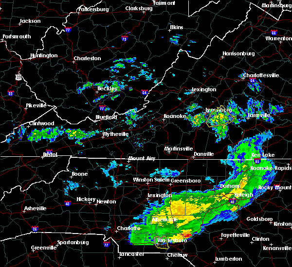 The severe thunderstorm warning for appomattox and northeastern campbell counties will expire at 630 pm edt, the storm which prompted the warning has weakened below severe limits, and no longer poses an immediate threat to life or property. therefore, the warning will be allowed to expire. however heavy rain is still possible with this thunderstorm. when it is safe to do so, please send your reports of hail of any size, as well as reports of any wind damage, including downed trees or large limbs, to the national weather service by calling toll free at 1, 8 6 6, 2 1 5, 4 3 2 4. reports and pictures can also be shared on the national weather service blacksburg facebook page and on twitter. The severe thunderstorm warning for appomattox and northeastern campbell counties will expire at 630 pm edt, the storm which prompted the warning has weakened below severe limits, and no longer poses an immediate threat to life or property. therefore, the warning will be allowed to expire. however heavy rain is still possible with this thunderstorm. when it is safe to do so, please send your reports of hail of any size, as well as reports of any wind damage, including downed trees or large limbs, to the national weather service by calling toll free at 1, 8 6 6, 2 1 5, 4 3 2 4. reports and pictures can also be shared on the national weather service blacksburg facebook page and on twitter.
|
| 5/11/2019 5:58 PM EDT |
 At 558 pm edt, a severe thunderstorm was located over spring mills, moving east at 35 mph (radar indicated). Hazards include 60 mph wind gusts and quarter size hail. Hail damage to vehicles is expected. expect wind damage to roofs, siding, and trees. Locations impacted include, appomattox, concord, rustburg, pamplin city, and mike. At 558 pm edt, a severe thunderstorm was located over spring mills, moving east at 35 mph (radar indicated). Hazards include 60 mph wind gusts and quarter size hail. Hail damage to vehicles is expected. expect wind damage to roofs, siding, and trees. Locations impacted include, appomattox, concord, rustburg, pamplin city, and mike.
|
| 5/11/2019 5:29 PM EDT |
 At 529 pm edt, a severe thunderstorm was located near gladys, moving northeast at 20 mph (radar indicated). Hazards include 60 mph wind gusts and quarter size hail. Hail damage to vehicles is expected. Expect wind damage to roofs, siding, and trees. At 529 pm edt, a severe thunderstorm was located near gladys, moving northeast at 20 mph (radar indicated). Hazards include 60 mph wind gusts and quarter size hail. Hail damage to vehicles is expected. Expect wind damage to roofs, siding, and trees.
|
| 4/19/2019 12:02 PM EDT |
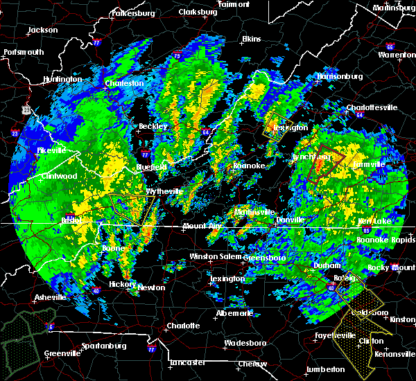 At 1202 pm edt, a severe thunderstorm capable of producing a tornado was located near evergreen, moving north at 30 mph (radar indicated rotation). Hazards include tornado and quarter size hail. Flying debris will be dangerous to those caught without shelter. mobile homes will be damaged or destroyed. damage to roofs, windows, and vehicles will occur. tree damage is likely. Locations impacted include, appomattox, bent creek, toga, appomattox national historic park, and andersonville. At 1202 pm edt, a severe thunderstorm capable of producing a tornado was located near evergreen, moving north at 30 mph (radar indicated rotation). Hazards include tornado and quarter size hail. Flying debris will be dangerous to those caught without shelter. mobile homes will be damaged or destroyed. damage to roofs, windows, and vehicles will occur. tree damage is likely. Locations impacted include, appomattox, bent creek, toga, appomattox national historic park, and andersonville.
|
| 4/19/2019 11:47 AM EDT |
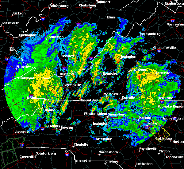 At 1146 am edt, a severe thunderstorm capable of producing a tornado was located over mike, moving northeast at 35 mph (radar indicated rotation). Hazards include tornado and quarter size hail. Flying debris will be dangerous to those caught without shelter. mobile homes will be damaged or destroyed. damage to roofs, windows, and vehicles will occur. Tree damage is likely. At 1146 am edt, a severe thunderstorm capable of producing a tornado was located over mike, moving northeast at 35 mph (radar indicated rotation). Hazards include tornado and quarter size hail. Flying debris will be dangerous to those caught without shelter. mobile homes will be damaged or destroyed. damage to roofs, windows, and vehicles will occur. Tree damage is likely.
|
| 4/15/2019 1:39 AM EDT |
 At 138 am edt, severe thunderstorms were located along a line extending from stonewall to near brookneal, moving northeast at 45 mph (radar indicated). Hazards include 60 mph wind gusts. Expect damage to roofs, siding, and trees. locations impacted include, appomattox, brookneal, phenix, red house, and concord. A tornado watch remains in effect until 500 am edt for north central north carolina, and central and south central virginia. At 138 am edt, severe thunderstorms were located along a line extending from stonewall to near brookneal, moving northeast at 45 mph (radar indicated). Hazards include 60 mph wind gusts. Expect damage to roofs, siding, and trees. locations impacted include, appomattox, brookneal, phenix, red house, and concord. A tornado watch remains in effect until 500 am edt for north central north carolina, and central and south central virginia.
|
| 4/15/2019 1:27 AM EDT |
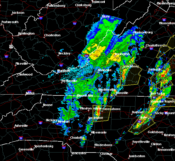 At 126 am edt, severe thunderstorms were located along a line extending from bocock to near mt airy, moving northeast at 40 mph (radar indicated). Hazards include 60 mph wind gusts and quarter size hail. Hail damage to vehicles is expected. expect wind damage to roofs, siding, and trees. locations impacted include, lynchburg, appomattox, brookneal, phenix, and mt airy. this includes the following locations liberty university and lynchburg airport. A tornado watch remains in effect until 500 am edt for north central north carolina, and central, south central and west central virginia. At 126 am edt, severe thunderstorms were located along a line extending from bocock to near mt airy, moving northeast at 40 mph (radar indicated). Hazards include 60 mph wind gusts and quarter size hail. Hail damage to vehicles is expected. expect wind damage to roofs, siding, and trees. locations impacted include, lynchburg, appomattox, brookneal, phenix, and mt airy. this includes the following locations liberty university and lynchburg airport. A tornado watch remains in effect until 500 am edt for north central north carolina, and central, south central and west central virginia.
|
| 4/15/2019 1:08 AM EDT |
 At 108 am edt, severe thunderstorms were located along a line extending from near goode to near chatham, moving northeast at 40 mph (radar indicated). Hazards include 70 mph wind gusts. Expect considerable tree damage. Damage is likely to mobile homes, roofs, and outbuildings. At 108 am edt, severe thunderstorms were located along a line extending from near goode to near chatham, moving northeast at 40 mph (radar indicated). Hazards include 70 mph wind gusts. Expect considerable tree damage. Damage is likely to mobile homes, roofs, and outbuildings.
|
| 4/15/2019 12:28 AM EDT | One tree down in the 7200 block or red house roa in appomattox county VA, 4.1 miles N of Appomattox, VA |
| 4/15/2019 12:28 AM EDT |
 The severe thunderstorm warning for central appomattox and buckingham counties will expire at 1230 am edt, the storm which prompted the warning has moved out of appomattox county. therefore, the warning will be allowed to expire. a tornado watch remains in effect until 500 am edt for central and south central virginia. when it is safe to do so, please send your reports of hail of any size, as well as reports of any wind damage, including downed trees or large limbs, to the national weather service by calling toll free at 1, 8 6 6, 2 1 5, 4 3 2 4. reports and pictures can also be shared on the national weather service blacksburg facebook page and on twitter. remember, a severe thunderstorm warning still remains in effect for buckingham county until 1:15am. The severe thunderstorm warning for central appomattox and buckingham counties will expire at 1230 am edt, the storm which prompted the warning has moved out of appomattox county. therefore, the warning will be allowed to expire. a tornado watch remains in effect until 500 am edt for central and south central virginia. when it is safe to do so, please send your reports of hail of any size, as well as reports of any wind damage, including downed trees or large limbs, to the national weather service by calling toll free at 1, 8 6 6, 2 1 5, 4 3 2 4. reports and pictures can also be shared on the national weather service blacksburg facebook page and on twitter. remember, a severe thunderstorm warning still remains in effect for buckingham county until 1:15am.
|
| 4/15/2019 12:13 AM EDT |
 At 1212 am edt, a severe thunderstorm was located near hixburg, moving northeast at 50 mph (radar indicated). Hazards include 60 mph wind gusts. Expect damage to roofs, siding, and trees. locations impacted include, buckingham, appomattox, dillwyn, bent creek, and appomattox national historic park. A tornado watch remains in effect until 500 am edt for central and south central virginia. At 1212 am edt, a severe thunderstorm was located near hixburg, moving northeast at 50 mph (radar indicated). Hazards include 60 mph wind gusts. Expect damage to roofs, siding, and trees. locations impacted include, buckingham, appomattox, dillwyn, bent creek, and appomattox national historic park. A tornado watch remains in effect until 500 am edt for central and south central virginia.
|
| 4/15/2019 12:10 AM EDT | One tree down on red house roa in appomattox county VA, 4.1 miles N of Appomattox, VA |
| 4/15/2019 12:00 AM EDT |
 At 1200 am edt, a severe thunderstorm was located near tower hill, moving northeast at 55 mph (radar indicated). Hazards include 60 mph wind gusts. Expect damage to roofs, siding, and trees. locations impacted include, buckingham, appomattox, brookneal, dillwyn, and bent creek. A tornado watch remains in effect until 500 am edt for central and south central virginia. At 1200 am edt, a severe thunderstorm was located near tower hill, moving northeast at 55 mph (radar indicated). Hazards include 60 mph wind gusts. Expect damage to roofs, siding, and trees. locations impacted include, buckingham, appomattox, brookneal, dillwyn, and bent creek. A tornado watch remains in effect until 500 am edt for central and south central virginia.
|
| 4/14/2019 11:41 PM EDT |
 At 1141 pm edt, a severe thunderstorm was located over spring mills, moving northeast at 55 mph (radar indicated). Hazards include 60 mph wind gusts. expect damage to roofs, siding, and trees At 1141 pm edt, a severe thunderstorm was located over spring mills, moving northeast at 55 mph (radar indicated). Hazards include 60 mph wind gusts. expect damage to roofs, siding, and trees
|
| 4/8/2019 5:28 PM EDT |
 At 528 pm edt, severe thunderstorms were located along a line extending from buckingham to spout spring to near straightstone, moving east at 30 mph (radar indicated). Hazards include 60 mph wind gusts and quarter size hail. Hail damage to vehicles is expected. expect wind damage to roofs, siding, and trees. Locations impacted include, buckingham, appomattox, dillwyn, bent creek, and pamplin city. At 528 pm edt, severe thunderstorms were located along a line extending from buckingham to spout spring to near straightstone, moving east at 30 mph (radar indicated). Hazards include 60 mph wind gusts and quarter size hail. Hail damage to vehicles is expected. expect wind damage to roofs, siding, and trees. Locations impacted include, buckingham, appomattox, dillwyn, bent creek, and pamplin city.
|
| 4/8/2019 5:08 PM EDT |
 At 508 pm edt, severe thunderstorms were located along a line extending from near wingina to near bocock to near leesville, moving east at 30 mph (radar indicated). Hazards include 60 mph wind gusts and quarter size hail. Hail damage to vehicles is expected. expect wind damage to roofs, siding, and trees. Locations impacted include, buckingham, appomattox, dillwyn, concord, and rustburg. At 508 pm edt, severe thunderstorms were located along a line extending from near wingina to near bocock to near leesville, moving east at 30 mph (radar indicated). Hazards include 60 mph wind gusts and quarter size hail. Hail damage to vehicles is expected. expect wind damage to roofs, siding, and trees. Locations impacted include, buckingham, appomattox, dillwyn, concord, and rustburg.
|
| 4/8/2019 4:41 PM EDT |
 At 439 pm edt, severe thunderstorms were located along a line extending from near amherst to near goode to north shore, moving east at 30 mph (radar indicated). Hazards include 60 mph wind gusts and quarter size hail. Hail damage to vehicles is expected. Expect wind damage to roofs, siding, and trees. At 439 pm edt, severe thunderstorms were located along a line extending from near amherst to near goode to north shore, moving east at 30 mph (radar indicated). Hazards include 60 mph wind gusts and quarter size hail. Hail damage to vehicles is expected. Expect wind damage to roofs, siding, and trees.
|
| 8/13/2018 7:05 PM EDT |
 The severe thunderstorm warning for appomattox and central buckingham counties will expire at 715 pm edt, the storms which prompted the warning have weakened below severe limits, and have exited the warned area. therefore, the warning will be allowed to expire. when it is safe to do so, please send your reports of hail of any size, as well as reports of any wind damage, including downed trees or large limbs, to the national weather service by calling toll free at 1, 8 6 6, 2 1 5, 4 3 2 4. reports and pictures can also be shared on the national weather service blacksburg facebook page and on twitter. The severe thunderstorm warning for appomattox and central buckingham counties will expire at 715 pm edt, the storms which prompted the warning have weakened below severe limits, and have exited the warned area. therefore, the warning will be allowed to expire. when it is safe to do so, please send your reports of hail of any size, as well as reports of any wind damage, including downed trees or large limbs, to the national weather service by calling toll free at 1, 8 6 6, 2 1 5, 4 3 2 4. reports and pictures can also be shared on the national weather service blacksburg facebook page and on twitter.
|
| 8/13/2018 6:50 PM EDT |
 At 650 pm edt, severe thunderstorms were located along a line extending from near lakeside village to near hixburg, moving east at 20 mph (radar indicated). Hazards include 60 mph wind gusts and quarter size hail. Hail damage to vehicles is expected. expect wind damage to roofs, siding, and trees. Locations impacted include, buckingham, appomattox, dillwyn, pamplin city, and appomattox national historic park. At 650 pm edt, severe thunderstorms were located along a line extending from near lakeside village to near hixburg, moving east at 20 mph (radar indicated). Hazards include 60 mph wind gusts and quarter size hail. Hail damage to vehicles is expected. expect wind damage to roofs, siding, and trees. Locations impacted include, buckingham, appomattox, dillwyn, pamplin city, and appomattox national historic park.
|
| 8/13/2018 6:32 PM EDT |
 At 631 pm edt, severe thunderstorms were located along a line extending from near new canton to near hixburg, moving east at 20 mph (radar indicated). Hazards include 60 mph wind gusts and quarter size hail. Hail damage to vehicles is expected. expect wind damage to roofs, siding, and trees. Locations impacted include, buckingham, appomattox, dillwyn, pamplin city, and appomattox national historic park. At 631 pm edt, severe thunderstorms were located along a line extending from near new canton to near hixburg, moving east at 20 mph (radar indicated). Hazards include 60 mph wind gusts and quarter size hail. Hail damage to vehicles is expected. expect wind damage to roofs, siding, and trees. Locations impacted include, buckingham, appomattox, dillwyn, pamplin city, and appomattox national historic park.
|
| 8/13/2018 6:09 PM EDT |
 The severe thunderstorm warning for northwestern appomattox, central campbell, central bedford, southeastern amherst, and southwestern buckingham counties and the city of lynchburg will expire at 615 pm edt, the storms which prompted the warning have moved out of the area. therefore, the warning will be allowed to expire. however heavy rain is still possible with these thunderstorms. when it is safe to do so, please send your reports of hail of any size, as well as reports of any wind damage, including downed trees or large limbs, to the national weather service by calling toll free at 1, 8 6 6, 2 1 5, 4 3 2 4. reports and pictures can also be shared on the national weather service blacksburg facebook page and on twitter. The severe thunderstorm warning for northwestern appomattox, central campbell, central bedford, southeastern amherst, and southwestern buckingham counties and the city of lynchburg will expire at 615 pm edt, the storms which prompted the warning have moved out of the area. therefore, the warning will be allowed to expire. however heavy rain is still possible with these thunderstorms. when it is safe to do so, please send your reports of hail of any size, as well as reports of any wind damage, including downed trees or large limbs, to the national weather service by calling toll free at 1, 8 6 6, 2 1 5, 4 3 2 4. reports and pictures can also be shared on the national weather service blacksburg facebook page and on twitter.
|
| 8/13/2018 6:08 PM EDT |
 At 608 pm edt, severe thunderstorms were located along a line extending from near gold hill to appomattox, moving east at 20 mph (radar indicated). Hazards include 60 mph wind gusts and quarter size hail. Hail damage to vehicles is expected. Expect wind damage to roofs, siding, and trees. At 608 pm edt, severe thunderstorms were located along a line extending from near gold hill to appomattox, moving east at 20 mph (radar indicated). Hazards include 60 mph wind gusts and quarter size hail. Hail damage to vehicles is expected. Expect wind damage to roofs, siding, and trees.
|
| 8/13/2018 5:52 PM EDT |
 At 551 pm edt, severe thunderstorms were located along a line extending from near stonewall to near timberlake to near bedford, moving southeast at 25 mph (radar indicated). Hazards include 60 mph wind gusts and quarter size hail. Hail damage to vehicles is expected. expect wind damage to roofs, siding, and trees. locations impacted include, lynchburg, bedford, amherst, appomattox, and huddleston. This includes the following locations liberty university, the national d-day memorial, and lynchburg airport. At 551 pm edt, severe thunderstorms were located along a line extending from near stonewall to near timberlake to near bedford, moving southeast at 25 mph (radar indicated). Hazards include 60 mph wind gusts and quarter size hail. Hail damage to vehicles is expected. expect wind damage to roofs, siding, and trees. locations impacted include, lynchburg, bedford, amherst, appomattox, and huddleston. This includes the following locations liberty university, the national d-day memorial, and lynchburg airport.
|
| 8/13/2018 5:11 PM EDT |
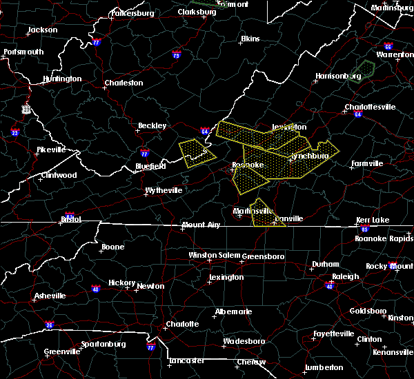 At 511 pm edt, severe thunderstorms were located along a line extending from near clifford to coleman falls to buchanan, moving southeast at 25 mph (radar indicated). Hazards include 60 mph wind gusts and quarter size hail. Hail damage to vehicles is expected. Expect wind damage to roofs, siding, and trees. At 511 pm edt, severe thunderstorms were located along a line extending from near clifford to coleman falls to buchanan, moving southeast at 25 mph (radar indicated). Hazards include 60 mph wind gusts and quarter size hail. Hail damage to vehicles is expected. Expect wind damage to roofs, siding, and trees.
|
| 8/12/2018 2:12 PM EDT |
 At 212 pm edt, a severe thunderstorm was located over madison heights, moving northeast at 30 mph (radar indicated). Hazards include 60 mph wind gusts and quarter size hail. Hail damage to vehicles is expected. Expect wind damage to roofs, siding, and trees. At 212 pm edt, a severe thunderstorm was located over madison heights, moving northeast at 30 mph (radar indicated). Hazards include 60 mph wind gusts and quarter size hail. Hail damage to vehicles is expected. Expect wind damage to roofs, siding, and trees.
|
| 8/8/2018 7:22 PM EDT |
 At 721 pm edt, severe thunderstorms were located along a line extending from near kents store to centenary to clifford, moving east at 25 mph (radar indicated. damage was reported just to the north with this same line of thunderstorms in albemarle county). Hazards include 60 mph wind gusts and quarter size hail. Hail damage to vehicles is expected. Expect wind damage to roofs, siding, and trees. At 721 pm edt, severe thunderstorms were located along a line extending from near kents store to centenary to clifford, moving east at 25 mph (radar indicated. damage was reported just to the north with this same line of thunderstorms in albemarle county). Hazards include 60 mph wind gusts and quarter size hail. Hail damage to vehicles is expected. Expect wind damage to roofs, siding, and trees.
|
| 8/1/2018 9:02 PM EDT |
 At 902 pm edt, severe thunderstorms were located along a line extending from near guinea mills to appomattox, moving northeast at 30 mph (radar indicated). Hazards include 60 mph wind gusts. Expect damage to roofs, siding, and trees. Locations impacted include, buckingham, appomattox, dillwyn, bent creek, and pamplin city. At 902 pm edt, severe thunderstorms were located along a line extending from near guinea mills to appomattox, moving northeast at 30 mph (radar indicated). Hazards include 60 mph wind gusts. Expect damage to roofs, siding, and trees. Locations impacted include, buckingham, appomattox, dillwyn, bent creek, and pamplin city.
|
| 8/1/2018 8:26 PM EDT |
 At 825 pm edt, severe thunderstorms were located along a line extending from near prospect to near hat creek, moving northeast at 30 mph (radar indicated). Hazards include 60 mph wind gusts. expect damage to roofs, siding, and trees At 825 pm edt, severe thunderstorms were located along a line extending from near prospect to near hat creek, moving northeast at 30 mph (radar indicated). Hazards include 60 mph wind gusts. expect damage to roofs, siding, and trees
|
| 8/1/2018 8:16 PM EDT |
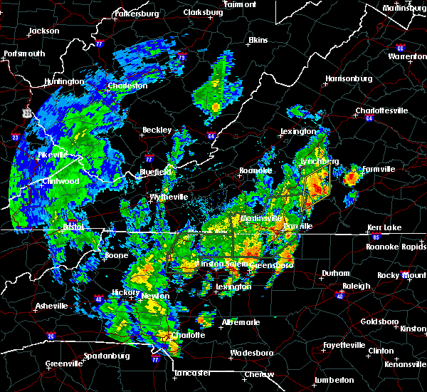 At 816 pm edt, severe thunderstorms were located along a line extending from concord to near nathalie, moving northeast at 30 mph (radar indicated). Hazards include 60 mph wind gusts. Expect damage to roofs, siding, and trees. Locations impacted include, appomattox, brookneal, concord, red house, and rustburg. At 816 pm edt, severe thunderstorms were located along a line extending from concord to near nathalie, moving northeast at 30 mph (radar indicated). Hazards include 60 mph wind gusts. Expect damage to roofs, siding, and trees. Locations impacted include, appomattox, brookneal, concord, red house, and rustburg.
|
| 8/1/2018 7:45 PM EDT |
 At 745 pm edt, severe thunderstorms were located along a line extending from near gladys to near ridgeway, moving northeast at 30 mph (radar indicated). Hazards include 60 mph wind gusts. expect damage to roofs, siding, and trees At 745 pm edt, severe thunderstorms were located along a line extending from near gladys to near ridgeway, moving northeast at 30 mph (radar indicated). Hazards include 60 mph wind gusts. expect damage to roofs, siding, and trees
|
| 7/27/2018 11:42 PM EDT |
 At 1141 pm edt, severe thunderstorms were located near hixburg and dillwyn, moving east at 25 mph (radar indicated). Hazards include 60 mph wind gusts and quarter size hail. Hail damage to vehicles is expected. expect wind damage to roofs, siding, and trees. Locations impacted include, buckingham, appomattox, dillwyn, phenix, and red house. At 1141 pm edt, severe thunderstorms were located near hixburg and dillwyn, moving east at 25 mph (radar indicated). Hazards include 60 mph wind gusts and quarter size hail. Hail damage to vehicles is expected. expect wind damage to roofs, siding, and trees. Locations impacted include, buckingham, appomattox, dillwyn, phenix, and red house.
|
| 7/27/2018 11:28 PM EDT |
 At 1126 pm edt, severe thunderstorms were located over cullen and near spring mills, moving east at 20 mph (radar indicated). Hazards include 60 mph wind gusts and quarter size hail. Hail damage to vehicles is expected. expect wind damage to roofs, siding, and trees. Locations impacted include, buckingham, appomattox, dillwyn, phenix, and red house. At 1126 pm edt, severe thunderstorms were located over cullen and near spring mills, moving east at 20 mph (radar indicated). Hazards include 60 mph wind gusts and quarter size hail. Hail damage to vehicles is expected. expect wind damage to roofs, siding, and trees. Locations impacted include, buckingham, appomattox, dillwyn, phenix, and red house.
|
| 7/27/2018 11:19 PM EDT |
 At 1114 pm edt, severe thunderstorms were located near evergreen, moving east at 25 mph (radar indicated). Hazards include 60 mph wind gusts and quarter size hail. Hail damage to vehicles is expected. Expect wind damage to roofs, siding, and trees. At 1114 pm edt, severe thunderstorms were located near evergreen, moving east at 25 mph (radar indicated). Hazards include 60 mph wind gusts and quarter size hail. Hail damage to vehicles is expected. Expect wind damage to roofs, siding, and trees.
|
| 5/10/2018 3:38 PM EDT |
 At 337 pm edt, severe thunderstorms were located along a line extending from toga to near tower hill to concord, moving east at 35 mph (radar indicated. this storm has a history of producing hail the size of quarters). Hazards include 60 mph wind gusts and quarter size hail. Hail damage to vehicles is expected. Expect wind damage to roofs, siding, and trees. At 337 pm edt, severe thunderstorms were located along a line extending from toga to near tower hill to concord, moving east at 35 mph (radar indicated. this storm has a history of producing hail the size of quarters). Hazards include 60 mph wind gusts and quarter size hail. Hail damage to vehicles is expected. Expect wind damage to roofs, siding, and trees.
|
| 4/15/2018 7:22 PM EDT |
 At 722 pm edt, severe thunderstorms were located along a line extending from near riverville to madisonville, moving northeast at 50 mph (radar indicated). Hazards include 60 mph wind gusts and quarter size hail. Hail damage to vehicles is expected. expect wind damage to roofs, siding, and trees. locations impacted include, lynchburg, buckingham, amherst, appomattox, and dillwyn. A tornado watch remains in effect until 1100 pm edt for central, south central and west central virginia. At 722 pm edt, severe thunderstorms were located along a line extending from near riverville to madisonville, moving northeast at 50 mph (radar indicated). Hazards include 60 mph wind gusts and quarter size hail. Hail damage to vehicles is expected. expect wind damage to roofs, siding, and trees. locations impacted include, lynchburg, buckingham, amherst, appomattox, and dillwyn. A tornado watch remains in effect until 1100 pm edt for central, south central and west central virginia.
|
| 4/15/2018 7:02 PM EDT |
 At 702 pm edt, severe thunderstorms were located along a line extending from near stonewall to near mt laurel, moving northeast at 55 mph (radar indicated). Hazards include 60 mph wind gusts and quarter size hail. Hail damage to vehicles is expected. expect wind damage to roofs, siding, and trees. locations impacted include, lynchburg, buckingham, amherst, appomattox, and brookneal. this includes the following locations liberty university and lynchburg airport. A tornado watch remains in effect until 1100 pm edt for central, south central and west central virginia. At 702 pm edt, severe thunderstorms were located along a line extending from near stonewall to near mt laurel, moving northeast at 55 mph (radar indicated). Hazards include 60 mph wind gusts and quarter size hail. Hail damage to vehicles is expected. expect wind damage to roofs, siding, and trees. locations impacted include, lynchburg, buckingham, amherst, appomattox, and brookneal. this includes the following locations liberty university and lynchburg airport. A tornado watch remains in effect until 1100 pm edt for central, south central and west central virginia.
|
| 4/15/2018 6:47 PM EDT |
 At 647 pm edt, severe thunderstorms were located along a line extending from near timberlake to mt laurel, moving northeast at 70 mph (radar indicated). Hazards include 60 mph wind gusts and quarter size hail. Hail damage to vehicles is expected. Expect wind damage to roofs, siding, and trees. At 647 pm edt, severe thunderstorms were located along a line extending from near timberlake to mt laurel, moving northeast at 70 mph (radar indicated). Hazards include 60 mph wind gusts and quarter size hail. Hail damage to vehicles is expected. Expect wind damage to roofs, siding, and trees.
|
| 1/12/2018 3:47 PM EST |
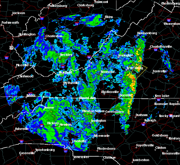 At 346 pm est, a severe thunderstorm was located near appomattox national historic park, moving northeast at 45 mph (radar indicated). Hazards include 60 mph wind gusts. Expect damage to roofs, siding, and trees. Locations impacted include, appomattox, bent creek, concord, rustburg, and appomattox national historic park. At 346 pm est, a severe thunderstorm was located near appomattox national historic park, moving northeast at 45 mph (radar indicated). Hazards include 60 mph wind gusts. Expect damage to roofs, siding, and trees. Locations impacted include, appomattox, bent creek, concord, rustburg, and appomattox national historic park.
|
| 1/12/2018 3:29 PM EST |
 At 322 pm est, a severe thunderstorm was located near spring mills, moving northeast at 45 mph (radar indicated). Hazards include 60 mph wind gusts. expect damage to roofs, siding, and trees At 322 pm est, a severe thunderstorm was located near spring mills, moving northeast at 45 mph (radar indicated). Hazards include 60 mph wind gusts. expect damage to roofs, siding, and trees
|
| 7/18/2017 4:22 PM EDT |
 The severe thunderstorm warning for central appomattox and central buckingham counties will expire at 430 pm edt, the storm which prompted the warning has weakened below severe limits, and has exited the warned area. therefore, the warning will be allowed to expire. when it is safe to do so, please send your reports of hail of any size, as well as reports of any wind damage, including downed trees or large limbs, to the national weather service by calling toll free at 1, 8 6 6, 2 1 5, 4 3 2 4. reports and pictures can also be shared on the national weather service blacksburg facebook page and on twitter. The severe thunderstorm warning for central appomattox and central buckingham counties will expire at 430 pm edt, the storm which prompted the warning has weakened below severe limits, and has exited the warned area. therefore, the warning will be allowed to expire. when it is safe to do so, please send your reports of hail of any size, as well as reports of any wind damage, including downed trees or large limbs, to the national weather service by calling toll free at 1, 8 6 6, 2 1 5, 4 3 2 4. reports and pictures can also be shared on the national weather service blacksburg facebook page and on twitter.
|
| 7/18/2017 4:01 PM EDT |
 At 339 pm edt, a severe thunderstorm was located over toga, moving southwest at 15 mph. a strong thunderstorm was located near evergreen moving south at 10 mph (radar indicated). Hazards include 60 mph wind gusts and quarter size hail. Hail damage to vehicles is expected. expect wind damage to roofs, siding, and trees. Locations impacted include, buckingham, appomattox, dillwyn, pamplin city, and toga. At 339 pm edt, a severe thunderstorm was located over toga, moving southwest at 15 mph. a strong thunderstorm was located near evergreen moving south at 10 mph (radar indicated). Hazards include 60 mph wind gusts and quarter size hail. Hail damage to vehicles is expected. expect wind damage to roofs, siding, and trees. Locations impacted include, buckingham, appomattox, dillwyn, pamplin city, and toga.
|
| 7/18/2017 3:40 PM EDT |
 At 339 pm edt, a severe thunderstorm was located over toga, moving southwest at 15 mph. a strong thunderstorm was located near evergreen moving south at 10 mph (radar indicated). Hazards include 60 mph wind gusts and quarter size hail. Hail damage to vehicles is expected. expect wind damage to roofs, siding, and trees. Locations impacted include, buckingham, appomattox, dillwyn, pamplin city, and toga. At 339 pm edt, a severe thunderstorm was located over toga, moving southwest at 15 mph. a strong thunderstorm was located near evergreen moving south at 10 mph (radar indicated). Hazards include 60 mph wind gusts and quarter size hail. Hail damage to vehicles is expected. expect wind damage to roofs, siding, and trees. Locations impacted include, buckingham, appomattox, dillwyn, pamplin city, and toga.
|
| 7/18/2017 3:22 PM EDT |
 At 322 pm edt, a severe thunderstorm was located over toga, moving southwest at 15 mph (radar indicated). Hazards include 60 mph wind gusts and quarter size hail. Hail damage to vehicles is expected. Expect wind damage to roofs, siding, and trees. At 322 pm edt, a severe thunderstorm was located over toga, moving southwest at 15 mph (radar indicated). Hazards include 60 mph wind gusts and quarter size hail. Hail damage to vehicles is expected. Expect wind damage to roofs, siding, and trees.
|
| 7/6/2017 6:35 PM EDT |
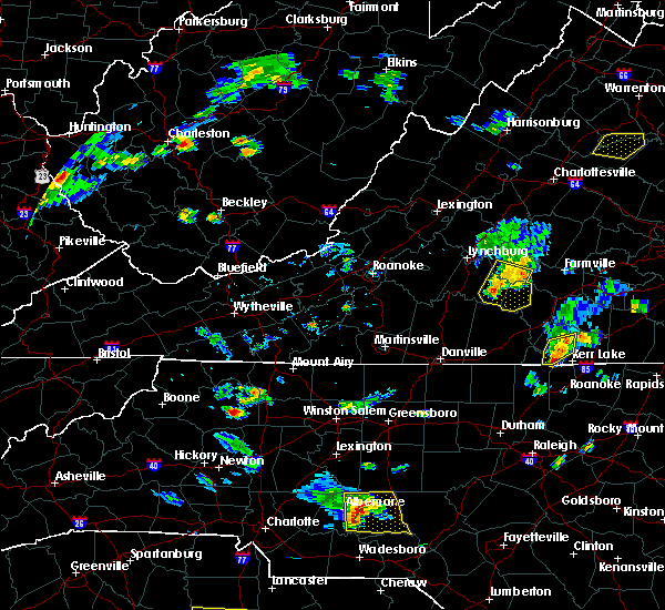 At 633 pm edt, severe thunderstorms with a history of producing wind damage in the form of downed trees were located along a line extending from evergreen through mike to near gladys, moving southeast at 25 mph (broadcast media relayed damage report). Hazards include 60 mph wind gusts. Expect damage to roofs, siding, and trees. Locations impacted include, appomattox, brookneal, phenix, red house, and pamplin city. At 633 pm edt, severe thunderstorms with a history of producing wind damage in the form of downed trees were located along a line extending from evergreen through mike to near gladys, moving southeast at 25 mph (broadcast media relayed damage report). Hazards include 60 mph wind gusts. Expect damage to roofs, siding, and trees. Locations impacted include, appomattox, brookneal, phenix, red house, and pamplin city.
|
| 7/6/2017 6:21 PM EDT |
 At 621 pm edt, severe thunderstorms were located along a line extending from near spout spring to spring mills to gladys, moving east at 30 mph (radar indicated). Hazards include 60 mph wind gusts. Expect damage to roofs, siding, and trees. Locations impacted include, appomattox, brookneal, phenix, red house, and concord. At 621 pm edt, severe thunderstorms were located along a line extending from near spout spring to spring mills to gladys, moving east at 30 mph (radar indicated). Hazards include 60 mph wind gusts. Expect damage to roofs, siding, and trees. Locations impacted include, appomattox, brookneal, phenix, red house, and concord.
|
| 7/6/2017 5:53 PM EDT |
 At 552 pm edt, severe thunderstorms were located along a line extending from near timberlake to evington to leesville, moving southeast at 25 mph (radar indicated). Hazards include 60 mph wind gusts. expect damage to roofs, siding, and trees At 552 pm edt, severe thunderstorms were located along a line extending from near timberlake to evington to leesville, moving southeast at 25 mph (radar indicated). Hazards include 60 mph wind gusts. expect damage to roofs, siding, and trees
|
| 5/19/2017 2:01 PM EDT |
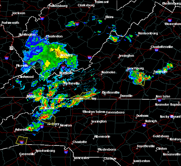 At 201 pm edt, severe thunderstorms were located along a line extending from spout spring to red house to aspen, moving east at 35 mph (radar indicated). Hazards include 60 mph wind gusts and quarter size hail. Minor damage to vehicles is possible. expect wind damage to trees and power lines. Locations impacted include, phenix, red house, pamplin city, madisonville, and cullen. At 201 pm edt, severe thunderstorms were located along a line extending from spout spring to red house to aspen, moving east at 35 mph (radar indicated). Hazards include 60 mph wind gusts and quarter size hail. Minor damage to vehicles is possible. expect wind damage to trees and power lines. Locations impacted include, phenix, red house, pamplin city, madisonville, and cullen.
|
| 5/19/2017 1:46 PM EDT |
 At 146 pm edt, severe thunderstorms were located along a line extending from timberlake to near rustburg to near mike to near brookneal, moving east at 30 mph (radar indicated). Hazards include 60 mph wind gusts and quarter size hail. Minor damage to vehicles is possible. expect wind damage to trees and power lines. Locations impacted include, appomattox, brookneal, phenix, red house, and concord. At 146 pm edt, severe thunderstorms were located along a line extending from timberlake to near rustburg to near mike to near brookneal, moving east at 30 mph (radar indicated). Hazards include 60 mph wind gusts and quarter size hail. Minor damage to vehicles is possible. expect wind damage to trees and power lines. Locations impacted include, appomattox, brookneal, phenix, red house, and concord.
|
| 5/19/2017 1:35 PM EDT |
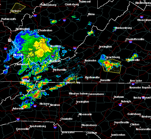 At 134 pm edt, severe thunderstorms were located along a line extending from near goode to rustburg to near gladys to cody, moving east at 25 mph (radar indicated). Hazards include 60 mph wind gusts and quarter size hail. Minor damage to vehicles is possible. expect wind damage to trees and power lines. Locations impacted include, altavista, appomattox, brookneal, phenix, and red house. At 134 pm edt, severe thunderstorms were located along a line extending from near goode to rustburg to near gladys to cody, moving east at 25 mph (radar indicated). Hazards include 60 mph wind gusts and quarter size hail. Minor damage to vehicles is possible. expect wind damage to trees and power lines. Locations impacted include, altavista, appomattox, brookneal, phenix, and red house.
|
| 5/19/2017 1:25 PM EDT |
 At 125 pm edt, severe thunderstorms were located along a line extending from goode to near rustburg to near gladys to near mt airy, moving east at 25 mph (radar indicated). Hazards include 60 mph wind gusts and quarter size hail. Minor damage to vehicles is possible. Expect wind damage to trees and power lines. At 125 pm edt, severe thunderstorms were located along a line extending from goode to near rustburg to near gladys to near mt airy, moving east at 25 mph (radar indicated). Hazards include 60 mph wind gusts and quarter size hail. Minor damage to vehicles is possible. Expect wind damage to trees and power lines.
|
| 5/10/2017 10:21 PM EDT |
 At 1020 pm edt, a severe thunderstorm was located near spring mills, moving southeast at 30 mph (radar indicated). Hazards include 60 mph wind gusts and quarter size hail. Minor damage to vehicles is possible. expect wind damage to trees and power lines. Locations impacted include, appomattox, red house, concord, rustburg, and pamplin city. At 1020 pm edt, a severe thunderstorm was located near spring mills, moving southeast at 30 mph (radar indicated). Hazards include 60 mph wind gusts and quarter size hail. Minor damage to vehicles is possible. expect wind damage to trees and power lines. Locations impacted include, appomattox, red house, concord, rustburg, and pamplin city.
|
| 5/10/2017 10:07 PM EDT |
 At 1006 pm edt, a severe thunderstorm was located over concord, moving southeast at 25 mph (radar indicated). Hazards include 60 mph wind gusts and quarter size hail. Minor damage to vehicles is possible. expect wind damage to trees and power lines. Locations impacted include, appomattox, red house, concord, rustburg, and pamplin city. At 1006 pm edt, a severe thunderstorm was located over concord, moving southeast at 25 mph (radar indicated). Hazards include 60 mph wind gusts and quarter size hail. Minor damage to vehicles is possible. expect wind damage to trees and power lines. Locations impacted include, appomattox, red house, concord, rustburg, and pamplin city.
|
| 5/10/2017 9:45 PM EDT |
 At 945 pm edt, a severe thunderstorm was located over madison heights, moving southeast at 25 mph (radar indicated). Hazards include 60 mph wind gusts and quarter size hail. Minor damage to vehicles is possible. Expect wind damage to trees and power lines. At 945 pm edt, a severe thunderstorm was located over madison heights, moving southeast at 25 mph (radar indicated). Hazards include 60 mph wind gusts and quarter size hail. Minor damage to vehicles is possible. Expect wind damage to trees and power lines.
|
| 5/10/2017 8:02 PM EDT |
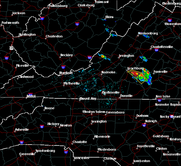 At 801 pm edt, a severe thunderstorm was located over concord, moving southeast at 20 mph (radar indicated). Hazards include 60 mph wind gusts and quarter size hail. Minor damage to vehicles is possible. expect wind damage to trees and power lines. Locations impacted include, appomattox, phenix, red house, concord, and rustburg. At 801 pm edt, a severe thunderstorm was located over concord, moving southeast at 20 mph (radar indicated). Hazards include 60 mph wind gusts and quarter size hail. Minor damage to vehicles is possible. expect wind damage to trees and power lines. Locations impacted include, appomattox, phenix, red house, concord, and rustburg.
|
| 5/10/2017 7:44 PM EDT | 2 trees down on police tower road in appomattox county VA, 2.7 miles ESE of Appomattox, VA |
| 5/10/2017 7:39 PM EDT |
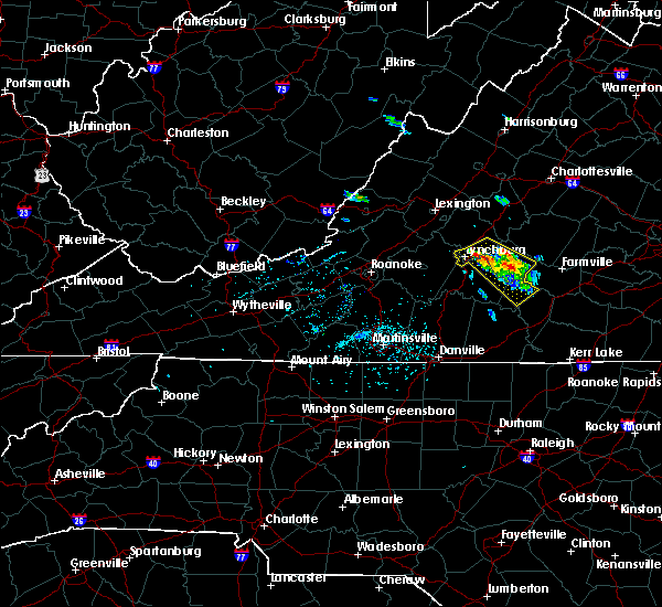 At 738 pm edt, a severe thunderstorm was located near stonewall, moving southeast at 35 mph (radar indicated). Hazards include 60 mph wind gusts and quarter size hail. Minor damage to vehicles is possible. Expect wind damage to trees and power lines. At 738 pm edt, a severe thunderstorm was located near stonewall, moving southeast at 35 mph (radar indicated). Hazards include 60 mph wind gusts and quarter size hail. Minor damage to vehicles is possible. Expect wind damage to trees and power lines.
|
| 5/5/2017 5:32 AM EDT |
 At 531 am edt, severe thunderstorms were located along a line extending from near shipman to evergreen, moving northeast at 40 mph (radar indicated). Hazards include 60 mph wind gusts. Expect damage to trees and power lines. Locations impacted include, buckingham, appomattox, dillwyn, bent creek, and pamplin city. At 531 am edt, severe thunderstorms were located along a line extending from near shipman to evergreen, moving northeast at 40 mph (radar indicated). Hazards include 60 mph wind gusts. Expect damage to trees and power lines. Locations impacted include, buckingham, appomattox, dillwyn, bent creek, and pamplin city.
|
| 5/5/2017 5:14 AM EDT |
 At 514 am edt, severe thunderstorms were located along a line extending from amherst to near spring mills, moving northeast at 40 mph (radar indicated). Hazards include 60 mph wind gusts. expect damage to trees and power lines At 514 am edt, severe thunderstorms were located along a line extending from amherst to near spring mills, moving northeast at 40 mph (radar indicated). Hazards include 60 mph wind gusts. expect damage to trees and power lines
|
| 5/1/2017 7:35 PM EDT |
 At 734 pm edt, severe thunderstorms were located along a line extending from tower hill to near alton, moving northeast at 30 mph (radar indicated). Hazards include 60 mph wind gusts and quarter size hail. Minor damage to vehicles is possible. expect wind damage to trees and power lines. Locations impacted include, buckingham, south boston, appomattox, halifax, and brookneal. At 734 pm edt, severe thunderstorms were located along a line extending from tower hill to near alton, moving northeast at 30 mph (radar indicated). Hazards include 60 mph wind gusts and quarter size hail. Minor damage to vehicles is possible. expect wind damage to trees and power lines. Locations impacted include, buckingham, south boston, appomattox, halifax, and brookneal.
|
| 5/1/2017 6:58 PM EDT |
 At 658 pm edt, severe thunderstorms were located along a line extending from lynchburg to near hamer, moving east at 35 mph (radar indicated). Hazards include 60 mph wind gusts and quarter size hail. Minor damage to vehicles is possible. Expect wind damage to trees and power lines. At 658 pm edt, severe thunderstorms were located along a line extending from lynchburg to near hamer, moving east at 35 mph (radar indicated). Hazards include 60 mph wind gusts and quarter size hail. Minor damage to vehicles is possible. Expect wind damage to trees and power lines.
|
| 5/1/2017 6:01 PM EDT |
 At 600 pm edt, a severe thunderstorm was located near wingina, moving northeast at 45 mph (radar indicated). Hazards include 60 mph wind gusts and quarter size hail. Minor damage to vehicles is possible. expect wind damage to trees and power lines. Locations impacted include, buckingham, appomattox, dillwyn, bent creek, and toga. At 600 pm edt, a severe thunderstorm was located near wingina, moving northeast at 45 mph (radar indicated). Hazards include 60 mph wind gusts and quarter size hail. Minor damage to vehicles is possible. expect wind damage to trees and power lines. Locations impacted include, buckingham, appomattox, dillwyn, bent creek, and toga.
|
| 5/1/2017 5:35 PM EDT |
 At 534 pm edt, a severe thunderstorm was located near wingina, moving northeast at 35 mph. a second strong thunderstorm was located just east of concord moving northeast at 40 mph (radar indicated). Hazards include 60 mph wind gusts and quarter size hail. Minor damage to vehicles is possible. expect wind damage to trees and power lines. Locations impacted include, buckingham, appomattox, dillwyn, bent creek, and appomattox national historic park. At 534 pm edt, a severe thunderstorm was located near wingina, moving northeast at 35 mph. a second strong thunderstorm was located just east of concord moving northeast at 40 mph (radar indicated). Hazards include 60 mph wind gusts and quarter size hail. Minor damage to vehicles is possible. expect wind damage to trees and power lines. Locations impacted include, buckingham, appomattox, dillwyn, bent creek, and appomattox national historic park.
|
| 5/1/2017 5:16 PM EDT |
 At 515 pm edt, a severe thunderstorm was located over oakville, moving northeast at 25 mph (radar indicated). Hazards include 60 mph wind gusts and quarter size hail. Minor damage to vehicles is possible. Expect wind damage to trees and power lines. At 515 pm edt, a severe thunderstorm was located over oakville, moving northeast at 25 mph (radar indicated). Hazards include 60 mph wind gusts and quarter size hail. Minor damage to vehicles is possible. Expect wind damage to trees and power lines.
|
| 4/22/2017 3:28 PM EDT |
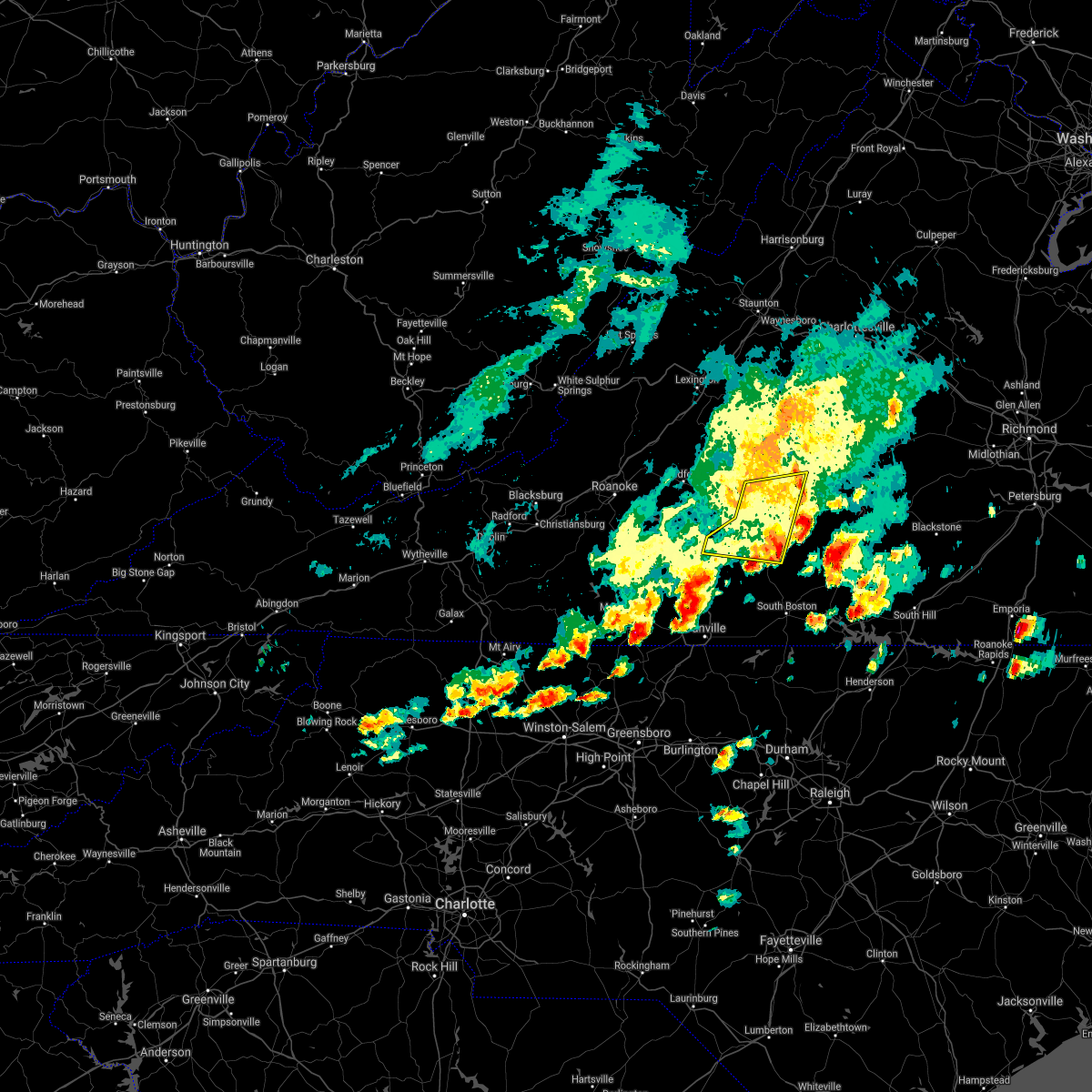 The severe thunderstorm warning for southwestern appomattox, campbell, northeastern pittsylvania and northwestern halifax counties will expire at 330 pm edt, the storms which prompted the warning have weakened below severe limits, and no longer pose an immediate threat to life or property. therefore the warning will be allowed to expire. however small hail and heavy rain are still possible with these thunderstorms. a severe thunderstorm watch remains in effect until 900 pm edt for central and south central virginia. when it is safe to do so, please send your reports of hail of any size, as well as reports of any wind damage, including downed trees or large limbs, to the national weather service by calling toll free at 1, 8 6 6, 2 1 5, 4 3 2 4. reports and pictures can also be shared on the national weather service blacksburg facebook page and on twitter. The severe thunderstorm warning for southwestern appomattox, campbell, northeastern pittsylvania and northwestern halifax counties will expire at 330 pm edt, the storms which prompted the warning have weakened below severe limits, and no longer pose an immediate threat to life or property. therefore the warning will be allowed to expire. however small hail and heavy rain are still possible with these thunderstorms. a severe thunderstorm watch remains in effect until 900 pm edt for central and south central virginia. when it is safe to do so, please send your reports of hail of any size, as well as reports of any wind damage, including downed trees or large limbs, to the national weather service by calling toll free at 1, 8 6 6, 2 1 5, 4 3 2 4. reports and pictures can also be shared on the national weather service blacksburg facebook page and on twitter.
|
| 4/22/2017 2:58 PM EDT |
 At 257 pm edt, severe thunderstorms were located along a line extending from rustburg to near straightstone, moving east at 45 mph (radar indicated). Hazards include 60 mph wind gusts and quarter size hail. Hail damage to vehicles is expected. expect wind damage to roofs, siding, and trees. Locations impacted include, altavista, appomattox, hurt, brookneal, and concord. At 257 pm edt, severe thunderstorms were located along a line extending from rustburg to near straightstone, moving east at 45 mph (radar indicated). Hazards include 60 mph wind gusts and quarter size hail. Hail damage to vehicles is expected. expect wind damage to roofs, siding, and trees. Locations impacted include, altavista, appomattox, hurt, brookneal, and concord.
|
| 4/22/2017 2:37 PM EDT |
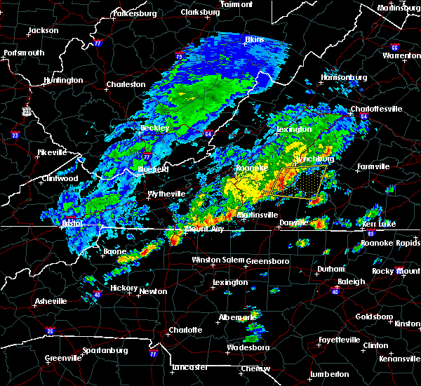 At 236 pm edt, severe thunderstorms were located along a line extending from near evington to near leesville, moving east at 30 mph (radar indicated). Hazards include 60 mph wind gusts and quarter size hail. Hail damage to vehicles is expected. Expect wind damage to roofs, siding, and trees. At 236 pm edt, severe thunderstorms were located along a line extending from near evington to near leesville, moving east at 30 mph (radar indicated). Hazards include 60 mph wind gusts and quarter size hail. Hail damage to vehicles is expected. Expect wind damage to roofs, siding, and trees.
|
| 3/1/2017 1:14 PM EST |
 At 114 pm est, severe thunderstorms with a history of producing wind damage were located along a line extending from near centenary to near toga to near appomattox, moving east at 55 mph (radar indicated). Hazards include 60 mph wind gusts. Expect damage to roofs, siding, and trees. Locations impacted include, buckingham, appomattox, dillwyn, bent creek, and appomattox national historic park. At 114 pm est, severe thunderstorms with a history of producing wind damage were located along a line extending from near centenary to near toga to near appomattox, moving east at 55 mph (radar indicated). Hazards include 60 mph wind gusts. Expect damage to roofs, siding, and trees. Locations impacted include, buckingham, appomattox, dillwyn, bent creek, and appomattox national historic park.
|
| 3/1/2017 1:10 PM EST | A tree was blown down along vermillion roa in appomattox county VA, 4.3 miles SSW of Appomattox, VA |
| 3/1/2017 12:33 PM EST |
 At 1231 pm est, severe thunderstorms with a history of producing wind damage weas located along a line extending from 7 miles north of lowesville to near forks of buffalo to coleman falls, moving east at 70 mph (radar indicated). Hazards include 60 mph wind gusts. expect damage to roofs, siding, and trees At 1231 pm est, severe thunderstorms with a history of producing wind damage weas located along a line extending from 7 miles north of lowesville to near forks of buffalo to coleman falls, moving east at 70 mph (radar indicated). Hazards include 60 mph wind gusts. expect damage to roofs, siding, and trees
|
| 9/28/2016 6:07 PM EDT |
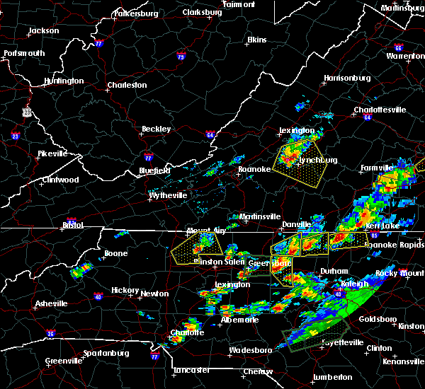 At 606 pm edt, severe thunderstorms were located along a line extending from near pleasant view to near boonsboro to near forest, moving east at 40 mph (radar indicated). Hazards include golf ball size hail and 60 mph wind gusts. People and animals outdoors will be injured. expect hail damage to roofs, siding, windows, and vehicles. expect wind damage to roofs, siding, and trees. locations impacted include, lynchburg, bedford, amherst, appomattox, and rustburg. This includes the following locations liberty university and lynchburg airport. At 606 pm edt, severe thunderstorms were located along a line extending from near pleasant view to near boonsboro to near forest, moving east at 40 mph (radar indicated). Hazards include golf ball size hail and 60 mph wind gusts. People and animals outdoors will be injured. expect hail damage to roofs, siding, windows, and vehicles. expect wind damage to roofs, siding, and trees. locations impacted include, lynchburg, bedford, amherst, appomattox, and rustburg. This includes the following locations liberty university and lynchburg airport.
|
| 9/28/2016 5:44 PM EDT |
 At 544 pm edt, severe thunderstorms were located along a line extending from big island to near coleman falls to near goode, moving east at 35 mph (radar indicated). Hazards include 60 mph wind gusts and quarter size hail. Hail damage to vehicles is expected. Expect wind damage to roofs, siding, and trees. At 544 pm edt, severe thunderstorms were located along a line extending from big island to near coleman falls to near goode, moving east at 35 mph (radar indicated). Hazards include 60 mph wind gusts and quarter size hail. Hail damage to vehicles is expected. Expect wind damage to roofs, siding, and trees.
|
| 9/28/2016 12:10 AM EDT |
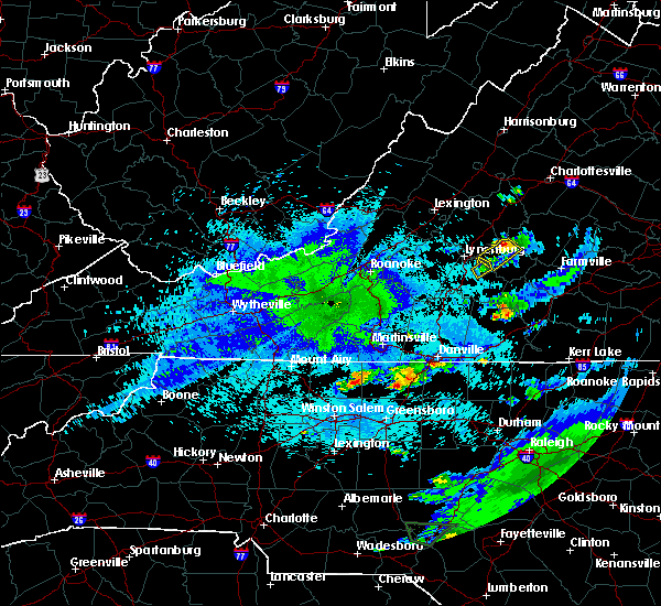 A severe thunderstorm warning remains in effect until 1245 am edt for northwestern appomattox county. at 1209 am edt. a severe thunderstorm was located over stonewall. moving northeast at 25 mph. hazard. 60 mph wind gusts and quarter size hail. source. Radar indicated. A severe thunderstorm warning remains in effect until 1245 am edt for northwestern appomattox county. at 1209 am edt. a severe thunderstorm was located over stonewall. moving northeast at 25 mph. hazard. 60 mph wind gusts and quarter size hail. source. Radar indicated.
|
| 9/27/2016 11:49 PM EDT |
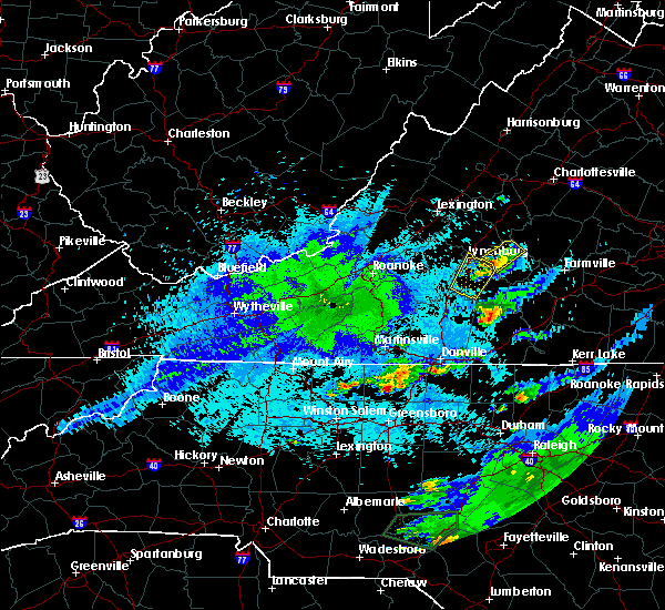 At 1148 pm edt, a severe thunderstorm was located near concord, moving northeast at 25 mph (radar indicated). Hazards include 60 mph wind gusts and quarter size hail. Hail damage to vehicles is expected. Expect wind damage to roofs, siding, and trees. At 1148 pm edt, a severe thunderstorm was located near concord, moving northeast at 25 mph (radar indicated). Hazards include 60 mph wind gusts and quarter size hail. Hail damage to vehicles is expected. Expect wind damage to roofs, siding, and trees.
|
| 7/30/2016 8:06 PM EDT | Tree down on liberty chapel r in appomattox county VA, 7 miles S of Appomattox, VA |
| 7/30/2016 7:53 PM EDT | Tree down on watt abitt roa in appomattox county VA, 10.1 miles SSW of Appomattox, VA |
| 7/30/2016 7:49 PM EDT | Two trees down on route 61 in appomattox county VA, 8.5 miles S of Appomattox, VA |
| 7/28/2016 11:51 PM EDT |
 The severe thunderstorm warning for appomattox county will expire at 1200 am edt, the storm which prompted the warning has moved out of the area. therefore the warning will be allowed to expire. when it is safe to do so, please send your reports of hail of any size, as well as any reports of wind damage, including downed trees or large limbs, to the national weather service by calling toll free at 1, 8 6 6, 2 1 5, 4 3 2 4. reports and pictures can also be shared on the national weather service blacksburg facebook page and on twitter. The severe thunderstorm warning for appomattox county will expire at 1200 am edt, the storm which prompted the warning has moved out of the area. therefore the warning will be allowed to expire. when it is safe to do so, please send your reports of hail of any size, as well as any reports of wind damage, including downed trees or large limbs, to the national weather service by calling toll free at 1, 8 6 6, 2 1 5, 4 3 2 4. reports and pictures can also be shared on the national weather service blacksburg facebook page and on twitter.
|
| 7/28/2016 11:42 PM EDT |
 At 1141 pm edt, a severe thunderstorm was located over appomattox, moving east at 40 mph (radar indicated). Hazards include 60 mph wind gusts. Expect damage to roofs. siding. and trees. Locations impacted include, appomattox, bent creek, pamplin city, oakville, and stonewall. At 1141 pm edt, a severe thunderstorm was located over appomattox, moving east at 40 mph (radar indicated). Hazards include 60 mph wind gusts. Expect damage to roofs. siding. and trees. Locations impacted include, appomattox, bent creek, pamplin city, oakville, and stonewall.
|
| 7/28/2016 11:26 PM EDT |
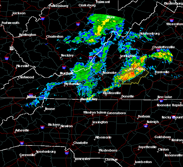 At 1126 pm edt, a severe thunderstorm was located near rustburg, moving east at 20 mph (radar indicated). Hazards include 60 mph wind gusts. Expect damage to roofs. siding. and trees. Locations impacted include, altavista, appomattox, hurt, brookneal, and rustburg. At 1126 pm edt, a severe thunderstorm was located near rustburg, moving east at 20 mph (radar indicated). Hazards include 60 mph wind gusts. Expect damage to roofs. siding. and trees. Locations impacted include, altavista, appomattox, hurt, brookneal, and rustburg.
|
| 7/28/2016 10:55 PM EDT |
 At 1054 pm edt, a severe thunderstorm was located near evington, moving east at 40 mph (radar indicated). Hazards include 60 mph wind gusts. Expect damage to roofs. siding. And trees. At 1054 pm edt, a severe thunderstorm was located near evington, moving east at 40 mph (radar indicated). Hazards include 60 mph wind gusts. Expect damage to roofs. siding. And trees.
|
| 7/28/2016 7:10 PM EDT |
 At 709 pm edt, severe thunderstorms were located along a line extending from wingina to near toga to appomattox national historic park, moving east at 30 mph (radar indicated). Hazards include 60 mph wind gusts. Expect damage to roofs. siding. And trees. At 709 pm edt, severe thunderstorms were located along a line extending from wingina to near toga to appomattox national historic park, moving east at 30 mph (radar indicated). Hazards include 60 mph wind gusts. Expect damage to roofs. siding. And trees.
|
| 7/28/2016 6:55 PM EDT |
 At 655 pm edt, severe thunderstorms were located along a line extending from riverville to near spout spring, moving east at 30 mph (radar indicated). Hazards include 60 mph wind gusts. Expect damage to roofs. siding. and trees. Locations impacted include, buckingham, appomattox, bent creek, oakville, and andersonville. At 655 pm edt, severe thunderstorms were located along a line extending from riverville to near spout spring, moving east at 30 mph (radar indicated). Hazards include 60 mph wind gusts. Expect damage to roofs. siding. and trees. Locations impacted include, buckingham, appomattox, bent creek, oakville, and andersonville.
|
| 7/28/2016 6:43 PM EDT |
 At 643 pm edt, a severe thunderstorm was located over stonewall, moving east at 35 mph (radar indicated). Hazards include 60 mph wind gusts. Expect damage to roofs. siding. and trees. Locations impacted include, buckingham, appomattox, bent creek, concord, and andersonville. At 643 pm edt, a severe thunderstorm was located over stonewall, moving east at 35 mph (radar indicated). Hazards include 60 mph wind gusts. Expect damage to roofs. siding. and trees. Locations impacted include, buckingham, appomattox, bent creek, concord, and andersonville.
|
| 7/28/2016 6:17 PM EDT |
 At 616 pm edt, a severe thunderstorm was located over lynchburg, moving east at 35 mph (radar indicated). Hazards include 70 mph wind gusts and quarter size hail. Hail damage to vehicles is expected. expect considerable tree damage. Wind damage is also likely to mobile homes, roofs, and outbuildings. At 616 pm edt, a severe thunderstorm was located over lynchburg, moving east at 35 mph (radar indicated). Hazards include 70 mph wind gusts and quarter size hail. Hail damage to vehicles is expected. expect considerable tree damage. Wind damage is also likely to mobile homes, roofs, and outbuildings.
|
| 7/26/2016 9:46 PM EDT |
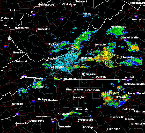 At 945 pm edt, severe thunderstorms were located along a line extending from near riverville to near concord to evington, moving southeast at 25 mph (radar indicated). Hazards include 60 mph wind gusts. Expect damage to roofs. siding. And trees. At 945 pm edt, severe thunderstorms were located along a line extending from near riverville to near concord to evington, moving southeast at 25 mph (radar indicated). Hazards include 60 mph wind gusts. Expect damage to roofs. siding. And trees.
|
| 7/14/2016 4:10 PM EDT |
 At 410 pm edt, a severe thunderstorm was located over evergreen, moving east at 35 mph (radar indicated). Hazards include 60 mph wind gusts and quarter size hail. Hail damage to vehicles is expected. expect wind damage to roofs, siding, and trees. Locations impacted include, appomattox, concord, pamplin city, stonewall, and hixburg. At 410 pm edt, a severe thunderstorm was located over evergreen, moving east at 35 mph (radar indicated). Hazards include 60 mph wind gusts and quarter size hail. Hail damage to vehicles is expected. expect wind damage to roofs, siding, and trees. Locations impacted include, appomattox, concord, pamplin city, stonewall, and hixburg.
|
| 7/14/2016 4:01 PM EDT |
 At 400 pm edt, a severe thunderstorm was located over spring mills, moving east at 35 mph (radar indicated). Hazards include 60 mph wind gusts and quarter size hail. Hail damage to vehicles is expected. expect wind damage to roofs, siding, and trees. Locations impacted include, appomattox, rustburg, concord, pamplin city, and evergreen. At 400 pm edt, a severe thunderstorm was located over spring mills, moving east at 35 mph (radar indicated). Hazards include 60 mph wind gusts and quarter size hail. Hail damage to vehicles is expected. expect wind damage to roofs, siding, and trees. Locations impacted include, appomattox, rustburg, concord, pamplin city, and evergreen.
|
| 7/14/2016 3:46 PM EDT |
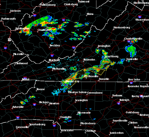 At 346 pm edt, a severe thunderstorm was located over rustburg, moving east at 35 mph (radar indicated). Hazards include 60 mph wind gusts and quarter size hail. Hail damage to vehicles is expected. Expect wind damage to roofs, siding, and trees. At 346 pm edt, a severe thunderstorm was located over rustburg, moving east at 35 mph (radar indicated). Hazards include 60 mph wind gusts and quarter size hail. Hail damage to vehicles is expected. Expect wind damage to roofs, siding, and trees.
|
| 6/28/2016 8:17 PM EDT |
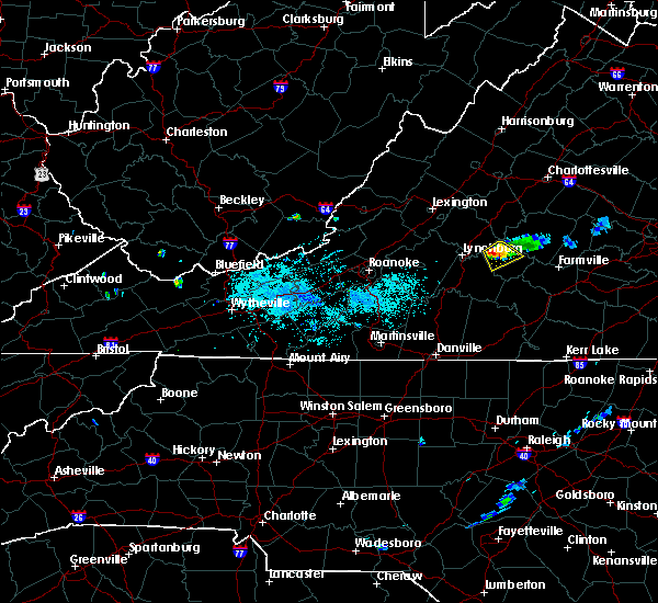 At 816 pm edt, a severe thunderstorm was located near spout spring, moving south at 20 mph (radar indicated). Hazards include 60 mph wind gusts. Expect damage to roofs. siding. and trees. Locations impacted include, appomattox, appomattox national historic park, oakville, stonewall, and spout spring. At 816 pm edt, a severe thunderstorm was located near spout spring, moving south at 20 mph (radar indicated). Hazards include 60 mph wind gusts. Expect damage to roofs. siding. and trees. Locations impacted include, appomattox, appomattox national historic park, oakville, stonewall, and spout spring.
|
| 6/28/2016 8:04 PM EDT |
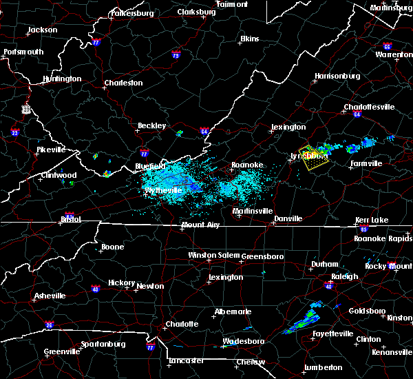 At 804 pm edt, a severe thunderstorm was located near riverville, moving southeast at 10 mph (radar indicated). Hazards include 60 mph wind gusts and penny size hail. Expect damage to roofs. siding. and trees. Locations impacted include, appomattox, bent creek, oakville, riverville, and stonewall. At 804 pm edt, a severe thunderstorm was located near riverville, moving southeast at 10 mph (radar indicated). Hazards include 60 mph wind gusts and penny size hail. Expect damage to roofs. siding. and trees. Locations impacted include, appomattox, bent creek, oakville, riverville, and stonewall.
|
| 6/28/2016 7:52 PM EDT |
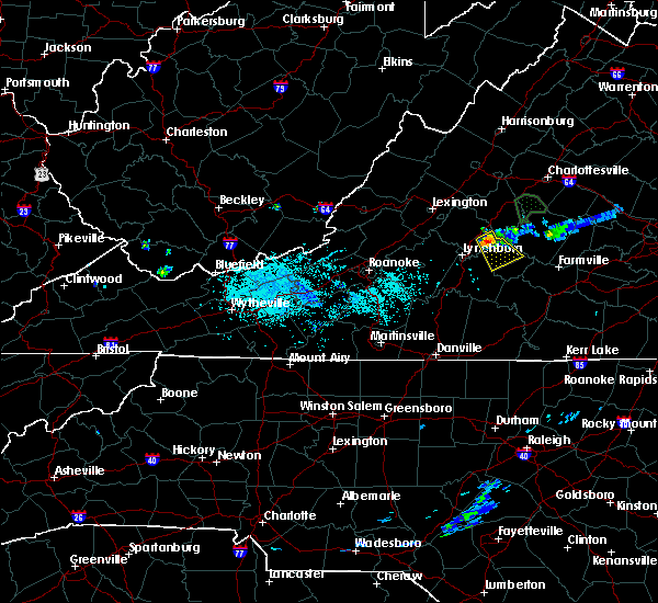 At 751 pm edt, a severe thunderstorm was located over riverville, moving southeast at 15 mph (radar indicated). Hazards include 60 mph wind gusts. Expect damage to roofs. siding. And trees. At 751 pm edt, a severe thunderstorm was located over riverville, moving southeast at 15 mph (radar indicated). Hazards include 60 mph wind gusts. Expect damage to roofs. siding. And trees.
|
| 6/27/2016 8:23 PM EDT |
 The severe thunderstorm warning for appomattox, southeastern amherst, northeastern campbell counties and the city of lynchburg will expire at 830 pm edt, the storms which prompted the warning have weakened. therefore the warning will be allowed to expire. moderate to heavy rainfall and gusty winds will continue across the area for another 30 minutes to an hour. when it is safe to do so, please send your reports of hail of any size, as well as any reports of wind damage, including downed trees or large limbs, to the national weather service by calling toll free at 1, 8 6 6, 2 1 5, 4 3 2 4. reports and pictures can also be shared on the national weather service blacksburg facebook page and on twitter. The severe thunderstorm warning for appomattox, southeastern amherst, northeastern campbell counties and the city of lynchburg will expire at 830 pm edt, the storms which prompted the warning have weakened. therefore the warning will be allowed to expire. moderate to heavy rainfall and gusty winds will continue across the area for another 30 minutes to an hour. when it is safe to do so, please send your reports of hail of any size, as well as any reports of wind damage, including downed trees or large limbs, to the national weather service by calling toll free at 1, 8 6 6, 2 1 5, 4 3 2 4. reports and pictures can also be shared on the national weather service blacksburg facebook page and on twitter.
|
| 6/27/2016 7:58 PM EDT |
 At 756 pm edt, severe thunderstorms were located along a line extending from near gold hill to andersonville to near tower hill, moving east at 45 mph (radar indicated). Hazards include 60 mph wind gusts. Expect damage to roofs. siding. and trees. locations impacted include, lynchburg, appomattox, rustburg, concord, and bent creek. This includes liberty university and lynchburg airport. At 756 pm edt, severe thunderstorms were located along a line extending from near gold hill to andersonville to near tower hill, moving east at 45 mph (radar indicated). Hazards include 60 mph wind gusts. Expect damage to roofs. siding. and trees. locations impacted include, lynchburg, appomattox, rustburg, concord, and bent creek. This includes liberty university and lynchburg airport.
|
| 6/27/2016 7:28 PM EDT |
 At 727 pm edt, severe thunderstorms were located along a line extending from near tower hill to near oakville to madison heights, moving east at 45 mph (radar indicated). Hazards include 60 mph wind gusts. Expect damage to roofs. siding. And trees. At 727 pm edt, severe thunderstorms were located along a line extending from near tower hill to near oakville to madison heights, moving east at 45 mph (radar indicated). Hazards include 60 mph wind gusts. Expect damage to roofs. siding. And trees.
|
| 6/23/2016 2:49 PM EDT |
 At 249 pm edt, severe thunderstorms were located along a line extending from coleman falls to bedford, moving southeast at 35 mph (radar indicated). Hazards include 60 mph wind gusts and half dollar size hail. Hail damage to vehicles is expected. expect wind damage to roofs, siding, and trees. locations impacted include, lynchburg, bedford, appomattox, rustburg, and huddleston. This includes the following locations liberty university, the national d day memorial, and lynchburg airport. At 249 pm edt, severe thunderstorms were located along a line extending from coleman falls to bedford, moving southeast at 35 mph (radar indicated). Hazards include 60 mph wind gusts and half dollar size hail. Hail damage to vehicles is expected. expect wind damage to roofs, siding, and trees. locations impacted include, lynchburg, bedford, appomattox, rustburg, and huddleston. This includes the following locations liberty university, the national d day memorial, and lynchburg airport.
|
| 6/23/2016 2:31 PM EDT |
 At 231 pm edt, severe thunderstorms were located along a line extending from big island to near lithia, moving southeast at 40 mph (radar indicated). Hazards include 60 mph wind gusts. Expect damage to roofs. siding. And trees. At 231 pm edt, severe thunderstorms were located along a line extending from big island to near lithia, moving southeast at 40 mph (radar indicated). Hazards include 60 mph wind gusts. Expect damage to roofs. siding. And trees.
|
| 6/16/2016 9:51 PM EDT |
 At 950 pm edt, severe thunderstorms were located along a line extending from appomattox to near rustburg to near moneta, moving southeast at 30 mph (radar indicated). Hazards include 60 mph wind gusts and quarter size hail. Hail damage to vehicles is expected. expect wind damage to roofs, siding, and trees. locations impacted include, lynchburg, bedford, altavista, appomattox, and hurt. This includes the following locations liberty university, the national d day memorial, and lynchburg airport. At 950 pm edt, severe thunderstorms were located along a line extending from appomattox to near rustburg to near moneta, moving southeast at 30 mph (radar indicated). Hazards include 60 mph wind gusts and quarter size hail. Hail damage to vehicles is expected. expect wind damage to roofs, siding, and trees. locations impacted include, lynchburg, bedford, altavista, appomattox, and hurt. This includes the following locations liberty university, the national d day memorial, and lynchburg airport.
|
| 6/16/2016 9:42 PM EDT | The severe thunderstorm warning for central appomattox. southeastern amherst and buckingham counties will expire at 945 pm edt. the storms which prompted the warning have moved out of the area. therefore the warning will be allowed to expire. however. Gusty winds and heavy rain from an additional line are still possible with. |
| 6/16/2016 9:26 PM EDT |
 At 926 pm edt, severe thunderstorms producing very heavy wind gusts were located along a line extending from near lakeside village through dillwyn to near tower hill, moving southeast at 30 mph (radar indicated). Hazards include 60 mph wind gusts and quarter size hail. Hail damage to vehicles is expected. expect wind damage to roofs, siding, and trees. Locations impacted include, buckingham, amherst, appomattox, dillwyn, and bent creek. At 926 pm edt, severe thunderstorms producing very heavy wind gusts were located along a line extending from near lakeside village through dillwyn to near tower hill, moving southeast at 30 mph (radar indicated). Hazards include 60 mph wind gusts and quarter size hail. Hail damage to vehicles is expected. expect wind damage to roofs, siding, and trees. Locations impacted include, buckingham, amherst, appomattox, dillwyn, and bent creek.
|
| 6/16/2016 9:14 PM EDT |
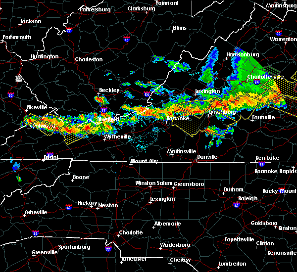 At 913 pm edt, severe thunderstorms were located along a line extending from new glasgow to coleman falls to near lithia, moving southeast at 30 mph (radar indicated). Hazards include 60 mph wind gusts and quarter size hail. Hail damage to vehicles is expected. Expect wind damage to roofs, siding, and trees. At 913 pm edt, severe thunderstorms were located along a line extending from new glasgow to coleman falls to near lithia, moving southeast at 30 mph (radar indicated). Hazards include 60 mph wind gusts and quarter size hail. Hail damage to vehicles is expected. Expect wind damage to roofs, siding, and trees.
|
| 6/16/2016 9:02 PM EDT |
 At 902 pm edt, severe thunderstorms were located along a line extending from 6 miles east of centenary to near wingina to near shipman, moving southeast at 30 mph (radar indicated). Hazards include 60 mph wind gusts and quarter size hail. Hail damage to vehicles is expected. expect wind damage to roofs, siding, and trees. Locations impacted include, buckingham, amherst, appomattox, dillwyn, and clifford. At 902 pm edt, severe thunderstorms were located along a line extending from 6 miles east of centenary to near wingina to near shipman, moving southeast at 30 mph (radar indicated). Hazards include 60 mph wind gusts and quarter size hail. Hail damage to vehicles is expected. expect wind damage to roofs, siding, and trees. Locations impacted include, buckingham, amherst, appomattox, dillwyn, and clifford.
|
| 6/16/2016 8:47 PM EDT |
 At 846 pm edt, severe thunderstorms were located along a line extending from 7 miles north of centenary through shipman to near lowesville, moving southeast at 30 mph (radar indicated). Hazards include 60 mph wind gusts and quarter size hail. Hail damage to vehicles is expected. Expect wind damage to roofs, siding, and trees. At 846 pm edt, severe thunderstorms were located along a line extending from 7 miles north of centenary through shipman to near lowesville, moving southeast at 30 mph (radar indicated). Hazards include 60 mph wind gusts and quarter size hail. Hail damage to vehicles is expected. Expect wind damage to roofs, siding, and trees.
|
| 6/4/2016 2:35 PM EDT |
 At 235 pm edt, a severe thunderstorm was located near madison heights, moving southeast at 15 mph (radar indicated). Hazards include 60 mph wind gusts and quarter size hail. Hail damage to vehicles is expected. Expect wind damage to roofs, siding, and trees. At 235 pm edt, a severe thunderstorm was located near madison heights, moving southeast at 15 mph (radar indicated). Hazards include 60 mph wind gusts and quarter size hail. Hail damage to vehicles is expected. Expect wind damage to roofs, siding, and trees.
|
| 5/1/2016 11:12 PM EDT | The severe thunderstorm warning for western appomattox, southeastern amherst, northeastern campbell counties and the city of lynchburg will expire at 1115 pm edt, the storm which prompted the warning has weakened below severe limits, and no longer poses an immediate threat to life or property. therefore the warning will be allowed to expire. when it is safe to do so, please send your reports of hail of any size, as well as any reports of wind damage, including downed trees or large limbs, to the national weather service by calling toll free at 1, 8 6 6, 2 1 5, 4 3 2 4. reports and pictures can also be shared on the national weather service blacksburg facebook page and on twitter. |
| 5/1/2016 10:54 PM EDT |
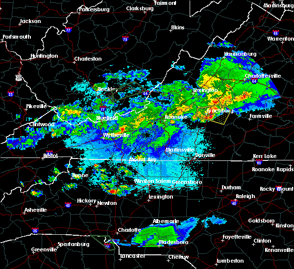 At 1054 pm edt, a severe thunderstorm was located near bocock, moving east at 30 mph (radar indicated). Hazards include 60 mph wind gusts and quarter size hail. Hail damage to vehicles is expected. expect wind damage to roofs, siding, and trees. Locations impacted include, lynchburg, appomattox, concord, bent creek, and rustburg. At 1054 pm edt, a severe thunderstorm was located near bocock, moving east at 30 mph (radar indicated). Hazards include 60 mph wind gusts and quarter size hail. Hail damage to vehicles is expected. expect wind damage to roofs, siding, and trees. Locations impacted include, lynchburg, appomattox, concord, bent creek, and rustburg.
|
| 5/1/2016 10:36 PM EDT |
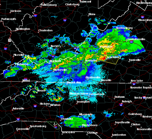 At 1035 pm edt, a severe thunderstorm was entering the city of lynchburg, and moving east at 30 mph (radar indicated). Hazards include 60 mph wind gusts and quarter size hail. Hail damage to vehicles is expected. expect wind damage to roofs, siding, and trees. locations impacted include, lynchburg, appomattox, rustburg, concord, and forest. This includes liberty university and lynchburg airport. At 1035 pm edt, a severe thunderstorm was entering the city of lynchburg, and moving east at 30 mph (radar indicated). Hazards include 60 mph wind gusts and quarter size hail. Hail damage to vehicles is expected. expect wind damage to roofs, siding, and trees. locations impacted include, lynchburg, appomattox, rustburg, concord, and forest. This includes liberty university and lynchburg airport.
|
| 5/1/2016 10:21 PM EDT |
 At 1021 pm edt, a severe thunderstorm was located near boonsboro, moving east at 35 mph (radar indicated). Hazards include 60 mph wind gusts and quarter size hail. Hail damage to vehicles is expected. Expect wind damage to roofs, siding, and trees. At 1021 pm edt, a severe thunderstorm was located near boonsboro, moving east at 35 mph (radar indicated). Hazards include 60 mph wind gusts and quarter size hail. Hail damage to vehicles is expected. Expect wind damage to roofs, siding, and trees.
|
| 4/7/2016 7:18 PM EDT |
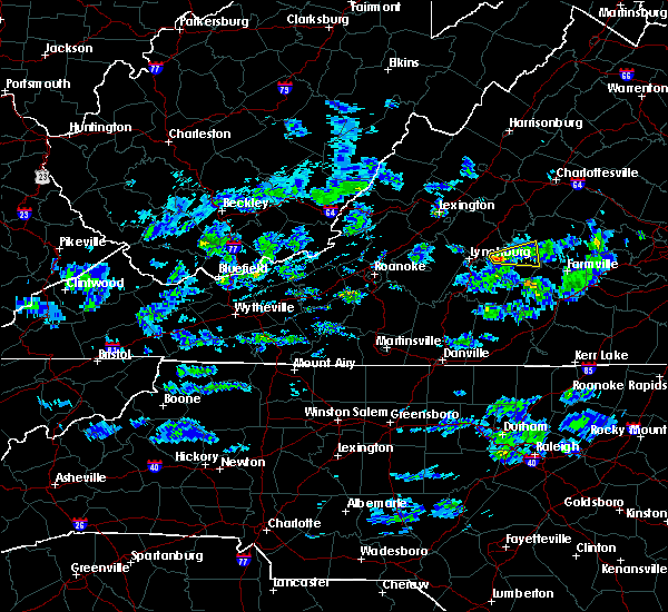 At 717 pm edt, a severe thunderstorm was located over stonewall, moving east at 50 mph (radar indicated). Hazards include 60 mph wind gusts and quarter size hail. Hail damage to vehicles is expected. expect wind damage to roofs, siding, and trees. Locations impacted include, appomattox, appomattox national historic park, oakville, stonewall, and tower hill. At 717 pm edt, a severe thunderstorm was located over stonewall, moving east at 50 mph (radar indicated). Hazards include 60 mph wind gusts and quarter size hail. Hail damage to vehicles is expected. expect wind damage to roofs, siding, and trees. Locations impacted include, appomattox, appomattox national historic park, oakville, stonewall, and tower hill.
|
| 4/7/2016 7:10 PM EDT |
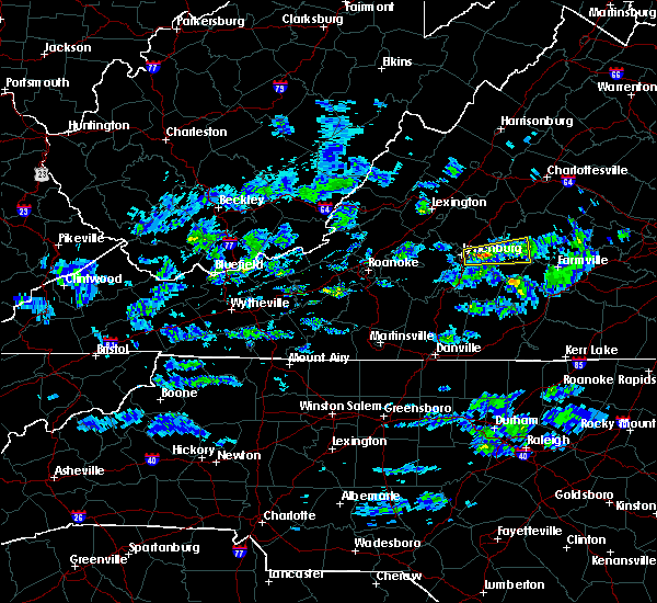 At 710 pm edt, a severe thunderstorm was located near bocock, moving east at 50 mph (radar indicated). Hazards include 60 mph wind gusts and quarter size hail. Hail damage to vehicles is expected. Expect wind damage to roofs, siding, and trees. At 710 pm edt, a severe thunderstorm was located near bocock, moving east at 50 mph (radar indicated). Hazards include 60 mph wind gusts and quarter size hail. Hail damage to vehicles is expected. Expect wind damage to roofs, siding, and trees.
|
| 2/24/2016 3:40 PM EST | Multiple trees down in the evergreen area in appomattox county VA, 4.2 miles NW of Appomattox, VA |
| 2/24/2016 3:40 PM EST | Home damaged on webb mill rd. possible tornad in appomattox county VA, 8.1 miles WSW of Appomattox, VA |
| 2/24/2016 3:39 PM EST |
 At 338 pm est, severe thunderstorms were located along a line extending from near wingina to near appomattox national historic park, moving northeast at 60 mph (radar indicated). Hazards include 60 mph wind gusts. Expect damage to roofs. siding. And trees. At 338 pm est, severe thunderstorms were located along a line extending from near wingina to near appomattox national historic park, moving northeast at 60 mph (radar indicated). Hazards include 60 mph wind gusts. Expect damage to roofs. siding. And trees.
|
| 2/24/2016 3:35 PM EST |
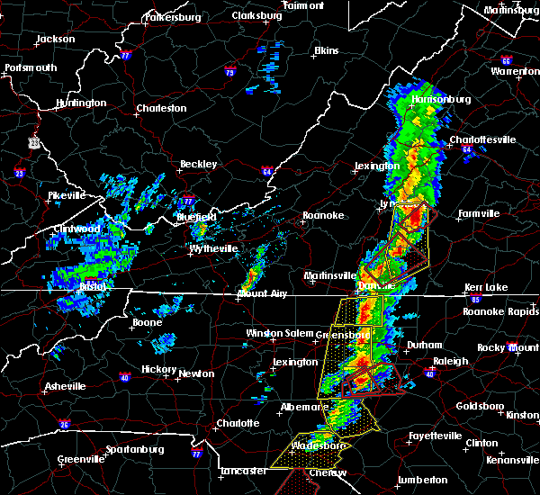 At 335 pm est, a severe thunderstorm capable of producing a tornado was located over evergreen, moving northeast at 55 mph (radar indicated rotation). Hazards include tornado. Flying debris will be dangerous to those caught without shelter. mobile homes will be damaged or destroyed. damage to roofs, windows, and vehicles will occur. tree damage is likely. This tornadic thunderstorm will remain over rural areas of eastern appomattox county. At 335 pm est, a severe thunderstorm capable of producing a tornado was located over evergreen, moving northeast at 55 mph (radar indicated rotation). Hazards include tornado. Flying debris will be dangerous to those caught without shelter. mobile homes will be damaged or destroyed. damage to roofs, windows, and vehicles will occur. tree damage is likely. This tornadic thunderstorm will remain over rural areas of eastern appomattox county.
|
| 2/24/2016 3:33 PM EST | Trees down on house...some structural damage. possible tornad in appomattox county VA, 4.6 miles NW of Appomattox, VA |
| 2/24/2016 3:31 PM EST |
 At 331 pm est, severe thunderstorms were located along a line extending from near tower hill to near crystal hill, moving east at 30 mph (radar indicated). Hazards include 60 mph wind gusts and quarter size hail. Hail damage to vehicles is expected. expect wind damage to roofs, siding, and trees. locations impacted include, south boston, appomattox, halifax, brookneal, and phenix. a tornado watch remains in effect until 700 pm est for north central north carolina. A tornado watch also remains in effect until 900 pm est for south central virginia. At 331 pm est, severe thunderstorms were located along a line extending from near tower hill to near crystal hill, moving east at 30 mph (radar indicated). Hazards include 60 mph wind gusts and quarter size hail. Hail damage to vehicles is expected. expect wind damage to roofs, siding, and trees. locations impacted include, south boston, appomattox, halifax, brookneal, and phenix. a tornado watch remains in effect until 700 pm est for north central north carolina. A tornado watch also remains in effect until 900 pm est for south central virginia.
|
| 2/24/2016 3:30 PM EST | Trees down on car near appomatto in appomattox county VA, 0.1 miles ESE of Appomattox, VA |
| 2/24/2016 3:27 PM EST |
 At 327 pm est, a severe thunderstorm capable of producing a tornado was located over mike, moving northeast at 40 mph (radar indicated rotation). Hazards include tornado. Flying debris will be dangerous to those caught without shelter. mobile homes will be damaged or destroyed. damage to roofs, windows, and vehicles will occur. tree damage is likely. this dangerous storm will be near, appomattox and evergreen around 340 pm est. pamplin city and appomattox national historic park around 345 pm est. Hixburg around 350 pm est. At 327 pm est, a severe thunderstorm capable of producing a tornado was located over mike, moving northeast at 40 mph (radar indicated rotation). Hazards include tornado. Flying debris will be dangerous to those caught without shelter. mobile homes will be damaged or destroyed. damage to roofs, windows, and vehicles will occur. tree damage is likely. this dangerous storm will be near, appomattox and evergreen around 340 pm est. pamplin city and appomattox national historic park around 345 pm est. Hixburg around 350 pm est.
|
| 2/24/2016 3:08 PM EST |
 At 308 pm est, severe thunderstorms were located along a line extending from near bocock to near ingram, moving northeast at 30 mph (radar indicated). Hazards include 60 mph wind gusts and quarter size hail. Hail damage to vehicles is expected. Expect wind damage to roofs, siding, and trees. At 308 pm est, severe thunderstorms were located along a line extending from near bocock to near ingram, moving northeast at 30 mph (radar indicated). Hazards include 60 mph wind gusts and quarter size hail. Hail damage to vehicles is expected. Expect wind damage to roofs, siding, and trees.
|
| 8/11/2015 3:42 PM EDT | The severe thunderstorm warning for western appomattox, southeastern amherst, northwestern charlotte, northeastern pittsylvania, campbell counties and the city of lynchburg will expire at 345 pm edt, the storm which prompted the warning has weakened below severe limits, and has exited the warned area. therefore the warning will be allowed to expire. however heavy rain is still possible with this thunderstorm. when it is safe to do so, please send your reports of hail of any size, as well as any reports of wind damage, including downed trees or large limbs, to the national weather service by calling toll free at 1, 8 6 6, 2 1 5, 4 3 2 4. reports and pictures can also be shared on the national weather service blacksburg facebook page and on twitter. |
| 8/11/2015 3:26 PM EDT |
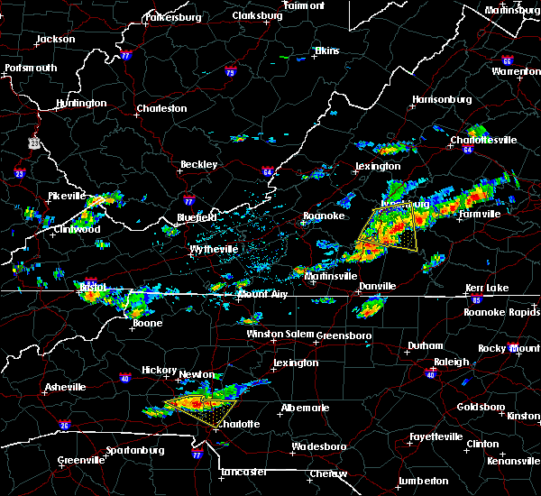 At 324 pm edt, a severe thunderstorm was located over gladys, moving east at 35 mph (radar indicated). Hazards include 60 mph wind gusts and quarter size hail. Hail damage to vehicles is expected. expect wind damage to roofs, siding and trees. locations impacted include, lynchburg, altavista, hurt, brookneal, and rustburg. This includes liberty university and lynchburg airport. At 324 pm edt, a severe thunderstorm was located over gladys, moving east at 35 mph (radar indicated). Hazards include 60 mph wind gusts and quarter size hail. Hail damage to vehicles is expected. expect wind damage to roofs, siding and trees. locations impacted include, lynchburg, altavista, hurt, brookneal, and rustburg. This includes liberty university and lynchburg airport.
|
| 8/11/2015 3:06 PM EDT |
 At 306 pm edt, a severe thunderstorm was located over evington, moving east at 35 mph (radar indicated). Hazards include 60 mph wind gusts and quarter size hail. Hail damage to vehicles is expected. expect wind damage to roofs, siding and trees. locations impacted include, lynchburg, altavista, hurt, brookneal, and rustburg. This includes liberty university and lynchburg airport. At 306 pm edt, a severe thunderstorm was located over evington, moving east at 35 mph (radar indicated). Hazards include 60 mph wind gusts and quarter size hail. Hail damage to vehicles is expected. expect wind damage to roofs, siding and trees. locations impacted include, lynchburg, altavista, hurt, brookneal, and rustburg. This includes liberty university and lynchburg airport.
|
| 8/11/2015 2:52 PM EDT |
 At 252 pm edt, a severe thunderstorm was located 7 miles southeast of bedford city, moving east at 35 mph (radar indicated). Hazards include 60 mph wind gusts and quarter size hail. Hail damage to vehicles is expected. Expect wind damage to roofs, siding and trees. At 252 pm edt, a severe thunderstorm was located 7 miles southeast of bedford city, moving east at 35 mph (radar indicated). Hazards include 60 mph wind gusts and quarter size hail. Hail damage to vehicles is expected. Expect wind damage to roofs, siding and trees.
|
| 7/14/2015 8:51 PM EDT |
 At 850 pm edt, a severe thunderstorm was located near sheppards, moving east at 25 mph (radar indicated). Hazards include 60 mph wind gusts and quarter size hail. Hail damage to vehicles is expected. expect wind damage to roofs, siding and trees. Locations impacted include, buckingham, appomattox, dillwyn, bent creek, and oakville. At 850 pm edt, a severe thunderstorm was located near sheppards, moving east at 25 mph (radar indicated). Hazards include 60 mph wind gusts and quarter size hail. Hail damage to vehicles is expected. expect wind damage to roofs, siding and trees. Locations impacted include, buckingham, appomattox, dillwyn, bent creek, and oakville.
|
| 7/14/2015 8:20 PM EDT | One tree was blown down along holly brook driv in appomattox county VA, 2.9 miles S of Appomattox, VA |
| 7/14/2015 8:20 PM EDT |
 At 819 pm edt, a severe thunderstorm was located near appomattox national historic park, moving east at 25 mph (radar indicated). Hazards include 60 mph wind gusts and quarter size hail. Hail damage to vehicles is expected. expect wind damage to roofs, siding and trees. Locations impacted include, buckingham, appomattox, dillwyn, bent creek, and oakville. At 819 pm edt, a severe thunderstorm was located near appomattox national historic park, moving east at 25 mph (radar indicated). Hazards include 60 mph wind gusts and quarter size hail. Hail damage to vehicles is expected. expect wind damage to roofs, siding and trees. Locations impacted include, buckingham, appomattox, dillwyn, bent creek, and oakville.
|
| 7/14/2015 8:07 PM EDT |
 At 806 pm edt, a severe thunderstorm was located over oakville, moving east at 30 mph (radar indicated). Hazards include 60 mph wind gusts and quarter size hail. Hail damage to vehicles is expected. expect wind damage to roofs, siding and trees. Locations impacted include, buckingham, appomattox, dillwyn, bent creek, and oakville. At 806 pm edt, a severe thunderstorm was located over oakville, moving east at 30 mph (radar indicated). Hazards include 60 mph wind gusts and quarter size hail. Hail damage to vehicles is expected. expect wind damage to roofs, siding and trees. Locations impacted include, buckingham, appomattox, dillwyn, bent creek, and oakville.
|
| 7/14/2015 7:55 PM EDT |
 At 755 pm edt, a severe thunderstorm was located over oakville, moving east at 30 mph (radar indicated). Hazards include 60 mph wind gusts and quarter size hail. Hail damage to vehicles is expected. Expect wind damage to roofs, siding and trees. At 755 pm edt, a severe thunderstorm was located over oakville, moving east at 30 mph (radar indicated). Hazards include 60 mph wind gusts and quarter size hail. Hail damage to vehicles is expected. Expect wind damage to roofs, siding and trees.
|
| 7/13/2015 10:24 PM EDT |
 At 1022 pm edt, severe thunderstorms were located along a line extending from hixburg to near virgilina, moving southeast at 25 mph. however, the strongest portion of this storm is over southern charlotte county, where large hail and strong, damaging wind gusts are likely (radar indicated). Hazards include 60 mph wind gusts and quarter size hail. Hail damage to vehicles is expected. expect wind damage to roofs, siding and trees. Locations impacted include, south boston, appomattox, halifax, brookneal, and charlotte court house. At 1022 pm edt, severe thunderstorms were located along a line extending from hixburg to near virgilina, moving southeast at 25 mph. however, the strongest portion of this storm is over southern charlotte county, where large hail and strong, damaging wind gusts are likely (radar indicated). Hazards include 60 mph wind gusts and quarter size hail. Hail damage to vehicles is expected. expect wind damage to roofs, siding and trees. Locations impacted include, south boston, appomattox, halifax, brookneal, and charlotte court house.
|
| 7/13/2015 10:16 PM EDT |
 At 1014 pm edt, severe thunderstorms were located along a line extending from near andersonville to 8 miles northeast of rougemont, moving southeast at 45 mph (radar indicated). Hazards include 60 mph wind gusts and quarter size hail. Hail damage to vehicles is expected. expect wind damage to roofs, siding and trees. Locations impacted include, south boston, appomattox, halifax, brookneal, and charlotte court house. At 1014 pm edt, severe thunderstorms were located along a line extending from near andersonville to 8 miles northeast of rougemont, moving southeast at 45 mph (radar indicated). Hazards include 60 mph wind gusts and quarter size hail. Hail damage to vehicles is expected. expect wind damage to roofs, siding and trees. Locations impacted include, south boston, appomattox, halifax, brookneal, and charlotte court house.
|
| 7/13/2015 9:53 PM EDT |
 At 951 pm edt, severe thunderstorms were located along a line extending from near wingina to near alton, moving southeast at 40 mph (radar indicated). Hazards include 60 mph wind gusts and quarter size hail. Hail damage to vehicles is expected. expect wind damage to roofs, siding and trees. Locations impacted include, south boston, appomattox, halifax, brookneal, and charlotte court house. At 951 pm edt, severe thunderstorms were located along a line extending from near wingina to near alton, moving southeast at 40 mph (radar indicated). Hazards include 60 mph wind gusts and quarter size hail. Hail damage to vehicles is expected. expect wind damage to roofs, siding and trees. Locations impacted include, south boston, appomattox, halifax, brookneal, and charlotte court house.
|
| 7/13/2015 9:30 PM EDT |
 At 929 pm edt, severe thunderstorms were located along a line extending from 6 miles east of montebello to milton, moving southeast at 35 mph (radar indicated). Hazards include 60 mph wind gusts and quarter size hail. Hail damage to vehicles is expected. expect wind damage to roofs, siding and trees. Locations impacted include, south boston, appomattox, halifax, brookneal, and charlotte court house. At 929 pm edt, severe thunderstorms were located along a line extending from 6 miles east of montebello to milton, moving southeast at 35 mph (radar indicated). Hazards include 60 mph wind gusts and quarter size hail. Hail damage to vehicles is expected. expect wind damage to roofs, siding and trees. Locations impacted include, south boston, appomattox, halifax, brookneal, and charlotte court house.
|
| 7/13/2015 9:15 PM EDT |
 At 914 pm edt, severe thunderstorms were located along a line extending from near vesuvius, to lynchburg, to danville, moving southeast at 45 mph (radar indicated). Hazards include 60 mph wind gusts and quarter size hail. Hail damage to vehicles is expected. Expect wind damage to roofs, siding and trees. At 914 pm edt, severe thunderstorms were located along a line extending from near vesuvius, to lynchburg, to danville, moving southeast at 45 mph (radar indicated). Hazards include 60 mph wind gusts and quarter size hail. Hail damage to vehicles is expected. Expect wind damage to roofs, siding and trees.
|
| 7/13/2015 7:54 PM EDT |
 At 753 pm edt, a severe thunderstorm was located over concord, moving southeast at 25 mph (radar indicated). Hazards include quarter size hail. damage to vehicles is expected At 753 pm edt, a severe thunderstorm was located over concord, moving southeast at 25 mph (radar indicated). Hazards include quarter size hail. damage to vehicles is expected
|
| 7/1/2015 12:12 AM EDT |
 At 1211 am edt, severe thunderstorms were located along a line extending from near lowesville to near falconerville to rustburg to near leesville, moving northeast at 45 mph (radar indicated). Hazards include 60 mph wind gusts and penny size hail. Expect damage to roofs. siding and trees. locations impacted include, lynchburg, amherst, appomattox, rustburg, and clifford. This includes liberty university and lynchburg airport. At 1211 am edt, severe thunderstorms were located along a line extending from near lowesville to near falconerville to rustburg to near leesville, moving northeast at 45 mph (radar indicated). Hazards include 60 mph wind gusts and penny size hail. Expect damage to roofs. siding and trees. locations impacted include, lynchburg, amherst, appomattox, rustburg, and clifford. This includes liberty university and lynchburg airport.
|
| 6/30/2015 11:49 PM EDT |
 At 1148 pm edt, severe thunderstorms were located along a line extending from near glasgow to goode to near smith mountain lake state park, moving northeast at 40 mph (radar indicated). Hazards include 60 mph wind gusts and quarter size hail. Hail damage to vehicles is expected. Expect wind damage to roofs, siding and trees. At 1148 pm edt, severe thunderstorms were located along a line extending from near glasgow to goode to near smith mountain lake state park, moving northeast at 40 mph (radar indicated). Hazards include 60 mph wind gusts and quarter size hail. Hail damage to vehicles is expected. Expect wind damage to roofs, siding and trees.
|
| 6/27/2015 8:53 PM EDT |
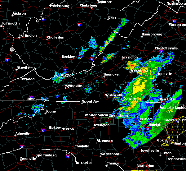 At 849 pm edt, a severe thunderstorm was located near oakville, near appomattox national historic park, moving east at 20 mph (radar indicated). Hazards include 60 mph wind gusts and quarter size hail. Hail damage to vehicles is expected. expect wind damage to roofs, siding and trees. Locations impacted include, appomattox, bent creek, oakville, stonewall, and hixburg. At 849 pm edt, a severe thunderstorm was located near oakville, near appomattox national historic park, moving east at 20 mph (radar indicated). Hazards include 60 mph wind gusts and quarter size hail. Hail damage to vehicles is expected. expect wind damage to roofs, siding and trees. Locations impacted include, appomattox, bent creek, oakville, stonewall, and hixburg.
|
| 6/27/2015 8:25 PM EDT |
 At 821 pm edt, severe thunderstorms were located along a line extending from near bent creek to stonewall, moving east at 20 mph (radar indicated). Hazards include 60 mph wind gusts and quarter size hail. Hail damage to vehicles is expected. expect wind damage to roofs, siding and trees. Locations impacted include, buckingham, appomattox, dillwyn, concord, and bent creek. At 821 pm edt, severe thunderstorms were located along a line extending from near bent creek to stonewall, moving east at 20 mph (radar indicated). Hazards include 60 mph wind gusts and quarter size hail. Hail damage to vehicles is expected. expect wind damage to roofs, siding and trees. Locations impacted include, buckingham, appomattox, dillwyn, concord, and bent creek.
|
| 6/27/2015 7:59 PM EDT |
 At 758 pm edt, severe thunderstorms extended from madison heights to oakville, and were moving east at 25 mph (radar indicated). Hazards include 60 mph wind gusts. Expect damage to roofs. siding and trees. Locations impacted include, lynchburg, buckingham, appomattox, dillwyn, and concord. At 758 pm edt, severe thunderstorms extended from madison heights to oakville, and were moving east at 25 mph (radar indicated). Hazards include 60 mph wind gusts. Expect damage to roofs. siding and trees. Locations impacted include, lynchburg, buckingham, appomattox, dillwyn, and concord.
|
| 6/27/2015 7:31 PM EDT |
 At 730 pm edt, a severe thunderstorm was located near madison heights, moving east at 20 mph (radar indicated). Hazards include 60 mph wind gusts. Expect damage to roofs. Siding and trees. At 730 pm edt, a severe thunderstorm was located near madison heights, moving east at 20 mph (radar indicated). Hazards include 60 mph wind gusts. Expect damage to roofs. Siding and trees.
|
| 6/13/2015 6:12 PM EDT | The severe thunderstorm warning for appomattox. northeastern campbell counties and the city of lynchburg will expire at 615 pm edt. the storm which prompted the warning has weakened below severe limits. and no longer poses an immediate threat to life or property. therefore the warning will be allowed to expire. However gusty winds. |
| 6/13/2015 5:50 PM EDT |
 At 550 pm edt, a severe thunderstorm was located near concord, moving southeast at 10 mph (radar indicated). Hazards include 60 mph wind gusts. Expect damage to roofs. siding and trees. locations impacted include, lynchburg, appomattox, rustburg, concord, and evergreen. This includes liberty university and lynchburg airport. At 550 pm edt, a severe thunderstorm was located near concord, moving southeast at 10 mph (radar indicated). Hazards include 60 mph wind gusts. Expect damage to roofs. siding and trees. locations impacted include, lynchburg, appomattox, rustburg, concord, and evergreen. This includes liberty university and lynchburg airport.
|
| 6/13/2015 5:39 PM EDT |
 At 537 pm edt, a severe thunderstorm was located over bocock, moving southeast at 10 mph (radar indicated). Hazards include 60 mph wind gusts. Expect damage to roofs. siding and trees. locations impacted include, lynchburg, appomattox, rustburg, concord, and madison heights. This includes liberty university and lynchburg airport. At 537 pm edt, a severe thunderstorm was located over bocock, moving southeast at 10 mph (radar indicated). Hazards include 60 mph wind gusts. Expect damage to roofs. siding and trees. locations impacted include, lynchburg, appomattox, rustburg, concord, and madison heights. This includes liberty university and lynchburg airport.
|
| 6/13/2015 5:30 PM EDT |
 At 530 pm edt, a severe thunderstorm was located near concord, moving southeast at 30 mph (radar indicated). Hazards include 60 mph wind gusts. Expect damage to roofs. Siding and trees. At 530 pm edt, a severe thunderstorm was located near concord, moving southeast at 30 mph (radar indicated). Hazards include 60 mph wind gusts. Expect damage to roofs. Siding and trees.
|
| 5/11/2015 10:46 PM EDT | At 1045 pm edt, severe thunderstorms were located along a line extending from near tower hill to hixburg to darlington heights, moving east at 45 mph (radar indicated). Hazards include 60 mph wind gusts and quarter size hail. Hail damage to vehicles is expected. expect wind damage to roofs, siding and trees. locations impacted include, appomattox, pamplin city, hixburg, appomattox national historic park, and evergreen. 1. 00in. |
| 5/11/2015 10:26 PM EDT | At 1025 pm edt, severe thunderstorms were located along a line extending from stonewall to spout spring to near red house, moving east at 45 mph (radar indicated). Hazards include 60 mph wind gusts and quarter size hail. Hail damage to vehicles is expected. Expect wind damage to roofs, siding and trees. |
| 7/24/2013 8:46 PM EDT | One tree down across old courthouse road near appomatto in appomattox county VA, 0.1 miles ESE of Appomattox, VA |
| 7/24/2013 8:46 PM EDT | One tree down across james anderson highway northeast of appomatto in appomattox county VA, 8.4 miles S of Appomattox, VA |
| 7/24/2013 8:36 PM EDT | One tree down on old courthouse roa in appomattox county VA, 8.6 miles SW of Appomattox, VA |
| 4/19/2013 5:40 PM EDT | Trees and powerlines down on high street in appomattox county VA, 0.1 miles ESE of Appomattox, VA |
| 4/19/2013 5:18 PM EDT | Twenty two trees blown down and some damage to homes on country club roa in appomattox county VA, 3.2 miles ENE of Appomattox, VA |
| 7/9/2012 4:30 PM EDT | Quarter sized hail reported 7.8 miles NNW of Appomattox, VA, broadcast media out of lynchburg relayed a report of quarter-sized hail near the charlotte county line. |
| 7/9/2012 4:15 PM EDT | Trees down on red house road in appomattox county VA, 5.5 miles N of Appomattox, VA |
| 7/5/2012 4:35 PM EDT | Quarter sized hail reported 7.3 miles SSW of Appomattox, VA, whipoorwill road |
| 6/29/2012 9:37 PM EDT | Over 25 reports of trees and power lines down across appomattoax county. based on radar...damage began around 937 pm and continued through 1015 p in appomattox county VA, 0.1 miles ESE of Appomattox, VA |
| 6/12/2012 7:43 PM EDT | Tree down on oakville road in appomattox county VA, 7.2 miles SSE of Appomattox, VA |
| 6/1/2012 4:00 PM EDT | Tree down on promise land road in appomattox county VA, 5.6 miles NNE of Appomattox, VA |
| 3/24/2012 8:31 PM EDT | Quarter sized hail reported 0.7 miles E of Appomattox, VA |
| 3/24/2012 7:12 PM EDT | Quarter sized hail reported 5.2 miles SSE of Appomattox, VA, hail damaged gutters |
| 1/1/0001 12:00 AM | Tree down on route 644 in appomattox county VA, 6.1 miles N of Appomattox, VA |
| 1/1/0001 12:00 AM | Tree down on route 694 in appomattox county VA, 6.8 miles N of Appomattox, VA |
| 1/1/0001 12:00 AM | Tree down on route 604 in appomattox county VA, 4.9 miles NNE of Appomattox, VA |
| 1/1/0001 12:00 AM | Tree down on route 679 in appomattox county VA, 5.3 miles NNE of Appomattox, VA |
| 1/1/0001 12:00 AM | Tree down on route 719 in appomattox county VA, 3 miles NNE of Appomattox, VA |
| 1/1/0001 12:00 AM | Trees down on lee-grant avenu in appomattox county VA, 0.7 miles NW of Appomattox, VA |
| 1/1/0001 12:00 AM | Tree down on route 643 in appomattox county VA, 3 miles NNE of Appomattox, VA |
| 1/1/0001 12:00 AM | Trees dow in appomattox county VA, 1.8 miles E of Appomattox, VA |
| 1/1/0001 12:00 AM | Trees down on red house road in appomattox county VA, 2.7 miles N of Appomattox, VA |
| 1/1/0001 12:00 AM | Several trees down on promise land road in appomattox county VA, 4.9 miles NNE of Appomattox, VA |
| 1/1/0001 12:00 AM | Trees down on purdum mill road in appomattox county VA, 1.8 miles NE of Appomattox, VA |
| 1/1/0001 12:00 AM | Large trees down on county club road in appomattox county VA, 3.1 miles NE of Appomattox, VA |
| 1/1/0001 12:00 AM | Trees down on country club roa in appomattox county VA, 3.1 miles NE of Appomattox, VA |
| 1/1/0001 12:00 AM | Tree down on state route 616 in appomattox county VA, 7.9 miles SSW of Appomattox, VA |
| 1/1/0001 12:00 AM | Trees down at hollywoo in appomattox county VA, 5.3 miles WSW of Appomattox, VA |
Hail Maps for Appomattox, VA
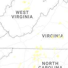

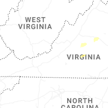


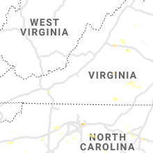


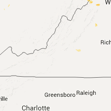


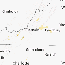

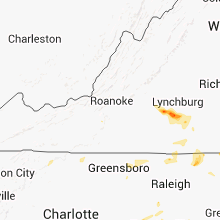


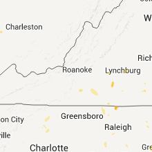


Connect with Interactive Hail Maps