

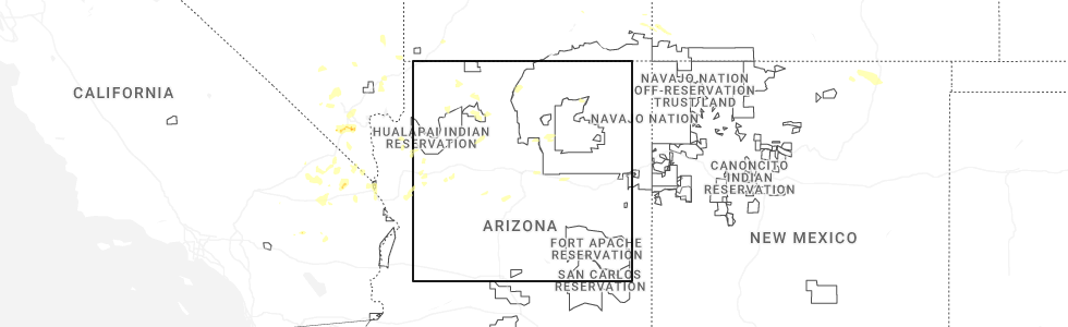
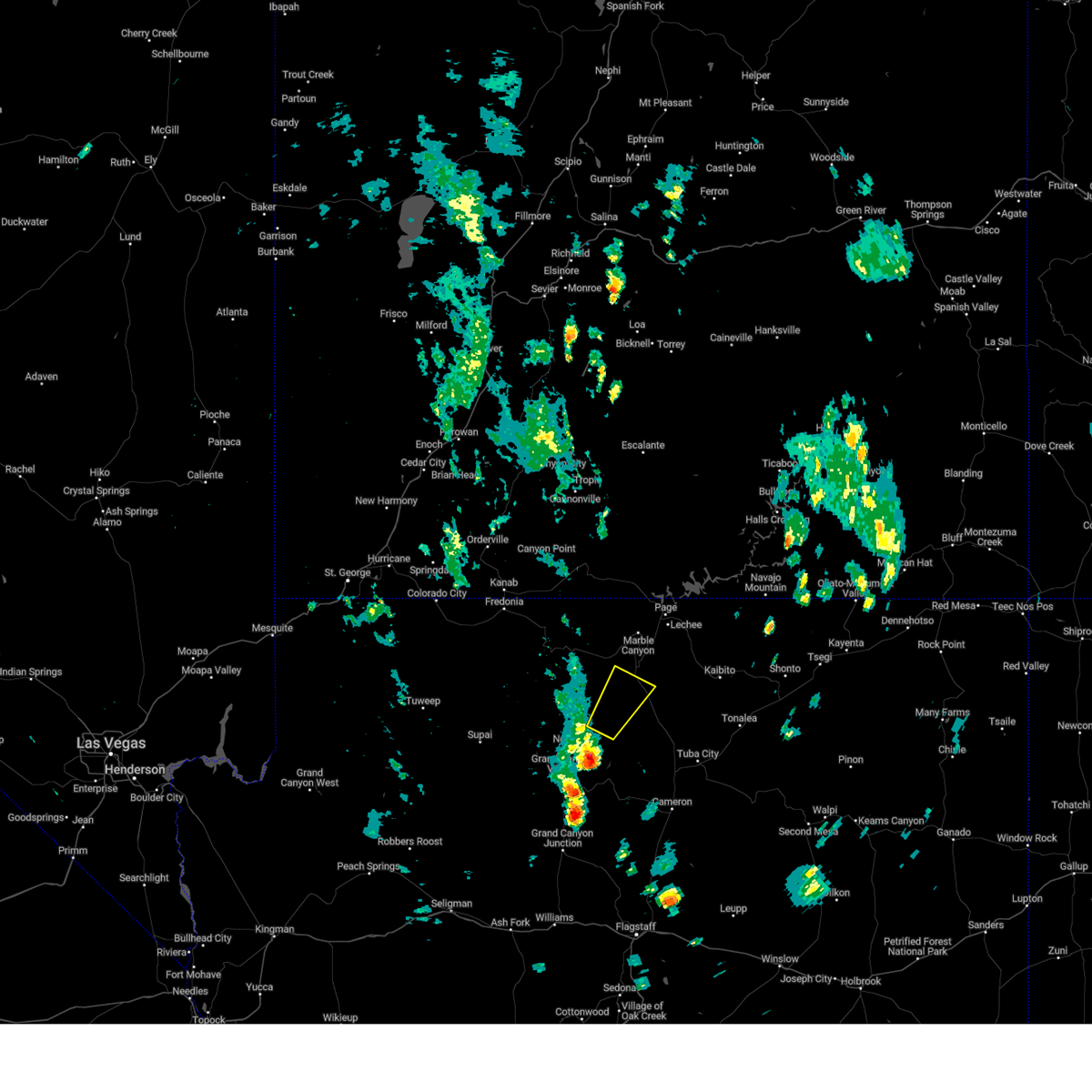
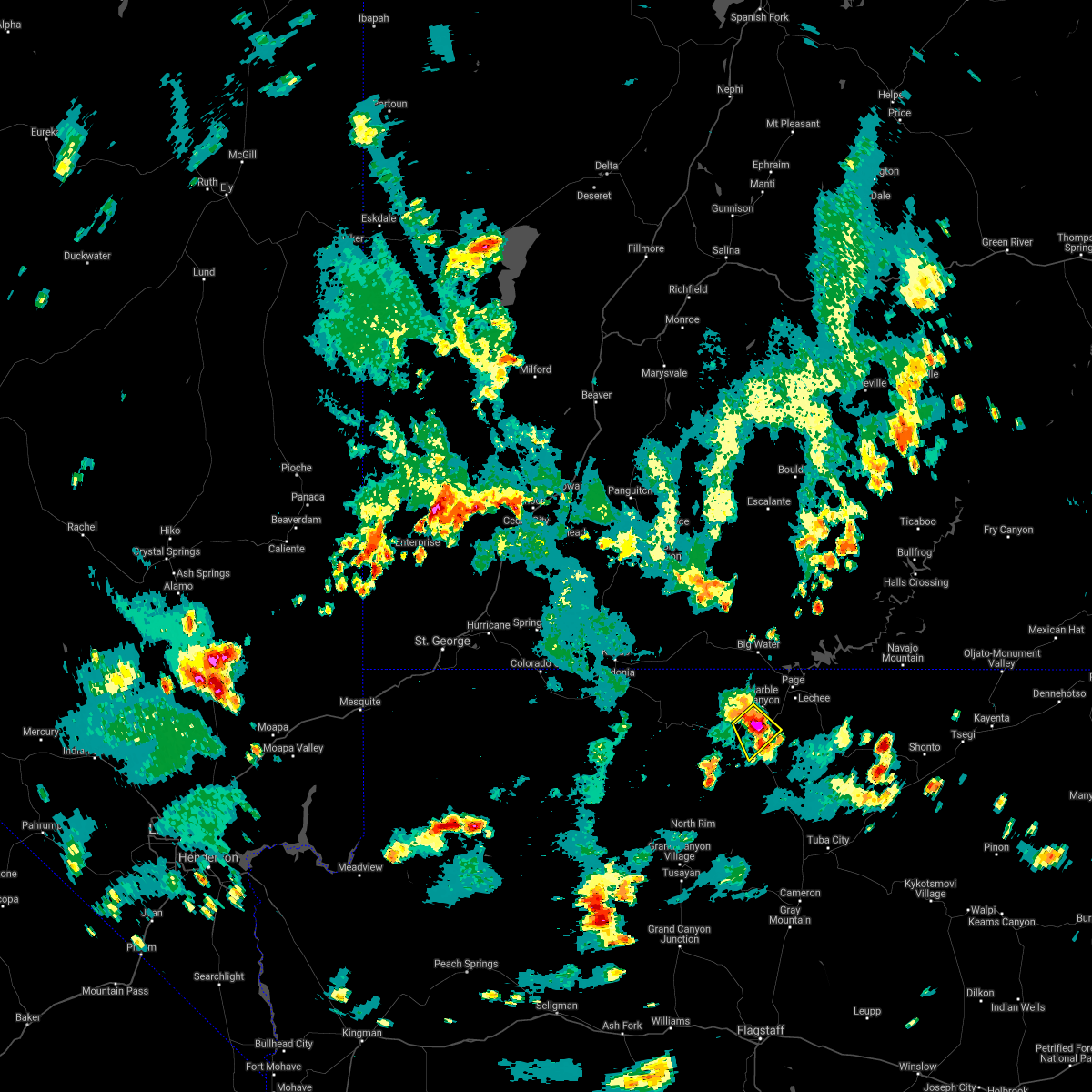
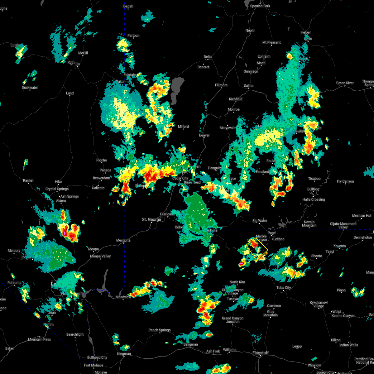
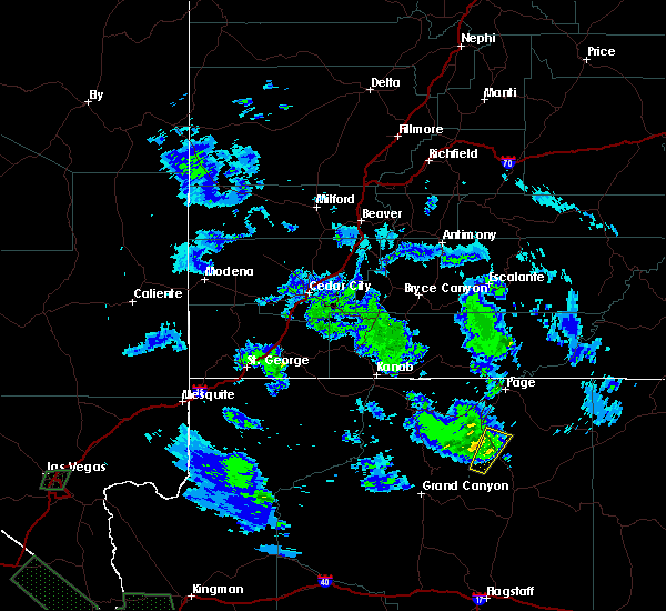
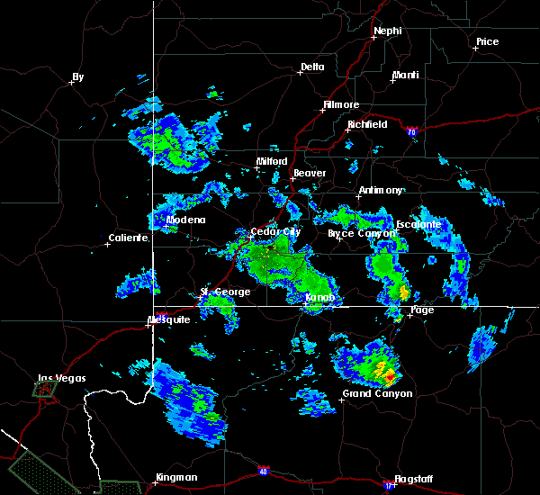
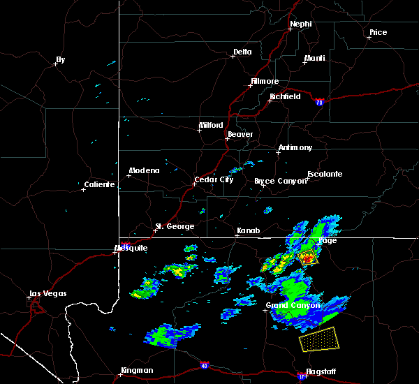
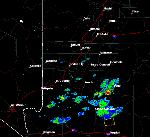
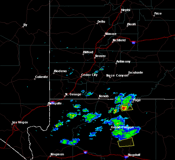
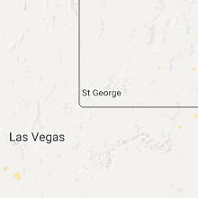
Hail Map for Bitter Springs, AZ
The Bitter Springs, AZ area has had 0 reports of on-the-ground hail by trained spotters, and has been under severe weather warnings 0 times during the past 12 months. Doppler radar has detected hail at or near Bitter Springs, AZ on 12 occasions, including 3 occasions during the past year.
| Name: | Bitter Springs, AZ |
| Where Located: | 97.5 miles N of Flagstaff, AZ |
| Map: | Google Map for Bitter Springs, AZ |
| Population: | 452 |
| Housing Units: | 130 |
| More Info: | Search Google for Bitter Springs, AZ |
0
The Top Recent Hail Date for Bitter Springs, AZ is Tuesday, June 3, 2025 (12th out of 12)
Hail and Wind Damage Spotted near Bitter Springs, AZ
| Date / Time | Report Details |
|---|---|
| 8/22/2023 3:01 PM MDT |
 At 200 pm mst, a severe thunderstorm was located 8 miles northeast of point imperial picnic area, or 20 miles north of desert view at grand canyon, moving northeast at 25 mph (radar indicated). Hazards include quarter size hail and wind gusts to 40 mph. Damage to vehicles is expected. this severe thunderstorm will remain over mainly rural areas of coconino county. this includes u. s. highway 89 between mile markers 512 and 520. hail threat, radar indicated max hail size, 1. 00 in wind threat, radar indicated max wind gust, <50 mph. At 200 pm mst, a severe thunderstorm was located 8 miles northeast of point imperial picnic area, or 20 miles north of desert view at grand canyon, moving northeast at 25 mph (radar indicated). Hazards include quarter size hail and wind gusts to 40 mph. Damage to vehicles is expected. this severe thunderstorm will remain over mainly rural areas of coconino county. this includes u. s. highway 89 between mile markers 512 and 520. hail threat, radar indicated max hail size, 1. 00 in wind threat, radar indicated max wind gust, <50 mph.
|
| 7/22/2021 4:17 PM MDT |
 At 316 pm mst/416 pm mdt/, a severe thunderstorm was located near bitter springs, or 16 miles southwest of page, moving southeast at 20 mph (radar indicated). Hazards include 60 mph wind gusts and quarter size hail. Hail damage to vehicles is expected. expect wind damage to roofs, siding, and trees. locations impacted include, bitter springs. Highway 89a just south of marble canyon. At 316 pm mst/416 pm mdt/, a severe thunderstorm was located near bitter springs, or 16 miles southwest of page, moving southeast at 20 mph (radar indicated). Hazards include 60 mph wind gusts and quarter size hail. Hail damage to vehicles is expected. expect wind damage to roofs, siding, and trees. locations impacted include, bitter springs. Highway 89a just south of marble canyon.
|
| 7/22/2021 3:01 PM MST |
 At 300 pm mst/400 pm mdt/, a severe thunderstorm was located 7 miles southwest of marble canyon, or 19 miles southwest of page, moving southeast at 20 mph (radar indicated). Hazards include 60 mph wind gusts and quarter size hail. Hail damage to vehicles is expected. Expect wind damage to roofs, siding, and trees. At 300 pm mst/400 pm mdt/, a severe thunderstorm was located 7 miles southwest of marble canyon, or 19 miles southwest of page, moving southeast at 20 mph (radar indicated). Hazards include 60 mph wind gusts and quarter size hail. Hail damage to vehicles is expected. Expect wind damage to roofs, siding, and trees.
|
| 10/6/2018 6:06 PM MDT |
 At 505 pm mst/605 pm mdt/, a severe thunderstorm was located near bitter springs, or 16 miles south of page, moving northeast at 30 mph (radar indicated). Hazards include 60 mph wind gusts and quarter size hail. Hail damage to vehicles is expected. Expect wind damage to roofs, siding, and trees. At 505 pm mst/605 pm mdt/, a severe thunderstorm was located near bitter springs, or 16 miles south of page, moving northeast at 30 mph (radar indicated). Hazards include 60 mph wind gusts and quarter size hail. Hail damage to vehicles is expected. Expect wind damage to roofs, siding, and trees.
|
| 10/5/2015 8:36 PM MDT |
 The severe thunderstorm warning for north central coconino county will expire at 745 pm mst, the storm which prompted the warning near cedar raidge has weakened below severe limits, and no longer poses an immediate threat to life or property. therefore the warning will be allowed to expire. The severe thunderstorm warning for north central coconino county will expire at 745 pm mst, the storm which prompted the warning near cedar raidge has weakened below severe limits, and no longer poses an immediate threat to life or property. therefore the warning will be allowed to expire.
|
| 10/5/2015 8:11 PM MDT |
 At 711 pm mst, doppler radar indicated a severe thunderstorm capable of producing quarter size hail and damaging winds in excess of 60 mph. this storm was located 9 miles southwest of cedar ridge, or 20 miles northeast of desert view at the grand canyon, and moving north at 35 mph. At 711 pm mst, doppler radar indicated a severe thunderstorm capable of producing quarter size hail and damaging winds in excess of 60 mph. this storm was located 9 miles southwest of cedar ridge, or 20 miles northeast of desert view at the grand canyon, and moving north at 35 mph.
|
| 8/9/2015 4:05 PM MDT |
 At 304 pm mst, doppler radar indicated a severe thunderstorm capable of producing large hail up to ping pong ball size and destructive winds in excess of 70 mph. this storm was located near marble canyon, or 13 miles southwest of page, moving east at 20 mph. this severe thunderstorm will remain over mainly rural areas of north central coconino county. At 304 pm mst, doppler radar indicated a severe thunderstorm capable of producing large hail up to ping pong ball size and destructive winds in excess of 70 mph. this storm was located near marble canyon, or 13 miles southwest of page, moving east at 20 mph. this severe thunderstorm will remain over mainly rural areas of north central coconino county.
|
| 8/9/2015 3:53 PM MDT |
 At 253 pm mst, doppler radar indicated a severe thunderstorm capable of producing large hail up to ping pong ball size and destructive winds in excess of 70 mph. this storm was located near marble canyon, or 16 miles southwest of page, moving east at 20 mph. locations impacted include, lees ferry and marble canyon. At 253 pm mst, doppler radar indicated a severe thunderstorm capable of producing large hail up to ping pong ball size and destructive winds in excess of 70 mph. this storm was located near marble canyon, or 16 miles southwest of page, moving east at 20 mph. locations impacted include, lees ferry and marble canyon.
|
| 8/9/2015 3:42 PM MDT |
 At 242 pm mst, doppler radar indicated a severe thunderstorm capable of producing half dollar size hail and damaging winds in excess of 60 mph. this storm was located 7 miles northwest of bitter springs, or 20 miles southwest of page, and moving east at 20 mph. At 242 pm mst, doppler radar indicated a severe thunderstorm capable of producing half dollar size hail and damaging winds in excess of 60 mph. this storm was located 7 miles northwest of bitter springs, or 20 miles southwest of page, and moving east at 20 mph.
|
| 6/6/2015 1:05 PM MDT | At 1203 pm mst, doppler radar indicated a severe thunderstorm capable of producing damaging winds in excess of 60 mph. this storm was located over milepost 525 on hwy 89 a, or 13 miles southwest of waterholes canyon, moving north at 5 mph. penny size hail may also accompany the damaging winds. extremely heavy rain is also being observed with this storm. which is heading to the northeast at 15 mph. locations impacted include, milepost 525 on hwy 89, milepost 530 on hwy 89 a and bitter springs. |
| 6/6/2015 12:53 PM MDT | At 1152 am mst, doppler radar indicated a severe thunderstorm capable of producing damaging winds in excess of 60 mph. this storm was located over milepost 525 on hwy 89 a, or 14 miles southwest of waterholes canyon, and moving north at 5 mph. penny size hail may also accompany the damaging winds. |
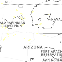
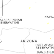
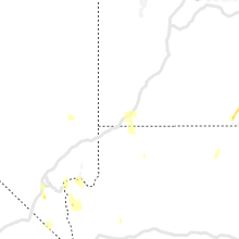
Hail Maps for Bitter Springs, AZ


Connect with Interactive Hail Maps