

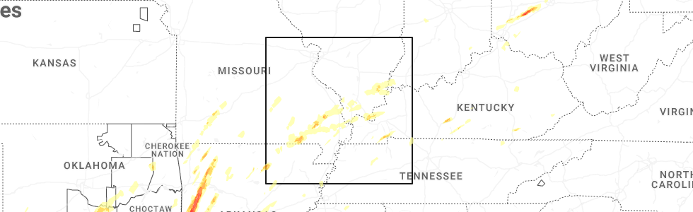
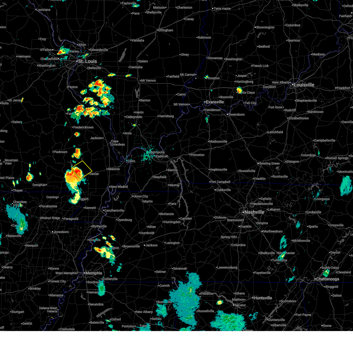
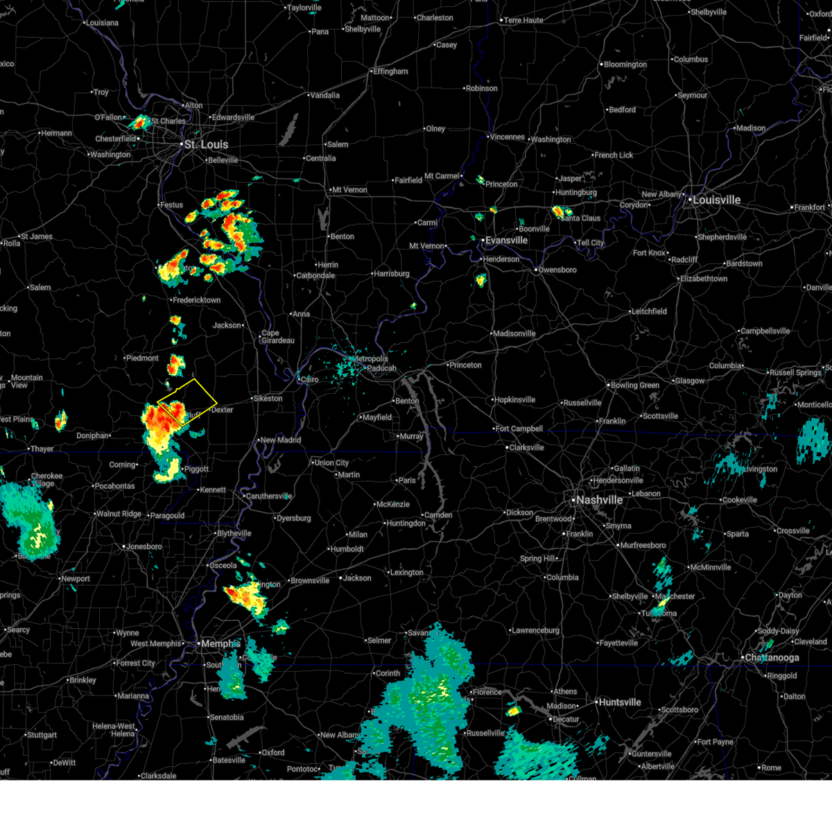
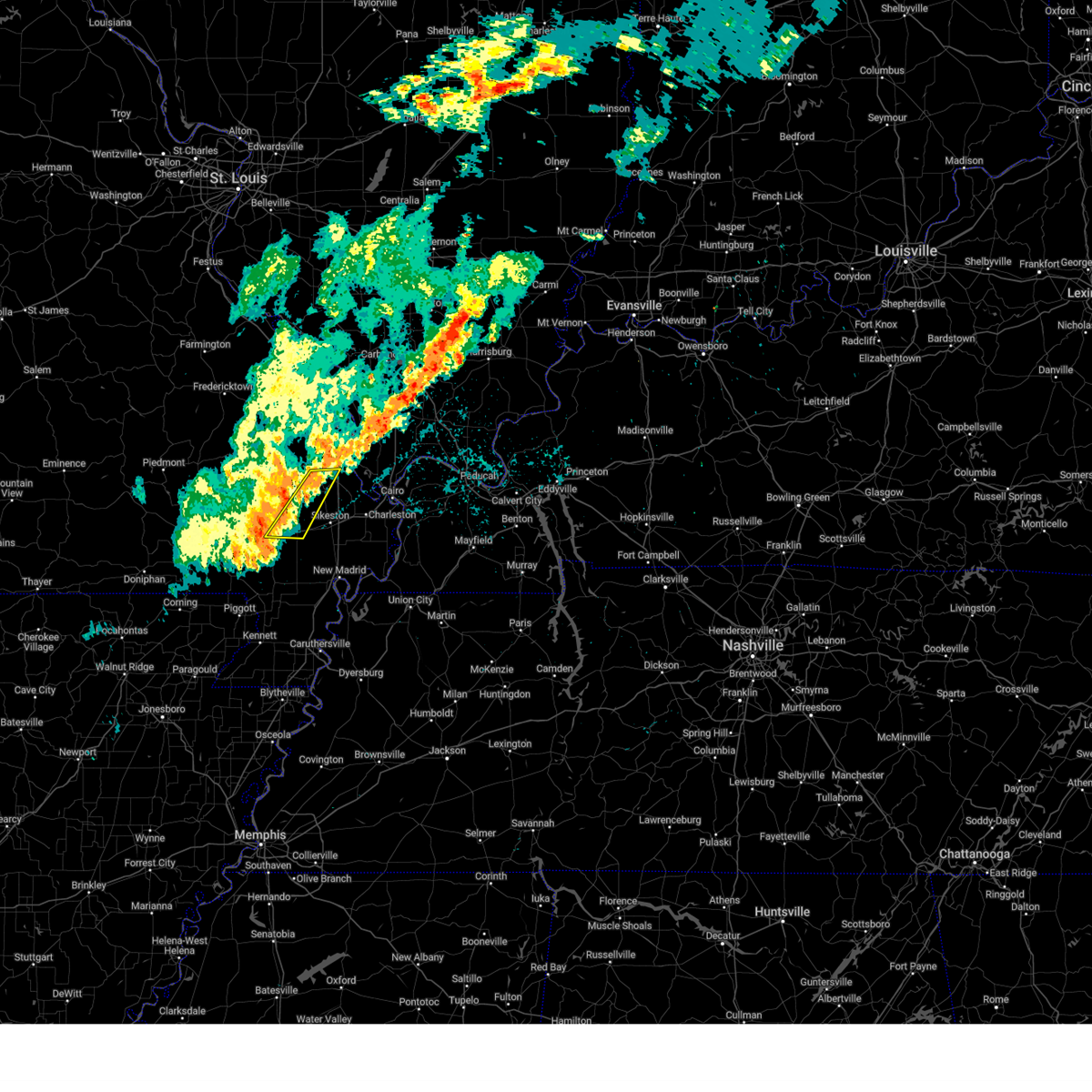
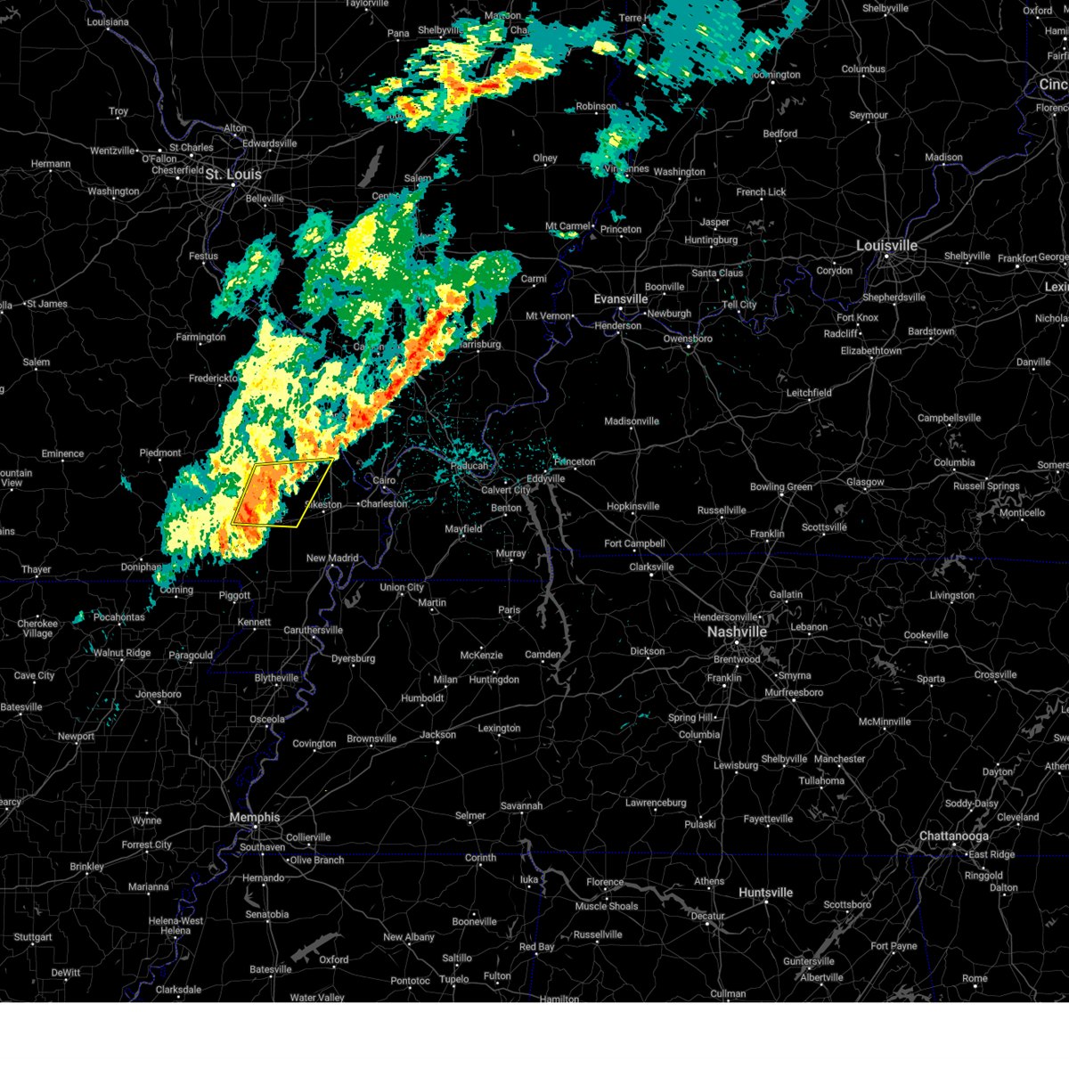
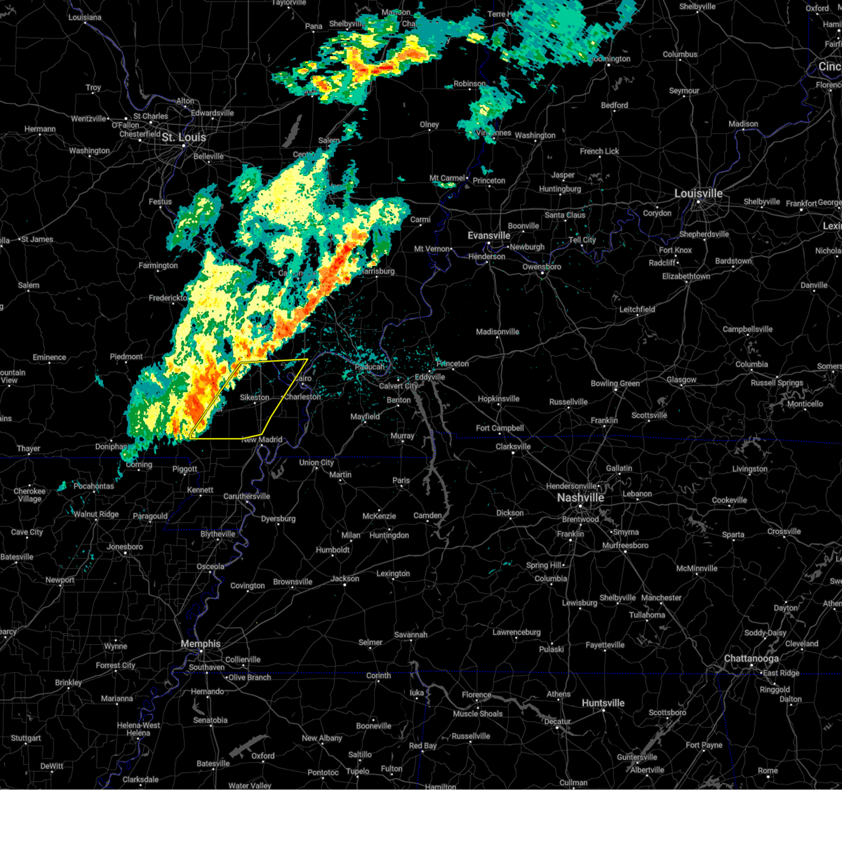
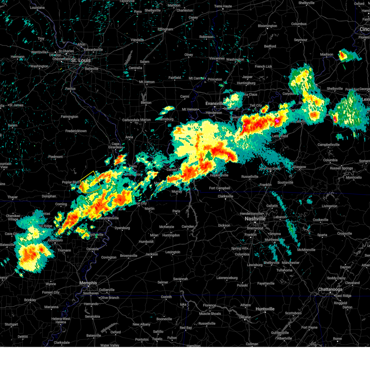
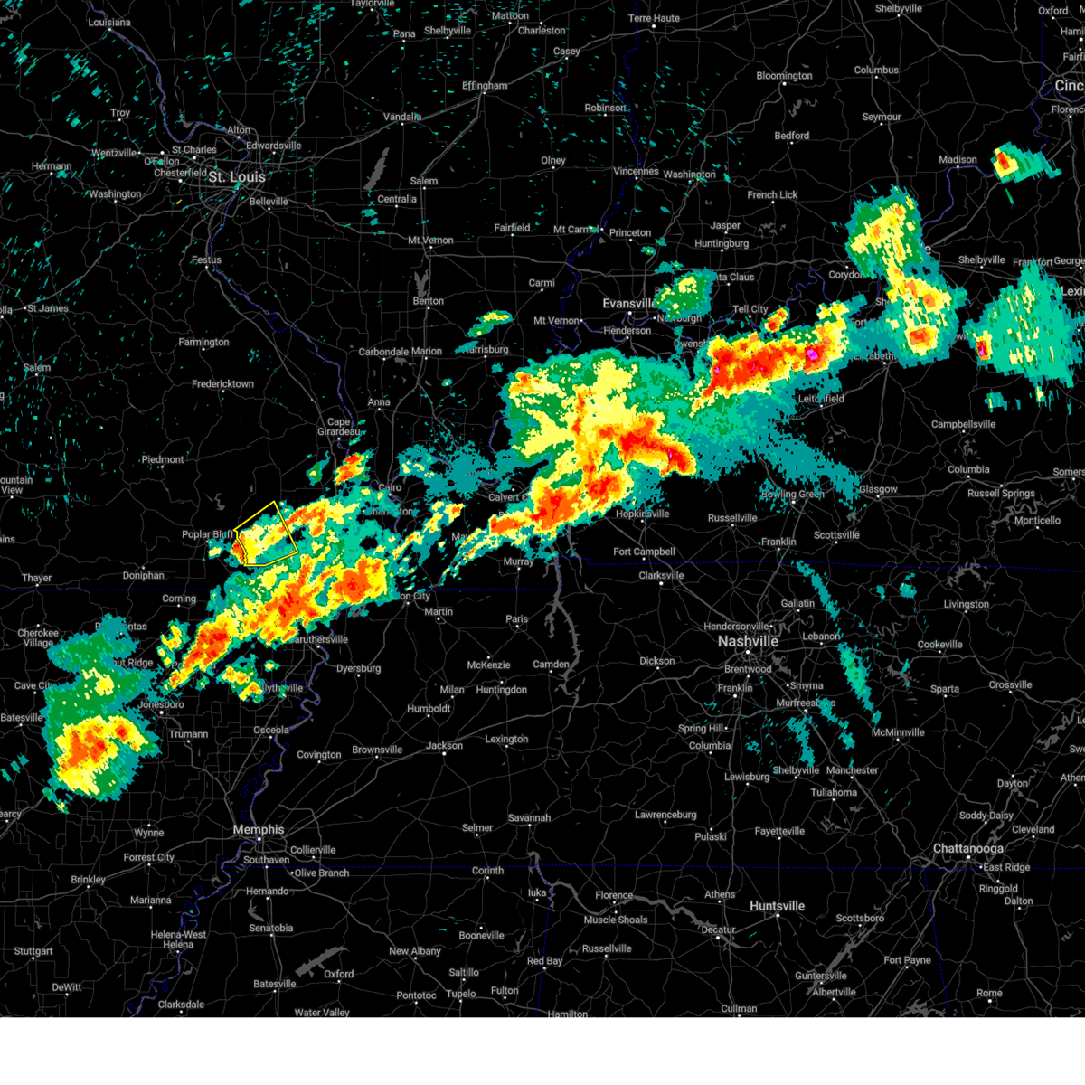
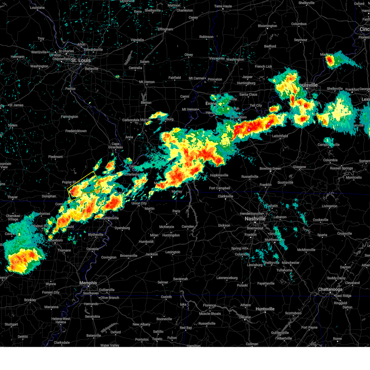
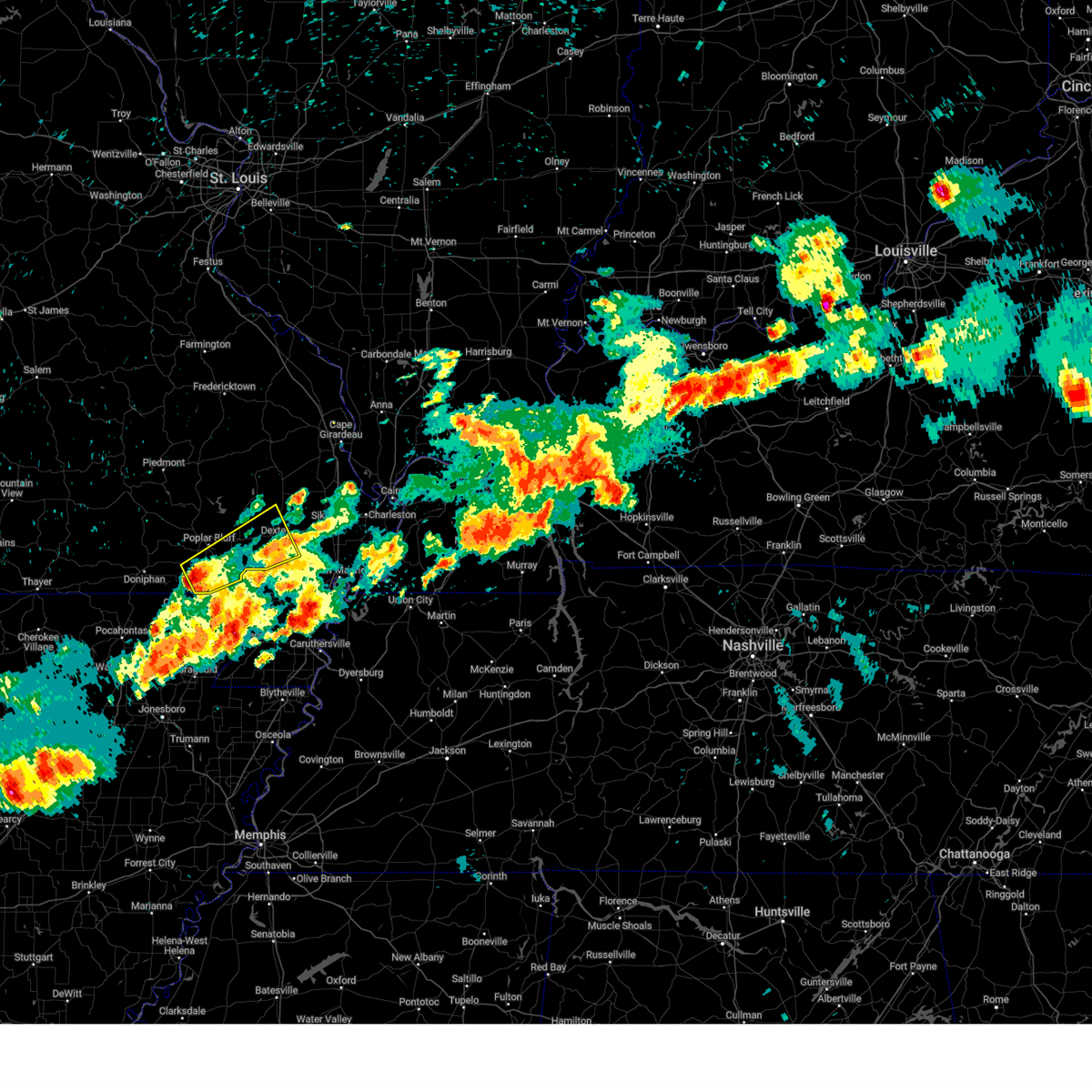
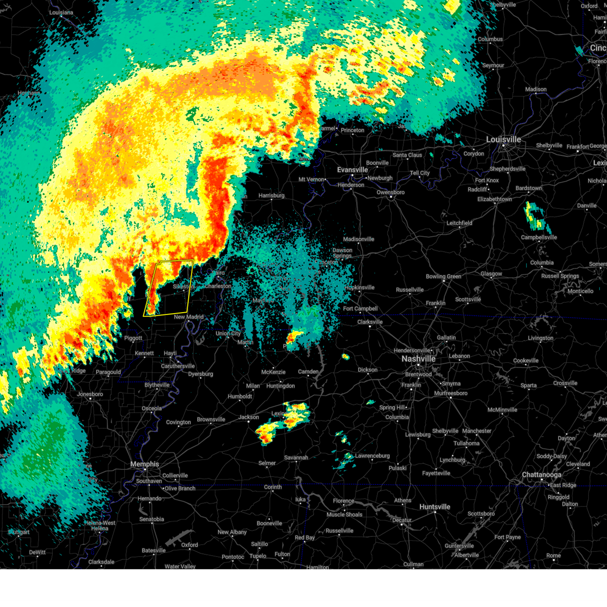
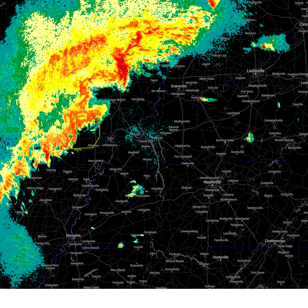
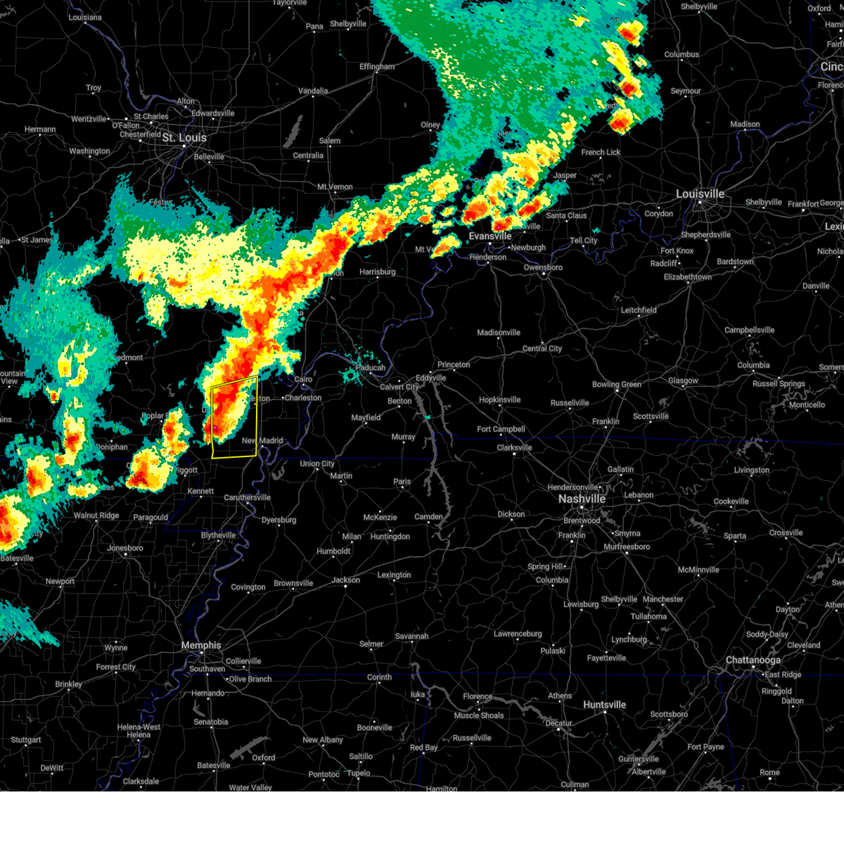
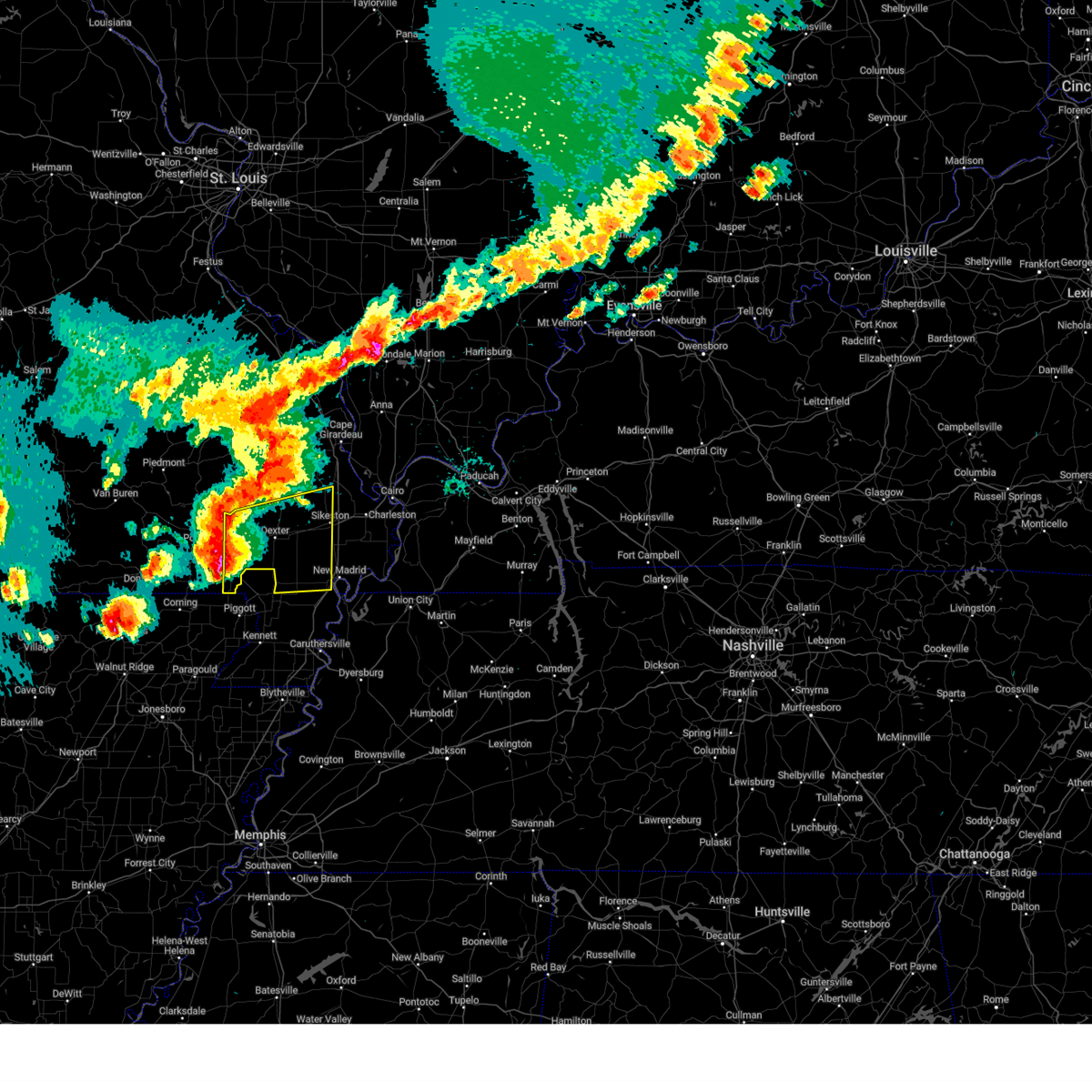
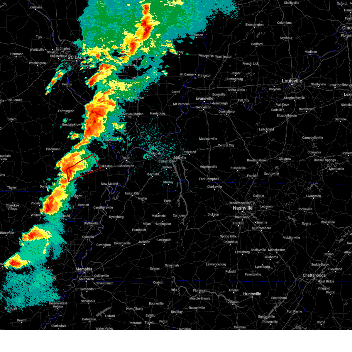
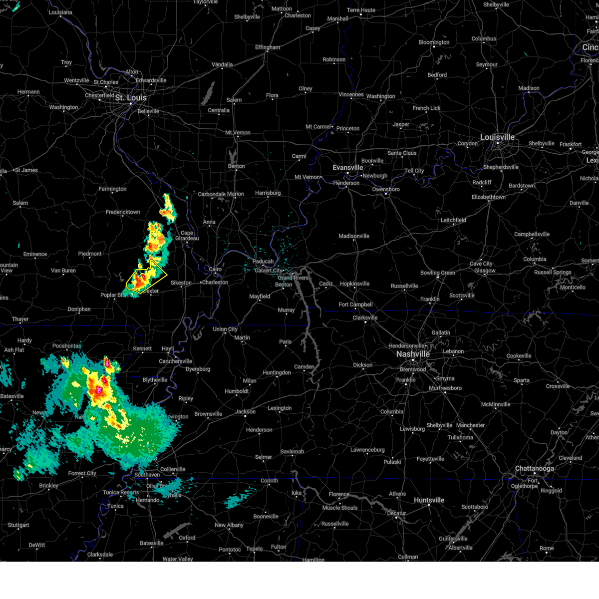
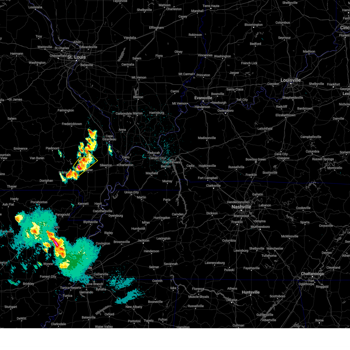
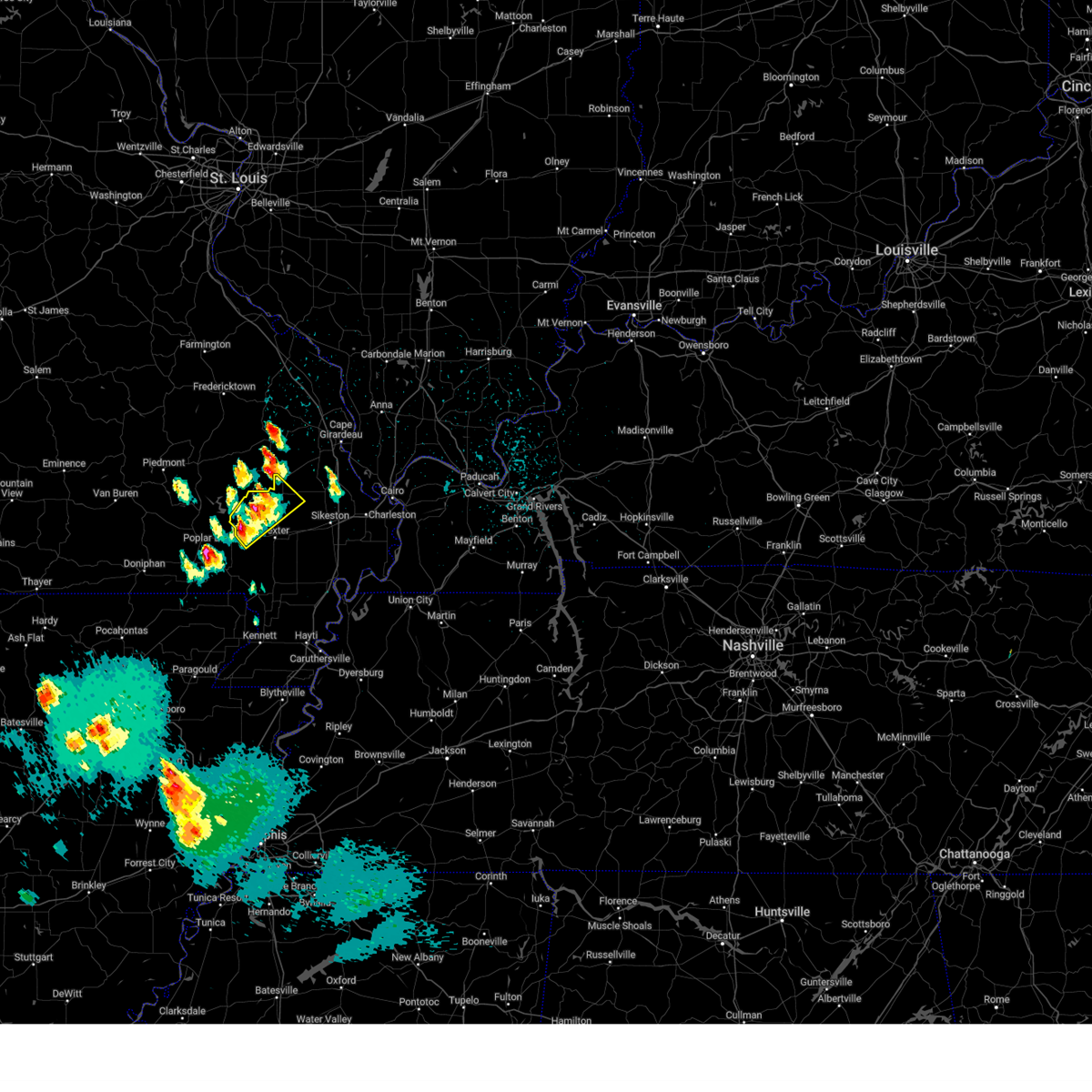
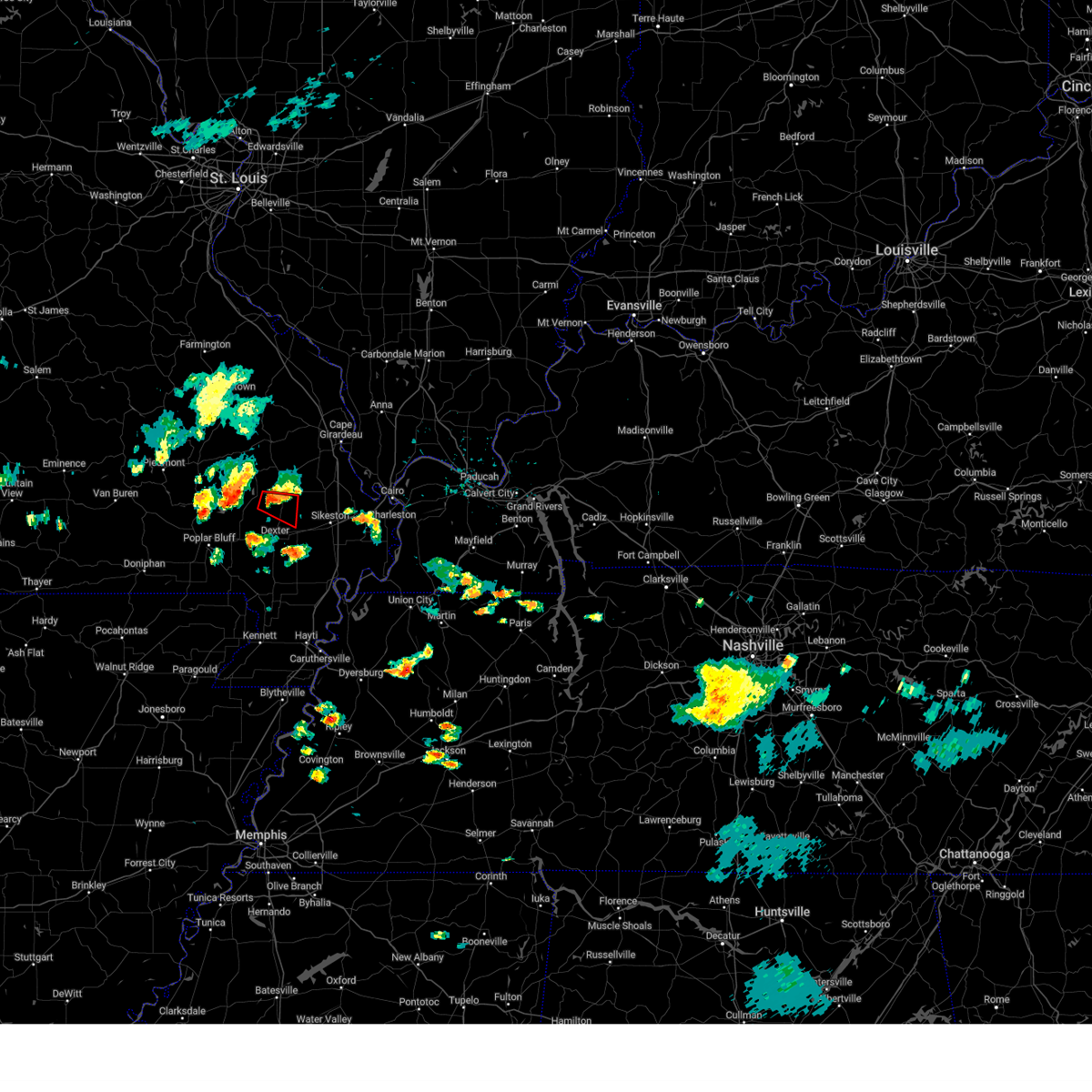
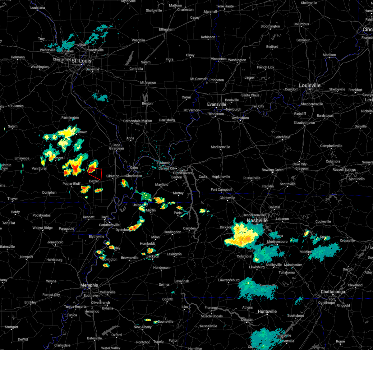
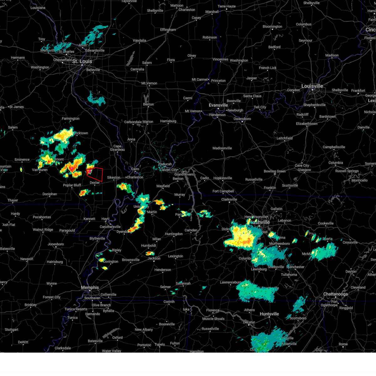
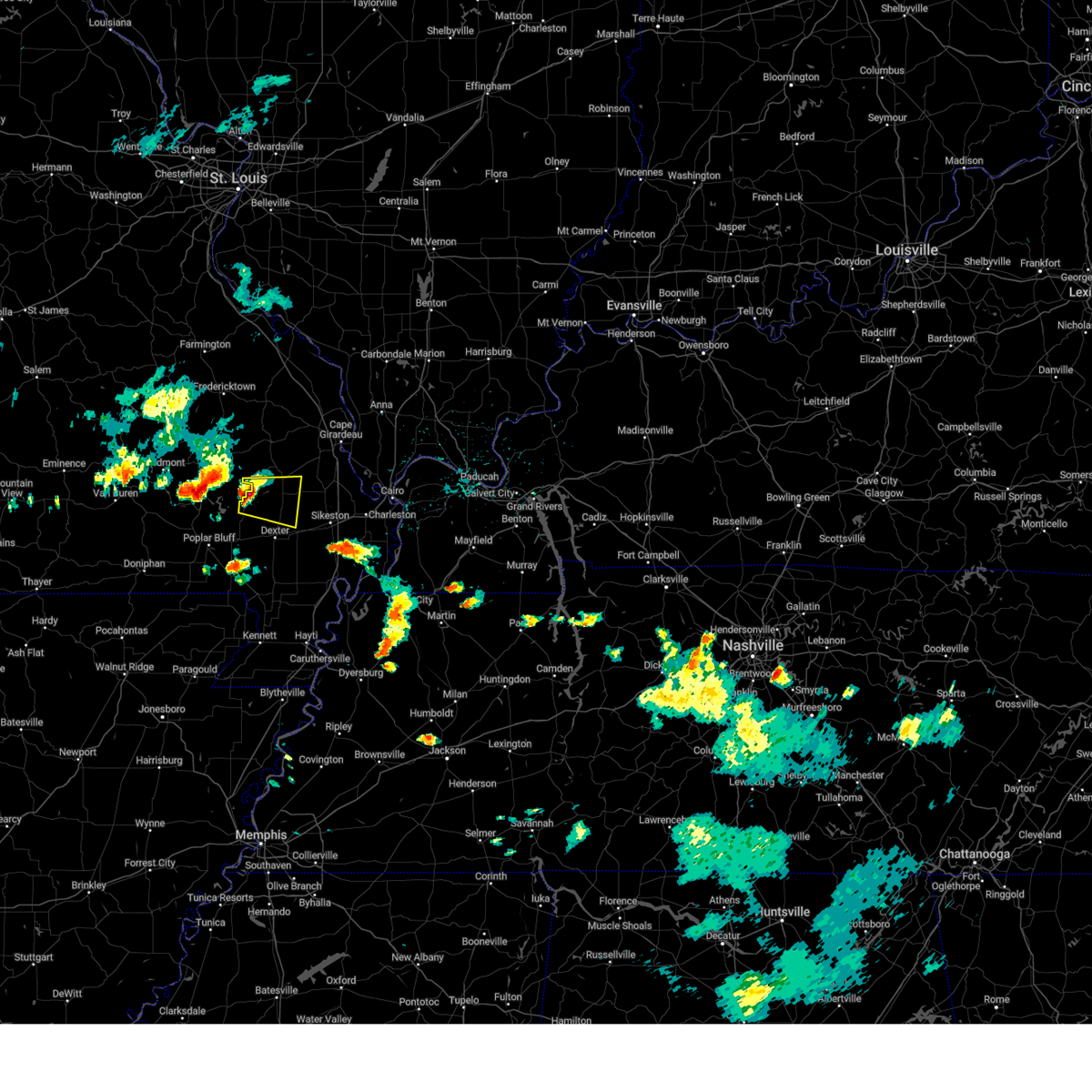
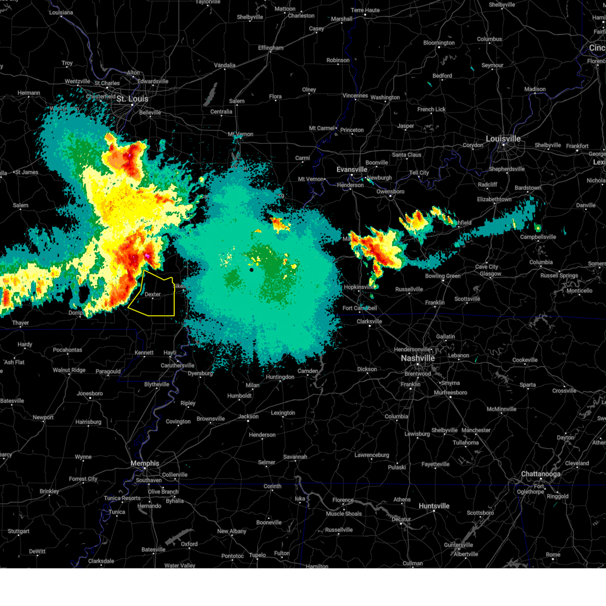
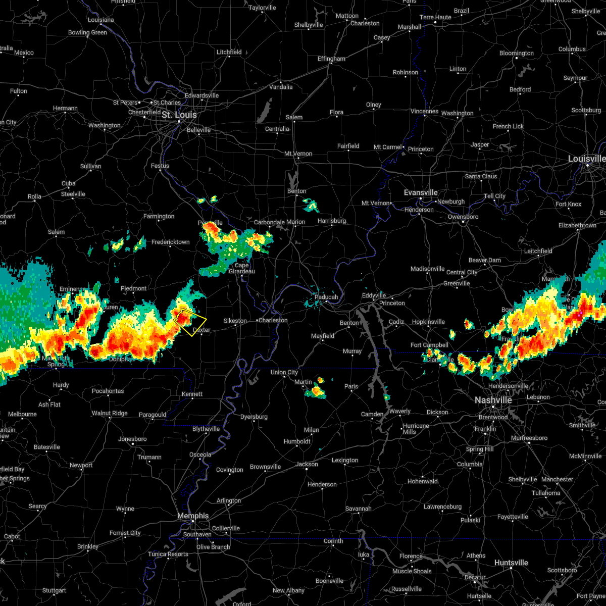
Hail Map for Bloomfield, MO
The Bloomfield, MO area has had 3 reports of on-the-ground hail by trained spotters, and has been under severe weather warnings 33 times during the past 12 months. Doppler radar has detected hail at or near Bloomfield, MO on 64 occasions, including 3 occasions during the past year.
| Name: | Bloomfield, MO |
| Where Located: | 35.8 miles SW of Cape Girardeau, MO |
| Map: | Google Map for Bloomfield, MO |
| Population: | 1933 |
| Housing Units: | 893 |
| More Info: | Search Google for Bloomfield, MO |
3
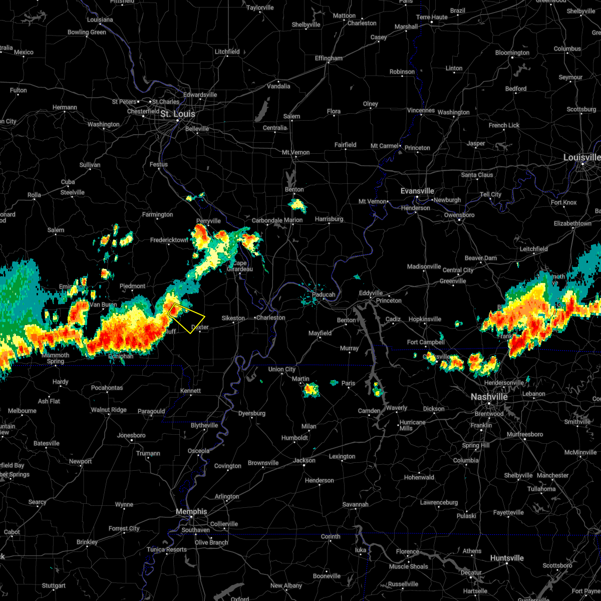
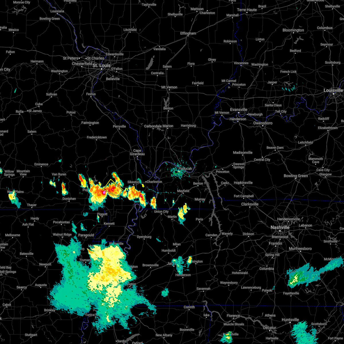
The Top Recent Hail Date for Bloomfield, MO is Friday, April 4, 2025 (6th out of 64)
Hail and Wind Damage Spotted near Bloomfield, MO
| Date / Time | Report Details |
|---|---|
| 6/30/2025 6:27 PM CDT |
 The storm which prompted the warning has weakened below severe limits, and no longer poses an immediate threat to life or property. therefore, the warning will be allowed to expire. however, gusty winds and heavy rain are still possible with this thunderstorm. The storm which prompted the warning has weakened below severe limits, and no longer poses an immediate threat to life or property. therefore, the warning will be allowed to expire. however, gusty winds and heavy rain are still possible with this thunderstorm.
|
| 6/30/2025 6:21 PM CDT |
 At 621 pm cdt, a severe thunderstorm was located near bloomfield, moving northeast at 25 mph (radar indicated). Hazards include 60 mph wind gusts. Expect damage to roofs, siding, and trees. Locations impacted include, dexter and bloomfield. At 621 pm cdt, a severe thunderstorm was located near bloomfield, moving northeast at 25 mph (radar indicated). Hazards include 60 mph wind gusts. Expect damage to roofs, siding, and trees. Locations impacted include, dexter and bloomfield.
|
| 6/30/2025 6:13 PM CDT |
 At 613 pm cdt, a severe thunderstorm was located near dudley, or 8 miles west of bloomfield, moving northeast at 20 mph (radar indicated). Hazards include 60 mph wind gusts. Expect damage to roofs, siding, and trees. Locations impacted include, dexter, bloomfield, puxico, and dudley. At 613 pm cdt, a severe thunderstorm was located near dudley, or 8 miles west of bloomfield, moving northeast at 20 mph (radar indicated). Hazards include 60 mph wind gusts. Expect damage to roofs, siding, and trees. Locations impacted include, dexter, bloomfield, puxico, and dudley.
|
| 6/30/2025 6:13 PM CDT |
 the severe thunderstorm warning has been cancelled and is no longer in effect the severe thunderstorm warning has been cancelled and is no longer in effect
|
| 6/30/2025 6:02 PM CDT |
 At 602 pm cdt, a severe thunderstorm was located near dudley, or 10 miles northwest of dexter, moving northeast at 20 mph (radar indicated). Hazards include 60 mph wind gusts and penny size hail. Expect damage to roofs, siding, and trees. Locations impacted include, dexter, bloomfield, puxico, fisk, and dudley. At 602 pm cdt, a severe thunderstorm was located near dudley, or 10 miles northwest of dexter, moving northeast at 20 mph (radar indicated). Hazards include 60 mph wind gusts and penny size hail. Expect damage to roofs, siding, and trees. Locations impacted include, dexter, bloomfield, puxico, fisk, and dudley.
|
| 6/30/2025 5:50 PM CDT |
 Svrpah the national weather service in paducah has issued a * severe thunderstorm warning for, northeastern butler county in southeastern missouri, southwestern stoddard county in southeastern missouri, * until 630 pm cdt. * at 550 pm cdt, a severe thunderstorm was located near fisk, or 10 miles southeast of lake wappapello state park, moving northeast at 20 mph (radar indicated). Hazards include 60 mph wind gusts. expect damage to roofs, siding, and trees Svrpah the national weather service in paducah has issued a * severe thunderstorm warning for, northeastern butler county in southeastern missouri, southwestern stoddard county in southeastern missouri, * until 630 pm cdt. * at 550 pm cdt, a severe thunderstorm was located near fisk, or 10 miles southeast of lake wappapello state park, moving northeast at 20 mph (radar indicated). Hazards include 60 mph wind gusts. expect damage to roofs, siding, and trees
|
| 6/9/2025 1:22 AM CDT |
 the severe thunderstorm warning has been cancelled and is no longer in effect the severe thunderstorm warning has been cancelled and is no longer in effect
|
| 6/9/2025 1:22 AM CDT |
 At 122 am cdt, severe thunderstorms were located along a line extending from chaffee to near bloomfield, moving east at 45 mph (radar indicated). Hazards include 60 mph wind gusts. Expect damage to roofs, siding, and trees. locations impacted include, dexter, bloomfield, oran, benton, morley, essex, bell city, and vanduser. This includes interstate 55 near mile marker 85. At 122 am cdt, severe thunderstorms were located along a line extending from chaffee to near bloomfield, moving east at 45 mph (radar indicated). Hazards include 60 mph wind gusts. Expect damage to roofs, siding, and trees. locations impacted include, dexter, bloomfield, oran, benton, morley, essex, bell city, and vanduser. This includes interstate 55 near mile marker 85.
|
| 6/9/2025 1:14 AM CDT |
 the severe thunderstorm warning has been cancelled and is no longer in effect the severe thunderstorm warning has been cancelled and is no longer in effect
|
| 6/9/2025 1:14 AM CDT |
 At 114 am cdt, severe thunderstorms were located along a line extending from near delta to near dexter, moving east at 45 mph (radar indicated). Hazards include 60 mph wind gusts. Expect damage to roofs, siding, and trees. locations impacted include, dexter, bloomfield, advance, oran, benton, morley, essex, bell city, and vanduser. This includes interstate 55 near mile marker 85. At 114 am cdt, severe thunderstorms were located along a line extending from near delta to near dexter, moving east at 45 mph (radar indicated). Hazards include 60 mph wind gusts. Expect damage to roofs, siding, and trees. locations impacted include, dexter, bloomfield, advance, oran, benton, morley, essex, bell city, and vanduser. This includes interstate 55 near mile marker 85.
|
| 6/9/2025 1:12 AM CDT |
 Svrpah the national weather service in paducah has issued a * severe thunderstorm warning for, southwestern pulaski county in southern illinois, southern alexander county in southern illinois, northwestern mississippi county in southeastern missouri, scott county in southeastern missouri, northeastern new madrid county in southeastern missouri, eastern stoddard county in southeastern missouri, * until 200 am cdt. * at 112 am cdt, severe thunderstorms were located along a line extending from near delta to near glennonville, moving east at 45 mph (radar indicated). Hazards include 60 mph wind gusts. expect damage to roofs, siding, and trees Svrpah the national weather service in paducah has issued a * severe thunderstorm warning for, southwestern pulaski county in southern illinois, southern alexander county in southern illinois, northwestern mississippi county in southeastern missouri, scott county in southeastern missouri, northeastern new madrid county in southeastern missouri, eastern stoddard county in southeastern missouri, * until 200 am cdt. * at 112 am cdt, severe thunderstorms were located along a line extending from near delta to near glennonville, moving east at 45 mph (radar indicated). Hazards include 60 mph wind gusts. expect damage to roofs, siding, and trees
|
| 6/9/2025 1:06 AM CDT |
 At 106 am cdt, severe thunderstorms were located along a line extending from near advance to near dudley, moving east at 45 mph (radar indicated). Hazards include 70 mph wind gusts. Expect considerable tree damage. damage is likely to mobile homes, roofs, and outbuildings. locations impacted include, dexter, bloomfield, advance, oran, benton, puxico, morley, essex, bell city, vanduser, and rombauer. This includes interstate 55 between mile markers 84 and 86. At 106 am cdt, severe thunderstorms were located along a line extending from near advance to near dudley, moving east at 45 mph (radar indicated). Hazards include 70 mph wind gusts. Expect considerable tree damage. damage is likely to mobile homes, roofs, and outbuildings. locations impacted include, dexter, bloomfield, advance, oran, benton, puxico, morley, essex, bell city, vanduser, and rombauer. This includes interstate 55 between mile markers 84 and 86.
|
| 6/9/2025 12:46 AM CDT |
 Svrpah the national weather service in paducah has issued a * severe thunderstorm warning for, southern bollinger county in southeastern missouri, western scott county in southeastern missouri, southeastern wayne county in southeastern missouri, northeastern butler county in southeastern missouri, southwestern cape girardeau county in southeastern missouri, stoddard county in southeastern missouri, * until 130 am cdt. * at 1246 am cdt, severe thunderstorms were located along a line extending from 7 miles south of grassy to near poplar bluff, moving east at 45 mph (radar indicated). Hazards include 70 mph wind gusts. Expect considerable tree damage. Damage is likely to mobile homes, roofs, and outbuildings. Svrpah the national weather service in paducah has issued a * severe thunderstorm warning for, southern bollinger county in southeastern missouri, western scott county in southeastern missouri, southeastern wayne county in southeastern missouri, northeastern butler county in southeastern missouri, southwestern cape girardeau county in southeastern missouri, stoddard county in southeastern missouri, * until 130 am cdt. * at 1246 am cdt, severe thunderstorms were located along a line extending from 7 miles south of grassy to near poplar bluff, moving east at 45 mph (radar indicated). Hazards include 70 mph wind gusts. Expect considerable tree damage. Damage is likely to mobile homes, roofs, and outbuildings.
|
| 5/16/2025 6:56 PM CDT | At 656 pm cdt, a severe thunderstorm was located over dexter, moving east at 45 mph (radar indicated). Hazards include 70 mph wind gusts and half dollar size hail. Hail damage to vehicles is expected. expect considerable tree damage. wind damage is also likely to mobile homes, roofs, and outbuildings. Locations impacted include, dexter, bloomfield, morehouse, essex, canalou, dudley, baker, and penermon. |
| 5/16/2025 6:40 PM CDT |
 Svrpah the national weather service in paducah has issued a * severe thunderstorm warning for, north central new madrid county in southeastern missouri, northeastern butler county in southeastern missouri, southern stoddard county in southeastern missouri, * until 730 pm cdt. * at 639 pm cdt, a severe thunderstorm was located over fisk, or 10 miles east of poplar bluff, moving east at 45 mph. this is a destructive storm for south of rombauer (radar indicated). Hazards include 80 mph wind gusts and half dollar size hail. Flying debris will be dangerous to those caught without shelter. mobile homes will be heavily damaged. expect considerable damage to roofs, windows, and vehicles. Extensive tree damage and power outages are likely. Svrpah the national weather service in paducah has issued a * severe thunderstorm warning for, north central new madrid county in southeastern missouri, northeastern butler county in southeastern missouri, southern stoddard county in southeastern missouri, * until 730 pm cdt. * at 639 pm cdt, a severe thunderstorm was located over fisk, or 10 miles east of poplar bluff, moving east at 45 mph. this is a destructive storm for south of rombauer (radar indicated). Hazards include 80 mph wind gusts and half dollar size hail. Flying debris will be dangerous to those caught without shelter. mobile homes will be heavily damaged. expect considerable damage to roofs, windows, and vehicles. Extensive tree damage and power outages are likely.
|
| 5/16/2025 7:13 AM CDT |
 At 712 am cdt, a severe thunderstorm was located near dudley, or near dexter, moving northeast at 55 mph (trained weather spotters). Hazards include 60 mph wind gusts and quarter size hail. Hail damage to vehicles is expected. expect wind damage to roofs, siding, and trees. Locations impacted include, dexter, bernie, bloomfield, essex, and dudley. At 712 am cdt, a severe thunderstorm was located near dudley, or near dexter, moving northeast at 55 mph (trained weather spotters). Hazards include 60 mph wind gusts and quarter size hail. Hail damage to vehicles is expected. expect wind damage to roofs, siding, and trees. Locations impacted include, dexter, bernie, bloomfield, essex, and dudley.
|
| 5/16/2025 7:13 AM CDT |
 the severe thunderstorm warning has been cancelled and is no longer in effect the severe thunderstorm warning has been cancelled and is no longer in effect
|
| 5/16/2025 6:57 AM CDT |
 At 657 am cdt, a severe thunderstorm was located near qulin, or 9 miles southeast of poplar bluff, moving northeast at 40 mph (trained weather spotters). Hazards include golf ball size hail and 60 mph wind gusts. People and animals outdoors will be injured. expect hail damage to roofs, siding, windows, and vehicles. expect wind damage to roofs, siding, and trees. Locations impacted include, poplar bluff, dexter, bernie, bloomfield, essex, qulin, fisk, and dudley. At 657 am cdt, a severe thunderstorm was located near qulin, or 9 miles southeast of poplar bluff, moving northeast at 40 mph (trained weather spotters). Hazards include golf ball size hail and 60 mph wind gusts. People and animals outdoors will be injured. expect hail damage to roofs, siding, windows, and vehicles. expect wind damage to roofs, siding, and trees. Locations impacted include, poplar bluff, dexter, bernie, bloomfield, essex, qulin, fisk, and dudley.
|
| 5/16/2025 6:47 AM CDT |
 Svrpah the national weather service in paducah has issued a * severe thunderstorm warning for, southern butler county in southeastern missouri, southern stoddard county in southeastern missouri, * until 730 am cdt. * at 647 am cdt, a severe thunderstorm was located near neelyville, or 11 miles south of poplar bluff, moving northeast at 40 mph (radar indicated). Hazards include ping pong ball size hail and 60 mph wind gusts. People and animals outdoors will be injured. expect hail damage to roofs, siding, windows, and vehicles. Expect wind damage to roofs, siding, and trees. Svrpah the national weather service in paducah has issued a * severe thunderstorm warning for, southern butler county in southeastern missouri, southern stoddard county in southeastern missouri, * until 730 am cdt. * at 647 am cdt, a severe thunderstorm was located near neelyville, or 11 miles south of poplar bluff, moving northeast at 40 mph (radar indicated). Hazards include ping pong ball size hail and 60 mph wind gusts. People and animals outdoors will be injured. expect hail damage to roofs, siding, windows, and vehicles. Expect wind damage to roofs, siding, and trees.
|
| 4/4/2025 9:01 PM CDT |
 Svrpah the national weather service in paducah has issued a * severe thunderstorm warning for, scott county in southeastern missouri, north central new madrid county in southeastern missouri, southwestern cape girardeau county in southeastern missouri, stoddard county in southeastern missouri, * until 945 pm cdt. * at 901 pm cdt, severe thunderstorms were located along a line extending from near advance to near bernie, moving east at 30 mph (radar indicated). Hazards include 60 mph wind gusts and quarter size hail. Hail damage to vehicles is expected. Expect wind damage to roofs, siding, and trees. Svrpah the national weather service in paducah has issued a * severe thunderstorm warning for, scott county in southeastern missouri, north central new madrid county in southeastern missouri, southwestern cape girardeau county in southeastern missouri, stoddard county in southeastern missouri, * until 945 pm cdt. * at 901 pm cdt, severe thunderstorms were located along a line extending from near advance to near bernie, moving east at 30 mph (radar indicated). Hazards include 60 mph wind gusts and quarter size hail. Hail damage to vehicles is expected. Expect wind damage to roofs, siding, and trees.
|
| 4/4/2025 8:59 PM CDT | Ping Pong Ball sized hail reported 0.3 miles S of Bloomfield, MO, report from mping: ping pong ball (1.50 in.). |
| 4/4/2025 8:41 PM CDT | At 841 pm cdt, severe thunderstorms were located along a line extending from 8 miles north of puxico to 6 miles southeast of fisk, moving northeast at 40 mph (radar indicated). Hazards include 70 mph wind gusts and quarter size hail. Hail damage to vehicles is expected. expect considerable tree damage. wind damage is also likely to mobile homes, roofs, and outbuildings. Locations impacted include, dudley, advance, bloomfield, fisk, essex, dexter, puxico, and bernie. |
| 4/4/2025 8:21 PM CDT | Svrpah the national weather service in paducah has issued a * severe thunderstorm warning for, southeastern bollinger county in southeastern missouri, southeastern wayne county in southeastern missouri, eastern butler county in southeastern missouri, stoddard county in southeastern missouri, * until 900 pm cdt. * at 820 pm cdt, severe thunderstorms were located along a line extending from near lake wappapello state park to 6 miles west of qulin, moving northeast at 50 mph (radar indicated). Hazards include 70 mph wind gusts and quarter size hail. Hail damage to vehicles is expected. expect considerable tree damage. Wind damage is also likely to mobile homes, roofs, and outbuildings. |
| 4/4/2025 8:04 PM CDT |
 Svrpah the national weather service in paducah has issued a * severe thunderstorm warning for, northwestern alexander county in southern illinois, southeastern bollinger county in southeastern missouri, scott county in southeastern missouri, southern cape girardeau county in southeastern missouri, northern stoddard county in southeastern missouri, * until 845 pm cdt. * at 803 pm cdt, severe thunderstorms were located along a line extending from leopold to 6 miles south of advance to near dudley, moving east at 45 mph (radar indicated). Hazards include 60 mph wind gusts and quarter size hail. Hail damage to vehicles is expected. Expect wind damage to roofs, siding, and trees. Svrpah the national weather service in paducah has issued a * severe thunderstorm warning for, northwestern alexander county in southern illinois, southeastern bollinger county in southeastern missouri, scott county in southeastern missouri, southern cape girardeau county in southeastern missouri, northern stoddard county in southeastern missouri, * until 845 pm cdt. * at 803 pm cdt, severe thunderstorms were located along a line extending from leopold to 6 miles south of advance to near dudley, moving east at 45 mph (radar indicated). Hazards include 60 mph wind gusts and quarter size hail. Hail damage to vehicles is expected. Expect wind damage to roofs, siding, and trees.
|
| 4/2/2025 6:28 PM CDT | Svrpah the national weather service in paducah has issued a * severe thunderstorm warning for, central butler county in southeastern missouri, southwestern stoddard county in southeastern missouri, * until 715 pm cdt. * at 628 pm cdt, severe thunderstorms were located along a line extending from near poplar bluff to near neelyville, moving east at 65 mph (trained weather spotters). Hazards include 60 mph wind gusts. expect damage to roofs, siding, and trees |
| 3/30/2025 6:06 PM CDT |
 At 605 pm cdt, a severe thunderstorm was located near sikeston, moving east at 55 mph (radar indicated). Hazards include 70 mph wind gusts and ping pong ball size hail. People and animals outdoors will be injured. expect hail damage to roofs, siding, windows, and vehicles. expect considerable tree damage. wind damage is also likely to mobile homes, roofs, and outbuildings. locations impacted include, parma, tallapoosa, canalou, vanduser, bloomfield, morley, howardville, penermon, morehouse, matthews, baker, lilbourn, catron, essex, sikeston, hay-wood city, risco, north lilbourn, marston, and bell city. This includes interstate 55 between mile markers 41 and 44. At 605 pm cdt, a severe thunderstorm was located near sikeston, moving east at 55 mph (radar indicated). Hazards include 70 mph wind gusts and ping pong ball size hail. People and animals outdoors will be injured. expect hail damage to roofs, siding, windows, and vehicles. expect considerable tree damage. wind damage is also likely to mobile homes, roofs, and outbuildings. locations impacted include, parma, tallapoosa, canalou, vanduser, bloomfield, morley, howardville, penermon, morehouse, matthews, baker, lilbourn, catron, essex, sikeston, hay-wood city, risco, north lilbourn, marston, and bell city. This includes interstate 55 between mile markers 41 and 44.
|
| 3/30/2025 6:06 PM CDT |
 the severe thunderstorm warning has been cancelled and is no longer in effect the severe thunderstorm warning has been cancelled and is no longer in effect
|
| 3/30/2025 5:48 PM CDT | Small branches broke in stoddard county MO, 0.3 miles S of Bloomfield, MO |
| 3/30/2025 5:27 PM CDT |
 Svrpah the national weather service in paducah has issued a * severe thunderstorm warning for, southwestern scott county in southeastern missouri, central new madrid county in southeastern missouri, eastern butler county in southeastern missouri, stoddard county in southeastern missouri, * until 615 pm cdt. * at 526 pm cdt, a severe thunderstorm was located over fisk, or 10 miles east of poplar bluff, moving east at 55 mph (radar indicated). Hazards include 70 mph wind gusts and quarter size hail. Hail damage to vehicles is expected. expect considerable tree damage. Wind damage is also likely to mobile homes, roofs, and outbuildings. Svrpah the national weather service in paducah has issued a * severe thunderstorm warning for, southwestern scott county in southeastern missouri, central new madrid county in southeastern missouri, eastern butler county in southeastern missouri, stoddard county in southeastern missouri, * until 615 pm cdt. * at 526 pm cdt, a severe thunderstorm was located over fisk, or 10 miles east of poplar bluff, moving east at 55 mph (radar indicated). Hazards include 70 mph wind gusts and quarter size hail. Hail damage to vehicles is expected. expect considerable tree damage. Wind damage is also likely to mobile homes, roofs, and outbuildings.
|
| 3/15/2025 12:16 AM CDT | At 1216 am cdt, a severe thunderstorm capable of producing a tornado was located near bell city, or 8 miles northeast of bloomfield, moving east at 60 mph (radar indicated rotation). Hazards include tornado. Flying debris will be dangerous to those caught without shelter. mobile homes will be damaged or destroyed. damage to roofs, windows, and vehicles will occur. tree damage is likely. This tornadic thunderstorm will remain over mainly rural areas of northeastern stoddard county. |
| 3/15/2025 12:13 AM CDT | At 1213 am cdt, a confirmed tornado was located near bloomfield, moving east at 45 mph (weather spotters confirmed tornado). Hazards include damaging tornado. Flying debris will be dangerous to those caught without shelter. mobile homes will be damaged or destroyed. damage to roofs, windows, and vehicles will occur. tree damage is likely. this tornado will be near, bell city around 1220 am cdt. morley, hay-wood city, and oran around 1225 am cdt. benton around 1230 am cdt. olive branch and horseshoe lake conservation area around 1245 am cdt. other locations impacted by this tornadic thunderstorm include lambert, commerce, vanduser, diehlstadt, blodgett, and thebes. this includes the following highways, interstate 57 in illinois between mile markers 1 and 2. interstate 57 in missouri between mile markers 19 and 21. Interstate 55 between mile markers 70 and 90. |
| 3/15/2025 12:09 AM CDT | Torpah the national weather service in paducah has issued a * tornado warning for, southwestern pulaski county in southern illinois, alexander county in southern illinois, northwestern mississippi county in southeastern missouri, scott county in southeastern missouri, northeastern stoddard county in southeastern missouri, * until 100 am cdt. * at 1209 am cdt, a severe thunderstorm capable of producing a tornado was located near bloomfield, moving east at 70 mph. radar also indicates straight line winds of up to 85 mph (radar indicated rotation). Hazards include tornado. Flying debris will be dangerous to those caught without shelter. mobile homes will be damaged or destroyed. damage to roofs, windows, and vehicles will occur. tree damage is likely. this dangerous storm will be near, bell city, morley, hay-wood city, and oran around 1215 am cdt. benton around 1220 am cdt. olive branch and horseshoe lake conservation area around 1230 am cdt. cairo around 1240 am cdt. other locations impacted by this tornadic thunderstorm include lambert, commerce, vanduser, diehlstadt, blodgett, and thebes. this includes the following highways, interstate 57 in illinois between mile markers 1 and 2. interstate 57 in missouri between mile markers 19 and 21. Interstate 55 between mile markers 70 and 90. |
| 3/15/2025 12:00 AM CDT | At 1159 pm cdt, a confirmed large and extremely dangerous tornado was located near puxico, or 9 miles west of bloomfield, moving northeast at 45 mph. this is a particularly dangerous situation. take cover now! radar indicates straight line wind of 70 to 80 mph south of this tornado to near dudley (weather spotters confirmed tornado). Hazards include damaging tornado. You are in a life-threatening situation. flying debris may be deadly to those caught without shelter. mobile homes will be destroyed. considerable damage to homes, businesses, and vehicles is likely and complete destruction is possible. the tornado will be near, dexter and bloomfield around 1205 am cdt. Bell city around 1210 am cdt. |
| 3/15/2025 12:00 AM CDT | the tornado warning has been cancelled and is no longer in effect |
| 3/14/2025 11:37 PM CDT |
 Torpah the national weather service in paducah has issued a * tornado warning for, northeastern butler county in southeastern missouri, central stoddard county in southeastern missouri, * until 1230 am cdt. * at 1137 pm cdt, a confirmed large and extremely dangerous tornado was located over poplar bluff, moving northeast at 65 mph. this is a particularly dangerous situation. take cover now! (weather spotters confirmed tornado). Hazards include damaging tornado. You are in a life-threatening situation. flying debris may be deadly to those caught without shelter. mobile homes will be destroyed. considerable damage to homes, businesses, and vehicles is likely and complete destruction is possible. the tornado will be near, fisk and puxico around 1145 pm cdt. dudley around 1150 pm cdt. bloomfield around 1155 pm cdt. bell city around 1200 am cdt. advance around 1205 am cdt. Other locations impacted by this tornadic thunderstorm include rombauer. Torpah the national weather service in paducah has issued a * tornado warning for, northeastern butler county in southeastern missouri, central stoddard county in southeastern missouri, * until 1230 am cdt. * at 1137 pm cdt, a confirmed large and extremely dangerous tornado was located over poplar bluff, moving northeast at 65 mph. this is a particularly dangerous situation. take cover now! (weather spotters confirmed tornado). Hazards include damaging tornado. You are in a life-threatening situation. flying debris may be deadly to those caught without shelter. mobile homes will be destroyed. considerable damage to homes, businesses, and vehicles is likely and complete destruction is possible. the tornado will be near, fisk and puxico around 1145 pm cdt. dudley around 1150 pm cdt. bloomfield around 1155 pm cdt. bell city around 1200 am cdt. advance around 1205 am cdt. Other locations impacted by this tornadic thunderstorm include rombauer.
|
| 7/5/2024 3:15 AM CDT |
 the severe thunderstorm warning has been cancelled and is no longer in effect the severe thunderstorm warning has been cancelled and is no longer in effect
|
| 7/5/2024 2:39 AM CDT |
 Svrpah the national weather service in paducah has issued a * severe thunderstorm warning for, scott county in southeastern missouri, northeastern stoddard county in southeastern missouri, * until 330 am cdt. * at 239 am cdt, a severe thunderstorm was located near bell city, or near advance, moving east at 55 mph (radar indicated). Hazards include 60 mph wind gusts. expect damage to roofs, siding, and trees Svrpah the national weather service in paducah has issued a * severe thunderstorm warning for, scott county in southeastern missouri, northeastern stoddard county in southeastern missouri, * until 330 am cdt. * at 239 am cdt, a severe thunderstorm was located near bell city, or near advance, moving east at 55 mph (radar indicated). Hazards include 60 mph wind gusts. expect damage to roofs, siding, and trees
|
| 5/26/2024 8:19 PM CDT |
 Svrpah the national weather service in paducah has issued a * severe thunderstorm warning for, northwestern mississippi county in southeastern missouri, scott county in southeastern missouri, northwestern new madrid county in southeastern missouri, east central butler county in southeastern missouri, stoddard county in southeastern missouri, * until 915 pm cdt. * at 819 pm cdt, severe thunderstorms were located along a line extending from near chaffee to near harviell, moving southeast at 40 mph (radar indicated). Hazards include 70 mph wind gusts and quarter size hail. Hail damage to vehicles is expected. expect considerable tree damage. Wind damage is also likely to mobile homes, roofs, and outbuildings. Svrpah the national weather service in paducah has issued a * severe thunderstorm warning for, northwestern mississippi county in southeastern missouri, scott county in southeastern missouri, northwestern new madrid county in southeastern missouri, east central butler county in southeastern missouri, stoddard county in southeastern missouri, * until 915 pm cdt. * at 819 pm cdt, severe thunderstorms were located along a line extending from near chaffee to near harviell, moving southeast at 40 mph (radar indicated). Hazards include 70 mph wind gusts and quarter size hail. Hail damage to vehicles is expected. expect considerable tree damage. Wind damage is also likely to mobile homes, roofs, and outbuildings.
|
| 5/26/2024 7:12 AM CDT |
 At 711 am cdt, a severe thunderstorm capable of producing a tornado was located over bloomfield, moving east at 65 mph (radar indicated rotation). Hazards include tornado. Flying debris will be dangerous to those caught without shelter. mobile homes will be damaged or destroyed. damage to roofs, windows, and vehicles will occur. tree damage is likely. this dangerous storm will be near, bloomfield, morehouse, and essex around 715 am cdt. Other locations impacted by this tornadic thunderstorm include penermon. At 711 am cdt, a severe thunderstorm capable of producing a tornado was located over bloomfield, moving east at 65 mph (radar indicated rotation). Hazards include tornado. Flying debris will be dangerous to those caught without shelter. mobile homes will be damaged or destroyed. damage to roofs, windows, and vehicles will occur. tree damage is likely. this dangerous storm will be near, bloomfield, morehouse, and essex around 715 am cdt. Other locations impacted by this tornadic thunderstorm include penermon.
|
| 5/26/2024 7:12 AM CDT |
 the severe thunderstorm warning has been cancelled and is no longer in effect the severe thunderstorm warning has been cancelled and is no longer in effect
|
| 5/26/2024 7:12 AM CDT |
 At 712 am cdt, severe thunderstorms were located along a line extending from near bell city to near parma to holcomb, moving east at 70 mph (radar indicated). Hazards include 70 mph wind gusts. Expect considerable tree damage. damage is likely to mobile homes, roofs, and outbuildings. locations impacted include, sikeston, dexter, charleston, scott city, portageville, east prairie, new madrid, cairo, bernie, bloomfield, oran, lilbourn, miner, benton, big oak tree state park, hunter-dawson state historic site, towosahgy state historic site, malden, clarkton, and gideon. this includes the following highways, interstate 57 in illinois between mile markers 1 and 21. interstate 57 in missouri between mile markers 1 and 21. Interstate 55 between mile markers 33 and 88. At 712 am cdt, severe thunderstorms were located along a line extending from near bell city to near parma to holcomb, moving east at 70 mph (radar indicated). Hazards include 70 mph wind gusts. Expect considerable tree damage. damage is likely to mobile homes, roofs, and outbuildings. locations impacted include, sikeston, dexter, charleston, scott city, portageville, east prairie, new madrid, cairo, bernie, bloomfield, oran, lilbourn, miner, benton, big oak tree state park, hunter-dawson state historic site, towosahgy state historic site, malden, clarkton, and gideon. this includes the following highways, interstate 57 in illinois between mile markers 1 and 21. interstate 57 in missouri between mile markers 1 and 21. Interstate 55 between mile markers 33 and 88.
|
| 5/26/2024 7:06 AM CDT | Widespread wind damage across the county. dexter... dudley... puxico... bloomfield and esse in stoddard county MO, 0.3 miles S of Bloomfield, MO |
| 5/26/2024 7:00 AM CDT | Torpah the national weather service in paducah has issued a * tornado warning for, central stoddard county in southeastern missouri, * until 730 am cdt. * at 700 am cdt, a severe thunderstorm capable of producing a tornado was located near fisk, or 10 miles west of dexter, moving east at 65 mph (radar indicated rotation). Hazards include tornado. Flying debris will be dangerous to those caught without shelter. mobile homes will be damaged or destroyed. damage to roofs, windows, and vehicles will occur. tree damage is likely. this dangerous storm will be near, dexter, bloomfield, and dudley around 705 am cdt. essex around 710 am cdt. morehouse around 715 am cdt. Other locations impacted by this tornadic thunderstorm include baker and penermon. |
| 3/14/2024 7:46 PM CDT |
 the severe thunderstorm warning has been cancelled and is no longer in effect the severe thunderstorm warning has been cancelled and is no longer in effect
|
| 3/14/2024 7:46 PM CDT |
 At 746 pm cdt, severe thunderstorms were located along a line extending from cape girardeau to near oran to essex, moving east at 55 mph (radar indicated). Hazards include 60 mph wind gusts and penny size hail. Expect damage to roofs, siding, and trees. locations impacted include, cape girardeau, sikeston, dexter, scott city, chaffee, bloomfield, oran, miner, benton, morehouse, morley, tamms, kelso, essex, bell city, delta, gordonville, dudley, dutchtown, and cape girardeau airport. this includes the following highways, interstate 57 in missouri near mile marker 1. Interstate 55 between mile markers 59 and 98. At 746 pm cdt, severe thunderstorms were located along a line extending from cape girardeau to near oran to essex, moving east at 55 mph (radar indicated). Hazards include 60 mph wind gusts and penny size hail. Expect damage to roofs, siding, and trees. locations impacted include, cape girardeau, sikeston, dexter, scott city, chaffee, bloomfield, oran, miner, benton, morehouse, morley, tamms, kelso, essex, bell city, delta, gordonville, dudley, dutchtown, and cape girardeau airport. this includes the following highways, interstate 57 in missouri near mile marker 1. Interstate 55 between mile markers 59 and 98.
|
| 3/14/2024 7:29 PM CDT |
 Svrpah the national weather service in paducah has issued a * severe thunderstorm warning for, alexander county in southern illinois, southeastern bollinger county in southeastern missouri, scott county in southeastern missouri, north central new madrid county in southeastern missouri, northeastern butler county in southeastern missouri, southern cape girardeau county in southeastern missouri, stoddard county in southeastern missouri, * until 815 pm cdt. * at 729 pm cdt, severe thunderstorms were located along a line extending from near bollinger mill state historic site to advance to dudley, moving east at 55 mph (radar indicated). Hazards include 60 mph wind gusts and penny size hail. expect damage to roofs, siding, and trees Svrpah the national weather service in paducah has issued a * severe thunderstorm warning for, alexander county in southern illinois, southeastern bollinger county in southeastern missouri, scott county in southeastern missouri, north central new madrid county in southeastern missouri, northeastern butler county in southeastern missouri, southern cape girardeau county in southeastern missouri, stoddard county in southeastern missouri, * until 815 pm cdt. * at 729 pm cdt, severe thunderstorms were located along a line extending from near bollinger mill state historic site to advance to dudley, moving east at 55 mph (radar indicated). Hazards include 60 mph wind gusts and penny size hail. expect damage to roofs, siding, and trees
|
| 3/4/2024 8:40 PM CST |
 The storm which prompted the warning has weakened below severe limits, and no longer poses an immediate threat to life or property. therefore, the warning will be allowed to expire. however, small hail and heavy rain are still possible with this thunderstorm. a flood advisory remains in effect for the area. The storm which prompted the warning has weakened below severe limits, and no longer poses an immediate threat to life or property. therefore, the warning will be allowed to expire. however, small hail and heavy rain are still possible with this thunderstorm. a flood advisory remains in effect for the area.
|
| 3/4/2024 8:30 PM CST |
 At 830 pm cst, a severe thunderstorm was located near puxico, or 8 miles west of bloomfield, moving northeast at 15 mph (radar indicated). Hazards include 60 mph wind gusts and quarter size hail. Hail damage to vehicles is expected. expect wind damage to roofs, siding, and trees. Locations impacted include, bloomfield, advance, puxico, and bell city. At 830 pm cst, a severe thunderstorm was located near puxico, or 8 miles west of bloomfield, moving northeast at 15 mph (radar indicated). Hazards include 60 mph wind gusts and quarter size hail. Hail damage to vehicles is expected. expect wind damage to roofs, siding, and trees. Locations impacted include, bloomfield, advance, puxico, and bell city.
|
| 3/4/2024 8:12 PM CST |
 At 812 pm cst, a severe thunderstorm was located near puxico, or 9 miles west of bloomfield, moving northeast at 20 mph (radar indicated). Hazards include 60 mph wind gusts and quarter size hail. Hail damage to vehicles is expected. expect wind damage to roofs, siding, and trees. Locations impacted include, bloomfield, advance, puxico, bell city, and dudley. At 812 pm cst, a severe thunderstorm was located near puxico, or 9 miles west of bloomfield, moving northeast at 20 mph (radar indicated). Hazards include 60 mph wind gusts and quarter size hail. Hail damage to vehicles is expected. expect wind damage to roofs, siding, and trees. Locations impacted include, bloomfield, advance, puxico, bell city, and dudley.
|
| 3/4/2024 8:01 PM CST |
 Svrpah the national weather service in paducah has issued a * severe thunderstorm warning for, central stoddard county in southeastern missouri, * until 845 pm cst. * at 801 pm cst, a severe thunderstorm was located near puxico, or 11 miles northwest of dexter, moving northeast at 20 mph (radar indicated). Hazards include 60 mph wind gusts and quarter size hail. Hail damage to vehicles is expected. Expect wind damage to roofs, siding, and trees. Svrpah the national weather service in paducah has issued a * severe thunderstorm warning for, central stoddard county in southeastern missouri, * until 845 pm cst. * at 801 pm cst, a severe thunderstorm was located near puxico, or 11 miles northwest of dexter, moving northeast at 20 mph (radar indicated). Hazards include 60 mph wind gusts and quarter size hail. Hail damage to vehicles is expected. Expect wind damage to roofs, siding, and trees.
|
| 8/3/2023 1:55 AM CDT |
 At 155 am cdt, a severe thunderstorm was located near bloomfield, moving southeast at 60 mph (radar indicated). Hazards include 60 mph wind gusts. Expect damage to roofs, siding, and trees. locations impacted include, sikeston, dexter, charleston, east prairie, bloomfield, miner, morehouse, bertrand, matthews, essex, bell city, canalou, anniston, vanduser, baker and penermon. this includes the following highways, interstate 57 in missouri between mile markers 1 and 9. interstate 55 between mile markers 55 and 73. hail threat, radar indicated max hail size, <. 75 in wind threat, radar indicated max wind gust, 60 mph. At 155 am cdt, a severe thunderstorm was located near bloomfield, moving southeast at 60 mph (radar indicated). Hazards include 60 mph wind gusts. Expect damage to roofs, siding, and trees. locations impacted include, sikeston, dexter, charleston, east prairie, bloomfield, miner, morehouse, bertrand, matthews, essex, bell city, canalou, anniston, vanduser, baker and penermon. this includes the following highways, interstate 57 in missouri between mile markers 1 and 9. interstate 55 between mile markers 55 and 73. hail threat, radar indicated max hail size, <. 75 in wind threat, radar indicated max wind gust, 60 mph.
|
| 8/3/2023 1:39 AM CDT |
 At 139 am cdt, a severe thunderstorm was located near puxico, or 12 miles southwest of advance, moving southeast at 60 mph (radar indicated). Hazards include 60 mph wind gusts and penny size hail. expect damage to roofs, siding, and trees At 139 am cdt, a severe thunderstorm was located near puxico, or 12 miles southwest of advance, moving southeast at 60 mph (radar indicated). Hazards include 60 mph wind gusts and penny size hail. expect damage to roofs, siding, and trees
|
| 7/18/2023 12:14 PM CDT |
 At 1213 pm cdt, severe thunderstorms were located along a line extending from near grand tower to near chaffee to near bloomfield, moving east at 55 mph (radar indicated. at 1212 pm, 66 mph winds were measured at cape girardeau regional airport). Hazards include 70 mph wind gusts and penny size hail. Expect considerable tree damage. damage is likely to mobile homes, roofs, and outbuildings. locations impacted include, cape girardeau, carbondale, jackson, scott city, chaffee, bloomfield, advance, oran, benton, trail of tears state park, cobden, puxico, morley, grand tower, kelso, bell city, delta, gordonville, altenburg and dutchtown. this includes interstate 55 between mile markers 76 and 111. thunderstorm damage threat, considerable hail threat, radar indicated max hail size, 0. 75 in wind threat, radar indicated max wind gust, 70 mph. At 1213 pm cdt, severe thunderstorms were located along a line extending from near grand tower to near chaffee to near bloomfield, moving east at 55 mph (radar indicated. at 1212 pm, 66 mph winds were measured at cape girardeau regional airport). Hazards include 70 mph wind gusts and penny size hail. Expect considerable tree damage. damage is likely to mobile homes, roofs, and outbuildings. locations impacted include, cape girardeau, carbondale, jackson, scott city, chaffee, bloomfield, advance, oran, benton, trail of tears state park, cobden, puxico, morley, grand tower, kelso, bell city, delta, gordonville, altenburg and dutchtown. this includes interstate 55 between mile markers 76 and 111. thunderstorm damage threat, considerable hail threat, radar indicated max hail size, 0. 75 in wind threat, radar indicated max wind gust, 70 mph.
|
| 7/18/2023 11:46 AM CDT |
 At 1145 am cdt, severe thunderstorms were located along a line extending from perryville to near marble hill to near shook, moving east, southeast at 55 mph (radar indicated). Hazards include 60 mph wind gusts and nickel size hail. expect damage to roofs, siding, and trees At 1145 am cdt, severe thunderstorms were located along a line extending from perryville to near marble hill to near shook, moving east, southeast at 55 mph (radar indicated). Hazards include 60 mph wind gusts and nickel size hail. expect damage to roofs, siding, and trees
|
| 7/17/2023 6:43 PM CDT |
 At 642 pm cdt, severe thunderstorms were located along a line extending from grassy to near advance to near bloomfield, moving northeast at 30 mph (radar indicated). Hazards include 60 mph wind gusts and nickel size hail. Expect damage to roofs, siding, and trees. locations impacted include, bloomfield, puxico, cascade, grassy and zalma. hail threat, radar indicated max hail size, 0. 88 in wind threat, radar indicated max wind gust, 60 mph. At 642 pm cdt, severe thunderstorms were located along a line extending from grassy to near advance to near bloomfield, moving northeast at 30 mph (radar indicated). Hazards include 60 mph wind gusts and nickel size hail. Expect damage to roofs, siding, and trees. locations impacted include, bloomfield, puxico, cascade, grassy and zalma. hail threat, radar indicated max hail size, 0. 88 in wind threat, radar indicated max wind gust, 60 mph.
|
| 7/17/2023 6:40 PM CDT |
 At 639 pm cdt, severe thunderstorms were located along a line extending from leopold to near advance to near bloomfield, moving east at 30 mph (radar indicated). Hazards include 60 mph wind gusts and nickel size hail. expect damage to roofs, siding, and trees At 639 pm cdt, severe thunderstorms were located along a line extending from leopold to near advance to near bloomfield, moving east at 30 mph (radar indicated). Hazards include 60 mph wind gusts and nickel size hail. expect damage to roofs, siding, and trees
|
| 7/17/2023 6:12 PM CDT |
 At 612 pm cdt, severe thunderstorms were located along a line extending from near greenville to near puxico to near dudley, moving northeast at 20 mph (radar indicated). Hazards include 60 mph wind gusts and quarter size hail. Hail damage to vehicles is expected. Expect wind damage to roofs, siding, and trees. At 612 pm cdt, severe thunderstorms were located along a line extending from near greenville to near puxico to near dudley, moving northeast at 20 mph (radar indicated). Hazards include 60 mph wind gusts and quarter size hail. Hail damage to vehicles is expected. Expect wind damage to roofs, siding, and trees.
|
| 5/15/2023 5:55 PM CDT |
 The tornado warning for northeastern stoddard county will expire at 600 pm cdt, the storm which prompted the warning has weakened and no longer appears capable of producing a tornado. therefore, the warning will be allowed to expire. however small hail and gusty winds are still possible with this thunderstorm. The tornado warning for northeastern stoddard county will expire at 600 pm cdt, the storm which prompted the warning has weakened and no longer appears capable of producing a tornado. therefore, the warning will be allowed to expire. however small hail and gusty winds are still possible with this thunderstorm.
|
| 5/15/2023 5:40 PM CDT |
 At 539 pm cdt, a severe thunderstorm capable of producing a tornado was located 8 miles northwest of bloomfield, moving east at 10 mph (radar indicated rotation). Hazards include tornado and quarter size hail. Flying debris will be dangerous to those caught without shelter. mobile homes will be damaged or destroyed. damage to roofs, windows, and vehicles will occur. tree damage is likely. Locations impacted include, bloomfield and bell city. At 539 pm cdt, a severe thunderstorm capable of producing a tornado was located 8 miles northwest of bloomfield, moving east at 10 mph (radar indicated rotation). Hazards include tornado and quarter size hail. Flying debris will be dangerous to those caught without shelter. mobile homes will be damaged or destroyed. damage to roofs, windows, and vehicles will occur. tree damage is likely. Locations impacted include, bloomfield and bell city.
|
| 5/15/2023 5:26 PM CDT |
 At 525 pm cdt, a severe thunderstorm capable of producing a tornado was located 7 miles northeast of puxico, or 9 miles southwest of advance, moving east at 15 mph (radar indicated rotation). Hazards include tornado and golf ball size hail. Flying debris will be dangerous to those caught without shelter. mobile homes will be damaged or destroyed. damage to roofs, windows, and vehicles will occur. Tree damage is likely. At 525 pm cdt, a severe thunderstorm capable of producing a tornado was located 7 miles northeast of puxico, or 9 miles southwest of advance, moving east at 15 mph (radar indicated rotation). Hazards include tornado and golf ball size hail. Flying debris will be dangerous to those caught without shelter. mobile homes will be damaged or destroyed. damage to roofs, windows, and vehicles will occur. Tree damage is likely.
|
| 5/15/2023 5:14 PM CDT |
 At 513 pm cdt, a severe thunderstorm was located just north of puxico, or 11 miles southwest of advance, moving east at 20 mph (radar indicated). Hazards include 70 mph wind gusts and half dollar size hail. Hail damage to vehicles is expected. expect considerable tree damage. Wind damage is also likely to mobile homes, roofs, and outbuildings. At 513 pm cdt, a severe thunderstorm was located just north of puxico, or 11 miles southwest of advance, moving east at 20 mph (radar indicated). Hazards include 70 mph wind gusts and half dollar size hail. Hail damage to vehicles is expected. expect considerable tree damage. Wind damage is also likely to mobile homes, roofs, and outbuildings.
|
| 5/8/2023 10:05 PM CDT | Tree fell across road in bloomfiel in stoddard county MO, 0.3 miles S of Bloomfield, MO |
| 5/8/2023 10:05 PM CDT |
 At 1005 pm cdt, severe thunderstorms were located along a line extending from near advance to near bloomfield to near fisk to 6 miles east of harviell, moving east at 40 mph (radar indicated). Hazards include 60 mph wind gusts and quarter size hail. Hail damage to vehicles is expected. Expect wind damage to roofs, siding, and trees. At 1005 pm cdt, severe thunderstorms were located along a line extending from near advance to near bloomfield to near fisk to 6 miles east of harviell, moving east at 40 mph (radar indicated). Hazards include 60 mph wind gusts and quarter size hail. Hail damage to vehicles is expected. Expect wind damage to roofs, siding, and trees.
|
| 4/15/2023 8:30 PM CDT |
 At 830 pm cdt, severe thunderstorms were located along a line extending from near bollinger mill state historic site to near oran to near morehouse, moving east at 30 mph (radar indicated). Hazards include 60 mph wind gusts and penny size hail. expect damage to roofs, siding, and trees At 830 pm cdt, severe thunderstorms were located along a line extending from near bollinger mill state historic site to near oran to near morehouse, moving east at 30 mph (radar indicated). Hazards include 60 mph wind gusts and penny size hail. expect damage to roofs, siding, and trees
|
| 4/15/2023 8:20 PM CDT |
 At 819 pm cdt, severe thunderstorms were located along a line extending from near burfordville to near bloomfield to malden, moving east at 35 mph (radar indicated). Hazards include 60 mph wind gusts and penny size hail. Expect damage to roofs, siding, and trees. locations impacted include, dexter, bernie, bloomfield, marble hill, advance, bollinger mill state historic site, essex, qulin, bell city, dudley, millersville, leopold, burfordville, whitewater, zalma, allenville, penermon and glenallen. hail threat, radar indicated max hail size, 0. 75 in wind threat, radar indicated max wind gust, 60 mph. At 819 pm cdt, severe thunderstorms were located along a line extending from near burfordville to near bloomfield to malden, moving east at 35 mph (radar indicated). Hazards include 60 mph wind gusts and penny size hail. Expect damage to roofs, siding, and trees. locations impacted include, dexter, bernie, bloomfield, marble hill, advance, bollinger mill state historic site, essex, qulin, bell city, dudley, millersville, leopold, burfordville, whitewater, zalma, allenville, penermon and glenallen. hail threat, radar indicated max hail size, 0. 75 in wind threat, radar indicated max wind gust, 60 mph.
|
| 4/15/2023 8:08 PM CDT |
 At 808 pm cdt, severe thunderstorms were located along a line extending from near marble hill to near bloomfield to near campbell, moving east at 45 mph (radar indicated). Hazards include 60 mph wind gusts and penny size hail. Expect damage to roofs, siding, and trees. locations impacted include, dexter, bernie, bloomfield, marble hill, advance, bollinger mill state historic site, puxico, essex, qulin, bell city, fisk, dudley, millersville, leopold, burfordville, grassy, whitewater, zalma, allenville and penermon. hail threat, radar indicated max hail size, 0. 75 in wind threat, radar indicated max wind gust, 60 mph. At 808 pm cdt, severe thunderstorms were located along a line extending from near marble hill to near bloomfield to near campbell, moving east at 45 mph (radar indicated). Hazards include 60 mph wind gusts and penny size hail. Expect damage to roofs, siding, and trees. locations impacted include, dexter, bernie, bloomfield, marble hill, advance, bollinger mill state historic site, puxico, essex, qulin, bell city, fisk, dudley, millersville, leopold, burfordville, grassy, whitewater, zalma, allenville and penermon. hail threat, radar indicated max hail size, 0. 75 in wind threat, radar indicated max wind gust, 60 mph.
|
| 4/15/2023 7:53 PM CDT |
 At 752 pm cdt, severe thunderstorms were located over mainly rural areas of rombauer, puxico, and zalma, moving east at 40 mph (radar indicated). Hazards include 60 mph wind gusts and penny size hail. Expect damage to roofs, siding, and trees. locations impacted include, dexter, bernie, bloomfield, marble hill, advance, bollinger mill state historic site, puxico, essex, qulin, bell city, fisk, dudley, millersville, leopold, burfordville, grassy, whitewater, zalma, allenville and penermon. hail threat, radar indicated max hail size, 0. 75 in wind threat, radar indicated max wind gust, 60 mph. At 752 pm cdt, severe thunderstorms were located over mainly rural areas of rombauer, puxico, and zalma, moving east at 40 mph (radar indicated). Hazards include 60 mph wind gusts and penny size hail. Expect damage to roofs, siding, and trees. locations impacted include, dexter, bernie, bloomfield, marble hill, advance, bollinger mill state historic site, puxico, essex, qulin, bell city, fisk, dudley, millersville, leopold, burfordville, grassy, whitewater, zalma, allenville and penermon. hail threat, radar indicated max hail size, 0. 75 in wind threat, radar indicated max wind gust, 60 mph.
|
| 4/15/2023 7:39 PM CDT |
 At 739 pm cdt, severe thunderstorms were located from near greenville to just west of poplar bluff, moving east at 40 mph (radar indicated). Hazards include 60 mph wind gusts and penny size hail. expect damage to roofs, siding, and trees At 739 pm cdt, severe thunderstorms were located from near greenville to just west of poplar bluff, moving east at 40 mph (radar indicated). Hazards include 60 mph wind gusts and penny size hail. expect damage to roofs, siding, and trees
|
| 4/5/2023 12:20 PM CDT |
 At 1220 pm cdt, severe thunderstorms were located along a line extending from near dudley to near risco to near hornersville, moving east at 60 mph (radar indicated). Hazards include 60 mph wind gusts and penny size hail. expect damage to roofs, siding, and trees At 1220 pm cdt, severe thunderstorms were located along a line extending from near dudley to near risco to near hornersville, moving east at 60 mph (radar indicated). Hazards include 60 mph wind gusts and penny size hail. expect damage to roofs, siding, and trees
|
| 4/5/2023 4:20 AM CDT |
 At 419 am cdt, severe thunderstorms were located along a line extending from near fisk to near biggers, moving south at 145 mph (radar indicated). Hazards include 60 mph wind gusts. expect damage to roofs, siding, and trees At 419 am cdt, severe thunderstorms were located along a line extending from near fisk to near biggers, moving south at 145 mph (radar indicated). Hazards include 60 mph wind gusts. expect damage to roofs, siding, and trees
|
| 2/22/2023 2:25 PM CST |
 At 225 pm cst, a severe thunderstorm was located over bloomfield, moving northeast at 50 mph (radar indicated). Hazards include 60 mph wind gusts. Expect damage to roofs, siding, and trees. this severe thunderstorm will be near, bell city around 235 pm cst. oran, morley and hay-wood city around 245 pm cst. this includes interstate 55 between mile markers 66 and 67. hail threat, radar indicated max hail size, <. 75 in wind threat, radar indicated max wind gust, 60 mph. At 225 pm cst, a severe thunderstorm was located over bloomfield, moving northeast at 50 mph (radar indicated). Hazards include 60 mph wind gusts. Expect damage to roofs, siding, and trees. this severe thunderstorm will be near, bell city around 235 pm cst. oran, morley and hay-wood city around 245 pm cst. this includes interstate 55 between mile markers 66 and 67. hail threat, radar indicated max hail size, <. 75 in wind threat, radar indicated max wind gust, 60 mph.
|
| 7/27/2022 7:59 PM CDT |
 At 758 pm cdt, a severe thunderstorm was located near puxico, or 9 miles west of bloomfield, moving southeast at 25 mph (radar indicated). Hazards include 60 mph wind gusts and penny size hail. Expect damage to roofs, siding, and trees. locations impacted include, bloomfield. hail threat, radar indicated max hail size, 0. 75 in wind threat, radar indicated max wind gust, 60 mph. At 758 pm cdt, a severe thunderstorm was located near puxico, or 9 miles west of bloomfield, moving southeast at 25 mph (radar indicated). Hazards include 60 mph wind gusts and penny size hail. Expect damage to roofs, siding, and trees. locations impacted include, bloomfield. hail threat, radar indicated max hail size, 0. 75 in wind threat, radar indicated max wind gust, 60 mph.
|
| 7/27/2022 7:41 PM CDT |
 At 741 pm cdt, a severe thunderstorm was located near puxico, or 7 miles east of lake wappapello state park, moving southeast at 25 mph (radar indicated). Hazards include 60 mph wind gusts and nickel size hail. Expect damage to roofs, siding, and trees. this severe thunderstorm will be near, puxico around 750 pm cdt. other locations in the path of this severe thunderstorm include bloomfield. hail threat, radar indicated max hail size, 0. 88 in wind threat, radar indicated max wind gust, 60 mph. At 741 pm cdt, a severe thunderstorm was located near puxico, or 7 miles east of lake wappapello state park, moving southeast at 25 mph (radar indicated). Hazards include 60 mph wind gusts and nickel size hail. Expect damage to roofs, siding, and trees. this severe thunderstorm will be near, puxico around 750 pm cdt. other locations in the path of this severe thunderstorm include bloomfield. hail threat, radar indicated max hail size, 0. 88 in wind threat, radar indicated max wind gust, 60 mph.
|
| 7/17/2022 8:34 PM CDT |
 At 834 pm cdt, severe thunderstorms were located along a line extending from grand tower to 6 miles northwest of advance to near puxico, moving east at 35 mph (radar indicated). Hazards include 60 mph wind gusts. expect damage to roofs, siding, and trees At 834 pm cdt, severe thunderstorms were located along a line extending from grand tower to 6 miles northwest of advance to near puxico, moving east at 35 mph (radar indicated). Hazards include 60 mph wind gusts. expect damage to roofs, siding, and trees
|
| 3/30/2022 3:09 PM CDT |
 At 309 pm cdt, severe thunderstorms were located along a line extending from near wappapello to qulin to near pollard, moving northeast at 45 to 50 mph (radar indicated). Hazards include 60 mph wind gusts. Expect damage to roofs, siding, and trees. severe thunderstorms will be near, puxico around 320 pm cdt. other locations in the path of these severe thunderstorms include bernie, dudley, dexter, malden, bloomfield, advance, essex, bell city, risco, parma, sikeston and morehouse. this includes interstate 55 between mile markers 33 and 65. hail threat, radar indicated max hail size, <. 75 in wind threat, radar indicated max wind gust, 60 mph. At 309 pm cdt, severe thunderstorms were located along a line extending from near wappapello to qulin to near pollard, moving northeast at 45 to 50 mph (radar indicated). Hazards include 60 mph wind gusts. Expect damage to roofs, siding, and trees. severe thunderstorms will be near, puxico around 320 pm cdt. other locations in the path of these severe thunderstorms include bernie, dudley, dexter, malden, bloomfield, advance, essex, bell city, risco, parma, sikeston and morehouse. this includes interstate 55 between mile markers 33 and 65. hail threat, radar indicated max hail size, <. 75 in wind threat, radar indicated max wind gust, 60 mph.
|
| 12/6/2021 1:56 AM CST |
 At 156 am cst, a severe thunderstorm was located over dudley, or near dexter, moving east at 60 mph (radar indicated). Hazards include 60 mph wind gusts and quarter size hail. Hail damage to vehicles is expected. expect wind damage to roofs, siding, and trees. this severe thunderstorm will be near, dexter around 200 am cst. bloomfield around 205 am cst. essex around 210 am cst. canalou around 215 am cst. other locations in the path of this severe thunderstorm include sikeston and morehouse. hail threat, radar indicated max hail size, 1. 00 in wind threat, radar indicated max wind gust, 60 mph. At 156 am cst, a severe thunderstorm was located over dudley, or near dexter, moving east at 60 mph (radar indicated). Hazards include 60 mph wind gusts and quarter size hail. Hail damage to vehicles is expected. expect wind damage to roofs, siding, and trees. this severe thunderstorm will be near, dexter around 200 am cst. bloomfield around 205 am cst. essex around 210 am cst. canalou around 215 am cst. other locations in the path of this severe thunderstorm include sikeston and morehouse. hail threat, radar indicated max hail size, 1. 00 in wind threat, radar indicated max wind gust, 60 mph.
|
| 7/10/2021 8:06 PM CDT |
 At 805 pm cdt, a severe thunderstorm was located near bloomfield, moving east at 35 mph (radar indicated). Hazards include 60 mph wind gusts and half dollar size hail. Hail damage to vehicles is expected. expect wind damage to roofs, siding, and trees. Locations impacted include, bloomfield, essex and morehouse. At 805 pm cdt, a severe thunderstorm was located near bloomfield, moving east at 35 mph (radar indicated). Hazards include 60 mph wind gusts and half dollar size hail. Hail damage to vehicles is expected. expect wind damage to roofs, siding, and trees. Locations impacted include, bloomfield, essex and morehouse.
|
| 7/10/2021 7:53 PM CDT |
 At 753 pm cdt, a severe thunderstorm was located near dudley, or 8 miles northwest of dexter, moving east at 35 mph (radar indicated). Hazards include 60 mph wind gusts and quarter size hail. Hail damage to vehicles is expected. expect wind damage to roofs, siding, and trees. this severe thunderstorm will be near, dexter around 800 pm cdt. bloomfield around 810 pm cdt. Other locations in the path of this severe thunderstorm include essex and morehouse. At 753 pm cdt, a severe thunderstorm was located near dudley, or 8 miles northwest of dexter, moving east at 35 mph (radar indicated). Hazards include 60 mph wind gusts and quarter size hail. Hail damage to vehicles is expected. expect wind damage to roofs, siding, and trees. this severe thunderstorm will be near, dexter around 800 pm cdt. bloomfield around 810 pm cdt. Other locations in the path of this severe thunderstorm include essex and morehouse.
|
| 7/9/2021 5:20 PM CDT |
 At 519 pm cdt, a severe thunderstorm was located near dexter, and is nearly stationary (radar indicated). Hazards include 60 mph wind gusts and quarter size hail. Hail damage to vehicles is expected. expect wind damage to roofs, siding, and trees. Locations impacted include, bloomfield. At 519 pm cdt, a severe thunderstorm was located near dexter, and is nearly stationary (radar indicated). Hazards include 60 mph wind gusts and quarter size hail. Hail damage to vehicles is expected. expect wind damage to roofs, siding, and trees. Locations impacted include, bloomfield.
|
| 7/9/2021 4:57 PM CDT |
 At 456 pm cdt, a severe thunderstorm was located near dudley, or near dexter, and is nearly stationary (radar indicated). Hazards include 60 mph wind gusts and quarter size hail. Hail damage to vehicles is expected. expect wind damage to roofs, siding, and trees. this severe thunderstorm will be near, dexter around 500 pm cdt. Other locations in the path of this severe thunderstorm include bloomfield. At 456 pm cdt, a severe thunderstorm was located near dudley, or near dexter, and is nearly stationary (radar indicated). Hazards include 60 mph wind gusts and quarter size hail. Hail damage to vehicles is expected. expect wind damage to roofs, siding, and trees. this severe thunderstorm will be near, dexter around 500 pm cdt. Other locations in the path of this severe thunderstorm include bloomfield.
|
| 5/4/2021 3:36 AM CDT |
 The severe thunderstorm warning for fulton, west central hickman, mississippi, southern scott, new madrid and stoddard counties will expire at 345 am cdt, the storms which prompted the warning have moved out of the area. therefore, the warning will be allowed to expire. a severe thunderstorm watch remains in effect until 800 am cdt for southern illinois, western kentucky, and southeastern missouri. The severe thunderstorm warning for fulton, west central hickman, mississippi, southern scott, new madrid and stoddard counties will expire at 345 am cdt, the storms which prompted the warning have moved out of the area. therefore, the warning will be allowed to expire. a severe thunderstorm watch remains in effect until 800 am cdt for southern illinois, western kentucky, and southeastern missouri.
|
| 5/4/2021 2:50 AM CDT |
 At 249 am cdt, severe thunderstorms were located along a line extending from 6 miles west of bloomfield to near gideon to near deering, moving east at 45 mph (radar indicated). Hazards include 60 mph wind gusts and quarter size hail. Hail damage to vehicles is expected. Expect wind damage to roofs, siding, and trees. At 249 am cdt, severe thunderstorms were located along a line extending from 6 miles west of bloomfield to near gideon to near deering, moving east at 45 mph (radar indicated). Hazards include 60 mph wind gusts and quarter size hail. Hail damage to vehicles is expected. Expect wind damage to roofs, siding, and trees.
|
| 5/4/2021 2:22 AM CDT |
 At 221 am cdt, severe thunderstorms were located along a line extending from 6 miles north of glennonville to lilbourn, moving northeast at 15 mph (radar indicated). Hazards include 60 mph wind gusts and quarter size hail. Hail damage to vehicles is expected. Expect wind damage to roofs, siding, and trees. At 221 am cdt, severe thunderstorms were located along a line extending from 6 miles north of glennonville to lilbourn, moving northeast at 15 mph (radar indicated). Hazards include 60 mph wind gusts and quarter size hail. Hail damage to vehicles is expected. Expect wind damage to roofs, siding, and trees.
|
| 9/12/2020 6:52 PM CDT | A few trees down in bloomfield. time estimated from radar. report relayed from a kfvs 12 viewe in stoddard county MO, 0.3 miles S of Bloomfield, MO |
| 5/3/2020 2:00 PM CDT |
 At 159 pm cdt, severe thunderstorms were located along a line extending from near advance to near bell city to matthews to howardville to near portageville, moving east at 60 mph (trained weather spotters. a car was reported flipped near brownwood with a possible tornado). Hazards include 70 mph wind gusts and nickel size hail. Expect considerable tree damage. damage is likely to mobile homes, roofs, and outbuildings. Locations impacted include, sikeston, charleston, portageville, east prairie, new madrid, cairo, bloomfield, advance, oran, lilbourn, miner, benton, towosahgy state historic site, big oak tree state park, hunter-dawson state historic site, gideon, morehouse, bertrand, morley and matthews. At 159 pm cdt, severe thunderstorms were located along a line extending from near advance to near bell city to matthews to howardville to near portageville, moving east at 60 mph (trained weather spotters. a car was reported flipped near brownwood with a possible tornado). Hazards include 70 mph wind gusts and nickel size hail. Expect considerable tree damage. damage is likely to mobile homes, roofs, and outbuildings. Locations impacted include, sikeston, charleston, portageville, east prairie, new madrid, cairo, bloomfield, advance, oran, lilbourn, miner, benton, towosahgy state historic site, big oak tree state park, hunter-dawson state historic site, gideon, morehouse, bertrand, morley and matthews.
|
| 5/3/2020 1:47 PM CDT |
 At 146 pm cdt, severe thunderstorms were located along a line extending from 10 miles southeast of grassy to 6 miles south of advance to near canalou to risco to near gideon, moving east at 65 mph (trained weather spotters. trees were reported snapped in dexter). Hazards include 70 mph wind gusts and nickel size hail. Expect considerable tree damage. damage is likely to mobile homes, roofs, and outbuildings. Locations impacted include, sikeston, dexter, charleston, portageville, east prairie, new madrid, cairo, bernie, bloomfield, advance, oran, lilbourn, miner, benton, towosahgy state historic site, big oak tree state park, hunter-dawson state historic site, malden, clarkton and gideon. At 146 pm cdt, severe thunderstorms were located along a line extending from 10 miles southeast of grassy to 6 miles south of advance to near canalou to risco to near gideon, moving east at 65 mph (trained weather spotters. trees were reported snapped in dexter). Hazards include 70 mph wind gusts and nickel size hail. Expect considerable tree damage. damage is likely to mobile homes, roofs, and outbuildings. Locations impacted include, sikeston, dexter, charleston, portageville, east prairie, new madrid, cairo, bernie, bloomfield, advance, oran, lilbourn, miner, benton, towosahgy state historic site, big oak tree state park, hunter-dawson state historic site, malden, clarkton and gideon.
|
| 5/3/2020 1:22 PM CDT |
 At 121 pm cdt, severe thunderstorms were located along a line extending from near greenville to fisk to near mcdougal, moving east at 65 mph (trained weather spotters). Hazards include 70 mph wind gusts and quarter size hail. Hail damage to vehicles is expected. expect considerable tree damage. Wind damage is also likely to mobile homes, roofs, and outbuildings. At 121 pm cdt, severe thunderstorms were located along a line extending from near greenville to fisk to near mcdougal, moving east at 65 mph (trained weather spotters). Hazards include 70 mph wind gusts and quarter size hail. Hail damage to vehicles is expected. expect considerable tree damage. Wind damage is also likely to mobile homes, roofs, and outbuildings.
|
| 4/28/2020 10:41 PM CDT |
 At 1041 pm cdt, severe thunderstorms were located along a line extending from near shook to near poplar bluff to near naylor, moving east at 45 mph (radar indicated). Hazards include 60 mph wind gusts. expect damage to roofs, siding, and trees At 1041 pm cdt, severe thunderstorms were located along a line extending from near shook to near poplar bluff to near naylor, moving east at 45 mph (radar indicated). Hazards include 60 mph wind gusts. expect damage to roofs, siding, and trees
|
| 3/28/2020 5:18 PM CDT |
 At 518 pm cdt, a severe thunderstorm was located near bernie, moving northeast at 65 mph (radar indicated). Hazards include 60 mph wind gusts and quarter size hail. Hail damage to vehicles is expected. expect wind damage to roofs, siding, and trees. Locations impacted include, sikeston, dexter, bernie, bloomfield, morehouse, parma, matthews, essex, risco, canalou, baker, catron and penermon. At 518 pm cdt, a severe thunderstorm was located near bernie, moving northeast at 65 mph (radar indicated). Hazards include 60 mph wind gusts and quarter size hail. Hail damage to vehicles is expected. expect wind damage to roofs, siding, and trees. Locations impacted include, sikeston, dexter, bernie, bloomfield, morehouse, parma, matthews, essex, risco, canalou, baker, catron and penermon.
|
| 3/28/2020 5:01 PM CDT |
 At 501 pm cdt, a severe thunderstorm was located over campbell, moving northeast at 65 mph (radar indicated). Hazards include 60 mph wind gusts and quarter size hail. Hail damage to vehicles is expected. Expect wind damage to roofs, siding, and trees. At 501 pm cdt, a severe thunderstorm was located over campbell, moving northeast at 65 mph (radar indicated). Hazards include 60 mph wind gusts and quarter size hail. Hail damage to vehicles is expected. Expect wind damage to roofs, siding, and trees.
|
| 3/12/2020 7:20 PM CDT |
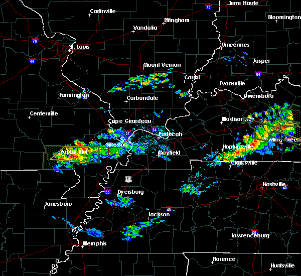 At 720 pm cdt, severe thunderstorms were located along a line extending from 7 miles southeast of poplar bluff to near dudley to near bloomfield, moving east at 50 mph (radar indicated). Hazards include 60 mph wind gusts and quarter size hail. Hail damage to vehicles is expected. expect wind damage to roofs, siding, and trees. Locations impacted include, dexter, bernie, bloomfield, fisk and dudley. At 720 pm cdt, severe thunderstorms were located along a line extending from 7 miles southeast of poplar bluff to near dudley to near bloomfield, moving east at 50 mph (radar indicated). Hazards include 60 mph wind gusts and quarter size hail. Hail damage to vehicles is expected. expect wind damage to roofs, siding, and trees. Locations impacted include, dexter, bernie, bloomfield, fisk and dudley.
|
| 3/12/2020 7:06 PM CDT |
 At 705 pm cdt, severe thunderstorms were located along a line extending from near milltown to near fisk to wappapello, moving east at 40 mph (radar indicated). Hazards include 60 mph wind gusts and quarter size hail. Hail damage to vehicles is expected. expect wind damage to roofs, siding, and trees. Locations impacted include, poplar bluff, dexter, bernie, bloomfield, fisk, dudley and rombauer. At 705 pm cdt, severe thunderstorms were located along a line extending from near milltown to near fisk to wappapello, moving east at 40 mph (radar indicated). Hazards include 60 mph wind gusts and quarter size hail. Hail damage to vehicles is expected. expect wind damage to roofs, siding, and trees. Locations impacted include, poplar bluff, dexter, bernie, bloomfield, fisk, dudley and rombauer.
|
| 3/12/2020 6:55 PM CDT |
 At 655 pm cdt, severe thunderstorms were located along a line extending from near milltown to near lake wappapello state park, moving east at 50 mph (radar indicated). Hazards include 60 mph wind gusts and quarter size hail. Hail damage to vehicles is expected. Expect wind damage to roofs, siding, and trees. At 655 pm cdt, severe thunderstorms were located along a line extending from near milltown to near lake wappapello state park, moving east at 50 mph (radar indicated). Hazards include 60 mph wind gusts and quarter size hail. Hail damage to vehicles is expected. Expect wind damage to roofs, siding, and trees.
|
| 3/2/2020 8:08 PM CST |
 At 808 pm cst, a severe thunderstorm was located over advance, moving east at 30 mph (radar indicated). Hazards include 60 mph wind gusts and half dollar size hail. Hail damage to vehicles is expected. Expect wind damage to roofs, siding, and trees. At 808 pm cst, a severe thunderstorm was located over advance, moving east at 30 mph (radar indicated). Hazards include 60 mph wind gusts and half dollar size hail. Hail damage to vehicles is expected. Expect wind damage to roofs, siding, and trees.
|
| 1/11/2020 1:36 AM CST |
 At 135 am cst, severe thunderstorms were located along a line extending from advance to near bloomfield to bernie, moving northeast at 45 mph (radar indicated). Hazards include 60 mph wind gusts. Expect damage to roofs, siding, and trees. Locations impacted include, dexter, bernie, bloomfield, advance, morehouse, essex, bell city, baker and penermon. At 135 am cst, severe thunderstorms were located along a line extending from advance to near bloomfield to bernie, moving northeast at 45 mph (radar indicated). Hazards include 60 mph wind gusts. Expect damage to roofs, siding, and trees. Locations impacted include, dexter, bernie, bloomfield, advance, morehouse, essex, bell city, baker and penermon.
|
| 1/11/2020 1:06 AM CST |
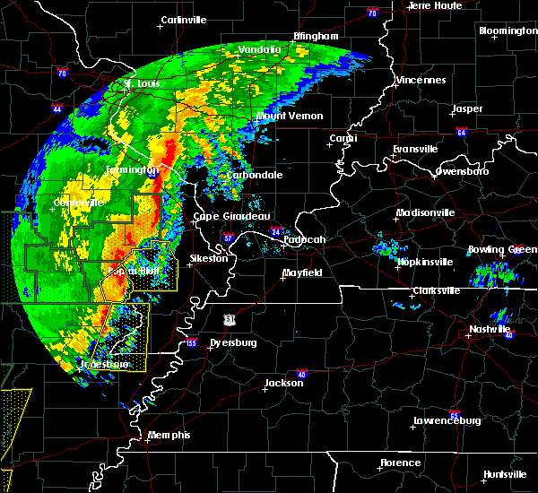 At 106 am cst, a severe thunderstorm was located over fisk, or 10 miles east of poplar bluff, moving northeast at 55 mph (radar indicated). Hazards include 60 mph wind gusts. expect damage to roofs, siding, and trees At 106 am cst, a severe thunderstorm was located over fisk, or 10 miles east of poplar bluff, moving northeast at 55 mph (radar indicated). Hazards include 60 mph wind gusts. expect damage to roofs, siding, and trees
|
| 10/21/2019 4:34 AM CDT |
 At 434 am cdt, severe thunderstorms were located along a line extending from near perryville to near daisy to dudley, moving northeast at 50 mph (radar indicated). Hazards include 60 mph wind gusts. Expect damage to roofs, siding, and trees. locations impacted include, perryville, dexter, bloomfield, marble hill, advance, bollinger mill state historic site, puxico, st. Mary, dudley, millersville, alliance, patton, leopold, burfordville, daisy, grassy, oak ridge, sedgewickville, whitewater and zalma. At 434 am cdt, severe thunderstorms were located along a line extending from near perryville to near daisy to dudley, moving northeast at 50 mph (radar indicated). Hazards include 60 mph wind gusts. Expect damage to roofs, siding, and trees. locations impacted include, perryville, dexter, bloomfield, marble hill, advance, bollinger mill state historic site, puxico, st. Mary, dudley, millersville, alliance, patton, leopold, burfordville, daisy, grassy, oak ridge, sedgewickville, whitewater and zalma.
|
| 10/21/2019 4:00 AM CDT |
 At 400 am cdt, severe thunderstorms were located along a line extending from weingarten to near marquand to poplar bluff, moving northeast at 55 mph (radar indicated). Hazards include 60 mph wind gusts. expect damage to roofs, siding, and trees At 400 am cdt, severe thunderstorms were located along a line extending from weingarten to near marquand to poplar bluff, moving northeast at 55 mph (radar indicated). Hazards include 60 mph wind gusts. expect damage to roofs, siding, and trees
|
| 6/23/2019 3:18 PM CDT |
 At 317 pm cdt, severe thunderstorms were located along a line extending from near burfordville to 6 miles west of canalou, moving east at 40 mph (radar indicated). Hazards include 60 mph wind gusts. Expect damage to roofs, siding, and trees. Locations impacted include, cape girardeau, sikeston, jackson, dexter, scott city, chaffee, bloomfield, marble hill, advance, oran, miner, benton, bollinger mill state historic site, trail of tears state park, morehouse, morley, matthews, kelso, essex and bell city. At 317 pm cdt, severe thunderstorms were located along a line extending from near burfordville to 6 miles west of canalou, moving east at 40 mph (radar indicated). Hazards include 60 mph wind gusts. Expect damage to roofs, siding, and trees. Locations impacted include, cape girardeau, sikeston, jackson, dexter, scott city, chaffee, bloomfield, marble hill, advance, oran, miner, benton, bollinger mill state historic site, trail of tears state park, morehouse, morley, matthews, kelso, essex and bell city.
|
| 6/23/2019 3:06 PM CDT |
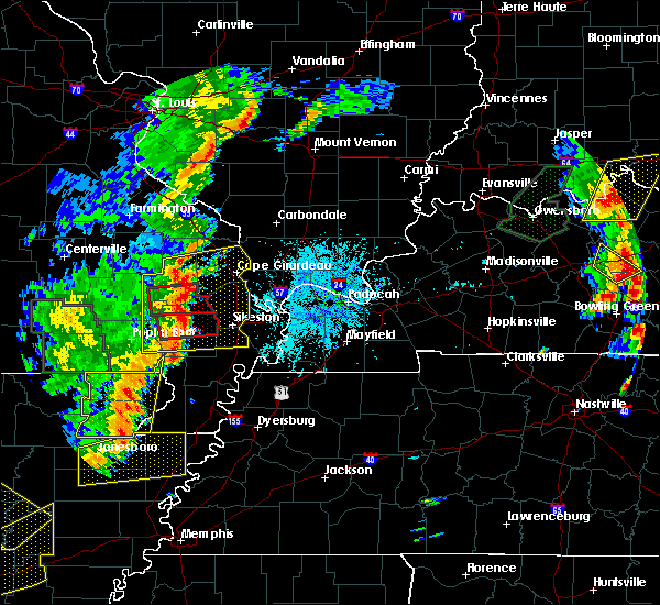 At 252 pm cdt, a severe thunderstorm capable of producing a tornado was located near dudley, or 8 miles northwest of dexter, moving east at 45 mph (radar indicated rotation). Hazards include tornado. Flying debris will be dangerous to those caught without shelter. mobile homes will be damaged or destroyed. damage to roofs, windows, and vehicles will occur. tree damage is likely. this dangerous storm will be near, dexter around 300 pm cdt. bloomfield around 305 pm cdt. Essex around 310 pm cdt. At 252 pm cdt, a severe thunderstorm capable of producing a tornado was located near dudley, or 8 miles northwest of dexter, moving east at 45 mph (radar indicated rotation). Hazards include tornado. Flying debris will be dangerous to those caught without shelter. mobile homes will be damaged or destroyed. damage to roofs, windows, and vehicles will occur. tree damage is likely. this dangerous storm will be near, dexter around 300 pm cdt. bloomfield around 305 pm cdt. Essex around 310 pm cdt.
|
| 6/23/2019 2:56 PM CDT |
 At 255 pm cdt, severe thunderstorms were located along a line extending from near marble hill to near bernie, moving east at 55 mph (radar indicated. this storm has a history of producing signicant tree and power line damamage in the poplar bluff area). Hazards include 70 mph wind gusts. Expect considerable tree damage. damage is likely to mobile homes, roofs, and outbuildings. Locations impacted include, cape girardeau, sikeston, jackson, dexter, scott city, chaffee, bloomfield, marble hill, advance, oran, miner, benton, bollinger mill state historic site, trail of tears state park, morehouse, puxico, morley, matthews, kelso and essex. At 255 pm cdt, severe thunderstorms were located along a line extending from near marble hill to near bernie, moving east at 55 mph (radar indicated. this storm has a history of producing signicant tree and power line damamage in the poplar bluff area). Hazards include 70 mph wind gusts. Expect considerable tree damage. damage is likely to mobile homes, roofs, and outbuildings. Locations impacted include, cape girardeau, sikeston, jackson, dexter, scott city, chaffee, bloomfield, marble hill, advance, oran, miner, benton, bollinger mill state historic site, trail of tears state park, morehouse, puxico, morley, matthews, kelso and essex.
|
| 6/23/2019 2:52 PM CDT |
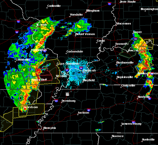 The national weather service in paducah has issued a * tornado warning for. central stoddard county in southeastern missouri. until 330 pm cdt. At 252 pm cdt, a severe thunderstorm capable of producing a tornado was located near dudley, or 8 miles northwest of dexter, moving. The national weather service in paducah has issued a * tornado warning for. central stoddard county in southeastern missouri. until 330 pm cdt. At 252 pm cdt, a severe thunderstorm capable of producing a tornado was located near dudley, or 8 miles northwest of dexter, moving.
|
| 6/23/2019 2:42 PM CDT |
 At 241 pm cdt, severe thunderstorms were located along a line extending from near cascade to near qulin, moving east at 50 mph (radar indicated. at 2:30 pm tree and powerline damage was reported four miles south of poplar bluff by emergency management). Hazards include 70 mph wind gusts. Expect considerable tree damage. damage is likely to mobile homes, roofs, and outbuildings. Locations impacted include, cape girardeau, poplar bluff, sikeston, jackson, dexter, scott city, chaffee, bloomfield, marble hill, advance, oran, miner, benton, bollinger mill state historic site, greenville, trail of tears state park, lake wappapello state park, morehouse, puxico and morley. At 241 pm cdt, severe thunderstorms were located along a line extending from near cascade to near qulin, moving east at 50 mph (radar indicated. at 2:30 pm tree and powerline damage was reported four miles south of poplar bluff by emergency management). Hazards include 70 mph wind gusts. Expect considerable tree damage. damage is likely to mobile homes, roofs, and outbuildings. Locations impacted include, cape girardeau, poplar bluff, sikeston, jackson, dexter, scott city, chaffee, bloomfield, marble hill, advance, oran, miner, benton, bollinger mill state historic site, greenville, trail of tears state park, lake wappapello state park, morehouse, puxico and morley.
|
| 6/23/2019 2:27 PM CDT |
 At 226 pm cdt, severe thunderstorms were located along a line extending from near saco to near harviell, moving east at 60 mph (radar indicated). Hazards include 60 mph wind gusts. expect damage to roofs, siding, and trees At 226 pm cdt, severe thunderstorms were located along a line extending from near saco to near harviell, moving east at 60 mph (radar indicated). Hazards include 60 mph wind gusts. expect damage to roofs, siding, and trees
|
| 6/21/2019 4:58 PM CDT |
 At 454 pm cdt, severe thunderstorms were located along a line extending from near goreville to near charleston to parma to near fisk to near qulin, moving southeast at 50 mph (spotters and automated weather observation stations indicated winds of 60 to 70 mph and widespread wind damage over parts of southeast missouri into southwest illinois. flooding is also occurring due to the torrential rainfall). Hazards include 70 mph wind gusts and nickel size hail. Expect considerable tree damage. damage is likely to mobile homes, roofs, and outbuildings. Locations impacted include, cape girardeau, carbondale, poplar bluff, sikeston, dexter, scott city, anna, chaffee, cairo, bernie, bloomfield, jonesboro, oran, benton, trail of tears state park, lake wappapello state park, cobden, puxico, dongola and morley. At 454 pm cdt, severe thunderstorms were located along a line extending from near goreville to near charleston to parma to near fisk to near qulin, moving southeast at 50 mph (spotters and automated weather observation stations indicated winds of 60 to 70 mph and widespread wind damage over parts of southeast missouri into southwest illinois. flooding is also occurring due to the torrential rainfall). Hazards include 70 mph wind gusts and nickel size hail. Expect considerable tree damage. damage is likely to mobile homes, roofs, and outbuildings. Locations impacted include, cape girardeau, carbondale, poplar bluff, sikeston, dexter, scott city, anna, chaffee, cairo, bernie, bloomfield, jonesboro, oran, benton, trail of tears state park, lake wappapello state park, cobden, puxico, dongola and morley.
|
| 6/21/2019 4:27 PM CDT |
 At 427 pm cdt, severe thunderstorms were located along a line extending from near murphysboro to near chaffee to near dudley to near williamsville to milltown, moving southeast at 50 mph (radar indicated). Hazards include 60 mph wind gusts and quarter size hail. Hail damage to vehicles is expected. Expect wind damage to roofs, siding, and trees. At 427 pm cdt, severe thunderstorms were located along a line extending from near murphysboro to near chaffee to near dudley to near williamsville to milltown, moving southeast at 50 mph (radar indicated). Hazards include 60 mph wind gusts and quarter size hail. Hail damage to vehicles is expected. Expect wind damage to roofs, siding, and trees.
|
| 5/29/2019 7:21 PM CDT |
 At 720 pm cdt, severe thunderstorms were located along a line extending from near advance to near essex, moving northeast at 35 mph (radar indicated). Hazards include 60 mph wind gusts. Expect damage to roofs, siding, and trees. Locations impacted include, bloomfield, essex and penermon. At 720 pm cdt, severe thunderstorms were located along a line extending from near advance to near essex, moving northeast at 35 mph (radar indicated). Hazards include 60 mph wind gusts. Expect damage to roofs, siding, and trees. Locations impacted include, bloomfield, essex and penermon.
|
| 5/29/2019 7:08 PM CDT |
 At 707 pm cdt, severe thunderstorms were located along a line extending from near bloomfield to 7 miles northwest of morehouse to near canalou, moving northeast at 40 mph. numerous reports of wind damage have been received in stoddard county with this storm, including trees and powerlines downed, spotters estimate winds up to 60 mph and radar indicates wind speeds of at least 70 mph are possible (law enforcement). Hazards include 70 mph wind gusts. Expect considerable tree damage. Damage is likely to mobile homes, roofs, and outbuildings. At 707 pm cdt, severe thunderstorms were located along a line extending from near bloomfield to 7 miles northwest of morehouse to near canalou, moving northeast at 40 mph. numerous reports of wind damage have been received in stoddard county with this storm, including trees and powerlines downed, spotters estimate winds up to 60 mph and radar indicates wind speeds of at least 70 mph are possible (law enforcement). Hazards include 70 mph wind gusts. Expect considerable tree damage. Damage is likely to mobile homes, roofs, and outbuildings.
|
| 5/29/2019 6:58 PM CDT |
 At 658 pm cdt, severe thunderstorms were located along a line extending from near puxico to near dexter, moving northeast at 35 mph (radar indicated). Hazards include 60 mph wind gusts. Expect damage to roofs, siding, and trees. Locations impacted include, dexter, bloomfield, puxico, essex, dudley, baker and penermon. At 658 pm cdt, severe thunderstorms were located along a line extending from near puxico to near dexter, moving northeast at 35 mph (radar indicated). Hazards include 60 mph wind gusts. Expect damage to roofs, siding, and trees. Locations impacted include, dexter, bloomfield, puxico, essex, dudley, baker and penermon.
|
| 5/29/2019 6:48 PM CDT |
 At 648 pm cdt, severe thunderstorms were located along a line extending from near wappapello to near dudley, moving northeast at 35 mph (radar indicated). Hazards include 60 mph wind gusts. Expect damage to roofs, siding, and trees. Locations impacted include, dexter, bernie, bloomfield, puxico, essex, fisk, dudley, wappapello, baker and penermon. At 648 pm cdt, severe thunderstorms were located along a line extending from near wappapello to near dudley, moving northeast at 35 mph (radar indicated). Hazards include 60 mph wind gusts. Expect damage to roofs, siding, and trees. Locations impacted include, dexter, bernie, bloomfield, puxico, essex, fisk, dudley, wappapello, baker and penermon.
|
| 5/29/2019 6:38 PM CDT |
 At 637 pm cdt, severe thunderstorms were located along a line extending from wappapello to near glennonville, moving northeast at 35 mph (radar indicated). Hazards include 60 mph wind gusts. expect damage to roofs, siding, and trees At 637 pm cdt, severe thunderstorms were located along a line extending from wappapello to near glennonville, moving northeast at 35 mph (radar indicated). Hazards include 60 mph wind gusts. expect damage to roofs, siding, and trees
|
| 5/21/2019 3:20 AM CDT |
 At 319 am cdt, a severe thunderstorm was located near dudley, or 7 miles northwest of dexter, moving east at 40 mph (radar indicated). Hazards include 60 mph wind gusts and quarter size hail. Hail damage to vehicles is expected. expect wind damage to roofs, siding, and trees. Locations impacted include, dexter, bernie, bloomfield, advance, puxico, essex, bell city, dudley, baker and penermon. At 319 am cdt, a severe thunderstorm was located near dudley, or 7 miles northwest of dexter, moving east at 40 mph (radar indicated). Hazards include 60 mph wind gusts and quarter size hail. Hail damage to vehicles is expected. expect wind damage to roofs, siding, and trees. Locations impacted include, dexter, bernie, bloomfield, advance, puxico, essex, bell city, dudley, baker and penermon.
|
| 5/21/2019 3:04 AM CDT |
 At 304 am cdt, a severe thunderstorm was located over fisk, or 8 miles east of poplar bluff, moving east at 35 mph (radar indicated). Hazards include 60 mph wind gusts and quarter size hail. Hail damage to vehicles is expected. Expect wind damage to roofs, siding, and trees. At 304 am cdt, a severe thunderstorm was located over fisk, or 8 miles east of poplar bluff, moving east at 35 mph (radar indicated). Hazards include 60 mph wind gusts and quarter size hail. Hail damage to vehicles is expected. Expect wind damage to roofs, siding, and trees.
|
| 7/31/2018 3:15 PM CDT | Quarter sized hail reported 5.4 miles SSW of Bloomfield, MO, estimated quarter sized hail covered the ground in aquilla. |
| 7/31/2018 3:12 PM CDT |
 At 311 pm cdt, a severe thunderstorm was located near bloomfield, moving east at 20 mph (radar indicated). Hazards include 60 mph wind gusts and quarter size hail. Hail damage to vehicles is expected. Expect wind damage to roofs, siding, and trees. At 311 pm cdt, a severe thunderstorm was located near bloomfield, moving east at 20 mph (radar indicated). Hazards include 60 mph wind gusts and quarter size hail. Hail damage to vehicles is expected. Expect wind damage to roofs, siding, and trees.
|
| 6/26/2018 7:52 PM CDT | Widespread trees and power lines down across the northern part of stoddard count in stoddard county MO, 0.3 miles S of Bloomfield, MO |
| 6/26/2018 7:15 PM CDT | Widespread trees and power lines down across the northern part of stoddard county. time estimated by rada in stoddard county MO, 0.3 miles S of Bloomfield, MO |
| 6/26/2018 6:54 PM CDT |
 At 654 pm cdt, severe thunderstorms were located along a line extending from near advance to 7 miles west of bell city to near puxico to near poplar bluff, moving southeast at 30 mph (radar indicated). Hazards include 60 mph wind gusts. expect damage to roofs, siding, and trees At 654 pm cdt, severe thunderstorms were located along a line extending from near advance to 7 miles west of bell city to near puxico to near poplar bluff, moving southeast at 30 mph (radar indicated). Hazards include 60 mph wind gusts. expect damage to roofs, siding, and trees
|
| 4/3/2018 5:43 PM CDT |
 At 543 pm cdt, a severe thunderstorm was located near essex, or near dexter, moving east at 45 mph (radar indicated). Hazards include 60 mph wind gusts and quarter size hail. Hail damage to vehicles is expected. Expect wind damage to roofs, siding, and trees. At 543 pm cdt, a severe thunderstorm was located near essex, or near dexter, moving east at 45 mph (radar indicated). Hazards include 60 mph wind gusts and quarter size hail. Hail damage to vehicles is expected. Expect wind damage to roofs, siding, and trees.
|
| 4/3/2018 5:29 PM CDT |
 At 528 pm cdt, a severe thunderstorm capable of producing a tornado was located near dudley, or 7 miles northwest of bernie, moving east at 40 mph (radar indicated rotation). Hazards include tornado and ping pong ball size hail. Flying debris will be dangerous to those caught without shelter. mobile homes will be damaged or destroyed. damage to roofs, windows, and vehicles will occur. tree damage is likely. Locations impacted include, dexter, bernie, bloomfield, essex and dudley. At 528 pm cdt, a severe thunderstorm capable of producing a tornado was located near dudley, or 7 miles northwest of bernie, moving east at 40 mph (radar indicated rotation). Hazards include tornado and ping pong ball size hail. Flying debris will be dangerous to those caught without shelter. mobile homes will be damaged or destroyed. damage to roofs, windows, and vehicles will occur. tree damage is likely. Locations impacted include, dexter, bernie, bloomfield, essex and dudley.
|
| 4/3/2018 5:13 PM CDT |
 At 513 pm cdt, a severe thunderstorm capable of producing a tornado was located near fisk, or 7 miles southeast of poplar bluff, moving east at 50 mph (radar indicated rotation). Hazards include tornado and ping pong ball size hail. Flying debris will be dangerous to those caught without shelter. mobile homes will be damaged or destroyed. damage to roofs, windows, and vehicles will occur. Tree damage is likely. At 513 pm cdt, a severe thunderstorm capable of producing a tornado was located near fisk, or 7 miles southeast of poplar bluff, moving east at 50 mph (radar indicated rotation). Hazards include tornado and ping pong ball size hail. Flying debris will be dangerous to those caught without shelter. mobile homes will be damaged or destroyed. damage to roofs, windows, and vehicles will occur. Tree damage is likely.
|
| 8/20/2017 3:46 PM CDT |
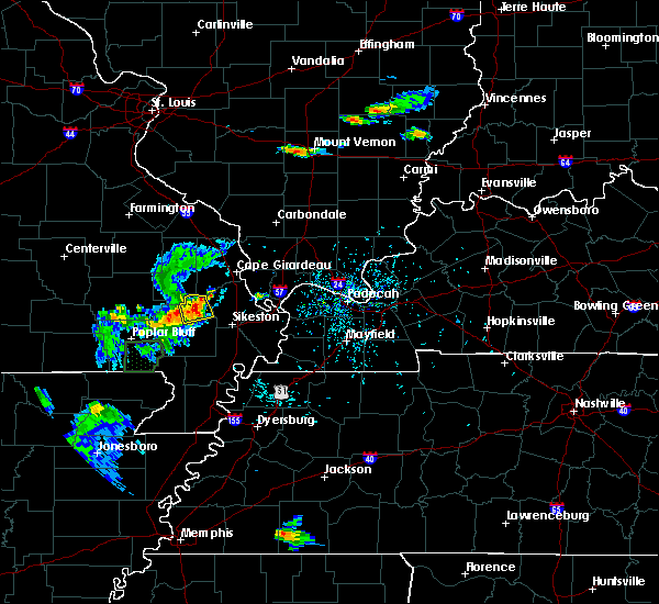 At 346 pm cdt, a severe thunderstorm was located near bell city, or near advance, moving east at 15 mph (radar indicated). Hazards include 60 mph wind gusts and quarter size hail. Hail damage to vehicles is expected. Expect wind damage to roofs, siding, and trees. At 346 pm cdt, a severe thunderstorm was located near bell city, or near advance, moving east at 15 mph (radar indicated). Hazards include 60 mph wind gusts and quarter size hail. Hail damage to vehicles is expected. Expect wind damage to roofs, siding, and trees.
|
| 7/7/2017 10:52 PM CDT |
 At 1052 pm cdt, a severe thunderstorm was located near essex, or near bloomfield, moving south at 25 mph (radar indicated). Hazards include 70 mph wind gusts and half dollar size hail. Hail damage to vehicles is expected. expect considerable tree damage. Wind damage is also likely to mobile homes, roofs, and outbuildings. At 1052 pm cdt, a severe thunderstorm was located near essex, or near bloomfield, moving south at 25 mph (radar indicated). Hazards include 70 mph wind gusts and half dollar size hail. Hail damage to vehicles is expected. expect considerable tree damage. Wind damage is also likely to mobile homes, roofs, and outbuildings.
|
| 5/27/2017 9:00 PM CDT |
 At 900 pm cdt, a severe thunderstorm was located over dexter, moving east at 45 mph (radar indicated). Hazards include 60 mph wind gusts and quarter size hail. Hail damage to vehicles is expected. expect wind damage to roofs, siding, and trees. locations impacted include, dexter, bloomfield, morehouse, essex, canalou, baker and penermon. A tornado watch remains in effect until 200 am cdt for southeastern missouri. At 900 pm cdt, a severe thunderstorm was located over dexter, moving east at 45 mph (radar indicated). Hazards include 60 mph wind gusts and quarter size hail. Hail damage to vehicles is expected. expect wind damage to roofs, siding, and trees. locations impacted include, dexter, bloomfield, morehouse, essex, canalou, baker and penermon. A tornado watch remains in effect until 200 am cdt for southeastern missouri.
|
| 5/27/2017 8:41 PM CDT |
 At 841 pm cdt, a severe thunderstorm was located near fisk, or 12 miles west of dexter, moving east at 45 mph (radar indicated). Hazards include golf ball size hail and 60 mph wind gusts. People and animals outdoors will be injured. expect hail damage to roofs, siding, windows, and vehicles. Expect wind damage to roofs, siding, and trees. At 841 pm cdt, a severe thunderstorm was located near fisk, or 12 miles west of dexter, moving east at 45 mph (radar indicated). Hazards include golf ball size hail and 60 mph wind gusts. People and animals outdoors will be injured. expect hail damage to roofs, siding, windows, and vehicles. Expect wind damage to roofs, siding, and trees.
|
| 3/9/2017 7:35 PM CST | Quarter sized hail reported 0.3 miles S of Bloomfield, MO, northwest side of town |
| 3/9/2017 7:13 PM CST |
 At 713 pm cst, severe thunderstorms were located along a line extending from near bloomfield to near chalk bluff natural area, moving east at 40 mph (radar indicated). Hazards include 60 mph wind gusts and quarter size hail. Hail damage to vehicles is expected. Expect wind damage to roofs, siding, and trees. At 713 pm cst, severe thunderstorms were located along a line extending from near bloomfield to near chalk bluff natural area, moving east at 40 mph (radar indicated). Hazards include 60 mph wind gusts and quarter size hail. Hail damage to vehicles is expected. Expect wind damage to roofs, siding, and trees.
|
| 3/9/2017 6:59 PM CST |
 At 659 pm cst, a severe thunderstorm capable of producing a tornado was located near fisk, or 7 miles northeast of poplar bluff, moving east at 35 mph (radar indicated rotation). Hazards include tornado and ping pong ball size hail. Flying debris will be dangerous to those caught without shelter. mobile homes will be damaged or destroyed. damage to roofs, windows, and vehicles will occur. tree damage is likely. this dangerous storm will be near, dudley around 720 pm cst. dexter around 730 pm cst. Bloomfield around 735 pm cst. At 659 pm cst, a severe thunderstorm capable of producing a tornado was located near fisk, or 7 miles northeast of poplar bluff, moving east at 35 mph (radar indicated rotation). Hazards include tornado and ping pong ball size hail. Flying debris will be dangerous to those caught without shelter. mobile homes will be damaged or destroyed. damage to roofs, windows, and vehicles will occur. tree damage is likely. this dangerous storm will be near, dudley around 720 pm cst. dexter around 730 pm cst. Bloomfield around 735 pm cst.
|
| 3/1/2017 4:26 AM CST |
 At 425 am cst, severe thunderstorms were located along a line extending from near bloomfield to near bernie to near clarkton, moving east at 70 mph (radar indicated). Hazards include 60 mph wind gusts and penny size hail. expect damage to roofs, siding, and trees At 425 am cst, severe thunderstorms were located along a line extending from near bloomfield to near bernie to near clarkton, moving east at 70 mph (radar indicated). Hazards include 60 mph wind gusts and penny size hail. expect damage to roofs, siding, and trees
|
| 7/6/2016 12:42 PM CDT |
 At 1241 pm cdt, severe thunderstorms were located along a line extending from 6 miles northeast of daisy to chaffee to campbell, moving east at 50 mph (radar indicated). Hazards include 60 mph wind gusts and nickel size hail. Expect damage to roofs. siding. And trees. At 1241 pm cdt, severe thunderstorms were located along a line extending from 6 miles northeast of daisy to chaffee to campbell, moving east at 50 mph (radar indicated). Hazards include 60 mph wind gusts and nickel size hail. Expect damage to roofs. siding. And trees.
|
| 7/6/2016 12:30 PM CDT |
 At 1229 pm cdt, severe thunderstorms were located along a line extending from near alliance to near advance to near glennonville, moving east at 50 mph (radar indicated). Hazards include 70 mph wind gusts and penny size hail. Expect considerable tree damage. damage is likely to mobile homes, roofs, and outbuildings. Locations impacted include, cape girardeau, sikeston, jackson, perryville, dexter, scott city, chaffee, bernie, bloomfield, marble hill, advance, oran, miner, benton, morehouse, morley, matthews, grand tower, kelso and essex. At 1229 pm cdt, severe thunderstorms were located along a line extending from near alliance to near advance to near glennonville, moving east at 50 mph (radar indicated). Hazards include 70 mph wind gusts and penny size hail. Expect considerable tree damage. damage is likely to mobile homes, roofs, and outbuildings. Locations impacted include, cape girardeau, sikeston, jackson, perryville, dexter, scott city, chaffee, bernie, bloomfield, marble hill, advance, oran, miner, benton, morehouse, morley, matthews, grand tower, kelso and essex.
|
| 7/6/2016 12:03 PM CDT |
 At 1202 pm cdt, severe thunderstorms were located along a line extending from near junction city to near cascade to near poplar bluff, moving east at 45 mph (radar indicated). Hazards include 60 mph wind gusts and penny size hail. Expect damage to roofs. siding. And trees. At 1202 pm cdt, severe thunderstorms were located along a line extending from near junction city to near cascade to near poplar bluff, moving east at 45 mph (radar indicated). Hazards include 60 mph wind gusts and penny size hail. Expect damage to roofs. siding. And trees.
|
| 5/9/2016 9:57 PM CDT |
 At 955 pm cdt, severe thunderstorms were located along a line extending from near leopold to near bloomfield to near morehouse to risco, moving east at 60 mph (law enforcement. there are many reports of trees down in butler county and power lines down in dexter). Hazards include 60 mph wind gusts. Expect damage to roofs. siding. and trees. Locations impacted include, dexter, portageville, bloomfield, marble hill, advance, clarkton, gideon, morehouse, parma, essex, bell city, risco, glen allen, leopold, baker, tallapoosa, catron, penermon and glenallen. At 955 pm cdt, severe thunderstorms were located along a line extending from near leopold to near bloomfield to near morehouse to risco, moving east at 60 mph (law enforcement. there are many reports of trees down in butler county and power lines down in dexter). Hazards include 60 mph wind gusts. Expect damage to roofs. siding. and trees. Locations impacted include, dexter, portageville, bloomfield, marble hill, advance, clarkton, gideon, morehouse, parma, essex, bell city, risco, glen allen, leopold, baker, tallapoosa, catron, penermon and glenallen.
|
| 5/9/2016 9:43 PM CDT |
 At 941 pm cdt, severe thunderstorms were located along a line extending from near grassy to near puxico to near bernie to near campbell, moving east at 55 mph (law enforcement. these storms produced damage to the west and south of poplar bluff). Hazards include 60 mph wind gusts. Expect damage to roofs. siding. and trees. Locations impacted include, dexter, portageville, bernie, bloomfield, marble hill, advance, clarkton, gideon, morehouse, puxico, parma, essex, bell city, risco, dudley, glen allen, leopold, grassy, baker and tallapoosa. At 941 pm cdt, severe thunderstorms were located along a line extending from near grassy to near puxico to near bernie to near campbell, moving east at 55 mph (law enforcement. these storms produced damage to the west and south of poplar bluff). Hazards include 60 mph wind gusts. Expect damage to roofs. siding. and trees. Locations impacted include, dexter, portageville, bernie, bloomfield, marble hill, advance, clarkton, gideon, morehouse, puxico, parma, essex, bell city, risco, dudley, glen allen, leopold, grassy, baker and tallapoosa.
|
| 5/9/2016 9:27 PM CDT |
 At 925 pm cdt, severe thunderstorms were located along a line extending from near lodi to near glennonville to near chalk bluff natural area, moving east at 60 mph (law enforcement). Hazards include 60 mph wind gusts. a tree and power lines were reported down south of poplar bluff as these storms moved through. Expect damage to roofs. siding. And trees. At 925 pm cdt, severe thunderstorms were located along a line extending from near lodi to near glennonville to near chalk bluff natural area, moving east at 60 mph (law enforcement). Hazards include 60 mph wind gusts. a tree and power lines were reported down south of poplar bluff as these storms moved through. Expect damage to roofs. siding. And trees.
|
| 4/26/2016 5:39 PM CDT |
 At 538 pm cdt, a severe thunderstorm was located near dudley, or near dexter, moving east at 35 mph (radar indicated). Hazards include 60 mph wind gusts and quarter size hail. Hail damage to vehicles is expected. Expect wind damage to roofs, siding, and trees. At 538 pm cdt, a severe thunderstorm was located near dudley, or near dexter, moving east at 35 mph (radar indicated). Hazards include 60 mph wind gusts and quarter size hail. Hail damage to vehicles is expected. Expect wind damage to roofs, siding, and trees.
|
| 12/23/2015 11:04 AM CST | At 1103 am cst, severe thunderstorms were located along a line extending from 11 miles southwest of ava to jackson to near bell city, moving northeast at 70 mph (radar indicated. law enforcement reported trees down in a few locations in perry and bollinger counties). Hazards include 70 mph wind gusts. Expect considerable tree damage. damage is likely to mobile homes, roofs and outbuildings. locations impacted include, cape girardeau, sikeston, jackson, chester, dexter, scott city, chaffee, bernie, bloomfield, oran, benton, morehouse, morley, grand tower, kelso, essex, bell city, delta, gordonville and altenburg. A tornado watch remains in effect until 500 pm cst for southern illinois and southeastern missouri. |
| 12/23/2015 10:44 AM CST | At 1044 am cst, severe thunderstorms were located along a line extending from near alliance to near leopold to near dudley, moving northeast at 70 mph (radar indicated). Hazards include 70 mph wind gusts. Expect considerable tree damage. Damage is likely to mobile homes, roofs and outbuildings. |
| 7/10/2015 4:58 PM CDT |
 At 457 pm cdt, a severe thunderstorm was located over dexter, moving southeast at 20 mph (radar indicated). Hazards include 60 mph wind gusts and penny size hail. Expect damage to roofs. Siding and trees. At 457 pm cdt, a severe thunderstorm was located over dexter, moving southeast at 20 mph (radar indicated). Hazards include 60 mph wind gusts and penny size hail. Expect damage to roofs. Siding and trees.
|
| 3/25/2015 10:42 PM CDT | The national weather service in paducah has issued a * severe thunderstorm warning for. central stoddard county in southeastern missouri. until 1115 pm cdt * at 1042 pm cdt. a severe thunderstorm was located near fisk. or 12 miles west of dexter. Moving east at 40 mph. |
| 9/6/2012 5:30 PM CDT | Several trees down in stoddard county MO, 0.3 miles S of Bloomfield, MO |
Hail Maps for Bloomfield, MO


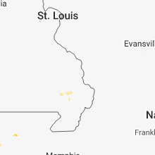


Connect with Interactive Hail Maps