

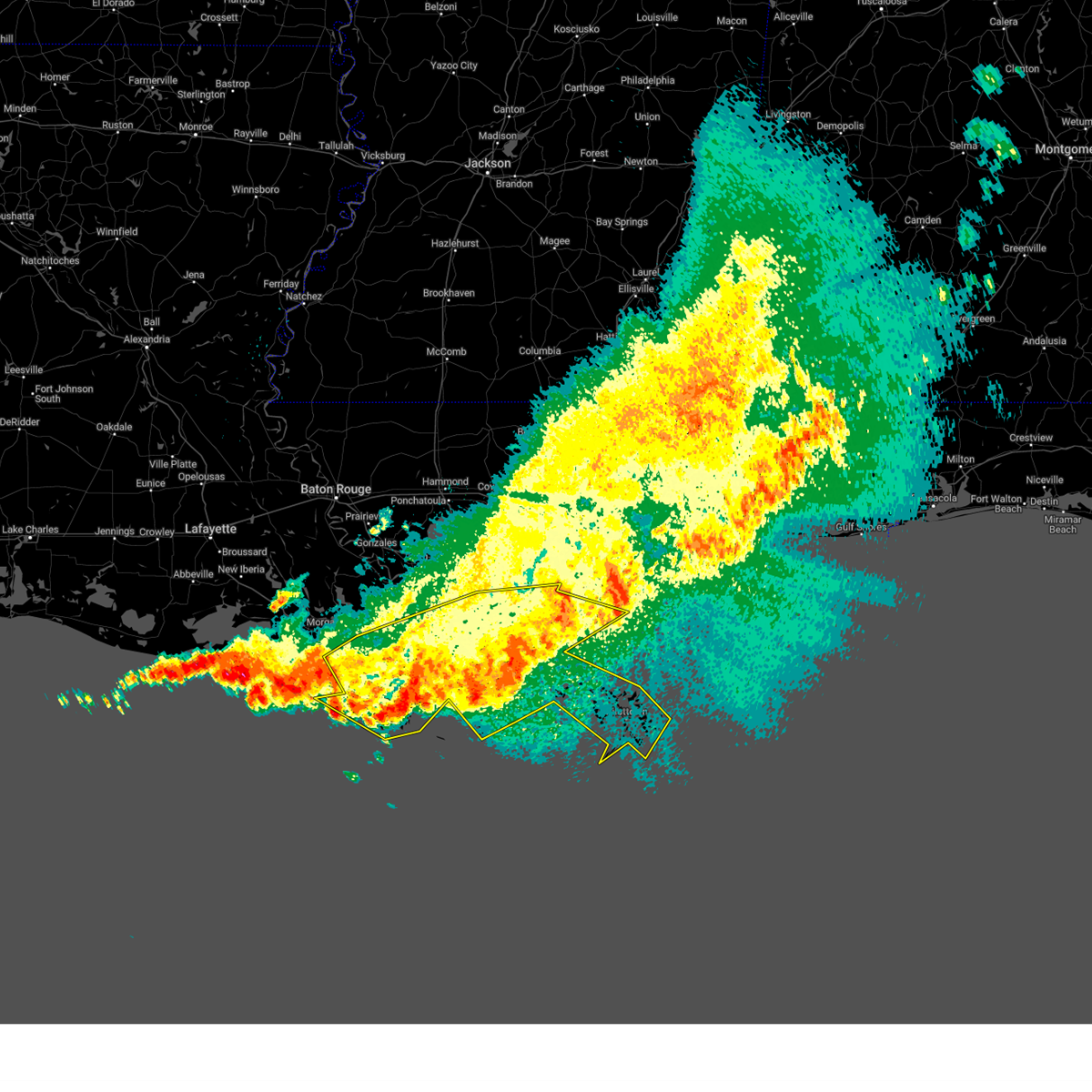
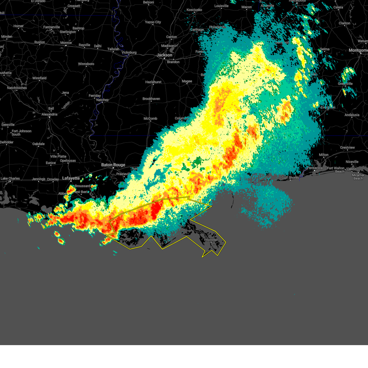
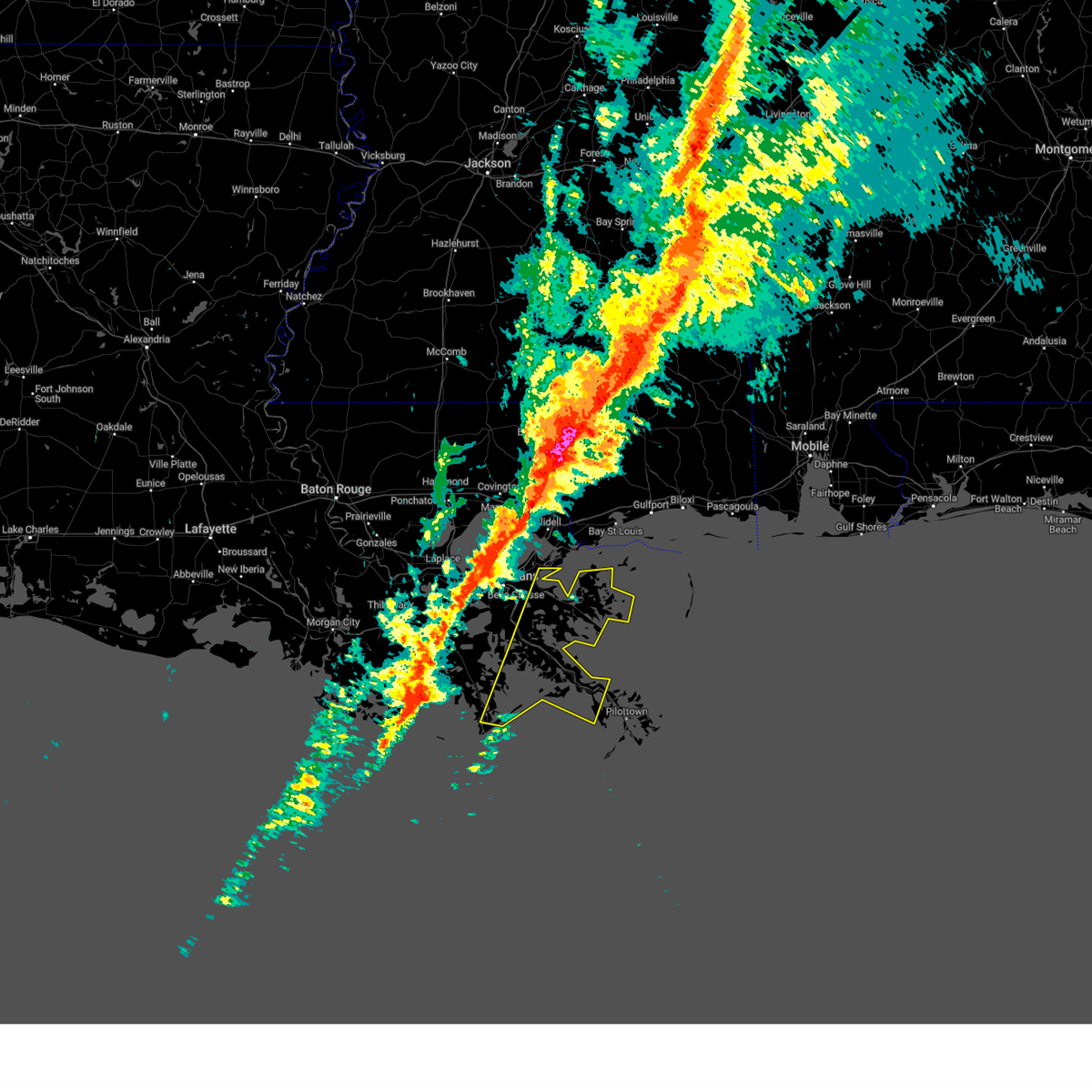
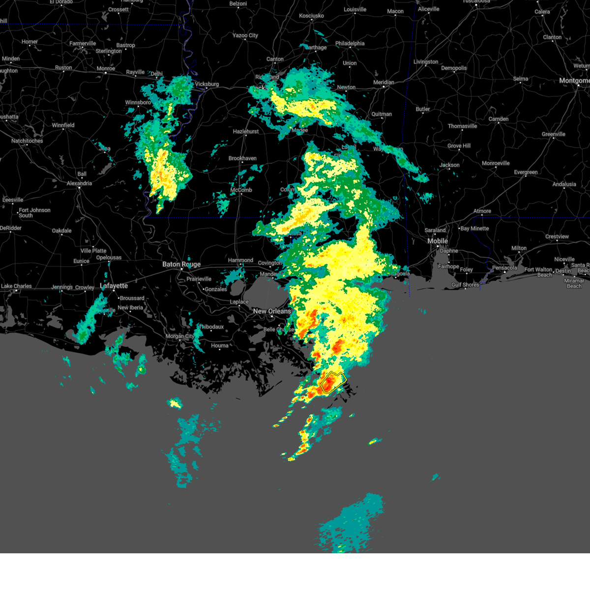
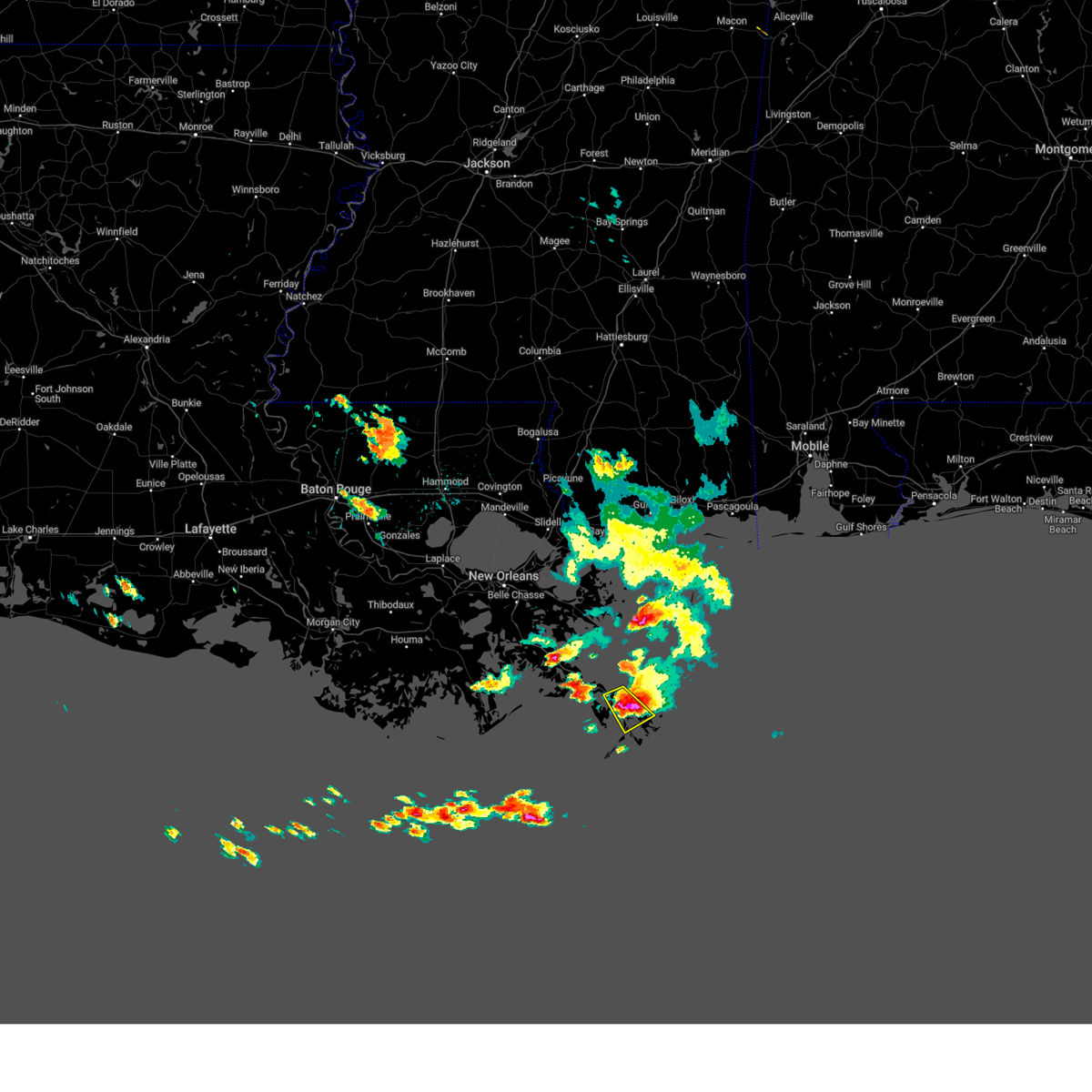
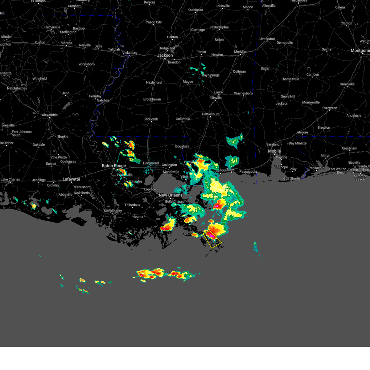
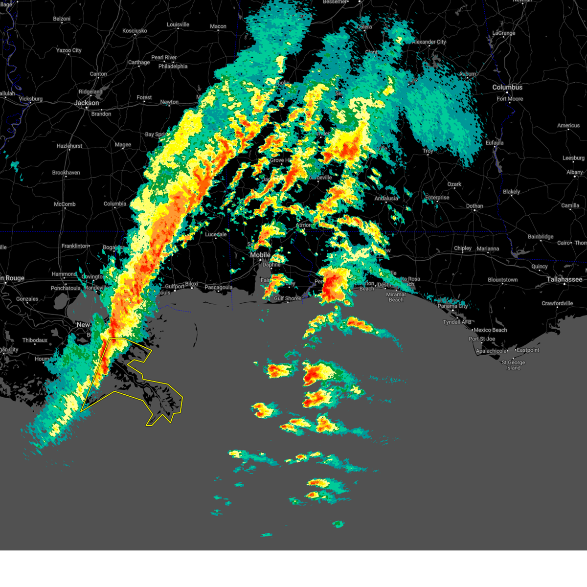
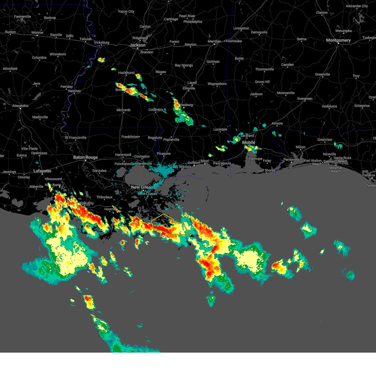
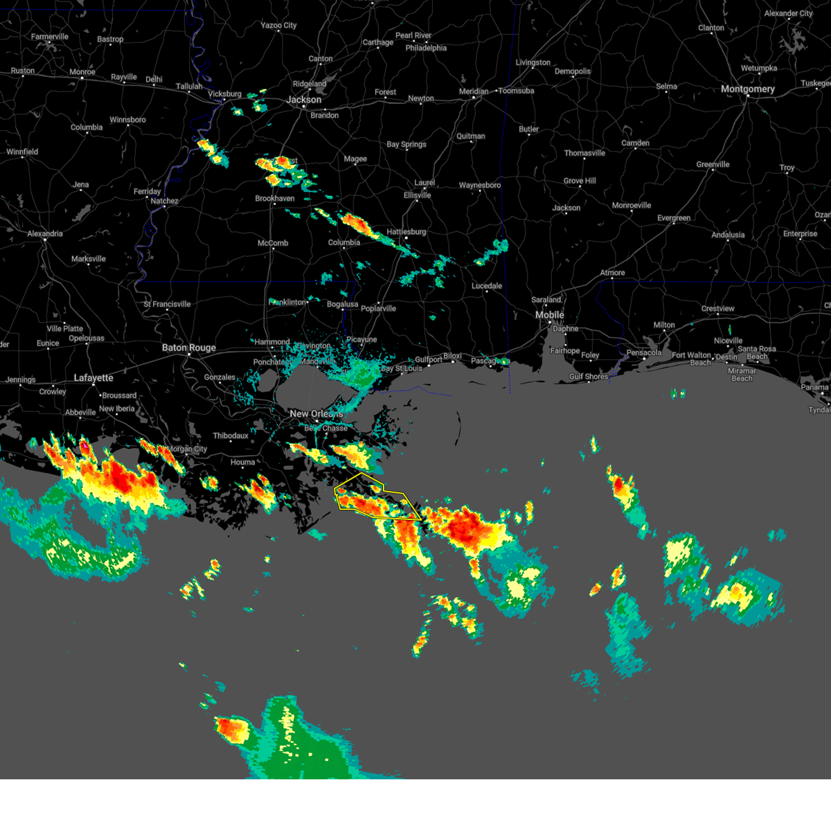
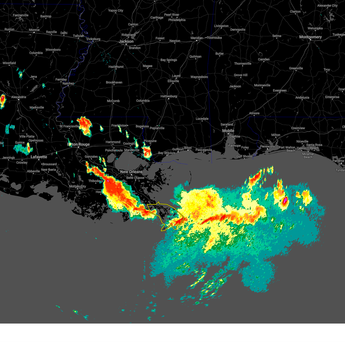
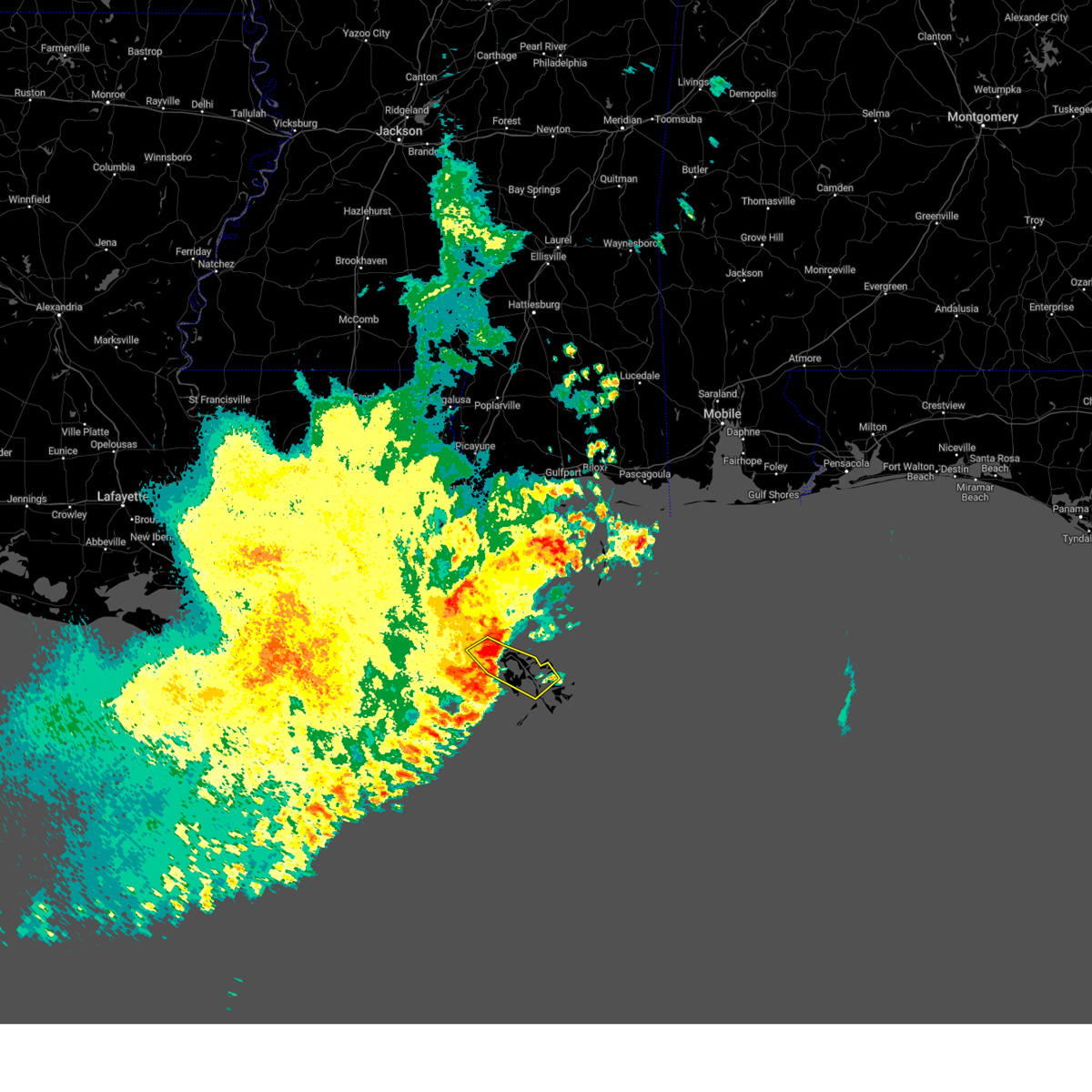
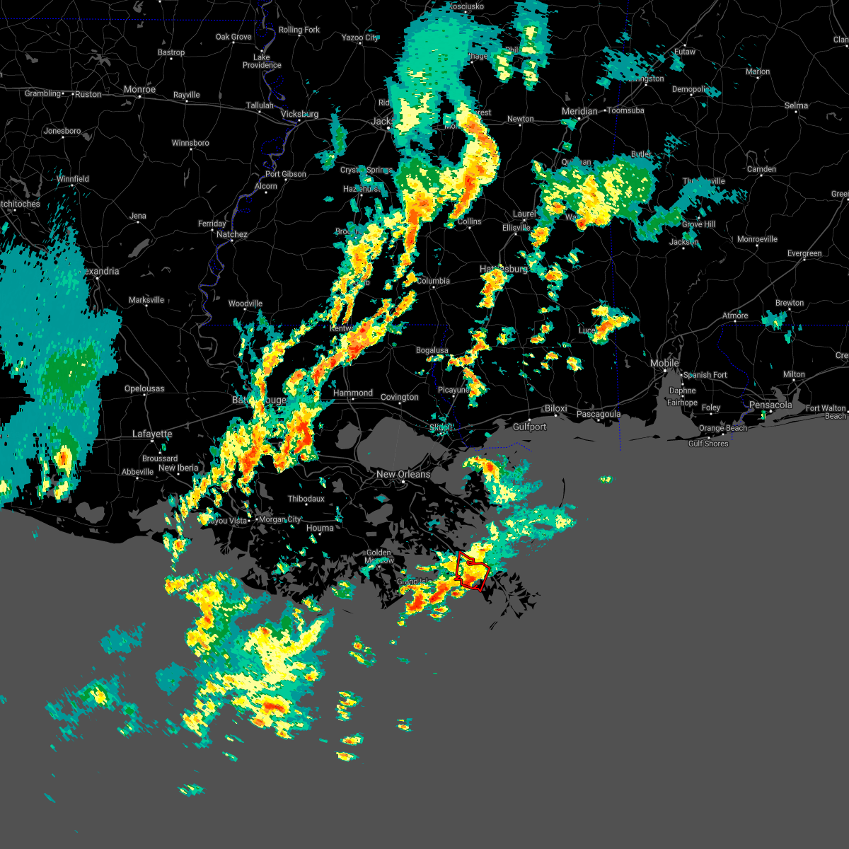
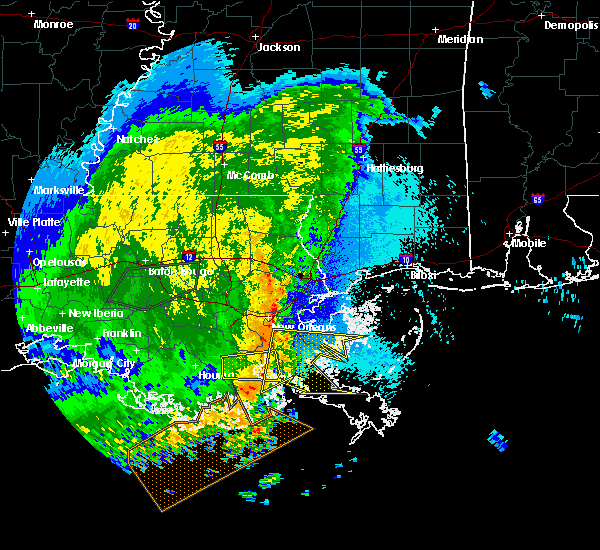
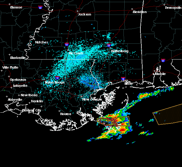
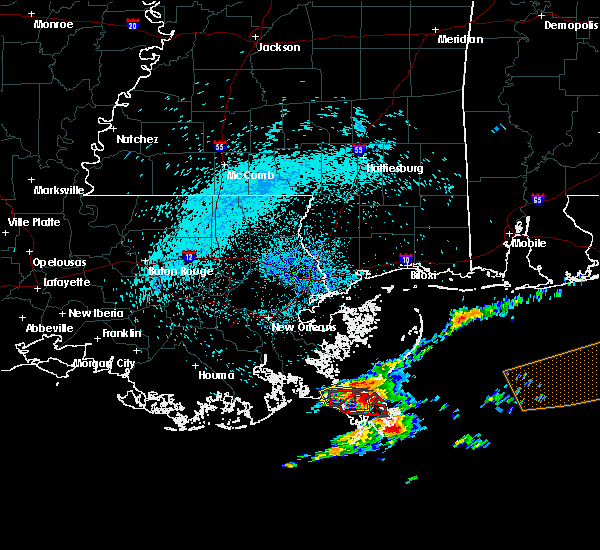
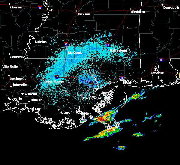
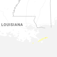
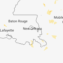
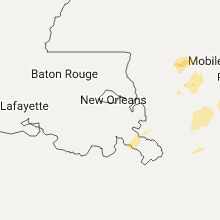
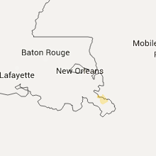
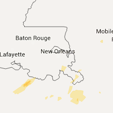
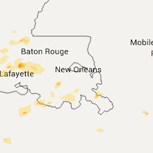
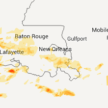
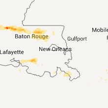
Hail Map for Boothville, LA
The Boothville, LA area has had 0 reports of on-the-ground hail by trained spotters, and has been under severe weather warnings 8 times during the past 12 months. Doppler radar has detected hail at or near Boothville, LA on 16 occasions, including 1 occasion during the past year.
| Name: | Boothville, LA |
| Where Located: | 59.3 miles SE of New Orleans, LA |
| Map: | Google Map for Boothville, LA |
| Population: | 854 |
| Housing Units: | 443 |
| More Info: | Search Google for Boothville, LA |
0
The Top Recent Hail Date for Boothville, LA is Wednesday, December 25, 2024 (5th out of 16)

Hail and Wind Damage Spotted near Boothville, LA
| Date / Time | Report Details |
|---|---|
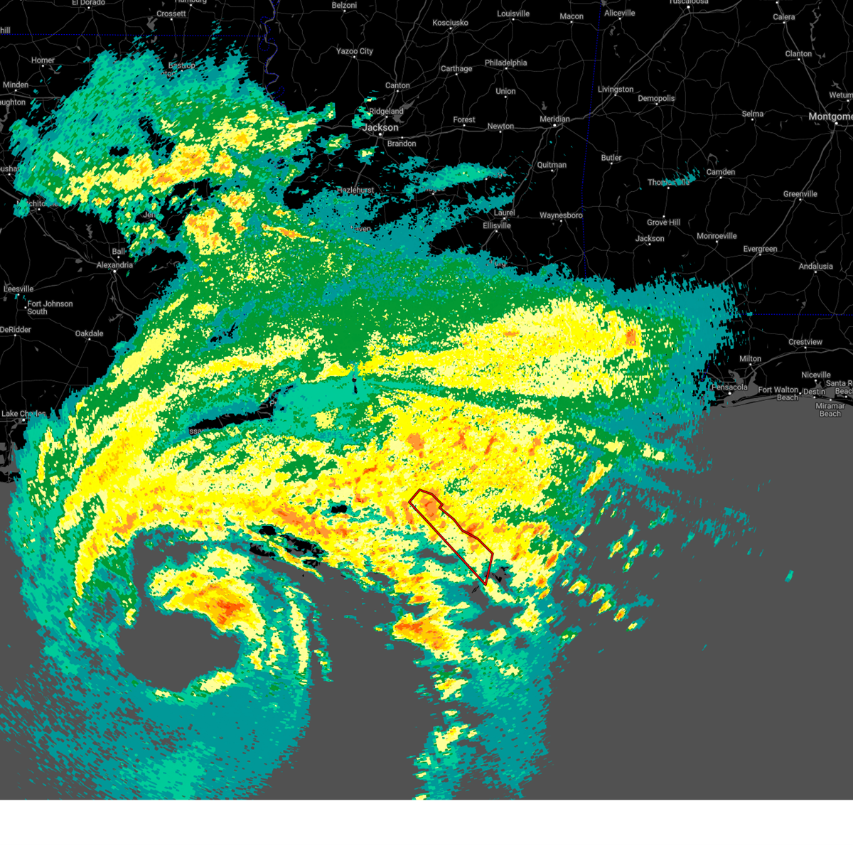
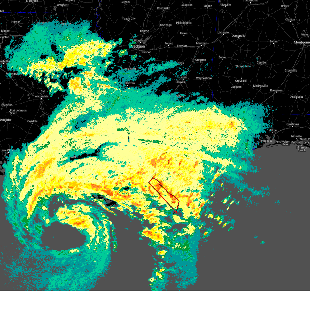
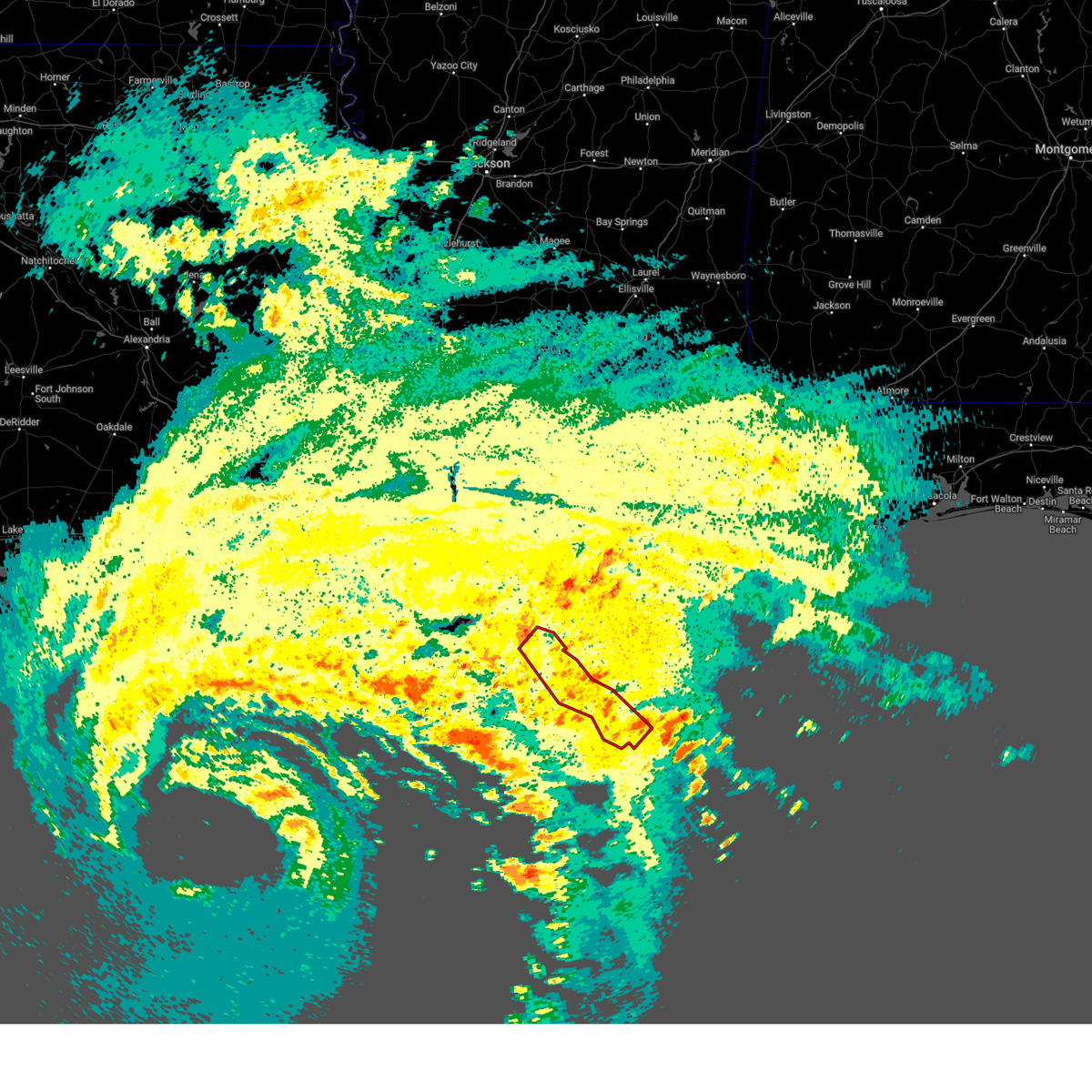
| 3/31/2025 9:43 AM CDT |
 the severe thunderstorm warning has been cancelled and is no longer in effect the severe thunderstorm warning has been cancelled and is no longer in effect
|
| 3/31/2025 9:01 AM CDT |
 Svrlix the national weather service in new orleans has issued a * severe thunderstorm warning for, st. bernard parish in southeastern louisiana, southern st. charles parish in southeastern louisiana, southwestern orleans parish in southeastern louisiana, terrebonne parish in southeastern louisiana, jefferson parish in southeastern louisiana, lafourche parish in southeastern louisiana, plaquemines parish in southeastern louisiana, * until 1000 am cdt. * at 900 am cdt, a severe thunderstorm was located near barataria, or 13 miles northeast of larose, moving east at 45 mph (radar indicated). Hazards include 60 mph wind gusts and quarter size hail. Hail damage to vehicles is expected. Expect wind damage to roofs, siding, and trees. Svrlix the national weather service in new orleans has issued a * severe thunderstorm warning for, st. bernard parish in southeastern louisiana, southern st. charles parish in southeastern louisiana, southwestern orleans parish in southeastern louisiana, terrebonne parish in southeastern louisiana, jefferson parish in southeastern louisiana, lafourche parish in southeastern louisiana, plaquemines parish in southeastern louisiana, * until 1000 am cdt. * at 900 am cdt, a severe thunderstorm was located near barataria, or 13 miles northeast of larose, moving east at 45 mph (radar indicated). Hazards include 60 mph wind gusts and quarter size hail. Hail damage to vehicles is expected. Expect wind damage to roofs, siding, and trees.
|
| 3/4/2025 7:10 PM CST |
 Svrlix the national weather service in new orleans has issued a * severe thunderstorm warning for, st. bernard parish in southeastern louisiana, central orleans parish in southeastern louisiana, southeastern jefferson parish in southeastern louisiana, southeastern lafourche parish in southeastern louisiana, plaquemines parish in southeastern louisiana, * until 830 pm cst. * at 710 pm cst, severe thunderstorms were located along a line extending from 6 miles east of new orleans to near belle chasse to leeville, moving east at 35 mph (radar indicated). Hazards include 60 mph wind gusts. expect damage to roofs, siding, and trees Svrlix the national weather service in new orleans has issued a * severe thunderstorm warning for, st. bernard parish in southeastern louisiana, central orleans parish in southeastern louisiana, southeastern jefferson parish in southeastern louisiana, southeastern lafourche parish in southeastern louisiana, plaquemines parish in southeastern louisiana, * until 830 pm cst. * at 710 pm cst, severe thunderstorms were located along a line extending from 6 miles east of new orleans to near belle chasse to leeville, moving east at 35 mph (radar indicated). Hazards include 60 mph wind gusts. expect damage to roofs, siding, and trees
|
| 12/25/2024 2:38 PM CST |
 At 237 pm cst, a severe thunderstorm was located over venice, or 28 miles southeast of port sulphur, moving northeast at 25 mph (radar indicated). Hazards include two inch hail and 60 mph wind gusts. People and animals outdoors will be injured. expect hail damage to roofs, siding, windows, and vehicles. expect wind damage to roofs, siding, and trees. Locations impacted include, venice and boothville-venice. At 237 pm cst, a severe thunderstorm was located over venice, or 28 miles southeast of port sulphur, moving northeast at 25 mph (radar indicated). Hazards include two inch hail and 60 mph wind gusts. People and animals outdoors will be injured. expect hail damage to roofs, siding, windows, and vehicles. expect wind damage to roofs, siding, and trees. Locations impacted include, venice and boothville-venice.
|
| 12/25/2024 2:30 PM CST |
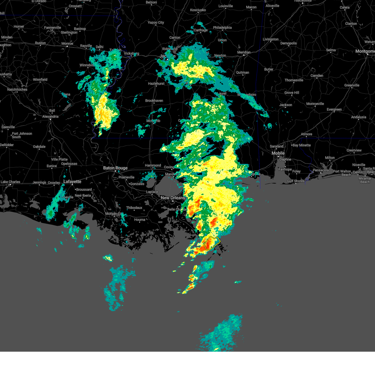 Svrlix the national weather service in new orleans has issued a * severe thunderstorm warning for, southeastern plaquemines parish in southeastern louisiana, * until 300 pm cst. * at 230 pm cst, a severe thunderstorm was located near venice, or 28 miles southeast of port sulphur, moving northeast at 25 mph (radar indicated). Hazards include 60 mph wind gusts and quarter size hail. Hail damage to vehicles is expected. Expect wind damage to roofs, siding, and trees. Svrlix the national weather service in new orleans has issued a * severe thunderstorm warning for, southeastern plaquemines parish in southeastern louisiana, * until 300 pm cst. * at 230 pm cst, a severe thunderstorm was located near venice, or 28 miles southeast of port sulphur, moving northeast at 25 mph (radar indicated). Hazards include 60 mph wind gusts and quarter size hail. Hail damage to vehicles is expected. Expect wind damage to roofs, siding, and trees.
|
| 9/11/2024 12:59 PM CDT |
 The storms which prompted the warning have weakened and moved out of the area. therefore, the warning will be allowed to expire. a tornado watch remains in effect until 1100 pm cdt for southeastern louisiana. to report severe weather, contact your nearest law enforcement agency. they will relay your report to the national weather service new orleans. The storms which prompted the warning have weakened and moved out of the area. therefore, the warning will be allowed to expire. a tornado watch remains in effect until 1100 pm cdt for southeastern louisiana. to report severe weather, contact your nearest law enforcement agency. they will relay your report to the national weather service new orleans.
|
| 9/11/2024 12:48 PM CDT |
 At 1248 pm cdt, severe thunderstorms capable of producing tornadoes were located along a line extending from near port sulphur to near venice, moving north at 40 mph (radar indicated rotation). Hazards include tornado. Flying debris will be dangerous to those caught without shelter. mobile homes will be damaged or destroyed. damage to roofs, windows, and vehicles will occur. tree damage is likely. these dangerous storms will be near, port sulphur, boothville-venice, buras-triumph, pointe a la hache, boothville, and empire around 1255 pm cdt. Other locations impacted by these tornadic storms include boothville asos. At 1248 pm cdt, severe thunderstorms capable of producing tornadoes were located along a line extending from near port sulphur to near venice, moving north at 40 mph (radar indicated rotation). Hazards include tornado. Flying debris will be dangerous to those caught without shelter. mobile homes will be damaged or destroyed. damage to roofs, windows, and vehicles will occur. tree damage is likely. these dangerous storms will be near, port sulphur, boothville-venice, buras-triumph, pointe a la hache, boothville, and empire around 1255 pm cdt. Other locations impacted by these tornadic storms include boothville asos.
|
| 9/11/2024 12:32 PM CDT |
 Torlix the national weather service in new orleans has issued a * tornado warning for, plaquemines parish in southeastern louisiana, * until 100 pm cdt. * at 1231 pm cdt, severe thunderstorms capable of producing tornadoes were located along a line extending from near empire to 13 miles northeast of burrwood, moving northwest at 45 mph (radar indicated rotation). Hazards include tornado. Flying debris will be dangerous to those caught without shelter. mobile homes will be damaged or destroyed. damage to roofs, windows, and vehicles will occur. tree damage is likely. these dangerous storms will be near, buras-triumph and empire around 1235 pm cdt. port sulphur around 1240 pm cdt. buras around 1250 pm cdt. Other locations impacted by these tornadic storms include boothville asos. Torlix the national weather service in new orleans has issued a * tornado warning for, plaquemines parish in southeastern louisiana, * until 100 pm cdt. * at 1231 pm cdt, severe thunderstorms capable of producing tornadoes were located along a line extending from near empire to 13 miles northeast of burrwood, moving northwest at 45 mph (radar indicated rotation). Hazards include tornado. Flying debris will be dangerous to those caught without shelter. mobile homes will be damaged or destroyed. damage to roofs, windows, and vehicles will occur. tree damage is likely. these dangerous storms will be near, buras-triumph and empire around 1235 pm cdt. port sulphur around 1240 pm cdt. buras around 1250 pm cdt. Other locations impacted by these tornadic storms include boothville asos.
|
| 5/30/2024 2:46 PM CDT |
 At 245 pm cdt, a severe thunderstorm was located 9 miles southeast of venice, or 36 miles southeast of port sulphur, moving southeast at 15 mph (radar indicated). Hazards include 60 mph wind gusts and quarter size hail. Hail damage to vehicles is expected. expect wind damage to roofs, siding, and trees. Locations impacted include, boothville, boothville-venice, and venice. At 245 pm cdt, a severe thunderstorm was located 9 miles southeast of venice, or 36 miles southeast of port sulphur, moving southeast at 15 mph (radar indicated). Hazards include 60 mph wind gusts and quarter size hail. Hail damage to vehicles is expected. expect wind damage to roofs, siding, and trees. Locations impacted include, boothville, boothville-venice, and venice.
|
| 5/30/2024 2:23 PM CDT |
 Svrlix the national weather service in new orleans has issued a * severe thunderstorm warning for, southeastern plaquemines parish in southeastern louisiana, * until 315 pm cdt. * at 223 pm cdt, a severe thunderstorm was located near venice, or 30 miles southeast of port sulphur, moving southeast at 15 mph (radar indicated). Hazards include 60 mph wind gusts and quarter size hail. Hail damage to vehicles is expected. Expect wind damage to roofs, siding, and trees. Svrlix the national weather service in new orleans has issued a * severe thunderstorm warning for, southeastern plaquemines parish in southeastern louisiana, * until 315 pm cdt. * at 223 pm cdt, a severe thunderstorm was located near venice, or 30 miles southeast of port sulphur, moving southeast at 15 mph (radar indicated). Hazards include 60 mph wind gusts and quarter size hail. Hail damage to vehicles is expected. Expect wind damage to roofs, siding, and trees.
|
| 5/17/2024 1:32 AM CDT |
 the severe thunderstorm warning has been cancelled and is no longer in effect the severe thunderstorm warning has been cancelled and is no longer in effect
|
| 5/17/2024 12:33 AM CDT |
 Svrlix the national weather service in new orleans has issued a * severe thunderstorm warning for, southeastern jefferson parish in southeastern louisiana, southeastern lafourche parish in southeastern louisiana, southern plaquemines parish in southeastern louisiana, * until 145 am cdt. * at 1233 am cdt, severe thunderstorms were located along a line extending from near empire to near golden meadow, moving southeast at 25 mph (radar indicated). Hazards include 60 mph wind gusts and penny size hail. expect damage to roofs, siding, and trees Svrlix the national weather service in new orleans has issued a * severe thunderstorm warning for, southeastern jefferson parish in southeastern louisiana, southeastern lafourche parish in southeastern louisiana, southern plaquemines parish in southeastern louisiana, * until 145 am cdt. * at 1233 am cdt, severe thunderstorms were located along a line extending from near empire to near golden meadow, moving southeast at 25 mph (radar indicated). Hazards include 60 mph wind gusts and penny size hail. expect damage to roofs, siding, and trees
|
| 1/9/2024 2:14 AM CST |
 At 214 am cst, severe thunderstorms were located along a line extending from near poydras to 9 miles northeast of leeville, moving east at 45 mph (radar indicated). Hazards include 60 mph wind gusts. expect damage to roofs, siding, and trees At 214 am cst, severe thunderstorms were located along a line extending from near poydras to 9 miles northeast of leeville, moving east at 45 mph (radar indicated). Hazards include 60 mph wind gusts. expect damage to roofs, siding, and trees
|
| 6/22/2023 3:42 PM CDT |
 The severe thunderstorm warning for central plaquemines parish will expire at 345 pm cdt, the storms which prompted the warning have weakened below severe limits, and no longer pose an immediate threat to life or property. therefore, the warning will be allowed to expire. however gusty winds and heavy rain are still possible with these thunderstorms mainly over marine areas. The severe thunderstorm warning for central plaquemines parish will expire at 345 pm cdt, the storms which prompted the warning have weakened below severe limits, and no longer pose an immediate threat to life or property. therefore, the warning will be allowed to expire. however gusty winds and heavy rain are still possible with these thunderstorms mainly over marine areas.
|
| 6/22/2023 2:51 PM CDT |
 At 249 pm cdt, severe thunderstorms were located along a line extending from near empire to 8 miles southwest of buras, moving east at 15 mph (radar indicated). Hazards include 60 mph wind gusts and quarter size hail. Hail damage to vehicles is expected. Expect wind damage to roofs, siding, and trees. At 249 pm cdt, severe thunderstorms were located along a line extending from near empire to 8 miles southwest of buras, moving east at 15 mph (radar indicated). Hazards include 60 mph wind gusts and quarter size hail. Hail damage to vehicles is expected. Expect wind damage to roofs, siding, and trees.
|
| 6/20/2023 4:40 PM CDT |
 The severe thunderstorm warning for southeastern plaquemines parish will expire at 445 pm cdt, the storms which prompted the warning have moved out of the area. therefore, the warning will be allowed to expire. The severe thunderstorm warning for southeastern plaquemines parish will expire at 445 pm cdt, the storms which prompted the warning have moved out of the area. therefore, the warning will be allowed to expire.
|
| 6/20/2023 3:51 PM CDT |
 At 351 pm cdt, severe thunderstorms were located along a line extending from 6 miles north of boothville to near buras to 6 miles southwest of empire, moving southeast at 40 mph (radar indicated). Hazards include 70 mph wind gusts and penny size hail. Expect considerable tree damage. Damage is likely to mobile homes, roofs, and outbuildings. At 351 pm cdt, severe thunderstorms were located along a line extending from 6 miles north of boothville to near buras to 6 miles southwest of empire, moving southeast at 40 mph (radar indicated). Hazards include 70 mph wind gusts and penny size hail. Expect considerable tree damage. Damage is likely to mobile homes, roofs, and outbuildings.
|
| 4/16/2023 3:27 AM CDT |
 At 326 am cdt, a severe thunderstorm was located near buras-triumph, or 14 miles southeast of port sulphur, moving east at 25 mph (radar indicated). Hazards include 60 mph wind gusts and penny size hail. expect damage to roofs, siding, and trees At 326 am cdt, a severe thunderstorm was located near buras-triumph, or 14 miles southeast of port sulphur, moving east at 25 mph (radar indicated). Hazards include 60 mph wind gusts and penny size hail. expect damage to roofs, siding, and trees
|
| 6/6/2021 9:23 AM CDT |
 At 923 am cdt, a confirmed waterspout was located just offshore 7 miles southwest of buras, or 19 miles southeast of port sulphur, moving north at 20 mph (weather spotters confirmed waterspout moving onshore). Hazards include tornado. Flying debris will be dangerous to those caught without shelter. mobile homes will be damaged or destroyed. damage to roofs, windows, and vehicles will occur. tree damage is likely. this tornado will be near, buras around 940 am cdt. buras-triumph around 945 am cdt. boothville-venice around 950 am cdt. Empire around 1000 am cdt. At 923 am cdt, a confirmed waterspout was located just offshore 7 miles southwest of buras, or 19 miles southeast of port sulphur, moving north at 20 mph (weather spotters confirmed waterspout moving onshore). Hazards include tornado. Flying debris will be dangerous to those caught without shelter. mobile homes will be damaged or destroyed. damage to roofs, windows, and vehicles will occur. tree damage is likely. this tornado will be near, buras around 940 am cdt. buras-triumph around 945 am cdt. boothville-venice around 950 am cdt. Empire around 1000 am cdt.
|
| 4/8/2021 6:11 AM CDT |
 At 611 am cdt, a severe thunderstorm was located near buras, or 15 miles southeast of port sulphur, moving southeast at 40 mph (radar indicated). Hazards include 60 mph wind gusts and quarter size hail. Hail damage to vehicles is expected. Expect wind damage to roofs, siding, and trees. At 611 am cdt, a severe thunderstorm was located near buras, or 15 miles southeast of port sulphur, moving southeast at 40 mph (radar indicated). Hazards include 60 mph wind gusts and quarter size hail. Hail damage to vehicles is expected. Expect wind damage to roofs, siding, and trees.
|
| 4/28/2020 9:05 PM CDT |
 At 905 pm cdt, severe thunderstorms were located along a line extending from near poydras to 15 miles southwest of port sulphur, moving east at 45 mph (radar indicated). Hazards include 60 mph wind gusts. Expect damage to roofs, siding, and trees. Locations impacted include, timberlane, belle chasse, port sulphur, harvey, gretna, jean lafitte, empire, poydras, myrtle grove, pointe a la hache, buras-triumph, lafitte, terrytown and boothville-venice. At 905 pm cdt, severe thunderstorms were located along a line extending from near poydras to 15 miles southwest of port sulphur, moving east at 45 mph (radar indicated). Hazards include 60 mph wind gusts. Expect damage to roofs, siding, and trees. Locations impacted include, timberlane, belle chasse, port sulphur, harvey, gretna, jean lafitte, empire, poydras, myrtle grove, pointe a la hache, buras-triumph, lafitte, terrytown and boothville-venice.
|
| 4/28/2020 8:51 PM CDT |
 At 850 pm cdt, severe thunderstorms were located along a line extending from near woodmere to 9 miles east of golden meadow, moving east at 45 mph (radar indicated). Hazards include 60 mph wind gusts. expect damage to roofs, siding, and trees At 850 pm cdt, severe thunderstorms were located along a line extending from near woodmere to 9 miles east of golden meadow, moving east at 45 mph (radar indicated). Hazards include 60 mph wind gusts. expect damage to roofs, siding, and trees
|
| 7/10/2019 8:38 AM CDT |
 At 837 am cdt, a severe thunderstorm was located near venice, or 32 miles southeast of port sulphur, moving west at 15 mph (radar indicated). Hazards include 60 mph wind gusts. expect damage to roofs, siding, and trees At 837 am cdt, a severe thunderstorm was located near venice, or 32 miles southeast of port sulphur, moving west at 15 mph (radar indicated). Hazards include 60 mph wind gusts. expect damage to roofs, siding, and trees
|
| 5/13/2019 3:55 AM CDT |
 The tornado warning for east central plaquemines parish will expire at 400 am cdt, the storm which prompted the tornado warning is moving into the coastal waters. therefore, the tornado warning will be allowed to expire. a special marine warning for the coastal waters from boothville to the southwest pass of the mississippi river out 20 nm is in effect until 445 am cdt. The tornado warning for east central plaquemines parish will expire at 400 am cdt, the storm which prompted the tornado warning is moving into the coastal waters. therefore, the tornado warning will be allowed to expire. a special marine warning for the coastal waters from boothville to the southwest pass of the mississippi river out 20 nm is in effect until 445 am cdt.
|
| 5/13/2019 3:42 AM CDT |
 At 341 am cdt, a severe thunderstorm capable of producing a tornado was located over venice, or 28 miles southeast of port sulphur, moving east at 25 mph (radar indicated rotation). Hazards include tornado and golf ball size hail. Flying debris will be dangerous to those caught without shelter. mobile homes will be damaged or destroyed. damage to roofs, windows, and vehicles will occur. tree damage is likely. This tornadic thunderstorm will remain over mainly rural areas of east central plaquemines parish, including the following locations, boothville asos. At 341 am cdt, a severe thunderstorm capable of producing a tornado was located over venice, or 28 miles southeast of port sulphur, moving east at 25 mph (radar indicated rotation). Hazards include tornado and golf ball size hail. Flying debris will be dangerous to those caught without shelter. mobile homes will be damaged or destroyed. damage to roofs, windows, and vehicles will occur. tree damage is likely. This tornadic thunderstorm will remain over mainly rural areas of east central plaquemines parish, including the following locations, boothville asos.
|
| 5/13/2019 3:22 AM CDT |
 At 321 am cdt, a severe thunderstorm capable of producing a tornado was located near buras, or 19 miles southeast of port sulphur, moving east at 25 mph (radar indicated rotation). Hazards include tornado and tennis ball size hail. Flying debris will be dangerous to those caught without shelter. mobile homes will be damaged or destroyed. damage to roofs, windows, and vehicles will occur. tree damage is likely. this dangerous storm will be near, boothville around 330 am cdt. Venice around 340 am cdt. At 321 am cdt, a severe thunderstorm capable of producing a tornado was located near buras, or 19 miles southeast of port sulphur, moving east at 25 mph (radar indicated rotation). Hazards include tornado and tennis ball size hail. Flying debris will be dangerous to those caught without shelter. mobile homes will be damaged or destroyed. damage to roofs, windows, and vehicles will occur. tree damage is likely. this dangerous storm will be near, boothville around 330 am cdt. Venice around 340 am cdt.
|
| 5/13/2019 3:11 AM CDT |
 At 310 am cdt, a severe thunderstorm was located near buras, or 16 miles southeast of port sulphur, moving east at 25 mph (radar indicated). Hazards include 60 mph wind gusts and quarter size hail. Hail damage to vehicles is expected. Expect wind damage to roofs, siding, and trees. At 310 am cdt, a severe thunderstorm was located near buras, or 16 miles southeast of port sulphur, moving east at 25 mph (radar indicated). Hazards include 60 mph wind gusts and quarter size hail. Hail damage to vehicles is expected. Expect wind damage to roofs, siding, and trees.
|
| 11/1/2018 7:10 AM CDT |
 At 710 am cdt, a severe thunderstorm was located 7 miles north of boothville, or 21 miles east of port sulphur, moving east at 45 mph (radar indicated). Hazards include 60 mph wind gusts. Expect damage to roofs, siding, and trees. locations impacted include, buras, boothville-venice, boothville, buras-triumph, venice and boothville asos. A tornado watch remains in effect until 900 am cdt for southeastern louisiana. At 710 am cdt, a severe thunderstorm was located 7 miles north of boothville, or 21 miles east of port sulphur, moving east at 45 mph (radar indicated). Hazards include 60 mph wind gusts. Expect damage to roofs, siding, and trees. locations impacted include, buras, boothville-venice, boothville, buras-triumph, venice and boothville asos. A tornado watch remains in effect until 900 am cdt for southeastern louisiana.
|
| 11/1/2018 6:35 AM CDT |
 At 634 am cdt, a severe thunderstorm was located 11 miles southwest of empire, or 12 miles south of port sulphur, moving east at 45 mph (radar indicated). Hazards include 60 mph wind gusts. expect damage to roofs, siding, and trees At 634 am cdt, a severe thunderstorm was located 11 miles southwest of empire, or 12 miles south of port sulphur, moving east at 45 mph (radar indicated). Hazards include 60 mph wind gusts. expect damage to roofs, siding, and trees
|
| 2/6/2018 12:02 PM CST |
 At 1201 pm cst, a severe thunderstorm capable of producing a tornado was located over boothville-venice, or 23 miles southeast of port sulphur, moving east at 20 mph (radar indicated rotation). Hazards include tornado. Flying debris will be dangerous to those caught without shelter. mobile homes will be damaged or destroyed. damage to roofs, windows, and vehicles will occur. this dangerous storm will be near, venice around 1205 pm cst. Other locations impacted by this tornadic thunderstorm include boothville. At 1201 pm cst, a severe thunderstorm capable of producing a tornado was located over boothville-venice, or 23 miles southeast of port sulphur, moving east at 20 mph (radar indicated rotation). Hazards include tornado. Flying debris will be dangerous to those caught without shelter. mobile homes will be damaged or destroyed. damage to roofs, windows, and vehicles will occur. this dangerous storm will be near, venice around 1205 pm cst. Other locations impacted by this tornadic thunderstorm include boothville.
|
| 10/22/2017 12:42 PM CDT |
 At 1241 pm cdt, severe thunderstorms were located along a line extending from near myrtle grove to 40 miles south of cocodrie, moving east at 45 mph (radar indicated). Hazards include 60 mph wind gusts. Expect damage to roofs, siding, and trees. Locations impacted include, cut off, galliano, port sulphur, larose, golden meadow, boothville-venice, boothville, empire, buras, venice, buras-triumph, myrtle grove, pointe a la hache, leeville, lafitte, boothville asos and grand isle. At 1241 pm cdt, severe thunderstorms were located along a line extending from near myrtle grove to 40 miles south of cocodrie, moving east at 45 mph (radar indicated). Hazards include 60 mph wind gusts. Expect damage to roofs, siding, and trees. Locations impacted include, cut off, galliano, port sulphur, larose, golden meadow, boothville-venice, boothville, empire, buras, venice, buras-triumph, myrtle grove, pointe a la hache, leeville, lafitte, boothville asos and grand isle.
|
| 10/22/2017 12:11 PM CDT |
 At 1211 pm cdt, severe thunderstorms were located along a line extending from 7 miles west of lake catherine to 7 miles southwest of cocodrie, moving east at 105 mph (radar indicated). Hazards include 60 mph wind gusts. expect damage to roofs, siding, and trees At 1211 pm cdt, severe thunderstorms were located along a line extending from 7 miles west of lake catherine to 7 miles southwest of cocodrie, moving east at 105 mph (radar indicated). Hazards include 60 mph wind gusts. expect damage to roofs, siding, and trees
|
| 5/4/2017 1:05 AM CDT |
 At 104 am cdt, severe thunderstorms were located along a line extending from 7 miles northeast of empire to 9 miles southwest of venice, moving east at 60 mph (radar indicated). Hazards include 60 mph wind gusts and quarter size hail. Hail damage to vehicles is expected. expect wind damage to roofs, siding, and trees. Locations impacted include, port sulphur, boothville-venice, boothville, pointe a la hache, empire, buras, buras-triumph, venice and boothville asos. At 104 am cdt, severe thunderstorms were located along a line extending from 7 miles northeast of empire to 9 miles southwest of venice, moving east at 60 mph (radar indicated). Hazards include 60 mph wind gusts and quarter size hail. Hail damage to vehicles is expected. expect wind damage to roofs, siding, and trees. Locations impacted include, port sulphur, boothville-venice, boothville, pointe a la hache, empire, buras, buras-triumph, venice and boothville asos.
|
| 5/4/2017 12:39 AM CDT |
 At 1238 am cdt, severe thunderstorms were located along a line extending from 10 miles southwest of pointe a la hache to 21 miles southwest of empire, moving east at 55 mph (radar indicated). Hazards include 60 mph wind gusts and quarter size hail. Hail damage to vehicles is expected. Expect wind damage to roofs, siding, and trees. At 1238 am cdt, severe thunderstorms were located along a line extending from 10 miles southwest of pointe a la hache to 21 miles southwest of empire, moving east at 55 mph (radar indicated). Hazards include 60 mph wind gusts and quarter size hail. Hail damage to vehicles is expected. Expect wind damage to roofs, siding, and trees.
|
| 5/19/2016 11:11 PM CDT |
 At 1111 pm cdt, severe thunderstorms were located along a line extending from near east new orleans to near myrtle grove to 9 miles east of leeville, moving east at 55 mph (radar indicated). Hazards include 60 mph wind gusts. Expect damage to roofs. siding. And trees. At 1111 pm cdt, severe thunderstorms were located along a line extending from near east new orleans to near myrtle grove to 9 miles east of leeville, moving east at 55 mph (radar indicated). Hazards include 60 mph wind gusts. Expect damage to roofs. siding. And trees.
|
| 3/18/2016 1:36 PM CDT |
 At 136 pm cdt, a severe thunderstorm was located near empire, or 7 miles southeast of port sulphur, moving east at 20 mph (radar indicated). Hazards include 60 mph wind gusts and quarter size hail. Hail damage to vehicles is expected. Expect wind damage to roofs, siding and trees. At 136 pm cdt, a severe thunderstorm was located near empire, or 7 miles southeast of port sulphur, moving east at 20 mph (radar indicated). Hazards include 60 mph wind gusts and quarter size hail. Hail damage to vehicles is expected. Expect wind damage to roofs, siding and trees.
|
| 2/23/2016 3:46 PM CST |
 At 345 pm cst, a severe thunderstorm capable of producing a tornado was located over empire, or 8 miles southeast of port sulphur, moving northeast at 45 mph (radar indicated rotation). Hazards include tornado. Flying debris will be dangerous to those caught without shelter. mobile homes will be damaged or destroyed. damage to roofs, windows and vehicles will occur. tree damage is likely. This tornadic thunderstorm will remain over mainly rural areas of central plaquemines parish, including the following locations, boothville asos. At 345 pm cst, a severe thunderstorm capable of producing a tornado was located over empire, or 8 miles southeast of port sulphur, moving northeast at 45 mph (radar indicated rotation). Hazards include tornado. Flying debris will be dangerous to those caught without shelter. mobile homes will be damaged or destroyed. damage to roofs, windows and vehicles will occur. tree damage is likely. This tornadic thunderstorm will remain over mainly rural areas of central plaquemines parish, including the following locations, boothville asos.
|
| 2/23/2016 3:27 PM CST |
 At 326 pm cst, a severe thunderstorm capable of producing a tornado was located 17 miles southwest of empire, or 21 miles south of port sulphur, moving northeast at 40 mph (radar indicated rotation). Hazards include tornado and quarter size hail. Flying debris will be dangerous to those caught without shelter. mobile homes will be damaged or destroyed. damage to roofs, windows and vehicles will occur. tree damage is likely. this dangerous storm will be near, buras-triumph around 350 pm cst. buras around 355 pm cst. boothville-venice around 400 pm cst. Other locations impacted by this tornadic thunderstorm include boothville asos. At 326 pm cst, a severe thunderstorm capable of producing a tornado was located 17 miles southwest of empire, or 21 miles south of port sulphur, moving northeast at 40 mph (radar indicated rotation). Hazards include tornado and quarter size hail. Flying debris will be dangerous to those caught without shelter. mobile homes will be damaged or destroyed. damage to roofs, windows and vehicles will occur. tree damage is likely. this dangerous storm will be near, buras-triumph around 350 pm cst. buras around 355 pm cst. boothville-venice around 400 pm cst. Other locations impacted by this tornadic thunderstorm include boothville asos.
|
| 4/27/2015 11:13 AM CDT | At 1110 am cdt, doppler radar indicated a line of severe thunderstorms capable of producing destructive winds in excess of 70 mph. these storms were located along a line extending from 8 miles north of east new orleans to 11 miles east of violet to 16 miles northeast of pointe a la hache to near port sulphur, and moving east at 40 mph. |
Hail Maps for Boothville, LA


Connect with Interactive Hail Maps