

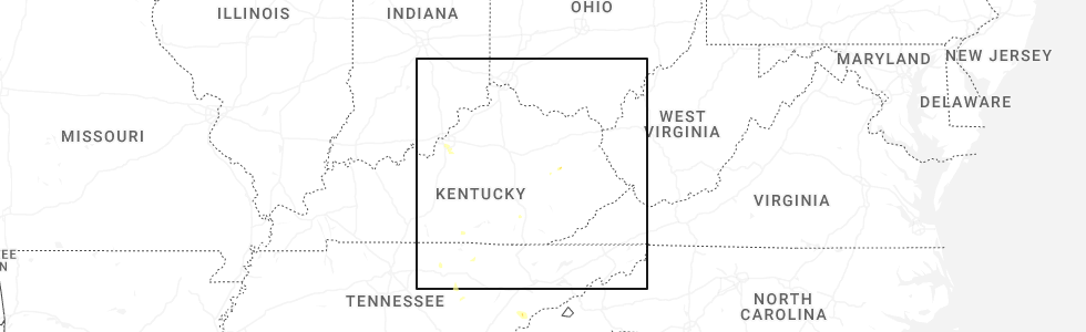
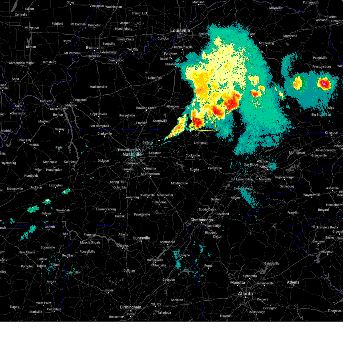
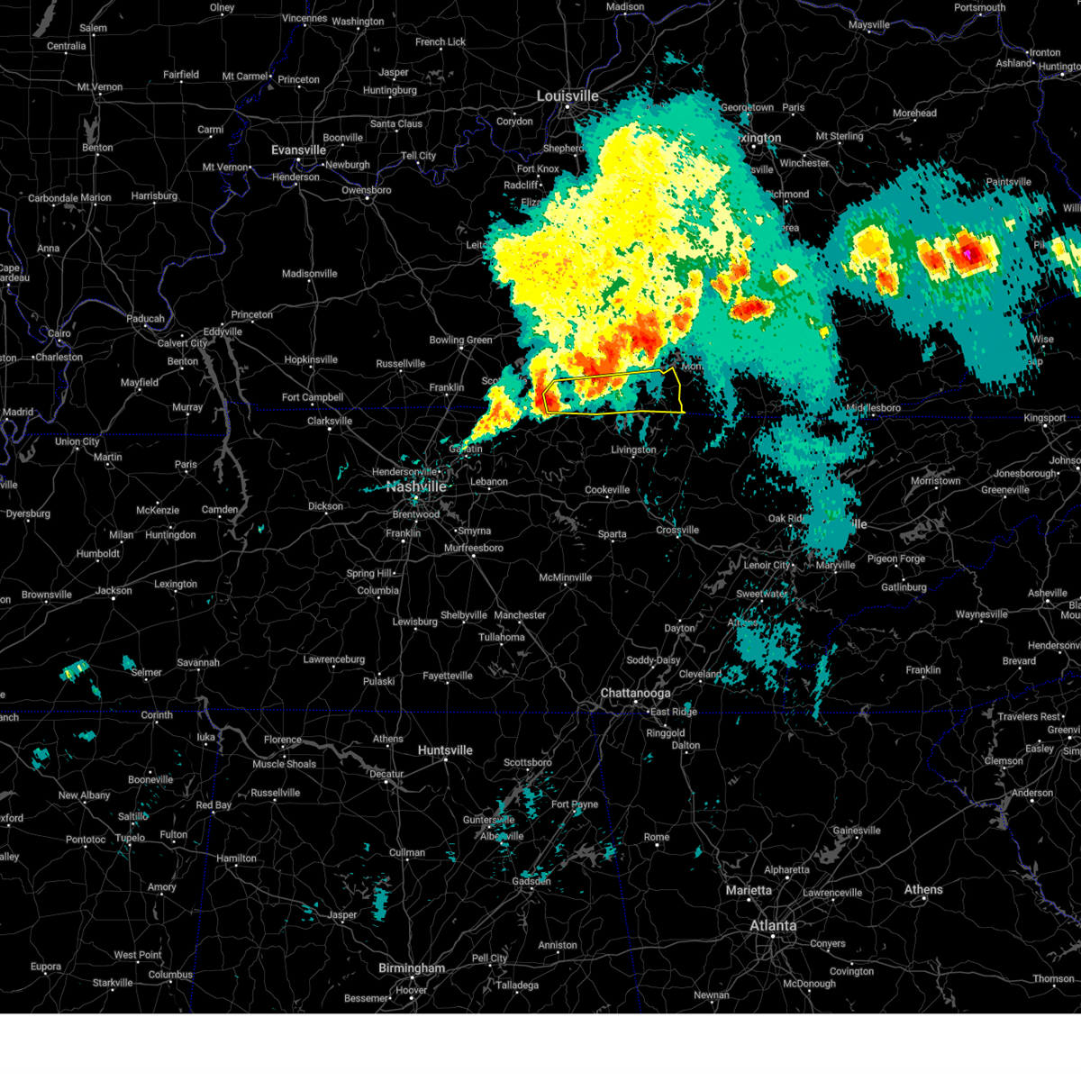
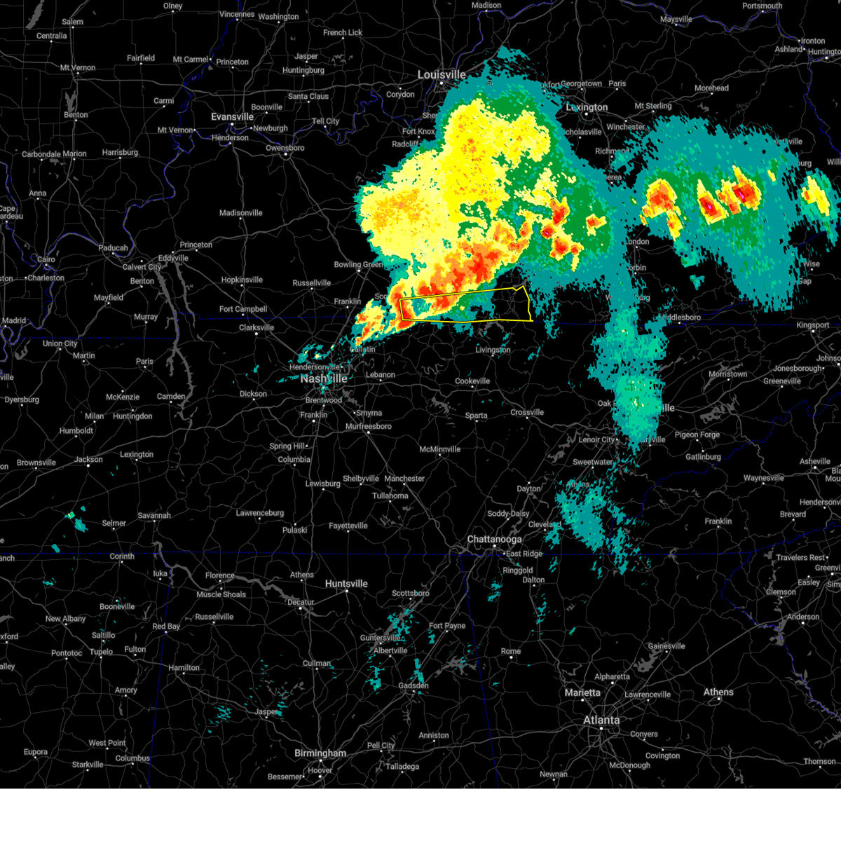
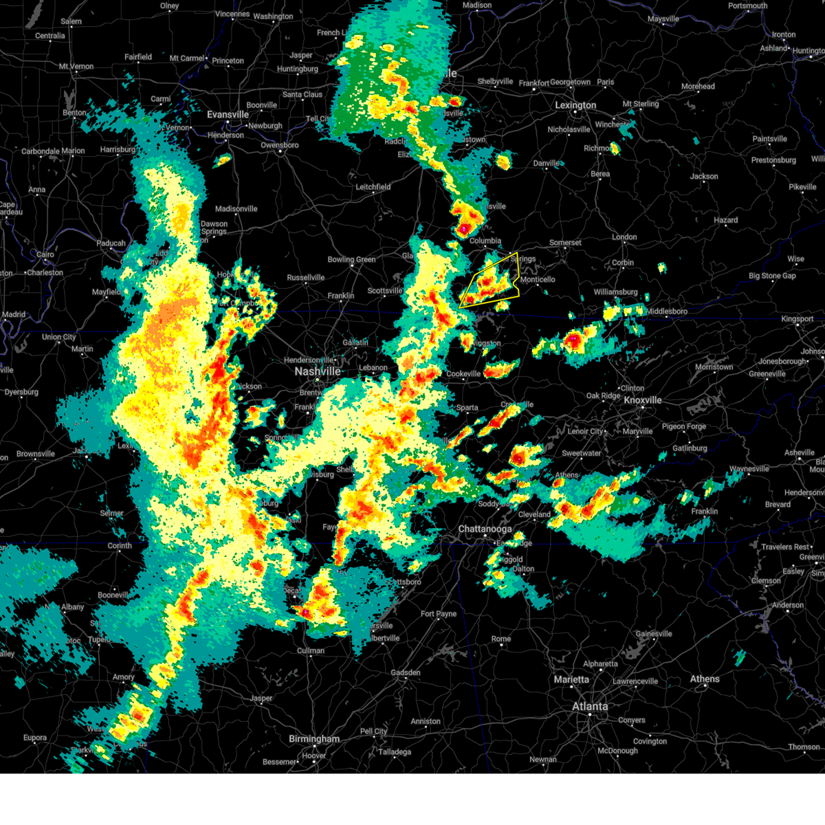
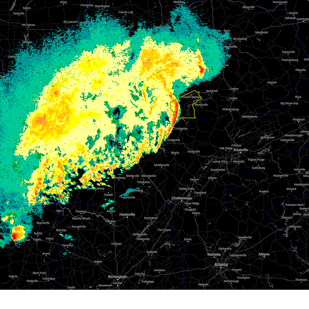
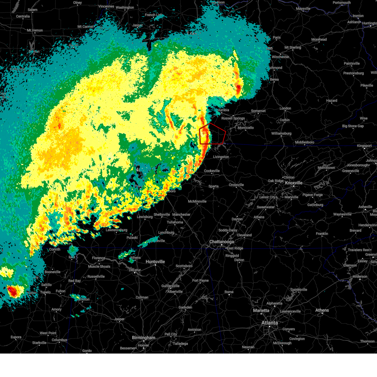
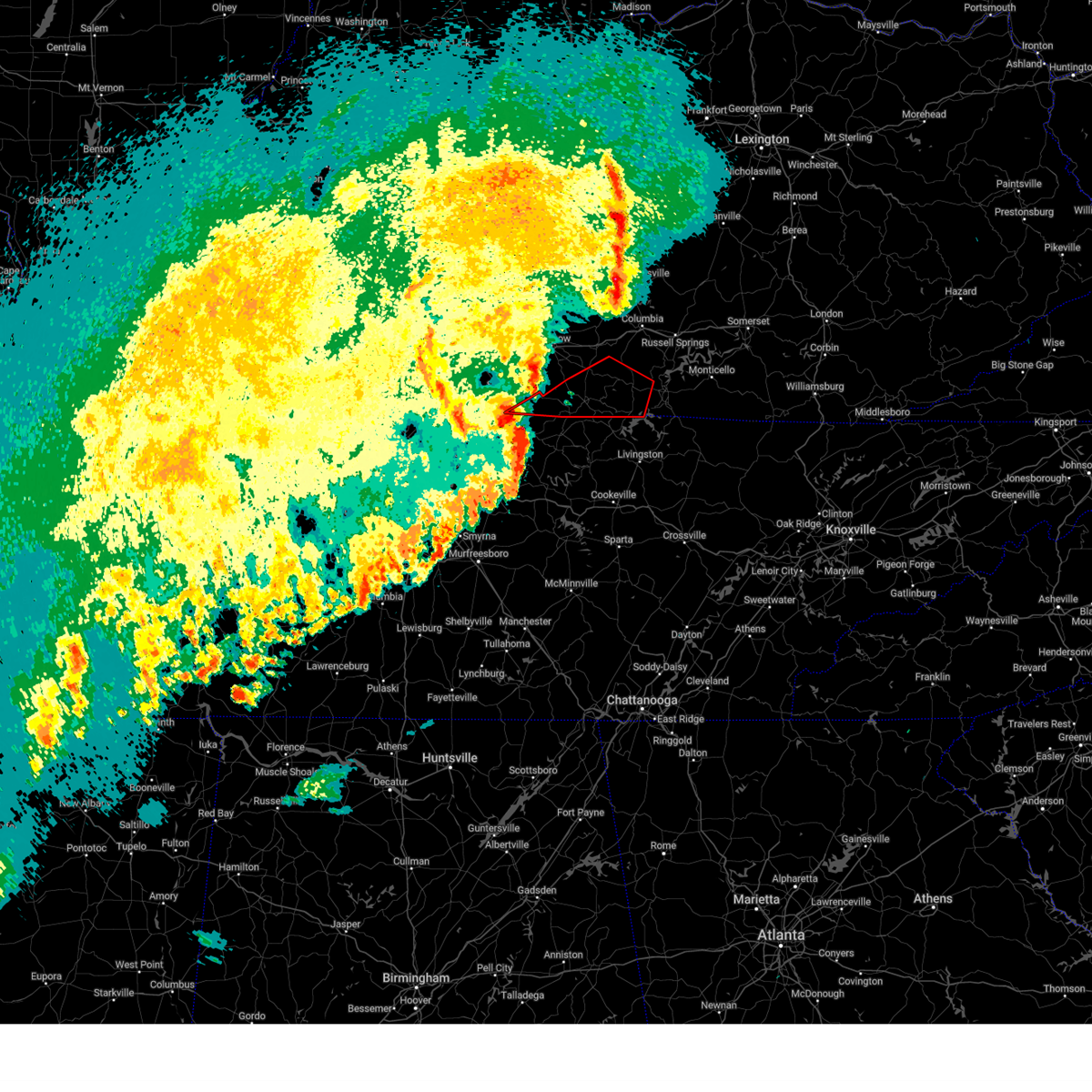
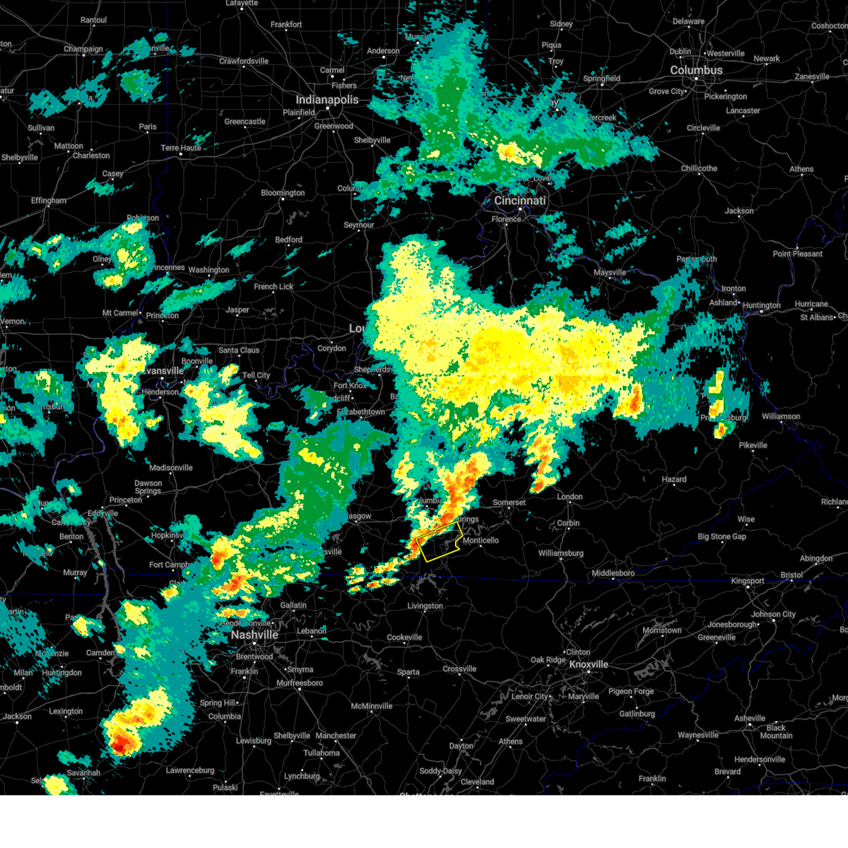
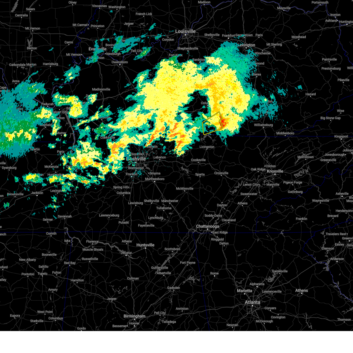
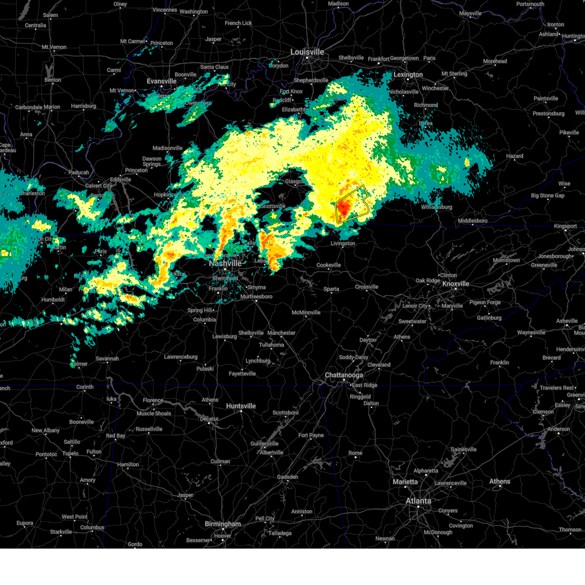
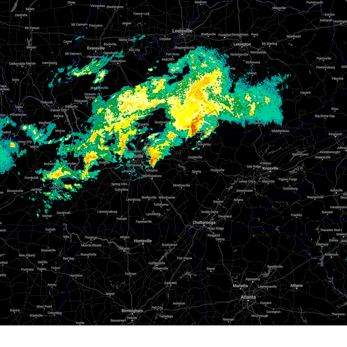
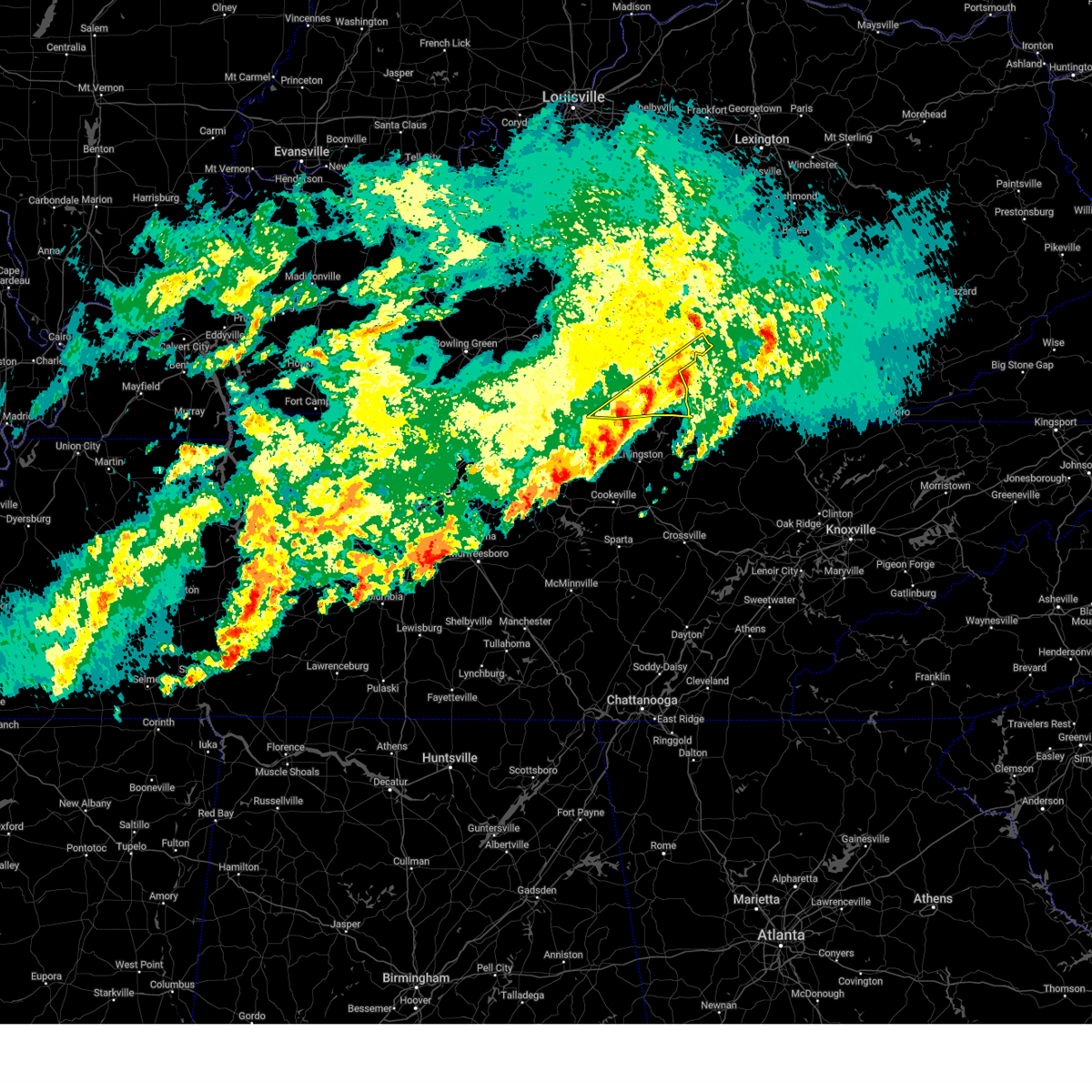
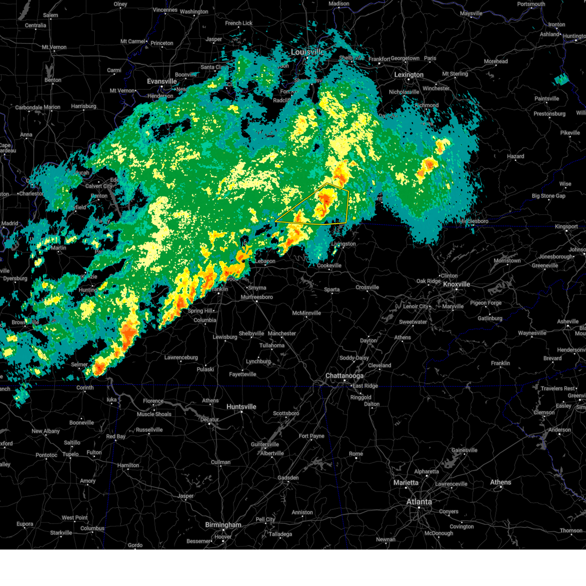
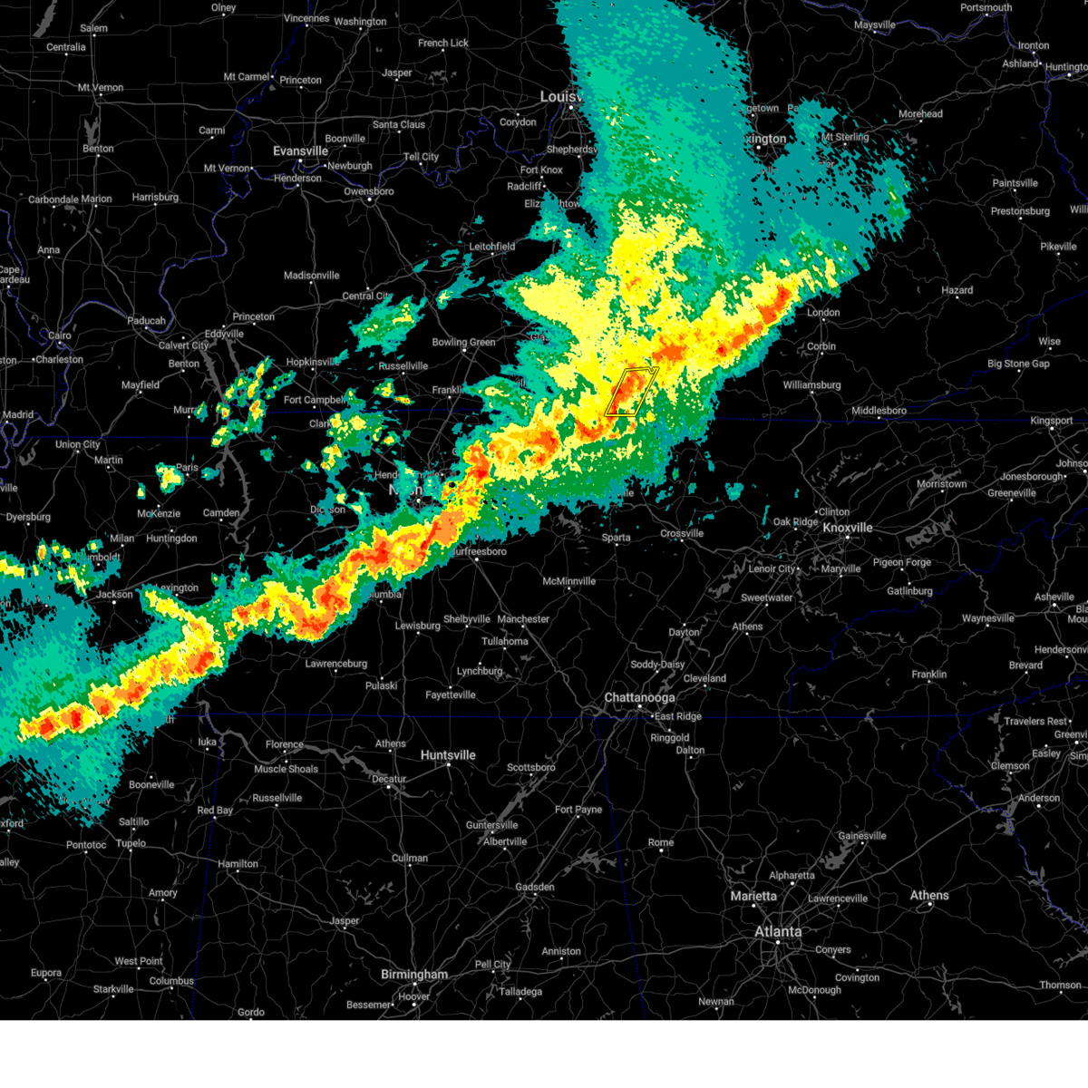
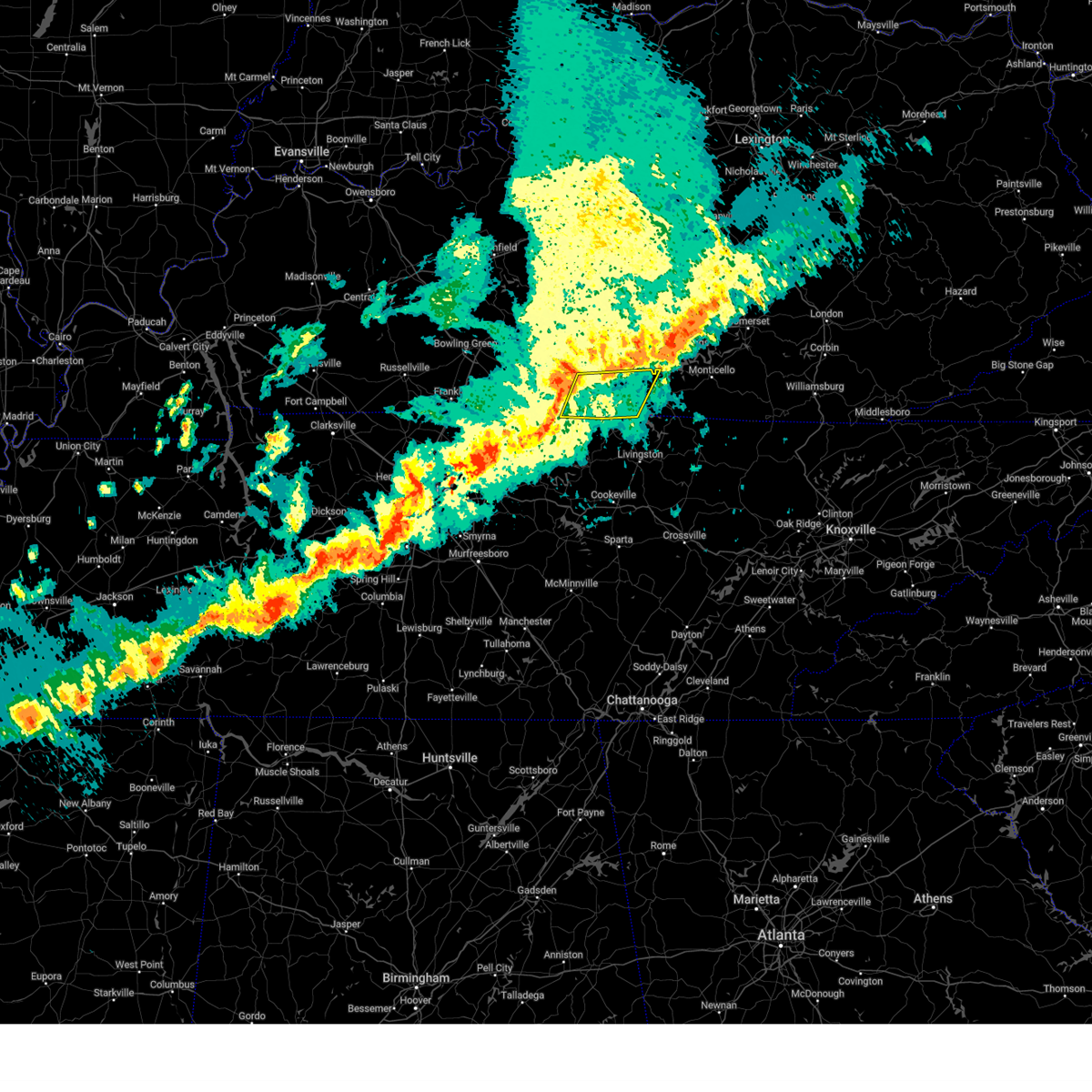
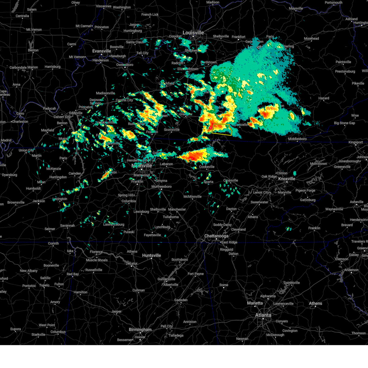
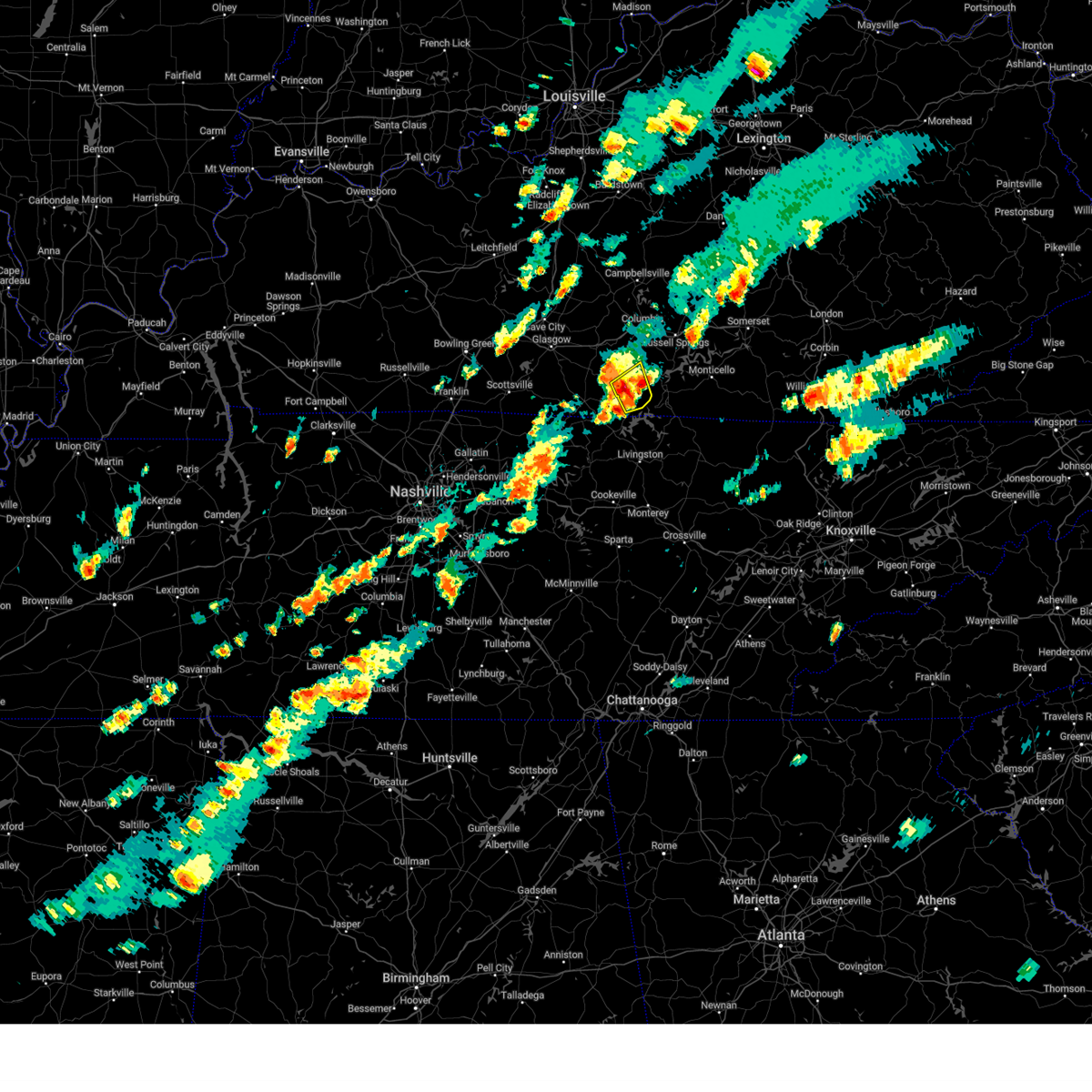
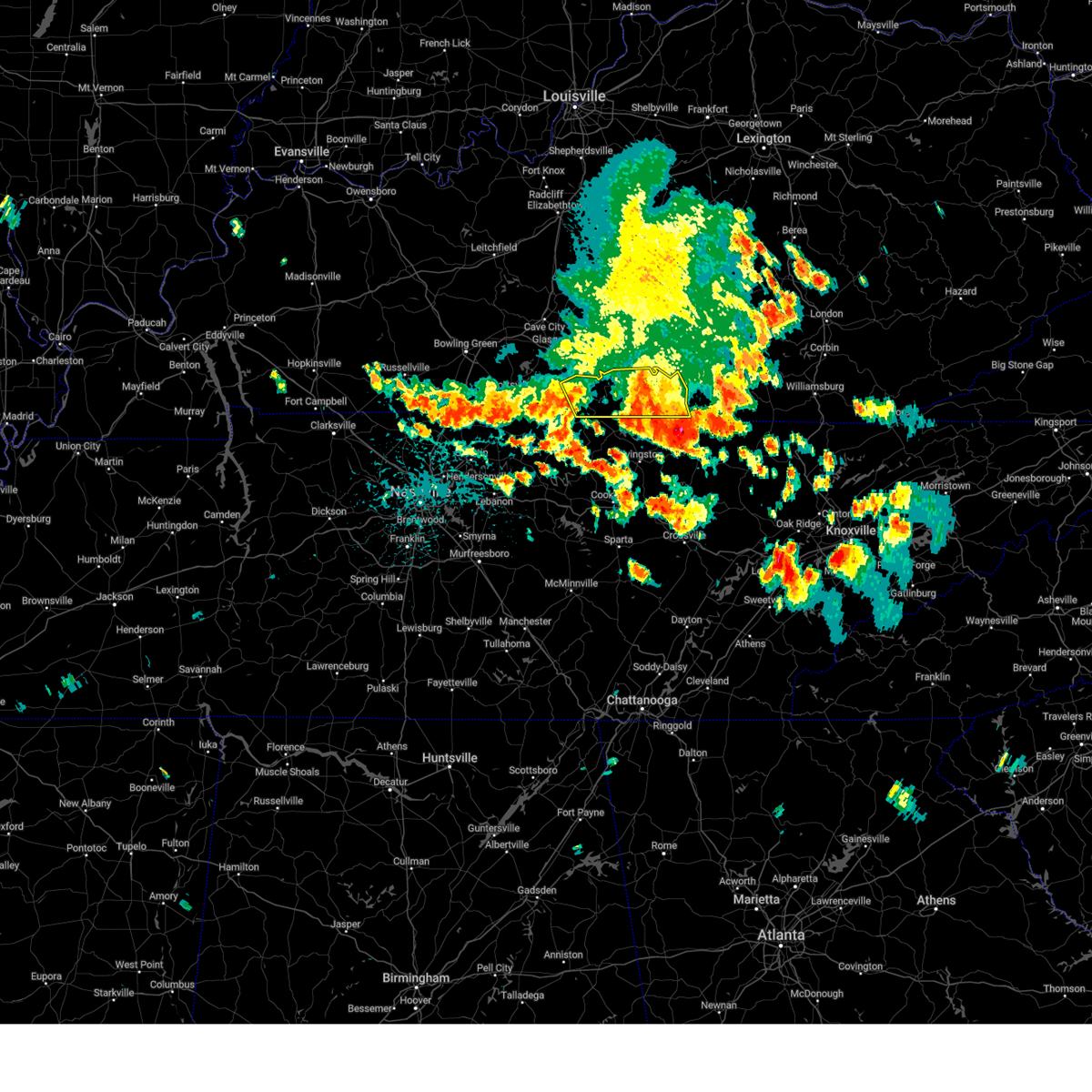
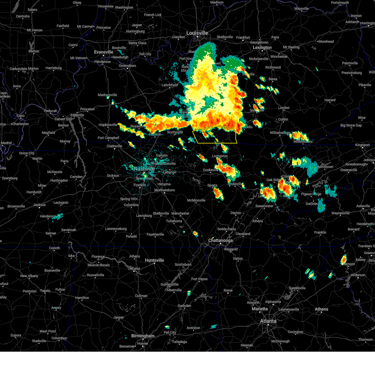
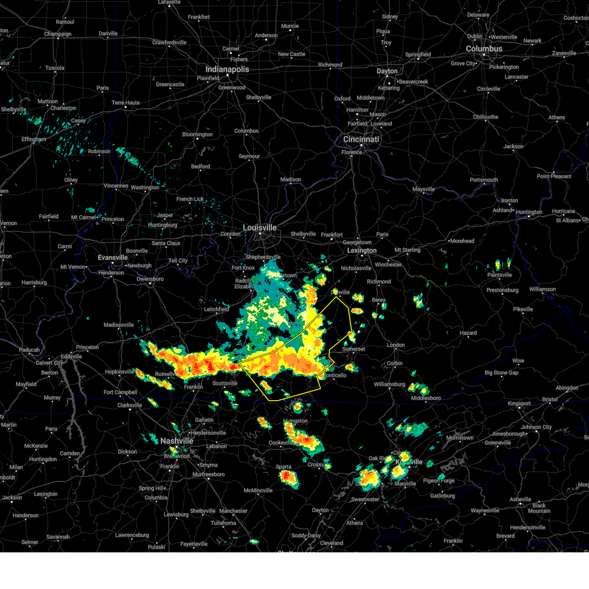
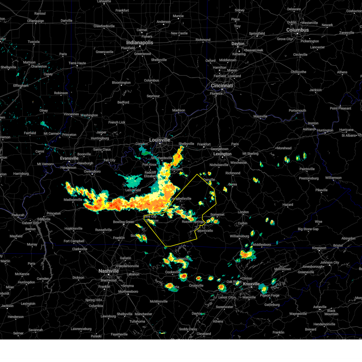
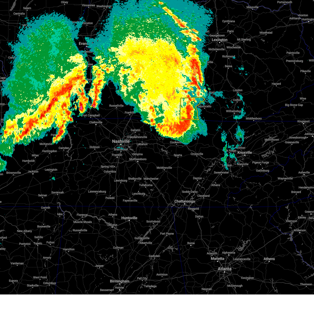
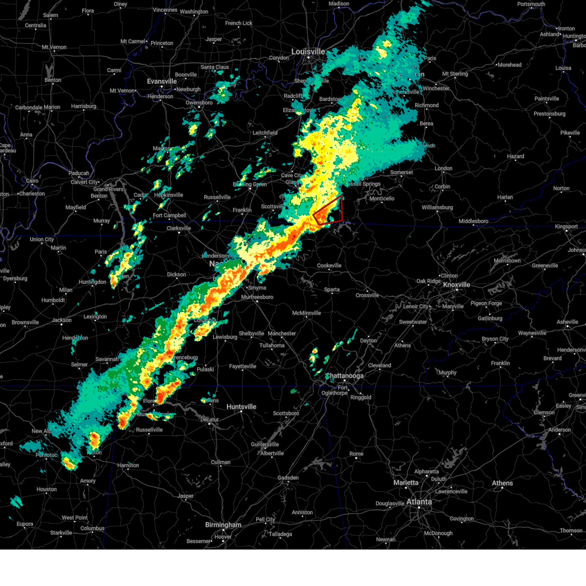
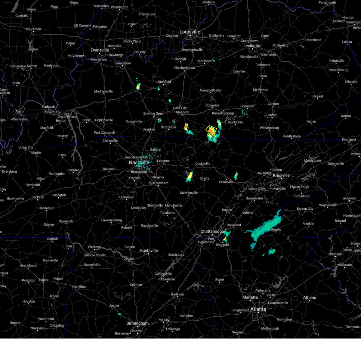
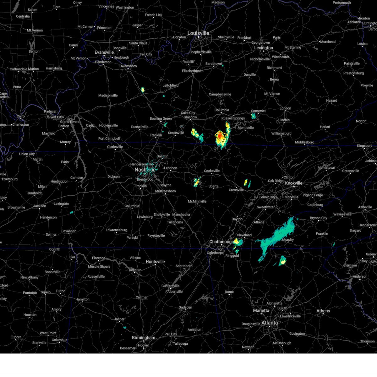
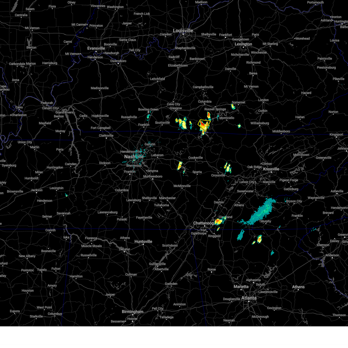
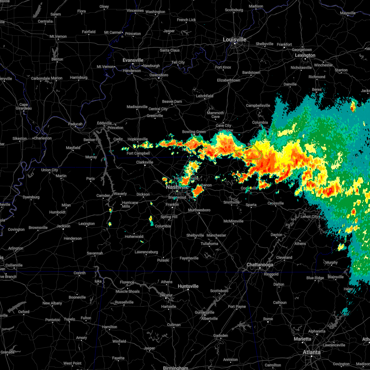
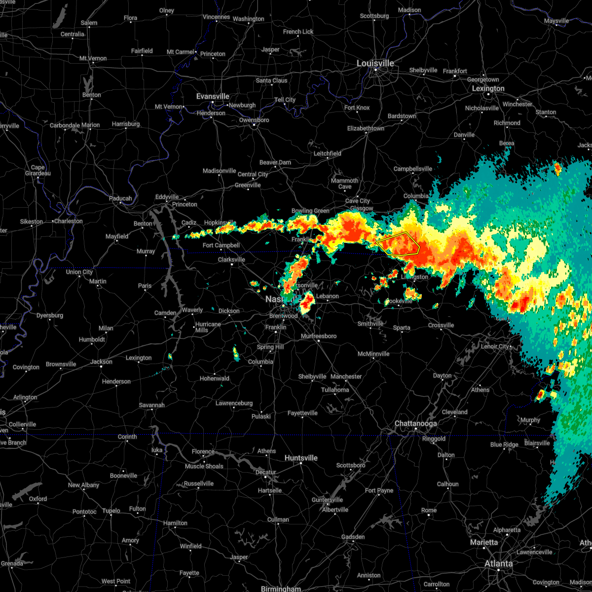
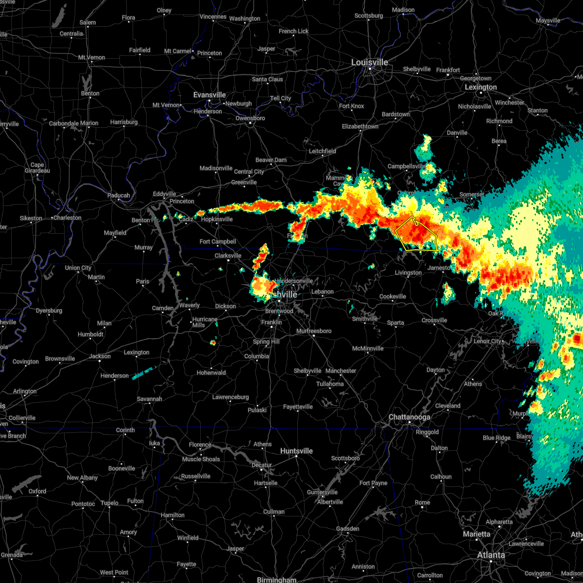
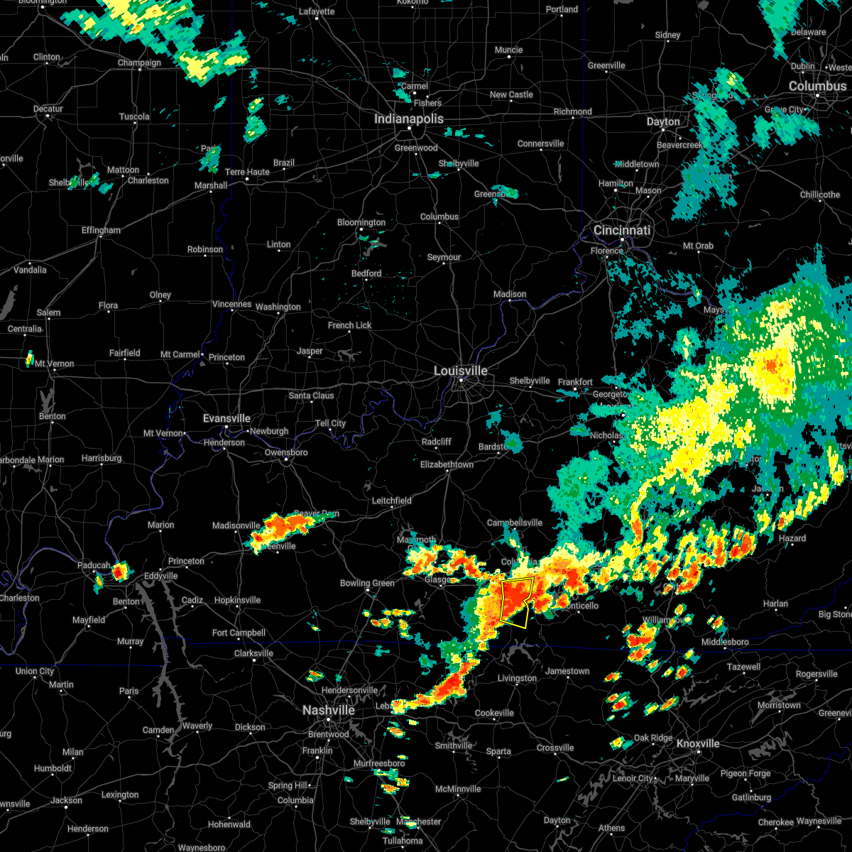
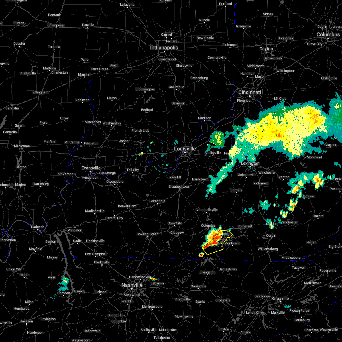
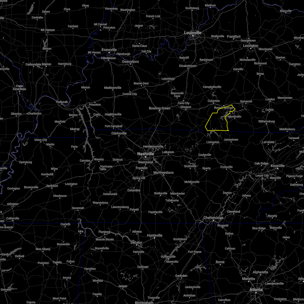
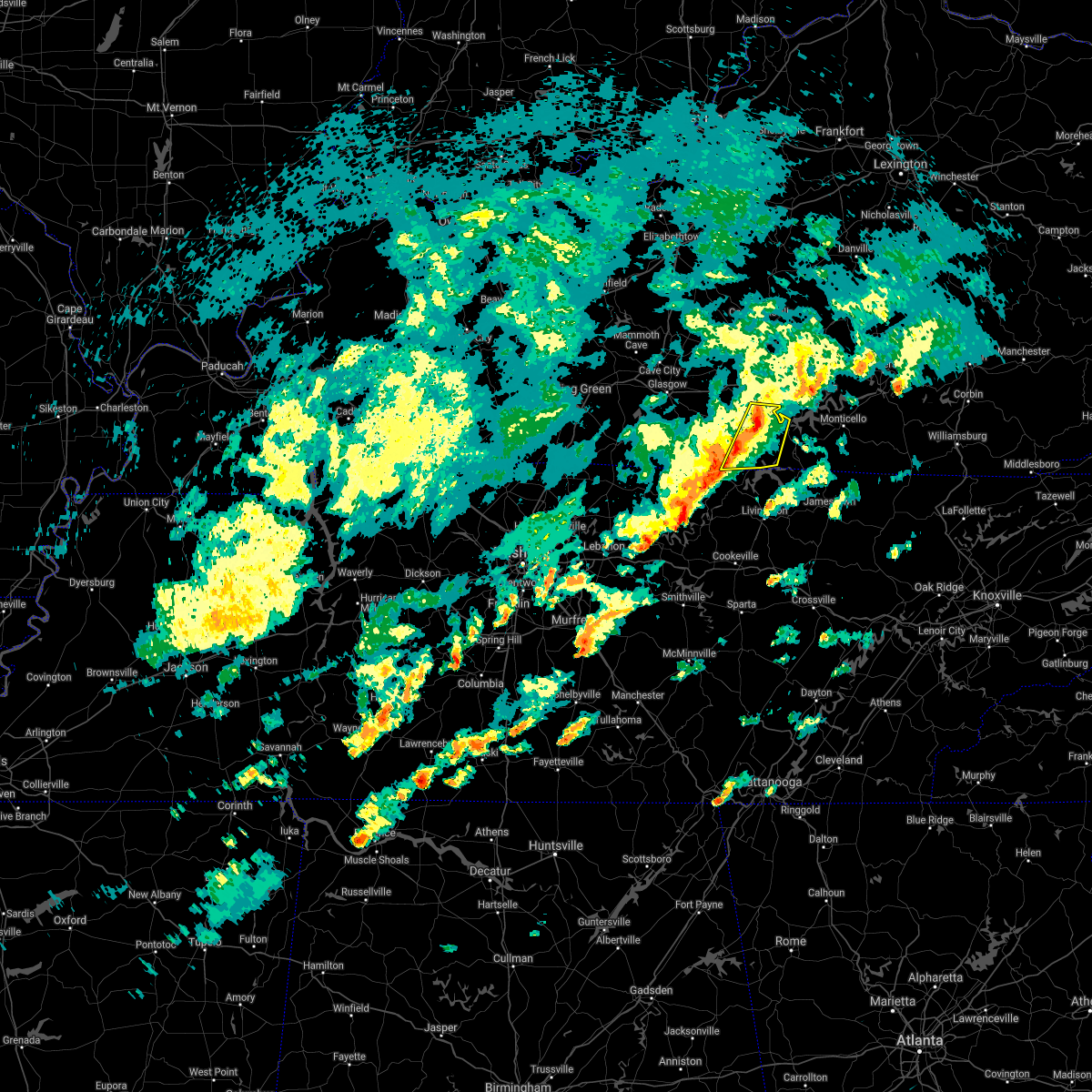
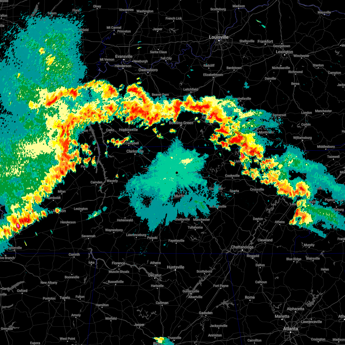
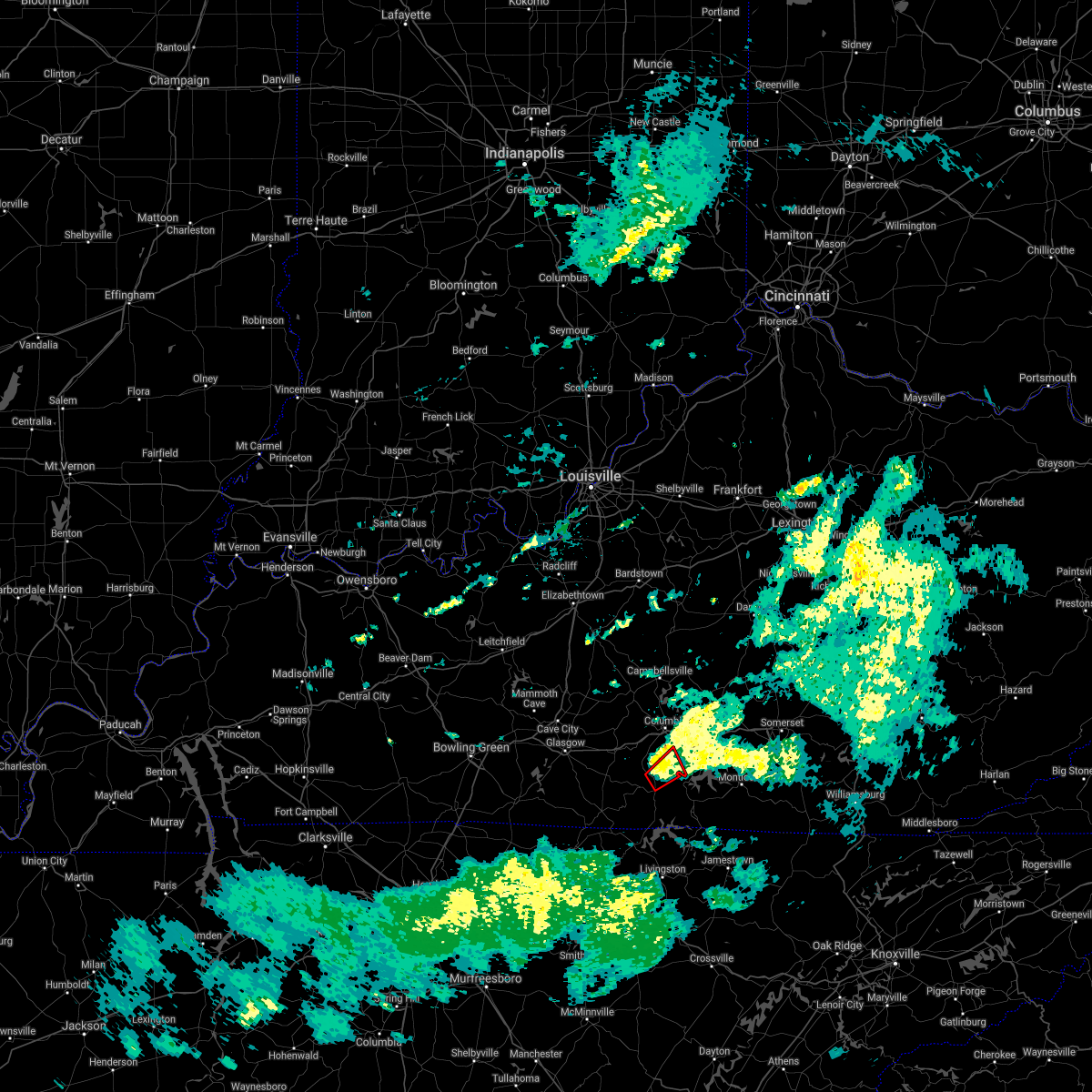
Hail Map for Burkesville, KY
The Burkesville, KY area has had 13 reports of on-the-ground hail by trained spotters, and has been under severe weather warnings 45 times during the past 12 months. Doppler radar has detected hail at or near Burkesville, KY on 56 occasions, including 5 occasions during the past year.
| Name: | Burkesville, KY |
| Where Located: | 84.9 miles SSE of Louisville, KY |
| Map: | Google Map for Burkesville, KY |
| Population: | 1521 |
| Housing Units: | 790 |
| More Info: | Search Google for Burkesville, KY |
2
The Top Recent Hail Date for Burkesville, KY is Thursday, March 13, 2025 (10th out of 56)
Hail and Wind Damage Spotted near Burkesville, KY
| Date / Time | Report Details |
|---|---|
| 5/16/2025 11:42 PM CDT |
 The storms which prompted the warning have moved out of the area. therefore, the warning will be allowed to expire. however, heavy rain is still possible with these thunderstorms. a tornado watch remains in effect until 200 am cdt for south central kentucky. to report severe weather, contact your nearest law enforcement agency. they will relay your report to the national weather service louisville. The storms which prompted the warning have moved out of the area. therefore, the warning will be allowed to expire. however, heavy rain is still possible with these thunderstorms. a tornado watch remains in effect until 200 am cdt for south central kentucky. to report severe weather, contact your nearest law enforcement agency. they will relay your report to the national weather service louisville.
|
| 5/16/2025 11:05 PM CDT | Storm damage reported in cumberland county KY, 3.3 miles E of Burkesville, KY |
| 5/16/2025 10:58 PM CDT | Svrlmk the national weather service in louisville has issued a * severe thunderstorm warning for, clinton county in south central kentucky, monroe county in south central kentucky, southwestern russell county in south central kentucky, southeastern allen county in south central kentucky, cumberland county in south central kentucky, southeastern metcalfe county in south central kentucky, * until 1145 pm cdt. * at 1058 pm cdt, severe thunderstorms were located along a line extending from 7 miles northwest of burkesville to 7 miles northeast of lafayette, moving east at 60 mph (radar indicated). Hazards include 70 mph wind gusts and penny size hail. Expect considerable tree damage. Damage is likely to mobile homes, roofs, and outbuildings. |
| 5/16/2025 11:59 AM CDT |
 The storm which prompted the warning has moved out of the area. therefore, the warning will be allowed to expire. however, small hail, gusty winds and heavy rain are still possible with this thunderstorm. to report severe weather, contact your nearest law enforcement agency. they will relay your report to the national weather service louisville. The storm which prompted the warning has moved out of the area. therefore, the warning will be allowed to expire. however, small hail, gusty winds and heavy rain are still possible with this thunderstorm. to report severe weather, contact your nearest law enforcement agency. they will relay your report to the national weather service louisville.
|
| 5/16/2025 11:45 AM CDT |
 the severe thunderstorm warning has been cancelled and is no longer in effect the severe thunderstorm warning has been cancelled and is no longer in effect
|
| 5/16/2025 11:45 AM CDT |
 At 1145 am cdt, a severe thunderstorm was located near albany, moving east at 75 mph (radar indicated). Hazards include 60 mph wind gusts and quarter size hail. Hail damage to vehicles is expected. expect wind damage to roofs, siding, and trees. Locations impacted include, albany, burkesville, leslie, littrell, desda, cartwright, snow, savage, ida, and modoc. At 1145 am cdt, a severe thunderstorm was located near albany, moving east at 75 mph (radar indicated). Hazards include 60 mph wind gusts and quarter size hail. Hail damage to vehicles is expected. expect wind damage to roofs, siding, and trees. Locations impacted include, albany, burkesville, leslie, littrell, desda, cartwright, snow, savage, ida, and modoc.
|
| 5/16/2025 11:24 AM CDT |
 At 1124 am cdt, a severe thunderstorm was located over tompkinsville, moving east at 75 mph (radar indicated). Hazards include 60 mph wind gusts and quarter size hail. Hail damage to vehicles is expected. expect wind damage to roofs, siding, and trees. Locations impacted include, tompkinsville, albany, burkesville, leslie, gamaliel, littrell, desda, cartwright, snow, and savage. At 1124 am cdt, a severe thunderstorm was located over tompkinsville, moving east at 75 mph (radar indicated). Hazards include 60 mph wind gusts and quarter size hail. Hail damage to vehicles is expected. expect wind damage to roofs, siding, and trees. Locations impacted include, tompkinsville, albany, burkesville, leslie, gamaliel, littrell, desda, cartwright, snow, and savage.
|
| 5/16/2025 11:24 AM CDT |
 the severe thunderstorm warning has been cancelled and is no longer in effect the severe thunderstorm warning has been cancelled and is no longer in effect
|
| 5/16/2025 11:14 AM CDT |
 Svrlmk the national weather service in louisville has issued a * severe thunderstorm warning for, clinton county in south central kentucky, monroe county in south central kentucky, southeastern allen county in south central kentucky, cumberland county in south central kentucky, south central barren county in south central kentucky, * until noon cdt. * at 1113 am cdt, a severe thunderstorm was located 8 miles north of red boiling springs, moving east at 70 mph (radar indicated). Hazards include 60 mph wind gusts and quarter size hail. Hail damage to vehicles is expected. Expect wind damage to roofs, siding, and trees. Svrlmk the national weather service in louisville has issued a * severe thunderstorm warning for, clinton county in south central kentucky, monroe county in south central kentucky, southeastern allen county in south central kentucky, cumberland county in south central kentucky, south central barren county in south central kentucky, * until noon cdt. * at 1113 am cdt, a severe thunderstorm was located 8 miles north of red boiling springs, moving east at 70 mph (radar indicated). Hazards include 60 mph wind gusts and quarter size hail. Hail damage to vehicles is expected. Expect wind damage to roofs, siding, and trees.
|
| 5/2/2025 3:17 PM CDT | The storm which prompted the warning has weakened below severe limits, and no longer poses an immediate threat to life or property. therefore, the warning has been allowed to expire. however, gusty winds and heavy rain are still possible with this thunderstorm. a severe thunderstorm watch remains in effect until 500 pm cdt for south central kentucky. to report severe weather, contact your nearest law enforcement agency. they will relay your report to the national weather service louisville. |
| 5/2/2025 2:50 PM CDT |
 Svrlmk the national weather service in louisville has issued a * severe thunderstorm warning for, central clinton county in south central kentucky, east central monroe county in south central kentucky, southwestern russell county in south central kentucky, eastern cumberland county in south central kentucky, south central adair county in south central kentucky, * until 315 pm cdt. * at 250 pm cdt, a severe thunderstorm was located near burkesville, moving east at 15 mph (radar indicated). Hazards include 60 mph wind gusts and quarter size hail. Hail damage to vehicles is expected. Expect wind damage to roofs, siding, and trees. Svrlmk the national weather service in louisville has issued a * severe thunderstorm warning for, central clinton county in south central kentucky, east central monroe county in south central kentucky, southwestern russell county in south central kentucky, eastern cumberland county in south central kentucky, south central adair county in south central kentucky, * until 315 pm cdt. * at 250 pm cdt, a severe thunderstorm was located near burkesville, moving east at 15 mph (radar indicated). Hazards include 60 mph wind gusts and quarter size hail. Hail damage to vehicles is expected. Expect wind damage to roofs, siding, and trees.
|
| 4/5/2025 6:42 PM CDT | Multiple trees down on highway 44 in cumberland county KY, 6.2 miles NNW of Burkesville, KY |
| 4/5/2025 6:29 PM CDT |
 Svrlmk the national weather service in louisville has issued a * severe thunderstorm warning for, clinton county in south central kentucky, russell county in south central kentucky, cumberland county in south central kentucky, southeastern adair county in south central kentucky, southeastern metcalfe county in south central kentucky, * until 715 pm cdt. * at 629 pm cdt, severe thunderstorms were located along a line extending from 7 miles south of columbia to 9 miles south of burkesville, moving northeast at 60 mph (radar indicated). Hazards include 60 mph wind gusts and quarter size hail. Hail damage to vehicles is expected. Expect wind damage to roofs, siding, and trees. Svrlmk the national weather service in louisville has issued a * severe thunderstorm warning for, clinton county in south central kentucky, russell county in south central kentucky, cumberland county in south central kentucky, southeastern adair county in south central kentucky, southeastern metcalfe county in south central kentucky, * until 715 pm cdt. * at 629 pm cdt, severe thunderstorms were located along a line extending from 7 miles south of columbia to 9 miles south of burkesville, moving northeast at 60 mph (radar indicated). Hazards include 60 mph wind gusts and quarter size hail. Hail damage to vehicles is expected. Expect wind damage to roofs, siding, and trees.
|
| 4/5/2025 6:15 PM CDT |
 At 614 pm cdt, a severe thunderstorm capable of producing a tornado was located 8 miles northeast of tompkinsville, moving northeast at 55 mph (radar indicated rotation). Hazards include tornado and quarter size hail. Flying debris will be dangerous to those caught without shelter. mobile homes will be damaged or destroyed. damage to roofs, windows, and vehicles will occur. tree damage is likely. this dangerous storm will be near, burkesville around 620 pm cdt. Other locations impacted by this tornadic thunderstorm include littrell, meshack, modoc, blythe, harlan crossroads, ellington, willow shade, grider, peytonsburg, and raydure. At 614 pm cdt, a severe thunderstorm capable of producing a tornado was located 8 miles northeast of tompkinsville, moving northeast at 55 mph (radar indicated rotation). Hazards include tornado and quarter size hail. Flying debris will be dangerous to those caught without shelter. mobile homes will be damaged or destroyed. damage to roofs, windows, and vehicles will occur. tree damage is likely. this dangerous storm will be near, burkesville around 620 pm cdt. Other locations impacted by this tornadic thunderstorm include littrell, meshack, modoc, blythe, harlan crossroads, ellington, willow shade, grider, peytonsburg, and raydure.
|
| 4/5/2025 6:04 PM CDT | At 603 pm cdt, a severe thunderstorm capable of producing a tornado was located over tompkinsville, moving northeast at 60 mph (radar indicated rotation). Hazards include tornado and quarter size hail. Flying debris will be dangerous to those caught without shelter. mobile homes will be damaged or destroyed. damage to roofs, windows, and vehicles will occur. tree damage is likely. this dangerous storm will be near, burkesville around 620 pm cdt. Other locations impacted by this tornadic thunderstorm include littrell, meshack, modoc, gum tree, blythe, harlan crossroads, ellington, willow shade, gamaliel, and grider. |
| 4/5/2025 6:04 PM CDT | the tornado warning has been cancelled and is no longer in effect |
| 4/5/2025 5:45 PM CDT |
 Torlmk the national weather service in louisville has issued a * tornado warning for, monroe county in south central kentucky, southeastern allen county in south central kentucky, cumberland county in south central kentucky, southeastern metcalfe county in south central kentucky, * until 630 pm cdt. * at 544 pm cdt, a severe thunderstorm capable of producing a tornado was located near lafayette, moving northeast at 65 mph (radar indicated rotation). Hazards include tornado. Flying debris will be dangerous to those caught without shelter. mobile homes will be damaged or destroyed. damage to roofs, windows, and vehicles will occur. tree damage is likely. this dangerous storm will be near, tompkinsville around 555 pm cdt. burkesville around 615 pm cdt. Other locations impacted by this tornadic thunderstorm include littrell, gum tree, blythe, harlan crossroads, ellington, grider, peytonsburg, raydure, emberton, and fountain run. Torlmk the national weather service in louisville has issued a * tornado warning for, monroe county in south central kentucky, southeastern allen county in south central kentucky, cumberland county in south central kentucky, southeastern metcalfe county in south central kentucky, * until 630 pm cdt. * at 544 pm cdt, a severe thunderstorm capable of producing a tornado was located near lafayette, moving northeast at 65 mph (radar indicated rotation). Hazards include tornado. Flying debris will be dangerous to those caught without shelter. mobile homes will be damaged or destroyed. damage to roofs, windows, and vehicles will occur. tree damage is likely. this dangerous storm will be near, tompkinsville around 555 pm cdt. burkesville around 615 pm cdt. Other locations impacted by this tornadic thunderstorm include littrell, gum tree, blythe, harlan crossroads, ellington, grider, peytonsburg, raydure, emberton, and fountain run.
|
| 4/3/2025 2:56 PM CDT |
 The severe thunderstorm which prompted the warning has moved out of the warned area. therefore, the warning will be allowed to expire. a tornado watch remains in effect until 1000 pm cdt for south central kentucky. The severe thunderstorm which prompted the warning has moved out of the warned area. therefore, the warning will be allowed to expire. a tornado watch remains in effect until 1000 pm cdt for south central kentucky.
|
| 4/3/2025 2:33 PM CDT |
 Svrlmk the national weather service in louisville has issued a * severe thunderstorm warning for, northern clinton county in south central kentucky, southwestern russell county in south central kentucky, northeastern cumberland county in south central kentucky, * until 300 pm cdt. * at 233 pm cdt, a severe thunderstorm was located near burkesville, moving east at 40 mph (radar indicated). Hazards include 60 mph wind gusts. expect damage to roofs, siding, and trees Svrlmk the national weather service in louisville has issued a * severe thunderstorm warning for, northern clinton county in south central kentucky, southwestern russell county in south central kentucky, northeastern cumberland county in south central kentucky, * until 300 pm cdt. * at 233 pm cdt, a severe thunderstorm was located near burkesville, moving east at 40 mph (radar indicated). Hazards include 60 mph wind gusts. expect damage to roofs, siding, and trees
|
| 4/3/2025 10:24 AM CDT |
 The storm which prompted the warning has moved out of the area. therefore, the warning will be allowed to expire. The storm which prompted the warning has moved out of the area. therefore, the warning will be allowed to expire.
|
| 4/3/2025 9:55 AM CDT |
 At 954 am cdt, a severe thunderstorm was located near burkesville, moving northeast at 45 mph (radar indicated). Hazards include 60 mph wind gusts and nickel size hail. Expect damage to roofs, siding, and trees. Locations impacted include, albany, jamestown, burkesville, littrell, desda, cartwright, snow, ida, modoc, and seventy six. At 954 am cdt, a severe thunderstorm was located near burkesville, moving northeast at 45 mph (radar indicated). Hazards include 60 mph wind gusts and nickel size hail. Expect damage to roofs, siding, and trees. Locations impacted include, albany, jamestown, burkesville, littrell, desda, cartwright, snow, ida, modoc, and seventy six.
|
| 4/3/2025 9:55 AM CDT |
 the severe thunderstorm warning has been cancelled and is no longer in effect the severe thunderstorm warning has been cancelled and is no longer in effect
|
| 4/3/2025 9:42 AM CDT |
 Svrlmk the national weather service in louisville has issued a * severe thunderstorm warning for, clinton county in south central kentucky, southeastern monroe county in south central kentucky, southwestern russell county in south central kentucky, cumberland county in south central kentucky, * until 1030 am cdt. * at 942 am cdt, a severe thunderstorm was located 7 miles southwest of burkesville, moving northeast at 45 mph (radar indicated). Hazards include 60 mph wind gusts and nickel size hail. expect damage to roofs, siding, and trees Svrlmk the national weather service in louisville has issued a * severe thunderstorm warning for, clinton county in south central kentucky, southeastern monroe county in south central kentucky, southwestern russell county in south central kentucky, cumberland county in south central kentucky, * until 1030 am cdt. * at 942 am cdt, a severe thunderstorm was located 7 miles southwest of burkesville, moving northeast at 45 mph (radar indicated). Hazards include 60 mph wind gusts and nickel size hail. expect damage to roofs, siding, and trees
|
| 4/3/2025 5:46 AM CDT |
 Svrlmk the national weather service in louisville has issued a * severe thunderstorm warning for, clinton county in south central kentucky, southeastern monroe county in south central kentucky, southern russell county in south central kentucky, southeastern cumberland county in south central kentucky, * until 615 am cdt. * at 546 am cdt, a severe thunderstorm was located near cabell, moving northeast at 50 mph (radar indicated). Hazards include 60 mph wind gusts. expect damage to roofs, siding, and trees Svrlmk the national weather service in louisville has issued a * severe thunderstorm warning for, clinton county in south central kentucky, southeastern monroe county in south central kentucky, southern russell county in south central kentucky, southeastern cumberland county in south central kentucky, * until 615 am cdt. * at 546 am cdt, a severe thunderstorm was located near cabell, moving northeast at 50 mph (radar indicated). Hazards include 60 mph wind gusts. expect damage to roofs, siding, and trees
|
| 4/3/2025 6:12 AM EDT | The severe thunderstorm warning has expired and a new warning has been issued. a tornado watch remains in effect until 600 am cdt for south central kentucky. |
| 4/3/2025 6:11 AM EDT | Svrlmk the national weather service in louisville has issued a * severe thunderstorm warning for, clinton county in south central kentucky, southeastern monroe county in south central kentucky, russell county in south central kentucky, cumberland county in south central kentucky, * until 545 am cdt. * at 510 am cdt, a severe thunderstorm was located near celina, moving northeast at 55 mph (radar indicated). Hazards include 60 mph wind gusts. expect damage to roofs, siding, and trees |
| 4/3/2025 5:52 AM EDT | At 452 am cdt, a severe thunderstorm was located near albany, moving northeast at 50 mph (radar indicated). Hazards include 70 mph wind gusts. Expect considerable tree damage. damage is likely to mobile homes, roofs, and outbuildings. Locations impacted include, albany, jamestown, burkesville, littrell, desda, cartwright, eli, snow, savage, and ida. |
| 4/3/2025 5:28 AM EDT | Svrlmk the national weather service in louisville has issued a * severe thunderstorm warning for, clinton county in south central kentucky, southeastern monroe county in south central kentucky, russell county in south central kentucky, eastern cumberland county in south central kentucky, * until 515 am cdt. * at 428 am cdt, a severe thunderstorm was located near celina, moving northeast at 55 mph (radar indicated). Hazards include 70 mph wind gusts. Expect considerable tree damage. Damage is likely to mobile homes, roofs, and outbuildings. |
| 4/3/2025 4:02 AM CDT |
 The storm which prompted the warning has weakened below severe limits, and no longer poses an immediate threat to life or property. therefore, the warning has been allowed to expire. however, gusty winds and heavy rain are still possible with this thunderstorm. a tornado watch remains in effect until 600 am cdt for south central kentucky. to report severe weather, contact your nearest law enforcement agency. they will relay your report to the national weather service louisville. The storm which prompted the warning has weakened below severe limits, and no longer poses an immediate threat to life or property. therefore, the warning has been allowed to expire. however, gusty winds and heavy rain are still possible with this thunderstorm. a tornado watch remains in effect until 600 am cdt for south central kentucky. to report severe weather, contact your nearest law enforcement agency. they will relay your report to the national weather service louisville.
|
| 4/3/2025 3:43 AM CDT | At 342 am cdt, a severe thunderstorm was located near tompkinsville, moving northeast at 60 mph (radar indicated). Hazards include 70 mph wind gusts and penny size hail. Expect considerable tree damage. damage is likely to mobile homes, roofs, and outbuildings. Locations impacted include, tompkinsville, edmonton, burkesville, leslie, gamaliel, fountain run, littrell, curtis, gum tree, and blythe. |
| 4/3/2025 3:20 AM CDT | Svrlmk the national weather service in louisville has issued a * severe thunderstorm warning for, monroe county in south central kentucky, southeastern allen county in south central kentucky, cumberland county in south central kentucky, southeastern barren county in south central kentucky, southwestern adair county in south central kentucky, southern metcalfe county in south central kentucky, * until 400 am cdt. * at 320 am cdt, a severe thunderstorm was located near lafayette, moving northeast at 60 mph (radar indicated). Hazards include 60 mph wind gusts and nickel size hail. expect damage to roofs, siding, and trees |
| 4/3/2025 2:32 AM CDT | The storms which prompted the warning have weakened below severe limits, and no longer pose an immediate threat to life or property. therefore, the warning has been allowed to expire. however, gusty winds and heavy rain are still possible with these thunderstorms. a tornado watch remains in effect until 700 am edt/600 am cdt/ for south central and central kentucky. to report severe weather, contact your nearest law enforcement agency. they will relay your report to the national weather service louisville. |
| 4/3/2025 2:03 AM CDT |
 At 302 am edt/202 am cdt/, severe thunderstorms were located along a line extending from 9 miles north of jamestown to 8 miles east of tompkinsville, moving east at 60 mph (radar indicated). Hazards include 60 mph wind gusts. Expect damage to roofs, siding, and trees. Locations impacted include, columbia, tompkinsville, jamestown, edmonton, burkesville, leslie, russell springs, gamaliel, pickett, and desda. At 302 am edt/202 am cdt/, severe thunderstorms were located along a line extending from 9 miles north of jamestown to 8 miles east of tompkinsville, moving east at 60 mph (radar indicated). Hazards include 60 mph wind gusts. Expect damage to roofs, siding, and trees. Locations impacted include, columbia, tompkinsville, jamestown, edmonton, burkesville, leslie, russell springs, gamaliel, pickett, and desda.
|
| 4/3/2025 1:29 AM CDT |
 Svrlmk the national weather service in louisville has issued a * severe thunderstorm warning for, northwestern clinton county in south central kentucky, southern green county in central kentucky, monroe county in south central kentucky, russell county in south central kentucky, southeastern allen county in south central kentucky, cumberland county in south central kentucky, southeastern barren county in south central kentucky, southeastern casey county in central kentucky, adair county in south central kentucky, metcalfe county in south central kentucky, * until 330 am edt/230 am cdt/. * at 229 am edt/129 am cdt/, severe thunderstorms were located along a line extending from near glasgow to near westmoreland, moving east at 50 mph (radar indicated). Hazards include 60 mph wind gusts. expect damage to roofs, siding, and trees Svrlmk the national weather service in louisville has issued a * severe thunderstorm warning for, northwestern clinton county in south central kentucky, southern green county in central kentucky, monroe county in south central kentucky, russell county in south central kentucky, southeastern allen county in south central kentucky, cumberland county in south central kentucky, southeastern barren county in south central kentucky, southeastern casey county in central kentucky, adair county in south central kentucky, metcalfe county in south central kentucky, * until 330 am edt/230 am cdt/. * at 229 am edt/129 am cdt/, severe thunderstorms were located along a line extending from near glasgow to near westmoreland, moving east at 50 mph (radar indicated). Hazards include 60 mph wind gusts. expect damage to roofs, siding, and trees
|
| 3/31/2025 12:02 AM CDT |
 The storms which prompted the warning have weakened below severe limits, and have exited the warned area. therefore, the warning has been allowed to expire. a tornado watch remains in effect until 300 am cdt for south central kentucky. The storms which prompted the warning have weakened below severe limits, and have exited the warned area. therefore, the warning has been allowed to expire. a tornado watch remains in effect until 300 am cdt for south central kentucky.
|
| 3/30/2025 11:51 PM CDT |
 the severe thunderstorm warning has been cancelled and is no longer in effect the severe thunderstorm warning has been cancelled and is no longer in effect
|
| 3/30/2025 11:51 PM CDT |
 At 1150 pm cdt, severe thunderstorms were located along a line extending from near burkesville to near celina, moving east at 50 mph (radar indicated). Hazards include 60 mph wind gusts. Expect damage to roofs, siding, and trees. Locations impacted include, burkesville, littrell, modoc, ellington, bow, grider, vernon, peytonsburg, stalcup, and kettle. At 1150 pm cdt, severe thunderstorms were located along a line extending from near burkesville to near celina, moving east at 50 mph (radar indicated). Hazards include 60 mph wind gusts. Expect damage to roofs, siding, and trees. Locations impacted include, burkesville, littrell, modoc, ellington, bow, grider, vernon, peytonsburg, stalcup, and kettle.
|
| 3/30/2025 11:29 PM CDT |
 Svrlmk the national weather service in louisville has issued a * severe thunderstorm warning for, northwestern clinton county in south central kentucky, monroe county in south central kentucky, cumberland county in south central kentucky, south central metcalfe county in south central kentucky, * until midnight cdt. * at 1129 pm cdt, severe thunderstorms were located along a line extending from 9 miles north of tompkinsville to near red boiling springs, moving east at 50 mph (radar indicated). Hazards include 60 mph wind gusts. expect damage to roofs, siding, and trees Svrlmk the national weather service in louisville has issued a * severe thunderstorm warning for, northwestern clinton county in south central kentucky, monroe county in south central kentucky, cumberland county in south central kentucky, south central metcalfe county in south central kentucky, * until midnight cdt. * at 1129 pm cdt, severe thunderstorms were located along a line extending from 9 miles north of tompkinsville to near red boiling springs, moving east at 50 mph (radar indicated). Hazards include 60 mph wind gusts. expect damage to roofs, siding, and trees
|
| 3/13/2025 5:06 PM CDT | Quarter sized hail reported 0.6 miles E of Burkesville, KY |
| 2/6/2025 6:26 PM CST | 3 power poles down along highway 90 east of burkesville... k in cumberland county KY, 0.9 miles NE of Burkesville, KY |
| 2/6/2025 6:01 PM CST |
 Svrlmk the national weather service in louisville has issued a * severe thunderstorm warning for, central clinton county in south central kentucky, southwestern russell county in south central kentucky, northeastern cumberland county in south central kentucky, * until 630 pm cst. * at 601 pm cst, a severe thunderstorm was located 7 miles east of burkesville, moving east at 50 mph (radar indicated). Hazards include 60 mph wind gusts and quarter size hail. Hail damage to vehicles is expected. Expect wind damage to roofs, siding, and trees. Svrlmk the national weather service in louisville has issued a * severe thunderstorm warning for, central clinton county in south central kentucky, southwestern russell county in south central kentucky, northeastern cumberland county in south central kentucky, * until 630 pm cst. * at 601 pm cst, a severe thunderstorm was located 7 miles east of burkesville, moving east at 50 mph (radar indicated). Hazards include 60 mph wind gusts and quarter size hail. Hail damage to vehicles is expected. Expect wind damage to roofs, siding, and trees.
|
| 9/24/2024 3:57 PM CDT |
 At 356 pm cdt, a severe thunderstorm was located over burkesville, moving northeast at 35 mph (radar indicated). Hazards include 60 mph wind gusts and quarter size hail. Hail damage to vehicles is expected. expect wind damage to roofs, siding, and trees. Locations impacted include, burkesville, leslie, littrell, waterview, modoc, green grove, ellington, bow, grider, and stalcup. At 356 pm cdt, a severe thunderstorm was located over burkesville, moving northeast at 35 mph (radar indicated). Hazards include 60 mph wind gusts and quarter size hail. Hail damage to vehicles is expected. expect wind damage to roofs, siding, and trees. Locations impacted include, burkesville, leslie, littrell, waterview, modoc, green grove, ellington, bow, grider, and stalcup.
|
| 9/24/2024 3:57 PM CDT |
 the severe thunderstorm warning has been cancelled and is no longer in effect the severe thunderstorm warning has been cancelled and is no longer in effect
|
| 9/24/2024 3:40 PM CDT | Svrlmk the national weather service in louisville has issued a * severe thunderstorm warning for, southeastern monroe county in south central kentucky, cumberland county in south central kentucky, * until 415 pm cdt. * at 340 pm cdt, a severe thunderstorm was located 7 miles east of tompkinsville, moving northeast at 35 mph (radar indicated). Hazards include 60 mph wind gusts and quarter size hail. Hail damage to vehicles is expected. Expect wind damage to roofs, siding, and trees. |
| 7/30/2024 2:58 PM CDT |
 The storms which prompted the warning have moved out of the area. therefore, the warning will be allowed to expire. a severe thunderstorm watch remains in effect until 800 pm cdt for south central kentucky. to report severe weather, contact your nearest law enforcement agency. they will relay your report to the national weather service louisville. The storms which prompted the warning have moved out of the area. therefore, the warning will be allowed to expire. a severe thunderstorm watch remains in effect until 800 pm cdt for south central kentucky. to report severe weather, contact your nearest law enforcement agency. they will relay your report to the national weather service louisville.
|
| 7/30/2024 2:46 PM CDT | Trees down on roadway at sulfur creek resor in cumberland county KY, 8.4 miles N of Burkesville, KY |
| 7/30/2024 2:24 PM CDT |
 Svrlmk the national weather service in louisville has issued a * severe thunderstorm warning for, clinton county in south central kentucky, monroe county in south central kentucky, cumberland county in south central kentucky, * until 300 pm cdt. * at 223 pm cdt, severe thunderstorms were located along a line extending from parnell to 7 miles east of burkesville to 10 miles northwest of tompkinsville, moving south at 25 mph (radar indicated). Hazards include 60 mph wind gusts. expect damage to roofs, siding, and trees Svrlmk the national weather service in louisville has issued a * severe thunderstorm warning for, clinton county in south central kentucky, monroe county in south central kentucky, cumberland county in south central kentucky, * until 300 pm cdt. * at 223 pm cdt, severe thunderstorms were located along a line extending from parnell to 7 miles east of burkesville to 10 miles northwest of tompkinsville, moving south at 25 mph (radar indicated). Hazards include 60 mph wind gusts. expect damage to roofs, siding, and trees
|
| 7/30/2024 2:14 PM CDT |
 At 314 pm edt/214 pm cdt/, a severe thunderstorm was located 11 miles southwest of liberty, moving southeast at 35 mph (radar indicated). Hazards include 60 mph wind gusts and penny size hail. Expect damage to roofs, siding, and trees. Locations impacted include, liberty, danville, glasgow, columbia, stanford, tompkinsville, albany, jamestown, edmonton, and burkesville. At 314 pm edt/214 pm cdt/, a severe thunderstorm was located 11 miles southwest of liberty, moving southeast at 35 mph (radar indicated). Hazards include 60 mph wind gusts and penny size hail. Expect damage to roofs, siding, and trees. Locations impacted include, liberty, danville, glasgow, columbia, stanford, tompkinsville, albany, jamestown, edmonton, and burkesville.
|
| 7/30/2024 2:14 PM CDT |
 the severe thunderstorm warning has been cancelled and is no longer in effect the severe thunderstorm warning has been cancelled and is no longer in effect
|
| 7/30/2024 1:33 PM CDT |
 Svrlmk the national weather service in louisville has issued a * severe thunderstorm warning for, southeastern marion county in central kentucky, russell county in south central kentucky, taylor county in central kentucky, casey county in central kentucky, adair county in south central kentucky, western lincoln county in central kentucky, southwestern mercer county in central kentucky, central clinton county in south central kentucky, southern green county in central kentucky, central monroe county in south central kentucky, southeastern washington county in central kentucky, boyle county in central kentucky, cumberland county in south central kentucky, eastern barren county in south central kentucky, metcalfe county in south central kentucky, * until 330 pm edt/230 pm cdt/. * at 231 pm edt/131 pm cdt/, severe thunderstorms were located along a line extending from near bardstown to 11 miles northwest of campbellsville to 7 miles west of greensburg to 10 miles east of brownsville, moving southeast at 50 mph (radar indicated). Hazards include 60 mph wind gusts and penny size hail. expect damage to roofs, siding, and trees Svrlmk the national weather service in louisville has issued a * severe thunderstorm warning for, southeastern marion county in central kentucky, russell county in south central kentucky, taylor county in central kentucky, casey county in central kentucky, adair county in south central kentucky, western lincoln county in central kentucky, southwestern mercer county in central kentucky, central clinton county in south central kentucky, southern green county in central kentucky, central monroe county in south central kentucky, southeastern washington county in central kentucky, boyle county in central kentucky, cumberland county in south central kentucky, eastern barren county in south central kentucky, metcalfe county in south central kentucky, * until 330 pm edt/230 pm cdt/. * at 231 pm edt/131 pm cdt/, severe thunderstorms were located along a line extending from near bardstown to 11 miles northwest of campbellsville to 7 miles west of greensburg to 10 miles east of brownsville, moving southeast at 50 mph (radar indicated). Hazards include 60 mph wind gusts and penny size hail. expect damage to roofs, siding, and trees
|
| 5/26/2024 11:42 PM CDT |
 Svrlmk the national weather service in louisville has issued a * severe thunderstorm warning for, clinton county in south central kentucky, southeastern green county in central kentucky, eastern monroe county in south central kentucky, russell county in south central kentucky, south central taylor county in central kentucky, cumberland county in south central kentucky, adair county in south central kentucky, southeastern metcalfe county in south central kentucky, * until 130 am edt/1230 am cdt/. * at 1242 am edt/1142 pm cdt/, severe thunderstorms were located along a line extending from 11 miles southwest of liberty to 6 miles southeast of tompkinsville, moving east at 50 mph (radar indicated). Hazards include 60 mph wind gusts and quarter size hail. Hail damage to vehicles is expected. Expect wind damage to roofs, siding, and trees. Svrlmk the national weather service in louisville has issued a * severe thunderstorm warning for, clinton county in south central kentucky, southeastern green county in central kentucky, eastern monroe county in south central kentucky, russell county in south central kentucky, south central taylor county in central kentucky, cumberland county in south central kentucky, adair county in south central kentucky, southeastern metcalfe county in south central kentucky, * until 130 am edt/1230 am cdt/. * at 1242 am edt/1142 pm cdt/, severe thunderstorms were located along a line extending from 11 miles southwest of liberty to 6 miles southeast of tompkinsville, moving east at 50 mph (radar indicated). Hazards include 60 mph wind gusts and quarter size hail. Hail damage to vehicles is expected. Expect wind damage to roofs, siding, and trees.
|
| 5/26/2024 11:07 PM CDT |
 Svrlmk the national weather service in louisville has issued a * severe thunderstorm warning for, green county in central kentucky, monroe county in south central kentucky, southeastern hart county in central kentucky, south central taylor county in central kentucky, southeastern allen county in south central kentucky, cumberland county in south central kentucky, eastern barren county in south central kentucky, adair county in south central kentucky, metcalfe county in south central kentucky, * until 1245 am edt/1145 pm cdt/. * at 1207 am edt/1107 pm cdt/, severe thunderstorms were located along a line extending from 12 miles northwest of greensburg to 7 miles north of lafayette, moving east at 55 mph (radar indicated). Hazards include 60 mph wind gusts and quarter size hail. Hail damage to vehicles is expected. Expect wind damage to roofs, siding, and trees. Svrlmk the national weather service in louisville has issued a * severe thunderstorm warning for, green county in central kentucky, monroe county in south central kentucky, southeastern hart county in central kentucky, south central taylor county in central kentucky, southeastern allen county in south central kentucky, cumberland county in south central kentucky, eastern barren county in south central kentucky, adair county in south central kentucky, metcalfe county in south central kentucky, * until 1245 am edt/1145 pm cdt/. * at 1207 am edt/1107 pm cdt/, severe thunderstorms were located along a line extending from 12 miles northwest of greensburg to 7 miles north of lafayette, moving east at 55 mph (radar indicated). Hazards include 60 mph wind gusts and quarter size hail. Hail damage to vehicles is expected. Expect wind damage to roofs, siding, and trees.
|
| 5/26/2024 11:29 AM CDT |
 The storms which prompted the warning have moved out of the area. therefore, the warning will be allowed to expire. however, gusty winds are still possible with these thunderstorms. a tornado watch remains in effect until 300 pm cdt for south central kentucky. remember, a severe thunderstorm warning still remains in effect for russell and clinton counties. The storms which prompted the warning have moved out of the area. therefore, the warning will be allowed to expire. however, gusty winds are still possible with these thunderstorms. a tornado watch remains in effect until 300 pm cdt for south central kentucky. remember, a severe thunderstorm warning still remains in effect for russell and clinton counties.
|
| 5/26/2024 11:19 AM CDT |
 the severe thunderstorm warning has been cancelled and is no longer in effect the severe thunderstorm warning has been cancelled and is no longer in effect
|
| 5/26/2024 11:19 AM CDT |
 At 1119 am cdt, severe thunderstorms were located along a line extending from 7 miles northwest of jamestown to near albany, moving east at 60 mph (radar indicated). Hazards include 60 mph wind gusts. Expect damage to roofs, siding, and trees. Locations impacted include, albany, jamestown, burkesville, russell springs, littrell, desda, cartwright, snow, cundiff, and savage. At 1119 am cdt, severe thunderstorms were located along a line extending from 7 miles northwest of jamestown to near albany, moving east at 60 mph (radar indicated). Hazards include 60 mph wind gusts. Expect damage to roofs, siding, and trees. Locations impacted include, albany, jamestown, burkesville, russell springs, littrell, desda, cartwright, snow, cundiff, and savage.
|
| 5/26/2024 10:43 AM CDT |
 Svrlmk the national weather service in louisville has issued a * severe thunderstorm warning for, clinton county in south central kentucky, monroe county in south central kentucky, russell county in south central kentucky, cumberland county in south central kentucky, east central barren county in south central kentucky, southwestern adair county in south central kentucky, southern metcalfe county in south central kentucky, * until 1130 am cdt. * at 1042 am cdt, severe thunderstorms were located along a line extending from 7 miles east of glasgow to 6 miles north of red boiling springs, moving east at 60 mph (radar indicated). Hazards include 60 mph wind gusts. expect damage to roofs, siding, and trees Svrlmk the national weather service in louisville has issued a * severe thunderstorm warning for, clinton county in south central kentucky, monroe county in south central kentucky, russell county in south central kentucky, cumberland county in south central kentucky, east central barren county in south central kentucky, southwestern adair county in south central kentucky, southern metcalfe county in south central kentucky, * until 1130 am cdt. * at 1042 am cdt, severe thunderstorms were located along a line extending from 7 miles east of glasgow to 6 miles north of red boiling springs, moving east at 60 mph (radar indicated). Hazards include 60 mph wind gusts. expect damage to roofs, siding, and trees
|
| 5/8/2024 5:58 PM CDT |
 The storm which prompted the warning has weakened below severe limits, and no longer poses an immediate threat to life or property. therefore, the warning will be allowed to expire. however, small hail, gusty winds and heavy rain are still possible with this thunderstorm. a tornado watch remains in effect until 900 pm cdt for south central kentucky. The storm which prompted the warning has weakened below severe limits, and no longer poses an immediate threat to life or property. therefore, the warning will be allowed to expire. however, small hail, gusty winds and heavy rain are still possible with this thunderstorm. a tornado watch remains in effect until 900 pm cdt for south central kentucky.
|
| 5/8/2024 5:36 PM CDT |
 Svrlmk the national weather service in louisville has issued a * severe thunderstorm warning for, central monroe county in south central kentucky, western cumberland county in south central kentucky, southeastern metcalfe county in south central kentucky, * until 600 pm cdt. * at 536 pm cdt, a severe thunderstorm was located over tompkinsville, moving northeast at 45 mph (radar indicated). Hazards include 60 mph wind gusts. expect damage to roofs, siding, and trees Svrlmk the national weather service in louisville has issued a * severe thunderstorm warning for, central monroe county in south central kentucky, western cumberland county in south central kentucky, southeastern metcalfe county in south central kentucky, * until 600 pm cdt. * at 536 pm cdt, a severe thunderstorm was located over tompkinsville, moving northeast at 45 mph (radar indicated). Hazards include 60 mph wind gusts. expect damage to roofs, siding, and trees
|
| 4/2/2024 7:18 PM CDT |
 Svrlmk the national weather service in louisville has issued a * severe thunderstorm warning for, west central clinton county in south central kentucky, monroe county in south central kentucky, cumberland county in south central kentucky, south central adair county in south central kentucky, * until 745 pm cdt. * at 718 pm cdt, a severe thunderstorm was located 8 miles west of tompkinsville, moving northeast at 55 mph (radar indicated). Hazards include 60 mph wind gusts and quarter size hail. Hail damage to vehicles is expected. Expect wind damage to roofs, siding, and trees. Svrlmk the national weather service in louisville has issued a * severe thunderstorm warning for, west central clinton county in south central kentucky, monroe county in south central kentucky, cumberland county in south central kentucky, south central adair county in south central kentucky, * until 745 pm cdt. * at 718 pm cdt, a severe thunderstorm was located 8 miles west of tompkinsville, moving northeast at 55 mph (radar indicated). Hazards include 60 mph wind gusts and quarter size hail. Hail damage to vehicles is expected. Expect wind damage to roofs, siding, and trees.
|
| 3/6/2024 10:06 AM EST |
 Torlmk the national weather service in louisville has issued a * this is a test message. tornado warning for, meade county in central kentucky, larue county in central kentucky, jessamine county in central kentucky, nicholas county in central kentucky, adair county in south central kentucky, bourbon county in central kentucky, warren county in south central kentucky, cumberland county in south central kentucky, henry county in central kentucky, russell county in south central kentucky, taylor county in central kentucky, jefferson county in central kentucky, hardin county in central kentucky, spencer county in central kentucky, scott county in central kentucky, hancock county in central kentucky, trimble county in central kentucky, monroe county in south central kentucky, metcalfe county in south central kentucky, shelby county in central kentucky, logan county in south central kentucky, nelson county in central kentucky, anderson county in central kentucky, clark county in central kentucky, marion county in central kentucky, simpson county in south central kentucky, grayson county in central kentucky, casey county in central kentucky, franklin county in central kentucky, edmonson county in south central kentucky, lincoln county in central kentucky, woodford county in central kentucky, butler county in south central kentucky, madison county in central kentucky, barren county in south central kentucky, ohio county in central kentucky, oldham county in central kentucky, garrard county in central kentucky, hart county in central kentucky, bullitt county in central kentucky, harrison county in central kentucky, mercer county in central kentucky, clinton county in south central kentucky, green county in central kentucky, allen county in south central kentucky, washington county in central kentucky, boyle county in central kentucky, breckinridge county in central kentucky, fayette county in central kentucky, * this is a test message. until 1030 am est/930 am cst/. * this is a test message. Torlmk the national weather service in louisville has issued a * this is a test message. tornado warning for, meade county in central kentucky, larue county in central kentucky, jessamine county in central kentucky, nicholas county in central kentucky, adair county in south central kentucky, bourbon county in central kentucky, warren county in south central kentucky, cumberland county in south central kentucky, henry county in central kentucky, russell county in south central kentucky, taylor county in central kentucky, jefferson county in central kentucky, hardin county in central kentucky, spencer county in central kentucky, scott county in central kentucky, hancock county in central kentucky, trimble county in central kentucky, monroe county in south central kentucky, metcalfe county in south central kentucky, shelby county in central kentucky, logan county in south central kentucky, nelson county in central kentucky, anderson county in central kentucky, clark county in central kentucky, marion county in central kentucky, simpson county in south central kentucky, grayson county in central kentucky, casey county in central kentucky, franklin county in central kentucky, edmonson county in south central kentucky, lincoln county in central kentucky, woodford county in central kentucky, butler county in south central kentucky, madison county in central kentucky, barren county in south central kentucky, ohio county in central kentucky, oldham county in central kentucky, garrard county in central kentucky, hart county in central kentucky, bullitt county in central kentucky, harrison county in central kentucky, mercer county in central kentucky, clinton county in south central kentucky, green county in central kentucky, allen county in south central kentucky, washington county in central kentucky, boyle county in central kentucky, breckinridge county in central kentucky, fayette county in central kentucky, * this is a test message. until 1030 am est/930 am cst/. * this is a test message.
|
| 12/9/2023 6:27 PM CST |
 At 626 pm cst, a severe thunderstorm was located near burkesville, moving east at 50 mph (radar indicated). Hazards include 70 mph wind gusts. Expect considerable tree damage. Damage is likely to mobile homes, roofs, and outbuildings. At 626 pm cst, a severe thunderstorm was located near burkesville, moving east at 50 mph (radar indicated). Hazards include 70 mph wind gusts. Expect considerable tree damage. Damage is likely to mobile homes, roofs, and outbuildings.
|
| 12/9/2023 6:20 PM CST |
 At 620 pm cst, a severe thunderstorm capable of producing a tornado was located 7 miles east of tompkinsville, moving east at 45 mph (radar indicated rotation). Hazards include tornado. Flying debris will be dangerous to those caught without shelter. mobile homes will be damaged or destroyed. damage to roofs, windows, and vehicles will occur. tree damage is likely. Locations impacted include, tompkinsville, burkesville, leslie, littrell, waterview, meshack, blythe, ellington, bow and grider. At 620 pm cst, a severe thunderstorm capable of producing a tornado was located 7 miles east of tompkinsville, moving east at 45 mph (radar indicated rotation). Hazards include tornado. Flying debris will be dangerous to those caught without shelter. mobile homes will be damaged or destroyed. damage to roofs, windows, and vehicles will occur. tree damage is likely. Locations impacted include, tompkinsville, burkesville, leslie, littrell, waterview, meshack, blythe, ellington, bow and grider.
|
| 12/9/2023 6:06 PM CST |
 At 606 pm cst, a severe thunderstorm capable of producing a tornado was located near tompkinsville, moving northeast at 45 mph (radar indicated rotation). Hazards include tornado. Flying debris will be dangerous to those caught without shelter. mobile homes will be damaged or destroyed. damage to roofs, windows, and vehicles will occur. Tree damage is likely. At 606 pm cst, a severe thunderstorm capable of producing a tornado was located near tompkinsville, moving northeast at 45 mph (radar indicated rotation). Hazards include tornado. Flying debris will be dangerous to those caught without shelter. mobile homes will be damaged or destroyed. damage to roofs, windows, and vehicles will occur. Tree damage is likely.
|
| 7/25/2023 6:54 PM CDT |
 The severe thunderstorm warning for west central clinton and southeastern cumberland counties will expire at 700 pm cdt, the storm which prompted the warning has weakened below severe limits, and no longer poses an immediate threat to life or property. therefore, the warning will be allowed to expire. however, heavy rain is still possible with this thunderstorm. The severe thunderstorm warning for west central clinton and southeastern cumberland counties will expire at 700 pm cdt, the storm which prompted the warning has weakened below severe limits, and no longer poses an immediate threat to life or property. therefore, the warning will be allowed to expire. however, heavy rain is still possible with this thunderstorm.
|
| 7/25/2023 6:47 PM CDT |
 At 647 pm cdt, a severe thunderstorm was located near burkesville, moving east at 10 mph (radar indicated). Hazards include 60 mph wind gusts and quarter size hail. Hail damage to vehicles is expected. expect wind damage to roofs, siding, and trees. locations impacted include, burkesville, hegira, kettle, tanbark, modoc, frogue, green grove, ellington and bow. hail threat, radar indicated max hail size, 1. 00 in wind threat, radar indicated max wind gust, 60 mph. At 647 pm cdt, a severe thunderstorm was located near burkesville, moving east at 10 mph (radar indicated). Hazards include 60 mph wind gusts and quarter size hail. Hail damage to vehicles is expected. expect wind damage to roofs, siding, and trees. locations impacted include, burkesville, hegira, kettle, tanbark, modoc, frogue, green grove, ellington and bow. hail threat, radar indicated max hail size, 1. 00 in wind threat, radar indicated max wind gust, 60 mph.
|
| 7/25/2023 6:36 PM CDT | Half Dollar sized hail reported 1.4 miles N of Burkesville, KY, quarter to half dollar sized hail. |
| 7/25/2023 6:31 PM CDT |
 At 630 pm cdt, a severe thunderstorm was located over burkesville, moving east at 10 mph (radar indicated). Hazards include 60 mph wind gusts and quarter size hail. Hail damage to vehicles is expected. Expect wind damage to roofs, siding, and trees. At 630 pm cdt, a severe thunderstorm was located over burkesville, moving east at 10 mph (radar indicated). Hazards include 60 mph wind gusts and quarter size hail. Hail damage to vehicles is expected. Expect wind damage to roofs, siding, and trees.
|
| 6/26/2023 12:12 AM CDT |
 At 1212 am cdt, a severe thunderstorm was located 9 miles south of burkesville, moving southeast at 35 mph (radar indicated). Hazards include 60 mph wind gusts and quarter size hail. Hail damage to vehicles is expected. Expect wind damage to roofs, siding, and trees. At 1212 am cdt, a severe thunderstorm was located 9 miles south of burkesville, moving southeast at 35 mph (radar indicated). Hazards include 60 mph wind gusts and quarter size hail. Hail damage to vehicles is expected. Expect wind damage to roofs, siding, and trees.
|
| 6/25/2023 11:47 PM CDT | Trees were blown down across cumberland county... resulting in several road closure in cumberland county KY, 0.6 miles E of Burkesville, KY |
| 6/25/2023 11:40 PM CDT |
 At 1139 pm cdt, severe thunderstorms were located along a line extending from 10 miles west of burkesville to sunnybrook, moving southeast at 40 mph (radar indicated). Hazards include 60 mph wind gusts and quarter size hail. Hail damage to vehicles is expected. Expect wind damage to roofs, siding, and trees. At 1139 pm cdt, severe thunderstorms were located along a line extending from 10 miles west of burkesville to sunnybrook, moving southeast at 40 mph (radar indicated). Hazards include 60 mph wind gusts and quarter size hail. Hail damage to vehicles is expected. Expect wind damage to roofs, siding, and trees.
|
| 6/25/2023 11:01 PM CDT |
 At 1100 pm cdt, severe thunderstorms were located along a line extending from near columbia to 11 miles southwest of jamestown to 7 miles west of burkesville, moving southeast at 60 mph (radar indicated). Hazards include 70 mph wind gusts and quarter size hail. Hail damage to vehicles is expected. expect considerable tree damage. Wind damage is also likely to mobile homes, roofs, and outbuildings. At 1100 pm cdt, severe thunderstorms were located along a line extending from near columbia to 11 miles southwest of jamestown to 7 miles west of burkesville, moving southeast at 60 mph (radar indicated). Hazards include 70 mph wind gusts and quarter size hail. Hail damage to vehicles is expected. expect considerable tree damage. Wind damage is also likely to mobile homes, roofs, and outbuildings.
|
| 4/5/2023 6:01 PM EDT |
 At 601 pm edt/501 pm cdt/, severe thunderstorms were located along a line extending from near lawrenceburg to 12 miles north of red boiling springs, moving east at 40 mph (radar indicated). Hazards include 60 mph wind gusts. Expect damage to roofs, siding, and trees. locations impacted include, lawrenceburg, tompkinsville, versailles and burkesville. hail threat, radar indicated max hail size, <. 75 in wind threat, radar indicated max wind gust, 60 mph. At 601 pm edt/501 pm cdt/, severe thunderstorms were located along a line extending from near lawrenceburg to 12 miles north of red boiling springs, moving east at 40 mph (radar indicated). Hazards include 60 mph wind gusts. Expect damage to roofs, siding, and trees. locations impacted include, lawrenceburg, tompkinsville, versailles and burkesville. hail threat, radar indicated max hail size, <. 75 in wind threat, radar indicated max wind gust, 60 mph.
|
| 4/5/2023 5:38 PM EDT |
 At 538 pm edt/438 pm cdt/, severe thunderstorms were located along a line extending from 8 miles southeast of taylorsville to 9 miles north of lafayette, moving east at 60 mph (radar indicated). Hazards include 60 mph wind gusts. Expect damage to roofs, siding, and trees. severe thunderstorms will be near, tompkinsville around 455 pm cdt. lawrenceburg around 555 pm edt. other locations in the path of these severe thunderstorms include versailles and burkesville. hail threat, radar indicated max hail size, <. 75 in wind threat, radar indicated max wind gust, 60 mph. At 538 pm edt/438 pm cdt/, severe thunderstorms were located along a line extending from 8 miles southeast of taylorsville to 9 miles north of lafayette, moving east at 60 mph (radar indicated). Hazards include 60 mph wind gusts. Expect damage to roofs, siding, and trees. severe thunderstorms will be near, tompkinsville around 455 pm cdt. lawrenceburg around 555 pm edt. other locations in the path of these severe thunderstorms include versailles and burkesville. hail threat, radar indicated max hail size, <. 75 in wind threat, radar indicated max wind gust, 60 mph.
|
| 2/16/2023 12:35 AM CST |
 The severe thunderstorm warning for monroe, northwestern cumberland and southeastern metcalfe counties will expire at 1245 am cst, the storm which prompted the warning has weakened below severe limits, and no longer poses an immediate threat to life or property. therefore, the warning will be allowed to expire. to report severe weather, contact your nearest law enforcement agency. they will relay your report to the national weather service louisville. The severe thunderstorm warning for monroe, northwestern cumberland and southeastern metcalfe counties will expire at 1245 am cst, the storm which prompted the warning has weakened below severe limits, and no longer poses an immediate threat to life or property. therefore, the warning will be allowed to expire. to report severe weather, contact your nearest law enforcement agency. they will relay your report to the national weather service louisville.
|
| 2/16/2023 12:17 AM CST |
 At 1216 am cst, a severe thunderstorm was located near tompkinsville, moving northeast at 50 mph (radar indicated). Hazards include quarter size hail. Damage to vehicles is expected. this severe thunderstorm will be near, tompkinsville around 1225 am cst. hail threat, radar indicated max hail size, 1. 00 in wind threat, radar indicated max wind gust, <50 mph. At 1216 am cst, a severe thunderstorm was located near tompkinsville, moving northeast at 50 mph (radar indicated). Hazards include quarter size hail. Damage to vehicles is expected. this severe thunderstorm will be near, tompkinsville around 1225 am cst. hail threat, radar indicated max hail size, 1. 00 in wind threat, radar indicated max wind gust, <50 mph.
|
| 1/3/2023 9:02 AM CST |
 At 901 am cst, a severe thunderstorm was located over burkesville, moving northeast at 50 mph (radar indicated). Hazards include 60 mph wind gusts. expect damage to roofs, siding, and trees At 901 am cst, a severe thunderstorm was located over burkesville, moving northeast at 50 mph (radar indicated). Hazards include 60 mph wind gusts. expect damage to roofs, siding, and trees
|
| 7/21/2022 2:36 AM CDT |
 The severe thunderstorm warning for southeastern monroe and southern cumberland counties will expire at 245 am cdt, the storm which prompted the warning has moved out of the area. therefore, the warning will be allowed to expire. The severe thunderstorm warning for southeastern monroe and southern cumberland counties will expire at 245 am cdt, the storm which prompted the warning has moved out of the area. therefore, the warning will be allowed to expire.
|
| 7/21/2022 2:25 AM CDT |
 At 225 am cdt, a severe thunderstorm was located 8 miles north of celina, moving southeast at 35 mph (radar indicated). Hazards include 60 mph wind gusts. Expect damage to roofs, siding, and trees. locations impacted include, tompkinsville, burkesville, leslie, littrell, meshack, blythe, ellington, grider, vernon and peytonsburg. hail threat, radar indicated max hail size, <. 75 in wind threat, radar indicated max wind gust, 60 mph. At 225 am cdt, a severe thunderstorm was located 8 miles north of celina, moving southeast at 35 mph (radar indicated). Hazards include 60 mph wind gusts. Expect damage to roofs, siding, and trees. locations impacted include, tompkinsville, burkesville, leslie, littrell, meshack, blythe, ellington, grider, vernon and peytonsburg. hail threat, radar indicated max hail size, <. 75 in wind threat, radar indicated max wind gust, 60 mph.
|
| 7/21/2022 2:11 AM CDT |
 At 210 am cdt, a severe thunderstorm was located 7 miles northeast of tompkinsville, moving southeast at 35 mph (radar indicated). Hazards include 60 mph wind gusts and penny size hail. Expect damage to roofs, siding, and trees. this severe thunderstorm will remain over mainly rural areas of monroe and southwestern cumberland counties, including the following locations, littrell, meshack, blythe, harlan crossroads, ellington, grider, peytonsburg, raydure, boles and arat. hail threat, radar indicated max hail size, 0. 75 in wind threat, radar indicated max wind gust, 60 mph. At 210 am cdt, a severe thunderstorm was located 7 miles northeast of tompkinsville, moving southeast at 35 mph (radar indicated). Hazards include 60 mph wind gusts and penny size hail. Expect damage to roofs, siding, and trees. this severe thunderstorm will remain over mainly rural areas of monroe and southwestern cumberland counties, including the following locations, littrell, meshack, blythe, harlan crossroads, ellington, grider, peytonsburg, raydure, boles and arat. hail threat, radar indicated max hail size, 0. 75 in wind threat, radar indicated max wind gust, 60 mph.
|
| 7/21/2022 1:51 AM CDT | Trees down within the city limits of burkesvill in cumberland county KY, 0.6 miles E of Burkesville, KY |
| 7/21/2022 1:50 AM CDT |
 At 150 am cdt, a severe thunderstorm was located near burkesville, moving southeast at 35 mph (radar indicated). Hazards include 60 mph wind gusts. Expect damage to roofs, siding, and trees. this severe thunderstorm will be near, albany around 200 am cdt. hail threat, radar indicated max hail size, <. 75 in wind threat, radar indicated max wind gust, 60 mph. At 150 am cdt, a severe thunderstorm was located near burkesville, moving southeast at 35 mph (radar indicated). Hazards include 60 mph wind gusts. Expect damage to roofs, siding, and trees. this severe thunderstorm will be near, albany around 200 am cdt. hail threat, radar indicated max hail size, <. 75 in wind threat, radar indicated max wind gust, 60 mph.
|
| 7/8/2022 2:31 PM CDT |
 At 231 pm cdt, a severe thunderstorm was located 7 miles north of burkesville, moving east at 25 mph (radar indicated). Hazards include 60 mph wind gusts and quarter size hail. Hail damage to vehicles is expected. expect wind damage to roofs, siding, and trees. this severe thunderstorm will remain over mainly rural areas of northeastern cumberland and southwestern adair counties, including the following locations, cundiff, green grove, bow, grider, fairplay, chance, inroad, amandaville, claywell and glens fork. hail threat, radar indicated max hail size, 1. 00 in wind threat, radar indicated max wind gust, 60 mph. At 231 pm cdt, a severe thunderstorm was located 7 miles north of burkesville, moving east at 25 mph (radar indicated). Hazards include 60 mph wind gusts and quarter size hail. Hail damage to vehicles is expected. expect wind damage to roofs, siding, and trees. this severe thunderstorm will remain over mainly rural areas of northeastern cumberland and southwestern adair counties, including the following locations, cundiff, green grove, bow, grider, fairplay, chance, inroad, amandaville, claywell and glens fork. hail threat, radar indicated max hail size, 1. 00 in wind threat, radar indicated max wind gust, 60 mph.
|
| 7/8/2022 2:11 PM CDT |
 At 211 pm cdt, a severe thunderstorm was located 9 miles southeast of edmonton, moving east at 25 mph (radar indicated). Hazards include 60 mph wind gusts and quarter size hail. Hail damage to vehicles is expected. expect wind damage to roofs, siding, and trees. this severe thunderstorm will be near, burkesville around 230 pm cdt. hail threat, radar indicated max hail size, 1. 00 in wind threat, radar indicated max wind gust, 60 mph. At 211 pm cdt, a severe thunderstorm was located 9 miles southeast of edmonton, moving east at 25 mph (radar indicated). Hazards include 60 mph wind gusts and quarter size hail. Hail damage to vehicles is expected. expect wind damage to roofs, siding, and trees. this severe thunderstorm will be near, burkesville around 230 pm cdt. hail threat, radar indicated max hail size, 1. 00 in wind threat, radar indicated max wind gust, 60 mph.
|
| 6/22/2022 6:51 PM CDT |
 At 650 pm cdt, severe thunderstorms were from near jamestown to 7 miles west of cabell to burkesville, moving southeast at 25 mph (radar indicated). Hazards include 60 mph wind gusts and nickel size hail. Expect damage to roofs, siding, and trees. locations impacted include, jamestown, burkesville, russell springs, desda, eli, snow, ida, modoc, karlus, and seventy six. hail threat, radar indicated max hail size, 0. 88 in wind threat, radar indicated max wind gust, 60 mph. At 650 pm cdt, severe thunderstorms were from near jamestown to 7 miles west of cabell to burkesville, moving southeast at 25 mph (radar indicated). Hazards include 60 mph wind gusts and nickel size hail. Expect damage to roofs, siding, and trees. locations impacted include, jamestown, burkesville, russell springs, desda, eli, snow, ida, modoc, karlus, and seventy six. hail threat, radar indicated max hail size, 0. 88 in wind threat, radar indicated max wind gust, 60 mph.
|
| 6/22/2022 6:34 PM CDT |
 At 633 pm cdt, severe thunderstorms were from 8 miles northwest of jamestown to 13 miles northwest of cabell to near burkesville, moving southeast at 25 mph. trees and power lines were reported down with these storms in adair county (radar indicated). Hazards include 60 mph wind gusts and quarter size hail. Hail damage to vehicles is expected. Expect wind damage to roofs, siding, and trees. At 633 pm cdt, severe thunderstorms were from 8 miles northwest of jamestown to 13 miles northwest of cabell to near burkesville, moving southeast at 25 mph. trees and power lines were reported down with these storms in adair county (radar indicated). Hazards include 60 mph wind gusts and quarter size hail. Hail damage to vehicles is expected. Expect wind damage to roofs, siding, and trees.
|
| 5/26/2022 2:41 PM CDT |
 At 241 pm cdt, a severe thunderstorm was located 9 miles east of burkesville, moving northeast at 50 mph (radar indicated). Hazards include 60 mph wind gusts. Expect damage to roofs, siding, and trees. locations impacted include, jamestown. hail threat, radar indicated max hail size, <. 75 in wind threat, radar indicated max wind gust, 60 mph. At 241 pm cdt, a severe thunderstorm was located 9 miles east of burkesville, moving northeast at 50 mph (radar indicated). Hazards include 60 mph wind gusts. Expect damage to roofs, siding, and trees. locations impacted include, jamestown. hail threat, radar indicated max hail size, <. 75 in wind threat, radar indicated max wind gust, 60 mph.
|
| 5/26/2022 2:29 PM CDT |
 At 229 pm cdt, a severe thunderstorm was located 7 miles southeast of burkesville, moving northeast at 50 mph (radar indicated). Hazards include 60 mph wind gusts. Expect damage to roofs, siding, and trees. this severe thunderstorm will be near, albany around 235 pm cdt. other locations in the path of this severe thunderstorm include jamestown. hail threat, radar indicated max hail size, <. 75 in wind threat, radar indicated max wind gust, 60 mph. At 229 pm cdt, a severe thunderstorm was located 7 miles southeast of burkesville, moving northeast at 50 mph (radar indicated). Hazards include 60 mph wind gusts. Expect damage to roofs, siding, and trees. this severe thunderstorm will be near, albany around 235 pm cdt. other locations in the path of this severe thunderstorm include jamestown. hail threat, radar indicated max hail size, <. 75 in wind threat, radar indicated max wind gust, 60 mph.
|
| 2/17/2022 5:37 PM CST |
 The severe thunderstorm warning for russell, northeastern monroe, northern cumberland, southeastern metcalfe and southeastern adair counties will expire at 545 pm cst, the storm which prompted the warning has weakened below severe limits, and no longer poses an immediate threat to life or property. therefore, the warning will be allowed to expire. however gusty winds are still possible with this thunderstorm. to report severe weather, contact your nearest law enforcement agency. they will relay your report to the national weather service louisville. The severe thunderstorm warning for russell, northeastern monroe, northern cumberland, southeastern metcalfe and southeastern adair counties will expire at 545 pm cst, the storm which prompted the warning has weakened below severe limits, and no longer poses an immediate threat to life or property. therefore, the warning will be allowed to expire. however gusty winds are still possible with this thunderstorm. to report severe weather, contact your nearest law enforcement agency. they will relay your report to the national weather service louisville.
|
| 2/17/2022 5:21 PM CST |
 At 521 pm cst, a severe thunderstorm was located 8 miles northwest of burkesville, moving northeast at 75 mph (radar indicated). Hazards include 60 mph wind gusts. Expect damage to roofs, siding, and trees. this severe thunderstorm will be near, burkesville around 525 pm cst. jamestown around 540 pm cst. hail threat, radar indicated max hail size, <. 75 in wind threat, radar indicated max wind gust, 60 mph. At 521 pm cst, a severe thunderstorm was located 8 miles northwest of burkesville, moving northeast at 75 mph (radar indicated). Hazards include 60 mph wind gusts. Expect damage to roofs, siding, and trees. this severe thunderstorm will be near, burkesville around 525 pm cst. jamestown around 540 pm cst. hail threat, radar indicated max hail size, <. 75 in wind threat, radar indicated max wind gust, 60 mph.
|
| 1/1/2022 1:53 PM CST |
 At 153 pm cst, severe thunderstorms were located along a line extending from 11 miles south of columbia to near celina, moving east at 65 mph (radar indicated). Hazards include 70 mph wind gusts. Expect considerable tree damage. damage is likely to mobile homes, roofs, and outbuildings. severe thunderstorms will be near, jamestown and burkesville around 205 pm cst. Other locations in the path of these severe thunderstorms include albany. At 153 pm cst, severe thunderstorms were located along a line extending from 11 miles south of columbia to near celina, moving east at 65 mph (radar indicated). Hazards include 70 mph wind gusts. Expect considerable tree damage. damage is likely to mobile homes, roofs, and outbuildings. severe thunderstorms will be near, jamestown and burkesville around 205 pm cst. Other locations in the path of these severe thunderstorms include albany.
|
| 1/1/2022 1:51 PM CST |
 At 151 pm cst, severe thunderstorms were located along a line extending from 7 miles north of burkesville to 10 miles north of celina, moving east at 60 mph (radar indicated). Hazards include 70 mph wind gusts. Expect considerable tree damage. damage is likely to mobile homes, roofs, and outbuildings. Locations impacted include, burkesville, leslie, littrell, desda, modoc, blythe, ellington, grider, decide and hobart. At 151 pm cst, severe thunderstorms were located along a line extending from 7 miles north of burkesville to 10 miles north of celina, moving east at 60 mph (radar indicated). Hazards include 70 mph wind gusts. Expect considerable tree damage. damage is likely to mobile homes, roofs, and outbuildings. Locations impacted include, burkesville, leslie, littrell, desda, modoc, blythe, ellington, grider, decide and hobart.
|
| 1/1/2022 1:34 PM CST |
 At 134 pm cst, severe thunderstorms were located along a line extending from 10 miles south of edmonton to near tompkinsville, moving east at 60 mph (radar indicated). Hazards include 70 mph wind gusts. Expect considerable tree damage. Damage is likely to mobile homes, roofs, and outbuildings. At 134 pm cst, severe thunderstorms were located along a line extending from 10 miles south of edmonton to near tompkinsville, moving east at 60 mph (radar indicated). Hazards include 70 mph wind gusts. Expect considerable tree damage. Damage is likely to mobile homes, roofs, and outbuildings.
|
| 5/4/2021 3:58 AM CDT |
 At 358 am cdt, severe thunderstorms were from 9 miles east of tompkinsville to near burkesville, moving northeast at 20 mph (radar indicated). Hazards include quarter size hail. Damage to vehicles is expected. Locations impacted include, burkesville, leslie, waterview, meshack, modoc, green grove, ellington, bow, grider, and stalcup. At 358 am cdt, severe thunderstorms were from 9 miles east of tompkinsville to near burkesville, moving northeast at 20 mph (radar indicated). Hazards include quarter size hail. Damage to vehicles is expected. Locations impacted include, burkesville, leslie, waterview, meshack, modoc, green grove, ellington, bow, grider, and stalcup.
|
| 5/4/2021 3:42 AM CDT |
 At 342 am cdt, a severe thunderstorm was located 8 miles east of tompkinsville, moving northeast at 20 mph (radar indicated). Hazards include quarter size hail. damage to vehicles is expected At 342 am cdt, a severe thunderstorm was located 8 miles east of tompkinsville, moving northeast at 20 mph (radar indicated). Hazards include quarter size hail. damage to vehicles is expected
|
| 5/4/2021 3:22 AM CDT |
 At 322 am cdt, a severe thunderstorm was located near celina, tennessee, moving northeast at 25 mph (radar indicated). Hazards include quarter size hail. damage to vehicles is expected At 322 am cdt, a severe thunderstorm was located near celina, tennessee, moving northeast at 25 mph (radar indicated). Hazards include quarter size hail. damage to vehicles is expected
|
| 5/3/2021 8:55 AM CDT |
 The tornado warning for southwestern russell, northeastern cumberland and south central adair counties will expire at 900 am cdt, the storm which prompted the warning has weakened below severe limits, and no longer appears capable of producing a tornado. therefore, the warning will be allowed to expire. however gusty winds are still possible with this thunderstorm. The tornado warning for southwestern russell, northeastern cumberland and south central adair counties will expire at 900 am cdt, the storm which prompted the warning has weakened below severe limits, and no longer appears capable of producing a tornado. therefore, the warning will be allowed to expire. however gusty winds are still possible with this thunderstorm.
|
| 5/3/2021 8:46 AM CDT |
 At 846 am cdt, a severe thunderstorm capable of producing a tornado was located just north of burkesville, moving northeast at 40 mph (radar indicated rotation). Hazards include tornado. Flying debris will be dangerous to those caught without shelter. mobile homes will be damaged or destroyed. damage to roofs, windows, and vehicles will occur. tree damage is likely. Locations impacted include, burkesville, inroad, cundiff, ribbon, amandaville, creelsboro and bakerton. At 846 am cdt, a severe thunderstorm capable of producing a tornado was located just north of burkesville, moving northeast at 40 mph (radar indicated rotation). Hazards include tornado. Flying debris will be dangerous to those caught without shelter. mobile homes will be damaged or destroyed. damage to roofs, windows, and vehicles will occur. tree damage is likely. Locations impacted include, burkesville, inroad, cundiff, ribbon, amandaville, creelsboro and bakerton.
|
| 5/3/2021 8:30 AM CDT |
 At 830 am cdt, a severe thunderstorm capable of producing a tornado was located 7 miles west of burkesville, moving northeast at 40 mph (radar indicated rotation). Hazards include tornado. Flying debris will be dangerous to those caught without shelter. mobile homes will be damaged or destroyed. damage to roofs, windows, and vehicles will occur. Tree damage is likely. At 830 am cdt, a severe thunderstorm capable of producing a tornado was located 7 miles west of burkesville, moving northeast at 40 mph (radar indicated rotation). Hazards include tornado. Flying debris will be dangerous to those caught without shelter. mobile homes will be damaged or destroyed. damage to roofs, windows, and vehicles will occur. Tree damage is likely.
|
| 2/28/2021 7:57 PM CST |
 At 756 pm cst, severe thunderstorms were from 6 miles northwest of burkesville to 8 miles north of celina to near red boiling springs, moving east at 65 mph (radar indicated). Hazards include 60 mph wind gusts. Expect damage to roofs, siding, and trees. Locations impacted include, tompkinsville, burkesville, leslie, gamaliel, littrell, meshack, modoc, blythe, harlan crossroads, and ellington. At 756 pm cst, severe thunderstorms were from 6 miles northwest of burkesville to 8 miles north of celina to near red boiling springs, moving east at 65 mph (radar indicated). Hazards include 60 mph wind gusts. Expect damage to roofs, siding, and trees. Locations impacted include, tompkinsville, burkesville, leslie, gamaliel, littrell, meshack, modoc, blythe, harlan crossroads, and ellington.
|
| 2/28/2021 7:37 PM CST |
 At 737 pm cst, a severe thunderstorm was located 10 miles north of red boiling springs, moving east at 45 mph (radar indicated). Hazards include 60 mph wind gusts. expect damage to roofs, siding, and trees At 737 pm cst, a severe thunderstorm was located 10 miles north of red boiling springs, moving east at 45 mph (radar indicated). Hazards include 60 mph wind gusts. expect damage to roofs, siding, and trees
|
| 1/25/2021 2:15 PM CST | Tree down near leslie road in cumberland county KY, 7 miles NE of Burkesville, KY |
| 4/13/2020 4:33 AM CDT |
 At 433 am cdt, a severe thunderstorm was located 7 miles west of burkesville, moving northeast at 55 mph (radar indicated). Hazards include 60 mph wind gusts. Expect damage to roofs, siding, and trees. Locations impacted include, burkesville, leslie, littrell, desda, meshack, cundiff, modoc, blythe, ellington and grider. At 433 am cdt, a severe thunderstorm was located 7 miles west of burkesville, moving northeast at 55 mph (radar indicated). Hazards include 60 mph wind gusts. Expect damage to roofs, siding, and trees. Locations impacted include, burkesville, leslie, littrell, desda, meshack, cundiff, modoc, blythe, ellington and grider.
|
| 4/13/2020 4:05 AM CDT |
 At 404 am cdt, a severe thunderstorm was located over tompkinsville, moving northeast at 60 mph (radar indicated). Hazards include 60 mph wind gusts. expect damage to roofs, siding, and trees At 404 am cdt, a severe thunderstorm was located over tompkinsville, moving northeast at 60 mph (radar indicated). Hazards include 60 mph wind gusts. expect damage to roofs, siding, and trees
|
| 3/12/2020 8:11 PM CDT |
 The severe thunderstorm warning for northern cumberland, southeastern metcalfe and south central adair counties will expire at 815 pm cdt, the storm which prompted the warning has moved out of the area. therefore, the warning will be allowed to expire. however small hail and gusty winds are still possible with this thunderstorm. a tornado watch remains in effect until midnight cdt for south central kentucky. The severe thunderstorm warning for northern cumberland, southeastern metcalfe and south central adair counties will expire at 815 pm cdt, the storm which prompted the warning has moved out of the area. therefore, the warning will be allowed to expire. however small hail and gusty winds are still possible with this thunderstorm. a tornado watch remains in effect until midnight cdt for south central kentucky.
|
| 3/12/2020 7:50 PM CDT |
 At 750 pm cdt, a severe thunderstorm was located 8 miles northwest of burkesville, moving east at 50 mph (radar indicated). Hazards include 60 mph wind gusts and penny size hail. Expect damage to roofs, siding, and trees. Locations impacted include, burkesville, inroad, waterview, cofer, cundiff, breeding, amandaville, claywell, grider and bakerton. At 750 pm cdt, a severe thunderstorm was located 8 miles northwest of burkesville, moving east at 50 mph (radar indicated). Hazards include 60 mph wind gusts and penny size hail. Expect damage to roofs, siding, and trees. Locations impacted include, burkesville, inroad, waterview, cofer, cundiff, breeding, amandaville, claywell, grider and bakerton.
|
| 3/12/2020 7:25 PM CDT |
 At 724 pm cdt, a severe thunderstorm was located near edmonton, moving east at 50 mph (radar indicated). Hazards include 60 mph wind gusts and quarter size hail. Hail damage to vehicles is expected. Expect wind damage to roofs, siding, and trees. At 724 pm cdt, a severe thunderstorm was located near edmonton, moving east at 50 mph (radar indicated). Hazards include 60 mph wind gusts and quarter size hail. Hail damage to vehicles is expected. Expect wind damage to roofs, siding, and trees.
|
| 6/23/2019 5:06 PM CDT |
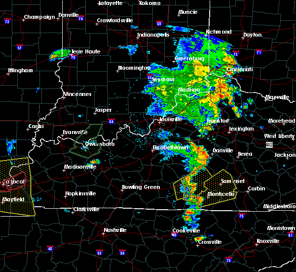 The severe thunderstorm warning for southwestern russell, northeastern cumberland and southwestern adair counties will expire at 515 pm cdt, the storms which prompted the warning are moving out of the warning area. therefore, the warning will be allowed to expire. however gusty winds are still possible with these thunderstorms. report severe weather to local law enforcement, post your report to the national weather service louisville facebook page, or tweet your report using hashtag l, m, k, spotter. The severe thunderstorm warning for southwestern russell, northeastern cumberland and southwestern adair counties will expire at 515 pm cdt, the storms which prompted the warning are moving out of the warning area. therefore, the warning will be allowed to expire. however gusty winds are still possible with these thunderstorms. report severe weather to local law enforcement, post your report to the national weather service louisville facebook page, or tweet your report using hashtag l, m, k, spotter.
|
| 6/23/2019 4:45 PM CDT |
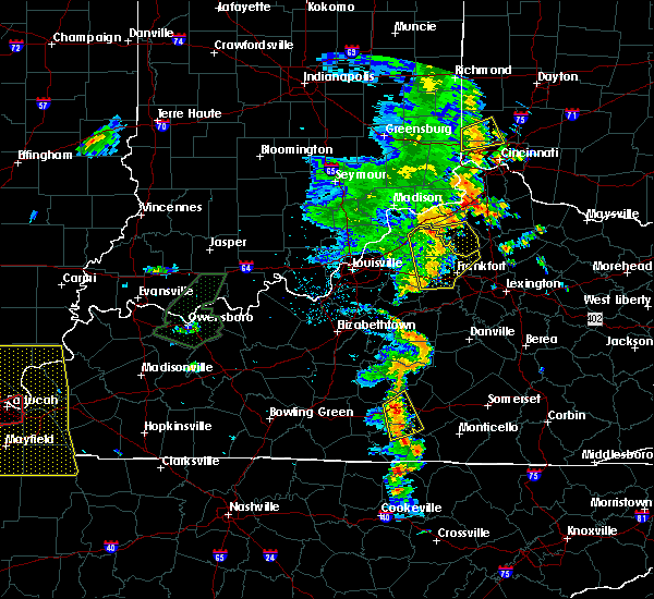 At 444 pm cdt, severe thunderstorms were located along a line extending from 9 miles northeast of edmonton to near burkesville, moving northeast at 25 mph (radar indicated). Hazards include 60 mph wind gusts and penny size hail. Expect damage to roofs, siding, and trees. Locations impacted include, columbia, burkesville, cundiff, gadberry, bliss, fairplay, crocus, flatwood, ribbon and joppa. At 444 pm cdt, severe thunderstorms were located along a line extending from 9 miles northeast of edmonton to near burkesville, moving northeast at 25 mph (radar indicated). Hazards include 60 mph wind gusts and penny size hail. Expect damage to roofs, siding, and trees. Locations impacted include, columbia, burkesville, cundiff, gadberry, bliss, fairplay, crocus, flatwood, ribbon and joppa.
|
| 6/23/2019 4:28 PM CDT |
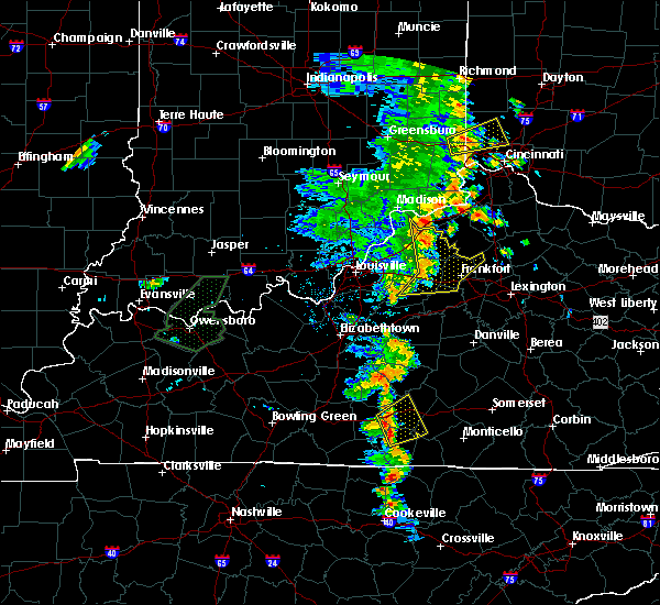 At 428 pm cdt, severe thunderstorms were located along a line extending from near edmonton to near burkesville, moving northeast at 25 mph (radar indicated). Hazards include 60 mph wind gusts and penny size hail. expect damage to roofs, siding, and trees At 428 pm cdt, severe thunderstorms were located along a line extending from near edmonton to near burkesville, moving northeast at 25 mph (radar indicated). Hazards include 60 mph wind gusts and penny size hail. expect damage to roofs, siding, and trees
|
| 6/21/2019 8:40 PM CDT | Multiple trees and power lines down throughout the county... mainly in burkesville. reported at burkesville kentuck in cumberland county KY, 0.6 miles E of Burkesville, KY |
| 6/21/2019 8:39 PM CDT |
 At 838 pm cdt, a severe thunderstorm was located 9 miles east of tompkinsville, moving east at 45 mph (radar indicated). Hazards include 70 mph wind gusts. Expect considerable tree damage. damage is likely to mobile homes, roofs, and outbuildings. Locations impacted include, albany, burkesville, leslie, littrell, meshack, cartwright, snow, savage, ida and modoc. At 838 pm cdt, a severe thunderstorm was located 9 miles east of tompkinsville, moving east at 45 mph (radar indicated). Hazards include 70 mph wind gusts. Expect considerable tree damage. damage is likely to mobile homes, roofs, and outbuildings. Locations impacted include, albany, burkesville, leslie, littrell, meshack, cartwright, snow, savage, ida and modoc.
|
| 6/21/2019 8:24 PM CDT |
 At 824 pm cdt, a severe thunderstorm was located 7 miles west of tompkinsville, moving east at 45 mph (radar indicated). Hazards include 60 mph wind gusts. expect damage to roofs, siding, and trees At 824 pm cdt, a severe thunderstorm was located 7 miles west of tompkinsville, moving east at 45 mph (radar indicated). Hazards include 60 mph wind gusts. expect damage to roofs, siding, and trees
|
| 8/8/2018 12:13 PM CDT |
 At 1213 pm cdt, a severe thunderstorm was located near burkesville, moving east at 30 mph (radar indicated). Hazards include 60 mph wind gusts and penny size hail. expect damage to roofs, siding, and trees At 1213 pm cdt, a severe thunderstorm was located near burkesville, moving east at 30 mph (radar indicated). Hazards include 60 mph wind gusts and penny size hail. expect damage to roofs, siding, and trees
|
| 7/20/2018 7:16 PM CDT |
 At 715 pm cdt, severe thunderstorms were located along a line extending from 8 miles southeast of edmonton to 6 miles north of celina, moving east at 35 mph (radar indicated). Hazards include 60 mph wind gusts and quarter size hail. Hail damage to vehicles is expected. expect wind damage to roofs, siding, and trees. locations impacted include, albany, jamestown, burkesville, leslie, russell springs, littrell, desda, cartwright, snow and cundiff. A tornado watch remains in effect until 200 am cdt for south central kentucky. At 715 pm cdt, severe thunderstorms were located along a line extending from 8 miles southeast of edmonton to 6 miles north of celina, moving east at 35 mph (radar indicated). Hazards include 60 mph wind gusts and quarter size hail. Hail damage to vehicles is expected. expect wind damage to roofs, siding, and trees. locations impacted include, albany, jamestown, burkesville, leslie, russell springs, littrell, desda, cartwright, snow and cundiff. A tornado watch remains in effect until 200 am cdt for south central kentucky.
|
| 7/20/2018 6:59 PM CDT |
 The national weather service in louisville has issued a * severe thunderstorm warning for. clinton county in south central kentucky. southwestern russell county in south central kentucky. eastern monroe county in south central kentucky. Cumberland county in south central kentucky. The national weather service in louisville has issued a * severe thunderstorm warning for. clinton county in south central kentucky. southwestern russell county in south central kentucky. eastern monroe county in south central kentucky. Cumberland county in south central kentucky.
|
| 7/20/2018 6:30 PM CDT | Golf Ball sized hail reported 6.2 miles ESE of Burkesville, KY |
| 7/20/2018 6:24 PM CDT |
 At 624 pm cdt, severe thunderstorms were located along a line extending from columbia to 6 miles north of celina, moving east at 25 mph (radar indicated). Hazards include tennis ball size hail and 60 mph wind gusts. People and animals outdoors will be injured. expect hail damage to roofs, siding, windows, and vehicles. Expect wind damage to roofs, siding, and trees. At 624 pm cdt, severe thunderstorms were located along a line extending from columbia to 6 miles north of celina, moving east at 25 mph (radar indicated). Hazards include tennis ball size hail and 60 mph wind gusts. People and animals outdoors will be injured. expect hail damage to roofs, siding, windows, and vehicles. Expect wind damage to roofs, siding, and trees.
|
| 7/20/2018 6:15 PM CDT |
 At 614 pm cdt, a severe thunderstorm was located west of burkesville, moving east at 30 mph (radar indicated). Hazards include tennis ball size hail and 60 mph wind gusts. People and animals outdoors will be injured. expect hail damage to roofs, siding, windows, and vehicles. expect wind damage to roofs, siding, and trees. locations impacted include, burkesville, leslie, littrell, waterview, meshack, ellington, bow, grider, dubre and peytonsburg. A tornado watch remains in effect until 800 pm cdt for south central kentucky. At 614 pm cdt, a severe thunderstorm was located west of burkesville, moving east at 30 mph (radar indicated). Hazards include tennis ball size hail and 60 mph wind gusts. People and animals outdoors will be injured. expect hail damage to roofs, siding, windows, and vehicles. expect wind damage to roofs, siding, and trees. locations impacted include, burkesville, leslie, littrell, waterview, meshack, ellington, bow, grider, dubre and peytonsburg. A tornado watch remains in effect until 800 pm cdt for south central kentucky.
|
| 7/20/2018 5:52 PM CDT |
 At 551 pm cdt, a severe thunderstorm was located near tompkinsville, moving east at 30 mph (radar indicated). Hazards include 60 mph wind gusts and half dollar size hail. Hail damage to vehicles is expected. Expect wind damage to roofs, siding, and trees. At 551 pm cdt, a severe thunderstorm was located near tompkinsville, moving east at 30 mph (radar indicated). Hazards include 60 mph wind gusts and half dollar size hail. Hail damage to vehicles is expected. Expect wind damage to roofs, siding, and trees.
|
| 6/26/2018 2:14 PM CDT |
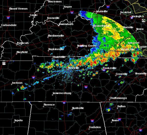 At 213 pm cdt, severe thunderstorms were located along a line extending from near parnell to near celina, moving east at 30 mph (radar indicated). Hazards include 60 mph wind gusts. expect damage to roofs, siding, and trees At 213 pm cdt, severe thunderstorms were located along a line extending from near parnell to near celina, moving east at 30 mph (radar indicated). Hazards include 60 mph wind gusts. expect damage to roofs, siding, and trees
|
| 6/26/2018 2:09 PM CDT |
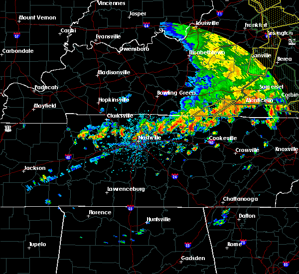 At 208 pm cdt, severe thunderstorms were located along a line extending from 7 miles west of burkesville to 7 miles southwest of tompkinsville, moving east at 25 mph (radar indicated). Hazards include 60 mph wind gusts. Expect damage to roofs, siding, and trees. Locations impacted include, tompkinsville, burkesville, leslie, gamaliel, littrell, desda, meshack, modoc, blythe and harlan crossroads. At 208 pm cdt, severe thunderstorms were located along a line extending from 7 miles west of burkesville to 7 miles southwest of tompkinsville, moving east at 25 mph (radar indicated). Hazards include 60 mph wind gusts. Expect damage to roofs, siding, and trees. Locations impacted include, tompkinsville, burkesville, leslie, gamaliel, littrell, desda, meshack, modoc, blythe and harlan crossroads.
|
| 6/26/2018 1:48 PM CDT |
 At 148 pm cdt, severe thunderstorms were located along a line extending from 8 miles north of tompkinsville to near red boiling springs, moving east at 25 mph (radar indicated). Hazards include 60 mph wind gusts. Expect damage to roofs, siding, and trees. Locations impacted include, tompkinsville, burkesville, leslie, gamaliel, fountain run, littrell, desda, gum tree, blythe and harlan crossroads. At 148 pm cdt, severe thunderstorms were located along a line extending from 8 miles north of tompkinsville to near red boiling springs, moving east at 25 mph (radar indicated). Hazards include 60 mph wind gusts. Expect damage to roofs, siding, and trees. Locations impacted include, tompkinsville, burkesville, leslie, gamaliel, fountain run, littrell, desda, gum tree, blythe and harlan crossroads.
|
| 6/26/2018 1:42 PM CDT | Trees reported dow in cumberland county KY, 0.6 miles E of Burkesville, KY |
| 6/26/2018 1:40 PM CDT |
 At 140 pm cdt, severe thunderstorms were located along a line extending from 8 miles north of tompkinsville to 7 miles northeast of lafayette, moving east at 25 mph (radar indicated). Hazards include 60 mph wind gusts. expect damage to roofs, siding, and trees At 140 pm cdt, severe thunderstorms were located along a line extending from 8 miles north of tompkinsville to 7 miles northeast of lafayette, moving east at 25 mph (radar indicated). Hazards include 60 mph wind gusts. expect damage to roofs, siding, and trees
|
| 6/26/2018 12:55 PM CDT |
 The national weather service in louisville has issued a * severe thunderstorm warning for. southwestern green county in central kentucky. northwestern cumberland county in south central kentucky. northeastern barren county in south central kentucky. Metcalfe county in south central kentucky. The national weather service in louisville has issued a * severe thunderstorm warning for. southwestern green county in central kentucky. northwestern cumberland county in south central kentucky. northeastern barren county in south central kentucky. Metcalfe county in south central kentucky.
|
| 6/24/2018 2:33 PM CDT |
 At 233 pm cdt, a severe thunderstorm was located near burkesville, moving east at 20 mph (radar indicated). Hazards include 60 mph wind gusts and nickel size hail. Expect damage to roofs, siding, and trees. Locations impacted include, albany, burkesville, leslie, littrell, modoc, ellington, grider, decide, hobart and peytonsburg. At 233 pm cdt, a severe thunderstorm was located near burkesville, moving east at 20 mph (radar indicated). Hazards include 60 mph wind gusts and nickel size hail. Expect damage to roofs, siding, and trees. Locations impacted include, albany, burkesville, leslie, littrell, modoc, ellington, grider, decide, hobart and peytonsburg.
|
| 6/24/2018 2:08 PM CDT |
 At 208 pm cdt, a severe thunderstorm was located 8 miles southwest of burkesville, moving east at 25 mph (radar indicated). Hazards include 60 mph wind gusts and quarter size hail. Hail damage to vehicles is expected. Expect wind damage to roofs, siding, and trees. At 208 pm cdt, a severe thunderstorm was located 8 miles southwest of burkesville, moving east at 25 mph (radar indicated). Hazards include 60 mph wind gusts and quarter size hail. Hail damage to vehicles is expected. Expect wind damage to roofs, siding, and trees.
|
| 5/31/2018 4:47 PM CDT |
 At 447 pm cdt, severe thunderstorms were located along a line extending from near cabell to 11 miles east of scottsville, moving east at 25 mph (radar indicated). Hazards include 60 mph wind gusts and quarter size hail. Hail damage to vehicles is expected. expect wind damage to roofs, siding, and trees. Locations impacted include, tompkinsville, albany, jamestown, burkesville, leslie, gamaliel, fountain run, littrell, desda and cartwright. At 447 pm cdt, severe thunderstorms were located along a line extending from near cabell to 11 miles east of scottsville, moving east at 25 mph (radar indicated). Hazards include 60 mph wind gusts and quarter size hail. Hail damage to vehicles is expected. expect wind damage to roofs, siding, and trees. Locations impacted include, tompkinsville, albany, jamestown, burkesville, leslie, gamaliel, fountain run, littrell, desda and cartwright.
|
| 5/31/2018 4:33 PM CDT |
 At 431 pm cdt, severe thunderstorms were located along a line extending from 7 miles southwest of jamestown to near lamb, moving southeast at 25 mph (radar indicated). Hazards include 60 mph wind gusts and quarter size hail. Hail damage to vehicles is expected. expect wind damage to roofs, siding, and trees. Locations impacted include, tompkinsville, albany, jamestown, burkesville, leslie, gamaliel, fountain run, littrell, desda and cartwright. At 431 pm cdt, severe thunderstorms were located along a line extending from 7 miles southwest of jamestown to near lamb, moving southeast at 25 mph (radar indicated). Hazards include 60 mph wind gusts and quarter size hail. Hail damage to vehicles is expected. expect wind damage to roofs, siding, and trees. Locations impacted include, tompkinsville, albany, jamestown, burkesville, leslie, gamaliel, fountain run, littrell, desda and cartwright.
|
| 5/31/2018 4:18 PM CDT |
 At 418 pm cdt, severe thunderstorms were located along a line extending from 8 miles west of jamestown to 6 miles north of red boiling springs, moving southeast at 25 mph (radar indicated). Hazards include 60 mph wind gusts and quarter size hail. Hail damage to vehicles is expected. Expect wind damage to roofs, siding, and trees. At 418 pm cdt, severe thunderstorms were located along a line extending from 8 miles west of jamestown to 6 miles north of red boiling springs, moving southeast at 25 mph (radar indicated). Hazards include 60 mph wind gusts and quarter size hail. Hail damage to vehicles is expected. Expect wind damage to roofs, siding, and trees.
|
| 6/23/2017 3:46 PM CDT |
 At 346 pm cdt, a severe thunderstorm was located 8 miles northeast of tompkinsville, moving northeast at 45 mph (radar indicated). Hazards include 60 mph wind gusts. Expect damage to roofs, siding, and trees. locations impacted include, burkesville, leslie, littrell, meshack, modoc, blythe, ellington, willow shade, grider and peytonsburg. A tornado watch remains in effect until 900 pm cdt for south central kentucky. At 346 pm cdt, a severe thunderstorm was located 8 miles northeast of tompkinsville, moving northeast at 45 mph (radar indicated). Hazards include 60 mph wind gusts. Expect damage to roofs, siding, and trees. locations impacted include, burkesville, leslie, littrell, meshack, modoc, blythe, ellington, willow shade, grider and peytonsburg. A tornado watch remains in effect until 900 pm cdt for south central kentucky.
|
| 6/23/2017 3:33 PM CDT |
 At 332 pm cdt, a severe thunderstorm was located near tompkinsville, moving northeast at 45 mph (radar indicated). Hazards include 60 mph wind gusts. expect damage to roofs, siding, and trees At 332 pm cdt, a severe thunderstorm was located near tompkinsville, moving northeast at 45 mph (radar indicated). Hazards include 60 mph wind gusts. expect damage to roofs, siding, and trees
|
| 5/27/2017 6:47 PM CDT | Tree reported dow in clinton county KY, 6.7 miles W of Burkesville, KY |
| 5/27/2017 6:40 PM CDT |
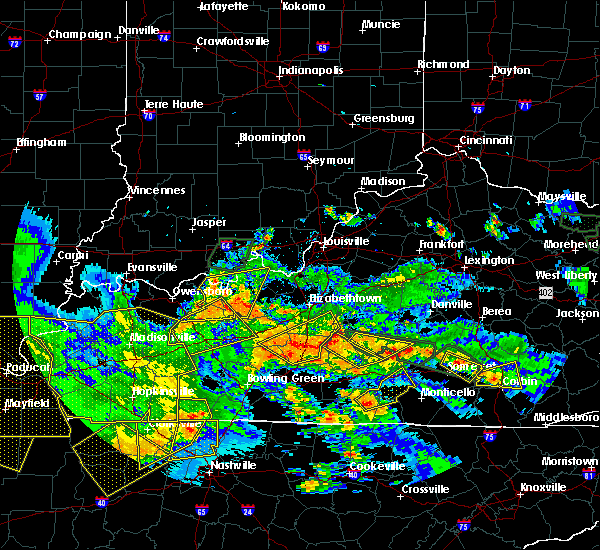 The national weather service in louisville has issued a * severe thunderstorm warning for. northwestern clinton county in south central kentucky. russell county in south central kentucky. northeastern cumberland county in south central kentucky. Until 715 pm cdt. The national weather service in louisville has issued a * severe thunderstorm warning for. northwestern clinton county in south central kentucky. russell county in south central kentucky. northeastern cumberland county in south central kentucky. Until 715 pm cdt.
|
| 5/27/2017 6:21 PM CDT |
 At 621 pm cdt, a severe thunderstorm was located 8 miles south of burkesville, moving northeast at 40 mph (radar indicated). Hazards include quarter size hail. Damage to vehicles is expected. Locations impacted include, burkesville, littrell, peytonsburg, stalcup, kettle, tanbark, judio, frogue, ellington and bow. At 621 pm cdt, a severe thunderstorm was located 8 miles south of burkesville, moving northeast at 40 mph (radar indicated). Hazards include quarter size hail. Damage to vehicles is expected. Locations impacted include, burkesville, littrell, peytonsburg, stalcup, kettle, tanbark, judio, frogue, ellington and bow.
|
| 5/27/2017 6:05 PM CDT |
 At 605 pm cdt, a severe thunderstorm was located near celina, moving northeast at 40 mph (radar indicated). Hazards include quarter size hail. damage to vehicles is expected At 605 pm cdt, a severe thunderstorm was located near celina, moving northeast at 40 mph (radar indicated). Hazards include quarter size hail. damage to vehicles is expected
|
| 5/24/2017 1:24 PM CDT |
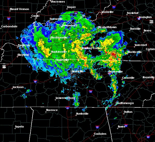 At 124 pm cdt, a severe thunderstorm was located near burkesville, moving northeast at 25 mph (radar indicated). Hazards include 60 mph wind gusts and quarter size hail. Hail damage to vehicles is expected. expect wind damage to roofs, siding, and trees. locations impacted include, burkesville, claywell, amandaville and bakerton. A tornado watch remains in effect until 700 pm cdt for south central kentucky. At 124 pm cdt, a severe thunderstorm was located near burkesville, moving northeast at 25 mph (radar indicated). Hazards include 60 mph wind gusts and quarter size hail. Hail damage to vehicles is expected. expect wind damage to roofs, siding, and trees. locations impacted include, burkesville, claywell, amandaville and bakerton. A tornado watch remains in effect until 700 pm cdt for south central kentucky.
|
| 5/24/2017 1:12 PM CDT |
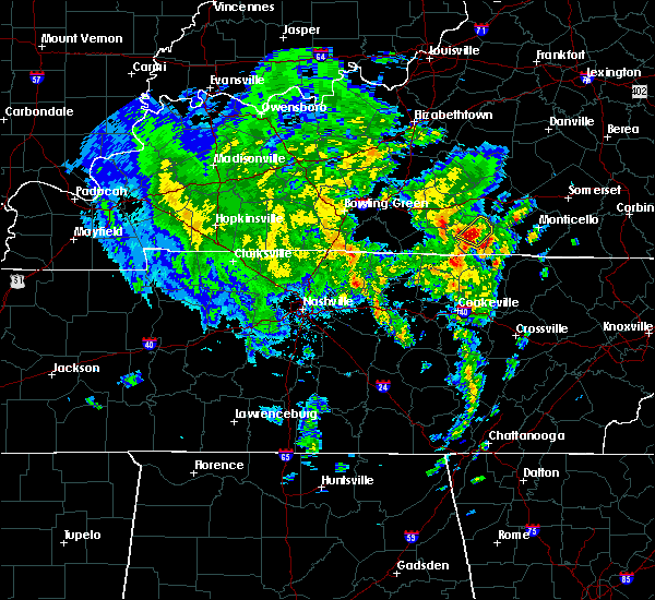 At 112 pm cdt, a severe thunderstorm was located over burkesville, moving northeast at 25 mph (radar indicated). Hazards include 60 mph wind gusts and half dollar size hail. Hail damage to vehicles is expected. Expect wind damage to roofs, siding, and trees. At 112 pm cdt, a severe thunderstorm was located over burkesville, moving northeast at 25 mph (radar indicated). Hazards include 60 mph wind gusts and half dollar size hail. Hail damage to vehicles is expected. Expect wind damage to roofs, siding, and trees.
|
| 5/24/2017 1:10 PM CDT | Golf Ball sized hail reported 8.3 miles E of Burkesville, KY |
| 5/24/2017 1:10 PM CDT | Trees reported dow in cumberland county KY, 0.6 miles E of Burkesville, KY |
| 5/24/2017 1:05 PM CDT |
 At 105 pm cdt, a severe thunderstorm was located near burkesville, moving northeast at 30 mph (radar indicated). Hazards include 60 mph wind gusts and half dollar size hail. Hail damage to vehicles is expected. expect wind damage to roofs, siding, and trees. locations impacted include, burkesville, leslie, littrell, waterview, meshack, modoc, green grove, ellington, bow and grider. A tornado watch remains in effect until 700 pm cdt for south central kentucky. At 105 pm cdt, a severe thunderstorm was located near burkesville, moving northeast at 30 mph (radar indicated). Hazards include 60 mph wind gusts and half dollar size hail. Hail damage to vehicles is expected. expect wind damage to roofs, siding, and trees. locations impacted include, burkesville, leslie, littrell, waterview, meshack, modoc, green grove, ellington, bow and grider. A tornado watch remains in effect until 700 pm cdt for south central kentucky.
|
| 5/24/2017 12:58 PM CDT |
 At 1258 pm cdt, a severe thunderstorm was located 8 miles southwest of burkesville, moving northeast at 30 mph (radar indicated). Hazards include 60 mph wind gusts and half dollar size hail. Hail damage to vehicles is expected. expect wind damage to roofs, siding, and trees. locations impacted include, burkesville, leslie, littrell, waterview, meshack, modoc, blythe, green grove, ellington and bow. A tornado watch remains in effect until 700 pm cdt for south central kentucky. At 1258 pm cdt, a severe thunderstorm was located 8 miles southwest of burkesville, moving northeast at 30 mph (radar indicated). Hazards include 60 mph wind gusts and half dollar size hail. Hail damage to vehicles is expected. expect wind damage to roofs, siding, and trees. locations impacted include, burkesville, leslie, littrell, waterview, meshack, modoc, blythe, green grove, ellington and bow. A tornado watch remains in effect until 700 pm cdt for south central kentucky.
|
| 5/24/2017 12:50 PM CDT |
 At 1249 pm cdt, a severe thunderstorm was located 7 miles north of celina, moving northeast at 30 mph (radar indicated). Hazards include 60 mph wind gusts and half dollar size hail. Hail damage to vehicles is expected. expect wind damage to roofs, siding, and trees. locations impacted include, tompkinsville, burkesville, leslie, littrell, meshack, modoc, blythe, ellington, grider and peytonsburg. A tornado watch remains in effect until 700 pm cdt for south central kentucky. At 1249 pm cdt, a severe thunderstorm was located 7 miles north of celina, moving northeast at 30 mph (radar indicated). Hazards include 60 mph wind gusts and half dollar size hail. Hail damage to vehicles is expected. expect wind damage to roofs, siding, and trees. locations impacted include, tompkinsville, burkesville, leslie, littrell, meshack, modoc, blythe, ellington, grider and peytonsburg. A tornado watch remains in effect until 700 pm cdt for south central kentucky.
|
| 5/24/2017 12:40 PM CDT |
 At 1240 pm cdt, a severe thunderstorm was located near celina, moving northeast at 30 mph (radar indicated). Hazards include 60 mph wind gusts and quarter size hail. Hail damage to vehicles is expected. Expect wind damage to roofs, siding, and trees. At 1240 pm cdt, a severe thunderstorm was located near celina, moving northeast at 30 mph (radar indicated). Hazards include 60 mph wind gusts and quarter size hail. Hail damage to vehicles is expected. Expect wind damage to roofs, siding, and trees.
|
| 5/4/2017 6:20 PM CDT |
 At 719 pm edt/619 pm cdt/, severe thunderstorms were located along a line extending from near greensburg to 7 miles southwest of columbia to 7 miles west of albany, moving northeast at 35 mph (radar indicated. kentucky mesonet gust of 59 mph in cumberland county). Hazards include 60 mph wind gusts. expect damage to roofs, siding, and trees At 719 pm edt/619 pm cdt/, severe thunderstorms were located along a line extending from near greensburg to 7 miles southwest of columbia to 7 miles west of albany, moving northeast at 35 mph (radar indicated. kentucky mesonet gust of 59 mph in cumberland county). Hazards include 60 mph wind gusts. expect damage to roofs, siding, and trees
|
| 5/4/2017 6:08 PM CDT | Storm damage reported in cumberland county KY, 3.9 miles E of Burkesville, KY |
| 4/30/2017 5:19 PM CDT |
 At 519 pm cdt, severe thunderstorms were located along a line extending from 9 miles northeast of tompkinsville to near celina, moving northeast at 40 mph (radar indicated). Hazards include 60 mph wind gusts. expect damage to roofs, siding, and trees At 519 pm cdt, severe thunderstorms were located along a line extending from 9 miles northeast of tompkinsville to near celina, moving northeast at 40 mph (radar indicated). Hazards include 60 mph wind gusts. expect damage to roofs, siding, and trees
|
| 4/5/2017 5:34 PM CDT |
 At 532 pm cdt, a severe thunderstorm was located near burkesville, moving northeast at 60 mph. there is a series of storms in the area and recently one at 518 pm cdt damaged a building in the small community of waterview near marrowbone (radar indicated). Hazards include 60 mph wind gusts and half dollar size hail. Hail damage to vehicles is expected. expect wind damage to roofs, siding, and trees. locations impacted include, columbia, tompkinsville, burkesville, leslie, gamaliel, littrell, desda, cundiff, blythe and harlan crossroads. A tornado watch remains in effect until 900 pm cdt for south central kentucky. At 532 pm cdt, a severe thunderstorm was located near burkesville, moving northeast at 60 mph. there is a series of storms in the area and recently one at 518 pm cdt damaged a building in the small community of waterview near marrowbone (radar indicated). Hazards include 60 mph wind gusts and half dollar size hail. Hail damage to vehicles is expected. expect wind damage to roofs, siding, and trees. locations impacted include, columbia, tompkinsville, burkesville, leslie, gamaliel, littrell, desda, cundiff, blythe and harlan crossroads. A tornado watch remains in effect until 900 pm cdt for south central kentucky.
|
| 4/5/2017 5:18 PM CDT | Building wall blown dow in cumberland county KY, 8 miles ESE of Burkesville, KY |
| 4/5/2017 5:13 PM CDT | Quarter sized hail reported 12.1 miles NNE of Burkesville, KY |
| 4/5/2017 5:01 PM CDT |
 At 500 pm cdt, a severe thunderstorm was located near tompkinsville, moving northeast at 55 mph (radar indicated). Hazards include 60 mph wind gusts and half dollar size hail. Hail damage to vehicles is expected. Expect wind damage to roofs, siding, and trees. At 500 pm cdt, a severe thunderstorm was located near tompkinsville, moving northeast at 55 mph (radar indicated). Hazards include 60 mph wind gusts and half dollar size hail. Hail damage to vehicles is expected. Expect wind damage to roofs, siding, and trees.
|
| 3/1/2017 8:08 AM CST |
 At 907 am est/807 am cst/, severe thunderstorms were located along a line extending from near pointer to near burkesville to near celina, moving east at 50 mph (radar indicated). Hazards include 70 mph wind gusts. Expect considerable tree damage. damage is likely to mobile homes, roofs, and outbuildings. locations impacted include, albany, jamestown, burkesville, leslie, russell springs, desda, cartwright, cundiff, savage and royville. a tornado watch remains in effect until 1100 am est/1000 am cst/ for south central and central kentucky. Time, mot, loc 1407z 282deg 185kt 3710 8480 3687 8537 3659 8544. At 907 am est/807 am cst/, severe thunderstorms were located along a line extending from near pointer to near burkesville to near celina, moving east at 50 mph (radar indicated). Hazards include 70 mph wind gusts. Expect considerable tree damage. damage is likely to mobile homes, roofs, and outbuildings. locations impacted include, albany, jamestown, burkesville, leslie, russell springs, desda, cartwright, cundiff, savage and royville. a tornado watch remains in effect until 1100 am est/1000 am cst/ for south central and central kentucky. Time, mot, loc 1407z 282deg 185kt 3710 8480 3687 8537 3659 8544.
|
| 3/1/2017 8:03 AM CST |
 At 902 am est/802 am cst/, severe thunderstorms were located along a line extending from 6 miles east of campbellsville to near glasgow to 11 miles northwest of red boiling springs, moving west at 50 mph (radar indicated). Hazards include 70 mph wind gusts. Expect considerable tree damage. damage is likely to mobile homes, roofs, and outbuildings. locations impacted include, columbia, tompkinsville, albany, jamestown, edmonton, burkesville, leslie, russell springs, gamaliel and desda. A tornado watch remains in effect until 1100 am est/1000 am cst/ for south central and central kentucky. At 902 am est/802 am cst/, severe thunderstorms were located along a line extending from 6 miles east of campbellsville to near glasgow to 11 miles northwest of red boiling springs, moving west at 50 mph (radar indicated). Hazards include 70 mph wind gusts. Expect considerable tree damage. damage is likely to mobile homes, roofs, and outbuildings. locations impacted include, columbia, tompkinsville, albany, jamestown, edmonton, burkesville, leslie, russell springs, gamaliel and desda. A tornado watch remains in effect until 1100 am est/1000 am cst/ for south central and central kentucky.
|
| 3/1/2017 7:57 AM CST |
 At 856 am est/756 am cst/, severe thunderstorms were located along a line extending from near greensburg to near glasgow to near westmoreland, moving west at 50 mph (radar indicated). Hazards include 70 mph wind gusts. Expect considerable tree damage. damage is likely to mobile homes, roofs, and outbuildings. locations impacted include, columbia, tompkinsville, albany, jamestown, edmonton, burkesville, leslie, russell springs, gamaliel and fountain run. A tornado watch remains in effect until 1100 am est/1000 am cst/ for south central and central kentucky. At 856 am est/756 am cst/, severe thunderstorms were located along a line extending from near greensburg to near glasgow to near westmoreland, moving west at 50 mph (radar indicated). Hazards include 70 mph wind gusts. Expect considerable tree damage. damage is likely to mobile homes, roofs, and outbuildings. locations impacted include, columbia, tompkinsville, albany, jamestown, edmonton, burkesville, leslie, russell springs, gamaliel and fountain run. A tornado watch remains in effect until 1100 am est/1000 am cst/ for south central and central kentucky.
|
| 3/1/2017 7:39 AM CST |
 At 838 am est/738 am cst/, severe thunderstorms were located along a line extending from 6 miles east of campbellsville to near glasgow to 8 miles northeast of westmoreland, moving east southeast at 45 mph (radar indicated). Hazards include 60 mph wind gusts. expect damage to roofs, siding, and trees At 838 am est/738 am cst/, severe thunderstorms were located along a line extending from 6 miles east of campbellsville to near glasgow to 8 miles northeast of westmoreland, moving east southeast at 45 mph (radar indicated). Hazards include 60 mph wind gusts. expect damage to roofs, siding, and trees
|
| 7/7/2016 3:36 PM CDT |
 At 335 pm cdt, severe thunderstorms were located along a line extending from near edmonton to 6 miles northeast of celina, moving east at 45 mph (radar indicated). Hazards include 70 mph wind gusts. Expect considerable tree damage. Damage is likely to mobile homes, roofs, and outbuildings. At 335 pm cdt, severe thunderstorms were located along a line extending from near edmonton to 6 miles northeast of celina, moving east at 45 mph (radar indicated). Hazards include 70 mph wind gusts. Expect considerable tree damage. Damage is likely to mobile homes, roofs, and outbuildings.
|
| 7/6/2016 4:49 PM CDT |
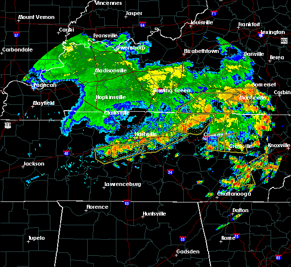 At 448 pm cdt, severe thunderstorms were located along a line extending from near mill springs to near celina, moving east at 25 mph (radar indicated). Hazards include 60 mph wind gusts and penny size hail. Expect damage to roofs. siding. and trees. Locations impacted include, albany, jamestown, burkesville, leslie, aaron, shipley, ellington, wolf river dock, static and manntown. At 448 pm cdt, severe thunderstorms were located along a line extending from near mill springs to near celina, moving east at 25 mph (radar indicated). Hazards include 60 mph wind gusts and penny size hail. Expect damage to roofs. siding. and trees. Locations impacted include, albany, jamestown, burkesville, leslie, aaron, shipley, ellington, wolf river dock, static and manntown.
|
| 7/6/2016 4:33 PM CDT |
 At 432 pm cdt, severe thunderstorms were located along a line extending from 7 miles southwest of jamestown to near lafayette, moving southeast at 40 mph (radar indicated). Hazards include 60 mph wind gusts and penny size hail. Expect damage to roofs. siding. and trees. Locations impacted include, tompkinsville, albany, jamestown, burkesville, leslie, gamaliel, aaron, freetown, ellington and wolf river dock. At 432 pm cdt, severe thunderstorms were located along a line extending from 7 miles southwest of jamestown to near lafayette, moving southeast at 40 mph (radar indicated). Hazards include 60 mph wind gusts and penny size hail. Expect damage to roofs. siding. and trees. Locations impacted include, tompkinsville, albany, jamestown, burkesville, leslie, gamaliel, aaron, freetown, ellington and wolf river dock.
|
| 7/6/2016 4:14 PM CDT |
 At 413 pm cdt, severe thunderstorms were located along a line extending from 6 miles south of columbia to near scottsville, moving southeast at 40 mph (radar indicated). Hazards include 60 mph wind gusts and penny size hail. Expect damage to roofs. siding. And trees. At 413 pm cdt, severe thunderstorms were located along a line extending from 6 miles south of columbia to near scottsville, moving southeast at 40 mph (radar indicated). Hazards include 60 mph wind gusts and penny size hail. Expect damage to roofs. siding. And trees.
|
| 7/4/2016 3:45 PM CDT | Power outages reported due to trees down on lines. time estimated from rada in clay county TN, 12.2 miles NNE of Burkesville, KY |
| 6/23/2016 8:44 PM CDT |
 At 843 pm cdt, a severe thunderstorm was located 9 miles north of burkesville, moving southeast at 35 mph (radar indicated). Hazards include 60 mph wind gusts and penny size hail. Expect damage to roofs. siding. and trees. Locations impacted include, edmonton, burkesville, aaron, modoc, olga, sparksville, rowena, willis creek, cedar flats and bryan. At 843 pm cdt, a severe thunderstorm was located 9 miles north of burkesville, moving southeast at 35 mph (radar indicated). Hazards include 60 mph wind gusts and penny size hail. Expect damage to roofs. siding. and trees. Locations impacted include, edmonton, burkesville, aaron, modoc, olga, sparksville, rowena, willis creek, cedar flats and bryan.
|
| 6/23/2016 8:30 PM CDT |
 At 830 pm cdt, a severe thunderstorm was located near edmonton, moving southeast at 35 mph (radar indicated). Hazards include 60 mph wind gusts and penny size hail. Expect damage to roofs. siding. And trees. At 830 pm cdt, a severe thunderstorm was located near edmonton, moving southeast at 35 mph (radar indicated). Hazards include 60 mph wind gusts and penny size hail. Expect damage to roofs. siding. And trees.
|
| 6/4/2016 11:55 AM CDT |
 At 1155 am cdt, a severe thunderstorm was located near burkesville, moving northeast at 35 mph (radar indicated). Hazards include 60 mph wind gusts. Expect damage to roofs. siding. and trees. Locations impacted include, albany, burkesville, leslie, ashlock, modoc, shipley, ellington, static, cloyds landing and hobart. At 1155 am cdt, a severe thunderstorm was located near burkesville, moving northeast at 35 mph (radar indicated). Hazards include 60 mph wind gusts. Expect damage to roofs. siding. and trees. Locations impacted include, albany, burkesville, leslie, ashlock, modoc, shipley, ellington, static, cloyds landing and hobart.
|
| 6/4/2016 11:36 AM CDT |
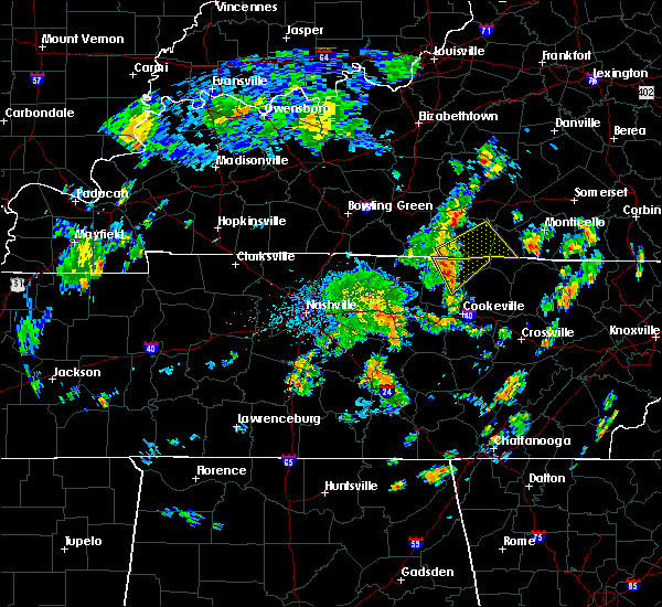 At 1135 am cdt, a severe thunderstorm was located near celina, moving east at 35 mph (radar indicated). Hazards include 60 mph wind gusts. Expect damage to roofs. siding. And trees. At 1135 am cdt, a severe thunderstorm was located near celina, moving east at 35 mph (radar indicated). Hazards include 60 mph wind gusts. Expect damage to roofs. siding. And trees.
|
| 5/4/2016 4:31 PM CDT |
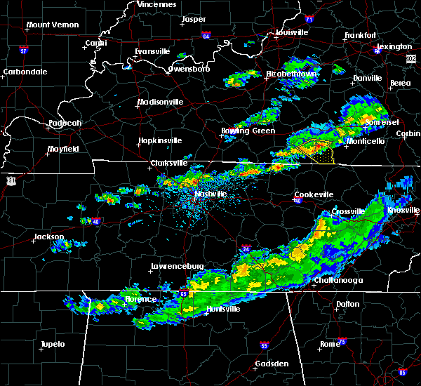 At 430 pm cdt, a severe thunderstorm was located 9 miles northeast of burkesville, moving southeast at 30 mph (radar indicated). Hazards include quarter size hail. damage to vehicles is expected At 430 pm cdt, a severe thunderstorm was located 9 miles northeast of burkesville, moving southeast at 30 mph (radar indicated). Hazards include quarter size hail. damage to vehicles is expected
|
| 4/6/2016 6:47 PM CDT | Few small tree limbs dow in cumberland county KY, 4.2 miles N of Burkesville, KY |
| 4/6/2016 6:41 PM CDT |
 At 641 pm cdt, a severe thunderstorm was located over burkesville, moving northeast at 55 mph (radar indicated). Hazards include 60 mph wind gusts. Expect damage to roofs. siding. And trees. At 641 pm cdt, a severe thunderstorm was located over burkesville, moving northeast at 55 mph (radar indicated). Hazards include 60 mph wind gusts. Expect damage to roofs. siding. And trees.
|
| 7/14/2015 1:51 PM CDT | Power lines dow in cumberland county KY, 4.2 miles SSW of Burkesville, KY |
| 7/14/2015 1:48 PM CDT |
 At 148 pm cdt, a severe thunderstorm was located near burkesville, and moving east at 30 mph (radar indicated). Hazards include golf ball size hail and 60 mph wind gusts. People and animals outdoors will be injured. expect hail damage to roofs, siding, windows and vehicles. Expect wind damage to roofs, siding and trees. At 148 pm cdt, a severe thunderstorm was located near burkesville, and moving east at 30 mph (radar indicated). Hazards include golf ball size hail and 60 mph wind gusts. People and animals outdoors will be injured. expect hail damage to roofs, siding, windows and vehicles. Expect wind damage to roofs, siding and trees.
|
| 7/14/2015 12:59 PM CDT |
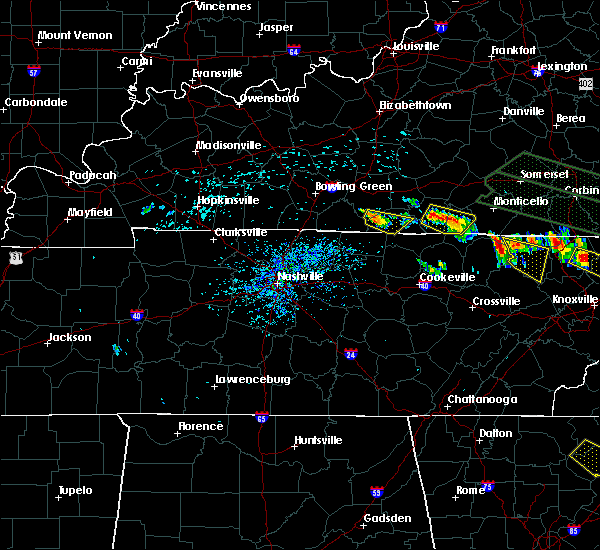 At 1258 pm cdt, a severe thunderstorm capable of producing a tornado was located 6 miles southeast of burkesville, and moving east at 35 mph (radar indicated rotation). Hazards include tornado. Flying debris will be dangerous to those caught without shelter. mobile homes will be damaged or destroyed. damage to roofs, windows and vehicles will occur. this dangerous storm will be near, albany around 115 pm cdt. Other locations in the warning include hobart, decide, highway, shipley, wago, browns crossroads, snow, upchurch, huntersville and cannons mill. At 1258 pm cdt, a severe thunderstorm capable of producing a tornado was located 6 miles southeast of burkesville, and moving east at 35 mph (radar indicated rotation). Hazards include tornado. Flying debris will be dangerous to those caught without shelter. mobile homes will be damaged or destroyed. damage to roofs, windows and vehicles will occur. this dangerous storm will be near, albany around 115 pm cdt. Other locations in the warning include hobart, decide, highway, shipley, wago, browns crossroads, snow, upchurch, huntersville and cannons mill.
|
| 7/14/2015 12:49 PM CDT |
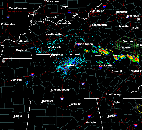 At 1246 pm cdt, a severe thunderstorm was located near burkesville, and moving southeast at 30 mph (radar indicated). Hazards include 60 mph wind gusts and quarter size hail. Hail damage to vehicles is expected. Expect wind damage to roofs, siding and trees. At 1246 pm cdt, a severe thunderstorm was located near burkesville, and moving southeast at 30 mph (radar indicated). Hazards include 60 mph wind gusts and quarter size hail. Hail damage to vehicles is expected. Expect wind damage to roofs, siding and trees.
|
| 7/13/2015 6:59 PM CDT |
 At 648 pm cdt, a severe thunderstorm was located near burkesville, and moving southeast at 20 mph (radar indicated). Hazards include golf ball size hail and 70 mph wind gusts. People and animals outdoors will be injured. expect hail damage to roofs, siding, windows and vehicles. expect considerable tree damage. wind damage is also likely to mobile homes, roofs and outbuildings. Locations impacted include, willis creek, bow, judio, stalcup, tanbark, modoc, decide, kettle, littrell, green grove, peytonsburg, frogue, ashlock, hegira, hobart, shipley, highway, browns crossroads, wago and huntersville. At 648 pm cdt, a severe thunderstorm was located near burkesville, and moving southeast at 20 mph (radar indicated). Hazards include golf ball size hail and 70 mph wind gusts. People and animals outdoors will be injured. expect hail damage to roofs, siding, windows and vehicles. expect considerable tree damage. wind damage is also likely to mobile homes, roofs and outbuildings. Locations impacted include, willis creek, bow, judio, stalcup, tanbark, modoc, decide, kettle, littrell, green grove, peytonsburg, frogue, ashlock, hegira, hobart, shipley, highway, browns crossroads, wago and huntersville.
|
| 7/13/2015 6:53 PM CDT | Quarter sized hail reported 7.4 miles NE of Burkesville, KY |
| 7/13/2015 6:50 PM CDT |
 At 648 pm cdt, a severe thunderstorm was located near burkesville, and moving southeast at 20 mph (radar indicated). Hazards include golf ball size hail and 70 mph wind gusts. People and animals outdoors will be injured. expect hail damage to roofs, siding, windows and vehicles. expect considerable tree damage. wind damage is also likely to mobile homes, roofs and outbuildings. Locations impacted include, willis creek, bow, judio, stalcup, tanbark, modoc, decide, kettle, littrell, green grove, peytonsburg, frogue, ashlock, hegira, hobart, shipley, highway, browns crossroads, wago and huntersville. At 648 pm cdt, a severe thunderstorm was located near burkesville, and moving southeast at 20 mph (radar indicated). Hazards include golf ball size hail and 70 mph wind gusts. People and animals outdoors will be injured. expect hail damage to roofs, siding, windows and vehicles. expect considerable tree damage. wind damage is also likely to mobile homes, roofs and outbuildings. Locations impacted include, willis creek, bow, judio, stalcup, tanbark, modoc, decide, kettle, littrell, green grove, peytonsburg, frogue, ashlock, hegira, hobart, shipley, highway, browns crossroads, wago and huntersville.
|
| 7/13/2015 6:45 PM CDT |
 At 642 pm cdt, a severe thunderstorm capable of producing a tornado was located just west of burkesville near leslie and ellington, moving south at 20 mph (radar indicated rotation). Hazards include tornado and half dollar size hail. Flying debris will be dangerous to those caught without shelter. mobile homes will be damaged or destroyed. damage to roofs, windows and vehicles will occur. This dangerous storm will affect the following locations, stalcup, judio, tanbark, littrell, and kettle. At 642 pm cdt, a severe thunderstorm capable of producing a tornado was located just west of burkesville near leslie and ellington, moving south at 20 mph (radar indicated rotation). Hazards include tornado and half dollar size hail. Flying debris will be dangerous to those caught without shelter. mobile homes will be damaged or destroyed. damage to roofs, windows and vehicles will occur. This dangerous storm will affect the following locations, stalcup, judio, tanbark, littrell, and kettle.
|
| 7/13/2015 6:44 PM CDT |
 At 642 pm cdt, a severe thunderstorm was located near burkesville, and moving southeast at 25 mph (radar indicated). Hazards include golf ball size hail and 70 mph wind gusts. People and animals outdoors will be injured. expect hail damage to roofs, siding, windows and vehicles. expect considerable tree damage. wind damage is also likely to mobile homes, roofs and outbuildings. Locations impacted include, burkesville, albany, arat, claywell, ellington, willis creek, bow, judio, stalcup, tanbark, modoc, decide, kettle, littrell, green grove, peytonsburg, frogue, hegira, ashlock and hobart. At 642 pm cdt, a severe thunderstorm was located near burkesville, and moving southeast at 25 mph (radar indicated). Hazards include golf ball size hail and 70 mph wind gusts. People and animals outdoors will be injured. expect hail damage to roofs, siding, windows and vehicles. expect considerable tree damage. wind damage is also likely to mobile homes, roofs and outbuildings. Locations impacted include, burkesville, albany, arat, claywell, ellington, willis creek, bow, judio, stalcup, tanbark, modoc, decide, kettle, littrell, green grove, peytonsburg, frogue, hegira, ashlock and hobart.
|
| 7/13/2015 6:42 PM CDT | Numerous trees down across the entire county along with power line in cumberland county KY, 0.6 miles E of Burkesville, KY |
| 7/13/2015 6:33 PM CDT | Quarter sized hail reported 10 miles E of Burkesville, KY |
| 7/13/2015 6:31 PM CDT |
 At 628 pm cdt, a severe thunderstorm capable of producing a tornado was located 7 miles northwest of burkesville, and moving south at 20 mph (radar indicated rotation). Hazards include tornado and quarter size hail. Flying debris will be dangerous to those caught without shelter. mobile homes will be damaged or destroyed. damage to roofs, windows and vehicles will occur. this dangerous storm will be near, burkesville around 645 pm cdt. Other locations in the warning include waterview, grider, leslie, cloyds landing, ellington, arat, bow, stalcup, tanbark, judio, littre ll and kettle. At 628 pm cdt, a severe thunderstorm capable of producing a tornado was located 7 miles northwest of burkesville, and moving south at 20 mph (radar indicated rotation). Hazards include tornado and quarter size hail. Flying debris will be dangerous to those caught without shelter. mobile homes will be damaged or destroyed. damage to roofs, windows and vehicles will occur. this dangerous storm will be near, burkesville around 645 pm cdt. Other locations in the warning include waterview, grider, leslie, cloyds landing, ellington, arat, bow, stalcup, tanbark, judio, littre ll and kettle.
|
| 7/13/2015 6:29 PM CDT |
 At 628 pm cdt, a severe thunderstorm was located 6 miles northwest of burkesville, moving southeast at 25 mph (radar indicated). Hazards include 70 mph wind gusts and half dollar size hail. Hail damage to vehicles is expected. expect considerable tree damage. wind damage is also likely to mobile homes, roofs and outbuildings. locations impacted include, burkesville, albany, waterview, bakerton, grider, leslie, cloyds landing, arat, claywell, ellington, willis creek, bow, judio, stalcup, tanbark, modoc, decide, kettle, littrell and green grove. rotation is increasing in this storm. The storm will need to be watched very closely. At 628 pm cdt, a severe thunderstorm was located 6 miles northwest of burkesville, moving southeast at 25 mph (radar indicated). Hazards include 70 mph wind gusts and half dollar size hail. Hail damage to vehicles is expected. expect considerable tree damage. wind damage is also likely to mobile homes, roofs and outbuildings. locations impacted include, burkesville, albany, waterview, bakerton, grider, leslie, cloyds landing, arat, claywell, ellington, willis creek, bow, judio, stalcup, tanbark, modoc, decide, kettle, littrell and green grove. rotation is increasing in this storm. The storm will need to be watched very closely.
|
| 7/13/2015 6:25 PM CDT |
 At 623 pm cdt, severe thunderstorms were located along a line from 8 miles southeast of edmonton to 6 miles northwest of burkesville to 6 miles northeast of burkesville, moving southeast at 30 mph (radar indicated). Hazards include 60 mph wind gusts and quarter size hail. Hail damage to vehicles is expected. Expect wind damage to roofs, siding and trees. At 623 pm cdt, severe thunderstorms were located along a line from 8 miles southeast of edmonton to 6 miles northwest of burkesville to 6 miles northeast of burkesville, moving southeast at 30 mph (radar indicated). Hazards include 60 mph wind gusts and quarter size hail. Hail damage to vehicles is expected. Expect wind damage to roofs, siding and trees.
|
| 7/13/2015 6:15 PM CDT |
 At 612 pm cdt, severe thunderstorms were located along a line extending from 6 miles northwest of burkesville to edmonton, and moving south at 35 mph (radar indicated). Hazards include 60 mph wind gusts and quarter size hail. Hail damage to vehicles is expected. expect wind damage to roofs, siding and trees. severe thunderstorms will be near, burkesville around 620 pm cdt. Other locations in the warning include waterview, ellington, grider, leslie, bow and arat. At 612 pm cdt, severe thunderstorms were located along a line extending from 6 miles northwest of burkesville to edmonton, and moving south at 35 mph (radar indicated). Hazards include 60 mph wind gusts and quarter size hail. Hail damage to vehicles is expected. expect wind damage to roofs, siding and trees. severe thunderstorms will be near, burkesville around 620 pm cdt. Other locations in the warning include waterview, ellington, grider, leslie, bow and arat.
|
| 7/13/2015 5:53 PM CDT |
 The national weather service in louisville has issued a * severe thunderstorm warning for. southwestern adair county in south central kentucky. northern cumberland county in south central kentucky. east central metcalfe county in south central kentucky. Until 625 pm cdt. The national weather service in louisville has issued a * severe thunderstorm warning for. southwestern adair county in south central kentucky. northern cumberland county in south central kentucky. east central metcalfe county in south central kentucky. Until 625 pm cdt.
|
| 7/12/2015 3:27 PM CDT | The severe thunderstorm warning for clinton and eastern cumberland counties will expire at 430 pm edt/330 pm cdt/, the storm which prompted the warning has weakened below severe limits, and no longer poses an immediate threat to life or property. however, torrential rain is still possible with this thunderstorm. |
| 7/12/2015 3:16 PM CDT |
 At 314 pm cdt, a severe thunderstorm was located 7 miles east of burkesville, and moving southeast at 25 mph (radar indicated). Hazards include 60 mph wind gusts. Expect damage to roofs. siding and trees. Locations impacted include, albany, aaron, hegira, decide, frogue, highway, hobart, ida, seventy six, wago, browns crossroads, snow, shipley, cumberland city, marlow, upchurch, cartwright and narvel. At 314 pm cdt, a severe thunderstorm was located 7 miles east of burkesville, and moving southeast at 25 mph (radar indicated). Hazards include 60 mph wind gusts. Expect damage to roofs. siding and trees. Locations impacted include, albany, aaron, hegira, decide, frogue, highway, hobart, ida, seventy six, wago, browns crossroads, snow, shipley, cumberland city, marlow, upchurch, cartwright and narvel.
|
| 7/12/2015 3:01 PM CDT |
 At 259 pm cdt, a severe thunderstorm was located near burkesville, and moving southeast at 25 mph (radar indicated). Hazards include 60 mph wind gusts. Expect damage to roofs. Siding and trees. At 259 pm cdt, a severe thunderstorm was located near burkesville, and moving southeast at 25 mph (radar indicated). Hazards include 60 mph wind gusts. Expect damage to roofs. Siding and trees.
|
| 6/30/2015 12:40 PM CDT |
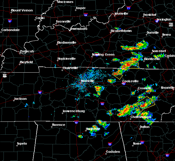 At 1238 pm cdt, a severe thunderstorm was located 6 miles southeast of burkesville, and moving east at 25 mph (radar indicated). Hazards include 60 mph wind gusts and nickel size hail. Expect damage to roofs. Siding and trees. At 1238 pm cdt, a severe thunderstorm was located 6 miles southeast of burkesville, and moving east at 25 mph (radar indicated). Hazards include 60 mph wind gusts and nickel size hail. Expect damage to roofs. Siding and trees.
|
| 6/30/2015 12:24 PM CDT |
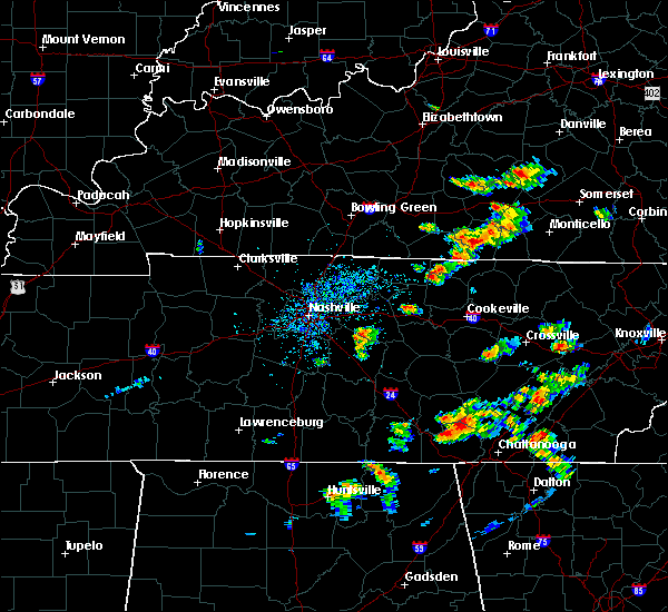 At 1222 pm cdt, a severe thunderstorm was located near burkesville, and moving east at 40 mph (radar indicated). Hazards include 60 mph wind gusts and quarter size hail. Hail damage to vehicles is expected. expect wind damage to roofs, siding and trees. Locations impacted include, modoc, claywell, frogue, hegira, green grove, ribbon, hobart, highway, decide, willis creek, aaron, desda, creelsboro, manntown, helm and old olga. At 1222 pm cdt, a severe thunderstorm was located near burkesville, and moving east at 40 mph (radar indicated). Hazards include 60 mph wind gusts and quarter size hail. Hail damage to vehicles is expected. expect wind damage to roofs, siding and trees. Locations impacted include, modoc, claywell, frogue, hegira, green grove, ribbon, hobart, highway, decide, willis creek, aaron, desda, creelsboro, manntown, helm and old olga.
|
| 6/30/2015 12:16 PM CDT |
 At 1214 pm cdt, a severe thunderstorm was located near burkesville, and moving east at 30 mph (radar indicated). Hazards include 60 mph wind gusts and quarter size hail. Hail damage to vehicles is expected. expect wind damage to roofs, siding and trees. Locations impacted include, burkesville, littrell, tanbark, bakerton, kettle, bow, amandaville, claywell, modoc, frogue, green grove, hegira, highway, decide, hobart, willis creek, aaron, desda, ribbon and creelsboro. At 1214 pm cdt, a severe thunderstorm was located near burkesville, and moving east at 30 mph (radar indicated). Hazards include 60 mph wind gusts and quarter size hail. Hail damage to vehicles is expected. expect wind damage to roofs, siding and trees. Locations impacted include, burkesville, littrell, tanbark, bakerton, kettle, bow, amandaville, claywell, modoc, frogue, green grove, hegira, highway, decide, hobart, willis creek, aaron, desda, ribbon and creelsboro.
|
| 6/30/2015 12:06 PM CDT |
 At 1204 pm cdt, a severe thunderstorm was located 8 miles west of burkesville, and moving east at 30 mph (radar indicated). Hazards include 60 mph wind gusts and nickel size hail. Expect damage to roofs. siding and trees. Locations impacted include, burkesville, cloyds landing, waterview, judio, arat, leslie, stalcup, grider, ellington, littrell, tanbark, bakerton, kettle, bow, amandaville, claywell, modoc, frogue, green grove and hegira. At 1204 pm cdt, a severe thunderstorm was located 8 miles west of burkesville, and moving east at 30 mph (radar indicated). Hazards include 60 mph wind gusts and nickel size hail. Expect damage to roofs. siding and trees. Locations impacted include, burkesville, cloyds landing, waterview, judio, arat, leslie, stalcup, grider, ellington, littrell, tanbark, bakerton, kettle, bow, amandaville, claywell, modoc, frogue, green grove and hegira.
|
| 6/30/2015 11:42 AM CDT |
 At 1141 am cdt, a severe thunderstorm was located 8 miles north of tompkinsville, and moving east at 30 mph (radar indicated). Hazards include 60 mph wind gusts and quarter size hail. Hail damage to vehicles is expected. Expect wind damage to roofs, siding and trees. At 1141 am cdt, a severe thunderstorm was located 8 miles north of tompkinsville, and moving east at 30 mph (radar indicated). Hazards include 60 mph wind gusts and quarter size hail. Hail damage to vehicles is expected. Expect wind damage to roofs, siding and trees.
|
| 5/11/2015 1:48 PM CDT | At 147 pm cdt, a severe thunderstorm was located near burkesville, and moving northeast at 40 mph (radar indicated). Hazards include 60 mph wind gusts and penny size hail. Expect damage to roofs. Siding and trees. |
| 4/25/2015 8:54 PM CDT | At 852 pm cdt, severe thunderstorms were located along a line extending from jamestown to 8 miles east of burkesville to burkesville, and moving east at 45 mph (radar indicated). Hazards include 60 mph wind gusts and quarter size hail. Hail damage to vehicles is expected. expect wind damage to roofs, siding and trees. severe thunderstorms will be near, albany around 910 pm cdt. other locations in the warning include hobart, wago, marlow, ida, hegira, highway, cumberland city, upchurch, snow and nora. 61 mph winds were recorded near jamestown with this band of storms. 1. 00in. |
| 4/20/2015 2:36 AM CDT | At 234 am cdt, a severe thunderstorm was located 11 miles northeast of tompkinsville, and moving northeast at 55 mph (radar indicated). Hazards include 60 mph wind gusts and penny size hail. Expect damage to roofs. siding and trees. locations impacted include, leslie, waterview, grider, cofer and bakerton. 0. 75in. |
| 4/20/2015 2:22 AM CDT | At 220 am cdt, a severe thunderstorm was located 5 miles west of tompkinsville, and moving northeast at 55 mph (radar indicated). Hazards include 60 mph wind gusts and penny size hail. Expect damage to roofs. Siding and trees. |
| 4/10/2015 4:01 AM CDT | A severe thunderstorm warning remains in effect for clinton. eastern cumberland. southern casey. southeastern adair. russell and south central lincoln counties until 430 am cdt/530 am edt/. at 459 am edt/359 am cdt/. severe thunderstorms were located along a line extending from 6 miles east of liberty to jamestown to 9 miles southwest of albany. And moving east at 50 mph. |
| 4/10/2015 3:54 AM CDT | A severe thunderstorm warning remains in effect for clinton. cumberland. southern casey. southeastern adair. russell. southeastern monroe and south central lincoln counties until 430 am cdt/530 am edt/. at 451 am edt/351 am cdt/. Severe thunderstorms were located along a line extending from liberty to 6 miles northwest of jamestown to 9. |
| 4/10/2015 3:29 AM CDT | The national weather service in louisville has issued a * severe thunderstorm warning for. southeastern adair county in south central kentucky. southern casey county in south central kentucky. clinton county in south central kentucky. Cumberland county in south central kentucky. |
| 4/2/2015 6:42 PM CDT | The severe thunderstorm warning for clinton. eastern cumberland. southern casey. eastern adair and russell counties will expire at 745 pm edt/645 pm cdt/. the line of storms which prompted the warning has moved out of the warned area. additional strong thunderstorms are still possible. And a severe. |
| 4/2/2015 6:15 PM CDT | The national weather service in louisville has issued a * severe thunderstorm warning for. eastern adair county in south central kentucky. southern casey county in south central kentucky. clinton county in south central kentucky. Eastern cumberland county in south central kentucky. |
| 10/12/2014 4:30 PM CDT | Trees down near otter creek... east 90 and bow roa in cumberland county KY, 3 miles NNW of Burkesville, KY |
| 10/12/2014 4:25 PM CDT | Trees down near highway 485 and south 6 in cumberland county KY, 6.3 miles N of Burkesville, KY |
| 10/6/2014 6:05 PM CDT | Hen Egg sized hail reported 4.1 miles S of Burkesville, KY, damage to homes and vehicles |
| 10/6/2014 6:03 PM CDT | Half Dollar sized hail reported 4.8 miles SW of Burkesville, KY |
| 10/6/2014 6:01 PM CDT | Hen Egg sized hail reported 4.8 miles S of Burkesville, KY, hail covering the ground |
| 7/27/2014 7:55 PM CDT | Hwy 3140 closed due to several downed tree in cumberland county KY, 4.4 miles SSE of Burkesville, KY |
| 7/27/2014 3:38 PM CDT | Quarter sized hail reported 7.6 miles S of Burkesville, KY, hail an inch in diameter... falling for the past seven minutes. |
| 6/10/2014 3:13 PM CDT | Trees down in roadways. limbs down on vehicles. some power lines dow in cumberland county KY, 0.6 miles E of Burkesville, KY |
| 2/20/2014 9:26 PM CST | Storm damage reported in cumberland county KY, 3.5 miles NE of Burkesville, KY |
| 4/11/2013 3:43 PM CDT | Local em director reported some cedar trees down as well as shingles blown off of a few houses and tin off of barns on free ferry and smith grove rd in cumberland county KY, 0.7 miles N of Burkesville, KY |
| 4/11/2013 3:43 PM CDT | Local em director reported some trees down as well as shingles blown off of a few houses and tin off of barns on free ferry and smith grove rd in cumberland county KY, 0.7 miles N of Burkesville, KY |
| 7/8/2012 6:42 PM CDT | Power lines down on a hom in cumberland county KY, 9 miles N of Burkesville, KY |
| 7/5/2012 4:55 PM CDT | Dispatch reports trees and power lines down throughout the county in cumberland county KY, 0.6 miles E of Burkesville, KY |
| 3/15/2012 5:37 PM CDT | Quarter sized hail reported 9.6 miles NW of Burkesville, KY |
| 1/1/0001 12:00 AM | Trees were downed near dale hollow lak in cumberland county KY, 9.6 miles NNW of Burkesville, KY |
| 1/1/0001 12:00 AM | Tree blown on to a power line on highway 44 in cumberland county KY, 7 miles N of Burkesville, KY |
| 1/1/0001 12:00 AM | Quarter sized hail reported 0.6 miles E of Burkesville, KY |
| 1/1/0001 12:00 AM | Kentucky mesonet measured a peak wind gust of 59 mp in cumberland county KY, 3.3 miles E of Burkesville, KY |
Hail Maps for Burkesville, KY
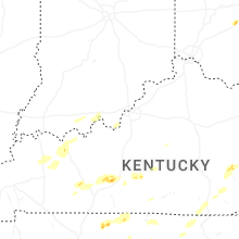


Connect with Interactive Hail Maps