

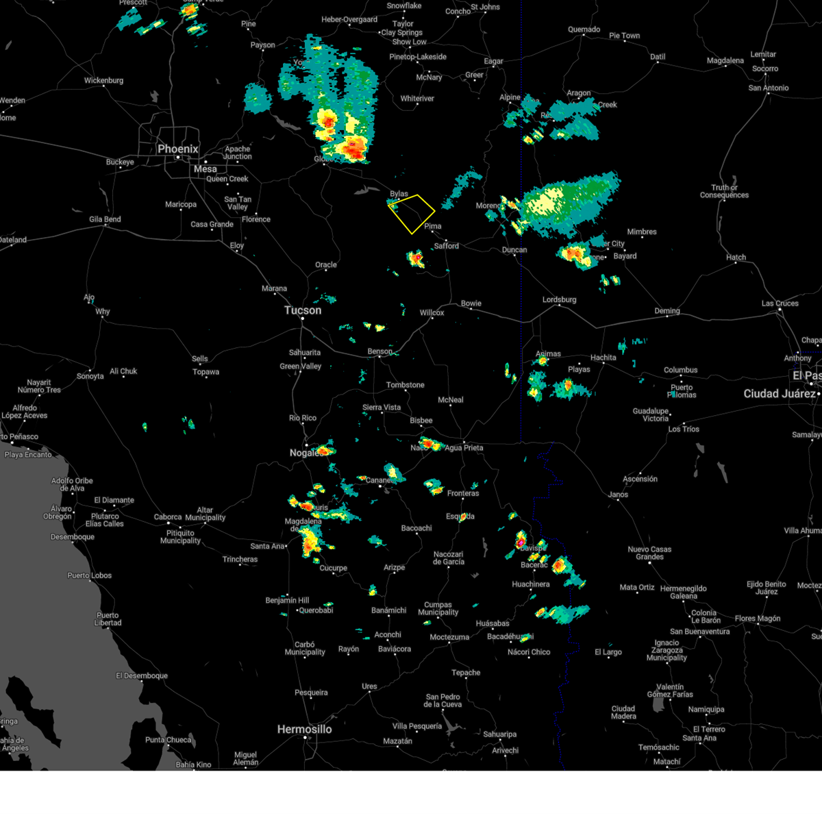
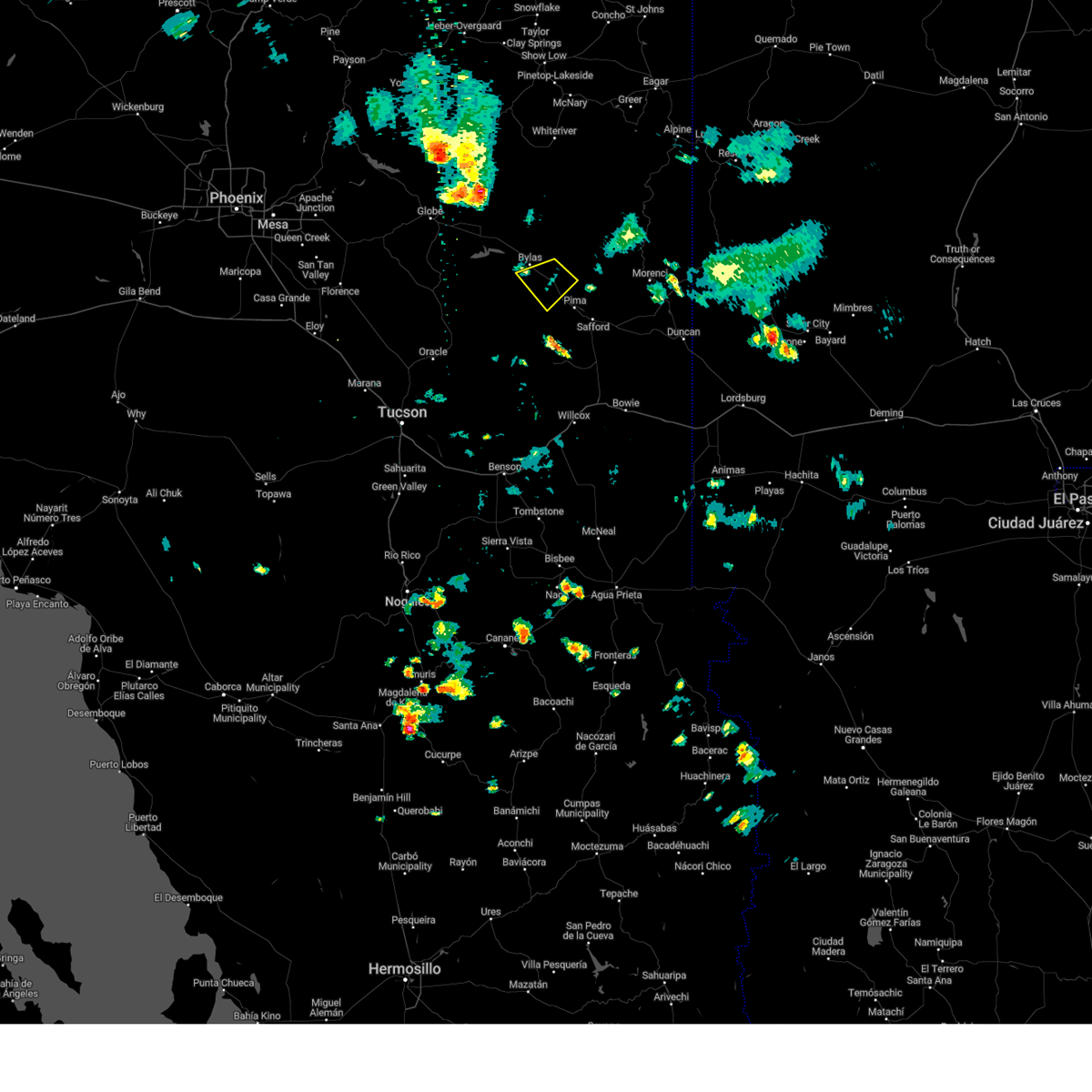
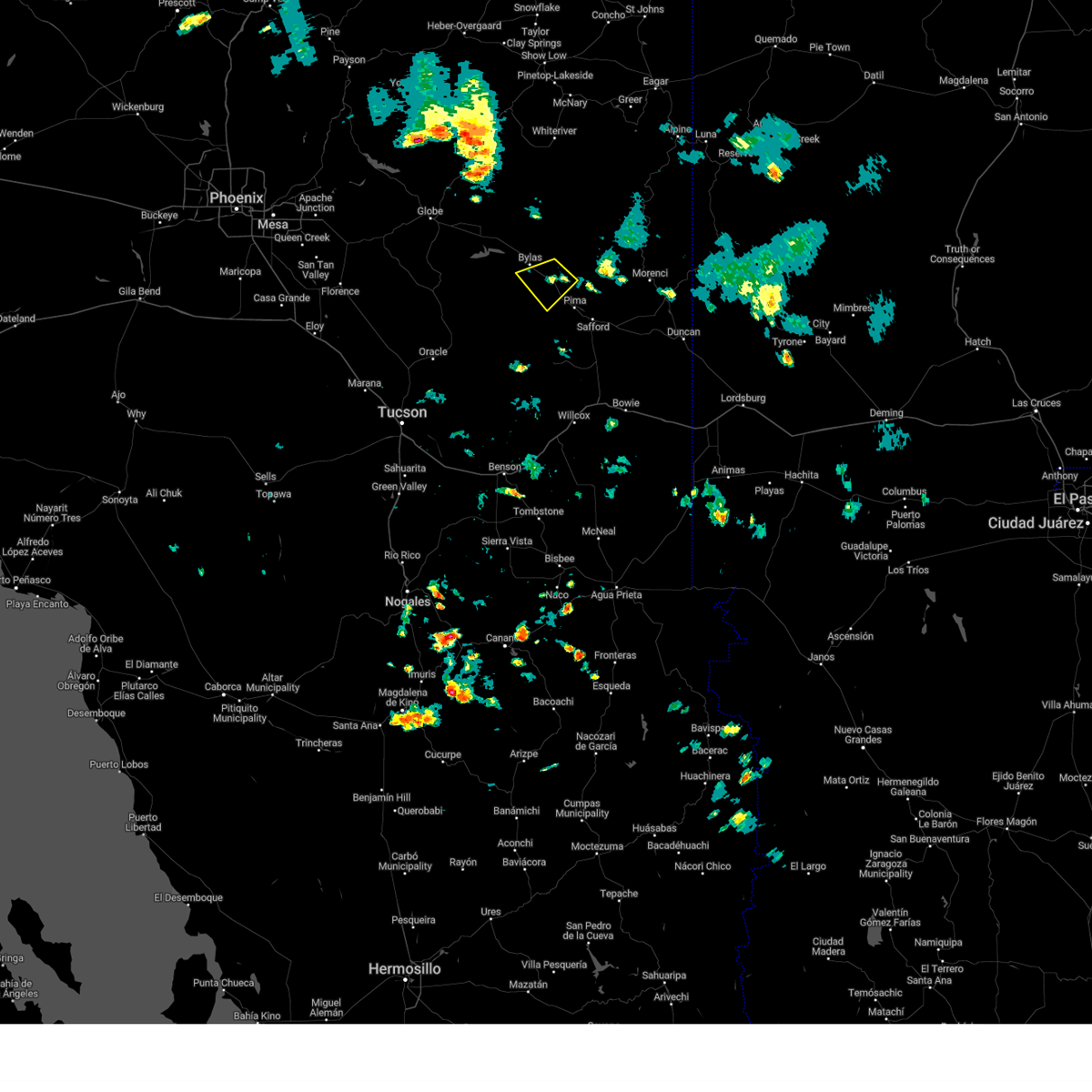
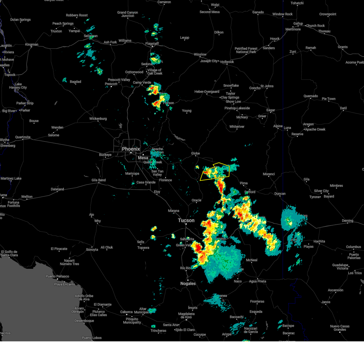
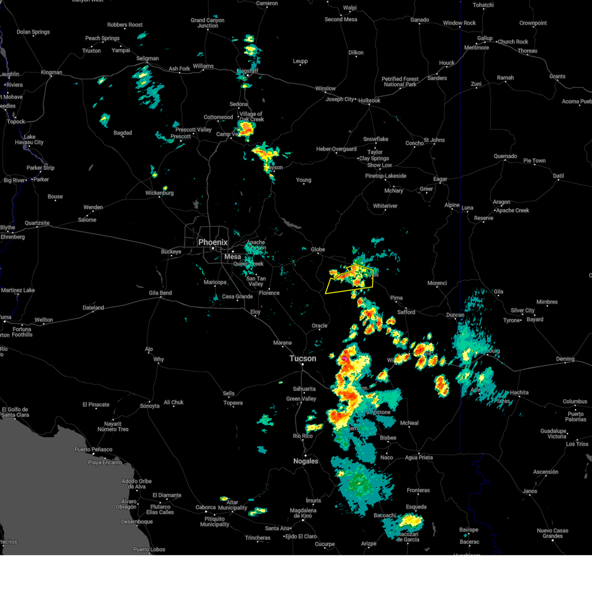
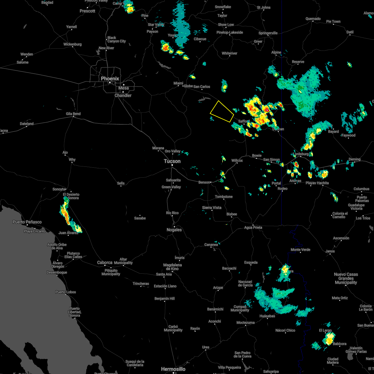
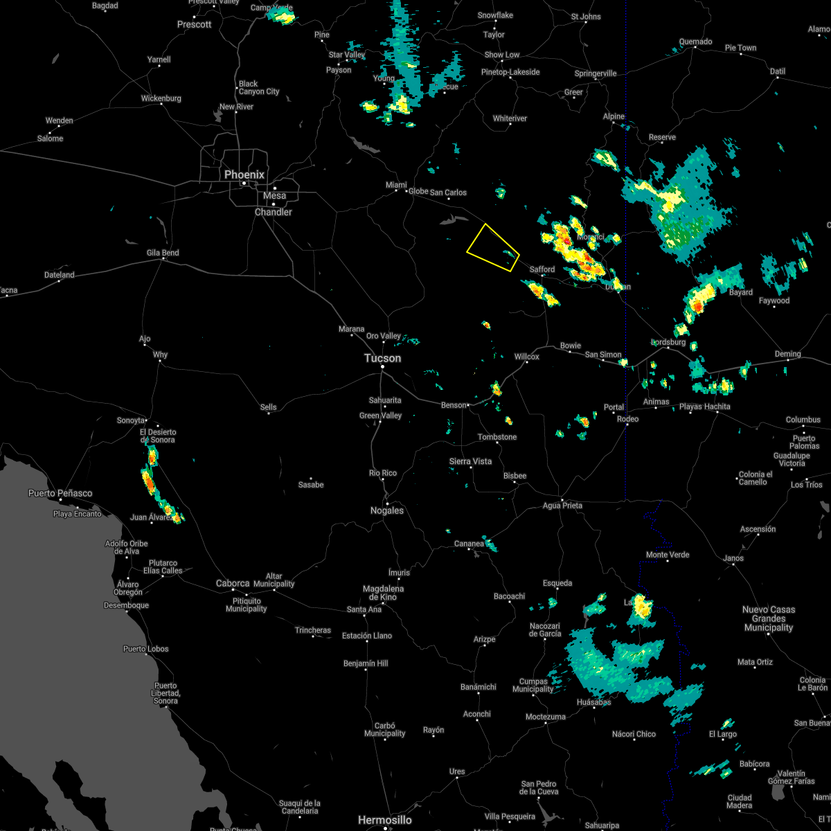
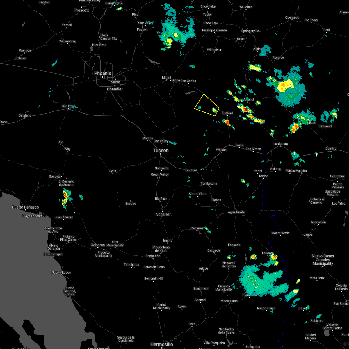
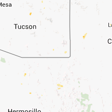
Hail Map for Bylas, AZ
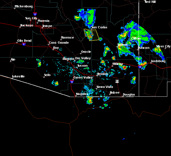
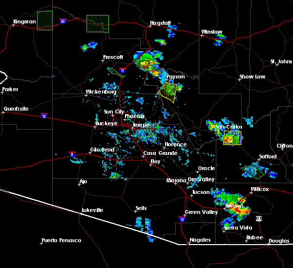
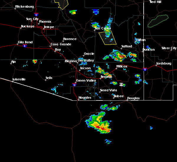
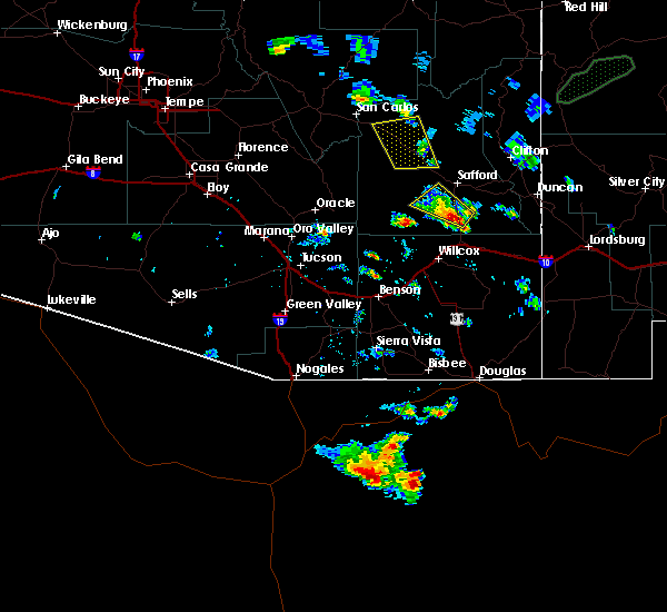
The Bylas, AZ area has had 0 reports of on-the-ground hail by trained spotters, and has been under severe weather warnings 11 times during the past 12 months. Doppler radar has detected hail at or near Bylas, AZ on 17 occasions, including 1 occasion during the past year.
| Name: | Bylas, AZ |
| Where Located: | 77.8 miles S of Show Low, AZ |
| Map: | Google Map for Bylas, AZ |
| Population: | 1962 |
| Housing Units: | 491 |
| More Info: | Search Google for Bylas, AZ |
0
The Top Recent Hail Date for Bylas, AZ is Wednesday, August 7, 2024 (6th out of 17)

Hail and Wind Damage Spotted near Bylas, AZ
| Date / Time | Report Details |
|---|---|
| 8/7/2024 3:52 PM MST |
 The storm which prompted the warning has weakened below severe limits, and no longer poses an immediate threat to life or property. therefore, the warning will be allowed to expire. however, gusty winds and heavy rain are still possible with this thunderstorm. The storm which prompted the warning has weakened below severe limits, and no longer poses an immediate threat to life or property. therefore, the warning will be allowed to expire. however, gusty winds and heavy rain are still possible with this thunderstorm.
|
| 8/7/2024 3:35 PM MST |
 At 335 pm mst, a severe thunderstorm was located 21 miles northwest of thatcher, or 23 miles northwest of safford, moving southwest at 10 mph (radar indicated). Hazards include 60 mph wind gusts and quarter size hail. Hail damage to vehicles is expected. expect wind damage to roofs, siding, and trees. locations impacted include, bylas and fort thomas. This includes route 70 between mile markers 296 and 312. At 335 pm mst, a severe thunderstorm was located 21 miles northwest of thatcher, or 23 miles northwest of safford, moving southwest at 10 mph (radar indicated). Hazards include 60 mph wind gusts and quarter size hail. Hail damage to vehicles is expected. expect wind damage to roofs, siding, and trees. locations impacted include, bylas and fort thomas. This includes route 70 between mile markers 296 and 312.
|
| 8/7/2024 3:15 PM MST |
 Svrtwc the national weather service in tucson has issued a * severe thunderstorm warning for, west central graham county in southeastern arizona, * until 400 pm mst. * at 315 pm mst, a severe thunderstorm was located 19 miles northwest of thatcher, or 21 miles northwest of safford, moving southwest at 10 mph (radar indicated). Hazards include 60 mph wind gusts and quarter size hail. Hail damage to vehicles is expected. Expect wind damage to roofs, siding, and trees. Svrtwc the national weather service in tucson has issued a * severe thunderstorm warning for, west central graham county in southeastern arizona, * until 400 pm mst. * at 315 pm mst, a severe thunderstorm was located 19 miles northwest of thatcher, or 21 miles northwest of safford, moving southwest at 10 mph (radar indicated). Hazards include 60 mph wind gusts and quarter size hail. Hail damage to vehicles is expected. Expect wind damage to roofs, siding, and trees.
|
| 7/21/2024 3:10 PM MST |
 The storms which prompted the warning across portions of the gila river valley have weakened below severe limits, and have exited the warned area. therefore, the warning will be allowed to expire. however, gusty winds are still possible with these thunderstorms. The storms which prompted the warning across portions of the gila river valley have weakened below severe limits, and have exited the warned area. therefore, the warning will be allowed to expire. however, gusty winds are still possible with these thunderstorms.
|
| 7/21/2024 2:54 PM MST |
 At 253 pm mst, severe thunderstorms were located along a line extending from 25 miles northwest of thatcher to 6 miles east of san jose, moving south at 20 mph (radar indicated). Hazards include 60 mph wind gusts and penny size hail. Expect damage to roofs, siding, and trees. locations impacted include, safford, thatcher, solomon, san jose, roper lake state park, safford regional airport, pima, central, fort thomas, and swift trail junction. this includes the following highways, route 70 between mile markers 293 and 359. Route 191 between mile markers 115 and 140. At 253 pm mst, severe thunderstorms were located along a line extending from 25 miles northwest of thatcher to 6 miles east of san jose, moving south at 20 mph (radar indicated). Hazards include 60 mph wind gusts and penny size hail. Expect damage to roofs, siding, and trees. locations impacted include, safford, thatcher, solomon, san jose, roper lake state park, safford regional airport, pima, central, fort thomas, and swift trail junction. this includes the following highways, route 70 between mile markers 293 and 359. Route 191 between mile markers 115 and 140.
|
| 7/21/2024 2:12 PM MST |
 Svrtwc the national weather service in tucson has issued a * severe thunderstorm warning for, central graham county in southeastern arizona, southwestern greenlee county in southeastern arizona, * until 315 pm mst. * at 210 pm mst, severe thunderstorms were located along a line extending from 18 miles southwest of west poker mountain to 7 miles west of morenci, moving south at 15 to 20 mph (radar indicated). Hazards include 60 mph wind gusts and penny size hail. expect damage to roofs, siding, and trees Svrtwc the national weather service in tucson has issued a * severe thunderstorm warning for, central graham county in southeastern arizona, southwestern greenlee county in southeastern arizona, * until 315 pm mst. * at 210 pm mst, severe thunderstorms were located along a line extending from 18 miles southwest of west poker mountain to 7 miles west of morenci, moving south at 15 to 20 mph (radar indicated). Hazards include 60 mph wind gusts and penny size hail. expect damage to roofs, siding, and trees
|
| 7/20/2024 5:15 PM MST |
 The storm which prompted the warning near and west of san carlos reservoir has weakened below severe limits. therefore, the warning will be allowed to expire. however, gusty winds and heavy rain are still possible with this thunderstorm over mainly remote areas of northeast pinal county. The storm which prompted the warning near and west of san carlos reservoir has weakened below severe limits. therefore, the warning will be allowed to expire. however, gusty winds and heavy rain are still possible with this thunderstorm over mainly remote areas of northeast pinal county.
|
| 7/20/2024 4:35 PM MST |
 Svrtwc the national weather service in tucson has issued a * severe thunderstorm warning for, west central graham county in southeastern arizona, east central pinal county in southeastern arizona, * until 515 pm mst. * at 434 pm mst, a severe thunderstorm was located near san carlos reservoir, or 10 miles south of peridot, moving south at 10 mph (radar indicated). Hazards include 60 mph wind gusts and penny size hail. expect damage to roofs, siding, and trees Svrtwc the national weather service in tucson has issued a * severe thunderstorm warning for, west central graham county in southeastern arizona, east central pinal county in southeastern arizona, * until 515 pm mst. * at 434 pm mst, a severe thunderstorm was located near san carlos reservoir, or 10 miles south of peridot, moving south at 10 mph (radar indicated). Hazards include 60 mph wind gusts and penny size hail. expect damage to roofs, siding, and trees
|
| 7/19/2024 3:05 PM MST |
 The storm which prompted the warning has weakened below severe limits, and no longer poses an immediate threat to life or property. therefore, the warning will be allowed to expire. however, gusty winds are still possible with this thunderstorm. The storm which prompted the warning has weakened below severe limits, and no longer poses an immediate threat to life or property. therefore, the warning will be allowed to expire. however, gusty winds are still possible with this thunderstorm.
|
| 7/19/2024 2:35 PM MST |
 At 234 pm mst, a severe thunderstorm was located 20 miles north of thatcher, or 21 miles north of safford, moving southwest at 15 mph (radar indicated). Hazards include 60 mph wind gusts and quarter size hail. Hail damage to vehicles is expected. expect wind damage to roofs, siding, and trees. locations impacted include, safford, thatcher, solomon, safford regional airport, pima, bylas, central, and fort thomas. This includes route 70 between mile markers 295 and 312, and between mile markers 339 and 345. At 234 pm mst, a severe thunderstorm was located 20 miles north of thatcher, or 21 miles north of safford, moving southwest at 15 mph (radar indicated). Hazards include 60 mph wind gusts and quarter size hail. Hail damage to vehicles is expected. expect wind damage to roofs, siding, and trees. locations impacted include, safford, thatcher, solomon, safford regional airport, pima, bylas, central, and fort thomas. This includes route 70 between mile markers 295 and 312, and between mile markers 339 and 345.
|
| 7/19/2024 2:18 PM MST |
 Svrtwc the national weather service in tucson has issued a * severe thunderstorm warning for, central graham county in southeastern arizona, west central greenlee county in southeastern arizona, * until 315 pm mst. * at 217 pm mst, a severe thunderstorm was located 23 miles south of west poker mountain, or 25 miles north of safford, moving southwest at 15 mph (radar indicated). Hazards include 60 mph wind gusts and quarter size hail. Hail damage to vehicles is expected. Expect wind damage to roofs, siding, and trees. Svrtwc the national weather service in tucson has issued a * severe thunderstorm warning for, central graham county in southeastern arizona, west central greenlee county in southeastern arizona, * until 315 pm mst. * at 217 pm mst, a severe thunderstorm was located 23 miles south of west poker mountain, or 25 miles north of safford, moving southwest at 15 mph (radar indicated). Hazards include 60 mph wind gusts and quarter size hail. Hail damage to vehicles is expected. Expect wind damage to roofs, siding, and trees.
|
| 8/16/2021 6:55 PM MST |
 The severe thunderstorm warning for west central graham and northeastern pinal counties will expire at 700 pm mst, the storm which prompted the warning has moved out of the area. therefore, the warning will be allowed to expire. a severe thunderstorm watch remains in effect until midnight mst for southeastern arizona. The severe thunderstorm warning for west central graham and northeastern pinal counties will expire at 700 pm mst, the storm which prompted the warning has moved out of the area. therefore, the warning will be allowed to expire. a severe thunderstorm watch remains in effect until midnight mst for southeastern arizona.
|
| 8/16/2021 6:31 PM MST |
 At 631 pm mst, a severe thunderstorm was located 12 miles southeast of san carlos, or 27 miles east of globe, moving south at 10 mph (radar indicated). Hazards include 60 mph wind gusts and quarter size hail. Hail damage to vehicles is expected. expect wind damage to roofs, siding, and trees. locations impacted include, bylas, calva and san carlos reservoir. hail threat, radar indicated max hail size, 1. 00 in wind threat, radar indicated max wind gust, 60 mph. At 631 pm mst, a severe thunderstorm was located 12 miles southeast of san carlos, or 27 miles east of globe, moving south at 10 mph (radar indicated). Hazards include 60 mph wind gusts and quarter size hail. Hail damage to vehicles is expected. expect wind damage to roofs, siding, and trees. locations impacted include, bylas, calva and san carlos reservoir. hail threat, radar indicated max hail size, 1. 00 in wind threat, radar indicated max wind gust, 60 mph.
|
| 8/16/2021 6:11 PM MST |
 At 611 pm mst, a severe thunderstorm was located 9 miles southeast of san carlos, or 25 miles east of globe, moving south at 10 mph (radar indicated). Hazards include 60 mph wind gusts and quarter size hail. Hail damage to vehicles is expected. Expect wind damage to roofs, siding, and trees. At 611 pm mst, a severe thunderstorm was located 9 miles southeast of san carlos, or 25 miles east of globe, moving south at 10 mph (radar indicated). Hazards include 60 mph wind gusts and quarter size hail. Hail damage to vehicles is expected. Expect wind damage to roofs, siding, and trees.
|
| 7/18/2021 3:39 PM MST |
 The severe thunderstorm warning for west central graham county will expire at 345 pm mst, the storm which prompted the warning has weakened below severe limits, and no longer poses an immediate threat to life or property. therefore, the warning will be allowed to expire. The severe thunderstorm warning for west central graham county will expire at 345 pm mst, the storm which prompted the warning has weakened below severe limits, and no longer poses an immediate threat to life or property. therefore, the warning will be allowed to expire.
|
| 7/18/2021 3:23 PM MST |
 At 323 pm mst, a severe thunderstorm was located 17 miles northwest of thatcher, or 20 miles northwest of safford, moving northwest at 15 mph (radar indicated). Hazards include 60 mph wind gusts and quarter size hail. Hail damage to vehicles is expected. expect wind damage to roofs, siding, and trees. locations impacted include, bylas. This includes route 70 between mile markers 294 and 302, and between mile markers 308 and 313. At 323 pm mst, a severe thunderstorm was located 17 miles northwest of thatcher, or 20 miles northwest of safford, moving northwest at 15 mph (radar indicated). Hazards include 60 mph wind gusts and quarter size hail. Hail damage to vehicles is expected. expect wind damage to roofs, siding, and trees. locations impacted include, bylas. This includes route 70 between mile markers 294 and 302, and between mile markers 308 and 313.
|
| 7/18/2021 3:05 PM MST |
 At 304 pm mst, a severe thunderstorm was located 14 miles northwest of thatcher, or 16 miles west of safford, moving northwest at 15 mph (radar indicated). Hazards include 60 mph wind gusts and quarter size hail. Hail damage to vehicles is expected. Expect wind damage to roofs, siding, and trees. At 304 pm mst, a severe thunderstorm was located 14 miles northwest of thatcher, or 16 miles west of safford, moving northwest at 15 mph (radar indicated). Hazards include 60 mph wind gusts and quarter size hail. Hail damage to vehicles is expected. Expect wind damage to roofs, siding, and trees.
|
| 8/1/2020 5:44 PM MST |
 At 541 pm mst, a severe thunderstorm was located 14 miles west of safford or on the northwest portions of the pinaleno mountains, moving south at 10 mph (radar indicated). Hazards include 60 mph wind gusts and quarter size hail. Hail damage to vehicles is expected. expect wind damage to roofs, siding, and trees. locations impacted include, bylas, mount graham, bonita and fort grant. this includes the following highways, route 70 between mile markers 295 and 298. Route 266 between mile markers 117 and 126. At 541 pm mst, a severe thunderstorm was located 14 miles west of safford or on the northwest portions of the pinaleno mountains, moving south at 10 mph (radar indicated). Hazards include 60 mph wind gusts and quarter size hail. Hail damage to vehicles is expected. expect wind damage to roofs, siding, and trees. locations impacted include, bylas, mount graham, bonita and fort grant. this includes the following highways, route 70 between mile markers 295 and 298. Route 266 between mile markers 117 and 126.
|
| 8/1/2020 5:19 PM MST |
 At 518 pm mst, a severe thunderstorm was located 15 west of safford, moving south at 15 mph. another severe thunderstorm was located 4 miles southwest of bylas, moving south at 15 mph (radar indicated). Hazards include 60 mph wind gusts and quarter size hail. Hail damage to vehicles is expected. Expect wind damage to roofs, siding, and trees. At 518 pm mst, a severe thunderstorm was located 15 west of safford, moving south at 15 mph. another severe thunderstorm was located 4 miles southwest of bylas, moving south at 15 mph (radar indicated). Hazards include 60 mph wind gusts and quarter size hail. Hail damage to vehicles is expected. Expect wind damage to roofs, siding, and trees.
|
| 7/22/2019 6:54 PM MST |
 The severe thunderstorm warning for west central graham and east central pinal counties will expire at 700 pm mst, the storm wand outflow winds hich prompted the warning has moved out of the area. therefore, the warning will be allowed to expire. a severe thunderstorm watch remains in effect until 1100 pm mst for southeastern arizona. The severe thunderstorm warning for west central graham and east central pinal counties will expire at 700 pm mst, the storm wand outflow winds hich prompted the warning has moved out of the area. therefore, the warning will be allowed to expire. a severe thunderstorm watch remains in effect until 1100 pm mst for southeastern arizona.
|
| 7/22/2019 6:23 PM MST |
 At 621 pm mst, a severe thunderstorm was located 5 miles north of klondike, moving southwest at 15 mph. also, a very strong outflow has moved off the mogollon rim and is headed to the southwest and recently crossed route 70 (radar indicated). Hazards include 70 mph wind gusts and quarter size hail. Hail damage to vehicles is expected. expect considerable tree damage. Wind damage is also likely to mobile homes, roofs, and outbuildings. At 621 pm mst, a severe thunderstorm was located 5 miles north of klondike, moving southwest at 15 mph. also, a very strong outflow has moved off the mogollon rim and is headed to the southwest and recently crossed route 70 (radar indicated). Hazards include 70 mph wind gusts and quarter size hail. Hail damage to vehicles is expected. expect considerable tree damage. Wind damage is also likely to mobile homes, roofs, and outbuildings.
|
| 7/19/2018 6:40 PM MST |
 The severe thunderstorm warning for west central graham county will expire at 645 pm mst, the storm which prompted the warning has moved out of the area. therefore, the warning will be allowed to expire. continue to watch out for water over roads from the rain associated with the storm that just passed. The severe thunderstorm warning for west central graham county will expire at 645 pm mst, the storm which prompted the warning has moved out of the area. therefore, the warning will be allowed to expire. continue to watch out for water over roads from the rain associated with the storm that just passed.
|
| 7/19/2018 6:14 PM MST |
 At 613 pm mst, a severe thunderstorm was located 10 miles east of san carlos reservoir, near calva, moving west at 15 mph (radar indicated). Hazards include 60 mph wind gusts and quarter size hail. Hail damage to vehicles is expected. expect wind damage to roofs, siding, and trees. locations impacted include, calva. this includes route 70 between mile markers 281 and 297. An automated wind instrument north of fort thomas recorded a wind gust to 58 mph earlier with this storm. At 613 pm mst, a severe thunderstorm was located 10 miles east of san carlos reservoir, near calva, moving west at 15 mph (radar indicated). Hazards include 60 mph wind gusts and quarter size hail. Hail damage to vehicles is expected. expect wind damage to roofs, siding, and trees. locations impacted include, calva. this includes route 70 between mile markers 281 and 297. An automated wind instrument north of fort thomas recorded a wind gust to 58 mph earlier with this storm.
|
| 7/19/2018 5:45 PM MST |
 At 545 pm mst, a severe thunderstorm was located 19 miles east of san carlos reservoir, or 34 miles northwest of safford, moving west at 10 mph (radar indicated). Hazards include 60 mph wind gusts and quarter size hail. Hail damage to vehicles is expected. Expect wind damage to roofs, siding, and trees. At 545 pm mst, a severe thunderstorm was located 19 miles east of san carlos reservoir, or 34 miles northwest of safford, moving west at 10 mph (radar indicated). Hazards include 60 mph wind gusts and quarter size hail. Hail damage to vehicles is expected. Expect wind damage to roofs, siding, and trees.
|
| 7/19/2018 5:26 PM MST |
 At 524 pm mst, a severe thunderstorm was located just east of bylas, or 28 miles northwest of safford, moving west at 10 mph (radar indicated). Hazards include 60 mph wind gusts and quarter size hail. Hail damage to vehicles is expected. expect wind damage to roofs, siding, and trees. locations impacted include, calva and bylas. This includes route 70 between mile markers 279 and 313. At 524 pm mst, a severe thunderstorm was located just east of bylas, or 28 miles northwest of safford, moving west at 10 mph (radar indicated). Hazards include 60 mph wind gusts and quarter size hail. Hail damage to vehicles is expected. expect wind damage to roofs, siding, and trees. locations impacted include, calva and bylas. This includes route 70 between mile markers 279 and 313.
|
| 7/19/2018 5:02 PM MST |
 At 501 pm mst, a severe thunderstorm was located 25 miles northwest of safford, moving west at 10 mph (radar indicated). Hazards include 60 mph wind gusts and quarter size hail. Hail damage to vehicles is expected. Expect wind damage to roofs, siding, and trees. At 501 pm mst, a severe thunderstorm was located 25 miles northwest of safford, moving west at 10 mph (radar indicated). Hazards include 60 mph wind gusts and quarter size hail. Hail damage to vehicles is expected. Expect wind damage to roofs, siding, and trees.
|
| 7/23/2017 5:16 PM MST |
 The national weather service in tucson has issued a * severe thunderstorm warning for. west central graham county in southeastern arizona. Until 600 pm mst * at 515 pm mst, a severe thunderstorm was located 5 miles northeast of fort thomas, moving southwest at 15 mph. The national weather service in tucson has issued a * severe thunderstorm warning for. west central graham county in southeastern arizona. Until 600 pm mst * at 515 pm mst, a severe thunderstorm was located 5 miles northeast of fort thomas, moving southwest at 15 mph.
|
| 7/27/2016 3:34 PM MST |
 At 334 pm mst, doppler radar indicated a severe thunderstorm capable of producing quarter size hail and damaging winds in excess of 60 mph. this storm was located 25 miles northwest of safford, and moving southwest at 25 mph. At 334 pm mst, doppler radar indicated a severe thunderstorm capable of producing quarter size hail and damaging winds in excess of 60 mph. this storm was located 25 miles northwest of safford, and moving southwest at 25 mph.
|
| 8/7/2015 11:33 AM MST |
 At 1132 am mst, doppler radar indicated a severe thunderstorm capable of producing quarter size hail and damaging winds in excess of 60 mph. this storm was located near calva just southwest of highway 70, moving northeast at 5 mph. locations impacted include, bylas and calva. At 1132 am mst, doppler radar indicated a severe thunderstorm capable of producing quarter size hail and damaging winds in excess of 60 mph. this storm was located near calva just southwest of highway 70, moving northeast at 5 mph. locations impacted include, bylas and calva.
|
| 8/7/2015 11:21 AM MST |
 At 1120 am mst, doppler radar indicated a severe thunderstorm capable of producing quarter size hail and damaging winds in excess of 60 mph. this storm was located near bylas, and moving northeast at 5 mph. At 1120 am mst, doppler radar indicated a severe thunderstorm capable of producing quarter size hail and damaging winds in excess of 60 mph. this storm was located near bylas, and moving northeast at 5 mph.
|
Hail Maps for Bylas, AZ


Connect with Interactive Hail Maps