

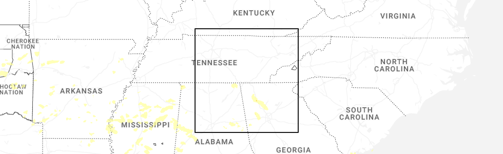
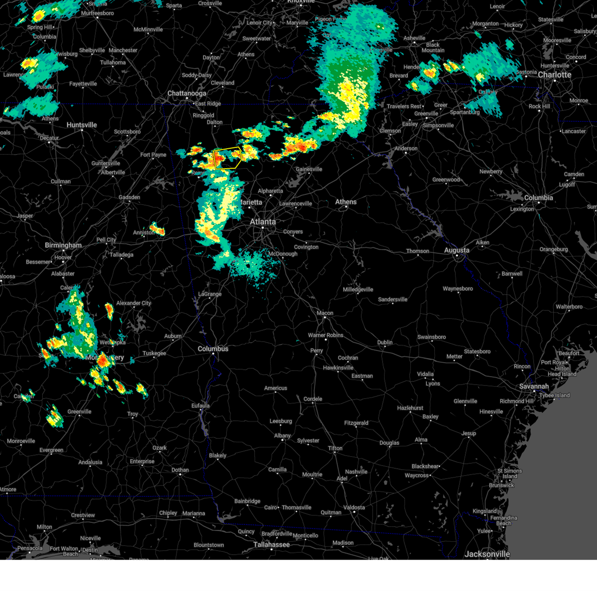
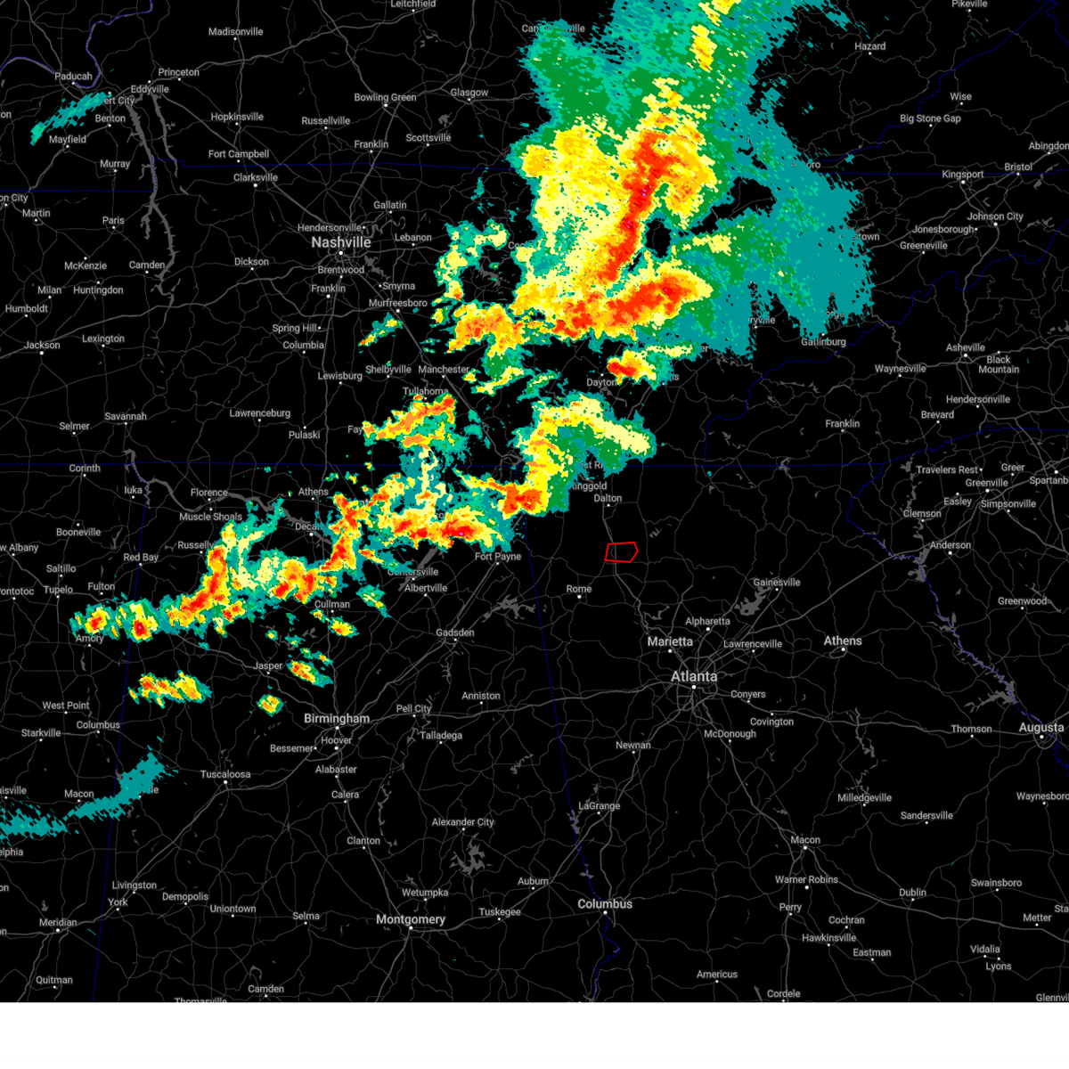
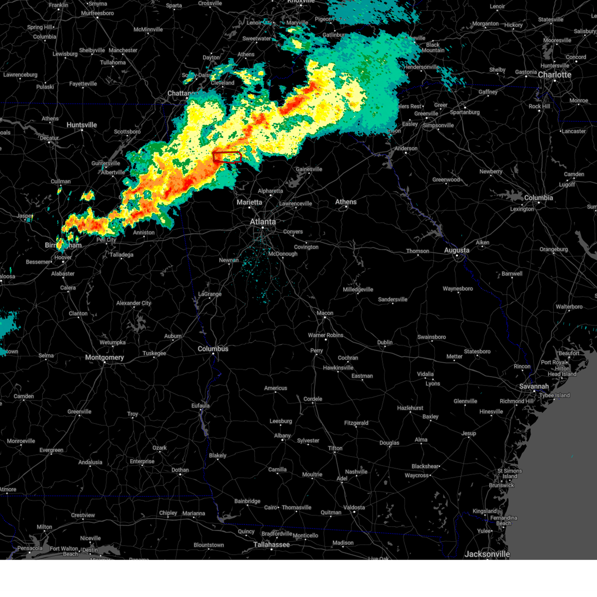
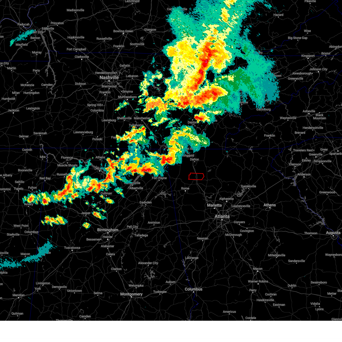
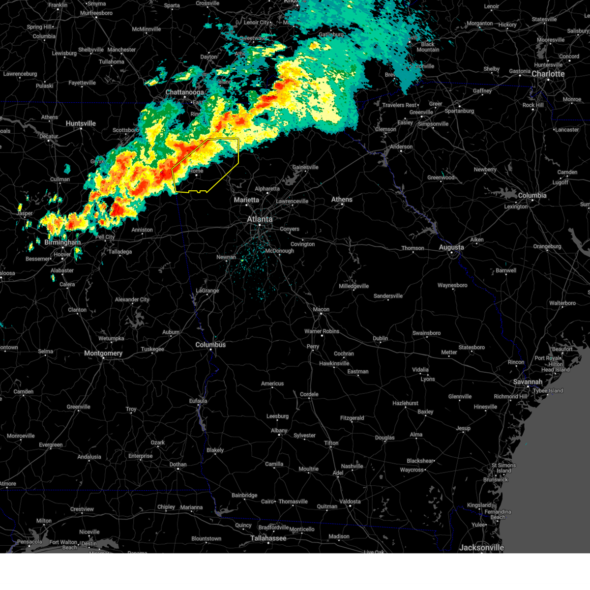
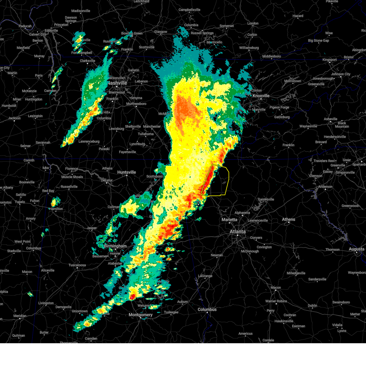
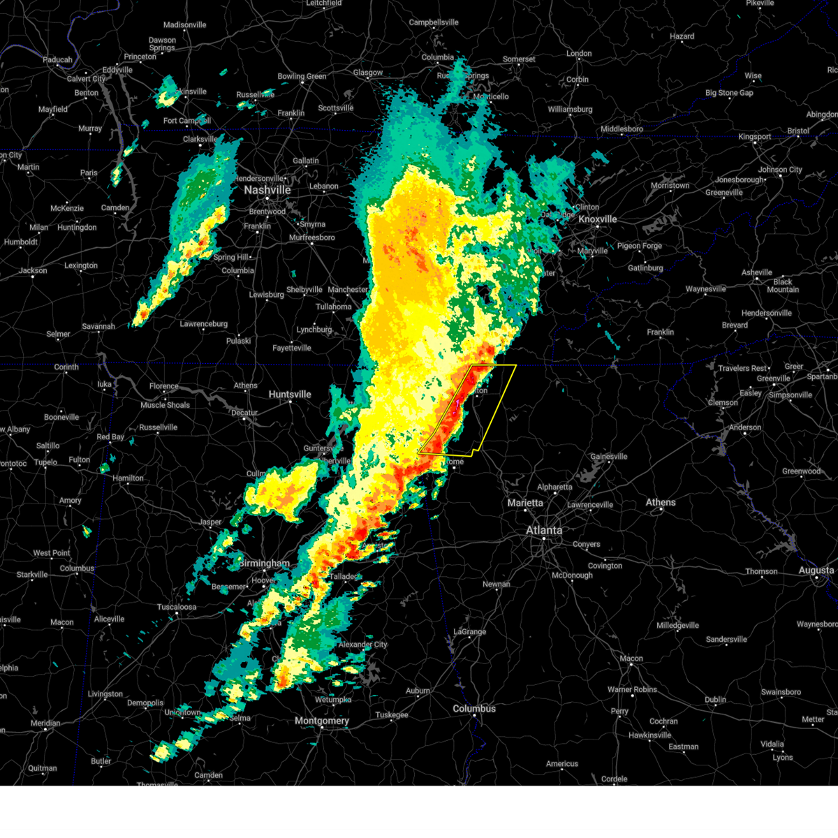
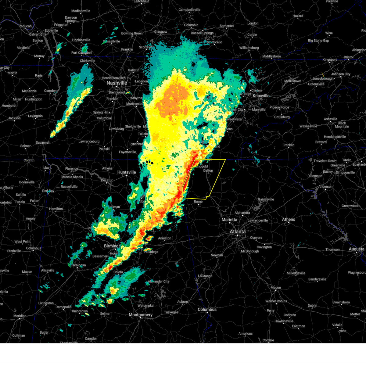
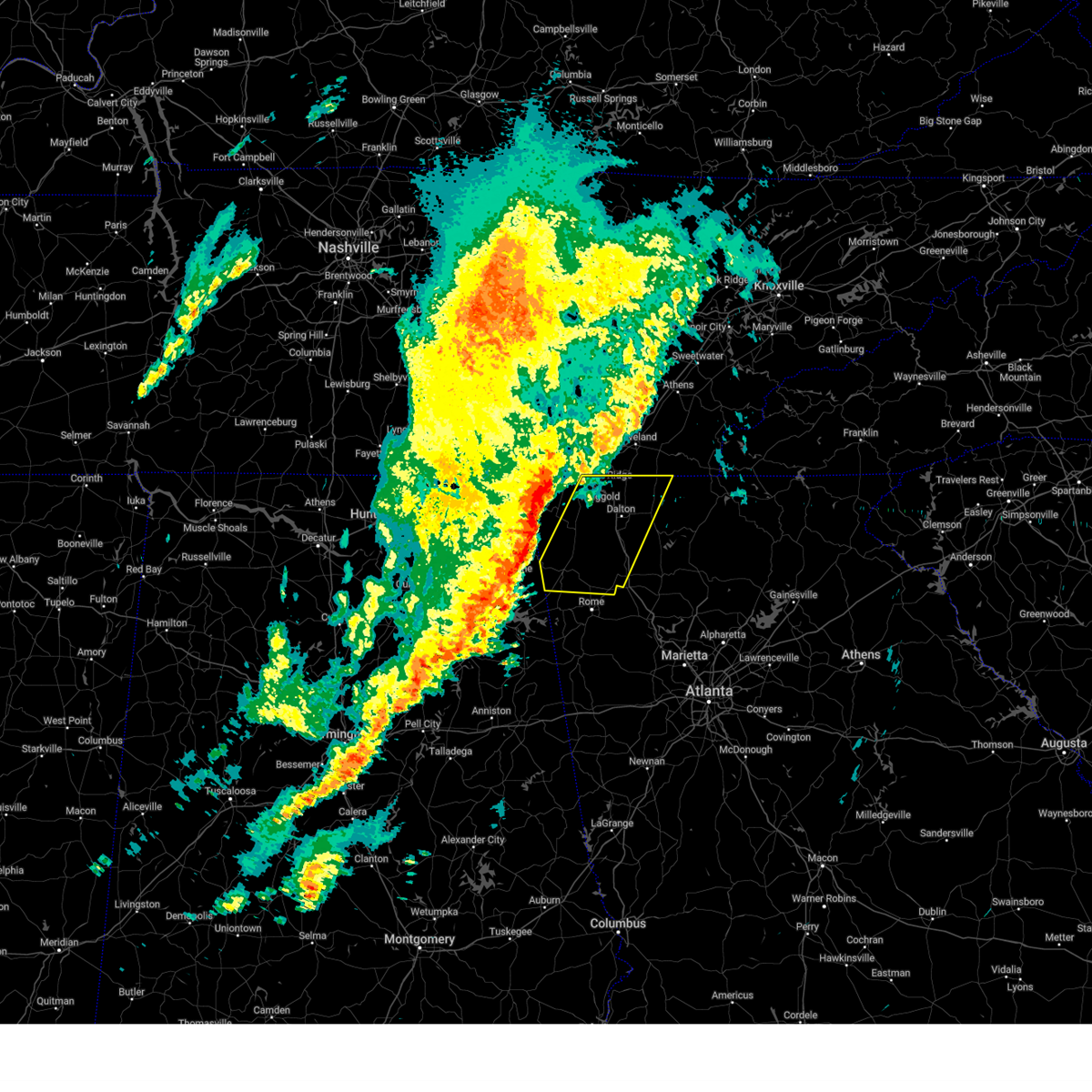
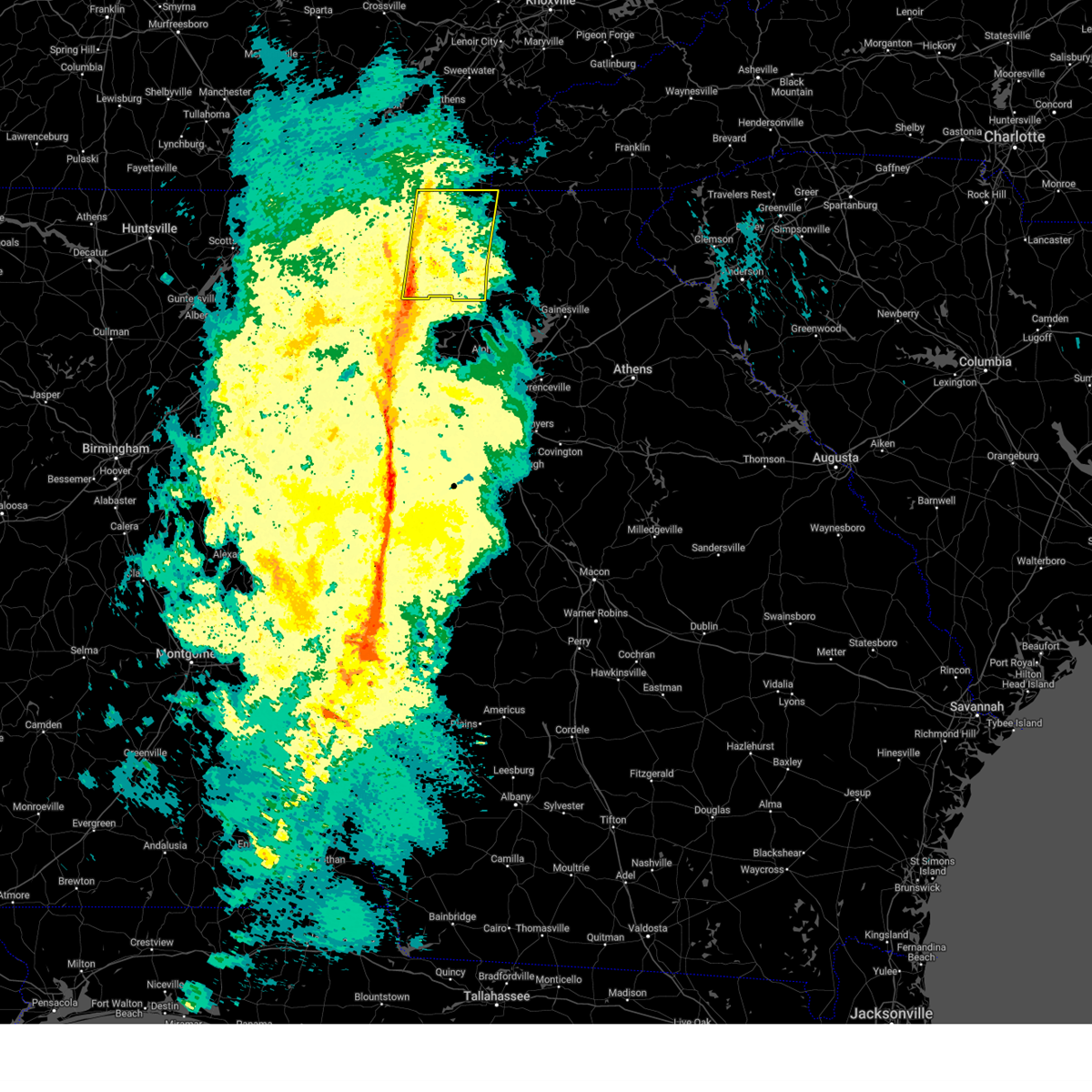
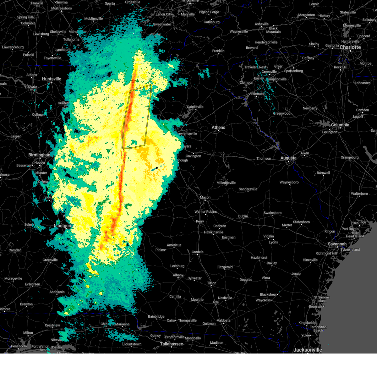
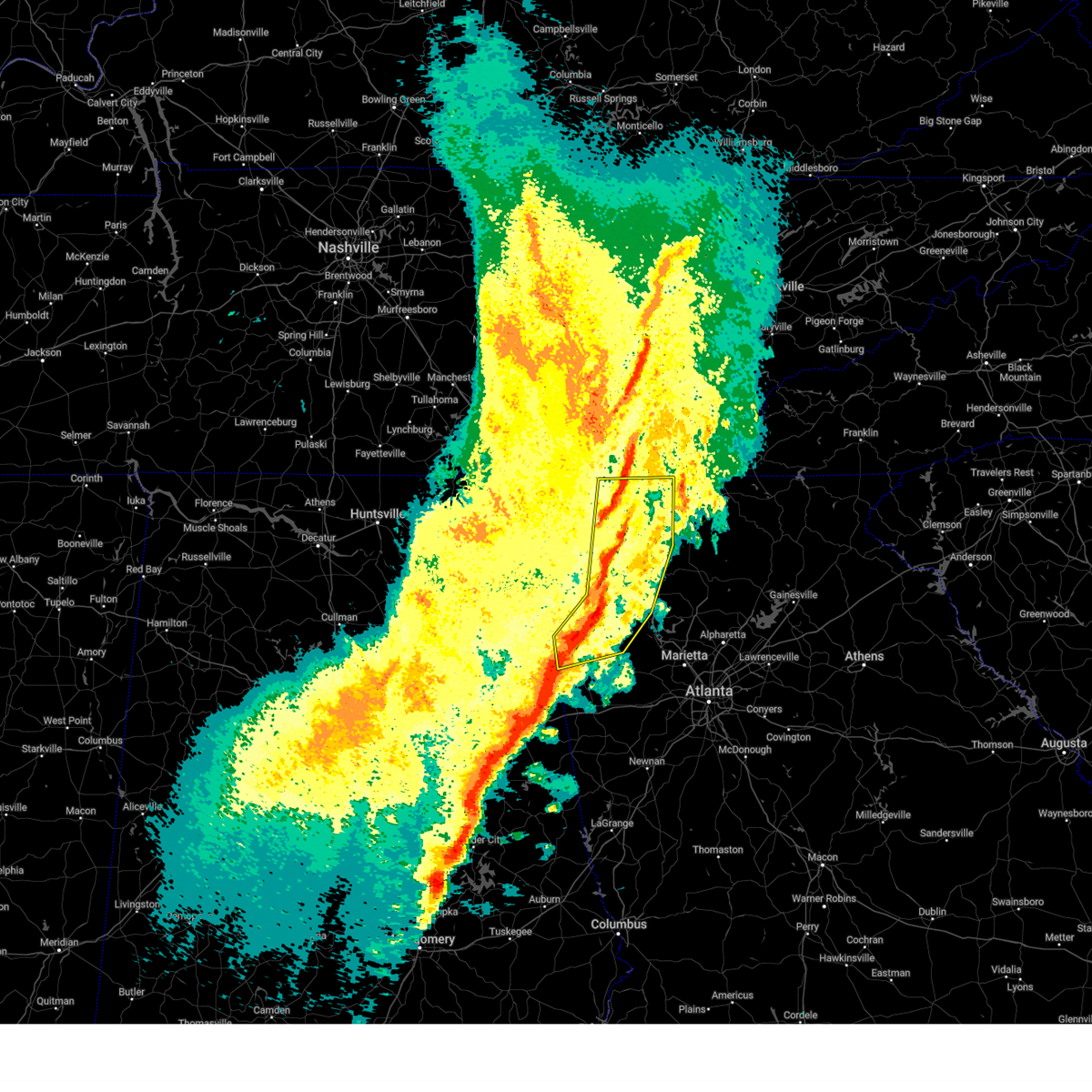
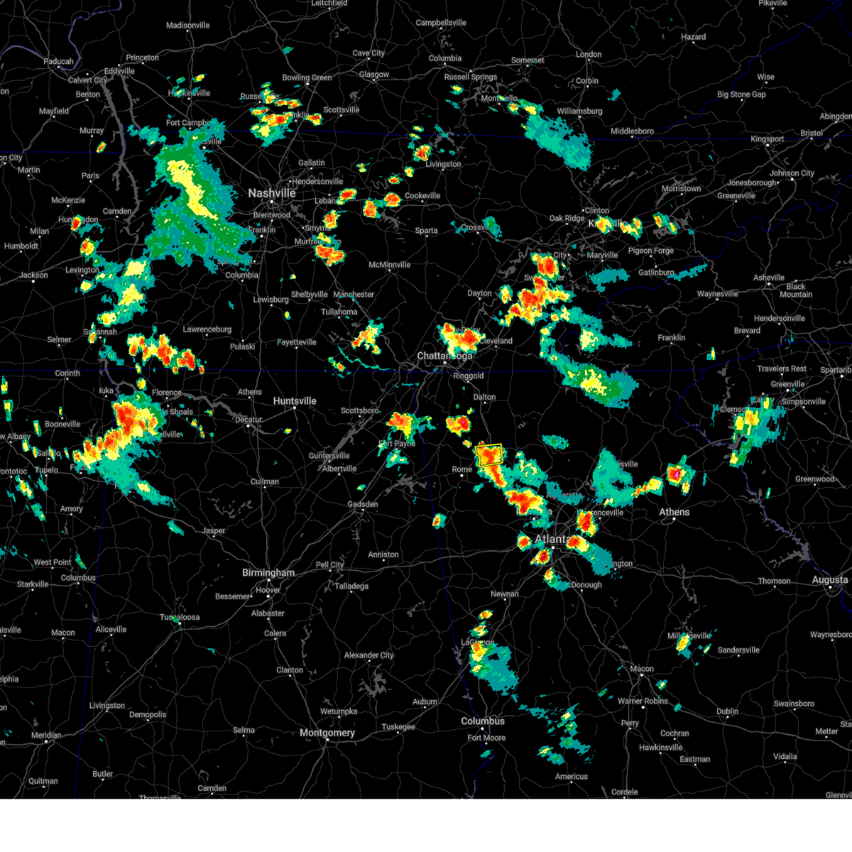
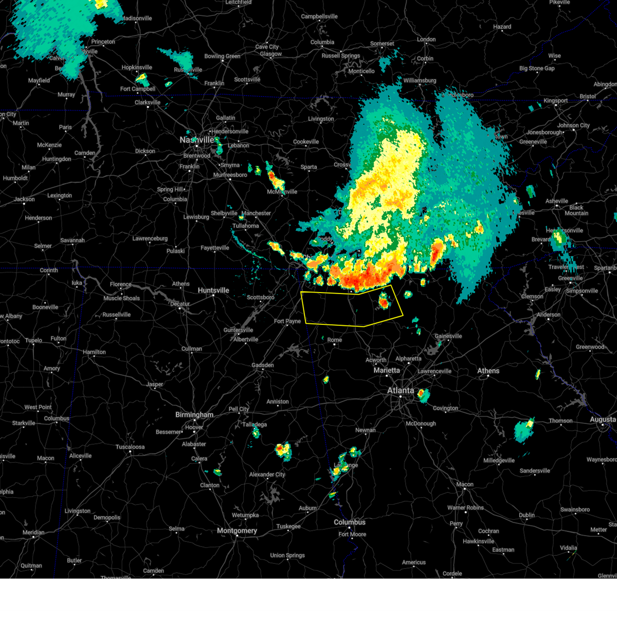
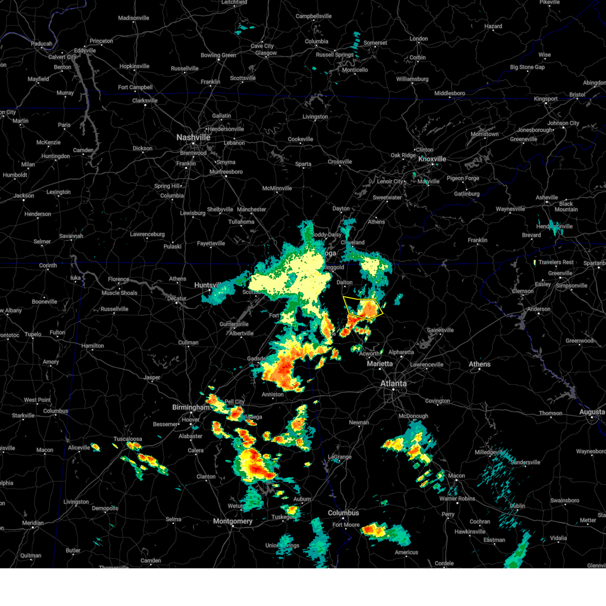
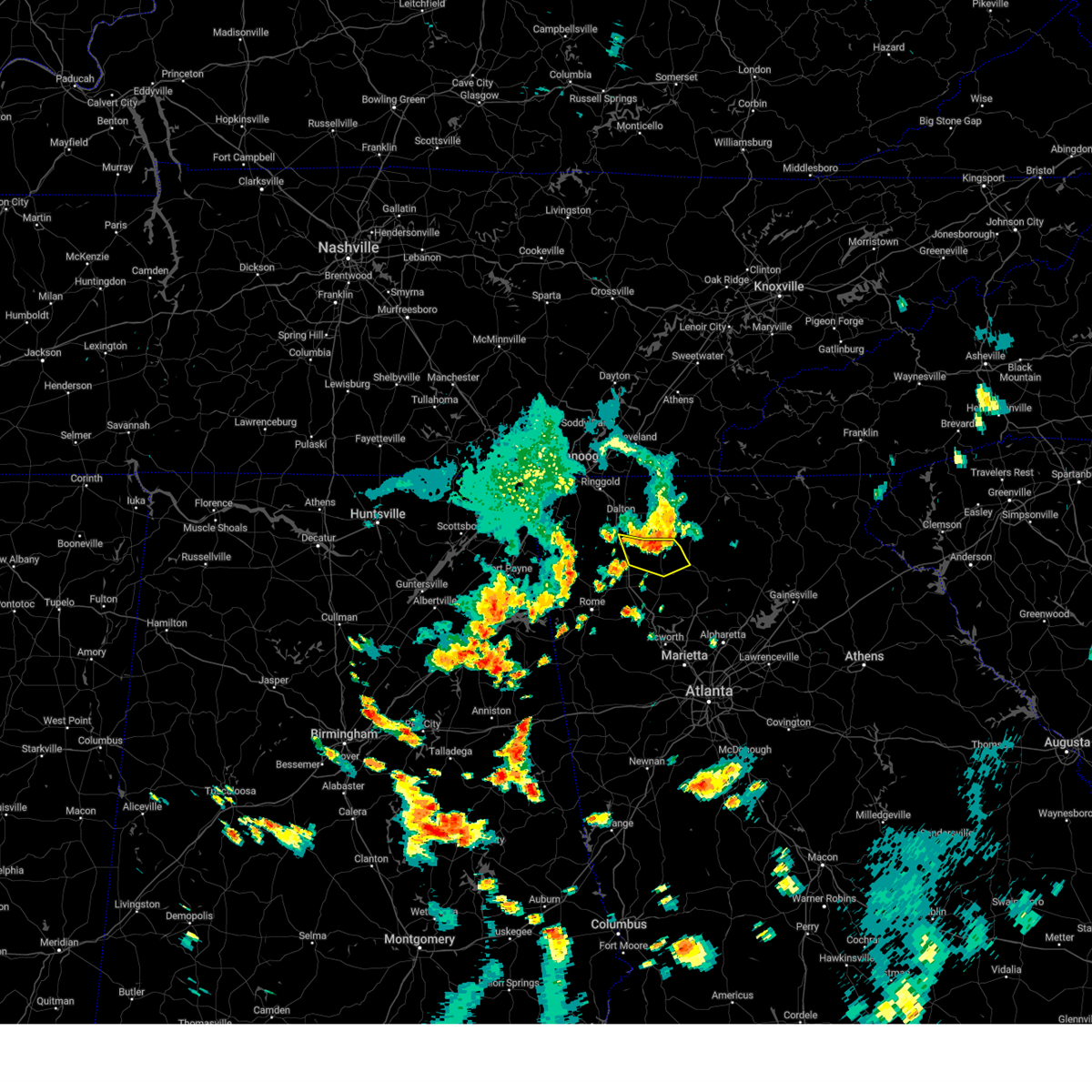
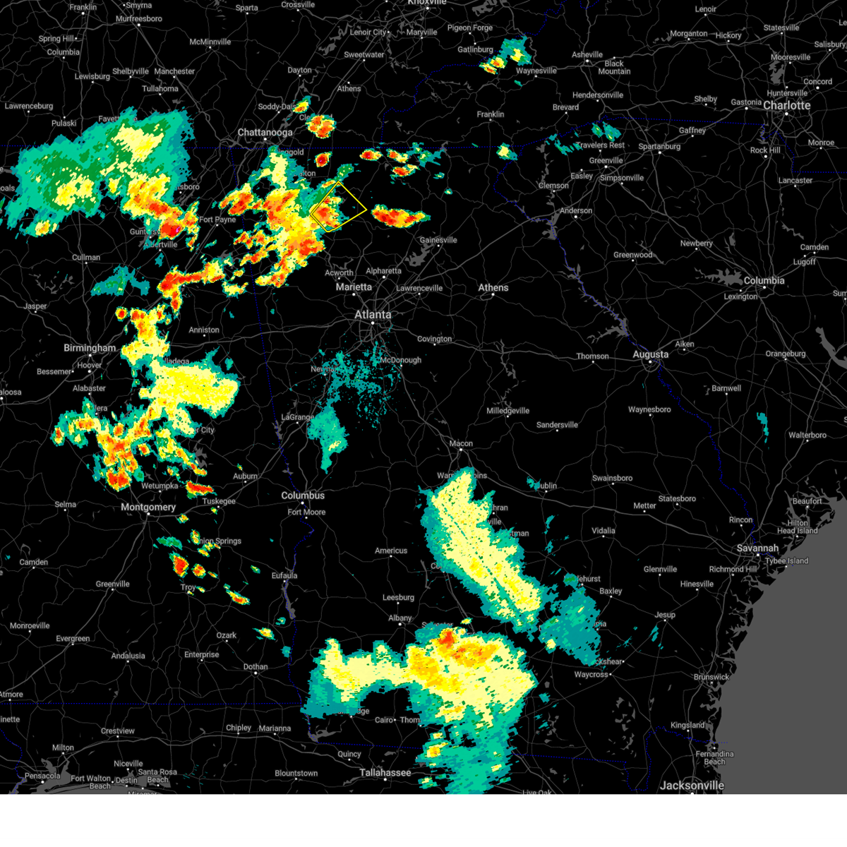
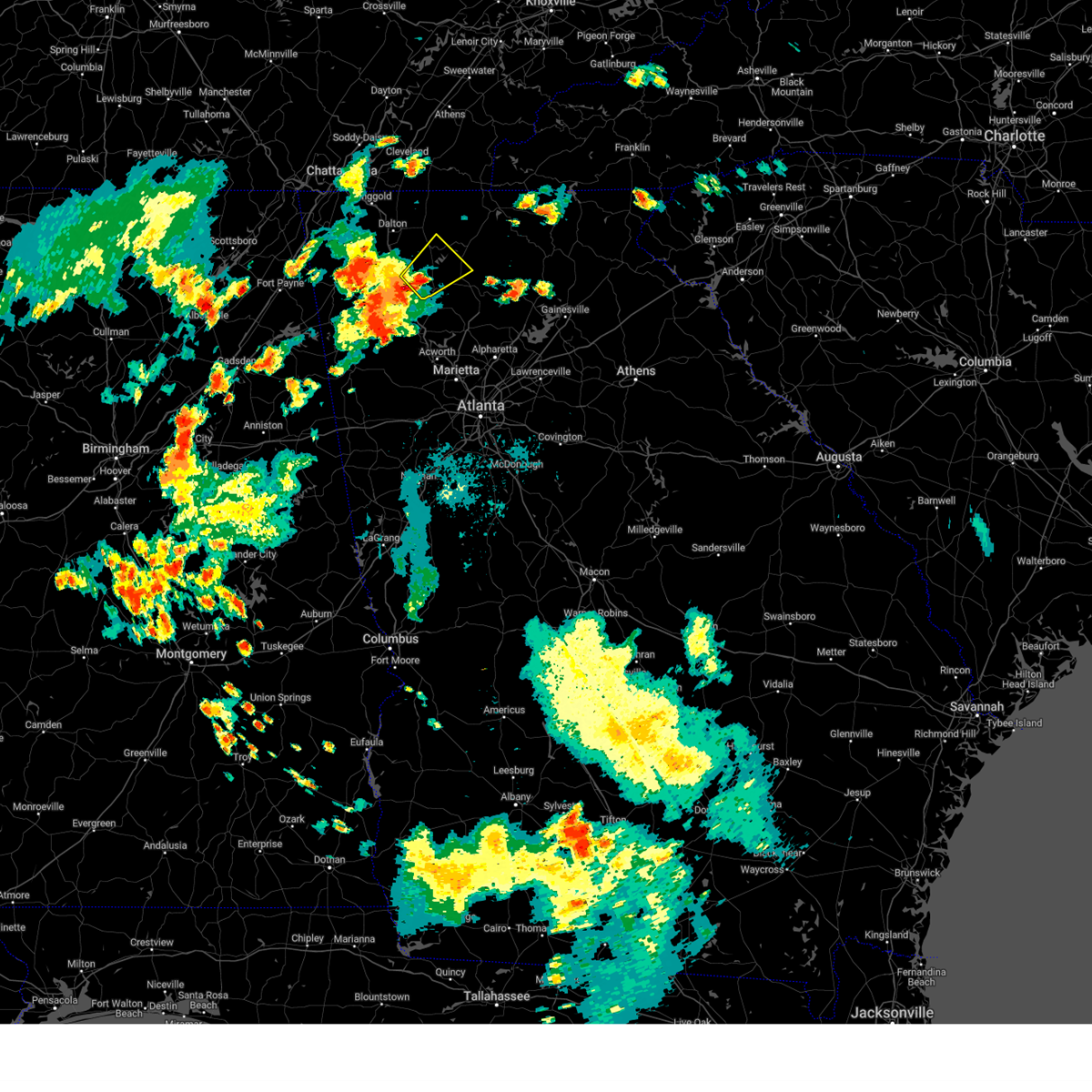
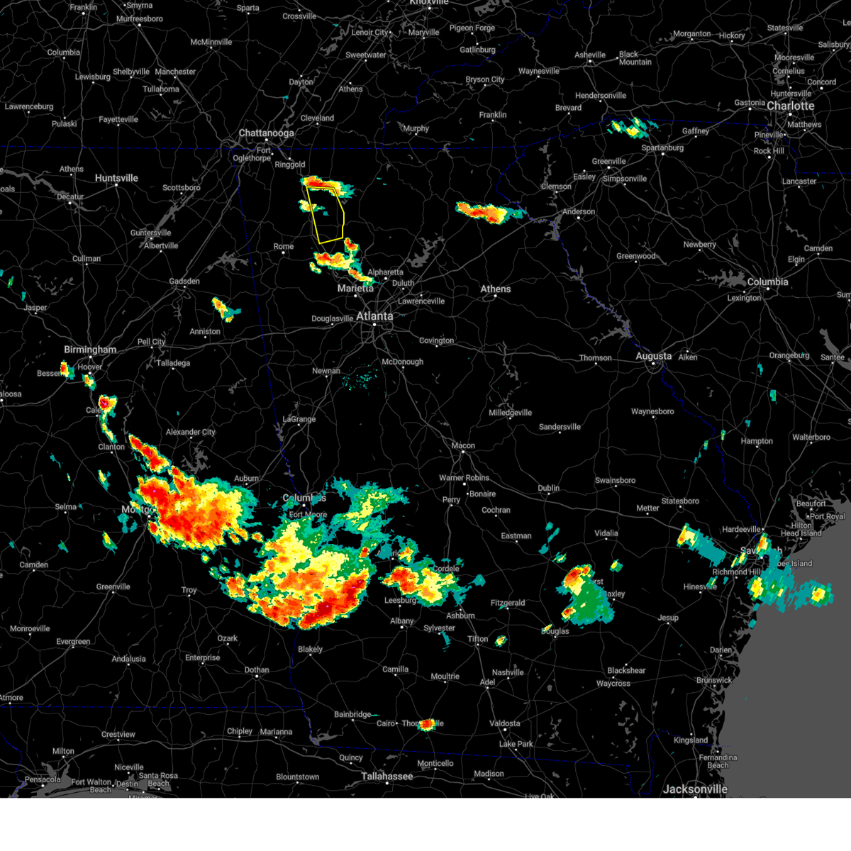
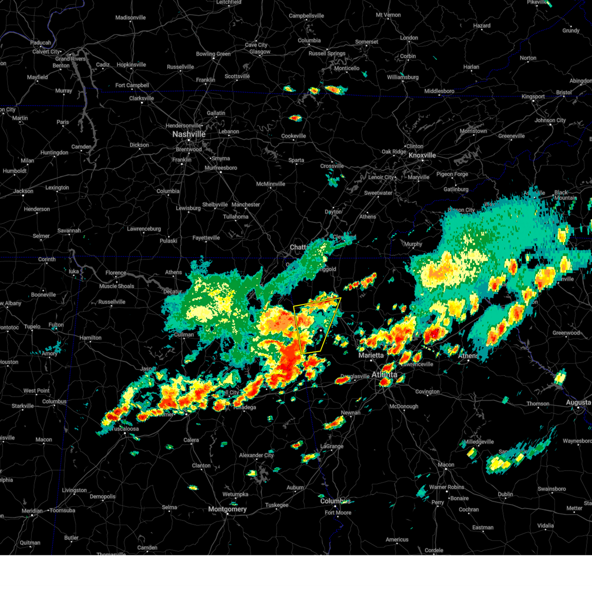
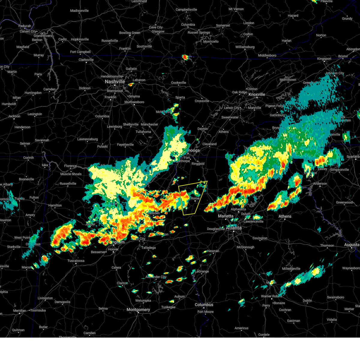
Hail Map for Calhoun, GA
The Calhoun, GA area has had 20 reports of on-the-ground hail by trained spotters, and has been under severe weather warnings 61 times during the past 12 months. Doppler radar has detected hail at or near Calhoun, GA on 48 occasions, including 6 occasions during the past year.
| Name: | Calhoun, GA |
| Where Located: | 43.5 miles SSE of Chattanooga, TN |
| Map: | Google Map for Calhoun, GA |
| Population: | 15650 |
| Housing Units: | 6609 |
| More Info: | Search Google for Calhoun, GA |
1
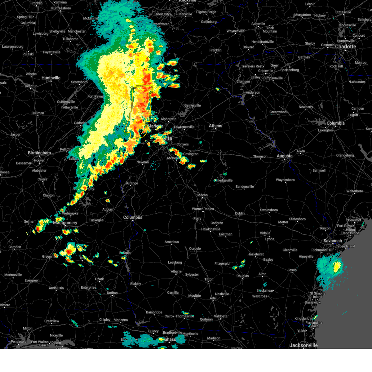
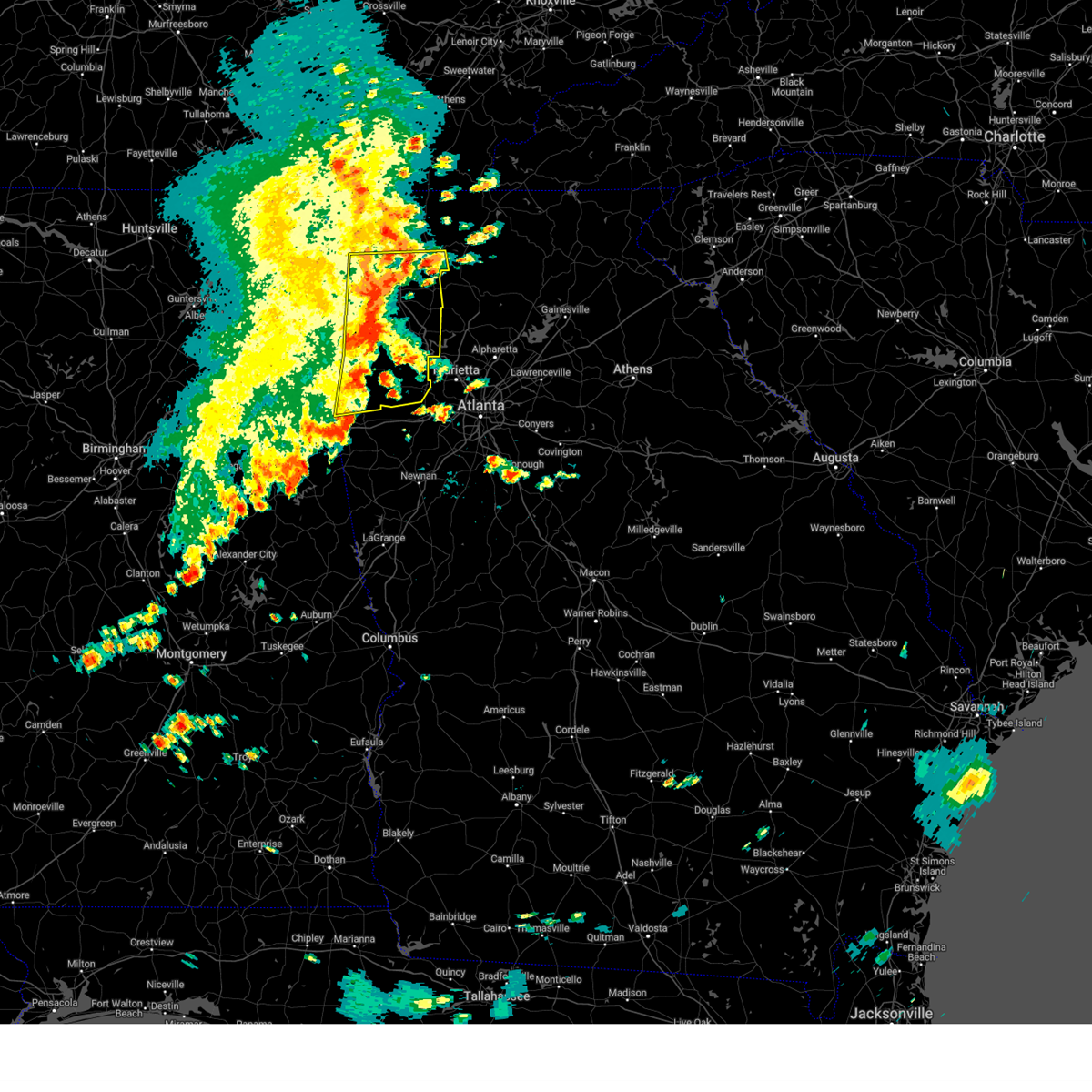
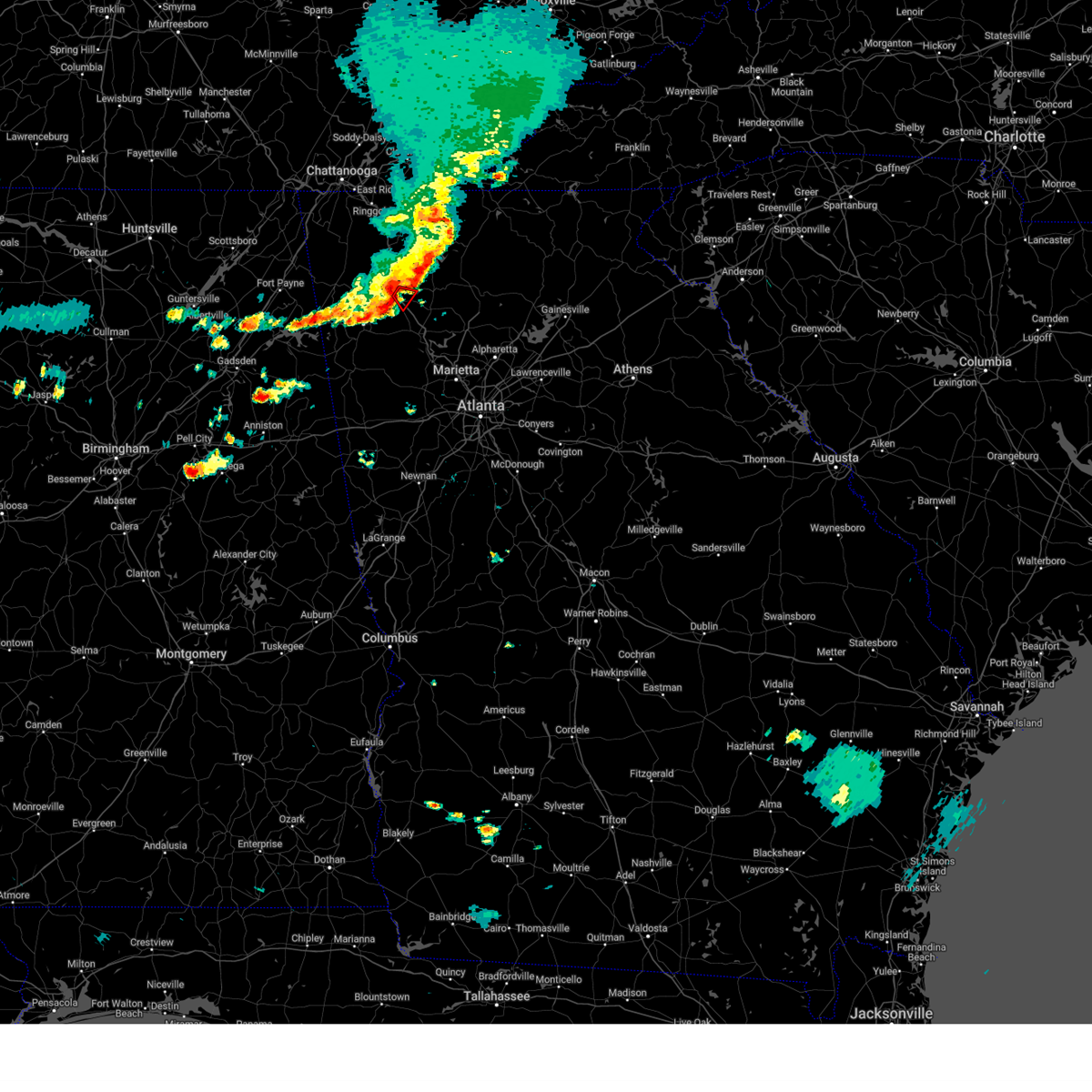
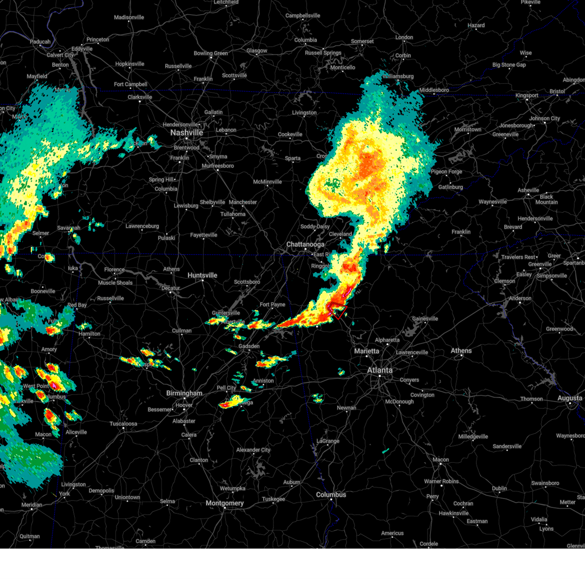
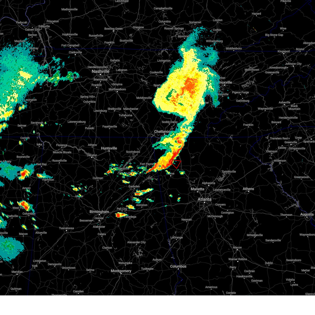
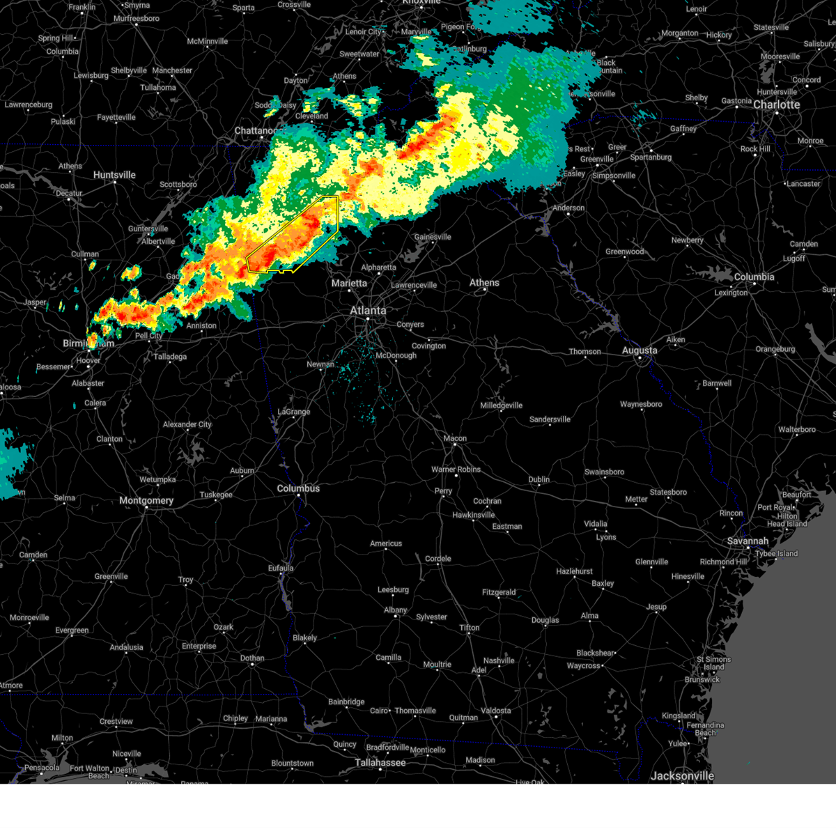
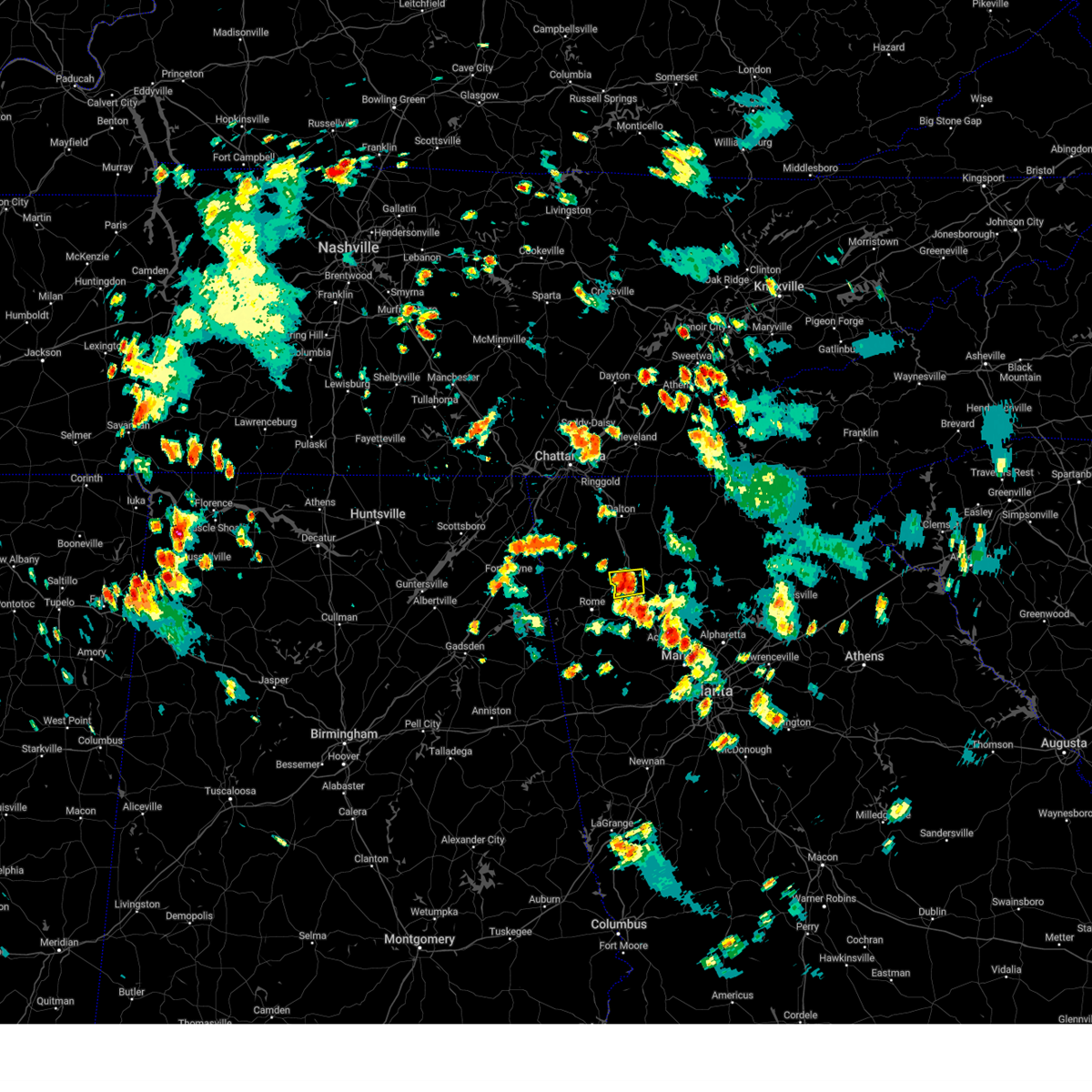
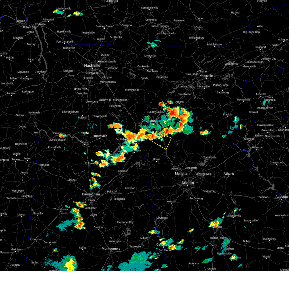
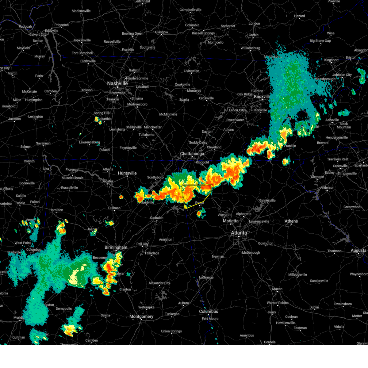
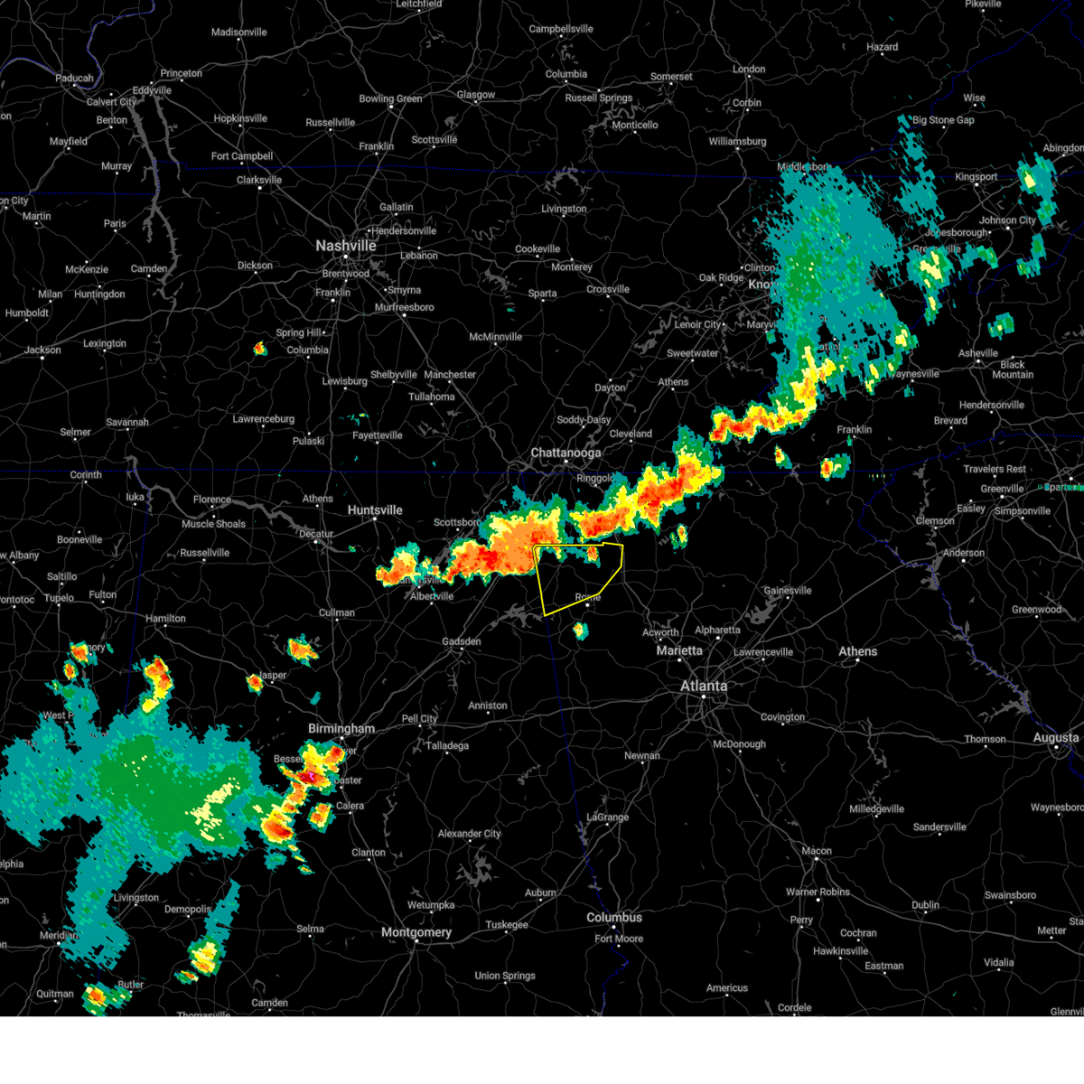
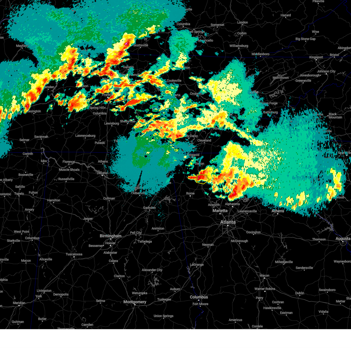
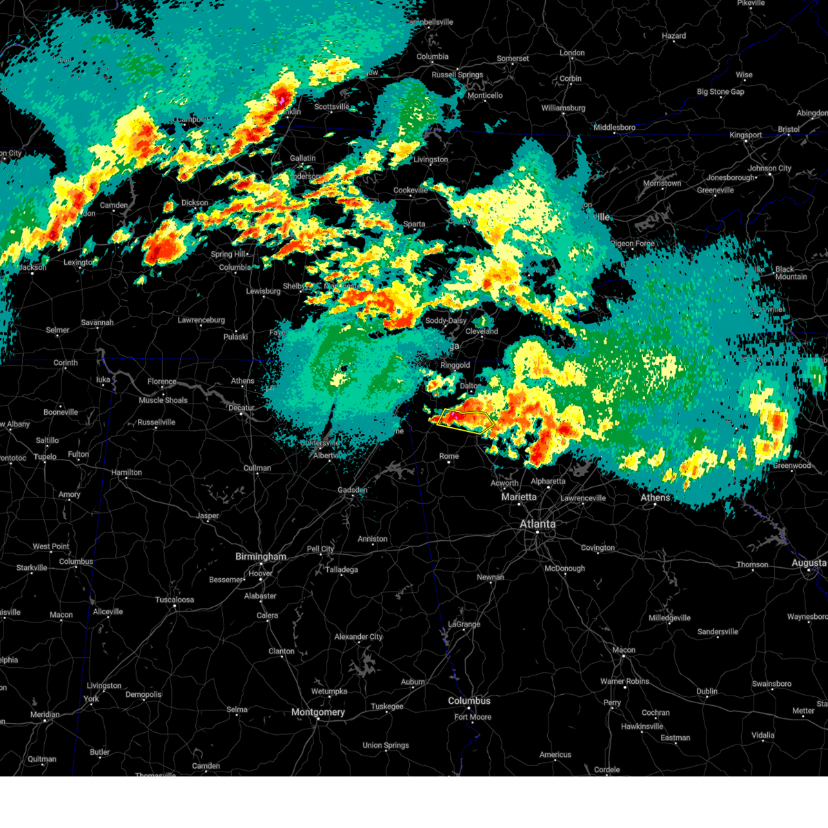
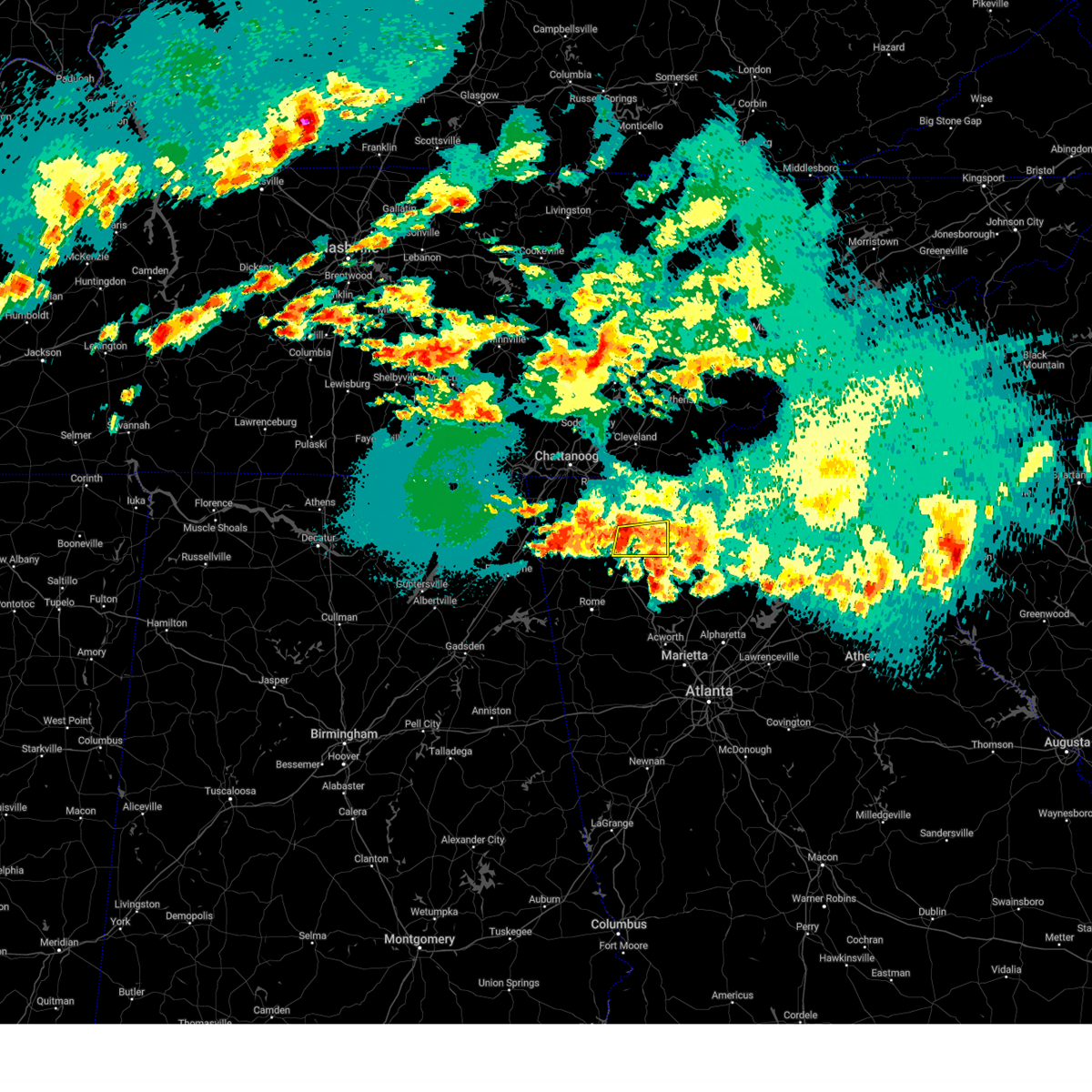
The Top Recent Hail Date for Calhoun, GA is Sunday, May 25, 2025 (9th out of 48)
Hail and Wind Damage Spotted near Calhoun, GA
| Date / Time | Report Details |
|---|---|
| 6/14/2025 5:18 PM EDT |
 At 517 pm edt, a severe thunderstorm was located near salacoa valley, or 12 miles west of jasper, moving east at 40 mph (radar indicated). Hazards include 60 mph wind gusts and dime size hail. Expect damage to roofs, siding, and trees. Locations impacted include, calhoun, white, fairmount, ranger, sonoraville, salacoa valley, pine log, redbud, folsom, and funkhouser. At 517 pm edt, a severe thunderstorm was located near salacoa valley, or 12 miles west of jasper, moving east at 40 mph (radar indicated). Hazards include 60 mph wind gusts and dime size hail. Expect damage to roofs, siding, and trees. Locations impacted include, calhoun, white, fairmount, ranger, sonoraville, salacoa valley, pine log, redbud, folsom, and funkhouser.
|
| 6/14/2025 4:58 PM EDT |
 Svrffc the national weather service in peachtree city has issued a * severe thunderstorm warning for, northwestern cherokee county in north central georgia, southeastern gordon county in northwestern georgia, southwestern pickens county in north central georgia, northeastern bartow county in northwestern georgia, * until 545 pm edt. * at 457 pm edt, a severe thunderstorm was located over adairsville, or 8 miles south of calhoun, moving east at 40 mph (radar indicated). Hazards include 60 mph wind gusts and dime size hail. expect damage to roofs, siding, and trees Svrffc the national weather service in peachtree city has issued a * severe thunderstorm warning for, northwestern cherokee county in north central georgia, southeastern gordon county in northwestern georgia, southwestern pickens county in north central georgia, northeastern bartow county in northwestern georgia, * until 545 pm edt. * at 457 pm edt, a severe thunderstorm was located over adairsville, or 8 miles south of calhoun, moving east at 40 mph (radar indicated). Hazards include 60 mph wind gusts and dime size hail. expect damage to roofs, siding, and trees
|
| 6/7/2025 5:25 PM EDT |
 The storms which prompted the warning have moved out of the area. therefore, the warning will be allowed to expire. however, gusty winds and heavy rain are still possible with these thunderstorms. a severe thunderstorm watch remains in effect until 900 pm edt for north central and northwestern georgia. remember, a severe thunderstorm warning still remains in effect for eastern gordon, bartow, and paulding counties. The storms which prompted the warning have moved out of the area. therefore, the warning will be allowed to expire. however, gusty winds and heavy rain are still possible with these thunderstorms. a severe thunderstorm watch remains in effect until 900 pm edt for north central and northwestern georgia. remember, a severe thunderstorm warning still remains in effect for eastern gordon, bartow, and paulding counties.
|
| 6/7/2025 5:20 PM EDT |
 the severe thunderstorm warning has been cancelled and is no longer in effect the severe thunderstorm warning has been cancelled and is no longer in effect
|
| 6/7/2025 5:20 PM EDT |
 At 519 pm edt, severe thunderstorms were located along a line extending from carters to holly springs to near new georgia, moving east at 55 mph (radar indicated). Hazards include 60 mph wind gusts. Expect damage to roofs, siding, and trees. Locations impacted include, cartersville, calhoun, dallas, adairsville, rockmart, euharlee, hiram, emerson, aragon, white, kingston, resaca, braswell, taylorsville, cassville, yorkville, fairmount, ranger, burnt hickory ridge, and red top mountain state park. At 519 pm edt, severe thunderstorms were located along a line extending from carters to holly springs to near new georgia, moving east at 55 mph (radar indicated). Hazards include 60 mph wind gusts. Expect damage to roofs, siding, and trees. Locations impacted include, cartersville, calhoun, dallas, adairsville, rockmart, euharlee, hiram, emerson, aragon, white, kingston, resaca, braswell, taylorsville, cassville, yorkville, fairmount, ranger, burnt hickory ridge, and red top mountain state park.
|
| 6/7/2025 4:57 PM EDT |
 At 457 pm edt, severe thunderstorms were located along a line extending from near sugar valley to cartersville to buchanan, moving east at 55 mph (radar indicated). Hazards include 70 mph wind gusts. Expect considerable tree damage. damage is likely to mobile homes, roofs, and outbuildings. Locations impacted include, rome, cartersville, calhoun, dallas, cedartown, buchanan, adairsville, rockmart, euharlee, hiram, tallapoosa, emerson, aragon, white, kingston, resaca, braswell, plainville, taylorsville, and shannon. At 457 pm edt, severe thunderstorms were located along a line extending from near sugar valley to cartersville to buchanan, moving east at 55 mph (radar indicated). Hazards include 70 mph wind gusts. Expect considerable tree damage. damage is likely to mobile homes, roofs, and outbuildings. Locations impacted include, rome, cartersville, calhoun, dallas, cedartown, buchanan, adairsville, rockmart, euharlee, hiram, tallapoosa, emerson, aragon, white, kingston, resaca, braswell, plainville, taylorsville, and shannon.
|
| 6/7/2025 4:38 PM EDT |
 Svrffc the national weather service in peachtree city has issued a * severe thunderstorm warning for, paulding county in northwestern georgia, haralson county in northwestern georgia, southwestern gilmer county in north central georgia, southwestern murray county in northwestern georgia, floyd county in northwestern georgia, south central whitfield county in northwestern georgia, southeastern walker county in northwestern georgia, gordon county in northwestern georgia, polk county in northwestern georgia, chattooga county in northwestern georgia, bartow county in northwestern georgia, * until 530 pm edt. * at 438 pm edt, severe thunderstorms were located along a line extending from near trion to near seney to near fruithurst, moving east at 55 mph (radar indicated). Hazards include 60 mph wind gusts. expect damage to roofs, siding, and trees Svrffc the national weather service in peachtree city has issued a * severe thunderstorm warning for, paulding county in northwestern georgia, haralson county in northwestern georgia, southwestern gilmer county in north central georgia, southwestern murray county in northwestern georgia, floyd county in northwestern georgia, south central whitfield county in northwestern georgia, southeastern walker county in northwestern georgia, gordon county in northwestern georgia, polk county in northwestern georgia, chattooga county in northwestern georgia, bartow county in northwestern georgia, * until 530 pm edt. * at 438 pm edt, severe thunderstorms were located along a line extending from near trion to near seney to near fruithurst, moving east at 55 mph (radar indicated). Hazards include 60 mph wind gusts. expect damage to roofs, siding, and trees
|
| 6/6/2025 9:32 PM EDT |
 the severe thunderstorm warning has been cancelled and is no longer in effect the severe thunderstorm warning has been cancelled and is no longer in effect
|
| 6/6/2025 9:23 PM EDT |
 The storm which prompted the warning has moved out of the area. therefore, the warning will be allowed to expire. The storm which prompted the warning has moved out of the area. therefore, the warning will be allowed to expire.
|
| 6/6/2025 9:14 PM EDT |
 Svrffc the national weather service in peachtree city has issued a * severe thunderstorm warning for, southeastern gordon county in northwestern georgia, northeastern bartow county in northwestern georgia, * until 945 pm edt. * at 914 pm edt, a severe thunderstorm was located near sonoraville, or near calhoun, moving east at 40 mph (radar indicated). Hazards include 60 mph wind gusts and quarter size hail. Hail damage to vehicles is expected. Expect wind damage to roofs, siding, and trees. Svrffc the national weather service in peachtree city has issued a * severe thunderstorm warning for, southeastern gordon county in northwestern georgia, northeastern bartow county in northwestern georgia, * until 945 pm edt. * at 914 pm edt, a severe thunderstorm was located near sonoraville, or near calhoun, moving east at 40 mph (radar indicated). Hazards include 60 mph wind gusts and quarter size hail. Hail damage to vehicles is expected. Expect wind damage to roofs, siding, and trees.
|
| 6/6/2025 8:58 PM EDT |
 Svrffc the national weather service in peachtree city has issued a * severe thunderstorm warning for, northeastern floyd county in northwestern georgia, southwestern gordon county in northwestern georgia, northwestern bartow county in northwestern georgia, * until 930 pm edt. * at 858 pm edt, a severe thunderstorm was located over armuchee, or 8 miles north of rome, moving east at 30 mph (radar indicated). Hazards include 60 mph wind gusts and quarter size hail. Hail damage to vehicles is expected. Expect wind damage to roofs, siding, and trees. Svrffc the national weather service in peachtree city has issued a * severe thunderstorm warning for, northeastern floyd county in northwestern georgia, southwestern gordon county in northwestern georgia, northwestern bartow county in northwestern georgia, * until 930 pm edt. * at 858 pm edt, a severe thunderstorm was located over armuchee, or 8 miles north of rome, moving east at 30 mph (radar indicated). Hazards include 60 mph wind gusts and quarter size hail. Hail damage to vehicles is expected. Expect wind damage to roofs, siding, and trees.
|
| 5/25/2025 7:30 PM EDT |
 The storms which prompted the warning have moved out of the area. therefore, the warning will be allowed to expire. a severe thunderstorm watch remains in effect until midnight edt for north central and northwestern georgia. remember, a severe thunderstorm warning still remains in effect for southwestern gilmer, southeast gordon, bartow, and southeast floyd counties through 815 pm edt. The storms which prompted the warning have moved out of the area. therefore, the warning will be allowed to expire. a severe thunderstorm watch remains in effect until midnight edt for north central and northwestern georgia. remember, a severe thunderstorm warning still remains in effect for southwestern gilmer, southeast gordon, bartow, and southeast floyd counties through 815 pm edt.
|
| 5/25/2025 7:28 PM EDT | Several large trees uprooted... trampoline flipped ove in gordon county GA, 4.2 miles NNE of Calhoun, GA |
| 5/25/2025 7:28 PM EDT |
 The tornado threat has diminished and the tornado warning has been cancelled. however, large hail and damaging winds remain likely and a severe thunderstorm warning remains in effect for the area. a severe thunderstorm watch remains in effect until midnight edt for northwestern georgia. The tornado threat has diminished and the tornado warning has been cancelled. however, large hail and damaging winds remain likely and a severe thunderstorm warning remains in effect for the area. a severe thunderstorm watch remains in effect until midnight edt for northwestern georgia.
|
| 5/25/2025 7:23 PM EDT |
 At 723 pm edt, a severe thunderstorm capable of producing a tornado was located over estillfork, or 18 miles south of winchester, moving southeast at 40 mph (radar indicated rotation). Hazards include tornado and quarter size hail. Flying debris will be dangerous to those caught without shelter. mobile homes will be damaged or destroyed. damage to roofs, windows, and vehicles will occur. tree damage is likely. Locations impacted include, calhoun and adairsville. At 723 pm edt, a severe thunderstorm capable of producing a tornado was located over estillfork, or 18 miles south of winchester, moving southeast at 40 mph (radar indicated rotation). Hazards include tornado and quarter size hail. Flying debris will be dangerous to those caught without shelter. mobile homes will be damaged or destroyed. damage to roofs, windows, and vehicles will occur. tree damage is likely. Locations impacted include, calhoun and adairsville.
|
| 5/25/2025 7:21 PM EDT | At 721 pm edt, severe thunderstorms were located along a line extending from near white bluff to near lyles to 6 miles south of centerville, moving southeast at 45 mph (radar indicated). Hazards include 60 mph wind gusts and quarter size hail. Hail damage to vehicles is expected. expect wind damage to roofs, siding, and trees. Locations impacted include, rome, calhoun, adairsville, kingston, plainville, shannon, fairmount, ranger, carters, sonoraville, pinson, tails creek, lindale, redbud, folsom, audubon, and oakman. |
| 5/25/2025 7:12 PM EDT |
 Torffc the national weather service in peachtree city has issued a * tornado warning for, southwestern gordon county in northwestern georgia, north central bartow county in northwestern georgia, * until 730 pm edt. * at 712 pm edt, a severe thunderstorm capable of producing a tornado was located over oostanaula, or near calhoun, moving southeast at 40 mph (radar indicated rotation). Hazards include tornado. Flying debris will be dangerous to those caught without shelter. mobile homes will be damaged or destroyed. damage to roofs, windows, and vehicles will occur. Tree damage is likely. Torffc the national weather service in peachtree city has issued a * tornado warning for, southwestern gordon county in northwestern georgia, north central bartow county in northwestern georgia, * until 730 pm edt. * at 712 pm edt, a severe thunderstorm capable of producing a tornado was located over oostanaula, or near calhoun, moving southeast at 40 mph (radar indicated rotation). Hazards include tornado. Flying debris will be dangerous to those caught without shelter. mobile homes will be damaged or destroyed. damage to roofs, windows, and vehicles will occur. Tree damage is likely.
|
| 5/25/2025 7:08 PM EDT | the tornado warning has been cancelled and is no longer in effect |
| 5/25/2025 7:08 PM EDT | At 708 pm edt, a severe thunderstorm capable of producing a tornado was located over hytop, or 17 miles north of scottsboro, moving southeast at 35 mph (radar indicated rotation). Hazards include tornado and quarter size hail. Flying debris will be dangerous to those caught without shelter. mobile homes will be damaged or destroyed. damage to roofs, windows, and vehicles will occur. tree damage is likely. Locations impacted include, calhoun and oostanaula. |
| 5/25/2025 7:07 PM EDT | the severe thunderstorm warning has been cancelled and is no longer in effect |
| 5/25/2025 7:07 PM EDT | At 707 pm edt, severe thunderstorms were located along a line extending from near hillsboro to near belvidere to francisco, moving southeast at 45 mph (radar indicated). Hazards include 60 mph wind gusts and nickel size hail. Expect damage to roofs, siding, and trees. Locations impacted include, rome, calhoun, chatsworth, adairsville, kingston, resaca, plainville, shannon, fairmount, ranger, pinson, redbud, folsom, oakman, fort mountain state park, carters, sonoraville, tails creek, lindale, and ramhurst. |
| 5/25/2025 6:58 PM EDT |
 Torffc the national weather service in peachtree city has issued a * tornado warning for, northeastern floyd county in northwestern georgia, southwestern gordon county in northwestern georgia, * until 715 pm edt. * at 658 pm edt, a severe thunderstorm capable of producing a tornado was located over everett springs, or 9 miles west of calhoun, moving southeast at 35 mph (radar indicated rotation). Hazards include tornado. Flying debris will be dangerous to those caught without shelter. mobile homes will be damaged or destroyed. damage to roofs, windows, and vehicles will occur. Tree damage is likely. Torffc the national weather service in peachtree city has issued a * tornado warning for, northeastern floyd county in northwestern georgia, southwestern gordon county in northwestern georgia, * until 715 pm edt. * at 658 pm edt, a severe thunderstorm capable of producing a tornado was located over everett springs, or 9 miles west of calhoun, moving southeast at 35 mph (radar indicated rotation). Hazards include tornado. Flying debris will be dangerous to those caught without shelter. mobile homes will be damaged or destroyed. damage to roofs, windows, and vehicles will occur. Tree damage is likely.
|
| 5/25/2025 6:49 PM EDT | Svrffc the national weather service in peachtree city has issued a * severe thunderstorm warning for, western gilmer county in north central georgia, murray county in northwestern georgia, floyd county in northwestern georgia, southeastern whitfield county in northwestern georgia, southeastern walker county in northwestern georgia, gordon county in northwestern georgia, central chattooga county in northwestern georgia, northwestern bartow county in northwestern georgia, * until 730 pm edt. * at 649 pm edt, severe thunderstorms were located along a line extending from near dawnville to near subligna to near tidings, moving southeast at 45 mph (radar indicated). Hazards include 60 mph wind gusts. expect damage to roofs, siding, and trees |
| 5/20/2025 11:50 PM EDT |
 The storm which prompted the warning has moved out of the area. therefore, the warning will be allowed to expire. a tornado watch remains in effect until 200 am edt for northwestern georgia. The storm which prompted the warning has moved out of the area. therefore, the warning will be allowed to expire. a tornado watch remains in effect until 200 am edt for northwestern georgia.
|
| 5/20/2025 11:49 PM EDT |
 At 1149 pm edt, severe thunderstorms were located along a line extending from carters to near forney, moving east at 35 mph (radar indicated). Hazards include 60 mph wind gusts. Expect damage to roofs, siding, and trees. Locations impacted include, rome, calhoun, adairsville, euharlee, cave spring, kingston, plainville, cassville, shannon, fairmount, ranger, carters, sonoraville, pinson, lindale, redbud, folsom, audubon, seney, and pine log. At 1149 pm edt, severe thunderstorms were located along a line extending from carters to near forney, moving east at 35 mph (radar indicated). Hazards include 60 mph wind gusts. Expect damage to roofs, siding, and trees. Locations impacted include, rome, calhoun, adairsville, euharlee, cave spring, kingston, plainville, cassville, shannon, fairmount, ranger, carters, sonoraville, pinson, lindale, redbud, folsom, audubon, seney, and pine log.
|
| 5/20/2025 11:49 PM EDT |
 the severe thunderstorm warning has been cancelled and is no longer in effect the severe thunderstorm warning has been cancelled and is no longer in effect
|
| 5/20/2025 11:41 PM EDT |
 At 1140 pm edt, a severe thunderstorm capable of producing a tornado was located over calhoun, moving east at 35 mph (radar indicated rotation). Hazards include tornado. Flying debris will be dangerous to those caught without shelter. mobile homes will be damaged or destroyed. damage to roofs, windows, and vehicles will occur. tree damage is likely. Locations impacted include, calhoun and redbud. At 1140 pm edt, a severe thunderstorm capable of producing a tornado was located over calhoun, moving east at 35 mph (radar indicated rotation). Hazards include tornado. Flying debris will be dangerous to those caught without shelter. mobile homes will be damaged or destroyed. damage to roofs, windows, and vehicles will occur. tree damage is likely. Locations impacted include, calhoun and redbud.
|
| 5/20/2025 11:39 PM EDT |
 Torffc the national weather service in peachtree city has issued a * tornado warning for, southeastern gordon county in northwestern georgia, * until 1215 am edt. * at 1139 pm edt, a severe thunderstorm capable of producing a tornado was located over calhoun, moving east at 35 mph (radar indicated rotation). Hazards include tornado. Flying debris will be dangerous to those caught without shelter. mobile homes will be damaged or destroyed. damage to roofs, windows, and vehicles will occur. Tree damage is likely. Torffc the national weather service in peachtree city has issued a * tornado warning for, southeastern gordon county in northwestern georgia, * until 1215 am edt. * at 1139 pm edt, a severe thunderstorm capable of producing a tornado was located over calhoun, moving east at 35 mph (radar indicated rotation). Hazards include tornado. Flying debris will be dangerous to those caught without shelter. mobile homes will be damaged or destroyed. damage to roofs, windows, and vehicles will occur. Tree damage is likely.
|
| 5/20/2025 11:31 PM EDT |
 the tornado warning has been cancelled and is no longer in effect the tornado warning has been cancelled and is no longer in effect
|
| 5/20/2025 11:31 PM EDT |
 At 1131 pm edt, a severe thunderstorm capable of producing a tornado was located over oostanaula, or near calhoun, moving east at 30 mph (radar indicated rotation). Hazards include tornado. Flying debris will be dangerous to those caught without shelter. mobile homes will be damaged or destroyed. damage to roofs, windows, and vehicles will occur. tree damage is likely. Locations impacted include, calhoun, resaca, sugar valley, redbud, and oostanaula. At 1131 pm edt, a severe thunderstorm capable of producing a tornado was located over oostanaula, or near calhoun, moving east at 30 mph (radar indicated rotation). Hazards include tornado. Flying debris will be dangerous to those caught without shelter. mobile homes will be damaged or destroyed. damage to roofs, windows, and vehicles will occur. tree damage is likely. Locations impacted include, calhoun, resaca, sugar valley, redbud, and oostanaula.
|
| 5/20/2025 11:19 PM EDT |
 the tornado warning has been cancelled and is no longer in effect the tornado warning has been cancelled and is no longer in effect
|
| 5/20/2025 11:15 PM EDT |
 Torffc the national weather service in peachtree city has issued a * tornado warning for, northeastern floyd county in northwestern georgia, central gordon county in northwestern georgia, northeastern chattooga county in northwestern georgia, * until midnight edt. * at 1115 pm edt, a severe thunderstorm capable of producing a tornado was located over subligna, or 9 miles east of summerville, moving east at 30 mph (radar indicated rotation). Hazards include tornado. Flying debris will be dangerous to those caught without shelter. mobile homes will be damaged or destroyed. damage to roofs, windows, and vehicles will occur. Tree damage is likely. Torffc the national weather service in peachtree city has issued a * tornado warning for, northeastern floyd county in northwestern georgia, central gordon county in northwestern georgia, northeastern chattooga county in northwestern georgia, * until midnight edt. * at 1115 pm edt, a severe thunderstorm capable of producing a tornado was located over subligna, or 9 miles east of summerville, moving east at 30 mph (radar indicated rotation). Hazards include tornado. Flying debris will be dangerous to those caught without shelter. mobile homes will be damaged or destroyed. damage to roofs, windows, and vehicles will occur. Tree damage is likely.
|
| 5/20/2025 11:14 PM EDT |
 the tornado warning has been cancelled and is no longer in effect the tornado warning has been cancelled and is no longer in effect
|
| 5/20/2025 11:14 PM EDT |
 At 1114 pm edt, a severe thunderstorm capable of producing a tornado was located over sugar valley, or 7 miles northwest of calhoun, moving east at 30 mph (radar indicated rotation). Hazards include tornado. Flying debris will be dangerous to those caught without shelter. mobile homes will be damaged or destroyed. damage to roofs, windows, and vehicles will occur. tree damage is likely. Locations impacted include, calhoun, resaca, sugar valley, and oostanaula. At 1114 pm edt, a severe thunderstorm capable of producing a tornado was located over sugar valley, or 7 miles northwest of calhoun, moving east at 30 mph (radar indicated rotation). Hazards include tornado. Flying debris will be dangerous to those caught without shelter. mobile homes will be damaged or destroyed. damage to roofs, windows, and vehicles will occur. tree damage is likely. Locations impacted include, calhoun, resaca, sugar valley, and oostanaula.
|
| 5/20/2025 11:13 PM EDT |
 Svrffc the national weather service in peachtree city has issued a * severe thunderstorm warning for, southwestern murray county in northwestern georgia, floyd county in northwestern georgia, gordon county in northwestern georgia, central chattooga county in northwestern georgia, central bartow county in northwestern georgia, * until midnight edt. * at 1112 pm edt, severe thunderstorms were located along a line extending from near sugar valley to near slackland, moving east at 35 mph (radar indicated). Hazards include 60 mph wind gusts. expect damage to roofs, siding, and trees Svrffc the national weather service in peachtree city has issued a * severe thunderstorm warning for, southwestern murray county in northwestern georgia, floyd county in northwestern georgia, gordon county in northwestern georgia, central chattooga county in northwestern georgia, central bartow county in northwestern georgia, * until midnight edt. * at 1112 pm edt, severe thunderstorms were located along a line extending from near sugar valley to near slackland, moving east at 35 mph (radar indicated). Hazards include 60 mph wind gusts. expect damage to roofs, siding, and trees
|
| 5/20/2025 11:03 PM EDT |
 the tornado warning has been cancelled and is no longer in effect the tornado warning has been cancelled and is no longer in effect
|
| 5/20/2025 10:53 PM EDT |
 At 1053 pm edt, a severe thunderstorm capable of producing a tornado was located over subligna, or 9 miles southeast of lafayette, moving east at 30 mph (radar indicated rotation). Hazards include tornado. Flying debris will be dangerous to those caught without shelter. mobile homes will be damaged or destroyed. damage to roofs, windows, and vehicles will occur. tree damage is likely. Locations impacted include, calhoun, resaca, oostanaula, subligna, suttles mill, villanow, sugar valley, everett springs, and lake marvin. At 1053 pm edt, a severe thunderstorm capable of producing a tornado was located over subligna, or 9 miles southeast of lafayette, moving east at 30 mph (radar indicated rotation). Hazards include tornado. Flying debris will be dangerous to those caught without shelter. mobile homes will be damaged or destroyed. damage to roofs, windows, and vehicles will occur. tree damage is likely. Locations impacted include, calhoun, resaca, oostanaula, subligna, suttles mill, villanow, sugar valley, everett springs, and lake marvin.
|
| 5/20/2025 10:37 PM EDT |
 Torffc the national weather service in peachtree city has issued a * tornado warning for, northeastern floyd county in northwestern georgia, south central whitfield county in northwestern georgia, southeastern walker county in northwestern georgia, northwestern gordon county in northwestern georgia, northeastern chattooga county in northwestern georgia, * until 1115 pm edt. * at 1036 pm edt, a severe thunderstorm capable of producing a tornado was located over center post, or 7 miles north of summerville, moving east at 35 mph (radar indicated rotation). Hazards include tornado. Flying debris will be dangerous to those caught without shelter. mobile homes will be damaged or destroyed. damage to roofs, windows, and vehicles will occur. Tree damage is likely. Torffc the national weather service in peachtree city has issued a * tornado warning for, northeastern floyd county in northwestern georgia, south central whitfield county in northwestern georgia, southeastern walker county in northwestern georgia, northwestern gordon county in northwestern georgia, northeastern chattooga county in northwestern georgia, * until 1115 pm edt. * at 1036 pm edt, a severe thunderstorm capable of producing a tornado was located over center post, or 7 miles north of summerville, moving east at 35 mph (radar indicated rotation). Hazards include tornado. Flying debris will be dangerous to those caught without shelter. mobile homes will be damaged or destroyed. damage to roofs, windows, and vehicles will occur. Tree damage is likely.
|
| 5/20/2025 10:37 PM EDT |
 Torffc the national weather service in peachtree city has issued a * tornado warning for, northeastern floyd county in northwestern georgia, south central whitfield county in northwestern georgia, southeastern walker county in northwestern georgia, northwestern gordon county in northwestern georgia, northeastern chattooga county in northwestern georgia, * until 1130 pm edt. * at 1037 pm edt, a severe thunderstorm capable of producing a tornado was located over center post, or 7 miles north of summerville, moving east at 35 mph (radar indicated rotation). Hazards include tornado. Flying debris will be dangerous to those caught without shelter. mobile homes will be damaged or destroyed. damage to roofs, windows, and vehicles will occur. Tree damage is likely. Torffc the national weather service in peachtree city has issued a * tornado warning for, northeastern floyd county in northwestern georgia, south central whitfield county in northwestern georgia, southeastern walker county in northwestern georgia, northwestern gordon county in northwestern georgia, northeastern chattooga county in northwestern georgia, * until 1130 pm edt. * at 1037 pm edt, a severe thunderstorm capable of producing a tornado was located over center post, or 7 miles north of summerville, moving east at 35 mph (radar indicated rotation). Hazards include tornado. Flying debris will be dangerous to those caught without shelter. mobile homes will be damaged or destroyed. damage to roofs, windows, and vehicles will occur. Tree damage is likely.
|
| 5/3/2025 6:14 PM EDT |
 Svrffc the national weather service in peachtree city has issued a * severe thunderstorm warning for, western gilmer county in north central georgia, murray county in northwestern georgia, southeastern whitfield county in northwestern georgia, gordon county in northwestern georgia, northwestern pickens county in north central georgia, * until 700 pm edt. * at 614 pm edt, severe thunderstorms were located along a line extending from near dawnville to near oostanaula, moving east at 30 mph (radar indicated). Hazards include 60 mph wind gusts. expect damage to roofs, siding, and trees Svrffc the national weather service in peachtree city has issued a * severe thunderstorm warning for, western gilmer county in north central georgia, murray county in northwestern georgia, southeastern whitfield county in northwestern georgia, gordon county in northwestern georgia, northwestern pickens county in north central georgia, * until 700 pm edt. * at 614 pm edt, severe thunderstorms were located along a line extending from near dawnville to near oostanaula, moving east at 30 mph (radar indicated). Hazards include 60 mph wind gusts. expect damage to roofs, siding, and trees
|
| 5/3/2025 6:01 PM EDT |
 At 601 pm edt, severe thunderstorms were located along a line extending from near red clay state park to near everett springs, moving east at 40 mph (trained weather spotters). Hazards include 60 mph wind gusts and penny size hail. Expect damage to roofs, siding, and trees. Locations impacted include, rome, dalton, calhoun, summerville, chatsworth, trion, varnell, eton, tunnel hill, cohutta, resaca, plainville, shannon, lyerly, crandall, pinson, sumac, subligna, gregory, and lake marvin. At 601 pm edt, severe thunderstorms were located along a line extending from near red clay state park to near everett springs, moving east at 40 mph (trained weather spotters). Hazards include 60 mph wind gusts and penny size hail. Expect damage to roofs, siding, and trees. Locations impacted include, rome, dalton, calhoun, summerville, chatsworth, trion, varnell, eton, tunnel hill, cohutta, resaca, plainville, shannon, lyerly, crandall, pinson, sumac, subligna, gregory, and lake marvin.
|
| 5/3/2025 5:38 PM EDT |
 At 538 pm edt, severe thunderstorms were located along a line extending from graysville to near berryton, moving east at 40 mph (radar indicated). Hazards include 60 mph wind gusts and penny size hail. Expect damage to roofs, siding, and trees. locations impacted include, center post, crandall, pinson, subligna, beaverdale, villanow, dalton, james h. Floyd state park, plainville, wood station, indian springs, varnell, tidings, summerville, armuchee, tilton, lyerly, ringgold, tennga, and cohutta. At 538 pm edt, severe thunderstorms were located along a line extending from graysville to near berryton, moving east at 40 mph (radar indicated). Hazards include 60 mph wind gusts and penny size hail. Expect damage to roofs, siding, and trees. locations impacted include, center post, crandall, pinson, subligna, beaverdale, villanow, dalton, james h. Floyd state park, plainville, wood station, indian springs, varnell, tidings, summerville, armuchee, tilton, lyerly, ringgold, tennga, and cohutta.
|
| 5/3/2025 5:20 PM EDT |
 Svrffc the national weather service in peachtree city has issued a * severe thunderstorm warning for, catoosa county in northwestern georgia, central murray county in northwestern georgia, northeastern floyd county in northwestern georgia, whitfield county in northwestern georgia, walker county in northwestern georgia, western gordon county in northwestern georgia, chattooga county in northwestern georgia, * until 615 pm edt. * at 520 pm edt, severe thunderstorms were located along a line extending from lookout mountain to desoto state park, moving east at 40 mph (radar indicated). Hazards include 60 mph wind gusts and penny size hail. expect damage to roofs, siding, and trees Svrffc the national weather service in peachtree city has issued a * severe thunderstorm warning for, catoosa county in northwestern georgia, central murray county in northwestern georgia, northeastern floyd county in northwestern georgia, whitfield county in northwestern georgia, walker county in northwestern georgia, western gordon county in northwestern georgia, chattooga county in northwestern georgia, * until 615 pm edt. * at 520 pm edt, severe thunderstorms were located along a line extending from lookout mountain to desoto state park, moving east at 40 mph (radar indicated). Hazards include 60 mph wind gusts and penny size hail. expect damage to roofs, siding, and trees
|
| 3/5/2025 1:09 AM EST |
 Svrffc the national weather service in peachtree city has issued a * severe thunderstorm warning for, gilmer county in north central georgia, murray county in northwestern georgia, eastern gordon county in northwestern georgia, pickens county in north central georgia, northwestern fannin county in north central georgia, * until 200 am est. * at 109 am est, severe thunderstorms were located along a line extending from cisco to near folsom, moving east at 30 mph (radar indicated). Hazards include 60 mph wind gusts. expect damage to roofs, siding, and trees Svrffc the national weather service in peachtree city has issued a * severe thunderstorm warning for, gilmer county in north central georgia, murray county in northwestern georgia, eastern gordon county in northwestern georgia, pickens county in north central georgia, northwestern fannin county in north central georgia, * until 200 am est. * at 109 am est, severe thunderstorms were located along a line extending from cisco to near folsom, moving east at 30 mph (radar indicated). Hazards include 60 mph wind gusts. expect damage to roofs, siding, and trees
|
| 3/5/2025 12:51 AM EST |
 Svrffc the national weather service in peachtree city has issued a * severe thunderstorm warning for, paulding county in northwestern georgia, northeastern carroll county in northwestern georgia, northern douglas county in north central georgia, southeastern floyd county in northwestern georgia, gordon county in northwestern georgia, western cherokee county in north central georgia, northeastern haralson county in northwestern georgia, cobb county in north central georgia, southwestern gilmer county in north central georgia, southern murray county in northwestern georgia, eastern polk county in northwestern georgia, pickens county in north central georgia, bartow county in northwestern georgia, * until 130 am est. * at 1250 am est, severe thunderstorms were located along a line extending from near resaca to near euharlee to near abilene, moving east at 30 mph (radar indicated). Hazards include 60 mph wind gusts. expect damage to roofs, siding, and trees Svrffc the national weather service in peachtree city has issued a * severe thunderstorm warning for, paulding county in northwestern georgia, northeastern carroll county in northwestern georgia, northern douglas county in north central georgia, southeastern floyd county in northwestern georgia, gordon county in northwestern georgia, western cherokee county in north central georgia, northeastern haralson county in northwestern georgia, cobb county in north central georgia, southwestern gilmer county in north central georgia, southern murray county in northwestern georgia, eastern polk county in northwestern georgia, pickens county in north central georgia, bartow county in northwestern georgia, * until 130 am est. * at 1250 am est, severe thunderstorms were located along a line extending from near resaca to near euharlee to near abilene, moving east at 30 mph (radar indicated). Hazards include 60 mph wind gusts. expect damage to roofs, siding, and trees
|
| 3/5/2025 12:46 AM EST |
 At 1246 am est, severe thunderstorms were located along a line extending from near sugar valley to near bremen, moving east at 35 mph (radar indicated). Hazards include 60 mph wind gusts. Expect damage to roofs, siding, and trees. Locations impacted include, rome, cartersville, calhoun, dallas, buchanan, villa rica, bremen, adairsville, temple, rockmart, euharlee, hiram, emerson, aragon, white, kingston, resaca, waco, braswell, and plainville. At 1246 am est, severe thunderstorms were located along a line extending from near sugar valley to near bremen, moving east at 35 mph (radar indicated). Hazards include 60 mph wind gusts. Expect damage to roofs, siding, and trees. Locations impacted include, rome, cartersville, calhoun, dallas, buchanan, villa rica, bremen, adairsville, temple, rockmart, euharlee, hiram, emerson, aragon, white, kingston, resaca, waco, braswell, and plainville.
|
| 3/5/2025 12:46 AM EST |
 the severe thunderstorm warning has been cancelled and is no longer in effect the severe thunderstorm warning has been cancelled and is no longer in effect
|
| 3/5/2025 12:11 AM EST |
 Svrffc the national weather service in peachtree city has issued a * severe thunderstorm warning for, paulding county in northwestern georgia, haralson county in northwestern georgia, northern carroll county in northwestern georgia, northwestern douglas county in north central georgia, southern murray county in northwestern georgia, floyd county in northwestern georgia, gordon county in northwestern georgia, polk county in northwestern georgia, chattooga county in northwestern georgia, bartow county in northwestern georgia, * until 100 am est. * at 1211 am est, severe thunderstorms were located along a line extending from trion to near fruithurst, moving east at 50 mph (radar indicated). Hazards include 60 mph wind gusts. expect damage to roofs, siding, and trees Svrffc the national weather service in peachtree city has issued a * severe thunderstorm warning for, paulding county in northwestern georgia, haralson county in northwestern georgia, northern carroll county in northwestern georgia, northwestern douglas county in north central georgia, southern murray county in northwestern georgia, floyd county in northwestern georgia, gordon county in northwestern georgia, polk county in northwestern georgia, chattooga county in northwestern georgia, bartow county in northwestern georgia, * until 100 am est. * at 1211 am est, severe thunderstorms were located along a line extending from trion to near fruithurst, moving east at 50 mph (radar indicated). Hazards include 60 mph wind gusts. expect damage to roofs, siding, and trees
|
| 2/16/2025 3:37 AM EST |
 Svrffc the national weather service in peachtree city has issued a * severe thunderstorm warning for, northeastern paulding county in northwestern georgia, cherokee county in north central georgia, northwestern cobb county in north central georgia, gilmer county in north central georgia, murray county in northwestern georgia, southeastern floyd county in northwestern georgia, eastern whitfield county in northwestern georgia, gordon county in northwestern georgia, central polk county in northwestern georgia, pickens county in north central georgia, northwestern fannin county in north central georgia, bartow county in northwestern georgia, * until 430 am est. * at 337 am est, severe thunderstorms were located along a line extending from gap springs to near north georgia speedway to near adairsville to near taylorsville to near fish creek, moving east at 45 mph (radar indicated). Hazards include 60 mph wind gusts. expect damage to roofs, siding, and trees Svrffc the national weather service in peachtree city has issued a * severe thunderstorm warning for, northeastern paulding county in northwestern georgia, cherokee county in north central georgia, northwestern cobb county in north central georgia, gilmer county in north central georgia, murray county in northwestern georgia, southeastern floyd county in northwestern georgia, eastern whitfield county in northwestern georgia, gordon county in northwestern georgia, central polk county in northwestern georgia, pickens county in north central georgia, northwestern fannin county in north central georgia, bartow county in northwestern georgia, * until 430 am est. * at 337 am est, severe thunderstorms were located along a line extending from gap springs to near north georgia speedway to near adairsville to near taylorsville to near fish creek, moving east at 45 mph (radar indicated). Hazards include 60 mph wind gusts. expect damage to roofs, siding, and trees
|
| 2/16/2025 3:24 AM EST |
 At 324 am est, severe thunderstorms were located along a line extending from tilton to near rome to near esom hill, moving east at 60 mph (radar indicated). Hazards include 60 mph wind gusts. Expect damage to roofs, siding, and trees. Locations impacted include, rome, dalton, cartersville, calhoun, cedartown, chatsworth, ringgold, adairsville, rockmart, euharlee, varnell, aragon, cave spring, eton, tunnel hill, white, cohutta, kingston, resaca, and plainville. At 324 am est, severe thunderstorms were located along a line extending from tilton to near rome to near esom hill, moving east at 60 mph (radar indicated). Hazards include 60 mph wind gusts. Expect damage to roofs, siding, and trees. Locations impacted include, rome, dalton, cartersville, calhoun, cedartown, chatsworth, ringgold, adairsville, rockmart, euharlee, varnell, aragon, cave spring, eton, tunnel hill, white, cohutta, kingston, resaca, and plainville.
|
| 2/16/2025 3:12 AM EST |
 At 312 am est, severe thunderstorms were located along a line extending from near villanow to near coosa to near spring garden, moving northeast at 75 mph (radar indicated). Hazards include 60 mph wind gusts. Expect damage to roofs, siding, and trees. Locations impacted include, rome, dalton, cartersville, calhoun, cedartown, lafayette, summerville, chatsworth, ringgold, fort oglethorpe, adairsville, rockmart, euharlee, trion, varnell, aragon, cave spring, eton, tunnel hill, and white. At 312 am est, severe thunderstorms were located along a line extending from near villanow to near coosa to near spring garden, moving northeast at 75 mph (radar indicated). Hazards include 60 mph wind gusts. Expect damage to roofs, siding, and trees. Locations impacted include, rome, dalton, cartersville, calhoun, cedartown, lafayette, summerville, chatsworth, ringgold, fort oglethorpe, adairsville, rockmart, euharlee, trion, varnell, aragon, cave spring, eton, tunnel hill, and white.
|
| 2/16/2025 2:59 AM EST |
 Svrffc the national weather service in peachtree city has issued a * severe thunderstorm warning for, catoosa county in northwestern georgia, west central gilmer county in north central georgia, murray county in northwestern georgia, floyd county in northwestern georgia, whitfield county in northwestern georgia, walker county in northwestern georgia, gordon county in northwestern georgia, polk county in northwestern georgia, chattooga county in northwestern georgia, bartow county in northwestern georgia, * until 345 am est. * at 259 am est, severe thunderstorms were located along a line extending from center post to waterhouse to near sulphur springs, moving northeast at 75 mph (radar indicated). Hazards include 60 mph wind gusts. expect damage to roofs, siding, and trees Svrffc the national weather service in peachtree city has issued a * severe thunderstorm warning for, catoosa county in northwestern georgia, west central gilmer county in north central georgia, murray county in northwestern georgia, floyd county in northwestern georgia, whitfield county in northwestern georgia, walker county in northwestern georgia, gordon county in northwestern georgia, polk county in northwestern georgia, chattooga county in northwestern georgia, bartow county in northwestern georgia, * until 345 am est. * at 259 am est, severe thunderstorms were located along a line extending from center post to waterhouse to near sulphur springs, moving northeast at 75 mph (radar indicated). Hazards include 60 mph wind gusts. expect damage to roofs, siding, and trees
|
| 8/30/2024 5:24 PM EDT |
 The storm which prompted the warning has weakened below severe limits, and no longer poses an immediate threat to life or property. therefore, the warning will be allowed to expire. to report severe weather, contact your nearest law enforcement agency. they will relay your report to the national weather service peachtree city. The storm which prompted the warning has weakened below severe limits, and no longer poses an immediate threat to life or property. therefore, the warning will be allowed to expire. to report severe weather, contact your nearest law enforcement agency. they will relay your report to the national weather service peachtree city.
|
| 8/30/2024 4:50 PM EDT |
 Svrffc the national weather service in peachtree city has issued a * severe thunderstorm warning for, southwestern gordon county in northwestern georgia, northwestern bartow county in northwestern georgia, * until 530 pm edt. * at 450 pm edt, a severe thunderstorm was located over adairsville, or near calhoun, and is nearly stationary (radar indicated). Hazards include 60 mph wind gusts and penny size hail. expect damage to roofs, siding, and trees Svrffc the national weather service in peachtree city has issued a * severe thunderstorm warning for, southwestern gordon county in northwestern georgia, northwestern bartow county in northwestern georgia, * until 530 pm edt. * at 450 pm edt, a severe thunderstorm was located over adairsville, or near calhoun, and is nearly stationary (radar indicated). Hazards include 60 mph wind gusts and penny size hail. expect damage to roofs, siding, and trees
|
| 8/17/2024 5:21 PM EDT | Svrffc the national weather service in peachtree city has issued a * severe thunderstorm warning for, northwestern cherokee county in north central georgia, southern whitfield county in northwestern georgia, gordon county in northwestern georgia, southwestern pickens county in north central georgia, northeastern bartow county in northwestern georgia, * until 600 pm edt. * at 520 pm edt, a severe thunderstorm was located over resaca, or near calhoun, moving southeast at 15 mph (radar indicated). Hazards include 60 mph wind gusts and quarter size hail. Hail damage to vehicles is expected. Expect wind damage to roofs, siding, and trees. |
| 8/17/2024 4:29 PM EDT |
 Svrffc the national weather service in peachtree city has issued a * severe thunderstorm warning for, southwestern catoosa county in northwestern georgia, southwestern murray county in northwestern georgia, southern whitfield county in northwestern georgia, southeastern walker county in northwestern georgia, northwestern gordon county in northwestern georgia, * until 515 pm edt. * at 429 pm edt, a severe thunderstorm was located over noble, or near lafayette, moving southeast at 25 mph (radar indicated). Hazards include 60 mph wind gusts and quarter size hail. Hail damage to vehicles is expected. Expect wind damage to roofs, siding, and trees. Svrffc the national weather service in peachtree city has issued a * severe thunderstorm warning for, southwestern catoosa county in northwestern georgia, southwestern murray county in northwestern georgia, southern whitfield county in northwestern georgia, southeastern walker county in northwestern georgia, northwestern gordon county in northwestern georgia, * until 515 pm edt. * at 429 pm edt, a severe thunderstorm was located over noble, or near lafayette, moving southeast at 25 mph (radar indicated). Hazards include 60 mph wind gusts and quarter size hail. Hail damage to vehicles is expected. Expect wind damage to roofs, siding, and trees.
|
| 8/16/2024 7:07 PM EDT |
 At 707 pm edt, a severe thunderstorm was located over tidings, or 7 miles southeast of summerville, moving southeast at 35 mph (radar indicated). Hazards include 60 mph wind gusts. Expect damage to roofs, siding, and trees. Locations impacted include, rome, calhoun, summerville, trion, resaca, plainville, shannon, lyerly, menlo, pinson, oostanaula, subligna, tidings, armuchee, lake marvin, coosa, cloudland, berryton, sugar valley, and chattoogaville. At 707 pm edt, a severe thunderstorm was located over tidings, or 7 miles southeast of summerville, moving southeast at 35 mph (radar indicated). Hazards include 60 mph wind gusts. Expect damage to roofs, siding, and trees. Locations impacted include, rome, calhoun, summerville, trion, resaca, plainville, shannon, lyerly, menlo, pinson, oostanaula, subligna, tidings, armuchee, lake marvin, coosa, cloudland, berryton, sugar valley, and chattoogaville.
|
| 8/16/2024 6:43 PM EDT |
 Svrffc the national weather service in peachtree city has issued a * severe thunderstorm warning for, central floyd county in northwestern georgia, western gordon county in northwestern georgia, chattooga county in northwestern georgia, * until 715 pm edt. * at 642 pm edt, a severe thunderstorm was located over cloudland, or near summerville, moving southeast at 35 mph (radar indicated). Hazards include 60 mph wind gusts and penny size hail. expect damage to roofs, siding, and trees Svrffc the national weather service in peachtree city has issued a * severe thunderstorm warning for, central floyd county in northwestern georgia, western gordon county in northwestern georgia, chattooga county in northwestern georgia, * until 715 pm edt. * at 642 pm edt, a severe thunderstorm was located over cloudland, or near summerville, moving southeast at 35 mph (radar indicated). Hazards include 60 mph wind gusts and penny size hail. expect damage to roofs, siding, and trees
|
| 7/30/2024 7:17 PM EDT | Svrffc the national weather service in peachtree city has issued a * severe thunderstorm warning for, cherokee county in north central georgia, northern forsyth county in north central georgia, southeastern gilmer county in north central georgia, eastern floyd county in northwestern georgia, dawson county in north central georgia, gordon county in northwestern georgia, pickens county in north central georgia, bartow county in northwestern georgia, * until 800 pm edt. * at 716 pm edt, severe thunderstorms were located along a line extending from near amicalola falls state park to hinton to near everett springs, moving south at 35 mph (radar indicated). Hazards include 60 mph wind gusts and quarter size hail. Hail damage to vehicles is expected. Expect wind damage to roofs, siding, and trees. |
| 7/30/2024 6:42 PM EDT |
 Svrffc the national weather service in peachtree city has issued a * severe thunderstorm warning for, western gilmer county in north central georgia, southern murray county in northwestern georgia, northeastern floyd county in northwestern georgia, southern whitfield county in northwestern georgia, walker county in northwestern georgia, gordon county in northwestern georgia, southwestern dade county in northwestern georgia, northwestern pickens county in north central georgia, chattooga county in northwestern georgia, * until 730 pm edt. * at 641 pm edt, severe thunderstorms were located along a line extending from near jones mill to near dawnville to stephensville, moving south at 25 mph (radar indicated). Hazards include 60 mph wind gusts and quarter size hail. Hail damage to vehicles is expected. Expect wind damage to roofs, siding, and trees. Svrffc the national weather service in peachtree city has issued a * severe thunderstorm warning for, western gilmer county in north central georgia, southern murray county in northwestern georgia, northeastern floyd county in northwestern georgia, southern whitfield county in northwestern georgia, walker county in northwestern georgia, gordon county in northwestern georgia, southwestern dade county in northwestern georgia, northwestern pickens county in north central georgia, chattooga county in northwestern georgia, * until 730 pm edt. * at 641 pm edt, severe thunderstorms were located along a line extending from near jones mill to near dawnville to stephensville, moving south at 25 mph (radar indicated). Hazards include 60 mph wind gusts and quarter size hail. Hail damage to vehicles is expected. Expect wind damage to roofs, siding, and trees.
|
| 7/29/2024 7:13 PM EDT |
 the severe thunderstorm warning has been cancelled and is no longer in effect the severe thunderstorm warning has been cancelled and is no longer in effect
|
| 7/29/2024 6:48 PM EDT |
 Svrffc the national weather service in peachtree city has issued a * severe thunderstorm warning for, southwestern gilmer county in north central georgia, southwestern murray county in northwestern georgia, southern whitfield county in northwestern georgia, northeastern gordon county in northwestern georgia, northwestern pickens county in north central georgia, * until 730 pm edt. * at 647 pm edt, severe thunderstorms were located along a line extending from near carters to near audubon to near tilton, moving southeast at 10 mph (radar indicated). Hazards include 60 mph wind gusts and penny size hail. expect damage to roofs, siding, and trees Svrffc the national weather service in peachtree city has issued a * severe thunderstorm warning for, southwestern gilmer county in north central georgia, southwestern murray county in northwestern georgia, southern whitfield county in northwestern georgia, northeastern gordon county in northwestern georgia, northwestern pickens county in north central georgia, * until 730 pm edt. * at 647 pm edt, severe thunderstorms were located along a line extending from near carters to near audubon to near tilton, moving southeast at 10 mph (radar indicated). Hazards include 60 mph wind gusts and penny size hail. expect damage to roofs, siding, and trees
|
| 7/8/2024 9:45 PM EDT |
 the severe thunderstorm warning has been cancelled and is no longer in effect the severe thunderstorm warning has been cancelled and is no longer in effect
|
| 7/8/2024 9:29 PM EDT | Ping Pong Ball sized hail reported 5.2 miles WNW of Calhoun, GA, ping pong ball size hail (1.50in) intersection of boone ford rd and beason rd. |
| 7/8/2024 9:24 PM EDT |
 the severe thunderstorm warning has been cancelled and is no longer in effect the severe thunderstorm warning has been cancelled and is no longer in effect
|
| 7/8/2024 9:22 PM EDT |
 Svrffc the national weather service in peachtree city has issued a * severe thunderstorm warning for, southwestern gilmer county in north central georgia, southeastern murray county in northwestern georgia, eastern gordon county in northwestern georgia, northwestern pickens county in north central georgia, * until 1000 pm edt. * at 921 pm edt, a severe thunderstorm was located over redbud, or 8 miles east of calhoun, moving northeast at 15 mph (radar indicated). Hazards include 60 mph wind gusts and half dollar size hail. Hail damage to vehicles is expected. Expect wind damage to roofs, siding, and trees. Svrffc the national weather service in peachtree city has issued a * severe thunderstorm warning for, southwestern gilmer county in north central georgia, southeastern murray county in northwestern georgia, eastern gordon county in northwestern georgia, northwestern pickens county in north central georgia, * until 1000 pm edt. * at 921 pm edt, a severe thunderstorm was located over redbud, or 8 miles east of calhoun, moving northeast at 15 mph (radar indicated). Hazards include 60 mph wind gusts and half dollar size hail. Hail damage to vehicles is expected. Expect wind damage to roofs, siding, and trees.
|
| 7/8/2024 9:21 PM EDT | Quarter sized hail reported 5.5 miles WNW of Calhoun, GA, quarter size (1.00 in.) hayes rd se. |
| 7/8/2024 9:08 PM EDT |
 Svrffc the national weather service in peachtree city has issued a * severe thunderstorm warning for, southeastern gordon county in northwestern georgia, northwestern bartow county in northwestern georgia, * until 1000 pm edt. * at 908 pm edt, a severe thunderstorm was located near adairsville, or near calhoun, and is nearly stationary (radar indicated). Hazards include 60 mph wind gusts and quarter size hail. Hail damage to vehicles is expected. Expect wind damage to roofs, siding, and trees. Svrffc the national weather service in peachtree city has issued a * severe thunderstorm warning for, southeastern gordon county in northwestern georgia, northwestern bartow county in northwestern georgia, * until 1000 pm edt. * at 908 pm edt, a severe thunderstorm was located near adairsville, or near calhoun, and is nearly stationary (radar indicated). Hazards include 60 mph wind gusts and quarter size hail. Hail damage to vehicles is expected. Expect wind damage to roofs, siding, and trees.
|
| 5/23/2024 4:57 PM EDT |
 The storm which prompted the warning has weakened below severe limits, and no longer poses an immediate threat to life or property. therefore, the warning will be allowed to expire. however, small hail, gusty winds, and heavy rain are still possible with this thunderstorm. to report severe weather, contact your nearest law enforcement agency. they will relay your report to the national weather service peachtree city. The storm which prompted the warning has weakened below severe limits, and no longer poses an immediate threat to life or property. therefore, the warning will be allowed to expire. however, small hail, gusty winds, and heavy rain are still possible with this thunderstorm. to report severe weather, contact your nearest law enforcement agency. they will relay your report to the national weather service peachtree city.
|
| 5/23/2024 4:43 PM EDT |
 the severe thunderstorm warning has been cancelled and is no longer in effect the severe thunderstorm warning has been cancelled and is no longer in effect
|
| 5/23/2024 4:43 PM EDT |
 At 441 pm edt, a severe thunderstorm was located over redbud, or 7 miles northeast of calhoun, moving east at 20 mph. another severe thunderstorm has developed near oostanaula, which is also within the warning area (radar indicated). Hazards include 60 mph wind gusts and quarter size hail. Hail damage to vehicles is expected. expect wind damage to roofs, siding, and trees. Locations impacted include, calhoun, resaca, fairmount, ranger, carters, sonoraville, oostanaula, sugar valley, oakman, redbud, nickelsville, and audubon. At 441 pm edt, a severe thunderstorm was located over redbud, or 7 miles northeast of calhoun, moving east at 20 mph. another severe thunderstorm has developed near oostanaula, which is also within the warning area (radar indicated). Hazards include 60 mph wind gusts and quarter size hail. Hail damage to vehicles is expected. expect wind damage to roofs, siding, and trees. Locations impacted include, calhoun, resaca, fairmount, ranger, carters, sonoraville, oostanaula, sugar valley, oakman, redbud, nickelsville, and audubon.
|
| 5/23/2024 4:28 PM EDT | Quarter sized hail reported 3.7 miles S of Calhoun, GA, report from mping: half dollar (1.00 in.). |
| 5/23/2024 4:17 PM EDT |
 Svrffc the national weather service in peachtree city has issued a * severe thunderstorm warning for, southwestern gilmer county in north central georgia, southwestern murray county in northwestern georgia, south central whitfield county in northwestern georgia, gordon county in northwestern georgia, northwestern pickens county in north central georgia, * until 500 pm edt. * at 417 pm edt, a severe thunderstorm was located over resaca, or near calhoun, moving east at 20 mph (radar indicated). Hazards include 60 mph wind gusts and quarter size hail. Hail damage to vehicles is expected. Expect wind damage to roofs, siding, and trees. Svrffc the national weather service in peachtree city has issued a * severe thunderstorm warning for, southwestern gilmer county in north central georgia, southwestern murray county in northwestern georgia, south central whitfield county in northwestern georgia, gordon county in northwestern georgia, northwestern pickens county in north central georgia, * until 500 pm edt. * at 417 pm edt, a severe thunderstorm was located over resaca, or near calhoun, moving east at 20 mph (radar indicated). Hazards include 60 mph wind gusts and quarter size hail. Hail damage to vehicles is expected. Expect wind damage to roofs, siding, and trees.
|
| 5/9/2024 7:01 AM EDT |
 Svrffc the national weather service in peachtree city has issued a * severe thunderstorm warning for, cherokee county in north central georgia, southern lumpkin county in north central georgia, southeastern gilmer county in north central georgia, floyd county in northwestern georgia, dawson county in north central georgia, southern gordon county in northwestern georgia, pickens county in north central georgia, southern chattooga county in northwestern georgia, bartow county in northwestern georgia, * until 745 am edt. * at 701 am edt, severe thunderstorms were located along a line extending from amicalola falls state park to near broomtown, moving southeast at 55 mph (radar indicated). Hazards include 60 mph wind gusts. expect damage to roofs, siding, and trees Svrffc the national weather service in peachtree city has issued a * severe thunderstorm warning for, cherokee county in north central georgia, southern lumpkin county in north central georgia, southeastern gilmer county in north central georgia, floyd county in northwestern georgia, dawson county in north central georgia, southern gordon county in northwestern georgia, pickens county in north central georgia, southern chattooga county in northwestern georgia, bartow county in northwestern georgia, * until 745 am edt. * at 701 am edt, severe thunderstorms were located along a line extending from amicalola falls state park to near broomtown, moving southeast at 55 mph (radar indicated). Hazards include 60 mph wind gusts. expect damage to roofs, siding, and trees
|
| 5/9/2024 6:31 AM EDT |
 Svrffc the national weather service in peachtree city has issued a * severe thunderstorm warning for, southern murray county in northwestern georgia, central floyd county in northwestern georgia, south central whitfield county in northwestern georgia, southeastern walker county in northwestern georgia, gordon county in northwestern georgia, chattooga county in northwestern georgia, * until 715 am edt. * at 630 am edt, severe thunderstorms were located along a line extending from near chatsworth to valley head, moving southeast at 50 mph (radar indicated). Hazards include 60 mph wind gusts and penny size hail. expect damage to roofs, siding, and trees Svrffc the national weather service in peachtree city has issued a * severe thunderstorm warning for, southern murray county in northwestern georgia, central floyd county in northwestern georgia, south central whitfield county in northwestern georgia, southeastern walker county in northwestern georgia, gordon county in northwestern georgia, chattooga county in northwestern georgia, * until 715 am edt. * at 630 am edt, severe thunderstorms were located along a line extending from near chatsworth to valley head, moving southeast at 50 mph (radar indicated). Hazards include 60 mph wind gusts and penny size hail. expect damage to roofs, siding, and trees
|
| 5/9/2024 2:28 AM EDT |
 the severe thunderstorm warning has been cancelled and is no longer in effect the severe thunderstorm warning has been cancelled and is no longer in effect
|
| 5/9/2024 2:28 AM EDT |
 At 228 am edt, a severe thunderstorm was located over resaca, or near calhoun, moving east at 30 mph (radar indicated). Hazards include 60 mph wind gusts and quarter size hail. Hail damage to vehicles is expected. expect wind damage to roofs, siding, and trees. Locations impacted include, calhoun, resaca, sugar valley, redbud, nickelsville, and audubon. At 228 am edt, a severe thunderstorm was located over resaca, or near calhoun, moving east at 30 mph (radar indicated). Hazards include 60 mph wind gusts and quarter size hail. Hail damage to vehicles is expected. expect wind damage to roofs, siding, and trees. Locations impacted include, calhoun, resaca, sugar valley, redbud, nickelsville, and audubon.
|
| 5/9/2024 2:11 AM EDT |
 Svrffc the national weather service in peachtree city has issued a * severe thunderstorm warning for, northeastern floyd county in northwestern georgia, southeastern walker county in northwestern georgia, northwestern gordon county in northwestern georgia, northeastern chattooga county in northwestern georgia, * until 300 am edt. * at 210 am edt, a severe thunderstorm was located over lake marvin, or 11 miles northwest of calhoun, moving east at 30 mph (radar indicated). Hazards include 60 mph wind gusts and quarter size hail. Hail damage to vehicles is expected. Expect wind damage to roofs, siding, and trees. Svrffc the national weather service in peachtree city has issued a * severe thunderstorm warning for, northeastern floyd county in northwestern georgia, southeastern walker county in northwestern georgia, northwestern gordon county in northwestern georgia, northeastern chattooga county in northwestern georgia, * until 300 am edt. * at 210 am edt, a severe thunderstorm was located over lake marvin, or 11 miles northwest of calhoun, moving east at 30 mph (radar indicated). Hazards include 60 mph wind gusts and quarter size hail. Hail damage to vehicles is expected. Expect wind damage to roofs, siding, and trees.
|
| 5/9/2024 1:43 AM EDT |
 Svrffc the national weather service in peachtree city has issued a * severe thunderstorm warning for, southern murray county in northwestern georgia, southeastern whitfield county in northwestern georgia, northern gordon county in northwestern georgia, * until 215 am edt. * at 143 am edt, a severe thunderstorm was located over tilton, or 9 miles southeast of dalton, moving east at 35 mph (radar indicated). Hazards include 60 mph wind gusts and quarter size hail. Hail damage to vehicles is expected. Expect wind damage to roofs, siding, and trees. Svrffc the national weather service in peachtree city has issued a * severe thunderstorm warning for, southern murray county in northwestern georgia, southeastern whitfield county in northwestern georgia, northern gordon county in northwestern georgia, * until 215 am edt. * at 143 am edt, a severe thunderstorm was located over tilton, or 9 miles southeast of dalton, moving east at 35 mph (radar indicated). Hazards include 60 mph wind gusts and quarter size hail. Hail damage to vehicles is expected. Expect wind damage to roofs, siding, and trees.
|
| 8/27/2023 6:37 PM EDT |
 At 637 pm edt, a severe thunderstorm was located near shannon, or near rome, and is nearly stationary (radar indicated). Hazards include 60 mph wind gusts. expect damage to roofs, siding, and trees At 637 pm edt, a severe thunderstorm was located near shannon, or near rome, and is nearly stationary (radar indicated). Hazards include 60 mph wind gusts. expect damage to roofs, siding, and trees
|
| 8/11/2023 5:52 PM EDT |
 At 552 pm edt, a severe thunderstorm was located over redbud, or 8 miles east of calhoun, moving south at 25 mph (radar indicated). Hazards include 60 mph wind gusts and penny size hail. Expect damage to roofs, siding, and trees. locations impacted include, calhoun, fairmount, ranger, sonoraville, redbud, folsom, and funkhouser. hail threat, radar indicated max hail size, 0. 75 in wind threat, radar indicated max wind gust, 60 mph. At 552 pm edt, a severe thunderstorm was located over redbud, or 8 miles east of calhoun, moving south at 25 mph (radar indicated). Hazards include 60 mph wind gusts and penny size hail. Expect damage to roofs, siding, and trees. locations impacted include, calhoun, fairmount, ranger, sonoraville, redbud, folsom, and funkhouser. hail threat, radar indicated max hail size, 0. 75 in wind threat, radar indicated max wind gust, 60 mph.
|
| 8/11/2023 5:32 PM EDT |
 At 531 pm edt, a severe thunderstorm was located over nickelsville, or 10 miles northeast of calhoun, moving south at 25 mph (radar indicated). Hazards include 60 mph wind gusts and penny size hail. expect damage to roofs, siding, and trees At 531 pm edt, a severe thunderstorm was located over nickelsville, or 10 miles northeast of calhoun, moving south at 25 mph (radar indicated). Hazards include 60 mph wind gusts and penny size hail. expect damage to roofs, siding, and trees
|
| 8/7/2023 5:14 PM EDT |
 At 514 pm edt, severe thunderstorms were located along a line extending from near audubon to muscadine, moving east at 25 mph (radar indicated). Hazards include 70 mph wind gusts. Expect considerable tree damage. damage is likely to mobile homes, roofs, and outbuildings. Locations impacted include, rome, calhoun, cedartown, buchanan, adairsville, rockmart, euharlee, tallapoosa, aragon, kingston, braswell, plainville, taylorsville, shannon, yorkville, pinson, draketown, fish creek, lindale, and oostanaula. At 514 pm edt, severe thunderstorms were located along a line extending from near audubon to muscadine, moving east at 25 mph (radar indicated). Hazards include 70 mph wind gusts. Expect considerable tree damage. damage is likely to mobile homes, roofs, and outbuildings. Locations impacted include, rome, calhoun, cedartown, buchanan, adairsville, rockmart, euharlee, tallapoosa, aragon, kingston, braswell, plainville, taylorsville, shannon, yorkville, pinson, draketown, fish creek, lindale, and oostanaula.
|
| 8/7/2023 4:53 PM EDT |
 The severe thunderstorm warning for floyd, western gordon, northwestern polk and chattooga counties will expire at 500 pm edt, the severe thunderstorm which prompted the warning has been upgraded to account for more severe conditions in the warned area. a severe thunderstorm watch remains in effect until 800 pm edt for northwestern georgia. remember, a severe thunderstorm warning still remains in effect for floyd, godron, polk and chattooga counties. The severe thunderstorm warning for floyd, western gordon, northwestern polk and chattooga counties will expire at 500 pm edt, the severe thunderstorm which prompted the warning has been upgraded to account for more severe conditions in the warned area. a severe thunderstorm watch remains in effect until 800 pm edt for northwestern georgia. remember, a severe thunderstorm warning still remains in effect for floyd, godron, polk and chattooga counties.
|
| 8/7/2023 4:40 PM EDT |
 At 440 pm edt, severe thunderstorms were located along a line extending from lake marvin to sweetwater lake, moving east at 25 mph (radar indicated). Hazards include 70 mph wind gusts. Expect considerable tree damage. Damage is likely to mobile homes, roofs, and outbuildings. At 440 pm edt, severe thunderstorms were located along a line extending from lake marvin to sweetwater lake, moving east at 25 mph (radar indicated). Hazards include 70 mph wind gusts. Expect considerable tree damage. Damage is likely to mobile homes, roofs, and outbuildings.
|
| 8/7/2023 4:10 PM EDT |
 At 409 pm edt, a severe thunderstorm was located near holland, or 7 miles northwest of rome, moving east at 35 mph (radar indicated). Hazards include 60 mph wind gusts. expect damage to roofs, siding, and trees At 409 pm edt, a severe thunderstorm was located near holland, or 7 miles northwest of rome, moving east at 35 mph (radar indicated). Hazards include 60 mph wind gusts. expect damage to roofs, siding, and trees
|
| 8/7/2023 3:05 PM EDT |
 At 304 pm edt, severe thunderstorms were located along a line extending from near ramhurst to near audubon to oostanaula. another line of severe storms were located over western fannin and northern gilmer counties. the storms were moving east at 40 mph (radar indicated). Hazards include 60 mph wind gusts and half dollar size hail. Hail damage to vehicles is expected. expect wind damage to roofs, siding, and trees. locations impacted include, calhoun, chatsworth, jasper, ellijay, blue ridge, blairsville, east ellijay, resaca, morganton, talking rock, fairmount, ranger, jones mill, gumlog, jones creek, cohutta wilderness, pisgah, mineral bluff, cherry log, and stover creek shelter. hail threat, radar indicated max hail size, 1. 25 in wind threat, radar indicated max wind gust, 60 mph. At 304 pm edt, severe thunderstorms were located along a line extending from near ramhurst to near audubon to oostanaula. another line of severe storms were located over western fannin and northern gilmer counties. the storms were moving east at 40 mph (radar indicated). Hazards include 60 mph wind gusts and half dollar size hail. Hail damage to vehicles is expected. expect wind damage to roofs, siding, and trees. locations impacted include, calhoun, chatsworth, jasper, ellijay, blue ridge, blairsville, east ellijay, resaca, morganton, talking rock, fairmount, ranger, jones mill, gumlog, jones creek, cohutta wilderness, pisgah, mineral bluff, cherry log, and stover creek shelter. hail threat, radar indicated max hail size, 1. 25 in wind threat, radar indicated max wind gust, 60 mph.
|
| 8/7/2023 2:45 PM EDT |
 At 245 pm edt, severe thunderstorms were located along a line extending from colwell to near tails creek to near everett springs, moving east at 35 mph (radar indicated). Hazards include 60 mph wind gusts and quarter size hail. Hail damage to vehicles is expected. Expect wind damage to roofs, siding, and trees. At 245 pm edt, severe thunderstorms were located along a line extending from colwell to near tails creek to near everett springs, moving east at 35 mph (radar indicated). Hazards include 60 mph wind gusts and quarter size hail. Hail damage to vehicles is expected. Expect wind damage to roofs, siding, and trees.
|
| 7/20/2023 6:22 PM EDT |
 The severe thunderstorm warning for northwestern cherokee, northern floyd, southern gordon, central chattooga and northern bartow counties will expire at 630 pm edt, the storms which prompted the warning have moved out of the area. therefore, the warning will be allowed to expire. however gusty winds and heavy rain are still possible with these thunderstorms. a severe thunderstorm watch remains in effect until 1000 pm edt for north central and northwestern georgia. remember, a severe thunderstorm warning still remains in effect for floyd county. The severe thunderstorm warning for northwestern cherokee, northern floyd, southern gordon, central chattooga and northern bartow counties will expire at 630 pm edt, the storms which prompted the warning have moved out of the area. therefore, the warning will be allowed to expire. however gusty winds and heavy rain are still possible with these thunderstorms. a severe thunderstorm watch remains in effect until 1000 pm edt for north central and northwestern georgia. remember, a severe thunderstorm warning still remains in effect for floyd county.
|
| 7/20/2023 5:44 PM EDT |
 At 544 pm edt, severe thunderstorms were located along a line extending from folsom to berryton, moving southeast at 40 mph (radar indicated). Hazards include 60 mph wind gusts and penny size hail. expect damage to roofs, siding, and trees At 544 pm edt, severe thunderstorms were located along a line extending from folsom to berryton, moving southeast at 40 mph (radar indicated). Hazards include 60 mph wind gusts and penny size hail. expect damage to roofs, siding, and trees
|
| 7/20/2023 5:00 PM EDT | Exterior wall of a firehouse gym collapsed on curtis parkwa in gordon county GA, 0.4 miles SW of Calhoun, GA |
| 7/20/2023 4:44 PM EDT |
 At 444 pm edt, severe thunderstorms were located along a line extending from near epworth to mill creek, moving southeast at 50 mph (radar indicated). Hazards include 60 mph wind gusts and quarter size hail. Hail damage to vehicles is expected. Expect wind damage to roofs, siding, and trees. At 444 pm edt, severe thunderstorms were located along a line extending from near epworth to mill creek, moving southeast at 50 mph (radar indicated). Hazards include 60 mph wind gusts and quarter size hail. Hail damage to vehicles is expected. Expect wind damage to roofs, siding, and trees.
|
| 7/2/2023 6:04 PM EDT |
 At 604 pm edt, severe thunderstorms were located along a line extending from near ivy log to fairmount, moving east at 30 mph (radar indicated). Hazards include 60 mph wind gusts and quarter size hail. Hail damage to vehicles is expected. expect wind damage to roofs, siding, and trees. locations impacted include, calhoun, ellijay, blue ridge, blairsville, adairsville, young harris, east ellijay, morganton, talking rock, fairmount, ranger, sequoyah lake, gumlog, redbud, loving, folsom, jones creek, cartecay, pisgah and mineral bluff. hail threat, radar indicated max hail size, 1. 00 in wind threat, radar indicated max wind gust, 60 mph. At 604 pm edt, severe thunderstorms were located along a line extending from near ivy log to fairmount, moving east at 30 mph (radar indicated). Hazards include 60 mph wind gusts and quarter size hail. Hail damage to vehicles is expected. expect wind damage to roofs, siding, and trees. locations impacted include, calhoun, ellijay, blue ridge, blairsville, adairsville, young harris, east ellijay, morganton, talking rock, fairmount, ranger, sequoyah lake, gumlog, redbud, loving, folsom, jones creek, cartecay, pisgah and mineral bluff. hail threat, radar indicated max hail size, 1. 00 in wind threat, radar indicated max wind gust, 60 mph.
|
| 7/2/2023 5:45 PM EDT |
 At 545 pm edt, severe thunderstorms were located along a line extending from near culberson to sonoraville, moving east at 35 mph (radar indicated). Hazards include 60 mph wind gusts. expect damage to roofs, siding, and trees At 545 pm edt, severe thunderstorms were located along a line extending from near culberson to sonoraville, moving east at 35 mph (radar indicated). Hazards include 60 mph wind gusts. expect damage to roofs, siding, and trees
|
| 7/2/2023 5:41 PM EDT |
 The severe thunderstorm warning for northeastern floyd, western gordon and northwestern bartow counties will expire at 545 pm edt, the storm which prompted the warning has weakened below severe limits, and has exited the warned area. therefore, the warning will be allowed to expire. however gusty winds are still possible with this thunderstorm. a severe thunderstorm watch remains in effect until 900 pm edt for northwestern georgia. remember, a severe thunderstorm warning still remains in effect for north and central gordon county until 615 pm!. The severe thunderstorm warning for northeastern floyd, western gordon and northwestern bartow counties will expire at 545 pm edt, the storm which prompted the warning has weakened below severe limits, and has exited the warned area. therefore, the warning will be allowed to expire. however gusty winds are still possible with this thunderstorm. a severe thunderstorm watch remains in effect until 900 pm edt for northwestern georgia. remember, a severe thunderstorm warning still remains in effect for north and central gordon county until 615 pm!.
|
| 7/2/2023 5:26 PM EDT |
 At 526 pm edt, severe thunderstorms were located along a line extending from near big frog mountain to near resaca, moving east at 20 mph (radar indicated). Hazards include 60 mph wind gusts. expect damage to roofs, siding, and trees At 526 pm edt, severe thunderstorms were located along a line extending from near big frog mountain to near resaca, moving east at 20 mph (radar indicated). Hazards include 60 mph wind gusts. expect damage to roofs, siding, and trees
|
| 7/2/2023 5:02 PM EDT |
 At 502 pm edt, a severe thunderstorm was located near armuchee, or near rome, moving northeast at 25 mph (radar indicated). Hazards include 60 mph wind gusts and penny size hail. expect damage to roofs, siding, and trees At 502 pm edt, a severe thunderstorm was located near armuchee, or near rome, moving northeast at 25 mph (radar indicated). Hazards include 60 mph wind gusts and penny size hail. expect damage to roofs, siding, and trees
|
| 7/1/2023 5:11 PM EDT |
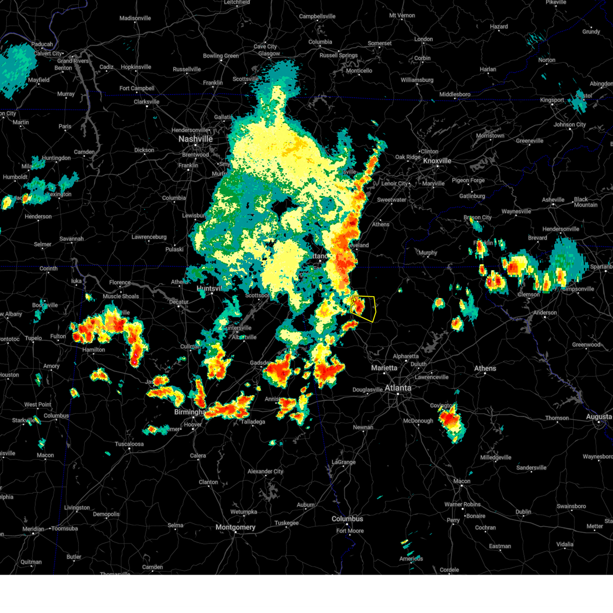 At 511 pm edt, a severe thunderstorm was located over audubon, or 9 miles northeast of calhoun, moving east at 10 mph (radar indicated). Hazards include 60 mph wind gusts and quarter size hail. Hail damage to vehicles is expected. Expect wind damage to roofs, siding, and trees. At 511 pm edt, a severe thunderstorm was located over audubon, or 9 miles northeast of calhoun, moving east at 10 mph (radar indicated). Hazards include 60 mph wind gusts and quarter size hail. Hail damage to vehicles is expected. Expect wind damage to roofs, siding, and trees.
|
| 6/25/2023 5:28 PM EDT |
 At 527 pm edt, severe thunderstorms were located along a line extending from sugar valley to near marblehill, moving south at 15 mph (radar indicated). Hazards include 60 mph wind gusts and penny size hail. Expect damage to roofs, siding, and trees. locations impacted include, calhoun, jasper, adairsville, ball ground, nelson, waleska, east ellijay, resaca, plainville, talking rock, fairmount, ranger, sequoyah lake, redbud, folsom, talmadge, oakman, tate, funkhouser and hinton. hail threat, radar indicated max hail size, 0. 75 in wind threat, radar indicated max wind gust, 60 mph. At 527 pm edt, severe thunderstorms were located along a line extending from sugar valley to near marblehill, moving south at 15 mph (radar indicated). Hazards include 60 mph wind gusts and penny size hail. Expect damage to roofs, siding, and trees. locations impacted include, calhoun, jasper, adairsville, ball ground, nelson, waleska, east ellijay, resaca, plainville, talking rock, fairmount, ranger, sequoyah lake, redbud, folsom, talmadge, oakman, tate, funkhouser and hinton. hail threat, radar indicated max hail size, 0. 75 in wind threat, radar indicated max wind gust, 60 mph.
|
| 6/25/2023 4:57 PM EDT |
 At 457 pm edt, severe thunderstorms were located along a line extending from near villanow to near lake tamarack, moving south at 15 mph (radar indicated). Hazards include 60 mph wind gusts and penny size hail. expect damage to roofs, siding, and trees At 457 pm edt, severe thunderstorms were located along a line extending from near villanow to near lake tamarack, moving south at 15 mph (radar indicated). Hazards include 60 mph wind gusts and penny size hail. expect damage to roofs, siding, and trees
|
| 6/25/2023 4:48 PM EDT |
 At 447 pm edt, severe thunderstorms were located along a line extending from near fausett lake to ranger to near villanow, moving south at 30 mph (radar indicated). Hazards include 60 mph wind gusts and penny size hail. Expect damage to roofs, siding, and trees. locations impacted include, dalton, calhoun, chatsworth, jasper, ringgold, ellijay, fort oglethorpe, varnell, eton, tunnel hill, cohutta, east ellijay, resaca, talking rock, fairmount, ranger, amicalola falls state park, crandall, fausett lake and beaverdale. hail threat, radar indicated max hail size, 0. 75 in wind threat, radar indicated max wind gust, 60 mph. At 447 pm edt, severe thunderstorms were located along a line extending from near fausett lake to ranger to near villanow, moving south at 30 mph (radar indicated). Hazards include 60 mph wind gusts and penny size hail. Expect damage to roofs, siding, and trees. locations impacted include, dalton, calhoun, chatsworth, jasper, ringgold, ellijay, fort oglethorpe, varnell, eton, tunnel hill, cohutta, east ellijay, resaca, talking rock, fairmount, ranger, amicalola falls state park, crandall, fausett lake and beaverdale. hail threat, radar indicated max hail size, 0. 75 in wind threat, radar indicated max wind gust, 60 mph.
|
| 6/25/2023 4:27 PM EDT |
 At 426 pm edt, severe thunderstorms were located along a line extending from near stover creek shelter to carters to near tunnel hill, moving south at 30 mph (radar indicated). Hazards include 60 mph wind gusts and penny size hail. Expect damage to roofs, siding, and trees. locations impacted include, dalton, calhoun, chatsworth, jasper, ringgold, ellijay, fort oglethorpe, varnell, eton, tunnel hill, cohutta, east ellijay, resaca, talking rock, fairmount, ranger, amicalola falls state park, crandall, fausett lake and beaverdale. hail threat, radar indicated max hail size, 0. 75 in wind threat, radar indicated max wind gust, 60 mph. At 426 pm edt, severe thunderstorms were located along a line extending from near stover creek shelter to carters to near tunnel hill, moving south at 30 mph (radar indicated). Hazards include 60 mph wind gusts and penny size hail. Expect damage to roofs, siding, and trees. locations impacted include, dalton, calhoun, chatsworth, jasper, ringgold, ellijay, fort oglethorpe, varnell, eton, tunnel hill, cohutta, east ellijay, resaca, talking rock, fairmount, ranger, amicalola falls state park, crandall, fausett lake and beaverdale. hail threat, radar indicated max hail size, 0. 75 in wind threat, radar indicated max wind gust, 60 mph.
|
| 6/25/2023 4:12 PM EDT |
 At 412 pm edt, severe thunderstorms were located along a line extending from near cherry log to near chatsworth to ringgold, moving south at 30 mph (radar indicated). Hazards include 60 mph wind gusts. expect damage to roofs, siding, and trees At 412 pm edt, severe thunderstorms were located along a line extending from near cherry log to near chatsworth to ringgold, moving south at 30 mph (radar indicated). Hazards include 60 mph wind gusts. expect damage to roofs, siding, and trees
|
| 3/3/2023 3:15 PM EST | Ham reported a downed tree 5 miles north of adairsville. wind gusts were measured from non-nws station at 60 to 70mp in gordon county GA, 3.9 miles N of Calhoun, GA |
| 3/3/2023 3:08 PM EST |
 At 308 pm est, severe thunderstorms were located along a line extending from near bullet creek to near turtletown to near big frog mountain to near eton, moving northeast at 80 mph (radar indicated). Hazards include 70 mph wind gusts. Expect considerable tree damage. damage is likely to mobile homes, roofs, and outbuildings. Locations impacted include, calhoun, chatsworth, ellijay, eton, east ellijay, resaca, crandall, sumac, jones mill, higdon, redbud, gregory, cohutta wilderness, epworth, conasauga lake, oakman, fort mountain state park, carters, talona and tails creek. At 308 pm est, severe thunderstorms were located along a line extending from near bullet creek to near turtletown to near big frog mountain to near eton, moving northeast at 80 mph (radar indicated). Hazards include 70 mph wind gusts. Expect considerable tree damage. damage is likely to mobile homes, roofs, and outbuildings. Locations impacted include, calhoun, chatsworth, ellijay, eton, east ellijay, resaca, crandall, sumac, jones mill, higdon, redbud, gregory, cohutta wilderness, epworth, conasauga lake, oakman, fort mountain state park, carters, talona and tails creek.
|
| 3/3/2023 2:59 PM EST |
 At 259 pm est, a severe squall line capable of producing both tornadoes and extensive straight line wind damage was located near plainville, or near calhoun, moving northeast at 65 mph (radar indicated rotation). Hazards include tornado and quarter size hail. Flying debris will be dangerous to those caught without shelter. mobile homes will be damaged or destroyed. damage to roofs, windows, and vehicles will occur. tree damage is likely. Locations impacted include, calhoun, adairsville, plainville, fairmount, ranger, sonoraville, oakman, redbud and audubon. At 259 pm est, a severe squall line capable of producing both tornadoes and extensive straight line wind damage was located near plainville, or near calhoun, moving northeast at 65 mph (radar indicated rotation). Hazards include tornado and quarter size hail. Flying debris will be dangerous to those caught without shelter. mobile homes will be damaged or destroyed. damage to roofs, windows, and vehicles will occur. tree damage is likely. Locations impacted include, calhoun, adairsville, plainville, fairmount, ranger, sonoraville, oakman, redbud and audubon.
|
| 3/3/2023 2:54 PM EST |
 At 254 pm est, severe thunderstorms were located along a line extending from benton to near conasauga to sumac to mill creek, moving east at 50 mph (radar indicated). Hazards include 70 mph wind gusts. Expect considerable tree damage. damage is likely to mobile homes, roofs, and outbuildings. Locations impacted include, dalton, calhoun, chatsworth, ellijay, varnell, eton, cohutta, east ellijay, resaca, crandall, sumac, jones mill, higdon, redbud, gregory, cohutta wilderness, epworth, conasauga lake, beaverdale and oakman. At 254 pm est, severe thunderstorms were located along a line extending from benton to near conasauga to sumac to mill creek, moving east at 50 mph (radar indicated). Hazards include 70 mph wind gusts. Expect considerable tree damage. damage is likely to mobile homes, roofs, and outbuildings. Locations impacted include, dalton, calhoun, chatsworth, ellijay, varnell, eton, cohutta, east ellijay, resaca, crandall, sumac, jones mill, higdon, redbud, gregory, cohutta wilderness, epworth, conasauga lake, beaverdale and oakman.
|
| 3/3/2023 2:51 PM EST |
 At 250 pm est, severe thunderstorms capable of producing both tornadoes and extensive straight line wind damage were located over shannon, or near rome, moving northeast at 65 mph (radar indicated rotation). Hazards include tornado. Flying debris will be dangerous to those caught without shelter. mobile homes will be damaged or destroyed. damage to roofs, windows, and vehicles will occur. Tree damage is likely. At 250 pm est, severe thunderstorms capable of producing both tornadoes and extensive straight line wind damage were located over shannon, or near rome, moving northeast at 65 mph (radar indicated rotation). Hazards include tornado. Flying debris will be dangerous to those caught without shelter. mobile homes will be damaged or destroyed. damage to roofs, windows, and vehicles will occur. Tree damage is likely.
|
| 3/3/2023 2:44 PM EST |
 At 244 pm est, severe thunderstorms were located along a line extending from near armuchee to near cave spring to near forney, moving east at 50 mph (radar indicated). Hazards include 60 mph wind gusts and quarter size hail. Hail damage to vehicles is expected. Expect wind damage to roofs, siding, and trees. At 244 pm est, severe thunderstorms were located along a line extending from near armuchee to near cave spring to near forney, moving east at 50 mph (radar indicated). Hazards include 60 mph wind gusts and quarter size hail. Hail damage to vehicles is expected. Expect wind damage to roofs, siding, and trees.
|
| 3/3/2023 2:27 PM EST |
 At 227 pm est, severe thunderstorms were located along a line extending from ooltewah to ringgold to near noble to near center post, moving northeast at 80 mph (radar indicated). Hazards include 70 mph wind gusts. Expect considerable tree damage. Damage is likely to mobile homes, roofs, and outbuildings. At 227 pm est, severe thunderstorms were located along a line extending from ooltewah to ringgold to near noble to near center post, moving northeast at 80 mph (radar indicated). Hazards include 70 mph wind gusts. Expect considerable tree damage. Damage is likely to mobile homes, roofs, and outbuildings.
|
| 8/19/2022 4:19 PM EDT |
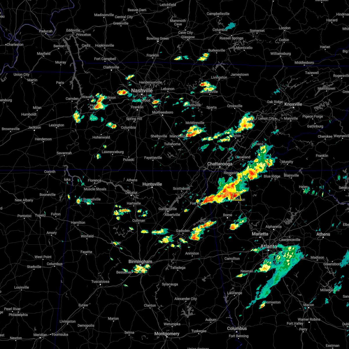 At 419 pm edt, a severe thunderstorm was located over sugar valley, or 7 miles northwest of calhoun, moving east at 15 mph (radar indicated). Hazards include 60 mph wind gusts. Expect damage to roofs, siding, and trees. locations impacted include, calhoun, resaca and sugar valley. hail threat, radar indicated max hail size, <. 75 in wind threat, radar indicated max wind gust, 60 mph. At 419 pm edt, a severe thunderstorm was located over sugar valley, or 7 miles northwest of calhoun, moving east at 15 mph (radar indicated). Hazards include 60 mph wind gusts. Expect damage to roofs, siding, and trees. locations impacted include, calhoun, resaca and sugar valley. hail threat, radar indicated max hail size, <. 75 in wind threat, radar indicated max wind gust, 60 mph.
|
| 8/19/2022 4:11 PM EDT |
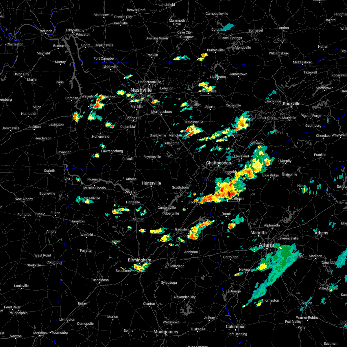 At 410 pm edt, a severe thunderstorm was located over lake marvin, or 9 miles northwest of calhoun, moving east at 10 mph (radar indicated). Hazards include 60 mph wind gusts. Expect damage to roofs, siding, and trees. locations impacted include, calhoun, resaca, sugar valley, everett springs and lake marvin. hail threat, radar indicated max hail size, <. 75 in wind threat, radar indicated max wind gust, 60 mph. At 410 pm edt, a severe thunderstorm was located over lake marvin, or 9 miles northwest of calhoun, moving east at 10 mph (radar indicated). Hazards include 60 mph wind gusts. Expect damage to roofs, siding, and trees. locations impacted include, calhoun, resaca, sugar valley, everett springs and lake marvin. hail threat, radar indicated max hail size, <. 75 in wind threat, radar indicated max wind gust, 60 mph.
|
| 8/19/2022 3:50 PM EDT |
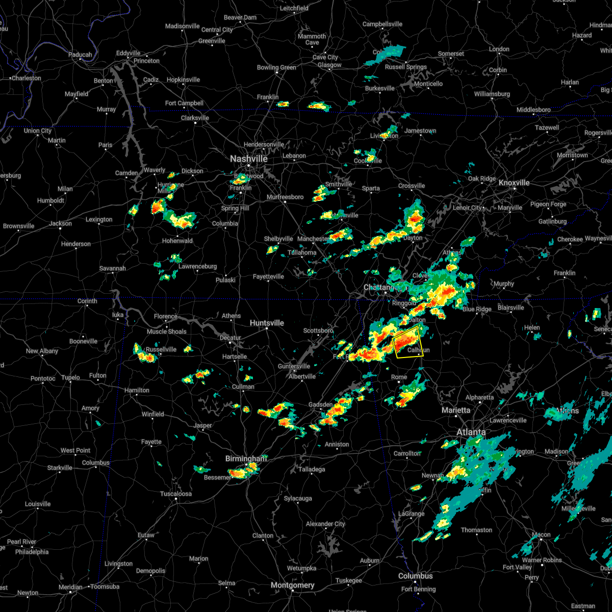 At 350 pm edt, a severe thunderstorm was located over lake marvin, or 12 miles northwest of calhoun, moving east at 15 mph (radar indicated). Hazards include 60 mph wind gusts. expect damage to roofs, siding, and trees At 350 pm edt, a severe thunderstorm was located over lake marvin, or 12 miles northwest of calhoun, moving east at 15 mph (radar indicated). Hazards include 60 mph wind gusts. expect damage to roofs, siding, and trees
|
| 2/17/2022 8:37 PM EST |
 At 836 pm est, severe thunderstorms were located along a line extending from calhoun to shannon to near lindale, moving east at 55 mph (radar indicated). Hazards include 60 mph wind gusts. expect damage to roofs, siding, and trees At 836 pm est, severe thunderstorms were located along a line extending from calhoun to shannon to near lindale, moving east at 55 mph (radar indicated). Hazards include 60 mph wind gusts. expect damage to roofs, siding, and trees
|
| 12/29/2021 10:37 PM EST |
 At 1037 pm est, severe thunderstorms were located along a line extending from near audubon to oostanaula to near plainville, moving east at 45 mph (radar indicated). Hazards include 60 mph wind gusts. expect damage to roofs, siding, and trees At 1037 pm est, severe thunderstorms were located along a line extending from near audubon to oostanaula to near plainville, moving east at 45 mph (radar indicated). Hazards include 60 mph wind gusts. expect damage to roofs, siding, and trees
|
| 12/29/2021 10:05 PM EST |
 At 1005 pm est, severe thunderstorms were located along a line extending from near naomi to near subligna to near summerville to holland, moving east at 55 mph (radar indicated). Hazards include 60 mph wind gusts. expect damage to roofs, siding, and trees At 1005 pm est, severe thunderstorms were located along a line extending from near naomi to near subligna to near summerville to holland, moving east at 55 mph (radar indicated). Hazards include 60 mph wind gusts. expect damage to roofs, siding, and trees
|
| 10/21/2021 9:00 PM EDT | Tree down across road near intersection of pine chapel rd and red bud rd n in gordon county GA, 4.4 miles WSW of Calhoun, GA |
| 8/9/2021 5:23 PM EDT |
 At 523 pm edt, a severe thunderstorm was located over calhoun, moving northeast at 10 mph (radar indicated). Hazards include 60 mph wind gusts and quarter size hail. Hail damage to vehicles is expected. Expect wind damage to roofs, siding, and trees. At 523 pm edt, a severe thunderstorm was located over calhoun, moving northeast at 10 mph (radar indicated). Hazards include 60 mph wind gusts and quarter size hail. Hail damage to vehicles is expected. Expect wind damage to roofs, siding, and trees.
|
| 5/4/2021 12:35 PM EDT |
 At 1235 pm edt, a severe thunderstorm was located over sonoraville, or 8 miles east of calhoun, moving east at 45 mph (radar indicated). Hazards include 60 mph wind gusts. expect damage to roofs, siding, and trees At 1235 pm edt, a severe thunderstorm was located over sonoraville, or 8 miles east of calhoun, moving east at 45 mph (radar indicated). Hazards include 60 mph wind gusts. expect damage to roofs, siding, and trees
|
| 3/28/2021 9:05 AM EDT |
 At 904 am edt, a severe thunderstorm was located near shannon, or near rome, moving east at 45 mph (radar indicated). Hazards include 60 mph wind gusts. expect damage to roofs, siding, and trees At 904 am edt, a severe thunderstorm was located near shannon, or near rome, moving east at 45 mph (radar indicated). Hazards include 60 mph wind gusts. expect damage to roofs, siding, and trees
|
| 3/18/2021 12:12 AM EDT |
 At 1212 am edt, severe thunderstorms were located along a line extending from fullerton to near abernathy, moving east at 55 mph (radar indicated). Hazards include 60 mph wind gusts and penny size hail. expect damage to roofs, siding, and trees At 1212 am edt, severe thunderstorms were located along a line extending from fullerton to near abernathy, moving east at 55 mph (radar indicated). Hazards include 60 mph wind gusts and penny size hail. expect damage to roofs, siding, and trees
|
| 10/10/2020 7:41 PM EDT |
 At 741 pm edt, a severe thunderstorm was located over plainville, or 9 miles southwest of calhoun, moving north at 45 mph (radar indicated). Hazards include 60 mph wind gusts. Expect damage to roofs, siding, and trees. Locations impacted include, rome, calhoun, adairsville, plainville, shannon, pinson, oostanaula, tidings, armuchee and everett springs. At 741 pm edt, a severe thunderstorm was located over plainville, or 9 miles southwest of calhoun, moving north at 45 mph (radar indicated). Hazards include 60 mph wind gusts. Expect damage to roofs, siding, and trees. Locations impacted include, rome, calhoun, adairsville, plainville, shannon, pinson, oostanaula, tidings, armuchee and everett springs.
|
| 10/10/2020 7:26 PM EDT |
 At 726 pm edt, a severe thunderstorm was located near rome, moving north at 35 mph (radar indicated). Hazards include 60 mph wind gusts. expect damage to roofs, siding, and trees At 726 pm edt, a severe thunderstorm was located near rome, moving north at 35 mph (radar indicated). Hazards include 60 mph wind gusts. expect damage to roofs, siding, and trees
|
| 8/3/2020 1:55 PM EDT |
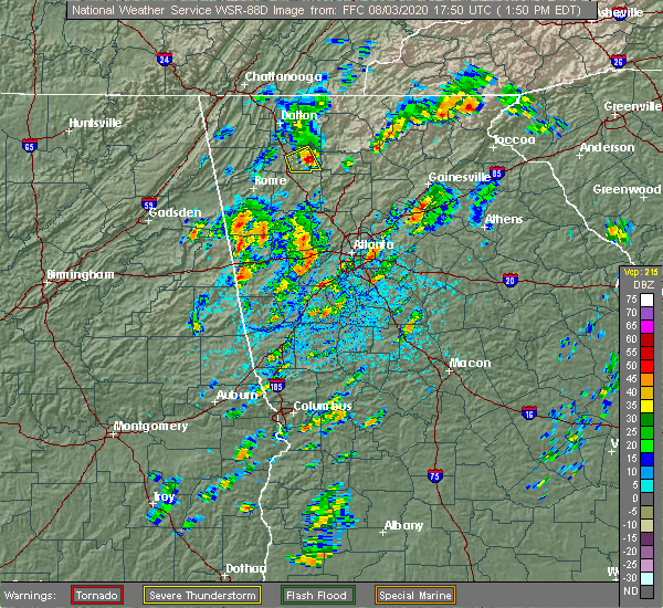 The severe thunderstorm warning for eastern gordon county will expire at 200 pm edt, the storm which prompted the warning has moved out of the area. therefore, the warning will be allowed to expire. however small hail, gusty winds and heavy rain are still possible with this thunderstorm. The severe thunderstorm warning for eastern gordon county will expire at 200 pm edt, the storm which prompted the warning has moved out of the area. therefore, the warning will be allowed to expire. however small hail, gusty winds and heavy rain are still possible with this thunderstorm.
|
| 8/3/2020 1:40 PM EDT | Tennis Ball sized hail reported 7.8 miles WNW of Calhoun, GA, tennis ball-sized hail reported on fairmount highway near cash road. |
| 8/3/2020 1:39 PM EDT |
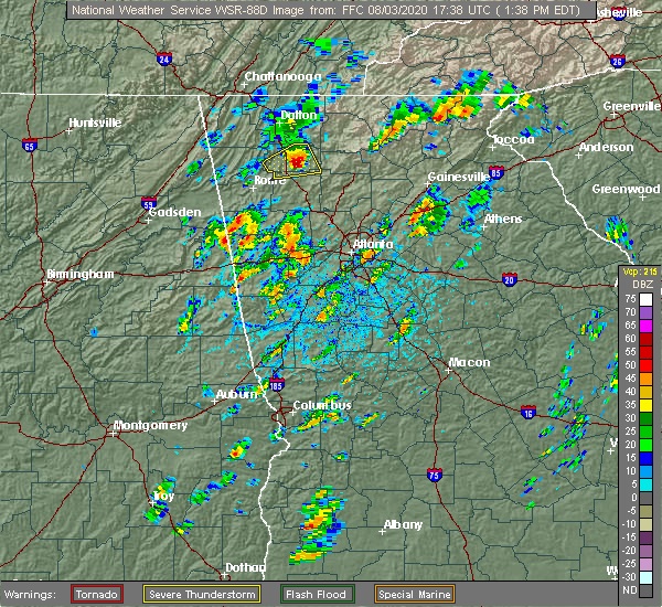 At 137 pm edt, a severe thunderstorm was located over sonoraville, or 8 miles east of calhoun, moving east at 30 mph (radar indicated. at 120 pm downed trees and wind damage was reported near adairsville). Hazards include 60 mph wind gusts and quarter size hail. Hail damage to vehicles is expected. expect wind damage to roofs, siding, and trees. Locations impacted include, calhoun, fairmount, ranger, sonoraville, redbud and audubon. At 137 pm edt, a severe thunderstorm was located over sonoraville, or 8 miles east of calhoun, moving east at 30 mph (radar indicated. at 120 pm downed trees and wind damage was reported near adairsville). Hazards include 60 mph wind gusts and quarter size hail. Hail damage to vehicles is expected. expect wind damage to roofs, siding, and trees. Locations impacted include, calhoun, fairmount, ranger, sonoraville, redbud and audubon.
|
| 8/3/2020 1:38 PM EDT | Tennis Ball sized hail reported 7.2 miles WNW of Calhoun, GA, tennis ball-sized hail reported at sonora drive se... leaving dents in cars. |
| 8/3/2020 1:30 PM EDT | Multiple trees down along charmin circle roa in gordon county GA, 3.5 miles NNW of Calhoun, GA |
| 8/3/2020 1:20 PM EDT |
 At 120 pm edt, a severe thunderstorm was located near plainville, or near calhoun, moving east at 25 mph (radar indicated). Hazards include 60 mph wind gusts and quarter size hail. Hail damage to vehicles is expected. Expect wind damage to roofs, siding, and trees. At 120 pm edt, a severe thunderstorm was located near plainville, or near calhoun, moving east at 25 mph (radar indicated). Hazards include 60 mph wind gusts and quarter size hail. Hail damage to vehicles is expected. Expect wind damage to roofs, siding, and trees.
|
| 8/3/2020 12:20 PM EDT |
 At 1220 pm edt, a severe thunderstorm was located near tidings, or 8 miles southeast of summerville, moving northeast at 25 mph (radar indicated). Hazards include 60 mph wind gusts and quarter size hail. Hail damage to vehicles is expected. Expect wind damage to roofs, siding, and trees. At 1220 pm edt, a severe thunderstorm was located near tidings, or 8 miles southeast of summerville, moving northeast at 25 mph (radar indicated). Hazards include 60 mph wind gusts and quarter size hail. Hail damage to vehicles is expected. Expect wind damage to roofs, siding, and trees.
|
| 7/25/2020 6:54 PM EDT |
 At 654 pm edt, a severe thunderstorm was located near kingston, or 9 miles east of rome, moving southwest at 10 mph (radar indicated). Hazards include 60 mph wind gusts and quarter size hail. Hail damage to vehicles is expected. expect wind damage to roofs, siding, and trees. Locations impacted include, rome, cartersville, calhoun, summerville, adairsville, euharlee, trion, emerson, white, kingston, plainville, cassville, shannon, pinson, oostanaula, subligna, suttles mill, tidings, armuchee and folsom. At 654 pm edt, a severe thunderstorm was located near kingston, or 9 miles east of rome, moving southwest at 10 mph (radar indicated). Hazards include 60 mph wind gusts and quarter size hail. Hail damage to vehicles is expected. expect wind damage to roofs, siding, and trees. Locations impacted include, rome, cartersville, calhoun, summerville, adairsville, euharlee, trion, emerson, white, kingston, plainville, cassville, shannon, pinson, oostanaula, subligna, suttles mill, tidings, armuchee and folsom.
|
| 7/25/2020 6:09 PM EDT |
 At 609 pm edt, a severe thunderstorm was located near adairsville, or 12 miles east of rome, moving southwest at 10 mph (radar indicated). Hazards include 60 mph wind gusts and quarter size hail. Hail damage to vehicles is expected. Expect wind damage to roofs, siding, and trees. At 609 pm edt, a severe thunderstorm was located near adairsville, or 12 miles east of rome, moving southwest at 10 mph (radar indicated). Hazards include 60 mph wind gusts and quarter size hail. Hail damage to vehicles is expected. Expect wind damage to roofs, siding, and trees.
|
| 7/22/2020 4:00 PM EDT | Large tree dow in gordon county GA, 3.1 miles SSW of Calhoun, GA |
| 6/30/2020 3:00 PM EDT |
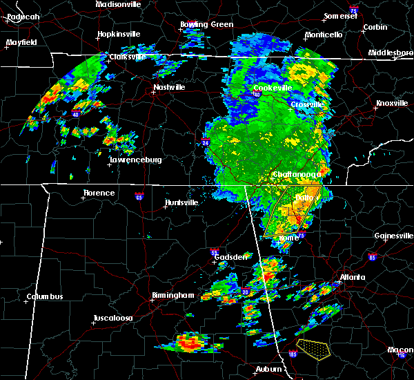 A severe thunderstorm warning remains in effect until 330 pm edt for central murray. northeastern floyd. eastern whitfield and western gordon counties. At 300 pm edt, severe thunderstorms were located along a line extending from near gap springs to dalton to near armuchee, moving east at 30 mph. A severe thunderstorm warning remains in effect until 330 pm edt for central murray. northeastern floyd. eastern whitfield and western gordon counties. At 300 pm edt, severe thunderstorms were located along a line extending from near gap springs to dalton to near armuchee, moving east at 30 mph.
|
| 6/30/2020 2:38 PM EDT |
 At 238 pm edt, severe thunderstorms were located along a line extending from apison to near naomi to near holland, moving east at 30 mph (radar indicated). Hazards include 60 mph wind gusts and penny size hail. expect damage to roofs, siding, and trees At 238 pm edt, severe thunderstorms were located along a line extending from apison to near naomi to near holland, moving east at 30 mph (radar indicated). Hazards include 60 mph wind gusts and penny size hail. expect damage to roofs, siding, and trees
|
| 5/5/2020 12:51 AM EDT |
 The severe thunderstorm warning for western gilmer, murray, gordon, northwestern pickens, northwestern fannin and northern bartow counties will expire at 100 am edt, the storms which prompted the warning have weakened below severe limits, and have exited the warned area. therefore, the warning will be allowed to expire. a severe thunderstorm watch remains in effect until 300 am edt for north central georgia. to report severe weather, contact your nearest law enforcement agency. they will relay your report to the national weather service peachtree city. The severe thunderstorm warning for western gilmer, murray, gordon, northwestern pickens, northwestern fannin and northern bartow counties will expire at 100 am edt, the storms which prompted the warning have weakened below severe limits, and have exited the warned area. therefore, the warning will be allowed to expire. a severe thunderstorm watch remains in effect until 300 am edt for north central georgia. to report severe weather, contact your nearest law enforcement agency. they will relay your report to the national weather service peachtree city.
|
| 5/5/2020 12:37 AM EDT |
 At 1237 am edt, severe thunderstorms were located along a line extending from near conasauga lake to ranger to near kingston, moving east at 50 mph (law enforcement). Hazards include 60 mph wind gusts and quarter size hail. Hail damage to vehicles is expected. expect wind damage to roofs, siding, and trees. Locations impacted include, calhoun, chatsworth, ellijay, adairsville, eton, east ellijay, talking rock, cassville, fairmount, ranger, crandall, sumac, jones mill, redbud, gregory, folsom, cohutta wilderness, conasauga lake, oakman and fort mountain state park. At 1237 am edt, severe thunderstorms were located along a line extending from near conasauga lake to ranger to near kingston, moving east at 50 mph (law enforcement). Hazards include 60 mph wind gusts and quarter size hail. Hail damage to vehicles is expected. expect wind damage to roofs, siding, and trees. Locations impacted include, calhoun, chatsworth, ellijay, adairsville, eton, east ellijay, talking rock, cassville, fairmount, ranger, crandall, sumac, jones mill, redbud, gregory, folsom, cohutta wilderness, conasauga lake, oakman and fort mountain state park.
|
| 5/5/2020 12:09 AM EDT |
 At 1208 am edt, severe thunderstorms were located along a line extending from near beaverdale to near sugar valley to armuchee, moving east at 65 mph (radar indicated). Hazards include 60 mph wind gusts. expect damage to roofs, siding, and trees At 1208 am edt, severe thunderstorms were located along a line extending from near beaverdale to near sugar valley to armuchee, moving east at 65 mph (radar indicated). Hazards include 60 mph wind gusts. expect damage to roofs, siding, and trees
|
| 4/13/2020 1:05 AM EDT |
 At 105 am edt, severe thunderstorms were located along a line extending from near white to van wert, moving east at 55 mph (radar indicated). Hazards include 60 mph wind gusts. Expect damage to roofs, siding, and trees. Locations impacted include, marietta, canton, cartersville, dallas, buchanan, kennesaw, woodstock, acworth, powder springs, holly springs, adairsville, rockmart, euharlee, hiram, emerson, ball ground, aragon, white, waleska and kingston. At 105 am edt, severe thunderstorms were located along a line extending from near white to van wert, moving east at 55 mph (radar indicated). Hazards include 60 mph wind gusts. Expect damage to roofs, siding, and trees. Locations impacted include, marietta, canton, cartersville, dallas, buchanan, kennesaw, woodstock, acworth, powder springs, holly springs, adairsville, rockmart, euharlee, hiram, emerson, ball ground, aragon, white, waleska and kingston.
|
| 4/13/2020 12:54 AM EDT |
 At 1254 am edt, severe thunderstorms were located along a line extending from near kingston to near antioch, moving east at 55 mph (radar indicated). Hazards include 60 mph wind gusts. expect damage to roofs, siding, and trees At 1254 am edt, severe thunderstorms were located along a line extending from near kingston to near antioch, moving east at 55 mph (radar indicated). Hazards include 60 mph wind gusts. expect damage to roofs, siding, and trees
|
| 4/13/2020 12:46 AM EDT |
 At 1246 am edt, severe thunderstorms were located along a line extending from nickelsville to near muscadine, moving east at 55 mph (radar indicated). Hazards include 70 mph wind gusts. Expect considerable tree damage. damage is likely to mobile homes, roofs, and outbuildings. Locations impacted include, rome, cartersville, calhoun, cedartown, buchanan, bremen, adairsville, rockmart, euharlee, tallapoosa, aragon, kingston, waco, braswell, plainville, taylorsville, shannon, cassville, yorkville and fairmount. At 1246 am edt, severe thunderstorms were located along a line extending from nickelsville to near muscadine, moving east at 55 mph (radar indicated). Hazards include 70 mph wind gusts. Expect considerable tree damage. damage is likely to mobile homes, roofs, and outbuildings. Locations impacted include, rome, cartersville, calhoun, cedartown, buchanan, bremen, adairsville, rockmart, euharlee, tallapoosa, aragon, kingston, waco, braswell, plainville, taylorsville, shannon, cassville, yorkville and fairmount.
|
| 4/13/2020 12:35 AM EDT |
 At 1235 am edt, severe thunderstorms were located along a line extending from sugar valley to near edwardsville, moving east at 55 mph (radar indicated). Hazards include 70 mph wind gusts. Expect considerable tree damage. damage is likely to mobile homes, roofs, and outbuildings. Locations impacted include, rome, cartersville, calhoun, cedartown, buchanan, bremen, adairsville, rockmart, euharlee, tallapoosa, aragon, cave spring, kingston, waco, braswell, plainville, taylorsville, shannon, cassville and yorkville. At 1235 am edt, severe thunderstorms were located along a line extending from sugar valley to near edwardsville, moving east at 55 mph (radar indicated). Hazards include 70 mph wind gusts. Expect considerable tree damage. damage is likely to mobile homes, roofs, and outbuildings. Locations impacted include, rome, cartersville, calhoun, cedartown, buchanan, bremen, adairsville, rockmart, euharlee, tallapoosa, aragon, cave spring, kingston, waco, braswell, plainville, taylorsville, shannon, cassville and yorkville.
|
| 4/13/2020 12:34 AM EDT |
 At 1233 am edt, severe thunderstorms were located along a line extending from near hot house to near sonoraville, moving east at 65 mph (radar indicated). Hazards include 60 mph wind gusts. Expect damage to roofs, siding, and trees. Locations impacted include, dalton, calhoun, chatsworth, ellijay, blue ridge, varnell, eton, east ellijay, resaca, morganton, fairmount, ranger, crandall, sumac, jones mill, higdon, redbud, gregory, loving and lake marvin. At 1233 am edt, severe thunderstorms were located along a line extending from near hot house to near sonoraville, moving east at 65 mph (radar indicated). Hazards include 60 mph wind gusts. Expect damage to roofs, siding, and trees. Locations impacted include, dalton, calhoun, chatsworth, ellijay, blue ridge, varnell, eton, east ellijay, resaca, morganton, fairmount, ranger, crandall, sumac, jones mill, higdon, redbud, gregory, loving and lake marvin.
|
| 4/13/2020 12:24 AM EDT |
 At 1223 am edt, severe thunderstorms were located along a line extending from near copperhill to oostanaula, moving east at 65 mph (radar indicated). Hazards include 60 mph wind gusts. Expect damage to roofs, siding, and trees. Locations impacted include, dalton, calhoun, chatsworth, ellijay, blue ridge, varnell, eton, tunnel hill, cohutta, east ellijay, resaca, morganton, fairmount, ranger, crandall, subligna, jones mill, cohutta wilderness, beaverdale and mineral bluff. At 1223 am edt, severe thunderstorms were located along a line extending from near copperhill to oostanaula, moving east at 65 mph (radar indicated). Hazards include 60 mph wind gusts. Expect damage to roofs, siding, and trees. Locations impacted include, dalton, calhoun, chatsworth, ellijay, blue ridge, varnell, eton, tunnel hill, cohutta, east ellijay, resaca, morganton, fairmount, ranger, crandall, subligna, jones mill, cohutta wilderness, beaverdale and mineral bluff.
|
| 4/13/2020 12:07 AM EDT |
 At 1207 am edt, severe thunderstorms were located along a line extending from tennga to near summerville, moving east at 65 mph (radar indicated). Hazards include 60 mph wind gusts. expect damage to roofs, siding, and trees At 1207 am edt, severe thunderstorms were located along a line extending from tennga to near summerville, moving east at 65 mph (radar indicated). Hazards include 60 mph wind gusts. expect damage to roofs, siding, and trees
|
| 4/13/2020 12:04 AM EDT |
 At 1203 am edt, severe thunderstorms were located along a line extending from near chesterfield to anniston army depot, moving east at 55 mph (radar indicated). Hazards include 60 mph wind gusts. expect damage to roofs, siding, and trees At 1203 am edt, severe thunderstorms were located along a line extending from near chesterfield to anniston army depot, moving east at 55 mph (radar indicated). Hazards include 60 mph wind gusts. expect damage to roofs, siding, and trees
|
| 4/12/2020 11:26 PM EDT |
 At 1126 pm edt, severe thunderstorms were located along a line extending from indian springs to linwood to chesterfield, moving east at 50 mph (radar indicated). Hazards include 60 mph wind gusts. expect damage to roofs, siding, and trees At 1126 pm edt, severe thunderstorms were located along a line extending from indian springs to linwood to chesterfield, moving east at 50 mph (radar indicated). Hazards include 60 mph wind gusts. expect damage to roofs, siding, and trees
|
| 4/12/2020 10:25 PM EDT | Tree reported down on a structure just north of trio in gordon county GA, 4.8 miles SSW of Calhoun, GA |
| 2/6/2020 5:26 AM EST |
 At 525 am est, a severe thunderstorm was located over adairsville, or 3 miles south calhoun. severe thunderstorms were also located further north near resaca. storms were moving east at 40 mph (radar indicated). Hazards include 60 mph wind gusts. expect damage to roofs, siding, and trees At 525 am est, a severe thunderstorm was located over adairsville, or 3 miles south calhoun. severe thunderstorms were also located further north near resaca. storms were moving east at 40 mph (radar indicated). Hazards include 60 mph wind gusts. expect damage to roofs, siding, and trees
|
| 2/6/2020 5:17 AM EST |
 At 517 am est, a severe thunderstorm was located over plainville, or 8 miles southwest of calhoun, moving northeast at 65 mph (radar indicated). Hazards include 60 mph wind gusts. Expect damage to roofs, siding, and trees. Locations impacted include, calhoun, chatsworth, resaca, plainville, shannon, pinson, ramhurst, oostanaula, redbud, audubon, sugar valley, fort mountain state park, nickelsville and north georgia speedway. At 517 am est, a severe thunderstorm was located over plainville, or 8 miles southwest of calhoun, moving northeast at 65 mph (radar indicated). Hazards include 60 mph wind gusts. Expect damage to roofs, siding, and trees. Locations impacted include, calhoun, chatsworth, resaca, plainville, shannon, pinson, ramhurst, oostanaula, redbud, audubon, sugar valley, fort mountain state park, nickelsville and north georgia speedway.
|
| 2/6/2020 5:04 AM EST |
 At 503 am est, severe thunderstorms were located along a line extending from near armuchee to near coosa, moving northeast at 65 mph (radar indicated). Hazards include 60 mph wind gusts. Expect damage to roofs, siding, and trees. Locations impacted include, rome, calhoun, chatsworth, resaca, plainville, shannon, pinson, ramhurst, oostanaula, tidings, redbud, armuchee, lake marvin, audubon, coosa, sugar valley, fort mountain state park, everett springs, nickelsville and north georgia speedway. At 503 am est, severe thunderstorms were located along a line extending from near armuchee to near coosa, moving northeast at 65 mph (radar indicated). Hazards include 60 mph wind gusts. Expect damage to roofs, siding, and trees. Locations impacted include, rome, calhoun, chatsworth, resaca, plainville, shannon, pinson, ramhurst, oostanaula, tidings, redbud, armuchee, lake marvin, audubon, coosa, sugar valley, fort mountain state park, everett springs, nickelsville and north georgia speedway.
|
| 2/6/2020 4:49 AM EST |
 At 448 am est, severe thunderstorms were located along a line extending from near summerville to near waterhouse, moving northeast at 55 mph (radar indicated). Hazards include 60 mph wind gusts. expect damage to roofs, siding, and trees At 448 am est, severe thunderstorms were located along a line extending from near summerville to near waterhouse, moving northeast at 55 mph (radar indicated). Hazards include 60 mph wind gusts. expect damage to roofs, siding, and trees
|
| 1/11/2020 4:24 PM EST |
 The severe thunderstorm warning for catoosa, western murray, floyd, whitfield, southeastern walker, western gordon, northeastern chattooga and western bartow counties will expire at 430 pm est, the storms which prompted the warning have moved out of the area. therefore, the warning will be allowed to expire. however, a new warning has been issued just downstream a tornado watch remains in effect until 900 pm est for northwestern georgia. The severe thunderstorm warning for catoosa, western murray, floyd, whitfield, southeastern walker, western gordon, northeastern chattooga and western bartow counties will expire at 430 pm est, the storms which prompted the warning have moved out of the area. therefore, the warning will be allowed to expire. however, a new warning has been issued just downstream a tornado watch remains in effect until 900 pm est for northwestern georgia.
|
| 1/11/2020 4:19 PM EST |
 At 418 pm est, severe thunderstorms were located along a line extending from sumac to near calhoun to near buchanan, moving east at 40 mph (radar indicated). Hazards include 60 mph wind gusts. expect damage to roofs, siding, and trees At 418 pm est, severe thunderstorms were located along a line extending from sumac to near calhoun to near buchanan, moving east at 40 mph (radar indicated). Hazards include 60 mph wind gusts. expect damage to roofs, siding, and trees
|
| 1/11/2020 4:07 PM EST |
 At 406 pm est, severe thunderstorms were located along a line extending from collegedale to near oostanaula to near lindale, moving northeast at 45 mph (radar indicated). Hazards include 60 mph wind gusts. Expect damage to roofs, siding, and trees. Locations impacted include, rome, dalton, calhoun, chatsworth, ringgold, adairsville, varnell, cave spring, tunnel hill, cohutta, kingston, resaca, plainville, taylorsville, shannon, pinson, subligna, lake marvin, beaverdale and coosa. At 406 pm est, severe thunderstorms were located along a line extending from collegedale to near oostanaula to near lindale, moving northeast at 45 mph (radar indicated). Hazards include 60 mph wind gusts. Expect damage to roofs, siding, and trees. Locations impacted include, rome, dalton, calhoun, chatsworth, ringgold, adairsville, varnell, cave spring, tunnel hill, cohutta, kingston, resaca, plainville, taylorsville, shannon, pinson, subligna, lake marvin, beaverdale and coosa.
|
| 1/11/2020 3:42 PM EST |
 At 341 pm est, severe thunderstorms were located along a line extending from fairview to near tidings to near forney, moving northeast at 45 mph (radar indicated). Hazards include 60 mph wind gusts. expect damage to roofs, siding, and trees At 341 pm est, severe thunderstorms were located along a line extending from fairview to near tidings to near forney, moving northeast at 45 mph (radar indicated). Hazards include 60 mph wind gusts. expect damage to roofs, siding, and trees
|
| 9/27/2019 10:14 PM EDT |
 At 1014 pm edt, a severe thunderstorm was located near subligna, or near summerville, moving northeast at 25 mph (radar indicated). Hazards include 60 mph wind gusts and quarter size hail. Hail damage to vehicles is expected. expect wind damage to roofs, siding, and trees. locations impacted include, calhoun, lafayette, summerville, trion, naomi, center post, oostanaula, subligna, suttles mill, tidings, armuchee, lake marvin, linwood, sugar valley, everett springs and james h. Floyd state park. At 1014 pm edt, a severe thunderstorm was located near subligna, or near summerville, moving northeast at 25 mph (radar indicated). Hazards include 60 mph wind gusts and quarter size hail. Hail damage to vehicles is expected. expect wind damage to roofs, siding, and trees. locations impacted include, calhoun, lafayette, summerville, trion, naomi, center post, oostanaula, subligna, suttles mill, tidings, armuchee, lake marvin, linwood, sugar valley, everett springs and james h. Floyd state park.
|
| 9/27/2019 10:00 PM EDT |
 At 1000 pm edt, a severe thunderstorm was located over james h. floyd state park, or near summerville, moving northeast at 25 mph (radar indicated). Hazards include 60 mph wind gusts and quarter size hail. Hail damage to vehicles is expected. Expect wind damage to roofs, siding, and trees. At 1000 pm edt, a severe thunderstorm was located over james h. floyd state park, or near summerville, moving northeast at 25 mph (radar indicated). Hazards include 60 mph wind gusts and quarter size hail. Hail damage to vehicles is expected. Expect wind damage to roofs, siding, and trees.
|
| 8/23/2019 3:43 PM EDT |
 At 343 pm edt, a severe thunderstorm was located over oostanaula, or near calhoun, moving northeast at 10 mph (radar indicated). Hazards include 60 mph wind gusts and quarter size hail. Hail damage to vehicles is expected. expect wind damage to roofs, siding, and trees. Locations impacted include, calhoun, adairsville, plainville and oostanaula. At 343 pm edt, a severe thunderstorm was located over oostanaula, or near calhoun, moving northeast at 10 mph (radar indicated). Hazards include 60 mph wind gusts and quarter size hail. Hail damage to vehicles is expected. expect wind damage to roofs, siding, and trees. Locations impacted include, calhoun, adairsville, plainville and oostanaula.
|
| 8/23/2019 3:14 PM EDT |
 At 313 pm edt, a severe thunderstorm was located near everett springs, or 10 miles southwest of calhoun, moving northeast at 10 mph (radar indicated). Hazards include 60 mph wind gusts and quarter size hail. Hail damage to vehicles is expected. Expect wind damage to roofs, siding, and trees. At 313 pm edt, a severe thunderstorm was located near everett springs, or 10 miles southwest of calhoun, moving northeast at 10 mph (radar indicated). Hazards include 60 mph wind gusts and quarter size hail. Hail damage to vehicles is expected. Expect wind damage to roofs, siding, and trees.
|
| 8/19/2019 3:25 PM EDT | Public report of trees and powerlines down near intersection of miller rd and hunt rd nw... just off hwy 156... west of calhoun. report relayed to nws by ema. time esti in gordon county GA, 3.3 miles ESE of Calhoun, GA |
| 8/19/2019 3:19 PM EDT |
 A severe thunderstorm warning remains in effect until 345 pm edt for south central gordon county. at 319 pm edt, a severe thunderstorm was located near folsom, or 11 miles southeast of calhoun, moving south at 15 mph. hazard. 60 mph wind gusts and quarter size hail. source. Radar indicated. A severe thunderstorm warning remains in effect until 345 pm edt for south central gordon county. at 319 pm edt, a severe thunderstorm was located near folsom, or 11 miles southeast of calhoun, moving south at 15 mph. hazard. 60 mph wind gusts and quarter size hail. source. Radar indicated.
|
| 8/19/2019 3:14 PM EDT |
 At 314 pm edt, a severe thunderstorm was located over oostanaula, or near calhoun, and is nearly stationary (radar indicated). Hazards include 60 mph wind gusts and quarter size hail. Hail damage to vehicles is expected. Expect wind damage to roofs, siding, and trees. At 314 pm edt, a severe thunderstorm was located over oostanaula, or near calhoun, and is nearly stationary (radar indicated). Hazards include 60 mph wind gusts and quarter size hail. Hail damage to vehicles is expected. Expect wind damage to roofs, siding, and trees.
|
| 8/19/2019 3:02 PM EDT | Quarter sized hail reported 2.9 miles NNW of Calhoun, GA, gordon county ema reported slightly larger than quarter-sized hail at office in calhoun. |
| 8/19/2019 2:56 PM EDT |
 At 256 pm edt, a severe thunderstorm was located near sonoraville, or near calhoun, moving south at 15 mph (radar indicated). Hazards include 60 mph wind gusts and quarter size hail. Hail damage to vehicles is expected. Expect wind damage to roofs, siding, and trees. At 256 pm edt, a severe thunderstorm was located near sonoraville, or near calhoun, moving south at 15 mph (radar indicated). Hazards include 60 mph wind gusts and quarter size hail. Hail damage to vehicles is expected. Expect wind damage to roofs, siding, and trees.
|
| 8/1/2019 6:06 PM EDT |
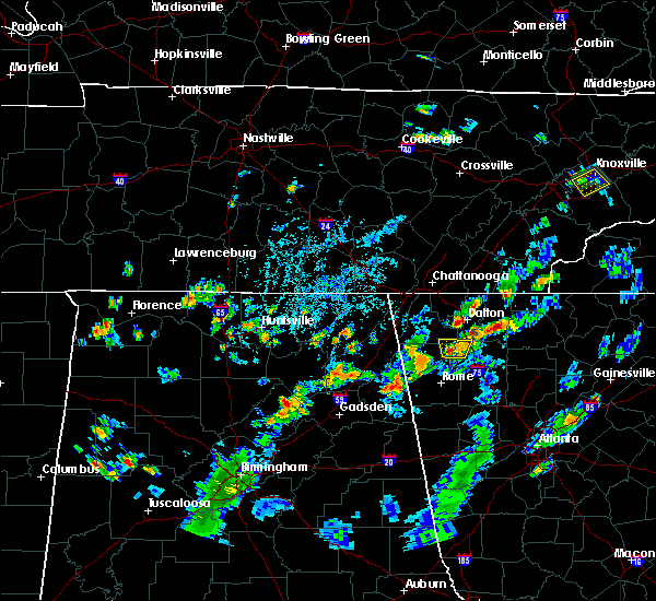 The severe thunderstorm warning for northeastern floyd, southeastern walker, northwestern gordon and northeastern chattooga counties will expire at 615 pm edt, the storm which prompted the warning has weakened below severe limits, and no longer poses an immediate threat to life or property. therefore, the warning will be allowed to expire. however heavy rain is still possible with this thunderstorm. to report severe weather, contact your nearest law enforcement agency. they will relay your report to the national weather service peachtree city. The severe thunderstorm warning for northeastern floyd, southeastern walker, northwestern gordon and northeastern chattooga counties will expire at 615 pm edt, the storm which prompted the warning has weakened below severe limits, and no longer poses an immediate threat to life or property. therefore, the warning will be allowed to expire. however heavy rain is still possible with this thunderstorm. to report severe weather, contact your nearest law enforcement agency. they will relay your report to the national weather service peachtree city.
|
| 8/1/2019 5:42 PM EDT |
 At 542 pm edt, a severe thunderstorm was located over lake marvin, or 7 miles northwest of calhoun, and is nearly stationary (radar indicated). Hazards include 60 mph wind gusts and quarter size hail. Hail damage to vehicles is expected. Expect wind damage to roofs, siding, and trees. At 542 pm edt, a severe thunderstorm was located over lake marvin, or 7 miles northwest of calhoun, and is nearly stationary (radar indicated). Hazards include 60 mph wind gusts and quarter size hail. Hail damage to vehicles is expected. Expect wind damage to roofs, siding, and trees.
|
| 7/11/2019 5:10 PM EDT |
 At 432 pm edt, severe thunderstorms were located along a line extending from near holland to near plainville, and are nearly stationary (radar indicated). Hazards include 60 mph wind gusts. expect damage to roofs, siding, and trees At 432 pm edt, severe thunderstorms were located along a line extending from near holland to near plainville, and are nearly stationary (radar indicated). Hazards include 60 mph wind gusts. expect damage to roofs, siding, and trees
|
| 7/11/2019 4:32 PM EDT |
 The national weather service in peachtree city has issued a * severe thunderstorm warning for. northeastern floyd county in northwestern georgia. southwestern gordon county in northwestern georgia. northeastern chattooga county in northwestern georgia. Until 515 pm edt. The national weather service in peachtree city has issued a * severe thunderstorm warning for. northeastern floyd county in northwestern georgia. southwestern gordon county in northwestern georgia. northeastern chattooga county in northwestern georgia. Until 515 pm edt.
|
| 6/23/2019 4:03 PM EDT |
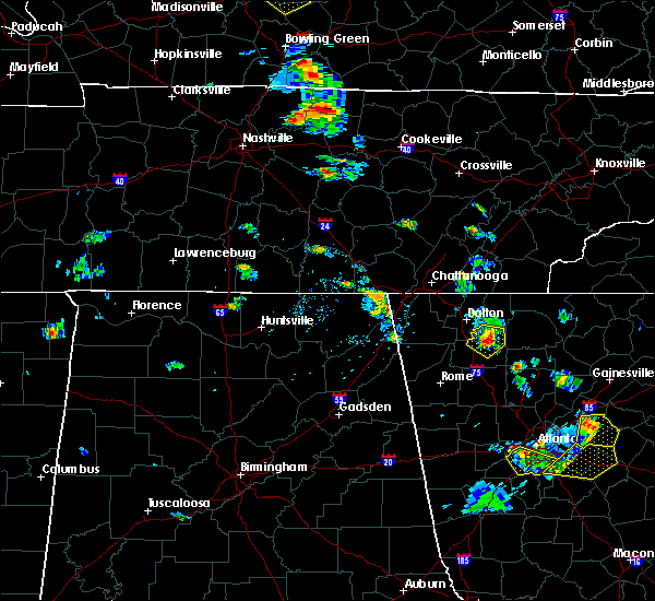 At 403 pm edt, a severe thunderstorm was located near nickelsville, or 9 miles southwest of chatsworth, moving southeast at 15 mph (radar indicated). Hazards include 60 mph wind gusts and quarter size hail. Hail damage to vehicles is expected. expect wind damage to roofs, siding, and trees. Locations impacted include, calhoun, resaca, carters, ramhurst, oakman, redbud, nickelsville, north georgia speedway and audubon. At 403 pm edt, a severe thunderstorm was located near nickelsville, or 9 miles southwest of chatsworth, moving southeast at 15 mph (radar indicated). Hazards include 60 mph wind gusts and quarter size hail. Hail damage to vehicles is expected. expect wind damage to roofs, siding, and trees. Locations impacted include, calhoun, resaca, carters, ramhurst, oakman, redbud, nickelsville, north georgia speedway and audubon.
|
| 6/23/2019 3:25 PM EDT |
 At 324 pm edt, a severe thunderstorm was located near mill creek, or near dalton, moving southeast at 15 mph (radar indicated). Hazards include 60 mph wind gusts and quarter size hail. Hail damage to vehicles is expected. Expect wind damage to roofs, siding, and trees. At 324 pm edt, a severe thunderstorm was located near mill creek, or near dalton, moving southeast at 15 mph (radar indicated). Hazards include 60 mph wind gusts and quarter size hail. Hail damage to vehicles is expected. Expect wind damage to roofs, siding, and trees.
|
| 6/22/2019 12:49 AM EDT |
 The national weather service in peachtree city has issued a * severe thunderstorm warning for. cherokee county in north central georgia. northwestern forsyth county in north central georgia. lumpkin county in north central georgia. Dawson county in north central georgia. The national weather service in peachtree city has issued a * severe thunderstorm warning for. cherokee county in north central georgia. northwestern forsyth county in north central georgia. lumpkin county in north central georgia. Dawson county in north central georgia.
|
| 6/22/2019 12:19 AM EDT |
 At 1218 am edt, severe thunderstorms were located along a line extending from near sugar valley to waterhouse, and are nearly stationary (radar indicated). Hazards include 60 mph wind gusts. Expect damage to roofs, siding, and trees. Locations impacted include, rome, dalton, calhoun, lafayette, summerville, chatsworth, ringgold, trion, varnell, cave spring, eton, tunnel hill, cohutta, resaca, plainville, shannon, lyerly, menlo, center post and crandall. At 1218 am edt, severe thunderstorms were located along a line extending from near sugar valley to waterhouse, and are nearly stationary (radar indicated). Hazards include 60 mph wind gusts. Expect damage to roofs, siding, and trees. Locations impacted include, rome, dalton, calhoun, lafayette, summerville, chatsworth, ringgold, trion, varnell, cave spring, eton, tunnel hill, cohutta, resaca, plainville, shannon, lyerly, menlo, center post and crandall.
|
| 6/21/2019 11:57 PM EDT |
 At 1157 pm edt, severe thunderstorms were located along a line extending from mill creek to chesterfield, moving south at 60 mph (radar indicated). Hazards include 60 mph wind gusts. expect damage to roofs, siding, and trees At 1157 pm edt, severe thunderstorms were located along a line extending from mill creek to chesterfield, moving south at 60 mph (radar indicated). Hazards include 60 mph wind gusts. expect damage to roofs, siding, and trees
|
| 5/9/2019 3:54 PM EDT |
 At 328 pm edt, severe thunderstorms were located along a line extending from near cloudland to near holland to near cave spring, moving northeast at 40 mph (radar indicated). Hazards include 60 mph wind gusts. expect damage to roofs, siding, and trees At 328 pm edt, severe thunderstorms were located along a line extending from near cloudland to near holland to near cave spring, moving northeast at 40 mph (radar indicated). Hazards include 60 mph wind gusts. expect damage to roofs, siding, and trees
|
| 5/9/2019 3:28 PM EDT |
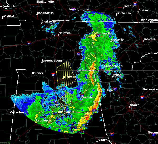 The national weather service in peachtree city has issued a * severe thunderstorm warning for. floyd county in northwestern georgia. south central whitfield county in northwestern georgia. southeastern walker county in northwestern georgia. Western gordon county in northwestern georgia. The national weather service in peachtree city has issued a * severe thunderstorm warning for. floyd county in northwestern georgia. south central whitfield county in northwestern georgia. southeastern walker county in northwestern georgia. Western gordon county in northwestern georgia.
|
| 3/15/2019 2:42 AM EDT |
 At 242 am edt, a severe thunderstorm was located over plainville, or 7 miles south of calhoun, moving northeast at 65 mph (radar indicated). Hazards include 60 mph wind gusts and half dollar size hail. Hail damage to vehicles is expected. Expect wind damage to roofs, siding, and trees. At 242 am edt, a severe thunderstorm was located over plainville, or 7 miles south of calhoun, moving northeast at 65 mph (radar indicated). Hazards include 60 mph wind gusts and half dollar size hail. Hail damage to vehicles is expected. Expect wind damage to roofs, siding, and trees.
|
| 11/6/2018 5:21 AM EST |
 At 521 am est, severe thunderstorms were located along a line extending from cohutta wilderness to chatsworth to everett springs, moving east at 25 mph (radar indicated). Hazards include 60 mph wind gusts. expect damage to roofs, siding, and trees At 521 am est, severe thunderstorms were located along a line extending from cohutta wilderness to chatsworth to everett springs, moving east at 25 mph (radar indicated). Hazards include 60 mph wind gusts. expect damage to roofs, siding, and trees
|
| 7/21/2018 5:29 AM EDT |
 A severe thunderstorm warning remains in effect until 600 am edt for northwestern cherokee. southwestern gilmer. southeastern gordon. pickens and northeastern bartow counties. At 527 am edt, severe thunderstorms were located along a line extending from cartecay to salacoa valley to near sonoraville, moving southeast at 40 mph. A severe thunderstorm warning remains in effect until 600 am edt for northwestern cherokee. southwestern gilmer. southeastern gordon. pickens and northeastern bartow counties. At 527 am edt, severe thunderstorms were located along a line extending from cartecay to salacoa valley to near sonoraville, moving southeast at 40 mph.
|
| 7/21/2018 5:09 AM EDT |
 At 509 am edt, severe thunderstorms were located along a line extending from near ellijay to oakman to resaca, moving southeast at 35 mph (radar indicated). Hazards include ping pong ball size hail and 60 mph wind gusts. People and animals outdoors will be injured. expect hail damage to roofs, siding, windows, and vehicles. Expect wind damage to roofs, siding, and trees. At 509 am edt, severe thunderstorms were located along a line extending from near ellijay to oakman to resaca, moving southeast at 35 mph (radar indicated). Hazards include ping pong ball size hail and 60 mph wind gusts. People and animals outdoors will be injured. expect hail damage to roofs, siding, windows, and vehicles. Expect wind damage to roofs, siding, and trees.
|
| 7/4/2018 2:01 AM EDT |
 At 201 am edt, a severe thunderstorm was located over everett springs, or 9 miles west of calhoun, moving west at 25 mph (radar indicated). Hazards include 60 mph wind gusts and quarter size hail. Hail damage to vehicles is expected. Expect wind damage to roofs, siding, and trees. At 201 am edt, a severe thunderstorm was located over everett springs, or 9 miles west of calhoun, moving west at 25 mph (radar indicated). Hazards include 60 mph wind gusts and quarter size hail. Hail damage to vehicles is expected. Expect wind damage to roofs, siding, and trees.
|
| 6/28/2018 12:37 PM EDT |
 At 1237 pm edt, severe thunderstorms were located along a line extending from near higdon to near suttles mill, moving south at 20 mph (radar indicated). Hazards include 60 mph wind gusts. Expect damage to roofs, siding, and trees. locations impacted include, calhoun, lafayette, summerville, trenton, trion, plainville, center post, subligna, lake marvin, linwood, villanow, cloudland canyon state park, cooper heights, james h. Floyd state park, naomi, rising fawn, oostanaula, noble, suttles mill and tidings. At 1237 pm edt, severe thunderstorms were located along a line extending from near higdon to near suttles mill, moving south at 20 mph (radar indicated). Hazards include 60 mph wind gusts. Expect damage to roofs, siding, and trees. locations impacted include, calhoun, lafayette, summerville, trenton, trion, plainville, center post, subligna, lake marvin, linwood, villanow, cloudland canyon state park, cooper heights, james h. Floyd state park, naomi, rising fawn, oostanaula, noble, suttles mill and tidings.
|
| 6/28/2018 12:00 PM EDT |
 The national weather service in peachtree city has issued a * severe thunderstorm warning for. catoosa county in northwestern georgia. northeastern floyd county in northwestern georgia. southwestern whitfield county in northwestern georgia. Walker county in northwestern georgia. The national weather service in peachtree city has issued a * severe thunderstorm warning for. catoosa county in northwestern georgia. northeastern floyd county in northwestern georgia. southwestern whitfield county in northwestern georgia. Walker county in northwestern georgia.
|
| 6/28/2018 11:49 AM EDT |
 At 1149 am edt, severe thunderstorms were located along a line extending from hicks gap state park. to near chickamauga to ringgold, moving southeast at 35 mph (radar indicated). Hazards include 60 mph wind gusts. Expect damage to roofs, siding, and trees. Locations impacted include, dalton, calhoun, ringgold, trenton, fort oglethorpe, chickamauga, tunnel hill, resaca, fairmount, ranger, redbud, blue spring, fairview, chattanooga valley, rock spring, sonoraville, noble, indian springs, wood station and rocky face. At 1149 am edt, severe thunderstorms were located along a line extending from hicks gap state park. to near chickamauga to ringgold, moving southeast at 35 mph (radar indicated). Hazards include 60 mph wind gusts. Expect damage to roofs, siding, and trees. Locations impacted include, dalton, calhoun, ringgold, trenton, fort oglethorpe, chickamauga, tunnel hill, resaca, fairmount, ranger, redbud, blue spring, fairview, chattanooga valley, rock spring, sonoraville, noble, indian springs, wood station and rocky face.
|
| 6/28/2018 11:37 AM EDT |
 At 1137 am edt, severe thunderstorms were located along a line extending from near roundtop to ranger to near tilton, moving south at 40 mph (radar indicated). Hazards include 60 mph wind gusts. expect damage to roofs, siding, and trees At 1137 am edt, severe thunderstorms were located along a line extending from near roundtop to ranger to near tilton, moving south at 40 mph (radar indicated). Hazards include 60 mph wind gusts. expect damage to roofs, siding, and trees
|
| 6/28/2018 11:15 AM EDT |
 At 1114 am edt, severe thunderstorms were located along a line extending from signal mountain to near rocky face to ramhurst, moving southeast at 40 mph (radar indicated). Hazards include 60 mph wind gusts. expect damage to roofs, siding, and trees At 1114 am edt, severe thunderstorms were located along a line extending from signal mountain to near rocky face to ramhurst, moving southeast at 40 mph (radar indicated). Hazards include 60 mph wind gusts. expect damage to roofs, siding, and trees
|
| 6/26/2018 4:52 PM EDT |
 At 451 pm edt, a severe thunderstorm was located over everett springs, or 9 miles west of calhoun, moving east at 15 mph (radar indicated). Hazards include 60 mph wind gusts and quarter size hail. Hail damage to vehicles is expected. expect wind damage to roofs, siding, and trees. Locations impacted include, calhoun, plainville, everett springs, oostanaula and subligna. At 451 pm edt, a severe thunderstorm was located over everett springs, or 9 miles west of calhoun, moving east at 15 mph (radar indicated). Hazards include 60 mph wind gusts and quarter size hail. Hail damage to vehicles is expected. expect wind damage to roofs, siding, and trees. Locations impacted include, calhoun, plainville, everett springs, oostanaula and subligna.
|
| 6/26/2018 4:31 PM EDT |
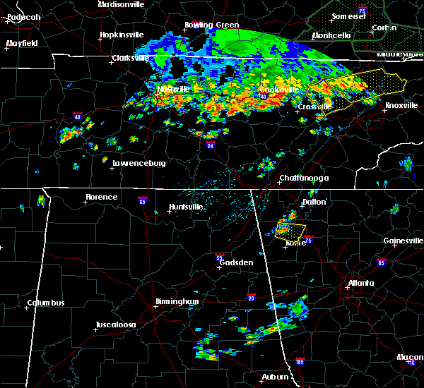 At 431 pm edt, a severe thunderstorm was located near tidings, or 8 miles east of summerville, moving east at 20 mph (radar indicated). Hazards include 60 mph wind gusts and quarter size hail. Hail damage to vehicles is expected. Expect wind damage to roofs, siding, and trees. At 431 pm edt, a severe thunderstorm was located near tidings, or 8 miles east of summerville, moving east at 20 mph (radar indicated). Hazards include 60 mph wind gusts and quarter size hail. Hail damage to vehicles is expected. Expect wind damage to roofs, siding, and trees.
|
| 6/1/2018 2:47 PM EDT |
 At 247 pm edt, a severe thunderstorm was located over plainville, or 8 miles southwest of calhoun, moving east at 45 mph (radar indicated). Hazards include 60 mph wind gusts and quarter size hail. Hail damage to vehicles is expected. Expect wind damage to roofs, siding, and trees. At 247 pm edt, a severe thunderstorm was located over plainville, or 8 miles southwest of calhoun, moving east at 45 mph (radar indicated). Hazards include 60 mph wind gusts and quarter size hail. Hail damage to vehicles is expected. Expect wind damage to roofs, siding, and trees.
|
| 6/1/2018 2:42 PM EDT | A few trees were reported down on red bud roa in gordon county GA, 1.3 miles SW of Calhoun, GA |
| 6/1/2018 2:34 PM EDT |
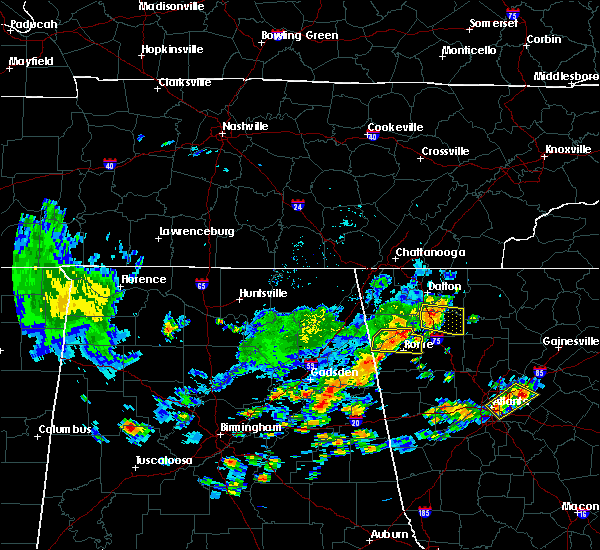 At 234 pm edt, a severe thunderstorm was located near nickelsville, or near calhoun, moving east at 35 mph (radar indicated). Hazards include 60 mph wind gusts and quarter size hail. Hail damage to vehicles is expected. expect wind damage to roofs, siding, and trees. Locations impacted include, calhoun, resaca, fairmount, ranger, carters, sonoraville, oostanaula, sugar valley, oakman, redbud, nickelsville and audubon. At 234 pm edt, a severe thunderstorm was located near nickelsville, or near calhoun, moving east at 35 mph (radar indicated). Hazards include 60 mph wind gusts and quarter size hail. Hail damage to vehicles is expected. expect wind damage to roofs, siding, and trees. Locations impacted include, calhoun, resaca, fairmount, ranger, carters, sonoraville, oostanaula, sugar valley, oakman, redbud, nickelsville and audubon.
|
| 6/1/2018 2:24 PM EDT | A couple trees were reported down on sugar valley roa in gordon county GA, 5.6 miles SE of Calhoun, GA |
| 6/1/2018 2:19 PM EDT |
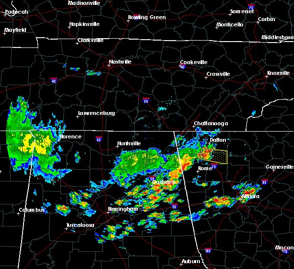 At 219 pm edt, a severe thunderstorm was located over sugar valley, or near calhoun, moving east at 35 mph (radar indicated). Hazards include 60 mph wind gusts and quarter size hail. Hail damage to vehicles is expected. Expect wind damage to roofs, siding, and trees. At 219 pm edt, a severe thunderstorm was located over sugar valley, or near calhoun, moving east at 35 mph (radar indicated). Hazards include 60 mph wind gusts and quarter size hail. Hail damage to vehicles is expected. Expect wind damage to roofs, siding, and trees.
|
| 4/4/2018 1:45 AM EDT |
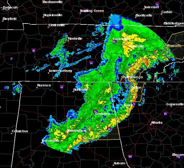 At 144 am edt, severe thunderstorms were located along a line extending from near east cleveland to near conasauga lake to redbud, moving east at 65 mph (radar indicated). Hazards include 60 mph wind gusts. Expect damage to roofs, siding, and trees. Locations impacted include, dalton, calhoun, chatsworth, varnell, eton, cohutta, resaca, fairmount, ranger, crandall, sumac, redbud, gregory, conasauga lake, beaverdale, oakman, fort mountain state park, carters, sonoraville and ramhurst. At 144 am edt, severe thunderstorms were located along a line extending from near east cleveland to near conasauga lake to redbud, moving east at 65 mph (radar indicated). Hazards include 60 mph wind gusts. Expect damage to roofs, siding, and trees. Locations impacted include, dalton, calhoun, chatsworth, varnell, eton, cohutta, resaca, fairmount, ranger, crandall, sumac, redbud, gregory, conasauga lake, beaverdale, oakman, fort mountain state park, carters, sonoraville and ramhurst.
|
| 4/4/2018 1:11 AM EDT |
 At 110 am edt, severe thunderstorms were located along a line extending from hooker to noble to lyerly, moving east at 65 mph (radar indicated). Hazards include 60 mph wind gusts. expect damage to roofs, siding, and trees At 110 am edt, severe thunderstorms were located along a line extending from hooker to noble to lyerly, moving east at 65 mph (radar indicated). Hazards include 60 mph wind gusts. expect damage to roofs, siding, and trees
|
| 8/6/2017 5:24 PM EDT | A cable line was reported down on highway 53 near sonoraville elementary schoo in gordon county GA, 6.8 miles WNW of Calhoun, GA |
| 8/6/2017 5:03 PM EDT |
 At 502 pm edt, a severe thunderstorm was located near kingston, or 12 miles east of rome, moving northeast at 30 mph (radar indicated). Hazards include 60 mph wind gusts and quarter size hail. Hail damage to vehicles is expected. Expect wind damage to roofs, siding, and trees. At 502 pm edt, a severe thunderstorm was located near kingston, or 12 miles east of rome, moving northeast at 30 mph (radar indicated). Hazards include 60 mph wind gusts and quarter size hail. Hail damage to vehicles is expected. Expect wind damage to roofs, siding, and trees.
|
| 6/23/2017 6:36 PM EDT |
 The severe thunderstorm warning for western cherokee, southern murray, western gilmer, gordon, pickens and bartow counties will expire at 645 pm edt, the storms which prompted the warning have weakened below severe limits, and no longer pose an immediate threat to life or property. therefore the warning will be allowed to expire. however gusty winds and heavy rain are still possible with these thunderstorms. a tornado watch remains in effect until 900 pm edt for northwestern georgia. The severe thunderstorm warning for western cherokee, southern murray, western gilmer, gordon, pickens and bartow counties will expire at 645 pm edt, the storms which prompted the warning have weakened below severe limits, and no longer pose an immediate threat to life or property. therefore the warning will be allowed to expire. however gusty winds and heavy rain are still possible with these thunderstorms. a tornado watch remains in effect until 900 pm edt for northwestern georgia.
|
| 6/23/2017 6:11 PM EDT |
 At 611 pm edt, severe thunderstorms were located along a line extending from near resaca to sonoraville to near euharlee, moving northeast at 55 mph (radar indicated). Hazards include 60 mph wind gusts. expect damage to roofs, siding, and trees At 611 pm edt, severe thunderstorms were located along a line extending from near resaca to sonoraville to near euharlee, moving northeast at 55 mph (radar indicated). Hazards include 60 mph wind gusts. expect damage to roofs, siding, and trees
|
| 6/23/2017 6:05 PM EDT |
 At 604 pm edt, severe thunderstorms were located along a line extending from near lake marvin to near adairsville to near seney, moving northeast at 35 mph (radar indicated). Hazards include 60 mph wind gusts. Expect damage to roofs, siding, and trees. locations impacted include, calhoun, adairsville, euharlee, kingston, resaca, plainville, taylorsville, cassville, shannon, sonoraville, pinson, oostanaula, redbud, folsom, lake marvin, audubon, stilesboro, sugar valley, everett springs and nickelsville. A tornado watch remains in effect until 900 pm edt for northwestern georgia. At 604 pm edt, severe thunderstorms were located along a line extending from near lake marvin to near adairsville to near seney, moving northeast at 35 mph (radar indicated). Hazards include 60 mph wind gusts. Expect damage to roofs, siding, and trees. locations impacted include, calhoun, adairsville, euharlee, kingston, resaca, plainville, taylorsville, cassville, shannon, sonoraville, pinson, oostanaula, redbud, folsom, lake marvin, audubon, stilesboro, sugar valley, everett springs and nickelsville. A tornado watch remains in effect until 900 pm edt for northwestern georgia.
|
| 6/23/2017 5:27 PM EDT |
 At 527 pm edt, severe thunderstorms were located along a line extending from near chattoogaville to near cave spring to pleasant gap, moving northeast at 50 mph (radar indicated). Hazards include 60 mph wind gusts. expect damage to roofs, siding, and trees At 527 pm edt, severe thunderstorms were located along a line extending from near chattoogaville to near cave spring to pleasant gap, moving northeast at 50 mph (radar indicated). Hazards include 60 mph wind gusts. expect damage to roofs, siding, and trees
|
| 6/15/2017 4:59 PM EDT |
 At 458 pm edt, severe thunderstorms were located along a line extending from calhoun to near adairsville to near shannon to near cave spring, moving east at 25 mph (radar indicated). Hazards include 60 mph wind gusts. expect damage to roofs, siding, and trees At 458 pm edt, severe thunderstorms were located along a line extending from calhoun to near adairsville to near shannon to near cave spring, moving east at 25 mph (radar indicated). Hazards include 60 mph wind gusts. expect damage to roofs, siding, and trees
|
| 5/24/2017 10:48 AM EDT |
 At 1048 am edt, a severe thunderstorm capable of producing a tornado was located over resaca, or near calhoun, moving east at 40 mph (radar indicated rotation). Hazards include tornado. Flying debris will be dangerous to those caught without shelter. mobile homes will be damaged or destroyed. damage to roofs, windows, and vehicles will occur. Tree damage is likely. At 1048 am edt, a severe thunderstorm capable of producing a tornado was located over resaca, or near calhoun, moving east at 40 mph (radar indicated rotation). Hazards include tornado. Flying debris will be dangerous to those caught without shelter. mobile homes will be damaged or destroyed. damage to roofs, windows, and vehicles will occur. Tree damage is likely.
|
| 4/5/2017 3:03 PM EDT |
 At 302 pm edt, a severe thunderstorm was located near adairsville, or 12 miles south of calhoun, moving northeast at 40 mph (radar indicated). Hazards include 60 mph wind gusts and penny size hail. expect damage to roofs, siding, and trees At 302 pm edt, a severe thunderstorm was located near adairsville, or 12 miles south of calhoun, moving northeast at 40 mph (radar indicated). Hazards include 60 mph wind gusts and penny size hail. expect damage to roofs, siding, and trees
|
| 3/21/2017 8:24 PM EDT |
 The severe thunderstorm warning for murray, gilmer, central floyd, eastern whitfield, gordon, western pickens, chattooga, northern bartow and northwestern fannin counties will expire at 830 pm edt, the storms which prompted the warning have moved out of the area. therefore the warning will be allowed to expire. however gusty winds and heavy rain are still possible with these thunderstorms. a severe thunderstorm watch remains in effect until 1100 pm edt for north central and northwestern georgia. The severe thunderstorm warning for murray, gilmer, central floyd, eastern whitfield, gordon, western pickens, chattooga, northern bartow and northwestern fannin counties will expire at 830 pm edt, the storms which prompted the warning have moved out of the area. therefore the warning will be allowed to expire. however gusty winds and heavy rain are still possible with these thunderstorms. a severe thunderstorm watch remains in effect until 1100 pm edt for north central and northwestern georgia.
|
| 3/21/2017 7:52 PM EDT |
 The severe thunderstorm warning for catoosa, northeastern floyd, whitfield, walker, northwestern gordon and chattooga counties will expire at 800 pm edt, the storms which prompted the warning have moved southeast of extreme northwest georgia. therefore the warning will be allowed to expire. however, gusty winds and heavy rain are still possible through 900 pm. a severe thunderstorm watch remains in effect until 1100 pm edt for northwestern georgia. remember, a severe thunderstorm warning still remains in effect for portions of chatooga, gordon, whitfield, and floyd county. The severe thunderstorm warning for catoosa, northeastern floyd, whitfield, walker, northwestern gordon and chattooga counties will expire at 800 pm edt, the storms which prompted the warning have moved southeast of extreme northwest georgia. therefore the warning will be allowed to expire. however, gusty winds and heavy rain are still possible through 900 pm. a severe thunderstorm watch remains in effect until 1100 pm edt for northwestern georgia. remember, a severe thunderstorm warning still remains in effect for portions of chatooga, gordon, whitfield, and floyd county.
|
| 3/21/2017 7:48 PM EDT |
 At 746 pm edt, severe thunderstorms were located extending from near gap springs to near chatsworth to oostanaula to near chattoogaville, moving east-southeast at 45 mph (reports of trees and powerlines down have occurred in dade, catoosa, and whitfield counties). Hazards include 60 mph wind gusts and quarter size hail. Hail damage to vehicles is expected. Expect wind damage to roofs, siding, and trees. At 746 pm edt, severe thunderstorms were located extending from near gap springs to near chatsworth to oostanaula to near chattoogaville, moving east-southeast at 45 mph (reports of trees and powerlines down have occurred in dade, catoosa, and whitfield counties). Hazards include 60 mph wind gusts and quarter size hail. Hail damage to vehicles is expected. Expect wind damage to roofs, siding, and trees.
|
| 3/21/2017 7:45 PM EDT | Roof damage and tree split along hunts gin r in gordon county GA, 3 miles WSW of Calhoun, GA |
| 3/21/2017 7:25 PM EDT |
 At 724 pm edt, severe thunderstorms were located extending from cohutta to near villanow to menlo to geraldine, moving southeast at 50 mph (radar indicated). Hazards include 70 mph wind gusts and nickel size hail. Expect considerable tree damage. damage is likely to mobile homes, roofs, and outbuildings. Locations impacted include, dalton, calhoun, lafayette, summerville, ringgold, fort oglethorpe, chickamauga, trion, varnell, tunnel hill, cohutta, resaca, lyerly, menlo, center post, subligna, blue spring, lake marvin, fairview and linwood. At 724 pm edt, severe thunderstorms were located extending from cohutta to near villanow to menlo to geraldine, moving southeast at 50 mph (radar indicated). Hazards include 70 mph wind gusts and nickel size hail. Expect considerable tree damage. damage is likely to mobile homes, roofs, and outbuildings. Locations impacted include, dalton, calhoun, lafayette, summerville, ringgold, fort oglethorpe, chickamauga, trion, varnell, tunnel hill, cohutta, resaca, lyerly, menlo, center post, subligna, blue spring, lake marvin, fairview and linwood.
|
| 3/21/2017 7:11 PM EDT |
 At 710 pm edt, severe thunderstorms were located extending from ridgeside to linwood to near hammondville to near columbus city, moving southeast at 35 mph (radar indicated). Hazards include 70 mph wind gusts and nickel size hail. Expect considerable tree damage. Damage is likely to mobile homes, roofs, and outbuildings. At 710 pm edt, severe thunderstorms were located extending from ridgeside to linwood to near hammondville to near columbus city, moving southeast at 35 mph (radar indicated). Hazards include 70 mph wind gusts and nickel size hail. Expect considerable tree damage. Damage is likely to mobile homes, roofs, and outbuildings.
|
| 3/1/2017 5:00 PM EST | Golf Ball sized hail reported 3.2 miles N of Calhoun, GA, golfball sized hail caused significant vehicle damage on boling industrial blvd. |
| 3/1/2017 5:00 PM EST | Ping Pong Ball sized hail reported 5.7 miles SSW of Calhoun, GA, quarter to ping pong size hail at the gordon county ema building near calhoun. a few trees also down around this area due to strong winds. time estimated from radar. |
| 3/1/2017 5:00 PM EST | Golf Ball sized hail reported 3.5 miles NNW of Calhoun, GA, golfball sized hail was reported at the sunoco gas station on belwood rd. |
| 3/1/2017 5:00 PM EST | Ping Pong Ball sized hail reported 2.9 miles NNW of Calhoun, GA, quarter to ping pong size hail at the gordon county ema building near calhoun. a few trees also down around this area due to strong winds. time estimated from radar. |
| 3/1/2017 4:55 PM EST |
 At 455 pm est, a severe thunderstorm was located near oostanaula, or 2 miles southwest of calhoun, moving east at 50 mph (radar indicated). Hazards include two inch hail and 60 mph wind gusts. People and animals outdoors will be injured. expect hail damage to roofs, siding, windows, and vehicles. Expect wind damage to roofs, siding, and trees. At 455 pm est, a severe thunderstorm was located near oostanaula, or 2 miles southwest of calhoun, moving east at 50 mph (radar indicated). Hazards include two inch hail and 60 mph wind gusts. People and animals outdoors will be injured. expect hail damage to roofs, siding, windows, and vehicles. Expect wind damage to roofs, siding, and trees.
|
| 3/1/2017 4:46 PM EST |
 At 446 pm est, a severe thunderstorm was located over everett springs, or 9 miles west of calhoun, moving east at 50 mph (radar indicated). Hazards include ping pong ball size hail and 60 mph wind gusts. People and animals outdoors will be injured. expect hail damage to roofs, siding, windows, and vehicles. expect wind damage to roofs, siding, and trees. locations impacted include, calhoun, adairsville, resaca, plainville, fairmount, ranger, carters, sonoraville, oostanaula, redbud, folsom, lake marvin, audubon, sugar valley, oakman, funkhouser, everett springs and nickelsville. A tornado watch remains in effect until 700 pm est for north central and northwestern georgia. At 446 pm est, a severe thunderstorm was located over everett springs, or 9 miles west of calhoun, moving east at 50 mph (radar indicated). Hazards include ping pong ball size hail and 60 mph wind gusts. People and animals outdoors will be injured. expect hail damage to roofs, siding, windows, and vehicles. expect wind damage to roofs, siding, and trees. locations impacted include, calhoun, adairsville, resaca, plainville, fairmount, ranger, carters, sonoraville, oostanaula, redbud, folsom, lake marvin, audubon, sugar valley, oakman, funkhouser, everett springs and nickelsville. A tornado watch remains in effect until 700 pm est for north central and northwestern georgia.
|
| 3/1/2017 4:19 PM EST |
 At 419 pm est, a severe thunderstorm was located near chesterfield, or 8 miles southwest of summerville, moving east at 60 mph (radar indicated). Hazards include 60 mph wind gusts and quarter size hail. Hail damage to vehicles is expected. Expect wind damage to roofs, siding, and trees. At 419 pm est, a severe thunderstorm was located near chesterfield, or 8 miles southwest of summerville, moving east at 60 mph (radar indicated). Hazards include 60 mph wind gusts and quarter size hail. Hail damage to vehicles is expected. Expect wind damage to roofs, siding, and trees.
|
| 6/1/2016 4:38 PM EDT |
 At 438 pm edt, a severe thunderstorm was located near resaca, or near calhoun, moving north at 10 mph (radar indicated). Hazards include 60 mph wind gusts and quarter size hail. Hail damage to vehicles is expected. expect wind damage to roofs, siding, and trees. Other locations in the warning include but are not limited to calhoun, resaca, redbud, nickelsville, tilton and audubon. At 438 pm edt, a severe thunderstorm was located near resaca, or near calhoun, moving north at 10 mph (radar indicated). Hazards include 60 mph wind gusts and quarter size hail. Hail damage to vehicles is expected. expect wind damage to roofs, siding, and trees. Other locations in the warning include but are not limited to calhoun, resaca, redbud, nickelsville, tilton and audubon.
|
| 5/11/2016 3:30 PM EDT | A farm supply company reports pea sized hail and winds that destroyed a 20 by 20 tin shed on north industrial blvd n in gordon county GA, 3 miles S of Calhoun, GA |
| 5/11/2016 3:21 PM EDT |
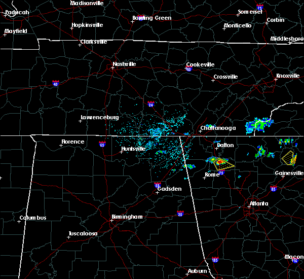 At 320 pm edt, a severe thunderstorm was located near calhoun, moving southeast at 15 mph (radar indicated). Hazards include 60 mph wind gusts and quarter size hail. Hail damage to vehicles is expected. expect wind damage to roofs, siding, and trees. Other locations in the warning include but are not limited to calhoun, resaca, ranger, redbud and sonoraville. At 320 pm edt, a severe thunderstorm was located near calhoun, moving southeast at 15 mph (radar indicated). Hazards include 60 mph wind gusts and quarter size hail. Hail damage to vehicles is expected. expect wind damage to roofs, siding, and trees. Other locations in the warning include but are not limited to calhoun, resaca, ranger, redbud and sonoraville.
|
| 4/30/2016 7:15 PM EDT | 911 call center received report of multiple trees down in sugar valley...particularly on old rome dalton roa in gordon county GA, 1.3 miles SW of Calhoun, GA |
| 4/30/2016 7:04 PM EDT |
 At 704 pm edt, a severe thunderstorm was located near calhoun, moving northeast at 25 mph (radar indicated). Hazards include 60 mph wind gusts and quarter size hail. Hail damage to vehicles is expected. expect wind damage to roofs, siding, and trees. Other locations in the warning include but are not limited to calhoun, resaca, redbud, nickelsville, sugar valley, tilton and audubon. At 704 pm edt, a severe thunderstorm was located near calhoun, moving northeast at 25 mph (radar indicated). Hazards include 60 mph wind gusts and quarter size hail. Hail damage to vehicles is expected. expect wind damage to roofs, siding, and trees. Other locations in the warning include but are not limited to calhoun, resaca, redbud, nickelsville, sugar valley, tilton and audubon.
|
| 4/30/2016 7:04 PM EDT |
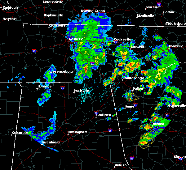 At 704 pm edt, a severe thunderstorm was located near calhoun, moving northeast at 25 mph (radar indicated). Hazards include 60 mph wind gusts and quarter size hail. Hail damage to vehicles is expected. expect wind damage to roofs, siding, and trees. Other locations in the warning include but are not limited to calhoun, resaca, redbud, nickelsville, sugar valley, tilton and audubon. At 704 pm edt, a severe thunderstorm was located near calhoun, moving northeast at 25 mph (radar indicated). Hazards include 60 mph wind gusts and quarter size hail. Hail damage to vehicles is expected. expect wind damage to roofs, siding, and trees. Other locations in the warning include but are not limited to calhoun, resaca, redbud, nickelsville, sugar valley, tilton and audubon.
|
| 7/14/2015 8:15 PM EDT | Several trees were downed across the county...including in calhou in gordon county GA, 0.9 miles ESE of Calhoun, GA |
| 7/14/2015 7:56 PM EDT |
 At 756 pm edt, severe thunderstorms were located extending from near resaca to near plainville to near shannon, moving southeast at 50 mph (radar indicated). Hazards include 60 mph wind gusts and nickel size hail. Expect damage to roofs. siding and trees. Other locations in the warning include but are not limited to dalton, cartersville, calhoun, adairsville, white, kingston, resaca, plainville, cassville, fairmount, ranger, redbud, pine log, sugar valley, oostanaula, nickelsville, tilton, folsom, sonoraville and oakman. At 756 pm edt, severe thunderstorms were located extending from near resaca to near plainville to near shannon, moving southeast at 50 mph (radar indicated). Hazards include 60 mph wind gusts and nickel size hail. Expect damage to roofs. siding and trees. Other locations in the warning include but are not limited to dalton, cartersville, calhoun, adairsville, white, kingston, resaca, plainville, cassville, fairmount, ranger, redbud, pine log, sugar valley, oostanaula, nickelsville, tilton, folsom, sonoraville and oakman.
|
| 7/14/2015 7:26 PM EDT |
 At 725 pm edt, severe thunderstorms were located extending from southwest of ellijay to west of talking rock to east of calhoun, moving southeast at 25 mph (radar indicated). Hazards include 60 mph wind gusts and nickel size hail. Expect damage to roofs. siding and trees. Other locations in the warning include but are not limited to canton, jasper, ball ground, nelson, waleska, talking rock, fairmount, ranger, funkhouser, salacoa valley, nickelsville, hinton, talona, blaine, sonoraville, reavis mountain, audubon, redbud, pine log and lake tamarack. At 725 pm edt, severe thunderstorms were located extending from southwest of ellijay to west of talking rock to east of calhoun, moving southeast at 25 mph (radar indicated). Hazards include 60 mph wind gusts and nickel size hail. Expect damage to roofs. siding and trees. Other locations in the warning include but are not limited to canton, jasper, ball ground, nelson, waleska, talking rock, fairmount, ranger, funkhouser, salacoa valley, nickelsville, hinton, talona, blaine, sonoraville, reavis mountain, audubon, redbud, pine log and lake tamarack.
|
| 7/2/2015 3:11 PM EDT |
 The severe thunderstorm warning for gordon and north central bartow counties will expire at 315 pm edt, the storm which prompted the warning has weakened below severe limits, and no longer pose an immediate threat to life or property. therefore the warning will be allowed to expire. however gusty winds and heavy rain are still possible with this thunderstorm. to report severe weather, contact your nearest law enforcement agency. they will relay your report to the national weather service peachtree city. The severe thunderstorm warning for gordon and north central bartow counties will expire at 315 pm edt, the storm which prompted the warning has weakened below severe limits, and no longer pose an immediate threat to life or property. therefore the warning will be allowed to expire. however gusty winds and heavy rain are still possible with this thunderstorm. to report severe weather, contact your nearest law enforcement agency. they will relay your report to the national weather service peachtree city.
|
| 7/2/2015 2:48 PM EDT | Quarter sized hail reported 0.9 miles ESE of Calhoun, GA |
| 7/2/2015 2:44 PM EDT |
 At 244 pm edt, a severe thunderstorm was located over calhoun, moving east at 20 mph (radar indicated). Hazards include 60 mph wind gusts and quarter size hail. Hail damage to vehicles is expected. expect wind damage to roofs, siding and trees. Other locations in the warning include but are not limited to calhoun, adairsville, resaca, plainville, fairmount, ranger, redbud, sugar valley, oostanaula, nickelsville, sonoraville, oakman, audubon and funkhouser. At 244 pm edt, a severe thunderstorm was located over calhoun, moving east at 20 mph (radar indicated). Hazards include 60 mph wind gusts and quarter size hail. Hail damage to vehicles is expected. expect wind damage to roofs, siding and trees. Other locations in the warning include but are not limited to calhoun, adairsville, resaca, plainville, fairmount, ranger, redbud, sugar valley, oostanaula, nickelsville, sonoraville, oakman, audubon and funkhouser.
|
| 6/26/2015 4:54 PM EDT | At 454 pm edt, a severe thunderstorm was located over calhoun, moving northeast at 20 mph (radar indicated). Hazards include 60 mph wind gusts and nickel size hail. Expect damage to roofs. siding and trees. Other locations in the warning include but are not limited to calhoun, resaca, plainville, redbud, nickelsville, sugar valley, audubon and oostanaula. |
| 6/24/2015 6:40 PM EDT | 911 call center received several reports of numerous trees down...at least 10...across the county within the warned stor in gordon county GA, 7 miles WSW of Calhoun, GA |
| 6/24/2015 5:44 PM EDT |
 The national weather service in peachtree city has issued a * severe thunderstorm warning for. eastern gordon county in northwestern georgia. until 630 pm edt * at 543 pm edt. a severe thunderstorm was located 7 miles east of calhoun. Moving south at 30 mph. The national weather service in peachtree city has issued a * severe thunderstorm warning for. eastern gordon county in northwestern georgia. until 630 pm edt * at 543 pm edt. a severe thunderstorm was located 7 miles east of calhoun. Moving south at 30 mph.
|
| 6/8/2015 9:12 PM EDT | The severe thunderstorm warning for gordon county will expire at 915 pm edt, the storm which prompted the warning has weakened below severe limits, and no longer pose an immediate threat to life or property. therefore the warning will be allowed to expire. |
| 6/8/2015 8:59 PM EDT | At 859 pm edt, a severe thunderstorm was located over calhoun, moving east at 40 mph (radar indicated). Hazards include 60 mph wind gusts. Expect damage to roofs. siding and trees. Other locations in the warning include but are not limited to calhoun, resaca, plainville, redbud, nickelsville, sugar valley, sonoraville, oostanaula and audubon. |
| 6/8/2015 8:32 PM EDT | At 832 pm edt, a severe thunderstorm was located near summerville, moving east at 40 mph (radar indicated). Hazards include 60 mph wind gusts. Expect damage to roofs. siding and trees. Other locations in the warning include but are not limited to calhoun, trion, resaca, plainville, redbud, everett springs, sugar valley, armuchee, oostanaula, nickelsville, lake marvin, subligna, tidings, sonoraville and audubon. |
| 5/28/2015 4:59 PM EDT | At 458 pm edt, a severe thunderstorm was located near resaca, or near calhoun, moving northwest at 10 mph (radar indicated). Hazards include 60 mph wind gusts and quarter size hail. Hail damage to vehicles is expected. expect wind damage to roofs, siding and trees. Other locations in the warning include but are not limited to calhoun, resaca, lake marvin, sugar valley and oostanaula. |
| 4/19/2015 11:34 AM EDT | A tornado warning remains in effect until 1145 am edt for northeastern gordon and southwestern murray counties. at 1133 am edt. a severe thunderstorm capable of producing a tornado was located near chatsworth. moving northeast at 40 mph. hazard. tornado. source. Radar indicated rotation. |
| 4/19/2015 11:24 AM EDT | At 1124 am edt, severe thunderstorms were located along a line extending from 7 miles east of calhoun to 6 miles south of braswell, moving northeast at 40 mph (radar indicated). Hazards include 60 mph wind gusts. Expect damage to roofs. siding and trees. other locations in the warning include but are not limited to canton, cartersville, calhoun, dallas, jasper, ellijay, kennesaw, acworth, adairsville, rockmart, euharlee, emerson, white, waleska, kingston, east ellijay, braswell, taylorsville, talking rock and cassville. a tornado watch remains in effect until 300 pm edt for northwestern georgia. Possible. |
| 4/19/2015 11:14 AM EDT | A tornado warning remains in effect until 1145 am edt for southeastern whitfield. gordon and southwestern murray counties. at 1113 am edt. a severe thunderstorm capable of producing a tornado was located over calhoun. moving northeast at 40 mph. hazard. tornado. source. Radar indicated rotation. |
| 4/19/2015 10:58 AM EDT | The national weather service in peachtree city has issued a * tornado warning for. southeastern whitfield county in northwestern georgia. gordon county in northwestern georgia. northeastern floyd county in northwestern georgia. Southwestern murray county in northwestern georgia. |
| 4/19/2015 10:08 AM EDT | At 1007 am edt, severe thunderstorms were located along a line extending from near gaylesville to near pleasant gap to 6 miles south of heflin, moving northeast at 45 mph (radar indicated). Hazards include 60 mph wind gusts. Expect damage to roofs. siding and trees. other locations in the warning include but are not limited to rome, calhoun, cedartown, summerville, buchanan, bremen, adairsville, rockmart, euharlee, tallapoosa, trion, aragon, cave spring, kingston, resaca, waco, braswell, plainville, taylorsville and shannon. a tornado watch remains in effect until 300 pm edt for northwestern georgia. Possible. |
| 6/5/2014 6:40 PM EDT | Public reported damage to the roof of a church in calhoun. roof panels were torn off of the building in gordon county GA, 3.7 miles E of Calhoun, GA |
| 4/11/2013 7:40 PM EDT | Quarter sized hail reported 1 miles SSW of Calhoun, GA, this report was received near i75 at exit 315. |
| 3/5/2013 3:50 PM EST | Numerous trees reported down. ten homes and a daycare were impacted by falling trees. trees were blown down towards the west. damage was near the outlet mall on highway in gordon county GA, 2.3 miles NW of Calhoun, GA |
| 3/31/2012 6:38 PM EDT | Golf Ball sized hail reported 1.2 miles NNE of Calhoun, GA, numerous public reports were received indicating quarter to golf ball size hail fell in the calhoun area between 638 pm and 650 pm. the first reports were received alon |
| 1/1/0001 12:00 AM | Bartow 911 relays a report of i75 blocked by downed trees between exits 306 and 31 in gordon county GA, 4.7 miles N of Calhoun, GA |
| 1/1/0001 12:00 AM | Relayed from cherokee county ema...major structural damage in southern gordon county. many homes with damage and one house at least was destroye in gordon county GA, 4 miles NNE of Calhoun, GA |
| 1/1/0001 12:00 AM | One power line down in the western part of the count in gordon county GA, 4.4 miles ENE of Calhoun, GA |
| 1/1/0001 12:00 AM | Quarter sized hail reported 7.6 miles WNW of Calhoun, GA |
| 1/1/0001 12:00 AM | Quarter sized hail reported 7.6 miles WNW of Calhoun, GA |
| 1/1/0001 12:00 AM | Roof off a building in downtown calhou in gordon county GA, 0.9 miles ESE of Calhoun, GA |
| 1/1/0001 12:00 AM | Trees on house and powerline in gordon county GA, 6.8 miles WNW of Calhoun, GA |
| 1/1/0001 12:00 AM | Half Dollar sized hail reported 6.8 miles WNW of Calhoun, GA |
| 1/1/0001 12:00 AM | Quarter sized hail reported 0.9 miles ESE of Calhoun, GA, public reports quarter sized hail in calhoun. |
| 1/1/0001 12:00 AM | Quarter sized hail reported 0.9 miles ESE of Calhoun, GA |
| 1/1/0001 12:00 AM | Quarter sized hail reported 0.9 miles ESE of Calhoun, GA |
| 1/1/0001 12:00 AM | Half Dollar sized hail reported 0.9 miles ESE of Calhoun, GA, quarter to half dollar size hail. |
Hail Maps for Calhoun, GA

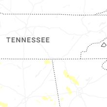


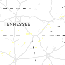


Connect with Interactive Hail Maps