

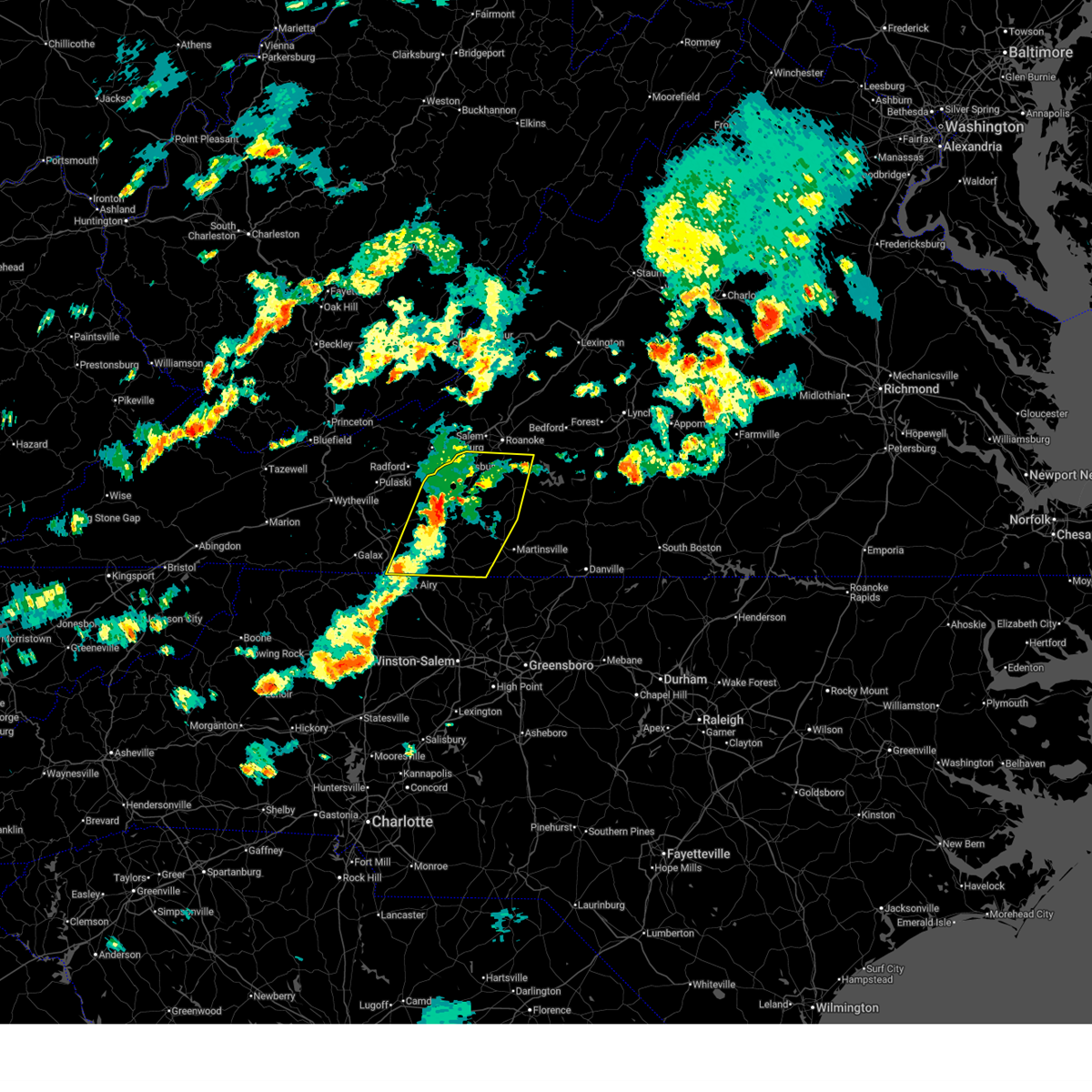
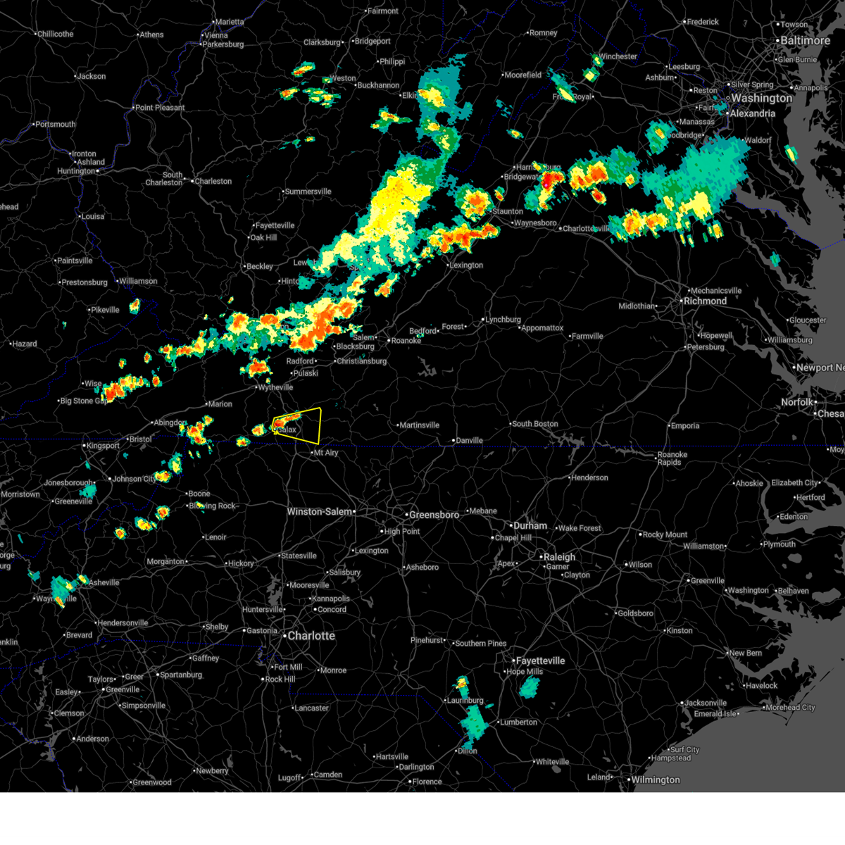
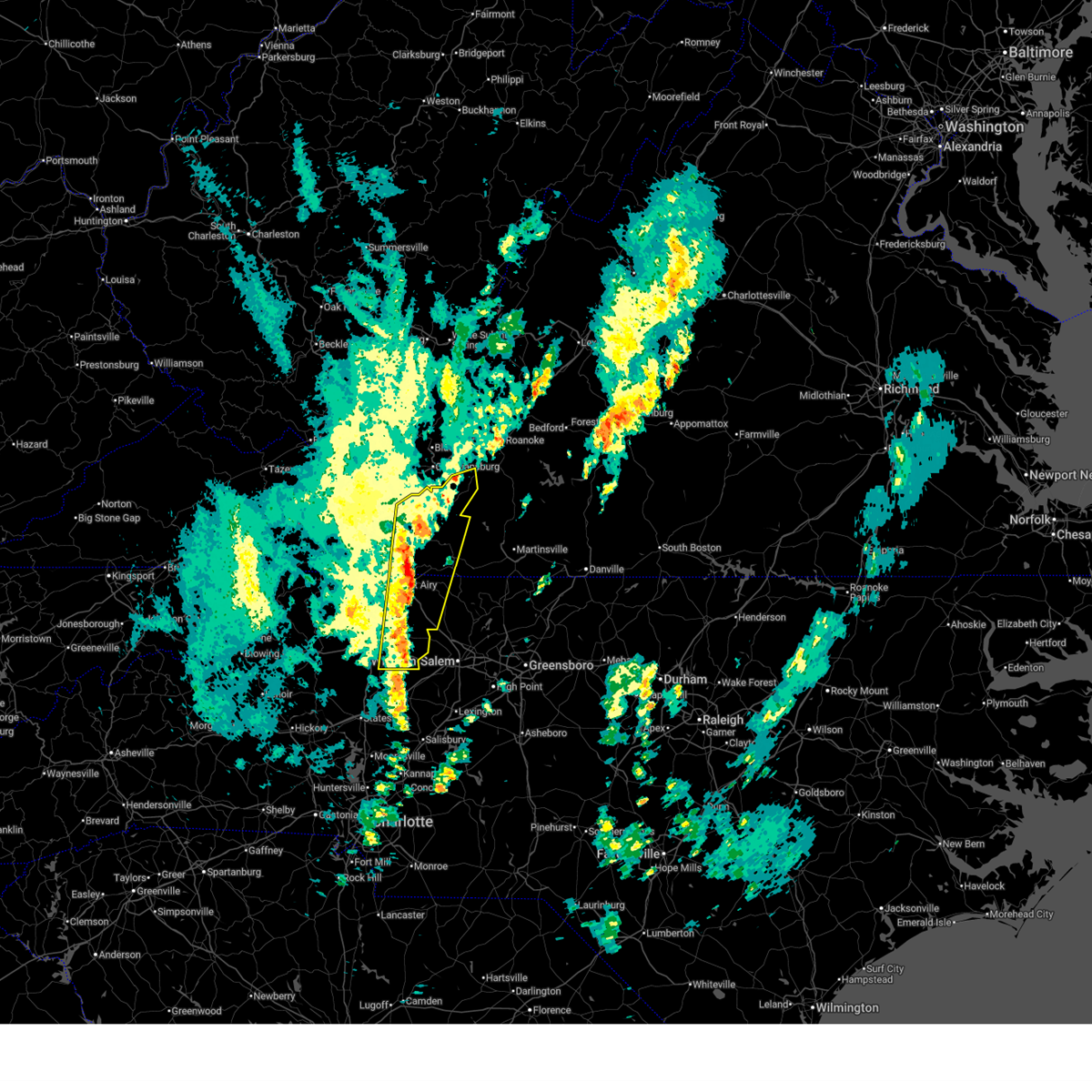
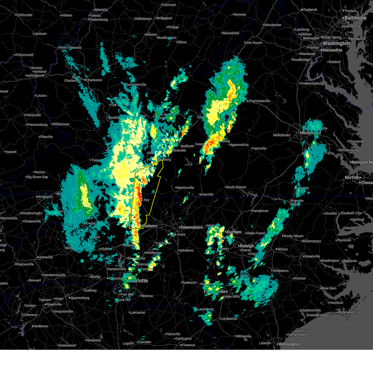
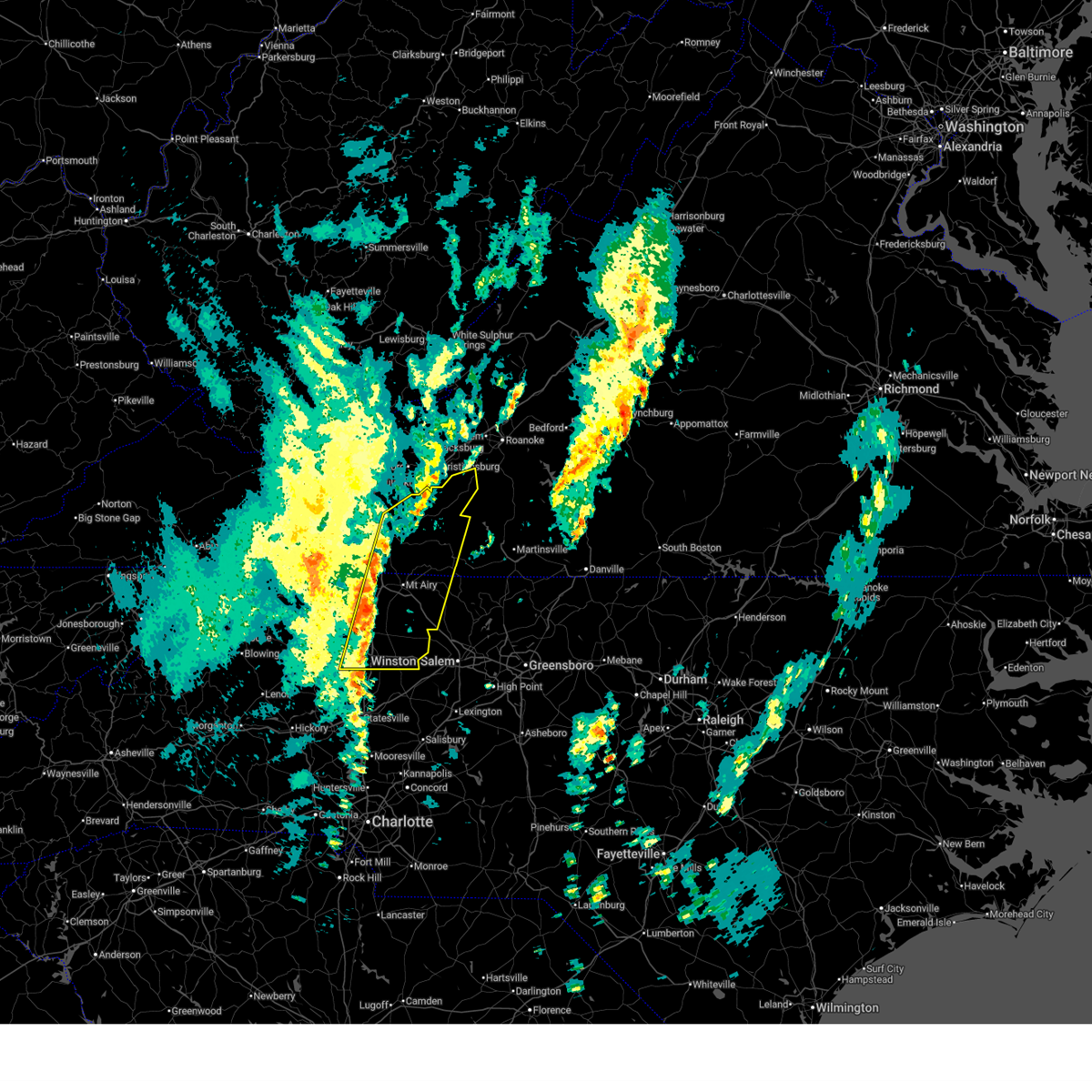
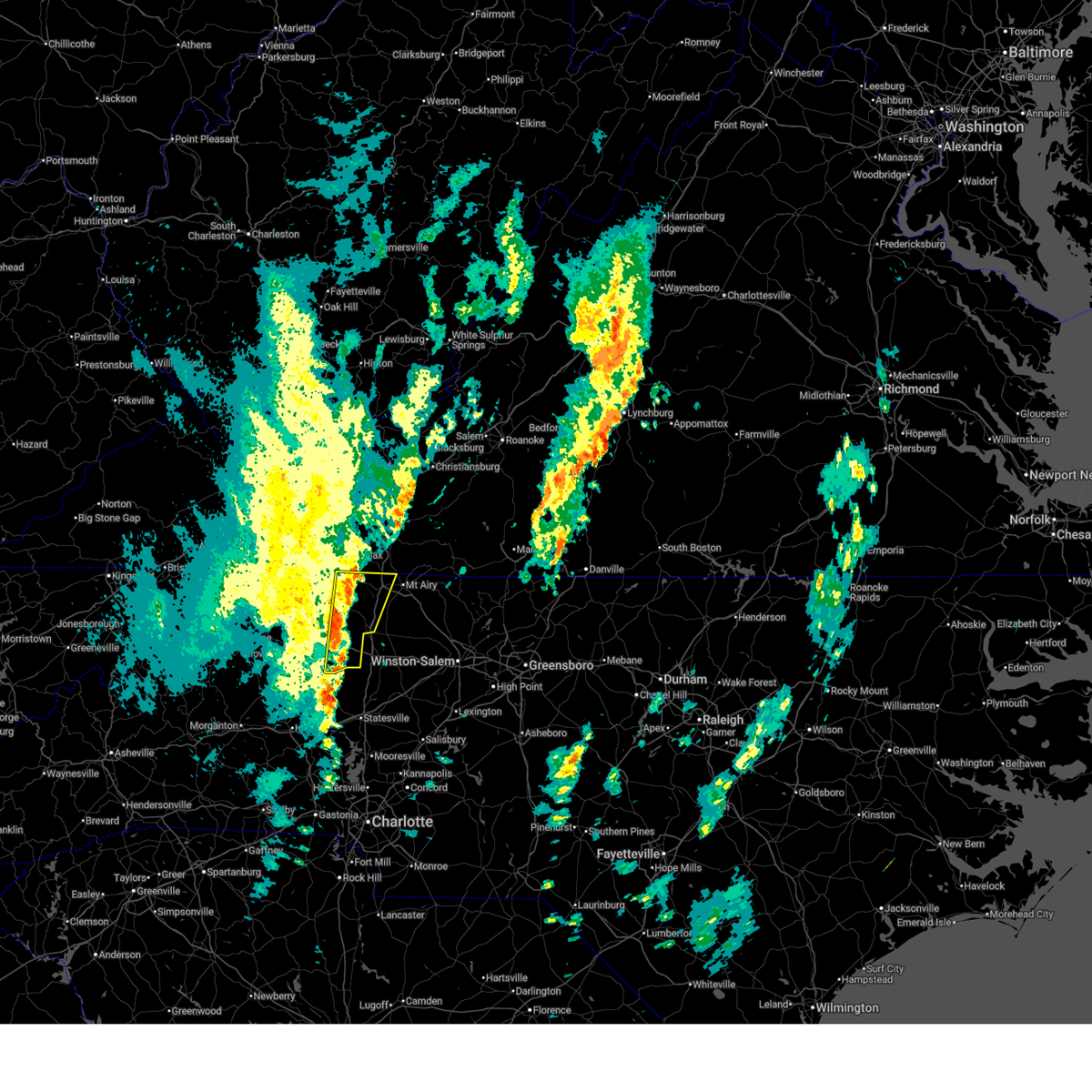
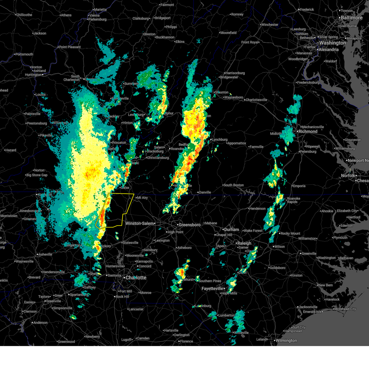
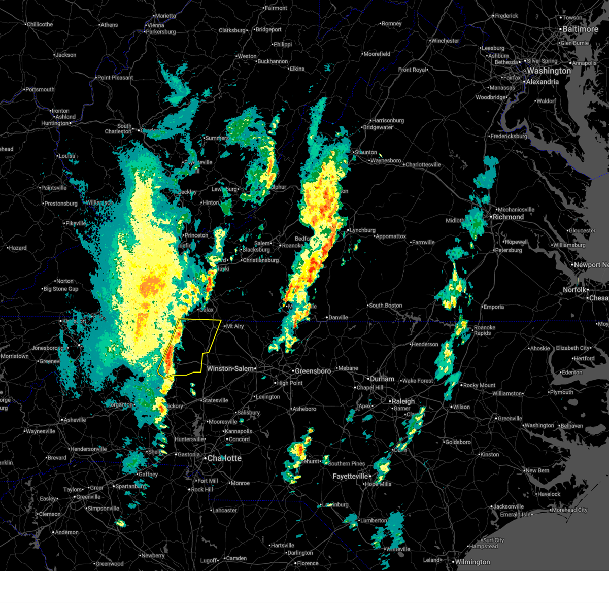
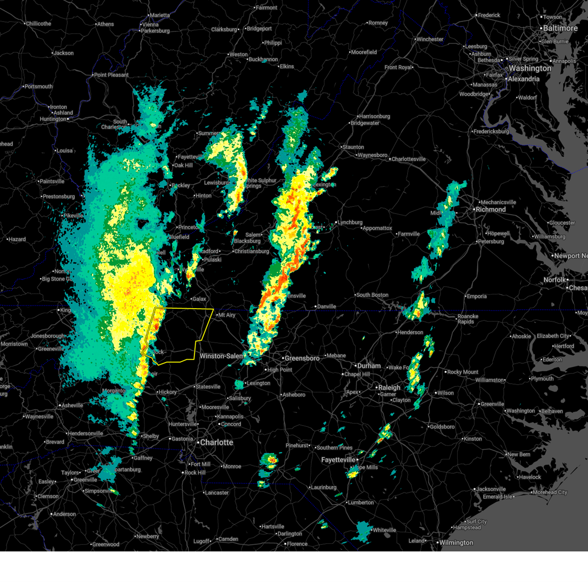
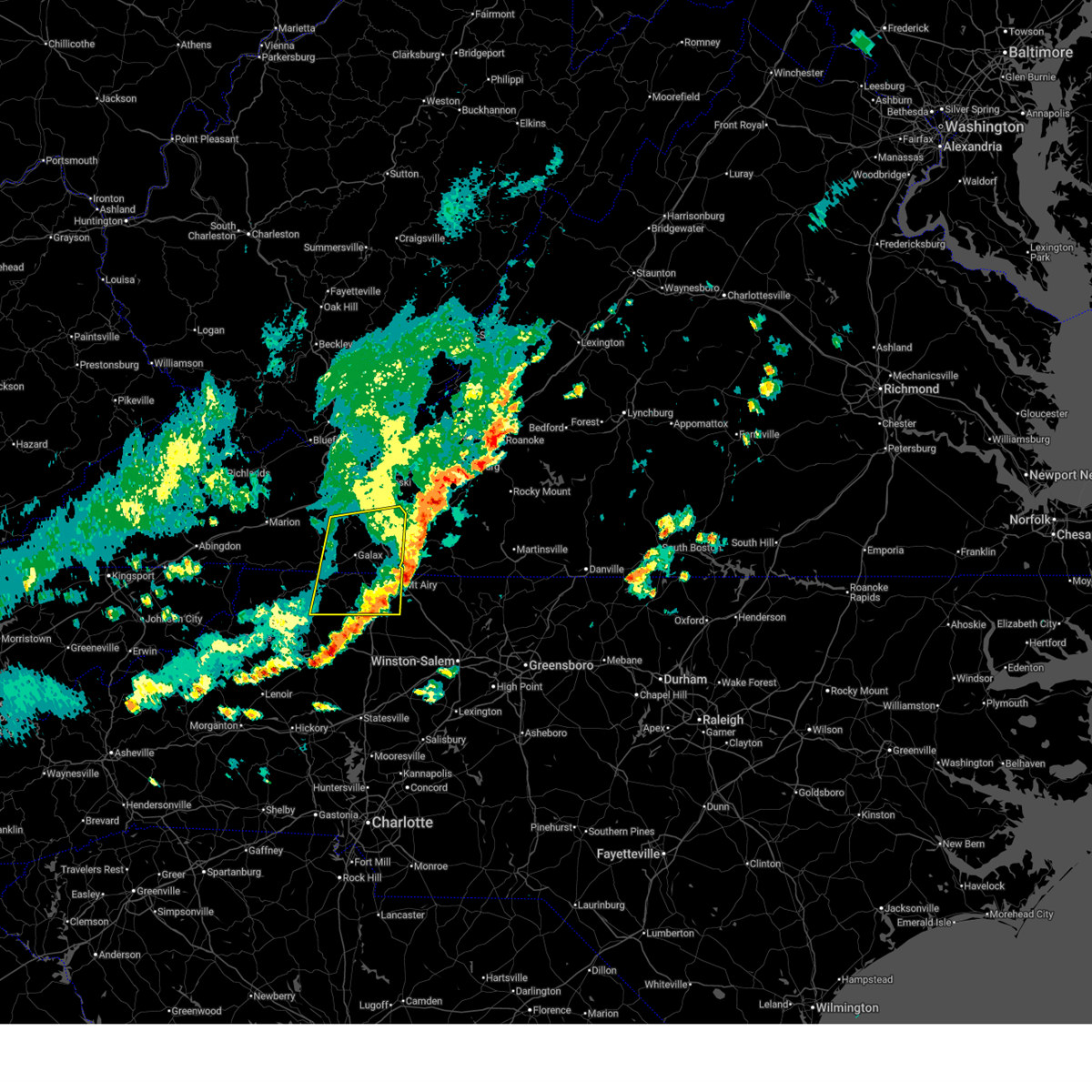
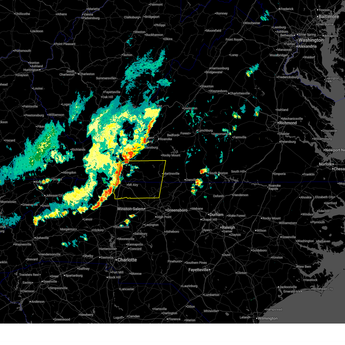
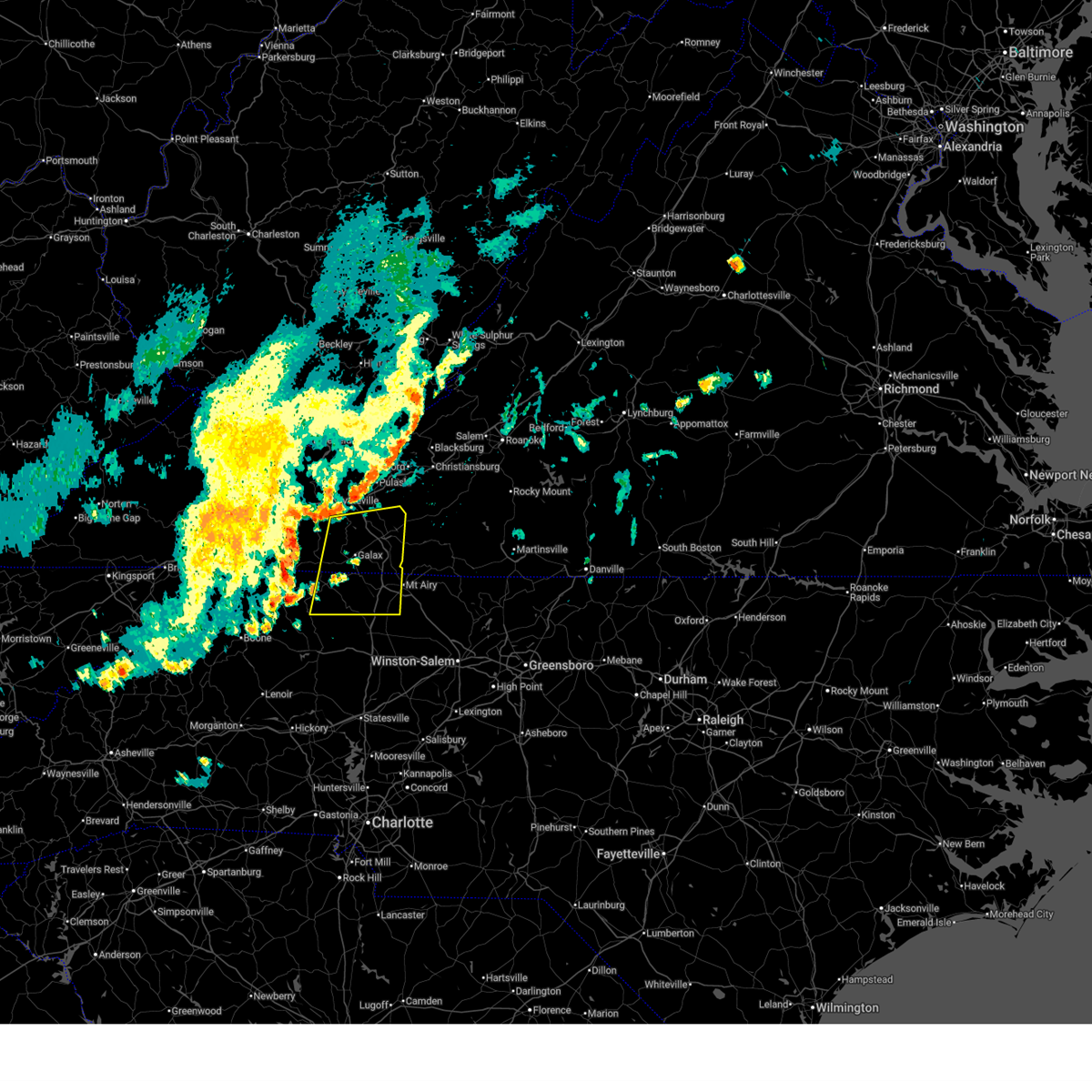
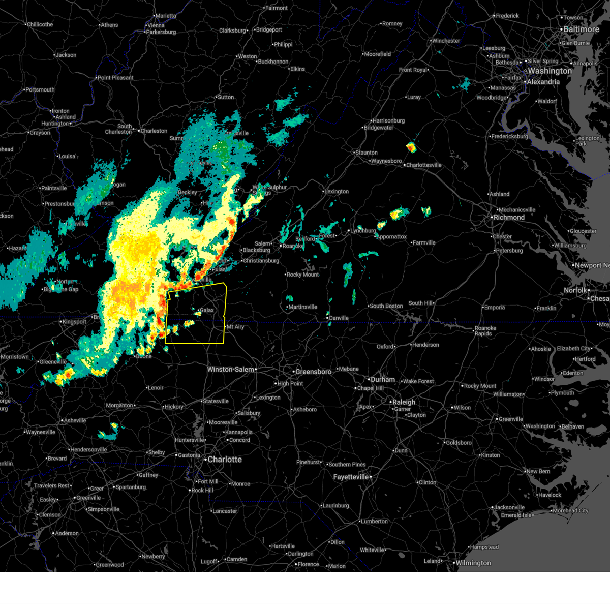
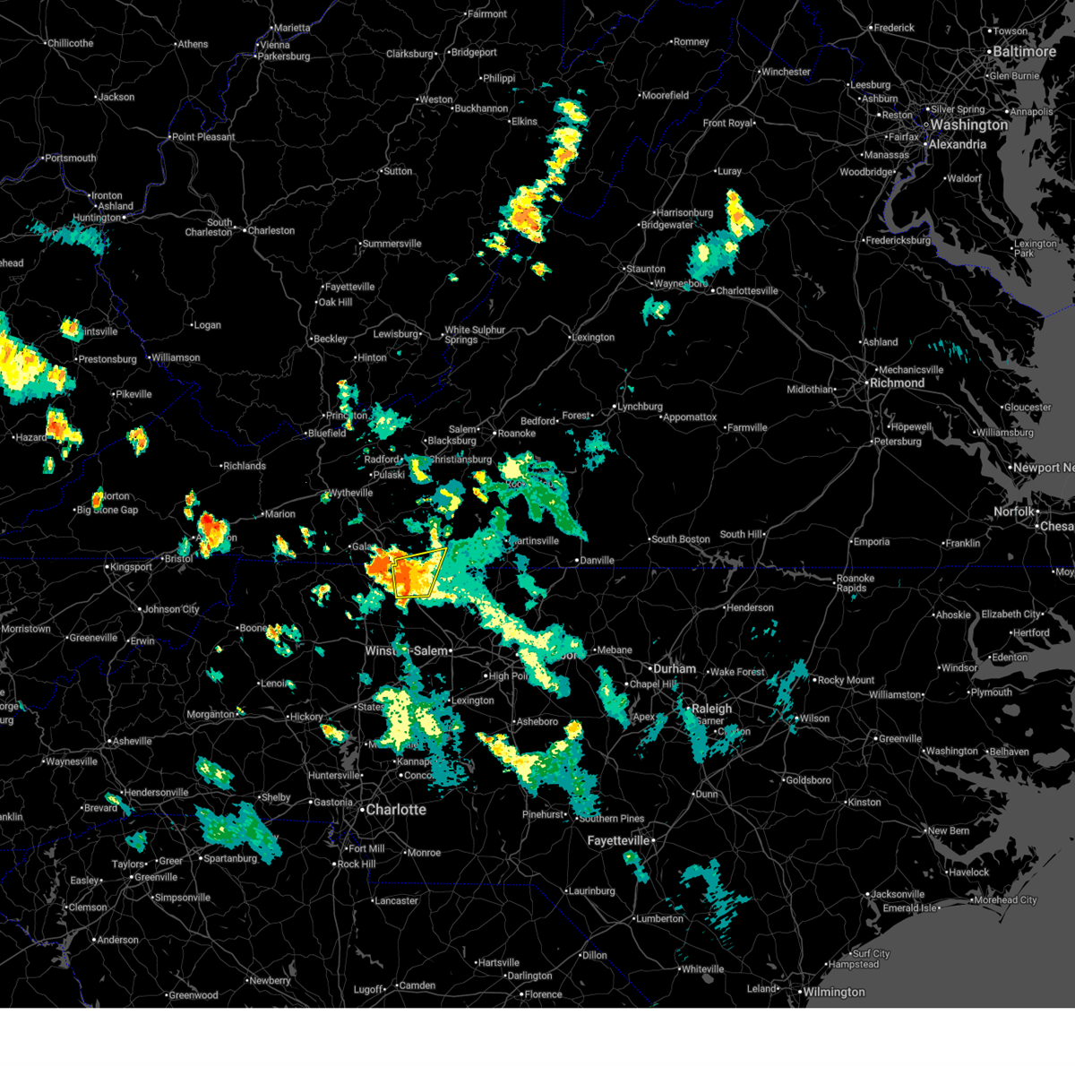
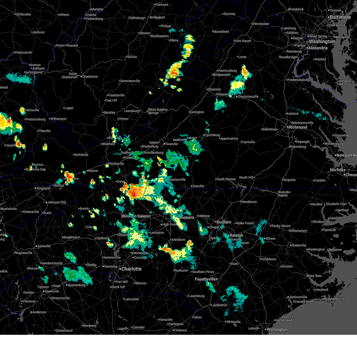
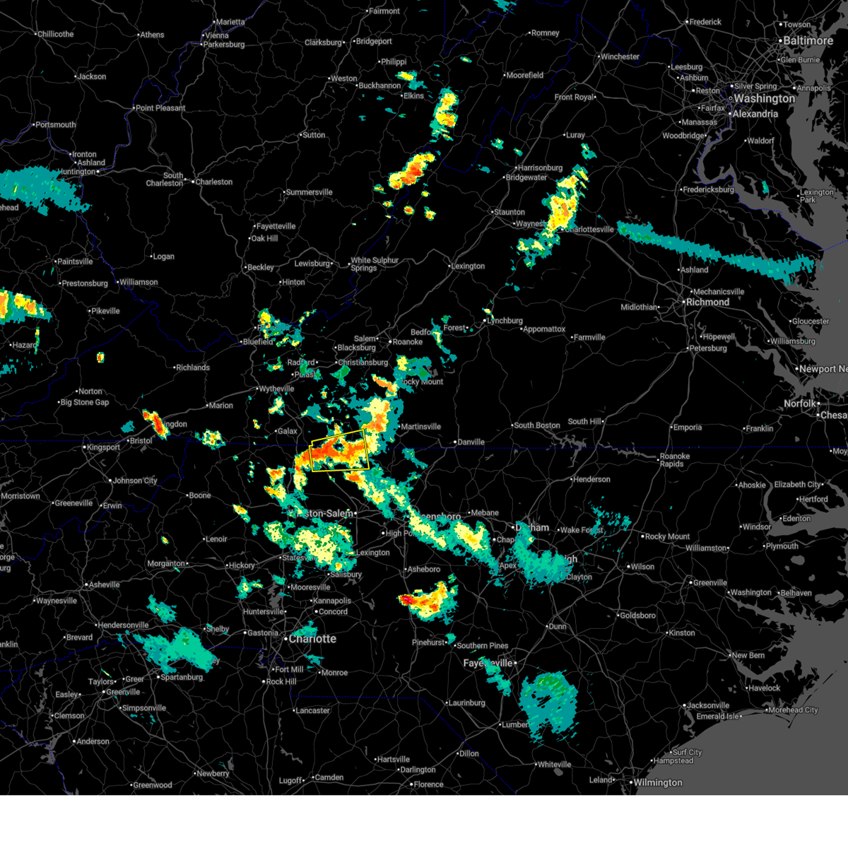
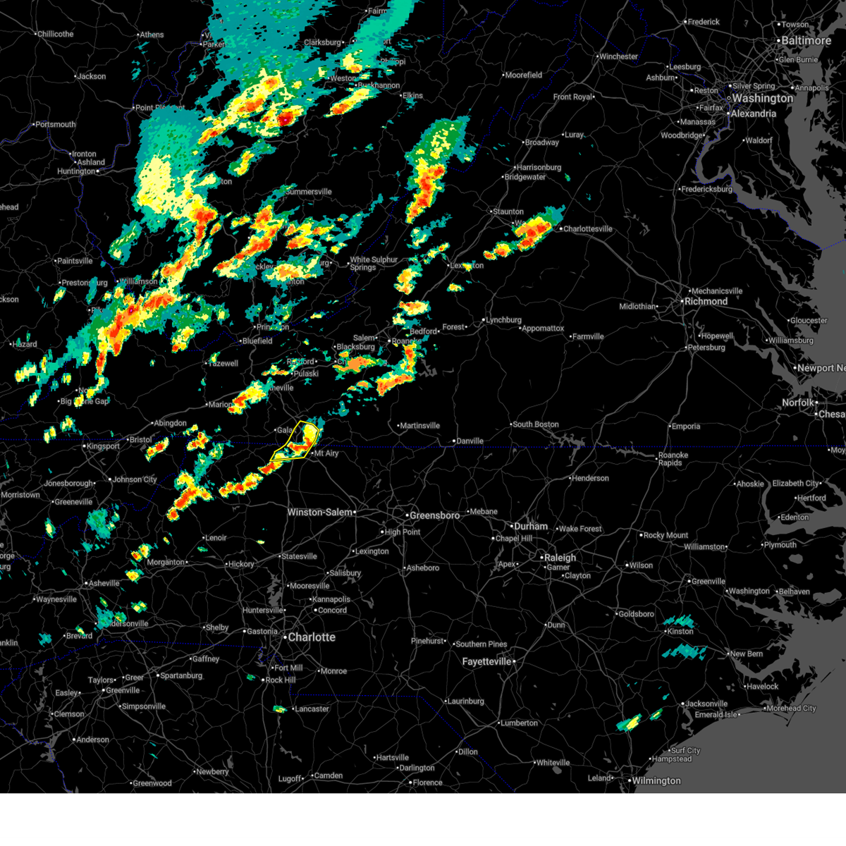
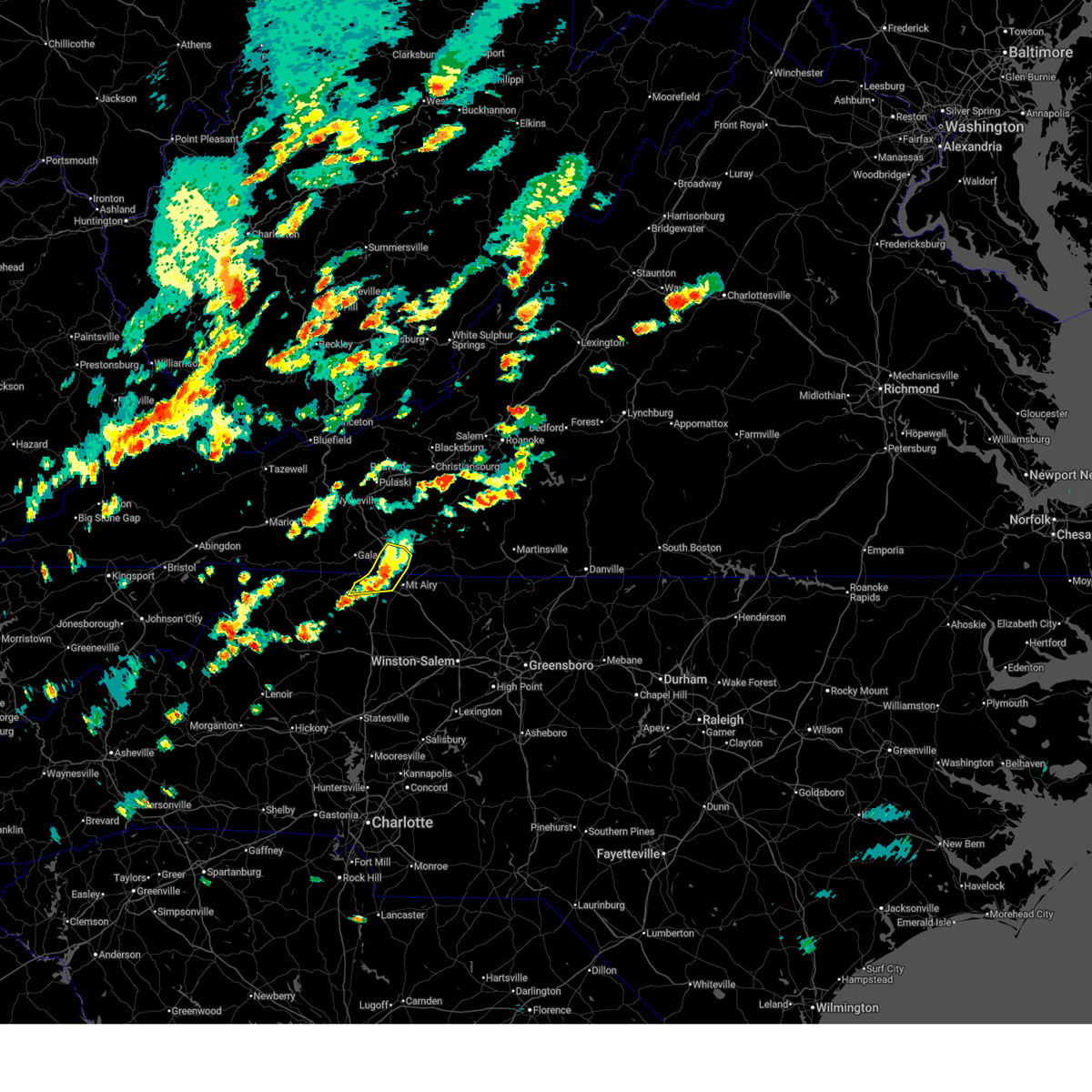
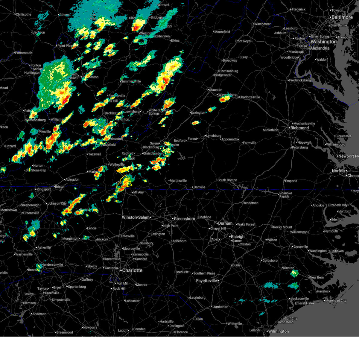
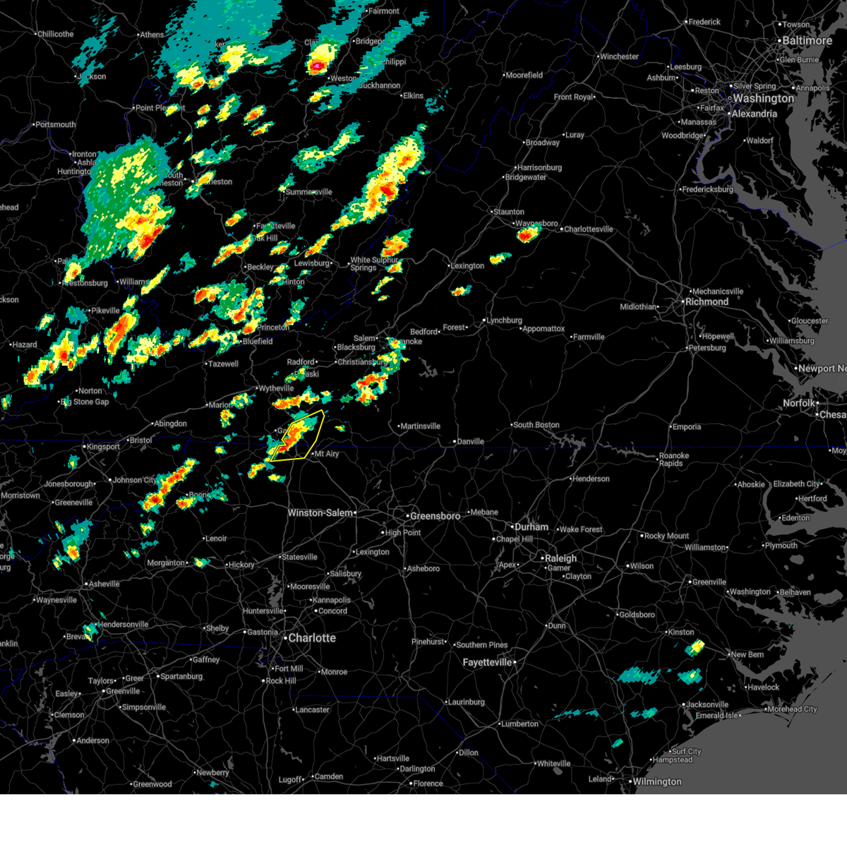
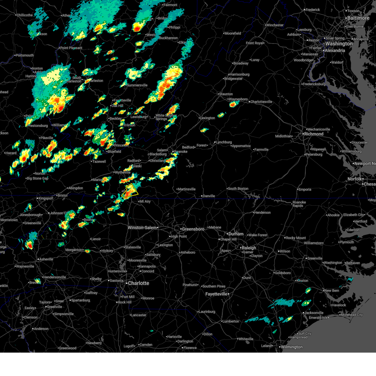
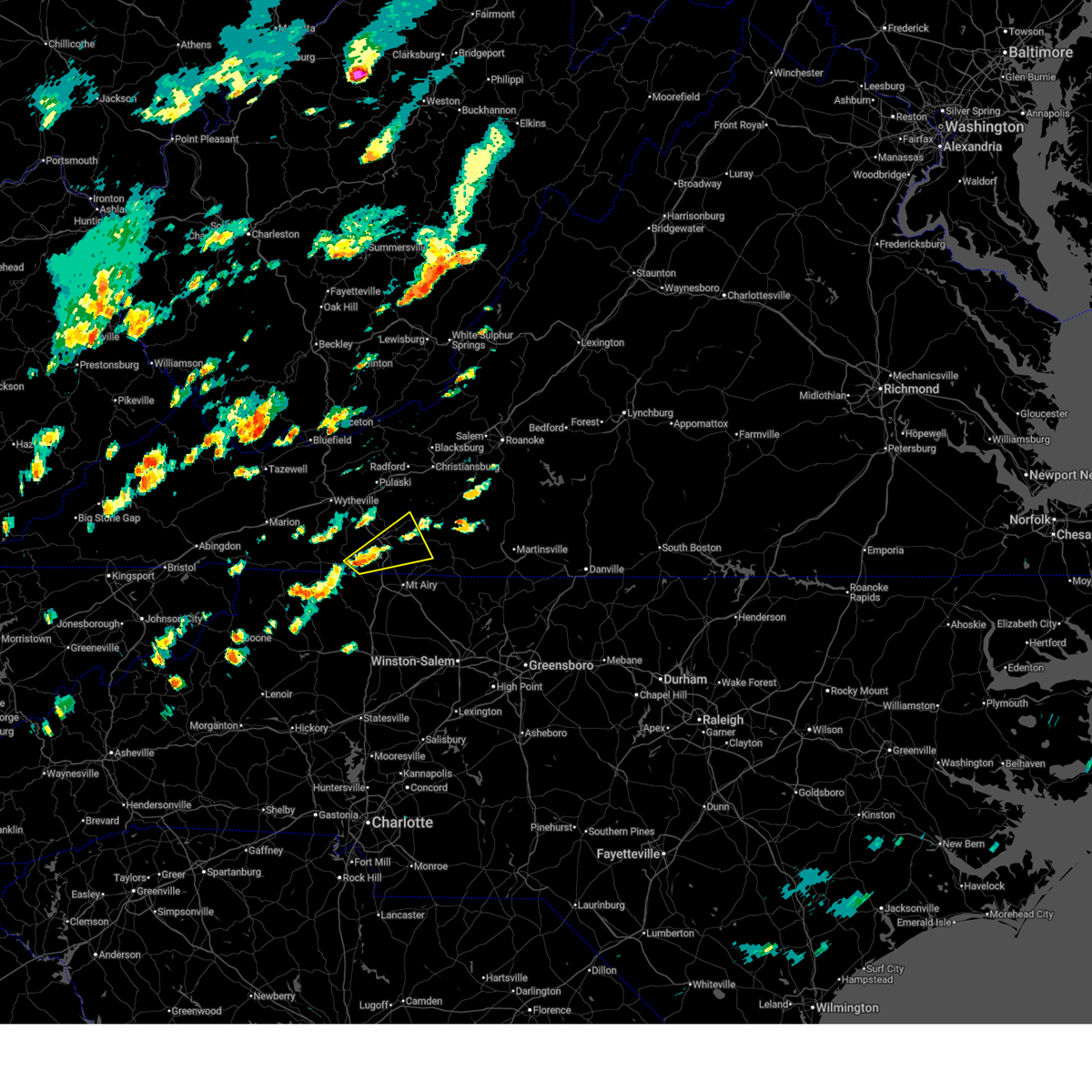
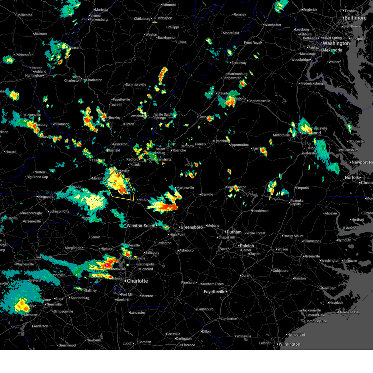
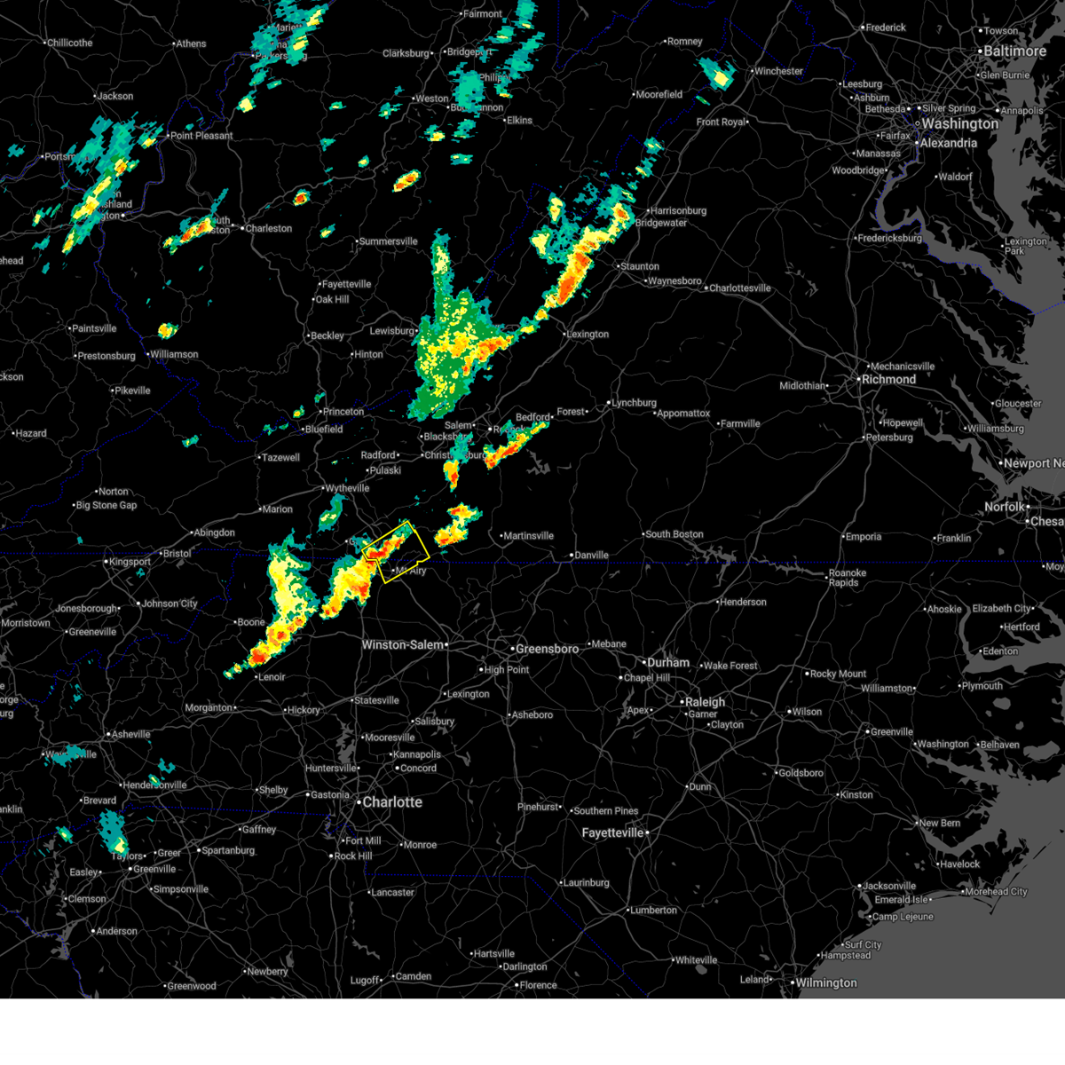
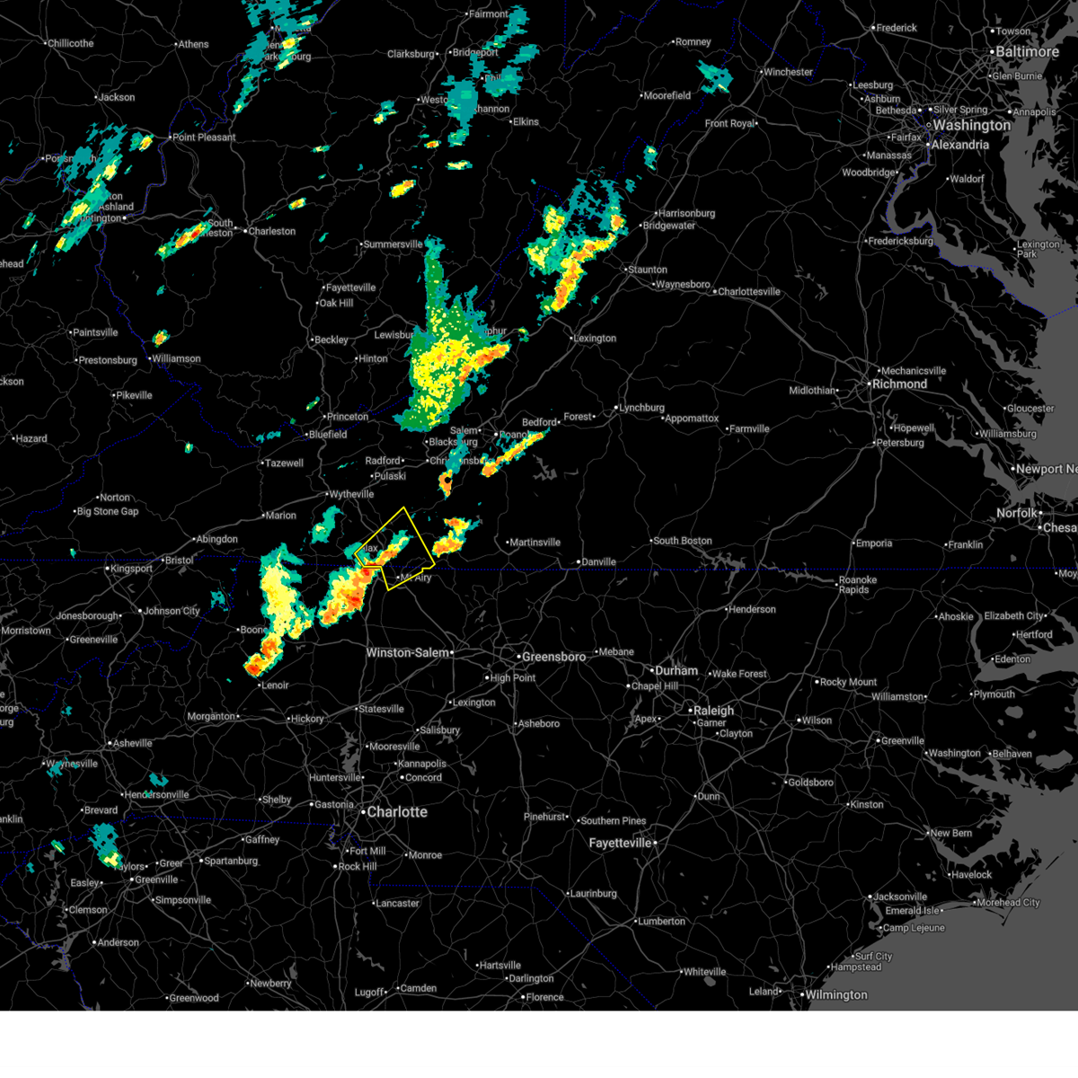
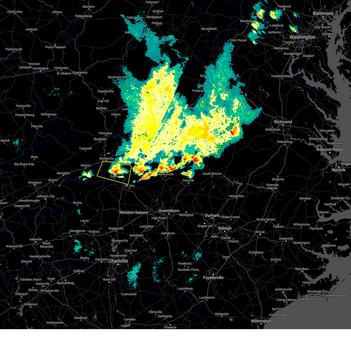
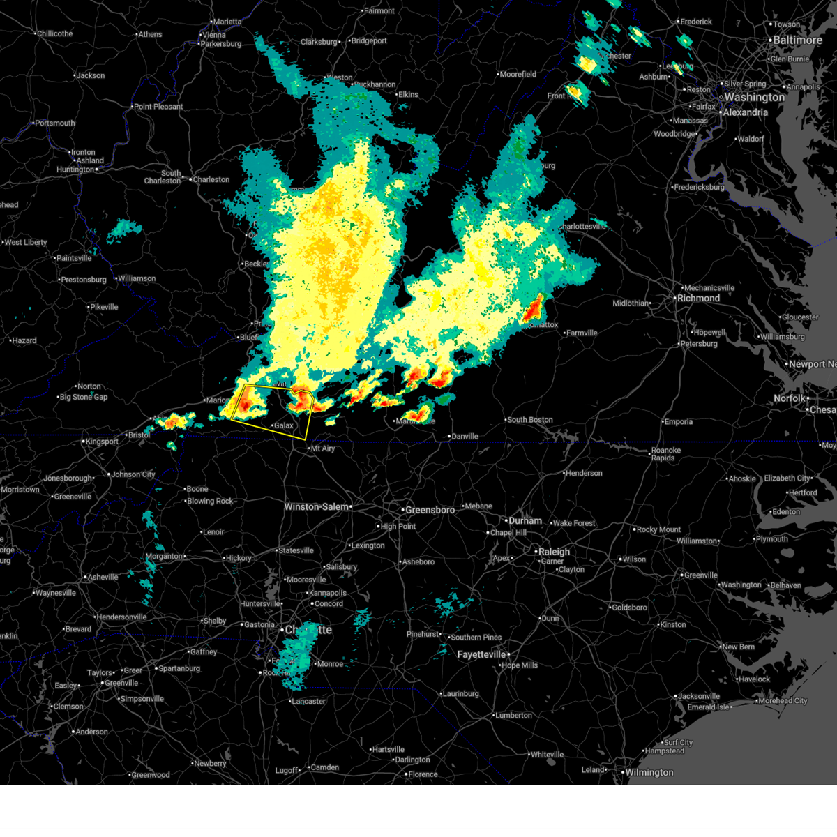
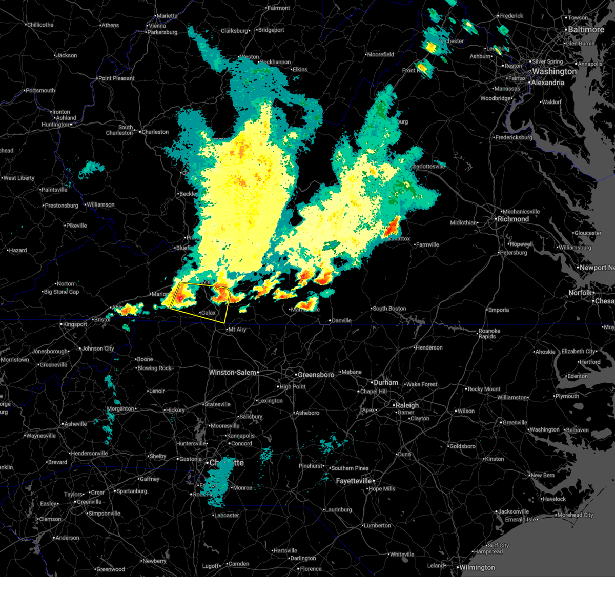
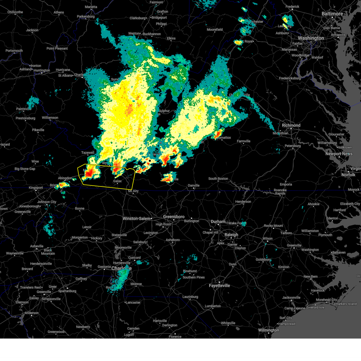
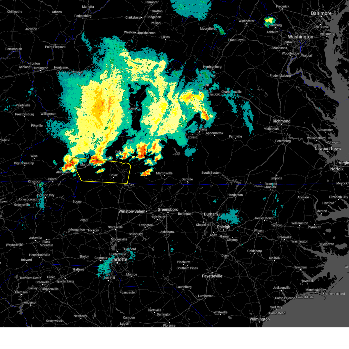
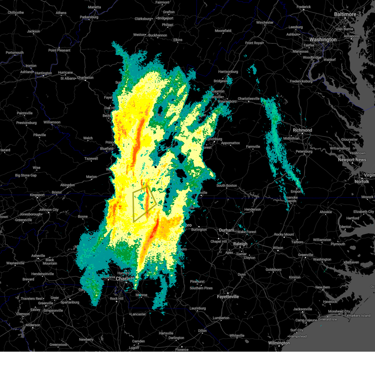
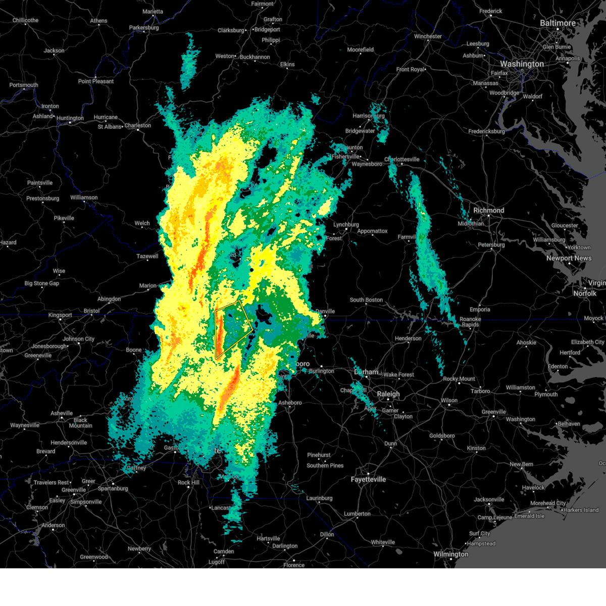
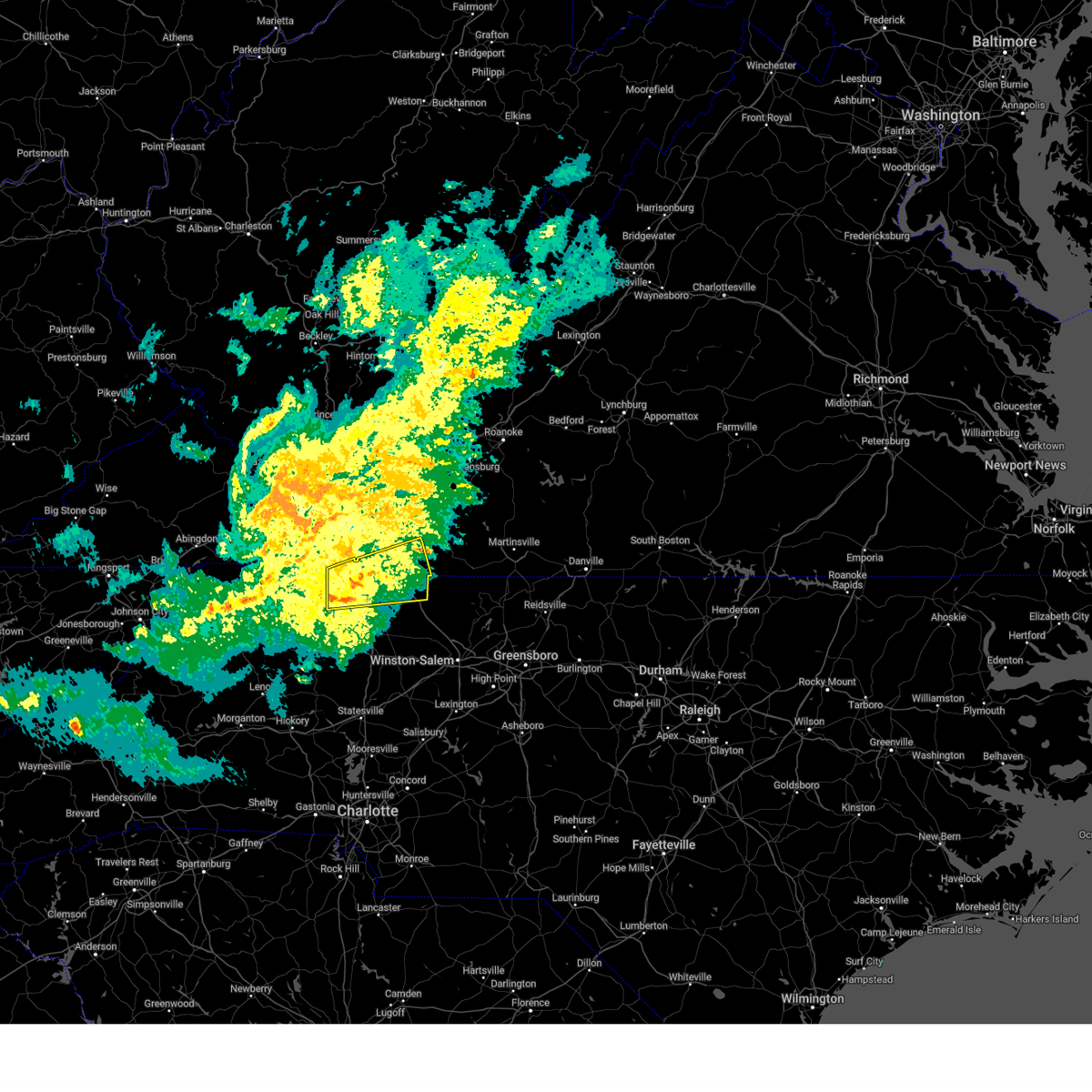
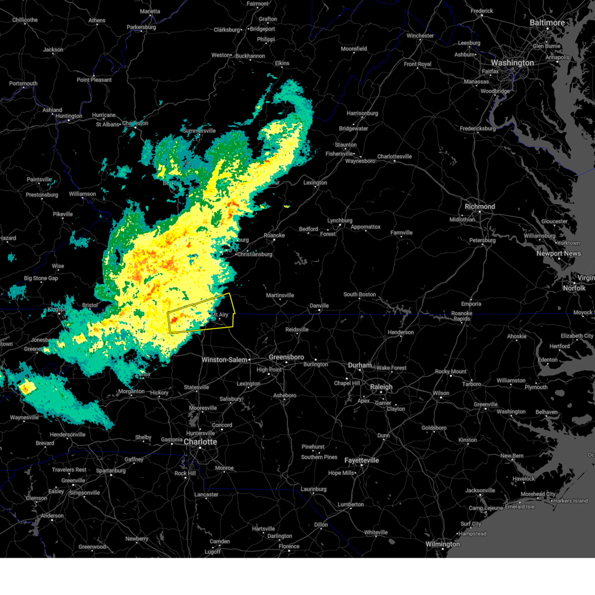
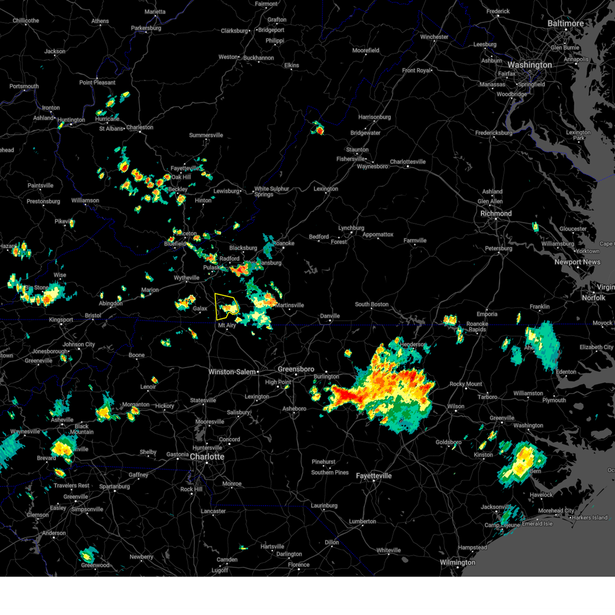
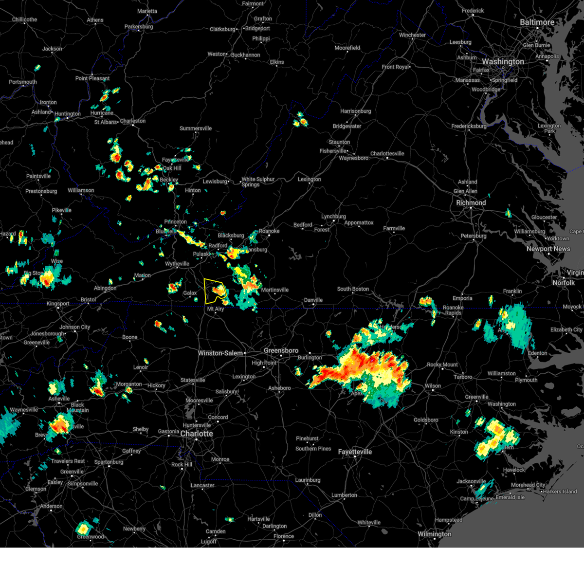
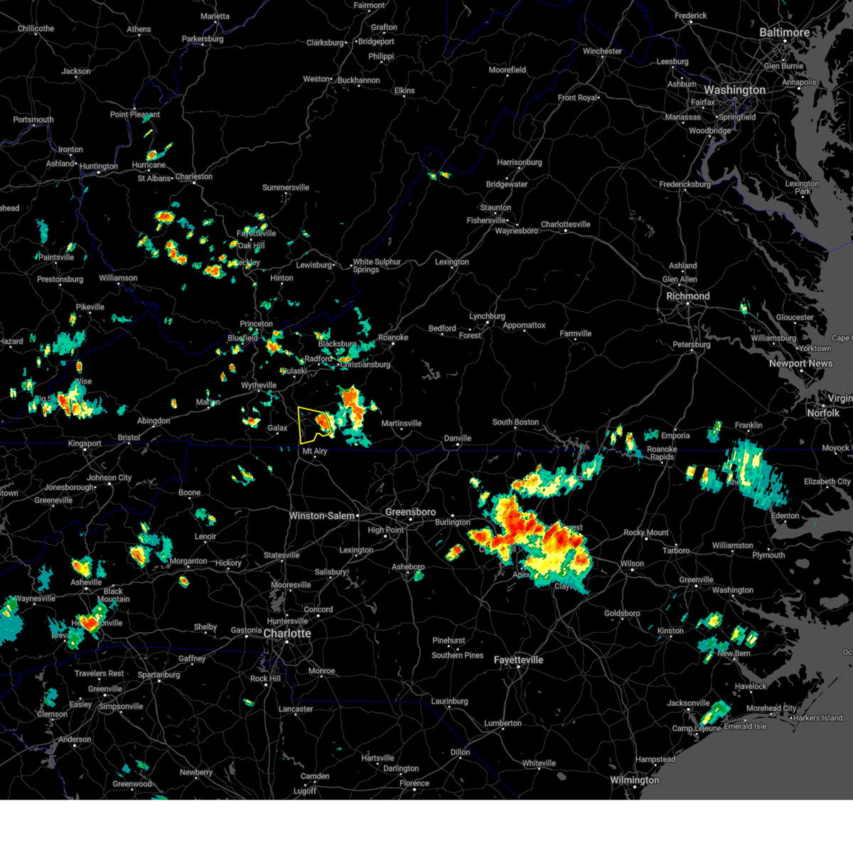
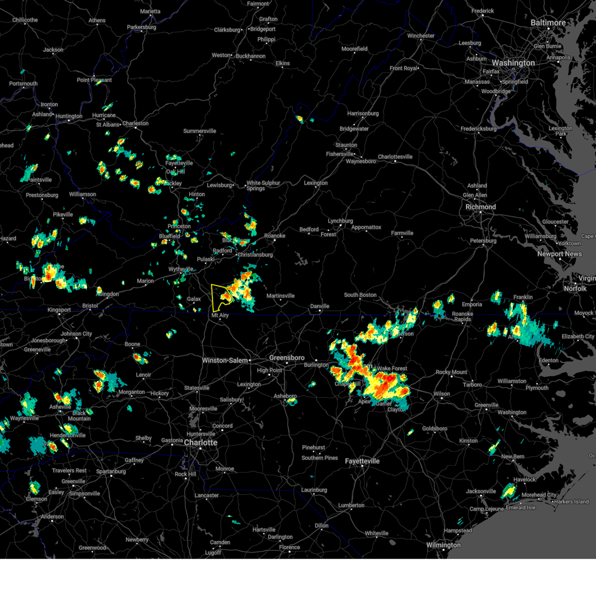
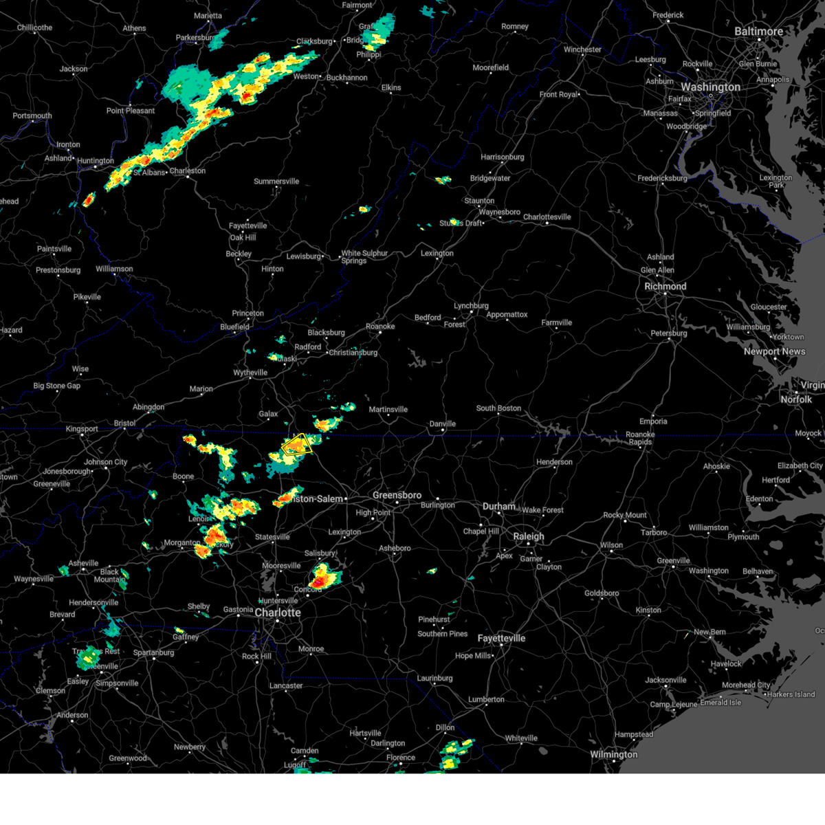
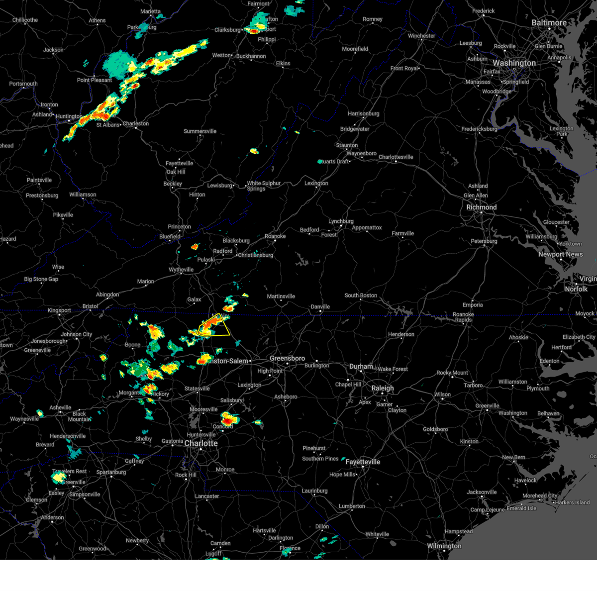
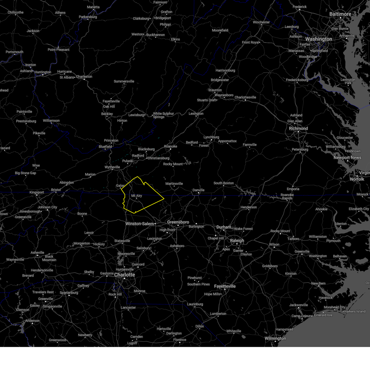
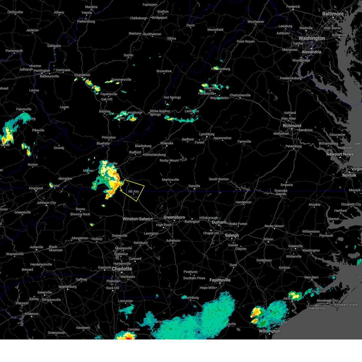
Hail Map for Cana, VA
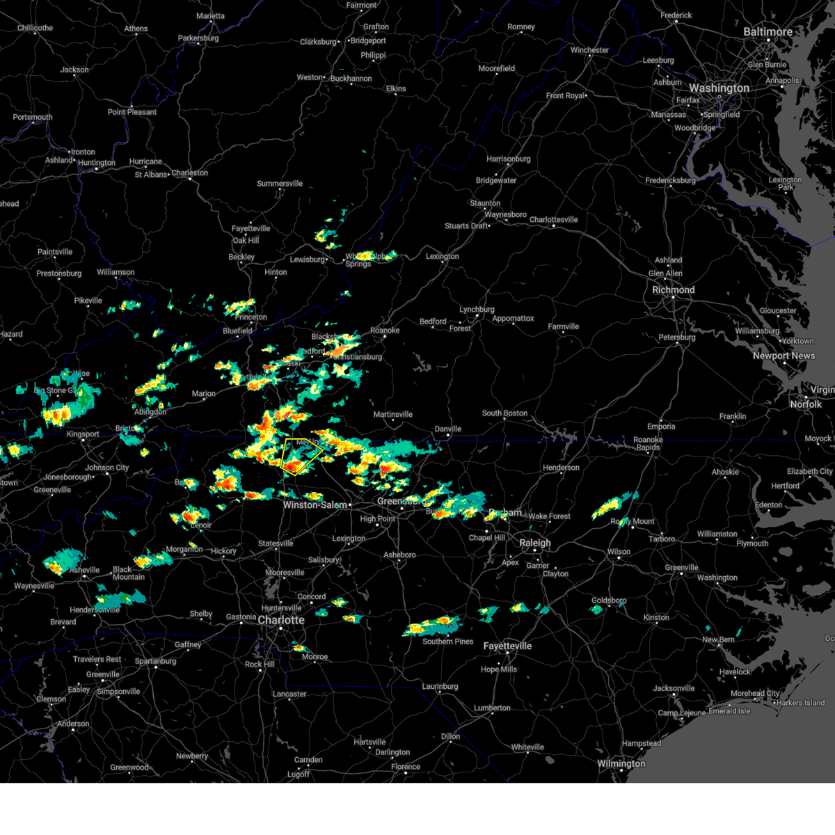
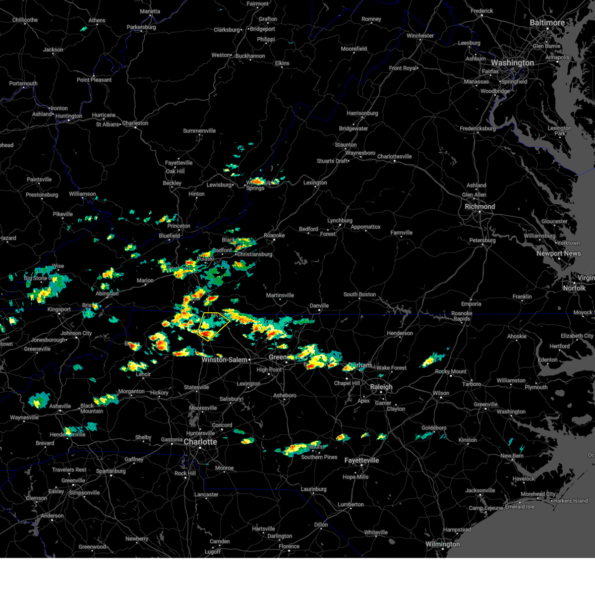
The Cana, VA area has had 6 reports of on-the-ground hail by trained spotters, and has been under severe weather warnings 32 times during the past 12 months. Doppler radar has detected hail at or near Cana, VA on 46 occasions, including 2 occasions during the past year.
| Name: | Cana, VA |
| Where Located: | 62.2 miles SW of Roanoke, VA |
| Map: | Google Map for Cana, VA |
| Population: | 1254 |
| Housing Units: | 624 |
| More Info: | Search Google for Cana, VA |
0
The Top Recent Hail Date for Cana, VA is Friday, June 12, 2026 (40th out of 46)

Hail and Wind Damage Spotted near Cana, VA
| Date / Time | Report Details |
|---|---|
| 6/22/2026 5:34 PM EDT |
 At 533 pm edt, severe thunderstorms were located along a line extending from elliston-lafayette to near floyd to near ararat, moving northeast at 45 mph (radar indicated). Hazards include 60 mph wind gusts. Expect damage to roofs, siding, and trees. Locations impacted include, rocky mount, stuart, floyd, boones mill, pilot, copper hill, and shawsville. At 533 pm edt, severe thunderstorms were located along a line extending from elliston-lafayette to near floyd to near ararat, moving northeast at 45 mph (radar indicated). Hazards include 60 mph wind gusts. Expect damage to roofs, siding, and trees. Locations impacted include, rocky mount, stuart, floyd, boones mill, pilot, copper hill, and shawsville.
|
| 6/22/2026 5:15 PM EDT |
 Svrrnk the national weather service in blacksburg has issued a * severe thunderstorm warning for, southern roanoke county in west central virginia, southeastern pulaski county in southwestern virginia, the central city of radford in southwestern virginia, floyd county in southwestern virginia, the southern city of roanoke in west central virginia, west central bedford county in south central virginia, carroll county in southwestern virginia, western henry county in south central virginia, franklin county in west central virginia, patrick county in southwestern virginia, southern montgomery county in southwestern virginia, * until 615 pm edt. * at 514 pm edt, severe thunderstorms were located along a line extending from near christiansburg to near dugspur to lambsburg, moving northeast at 45 mph (radar indicated). Hazards include 60 mph wind gusts. expect damage to roofs, siding, and trees Svrrnk the national weather service in blacksburg has issued a * severe thunderstorm warning for, southern roanoke county in west central virginia, southeastern pulaski county in southwestern virginia, the central city of radford in southwestern virginia, floyd county in southwestern virginia, the southern city of roanoke in west central virginia, west central bedford county in south central virginia, carroll county in southwestern virginia, western henry county in south central virginia, franklin county in west central virginia, patrick county in southwestern virginia, southern montgomery county in southwestern virginia, * until 615 pm edt. * at 514 pm edt, severe thunderstorms were located along a line extending from near christiansburg to near dugspur to lambsburg, moving northeast at 45 mph (radar indicated). Hazards include 60 mph wind gusts. expect damage to roofs, siding, and trees
|
| 6/18/2026 5:02 PM EDT |
 Svrrnk the national weather service in blacksburg has issued a * severe thunderstorm warning for, central surry county in northwestern north carolina, northwestern stokes county in north central north carolina, southwestern patrick county in southwestern virginia, * until 600 pm edt. * at 502 pm edt, a severe thunderstorm was located near dobson, moving east at 25 mph (radar indicated). Hazards include 60 mph wind gusts and quarter size hail. Hail damage to vehicles is expected. Expect wind damage to roofs, siding, and trees. Svrrnk the national weather service in blacksburg has issued a * severe thunderstorm warning for, central surry county in northwestern north carolina, northwestern stokes county in north central north carolina, southwestern patrick county in southwestern virginia, * until 600 pm edt. * at 502 pm edt, a severe thunderstorm was located near dobson, moving east at 25 mph (radar indicated). Hazards include 60 mph wind gusts and quarter size hail. Hail damage to vehicles is expected. Expect wind damage to roofs, siding, and trees.
|
| 6/12/2026 7:12 PM EDT |
 Svrrnk the national weather service in blacksburg has issued a * severe thunderstorm warning for, northeastern surry county in northwestern north carolina, northern stokes county in north central north carolina, southern patrick county in southwestern virginia, * until 815 pm edt. * at 712 pm edt, a severe thunderstorm was located over flat rock, moving east at 20 mph (radar indicated). Hazards include 60 mph wind gusts and quarter size hail. Hail damage to vehicles is expected. Expect wind damage to roofs, siding, and trees. Svrrnk the national weather service in blacksburg has issued a * severe thunderstorm warning for, northeastern surry county in northwestern north carolina, northern stokes county in north central north carolina, southern patrick county in southwestern virginia, * until 815 pm edt. * at 712 pm edt, a severe thunderstorm was located over flat rock, moving east at 20 mph (radar indicated). Hazards include 60 mph wind gusts and quarter size hail. Hail damage to vehicles is expected. Expect wind damage to roofs, siding, and trees.
|
| 6/12/2026 5:44 PM EDT |
 Svrrnk the national weather service in blacksburg has issued a * severe thunderstorm warning for, southern carroll county in southwestern virginia, the city of galax in southwestern virginia, southwestern patrick county in southwestern virginia, * until 645 pm edt. * at 544 pm edt, a severe thunderstorm was located over galax, moving east at 15 mph (radar indicated). Hazards include 60 mph wind gusts and quarter size hail. Hail damage to vehicles is expected. Expect wind damage to roofs, siding, and trees. Svrrnk the national weather service in blacksburg has issued a * severe thunderstorm warning for, southern carroll county in southwestern virginia, the city of galax in southwestern virginia, southwestern patrick county in southwestern virginia, * until 645 pm edt. * at 544 pm edt, a severe thunderstorm was located over galax, moving east at 15 mph (radar indicated). Hazards include 60 mph wind gusts and quarter size hail. Hail damage to vehicles is expected. Expect wind damage to roofs, siding, and trees.
|
| 6/10/2026 7:53 PM EDT |
 The storm which prompted the warning has weakened below severe limits, and no longer poses an immediate threat to life or property. therefore, the warning will be allowed to expire. however, heavy rain is still possible with this thunderstorm, with part of the area under a flash flood warning. The storm which prompted the warning has weakened below severe limits, and no longer poses an immediate threat to life or property. therefore, the warning will be allowed to expire. however, heavy rain is still possible with this thunderstorm, with part of the area under a flash flood warning.
|
| 6/10/2026 7:18 PM EDT |
 At 718 pm edt, a severe thunderstorm was located over flat rock, moving east at 5 mph (radar indicated). Hazards include 60 mph wind gusts and quarter size hail. Hail damage to vehicles is expected. expect wind damage to roofs, siding, and trees. Locations impacted include, mount airy, flat rock, pilot mountain, francisco, toast, woodville, and collinstown. At 718 pm edt, a severe thunderstorm was located over flat rock, moving east at 5 mph (radar indicated). Hazards include 60 mph wind gusts and quarter size hail. Hail damage to vehicles is expected. expect wind damage to roofs, siding, and trees. Locations impacted include, mount airy, flat rock, pilot mountain, francisco, toast, woodville, and collinstown.
|
| 6/10/2026 6:53 PM EDT |
 Svrrnk the national weather service in blacksburg has issued a * severe thunderstorm warning for, northeastern surry county in northwestern north carolina, northwestern stokes county in north central north carolina, * until 800 pm edt. * at 653 pm edt, a severe thunderstorm was located over flat rock, moving east at 5 mph (radar indicated). Hazards include 60 mph wind gusts and quarter size hail. Hail damage to vehicles is expected. Expect wind damage to roofs, siding, and trees. Svrrnk the national weather service in blacksburg has issued a * severe thunderstorm warning for, northeastern surry county in northwestern north carolina, northwestern stokes county in north central north carolina, * until 800 pm edt. * at 653 pm edt, a severe thunderstorm was located over flat rock, moving east at 5 mph (radar indicated). Hazards include 60 mph wind gusts and quarter size hail. Hail damage to vehicles is expected. Expect wind damage to roofs, siding, and trees.
|
| 3/16/2026 9:45 AM EDT |
 At 944 am edt, severe thunderstorms were located along a line extending from near ararat to yadkinville, moving east at 35 mph (radar indicated). Hazards include 60 mph wind gusts. Expect damage to roofs, siding, and trees. Locations impacted include, mount airy, fairview, flat rock, yadkinville, dobson, pilot mountain, and stuart. At 944 am edt, severe thunderstorms were located along a line extending from near ararat to yadkinville, moving east at 35 mph (radar indicated). Hazards include 60 mph wind gusts. Expect damage to roofs, siding, and trees. Locations impacted include, mount airy, fairview, flat rock, yadkinville, dobson, pilot mountain, and stuart.
|
| 3/16/2026 9:45 AM EDT |
 the severe thunderstorm warning has been cancelled and is no longer in effect the severe thunderstorm warning has been cancelled and is no longer in effect
|
| 3/16/2026 9:27 AM EDT |
 Svrrnk the national weather service in blacksburg has issued a * severe thunderstorm warning for, surry county in northwestern north carolina, western stokes county in north central north carolina, southeastern wilkes county in northwestern north carolina, yadkin county in northwestern north carolina, floyd county in southwestern virginia, carroll county in southwestern virginia, patrick county in southwestern virginia, * until 1030 am edt. * at 926 am edt, severe thunderstorms were located along a line extending from near fancy gap to near buck shoals, moving east at 30 mph (radar indicated). Hazards include 60 mph wind gusts. expect damage to roofs, siding, and trees Svrrnk the national weather service in blacksburg has issued a * severe thunderstorm warning for, surry county in northwestern north carolina, western stokes county in north central north carolina, southeastern wilkes county in northwestern north carolina, yadkin county in northwestern north carolina, floyd county in southwestern virginia, carroll county in southwestern virginia, patrick county in southwestern virginia, * until 1030 am edt. * at 926 am edt, severe thunderstorms were located along a line extending from near fancy gap to near buck shoals, moving east at 30 mph (radar indicated). Hazards include 60 mph wind gusts. expect damage to roofs, siding, and trees
|
| 3/16/2026 9:15 AM EDT |
 At 915 am edt, severe thunderstorms were located along a line extending from cumberland knob to near roaring river, moving east at 35 mph (radar indicated). Hazards include 60 mph wind gusts. Expect damage to roofs, siding, and trees. Locations impacted include, elkin, dobson, ronda, traphill, ennice, mountain park, and bottom. At 915 am edt, severe thunderstorms were located along a line extending from cumberland knob to near roaring river, moving east at 35 mph (radar indicated). Hazards include 60 mph wind gusts. Expect damage to roofs, siding, and trees. Locations impacted include, elkin, dobson, ronda, traphill, ennice, mountain park, and bottom.
|
| 3/16/2026 9:00 AM EDT |
 At 859 am edt, severe thunderstorms were located along a line extending from near ennice to wilkesboro, moving east at 35 mph (radar indicated). Hazards include 60 mph wind gusts. Expect damage to roofs, siding, and trees. Locations impacted include, north wilkesboro, elkin, wilkesboro, sparta, dobson, ronda, and traphill. At 859 am edt, severe thunderstorms were located along a line extending from near ennice to wilkesboro, moving east at 35 mph (radar indicated). Hazards include 60 mph wind gusts. Expect damage to roofs, siding, and trees. Locations impacted include, north wilkesboro, elkin, wilkesboro, sparta, dobson, ronda, and traphill.
|
| 3/16/2026 9:00 AM EDT |
 the severe thunderstorm warning has been cancelled and is no longer in effect the severe thunderstorm warning has been cancelled and is no longer in effect
|
| 3/16/2026 8:35 AM EDT |
 Svrrnk the national weather service in blacksburg has issued a * severe thunderstorm warning for, alleghany county in northwestern north carolina, western surry county in northwestern north carolina, wilkes county in northwestern north carolina, eastern ashe county in northwestern north carolina, * until 930 am edt. * at 835 am edt, severe thunderstorms were located along a line extending from scottville to near maple springs, moving east at 40 mph (radar indicated). Hazards include 60 mph wind gusts. expect damage to roofs, siding, and trees Svrrnk the national weather service in blacksburg has issued a * severe thunderstorm warning for, alleghany county in northwestern north carolina, western surry county in northwestern north carolina, wilkes county in northwestern north carolina, eastern ashe county in northwestern north carolina, * until 930 am edt. * at 835 am edt, severe thunderstorms were located along a line extending from scottville to near maple springs, moving east at 40 mph (radar indicated). Hazards include 60 mph wind gusts. expect damage to roofs, siding, and trees
|
| 1/1/0001 12:00 AM | Two trees downed by thunderstorm winds near the intersection of maple grove church road and beamer roa in surry county NC, 4.8 miles NNE of Cana, VA |
| 9/4/2025 2:55 PM EDT |
 The storm which prompted the warning has moved out of the area. therefore, the warning will be allowed to expire. there is still a severe thunderstorm warning for eastern carroll and surry county. The storm which prompted the warning has moved out of the area. therefore, the warning will be allowed to expire. there is still a severe thunderstorm warning for eastern carroll and surry county.
|
| 9/4/2025 2:33 PM EDT |
 Svrrnk the national weather service in blacksburg has issued a * severe thunderstorm warning for, surry county in northwestern north carolina, stokes county in north central north carolina, western rockingham county in north central north carolina, southern floyd county in southwestern virginia, the city of martinsville in south central virginia, carroll county in southwestern virginia, western henry county in south central virginia, patrick county in southwestern virginia, southwestern franklin county in west central virginia, * until 330 pm edt. * at 232 pm edt, severe thunderstorms were located along a line extending from near sylvatus to near mountain park, moving east at 50 mph. this storm has a history of wind damage including damage to trees and powerlines (law enforcement). Hazards include 60 mph wind gusts. expect damage to roofs, siding, and trees Svrrnk the national weather service in blacksburg has issued a * severe thunderstorm warning for, surry county in northwestern north carolina, stokes county in north central north carolina, western rockingham county in north central north carolina, southern floyd county in southwestern virginia, the city of martinsville in south central virginia, carroll county in southwestern virginia, western henry county in south central virginia, patrick county in southwestern virginia, southwestern franklin county in west central virginia, * until 330 pm edt. * at 232 pm edt, severe thunderstorms were located along a line extending from near sylvatus to near mountain park, moving east at 50 mph. this storm has a history of wind damage including damage to trees and powerlines (law enforcement). Hazards include 60 mph wind gusts. expect damage to roofs, siding, and trees
|
| 9/4/2025 2:07 PM EDT |
 At 207 pm edt, a severe thunderstorm was located over baywood, or near ennice, moving east at 40 mph (radar indicated). Hazards include 60 mph wind gusts. Expect damage to roofs, siding, and trees. Locations impacted include, mount airy, galax, hillsville, sparta, dobson, independence, and fries. At 207 pm edt, a severe thunderstorm was located over baywood, or near ennice, moving east at 40 mph (radar indicated). Hazards include 60 mph wind gusts. Expect damage to roofs, siding, and trees. Locations impacted include, mount airy, galax, hillsville, sparta, dobson, independence, and fries.
|
| 9/4/2025 2:07 PM EDT |
 the severe thunderstorm warning has been cancelled and is no longer in effect the severe thunderstorm warning has been cancelled and is no longer in effect
|
| 9/4/2025 1:53 PM EDT |
 Svrrnk the national weather service in blacksburg has issued a * severe thunderstorm warning for, alleghany county in northwestern north carolina, northwestern surry county in northwestern north carolina, northeastern wilkes county in northwestern north carolina, east central ashe county in northwestern north carolina, south central pulaski county in southwestern virginia, southern wythe county in southwestern virginia, carroll county in southwestern virginia, the city of galax in southwestern virginia, grayson county in southwestern virginia, * until 300 pm edt. * at 153 pm edt, a severe thunderstorm was located near twin oaks, or near independence, moving east at 40 mph (radar indicated). Hazards include 60 mph wind gusts. expect damage to roofs, siding, and trees Svrrnk the national weather service in blacksburg has issued a * severe thunderstorm warning for, alleghany county in northwestern north carolina, northwestern surry county in northwestern north carolina, northeastern wilkes county in northwestern north carolina, east central ashe county in northwestern north carolina, south central pulaski county in southwestern virginia, southern wythe county in southwestern virginia, carroll county in southwestern virginia, the city of galax in southwestern virginia, grayson county in southwestern virginia, * until 300 pm edt. * at 153 pm edt, a severe thunderstorm was located near twin oaks, or near independence, moving east at 40 mph (radar indicated). Hazards include 60 mph wind gusts. expect damage to roofs, siding, and trees
|
| 7/15/2025 9:30 PM EDT |
 the severe thunderstorm warning has been cancelled and is no longer in effect the severe thunderstorm warning has been cancelled and is no longer in effect
|
| 7/15/2025 9:19 PM EDT |
 At 919 pm edt, a severe thunderstorm was located over ararat, or near pilot mountain, moving southeast at 10 mph (radar indicated). Hazards include 60 mph wind gusts. Expect damage to roofs, siding, and trees. Locations impacted include, mount airy, flat rock, pilot mountain, stuart, francisco, woodville, and collinstown. At 919 pm edt, a severe thunderstorm was located over ararat, or near pilot mountain, moving southeast at 10 mph (radar indicated). Hazards include 60 mph wind gusts. Expect damage to roofs, siding, and trees. Locations impacted include, mount airy, flat rock, pilot mountain, stuart, francisco, woodville, and collinstown.
|
| 7/15/2025 8:49 PM EDT |
 Svrrnk the national weather service in blacksburg has issued a * severe thunderstorm warning for, northeastern surry county in northwestern north carolina, northwestern stokes county in north central north carolina, southern patrick county in southwestern virginia, * until 945 pm edt. * at 849 pm edt, a severe thunderstorm was located over flat rock, moving east at 15 mph (radar indicated). Hazards include 60 mph wind gusts. expect damage to roofs, siding, and trees Svrrnk the national weather service in blacksburg has issued a * severe thunderstorm warning for, northeastern surry county in northwestern north carolina, northwestern stokes county in north central north carolina, southern patrick county in southwestern virginia, * until 945 pm edt. * at 849 pm edt, a severe thunderstorm was located over flat rock, moving east at 15 mph (radar indicated). Hazards include 60 mph wind gusts. expect damage to roofs, siding, and trees
|
| 7/9/2025 2:00 PM EDT | Tree down near wards gap roa in carroll county VA, 3.7 miles W of Cana, VA |
| 7/9/2025 2:00 PM EDT |
 The storms which prompted the warning have weakened. therefore, the warning will be allowed to expire. however, gusty winds and heavy rain are still possible with these thunderstorms. The storms which prompted the warning have weakened. therefore, the warning will be allowed to expire. however, gusty winds and heavy rain are still possible with these thunderstorms.
|
| 7/9/2025 1:48 PM EDT | Tree down near mountain breeze lan in carroll county VA, 2.1 miles WSW of Cana, VA |
| 7/9/2025 1:37 PM EDT |
 At 137 pm edt, severe thunderstorms were located along a line extending from near cana to near barrett, moving south at 20 mph (radar indicated). Hazards include 60 mph wind gusts and quarter size hail. Hail damage to vehicles is expected. expect wind damage to roofs, siding, and trees. Locations impacted include, mount airy, fancy gap, bottom, cana, pine ridge, lambsburg, and low gap. At 137 pm edt, severe thunderstorms were located along a line extending from near cana to near barrett, moving south at 20 mph (radar indicated). Hazards include 60 mph wind gusts and quarter size hail. Hail damage to vehicles is expected. expect wind damage to roofs, siding, and trees. Locations impacted include, mount airy, fancy gap, bottom, cana, pine ridge, lambsburg, and low gap.
|
| 7/9/2025 1:15 PM EDT |
 The severe thunderstorm which prompted the warning has moved out of a portion the warned area. therefore, the warning will be allowed to expire. remember, a severe thunderstorm warning still remains in effect for southeastern carroll county until 200 pm edt. The severe thunderstorm which prompted the warning has moved out of a portion the warned area. therefore, the warning will be allowed to expire. remember, a severe thunderstorm warning still remains in effect for southeastern carroll county until 200 pm edt.
|
| 7/9/2025 1:07 PM EDT |
 Svrrnk the national weather service in blacksburg has issued a * severe thunderstorm warning for, northwestern surry county in northwestern north carolina, southeastern carroll county in southwestern virginia, western patrick county in southwestern virginia, * until 200 pm edt. * at 107 pm edt, severe thunderstorms were located along a line extending from near pipers gap to near barrett, moving northeast at 20 mph (radar indicated). Hazards include 60 mph wind gusts and quarter size hail. Hail damage to vehicles is expected. Expect wind damage to roofs, siding, and trees. Svrrnk the national weather service in blacksburg has issued a * severe thunderstorm warning for, northwestern surry county in northwestern north carolina, southeastern carroll county in southwestern virginia, western patrick county in southwestern virginia, * until 200 pm edt. * at 107 pm edt, severe thunderstorms were located along a line extending from near pipers gap to near barrett, moving northeast at 20 mph (radar indicated). Hazards include 60 mph wind gusts and quarter size hail. Hail damage to vehicles is expected. Expect wind damage to roofs, siding, and trees.
|
| 7/9/2025 12:56 PM EDT |
 the severe thunderstorm warning has been cancelled and is no longer in effect the severe thunderstorm warning has been cancelled and is no longer in effect
|
| 7/9/2025 12:56 PM EDT |
 At 1255 pm edt, a severe thunderstorm was located near pipers gap, or near galax, moving east at 5 mph (radar indicated). Hazards include 60 mph wind gusts and quarter size hail. Hail damage to vehicles is expected. expect wind damage to roofs, siding, and trees. Locations impacted include, hillsville, fancy gap, cana, pipers gap, woodlawn, and lambsburg. At 1255 pm edt, a severe thunderstorm was located near pipers gap, or near galax, moving east at 5 mph (radar indicated). Hazards include 60 mph wind gusts and quarter size hail. Hail damage to vehicles is expected. expect wind damage to roofs, siding, and trees. Locations impacted include, hillsville, fancy gap, cana, pipers gap, woodlawn, and lambsburg.
|
| 7/9/2025 12:20 PM EDT |
 Svrrnk the national weather service in blacksburg has issued a * severe thunderstorm warning for, southwestern floyd county in southwestern virginia, central carroll county in southwestern virginia, the city of galax in southwestern virginia, southeastern grayson county in southwestern virginia, west central patrick county in southwestern virginia, * until 115 pm edt. * at 1220 pm edt, a severe thunderstorm was located over pipers gap, or near galax, moving northeast at 15 mph (radar indicated). Hazards include 60 mph wind gusts and quarter size hail. Hail damage to vehicles is expected. Expect wind damage to roofs, siding, and trees. Svrrnk the national weather service in blacksburg has issued a * severe thunderstorm warning for, southwestern floyd county in southwestern virginia, central carroll county in southwestern virginia, the city of galax in southwestern virginia, southeastern grayson county in southwestern virginia, west central patrick county in southwestern virginia, * until 115 pm edt. * at 1220 pm edt, a severe thunderstorm was located over pipers gap, or near galax, moving northeast at 15 mph (radar indicated). Hazards include 60 mph wind gusts and quarter size hail. Hail damage to vehicles is expected. Expect wind damage to roofs, siding, and trees.
|
| 7/1/2025 6:49 PM EDT |
 the severe thunderstorm warning has been cancelled and is no longer in effect the severe thunderstorm warning has been cancelled and is no longer in effect
|
| 7/1/2025 6:07 PM EDT |
 Svrrnk the national weather service in blacksburg has issued a * severe thunderstorm warning for, surry county in northwestern north carolina, stokes county in north central north carolina, southwestern floyd county in southwestern virginia, eastern carroll county in southwestern virginia, southwestern patrick county in southwestern virginia, * until 715 pm edt. * at 607 pm edt, a severe thunderstorm was located over bottom, moving northeast at 30 mph (radar indicated). Hazards include 60 mph wind gusts. expect damage to roofs, siding, and trees Svrrnk the national weather service in blacksburg has issued a * severe thunderstorm warning for, surry county in northwestern north carolina, stokes county in north central north carolina, southwestern floyd county in southwestern virginia, eastern carroll county in southwestern virginia, southwestern patrick county in southwestern virginia, * until 715 pm edt. * at 607 pm edt, a severe thunderstorm was located over bottom, moving northeast at 30 mph (radar indicated). Hazards include 60 mph wind gusts. expect damage to roofs, siding, and trees
|
| 6/26/2025 5:22 PM EDT |
 The storms which prompted the warning have weakened below severe limits, and no longer pose an immediate threat to life or property. therefore, the warning will be allowed to expire. however, gusty winds are still possible with these thunderstorms and additional thunderstorms could still develop later this evening. The storms which prompted the warning have weakened below severe limits, and no longer pose an immediate threat to life or property. therefore, the warning will be allowed to expire. however, gusty winds are still possible with these thunderstorms and additional thunderstorms could still develop later this evening.
|
| 6/26/2025 5:08 PM EDT |
 At 507 pm edt, severe thunderstorms were located along a line extending from comers rock to sparta to near mount airy, moving southwest at 30 mph (radar indicated). Hazards include 60 mph wind gusts. Expect damage to roofs, siding, and trees. Locations impacted include, galax, independence, fries, ennice, speedwell, baywood, and ivanhoe. At 507 pm edt, severe thunderstorms were located along a line extending from comers rock to sparta to near mount airy, moving southwest at 30 mph (radar indicated). Hazards include 60 mph wind gusts. Expect damage to roofs, siding, and trees. Locations impacted include, galax, independence, fries, ennice, speedwell, baywood, and ivanhoe.
|
| 6/26/2025 5:08 PM EDT |
 the severe thunderstorm warning has been cancelled and is no longer in effect the severe thunderstorm warning has been cancelled and is no longer in effect
|
| 6/26/2025 4:52 PM EDT |
 At 451 pm edt, severe thunderstorms were located along a line extending from speedwell to near ennice to ararat, moving southwest at 15 mph (radar indicated). Hazards include 60 mph wind gusts and quarter size hail. Hail damage to vehicles is expected. expect wind damage to roofs, siding, and trees. Locations impacted include, galax, hillsville, independence, fries, fancy gap, ennice, and cana. At 451 pm edt, severe thunderstorms were located along a line extending from speedwell to near ennice to ararat, moving southwest at 15 mph (radar indicated). Hazards include 60 mph wind gusts and quarter size hail. Hail damage to vehicles is expected. expect wind damage to roofs, siding, and trees. Locations impacted include, galax, hillsville, independence, fries, fancy gap, ennice, and cana.
|
| 6/26/2025 4:37 PM EDT |
 At 437 pm edt, severe thunderstorms were located along a line extending from near comers rock to near sparta to near ararat, moving southwest at 25 mph (radar indicated). Hazards include 60 mph wind gusts. Expect damage to roofs, siding, and trees. Locations impacted include, galax, hillsville, independence, fries, fancy gap, ennice, and cana. At 437 pm edt, severe thunderstorms were located along a line extending from near comers rock to near sparta to near ararat, moving southwest at 25 mph (radar indicated). Hazards include 60 mph wind gusts. Expect damage to roofs, siding, and trees. Locations impacted include, galax, hillsville, independence, fries, fancy gap, ennice, and cana.
|
| 6/26/2025 4:25 PM EDT |
 Svrrnk the national weather service in blacksburg has issued a * severe thunderstorm warning for, northeastern alleghany county in northwestern north carolina, northwestern surry county in northwestern north carolina, southeastern wythe county in southwestern virginia, carroll county in southwestern virginia, the city of galax in southwestern virginia, eastern grayson county in southwestern virginia, western patrick county in southwestern virginia, * until 530 pm edt. * at 424 pm edt, severe thunderstorms were located along a line extending from near speedwell to near cana, moving southwest at 20 mph (radar indicated). Hazards include 60 mph wind gusts. expect damage to roofs, siding, and trees Svrrnk the national weather service in blacksburg has issued a * severe thunderstorm warning for, northeastern alleghany county in northwestern north carolina, northwestern surry county in northwestern north carolina, southeastern wythe county in southwestern virginia, carroll county in southwestern virginia, the city of galax in southwestern virginia, eastern grayson county in southwestern virginia, western patrick county in southwestern virginia, * until 530 pm edt. * at 424 pm edt, severe thunderstorms were located along a line extending from near speedwell to near cana, moving southwest at 20 mph (radar indicated). Hazards include 60 mph wind gusts. expect damage to roofs, siding, and trees
|
| 6/19/2025 2:33 PM EDT |
 the severe thunderstorm warning has been cancelled and is no longer in effect the severe thunderstorm warning has been cancelled and is no longer in effect
|
| 6/19/2025 2:01 PM EDT |
 the severe thunderstorm warning has been cancelled and is no longer in effect the severe thunderstorm warning has been cancelled and is no longer in effect
|
| 6/19/2025 2:01 PM EDT |
 At 201 pm edt, a severe thunderstorm was located over cana, moving northeast at 35 mph (radar indicated). Hazards include 60 mph wind gusts and quarter size hail. Hail damage to vehicles is expected. expect wind damage to roofs, siding, and trees. Locations impacted include, mount airy, flat rock, ararat, cana, fancy gap, laurel fork, and toast. At 201 pm edt, a severe thunderstorm was located over cana, moving northeast at 35 mph (radar indicated). Hazards include 60 mph wind gusts and quarter size hail. Hail damage to vehicles is expected. expect wind damage to roofs, siding, and trees. Locations impacted include, mount airy, flat rock, ararat, cana, fancy gap, laurel fork, and toast.
|
| 6/19/2025 1:53 PM EDT |
 Svrrnk the national weather service in blacksburg has issued a * severe thunderstorm warning for, northeastern surry county in northwestern north carolina, southwestern floyd county in southwestern virginia, eastern carroll county in southwestern virginia, southwestern patrick county in southwestern virginia, * until 300 pm edt. * at 153 pm edt, a severe thunderstorm was located over lambsburg, or near bottom, moving northeast at 25 mph (radar indicated). Hazards include 60 mph wind gusts and quarter size hail. Hail damage to vehicles is expected. Expect wind damage to roofs, siding, and trees. Svrrnk the national weather service in blacksburg has issued a * severe thunderstorm warning for, northeastern surry county in northwestern north carolina, southwestern floyd county in southwestern virginia, eastern carroll county in southwestern virginia, southwestern patrick county in southwestern virginia, * until 300 pm edt. * at 153 pm edt, a severe thunderstorm was located over lambsburg, or near bottom, moving northeast at 25 mph (radar indicated). Hazards include 60 mph wind gusts and quarter size hail. Hail damage to vehicles is expected. Expect wind damage to roofs, siding, and trees.
|
| 5/16/2025 4:27 PM EDT |
 The storm which prompted the warning has weakened below severe limits, and no longer poses an immediate threat to life or property. therefore, the warning will be allowed to expire. however, heavy rain is still possible with this thunderstorm. a severe thunderstorm watch remains in effect until 600 pm edt for northwestern north carolina, southwestern virginia, and southeastern west virginia. a severe thunderstorm watch also remains in effect until 1100 pm edt for north central north carolina, and west central virginia. The storm which prompted the warning has weakened below severe limits, and no longer poses an immediate threat to life or property. therefore, the warning will be allowed to expire. however, heavy rain is still possible with this thunderstorm. a severe thunderstorm watch remains in effect until 600 pm edt for northwestern north carolina, southwestern virginia, and southeastern west virginia. a severe thunderstorm watch also remains in effect until 1100 pm edt for north central north carolina, and west central virginia.
|
| 5/16/2025 4:14 PM EDT |
 the severe thunderstorm warning has been cancelled and is no longer in effect the severe thunderstorm warning has been cancelled and is no longer in effect
|
| 5/16/2025 4:14 PM EDT |
 At 413 pm edt, a severe thunderstorm was located over cripple creek, or near speedwell, moving east at 60 mph (radar indicated). Hazards include 70 mph wind gusts and quarter size hail. Hail damage to vehicles is expected. expect considerable tree damage. wind damage is also likely to mobile homes, roofs, and outbuildings. Locations impacted include, wytheville, galax, hillsville, fries, fancy gap, patterson, and cana. At 413 pm edt, a severe thunderstorm was located over cripple creek, or near speedwell, moving east at 60 mph (radar indicated). Hazards include 70 mph wind gusts and quarter size hail. Hail damage to vehicles is expected. expect considerable tree damage. wind damage is also likely to mobile homes, roofs, and outbuildings. Locations impacted include, wytheville, galax, hillsville, fries, fancy gap, patterson, and cana.
|
| 5/16/2025 3:51 PM EDT |
 the severe thunderstorm warning has been cancelled and is no longer in effect the severe thunderstorm warning has been cancelled and is no longer in effect
|
| 5/16/2025 3:51 PM EDT |
 At 349 pm edt, a severe thunderstorm was located over marion, moving east at 60 mph (radar indicated). Hazards include 70 mph wind gusts and quarter size hail. Hail damage to vehicles is expected. expect considerable tree damage. wind damage is also likely to mobile homes, roofs, and outbuildings. Locations impacted include, wytheville, galax, marion, hillsville, chilhowie, rural retreat, and independence. At 349 pm edt, a severe thunderstorm was located over marion, moving east at 60 mph (radar indicated). Hazards include 70 mph wind gusts and quarter size hail. Hail damage to vehicles is expected. expect considerable tree damage. wind damage is also likely to mobile homes, roofs, and outbuildings. Locations impacted include, wytheville, galax, marion, hillsville, chilhowie, rural retreat, and independence.
|
| 5/16/2025 3:36 PM EDT |
 Svrrnk the national weather service in blacksburg has issued a * severe thunderstorm warning for, smyth county in southwestern virginia, south central tazewell county in southwestern virginia, southern wythe county in southwestern virginia, carroll county in southwestern virginia, the city of galax in southwestern virginia, grayson county in southwestern virginia, * until 430 pm edt. * at 336 pm edt, a severe thunderstorm was located over quarry, or over saltville, moving east at 60 mph (radar indicated). Hazards include 60 mph wind gusts and quarter size hail. Hail damage to vehicles is expected. Expect wind damage to roofs, siding, and trees. Svrrnk the national weather service in blacksburg has issued a * severe thunderstorm warning for, smyth county in southwestern virginia, south central tazewell county in southwestern virginia, southern wythe county in southwestern virginia, carroll county in southwestern virginia, the city of galax in southwestern virginia, grayson county in southwestern virginia, * until 430 pm edt. * at 336 pm edt, a severe thunderstorm was located over quarry, or over saltville, moving east at 60 mph (radar indicated). Hazards include 60 mph wind gusts and quarter size hail. Hail damage to vehicles is expected. Expect wind damage to roofs, siding, and trees.
|
| 5/8/2025 5:54 PM EDT | Quarter sized hail reported 1 miles NW of Cana, VA, lasted until 6:10 pm. start time estimated from radar. |
| 3/5/2025 8:29 AM EST |
 The storms which prompted the warning have moved out of the area. therefore, the warning will be allowed to expire. however, gusty winds are still possible with these thunderstorms. a tornado watch remains in effect until 100 pm est for north central north carolina. remember, another severe thunderstorm warning still remains in effect for portions of stokes and patrick counties. The storms which prompted the warning have moved out of the area. therefore, the warning will be allowed to expire. however, gusty winds are still possible with these thunderstorms. a tornado watch remains in effect until 100 pm est for north central north carolina. remember, another severe thunderstorm warning still remains in effect for portions of stokes and patrick counties.
|
| 3/5/2025 8:10 AM EST |
 At 810 am est, severe thunderstorms were located along a line extending from near cana to near rockford, moving northeast at 45 mph (radar indicated). Hazards include 60 mph wind gusts. Expect damage to roofs, siding, and trees. Locations impacted include, mount airy, flat rock, pilot mountain, boonville, cana, francisco, and nebo. At 810 am est, severe thunderstorms were located along a line extending from near cana to near rockford, moving northeast at 45 mph (radar indicated). Hazards include 60 mph wind gusts. Expect damage to roofs, siding, and trees. Locations impacted include, mount airy, flat rock, pilot mountain, boonville, cana, francisco, and nebo.
|
| 3/5/2025 7:54 AM EST |
 Svrrnk the national weather service in blacksburg has issued a * severe thunderstorm warning for, surry county in northwestern north carolina, northwestern stokes county in north central north carolina, western yadkin county in northwestern north carolina, southeastern carroll county in southwestern virginia, southwestern patrick county in southwestern virginia, * until 830 am est. * at 754 am est, severe thunderstorms were located along a line extending from lambsburg to near arlington, moving northeast at 55 mph (radar indicated). Hazards include 60 mph wind gusts. expect damage to roofs, siding, and trees Svrrnk the national weather service in blacksburg has issued a * severe thunderstorm warning for, surry county in northwestern north carolina, northwestern stokes county in north central north carolina, western yadkin county in northwestern north carolina, southeastern carroll county in southwestern virginia, southwestern patrick county in southwestern virginia, * until 830 am est. * at 754 am est, severe thunderstorms were located along a line extending from lambsburg to near arlington, moving northeast at 55 mph (radar indicated). Hazards include 60 mph wind gusts. expect damage to roofs, siding, and trees
|
| 2/6/2025 11:05 PM EST |
 The storm which prompted the warning has weakened below severe limits, and no longer poses an immediate threat to life or property. therefore, the warning will be allowed to expire. however, heavy rain is still possible with this thunderstorm. The storm which prompted the warning has weakened below severe limits, and no longer poses an immediate threat to life or property. therefore, the warning will be allowed to expire. however, heavy rain is still possible with this thunderstorm.
|
| 2/6/2025 10:59 PM EST |
 At 1058 pm est, a severe thunderstorm was located over pine ridge, or near bottom, moving east at 45 mph (radar indicated). Hazards include 60 mph wind gusts. Expect damage to roofs, siding, and trees. Locations impacted include, mount airy, flat rock, sparta, dobson, fancy gap, ennice, and ararat. At 1058 pm est, a severe thunderstorm was located over pine ridge, or near bottom, moving east at 45 mph (radar indicated). Hazards include 60 mph wind gusts. Expect damage to roofs, siding, and trees. Locations impacted include, mount airy, flat rock, sparta, dobson, fancy gap, ennice, and ararat.
|
| 2/6/2025 10:44 PM EST |
 At 1044 pm est, a severe thunderstorm was located over barrett, or near ennice, moving east at 45 mph (radar indicated). Hazards include 60 mph wind gusts. Expect damage to roofs, siding, and trees. Locations impacted include, mount airy, flat rock, sparta, dobson, fancy gap, ennice, and ararat. At 1044 pm est, a severe thunderstorm was located over barrett, or near ennice, moving east at 45 mph (radar indicated). Hazards include 60 mph wind gusts. Expect damage to roofs, siding, and trees. Locations impacted include, mount airy, flat rock, sparta, dobson, fancy gap, ennice, and ararat.
|
| 2/6/2025 10:31 PM EST |
 Svrrnk the national weather service in blacksburg has issued a * severe thunderstorm warning for, alleghany county in northwestern north carolina, northern surry county in northwestern north carolina, northeastern wilkes county in northwestern north carolina, southern carroll county in southwestern virginia, southeastern grayson county in southwestern virginia, southwestern patrick county in southwestern virginia, * until 1115 pm est. * at 1031 pm est, a severe thunderstorm was located over sparta, moving east at 45 mph (radar indicated). Hazards include 60 mph wind gusts. expect damage to roofs, siding, and trees Svrrnk the national weather service in blacksburg has issued a * severe thunderstorm warning for, alleghany county in northwestern north carolina, northern surry county in northwestern north carolina, northeastern wilkes county in northwestern north carolina, southern carroll county in southwestern virginia, southeastern grayson county in southwestern virginia, southwestern patrick county in southwestern virginia, * until 1115 pm est. * at 1031 pm est, a severe thunderstorm was located over sparta, moving east at 45 mph (radar indicated). Hazards include 60 mph wind gusts. expect damage to roofs, siding, and trees
|
| 8/30/2024 5:15 PM EDT |
 the severe thunderstorm warning has been cancelled and is no longer in effect the severe thunderstorm warning has been cancelled and is no longer in effect
|
| 8/30/2024 4:49 PM EDT |
 Svrrnk the national weather service in blacksburg has issued a * severe thunderstorm warning for, northeastern alleghany county in northwestern north carolina, northwestern surry county in northwestern north carolina, southwestern carroll county in southwestern virginia, the city of galax in southwestern virginia, southeastern grayson county in southwestern virginia, * until 545 pm edt. * at 449 pm edt, a severe thunderstorm was located near cumberland knob, or near galax, moving south at 5 mph (radar indicated). Hazards include 60 mph wind gusts and quarter size hail. Hail damage to vehicles is expected. Expect wind damage to roofs, siding, and trees. Svrrnk the national weather service in blacksburg has issued a * severe thunderstorm warning for, northeastern alleghany county in northwestern north carolina, northwestern surry county in northwestern north carolina, southwestern carroll county in southwestern virginia, the city of galax in southwestern virginia, southeastern grayson county in southwestern virginia, * until 545 pm edt. * at 449 pm edt, a severe thunderstorm was located near cumberland knob, or near galax, moving south at 5 mph (radar indicated). Hazards include 60 mph wind gusts and quarter size hail. Hail damage to vehicles is expected. Expect wind damage to roofs, siding, and trees.
|
| 8/30/2024 3:29 PM EDT |
 the severe thunderstorm warning has been cancelled and is no longer in effect the severe thunderstorm warning has been cancelled and is no longer in effect
|
| 8/30/2024 3:16 PM EDT |
 At 315 pm edt, a severe thunderstorm was located over gladesboro, moving west at 15 mph (radar indicated). Hazards include 60 mph wind gusts. Expect damage to roofs, siding, and trees. Locations impacted include, hillsville, fancy gap, cana, gladesboro, laurel fork, and dugspur. At 315 pm edt, a severe thunderstorm was located over gladesboro, moving west at 15 mph (radar indicated). Hazards include 60 mph wind gusts. Expect damage to roofs, siding, and trees. Locations impacted include, hillsville, fancy gap, cana, gladesboro, laurel fork, and dugspur.
|
| 8/30/2024 2:59 PM EDT |
 Svrrnk the national weather service in blacksburg has issued a * severe thunderstorm warning for, southeastern carroll county in southwestern virginia, * until 345 pm edt. * at 258 pm edt, a severe thunderstorm was located over gladesboro, moving west at 10 mph (radar indicated). Hazards include 60 mph wind gusts. expect damage to roofs, siding, and trees Svrrnk the national weather service in blacksburg has issued a * severe thunderstorm warning for, southeastern carroll county in southwestern virginia, * until 345 pm edt. * at 258 pm edt, a severe thunderstorm was located over gladesboro, moving west at 10 mph (radar indicated). Hazards include 60 mph wind gusts. expect damage to roofs, siding, and trees
|
| 8/30/2024 2:52 PM EDT |
 At 251 pm edt, a severe thunderstorm was located near laurel fork, or 7 miles east of fancy gap, moving west at 5 mph (radar indicated). Hazards include 60 mph wind gusts. Expect damage to roofs, siding, and trees. Locations impacted include, cana, fancy gap, dugspur, gladesboro, and laurel fork. At 251 pm edt, a severe thunderstorm was located near laurel fork, or 7 miles east of fancy gap, moving west at 5 mph (radar indicated). Hazards include 60 mph wind gusts. Expect damage to roofs, siding, and trees. Locations impacted include, cana, fancy gap, dugspur, gladesboro, and laurel fork.
|
| 8/30/2024 2:32 PM EDT |
 Svrrnk the national weather service in blacksburg has issued a * severe thunderstorm warning for, southeastern carroll county in southwestern virginia, * until 300 pm edt. * at 231 pm edt, a severe thunderstorm was located over laurel fork, or 7 miles north of ararat, moving west at 5 mph (radar indicated). Hazards include 60 mph wind gusts. expect damage to roofs, siding, and trees Svrrnk the national weather service in blacksburg has issued a * severe thunderstorm warning for, southeastern carroll county in southwestern virginia, * until 300 pm edt. * at 231 pm edt, a severe thunderstorm was located over laurel fork, or 7 miles north of ararat, moving west at 5 mph (radar indicated). Hazards include 60 mph wind gusts. expect damage to roofs, siding, and trees
|
| 7/16/2024 3:16 PM EDT |
 At 316 pm edt, a severe thunderstorm was located over westfield, or near francisco, moving east at 30 mph (radar indicated). Hazards include 60 mph wind gusts and quarter size hail. Hail damage to vehicles is expected. expect wind damage to roofs, siding, and trees. Locations impacted include, mount airy, flat rock, bottom, pine ridge, white plains, and toast. At 316 pm edt, a severe thunderstorm was located over westfield, or near francisco, moving east at 30 mph (radar indicated). Hazards include 60 mph wind gusts and quarter size hail. Hail damage to vehicles is expected. expect wind damage to roofs, siding, and trees. Locations impacted include, mount airy, flat rock, bottom, pine ridge, white plains, and toast.
|
| 7/16/2024 3:00 PM EDT |
 At 300 pm edt, a severe thunderstorm was located over white plains, or near mount airy, moving east at 30 mph (radar indicated). Hazards include 60 mph wind gusts and quarter size hail. Hail damage to vehicles is expected. expect wind damage to roofs, siding, and trees. Locations impacted include, mount airy, flat rock, dobson, mountain park, bottom, pine ridge, and toast. At 300 pm edt, a severe thunderstorm was located over white plains, or near mount airy, moving east at 30 mph (radar indicated). Hazards include 60 mph wind gusts and quarter size hail. Hail damage to vehicles is expected. expect wind damage to roofs, siding, and trees. Locations impacted include, mount airy, flat rock, dobson, mountain park, bottom, pine ridge, and toast.
|
| 7/16/2024 2:32 PM EDT |
 Svrrnk the national weather service in blacksburg has issued a * severe thunderstorm warning for, surry county in northwestern north carolina, * until 330 pm edt. * at 232 pm edt, a severe thunderstorm was located over mountain park, moving east at 30 mph (radar indicated). Hazards include 60 mph wind gusts, quarter-sized hail, cloud-to-ground lightning, and heavy rainfall. Hail damage to vehicles is expected. Expect wind damage to roofs, siding, and trees. Svrrnk the national weather service in blacksburg has issued a * severe thunderstorm warning for, surry county in northwestern north carolina, * until 330 pm edt. * at 232 pm edt, a severe thunderstorm was located over mountain park, moving east at 30 mph (radar indicated). Hazards include 60 mph wind gusts, quarter-sized hail, cloud-to-ground lightning, and heavy rainfall. Hail damage to vehicles is expected. Expect wind damage to roofs, siding, and trees.
|
| 7/5/2024 6:11 PM EDT |
 The storms which prompted the warning have weakened below severe limits, and no longer pose an immediate threat to life or property. therefore, the warning will be allowed to expire. however, heavy rain is still possible with these thunderstorms. The storms which prompted the warning have weakened below severe limits, and no longer pose an immediate threat to life or property. therefore, the warning will be allowed to expire. however, heavy rain is still possible with these thunderstorms.
|
| 7/5/2024 5:51 PM EDT |
 the severe thunderstorm warning has been cancelled and is no longer in effect the severe thunderstorm warning has been cancelled and is no longer in effect
|
| 7/5/2024 5:51 PM EDT |
 At 550 pm edt, severe thunderstorms were located along a line extending from near lambsburg to pilot mountain state park, moving east at 35 mph (radar indicated). Hazards include 60 mph wind gusts. Expect damage to roofs, siding, and trees. Locations impacted include, mount airy, fairview, flat rock, hillsville, dobson, pilot mountain, and stuart. At 550 pm edt, severe thunderstorms were located along a line extending from near lambsburg to pilot mountain state park, moving east at 35 mph (radar indicated). Hazards include 60 mph wind gusts. Expect damage to roofs, siding, and trees. Locations impacted include, mount airy, fairview, flat rock, hillsville, dobson, pilot mountain, and stuart.
|
| 7/5/2024 5:35 PM EDT |
 Svrrnk the national weather service in blacksburg has issued a * severe thunderstorm warning for, surry county in northwestern north carolina, northern stokes county in north central north carolina, northeastern wilkes county in northwestern north carolina, northwestern yadkin county in northwestern north carolina, southern carroll county in southwestern virginia, southwestern patrick county in southwestern virginia, * until 615 pm edt. * at 535 pm edt, severe thunderstorms were located along a line extending from barrett to boonville, moving northeast at 35 mph (radar indicated). Hazards include 60 mph wind gusts. expect damage to roofs, siding, and trees Svrrnk the national weather service in blacksburg has issued a * severe thunderstorm warning for, surry county in northwestern north carolina, northern stokes county in north central north carolina, northeastern wilkes county in northwestern north carolina, northwestern yadkin county in northwestern north carolina, southern carroll county in southwestern virginia, southwestern patrick county in southwestern virginia, * until 615 pm edt. * at 535 pm edt, severe thunderstorms were located along a line extending from barrett to boonville, moving northeast at 35 mph (radar indicated). Hazards include 60 mph wind gusts. expect damage to roofs, siding, and trees
|
| 7/4/2024 6:42 PM EDT |
 The storms which prompted the warning are weakening. however, gusty winds and heavy rain are still possible. wind gusts up to 40 mph and very heavy rain may continue through 7:00 pm. The storms which prompted the warning are weakening. however, gusty winds and heavy rain are still possible. wind gusts up to 40 mph and very heavy rain may continue through 7:00 pm.
|
| 7/4/2024 6:20 PM EDT |
 the severe thunderstorm warning has been cancelled and is no longer in effect the severe thunderstorm warning has been cancelled and is no longer in effect
|
| 7/4/2024 6:20 PM EDT |
 At 615 pm edt, severe thunderstorms were located between meadows of dan and martinsville, moving east at 25 mph. other storms were located between mt. airy and roaring gap (radar indicated). Hazards include 60 mph wind gusts. Expect damage to roofs, siding, and trees. locations impacted include, eden, martinsville, mount airy, fairview, flat rock, wentworth, and mayodan. This includes the following locations the martinsville speedway and martinsville airport. At 615 pm edt, severe thunderstorms were located between meadows of dan and martinsville, moving east at 25 mph. other storms were located between mt. airy and roaring gap (radar indicated). Hazards include 60 mph wind gusts. Expect damage to roofs, siding, and trees. locations impacted include, eden, martinsville, mount airy, fairview, flat rock, wentworth, and mayodan. This includes the following locations the martinsville speedway and martinsville airport.
|
| 7/4/2024 5:49 PM EDT |
 At 548 pm edt, a severe thunderstorm was located near laurel fork, or near ararat, moving east at 25 mph (radar indicated). Hazards include 60 mph wind gusts. Expect damage to roofs, siding, and trees. locations impacted include, eden, martinsville, mount airy, fairview, flat rock, wentworth, and mayodan. This includes the following locations the martinsville speedway and martinsville airport. At 548 pm edt, a severe thunderstorm was located near laurel fork, or near ararat, moving east at 25 mph (radar indicated). Hazards include 60 mph wind gusts. Expect damage to roofs, siding, and trees. locations impacted include, eden, martinsville, mount airy, fairview, flat rock, wentworth, and mayodan. This includes the following locations the martinsville speedway and martinsville airport.
|
| 7/4/2024 5:28 PM EDT |
 Svrrnk the national weather service in blacksburg has issued a * severe thunderstorm warning for, surry county in northwestern north carolina, stokes county in north central north carolina, western rockingham county in north central north carolina, the city of martinsville in south central virginia, southeastern carroll county in southwestern virginia, henry county in south central virginia, patrick county in southwestern virginia, * until 645 pm edt. * at 527 pm edt, a severe thunderstorm was located over fancy gap, moving east at 25 mph (radar indicated). Hazards include 60 mph wind gusts. expect damage to roofs, siding, and trees Svrrnk the national weather service in blacksburg has issued a * severe thunderstorm warning for, surry county in northwestern north carolina, stokes county in north central north carolina, western rockingham county in north central north carolina, the city of martinsville in south central virginia, southeastern carroll county in southwestern virginia, henry county in south central virginia, patrick county in southwestern virginia, * until 645 pm edt. * at 527 pm edt, a severe thunderstorm was located over fancy gap, moving east at 25 mph (radar indicated). Hazards include 60 mph wind gusts. expect damage to roofs, siding, and trees
|
| 5/26/2024 7:03 PM EDT |
 the severe thunderstorm warning has been cancelled and is no longer in effect the severe thunderstorm warning has been cancelled and is no longer in effect
|
| 5/26/2024 6:33 PM EDT |
 At 632 pm edt, severe thunderstorms were located along a line extending from near floyd to 6 miles east of ararat to cana, moving east at 30 mph (radar indicated). Hazards include 60 mph wind gusts. Expect damage to roofs, siding, and trees. Locations impacted include, mount airy, flat rock, pilot mountain, stuart, francisco, cana, and woolwine. At 632 pm edt, severe thunderstorms were located along a line extending from near floyd to 6 miles east of ararat to cana, moving east at 30 mph (radar indicated). Hazards include 60 mph wind gusts. Expect damage to roofs, siding, and trees. Locations impacted include, mount airy, flat rock, pilot mountain, stuart, francisco, cana, and woolwine.
|
| 5/26/2024 6:33 PM EDT |
 the severe thunderstorm warning has been cancelled and is no longer in effect the severe thunderstorm warning has been cancelled and is no longer in effect
|
| 5/26/2024 6:31 PM EDT |
 Svrrnk the national weather service in blacksburg has issued a * severe thunderstorm warning for, east central alleghany county in northwestern north carolina, northern surry county in northwestern north carolina, northwestern stokes county in north central north carolina, southeastern floyd county in southwestern virginia, southeastern carroll county in southwestern virginia, patrick county in southwestern virginia, southwestern franklin county in west central virginia, * until 730 pm edt. * at 631 pm edt, severe thunderstorms were located along a line extending from floyd to near ararat to bottom, moving east at 30 mph (radar indicated). Hazards include 60 mph wind gusts. expect damage to roofs, siding, and trees Svrrnk the national weather service in blacksburg has issued a * severe thunderstorm warning for, east central alleghany county in northwestern north carolina, northern surry county in northwestern north carolina, northwestern stokes county in north central north carolina, southeastern floyd county in southwestern virginia, southeastern carroll county in southwestern virginia, patrick county in southwestern virginia, southwestern franklin county in west central virginia, * until 730 pm edt. * at 631 pm edt, severe thunderstorms were located along a line extending from floyd to near ararat to bottom, moving east at 30 mph (radar indicated). Hazards include 60 mph wind gusts. expect damage to roofs, siding, and trees
|
| 5/26/2024 6:04 PM EDT |
 the severe thunderstorm warning has been cancelled and is no longer in effect the severe thunderstorm warning has been cancelled and is no longer in effect
|
| 5/26/2024 6:04 PM EDT |
 At 604 pm edt, severe thunderstorms were located along a line extending from indian valley to near cana to cumberland knob, moving east at 35 mph (radar indicated). Hazards include 60 mph wind gusts. Expect damage to roofs, siding, and trees. Locations impacted include, mount airy, galax, flat rock, hillsville, pilot mountain, stuart, and francisco. At 604 pm edt, severe thunderstorms were located along a line extending from indian valley to near cana to cumberland knob, moving east at 35 mph (radar indicated). Hazards include 60 mph wind gusts. Expect damage to roofs, siding, and trees. Locations impacted include, mount airy, galax, flat rock, hillsville, pilot mountain, stuart, and francisco.
|
| 5/26/2024 5:40 PM EDT |
 Svrrnk the national weather service in blacksburg has issued a * severe thunderstorm warning for, northern alleghany county in northwestern north carolina, northern surry county in northwestern north carolina, northwestern stokes county in north central north carolina, south central pulaski county in southwestern virginia, southern floyd county in southwestern virginia, east central wythe county in southwestern virginia, carroll county in southwestern virginia, the city of galax in southwestern virginia, southeastern grayson county in southwestern virginia, patrick county in southwestern virginia, southwestern franklin county in west central virginia, * until 645 pm edt. * at 540 pm edt, severe thunderstorms were located along a line extending from patterson to near baywood to twin oaks, moving east at 30 mph (radar indicated). Hazards include 60 mph wind gusts. expect damage to roofs, siding, and trees Svrrnk the national weather service in blacksburg has issued a * severe thunderstorm warning for, northern alleghany county in northwestern north carolina, northern surry county in northwestern north carolina, northwestern stokes county in north central north carolina, south central pulaski county in southwestern virginia, southern floyd county in southwestern virginia, east central wythe county in southwestern virginia, carroll county in southwestern virginia, the city of galax in southwestern virginia, southeastern grayson county in southwestern virginia, patrick county in southwestern virginia, southwestern franklin county in west central virginia, * until 645 pm edt. * at 540 pm edt, severe thunderstorms were located along a line extending from patterson to near baywood to twin oaks, moving east at 30 mph (radar indicated). Hazards include 60 mph wind gusts. expect damage to roofs, siding, and trees
|
| 5/18/2024 3:58 PM EDT |
 At 357 pm edt, a severe thunderstorm was located near dobson, moving northeast at 10 mph (radar indicated). Hazards include 60 mph wind gusts. Expect damage to roofs, siding, and trees. Locations impacted include, mount airy, fairview, flat rock, dobson, bottom, mountain park, and pine ridge. At 357 pm edt, a severe thunderstorm was located near dobson, moving northeast at 10 mph (radar indicated). Hazards include 60 mph wind gusts. Expect damage to roofs, siding, and trees. Locations impacted include, mount airy, fairview, flat rock, dobson, bottom, mountain park, and pine ridge.
|
| 5/18/2024 3:46 PM EDT |
 Svrrnk the national weather service in blacksburg has issued a * severe thunderstorm warning for, central surry county in northwestern north carolina, * until 445 pm edt. * at 346 pm edt, a severe thunderstorm was located near mountain park, moving northeast at 10 mph (radar indicated). Hazards include 60 mph wind gusts and quarter size hail. Hail damage to vehicles is expected. Expect wind damage to roofs, siding, and trees. Svrrnk the national weather service in blacksburg has issued a * severe thunderstorm warning for, central surry county in northwestern north carolina, * until 445 pm edt. * at 346 pm edt, a severe thunderstorm was located near mountain park, moving northeast at 10 mph (radar indicated). Hazards include 60 mph wind gusts and quarter size hail. Hail damage to vehicles is expected. Expect wind damage to roofs, siding, and trees.
|
| 5/6/2024 10:54 PM EDT |
 Svrrnk the national weather service in blacksburg has issued a * severe thunderstorm warning for, eastern surry county in northwestern north carolina, northern stokes county in north central north carolina, northwestern rockingham county in north central north carolina, southeastern floyd county in southwestern virginia, the city of martinsville in south central virginia, southeastern carroll county in southwestern virginia, henry county in south central virginia, patrick county in southwestern virginia, southwestern franklin county in west central virginia, * until midnight edt. * at 1053 pm edt, a severe thunderstorm was located over white plains, or near mount airy, moving northeast at 45 mph (radar indicated). Hazards include 60 mph wind gusts and quarter size hail. Hail damage to vehicles is expected. Expect wind damage to roofs, siding, and trees. Svrrnk the national weather service in blacksburg has issued a * severe thunderstorm warning for, eastern surry county in northwestern north carolina, northern stokes county in north central north carolina, northwestern rockingham county in north central north carolina, southeastern floyd county in southwestern virginia, the city of martinsville in south central virginia, southeastern carroll county in southwestern virginia, henry county in south central virginia, patrick county in southwestern virginia, southwestern franklin county in west central virginia, * until midnight edt. * at 1053 pm edt, a severe thunderstorm was located over white plains, or near mount airy, moving northeast at 45 mph (radar indicated). Hazards include 60 mph wind gusts and quarter size hail. Hail damage to vehicles is expected. Expect wind damage to roofs, siding, and trees.
|
| 4/11/2024 8:26 PM EDT |
 The storms which prompted the warning have moved out of the area. therefore, the warning will be allowed to expire. a tornado watch remains in effect until 1100 pm edt for north central and northwestern north carolina, and south central, southwestern and west central virginia. The storms which prompted the warning have moved out of the area. therefore, the warning will be allowed to expire. a tornado watch remains in effect until 1100 pm edt for north central and northwestern north carolina, and south central, southwestern and west central virginia.
|
| 4/11/2024 8:08 PM EDT |
 At 807 pm edt, severe thunderstorms were located along a line extending from laurel fork to westfield to near enon, moving northeast at 40 mph (radar indicated). Hazards include 60 mph wind gusts. Expect damage to roofs, siding, and trees. Locations impacted include, mount airy, flat rock, yadkinville, pilot mountain, east bend, francisco, and cana. At 807 pm edt, severe thunderstorms were located along a line extending from laurel fork to westfield to near enon, moving northeast at 40 mph (radar indicated). Hazards include 60 mph wind gusts. Expect damage to roofs, siding, and trees. Locations impacted include, mount airy, flat rock, yadkinville, pilot mountain, east bend, francisco, and cana.
|
| 4/11/2024 7:49 PM EDT |
 At 748 pm edt, severe thunderstorms were located along a line extending from near lambsburg to near level cross to near yadkinville, moving northeast at 40 mph (radar indicated). Hazards include 60 mph wind gusts. Expect damage to roofs, siding, and trees. Locations impacted include, mount airy, fairview, flat rock, yadkinville, dobson, pilot mountain, and boonville. At 748 pm edt, severe thunderstorms were located along a line extending from near lambsburg to near level cross to near yadkinville, moving northeast at 40 mph (radar indicated). Hazards include 60 mph wind gusts. Expect damage to roofs, siding, and trees. Locations impacted include, mount airy, fairview, flat rock, yadkinville, dobson, pilot mountain, and boonville.
|
| 4/11/2024 7:49 PM EDT |
 the severe thunderstorm warning has been cancelled and is no longer in effect the severe thunderstorm warning has been cancelled and is no longer in effect
|
| 4/11/2024 7:33 PM EDT |
 Svrrnk the national weather service in blacksburg has issued a * severe thunderstorm warning for, eastern alleghany county in northwestern north carolina, surry county in northwestern north carolina, western stokes county in north central north carolina, northeastern wilkes county in northwestern north carolina, yadkin county in northwestern north carolina, south central carroll county in southwestern virginia, southeastern grayson county in southwestern virginia, southwestern patrick county in southwestern virginia, * until 830 pm edt. * at 733 pm edt, severe thunderstorms were located along a line extending from low gap to near burch to near buck shoals, moving northeast at 40 mph (radar indicated). Hazards include 60 mph wind gusts. expect damage to roofs, siding, and trees Svrrnk the national weather service in blacksburg has issued a * severe thunderstorm warning for, eastern alleghany county in northwestern north carolina, surry county in northwestern north carolina, western stokes county in north central north carolina, northeastern wilkes county in northwestern north carolina, yadkin county in northwestern north carolina, south central carroll county in southwestern virginia, southeastern grayson county in southwestern virginia, southwestern patrick county in southwestern virginia, * until 830 pm edt. * at 733 pm edt, severe thunderstorms were located along a line extending from low gap to near burch to near buck shoals, moving northeast at 40 mph (radar indicated). Hazards include 60 mph wind gusts. expect damage to roofs, siding, and trees
|
| 9/9/2023 1:41 PM EDT |
 At 141 pm edt, severe thunderstorms were located along a line extending from hillsville to crutchfield, moving northeast at 25 mph (radar indicated). Hazards include 60 mph wind gusts and quarter size hail. Hail damage to vehicles is expected. Expect wind damage to roofs, siding, and trees. At 141 pm edt, severe thunderstorms were located along a line extending from hillsville to crutchfield, moving northeast at 25 mph (radar indicated). Hazards include 60 mph wind gusts and quarter size hail. Hail damage to vehicles is expected. Expect wind damage to roofs, siding, and trees.
|
| 8/26/2023 7:05 PM EDT |
 At 704 pm edt, a severe thunderstorm was located over cana, moving southeast at 20 mph (radar indicated). Hazards include 60 mph wind gusts and quarter size hail. Hail damage to vehicles is expected. expect wind damage to roofs, siding, and trees. locations impacted include, mount airy, flat rock, fancy gap, cana, pine ridge, toast, and woodville. hail threat, radar indicated max hail size, 1. 00 in wind threat, radar indicated max wind gust, 60 mph. At 704 pm edt, a severe thunderstorm was located over cana, moving southeast at 20 mph (radar indicated). Hazards include 60 mph wind gusts and quarter size hail. Hail damage to vehicles is expected. expect wind damage to roofs, siding, and trees. locations impacted include, mount airy, flat rock, fancy gap, cana, pine ridge, toast, and woodville. hail threat, radar indicated max hail size, 1. 00 in wind threat, radar indicated max wind gust, 60 mph.
|
| 8/26/2023 7:00 PM EDT | The carroll county 911 center reported that several trees were down in the cana area from thunderstorm wind in carroll county VA, 0.7 miles NNW of Cana, VA |
| 8/26/2023 6:44 PM EDT |
 At 644 pm edt, a severe thunderstorm was located over lambsburg, or near fancy gap, moving southeast at 20 mph (radar indicated). Hazards include 60 mph wind gusts and quarter size hail. Hail damage to vehicles is expected. Expect wind damage to roofs, siding, and trees. At 644 pm edt, a severe thunderstorm was located over lambsburg, or near fancy gap, moving southeast at 20 mph (radar indicated). Hazards include 60 mph wind gusts and quarter size hail. Hail damage to vehicles is expected. Expect wind damage to roofs, siding, and trees.
|
| 7/28/2023 6:42 PM EDT |
 The severe thunderstorm warning for east central craig, floyd, northwestern bedford, carroll, northwestern henry, patrick and franklin counties and the city of galax will expire at 645 pm edt, the storms which prompted the warning have moved out of the area. therefore, the warning will be allowed to expire. a severe thunderstorm watch remains in effect until 1100 pm edt for southwestern and west central virginia, and southeastern west virginia. The severe thunderstorm warning for east central craig, floyd, northwestern bedford, carroll, northwestern henry, patrick and franklin counties and the city of galax will expire at 645 pm edt, the storms which prompted the warning have moved out of the area. therefore, the warning will be allowed to expire. a severe thunderstorm watch remains in effect until 1100 pm edt for southwestern and west central virginia, and southeastern west virginia.
|
| 7/28/2023 6:35 PM EDT |
 At 634 pm edt, severe thunderstorms were located along a line extending from near montvale to near ferrum to near charity to rocky knob recreation area, moving southwest at 10 mph (radar indicated). Hazards include 60 mph wind gusts. Expect damage to roofs, siding, and trees. locations impacted include, roanoke, salem, vinton, galax, bedford, rocky mount, and hillsville. this includes the following locations the salem fairgrounds, the national d-day memorial, and roanoke regional airport. hail threat, radar indicated max hail size, <. 75 in wind threat, radar indicated max wind gust, 60 mph. At 634 pm edt, severe thunderstorms were located along a line extending from near montvale to near ferrum to near charity to rocky knob recreation area, moving southwest at 10 mph (radar indicated). Hazards include 60 mph wind gusts. Expect damage to roofs, siding, and trees. locations impacted include, roanoke, salem, vinton, galax, bedford, rocky mount, and hillsville. this includes the following locations the salem fairgrounds, the national d-day memorial, and roanoke regional airport. hail threat, radar indicated max hail size, <. 75 in wind threat, radar indicated max wind gust, 60 mph.
|
| 7/28/2023 6:22 PM EDT |
 At 622 pm edt, severe thunderstorms were located along a line extending from rocky mount to near buffalo ridge to near gladesboro, moving southeast at 40 mph (radar indicated). Hazards include 60 mph wind gusts. expect damage to roofs, siding, and trees At 622 pm edt, severe thunderstorms were located along a line extending from rocky mount to near buffalo ridge to near gladesboro, moving southeast at 40 mph (radar indicated). Hazards include 60 mph wind gusts. expect damage to roofs, siding, and trees
|
| 7/28/2023 5:33 PM EDT |
 At 533 pm edt, severe thunderstorms were located along a line extending from new castle to near crockett springs to near claytor lake state park to allisonia, moving east at 50 mph (radar indicated). Hazards include 60 mph wind gusts. expect damage to roofs, siding, and trees At 533 pm edt, severe thunderstorms were located along a line extending from new castle to near crockett springs to near claytor lake state park to allisonia, moving east at 50 mph (radar indicated). Hazards include 60 mph wind gusts. expect damage to roofs, siding, and trees
|
| 7/13/2023 3:57 PM EDT | The carroll county emergency manager reports numerous trees down along flower gap road and apple ridge road. damage spread across a stretch of 2-3 miles. considerable d in carroll county VA, 2.6 miles ESE of Cana, VA |
| 7/13/2023 3:53 PM EDT | Tree down. time estimated from rada in carroll county VA, 4.4 miles ENE of Cana, VA |
| 7/13/2023 3:48 PM EDT | Trees and power lines dow in carroll county VA, 1.1 miles SE of Cana, VA |
| 5/16/2023 7:40 PM EDT |
 At 739 pm edt, severe thunderstorms were located along a line extending from near wirtz to near ararat, moving east at 55 mph (radar indicated). Hazards include 60 mph wind gusts. expect damage to roofs, siding, and trees At 739 pm edt, severe thunderstorms were located along a line extending from near wirtz to near ararat, moving east at 55 mph (radar indicated). Hazards include 60 mph wind gusts. expect damage to roofs, siding, and trees
|
| 5/16/2023 7:28 PM EDT |
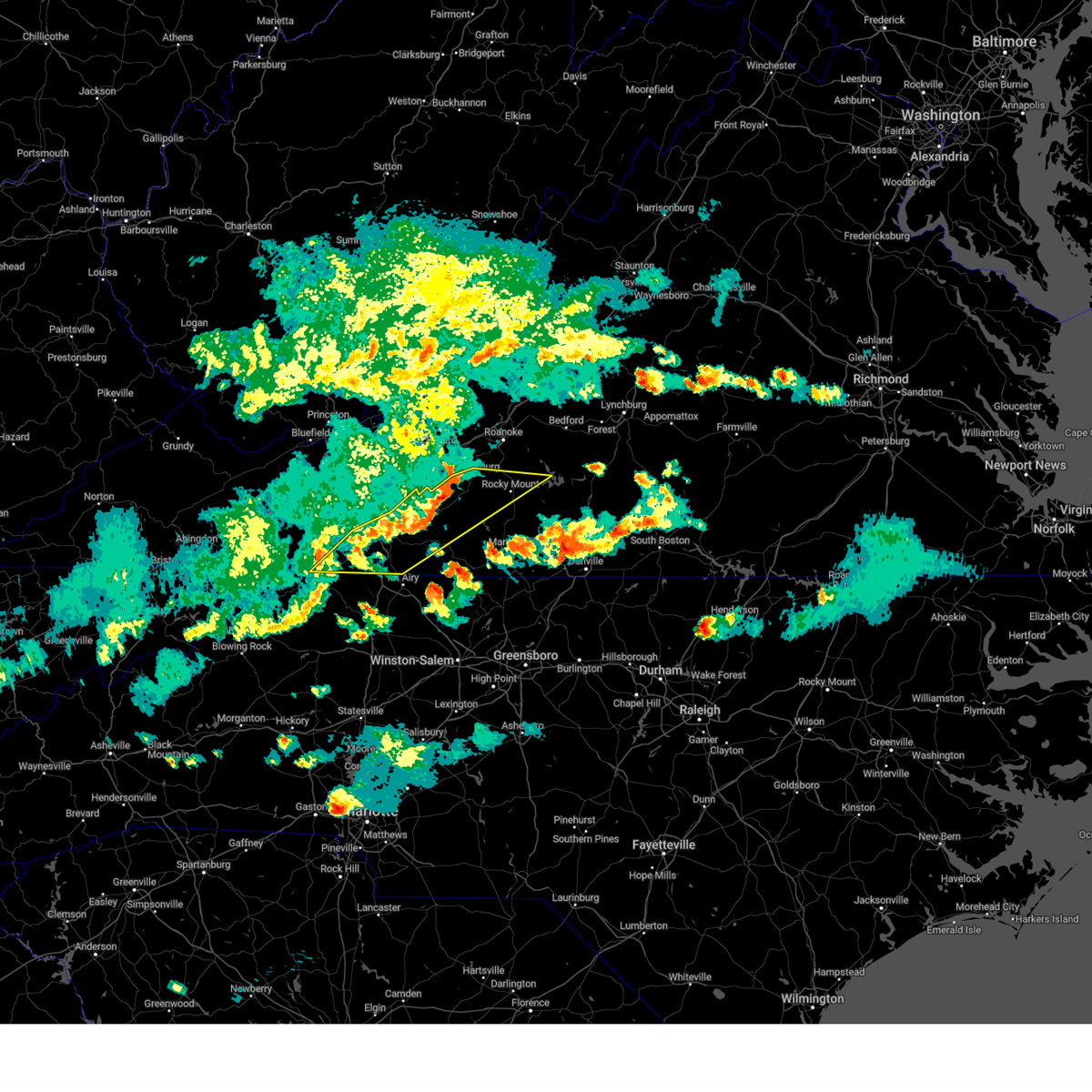 At 727 pm edt, severe thunderstorms were located along a line extending from near boones mill to near fancy gap, moving east at 55 mph (radar indicated). Hazards include 60 mph wind gusts. Expect damage to roofs, siding, and trees. locations impacted include, galax, rocky mount, hillsville, independence, fries, floyd, and copper hill. hail threat, radar indicated max hail size, <. 75 in wind threat, radar indicated max wind gust, 60 mph. At 727 pm edt, severe thunderstorms were located along a line extending from near boones mill to near fancy gap, moving east at 55 mph (radar indicated). Hazards include 60 mph wind gusts. Expect damage to roofs, siding, and trees. locations impacted include, galax, rocky mount, hillsville, independence, fries, floyd, and copper hill. hail threat, radar indicated max hail size, <. 75 in wind threat, radar indicated max wind gust, 60 mph.
|
| 5/16/2023 7:23 PM EDT |
 At 723 pm edt, a severe thunderstorm was located near stuart, moving east at 50 mph (radar indicated). Hazards include 60 mph wind gusts and quarter size hail. Hail damage to vehicles is expected. expect wind damage to roofs, siding, and trees. locations impacted include, mount airy, fairview, flat rock, dobson, pilot mountain, stuart, and francisco. hail threat, radar indicated max hail size, 1. 00 in wind threat, radar indicated max wind gust, 60 mph. At 723 pm edt, a severe thunderstorm was located near stuart, moving east at 50 mph (radar indicated). Hazards include 60 mph wind gusts and quarter size hail. Hail damage to vehicles is expected. expect wind damage to roofs, siding, and trees. locations impacted include, mount airy, fairview, flat rock, dobson, pilot mountain, stuart, and francisco. hail threat, radar indicated max hail size, 1. 00 in wind threat, radar indicated max wind gust, 60 mph.
|
| 5/16/2023 7:23 PM EDT |
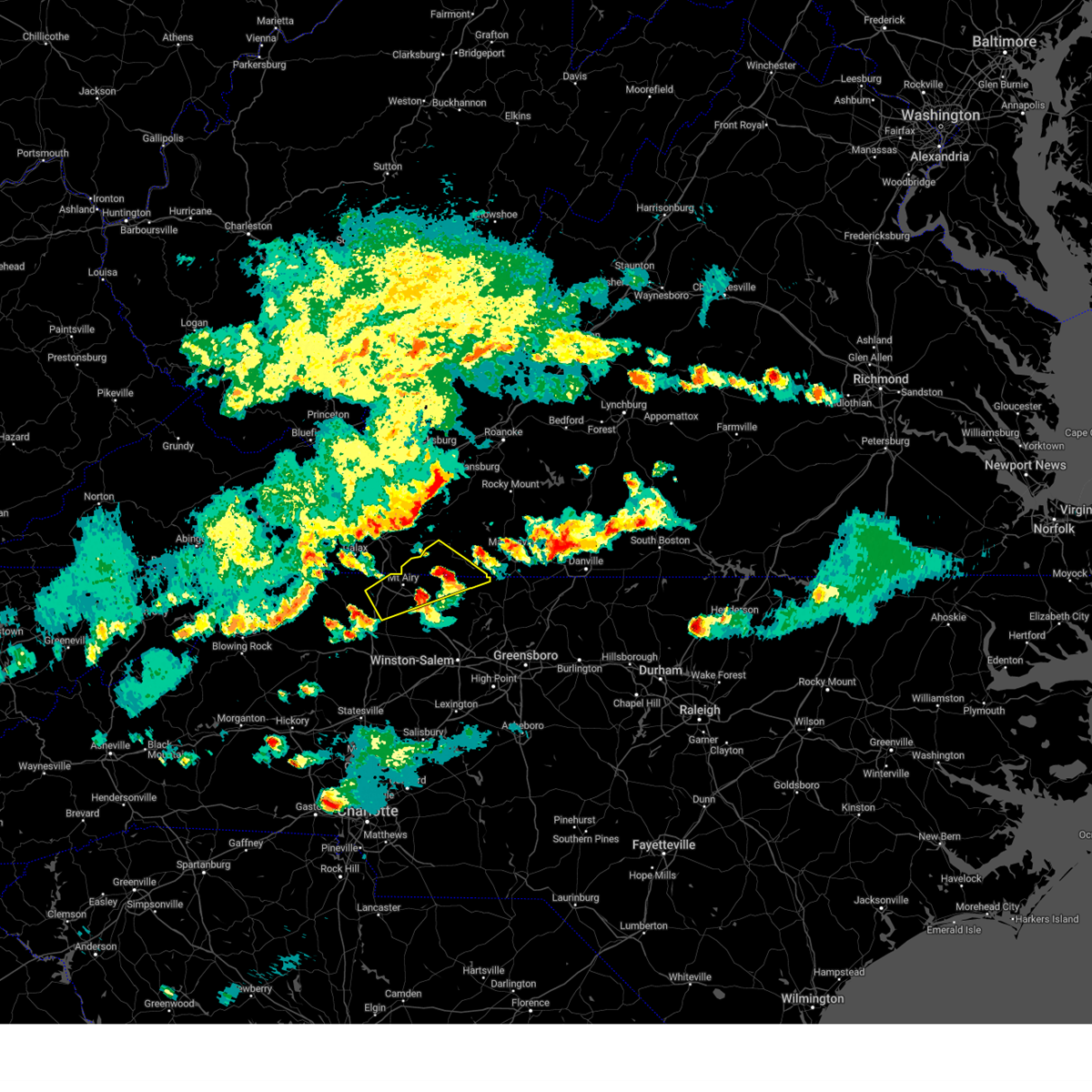 At 723 pm edt, a severe thunderstorm was located near stuart, moving east at 50 mph (radar indicated). Hazards include 60 mph wind gusts and quarter size hail. Hail damage to vehicles is expected. expect wind damage to roofs, siding, and trees. locations impacted include, mount airy, fairview, flat rock, dobson, pilot mountain, stuart, and francisco. hail threat, radar indicated max hail size, 1. 00 in wind threat, radar indicated max wind gust, 60 mph. At 723 pm edt, a severe thunderstorm was located near stuart, moving east at 50 mph (radar indicated). Hazards include 60 mph wind gusts and quarter size hail. Hail damage to vehicles is expected. expect wind damage to roofs, siding, and trees. locations impacted include, mount airy, fairview, flat rock, dobson, pilot mountain, stuart, and francisco. hail threat, radar indicated max hail size, 1. 00 in wind threat, radar indicated max wind gust, 60 mph.
|
| 5/16/2023 7:10 PM EDT |
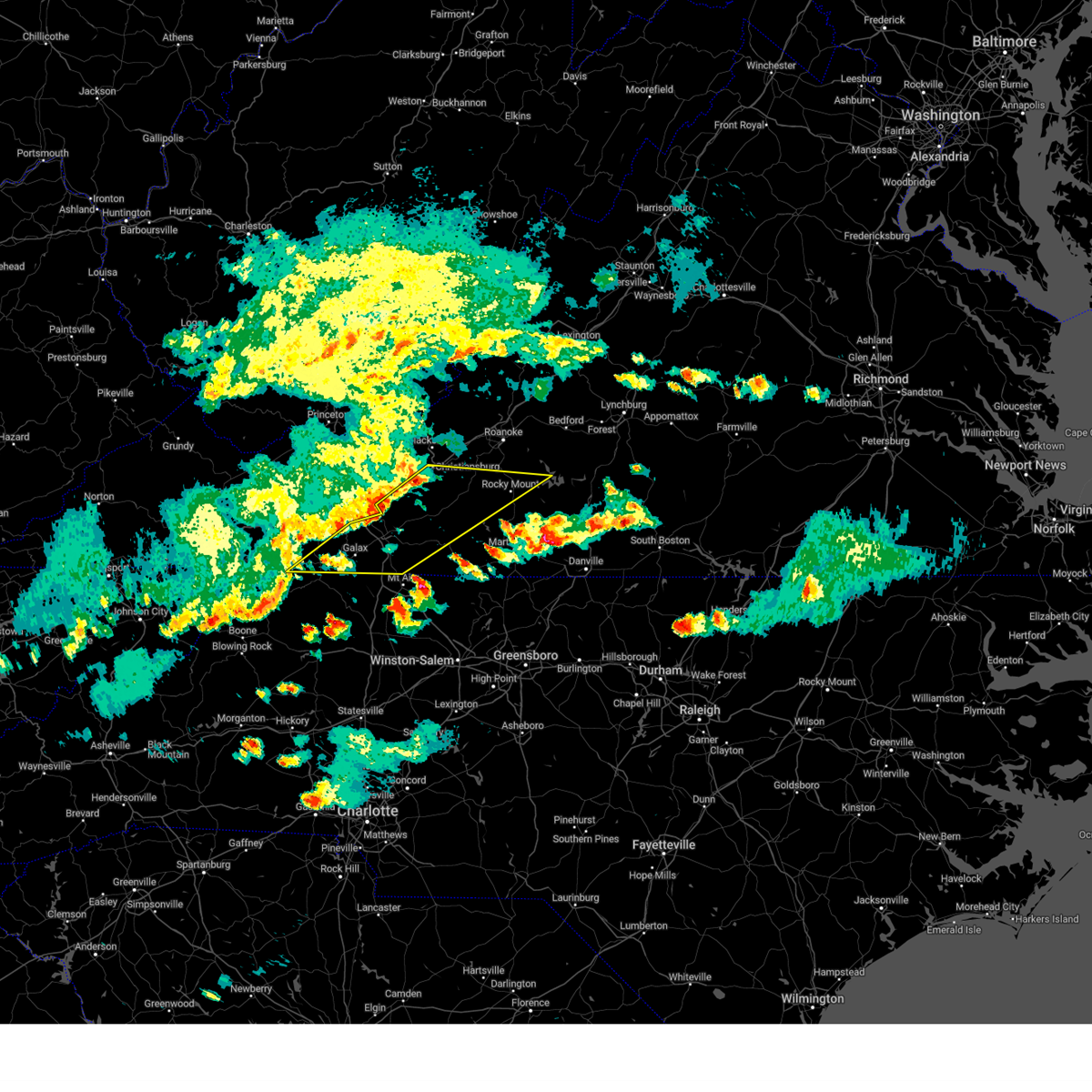 At 710 pm edt, severe thunderstorms were located along a line extending from near crockett springs to fries, moving east at 55 mph (radar indicated). Hazards include 60 mph wind gusts. expect damage to roofs, siding, and trees At 710 pm edt, severe thunderstorms were located along a line extending from near crockett springs to fries, moving east at 55 mph (radar indicated). Hazards include 60 mph wind gusts. expect damage to roofs, siding, and trees
|
| 5/16/2023 6:52 PM EDT |
 At 651 pm edt, a severe thunderstorm was located over dobson, moving northeast at 40 mph (radar indicated). Hazards include 60 mph wind gusts and quarter size hail. Hail damage to vehicles is expected. Expect wind damage to roofs, siding, and trees. At 651 pm edt, a severe thunderstorm was located over dobson, moving northeast at 40 mph (radar indicated). Hazards include 60 mph wind gusts and quarter size hail. Hail damage to vehicles is expected. Expect wind damage to roofs, siding, and trees.
|
| 5/16/2023 6:52 PM EDT |
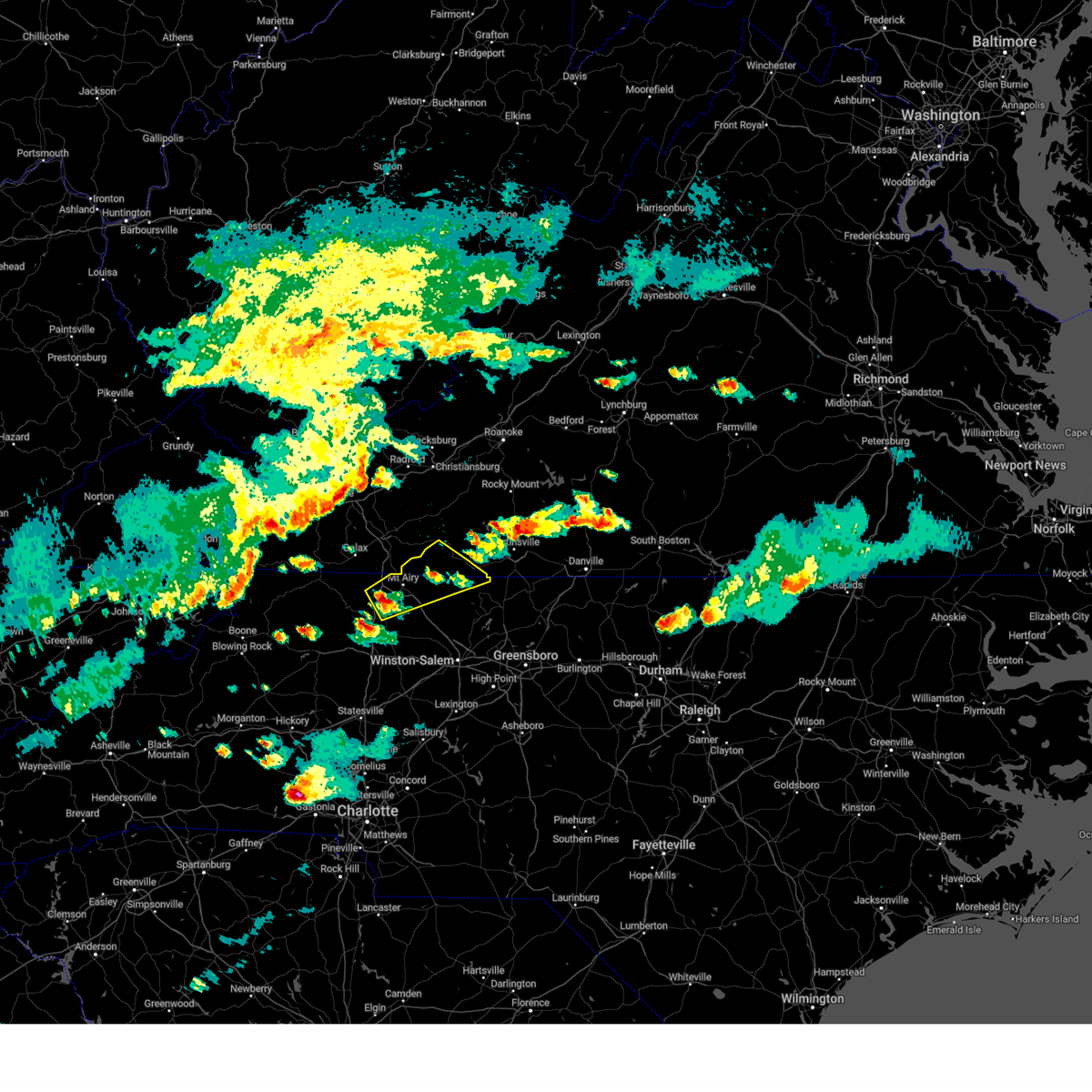 At 651 pm edt, a severe thunderstorm was located over dobson, moving northeast at 40 mph (radar indicated). Hazards include 60 mph wind gusts and quarter size hail. Hail damage to vehicles is expected. Expect wind damage to roofs, siding, and trees. At 651 pm edt, a severe thunderstorm was located over dobson, moving northeast at 40 mph (radar indicated). Hazards include 60 mph wind gusts and quarter size hail. Hail damage to vehicles is expected. Expect wind damage to roofs, siding, and trees.
|
| 4/6/2023 5:20 PM EDT |
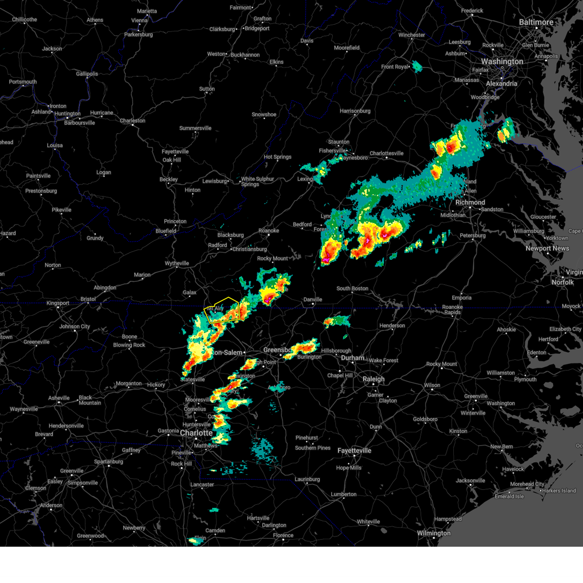 The severe thunderstorm warning for northeastern surry, northwestern stokes and southwestern patrick counties will expire at 530 pm edt, the storm which prompted the warning has weakened below severe limits, and no longer poses an immediate threat to life or property. therefore, the warning will be allowed to expire. a severe thunderstorm watch remains in effect until 1000 pm edt for north central and northwestern north carolina, and south central, southwestern and west central virginia. The severe thunderstorm warning for northeastern surry, northwestern stokes and southwestern patrick counties will expire at 530 pm edt, the storm which prompted the warning has weakened below severe limits, and no longer poses an immediate threat to life or property. therefore, the warning will be allowed to expire. a severe thunderstorm watch remains in effect until 1000 pm edt for north central and northwestern north carolina, and south central, southwestern and west central virginia.
|
| 4/6/2023 4:31 PM EDT |
 At 431 pm edt, a severe thunderstorm was located over toast, or over mount airy, moving east at 25 mph (radar indicated). Hazards include ping pong ball size hail and 60 mph wind gusts. People and animals outdoors will be injured. expect hail damage to roofs, siding, windows, and vehicles. Expect wind damage to roofs, siding, and trees. At 431 pm edt, a severe thunderstorm was located over toast, or over mount airy, moving east at 25 mph (radar indicated). Hazards include ping pong ball size hail and 60 mph wind gusts. People and animals outdoors will be injured. expect hail damage to roofs, siding, windows, and vehicles. Expect wind damage to roofs, siding, and trees.
|
| 4/6/2023 4:31 PM EDT |
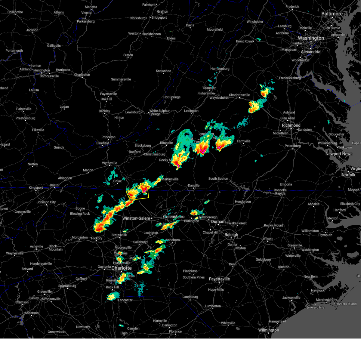 At 431 pm edt, a severe thunderstorm was located over toast, or over mount airy, moving east at 25 mph (radar indicated). Hazards include ping pong ball size hail and 60 mph wind gusts. People and animals outdoors will be injured. expect hail damage to roofs, siding, windows, and vehicles. Expect wind damage to roofs, siding, and trees. At 431 pm edt, a severe thunderstorm was located over toast, or over mount airy, moving east at 25 mph (radar indicated). Hazards include ping pong ball size hail and 60 mph wind gusts. People and animals outdoors will be injured. expect hail damage to roofs, siding, windows, and vehicles. Expect wind damage to roofs, siding, and trees.
|
| 4/6/2023 4:17 PM EDT |
 At 417 pm edt, a severe thunderstorm was located near ararat, moving northeast at 20 mph (trained weather spotters). Hazards include golf ball size hail and 60 mph wind gusts. People and animals outdoors will be injured. expect hail damage to roofs, siding, windows, and vehicles. expect wind damage to roofs, siding, and trees. locations impacted include, mount airy, flat rock, francisco, ararat, woodville, collinstown, and westfield. thunderstorm damage threat, considerable hail threat, observed max hail size, 1. 75 in wind threat, radar indicated max wind gust, 60 mph. At 417 pm edt, a severe thunderstorm was located near ararat, moving northeast at 20 mph (trained weather spotters). Hazards include golf ball size hail and 60 mph wind gusts. People and animals outdoors will be injured. expect hail damage to roofs, siding, windows, and vehicles. expect wind damage to roofs, siding, and trees. locations impacted include, mount airy, flat rock, francisco, ararat, woodville, collinstown, and westfield. thunderstorm damage threat, considerable hail threat, observed max hail size, 1. 75 in wind threat, radar indicated max wind gust, 60 mph.
|
| 4/6/2023 4:17 PM EDT |
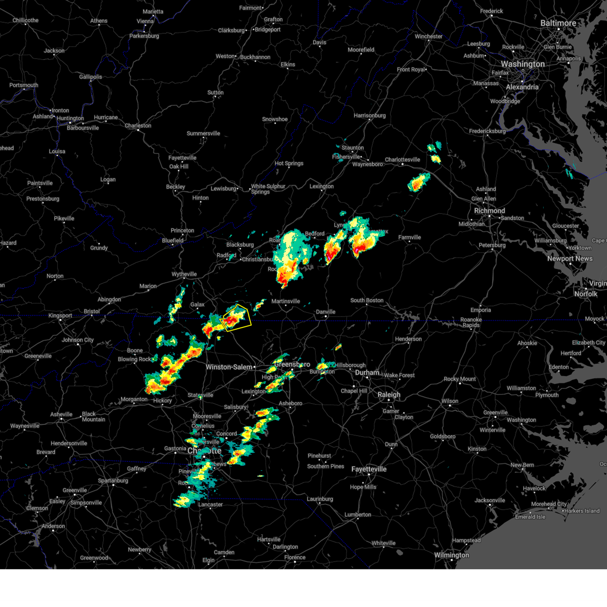 At 417 pm edt, a severe thunderstorm was located near ararat, moving northeast at 20 mph (trained weather spotters). Hazards include golf ball size hail and 60 mph wind gusts. People and animals outdoors will be injured. expect hail damage to roofs, siding, windows, and vehicles. expect wind damage to roofs, siding, and trees. locations impacted include, mount airy, flat rock, francisco, ararat, woodville, collinstown, and westfield. thunderstorm damage threat, considerable hail threat, observed max hail size, 1. 75 in wind threat, radar indicated max wind gust, 60 mph. At 417 pm edt, a severe thunderstorm was located near ararat, moving northeast at 20 mph (trained weather spotters). Hazards include golf ball size hail and 60 mph wind gusts. People and animals outdoors will be injured. expect hail damage to roofs, siding, windows, and vehicles. expect wind damage to roofs, siding, and trees. locations impacted include, mount airy, flat rock, francisco, ararat, woodville, collinstown, and westfield. thunderstorm damage threat, considerable hail threat, observed max hail size, 1. 75 in wind threat, radar indicated max wind gust, 60 mph.
|
| 4/6/2023 3:57 PM EDT |
 At 357 pm edt, a severe thunderstorm was located over toast, or over mount airy, moving northeast at 20 mph (radar indicated). Hazards include 60 mph wind gusts and quarter size hail. Hail damage to vehicles is expected. Expect wind damage to roofs, siding, and trees. At 357 pm edt, a severe thunderstorm was located over toast, or over mount airy, moving northeast at 20 mph (radar indicated). Hazards include 60 mph wind gusts and quarter size hail. Hail damage to vehicles is expected. Expect wind damage to roofs, siding, and trees.
|
| 4/6/2023 3:57 PM EDT |
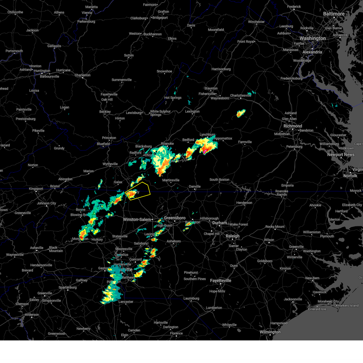 At 357 pm edt, a severe thunderstorm was located over toast, or over mount airy, moving northeast at 20 mph (radar indicated). Hazards include 60 mph wind gusts and quarter size hail. Hail damage to vehicles is expected. Expect wind damage to roofs, siding, and trees. At 357 pm edt, a severe thunderstorm was located over toast, or over mount airy, moving northeast at 20 mph (radar indicated). Hazards include 60 mph wind gusts and quarter size hail. Hail damage to vehicles is expected. Expect wind damage to roofs, siding, and trees.
|
| 4/6/2023 2:43 PM EDT |
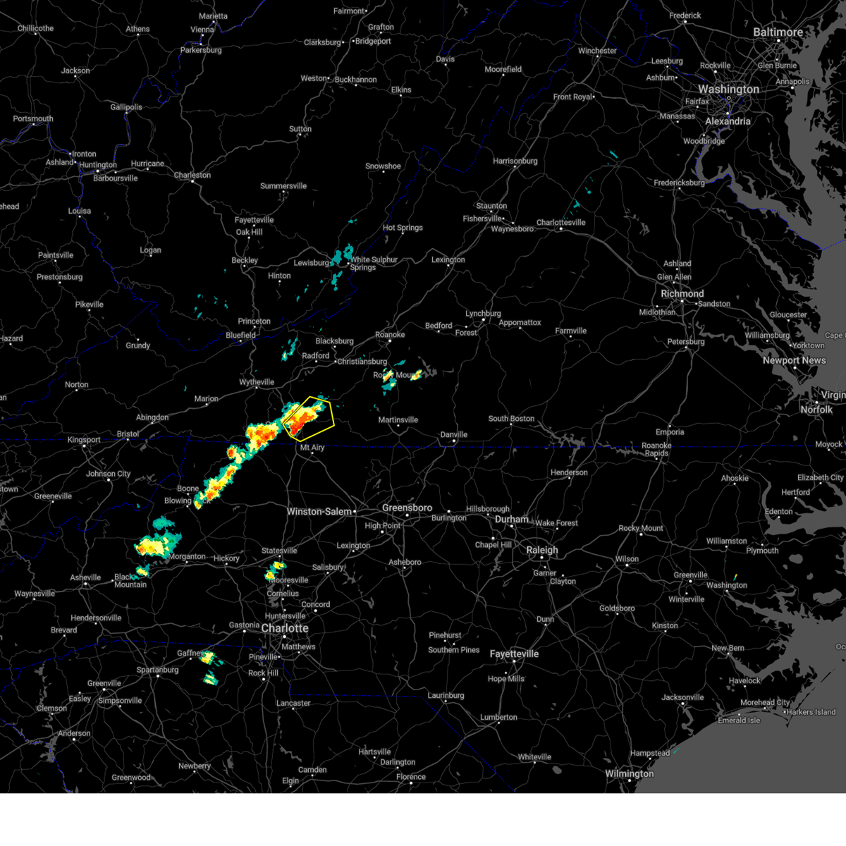 At 242 pm edt, a severe thunderstorm was located over fancy gap, moving northeast at 20 mph (trained weather spotters). Hazards include 60 mph wind gusts and quarter size hail. Hail damage to vehicles is expected. expect wind damage to roofs, siding, and trees. locations impacted include, hillsville, fancy gap, willis, cana, dugspur, laurel fork, and gladesboro. hail threat, radar indicated max hail size, 1. 00 in wind threat, radar indicated max wind gust, 60 mph. At 242 pm edt, a severe thunderstorm was located over fancy gap, moving northeast at 20 mph (trained weather spotters). Hazards include 60 mph wind gusts and quarter size hail. Hail damage to vehicles is expected. expect wind damage to roofs, siding, and trees. locations impacted include, hillsville, fancy gap, willis, cana, dugspur, laurel fork, and gladesboro. hail threat, radar indicated max hail size, 1. 00 in wind threat, radar indicated max wind gust, 60 mph.
|
| 4/6/2023 2:25 PM EDT |
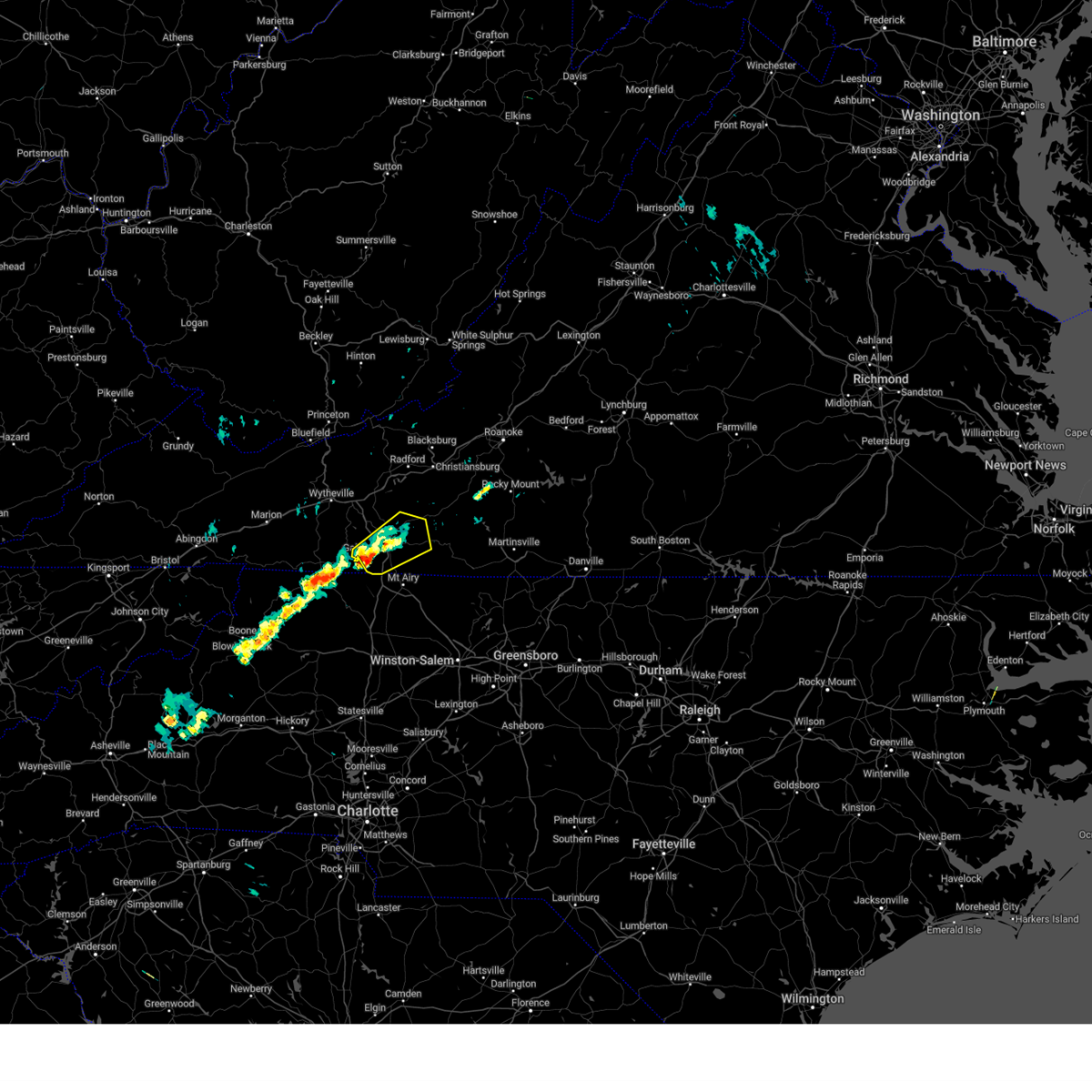 At 225 pm edt, a severe thunderstorm was located over pipers gap, or near fancy gap, moving northeast at 20 mph (radar indicated). Hazards include 60 mph wind gusts and quarter size hail. Hail damage to vehicles is expected. Expect wind damage to roofs, siding, and trees. At 225 pm edt, a severe thunderstorm was located over pipers gap, or near fancy gap, moving northeast at 20 mph (radar indicated). Hazards include 60 mph wind gusts and quarter size hail. Hail damage to vehicles is expected. Expect wind damage to roofs, siding, and trees.
|
| 3/3/2023 7:19 PM EST |
 At 718 pm est, a severe thunderstorm was located near cana, moving northeast at 80 mph (radar indicated). Hazards include 60 mph wind gusts. Expect damage to roofs, siding, and trees. locations impacted include, hillsville, indian valley, fancy gap, ararat, cana, woolwine, and willis. hail threat, radar indicated max hail size, <. 75 in wind threat, radar indicated max wind gust, 60 mph. At 718 pm est, a severe thunderstorm was located near cana, moving northeast at 80 mph (radar indicated). Hazards include 60 mph wind gusts. Expect damage to roofs, siding, and trees. locations impacted include, hillsville, indian valley, fancy gap, ararat, cana, woolwine, and willis. hail threat, radar indicated max hail size, <. 75 in wind threat, radar indicated max wind gust, 60 mph.
|
| 3/3/2023 7:11 PM EST |
 At 711 pm est, a severe thunderstorm was located over bottom, moving northeast at 80 mph (radar indicated). Hazards include 60 mph wind gusts. expect damage to roofs, siding, and trees At 711 pm est, a severe thunderstorm was located over bottom, moving northeast at 80 mph (radar indicated). Hazards include 60 mph wind gusts. expect damage to roofs, siding, and trees
|
| 8/9/2022 2:25 PM EDT |
 At 224 pm edt, a severe thunderstorm was located over lambsburg, or near cana, moving southeast at 5 mph (radar indicated). Hazards include 60 mph wind gusts and quarter size hail. very heavy rainfall. Hail damage to vehicles is expected. expect wind damage to roofs, siding, and trees. Flooding from very heavy rainfall. At 224 pm edt, a severe thunderstorm was located over lambsburg, or near cana, moving southeast at 5 mph (radar indicated). Hazards include 60 mph wind gusts and quarter size hail. very heavy rainfall. Hail damage to vehicles is expected. expect wind damage to roofs, siding, and trees. Flooding from very heavy rainfall.
|
| 8/8/2022 7:18 PM EDT |
 At 717 pm edt, a severe thunderstorm was located over mount airy, moving east at 20 mph (radar indicated). Hazards include 60 mph wind gusts and quarter size hail. Hail damage to vehicles is expected. expect wind damage to roofs, siding, and trees. very heavy rainfall may result in localized flooding. locations impacted include, mount airy, flat rock, woodville, toast, westfield, and white plains. hail threat, observed max hail size, 1. 00 in wind threat, radar indicated max wind gust, 60 mph. At 717 pm edt, a severe thunderstorm was located over mount airy, moving east at 20 mph (radar indicated). Hazards include 60 mph wind gusts and quarter size hail. Hail damage to vehicles is expected. expect wind damage to roofs, siding, and trees. very heavy rainfall may result in localized flooding. locations impacted include, mount airy, flat rock, woodville, toast, westfield, and white plains. hail threat, observed max hail size, 1. 00 in wind threat, radar indicated max wind gust, 60 mph.
|
| 8/8/2022 7:08 PM EDT |
 At 707 pm edt, a severe thunderstorm was located over flat rock, moving east at 20 mph (radar indicated). Hazards include 60 mph wind gusts and quarter size hail. Hail damage to vehicles is expected. Expect wind damage to roofs, siding, and trees. At 707 pm edt, a severe thunderstorm was located over flat rock, moving east at 20 mph (radar indicated). Hazards include 60 mph wind gusts and quarter size hail. Hail damage to vehicles is expected. Expect wind damage to roofs, siding, and trees.
|
| 7/5/2022 5:21 PM EDT |
 The severe thunderstorm warning for northeastern surry, southeastern carroll and southwestern patrick counties will expire at 530 pm edt, the storm which prompted the warning has weakened below severe limits, and no longer poses an immediate threat to life or property. therefore, the warning will be allowed to expire. The severe thunderstorm warning for northeastern surry, southeastern carroll and southwestern patrick counties will expire at 530 pm edt, the storm which prompted the warning has weakened below severe limits, and no longer poses an immediate threat to life or property. therefore, the warning will be allowed to expire.
|
| 7/5/2022 5:21 PM EDT |
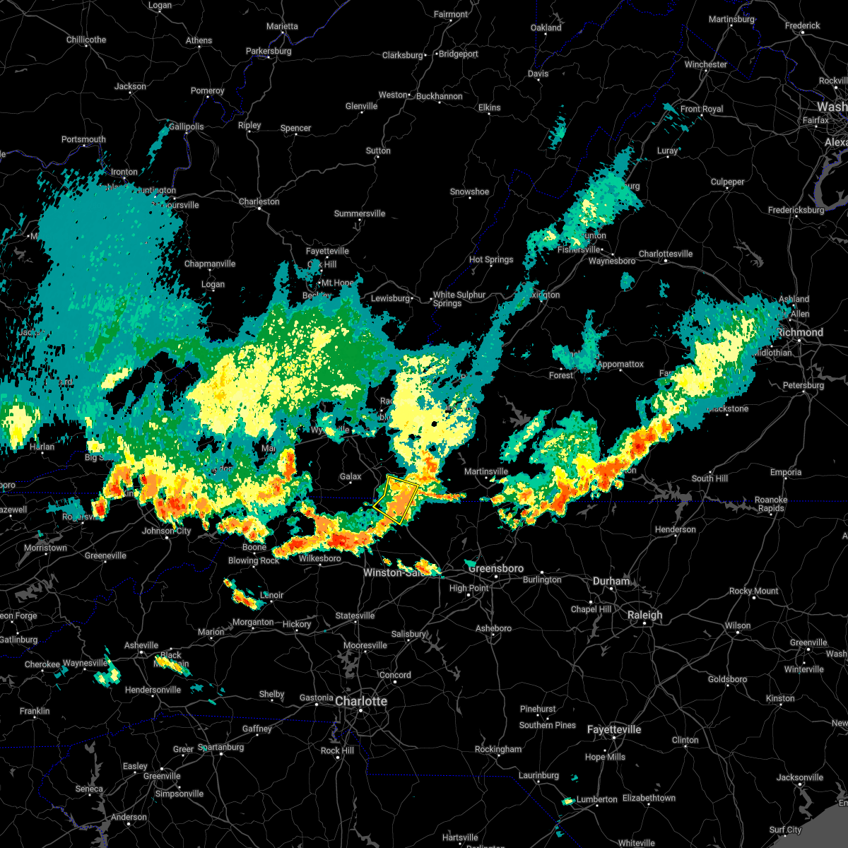 The severe thunderstorm warning for northeastern surry, southeastern carroll and southwestern patrick counties will expire at 530 pm edt, the storm which prompted the warning has weakened below severe limits, and no longer poses an immediate threat to life or property. therefore, the warning will be allowed to expire. The severe thunderstorm warning for northeastern surry, southeastern carroll and southwestern patrick counties will expire at 530 pm edt, the storm which prompted the warning has weakened below severe limits, and no longer poses an immediate threat to life or property. therefore, the warning will be allowed to expire.
|
| 7/5/2022 5:15 PM EDT |
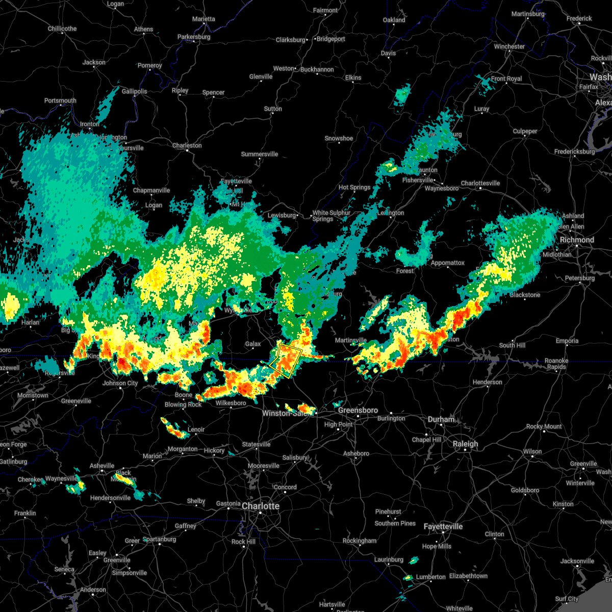 At 515 pm edt, a severe thunderstorm was located near ararat, moving southeast at 20 mph (radar indicated). Hazards include 60 mph wind gusts and quarter size hail. Hail damage to vehicles is expected. expect wind damage to roofs, siding, and trees. locations impacted include, mount airy, flat rock, ararat, cana, pine ridge, toast, and woodville. hail threat, radar indicated max hail size, 1. 00 in wind threat, radar indicated max wind gust, 60 mph. At 515 pm edt, a severe thunderstorm was located near ararat, moving southeast at 20 mph (radar indicated). Hazards include 60 mph wind gusts and quarter size hail. Hail damage to vehicles is expected. expect wind damage to roofs, siding, and trees. locations impacted include, mount airy, flat rock, ararat, cana, pine ridge, toast, and woodville. hail threat, radar indicated max hail size, 1. 00 in wind threat, radar indicated max wind gust, 60 mph.
|
| 7/5/2022 4:51 PM EDT |
 At 450 pm edt, a severe thunderstorm was located near lambsburg, or near cana, moving southeast at 15 mph (radar indicated). Hazards include 60 mph wind gusts and quarter size hail. Hail damage to vehicles is expected. expect wind damage to roofs, siding, and trees. locations impacted include, mount airy, flat rock, fancy gap, ararat, cana, pine ridge, and toast. hail threat, radar indicated max hail size, 1. 00 in wind threat, radar indicated max wind gust, 60 mph. At 450 pm edt, a severe thunderstorm was located near lambsburg, or near cana, moving southeast at 15 mph (radar indicated). Hazards include 60 mph wind gusts and quarter size hail. Hail damage to vehicles is expected. expect wind damage to roofs, siding, and trees. locations impacted include, mount airy, flat rock, fancy gap, ararat, cana, pine ridge, and toast. hail threat, radar indicated max hail size, 1. 00 in wind threat, radar indicated max wind gust, 60 mph.
|
| 7/5/2022 4:25 PM EDT |
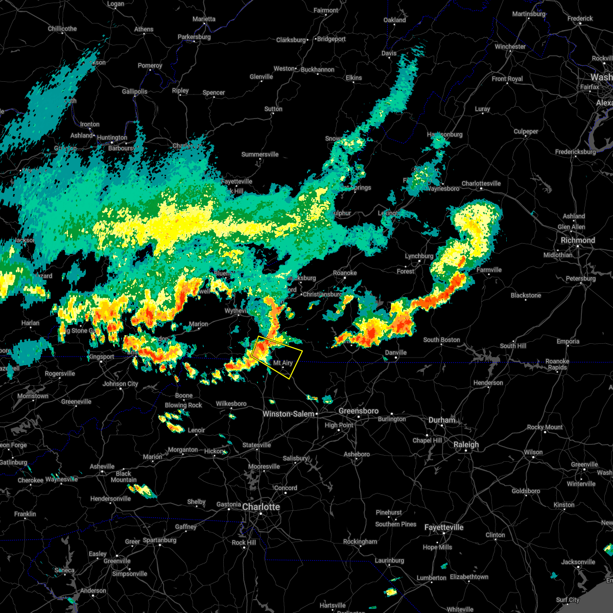 At 425 pm edt, a severe thunderstorm was located over pipers gap, or near galax, moving southeast at 15 mph (radar indicated). Hazards include 60 mph wind gusts and quarter size hail. Hail damage to vehicles is expected. Expect wind damage to roofs, siding, and trees. At 425 pm edt, a severe thunderstorm was located over pipers gap, or near galax, moving southeast at 15 mph (radar indicated). Hazards include 60 mph wind gusts and quarter size hail. Hail damage to vehicles is expected. Expect wind damage to roofs, siding, and trees.
|
| 6/17/2022 5:07 PM EDT |
 At 505 pm edt, severe thunderstorms were located between martinsville virginia, and dobson north carolina, moving east at 45 to 50 mph (radar indicated). Hazards include 60 mph wind gusts. Expect damage to roofs, siding, and trees. locations impacted include, mount airy, elkin, fairview, flat rock, dobson, pilot mountain, and stuart. hail threat, radar indicated max hail size, <. 75 in wind threat, radar indicated max wind gust, 60 mph. At 505 pm edt, severe thunderstorms were located between martinsville virginia, and dobson north carolina, moving east at 45 to 50 mph (radar indicated). Hazards include 60 mph wind gusts. Expect damage to roofs, siding, and trees. locations impacted include, mount airy, elkin, fairview, flat rock, dobson, pilot mountain, and stuart. hail threat, radar indicated max hail size, <. 75 in wind threat, radar indicated max wind gust, 60 mph.
|
| 6/17/2022 4:22 PM EDT |
 At 421 pm edt, severe thunderstorms were located along a line extending from near floyd to near galax, virginia, moving east- southeast at 50 mph (radar indicated). Hazards include 60 mph wind gusts. expect damage to roofs, siding, and trees At 421 pm edt, severe thunderstorms were located along a line extending from near floyd to near galax, virginia, moving east- southeast at 50 mph (radar indicated). Hazards include 60 mph wind gusts. expect damage to roofs, siding, and trees
|
| 6/17/2022 4:02 PM EDT |
 At 402 pm edt, severe thunderstorms were located along a line extending from near draper to near whitetop, moving southeast at 50 mph (radar indicated). Hazards include 60 mph wind gusts. expect damage to roofs, siding, and trees At 402 pm edt, severe thunderstorms were located along a line extending from near draper to near whitetop, moving southeast at 50 mph (radar indicated). Hazards include 60 mph wind gusts. expect damage to roofs, siding, and trees
|
| 6/8/2022 3:52 PM EDT |
 At 351 pm edt, a severe thunderstorm was located near woodlawn, or near hillsville, moving east at 15 mph (public). Hazards include 60 mph wind gusts and quarter size hail. Hail damage to vehicles is expected. expect wind damage to roofs, siding, and trees. locations impacted include, hillsville, fancy gap, cana, dugspur, gladesboro, woodlawn, and pipers gap. hail threat, radar indicated max hail size, 1. 00 in wind threat, radar indicated max wind gust, 60 mph. At 351 pm edt, a severe thunderstorm was located near woodlawn, or near hillsville, moving east at 15 mph (public). Hazards include 60 mph wind gusts and quarter size hail. Hail damage to vehicles is expected. expect wind damage to roofs, siding, and trees. locations impacted include, hillsville, fancy gap, cana, dugspur, gladesboro, woodlawn, and pipers gap. hail threat, radar indicated max hail size, 1. 00 in wind threat, radar indicated max wind gust, 60 mph.
|
| 6/8/2022 3:31 PM EDT |
 At 330 pm edt, a severe thunderstorm was located near woodlawn, or near galax, moving east at 15 mph (radar indicated). Hazards include 60 mph wind gusts and quarter size hail. Hail damage to vehicles is expected. Expect wind damage to roofs, siding, and trees. At 330 pm edt, a severe thunderstorm was located near woodlawn, or near galax, moving east at 15 mph (radar indicated). Hazards include 60 mph wind gusts and quarter size hail. Hail damage to vehicles is expected. Expect wind damage to roofs, siding, and trees.
|
| 5/26/2022 9:26 PM EDT |
 The severe thunderstorm warning for southeastern pulaski, floyd, eastern carroll, west central franklin, central patrick and southwestern montgomery counties will expire at 930 pm edt, the northern part of the storm which prompted the warning has weakened below severe limits, and no longer poses an immediate threat to life or property. therefore, the warning will be allowed to expire. however gusty winds and heavy rain are still possible with this thunderstorm. a severe thunderstorm watch remains in effect until 1000 pm edt for north central and northwestern north carolina. remember, a severe thunderstorm warning still remains in effect for southern floyd, southeast carroll, western henry and patrick county until 1015pm. The severe thunderstorm warning for southeastern pulaski, floyd, eastern carroll, west central franklin, central patrick and southwestern montgomery counties will expire at 930 pm edt, the northern part of the storm which prompted the warning has weakened below severe limits, and no longer poses an immediate threat to life or property. therefore, the warning will be allowed to expire. however gusty winds and heavy rain are still possible with this thunderstorm. a severe thunderstorm watch remains in effect until 1000 pm edt for north central and northwestern north carolina. remember, a severe thunderstorm warning still remains in effect for southern floyd, southeast carroll, western henry and patrick county until 1015pm.
|
| 5/26/2022 9:14 PM EDT |
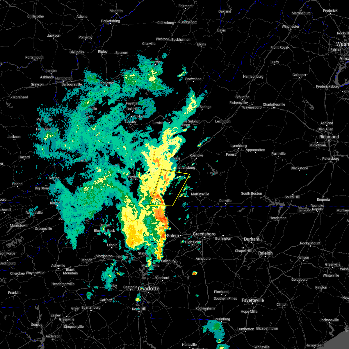 At 913 pm edt, a severe thunderstorm was located over alum ridge, or near indian valley, moving north at 30 mph (radar indicated). Hazards include 60 mph wind gusts and penny size hail. Expect damage to roofs, siding, and trees. Locations impacted include, hillsville, floyd, pilot, indian valley, fancy gap, ararat, and cana. At 913 pm edt, a severe thunderstorm was located over alum ridge, or near indian valley, moving north at 30 mph (radar indicated). Hazards include 60 mph wind gusts and penny size hail. Expect damage to roofs, siding, and trees. Locations impacted include, hillsville, floyd, pilot, indian valley, fancy gap, ararat, and cana.
|
| 5/26/2022 9:11 PM EDT |
 At 910 pm edt, severe thunderstorms were located along a line extending from near laurel fork to huntsville, moving northeast at 40 mph (radar indicated). Hazards include 60 mph wind gusts. expect damage to roofs, siding, and trees At 910 pm edt, severe thunderstorms were located along a line extending from near laurel fork to huntsville, moving northeast at 40 mph (radar indicated). Hazards include 60 mph wind gusts. expect damage to roofs, siding, and trees
|
| 5/26/2022 8:53 PM EDT |
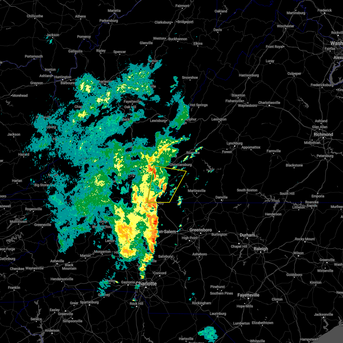 At 852 pm edt, a severe thunderstorm was located near willis, moving north at 35 mph (radar indicated). Hazards include 60 mph wind gusts and penny size hail. Expect damage to roofs, siding, and trees. Locations impacted include, hillsville, dublin, floyd, pilot, indian valley, fancy gap, and ararat. At 852 pm edt, a severe thunderstorm was located near willis, moving north at 35 mph (radar indicated). Hazards include 60 mph wind gusts and penny size hail. Expect damage to roofs, siding, and trees. Locations impacted include, hillsville, dublin, floyd, pilot, indian valley, fancy gap, and ararat.
|
| 5/26/2022 8:11 PM EDT |
 At 810 pm edt, a severe thunderstorm was located over toast, or near mount airy, moving northeast at 30 mph (radar indicated). Hazards include 60 mph wind gusts. expect damage to roofs, siding, and trees At 810 pm edt, a severe thunderstorm was located over toast, or near mount airy, moving northeast at 30 mph (radar indicated). Hazards include 60 mph wind gusts. expect damage to roofs, siding, and trees
|
| 5/26/2022 8:11 PM EDT |
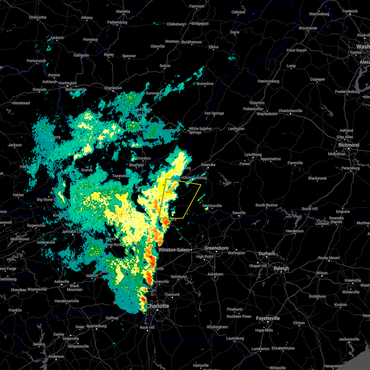 At 810 pm edt, a severe thunderstorm was located over toast, or near mount airy, moving northeast at 30 mph (radar indicated). Hazards include 60 mph wind gusts. expect damage to roofs, siding, and trees At 810 pm edt, a severe thunderstorm was located over toast, or near mount airy, moving northeast at 30 mph (radar indicated). Hazards include 60 mph wind gusts. expect damage to roofs, siding, and trees
|
| 5/21/2022 6:07 PM EDT |
 At 606 pm edt, a severe thunderstorm was located over lambsburg, or near cana, moving northeast at 20 mph (radar indicated). Hazards include 60 mph wind gusts and quarter size hail. Hail damage to vehicles is expected. expect wind damage to roofs, siding, and trees. locations impacted include, mount airy, flat rock, dobson, mountain park, bottom, cana, and pine ridge. hail threat, radar indicated max hail size, 1. 00 in wind threat, radar indicated max wind gust, 60 mph. At 606 pm edt, a severe thunderstorm was located over lambsburg, or near cana, moving northeast at 20 mph (radar indicated). Hazards include 60 mph wind gusts and quarter size hail. Hail damage to vehicles is expected. expect wind damage to roofs, siding, and trees. locations impacted include, mount airy, flat rock, dobson, mountain park, bottom, cana, and pine ridge. hail threat, radar indicated max hail size, 1. 00 in wind threat, radar indicated max wind gust, 60 mph.
|
| 5/21/2022 5:32 PM EDT |
 At 532 pm edt, a severe thunderstorm was located near bottom, moving northeast at 25 mph (radar indicated). Hazards include 60 mph wind gusts and quarter size hail. Hail damage to vehicles is expected. expect wind damage to roofs, siding, and trees. locations impacted include, mount airy, elkin, flat rock, dobson, cana, mountain park, and bottom. hail threat, radar indicated max hail size, 1. 00 in wind threat, radar indicated max wind gust, 60 mph. At 532 pm edt, a severe thunderstorm was located near bottom, moving northeast at 25 mph (radar indicated). Hazards include 60 mph wind gusts and quarter size hail. Hail damage to vehicles is expected. expect wind damage to roofs, siding, and trees. locations impacted include, mount airy, elkin, flat rock, dobson, cana, mountain park, and bottom. hail threat, radar indicated max hail size, 1. 00 in wind threat, radar indicated max wind gust, 60 mph.
|
| 5/21/2022 5:16 PM EDT |
 At 516 pm edt, a severe thunderstorm was located over mountain park, moving northeast at 30 mph (radar indicated). Hazards include 60 mph wind gusts and quarter size hail. Hail damage to vehicles is expected. Expect wind damage to roofs, siding, and trees. At 516 pm edt, a severe thunderstorm was located over mountain park, moving northeast at 30 mph (radar indicated). Hazards include 60 mph wind gusts and quarter size hail. Hail damage to vehicles is expected. Expect wind damage to roofs, siding, and trees.
|
| 5/6/2022 7:20 PM EDT | Numerous trees reported down in and around the cana are due to thunderstorm winds. areas impacted include chantilly drive and wards gap roa in carroll county VA, 0.3 miles W of Cana, VA |
| 3/23/2022 11:35 PM EDT |
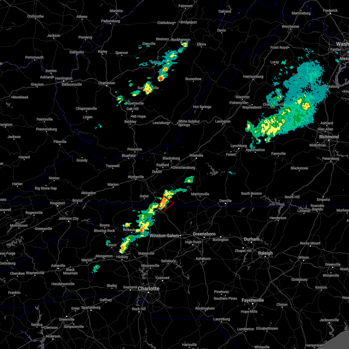 At 1134 pm edt, a severe thunderstorm capable of producing a tornado was located over flat rock, moving northeast at 40 mph (radar indicated rotation). Hazards include tornado. Flying debris will be dangerous to those caught without shelter. mobile homes will be damaged or destroyed. damage to roofs, windows, and vehicles will occur. tree damage is likely. Locations impacted include, mount airy, flat rock, ararat, cana, and toast. At 1134 pm edt, a severe thunderstorm capable of producing a tornado was located over flat rock, moving northeast at 40 mph (radar indicated rotation). Hazards include tornado. Flying debris will be dangerous to those caught without shelter. mobile homes will be damaged or destroyed. damage to roofs, windows, and vehicles will occur. tree damage is likely. Locations impacted include, mount airy, flat rock, ararat, cana, and toast.
|
| 3/23/2022 11:29 PM EDT |
 At 1129 pm edt, a severe thunderstorm capable of producing a tornado was located over mount airy, moving northeast at 45 mph (radar indicated rotation). Hazards include tornado. Flying debris will be dangerous to those caught without shelter. mobile homes will be damaged or destroyed. damage to roofs, windows, and vehicles will occur. Tree damage is likely. At 1129 pm edt, a severe thunderstorm capable of producing a tornado was located over mount airy, moving northeast at 45 mph (radar indicated rotation). Hazards include tornado. Flying debris will be dangerous to those caught without shelter. mobile homes will be damaged or destroyed. damage to roofs, windows, and vehicles will occur. Tree damage is likely.
|
| 3/23/2022 11:29 PM EDT |
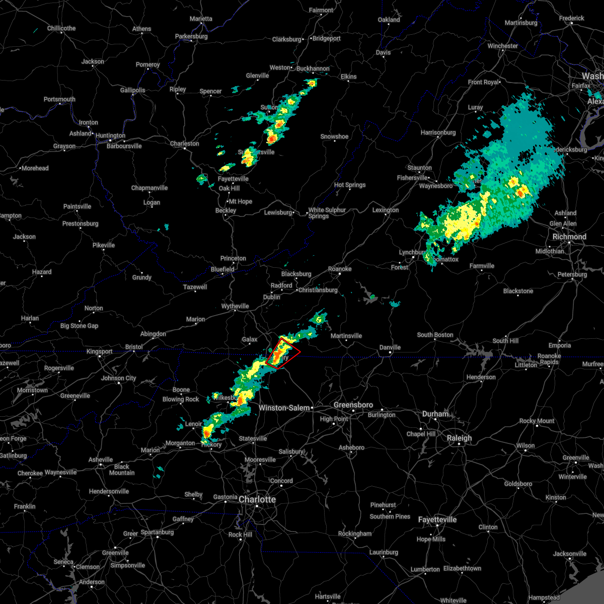 At 1129 pm edt, a severe thunderstorm capable of producing a tornado was located over mount airy, moving northeast at 45 mph (radar indicated rotation). Hazards include tornado. Flying debris will be dangerous to those caught without shelter. mobile homes will be damaged or destroyed. damage to roofs, windows, and vehicles will occur. Tree damage is likely. At 1129 pm edt, a severe thunderstorm capable of producing a tornado was located over mount airy, moving northeast at 45 mph (radar indicated rotation). Hazards include tornado. Flying debris will be dangerous to those caught without shelter. mobile homes will be damaged or destroyed. damage to roofs, windows, and vehicles will occur. Tree damage is likely.
|
| 12/11/2021 1:35 PM EST |
 The severe thunderstorm warning for southern pulaski, west central floyd, southeastern wythe, carroll and northeastern grayson counties and the city of galax will expire at 145 pm est, the storms which prompted the warning have weakened below severe limits, and no longer pose an immediate threat to life or property. therefore, the warning will be allowed to expire. The severe thunderstorm warning for southern pulaski, west central floyd, southeastern wythe, carroll and northeastern grayson counties and the city of galax will expire at 145 pm est, the storms which prompted the warning have weakened below severe limits, and no longer pose an immediate threat to life or property. therefore, the warning will be allowed to expire.
|
| 12/11/2021 1:15 PM EST |
 At 114 pm est, severe storms were located along a line extending from gunton park to ivanhoe, moving east at 45 mph (radar indicated). Hazards include 60 mph wind gusts. Expect damage to roofs, siding, and trees. locations impacted include, galax, hillsville, fries, indian valley, fancy gap, max meadows, and patterson. hail threat, radar indicated max hail size, <. 75 in wind threat, radar indicated max wind gust, 60 mph. At 114 pm est, severe storms were located along a line extending from gunton park to ivanhoe, moving east at 45 mph (radar indicated). Hazards include 60 mph wind gusts. Expect damage to roofs, siding, and trees. locations impacted include, galax, hillsville, fries, indian valley, fancy gap, max meadows, and patterson. hail threat, radar indicated max hail size, <. 75 in wind threat, radar indicated max wind gust, 60 mph.
|
| 12/11/2021 12:54 PM EST |
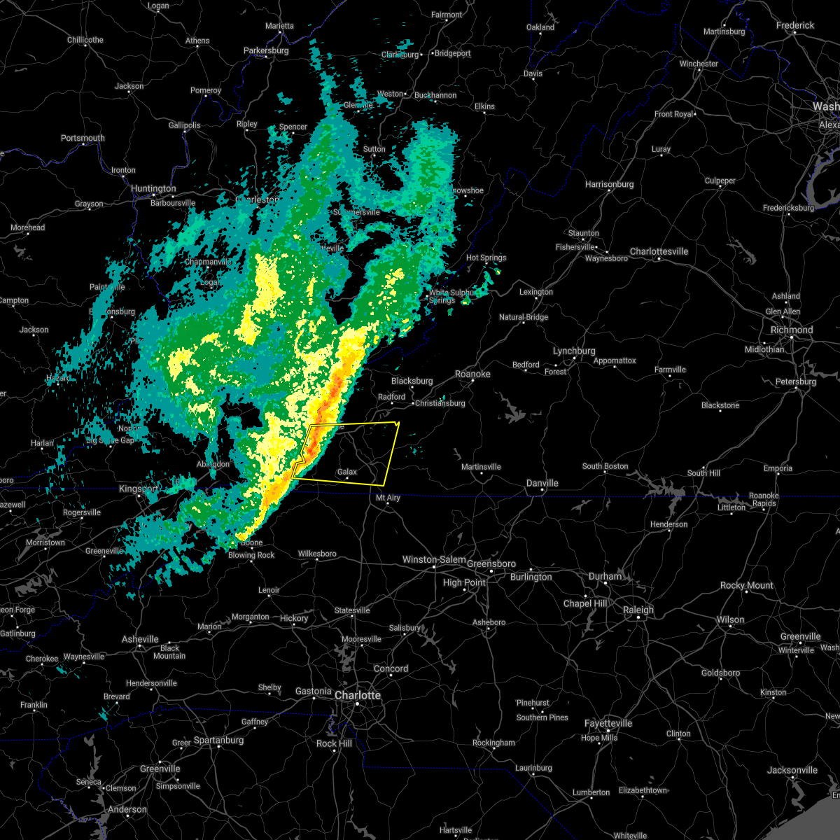 At 1253 pm est, a severe storm was located over speedwell, moving east at 45 mph (radar indicated). Hazards include 60 mph wind gusts. expect damage to roofs, siding, and trees At 1253 pm est, a severe storm was located over speedwell, moving east at 45 mph (radar indicated). Hazards include 60 mph wind gusts. expect damage to roofs, siding, and trees
|
| 9/8/2021 2:24 PM EDT |
 The severe thunderstorm warning for north central surry county will expire at 230 pm edt, the storm which prompted the warning has moved out of the area. therefore, the warning will be allowed to expire. however small hail, gusty winds and heavy rain are still possible with this thunderstorm. remember, a severe thunderstorm warning still remains in effect for northeastern surry county until 315 pm edt. The severe thunderstorm warning for north central surry county will expire at 230 pm edt, the storm which prompted the warning has moved out of the area. therefore, the warning will be allowed to expire. however small hail, gusty winds and heavy rain are still possible with this thunderstorm. remember, a severe thunderstorm warning still remains in effect for northeastern surry county until 315 pm edt.
|
| 9/8/2021 2:12 PM EDT |
 At 211 pm edt, a severe thunderstorm was located near mt. airy, moving northeast at 25 mph (radar indicated). Hazards include 60 mph wind gusts and quarter size hail. Hail damage to vehicles is expected. expect wind damage to roofs, siding, and trees. Locations impacted include, mount airy, flat rock, and toast. At 211 pm edt, a severe thunderstorm was located near mt. airy, moving northeast at 25 mph (radar indicated). Hazards include 60 mph wind gusts and quarter size hail. Hail damage to vehicles is expected. expect wind damage to roofs, siding, and trees. Locations impacted include, mount airy, flat rock, and toast.
|
| 9/8/2021 2:04 PM EDT |
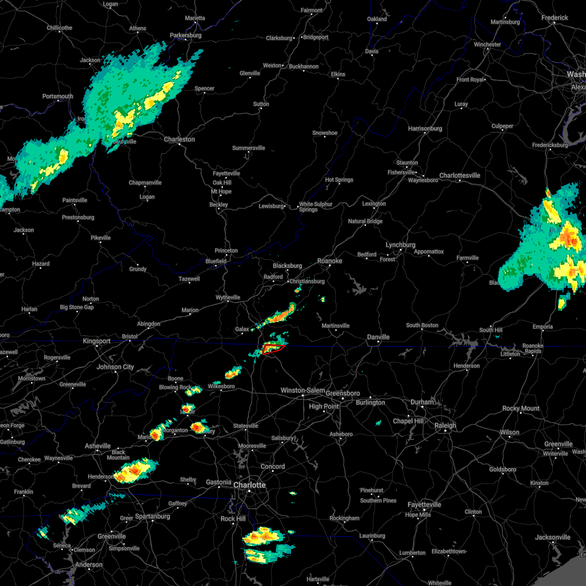 At 204 pm edt, a severe thunderstorm capable of producing a tornado was located near mt. airy, moving east at 40 mph (radar indicated rotation). Hazards include tornado and quarter size hail. Flying debris will be dangerous to those caught without shelter. mobile homes will be damaged or destroyed. damage to roofs, windows, and vehicles will occur. tree damage is likely. Locations impacted include, mount airy, flat rock, and toast. At 204 pm edt, a severe thunderstorm capable of producing a tornado was located near mt. airy, moving east at 40 mph (radar indicated rotation). Hazards include tornado and quarter size hail. Flying debris will be dangerous to those caught without shelter. mobile homes will be damaged or destroyed. damage to roofs, windows, and vehicles will occur. tree damage is likely. Locations impacted include, mount airy, flat rock, and toast.
|
| 9/8/2021 1:32 PM EDT |
 At 130 pm edt, a severe thunderstorm was located near low gap, moving northeast at 25 mph (radar indicated). Hazards include 60 mph wind gusts and quarter size hail. Hail damage to vehicles is expected. Expect wind damage to roofs, siding, and trees. At 130 pm edt, a severe thunderstorm was located near low gap, moving northeast at 25 mph (radar indicated). Hazards include 60 mph wind gusts and quarter size hail. Hail damage to vehicles is expected. Expect wind damage to roofs, siding, and trees.
|
| 8/18/2021 1:01 AM EDT |
 At 101 am edt, a severe thunderstorm capable of producing a tornado was located over mount airy, moving north at 40 mph (radar indicated rotation). Hazards include tornado. Flying debris will be dangerous to those caught without shelter. mobile homes will be damaged or destroyed. damage to roofs, windows, and vehicles will occur. Tree damage is likely. At 101 am edt, a severe thunderstorm capable of producing a tornado was located over mount airy, moving north at 40 mph (radar indicated rotation). Hazards include tornado. Flying debris will be dangerous to those caught without shelter. mobile homes will be damaged or destroyed. damage to roofs, windows, and vehicles will occur. Tree damage is likely.
|
| 8/18/2021 1:01 AM EDT |
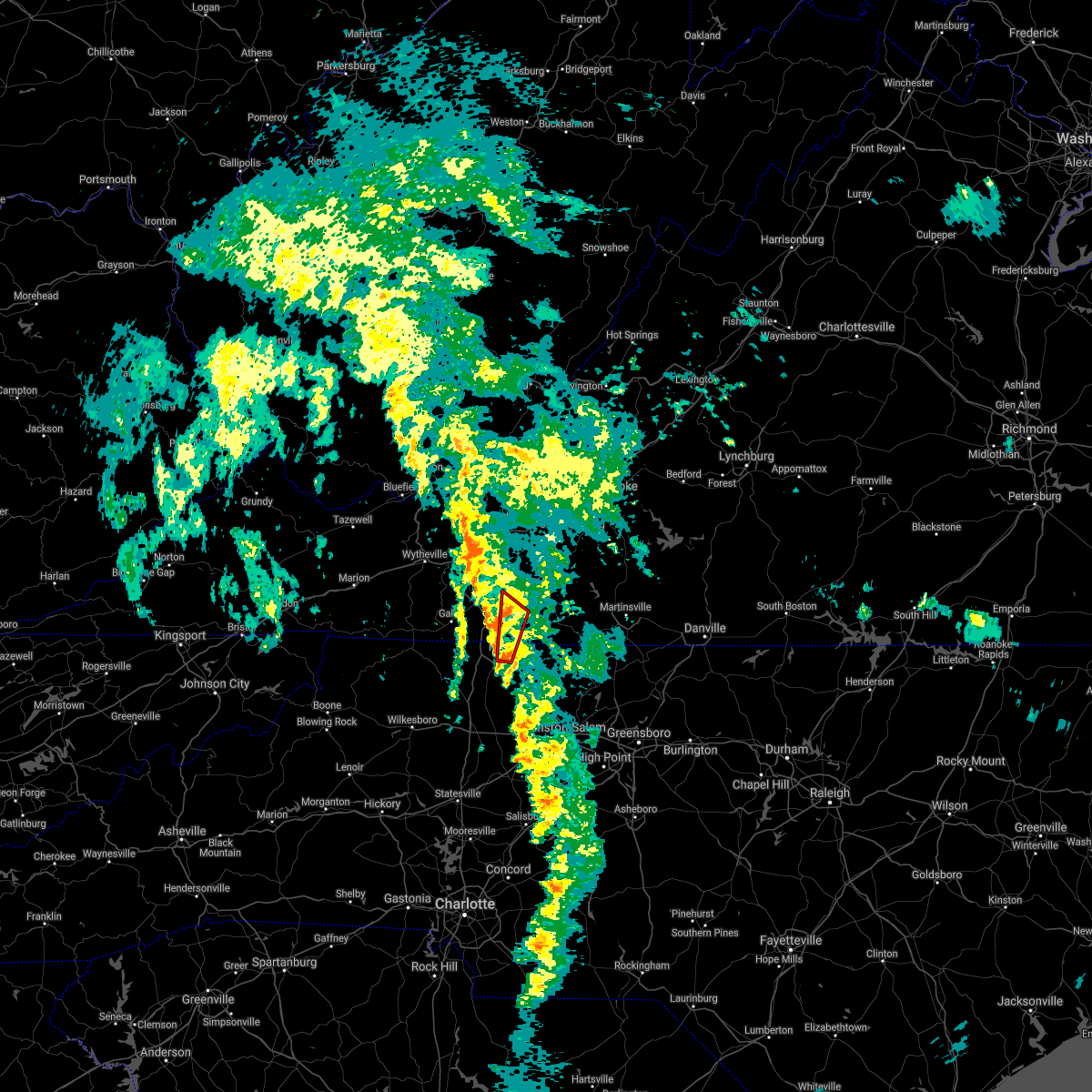 At 101 am edt, a severe thunderstorm capable of producing a tornado was located over mount airy, moving north at 40 mph (radar indicated rotation). Hazards include tornado. Flying debris will be dangerous to those caught without shelter. mobile homes will be damaged or destroyed. damage to roofs, windows, and vehicles will occur. Tree damage is likely. At 101 am edt, a severe thunderstorm capable of producing a tornado was located over mount airy, moving north at 40 mph (radar indicated rotation). Hazards include tornado. Flying debris will be dangerous to those caught without shelter. mobile homes will be damaged or destroyed. damage to roofs, windows, and vehicles will occur. Tree damage is likely.
|
| 8/10/2021 3:00 PM EDT |
 At 300 pm edt, severe thunderstorms were located along a line extending from near endicott to near gladesboro, moving east at 40 mph (radar indicated). Hazards include 60 mph wind gusts and quarter size hail. Hail damage to vehicles is expected. expect wind damage to roofs, siding, and trees. locations impacted include, mount airy, flat rock, stuart, ararat, cana, woolwine, and willis. hail threat, radar indicated max hail size, 1. 00 in wind threat, radar indicated max wind gust, 60 mph. At 300 pm edt, severe thunderstorms were located along a line extending from near endicott to near gladesboro, moving east at 40 mph (radar indicated). Hazards include 60 mph wind gusts and quarter size hail. Hail damage to vehicles is expected. expect wind damage to roofs, siding, and trees. locations impacted include, mount airy, flat rock, stuart, ararat, cana, woolwine, and willis. hail threat, radar indicated max hail size, 1. 00 in wind threat, radar indicated max wind gust, 60 mph.
|
| 8/10/2021 3:00 PM EDT |
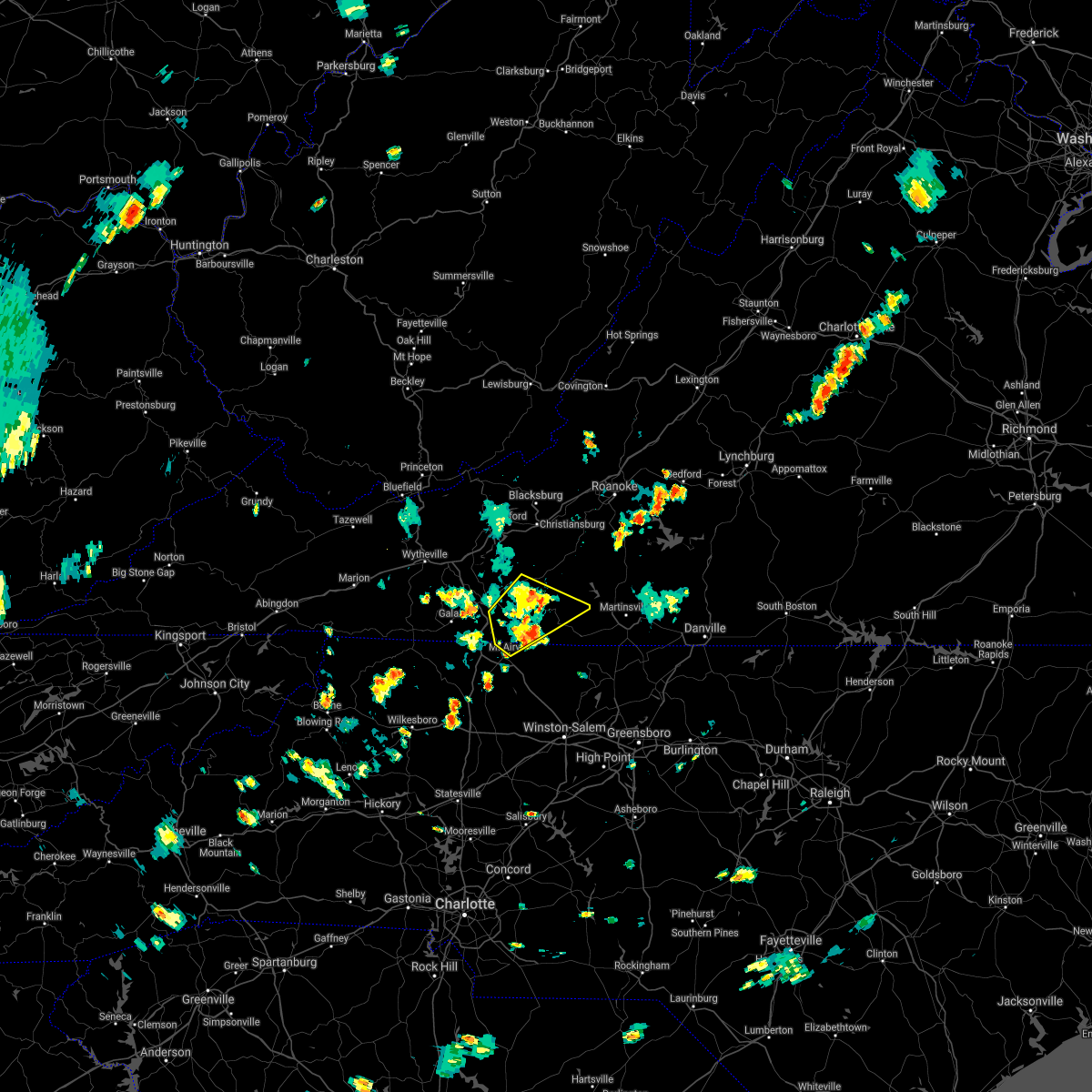 At 300 pm edt, severe thunderstorms were located along a line extending from near endicott to near gladesboro, moving east at 40 mph (radar indicated). Hazards include 60 mph wind gusts and quarter size hail. Hail damage to vehicles is expected. expect wind damage to roofs, siding, and trees. locations impacted include, mount airy, flat rock, stuart, ararat, cana, woolwine, and willis. hail threat, radar indicated max hail size, 1. 00 in wind threat, radar indicated max wind gust, 60 mph. At 300 pm edt, severe thunderstorms were located along a line extending from near endicott to near gladesboro, moving east at 40 mph (radar indicated). Hazards include 60 mph wind gusts and quarter size hail. Hail damage to vehicles is expected. expect wind damage to roofs, siding, and trees. locations impacted include, mount airy, flat rock, stuart, ararat, cana, woolwine, and willis. hail threat, radar indicated max hail size, 1. 00 in wind threat, radar indicated max wind gust, 60 mph.
|
| 8/10/2021 2:49 PM EDT |
 At 249 pm edt, severe thunderstorms were located along a line extending from near charity to near fancy gap, moving east at 40 mph (radar indicated). Hazards include 60 mph wind gusts and quarter size hail. Hail damage to vehicles is expected. expect wind damage to roofs, siding, and trees. locations impacted include, mount airy, flat rock, hillsville, stuart, fries, fancy gap, and ararat. hail threat, radar indicated max hail size, 1. 00 in wind threat, radar indicated max wind gust, 60 mph. At 249 pm edt, severe thunderstorms were located along a line extending from near charity to near fancy gap, moving east at 40 mph (radar indicated). Hazards include 60 mph wind gusts and quarter size hail. Hail damage to vehicles is expected. expect wind damage to roofs, siding, and trees. locations impacted include, mount airy, flat rock, hillsville, stuart, fries, fancy gap, and ararat. hail threat, radar indicated max hail size, 1. 00 in wind threat, radar indicated max wind gust, 60 mph.
|
| 8/10/2021 2:28 PM EDT |
 At 228 pm edt, severe thunderstorms were located along a line extending from near willis to near galax, moving east at 20 mph (radar indicated). Hazards include 60 mph wind gusts and quarter size hail. Hail damage to vehicles is expected. Expect wind damage to roofs, siding, and trees. At 228 pm edt, severe thunderstorms were located along a line extending from near willis to near galax, moving east at 20 mph (radar indicated). Hazards include 60 mph wind gusts and quarter size hail. Hail damage to vehicles is expected. Expect wind damage to roofs, siding, and trees.
|
| 8/7/2021 7:13 PM EDT |
 At 713 pm edt, severe thunderstorms were located along a line extending from meadows of dan to nebo, moving east at 20 mph (radar indicated). Hazards include 60 mph wind gusts and quarter size hail. Hail damage to vehicles is expected. expect wind damage to roofs, siding, and trees. locations impacted include, mount airy, fairview, flat rock, yadkinville, dobson, pilot mountain, and stuart. hail threat, radar indicated max hail size, 1. 00 in wind threat, radar indicated max wind gust, 60 mph. At 713 pm edt, severe thunderstorms were located along a line extending from meadows of dan to nebo, moving east at 20 mph (radar indicated). Hazards include 60 mph wind gusts and quarter size hail. Hail damage to vehicles is expected. expect wind damage to roofs, siding, and trees. locations impacted include, mount airy, fairview, flat rock, yadkinville, dobson, pilot mountain, and stuart. hail threat, radar indicated max hail size, 1. 00 in wind threat, radar indicated max wind gust, 60 mph.
|
| 8/7/2021 6:54 PM EDT |
 At 654 pm edt, severe thunderstorms were located along a line extending from dugspur to near arlington, moving east at 10 mph (radar indicated). Hazards include 60 mph wind gusts and quarter size hail. Hail damage to vehicles is expected. Expect wind damage to roofs, siding, and trees. At 654 pm edt, severe thunderstorms were located along a line extending from dugspur to near arlington, moving east at 10 mph (radar indicated). Hazards include 60 mph wind gusts and quarter size hail. Hail damage to vehicles is expected. Expect wind damage to roofs, siding, and trees.
|
| 8/7/2021 6:34 PM EDT |
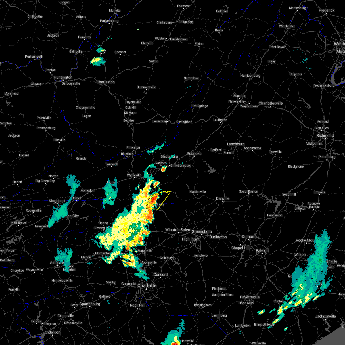 At 634 pm edt, severe thunderstorms were located along a line extending from near fancy gap to near bottom, moving east at 20 mph (radar indicated). Hazards include 60 mph wind gusts and quarter size hail. Hail damage to vehicles is expected. expect wind damage to roofs, siding, and trees. locations impacted include, mount airy, flat rock, fancy gap, bottom, ararat, cana, and pine ridge. hail threat, radar indicated max hail size, 1. 00 in wind threat, radar indicated max wind gust, 60 mph. At 634 pm edt, severe thunderstorms were located along a line extending from near fancy gap to near bottom, moving east at 20 mph (radar indicated). Hazards include 60 mph wind gusts and quarter size hail. Hail damage to vehicles is expected. expect wind damage to roofs, siding, and trees. locations impacted include, mount airy, flat rock, fancy gap, bottom, ararat, cana, and pine ridge. hail threat, radar indicated max hail size, 1. 00 in wind threat, radar indicated max wind gust, 60 mph.
|
| 8/7/2021 6:15 PM EDT |
 At 615 pm edt, severe thunderstorms were located along a line extending from near fancy gap to near barrett, moving east at 15 mph (radar indicated). Hazards include 60 mph wind gusts and quarter size hail. Hail damage to vehicles is expected. expect wind damage to roofs, siding, and trees. locations impacted include, mount airy, flat rock, fancy gap, ararat, cana, bottom, and ennice. hail threat, radar indicated max hail size, 1. 00 in wind threat, radar indicated max wind gust, 60 mph. At 615 pm edt, severe thunderstorms were located along a line extending from near fancy gap to near barrett, moving east at 15 mph (radar indicated). Hazards include 60 mph wind gusts and quarter size hail. Hail damage to vehicles is expected. expect wind damage to roofs, siding, and trees. locations impacted include, mount airy, flat rock, fancy gap, ararat, cana, bottom, and ennice. hail threat, radar indicated max hail size, 1. 00 in wind threat, radar indicated max wind gust, 60 mph.
|
| 8/7/2021 6:02 PM EDT |
 At 601 pm edt, severe thunderstorms were located along a line extending from near gladesboro to barrett, moving east at 20 mph (radar indicated). Hazards include 60 mph wind gusts and quarter size hail. Hail damage to vehicles is expected. expect wind damage to roofs, siding, and trees. locations impacted include, mount airy, flat rock, sparta, fancy gap, ennice, ararat, and cana. hail threat, radar indicated max hail size, 1. 00 in wind threat, radar indicated max wind gust, 60 mph. At 601 pm edt, severe thunderstorms were located along a line extending from near gladesboro to barrett, moving east at 20 mph (radar indicated). Hazards include 60 mph wind gusts and quarter size hail. Hail damage to vehicles is expected. expect wind damage to roofs, siding, and trees. locations impacted include, mount airy, flat rock, sparta, fancy gap, ennice, ararat, and cana. hail threat, radar indicated max hail size, 1. 00 in wind threat, radar indicated max wind gust, 60 mph.
|
| 8/7/2021 5:40 PM EDT |
 At 540 pm edt, severe thunderstorms were located along a line extending from woodlawn to glade valley, moving east at 20 mph (radar indicated). Hazards include 60 mph wind gusts and quarter size hail. Hail damage to vehicles is expected. Expect wind damage to roofs, siding, and trees. At 540 pm edt, severe thunderstorms were located along a line extending from woodlawn to glade valley, moving east at 20 mph (radar indicated). Hazards include 60 mph wind gusts and quarter size hail. Hail damage to vehicles is expected. Expect wind damage to roofs, siding, and trees.
|
| 7/17/2021 7:44 PM EDT |
 At 744 pm edt, severe thunderstorms were located along a line extending from near mabry mill to near swancreek, moving east at 25 mph (radar indicated). Hazards include 60 mph wind gusts. expect damage to roofs, siding, and trees At 744 pm edt, severe thunderstorms were located along a line extending from near mabry mill to near swancreek, moving east at 25 mph (radar indicated). Hazards include 60 mph wind gusts. expect damage to roofs, siding, and trees
|
| 7/17/2021 2:18 PM EDT |
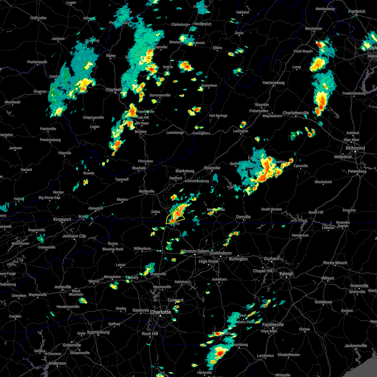 At 217 pm edt, a severe thunderstorm was located near ararat, moving east at 10 mph (radar indicated). Hazards include 60 mph wind gusts. Expect damage to roofs, siding, and trees. Locations impacted include, cana, ararat, and laurel fork. At 217 pm edt, a severe thunderstorm was located near ararat, moving east at 10 mph (radar indicated). Hazards include 60 mph wind gusts. Expect damage to roofs, siding, and trees. Locations impacted include, cana, ararat, and laurel fork.
|
| 7/17/2021 2:18 PM EDT |
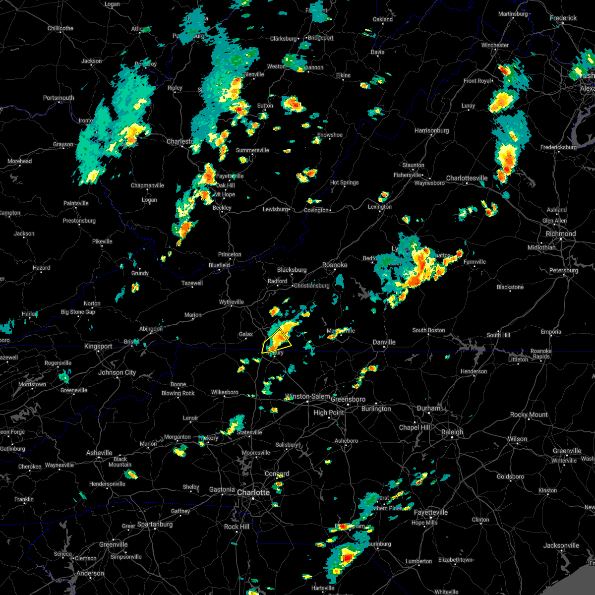 At 217 pm edt, a severe thunderstorm was located near ararat, moving east at 10 mph (radar indicated). Hazards include 60 mph wind gusts. Expect damage to roofs, siding, and trees. Locations impacted include, cana, ararat, and laurel fork. At 217 pm edt, a severe thunderstorm was located near ararat, moving east at 10 mph (radar indicated). Hazards include 60 mph wind gusts. Expect damage to roofs, siding, and trees. Locations impacted include, cana, ararat, and laurel fork.
|
| 7/17/2021 2:00 PM EDT |
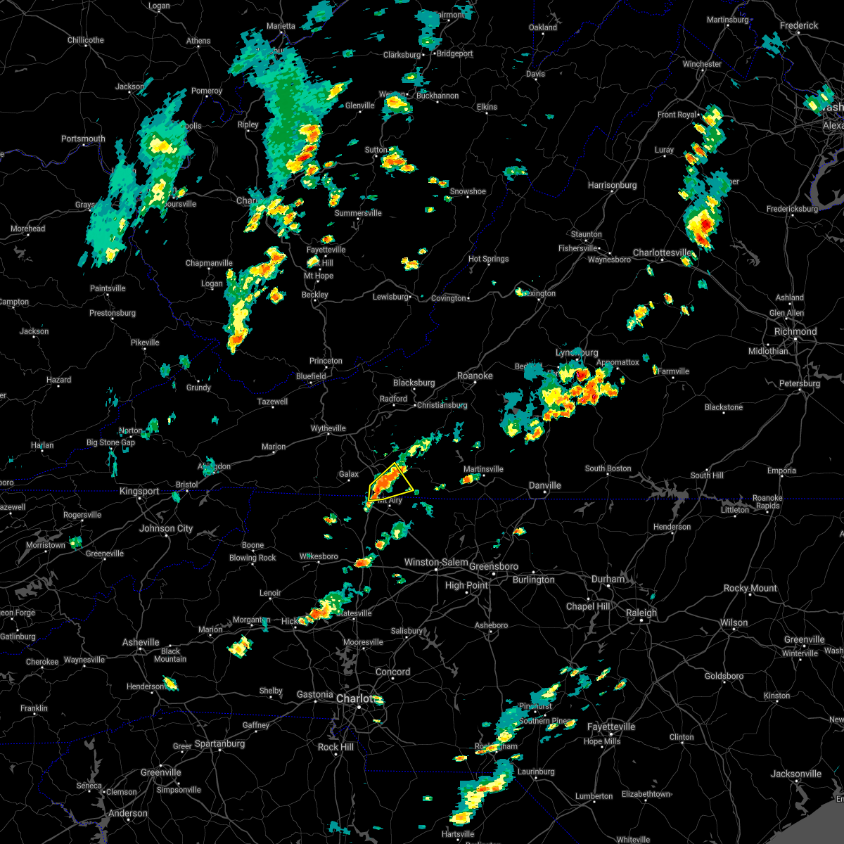 At 200 pm edt, a severe thunderstorm was located over cana, moving east at 10 mph (radar indicated). Hazards include 60 mph wind gusts and quarter size hail. Hail damage to vehicles is expected. expect wind damage to roofs, siding, and trees. Locations impacted include, fancy gap, ararat, cana, lambsburg, laurel fork, and gladesboro. At 200 pm edt, a severe thunderstorm was located over cana, moving east at 10 mph (radar indicated). Hazards include 60 mph wind gusts and quarter size hail. Hail damage to vehicles is expected. expect wind damage to roofs, siding, and trees. Locations impacted include, fancy gap, ararat, cana, lambsburg, laurel fork, and gladesboro.
|
| 7/17/2021 1:45 PM EDT |
 At 145 pm edt, a severe thunderstorm was located over lambsburg, or near cana, moving northeast at 10 mph (radar indicated). Hazards include 60 mph wind gusts and quarter size hail. Hail damage to vehicles is expected. Expect wind damage to roofs, siding, and trees. At 145 pm edt, a severe thunderstorm was located over lambsburg, or near cana, moving northeast at 10 mph (radar indicated). Hazards include 60 mph wind gusts and quarter size hail. Hail damage to vehicles is expected. Expect wind damage to roofs, siding, and trees.
|
| 6/13/2021 9:58 PM EDT |
 At 956 pm edt, severe thunderstorms were located along a line extending from martinsville to near galax along highway 58, moving south at 35 to 40 mph (radar indicated). Hazards include 60 mph wind gusts. expect damage to roofs, siding, and trees At 956 pm edt, severe thunderstorms were located along a line extending from martinsville to near galax along highway 58, moving south at 35 to 40 mph (radar indicated). Hazards include 60 mph wind gusts. expect damage to roofs, siding, and trees
|
| 4/9/2021 4:57 PM EDT |
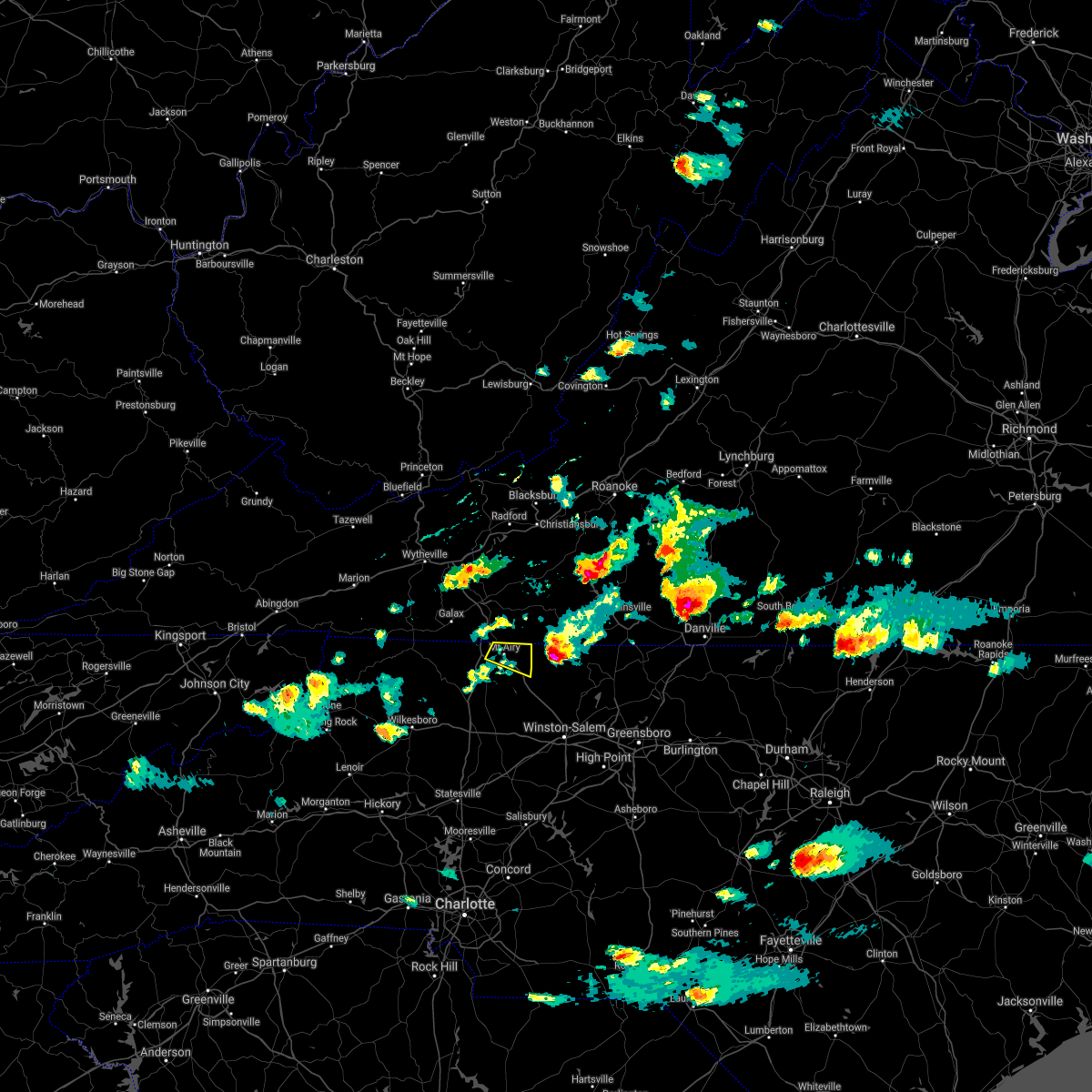 The severe thunderstorm warning for northeastern surry county will expire at 500 pm edt, the storm which prompted the warning has weakened below severe limits, and has exited the warned area. therefore, the warning will be allowed to expire. a severe thunderstorm watch remains in effect until midnight edt for north central and northwestern north carolina, and southwestern virginia. when it is safe to do so, please send your reports of hail of any size, as well as reports of any wind damage, including downed trees or large limbs, to the national weather service by calling toll free at 1, 8 6 6, 2 1 5, 4 3 2 4. reports and pictures can also be shared on the national weather service blacksburg facebook page and on twitter. The severe thunderstorm warning for northeastern surry county will expire at 500 pm edt, the storm which prompted the warning has weakened below severe limits, and has exited the warned area. therefore, the warning will be allowed to expire. a severe thunderstorm watch remains in effect until midnight edt for north central and northwestern north carolina, and southwestern virginia. when it is safe to do so, please send your reports of hail of any size, as well as reports of any wind damage, including downed trees or large limbs, to the national weather service by calling toll free at 1, 8 6 6, 2 1 5, 4 3 2 4. reports and pictures can also be shared on the national weather service blacksburg facebook page and on twitter.
|
| 4/9/2021 4:11 PM EDT |
 At 410 pm edt, a severe thunderstorm was located over toast, or over mount airy, moving east at 20 mph (radar indicated). Hazards include 60 mph wind gusts and quarter size hail. Hail damage to vehicles is expected. Expect wind damage to roofs, siding, and trees. At 410 pm edt, a severe thunderstorm was located over toast, or over mount airy, moving east at 20 mph (radar indicated). Hazards include 60 mph wind gusts and quarter size hail. Hail damage to vehicles is expected. Expect wind damage to roofs, siding, and trees.
|
| 4/9/2021 3:52 PM EDT |
 At 352 pm edt, a severe thunderstorm was located over pine ridge, or near bottom, moving east at 25 mph (radar indicated). Hazards include 60 mph wind gusts and quarter size hail. Hail damage to vehicles is expected. expect wind damage to roofs, siding, and trees. Locations impacted include, mount airy, flat rock, bottom, pine ridge, toast, woodville, and white plains. At 352 pm edt, a severe thunderstorm was located over pine ridge, or near bottom, moving east at 25 mph (radar indicated). Hazards include 60 mph wind gusts and quarter size hail. Hail damage to vehicles is expected. expect wind damage to roofs, siding, and trees. Locations impacted include, mount airy, flat rock, bottom, pine ridge, toast, woodville, and white plains.
|
| 4/9/2021 3:28 PM EDT |
 At 328 pm edt, a severe thunderstorm was located over low gap, or near bottom, moving east at 20 mph (radar indicated). Hazards include 60 mph wind gusts and quarter size hail. Hail damage to vehicles is expected. Expect wind damage to roofs, siding, and trees. At 328 pm edt, a severe thunderstorm was located over low gap, or near bottom, moving east at 20 mph (radar indicated). Hazards include 60 mph wind gusts and quarter size hail. Hail damage to vehicles is expected. Expect wind damage to roofs, siding, and trees.
|
| 3/27/2021 3:06 PM EDT |
 At 305 pm edt, severe thunderstorms were located along a line extending from terrys fork to near stuart to near courtney, moving east at 50 mph (radar indicated). Hazards include 60 mph wind gusts. Expect damage to roofs, siding, and trees. locations impacted include, christiansburg, eden, martinsville, mount airy, rocky mount, elkin, and fairview. This includes the following locations the martinsville speedway and martinsville airport. At 305 pm edt, severe thunderstorms were located along a line extending from terrys fork to near stuart to near courtney, moving east at 50 mph (radar indicated). Hazards include 60 mph wind gusts. Expect damage to roofs, siding, and trees. locations impacted include, christiansburg, eden, martinsville, mount airy, rocky mount, elkin, and fairview. This includes the following locations the martinsville speedway and martinsville airport.
|
| 3/27/2021 2:56 PM EDT |
 At 256 pm edt, severe thunderstorms were located along a line extending from near pilot to ararat to near buck shoals, moving east at 50 mph (radar indicated). Hazards include 60 mph wind gusts. expect damage to roofs, siding, and trees At 256 pm edt, severe thunderstorms were located along a line extending from near pilot to ararat to near buck shoals, moving east at 50 mph (radar indicated). Hazards include 60 mph wind gusts. expect damage to roofs, siding, and trees
|
| 8/3/2020 4:08 AM EDT |
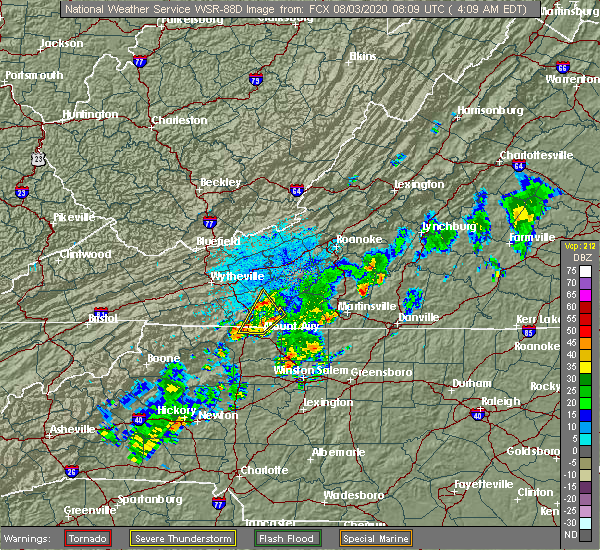 The severe thunderstorm warning for north central surry, eastern carroll and southwestern patrick counties will expire at 415 am edt, the storm which prompted the warning has weakened below severe limits, and no longer poses an immediate threat to life or property. therefore, the warning will be allowed to expire. however heavy rain is still possible with this thunderstorm. when it is safe to do so, please send your reports of hail of any size, as well as reports of any wind damage, including downed trees or large limbs, to the national weather service by calling toll free at 1, 8 6 6, 2 1 5, 4 3 2 4. reports and pictures can also be shared on the national weather service blacksburg facebook page and on twitter. The severe thunderstorm warning for north central surry, eastern carroll and southwestern patrick counties will expire at 415 am edt, the storm which prompted the warning has weakened below severe limits, and no longer poses an immediate threat to life or property. therefore, the warning will be allowed to expire. however heavy rain is still possible with this thunderstorm. when it is safe to do so, please send your reports of hail of any size, as well as reports of any wind damage, including downed trees or large limbs, to the national weather service by calling toll free at 1, 8 6 6, 2 1 5, 4 3 2 4. reports and pictures can also be shared on the national weather service blacksburg facebook page and on twitter.
|
| 8/3/2020 3:32 AM EDT |
 At 331 am edt, a severe thunderstorm was located just southeast of cana near the north carolina/virginia border, moving northeast at 25 mph (radar indicated). Hazards include 60 mph wind gusts and quarter size hail. Hail damage to vehicles is expected. Expect wind damage to roofs, siding, and trees. At 331 am edt, a severe thunderstorm was located just southeast of cana near the north carolina/virginia border, moving northeast at 25 mph (radar indicated). Hazards include 60 mph wind gusts and quarter size hail. Hail damage to vehicles is expected. Expect wind damage to roofs, siding, and trees.
|
| 8/3/2020 3:32 AM EDT |
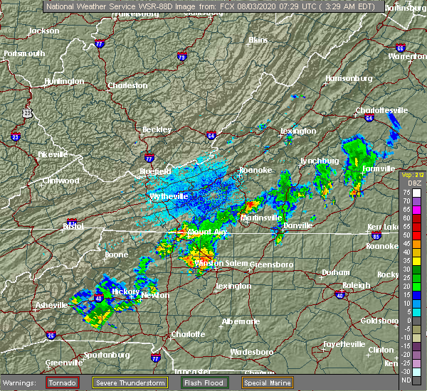 At 331 am edt, a severe thunderstorm was located just southeast of cana near the north carolina/virginia border, moving northeast at 25 mph (radar indicated). Hazards include 60 mph wind gusts and quarter size hail. Hail damage to vehicles is expected. Expect wind damage to roofs, siding, and trees. At 331 am edt, a severe thunderstorm was located just southeast of cana near the north carolina/virginia border, moving northeast at 25 mph (radar indicated). Hazards include 60 mph wind gusts and quarter size hail. Hail damage to vehicles is expected. Expect wind damage to roofs, siding, and trees.
|
| 7/21/2020 2:26 PM EDT |
 The severe thunderstorm warning for south central carroll county will expire at 230 pm edt, the storm which prompted the warning has weakened below severe limits, and no longer poses an immediate threat to life or property. therefore, the warning will be allowed to expire. when it is safe to do so, please send your reports of hail of any size, as well as reports of any wind damage, including downed trees or large limbs, to the national weather service by calling toll free at 1, 8 6 6, 2 1 5, 4 3 2 4. reports and pictures can also be shared on the national weather service blacksburg facebook page and on twitter. The severe thunderstorm warning for south central carroll county will expire at 230 pm edt, the storm which prompted the warning has weakened below severe limits, and no longer poses an immediate threat to life or property. therefore, the warning will be allowed to expire. when it is safe to do so, please send your reports of hail of any size, as well as reports of any wind damage, including downed trees or large limbs, to the national weather service by calling toll free at 1, 8 6 6, 2 1 5, 4 3 2 4. reports and pictures can also be shared on the national weather service blacksburg facebook page and on twitter.
|
| 7/21/2020 1:57 PM EDT |
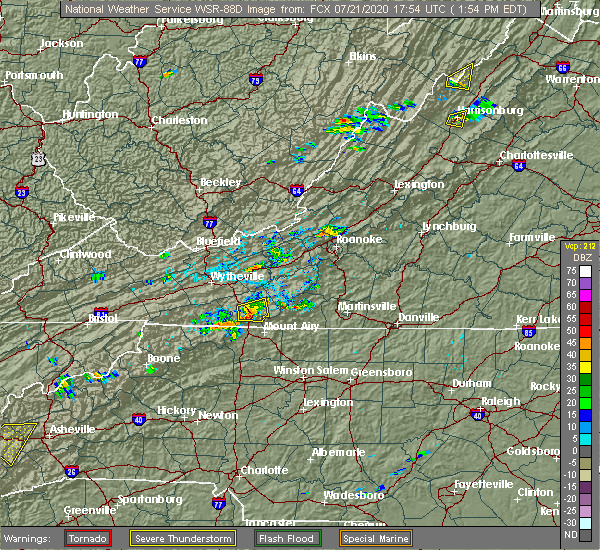 At 157 pm edt, a severe thunderstorm was located near fancy gap, moving east at 10 mph (radar indicated). Hazards include 60 mph wind gusts and quarter size hail. Hail damage to vehicles is expected. expect wind damage to roofs, siding, and trees. Locations impacted include, fancy gap, gladesboro, and pipers gap. At 157 pm edt, a severe thunderstorm was located near fancy gap, moving east at 10 mph (radar indicated). Hazards include 60 mph wind gusts and quarter size hail. Hail damage to vehicles is expected. expect wind damage to roofs, siding, and trees. Locations impacted include, fancy gap, gladesboro, and pipers gap.
|
| 7/21/2020 1:29 PM EDT |
 At 129 pm edt, a severe thunderstorm was located near woodlawn, or near hillsville, moving east at 10 mph (radar indicated). Hazards include 60 mph wind gusts and quarter size hail. Hail damage to vehicles is expected. Expect wind damage to roofs, siding, and trees. At 129 pm edt, a severe thunderstorm was located near woodlawn, or near hillsville, moving east at 10 mph (radar indicated). Hazards include 60 mph wind gusts and quarter size hail. Hail damage to vehicles is expected. Expect wind damage to roofs, siding, and trees.
|
| 7/19/2020 5:50 PM EDT |
 At 549 pm edt, severe thunderstorms were located along a line extending from near stuart to pine ridge, moving east at 40 mph (radar indicated). Hazards include 60 mph wind gusts. Expect damage to roofs, siding, and trees. locations impacted include, martinsville, mount airy, flat rock, dobson, pilot mountain, stuart, and danbury. This includes the following locations the martinsville speedway and martinsville airport. At 549 pm edt, severe thunderstorms were located along a line extending from near stuart to pine ridge, moving east at 40 mph (radar indicated). Hazards include 60 mph wind gusts. Expect damage to roofs, siding, and trees. locations impacted include, martinsville, mount airy, flat rock, dobson, pilot mountain, stuart, and danbury. This includes the following locations the martinsville speedway and martinsville airport.
|
| 7/19/2020 5:32 PM EDT |
 At 531 pm edt, severe thunderstorms were located along a line extending from near ararat to near barrett, moving east at 40 mph (radar indicated). Hazards include 60 mph wind gusts. expect damage to roofs, siding, and trees At 531 pm edt, severe thunderstorms were located along a line extending from near ararat to near barrett, moving east at 40 mph (radar indicated). Hazards include 60 mph wind gusts. expect damage to roofs, siding, and trees
|
| 7/10/2020 6:54 PM EDT |
 At 653 pm edt, a severe thunderstorm was located over flat rock, moving east at 20 mph (radar indicated). Hazards include 60 mph wind gusts and quarter size hail. Hail damage to vehicles is expected. expect wind damage to roofs, siding, and trees. Locations impacted include, mount airy, flat rock, francisco, ararat, cana, fancy gap, and pine ridge. At 653 pm edt, a severe thunderstorm was located over flat rock, moving east at 20 mph (radar indicated). Hazards include 60 mph wind gusts and quarter size hail. Hail damage to vehicles is expected. expect wind damage to roofs, siding, and trees. Locations impacted include, mount airy, flat rock, francisco, ararat, cana, fancy gap, and pine ridge.
|
| 7/10/2020 6:54 PM EDT |
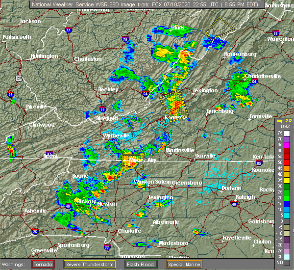 At 653 pm edt, a severe thunderstorm was located over flat rock, moving east at 20 mph (radar indicated). Hazards include 60 mph wind gusts and quarter size hail. Hail damage to vehicles is expected. expect wind damage to roofs, siding, and trees. Locations impacted include, mount airy, flat rock, francisco, ararat, cana, fancy gap, and pine ridge. At 653 pm edt, a severe thunderstorm was located over flat rock, moving east at 20 mph (radar indicated). Hazards include 60 mph wind gusts and quarter size hail. Hail damage to vehicles is expected. expect wind damage to roofs, siding, and trees. Locations impacted include, mount airy, flat rock, francisco, ararat, cana, fancy gap, and pine ridge.
|
| 7/10/2020 6:33 PM EDT |
 At 633 pm edt, a severe thunderstorm was located over lambsburg, or near cana, moving east at 15 mph (radar indicated). Hazards include 60 mph wind gusts and quarter size hail. Hail damage to vehicles is expected. Expect wind damage to roofs, siding, and trees. At 633 pm edt, a severe thunderstorm was located over lambsburg, or near cana, moving east at 15 mph (radar indicated). Hazards include 60 mph wind gusts and quarter size hail. Hail damage to vehicles is expected. Expect wind damage to roofs, siding, and trees.
|
| 6/30/2020 1:55 PM EDT |
 At 155 pm edt, a severe thunderstorm was located over pine ridge, or over bottom, moving southeast at 15 mph (radar indicated). Hazards include 60 mph wind gusts and quarter size hail. Hail damage to vehicles is expected. expect wind damage to roofs, siding, and trees. Locations impacted include, mount airy, flat rock, pilot mountain, bottom, king, level cross, and woodville. At 155 pm edt, a severe thunderstorm was located over pine ridge, or over bottom, moving southeast at 15 mph (radar indicated). Hazards include 60 mph wind gusts and quarter size hail. Hail damage to vehicles is expected. expect wind damage to roofs, siding, and trees. Locations impacted include, mount airy, flat rock, pilot mountain, bottom, king, level cross, and woodville.
|
| 6/30/2020 1:42 PM EDT |
 At 142 pm edt, a severe thunderstorm was located over pine ridge, or over bottom, moving southeast at 25 mph (radar indicated). Hazards include 60 mph wind gusts and quarter size hail. Hail damage to vehicles is expected. Expect wind damage to roofs, siding, and trees. At 142 pm edt, a severe thunderstorm was located over pine ridge, or over bottom, moving southeast at 25 mph (radar indicated). Hazards include 60 mph wind gusts and quarter size hail. Hail damage to vehicles is expected. Expect wind damage to roofs, siding, and trees.
|
| 4/13/2020 2:48 AM EDT |
 At 248 am edt, a severe thunderstorm was located over cana, moving northeast at 65 mph (radar indicated). Hazards include 60 mph wind gusts. expect damage to roofs, siding, and trees At 248 am edt, a severe thunderstorm was located over cana, moving northeast at 65 mph (radar indicated). Hazards include 60 mph wind gusts. expect damage to roofs, siding, and trees
|
| 4/13/2020 2:48 AM EDT |
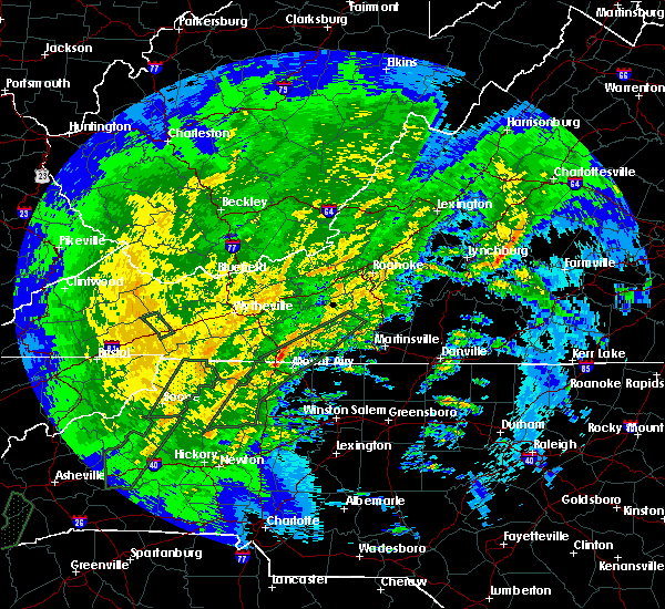 At 248 am edt, a severe thunderstorm was located over cana, moving northeast at 65 mph (radar indicated). Hazards include 60 mph wind gusts. expect damage to roofs, siding, and trees At 248 am edt, a severe thunderstorm was located over cana, moving northeast at 65 mph (radar indicated). Hazards include 60 mph wind gusts. expect damage to roofs, siding, and trees
|
| 1/11/2020 9:47 PM EST |
 At 946 pm est, severe thunderstorms were located along a line extending from near merrimac to near huntsville, moving northeast at 60 mph (radar indicated). Hazards include 70 mph wind gusts. Expect considerable tree damage. damage is likely to mobile homes, roofs, and outbuildings. Locations impacted include, mount airy, elkin, fairview, flat rock, yadkinville, hillsville, and jonesville. At 946 pm est, severe thunderstorms were located along a line extending from near merrimac to near huntsville, moving northeast at 60 mph (radar indicated). Hazards include 70 mph wind gusts. Expect considerable tree damage. damage is likely to mobile homes, roofs, and outbuildings. Locations impacted include, mount airy, elkin, fairview, flat rock, yadkinville, hillsville, and jonesville.
|
| 1/11/2020 9:32 PM EST |
 At 930 pm est, severe thunderstorms were located along a line extending from near eggleston to near boonville, moving northeast at 75 mph (radar indicated). Hazards include 70 mph wind gusts. Expect considerable tree damage. damage is likely to mobile homes, roofs, and outbuildings. Locations impacted include, mount airy, galax, elkin, fairview, flat rock, yadkinville, and hillsville. At 930 pm est, severe thunderstorms were located along a line extending from near eggleston to near boonville, moving northeast at 75 mph (radar indicated). Hazards include 70 mph wind gusts. Expect considerable tree damage. damage is likely to mobile homes, roofs, and outbuildings. Locations impacted include, mount airy, galax, elkin, fairview, flat rock, yadkinville, and hillsville.
|
| 1/11/2020 9:07 PM EST |
 At 907 pm est, severe thunderstorms were located along a line extending from max meadows to near stony point, moving northeast at 75 mph (radar indicated). Hazards include 70 mph wind gusts. Expect considerable tree damage. Damage is likely to mobile homes, roofs, and outbuildings. At 907 pm est, severe thunderstorms were located along a line extending from max meadows to near stony point, moving northeast at 75 mph (radar indicated). Hazards include 70 mph wind gusts. Expect considerable tree damage. Damage is likely to mobile homes, roofs, and outbuildings.
|
| 10/31/2019 5:28 PM EDT |
 At 527 pm edt, severe thunderstorms were located along a line extending from woodlawn to cricket, moving northeast at 25 mph (radar indicated). Hazards include 60 mph wind gusts. Expect damage to roofs, siding, and trees. locations impacted include, galax, fries, fancy gap, ennice, cana, bottom, and baywood. A tornado watch remains in effect until 1100 pm edt for north central and northwestern north carolina, and southwestern and west central virginia. At 527 pm edt, severe thunderstorms were located along a line extending from woodlawn to cricket, moving northeast at 25 mph (radar indicated). Hazards include 60 mph wind gusts. Expect damage to roofs, siding, and trees. locations impacted include, galax, fries, fancy gap, ennice, cana, bottom, and baywood. A tornado watch remains in effect until 1100 pm edt for north central and northwestern north carolina, and southwestern and west central virginia.
|
| 10/31/2019 4:51 PM EDT |
 At 451 pm edt, severe thunderstorms were located along a line extending from near baywood to near elkville, moving northeast at 25 mph (radar indicated). Hazards include 60 mph wind gusts. expect damage to roofs, siding, and trees At 451 pm edt, severe thunderstorms were located along a line extending from near baywood to near elkville, moving northeast at 25 mph (radar indicated). Hazards include 60 mph wind gusts. expect damage to roofs, siding, and trees
|
| 9/29/2019 6:59 PM EDT |
 At 658 pm edt, a severe thunderstorm was located over lambsburg, moving south at 10 mph (radar indicated). Hazards include 60 mph wind gusts. expect damage to roofs, siding, and trees At 658 pm edt, a severe thunderstorm was located over lambsburg, moving south at 10 mph (radar indicated). Hazards include 60 mph wind gusts. expect damage to roofs, siding, and trees
|
| 9/28/2019 1:52 PM EDT |
 The severe thunderstorm warning for northeastern alleghany and northwestern surry counties in northwestern north carolina, southwestern carroll and southeastern grayson counties in southwestern virginia and the city of galax will expire at 200 pm edt, the storm which prompted the warning has weakened below severe limits, and no longer poses an immediate threat to life or property. therefore, the warning will be allowed to expire. when it is safe to do so, please send your reports of hail of any size, as well as reports of any wind damage, including downed trees or large limbs, to the national weather service by calling toll free at 1, 8 6 6, 2 1 5, 4 3 2 4. reports and pictures can also be shared on the national weather service blacksburg facebook page and on twitter. The severe thunderstorm warning for northeastern alleghany and northwestern surry counties in northwestern north carolina, southwestern carroll and southeastern grayson counties in southwestern virginia and the city of galax will expire at 200 pm edt, the storm which prompted the warning has weakened below severe limits, and no longer poses an immediate threat to life or property. therefore, the warning will be allowed to expire. when it is safe to do so, please send your reports of hail of any size, as well as reports of any wind damage, including downed trees or large limbs, to the national weather service by calling toll free at 1, 8 6 6, 2 1 5, 4 3 2 4. reports and pictures can also be shared on the national weather service blacksburg facebook page and on twitter.
|
| 9/28/2019 1:43 PM EDT |
 At 142 pm edt, a severe thunderstorm was located near low gap, moving southeast at 25 mph (radar indicated). Hazards include 60 mph wind gusts and quarter size hail. Hail damage to vehicles is expected. expect wind damage to roofs, siding, and trees. Locations impacted include, galax, fries, ennice, cana, and baywood. At 142 pm edt, a severe thunderstorm was located near low gap, moving southeast at 25 mph (radar indicated). Hazards include 60 mph wind gusts and quarter size hail. Hail damage to vehicles is expected. expect wind damage to roofs, siding, and trees. Locations impacted include, galax, fries, ennice, cana, and baywood.
|
| 9/28/2019 1:18 PM EDT |
 At 118 pm edt, a severe thunderstorm was located over galax, moving southeast at 25 mph (radar indicated). Hazards include 60 mph wind gusts and quarter size hail. Hail damage to vehicles is expected. Expect wind damage to roofs, siding, and trees. At 118 pm edt, a severe thunderstorm was located over galax, moving southeast at 25 mph (radar indicated). Hazards include 60 mph wind gusts and quarter size hail. Hail damage to vehicles is expected. Expect wind damage to roofs, siding, and trees.
|
| 9/14/2019 5:57 PM EDT |
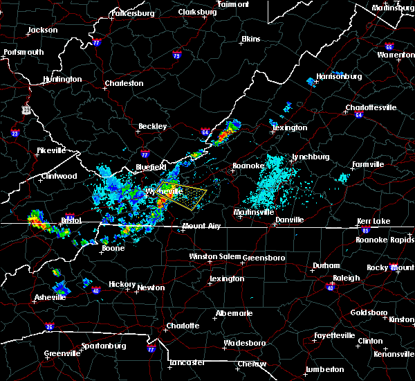 At 557 pm edt, severe thunderstorms were located along a line extending from allisonia to near byllesby, moving southeast at 20 mph (radar indicated). Hazards include 60 mph wind gusts and quarter size hail. Hail damage to vehicles is expected. Expect wind damage to roofs, siding, and trees. At 557 pm edt, severe thunderstorms were located along a line extending from allisonia to near byllesby, moving southeast at 20 mph (radar indicated). Hazards include 60 mph wind gusts and quarter size hail. Hail damage to vehicles is expected. Expect wind damage to roofs, siding, and trees.
|
| 8/22/2019 3:38 PM EDT |
 The severe thunderstorm warning for southwestern floyd, eastern carroll and southwestern patrick counties will expire at 345 pm edt, the storm which prompted the warning has weakened below severe limits, and no longer poses an immediate threat to life or property. therefore, the warning will be allowed to expire. when it is safe to do so, please send your reports of hail of any size, as well as reports of any wind damage, including downed trees or large limbs, to the national weather service by calling toll free at 1, 8 6 6, 2 1 5, 4 3 2 4. reports and pictures can also be shared on the national weather service blacksburg facebook page and on twitter. The severe thunderstorm warning for southwestern floyd, eastern carroll and southwestern patrick counties will expire at 345 pm edt, the storm which prompted the warning has weakened below severe limits, and no longer poses an immediate threat to life or property. therefore, the warning will be allowed to expire. when it is safe to do so, please send your reports of hail of any size, as well as reports of any wind damage, including downed trees or large limbs, to the national weather service by calling toll free at 1, 8 6 6, 2 1 5, 4 3 2 4. reports and pictures can also be shared on the national weather service blacksburg facebook page and on twitter.
|
| 8/22/2019 3:26 PM EDT |
 At 326 pm edt, a severe thunderstorm was located near laurel fork, moving east at 15 mph (radar indicated). Hazards include 60 mph wind gusts. Expect damage to roofs, siding, and trees. Locations impacted include, indian valley, fancy gap, willis, ararat, and cana. At 326 pm edt, a severe thunderstorm was located near laurel fork, moving east at 15 mph (radar indicated). Hazards include 60 mph wind gusts. Expect damage to roofs, siding, and trees. Locations impacted include, indian valley, fancy gap, willis, ararat, and cana.
|
| 8/22/2019 3:14 PM EDT |
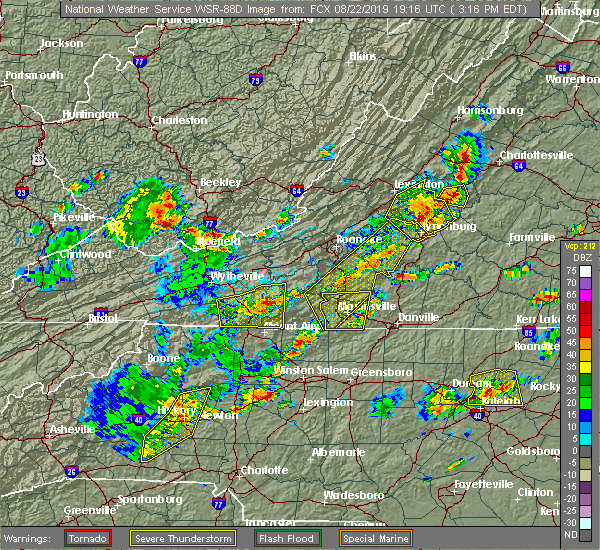 At 255 pm edt, severe thunderstorms were located along a line extending from fries to abshers, moving east at 25 mph (radar indicated). Hazards include 60 mph wind gusts. Expect damage to roofs, siding, and trees. Locations impacted include, mount airy, galax, elkin, fairview, and flat rock. At 255 pm edt, severe thunderstorms were located along a line extending from fries to abshers, moving east at 25 mph (radar indicated). Hazards include 60 mph wind gusts. Expect damage to roofs, siding, and trees. Locations impacted include, mount airy, galax, elkin, fairview, and flat rock.
|
| 8/22/2019 2:56 PM EDT |
 At 255 pm edt, severe thunderstorms were located along a line extending from fries to abshers, moving east at 25 mph (radar indicated). Hazards include 60 mph wind gusts. Expect damage to roofs, siding, and trees. Locations impacted include, mount airy, galax, elkin, fairview, and flat rock. At 255 pm edt, severe thunderstorms were located along a line extending from fries to abshers, moving east at 25 mph (radar indicated). Hazards include 60 mph wind gusts. Expect damage to roofs, siding, and trees. Locations impacted include, mount airy, galax, elkin, fairview, and flat rock.
|
| 8/22/2019 2:38 PM EDT |
 The national weather service in blacksburg has issued a * severe thunderstorm warning for. alleghany county in northwestern north carolina. surry county in northwestern north carolina. northeastern wilkes county in northwestern north carolina. East central ashe county in northwestern north carolina. The national weather service in blacksburg has issued a * severe thunderstorm warning for. alleghany county in northwestern north carolina. surry county in northwestern north carolina. northeastern wilkes county in northwestern north carolina. East central ashe county in northwestern north carolina.
|
| 8/13/2019 2:54 PM EDT |
 At 253 pm edt, severe thunderstorms were located along a line extending from dry fork to white plains, moving east at 25 mph (radar indicated). Hazards include 60 mph wind gusts and quarter size hail. Hail damage to vehicles is expected. Expect wind damage to roofs, siding, and trees. At 253 pm edt, severe thunderstorms were located along a line extending from dry fork to white plains, moving east at 25 mph (radar indicated). Hazards include 60 mph wind gusts and quarter size hail. Hail damage to vehicles is expected. Expect wind damage to roofs, siding, and trees.
|
| 8/13/2019 2:54 PM EDT |
 The national weather service in blacksburg has issued a * severe thunderstorm warning for. northeastern surry county in northwestern north carolina. stokes county in north central north carolina. northern rockingham county in north central north carolina. The city of danville in south central virginia. The national weather service in blacksburg has issued a * severe thunderstorm warning for. northeastern surry county in northwestern north carolina. stokes county in north central north carolina. northern rockingham county in north central north carolina. The city of danville in south central virginia.
|
| 8/13/2019 2:36 PM EDT |
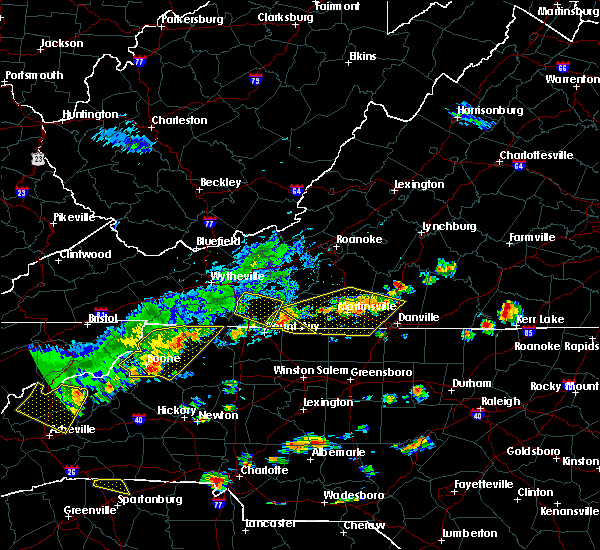 The severe thunderstorm warning for southwestern floyd. central carroll and southwestern patrick counties will expire at 245 pm edt. the storm which prompted the warning has moved out of the area. therefore, the warning will be allowed to expire. A severe thunderstorm watch remains in effect until 700 pm edt for. The severe thunderstorm warning for southwestern floyd. central carroll and southwestern patrick counties will expire at 245 pm edt. the storm which prompted the warning has moved out of the area. therefore, the warning will be allowed to expire. A severe thunderstorm watch remains in effect until 700 pm edt for.
|
| 8/13/2019 2:13 PM EDT |
 A severe thunderstorm warning remains in effect until 245 pm edt for southwestern floyd. central carroll and southwestern patrick counties. At 212 pm edt, a severe thunderstorm was located over gladesboro, moving east at 30 mph. A severe thunderstorm warning remains in effect until 245 pm edt for southwestern floyd. central carroll and southwestern patrick counties. At 212 pm edt, a severe thunderstorm was located over gladesboro, moving east at 30 mph.
|
| 8/13/2019 1:41 PM EDT |
 At 140 pm edt, a severe thunderstorm was located over ivanhoe, moving east at 30 mph (law enforcement and dopple radar. wythe county warning point reported tree damage in rural retreat from this storm). Hazards include 60 mph wind gusts and quarter size hail. Hail damage to vehicles is expected. Expect wind damage to roofs, siding, and trees. At 140 pm edt, a severe thunderstorm was located over ivanhoe, moving east at 30 mph (law enforcement and dopple radar. wythe county warning point reported tree damage in rural retreat from this storm). Hazards include 60 mph wind gusts and quarter size hail. Hail damage to vehicles is expected. Expect wind damage to roofs, siding, and trees.
|
| 7/22/2019 4:24 PM EDT |
 The severe thunderstorm warning for central floyd and eastern carroll counties will expire at 430 pm edt, the storms which prompted the warning have weakened below severe limits, and have exited the warned area. therefore, the warning will be allowed to expire. however heavy rain is still possible with these thunderstorms. when it is safe to do so, please send your reports of hail of any size, as well as reports of any wind damage, including downed trees or large limbs, to the national weather service by calling toll free at 1, 8 6 6, 2 1 5, 4 3 2 4. reports and pictures can also be shared on the national weather service blacksburg facebook page and on twitter. The severe thunderstorm warning for central floyd and eastern carroll counties will expire at 430 pm edt, the storms which prompted the warning have weakened below severe limits, and have exited the warned area. therefore, the warning will be allowed to expire. however heavy rain is still possible with these thunderstorms. when it is safe to do so, please send your reports of hail of any size, as well as reports of any wind damage, including downed trees or large limbs, to the national weather service by calling toll free at 1, 8 6 6, 2 1 5, 4 3 2 4. reports and pictures can also be shared on the national weather service blacksburg facebook page and on twitter.
|
| 7/22/2019 4:11 PM EDT |
 At 410 pm edt, severe thunderstorms were located along a line extending from near cana to near floyd, moving southeast at 20 mph (radar indicated). Hazards include 60 mph wind gusts. Expect damage to roofs, siding, and trees. Locations impacted include, hillsville, floyd, indian valley, willis, and cana. At 410 pm edt, severe thunderstorms were located along a line extending from near cana to near floyd, moving southeast at 20 mph (radar indicated). Hazards include 60 mph wind gusts. Expect damage to roofs, siding, and trees. Locations impacted include, hillsville, floyd, indian valley, willis, and cana.
|
| 7/22/2019 3:28 PM EDT |
 At 327 pm edt, severe thunderstorms were located along a line extending from near galax to graysontown, moving southeast at 20 mph (radar indicated). Hazards include 60 mph wind gusts. expect damage to roofs, siding, and trees At 327 pm edt, severe thunderstorms were located along a line extending from near galax to graysontown, moving southeast at 20 mph (radar indicated). Hazards include 60 mph wind gusts. expect damage to roofs, siding, and trees
|
| 7/22/2019 3:09 PM EDT | Tree down on wards gap rd in can in carroll county VA, 3.7 miles SW of Cana, VA |
| 5/31/2019 2:13 PM EDT |
 At 213 pm edt, a severe thunderstorm was located over white plains, moving east at 20 mph (radar indicated). Hazards include 60 mph wind gusts and quarter size hail. Hail damage to vehicles is expected. expect wind damage to roofs, siding, and trees. Locations impacted include, mount airy, flat rock, pilot mountain, pine ridge, and pilot mountain state park. At 213 pm edt, a severe thunderstorm was located over white plains, moving east at 20 mph (radar indicated). Hazards include 60 mph wind gusts and quarter size hail. Hail damage to vehicles is expected. expect wind damage to roofs, siding, and trees. Locations impacted include, mount airy, flat rock, pilot mountain, pine ridge, and pilot mountain state park.
|
| 5/31/2019 2:13 PM EDT |
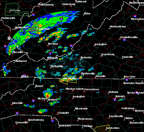 At 213 pm edt, a severe thunderstorm was located over white plains, moving east at 20 mph (radar indicated). Hazards include 60 mph wind gusts and quarter size hail. Hail damage to vehicles is expected. expect wind damage to roofs, siding, and trees. Locations impacted include, mount airy, flat rock, pilot mountain, pine ridge, and pilot mountain state park. At 213 pm edt, a severe thunderstorm was located over white plains, moving east at 20 mph (radar indicated). Hazards include 60 mph wind gusts and quarter size hail. Hail damage to vehicles is expected. expect wind damage to roofs, siding, and trees. Locations impacted include, mount airy, flat rock, pilot mountain, pine ridge, and pilot mountain state park.
|
| 5/31/2019 2:00 PM EDT |
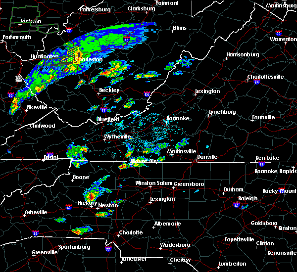 At 200 pm edt, a severe thunderstorm was located over bottom, moving east at 20 mph (radar indicated). Hazards include 60 mph wind gusts and quarter size hail. Hail damage to vehicles is expected. Expect wind damage to roofs, siding, and trees. At 200 pm edt, a severe thunderstorm was located over bottom, moving east at 20 mph (radar indicated). Hazards include 60 mph wind gusts and quarter size hail. Hail damage to vehicles is expected. Expect wind damage to roofs, siding, and trees.
|
| 5/29/2019 6:56 PM EDT |
 At 620 pm edt, severe thunderstorms were located along a line extending from near gretna to near woolwine to sparta, moving east at 60 mph (radar indicated). Hazards include 60 mph wind gusts and quarter size hail. Hail damage to vehicles is expected. expect wind damage to roofs, siding, and trees. locations impacted include, martinsville, mount airy, galax, flat rock, and hillsville. This includes the following locations the martinsville speedway and martinsville airport. At 620 pm edt, severe thunderstorms were located along a line extending from near gretna to near woolwine to sparta, moving east at 60 mph (radar indicated). Hazards include 60 mph wind gusts and quarter size hail. Hail damage to vehicles is expected. expect wind damage to roofs, siding, and trees. locations impacted include, martinsville, mount airy, galax, flat rock, and hillsville. This includes the following locations the martinsville speedway and martinsville airport.
|
| 5/29/2019 6:56 PM EDT |
 The severe thunderstorm warning for alleghany and northern surry counties in northwestern north carolina, southern floyd county in southwestern virginia, central pittsylvania county in south central virginia, carroll county in southwestern virginia, henry county in south central virginia, southeastern grayson county in southwestern virginia, southern franklin county in west central virginia and patrick counties in southwestern virginia, the city of martinsville and the city of galax will expire at 700 pm edt, the storms which prompted the warning have moved out of the area. therefore, the warning will be allowed to expire and a new warning has been issued further to the east. a severe thunderstorm watch remains in effect until 900 pm edt for north central north carolina, and south central, central, southwestern and west central virginia. when it is safe to do so, please send your reports of hail of any size, as well as reports of any wind damage, including downed trees or large limbs, to the national weather service by calling toll free at 1, 8 6 6, 2 1 5, 4 3 2 4. reports and pictures can also be shared on the national weather service blacksburg facebook page and on twitter. The severe thunderstorm warning for alleghany and northern surry counties in northwestern north carolina, southern floyd county in southwestern virginia, central pittsylvania county in south central virginia, carroll county in southwestern virginia, henry county in south central virginia, southeastern grayson county in southwestern virginia, southern franklin county in west central virginia and patrick counties in southwestern virginia, the city of martinsville and the city of galax will expire at 700 pm edt, the storms which prompted the warning have moved out of the area. therefore, the warning will be allowed to expire and a new warning has been issued further to the east. a severe thunderstorm watch remains in effect until 900 pm edt for north central north carolina, and south central, central, southwestern and west central virginia. when it is safe to do so, please send your reports of hail of any size, as well as reports of any wind damage, including downed trees or large limbs, to the national weather service by calling toll free at 1, 8 6 6, 2 1 5, 4 3 2 4. reports and pictures can also be shared on the national weather service blacksburg facebook page and on twitter.
|
| 5/29/2019 6:21 PM EDT |
 At 620 pm edt, severe thunderstorms were located along a line extending from near gretna to near woolwine to sparta, moving east at 60 mph (radar indicated). Hazards include 60 mph wind gusts and quarter size hail. Hail damage to vehicles is expected. expect wind damage to roofs, siding, and trees. locations impacted include, martinsville, mount airy, galax, flat rock, and hillsville. This includes the following locations the martinsville speedway and martinsville airport. At 620 pm edt, severe thunderstorms were located along a line extending from near gretna to near woolwine to sparta, moving east at 60 mph (radar indicated). Hazards include 60 mph wind gusts and quarter size hail. Hail damage to vehicles is expected. expect wind damage to roofs, siding, and trees. locations impacted include, martinsville, mount airy, galax, flat rock, and hillsville. This includes the following locations the martinsville speedway and martinsville airport.
|
| 5/29/2019 6:00 PM EDT |
 At 600 pm edt, severe thunderstorms were located along a line extending from near copper hill to volney, moving southeast at 55 mph (radar indicated). Hazards include 60 mph wind gusts and quarter size hail. Hail damage to vehicles is expected. Expect wind damage to roofs, siding, and trees. At 600 pm edt, severe thunderstorms were located along a line extending from near copper hill to volney, moving southeast at 55 mph (radar indicated). Hazards include 60 mph wind gusts and quarter size hail. Hail damage to vehicles is expected. Expect wind damage to roofs, siding, and trees.
|
| 5/29/2019 5:35 PM EDT |
 At 534 pm edt, severe thunderstorms were located along a line extending from near blacksburg to near ivanhoe to near bridle creek, moving east at 45 mph (radar indicated). Hazards include 60 mph wind gusts and quarter size hail. Hail damage to vehicles is expected. Expect wind damage to roofs, siding, and trees. At 534 pm edt, severe thunderstorms were located along a line extending from near blacksburg to near ivanhoe to near bridle creek, moving east at 45 mph (radar indicated). Hazards include 60 mph wind gusts and quarter size hail. Hail damage to vehicles is expected. Expect wind damage to roofs, siding, and trees.
|
| 5/12/2019 5:10 PM EDT |
 At 509 pm edt, a severe thunderstorm was located over mountain park, moving east-northeast at 20 mph (radar indicated). Hazards include 60 mph wind gusts and quarter size hail. Hail damage to vehicles is expected. Expect wind damage to roofs, siding, and trees. At 509 pm edt, a severe thunderstorm was located over mountain park, moving east-northeast at 20 mph (radar indicated). Hazards include 60 mph wind gusts and quarter size hail. Hail damage to vehicles is expected. Expect wind damage to roofs, siding, and trees.
|
| 4/19/2019 4:58 PM EDT |
 At 457 pm edt, severe thunderstorms were located along a line extending from woodlawn to near bottom, moving north at 50 mph (radar indicated). Hazards include 60 mph wind gusts. expect damage to roofs, siding, and trees At 457 pm edt, severe thunderstorms were located along a line extending from woodlawn to near bottom, moving north at 50 mph (radar indicated). Hazards include 60 mph wind gusts. expect damage to roofs, siding, and trees
|
| 4/19/2019 2:19 PM EDT |
 At 219 pm edt, a severe thunderstorm capable of producing a tornado was located over fancy gap, moving northeast at 55 mph (radar indicated rotation). Hazards include tornado and quarter size hail. Flying debris will be dangerous to those caught without shelter. mobile homes will be damaged or destroyed. damage to roofs, windows, and vehicles will occur. tree damage is likely. Locations impacted include, bottom, cana, low gap, lambsburg, and pipers gap. At 219 pm edt, a severe thunderstorm capable of producing a tornado was located over fancy gap, moving northeast at 55 mph (radar indicated rotation). Hazards include tornado and quarter size hail. Flying debris will be dangerous to those caught without shelter. mobile homes will be damaged or destroyed. damage to roofs, windows, and vehicles will occur. tree damage is likely. Locations impacted include, bottom, cana, low gap, lambsburg, and pipers gap.
|
| 4/19/2019 2:07 PM EDT |
 At 206 pm edt, a severe thunderstorm capable of producing a tornado was located near lambsburg, moving north at 40 mph (radar indicated rotation). Hazards include tornado and quarter size hail. Flying debris will be dangerous to those caught without shelter. mobile homes will be damaged or destroyed. damage to roofs, windows, and vehicles will occur. tree damage is likely. Locations impacted include, bottom, cana, low gap, lambsburg, and pipers gap. At 206 pm edt, a severe thunderstorm capable of producing a tornado was located near lambsburg, moving north at 40 mph (radar indicated rotation). Hazards include tornado and quarter size hail. Flying debris will be dangerous to those caught without shelter. mobile homes will be damaged or destroyed. damage to roofs, windows, and vehicles will occur. tree damage is likely. Locations impacted include, bottom, cana, low gap, lambsburg, and pipers gap.
|
| 4/19/2019 1:56 PM EDT |
 At 156 pm edt, a severe thunderstorm capable of producing a tornado was located near bottom, moving northeast at 55 mph (radar indicated rotation). Hazards include tornado and quarter size hail. Flying debris will be dangerous to those caught without shelter. mobile homes will be damaged or destroyed. damage to roofs, windows, and vehicles will occur. Tree damage is likely. At 156 pm edt, a severe thunderstorm capable of producing a tornado was located near bottom, moving northeast at 55 mph (radar indicated rotation). Hazards include tornado and quarter size hail. Flying debris will be dangerous to those caught without shelter. mobile homes will be damaged or destroyed. damage to roofs, windows, and vehicles will occur. Tree damage is likely.
|
| 4/14/2019 11:39 PM EDT |
 At 1139 pm edt, severe thunderstorms were located along a line extending from near alum ridge to near buck shoals, moving east at 25 mph (radar indicated). Hazards include 60 mph wind gusts. expect damage to roofs, siding, and trees At 1139 pm edt, severe thunderstorms were located along a line extending from near alum ridge to near buck shoals, moving east at 25 mph (radar indicated). Hazards include 60 mph wind gusts. expect damage to roofs, siding, and trees
|
| 4/14/2019 11:19 PM EDT |
 At 1119 pm edt, severe thunderstorms were located along a line extending from near alum ridge to near windy gap, moving east at 25 mph (radar indicated). Hazards include 60 mph wind gusts. Expect damage to roofs, siding, and trees. locations impacted include, mount airy, elkin, fairview, flat rock, and yadkinville. A tornado watch remains in effect until 500 am edt for north central and northwestern north carolina, and south central, southwestern and west central virginia. At 1119 pm edt, severe thunderstorms were located along a line extending from near alum ridge to near windy gap, moving east at 25 mph (radar indicated). Hazards include 60 mph wind gusts. Expect damage to roofs, siding, and trees. locations impacted include, mount airy, elkin, fairview, flat rock, and yadkinville. A tornado watch remains in effect until 500 am edt for north central and northwestern north carolina, and south central, southwestern and west central virginia.
|
| 4/14/2019 10:48 PM EDT |
 At 1047 pm edt, severe thunderstorms were located along a line extending from near allisonia to near moravian falls, moving east at 45 mph (radar indicated). Hazards include 60 mph wind gusts. Expect damage to roofs, siding, and trees. locations impacted include, mount airy, galax, north wilkesboro, elkin, and wilkesboro. A tornado watch remains in effect until 500 am edt for north central and northwestern north carolina, and south central, southwestern and west central virginia. At 1047 pm edt, severe thunderstorms were located along a line extending from near allisonia to near moravian falls, moving east at 45 mph (radar indicated). Hazards include 60 mph wind gusts. Expect damage to roofs, siding, and trees. locations impacted include, mount airy, galax, north wilkesboro, elkin, and wilkesboro. A tornado watch remains in effect until 500 am edt for north central and northwestern north carolina, and south central, southwestern and west central virginia.
|
| 4/14/2019 10:29 PM EDT |
 At 1029 pm edt, severe thunderstorms were located along a line extending from near patterson to near elkville, moving east at 30 mph (radar indicated). Hazards include 60 mph wind gusts. expect damage to roofs, siding, and trees At 1029 pm edt, severe thunderstorms were located along a line extending from near patterson to near elkville, moving east at 30 mph (radar indicated). Hazards include 60 mph wind gusts. expect damage to roofs, siding, and trees
|
| 4/14/2019 5:28 PM EDT |
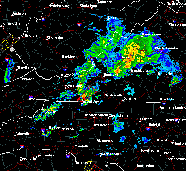 At 527 pm edt, a severe thunderstorm capable of producing a tornado was located near cana, moving northeast at 55 mph (radar indicated rotation). Hazards include tornado. Flying debris will be dangerous to those caught without shelter. mobile homes will be damaged or destroyed. damage to roofs, windows, and vehicles will occur. tree damage is likely. Locations impacted include, cana. At 527 pm edt, a severe thunderstorm capable of producing a tornado was located near cana, moving northeast at 55 mph (radar indicated rotation). Hazards include tornado. Flying debris will be dangerous to those caught without shelter. mobile homes will be damaged or destroyed. damage to roofs, windows, and vehicles will occur. tree damage is likely. Locations impacted include, cana.
|
| 4/14/2019 5:25 PM EDT |
 At 525 pm edt, a severe thunderstorm capable of producing a tornado was located over cana, moving northeast at 55 mph (radar indicated rotation). Hazards include tornado. Flying debris will be dangerous to those caught without shelter. mobile homes will be damaged or destroyed. damage to roofs, windows, and vehicles will occur. Tree damage is likely. At 525 pm edt, a severe thunderstorm capable of producing a tornado was located over cana, moving northeast at 55 mph (radar indicated rotation). Hazards include tornado. Flying debris will be dangerous to those caught without shelter. mobile homes will be damaged or destroyed. damage to roofs, windows, and vehicles will occur. Tree damage is likely.
|
| 4/14/2019 5:19 PM EDT |
 At 519 pm edt, a severe thunderstorm capable of producing a tornado was located over pine ridge, moving northeast at 55 mph (radar indicated rotation). Hazards include tornado. Flying debris will be dangerous to those caught without shelter. mobile homes will be damaged or destroyed. damage to roofs, windows, and vehicles will occur. tree damage is likely. Locations impacted include, mount airy, fancy gap, bottom, cana, and pine ridge. At 519 pm edt, a severe thunderstorm capable of producing a tornado was located over pine ridge, moving northeast at 55 mph (radar indicated rotation). Hazards include tornado. Flying debris will be dangerous to those caught without shelter. mobile homes will be damaged or destroyed. damage to roofs, windows, and vehicles will occur. tree damage is likely. Locations impacted include, mount airy, fancy gap, bottom, cana, and pine ridge.
|
| 4/14/2019 5:10 PM EDT |
 At 509 pm edt, a severe thunderstorm capable of producing a tornado was located near bottom, moving northeast at 65 mph (radar indicated rotation). Hazards include tornado and quarter size hail. Flying debris will be dangerous to those caught without shelter. mobile homes will be damaged or destroyed. damage to roofs, windows, and vehicles will occur. tree damage is likely. Locations impacted include, mount airy, fancy gap, bottom, cana, and mountain park. At 509 pm edt, a severe thunderstorm capable of producing a tornado was located near bottom, moving northeast at 65 mph (radar indicated rotation). Hazards include tornado and quarter size hail. Flying debris will be dangerous to those caught without shelter. mobile homes will be damaged or destroyed. damage to roofs, windows, and vehicles will occur. tree damage is likely. Locations impacted include, mount airy, fancy gap, bottom, cana, and mountain park.
|
| 4/14/2019 5:05 PM EDT | Wards gap rd closed due to tree dow in carroll county VA, 4.3 miles SW of Cana, VA |
| 4/14/2019 5:03 PM EDT | Friends mission rd at farmers rd closed due in patrick county VA, 6 miles WSW of Cana, VA |
| 4/14/2019 5:01 PM EDT |
 At 501 pm edt, a severe thunderstorm capable of producing a tornado was located over mountain park, moving northeast at 65 mph (radar indicated rotation). Hazards include tornado and quarter size hail. Flying debris will be dangerous to those caught without shelter. mobile homes will be damaged or destroyed. damage to roofs, windows, and vehicles will occur. tree damage is likely. Locations impacted include, mount airy, fancy gap, mountain park, bottom, and cana. At 501 pm edt, a severe thunderstorm capable of producing a tornado was located over mountain park, moving northeast at 65 mph (radar indicated rotation). Hazards include tornado and quarter size hail. Flying debris will be dangerous to those caught without shelter. mobile homes will be damaged or destroyed. damage to roofs, windows, and vehicles will occur. tree damage is likely. Locations impacted include, mount airy, fancy gap, mountain park, bottom, and cana.
|
| 4/14/2019 4:52 PM EDT |
 At 452 pm edt, a severe thunderstorm capable of producing a tornado was located near benham, moving northeast at 55 mph (radar indicated rotation). Hazards include tornado and quarter size hail. Flying debris will be dangerous to those caught without shelter. mobile homes will be damaged or destroyed. damage to roofs, windows, and vehicles will occur. Tree damage is likely. At 452 pm edt, a severe thunderstorm capable of producing a tornado was located near benham, moving northeast at 55 mph (radar indicated rotation). Hazards include tornado and quarter size hail. Flying debris will be dangerous to those caught without shelter. mobile homes will be damaged or destroyed. damage to roofs, windows, and vehicles will occur. Tree damage is likely.
|
| 4/14/2019 1:59 PM EDT |
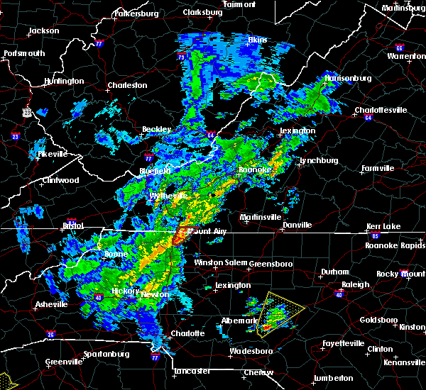 At 159 pm edt, a severe thunderstorm capable of producing a tornado was located over dobson, moving northeast at 45 mph (radar indicated rotation). Hazards include tornado. Flying debris will be dangerous to those caught without shelter. mobile homes will be damaged or destroyed. damage to roofs, windows, and vehicles will occur. tree damage is likely. Locations impacted include, mount airy, flat rock, dobson, ararat, and cana. At 159 pm edt, a severe thunderstorm capable of producing a tornado was located over dobson, moving northeast at 45 mph (radar indicated rotation). Hazards include tornado. Flying debris will be dangerous to those caught without shelter. mobile homes will be damaged or destroyed. damage to roofs, windows, and vehicles will occur. tree damage is likely. Locations impacted include, mount airy, flat rock, dobson, ararat, and cana.
|
| 4/14/2019 1:59 PM EDT |
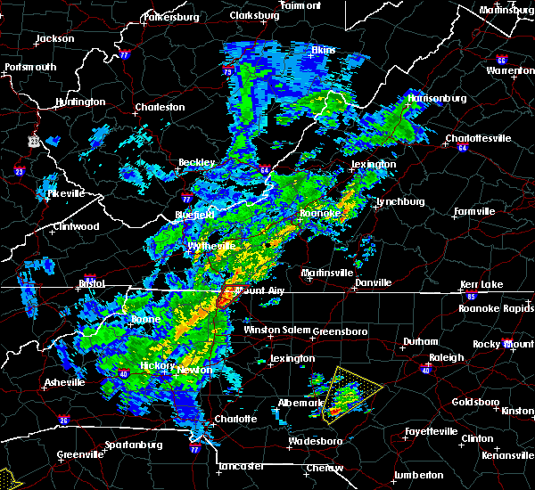 At 159 pm edt, a severe thunderstorm capable of producing a tornado was located over dobson, moving northeast at 45 mph (radar indicated rotation). Hazards include tornado. Flying debris will be dangerous to those caught without shelter. mobile homes will be damaged or destroyed. damage to roofs, windows, and vehicles will occur. tree damage is likely. Locations impacted include, mount airy, flat rock, dobson, ararat, and cana. At 159 pm edt, a severe thunderstorm capable of producing a tornado was located over dobson, moving northeast at 45 mph (radar indicated rotation). Hazards include tornado. Flying debris will be dangerous to those caught without shelter. mobile homes will be damaged or destroyed. damage to roofs, windows, and vehicles will occur. tree damage is likely. Locations impacted include, mount airy, flat rock, dobson, ararat, and cana.
|
| 4/14/2019 1:51 PM EDT |
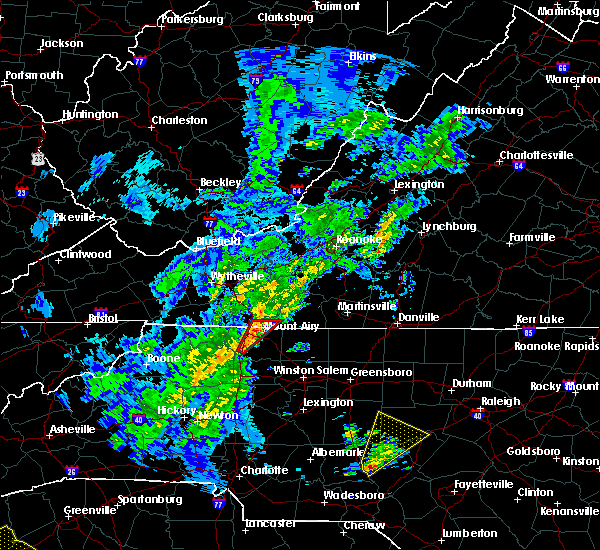 At 151 pm edt, a severe thunderstorm capable of producing a tornado was located near mountain park, moving northeast at 45 mph (radar indicated rotation). Hazards include tornado. Flying debris will be dangerous to those caught without shelter. mobile homes will be damaged or destroyed. damage to roofs, windows, and vehicles will occur. Tree damage is likely. At 151 pm edt, a severe thunderstorm capable of producing a tornado was located near mountain park, moving northeast at 45 mph (radar indicated rotation). Hazards include tornado. Flying debris will be dangerous to those caught without shelter. mobile homes will be damaged or destroyed. damage to roofs, windows, and vehicles will occur. Tree damage is likely.
|
| 8/12/2018 2:49 PM EDT |
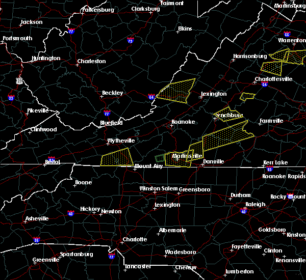 At 249 pm edt, a severe thunderstorm was located near baywood, moving east at 15 mph (radar indicated). Hazards include 60 mph wind gusts and quarter size hail. Hail damage to vehicles is expected. Expect wind damage to roofs, siding, and trees. At 249 pm edt, a severe thunderstorm was located near baywood, moving east at 15 mph (radar indicated). Hazards include 60 mph wind gusts and quarter size hail. Hail damage to vehicles is expected. Expect wind damage to roofs, siding, and trees.
|
| 6/25/2018 5:47 PM EDT |
 At 547 pm edt, severe thunderstorms were located along a line extending from near flat rock to near dockery, moving east at 25 mph (radar indicated). Hazards include 60 mph wind gusts and quarter size hail. Hail damage to vehicles is expected. Expect wind damage to roofs, siding, and trees. At 547 pm edt, severe thunderstorms were located along a line extending from near flat rock to near dockery, moving east at 25 mph (radar indicated). Hazards include 60 mph wind gusts and quarter size hail. Hail damage to vehicles is expected. Expect wind damage to roofs, siding, and trees.
|
| 6/10/2018 5:40 PM EDT |
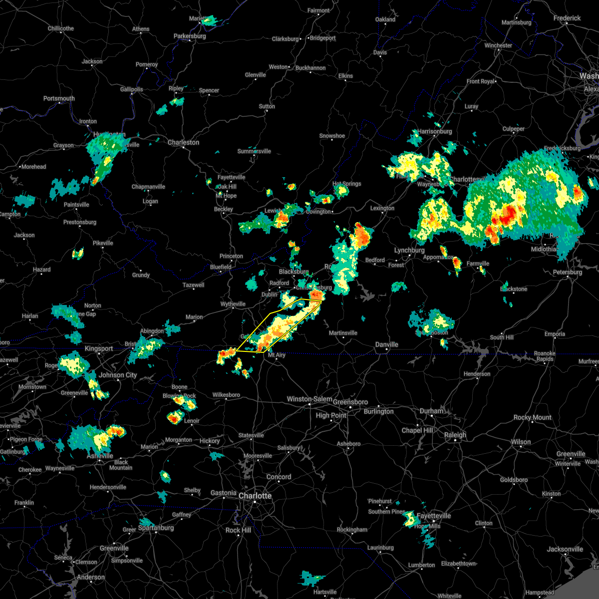 The severe thunderstorm warning for floyd, carroll and southeastern grayson counties and the city of galax will expire at 545 pm edt, the storms which prompted the warning have weakened below severe limits, and no longer pose an immediate threat to life or property. therefore, the warning will be allowed to expire. however, heavy rainfall and some localized flooding will persist for another 1 to 2 hours. when it is safe to do so, please send your reports of hail of any size, as well as reports of any wind damage, including downed trees or large limbs, to the national weather service by calling toll free at 1, 8 6 6, 2 1 5, 4 3 2 4. reports and pictures can also be shared on the national weather service blacksburg facebook page and on twitter. The severe thunderstorm warning for floyd, carroll and southeastern grayson counties and the city of galax will expire at 545 pm edt, the storms which prompted the warning have weakened below severe limits, and no longer pose an immediate threat to life or property. therefore, the warning will be allowed to expire. however, heavy rainfall and some localized flooding will persist for another 1 to 2 hours. when it is safe to do so, please send your reports of hail of any size, as well as reports of any wind damage, including downed trees or large limbs, to the national weather service by calling toll free at 1, 8 6 6, 2 1 5, 4 3 2 4. reports and pictures can also be shared on the national weather service blacksburg facebook page and on twitter.
|
| 6/10/2018 5:15 PM EDT |
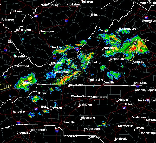 At 444 pm edt, severe thunderstorms extended from copper valley to baywood, moving east at 10 mph (radar indicated). Hazards include 60 mph wind gusts and quarter size hail. Hail damage to vehicles is expected. Expect wind damage to roofs, siding, and trees. At 444 pm edt, severe thunderstorms extended from copper valley to baywood, moving east at 10 mph (radar indicated). Hazards include 60 mph wind gusts and quarter size hail. Hail damage to vehicles is expected. Expect wind damage to roofs, siding, and trees.
|
| 6/10/2018 4:45 PM EDT |
 At 444 pm edt, severe thunderstorms extended from copper valley to baywood, moving east at 10 mph (radar indicated). Hazards include 60 mph wind gusts and quarter size hail. Hail damage to vehicles is expected. Expect wind damage to roofs, siding, and trees. At 444 pm edt, severe thunderstorms extended from copper valley to baywood, moving east at 10 mph (radar indicated). Hazards include 60 mph wind gusts and quarter size hail. Hail damage to vehicles is expected. Expect wind damage to roofs, siding, and trees.
|
| 5/11/2018 6:24 PM EDT |
 At 604 pm edt, a severe thunderstorm was located over ararat, moving east at 15 mph (radar indicated). Hazards include 60 mph wind gusts and quarter size hail. Hail damage to vehicles is expected. expect wind damage to roofs, siding, and trees. Locations impacted include, mount airy, flat rock, stuart, danbury, and ararat. At 604 pm edt, a severe thunderstorm was located over ararat, moving east at 15 mph (radar indicated). Hazards include 60 mph wind gusts and quarter size hail. Hail damage to vehicles is expected. expect wind damage to roofs, siding, and trees. Locations impacted include, mount airy, flat rock, stuart, danbury, and ararat.
|
| 5/11/2018 6:24 PM EDT |
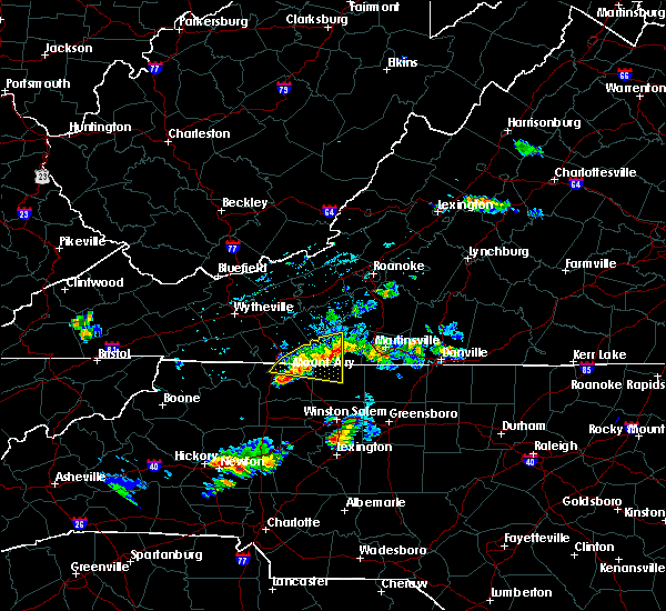 The severe thunderstorm warning for northeastern surry, northwestern stokes, southeastern carroll and western patrick counties will expire at 630 pm edt, the storm which prompted the warning has weakened below severe limits, and no longer poses an immediate threat to life or property. therefore the warning will be allowed to expire. however heavy rain is still possible with this thunderstorm. when it is safe to do so, please send your reports of hail of any size, as well as reports of any wind damage, including downed trees or large limbs, to the national weather service by calling toll free at 1, 8 6 6, 2 1 5, 4 3 2 4. reports and pictures can also be shared on the national weather service blacksburg facebook page and on twitter. The severe thunderstorm warning for northeastern surry, northwestern stokes, southeastern carroll and western patrick counties will expire at 630 pm edt, the storm which prompted the warning has weakened below severe limits, and no longer poses an immediate threat to life or property. therefore the warning will be allowed to expire. however heavy rain is still possible with this thunderstorm. when it is safe to do so, please send your reports of hail of any size, as well as reports of any wind damage, including downed trees or large limbs, to the national weather service by calling toll free at 1, 8 6 6, 2 1 5, 4 3 2 4. reports and pictures can also be shared on the national weather service blacksburg facebook page and on twitter.
|
| 5/11/2018 6:04 PM EDT |
 At 545 pm edt, a severe thunderstorm was located near ararat, moving east at 15 mph (radar indicated). Hazards include 60 mph wind gusts and quarter size hail. Hail damage to vehicles is expected. Expect wind damage to roofs, siding, and trees. At 545 pm edt, a severe thunderstorm was located near ararat, moving east at 15 mph (radar indicated). Hazards include 60 mph wind gusts and quarter size hail. Hail damage to vehicles is expected. Expect wind damage to roofs, siding, and trees.
|
| 5/11/2018 6:04 PM EDT |
 At 604 pm edt, a severe thunderstorm was located over ararat, moving east at 15 mph (radar indicated). Hazards include 60 mph wind gusts and quarter size hail. Hail damage to vehicles is expected. expect wind damage to roofs, siding, and trees. Locations impacted include, mount airy, flat rock, stuart, danbury, and ararat. At 604 pm edt, a severe thunderstorm was located over ararat, moving east at 15 mph (radar indicated). Hazards include 60 mph wind gusts and quarter size hail. Hail damage to vehicles is expected. expect wind damage to roofs, siding, and trees. Locations impacted include, mount airy, flat rock, stuart, danbury, and ararat.
|
| 5/11/2018 5:45 PM EDT |
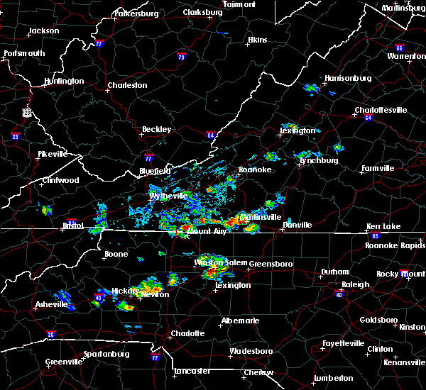 At 545 pm edt, a severe thunderstorm was located near ararat, moving east at 15 mph (radar indicated). Hazards include 60 mph wind gusts and quarter size hail. Hail damage to vehicles is expected. Expect wind damage to roofs, siding, and trees. At 545 pm edt, a severe thunderstorm was located near ararat, moving east at 15 mph (radar indicated). Hazards include 60 mph wind gusts and quarter size hail. Hail damage to vehicles is expected. Expect wind damage to roofs, siding, and trees.
|
| 4/15/2018 3:33 PM EDT |
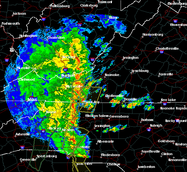 At 333 pm edt, a severe thunderstorm was located near francisco, moving north at 50 mph (radar indicated). Hazards include 60 mph wind gusts and quarter size hail. Hail damage to vehicles is expected. Expect wind damage to roofs, siding, and trees. At 333 pm edt, a severe thunderstorm was located near francisco, moving north at 50 mph (radar indicated). Hazards include 60 mph wind gusts and quarter size hail. Hail damage to vehicles is expected. Expect wind damage to roofs, siding, and trees.
|
| 4/15/2018 2:12 PM EDT |
 At 211 pm edt, a severe thunderstorm was located over swancreek, moving north at 55 mph (radar indicated). Hazards include 60 mph wind gusts and quarter size hail. Hail damage to vehicles is expected. Expect wind damage to roofs, siding, and trees. At 211 pm edt, a severe thunderstorm was located over swancreek, moving north at 55 mph (radar indicated). Hazards include 60 mph wind gusts and quarter size hail. Hail damage to vehicles is expected. Expect wind damage to roofs, siding, and trees.
|
| 10/23/2017 6:22 PM EDT |
 The tornado warning for northeastern alleghany and northwestern surry counties in northwestern north carolina, southern carroll and eastern grayson counties in southwestern virginia and the city of galax will expire at 630 pm edt, the storm which prompted the warning has weakened below severe limits, and has exited the warned area. therefore, the warning will be allowed to expire. however gusty winds are still possible with this thunderstorm. a tornado watch remains in effect until 900 pm edt for north central and northwestern north carolina. a tornado watch also remains in effect until 200 am edt for southwestern and west central virginia. when it is safe to do so, please send your reports of hail of any size, as well as reports of any wind damage, including downed trees or large limbs, to the national weather service by calling toll free at 1, 8 6 6, 2 1 5, 4 3 2 4. reports and pictures can also be shared on the national weather service blacksburg facebook page and on twitter. The tornado warning for northeastern alleghany and northwestern surry counties in northwestern north carolina, southern carroll and eastern grayson counties in southwestern virginia and the city of galax will expire at 630 pm edt, the storm which prompted the warning has weakened below severe limits, and has exited the warned area. therefore, the warning will be allowed to expire. however gusty winds are still possible with this thunderstorm. a tornado watch remains in effect until 900 pm edt for north central and northwestern north carolina. a tornado watch also remains in effect until 200 am edt for southwestern and west central virginia. when it is safe to do so, please send your reports of hail of any size, as well as reports of any wind damage, including downed trees or large limbs, to the national weather service by calling toll free at 1, 8 6 6, 2 1 5, 4 3 2 4. reports and pictures can also be shared on the national weather service blacksburg facebook page and on twitter.
|
| 10/23/2017 6:22 PM EDT |
 At 555 pm edt, a severe thunderstorm capable of producing a tornado was located near cumberland knob, moving northeast at 20 mph (radar indicated rotation). Hazards include tornado. Flying debris will be dangerous to those caught without shelter. mobile homes will be damaged or destroyed. damage to roofs, windows, and vehicles will occur. Tree damage is likely. At 555 pm edt, a severe thunderstorm capable of producing a tornado was located near cumberland knob, moving northeast at 20 mph (radar indicated rotation). Hazards include tornado. Flying debris will be dangerous to those caught without shelter. mobile homes will be damaged or destroyed. damage to roofs, windows, and vehicles will occur. Tree damage is likely.
|
| 10/23/2017 5:55 PM EDT |
 At 555 pm edt, a severe thunderstorm capable of producing a tornado was located near cumberland knob, moving northeast at 20 mph (radar indicated rotation). Hazards include tornado. Flying debris will be dangerous to those caught without shelter. mobile homes will be damaged or destroyed. damage to roofs, windows, and vehicles will occur. Tree damage is likely. At 555 pm edt, a severe thunderstorm capable of producing a tornado was located near cumberland knob, moving northeast at 20 mph (radar indicated rotation). Hazards include tornado. Flying debris will be dangerous to those caught without shelter. mobile homes will be damaged or destroyed. damage to roofs, windows, and vehicles will occur. Tree damage is likely.
|
| 10/23/2017 5:47 PM EDT |
 At 547 pm edt, severe thunderstorms were located along a line extending from near lambsburg to near enon, moving northeast at 25 mph (radar indicated). Hazards include 60 mph wind gusts and quarter size hail. Hail damage to vehicles is expected. Expect wind damage to roofs, siding, and trees. At 547 pm edt, severe thunderstorms were located along a line extending from near lambsburg to near enon, moving northeast at 25 mph (radar indicated). Hazards include 60 mph wind gusts and quarter size hail. Hail damage to vehicles is expected. Expect wind damage to roofs, siding, and trees.
|
| 7/18/2017 1:54 PM EDT |
 At 154 pm edt, a severe thunderstorm was located over lambsburg, moving west at 10 mph (radar indicated). Hazards include 60 mph wind gusts and quarter size hail. Hail damage to vehicles is expected. Expect wind damage to roofs, siding, and trees. At 154 pm edt, a severe thunderstorm was located over lambsburg, moving west at 10 mph (radar indicated). Hazards include 60 mph wind gusts and quarter size hail. Hail damage to vehicles is expected. Expect wind damage to roofs, siding, and trees.
|
| 6/4/2017 3:32 PM EDT |
 At 332 pm edt, a severe thunderstorm was located over pipers gap, moving southeast at 10 mph (radar indicated). Hazards include 60 mph wind gusts. Expect damage to roofs, siding, and trees. Locations impacted include, cana, and lambsburg. At 332 pm edt, a severe thunderstorm was located over pipers gap, moving southeast at 10 mph (radar indicated). Hazards include 60 mph wind gusts. Expect damage to roofs, siding, and trees. Locations impacted include, cana, and lambsburg.
|
| 6/4/2017 3:21 PM EDT |
 At 320 pm edt, a severe thunderstorm was located over pipers gap, moving southeast at 10 mph (radar indicated). Hazards include 60 mph wind gusts and quarter size hail. Hail damage to vehicles is expected. expect wind damage to roofs, siding, and trees. Locations impacted include, fancy gap, cana, woodlawn, lambsburg, and pipers gap. At 320 pm edt, a severe thunderstorm was located over pipers gap, moving southeast at 10 mph (radar indicated). Hazards include 60 mph wind gusts and quarter size hail. Hail damage to vehicles is expected. expect wind damage to roofs, siding, and trees. Locations impacted include, fancy gap, cana, woodlawn, lambsburg, and pipers gap.
|
| 6/4/2017 3:05 PM EDT |
 At 305 pm edt, a severe thunderstorm was located over galax, moving southeast at 10 mph (radar indicated). Hazards include 60 mph wind gusts and quarter size hail. Hail damage to vehicles is expected. Expect wind damage to roofs, siding, and trees. At 305 pm edt, a severe thunderstorm was located over galax, moving southeast at 10 mph (radar indicated). Hazards include 60 mph wind gusts and quarter size hail. Hail damage to vehicles is expected. Expect wind damage to roofs, siding, and trees.
|
| 5/19/2017 2:39 PM EDT |
 At 239 pm edt, severe thunderstorms were located along a line extending from pipers gap to low gap to abshers, moving northeast at 30 mph (radar indicated). Hazards include 60 mph wind gusts and quarter size hail. Minor damage to vehicles is possible. expect wind damage to trees and power lines. Locations impacted include, mount airy, elkin, fairview, flat rock, and dobson. At 239 pm edt, severe thunderstorms were located along a line extending from pipers gap to low gap to abshers, moving northeast at 30 mph (radar indicated). Hazards include 60 mph wind gusts and quarter size hail. Minor damage to vehicles is possible. expect wind damage to trees and power lines. Locations impacted include, mount airy, elkin, fairview, flat rock, and dobson.
|
| 5/19/2017 2:20 PM EDT |
 At 220 pm edt, severe thunderstorms were located along a line extending from galax to near ennice to near mc grady, moving east at 10 mph (radar indicated). Hazards include 60 mph wind gusts and quarter size hail. Minor damage to vehicles is possible. Expect wind damage to trees and power lines. At 220 pm edt, severe thunderstorms were located along a line extending from galax to near ennice to near mc grady, moving east at 10 mph (radar indicated). Hazards include 60 mph wind gusts and quarter size hail. Minor damage to vehicles is possible. Expect wind damage to trees and power lines.
|
| 5/19/2017 2:08 PM EDT | Quarter sized hail reported 0.3 miles W of Cana, VA |
| 5/19/2017 1:50 PM EDT |
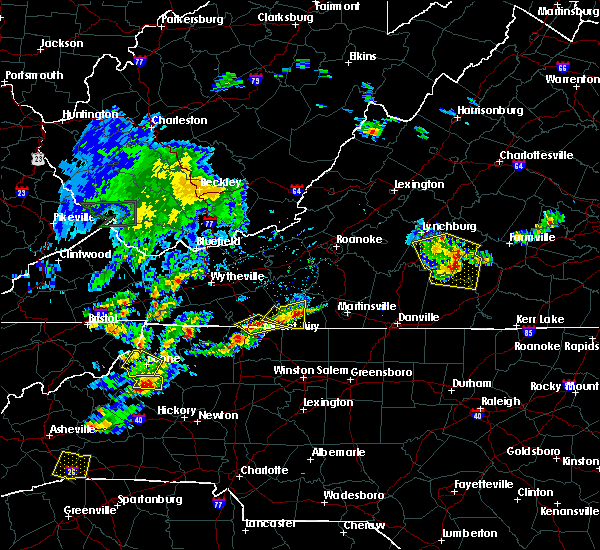 At 150 pm edt, a severe thunderstorm was located over cana, moving east at 20 mph (radar indicated). Hazards include 60 mph wind gusts and quarter size hail. Minor damage to vehicles is possible. Expect wind damage to trees and power lines. At 150 pm edt, a severe thunderstorm was located over cana, moving east at 20 mph (radar indicated). Hazards include 60 mph wind gusts and quarter size hail. Minor damage to vehicles is possible. Expect wind damage to trees and power lines.
|
| 5/9/2017 10:06 PM EDT |
 At 1006 pm edt, severe thunderstorms were located along a line extending from barrett to near mount airy, moving southeast at 45 mph (radar indicated). Hazards include 60 mph wind gusts and quarter size hail. Minor damage to vehicles is possible. expect wind damage to trees and power lines. Locations impacted include, mount airy, elkin, fairview, flat rock, and dobson. At 1006 pm edt, severe thunderstorms were located along a line extending from barrett to near mount airy, moving southeast at 45 mph (radar indicated). Hazards include 60 mph wind gusts and quarter size hail. Minor damage to vehicles is possible. expect wind damage to trees and power lines. Locations impacted include, mount airy, elkin, fairview, flat rock, and dobson.
|
| 5/9/2017 9:53 PM EDT |
 At 953 pm edt, severe thunderstorms were located along a line extending from near baywood to near fancy gap, moving southeast at 45 mph (radar indicated). Hazards include 60 mph wind gusts and quarter size hail. Minor damage to vehicles is possible. Expect wind damage to trees and power lines. At 953 pm edt, severe thunderstorms were located along a line extending from near baywood to near fancy gap, moving southeast at 45 mph (radar indicated). Hazards include 60 mph wind gusts and quarter size hail. Minor damage to vehicles is possible. Expect wind damage to trees and power lines.
|
| 5/9/2017 9:31 PM EDT |
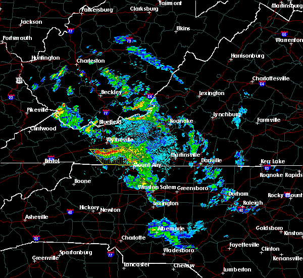 At 930 pm edt, severe thunderstorms were located along a line extending from near ivanhoe to near spring valley to near speedwell, moving southeast at 40 mph (radar indicated). Hazards include 60 mph wind gusts and quarter size hail. Minor damage to vehicles is possible. expect wind damage to trees and power lines. Locations impacted include, galax, hillsville, independence, fries, and fancy gap. At 930 pm edt, severe thunderstorms were located along a line extending from near ivanhoe to near spring valley to near speedwell, moving southeast at 40 mph (radar indicated). Hazards include 60 mph wind gusts and quarter size hail. Minor damage to vehicles is possible. expect wind damage to trees and power lines. Locations impacted include, galax, hillsville, independence, fries, and fancy gap.
|
| 5/9/2017 9:08 PM EDT |
 At 908 pm edt, severe thunderstorms were located along a line extending from near wytheville to favonia to near nebo, moving southeast at 40 mph (radar indicated). Hazards include 60 mph wind gusts and quarter size hail. Minor damage to vehicles is possible. Expect wind damage to trees and power lines. At 908 pm edt, severe thunderstorms were located along a line extending from near wytheville to favonia to near nebo, moving southeast at 40 mph (radar indicated). Hazards include 60 mph wind gusts and quarter size hail. Minor damage to vehicles is possible. Expect wind damage to trees and power lines.
|
| 9/29/2016 3:37 PM EDT |
 The severe thunderstorm warning for western patrick, southwestern floyd and eastern carroll counties will expire at 345 pm edt, the storm which prompted the warning has weakened below severe limits, and no longer poses an immediate threat to life or property. therefore the warning will be allowed to expire. however heavy rain is still possible with this thunderstorm. when it is safe to do so, please send your reports of hail of any size, as well as reports of any wind damage, including downed trees or large limbs, to the national weather service by calling toll free at 1, 8 6 6, 2 1 5, 4 3 2 4. reports and pictures can also be shared on the national weather service blacksburg facebook page and on twitter. The severe thunderstorm warning for western patrick, southwestern floyd and eastern carroll counties will expire at 345 pm edt, the storm which prompted the warning has weakened below severe limits, and no longer poses an immediate threat to life or property. therefore the warning will be allowed to expire. however heavy rain is still possible with this thunderstorm. when it is safe to do so, please send your reports of hail of any size, as well as reports of any wind damage, including downed trees or large limbs, to the national weather service by calling toll free at 1, 8 6 6, 2 1 5, 4 3 2 4. reports and pictures can also be shared on the national weather service blacksburg facebook page and on twitter.
|
| 9/29/2016 2:50 PM EDT |
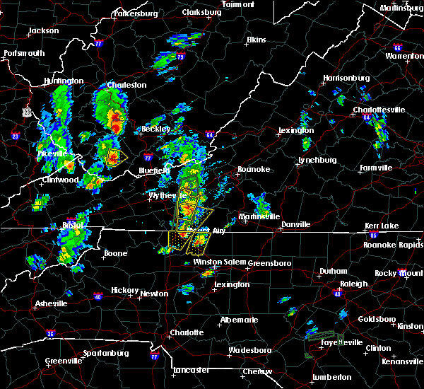 At 250 pm edt, a severe thunderstorm was located over cana, moving northeast at 15 mph (radar indicated). Hazards include 60 mph wind gusts and quarter size hail. Hail damage to vehicles is expected. Expect wind damage to roofs, siding, and trees. At 250 pm edt, a severe thunderstorm was located over cana, moving northeast at 15 mph (radar indicated). Hazards include 60 mph wind gusts and quarter size hail. Hail damage to vehicles is expected. Expect wind damage to roofs, siding, and trees.
|
| 9/29/2016 2:18 PM EDT |
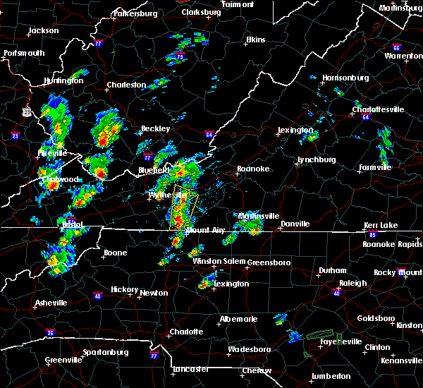 The national weather service in blacksburg has issued a * severe thunderstorm warning for. southeastern pulaski county in southwestern virginia. southwestern floyd county in southwestern virginia. carroll county in southwestern virginia. Until 315 pm edt. The national weather service in blacksburg has issued a * severe thunderstorm warning for. southeastern pulaski county in southwestern virginia. southwestern floyd county in southwestern virginia. carroll county in southwestern virginia. Until 315 pm edt.
|
| 9/29/2016 2:18 PM EDT |
 At 217 pm edt, severe thunderstorms were located between fancy gap and hillsville, moving north at 15 mph (radar indicated). Hazards include quarter size hail. damage to vehicles is expected At 217 pm edt, severe thunderstorms were located between fancy gap and hillsville, moving north at 15 mph (radar indicated). Hazards include quarter size hail. damage to vehicles is expected
|
| 7/27/2016 5:06 PM EDT |
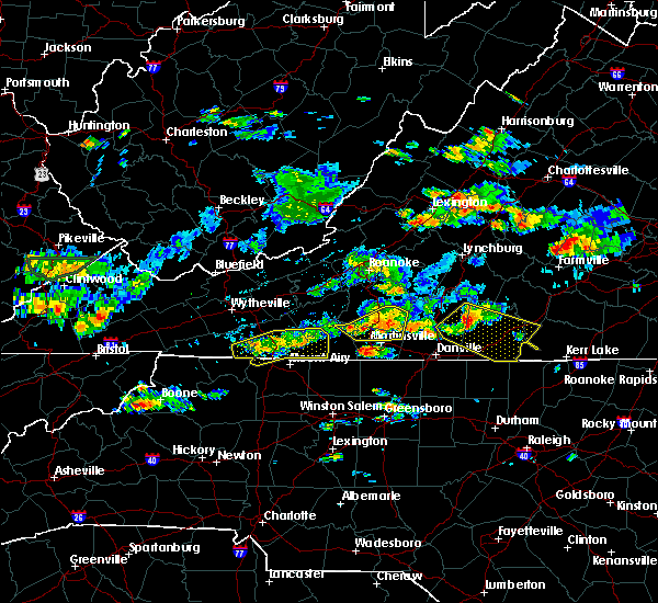 At 505 pm edt, severe thunderstorms were located along a line extending from near rocky knob recreation area to galax, moving east at 15 mph (radar indicated). Hazards include 60 mph wind gusts and quarter size hail. Hail damage to vehicles is expected. expect wind damage to roofs, siding, and trees. Locations impacted include, galax, hillsville, cana, ararat, and fancy gap. At 505 pm edt, severe thunderstorms were located along a line extending from near rocky knob recreation area to galax, moving east at 15 mph (radar indicated). Hazards include 60 mph wind gusts and quarter size hail. Hail damage to vehicles is expected. expect wind damage to roofs, siding, and trees. Locations impacted include, galax, hillsville, cana, ararat, and fancy gap.
|
| 7/27/2016 4:46 PM EDT |
 At 446 pm edt, severe thunderstorms were located along a line extending from near mabry mill to near baywood, moving east at 15 mph (radar indicated). Hazards include 60 mph wind gusts and quarter size hail. Hail damage to vehicles is expected. expect wind damage to roofs, siding, and trees. Locations impacted include, galax, hillsville, fries, cana, and ararat. At 446 pm edt, severe thunderstorms were located along a line extending from near mabry mill to near baywood, moving east at 15 mph (radar indicated). Hazards include 60 mph wind gusts and quarter size hail. Hail damage to vehicles is expected. expect wind damage to roofs, siding, and trees. Locations impacted include, galax, hillsville, fries, cana, and ararat.
|
| 7/27/2016 4:31 PM EDT |
 At 430 pm edt, severe thunderstorms were located along a line extending from near mabry mill to near independence, moving east at 15 mph (radar indicated). Hazards include 60 mph wind gusts and quarter size hail. Hail damage to vehicles is expected. Expect wind damage to roofs, siding, and trees. At 430 pm edt, severe thunderstorms were located along a line extending from near mabry mill to near independence, moving east at 15 mph (radar indicated). Hazards include 60 mph wind gusts and quarter size hail. Hail damage to vehicles is expected. Expect wind damage to roofs, siding, and trees.
|
| 7/15/2016 3:38 PM EDT |
 The severe thunderstorm warning for northern surry and south central carroll counties will expire at 345 pm edt, the storm which prompted the warning has weakened below severe limits, and no longer poses an immediate threat to life or property. therefore the warning will be allowed to expire. however heavy rain is still possible with this thunderstorm. when it is safe to do so, please send your reports of hail of any size, as well as any reports of wind damage, including downed trees or large limbs, to the national weather service by calling toll free at 1, 8 6 6, 2 1 5, 4 3 2 4. reports and pictures can also be shared on the national weather service blacksburg facebook page and on twitter. The severe thunderstorm warning for northern surry and south central carroll counties will expire at 345 pm edt, the storm which prompted the warning has weakened below severe limits, and no longer poses an immediate threat to life or property. therefore the warning will be allowed to expire. however heavy rain is still possible with this thunderstorm. when it is safe to do so, please send your reports of hail of any size, as well as any reports of wind damage, including downed trees or large limbs, to the national weather service by calling toll free at 1, 8 6 6, 2 1 5, 4 3 2 4. reports and pictures can also be shared on the national weather service blacksburg facebook page and on twitter.
|
| 7/15/2016 3:23 PM EDT |
 At 322 pm edt, a severe thunderstorm was located over pine ridge, moving east at 10 mph (radar indicated). Hazards include 60 mph wind gusts. Expect damage to roofs. siding. and trees. Locations impacted include, mount airy, flat rock, bottom, cana, and toast. At 322 pm edt, a severe thunderstorm was located over pine ridge, moving east at 10 mph (radar indicated). Hazards include 60 mph wind gusts. Expect damage to roofs. siding. and trees. Locations impacted include, mount airy, flat rock, bottom, cana, and toast.
|
| 7/15/2016 3:06 PM EDT |
 At 306 pm edt, a severe thunderstorm was located over low gap, moving east at 5 mph (radar indicated). Hazards include 60 mph wind gusts. Expect damage to roofs. siding. and trees. Locations impacted include, mount airy, flat rock, cana, bottom, and fancy gap. At 306 pm edt, a severe thunderstorm was located over low gap, moving east at 5 mph (radar indicated). Hazards include 60 mph wind gusts. Expect damage to roofs. siding. and trees. Locations impacted include, mount airy, flat rock, cana, bottom, and fancy gap.
|
| 7/15/2016 2:41 PM EDT |
 At 241 pm edt, a severe thunderstorm was located over low gap, moving east at 10 mph (radar indicated). Hazards include 60 mph wind gusts. Expect damage to roofs. siding. And trees. At 241 pm edt, a severe thunderstorm was located over low gap, moving east at 10 mph (radar indicated). Hazards include 60 mph wind gusts. Expect damage to roofs. siding. And trees.
|
| 7/15/2016 2:41 PM EDT |
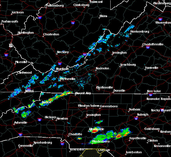 At 241 pm edt, a severe thunderstorm was located over low gap, moving east at 10 mph (radar indicated). Hazards include 60 mph wind gusts. Expect damage to roofs. siding. And trees. At 241 pm edt, a severe thunderstorm was located over low gap, moving east at 10 mph (radar indicated). Hazards include 60 mph wind gusts. Expect damage to roofs. siding. And trees.
|
| 7/14/2016 3:40 PM EDT |
 At 340 pm edt, a severe thunderstorm was located over pine ridge, moving northeast at 20 mph (radar indicated). Hazards include 60 mph wind gusts and quarter size hail. Hail damage to vehicles is expected. expect wind damage to roofs, siding, and trees. Locations impacted include, mount airy, flat rock, pilot mountain, cana, and francisco. At 340 pm edt, a severe thunderstorm was located over pine ridge, moving northeast at 20 mph (radar indicated). Hazards include 60 mph wind gusts and quarter size hail. Hail damage to vehicles is expected. expect wind damage to roofs, siding, and trees. Locations impacted include, mount airy, flat rock, pilot mountain, cana, and francisco.
|
| 7/14/2016 3:40 PM EDT |
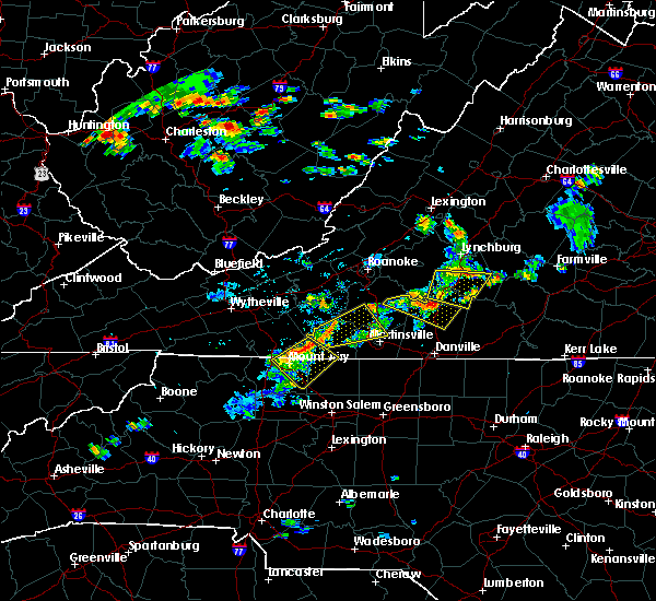 At 340 pm edt, a severe thunderstorm was located over pine ridge, moving northeast at 20 mph (radar indicated). Hazards include 60 mph wind gusts and quarter size hail. Hail damage to vehicles is expected. expect wind damage to roofs, siding, and trees. Locations impacted include, mount airy, flat rock, pilot mountain, cana, and francisco. At 340 pm edt, a severe thunderstorm was located over pine ridge, moving northeast at 20 mph (radar indicated). Hazards include 60 mph wind gusts and quarter size hail. Hail damage to vehicles is expected. expect wind damage to roofs, siding, and trees. Locations impacted include, mount airy, flat rock, pilot mountain, cana, and francisco.
|
| 7/14/2016 3:31 PM EDT |
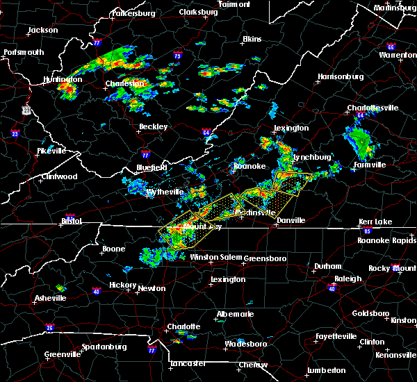 At 331 pm edt, a severe thunderstorm was located over pine ridge, moving northeast at 20 mph (radar indicated). Hazards include 60 mph wind gusts and quarter size hail. Hail damage to vehicles is expected. expect wind damage to roofs, siding, and trees. Locations impacted include, mount airy, flat rock, dobson, pilot mountain, and cana. At 331 pm edt, a severe thunderstorm was located over pine ridge, moving northeast at 20 mph (radar indicated). Hazards include 60 mph wind gusts and quarter size hail. Hail damage to vehicles is expected. expect wind damage to roofs, siding, and trees. Locations impacted include, mount airy, flat rock, dobson, pilot mountain, and cana.
|
| 7/14/2016 3:23 PM EDT |
 At 323 pm edt, a severe thunderstorm was located over bottom, moving northeast at 20 mph (radar indicated). Hazards include 60 mph wind gusts and quarter size hail. Hail damage to vehicles is expected. Expect wind damage to roofs, siding, and trees. At 323 pm edt, a severe thunderstorm was located over bottom, moving northeast at 20 mph (radar indicated). Hazards include 60 mph wind gusts and quarter size hail. Hail damage to vehicles is expected. Expect wind damage to roofs, siding, and trees.
|
| 7/8/2016 5:48 PM EDT |
 At 548 pm edt, severe thunderstorms were located along a line extending from fieldale to stuart to ararat, moving southeast at 30 mph (radar indicated). Hazards include 60 mph wind gusts and quarter size hail. Hail damage to vehicles is expected. Expect wind damage to roofs, siding, and trees. At 548 pm edt, severe thunderstorms were located along a line extending from fieldale to stuart to ararat, moving southeast at 30 mph (radar indicated). Hazards include 60 mph wind gusts and quarter size hail. Hail damage to vehicles is expected. Expect wind damage to roofs, siding, and trees.
|
| 7/8/2016 5:34 PM EDT |
 At 534 pm edt, a severe thunderstorm was located over gladesboro, moving east at 25 mph (radar indicated). Hazards include 60 mph wind gusts and quarter size hail. Hail damage to vehicles is expected. expect wind damage to roofs, siding, and trees. Locations impacted include, hillsville, fancy gap, gladesboro, dugspur, and laurel fork. At 534 pm edt, a severe thunderstorm was located over gladesboro, moving east at 25 mph (radar indicated). Hazards include 60 mph wind gusts and quarter size hail. Hail damage to vehicles is expected. expect wind damage to roofs, siding, and trees. Locations impacted include, hillsville, fancy gap, gladesboro, dugspur, and laurel fork.
|
| 7/8/2016 5:11 PM EDT |
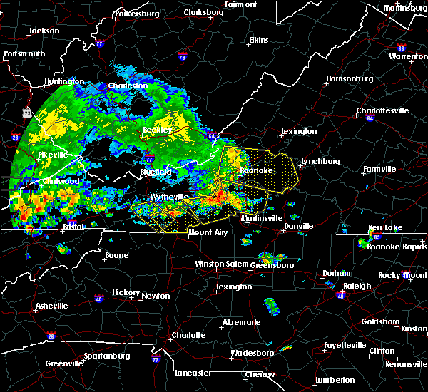 At 511 pm edt, a severe thunderstorm was located near hillsville, moving east at 25 mph (radar indicated). Hazards include 60 mph wind gusts and quarter size hail. Hail damage to vehicles is expected. expect wind damage to roofs, siding, and trees. Locations impacted include, galax, hillsville, fries, cana, and fancy gap. At 511 pm edt, a severe thunderstorm was located near hillsville, moving east at 25 mph (radar indicated). Hazards include 60 mph wind gusts and quarter size hail. Hail damage to vehicles is expected. expect wind damage to roofs, siding, and trees. Locations impacted include, galax, hillsville, fries, cana, and fancy gap.
|
| 7/8/2016 4:58 PM EDT |
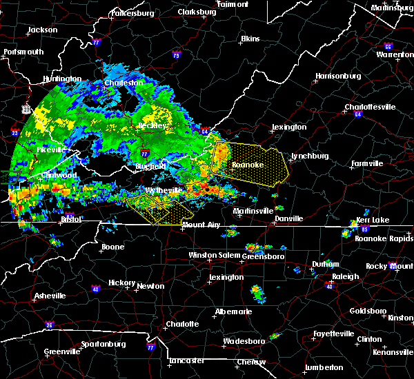 At 458 pm edt, a severe thunderstorm was located near ivanhoe, moving east at 25 mph (radar indicated). Hazards include 60 mph wind gusts and quarter size hail. Hail damage to vehicles is expected. Expect wind damage to roofs, siding, and trees. At 458 pm edt, a severe thunderstorm was located near ivanhoe, moving east at 25 mph (radar indicated). Hazards include 60 mph wind gusts and quarter size hail. Hail damage to vehicles is expected. Expect wind damage to roofs, siding, and trees.
|
| 7/4/2016 10:53 PM EDT |
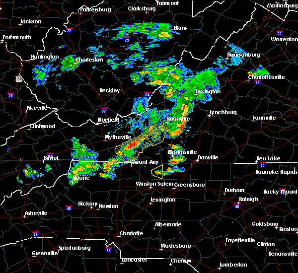 At 1052 pm edt, severe thunderstorms were located along a line extending from alum ridge to hillsville, moving southeast at 30 mph (radar indicated). Hazards include 60 mph wind gusts. Expect damage to roofs. siding. and trees. Locations impacted include, hillsville, floyd, cana, fancy gap, and indian valley. At 1052 pm edt, severe thunderstorms were located along a line extending from alum ridge to hillsville, moving southeast at 30 mph (radar indicated). Hazards include 60 mph wind gusts. Expect damage to roofs. siding. and trees. Locations impacted include, hillsville, floyd, cana, fancy gap, and indian valley.
|
| 7/4/2016 10:28 PM EDT |
 At 1027 pm edt, severe thunderstorms were located along a line extending from dublin to near byllesby, moving southeast at 25 mph (radar indicated). Hazards include 60 mph wind gusts. Expect damage to roofs. siding. And trees. At 1027 pm edt, severe thunderstorms were located along a line extending from dublin to near byllesby, moving southeast at 25 mph (radar indicated). Hazards include 60 mph wind gusts. Expect damage to roofs. siding. And trees.
|
| 6/23/2016 10:26 PM EDT |
 The severe thunderstorm warning for yadkin, surry, stokes, wilkes, watauga, alleghany, ashe, southwestern patrick, southeastern grayson and carroll counties and the city of galax will expire at 1030 pm edt, the storms which prompted the warning have weakened below severe limits, and no longer pose an immediate threat to life or property. therefore the warning will be allowed to expire. however gusty winds and heavy rain are still possible with these thunderstorms. a severe thunderstorm watch remains in effect until 1100 pm edt for north carolina and virginia. The severe thunderstorm warning for yadkin, surry, stokes, wilkes, watauga, alleghany, ashe, southwestern patrick, southeastern grayson and carroll counties and the city of galax will expire at 1030 pm edt, the storms which prompted the warning have weakened below severe limits, and no longer pose an immediate threat to life or property. therefore the warning will be allowed to expire. however gusty winds and heavy rain are still possible with these thunderstorms. a severe thunderstorm watch remains in effect until 1100 pm edt for north carolina and virginia.
|
| 6/23/2016 9:50 PM EDT |
 At 949 pm edt, severe thunderstorms were located along a line extending from near dugspur to stone mountain state park to 7 miles west of mountain city, moving southeast at 50 mph (radar indicated). Hazards include 60 mph wind gusts. Expect damage to roofs. siding. and trees. locations impacted include, boone, mount airy, galax, north wilkesboro, and elkin. This includes appalachian state university. At 949 pm edt, severe thunderstorms were located along a line extending from near dugspur to stone mountain state park to 7 miles west of mountain city, moving southeast at 50 mph (radar indicated). Hazards include 60 mph wind gusts. Expect damage to roofs. siding. and trees. locations impacted include, boone, mount airy, galax, north wilkesboro, and elkin. This includes appalachian state university.
|
| 6/23/2016 9:29 PM EDT |
 At 929 pm edt, severe thunderstorms were located along a line extending from gunton park to mouth of wilson to bristol va, moving southeast at 55 mph (radar indicated). Hazards include 60 mph wind gusts. Expect damage to roofs. siding. And trees. At 929 pm edt, severe thunderstorms were located along a line extending from gunton park to mouth of wilson to bristol va, moving southeast at 55 mph (radar indicated). Hazards include 60 mph wind gusts. Expect damage to roofs. siding. And trees.
|
| 6/16/2016 10:58 PM EDT | The severe thunderstorm warning for alleghany, ashe, patrick, southern grayson, henry and southern carroll counties, the city of martinsville and the city of galax will expire at 1100 pm edt, the storms which prompted the warning have weakened below severe limits, and have exited the warned area. therefore the warning will be allowed to expire. however, heavy rain and wind gusts are still possible with these thunderstorms. when it is safe to do so, please send your reports of hail of any size, as well as any reports of wind damage, including downed trees or large limbs, to the national weather service by calling toll free at 1, 8 6 6, 2 1 5, 4 3 2 4. reports and pictures can also be shared on the national weather service blacksburg facebook page and on twitter. |
| 6/16/2016 10:58 PM EDT | The severe thunderstorm warning for alleghany, ashe, patrick, southern grayson, henry and southern carroll counties, the city of martinsville and the city of galax will expire at 1100 pm edt, the storms which prompted the warning have weakened below severe limits, and have exited the warned area. therefore the warning will be allowed to expire. however, heavy rain and wind gusts are still possible with these thunderstorms. when it is safe to do so, please send your reports of hail of any size, as well as any reports of wind damage, including downed trees or large limbs, to the national weather service by calling toll free at 1, 8 6 6, 2 1 5, 4 3 2 4. reports and pictures can also be shared on the national weather service blacksburg facebook page and on twitter. |
| 6/16/2016 10:34 PM EDT |
 At 1033 pm edt, severe thunderstorms were located along a line extending from near pittsville to near fairy stone state park to fries, moving east at 50 mph (radar indicated). Hazards include 60 mph wind gusts and penny size hail. Expect damage to roofs. siding. and trees. locations impacted include, martinsville, galax, sparta, jefferson, and stuart. This includes the martinsville speedway and martinsville airport. At 1033 pm edt, severe thunderstorms were located along a line extending from near pittsville to near fairy stone state park to fries, moving east at 50 mph (radar indicated). Hazards include 60 mph wind gusts and penny size hail. Expect damage to roofs. siding. and trees. locations impacted include, martinsville, galax, sparta, jefferson, and stuart. This includes the martinsville speedway and martinsville airport.
|
| 6/16/2016 10:07 PM EDT |
 At 1007 pm edt, severe thunderstorms were located along a line extending from near burnt chimney to near alum ridge to near rural retreat, moving east at 50 mph (radar indicated). Hazards include 60 mph wind gusts and quarter size hail. Hail damage to vehicles is expected. Expect wind damage to roofs, siding, and trees. At 1007 pm edt, severe thunderstorms were located along a line extending from near burnt chimney to near alum ridge to near rural retreat, moving east at 50 mph (radar indicated). Hazards include 60 mph wind gusts and quarter size hail. Hail damage to vehicles is expected. Expect wind damage to roofs, siding, and trees.
|
| 5/2/2016 4:29 PM EDT |
 At 428 pm edt, a severe thunderstorm was located over pine ridge, moving east at 30 mph (radar indicated). Hazards include 60 mph wind gusts. Expect damage to roofs. siding. and trees. Locations impacted include, mount airy, flat rock, toast, pine ridge, and white plains. At 428 pm edt, a severe thunderstorm was located over pine ridge, moving east at 30 mph (radar indicated). Hazards include 60 mph wind gusts. Expect damage to roofs. siding. and trees. Locations impacted include, mount airy, flat rock, toast, pine ridge, and white plains.
|
| 5/2/2016 4:11 PM EDT |
 At 411 pm edt, a severe thunderstorm was located near mountain park, moving east at 25 mph (radar indicated). Hazards include 60 mph wind gusts and half dollar size hail. Hail damage to vehicles is expected. Expect wind damage to roofs, siding, and trees. At 411 pm edt, a severe thunderstorm was located near mountain park, moving east at 25 mph (radar indicated). Hazards include 60 mph wind gusts and half dollar size hail. Hail damage to vehicles is expected. Expect wind damage to roofs, siding, and trees.
|
| 2/24/2016 12:37 PM EST |
 At 1236 pm est, a severe thunderstorm was located over pine ridge, moving northeast at 35 mph (radar indicated). Hazards include 60 mph wind gusts and quarter size hail. Hail damage to vehicles is expected. Expect wind damage to roofs, siding, and trees. At 1236 pm est, a severe thunderstorm was located over pine ridge, moving northeast at 35 mph (radar indicated). Hazards include 60 mph wind gusts and quarter size hail. Hail damage to vehicles is expected. Expect wind damage to roofs, siding, and trees.
|
| 9/4/2015 7:38 PM EDT |
 The severe thunderstorm warning for surry, northeastern yadkin, northwestern stokes, southwestern patrick, south central floyd and southeastern carroll counties will expire at 745 pm edt, the storm which prompted the warning has weakened below severe limits, and has exited the warned area. therefore the warning will be allowed to expire. when it is safe to do so, please send your reports of hail of any size, as well as any reports of wind damage, including downed trees or large limbs, to the national weather service by calling toll free at 1, 8 6 6, 2 1 5, 4 3 2 4. reports and pictures can also be shared on the national weather service blacksburg facebook page and on twitter. The severe thunderstorm warning for surry, northeastern yadkin, northwestern stokes, southwestern patrick, south central floyd and southeastern carroll counties will expire at 745 pm edt, the storm which prompted the warning has weakened below severe limits, and has exited the warned area. therefore the warning will be allowed to expire. when it is safe to do so, please send your reports of hail of any size, as well as any reports of wind damage, including downed trees or large limbs, to the national weather service by calling toll free at 1, 8 6 6, 2 1 5, 4 3 2 4. reports and pictures can also be shared on the national weather service blacksburg facebook page and on twitter.
|
| 9/4/2015 7:09 PM EDT |
 At 709 pm edt, a severe thunderstorm was located over ararat, moving southwest at 30 mph (radar indicated). Hazards include 60 mph wind gusts and quarter size hail. Hail damage to vehicles is expected. expect wind damage to roofs, siding and trees. Locations impacted include, mount airy, elkin, fairview, flat rock, and dobson. At 709 pm edt, a severe thunderstorm was located over ararat, moving southwest at 30 mph (radar indicated). Hazards include 60 mph wind gusts and quarter size hail. Hail damage to vehicles is expected. expect wind damage to roofs, siding and trees. Locations impacted include, mount airy, elkin, fairview, flat rock, and dobson.
|
| 9/4/2015 6:50 PM EDT |
 At 650 pm edt, a severe thunderstorm was located near meadows of dan, moving southwest at 25 mph (radar indicated). Hazards include 60 mph wind gusts and quarter size hail. Hail damage to vehicles is expected. Expect wind damage to roofs, siding and trees. At 650 pm edt, a severe thunderstorm was located near meadows of dan, moving southwest at 25 mph (radar indicated). Hazards include 60 mph wind gusts and quarter size hail. Hail damage to vehicles is expected. Expect wind damage to roofs, siding and trees.
|
| 8/10/2015 6:10 PM EDT |
 The severe thunderstorm warning for eastern surry and west central stokes counties will expire at 615 pm edt, the storm which prompted the warning has weakened below severe limits, and no longer poses an immediate threat to life or property. therefore the warning will be allowed to expire. when it is safe to do so, please send your reports of hail of any size, as well as any reports of wind damage, including downed trees or large limbs, to the national weather service by calling toll free at 1, 8 6 6, 2 1 5, 4 3 2 4. reports and pictures can also be shared on the national weather service blacksburg facebook page and on twitter. The severe thunderstorm warning for eastern surry and west central stokes counties will expire at 615 pm edt, the storm which prompted the warning has weakened below severe limits, and no longer poses an immediate threat to life or property. therefore the warning will be allowed to expire. when it is safe to do so, please send your reports of hail of any size, as well as any reports of wind damage, including downed trees or large limbs, to the national weather service by calling toll free at 1, 8 6 6, 2 1 5, 4 3 2 4. reports and pictures can also be shared on the national weather service blacksburg facebook page and on twitter.
|
| 8/10/2015 5:38 PM EDT |
 At 538 pm edt, a severe thunderstorm was located over white plains, moving southeast at 15 mph (radar indicated). Hazards include 60 mph wind gusts and quarter size hail. Hail damage to vehicles is expected. expect wind damage to roofs, siding and trees. Locations impacted include, mount airy, flat rock, dobson, pilot mountain, and bottom. At 538 pm edt, a severe thunderstorm was located over white plains, moving southeast at 15 mph (radar indicated). Hazards include 60 mph wind gusts and quarter size hail. Hail damage to vehicles is expected. expect wind damage to roofs, siding and trees. Locations impacted include, mount airy, flat rock, dobson, pilot mountain, and bottom.
|
| 8/10/2015 5:16 PM EDT |
 At 516 pm edt, a severe thunderstorm was located over toast, moving southeast at 15 mph (radar indicated). Hazards include 60 mph wind gusts and quarter size hail. Hail damage to vehicles is expected. Expect wind damage to roofs, siding and trees. At 516 pm edt, a severe thunderstorm was located over toast, moving southeast at 15 mph (radar indicated). Hazards include 60 mph wind gusts and quarter size hail. Hail damage to vehicles is expected. Expect wind damage to roofs, siding and trees.
|
| 7/14/2015 9:04 PM EDT |
 At 902 pm edt, a line of severe thunderstorms was located across parts of smyth, wythe and bland counties, moving southeast at 45 mph (radar indicated). Hazards include 60 mph wind gusts. Expect damage to roofs. siding and trees. Locations impacted include, wytheville, galax, bland, marion, and hillsville. At 902 pm edt, a line of severe thunderstorms was located across parts of smyth, wythe and bland counties, moving southeast at 45 mph (radar indicated). Hazards include 60 mph wind gusts. Expect damage to roofs. siding and trees. Locations impacted include, wytheville, galax, bland, marion, and hillsville.
|
| 7/14/2015 8:50 PM EDT |
 At 849 pm edt, a line of severe thunderstorms was located over tazewell and bland counties, moving southeast at 45 mph (radar indicated). Hazards include 60 mph wind gusts. Expect damage to roofs. Siding and trees. At 849 pm edt, a line of severe thunderstorms was located over tazewell and bland counties, moving southeast at 45 mph (radar indicated). Hazards include 60 mph wind gusts. Expect damage to roofs. Siding and trees.
|
| 7/13/2015 7:44 PM EDT |
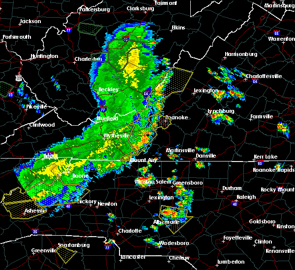 At 742 pm edt, severe thunderstorms were located along a line extending from laurel fork to lambsburg, moving south at 20 mph (radar indicated). Hazards include 60 mph wind gusts. Expect damage to roofs. siding and trees. Locations impacted include, cana, laurel fork, and lambsburg. At 742 pm edt, severe thunderstorms were located along a line extending from laurel fork to lambsburg, moving south at 20 mph (radar indicated). Hazards include 60 mph wind gusts. Expect damage to roofs. siding and trees. Locations impacted include, cana, laurel fork, and lambsburg.
|
| 7/13/2015 6:59 PM EDT |
 At 658 pm edt, a severe thunderstorm was located near sylvatus, moving east at 20 mph. in addition, a line of severe thunderstorms extended from near wytheville to troutdale, and will move into carroll county from the northwest (radar indicated). Hazards include 60 mph wind gusts and quarter size hail. Hail damage to vehicles is expected. Expect wind damage to roofs, siding and trees. At 658 pm edt, a severe thunderstorm was located near sylvatus, moving east at 20 mph. in addition, a line of severe thunderstorms extended from near wytheville to troutdale, and will move into carroll county from the northwest (radar indicated). Hazards include 60 mph wind gusts and quarter size hail. Hail damage to vehicles is expected. Expect wind damage to roofs, siding and trees.
|
| 6/16/2014 3:45 PM EDT | One tree down along willis gap r in patrick county VA, 5.7 miles WSW of Cana, VA |
| 6/16/2014 3:43 PM EDT | Half Dollar sized hail reported 6 miles WSW of Cana, VA, half dollar size hail reported on willis gap road |
| 3/24/2012 3:07 PM EDT | Half Dollar sized hail reported 0.7 miles NNW of Cana, VA |
| 3/24/2012 2:50 PM EDT | Quarter sized hail reported 1.4 miles NNE of Cana, VA |
| 1/1/0001 12:00 AM | Tree down in patrick county VA, 5.3 miles W of Cana, VA |
| 8/25/2011 5:16 PM EDT | Golf Ball sized hail reported 1.5 miles WSW of Cana, VA, hail up to the size of golf balls did some damage to an orchard on meadowbrook road |
| 1/1/0001 12:00 AM | Few trees down around town in carroll county VA, 0.7 miles NNW of Cana, VA |
| 1/1/0001 12:00 AM | Trees on a house along maple grove church roa in surry county NC, 5.9 miles NE of Cana, VA |
Hail Maps for Cana, VA
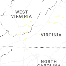
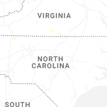


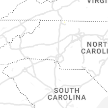


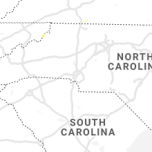


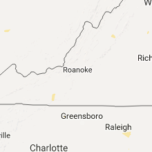


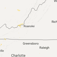
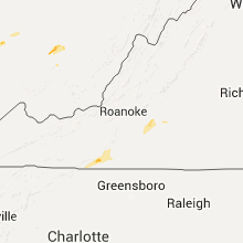


Connect with Interactive Hail Maps