

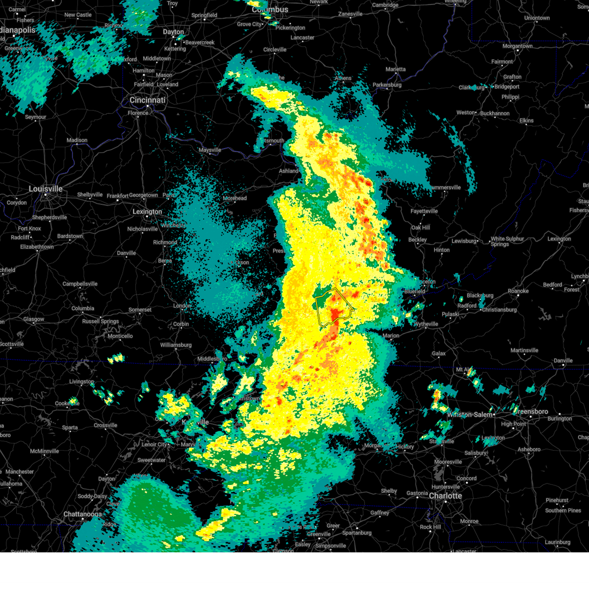
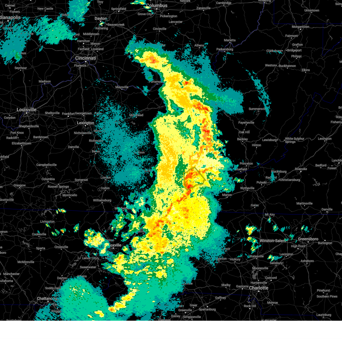
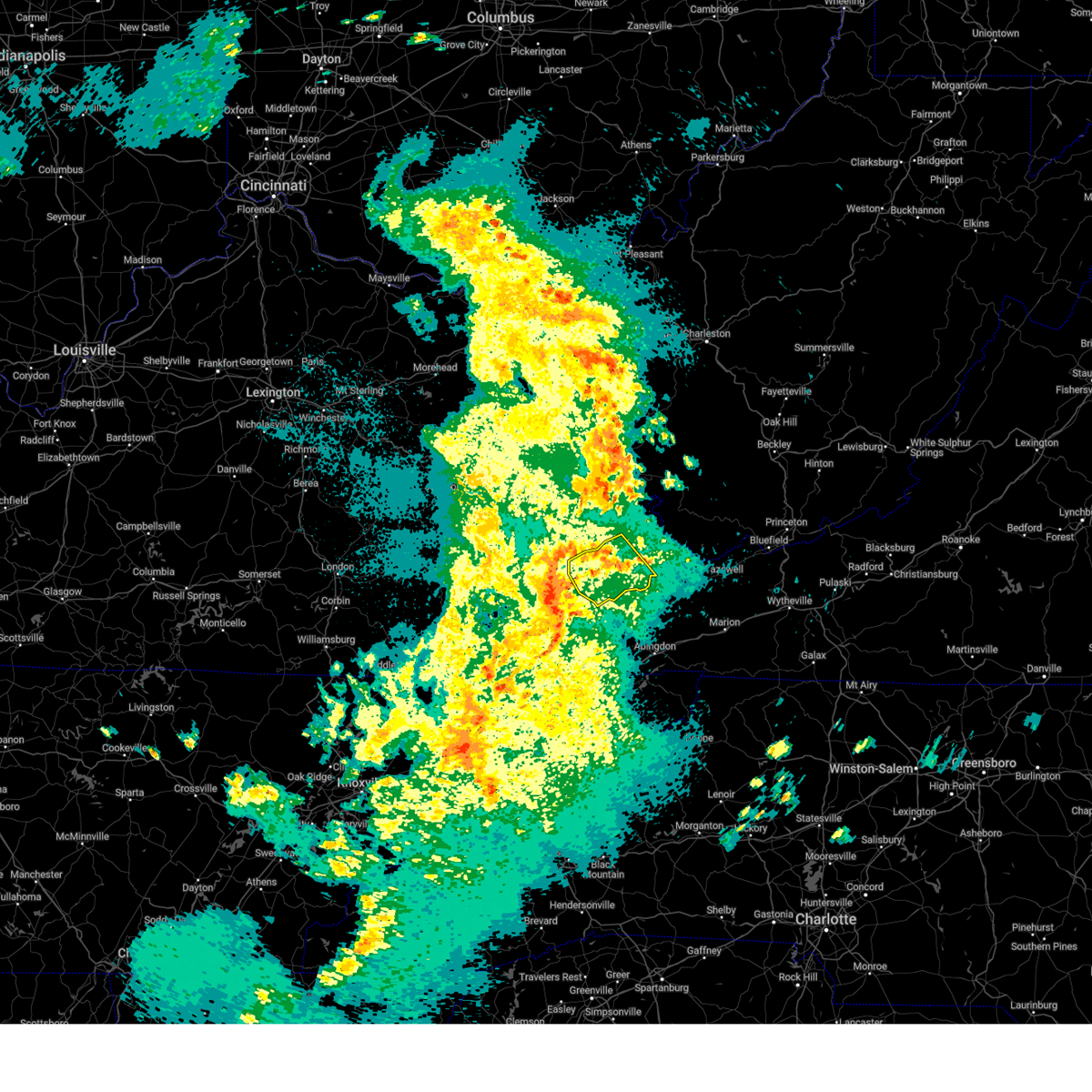
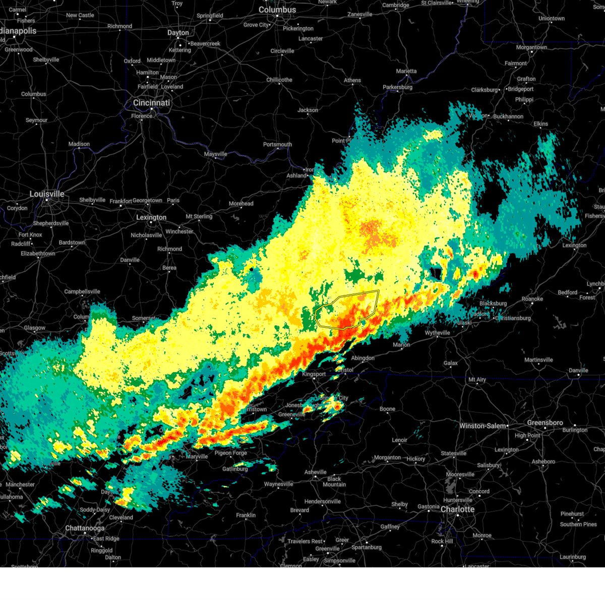
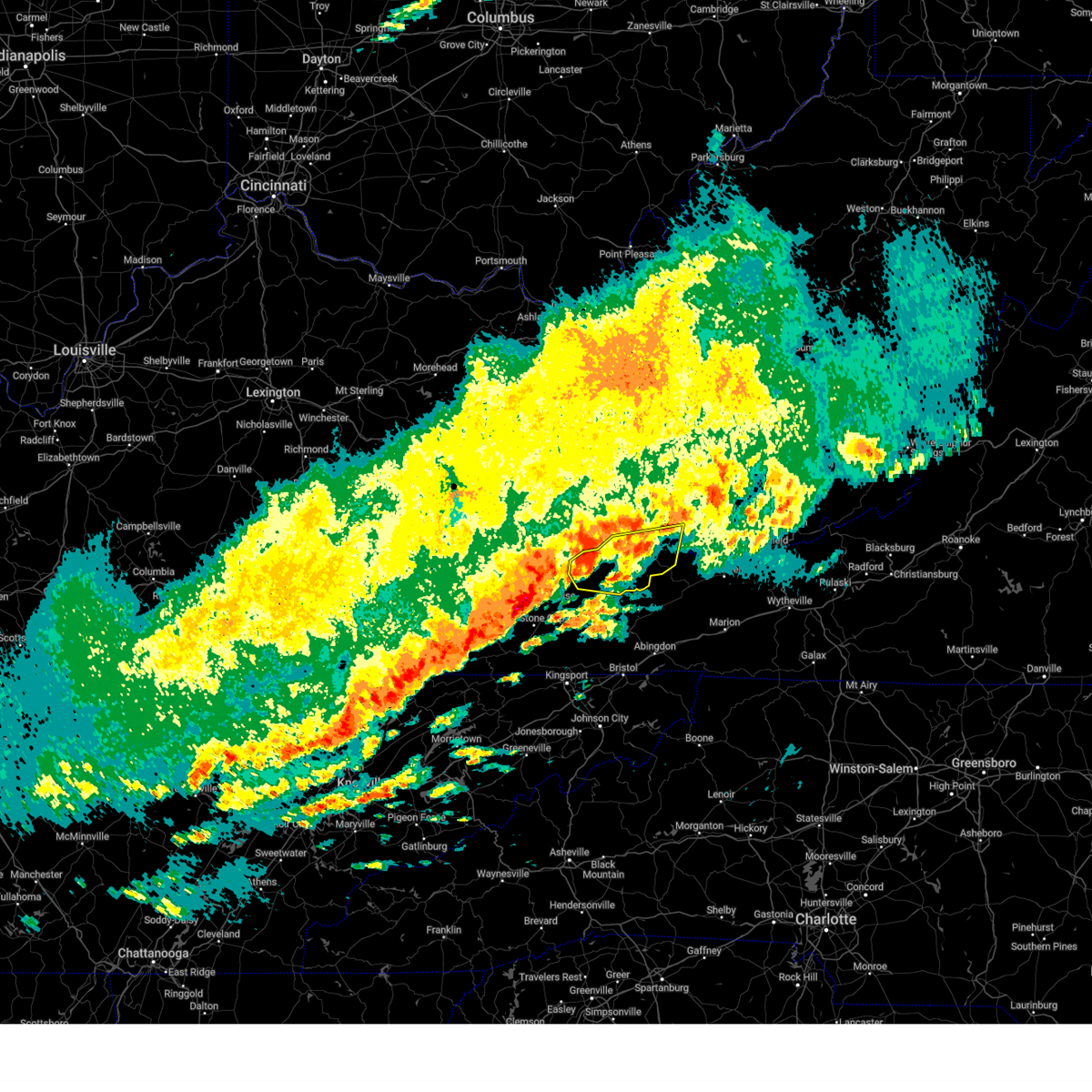
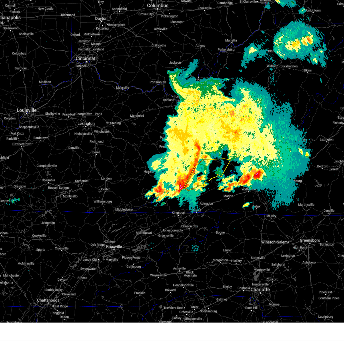
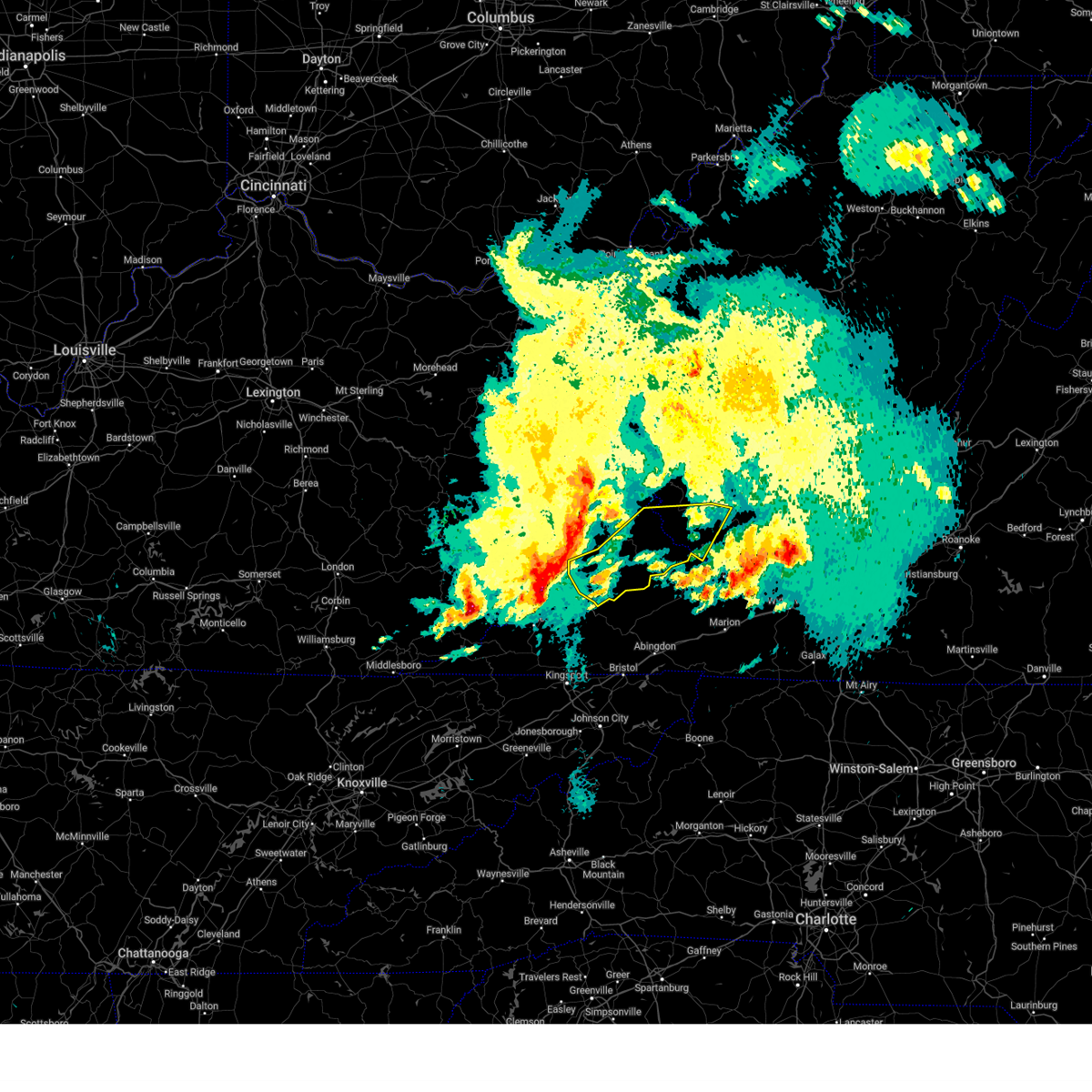
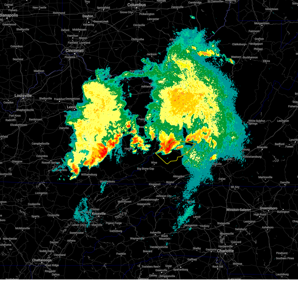
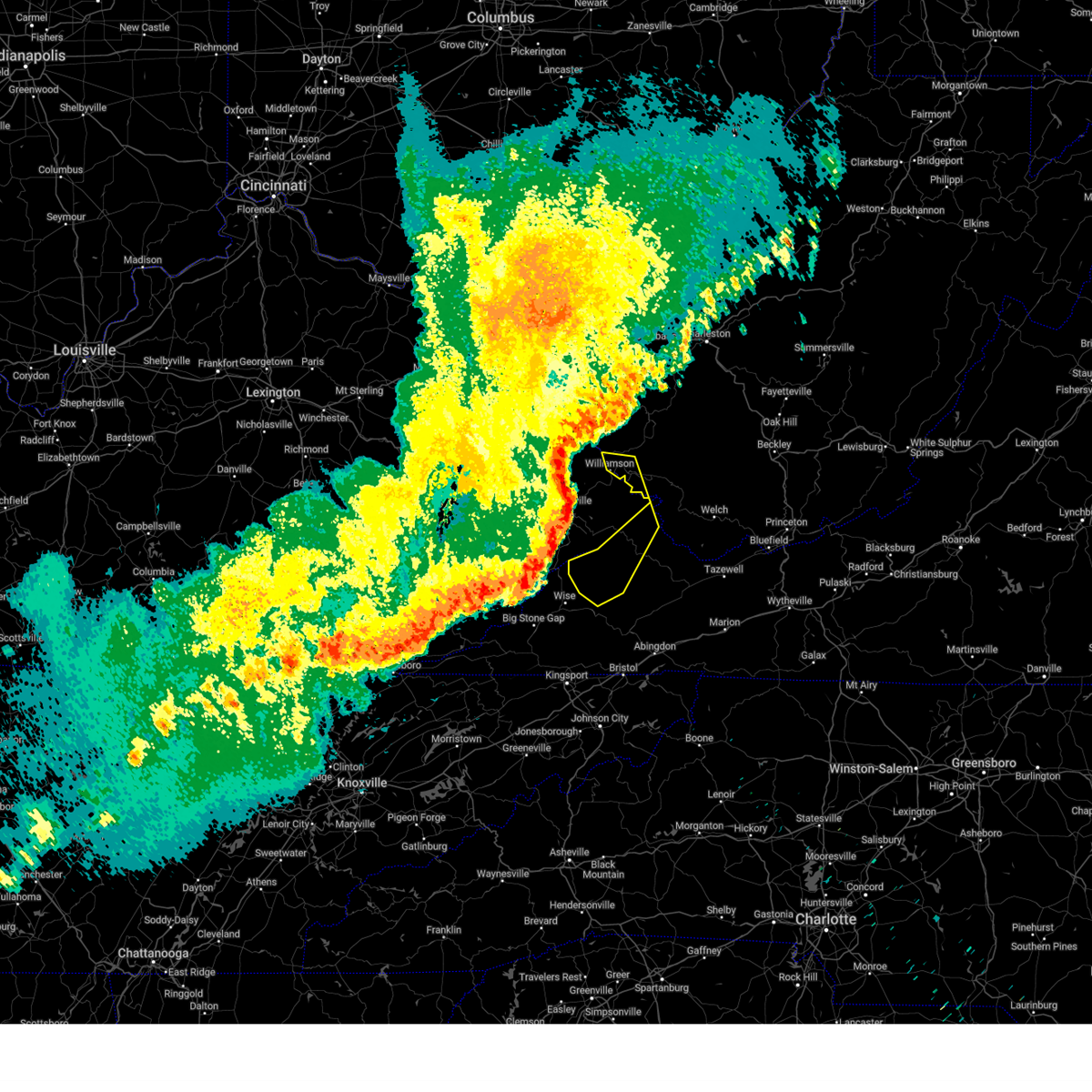
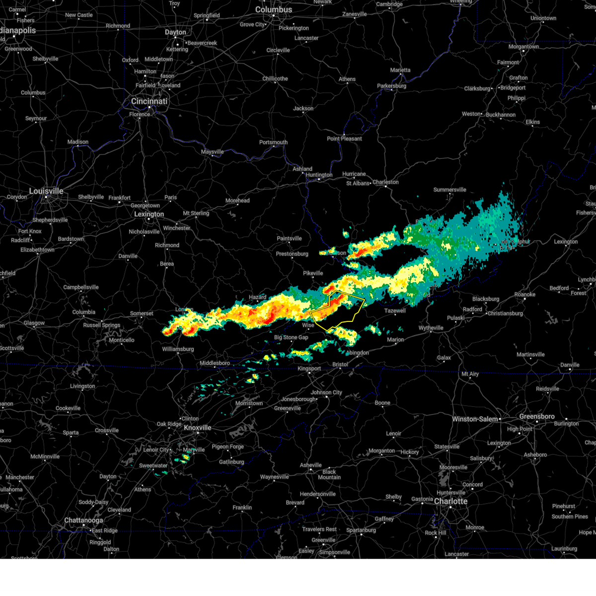
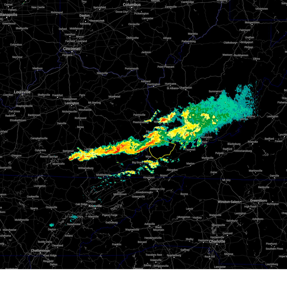
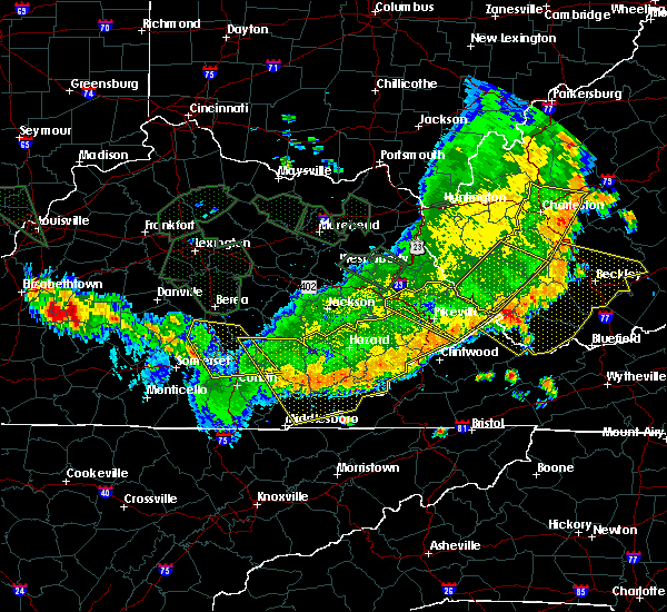
Hail Map for Clinchco, VA
The Clinchco, VA area has had 0 reports of on-the-ground hail by trained spotters, and has been under severe weather warnings 18 times during the past 12 months. Doppler radar has detected hail at or near Clinchco, VA on 22 occasions.
| Name: | Clinchco, VA |
| Where Located: | 40.1 miles N of Bristol, TN |
| Map: | Google Map for Clinchco, VA |
| Population: | 337 |
| Housing Units: | 197 |
| More Info: | Search Google for Clinchco, VA |
0
The Top Recent Hail Date for Clinchco, VA is Saturday, September 9, 2023 (22nd out of 22)

Hail and Wind Damage Spotted near Clinchco, VA
| Date / Time | Report Details |
|---|---|
| 7/1/2025 4:39 PM EDT | Tree down at dante mountain rd. and stratton bridge rd. in nora. time estimated from rada in dickenson county VA, 5 miles N of Clinchco, VA |
| 6/28/2025 7:45 PM EDT | Tree down on dickenson highway in clinchc in dickenson county VA, 0.1 miles N of Clinchco, VA |
| 5/21/2025 12:10 AM EDT |
 The storm which prompted the warning has weakened below severe limits, and has exited the warned area. therefore, the warning will be allowed to expire. The storm which prompted the warning has weakened below severe limits, and has exited the warned area. therefore, the warning will be allowed to expire.
|
| 5/21/2025 12:02 AM EDT |
 At 1201 am edt, a severe thunderstorm was located near trammel, or near davenport, moving northeast at 40 mph (radar indicated). Hazards include 60 mph wind gusts. Expect damage to roofs, siding, and trees. Locations impacted include, haysi, davenport, breaks interstate, john flannagan lake, trammel, clinchco, nora, vansant, and mcclure. At 1201 am edt, a severe thunderstorm was located near trammel, or near davenport, moving northeast at 40 mph (radar indicated). Hazards include 60 mph wind gusts. Expect damage to roofs, siding, and trees. Locations impacted include, haysi, davenport, breaks interstate, john flannagan lake, trammel, clinchco, nora, vansant, and mcclure.
|
| 5/20/2025 11:36 PM EDT |
 Svrrlx the national weather service in charleston west virginia has issued a * severe thunderstorm warning for, dickenson county in southwestern virginia, southwestern buchanan county in southwestern virginia, * until 1215 am edt. * at 1136 pm edt, a severe thunderstorm was located near wise, moving east at 50 mph (radar indicated). Hazards include 60 mph wind gusts. expect damage to roofs, siding, and trees Svrrlx the national weather service in charleston west virginia has issued a * severe thunderstorm warning for, dickenson county in southwestern virginia, southwestern buchanan county in southwestern virginia, * until 1215 am edt. * at 1136 pm edt, a severe thunderstorm was located near wise, moving east at 50 mph (radar indicated). Hazards include 60 mph wind gusts. expect damage to roofs, siding, and trees
|
| 5/17/2025 2:28 AM EDT |
 The storm which prompted the warning has weakened below severe limits, and no longer poses an immediate threat to life or property. therefore, the warning will be allowed to expire. however, gusty winds and heavy rain are still possible with this thunderstorm. a severe thunderstorm watch remains in effect until 500 am edt for southwestern virginia, and southern west virginia. to report severe weather, contact your nearest law enforcement agency. they will relay your report to the national weather service charleston west virginia. The storm which prompted the warning has weakened below severe limits, and no longer poses an immediate threat to life or property. therefore, the warning will be allowed to expire. however, gusty winds and heavy rain are still possible with this thunderstorm. a severe thunderstorm watch remains in effect until 500 am edt for southwestern virginia, and southern west virginia. to report severe weather, contact your nearest law enforcement agency. they will relay your report to the national weather service charleston west virginia.
|
| 5/17/2025 1:59 AM EDT |
 Svrrlx the national weather service in charleston west virginia has issued a * severe thunderstorm warning for, dickenson county in southwestern virginia, buchanan county in southwestern virginia, southwestern mcdowell county in southern west virginia, * until 230 am edt. * at 158 am edt, a severe thunderstorm was located over john flannagan lake, moving east at 50 mph (radar indicated). Hazards include 60 mph wind gusts and quarter size hail. Hail damage to vehicles is expected. Expect wind damage to roofs, siding, and trees. Svrrlx the national weather service in charleston west virginia has issued a * severe thunderstorm warning for, dickenson county in southwestern virginia, buchanan county in southwestern virginia, southwestern mcdowell county in southern west virginia, * until 230 am edt. * at 158 am edt, a severe thunderstorm was located over john flannagan lake, moving east at 50 mph (radar indicated). Hazards include 60 mph wind gusts and quarter size hail. Hail damage to vehicles is expected. Expect wind damage to roofs, siding, and trees.
|
| 5/17/2025 1:39 AM EDT | Svrrlx the national weather service in charleston west virginia has issued a * severe thunderstorm warning for, dickenson county in southwestern virginia, southwestern buchanan county in southwestern virginia, * until 215 am edt. * at 137 am edt, a severe thunderstorm was located over ehkhorn mine, or 11 miles northeast of whitesburg, moving east at 45 mph (radar indicated). Hazards include 60 mph wind gusts and quarter size hail. Hail damage to vehicles is expected. Expect wind damage to roofs, siding, and trees. |
| 5/16/2025 2:43 PM EDT |
 At 243 pm edt, severe thunderstorms were located along a line extending from near paw paw to near trammel, moving east at 60 mph (radar indicated). Hazards include 60 mph wind gusts and penny size hail. Expect damage to roofs, siding, and trees. Locations impacted include, welch, grundy, haysi, davenport, gary, war, trammel, big rock, davy, bradshaw, clinchco, iaeger, kimball, jolo, oakwood, coalwood, hurley, avondale, mcclure, and panther. At 243 pm edt, severe thunderstorms were located along a line extending from near paw paw to near trammel, moving east at 60 mph (radar indicated). Hazards include 60 mph wind gusts and penny size hail. Expect damage to roofs, siding, and trees. Locations impacted include, welch, grundy, haysi, davenport, gary, war, trammel, big rock, davy, bradshaw, clinchco, iaeger, kimball, jolo, oakwood, coalwood, hurley, avondale, mcclure, and panther.
|
| 5/16/2025 2:23 PM EDT |
 Svrrlx the national weather service in charleston west virginia has issued a * severe thunderstorm warning for, dickenson county in southwestern virginia, buchanan county in southwestern virginia, mcdowell county in southern west virginia, * until 300 pm edt. * at 222 pm edt, severe thunderstorms were located along a line extending from garden village to near eolia, moving east at 60 mph (radar indicated). Hazards include 60 mph wind gusts and penny size hail. expect damage to roofs, siding, and trees Svrrlx the national weather service in charleston west virginia has issued a * severe thunderstorm warning for, dickenson county in southwestern virginia, buchanan county in southwestern virginia, mcdowell county in southern west virginia, * until 300 pm edt. * at 222 pm edt, severe thunderstorms were located along a line extending from garden village to near eolia, moving east at 60 mph (radar indicated). Hazards include 60 mph wind gusts and penny size hail. expect damage to roofs, siding, and trees
|
| 5/16/2025 1:23 PM EDT |
 At 123 pm edt, a severe thunderstorm was located near big rock, or near grundy, moving east at 40 mph (radar indicated). Hazards include 60 mph wind gusts and quarter size hail. Hail damage to vehicles is expected. expect wind damage to roofs, siding, and trees. Locations impacted include, clintwood, grundy, haysi, breaks interstate, davenport, john flannagan lake, gary, war, big rock, trammel, clinchco, bradshaw, jolo, oakwood, stacy, nora, vansant, coalwood, hurley, and mcclure. At 123 pm edt, a severe thunderstorm was located near big rock, or near grundy, moving east at 40 mph (radar indicated). Hazards include 60 mph wind gusts and quarter size hail. Hail damage to vehicles is expected. expect wind damage to roofs, siding, and trees. Locations impacted include, clintwood, grundy, haysi, breaks interstate, davenport, john flannagan lake, gary, war, big rock, trammel, clinchco, bradshaw, jolo, oakwood, stacy, nora, vansant, coalwood, hurley, and mcclure.
|
| 5/16/2025 12:51 PM EDT | Svrrlx the national weather service in charleston west virginia has issued a * severe thunderstorm warning for, dickenson county in southwestern virginia, buchanan county in southwestern virginia, southwestern mcdowell county in southern west virginia, * until 145 pm edt. * at 1250 pm edt, a severe thunderstorm was located near beaver, or 7 miles southwest of pikeville, moving east at 50 mph (radar indicated). Hazards include ping pong ball size hail and 60 mph wind gusts. People and animals outdoors will be injured. expect hail damage to roofs, siding, windows, and vehicles. Expect wind damage to roofs, siding, and trees. |
| 3/31/2025 2:43 AM EDT | At 243 am edt, severe thunderstorms were located along a line extending from near chattaroy to phelps to near wise, moving east at 55 mph (radar indicated). Hazards include 60 mph wind gusts and penny size hail. Expect damage to roofs, siding, and trees. Locations impacted include, clinchco, matewan, delbarton, breaks interstate, big rock, haysi, red jacket, williamson, trammel, chattaroy, nora, vansant, varney, clintwood, hurley, john flannagan lake, mcclure, grundy, meador, and roseann. |
| 3/31/2025 2:27 AM EDT |
 Svrrlx the national weather service in charleston west virginia has issued a * severe thunderstorm warning for, dickenson county in southwestern virginia, western buchanan county in southwestern virginia, southwestern mingo county in southern west virginia, * until 300 am edt. * at 226 am edt, severe thunderstorms were located along a line extending from pleasant to zebulon to near maggard, moving east at 40 mph (radar indicated). Hazards include 60 mph wind gusts and penny size hail. expect damage to roofs, siding, and trees Svrrlx the national weather service in charleston west virginia has issued a * severe thunderstorm warning for, dickenson county in southwestern virginia, western buchanan county in southwestern virginia, southwestern mingo county in southern west virginia, * until 300 am edt. * at 226 am edt, severe thunderstorms were located along a line extending from pleasant to zebulon to near maggard, moving east at 40 mph (radar indicated). Hazards include 60 mph wind gusts and penny size hail. expect damage to roofs, siding, and trees
|
| 2/6/2025 6:26 PM EST |
 The storm which prompted the warning has weakened below severe limits and has exited the warned area. therefore, the warning will be allowed to expire. to report severe weather, contact your nearest law enforcement agency. they will relay your report to the national weather service charleston west virginia. The storm which prompted the warning has weakened below severe limits and has exited the warned area. therefore, the warning will be allowed to expire. to report severe weather, contact your nearest law enforcement agency. they will relay your report to the national weather service charleston west virginia.
|
| 2/6/2025 6:16 PM EST |
 At 615 pm est, a severe thunderstorm was located near haysi, moving east-northeast at 40 mph (radar indicated). Hazards include 60 mph wind gusts and quarter size hail. Hail damage to vehicles is expected. expect wind damage to roofs, siding, and trees. Locations impacted include, davenport, haysi, nora, and clinchco. At 615 pm est, a severe thunderstorm was located near haysi, moving east-northeast at 40 mph (radar indicated). Hazards include 60 mph wind gusts and quarter size hail. Hail damage to vehicles is expected. expect wind damage to roofs, siding, and trees. Locations impacted include, davenport, haysi, nora, and clinchco.
|
| 2/6/2025 5:59 PM EST |
 Svrrlx the national weather service in charleston west virginia has issued a * severe thunderstorm warning for, dickenson county in southwestern virginia, southwestern buchanan county in southwestern virginia, * until 630 pm est. * at 559 pm est, a severe thunderstorm was located near clintwood, moving east at 35 mph (radar indicated). Hazards include 60 mph wind gusts and quarter size hail. Hail damage to vehicles is expected. Expect wind damage to roofs, siding, and trees. Svrrlx the national weather service in charleston west virginia has issued a * severe thunderstorm warning for, dickenson county in southwestern virginia, southwestern buchanan county in southwestern virginia, * until 630 pm est. * at 559 pm est, a severe thunderstorm was located near clintwood, moving east at 35 mph (radar indicated). Hazards include 60 mph wind gusts and quarter size hail. Hail damage to vehicles is expected. Expect wind damage to roofs, siding, and trees.
|
| 2/6/2025 10:14 AM EST |
 The storms which prompted the warning have weakened below severe limits, and no longer pose an immediate threat to life or property. therefore, the warning will be allowed to expire. however, gusty winds and heavy rain are still possible with these thunderstorms. The storms which prompted the warning have weakened below severe limits, and no longer pose an immediate threat to life or property. therefore, the warning will be allowed to expire. however, gusty winds and heavy rain are still possible with these thunderstorms.
|
| 2/6/2025 10:00 AM EST |
 At 1000 am est, severe thunderstorms were located along a line extending from near grundy to near davenport to near trammel, moving southeast at 50 mph (radar indicated). Hazards include 60 mph wind gusts. Expect damage to roofs, siding, and trees. Locations impacted include, haysi, trammel, nora, vansant, clinchco, clintwood, davenport, breaks interstate, mcclure, oakwood, and grundy. At 1000 am est, severe thunderstorms were located along a line extending from near grundy to near davenport to near trammel, moving southeast at 50 mph (radar indicated). Hazards include 60 mph wind gusts. Expect damage to roofs, siding, and trees. Locations impacted include, haysi, trammel, nora, vansant, clinchco, clintwood, davenport, breaks interstate, mcclure, oakwood, and grundy.
|
| 2/6/2025 9:41 AM EST |
 Svrrlx the national weather service in charleston west virginia has issued a * severe thunderstorm warning for, dickenson county in southwestern virginia, southwestern buchanan county in southwestern virginia, * until 1015 am est. * at 941 am est, severe thunderstorms were located along a line extending from belcher to ashcamp to near jenkins, moving southeast at 40 mph (radar indicated). Hazards include 60 mph wind gusts. expect damage to roofs, siding, and trees Svrrlx the national weather service in charleston west virginia has issued a * severe thunderstorm warning for, dickenson county in southwestern virginia, southwestern buchanan county in southwestern virginia, * until 1015 am est. * at 941 am est, severe thunderstorms were located along a line extending from belcher to ashcamp to near jenkins, moving southeast at 40 mph (radar indicated). Hazards include 60 mph wind gusts. expect damage to roofs, siding, and trees
|
| 5/26/2024 4:27 PM EDT | One tree down along carter stanley highway near mcclure. time estimated from rada in dickenson county VA, 5.8 miles N of Clinchco, VA |
| 5/26/2024 3:53 PM EDT |
 The storms which prompted the warning have moved out of the area. therefore, the warning will be allowed to expire. however, small hail and gusty winds are still possible with these thunderstorms. a severe thunderstorm watch remains in effect until 900 pm edt for southwestern virginia, and southern west virginia. The storms which prompted the warning have moved out of the area. therefore, the warning will be allowed to expire. however, small hail and gusty winds are still possible with these thunderstorms. a severe thunderstorm watch remains in effect until 900 pm edt for southwestern virginia, and southern west virginia.
|
| 5/26/2024 3:27 PM EDT | Corrects previous tstm wnd dmg report from 6 se clintwood. one tree down along carter stanley highway near mcclure. time estimated from rada in dickenson county VA, 5.8 miles N of Clinchco, VA |
| 5/26/2024 3:27 PM EDT |
 At 326 pm edt, severe thunderstorms were located along a line extending from arkansas to near virgie to near wise to 7 miles southeast of big stone gap, moving northeast at 45 mph (radar indicated). Hazards include 60 mph wind gusts and quarter size hail. Hail damage to vehicles is expected. expect wind damage to roofs, siding, and trees. Locations impacted include, clintwood, grundy, haysi, breaks interstate, davenport, john flannagan lake, big rock, trammel, clinchco, oakwood, stacy, nora, vansant, hurley, mcclure, and roseann. At 326 pm edt, severe thunderstorms were located along a line extending from arkansas to near virgie to near wise to 7 miles southeast of big stone gap, moving northeast at 45 mph (radar indicated). Hazards include 60 mph wind gusts and quarter size hail. Hail damage to vehicles is expected. expect wind damage to roofs, siding, and trees. Locations impacted include, clintwood, grundy, haysi, breaks interstate, davenport, john flannagan lake, big rock, trammel, clinchco, oakwood, stacy, nora, vansant, hurley, mcclure, and roseann.
|
| 5/26/2024 2:52 PM EDT |
 Svrrlx the national weather service in charleston west virginia has issued a * severe thunderstorm warning for, dickenson county in southwestern virginia, buchanan county in southwestern virginia, * until 400 pm edt. * at 251 pm edt, a severe thunderstorm was located over leatherwood, or 15 miles south of hazard, moving east at 45 mph (radar indicated). Hazards include 60 mph wind gusts and quarter size hail. Hail damage to vehicles is expected. Expect wind damage to roofs, siding, and trees. Svrrlx the national weather service in charleston west virginia has issued a * severe thunderstorm warning for, dickenson county in southwestern virginia, buchanan county in southwestern virginia, * until 400 pm edt. * at 251 pm edt, a severe thunderstorm was located over leatherwood, or 15 miles south of hazard, moving east at 45 mph (radar indicated). Hazards include 60 mph wind gusts and quarter size hail. Hail damage to vehicles is expected. Expect wind damage to roofs, siding, and trees.
|
| 9/9/2023 4:53 PM EDT |
 At 453 pm edt, a severe thunderstorm was located near haysi, moving north at 10 mph (radar indicated). Hazards include 60 mph wind gusts and penny size hail. Expect damage to roofs, siding, and trees. locations impacted include, clintwood, haysi, john flannagan lake, clinchco, and mcclure. hail threat, radar indicated max hail size, 0. 75 in wind threat, radar indicated max wind gust, 60 mph. At 453 pm edt, a severe thunderstorm was located near haysi, moving north at 10 mph (radar indicated). Hazards include 60 mph wind gusts and penny size hail. Expect damage to roofs, siding, and trees. locations impacted include, clintwood, haysi, john flannagan lake, clinchco, and mcclure. hail threat, radar indicated max hail size, 0. 75 in wind threat, radar indicated max wind gust, 60 mph.
|
| 9/9/2023 4:52 PM EDT | Tree down along carter stanley highwa in dickenson county VA, 5.9 miles NNE of Clinchco, VA |
| 9/9/2023 4:51 PM EDT | Tree down along buffalo creek roa in dickenson county VA, 5.7 miles N of Clinchco, VA |
| 9/9/2023 4:30 PM EDT |
 At 429 pm edt, a severe thunderstorm was located near clintwood, moving northeast at 15 mph (radar indicated). Hazards include 60 mph wind gusts and penny size hail. expect damage to roofs, siding, and trees At 429 pm edt, a severe thunderstorm was located near clintwood, moving northeast at 15 mph (radar indicated). Hazards include 60 mph wind gusts and penny size hail. expect damage to roofs, siding, and trees
|
| 7/29/2023 4:47 PM EDT |
 At 446 pm edt, severe thunderstorms were located along a line extending from near john flannagan lake to near trammel to 9 miles south of clintwood to near wise to near norton, moving southeast at 30 mph (radar indicated). Hazards include 60 mph wind gusts and penny size hail. Expect damage to roofs, siding, and trees. locations impacted include, grundy, haysi, davenport, breaks interstate, john flannagan lake, trammel, big rock, clinchco, nora, vansant, mcclure, and oakwood. hail threat, radar indicated max hail size, 0. 75 in wind threat, radar indicated max wind gust, 60 mph. At 446 pm edt, severe thunderstorms were located along a line extending from near john flannagan lake to near trammel to 9 miles south of clintwood to near wise to near norton, moving southeast at 30 mph (radar indicated). Hazards include 60 mph wind gusts and penny size hail. Expect damage to roofs, siding, and trees. locations impacted include, grundy, haysi, davenport, breaks interstate, john flannagan lake, trammel, big rock, clinchco, nora, vansant, mcclure, and oakwood. hail threat, radar indicated max hail size, 0. 75 in wind threat, radar indicated max wind gust, 60 mph.
|
| 7/29/2023 4:35 PM EDT | Dickenson county 911 center reported a tree down on dickenson highway between squirrel camp rd and dante mountain rd. time estimated via rada in dickenson county VA, 2.3 miles NNE of Clinchco, VA |
| 7/29/2023 4:29 PM EDT |
 At 429 pm edt, severe thunderstorms were located along a line extending from near ashcamp to near clintwood to wise to near big stone gap, moving southeast at 35 mph (radar indicated). Hazards include 60 mph wind gusts and penny size hail. expect damage to roofs, siding, and trees At 429 pm edt, severe thunderstorms were located along a line extending from near ashcamp to near clintwood to wise to near big stone gap, moving southeast at 35 mph (radar indicated). Hazards include 60 mph wind gusts and penny size hail. expect damage to roofs, siding, and trees
|
| 7/29/2023 4:22 PM EDT | At least 3 trees down blocking both lanes of dickenson highway in clinchc in dickenson county VA, 0.6 miles S of Clinchco, VA |
| 7/29/2023 4:19 PM EDT |
 At 419 pm edt, severe thunderstorms were located along a line extending from near shelby gap to clintwood to 7 miles southeast of burdine to near wise, moving southeast at 40 mph (radar indicated). Hazards include 60 mph wind gusts and penny size hail. Expect damage to roofs, siding, and trees. locations impacted include, clintwood, haysi, trammel, clinchco, mcclure, and nora. hail threat, radar indicated max hail size, 0. 75 in wind threat, radar indicated max wind gust, 60 mph. At 419 pm edt, severe thunderstorms were located along a line extending from near shelby gap to clintwood to 7 miles southeast of burdine to near wise, moving southeast at 40 mph (radar indicated). Hazards include 60 mph wind gusts and penny size hail. Expect damage to roofs, siding, and trees. locations impacted include, clintwood, haysi, trammel, clinchco, mcclure, and nora. hail threat, radar indicated max hail size, 0. 75 in wind threat, radar indicated max wind gust, 60 mph.
|
| 7/29/2023 4:05 PM EDT |
 At 404 pm edt, severe thunderstorms were located along a line extending from burdine to near gaskill to near payne gap to near eolia, moving southeast at 45 mph (radar indicated). Hazards include 60 mph wind gusts and penny size hail. expect damage to roofs, siding, and trees At 404 pm edt, severe thunderstorms were located along a line extending from burdine to near gaskill to near payne gap to near eolia, moving southeast at 45 mph (radar indicated). Hazards include 60 mph wind gusts and penny size hail. expect damage to roofs, siding, and trees
|
| 5/16/2023 5:39 PM EDT |
 At 538 pm edt, a severe thunderstorm was located 7 miles southeast of grundy, moving east at 55 mph. this is a destructive storm for oakwood (radar indicated). Hazards include 80 mph wind gusts. Flying debris will be dangerous to those caught without shelter. mobile homes will be heavily damaged. expect considerable damage to roofs, windows, and vehicles. extensive tree damage and power outages are likely. locations impacted include, clintwood, grundy, haysi, davenport, john flannagan lake, trammel, clinchco, nora, vansant, mcclure and oakwood. thunderstorm damage threat, destructive hail threat, radar indicated max hail size, <. 75 in wind threat, radar indicated max wind gust, 80 mph. At 538 pm edt, a severe thunderstorm was located 7 miles southeast of grundy, moving east at 55 mph. this is a destructive storm for oakwood (radar indicated). Hazards include 80 mph wind gusts. Flying debris will be dangerous to those caught without shelter. mobile homes will be heavily damaged. expect considerable damage to roofs, windows, and vehicles. extensive tree damage and power outages are likely. locations impacted include, clintwood, grundy, haysi, davenport, john flannagan lake, trammel, clinchco, nora, vansant, mcclure and oakwood. thunderstorm damage threat, destructive hail threat, radar indicated max hail size, <. 75 in wind threat, radar indicated max wind gust, 80 mph.
|
| 5/16/2023 5:22 PM EDT |
 At 521 pm edt, a severe thunderstorm was located over haysi, moving east at 55 mph. this is a destructive storm for haysi (radar indicated). Hazards include 90 mph wind gusts. You are in a life-threatening situation. flying debris may be deadly to those caught without shelter. mobile homes will be heavily damaged or destroyed. homes and businesses will have substantial roof and window damage. Expect extensive tree damage and power outages. At 521 pm edt, a severe thunderstorm was located over haysi, moving east at 55 mph. this is a destructive storm for haysi (radar indicated). Hazards include 90 mph wind gusts. You are in a life-threatening situation. flying debris may be deadly to those caught without shelter. mobile homes will be heavily damaged or destroyed. homes and businesses will have substantial roof and window damage. Expect extensive tree damage and power outages.
|
| 5/16/2023 5:15 PM EDT |
 At 514 pm edt, a severe thunderstorm was located over clintwood, moving east at 50 mph. this is a destructive storm for clintwood and clinchco (radar indicated). Hazards include 90 mph wind gusts. You are in a life-threatening situation. flying debris may be deadly to those caught without shelter. mobile homes will be heavily damaged or destroyed. homes and businesses will have substantial roof and window damage. expect extensive tree damage and power outages. locations impacted include, clintwood, clinchco, mcclure and nora. thunderstorm damage threat, destructive hail threat, radar indicated max hail size, <. 75 in wind threat, radar indicated max wind gust, 90 mph. At 514 pm edt, a severe thunderstorm was located over clintwood, moving east at 50 mph. this is a destructive storm for clintwood and clinchco (radar indicated). Hazards include 90 mph wind gusts. You are in a life-threatening situation. flying debris may be deadly to those caught without shelter. mobile homes will be heavily damaged or destroyed. homes and businesses will have substantial roof and window damage. expect extensive tree damage and power outages. locations impacted include, clintwood, clinchco, mcclure and nora. thunderstorm damage threat, destructive hail threat, radar indicated max hail size, <. 75 in wind threat, radar indicated max wind gust, 90 mph.
|
| 5/16/2023 5:03 PM EDT |
 At 503 pm edt, a severe thunderstorm was located over dunham, or 10 miles west of clintwood, moving east at 50 mph (radar indicated). Hazards include 70 mph wind gusts. Expect considerable tree damage. Damage is likely to mobile homes, roofs, and outbuildings. At 503 pm edt, a severe thunderstorm was located over dunham, or 10 miles west of clintwood, moving east at 50 mph (radar indicated). Hazards include 70 mph wind gusts. Expect considerable tree damage. Damage is likely to mobile homes, roofs, and outbuildings.
|
| 8/5/2022 6:24 PM EDT | Dickenson county 911 center reported a tree down on dante mountain road in the community of nora. time is estimated by rada in dickenson county VA, 6.4 miles N of Clinchco, VA |
| 8/5/2022 6:07 PM EDT |
 At 607 pm edt, a severe thunderstorm was located near clintwood, moving northeast at 15 mph (radar indicated). Hazards include 60 mph wind gusts and penny size hail. expect damage to roofs, siding, and trees At 607 pm edt, a severe thunderstorm was located near clintwood, moving northeast at 15 mph (radar indicated). Hazards include 60 mph wind gusts and penny size hail. expect damage to roofs, siding, and trees
|
| 6/17/2022 2:30 PM EDT |
 At 230 pm edt, severe thunderstorms were located along a line extending from jenkins to near bald knob, moving southeast at 45 mph (radar indicated). Hazards include 60 mph wind gusts. expect damage to roofs, siding, and trees At 230 pm edt, severe thunderstorms were located along a line extending from jenkins to near bald knob, moving southeast at 45 mph (radar indicated). Hazards include 60 mph wind gusts. expect damage to roofs, siding, and trees
|
| 6/2/2022 11:56 AM EDT |
 The severe thunderstorm warning for central dickenson and west central buchanan counties will expire at noon edt, the storm which prompted the warning has weakened below severe limits, and has exited the warned area. therefore, the warning will be allowed to expire. however heavy rain is still possible with this thunderstorm. The severe thunderstorm warning for central dickenson and west central buchanan counties will expire at noon edt, the storm which prompted the warning has weakened below severe limits, and has exited the warned area. therefore, the warning will be allowed to expire. however heavy rain is still possible with this thunderstorm.
|
| 6/2/2022 11:47 AM EDT |
 At 1146 am edt, a severe thunderstorm was located near haysi, moving east at 35 mph (radar indicated). Hazards include 60 mph wind gusts and quarter size hail. Hail damage to vehicles is expected. expect wind damage to roofs, siding, and trees. locations impacted include, haysi, john flannagan lake, clinchco and mcclure. hail threat, radar indicated max hail size, 1. 00 in wind threat, radar indicated max wind gust, 60 mph. At 1146 am edt, a severe thunderstorm was located near haysi, moving east at 35 mph (radar indicated). Hazards include 60 mph wind gusts and quarter size hail. Hail damage to vehicles is expected. expect wind damage to roofs, siding, and trees. locations impacted include, haysi, john flannagan lake, clinchco and mcclure. hail threat, radar indicated max hail size, 1. 00 in wind threat, radar indicated max wind gust, 60 mph.
|
| 6/2/2022 11:23 AM EDT |
 At 1122 am edt, a severe thunderstorm was located over clintwood, moving east at 35 mph (radar indicated). Hazards include 60 mph wind gusts and quarter size hail. Hail damage to vehicles is expected. Expect wind damage to roofs, siding, and trees. At 1122 am edt, a severe thunderstorm was located over clintwood, moving east at 35 mph (radar indicated). Hazards include 60 mph wind gusts and quarter size hail. Hail damage to vehicles is expected. Expect wind damage to roofs, siding, and trees.
|
| 5/19/2022 6:09 PM EDT |
 The severe thunderstorm warning for central dickenson county will expire at 615 pm edt, the storm which prompted the warning has moved out of the area. therefore, the warning will be allowed to expire. however small hail, gusty winds and heavy rain are still possible with this thunderstorm. The severe thunderstorm warning for central dickenson county will expire at 615 pm edt, the storm which prompted the warning has moved out of the area. therefore, the warning will be allowed to expire. however small hail, gusty winds and heavy rain are still possible with this thunderstorm.
|
| 5/19/2022 5:53 PM EDT | Several trees downed in the clinchco area. time estimated with rada in dickenson county VA, 0.1 miles N of Clinchco, VA |
| 5/19/2022 5:50 PM EDT |
 At 549 pm edt, a severe thunderstorm was located near clintwood, moving east at 20 mph (radar indicated). Hazards include 60 mph wind gusts and quarter size hail. Hail damage to vehicles is expected. Expect wind damage to roofs, siding, and trees. At 549 pm edt, a severe thunderstorm was located near clintwood, moving east at 20 mph (radar indicated). Hazards include 60 mph wind gusts and quarter size hail. Hail damage to vehicles is expected. Expect wind damage to roofs, siding, and trees.
|
| 6/21/2021 6:10 PM EDT |
 At 609 pm edt, a severe thunderstorm was located over clintwood, moving east at 30 mph (radar indicated). Hazards include 60 mph wind gusts and penny size hail. expect damage to roofs, siding, and trees At 609 pm edt, a severe thunderstorm was located over clintwood, moving east at 30 mph (radar indicated). Hazards include 60 mph wind gusts and penny size hail. expect damage to roofs, siding, and trees
|
| 7/17/2020 5:07 PM EDT |
 The severe thunderstorm warning for central dickenson and southwestern buchanan counties will expire at 515 pm edt, the storm which prompted the warning has weakened below severe limits, and no longer poses an immediate threat to life or property. therefore, the warning will be allowed to expire. The severe thunderstorm warning for central dickenson and southwestern buchanan counties will expire at 515 pm edt, the storm which prompted the warning has weakened below severe limits, and no longer poses an immediate threat to life or property. therefore, the warning will be allowed to expire.
|
| 7/17/2020 4:48 PM EDT |
 At 447 pm edt, a severe thunderstorm was located near haysi, moving east at 20 mph (radar indicated). Hazards include 60 mph wind gusts and penny size hail. Expect damage to roofs, siding, and trees. Locations impacted include, clintwood, grundy, haysi, john flannagan lake, clinchco, vansant and mcclure. At 447 pm edt, a severe thunderstorm was located near haysi, moving east at 20 mph (radar indicated). Hazards include 60 mph wind gusts and penny size hail. Expect damage to roofs, siding, and trees. Locations impacted include, clintwood, grundy, haysi, john flannagan lake, clinchco, vansant and mcclure.
|
| 7/17/2020 4:28 PM EDT |
 At 428 pm edt, a severe thunderstorm was located near haysi, moving east at 20 mph (radar indicated). Hazards include 60 mph wind gusts and penny size hail. expect damage to roofs, siding, and trees At 428 pm edt, a severe thunderstorm was located near haysi, moving east at 20 mph (radar indicated). Hazards include 60 mph wind gusts and penny size hail. expect damage to roofs, siding, and trees
|
| 1/11/2020 7:35 PM EST |
 At 735 pm est, severe thunderstorms were located along a line extending from near rockhouse to john flannagan lake to 8 miles northwest of allison gap to near abingdon, moving northeast at 65 mph (radar indicated). Hazards include 60 mph wind gusts. Expect damage to roofs, siding, and trees. Locations impacted include, grundy, haysi, davenport, breaks interstate, john flannagan lake, big rock, clinchco, stacy, vansant, hurley, oakwood and roseann. At 735 pm est, severe thunderstorms were located along a line extending from near rockhouse to john flannagan lake to 8 miles northwest of allison gap to near abingdon, moving northeast at 65 mph (radar indicated). Hazards include 60 mph wind gusts. Expect damage to roofs, siding, and trees. Locations impacted include, grundy, haysi, davenport, breaks interstate, john flannagan lake, big rock, clinchco, stacy, vansant, hurley, oakwood and roseann.
|
| 1/11/2020 7:15 PM EST |
 At 714 pm est, severe thunderstorms were located along a line extending from deane to near payne gap to 7 miles south of cleveland va to near bristol tn, moving northeast at 65 mph (radar indicated). Hazards include 70 mph wind gusts. Expect considerable tree damage. Damage is likely to mobile homes, roofs, and outbuildings. At 714 pm est, severe thunderstorms were located along a line extending from deane to near payne gap to 7 miles south of cleveland va to near bristol tn, moving northeast at 65 mph (radar indicated). Hazards include 70 mph wind gusts. Expect considerable tree damage. Damage is likely to mobile homes, roofs, and outbuildings.
|
| 10/31/2019 12:57 PM EDT |
 The national weather service in charleston west virginia has issued a * severe thunderstorm warning for. northeastern dickenson county in southwestern virginia. buchanan county in southwestern virginia. southwestern mcdowell county in southern west virginia. Until 145 pm edt. The national weather service in charleston west virginia has issued a * severe thunderstorm warning for. northeastern dickenson county in southwestern virginia. buchanan county in southwestern virginia. southwestern mcdowell county in southern west virginia. Until 145 pm edt.
|
| 5/29/2019 3:17 PM EDT |
 At 316 pm edt, a severe thunderstorm was located over shelby gap, or near clintwood, moving east at 35 mph. additional severe thunderstorms are also expected to move into the warned area over the next hour (radar indicated). Hazards include 70 mph wind gusts and ping pong ball size hail. People and animals outdoors will be injured. expect hail damage to roofs, siding, windows, and vehicles. expect considerable tree damage. Wind damage is also likely to mobile homes, roofs, and outbuildings. At 316 pm edt, a severe thunderstorm was located over shelby gap, or near clintwood, moving east at 35 mph. additional severe thunderstorms are also expected to move into the warned area over the next hour (radar indicated). Hazards include 70 mph wind gusts and ping pong ball size hail. People and animals outdoors will be injured. expect hail damage to roofs, siding, windows, and vehicles. expect considerable tree damage. Wind damage is also likely to mobile homes, roofs, and outbuildings.
|
| 5/5/2018 4:41 PM EDT |
 At 440 pm edt, a severe thunderstorm was located near john flannagan lake, moving northeast at 30 mph (radar indicated). Hazards include 60 mph wind gusts and half dollar size hail. Hail damage to vehicles is expected. Expect wind damage to roofs, siding, and trees. At 440 pm edt, a severe thunderstorm was located near john flannagan lake, moving northeast at 30 mph (radar indicated). Hazards include 60 mph wind gusts and half dollar size hail. Hail damage to vehicles is expected. Expect wind damage to roofs, siding, and trees.
|
| 5/5/2018 4:35 PM EDT |
 At 435 pm edt, a severe thunderstorm was located near ashcamp, or near clintwood, moving northeast at 25 mph (trained weather spotters). Hazards include 60 mph wind gusts and half dollar size hail. Hail damage to vehicles is expected. expect wind damage to roofs, siding, and trees. locations impacted include, clintwood, haysi, john flannagan lake and clinchco. At 435 pm edt, a severe thunderstorm was located near ashcamp, or near clintwood, moving northeast at 25 mph (trained weather spotters). Hazards include 60 mph wind gusts and half dollar size hail. Hail damage to vehicles is expected. expect wind damage to roofs, siding, and trees. locations impacted include, clintwood, haysi, john flannagan lake and clinchco.
|
| 5/5/2018 4:25 PM EDT |
 At 425 pm edt, a severe thunderstorm was located over clintwood, moving northeast at 25 mph (radar indicated). Hazards include 60 mph wind gusts and quarter size hail. Hail damage to vehicles is expected. expect wind damage to roofs, siding, and trees. locations impacted include, clintwood, haysi, john flannagan lake and clinchco. At 425 pm edt, a severe thunderstorm was located over clintwood, moving northeast at 25 mph (radar indicated). Hazards include 60 mph wind gusts and quarter size hail. Hail damage to vehicles is expected. expect wind damage to roofs, siding, and trees. locations impacted include, clintwood, haysi, john flannagan lake and clinchco.
|
| 5/5/2018 4:10 PM EDT |
 At 409 pm edt, a severe thunderstorm was located near gaskill, or near clintwood, moving northeast at 25 mph (radar indicated). Hazards include 60 mph wind gusts and quarter size hail. Hail damage to vehicles is expected. Expect wind damage to roofs, siding, and trees. At 409 pm edt, a severe thunderstorm was located near gaskill, or near clintwood, moving northeast at 25 mph (radar indicated). Hazards include 60 mph wind gusts and quarter size hail. Hail damage to vehicles is expected. Expect wind damage to roofs, siding, and trees.
|
| 4/4/2018 2:04 AM EDT |
 At 200 am edt, a line of severe thunderstorms was located near clintwood, moving east at 55 mph (radar indicated). Hazards include 60 mph wind gusts. Expect damage to roofs, siding, and trees. locations impacted include, clintwood, grundy, haysi, breaks interstate, davenport, john flannagan lake, delbarton, big rock, red jacket, trammel, paw paw, clinchco, oakwood, stacy, nora, vansant, varney, hurley, mcclure and meador. At 200 am edt, a line of severe thunderstorms was located near clintwood, moving east at 55 mph (radar indicated). Hazards include 60 mph wind gusts. Expect damage to roofs, siding, and trees. locations impacted include, clintwood, grundy, haysi, breaks interstate, davenport, john flannagan lake, delbarton, big rock, red jacket, trammel, paw paw, clinchco, oakwood, stacy, nora, vansant, varney, hurley, mcclure and meador.
|
| 4/4/2018 1:35 AM EDT |
 At 134 am edt, a line of severe thunderstorms were located over day, or near whitesburg, moving east at 55 mph (radar indicated). Hazards include 60 mph wind gusts. expect damage to roofs, siding, and trees At 134 am edt, a line of severe thunderstorms were located over day, or near whitesburg, moving east at 55 mph (radar indicated). Hazards include 60 mph wind gusts. expect damage to roofs, siding, and trees
|
| 7/4/2016 7:20 PM EDT |
 At 720 pm edt, a severe thunderstorm was located near gaskill, or near clintwood, moving east at 45 mph (radar indicated). Hazards include 60 mph wind gusts and quarter size hail. Hail damage to vehicles is expected. Expect wind damage to roofs, siding, and trees. At 720 pm edt, a severe thunderstorm was located near gaskill, or near clintwood, moving east at 45 mph (radar indicated). Hazards include 60 mph wind gusts and quarter size hail. Hail damage to vehicles is expected. Expect wind damage to roofs, siding, and trees.
|
| 6/23/2016 8:17 PM EDT | Roof blown off the binns-counts community cente in dickenson county VA, 5 miles N of Clinchco, VA |
| 6/23/2016 8:13 PM EDT |
 At 813 pm edt, severe thunderstorms were located along a line extending from near paw paw to near grundy to near clintwood, moving east at 60 mph (radar indicated). Hazards include 60 mph wind gusts and penny size hail. Expect damage to roofs. siding. And trees. At 813 pm edt, severe thunderstorms were located along a line extending from near paw paw to near grundy to near clintwood, moving east at 60 mph (radar indicated). Hazards include 60 mph wind gusts and penny size hail. Expect damage to roofs. siding. And trees.
|
| 6/23/2016 7:56 PM EDT |
 At 755 pm edt, a severe thunderstorm was located over haysi, moving southeast at 50 mph (radar indicated). Hazards include 60 mph wind gusts. Expect damage to roofs. siding. and trees. locations impacted include, clintwood, grundy, haysi, john flannagan lake, davenport, breaks interstate, trammel, clinchco, oakwood, mcclure, nora and vansant. A tornado watch remains in effect until 1000 pm edt for southwestern virginia. At 755 pm edt, a severe thunderstorm was located over haysi, moving southeast at 50 mph (radar indicated). Hazards include 60 mph wind gusts. Expect damage to roofs. siding. and trees. locations impacted include, clintwood, grundy, haysi, john flannagan lake, davenport, breaks interstate, trammel, clinchco, oakwood, mcclure, nora and vansant. A tornado watch remains in effect until 1000 pm edt for southwestern virginia.
|
| 6/23/2016 7:38 PM EDT |
 At 737 pm edt, a severe thunderstorm was located over lookout, or 8 miles northwest of john flannagan lake, moving southeast at 65 mph (radar indicated). Hazards include 60 mph wind gusts and penny size hail. Expect damage to roofs. siding. And trees. At 737 pm edt, a severe thunderstorm was located over lookout, or 8 miles northwest of john flannagan lake, moving southeast at 65 mph (radar indicated). Hazards include 60 mph wind gusts and penny size hail. Expect damage to roofs. siding. And trees.
|
| 5/1/2016 8:57 PM EDT | The severe thunderstorm warning for northeastern dickenson and southwestern buchanan counties will expire at 900 pm edt, the storm which prompted the warning has weakened below severe limits, and no longer poses an immediate threat to life or property. therefore the warning will be allowed to expire. |
| 5/1/2016 8:49 PM EDT |
 At 849 pm edt, a severe thunderstorm was located near davenport, moving east at 30 mph (radar indicated). Hazards include 60 mph wind gusts and quarter size hail. Hail damage to vehicles is expected. expect wind damage to roofs, siding, and trees. Locations impacted include, haysi, clinchco and vansant. At 849 pm edt, a severe thunderstorm was located near davenport, moving east at 30 mph (radar indicated). Hazards include 60 mph wind gusts and quarter size hail. Hail damage to vehicles is expected. expect wind damage to roofs, siding, and trees. Locations impacted include, haysi, clinchco and vansant.
|
| 5/1/2016 8:40 PM EDT |
 At 839 pm edt, a severe thunderstorm was located near haysi, moving east at 30 mph (radar indicated). Hazards include 60 mph wind gusts and quarter size hail. Hail damage to vehicles is expected. expect wind damage to roofs, siding, and trees. Locations impacted include, haysi, john flannagan lake, clinchco and vansant. At 839 pm edt, a severe thunderstorm was located near haysi, moving east at 30 mph (radar indicated). Hazards include 60 mph wind gusts and quarter size hail. Hail damage to vehicles is expected. expect wind damage to roofs, siding, and trees. Locations impacted include, haysi, john flannagan lake, clinchco and vansant.
|
| 5/1/2016 8:14 PM EDT |
 At 814 pm edt, a severe thunderstorm was located near shelby gap, or near clintwood, moving east at 30 mph (radar indicated). Hazards include 60 mph wind gusts and quarter size hail. Hail damage to vehicles is expected. Expect wind damage to roofs, siding, and trees. At 814 pm edt, a severe thunderstorm was located near shelby gap, or near clintwood, moving east at 30 mph (radar indicated). Hazards include 60 mph wind gusts and quarter size hail. Hail damage to vehicles is expected. Expect wind damage to roofs, siding, and trees.
|
| 7/13/2015 5:27 PM EDT |
 The national weather service in charleston west virginia has issued a * severe thunderstorm warning for. dickenson county in virginia. southern buchanan county in virginia. until 630 pm edt * at 526 pm edt. Doppler radar indicated a line of severe. The national weather service in charleston west virginia has issued a * severe thunderstorm warning for. dickenson county in virginia. southern buchanan county in virginia. until 630 pm edt * at 526 pm edt. Doppler radar indicated a line of severe.
|
| 6/23/2015 8:16 PM EDT |
 At 815 pm edt, doppler radar indicated a severe thunderstorm capable of producing half dollar size hail and damaging winds in excess of 60 mph. this storm was located near haysi, moving southeast at 25 mph. locations impacted include, grundy, haysi, breaks interstate, john flannagan lake, davenport and vansant. At 815 pm edt, doppler radar indicated a severe thunderstorm capable of producing half dollar size hail and damaging winds in excess of 60 mph. this storm was located near haysi, moving southeast at 25 mph. locations impacted include, grundy, haysi, breaks interstate, john flannagan lake, davenport and vansant.
|
| 6/23/2015 8:04 PM EDT |
 At 804 pm edt, doppler radar indicated a severe thunderstorm capable of producing half dollar size hail and damaging winds in excess of 60 mph. this storm was located over breaks interstate, and moving southeast at 20 mph. At 804 pm edt, doppler radar indicated a severe thunderstorm capable of producing half dollar size hail and damaging winds in excess of 60 mph. this storm was located over breaks interstate, and moving southeast at 20 mph.
|
| 4/25/2015 8:33 PM EDT | At 830 pm edt, national weather service doppler radar indicated a severe thunderstorm capable of producing quarter size hail. this storm was located near clintwood, moving east at 30 mph. * other locations in the warning include but are not limited to trammel. please report hail or strong wind to the national weather service by calling toll free, 800-401-9535, when you can do so safely. you may also report severe weather by posting your report to the charleston west virginia national weather service facebook page, or by using the twitter hashtag, nwsrlx. |
| 7/5/2012 2:50 PM EDT | Trees down on power lines and poles. power outage in dickenson county VA, 6.4 miles N of Clinchco, VA |
Hail Maps for Clinchco, VA


Connect with Interactive Hail Maps