

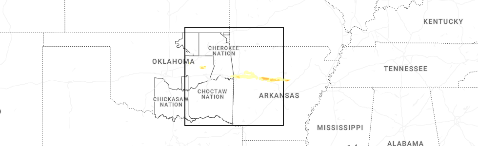
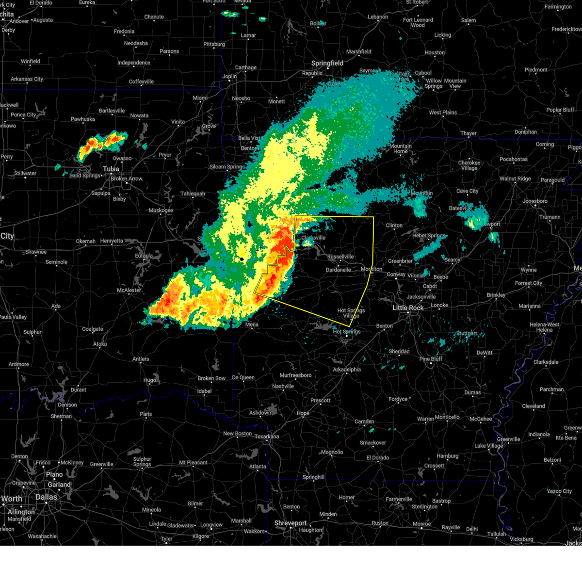
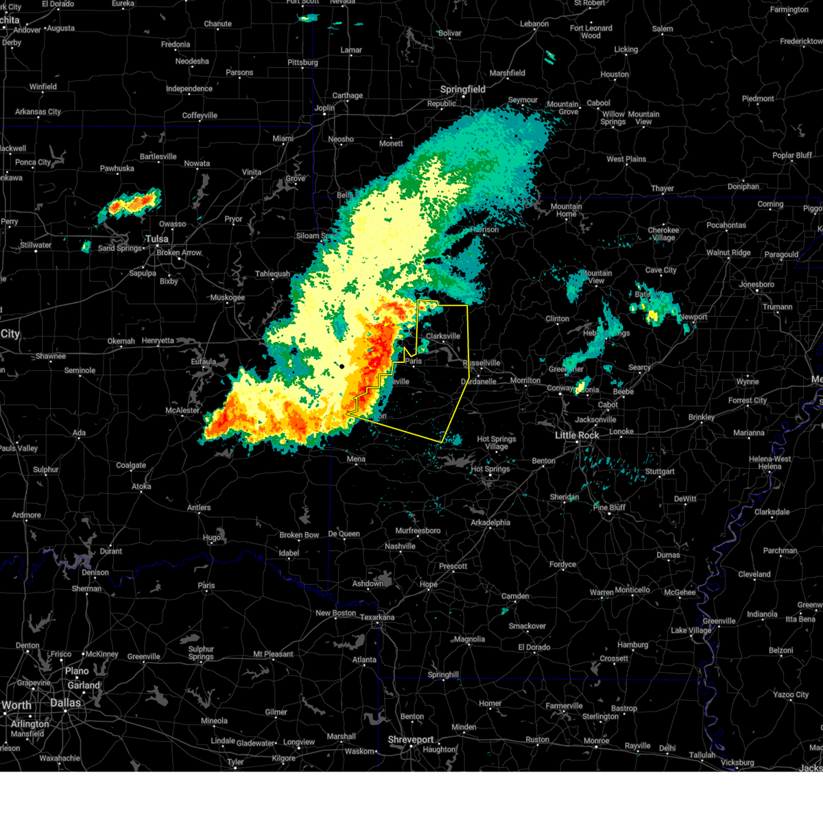
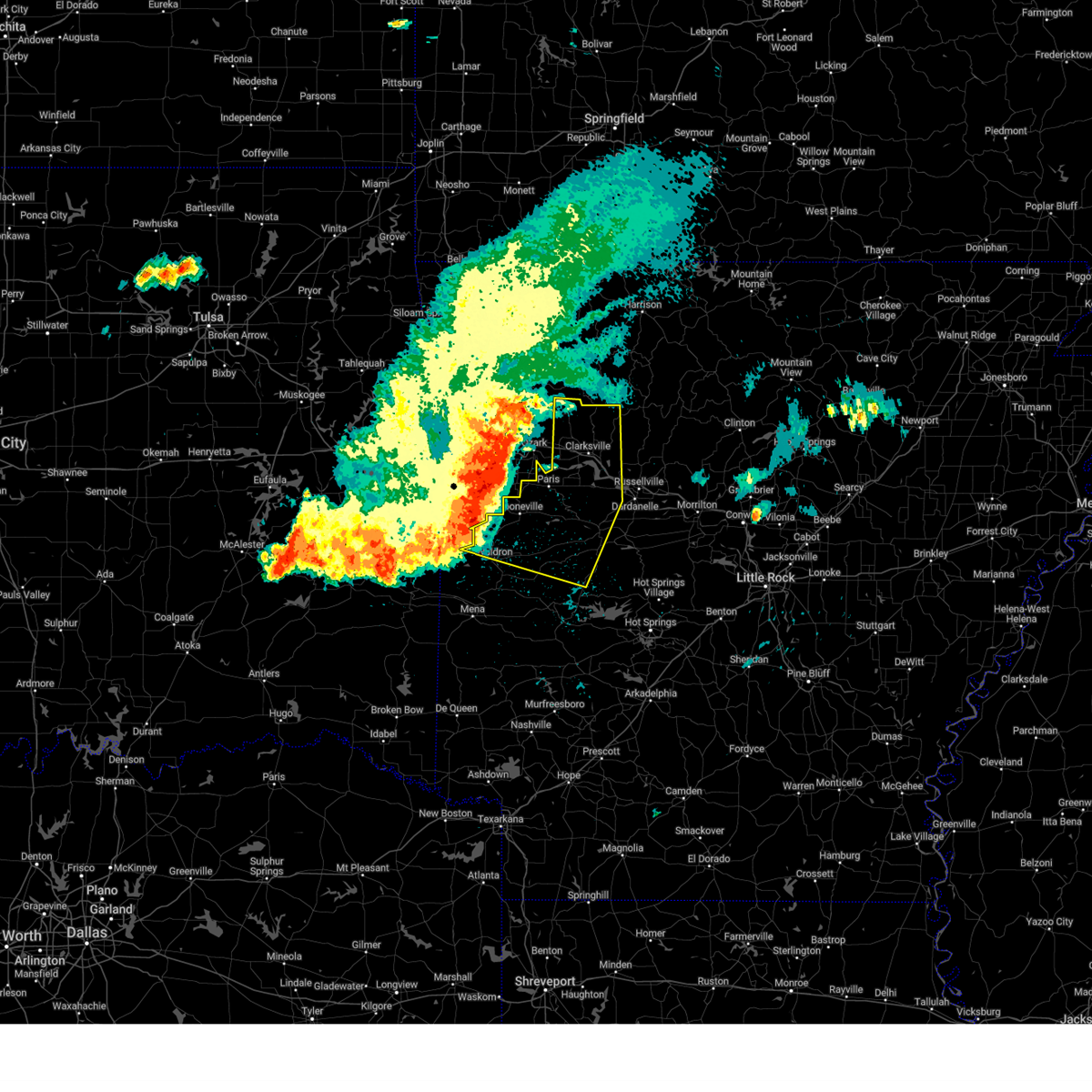
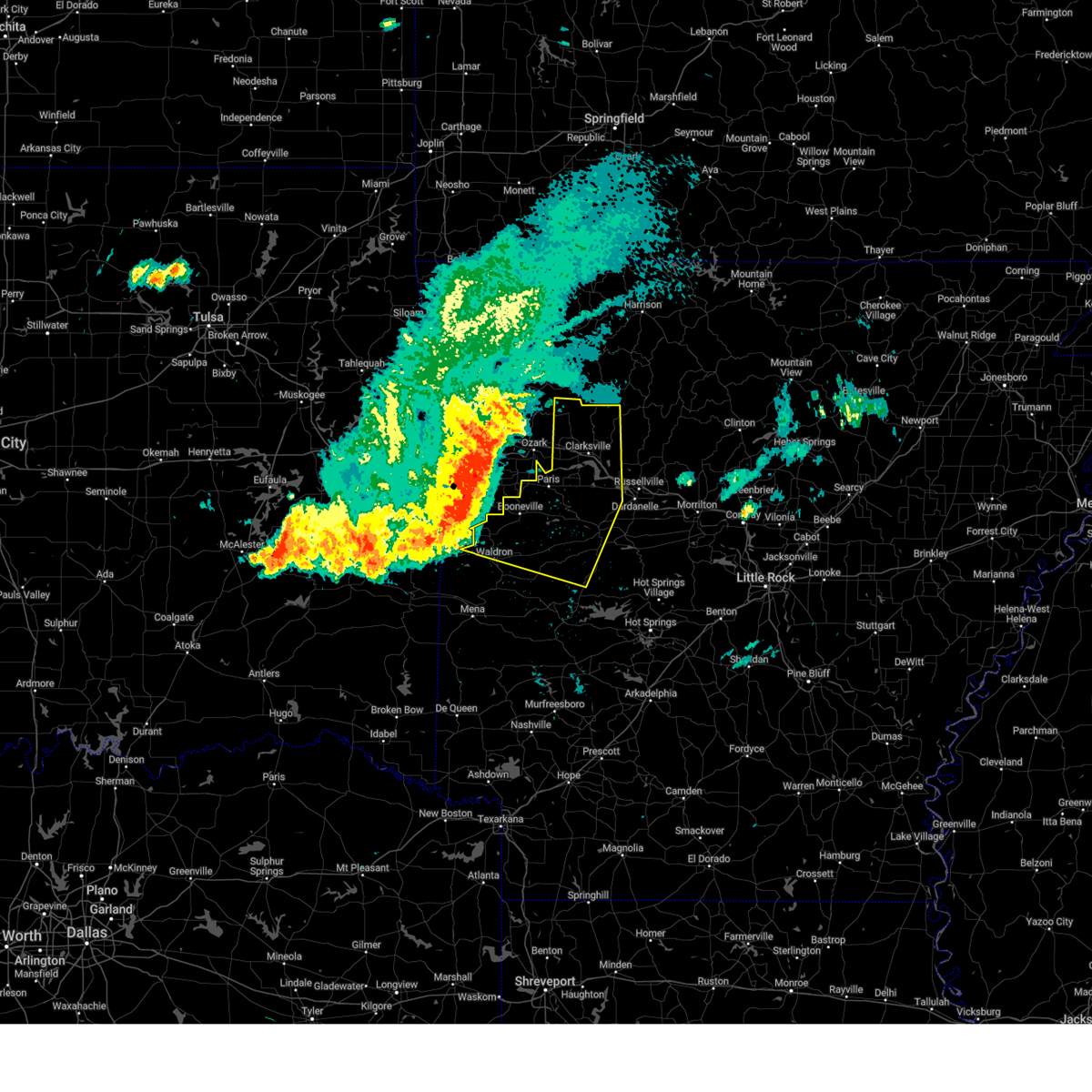
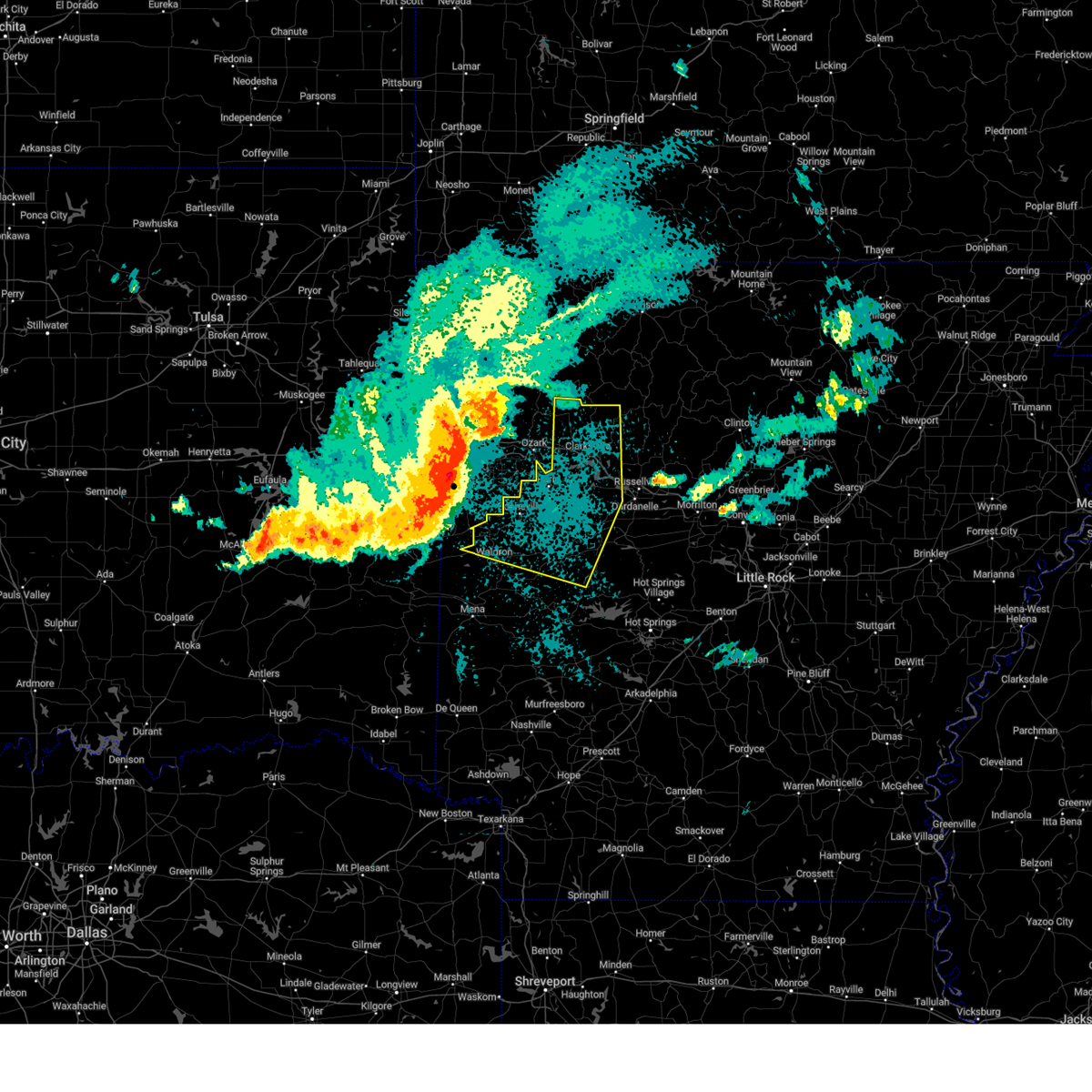
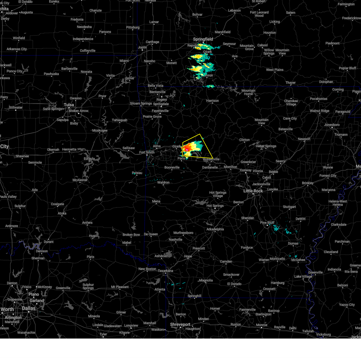
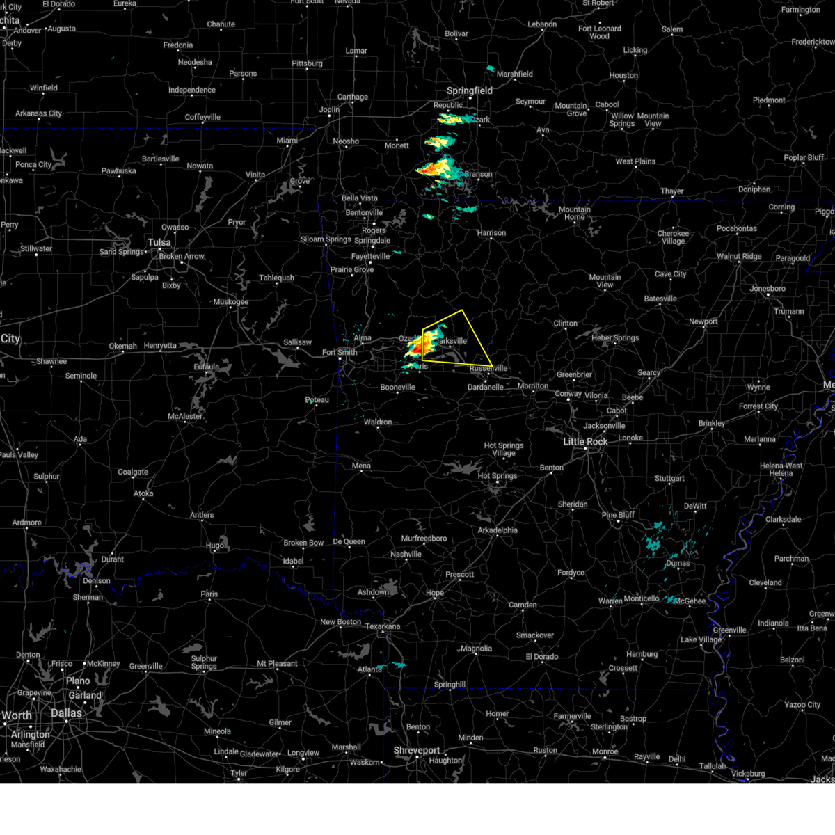
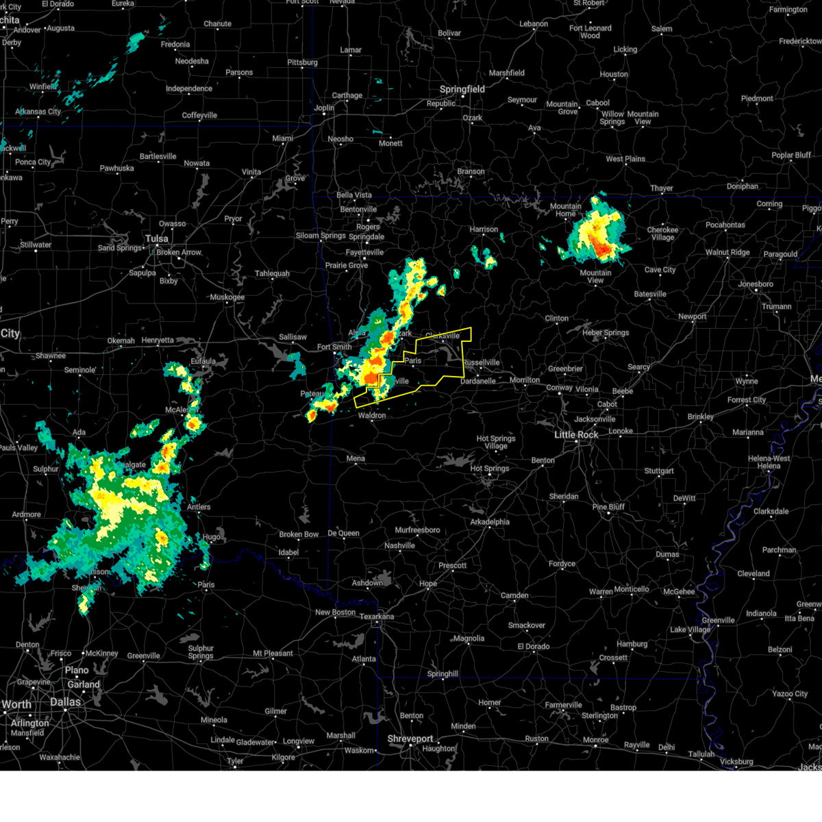
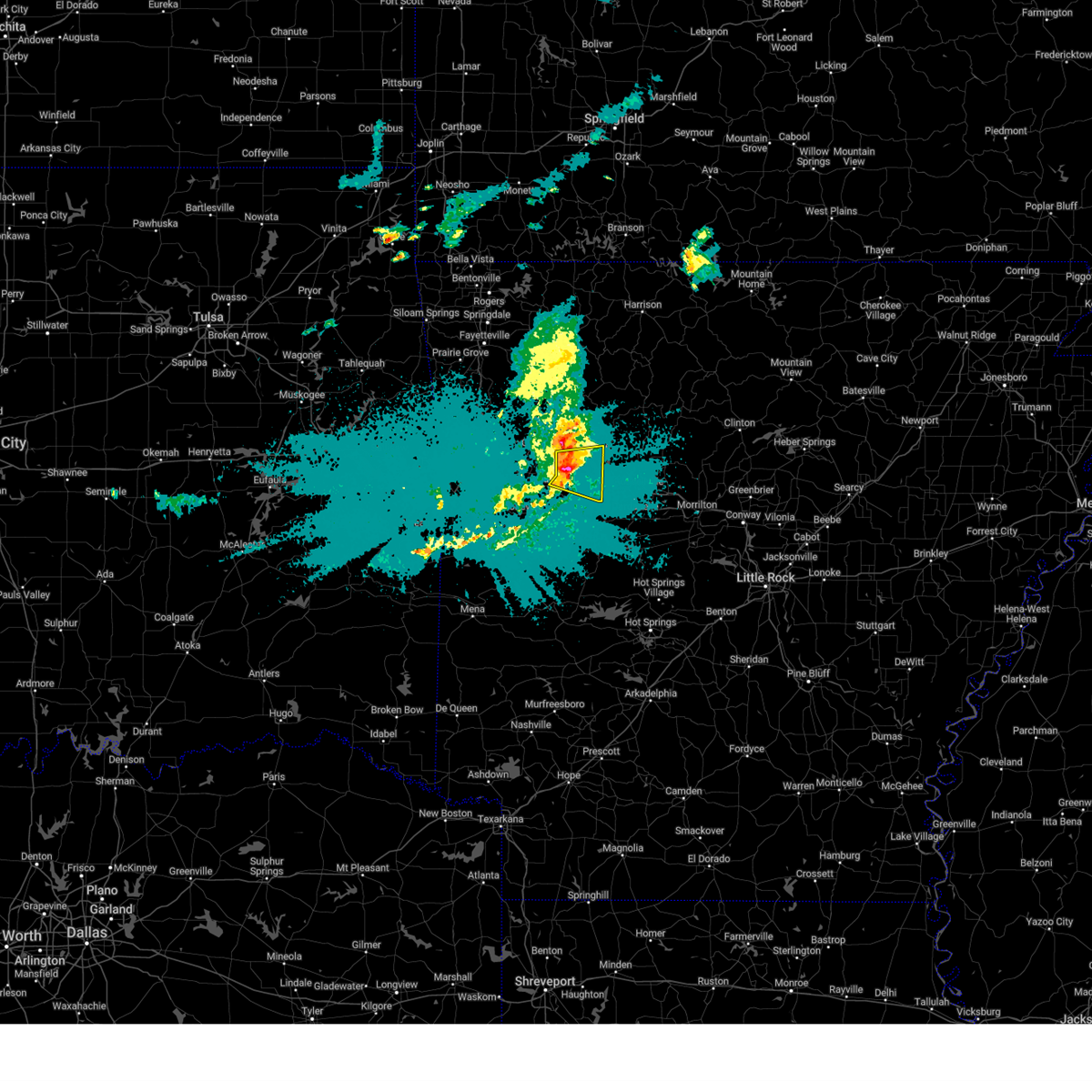
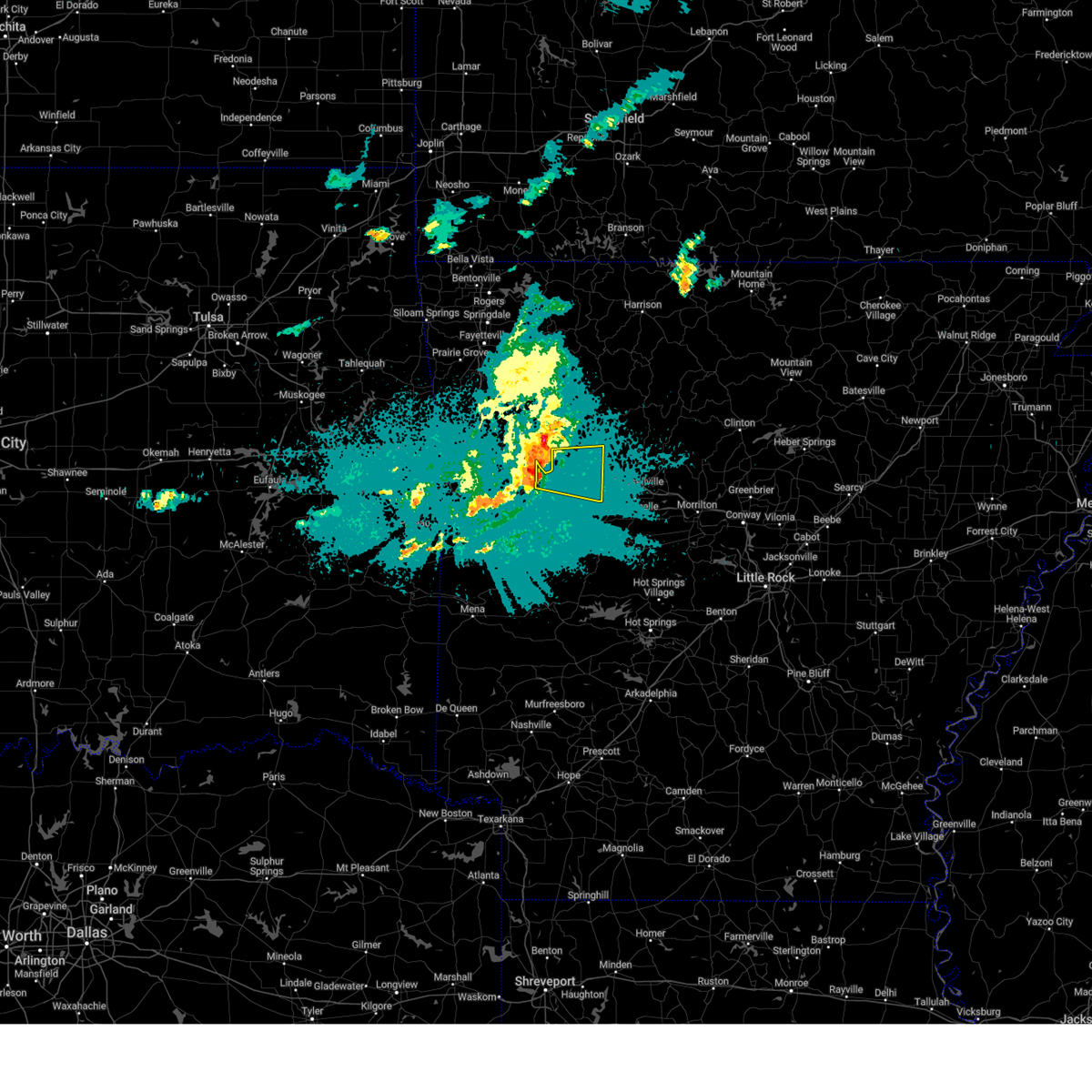
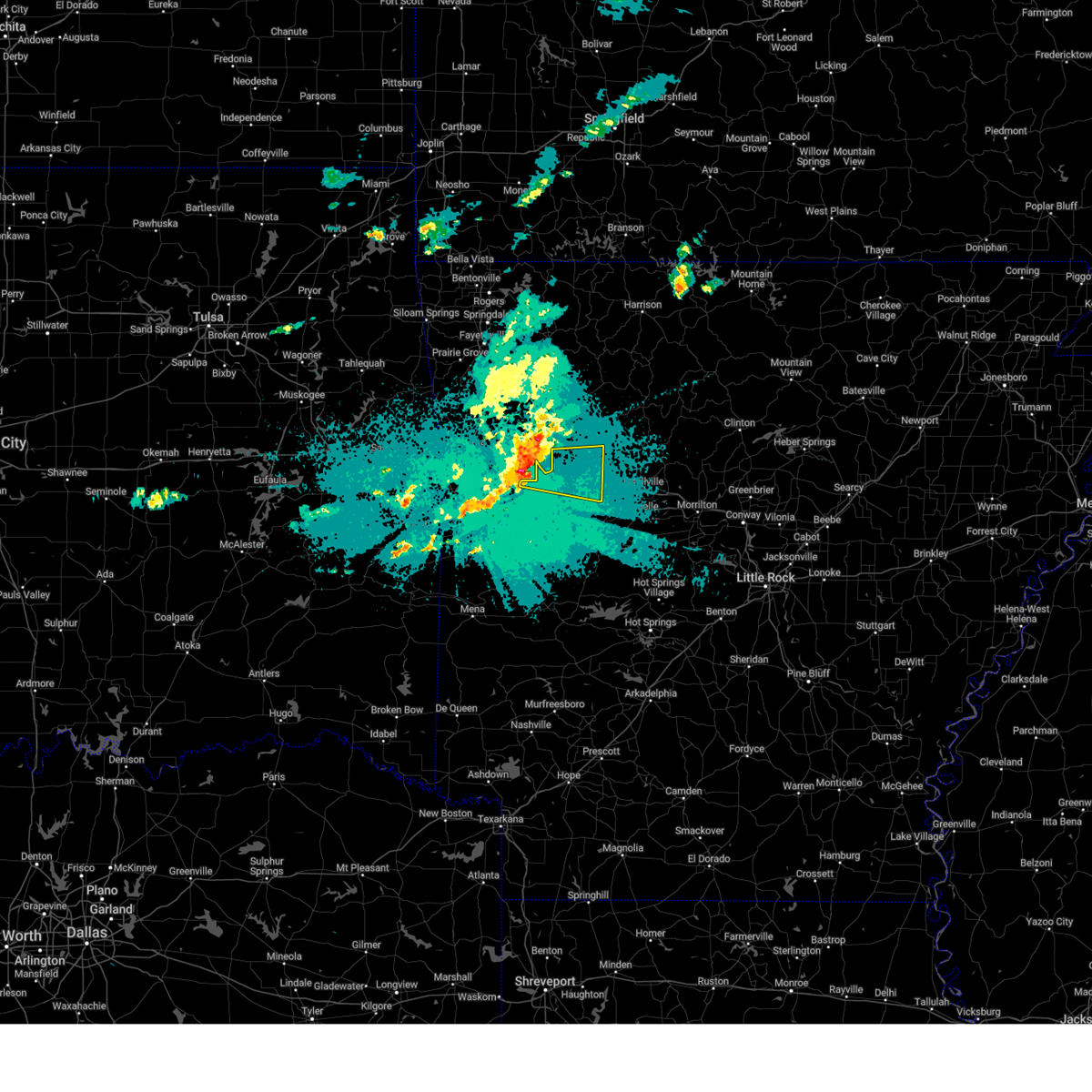
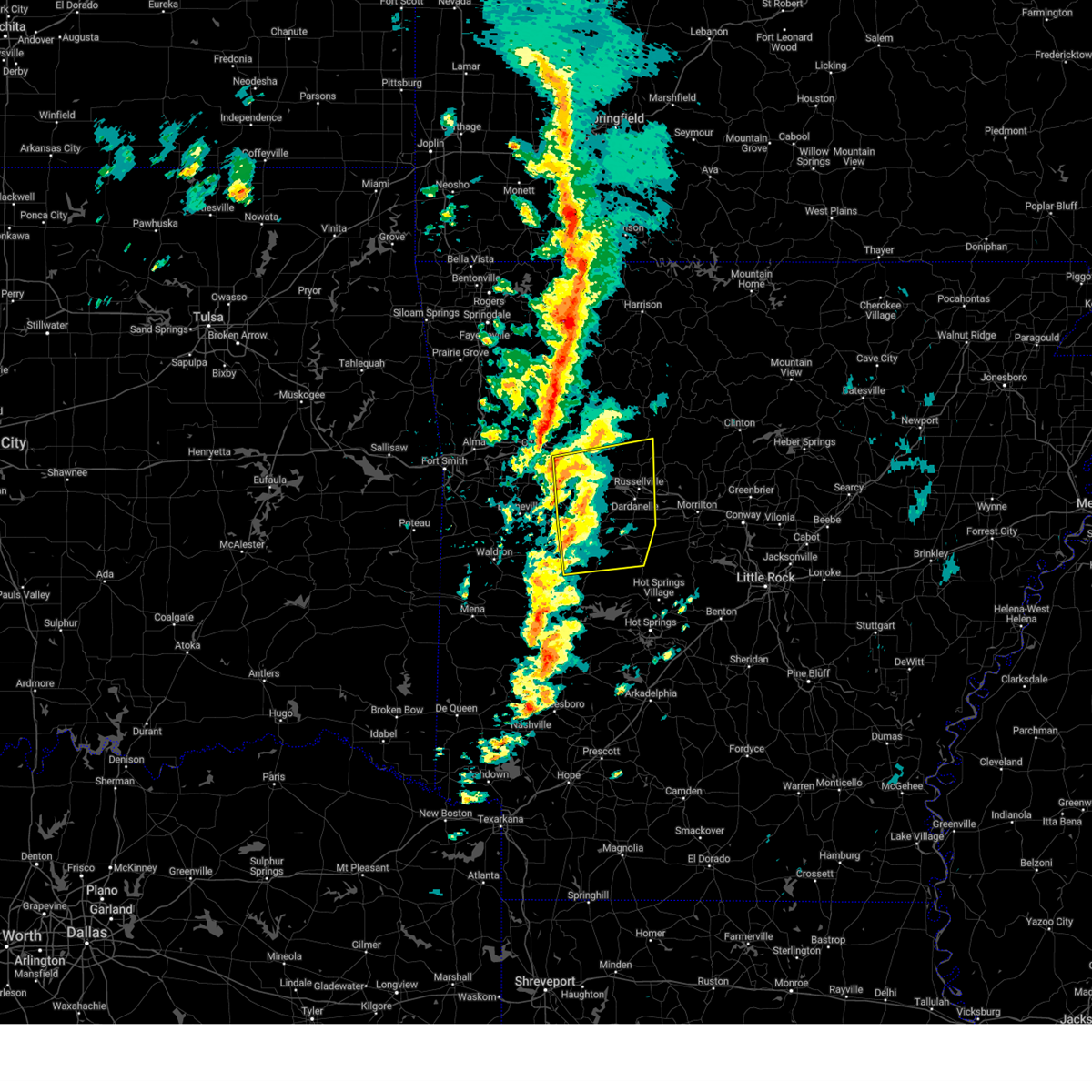
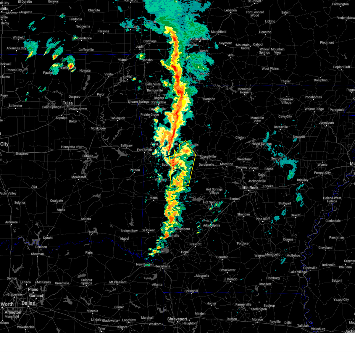
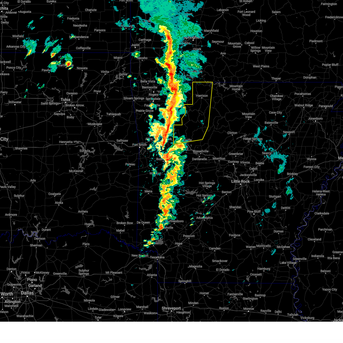
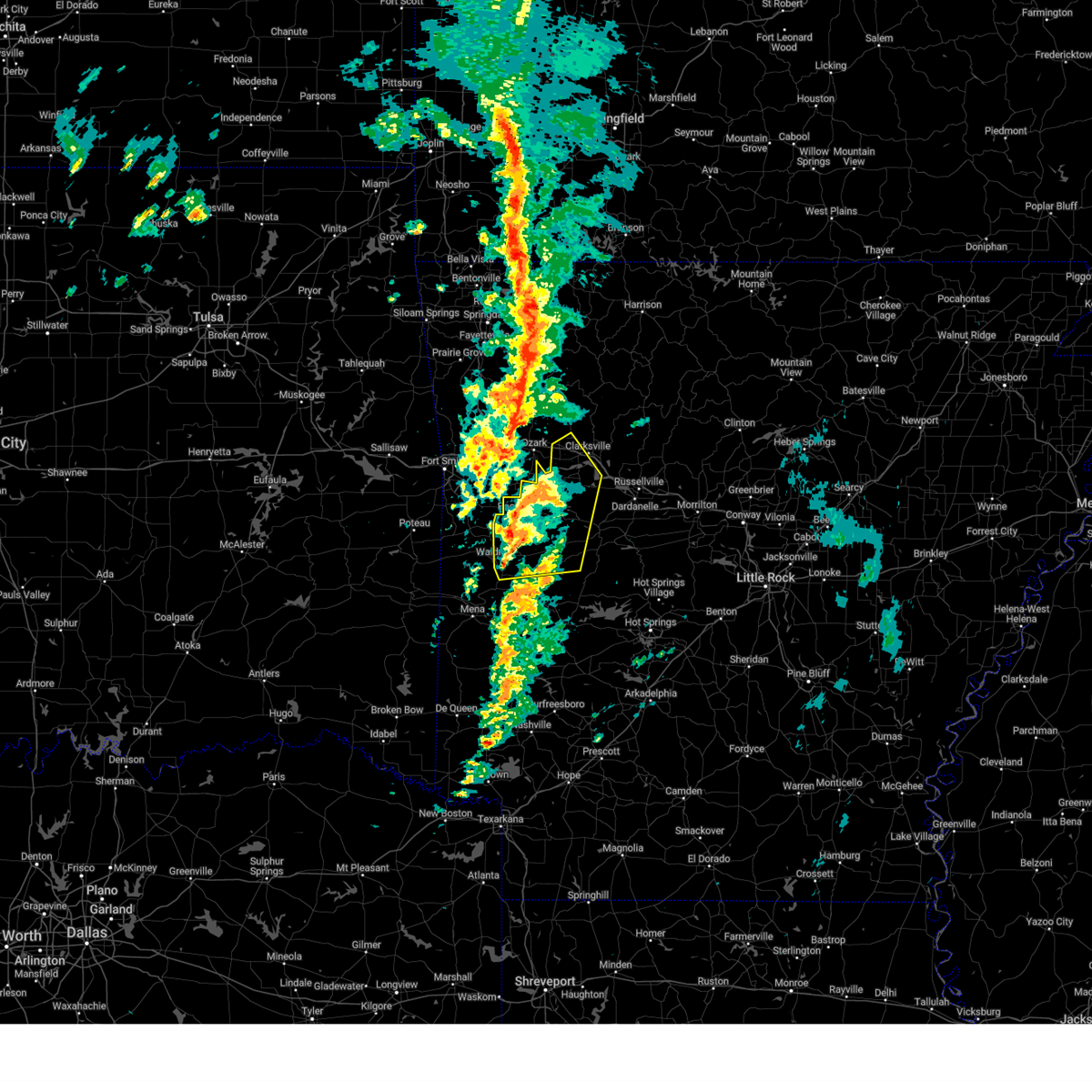
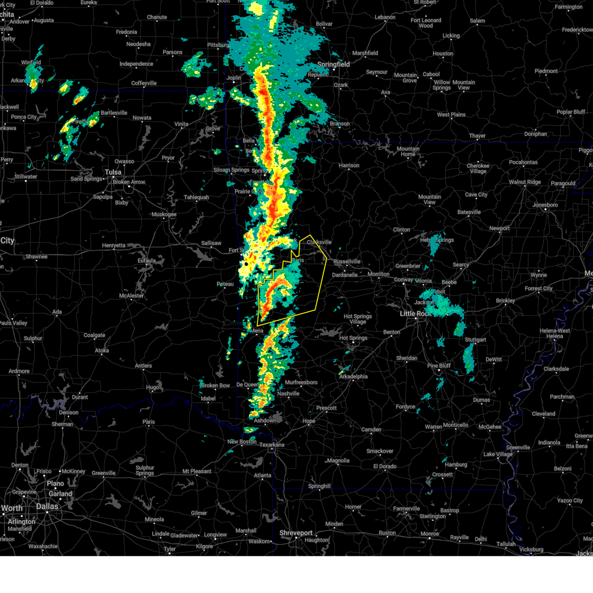
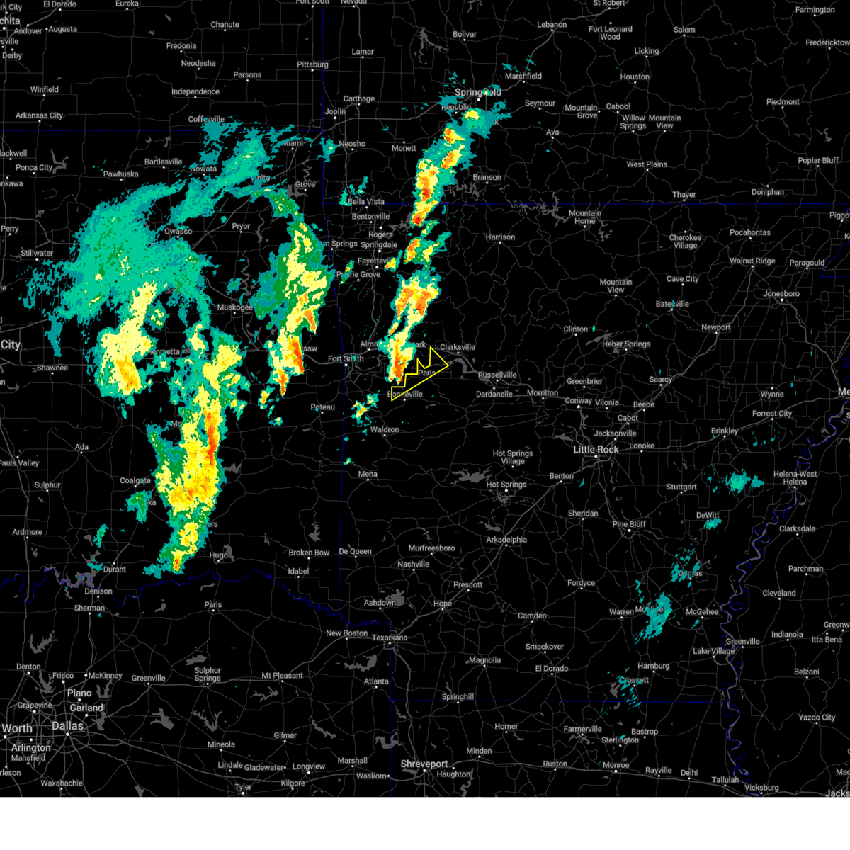
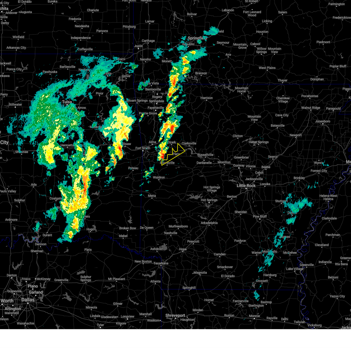
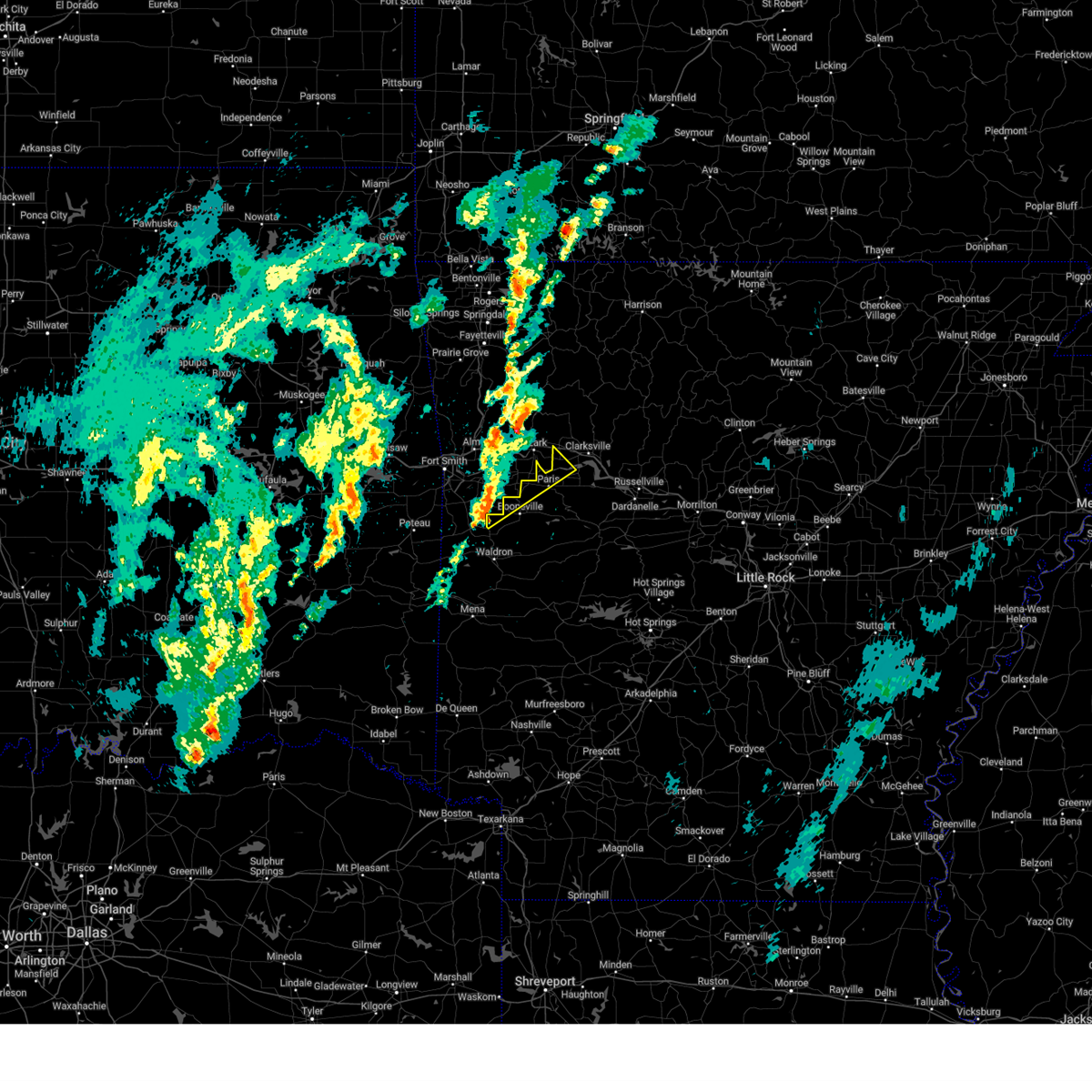
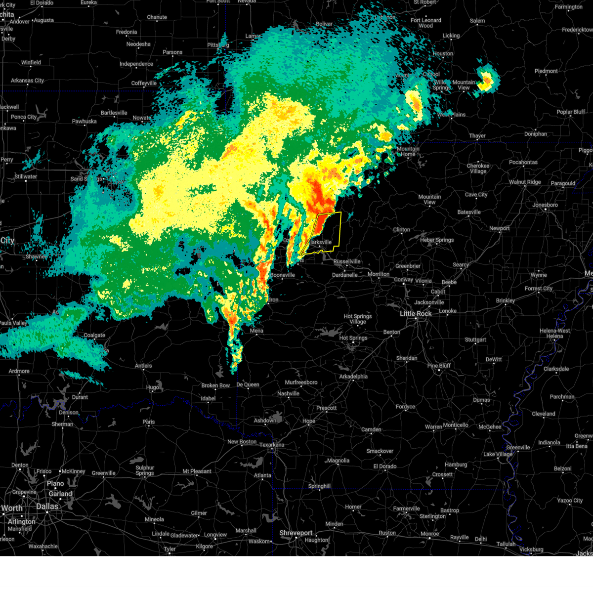
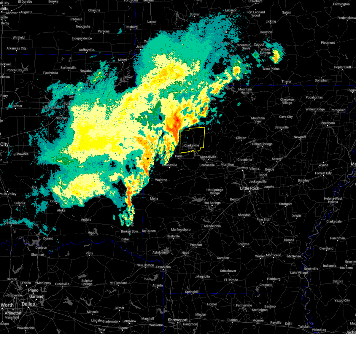
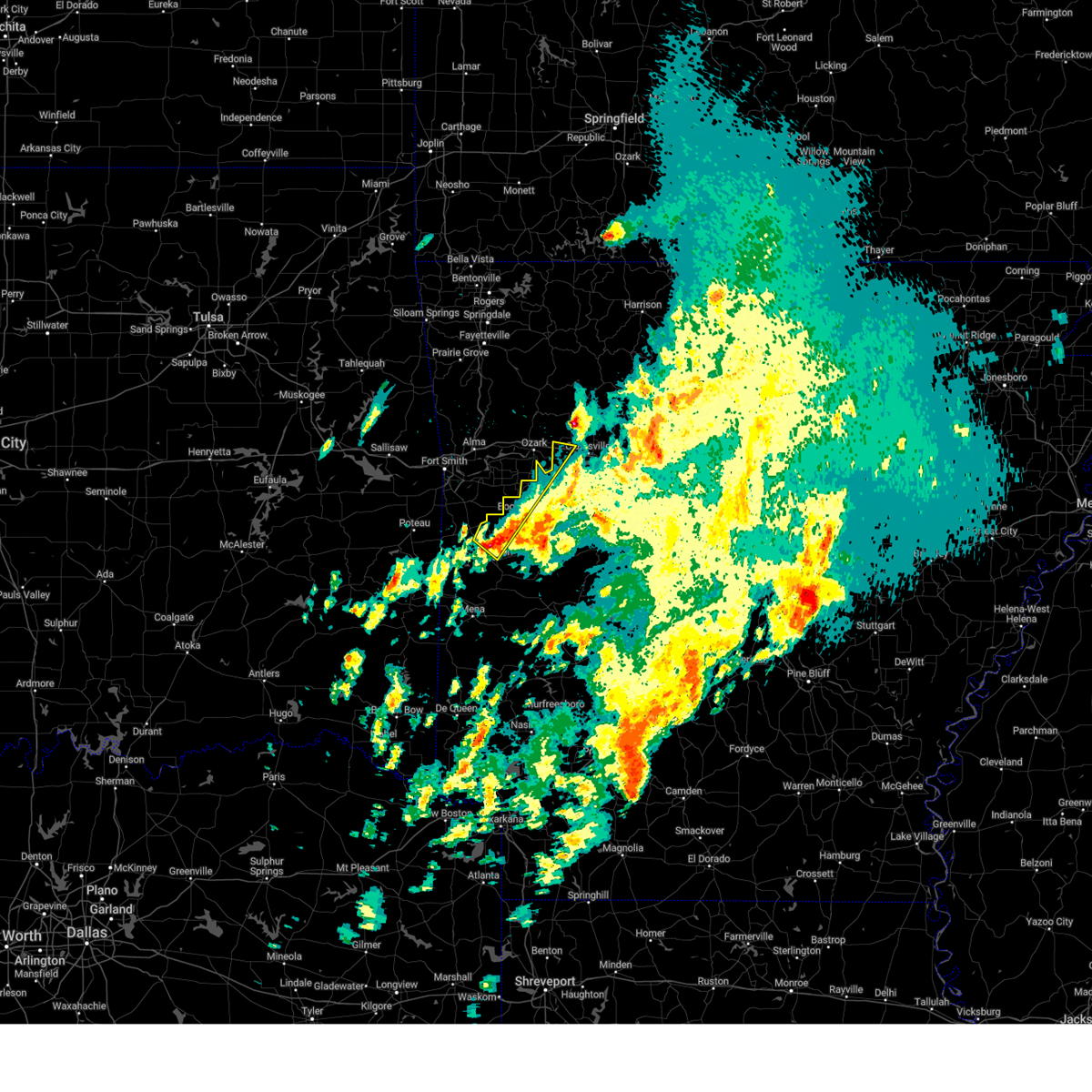
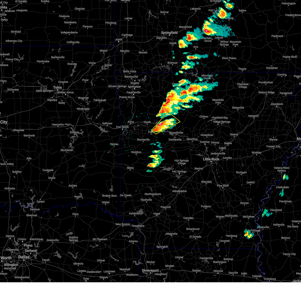
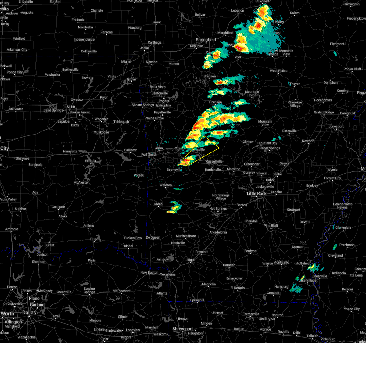
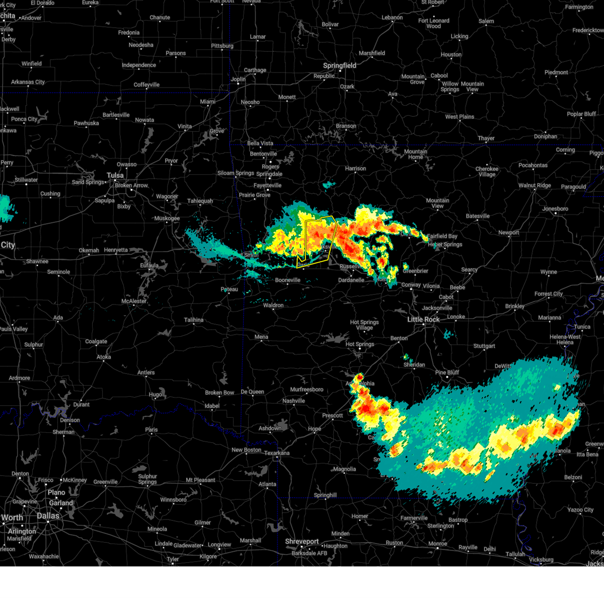
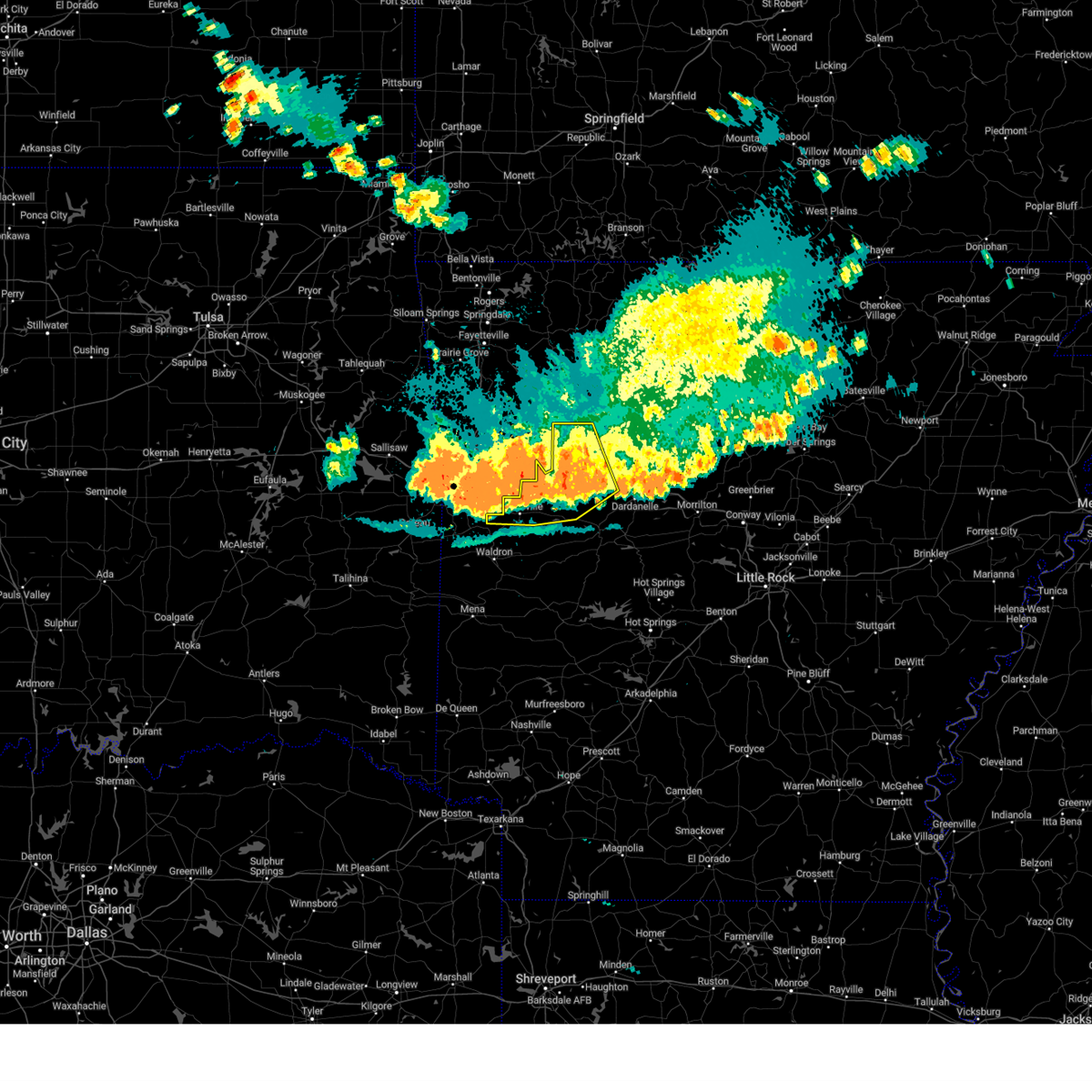
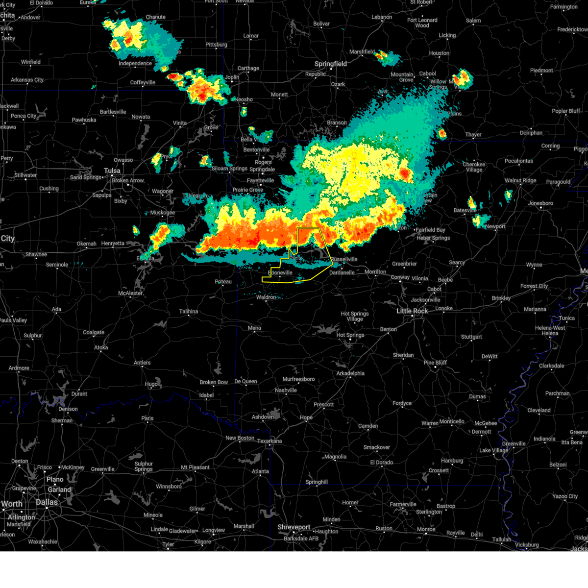
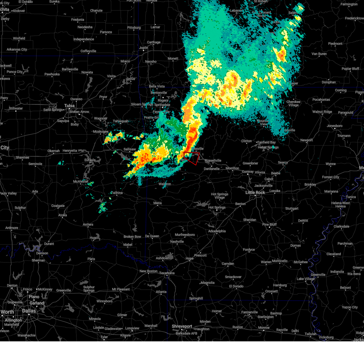
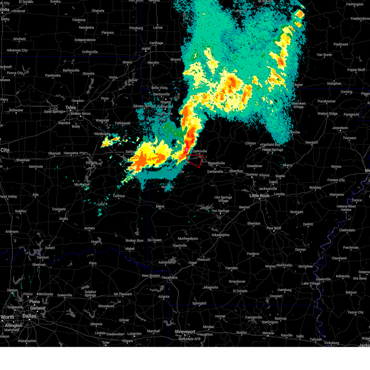
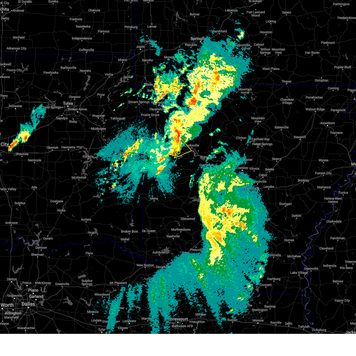
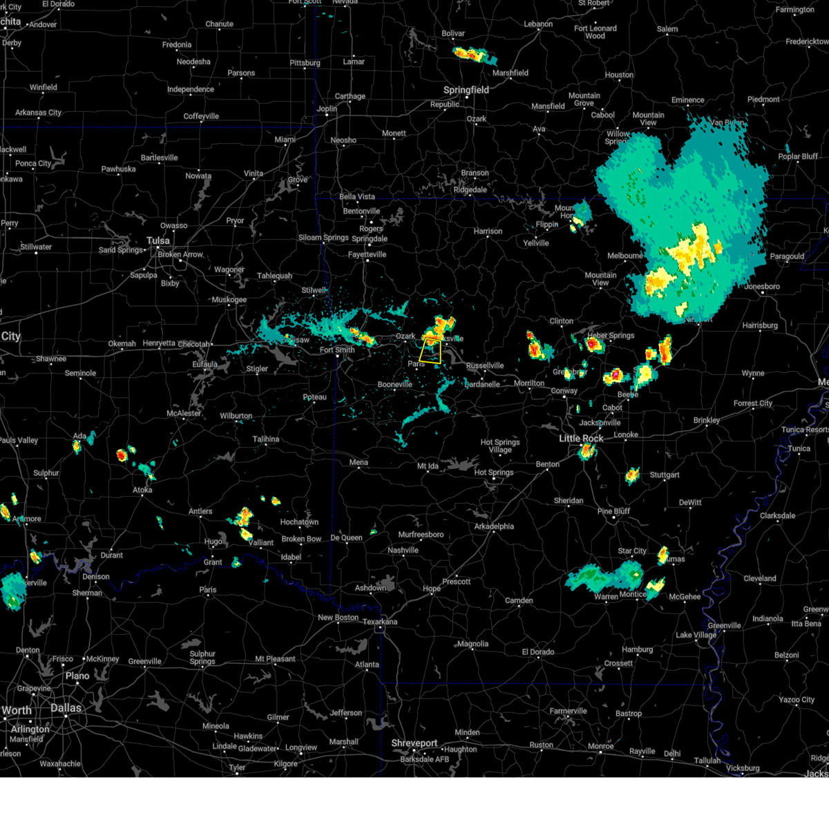
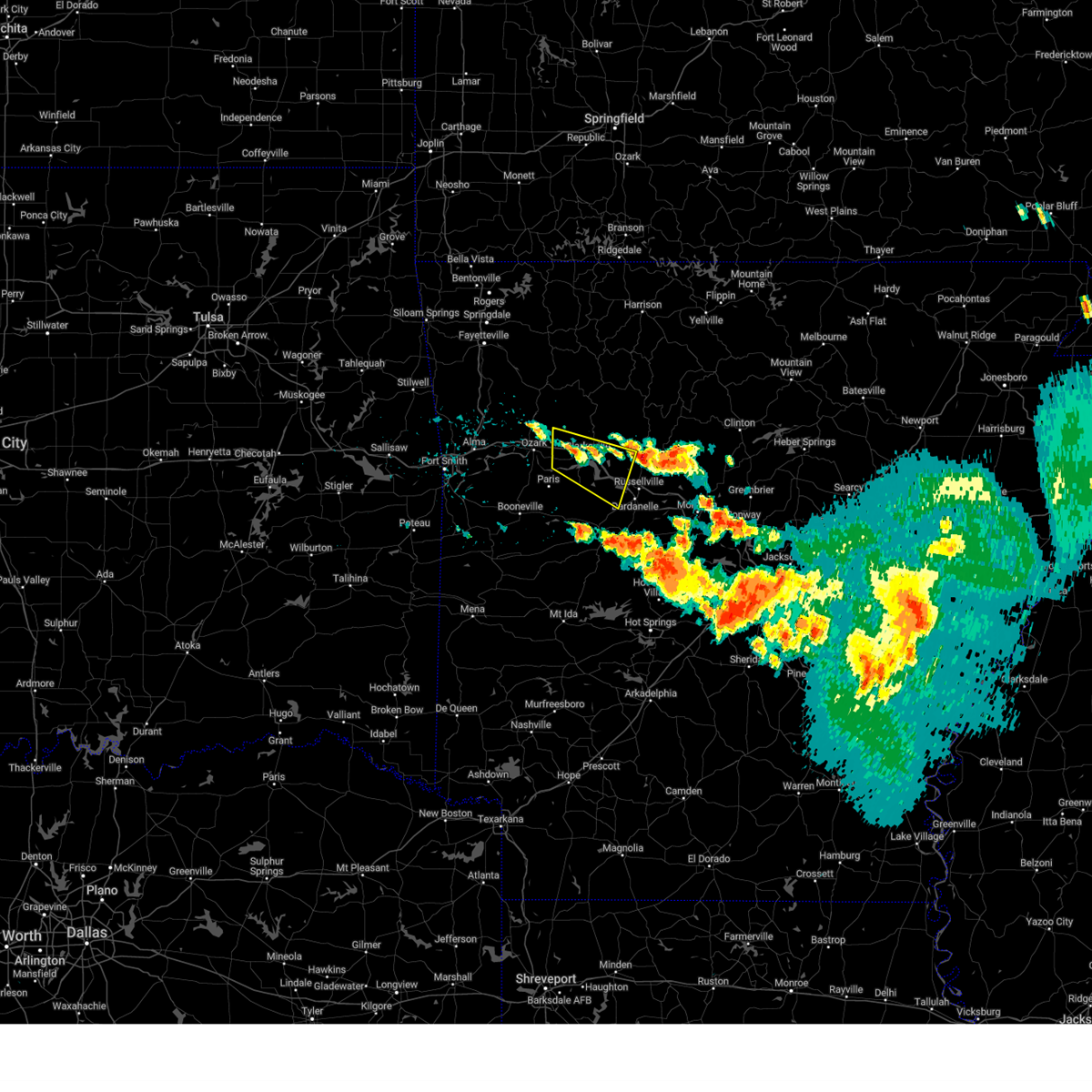
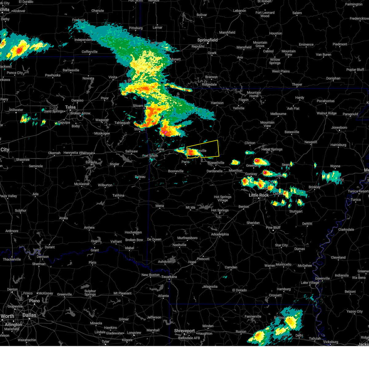
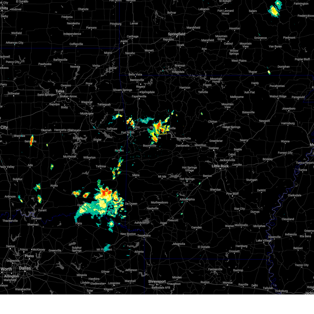
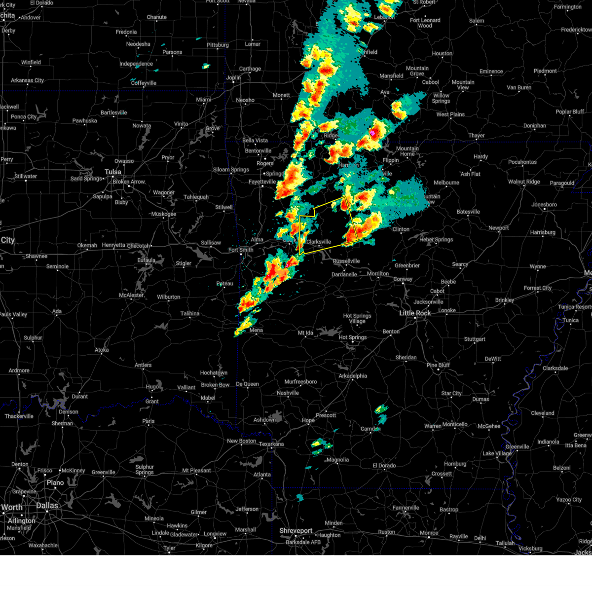
Hail Map for Coal Hill, AR
The Coal Hill, AR area has had 2 reports of on-the-ground hail by trained spotters, and has been under severe weather warnings 41 times during the past 12 months. Doppler radar has detected hail at or near Coal Hill, AR on 79 occasions, including 7 occasions during the past year.
| Name: | Coal Hill, AR |
| Where Located: | 42.5 miles E of Fort Smith, AR |
| Map: | Google Map for Coal Hill, AR |
| Population: | 1012 |
| Housing Units: | 480 |
| More Info: | Search Google for Coal Hill, AR |
2
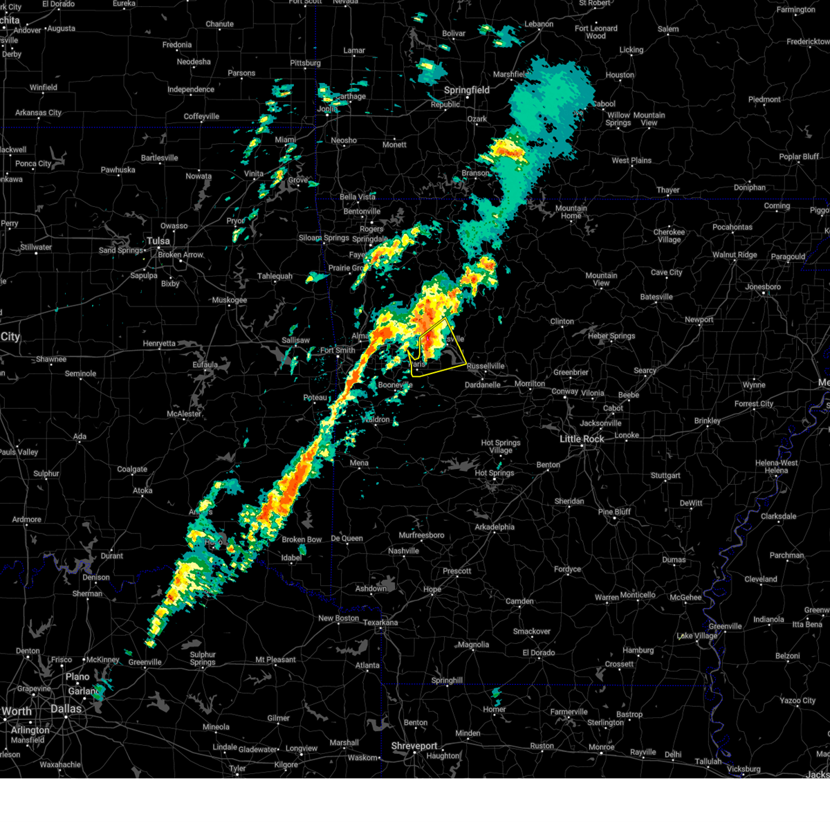
The Top Recent Hail Date for Coal Hill, AR is Wednesday, May 7, 2025 (15th out of 79)
Hail and Wind Damage Spotted near Coal Hill, AR
| Date / Time | Report Details |
|---|---|
| 6/7/2025 6:35 AM CDT |
 Svrlzk the national weather service in little rock has issued a * severe thunderstorm warning for, northeastern logan county in western arkansas, newton county in north central arkansas, johnson county in western arkansas, northwestern pope county in central arkansas, * until 715 am cdt. * at 635 am cdt, severe thunderstorms were located along a line extending from near aurora to near st. paul to 7 miles southeast of mulberry, moving east at 55 mph (radar indicated). Hazards include 60 mph wind gusts and quarter size hail. Hail damage to vehicles is expected. Expect wind damage to roofs, siding, and trees. Svrlzk the national weather service in little rock has issued a * severe thunderstorm warning for, northeastern logan county in western arkansas, newton county in north central arkansas, johnson county in western arkansas, northwestern pope county in central arkansas, * until 715 am cdt. * at 635 am cdt, severe thunderstorms were located along a line extending from near aurora to near st. paul to 7 miles southeast of mulberry, moving east at 55 mph (radar indicated). Hazards include 60 mph wind gusts and quarter size hail. Hail damage to vehicles is expected. Expect wind damage to roofs, siding, and trees.
|
| 5/19/2025 8:34 PM CDT |
 Svrlzk the national weather service in little rock has issued a * severe thunderstorm warning for, northern logan county in western arkansas, western newton county in north central arkansas, johnson county in western arkansas, * until 930 pm cdt. * at 833 pm cdt, severe thunderstorms were located along a line extending from cass to ozark to near branch, moving northeast at 55 mph (radar indicated). Hazards include 60 mph wind gusts. expect damage to roofs, siding, and trees Svrlzk the national weather service in little rock has issued a * severe thunderstorm warning for, northern logan county in western arkansas, western newton county in north central arkansas, johnson county in western arkansas, * until 930 pm cdt. * at 833 pm cdt, severe thunderstorms were located along a line extending from cass to ozark to near branch, moving northeast at 55 mph (radar indicated). Hazards include 60 mph wind gusts. expect damage to roofs, siding, and trees
|
| 5/18/2025 5:25 AM CDT |
 At 524 am cdt, severe thunderstorms were located along a line extending from near clarksville to near piney in garland county to near danville to near fourche valley, moving east at 55 mph (radar indicated). Hazards include 70 mph wind gusts and quarter size hail. Hail damage to vehicles is expected. expect considerable tree damage. wind damage is also likely to mobile homes, roofs, and outbuildings. Locations impacted include, clarksville, wing, ola, fort douglas, long pool campground, atkins, mt tabor, haw creek falls campground, pleasant valley in pope county, lena landing rec area, wolf pen campground, oak grove in pope county, blue ball, devils knob, carter cove park, harmony, mt george, waltreak, jessieville, wonderview,. At 524 am cdt, severe thunderstorms were located along a line extending from near clarksville to near piney in garland county to near danville to near fourche valley, moving east at 55 mph (radar indicated). Hazards include 70 mph wind gusts and quarter size hail. Hail damage to vehicles is expected. expect considerable tree damage. wind damage is also likely to mobile homes, roofs, and outbuildings. Locations impacted include, clarksville, wing, ola, fort douglas, long pool campground, atkins, mt tabor, haw creek falls campground, pleasant valley in pope county, lena landing rec area, wolf pen campground, oak grove in pope county, blue ball, devils knob, carter cove park, harmony, mt george, waltreak, jessieville, wonderview,.
|
| 5/18/2025 5:10 AM CDT |
 Svrlzk the national weather service in little rock has issued a * severe thunderstorm warning for, logan county in western arkansas, johnson county in western arkansas, perry county in central arkansas, northwestern van buren county in north central arkansas, central conway county in central arkansas, northwestern garland county in central arkansas, northeastern scott county in western arkansas, northwestern saline county in central arkansas, yell county in central arkansas, northeastern montgomery county in western arkansas, pope county in central arkansas, * until 600 am cdt. * at 509 am cdt, severe thunderstorms were located along a line extending from 6 miles northwest of woodland to near subiaco to blue mountain to 6 miles west of gravelly, moving east at 50 mph (radar indicated). Hazards include 70 mph wind gusts and quarter size hail. Hail damage to vehicles is expected. expect considerable tree damage. Wind damage is also likely to mobile homes, roofs, and outbuildings. Svrlzk the national weather service in little rock has issued a * severe thunderstorm warning for, logan county in western arkansas, johnson county in western arkansas, perry county in central arkansas, northwestern van buren county in north central arkansas, central conway county in central arkansas, northwestern garland county in central arkansas, northeastern scott county in western arkansas, northwestern saline county in central arkansas, yell county in central arkansas, northeastern montgomery county in western arkansas, pope county in central arkansas, * until 600 am cdt. * at 509 am cdt, severe thunderstorms were located along a line extending from 6 miles northwest of woodland to near subiaco to blue mountain to 6 miles west of gravelly, moving east at 50 mph (radar indicated). Hazards include 70 mph wind gusts and quarter size hail. Hail damage to vehicles is expected. expect considerable tree damage. Wind damage is also likely to mobile homes, roofs, and outbuildings.
|
| 5/18/2025 5:04 AM CDT |
 At 504 am cdt, severe thunderstorms were located along a line extending from near denning to paris to near magazine to near blue mountain to near cardiff, moving east at 60 mph (radar indicated). Hazards include 70 mph wind gusts and quarter size hail. Hail damage to vehicles is expected. expect considerable tree damage. wind damage is also likely to mobile homes, roofs, and outbuildings. Locations impacted include, clarksville, ranger, wing, cardiff, yale, dublin, piney bay recreation area, bluffton, oark, ratcliff, barber, hunt, rover, wolf pen campground, hartman, corinth, blue ball, devils knob, glendale in logan county, spring lake campground,. At 504 am cdt, severe thunderstorms were located along a line extending from near denning to paris to near magazine to near blue mountain to near cardiff, moving east at 60 mph (radar indicated). Hazards include 70 mph wind gusts and quarter size hail. Hail damage to vehicles is expected. expect considerable tree damage. wind damage is also likely to mobile homes, roofs, and outbuildings. Locations impacted include, clarksville, ranger, wing, cardiff, yale, dublin, piney bay recreation area, bluffton, oark, ratcliff, barber, hunt, rover, wolf pen campground, hartman, corinth, blue ball, devils knob, glendale in logan county, spring lake campground,.
|
| 5/18/2025 4:58 AM CDT |
 At 458 am cdt, severe thunderstorms were located along a line extending from near altus to near ratcliff to near magazine to near booneville to near waldron, moving east at 60 mph (radar indicated). Hazards include 70 mph wind gusts and quarter size hail. Hail damage to vehicles is expected. expect considerable tree damage. wind damage is also likely to mobile homes, roofs, and outbuildings. Locations impacted include, clarksville, ranger, wing, cardiff, yale, dublin, piney bay recreation area, bluffton, oark, ratcliff, barber, hunt, rover, wolf pen campground, hartman, corinth, blue ball, devils knob, glendale in logan county, spring lake campground,. At 458 am cdt, severe thunderstorms were located along a line extending from near altus to near ratcliff to near magazine to near booneville to near waldron, moving east at 60 mph (radar indicated). Hazards include 70 mph wind gusts and quarter size hail. Hail damage to vehicles is expected. expect considerable tree damage. wind damage is also likely to mobile homes, roofs, and outbuildings. Locations impacted include, clarksville, ranger, wing, cardiff, yale, dublin, piney bay recreation area, bluffton, oark, ratcliff, barber, hunt, rover, wolf pen campground, hartman, corinth, blue ball, devils knob, glendale in logan county, spring lake campground,.
|
| 5/18/2025 4:48 AM CDT |
 At 448 am cdt, severe thunderstorms were located along a line extending from near ozark to near charleston to near washburn to 6 miles south of echo, moving east at 60 mph (radar indicated). Hazards include 70 mph wind gusts and quarter size hail. Hail damage to vehicles is expected. expect considerable tree damage. wind damage is also likely to mobile homes, roofs, and outbuildings. Locations impacted include, clarksville, ranger, wing, cardiff, yale, dublin, piney bay recreation area, bluffton, oark, ratcliff, barber, hunt, rover, wolf pen campground, hartman, corinth, blue ball, devils knob, glendale in logan county, spring lake campground,. At 448 am cdt, severe thunderstorms were located along a line extending from near ozark to near charleston to near washburn to 6 miles south of echo, moving east at 60 mph (radar indicated). Hazards include 70 mph wind gusts and quarter size hail. Hail damage to vehicles is expected. expect considerable tree damage. wind damage is also likely to mobile homes, roofs, and outbuildings. Locations impacted include, clarksville, ranger, wing, cardiff, yale, dublin, piney bay recreation area, bluffton, oark, ratcliff, barber, hunt, rover, wolf pen campground, hartman, corinth, blue ball, devils knob, glendale in logan county, spring lake campground,.
|
| 5/18/2025 4:41 AM CDT |
 At 440 am cdt, severe thunderstorms were located along a line extending from dyer to lavaca to burnville to near huntington, moving east at 55 mph (radar indicated). Hazards include 70 mph wind gusts and quarter size hail. Hail damage to vehicles is expected. expect considerable tree damage. wind damage is also likely to mobile homes, roofs, and outbuildings. Locations impacted include, clarksville, ranger, wing, cardiff, yale, dublin, piney bay recreation area, bluffton, oark, ratcliff, barber, hunt, rover, wolf pen campground, hartman, corinth, blue ball, devils knob, glendale in logan county, spring lake campground,. At 440 am cdt, severe thunderstorms were located along a line extending from dyer to lavaca to burnville to near huntington, moving east at 55 mph (radar indicated). Hazards include 70 mph wind gusts and quarter size hail. Hail damage to vehicles is expected. expect considerable tree damage. wind damage is also likely to mobile homes, roofs, and outbuildings. Locations impacted include, clarksville, ranger, wing, cardiff, yale, dublin, piney bay recreation area, bluffton, oark, ratcliff, barber, hunt, rover, wolf pen campground, hartman, corinth, blue ball, devils knob, glendale in logan county, spring lake campground,.
|
| 5/18/2025 4:29 AM CDT |
 Svrlzk the national weather service in little rock has issued a * severe thunderstorm warning for, logan county in western arkansas, johnson county in western arkansas, northern scott county in western arkansas, yell county in central arkansas, west central pope county in central arkansas, * until 515 am cdt. * at 429 am cdt, severe thunderstorms were located along a line extending from rudy to jenny lind to near hartford, moving east at 60 mph (radar indicated). Hazards include 60 mph wind gusts and quarter size hail. Hail damage to vehicles is expected. Expect wind damage to roofs, siding, and trees. Svrlzk the national weather service in little rock has issued a * severe thunderstorm warning for, logan county in western arkansas, johnson county in western arkansas, northern scott county in western arkansas, yell county in central arkansas, west central pope county in central arkansas, * until 515 am cdt. * at 429 am cdt, severe thunderstorms were located along a line extending from rudy to jenny lind to near hartford, moving east at 60 mph (radar indicated). Hazards include 60 mph wind gusts and quarter size hail. Hail damage to vehicles is expected. Expect wind damage to roofs, siding, and trees.
|
| 5/16/2025 11:53 AM CDT |
 At 1153 am cdt, a severe thunderstorm was located near hartman, or 8 miles west of clarksville, moving east at 45 mph (radar indicated). Hazards include ping pong ball size hail and 60 mph wind gusts. People and animals outdoors will be injured. expect hail damage to roofs, siding, windows, and vehicles. expect wind damage to roofs, siding, and trees. Locations impacted include, clarksville, lutherville, dublin, piney bay recreation area, union city, woodland, hinkle, hunt, coal hill, scranton, hartman, mineral springs recreation area, hoyt, new spadra, augsburg, morrison bluff, harmony, ozone, knoxville, spadra,. At 1153 am cdt, a severe thunderstorm was located near hartman, or 8 miles west of clarksville, moving east at 45 mph (radar indicated). Hazards include ping pong ball size hail and 60 mph wind gusts. People and animals outdoors will be injured. expect hail damage to roofs, siding, windows, and vehicles. expect wind damage to roofs, siding, and trees. Locations impacted include, clarksville, lutherville, dublin, piney bay recreation area, union city, woodland, hinkle, hunt, coal hill, scranton, hartman, mineral springs recreation area, hoyt, new spadra, augsburg, morrison bluff, harmony, ozone, knoxville, spadra,.
|
| 5/16/2025 11:43 AM CDT |
 Svrlzk the national weather service in little rock has issued a * severe thunderstorm warning for, northeastern logan county in western arkansas, johnson county in western arkansas, west central pope county in central arkansas, * until 1230 pm cdt. * at 1143 am cdt, a severe thunderstorm was located near wiederkehr village, or 8 miles east of ozark, moving east at 45 mph (radar indicated). Hazards include 60 mph wind gusts and quarter size hail. Hail damage to vehicles is expected. Expect wind damage to roofs, siding, and trees. Svrlzk the national weather service in little rock has issued a * severe thunderstorm warning for, northeastern logan county in western arkansas, johnson county in western arkansas, west central pope county in central arkansas, * until 1230 pm cdt. * at 1143 am cdt, a severe thunderstorm was located near wiederkehr village, or 8 miles east of ozark, moving east at 45 mph (radar indicated). Hazards include 60 mph wind gusts and quarter size hail. Hail damage to vehicles is expected. Expect wind damage to roofs, siding, and trees.
|
| 5/15/2025 1:06 PM CDT |
 Svrlzk the national weather service in little rock has issued a * severe thunderstorm warning for, logan county in western arkansas, southern johnson county in western arkansas, north central scott county in western arkansas, * until 145 pm cdt. * at 105 pm cdt, a severe thunderstorm was located over mansfield, or 14 miles northwest of waldron, moving northeast at 60 mph (radar indicated). Hazards include 60 mph wind gusts and quarter size hail. Hail damage to vehicles is expected. Expect wind damage to roofs, siding, and trees. Svrlzk the national weather service in little rock has issued a * severe thunderstorm warning for, logan county in western arkansas, southern johnson county in western arkansas, north central scott county in western arkansas, * until 145 pm cdt. * at 105 pm cdt, a severe thunderstorm was located over mansfield, or 14 miles northwest of waldron, moving northeast at 60 mph (radar indicated). Hazards include 60 mph wind gusts and quarter size hail. Hail damage to vehicles is expected. Expect wind damage to roofs, siding, and trees.
|
| 5/7/2025 10:36 PM CDT |
 At 1036 pm cdt, a severe thunderstorm was located over scranton, or 7 miles southwest of clarksville, moving east at 25 mph (radar indicated). Hazards include 60 mph wind gusts and quarter size hail. Hail damage to vehicles is expected. expect wind damage to roofs, siding, and trees. Locations impacted include, hoyt, new spadra, clarksville, morrison bluff, subiaco, dublin, ludwig, union city, hinkle, midway in logan county, coal hill, wilkins, spadra, lamar, scranton, new blaine, hartman, tokalon, knoxville, paris,. At 1036 pm cdt, a severe thunderstorm was located over scranton, or 7 miles southwest of clarksville, moving east at 25 mph (radar indicated). Hazards include 60 mph wind gusts and quarter size hail. Hail damage to vehicles is expected. expect wind damage to roofs, siding, and trees. Locations impacted include, hoyt, new spadra, clarksville, morrison bluff, subiaco, dublin, ludwig, union city, hinkle, midway in logan county, coal hill, wilkins, spadra, lamar, scranton, new blaine, hartman, tokalon, knoxville, paris,.
|
| 5/7/2025 10:20 PM CDT |
 At 1019 pm cdt, a severe thunderstorm was located near denning, or near paris, moving east at 30 mph (radar indicated). Hazards include 70 mph wind gusts and ping pong ball size hail. People and animals outdoors will be injured. expect hail damage to roofs, siding, windows, and vehicles. expect considerable tree damage. wind damage is also likely to mobile homes, roofs, and outbuildings. Locations impacted include, hoyt, new spadra, clarksville, morrison bluff, subiaco, roseville, dublin, ludwig, union city, hinkle, midway in logan county, coal hill, wilkins, spadra, lamar, scranton, carbon city, new blaine, hartman, tokalon,. At 1019 pm cdt, a severe thunderstorm was located near denning, or near paris, moving east at 30 mph (radar indicated). Hazards include 70 mph wind gusts and ping pong ball size hail. People and animals outdoors will be injured. expect hail damage to roofs, siding, windows, and vehicles. expect considerable tree damage. wind damage is also likely to mobile homes, roofs, and outbuildings. Locations impacted include, hoyt, new spadra, clarksville, morrison bluff, subiaco, roseville, dublin, ludwig, union city, hinkle, midway in logan county, coal hill, wilkins, spadra, lamar, scranton, carbon city, new blaine, hartman, tokalon,.
|
| 5/7/2025 10:10 PM CDT |
 Svrlzk the national weather service in little rock has issued a * severe thunderstorm warning for, northeastern logan county in western arkansas, southwestern johnson county in western arkansas, * until 1100 pm cdt. * at 1009 pm cdt, a severe thunderstorm was located near ratcliff, or 8 miles south of ozark, moving east at 25 mph (radar indicated). Hazards include ping pong ball size hail and 60 mph wind gusts. People and animals outdoors will be injured. expect hail damage to roofs, siding, windows, and vehicles. Expect wind damage to roofs, siding, and trees. Svrlzk the national weather service in little rock has issued a * severe thunderstorm warning for, northeastern logan county in western arkansas, southwestern johnson county in western arkansas, * until 1100 pm cdt. * at 1009 pm cdt, a severe thunderstorm was located near ratcliff, or 8 miles south of ozark, moving east at 25 mph (radar indicated). Hazards include ping pong ball size hail and 60 mph wind gusts. People and animals outdoors will be injured. expect hail damage to roofs, siding, windows, and vehicles. Expect wind damage to roofs, siding, and trees.
|
| 4/20/2025 3:38 PM CDT |
 Svrlzk the national weather service in little rock has issued a * severe thunderstorm warning for, northeastern logan county in western arkansas, southern johnson county in western arkansas, northwestern perry county in central arkansas, southwestern conway county in central arkansas, yell county in central arkansas, southwestern pope county in central arkansas, * until 415 pm cdt. * at 338 pm cdt, a severe thunderstorm was located near midway in logan county, or 11 miles northwest of danville, moving northeast at 60 mph (radar indicated). Hazards include 60 mph wind gusts and nickel size hail. expect damage to roofs, siding, and trees Svrlzk the national weather service in little rock has issued a * severe thunderstorm warning for, northeastern logan county in western arkansas, southern johnson county in western arkansas, northwestern perry county in central arkansas, southwestern conway county in central arkansas, yell county in central arkansas, southwestern pope county in central arkansas, * until 415 pm cdt. * at 338 pm cdt, a severe thunderstorm was located near midway in logan county, or 11 miles northwest of danville, moving northeast at 60 mph (radar indicated). Hazards include 60 mph wind gusts and nickel size hail. expect damage to roofs, siding, and trees
|
| 4/20/2025 3:28 PM CDT |
 At 328 pm cdt, severe thunderstorms were located along a line extending from 7 miles east of cass to near mount magazine to 6 miles east of cardiff, moving northeast at 55 mph (radar indicated). Hazards include 60 mph wind gusts and nickel size hail. Expect damage to roofs, siding, and trees. Locations impacted include, stonehouse recreation area, clarksville, subiaco, olio, roseville, dublin, ludwig, bluffton, union city, hinkle, ratcliff, hunt, coal hill, wilkins, blue mountain, scranton, gravelly, hartman, corley, fourche valley,. At 328 pm cdt, severe thunderstorms were located along a line extending from 7 miles east of cass to near mount magazine to 6 miles east of cardiff, moving northeast at 55 mph (radar indicated). Hazards include 60 mph wind gusts and nickel size hail. Expect damage to roofs, siding, and trees. Locations impacted include, stonehouse recreation area, clarksville, subiaco, olio, roseville, dublin, ludwig, bluffton, union city, hinkle, ratcliff, hunt, coal hill, wilkins, blue mountain, scranton, gravelly, hartman, corley, fourche valley,.
|
| 4/20/2025 3:25 PM CDT |
 Svrlzk the national weather service in little rock has issued a * severe thunderstorm warning for, newton county in north central arkansas, johnson county in western arkansas, boone county in north central arkansas, northwestern pope county in central arkansas, * until 415 pm cdt. * at 325 pm cdt, severe thunderstorms were located along a line extending from near huntsville to near cass to near ratcliff, moving northeast at 75 mph (radar indicated). Hazards include 60 mph wind gusts and nickel size hail. expect damage to roofs, siding, and trees Svrlzk the national weather service in little rock has issued a * severe thunderstorm warning for, newton county in north central arkansas, johnson county in western arkansas, boone county in north central arkansas, northwestern pope county in central arkansas, * until 415 pm cdt. * at 325 pm cdt, severe thunderstorms were located along a line extending from near huntsville to near cass to near ratcliff, moving northeast at 75 mph (radar indicated). Hazards include 60 mph wind gusts and nickel size hail. expect damage to roofs, siding, and trees
|
| 4/20/2025 3:09 PM CDT |
 At 309 pm cdt, severe thunderstorms were located along a line extending from near ozark to 7 miles southeast of booneville to 8 miles southeast of waldron, moving northeast at 55 mph (radar indicated). Hazards include 60 mph wind gusts and nickel size hail. Expect damage to roofs, siding, and trees. Locations impacted include, clarksville, cardiff, dublin, bluffton, ratcliff, barber, hunt, hartman, blue ball, glendale in logan county, hoyt, union hill, morrison bluff, harmony, caulksville, waltreak, booneville, midway in logan county, nola, driggs,. At 309 pm cdt, severe thunderstorms were located along a line extending from near ozark to 7 miles southeast of booneville to 8 miles southeast of waldron, moving northeast at 55 mph (radar indicated). Hazards include 60 mph wind gusts and nickel size hail. Expect damage to roofs, siding, and trees. Locations impacted include, clarksville, cardiff, dublin, bluffton, ratcliff, barber, hunt, hartman, blue ball, glendale in logan county, hoyt, union hill, morrison bluff, harmony, caulksville, waltreak, booneville, midway in logan county, nola, driggs,.
|
| 4/20/2025 3:09 PM CDT |
 the severe thunderstorm warning has been cancelled and is no longer in effect the severe thunderstorm warning has been cancelled and is no longer in effect
|
| 4/20/2025 2:57 PM CDT |
 Svrlzk the national weather service in little rock has issued a * severe thunderstorm warning for, logan county in western arkansas, southwestern johnson county in western arkansas, scott county in western arkansas, north central polk county in western arkansas, western yell county in central arkansas, * until 345 pm cdt. * at 257 pm cdt, severe thunderstorms were located along a line extending from 7 miles southeast of mulberry to near cardiff to 10 miles northeast of mena, moving northeast at 55 mph (radar indicated). Hazards include 60 mph wind gusts and nickel size hail. expect damage to roofs, siding, and trees Svrlzk the national weather service in little rock has issued a * severe thunderstorm warning for, logan county in western arkansas, southwestern johnson county in western arkansas, scott county in western arkansas, north central polk county in western arkansas, western yell county in central arkansas, * until 345 pm cdt. * at 257 pm cdt, severe thunderstorms were located along a line extending from 7 miles southeast of mulberry to near cardiff to 10 miles northeast of mena, moving northeast at 55 mph (radar indicated). Hazards include 60 mph wind gusts and nickel size hail. expect damage to roofs, siding, and trees
|
| 4/20/2025 6:55 AM CDT |
 the severe thunderstorm warning has been cancelled and is no longer in effect the severe thunderstorm warning has been cancelled and is no longer in effect
|
| 4/20/2025 6:44 AM CDT |
 At 644 am cdt, a severe thunderstorm was located over charleston, moving northeast at 40 mph (radar indicated). Hazards include 60 mph wind gusts and quarter size hail. Hail damage to vehicles is expected. expect wind damage to roofs, siding, and trees. Locations impacted include, coal hill, roseville, carbon city, caulksville, chismville, hartman, ratcliff, paris,. At 644 am cdt, a severe thunderstorm was located over charleston, moving northeast at 40 mph (radar indicated). Hazards include 60 mph wind gusts and quarter size hail. Hail damage to vehicles is expected. expect wind damage to roofs, siding, and trees. Locations impacted include, coal hill, roseville, carbon city, caulksville, chismville, hartman, ratcliff, paris,.
|
| 4/20/2025 6:30 AM CDT |
 Svrlzk the national weather service in little rock has issued a * severe thunderstorm warning for, northwestern logan county in western arkansas, southwestern johnson county in western arkansas, * until 715 am cdt. * at 630 am cdt, a severe thunderstorm was located over washburn, or 10 miles south of charleston, moving northeast at 40 mph (radar indicated). Hazards include 60 mph wind gusts and quarter size hail. Hail damage to vehicles is expected. Expect wind damage to roofs, siding, and trees. Svrlzk the national weather service in little rock has issued a * severe thunderstorm warning for, northwestern logan county in western arkansas, southwestern johnson county in western arkansas, * until 715 am cdt. * at 630 am cdt, a severe thunderstorm was located over washburn, or 10 miles south of charleston, moving northeast at 40 mph (radar indicated). Hazards include 60 mph wind gusts and quarter size hail. Hail damage to vehicles is expected. Expect wind damage to roofs, siding, and trees.
|
| 4/19/2025 8:46 AM CDT |
 At 845 am cdt, severe thunderstorms were located along a line extending from near rosetta to near woodland, moving east at 40 mph (radar indicated). Hazards include 60 mph wind gusts. Expect damage to roofs, siding, and trees. Locations impacted include, hoyt, new spadra, clarksville, salus, harmony, fort douglas, lutherville, ozone, fallsville, haw creek falls campground, union city, woodland, hinkle, coal hill, walnut, spadra, lamar, hillcrest in johnson county, hartman, holman,. At 845 am cdt, severe thunderstorms were located along a line extending from near rosetta to near woodland, moving east at 40 mph (radar indicated). Hazards include 60 mph wind gusts. Expect damage to roofs, siding, and trees. Locations impacted include, hoyt, new spadra, clarksville, salus, harmony, fort douglas, lutherville, ozone, fallsville, haw creek falls campground, union city, woodland, hinkle, coal hill, walnut, spadra, lamar, hillcrest in johnson county, hartman, holman,.
|
| 4/19/2025 8:26 AM CDT |
 Svrlzk the national weather service in little rock has issued a * severe thunderstorm warning for, southwestern newton county in north central arkansas, johnson county in western arkansas, * until 900 am cdt. * at 825 am cdt, severe thunderstorms were located along a line extending from near cass to near ratcliff, moving northeast at 60 mph (radar indicated). Hazards include 60 mph wind gusts. expect damage to roofs, siding, and trees Svrlzk the national weather service in little rock has issued a * severe thunderstorm warning for, southwestern newton county in north central arkansas, johnson county in western arkansas, * until 900 am cdt. * at 825 am cdt, severe thunderstorms were located along a line extending from near cass to near ratcliff, moving northeast at 60 mph (radar indicated). Hazards include 60 mph wind gusts. expect damage to roofs, siding, and trees
|
| 4/5/2025 12:42 AM CDT |
 Svrlzk the national weather service in little rock has issued a * severe thunderstorm warning for, north central logan county in western arkansas, southwestern newton county in north central arkansas, johnson county in western arkansas, * until 115 am cdt. * at 1242 am cdt, severe thunderstorms were located along a line extending from near ozark to near woodland, moving north at 45 mph (radar indicated). Hazards include quarter size hail. damage to vehicles is expected Svrlzk the national weather service in little rock has issued a * severe thunderstorm warning for, north central logan county in western arkansas, southwestern newton county in north central arkansas, johnson county in western arkansas, * until 115 am cdt. * at 1242 am cdt, severe thunderstorms were located along a line extending from near ozark to near woodland, moving north at 45 mph (radar indicated). Hazards include quarter size hail. damage to vehicles is expected
|
| 4/5/2025 12:27 AM CDT |
 At 1227 am cdt, a severe thunderstorm was located over ratcliff, or 7 miles east of charleston, moving northeast at 55 mph (radar indicated). Hazards include quarter size hail. Damage to vehicles is expected. Locations impacted include, coal hill, roseville, carbon city, caulksville, chismville, hartman, ratcliff, paris, booneville,. At 1227 am cdt, a severe thunderstorm was located over ratcliff, or 7 miles east of charleston, moving northeast at 55 mph (radar indicated). Hazards include quarter size hail. Damage to vehicles is expected. Locations impacted include, coal hill, roseville, carbon city, caulksville, chismville, hartman, ratcliff, paris, booneville,.
|
| 4/5/2025 12:14 AM CDT |
 the severe thunderstorm warning has been cancelled and is no longer in effect the severe thunderstorm warning has been cancelled and is no longer in effect
|
| 4/5/2025 12:14 AM CDT |
 At 1213 am cdt, a severe thunderstorm was located near fort chaffee, or near booneville, moving northeast at 55 mph (radar indicated). Hazards include quarter size hail. Damage to vehicles is expected. Locations impacted include, roseville, caulksville, chismville, booneville, ratcliff, barber, coal hill, carbon city, hartman, carolan, glendale in logan county, echo, ione, paris,. At 1213 am cdt, a severe thunderstorm was located near fort chaffee, or near booneville, moving northeast at 55 mph (radar indicated). Hazards include quarter size hail. Damage to vehicles is expected. Locations impacted include, roseville, caulksville, chismville, booneville, ratcliff, barber, coal hill, carbon city, hartman, carolan, glendale in logan county, echo, ione, paris,.
|
| 4/5/2025 12:01 AM CDT |
 Svrlzk the national weather service in little rock has issued a * severe thunderstorm warning for, western logan county in western arkansas, west central johnson county in western arkansas, north central scott county in western arkansas, * until 1245 am cdt. * at 1201 am cdt, a severe thunderstorm was located near echo, or 9 miles north of waldron, moving northeast at 55 mph (radar indicated). Hazards include quarter size hail. damage to vehicles is expected Svrlzk the national weather service in little rock has issued a * severe thunderstorm warning for, western logan county in western arkansas, west central johnson county in western arkansas, north central scott county in western arkansas, * until 1245 am cdt. * at 1201 am cdt, a severe thunderstorm was located near echo, or 9 miles north of waldron, moving northeast at 55 mph (radar indicated). Hazards include quarter size hail. damage to vehicles is expected
|
| 4/2/2025 11:54 AM CDT |
 the severe thunderstorm warning has been cancelled and is no longer in effect the severe thunderstorm warning has been cancelled and is no longer in effect
|
| 4/2/2025 11:44 AM CDT |
 At 1144 am cdt, a severe thunderstorm was located near denning, or near paris, moving northeast at 55 mph (radar indicated). Hazards include 60 mph wind gusts and quarter size hail. Hail damage to vehicles is expected. expect wind damage to roofs, siding, and trees. Locations impacted include, clarksville, subiaco, roseville, dublin, ludwig, union city, woodland, hinkle, hunt, coal hill, wilkins, scranton, hartman, hoyt, new spadra, morrison bluff, harmony, lake dardanelle, knoxville, midway in logan county,. At 1144 am cdt, a severe thunderstorm was located near denning, or near paris, moving northeast at 55 mph (radar indicated). Hazards include 60 mph wind gusts and quarter size hail. Hail damage to vehicles is expected. expect wind damage to roofs, siding, and trees. Locations impacted include, clarksville, subiaco, roseville, dublin, ludwig, union city, woodland, hinkle, hunt, coal hill, wilkins, scranton, hartman, hoyt, new spadra, morrison bluff, harmony, lake dardanelle, knoxville, midway in logan county,.
|
| 4/2/2025 11:28 AM CDT |
 Svrlzk the national weather service in little rock has issued a * severe thunderstorm warning for, central logan county in western arkansas, southwestern johnson county in western arkansas, * until 1215 pm cdt. * at 1128 am cdt, a severe thunderstorm was located near branch, or near charleston, moving northeast at 50 mph (radar indicated). Hazards include 60 mph wind gusts and quarter size hail. Hail damage to vehicles is expected. Expect wind damage to roofs, siding, and trees. Svrlzk the national weather service in little rock has issued a * severe thunderstorm warning for, central logan county in western arkansas, southwestern johnson county in western arkansas, * until 1215 pm cdt. * at 1128 am cdt, a severe thunderstorm was located near branch, or near charleston, moving northeast at 50 mph (radar indicated). Hazards include 60 mph wind gusts and quarter size hail. Hail damage to vehicles is expected. Expect wind damage to roofs, siding, and trees.
|
| 3/14/2025 7:48 PM CDT |
 At 748 pm cdt, a severe thunderstorm was located near lamar, or near clarksville, moving northeast at 55 mph (radar indicated). Hazards include 60 mph wind gusts and quarter size hail. Hail damage to vehicles is expected. expect wind damage to roofs, siding, and trees. Locations impacted include, clarksville, lutherville, dublin, long pool campground, haw creek falls campground, union city, woodland, hinkle, wilkins, scranton, hartman, mineral springs recreation area, hoyt, new spadra, morrison bluff, treat, spadra, lamar, hillcrest in johnson county, tokalon,. At 748 pm cdt, a severe thunderstorm was located near lamar, or near clarksville, moving northeast at 55 mph (radar indicated). Hazards include 60 mph wind gusts and quarter size hail. Hail damage to vehicles is expected. expect wind damage to roofs, siding, and trees. Locations impacted include, clarksville, lutherville, dublin, long pool campground, haw creek falls campground, union city, woodland, hinkle, wilkins, scranton, hartman, mineral springs recreation area, hoyt, new spadra, morrison bluff, treat, spadra, lamar, hillcrest in johnson county, tokalon,.
|
| 3/14/2025 7:36 PM CDT | At 736 pm cdt, a severe thunderstorm was located over hinkle, or near clarksville, moving northeast at 50 mph (radar indicated). Hazards include 60 mph wind gusts and quarter size hail. Hail damage to vehicles is expected. expect wind damage to roofs, siding, and trees. Locations impacted include, clarksville, subiaco, lutherville, dublin, long pool campground, haw creek falls campground, union city, woodland, hinkle, wilkins, scranton, hartman, mineral springs recreation area, hoyt, new spadra, morrison bluff, treat, spadra, lamar, hillcrest in johnson county,. |
| 3/14/2025 7:29 PM CDT |
 Svrlzk the national weather service in little rock has issued a * severe thunderstorm warning for, northeastern logan county in western arkansas, central johnson county in western arkansas, northwestern pope county in central arkansas, * until 815 pm cdt. * at 729 pm cdt, a severe thunderstorm was located near subiaco, or near paris, moving northeast at 50 mph (radar indicated). Hazards include 60 mph wind gusts and quarter size hail. Hail damage to vehicles is expected. Expect wind damage to roofs, siding, and trees. Svrlzk the national weather service in little rock has issued a * severe thunderstorm warning for, northeastern logan county in western arkansas, central johnson county in western arkansas, northwestern pope county in central arkansas, * until 815 pm cdt. * at 729 pm cdt, a severe thunderstorm was located near subiaco, or near paris, moving northeast at 50 mph (radar indicated). Hazards include 60 mph wind gusts and quarter size hail. Hail damage to vehicles is expected. Expect wind damage to roofs, siding, and trees.
|
| 8/18/2024 7:32 PM CDT |
 At 732 pm cdt, a severe thunderstorm was located over woodland, or near clarksville, moving southeast at 50 mph (radar indicated). Hazards include 60 mph wind gusts and quarter size hail. Hail damage to vehicles is expected. expect wind damage to roofs, siding, and trees. Locations impacted include, clarksville, lamar, hartman, scranton, woodland, hinkle, devils knob, hoyt, spadra, tokalon, rosetta, lake dardanelle, coal hill, morrison bluff, oak grove in johnson county, catalpa, roseville, yale, fallsville, union city,. At 732 pm cdt, a severe thunderstorm was located over woodland, or near clarksville, moving southeast at 50 mph (radar indicated). Hazards include 60 mph wind gusts and quarter size hail. Hail damage to vehicles is expected. expect wind damage to roofs, siding, and trees. Locations impacted include, clarksville, lamar, hartman, scranton, woodland, hinkle, devils knob, hoyt, spadra, tokalon, rosetta, lake dardanelle, coal hill, morrison bluff, oak grove in johnson county, catalpa, roseville, yale, fallsville, union city,.
|
| 8/18/2024 7:13 PM CDT | Svrlzk the national weather service in little rock has issued a * severe thunderstorm warning for, north central logan county in western arkansas, southwestern newton county in north central arkansas, johnson county in western arkansas, * until 800 pm cdt. * at 713 pm cdt, a severe thunderstorm was located 8 miles south of pettigrew, or 17 miles northeast of ozark, moving south at 25 mph (radar indicated). Hazards include 60 mph wind gusts and quarter size hail. Hail damage to vehicles is expected. Expect wind damage to roofs, siding, and trees. |
| 8/16/2024 11:42 PM CDT |
 The storm which prompted the warning has weakened below severe limits, and has exited the warned area. therefore, the warning will be allowed to expire. however gusty winds are still possible with this thunderstorm. a severe thunderstorm watch remains in effect until 200 am cdt for western and central arkansas. remember, a severe thunderstorm warning still remains in effect for portions of logan county until 1215 am cdt. The storm which prompted the warning has weakened below severe limits, and has exited the warned area. therefore, the warning will be allowed to expire. however gusty winds are still possible with this thunderstorm. a severe thunderstorm watch remains in effect until 200 am cdt for western and central arkansas. remember, a severe thunderstorm warning still remains in effect for portions of logan county until 1215 am cdt.
|
| 8/16/2024 11:15 PM CDT |
 Svrlzk the national weather service in little rock has issued a * severe thunderstorm warning for, logan county in western arkansas, southwestern johnson county in western arkansas, northwestern yell county in central arkansas, * until 1145 pm cdt. * at 1114 pm cdt, a severe thunderstorm was located near denning, or 8 miles southeast of ozark, moving southeast at 45 mph (radar indicated). Hazards include 60 mph wind gusts and quarter size hail. Hail damage to vehicles is expected. Expect wind damage to roofs, siding, and trees. Svrlzk the national weather service in little rock has issued a * severe thunderstorm warning for, logan county in western arkansas, southwestern johnson county in western arkansas, northwestern yell county in central arkansas, * until 1145 pm cdt. * at 1114 pm cdt, a severe thunderstorm was located near denning, or 8 miles southeast of ozark, moving southeast at 45 mph (radar indicated). Hazards include 60 mph wind gusts and quarter size hail. Hail damage to vehicles is expected. Expect wind damage to roofs, siding, and trees.
|
| 5/8/2024 10:08 PM CDT |
 the severe thunderstorm warning has been cancelled and is no longer in effect the severe thunderstorm warning has been cancelled and is no longer in effect
|
| 5/8/2024 10:00 PM CDT |
 the severe thunderstorm warning has been cancelled and is no longer in effect the severe thunderstorm warning has been cancelled and is no longer in effect
|
| 5/8/2024 10:00 PM CDT |
 At 959 pm cdt, a severe thunderstorm was located over magazine, or 8 miles east of booneville, moving east at 40 mph (radar indicated). Hazards include 60 mph wind gusts and quarter size hail. Hail damage to vehicles is expected. expect wind damage to roofs, siding, and trees. Locations impacted include, russellville, clarksville, paris, danville, dardanelle, lamar, dover, london, magazine, knoxville, subiaco, hartman, scranton, blue mountain, lake dardanelle state park, hoyt, midway in logan county, mosley, piney in garland county, taral,. At 959 pm cdt, a severe thunderstorm was located over magazine, or 8 miles east of booneville, moving east at 40 mph (radar indicated). Hazards include 60 mph wind gusts and quarter size hail. Hail damage to vehicles is expected. expect wind damage to roofs, siding, and trees. Locations impacted include, russellville, clarksville, paris, danville, dardanelle, lamar, dover, london, magazine, knoxville, subiaco, hartman, scranton, blue mountain, lake dardanelle state park, hoyt, midway in logan county, mosley, piney in garland county, taral,.
|
| 5/8/2024 9:40 PM CDT |
 Svrlzk the national weather service in little rock has issued a * severe thunderstorm warning for, logan county in western arkansas, southwestern johnson county in western arkansas, northeastern scott county in western arkansas, northwestern yell county in central arkansas, southwestern pope county in central arkansas, * until 1030 pm cdt. * at 940 pm cdt, severe thunderstorms were located along a line extending from near magazine to near booneville to 8 miles north of cardiff, moving east at 45 mph (radar indicated). Hazards include 60 mph wind gusts and quarter size hail. Hail damage to vehicles is expected. Expect wind damage to roofs, siding, and trees. Svrlzk the national weather service in little rock has issued a * severe thunderstorm warning for, logan county in western arkansas, southwestern johnson county in western arkansas, northeastern scott county in western arkansas, northwestern yell county in central arkansas, southwestern pope county in central arkansas, * until 1030 pm cdt. * at 940 pm cdt, severe thunderstorms were located along a line extending from near magazine to near booneville to 8 miles north of cardiff, moving east at 45 mph (radar indicated). Hazards include 60 mph wind gusts and quarter size hail. Hail damage to vehicles is expected. Expect wind damage to roofs, siding, and trees.
|
| 5/7/2024 3:45 AM CDT |
 At 344 am cdt, severe thunderstorms were located along a line extending from near lost valley state park to 7 miles east of walnut to near rosetta to lamar, moving northeast at 60 mph (radar indicated). Hazards include 60 mph wind gusts and nickel size hail. Expect damage to roofs, siding, and trees. Locations impacted include, russellville, harrison, clarksville, booneville, paris, jasper, lamar, dover, london, knoxville, subiaco, hartman, scranton, ratcliff, erbie, upper buffalo wilderness area, devils knob, lost valley state park, pruitt, holman,. At 344 am cdt, severe thunderstorms were located along a line extending from near lost valley state park to 7 miles east of walnut to near rosetta to lamar, moving northeast at 60 mph (radar indicated). Hazards include 60 mph wind gusts and nickel size hail. Expect damage to roofs, siding, and trees. Locations impacted include, russellville, harrison, clarksville, booneville, paris, jasper, lamar, dover, london, knoxville, subiaco, hartman, scranton, ratcliff, erbie, upper buffalo wilderness area, devils knob, lost valley state park, pruitt, holman,.
|
| 5/7/2024 3:34 AM CDT |
 the tornado warning has been cancelled and is no longer in effect the tornado warning has been cancelled and is no longer in effect
|
| 5/7/2024 3:30 AM CDT |
 At 330 am cdt, severe thunderstorms were located along a line extending from near lost valley state park to near upper buffalo wilderness area to near devils knob to 7 miles north of woodland to near hartman, moving east at 50 mph (radar indicated). Hazards include 60 mph wind gusts and half dollar size hail. Hail damage to vehicles is expected. expect wind damage to roofs, siding, and trees. Locations impacted include, russellville, harrison, clarksville, booneville, paris, jasper, lamar, dover, london, knoxville, subiaco, hartman, scranton, ratcliff, erbie, upper buffalo wilderness area, devils knob, lost valley state park, pruitt, holman,. At 330 am cdt, severe thunderstorms were located along a line extending from near lost valley state park to near upper buffalo wilderness area to near devils knob to 7 miles north of woodland to near hartman, moving east at 50 mph (radar indicated). Hazards include 60 mph wind gusts and half dollar size hail. Hail damage to vehicles is expected. expect wind damage to roofs, siding, and trees. Locations impacted include, russellville, harrison, clarksville, booneville, paris, jasper, lamar, dover, london, knoxville, subiaco, hartman, scranton, ratcliff, erbie, upper buffalo wilderness area, devils knob, lost valley state park, pruitt, holman,.
|
| 5/7/2024 3:26 AM CDT |
 Torlzk the national weather service in little rock has issued a * tornado warning for, northeastern logan county in western arkansas, southwestern johnson county in western arkansas, * until 345 am cdt. * at 326 am cdt, a severe thunderstorm capable of producing a tornado was located near hartman, or 8 miles northeast of paris, moving east at 50 mph (radar indicated rotation). Hazards include tornado. Flying debris will be dangerous to those caught without shelter. mobile homes will be damaged or destroyed. damage to roofs, windows, and vehicles will occur. Tree damage is likely. Torlzk the national weather service in little rock has issued a * tornado warning for, northeastern logan county in western arkansas, southwestern johnson county in western arkansas, * until 345 am cdt. * at 326 am cdt, a severe thunderstorm capable of producing a tornado was located near hartman, or 8 miles northeast of paris, moving east at 50 mph (radar indicated rotation). Hazards include tornado. Flying debris will be dangerous to those caught without shelter. mobile homes will be damaged or destroyed. damage to roofs, windows, and vehicles will occur. Tree damage is likely.
|
| 5/7/2024 3:12 AM CDT |
 Svrlzk the national weather service in little rock has issued a * severe thunderstorm warning for, central logan county in western arkansas, newton county in north central arkansas, johnson county in western arkansas, southwestern boone county in north central arkansas, northeastern yell county in central arkansas, northwestern pope county in central arkansas, * until 400 am cdt. * at 312 am cdt, severe thunderstorms were located along a line extending from near japton to near witter to near cass to near ozark, moving east at 55 mph (radar indicated). Hazards include 60 mph wind gusts and half dollar size hail. Hail damage to vehicles is expected. Expect wind damage to roofs, siding, and trees. Svrlzk the national weather service in little rock has issued a * severe thunderstorm warning for, central logan county in western arkansas, newton county in north central arkansas, johnson county in western arkansas, southwestern boone county in north central arkansas, northeastern yell county in central arkansas, northwestern pope county in central arkansas, * until 400 am cdt. * at 312 am cdt, severe thunderstorms were located along a line extending from near japton to near witter to near cass to near ozark, moving east at 55 mph (radar indicated). Hazards include 60 mph wind gusts and half dollar size hail. Hail damage to vehicles is expected. Expect wind damage to roofs, siding, and trees.
|
| 4/28/2024 10:10 PM CDT |
 Svrlzk the national weather service in little rock has issued a * severe thunderstorm warning for, north central logan county in western arkansas, southwestern johnson county in western arkansas, * until 1045 pm cdt. * at 1009 pm cdt, a severe thunderstorm was located near denning, or 7 miles northwest of paris, moving northeast at 35 mph (radar indicated). Hazards include 60 mph wind gusts and quarter size hail. Hail damage to vehicles is expected. Expect wind damage to roofs, siding, and trees. Svrlzk the national weather service in little rock has issued a * severe thunderstorm warning for, north central logan county in western arkansas, southwestern johnson county in western arkansas, * until 1045 pm cdt. * at 1009 pm cdt, a severe thunderstorm was located near denning, or 7 miles northwest of paris, moving northeast at 35 mph (radar indicated). Hazards include 60 mph wind gusts and quarter size hail. Hail damage to vehicles is expected. Expect wind damage to roofs, siding, and trees.
|
| 8/26/2023 5:15 PM CDT |
 At 514 pm cdt, a severe thunderstorm was located over hartman, or 8 miles west of clarksville, moving south at 10 mph (radar indicated). Hazards include 60 mph wind gusts and nickel size hail. expect damage to roofs, siding, and trees At 514 pm cdt, a severe thunderstorm was located over hartman, or 8 miles west of clarksville, moving south at 10 mph (radar indicated). Hazards include 60 mph wind gusts and nickel size hail. expect damage to roofs, siding, and trees
|
| 8/11/2023 11:47 PM CDT |
 At 1147 pm cdt, a severe thunderstorm was located over midway in logan county, or 12 miles east of paris, moving east at 30 mph (radar indicated). Hazards include 60 mph wind gusts and penny size hail. Expect damage to roofs, siding, and trees. locations impacted include, russellville, clarksville, paris, danville, dardanelle, pottsville, lamar, ola, london, knoxville, subiaco, hartman, scranton, lake dardanelle state park, hinkle, mt nebo state park, hoyt, plainview in yell county, lake dardanelle, petit jean river wma, hail threat, radar indicated max hail size, 0. 75 in wind threat, radar indicated max wind gust, 60 mph. At 1147 pm cdt, a severe thunderstorm was located over midway in logan county, or 12 miles east of paris, moving east at 30 mph (radar indicated). Hazards include 60 mph wind gusts and penny size hail. Expect damage to roofs, siding, and trees. locations impacted include, russellville, clarksville, paris, danville, dardanelle, pottsville, lamar, ola, london, knoxville, subiaco, hartman, scranton, lake dardanelle state park, hinkle, mt nebo state park, hoyt, plainview in yell county, lake dardanelle, petit jean river wma, hail threat, radar indicated max hail size, 0. 75 in wind threat, radar indicated max wind gust, 60 mph.
|
| 8/11/2023 11:29 PM CDT |
 At 1129 pm cdt, a severe thunderstorm was located over subiaco, or near paris, moving east at 30 mph (radar indicated). Hazards include 60 mph wind gusts and penny size hail. expect damage to roofs, siding, and trees At 1129 pm cdt, a severe thunderstorm was located over subiaco, or near paris, moving east at 30 mph (radar indicated). Hazards include 60 mph wind gusts and penny size hail. expect damage to roofs, siding, and trees
|
| 8/11/2023 11:14 PM CDT |
 At 1114 pm cdt, severe thunderstorms were located along a line extending from hartman to near ratcliff, moving southeast at 45 mph (radar indicated). Hazards include 60 mph wind gusts and penny size hail. Expect damage to roofs, siding, and trees. locations impacted include, clarksville, paris, danville, dardanelle, magazine, knoxville, subiaco, hartman, scranton, ratcliff, blue mountain, stonehouse recreation area, lake dardanelle state park, hinkle, mt nebo state park, hoyt, mount magazine, midway in logan county, spadra, mosley, hail threat, radar indicated max hail size, 0. 75 in wind threat, radar indicated max wind gust, 60 mph. At 1114 pm cdt, severe thunderstorms were located along a line extending from hartman to near ratcliff, moving southeast at 45 mph (radar indicated). Hazards include 60 mph wind gusts and penny size hail. Expect damage to roofs, siding, and trees. locations impacted include, clarksville, paris, danville, dardanelle, magazine, knoxville, subiaco, hartman, scranton, ratcliff, blue mountain, stonehouse recreation area, lake dardanelle state park, hinkle, mt nebo state park, hoyt, mount magazine, midway in logan county, spadra, mosley, hail threat, radar indicated max hail size, 0. 75 in wind threat, radar indicated max wind gust, 60 mph.
|
| 8/11/2023 10:51 PM CDT |
 At 1050 pm cdt, severe thunderstorms were located along a line extending from 6 miles north of ozark to lavaca, moving southeast at 40 mph (radar indicated). Hazards include 60 mph wind gusts and penny size hail. expect damage to roofs, siding, and trees At 1050 pm cdt, severe thunderstorms were located along a line extending from 6 miles north of ozark to lavaca, moving southeast at 40 mph (radar indicated). Hazards include 60 mph wind gusts and penny size hail. expect damage to roofs, siding, and trees
|
| 8/7/2023 7:30 AM CDT |
 At 730 am cdt, a severe thunderstorm was located near subiaco, or 7 miles east of paris, moving east at 65 mph (radar indicated). Hazards include 60 mph wind gusts. Expect damage to roofs, siding, and trees. locations impacted include, russellville, clarksville, booneville, paris, danville, dardanelle, lamar, dover, london, magazine, knoxville, subiaco, hartman, scranton, ratcliff, blue mountain, lake dardanelle state park, hoyt, petit jean river wma, midway in logan county, hail threat, radar indicated max hail size, <. 75 in wind threat, radar indicated max wind gust, 60 mph. At 730 am cdt, a severe thunderstorm was located near subiaco, or 7 miles east of paris, moving east at 65 mph (radar indicated). Hazards include 60 mph wind gusts. Expect damage to roofs, siding, and trees. locations impacted include, russellville, clarksville, booneville, paris, danville, dardanelle, lamar, dover, london, magazine, knoxville, subiaco, hartman, scranton, ratcliff, blue mountain, lake dardanelle state park, hoyt, petit jean river wma, midway in logan county, hail threat, radar indicated max hail size, <. 75 in wind threat, radar indicated max wind gust, 60 mph.
|
| 8/7/2023 7:15 AM CDT |
 At 714 am cdt, a severe thunderstorm was located over ratcliff, or 7 miles east of charleston, moving east at 60 mph (radar indicated). Hazards include 60 mph wind gusts and quarter size hail. Hail damage to vehicles is expected. Expect wind damage to roofs, siding, and trees. At 714 am cdt, a severe thunderstorm was located over ratcliff, or 7 miles east of charleston, moving east at 60 mph (radar indicated). Hazards include 60 mph wind gusts and quarter size hail. Hail damage to vehicles is expected. Expect wind damage to roofs, siding, and trees.
|
| 6/25/2023 7:28 PM CDT |
 At 728 pm cdt, severe thunderstorms were located along a line extending from hartman to near happy bend, moving southeast at 30 mph (radar indicated). Hazards include 60 mph wind gusts and quarter size hail. Hail damage to vehicles is expected. Expect wind damage to roofs, siding, and trees. At 728 pm cdt, severe thunderstorms were located along a line extending from hartman to near happy bend, moving southeast at 30 mph (radar indicated). Hazards include 60 mph wind gusts and quarter size hail. Hail damage to vehicles is expected. Expect wind damage to roofs, siding, and trees.
|
| 6/25/2023 7:02 PM CDT |
 At 702 pm cdt, a severe thunderstorm was located over spadra, or over clarksville, moving southeast at 30 mph (radar indicated). Hazards include 60 mph wind gusts and quarter size hail. Hail damage to vehicles is expected. Expect wind damage to roofs, siding, and trees. At 702 pm cdt, a severe thunderstorm was located over spadra, or over clarksville, moving southeast at 30 mph (radar indicated). Hazards include 60 mph wind gusts and quarter size hail. Hail damage to vehicles is expected. Expect wind damage to roofs, siding, and trees.
|
| 6/18/2023 1:05 AM CDT |
 At 105 am cdt, severe thunderstorms were located along a line extending from denning to near paris to near blue mountain, moving east at 45 mph (radar indicated). Hazards include 60 mph wind gusts and penny size hail. expect damage to roofs, siding, and trees At 105 am cdt, severe thunderstorms were located along a line extending from denning to near paris to near blue mountain, moving east at 45 mph (radar indicated). Hazards include 60 mph wind gusts and penny size hail. expect damage to roofs, siding, and trees
|
| 6/14/2023 4:48 AM CDT |
 At 448 am cdt, a severe thunderstorm was located 7 miles southeast of cass, or 8 miles northeast of ozark, moving southeast at 40 mph (radar indicated). Hazards include ping pong ball size hail. People and animals outdoors will be injured. Expect damage to roofs, siding, windows, and vehicles. At 448 am cdt, a severe thunderstorm was located 7 miles southeast of cass, or 8 miles northeast of ozark, moving southeast at 40 mph (radar indicated). Hazards include ping pong ball size hail. People and animals outdoors will be injured. Expect damage to roofs, siding, windows, and vehicles.
|
| 6/14/2023 4:16 AM CDT |
 At 416 am cdt, a severe thunderstorm was located near hartmand, or 6 miles west of clarksville, moving east at 40 mph (radar indicated). Hazards include quarter size hail. damage to vehicles is expected At 416 am cdt, a severe thunderstorm was located near hartmand, or 6 miles west of clarksville, moving east at 40 mph (radar indicated). Hazards include quarter size hail. damage to vehicles is expected
|
| 5/13/2023 4:11 PM CDT |
 At 411 pm cdt, a severe thunderstorm was located over hartman, or 9 miles west of clarksville, moving northwest at 5 mph (radar indicated). Hazards include 60 mph wind gusts and quarter size hail. Hail damage to vehicles is expected. Expect wind damage to roofs, siding, and trees. At 411 pm cdt, a severe thunderstorm was located over hartman, or 9 miles west of clarksville, moving northwest at 5 mph (radar indicated). Hazards include 60 mph wind gusts and quarter size hail. Hail damage to vehicles is expected. Expect wind damage to roofs, siding, and trees.
|
| 4/15/2023 3:57 PM CDT |
 At 357 pm cdt, severe thunderstorms were located along a line extending from 6 miles southeast of cass to near altus, moving east at 40 mph (radar indicated). Hazards include 60 mph wind gusts and quarter size hail. Hail damage to vehicles is expected. Expect wind damage to roofs, siding, and trees. At 357 pm cdt, severe thunderstorms were located along a line extending from 6 miles southeast of cass to near altus, moving east at 40 mph (radar indicated). Hazards include 60 mph wind gusts and quarter size hail. Hail damage to vehicles is expected. Expect wind damage to roofs, siding, and trees.
|
| 4/5/2023 8:14 AM CDT |
 At 814 am cdt, severe thunderstorms were located along a line extending from 7 miles northeast of walnut to 6 miles south of rosetta to hoyt, moving east at 40 mph (radar indicated). Hazards include 60 mph wind gusts and quarter size hail. Hail damage to vehicles is expected. Expect wind damage to roofs, siding, and trees. At 814 am cdt, severe thunderstorms were located along a line extending from 7 miles northeast of walnut to 6 miles south of rosetta to hoyt, moving east at 40 mph (radar indicated). Hazards include 60 mph wind gusts and quarter size hail. Hail damage to vehicles is expected. Expect wind damage to roofs, siding, and trees.
|
| 4/5/2023 7:35 AM CDT |
 At 735 am cdt, severe thunderstorms were located along a line extending from near st. paul to near wiederkehr village to 6 miles southwest of ozark, moving east at 50 mph (radar indicated). Hazards include 60 mph wind gusts and quarter size hail. Hail damage to vehicles is expected. Expect wind damage to roofs, siding, and trees. At 735 am cdt, severe thunderstorms were located along a line extending from near st. paul to near wiederkehr village to 6 miles southwest of ozark, moving east at 50 mph (radar indicated). Hazards include 60 mph wind gusts and quarter size hail. Hail damage to vehicles is expected. Expect wind damage to roofs, siding, and trees.
|
| 3/24/2023 3:05 PM CDT |
 At 305 pm cdt, severe thunderstorms were located along a line extending from near scranton to near danville to 7 miles southeast of muddy creek wma, moving northeast at 70 mph (radar indicated). Hazards include 60 mph wind gusts and quarter size hail. Hail damage to vehicles is expected. expect wind damage to roofs, siding, and trees. locations impacted include, russellville, clarksville, paris, danville, dardanelle, atkins, pottsville, lamar, dover, ola, london, knoxville, subiaco, hartman, hector, scranton, mosley, holman, muddy creek wma, carden bottoms, hail threat, radar indicated max hail size, 1. 00 in wind threat, radar indicated max wind gust, 60 mph. At 305 pm cdt, severe thunderstorms were located along a line extending from near scranton to near danville to 7 miles southeast of muddy creek wma, moving northeast at 70 mph (radar indicated). Hazards include 60 mph wind gusts and quarter size hail. Hail damage to vehicles is expected. expect wind damage to roofs, siding, and trees. locations impacted include, russellville, clarksville, paris, danville, dardanelle, atkins, pottsville, lamar, dover, ola, london, knoxville, subiaco, hartman, hector, scranton, mosley, holman, muddy creek wma, carden bottoms, hail threat, radar indicated max hail size, 1. 00 in wind threat, radar indicated max wind gust, 60 mph.
|
| 3/24/2023 2:48 PM CDT |
 At 248 pm cdt, severe thunderstorms were located along a line extending from near ratcliff to near gravelly to near oden, moving northeast at 60 mph (radar indicated). Hazards include 60 mph wind gusts and quarter size hail. Hail damage to vehicles is expected. Expect wind damage to roofs, siding, and trees. At 248 pm cdt, severe thunderstorms were located along a line extending from near ratcliff to near gravelly to near oden, moving northeast at 60 mph (radar indicated). Hazards include 60 mph wind gusts and quarter size hail. Hail damage to vehicles is expected. Expect wind damage to roofs, siding, and trees.
|
| 2/16/2023 1:23 AM CST |
 At 122 am cst, a severe thunderstorm was located over ozark, moving northeast at 60 mph (radar indicated). Hazards include 60 mph wind gusts and quarter size hail. Hail damage to vehicles is expected. Expect wind damage to roofs, siding, and trees. At 122 am cst, a severe thunderstorm was located over ozark, moving northeast at 60 mph (radar indicated). Hazards include 60 mph wind gusts and quarter size hail. Hail damage to vehicles is expected. Expect wind damage to roofs, siding, and trees.
|
| 1/2/2023 2:55 PM CST |
 The tornado warning for north central logan and western johnson counties will expire at 300 pm cst, the storm which prompted the warning has weakened below severe limits, and no longer appears capable of producing a tornado. therefore, the warning will be allowed to expire. however heavy rain is still possible with this thunderstorm. a tornado watch remains in effect until 900 pm cst for western arkansas. The tornado warning for north central logan and western johnson counties will expire at 300 pm cst, the storm which prompted the warning has weakened below severe limits, and no longer appears capable of producing a tornado. therefore, the warning will be allowed to expire. however heavy rain is still possible with this thunderstorm. a tornado watch remains in effect until 900 pm cst for western arkansas.
|
| 1/2/2023 2:40 PM CST |
 At 240 pm cst, a severe thunderstorm capable of producing a tornado was located over hartman, or 9 miles northeast of paris, moving northeast at 40 mph (radar indicated rotation). Hazards include tornado and quarter size hail. Flying debris will be dangerous to those caught without shelter. mobile homes will be damaged or destroyed. damage to roofs, windows, and vehicles will occur. tree damage is likely. Locations impacted include, clarksville, paris, subiaco, hartman, hoyt, woodland, hinkle, spadra, coal hill, morrison bluff, new spadra, catalpa, harmony, ozone, union city, oark, hunt, wilkins, hillcrest in johnson county,. At 240 pm cst, a severe thunderstorm capable of producing a tornado was located over hartman, or 9 miles northeast of paris, moving northeast at 40 mph (radar indicated rotation). Hazards include tornado and quarter size hail. Flying debris will be dangerous to those caught without shelter. mobile homes will be damaged or destroyed. damage to roofs, windows, and vehicles will occur. tree damage is likely. Locations impacted include, clarksville, paris, subiaco, hartman, hoyt, woodland, hinkle, spadra, coal hill, morrison bluff, new spadra, catalpa, harmony, ozone, union city, oark, hunt, wilkins, hillcrest in johnson county,.
|
| 1/2/2023 2:21 PM CST |
 At 221 pm cst, a severe thunderstorm capable of producing a tornado was located near paris, moving northeast at 45 mph (radar indicated rotation). Hazards include tornado and quarter size hail. Flying debris will be dangerous to those caught without shelter. mobile homes will be damaged or destroyed. damage to roofs, windows, and vehicles will occur. Tree damage is likely. At 221 pm cst, a severe thunderstorm capable of producing a tornado was located near paris, moving northeast at 45 mph (radar indicated rotation). Hazards include tornado and quarter size hail. Flying debris will be dangerous to those caught without shelter. mobile homes will be damaged or destroyed. damage to roofs, windows, and vehicles will occur. Tree damage is likely.
|
| 11/4/2022 8:05 PM CDT |
 At 805 pm cdt, a confirmed tornado was located near woodland, or 7 miles northwest of clarksville, moving northeast at 55 mph (radar confirmed tornado). Hazards include damaging tornado and quarter size hail. Flying debris will be dangerous to those caught without shelter. mobile homes will be damaged or destroyed. damage to roofs, windows, and vehicles will occur. tree damage is likely. Locations impacted include, clarksville, lamar, hartman, hoyt, woodland, hinkle, spadra, holman, coal hill, oak grove in johnson county, new spadra, catalpa, harmony, yale, friley, lutherville, ozone, union city, oark, hunt,. At 805 pm cdt, a confirmed tornado was located near woodland, or 7 miles northwest of clarksville, moving northeast at 55 mph (radar confirmed tornado). Hazards include damaging tornado and quarter size hail. Flying debris will be dangerous to those caught without shelter. mobile homes will be damaged or destroyed. damage to roofs, windows, and vehicles will occur. tree damage is likely. Locations impacted include, clarksville, lamar, hartman, hoyt, woodland, hinkle, spadra, holman, coal hill, oak grove in johnson county, new spadra, catalpa, harmony, yale, friley, lutherville, ozone, union city, oark, hunt,.
|
| 11/4/2022 7:55 PM CDT |
 At 755 pm cdt, a confirmed tornado was located over denning, or near ozark, moving northeast at 35 mph (radar confirmed tornado). Hazards include damaging tornado and quarter size hail. Flying debris will be dangerous to those caught without shelter. mobile homes will be damaged or destroyed. damage to roofs, windows, and vehicles will occur. tree damage is likely. Locations impacted include, clarksville, lamar, hartman, hoyt, woodland, hinkle, spadra, holman, coal hill, oak grove in johnson county, new spadra, catalpa, harmony, roseville, yale, friley, lutherville, ozone, union city, oark,. At 755 pm cdt, a confirmed tornado was located over denning, or near ozark, moving northeast at 35 mph (radar confirmed tornado). Hazards include damaging tornado and quarter size hail. Flying debris will be dangerous to those caught without shelter. mobile homes will be damaged or destroyed. damage to roofs, windows, and vehicles will occur. tree damage is likely. Locations impacted include, clarksville, lamar, hartman, hoyt, woodland, hinkle, spadra, holman, coal hill, oak grove in johnson county, new spadra, catalpa, harmony, roseville, yale, friley, lutherville, ozone, union city, oark,.
|
| 11/4/2022 7:50 PM CDT |
 At 750 pm cdt, a severe thunderstorm capable of producing a tornado was located over altus, or near ozark, moving northeast at 50 mph (radar indicated rotation). Hazards include tornado and quarter size hail. Flying debris will be dangerous to those caught without shelter. mobile homes will be damaged or destroyed. damage to roofs, windows, and vehicles will occur. Tree damage is likely. At 750 pm cdt, a severe thunderstorm capable of producing a tornado was located over altus, or near ozark, moving northeast at 50 mph (radar indicated rotation). Hazards include tornado and quarter size hail. Flying debris will be dangerous to those caught without shelter. mobile homes will be damaged or destroyed. damage to roofs, windows, and vehicles will occur. Tree damage is likely.
|
| 7/17/2022 11:33 PM CDT |
 At 1133 pm cdt, a severe thunderstorm was located near denning, or 8 miles northwest of paris, moving southeast at 40 mph (radar indicated). Hazards include 60 mph wind gusts and penny size hail. expect damage to roofs, siding, and trees At 1133 pm cdt, a severe thunderstorm was located near denning, or 8 miles northwest of paris, moving southeast at 40 mph (radar indicated). Hazards include 60 mph wind gusts and penny size hail. expect damage to roofs, siding, and trees
|
| 6/1/2022 2:59 PM CDT |
 At 259 pm cdt, severe thunderstorms were located along a line extending from 6 miles southeast of echo to mount magazine, moving east at 10 mph (radar indicated). Hazards include 60 mph wind gusts and quarter size hail. Hail damage to vehicles is expected. expect wind damage to roofs, siding, and trees. locations impacted include, booneville, paris, magazine, subiaco, ratcliff, blue mountain, mount magazine, echo, coal hill, havana, caulksville, barber, chismville, wilkins, corley, grayson, glendale in logan county, ione, elm park, waveland, hail threat, radar indicated max hail size, 1. 00 in wind threat, radar indicated max wind gust, 60 mph. At 259 pm cdt, severe thunderstorms were located along a line extending from 6 miles southeast of echo to mount magazine, moving east at 10 mph (radar indicated). Hazards include 60 mph wind gusts and quarter size hail. Hail damage to vehicles is expected. expect wind damage to roofs, siding, and trees. locations impacted include, booneville, paris, magazine, subiaco, ratcliff, blue mountain, mount magazine, echo, coal hill, havana, caulksville, barber, chismville, wilkins, corley, grayson, glendale in logan county, ione, elm park, waveland, hail threat, radar indicated max hail size, 1. 00 in wind threat, radar indicated max wind gust, 60 mph.
|
| 6/1/2022 2:45 PM CDT |
 At 244 pm cdt, a severe thunderstorm was located near magazine, or near booneville, moving northeast at 30 mph (radar indicated). Hazards include 60 mph wind gusts and quarter size hail. Hail damage to vehicles is expected. Expect wind damage to roofs, siding, and trees. At 244 pm cdt, a severe thunderstorm was located near magazine, or near booneville, moving northeast at 30 mph (radar indicated). Hazards include 60 mph wind gusts and quarter size hail. Hail damage to vehicles is expected. Expect wind damage to roofs, siding, and trees.
|
| 5/24/2022 7:26 PM CDT |
 At 726 pm cdt, severe thunderstorms were located along a line extending from 7 miles northwest of woodland to near midway in logan county, moving northeast at 50 mph (radar indicated). Hazards include 60 mph wind gusts and penny size hail. Expect damage to roofs, siding, and trees. locations impacted include, clarksville, paris, lamar, knoxville, subiaco, hartman, scranton, woodland, hinkle, hoyt, mount magazine, midway in logan county, spadra, tokalon, lake dardanelle, coal hill, morrison bluff, oak grove in johnson county, catalpa, dublin, this includes interstate 40 between mile markers 44 and 65. hail threat, radar indicated max hail size, 0. 75 in wind threat, radar indicated max wind gust, 60 mph. At 726 pm cdt, severe thunderstorms were located along a line extending from 7 miles northwest of woodland to near midway in logan county, moving northeast at 50 mph (radar indicated). Hazards include 60 mph wind gusts and penny size hail. Expect damage to roofs, siding, and trees. locations impacted include, clarksville, paris, lamar, knoxville, subiaco, hartman, scranton, woodland, hinkle, hoyt, mount magazine, midway in logan county, spadra, tokalon, lake dardanelle, coal hill, morrison bluff, oak grove in johnson county, catalpa, dublin, this includes interstate 40 between mile markers 44 and 65. hail threat, radar indicated max hail size, 0. 75 in wind threat, radar indicated max wind gust, 60 mph.
|
| 5/24/2022 7:09 PM CDT |
 At 709 pm cdt, severe thunderstorms were located along a line extending from 7 miles southeast of cass to near subiaco, moving northeast at 50 mph (radar indicated). Hazards include 60 mph wind gusts and penny size hail. Expect damage to roofs, siding, and trees. locations impacted include, clarksville, paris, lamar, knoxville, subiaco, hartman, scranton, blue mountain, woodland, hinkle, hoyt, mount magazine, midway in logan county, spadra, tokalon, lake dardanelle, coal hill, morrison bluff, oak grove in johnson county, catalpa, this includes interstate 40 between mile markers 44 and 65. hail threat, radar indicated max hail size, 0. 75 in wind threat, radar indicated max wind gust, 60 mph. At 709 pm cdt, severe thunderstorms were located along a line extending from 7 miles southeast of cass to near subiaco, moving northeast at 50 mph (radar indicated). Hazards include 60 mph wind gusts and penny size hail. Expect damage to roofs, siding, and trees. locations impacted include, clarksville, paris, lamar, knoxville, subiaco, hartman, scranton, blue mountain, woodland, hinkle, hoyt, mount magazine, midway in logan county, spadra, tokalon, lake dardanelle, coal hill, morrison bluff, oak grove in johnson county, catalpa, this includes interstate 40 between mile markers 44 and 65. hail threat, radar indicated max hail size, 0. 75 in wind threat, radar indicated max wind gust, 60 mph.
|
| 5/24/2022 6:55 PM CDT |
 At 655 pm cdt, severe thunderstorms were located along a line extending from near ozark to near paris, moving northeast at 50 mph (radar indicated). Hazards include 60 mph wind gusts and penny size hail. expect damage to roofs, siding, and trees At 655 pm cdt, severe thunderstorms were located along a line extending from near ozark to near paris, moving northeast at 50 mph (radar indicated). Hazards include 60 mph wind gusts and penny size hail. expect damage to roofs, siding, and trees
|
| 5/15/2022 2:55 PM CDT |
 At 254 pm cdt, severe thunderstorms were located along a line extending from near jerusalem to 8 miles northwest of danville to near paris, moving southeast at 20 mph (public). Hazards include 60 mph wind gusts and half dollar size hail. Hail damage to vehicles is expected. expect wind damage to roofs, siding, and trees. locations impacted include, russellville, paris, dardanelle, atkins, pottsville, dover, london, subiaco, hartman, hector, scranton, lake dardanelle state park, cleveland, mt nebo state park, mount magazine, lanty, jerusalem, lake dardanelle, midway in logan county, blick, this includes interstate 40 between mile markers 75 and 90. hail threat, observed max hail size, 1. 25 in wind threat, radar indicated max wind gust, 60 mph. At 254 pm cdt, severe thunderstorms were located along a line extending from near jerusalem to 8 miles northwest of danville to near paris, moving southeast at 20 mph (public). Hazards include 60 mph wind gusts and half dollar size hail. Hail damage to vehicles is expected. expect wind damage to roofs, siding, and trees. locations impacted include, russellville, paris, dardanelle, atkins, pottsville, dover, london, subiaco, hartman, hector, scranton, lake dardanelle state park, cleveland, mt nebo state park, mount magazine, lanty, jerusalem, lake dardanelle, midway in logan county, blick, this includes interstate 40 between mile markers 75 and 90. hail threat, observed max hail size, 1. 25 in wind threat, radar indicated max wind gust, 60 mph.
|
| 5/15/2022 2:24 PM CDT |
 At 224 pm cdt, severe thunderstorms were located along a line extending from near hector to near london to near hartman, moving southeast at 30 mph (radar indicated). Hazards include ping pong ball size hail and 60 mph wind gusts. People and animals outdoors will be injured. expect hail damage to roofs, siding, windows, and vehicles. Expect wind damage to roofs, siding, and trees. At 224 pm cdt, severe thunderstorms were located along a line extending from near hector to near london to near hartman, moving southeast at 30 mph (radar indicated). Hazards include ping pong ball size hail and 60 mph wind gusts. People and animals outdoors will be injured. expect hail damage to roofs, siding, windows, and vehicles. Expect wind damage to roofs, siding, and trees.
|
| 5/15/2022 1:57 PM CDT |
 At 157 pm cdt, severe thunderstorms were located along a line extending from 6 miles south of piercetown to near rosetta to 7 miles east of cass, moving southeast at 30 mph (radar indicated). Hazards include two inch hail and 60 mph wind gusts. People and animals outdoors will be injured. expect hail damage to roofs, siding, windows, and vehicles. Expect wind damage to roofs, siding, and trees. At 157 pm cdt, severe thunderstorms were located along a line extending from 6 miles south of piercetown to near rosetta to 7 miles east of cass, moving southeast at 30 mph (radar indicated). Hazards include two inch hail and 60 mph wind gusts. People and animals outdoors will be injured. expect hail damage to roofs, siding, windows, and vehicles. Expect wind damage to roofs, siding, and trees.
|
| 5/2/2022 11:15 PM CDT |
 At 1114 pm cdt, severe thunderstorms were located along a line extending from near osage to near upper buffalo wilderness area to near hartman, moving east at 45 mph (radar indicated). Hazards include 60 mph wind gusts. Expect damage to roofs, siding, and trees. locations impacted include, clarksville, jasper, lamar, london, knoxville, hartman, western grove, scranton, valley springs, dugger, olvey, carver, erbie, moore, upper buffalo wilderness area, devils knob, hoyt, lost valley state park, pruitt, holman, this includes interstate 40 between mile markers 44 and 74. hail threat, radar indicated max hail size, <. 75 in wind threat, radar indicated max wind gust, 60 mph. At 1114 pm cdt, severe thunderstorms were located along a line extending from near osage to near upper buffalo wilderness area to near hartman, moving east at 45 mph (radar indicated). Hazards include 60 mph wind gusts. Expect damage to roofs, siding, and trees. locations impacted include, clarksville, jasper, lamar, london, knoxville, hartman, western grove, scranton, valley springs, dugger, olvey, carver, erbie, moore, upper buffalo wilderness area, devils knob, hoyt, lost valley state park, pruitt, holman, this includes interstate 40 between mile markers 44 and 74. hail threat, radar indicated max hail size, <. 75 in wind threat, radar indicated max wind gust, 60 mph.
|
| 5/2/2022 10:56 PM CDT |
 At 1056 pm cdt, severe thunderstorms were located along a line extending from near marble to near pettigrew to mulberry, moving east at 40 mph (radar indicated). Hazards include 60 mph wind gusts and quarter size hail. Hail damage to vehicles is expected. Expect wind damage to roofs, siding, and trees. At 1056 pm cdt, severe thunderstorms were located along a line extending from near marble to near pettigrew to mulberry, moving east at 40 mph (radar indicated). Hazards include 60 mph wind gusts and quarter size hail. Hail damage to vehicles is expected. Expect wind damage to roofs, siding, and trees.
|
| 4/11/2022 6:34 PM CDT |
 At 633 pm cdt, a confirmed tornado was located over scranton, or 7 miles south of clarksville, moving east at 20 mph (weather spotters confirmed tornado). Hazards include damaging tornado and half dollar size hail. Flying debris will be dangerous to those caught without shelter. mobile homes will be damaged or destroyed. damage to roofs, windows, and vehicles will occur. tree damage is likely. Locations impacted include, clarksville, paris, lamar, knoxville, subiaco, hartman, scranton, hoyt, woodland, hinkle, spadra, tokalon, lake dardanelle, coal hill, morrison bluff, new spadra, roseville, dublin, ludwig, union city, this includes interstate 40 between mile markers 49 and 69. At 633 pm cdt, a confirmed tornado was located over scranton, or 7 miles south of clarksville, moving east at 20 mph (weather spotters confirmed tornado). Hazards include damaging tornado and half dollar size hail. Flying debris will be dangerous to those caught without shelter. mobile homes will be damaged or destroyed. damage to roofs, windows, and vehicles will occur. tree damage is likely. Locations impacted include, clarksville, paris, lamar, knoxville, subiaco, hartman, scranton, hoyt, woodland, hinkle, spadra, tokalon, lake dardanelle, coal hill, morrison bluff, new spadra, roseville, dublin, ludwig, union city, this includes interstate 40 between mile markers 49 and 69.
|
| 4/11/2022 6:16 PM CDT |
 At 615 pm cdt, a severe thunderstorm capable of producing a tornado was located near subiaco, or 7 miles northeast of paris, moving east at 25 mph (radar indicated rotation). Hazards include tornado and half dollar size hail. Flying debris will be dangerous to those caught without shelter. mobile homes will be damaged or destroyed. damage to roofs, windows, and vehicles will occur. tree damage is likely. Locations impacted include, clarksville, paris, lamar, knoxville, subiaco, hartman, scranton, hoyt, woodland, hinkle, spadra, tokalon, lake dardanelle, coal hill, morrison bluff, new spadra, roseville, dublin, ludwig, union city, this includes interstate 40 between mile markers 49 and 69. At 615 pm cdt, a severe thunderstorm capable of producing a tornado was located near subiaco, or 7 miles northeast of paris, moving east at 25 mph (radar indicated rotation). Hazards include tornado and half dollar size hail. Flying debris will be dangerous to those caught without shelter. mobile homes will be damaged or destroyed. damage to roofs, windows, and vehicles will occur. tree damage is likely. Locations impacted include, clarksville, paris, lamar, knoxville, subiaco, hartman, scranton, hoyt, woodland, hinkle, spadra, tokalon, lake dardanelle, coal hill, morrison bluff, new spadra, roseville, dublin, ludwig, union city, this includes interstate 40 between mile markers 49 and 69.
|
| 4/11/2022 5:58 PM CDT |
 At 557 pm cdt, a severe thunderstorm capable of producing a tornado was located near paris, moving east at 25 mph (radar indicated rotation). Hazards include tornado and half dollar size hail. Flying debris will be dangerous to those caught without shelter. mobile homes will be damaged or destroyed. damage to roofs, windows, and vehicles will occur. Tree damage is likely. At 557 pm cdt, a severe thunderstorm capable of producing a tornado was located near paris, moving east at 25 mph (radar indicated rotation). Hazards include tornado and half dollar size hail. Flying debris will be dangerous to those caught without shelter. mobile homes will be damaged or destroyed. damage to roofs, windows, and vehicles will occur. Tree damage is likely.
|
| 3/30/2022 8:28 AM CDT |
 At 827 am cdt, severe thunderstorms were located along a line extending from near hartman to near subiaco to near mount magazine, moving northeast at 55 mph (radar indicated). Hazards include 60 mph wind gusts. expect damage to roofs, siding, and trees At 827 am cdt, severe thunderstorms were located along a line extending from near hartman to near subiaco to near mount magazine, moving northeast at 55 mph (radar indicated). Hazards include 60 mph wind gusts. expect damage to roofs, siding, and trees
|
| 3/30/2022 7:47 AM CDT |
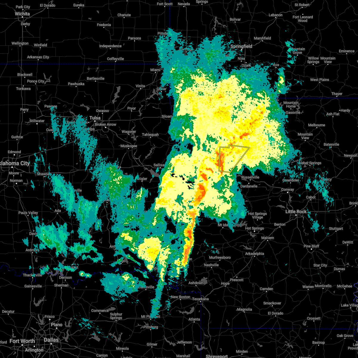 At 746 am cdt, a severe thunderstorm was located near woodland, or 8 miles northwest of clarksville, moving east at 50 mph (radar indicated). Hazards include 60 mph wind gusts and quarter size hail. Hail damage to vehicles is expected. expect wind damage to roofs, siding, and trees. locations impacted include, clarksville, hartman, woodland, hinkle, devils knob, hoyt, spadra, rosetta, coal hill, oak grove in johnson county, catalpa, fort douglas, yale, fallsville, haw creek falls campground, union city, oark, hunt, wolf pen campground, arbaugh, this includes interstate 40 between mile markers 44 and 59. hail threat, radar indicated max hail size, 1. 00 in wind threat, radar indicated max wind gust, 60 mph. At 746 am cdt, a severe thunderstorm was located near woodland, or 8 miles northwest of clarksville, moving east at 50 mph (radar indicated). Hazards include 60 mph wind gusts and quarter size hail. Hail damage to vehicles is expected. expect wind damage to roofs, siding, and trees. locations impacted include, clarksville, hartman, woodland, hinkle, devils knob, hoyt, spadra, rosetta, coal hill, oak grove in johnson county, catalpa, fort douglas, yale, fallsville, haw creek falls campground, union city, oark, hunt, wolf pen campground, arbaugh, this includes interstate 40 between mile markers 44 and 59. hail threat, radar indicated max hail size, 1. 00 in wind threat, radar indicated max wind gust, 60 mph.
|
| 3/30/2022 7:44 AM CDT |
 At 743 am cdt, severe thunderstorms were located along a line extending from near fort chaffee to booneville to 7 miles north of cardiff to near waldron, moving northeast at 45 mph (radar indicated). Hazards include 60 mph wind gusts and quarter size hail. Hail damage to vehicles is expected. Expect wind damage to roofs, siding, and trees. At 743 am cdt, severe thunderstorms were located along a line extending from near fort chaffee to booneville to 7 miles north of cardiff to near waldron, moving northeast at 45 mph (radar indicated). Hazards include 60 mph wind gusts and quarter size hail. Hail damage to vehicles is expected. Expect wind damage to roofs, siding, and trees.
|
| 3/30/2022 7:26 AM CDT |
 At 726 am cdt, a severe thunderstorm was located over denning, or near ozark, moving northeast at 50 mph (radar indicated). Hazards include 60 mph wind gusts and quarter size hail. Hail damage to vehicles is expected. Expect wind damage to roofs, siding, and trees. At 726 am cdt, a severe thunderstorm was located over denning, or near ozark, moving northeast at 50 mph (radar indicated). Hazards include 60 mph wind gusts and quarter size hail. Hail damage to vehicles is expected. Expect wind damage to roofs, siding, and trees.
|
| 2/17/2022 5:37 AM CST |
 At 537 am cst, a severe thunderstorm was located near paris, moving northeast at 60 mph (radar indicated). Hazards include 60 mph wind gusts and nickel size hail. expect damage to roofs, siding, and trees At 537 am cst, a severe thunderstorm was located near paris, moving northeast at 60 mph (radar indicated). Hazards include 60 mph wind gusts and nickel size hail. expect damage to roofs, siding, and trees
|
| 12/10/2021 9:21 PM CST |
 At 920 pm cst, severe thunderstorms were located along a line extending from 2 miles west of clarksville to 2 miles east of subiaco, moving east at 50 mph (radar indicated). Hazards include 70 mph wind gusts and quarter size hail. Hail damage to vehicles is expected. expect considerable tree damage. wind damage is also likely to mobile homes, roofs, and outbuildings. locations impacted include, clarksville, paris, lamar, magazine, knoxville, subiaco, hartman, scranton, blue mountain, woodland, hinkle, hoyt, mount magazine, midway in logan county, spadra, tokalon, holman, lake dardanelle, coal hill, morrison bluff, this includes interstate 40 between mile markers 47 and 67. thunderstorm damage threat, considerable hail threat, radar indicated max hail size, 1. 00 in wind threat, radar indicated max wind gust, 70 mph. At 920 pm cst, severe thunderstorms were located along a line extending from 2 miles west of clarksville to 2 miles east of subiaco, moving east at 50 mph (radar indicated). Hazards include 70 mph wind gusts and quarter size hail. Hail damage to vehicles is expected. expect considerable tree damage. wind damage is also likely to mobile homes, roofs, and outbuildings. locations impacted include, clarksville, paris, lamar, magazine, knoxville, subiaco, hartman, scranton, blue mountain, woodland, hinkle, hoyt, mount magazine, midway in logan county, spadra, tokalon, holman, lake dardanelle, coal hill, morrison bluff, this includes interstate 40 between mile markers 47 and 67. thunderstorm damage threat, considerable hail threat, radar indicated max hail size, 1. 00 in wind threat, radar indicated max wind gust, 70 mph.
|
| 12/10/2021 9:14 PM CST |
 At 913 pm cst, severe thunderstorms were located along a line extending from near woodland to near paris to near booneville, moving east at 55 mph (radar indicated). Hazards include 70 mph wind gusts and quarter size hail. Hail damage to vehicles is expected. expect considerable tree damage. wind damage is also likely to mobile homes, roofs, and outbuildings. locations impacted include, clarksville, booneville, paris, lamar, magazine, knoxville, subiaco, hartman, scranton, ratcliff, blue mountain, woodland, hinkle, hoyt, mount magazine, midway in logan county, spadra, tokalon, holman, lake dardanelle, this includes interstate 40 between mile markers 44 and 67. thunderstorm damage threat, considerable hail threat, radar indicated max hail size, 1. 00 in wind threat, radar indicated max wind gust, 70 mph. At 913 pm cst, severe thunderstorms were located along a line extending from near woodland to near paris to near booneville, moving east at 55 mph (radar indicated). Hazards include 70 mph wind gusts and quarter size hail. Hail damage to vehicles is expected. expect considerable tree damage. wind damage is also likely to mobile homes, roofs, and outbuildings. locations impacted include, clarksville, booneville, paris, lamar, magazine, knoxville, subiaco, hartman, scranton, ratcliff, blue mountain, woodland, hinkle, hoyt, mount magazine, midway in logan county, spadra, tokalon, holman, lake dardanelle, this includes interstate 40 between mile markers 44 and 67. thunderstorm damage threat, considerable hail threat, radar indicated max hail size, 1. 00 in wind threat, radar indicated max wind gust, 70 mph.
|
| 12/10/2021 9:04 PM CST |
 At 904 pm cst, severe thunderstorms were located along a line extending from 8 miles west of woodland to near ratcliff to echo, moving east at 50 mph (radar indicated). Hazards include 60 mph wind gusts and quarter size hail. Hail damage to vehicles is expected. expect wind damage to roofs, siding, and trees. locations impacted include, clarksville, booneville, paris, lamar, mansfield, magazine, knoxville, subiaco, hartman, scranton, ratcliff, blue mountain, hoyt, midway in logan county, holman, woodland, hinkle, mount magazine, echo, spadra, this includes interstate 40 between mile markers 44 and 67. hail threat, radar indicated max hail size, 1. 00 in wind threat, radar indicated max wind gust, 60 mph. At 904 pm cst, severe thunderstorms were located along a line extending from 8 miles west of woodland to near ratcliff to echo, moving east at 50 mph (radar indicated). Hazards include 60 mph wind gusts and quarter size hail. Hail damage to vehicles is expected. expect wind damage to roofs, siding, and trees. locations impacted include, clarksville, booneville, paris, lamar, mansfield, magazine, knoxville, subiaco, hartman, scranton, ratcliff, blue mountain, hoyt, midway in logan county, holman, woodland, hinkle, mount magazine, echo, spadra, this includes interstate 40 between mile markers 44 and 67. hail threat, radar indicated max hail size, 1. 00 in wind threat, radar indicated max wind gust, 60 mph.
|
| 12/10/2021 8:53 PM CST |
 At 853 pm cst, severe thunderstorms were located along a line extending from near ozark to near branch to huntington, moving east at 50 mph (radar indicated). Hazards include 60 mph wind gusts and quarter size hail. Hail damage to vehicles is expected. Expect wind damage to roofs, siding, and trees. At 853 pm cst, severe thunderstorms were located along a line extending from near ozark to near branch to huntington, moving east at 50 mph (radar indicated). Hazards include 60 mph wind gusts and quarter size hail. Hail damage to vehicles is expected. Expect wind damage to roofs, siding, and trees.
|
| 10/13/2021 6:40 PM CDT |
 At 640 pm cdt, severe thunderstorms were located along a line extending from near altus to near denning to near paris, moving northeast at 30 mph (radar indicated). Hazards include 60 mph wind gusts. Expect damage to roofs, siding, and trees. locations impacted include, clarksville, hartman, scranton, hoyt, woodland, hinkle, spadra, tokalon, lake dardanelle, coal hill, morrison bluff, new spadra, harmony, roseville, dublin, ludwig, union city, hunt, wilkins, this includes interstate 40 between mile markers 44 and 59. hail threat, radar indicated max hail size, <. 75 in wind threat, radar indicated max wind gust, 60 mph. At 640 pm cdt, severe thunderstorms were located along a line extending from near altus to near denning to near paris, moving northeast at 30 mph (radar indicated). Hazards include 60 mph wind gusts. Expect damage to roofs, siding, and trees. locations impacted include, clarksville, hartman, scranton, hoyt, woodland, hinkle, spadra, tokalon, lake dardanelle, coal hill, morrison bluff, new spadra, harmony, roseville, dublin, ludwig, union city, hunt, wilkins, this includes interstate 40 between mile markers 44 and 59. hail threat, radar indicated max hail size, <. 75 in wind threat, radar indicated max wind gust, 60 mph.
|
| 10/13/2021 6:30 PM CDT |
 At 629 pm cdt, severe thunderstorms were located along a line extending from 6 miles northeast of branch to near ratcliff, moving northeast at 45 mph (radar indicated). Hazards include 60 mph wind gusts. Expect damage to roofs, siding, and trees. Locations impacted include, clarksville, paris, subiaco, hartman, scranton, ratcliff, woodland, hinkle, hoyt, mount magazine, midway in logan county, spadra, tokalon, lake dardanelle, coal hill, caulksville, morrison bluff, roseville, dublin, ludwig, this includes interstate 40 between mile markers 44 and 59. At 629 pm cdt, severe thunderstorms were located along a line extending from 6 miles northeast of branch to near ratcliff, moving northeast at 45 mph (radar indicated). Hazards include 60 mph wind gusts. Expect damage to roofs, siding, and trees. Locations impacted include, clarksville, paris, subiaco, hartman, scranton, ratcliff, woodland, hinkle, hoyt, mount magazine, midway in logan county, spadra, tokalon, lake dardanelle, coal hill, caulksville, morrison bluff, roseville, dublin, ludwig, this includes interstate 40 between mile markers 44 and 59.
|
| 10/13/2021 6:10 PM CDT |
 At 610 pm cdt, severe thunderstorms were located along a line extending from charleston to near branch to near fort chaffee to washburn, moving east at 35 mph (radar indicated). Hazards include 60 mph wind gusts. expect damage to roofs, siding, and trees At 610 pm cdt, severe thunderstorms were located along a line extending from charleston to near branch to near fort chaffee to washburn, moving east at 35 mph (radar indicated). Hazards include 60 mph wind gusts. expect damage to roofs, siding, and trees
|
| 5/18/2021 7:00 PM CDT |
 At 700 pm cdt, severe thunderstorms were located along a line extending from near woodland to lamar to near dover to near taral, moving northeast at 30 mph (radar indicated). Hazards include 60 mph wind gusts and quarter size hail. Hail damage to vehicles is expected. expect wind damage to roofs, siding, and trees. Locations impacted include, clarksville, lamar, dover, london, knoxville, hartman, hector, woodland, hinkle, broomfield, hoyt, spadra, taral, holman, lake dardanelle, coal hill, appleton, lutherville, long pool campground, piney bay recreation area, this includes interstate 40 between mile markers 44 and 76. At 700 pm cdt, severe thunderstorms were located along a line extending from near woodland to lamar to near dover to near taral, moving northeast at 30 mph (radar indicated). Hazards include 60 mph wind gusts and quarter size hail. Hail damage to vehicles is expected. expect wind damage to roofs, siding, and trees. Locations impacted include, clarksville, lamar, dover, london, knoxville, hartman, hector, woodland, hinkle, broomfield, hoyt, spadra, taral, holman, lake dardanelle, coal hill, appleton, lutherville, long pool campground, piney bay recreation area, this includes interstate 40 between mile markers 44 and 76.
|
| 5/18/2021 6:40 PM CDT |
 At 640 pm cdt, severe thunderstorms were located along a line extending from near hartman to scranton to near lake dardanelle to lake dardanelle state park, moving northeast at 30 mph (radar indicated). Hazards include 60 mph wind gusts and quarter size hail. Hail damage to vehicles is expected. Expect wind damage to roofs, siding, and trees. At 640 pm cdt, severe thunderstorms were located along a line extending from near hartman to scranton to near lake dardanelle to lake dardanelle state park, moving northeast at 30 mph (radar indicated). Hazards include 60 mph wind gusts and quarter size hail. Hail damage to vehicles is expected. Expect wind damage to roofs, siding, and trees.
|
| 5/3/2021 10:53 PM CDT |
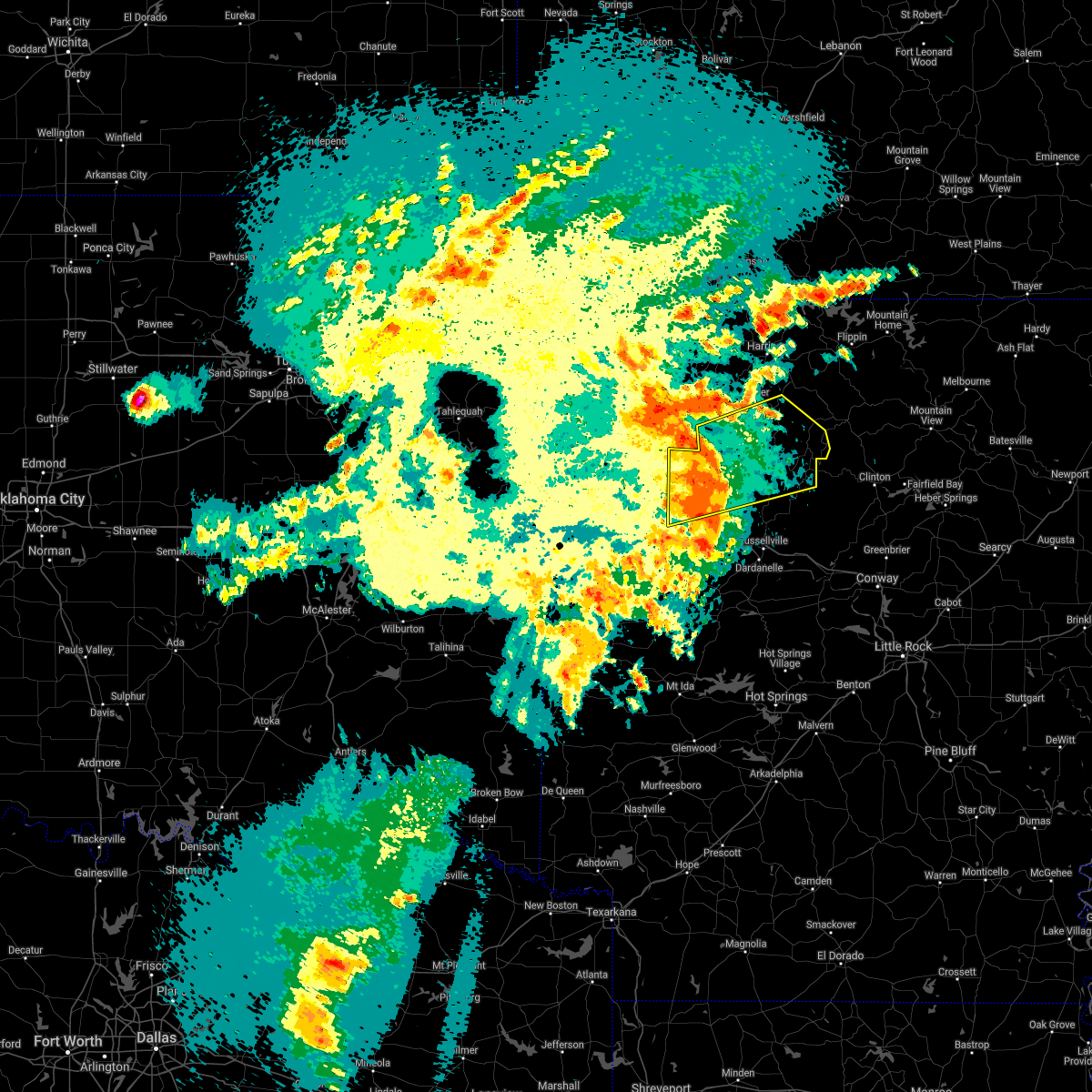 At 1053 pm cdt, severe thunderstorms were located along a line extending from near boston to rosetta to 9 miles southeast of devils knob to near holman, moving east at 50 mph (radar indicated). Hazards include 70 mph wind gusts and penny size hail. Expect considerable tree damage. damage is likely to mobile homes, roofs, and outbuildings. Locations impacted include, clarksville, lamar, hartman, marsena, witts spring, carver, moore, devils knob, hoyt, bohannon, imo, holman, rosetta, dillen, woodland, hinkle, solo, smyrna, eula, piercetown, this includes interstate 40 between mile markers 44 and 60. At 1053 pm cdt, severe thunderstorms were located along a line extending from near boston to rosetta to 9 miles southeast of devils knob to near holman, moving east at 50 mph (radar indicated). Hazards include 70 mph wind gusts and penny size hail. Expect considerable tree damage. damage is likely to mobile homes, roofs, and outbuildings. Locations impacted include, clarksville, lamar, hartman, marsena, witts spring, carver, moore, devils knob, hoyt, bohannon, imo, holman, rosetta, dillen, woodland, hinkle, solo, smyrna, eula, piercetown, this includes interstate 40 between mile markers 44 and 60.
|
| 5/3/2021 10:38 PM CDT |
 At 1038 pm cdt, severe thunderstorms were located along a line extending from near pettigrew to 8 miles southwest of devils knob to near woodland to hoyt, moving east at 50 mph (radar indicated). Hazards include 70 mph wind gusts and penny size hail. Expect considerable tree damage. Damage is likely to mobile homes, roofs, and outbuildings. At 1038 pm cdt, severe thunderstorms were located along a line extending from near pettigrew to 8 miles southwest of devils knob to near woodland to hoyt, moving east at 50 mph (radar indicated). Hazards include 70 mph wind gusts and penny size hail. Expect considerable tree damage. Damage is likely to mobile homes, roofs, and outbuildings.
|
| 5/3/2021 10:33 PM CDT |
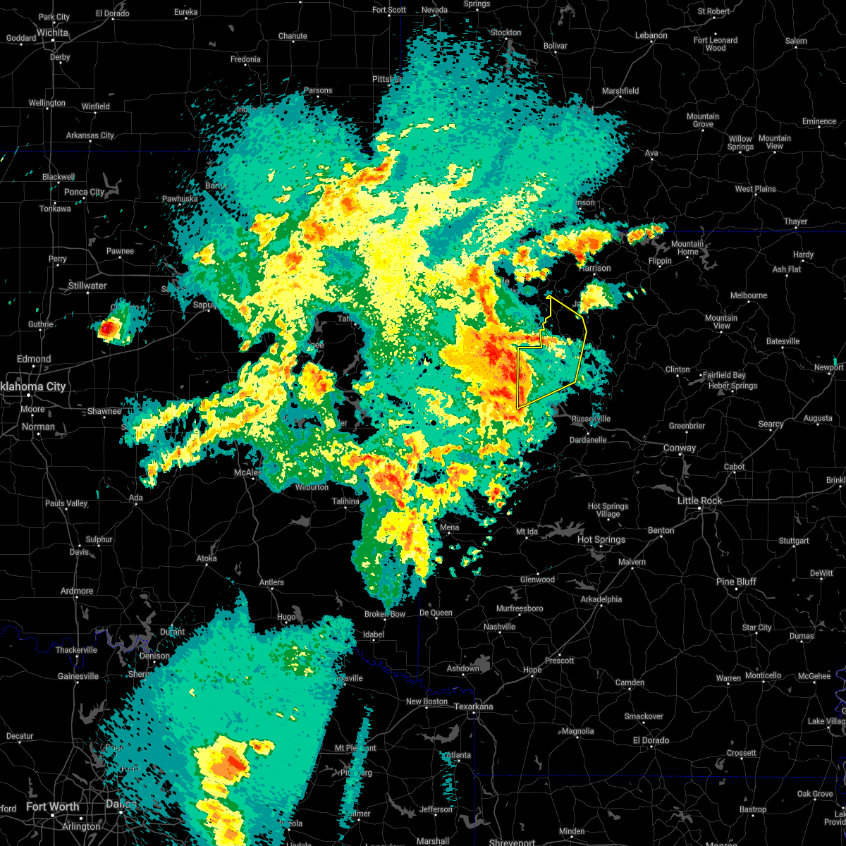 At 1032 pm cdt, severe thunderstorms were located along a line extending from near cass to 10 miles south of pettigrew to near woodland to near hartman, moving northeast at 55 mph (radar indicated). Hazards include 70 mph wind gusts and nickel size hail. Expect considerable tree damage. damage is likely to mobile homes, roofs, and outbuildings. Locations impacted include, clarksville, hartman, woodland, upper buffalo wilderness area, devils knob, lost valley state park, walnut, rosetta, hinkle, coal hill, oak grove in johnson county, catalpa, fort douglas, yale, fallsville, crossroad, swain, haw creek falls campground, union city, oark, this includes interstate 40 between mile markers 44 and 55. At 1032 pm cdt, severe thunderstorms were located along a line extending from near cass to 10 miles south of pettigrew to near woodland to near hartman, moving northeast at 55 mph (radar indicated). Hazards include 70 mph wind gusts and nickel size hail. Expect considerable tree damage. damage is likely to mobile homes, roofs, and outbuildings. Locations impacted include, clarksville, hartman, woodland, upper buffalo wilderness area, devils knob, lost valley state park, walnut, rosetta, hinkle, coal hill, oak grove in johnson county, catalpa, fort douglas, yale, fallsville, crossroad, swain, haw creek falls campground, union city, oark, this includes interstate 40 between mile markers 44 and 55.
|
| 5/3/2021 10:29 PM CDT |
 At 1029 pm cdt, severe thunderstorms were located along a line extending from near hartman to paris to near magazine, moving east at 45 mph (radar indicated). Hazards include 60 mph wind gusts and nickel size hail. expect damage to roofs, siding, and trees At 1029 pm cdt, severe thunderstorms were located along a line extending from near hartman to paris to near magazine, moving east at 45 mph (radar indicated). Hazards include 60 mph wind gusts and nickel size hail. expect damage to roofs, siding, and trees
|
| 5/3/2021 10:22 PM CDT |
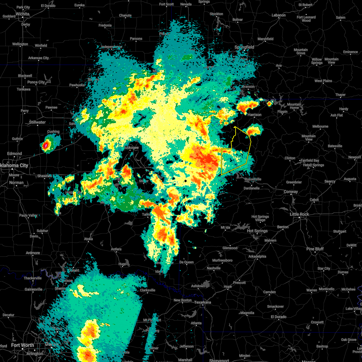 At 1022 pm cdt, severe thunderstorms were located along a line extending from near cass to 9 miles north of ozark to near wiederkehr village to near denning, moving east at 55 mph (radar indicated). Hazards include 70 mph wind gusts and nickel size hail. Expect considerable tree damage. damage is likely to mobile homes, roofs, and outbuildings. Locations impacted include, clarksville, hartman, woodland, upper buffalo wilderness area, devils knob, lost valley state park, walnut, rosetta, hinkle, coal hill, oak grove in johnson county, catalpa, fort douglas, yale, fallsville, crossroad, swain, haw creek falls campground, union city, oark, this includes interstate 40 between mile markers 44 and 55. At 1022 pm cdt, severe thunderstorms were located along a line extending from near cass to 9 miles north of ozark to near wiederkehr village to near denning, moving east at 55 mph (radar indicated). Hazards include 70 mph wind gusts and nickel size hail. Expect considerable tree damage. damage is likely to mobile homes, roofs, and outbuildings. Locations impacted include, clarksville, hartman, woodland, upper buffalo wilderness area, devils knob, lost valley state park, walnut, rosetta, hinkle, coal hill, oak grove in johnson county, catalpa, fort douglas, yale, fallsville, crossroad, swain, haw creek falls campground, union city, oark, this includes interstate 40 between mile markers 44 and 55.
|
| 5/3/2021 10:05 PM CDT |
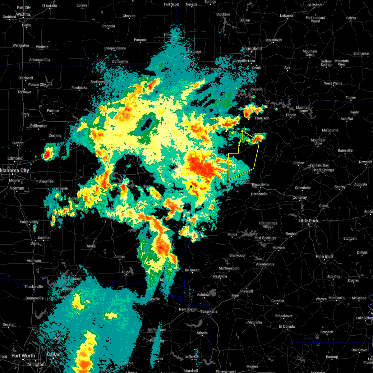 At 1004 pm cdt, severe thunderstorms were located along a line extending from mountainburg to near fern to mulberry to near bloomer, moving northeast at 60 mph (radar indicated). Hazards include 70 mph wind gusts and nickel size hail. Expect considerable tree damage. Damage is likely to mobile homes, roofs, and outbuildings. At 1004 pm cdt, severe thunderstorms were located along a line extending from mountainburg to near fern to mulberry to near bloomer, moving northeast at 60 mph (radar indicated). Hazards include 70 mph wind gusts and nickel size hail. Expect considerable tree damage. Damage is likely to mobile homes, roofs, and outbuildings.
|
| 4/28/2021 10:38 PM CDT |
 At 1037 pm cdt, a severe thunderstorm was located over morrison bluff, or 7 miles south of clarksville, moving northeast at 40 mph (radar indicated). Hazards include 60 mph wind gusts and half dollar size hail. Hail damage to vehicles is expected. expect wind damage to roofs, siding, and trees. Locations impacted include, clarksville, paris, lamar, knoxville, subiaco, hartman, scranton, hoyt, hinkle, spadra, tokalon, lake dardanelle, coal hill, morrison bluff, new spadra, dublin, ludwig, wilkins, this includes interstate 40 between mile markers 54 and 63. At 1037 pm cdt, a severe thunderstorm was located over morrison bluff, or 7 miles south of clarksville, moving northeast at 40 mph (radar indicated). Hazards include 60 mph wind gusts and half dollar size hail. Hail damage to vehicles is expected. expect wind damage to roofs, siding, and trees. Locations impacted include, clarksville, paris, lamar, knoxville, subiaco, hartman, scranton, hoyt, hinkle, spadra, tokalon, lake dardanelle, coal hill, morrison bluff, new spadra, dublin, ludwig, wilkins, this includes interstate 40 between mile markers 54 and 63.
|
| 4/28/2021 10:20 PM CDT |
 At 1019 pm cdt, a severe thunderstorm was located near paris, moving northeast at 40 mph (radar indicated). Hazards include golf ball size hail and 70 mph wind gusts. People and animals outdoors will be injured. expect hail damage to roofs, siding, windows, and vehicles. expect considerable tree damage. wind damage is also likely to mobile homes, roofs, and outbuildings. Locations impacted include, clarksville, paris, lamar, knoxville, subiaco, hartman, scranton, hoyt, hinkle, midway in logan county, spadra, tokalon, lake dardanelle, coal hill, caulksville, morrison bluff, new spadra, dublin, ludwig, wilkins, this includes interstate 40 between mile markers 54 and 63. At 1019 pm cdt, a severe thunderstorm was located near paris, moving northeast at 40 mph (radar indicated). Hazards include golf ball size hail and 70 mph wind gusts. People and animals outdoors will be injured. expect hail damage to roofs, siding, windows, and vehicles. expect considerable tree damage. wind damage is also likely to mobile homes, roofs, and outbuildings. Locations impacted include, clarksville, paris, lamar, knoxville, subiaco, hartman, scranton, hoyt, hinkle, midway in logan county, spadra, tokalon, lake dardanelle, coal hill, caulksville, morrison bluff, new spadra, dublin, ludwig, wilkins, this includes interstate 40 between mile markers 54 and 63.
|
| 4/28/2021 9:55 PM CDT |
 At 955 pm cdt, a severe thunderstorm was located 5 miles northwest of booneville, moving northeast at 40 mph (radar indicated). Hazards include golf ball size hail and 70 mph wind gusts. People and animals outdoors will be injured. expect hail damage to roofs, siding, windows, and vehicles. expect considerable tree damage. Wind damage is also likely to mobile homes, roofs, and outbuildings. At 955 pm cdt, a severe thunderstorm was located 5 miles northwest of booneville, moving northeast at 40 mph (radar indicated). Hazards include golf ball size hail and 70 mph wind gusts. People and animals outdoors will be injured. expect hail damage to roofs, siding, windows, and vehicles. expect considerable tree damage. Wind damage is also likely to mobile homes, roofs, and outbuildings.
|
| 4/9/2021 10:40 PM CDT |
 At 1040 pm cdt, severe thunderstorms were located along a line extending from near dyer to greenwood to 6 miles northwest of morgan springs, moving east at 50 mph (radar indicated). Hazards include 60 mph wind gusts. expect damage to roofs, siding, and trees At 1040 pm cdt, severe thunderstorms were located along a line extending from near dyer to greenwood to 6 miles northwest of morgan springs, moving east at 50 mph (radar indicated). Hazards include 60 mph wind gusts. expect damage to roofs, siding, and trees
|
| 4/9/2021 1:34 PM CDT |
 At 134 pm cdt, a severe thunderstorm was located near paris, moving northeast at 45 mph (radar indicated). Hazards include 60 mph wind gusts and quarter size hail. Hail damage to vehicles is expected. Expect wind damage to roofs, siding, and trees. At 134 pm cdt, a severe thunderstorm was located near paris, moving northeast at 45 mph (radar indicated). Hazards include 60 mph wind gusts and quarter size hail. Hail damage to vehicles is expected. Expect wind damage to roofs, siding, and trees.
|
| 3/17/2021 3:29 AM CDT |
 At 329 am cdt, a severe thunderstorm was located near blue mountain, or 7 miles south of paris, moving northeast at 30 mph (radar indicated). Hazards include 60 mph wind gusts and quarter size hail. Hail damage to vehicles is expected. Expect wind damage to roofs, siding, and trees. At 329 am cdt, a severe thunderstorm was located near blue mountain, or 7 miles south of paris, moving northeast at 30 mph (radar indicated). Hazards include 60 mph wind gusts and quarter size hail. Hail damage to vehicles is expected. Expect wind damage to roofs, siding, and trees.
|
| 11/24/2020 10:32 PM CST |
 At 1031 pm cst, severe thunderstorms were located along a line extending from near mulberry to fort chaffee to near mansfield, moving east at 45 mph (radar indicated). Hazards include 60 mph wind gusts and penny size hail. expect damage to roofs, siding, and trees At 1031 pm cst, severe thunderstorms were located along a line extending from near mulberry to fort chaffee to near mansfield, moving east at 45 mph (radar indicated). Hazards include 60 mph wind gusts and penny size hail. expect damage to roofs, siding, and trees
|
| 11/14/2020 11:13 PM CST |
 At 1113 pm cst, severe thunderstorms were located along a line extending from 9 miles north of dillen to near rosetta to woodland to denning, moving east at 45 mph (radar indicated). Hazards include 60 mph wind gusts and quarter size hail. Hail damage to vehicles is expected. expect wind damage to roofs, siding, and trees. Locations impacted include, clarksville, paris, jasper, lamar, knoxville, subiaco, hartman, western grove, scranton, ratcliff, carver, moore, point peter, devils knob, hoyt, midway in logan county, pruitt, holman, rosetta, dillen, this includes interstate 40 between mile markers 44 and 67. At 1113 pm cst, severe thunderstorms were located along a line extending from 9 miles north of dillen to near rosetta to woodland to denning, moving east at 45 mph (radar indicated). Hazards include 60 mph wind gusts and quarter size hail. Hail damage to vehicles is expected. expect wind damage to roofs, siding, and trees. Locations impacted include, clarksville, paris, jasper, lamar, knoxville, subiaco, hartman, western grove, scranton, ratcliff, carver, moore, point peter, devils knob, hoyt, midway in logan county, pruitt, holman, rosetta, dillen, this includes interstate 40 between mile markers 44 and 67.
|
| 11/14/2020 10:58 PM CST |
 At 1057 pm cst, severe thunderstorms were located along a line extending from 7 miles southeast of lost valley state park to 6 miles southwest of devils knob to near wiederkehr village to 6 miles north of branch, moving east at 45 mph (radar indicated). Hazards include 60 mph wind gusts and penny size hail. expect damage to roofs, siding, and trees At 1057 pm cst, severe thunderstorms were located along a line extending from 7 miles southeast of lost valley state park to 6 miles southwest of devils knob to near wiederkehr village to 6 miles north of branch, moving east at 45 mph (radar indicated). Hazards include 60 mph wind gusts and penny size hail. expect damage to roofs, siding, and trees
|
| 7/9/2020 11:51 AM CDT |
 At 1150 am cdt, severe thunderstorms were located along a line extending from near wister to ozark, moving east at 25 mph (radar indicated). Hazards include 60 mph wind gusts and quarter size hail. Hail damage to vehicles may occur. Expect wind damage to roofs, siding, and trees. At 1150 am cdt, severe thunderstorms were located along a line extending from near wister to ozark, moving east at 25 mph (radar indicated). Hazards include 60 mph wind gusts and quarter size hail. Hail damage to vehicles may occur. Expect wind damage to roofs, siding, and trees.
|
| 4/28/2020 9:02 PM CDT |
 At 901 pm cdt, a severe thunderstorm capable of producing a tornado was located over hoyt, or just west of clarksville, moving southeast at 50 mph (radar indicated rotation). Hazards include tornado and quarter size hail. Flying debris will be dangerous to those caught without shelter. mobile homes will be damaged or destroyed. damage to roofs, windows, and vehicles will occur. Tree damage is likely. At 901 pm cdt, a severe thunderstorm capable of producing a tornado was located over hoyt, or just west of clarksville, moving southeast at 50 mph (radar indicated rotation). Hazards include tornado and quarter size hail. Flying debris will be dangerous to those caught without shelter. mobile homes will be damaged or destroyed. damage to roofs, windows, and vehicles will occur. Tree damage is likely.
|
| 4/28/2020 8:51 PM CDT |
 At 851 pm cdt, severe thunderstorms were located along a line extending from 8 miles southeast of cass to near wiederkehr village to near denning to branch, moving southeast at 40 mph (radar indicated). Hazards include 60 mph wind gusts and quarter size hail. Hail damage to vehicles is expected. Expect wind damage to roofs, siding, and trees. At 851 pm cdt, severe thunderstorms were located along a line extending from 8 miles southeast of cass to near wiederkehr village to near denning to branch, moving southeast at 40 mph (radar indicated). Hazards include 60 mph wind gusts and quarter size hail. Hail damage to vehicles is expected. Expect wind damage to roofs, siding, and trees.
|
| 4/24/2020 9:21 PM CDT |
 At 920 pm cdt, severe thunderstorms were located along a line extending from 6 miles south of pettigrew to near woodland to near scranton to near paris, moving east at 50 mph (radar indicated). Hazards include 60 mph wind gusts and quarter size hail. Hail damage to vehicles is expected. expect wind damage to roofs, siding, and trees. Locations impacted include, clarksville, paris, lamar, knoxville, subiaco, hartman, scranton, woodland, hinkle, devils knob, hoyt, midway in logan county, spadra, tokalon, rosetta, lake dardanelle, coal hill, morrison bluff, oak grove in johnson county, catalpa, this includes interstate 40 between mile markers 44 and 67. At 920 pm cdt, severe thunderstorms were located along a line extending from 6 miles south of pettigrew to near woodland to near scranton to near paris, moving east at 50 mph (radar indicated). Hazards include 60 mph wind gusts and quarter size hail. Hail damage to vehicles is expected. expect wind damage to roofs, siding, and trees. Locations impacted include, clarksville, paris, lamar, knoxville, subiaco, hartman, scranton, woodland, hinkle, devils knob, hoyt, midway in logan county, spadra, tokalon, rosetta, lake dardanelle, coal hill, morrison bluff, oak grove in johnson county, catalpa, this includes interstate 40 between mile markers 44 and 67.
|
| 4/24/2020 8:57 PM CDT |
 At 856 pm cdt, severe thunderstorms were located along a line extending from 8 miles southeast of winslow to 6 miles southeast of fern to 6 miles north of branch to near charleston, moving east at 35 mph (radar indicated). Hazards include 60 mph wind gusts and quarter size hail. Hail damage to vehicles is expected. Expect wind damage to roofs, siding, and trees. At 856 pm cdt, severe thunderstorms were located along a line extending from 8 miles southeast of winslow to 6 miles southeast of fern to 6 miles north of branch to near charleston, moving east at 35 mph (radar indicated). Hazards include 60 mph wind gusts and quarter size hail. Hail damage to vehicles is expected. Expect wind damage to roofs, siding, and trees.
|
| 4/22/2020 4:01 PM CDT |
 At 401 pm cdt, a severe thunderstorm was located near scranton, or 8 miles northeast of paris, moving northeast at 65 mph (radar indicated). Hazards include ping pong ball size hail and 60 mph wind gusts. People and animals outdoors will be injured. expect hail damage to roofs, siding, windows, and vehicles. Expect wind damage to roofs, siding, and trees. At 401 pm cdt, a severe thunderstorm was located near scranton, or 8 miles northeast of paris, moving northeast at 65 mph (radar indicated). Hazards include ping pong ball size hail and 60 mph wind gusts. People and animals outdoors will be injured. expect hail damage to roofs, siding, windows, and vehicles. Expect wind damage to roofs, siding, and trees.
|
| 4/22/2020 2:14 PM CDT |
 At 214 pm cdt, a severe thunderstorm was located near paris, moving east at 65 mph (radar indicated). Hazards include 60 mph wind gusts and quarter size hail. Hail damage to vehicles is expected. expect wind damage to roofs, siding, and trees. Locations impacted include, paris, subiaco, hartman, ratcliff, midway in logan county, coal hill, caulksville, wilkins, roseville, carbon city, driggs, corley,. At 214 pm cdt, a severe thunderstorm was located near paris, moving east at 65 mph (radar indicated). Hazards include 60 mph wind gusts and quarter size hail. Hail damage to vehicles is expected. expect wind damage to roofs, siding, and trees. Locations impacted include, paris, subiaco, hartman, ratcliff, midway in logan county, coal hill, caulksville, wilkins, roseville, carbon city, driggs, corley,.
|
| 4/22/2020 1:58 PM CDT |
 At 157 pm cdt, a severe thunderstorm was located near charleston, moving east at 65 mph. golfball size hail was reported with this storm earlier, so expect damaging hail if you are in the path of this storm! (radar indicated). Hazards include ping pong ball size hail and 60 mph wind gusts. People and animals outdoors will be injured. expect hail damage to roofs, siding, windows, and vehicles. Expect wind damage to roofs, siding, and trees. At 157 pm cdt, a severe thunderstorm was located near charleston, moving east at 65 mph. golfball size hail was reported with this storm earlier, so expect damaging hail if you are in the path of this storm! (radar indicated). Hazards include ping pong ball size hail and 60 mph wind gusts. People and animals outdoors will be injured. expect hail damage to roofs, siding, windows, and vehicles. Expect wind damage to roofs, siding, and trees.
|
| 4/12/2020 6:40 PM CDT |
 At 640 pm cdt, severe thunderstorms were located along a line extending from 6 miles southwest of devils knob to lamar to near mt nebo state park to near plainview in yell county to near muddy creek wma, moving east at 50 mph (radar indicated). Hazards include 60 mph wind gusts and quarter size hail. Hail damage to vehicles is expected. expect wind damage to roofs, siding, and trees. Locations impacted include, russellville, clarksville, danville, dardanelle, atkins, pottsville, lamar, dover, ola, london, knoxville, subiaco, hartman, scranton, devils knob, mosley, holman, muddy creek wma, carden bottoms, dillen, this includes interstate 40 between mile markers 45 and 91. At 640 pm cdt, severe thunderstorms were located along a line extending from 6 miles southwest of devils knob to lamar to near mt nebo state park to near plainview in yell county to near muddy creek wma, moving east at 50 mph (radar indicated). Hazards include 60 mph wind gusts and quarter size hail. Hail damage to vehicles is expected. expect wind damage to roofs, siding, and trees. Locations impacted include, russellville, clarksville, danville, dardanelle, atkins, pottsville, lamar, dover, ola, london, knoxville, subiaco, hartman, scranton, devils knob, mosley, holman, muddy creek wma, carden bottoms, dillen, this includes interstate 40 between mile markers 45 and 91.
|
| 4/12/2020 6:27 PM CDT |
 At 627 pm cdt, severe thunderstorms were located along a line extending from 8 miles east of cass to hoyt to near midway in logan county to near fourche valley to 6 miles west of muddy creek wma, moving east at 50 mph (radar indicated). Hazards include 60 mph wind gusts and quarter size hail. Hail damage to vehicles is expected. expect wind damage to roofs, siding, and trees. Locations impacted include, russellville, clarksville, paris, danville, dardanelle, atkins, pottsville, lamar, dover, ola, london, knoxville, subiaco, hartman, scranton, blue mountain, devils knob, mosley, holman, muddy creek wma, this includes interstate 40 between mile markers 45 and 91. At 627 pm cdt, severe thunderstorms were located along a line extending from 8 miles east of cass to hoyt to near midway in logan county to near fourche valley to 6 miles west of muddy creek wma, moving east at 50 mph (radar indicated). Hazards include 60 mph wind gusts and quarter size hail. Hail damage to vehicles is expected. expect wind damage to roofs, siding, and trees. Locations impacted include, russellville, clarksville, paris, danville, dardanelle, atkins, pottsville, lamar, dover, ola, london, knoxville, subiaco, hartman, scranton, blue mountain, devils knob, mosley, holman, muddy creek wma, this includes interstate 40 between mile markers 45 and 91.
|
| 4/12/2020 6:06 PM CDT |
 At 606 pm cdt, severe thunderstorms were located along a line extending from near fern to ozark to near paris to 6 miles northeast of cardiff to 10 miles southeast of waldron, moving east at 40 mph (radar indicated). Hazards include 60 mph wind gusts and quarter size hail. Hail damage to vehicles is expected. Expect wind damage to roofs, siding, and trees. At 606 pm cdt, severe thunderstorms were located along a line extending from near fern to ozark to near paris to 6 miles northeast of cardiff to 10 miles southeast of waldron, moving east at 40 mph (radar indicated). Hazards include 60 mph wind gusts and quarter size hail. Hail damage to vehicles is expected. Expect wind damage to roofs, siding, and trees.
|
| 1/10/2020 8:29 PM CST |
 At 829 pm cst, severe thunderstorms were located along a line extending from near dillen to near knoxville to near mount magazine to 6 miles northwest of gravelly, moving northeast at 25 mph (radar indicated). Hazards include 60 mph wind gusts and quarter size hail. Hail damage to vehicles is expected. Expect wind damage to roofs, siding, and trees. At 829 pm cst, severe thunderstorms were located along a line extending from near dillen to near knoxville to near mount magazine to 6 miles northwest of gravelly, moving northeast at 25 mph (radar indicated). Hazards include 60 mph wind gusts and quarter size hail. Hail damage to vehicles is expected. Expect wind damage to roofs, siding, and trees.
|
| 1/10/2020 7:40 PM CST |
 At 739 pm cst, a severe thunderstorm was located near booneville, moving east at 60 mph (radar indicated). Hazards include 70 mph wind gusts and quarter size hail. Hail damage to vehicles is expected. expect considerable tree damage. Wind damage is also likely to mobile homes, roofs, and outbuildings. At 739 pm cst, a severe thunderstorm was located near booneville, moving east at 60 mph (radar indicated). Hazards include 70 mph wind gusts and quarter size hail. Hail damage to vehicles is expected. expect considerable tree damage. Wind damage is also likely to mobile homes, roofs, and outbuildings.
|
| 10/21/2019 1:14 AM CDT |
 At 113 am cdt, severe thunderstorms were located along a line extending from 7 miles south of kimberling city to kingston to near mulberry, moving east at 60 mph (radar indicated). Hazards include 60 mph wind gusts and quarter size hail. Hail damage to vehicles is expected. Expect wind damage to roofs, siding, and trees. At 113 am cdt, severe thunderstorms were located along a line extending from 7 miles south of kimberling city to kingston to near mulberry, moving east at 60 mph (radar indicated). Hazards include 60 mph wind gusts and quarter size hail. Hail damage to vehicles is expected. Expect wind damage to roofs, siding, and trees.
|
| 8/27/2019 1:50 AM CDT |
 At 150 am cdt, severe thunderstorms were located along a line extending from near midway in logan county to near booneville to near oliver, moving southeast at 50 mph (radar indicated). Hazards include 60 mph wind gusts and penny size hail. Expect damage to roofs, siding, and trees. Locations impacted include, clarksville, booneville, waldron, paris, danville, dardanelle, ola, mansfield, magazine, knoxville, subiaco, hartman, scranton, ratcliff, blue mountain, beauchamp, cardiff, lake dardanelle state park, hoyt, petit jean river wma, this includes interstate 40 between mile markers 44 and 56. At 150 am cdt, severe thunderstorms were located along a line extending from near midway in logan county to near booneville to near oliver, moving southeast at 50 mph (radar indicated). Hazards include 60 mph wind gusts and penny size hail. Expect damage to roofs, siding, and trees. Locations impacted include, clarksville, booneville, waldron, paris, danville, dardanelle, ola, mansfield, magazine, knoxville, subiaco, hartman, scranton, ratcliff, blue mountain, beauchamp, cardiff, lake dardanelle state park, hoyt, petit jean river wma, this includes interstate 40 between mile markers 44 and 56.
|
| 8/27/2019 1:30 AM CDT |
 At 130 am cdt, severe thunderstorms were located along a line extending from denning to near charleston to hackett, moving southeast at 45 mph (radar indicated). Hazards include 60 mph wind gusts. expect damage to roofs, siding, and trees At 130 am cdt, severe thunderstorms were located along a line extending from denning to near charleston to hackett, moving southeast at 45 mph (radar indicated). Hazards include 60 mph wind gusts. expect damage to roofs, siding, and trees
|
| 8/7/2019 4:27 PM CDT |
 At 427 pm cdt, a severe thunderstorm was located 2 miles northwest of paris, moving southeast at 20 mph (radar indicated). Hazards include 60 mph wind gusts and penny size hail. expect damage to roofs, siding, and trees At 427 pm cdt, a severe thunderstorm was located 2 miles northwest of paris, moving southeast at 20 mph (radar indicated). Hazards include 60 mph wind gusts and penny size hail. expect damage to roofs, siding, and trees
|
| 6/23/2019 12:47 PM CDT |
 At 1246 pm cdt, severe thunderstorms were located along a line extending from walnut to near woodland, moving east at 20 mph (radar indicated). Hazards include 60 mph wind gusts and quarter size hail. Hail damage to vehicles is expected. expect wind damage to roofs, siding, and trees. Locations impacted include, clarksville, lamar, knoxville, hartman, dillen, woodland, hinkle, devils knob, hoyt, walnut, spadra, holman, rosetta, lake dardanelle, coal hill, catalpa, fort douglas, lutherville, fallsville, swain, this includes interstate 40 between mile markers 44 and 66. At 1246 pm cdt, severe thunderstorms were located along a line extending from walnut to near woodland, moving east at 20 mph (radar indicated). Hazards include 60 mph wind gusts and quarter size hail. Hail damage to vehicles is expected. expect wind damage to roofs, siding, and trees. Locations impacted include, clarksville, lamar, knoxville, hartman, dillen, woodland, hinkle, devils knob, hoyt, walnut, spadra, holman, rosetta, lake dardanelle, coal hill, catalpa, fort douglas, lutherville, fallsville, swain, this includes interstate 40 between mile markers 44 and 66.
|
| 6/23/2019 12:09 PM CDT |
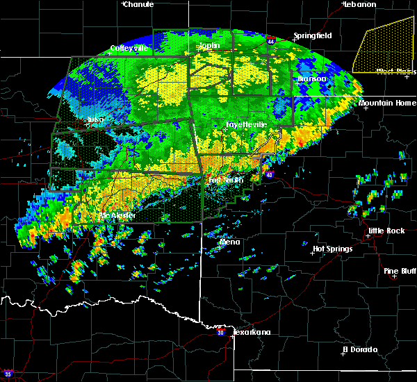 At 1209 pm cdt, severe thunderstorms were located along a line extending from pettigrew to near wiederkehr village, moving east at 30 mph (radar indicated). Hazards include 60 mph wind gusts and quarter size hail. Hail damage to vehicles is expected. Expect wind damage to roofs, siding, and trees. At 1209 pm cdt, severe thunderstorms were located along a line extending from pettigrew to near wiederkehr village, moving east at 30 mph (radar indicated). Hazards include 60 mph wind gusts and quarter size hail. Hail damage to vehicles is expected. Expect wind damage to roofs, siding, and trees.
|
| 6/4/2019 3:05 PM CDT |
 At 305 pm cdt, a severe thunderstorm was located near paris, moving east at 10 mph (radar indicated). Hazards include 60 mph wind gusts and nickel size hail. expect damage to roofs, siding, and trees At 305 pm cdt, a severe thunderstorm was located near paris, moving east at 10 mph (radar indicated). Hazards include 60 mph wind gusts and nickel size hail. expect damage to roofs, siding, and trees
|
| 5/29/2019 3:28 AM CDT |
 At 328 am cdt, severe thunderstorms were located along a line extending from 7 miles southeast of pettigrew to subiaco, moving east at 60 mph (radar indicated). Hazards include 60 mph wind gusts and penny size hail. Expect damage to roofs, siding, and trees. Locations impacted include, clarksville, paris, jasper, lamar, knoxville, subiaco, hartman, scranton, blue mountain, upper buffalo wilderness area, devils knob, hoyt, midway in logan county, holman, rosetta, woodland, hinkle, mount magazine, walnut, spadra, this includes interstate 40 between mile markers 44 and 72. At 328 am cdt, severe thunderstorms were located along a line extending from 7 miles southeast of pettigrew to subiaco, moving east at 60 mph (radar indicated). Hazards include 60 mph wind gusts and penny size hail. Expect damage to roofs, siding, and trees. Locations impacted include, clarksville, paris, jasper, lamar, knoxville, subiaco, hartman, scranton, blue mountain, upper buffalo wilderness area, devils knob, hoyt, midway in logan county, holman, rosetta, woodland, hinkle, mount magazine, walnut, spadra, this includes interstate 40 between mile markers 44 and 72.
|
| 5/29/2019 3:05 AM CDT |
 At 304 am cdt, severe thunderstorms were located along a line extending from near fern to near fort chaffee, moving east at 60 mph (radar indicated). Hazards include 60 mph wind gusts and quarter size hail. Hail damage to vehicles is expected. Expect wind damage to roofs, siding, and trees. At 304 am cdt, severe thunderstorms were located along a line extending from near fern to near fort chaffee, moving east at 60 mph (radar indicated). Hazards include 60 mph wind gusts and quarter size hail. Hail damage to vehicles is expected. Expect wind damage to roofs, siding, and trees.
|
| 5/21/2019 1:50 PM CDT |
 At 149 pm cdt, a severe thunderstorm capable of producing a tornado was located near clarksville. another developing storm was just northeast of havana. the storms were moving northeast at 60 mph (radar indicated rotation). Hazards include tornado and quarter size hail. Flying debris will be dangerous to those caught without shelter. mobile homes will be damaged or destroyed. damage to roofs, windows, and vehicles will occur. tree damage is likely. Locations impacted include, clarksville, lamar, knoxville, subiaco, hartman, scranton, devils knob, hoyt, midway in logan county, holman, rosetta, dillen, woodland, hinkle, walnut, spadra, bertha, tokalon, upper buffalo wilderness area, lake dardanelle, this includes interstate 40 between mile markers 48 and 72. At 149 pm cdt, a severe thunderstorm capable of producing a tornado was located near clarksville. another developing storm was just northeast of havana. the storms were moving northeast at 60 mph (radar indicated rotation). Hazards include tornado and quarter size hail. Flying debris will be dangerous to those caught without shelter. mobile homes will be damaged or destroyed. damage to roofs, windows, and vehicles will occur. tree damage is likely. Locations impacted include, clarksville, lamar, knoxville, subiaco, hartman, scranton, devils knob, hoyt, midway in logan county, holman, rosetta, dillen, woodland, hinkle, walnut, spadra, bertha, tokalon, upper buffalo wilderness area, lake dardanelle, this includes interstate 40 between mile markers 48 and 72.
|
| 5/21/2019 1:31 PM CDT |
 At 131 pm cdt, a severe thunderstorm capable of producing a tornado was located over subiaco, or near paris, moving northeast at 55 mph (radar indicated rotation). Hazards include tornado and quarter size hail. Flying debris will be dangerous to those caught without shelter. mobile homes will be damaged or destroyed. damage to roofs, windows, and vehicles will occur. Tree damage is likely. At 131 pm cdt, a severe thunderstorm capable of producing a tornado was located over subiaco, or near paris, moving northeast at 55 mph (radar indicated rotation). Hazards include tornado and quarter size hail. Flying debris will be dangerous to those caught without shelter. mobile homes will be damaged or destroyed. damage to roofs, windows, and vehicles will occur. Tree damage is likely.
|
| 5/21/2019 1:27 PM CDT |
 At 126 pm cdt, a severe thunderstorm was located near blue mountain, or near paris. another storm was just west of blue ball. the storms were moving northeast at 60 mph (radar indicated). Hazards include 60 mph wind gusts and quarter size hail. Hail damage to vehicles is expected. expect wind damage to roofs, siding, and trees. locations impacted include, russellville, clarksville, paris, lamar, london, magazine, knoxville, subiaco, hartman, scranton, blue mountain, stonehouse recreation area, woodland, hinkle, hoyt, mount magazine, lake dardanelle, midway in logan county, spadra, tokalon, this includes interstate 40 between mile markers 44 and 79. A tornado watch remains in effect until 700 pm cdt for western and central arkansas. At 126 pm cdt, a severe thunderstorm was located near blue mountain, or near paris. another storm was just west of blue ball. the storms were moving northeast at 60 mph (radar indicated). Hazards include 60 mph wind gusts and quarter size hail. Hail damage to vehicles is expected. expect wind damage to roofs, siding, and trees. locations impacted include, russellville, clarksville, paris, lamar, london, magazine, knoxville, subiaco, hartman, scranton, blue mountain, stonehouse recreation area, woodland, hinkle, hoyt, mount magazine, lake dardanelle, midway in logan county, spadra, tokalon, this includes interstate 40 between mile markers 44 and 79. A tornado watch remains in effect until 700 pm cdt for western and central arkansas.
|
| 5/21/2019 1:08 PM CDT |
 At 108 pm cdt, a severe thunderstorm was located near cardiff, or 12 miles south of booneville, moving northeast at 55 mph (radar indicated). Hazards include 60 mph wind gusts and quarter size hail. Hail damage to vehicles is expected. Expect wind damage to roofs, siding, and trees. At 108 pm cdt, a severe thunderstorm was located near cardiff, or 12 miles south of booneville, moving northeast at 55 mph (radar indicated). Hazards include 60 mph wind gusts and quarter size hail. Hail damage to vehicles is expected. Expect wind damage to roofs, siding, and trees.
|
| 5/18/2019 2:41 PM CDT | Trees down along main street in coal hil in johnson county AR, 0.2 miles S of Coal Hill, AR |
| 5/18/2019 2:41 PM CDT |
 At 240 pm cdt, severe thunderstorms were located along a line extending from near wiederkehr village to near subiaco to near blue mountain, moving northeast at 55 mph (radar indicated). Hazards include 70 mph wind gusts and nickel size hail. Expect considerable tree damage. damage is likely to mobile homes, roofs, and outbuildings. locations impacted include, clarksville, paris, lamar, knoxville, subiaco, hartman, scranton, woodland, hinkle, hoyt, midway in logan county, spadra, tokalon, holman, mount magazine, lake dardanelle, coal hill, morrison bluff, oak grove in johnson county, catalpa, this includes interstate 40 between mile markers 44 and 71. A tornado watch remains in effect until 800 pm cdt for western and central arkansas. At 240 pm cdt, severe thunderstorms were located along a line extending from near wiederkehr village to near subiaco to near blue mountain, moving northeast at 55 mph (radar indicated). Hazards include 70 mph wind gusts and nickel size hail. Expect considerable tree damage. damage is likely to mobile homes, roofs, and outbuildings. locations impacted include, clarksville, paris, lamar, knoxville, subiaco, hartman, scranton, woodland, hinkle, hoyt, midway in logan county, spadra, tokalon, holman, mount magazine, lake dardanelle, coal hill, morrison bluff, oak grove in johnson county, catalpa, this includes interstate 40 between mile markers 44 and 71. A tornado watch remains in effect until 800 pm cdt for western and central arkansas.
|
| 5/18/2019 2:25 PM CDT |
 At 224 pm cdt, severe thunderstorms were located along a line extending from near mulberry to ratcliff to 7 miles south of booneville, moving northeast at 55 mph (radar indicated). Hazards include 70 mph wind gusts and nickel size hail. Expect considerable tree damage. Damage is likely to mobile homes, roofs, and outbuildings. At 224 pm cdt, severe thunderstorms were located along a line extending from near mulberry to ratcliff to 7 miles south of booneville, moving northeast at 55 mph (radar indicated). Hazards include 70 mph wind gusts and nickel size hail. Expect considerable tree damage. Damage is likely to mobile homes, roofs, and outbuildings.
|
| 3/9/2019 7:38 AM CST |
 At 738 am cst, severe thunderstorms were located along a line extending from spadra to 6 miles southwest of gravelly, moving east at 60 mph (radar indicated). Hazards include 60 mph wind gusts. Expect damage to roofs, siding, and trees. Locations impacted include, russellville, clarksville, paris, danville, dardanelle, pottsville, lamar, dover, ola, london, knoxville, subiaco, hartman, hector, scranton, blue mountain, lake dardanelle state park, hoyt, petit jean river wma, midway in logan county, this includes interstate 40 between mile markers 51 and 90. At 738 am cst, severe thunderstorms were located along a line extending from spadra to 6 miles southwest of gravelly, moving east at 60 mph (radar indicated). Hazards include 60 mph wind gusts. Expect damage to roofs, siding, and trees. Locations impacted include, russellville, clarksville, paris, danville, dardanelle, pottsville, lamar, dover, ola, london, knoxville, subiaco, hartman, hector, scranton, blue mountain, lake dardanelle state park, hoyt, petit jean river wma, midway in logan county, this includes interstate 40 between mile markers 51 and 90.
|
| 3/9/2019 7:16 AM CST |
 At 715 am cst, severe thunderstorms were located along a line extending from branch to 9 miles southeast of beauchamp, moving east at 60 mph (radar indicated). Hazards include 60 mph wind gusts. expect damage to roofs, siding, and trees At 715 am cst, severe thunderstorms were located along a line extending from branch to 9 miles southeast of beauchamp, moving east at 60 mph (radar indicated). Hazards include 60 mph wind gusts. expect damage to roofs, siding, and trees
|
| 11/30/2018 11:48 PM CST |
 At 1147 pm cst, severe thunderstorms were located along a line extending from near japton to 8 miles northwest of woodland to near magazine to 12 miles southeast of beauchamp, moving east at 65 mph (radar indicated). Hazards include 70 mph wind gusts and quarter size hail. Hail damage to vehicles is expected. expect considerable tree damage. wind damage is also likely to mobile homes, roofs, and outbuildings. locations impacted include, clarksville, booneville, waldron, paris, jasper, lamar, mansfield, magazine, knoxville, subiaco, hartman, scranton, ratcliff, blue mountain, beauchamp, erbie, upper buffalo wilderness area, devils knob, lost valley state park, pruitt, this includes interstate 40 between mile markers 44 and 67. A tornado watch remains in effect until 200 am cst for western, central and north central arkansas. At 1147 pm cst, severe thunderstorms were located along a line extending from near japton to 8 miles northwest of woodland to near magazine to 12 miles southeast of beauchamp, moving east at 65 mph (radar indicated). Hazards include 70 mph wind gusts and quarter size hail. Hail damage to vehicles is expected. expect considerable tree damage. wind damage is also likely to mobile homes, roofs, and outbuildings. locations impacted include, clarksville, booneville, waldron, paris, jasper, lamar, mansfield, magazine, knoxville, subiaco, hartman, scranton, ratcliff, blue mountain, beauchamp, erbie, upper buffalo wilderness area, devils knob, lost valley state park, pruitt, this includes interstate 40 between mile markers 44 and 67. A tornado watch remains in effect until 200 am cst for western, central and north central arkansas.
|
| 11/30/2018 11:09 PM CST |
 At 1109 pm cst, severe thunderstorms were located along a line extending from near short to fort smith to 9 miles northeast of big cedar, moving northeast at 70 mph (radar indicated). Hazards include 70 mph wind gusts and quarter size hail. Hail damage to vehicles is expected. expect considerable tree damage. Wind damage is also likely to mobile homes, roofs, and outbuildings. At 1109 pm cst, severe thunderstorms were located along a line extending from near short to fort smith to 9 miles northeast of big cedar, moving northeast at 70 mph (radar indicated). Hazards include 70 mph wind gusts and quarter size hail. Hail damage to vehicles is expected. expect considerable tree damage. Wind damage is also likely to mobile homes, roofs, and outbuildings.
|
| 11/30/2018 6:26 PM CST |
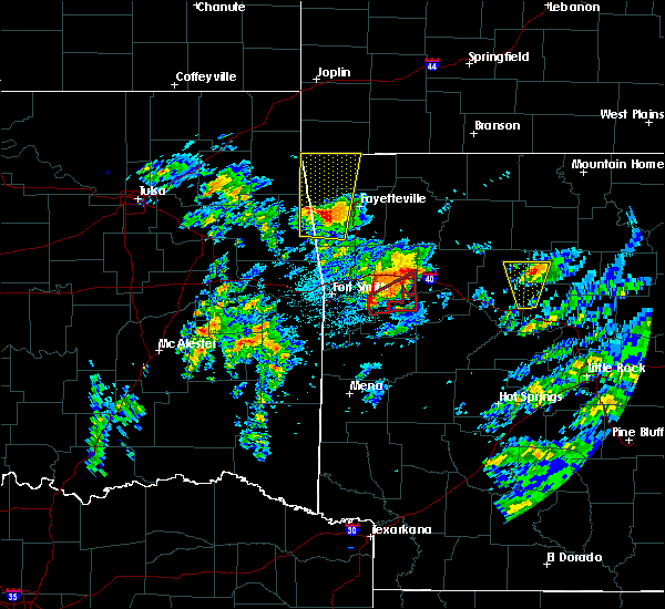 At 626 pm cst, a severe thunderstorm was located near wiederkehr village, or 8 miles northeast of ozark, moving northeast at 45 mph (radar indicated). Hazards include 60 mph wind gusts and quarter size hail. Hail damage to vehicles is expected. Expect wind damage to roofs, siding, and trees. At 626 pm cst, a severe thunderstorm was located near wiederkehr village, or 8 miles northeast of ozark, moving northeast at 45 mph (radar indicated). Hazards include 60 mph wind gusts and quarter size hail. Hail damage to vehicles is expected. Expect wind damage to roofs, siding, and trees.
|
| 10/9/2018 3:36 PM CDT |
 At 336 pm cdt, a severe thunderstorm capable of producing a tornado was located near wiederkehr village, or 7 miles east of ozark, moving north at 25 mph (radar indicated rotation). Hazards include tornado. Flying debris will be dangerous to those caught without shelter. mobile homes will be damaged or destroyed. damage to roofs, windows, and vehicles will occur. Tree damage is likely. At 336 pm cdt, a severe thunderstorm capable of producing a tornado was located near wiederkehr village, or 7 miles east of ozark, moving north at 25 mph (radar indicated rotation). Hazards include tornado. Flying debris will be dangerous to those caught without shelter. mobile homes will be damaged or destroyed. damage to roofs, windows, and vehicles will occur. Tree damage is likely.
|
| 8/19/2018 5:37 PM CDT |
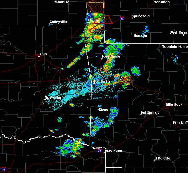 At 536 pm cdt, a severe thunderstorm capable of producing a tornado was located over hoyt, or 4 miles west of clarksville, moving east at 15 mph (radar indicated rotation). Hazards include tornado and golf ball size hail. Flying debris will be dangerous to those caught without shelter. mobile homes will be damaged or destroyed. damage to roofs, windows, and vehicles will occur. Tree damage is likely. At 536 pm cdt, a severe thunderstorm capable of producing a tornado was located over hoyt, or 4 miles west of clarksville, moving east at 15 mph (radar indicated rotation). Hazards include tornado and golf ball size hail. Flying debris will be dangerous to those caught without shelter. mobile homes will be damaged or destroyed. damage to roofs, windows, and vehicles will occur. Tree damage is likely.
|
| 8/19/2018 5:33 PM CDT |
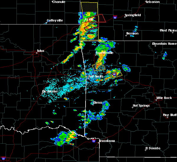 At 532 pm cdt, a severe thunderstorm was located over hinkle, or 5 miles west of clarksville, moving east at 15 mph (radar indicated). Hazards include golf ball size hail and 60 mph wind gusts. People and animals outdoors will be injured. expect hail damage to roofs, siding, windows, and vehicles. expect wind damage to roofs, siding, and trees. Locations impacted include, clarksville, lamar, hartman, hoyt, spadra, woodland, hinkle, coal hill, new spadra, hillcrest in johnson county, union city, harmony, a tornado watch remains in effect until 900 pm cdt for western arkansas. At 532 pm cdt, a severe thunderstorm was located over hinkle, or 5 miles west of clarksville, moving east at 15 mph (radar indicated). Hazards include golf ball size hail and 60 mph wind gusts. People and animals outdoors will be injured. expect hail damage to roofs, siding, windows, and vehicles. expect wind damage to roofs, siding, and trees. Locations impacted include, clarksville, lamar, hartman, hoyt, spadra, woodland, hinkle, coal hill, new spadra, hillcrest in johnson county, union city, harmony, a tornado watch remains in effect until 900 pm cdt for western arkansas.
|
| 8/19/2018 5:22 PM CDT |
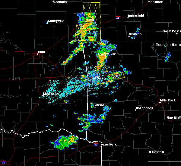 At 521 pm cdt, a severe thunderstorm was located over hartman, or 8 miles west of clarksville, moving east at 15 mph (radar indicated). Hazards include 60 mph wind gusts and quarter size hail. Hail damage to vehicles is expected. Expect wind damage to roofs, siding, and trees. At 521 pm cdt, a severe thunderstorm was located over hartman, or 8 miles west of clarksville, moving east at 15 mph (radar indicated). Hazards include 60 mph wind gusts and quarter size hail. Hail damage to vehicles is expected. Expect wind damage to roofs, siding, and trees.
|
| 8/7/2018 4:50 PM CDT | A tree was blown down. winds were estimated at 60 mp in johnson county AR, 0.2 miles S of Coal Hill, AR |
| 8/7/2018 4:48 PM CDT |
 At 447 pm cdt, severe thunderstorms were located from near hartman to paris, moving northeast at 10 mph (radar indicated). Hazards include 60 mph wind gusts and quarter size hail. Hail damage to vehicles is expected. expect wind damage to roofs, siding, and trees. Locations impacted include, clarksville, lamar, knoxville, hartman, hoyt, woodland, hinkle, spadra, tokalon, lake dardanelle, coal hill, morrison bluff, new spadra, dublin, ludwig, union city, piney bay recreation area,. At 447 pm cdt, severe thunderstorms were located from near hartman to paris, moving northeast at 10 mph (radar indicated). Hazards include 60 mph wind gusts and quarter size hail. Hail damage to vehicles is expected. expect wind damage to roofs, siding, and trees. Locations impacted include, clarksville, lamar, knoxville, hartman, hoyt, woodland, hinkle, spadra, tokalon, lake dardanelle, coal hill, morrison bluff, new spadra, dublin, ludwig, union city, piney bay recreation area,.
|
| 8/7/2018 4:44 PM CDT |
 At 444 pm cdt, a severe thunderstorm was located over paris, moving northeast at 15 mph (radar indicated). Hazards include 60 mph wind gusts and quarter size hail. Hail damage to vehicles is expected. Expect wind damage to roofs, siding, and trees. At 444 pm cdt, a severe thunderstorm was located over paris, moving northeast at 15 mph (radar indicated). Hazards include 60 mph wind gusts and quarter size hail. Hail damage to vehicles is expected. Expect wind damage to roofs, siding, and trees.
|
| 8/7/2018 4:26 PM CDT |
 At 425 pm cdt, a severe thunderstorm was located over hoyt, or 7 miles southwest of clarksville, moving northeast at 15 mph (radar indicated). Hazards include 60 mph wind gusts and nickel size hail. expect damage to roofs, siding, and trees At 425 pm cdt, a severe thunderstorm was located over hoyt, or 7 miles southwest of clarksville, moving northeast at 15 mph (radar indicated). Hazards include 60 mph wind gusts and nickel size hail. expect damage to roofs, siding, and trees
|
| 7/21/2018 1:29 AM CDT |
 At 129 am cdt, a severe thunderstorm was located 7 miles southeast of cass, or 12 miles northeast of ozark, moving southeast at 40 mph (radar indicated). Hazards include 60 mph wind gusts and quarter size hail. Hail damage to vehicles is expected. Expect wind damage to roofs, siding, and trees. At 129 am cdt, a severe thunderstorm was located 7 miles southeast of cass, or 12 miles northeast of ozark, moving southeast at 40 mph (radar indicated). Hazards include 60 mph wind gusts and quarter size hail. Hail damage to vehicles is expected. Expect wind damage to roofs, siding, and trees.
|
| 7/17/2018 4:35 PM CDT | Trees were blown dow in johnson county AR, 0.2 miles S of Coal Hill, AR |
| 7/17/2018 4:33 PM CDT |
 At 433 pm cdt, a severe thunderstorm was located over scranton, or 8 miles southwest of clarksville, moving east at 30 mph (radar indicated). Hazards include 60 mph wind gusts and penny size hail. Expect damage to roofs, siding, and trees. Locations impacted include, clarksville, paris, lamar, subiaco, hartman, scranton, hoyt, woodland, hinkle, midway in logan county, spadra, tokalon, coal hill, morrison bluff, new spadra, dublin, ludwig, union city, wilkins, hillcrest in johnson county,. At 433 pm cdt, a severe thunderstorm was located over scranton, or 8 miles southwest of clarksville, moving east at 30 mph (radar indicated). Hazards include 60 mph wind gusts and penny size hail. Expect damage to roofs, siding, and trees. Locations impacted include, clarksville, paris, lamar, subiaco, hartman, scranton, hoyt, woodland, hinkle, midway in logan county, spadra, tokalon, coal hill, morrison bluff, new spadra, dublin, ludwig, union city, wilkins, hillcrest in johnson county,.
|
| 7/17/2018 4:20 PM CDT | Trees were blown dow in johnson county AR, 0.2 miles S of Coal Hill, AR |
| 7/17/2018 4:13 PM CDT |
 At 413 pm cdt, a severe thunderstorm was located over denning, or near ozark, moving east at 15 mph (radar indicated). Hazards include 60 mph wind gusts and quarter size hail. Hail damage to vehicles is expected. Expect wind damage to roofs, siding, and trees. At 413 pm cdt, a severe thunderstorm was located over denning, or near ozark, moving east at 15 mph (radar indicated). Hazards include 60 mph wind gusts and quarter size hail. Hail damage to vehicles is expected. Expect wind damage to roofs, siding, and trees.
|
| 6/24/2018 6:23 PM CDT |
 At 623 pm cdt, severe thunderstorms were located along a line extending from near cass to near woodland to midway in logan county, moving northeast at 40 mph (radar indicated). Hazards include 60 mph wind gusts and penny size hail. expect damage to roofs, siding, and trees At 623 pm cdt, severe thunderstorms were located along a line extending from near cass to near woodland to midway in logan county, moving northeast at 40 mph (radar indicated). Hazards include 60 mph wind gusts and penny size hail. expect damage to roofs, siding, and trees
|
| 6/24/2018 6:07 PM CDT |
 At 607 pm cdt, severe thunderstorms were located along a line extending from wiederkehr village to near subiaco, moving northeast at 50 mph (radar indicated). Hazards include 60 mph wind gusts and nickel size hail. Expect damage to roofs, siding, and trees. Locations impacted include, clarksville, paris, lamar, knoxville, subiaco, hartman, scranton, woodland, hinkle, hoyt, midway in logan county, spadra, tokalon, lake dardanelle, coal hill, morrison bluff, roseville, dublin, ludwig, union city,. At 607 pm cdt, severe thunderstorms were located along a line extending from wiederkehr village to near subiaco, moving northeast at 50 mph (radar indicated). Hazards include 60 mph wind gusts and nickel size hail. Expect damage to roofs, siding, and trees. Locations impacted include, clarksville, paris, lamar, knoxville, subiaco, hartman, scranton, woodland, hinkle, hoyt, midway in logan county, spadra, tokalon, lake dardanelle, coal hill, morrison bluff, roseville, dublin, ludwig, union city,.
|
| 6/24/2018 5:50 PM CDT |
 At 550 pm cdt, a severe thunderstorm was located over ratcliff, or 7 miles east of charleston, moving northeast at 45 mph (radar indicated). Hazards include 60 mph wind gusts and quarter size hail. Hail damage to vehicles is expected. Expect wind damage to roofs, siding, and trees. At 550 pm cdt, a severe thunderstorm was located over ratcliff, or 7 miles east of charleston, moving northeast at 45 mph (radar indicated). Hazards include 60 mph wind gusts and quarter size hail. Hail damage to vehicles is expected. Expect wind damage to roofs, siding, and trees.
|
| 6/24/2018 7:24 AM CDT |
 At 724 am cdt, severe thunderstorms were located along a line extending from near mulberry to branch to near fort chaffee, moving east at 55 mph (radar indicated). Hazards include 60 mph wind gusts. expect damage to roofs, siding, and trees At 724 am cdt, severe thunderstorms were located along a line extending from near mulberry to branch to near fort chaffee, moving east at 55 mph (radar indicated). Hazards include 60 mph wind gusts. expect damage to roofs, siding, and trees
|
| 6/24/2018 6:29 AM CDT |
 At 628 am cdt, a severe thunderstorm was located near booneville, moving northeast at 45 mph (radar indicated). Hazards include 60 mph wind gusts and quarter size hail. Hail damage to vehicles is expected. Expect wind damage to roofs, siding, and trees. At 628 am cdt, a severe thunderstorm was located near booneville, moving northeast at 45 mph (radar indicated). Hazards include 60 mph wind gusts and quarter size hail. Hail damage to vehicles is expected. Expect wind damage to roofs, siding, and trees.
|
| 5/3/2018 1:38 PM CDT |
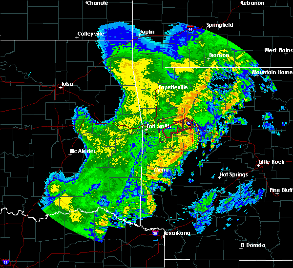 At 138 pm cdt, severe thunderstorms were located along a line extending from near scranton to near midway in logan county to 7 miles southeast of mount magazine to near stonehouse recreation area, moving east at 40 mph (radar indicated). Hazards include 60 mph wind gusts. expect damage to roofs, siding, and trees At 138 pm cdt, severe thunderstorms were located along a line extending from near scranton to near midway in logan county to 7 miles southeast of mount magazine to near stonehouse recreation area, moving east at 40 mph (radar indicated). Hazards include 60 mph wind gusts. expect damage to roofs, siding, and trees
|
| 5/3/2018 1:31 PM CDT |
 At 130 pm cdt, a severe thunderstorm capable of producing a tornado was located over denning, or near ozark, moving east at 35 mph (radar indicated rotation). Hazards include tornado. Flying debris will be dangerous to those caught without shelter. mobile homes will be damaged or destroyed. damage to roofs, windows, and vehicles will occur. tree damage is likely. Locations impacted include, clarksville, hartman, hoyt, hinkle, coal hill, hunt, roseville,. At 130 pm cdt, a severe thunderstorm capable of producing a tornado was located over denning, or near ozark, moving east at 35 mph (radar indicated rotation). Hazards include tornado. Flying debris will be dangerous to those caught without shelter. mobile homes will be damaged or destroyed. damage to roofs, windows, and vehicles will occur. tree damage is likely. Locations impacted include, clarksville, hartman, hoyt, hinkle, coal hill, hunt, roseville,.
|
| 5/3/2018 1:15 PM CDT |
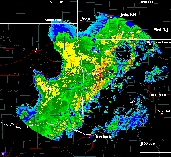 At 115 pm cdt, a severe thunderstorm capable of producing a tornado was located near branch, or 7 miles northeast of charleston, moving northeast at 40 mph (radar indicated rotation). Hazards include tornado. Flying debris will be dangerous to those caught without shelter. mobile homes will be damaged or destroyed. damage to roofs, windows, and vehicles will occur. Tree damage is likely. At 115 pm cdt, a severe thunderstorm capable of producing a tornado was located near branch, or 7 miles northeast of charleston, moving northeast at 40 mph (radar indicated rotation). Hazards include tornado. Flying debris will be dangerous to those caught without shelter. mobile homes will be damaged or destroyed. damage to roofs, windows, and vehicles will occur. Tree damage is likely.
|
| 5/3/2018 1:12 PM CDT |
 At 112 pm cdt, a severe thunderstorm was located over ratcliff, or 8 miles west of paris, moving northeast at 50 mph (radar indicated). Hazards include 60 mph wind gusts. expect damage to roofs, siding, and trees At 112 pm cdt, a severe thunderstorm was located over ratcliff, or 8 miles west of paris, moving northeast at 50 mph (radar indicated). Hazards include 60 mph wind gusts. expect damage to roofs, siding, and trees
|
| 4/13/2018 7:54 PM CDT |
 At 753 pm cdt, severe thunderstorms were located along a line extending from near magazine to 6 miles southeast of booneville to 6 miles northeast of cardiff to 12 miles west of gravelly, moving northeast at 55 mph (radar indicated). Hazards include 60 mph wind gusts and penny size hail. Expect damage to roofs, siding, and trees. Locations impacted include, clarksville, booneville, paris, magazine, subiaco, hartman, scranton, ratcliff, blue mountain, cardiff, hoyt, midway in logan county, muddy creek wma, stonehouse recreation area, hinkle, gravelly, fourche valley, mount magazine, spadra, tokalon, a tornado watch remains in effect until 1000 pm cdt for western and central arkansas. At 753 pm cdt, severe thunderstorms were located along a line extending from near magazine to 6 miles southeast of booneville to 6 miles northeast of cardiff to 12 miles west of gravelly, moving northeast at 55 mph (radar indicated). Hazards include 60 mph wind gusts and penny size hail. Expect damage to roofs, siding, and trees. Locations impacted include, clarksville, booneville, paris, magazine, subiaco, hartman, scranton, ratcliff, blue mountain, cardiff, hoyt, midway in logan county, muddy creek wma, stonehouse recreation area, hinkle, gravelly, fourche valley, mount magazine, spadra, tokalon, a tornado watch remains in effect until 1000 pm cdt for western and central arkansas.
|
| 4/13/2018 7:39 PM CDT |
 At 739 pm cdt, severe thunderstorms were located along a line extending from near booneville to near waldron to 6 miles southwest of cardiff to 11 miles southeast of beauchamp, moving northeast at 55 mph (radar indicated). Hazards include 60 mph wind gusts and penny size hail. expect damage to roofs, siding, and trees At 739 pm cdt, severe thunderstorms were located along a line extending from near booneville to near waldron to 6 miles southwest of cardiff to 11 miles southeast of beauchamp, moving northeast at 55 mph (radar indicated). Hazards include 60 mph wind gusts and penny size hail. expect damage to roofs, siding, and trees
|
| 4/13/2018 7:06 PM CDT |
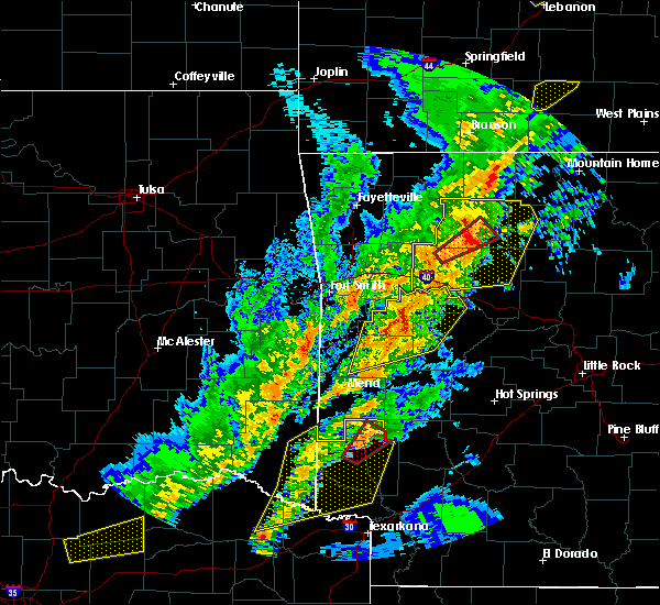 At 706 pm cdt, severe thunderstorms were located along a line extending from 8 miles north of dillen to near bertha to 6 miles north of holman, moving east at 45 mph (radar indicated). Hazards include 70 mph wind gusts and nickel size hail. Expect considerable tree damage. damage is likely to mobile homes, roofs, and outbuildings. Locations impacted include, clarksville, jasper, lamar, knoxville, hartman, hector, western grove, marsena, witts spring, carver, erbie, moore, duff, point peter, devils knob, hoyt, bohannon, pruitt, holman, rosetta, a tornado watch remains in effect until 1000 pm cdt for western, central and north central arkansas. At 706 pm cdt, severe thunderstorms were located along a line extending from 8 miles north of dillen to near bertha to 6 miles north of holman, moving east at 45 mph (radar indicated). Hazards include 70 mph wind gusts and nickel size hail. Expect considerable tree damage. damage is likely to mobile homes, roofs, and outbuildings. Locations impacted include, clarksville, jasper, lamar, knoxville, hartman, hector, western grove, marsena, witts spring, carver, erbie, moore, duff, point peter, devils knob, hoyt, bohannon, pruitt, holman, rosetta, a tornado watch remains in effect until 1000 pm cdt for western, central and north central arkansas.
|
| 4/13/2018 6:41 PM CDT |
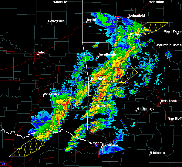 The national weather service in little rock has issued a * severe thunderstorm warning for. johnson county in western arkansas. newton county in north central arkansas. western searcy county in north central arkansas. Northwestern van buren county in north central arkansas. The national weather service in little rock has issued a * severe thunderstorm warning for. johnson county in western arkansas. newton county in north central arkansas. western searcy county in north central arkansas. Northwestern van buren county in north central arkansas.
|
| 4/13/2018 6:30 PM CDT |
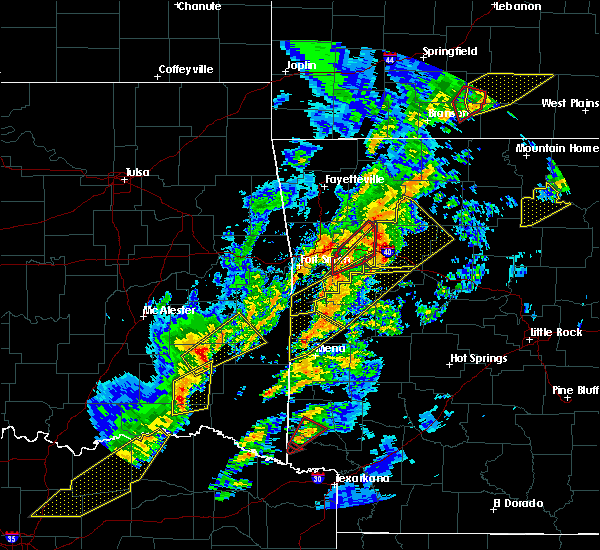 At 630 pm cdt, severe thunderstorms were located along a line extending from 11 miles northeast of wiederkehr village to near woodland to near hartman, moving northeast at 50 mph (radar indicated). Hazards include 70 mph wind gusts and quarter size hail. Hail damage to vehicles is expected. expect considerable tree damage. wind damage is also likely to mobile homes, roofs, and outbuildings. Locations impacted include, clarksville, lamar, knoxville, hartman, scranton, ratcliff, upper buffalo wilderness area, devils knob, hoyt, holman, rosetta, dillen, woodland, hinkle, walnut, spadra, bertha, tokalon, lake dardanelle, coal hill, a tornado watch remains in effect until 1000 pm cdt for western, central and north central arkansas. At 630 pm cdt, severe thunderstorms were located along a line extending from 11 miles northeast of wiederkehr village to near woodland to near hartman, moving northeast at 50 mph (radar indicated). Hazards include 70 mph wind gusts and quarter size hail. Hail damage to vehicles is expected. expect considerable tree damage. wind damage is also likely to mobile homes, roofs, and outbuildings. Locations impacted include, clarksville, lamar, knoxville, hartman, scranton, ratcliff, upper buffalo wilderness area, devils knob, hoyt, holman, rosetta, dillen, woodland, hinkle, walnut, spadra, bertha, tokalon, lake dardanelle, coal hill, a tornado watch remains in effect until 1000 pm cdt for western, central and north central arkansas.
|
| 4/13/2018 6:17 PM CDT |
 At 616 pm cdt, severe thunderstorms were located along a line extending from 6 miles southeast of cass to near wiederkehr village to denning, moving northeast at 60 mph (radar indicated). Hazards include 60 mph wind gusts and quarter size hail. Hail damage to vehicles is expected. expect wind damage to roofs, siding, and trees. Locations impacted include, clarksville, lamar, knoxville, hartman, scranton, ratcliff, upper buffalo wilderness area, devils knob, hoyt, holman, rosetta, dillen, woodland, hinkle, walnut, spadra, bertha, tokalon, lake dardanelle, coal hill, a tornado watch remains in effect until 1000 pm cdt for western, central and north central arkansas. At 616 pm cdt, severe thunderstorms were located along a line extending from 6 miles southeast of cass to near wiederkehr village to denning, moving northeast at 60 mph (radar indicated). Hazards include 60 mph wind gusts and quarter size hail. Hail damage to vehicles is expected. expect wind damage to roofs, siding, and trees. Locations impacted include, clarksville, lamar, knoxville, hartman, scranton, ratcliff, upper buffalo wilderness area, devils knob, hoyt, holman, rosetta, dillen, woodland, hinkle, walnut, spadra, bertha, tokalon, lake dardanelle, coal hill, a tornado watch remains in effect until 1000 pm cdt for western, central and north central arkansas.
|
| 4/13/2018 5:58 PM CDT |
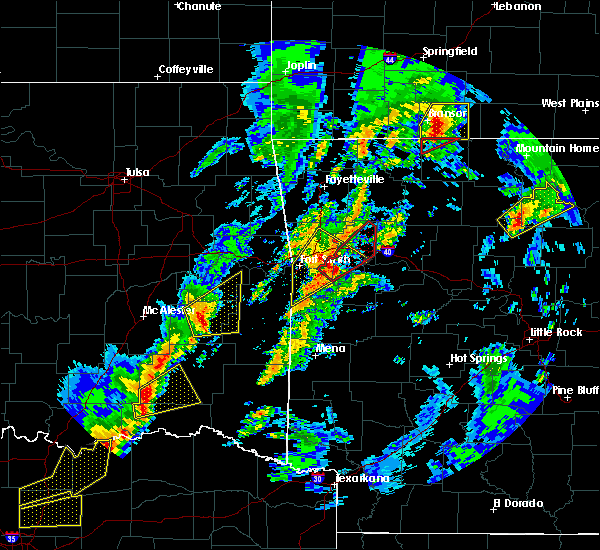 At 558 pm cdt, severe thunderstorms were located along a line extending from near mulberry to 8 miles southwest of ozark to near branch, moving northeast at 55 mph (radar indicated). Hazards include 60 mph wind gusts and quarter size hail. Hail damage to vehicles is expected. Expect wind damage to roofs, siding, and trees. At 558 pm cdt, severe thunderstorms were located along a line extending from near mulberry to 8 miles southwest of ozark to near branch, moving northeast at 55 mph (radar indicated). Hazards include 60 mph wind gusts and quarter size hail. Hail damage to vehicles is expected. Expect wind damage to roofs, siding, and trees.
|
| 4/3/2018 2:30 PM CDT |
 At 229 pm cdt, a severe thunderstorm was located near wiederkehr village, or near ozark, moving east at 40 mph (radar indicated). Hazards include half dollar size hail. damage to vehicles is expected At 229 pm cdt, a severe thunderstorm was located near wiederkehr village, or near ozark, moving east at 40 mph (radar indicated). Hazards include half dollar size hail. damage to vehicles is expected
|
| 3/27/2018 10:49 AM CDT |
 At 1049 am cdt, severe thunderstorms were located along a line extending from 7 miles northeast of wiederkehr village to near hartman to near paris, moving northeast at 45 mph (radar indicated). Hazards include 60 mph wind gusts. expect damage to roofs, siding, and trees At 1049 am cdt, severe thunderstorms were located along a line extending from 7 miles northeast of wiederkehr village to near hartman to near paris, moving northeast at 45 mph (radar indicated). Hazards include 60 mph wind gusts. expect damage to roofs, siding, and trees
|
| 1/21/2018 9:41 PM CST |
 At 941 pm cst, severe thunderstorms were located along a line extending from aurora to near hartman, moving northeast at 40 mph (radar indicated). Hazards include 60 mph wind gusts. expect damage to roofs, siding, and trees At 941 pm cst, severe thunderstorms were located along a line extending from aurora to near hartman, moving northeast at 40 mph (radar indicated). Hazards include 60 mph wind gusts. expect damage to roofs, siding, and trees
|
| 10/22/2017 1:34 AM CDT |
 At 133 am cdt, severe thunderstorms were located along a line extending from cass to ozark to near branch, moving east at 35 mph (radar indicated). Hazards include 60 mph wind gusts. expect damage to roofs, siding, and trees At 133 am cdt, severe thunderstorms were located along a line extending from cass to ozark to near branch, moving east at 35 mph (radar indicated). Hazards include 60 mph wind gusts. expect damage to roofs, siding, and trees
|
| 8/18/2017 7:32 PM CDT |
 At 731 pm cdt, a severe thunderstorm was located over denning, or near ozark, moving southeast at 20 mph (radar indicated). Hazards include 60 mph wind gusts and quarter size hail. Hail damage to vehicles is expected. Expect wind damage to roofs, siding, and trees. At 731 pm cdt, a severe thunderstorm was located over denning, or near ozark, moving southeast at 20 mph (radar indicated). Hazards include 60 mph wind gusts and quarter size hail. Hail damage to vehicles is expected. Expect wind damage to roofs, siding, and trees.
|
| 6/18/2017 10:02 AM CDT |
 At 1001 am cdt, severe thunderstorms were located along a line extending from devils knob to clarksville to near subiaco, moving southeast at 50 mph (radar indicated). Hazards include 60 mph wind gusts and nickel size hail. Expect damage to roofs, siding, and trees. Locations impacted include, clarksville, paris, lamar, dover, london, knoxville, subiaco, hartman, scranton, ratcliff, devils knob, hoyt, midway in logan county, holman, rosetta, dillen, woodland, hinkle, spadra, bertha, this includes interstate 40 between mile markers 50 and 74. At 1001 am cdt, severe thunderstorms were located along a line extending from devils knob to clarksville to near subiaco, moving southeast at 50 mph (radar indicated). Hazards include 60 mph wind gusts and nickel size hail. Expect damage to roofs, siding, and trees. Locations impacted include, clarksville, paris, lamar, dover, london, knoxville, subiaco, hartman, scranton, ratcliff, devils knob, hoyt, midway in logan county, holman, rosetta, dillen, woodland, hinkle, spadra, bertha, this includes interstate 40 between mile markers 50 and 74.
|
| 6/18/2017 9:47 AM CDT |
 At 946 am cdt, severe thunderstorms were located along a line extending from near devils knob to near woodland to near ratcliff, moving southeast at 45 mph (radar indicated). Hazards include 60 mph wind gusts and nickel size hail. Expect damage to roofs, siding, and trees. Locations impacted include, clarksville, paris, lamar, dover, london, knoxville, subiaco, hartman, scranton, ratcliff, devils knob, hoyt, midway in logan county, holman, rosetta, dillen, woodland, hinkle, walnut, spadra, this includes interstate 40 between mile markers 45 and 74. At 946 am cdt, severe thunderstorms were located along a line extending from near devils knob to near woodland to near ratcliff, moving southeast at 45 mph (radar indicated). Hazards include 60 mph wind gusts and nickel size hail. Expect damage to roofs, siding, and trees. Locations impacted include, clarksville, paris, lamar, dover, london, knoxville, subiaco, hartman, scranton, ratcliff, devils knob, hoyt, midway in logan county, holman, rosetta, dillen, woodland, hinkle, walnut, spadra, this includes interstate 40 between mile markers 45 and 74.
|
| 6/18/2017 9:13 AM CDT |
 At 912 am cdt, severe thunderstorms were located along a line extending from near pettigrew to near cass to near mulberry, moving southeast at 50 mph (radar indicated). Hazards include 60 mph wind gusts and nickel size hail. expect damage to roofs, siding, and trees At 912 am cdt, severe thunderstorms were located along a line extending from near pettigrew to near cass to near mulberry, moving southeast at 50 mph (radar indicated). Hazards include 60 mph wind gusts and nickel size hail. expect damage to roofs, siding, and trees
|
| 5/28/2017 12:35 AM CDT |
 At 1234 am cdt, severe thunderstorms were located along a line extending from 10 miles southwest of devils knob to 9 miles north of clarksville to near woodland to near scranton, moving east at 70 mph (radar indicated). Hazards include 70 mph wind gusts and nickel size hail. Expect considerable tree damage. damage is likely to mobile homes, roofs, and outbuildings. Locations impacted include, russellville, clarksville, lamar, dover, london, knoxville, hartman, hector, scranton, witts spring, moore, devils knob, hoyt, bohannon, taral, holman, rosetta, dillen, woodland, hinkle, this includes interstate 40 between mile markers 45 and 79. At 1234 am cdt, severe thunderstorms were located along a line extending from 10 miles southwest of devils knob to 9 miles north of clarksville to near woodland to near scranton, moving east at 70 mph (radar indicated). Hazards include 70 mph wind gusts and nickel size hail. Expect considerable tree damage. damage is likely to mobile homes, roofs, and outbuildings. Locations impacted include, russellville, clarksville, lamar, dover, london, knoxville, hartman, hector, scranton, witts spring, moore, devils knob, hoyt, bohannon, taral, holman, rosetta, dillen, woodland, hinkle, this includes interstate 40 between mile markers 45 and 79.
|
| 5/28/2017 12:26 AM CDT |
 At 1225 am cdt, severe thunderstorms were located along a line extending from near cass to 9 miles northwest of woodland to 6 miles north of hartman to near denning, moving east at 75 mph (radar indicated). Hazards include 70 mph wind gusts and nickel size hail. Expect considerable tree damage. damage is likely to mobile homes, roofs, and outbuildings. locations impacted include, russellville, clarksville, jasper, lamar, dover, london, knoxville, hartman, hector, scranton, witts spring, erbie, upper buffalo wilderness area, devils knob, bohannon, lost valley state park, pruitt, holman, dillen, woodland, this includes interstate 40 between mile markers 45 and 79. A tornado watch remains in effect until 200 am cdt for western, central and north central arkansas. At 1225 am cdt, severe thunderstorms were located along a line extending from near cass to 9 miles northwest of woodland to 6 miles north of hartman to near denning, moving east at 75 mph (radar indicated). Hazards include 70 mph wind gusts and nickel size hail. Expect considerable tree damage. damage is likely to mobile homes, roofs, and outbuildings. locations impacted include, russellville, clarksville, jasper, lamar, dover, london, knoxville, hartman, hector, scranton, witts spring, erbie, upper buffalo wilderness area, devils knob, bohannon, lost valley state park, pruitt, holman, dillen, woodland, this includes interstate 40 between mile markers 45 and 79. A tornado watch remains in effect until 200 am cdt for western, central and north central arkansas.
|
| 5/28/2017 12:15 AM CDT |
 At 1215 am cdt, severe thunderstorms were located along a line extending from 6 miles north of fern to near cass to 8 miles northwest of ozark to near mulberry, moving east at 65 mph (radar indicated). Hazards include 60 mph wind gusts. expect damage to roofs, siding, and trees At 1215 am cdt, severe thunderstorms were located along a line extending from 6 miles north of fern to near cass to 8 miles northwest of ozark to near mulberry, moving east at 65 mph (radar indicated). Hazards include 60 mph wind gusts. expect damage to roofs, siding, and trees
|
| 5/19/2017 1:04 AM CDT |
 At 103 am cdt, severe thunderstorms were located along a line extending from near devils knob to near paris to near oliver, moving east at 45 mph (radar indicated). Hazards include 60 mph wind gusts and nickel size hail. Expect damage to roofs, siding, and trees. locations impacted include, clarksville, booneville, waldron, paris, lamar, magazine, subiaco, hartman, scranton, ratcliff, blue mountain, beauchamp, cardiff, devils knob, hoyt, midway in logan county, rosetta, woodland, hinkle, echo, this includes interstate 40 between mile markers 45 and 60. A tornado watch remains in effect until 300 am cdt for western and north central arkansas. At 103 am cdt, severe thunderstorms were located along a line extending from near devils knob to near paris to near oliver, moving east at 45 mph (radar indicated). Hazards include 60 mph wind gusts and nickel size hail. Expect damage to roofs, siding, and trees. locations impacted include, clarksville, booneville, waldron, paris, lamar, magazine, subiaco, hartman, scranton, ratcliff, blue mountain, beauchamp, cardiff, devils knob, hoyt, midway in logan county, rosetta, woodland, hinkle, echo, this includes interstate 40 between mile markers 45 and 60. A tornado watch remains in effect until 300 am cdt for western and north central arkansas.
|
| 5/19/2017 12:34 AM CDT |
 At 1232 am cdt, severe thunderstorms were located along a line extending from 7 miles west of saint paul to near charleston to 5 miles southwest of heavener, moving east at 40 mph (radar indicated). Hazards include 60 mph wind gusts and nickel size hail. expect damage to roofs, siding, and trees At 1232 am cdt, severe thunderstorms were located along a line extending from 7 miles west of saint paul to near charleston to 5 miles southwest of heavener, moving east at 40 mph (radar indicated). Hazards include 60 mph wind gusts and nickel size hail. expect damage to roofs, siding, and trees
|
| 5/11/2017 3:39 PM CDT |
 At 339 pm cdt, a severe thunderstorm was located 3 miles southwest southwest of hartman, or 5 miles north of paris, moving northeast at 30 mph (radar indicated). Hazards include tennis ball size hail and 60 mph wind gusts. People and animals outdoors will be injured. expect hail damage to roofs, siding, windows, and vehicles. expect wind damage to roofs, siding, and trees. Locations impacted include, clarksville, paris, hartman, hoyt, woodland, hinkle, coal hill, new spadra, harmony, roseville, union city, carbon city, this includes interstate 40 between mile markers 48 and 58. At 339 pm cdt, a severe thunderstorm was located 3 miles southwest southwest of hartman, or 5 miles north of paris, moving northeast at 30 mph (radar indicated). Hazards include tennis ball size hail and 60 mph wind gusts. People and animals outdoors will be injured. expect hail damage to roofs, siding, windows, and vehicles. expect wind damage to roofs, siding, and trees. Locations impacted include, clarksville, paris, hartman, hoyt, woodland, hinkle, coal hill, new spadra, harmony, roseville, union city, carbon city, this includes interstate 40 between mile markers 48 and 58.
|
| 5/11/2017 3:25 PM CDT |
 At 324 pm cdt, a severe thunderstorm was located 3 miles northwest of paris, moving northeast at 30 mph (radar indicated). Hazards include golf ball size hail and 60 mph wind gusts. People and animals outdoors will be injured. expect hail damage to roofs, siding, windows, and vehicles. expect wind damage to roofs, siding, and trees. Locations impacted include, clarksville, paris, hartman, ratcliff, hoyt, woodland, hinkle, coal hill, caulksville, oak grove in johnson county, new spadra, harmony, roseville, yale, union city, hunt, carbon city, this includes interstate 40 between mile markers 44 and 58. At 324 pm cdt, a severe thunderstorm was located 3 miles northwest of paris, moving northeast at 30 mph (radar indicated). Hazards include golf ball size hail and 60 mph wind gusts. People and animals outdoors will be injured. expect hail damage to roofs, siding, windows, and vehicles. expect wind damage to roofs, siding, and trees. Locations impacted include, clarksville, paris, hartman, ratcliff, hoyt, woodland, hinkle, coal hill, caulksville, oak grove in johnson county, new spadra, harmony, roseville, yale, union city, hunt, carbon city, this includes interstate 40 between mile markers 44 and 58.
|
| 5/11/2017 3:04 PM CDT |
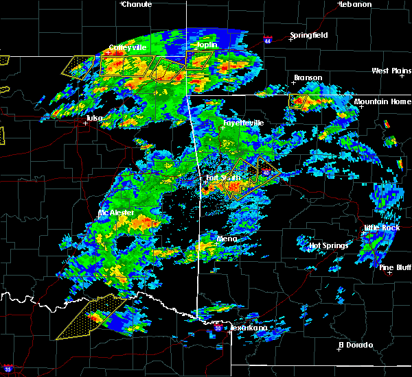 At 303 pm cdt, a severe thunderstorm was located over branch, or 5 miles west of caulksville, moving northeast at 35 mph (radar indicated). Hazards include 60 mph wind gusts and half dollar size hail. Hail damage to vehicles is expected. Expect wind damage to roofs, siding, and trees. At 303 pm cdt, a severe thunderstorm was located over branch, or 5 miles west of caulksville, moving northeast at 35 mph (radar indicated). Hazards include 60 mph wind gusts and half dollar size hail. Hail damage to vehicles is expected. Expect wind damage to roofs, siding, and trees.
|
| 4/26/2017 9:34 AM CDT |
 At 933 am cdt, a severe thunderstorm was located over hoyt, or near clarksville, moving northeast at 50 mph (radar indicated). Hazards include 60 mph wind gusts and half dollar size hail. Hail damage to vehicles is expected. Expect wind damage to roofs, siding, and trees. At 933 am cdt, a severe thunderstorm was located over hoyt, or near clarksville, moving northeast at 50 mph (radar indicated). Hazards include 60 mph wind gusts and half dollar size hail. Hail damage to vehicles is expected. Expect wind damage to roofs, siding, and trees.
|
| 4/26/2017 9:18 AM CDT |
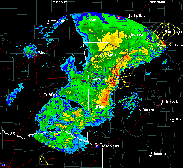 At 918 am cdt, a severe thunderstorm was located near woodland, or 10 miles northwest of clarksville, moving east at 35 mph (radar indicated). Hazards include ping pong ball size hail and 60 mph wind gusts. People and animals outdoors will be injured. expect hail damage to roofs, siding, windows, and vehicles. Expect wind damage to roofs, siding, and trees. At 918 am cdt, a severe thunderstorm was located near woodland, or 10 miles northwest of clarksville, moving east at 35 mph (radar indicated). Hazards include ping pong ball size hail and 60 mph wind gusts. People and animals outdoors will be injured. expect hail damage to roofs, siding, windows, and vehicles. Expect wind damage to roofs, siding, and trees.
|
| 4/21/2017 7:57 AM CDT |
 At 756 am cdt, a severe thunderstorm was located over hinkle, or near clarksville, moving east at 25 mph (radar indicated). Hazards include 60 mph wind gusts and quarter size hail. Hail damage to vehicles is expected. Expect wind damage to roofs, siding, and trees. At 756 am cdt, a severe thunderstorm was located over hinkle, or near clarksville, moving east at 25 mph (radar indicated). Hazards include 60 mph wind gusts and quarter size hail. Hail damage to vehicles is expected. Expect wind damage to roofs, siding, and trees.
|
| 4/4/2017 9:06 PM CDT |
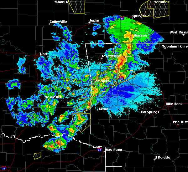 At 905 pm cdt, a severe thunderstorm was located near hartman, or 8 miles west of clarksville, moving northeast at 45 mph (radar indicated). Hazards include golf ball size hail and 60 mph wind gusts. People and animals outdoors will be injured. expect hail damage to roofs, siding, windows, and vehicles. expect wind damage to roofs, siding, and trees. Locations impacted include, clarksville, lamar, hartman, hoyt, woodland, hinkle, spadra, rosetta, devils knob, coal hill, new spadra, harmony, fort douglas, ozone, haw creek falls campground, union city, hunt, hillcrest in johnson county, mineral springs recreation area, salus, this includes interstate 40 between mile markers 45 and 60. At 905 pm cdt, a severe thunderstorm was located near hartman, or 8 miles west of clarksville, moving northeast at 45 mph (radar indicated). Hazards include golf ball size hail and 60 mph wind gusts. People and animals outdoors will be injured. expect hail damage to roofs, siding, windows, and vehicles. expect wind damage to roofs, siding, and trees. Locations impacted include, clarksville, lamar, hartman, hoyt, woodland, hinkle, spadra, rosetta, devils knob, coal hill, new spadra, harmony, fort douglas, ozone, haw creek falls campground, union city, hunt, hillcrest in johnson county, mineral springs recreation area, salus, this includes interstate 40 between mile markers 45 and 60.
|
| 4/4/2017 8:46 PM CDT |
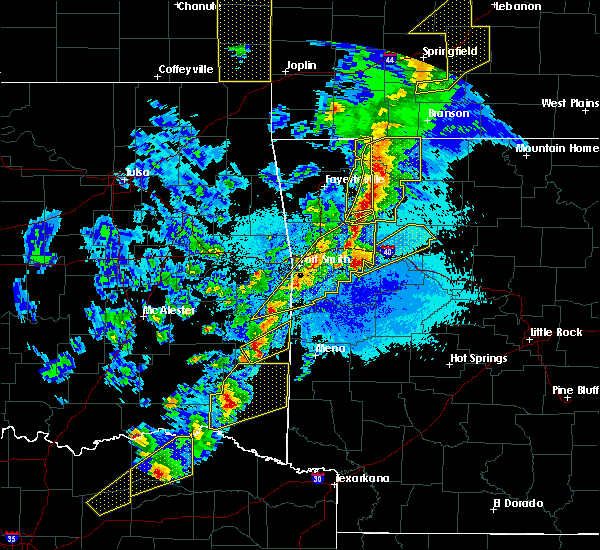 At 845 pm cdt, a severe thunderstorm was located near ratcliff, or 8 miles northwest of paris, moving northeast at 45 mph (radar indicated). Hazards include 60 mph wind gusts and quarter size hail. Hail damage to vehicles is expected. Expect wind damage to roofs, siding, and trees. At 845 pm cdt, a severe thunderstorm was located near ratcliff, or 8 miles northwest of paris, moving northeast at 45 mph (radar indicated). Hazards include 60 mph wind gusts and quarter size hail. Hail damage to vehicles is expected. Expect wind damage to roofs, siding, and trees.
|
| 3/26/2017 11:55 PM CDT |
 At 1154 pm cdt, severe thunderstorms were located along a line extending from near ratcliff to paris to near mount magazine, moving northeast at 50 mph (radar indicated). Hazards include 60 mph wind gusts. Expect damage to roofs, siding, and trees. Locations impacted include, clarksville, paris, lamar, knoxville, subiaco, hartman, scranton, woodland, hinkle, hoyt, mount magazine, midway in logan county, spadra, tokalon, lake dardanelle, coal hill, morrison bluff, dublin, ludwig, union city,. At 1154 pm cdt, severe thunderstorms were located along a line extending from near ratcliff to paris to near mount magazine, moving northeast at 50 mph (radar indicated). Hazards include 60 mph wind gusts. Expect damage to roofs, siding, and trees. Locations impacted include, clarksville, paris, lamar, knoxville, subiaco, hartman, scranton, woodland, hinkle, hoyt, mount magazine, midway in logan county, spadra, tokalon, lake dardanelle, coal hill, morrison bluff, dublin, ludwig, union city,.
|
| 3/26/2017 11:37 PM CDT |
 At 1137 pm cdt, a severe thunderstorm was located over booneville, moving northeast at 45 mph (radar indicated). Hazards include 60 mph wind gusts. expect damage to roofs, siding, and trees At 1137 pm cdt, a severe thunderstorm was located over booneville, moving northeast at 45 mph (radar indicated). Hazards include 60 mph wind gusts. expect damage to roofs, siding, and trees
|
| 3/24/2017 7:28 PM CDT |
 At 728 pm cdt, severe thunderstorms were located along a line extending from near cass to near ozark to near denning, moving northeast at 45 mph (radar indicated). Hazards include 60 mph wind gusts. expect damage to roofs, siding, and trees At 728 pm cdt, severe thunderstorms were located along a line extending from near cass to near ozark to near denning, moving northeast at 45 mph (radar indicated). Hazards include 60 mph wind gusts. expect damage to roofs, siding, and trees
|
| 3/7/2017 1:01 AM CST |
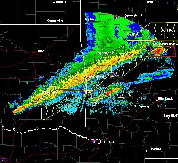 At 101 am cst, severe thunderstorms were located along a line extending from near western grove to 8 miles northeast of walnut to 9 miles southeast of pettigrew to near ozark, moving east at 35 mph (radar indicated). Hazards include 60 mph wind gusts and penny size hail. Expect damage to roofs, siding, and trees. locations impacted include, clarksville, jasper, lamar, hartman, carver, erbie, duff, moore, upper buffalo wilderness area, point peter, devils knob, lost valley state park, pruitt, holman, rosetta, dillen, woodland, eula, piercetown, walnut, this includes interstate 40 between mile markers 44 and 63. A tornado watch remains in effect until 500 am cst for western, central and north central arkansas. At 101 am cst, severe thunderstorms were located along a line extending from near western grove to 8 miles northeast of walnut to 9 miles southeast of pettigrew to near ozark, moving east at 35 mph (radar indicated). Hazards include 60 mph wind gusts and penny size hail. Expect damage to roofs, siding, and trees. locations impacted include, clarksville, jasper, lamar, hartman, carver, erbie, duff, moore, upper buffalo wilderness area, point peter, devils knob, lost valley state park, pruitt, holman, rosetta, dillen, woodland, eula, piercetown, walnut, this includes interstate 40 between mile markers 44 and 63. A tornado watch remains in effect until 500 am cst for western, central and north central arkansas.
|
| 3/7/2017 12:33 AM CST |
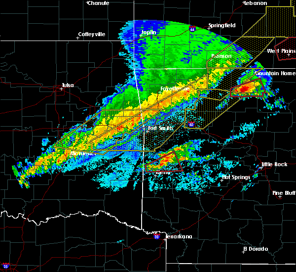 At 1232 am cst, severe thunderstorms were located along a line extending from near erbie to near witter to 6 miles northwest of cass to rudy, moving east at 65 mph (radar indicated). Hazards include 60 mph wind gusts and penny size hail. expect damage to roofs, siding, and trees At 1232 am cst, severe thunderstorms were located along a line extending from near erbie to near witter to 6 miles northwest of cass to rudy, moving east at 65 mph (radar indicated). Hazards include 60 mph wind gusts and penny size hail. expect damage to roofs, siding, and trees
|
| 3/1/2017 1:24 AM CST |
 At 124 am cst, severe thunderstorms were located along a line extending from 9 miles south of pettigrew to 7 miles west of woodland to near denning, moving east at 75 mph (radar indicated). Hazards include 70 mph wind gusts and quarter size hail. Hail damage to vehicles is expected. expect considerable tree damage. wind damage is also likely to mobile homes, roofs, and outbuildings. locations impacted include, russellville, clarksville, paris, dardanelle, lamar, dover, london, knoxville, subiaco, hartman, hector, scranton, ratcliff, lake dardanelle state park, witts spring, moore, devils knob, hoyt, midway in logan county, taral, this includes interstate 40 between mile markers 45 and 84. A tornado watch remains in effect until 600 am cst for western, central and north central arkansas. At 124 am cst, severe thunderstorms were located along a line extending from 9 miles south of pettigrew to 7 miles west of woodland to near denning, moving east at 75 mph (radar indicated). Hazards include 70 mph wind gusts and quarter size hail. Hail damage to vehicles is expected. expect considerable tree damage. wind damage is also likely to mobile homes, roofs, and outbuildings. locations impacted include, russellville, clarksville, paris, dardanelle, lamar, dover, london, knoxville, subiaco, hartman, hector, scranton, ratcliff, lake dardanelle state park, witts spring, moore, devils knob, hoyt, midway in logan county, taral, this includes interstate 40 between mile markers 45 and 84. A tornado watch remains in effect until 600 am cst for western, central and north central arkansas.
|
| 3/1/2017 1:07 AM CST |
 At 107 am cst, severe thunderstorms were located along a line extending from near fern to 6 miles south of mulberry to bloomer, moving east at 70 mph (radar indicated). Hazards include 60 mph wind gusts and quarter size hail. Hail damage to vehicles is expected. Expect wind damage to roofs, siding, and trees. At 107 am cst, severe thunderstorms were located along a line extending from near fern to 6 miles south of mulberry to bloomer, moving east at 70 mph (radar indicated). Hazards include 60 mph wind gusts and quarter size hail. Hail damage to vehicles is expected. Expect wind damage to roofs, siding, and trees.
|
| 8/7/2016 2:36 PM CDT |
 At 236 pm cdt, severe thunderstorms were located along a line extending from near moore to near holman to near woodland, moving east at 25 mph (radar indicated). Hazards include 60 mph wind gusts and penny size hail. Expect damage to roofs. siding. and trees. Locations impacted include, clarksville, lamar, knoxville, hartman, smyrna, spadra, bertha, woodland, hinkle, holman, broomfield, dillen, solo, moore, hoyt, lake dardanelle, coal hill, ben hur, new spadra, harmony,. At 236 pm cdt, severe thunderstorms were located along a line extending from near moore to near holman to near woodland, moving east at 25 mph (radar indicated). Hazards include 60 mph wind gusts and penny size hail. Expect damage to roofs. siding. and trees. Locations impacted include, clarksville, lamar, knoxville, hartman, smyrna, spadra, bertha, woodland, hinkle, holman, broomfield, dillen, solo, moore, hoyt, lake dardanelle, coal hill, ben hur, new spadra, harmony,.
|
| 8/7/2016 2:14 PM CDT |
 At 213 pm cdt, severe thunderstorms were located along a line extending from near eula to near rosetta to 8 miles east of cass, moving south at 20 mph (radar indicated). Hazards include 60 mph wind gusts and penny size hail. Expect damage to roofs. siding. And trees. At 213 pm cdt, severe thunderstorms were located along a line extending from near eula to near rosetta to 8 miles east of cass, moving south at 20 mph (radar indicated). Hazards include 60 mph wind gusts and penny size hail. Expect damage to roofs. siding. And trees.
|
| 7/14/2016 4:06 PM CDT |
 At 405 pm cdt, severe thunderstorms were located along a line extending from 10 miles north of woodland to near paris to near hatfield, moving east at 55 mph (trained weather spotters reported 65 mph winds and damage to trees and shingles blown off of roofs in paris). Hazards include 70 mph wind gusts and quarter size hail. Hail damage to vehicles is expected. expect considerable tree damage. wind damage is also likely to mobile homes, roofs, and outbuildings. Locations impacted include, clarksville, mena, booneville, waldron, paris, danville, mount ida, lamar, mansfield, london, magazine, knoxville, subiaco, hartman, hatfield, norman, oden, scranton, ratcliff, blue mountain,. At 405 pm cdt, severe thunderstorms were located along a line extending from 10 miles north of woodland to near paris to near hatfield, moving east at 55 mph (trained weather spotters reported 65 mph winds and damage to trees and shingles blown off of roofs in paris). Hazards include 70 mph wind gusts and quarter size hail. Hail damage to vehicles is expected. expect considerable tree damage. wind damage is also likely to mobile homes, roofs, and outbuildings. Locations impacted include, clarksville, mena, booneville, waldron, paris, danville, mount ida, lamar, mansfield, london, magazine, knoxville, subiaco, hartman, hatfield, norman, oden, scranton, ratcliff, blue mountain,.
|
| 7/14/2016 3:28 PM CDT |
 At 328 pm cdt, severe thunderstorms were located along a line extending from near brentwood to near burnville to near muse, moving east at 45 mph (radar indicated). Hazards include 60 mph wind gusts and quarter size hail. Hail damage to vehicles is expected. Expect wind damage to roofs, siding, and trees. At 328 pm cdt, severe thunderstorms were located along a line extending from near brentwood to near burnville to near muse, moving east at 45 mph (radar indicated). Hazards include 60 mph wind gusts and quarter size hail. Hail damage to vehicles is expected. Expect wind damage to roofs, siding, and trees.
|
| 4/27/2016 1:58 AM CDT |
 At 157 am cdt, severe thunderstorms were located along a line extending from grandview to near pettigrew to near booneville, moving east at 50 mph (radar indicated). Hazards include 60 mph wind gusts and penny size hail. Expect damage to roofs. siding. and trees. Locations impacted include, harrison, clarksville, paris, jasper, lamar, knoxville, subiaco, hartman, bergman, scranton, ratcliff, omaha, tokalon, capps, upper buffalo wilder, self, devils knob, walnut, hinkle, holman,. At 157 am cdt, severe thunderstorms were located along a line extending from grandview to near pettigrew to near booneville, moving east at 50 mph (radar indicated). Hazards include 60 mph wind gusts and penny size hail. Expect damage to roofs. siding. and trees. Locations impacted include, harrison, clarksville, paris, jasper, lamar, knoxville, subiaco, hartman, bergman, scranton, ratcliff, omaha, tokalon, capps, upper buffalo wilder, self, devils knob, walnut, hinkle, holman,.
|
| 4/27/2016 1:25 AM CDT |
 At 125 am cdt, severe thunderstorms were located along a line extending from garfield to 6 miles east of brentwood to near washburn, moving east at 50 mph (radar indicated). Hazards include 60 mph wind gusts and penny size hail. Expect damage to roofs. siding. And trees. At 125 am cdt, severe thunderstorms were located along a line extending from garfield to 6 miles east of brentwood to near washburn, moving east at 50 mph (radar indicated). Hazards include 60 mph wind gusts and penny size hail. Expect damage to roofs. siding. And trees.
|
| 4/11/2016 4:23 AM CDT |
 At 423 am cdt, severe thunderstorms were located along a line extending from altus to paris to near magazine, moving east at 60 mph (radar indicated). Hazards include 70 mph wind gusts. Expect considerable tree damage. damage is likely to mobile homes, roofs, and outbuildings. Locations impacted include, clarksville, booneville, paris, lamar, london, magazine, knoxville, subiaco, hartman, scranton, ratcliff, blue mountain, tokalon, mount magazine, hinkle, holman, midway in logan coun, spadra, woodland, hoyt,. At 423 am cdt, severe thunderstorms were located along a line extending from altus to paris to near magazine, moving east at 60 mph (radar indicated). Hazards include 70 mph wind gusts. Expect considerable tree damage. damage is likely to mobile homes, roofs, and outbuildings. Locations impacted include, clarksville, booneville, paris, lamar, london, magazine, knoxville, subiaco, hartman, scranton, ratcliff, blue mountain, tokalon, mount magazine, hinkle, holman, midway in logan coun, spadra, woodland, hoyt,.
|
| 4/11/2016 4:07 AM CDT |
 At 407 am cdt, severe thunderstorms were located along a line extending from near charleston to near fort chaffee to echo, moving east at 55 mph (radar indicated). Hazards include 60 mph wind gusts. Expect damage to roofs. siding. And trees. At 407 am cdt, severe thunderstorms were located along a line extending from near charleston to near fort chaffee to echo, moving east at 55 mph (radar indicated). Hazards include 60 mph wind gusts. Expect damage to roofs. siding. And trees.
|
| 9/8/2015 3:43 PM CDT |
 At 343 pm cdt, a severe thunderstorm was located near subiaco, or 7 miles northeast of paris, moving northeast at 5 mph (radar indicated). Hazards include 60 mph wind gusts and nickel size hail. Expect damage to roofs. Siding and trees. At 343 pm cdt, a severe thunderstorm was located near subiaco, or 7 miles northeast of paris, moving northeast at 5 mph (radar indicated). Hazards include 60 mph wind gusts and nickel size hail. Expect damage to roofs. Siding and trees.
|
| 8/5/2015 10:02 PM CDT |
 At 1001 pm cdt, severe thunderstorms were located along a line extending from near clinton to near claude to near jerusalem to near taral to near knoxville to scranton, moving southeast at 30 mph (radar indicated). Hazards include 60 mph wind gusts. Expect damage to roofs. siding and trees. Locations impacted include, russellville, clarksville, paris, clinton, dardanelle, atkins, pottsville, lamar, dover, london, knoxville, subiaco, hartman, hector, damascus, twin groves, scranton, bethlehem, catholic point and solgohachia. At 1001 pm cdt, severe thunderstorms were located along a line extending from near clinton to near claude to near jerusalem to near taral to near knoxville to scranton, moving southeast at 30 mph (radar indicated). Hazards include 60 mph wind gusts. Expect damage to roofs. siding and trees. Locations impacted include, russellville, clarksville, paris, clinton, dardanelle, atkins, pottsville, lamar, dover, london, knoxville, subiaco, hartman, hector, damascus, twin groves, scranton, bethlehem, catholic point and solgohachia.
|
| 8/5/2015 9:31 PM CDT |
 At 930 pm cdt, severe thunderstorms were located along a line extending from near woolum to near dabney to near broomfield to near holman to near hoyt to near wiederkehr village, moving southeast at 30 mph (radar indicated). Hazards include 60 mph wind gusts. Expect damage to roofs. Siding and trees. At 930 pm cdt, severe thunderstorms were located along a line extending from near woolum to near dabney to near broomfield to near holman to near hoyt to near wiederkehr village, moving southeast at 30 mph (radar indicated). Hazards include 60 mph wind gusts. Expect damage to roofs. Siding and trees.
|
| 8/5/2015 9:12 PM CDT |
 At 911 pm cdt, a severe thunderstorm was located near cass, or 12 miles northeast of ozark, moving southeast at 30 mph (radar indicated). Hazards include 60 mph wind gusts and quarter size hail. Hail damage to vehicles is expected. Expect wind damage to roofs, siding and trees. At 911 pm cdt, a severe thunderstorm was located near cass, or 12 miles northeast of ozark, moving southeast at 30 mph (radar indicated). Hazards include 60 mph wind gusts and quarter size hail. Hail damage to vehicles is expected. Expect wind damage to roofs, siding and trees.
|
| 7/5/2015 4:48 PM CDT |
 At 446 pm cdt, a severe thunderstorm was located near hinkle, and moving northeast at 15 mph (radar indicated). Hazards include 60 mph wind gusts and quarter size hail. Hail damage to vehicles is expected. Expect wind damage to roofs, siding and trees. At 446 pm cdt, a severe thunderstorm was located near hinkle, and moving northeast at 15 mph (radar indicated). Hazards include 60 mph wind gusts and quarter size hail. Hail damage to vehicles is expected. Expect wind damage to roofs, siding and trees.
|
| 6/26/2015 5:39 PM CDT | The severe thunderstorm warning for southwestern newton, north central logan and johnson counties will expire at 545 pm cdt, the line of storms which prompted the warning has weakened below severe limits, and no longer poses an immediate threat to life or property. however, heavy rain is still possible with these thunderstorms. in addition, strong thunderstorms may redevelop, and a severe thunderstorm watch remains in effect until 8 pm cdt. |
| 6/26/2015 5:06 PM CDT | At 504 pm cdt, severe thunderstorms were located along a line extending from 12 miles north of horsehead lake to hartman, and moving northeast at 15 mph (radar indicated). Hazards include 60 mph wind gusts and quarter size hail. Hail damage to vehicles is expected. Expect wind damage to roofs, siding and trees. |
| 5/25/2015 7:29 PM CDT | At 727 pm cdt, severe thunderstorms were located along a line extending from hartman to mosley to lena lndg rec area, and moving northeast at 45 mph (radar indicated). Hazards include 70 mph wind gusts and nickel size hail. Expect considerable tree damage. Damage is likely to mobile homes, roofs and outbuildings. |
| 5/25/2015 7:05 PM CDT | At 701 pm cdt, severe thunderstorms were located along a line extending from 6 miles north of ratcliff to fourche valley to mt ida, and moving northeast at 50 mph (radar indicated). Hazards include 70 mph wind gusts and nickel size hail. Expect considerable tree damage. Damage is likely to mobile homes, roofs and outbuildings. |
| 5/24/2015 3:20 PM CDT | At 318 pm cdt, severe thunderstorms were located along a line extending from 7 miles southwest of morgan springs to waldron to gravelly, and moving north at 70 mph (radar indicated). Hazards include 60 mph wind gusts. Expect damage to roofs. Siding and trees. |
| 5/24/2015 2:56 PM CDT | At 253 pm cdt, severe thunderstorms were located along a line extending from queen wilhelmina state park to oden, and moving north at 70 mph (radar indicated). Hazards include 60 mph wind gusts. Expect damage to roofs. Siding and trees. |
| 5/10/2015 2:57 AM CDT | At 254 am cdt, a severe thunderstorm was located near horsehead lake, and moving east at 50 mph (radar indicated). Hazards include 60 mph wind gusts and quarter size hail. Hail damage to vehicles is expected. expect wind damage to roofs, siding and trees. heavy rain is also possible and flash flooding will be possible. A flash flood warning is in effect for the area. |
| 5/10/2015 2:48 AM CDT | At 243 am cdt, a severe thunderstorm was located near ozark, and moving east at 50 mph (radar indicated). Hazards include 60 mph wind gusts and quarter size hail. Hail damage to vehicles is expected. expect wind damage to roofs, siding and trees. heavy rain is also possible and flash flooding will be possible. A flash flood warning is in effect. |
| 5/10/2015 2:16 AM CDT | At 213 am cdt, a severe thunderstorm was located near horsehead lake, and moving east at 50 mph (radar indicated). Hazards include 60 mph wind gusts and quarter size hail. Hail damage to vehicles is expected. Expect wind damage to roofs, siding and trees. |
| 4/19/2015 6:27 PM CDT | At 625 pm cdt, a couple of severe thunderstorms were located from 8 miles northwest of horsehead lake to ozark, and moving east at 35 mph (radar indicated). Hazards include quarter size hail. damage to vehicles is expected |
| 3/25/2015 11:14 PM CDT | A severe thunderstorm warning remains in effect for northwestern yell. eastern logan and johnson counties until 1145 pm cdt. at 1111 pm cdt. national weather service doppler radar continued to indicate a line of severe thunderstorms capable of producing damaging winds in excess of 60 mph. These storms were located along a line extending from ozone to around clarksville and scranton. |
| 3/25/2015 10:41 PM CDT | The national weather service in little rock has issued a * severe thunderstorm warning for. johnson county in western arkansas. logan county in western arkansas. northwestern yell county in central arkansas. Until 1145 pm cdt. |
| 7/22/2013 4:58 PM CDT | Quarter sized hail reported 0.2 miles S of Coal Hill, AR |
| 5/20/2013 10:00 PM CDT | Quarter sized hail reported 0.2 miles S of Coal Hill, AR |
Hail Maps for Coal Hill, AR
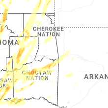

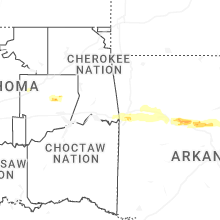
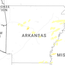
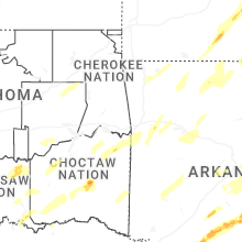


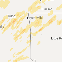


Connect with Interactive Hail Maps