

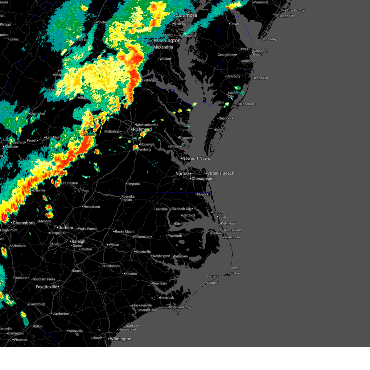
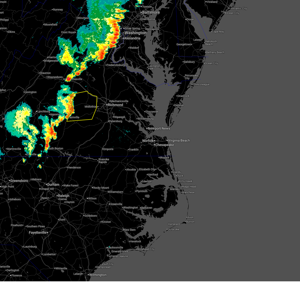
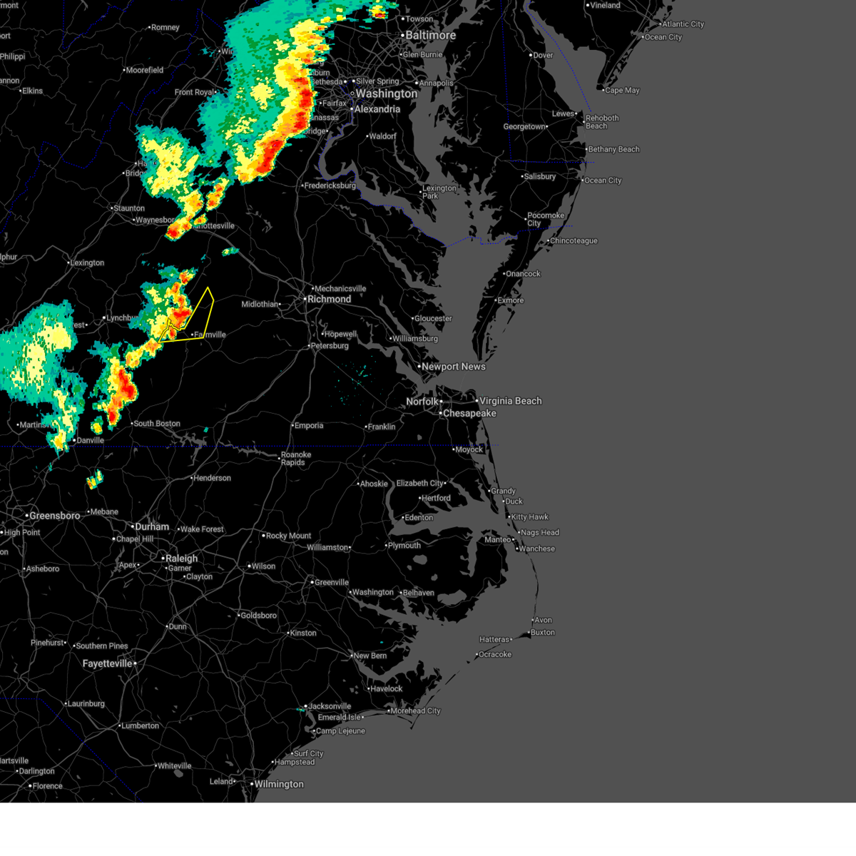
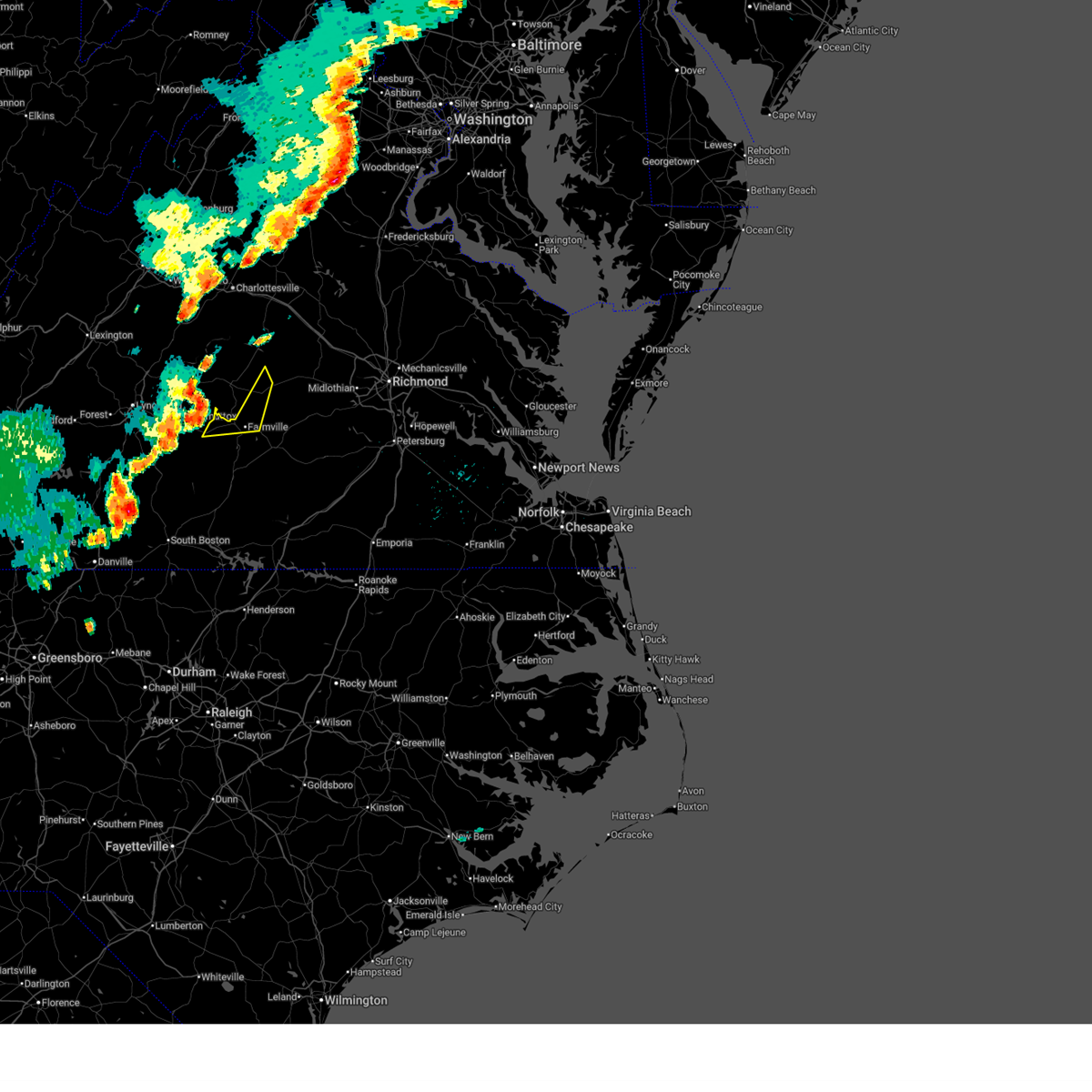
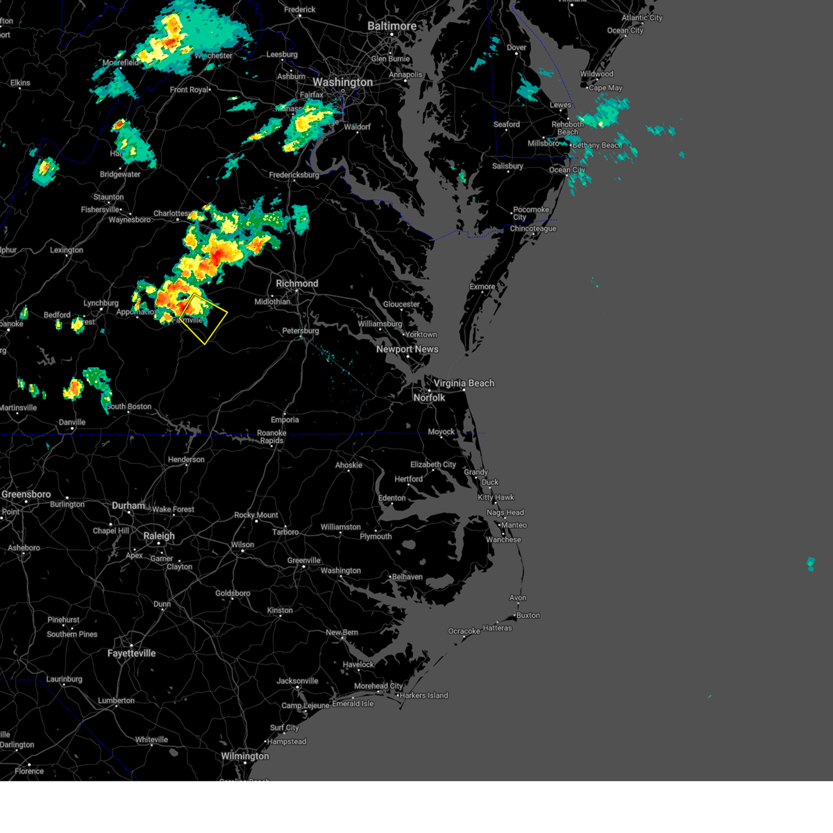
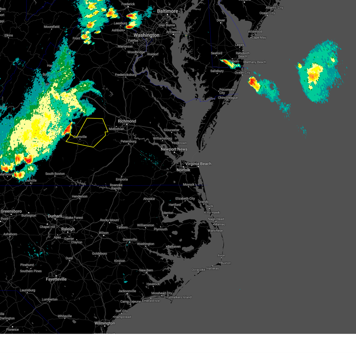
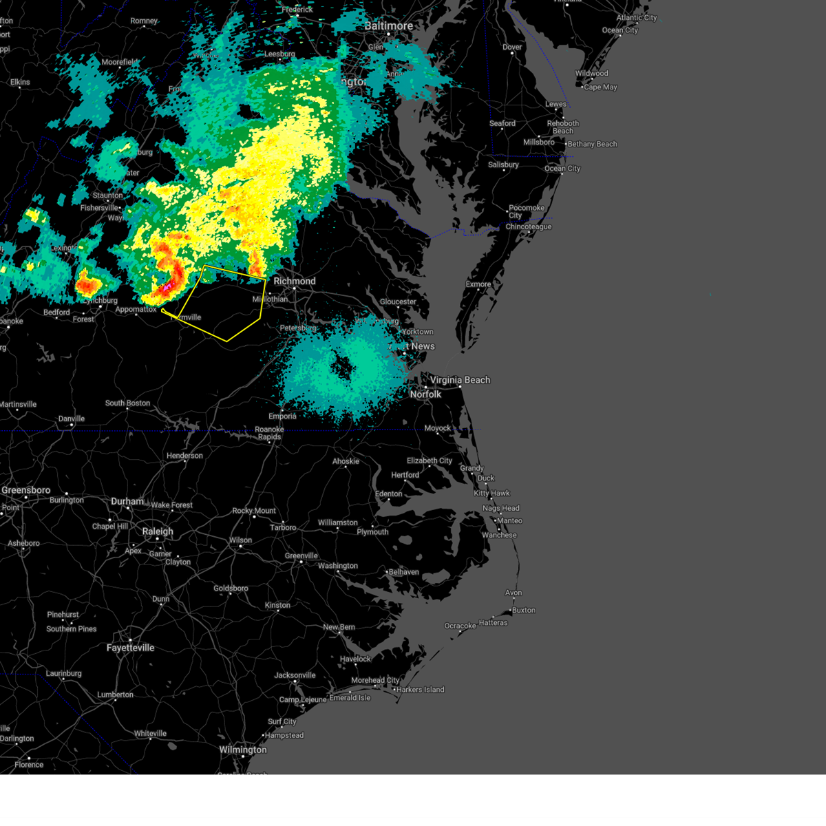
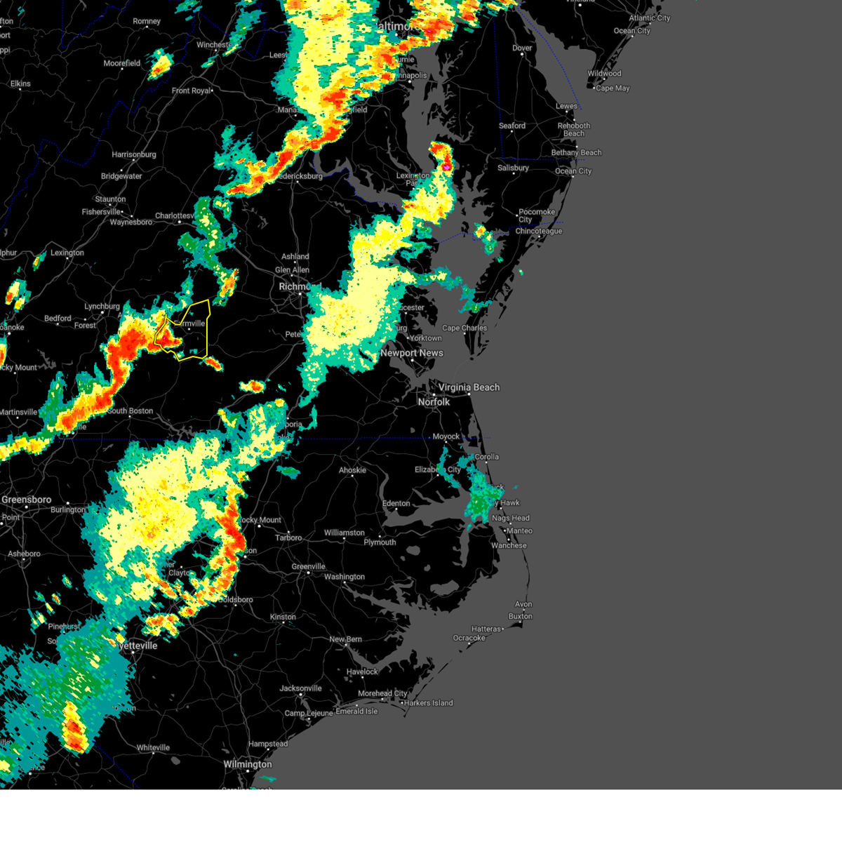
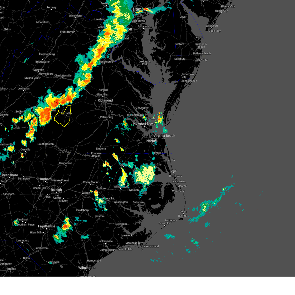
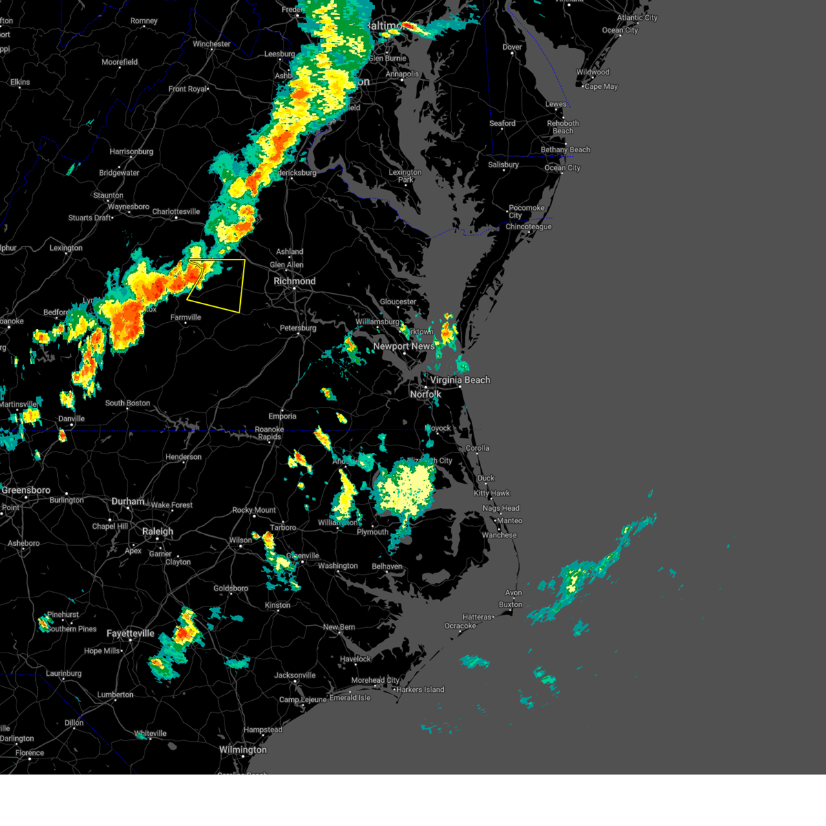
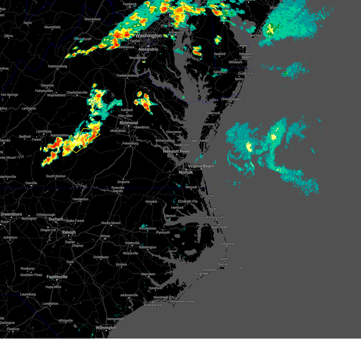
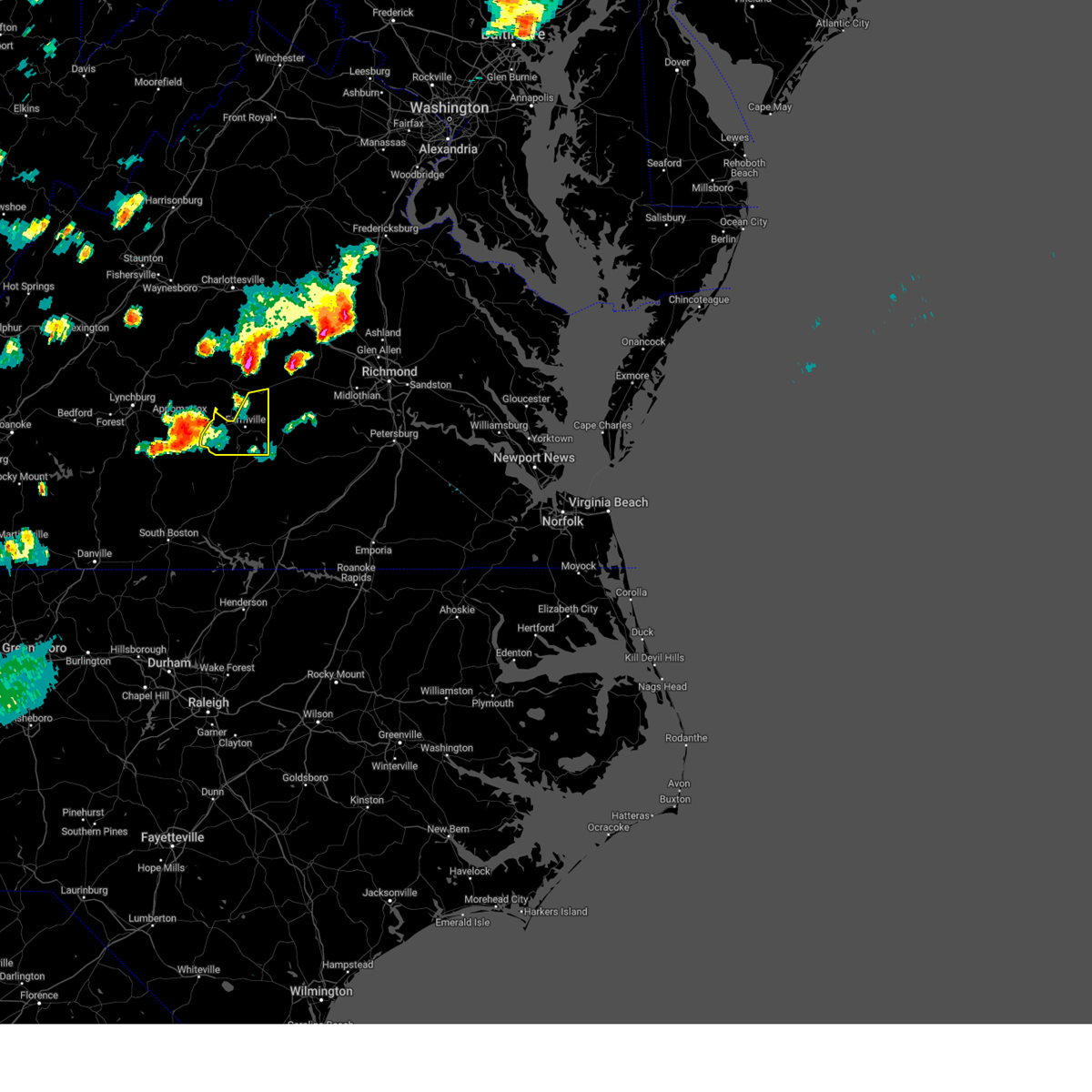
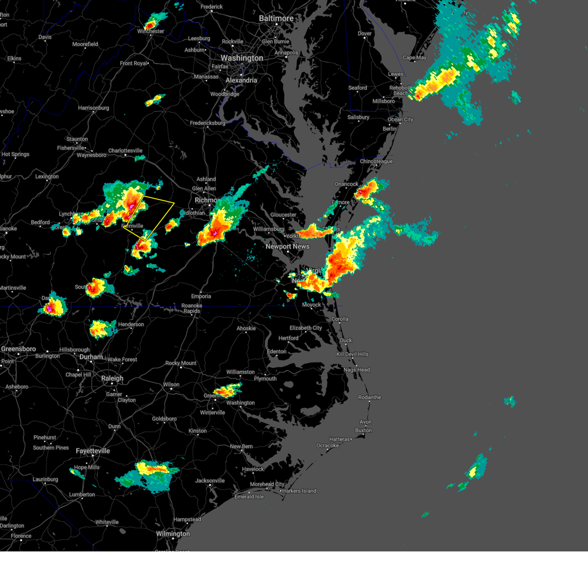
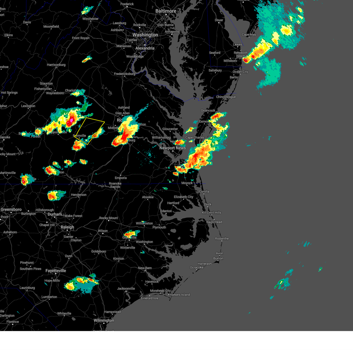
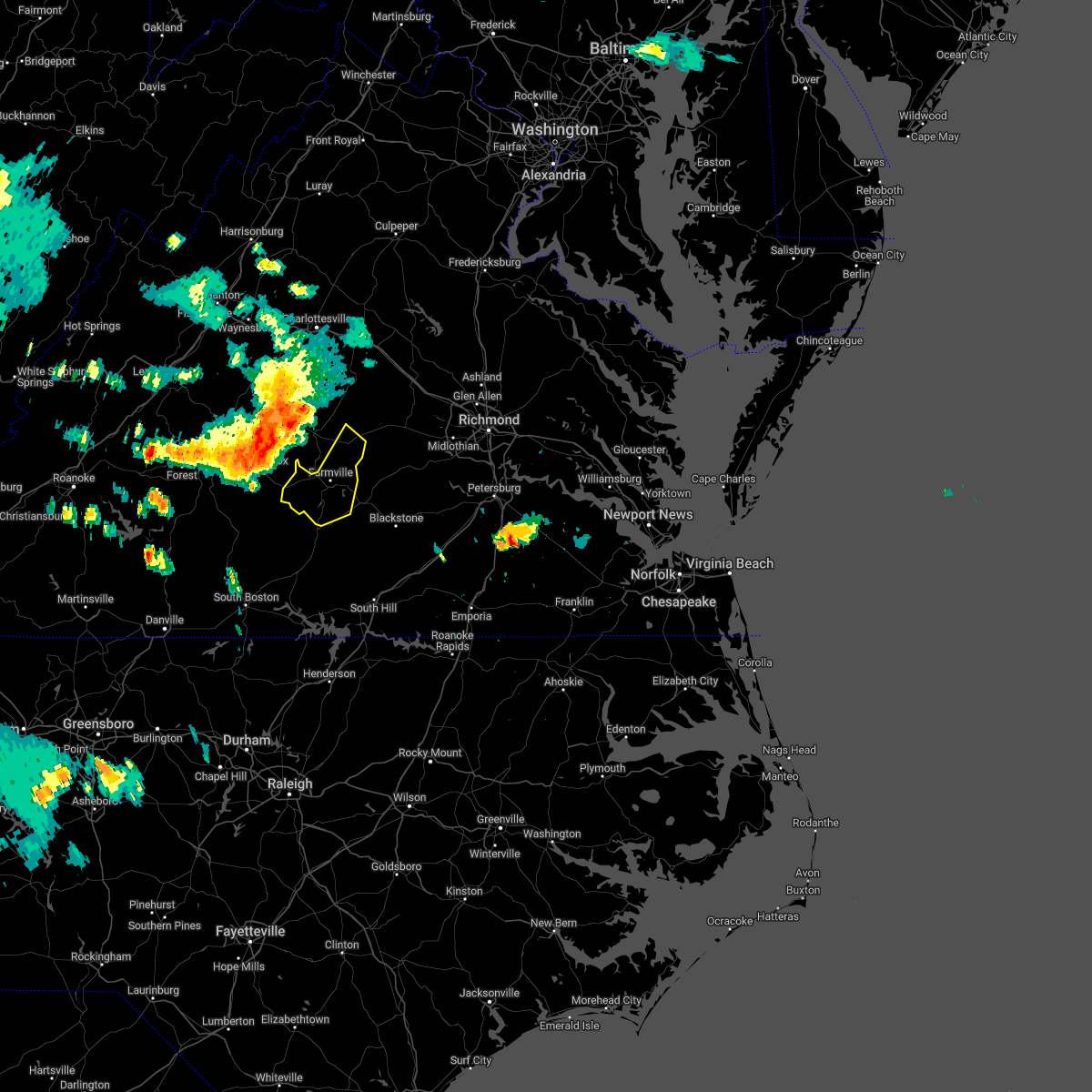
Hail Map for Cumberland, VA
The Cumberland, VA area has had 5 reports of on-the-ground hail by trained spotters, and has been under severe weather warnings 22 times during the past 12 months. Doppler radar has detected hail at or near Cumberland, VA on 39 occasions, including 1 occasion during the past year.
| Name: | Cumberland, VA |
| Where Located: | 33.2 miles W of Richmond, VA |
| Map: | Google Map for Cumberland, VA |
| Population: | 393 |
| Housing Units: | 178 |
| More Info: | Search Google for Cumberland, VA |
0
The Top Recent Hail Date for Cumberland, VA is Friday, June 6, 2025 (35th out of 39)

Hail and Wind Damage Spotted near Cumberland, VA
| Date / Time | Report Details |
|---|---|
| 7/9/2025 6:21 PM EDT | The storms which prompted the warning havs moved out of the warning area but a severe thunderstorm warning is still issued for parts of cumberland county. a severe thunderstorm watch remains in effect until 1000 pm edt for central virginia. |
| 7/9/2025 6:14 PM EDT | A tree fell down along clement town r in powhatan county VA, 8.7 miles W of Cumberland, VA |
| 7/9/2025 6:14 PM EDT | A tree fell down at the intersection of clementown rd and old buckingham r in powhatan county VA, 8.6 miles W of Cumberland, VA |
| 7/9/2025 6:10 PM EDT | A tree fell along ballsville r in powhatan county VA, 11.5 miles WSW of Cumberland, VA |
| 7/9/2025 6:03 PM EDT |
 At 602 pm edt, severe thunderstorms were located along a line extending from near fife to near trenholm to near cumberland, moving east at 30 mph (radar indicated). Hazards include 60 mph wind gusts. Expect damage to trees and powerlines. these severe storms will be near, sunnyside, ballsville, tobaccoville, and trenholm around 610 pm edt. Other locations impacted by these severe thunderstorms include hatchers, trents mill, ashby, oak forest, mcrae, clinton, tamworth, whiteville, west view, and grays siding. At 602 pm edt, severe thunderstorms were located along a line extending from near fife to near trenholm to near cumberland, moving east at 30 mph (radar indicated). Hazards include 60 mph wind gusts. Expect damage to trees and powerlines. these severe storms will be near, sunnyside, ballsville, tobaccoville, and trenholm around 610 pm edt. Other locations impacted by these severe thunderstorms include hatchers, trents mill, ashby, oak forest, mcrae, clinton, tamworth, whiteville, west view, and grays siding.
|
| 7/9/2025 6:03 PM EDT |
 the severe thunderstorm warning has been cancelled and is no longer in effect the severe thunderstorm warning has been cancelled and is no longer in effect
|
| 7/9/2025 5:55 PM EDT | Svrakq the national weather service in wakefield has issued a * severe thunderstorm warning for, cumberland county in central virginia, prince edward county in central virginia, northwestern nottoway county in south central virginia, western amelia county in central virginia, western powhatan county in central virginia, * until 645 pm edt. * at 554 pm edt, severe thunderstorms were located along a line extending from near guinea mills to near abilene, moving northeast at 35 mph (radar indicated). Hazards include 60 mph wind gusts and penny size hail. Expect damage to trees and powerlines. severe thunderstorms will be near, cumberland, farmville, longwood university, hampden sydney college, hampden sydney, and guinea mills around 600 pm edt. sunnyside around 605 pm edt. rice around 610 pm edt. tobaccoville and trenholm around 620 pm edt. ballsville around 630 pm edt. Other locations impacted by these severe thunderstorms include raines tavern, tuggle, prince edward station, angola, rock castle, briery, oak forest, twin lakes state park, hawk, and kingsville. |
| 7/9/2025 5:24 PM EDT | Svrakq the national weather service in wakefield has issued a * severe thunderstorm warning for, cumberland county in central virginia, western goochland county in central virginia, northwestern powhatan county in central virginia, southern fluvanna county in central virginia, * until 630 pm edt. * at 524 pm edt, severe thunderstorms were located along a line extending from 6 miles northeast of centenary to dillwyn to near andersonville, moving east at 25 mph (radar indicated). Hazards include 60 mph wind gusts. Expect damage to trees and powerlines. severe thunderstorms will be near, fork union around 535 pm edt. cumberland, columbia, and lakeside village around 550 pm edt. duncan around 555 pm edt. cartersville around 600 pm edt. fife around 605 pm edt. sunnyside and trenholm around 610 pm edt. Other locations impacted by these severe thunderstorms include oak forest, shores, central plains, bremo bluff, cohasset, whiteville, west view, grays siding, tabscott, and hardware. |
| 6/19/2025 4:20 PM EDT | Multiple trees down on us-60 east and west. time estimated from rada in cumberland county VA, 1.5 miles SSW of Cumberland, VA |
| 6/19/2025 4:20 PM EDT | Tree down on stony point rd in cumberland county. time estimated from rada in cumberland county VA, 2.9 miles WNW of Cumberland, VA |
| 6/19/2025 4:15 PM EDT | Tree down on cumberland rd near agee lane in cumberland county. time estimated from rada in cumberland county VA, 3.3 miles NE of Cumberland, VA |
| 6/19/2025 4:10 PM EDT | Tree down on sports lake rd in cumberland county. time estimated from rada in cumberland county VA, 5.1 miles SSE of Cumberland, VA |
| 6/19/2025 4:09 PM EDT |
 Svrakq the national weather service in wakefield has issued a * severe thunderstorm warning for, northwestern chesterfield county in central virginia, cumberland county in central virginia, east central prince edward county in central virginia, northwestern nottoway county in south central virginia, goochland county in central virginia, amelia county in central virginia, powhatan county in central virginia, southeastern fluvanna county in central virginia, * until 500 pm edt. * at 409 pm edt, severe thunderstorms were located along a line extending from near new canton to near cumberland to near longwood university, moving east at 45 mph (radar indicated). Hazards include 60 mph wind gusts. Expect damage to trees and powerlines. severe thunderstorms will be near, cartersville, rice, sunnyside, duncan, tobaccoville, and lakeside village around 415 pm edt. morven, ballsville, and trenholm around 420 pm edt. jetersville, macon, and fife around 425 pm edt. powhatan, goochland, and amelia courthouse around 430 pm edt. chula around 435 pm edt. scotts fork and oilville around 440 pm edt. moseley, manakin, and sabot around 445 pm edt. Other locations impacted by these severe thunderstorms include angola, maidens, three square, bremo bluff, skinquarter, fine creek mills, whiteville, michaux, west view, and grays siding. Svrakq the national weather service in wakefield has issued a * severe thunderstorm warning for, northwestern chesterfield county in central virginia, cumberland county in central virginia, east central prince edward county in central virginia, northwestern nottoway county in south central virginia, goochland county in central virginia, amelia county in central virginia, powhatan county in central virginia, southeastern fluvanna county in central virginia, * until 500 pm edt. * at 409 pm edt, severe thunderstorms were located along a line extending from near new canton to near cumberland to near longwood university, moving east at 45 mph (radar indicated). Hazards include 60 mph wind gusts. Expect damage to trees and powerlines. severe thunderstorms will be near, cartersville, rice, sunnyside, duncan, tobaccoville, and lakeside village around 415 pm edt. morven, ballsville, and trenholm around 420 pm edt. jetersville, macon, and fife around 425 pm edt. powhatan, goochland, and amelia courthouse around 430 pm edt. chula around 435 pm edt. scotts fork and oilville around 440 pm edt. moseley, manakin, and sabot around 445 pm edt. Other locations impacted by these severe thunderstorms include angola, maidens, three square, bremo bluff, skinquarter, fine creek mills, whiteville, michaux, west view, and grays siding.
|
| 6/19/2025 3:55 PM EDT |
 At 354 pm edt, severe thunderstorms were located along a line extending from near buckingham to near sheppards to prospect, moving northeast at 35 mph (radar indicated). Hazards include 60 mph wind gusts. Expect damage to trees and powerlines. these severe storms will be near, farmville, longwood university, and guinea mills around 400 pm edt. cumberland around 410 pm edt. Other locations impacted by these severe thunderstorms include trents mill, raines tavern, tuggle, elam, reeds, bear creek lake state park, stoddert, allens mill, mcrae, and hawk. At 354 pm edt, severe thunderstorms were located along a line extending from near buckingham to near sheppards to prospect, moving northeast at 35 mph (radar indicated). Hazards include 60 mph wind gusts. Expect damage to trees and powerlines. these severe storms will be near, farmville, longwood university, and guinea mills around 400 pm edt. cumberland around 410 pm edt. Other locations impacted by these severe thunderstorms include trents mill, raines tavern, tuggle, elam, reeds, bear creek lake state park, stoddert, allens mill, mcrae, and hawk.
|
| 6/19/2025 3:34 PM EDT |
 Svrakq the national weather service in wakefield has issued a * severe thunderstorm warning for, southwestern cumberland county in central virginia, northern prince edward county in central virginia, * until 415 pm edt. * at 333 pm edt, severe thunderstorms were located along a line extending from near tower hill to near hixburg to pamplin city, moving northeast at 35 mph (radar indicated). Hazards include 60 mph wind gusts. Expect damage to trees and powerlines. severe thunderstorms will be near, prospect around 340 pm edt. farmville around 355 pm edt. guinea mills around 400 pm edt. Other locations impacted by these severe thunderstorms include trents mill, raines tavern, tuggle, elam, reeds, bear creek lake state park, stoddert, allens mill, mcrae, and hawk. Svrakq the national weather service in wakefield has issued a * severe thunderstorm warning for, southwestern cumberland county in central virginia, northern prince edward county in central virginia, * until 415 pm edt. * at 333 pm edt, severe thunderstorms were located along a line extending from near tower hill to near hixburg to pamplin city, moving northeast at 35 mph (radar indicated). Hazards include 60 mph wind gusts. Expect damage to trees and powerlines. severe thunderstorms will be near, prospect around 340 pm edt. farmville around 355 pm edt. guinea mills around 400 pm edt. Other locations impacted by these severe thunderstorms include trents mill, raines tavern, tuggle, elam, reeds, bear creek lake state park, stoddert, allens mill, mcrae, and hawk.
|
| 6/6/2025 5:12 PM EDT |
 Svrakq the national weather service in wakefield has issued a * severe thunderstorm warning for, southwestern cumberland county in central virginia, northeastern prince edward county in central virginia, northwestern nottoway county in south central virginia, west central amelia county in central virginia, * until 600 pm edt. * at 512 pm edt, a severe thunderstorm was located near guinea mills, or 7 miles south of dillwyn, moving southeast at 20 mph (radar indicated). Hazards include 60 mph wind gusts and nickel size hail. Expect damage to trees and powerlines. this severe thunderstorm will be near, guinea mills around 520 pm edt. Other locations impacted by this severe thunderstorm include paineville, raines tavern, reeds, angola, stoddert, deatonville, rodophil, mcrae, burkes tavern, and moran. Svrakq the national weather service in wakefield has issued a * severe thunderstorm warning for, southwestern cumberland county in central virginia, northeastern prince edward county in central virginia, northwestern nottoway county in south central virginia, west central amelia county in central virginia, * until 600 pm edt. * at 512 pm edt, a severe thunderstorm was located near guinea mills, or 7 miles south of dillwyn, moving southeast at 20 mph (radar indicated). Hazards include 60 mph wind gusts and nickel size hail. Expect damage to trees and powerlines. this severe thunderstorm will be near, guinea mills around 520 pm edt. Other locations impacted by this severe thunderstorm include paineville, raines tavern, reeds, angola, stoddert, deatonville, rodophil, mcrae, burkes tavern, and moran.
|
| 5/30/2025 5:30 PM EDT |
 At 530 pm edt, severe thunderstorms were located along a line extending from near sheppards to near prospect to darlington heights, moving east at 45 mph (radar indicated). Hazards include 60 mph wind gusts and penny size hail. Expect damage to trees and powerlines. these severe storms will be near, farmville, longwood university, hampden sydney college, and hampden sydney around 535 pm edt. rice around 545 pm edt. burkeville around 555 pm edt. jetersville around 600 pm edt. Other locations impacted by these severe thunderstorms include raines tavern, briery creek lake, tuggle, prince edward station, angola, twin lakes state park, allens mill, rodophil, mcrae, and burkes tavern. At 530 pm edt, severe thunderstorms were located along a line extending from near sheppards to near prospect to darlington heights, moving east at 45 mph (radar indicated). Hazards include 60 mph wind gusts and penny size hail. Expect damage to trees and powerlines. these severe storms will be near, farmville, longwood university, hampden sydney college, and hampden sydney around 535 pm edt. rice around 545 pm edt. burkeville around 555 pm edt. jetersville around 600 pm edt. Other locations impacted by these severe thunderstorms include raines tavern, briery creek lake, tuggle, prince edward station, angola, twin lakes state park, allens mill, rodophil, mcrae, and burkes tavern.
|
| 5/30/2025 5:14 PM EDT |
 Svrakq the national weather service in wakefield has issued a * severe thunderstorm warning for, southern cumberland county in central virginia, prince edward county in central virginia, northwestern nottoway county in south central virginia, northwestern amelia county in central virginia, * until 600 pm edt. * at 513 pm edt, severe thunderstorms were located along a line extending from near appomattox national historic park to near evergreen to near red house, moving east at 45 mph (radar indicated). Hazards include 60 mph wind gusts. Expect damage to trees and powerlines. severe thunderstorms will be near, prospect and darlington heights around 525 pm edt. farmville and hampden sydney around 530 pm edt. longwood university and hampden sydney college around 535 pm edt. rice around 540 pm edt. Other locations impacted by these severe thunderstorms include raines tavern, briery creek lake, tuggle, prince edward station, angola, twin lakes state park, allens mill, rodophil, mcrae, and burkes tavern. Svrakq the national weather service in wakefield has issued a * severe thunderstorm warning for, southern cumberland county in central virginia, prince edward county in central virginia, northwestern nottoway county in south central virginia, northwestern amelia county in central virginia, * until 600 pm edt. * at 513 pm edt, severe thunderstorms were located along a line extending from near appomattox national historic park to near evergreen to near red house, moving east at 45 mph (radar indicated). Hazards include 60 mph wind gusts. Expect damage to trees and powerlines. severe thunderstorms will be near, prospect and darlington heights around 525 pm edt. farmville and hampden sydney around 530 pm edt. longwood university and hampden sydney college around 535 pm edt. rice around 540 pm edt. Other locations impacted by these severe thunderstorms include raines tavern, briery creek lake, tuggle, prince edward station, angola, twin lakes state park, allens mill, rodophil, mcrae, and burkes tavern.
|
| 5/16/2025 4:55 PM EDT | The storms which prompted the warning have weakened below severe limits, and no longer pose an immediate threat to life or property. therefore, the warning will be allowed to expire. however, gusty winds are still possible with these thunderstorms. a severe thunderstorm watch remains in effect until 1100 pm edt for central and south central virginia. |
| 5/16/2025 4:42 PM EDT |
 At 441 pm edt, severe thunderstorms were located along a line extending from near cumberland to near sunnyside to near rice, moving east at 45 mph (radar indicated). Hazards include 60 mph wind gusts and penny size hail. Expect damage to trees and powerlines. these severe storms will be near, sunnyside, morven, ballsville, and tobaccoville around 445 pm edt. jetersville around 450 pm edt. amelia courthouse and macon around 455 pm edt. powhatan and chula around 500 pm edt. Other locations impacted by these severe thunderstorms include raines tavern, angola, oak forest, pilkinton, winterham, hawk, maplewood, grays siding, fergusonville, and deatonville. At 441 pm edt, severe thunderstorms were located along a line extending from near cumberland to near sunnyside to near rice, moving east at 45 mph (radar indicated). Hazards include 60 mph wind gusts and penny size hail. Expect damage to trees and powerlines. these severe storms will be near, sunnyside, morven, ballsville, and tobaccoville around 445 pm edt. jetersville around 450 pm edt. amelia courthouse and macon around 455 pm edt. powhatan and chula around 500 pm edt. Other locations impacted by these severe thunderstorms include raines tavern, angola, oak forest, pilkinton, winterham, hawk, maplewood, grays siding, fergusonville, and deatonville.
|
| 5/16/2025 4:11 PM EDT |
 Svrakq the national weather service in wakefield has issued a * severe thunderstorm warning for, cumberland county in central virginia, central prince edward county in central virginia, northwestern nottoway county in south central virginia, amelia county in central virginia, western powhatan county in central virginia, * until 500 pm edt. * at 410 pm edt, severe thunderstorms were located along a line extending from near buckingham to near andersonville to near appomattox national historic park, moving east at 50 mph (radar indicated). Hazards include 60 mph wind gusts and quarter size hail. Minor damage to vehicles is possible. expect wind damage to trees and powerlines. severe thunderstorms will be near, prospect around 420 pm edt. farmville and guinea mills around 425 pm edt. cumberland around 430 pm edt. sunnyside around 435 pm edt. tobaccoville around 440 pm edt. morven, ballsville, and trenholm around 445 pm edt. powhatan and macon around 450 pm edt. Other locations impacted by these severe thunderstorms include raines tavern, tuggle, angola, rock castle, oak forest, pilkinton, winterham, hawk, kingsville, and maplewood. Svrakq the national weather service in wakefield has issued a * severe thunderstorm warning for, cumberland county in central virginia, central prince edward county in central virginia, northwestern nottoway county in south central virginia, amelia county in central virginia, western powhatan county in central virginia, * until 500 pm edt. * at 410 pm edt, severe thunderstorms were located along a line extending from near buckingham to near andersonville to near appomattox national historic park, moving east at 50 mph (radar indicated). Hazards include 60 mph wind gusts and quarter size hail. Minor damage to vehicles is possible. expect wind damage to trees and powerlines. severe thunderstorms will be near, prospect around 420 pm edt. farmville and guinea mills around 425 pm edt. cumberland around 430 pm edt. sunnyside around 435 pm edt. tobaccoville around 440 pm edt. morven, ballsville, and trenholm around 445 pm edt. powhatan and macon around 450 pm edt. Other locations impacted by these severe thunderstorms include raines tavern, tuggle, angola, rock castle, oak forest, pilkinton, winterham, hawk, kingsville, and maplewood.
|
| 4/14/2025 10:02 PM EDT | Tree knocked down resulting in power outage. time estimated from rada in cumberland county VA, 0.8 miles E of Cumberland, VA |
| 4/14/2025 9:44 PM EDT |
 Svrakq the national weather service in wakefield has issued a * severe thunderstorm warning for, northwestern chesterfield county in central virginia, cumberland county in central virginia, northeastern prince edward county in central virginia, northwestern nottoway county in south central virginia, southwestern goochland county in central virginia, amelia county in central virginia, powhatan county in central virginia, * until 1030 pm edt. * at 943 pm edt, severe thunderstorms were located along a line extending from new canton to near dillwyn to near appomattox national historic park, moving east at 60 mph (radar indicated). Hazards include 60 mph wind gusts and penny size hail. Expect damage to trees and powerlines. severe thunderstorms will be near, guinea mills, cumberland, cartersville, and lakeside village around 950 pm edt. sunnyside, ballsville, farmville, tobaccoville, and trenholm around 955 pm edt. morven and macon around 1000 pm edt. amelia courthouse, powhatan, and rice around 1005 pm edt. chula and jetersville around 1010 pm edt. scotts fork, moseley, and manakin around 1015 pm edt. Other locations impacted by these severe thunderstorms include raines tavern, angola, rock castle, oak forest, pilkinton, winterham, hawk, skinquarter, maplewood, and whiteville. Svrakq the national weather service in wakefield has issued a * severe thunderstorm warning for, northwestern chesterfield county in central virginia, cumberland county in central virginia, northeastern prince edward county in central virginia, northwestern nottoway county in south central virginia, southwestern goochland county in central virginia, amelia county in central virginia, powhatan county in central virginia, * until 1030 pm edt. * at 943 pm edt, severe thunderstorms were located along a line extending from new canton to near dillwyn to near appomattox national historic park, moving east at 60 mph (radar indicated). Hazards include 60 mph wind gusts and penny size hail. Expect damage to trees and powerlines. severe thunderstorms will be near, guinea mills, cumberland, cartersville, and lakeside village around 950 pm edt. sunnyside, ballsville, farmville, tobaccoville, and trenholm around 955 pm edt. morven and macon around 1000 pm edt. amelia courthouse, powhatan, and rice around 1005 pm edt. chula and jetersville around 1010 pm edt. scotts fork, moseley, and manakin around 1015 pm edt. Other locations impacted by these severe thunderstorms include raines tavern, angola, rock castle, oak forest, pilkinton, winterham, hawk, skinquarter, maplewood, and whiteville.
|
| 8/3/2024 6:48 PM EDT |
 Svrakq the national weather service in wakefield has issued a * severe thunderstorm warning for, southwestern cumberland county in central virginia, prince edward county in central virginia, * until 730 pm edt. * at 648 pm edt, a severe thunderstorm was located over darlington heights, or 9 miles east of red house, moving east at 25 mph (radar indicated). Hazards include 60 mph wind gusts. Expect damage to trees and powerlines. this severe thunderstorm will be near, hampden sydney around 700 pm edt. hampden sydney college around 705 pm edt. farmville around 710 pm edt. longwood university around 715 pm edt. Other locations impacted by this severe thunderstorm include raines tavern, briery creek lake, tuggle, prince edward station, angola, briery, twin lakes state park, allens mill, mcrae, and burkes tavern. Svrakq the national weather service in wakefield has issued a * severe thunderstorm warning for, southwestern cumberland county in central virginia, prince edward county in central virginia, * until 730 pm edt. * at 648 pm edt, a severe thunderstorm was located over darlington heights, or 9 miles east of red house, moving east at 25 mph (radar indicated). Hazards include 60 mph wind gusts. Expect damage to trees and powerlines. this severe thunderstorm will be near, hampden sydney around 700 pm edt. hampden sydney college around 705 pm edt. farmville around 710 pm edt. longwood university around 715 pm edt. Other locations impacted by this severe thunderstorm include raines tavern, briery creek lake, tuggle, prince edward station, angola, briery, twin lakes state park, allens mill, mcrae, and burkes tavern.
|
| 7/17/2024 6:17 PM EDT | Svrakq the national weather service in wakefield has issued a * severe thunderstorm warning for, northwestern chesterfield county in central virginia, southeastern cumberland county in central virginia, southeastern prince edward county in central virginia, northwestern lunenburg county in south central virginia, nottoway county in south central virginia, amelia county in central virginia, southern powhatan county in central virginia, * until 700 pm edt. * at 616 pm edt, severe thunderstorms were located along a line extending from cumberland to near guinea mills to near hampden sydney college, moving east at 40 mph (radar indicated). Hazards include 60 mph wind gusts. Expect damage to trees and powerlines. severe thunderstorms will be near, sunnyside and rice around 620 pm edt. morven, green bay, and tobaccoville around 625 pm edt. crewe, burkeville, ballsville, and jetersville around 630 pm edt. amelia courthouse around 635 pm edt. nottoway and chula around 640 pm edt. scotts fork around 645 pm edt. blackstone, moseley, and spainville around 650 pm edt. mannboro around 655 pm edt. Other locations impacted by these severe thunderstorms include north wellville, irby, prince edward station, angola, briery, oak forest, earls, pilkinton, twin lakes state park, and the falls. |
| 7/17/2024 6:15 PM EDT | The storm which prompted the warning has moved out of the area. therefore, the warning has been allowed to expire. a severe thunderstorm watch remains in effect until 1000 pm edt for central virginia. |
| 7/17/2024 6:08 PM EDT | Tree knocked down on a power pole. time estimated from rada in cumberland county VA, 4.5 miles SSE of Cumberland, VA |
| 7/17/2024 6:04 PM EDT | At 603 pm edt, severe thunderstorms were located along a line extending from near sheppards to near darlington heights to cullen, moving east at 30 mph (radar indicated). Hazards include 60 mph wind gusts. Expect damage to trees and powerlines. these severe storms will be near, farmville, hampden sydney college, and hampden sydney around 610 pm edt. longwood university around 615 pm edt. guinea mills around 625 pm edt. Other locations impacted by these severe thunderstorms include kingsville, raines tavern, briery creek lake, tuggle, elam, reeds, briery, stoddert, allens mill, and hawk. |
| 7/17/2024 5:43 PM EDT |
 Svrakq the national weather service in wakefield has issued a * severe thunderstorm warning for, southwestern cumberland county in central virginia, prince edward county in central virginia, * until 630 pm edt. * at 542 pm edt, severe thunderstorms were located along a line extending from near appomattox national historic park to near evergreen to near wren, moving east at 30 mph (radar indicated). Hazards include 60 mph wind gusts. Expect damage to trees and powerlines. severe thunderstorms will be near, prospect and darlington heights around 555 pm edt. hampden sydney around 605 pm edt. farmville and hampden sydney college around 610 pm edt. longwood university around 615 pm edt. Other locations impacted by these severe thunderstorms include kingsville, raines tavern, briery creek lake, tuggle, elam, reeds, briery, stoddert, allens mill, and hawk. Svrakq the national weather service in wakefield has issued a * severe thunderstorm warning for, southwestern cumberland county in central virginia, prince edward county in central virginia, * until 630 pm edt. * at 542 pm edt, severe thunderstorms were located along a line extending from near appomattox national historic park to near evergreen to near wren, moving east at 30 mph (radar indicated). Hazards include 60 mph wind gusts. Expect damage to trees and powerlines. severe thunderstorms will be near, prospect and darlington heights around 555 pm edt. hampden sydney around 605 pm edt. farmville and hampden sydney college around 610 pm edt. longwood university around 615 pm edt. Other locations impacted by these severe thunderstorms include kingsville, raines tavern, briery creek lake, tuggle, elam, reeds, briery, stoddert, allens mill, and hawk.
|
| 7/17/2024 5:42 PM EDT |
 At 541 pm edt, a severe thunderstorm was located near lakeside village, or 7 miles north of cumberland, moving east at 25 mph (radar indicated). Hazards include 60 mph wind gusts. Expect damage to trees and powerlines. Locations impacted include, powhatan, goochland, cumberland, cartersville, tobaccoville, trenholm, sunnyside, morven, lakeside village, macon, ballsville, duncan, rock castle, oak forest, maidens, three square, irwin, bremo bluff, whiteville, and michaux. At 541 pm edt, a severe thunderstorm was located near lakeside village, or 7 miles north of cumberland, moving east at 25 mph (radar indicated). Hazards include 60 mph wind gusts. Expect damage to trees and powerlines. Locations impacted include, powhatan, goochland, cumberland, cartersville, tobaccoville, trenholm, sunnyside, morven, lakeside village, macon, ballsville, duncan, rock castle, oak forest, maidens, three square, irwin, bremo bluff, whiteville, and michaux.
|
| 7/17/2024 5:13 PM EDT | Svrakq the national weather service in wakefield has issued a * severe thunderstorm warning for, cumberland county in central virginia, southwestern goochland county in central virginia, northwestern amelia county in central virginia, western powhatan county in central virginia, southern fluvanna county in central virginia, * until 615 pm edt. * at 512 pm edt, a severe thunderstorm was located near gold hill, or near dillwyn, moving east at 25 mph (radar indicated). Hazards include 60 mph wind gusts. expect damage to trees and powerlines |
| 5/26/2024 9:10 PM EDT |
 The storms which prompted the warning have weakened below severe limits, and no longer pose an immediate threat to life or property. therefore, the warning will be allowed to expire. however, gusty winds to 45 mph and heavy rain are still possible with these thunderstorms. a severe thunderstorm watch remains in effect until 1100 pm edt for central and south central virginia. a severe thunderstorm watch also remains in effect until midnight edt for central and south central virginia. The storms which prompted the warning have weakened below severe limits, and no longer pose an immediate threat to life or property. therefore, the warning will be allowed to expire. however, gusty winds to 45 mph and heavy rain are still possible with these thunderstorms. a severe thunderstorm watch remains in effect until 1100 pm edt for central and south central virginia. a severe thunderstorm watch also remains in effect until midnight edt for central and south central virginia.
|
| 5/26/2024 8:47 PM EDT |
 At 847 pm edt, severe thunderstorms were located along a line extending from fork union to near cumberland to near keysville, moving east northeast at 35 mph (radar indicated). Hazards include 60 mph wind gusts. Expect damage to trees and powerlines. Locations impacted include, cumberland, farmville, blackstone, crewe, victoria, kenbridge, amelia courthouse, cartersville, hampden sydney college, longwood university, hampden sydney, nottoway, lunenburg, burkeville, columbia, guinea mills, tobaccoville, trenholm, morven, and lakeside village. At 847 pm edt, severe thunderstorms were located along a line extending from fork union to near cumberland to near keysville, moving east northeast at 35 mph (radar indicated). Hazards include 60 mph wind gusts. Expect damage to trees and powerlines. Locations impacted include, cumberland, farmville, blackstone, crewe, victoria, kenbridge, amelia courthouse, cartersville, hampden sydney college, longwood university, hampden sydney, nottoway, lunenburg, burkeville, columbia, guinea mills, tobaccoville, trenholm, morven, and lakeside village.
|
| 5/26/2024 8:06 PM EDT |
 Svrakq the national weather service in wakefield has issued a * severe thunderstorm warning for, cumberland county in central virginia, prince edward county in central virginia, lunenburg county in south central virginia, nottoway county in south central virginia, western amelia county in central virginia, western powhatan county in central virginia, * until 915 pm edt. * at 805 pm edt, severe thunderstorms were located along a line extending from 6 miles south of shipman to near tower hill to near cody, moving east northeast at 35 mph (radar indicated). Hazards include 60 mph wind gusts. Expect damage to trees and powerlines. severe thunderstorms will be near, prospect and darlington heights around 830 pm edt. hampden sydney around 835 pm edt. farmville around 840 pm edt. longwood university, hampden sydney college, and guinea mills around 845 pm edt. cumberland around 850 pm edt. rice around 855 pm edt. sunnyside, duncan, green bay, and lakeside village around 900 pm edt. cartersville, burkeville, ballsville, and tobaccoville around 905 pm edt. Other locations impacted by these severe thunderstorms include bacons fork, tuggle, angola, arvins store, murdocks, nutbush, hawk, plantersville, elam, and whiteville. Svrakq the national weather service in wakefield has issued a * severe thunderstorm warning for, cumberland county in central virginia, prince edward county in central virginia, lunenburg county in south central virginia, nottoway county in south central virginia, western amelia county in central virginia, western powhatan county in central virginia, * until 915 pm edt. * at 805 pm edt, severe thunderstorms were located along a line extending from 6 miles south of shipman to near tower hill to near cody, moving east northeast at 35 mph (radar indicated). Hazards include 60 mph wind gusts. Expect damage to trees and powerlines. severe thunderstorms will be near, prospect and darlington heights around 830 pm edt. hampden sydney around 835 pm edt. farmville around 840 pm edt. longwood university, hampden sydney college, and guinea mills around 845 pm edt. cumberland around 850 pm edt. rice around 855 pm edt. sunnyside, duncan, green bay, and lakeside village around 900 pm edt. cartersville, burkeville, ballsville, and tobaccoville around 905 pm edt. Other locations impacted by these severe thunderstorms include bacons fork, tuggle, angola, arvins store, murdocks, nutbush, hawk, plantersville, elam, and whiteville.
|
| 4/11/2024 11:45 PM EDT |
 Svrakq the national weather service in wakefield has issued a * severe thunderstorm warning for, the western city of richmond in central virginia, chesterfield county in central virginia, eastern cumberland county in central virginia, eastern lunenburg county in south central virginia, nottoway county in south central virginia, northwestern henrico county in central virginia, dinwiddie county in south central virginia, amelia county in central virginia, powhatan county in central virginia, northern brunswick county in south central virginia, * until 1245 am edt. * at 1145 pm edt, severe thunderstorms were located along a line extending from near hadensville to near goochland to near spainville to near alberta, moving northeast at 45 mph (radar indicated). Hazards include 60 mph wind gusts. expect damage to roofs, siding, and trees Svrakq the national weather service in wakefield has issued a * severe thunderstorm warning for, the western city of richmond in central virginia, chesterfield county in central virginia, eastern cumberland county in central virginia, eastern lunenburg county in south central virginia, nottoway county in south central virginia, northwestern henrico county in central virginia, dinwiddie county in south central virginia, amelia county in central virginia, powhatan county in central virginia, northern brunswick county in south central virginia, * until 1245 am edt. * at 1145 pm edt, severe thunderstorms were located along a line extending from near hadensville to near goochland to near spainville to near alberta, moving northeast at 45 mph (radar indicated). Hazards include 60 mph wind gusts. expect damage to roofs, siding, and trees
|
| 4/11/2024 11:20 PM EDT |
 Svrakq the national weather service in wakefield has issued a * severe thunderstorm warning for, louisa county in central virginia, northeastern cumberland county in central virginia, goochland county in central virginia, northwestern henrico county in central virginia, northwestern hanover county in central virginia, central powhatan county in central virginia, fluvanna county in central virginia, * until midnight edt. * at 1119 pm edt, severe thunderstorms were located along a line extending from near fork union to near gold hill to 6 miles southeast of guinea mills, moving east at 40 mph (radar indicated). Hazards include 60 mph wind gusts. expect damage to roofs, siding, and trees Svrakq the national weather service in wakefield has issued a * severe thunderstorm warning for, louisa county in central virginia, northeastern cumberland county in central virginia, goochland county in central virginia, northwestern henrico county in central virginia, northwestern hanover county in central virginia, central powhatan county in central virginia, fluvanna county in central virginia, * until midnight edt. * at 1119 pm edt, severe thunderstorms were located along a line extending from near fork union to near gold hill to 6 miles southeast of guinea mills, moving east at 40 mph (radar indicated). Hazards include 60 mph wind gusts. expect damage to roofs, siding, and trees
|
| 4/11/2024 10:40 PM EDT |
 Svrakq the national weather service in wakefield has issued a * severe thunderstorm warning for, mecklenburg county in south central virginia, cumberland county in central virginia, prince edward county in central virginia, lunenburg county in south central virginia, nottoway county in south central virginia, amelia county in central virginia, western powhatan county in central virginia, * until 1145 pm edt. * at 1040 pm edt, severe thunderstorms were located along a line extending from near shipman to cullen to near virgilina, moving east at 35 mph (radar indicated). Hazards include 60 mph wind gusts. Expect damage to trees and powerlines. severe thunderstorms will be near, darlington heights, buffalo springs, and abilene around 1045 pm edt. clarksville and prospect around 1050 pm edt. chase city and hampden sydney around 1055 pm edt. farmville, hampden sydney college, and kells corner around 1100 pm edt. longwood university, boydton, and rehoboth around 1105 pm edt. green bay around 1110 pm edt. victoria, lunenburg, guinea mills, and rice around 1115 pm edt. burkeville around 1120 pm edt. Other locations impacted by these severe thunderstorms include bacons fork, tuggle, wilburn, angola, arvins store, murdocks, nutbush, finneywood, forksville, and hawk. Svrakq the national weather service in wakefield has issued a * severe thunderstorm warning for, mecklenburg county in south central virginia, cumberland county in central virginia, prince edward county in central virginia, lunenburg county in south central virginia, nottoway county in south central virginia, amelia county in central virginia, western powhatan county in central virginia, * until 1145 pm edt. * at 1040 pm edt, severe thunderstorms were located along a line extending from near shipman to cullen to near virgilina, moving east at 35 mph (radar indicated). Hazards include 60 mph wind gusts. Expect damage to trees and powerlines. severe thunderstorms will be near, darlington heights, buffalo springs, and abilene around 1045 pm edt. clarksville and prospect around 1050 pm edt. chase city and hampden sydney around 1055 pm edt. farmville, hampden sydney college, and kells corner around 1100 pm edt. longwood university, boydton, and rehoboth around 1105 pm edt. green bay around 1110 pm edt. victoria, lunenburg, guinea mills, and rice around 1115 pm edt. burkeville around 1120 pm edt. Other locations impacted by these severe thunderstorms include bacons fork, tuggle, wilburn, angola, arvins store, murdocks, nutbush, finneywood, forksville, and hawk.
|
| 1/9/2024 5:14 PM EST |
 At 513 pm est, severe thunderstorms were located along a line extending from near red house to near clover to near virgilina, and are nearly stationary (radar indicated). Hazards include 60 mph wind gusts. Expect damage to trees and powerlines. these severe storms will be near, clarksville and buffalo springs around 520 pm est. chase city, darlington heights, and abilene around 525 pm est. hampden sydney, prospect, and kells corner around 530 pm est. farmville, longwood university, hampden sydney college, boydton, and rehoboth around 535 pm est. victoria, lunenburg, rice, and green bay around 540 pm est. burkeville and guinea mills around 545 pm est. cumberland, crewe, kenbridge, and nottoway around 550 pm est. blackstone, sunnyside, morven, tobaccoville, and jetersville around 555 pm est. Other locations impacted by these severe thunderstorms include bacons fork, wilburn, angola, arvins store, murdocks, maidens, finneywood, skinquarter, wellville, and elam. At 513 pm est, severe thunderstorms were located along a line extending from near red house to near clover to near virgilina, and are nearly stationary (radar indicated). Hazards include 60 mph wind gusts. Expect damage to trees and powerlines. these severe storms will be near, clarksville and buffalo springs around 520 pm est. chase city, darlington heights, and abilene around 525 pm est. hampden sydney, prospect, and kells corner around 530 pm est. farmville, longwood university, hampden sydney college, boydton, and rehoboth around 535 pm est. victoria, lunenburg, rice, and green bay around 540 pm est. burkeville and guinea mills around 545 pm est. cumberland, crewe, kenbridge, and nottoway around 550 pm est. blackstone, sunnyside, morven, tobaccoville, and jetersville around 555 pm est. Other locations impacted by these severe thunderstorms include bacons fork, wilburn, angola, arvins store, murdocks, maidens, finneywood, skinquarter, wellville, and elam.
|
| 1/9/2024 5:08 PM EST |
 At 507 pm est, severe thunderstorms were located along a line extending from near red house to near clover to near virgilina, moving northeast at 60 mph (radar indicated). Hazards include 60 mph wind gusts. Expect damage to trees and powerlines. severe thunderstorms will be near, clarksville, darlington heights, and buffalo springs around 515 pm est. chase city, prospect, and abilene around 520 pm est. hampden sydney college, hampden sydney, kells corner, and rehoboth around 525 pm est. farmville, longwood university, boydton, and green bay around 530 pm est. victoria, lunenburg, guinea mills, and rice around 535 pm est. crewe, kenbridge, and burkeville around 540 pm est. cumberland, nottoway, and jetersville around 545 pm est. blackstone, sunnyside, morven, and tobaccoville around 550 pm est. other locations impacted by these severe thunderstorms include bacons fork, wilburn, angola, arvins store, murdocks, maidens, finneywood, skinquarter, wellville, and elam. hail threat, radar indicated max hail size, <. 75 in wind threat, radar indicated max wind gust, 60 mph. At 507 pm est, severe thunderstorms were located along a line extending from near red house to near clover to near virgilina, moving northeast at 60 mph (radar indicated). Hazards include 60 mph wind gusts. Expect damage to trees and powerlines. severe thunderstorms will be near, clarksville, darlington heights, and buffalo springs around 515 pm est. chase city, prospect, and abilene around 520 pm est. hampden sydney college, hampden sydney, kells corner, and rehoboth around 525 pm est. farmville, longwood university, boydton, and green bay around 530 pm est. victoria, lunenburg, guinea mills, and rice around 535 pm est. crewe, kenbridge, and burkeville around 540 pm est. cumberland, nottoway, and jetersville around 545 pm est. blackstone, sunnyside, morven, and tobaccoville around 550 pm est. other locations impacted by these severe thunderstorms include bacons fork, wilburn, angola, arvins store, murdocks, maidens, finneywood, skinquarter, wellville, and elam. hail threat, radar indicated max hail size, <. 75 in wind threat, radar indicated max wind gust, 60 mph.
|
| 1/9/2024 4:22 PM EST |
 At 421 pm est, severe thunderstorms were located along a line extending from cumberland to near rice to chase city, moving northeast at 65 mph (radar indicated). Hazards include 60 mph wind gusts. Expect damage to trees and powerlines. these severe storms will be near, cumberland, crewe, victoria, lunenburg, burkeville, sunnyside, kells corner, green bay, and rehoboth around 425 pm est. morven and jetersville around 430 pm est. kenbridge, amelia courthouse, and nottoway around 435 pm est. other locations impacted by these severe thunderstorms include tuggle, wilburn, angola, arvins store, nutbush, finneywood, hawk, fairview, plantersville, and elam. hail threat, radar indicated max hail size, <. 75 in wind threat, radar indicated max wind gust, 60 mph. At 421 pm est, severe thunderstorms were located along a line extending from cumberland to near rice to chase city, moving northeast at 65 mph (radar indicated). Hazards include 60 mph wind gusts. Expect damage to trees and powerlines. these severe storms will be near, cumberland, crewe, victoria, lunenburg, burkeville, sunnyside, kells corner, green bay, and rehoboth around 425 pm est. morven and jetersville around 430 pm est. kenbridge, amelia courthouse, and nottoway around 435 pm est. other locations impacted by these severe thunderstorms include tuggle, wilburn, angola, arvins store, nutbush, finneywood, hawk, fairview, plantersville, and elam. hail threat, radar indicated max hail size, <. 75 in wind threat, radar indicated max wind gust, 60 mph.
|
| 1/9/2024 4:16 PM EST |
 At 416 pm est, severe thunderstorms were located along a line extending from near lake monticello to near cumberland, moving northeast at 65 mph (radar indicated). Hazards include 60 mph wind gusts. Expect damage to trees and powerlines. severe thunderstorms will be near, palmyra, fork union, lake monticello, columbia, duncan, troy, and lakeside village around 420 pm est. cartersville, boswells tavern, kents store, and trenholm around 425 pm est. hadensville, ferncliff, and fife around 430 pm est. goochland, louisa, and gum spring around 435 pm est. mineral around 440 pm est. bumpass around 450 pm est. other locations impacted by these severe thunderstorms include orchid, maidens, three square, central plains, bremo bluff, whiteville, michaux, west view, grays siding, and wares crossroads. hail threat, radar indicated max hail size, <. 75 in wind threat, radar indicated max wind gust, 60 mph. At 416 pm est, severe thunderstorms were located along a line extending from near lake monticello to near cumberland, moving northeast at 65 mph (radar indicated). Hazards include 60 mph wind gusts. Expect damage to trees and powerlines. severe thunderstorms will be near, palmyra, fork union, lake monticello, columbia, duncan, troy, and lakeside village around 420 pm est. cartersville, boswells tavern, kents store, and trenholm around 425 pm est. hadensville, ferncliff, and fife around 430 pm est. goochland, louisa, and gum spring around 435 pm est. mineral around 440 pm est. bumpass around 450 pm est. other locations impacted by these severe thunderstorms include orchid, maidens, three square, central plains, bremo bluff, whiteville, michaux, west view, grays siding, and wares crossroads. hail threat, radar indicated max hail size, <. 75 in wind threat, radar indicated max wind gust, 60 mph.
|
| 1/9/2024 4:08 PM EST |
 At 407 pm est, severe thunderstorms were located along a line extending from near farmville to near keysville to near buffalo springs, moving northeast at 65 mph (radar indicated). Hazards include 60 mph wind gusts. Expect damage to trees and powerlines. these severe storms will be near, cumberland, farmville, chase city, guinea mills, rice, kells corner, green bay, and rehoboth around 415 pm est. burkeville and sunnyside around 420 pm est. crewe, victoria, lunenburg, and morven around 425 pm est. jetersville around 430 pm est. amelia courthouse and nottoway around 440 pm est. other locations impacted by these severe thunderstorms include tuggle, wilburn, angola, arvins store, nutbush, finneywood, hawk, fairview, plantersville, and elam. hail threat, radar indicated max hail size, <. 75 in wind threat, radar indicated max wind gust, 60 mph. At 407 pm est, severe thunderstorms were located along a line extending from near farmville to near keysville to near buffalo springs, moving northeast at 65 mph (radar indicated). Hazards include 60 mph wind gusts. Expect damage to trees and powerlines. these severe storms will be near, cumberland, farmville, chase city, guinea mills, rice, kells corner, green bay, and rehoboth around 415 pm est. burkeville and sunnyside around 420 pm est. crewe, victoria, lunenburg, and morven around 425 pm est. jetersville around 430 pm est. amelia courthouse and nottoway around 440 pm est. other locations impacted by these severe thunderstorms include tuggle, wilburn, angola, arvins store, nutbush, finneywood, hawk, fairview, plantersville, and elam. hail threat, radar indicated max hail size, <. 75 in wind threat, radar indicated max wind gust, 60 mph.
|
| 1/9/2024 3:42 PM EST |
 At 341 pm est, severe thunderstorms were located along a line extending from aspen to scottsburg to roxboro, moving northeast at 60 mph (radar indicated). Hazards include 60 mph wind gusts. Expect damage to trees and powerlines. severe thunderstorms will be near, darlington heights, buffalo springs, and abilene around 355 pm est. hampden sydney around 400 pm est. farmville, chase city, longwood university, hampden sydney college, and clarksville around 405 pm est. kells corner, green bay, and rehoboth around 410 pm est. guinea mills and rice around 415 pm est. cumberland, crewe, victoria, lunenburg, and burkeville around 420 pm est. sunnyside, morven, and jetersville around 425 pm est. kenbridge and nottoway around 430 pm est. other locations impacted by these severe thunderstorms include tuggle, wilburn, angola, arvins store, nutbush, finneywood, hawk, fairview, plantersville, and elam. hail threat, radar indicated max hail size, <. 75 in wind threat, radar indicated max wind gust, 60 mph. At 341 pm est, severe thunderstorms were located along a line extending from aspen to scottsburg to roxboro, moving northeast at 60 mph (radar indicated). Hazards include 60 mph wind gusts. Expect damage to trees and powerlines. severe thunderstorms will be near, darlington heights, buffalo springs, and abilene around 355 pm est. hampden sydney around 400 pm est. farmville, chase city, longwood university, hampden sydney college, and clarksville around 405 pm est. kells corner, green bay, and rehoboth around 410 pm est. guinea mills and rice around 415 pm est. cumberland, crewe, victoria, lunenburg, and burkeville around 420 pm est. sunnyside, morven, and jetersville around 425 pm est. kenbridge and nottoway around 430 pm est. other locations impacted by these severe thunderstorms include tuggle, wilburn, angola, arvins store, nutbush, finneywood, hawk, fairview, plantersville, and elam. hail threat, radar indicated max hail size, <. 75 in wind threat, radar indicated max wind gust, 60 mph.
|
| 9/8/2023 8:38 PM EDT |
 At 838 pm edt, severe thunderstorms were located along a line extending from 6 miles west of centenary to near lakeside village, moving north at 25 mph (radar indicated). Hazards include 60 mph wind gusts and quarter size hail. Minor damage to vehicles is possible. expect wind damage to trees and powerlines. severe thunderstorms will be near, lakeside village around 845 pm edt. cartersville, fork union, and duncan around 850 pm edt. columbia around 855 pm edt. palmyra around 905 pm edt. lake monticello and kents store around 915 pm edt. other locations impacted by these severe thunderstorms include oak forest, shores, central plains, bremo bluff, cohasset, whiteville, grays siding, tabscott, hardware, and wilmington. hail threat, radar indicated max hail size, 1. 00 in wind threat, radar indicated max wind gust, 60 mph. At 838 pm edt, severe thunderstorms were located along a line extending from 6 miles west of centenary to near lakeside village, moving north at 25 mph (radar indicated). Hazards include 60 mph wind gusts and quarter size hail. Minor damage to vehicles is possible. expect wind damage to trees and powerlines. severe thunderstorms will be near, lakeside village around 845 pm edt. cartersville, fork union, and duncan around 850 pm edt. columbia around 855 pm edt. palmyra around 905 pm edt. lake monticello and kents store around 915 pm edt. other locations impacted by these severe thunderstorms include oak forest, shores, central plains, bremo bluff, cohasset, whiteville, grays siding, tabscott, hardware, and wilmington. hail threat, radar indicated max hail size, 1. 00 in wind threat, radar indicated max wind gust, 60 mph.
|
| 7/29/2023 7:00 PM EDT | Wind damage... multiple trees down. time estimated from rada in powhatan county VA, 11 miles WSW of Cumberland, VA |
| 7/29/2023 6:55 PM EDT | Reports of trees or large limbs down along anderson hwy and ballsville rd. report from the waze ap in powhatan county VA, 9.9 miles WSW of Cumberland, VA |
| 7/29/2023 6:44 PM EDT |
 At 643 pm edt, a severe thunderstorm was located over prospect, or near hampden sydney, moving east at 25 mph (radar indicated). Hazards include 60 mph wind gusts. Expect damage to trees and powerlines. locations impacted include, farmville, hampden sydney college, longwood university, hampden sydney, guinea mills, darlington heights, prospect, rice, raines tavern, tuggle, angola, allens mill, mcrae, hawk, kingsville, elam, reeds, stoddert, and worsham. hail threat, radar indicated max hail size, <. 75 in wind threat, radar indicated max wind gust, 60 mph. At 643 pm edt, a severe thunderstorm was located over prospect, or near hampden sydney, moving east at 25 mph (radar indicated). Hazards include 60 mph wind gusts. Expect damage to trees and powerlines. locations impacted include, farmville, hampden sydney college, longwood university, hampden sydney, guinea mills, darlington heights, prospect, rice, raines tavern, tuggle, angola, allens mill, mcrae, hawk, kingsville, elam, reeds, stoddert, and worsham. hail threat, radar indicated max hail size, <. 75 in wind threat, radar indicated max wind gust, 60 mph.
|
| 7/29/2023 6:42 PM EDT | Numerous trees and powerlines down across cumberland county... especially in the area just south of cartersville. time estimated from rada in cumberland county VA, 10.9 miles SW of Cumberland, VA |
| 7/29/2023 6:21 PM EDT |
 At 621 pm edt, a severe thunderstorm was located near andersonville, or 9 miles south of buckingham, moving east at 25 mph (radar indicated). Hazards include 60 mph wind gusts. expect damage to trees and powerlines At 621 pm edt, a severe thunderstorm was located near andersonville, or 9 miles south of buckingham, moving east at 25 mph (radar indicated). Hazards include 60 mph wind gusts. expect damage to trees and powerlines
|
| 7/7/2023 8:22 PM EDT | Trees downed in numerous locations along anderson and cumberland roads in the western portion of cumberland county. numerous power outages reported county wide. time es in cumberland county VA, 6.3 miles NE of Cumberland, VA |
| 7/7/2023 8:16 PM EDT | Trees down along claybank roa in buckingham county VA, 5.8 miles E of Cumberland, VA |
| 7/7/2023 8:16 PM EDT |
 At 816 pm edt, a severe thunderstorm was located near guinea mills, or 8 miles southeast of dillwyn, moving south at 20 mph (radar indicated). Hazards include 60 mph wind gusts. expect damage to trees and powerlines At 816 pm edt, a severe thunderstorm was located near guinea mills, or 8 miles southeast of dillwyn, moving south at 20 mph (radar indicated). Hazards include 60 mph wind gusts. expect damage to trees and powerlines
|
| 7/7/2023 8:09 PM EDT | Trees down along e james anderson hw in buckingham county VA, 5.8 miles E of Cumberland, VA |
| 7/7/2023 7:14 PM EDT |
 At 714 pm edt, a severe thunderstorm was located near lakeside village, or near fork union, moving south at 15 mph (radar indicated). Hazards include 60 mph wind gusts and penny size hail. expect damage to trees and powerlines At 714 pm edt, a severe thunderstorm was located near lakeside village, or near fork union, moving south at 15 mph (radar indicated). Hazards include 60 mph wind gusts and penny size hail. expect damage to trees and powerlines
|
| 7/3/2023 9:56 PM EDT |
 The severe thunderstorm warning for southern cumberland, prince edward and northwestern amelia counties will expire at 1000 pm edt, the storms which prompted the warning have weakened below severe limits, and no longer pose an immediate threat to life or property. therefore, the warning will be allowed to expire. however gusty winds are still possible with these thunderstorms. a severe thunderstorm watch remains in effect until 1000 pm edt for central and south central virginia. The severe thunderstorm warning for southern cumberland, prince edward and northwestern amelia counties will expire at 1000 pm edt, the storms which prompted the warning have weakened below severe limits, and no longer pose an immediate threat to life or property. therefore, the warning will be allowed to expire. however gusty winds are still possible with these thunderstorms. a severe thunderstorm watch remains in effect until 1000 pm edt for central and south central virginia.
|
| 7/3/2023 9:24 PM EDT |
 At 923 pm edt, severe thunderstorms were located along a line extending from near guinea mills to near farmville to red house, moving east at 30 mph (radar indicated). Hazards include 60 mph wind gusts. Expect damage to trees and powerlines. these severe storms will be near, cumberland, farmville, longwood university and guinea mills around 930 pm edt. rice around 940 pm edt. sunnyside around 945 pm edt. morven and prospect around 950 pm edt. hampden sydney college and hampden sydney around 1005 pm edt. other locations impacted by these severe thunderstorms include raines tavern, briery creek lake, tuggle, angola, allens mill, rodophil, mcrae, hawk, paineville and kingsville. hail threat, radar indicated max hail size, <. 75 in wind threat, radar indicated max wind gust, 60 mph. At 923 pm edt, severe thunderstorms were located along a line extending from near guinea mills to near farmville to red house, moving east at 30 mph (radar indicated). Hazards include 60 mph wind gusts. Expect damage to trees and powerlines. these severe storms will be near, cumberland, farmville, longwood university and guinea mills around 930 pm edt. rice around 940 pm edt. sunnyside around 945 pm edt. morven and prospect around 950 pm edt. hampden sydney college and hampden sydney around 1005 pm edt. other locations impacted by these severe thunderstorms include raines tavern, briery creek lake, tuggle, angola, allens mill, rodophil, mcrae, hawk, paineville and kingsville. hail threat, radar indicated max hail size, <. 75 in wind threat, radar indicated max wind gust, 60 mph.
|
| 7/3/2023 9:11 PM EDT |
 At 911 pm edt, a severe thunderstorm was located over evergreen, or near red house, moving east at 20 mph (radar indicated). Hazards include 60 mph wind gusts. Expect damage to trees and powerlines. this severe thunderstorm will be near, darlington heights and prospect around 945 pm edt. hampden sydney, hampden sydney college and longwood university around 1000 pm edt. other locations impacted by this severe thunderstorm include raines tavern, briery creek lake, tuggle, angola, allens mill, rodophil, mcrae, hawk, paineville and kingsville. hail threat, radar indicated max hail size, <. 75 in wind threat, radar indicated max wind gust, 60 mph. At 911 pm edt, a severe thunderstorm was located over evergreen, or near red house, moving east at 20 mph (radar indicated). Hazards include 60 mph wind gusts. Expect damage to trees and powerlines. this severe thunderstorm will be near, darlington heights and prospect around 945 pm edt. hampden sydney, hampden sydney college and longwood university around 1000 pm edt. other locations impacted by this severe thunderstorm include raines tavern, briery creek lake, tuggle, angola, allens mill, rodophil, mcrae, hawk, paineville and kingsville. hail threat, radar indicated max hail size, <. 75 in wind threat, radar indicated max wind gust, 60 mph.
|
| 6/26/2023 7:31 PM EDT |
 At 730 pm edt, a severe thunderstorm was located over hampden sydney, moving east at 25 mph (radar indicated). Hazards include 60 mph wind gusts and penny size hail. Expect damage to trees and powerlines. this severe storm will be near, farmville and hampden sydney college around 740 pm edt. longwood university around 745 pm edt. rice around 755 pm edt. other locations impacted by this severe thunderstorm include raines tavern, briery creek lake, tuggle, prince edward station, angola, twin lakes state park, allens mill, mcrae, burkes tavern and moran. hail threat, radar indicated max hail size, 0. 75 in wind threat, radar indicated max wind gust, 60 mph. At 730 pm edt, a severe thunderstorm was located over hampden sydney, moving east at 25 mph (radar indicated). Hazards include 60 mph wind gusts and penny size hail. Expect damage to trees and powerlines. this severe storm will be near, farmville and hampden sydney college around 740 pm edt. longwood university around 745 pm edt. rice around 755 pm edt. other locations impacted by this severe thunderstorm include raines tavern, briery creek lake, tuggle, prince edward station, angola, twin lakes state park, allens mill, mcrae, burkes tavern and moran. hail threat, radar indicated max hail size, 0. 75 in wind threat, radar indicated max wind gust, 60 mph.
|
| 6/26/2023 7:04 PM EDT |
 At 703 pm edt, a severe thunderstorm was located over pamplin city, or near red house, moving east at 25 mph (radar indicated). Hazards include 60 mph wind gusts and quarter size hail. Minor damage to vehicles is possible. expect wind damage to trees and powerlines. this severe thunderstorm will be near, darlington heights around 715 pm edt. prospect around 725 pm edt. hampden sydney and hampden sydney college around 735 pm edt. farmville around 740 pm edt. longwood university and rice around 745 pm edt. other locations impacted by this severe thunderstorm include raines tavern, briery creek lake, tuggle, prince edward station, angola, twin lakes state park, allens mill, mcrae, burkes tavern and moran. hail threat, radar indicated max hail size, 1. 00 in wind threat, radar indicated max wind gust, 60 mph. At 703 pm edt, a severe thunderstorm was located over pamplin city, or near red house, moving east at 25 mph (radar indicated). Hazards include 60 mph wind gusts and quarter size hail. Minor damage to vehicles is possible. expect wind damage to trees and powerlines. this severe thunderstorm will be near, darlington heights around 715 pm edt. prospect around 725 pm edt. hampden sydney and hampden sydney college around 735 pm edt. farmville around 740 pm edt. longwood university and rice around 745 pm edt. other locations impacted by this severe thunderstorm include raines tavern, briery creek lake, tuggle, prince edward station, angola, twin lakes state park, allens mill, mcrae, burkes tavern and moran. hail threat, radar indicated max hail size, 1. 00 in wind threat, radar indicated max wind gust, 60 mph.
|
| 6/16/2023 3:29 PM EDT |
 At 329 pm edt, a severe thunderstorm was located over guinea mills, or near cumberland, moving southeast at 35 mph (radar indicated). Hazards include 70 mph wind gusts and ping pong ball size hail. People and animals outdoors will be injured. expect hail damage to roofs, siding, windows, and vehicles. expect considerable tree damage. wind damage is also likely to mobile homes, roofs, and outbuildings. this severe storm will be near, cumberland around 335 pm edt. sunnyside around 345 pm edt. tobaccoville and ballsville around 350 pm edt. morven around 355 pm edt. other locations impacted by this severe thunderstorm include hatchers, raines tavern, trents mill, angola, ashby, oak forest, rodophil, mcrae, moran and giles mill. thunderstorm damage threat, considerable hail threat, radar indicated max hail size, 1. 50 in wind threat, radar indicated max wind gust, 70 mph. At 329 pm edt, a severe thunderstorm was located over guinea mills, or near cumberland, moving southeast at 35 mph (radar indicated). Hazards include 70 mph wind gusts and ping pong ball size hail. People and animals outdoors will be injured. expect hail damage to roofs, siding, windows, and vehicles. expect considerable tree damage. wind damage is also likely to mobile homes, roofs, and outbuildings. this severe storm will be near, cumberland around 335 pm edt. sunnyside around 345 pm edt. tobaccoville and ballsville around 350 pm edt. morven around 355 pm edt. other locations impacted by this severe thunderstorm include hatchers, raines tavern, trents mill, angola, ashby, oak forest, rodophil, mcrae, moran and giles mill. thunderstorm damage threat, considerable hail threat, radar indicated max hail size, 1. 50 in wind threat, radar indicated max wind gust, 70 mph.
|
| 6/16/2023 3:10 PM EDT |
 At 309 pm edt, a severe thunderstorm was located over buckingham, moving southeast at 35 mph (radar indicated). Hazards include 60 mph wind gusts and half dollar size hail. Minor damage to vehicles is possible. expect wind damage to trees and powerlines. this severe thunderstorm will be near, cumberland and guinea mills around 335 pm edt. sunnyside around 345 pm edt. tobaccoville around 350 pm edt. morven around 355 pm edt. other locations impacted by this severe thunderstorm include hatchers, raines tavern, trents mill, angola, ashby, oak forest, rodophil, mcrae, moran and giles mill. hail threat, radar indicated max hail size, 1. 25 in wind threat, radar indicated max wind gust, 60 mph. At 309 pm edt, a severe thunderstorm was located over buckingham, moving southeast at 35 mph (radar indicated). Hazards include 60 mph wind gusts and half dollar size hail. Minor damage to vehicles is possible. expect wind damage to trees and powerlines. this severe thunderstorm will be near, cumberland and guinea mills around 335 pm edt. sunnyside around 345 pm edt. tobaccoville around 350 pm edt. morven around 355 pm edt. other locations impacted by this severe thunderstorm include hatchers, raines tavern, trents mill, angola, ashby, oak forest, rodophil, mcrae, moran and giles mill. hail threat, radar indicated max hail size, 1. 25 in wind threat, radar indicated max wind gust, 60 mph.
|
| 6/16/2023 2:05 PM EDT | Two trees down across us-60 in the vicinity of cartersville r in cumberland county VA, 3.2 miles SW of Cumberland, VA |
| 5/13/2023 4:00 PM EDT | Tree down on route 13 in the vicinity of ballsville road. time estimated from radar dat in powhatan county VA, 10.2 miles W of Cumberland, VA |
| 5/13/2023 3:47 PM EDT |
 At 346 pm edt, a severe thunderstorm was located over tobaccoville, or near cumberland, moving southeast at 15 mph (radar indicated). Hazards include 60 mph wind gusts and quarter size hail. Minor damage to vehicles is possible. expect wind damage to trees and powerlines. this severe thunderstorm will be near, tobaccoville around 355 pm edt. ballsville around 400 pm edt. morven and macon around 410 pm edt. amelia courthouse, chula and scotts fork around 430 pm edt. other locations impacted by this severe thunderstorm include goodwins store, hatchers, flat rock, ashby, oak forest, pilkinton, provost, giles mill, clinton and winterham. hail threat, radar indicated max hail size, 1. 00 in wind threat, radar indicated max wind gust, 60 mph. At 346 pm edt, a severe thunderstorm was located over tobaccoville, or near cumberland, moving southeast at 15 mph (radar indicated). Hazards include 60 mph wind gusts and quarter size hail. Minor damage to vehicles is possible. expect wind damage to trees and powerlines. this severe thunderstorm will be near, tobaccoville around 355 pm edt. ballsville around 400 pm edt. morven and macon around 410 pm edt. amelia courthouse, chula and scotts fork around 430 pm edt. other locations impacted by this severe thunderstorm include goodwins store, hatchers, flat rock, ashby, oak forest, pilkinton, provost, giles mill, clinton and winterham. hail threat, radar indicated max hail size, 1. 00 in wind threat, radar indicated max wind gust, 60 mph.
|
| 7/6/2022 5:35 PM EDT |
 At 534 pm edt, severe thunderstorms were located along a line extending from near centenary to near toga to near spring mills, moving southeast at 30 mph (radar indicated). Hazards include 60 mph wind gusts and penny size hail. Expect damage to trees and powerlines. severe thunderstorms will be near, prospect around 600 pm edt. farmville and darlington heights around 605 pm edt. hampden sydney and guinea mills around 610 pm edt. cumberland, hampden sydney college and longwood university around 615 pm edt. rice around 625 pm edt. green bay around 630 pm edt. other locations impacted by these severe thunderstorms include raines tavern, briery creek lake, trents mill, tuggle, prince edward station, angola, briery, twin lakes state park, allens mill and mcrae. hail threat, radar indicated max hail size, 0. 75 in wind threat, radar indicated max wind gust, 60 mph. At 534 pm edt, severe thunderstorms were located along a line extending from near centenary to near toga to near spring mills, moving southeast at 30 mph (radar indicated). Hazards include 60 mph wind gusts and penny size hail. Expect damage to trees and powerlines. severe thunderstorms will be near, prospect around 600 pm edt. farmville and darlington heights around 605 pm edt. hampden sydney and guinea mills around 610 pm edt. cumberland, hampden sydney college and longwood university around 615 pm edt. rice around 625 pm edt. green bay around 630 pm edt. other locations impacted by these severe thunderstorms include raines tavern, briery creek lake, trents mill, tuggle, prince edward station, angola, briery, twin lakes state park, allens mill and mcrae. hail threat, radar indicated max hail size, 0. 75 in wind threat, radar indicated max wind gust, 60 mph.
|
| 6/17/2022 6:11 PM EDT |
 The severe thunderstorm warning for cumberland, prince edward and southwestern fluvanna counties will expire at 615 pm edt, the storms which prompted the warning have weakened below severe limits, and have exited the warned area. therefore, the warning will be allowed to expire. however, gusty winds and heavy rain are still possible with these thunderstorms. a severe thunderstorm watch remains in effect until 800 pm edt for central and south central virginia. to report severe weather, contact your nearest law enforcement agency. they will relay your report to the national weather service wakefield. The severe thunderstorm warning for cumberland, prince edward and southwestern fluvanna counties will expire at 615 pm edt, the storms which prompted the warning have weakened below severe limits, and have exited the warned area. therefore, the warning will be allowed to expire. however, gusty winds and heavy rain are still possible with these thunderstorms. a severe thunderstorm watch remains in effect until 800 pm edt for central and south central virginia. to report severe weather, contact your nearest law enforcement agency. they will relay your report to the national weather service wakefield.
|
| 6/17/2022 5:33 PM EDT |
 At 532 pm edt, severe thunderstorms were located along a line extending from 8 miles north of centenary to dillwyn to near sheppards to near red house, moving east at 40 mph (radar indicated). Hazards include 60 mph wind gusts. Expect damage to trees and powerlines. severe thunderstorms will be near, farmville and guinea mills around 545 pm edt. cumberland and longwood university around 550 pm edt. fork union around 555 pm edt. hampden sydney college, hampden sydney, sunnyside and rice around 600 pm edt. duncan and lakeside village around 605 pm edt. cartersville and green bay around 615 pm edt. other locations impacted by these severe thunderstorms include raines tavern, tuggle, prince edward station, angola, briery, oak forest, twin lakes state park, shores, central plains and bremo bluff. hail threat, radar indicated max hail size, <. 75 in wind threat, radar indicated max wind gust, 60 mph. At 532 pm edt, severe thunderstorms were located along a line extending from 8 miles north of centenary to dillwyn to near sheppards to near red house, moving east at 40 mph (radar indicated). Hazards include 60 mph wind gusts. Expect damage to trees and powerlines. severe thunderstorms will be near, farmville and guinea mills around 545 pm edt. cumberland and longwood university around 550 pm edt. fork union around 555 pm edt. hampden sydney college, hampden sydney, sunnyside and rice around 600 pm edt. duncan and lakeside village around 605 pm edt. cartersville and green bay around 615 pm edt. other locations impacted by these severe thunderstorms include raines tavern, tuggle, prince edward station, angola, briery, oak forest, twin lakes state park, shores, central plains and bremo bluff. hail threat, radar indicated max hail size, <. 75 in wind threat, radar indicated max wind gust, 60 mph.
|
| 6/12/2022 7:50 PM EDT | Multiple reports of trees down near clinto in cumberland county VA, 7.4 miles WSW of Cumberland, VA |
| 6/12/2022 7:43 PM EDT |
 At 740 pm edt, a severe thunderstorm capable of producing a tornado was located near sunnyside, or near cumberland, moving south to southeast at 15 mph (radar indicated rotation). Hazards include tornado and quarter size hail. Flying debris will be dangerous to those caught without shelter. mobile homes will be damaged or destroyed. damage to roofs, windows, and vehicles will occur. tree damage is likely. this dangerous storm will be near, sunnyside around 750 pm edt. tobaccoville around 755 pm edt. morven around 810 pm edt. Other locations impacted by this tornadic thunderstorm include paineville, grays siding, oak forest, deatonville, rodophil, lodore, truxillo and clinton. At 740 pm edt, a severe thunderstorm capable of producing a tornado was located near sunnyside, or near cumberland, moving south to southeast at 15 mph (radar indicated rotation). Hazards include tornado and quarter size hail. Flying debris will be dangerous to those caught without shelter. mobile homes will be damaged or destroyed. damage to roofs, windows, and vehicles will occur. tree damage is likely. this dangerous storm will be near, sunnyside around 750 pm edt. tobaccoville around 755 pm edt. morven around 810 pm edt. Other locations impacted by this tornadic thunderstorm include paineville, grays siding, oak forest, deatonville, rodophil, lodore, truxillo and clinton.
|
| 6/12/2022 7:19 PM EDT |
 At 718 pm edt, a severe thunderstorm was located near lakeside village, or near cartersville, moving southeast at 20 mph (radar indicated). Hazards include 60 mph wind gusts and quarter size hail. Minor damage to vehicles is possible. expect wind damage to trees and powerlines. this severe thunderstorm will be near, trenholm around 735 pm edt. sunnyside around 740 pm edt. ballsville and tobaccoville around 745 pm edt. powhatan, macon and morven around 755 pm edt. other locations impacted by this severe thunderstorm include goodwins store, hatchers, ashby, oak forest, rodophil, giles mill, clinton, tamworth, paineville and whiteville. hail threat, radar indicated max hail size, 1. 00 in wind threat, radar indicated max wind gust, 60 mph. At 718 pm edt, a severe thunderstorm was located near lakeside village, or near cartersville, moving southeast at 20 mph (radar indicated). Hazards include 60 mph wind gusts and quarter size hail. Minor damage to vehicles is possible. expect wind damage to trees and powerlines. this severe thunderstorm will be near, trenholm around 735 pm edt. sunnyside around 740 pm edt. ballsville and tobaccoville around 745 pm edt. powhatan, macon and morven around 755 pm edt. other locations impacted by this severe thunderstorm include goodwins store, hatchers, ashby, oak forest, rodophil, giles mill, clinton, tamworth, paineville and whiteville. hail threat, radar indicated max hail size, 1. 00 in wind threat, radar indicated max wind gust, 60 mph.
|
| 6/2/2022 5:20 PM EDT |
 At 520 pm edt, severe thunderstorms were located along a line extending from 6 miles southeast of dillwyn to near guinea mills to near farmville, moving northeast at 45 mph (radar indicated). Hazards include 60 mph wind gusts and quarter size hail. Minor damage to vehicles is possible. expect wind damage to trees and powerlines. severe thunderstorms will be near, cumberland around 530 pm edt. sunnyside around 535 pm edt. tobaccoville, ballsville and jetersville around 540 pm edt. cartersville and trenholm around 545 pm edt. amelia courthouse, morven and macon around 550 pm edt. powhatan around 555 pm edt. goochland and chula around 600 pm edt. other locations impacted by these severe thunderstorms include raines tavern, crozier, angola, rock castle, oak forest, pilkinton, maidens, three square, irwin and winterham. hail threat, radar indicated max hail size, 1. 00 in wind threat, radar indicated max wind gust, 60 mph. At 520 pm edt, severe thunderstorms were located along a line extending from 6 miles southeast of dillwyn to near guinea mills to near farmville, moving northeast at 45 mph (radar indicated). Hazards include 60 mph wind gusts and quarter size hail. Minor damage to vehicles is possible. expect wind damage to trees and powerlines. severe thunderstorms will be near, cumberland around 530 pm edt. sunnyside around 535 pm edt. tobaccoville, ballsville and jetersville around 540 pm edt. cartersville and trenholm around 545 pm edt. amelia courthouse, morven and macon around 550 pm edt. powhatan around 555 pm edt. goochland and chula around 600 pm edt. other locations impacted by these severe thunderstorms include raines tavern, crozier, angola, rock castle, oak forest, pilkinton, maidens, three square, irwin and winterham. hail threat, radar indicated max hail size, 1. 00 in wind threat, radar indicated max wind gust, 60 mph.
|
| 5/27/2022 9:55 AM EDT | Broken utility pole. time estimated from rada in cumberland county VA, 5.1 miles SSE of Cumberland, VA |
| 5/27/2022 9:09 AM EDT |
 At 908 am edt, severe thunderstorms were located along a line extending from red house to cullen to drakes branch, moving northeast at 45 mph (radar indicated). Hazards include 60 mph wind gusts. Expect damage to trees and powerlines. severe thunderstorms will be near, darlington heights around 920 am edt. hampden sydney and prospect around 930 am edt. farmville, hampden sydney college, longwood university and green bay around 935 am edt. rice around 945 am edt. guinea mills around 950 am edt. cumberland around 1000 am edt. other locations impacted by these severe thunderstorms include raines tavern, tuggle, prince edward station, angola, briery, oak forest, twin lakes state park, hawk, kingsville and elam. hail threat, radar indicated max hail size, <. 75 in wind threat, radar indicated max wind gust, 60 mph. At 908 am edt, severe thunderstorms were located along a line extending from red house to cullen to drakes branch, moving northeast at 45 mph (radar indicated). Hazards include 60 mph wind gusts. Expect damage to trees and powerlines. severe thunderstorms will be near, darlington heights around 920 am edt. hampden sydney and prospect around 930 am edt. farmville, hampden sydney college, longwood university and green bay around 935 am edt. rice around 945 am edt. guinea mills around 950 am edt. cumberland around 1000 am edt. other locations impacted by these severe thunderstorms include raines tavern, tuggle, prince edward station, angola, briery, oak forest, twin lakes state park, hawk, kingsville and elam. hail threat, radar indicated max hail size, <. 75 in wind threat, radar indicated max wind gust, 60 mph.
|
| 8/28/2021 9:39 PM EDT |
 At 938 pm edt, severe thunderstorms were located along a line extending from 6 miles northeast of mineral to hadensville to near centenary, moving southeast at 30 mph (radar indicated. at 9:30 pm edt a tree was reported down on louisa rd due to wind). Hazards include 60 mph wind gusts and penny size hail. expect damage to trees and powerlines At 938 pm edt, severe thunderstorms were located along a line extending from 6 miles northeast of mineral to hadensville to near centenary, moving southeast at 30 mph (radar indicated. at 9:30 pm edt a tree was reported down on louisa rd due to wind). Hazards include 60 mph wind gusts and penny size hail. expect damage to trees and powerlines
|
| 8/10/2021 5:58 PM EDT |
 At 557 pm edt, a severe thunderstorm was located near sunnyside, or near cumberland, moving east at 20 mph (radar indicated). Hazards include 60 mph wind gusts and quarter size hail. Minor damage to vehicles is possible. expect wind damage to trees and powerlines. locations impacted include, cumberland, amelia courthouse, guinea mills, tobaccoville, ballsville, sunnyside, morven, angola, oak forest, rodophil, mcrae, giles mill, clinton, paineville, maplewood, grays siding, belona, lodore and truxillo. hail threat, radar indicated max hail size, 1. 00 in wind threat, radar indicated max wind gust, 60 mph. At 557 pm edt, a severe thunderstorm was located near sunnyside, or near cumberland, moving east at 20 mph (radar indicated). Hazards include 60 mph wind gusts and quarter size hail. Minor damage to vehicles is possible. expect wind damage to trees and powerlines. locations impacted include, cumberland, amelia courthouse, guinea mills, tobaccoville, ballsville, sunnyside, morven, angola, oak forest, rodophil, mcrae, giles mill, clinton, paineville, maplewood, grays siding, belona, lodore and truxillo. hail threat, radar indicated max hail size, 1. 00 in wind threat, radar indicated max wind gust, 60 mph.
|
| 8/10/2021 5:53 PM EDT | Tree knocked down along woodhaven trl resulting in a power outage. time estimated from rada in cumberland county VA, 3.4 miles NNE of Cumberland, VA |
| 8/10/2021 5:34 PM EDT |
 At 534 pm edt, a severe thunderstorm was located over sunnyside, or near cumberland, moving east at 15 mph (radar indicated). Hazards include 60 mph wind gusts. expect damage to trees and powerlines At 534 pm edt, a severe thunderstorm was located over sunnyside, or near cumberland, moving east at 15 mph (radar indicated). Hazards include 60 mph wind gusts. expect damage to trees and powerlines
|
| 8/10/2021 5:15 PM EDT | Swath of about a dozen trees blown down on farmland near cumberland county border. time estimated from rada in buckingham county VA, 7 miles ENE of Cumberland, VA |
| 5/4/2021 4:59 PM EDT |
 The national weather service in wakefield has issued a * severe thunderstorm warning for. southeastern cumberland county in central virginia. east central prince edward county in central virginia. northwestern nottoway county in south central virginia. Amelia county in central virginia. The national weather service in wakefield has issued a * severe thunderstorm warning for. southeastern cumberland county in central virginia. east central prince edward county in central virginia. northwestern nottoway county in south central virginia. Amelia county in central virginia.
|
| 5/4/2021 4:46 PM EDT |
 At 445 pm edt, severe thunderstorms were located along a line extending from near louisa to near hadensville to near cumberland, moving east at 50 mph (radar indicated. additionally, fluvanna county reported multiple trees down). Hazards include 60 mph wind gusts and penny size hail. Expect damage to trees and powerlines. these severe storms will be near, louisa around 450 pm edt. mineral around 455 pm edt. Other locations impacted by these severe thunderstorms include orchid, three square, central plains, bremo bluff, whiteville, west view, grays siding, wares crossroads, wilmington and pemberton. At 445 pm edt, severe thunderstorms were located along a line extending from near louisa to near hadensville to near cumberland, moving east at 50 mph (radar indicated. additionally, fluvanna county reported multiple trees down). Hazards include 60 mph wind gusts and penny size hail. Expect damage to trees and powerlines. these severe storms will be near, louisa around 450 pm edt. mineral around 455 pm edt. Other locations impacted by these severe thunderstorms include orchid, three square, central plains, bremo bluff, whiteville, west view, grays siding, wares crossroads, wilmington and pemberton.
|
| 5/4/2021 4:33 PM EDT |
 At 433 pm edt, severe thunderstorms were located along a line extending from near troy to near kents store to near dillwyn, moving east at 50 mph (radar indicated). Hazards include 60 mph wind gusts and penny size hail. Expect damage to trees and powerlines. these severe storms will be near, kents store, boswells tavern and ferncliff around 440 pm edt. hadensville and sunnyside around 445 pm edt. louisa, tobaccoville and lakeside village around 450 pm edt. mineral, cartersville, trenholm and ballsville around 455 pm edt. Other locations impacted by these severe thunderstorms include orchid, three square, central plains, bremo bluff, whiteville, west view, grays siding, wares crossroads, wilmington and pemberton. At 433 pm edt, severe thunderstorms were located along a line extending from near troy to near kents store to near dillwyn, moving east at 50 mph (radar indicated). Hazards include 60 mph wind gusts and penny size hail. Expect damage to trees and powerlines. these severe storms will be near, kents store, boswells tavern and ferncliff around 440 pm edt. hadensville and sunnyside around 445 pm edt. louisa, tobaccoville and lakeside village around 450 pm edt. mineral, cartersville, trenholm and ballsville around 455 pm edt. Other locations impacted by these severe thunderstorms include orchid, three square, central plains, bremo bluff, whiteville, west view, grays siding, wares crossroads, wilmington and pemberton.
|
| 5/4/2021 4:12 PM EDT |
 At 412 pm edt, severe thunderstorms were located along a line extending from 6 miles west of lake monticello to near toga, moving east at 45 mph (radar indicated). Hazards include 60 mph wind gusts and penny size hail. Expect damage to trees and powerlines. severe thunderstorms will be near, lake monticello around 420 pm edt. palmyra and troy around 425 pm edt. ferncliff, boswells tavern and guinea mills around 435 pm edt. cumberland around 440 pm edt. louisa and sunnyside around 445 pm edt. tobaccoville and lakeside village around 450 pm edt. mineral, cartersville, trenholm and ballsville around 455 pm edt. Other locations impacted by these severe thunderstorms include orchid, three square, central plains, bremo bluff, whiteville, west view, grays siding, wares crossroads, wilmington and pemberton. At 412 pm edt, severe thunderstorms were located along a line extending from 6 miles west of lake monticello to near toga, moving east at 45 mph (radar indicated). Hazards include 60 mph wind gusts and penny size hail. Expect damage to trees and powerlines. severe thunderstorms will be near, lake monticello around 420 pm edt. palmyra and troy around 425 pm edt. ferncliff, boswells tavern and guinea mills around 435 pm edt. cumberland around 440 pm edt. louisa and sunnyside around 445 pm edt. tobaccoville and lakeside village around 450 pm edt. mineral, cartersville, trenholm and ballsville around 455 pm edt. Other locations impacted by these severe thunderstorms include orchid, three square, central plains, bremo bluff, whiteville, west view, grays siding, wares crossroads, wilmington and pemberton.
|
| 7/22/2020 6:07 PM EDT |
 The severe thunderstorm warning for cumberland county will expire at 615 pm edt, the storm which prompted the warning has weakened below severe limits, and no longer poses an immediate threat to life or property. therefore, the warning will be allowed to expire. The severe thunderstorm warning for cumberland county will expire at 615 pm edt, the storm which prompted the warning has weakened below severe limits, and no longer poses an immediate threat to life or property. therefore, the warning will be allowed to expire.
|
| 7/22/2020 5:25 PM EDT |
 At 524 pm edt, a severe thunderstorm was located over dillwyn, moving east at 20 mph (radar indicated). Hazards include 60 mph wind gusts. Expect damage to trees and powerlines. this severe thunderstorm will be near, cumberland around 550 pm edt. sunnyside and lakeside village around 600 pm edt. cartersville around 610 pm edt. Other locations impacted by this severe thunderstorm include trents mill, whiteville, grays siding, ashby, oak forest, bear creek lake state park, mcrae, clinton and trenton mills. At 524 pm edt, a severe thunderstorm was located over dillwyn, moving east at 20 mph (radar indicated). Hazards include 60 mph wind gusts. Expect damage to trees and powerlines. this severe thunderstorm will be near, cumberland around 550 pm edt. sunnyside and lakeside village around 600 pm edt. cartersville around 610 pm edt. Other locations impacted by this severe thunderstorm include trents mill, whiteville, grays siding, ashby, oak forest, bear creek lake state park, mcrae, clinton and trenton mills.
|
| 4/13/2020 7:10 AM EDT |
 The severe thunderstorm warning for cumberland, prince edward and southeastern fluvanna counties will expire at 715 am edt, the storms which prompted the warning have moved out of the area. therefore, the warning will be allowed to expire. a tornado watch remains in effect until noon edt for central virginia. The severe thunderstorm warning for cumberland, prince edward and southeastern fluvanna counties will expire at 715 am edt, the storms which prompted the warning have moved out of the area. therefore, the warning will be allowed to expire. a tornado watch remains in effect until noon edt for central virginia.
|
| 4/13/2020 6:46 AM EDT |
 At 645 am edt, severe thunderstorms were located along a line extending from lakeside village to longwood university, moving northeast at 50 mph (radar indicated). Hazards include 60 mph wind gusts. Expect damage to trees and powerlines. these severe storms will be near, columbia, duncan and lakeside village around 650 am edt. sunnyside around 710 am edt. Other locations impacted by these severe thunderstorms include raines tavern, briery creek lake, trents mill, tuggle, angola, ashby, briery, oak forest, allens mill and mcrae. At 645 am edt, severe thunderstorms were located along a line extending from lakeside village to longwood university, moving northeast at 50 mph (radar indicated). Hazards include 60 mph wind gusts. Expect damage to trees and powerlines. these severe storms will be near, columbia, duncan and lakeside village around 650 am edt. sunnyside around 710 am edt. Other locations impacted by these severe thunderstorms include raines tavern, briery creek lake, trents mill, tuggle, angola, ashby, briery, oak forest, allens mill and mcrae.
|
| 4/13/2020 6:45 AM EDT | Trees down. very high wind likely 60 mph or greater reported by 911 cente in cumberland county VA, 4.5 miles SW of Cumberland, VA |
| 4/13/2020 6:28 AM EDT |
 At 627 am edt, severe thunderstorms were located along a line extending from near dillwyn to near madisonville, moving northeast at 55 mph (radar indicated). Hazards include 60 mph wind gusts. Expect damage to trees and powerlines. severe thunderstorms will be near, farmville, longwood university and duncan around 645 am edt. columbia around 650 am edt. guinea mills around 655 am edt. cumberland around 700 am edt. sunnyside around 705 am edt. cartersville and lakeside village around 715 am edt. other locations impacted by these severe thunderstorms include raines tavern, briery creek lake, trents mill, tuggle, angola, ashby, briery, oak forest, allens mill and mcrae. People at centra southside community hospital should seek safe shelter immediately! a tornado watch remains in effect until noon edt for central virginia. At 627 am edt, severe thunderstorms were located along a line extending from near dillwyn to near madisonville, moving northeast at 55 mph (radar indicated). Hazards include 60 mph wind gusts. Expect damage to trees and powerlines. severe thunderstorms will be near, farmville, longwood university and duncan around 645 am edt. columbia around 650 am edt. guinea mills around 655 am edt. cumberland around 700 am edt. sunnyside around 705 am edt. cartersville and lakeside village around 715 am edt. other locations impacted by these severe thunderstorms include raines tavern, briery creek lake, trents mill, tuggle, angola, ashby, briery, oak forest, allens mill and mcrae. People at centra southside community hospital should seek safe shelter immediately! a tornado watch remains in effect until noon edt for central virginia.
|
| 1/12/2020 12:19 AM EST |
 At 1219 am est, severe thunderstorms were located along a line extending from near cumberland to near green bay to near scottsburg, moving northeast at 65 mph (radar indicated). Hazards include 60 mph wind gusts. Expect damage to trees and powerlines. these severe storms will be near, crewe, burkeville, rice, ballsville, tobaccoville and sunnyside around 1225 am est. trenholm and jetersville around 1230 am est. chase city around 1235 am est. amelia courthouse and kells corner around 1240 am est. lunenburg, rehoboth and chula around 1245 am est. Other locations impacted by these severe thunderstorms include wilburn, angola, arvins store, murdocks, nutbush, finneywood, hawk, fairview, plantersville and rogers corner. At 1219 am est, severe thunderstorms were located along a line extending from near cumberland to near green bay to near scottsburg, moving northeast at 65 mph (radar indicated). Hazards include 60 mph wind gusts. Expect damage to trees and powerlines. these severe storms will be near, crewe, burkeville, rice, ballsville, tobaccoville and sunnyside around 1225 am est. trenholm and jetersville around 1230 am est. chase city around 1235 am est. amelia courthouse and kells corner around 1240 am est. lunenburg, rehoboth and chula around 1245 am est. Other locations impacted by these severe thunderstorms include wilburn, angola, arvins store, murdocks, nutbush, finneywood, hawk, fairview, plantersville and rogers corner.
|
| 1/12/2020 12:05 AM EST | Tree down on cumberland road at agee lan in cumberland county VA, 3.3 miles NE of Cumberland, VA |
| 1/11/2020 11:54 PM EST |
 At 1153 pm est, severe thunderstorms were located along a line extending from near hixburg to near charlotte court house to semora, moving northeast at 60 mph (radar indicated). Hazards include 60 mph wind gusts. Expect damage to trees and powerlines. severe thunderstorms will be near, prospect around 1200 am est. farmville around 1205 am est. hampden sydney college, hampden sydney, guinea mills and green bay around 1215 am est. cumberland and longwood university around 1220 am est. crewe, burkeville, rice, sunnyside and tobaccoville around 1225 am est. trenholm and ballsville around 1230 am est. jetersville around 1235 am est. chase city, amelia courthouse and morven around 1240 am est. Other locations impacted by these severe thunderstorms include tuggle, wilburn, angola, arvins store, murdocks, nutbush, finneywood, hawk, fairview and plantersville. At 1153 pm est, severe thunderstorms were located along a line extending from near hixburg to near charlotte court house to semora, moving northeast at 60 mph (radar indicated). Hazards include 60 mph wind gusts. Expect damage to trees and powerlines. severe thunderstorms will be near, prospect around 1200 am est. farmville around 1205 am est. hampden sydney college, hampden sydney, guinea mills and green bay around 1215 am est. cumberland and longwood university around 1220 am est. crewe, burkeville, rice, sunnyside and tobaccoville around 1225 am est. trenholm and ballsville around 1230 am est. jetersville around 1235 am est. chase city, amelia courthouse and morven around 1240 am est. Other locations impacted by these severe thunderstorms include tuggle, wilburn, angola, arvins store, murdocks, nutbush, finneywood, hawk, fairview and plantersville.
|
| 10/31/2019 7:32 PM EDT |
 At 732 pm edt, severe thunderstorms were located along a line extending from near charlottesville to near phenix, moving east at 45 mph (radar indicated). Hazards include 60 mph wind gusts and penny size hail. Expect damage to trees and powerlines. severe thunderstorms will be near, darlington heights around 750 pm edt. hampden sydney college, hampden sydney and boswells tavern around 800 pm edt. farmville around 805 pm edt. longwood university and green bay around 810 pm edt. burkeville and rice around 815 pm edt. other locations impacted by these severe thunderstorms include tuggle, angola, three square, central plains, bremo bluff, hawk, elam, whiteville, grays siding and west view. A tornado watch remains in effect until 1100 pm edt for central and south central virginia. At 732 pm edt, severe thunderstorms were located along a line extending from near charlottesville to near phenix, moving east at 45 mph (radar indicated). Hazards include 60 mph wind gusts and penny size hail. Expect damage to trees and powerlines. severe thunderstorms will be near, darlington heights around 750 pm edt. hampden sydney college, hampden sydney and boswells tavern around 800 pm edt. farmville around 805 pm edt. longwood university and green bay around 810 pm edt. burkeville and rice around 815 pm edt. other locations impacted by these severe thunderstorms include tuggle, angola, three square, central plains, bremo bluff, hawk, elam, whiteville, grays siding and west view. A tornado watch remains in effect until 1100 pm edt for central and south central virginia.
|
| 8/22/2019 5:05 PM EDT | Trees down along clinton r in cumberland county VA, 6.7 miles WSW of Cumberland, VA |
| 8/20/2019 4:30 PM EDT | Large limbs dow in buckingham county VA, 7 miles ENE of Cumberland, VA |
| 8/15/2019 1:38 PM EDT |
 At 1253 pm edt, a severe thunderstorm was located near cumberland, moving east at 15 mph (radar indicated). Hazards include 60 mph wind gusts and quarter size hail. Minor damage to vehicles is possible. expect wind damage to trees and powerlines. this severe thunderstorm will be near, cumberland around 105 pm edt. sunnyside around 125 pm edt. trenholm around 130 pm edt. tobaccoville and ballsville around 135 pm edt. morven around 145 pm edt. Other locations impacted by this severe thunderstorm include hatchers, trents mill, angola, ashby, oak forest, rodophil, mcrae, clinton, paineville and whiteville. At 1253 pm edt, a severe thunderstorm was located near cumberland, moving east at 15 mph (radar indicated). Hazards include 60 mph wind gusts and quarter size hail. Minor damage to vehicles is possible. expect wind damage to trees and powerlines. this severe thunderstorm will be near, cumberland around 105 pm edt. sunnyside around 125 pm edt. trenholm around 130 pm edt. tobaccoville and ballsville around 135 pm edt. morven around 145 pm edt. Other locations impacted by this severe thunderstorm include hatchers, trents mill, angola, ashby, oak forest, rodophil, mcrae, clinton, paineville and whiteville.
|
| 8/15/2019 1:20 PM EDT |
 At 120 pm edt, a severe thunderstorm was located over sunnyside, or near cumberland, moving east at 15 mph (radar indicated). Hazards include 60 mph wind gusts and quarter size hail. Minor damage to vehicles is possible. expect wind damage to trees and powerlines. this severe storm will be near, tobaccoville and trenholm around 130 pm edt. ballsville around 135 pm edt. morven around 140 pm edt. Other locations impacted by this severe thunderstorm include paineville, hatchers, trents mill, whiteville, grays siding, ashby, oak forest, bear creek lake state park, rodophil and mcrae. At 120 pm edt, a severe thunderstorm was located over sunnyside, or near cumberland, moving east at 15 mph (radar indicated). Hazards include 60 mph wind gusts and quarter size hail. Minor damage to vehicles is possible. expect wind damage to trees and powerlines. this severe storm will be near, tobaccoville and trenholm around 130 pm edt. ballsville around 135 pm edt. morven around 140 pm edt. Other locations impacted by this severe thunderstorm include paineville, hatchers, trents mill, whiteville, grays siding, ashby, oak forest, bear creek lake state park, rodophil and mcrae.
|
| 8/15/2019 1:15 PM EDT | Tree down on a car near 45n and route 60. multiple other trees down on the road in the area. time estimated by rada in cumberland county VA, 3.2 miles SW of Cumberland, VA |
| 8/15/2019 1:12 PM EDT | Tree knocked down on vogel rd. time estimated from rada in cumberland county VA, 3.4 miles ENE of Cumberland, VA |
| 8/15/2019 12:53 PM EDT |
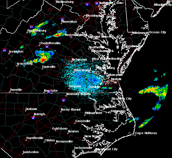 At 1253 pm edt, a severe thunderstorm was located near cumberland, moving east at 15 mph (radar indicated). Hazards include 60 mph wind gusts and quarter size hail. Minor damage to vehicles is possible. expect wind damage to trees and powerlines. this severe thunderstorm will be near, cumberland around 105 pm edt. sunnyside around 125 pm edt. trenholm around 130 pm edt. tobaccoville and ballsville around 135 pm edt. morven around 145 pm edt. Other locations impacted by this severe thunderstorm include hatchers, trents mill, angola, ashby, oak forest, rodophil, mcrae, clinton, paineville and whiteville. At 1253 pm edt, a severe thunderstorm was located near cumberland, moving east at 15 mph (radar indicated). Hazards include 60 mph wind gusts and quarter size hail. Minor damage to vehicles is possible. expect wind damage to trees and powerlines. this severe thunderstorm will be near, cumberland around 105 pm edt. sunnyside around 125 pm edt. trenholm around 130 pm edt. tobaccoville and ballsville around 135 pm edt. morven around 145 pm edt. Other locations impacted by this severe thunderstorm include hatchers, trents mill, angola, ashby, oak forest, rodophil, mcrae, clinton, paineville and whiteville.
|
| 5/31/2019 8:07 PM EDT | Vdot report of trees down near clinto in cumberland county VA, 7.6 miles WSW of Cumberland, VA |
| 4/19/2019 6:31 PM EDT |
 At 631 pm edt, a severe thunderstorm capable of producing a tornado was located over cumberland, moving northeast at 45 mph (radar indicated rotation). Hazards include tornado. Flying debris will be dangerous to those caught without shelter. mobile homes will be damaged or destroyed. damage to roofs, windows, and vehicles will occur. tree damage is likely. This tornadic thunderstorm will remain over mainly rural areas of central cumberland county, including the following locations, trents mill, mcrae, grays siding, ashby, oak forest and bear creek lake state park. At 631 pm edt, a severe thunderstorm capable of producing a tornado was located over cumberland, moving northeast at 45 mph (radar indicated rotation). Hazards include tornado. Flying debris will be dangerous to those caught without shelter. mobile homes will be damaged or destroyed. damage to roofs, windows, and vehicles will occur. tree damage is likely. This tornadic thunderstorm will remain over mainly rural areas of central cumberland county, including the following locations, trents mill, mcrae, grays siding, ashby, oak forest and bear creek lake state park.
|
| 4/19/2019 6:20 PM EDT |
 At 619 pm edt, a severe thunderstorm capable of producing a tornado was located over guinea mills, or 7 miles north of farmville, moving north at 50 mph (radar indicated rotation). Hazards include tornado. Flying debris will be dangerous to those caught without shelter. mobile homes will be damaged or destroyed. damage to roofs, windows, and vehicles will occur. tree damage is likely. this dangerous storm will be near, cumberland around 630 pm edt. Other locations impacted by this tornadic thunderstorm include raines tavern, trents mill, grays siding, ashby, oak forest, bear creek lake state park, mcrae and hawk. At 619 pm edt, a severe thunderstorm capable of producing a tornado was located over guinea mills, or 7 miles north of farmville, moving north at 50 mph (radar indicated rotation). Hazards include tornado. Flying debris will be dangerous to those caught without shelter. mobile homes will be damaged or destroyed. damage to roofs, windows, and vehicles will occur. tree damage is likely. this dangerous storm will be near, cumberland around 630 pm edt. Other locations impacted by this tornadic thunderstorm include raines tavern, trents mill, grays siding, ashby, oak forest, bear creek lake state park, mcrae and hawk.
|
| 4/19/2019 6:08 PM EDT |
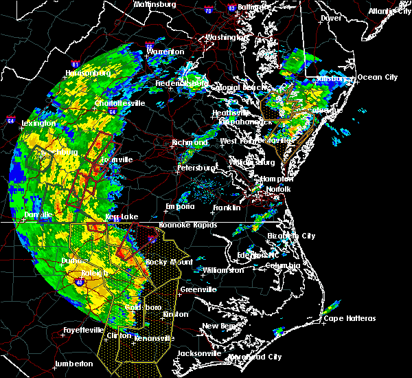 At 608 pm edt, a severe thunderstorm capable of producing a tornado was located over longwood university, moving north at 50 mph (radar indicated rotation). Hazards include tornado. Flying debris will be dangerous to those caught without shelter. mobile homes will be damaged or destroyed. damage to roofs, windows, and vehicles will occur. tree damage is likely. this dangerous storm will be near, guinea mills around 625 pm edt. cumberland around 630 pm edt. Other locations impacted by this tornadic thunderstorm include kingsville, raines tavern, trents mill, reeds, grays siding, ashby, oak forest, bear creek lake state park, stoddert and mcrae. At 608 pm edt, a severe thunderstorm capable of producing a tornado was located over longwood university, moving north at 50 mph (radar indicated rotation). Hazards include tornado. Flying debris will be dangerous to those caught without shelter. mobile homes will be damaged or destroyed. damage to roofs, windows, and vehicles will occur. tree damage is likely. this dangerous storm will be near, guinea mills around 625 pm edt. cumberland around 630 pm edt. Other locations impacted by this tornadic thunderstorm include kingsville, raines tavern, trents mill, reeds, grays siding, ashby, oak forest, bear creek lake state park, stoddert and mcrae.
|
| 10/11/2018 5:36 PM EDT |
 At 535 pm edt, a tornado producing storm was located over amelia courthouse, moving northwest at 40 mph (radar confirmed tornado). Hazards include damaging tornado. Flying debris will be dangerous to those caught without shelter. mobile homes will be damaged or destroyed. damage to roofs, windows, and vehicles will occur. tree damage is likely. this tornadic storm will be near, morven around 550 pm edt. tobaccoville and ballsville around 555 pm edt. cumberland and sunnyside around 600 pm edt. Other locations impacted by this tornadic thunderstorm include paineville, maplewood, grays siding, lodore, truxillo, clinton and winterham. At 535 pm edt, a tornado producing storm was located over amelia courthouse, moving northwest at 40 mph (radar confirmed tornado). Hazards include damaging tornado. Flying debris will be dangerous to those caught without shelter. mobile homes will be damaged or destroyed. damage to roofs, windows, and vehicles will occur. tree damage is likely. this tornadic storm will be near, morven around 550 pm edt. tobaccoville and ballsville around 555 pm edt. cumberland and sunnyside around 600 pm edt. Other locations impacted by this tornadic thunderstorm include paineville, maplewood, grays siding, lodore, truxillo, clinton and winterham.
|
| 6/24/2018 5:18 PM EDT |
 At 517 pm edt, severe thunderstorms were located along a line extending from near montpelier to near morven, moving east at 40 mph (radar indicated). Hazards include 60 mph wind gusts and quarter size hail. Minor damage to vehicles is possible. expect wind damage to trees and powerlines. these severe storms will be near, montpelier around 525 pm edt. wyndham around 530 pm edt. chula around 535 pm edt. Other locations impacted by these severe thunderstorms include angola, maidens, three square, hawk, whiteville, fine creek mills, michaux, west view, grays siding and holly hills. At 517 pm edt, severe thunderstorms were located along a line extending from near montpelier to near morven, moving east at 40 mph (radar indicated). Hazards include 60 mph wind gusts and quarter size hail. Minor damage to vehicles is possible. expect wind damage to trees and powerlines. these severe storms will be near, montpelier around 525 pm edt. wyndham around 530 pm edt. chula around 535 pm edt. Other locations impacted by these severe thunderstorms include angola, maidens, three square, hawk, whiteville, fine creek mills, michaux, west view, grays siding and holly hills.
|
| 6/24/2018 4:53 PM EDT |
 At 452 pm edt, severe thunderstorms were located along a line extending from hadensville to near guinea mills, moving east at 40 mph (radar indicated). Hazards include 60 mph wind gusts and quarter size hail. Minor damage to vehicles is possible. expect wind damage to trees and powerlines. severe thunderstorms will be near, hadensville around 500 pm edt. gum spring around 505 pm edt. oilville, sunnyside and tobaccoville around 515 pm edt. montpelier and morven around 520 pm edt. amelia courthouse and wyndham around 530 pm edt. chula around 535 pm edt. Other locations impacted by these severe thunderstorms include orchid, angola, maidens, three square, bremo bluff, hawk, whiteville, fine creek mills, michaux and west view. At 452 pm edt, severe thunderstorms were located along a line extending from hadensville to near guinea mills, moving east at 40 mph (radar indicated). Hazards include 60 mph wind gusts and quarter size hail. Minor damage to vehicles is possible. expect wind damage to trees and powerlines. severe thunderstorms will be near, hadensville around 500 pm edt. gum spring around 505 pm edt. oilville, sunnyside and tobaccoville around 515 pm edt. montpelier and morven around 520 pm edt. amelia courthouse and wyndham around 530 pm edt. chula around 535 pm edt. Other locations impacted by these severe thunderstorms include orchid, angola, maidens, three square, bremo bluff, hawk, whiteville, fine creek mills, michaux and west view.
|
| 5/10/2018 3:55 PM EDT | Tree down reported at 5800 block of anderson hw in powhatan county VA, 11.7 miles WSW of Cumberland, VA |
| 5/10/2018 3:49 PM EDT |
 At 349 pm edt, severe thunderstorms were located along a line extending from near duncan to near fife to near cumberland, moving east at 45 mph (radar indicated). Hazards include 60 mph wind gusts and quarter size hail. Minor damage to vehicles is possible. expect wind damage to trees and powerlines. severe thunderstorms will be near, powhatan and ballsville around 400 pm edt. goochland, gum spring and macon around 405 pm edt. oilville, manakin and sabot around 415 pm edt. wyndham around 425 pm edt. Other locations impacted by these severe thunderstorms include orchid, crozier, rock castle, oak forest, vontay, maidens, three square, irwin, johnsons springs and fine creek mills. At 349 pm edt, severe thunderstorms were located along a line extending from near duncan to near fife to near cumberland, moving east at 45 mph (radar indicated). Hazards include 60 mph wind gusts and quarter size hail. Minor damage to vehicles is possible. expect wind damage to trees and powerlines. severe thunderstorms will be near, powhatan and ballsville around 400 pm edt. goochland, gum spring and macon around 405 pm edt. oilville, manakin and sabot around 415 pm edt. wyndham around 425 pm edt. Other locations impacted by these severe thunderstorms include orchid, crozier, rock castle, oak forest, vontay, maidens, three square, irwin, johnsons springs and fine creek mills.
|
| 4/15/2018 8:45 PM EDT |
 At 844 pm edt, severe thunderstorms were located along a line extending from near orange to near louisa to duncan, moving north at 55 mph (radar indicated). Hazards include 60 mph wind gusts and nickel size hail. Expect damage to trees and powerlines. locations impacted include, cumberland, hadensville, columbia, fife, kents store, sunnyside, lakeside village, duncan, dixie, ashby, oak forest, stage junction, clinton, tamworth, caledonia, elk hill, bybee, whiteville, grays siding and georges tavern. A tornado watch remains in effect until midnight edt for central virginia. At 844 pm edt, severe thunderstorms were located along a line extending from near orange to near louisa to duncan, moving north at 55 mph (radar indicated). Hazards include 60 mph wind gusts and nickel size hail. Expect damage to trees and powerlines. locations impacted include, cumberland, hadensville, columbia, fife, kents store, sunnyside, lakeside village, duncan, dixie, ashby, oak forest, stage junction, clinton, tamworth, caledonia, elk hill, bybee, whiteville, grays siding and georges tavern. A tornado watch remains in effect until midnight edt for central virginia.
|
| 4/15/2018 8:30 PM EDT | Downed tree reported on miller lane. time is approximate/estimated by rada in cumberland county VA, 5.8 miles SW of Cumberland, VA |
| 4/15/2018 8:30 PM EDT |
 At 830 pm edt, severe thunderstorms were located along a line extending from near boswells tavern to near ferncliff to near lakeside village, moving northeast at 55 mph (radar indicated). Hazards include 60 mph wind gusts and penny size hail. Expect damage to trees and powerlines. severe thunderstorms will be near, kents store around 845 pm edt. hadensville around 850 pm edt. other locations impacted by these severe thunderstorms include dixie, ashby, oak forest, stage junction, clinton, tamworth, caledonia, elk hill, bybee and whiteville. A tornado watch remains in effect until midnight edt for central virginia. At 830 pm edt, severe thunderstorms were located along a line extending from near boswells tavern to near ferncliff to near lakeside village, moving northeast at 55 mph (radar indicated). Hazards include 60 mph wind gusts and penny size hail. Expect damage to trees and powerlines. severe thunderstorms will be near, kents store around 845 pm edt. hadensville around 850 pm edt. other locations impacted by these severe thunderstorms include dixie, ashby, oak forest, stage junction, clinton, tamworth, caledonia, elk hill, bybee and whiteville. A tornado watch remains in effect until midnight edt for central virginia.
|
| 4/15/2018 8:09 PM EDT |
 At 807 pm edt, severe thunderstorms were located along a line extending from near crozet to near lake monticello to new canton to near cumberland, moving northeast at 45 mph (radar indicated). Hazards include 60 mph wind gusts and nickel size hail. Expect damage to trees and powerlines. these severe storms will be near, lake monticello around 815 pm edt. palmyra and troy around 820 pm edt. kents store around 825 pm edt. fife around 830 pm edt. other locations impacted by these severe thunderstorms include raines tavern, angola, oak forest, shores, central plains, bremo bluff, hawk, cohasset, whiteville and grays siding. A tornado watch remains in effect until midnight edt for central virginia. At 807 pm edt, severe thunderstorms were located along a line extending from near crozet to near lake monticello to new canton to near cumberland, moving northeast at 45 mph (radar indicated). Hazards include 60 mph wind gusts and nickel size hail. Expect damage to trees and powerlines. these severe storms will be near, lake monticello around 815 pm edt. palmyra and troy around 820 pm edt. kents store around 825 pm edt. fife around 830 pm edt. other locations impacted by these severe thunderstorms include raines tavern, angola, oak forest, shores, central plains, bremo bluff, hawk, cohasset, whiteville and grays siding. A tornado watch remains in effect until midnight edt for central virginia.
|
| 4/15/2018 7:48 PM EDT |
 At 748 pm edt, severe thunderstorms were located along a line extending from 7 miles northwest of schuyler to near centenary to dillwyn to near sheppards, moving northeast at 45 mph (radar indicated). Hazards include 60 mph wind gusts. expect damage to trees and powerlines At 748 pm edt, severe thunderstorms were located along a line extending from 7 miles northwest of schuyler to near centenary to dillwyn to near sheppards, moving northeast at 45 mph (radar indicated). Hazards include 60 mph wind gusts. expect damage to trees and powerlines
|
| 5/27/2017 7:37 PM EDT |
 At 737 pm edt, a severe thunderstorm was located over tobaccoville, or 7 miles east of cumberland, moving southeast at 20 mph (radar indicated). Hazards include ping pong ball size hail and 60 mph wind gusts. People and animals outdoors will be injured. expect hail damage to roofs, siding, windows, and vehicles. expect wind damage to trees and powerlines. this severe thunderstorm will be near, morven and macon around 750 pm edt. amelia courthouse around 810 pm edt. chula around 815 pm edt. Other locations impacted by this severe thunderstorm include angola, oak forest, pilkinton, winterham, hawk, maplewood, grays siding, deatonville, holly hills and lodore. At 737 pm edt, a severe thunderstorm was located over tobaccoville, or 7 miles east of cumberland, moving southeast at 20 mph (radar indicated). Hazards include ping pong ball size hail and 60 mph wind gusts. People and animals outdoors will be injured. expect hail damage to roofs, siding, windows, and vehicles. expect wind damage to trees and powerlines. this severe thunderstorm will be near, morven and macon around 750 pm edt. amelia courthouse around 810 pm edt. chula around 815 pm edt. Other locations impacted by this severe thunderstorm include angola, oak forest, pilkinton, winterham, hawk, maplewood, grays siding, deatonville, holly hills and lodore.
|
| 5/27/2017 5:13 PM EDT |
 At 513 pm edt, a severe thunderstorm was located near rice, or 9 miles east of farmville, moving southeast at 45 mph (radar indicated). Hazards include 60 mph wind gusts and quarter size hail. Minor damage to vehicles is possible. expect wind damage to trees and powerlines. this severe storm will be near, morven around 520 pm edt. jetersville around 525 pm edt. Other locations impacted by this severe thunderstorm include raines tavern, angola, rodophil, mcrae, moran, giles mill, hawk, paineville, maplewood and reeds. At 513 pm edt, a severe thunderstorm was located near rice, or 9 miles east of farmville, moving southeast at 45 mph (radar indicated). Hazards include 60 mph wind gusts and quarter size hail. Minor damage to vehicles is possible. expect wind damage to trees and powerlines. this severe storm will be near, morven around 520 pm edt. jetersville around 525 pm edt. Other locations impacted by this severe thunderstorm include raines tavern, angola, rodophil, mcrae, moran, giles mill, hawk, paineville, maplewood and reeds.
|
| 5/27/2017 4:43 PM EDT |
 At 442 pm edt, a severe thunderstorm was located near sheppards, or 8 miles southwest of dillwyn, moving east at 35 mph (radar indicated). Hazards include 60 mph wind gusts and quarter size hail. Minor damage to vehicles is possible. expect wind damage to trees and powerlines. this severe thunderstorm will be near, farmville around 455 pm edt. longwood university and guinea mills around 500 pm edt. rice around 510 pm edt. morven around 525 pm edt. jetersville around 530 pm edt. Other locations impacted by this severe thunderstorm include raines tavern, angola, rodophil, mcrae, moran, giles mill, hawk, paineville, maplewood and reeds. At 442 pm edt, a severe thunderstorm was located near sheppards, or 8 miles southwest of dillwyn, moving east at 35 mph (radar indicated). Hazards include 60 mph wind gusts and quarter size hail. Minor damage to vehicles is possible. expect wind damage to trees and powerlines. this severe thunderstorm will be near, farmville around 455 pm edt. longwood university and guinea mills around 500 pm edt. rice around 510 pm edt. morven around 525 pm edt. jetersville around 530 pm edt. Other locations impacted by this severe thunderstorm include raines tavern, angola, rodophil, mcrae, moran, giles mill, hawk, paineville, maplewood and reeds.
|
| 5/5/2017 6:06 AM EDT |
 The severe thunderstorm warning for northwestern mecklenburg, cumberland, prince edward, northwestern lunenburg, nottoway and western amelia counties will expire at 615 am edt, the storms which prompted the warning have weakened below severe limits, and no longer pose an immediate threat to life or property. therefore the warning will be allowed to expire. The severe thunderstorm warning for northwestern mecklenburg, cumberland, prince edward, northwestern lunenburg, nottoway and western amelia counties will expire at 615 am edt, the storms which prompted the warning have weakened below severe limits, and no longer pose an immediate threat to life or property. therefore the warning will be allowed to expire.
|
| 5/5/2017 5:50 AM EDT |
 At 549 am edt, severe thunderstorms were located along a line extending from near sheppards to near green bay to near rehoboth, moving northeast at 45 mph (radar indicated). Hazards include 60 mph wind gusts. Expect damage to roofs, siding, and trees. these severe storms will be near, burkeville and guinea mills around 555 am edt. crewe around 600 am edt. cumberland, jetersville and sunnyside around 605 am edt. blackstone, nottoway and morven around 615 am edt. Other locations impacted by these severe thunderstorms include tuggle, angola, arvins store, nutbush, finneywood, hawk, fairview, plantersville, elam and pleasant grove. At 549 am edt, severe thunderstorms were located along a line extending from near sheppards to near green bay to near rehoboth, moving northeast at 45 mph (radar indicated). Hazards include 60 mph wind gusts. Expect damage to roofs, siding, and trees. these severe storms will be near, burkeville and guinea mills around 555 am edt. crewe around 600 am edt. cumberland, jetersville and sunnyside around 605 am edt. blackstone, nottoway and morven around 615 am edt. Other locations impacted by these severe thunderstorms include tuggle, angola, arvins store, nutbush, finneywood, hawk, fairview, plantersville, elam and pleasant grove.
|
| 5/5/2017 5:27 AM EDT |
 At 526 am edt, severe thunderstorms were located along a line extending from near darlington heights to near kells corner to near redoak, moving northeast at 50 mph (radar indicated). Hazards include 60 mph wind gusts. Expect damage to roofs, siding, and trees. severe thunderstorms will be near, darlington heights around 530 am edt. hampden sydney, hampden sydney college and prospect around 535 am edt. farmville, longwood university, rehoboth and green bay around 545 am edt. victoria, lunenburg, burkeville and guinea mills around 555 am edt. crewe around 600 am edt. cumberland, jetersville and sunnyside around 605 am edt. blackstone and nottoway around 615 am edt. Other locations impacted by these severe thunderstorms include tuggle, angola, arvins store, nutbush, finneywood, hawk, fairview, plantersville, elam and pleasant grove. At 526 am edt, severe thunderstorms were located along a line extending from near darlington heights to near kells corner to near redoak, moving northeast at 50 mph (radar indicated). Hazards include 60 mph wind gusts. Expect damage to roofs, siding, and trees. severe thunderstorms will be near, darlington heights around 530 am edt. hampden sydney, hampden sydney college and prospect around 535 am edt. farmville, longwood university, rehoboth and green bay around 545 am edt. victoria, lunenburg, burkeville and guinea mills around 555 am edt. crewe around 600 am edt. cumberland, jetersville and sunnyside around 605 am edt. blackstone and nottoway around 615 am edt. Other locations impacted by these severe thunderstorms include tuggle, angola, arvins store, nutbush, finneywood, hawk, fairview, plantersville, elam and pleasant grove.
|
| 3/1/2017 1:38 PM EST |
 At 137 pm est, severe thunderstorms were located along a line extending from near hadensville to near cumberland, moving east at 65 mph (radar indicated). Hazards include 60 mph wind gusts. Expect damage to roofs, siding, and trees. severe thunderstorms will be near, gum spring around 145 pm est. macon around 150 pm est. powhatan and montpelier around 155 pm est. goochland around 200 pm est. sabot, manakin and oilville around 205 pm est. tuckahoe and wyndham around 210 pm est. Other locations impacted by these severe thunderstorms include orchid, crozier, rock castle, oak forest, vontay, maidens, three square, irwin, johnsons springs and gilman. At 137 pm est, severe thunderstorms were located along a line extending from near hadensville to near cumberland, moving east at 65 mph (radar indicated). Hazards include 60 mph wind gusts. Expect damage to roofs, siding, and trees. severe thunderstorms will be near, gum spring around 145 pm est. macon around 150 pm est. powhatan and montpelier around 155 pm est. goochland around 200 pm est. sabot, manakin and oilville around 205 pm est. tuckahoe and wyndham around 210 pm est. Other locations impacted by these severe thunderstorms include orchid, crozier, rock castle, oak forest, vontay, maidens, three square, irwin, johnsons springs and gilman.
|
| 6/23/2016 6:15 AM EDT | Trees downed along anderson hwy near cumberland courthouse. hail as large as a quarter also reported at this locatio in cumberland county VA, 1 miles SW of Cumberland, VA |
| 6/23/2016 6:10 AM EDT | Quarter sized hail reported 3 miles E of Cumberland, VA, time is radar estimated. |
| 6/23/2016 6:09 AM EDT |
 At 608 am edt, a severe thunderstorm was located over cumberland, moving east at 35 mph (radar indicated). Hazards include 60 mph wind gusts and quarter size hail. Hail damage to vehicles is expected. expect wind damage to roofs, siding, and trees. this severe storm will be near, sunnyside around 615 am edt. tobaccoville around 620 am edt. ballsville, morven and trenholm around 625 am edt. powhatan and macon around 630 am edt. other locations impacted by this severe thunderstorm include grays siding, trenton mills, michaux, jefferson, goodwins store, maidens, ashby, irwin, lake powhatan and provost. precautionary/preparedness actions, for your protection move to an interior room on the lowest floor of a building. please send your reports of hail and or wind damage, including trees or large limbs downed, by calling noaa`s national weather service in wakefield at , 7 5 7, 8 9 9, 2 4 1 5. At 608 am edt, a severe thunderstorm was located over cumberland, moving east at 35 mph (radar indicated). Hazards include 60 mph wind gusts and quarter size hail. Hail damage to vehicles is expected. expect wind damage to roofs, siding, and trees. this severe storm will be near, sunnyside around 615 am edt. tobaccoville around 620 am edt. ballsville, morven and trenholm around 625 am edt. powhatan and macon around 630 am edt. other locations impacted by this severe thunderstorm include grays siding, trenton mills, michaux, jefferson, goodwins store, maidens, ashby, irwin, lake powhatan and provost. precautionary/preparedness actions, for your protection move to an interior room on the lowest floor of a building. please send your reports of hail and or wind damage, including trees or large limbs downed, by calling noaa`s national weather service in wakefield at , 7 5 7, 8 9 9, 2 4 1 5.
|
| 6/23/2016 5:47 AM EDT |
 At 546 am edt, a severe thunderstorm was located near dillwyn, moving east at 40 mph (radar indicated). Hazards include 60 mph wind gusts and quarter size hail. Hail damage to vehicles is expected. expect wind damage to roofs, siding, and trees. this severe thunderstorm will be near, cumberland around 605 am edt. lakeside village and sunnyside around 610 am edt. cartersville and tobaccoville around 615 am edt. trenholm and ballsville around 620 am edt. macon around 625 am edt. powhatan around 630 am edt. Other locations impacted by this severe thunderstorm include grays siding, trenton mills, dixie, michaux, jefferson, goodwins store, shores, maidens, ashby and irwin. At 546 am edt, a severe thunderstorm was located near dillwyn, moving east at 40 mph (radar indicated). Hazards include 60 mph wind gusts and quarter size hail. Hail damage to vehicles is expected. expect wind damage to roofs, siding, and trees. this severe thunderstorm will be near, cumberland around 605 am edt. lakeside village and sunnyside around 610 am edt. cartersville and tobaccoville around 615 am edt. trenholm and ballsville around 620 am edt. macon around 625 am edt. powhatan around 630 am edt. Other locations impacted by this severe thunderstorm include grays siding, trenton mills, dixie, michaux, jefferson, goodwins store, shores, maidens, ashby and irwin.
|
| 5/14/2016 3:30 PM EDT | Trees down on powerlines on route 60 e about 4e of the courthouse in cumberland county VA, 1 miles SW of Cumberland, VA |
| 4/28/2016 8:51 PM EDT |
 At 850 pm edt, a severe thunderstorm was located near sunnyside, or 7 miles southeast of cumberland, moving east at 35 mph (radar indicated). Hazards include 60 mph wind gusts and quarter size hail. Hail damage to vehicles is expected. expect wind damage to roofs, siding, and trees. this severe storm will be near, ballsville around 855 pm edt. other locations impacted by this severe thunderstorm include angola, grays siding, stoddert, rodophil, paineville and deatonville. precautionary/preparedness actions, for your protection move to an interior room on the lowest floor of a building. please send your reports of hail and or wind damage, including trees or large limbs downed, by calling noaa`s national weather service in wakefield at , 7 5 7, 8 9 9, 2 4 1 5. At 850 pm edt, a severe thunderstorm was located near sunnyside, or 7 miles southeast of cumberland, moving east at 35 mph (radar indicated). Hazards include 60 mph wind gusts and quarter size hail. Hail damage to vehicles is expected. expect wind damage to roofs, siding, and trees. this severe storm will be near, ballsville around 855 pm edt. other locations impacted by this severe thunderstorm include angola, grays siding, stoddert, rodophil, paineville and deatonville. precautionary/preparedness actions, for your protection move to an interior room on the lowest floor of a building. please send your reports of hail and or wind damage, including trees or large limbs downed, by calling noaa`s national weather service in wakefield at , 7 5 7, 8 9 9, 2 4 1 5.
|
| 4/28/2016 8:28 PM EDT |
 At 827 pm edt, a severe thunderstorm was located near guinea mills, or near dillwyn, moving east at 35 mph (radar indicated). Hazards include 60 mph wind gusts and quarter size hail. Hail damage to vehicles is expected. expect wind damage to roofs, siding, and trees. this severe thunderstorm will be near, guinea mills around 835 pm edt. cumberland around 840 pm edt. sunnyside around 850 pm edt. tobaccoville around 855 pm edt. Other locations impacted by this severe thunderstorm include angola, grays siding, rodophil, stoddert, hawk, mcrae, paineville and deatonville. At 827 pm edt, a severe thunderstorm was located near guinea mills, or near dillwyn, moving east at 35 mph (radar indicated). Hazards include 60 mph wind gusts and quarter size hail. Hail damage to vehicles is expected. expect wind damage to roofs, siding, and trees. this severe thunderstorm will be near, guinea mills around 835 pm edt. cumberland around 840 pm edt. sunnyside around 850 pm edt. tobaccoville around 855 pm edt. Other locations impacted by this severe thunderstorm include angola, grays siding, rodophil, stoddert, hawk, mcrae, paineville and deatonville.
|
| 2/24/2016 4:25 PM EST |
 At 424 pm est, doppler radar indicated a tornado. this dangerous storm was located near gold hill, or 9 miles north of cumberland, and moving northeast at 55 mph. * this dangerous storm will be near, lakeside village around 430 pm est. fork union, cartersville, columbia and duncan around 435 pm est. fife around 440 pm est. kents store around 445 pm est. hadensville around 450 pm est. other locations impacted by this tornadic thunderstorm include trenton mills, trents mill, dixie, tamworth, bear creek lake state park, wilmington, caledonia, carysbrook, stage junction and ashby. At 424 pm est, doppler radar indicated a tornado. this dangerous storm was located near gold hill, or 9 miles north of cumberland, and moving northeast at 55 mph. * this dangerous storm will be near, lakeside village around 430 pm est. fork union, cartersville, columbia and duncan around 435 pm est. fife around 440 pm est. kents store around 445 pm est. hadensville around 450 pm est. other locations impacted by this tornadic thunderstorm include trenton mills, trents mill, dixie, tamworth, bear creek lake state park, wilmington, caledonia, carysbrook, stage junction and ashby.
|
| 6/25/2015 9:40 PM EDT | Tree dow in buckingham county VA, 10.7 miles SSE of Cumberland, VA |
| 6/25/2015 9:33 PM EDT |
 At 932 pm edt, doppler radar indicated a severe thunderstorm capable of producing large hail up to ping pong ball size and destructive winds in excess of 70 mph. this storm was located near bon air, moving southeast at 35 mph. this severe storm will be near, bon air and university of richmond around 940 pm edt. downtown richmond, virginia commonwealth university and chesterfield court house around 950 pm edt. bensley around 955 pm edt. chester and bellwood around 1000 pm edt. other locations impacted by this severe thunderstorm include winterpock, crozier, dixie, chesterfield, jefferson, michaux, goodwins store, stage junction, maidens and ashby. At 932 pm edt, doppler radar indicated a severe thunderstorm capable of producing large hail up to ping pong ball size and destructive winds in excess of 70 mph. this storm was located near bon air, moving southeast at 35 mph. this severe storm will be near, bon air and university of richmond around 940 pm edt. downtown richmond, virginia commonwealth university and chesterfield court house around 950 pm edt. bensley around 955 pm edt. chester and bellwood around 1000 pm edt. other locations impacted by this severe thunderstorm include winterpock, crozier, dixie, chesterfield, jefferson, michaux, goodwins store, stage junction, maidens and ashby.
|
| 6/25/2015 9:14 PM EDT |
 At 913 pm edt, doppler radar indicated a severe thunderstorm capable of producing large hail up to ping pong ball size and destructive winds in excess of 70 mph. this storm was located near sabot, or near goochland, and moving east at 30 mph. * this severe thunderstorm will be near, sabot around 920 pm edt. manakin around 925 pm edt. tuckahoe and wyndham around 930 pm edt. university of richmond, bon air and laurel around 945 pm edt. richmond and lakeside around 950 pm edt. virginia commonwealth university, virginia union university, downtown richmond, mechanicsville and east highland park around 955 pm edt. highland springs, bensley and bellwood around 1000 pm edt. other locations impacted by this severe thunderstorm include winterpock, crozier, dixie, chesterfield, jefferson, michaux, goodwins store, stage junction, maidens and ashby. At 913 pm edt, doppler radar indicated a severe thunderstorm capable of producing large hail up to ping pong ball size and destructive winds in excess of 70 mph. this storm was located near sabot, or near goochland, and moving east at 30 mph. * this severe thunderstorm will be near, sabot around 920 pm edt. manakin around 925 pm edt. tuckahoe and wyndham around 930 pm edt. university of richmond, bon air and laurel around 945 pm edt. richmond and lakeside around 950 pm edt. virginia commonwealth university, virginia union university, downtown richmond, mechanicsville and east highland park around 955 pm edt. highland springs, bensley and bellwood around 1000 pm edt. other locations impacted by this severe thunderstorm include winterpock, crozier, dixie, chesterfield, jefferson, michaux, goodwins store, stage junction, maidens and ashby.
|
| 6/25/2015 9:10 PM EDT | Trees down north end of county near rt. 4 in cumberland county VA, 10 miles SSW of Cumberland, VA |
| 6/20/2015 7:26 PM EDT | Numerous trees and power lines down across much of count in cumberland county VA, 1 miles SW of Cumberland, VA |
| 6/20/2015 7:15 PM EDT |
 At 715 pm edt, doppler radar indicated a line of severe thunderstorms capable of producing damaging winds in excess of 60 mph. these storms were located along a line extending from near charlottesville to near sheppards, and moving northeast at 45 mph. * severe thunderstorms will be near, cumberland around 730 pm edt. sunnyside around 735 pm edt. ballsville and tobaccoville around 740 pm edt. trenholm, lakeside village and duncan around 745 pm edt. cartersville around 750 pm edt. fife around 755 pm edt. other locations impacted by these severe thunderstorms include dixie, central plains, jefferson, carysbrook, stage junction, ashby, irwin, lake powhatan, provost and hawk. At 715 pm edt, doppler radar indicated a line of severe thunderstorms capable of producing damaging winds in excess of 60 mph. these storms were located along a line extending from near charlottesville to near sheppards, and moving northeast at 45 mph. * severe thunderstorms will be near, cumberland around 730 pm edt. sunnyside around 735 pm edt. ballsville and tobaccoville around 740 pm edt. trenholm, lakeside village and duncan around 745 pm edt. cartersville around 750 pm edt. fife around 755 pm edt. other locations impacted by these severe thunderstorms include dixie, central plains, jefferson, carysbrook, stage junction, ashby, irwin, lake powhatan, provost and hawk.
|
| 6/20/2015 7:09 PM EDT |
 At 708 pm edt, doppler radar indicated a line of severe thunderstorms capable of producing damaging winds in excess of 60 mph. these storms were located along a line extending from near longwood university to 6 miles east of chase city, moving northeast at 50 mph. these severe storms will be near, farmville, longwood university and rice around 715 pm edt. guinea mills around 720 pm edt. victoria and lunenburg around 725 pm edt. kenbridge, sunnyside and morven around 730 pm edt. other locations impacted by these severe thunderstorms include angola, rodophil, burkes tavern, briery creek lake, loves mill, arvins store, scholfield, hawk, mcrae and worsham. At 708 pm edt, doppler radar indicated a line of severe thunderstorms capable of producing damaging winds in excess of 60 mph. these storms were located along a line extending from near longwood university to 6 miles east of chase city, moving northeast at 50 mph. these severe storms will be near, farmville, longwood university and rice around 715 pm edt. guinea mills around 720 pm edt. victoria and lunenburg around 725 pm edt. kenbridge, sunnyside and morven around 730 pm edt. other locations impacted by these severe thunderstorms include angola, rodophil, burkes tavern, briery creek lake, loves mill, arvins store, scholfield, hawk, mcrae and worsham.
|
| 6/20/2015 6:48 PM EDT |
 At 647 pm edt, doppler radar indicated a line of severe thunderstorms capable of producing damaging winds in excess of 60 mph. these storms were located along a line extending from abilene to near clarksville, and moving northeast at 50 mph. * severe thunderstorms will be near, darlington heights around 655 pm edt. hampden sydney college and hampden sydney around 700 pm edt. farmville, chase city and longwood university around 705 pm edt. rice and kells corner around 710 pm edt. rehoboth around 715 pm edt. guinea mills around 720 pm edt. lunenburg around 725 pm edt. victoria, kenbridge, sunnyside and morven around 730 pm edt. other locations impacted by these severe thunderstorms include angola, rodophil, burkes tavern, nelson, bacons fork, buffalo junction, briery creek lake, arvins store, loves mill and scholfield. At 647 pm edt, doppler radar indicated a line of severe thunderstorms capable of producing damaging winds in excess of 60 mph. these storms were located along a line extending from abilene to near clarksville, and moving northeast at 50 mph. * severe thunderstorms will be near, darlington heights around 655 pm edt. hampden sydney college and hampden sydney around 700 pm edt. farmville, chase city and longwood university around 705 pm edt. rice and kells corner around 710 pm edt. rehoboth around 715 pm edt. guinea mills around 720 pm edt. lunenburg around 725 pm edt. victoria, kenbridge, sunnyside and morven around 730 pm edt. other locations impacted by these severe thunderstorms include angola, rodophil, burkes tavern, nelson, bacons fork, buffalo junction, briery creek lake, arvins store, loves mill and scholfield.
|
| 6/20/2015 6:10 PM EDT | Trees down along catersville road cleared by fire departmen in cumberland county VA, 8.8 miles SSW of Cumberland, VA |
| 6/20/2015 6:03 PM EDT |
 At 602 pm edt, doppler radar indicated a severe thunderstorm capable of producing quarter size hail and damaging winds in excess of 60 mph. this storm was located near cumberland, and moving northeast at 30 mph. * this severe thunderstorm will be near, trenholm around 615 pm edt. lakeside village around 620 pm edt. duncan around 625 pm edt. columbia and fife around 630 pm edt. other locations impacted by this severe thunderstorm include three square, grays siding, trenton mills, trents mill, tamworth, bear creek lake state park, west view, oak forest, caledonia and stage junction. At 602 pm edt, doppler radar indicated a severe thunderstorm capable of producing quarter size hail and damaging winds in excess of 60 mph. this storm was located near cumberland, and moving northeast at 30 mph. * this severe thunderstorm will be near, trenholm around 615 pm edt. lakeside village around 620 pm edt. duncan around 625 pm edt. columbia and fife around 630 pm edt. other locations impacted by this severe thunderstorm include three square, grays siding, trenton mills, trents mill, tamworth, bear creek lake state park, west view, oak forest, caledonia and stage junction.
|
| 6/20/2015 5:58 PM EDT | Several trees down along surgar fork road just north of cumberland. the road was patially close in cumberland county VA, 3.4 miles S of Cumberland, VA |
| 7/14/2014 6:30 PM EDT | One tree down on cartersville road in buckingham county VA, 10.5 miles SSE of Cumberland, VA |
| 7/14/2014 6:08 PM EDT | One tree down at the intersection of belle branch road and belmont lane in buckingham county VA, 6.2 miles ESE of Cumberland, VA |
| 6/19/2014 3:26 PM EDT | Several trees down across gravel hill road near the buckingham/cumberland county lin in buckingham county VA, 6.2 miles SSE of Cumberland, VA |
| 6/19/2014 3:26 PM EDT | Several trees down across gravel hill road near the buckingham/cumberland county lin in buckingham county VA, 5.3 miles SSE of Cumberland, VA |
| 6/13/2013 3:23 PM EDT | Trees down countwide. numerous roads blocke in cumberland county VA, 1 miles SW of Cumberland, VA |
| 6/13/2013 3:23 PM EDT | Trees down countywide. numerous roads blocke in cumberland county VA, 1 miles SW of Cumberland, VA |
| 4/19/2013 5:50 PM EDT | Multiple trees down between sprouses corner and the cumberland county lin in buckingham county VA, 6.3 miles E of Cumberland, VA |
| 9/28/2012 3:34 PM EDT | Tree down across road in cumberland county VA, 3.2 miles SW of Cumberland, VA |
| 6/1/2012 4:30 PM EDT | Trees down near trent mill in cumberland county VA, 9.6 miles S of Cumberland, VA |
| 5/22/2012 8:49 PM EDT | Large tree limb came down and tore into screened in porch...time based on radar estimate in amelia county VA, 8.9 miles NW of Cumberland, VA |
| 5/22/2012 8:42 PM EDT | Quarter sized hail reported 6.4 miles W of Cumberland, VA, nickel to quarter size hail |
| 5/22/2012 8:35 PM EDT | Quarter sized hail reported 1 miles SW of Cumberland, VA |
| 1/1/0001 12:00 AM | Minor damage to home. blew out a storm windo in buckingham county VA, 7 miles ENE of Cumberland, VA |
| 1/1/0001 12:00 AM | Numerous trees down countywid in cumberland county VA, 1 miles SW of Cumberland, VA |
| 1/1/0001 12:00 AM | Thunderstorm winds blew one tree dow in buckingham county VA, 7.4 miles SE of Cumberland, VA |
| 1/1/0001 12:00 AM | Tree down on route 60 near the courthous in cumberland county VA, 1 miles SW of Cumberland, VA |
| 1/1/0001 12:00 AM | Tree down in cumberland county VA, 5.8 miles W of Cumberland, VA |
| 1/1/0001 12:00 AM | Power lines down in cumberland county VA, 3.6 miles W of Cumberland, VA |
| 1/1/0001 12:00 AM | Trees down on road in cumberland county VA, 5.4 miles WSW of Cumberland, VA |
| 1/1/0001 12:00 AM | Tree down at intersection of route 45 and salem church roa in cumberland county VA, 7.2 miles NE of Cumberland, VA |
| 1/1/0001 12:00 AM | Golf Ball sized hail reported 3.7 miles NNW of Cumberland, VA |
| 1/1/0001 12:00 AM | Quarter sized hail reported 10.2 miles W of Cumberland, VA |
Hail Maps for Cumberland, VA
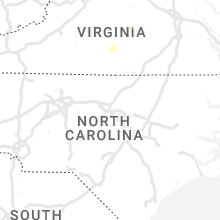


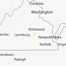


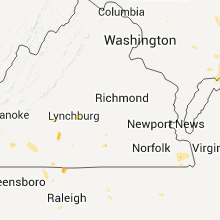


Connect with Interactive Hail Maps