

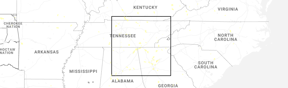
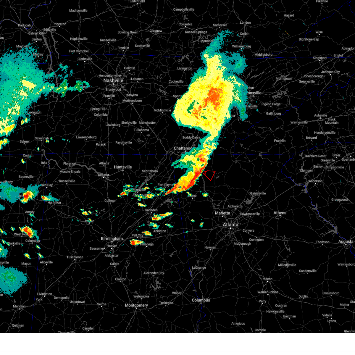
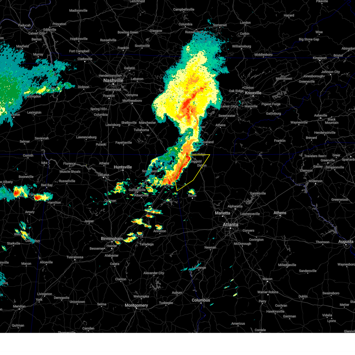
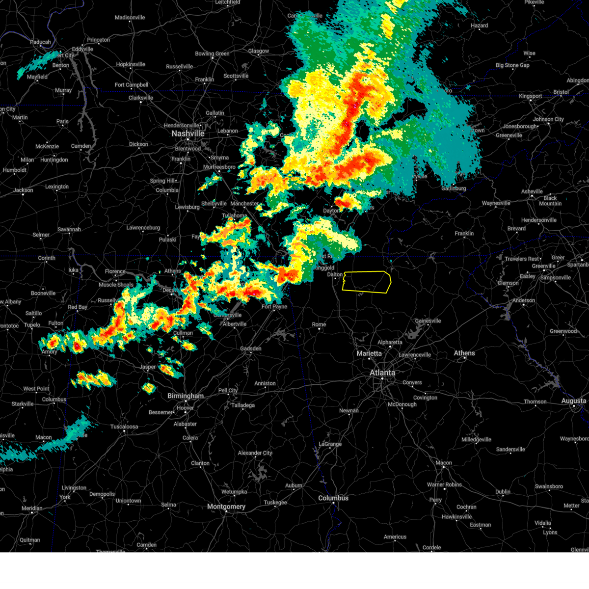
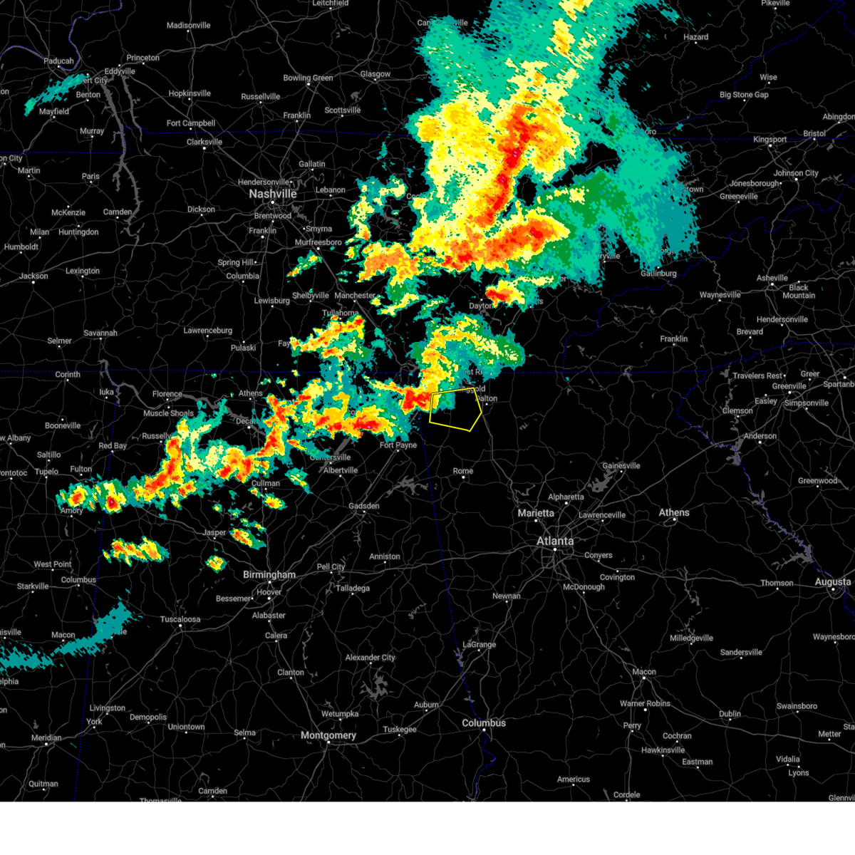
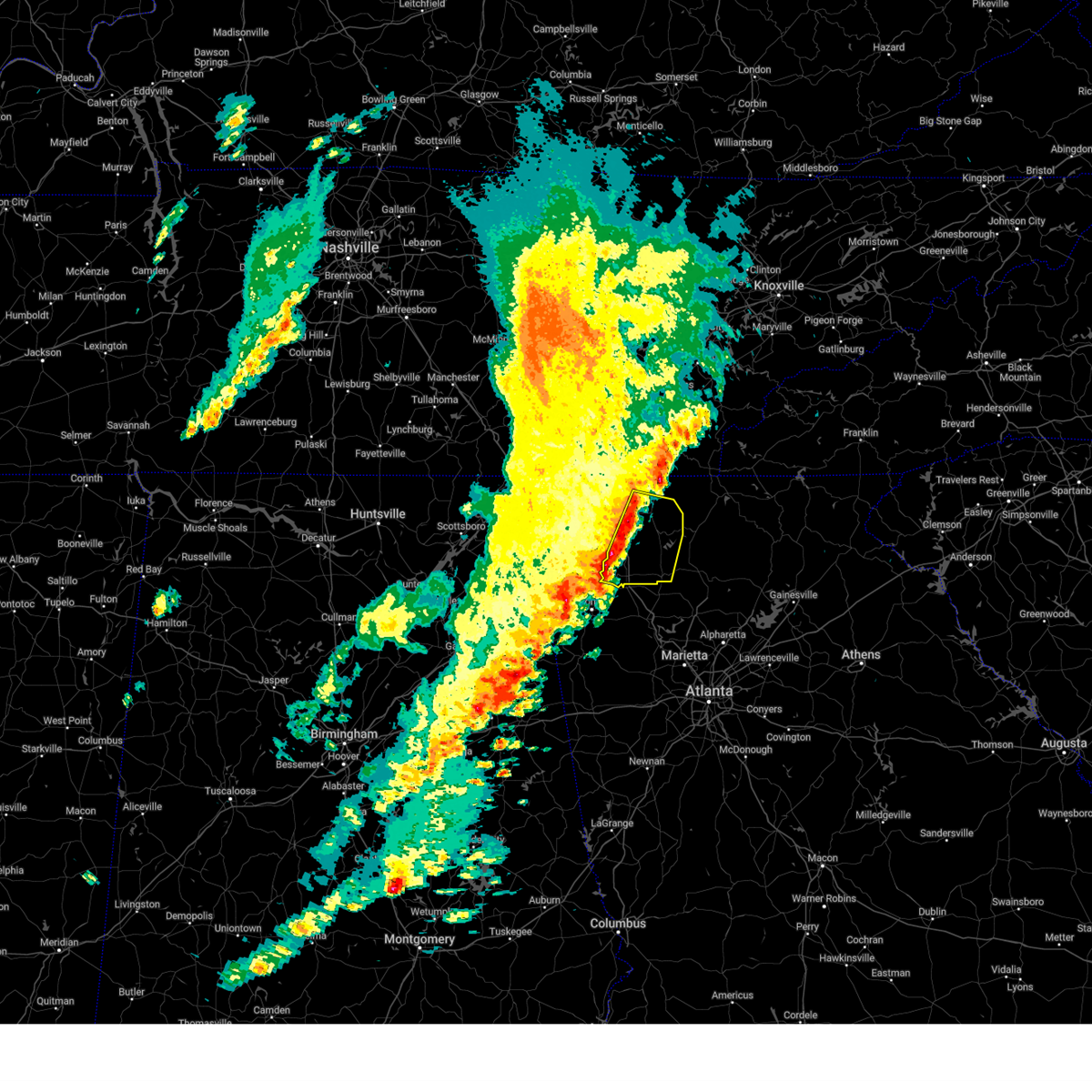
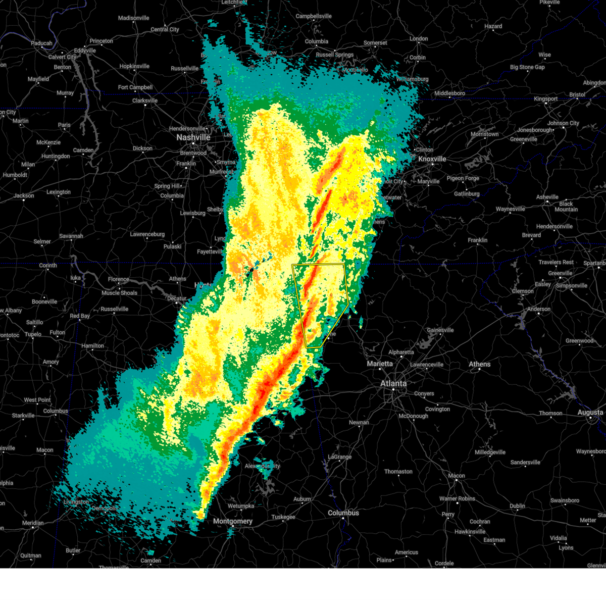
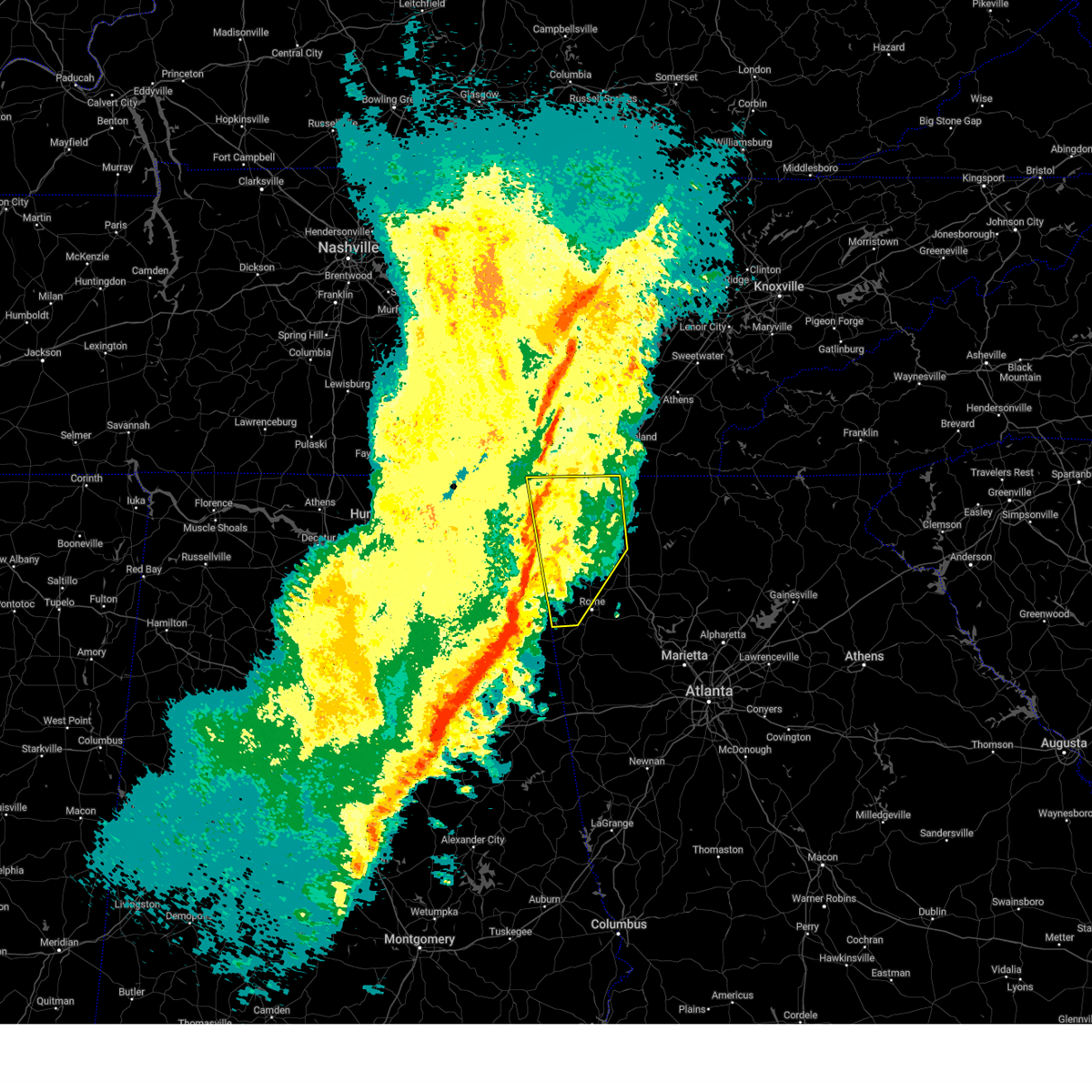
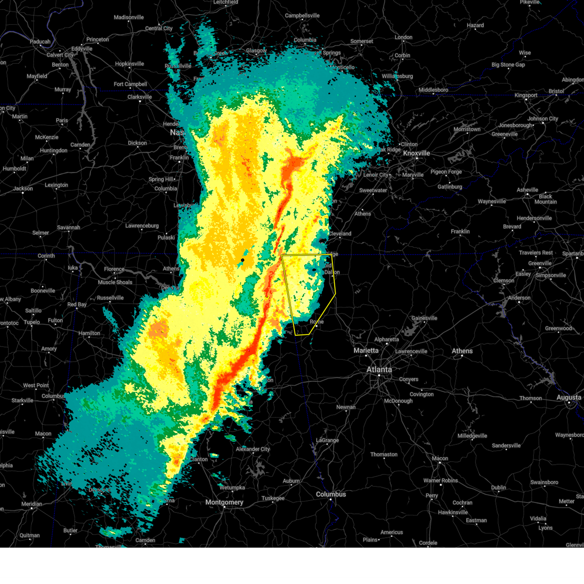
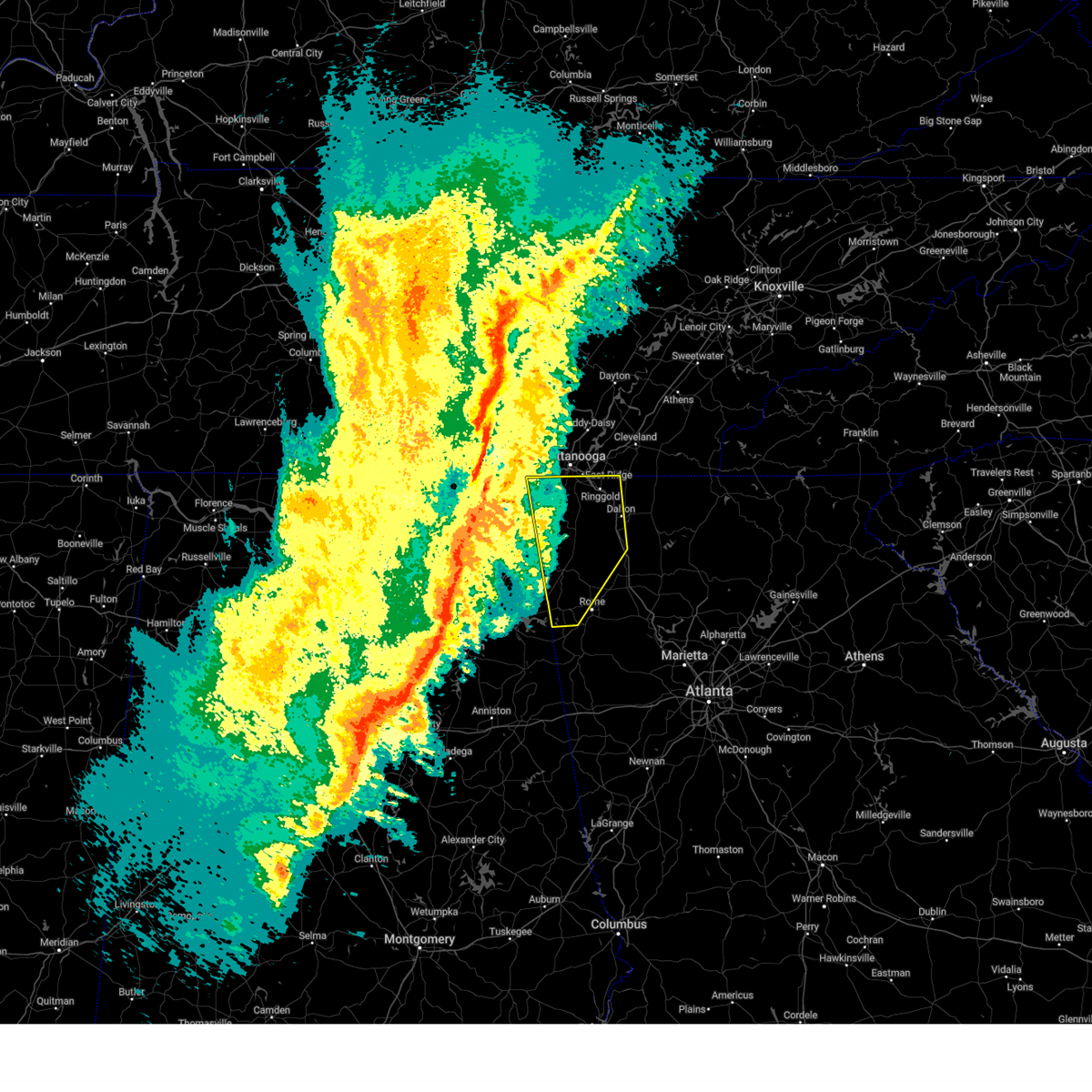
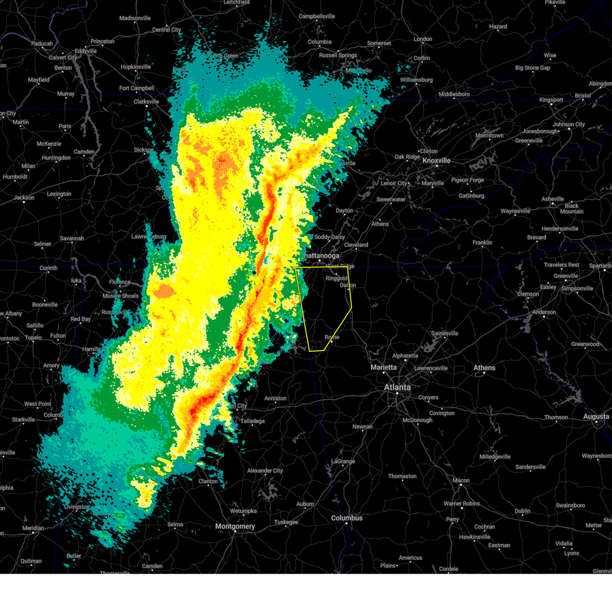
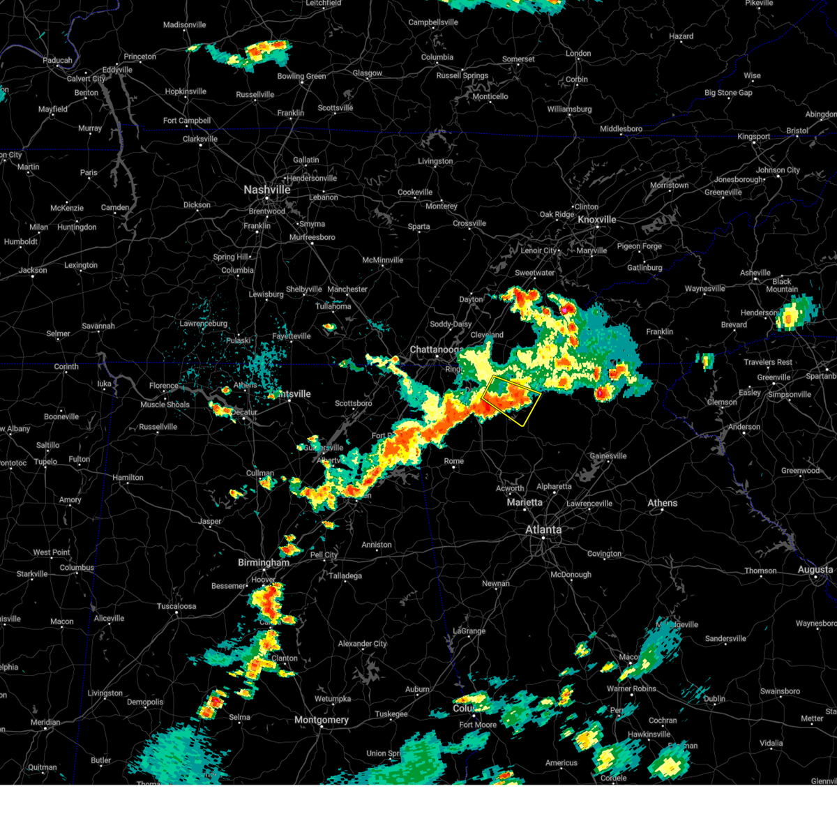
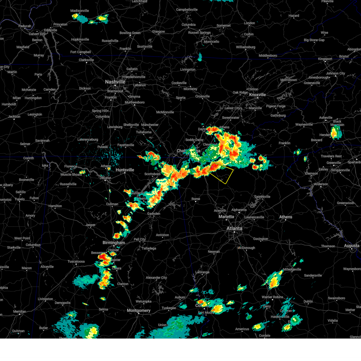
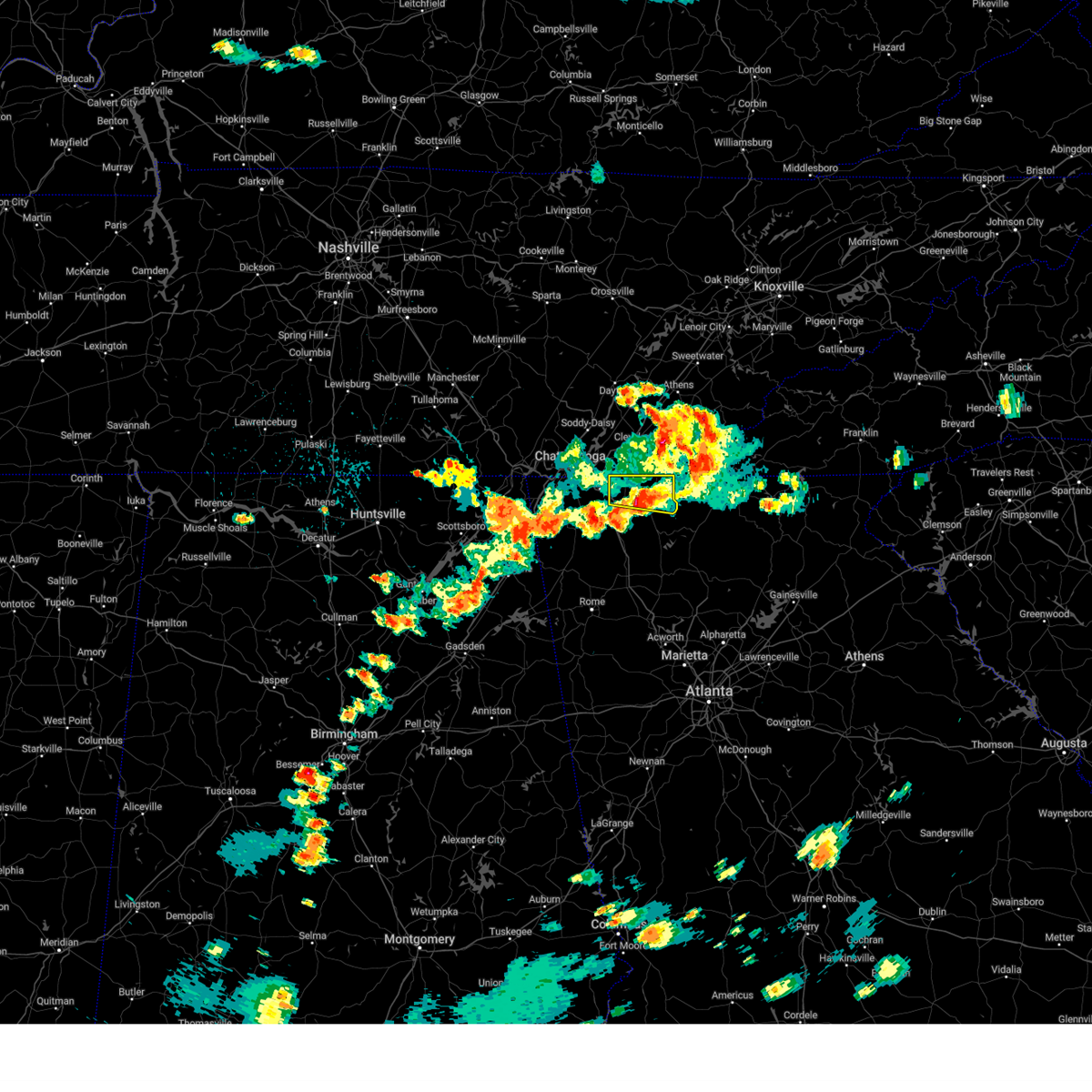
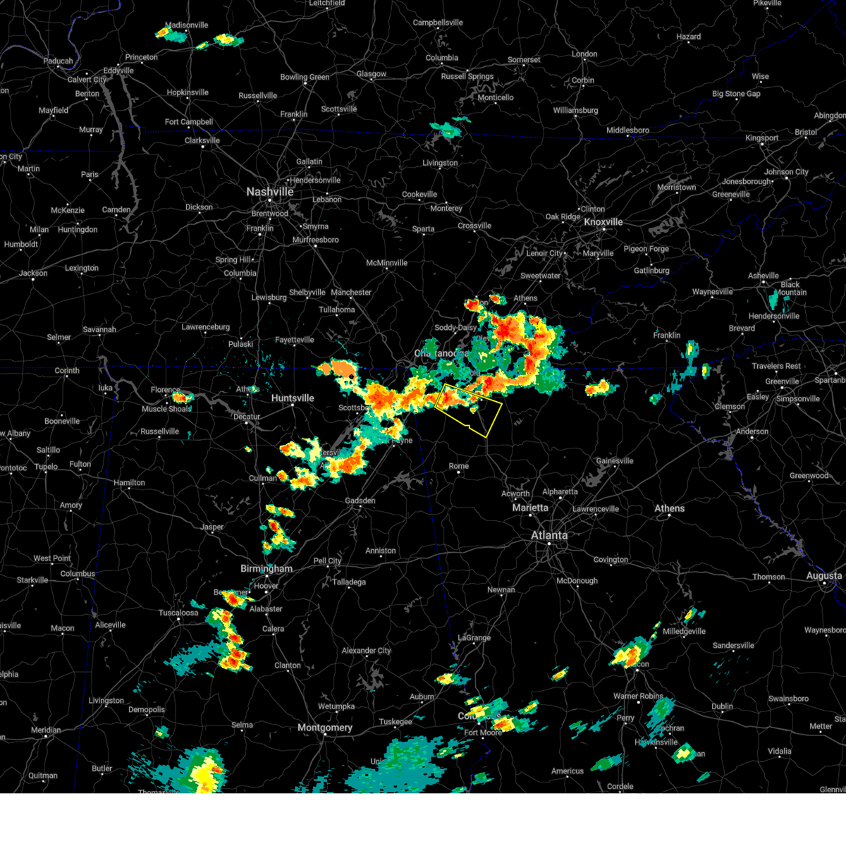
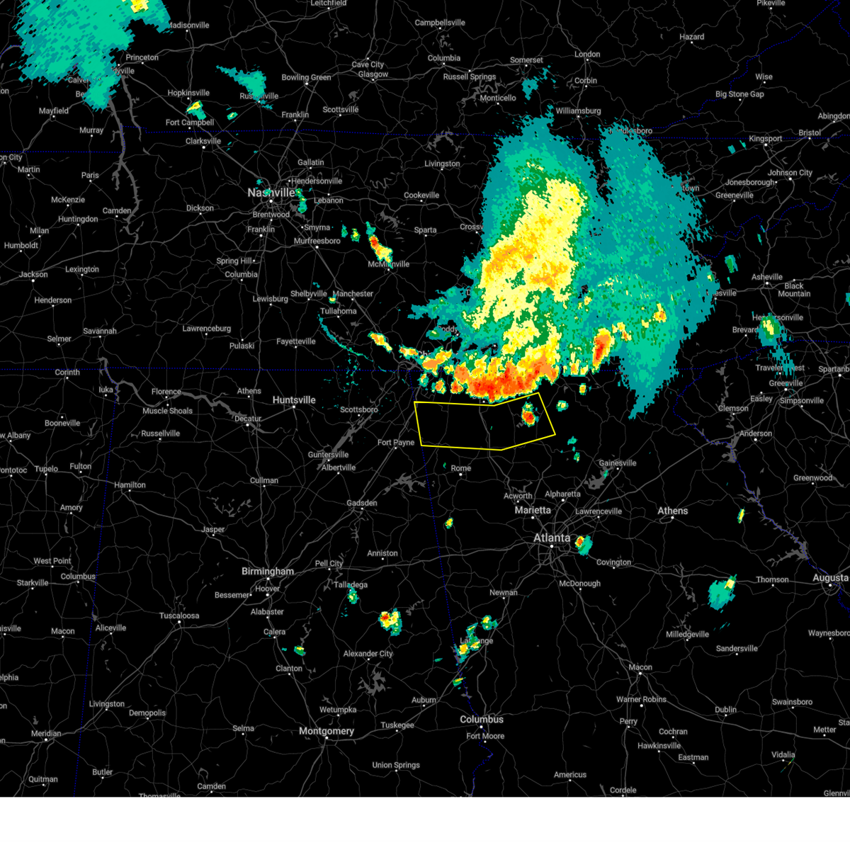
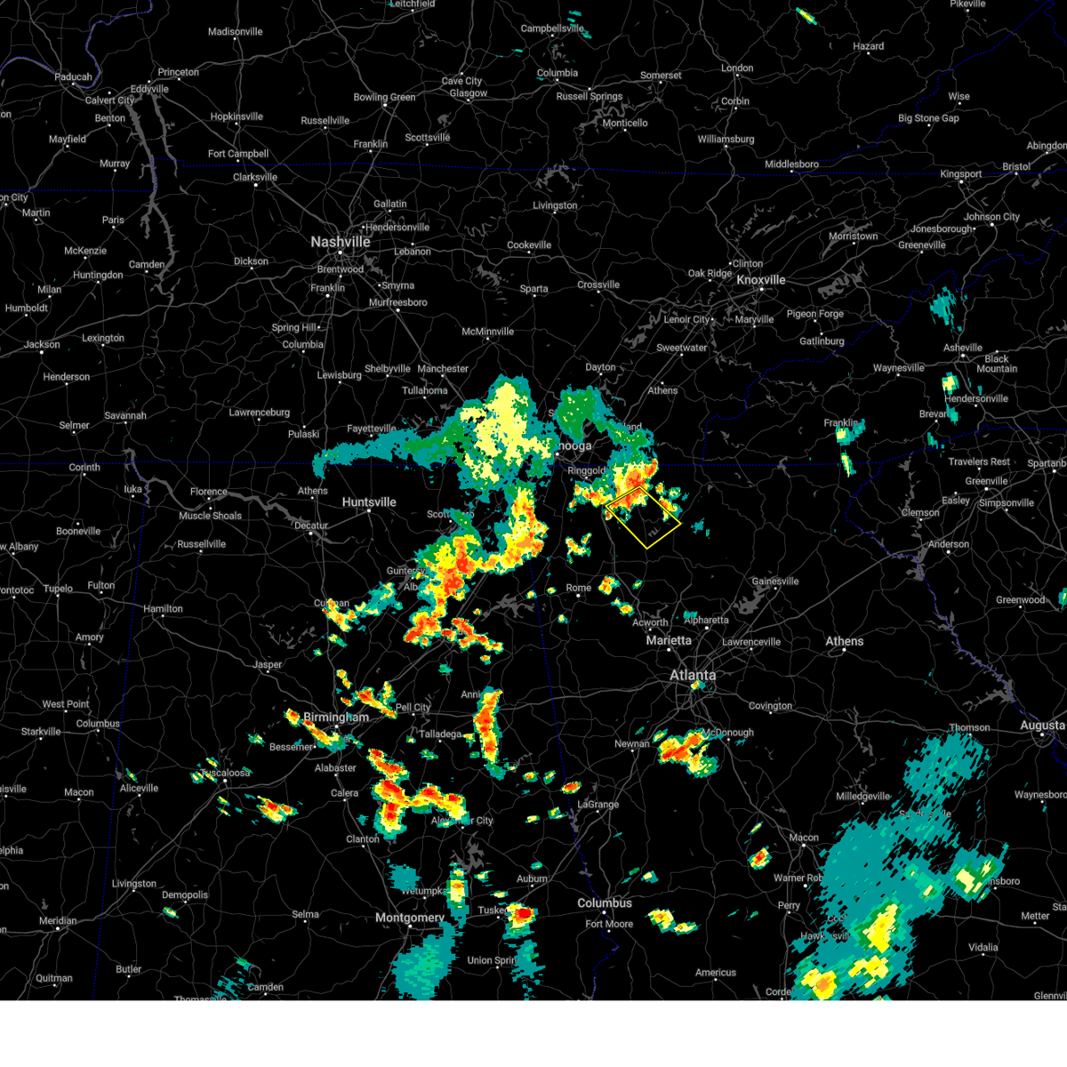
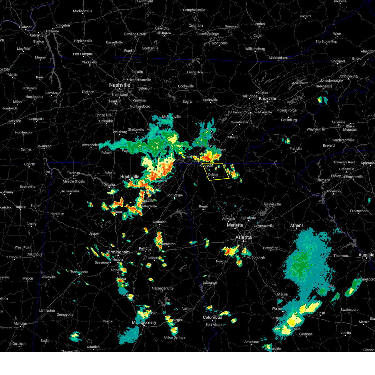
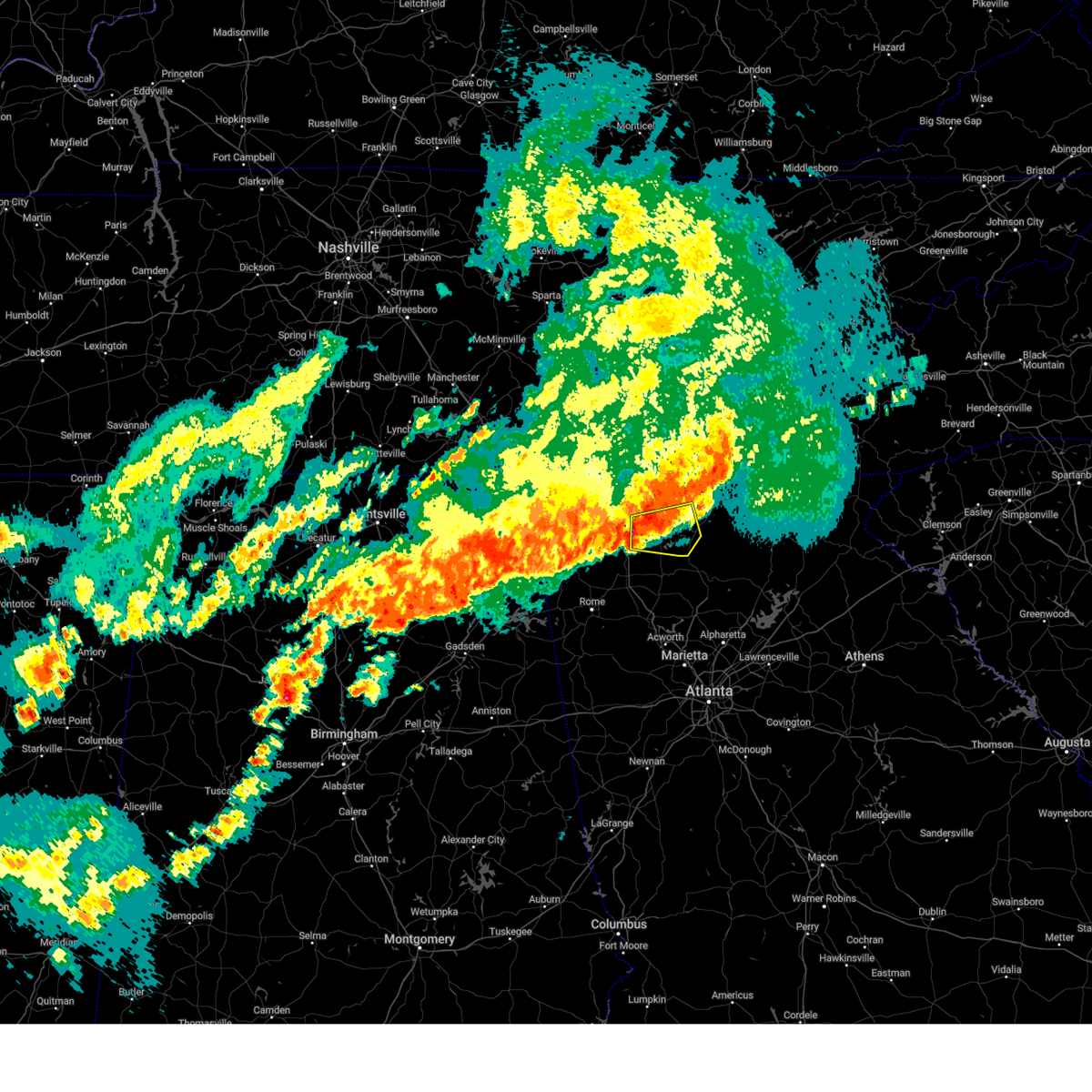
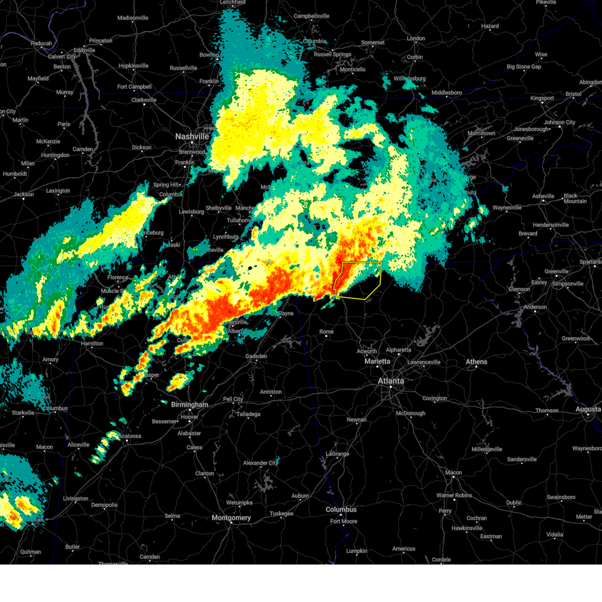
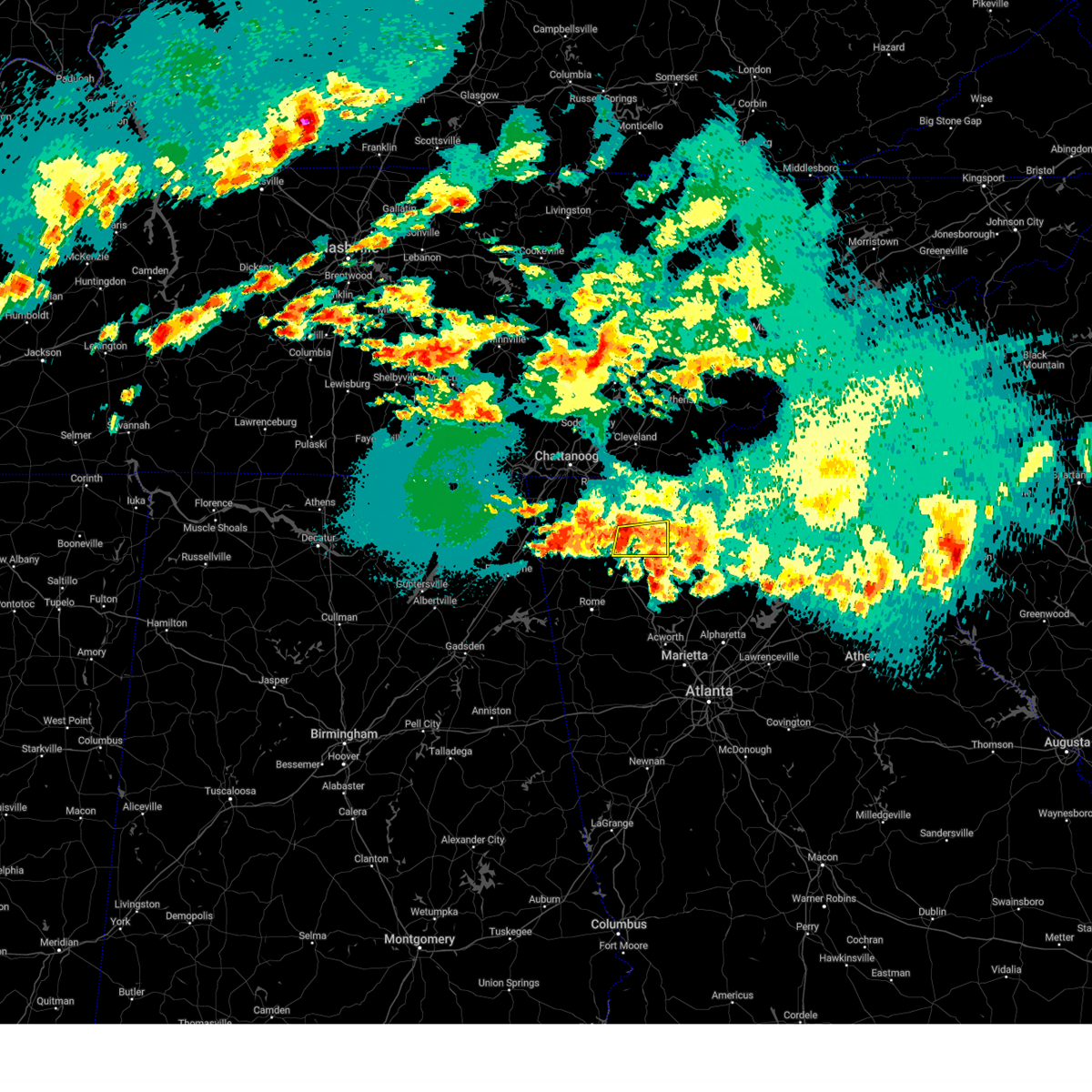
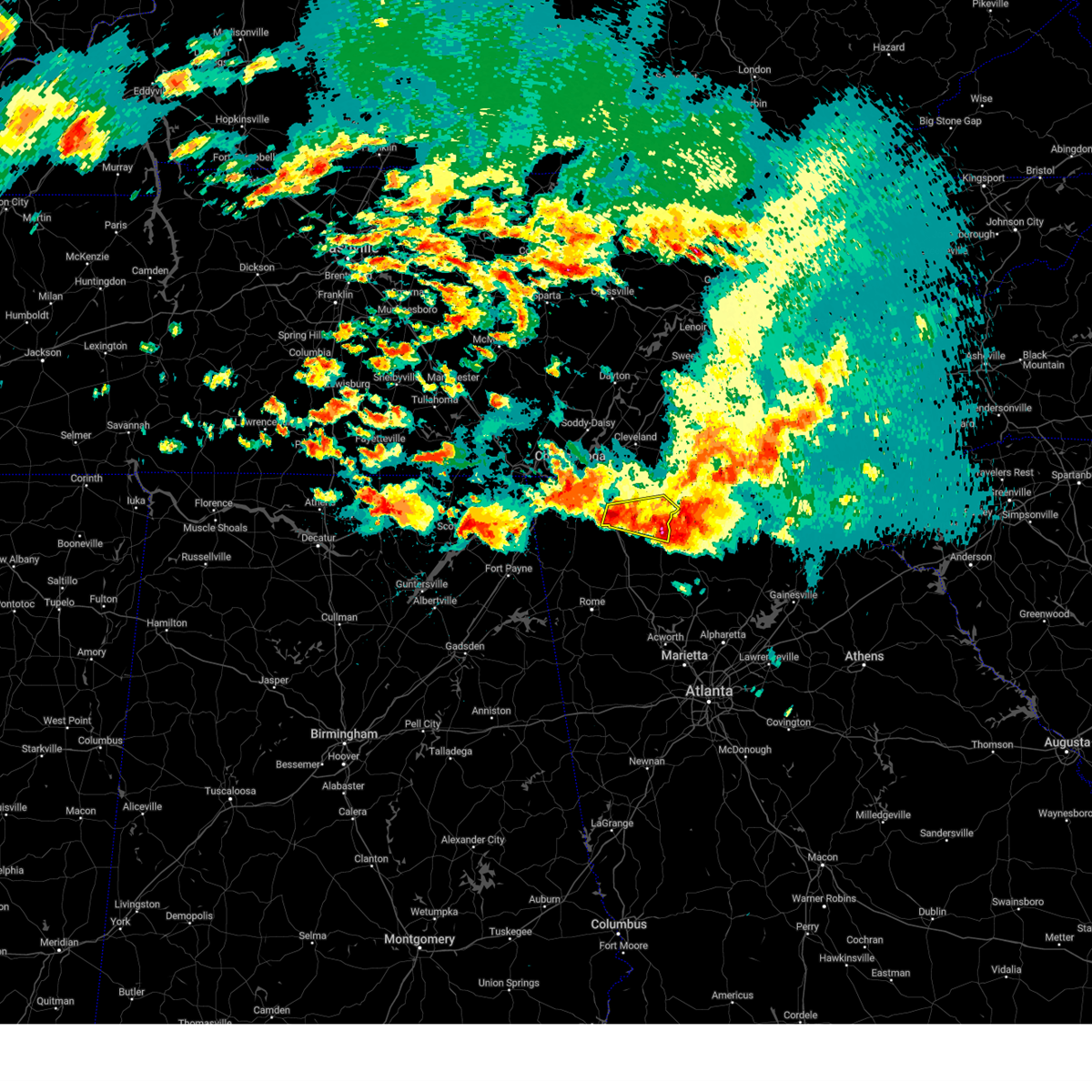
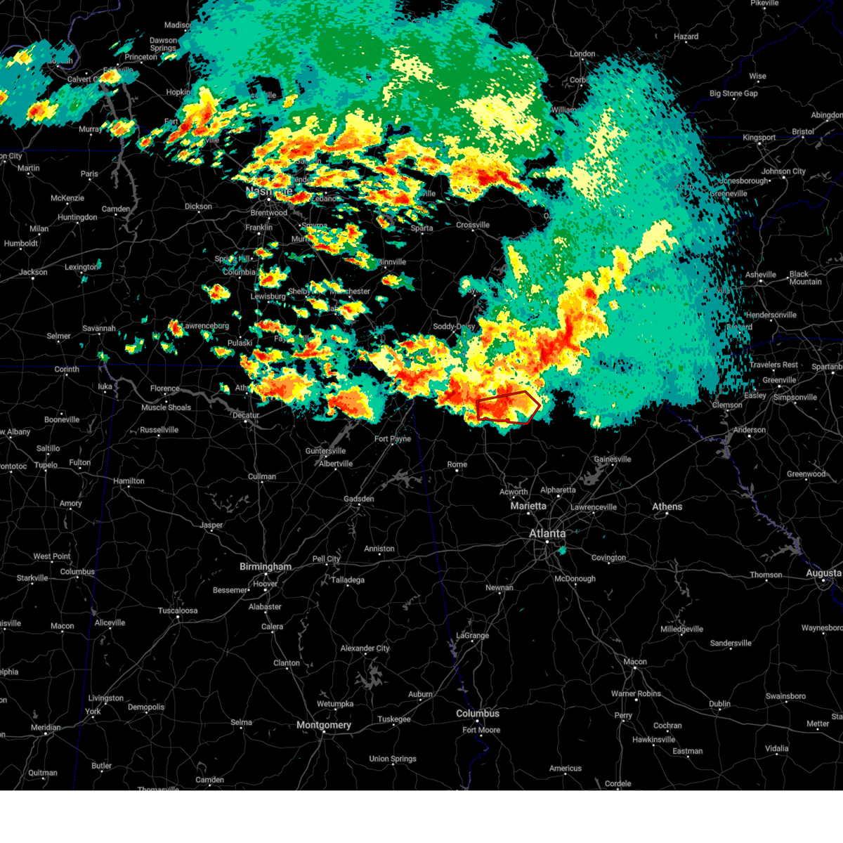
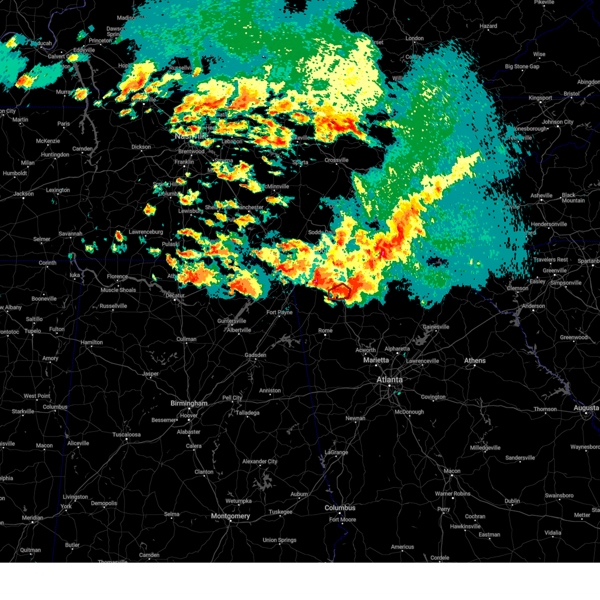
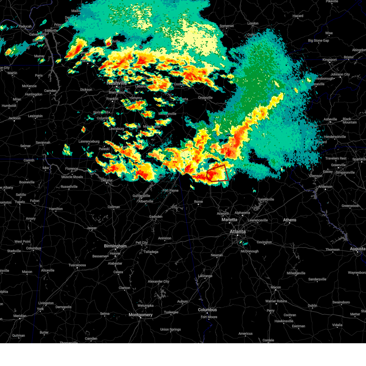
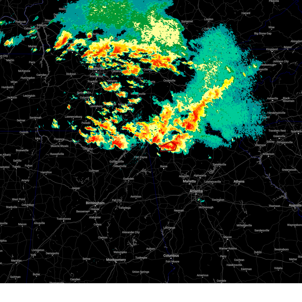
Hail Map for Dalton, GA
The Dalton, GA area has had 7 reports of on-the-ground hail by trained spotters, and has been under severe weather warnings 58 times during the past 12 months. Doppler radar has detected hail at or near Dalton, GA on 51 occasions, including 6 occasions during the past year.
| Name: | Dalton, GA |
| Where Located: | 27.3 miles SE of Chattanooga, TN |
| Map: | Google Map for Dalton, GA |
| Population: | 33128 |
| Housing Units: | 13378 |
| More Info: | Search Google for Dalton, GA |
2
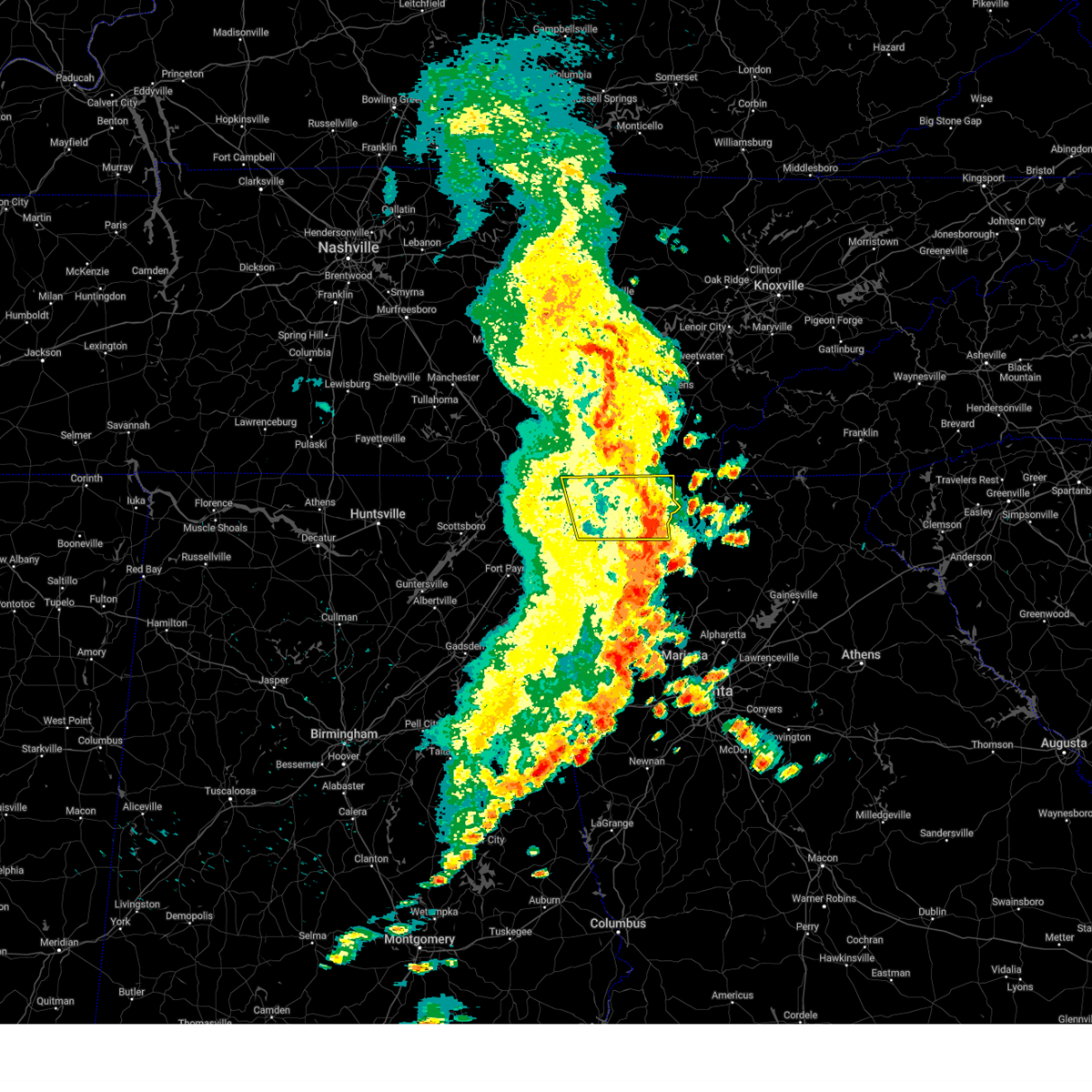
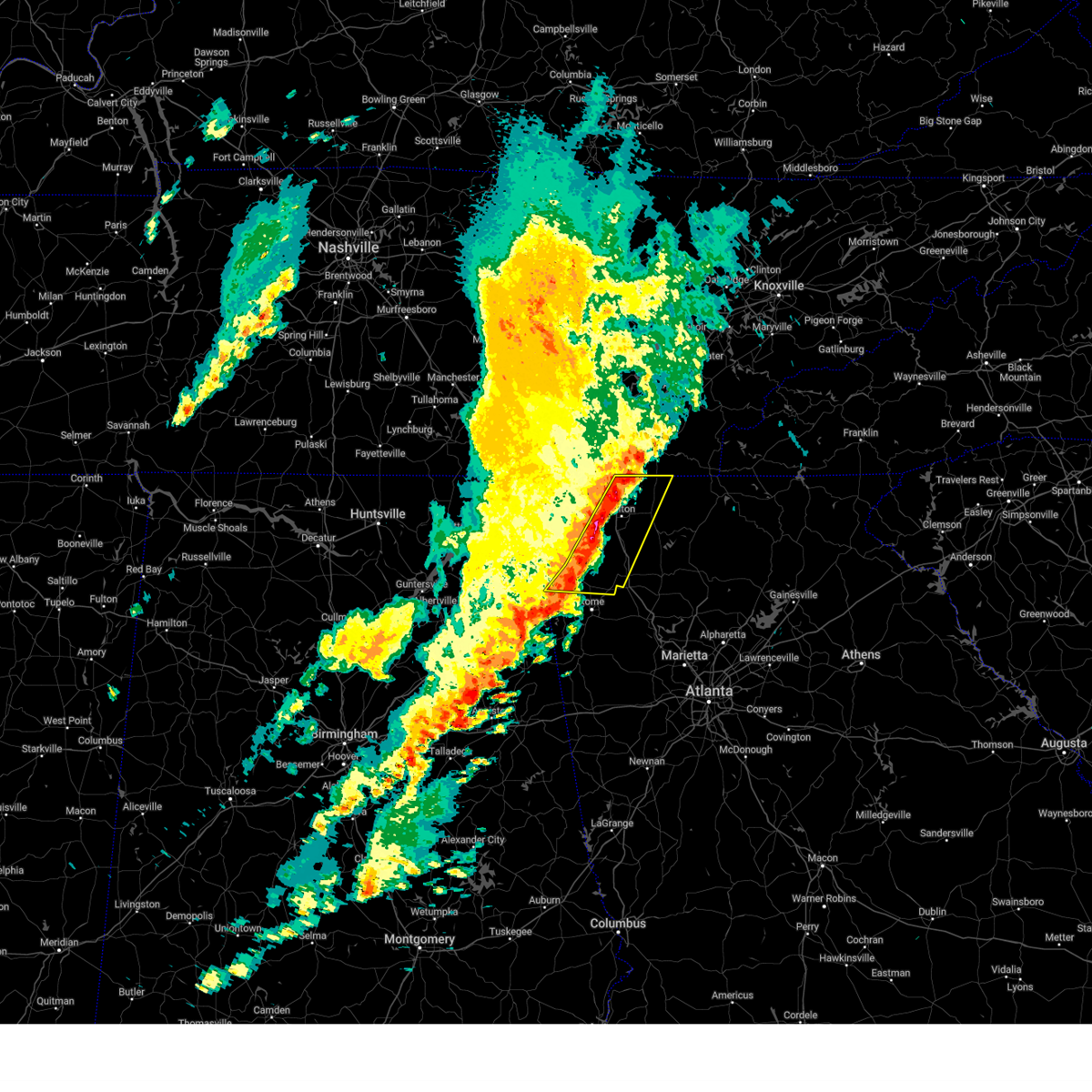
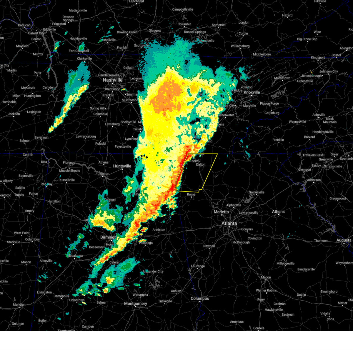
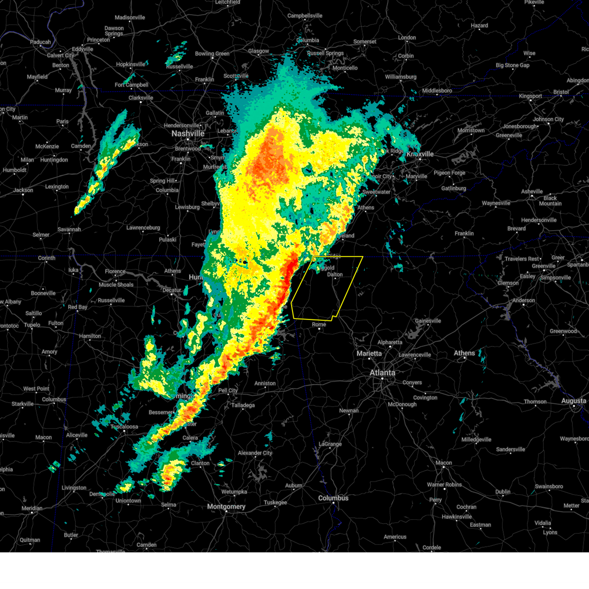
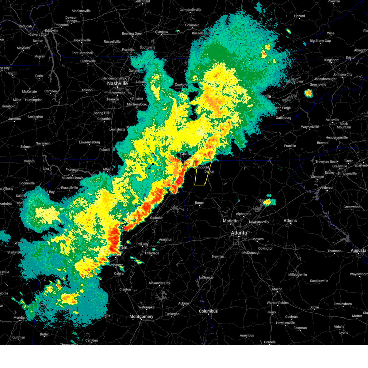
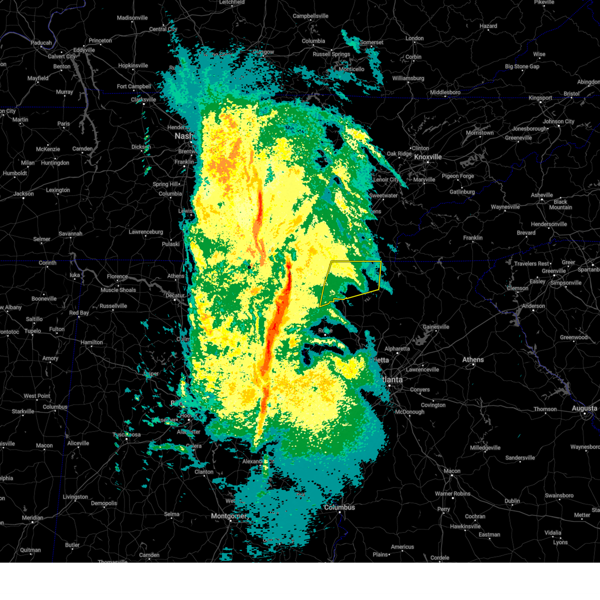
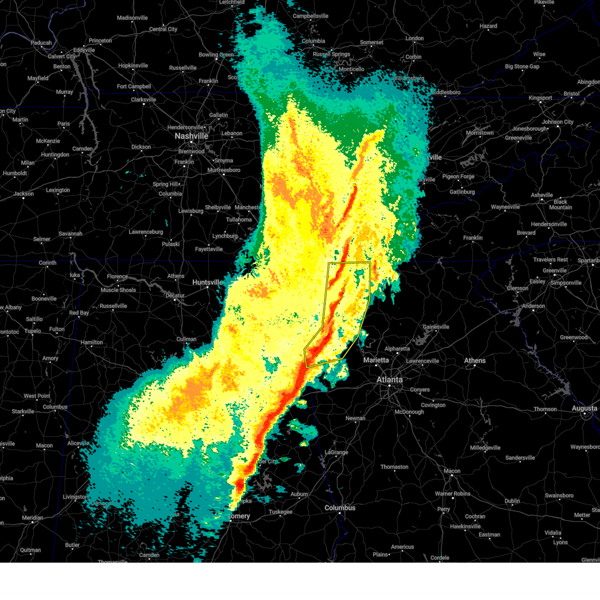
The Top Recent Hail Date for Dalton, GA is Friday, June 27, 2025 (4th out of 51)
Hail and Wind Damage Spotted near Dalton, GA
| Date / Time | Report Details |
|---|---|
| 6/27/2025 6:56 PM EDT | Tree reported down in the road at the 2000 block of ridge rd s in whitfield county GA, 3.8 miles NW of Dalton, GA |
| 6/27/2025 6:56 PM EDT | Tree reported down in the road at the 200 block of hester ci in whitfield county GA, 2.5 miles WNW of Dalton, GA |
| 6/27/2025 6:54 PM EDT | Tree down in the road at the 1400 block of riverbend r in whitfield county GA, 2 miles WNW of Dalton, GA |
| 6/7/2025 5:15 PM EDT |
 The storms which prompted the warning have moved out of the area. therefore, the warning will be allowed to expire. however, gusty winds are still possible with these thunderstorms. a severe thunderstorm watch remains in effect until 900 pm edt for north central and northwestern georgia. remember, a severe thunderstorm warning still remains in effect for whitfield and murray counties. The storms which prompted the warning have moved out of the area. therefore, the warning will be allowed to expire. however, gusty winds are still possible with these thunderstorms. a severe thunderstorm watch remains in effect until 900 pm edt for north central and northwestern georgia. remember, a severe thunderstorm warning still remains in effect for whitfield and murray counties.
|
| 6/7/2025 5:00 PM EDT | Tree down on a home along avenue east near the intersection of avenue east and morningside driv in whitfield county GA, 1.7 miles SSW of Dalton, GA |
| 6/7/2025 5:00 PM EDT | A tree was downed on beaverdale rd ne at columbus wa in whitfield county GA, 8.5 miles SSW of Dalton, GA |
| 6/7/2025 4:55 PM EDT | A tree was downed on gin street at crown stree in whitfield county GA, 1 miles S of Dalton, GA |
| 6/7/2025 4:52 PM EDT | A tree was downed in the 1300 block of mill creek rd s in whitfield county GA, 4 miles E of Dalton, GA |
| 6/7/2025 4:52 PM EDT | A tree was downed on woods point at stoney ru in whitfield county GA, 2.9 miles E of Dalton, GA |
| 6/7/2025 4:50 PM EDT | A tree was downed onto a vehicle in the 500 block of north tibbs rd. no injurie in whitfield county GA, 1.2 miles ENE of Dalton, GA |
| 6/7/2025 4:44 PM EDT |
 At 444 pm edt, severe thunderstorms were located along a line extending from lookout mountain to near suttles mill, moving east at 55 mph (radar indicated). Hazards include 70 mph wind gusts. Expect considerable tree damage. damage is likely to mobile homes, roofs, and outbuildings. Locations impacted include, dalton, lafayette, chatsworth, ringgold, fort oglethorpe, chickamauga, varnell, lookout mountain, eton, tunnel hill, cohutta, chattanooga valley, la fayette, crandall, sumac, gregory, blue spring, fairview, conasauga lake, and beaverdale. At 444 pm edt, severe thunderstorms were located along a line extending from lookout mountain to near suttles mill, moving east at 55 mph (radar indicated). Hazards include 70 mph wind gusts. Expect considerable tree damage. damage is likely to mobile homes, roofs, and outbuildings. Locations impacted include, dalton, lafayette, chatsworth, ringgold, fort oglethorpe, chickamauga, varnell, lookout mountain, eton, tunnel hill, cohutta, chattanooga valley, la fayette, crandall, sumac, gregory, blue spring, fairview, conasauga lake, and beaverdale.
|
| 6/7/2025 4:35 PM EDT |
 Svrffc the national weather service in peachtree city has issued a * severe thunderstorm warning for, catoosa county in northwestern georgia, murray county in northwestern georgia, whitfield county in northwestern georgia, central walker county in northwestern georgia, * until 515 pm edt. * at 435 pm edt, severe thunderstorms were located along a line extending from lookout mountain to suttles mill, moving east at 40 mph (radar indicated). Hazards include 60 mph wind gusts. expect damage to roofs, siding, and trees Svrffc the national weather service in peachtree city has issued a * severe thunderstorm warning for, catoosa county in northwestern georgia, murray county in northwestern georgia, whitfield county in northwestern georgia, central walker county in northwestern georgia, * until 515 pm edt. * at 435 pm edt, severe thunderstorms were located along a line extending from lookout mountain to suttles mill, moving east at 40 mph (radar indicated). Hazards include 60 mph wind gusts. expect damage to roofs, siding, and trees
|
| 5/25/2025 7:11 PM EDT | The tornado threat has diminished and the tornado warning has been cancelled. however, large hail and damaging winds remain likely and a severe thunderstorm warning remains in effect for the area. however, small hail and gusty winds are still possible with this thunderstorm. a severe thunderstorm watch remains in effect until midnight edt for northwestern georgia. remember, a severe thunderstorm warning still remains in effect for murray and gordon counties through 730 pm edt. |
| 5/25/2025 7:02 PM EDT |
 Torffc the national weather service in peachtree city has issued a * tornado warning for, southwestern murray county in northwestern georgia, north central gordon county in northwestern georgia, * until 715 pm edt. * at 702 pm edt, a severe thunderstorm capable of producing a tornado was located near tilton, or 7 miles southeast of dalton, moving southeast at 40 mph (radar indicated rotation). Hazards include tornado. Flying debris will be dangerous to those caught without shelter. mobile homes will be damaged or destroyed. damage to roofs, windows, and vehicles will occur. Tree damage is likely. Torffc the national weather service in peachtree city has issued a * tornado warning for, southwestern murray county in northwestern georgia, north central gordon county in northwestern georgia, * until 715 pm edt. * at 702 pm edt, a severe thunderstorm capable of producing a tornado was located near tilton, or 7 miles southeast of dalton, moving southeast at 40 mph (radar indicated rotation). Hazards include tornado. Flying debris will be dangerous to those caught without shelter. mobile homes will be damaged or destroyed. damage to roofs, windows, and vehicles will occur. Tree damage is likely.
|
| 5/25/2025 6:56 PM EDT |
 The storms which prompted the warning have moved out of the area. therefore, the warning will be allowed to expire. a severe thunderstorm watch remains in effect until midnight edt for northwestern georgia. remember, a severe thunderstorm warning still remains in effect for southeast whitfield and eastern chattooga until 730 pm edt. The storms which prompted the warning have moved out of the area. therefore, the warning will be allowed to expire. a severe thunderstorm watch remains in effect until midnight edt for northwestern georgia. remember, a severe thunderstorm warning still remains in effect for southeast whitfield and eastern chattooga until 730 pm edt.
|
| 5/25/2025 6:55 PM EDT | Tree in roadway along 2700 block of south riverbend roa in whitfield county GA, 5.7 miles NNW of Dalton, GA |
| 5/25/2025 6:55 PM EDT | Powerlines down along 3000 block of five springs r in whitfield county GA, 3.9 miles N of Dalton, GA |
| 5/25/2025 6:51 PM EDT | the severe thunderstorm warning has been cancelled and is no longer in effect |
| 5/25/2025 6:51 PM EDT | At 651 pm edt, severe thunderstorms were located along a line extending from lynnville to near goodspring to near lexington, moving east at 40 mph (radar indicated). Hazards include 60 mph wind gusts. Expect damage to roofs, siding, and trees. Locations impacted include, dalton, summerville, trion, varnell, mill creek, subligna, suttles mill, villanow, berryton, and rocky face. |
| 5/25/2025 6:49 PM EDT | Svrffc the national weather service in peachtree city has issued a * severe thunderstorm warning for, western gilmer county in north central georgia, murray county in northwestern georgia, floyd county in northwestern georgia, southeastern whitfield county in northwestern georgia, southeastern walker county in northwestern georgia, gordon county in northwestern georgia, central chattooga county in northwestern georgia, northwestern bartow county in northwestern georgia, * until 730 pm edt. * at 649 pm edt, severe thunderstorms were located along a line extending from near dawnville to near subligna to near tidings, moving southeast at 45 mph (radar indicated). Hazards include 60 mph wind gusts. expect damage to roofs, siding, and trees |
| 5/25/2025 6:48 PM EDT | Emergency manager has several reports of tree across roadway near quarles rd and mill creek rd s in whitfield county GA, 5.1 miles E of Dalton, GA |
| 5/25/2025 6:26 PM EDT |
 At 625 pm edt, severe thunderstorms were located along a line extending from near winchester to near larkin to ryland, moving east at 40 mph (radar indicated). Hazards include 60 mph wind gusts. Expect damage to roofs, siding, and trees. Locations impacted include, dalton, lafayette, summerville, ringgold, fort oglethorpe, chickamauga, trion, varnell, tunnel hill, cohutta, la fayette, chattanooga valley, menlo, center post, subligna, blue spring, fairview, linwood, cloudland, and villanow. At 625 pm edt, severe thunderstorms were located along a line extending from near winchester to near larkin to ryland, moving east at 40 mph (radar indicated). Hazards include 60 mph wind gusts. Expect damage to roofs, siding, and trees. Locations impacted include, dalton, lafayette, summerville, ringgold, fort oglethorpe, chickamauga, trion, varnell, tunnel hill, cohutta, la fayette, chattanooga valley, menlo, center post, subligna, blue spring, fairview, linwood, cloudland, and villanow.
|
| 5/25/2025 6:26 PM EDT |
 the severe thunderstorm warning has been cancelled and is no longer in effect the severe thunderstorm warning has been cancelled and is no longer in effect
|
| 5/25/2025 6:12 PM EDT | Svrffc the national weather service in peachtree city has issued a * severe thunderstorm warning for, catoosa county in northwestern georgia, central whitfield county in northwestern georgia, walker county in northwestern georgia, central dade county in northwestern georgia, northern chattooga county in northwestern georgia, * until 700 pm edt. * at 611 pm edt, severe thunderstorms were located along a line extending from lookout mountain to sulpher springs to near sylvania, moving east at 40 mph (radar indicated). Hazards include 60 mph wind gusts. expect damage to roofs, siding, and trees |
| 5/20/2025 11:14 PM EDT |
 the severe thunderstorm warning has been cancelled and is no longer in effect the severe thunderstorm warning has been cancelled and is no longer in effect
|
| 5/20/2025 10:55 PM EDT | Tree in the road at haig mill lake road and north bypass blocking the southbound lan in whitfield county GA, 2.6 miles SSE of Dalton, GA |
| 5/20/2025 10:51 PM EDT |
 the tornado warning has been cancelled and is no longer in effect the tornado warning has been cancelled and is no longer in effect
|
| 5/20/2025 10:50 PM EDT |
 Svrffc the national weather service in peachtree city has issued a * severe thunderstorm warning for, gilmer county in north central georgia, central murray county in northwestern georgia, * until 1130 pm edt. * at 1049 pm edt, a severe thunderstorm was located over fort mountain state park, or over chatsworth, moving east at 30 mph (radar indicated). Hazards include 60 mph wind gusts and penny size hail. expect damage to roofs, siding, and trees Svrffc the national weather service in peachtree city has issued a * severe thunderstorm warning for, gilmer county in north central georgia, central murray county in northwestern georgia, * until 1130 pm edt. * at 1049 pm edt, a severe thunderstorm was located over fort mountain state park, or over chatsworth, moving east at 30 mph (radar indicated). Hazards include 60 mph wind gusts and penny size hail. expect damage to roofs, siding, and trees
|
| 5/20/2025 10:41 PM EDT |
 The storm which prompted the warning has moved out of the area. therefore, the warning will be allowed to expire. a tornado watch remains in effect until 200 am edt for northwestern georgia. remember, a tornado warning still remains in effect for whitfield and murray counties. The storm which prompted the warning has moved out of the area. therefore, the warning will be allowed to expire. a tornado watch remains in effect until 200 am edt for northwestern georgia. remember, a tornado warning still remains in effect for whitfield and murray counties.
|
| 5/20/2025 10:34 PM EDT |
 At 1033 pm edt, a severe thunderstorm capable of producing a tornado was located over mill creek, or near dalton, moving east at 25 mph (radar indicated rotation). Hazards include tornado and quarter size hail. Flying debris will be dangerous to those caught without shelter. mobile homes will be damaged or destroyed. damage to roofs, windows, and vehicles will occur. tree damage is likely. Locations impacted include, dalton, rocky face, dawnville, tilton, and north georgia speedway. At 1033 pm edt, a severe thunderstorm capable of producing a tornado was located over mill creek, or near dalton, moving east at 25 mph (radar indicated rotation). Hazards include tornado and quarter size hail. Flying debris will be dangerous to those caught without shelter. mobile homes will be damaged or destroyed. damage to roofs, windows, and vehicles will occur. tree damage is likely. Locations impacted include, dalton, rocky face, dawnville, tilton, and north georgia speedway.
|
| 5/20/2025 10:34 PM EDT |
 the tornado warning has been cancelled and is no longer in effect the tornado warning has been cancelled and is no longer in effect
|
| 5/20/2025 10:31 PM EDT |
 Torffc the national weather service in peachtree city has issued a * tornado warning for, northwestern gilmer county in north central georgia, murray county in northwestern georgia, southeastern whitfield county in northwestern georgia, * until 1115 pm edt. * at 1030 pm edt, a severe thunderstorm capable of producing a tornado was located over dalton, moving east at 30 mph (radar indicated rotation). Hazards include tornado and quarter size hail. Flying debris will be dangerous to those caught without shelter. mobile homes will be damaged or destroyed. damage to roofs, windows, and vehicles will occur. Tree damage is likely. Torffc the national weather service in peachtree city has issued a * tornado warning for, northwestern gilmer county in north central georgia, murray county in northwestern georgia, southeastern whitfield county in northwestern georgia, * until 1115 pm edt. * at 1030 pm edt, a severe thunderstorm capable of producing a tornado was located over dalton, moving east at 30 mph (radar indicated rotation). Hazards include tornado and quarter size hail. Flying debris will be dangerous to those caught without shelter. mobile homes will be damaged or destroyed. damage to roofs, windows, and vehicles will occur. Tree damage is likely.
|
| 5/20/2025 10:15 PM EDT |
 At 1014 pm edt, a severe thunderstorm capable of producing a tornado was located near naomi, or 7 miles east of lafayette, moving east at 25 mph (radar indicated rotation). Hazards include tornado and quarter size hail. Flying debris will be dangerous to those caught without shelter. mobile homes will be damaged or destroyed. damage to roofs, windows, and vehicles will occur. tree damage is likely. Locations impacted include, dalton, tunnel hill, naomi, mill creek, dawnville, villanow, wood station, rocky face, tilton, and north georgia speedway. At 1014 pm edt, a severe thunderstorm capable of producing a tornado was located near naomi, or 7 miles east of lafayette, moving east at 25 mph (radar indicated rotation). Hazards include tornado and quarter size hail. Flying debris will be dangerous to those caught without shelter. mobile homes will be damaged or destroyed. damage to roofs, windows, and vehicles will occur. tree damage is likely. Locations impacted include, dalton, tunnel hill, naomi, mill creek, dawnville, villanow, wood station, rocky face, tilton, and north georgia speedway.
|
| 5/20/2025 10:07 PM EDT |
 The storm which prompted the warning has moved out of the area. therefore, the warning will be allowed to expire. a tornado watch remains in effect until 200 am edt for northwestern georgia. remember, a tornado warning still remains in effect for walker, whitfield, and southern catoosa counties. The storm which prompted the warning has moved out of the area. therefore, the warning will be allowed to expire. a tornado watch remains in effect until 200 am edt for northwestern georgia. remember, a tornado warning still remains in effect for walker, whitfield, and southern catoosa counties.
|
| 5/20/2025 9:57 PM EDT |
 Torffc the national weather service in peachtree city has issued a * tornado warning for, southwestern catoosa county in northwestern georgia, southwestern murray county in northwestern georgia, whitfield county in northwestern georgia, southeastern walker county in northwestern georgia, * until 1045 pm edt. * at 957 pm edt, a severe thunderstorm capable of producing a tornado was located over linwood, or over lafayette, moving east at 25 mph (radar indicated rotation). Hazards include tornado and quarter size hail. Flying debris will be dangerous to those caught without shelter. mobile homes will be damaged or destroyed. damage to roofs, windows, and vehicles will occur. Tree damage is likely. Torffc the national weather service in peachtree city has issued a * tornado warning for, southwestern catoosa county in northwestern georgia, southwestern murray county in northwestern georgia, whitfield county in northwestern georgia, southeastern walker county in northwestern georgia, * until 1045 pm edt. * at 957 pm edt, a severe thunderstorm capable of producing a tornado was located over linwood, or over lafayette, moving east at 25 mph (radar indicated rotation). Hazards include tornado and quarter size hail. Flying debris will be dangerous to those caught without shelter. mobile homes will be damaged or destroyed. damage to roofs, windows, and vehicles will occur. Tree damage is likely.
|
| 5/20/2025 9:52 PM EDT |
 the severe thunderstorm warning has been cancelled and is no longer in effect the severe thunderstorm warning has been cancelled and is no longer in effect
|
| 5/20/2025 9:52 PM EDT |
 At 951 pm edt, a severe thunderstorm was located near cooper heights, or 7 miles northwest of lafayette, moving east at 25 mph (radar indicated). Hazards include 60 mph wind gusts and quarter size hail. Hail damage to vehicles is expected. expect wind damage to roofs, siding, and trees. Locations impacted include, lafayette, la fayette, naomi, mill creek, linwood, beaumont, suttles mill, noble, villanow, wood station, cooper heights, and rock spring. At 951 pm edt, a severe thunderstorm was located near cooper heights, or 7 miles northwest of lafayette, moving east at 25 mph (radar indicated). Hazards include 60 mph wind gusts and quarter size hail. Hail damage to vehicles is expected. expect wind damage to roofs, siding, and trees. Locations impacted include, lafayette, la fayette, naomi, mill creek, linwood, beaumont, suttles mill, noble, villanow, wood station, cooper heights, and rock spring.
|
| 5/20/2025 9:30 PM EDT |
 Svrffc the national weather service in peachtree city has issued a * severe thunderstorm warning for, southwestern catoosa county in northwestern georgia, southwestern whitfield county in northwestern georgia, walker county in northwestern georgia, southwestern dade county in northwestern georgia, * until 1015 pm edt. * at 930 pm edt, a severe thunderstorm was located over rising fawn, or 7 miles south of trenton, moving east at 25 mph (radar indicated). Hazards include 60 mph wind gusts and quarter size hail. Hail damage to vehicles is expected. Expect wind damage to roofs, siding, and trees. Svrffc the national weather service in peachtree city has issued a * severe thunderstorm warning for, southwestern catoosa county in northwestern georgia, southwestern whitfield county in northwestern georgia, walker county in northwestern georgia, southwestern dade county in northwestern georgia, * until 1015 pm edt. * at 930 pm edt, a severe thunderstorm was located over rising fawn, or 7 miles south of trenton, moving east at 25 mph (radar indicated). Hazards include 60 mph wind gusts and quarter size hail. Hail damage to vehicles is expected. Expect wind damage to roofs, siding, and trees.
|
| 5/3/2025 6:14 PM EDT |
 Svrffc the national weather service in peachtree city has issued a * severe thunderstorm warning for, western gilmer county in north central georgia, murray county in northwestern georgia, southeastern whitfield county in northwestern georgia, gordon county in northwestern georgia, northwestern pickens county in north central georgia, * until 700 pm edt. * at 614 pm edt, severe thunderstorms were located along a line extending from near dawnville to near oostanaula, moving east at 30 mph (radar indicated). Hazards include 60 mph wind gusts. expect damage to roofs, siding, and trees Svrffc the national weather service in peachtree city has issued a * severe thunderstorm warning for, western gilmer county in north central georgia, murray county in northwestern georgia, southeastern whitfield county in northwestern georgia, gordon county in northwestern georgia, northwestern pickens county in north central georgia, * until 700 pm edt. * at 614 pm edt, severe thunderstorms were located along a line extending from near dawnville to near oostanaula, moving east at 30 mph (radar indicated). Hazards include 60 mph wind gusts. expect damage to roofs, siding, and trees
|
| 5/3/2025 6:10 PM EDT | One large tree down near the intersection of sonya drive and rauschenberg road n in whitfield county GA, 7.2 miles S of Dalton, GA |
| 5/3/2025 6:01 PM EDT |
 At 601 pm edt, severe thunderstorms were located along a line extending from near red clay state park to near everett springs, moving east at 40 mph (trained weather spotters). Hazards include 60 mph wind gusts and penny size hail. Expect damage to roofs, siding, and trees. Locations impacted include, rome, dalton, calhoun, summerville, chatsworth, trion, varnell, eton, tunnel hill, cohutta, resaca, plainville, shannon, lyerly, crandall, pinson, sumac, subligna, gregory, and lake marvin. At 601 pm edt, severe thunderstorms were located along a line extending from near red clay state park to near everett springs, moving east at 40 mph (trained weather spotters). Hazards include 60 mph wind gusts and penny size hail. Expect damage to roofs, siding, and trees. Locations impacted include, rome, dalton, calhoun, summerville, chatsworth, trion, varnell, eton, tunnel hill, cohutta, resaca, plainville, shannon, lyerly, crandall, pinson, sumac, subligna, gregory, and lake marvin.
|
| 5/3/2025 5:38 PM EDT |
 At 538 pm edt, severe thunderstorms were located along a line extending from graysville to near berryton, moving east at 40 mph (radar indicated). Hazards include 60 mph wind gusts and penny size hail. Expect damage to roofs, siding, and trees. locations impacted include, center post, crandall, pinson, subligna, beaverdale, villanow, dalton, james h. Floyd state park, plainville, wood station, indian springs, varnell, tidings, summerville, armuchee, tilton, lyerly, ringgold, tennga, and cohutta. At 538 pm edt, severe thunderstorms were located along a line extending from graysville to near berryton, moving east at 40 mph (radar indicated). Hazards include 60 mph wind gusts and penny size hail. Expect damage to roofs, siding, and trees. locations impacted include, center post, crandall, pinson, subligna, beaverdale, villanow, dalton, james h. Floyd state park, plainville, wood station, indian springs, varnell, tidings, summerville, armuchee, tilton, lyerly, ringgold, tennga, and cohutta.
|
| 5/3/2025 5:20 PM EDT |
 Svrffc the national weather service in peachtree city has issued a * severe thunderstorm warning for, catoosa county in northwestern georgia, central murray county in northwestern georgia, northeastern floyd county in northwestern georgia, whitfield county in northwestern georgia, walker county in northwestern georgia, western gordon county in northwestern georgia, chattooga county in northwestern georgia, * until 615 pm edt. * at 520 pm edt, severe thunderstorms were located along a line extending from lookout mountain to desoto state park, moving east at 40 mph (radar indicated). Hazards include 60 mph wind gusts and penny size hail. expect damage to roofs, siding, and trees Svrffc the national weather service in peachtree city has issued a * severe thunderstorm warning for, catoosa county in northwestern georgia, central murray county in northwestern georgia, northeastern floyd county in northwestern georgia, whitfield county in northwestern georgia, walker county in northwestern georgia, western gordon county in northwestern georgia, chattooga county in northwestern georgia, * until 615 pm edt. * at 520 pm edt, severe thunderstorms were located along a line extending from lookout mountain to desoto state park, moving east at 40 mph (radar indicated). Hazards include 60 mph wind gusts and penny size hail. expect damage to roofs, siding, and trees
|
| 5/2/2025 8:08 PM EDT | The storms which prompted the warning have moved out of the area. therefore, the warning will be allowed to expire. a severe thunderstorm watch remains in effect until 1100 pm edt for north central and northwestern georgia. |
| 5/2/2025 7:44 PM EDT | At 743 pm edt, severe thunderstorms were located along a line extending from near cisco to audubon, moving east at 35 mph (radar indicated). Hazards include 60 mph wind gusts and quarter size hail. Hail damage to vehicles is expected. expect wind damage to roofs, siding, and trees. Locations impacted include, dalton, chatsworth, eton, crandall, conasauga lake, ramhurst, jones mill, fort mountain state park, cohutta wilderness, nickelsville, north georgia speedway, and tilton. |
| 5/2/2025 7:17 PM EDT | Svrffc the national weather service in peachtree city has issued a * severe thunderstorm warning for, murray county in northwestern georgia, whitfield county in northwestern georgia, northwestern gordon county in northwestern georgia, northwestern fannin county in north central georgia, * until 815 pm edt. * at 717 pm edt, severe thunderstorms were located along a line extending from cohutta to near lake marvin, moving east at 35 mph (radar indicated). Hazards include 60 mph wind gusts and quarter size hail. Hail damage to vehicles is expected. Expect wind damage to roofs, siding, and trees. |
| 5/2/2025 6:37 PM EDT |
 Svrffc the national weather service in peachtree city has issued a * severe thunderstorm warning for, catoosa county in northwestern georgia, western whitfield county in northwestern georgia, eastern walker county in northwestern georgia, * until 730 pm edt. * at 637 pm edt, severe thunderstorms were located along a line extending from near morganville to 6 miles southeast of sulpher springs, moving east at 45 mph (radar indicated). Hazards include 60 mph wind gusts and quarter size hail. Hail damage to vehicles is expected. Expect wind damage to roofs, siding, and trees. Svrffc the national weather service in peachtree city has issued a * severe thunderstorm warning for, catoosa county in northwestern georgia, western whitfield county in northwestern georgia, eastern walker county in northwestern georgia, * until 730 pm edt. * at 637 pm edt, severe thunderstorms were located along a line extending from near morganville to 6 miles southeast of sulpher springs, moving east at 45 mph (radar indicated). Hazards include 60 mph wind gusts and quarter size hail. Hail damage to vehicles is expected. Expect wind damage to roofs, siding, and trees.
|
| 5/2/2025 2:46 PM EDT | Svrffc the national weather service in peachtree city has issued a * severe thunderstorm warning for, northwestern gilmer county in north central georgia, murray county in northwestern georgia, northeastern whitfield county in northwestern georgia, northwestern fannin county in north central georgia, * until 330 pm edt. * at 246 pm edt, a severe thunderstorm was located near dawnville, or near chatsworth, moving north at 25 mph (radar indicated). Hazards include 60 mph wind gusts and quarter size hail. Hail damage to vehicles is expected. Expect wind damage to roofs, siding, and trees. |
| 3/5/2025 12:29 AM EST |
 The storms which prompted the warning have moved out of the area. therefore, the warning will be allowed to expire. a severe thunderstorm watch remains in effect until 400 am est for northwestern georgia. remember, a severe thunderstorm warning still remains in effect for catoosa, eastern walker, and whitfield counties. The storms which prompted the warning have moved out of the area. therefore, the warning will be allowed to expire. a severe thunderstorm watch remains in effect until 400 am est for northwestern georgia. remember, a severe thunderstorm warning still remains in effect for catoosa, eastern walker, and whitfield counties.
|
| 3/5/2025 12:27 AM EST |
 Svrffc the national weather service in peachtree city has issued a * severe thunderstorm warning for, eastern catoosa county in northwestern georgia, northwestern gilmer county in north central georgia, murray county in northwestern georgia, whitfield county in northwestern georgia, southeastern walker county in northwestern georgia, northeastern chattooga county in northwestern georgia, northwestern fannin county in north central georgia, * until 115 am est. * at 1227 am est, severe thunderstorms were located along a line extending from near apison to near wood station to subligna, moving northeast at 40 mph (radar indicated). Hazards include 60 mph wind gusts. expect damage to roofs, siding, and trees Svrffc the national weather service in peachtree city has issued a * severe thunderstorm warning for, eastern catoosa county in northwestern georgia, northwestern gilmer county in north central georgia, murray county in northwestern georgia, whitfield county in northwestern georgia, southeastern walker county in northwestern georgia, northeastern chattooga county in northwestern georgia, northwestern fannin county in north central georgia, * until 115 am est. * at 1227 am est, severe thunderstorms were located along a line extending from near apison to near wood station to subligna, moving northeast at 40 mph (radar indicated). Hazards include 60 mph wind gusts. expect damage to roofs, siding, and trees
|
| 3/5/2025 12:13 AM EST |
 At 1212 am est, severe thunderstorms were located along a line extending from graysville to near naomi to summerville, moving northeast at 100 mph (radar indicated). Hazards include 60 mph wind gusts. Expect damage to roofs, siding, and trees. Locations impacted include, dalton, lafayette, summerville, ringgold, fort oglethorpe, trion, varnell, tunnel hill, cohutta, resaca, la fayette, center post, subligna, blue spring, linwood, villanow, rock spring, naomi, suttles mill, and noble. At 1212 am est, severe thunderstorms were located along a line extending from graysville to near naomi to summerville, moving northeast at 100 mph (radar indicated). Hazards include 60 mph wind gusts. Expect damage to roofs, siding, and trees. Locations impacted include, dalton, lafayette, summerville, ringgold, fort oglethorpe, trion, varnell, tunnel hill, cohutta, resaca, la fayette, center post, subligna, blue spring, linwood, villanow, rock spring, naomi, suttles mill, and noble.
|
| 3/5/2025 12:13 AM EST |
 the severe thunderstorm warning has been cancelled and is no longer in effect the severe thunderstorm warning has been cancelled and is no longer in effect
|
| 3/4/2025 11:42 PM EST |
 Svrffc the national weather service in peachtree city has issued a * severe thunderstorm warning for, catoosa county in northwestern georgia, whitfield county in northwestern georgia, walker county in northwestern georgia, northwestern gordon county in northwestern georgia, dade county in northwestern georgia, northern chattooga county in northwestern georgia, * until 1230 am est. * at 1142 pm est, severe thunderstorms were located along a line extending from cole city to sulpher springs to near chesterfield, moving northeast at 45 mph (radar indicated). Hazards include 60 mph wind gusts. expect damage to roofs, siding, and trees Svrffc the national weather service in peachtree city has issued a * severe thunderstorm warning for, catoosa county in northwestern georgia, whitfield county in northwestern georgia, walker county in northwestern georgia, northwestern gordon county in northwestern georgia, dade county in northwestern georgia, northern chattooga county in northwestern georgia, * until 1230 am est. * at 1142 pm est, severe thunderstorms were located along a line extending from cole city to sulpher springs to near chesterfield, moving northeast at 45 mph (radar indicated). Hazards include 60 mph wind gusts. expect damage to roofs, siding, and trees
|
| 2/16/2025 3:37 AM EST |
 Svrffc the national weather service in peachtree city has issued a * severe thunderstorm warning for, northeastern paulding county in northwestern georgia, cherokee county in north central georgia, northwestern cobb county in north central georgia, gilmer county in north central georgia, murray county in northwestern georgia, southeastern floyd county in northwestern georgia, eastern whitfield county in northwestern georgia, gordon county in northwestern georgia, central polk county in northwestern georgia, pickens county in north central georgia, northwestern fannin county in north central georgia, bartow county in northwestern georgia, * until 430 am est. * at 337 am est, severe thunderstorms were located along a line extending from gap springs to near north georgia speedway to near adairsville to near taylorsville to near fish creek, moving east at 45 mph (radar indicated). Hazards include 60 mph wind gusts. expect damage to roofs, siding, and trees Svrffc the national weather service in peachtree city has issued a * severe thunderstorm warning for, northeastern paulding county in northwestern georgia, cherokee county in north central georgia, northwestern cobb county in north central georgia, gilmer county in north central georgia, murray county in northwestern georgia, southeastern floyd county in northwestern georgia, eastern whitfield county in northwestern georgia, gordon county in northwestern georgia, central polk county in northwestern georgia, pickens county in north central georgia, northwestern fannin county in north central georgia, bartow county in northwestern georgia, * until 430 am est. * at 337 am est, severe thunderstorms were located along a line extending from gap springs to near north georgia speedway to near adairsville to near taylorsville to near fish creek, moving east at 45 mph (radar indicated). Hazards include 60 mph wind gusts. expect damage to roofs, siding, and trees
|
| 2/16/2025 3:24 AM EST |
 At 324 am est, severe thunderstorms were located along a line extending from tilton to near rome to near esom hill, moving east at 60 mph (radar indicated). Hazards include 60 mph wind gusts. Expect damage to roofs, siding, and trees. Locations impacted include, rome, dalton, cartersville, calhoun, cedartown, chatsworth, ringgold, adairsville, rockmart, euharlee, varnell, aragon, cave spring, eton, tunnel hill, white, cohutta, kingston, resaca, and plainville. At 324 am est, severe thunderstorms were located along a line extending from tilton to near rome to near esom hill, moving east at 60 mph (radar indicated). Hazards include 60 mph wind gusts. Expect damage to roofs, siding, and trees. Locations impacted include, rome, dalton, cartersville, calhoun, cedartown, chatsworth, ringgold, adairsville, rockmart, euharlee, varnell, aragon, cave spring, eton, tunnel hill, white, cohutta, kingston, resaca, and plainville.
|
| 2/16/2025 3:12 AM EST |
 At 312 am est, severe thunderstorms were located along a line extending from near villanow to near coosa to near spring garden, moving northeast at 75 mph (radar indicated). Hazards include 60 mph wind gusts. Expect damage to roofs, siding, and trees. Locations impacted include, rome, dalton, cartersville, calhoun, cedartown, lafayette, summerville, chatsworth, ringgold, fort oglethorpe, adairsville, rockmart, euharlee, trion, varnell, aragon, cave spring, eton, tunnel hill, and white. At 312 am est, severe thunderstorms were located along a line extending from near villanow to near coosa to near spring garden, moving northeast at 75 mph (radar indicated). Hazards include 60 mph wind gusts. Expect damage to roofs, siding, and trees. Locations impacted include, rome, dalton, cartersville, calhoun, cedartown, lafayette, summerville, chatsworth, ringgold, fort oglethorpe, adairsville, rockmart, euharlee, trion, varnell, aragon, cave spring, eton, tunnel hill, and white.
|
| 2/16/2025 3:00 AM EST |
 The storms which prompted the warning have moved out of the area. therefore, the warning will be allowed to expire. a tornado watch remains in effect until 900 am est for northwestern georgia. remember, a severe thunderstorm warning still remains in effect for portions of catoosa, walker, chattooga, and whitfield counties. The storms which prompted the warning have moved out of the area. therefore, the warning will be allowed to expire. a tornado watch remains in effect until 900 am est for northwestern georgia. remember, a severe thunderstorm warning still remains in effect for portions of catoosa, walker, chattooga, and whitfield counties.
|
| 2/16/2025 2:59 AM EST |
 Svrffc the national weather service in peachtree city has issued a * severe thunderstorm warning for, catoosa county in northwestern georgia, west central gilmer county in north central georgia, murray county in northwestern georgia, floyd county in northwestern georgia, whitfield county in northwestern georgia, walker county in northwestern georgia, gordon county in northwestern georgia, polk county in northwestern georgia, chattooga county in northwestern georgia, bartow county in northwestern georgia, * until 345 am est. * at 259 am est, severe thunderstorms were located along a line extending from center post to waterhouse to near sulphur springs, moving northeast at 75 mph (radar indicated). Hazards include 60 mph wind gusts. expect damage to roofs, siding, and trees Svrffc the national weather service in peachtree city has issued a * severe thunderstorm warning for, catoosa county in northwestern georgia, west central gilmer county in north central georgia, murray county in northwestern georgia, floyd county in northwestern georgia, whitfield county in northwestern georgia, walker county in northwestern georgia, gordon county in northwestern georgia, polk county in northwestern georgia, chattooga county in northwestern georgia, bartow county in northwestern georgia, * until 345 am est. * at 259 am est, severe thunderstorms were located along a line extending from center post to waterhouse to near sulphur springs, moving northeast at 75 mph (radar indicated). Hazards include 60 mph wind gusts. expect damage to roofs, siding, and trees
|
| 2/16/2025 2:51 AM EST |
 At 251 am est, severe thunderstorms were located along a line extending from hicks gap state park to near sulpher springs to near cedar bluff, moving east at 65 mph (radar indicated). Hazards include 60 mph wind gusts. Expect damage to roofs, siding, and trees. Locations impacted include, rome, dalton, lafayette, summerville, ringgold, trenton, fort oglethorpe, rossville, chickamauga, trion, varnell, lookout mountain, tunnel hill, cohutta, resaca, chattanooga valley, la fayette, lyerly, menlo, and center post. At 251 am est, severe thunderstorms were located along a line extending from hicks gap state park to near sulpher springs to near cedar bluff, moving east at 65 mph (radar indicated). Hazards include 60 mph wind gusts. Expect damage to roofs, siding, and trees. Locations impacted include, rome, dalton, lafayette, summerville, ringgold, trenton, fort oglethorpe, rossville, chickamauga, trion, varnell, lookout mountain, tunnel hill, cohutta, resaca, chattanooga valley, la fayette, lyerly, menlo, and center post.
|
| 2/16/2025 2:41 AM EST |
 At 241 am est, severe thunderstorms were located along a line extending from jasper to near ider to near sand rock, moving east at 40 mph (radar indicated). Hazards include 60 mph wind gusts. Expect damage to roofs, siding, and trees. Locations impacted include, rome, dalton, lafayette, summerville, ringgold, trenton, fort oglethorpe, rossville, chickamauga, trion, varnell, lookout mountain, tunnel hill, cohutta, resaca, chattanooga valley, la fayette, lyerly, menlo, and center post. At 241 am est, severe thunderstorms were located along a line extending from jasper to near ider to near sand rock, moving east at 40 mph (radar indicated). Hazards include 60 mph wind gusts. Expect damage to roofs, siding, and trees. Locations impacted include, rome, dalton, lafayette, summerville, ringgold, trenton, fort oglethorpe, rossville, chickamauga, trion, varnell, lookout mountain, tunnel hill, cohutta, resaca, chattanooga valley, la fayette, lyerly, menlo, and center post.
|
| 2/16/2025 2:20 AM EST |
 At 219 am est, severe thunderstorms were located along a line extending from near sherwood to martintown to near mcville, moving east at 65 mph (radar indicated). Hazards include 60 mph wind gusts. Expect damage to roofs, siding, and trees. Locations impacted include, rome, dalton, lafayette, summerville, ringgold, trenton, fort oglethorpe, rossville, chickamauga, trion, varnell, lookout mountain, tunnel hill, cohutta, resaca, chattanooga valley, la fayette, lyerly, menlo, and center post. At 219 am est, severe thunderstorms were located along a line extending from near sherwood to martintown to near mcville, moving east at 65 mph (radar indicated). Hazards include 60 mph wind gusts. Expect damage to roofs, siding, and trees. Locations impacted include, rome, dalton, lafayette, summerville, ringgold, trenton, fort oglethorpe, rossville, chickamauga, trion, varnell, lookout mountain, tunnel hill, cohutta, resaca, chattanooga valley, la fayette, lyerly, menlo, and center post.
|
| 2/16/2025 2:12 AM EST |
 Svrffc the national weather service in peachtree city has issued a * severe thunderstorm warning for, catoosa county in northwestern georgia, central floyd county in northwestern georgia, central whitfield county in northwestern georgia, walker county in northwestern georgia, northwestern gordon county in northwestern georgia, dade county in northwestern georgia, chattooga county in northwestern georgia, * until 300 am est. * at 212 am est, severe thunderstorms were located along a line extending from cowan to near hollywood to guntersville, moving east at 65 mph (radar indicated). Hazards include 60 mph wind gusts. expect damage to roofs, siding, and trees Svrffc the national weather service in peachtree city has issued a * severe thunderstorm warning for, catoosa county in northwestern georgia, central floyd county in northwestern georgia, central whitfield county in northwestern georgia, walker county in northwestern georgia, northwestern gordon county in northwestern georgia, dade county in northwestern georgia, chattooga county in northwestern georgia, * until 300 am est. * at 212 am est, severe thunderstorms were located along a line extending from cowan to near hollywood to guntersville, moving east at 65 mph (radar indicated). Hazards include 60 mph wind gusts. expect damage to roofs, siding, and trees
|
| 8/17/2024 5:11 PM EDT |
 The storm which prompted the warning has moved out of the area. therefore, the warning will be allowed to expire. however, small hail, gusty winds and heavy rain are still possible with this thunderstorm. a severe thunderstorm watch remains in effect until 1000 pm edt for north central and northwestern georgia. to report severe weather, contact your nearest law enforcement agency. they will relay your report to the national weather service peachtree city. The storm which prompted the warning has moved out of the area. therefore, the warning will be allowed to expire. however, small hail, gusty winds and heavy rain are still possible with this thunderstorm. a severe thunderstorm watch remains in effect until 1000 pm edt for north central and northwestern georgia. to report severe weather, contact your nearest law enforcement agency. they will relay your report to the national weather service peachtree city.
|
| 8/17/2024 5:09 PM EDT | Svrffc the national weather service in peachtree city has issued a * severe thunderstorm warning for, southwestern gilmer county in north central georgia, southern murray county in northwestern georgia, southeastern whitfield county in northwestern georgia, northeastern gordon county in northwestern georgia, western pickens county in north central georgia, * until 600 pm edt. * at 509 pm edt, a severe thunderstorm was located over north georgia speedway, or 7 miles southwest of chatsworth, moving southeast at 25 mph (radar indicated). Hazards include 60 mph wind gusts and quarter size hail. Hail damage to vehicles is expected. Expect wind damage to roofs, siding, and trees. |
| 8/17/2024 4:51 PM EDT | Ping Pong Ball sized hail reported 3 miles NW of Dalton, GA, report from mping: ping pong ball (1.50 in.). |
| 8/17/2024 4:46 PM EDT |
 Svrffc the national weather service in peachtree city has issued a * severe thunderstorm warning for, western gilmer county in north central georgia, central murray county in northwestern georgia, east central whitfield county in northwestern georgia, * until 515 pm edt. * at 446 pm edt, a severe thunderstorm was located over chatsworth, moving southeast at 25 mph (radar indicated). Hazards include 60 mph wind gusts and quarter size hail. Hail damage to vehicles is expected. Expect wind damage to roofs, siding, and trees. Svrffc the national weather service in peachtree city has issued a * severe thunderstorm warning for, western gilmer county in north central georgia, central murray county in northwestern georgia, east central whitfield county in northwestern georgia, * until 515 pm edt. * at 446 pm edt, a severe thunderstorm was located over chatsworth, moving southeast at 25 mph (radar indicated). Hazards include 60 mph wind gusts and quarter size hail. Hail damage to vehicles is expected. Expect wind damage to roofs, siding, and trees.
|
| 8/17/2024 4:45 PM EDT | Tree reported down across the road near the intersection of lafayette rd and mcarthur r in whitfield county GA, 6.8 miles E of Dalton, GA |
| 8/17/2024 4:40 PM EDT | Large tree blocking both lanes of traffic near the intersection of kala wy and old ringgold r in whitfield county GA, 7.6 miles ESE of Dalton, GA |
| 8/17/2024 4:38 PM EDT |
 At 438 pm edt, a severe thunderstorm was located over cisco, or 10 miles north of chatsworth, moving east at 30 mph (radar indicated). Hazards include 60 mph wind gusts and quarter size hail. Hail damage to vehicles is expected. expect wind damage to roofs, siding, and trees. Locations impacted include, chatsworth, varnell, eton, tunnel hill, cohutta, crandall, sumac, gregory, conasauga lake, tennga, beaverdale, dawnville, cisco, red clay state park, and apison. At 438 pm edt, a severe thunderstorm was located over cisco, or 10 miles north of chatsworth, moving east at 30 mph (radar indicated). Hazards include 60 mph wind gusts and quarter size hail. Hail damage to vehicles is expected. expect wind damage to roofs, siding, and trees. Locations impacted include, chatsworth, varnell, eton, tunnel hill, cohutta, crandall, sumac, gregory, conasauga lake, tennga, beaverdale, dawnville, cisco, red clay state park, and apison.
|
| 8/17/2024 4:30 PM EDT | Tree reported down in the road near the intersection of dawnville beaverdal rd and renfroe rd. n in whitfield county GA, 6.8 miles SW of Dalton, GA |
| 8/17/2024 4:29 PM EDT |
 Svrffc the national weather service in peachtree city has issued a * severe thunderstorm warning for, southwestern catoosa county in northwestern georgia, southwestern murray county in northwestern georgia, southern whitfield county in northwestern georgia, southeastern walker county in northwestern georgia, northwestern gordon county in northwestern georgia, * until 515 pm edt. * at 429 pm edt, a severe thunderstorm was located over noble, or near lafayette, moving southeast at 25 mph (radar indicated). Hazards include 60 mph wind gusts and quarter size hail. Hail damage to vehicles is expected. Expect wind damage to roofs, siding, and trees. Svrffc the national weather service in peachtree city has issued a * severe thunderstorm warning for, southwestern catoosa county in northwestern georgia, southwestern murray county in northwestern georgia, southern whitfield county in northwestern georgia, southeastern walker county in northwestern georgia, northwestern gordon county in northwestern georgia, * until 515 pm edt. * at 429 pm edt, a severe thunderstorm was located over noble, or near lafayette, moving southeast at 25 mph (radar indicated). Hazards include 60 mph wind gusts and quarter size hail. Hail damage to vehicles is expected. Expect wind damage to roofs, siding, and trees.
|
| 8/17/2024 4:28 PM EDT | Tree reported down across the road near the intersection of mcgaughey chapel rd and wilson r in whitfield county GA, 11 miles SSW of Dalton, GA |
| 8/17/2024 4:25 PM EDT | Tree down across the roadway near the intersection of meers rd and durham s in whitfield county GA, 8.5 miles S of Dalton, GA |
| 8/17/2024 4:08 PM EDT | Svrffc the national weather service in peachtree city has issued a * severe thunderstorm warning for, northeastern catoosa county in northwestern georgia, northeastern murray county in northwestern georgia, northeastern whitfield county in northwestern georgia, * until 445 pm edt. * at 407 pm edt, a severe thunderstorm was located over varnell, or 8 miles east of ringgold, moving east at 30 mph (radar indicated). Hazards include 60 mph wind gusts and quarter size hail. Hail damage to vehicles is expected. Expect wind damage to roofs, siding, and trees. |
| 7/30/2024 7:51 PM EDT | At least 13 trees reported down across dalto in whitfield county GA, 0.6 miles WSW of Dalton, GA |
| 7/30/2024 7:51 PM EDT | Tree down at riverbend road and henton roa in whitfield county GA, 2 miles WNW of Dalton, GA |
| 7/30/2024 7:46 PM EDT | Quarter sized hail reported 5.8 miles S of Dalton, GA, quarter inch hail reported at woodridge lane and bethany drive. |
| 7/30/2024 6:51 PM EDT | Large tree on home at miller drive and morning dove wa in whitfield county GA, 6.7 miles WSW of Dalton, GA |
| 7/30/2024 6:42 PM EDT |
 Svrffc the national weather service in peachtree city has issued a * severe thunderstorm warning for, western gilmer county in north central georgia, southern murray county in northwestern georgia, northeastern floyd county in northwestern georgia, southern whitfield county in northwestern georgia, walker county in northwestern georgia, gordon county in northwestern georgia, southwestern dade county in northwestern georgia, northwestern pickens county in north central georgia, chattooga county in northwestern georgia, * until 730 pm edt. * at 641 pm edt, severe thunderstorms were located along a line extending from near jones mill to near dawnville to stephensville, moving south at 25 mph (radar indicated). Hazards include 60 mph wind gusts and quarter size hail. Hail damage to vehicles is expected. Expect wind damage to roofs, siding, and trees. Svrffc the national weather service in peachtree city has issued a * severe thunderstorm warning for, western gilmer county in north central georgia, southern murray county in northwestern georgia, northeastern floyd county in northwestern georgia, southern whitfield county in northwestern georgia, walker county in northwestern georgia, gordon county in northwestern georgia, southwestern dade county in northwestern georgia, northwestern pickens county in north central georgia, chattooga county in northwestern georgia, * until 730 pm edt. * at 641 pm edt, severe thunderstorms were located along a line extending from near jones mill to near dawnville to stephensville, moving south at 25 mph (radar indicated). Hazards include 60 mph wind gusts and quarter size hail. Hail damage to vehicles is expected. Expect wind damage to roofs, siding, and trees.
|
| 7/30/2024 6:21 PM EDT |
 Svrffc the national weather service in peachtree city has issued a * severe thunderstorm warning for, catoosa county in northwestern georgia, murray county in northwestern georgia, whitfield county in northwestern georgia, central walker county in northwestern georgia, dade county in northwestern georgia, * until 700 pm edt. * at 621 pm edt, severe thunderstorms were located along a line extending from near parksville to ooltewah to near sequatchie cave, moving south at 35 mph (radar indicated). Hazards include 60 mph wind gusts and quarter size hail. Hail damage to vehicles is expected. Expect wind damage to roofs, siding, and trees. Svrffc the national weather service in peachtree city has issued a * severe thunderstorm warning for, catoosa county in northwestern georgia, murray county in northwestern georgia, whitfield county in northwestern georgia, central walker county in northwestern georgia, dade county in northwestern georgia, * until 700 pm edt. * at 621 pm edt, severe thunderstorms were located along a line extending from near parksville to ooltewah to near sequatchie cave, moving south at 35 mph (radar indicated). Hazards include 60 mph wind gusts and quarter size hail. Hail damage to vehicles is expected. Expect wind damage to roofs, siding, and trees.
|
| 7/30/2024 4:46 PM EDT | Tree on home on 600 block of hannah cour in whitfield county GA, 1.2 miles WNW of Dalton, GA |
| 7/29/2024 6:29 PM EDT | Tree and powerlines down at n thornton ave and w tyler stree in whitfield county GA, 1 miles S of Dalton, GA |
| 7/29/2024 6:21 PM EDT |
 Svrffc the national weather service in peachtree city has issued a * severe thunderstorm warning for, southwestern gilmer county in north central georgia, southern murray county in northwestern georgia, east central whitfield county in northwestern georgia, northeastern gordon county in northwestern georgia, * until 700 pm edt. * at 621 pm edt, a severe thunderstorm was located over chatsworth, moving southeast at 20 mph (radar indicated). Hazards include 60 mph wind gusts and penny size hail. expect damage to roofs, siding, and trees Svrffc the national weather service in peachtree city has issued a * severe thunderstorm warning for, southwestern gilmer county in north central georgia, southern murray county in northwestern georgia, east central whitfield county in northwestern georgia, northeastern gordon county in northwestern georgia, * until 700 pm edt. * at 621 pm edt, a severe thunderstorm was located over chatsworth, moving southeast at 20 mph (radar indicated). Hazards include 60 mph wind gusts and penny size hail. expect damage to roofs, siding, and trees
|
| 7/29/2024 6:19 PM EDT | Multiple trees and powerlines down in varnel in whitfield county GA, 7.9 miles S of Dalton, GA |
| 7/29/2024 6:15 PM EDT | Powerlines down at mount pleasant road and cohutta beaverdale roa in whitfield county GA, 13.2 miles SSW of Dalton, GA |
| 7/29/2024 5:41 PM EDT |
 Svrffc the national weather service in peachtree city has issued a * severe thunderstorm warning for, northeastern catoosa county in northwestern georgia, central murray county in northwestern georgia, whitfield county in northwestern georgia, * until 630 pm edt. * at 541 pm edt, severe thunderstorms were located along a line extending from near east ridge to near gap springs, moving southeast at 30 mph (radar indicated). Hazards include 60 mph wind gusts and penny size hail. expect damage to roofs, siding, and trees Svrffc the national weather service in peachtree city has issued a * severe thunderstorm warning for, northeastern catoosa county in northwestern georgia, central murray county in northwestern georgia, whitfield county in northwestern georgia, * until 630 pm edt. * at 541 pm edt, severe thunderstorms were located along a line extending from near east ridge to near gap springs, moving southeast at 30 mph (radar indicated). Hazards include 60 mph wind gusts and penny size hail. expect damage to roofs, siding, and trees
|
| 5/27/2024 5:14 AM EDT |
 Svrffc the national weather service in peachtree city has issued a * severe thunderstorm warning for, western gilmer county in north central georgia, southern murray county in northwestern georgia, southeastern whitfield county in northwestern georgia, northeastern gordon county in northwestern georgia, * until 545 am edt. * at 514 am edt, a severe thunderstorm was located over north georgia speedway, or near chatsworth, moving east at 45 mph (radar indicated). Hazards include 60 mph wind gusts and quarter size hail. Hail damage to vehicles is expected. Expect wind damage to roofs, siding, and trees. Svrffc the national weather service in peachtree city has issued a * severe thunderstorm warning for, western gilmer county in north central georgia, southern murray county in northwestern georgia, southeastern whitfield county in northwestern georgia, northeastern gordon county in northwestern georgia, * until 545 am edt. * at 514 am edt, a severe thunderstorm was located over north georgia speedway, or near chatsworth, moving east at 45 mph (radar indicated). Hazards include 60 mph wind gusts and quarter size hail. Hail damage to vehicles is expected. Expect wind damage to roofs, siding, and trees.
|
| 5/27/2024 4:57 AM EDT | Tree in the roadway at tibbs bridge rd and airport r in whitfield county GA, 2.9 miles W of Dalton, GA |
| 5/27/2024 4:57 AM EDT |
 The storm which prompted the warning has moved out of the area. therefore, the warning will be allowed to expire. a tornado watch remains in effect until 900 am edt for northwestern georgia. remember, a severe thunderstorm warning still remains in effect for whitfield county!. The storm which prompted the warning has moved out of the area. therefore, the warning will be allowed to expire. a tornado watch remains in effect until 900 am edt for northwestern georgia. remember, a severe thunderstorm warning still remains in effect for whitfield county!.
|
| 5/27/2024 4:55 AM EDT | Power lines down on the 700 block of cavender rd s in whitfield county GA, 2.6 miles NNW of Dalton, GA |
| 5/27/2024 4:51 AM EDT |
 Svrffc the national weather service in peachtree city has issued a * severe thunderstorm warning for, northwestern gilmer county in north central georgia, murray county in northwestern georgia, whitfield county in northwestern georgia, northwestern fannin county in north central georgia, * until 515 am edt. * at 451 am edt, severe thunderstorms were located along a line extending from near beaverdale to near dawnville to near dalton to near villanow, moving east at 40 mph (radar indicated). Hazards include 60 mph wind gusts and quarter size hail. Hail damage to vehicles is expected. Expect wind damage to roofs, siding, and trees. Svrffc the national weather service in peachtree city has issued a * severe thunderstorm warning for, northwestern gilmer county in north central georgia, murray county in northwestern georgia, whitfield county in northwestern georgia, northwestern fannin county in north central georgia, * until 515 am edt. * at 451 am edt, severe thunderstorms were located along a line extending from near beaverdale to near dawnville to near dalton to near villanow, moving east at 40 mph (radar indicated). Hazards include 60 mph wind gusts and quarter size hail. Hail damage to vehicles is expected. Expect wind damage to roofs, siding, and trees.
|
| 5/27/2024 4:47 AM EDT | Tree in the roadway at good hope rd ne and hope wa in whitfield county GA, 9.2 miles SSW of Dalton, GA |
| 5/27/2024 4:25 AM EDT |
 Svrffc the national weather service in peachtree city has issued a * severe thunderstorm warning for, catoosa county in northwestern georgia, whitfield county in northwestern georgia, central walker county in northwestern georgia, * until 500 am edt. * at 425 am edt, a severe thunderstorm was located over boynton, or near ringgold, moving east at 40 mph (radar indicated). Hazards include 60 mph wind gusts and quarter size hail. Hail damage to vehicles is expected. Expect wind damage to roofs, siding, and trees. Svrffc the national weather service in peachtree city has issued a * severe thunderstorm warning for, catoosa county in northwestern georgia, whitfield county in northwestern georgia, central walker county in northwestern georgia, * until 500 am edt. * at 425 am edt, a severe thunderstorm was located over boynton, or near ringgold, moving east at 40 mph (radar indicated). Hazards include 60 mph wind gusts and quarter size hail. Hail damage to vehicles is expected. Expect wind damage to roofs, siding, and trees.
|
| 5/9/2024 12:55 PM EDT | Report from mping: 3-inch tree limbs broken; power poles broke in whitfield county GA, 5 miles SW of Dalton, GA |
| 5/9/2024 6:27 AM EDT |
 At 627 am edt, severe thunderstorms were located along a line extending from near dawnville to near hammondville, moving southeast at 40 mph (radar indicated). Hazards include 60 mph wind gusts and penny size hail. Expect damage to roofs, siding, and trees. Locations impacted include, dalton, lafayette, varnell, tunnel hill, la fayette, naomi, center post, rising fawn, suttles mill, noble, wood station, rocky face, tilton, mill creek, linwood, beaumont, beaverdale, dawnville, villanow, and cloudland canyon state park. At 627 am edt, severe thunderstorms were located along a line extending from near dawnville to near hammondville, moving southeast at 40 mph (radar indicated). Hazards include 60 mph wind gusts and penny size hail. Expect damage to roofs, siding, and trees. Locations impacted include, dalton, lafayette, varnell, tunnel hill, la fayette, naomi, center post, rising fawn, suttles mill, noble, wood station, rocky face, tilton, mill creek, linwood, beaumont, beaverdale, dawnville, villanow, and cloudland canyon state park.
|
| 5/9/2024 6:16 AM EDT |
 Svrffc the national weather service in peachtree city has issued a * severe thunderstorm warning for, northern gilmer county in north central georgia, murray county in northwestern georgia, northwestern union county in north central georgia, fannin county in north central georgia, * until 700 am edt. * at 616 am edt, severe thunderstorms were located along a line extending from near east cleveland to near red clay state park to tunnel hill, moving east at 55 mph (radar indicated). Hazards include 60 mph wind gusts and penny size hail. expect damage to roofs, siding, and trees Svrffc the national weather service in peachtree city has issued a * severe thunderstorm warning for, northern gilmer county in north central georgia, murray county in northwestern georgia, northwestern union county in north central georgia, fannin county in north central georgia, * until 700 am edt. * at 616 am edt, severe thunderstorms were located along a line extending from near east cleveland to near red clay state park to tunnel hill, moving east at 55 mph (radar indicated). Hazards include 60 mph wind gusts and penny size hail. expect damage to roofs, siding, and trees
|
| 5/9/2024 5:43 AM EDT |
 Svrffc the national weather service in peachtree city has issued a * severe thunderstorm warning for, catoosa county in northwestern georgia, whitfield county in northwestern georgia, walker county in northwestern georgia, dade county in northwestern georgia, * until 645 am edt. * at 541 am edt, severe thunderstorms were located along a line extending from lakesite to near skyline, moving southeast at 45 mph (radar indicated). Hazards include 60 mph wind gusts and quarter size hail. Hail damage to vehicles is expected. Expect wind damage to roofs, siding, and trees. Svrffc the national weather service in peachtree city has issued a * severe thunderstorm warning for, catoosa county in northwestern georgia, whitfield county in northwestern georgia, walker county in northwestern georgia, dade county in northwestern georgia, * until 645 am edt. * at 541 am edt, severe thunderstorms were located along a line extending from lakesite to near skyline, moving southeast at 45 mph (radar indicated). Hazards include 60 mph wind gusts and quarter size hail. Hail damage to vehicles is expected. Expect wind damage to roofs, siding, and trees.
|
| 5/9/2024 1:43 AM EDT |
 Svrffc the national weather service in peachtree city has issued a * severe thunderstorm warning for, southern murray county in northwestern georgia, southeastern whitfield county in northwestern georgia, northern gordon county in northwestern georgia, * until 215 am edt. * at 143 am edt, a severe thunderstorm was located over tilton, or 9 miles southeast of dalton, moving east at 35 mph (radar indicated). Hazards include 60 mph wind gusts and quarter size hail. Hail damage to vehicles is expected. Expect wind damage to roofs, siding, and trees. Svrffc the national weather service in peachtree city has issued a * severe thunderstorm warning for, southern murray county in northwestern georgia, southeastern whitfield county in northwestern georgia, northern gordon county in northwestern georgia, * until 215 am edt. * at 143 am edt, a severe thunderstorm was located over tilton, or 9 miles southeast of dalton, moving east at 35 mph (radar indicated). Hazards include 60 mph wind gusts and quarter size hail. Hail damage to vehicles is expected. Expect wind damage to roofs, siding, and trees.
|
| 5/8/2024 11:41 PM EDT |
 the severe thunderstorm warning has been cancelled and is no longer in effect the severe thunderstorm warning has been cancelled and is no longer in effect
|
| 5/8/2024 11:41 PM EDT |
 At 1140 pm edt, a severe thunderstorm was centered near rocky face, or near dalton, moving east at 30 mph (radar indicated). Hazards include 60 mph wind gusts and half dollar size hail. Hail damage to vehicles is expected. expect wind damage to roofs, siding, and trees. Locations impacted include, dalton, chatsworth, eton, crandall, mill creek, dawnville, ramhurst, rocky face, fort mountain state park, and north georgia speedway. At 1140 pm edt, a severe thunderstorm was centered near rocky face, or near dalton, moving east at 30 mph (radar indicated). Hazards include 60 mph wind gusts and half dollar size hail. Hail damage to vehicles is expected. expect wind damage to roofs, siding, and trees. Locations impacted include, dalton, chatsworth, eton, crandall, mill creek, dawnville, ramhurst, rocky face, fort mountain state park, and north georgia speedway.
|
| 5/8/2024 11:19 PM EDT | Tree down at s dixie hwy and corporate d in whitfield county GA, 4.7 miles NNE of Dalton, GA |
| 5/8/2024 11:16 PM EDT |
 Torffc the national weather service in peachtree city has issued a * tornado warning for, western gilmer county in north central georgia, southern murray county in northwestern georgia, southeastern whitfield county in northwestern georgia, * until midnight edt. * at 1115 pm edt, a severe thunderstorm capable of producing a tornado was located over tilton, or near dalton, moving east at 35 mph. another area of rotation and damaging winds was located near ramhurst in southern murray county, also moving east at 35 mph (radar indicated rotation). Hazards include tornado and ping pong ball size hail. Flying debris will be dangerous to those caught without shelter. mobile homes will be damaged or destroyed. damage to roofs, windows, and vehicles will occur. Tree damage is likely. Torffc the national weather service in peachtree city has issued a * tornado warning for, western gilmer county in north central georgia, southern murray county in northwestern georgia, southeastern whitfield county in northwestern georgia, * until midnight edt. * at 1115 pm edt, a severe thunderstorm capable of producing a tornado was located over tilton, or near dalton, moving east at 35 mph. another area of rotation and damaging winds was located near ramhurst in southern murray county, also moving east at 35 mph (radar indicated rotation). Hazards include tornado and ping pong ball size hail. Flying debris will be dangerous to those caught without shelter. mobile homes will be damaged or destroyed. damage to roofs, windows, and vehicles will occur. Tree damage is likely.
|
| 5/8/2024 11:15 PM EDT | Tree down at reed pond road and henderson dr n in whitfield county GA, 5.1 miles S of Dalton, GA |
| 5/8/2024 11:13 PM EDT |
 Svrffc the national weather service in peachtree city has issued a * severe thunderstorm warning for, southwestern catoosa county in northwestern georgia, murray county in northwestern georgia, whitfield county in northwestern georgia, east central walker county in northwestern georgia, * until 1215 am edt. * at 1113 pm edt, a severe thunderstorm was located over noble, or near lafayette, moving east at 35 mph (radar indicated). Hazards include golf ball size hail and 60 mph wind gusts. People and animals outdoors will be injured. expect hail damage to roofs, siding, windows, and vehicles. Expect wind damage to roofs, siding, and trees. Svrffc the national weather service in peachtree city has issued a * severe thunderstorm warning for, southwestern catoosa county in northwestern georgia, murray county in northwestern georgia, whitfield county in northwestern georgia, east central walker county in northwestern georgia, * until 1215 am edt. * at 1113 pm edt, a severe thunderstorm was located over noble, or near lafayette, moving east at 35 mph (radar indicated). Hazards include golf ball size hail and 60 mph wind gusts. People and animals outdoors will be injured. expect hail damage to roofs, siding, windows, and vehicles. Expect wind damage to roofs, siding, and trees.
|
| 5/8/2024 11:11 PM EDT |
 Svrffc the national weather service in peachtree city has issued a * severe thunderstorm warning for, gilmer county in north central georgia, murray county in northwestern georgia, * until 1215 am edt. * at 1110 pm edt, severe thunderstorms were located along a line extending from eton to near ramhurst to near nickelsville, moving east at 35 mph (radar indicated). Hazards include 70 mph wind gusts and ping pong ball size hail. People and animals outdoors will be injured. expect hail damage to roofs, siding, windows, and vehicles. expect considerable tree damage. Wind damage is also likely to mobile homes, roofs, and outbuildings. Svrffc the national weather service in peachtree city has issued a * severe thunderstorm warning for, gilmer county in north central georgia, murray county in northwestern georgia, * until 1215 am edt. * at 1110 pm edt, severe thunderstorms were located along a line extending from eton to near ramhurst to near nickelsville, moving east at 35 mph (radar indicated). Hazards include 70 mph wind gusts and ping pong ball size hail. People and animals outdoors will be injured. expect hail damage to roofs, siding, windows, and vehicles. expect considerable tree damage. Wind damage is also likely to mobile homes, roofs, and outbuildings.
|
| 5/8/2024 11:04 PM EDT |
 At 1104 pm edt, a severe thunderstorm capable of producing a tornado was located near chatsworth, moving east at 25 mph (radar indicated rotation). Hazards include tornado and half dollar size hail. Flying debris will be dangerous to those caught without shelter. mobile homes will be damaged or destroyed. damage to roofs, windows, and vehicles will occur. tree damage is likely. Locations impacted include, dalton, chatsworth, eton, crandall, conasauga lake, tails creek, ramhurst, fort mountain state park, and north georgia speedway. At 1104 pm edt, a severe thunderstorm capable of producing a tornado was located near chatsworth, moving east at 25 mph (radar indicated rotation). Hazards include tornado and half dollar size hail. Flying debris will be dangerous to those caught without shelter. mobile homes will be damaged or destroyed. damage to roofs, windows, and vehicles will occur. tree damage is likely. Locations impacted include, dalton, chatsworth, eton, crandall, conasauga lake, tails creek, ramhurst, fort mountain state park, and north georgia speedway.
|
| 5/8/2024 11:03 PM EDT |
 At 1103 pm edt, a severe thunderstorm capable of producing a tornado was located over villanow, or 9 miles southwest of dalton, moving east at 30 mph (radar indicated rotation). Hazards include tornado and ping pong ball size hail. Flying debris will be dangerous to those caught without shelter. mobile homes will be damaged or destroyed. damage to roofs, windows, and vehicles will occur. tree damage is likely. Locations impacted include, dalton, tilton, villanow, and mill creek. At 1103 pm edt, a severe thunderstorm capable of producing a tornado was located over villanow, or 9 miles southwest of dalton, moving east at 30 mph (radar indicated rotation). Hazards include tornado and ping pong ball size hail. Flying debris will be dangerous to those caught without shelter. mobile homes will be damaged or destroyed. damage to roofs, windows, and vehicles will occur. tree damage is likely. Locations impacted include, dalton, tilton, villanow, and mill creek.
|
| 5/8/2024 10:52 PM EDT |
 At 1052 pm edt, a severe thunderstorm capable of producing a tornado was located near north georgia speedway, or near dalton, moving east at 35 mph (radar indicated rotation). Hazards include tornado and quarter size hail. Flying debris will be dangerous to those caught without shelter. mobile homes will be damaged or destroyed. damage to roofs, windows, and vehicles will occur. tree damage is likely. Locations impacted include, dalton, chatsworth, eton, crandall, conasauga lake, tails creek, dawnville, ramhurst, fort mountain state park, tilton, and north georgia speedway. At 1052 pm edt, a severe thunderstorm capable of producing a tornado was located near north georgia speedway, or near dalton, moving east at 35 mph (radar indicated rotation). Hazards include tornado and quarter size hail. Flying debris will be dangerous to those caught without shelter. mobile homes will be damaged or destroyed. damage to roofs, windows, and vehicles will occur. tree damage is likely. Locations impacted include, dalton, chatsworth, eton, crandall, conasauga lake, tails creek, dawnville, ramhurst, fort mountain state park, tilton, and north georgia speedway.
|
| 5/8/2024 10:51 PM EDT |
 Torffc the national weather service in peachtree city has issued a * tornado warning for, southwestern murray county in northwestern georgia, southern whitfield county in northwestern georgia, southeastern walker county in northwestern georgia, * until 1115 pm edt. * at 1051 pm edt, a severe thunderstorm capable of producing a tornado was located over suttles mill, or near lafayette, moving east at 35 mph (radar indicated rotation). Hazards include tornado. Flying debris will be dangerous to those caught without shelter. mobile homes will be damaged or destroyed. damage to roofs, windows, and vehicles will occur. Tree damage is likely. Torffc the national weather service in peachtree city has issued a * tornado warning for, southwestern murray county in northwestern georgia, southern whitfield county in northwestern georgia, southeastern walker county in northwestern georgia, * until 1115 pm edt. * at 1051 pm edt, a severe thunderstorm capable of producing a tornado was located over suttles mill, or near lafayette, moving east at 35 mph (radar indicated rotation). Hazards include tornado. Flying debris will be dangerous to those caught without shelter. mobile homes will be damaged or destroyed. damage to roofs, windows, and vehicles will occur. Tree damage is likely.
|
| 5/8/2024 10:50 PM EDT | Tree down in reed pond rd and poplar springs r in whitfield county GA, 5.1 miles S of Dalton, GA |
| 5/8/2024 10:44 PM EDT |
 At 1044 pm edt, a severe thunderstorm was located over naomi, or near lafayette, moving east at 30 mph (radar indicated). Hazards include 60 mph wind gusts and quarter size hail. Hail damage to vehicles is expected. expect wind damage to roofs, siding, and trees. Locations impacted include, dalton, lafayette, tunnel hill, la fayette, naomi, suttles mill, noble, wood station, rocky face, tilton, mill creek, linwood, and villanow. At 1044 pm edt, a severe thunderstorm was located over naomi, or near lafayette, moving east at 30 mph (radar indicated). Hazards include 60 mph wind gusts and quarter size hail. Hail damage to vehicles is expected. expect wind damage to roofs, siding, and trees. Locations impacted include, dalton, lafayette, tunnel hill, la fayette, naomi, suttles mill, noble, wood station, rocky face, tilton, mill creek, linwood, and villanow.
|
| 5/8/2024 10:43 PM EDT |
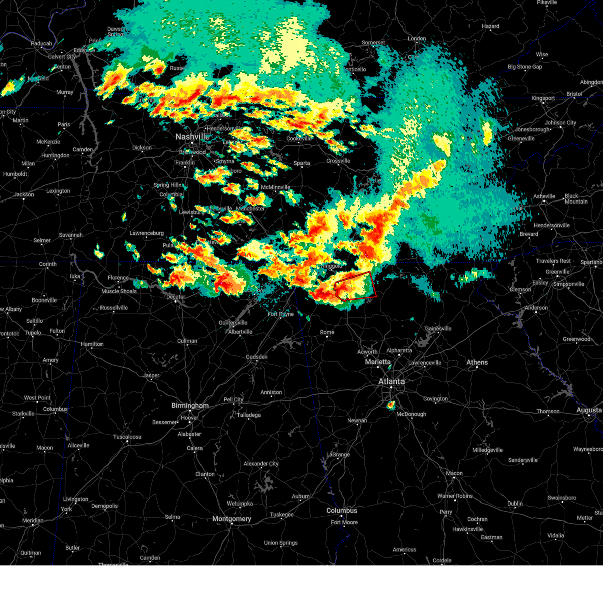 Torffc the national weather service in peachtree city has issued a * tornado warning for, west central gilmer county in north central georgia, murray county in northwestern georgia, southeastern whitfield county in northwestern georgia, * until 1115 pm edt. * at 1043 pm edt, a severe thunderstorm capable of producing a tornado was located near tilton, or near dalton, moving east at 35 mph (radar indicated rotation). Hazards include tornado and quarter size hail. Flying debris will be dangerous to those caught without shelter. mobile homes will be damaged or destroyed. damage to roofs, windows, and vehicles will occur. Tree damage is likely. Torffc the national weather service in peachtree city has issued a * tornado warning for, west central gilmer county in north central georgia, murray county in northwestern georgia, southeastern whitfield county in northwestern georgia, * until 1115 pm edt. * at 1043 pm edt, a severe thunderstorm capable of producing a tornado was located near tilton, or near dalton, moving east at 35 mph (radar indicated rotation). Hazards include tornado and quarter size hail. Flying debris will be dangerous to those caught without shelter. mobile homes will be damaged or destroyed. damage to roofs, windows, and vehicles will occur. Tree damage is likely.
|
| 5/8/2024 10:41 PM EDT | Tree down on structure on w broadacre rd n in whitfield county GA, 5.8 miles S of Dalton, GA |
| 5/8/2024 10:32 PM EDT |
 At 1032 pm edt, a severe thunderstorm was located near lafayette, moving east at 35 mph (radar indicated). Hazards include 60 mph wind gusts and quarter size hail. Hail damage to vehicles is expected. expect wind damage to roofs, siding, and trees. Locations impacted include, dalton, lafayette, tunnel hill, la fayette, naomi, center post, suttles mill, noble, wood station, rocky face, tilton, mill creek, linwood, and villanow. At 1032 pm edt, a severe thunderstorm was located near lafayette, moving east at 35 mph (radar indicated). Hazards include 60 mph wind gusts and quarter size hail. Hail damage to vehicles is expected. expect wind damage to roofs, siding, and trees. Locations impacted include, dalton, lafayette, tunnel hill, la fayette, naomi, center post, suttles mill, noble, wood station, rocky face, tilton, mill creek, linwood, and villanow.
|
| 5/8/2024 10:27 PM EDT |
 Svrffc the national weather service in peachtree city has issued a * severe thunderstorm warning for, south central catoosa county in northwestern georgia, southwestern whitfield county in northwestern georgia, southern walker county in northwestern georgia, northwestern gordon county in northwestern georgia, * until 1115 pm edt. * at 1027 pm edt, a severe thunderstorm was located near center post, or near lafayette, moving east at 30 mph (radar indicated). Hazards include 60 mph wind gusts and quarter size hail. Hail damage to vehicles is expected. Expect wind damage to roofs, siding, and trees. Svrffc the national weather service in peachtree city has issued a * severe thunderstorm warning for, south central catoosa county in northwestern georgia, southwestern whitfield county in northwestern georgia, southern walker county in northwestern georgia, northwestern gordon county in northwestern georgia, * until 1115 pm edt. * at 1027 pm edt, a severe thunderstorm was located near center post, or near lafayette, moving east at 30 mph (radar indicated). Hazards include 60 mph wind gusts and quarter size hail. Hail damage to vehicles is expected. Expect wind damage to roofs, siding, and trees.
|
| 2/28/2024 12:05 PM EST |
 Svrffc the national weather service in peachtree city has issued a * severe thunderstorm warning for, northeastern floyd county in northwestern georgia, southwestern whitfield county in northwestern georgia, walker county in northwestern georgia, northwestern gordon county in northwestern georgia, southwestern dade county in northwestern georgia, northern chattooga county in northwestern georgia, * until 1230 pm est. * at 1205 pm est, severe thunderstorms were located along a line extending from near rising fawn to hammondville to near fort payne, moving east at 65 mph (radar indicated). Hazards include 60 mph wind gusts and penny size hail. expect damage to roofs, siding, and trees Svrffc the national weather service in peachtree city has issued a * severe thunderstorm warning for, northeastern floyd county in northwestern georgia, southwestern whitfield county in northwestern georgia, walker county in northwestern georgia, northwestern gordon county in northwestern georgia, southwestern dade county in northwestern georgia, northern chattooga county in northwestern georgia, * until 1230 pm est. * at 1205 pm est, severe thunderstorms were located along a line extending from near rising fawn to hammondville to near fort payne, moving east at 65 mph (radar indicated). Hazards include 60 mph wind gusts and penny size hail. expect damage to roofs, siding, and trees
|
| 9/9/2023 3:41 PM EDT | Law enforcement reports multiple trees down across ga-136 east near villano in walker county GA, 10.4 miles NE of Dalton, GA |
| 9/9/2023 1:42 PM EDT |
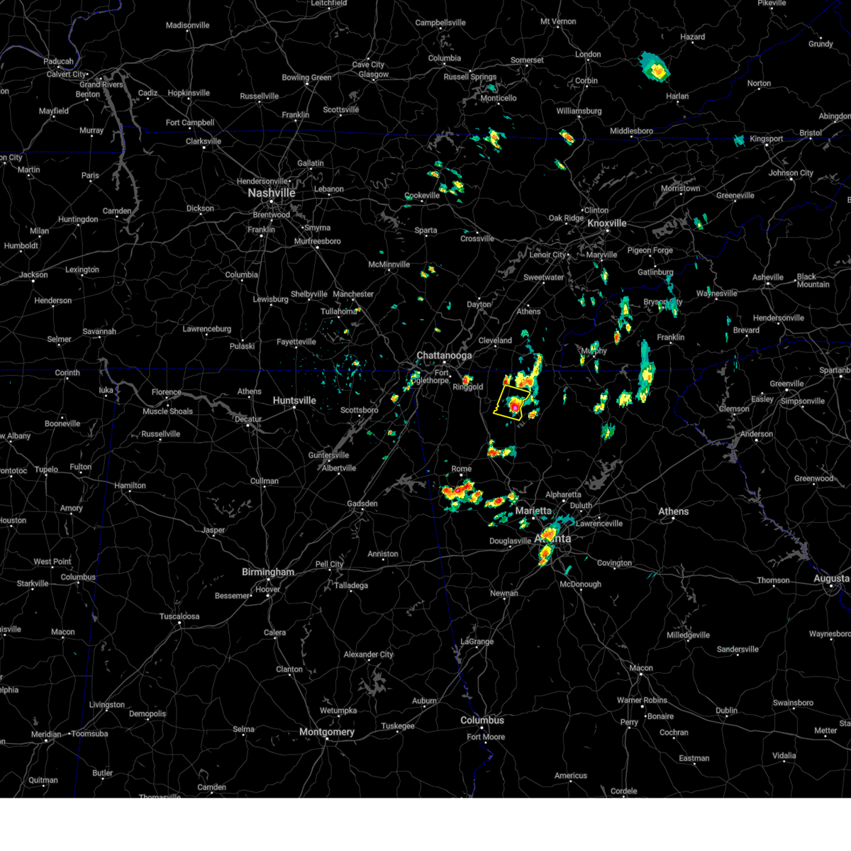 At 142 pm edt, a severe thunderstorm was located over fort mountain state park, or near chatsworth, and is nearly stationary (radar indicated). Hazards include 60 mph wind gusts and quarter size hail. Hail damage to vehicles is expected. Expect wind damage to roofs, siding, and trees. At 142 pm edt, a severe thunderstorm was located over fort mountain state park, or near chatsworth, and is nearly stationary (radar indicated). Hazards include 60 mph wind gusts and quarter size hail. Hail damage to vehicles is expected. Expect wind damage to roofs, siding, and trees.
|
| 8/13/2023 8:17 PM EDT |
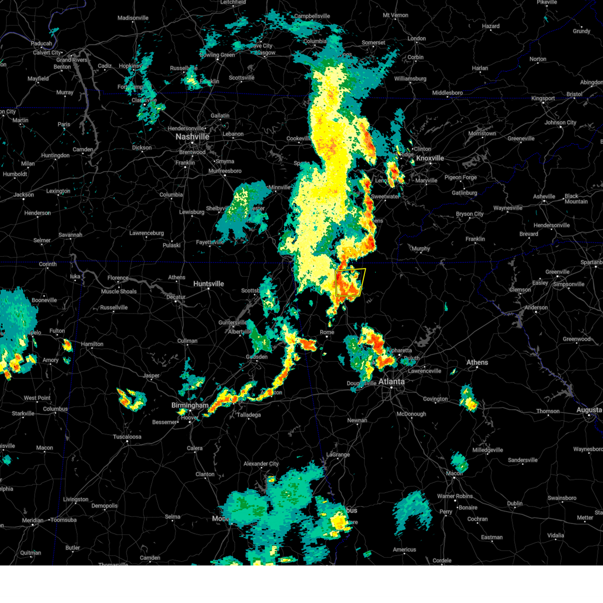 At 817 pm edt, a severe thunderstorm was located near dalton, moving east at 25 mph (radar indicated). Hazards include 60 mph wind gusts and quarter size hail. Hail damage to vehicles is expected. expect wind damage to roofs, siding, and trees. locations impacted include, dalton, chatsworth, varnell, eton, tunnel hill, crandall, sumac, rocky face, tilton, mill creek, beaverdale, dawnville, and north georgia speedway. hail threat, radar indicated max hail size, 1. 00 in wind threat, radar indicated max wind gust, 60 mph. At 817 pm edt, a severe thunderstorm was located near dalton, moving east at 25 mph (radar indicated). Hazards include 60 mph wind gusts and quarter size hail. Hail damage to vehicles is expected. expect wind damage to roofs, siding, and trees. locations impacted include, dalton, chatsworth, varnell, eton, tunnel hill, crandall, sumac, rocky face, tilton, mill creek, beaverdale, dawnville, and north georgia speedway. hail threat, radar indicated max hail size, 1. 00 in wind threat, radar indicated max wind gust, 60 mph.
|
| 8/13/2023 8:04 PM EDT |
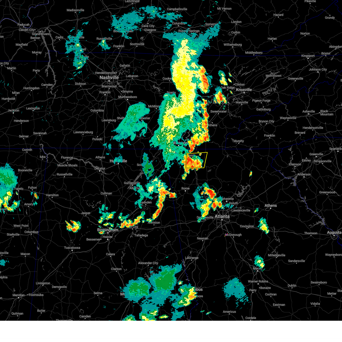 At 804 pm edt, a severe thunderstorm was located over rocky face, or near dalton, moving east at 25 mph (radar indicated). Hazards include 60 mph wind gusts and quarter size hail. Hail damage to vehicles is expected. Expect wind damage to roofs, siding, and trees. At 804 pm edt, a severe thunderstorm was located over rocky face, or near dalton, moving east at 25 mph (radar indicated). Hazards include 60 mph wind gusts and quarter size hail. Hail damage to vehicles is expected. Expect wind damage to roofs, siding, and trees.
|
| 8/11/2023 5:32 PM EDT |
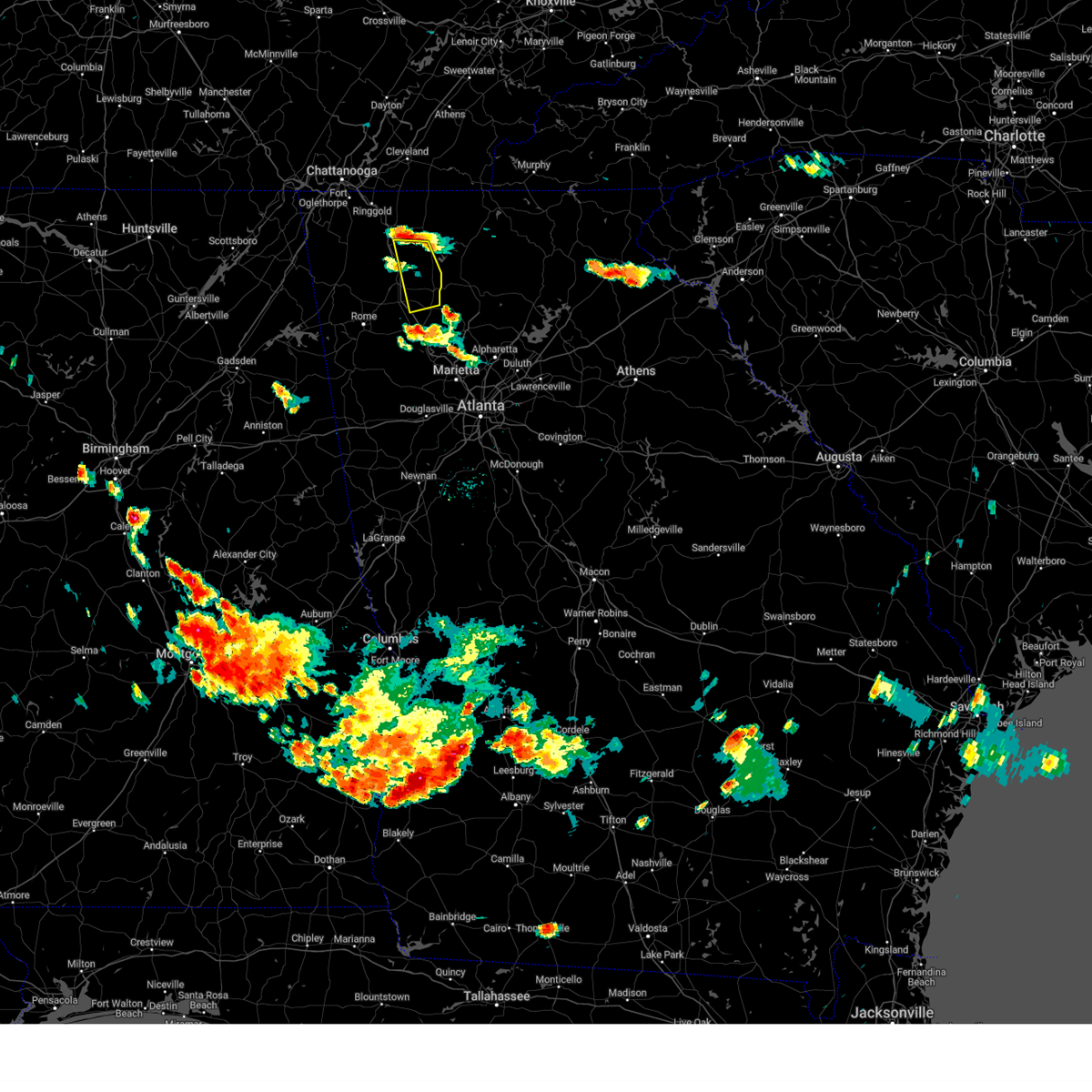 At 531 pm edt, a severe thunderstorm was located over nickelsville, or 10 miles northeast of calhoun, moving south at 25 mph (radar indicated). Hazards include 60 mph wind gusts and penny size hail. expect damage to roofs, siding, and trees At 531 pm edt, a severe thunderstorm was located over nickelsville, or 10 miles northeast of calhoun, moving south at 25 mph (radar indicated). Hazards include 60 mph wind gusts and penny size hail. expect damage to roofs, siding, and trees
|
| 8/7/2023 3:03 PM EDT | Emergency manager reports a tree down on power lines and a truck on skylark p in whitfield county GA, 1.1 miles SSE of Dalton, GA |
| 8/7/2023 3:02 PM EDT | Emergency manager reports a large tree down on the road and on power lines on hurricane rd near the intersection with rhine r in whitfield county GA, 5.6 miles NE of Dalton, GA |
| 8/7/2023 2:53 PM EDT | Emergency managers report tree down on power lines on the 200 block of lower dug gap r in whitfield county GA, 3.4 miles NNE of Dalton, GA |
| 8/7/2023 2:41 PM EDT | Emergency manager reported two trees down on the road on waring rd to the south of rauschenberg r in whitfield county GA, 6.5 miles S of Dalton, GA |
| 8/7/2023 2:39 PM EDT | Mesonet station dw2659 dalto in whitfield county GA, 3.5 miles SSE of Dalton, GA |
| 8/7/2023 2:38 PM EDT | Emergency manager reported tree down on a vehicle on autumn c in whitfield county GA, 3.2 miles SSW of Dalton, GA |
| 8/7/2023 2:37 PM EDT | Emergency manager reports a tree down on a carport and cars on the 400 block of moore s in whitfield county GA, 1 miles S of Dalton, GA |
| 8/7/2023 2:37 PM EDT | Emergency manager reports damage to a carport... with parts of the carport being blown into the roadway... on cleveland hwy near the intersection with maple grove rd nw in whitfield county GA, 7.3 miles S of Dalton, GA |
| 8/7/2023 2:37 PM EDT | Emergency manager reported trees down on vehicles near northstar schoo in whitfield county GA, 0.6 miles WSW of Dalton, GA |
| 8/7/2023 2:35 PM EDT | A tree was downed onto a home in the 500 block of davidson drive. no injurie in whitfield county GA, 1.5 miles SE of Dalton, GA |
| 8/7/2023 2:35 PM EDT | Emergency manager reported trees down on vehicles on broadrick dr near the intersection with professional blv in whitfield county GA, 2 miles SE of Dalton, GA |
| 8/7/2023 2:31 PM EDT |
 At 230 pm edt, the leading edge of a line of severe thunderstorms were located along a line extending from red clay state park to near ringgold to cooper heights, moving east at 40 mph (radar indicated). Hazards include 70 mph wind gusts and quarter size hail. Hail damage to vehicles is expected. expect considerable tree damage. wind damage is also likely to mobile homes, roofs, and outbuildings. locations impacted include, lafayette, ringgold, fort oglethorpe, chickamauga, varnell, tunnel hill, cohutta, la fayette, naomi, suttles mill, noble, wood station, indian springs, rocky face, graysville, blue spring, linwood, boynton, beaumont, and villanow. thunderstorm damage threat, considerable hail threat, radar indicated max hail size, 1. 00 in wind threat, radar indicated max wind gust, 70 mph. At 230 pm edt, the leading edge of a line of severe thunderstorms were located along a line extending from red clay state park to near ringgold to cooper heights, moving east at 40 mph (radar indicated). Hazards include 70 mph wind gusts and quarter size hail. Hail damage to vehicles is expected. expect considerable tree damage. wind damage is also likely to mobile homes, roofs, and outbuildings. locations impacted include, lafayette, ringgold, fort oglethorpe, chickamauga, varnell, tunnel hill, cohutta, la fayette, naomi, suttles mill, noble, wood station, indian springs, rocky face, graysville, blue spring, linwood, boynton, beaumont, and villanow. thunderstorm damage threat, considerable hail threat, radar indicated max hail size, 1. 00 in wind threat, radar indicated max wind gust, 70 mph.
|
| 8/7/2023 2:22 PM EDT |
 At 221 pm edt, severe thunderstorms were located along a line extending from near apison to near beaumont to near rising fawn, moving east at 50 mph (radar indicated). Hazards include 70 mph wind gusts and quarter size hail. Hail damage to vehicles is expected. expect considerable tree damage. Wind damage is also likely to mobile homes, roofs, and outbuildings. At 221 pm edt, severe thunderstorms were located along a line extending from near apison to near beaumont to near rising fawn, moving east at 50 mph (radar indicated). Hazards include 70 mph wind gusts and quarter size hail. Hail damage to vehicles is expected. expect considerable tree damage. Wind damage is also likely to mobile homes, roofs, and outbuildings.
|
| 8/7/2023 2:19 PM EDT |
 At 218 pm edt, severe thunderstorms were located along a line extending from near graysville to blue spring to near rising fawn, moving east at 50 mph (radar indicated). Hazards include 70 mph wind gusts and quarter size hail. Hail damage to vehicles is expected. expect considerable tree damage. wind damage is also likely to mobile homes, roofs, and outbuildings. locations impacted include, lafayette, ringgold, fort oglethorpe, chickamauga, varnell, tunnel hill, cohutta, chattanooga valley, la fayette, blue spring, fairview, linwood, villanow, chattanooga valley, cloudland canyon state park, cooper heights, rock spring, naomi, rising fawn, and suttles mill. thunderstorm damage threat, considerable hail threat, radar indicated max hail size, 1. 00 in wind threat, radar indicated max wind gust, 70 mph. At 218 pm edt, severe thunderstorms were located along a line extending from near graysville to blue spring to near rising fawn, moving east at 50 mph (radar indicated). Hazards include 70 mph wind gusts and quarter size hail. Hail damage to vehicles is expected. expect considerable tree damage. wind damage is also likely to mobile homes, roofs, and outbuildings. locations impacted include, lafayette, ringgold, fort oglethorpe, chickamauga, varnell, tunnel hill, cohutta, chattanooga valley, la fayette, blue spring, fairview, linwood, villanow, chattanooga valley, cloudland canyon state park, cooper heights, rock spring, naomi, rising fawn, and suttles mill. thunderstorm damage threat, considerable hail threat, radar indicated max hail size, 1. 00 in wind threat, radar indicated max wind gust, 70 mph.
|
| 8/7/2023 1:59 PM EDT |
 At 159 pm edt, a severe thunderstorm was located over chattanooga valley, or 7 miles east of trenton, moving east at 35 mph (radar indicated). Hazards include 70 mph wind gusts and quarter size hail. Hail damage to vehicles is expected. expect considerable tree damage. Wind damage is also likely to mobile homes, roofs, and outbuildings. At 159 pm edt, a severe thunderstorm was located over chattanooga valley, or 7 miles east of trenton, moving east at 35 mph (radar indicated). Hazards include 70 mph wind gusts and quarter size hail. Hail damage to vehicles is expected. expect considerable tree damage. Wind damage is also likely to mobile homes, roofs, and outbuildings.
|
| 8/6/2023 5:28 PM EDT |
 At 528 pm edt, severe thunderstorms were located along a line extending from near lookout mountain to near chickamauga to james h. floyd state park, moving northeast at 30 mph (radar indicated). Hazards include 60 mph wind gusts and penny size hail. expect damage to roofs, siding, and trees At 528 pm edt, severe thunderstorms were located along a line extending from near lookout mountain to near chickamauga to james h. floyd state park, moving northeast at 30 mph (radar indicated). Hazards include 60 mph wind gusts and penny size hail. expect damage to roofs, siding, and trees
|
| 7/20/2023 4:55 PM EDT | Awos station kdnn dalto in whitfield county GA, 6.5 miles WNW of Dalton, GA |
| 7/20/2023 4:44 PM EDT |
 At 444 pm edt, severe thunderstorms were located along a line extending from near epworth to mill creek, moving southeast at 50 mph (radar indicated). Hazards include 60 mph wind gusts and quarter size hail. Hail damage to vehicles is expected. Expect wind damage to roofs, siding, and trees. At 444 pm edt, severe thunderstorms were located along a line extending from near epworth to mill creek, moving southeast at 50 mph (radar indicated). Hazards include 60 mph wind gusts and quarter size hail. Hail damage to vehicles is expected. Expect wind damage to roofs, siding, and trees.
|
| 7/20/2023 4:12 PM EDT |
 At 411 pm edt, severe thunderstorms were located along a line extending from near east cleveland to near hooker, moving southeast at 40 mph (radar indicated). Hazards include 60 mph wind gusts and quarter size hail. Hail damage to vehicles is expected. Expect wind damage to roofs, siding, and trees. At 411 pm edt, severe thunderstorms were located along a line extending from near east cleveland to near hooker, moving southeast at 40 mph (radar indicated). Hazards include 60 mph wind gusts and quarter size hail. Hail damage to vehicles is expected. Expect wind damage to roofs, siding, and trees.
|
| 7/6/2023 3:03 PM EDT |
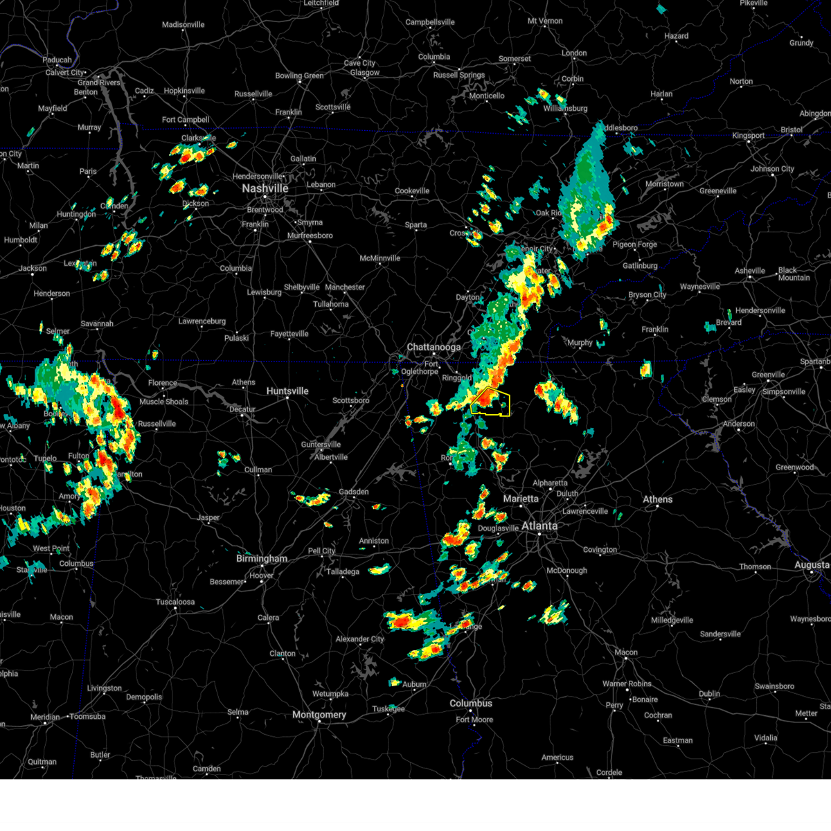 At 303 pm edt, a severe thunderstorm was located over north georgia speedway, or 7 miles south of chatsworth, moving southeast at 20 mph (radar indicated). Hazards include 60 mph wind gusts and quarter size hail. Hail damage to vehicles is expected. expect wind damage to roofs, siding, and trees. locations impacted include, dalton, chatsworth, carters, ramhurst, fort mountain state park, tilton and north georgia speedway. hail threat, radar indicated max hail size, 1. 00 in wind threat, radar indicated max wind gust, 60 mph. At 303 pm edt, a severe thunderstorm was located over north georgia speedway, or 7 miles south of chatsworth, moving southeast at 20 mph (radar indicated). Hazards include 60 mph wind gusts and quarter size hail. Hail damage to vehicles is expected. expect wind damage to roofs, siding, and trees. locations impacted include, dalton, chatsworth, carters, ramhurst, fort mountain state park, tilton and north georgia speedway. hail threat, radar indicated max hail size, 1. 00 in wind threat, radar indicated max wind gust, 60 mph.
|
| 7/6/2023 2:48 PM EDT |
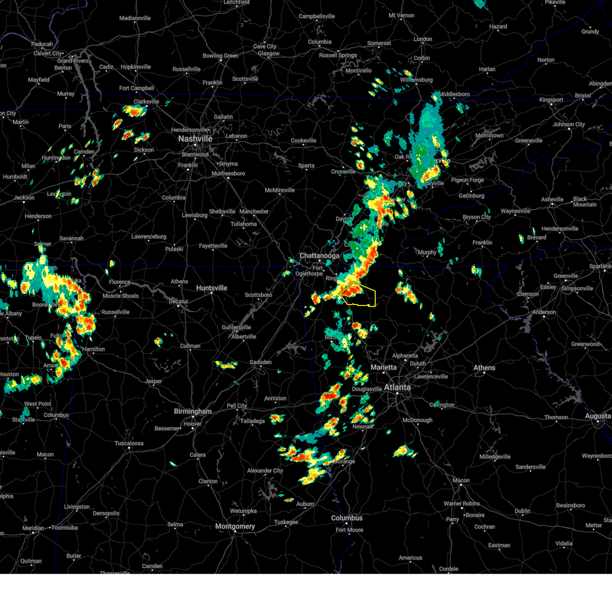 At 248 pm edt, a severe thunderstorm was located near north georgia speedway, or near dalton, moving southeast at 20 mph (radar indicated). Hazards include 60 mph wind gusts and quarter size hail. Hail damage to vehicles is expected. Expect wind damage to roofs, siding, and trees. At 248 pm edt, a severe thunderstorm was located near north georgia speedway, or near dalton, moving southeast at 20 mph (radar indicated). Hazards include 60 mph wind gusts and quarter size hail. Hail damage to vehicles is expected. Expect wind damage to roofs, siding, and trees.
|
| 7/2/2023 5:36 PM EDT |
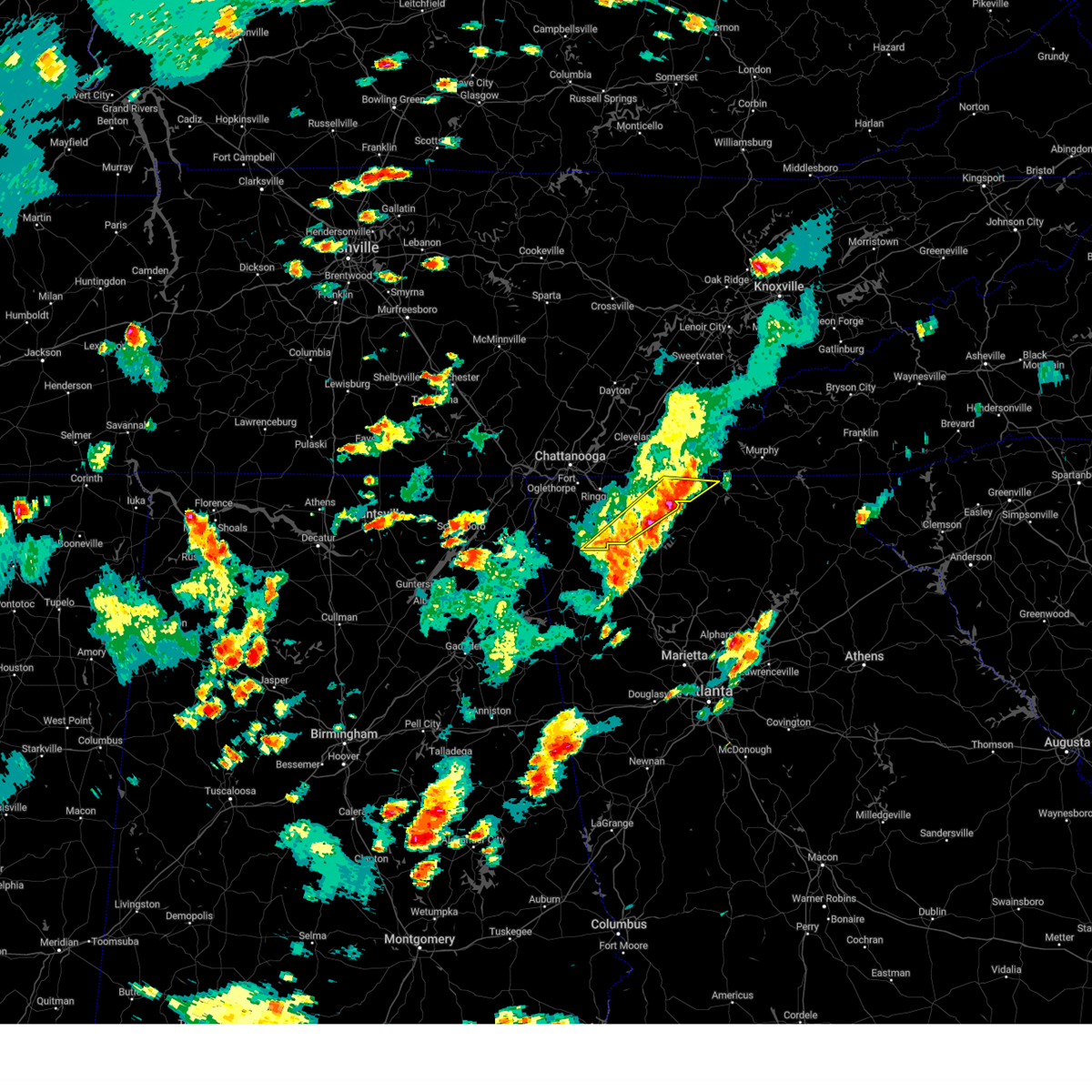 At 535 pm edt, severe thunderstorms were located along a line extending from near epworth to near everett springs, moving east at 25 mph (radar indicated). Hazards include 60 mph wind gusts and penny size hail. Expect damage to roofs, siding, and trees. locations impacted include, dalton, chatsworth, eton, crandall, sumac, suttles mill, jones mill, higdon, tilton, epworth, conasauga lake, dawnville, villanow, fort mountain state park, colwell and north georgia speedway. hail threat, radar indicated max hail size, 0. 75 in wind threat, radar indicated max wind gust, 60 mph. At 535 pm edt, severe thunderstorms were located along a line extending from near epworth to near everett springs, moving east at 25 mph (radar indicated). Hazards include 60 mph wind gusts and penny size hail. Expect damage to roofs, siding, and trees. locations impacted include, dalton, chatsworth, eton, crandall, sumac, suttles mill, jones mill, higdon, tilton, epworth, conasauga lake, dawnville, villanow, fort mountain state park, colwell and north georgia speedway. hail threat, radar indicated max hail size, 0. 75 in wind threat, radar indicated max wind gust, 60 mph.
|
| 7/2/2023 5:26 PM EDT |
 At 526 pm edt, severe thunderstorms were located along a line extending from near big frog mountain to near resaca, moving east at 20 mph (radar indicated). Hazards include 60 mph wind gusts. expect damage to roofs, siding, and trees At 526 pm edt, severe thunderstorms were located along a line extending from near big frog mountain to near resaca, moving east at 20 mph (radar indicated). Hazards include 60 mph wind gusts. expect damage to roofs, siding, and trees
|
| 7/2/2023 4:59 PM EDT |
 At 459 pm edt, severe thunderstorms were located along a line extending from near cohutta wilderness to near cloudland, moving east at 25 mph (radar indicated). Hazards include 60 mph wind gusts and penny size hail. expect damage to roofs, siding, and trees At 459 pm edt, severe thunderstorms were located along a line extending from near cohutta wilderness to near cloudland, moving east at 25 mph (radar indicated). Hazards include 60 mph wind gusts and penny size hail. expect damage to roofs, siding, and trees
|
| 7/2/2023 4:51 PM EDT |
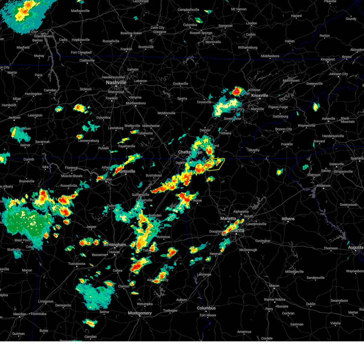 At 450 pm edt, a severe thunderstorm was located over varnell, or 7 miles north of dalton, moving east at 15 mph (radar indicated). Hazards include 60 mph wind gusts. expect damage to roofs, siding, and trees At 450 pm edt, a severe thunderstorm was located over varnell, or 7 miles north of dalton, moving east at 15 mph (radar indicated). Hazards include 60 mph wind gusts. expect damage to roofs, siding, and trees
|
| 7/2/2023 4:50 PM EDT |
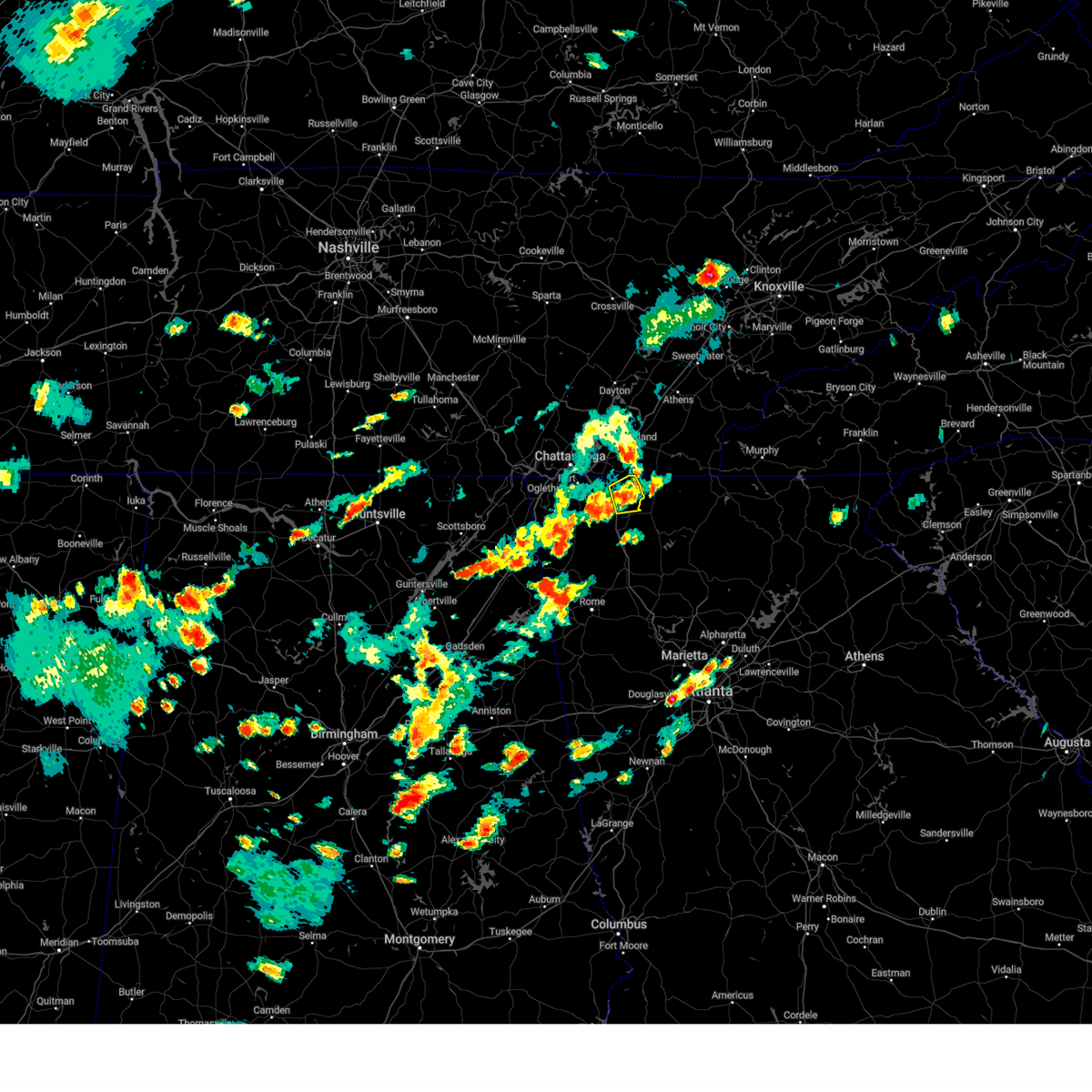 At 449 pm edt, a severe thunderstorm was located over varnell, or 7 miles north of dalton, moving east at 15 mph (radar indicated). Hazards include 60 mph wind gusts. expect damage to roofs, siding, and trees At 449 pm edt, a severe thunderstorm was located over varnell, or 7 miles north of dalton, moving east at 15 mph (radar indicated). Hazards include 60 mph wind gusts. expect damage to roofs, siding, and trees
|
| 7/2/2023 4:29 PM EDT |
 At 429 pm edt, a severe thunderstorm was located over noble, or near lafayette, moving east at 25 mph (radar indicated). Hazards include 60 mph wind gusts and penny size hail. expect damage to roofs, siding, and trees At 429 pm edt, a severe thunderstorm was located over noble, or near lafayette, moving east at 25 mph (radar indicated). Hazards include 60 mph wind gusts and penny size hail. expect damage to roofs, siding, and trees
|
| 7/1/2023 4:58 PM EDT |
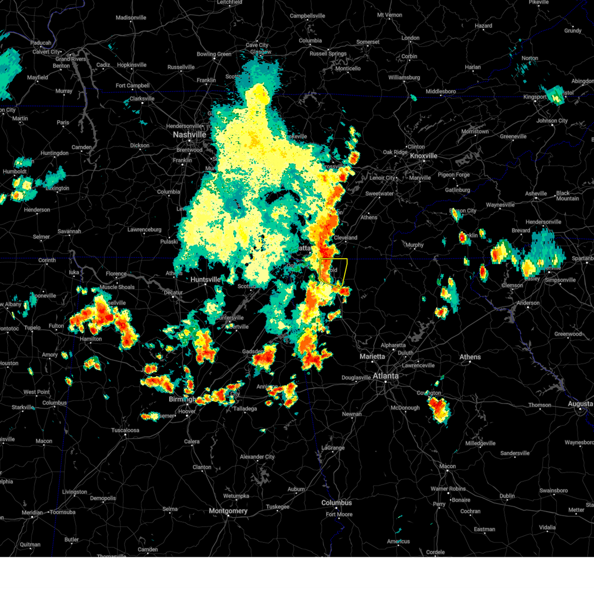 At 457 pm edt, severe thunderstorms were located along a line extending from ooltewah to near wood station, moving east at 15 mph (radar indicated). Hazards include 60 mph wind gusts and quarter size hail. Hail damage to vehicles is expected. Expect wind damage to roofs, siding, and trees. At 457 pm edt, severe thunderstorms were located along a line extending from ooltewah to near wood station, moving east at 15 mph (radar indicated). Hazards include 60 mph wind gusts and quarter size hail. Hail damage to vehicles is expected. Expect wind damage to roofs, siding, and trees.
|
| 7/1/2023 4:30 PM EDT |
 At 430 pm edt, severe thunderstorms were located along a line extending from wood station to near naomi to near center post, moving east at 10 mph (radar indicated). Hazards include 60 mph wind gusts and quarter size hail. Hail damage to vehicles is expected. Expect wind damage to roofs, siding, and trees. At 430 pm edt, severe thunderstorms were located along a line extending from wood station to near naomi to near center post, moving east at 10 mph (radar indicated). Hazards include 60 mph wind gusts and quarter size hail. Hail damage to vehicles is expected. Expect wind damage to roofs, siding, and trees.
|
| 6/25/2023 5:28 PM EDT |
 At 527 pm edt, severe thunderstorms were located along a line extending from sugar valley to near marblehill, moving south at 15 mph (radar indicated). Hazards include 60 mph wind gusts and penny size hail. Expect damage to roofs, siding, and trees. locations impacted include, calhoun, jasper, adairsville, ball ground, nelson, waleska, east ellijay, resaca, plainville, talking rock, fairmount, ranger, sequoyah lake, redbud, folsom, talmadge, oakman, tate, funkhouser and hinton. hail threat, radar indicated max hail size, 0. 75 in wind threat, radar indicated max wind gust, 60 mph. At 527 pm edt, severe thunderstorms were located along a line extending from sugar valley to near marblehill, moving south at 15 mph (radar indicated). Hazards include 60 mph wind gusts and penny size hail. Expect damage to roofs, siding, and trees. locations impacted include, calhoun, jasper, adairsville, ball ground, nelson, waleska, east ellijay, resaca, plainville, talking rock, fairmount, ranger, sequoyah lake, redbud, folsom, talmadge, oakman, tate, funkhouser and hinton. hail threat, radar indicated max hail size, 0. 75 in wind threat, radar indicated max wind gust, 60 mph.
|
| 6/25/2023 4:57 PM EDT |
 At 457 pm edt, severe thunderstorms were located along a line extending from near villanow to near lake tamarack, moving south at 15 mph (radar indicated). Hazards include 60 mph wind gusts and penny size hail. expect damage to roofs, siding, and trees At 457 pm edt, severe thunderstorms were located along a line extending from near villanow to near lake tamarack, moving south at 15 mph (radar indicated). Hazards include 60 mph wind gusts and penny size hail. expect damage to roofs, siding, and trees
|
| 6/25/2023 4:48 PM EDT |
 At 447 pm edt, severe thunderstorms were located along a line extending from near fausett lake to ranger to near villanow, moving south at 30 mph (radar indicated). Hazards include 60 mph wind gusts and penny size hail. Expect damage to roofs, siding, and trees. locations impacted include, dalton, calhoun, chatsworth, jasper, ringgold, ellijay, fort oglethorpe, varnell, eton, tunnel hill, cohutta, east ellijay, resaca, talking rock, fairmount, ranger, amicalola falls state park, crandall, fausett lake and beaverdale. hail threat, radar indicated max hail size, 0. 75 in wind threat, radar indicated max wind gust, 60 mph. At 447 pm edt, severe thunderstorms were located along a line extending from near fausett lake to ranger to near villanow, moving south at 30 mph (radar indicated). Hazards include 60 mph wind gusts and penny size hail. Expect damage to roofs, siding, and trees. locations impacted include, dalton, calhoun, chatsworth, jasper, ringgold, ellijay, fort oglethorpe, varnell, eton, tunnel hill, cohutta, east ellijay, resaca, talking rock, fairmount, ranger, amicalola falls state park, crandall, fausett lake and beaverdale. hail threat, radar indicated max hail size, 0. 75 in wind threat, radar indicated max wind gust, 60 mph.
|
| 6/25/2023 4:27 PM EDT |
 At 426 pm edt, severe thunderstorms were located along a line extending from near stover creek shelter to carters to near tunnel hill, moving south at 30 mph (radar indicated). Hazards include 60 mph wind gusts and penny size hail. Expect damage to roofs, siding, and trees. locations impacted include, dalton, calhoun, chatsworth, jasper, ringgold, ellijay, fort oglethorpe, varnell, eton, tunnel hill, cohutta, east ellijay, resaca, talking rock, fairmount, ranger, amicalola falls state park, crandall, fausett lake and beaverdale. hail threat, radar indicated max hail size, 0. 75 in wind threat, radar indicated max wind gust, 60 mph. At 426 pm edt, severe thunderstorms were located along a line extending from near stover creek shelter to carters to near tunnel hill, moving south at 30 mph (radar indicated). Hazards include 60 mph wind gusts and penny size hail. Expect damage to roofs, siding, and trees. locations impacted include, dalton, calhoun, chatsworth, jasper, ringgold, ellijay, fort oglethorpe, varnell, eton, tunnel hill, cohutta, east ellijay, resaca, talking rock, fairmount, ranger, amicalola falls state park, crandall, fausett lake and beaverdale. hail threat, radar indicated max hail size, 0. 75 in wind threat, radar indicated max wind gust, 60 mph.
|
| 6/25/2023 4:12 PM EDT |
 At 412 pm edt, severe thunderstorms were located along a line extending from near cherry log to near chatsworth to ringgold, moving south at 30 mph (radar indicated). Hazards include 60 mph wind gusts. expect damage to roofs, siding, and trees At 412 pm edt, severe thunderstorms were located along a line extending from near cherry log to near chatsworth to ringgold, moving south at 30 mph (radar indicated). Hazards include 60 mph wind gusts. expect damage to roofs, siding, and trees
|
| 6/25/2023 3:37 PM EDT |
 At 336 pm edt, severe thunderstorms were located along a line extending from copperhill to gap springs to near middle valley, moving south at 45 mph (this line of storms has a history of producing tree damage across southeastern tennessee). Hazards include 60 mph wind gusts and quarter size hail. Hail damage to vehicles is expected. Expect wind damage to roofs, siding, and trees. At 336 pm edt, severe thunderstorms were located along a line extending from copperhill to gap springs to near middle valley, moving south at 45 mph (this line of storms has a history of producing tree damage across southeastern tennessee). Hazards include 60 mph wind gusts and quarter size hail. Hail damage to vehicles is expected. Expect wind damage to roofs, siding, and trees.
|
| 3/25/2023 3:35 AM EDT |
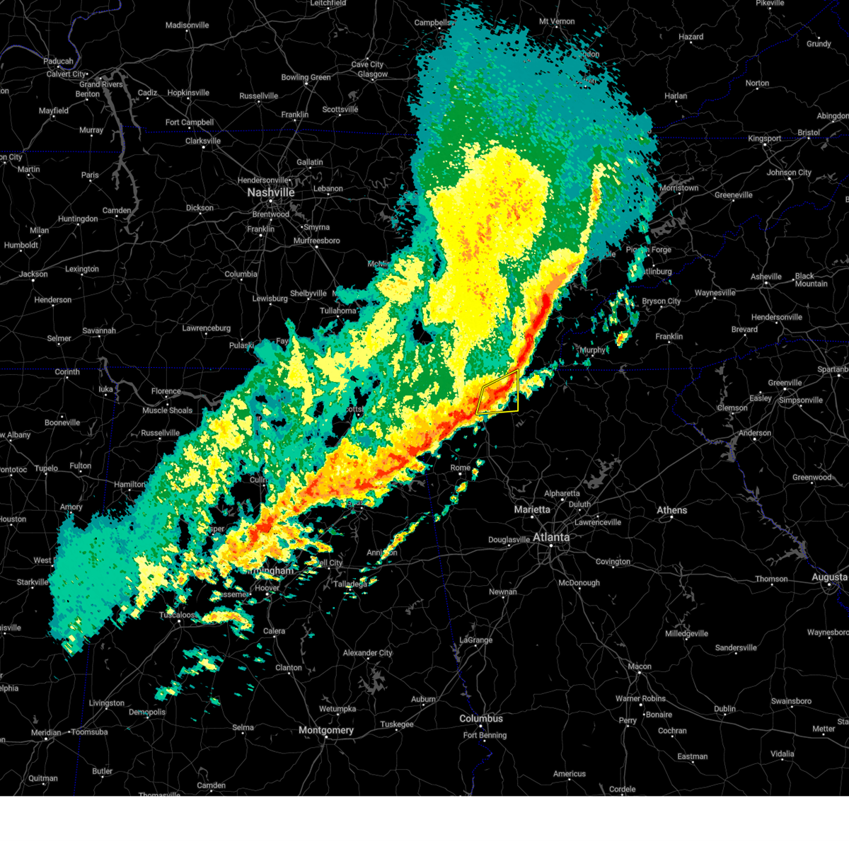 At 335 am edt, a severe thunderstorm was located over big frog mountain, or 8 miles southwest of ducktown, moving east at 55 mph (radar indicated). Hazards include 60 mph wind gusts. Expect damage to roofs, siding, and trees. locations impacted include, dalton, chatsworth, eton, crandall, dawnville, sumac, ramhurst, cisco, fort mountain state park, north georgia speedway and beaverdale. hail threat, radar indicated max hail size, <. 75 in wind threat, radar indicated max wind gust, 60 mph. At 335 am edt, a severe thunderstorm was located over big frog mountain, or 8 miles southwest of ducktown, moving east at 55 mph (radar indicated). Hazards include 60 mph wind gusts. Expect damage to roofs, siding, and trees. locations impacted include, dalton, chatsworth, eton, crandall, dawnville, sumac, ramhurst, cisco, fort mountain state park, north georgia speedway and beaverdale. hail threat, radar indicated max hail size, <. 75 in wind threat, radar indicated max wind gust, 60 mph.
|
| 3/25/2023 3:20 AM EDT |
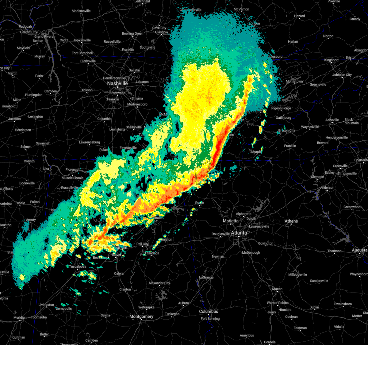 At 320 am edt, a severe thunderstorm was located over conasauga, or 12 miles south of benton, moving east at 65 mph (radar indicated). Hazards include 60 mph wind gusts. Expect damage to roofs, siding, and trees. Locations impacted include, dalton, ringgold, varnell, tunnel hill, cohutta, naomi, suttles mill, wood station, rocky face, mill creek, beaumont, villanow and rock spring. At 320 am edt, a severe thunderstorm was located over conasauga, or 12 miles south of benton, moving east at 65 mph (radar indicated). Hazards include 60 mph wind gusts. Expect damage to roofs, siding, and trees. Locations impacted include, dalton, ringgold, varnell, tunnel hill, cohutta, naomi, suttles mill, wood station, rocky face, mill creek, beaumont, villanow and rock spring.
|
| 3/25/2023 3:06 AM EDT |
 At 306 am edt, a severe thunderstorm was located over varnell, or 7 miles east of ringgold, moving east at 55 mph (radar indicated). Hazards include 60 mph wind gusts. expect damage to roofs, siding, and trees At 306 am edt, a severe thunderstorm was located over varnell, or 7 miles east of ringgold, moving east at 55 mph (radar indicated). Hazards include 60 mph wind gusts. expect damage to roofs, siding, and trees
|
| 3/25/2023 2:49 AM EDT |
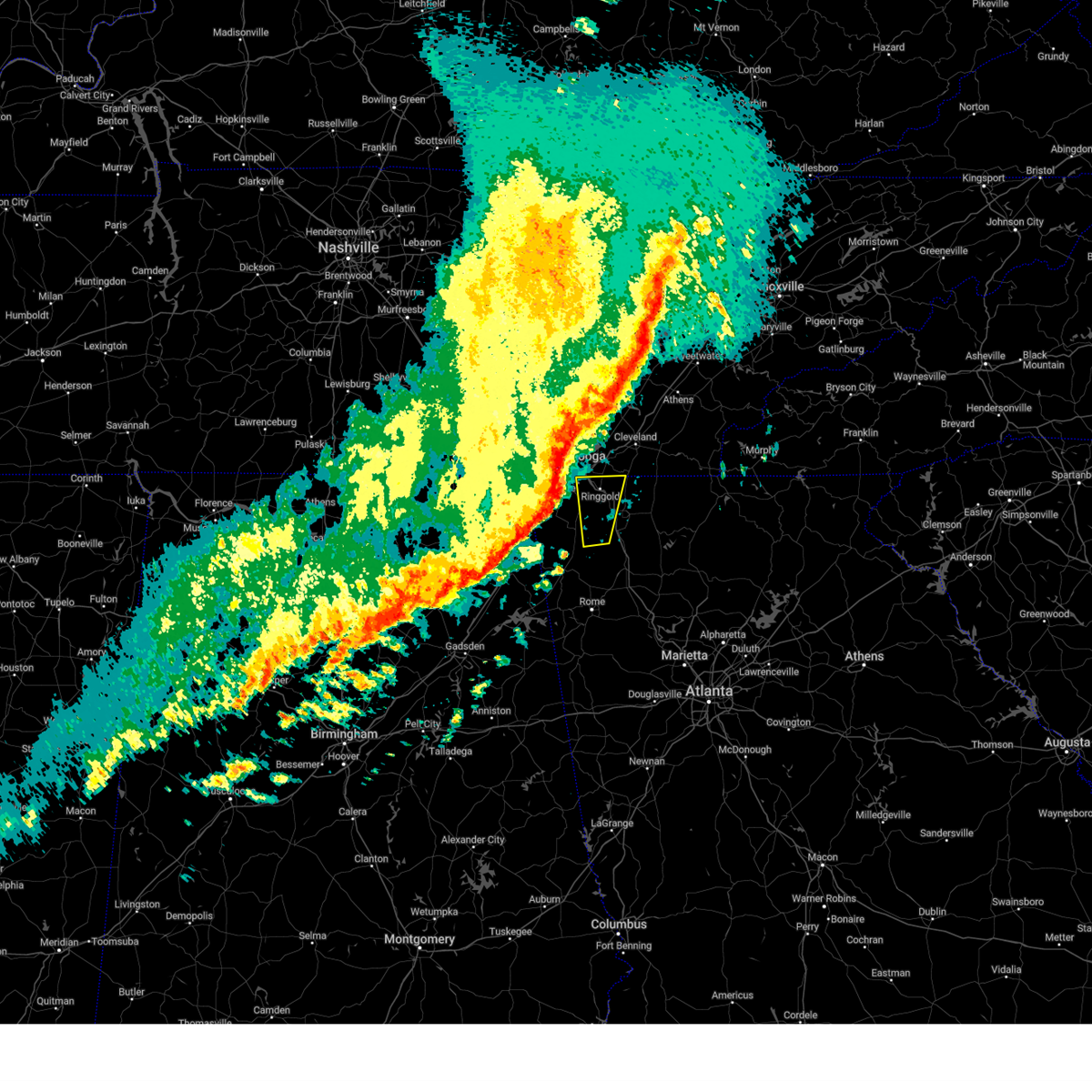 At 248 am edt, a severe thunderstorm was located over chickamauga, or 9 miles west of ringgold, moving east at 65 mph (radar indicated). Hazards include 60 mph wind gusts. expect damage to roofs, siding, and trees At 248 am edt, a severe thunderstorm was located over chickamauga, or 9 miles west of ringgold, moving east at 65 mph (radar indicated). Hazards include 60 mph wind gusts. expect damage to roofs, siding, and trees
|
| 3/3/2023 3:08 PM EST |
 At 308 pm est, severe thunderstorms were located along a line extending from near bullet creek to near turtletown to near big frog mountain to near eton, moving northeast at 80 mph (radar indicated). Hazards include 70 mph wind gusts. Expect considerable tree damage. damage is likely to mobile homes, roofs, and outbuildings. Locations impacted include, calhoun, chatsworth, ellijay, eton, east ellijay, resaca, crandall, sumac, jones mill, higdon, redbud, gregory, cohutta wilderness, epworth, conasauga lake, oakman, fort mountain state park, carters, talona and tails creek. At 308 pm est, severe thunderstorms were located along a line extending from near bullet creek to near turtletown to near big frog mountain to near eton, moving northeast at 80 mph (radar indicated). Hazards include 70 mph wind gusts. Expect considerable tree damage. damage is likely to mobile homes, roofs, and outbuildings. Locations impacted include, calhoun, chatsworth, ellijay, eton, east ellijay, resaca, crandall, sumac, jones mill, higdon, redbud, gregory, cohutta wilderness, epworth, conasauga lake, oakman, fort mountain state park, carters, talona and tails creek.
|
| 3/3/2023 2:54 PM EST |
 At 254 pm est, severe thunderstorms were located along a line extending from benton to near conasauga to sumac to mill creek, moving east at 50 mph (radar indicated). Hazards include 70 mph wind gusts. Expect considerable tree damage. damage is likely to mobile homes, roofs, and outbuildings. Locations impacted include, dalton, calhoun, chatsworth, ellijay, varnell, eton, cohutta, east ellijay, resaca, crandall, sumac, jones mill, higdon, redbud, gregory, cohutta wilderness, epworth, conasauga lake, beaverdale and oakman. At 254 pm est, severe thunderstorms were located along a line extending from benton to near conasauga to sumac to mill creek, moving east at 50 mph (radar indicated). Hazards include 70 mph wind gusts. Expect considerable tree damage. damage is likely to mobile homes, roofs, and outbuildings. Locations impacted include, dalton, calhoun, chatsworth, ellijay, varnell, eton, cohutta, east ellijay, resaca, crandall, sumac, jones mill, higdon, redbud, gregory, cohutta wilderness, epworth, conasauga lake, beaverdale and oakman.
|
| 3/3/2023 2:45 PM EST | A tree was downed into the road in the 3000 block of mount pleasant roa in whitfield county GA, 13.5 miles SSW of Dalton, GA |
| 3/3/2023 2:40 PM EST | A tree was downed onto 400 block of williams rd n in whitfield county GA, 5.1 miles S of Dalton, GA |
| 3/3/2023 2:34 PM EST | Power lines were downed on the 4000 block of north jimmy driv in whitfield county GA, 8.9 miles ENE of Dalton, GA |
| 3/3/2023 2:27 PM EST |
 At 227 pm est, severe thunderstorms were located along a line extending from ooltewah to ringgold to near noble to near center post, moving northeast at 80 mph (radar indicated). Hazards include 70 mph wind gusts. Expect considerable tree damage. Damage is likely to mobile homes, roofs, and outbuildings. At 227 pm est, severe thunderstorms were located along a line extending from ooltewah to ringgold to near noble to near center post, moving northeast at 80 mph (radar indicated). Hazards include 70 mph wind gusts. Expect considerable tree damage. Damage is likely to mobile homes, roofs, and outbuildings.
|
| 1/12/2023 12:17 PM EST |
 At 1216 pm est, severe thunderstorms were located along a line extending from near wildwood lake to beaverdale to near dawnville, moving east at 75 mph (radar indicated). Hazards include 60 mph wind gusts. expect damage to roofs, siding, and trees At 1216 pm est, severe thunderstorms were located along a line extending from near wildwood lake to beaverdale to near dawnville, moving east at 75 mph (radar indicated). Hazards include 60 mph wind gusts. expect damage to roofs, siding, and trees
|
| 1/3/2023 3:20 PM EST |
 At 320 pm est, severe thunderstorms were located along a line extending from near beaverdale to near dalton to near mill creek to near trion, moving east at 35 mph (radar indicated). Hazards include 60 mph wind gusts. Expect damage to roofs, siding, and trees. locations impacted include, dalton, chatsworth, trion, eton, resaca, naomi, center post, crandall, sumac, subligna, suttles mill, rocky face, gregory, tilton, tennga, mill creek, beaverdale, dawnville, villanow and cisco. hail threat, radar indicated max hail size, <. 75 in wind threat, radar indicated max wind gust, 60 mph. At 320 pm est, severe thunderstorms were located along a line extending from near beaverdale to near dalton to near mill creek to near trion, moving east at 35 mph (radar indicated). Hazards include 60 mph wind gusts. Expect damage to roofs, siding, and trees. locations impacted include, dalton, chatsworth, trion, eton, resaca, naomi, center post, crandall, sumac, subligna, suttles mill, rocky face, gregory, tilton, tennga, mill creek, beaverdale, dawnville, villanow and cisco. hail threat, radar indicated max hail size, <. 75 in wind threat, radar indicated max wind gust, 60 mph.
|
| 1/3/2023 3:09 PM EST |
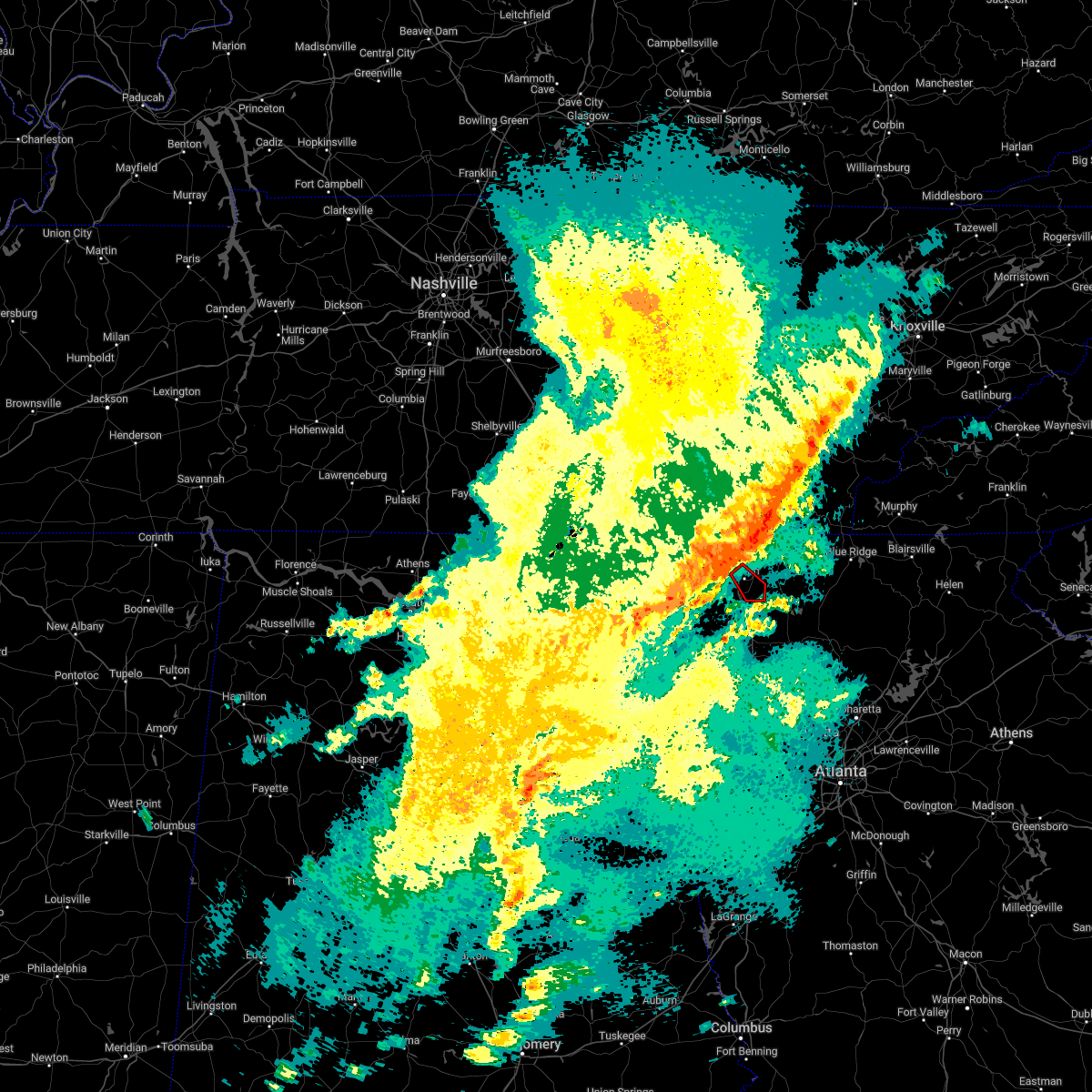 At 309 pm est, severe thunderstorms capable of producing both tornadoes and extensive straight line wind damage were located over dalton, moving southeast at 30 mph (radar indicated rotation). Hazards include tornado. Flying debris will be dangerous to those caught without shelter. mobile homes will be damaged or destroyed. damage to roofs, windows, and vehicles will occur. Tree damage is likely. At 309 pm est, severe thunderstorms capable of producing both tornadoes and extensive straight line wind damage were located over dalton, moving southeast at 30 mph (radar indicated rotation). Hazards include tornado. Flying debris will be dangerous to those caught without shelter. mobile homes will be damaged or destroyed. damage to roofs, windows, and vehicles will occur. Tree damage is likely.
|
| 1/3/2023 2:53 PM EST |
 At 252 pm est, severe thunderstorms were located along a line extending from near ringgold to near beaumont to near linwood to near mentone, moving southeast at 35 mph (radar indicated). Hazards include 60 mph wind gusts. expect damage to roofs, siding, and trees At 252 pm est, severe thunderstorms were located along a line extending from near ringgold to near beaumont to near linwood to near mentone, moving southeast at 35 mph (radar indicated). Hazards include 60 mph wind gusts. expect damage to roofs, siding, and trees
|
| 8/20/2022 6:21 PM EDT |
 At 621 pm edt, a severe thunderstorm was located over sumac, or near chatsworth, moving east at 15 mph (radar indicated). Hazards include 60 mph wind gusts and quarter size hail. Hail damage to vehicles is expected. Expect wind damage to roofs, siding, and trees. At 621 pm edt, a severe thunderstorm was located over sumac, or near chatsworth, moving east at 15 mph (radar indicated). Hazards include 60 mph wind gusts and quarter size hail. Hail damage to vehicles is expected. Expect wind damage to roofs, siding, and trees.
|
| 8/19/2022 3:50 PM EDT |
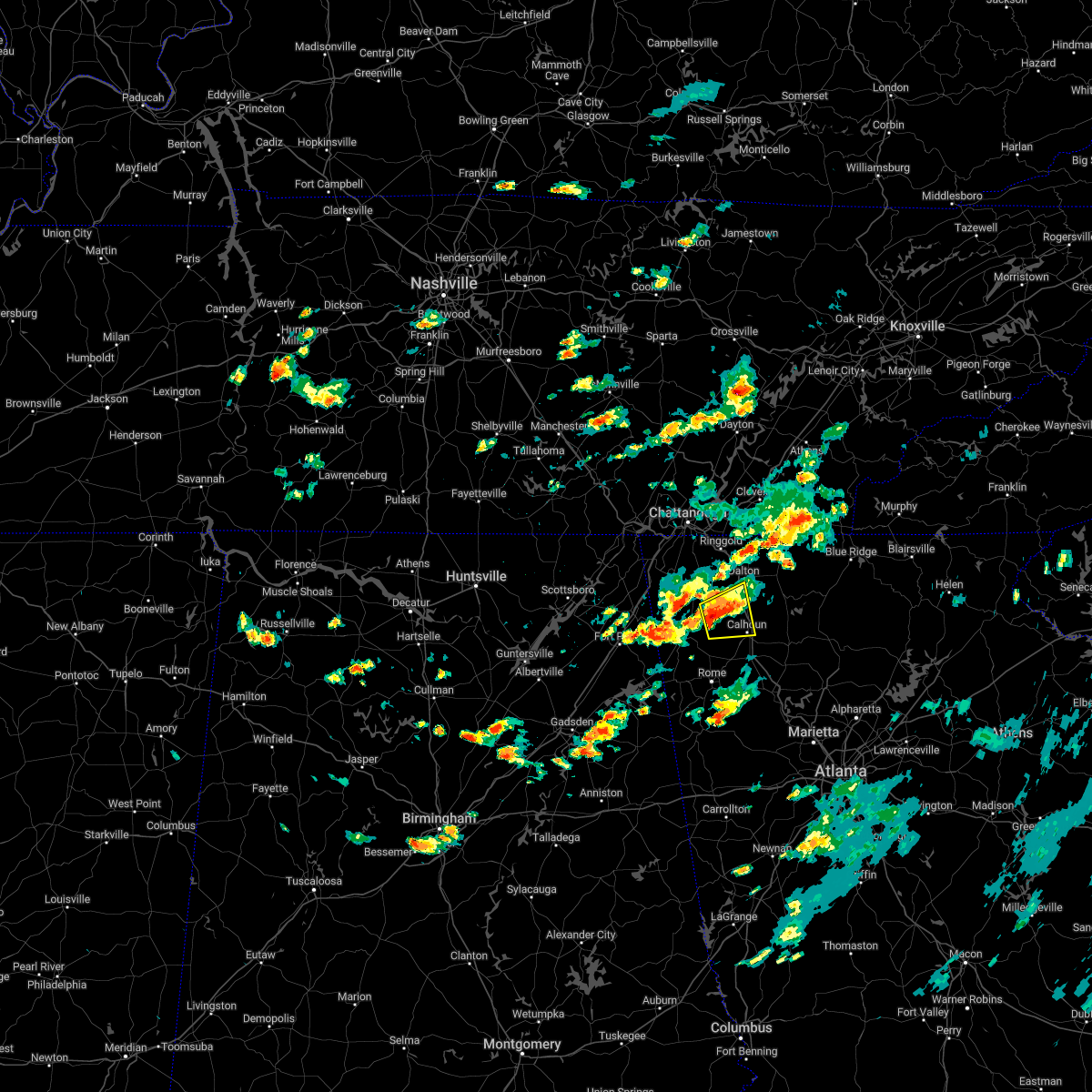 At 350 pm edt, a severe thunderstorm was located over lake marvin, or 12 miles northwest of calhoun, moving east at 15 mph (radar indicated). Hazards include 60 mph wind gusts. expect damage to roofs, siding, and trees At 350 pm edt, a severe thunderstorm was located over lake marvin, or 12 miles northwest of calhoun, moving east at 15 mph (radar indicated). Hazards include 60 mph wind gusts. expect damage to roofs, siding, and trees
|
| 6/2/2022 4:50 PM EDT | A tree fell across lower dug gap road sw near suncrest driv in whitfield county GA, 3.2 miles N of Dalton, GA |
| 6/2/2022 4:48 PM EDT | A tree fell across s. dixie road near the intersection of valley point drive s in whitfield county GA, 6 miles N of Dalton, GA |
| 6/2/2022 4:47 PM EDT | A tree fell across the right lane of i-75 southbound near the carbondale rd exi in whitfield county GA, 7.4 miles N of Dalton, GA |
| 6/2/2022 4:45 PM EDT | A tree fell across sourwood drive at southcrest driv in whitfield county GA, 3.9 miles NE of Dalton, GA |
| 6/2/2022 4:44 PM EDT |
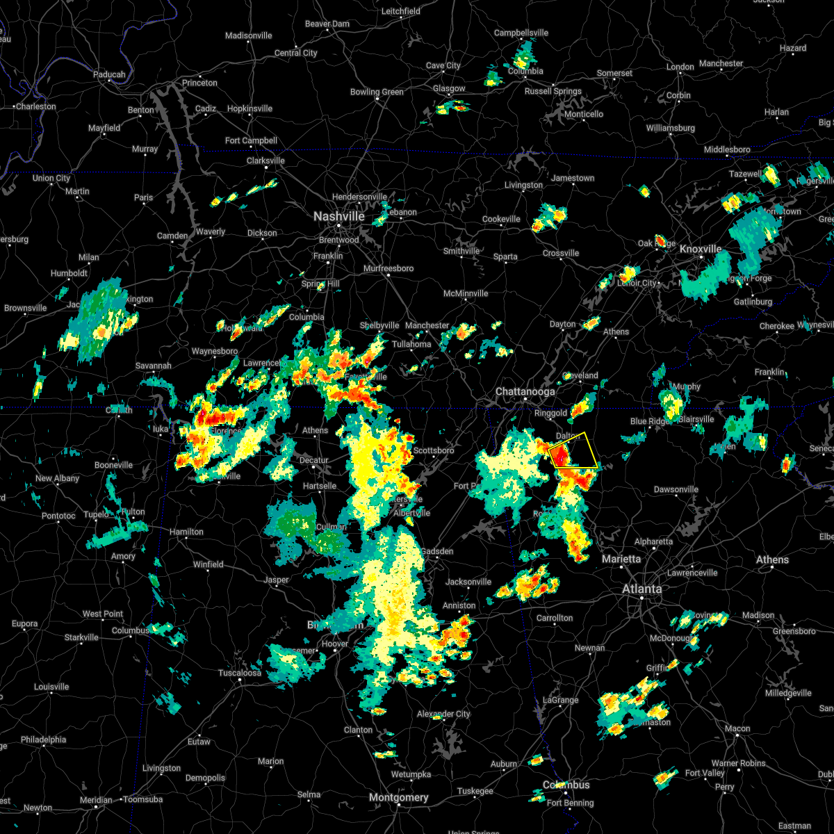 At 444 pm edt, a severe thunderstorm was located near tilton, or 7 miles south of dalton, moving east at 15 mph (radar indicated). Hazards include 60 mph wind gusts and penny size hail. expect damage to roofs, siding, and trees At 444 pm edt, a severe thunderstorm was located near tilton, or 7 miles south of dalton, moving east at 15 mph (radar indicated). Hazards include 60 mph wind gusts and penny size hail. expect damage to roofs, siding, and trees
|
| 5/6/2022 4:20 PM EDT |
 The severe thunderstorm warning for catoosa, north central murray and northern whitfield counties will expire at 430 pm edt, the storm which prompted the warning has moved out of the area. therefore, the warning will be allowed to expire. however gusty winds are still possible with this thunderstorm. a tornado watch remains in effect until 800 pm edt for northwestern georgia. The severe thunderstorm warning for catoosa, north central murray and northern whitfield counties will expire at 430 pm edt, the storm which prompted the warning has moved out of the area. therefore, the warning will be allowed to expire. however gusty winds are still possible with this thunderstorm. a tornado watch remains in effect until 800 pm edt for northwestern georgia.
|
| 5/6/2022 4:10 PM EDT |
 At 407 pm edt, a severe thunderstorm was located over beaverdale, or 13 miles northeast of dalton, moving east at 60 mph (observations with radar indicated). Hazards include 60 mph wind gusts with several 50-65 mph wind gusts have been observed in the warning area. Expect damage to roofs, siding, and trees. locations impacted include, dalton, ringgold, fort oglethorpe, varnell, tunnel hill, cohutta, sumac, indian springs, gregory, graysville, blue spring, boynton, beaumont, beaverdale, dawnville, red clay s. p. east ridge and apison. hail threat, radar indicated max hail size, <. 75 in wind threat, observed max wind gust, 60 mph. At 407 pm edt, a severe thunderstorm was located over beaverdale, or 13 miles northeast of dalton, moving east at 60 mph (observations with radar indicated). Hazards include 60 mph wind gusts with several 50-65 mph wind gusts have been observed in the warning area. Expect damage to roofs, siding, and trees. locations impacted include, dalton, ringgold, fort oglethorpe, varnell, tunnel hill, cohutta, sumac, indian springs, gregory, graysville, blue spring, boynton, beaumont, beaverdale, dawnville, red clay s. p. east ridge and apison. hail threat, radar indicated max hail size, <. 75 in wind threat, observed max wind gust, 60 mph.
|
| 5/6/2022 3:59 PM EDT |
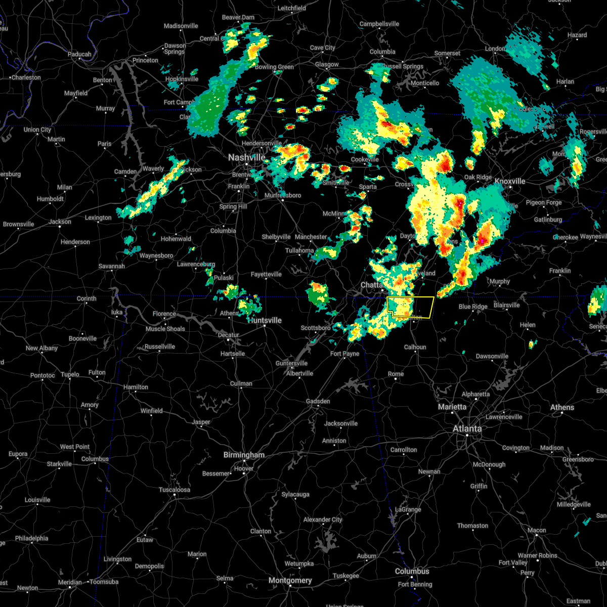 At 357 pm edt, a severe thunderstorm was located over ringgold, moving east at 60 mph (radar indicated). Hazards include 60 mph wind gusts. gusts of 56 mph were observed in chattanooga. expect damage to roofs, siding, and trees At 357 pm edt, a severe thunderstorm was located over ringgold, moving east at 60 mph (radar indicated). Hazards include 60 mph wind gusts. gusts of 56 mph were observed in chattanooga. expect damage to roofs, siding, and trees
|
| 4/6/2022 8:17 PM EDT |
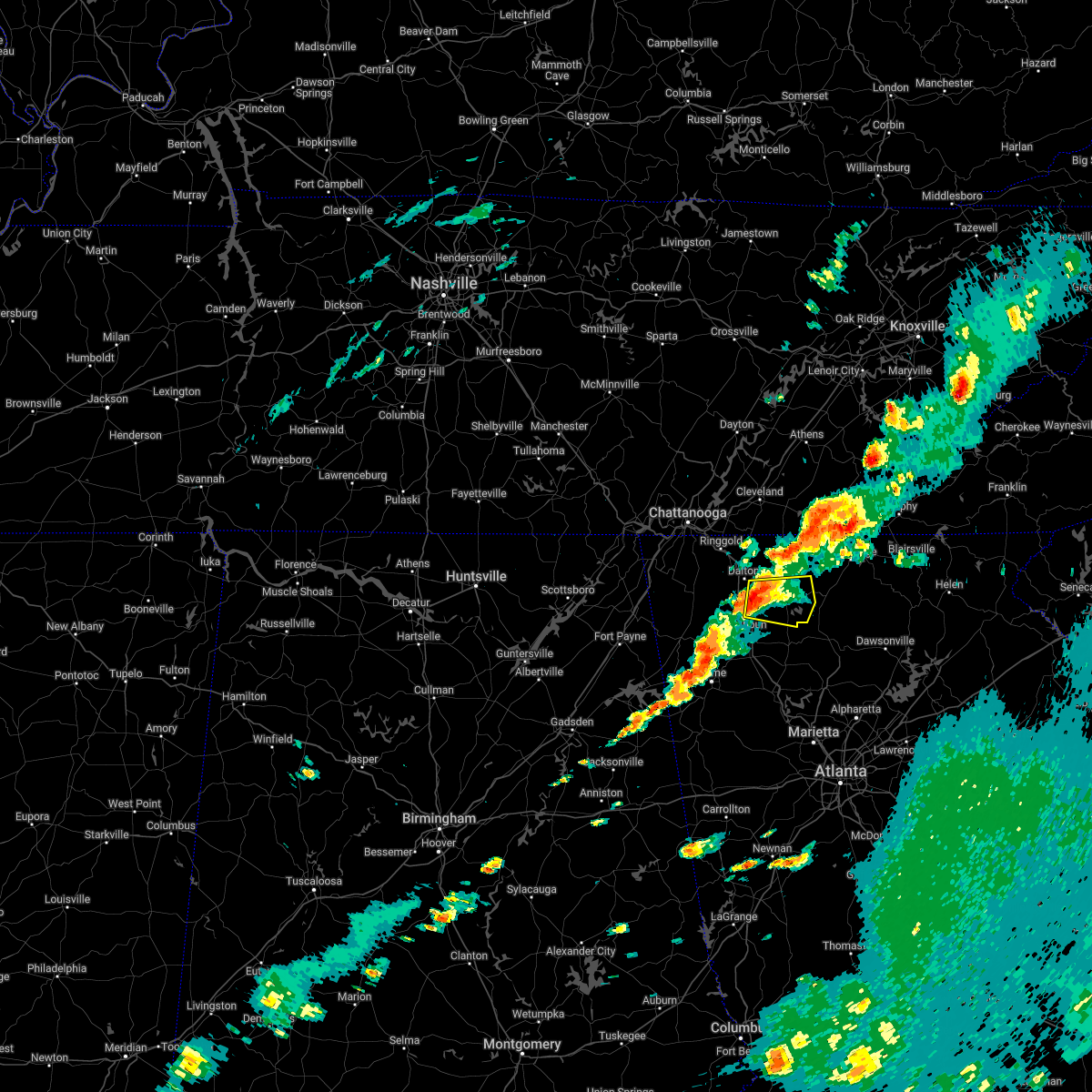 At 816 pm edt, a severe thunderstorm was located near tilton, or 9 miles southeast of dalton, moving east at 35 mph (radar indicated). Hazards include 60 mph wind gusts and half dollar size hail. Hail damage to vehicles is expected. Expect wind damage to roofs, siding, and trees. At 816 pm edt, a severe thunderstorm was located near tilton, or 9 miles southeast of dalton, moving east at 35 mph (radar indicated). Hazards include 60 mph wind gusts and half dollar size hail. Hail damage to vehicles is expected. Expect wind damage to roofs, siding, and trees.
|
| 12/29/2021 10:05 PM EST |
 At 1005 pm est, severe thunderstorms were located along a line extending from near naomi to near subligna to near summerville to holland, moving east at 55 mph (radar indicated). Hazards include 60 mph wind gusts. expect damage to roofs, siding, and trees At 1005 pm est, severe thunderstorms were located along a line extending from near naomi to near subligna to near summerville to holland, moving east at 55 mph (radar indicated). Hazards include 60 mph wind gusts. expect damage to roofs, siding, and trees
|
| 7/30/2021 5:15 PM EDT |
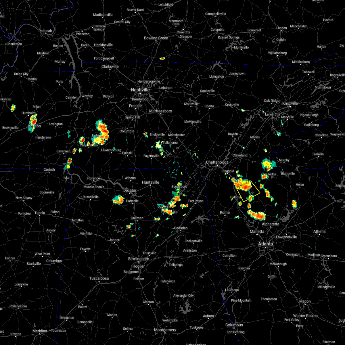 At 515 pm edt, a severe thunderstorm was located over ramhurst, or near chatsworth, moving southeast at 20 mph (radar indicated). Hazards include 60 mph wind gusts and penny size hail. expect damage to roofs, siding, and trees At 515 pm edt, a severe thunderstorm was located over ramhurst, or near chatsworth, moving southeast at 20 mph (radar indicated). Hazards include 60 mph wind gusts and penny size hail. expect damage to roofs, siding, and trees
|
| 7/30/2021 4:57 PM EDT | Several reports of trees downed onto structures on the eastern side of the city of dalton in whitfield county GA, 0.6 miles WSW of Dalton, GA |
| 7/30/2021 4:55 PM EDT | Reports of multiple trees downed onto roadways on the eastern side of the city of dalton in whitfield county GA, 1.5 miles SW of Dalton, GA |
| 7/30/2021 4:39 PM EDT |
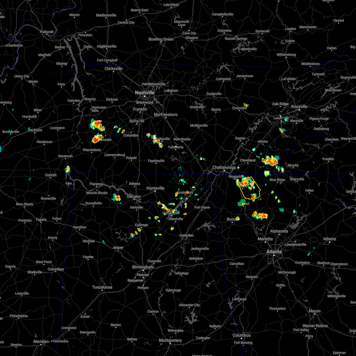 At 438 pm edt, a severe thunderstorm was located over dawnville, or near dalton, moving southeast at 15 mph (radar indicated). Hazards include 60 mph wind gusts and penny size hail. expect damage to roofs, siding, and trees At 438 pm edt, a severe thunderstorm was located over dawnville, or near dalton, moving southeast at 15 mph (radar indicated). Hazards include 60 mph wind gusts and penny size hail. expect damage to roofs, siding, and trees
|
| 6/3/2021 2:24 PM EDT |
 The severe thunderstorm warning for central catoosa, northwestern whitfield and central walker counties will expire at 230 pm edt, the storm which prompted the warning has weakened below severe limits, and has exited the warned area. therefore, the warning will be allowed to expire. to report severe weather, contact your nearest law enforcement agency. they will relay your report to the national weather service peachtree city. The severe thunderstorm warning for central catoosa, northwestern whitfield and central walker counties will expire at 230 pm edt, the storm which prompted the warning has weakened below severe limits, and has exited the warned area. therefore, the warning will be allowed to expire. to report severe weather, contact your nearest law enforcement agency. they will relay your report to the national weather service peachtree city.
|
| 6/3/2021 1:39 PM EDT |
 At 139 pm edt, a severe thunderstorm was located over noble, or near lafayette, moving east at 20 mph (radar indicated). Hazards include 60 mph wind gusts and quarter size hail. Hail damage to vehicles is expected. Expect wind damage to roofs, siding, and trees. At 139 pm edt, a severe thunderstorm was located over noble, or near lafayette, moving east at 20 mph (radar indicated). Hazards include 60 mph wind gusts and quarter size hail. Hail damage to vehicles is expected. Expect wind damage to roofs, siding, and trees.
|
| 5/4/2021 11:49 AM EDT |
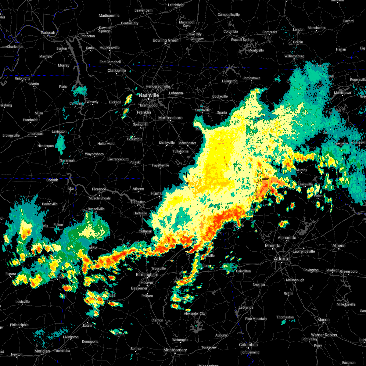 At 1149 am edt, a severe thunderstorm was located over conasauga lake, or 7 miles northeast of chatsworth, moving east at 55 mph (radar indicated). Hazards include 60 mph wind gusts. Expect damage to roofs, siding, and trees. Locations impacted include, chatsworth, eton, crandall, conasauga lake, tennga, sumac, cisco, fort mountain state park and gregory. At 1149 am edt, a severe thunderstorm was located over conasauga lake, or 7 miles northeast of chatsworth, moving east at 55 mph (radar indicated). Hazards include 60 mph wind gusts. Expect damage to roofs, siding, and trees. Locations impacted include, chatsworth, eton, crandall, conasauga lake, tennga, sumac, cisco, fort mountain state park and gregory.
|
| 5/4/2021 11:25 AM EDT |
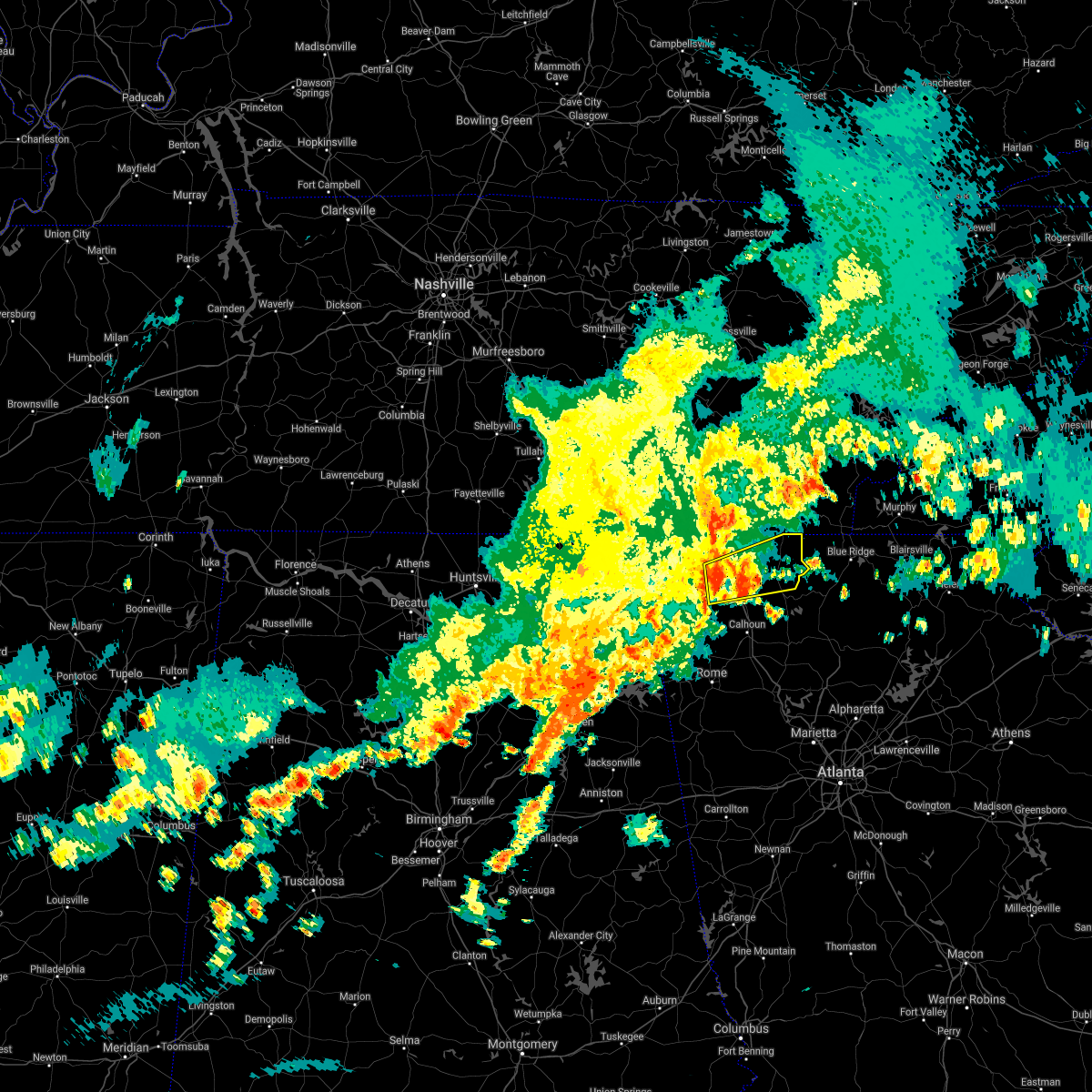 At 1124 am edt, a severe thunderstorm was located over mill creek, or near dalton, moving east at 55 mph (radar indicated). Hazards include 60 mph wind gusts. expect damage to roofs, siding, and trees At 1124 am edt, a severe thunderstorm was located over mill creek, or near dalton, moving east at 55 mph (radar indicated). Hazards include 60 mph wind gusts. expect damage to roofs, siding, and trees
|
| 4/9/2021 5:12 PM EDT |
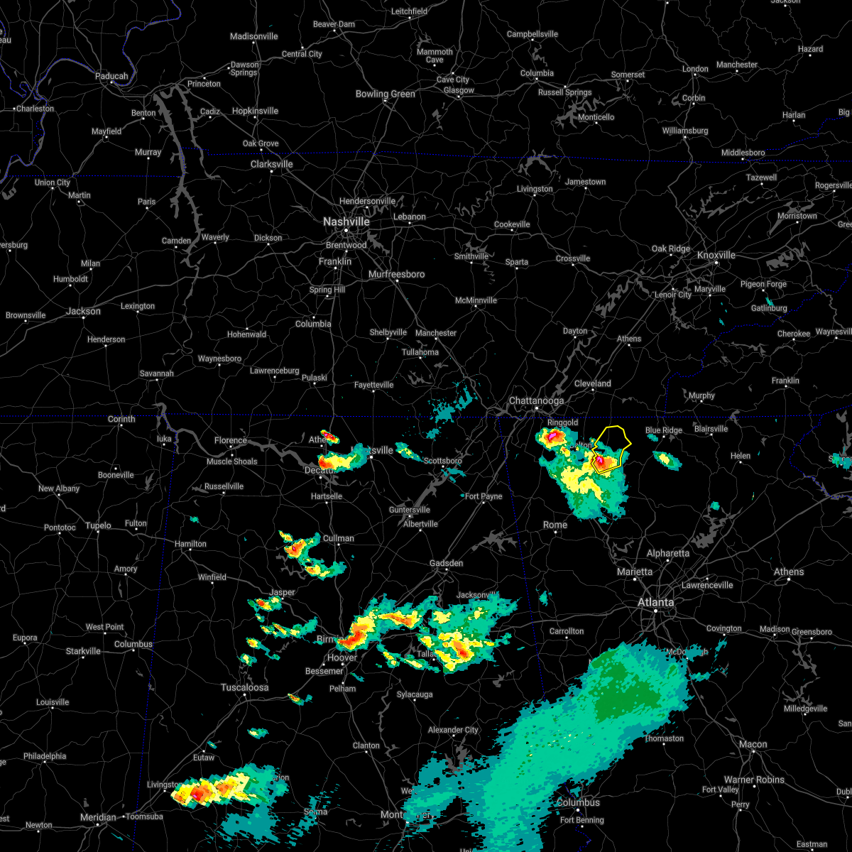 At 511 pm edt, a severe thunderstorm was located over north georgia speedway, or near chatsworth, moving northeast at 25 mph (radar indicated). Hazards include 60 mph wind gusts and quarter size hail. Hail damage to vehicles is expected. Expect wind damage to roofs, siding, and trees. At 511 pm edt, a severe thunderstorm was located over north georgia speedway, or near chatsworth, moving northeast at 25 mph (radar indicated). Hazards include 60 mph wind gusts and quarter size hail. Hail damage to vehicles is expected. Expect wind damage to roofs, siding, and trees.
|
| 4/9/2021 4:51 PM EDT |
 At 450 pm edt, a severe thunderstorm was located over tilton, or 7 miles south of dalton, moving north at 20 mph (radar indicated). Hazards include 60 mph wind gusts and quarter size hail. Hail damage to vehicles is expected. Expect wind damage to roofs, siding, and trees. At 450 pm edt, a severe thunderstorm was located over tilton, or 7 miles south of dalton, moving north at 20 mph (radar indicated). Hazards include 60 mph wind gusts and quarter size hail. Hail damage to vehicles is expected. Expect wind damage to roofs, siding, and trees.
|
| 3/25/2021 10:56 PM EDT |
 The severe thunderstorm warning for southern catoosa, central whitfield, southeastern walker and north central chattooga counties will expire at 1100 pm edt, the storm which prompted the warning has weakened below severe limits, and no longer poses an immediate threat to life or property. therefore, the warning will be allowed to expire. however small hail and heavy rain are still possible with this thunderstorm. a tornado watch remains in effect until 200 am edt for northwestern georgia. The severe thunderstorm warning for southern catoosa, central whitfield, southeastern walker and north central chattooga counties will expire at 1100 pm edt, the storm which prompted the warning has weakened below severe limits, and no longer poses an immediate threat to life or property. therefore, the warning will be allowed to expire. however small hail and heavy rain are still possible with this thunderstorm. a tornado watch remains in effect until 200 am edt for northwestern georgia.
|
| 3/25/2021 10:48 PM EDT |
 At 1047 pm edt, a severe thunderstorm was located near naomi, or 7 miles east of lafayette, moving northeast at 60 mph (radar indicated). Hazards include 60 mph wind gusts and quarter size hail. Hail damage to vehicles is expected. expect wind damage to roofs, siding, and trees. Locations impacted include, dalton, lafayette, trion, tunnel hill, naomi, center post, suttles mill, noble, wood station, rocky face, mill creek, linwood, villanow and tilton. At 1047 pm edt, a severe thunderstorm was located near naomi, or 7 miles east of lafayette, moving northeast at 60 mph (radar indicated). Hazards include 60 mph wind gusts and quarter size hail. Hail damage to vehicles is expected. expect wind damage to roofs, siding, and trees. Locations impacted include, dalton, lafayette, trion, tunnel hill, naomi, center post, suttles mill, noble, wood station, rocky face, mill creek, linwood, villanow and tilton.
|
| 3/25/2021 10:36 PM EDT |
 At 1034 pm edt, a severe thunderstorm was located near cloudland, or 9 miles northwest of summerville, moving northeast at 60 mph (radar indicated). Hazards include 60 mph wind gusts and quarter size hail. Hail damage to vehicles is expected. Expect wind damage to roofs, siding, and trees. At 1034 pm edt, a severe thunderstorm was located near cloudland, or 9 miles northwest of summerville, moving northeast at 60 mph (radar indicated). Hazards include 60 mph wind gusts and quarter size hail. Hail damage to vehicles is expected. Expect wind damage to roofs, siding, and trees.
|
| 3/25/2021 11:28 AM EDT |
 The severe thunderstorm warning for catoosa, western whitfield, southeastern walker and chattooga counties will expire at 1130 am edt, the storms which prompted the warning have weakened below severe limits, and no longer pose an immediate threat to life or property. therefore, the warning will be allowed to expire. however gusty winds and heavy rain are still possible with these thunderstorms. to report severe weather, contact your nearest law enforcement agency. they will relay your report to the national weather service peachtree city. The severe thunderstorm warning for catoosa, western whitfield, southeastern walker and chattooga counties will expire at 1130 am edt, the storms which prompted the warning have weakened below severe limits, and no longer pose an immediate threat to life or property. therefore, the warning will be allowed to expire. however gusty winds and heavy rain are still possible with these thunderstorms. to report severe weather, contact your nearest law enforcement agency. they will relay your report to the national weather service peachtree city.
|
| 3/25/2021 11:21 AM EDT |
 At 1120 am edt, severe thunderstorms were located along a line extending from graysville to new moon, moving east at 45 mph (radar indicated). Hazards include 60 mph wind gusts. Expect damage to roofs, siding, and trees. locations impacted include, dalton, lafayette, summerville, ringgold, fort oglethorpe, trion, tunnel hill, lyerly, menlo, center post, subligna, blue spring, linwood, villanow, james h. Floyd state park, rock spring, naomi, suttles mill, noble and wood station. At 1120 am edt, severe thunderstorms were located along a line extending from graysville to new moon, moving east at 45 mph (radar indicated). Hazards include 60 mph wind gusts. Expect damage to roofs, siding, and trees. locations impacted include, dalton, lafayette, summerville, ringgold, fort oglethorpe, trion, tunnel hill, lyerly, menlo, center post, subligna, blue spring, linwood, villanow, james h. Floyd state park, rock spring, naomi, suttles mill, noble and wood station.
|
| 3/25/2021 11:10 AM EDT |
 At 1110 am edt, severe thunderstorms were located along a line extending from fairview to little river canyon np, moving east at 45 mph (radar indicated). Hazards include 60 mph wind gusts. Expect damage to roofs, siding, and trees. locations impacted include, dalton, lafayette, summerville, ringgold, fort oglethorpe, rossville, chickamauga, trion, tunnel hill, lyerly, menlo, center post, subligna, blue spring, fairview, linwood, villanow, cloudland, cooper heights and james h. Floyd state park. At 1110 am edt, severe thunderstorms were located along a line extending from fairview to little river canyon np, moving east at 45 mph (radar indicated). Hazards include 60 mph wind gusts. Expect damage to roofs, siding, and trees. locations impacted include, dalton, lafayette, summerville, ringgold, fort oglethorpe, rossville, chickamauga, trion, tunnel hill, lyerly, menlo, center post, subligna, blue spring, fairview, linwood, villanow, cloudland, cooper heights and james h. Floyd state park.
|
| 3/25/2021 10:51 AM EDT |
 At 1050 am edt, severe thunderstorms were located along a line extending from near cole city to near skirum, moving east at 50 mph (radar indicated). Hazards include 60 mph wind gusts and quarter size hail. Hail damage to vehicles is expected. expect wind damage to roofs, siding, and trees. Locations impacted include, dalton, lafayette, summerville, ringgold, trenton, fort oglethorpe, rossville, chickamauga, trion, lookout mountain, tunnel hill, lyerly, menlo, center post, subligna, fairview, villanow, cloudland, chattanooga valley and hooker. At 1050 am edt, severe thunderstorms were located along a line extending from near cole city to near skirum, moving east at 50 mph (radar indicated). Hazards include 60 mph wind gusts and quarter size hail. Hail damage to vehicles is expected. expect wind damage to roofs, siding, and trees. Locations impacted include, dalton, lafayette, summerville, ringgold, trenton, fort oglethorpe, rossville, chickamauga, trion, lookout mountain, tunnel hill, lyerly, menlo, center post, subligna, fairview, villanow, cloudland, chattanooga valley and hooker.
|
| 3/25/2021 10:37 AM EDT |
 At 1036 am edt, severe thunderstorms were located along a line extending from near stephensville to near geraldine, moving east at 50 mph (radar indicated). Hazards include ping pong ball size hail and 60 mph wind gusts. People and animals outdoors will be injured. expect hail damage to roofs, siding, windows, and vehicles. Expect wind damage to roofs, siding, and trees. At 1036 am edt, severe thunderstorms were located along a line extending from near stephensville to near geraldine, moving east at 50 mph (radar indicated). Hazards include ping pong ball size hail and 60 mph wind gusts. People and animals outdoors will be injured. expect hail damage to roofs, siding, windows, and vehicles. Expect wind damage to roofs, siding, and trees.
|
| 8/19/2020 3:11 PM EDT |
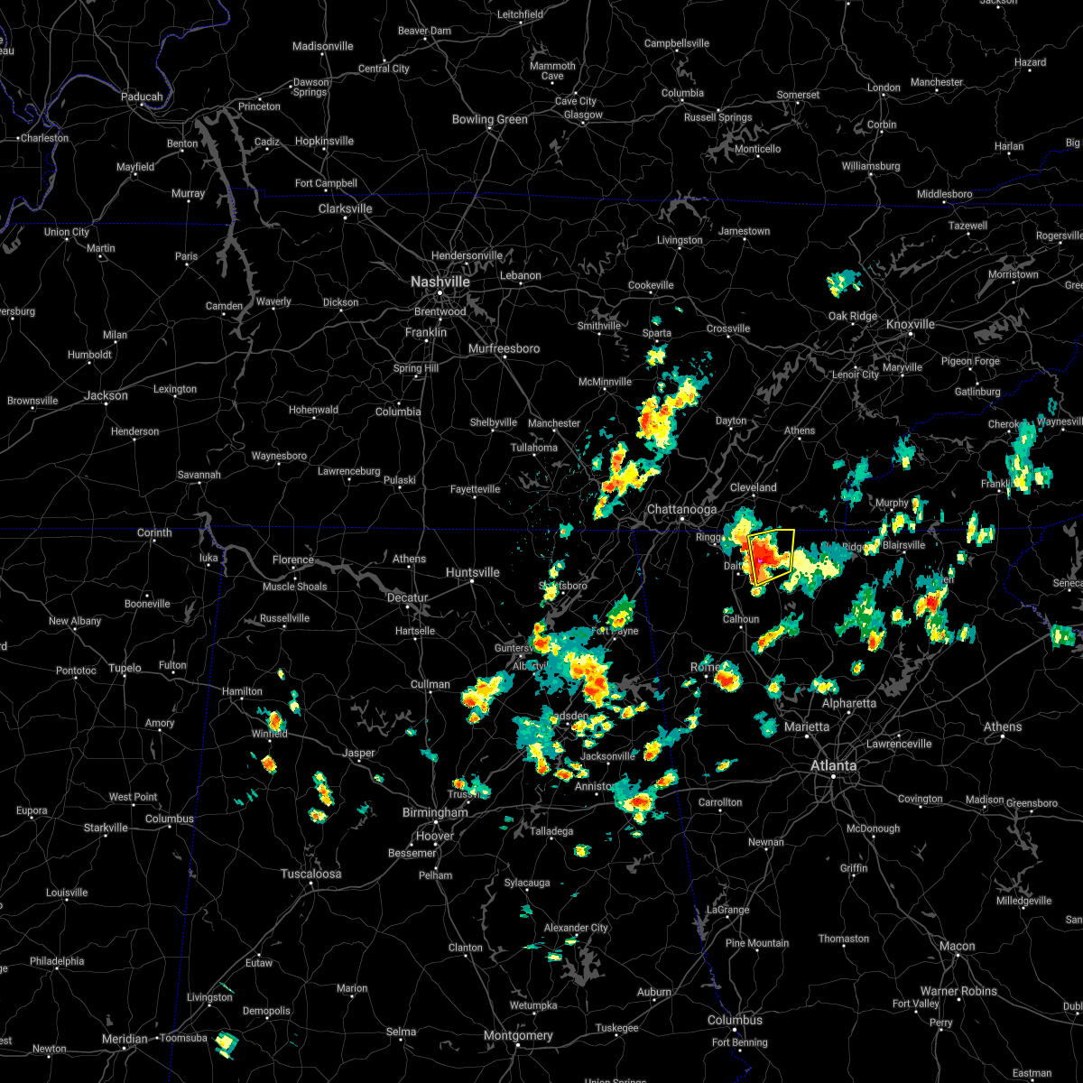 At 311 pm edt, a severe thunderstorm was located over eton, or near chatsworth, moving northeast at 20 mph (radar indicated). Hazards include 60 mph wind gusts and quarter size hail. Hail damage to vehicles is expected. Expect wind damage to roofs, siding, and trees. At 311 pm edt, a severe thunderstorm was located over eton, or near chatsworth, moving northeast at 20 mph (radar indicated). Hazards include 60 mph wind gusts and quarter size hail. Hail damage to vehicles is expected. Expect wind damage to roofs, siding, and trees.
|
| 8/19/2020 2:50 PM EDT |
 At 250 pm edt, a severe thunderstorm was located over dawnville, or near dalton, moving south at 5 mph (radar indicated). Hazards include 60 mph wind gusts and quarter size hail. Hail damage to vehicles is expected. Expect wind damage to roofs, siding, and trees. At 250 pm edt, a severe thunderstorm was located over dawnville, or near dalton, moving south at 5 mph (radar indicated). Hazards include 60 mph wind gusts and quarter size hail. Hail damage to vehicles is expected. Expect wind damage to roofs, siding, and trees.
|
| 8/12/2020 4:26 PM EDT |
 The severe thunderstorm warning for catoosa and central whitfield counties will expire at 430 pm edt, the storm which prompted the warning has weakened below severe limits, and no longer poses an immediate threat to life or property. therefore, the warning will be allowed to expire. however gusty winds and heavy rain are still possible with this thunderstorm. The severe thunderstorm warning for catoosa and central whitfield counties will expire at 430 pm edt, the storm which prompted the warning has weakened below severe limits, and no longer poses an immediate threat to life or property. therefore, the warning will be allowed to expire. however gusty winds and heavy rain are still possible with this thunderstorm.
|
| 8/12/2020 4:15 PM EDT |
 At 415 pm edt, a severe thunderstorm was located over ringgold, moving northeast at 5 mph (radar indicated). Hazards include 60 mph wind gusts and quarter size hail. Hail damage to vehicles is expected. expect wind damage to roofs, siding, and trees. Locations impacted include, dalton, ringgold, varnell, tunnel hill, cohutta, wood station, rocky face, graysville, blue spring, boynton, beaumont, indian springs and apison. At 415 pm edt, a severe thunderstorm was located over ringgold, moving northeast at 5 mph (radar indicated). Hazards include 60 mph wind gusts and quarter size hail. Hail damage to vehicles is expected. expect wind damage to roofs, siding, and trees. Locations impacted include, dalton, ringgold, varnell, tunnel hill, cohutta, wood station, rocky face, graysville, blue spring, boynton, beaumont, indian springs and apison.
|
| 8/12/2020 3:58 PM EDT |
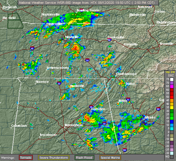 At 358 pm edt, a severe thunderstorm was located near ringgold, moving northeast at 5 mph (radar indicated). Hazards include 60 mph wind gusts and nickel size hail. expect damage to roofs, siding, and trees At 358 pm edt, a severe thunderstorm was located near ringgold, moving northeast at 5 mph (radar indicated). Hazards include 60 mph wind gusts and nickel size hail. expect damage to roofs, siding, and trees
|
| 8/10/2020 1:34 PM EDT |
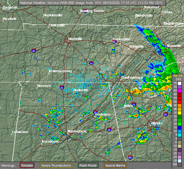 At 134 pm edt, a severe thunderstorm was located over north georgia speedway, or 7 miles southwest of chatsworth, moving southeast at 15 mph (radar indicated). Hazards include 60 mph wind gusts and quarter size hail. Hail damage to vehicles is expected. expect wind damage to roofs, siding, and trees. Locations impacted include, dalton, chatsworth, eton, carters, ramhurst, fort mountain state park, tilton and north georgia speedway. At 134 pm edt, a severe thunderstorm was located over north georgia speedway, or 7 miles southwest of chatsworth, moving southeast at 15 mph (radar indicated). Hazards include 60 mph wind gusts and quarter size hail. Hail damage to vehicles is expected. expect wind damage to roofs, siding, and trees. Locations impacted include, dalton, chatsworth, eton, carters, ramhurst, fort mountain state park, tilton and north georgia speedway.
|
| 8/10/2020 1:11 PM EDT |
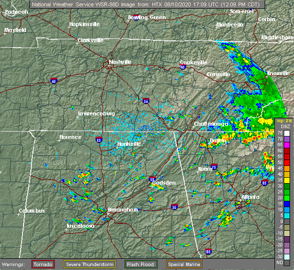 At 111 pm edt, a severe thunderstorm was located near dawnville, or near chatsworth, moving southeast at 15 mph (radar indicated). Hazards include 60 mph wind gusts and quarter size hail. Hail damage to vehicles is expected. Expect wind damage to roofs, siding, and trees. At 111 pm edt, a severe thunderstorm was located near dawnville, or near chatsworth, moving southeast at 15 mph (radar indicated). Hazards include 60 mph wind gusts and quarter size hail. Hail damage to vehicles is expected. Expect wind damage to roofs, siding, and trees.
|
| 8/6/2020 4:35 PM EDT |
 The severe thunderstorm warning for southwestern murray county will expire at 445 pm edt, the storm which prompted the warning has weakened below severe limits, and no longer poses an immediate threat to life or property. therefore, the warning will be allowed to expire. however heavy rain is still possible with this thunderstorm. The severe thunderstorm warning for southwestern murray county will expire at 445 pm edt, the storm which prompted the warning has weakened below severe limits, and no longer poses an immediate threat to life or property. therefore, the warning will be allowed to expire. however heavy rain is still possible with this thunderstorm.
|
| 8/6/2020 4:11 PM EDT |
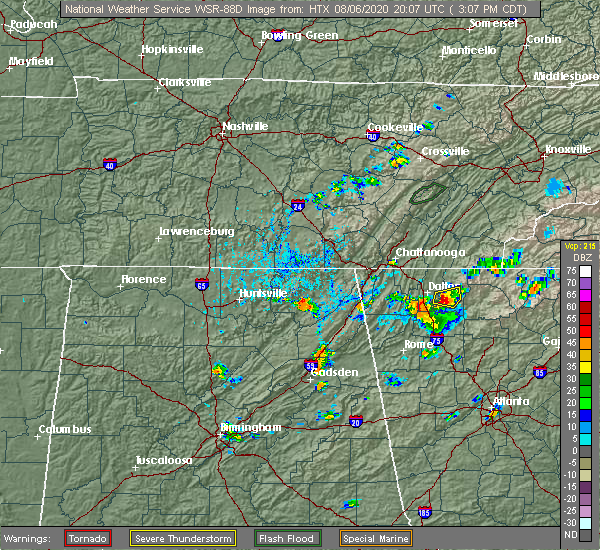 At 411 pm edt, a severe thunderstorm was located over north georgia speedway, or near chatsworth, moving east at 10 mph (radar indicated). Hazards include 60 mph wind gusts. Expect damage to roofs, siding, and trees. Locations impacted include, chatsworth, fort mountain state park, ramhurst and north georgia speedway. At 411 pm edt, a severe thunderstorm was located over north georgia speedway, or near chatsworth, moving east at 10 mph (radar indicated). Hazards include 60 mph wind gusts. Expect damage to roofs, siding, and trees. Locations impacted include, chatsworth, fort mountain state park, ramhurst and north georgia speedway.
|
| 8/6/2020 4:03 PM EDT | Tree down along davenport roa in murray county GA, 8.2 miles NW of Dalton, GA |
| 8/6/2020 3:55 PM EDT |
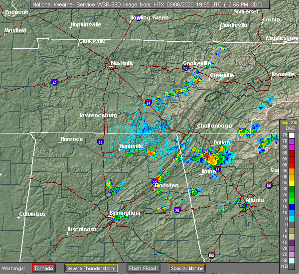 At 355 pm edt, a severe thunderstorm was located near north georgia speedway, or near dalton, moving east at 5 mph (radar indicated). Hazards include 60 mph wind gusts and quarter size hail. Hail damage to vehicles is expected. Expect wind damage to roofs, siding, and trees. At 355 pm edt, a severe thunderstorm was located near north georgia speedway, or near dalton, moving east at 5 mph (radar indicated). Hazards include 60 mph wind gusts and quarter size hail. Hail damage to vehicles is expected. Expect wind damage to roofs, siding, and trees.
|
| 7/21/2020 4:52 PM EDT |
 The severe thunderstorm warning for southwestern murray and southeastern whitfield counties will expire at 500 pm edt, the storm which prompted the warning has weakened below severe limits, and no longer poses an immediate threat to life or property. therefore, the warning will be allowed to expire. The severe thunderstorm warning for southwestern murray and southeastern whitfield counties will expire at 500 pm edt, the storm which prompted the warning has weakened below severe limits, and no longer poses an immediate threat to life or property. therefore, the warning will be allowed to expire.
|
| 7/21/2020 4:30 PM EDT |
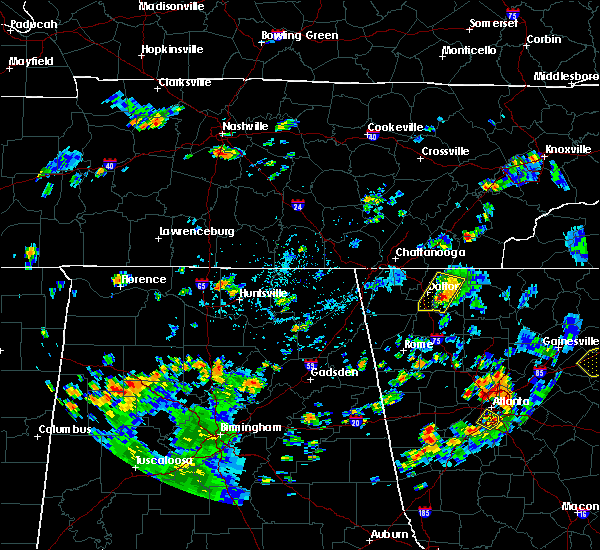 At 430 pm edt, a severe thunderstorm was located near north georgia speedway, or near dalton, and is nearly stationary (radar indicated). Hazards include 60 mph wind gusts and half dollar size hail. Hail damage to vehicles is expected. expect wind damage to roofs, siding, and trees. Locations impacted include, dalton, chatsworth, eton, dawnville, tilton and north georgia speedway. At 430 pm edt, a severe thunderstorm was located near north georgia speedway, or near dalton, and is nearly stationary (radar indicated). Hazards include 60 mph wind gusts and half dollar size hail. Hail damage to vehicles is expected. expect wind damage to roofs, siding, and trees. Locations impacted include, dalton, chatsworth, eton, dawnville, tilton and north georgia speedway.
|
| 7/21/2020 4:20 PM EDT | Ping Pong Ball sized hail reported 5.2 miles WNW of Dalton, GA |
| 7/21/2020 4:08 PM EDT |
 At 407 pm edt, a severe thunderstorm was located over north georgia speedway, or near chatsworth, moving southwest at 20 mph (radar indicated). Hazards include 60 mph wind gusts and half dollar size hail. Hail damage to vehicles is expected. Expect wind damage to roofs, siding, and trees. At 407 pm edt, a severe thunderstorm was located over north georgia speedway, or near chatsworth, moving southwest at 20 mph (radar indicated). Hazards include 60 mph wind gusts and half dollar size hail. Hail damage to vehicles is expected. Expect wind damage to roofs, siding, and trees.
|
| 6/30/2020 3:00 PM EDT |
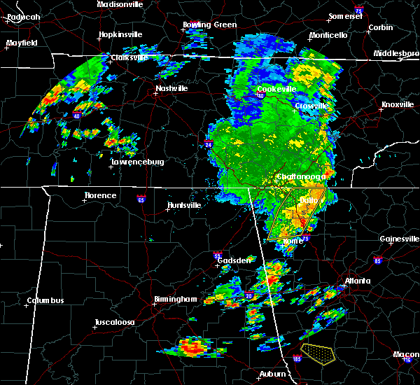 A severe thunderstorm warning remains in effect until 330 pm edt for central murray. northeastern floyd. eastern whitfield and western gordon counties. At 300 pm edt, severe thunderstorms were located along a line extending from near gap springs to dalton to near armuchee, moving east at 30 mph. A severe thunderstorm warning remains in effect until 330 pm edt for central murray. northeastern floyd. eastern whitfield and western gordon counties. At 300 pm edt, severe thunderstorms were located along a line extending from near gap springs to dalton to near armuchee, moving east at 30 mph.
|
| 6/30/2020 2:49 PM EDT | Tree reported down at the intersection of georgia ave and high mountain av in whitfield county GA, 1.7 miles W of Dalton, GA |
| 6/30/2020 2:45 PM EDT | Large tree reported down in driveway on tech driv in whitfield county GA, 1.5 miles SE of Dalton, GA |
| 6/30/2020 2:45 PM EDT | A tree was reported down near n tibbs roa in whitfield county GA, 2 miles ESE of Dalton, GA |
| 6/30/2020 2:41 PM EDT | Tree reported down at the intersection of beverly dr and davidson d in whitfield county GA, 1.5 miles SE of Dalton, GA |
| 6/30/2020 2:40 PM EDT | Tree reported down at the intersection of shugart rd and tampico wa in whitfield county GA, 2.4 miles SE of Dalton, GA |
| 6/30/2020 2:38 PM EDT |
 At 238 pm edt, severe thunderstorms were located along a line extending from apison to near naomi to near holland, moving east at 30 mph (radar indicated). Hazards include 60 mph wind gusts and penny size hail. expect damage to roofs, siding, and trees At 238 pm edt, severe thunderstorms were located along a line extending from apison to near naomi to near holland, moving east at 30 mph (radar indicated). Hazards include 60 mph wind gusts and penny size hail. expect damage to roofs, siding, and trees
|
| 6/30/2020 2:35 PM EDT | Play set knocked over and displaced and tree down near the cul de sac of robin wa in walker county GA, 7.5 miles ENE of Dalton, GA |
| 6/29/2020 5:30 PM EDT | Tree reported down near old praters mill rd ne and tom manis rd n in whitfield county GA, 8.8 miles SSW of Dalton, GA |
| 6/29/2020 5:20 PM EDT | Tree reported down near the intersection of lafayette hwy and old ringgold r in whitfield county GA, 7.4 miles E of Dalton, GA |
| 6/14/2020 4:19 PM EDT |
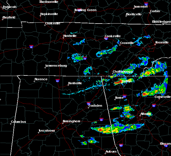 At 419 pm edt, a severe thunderstorm was located over rocky face, or near dalton, moving southeast at 15 mph (radar indicated). Hazards include 60 mph wind gusts and quarter size hail. Hail damage to vehicles is expected. Expect wind damage to roofs, siding, and trees. At 419 pm edt, a severe thunderstorm was located over rocky face, or near dalton, moving southeast at 15 mph (radar indicated). Hazards include 60 mph wind gusts and quarter size hail. Hail damage to vehicles is expected. Expect wind damage to roofs, siding, and trees.
|
| 5/5/2020 12:51 AM EDT |
 The severe thunderstorm warning for western gilmer, murray, gordon, northwestern pickens, northwestern fannin and northern bartow counties will expire at 100 am edt, the storms which prompted the warning have weakened below severe limits, and have exited the warned area. therefore, the warning will be allowed to expire. a severe thunderstorm watch remains in effect until 300 am edt for north central georgia. to report severe weather, contact your nearest law enforcement agency. they will relay your report to the national weather service peachtree city. The severe thunderstorm warning for western gilmer, murray, gordon, northwestern pickens, northwestern fannin and northern bartow counties will expire at 100 am edt, the storms which prompted the warning have weakened below severe limits, and have exited the warned area. therefore, the warning will be allowed to expire. a severe thunderstorm watch remains in effect until 300 am edt for north central georgia. to report severe weather, contact your nearest law enforcement agency. they will relay your report to the national weather service peachtree city.
|
| 5/5/2020 12:37 AM EDT |
 At 1237 am edt, severe thunderstorms were located along a line extending from near conasauga lake to ranger to near kingston, moving east at 50 mph (law enforcement). Hazards include 60 mph wind gusts and quarter size hail. Hail damage to vehicles is expected. expect wind damage to roofs, siding, and trees. Locations impacted include, calhoun, chatsworth, ellijay, adairsville, eton, east ellijay, talking rock, cassville, fairmount, ranger, crandall, sumac, jones mill, redbud, gregory, folsom, cohutta wilderness, conasauga lake, oakman and fort mountain state park. At 1237 am edt, severe thunderstorms were located along a line extending from near conasauga lake to ranger to near kingston, moving east at 50 mph (law enforcement). Hazards include 60 mph wind gusts and quarter size hail. Hail damage to vehicles is expected. expect wind damage to roofs, siding, and trees. Locations impacted include, calhoun, chatsworth, ellijay, adairsville, eton, east ellijay, talking rock, cassville, fairmount, ranger, crandall, sumac, jones mill, redbud, gregory, folsom, cohutta wilderness, conasauga lake, oakman and fort mountain state park.
|
| 5/5/2020 12:09 AM EDT |
 At 1208 am edt, severe thunderstorms were located along a line extending from near beaverdale to near sugar valley to armuchee, moving east at 65 mph (radar indicated). Hazards include 60 mph wind gusts. expect damage to roofs, siding, and trees At 1208 am edt, severe thunderstorms were located along a line extending from near beaverdale to near sugar valley to armuchee, moving east at 65 mph (radar indicated). Hazards include 60 mph wind gusts. expect damage to roofs, siding, and trees
|
| 5/4/2020 11:55 PM EDT |
 At 1154 pm edt, severe thunderstorms were located along a line extending from indian springs to near center post to near summerville, moving east at 60 mph (radar indicated). Hazards include 60 mph wind gusts and quarter size hail. Hail damage to vehicles is expected. expect wind damage to roofs, siding, and trees. Locations impacted include, dalton, lafayette, ringgold, fort oglethorpe, chickamauga, trion, tunnel hill, menlo, center post, subligna, blue spring, fairview, linwood, villanow, cloudland, chattanooga valley, cooper heights, rock spring, naomi and suttles mill. At 1154 pm edt, severe thunderstorms were located along a line extending from indian springs to near center post to near summerville, moving east at 60 mph (radar indicated). Hazards include 60 mph wind gusts and quarter size hail. Hail damage to vehicles is expected. expect wind damage to roofs, siding, and trees. Locations impacted include, dalton, lafayette, ringgold, fort oglethorpe, chickamauga, trion, tunnel hill, menlo, center post, subligna, blue spring, fairview, linwood, villanow, cloudland, chattanooga valley, cooper heights, rock spring, naomi and suttles mill.
|
| 5/4/2020 11:29 PM EDT |
 At 1128 pm edt, severe thunderstorms were located along a line extending from anderson to hollywood to near scottsboro, moving east at 70 mph (radar indicated). Hazards include 60 mph wind gusts and quarter size hail. Hail damage to vehicles is expected. Expect wind damage to roofs, siding, and trees. At 1128 pm edt, severe thunderstorms were located along a line extending from anderson to hollywood to near scottsboro, moving east at 70 mph (radar indicated). Hazards include 60 mph wind gusts and quarter size hail. Hail damage to vehicles is expected. Expect wind damage to roofs, siding, and trees.
|
| 5/3/2020 7:32 PM EDT |
 At 732 pm edt, severe thunderstorms were located along a line extending from lookout mountain to near mentone, moving east at 50 mph (radar indicated). Hazards include 60 mph wind gusts. Expect damage to roofs, siding, and trees. Locations impacted include, dalton, lafayette, ringgold, fort oglethorpe, chickamauga, trion, varnell, tunnel hill, cohutta, center post, subligna, blue spring, lake marvin, fairview, linwood, villanow, chattanooga valley, cooper heights, rock spring and naomi. At 732 pm edt, severe thunderstorms were located along a line extending from lookout mountain to near mentone, moving east at 50 mph (radar indicated). Hazards include 60 mph wind gusts. Expect damage to roofs, siding, and trees. Locations impacted include, dalton, lafayette, ringgold, fort oglethorpe, chickamauga, trion, varnell, tunnel hill, cohutta, center post, subligna, blue spring, lake marvin, fairview, linwood, villanow, chattanooga valley, cooper heights, rock spring and naomi.
|
| 5/3/2020 7:13 PM EDT |
 At 713 pm edt, severe thunderstorms were located along a line extending from haletown (guild) to near ider, moving east at 50 mph (radar indicated). Hazards include 60 mph wind gusts. expect damage to roofs, siding, and trees At 713 pm edt, severe thunderstorms were located along a line extending from haletown (guild) to near ider, moving east at 50 mph (radar indicated). Hazards include 60 mph wind gusts. expect damage to roofs, siding, and trees
|
| 4/13/2020 12:34 AM EDT |
 At 1233 am edt, severe thunderstorms were located along a line extending from near hot house to near sonoraville, moving east at 65 mph (radar indicated). Hazards include 60 mph wind gusts. Expect damage to roofs, siding, and trees. Locations impacted include, dalton, calhoun, chatsworth, ellijay, blue ridge, varnell, eton, east ellijay, resaca, morganton, fairmount, ranger, crandall, sumac, jones mill, higdon, redbud, gregory, loving and lake marvin. At 1233 am edt, severe thunderstorms were located along a line extending from near hot house to near sonoraville, moving east at 65 mph (radar indicated). Hazards include 60 mph wind gusts. Expect damage to roofs, siding, and trees. Locations impacted include, dalton, calhoun, chatsworth, ellijay, blue ridge, varnell, eton, east ellijay, resaca, morganton, fairmount, ranger, crandall, sumac, jones mill, higdon, redbud, gregory, loving and lake marvin.
|
| 4/13/2020 12:24 AM EDT |
 At 1223 am edt, severe thunderstorms were located along a line extending from near copperhill to oostanaula, moving east at 65 mph (radar indicated). Hazards include 60 mph wind gusts. Expect damage to roofs, siding, and trees. Locations impacted include, dalton, calhoun, chatsworth, ellijay, blue ridge, varnell, eton, tunnel hill, cohutta, east ellijay, resaca, morganton, fairmount, ranger, crandall, subligna, jones mill, cohutta wilderness, beaverdale and mineral bluff. At 1223 am edt, severe thunderstorms were located along a line extending from near copperhill to oostanaula, moving east at 65 mph (radar indicated). Hazards include 60 mph wind gusts. Expect damage to roofs, siding, and trees. Locations impacted include, dalton, calhoun, chatsworth, ellijay, blue ridge, varnell, eton, tunnel hill, cohutta, east ellijay, resaca, morganton, fairmount, ranger, crandall, subligna, jones mill, cohutta wilderness, beaverdale and mineral bluff.
|
| 4/13/2020 12:07 AM EDT |
 At 1207 am edt, severe thunderstorms were located along a line extending from tennga to near summerville, moving east at 65 mph (radar indicated). Hazards include 60 mph wind gusts. expect damage to roofs, siding, and trees At 1207 am edt, severe thunderstorms were located along a line extending from tennga to near summerville, moving east at 65 mph (radar indicated). Hazards include 60 mph wind gusts. expect damage to roofs, siding, and trees
|
| 4/12/2020 11:26 PM EDT |
 At 1126 pm edt, severe thunderstorms were located along a line extending from indian springs to linwood to chesterfield, moving east at 50 mph (radar indicated). Hazards include 60 mph wind gusts. expect damage to roofs, siding, and trees At 1126 pm edt, severe thunderstorms were located along a line extending from indian springs to linwood to chesterfield, moving east at 50 mph (radar indicated). Hazards include 60 mph wind gusts. expect damage to roofs, siding, and trees
|
| 4/12/2020 10:06 PM EDT |
 The severe thunderstorm warning for east central whitfield county will expire at 1015 pm edt, the storm which prompted the warning has moved out of the area. therefore, the warning will be allowed to expire. a tornado watch remains in effect until 1100 pm edt for northwestern georgia. The severe thunderstorm warning for east central whitfield county will expire at 1015 pm edt, the storm which prompted the warning has moved out of the area. therefore, the warning will be allowed to expire. a tornado watch remains in effect until 1100 pm edt for northwestern georgia.
|
| 4/12/2020 9:47 PM EDT |
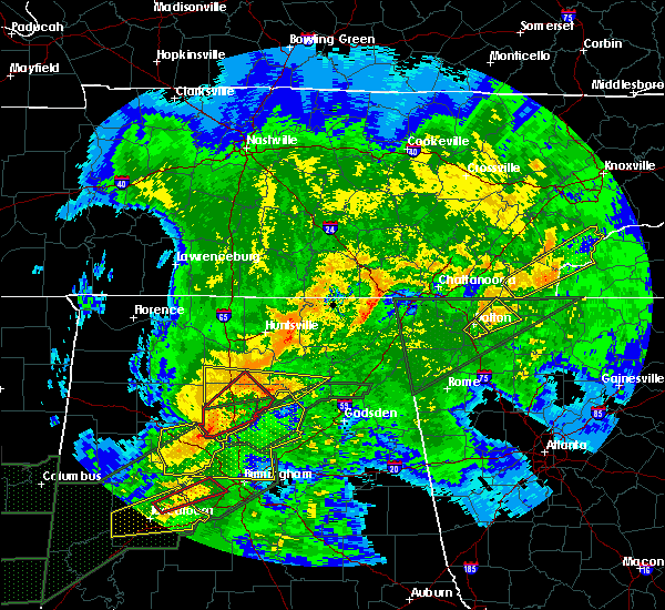 At 947 pm edt, a severe thunderstorm was located over sumac, or near chatsworth, moving northeast at 60 mph (radar indicated). Hazards include 60 mph wind gusts. Expect damage to roofs, siding, and trees. Locations impacted include, dalton, chatsworth, eton, crandall, conasauga lake, beaverdale, dawnville, sumac and gregory. At 947 pm edt, a severe thunderstorm was located over sumac, or near chatsworth, moving northeast at 60 mph (radar indicated). Hazards include 60 mph wind gusts. Expect damage to roofs, siding, and trees. Locations impacted include, dalton, chatsworth, eton, crandall, conasauga lake, beaverdale, dawnville, sumac and gregory.
|
| 4/12/2020 9:42 PM EDT |
 At 942 pm edt, a severe thunderstorm was located over dawnville, or near chatsworth, moving northeast at 60 mph (radar indicated). Hazards include 60 mph wind gusts. Expect damage to roofs, siding, and trees. Locations impacted include, dalton and mill creek. At 942 pm edt, a severe thunderstorm was located over dawnville, or near chatsworth, moving northeast at 60 mph (radar indicated). Hazards include 60 mph wind gusts. Expect damage to roofs, siding, and trees. Locations impacted include, dalton and mill creek.
|
| 4/12/2020 9:41 PM EDT | Multiple trees down along hwy in whitfield county GA, 10.1 miles SSW of Dalton, GA |
| 4/12/2020 9:40 PM EDT |
 At 940 pm edt, a severe thunderstorm was located near dawnville, or near dalton, moving northeast at 60 mph (radar indicated). Hazards include 60 mph wind gusts. expect damage to roofs, siding, and trees At 940 pm edt, a severe thunderstorm was located near dawnville, or near dalton, moving northeast at 60 mph (radar indicated). Hazards include 60 mph wind gusts. expect damage to roofs, siding, and trees
|
| 4/12/2020 9:34 PM EDT | Tree reported down on a structure on the 200th block of hewitt driv in whitfield county GA, 2.3 miles W of Dalton, GA |
| 4/12/2020 9:32 PM EDT |
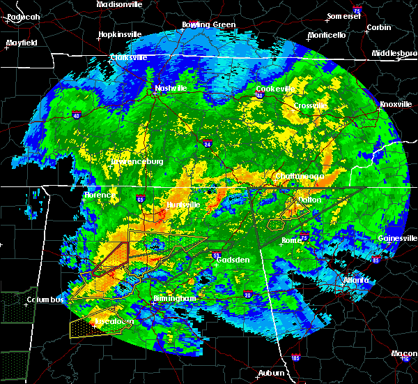 At 932 pm edt, a severe thunderstorm was located near mill creek, or near dalton, moving northeast at 60 mph (radar indicated). Hazards include 60 mph wind gusts. Expect damage to roofs, siding, and trees. Locations impacted include, dalton, rocky face, mill creek and villanow. At 932 pm edt, a severe thunderstorm was located near mill creek, or near dalton, moving northeast at 60 mph (radar indicated). Hazards include 60 mph wind gusts. Expect damage to roofs, siding, and trees. Locations impacted include, dalton, rocky face, mill creek and villanow.
|
| 4/12/2020 9:25 PM EDT |
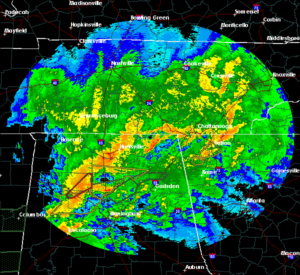 At 925 pm edt, a severe thunderstorm was located over villanow, or 10 miles southwest of dalton, moving northeast at 60 mph (radar indicated). Hazards include 60 mph wind gusts. Expect damage to roofs, siding, and trees. Locations impacted include, dalton, mill creek, villanow, rocky face, tilton, north georgia speedway and suttles mill. At 925 pm edt, a severe thunderstorm was located over villanow, or 10 miles southwest of dalton, moving northeast at 60 mph (radar indicated). Hazards include 60 mph wind gusts. Expect damage to roofs, siding, and trees. Locations impacted include, dalton, mill creek, villanow, rocky face, tilton, north georgia speedway and suttles mill.
|
| 4/12/2020 9:15 PM EDT |
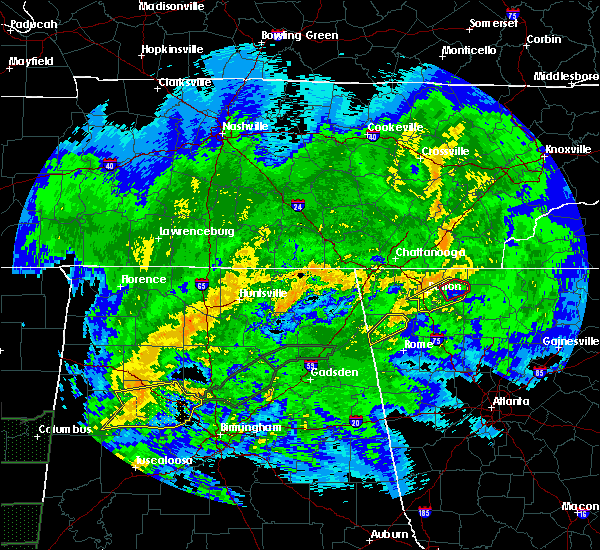 At 915 pm edt, a severe thunderstorm was located over subligna, or 8 miles northeast of summerville, moving northeast at 60 mph (radar indicated). Hazards include 60 mph wind gusts. expect damage to roofs, siding, and trees At 915 pm edt, a severe thunderstorm was located over subligna, or 8 miles northeast of summerville, moving northeast at 60 mph (radar indicated). Hazards include 60 mph wind gusts. expect damage to roofs, siding, and trees
|
| 4/12/2020 9:00 PM EDT | Tree in roadway at van buren dr and e morris s in whitfield county GA, 1.7 miles W of Dalton, GA |
| 4/12/2020 9:00 PM EDT | Tree in roadway at cleveland hwy and lakeland dr. ne in whitfield county GA, 6 miles SSW of Dalton, GA |
| 4/12/2020 9:00 PM EDT | Tree in road along 7000 block of ga hwy 2 in whitfield county GA, 10.1 miles SSW of Dalton, GA |
| 4/12/2020 9:00 PM EDT | Tree in road at crossplains blvd and old dixie hwy in whitfield county GA, 6 miles N of Dalton, GA |
| 4/12/2020 8:49 PM EDT |
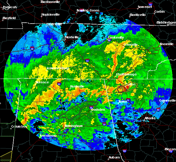 At 849 pm edt, a severe thunderstorm capable of producing a tornado was located near tilton, or near dalton, moving northeast at 50 mph (radar indicated rotation). Hazards include tornado. Flying debris will be dangerous to those caught without shelter. mobile homes will be damaged or destroyed. damage to roofs, windows, and vehicles will occur. Tree damage is likely. At 849 pm edt, a severe thunderstorm capable of producing a tornado was located near tilton, or near dalton, moving northeast at 50 mph (radar indicated rotation). Hazards include tornado. Flying debris will be dangerous to those caught without shelter. mobile homes will be damaged or destroyed. damage to roofs, windows, and vehicles will occur. Tree damage is likely.
|
| 4/12/2020 8:46 PM EDT |
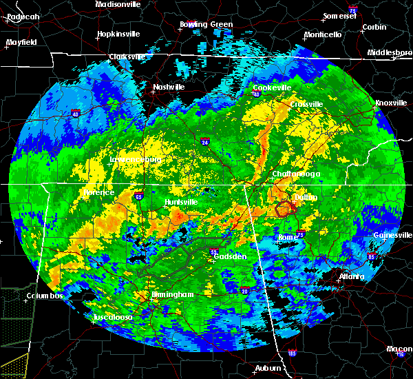 At 845 pm edt, a severe thunderstorm was located near tilton, or 7 miles south of dalton, moving northeast at 50 mph (radar indicated). Hazards include 60 mph wind gusts. expect damage to roofs, siding, and trees At 845 pm edt, a severe thunderstorm was located near tilton, or 7 miles south of dalton, moving northeast at 50 mph (radar indicated). Hazards include 60 mph wind gusts. expect damage to roofs, siding, and trees
|
| 4/12/2020 8:41 PM EDT |
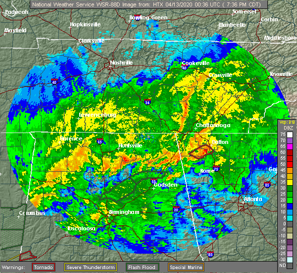 At 840 pm edt, a confirmed tornado was located over villanow, or 9 miles southwest of dalton, moving northeast at 50 mph (radar confirmed tornado). Hazards include damaging tornado. Flying debris will be dangerous to those caught without shelter. mobile homes will be damaged or destroyed. damage to roofs, windows, and vehicles will occur. tree damage is likely. Locations impacted include, dalton, naomi, mill creek and villanow. At 840 pm edt, a confirmed tornado was located over villanow, or 9 miles southwest of dalton, moving northeast at 50 mph (radar confirmed tornado). Hazards include damaging tornado. Flying debris will be dangerous to those caught without shelter. mobile homes will be damaged or destroyed. damage to roofs, windows, and vehicles will occur. tree damage is likely. Locations impacted include, dalton, naomi, mill creek and villanow.
|
| 4/12/2020 8:33 PM EDT |
 At 832 pm edt, a confirmed tornado was located near suttles mill, or near lafayette, moving northeast at 35 mph (radar confirmed tornado). Hazards include damaging tornado. Flying debris will be dangerous to those caught without shelter. mobile homes will be damaged or destroyed. damage to roofs, windows, and vehicles will occur. tree damage is likely. Locations impacted include, dalton, naomi, mill creek, subligna, suttles mill and villanow. At 832 pm edt, a confirmed tornado was located near suttles mill, or near lafayette, moving northeast at 35 mph (radar confirmed tornado). Hazards include damaging tornado. Flying debris will be dangerous to those caught without shelter. mobile homes will be damaged or destroyed. damage to roofs, windows, and vehicles will occur. tree damage is likely. Locations impacted include, dalton, naomi, mill creek, subligna, suttles mill and villanow.
|
| 4/12/2020 8:28 PM EDT |
 At 828 pm edt, a severe thunderstorm capable of producing a tornado was located over suttles mill, or 7 miles southeast of lafayette, moving northeast at 50 mph (radar indicated rotation). Hazards include tornado. Flying debris will be dangerous to those caught without shelter. mobile homes will be damaged or destroyed. damage to roofs, windows, and vehicles will occur. Tree damage is likely. At 828 pm edt, a severe thunderstorm capable of producing a tornado was located over suttles mill, or 7 miles southeast of lafayette, moving northeast at 50 mph (radar indicated rotation). Hazards include tornado. Flying debris will be dangerous to those caught without shelter. mobile homes will be damaged or destroyed. damage to roofs, windows, and vehicles will occur. Tree damage is likely.
|
| 2/6/2020 4:49 AM EST |
 At 448 am est, severe thunderstorms were located along a line extending from near summerville to near waterhouse, moving northeast at 55 mph (radar indicated). Hazards include 60 mph wind gusts. expect damage to roofs, siding, and trees At 448 am est, severe thunderstorms were located along a line extending from near summerville to near waterhouse, moving northeast at 55 mph (radar indicated). Hazards include 60 mph wind gusts. expect damage to roofs, siding, and trees
|
| 1/11/2020 4:24 PM EST |
 The severe thunderstorm warning for catoosa, western murray, floyd, whitfield, southeastern walker, western gordon, northeastern chattooga and western bartow counties will expire at 430 pm est, the storms which prompted the warning have moved out of the area. therefore, the warning will be allowed to expire. however, a new warning has been issued just downstream a tornado watch remains in effect until 900 pm est for northwestern georgia. The severe thunderstorm warning for catoosa, western murray, floyd, whitfield, southeastern walker, western gordon, northeastern chattooga and western bartow counties will expire at 430 pm est, the storms which prompted the warning have moved out of the area. therefore, the warning will be allowed to expire. however, a new warning has been issued just downstream a tornado watch remains in effect until 900 pm est for northwestern georgia.
|
| 1/11/2020 4:19 PM EST |
 At 418 pm est, severe thunderstorms were located along a line extending from sumac to near calhoun to near buchanan, moving east at 40 mph (radar indicated). Hazards include 60 mph wind gusts. expect damage to roofs, siding, and trees At 418 pm est, severe thunderstorms were located along a line extending from sumac to near calhoun to near buchanan, moving east at 40 mph (radar indicated). Hazards include 60 mph wind gusts. expect damage to roofs, siding, and trees
|
| 1/11/2020 4:07 PM EST |
 At 406 pm est, severe thunderstorms were located along a line extending from collegedale to near oostanaula to near lindale, moving northeast at 45 mph (radar indicated). Hazards include 60 mph wind gusts. Expect damage to roofs, siding, and trees. Locations impacted include, rome, dalton, calhoun, chatsworth, ringgold, adairsville, varnell, cave spring, tunnel hill, cohutta, kingston, resaca, plainville, taylorsville, shannon, pinson, subligna, lake marvin, beaverdale and coosa. At 406 pm est, severe thunderstorms were located along a line extending from collegedale to near oostanaula to near lindale, moving northeast at 45 mph (radar indicated). Hazards include 60 mph wind gusts. Expect damage to roofs, siding, and trees. Locations impacted include, rome, dalton, calhoun, chatsworth, ringgold, adairsville, varnell, cave spring, tunnel hill, cohutta, kingston, resaca, plainville, taylorsville, shannon, pinson, subligna, lake marvin, beaverdale and coosa.
|
| 1/11/2020 3:42 PM EST |
 At 341 pm est, severe thunderstorms were located along a line extending from fairview to near tidings to near forney, moving northeast at 45 mph (radar indicated). Hazards include 60 mph wind gusts. expect damage to roofs, siding, and trees At 341 pm est, severe thunderstorms were located along a line extending from fairview to near tidings to near forney, moving northeast at 45 mph (radar indicated). Hazards include 60 mph wind gusts. expect damage to roofs, siding, and trees
|
| 8/23/2019 4:17 PM EDT |
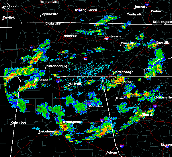 At 416 pm edt, a severe thunderstorm was located over tunnel hill, or near ringgold, moving east at 20 mph (radar indicated). Hazards include 60 mph wind gusts and quarter size hail. Hail damage to vehicles is expected. expect wind damage to roofs, siding, and trees. Locations impacted include, dalton, ringgold, varnell, tunnel hill, cohutta, rocky face and apison. At 416 pm edt, a severe thunderstorm was located over tunnel hill, or near ringgold, moving east at 20 mph (radar indicated). Hazards include 60 mph wind gusts and quarter size hail. Hail damage to vehicles is expected. expect wind damage to roofs, siding, and trees. Locations impacted include, dalton, ringgold, varnell, tunnel hill, cohutta, rocky face and apison.
|
| 8/23/2019 3:48 PM EDT |
 At 348 pm edt, a severe thunderstorm was located over blue spring, or near ringgold, moving northeast at 10 mph (radar indicated). Hazards include 60 mph wind gusts and quarter size hail. Hail damage to vehicles is expected. Expect wind damage to roofs, siding, and trees. At 348 pm edt, a severe thunderstorm was located over blue spring, or near ringgold, moving northeast at 10 mph (radar indicated). Hazards include 60 mph wind gusts and quarter size hail. Hail damage to vehicles is expected. Expect wind damage to roofs, siding, and trees.
|
| 8/13/2019 9:15 PM EDT |
 At 914 pm edt, a severe thunderstorm was located near varnell, or near dalton, moving east at 20 mph (radar indicated). Hazards include 60 mph wind gusts and penny size hail. Expect damage to roofs, siding, and trees. Locations impacted include, dalton, ringgold, varnell, tunnel hill, cohutta, rocky face, graysville and indian springs. At 914 pm edt, a severe thunderstorm was located near varnell, or near dalton, moving east at 20 mph (radar indicated). Hazards include 60 mph wind gusts and penny size hail. Expect damage to roofs, siding, and trees. Locations impacted include, dalton, ringgold, varnell, tunnel hill, cohutta, rocky face, graysville and indian springs.
|
| 8/13/2019 8:53 PM EDT |
 At 852 pm edt, a severe thunderstorm was located over ringgold, moving east at 20 mph (radar indicated). Hazards include 60 mph wind gusts and penny size hail. expect damage to roofs, siding, and trees At 852 pm edt, a severe thunderstorm was located over ringgold, moving east at 20 mph (radar indicated). Hazards include 60 mph wind gusts and penny size hail. expect damage to roofs, siding, and trees
|
| 8/1/2019 6:54 PM EDT |
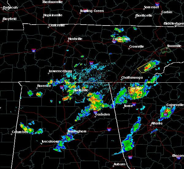 The severe thunderstorm warning for west central murray and central whitfield counties will expire at 700 pm edt, the storm which prompted the warning has weakened below severe limits, and no longer poses an immediate threat to life or property. therefore, the warning will be allowed to expire. however heavy rain, gusty winds and small hail, are still possible with these thunderstorms between dalton and chatsworth. to report severe weather, contact your nearest law enforcement agency. they will relay your report to the national weather service peachtree city. The severe thunderstorm warning for west central murray and central whitfield counties will expire at 700 pm edt, the storm which prompted the warning has weakened below severe limits, and no longer poses an immediate threat to life or property. therefore, the warning will be allowed to expire. however heavy rain, gusty winds and small hail, are still possible with these thunderstorms between dalton and chatsworth. to report severe weather, contact your nearest law enforcement agency. they will relay your report to the national weather service peachtree city.
|
| 8/1/2019 6:28 PM EDT |
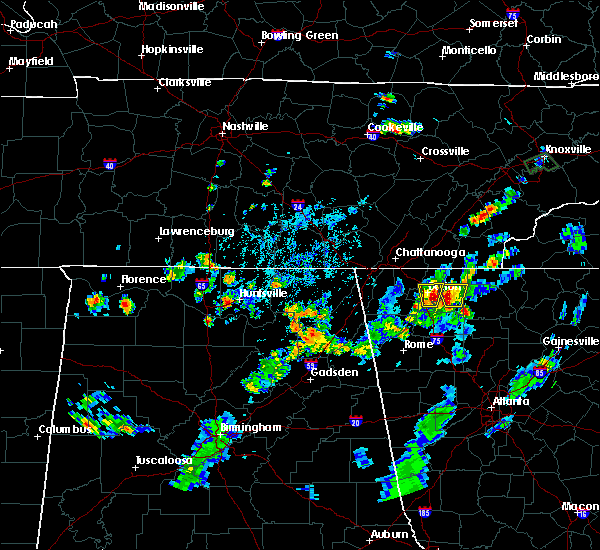 The national weather service in peachtree city has issued a * severe thunderstorm warning for. west central murray county in northwestern georgia. central whitfield county in northwestern georgia. until 700 pm edt. At 628 pm edt, a severe thunderstorm was located over dalton,. The national weather service in peachtree city has issued a * severe thunderstorm warning for. west central murray county in northwestern georgia. central whitfield county in northwestern georgia. until 700 pm edt. At 628 pm edt, a severe thunderstorm was located over dalton,.
|
| 7/30/2019 3:29 PM EDT |
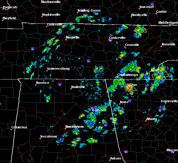 At 329 pm edt, a severe thunderstorm was located near dalton, moving northeast at 10 mph (radar indicated). Hazards include 60 mph wind gusts and quarter size hail. Hail damage to vehicles is expected. expect wind damage to roofs, siding, and trees. Locations impacted include, dalton, chatsworth, dawnville, ramhurst, north georgia speedway and tilton. At 329 pm edt, a severe thunderstorm was located near dalton, moving northeast at 10 mph (radar indicated). Hazards include 60 mph wind gusts and quarter size hail. Hail damage to vehicles is expected. expect wind damage to roofs, siding, and trees. Locations impacted include, dalton, chatsworth, dawnville, ramhurst, north georgia speedway and tilton.
|
| 7/30/2019 3:18 PM EDT | The 911 center confirmed 2 trees down near the intersection of old dixie hwy and tilton r in whitfield county GA, 7.3 miles N of Dalton, GA |
| 7/30/2019 3:13 PM EDT |
 At 312 pm edt, a severe thunderstorm was located near tilton, or near dalton, moving northeast at 10 mph (radar indicated). Hazards include 60 mph wind gusts and quarter size hail. Hail damage to vehicles is expected. Expect wind damage to roofs, siding, and trees. At 312 pm edt, a severe thunderstorm was located near tilton, or near dalton, moving northeast at 10 mph (radar indicated). Hazards include 60 mph wind gusts and quarter size hail. Hail damage to vehicles is expected. Expect wind damage to roofs, siding, and trees.
|
| 6/23/2019 4:03 PM EDT |
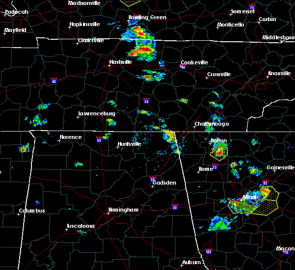 At 403 pm edt, a severe thunderstorm was located near nickelsville, or 9 miles southwest of chatsworth, moving southeast at 15 mph (radar indicated). Hazards include 60 mph wind gusts and quarter size hail. Hail damage to vehicles is expected. expect wind damage to roofs, siding, and trees. Locations impacted include, calhoun, resaca, carters, ramhurst, oakman, redbud, nickelsville, north georgia speedway and audubon. At 403 pm edt, a severe thunderstorm was located near nickelsville, or 9 miles southwest of chatsworth, moving southeast at 15 mph (radar indicated). Hazards include 60 mph wind gusts and quarter size hail. Hail damage to vehicles is expected. expect wind damage to roofs, siding, and trees. Locations impacted include, calhoun, resaca, carters, ramhurst, oakman, redbud, nickelsville, north georgia speedway and audubon.
|
| 6/23/2019 3:30 PM EDT | 1 tree down near airport rd and ben hill rd in whitfield county GA, 3.6 miles WNW of Dalton, GA |
| 6/23/2019 3:25 PM EDT |
 At 324 pm edt, a severe thunderstorm was located near mill creek, or near dalton, moving southeast at 15 mph (radar indicated). Hazards include 60 mph wind gusts and quarter size hail. Hail damage to vehicles is expected. Expect wind damage to roofs, siding, and trees. At 324 pm edt, a severe thunderstorm was located near mill creek, or near dalton, moving southeast at 15 mph (radar indicated). Hazards include 60 mph wind gusts and quarter size hail. Hail damage to vehicles is expected. Expect wind damage to roofs, siding, and trees.
|
| 6/23/2019 3:06 PM EDT | Trees down in rocky face ga near the intersection of enclave dr and mill creek rd west of dalton g in whitfield county GA, 4.1 miles ESE of Dalton, GA |
| 6/22/2019 8:41 PM EDT |
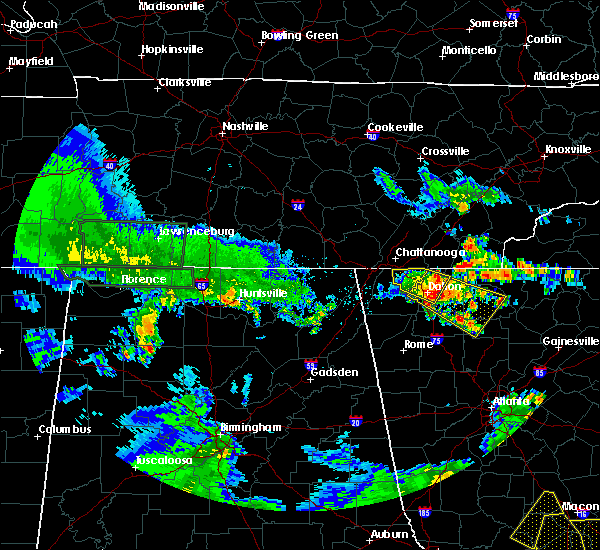 At 840 pm edt, a severe thunderstorm was located near dawnville, or near dalton, moving southeast at 45 mph (radar indicated). Hazards include 60 mph wind gusts and penny size hail. expect damage to roofs, siding, and trees At 840 pm edt, a severe thunderstorm was located near dawnville, or near dalton, moving southeast at 45 mph (radar indicated). Hazards include 60 mph wind gusts and penny size hail. expect damage to roofs, siding, and trees
|
| 6/22/2019 8:20 PM EDT |
 At 820 pm edt, a severe thunderstorm was located over indian springs, or over ringgold, moving southeast at 25 mph (radar indicated). Hazards include 60 mph wind gusts and penny size hail. expect damage to roofs, siding, and trees At 820 pm edt, a severe thunderstorm was located over indian springs, or over ringgold, moving southeast at 25 mph (radar indicated). Hazards include 60 mph wind gusts and penny size hail. expect damage to roofs, siding, and trees
|
| 6/22/2019 12:19 AM EDT |
 At 1218 am edt, severe thunderstorms were located along a line extending from near sugar valley to waterhouse, and are nearly stationary (radar indicated). Hazards include 60 mph wind gusts. Expect damage to roofs, siding, and trees. Locations impacted include, rome, dalton, calhoun, lafayette, summerville, chatsworth, ringgold, trion, varnell, cave spring, eton, tunnel hill, cohutta, resaca, plainville, shannon, lyerly, menlo, center post and crandall. At 1218 am edt, severe thunderstorms were located along a line extending from near sugar valley to waterhouse, and are nearly stationary (radar indicated). Hazards include 60 mph wind gusts. Expect damage to roofs, siding, and trees. Locations impacted include, rome, dalton, calhoun, lafayette, summerville, chatsworth, ringgold, trion, varnell, cave spring, eton, tunnel hill, cohutta, resaca, plainville, shannon, lyerly, menlo, center post and crandall.
|
| 6/21/2019 11:57 PM EDT |
 At 1157 pm edt, severe thunderstorms were located along a line extending from mill creek to chesterfield, moving south at 60 mph (radar indicated). Hazards include 60 mph wind gusts. expect damage to roofs, siding, and trees At 1157 pm edt, severe thunderstorms were located along a line extending from mill creek to chesterfield, moving south at 60 mph (radar indicated). Hazards include 60 mph wind gusts. expect damage to roofs, siding, and trees
|
| 6/21/2019 11:04 PM EDT |
 At 1103 pm edt, severe thunderstorms were located along a line extending from near lone oak to near skyline, moving southeast at 45 mph (radar indicated). Hazards include 60 mph wind gusts. expect damage to roofs, siding, and trees At 1103 pm edt, severe thunderstorms were located along a line extending from near lone oak to near skyline, moving southeast at 45 mph (radar indicated). Hazards include 60 mph wind gusts. expect damage to roofs, siding, and trees
|
| 3/25/2019 6:24 PM EDT |
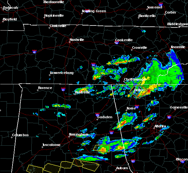 At 623 pm edt, a severe thunderstorm was located over fort mountain state park, or near chatsworth, moving southeast at 30 mph (radar indicated). Hazards include 60 mph wind gusts and quarter size hail. Hail damage to vehicles is expected. expect wind damage to roofs, siding, and trees. Locations impacted include, dalton, chatsworth, eton, crandall, conasauga lake, ramhurst, fort mountain state park and north georgia speedway. At 623 pm edt, a severe thunderstorm was located over fort mountain state park, or near chatsworth, moving southeast at 30 mph (radar indicated). Hazards include 60 mph wind gusts and quarter size hail. Hail damage to vehicles is expected. expect wind damage to roofs, siding, and trees. Locations impacted include, dalton, chatsworth, eton, crandall, conasauga lake, ramhurst, fort mountain state park and north georgia speedway.
|
| 3/25/2019 5:55 PM EDT |
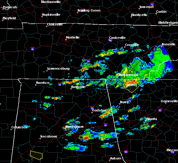 At 555 pm edt, a severe thunderstorm was located over dawnville, or 7 miles northeast of dalton, moving southeast at 30 mph (radar indicated). Hazards include 60 mph wind gusts and quarter size hail. Hail damage to vehicles is expected. Expect wind damage to roofs, siding, and trees. At 555 pm edt, a severe thunderstorm was located over dawnville, or 7 miles northeast of dalton, moving southeast at 30 mph (radar indicated). Hazards include 60 mph wind gusts and quarter size hail. Hail damage to vehicles is expected. Expect wind damage to roofs, siding, and trees.
|
| 11/6/2018 5:15 AM EST |
 At 514 am est, severe thunderstorms were located along a line extending from near cohutta wilderness to near dawnville to near tilton, moving east at 40 mph (radar indicated). Hazards include 60 mph wind gusts. Expect damage to roofs, siding, and trees. locations impacted include, dalton, chatsworth, eton, crandall, tails creek, ramhurst, jones mill, higdon, cohutta wilderness, tilton, epworth, conasauga lake, mountaintown, fort mountain state park, colwell, north georgia speedway, carters and copperhill. A tornado watch remains in effect until 900 am est for north central and northwestern georgia. At 514 am est, severe thunderstorms were located along a line extending from near cohutta wilderness to near dawnville to near tilton, moving east at 40 mph (radar indicated). Hazards include 60 mph wind gusts. Expect damage to roofs, siding, and trees. locations impacted include, dalton, chatsworth, eton, crandall, tails creek, ramhurst, jones mill, higdon, cohutta wilderness, tilton, epworth, conasauga lake, mountaintown, fort mountain state park, colwell, north georgia speedway, carters and copperhill. A tornado watch remains in effect until 900 am est for north central and northwestern georgia.
|
| 11/6/2018 4:52 AM EST |
 At 452 am est, severe thunderstorms were located along a line extending from near flint springs to rocky face to near naomi, moving east at 50 mph (radar indicated). Hazards include 60 mph wind gusts. expect damage to roofs, siding, and trees At 452 am est, severe thunderstorms were located along a line extending from near flint springs to rocky face to near naomi, moving east at 50 mph (radar indicated). Hazards include 60 mph wind gusts. expect damage to roofs, siding, and trees
|
| 11/6/2018 4:44 AM EST |
 At 444 am est, severe thunderstorms were located along a line extending from apison to wood station to near lafayette, moving east at 50 mph (radar indicated). Hazards include 60 mph wind gusts. Expect damage to roofs, siding, and trees. locations impacted include, dalton, lafayette, ringgold, varnell, tunnel hill, cohutta, naomi, wood station, rocky face, mill creek, beaverdale, villanow, red clay s. p. and apison. A tornado watch remains in effect until 900 am est for northwestern georgia. At 444 am est, severe thunderstorms were located along a line extending from apison to wood station to near lafayette, moving east at 50 mph (radar indicated). Hazards include 60 mph wind gusts. Expect damage to roofs, siding, and trees. locations impacted include, dalton, lafayette, ringgold, varnell, tunnel hill, cohutta, naomi, wood station, rocky face, mill creek, beaverdale, villanow, red clay s. p. and apison. A tornado watch remains in effect until 900 am est for northwestern georgia.
|
| 11/6/2018 4:26 AM EST |
 At 425 am est, severe thunderstorms were located along a line extending from fairview to near sulpher springs, moving east at 45 mph (radar indicated). Hazards include 60 mph wind gusts. Expect damage to roofs, siding, and trees. locations impacted include, dalton, lafayette, ringgold, fort oglethorpe, chickamauga, varnell, lookout mountain, tunnel hill, cohutta, blue spring, fairview, linwood, beaverdale, villanow, chattanooga valley, cooper heights, rock spring, naomi, noble and lakeview. A tornado watch remains in effect until 900 am est for northwestern georgia. At 425 am est, severe thunderstorms were located along a line extending from fairview to near sulpher springs, moving east at 45 mph (radar indicated). Hazards include 60 mph wind gusts. Expect damage to roofs, siding, and trees. locations impacted include, dalton, lafayette, ringgold, fort oglethorpe, chickamauga, varnell, lookout mountain, tunnel hill, cohutta, blue spring, fairview, linwood, beaverdale, villanow, chattanooga valley, cooper heights, rock spring, naomi, noble and lakeview. A tornado watch remains in effect until 900 am est for northwestern georgia.
|
| 11/6/2018 3:58 AM EST |
 At 358 am est, severe thunderstorms were located along a line extending from near fabius to near dutton, moving east at 50 mph (radar indicated). Hazards include up to 70 mph wind gusts. Expect considerable tree damage. Damage is likely to mobile homes, roofs, and outbuildings. At 358 am est, severe thunderstorms were located along a line extending from near fabius to near dutton, moving east at 50 mph (radar indicated). Hazards include up to 70 mph wind gusts. Expect considerable tree damage. Damage is likely to mobile homes, roofs, and outbuildings.
|
| 8/30/2018 8:56 PM EDT |
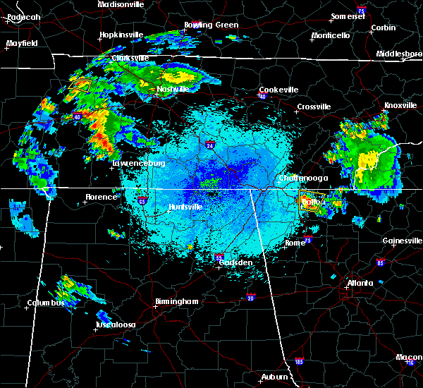 At 856 pm edt, a severe thunderstorm was located over dawnville, or near dalton, moving north at 5 mph (radar indicated). Hazards include 60 mph wind gusts. expect damage to roofs, siding, and trees At 856 pm edt, a severe thunderstorm was located over dawnville, or near dalton, moving north at 5 mph (radar indicated). Hazards include 60 mph wind gusts. expect damage to roofs, siding, and trees
|
| 8/17/2018 9:34 PM EDT |
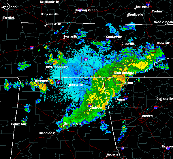 At 932 pm edt, a severe thunderstorm was located over ringgold, moving east at 35 mph (radar indicated). Hazards include 60 mph wind gusts. Expect damage to roofs, siding, and trees. Locations impacted include, dalton, ringgold, fort oglethorpe, varnell, tunnel hill, cohutta, indian springs, wood station, rocky face, graysville, blue spring, boynton, beaumont, beaverdale, dawnville, lakeview, east ridge and apison. At 932 pm edt, a severe thunderstorm was located over ringgold, moving east at 35 mph (radar indicated). Hazards include 60 mph wind gusts. Expect damage to roofs, siding, and trees. Locations impacted include, dalton, ringgold, fort oglethorpe, varnell, tunnel hill, cohutta, indian springs, wood station, rocky face, graysville, blue spring, boynton, beaumont, beaverdale, dawnville, lakeview, east ridge and apison.
|
| 8/17/2018 9:21 PM EDT |
 At 920 pm edt, a severe thunderstorm was located over blue spring, or near ringgold, moving east at 35 mph (radar indicated). Hazards include 60 mph wind gusts. expect damage to roofs, siding, and trees At 920 pm edt, a severe thunderstorm was located over blue spring, or near ringgold, moving east at 35 mph (radar indicated). Hazards include 60 mph wind gusts. expect damage to roofs, siding, and trees
|
| 7/21/2018 4:48 AM EDT |
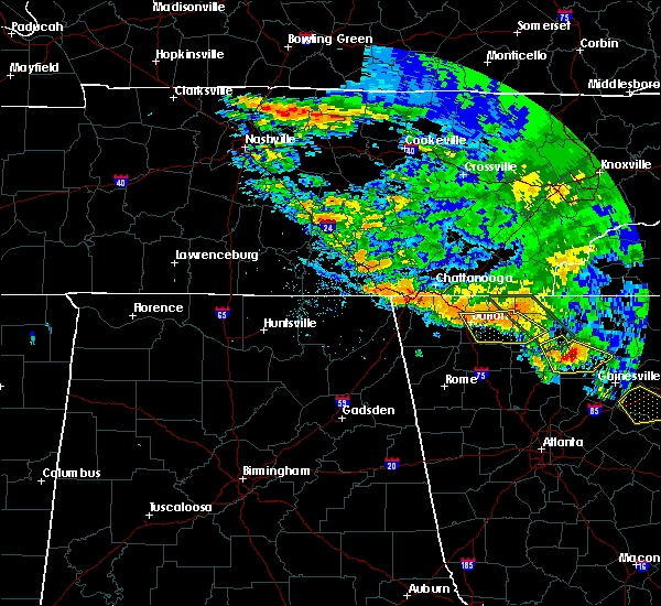 At 447 am edt, severe thunderstorms were located along a line extending from near conasauga lake to chatsworth to rocky face, moving southeast at 30 mph (radar indicated). Hazards include 60 mph wind gusts, quarter size hail and very heavy rain. Hail damage to vehicles is expected. expect wind damage to roofs, siding, and trees. Locations impacted include, dalton, chatsworth, ellijay, eton, tunnel hill, east ellijay, tails creek, ramhurst, tilton, conasauga lake, dawnville, mountaintown, fort mountain state park and north georgia speedway. At 447 am edt, severe thunderstorms were located along a line extending from near conasauga lake to chatsworth to rocky face, moving southeast at 30 mph (radar indicated). Hazards include 60 mph wind gusts, quarter size hail and very heavy rain. Hail damage to vehicles is expected. expect wind damage to roofs, siding, and trees. Locations impacted include, dalton, chatsworth, ellijay, eton, tunnel hill, east ellijay, tails creek, ramhurst, tilton, conasauga lake, dawnville, mountaintown, fort mountain state park and north georgia speedway.
|
| 7/21/2018 4:27 AM EDT |
 At 426 am edt, severe thunderstorms were located along a line extending from near crandall to near dawnville to near tunnel hill, moving southeast at 30 mph (radar indicated). Hazards include 60 mph wind gusts. expect damage to roofs, siding, and trees At 426 am edt, severe thunderstorms were located along a line extending from near crandall to near dawnville to near tunnel hill, moving southeast at 30 mph (radar indicated). Hazards include 60 mph wind gusts. expect damage to roofs, siding, and trees
|
| 7/6/2018 5:23 PM EDT |
 At 522 pm edt, a severe thunderstorm was located near dawnville, or near dalton, moving west at 20 mph (radar indicated). Hazards include 60 mph wind gusts and penny size hail. Expect damage to roofs, siding, and trees. Locations impacted include, chatsworth, eton and crandall. At 522 pm edt, a severe thunderstorm was located near dawnville, or near dalton, moving west at 20 mph (radar indicated). Hazards include 60 mph wind gusts and penny size hail. Expect damage to roofs, siding, and trees. Locations impacted include, chatsworth, eton and crandall.
|
| 7/6/2018 5:00 PM EDT |
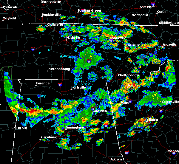 At 500 pm edt, a severe thunderstorm was located over eton, or near chatsworth, moving west at 20 mph (radar indicated). Hazards include 60 mph wind gusts and nickel size hail. expect damage to roofs, siding, and trees At 500 pm edt, a severe thunderstorm was located over eton, or near chatsworth, moving west at 20 mph (radar indicated). Hazards include 60 mph wind gusts and nickel size hail. expect damage to roofs, siding, and trees
|
| 6/28/2018 12:00 PM EDT |
 The national weather service in peachtree city has issued a * severe thunderstorm warning for. catoosa county in northwestern georgia. northeastern floyd county in northwestern georgia. southwestern whitfield county in northwestern georgia. Walker county in northwestern georgia. The national weather service in peachtree city has issued a * severe thunderstorm warning for. catoosa county in northwestern georgia. northeastern floyd county in northwestern georgia. southwestern whitfield county in northwestern georgia. Walker county in northwestern georgia.
|
| 6/28/2018 11:49 AM EDT |
 At 1149 am edt, severe thunderstorms were located along a line extending from hicks gap state park. to near chickamauga to ringgold, moving southeast at 35 mph (radar indicated). Hazards include 60 mph wind gusts. Expect damage to roofs, siding, and trees. Locations impacted include, dalton, calhoun, ringgold, trenton, fort oglethorpe, chickamauga, tunnel hill, resaca, fairmount, ranger, redbud, blue spring, fairview, chattanooga valley, rock spring, sonoraville, noble, indian springs, wood station and rocky face. At 1149 am edt, severe thunderstorms were located along a line extending from hicks gap state park. to near chickamauga to ringgold, moving southeast at 35 mph (radar indicated). Hazards include 60 mph wind gusts. Expect damage to roofs, siding, and trees. Locations impacted include, dalton, calhoun, ringgold, trenton, fort oglethorpe, chickamauga, tunnel hill, resaca, fairmount, ranger, redbud, blue spring, fairview, chattanooga valley, rock spring, sonoraville, noble, indian springs, wood station and rocky face.
|
| 6/28/2018 11:15 AM EDT |
 At 1114 am edt, severe thunderstorms were located along a line extending from signal mountain to near rocky face to ramhurst, moving southeast at 40 mph (radar indicated). Hazards include 60 mph wind gusts. expect damage to roofs, siding, and trees At 1114 am edt, severe thunderstorms were located along a line extending from signal mountain to near rocky face to ramhurst, moving southeast at 40 mph (radar indicated). Hazards include 60 mph wind gusts. expect damage to roofs, siding, and trees
|
| 6/28/2018 10:50 AM EDT |
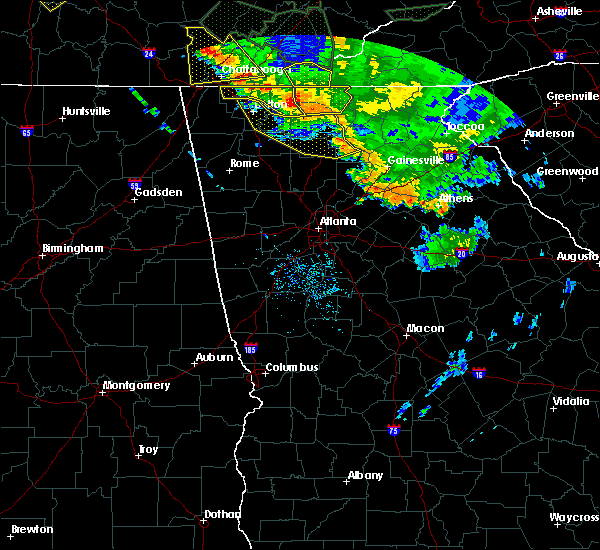 At 1049 am edt, severe thunderstorms were located along a line extending from near salem to north of ellijay to near cherry log, moving southeast at 45 mph (radar indicated). Hazards include 60 mph wind gusts. expect damage to roofs, siding, and trees At 1049 am edt, severe thunderstorms were located along a line extending from near salem to north of ellijay to near cherry log, moving southeast at 45 mph (radar indicated). Hazards include 60 mph wind gusts. expect damage to roofs, siding, and trees
|
| 6/25/2018 4:23 PM EDT |
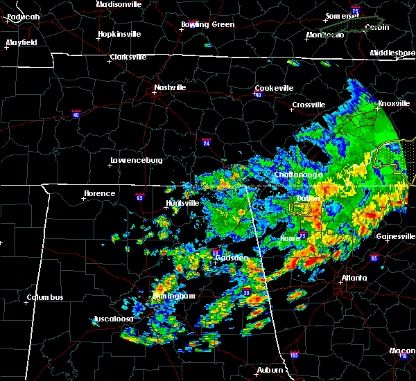 The severe thunderstorm warning for southwestern murray and southeastern whitfield counties will expire at 430 pm edt, the storm which prompted the warning has weakened below severe limits, and no longer poses an immediate threat to life or property. therefore, the warning will be allowed to expire. however wind gusts to 40 mph are still possible with this thunderstorm. The severe thunderstorm warning for southwestern murray and southeastern whitfield counties will expire at 430 pm edt, the storm which prompted the warning has weakened below severe limits, and no longer poses an immediate threat to life or property. therefore, the warning will be allowed to expire. however wind gusts to 40 mph are still possible with this thunderstorm.
|
| 6/25/2018 4:17 PM EDT | Multiple trees and power lines reported down along s dixie rd south of dalton. time and location estimated from rada in whitfield county GA, 2.6 miles NNE of Dalton, GA |
| 6/25/2018 4:06 PM EDT | Tree and power lines reported down on the 2800 block of dug gap r in whitfield county GA, 4.9 miles NNE of Dalton, GA |
| 6/25/2018 3:59 PM EDT |
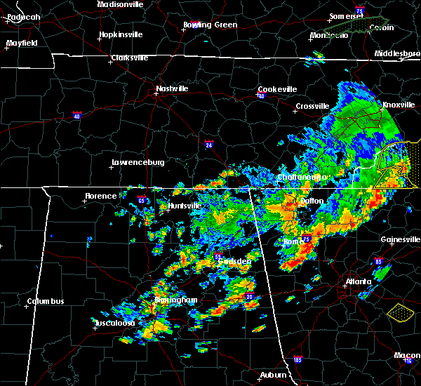 At 359 pm edt, a severe thunderstorm was located over mill creek, or near dalton, moving east at 30 mph (radar indicated). Hazards include 60 mph wind gusts. expect damage to roofs, siding, and trees At 359 pm edt, a severe thunderstorm was located over mill creek, or near dalton, moving east at 30 mph (radar indicated). Hazards include 60 mph wind gusts. expect damage to roofs, siding, and trees
|
| 6/23/2018 2:27 PM EDT |
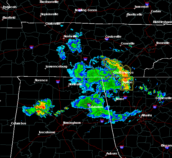 At 226 pm edt, severe thunderstorms were located along a line extending from near varnell to near resaca, moving east at 60 mph (radar indicated). Hazards include 60 mph wind gusts. Expect damage to roofs, siding, and trees. Locations impacted include, dalton, chatsworth, varnell, eton, cohutta, crandall, carters, sumac, ramhurst, gregory, tilton, conasauga lake, tennga, beaverdale, dawnville, cisco, fort mountain state park, nickelsville and north georgia speedway. At 226 pm edt, severe thunderstorms were located along a line extending from near varnell to near resaca, moving east at 60 mph (radar indicated). Hazards include 60 mph wind gusts. Expect damage to roofs, siding, and trees. Locations impacted include, dalton, chatsworth, varnell, eton, cohutta, crandall, carters, sumac, ramhurst, gregory, tilton, conasauga lake, tennga, beaverdale, dawnville, cisco, fort mountain state park, nickelsville and north georgia speedway.
|
| 6/23/2018 2:20 PM EDT | Tree and power lines reported down at the intersection of suffolk way and palomino d in whitfield county GA, 8.6 miles S of Dalton, GA |
| 6/23/2018 2:18 PM EDT | Tree and power lines reported down at the intersection of crow valley rd and ashtod woods wa in whitfield county GA, 2.9 miles SE of Dalton, GA |
| 6/23/2018 2:16 PM EDT | Tree and power lines reported down at the intersection of lafayette rd and logan r in whitfield county GA, 7.4 miles E of Dalton, GA |
| 6/23/2018 2:02 PM EDT |
 At 202 pm edt, severe thunderstorms were located along a line extending from chattanooga valley to near center post, moving east at 60 mph (radar indicated). Hazards include 60 mph wind gusts. expect damage to roofs, siding, and trees At 202 pm edt, severe thunderstorms were located along a line extending from chattanooga valley to near center post, moving east at 60 mph (radar indicated). Hazards include 60 mph wind gusts. expect damage to roofs, siding, and trees
|
| 6/3/2018 4:06 PM EDT | A tree fell on power lines near the intersection of walnut avenue and lakseshore driv in whitfield county GA, 0.7 miles NE of Dalton, GA |
| 6/3/2018 4:00 PM EDT |
 At 359 pm edt, severe thunderstorms were located along a line extending from beaumont to near dawnville, moving south at 20 mph (radar indicated). Hazards include 60 mph wind gusts and quarter size hail. Hail damage to vehicles is expected. expect wind damage to roofs, siding, and trees. Locations impacted include, dalton, chatsworth, ringgold, varnell, eton, tunnel hill, mill creek, dawnville and rocky face. At 359 pm edt, severe thunderstorms were located along a line extending from beaumont to near dawnville, moving south at 20 mph (radar indicated). Hazards include 60 mph wind gusts and quarter size hail. Hail damage to vehicles is expected. expect wind damage to roofs, siding, and trees. Locations impacted include, dalton, chatsworth, ringgold, varnell, eton, tunnel hill, mill creek, dawnville and rocky face.
|
| 6/3/2018 3:44 PM EDT |
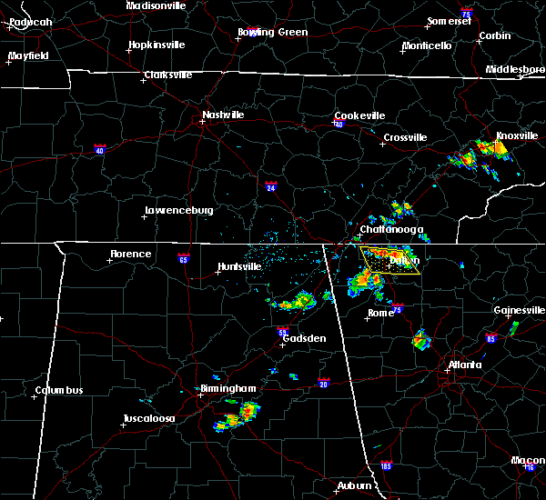 At 344 pm edt, severe thunderstorms were located along a line extending from boynton to near sumac, moving south at 20 mph (radar indicated). Hazards include 60 mph wind gusts and quarter size hail. Hail damage to vehicles is expected. Expect wind damage to roofs, siding, and trees. At 344 pm edt, severe thunderstorms were located along a line extending from boynton to near sumac, moving south at 20 mph (radar indicated). Hazards include 60 mph wind gusts and quarter size hail. Hail damage to vehicles is expected. Expect wind damage to roofs, siding, and trees.
|
| 5/31/2018 9:36 PM EDT |
 At 935 pm edt, a severe thunderstorm was located over ringgold, moving southeast at 15 mph (radar indicated). Hazards include 60 mph wind gusts and quarter size hail. Hail damage to vehicles is expected. Expect wind damage to roofs, siding, and trees. At 935 pm edt, a severe thunderstorm was located over ringgold, moving southeast at 15 mph (radar indicated). Hazards include 60 mph wind gusts and quarter size hail. Hail damage to vehicles is expected. Expect wind damage to roofs, siding, and trees.
|
| 5/31/2018 4:25 PM EDT |
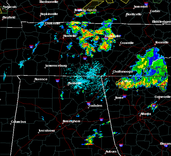 At 424 pm edt, a severe thunderstorm was located over mill creek, or near dalton, moving southeast at 5 mph (radar indicated). Hazards include 60 mph wind gusts and quarter size hail. Hail damage to vehicles is expected. expect wind damage to roofs, siding, and trees. Locations impacted include, dalton, varnell, tunnel hill, rocky face and mill creek. At 424 pm edt, a severe thunderstorm was located over mill creek, or near dalton, moving southeast at 5 mph (radar indicated). Hazards include 60 mph wind gusts and quarter size hail. Hail damage to vehicles is expected. expect wind damage to roofs, siding, and trees. Locations impacted include, dalton, varnell, tunnel hill, rocky face and mill creek.
|
| 5/31/2018 3:58 PM EDT |
 The national weather service in peachtree city has issued a * severe thunderstorm warning for. southeastern catoosa county in northwestern georgia. whitfield county in northwestern georgia. until 445 pm edt. At 357 pm edt, a severe thunderstorm was located over rocky face,. The national weather service in peachtree city has issued a * severe thunderstorm warning for. southeastern catoosa county in northwestern georgia. whitfield county in northwestern georgia. until 445 pm edt. At 357 pm edt, a severe thunderstorm was located over rocky face,.
|
| 5/31/2018 3:48 PM EDT |
 At 347 pm edt, a severe thunderstorm was located over tunnel hill, or near ringgold, moving southeast at 10 mph (radar indicated). Hazards include 60 mph wind gusts and quarter size hail. Hail damage to vehicles is expected. expect wind damage to roofs, siding, and trees. locations impacted include, dalton, ringgold, varnell, tunnel hill, cohutta, beaverdale, rocky face, red clay s. p. And apison. At 347 pm edt, a severe thunderstorm was located over tunnel hill, or near ringgold, moving southeast at 10 mph (radar indicated). Hazards include 60 mph wind gusts and quarter size hail. Hail damage to vehicles is expected. expect wind damage to roofs, siding, and trees. locations impacted include, dalton, ringgold, varnell, tunnel hill, cohutta, beaverdale, rocky face, red clay s. p. And apison.
|
| 5/31/2018 3:20 PM EDT |
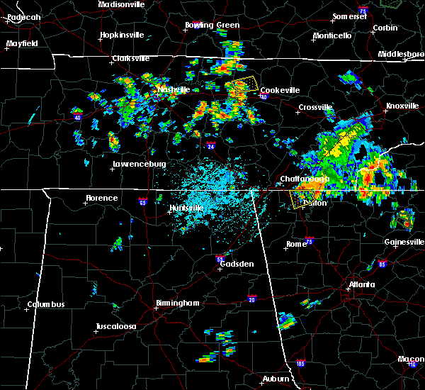 At 320 pm edt, a severe thunderstorm was located over apison, or 7 miles northeast of ringgold, moving southeast at 10 mph (radar indicated). Hazards include 60 mph wind gusts and quarter size hail. Hail damage to vehicles is expected. Expect wind damage to roofs, siding, and trees. At 320 pm edt, a severe thunderstorm was located over apison, or 7 miles northeast of ringgold, moving southeast at 10 mph (radar indicated). Hazards include 60 mph wind gusts and quarter size hail. Hail damage to vehicles is expected. Expect wind damage to roofs, siding, and trees.
|
| 4/4/2018 1:45 AM EDT |
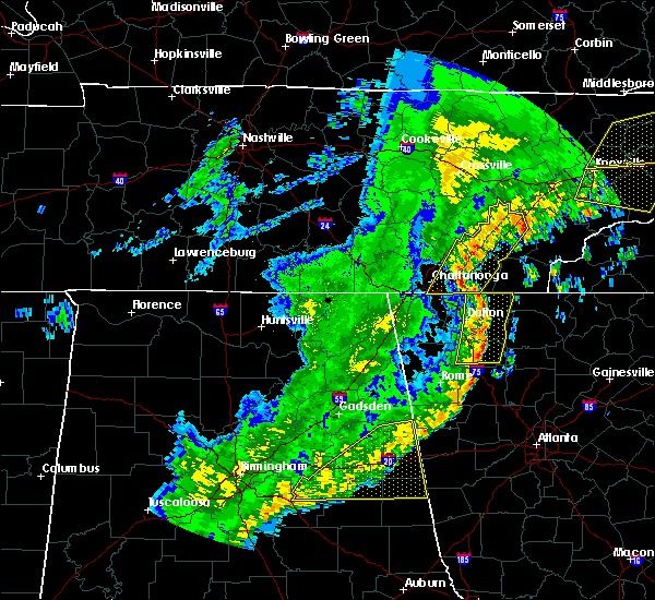 At 144 am edt, severe thunderstorms were located along a line extending from near east cleveland to near conasauga lake to redbud, moving east at 65 mph (radar indicated). Hazards include 60 mph wind gusts. Expect damage to roofs, siding, and trees. Locations impacted include, dalton, calhoun, chatsworth, varnell, eton, cohutta, resaca, fairmount, ranger, crandall, sumac, redbud, gregory, conasauga lake, beaverdale, oakman, fort mountain state park, carters, sonoraville and ramhurst. At 144 am edt, severe thunderstorms were located along a line extending from near east cleveland to near conasauga lake to redbud, moving east at 65 mph (radar indicated). Hazards include 60 mph wind gusts. Expect damage to roofs, siding, and trees. Locations impacted include, dalton, calhoun, chatsworth, varnell, eton, cohutta, resaca, fairmount, ranger, crandall, sumac, redbud, gregory, conasauga lake, beaverdale, oakman, fort mountain state park, carters, sonoraville and ramhurst.
|
| 4/4/2018 1:40 AM EDT | One tree down along kinnett driv in whitfield county GA, 2.5 miles WNW of Dalton, GA |
| 4/4/2018 1:11 AM EDT |
 At 110 am edt, severe thunderstorms were located along a line extending from hooker to noble to lyerly, moving east at 65 mph (radar indicated). Hazards include 60 mph wind gusts. expect damage to roofs, siding, and trees At 110 am edt, severe thunderstorms were located along a line extending from hooker to noble to lyerly, moving east at 65 mph (radar indicated). Hazards include 60 mph wind gusts. expect damage to roofs, siding, and trees
|
| 6/15/2017 4:05 PM EDT | A tree was reported down near the intersection of wiggins road northeast and mitchell bridge roa in whitfield county GA, 6.3 miles SW of Dalton, GA |
| 6/15/2017 4:02 PM EDT |
 At 402 pm edt, a severe thunderstorm was located over dawnville, or near dalton, moving southeast at 25 mph (radar indicated). Hazards include 60 mph wind gusts. expect damage to roofs, siding, and trees At 402 pm edt, a severe thunderstorm was located over dawnville, or near dalton, moving southeast at 25 mph (radar indicated). Hazards include 60 mph wind gusts. expect damage to roofs, siding, and trees
|
| 6/15/2017 3:50 PM EDT | A tree and a power line was reported down near the intersection of reed pond road northwest and reed road northwes in whitfield county GA, 5.1 miles S of Dalton, GA |
| 6/15/2017 3:50 PM EDT | A tree was reported down near the intersection of reed road and highway 4 in whitfield county GA, 2.3 miles S of Dalton, GA |
| 6/15/2017 3:50 PM EDT | A tree and a power line was reported down near the intersection of maple grove road northwest and highway 7 in whitfield county GA, 7.4 miles SSW of Dalton, GA |
| 6/15/2017 3:50 PM EDT | A tree was reported down near the intersection of chattanooga avenue and north selvidge stree in whitfield county GA, 1 miles S of Dalton, GA |
| 6/15/2017 3:29 PM EDT |
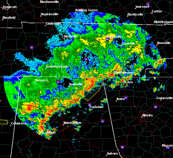 At 329 pm edt, a severe thunderstorm was located over tunnel hill, or near dalton, moving southeast at 20 mph (radar indicated). Hazards include 60 mph wind gusts. expect damage to roofs, siding, and trees At 329 pm edt, a severe thunderstorm was located over tunnel hill, or near dalton, moving southeast at 20 mph (radar indicated). Hazards include 60 mph wind gusts. expect damage to roofs, siding, and trees
|
| 5/27/2017 11:14 PM EDT |
 At 1113 pm edt, severe thunderstorms were located along a line extending from around cohutta to fort oglethorpe and cole city, moving southeast at 65 mph (radar indicated). Hazards include 60 mph wind gusts and nickel size hail. Expect damage to roofs, siding, and trees. Locations impacted include, dalton, lafayette, chatsworth, ringgold, trenton, fort oglethorpe, rossville, chickamauga, varnell, lookout mountain, eton, tunnel hill, cohutta, center post, crandall, fairview, beaverdale, villanow, chattanooga valley and cloudland canyon state park. At 1113 pm edt, severe thunderstorms were located along a line extending from around cohutta to fort oglethorpe and cole city, moving southeast at 65 mph (radar indicated). Hazards include 60 mph wind gusts and nickel size hail. Expect damage to roofs, siding, and trees. Locations impacted include, dalton, lafayette, chatsworth, ringgold, trenton, fort oglethorpe, rossville, chickamauga, varnell, lookout mountain, eton, tunnel hill, cohutta, center post, crandall, fairview, beaverdale, villanow, chattanooga valley and cloudland canyon state park.
|
| 5/27/2017 10:47 PM EDT |
 At 1044 pm edt, severe thunderstorms extended from northwest of chattanooga tennessee to north of huntsville alabama, moving southeast at 70 mph (radar indicated). Hazards include 60 mph wind gusts and nickel size hail. expect damage to roofs, siding, and trees At 1044 pm edt, severe thunderstorms extended from northwest of chattanooga tennessee to north of huntsville alabama, moving southeast at 70 mph (radar indicated). Hazards include 60 mph wind gusts and nickel size hail. expect damage to roofs, siding, and trees
|
| 5/24/2017 9:47 AM EDT |
 At 947 am edt, a severe thunderstorm capable of producing a tornado was located over dawnville, or near dalton, moving northeast at 40 mph (radar indicated rotation). Hazards include tornado. Flying debris will be dangerous to those caught without shelter. mobile homes will be damaged or destroyed. damage to roofs, windows, and vehicles will occur. Tree damage is likely. At 947 am edt, a severe thunderstorm capable of producing a tornado was located over dawnville, or near dalton, moving northeast at 40 mph (radar indicated rotation). Hazards include tornado. Flying debris will be dangerous to those caught without shelter. mobile homes will be damaged or destroyed. damage to roofs, windows, and vehicles will occur. Tree damage is likely.
|
| 5/24/2017 9:44 AM EDT | Trees down and a car spun around on cleveland hwy near pleasent hill dr...could be associated with a possible tornado in whitfield county GA, 3.9 miles SSW of Dalton, GA |
| 3/21/2017 8:24 PM EDT |
 The severe thunderstorm warning for murray, gilmer, central floyd, eastern whitfield, gordon, western pickens, chattooga, northern bartow and northwestern fannin counties will expire at 830 pm edt, the storms which prompted the warning have moved out of the area. therefore the warning will be allowed to expire. however gusty winds and heavy rain are still possible with these thunderstorms. a severe thunderstorm watch remains in effect until 1100 pm edt for north central and northwestern georgia. The severe thunderstorm warning for murray, gilmer, central floyd, eastern whitfield, gordon, western pickens, chattooga, northern bartow and northwestern fannin counties will expire at 830 pm edt, the storms which prompted the warning have moved out of the area. therefore the warning will be allowed to expire. however gusty winds and heavy rain are still possible with these thunderstorms. a severe thunderstorm watch remains in effect until 1100 pm edt for north central and northwestern georgia.
|
| 3/21/2017 7:52 PM EDT |
 The severe thunderstorm warning for catoosa, northeastern floyd, whitfield, walker, northwestern gordon and chattooga counties will expire at 800 pm edt, the storms which prompted the warning have moved southeast of extreme northwest georgia. therefore the warning will be allowed to expire. however, gusty winds and heavy rain are still possible through 900 pm. a severe thunderstorm watch remains in effect until 1100 pm edt for northwestern georgia. remember, a severe thunderstorm warning still remains in effect for portions of chatooga, gordon, whitfield, and floyd county. The severe thunderstorm warning for catoosa, northeastern floyd, whitfield, walker, northwestern gordon and chattooga counties will expire at 800 pm edt, the storms which prompted the warning have moved southeast of extreme northwest georgia. therefore the warning will be allowed to expire. however, gusty winds and heavy rain are still possible through 900 pm. a severe thunderstorm watch remains in effect until 1100 pm edt for northwestern georgia. remember, a severe thunderstorm warning still remains in effect for portions of chatooga, gordon, whitfield, and floyd county.
|
| 3/21/2017 7:48 PM EDT |
 At 746 pm edt, severe thunderstorms were located extending from near gap springs to near chatsworth to oostanaula to near chattoogaville, moving east-southeast at 45 mph (reports of trees and powerlines down have occurred in dade, catoosa, and whitfield counties). Hazards include 60 mph wind gusts and quarter size hail. Hail damage to vehicles is expected. Expect wind damage to roofs, siding, and trees. At 746 pm edt, severe thunderstorms were located extending from near gap springs to near chatsworth to oostanaula to near chattoogaville, moving east-southeast at 45 mph (reports of trees and powerlines down have occurred in dade, catoosa, and whitfield counties). Hazards include 60 mph wind gusts and quarter size hail. Hail damage to vehicles is expected. Expect wind damage to roofs, siding, and trees.
|
| 3/21/2017 7:36 PM EDT | Numerous trees downed in union point along hwy 41 and airport road area. over 10000 without power across whitfield county in whitfield county GA, 2.3 miles W of Dalton, GA |
| 3/21/2017 7:26 PM EDT | Em reporting several trees down around 1400 block of lafayette hw in whitfield county GA, 4.6 miles SE of Dalton, GA |
| 3/21/2017 7:25 PM EDT |
 At 724 pm edt, severe thunderstorms were located extending from cohutta to near villanow to menlo to geraldine, moving southeast at 50 mph (radar indicated). Hazards include 70 mph wind gusts and nickel size hail. Expect considerable tree damage. damage is likely to mobile homes, roofs, and outbuildings. Locations impacted include, dalton, calhoun, lafayette, summerville, ringgold, fort oglethorpe, chickamauga, trion, varnell, tunnel hill, cohutta, resaca, lyerly, menlo, center post, subligna, blue spring, lake marvin, fairview and linwood. At 724 pm edt, severe thunderstorms were located extending from cohutta to near villanow to menlo to geraldine, moving southeast at 50 mph (radar indicated). Hazards include 70 mph wind gusts and nickel size hail. Expect considerable tree damage. damage is likely to mobile homes, roofs, and outbuildings. Locations impacted include, dalton, calhoun, lafayette, summerville, ringgold, fort oglethorpe, chickamauga, trion, varnell, tunnel hill, cohutta, resaca, lyerly, menlo, center post, subligna, blue spring, lake marvin, fairview and linwood.
|
| 3/21/2017 7:11 PM EDT |
 At 710 pm edt, severe thunderstorms were located extending from ridgeside to linwood to near hammondville to near columbus city, moving southeast at 35 mph (radar indicated). Hazards include 70 mph wind gusts and nickel size hail. Expect considerable tree damage. Damage is likely to mobile homes, roofs, and outbuildings. At 710 pm edt, severe thunderstorms were located extending from ridgeside to linwood to near hammondville to near columbus city, moving southeast at 35 mph (radar indicated). Hazards include 70 mph wind gusts and nickel size hail. Expect considerable tree damage. Damage is likely to mobile homes, roofs, and outbuildings.
|
| 3/21/2017 5:17 PM EDT |
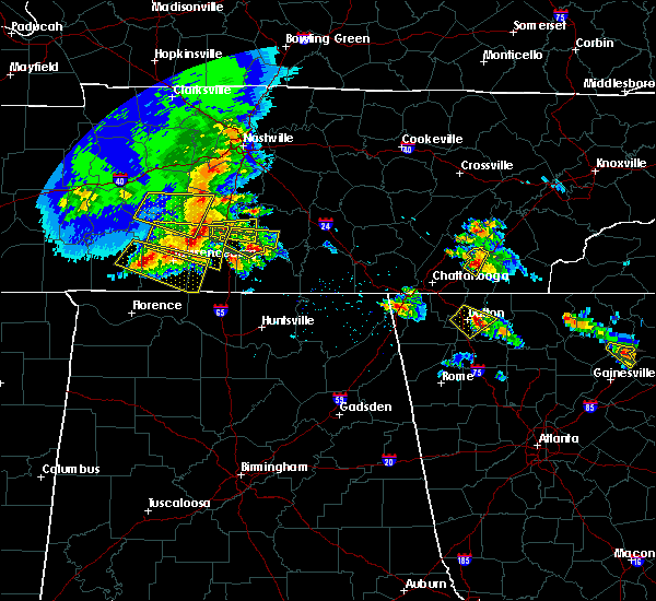 At 516 pm edt, a severe thunderstorm was located near dawnville, or near dalton, moving southeast at 15 mph (radar indicated). Hazards include quarter size hail and 60 mph wind gusts. Hail damage to vehicles is expected. expect wind damage to roofs, siding, and trees. Locations impacted include, dalton, chatsworth and dawnville. At 516 pm edt, a severe thunderstorm was located near dawnville, or near dalton, moving southeast at 15 mph (radar indicated). Hazards include quarter size hail and 60 mph wind gusts. Hail damage to vehicles is expected. expect wind damage to roofs, siding, and trees. Locations impacted include, dalton, chatsworth and dawnville.
|
| 3/21/2017 5:09 PM EDT | Half Dollar sized hail reported 3.2 miles SSW of Dalton, GA, quarter to hail dollar size hail north side of dalton. |
| 3/21/2017 4:57 PM EDT |
 At 456 pm edt, a severe thunderstorm was located over dalton, moving southeast at 15 mph (radar indicated). Hazards include quarter to ping pong ball size hail and 60 mph wind gusts. Hail damage to vehicles is expected. Expect wind damage to roofs, siding, and trees. At 456 pm edt, a severe thunderstorm was located over dalton, moving southeast at 15 mph (radar indicated). Hazards include quarter to ping pong ball size hail and 60 mph wind gusts. Hail damage to vehicles is expected. Expect wind damage to roofs, siding, and trees.
|
| 8/28/2016 3:32 PM EDT | Several trees reported down on roads in the rocky face and tunnel hill areas...including mill creek road...beaverdale road...tate road...mcarthur road...and lafayette r in whitfield county GA, 1.7 miles SSE of Dalton, GA |
| 8/28/2016 3:29 PM EDT |
 At 328 pm edt, a severe thunderstorm was located over mill creek, or near dalton, moving west at 20 mph (radar indicated). Hazards include 60 mph wind gusts and quarter size hail. Hail damage to vehicles is expected. expect wind damage to roofs, siding, and trees. Other locations in the warning include but are not limited to dalton, lafayette, ringgold, fort oglethorpe, chickamauga, tunnel hill, naomi, chattanooga valley, blue spring, mill creek, noble, cooper heights, rocky face, beaumont, rock spring, linwood, wood station and fairview. At 328 pm edt, a severe thunderstorm was located over mill creek, or near dalton, moving west at 20 mph (radar indicated). Hazards include 60 mph wind gusts and quarter size hail. Hail damage to vehicles is expected. expect wind damage to roofs, siding, and trees. Other locations in the warning include but are not limited to dalton, lafayette, ringgold, fort oglethorpe, chickamauga, tunnel hill, naomi, chattanooga valley, blue spring, mill creek, noble, cooper heights, rocky face, beaumont, rock spring, linwood, wood station and fairview.
|
| 7/9/2016 12:59 AM EDT |
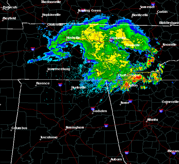 At 1258 am edt, a severe thunderstorm was located near varnell, or near dalton, moving east at 30 mph (radar indicated). Hazards include 60 mph wind gusts and penny size hail. Expect damage to roofs. siding. and trees. Other locations in the warning include but are not limited to dalton, chatsworth, varnell, eton, cohutta, dawnville, cranda ll, mountaintown, cisco, tennga, fort mountain state park, conasauga lake, north georgia speedway, beaverdale, gregory, roundtop, sumac, tails creek, jones mill and ramhurst. At 1258 am edt, a severe thunderstorm was located near varnell, or near dalton, moving east at 30 mph (radar indicated). Hazards include 60 mph wind gusts and penny size hail. Expect damage to roofs. siding. and trees. Other locations in the warning include but are not limited to dalton, chatsworth, varnell, eton, cohutta, dawnville, cranda ll, mountaintown, cisco, tennga, fort mountain state park, conasauga lake, north georgia speedway, beaverdale, gregory, roundtop, sumac, tails creek, jones mill and ramhurst.
|
| 7/9/2016 12:33 AM EDT |
 At 1232 am edt, a severe thunderstorm was located near ringgold, moving east at 25 mph (radar indicated). Hazards include 60 mph wind gusts and quarter size hail. Hail damage to vehicles is expected. expect wind damage to roofs, siding, and trees. other locations in the warning include but are not limited to dalton, ringgold, fort oglethorpe, varnell, tunnel hill, cohutta, graysville, boynton, blue spring, rocky face, beaumont, indian springs and red clay s. P At 1232 am edt, a severe thunderstorm was located near ringgold, moving east at 25 mph (radar indicated). Hazards include 60 mph wind gusts and quarter size hail. Hail damage to vehicles is expected. expect wind damage to roofs, siding, and trees. other locations in the warning include but are not limited to dalton, ringgold, fort oglethorpe, varnell, tunnel hill, cohutta, graysville, boynton, blue spring, rocky face, beaumont, indian springs and red clay s. P
|
| 7/9/2016 12:16 AM EDT |
 At 1216 am edt, a severe thunderstorm was located over rossville, or 8 miles south of chattanooga, moving east at 25 mph (radar indicated). Hazards include 60 mph wind gusts and quarter size hail. Hail damage to vehicles is expected. expect wind damage to roofs, siding, and trees. other locations in the warning include but are not limited to dalton, ringgold, fort oglethorpe, chickamauga, varnell, lookout mountain, tunnel hill, cohutta, lakeview, chattanooga valley, graysville, blue spring, boynton, rocky face, beaumont, rock spring, indian springs, fairview, wood station and red clay s. P At 1216 am edt, a severe thunderstorm was located over rossville, or 8 miles south of chattanooga, moving east at 25 mph (radar indicated). Hazards include 60 mph wind gusts and quarter size hail. Hail damage to vehicles is expected. expect wind damage to roofs, siding, and trees. other locations in the warning include but are not limited to dalton, ringgold, fort oglethorpe, chickamauga, varnell, lookout mountain, tunnel hill, cohutta, lakeview, chattanooga valley, graysville, blue spring, boynton, rocky face, beaumont, rock spring, indian springs, fairview, wood station and red clay s. P
|
| 6/14/2016 2:15 PM EDT | Numerous trees down in south part of dalton. one on structure on liberty dr in whitfield county GA, 2.1 miles NNE of Dalton, GA |
| 5/30/2016 4:35 PM EDT | Emergency manager called the office to report multiple trees down on roadways within the city of dalto in whitfield county GA, 1.7 miles SSE of Dalton, GA |
| 4/30/2016 7:04 PM EDT |
 At 704 pm edt, a severe thunderstorm was located near calhoun, moving northeast at 25 mph (radar indicated). Hazards include 60 mph wind gusts and quarter size hail. Hail damage to vehicles is expected. expect wind damage to roofs, siding, and trees. Other locations in the warning include but are not limited to calhoun, resaca, redbud, nickelsville, sugar valley, tilton and audubon. At 704 pm edt, a severe thunderstorm was located near calhoun, moving northeast at 25 mph (radar indicated). Hazards include 60 mph wind gusts and quarter size hail. Hail damage to vehicles is expected. expect wind damage to roofs, siding, and trees. Other locations in the warning include but are not limited to calhoun, resaca, redbud, nickelsville, sugar valley, tilton and audubon.
|
| 4/30/2016 7:04 PM EDT |
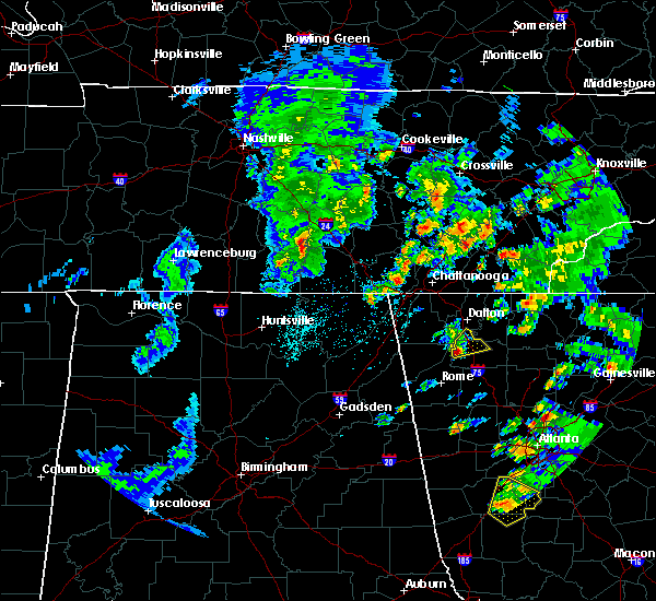 At 704 pm edt, a severe thunderstorm was located near calhoun, moving northeast at 25 mph (radar indicated). Hazards include 60 mph wind gusts and quarter size hail. Hail damage to vehicles is expected. expect wind damage to roofs, siding, and trees. Other locations in the warning include but are not limited to calhoun, resaca, redbud, nickelsville, sugar valley, tilton and audubon. At 704 pm edt, a severe thunderstorm was located near calhoun, moving northeast at 25 mph (radar indicated). Hazards include 60 mph wind gusts and quarter size hail. Hail damage to vehicles is expected. expect wind damage to roofs, siding, and trees. Other locations in the warning include but are not limited to calhoun, resaca, redbud, nickelsville, sugar valley, tilton and audubon.
|
| 12/24/2015 3:11 AM EST | At 311 am est, a severe thunderstorm was located near ringgold, moving northeast at 60 mph (radar indicated). Hazards include 60 mph wind gusts. Expect damage to roofs. siding and trees. other locations in the warning include but are not limited to ringgold, varnell, tunnel hill, cohutta, rocky face, graysville, indian springs, beaumont, beaverdale and wood station. A tornado watch remains in effect until 500 am est for northwestern georgia. |
| 12/24/2015 2:53 AM EST | At 253 am est, a severe thunderstorm was located over chickamauga, or 10 miles west of ringgold, moving northeast at 60 mph (radar indicated). Hazards include 60 mph wind gusts. Expect damage to roofs. siding and trees. other locations in the warning include but are not limited to lafayette, ringgold, fort oglethorpe, chickamauga, varnell, lookout mountain, tunnel hill, cohutta, la fayette, lakeview, chattanooga valley, graysville, blue spring, beaverdale, boynton, noble, cooper heights, rocky face, beaumont and rock spring. A tornado watch remains in effect until 500 am est for northwestern georgia. |
| 8/10/2015 3:51 PM EDT |
 At 350 pm edt, a severe thunderstorm was located 7 miles northeast of resaca, or 9 miles southwest of chatsworth, moving east at 10 mph (radar indicated). Hazards include 60 mph wind gusts and nickel size hail. Expect damage to roofs. siding and trees. Other locations in the warning include but are not limited to dalton, chatsworth, carters, north georgia speedway, ramhurst and fort mountain state park. At 350 pm edt, a severe thunderstorm was located 7 miles northeast of resaca, or 9 miles southwest of chatsworth, moving east at 10 mph (radar indicated). Hazards include 60 mph wind gusts and nickel size hail. Expect damage to roofs. siding and trees. Other locations in the warning include but are not limited to dalton, chatsworth, carters, north georgia speedway, ramhurst and fort mountain state park.
|
| 8/10/2015 3:20 PM EDT | Trees reported down at a location on beaverdal road and school stree in whitfield county GA, 0.3 miles S of Dalton, GA |
| 7/14/2015 7:56 PM EDT |
 At 756 pm edt, severe thunderstorms were located extending from near resaca to near plainville to near shannon, moving southeast at 50 mph (radar indicated). Hazards include 60 mph wind gusts and nickel size hail. Expect damage to roofs. siding and trees. Other locations in the warning include but are not limited to dalton, cartersville, calhoun, adairsville, white, kingston, resaca, plainville, cassville, fairmount, ranger, redbud, pine log, sugar valley, oostanaula, nickelsville, tilton, folsom, sonoraville and oakman. At 756 pm edt, severe thunderstorms were located extending from near resaca to near plainville to near shannon, moving southeast at 50 mph (radar indicated). Hazards include 60 mph wind gusts and nickel size hail. Expect damage to roofs. siding and trees. Other locations in the warning include but are not limited to dalton, cartersville, calhoun, adairsville, white, kingston, resaca, plainville, cassville, fairmount, ranger, redbud, pine log, sugar valley, oostanaula, nickelsville, tilton, folsom, sonoraville and oakman.
|
| 7/14/2015 7:39 PM EDT |
 At 738 pm edt, severe thunderstorms were located extending from near tunnel hill to near lafayette to near ider, moving south at 20 mph (radar indicated). Hazards include 60 mph wind gusts and quarter size hail. Hail damage to vehicles is expected. expect wind damage to roofs, siding and trees. other locations in the warning include but are not limited to dalton, lafayette, summerville, trion, tunnel hill, la fayette, lyerly, menlo, rising fawn, everett springs, naomi, cloudland, suttles mill, berryton, noble, cooper heights, rocky face, james h. Floyd state park, mill creek and villanow. At 738 pm edt, severe thunderstorms were located extending from near tunnel hill to near lafayette to near ider, moving south at 20 mph (radar indicated). Hazards include 60 mph wind gusts and quarter size hail. Hail damage to vehicles is expected. expect wind damage to roofs, siding and trees. other locations in the warning include but are not limited to dalton, lafayette, summerville, trion, tunnel hill, la fayette, lyerly, menlo, rising fawn, everett springs, naomi, cloudland, suttles mill, berryton, noble, cooper heights, rocky face, james h. Floyd state park, mill creek and villanow.
|
| 7/14/2015 7:08 PM EDT |
 At 706 pm edt, severe thunderstorms were located extending from near trenton to near varnell to northeast of eton, moving east at 35 mph (radar indicated). Hazards include 60 mph wind gusts and nickel size hail. Expect damage to roofs. siding and trees. Other locations in the warning include but are not limited to dalton, lafayette, chatsworth, ringgold, trenton, fort oglethorpe, rossville, chickamauga, varnell, lookout mountain, eton, tunnel hill, cohutta, chattanooga valley, lafayette, lakeview, naomi, cisco, conasauga lake and boynton. At 706 pm edt, severe thunderstorms were located extending from near trenton to near varnell to northeast of eton, moving east at 35 mph (radar indicated). Hazards include 60 mph wind gusts and nickel size hail. Expect damage to roofs. siding and trees. Other locations in the warning include but are not limited to dalton, lafayette, chatsworth, ringgold, trenton, fort oglethorpe, rossville, chickamauga, varnell, lookout mountain, eton, tunnel hill, cohutta, chattanooga valley, lafayette, lakeview, naomi, cisco, conasauga lake and boynton.
|
| 7/14/2015 7:00 PM EDT | A tree was downed onto power lines on riverbend road in dalto in whitfield county GA, 3 miles NW of Dalton, GA |
| 7/14/2015 6:55 PM EDT | Trees were downed on seep springs r in whitfield county GA, 4.6 miles SE of Dalton, GA |
| 7/14/2015 6:24 PM EDT |
 At 623 pm edt, severe thunderstorms were located extending from near kimball to near lookout mountain to south cleveland, moving east at 40 mph (radar indicated). Hazards include 60 mph wind gusts and quarter size hail. Hail damage to vehicles is expected. expect wind damage to roofs, siding and trees. Other locations in the warning include but are not limited to dalton, lafayette, chatsworth, ringgold, trenton, fort oglethorpe, rossville, chickamauga, varnell, lookout mountain, eton, tunnel hill, cohutta, chattanooga valley, la fayette, lakeview, naomi, cisco, conasauga lake and boynton. At 623 pm edt, severe thunderstorms were located extending from near kimball to near lookout mountain to south cleveland, moving east at 40 mph (radar indicated). Hazards include 60 mph wind gusts and quarter size hail. Hail damage to vehicles is expected. expect wind damage to roofs, siding and trees. Other locations in the warning include but are not limited to dalton, lafayette, chatsworth, ringgold, trenton, fort oglethorpe, rossville, chickamauga, varnell, lookout mountain, eton, tunnel hill, cohutta, chattanooga valley, la fayette, lakeview, naomi, cisco, conasauga lake and boynton.
|
| 7/2/2015 1:25 PM EDT |
 At 124 pm edt, a severe thunderstorm was located near la fayette, or near lafayette, moving east at 40 mph (radar indicated). Hazards include 60 mph wind gusts and penny size hail. Expect damage to roofs. siding and trees. Other locations in the warning include but are not limited to lafayette, ringgold, chickamauga, tunnel hill, la fayette, naomi, blue spring, mill creek, villanow, noble, cooper heights, rocky face, beaumont, rock spring, linwood and wood station. At 124 pm edt, a severe thunderstorm was located near la fayette, or near lafayette, moving east at 40 mph (radar indicated). Hazards include 60 mph wind gusts and penny size hail. Expect damage to roofs. siding and trees. Other locations in the warning include but are not limited to lafayette, ringgold, chickamauga, tunnel hill, la fayette, naomi, blue spring, mill creek, villanow, noble, cooper heights, rocky face, beaumont, rock spring, linwood and wood station.
|
| 6/26/2015 4:46 PM EDT | At 446 pm edt, a severe thunderstorm was located near chatsworth, moving northeast at 20 mph (radar indicated). Hazards include 60 mph wind gusts and quarter size hail. Hail damage to vehicles is expected. expect wind damage to roofs, siding and trees. Other locations in the warning include but are not limited to dalton, chatsworth, eton, dawnville, crandall, beaverdale, conasauga lake and sumac. |
| 6/26/2015 3:32 PM EDT | At 331 pm edt, a severe thunderstorm was located near dalton, moving northeast at 5 mph (radar indicated). Hazards include 60 mph wind gusts and nickel size hail. Expect damage to roofs. siding and trees. other locations in the warning include but are not limited to dalton, varnell, cohutta, dawnville, beaverdale and red clay s. P |
| 6/24/2015 5:13 PM EDT |
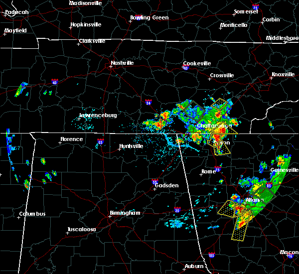 At 512 pm edt, a severe thunderstorm was located near dalton, moving southeast at 30 mph (radar indicated). Hazards include 60 mph wind gusts and quarter size hail. Hail damage to vehicles is expected. expect wind damage to roofs, siding and trees. this storm has already knocked down large trees around tunnel hill and rocky face. Other locations in the warning include but are not limited to dalton, chatsworth, dawnville, north georgia speedway and ramhurst. At 512 pm edt, a severe thunderstorm was located near dalton, moving southeast at 30 mph (radar indicated). Hazards include 60 mph wind gusts and quarter size hail. Hail damage to vehicles is expected. expect wind damage to roofs, siding and trees. this storm has already knocked down large trees around tunnel hill and rocky face. Other locations in the warning include but are not limited to dalton, chatsworth, dawnville, north georgia speedway and ramhurst.
|
| 6/24/2015 5:00 PM EDT | Tree down across old chattanooga road near rocky fac in whitfield county GA, 4.6 miles SE of Dalton, GA |
| 6/24/2015 4:51 PM EDT |
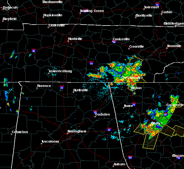 At 451 pm edt, a severe thunderstorm was located over varnell, or 9 miles east of ringgold, moving south at 15 mph (radar indicated). Hazards include 60 mph wind gusts and quarter size hail. Hail damage to vehicles is expected. expect wind damage to roofs, siding and trees. other locations in the warning include but are not limited to dalton, varnell, tunnel hill, cohutta, dawnville, rocky face, beaverdale and red clay s. P At 451 pm edt, a severe thunderstorm was located over varnell, or 9 miles east of ringgold, moving south at 15 mph (radar indicated). Hazards include 60 mph wind gusts and quarter size hail. Hail damage to vehicles is expected. expect wind damage to roofs, siding and trees. other locations in the warning include but are not limited to dalton, varnell, tunnel hill, cohutta, dawnville, rocky face, beaverdale and red clay s. P
|
| 6/8/2015 8:33 PM EDT | One tree down at the intersection of neely road and reed road in whitfield county GA, 3.7 miles S of Dalton, GA |
| 6/8/2015 7:19 PM EDT | At 718 pm edt, severe thunderstorms were located along a line extending from near cohutta to near tunnel hill, moving east at 40 mph (radar indicated). Hazards include 60 mph wind gusts. Expect damage to roofs. siding and trees. other locations in the warning include but are not limited to dalton, varnell, tunnel hill, cohutta, crandall, rocky face, cisco, tennga, beaverdale, gregory, sumac and red clay s. P |
| 6/2/2015 5:23 PM EDT | The severe thunderstorm warning for central murray county will expire at 530 pm edt, the storm which prompted the warning in central murray county has weakened below severe limits, and no longer pose an immediate threat to life or property. therefore the warning will be allowed to expire. however heavy rain and brief gusty winds are still possible with this thunderstorm. |
| 6/2/2015 5:01 PM EDT | At 501 pm edt, a severe thunderstorm was located near chatsworth, moving northeast at 5 mph (radar indicated). Hazards include 60 mph wind gusts and quarter size hail. Hail damage to vehicles is expected. expect wind damage to roofs, siding and trees. Other locations in the warning include but are not limited to chatsworth and eton. |
| 5/28/2015 5:36 PM EDT | A tree down across mary elizabeth drive in whitfield county GA, 7.3 miles N of Dalton, GA |
| 5/28/2015 5:32 PM EDT | Tree down along south dixie highway and rabbit way in whitfield county GA, 8 miles N of Dalton, GA |
| 4/19/2015 11:34 AM EDT | A tornado warning remains in effect until 1145 am edt for northeastern gordon and southwestern murray counties. at 1133 am edt. a severe thunderstorm capable of producing a tornado was located near chatsworth. moving northeast at 40 mph. hazard. tornado. source. Radar indicated rotation. |
| 4/19/2015 11:14 AM EDT | A tornado warning remains in effect until 1145 am edt for southeastern whitfield. gordon and southwestern murray counties. at 1113 am edt. a severe thunderstorm capable of producing a tornado was located over calhoun. moving northeast at 40 mph. hazard. tornado. source. Radar indicated rotation. |
| 4/19/2015 10:58 AM EDT | The national weather service in peachtree city has issued a * tornado warning for. southeastern whitfield county in northwestern georgia. gordon county in northwestern georgia. northeastern floyd county in northwestern georgia. Southwestern murray county in northwestern georgia. |
| 12/23/2014 2:00 PM EST | Multiple reports have been received from the whitfield county em from an area sw of dalton to just south of town. the following locations had thunderstorm wind damage w in whitfield county GA, 2 miles ENE of Dalton, GA |
| 12/23/2014 1:47 PM EST | Numerous trees down ssw of dalton. some trees fell on power line in whitfield county GA, 3.6 miles NNE of Dalton, GA |
| 6/13/2013 6:25 PM EDT | Several trees were reported down in the southwest part of the count in murray county GA, 8.9 miles WNW of Dalton, GA |
| 6/13/2013 5:49 PM EDT | Several trees were reported down in the southwest part of the count in murray county GA, 8.9 miles WNW of Dalton, GA |
| 6/13/2013 5:43 PM EDT | Two trees downed just north of downtown dalton near n thorton ave and w tyler st in whitfield county GA, 0.3 miles S of Dalton, GA |
| 4/11/2013 7:45 PM EDT | Tree reported down on house by em on witherow bridge roa in whitfield county GA, 5 miles SW of Dalton, GA |
| 4/11/2013 7:37 PM EDT | Trees down in several locations in the town of dalton. n tibbs road...college dr...crossplain in whitfield county GA, 0.4 miles N of Dalton, GA |
| 4/11/2013 7:36 PM EDT | Numerous trees reported down with power outages in dawnvill in whitfield county GA, 6.3 miles SW of Dalton, GA |
| 3/5/2013 3:40 PM EST | Numerous trees reported down across the count in whitfield county GA, 4.4 miles S of Dalton, GA |
| 3/5/2013 3:36 PM EST | A home on mitchell bridge road received damage from falling tree in whitfield county GA, 5.9 miles SW of Dalton, GA |
| 7/5/2012 7:06 PM EDT | Us forest service firefighters relayed a report of hail to the size of nickels and many trees down just east of villanow. the crews are using chainsaws to remove all of in walker county GA, 8.4 miles NE of Dalton, GA |
| 7/4/2012 3:00 PM EDT | Emergency manager reported one tree down. time of event estimated by rada in whitfield county GA, 7.3 miles N of Dalton, GA |
| 7/4/2012 2:55 PM EDT | Emergency manager reported all traffic lights down at highway 71 and the north dalton bypass. time of event estimated by rada in whitfield county GA, 2.4 miles SSW of Dalton, GA |
| 4/5/2012 9:30 PM EDT | Quarter sized hail reported 4.1 miles SE of Dalton, GA |
| 3/31/2012 5:50 PM EDT | Quarter sized hail reported 0.3 miles S of Dalton, GA, numerous reports of pea to penny size hail were received from the emergency manager and the public. reports indicated hail began around 550 pm in the tunnel hill area.. |
| 1/1/0001 12:00 AM | Walker county 911 relayed reports of 4-5 downed trees in villanow and rock sprin in walker county GA, 10.4 miles NE of Dalton, GA |
| 1/1/0001 12:00 AM | Whitfield county emergency management relayed reports of trees downed onto 2 houses and 4 trees downed onto roads in dalton between 600 pm and 845 p in whitfield county GA, 0.3 miles S of Dalton, GA |
| 1/1/0001 12:00 AM | 5 trees down...near houston valley road and i-7 in whitfield county GA, 4.1 miles SE of Dalton, GA |
| 1/1/0001 12:00 AM | Tree and power lines down on greenridge driv in whitfield county GA, 0.6 miles WSW of Dalton, GA |
| 1/1/0001 12:00 AM | Whitfield county ema relayed a report of a tree down and powerlines down north of dalto in whitfield county GA, 2 miles SW of Dalton, GA |
| 1/1/0001 12:00 AM | 4 trees down on 4 different houses within the cit in whitfield county GA, 0.3 miles S of Dalton, GA |
| 1/1/0001 12:00 AM | At least 6 trees down around cleveland highway in dalto in whitfield county GA, 0.3 miles S of Dalton, GA |
| 1/1/0001 12:00 AM | 2 trees down on houses in rocky fac in whitfield county GA, 4.1 miles SE of Dalton, GA |
| 1/1/0001 12:00 AM | Whitfield 911 relayed a report of two trees dow in whitfield county GA, 0.3 miles S of Dalton, GA |
| 1/1/0001 12:00 AM | Whitfield county ema relayed a report of several trees down nw of dalto in whitfield county GA, 2.4 miles SE of Dalton, GA |
| 1/1/0001 12:00 AM | Several trees dow in whitfield county GA, 0.3 miles S of Dalton, GA |
| 1/1/0001 12:00 AM | Whitfield county 911 relayed a report of two trees down in the rocky face are in whitfield county GA, 4.1 miles SE of Dalton, GA |
| 1/1/0001 12:00 AM | Quarter sized hail reported 0.3 miles S of Dalton, GA, whitfield county 911 relayed reports of quarter-sized hail and several downed tree limbs in dalton. |
Hail Maps for Dalton, GA


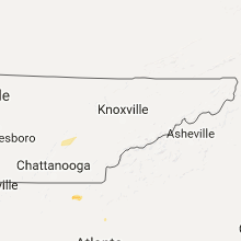


Connect with Interactive Hail Maps