

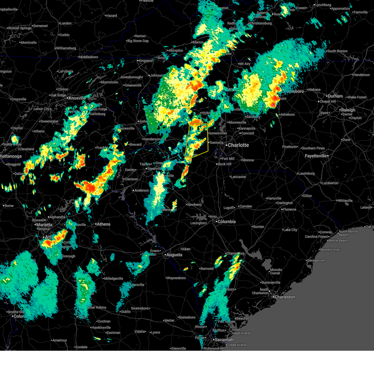
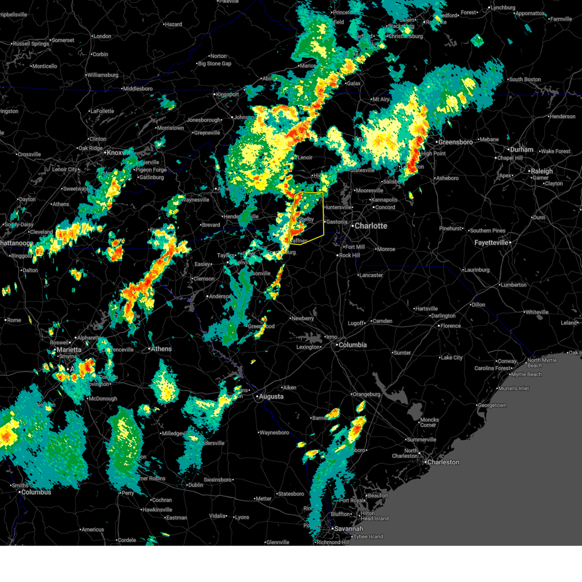
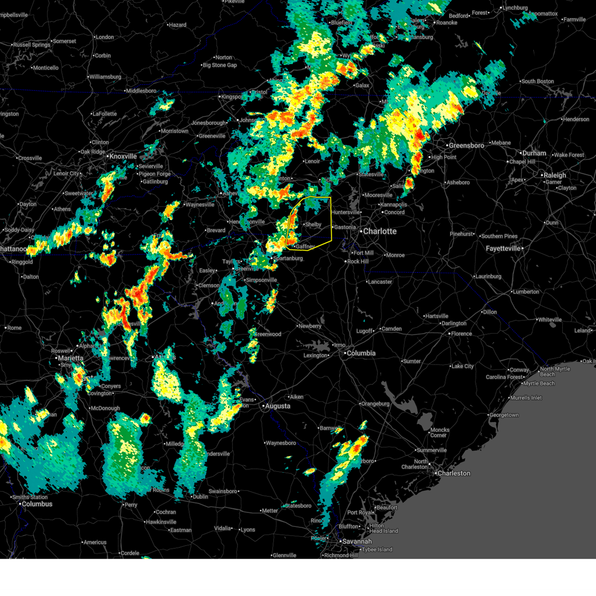
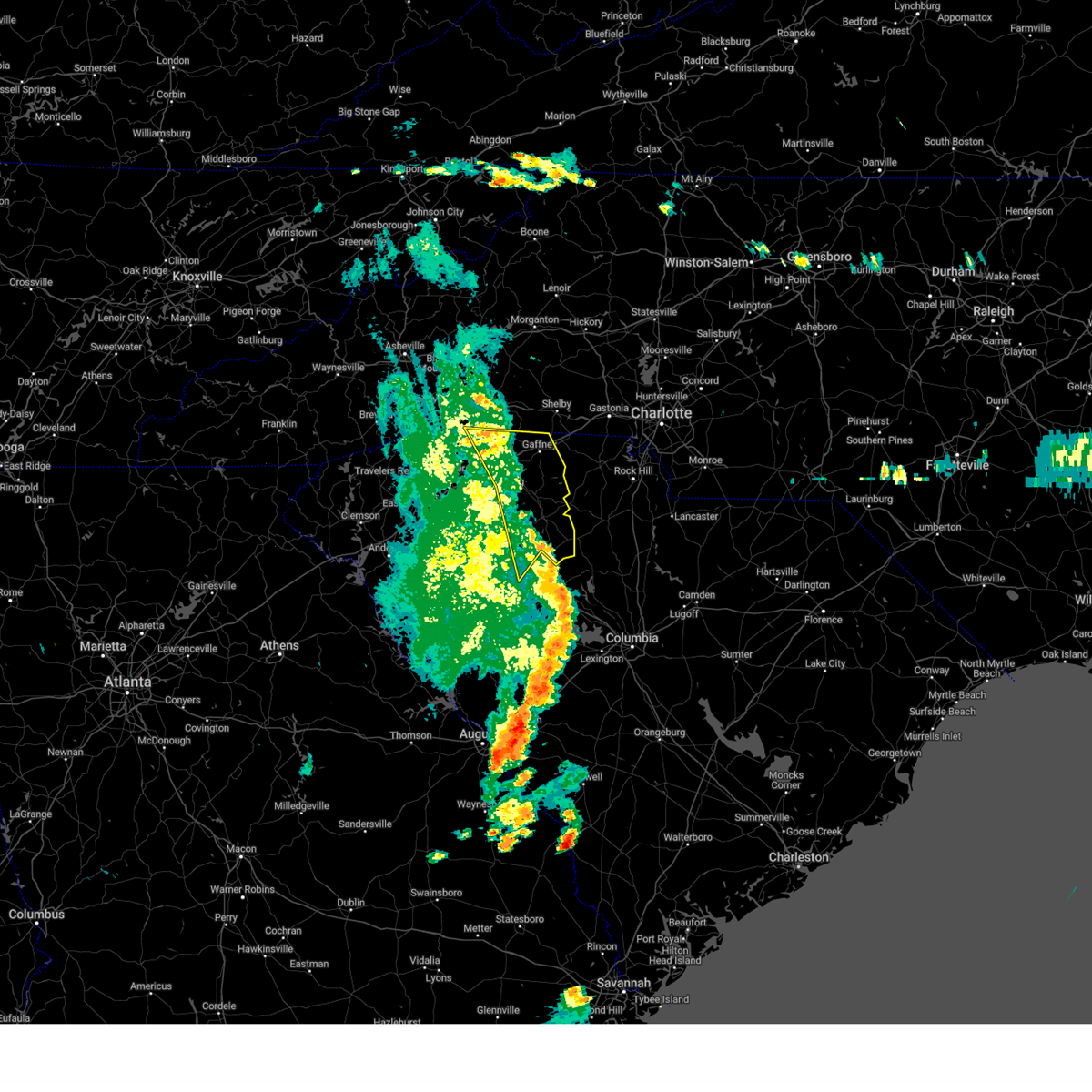
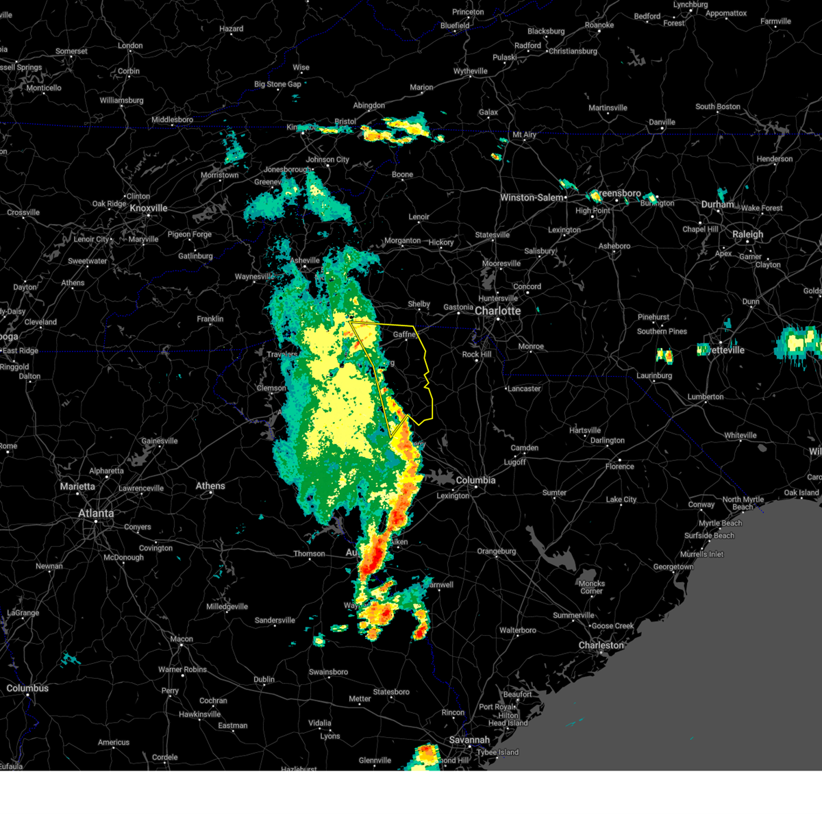
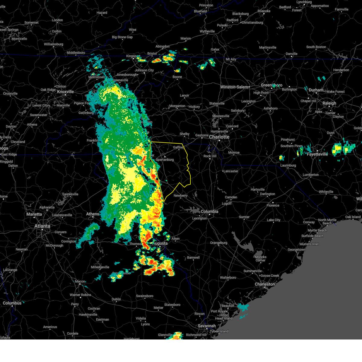
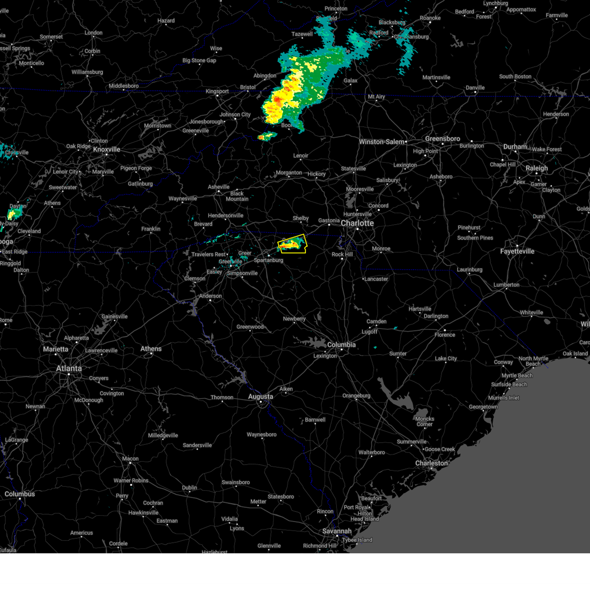
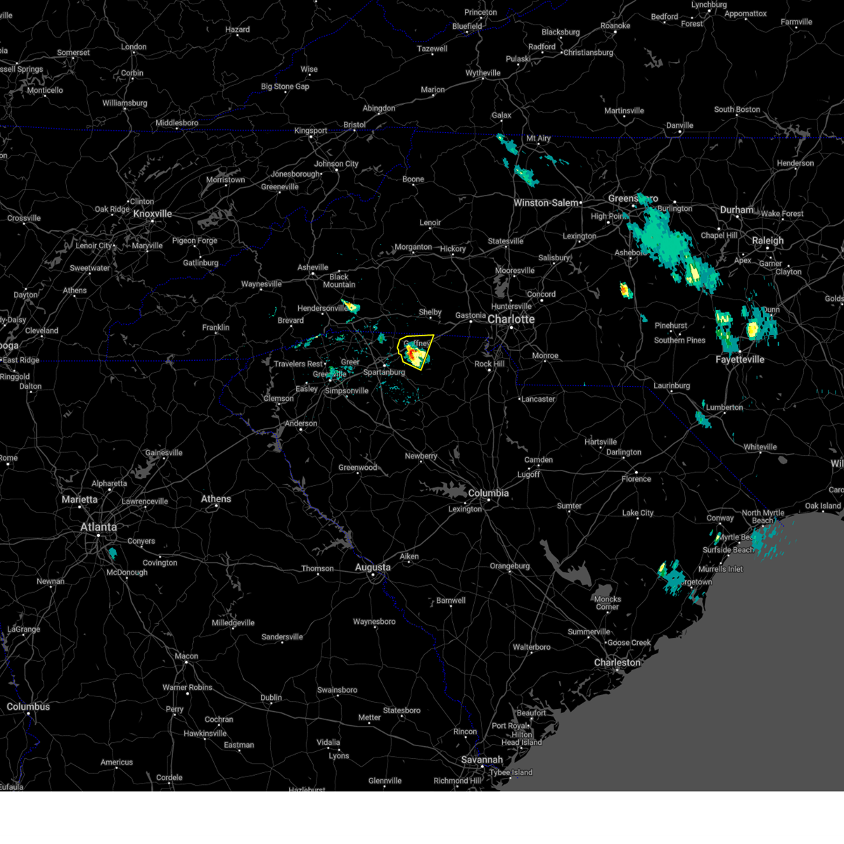
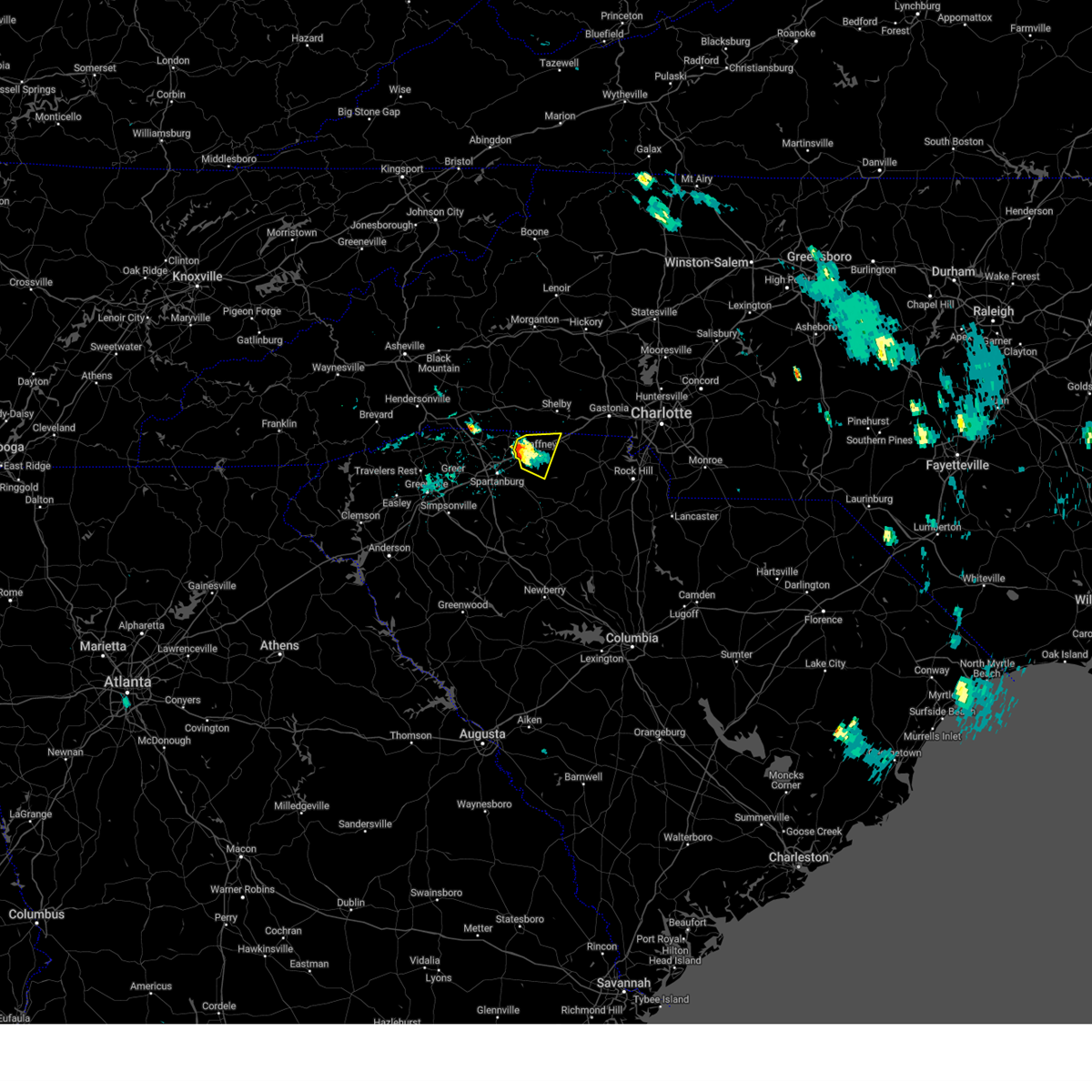
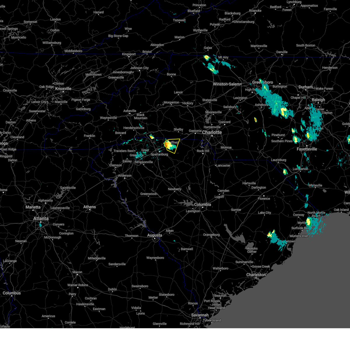
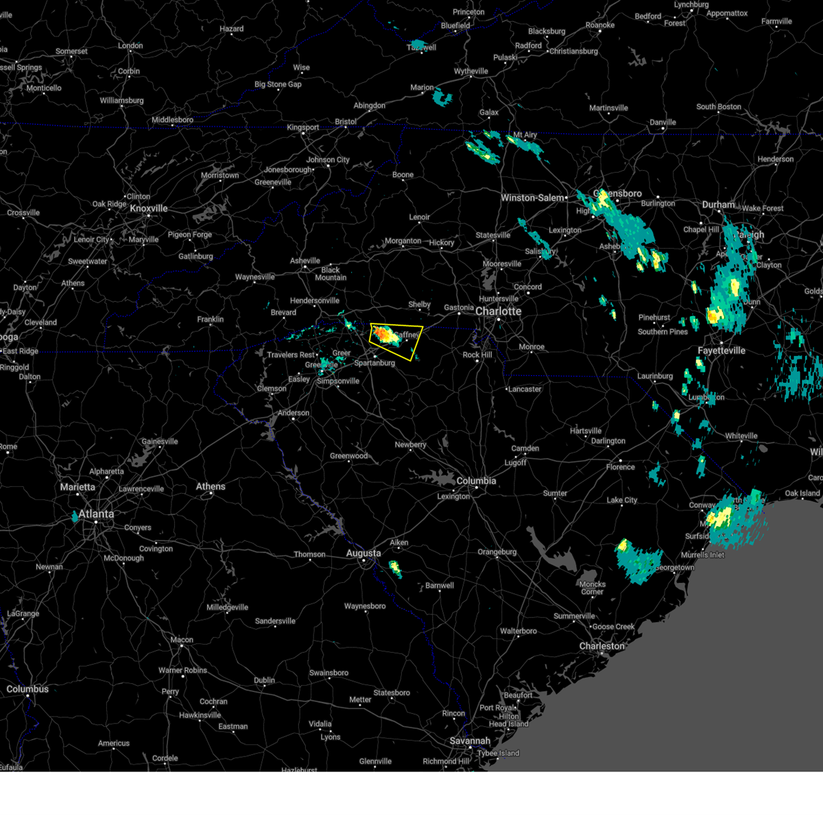
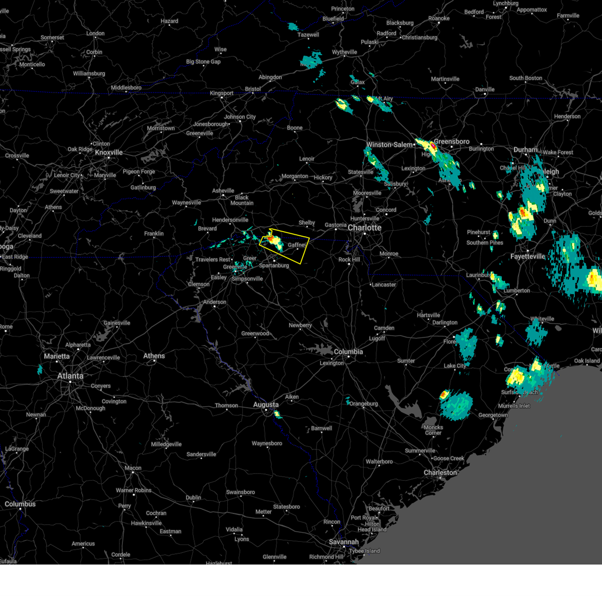
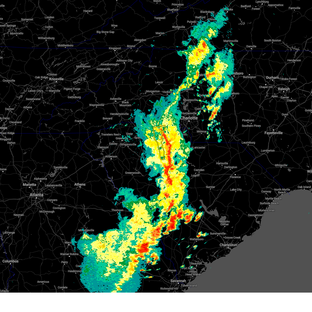
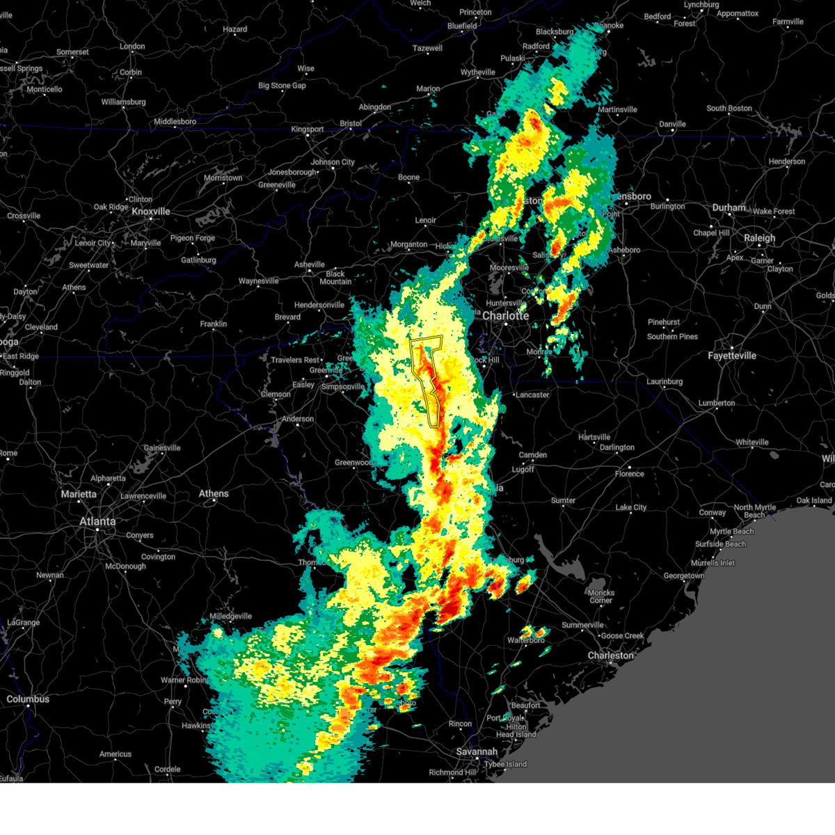
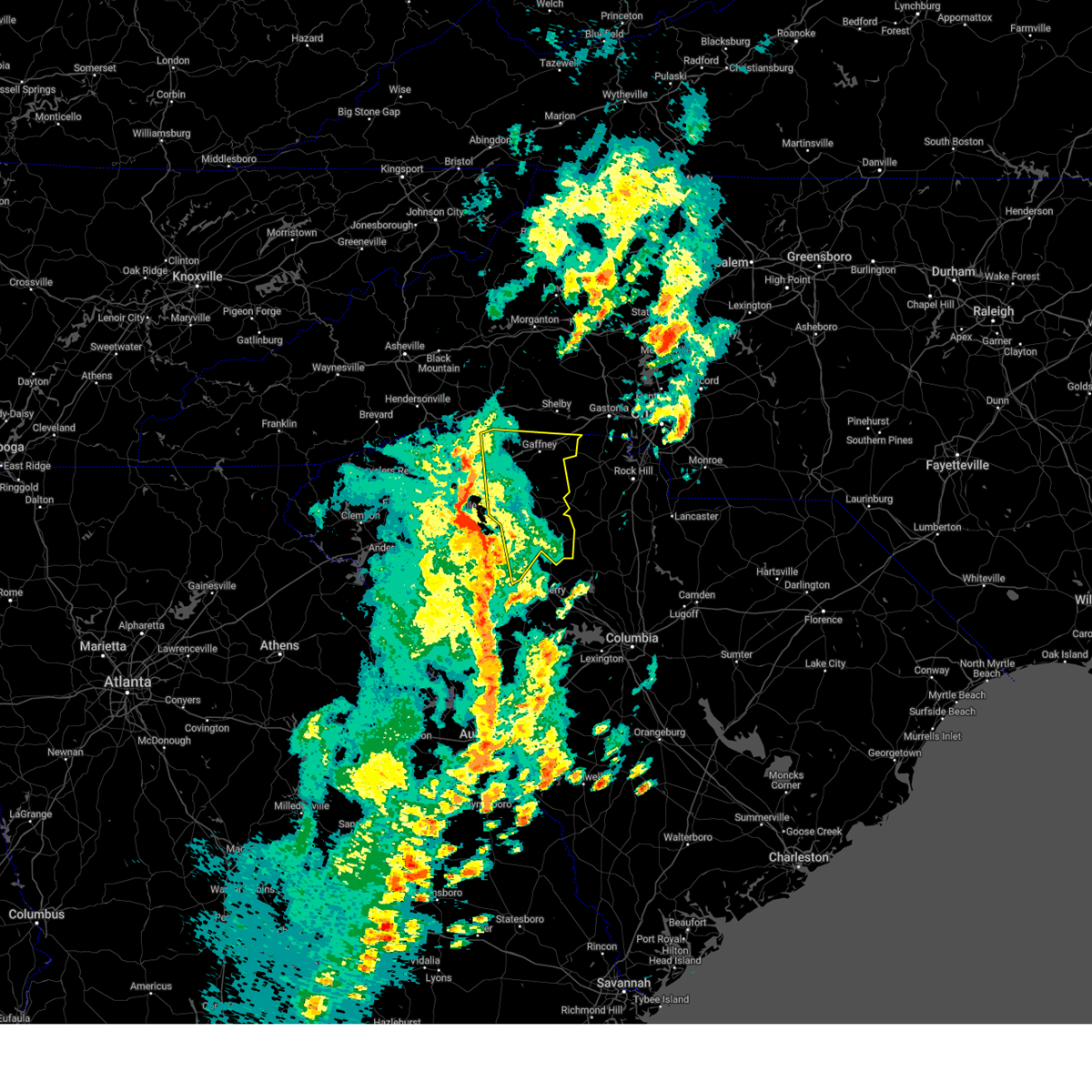
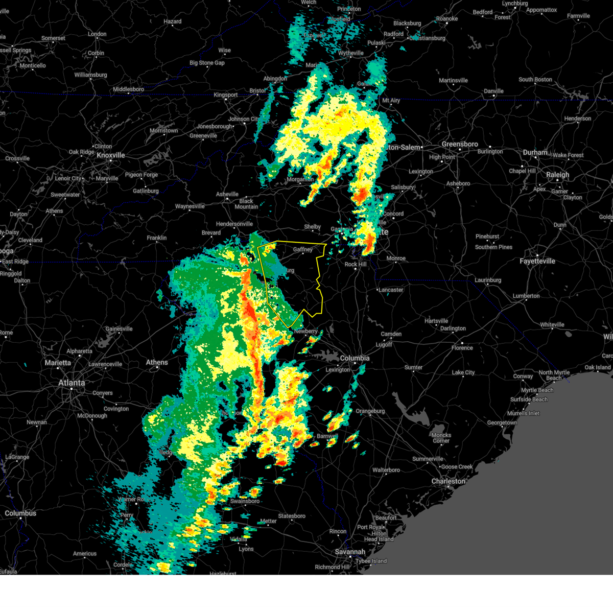
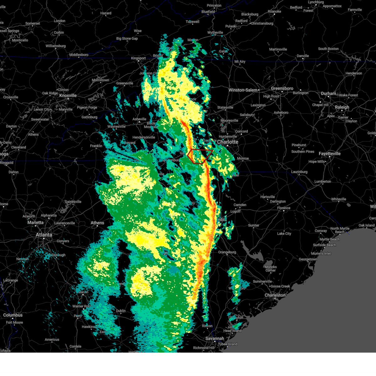
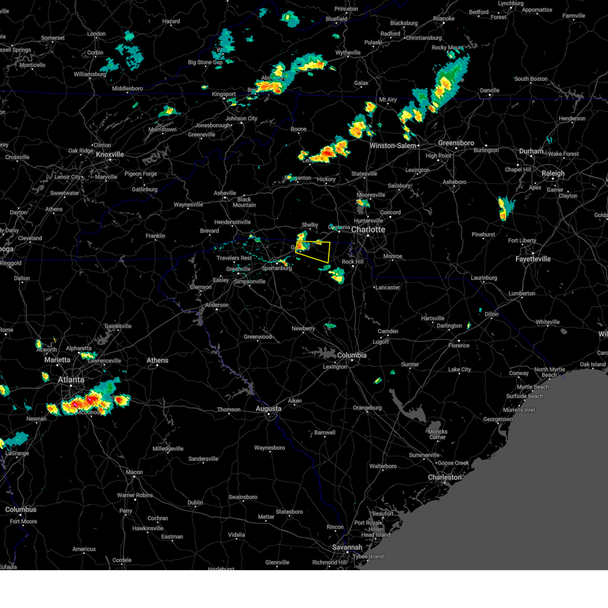
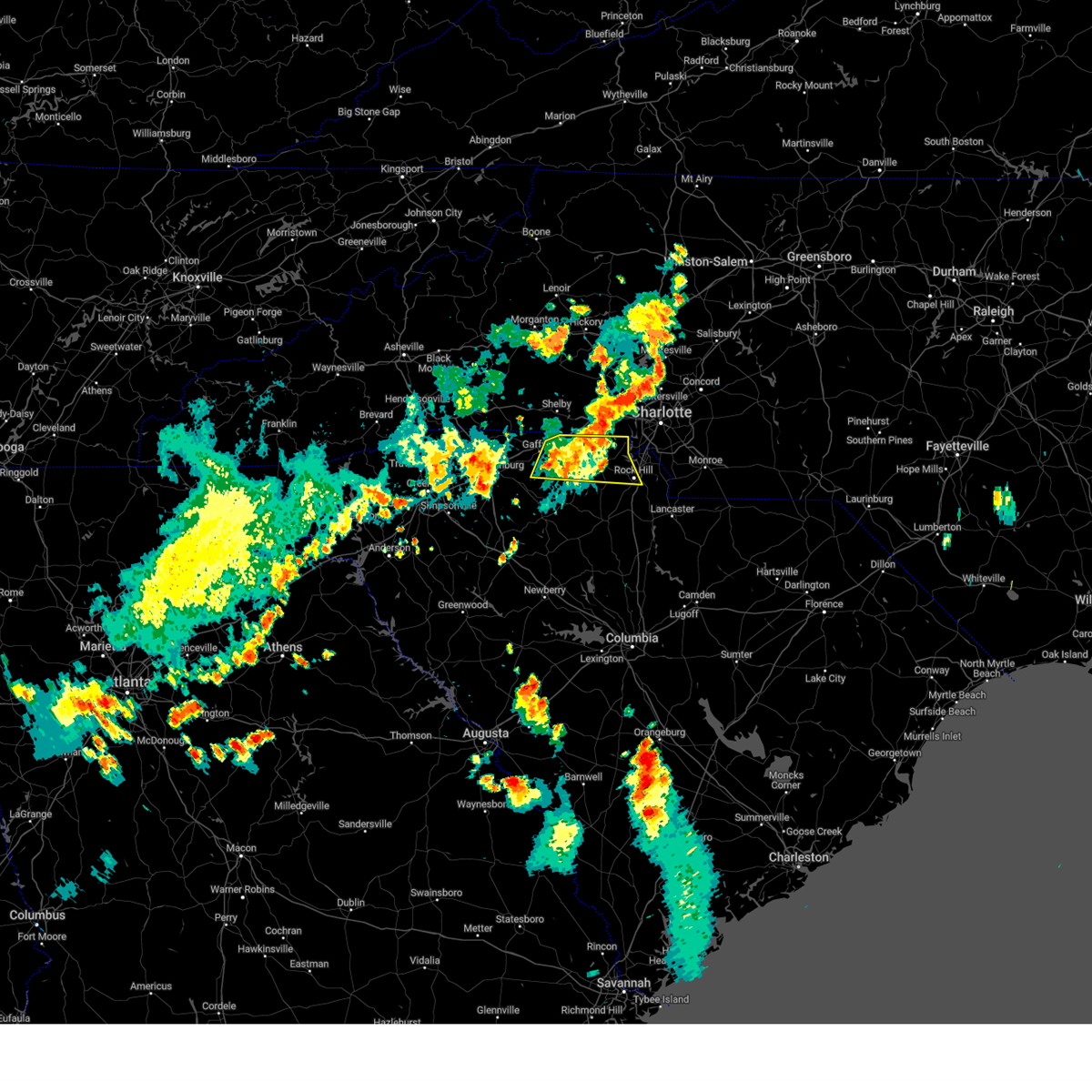
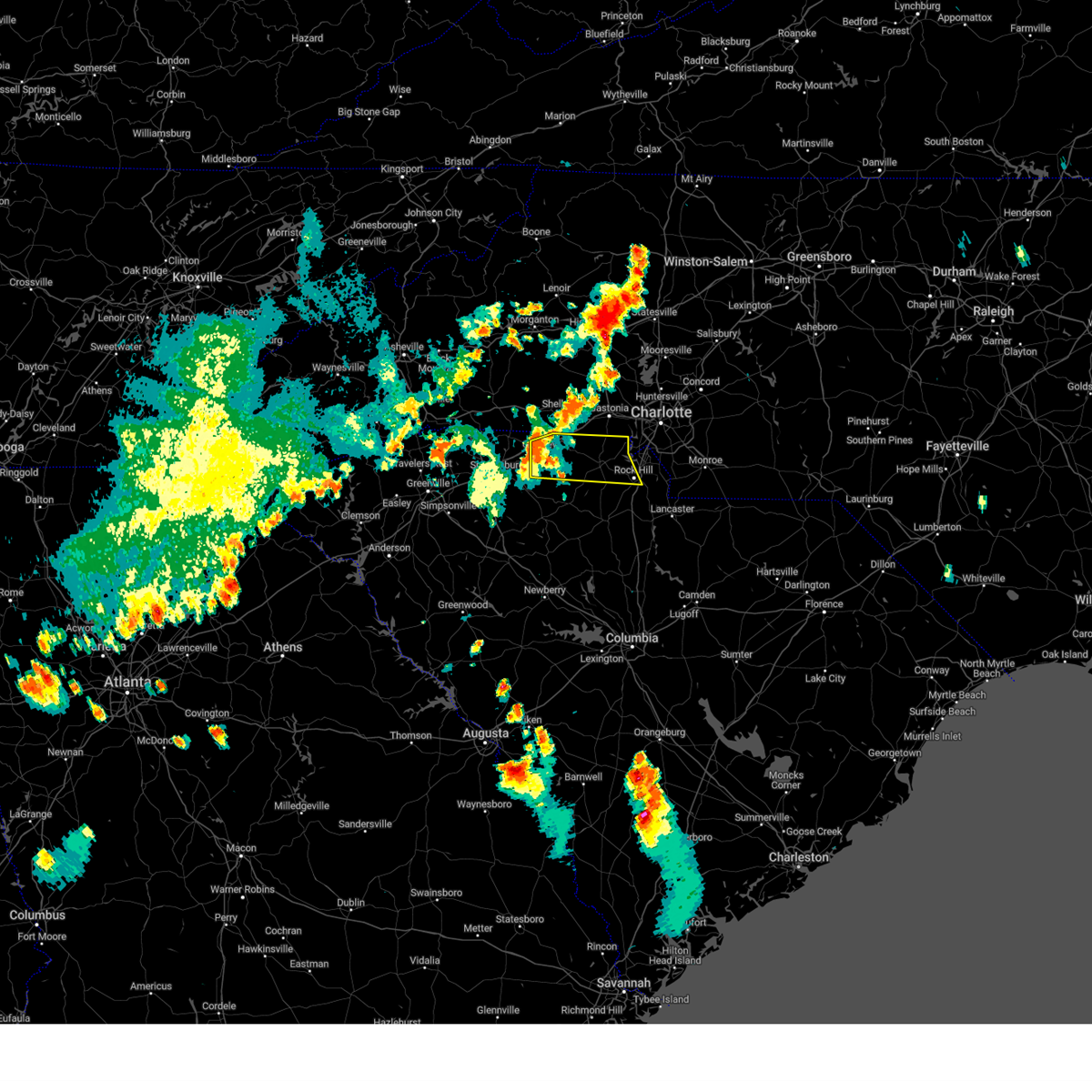
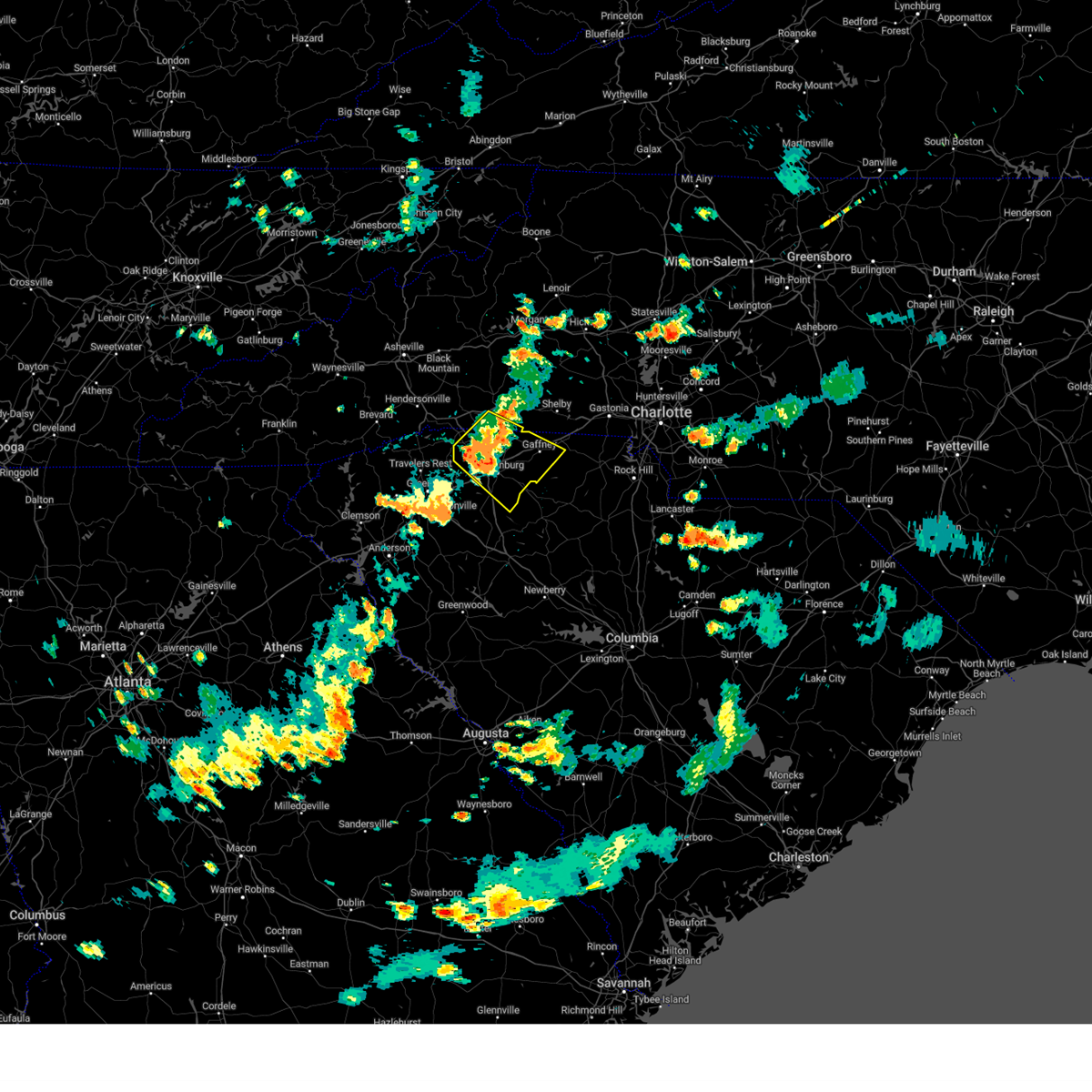
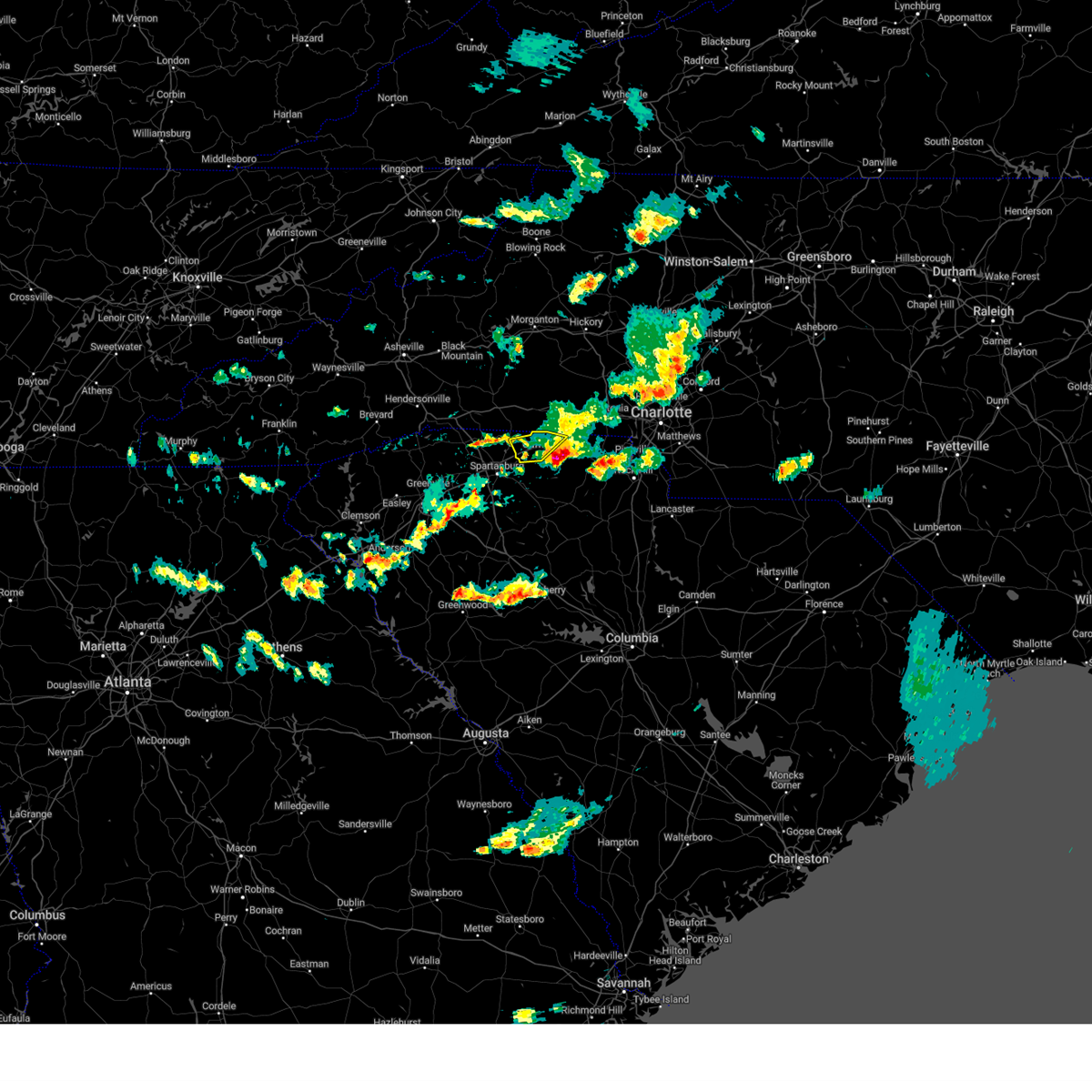
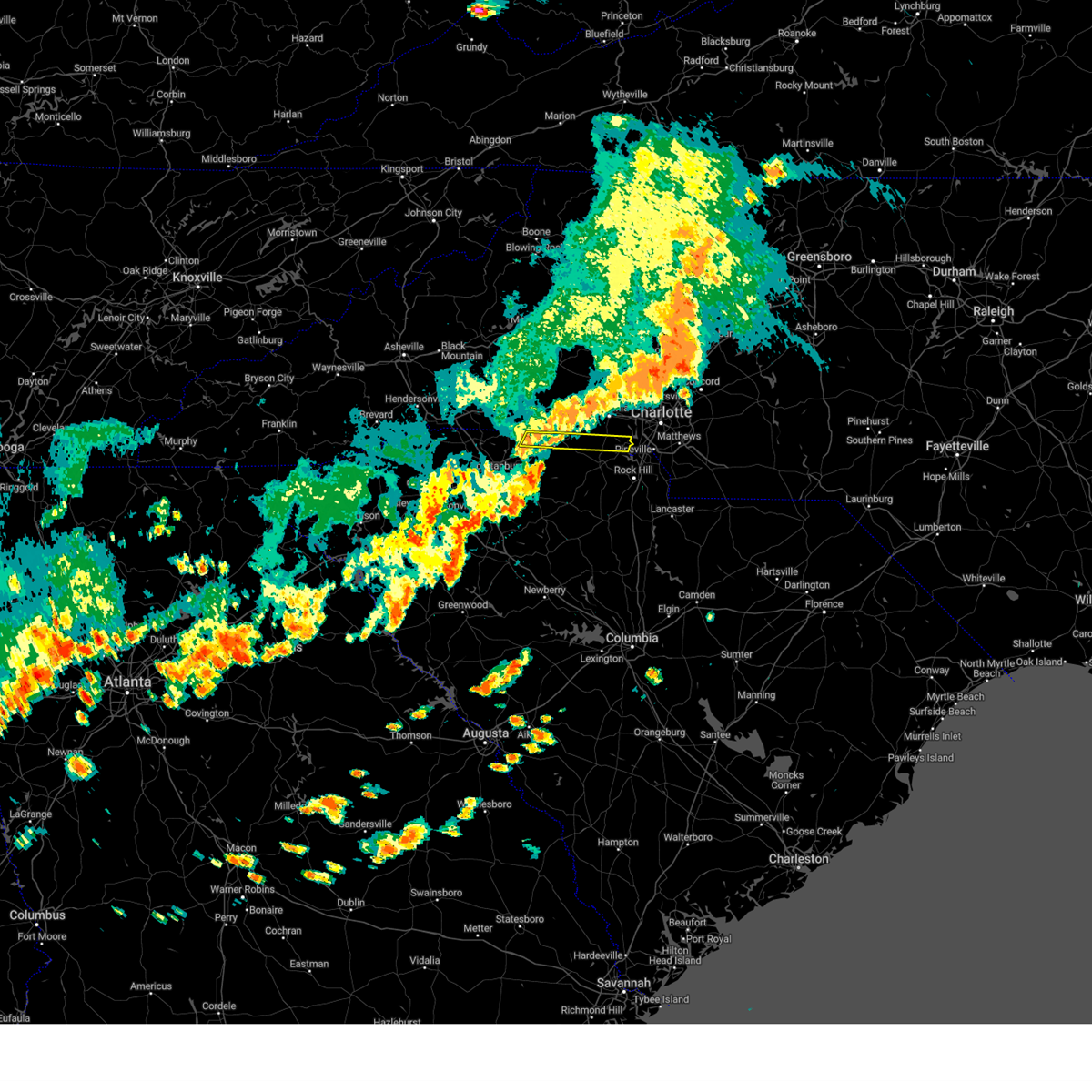
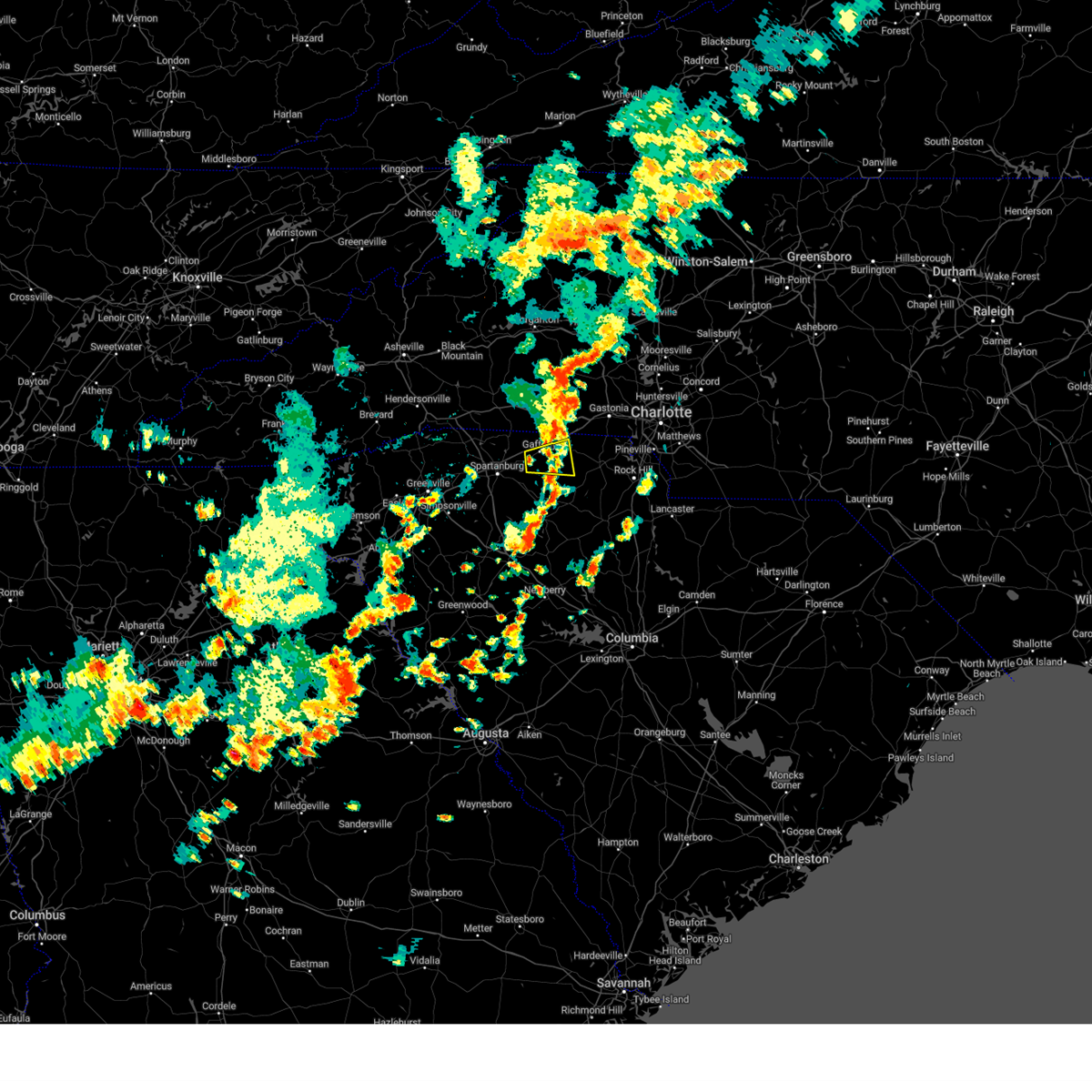
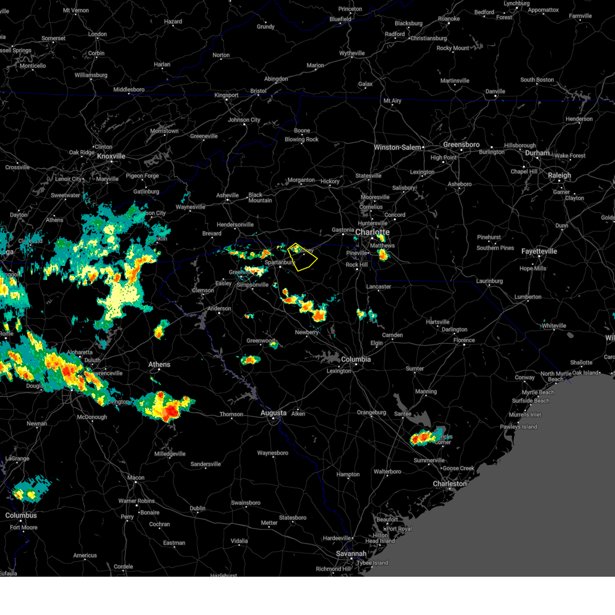
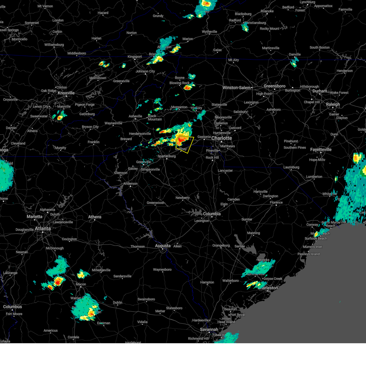
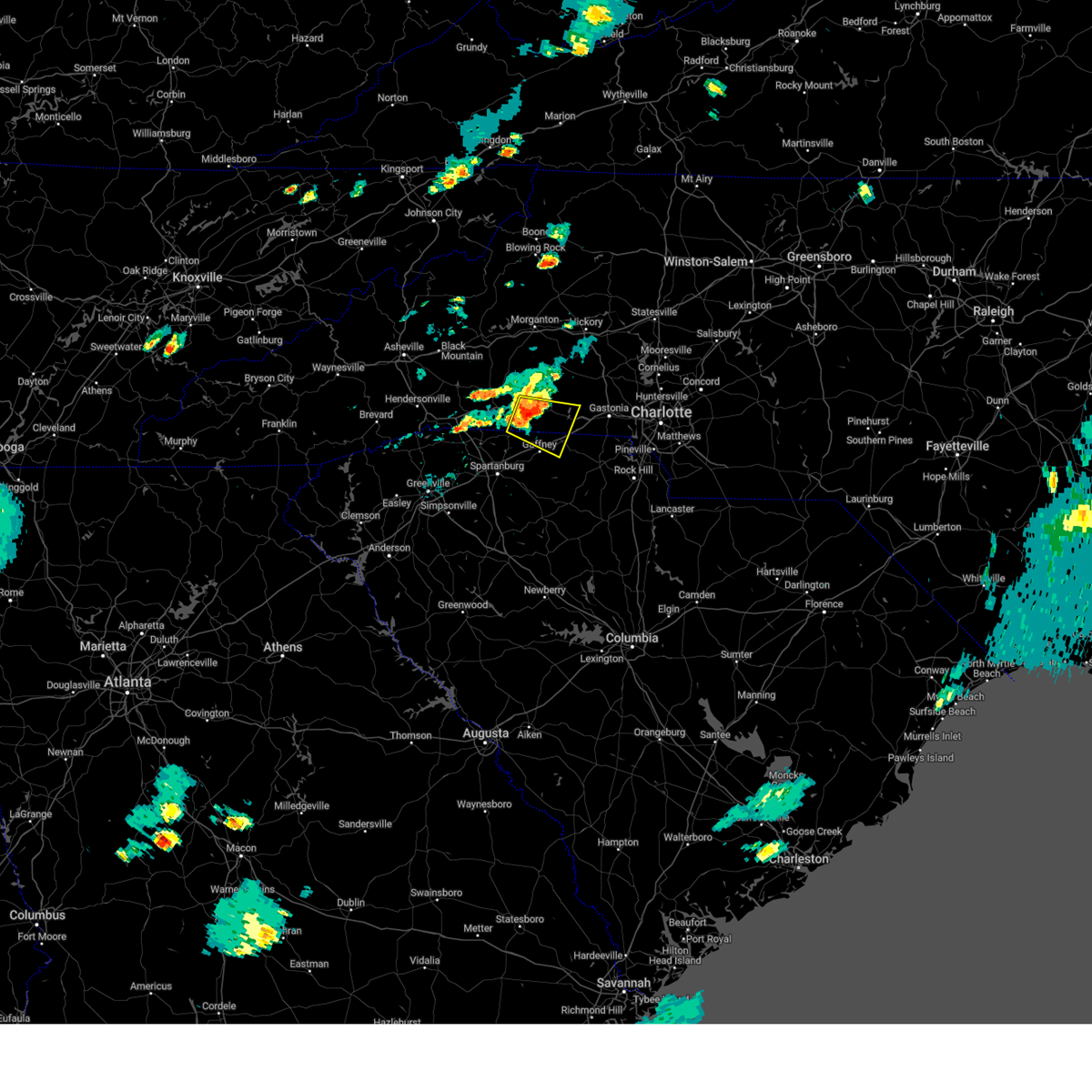
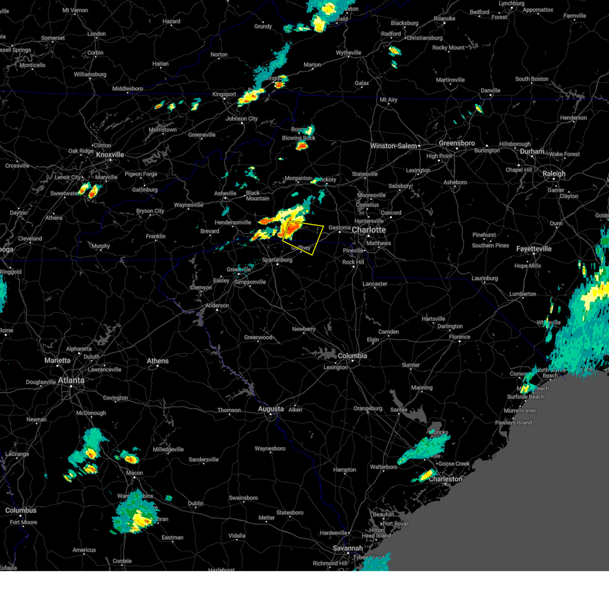
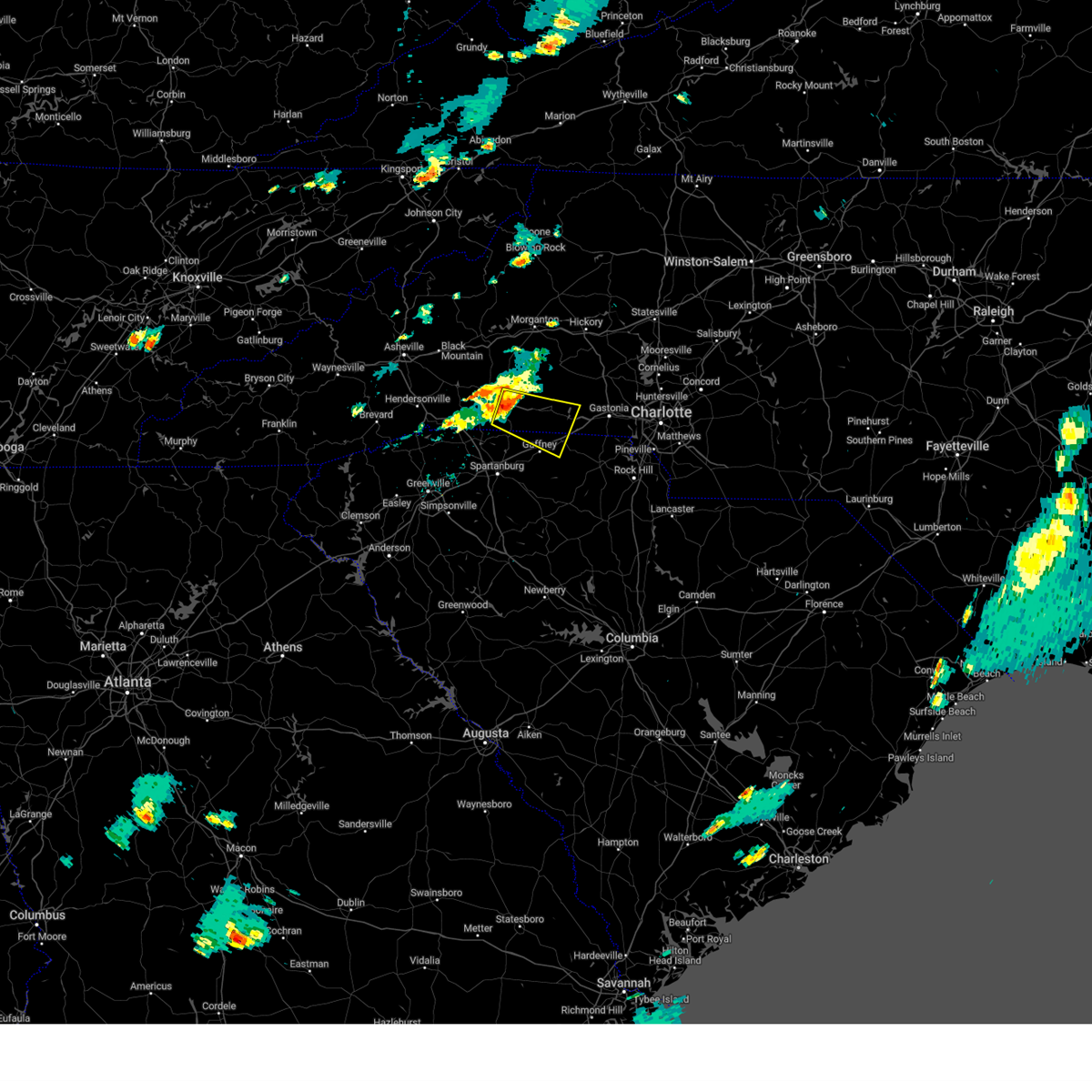
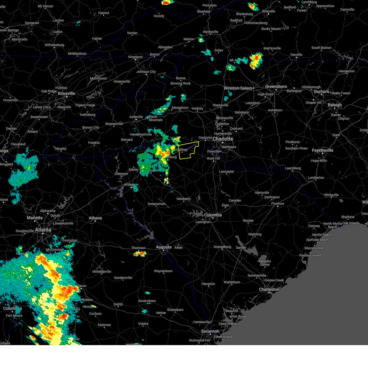
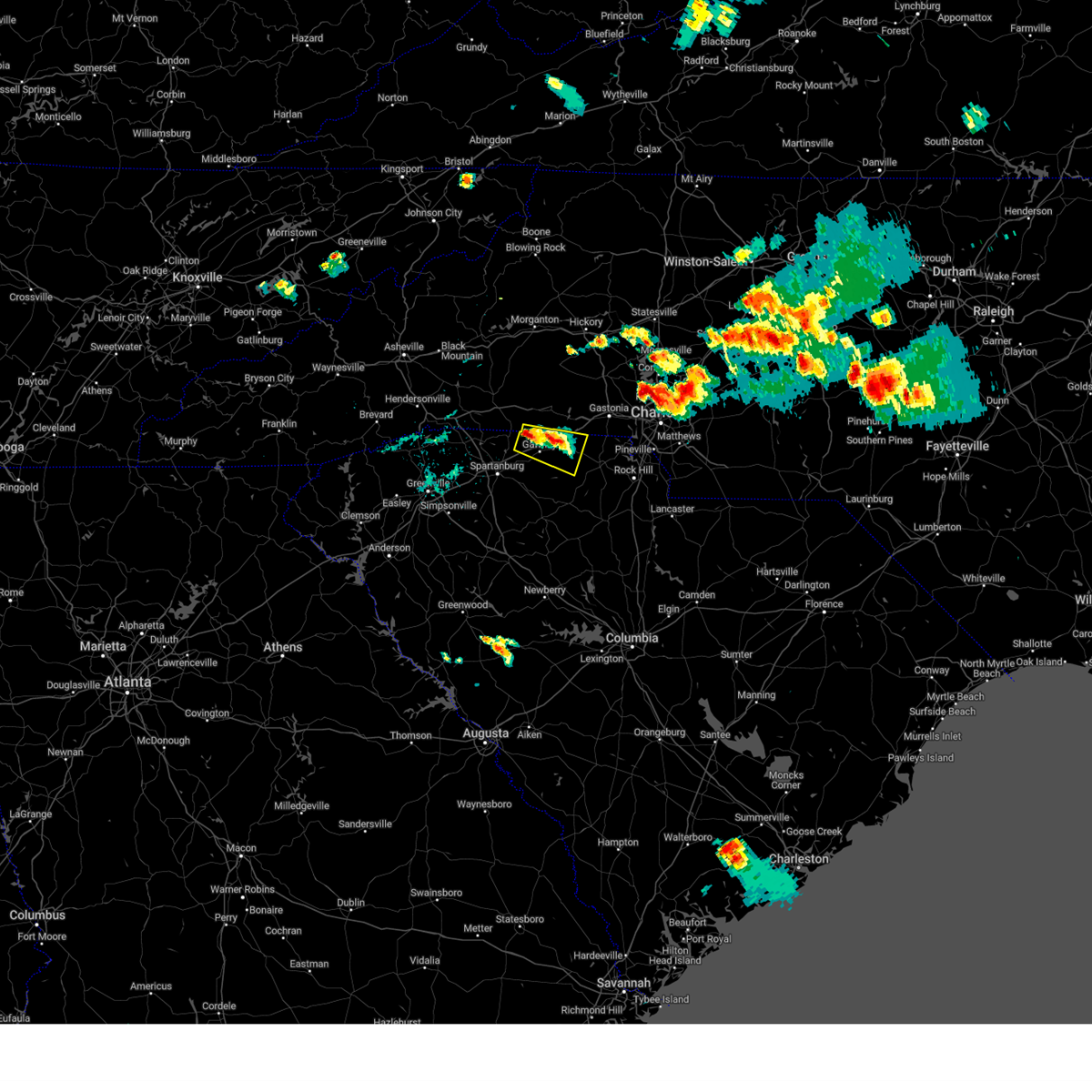
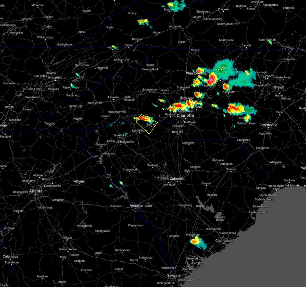
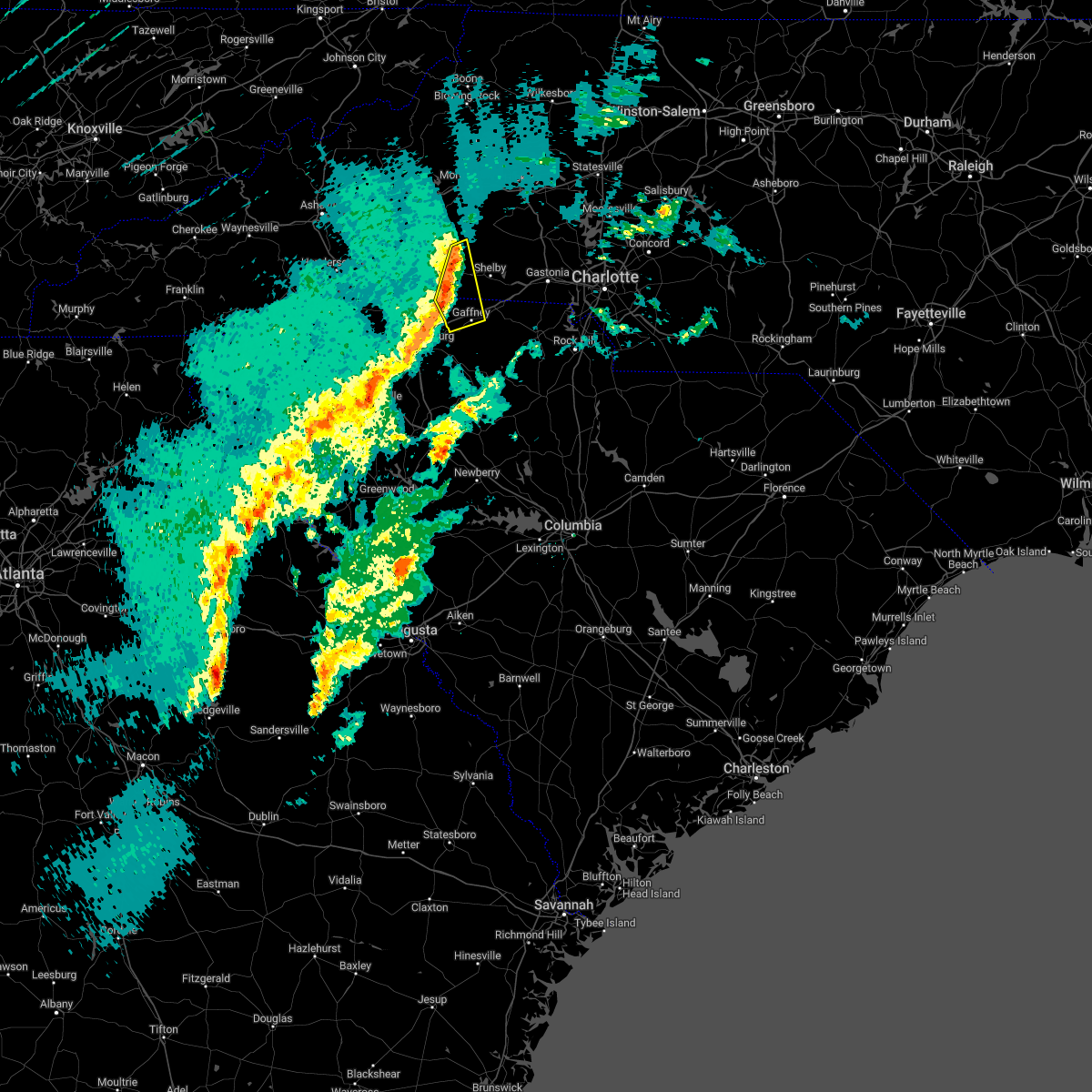
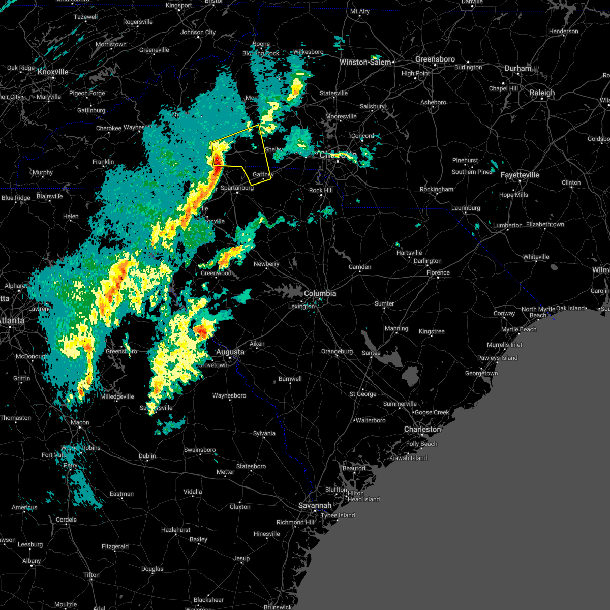
Hail Map for East Gaffney, SC
The East Gaffney, SC area has had 0 reports of on-the-ground hail by trained spotters, and has been under severe weather warnings 48 times during the past 12 months. Doppler radar has detected hail at or near East Gaffney, SC on 43 occasions, including 2 occasions during the past year.
| Name: | East Gaffney, SC |
| Where Located: | 45.4 miles WSW of Charlotte, NC |
| Map: | Google Map for East Gaffney, SC |
| Population: | 3085 |
| Housing Units: | 1407 |
| More Info: | Search Google for East Gaffney, SC |
1
The Top Recent Hail Date for East Gaffney, SC is Tuesday, September 24, 2024 (11th out of 43)

Hail and Wind Damage Spotted near East Gaffney, SC
| Date / Time | Report Details |
|---|---|
| 7/1/2025 8:30 PM EDT |
 The storms which prompted the warning have weakened below severe limits, and no longer pose an immediate threat to life or property. therefore, the warning will be allowed to expire. however, gusty winds and heavy rain are still possible with these thunderstorms. to report severe weather to the national weather service greenville-spartanburg, call toll free, 1, 800, 2 6 7, 8 1 0 1, or post on our facebook page, or post it to x using hashtag nwsgsp. your message should describe the event and the specific location where it occurred. The storms which prompted the warning have weakened below severe limits, and no longer pose an immediate threat to life or property. therefore, the warning will be allowed to expire. however, gusty winds and heavy rain are still possible with these thunderstorms. to report severe weather to the national weather service greenville-spartanburg, call toll free, 1, 800, 2 6 7, 8 1 0 1, or post on our facebook page, or post it to x using hashtag nwsgsp. your message should describe the event and the specific location where it occurred.
|
| 7/1/2025 8:11 PM EDT |
 At 811 pm edt, severe thunderstorms were located along a line extending from 13 miles west of lincolnton to 8 miles northeast of gaffney, moving northeast at 25 mph (radar indicated). Hazards include 60 mph wind gusts. Expect damage to trees and power lines. Locations impacted include, shelby, lincolnton, kings mountain, cherryville, bessemer city, south gastonia, blacksburg, belwood, grover, and lawndale. At 811 pm edt, severe thunderstorms were located along a line extending from 13 miles west of lincolnton to 8 miles northeast of gaffney, moving northeast at 25 mph (radar indicated). Hazards include 60 mph wind gusts. Expect damage to trees and power lines. Locations impacted include, shelby, lincolnton, kings mountain, cherryville, bessemer city, south gastonia, blacksburg, belwood, grover, and lawndale.
|
| 7/1/2025 7:51 PM EDT |
 the severe thunderstorm warning has been cancelled and is no longer in effect the severe thunderstorm warning has been cancelled and is no longer in effect
|
| 7/1/2025 7:51 PM EDT |
 At 750 pm edt, severe thunderstorms were located along a line extending from 7 miles northwest of shelby to 4 miles northwest of gaffney, moving east at 25 mph (radar indicated). Hazards include 60 mph wind gusts and quarter size hail. Minor hail damage to vehicles is expected. expect wind damage to trees and power lines. Locations impacted include, shelby, gaffney, lincolnton, kings mountain, cherryville, bessemer city, south gastonia, boiling springs nc, blacksburg, and belwood. At 750 pm edt, severe thunderstorms were located along a line extending from 7 miles northwest of shelby to 4 miles northwest of gaffney, moving east at 25 mph (radar indicated). Hazards include 60 mph wind gusts and quarter size hail. Minor hail damage to vehicles is expected. expect wind damage to trees and power lines. Locations impacted include, shelby, gaffney, lincolnton, kings mountain, cherryville, bessemer city, south gastonia, boiling springs nc, blacksburg, and belwood.
|
| 7/1/2025 7:46 PM EDT |
 Svrgsp the national weather service in greenville-spartanburg has issued a * severe thunderstorm warning for, southeastern rutherford county in western north carolina, western lincoln county in the piedmont of north carolina, cleveland county in the piedmont of north carolina, western gaston county in the piedmont of north carolina, northwestern york county in upstate south carolina, northern cherokee county in upstate south carolina, * until 830 pm edt. * at 746 pm edt, severe thunderstorms were located along a line extending from 7 miles northwest of shelby to 4 miles northwest of gaffney, moving east at 20 mph (radar indicated). Hazards include 60 mph wind gusts. expect damage to trees and power lines Svrgsp the national weather service in greenville-spartanburg has issued a * severe thunderstorm warning for, southeastern rutherford county in western north carolina, western lincoln county in the piedmont of north carolina, cleveland county in the piedmont of north carolina, western gaston county in the piedmont of north carolina, northwestern york county in upstate south carolina, northern cherokee county in upstate south carolina, * until 830 pm edt. * at 746 pm edt, severe thunderstorms were located along a line extending from 7 miles northwest of shelby to 4 miles northwest of gaffney, moving east at 20 mph (radar indicated). Hazards include 60 mph wind gusts. expect damage to trees and power lines
|
| 6/25/2025 6:04 PM EDT | At 604 pm edt, severe thunderstorms were located along a line extending from near gaffney to 7 miles northwest of spartanburg, moving south at 5 mph (radar indicated). Hazards include ping pong ball size hail and 60 mph wind gusts. People and animals outdoors will be injured. expect hail damage to roofs, siding, windows, and vehicles. expect wind damage to trees and power lines. Locations impacted include, spartanburg, gaffney, boiling springs sc, lyman, pacolet, cowpens, wellford, inman, mayo, and roebuck. |
| 6/25/2025 6:04 PM EDT | the severe thunderstorm warning has been cancelled and is no longer in effect |
| 6/25/2025 5:27 PM EDT | Svrgsp the national weather service in greenville-spartanburg has issued a * severe thunderstorm warning for, south central rutherford county in western north carolina, southwestern cleveland county in the piedmont of north carolina, spartanburg county in upstate south carolina, cherokee county in upstate south carolina, northern union county in upstate south carolina, * until 645 pm edt. * at 527 pm edt, a severe thunderstorm was located 4 miles south of forest city, moving south at 15 mph (radar indicated). Hazards include 60 mph wind gusts and quarter size hail. Minor hail damage to vehicles is expected. Expect wind damage to trees and power lines. |
| 6/17/2025 10:18 PM EDT |
 At 1018 pm edt, severe thunderstorms were located along a line extending from 4 miles southeast of morganton to 9 miles northwest of lincolnton to 9 miles northwest of york to 5 miles west of chester, moving east at 50 mph (radar indicated). Hazards include 60 mph wind gusts. Expect damage to trees and power lines. Locations impacted include, gastonia, rock hill, hickory, shelby, morganton, newton, gaffney, lincolnton, union, and york. At 1018 pm edt, severe thunderstorms were located along a line extending from 4 miles southeast of morganton to 9 miles northwest of lincolnton to 9 miles northwest of york to 5 miles west of chester, moving east at 50 mph (radar indicated). Hazards include 60 mph wind gusts. Expect damage to trees and power lines. Locations impacted include, gastonia, rock hill, hickory, shelby, morganton, newton, gaffney, lincolnton, union, and york.
|
| 6/17/2025 10:02 PM EDT | the severe thunderstorm warning has been cancelled and is no longer in effect |
| 6/17/2025 10:02 PM EDT | At 1002 pm edt, severe thunderstorms were located along a line extending from 9 miles southwest of morganton to 14 miles north of shelby to 11 miles east of gaffney to 11 miles southeast of union, moving east at 50 mph (radar indicated). Hazards include 60 mph wind gusts. Expect damage to trees and power lines. Locations impacted include, gastonia, rock hill, hickory, shelby, morganton, newton, gaffney, lincolnton, union, and york. |
| 6/17/2025 9:43 PM EDT |
 Svrgsp the national weather service in greenville-spartanburg has issued a * severe thunderstorm warning for, catawba county in the piedmont of north carolina, rutherford county in western north carolina, lincoln county in the piedmont of north carolina, gaston county in the piedmont of north carolina, southeastern mcdowell county in western north carolina, cleveland county in the piedmont of north carolina, southern burke county in western north carolina, southeastern laurens county in upstate south carolina, union county in upstate south carolina, chester county in upstate south carolina, york county in upstate south carolina, eastern spartanburg county in upstate south carolina, cherokee county in upstate south carolina, * until 1045 pm edt. * at 943 pm edt, severe thunderstorms were located along a line extending from 10 miles north of rutherfordton to 10 miles east of forest city to 9 miles south of gaffney to 13 miles south of union, moving northeast at 50 mph (radar indicated). Hazards include 60 mph wind gusts. expect damage to trees and power lines Svrgsp the national weather service in greenville-spartanburg has issued a * severe thunderstorm warning for, catawba county in the piedmont of north carolina, rutherford county in western north carolina, lincoln county in the piedmont of north carolina, gaston county in the piedmont of north carolina, southeastern mcdowell county in western north carolina, cleveland county in the piedmont of north carolina, southern burke county in western north carolina, southeastern laurens county in upstate south carolina, union county in upstate south carolina, chester county in upstate south carolina, york county in upstate south carolina, eastern spartanburg county in upstate south carolina, cherokee county in upstate south carolina, * until 1045 pm edt. * at 943 pm edt, severe thunderstorms were located along a line extending from 10 miles north of rutherfordton to 10 miles east of forest city to 9 miles south of gaffney to 13 miles south of union, moving northeast at 50 mph (radar indicated). Hazards include 60 mph wind gusts. expect damage to trees and power lines
|
| 6/17/2025 9:34 PM EDT |
 At 933 pm edt, severe thunderstorms were located along a line extending from 3 miles northwest of rutherfordton to 4 miles south of forest city to 5 miles northeast of spartanburg to 13 miles east of laurens, moving east at 50 mph (radar indicated). Hazards include 60 mph wind gusts. Expect damage to trees and power lines. Locations impacted include, spartanburg, shelby, gaffney, union, forest city, rutherfordton, clinton, boiling springs sc, woodruff, and spindale. At 933 pm edt, severe thunderstorms were located along a line extending from 3 miles northwest of rutherfordton to 4 miles south of forest city to 5 miles northeast of spartanburg to 13 miles east of laurens, moving east at 50 mph (radar indicated). Hazards include 60 mph wind gusts. Expect damage to trees and power lines. Locations impacted include, spartanburg, shelby, gaffney, union, forest city, rutherfordton, clinton, boiling springs sc, woodruff, and spindale.
|
| 6/17/2025 9:34 PM EDT |
 the severe thunderstorm warning has been cancelled and is no longer in effect the severe thunderstorm warning has been cancelled and is no longer in effect
|
| 6/17/2025 9:19 PM EDT | At 918 pm edt, severe thunderstorms were located along a line extending from 4 miles north of columbus to 13 miles south of rutherfordton to 5 miles southwest of spartanburg to near laurens, moving east at 50 mph (radar indicated). Hazards include 60 mph wind gusts. Expect damage to trees and power lines. Locations impacted include, spartanburg, shelby, gaffney, laurens, union, forest city, rutherfordton, columbus, greer, and clinton. |
| 6/17/2025 9:19 PM EDT | the severe thunderstorm warning has been cancelled and is no longer in effect |
| 6/17/2025 8:50 PM EDT |
 Svrgsp the national weather service in greenville-spartanburg has issued a * severe thunderstorm warning for, rutherford county in western north carolina, southeastern henderson county in western north carolina, polk county in western north carolina, cleveland county in the piedmont of north carolina, laurens county in upstate south carolina, northeastern pickens county in upstate south carolina, union county in upstate south carolina, greenville county in upstate south carolina, spartanburg county in upstate south carolina, eastern anderson county in upstate south carolina, cherokee county in upstate south carolina, northeastern abbeville county in upstate south carolina, northwestern greenwood county in upstate south carolina, * until 945 pm edt. * at 849 pm edt, severe thunderstorms were located along a line extending from 12 miles south of hendersonville to 18 miles southwest of columbus to 7 miles south of greenville downtown to 11 miles north of abbeville, moving northeast at 50 mph (radar indicated). Hazards include 60 mph wind gusts. expect damage to trees and power lines Svrgsp the national weather service in greenville-spartanburg has issued a * severe thunderstorm warning for, rutherford county in western north carolina, southeastern henderson county in western north carolina, polk county in western north carolina, cleveland county in the piedmont of north carolina, laurens county in upstate south carolina, northeastern pickens county in upstate south carolina, union county in upstate south carolina, greenville county in upstate south carolina, spartanburg county in upstate south carolina, eastern anderson county in upstate south carolina, cherokee county in upstate south carolina, northeastern abbeville county in upstate south carolina, northwestern greenwood county in upstate south carolina, * until 945 pm edt. * at 849 pm edt, severe thunderstorms were located along a line extending from 12 miles south of hendersonville to 18 miles southwest of columbus to 7 miles south of greenville downtown to 11 miles north of abbeville, moving northeast at 50 mph (radar indicated). Hazards include 60 mph wind gusts. expect damage to trees and power lines
|
| 6/7/2025 8:52 PM EDT |
 The storms which prompted the warning have weakened below severe limits, and no longer pose an immediate threat to life or property. therefore, the warning will be allowed to expire. however, gusty winds are still possible with these thunderstorms. a severe thunderstorm watch remains in effect until 1100 pm edt for upstate south carolina. to report severe weather to the national weather service greenville-spartanburg, call toll free, 1, 800, 2 6 7, 8 1 0 1, or post on our facebook page, or tweet it using hashtag nwsgsp. your message should describe the event and the specific location where it occurred. The storms which prompted the warning have weakened below severe limits, and no longer pose an immediate threat to life or property. therefore, the warning will be allowed to expire. however, gusty winds are still possible with these thunderstorms. a severe thunderstorm watch remains in effect until 1100 pm edt for upstate south carolina. to report severe weather to the national weather service greenville-spartanburg, call toll free, 1, 800, 2 6 7, 8 1 0 1, or post on our facebook page, or tweet it using hashtag nwsgsp. your message should describe the event and the specific location where it occurred.
|
| 6/7/2025 8:44 PM EDT |
 At 844 pm edt, severe thunderstorms were located along a line extending from 9 miles east of columbus to 6 miles east of spartanburg to 8 miles north of newberry, moving northeast at 40 mph (radar indicated). Hazards include 60 mph wind gusts. Expect damage to trees and power lines. Locations impacted include, spartanburg, gaffney, union, boiling springs sc, pacolet, cowpens, monarch mill, mayo, buffalo, and chesnee. At 844 pm edt, severe thunderstorms were located along a line extending from 9 miles east of columbus to 6 miles east of spartanburg to 8 miles north of newberry, moving northeast at 40 mph (radar indicated). Hazards include 60 mph wind gusts. Expect damage to trees and power lines. Locations impacted include, spartanburg, gaffney, union, boiling springs sc, pacolet, cowpens, monarch mill, mayo, buffalo, and chesnee.
|
| 6/7/2025 8:18 PM EDT |
 Svrgsp the national weather service in greenville-spartanburg has issued a * severe thunderstorm warning for, central laurens county in upstate south carolina, spartanburg county in upstate south carolina, cherokee county in upstate south carolina, union county in upstate south carolina, * until 900 pm edt. * at 818 pm edt, severe thunderstorms were located along a line extending from 11 miles southwest of columbus to 11 miles southwest of spartanburg to 15 miles southeast of laurens, moving northeast at 40 mph (radar indicated). Hazards include 60 mph wind gusts. expect damage to trees and power lines Svrgsp the national weather service in greenville-spartanburg has issued a * severe thunderstorm warning for, central laurens county in upstate south carolina, spartanburg county in upstate south carolina, cherokee county in upstate south carolina, union county in upstate south carolina, * until 900 pm edt. * at 818 pm edt, severe thunderstorms were located along a line extending from 11 miles southwest of columbus to 11 miles southwest of spartanburg to 15 miles southeast of laurens, moving northeast at 40 mph (radar indicated). Hazards include 60 mph wind gusts. expect damage to trees and power lines
|
| 5/20/2025 7:43 PM EDT | The storm which prompted the warning has moved out of the area. no warnings are currently in effect for cherokee county. to report severe weather to the national weather service greenville-spartanburg, call toll free, 1, 800, 2 6 7, 8 1 0 1, or post on our facebook page, or tweet it using hashtag nwsgsp. your message should describe the event and the specific location where it occurred. |
| 5/20/2025 7:10 PM EDT | At 709 pm edt, a severe thunderstorm was located near gaffney, moving east at 15 mph (emergency management). Hazards include 60 mph wind gusts and quarter size hail. Minor hail damage to vehicles is expected. expect wind damage to trees and power lines. Locations impacted include, cherokee falls, draytonville, thicketty, and gaffney. |
| 5/20/2025 6:56 PM EDT | At 656 pm edt, a severe thunderstorm was located 4 miles southwest of gaffney, moving east at 15 mph (emergency management). Hazards include 60 mph wind gusts and quarter size hail. Minor hail damage to vehicles is expected. expect wind damage to trees and power lines. Locations impacted include, cherokee falls, draytonville, thicketty, gaffney, and blacksburg. |
| 5/20/2025 6:41 PM EDT |
 Svrgsp the national weather service in greenville-spartanburg has issued a * severe thunderstorm warning for, central cherokee county in upstate south carolina, * until 745 pm edt. * at 641 pm edt, a severe thunderstorm was located 6 miles west of gaffney, or near cowpens, moving east at 15 mph (radar indicated). Hazards include 60 mph wind gusts and quarter size hail. Minor hail damage to vehicles is expected. Expect wind damage to trees and power lines. Svrgsp the national weather service in greenville-spartanburg has issued a * severe thunderstorm warning for, central cherokee county in upstate south carolina, * until 745 pm edt. * at 641 pm edt, a severe thunderstorm was located 6 miles west of gaffney, or near cowpens, moving east at 15 mph (radar indicated). Hazards include 60 mph wind gusts and quarter size hail. Minor hail damage to vehicles is expected. Expect wind damage to trees and power lines.
|
| 5/14/2025 7:14 PM EDT |
 The storm which prompted the warning has weakened below severe limits, and no longer poses an immediate threat to life or property. therefore, the warning will be allowed to expire. however, small hail and gusty winds are still possible with this thunderstorm. The storm which prompted the warning has weakened below severe limits, and no longer poses an immediate threat to life or property. therefore, the warning will be allowed to expire. however, small hail and gusty winds are still possible with this thunderstorm.
|
| 5/14/2025 7:02 PM EDT |
 the severe thunderstorm warning has been cancelled and is no longer in effect the severe thunderstorm warning has been cancelled and is no longer in effect
|
| 5/14/2025 7:02 PM EDT |
 At 701 pm edt, a severe thunderstorm was located 6 miles west of gaffney, or near cowpens, moving southeast at 20 mph (radar indicated). Hazards include 60 mph wind gusts and quarter size hail. Minor hail damage to vehicles is expected. expect wind damage to trees and power lines. Locations impacted include, draytonville, thicketty, gaffney, cherokee falls, and cowpens national battlefield. At 701 pm edt, a severe thunderstorm was located 6 miles west of gaffney, or near cowpens, moving southeast at 20 mph (radar indicated). Hazards include 60 mph wind gusts and quarter size hail. Minor hail damage to vehicles is expected. expect wind damage to trees and power lines. Locations impacted include, draytonville, thicketty, gaffney, cherokee falls, and cowpens national battlefield.
|
| 5/14/2025 6:37 PM EDT |
 At 636 pm edt, a severe thunderstorm was located 12 miles north of spartanburg, or near chesnee, moving southeast at 15 mph (radar indicated). Hazards include 60 mph wind gusts and quarter size hail. Minor hail damage to vehicles is expected. expect wind damage to trees and power lines. Locations impacted include, draytonville, cowpens national battlefield, thicketty, chesnee, gaffney, cowpens, mayo, cherokee falls, and boiling springs sc. At 636 pm edt, a severe thunderstorm was located 12 miles north of spartanburg, or near chesnee, moving southeast at 15 mph (radar indicated). Hazards include 60 mph wind gusts and quarter size hail. Minor hail damage to vehicles is expected. expect wind damage to trees and power lines. Locations impacted include, draytonville, cowpens national battlefield, thicketty, chesnee, gaffney, cowpens, mayo, cherokee falls, and boiling springs sc.
|
| 5/14/2025 6:37 PM EDT |
 the severe thunderstorm warning has been cancelled and is no longer in effect the severe thunderstorm warning has been cancelled and is no longer in effect
|
| 5/14/2025 6:14 PM EDT |
 Svrgsp the national weather service in greenville-spartanburg has issued a * severe thunderstorm warning for, southeastern rutherford county in western north carolina, southwestern cleveland county in the piedmont of north carolina, northeastern spartanburg county in upstate south carolina, northwestern cherokee county in upstate south carolina, * until 715 pm edt. * at 614 pm edt, a severe thunderstorm was located 13 miles southwest of forest city, or 6 miles northeast of lake bowen, moving east at 20 mph (radar indicated). Hazards include 60 mph wind gusts and quarter size hail. Minor hail damage to vehicles is expected. Expect wind damage to trees and power lines. Svrgsp the national weather service in greenville-spartanburg has issued a * severe thunderstorm warning for, southeastern rutherford county in western north carolina, southwestern cleveland county in the piedmont of north carolina, northeastern spartanburg county in upstate south carolina, northwestern cherokee county in upstate south carolina, * until 715 pm edt. * at 614 pm edt, a severe thunderstorm was located 13 miles southwest of forest city, or 6 miles northeast of lake bowen, moving east at 20 mph (radar indicated). Hazards include 60 mph wind gusts and quarter size hail. Minor hail damage to vehicles is expected. Expect wind damage to trees and power lines.
|
| 3/31/2025 4:39 PM EDT |
 the severe thunderstorm warning has been cancelled and is no longer in effect the severe thunderstorm warning has been cancelled and is no longer in effect
|
| 3/31/2025 4:27 PM EDT |
 At 427 pm edt, severe thunderstorms were located along a line extending from 5 miles northeast of gaffney to 19 miles west of york to 13 miles northeast of union to 14 miles southwest of chester, moving northeast at 50 mph (radar indicated). Hazards include 60 mph wind gusts. Expect damage to trees and power lines. Locations impacted include, cherokee falls, draytonville, saratt, kings creek, gaffney, adamsburg, carlisle, tuckertown, santuc, and blacksburg. At 427 pm edt, severe thunderstorms were located along a line extending from 5 miles northeast of gaffney to 19 miles west of york to 13 miles northeast of union to 14 miles southwest of chester, moving northeast at 50 mph (radar indicated). Hazards include 60 mph wind gusts. Expect damage to trees and power lines. Locations impacted include, cherokee falls, draytonville, saratt, kings creek, gaffney, adamsburg, carlisle, tuckertown, santuc, and blacksburg.
|
| 3/31/2025 4:19 PM EDT | the severe thunderstorm warning has been cancelled and is no longer in effect |
| 3/31/2025 4:19 PM EDT | At 418 pm edt, severe thunderstorms were located along a line extending from 11 miles southeast of forest city to 3 miles west of gaffney to 13 miles east of spartanburg to 5 miles northeast of union to 15 miles north of newberry, moving northeast at 45 mph (radar indicated). Hazards include 60 mph wind gusts. Expect damage to trees and power lines. Locations impacted include, gaffney, carlisle, tuckertown, santuc, union, cherokee falls, draytonville, thicketty, jonesville, and saratt. |
| 3/31/2025 4:03 PM EDT |
 At 403 pm edt, severe thunderstorms were located along a line extending from 8 miles south of forest city to 10 miles west of gaffney to 8 miles south of spartanburg to 10 miles west of union to 12 miles northwest of newberry, moving northeast at 50 mph (radar indicated). Hazards include 60 mph wind gusts. Expect damage to trees and power lines. Locations impacted include, cowpens national battlefield, roebuck, chesnee, gaffney, cowpens, pacolet mills, carlisle, tuckertown, union, and thicketty. At 403 pm edt, severe thunderstorms were located along a line extending from 8 miles south of forest city to 10 miles west of gaffney to 8 miles south of spartanburg to 10 miles west of union to 12 miles northwest of newberry, moving northeast at 50 mph (radar indicated). Hazards include 60 mph wind gusts. Expect damage to trees and power lines. Locations impacted include, cowpens national battlefield, roebuck, chesnee, gaffney, cowpens, pacolet mills, carlisle, tuckertown, union, and thicketty.
|
| 3/31/2025 3:41 PM EDT |
 Svrgsp the national weather service in greenville-spartanburg has issued a * severe thunderstorm warning for, northeastern laurens county in upstate south carolina, spartanburg county in upstate south carolina, cherokee county in upstate south carolina, union county in upstate south carolina, * until 515 pm edt. * at 341 pm edt, severe thunderstorms were located along a line extending from 11 miles south of columbus to 12 miles west of spartanburg to 14 miles southeast of greenville downtown to 7 miles northwest of laurens to 9 miles northeast of greenwood, moving northeast at 45 mph (radar indicated). Hazards include 60 mph wind gusts. expect damage to trees and power lines Svrgsp the national weather service in greenville-spartanburg has issued a * severe thunderstorm warning for, northeastern laurens county in upstate south carolina, spartanburg county in upstate south carolina, cherokee county in upstate south carolina, union county in upstate south carolina, * until 515 pm edt. * at 341 pm edt, severe thunderstorms were located along a line extending from 11 miles south of columbus to 12 miles west of spartanburg to 14 miles southeast of greenville downtown to 7 miles northwest of laurens to 9 miles northeast of greenwood, moving northeast at 45 mph (radar indicated). Hazards include 60 mph wind gusts. expect damage to trees and power lines
|
| 2/16/2025 6:28 AM EST |
 Svrgsp the national weather service in greenville-spartanburg has issued a * severe thunderstorm warning for, laurens county in upstate south carolina, western chester county in upstate south carolina, york county in upstate south carolina, southeastern spartanburg county in upstate south carolina, cherokee county in upstate south carolina, southeastern abbeville county in upstate south carolina, union county in upstate south carolina, greenwood county in upstate south carolina, * until 700 am est. * at 628 am est, severe thunderstorms were located along a line extending from near gaffney to 14 miles southeast of abbeville, moving east at 80 mph (radar indicated). Hazards include 60 mph wind gusts. expect damage to trees and power lines Svrgsp the national weather service in greenville-spartanburg has issued a * severe thunderstorm warning for, laurens county in upstate south carolina, western chester county in upstate south carolina, york county in upstate south carolina, southeastern spartanburg county in upstate south carolina, cherokee county in upstate south carolina, southeastern abbeville county in upstate south carolina, union county in upstate south carolina, greenwood county in upstate south carolina, * until 700 am est. * at 628 am est, severe thunderstorms were located along a line extending from near gaffney to 14 miles southeast of abbeville, moving east at 80 mph (radar indicated). Hazards include 60 mph wind gusts. expect damage to trees and power lines
|
| 12/29/2024 8:55 AM EST |
 At 855 am est, a severe thunderstorm capable of producing a tornado was located 12 miles southeast of gaffney, or near hickory grove, moving northeast at 50 mph (radar indicated rotation). Hazards include tornado. Flying debris will be dangerous to those caught without shelter. mobile homes will be damaged or destroyed. damage to roofs, windows, and vehicles will occur. tree damage is likely. this dangerous storm will be near, smyrna and kings mountain state park around 900 am est. Other locations impacted by this tornadic thunderstorm include cherokee falls, draytonville, kings creek, and bethany. At 855 am est, a severe thunderstorm capable of producing a tornado was located 12 miles southeast of gaffney, or near hickory grove, moving northeast at 50 mph (radar indicated rotation). Hazards include tornado. Flying debris will be dangerous to those caught without shelter. mobile homes will be damaged or destroyed. damage to roofs, windows, and vehicles will occur. tree damage is likely. this dangerous storm will be near, smyrna and kings mountain state park around 900 am est. Other locations impacted by this tornadic thunderstorm include cherokee falls, draytonville, kings creek, and bethany.
|
| 12/29/2024 8:46 AM EST |
 At 846 am est, a severe thunderstorm capable of producing a tornado was located 10 miles southeast of gaffney, or 8 miles west of hickory grove, moving northeast at 55 mph (radar indicated rotation). Hazards include tornado. Flying debris will be dangerous to those caught without shelter. mobile homes will be damaged or destroyed. damage to roofs, windows, and vehicles will occur. tree damage is likely. this dangerous storm will be near, smyrna and kings mountain state park around 900 am est. Other locations impacted by this tornadic thunderstorm include cherokee falls, draytonville, bullock creek, saratt, and kings creek. At 846 am est, a severe thunderstorm capable of producing a tornado was located 10 miles southeast of gaffney, or 8 miles west of hickory grove, moving northeast at 55 mph (radar indicated rotation). Hazards include tornado. Flying debris will be dangerous to those caught without shelter. mobile homes will be damaged or destroyed. damage to roofs, windows, and vehicles will occur. tree damage is likely. this dangerous storm will be near, smyrna and kings mountain state park around 900 am est. Other locations impacted by this tornadic thunderstorm include cherokee falls, draytonville, bullock creek, saratt, and kings creek.
|
| 12/29/2024 8:46 AM EST |
 the tornado warning has been cancelled and is no longer in effect the tornado warning has been cancelled and is no longer in effect
|
| 12/29/2024 8:34 AM EST |
 Torgsp the national weather service in greenville-spartanburg has issued a * tornado warning for, western york county in upstate south carolina, eastern cherokee county in upstate south carolina, northeastern union county in upstate south carolina, * until 915 am est. * at 834 am est, a severe thunderstorm capable of producing a tornado was located 6 miles northwest of union, or near jonesville, moving northeast at 50 mph (radar indicated rotation). Hazards include tornado. Flying debris will be dangerous to those caught without shelter. mobile homes will be damaged or destroyed. damage to roofs, windows, and vehicles will occur. tree damage is likely. this dangerous storm will be near, smyrna and kings mountain state park around 900 am est. Other locations impacted by this dangerous thunderstorm include cherokee falls, draytonville, bullock creek, saratt, and kings creek. Torgsp the national weather service in greenville-spartanburg has issued a * tornado warning for, western york county in upstate south carolina, eastern cherokee county in upstate south carolina, northeastern union county in upstate south carolina, * until 915 am est. * at 834 am est, a severe thunderstorm capable of producing a tornado was located 6 miles northwest of union, or near jonesville, moving northeast at 50 mph (radar indicated rotation). Hazards include tornado. Flying debris will be dangerous to those caught without shelter. mobile homes will be damaged or destroyed. damage to roofs, windows, and vehicles will occur. tree damage is likely. this dangerous storm will be near, smyrna and kings mountain state park around 900 am est. Other locations impacted by this dangerous thunderstorm include cherokee falls, draytonville, bullock creek, saratt, and kings creek.
|
| 12/29/2024 8:25 AM EST |
 Svrgsp the national weather service in greenville-spartanburg has issued a * severe thunderstorm warning for, western catawba county in the piedmont of north carolina, southeastern mcdowell county in western north carolina, eastern rutherford county in western north carolina, lincoln county in the piedmont of north carolina, southern caldwell county in western north carolina, cleveland county in the piedmont of north carolina, gaston county in the piedmont of north carolina, burke county in western north carolina, eastern cherokee county in upstate south carolina, * until 945 am est. * at 824 am est, severe thunderstorms were located along a line extending from 10 miles southwest of marion to near forest city to 9 miles west of gaffney to 8 miles southeast of spartanburg, moving northeast at 55 mph (radar indicated). Hazards include 60 mph wind gusts. expect damage to trees and power lines Svrgsp the national weather service in greenville-spartanburg has issued a * severe thunderstorm warning for, western catawba county in the piedmont of north carolina, southeastern mcdowell county in western north carolina, eastern rutherford county in western north carolina, lincoln county in the piedmont of north carolina, southern caldwell county in western north carolina, cleveland county in the piedmont of north carolina, gaston county in the piedmont of north carolina, burke county in western north carolina, eastern cherokee county in upstate south carolina, * until 945 am est. * at 824 am est, severe thunderstorms were located along a line extending from 10 miles southwest of marion to near forest city to 9 miles west of gaffney to 8 miles southeast of spartanburg, moving northeast at 55 mph (radar indicated). Hazards include 60 mph wind gusts. expect damage to trees and power lines
|
| 8/18/2024 4:31 PM EDT |
 Svrgsp the national weather service in greenville-spartanburg has issued a * severe thunderstorm warning for, northwestern york county in upstate south carolina, northeastern cherokee county in upstate south carolina, * until 515 pm edt. * at 430 pm edt, a severe thunderstorm was located near gaffney, moving east at 20 mph (radar indicated). Hazards include 60 mph wind gusts and quarter size hail. Minor hail damage to vehicles is expected. Expect wind damage to trees and power lines. Svrgsp the national weather service in greenville-spartanburg has issued a * severe thunderstorm warning for, northwestern york county in upstate south carolina, northeastern cherokee county in upstate south carolina, * until 515 pm edt. * at 430 pm edt, a severe thunderstorm was located near gaffney, moving east at 20 mph (radar indicated). Hazards include 60 mph wind gusts and quarter size hail. Minor hail damage to vehicles is expected. Expect wind damage to trees and power lines.
|
| 7/30/2024 8:39 PM EDT |
 At 839 pm edt, a severe thunderstorm was located 8 miles west of york, or near smyrna, moving east at 30 mph (radar indicated). Hazards include 60 mph wind gusts. Expect damage to trees and power lines. Locations impacted include, rock hill, york, clover, newport, blacksburg, sharon, hickory grove, smyrna, kings mountain state park, and lake wylie. At 839 pm edt, a severe thunderstorm was located 8 miles west of york, or near smyrna, moving east at 30 mph (radar indicated). Hazards include 60 mph wind gusts. Expect damage to trees and power lines. Locations impacted include, rock hill, york, clover, newport, blacksburg, sharon, hickory grove, smyrna, kings mountain state park, and lake wylie.
|
| 7/30/2024 8:11 PM EDT |
 Svrgsp the national weather service in greenville-spartanburg has issued a * severe thunderstorm warning for, central york county in upstate south carolina, cherokee county in upstate south carolina, * until 900 pm edt. * at 810 pm edt, a severe thunderstorm was located near gaffney, moving east at 30 mph (radar indicated). Hazards include 60 mph wind gusts. expect damage to trees and power lines Svrgsp the national weather service in greenville-spartanburg has issued a * severe thunderstorm warning for, central york county in upstate south carolina, cherokee county in upstate south carolina, * until 900 pm edt. * at 810 pm edt, a severe thunderstorm was located near gaffney, moving east at 30 mph (radar indicated). Hazards include 60 mph wind gusts. expect damage to trees and power lines
|
| 7/29/2024 3:53 PM EDT |
 At 352 pm edt, a severe thunderstorm was located 5 miles northeast of spartanburg, or near cowpens, moving southeast at 30 mph (radar indicated). Hazards include 60 mph wind gusts. Expect damage to trees and power lines. Locations impacted include, spartanburg, gaffney, boiling springs sc, lyman, pacolet, cowpens, wellford, inman, mayo, and roebuck. At 352 pm edt, a severe thunderstorm was located 5 miles northeast of spartanburg, or near cowpens, moving southeast at 30 mph (radar indicated). Hazards include 60 mph wind gusts. Expect damage to trees and power lines. Locations impacted include, spartanburg, gaffney, boiling springs sc, lyman, pacolet, cowpens, wellford, inman, mayo, and roebuck.
|
| 7/29/2024 3:53 PM EDT |
 the severe thunderstorm warning has been cancelled and is no longer in effect the severe thunderstorm warning has been cancelled and is no longer in effect
|
| 7/29/2024 3:22 PM EDT |
 Svrgsp the national weather service in greenville-spartanburg has issued a * severe thunderstorm warning for, south central rutherford county in western north carolina, southern polk county in western north carolina, northeastern greenville county in upstate south carolina, spartanburg county in upstate south carolina, northwestern cherokee county in upstate south carolina, * until 415 pm edt. * at 322 pm edt, a severe thunderstorm was located 10 miles southeast of columbus, or near lake bowen, moving southeast at 30 mph (radar indicated). Hazards include 60 mph wind gusts. expect damage to trees and power lines Svrgsp the national weather service in greenville-spartanburg has issued a * severe thunderstorm warning for, south central rutherford county in western north carolina, southern polk county in western north carolina, northeastern greenville county in upstate south carolina, spartanburg county in upstate south carolina, northwestern cherokee county in upstate south carolina, * until 415 pm edt. * at 322 pm edt, a severe thunderstorm was located 10 miles southeast of columbus, or near lake bowen, moving southeast at 30 mph (radar indicated). Hazards include 60 mph wind gusts. expect damage to trees and power lines
|
| 5/15/2024 4:09 PM EDT |
 The storm which prompted the warning has weakened below severe limits, and has exited the warned area. therefore, the warning will be allowed to expire. however, heavy rain is still possible with this thunderstorm. a severe thunderstorm watch remains in effect until 800 pm edt for upstate south carolina. The storm which prompted the warning has weakened below severe limits, and has exited the warned area. therefore, the warning will be allowed to expire. however, heavy rain is still possible with this thunderstorm. a severe thunderstorm watch remains in effect until 800 pm edt for upstate south carolina.
|
| 5/15/2024 3:18 PM EDT |
 Svrgsp the national weather service in greenville-spartanburg has issued a * severe thunderstorm warning for, western york county in upstate south carolina, cherokee county in upstate south carolina, * until 415 pm edt. * at 317 pm edt, a severe thunderstorm was located 8 miles east of gaffney, or 5 miles west of smyrna, moving east at 15 mph (radar indicated). Hazards include 60 mph wind gusts and quarter size hail. Minor hail damage to vehicles is expected. Expect wind damage to trees and power lines. Svrgsp the national weather service in greenville-spartanburg has issued a * severe thunderstorm warning for, western york county in upstate south carolina, cherokee county in upstate south carolina, * until 415 pm edt. * at 317 pm edt, a severe thunderstorm was located 8 miles east of gaffney, or 5 miles west of smyrna, moving east at 15 mph (radar indicated). Hazards include 60 mph wind gusts and quarter size hail. Minor hail damage to vehicles is expected. Expect wind damage to trees and power lines.
|
| 5/8/2024 3:56 PM EDT |
 Svrgsp the national weather service in greenville-spartanburg has issued a * severe thunderstorm warning for, northern chester county in upstate south carolina, york county in upstate south carolina, east central spartanburg county in upstate south carolina, cherokee county in upstate south carolina, northeastern union county in upstate south carolina, * until 500 pm edt. * at 356 pm edt, severe thunderstorms were located along a line extending from 3 miles northwest of york to 13 miles southeast of gaffney to 8 miles east of spartanburg, moving southeast at 30 mph (radar indicated). Hazards include 60 mph wind gusts and quarter size hail. Minor hail damage to vehicles is expected. Expect wind damage to trees and power lines. Svrgsp the national weather service in greenville-spartanburg has issued a * severe thunderstorm warning for, northern chester county in upstate south carolina, york county in upstate south carolina, east central spartanburg county in upstate south carolina, cherokee county in upstate south carolina, northeastern union county in upstate south carolina, * until 500 pm edt. * at 356 pm edt, severe thunderstorms were located along a line extending from 3 miles northwest of york to 13 miles southeast of gaffney to 8 miles east of spartanburg, moving southeast at 30 mph (radar indicated). Hazards include 60 mph wind gusts and quarter size hail. Minor hail damage to vehicles is expected. Expect wind damage to trees and power lines.
|
| 4/20/2024 3:11 PM EDT |
 Svrgsp the national weather service in greenville-spartanburg has issued a * severe thunderstorm warning for, southeastern cleveland county in the piedmont of north carolina, northwestern york county in upstate south carolina, northeastern cherokee county in upstate south carolina, * until 415 pm edt. * at 311 pm edt, a severe thunderstorm was located 7 miles northeast of gaffney, or near blacksburg, moving east at 35 mph (radar indicated). Hazards include 60 mph wind gusts and quarter size hail. Minor hail damage to vehicles is expected. Expect wind damage to trees and power lines. Svrgsp the national weather service in greenville-spartanburg has issued a * severe thunderstorm warning for, southeastern cleveland county in the piedmont of north carolina, northwestern york county in upstate south carolina, northeastern cherokee county in upstate south carolina, * until 415 pm edt. * at 311 pm edt, a severe thunderstorm was located 7 miles northeast of gaffney, or near blacksburg, moving east at 35 mph (radar indicated). Hazards include 60 mph wind gusts and quarter size hail. Minor hail damage to vehicles is expected. Expect wind damage to trees and power lines.
|
| 10/20/2023 3:56 PM EDT |
 The severe thunderstorm warning for northwestern cherokee county will expire at 400 pm edt, the storms which prompted the warning have moved out of the area. therefore, the warning will be allowed to expire. The severe thunderstorm warning for northwestern cherokee county will expire at 400 pm edt, the storms which prompted the warning have moved out of the area. therefore, the warning will be allowed to expire.
|
| 10/20/2023 3:39 PM EDT |
 At 339 pm edt, severe thunderstorms were located along a line extending from 3 miles north of gaffney to 18 miles south of forest city to 10 miles north of spartanburg, moving southeast at 25 mph (radar indicated). Hazards include 60 mph wind gusts and quarter size hail. Minor hail damage to vehicles is expected. expect wind damage to trees and power lines. Locations impacted include, gaffney, blacksburg, cowpens national battlefield, thicketty, and draytonville. At 339 pm edt, severe thunderstorms were located along a line extending from 3 miles north of gaffney to 18 miles south of forest city to 10 miles north of spartanburg, moving southeast at 25 mph (radar indicated). Hazards include 60 mph wind gusts and quarter size hail. Minor hail damage to vehicles is expected. expect wind damage to trees and power lines. Locations impacted include, gaffney, blacksburg, cowpens national battlefield, thicketty, and draytonville.
|
| 10/20/2023 3:24 PM EDT |
 At 324 pm edt, severe thunderstorms were located along a line extending from 8 miles northwest of gaffney to 14 miles south of forest city to 13 miles north of spartanburg, moving southeast at 25 mph (radar indicated). Hazards include 60 mph wind gusts and quarter size hail. Minor hail damage to vehicles is expected. expect wind damage to trees and power lines. Locations impacted include, gaffney, cowpens, blacksburg, mayo, cowpens national battlefield, thicketty, draytonville, and fingerville. At 324 pm edt, severe thunderstorms were located along a line extending from 8 miles northwest of gaffney to 14 miles south of forest city to 13 miles north of spartanburg, moving southeast at 25 mph (radar indicated). Hazards include 60 mph wind gusts and quarter size hail. Minor hail damage to vehicles is expected. expect wind damage to trees and power lines. Locations impacted include, gaffney, cowpens, blacksburg, mayo, cowpens national battlefield, thicketty, draytonville, and fingerville.
|
| 10/20/2023 3:11 PM EDT |
 At 311 pm edt, severe thunderstorms were located along a line extending from 8 miles south of forest city to 13 miles south of rutherfordton to 9 miles southeast of columbus, moving southeast at 25 mph (radar indicated). Hazards include 60 mph wind gusts and quarter size hail. Minor hail damage to vehicles is expected. Expect wind damage to trees and power lines. At 311 pm edt, severe thunderstorms were located along a line extending from 8 miles south of forest city to 13 miles south of rutherfordton to 9 miles southeast of columbus, moving southeast at 25 mph (radar indicated). Hazards include 60 mph wind gusts and quarter size hail. Minor hail damage to vehicles is expected. Expect wind damage to trees and power lines.
|
| 8/12/2023 7:06 PM EDT |
 The severe thunderstorm warning for southeastern rutherford, southern cleveland, south central gaston, laurens, western york, central spartanburg, cherokee, east central abbeville, union and central greenwood counties will expire at 715 pm edt, the storms which prompted the warning have weakened below severe limits, and no longer pose an immediate threat to life or property. therefore, the warning will be allowed to expire. a severe thunderstorm watch remains in effect until 800 pm edt for western and the piedmont of north carolina, and upstate south carolina. The severe thunderstorm warning for southeastern rutherford, southern cleveland, south central gaston, laurens, western york, central spartanburg, cherokee, east central abbeville, union and central greenwood counties will expire at 715 pm edt, the storms which prompted the warning have weakened below severe limits, and no longer pose an immediate threat to life or property. therefore, the warning will be allowed to expire. a severe thunderstorm watch remains in effect until 800 pm edt for western and the piedmont of north carolina, and upstate south carolina.
|
| 8/12/2023 6:26 PM EDT |
 At 625 pm edt, severe thunderstorms were located along a line extending from 10 miles south of forest city to 13 miles southwest of laurens, moving east at 30 mph (radar indicated). Hazards include 60 mph wind gusts. expect damage to trees and power lines At 625 pm edt, severe thunderstorms were located along a line extending from 10 miles south of forest city to 13 miles southwest of laurens, moving east at 30 mph (radar indicated). Hazards include 60 mph wind gusts. expect damage to trees and power lines
|
| 8/7/2023 5:19 PM EDT |
 At 519 pm edt, a severe thunderstorm was located 4 miles northeast of gaffney, moving east at 60 mph (radar indicated). Hazards include 70 mph wind gusts and quarter size hail. Minor hail damage to vehicles is expected. expect considerable tree damage. Wind damage is also likely to mobile homes, roofs, and outbuildings. At 519 pm edt, a severe thunderstorm was located 4 miles northeast of gaffney, moving east at 60 mph (radar indicated). Hazards include 70 mph wind gusts and quarter size hail. Minor hail damage to vehicles is expected. expect considerable tree damage. Wind damage is also likely to mobile homes, roofs, and outbuildings.
|
| 8/7/2023 5:08 PM EDT |
 At 508 pm edt, severe thunderstorms were located along a line extending from 5 miles southwest of gaffney to 11 miles east of spartanburg to 12 miles west of union, moving east at 40 mph (radar indicated). Hazards include 70 mph wind gusts and quarter size hail. Minor hail damage to vehicles is expected. expect considerable tree damage. Wind damage is also likely to mobile homes, roofs, and outbuildings. At 508 pm edt, severe thunderstorms were located along a line extending from 5 miles southwest of gaffney to 11 miles east of spartanburg to 12 miles west of union, moving east at 40 mph (radar indicated). Hazards include 70 mph wind gusts and quarter size hail. Minor hail damage to vehicles is expected. expect considerable tree damage. Wind damage is also likely to mobile homes, roofs, and outbuildings.
|
| 8/6/2023 3:05 PM EDT |
 At 305 pm edt, a severe thunderstorm was located near gaffney, moving east at 20 mph (radar indicated). Hazards include 60 mph wind gusts and penny size hail. Expect damage to trees and power lines. locations impacted include, gaffney, blacksburg, cherokee falls, draytonville and kings creek. hail threat, radar indicated max hail size, 0. 75 in wind threat, radar indicated max wind gust, 60 mph. At 305 pm edt, a severe thunderstorm was located near gaffney, moving east at 20 mph (radar indicated). Hazards include 60 mph wind gusts and penny size hail. Expect damage to trees and power lines. locations impacted include, gaffney, blacksburg, cherokee falls, draytonville and kings creek. hail threat, radar indicated max hail size, 0. 75 in wind threat, radar indicated max wind gust, 60 mph.
|
| 8/6/2023 2:51 PM EDT |
 At 250 pm edt, a severe thunderstorm was located near gaffney, moving east at 20 mph (radar indicated). Hazards include 60 mph wind gusts and penny size hail. expect damage to trees and power lines At 250 pm edt, a severe thunderstorm was located near gaffney, moving east at 20 mph (radar indicated). Hazards include 60 mph wind gusts and penny size hail. expect damage to trees and power lines
|
| 8/6/2023 2:42 PM EDT |
 At 242 pm edt, severe thunderstorms were located along a line extending from 15 miles west of lincolnton to 5 miles east of shelby to 7 miles east of gaffney, moving east at 30 mph (radar indicated). Hazards include 60 mph wind gusts and penny size hail. expect damage to trees and power lines At 242 pm edt, severe thunderstorms were located along a line extending from 15 miles west of lincolnton to 5 miles east of shelby to 7 miles east of gaffney, moving east at 30 mph (radar indicated). Hazards include 60 mph wind gusts and penny size hail. expect damage to trees and power lines
|
| 7/29/2023 7:47 PM EDT |
 At 746 pm edt, severe thunderstorms were located along a line extending from 7 miles southeast of forest city to 8 miles north of spartanburg, moving southeast at 30 mph (radar indicated). Hazards include 60 mph wind gusts. expect damage to trees and power lines At 746 pm edt, severe thunderstorms were located along a line extending from 7 miles southeast of forest city to 8 miles north of spartanburg, moving southeast at 30 mph (radar indicated). Hazards include 60 mph wind gusts. expect damage to trees and power lines
|
| 7/21/2023 7:12 PM EDT |
 At 711 pm edt, a severe thunderstorm was located 6 miles west of gaffney, or 4 miles southeast of cowpens national battlefield, moving southeast at 20 mph (radar indicated). Hazards include 60 mph wind gusts and quarter size hail. Minor hail damage to vehicles is expected. Expect wind damage to trees and power lines. At 711 pm edt, a severe thunderstorm was located 6 miles west of gaffney, or 4 miles southeast of cowpens national battlefield, moving southeast at 20 mph (radar indicated). Hazards include 60 mph wind gusts and quarter size hail. Minor hail damage to vehicles is expected. Expect wind damage to trees and power lines.
|
| 7/3/2023 4:25 PM EDT |
 At 425 pm edt, a severe thunderstorm was located 6 miles southwest of shelby, or 4 miles west of earl, moving east at 25 mph (law enforcement). Hazards include golf ball size hail and 70 mph wind gusts. People and animals outdoors will be injured. expect hail damage to roofs, siding, windows, and vehicles. expect considerable tree damage. wind damage is also likely to mobile homes, roofs, and outbuildings. locations impacted include, shelby, boiling springs nc, blacksburg, patterson springs, lattimore, earl, cherokee falls, grover and mooresboro. thunderstorm damage threat, considerable hail threat, observed max hail size, 1. 75 in wind threat, radar indicated max wind gust, 70 mph. At 425 pm edt, a severe thunderstorm was located 6 miles southwest of shelby, or 4 miles west of earl, moving east at 25 mph (law enforcement). Hazards include golf ball size hail and 70 mph wind gusts. People and animals outdoors will be injured. expect hail damage to roofs, siding, windows, and vehicles. expect considerable tree damage. wind damage is also likely to mobile homes, roofs, and outbuildings. locations impacted include, shelby, boiling springs nc, blacksburg, patterson springs, lattimore, earl, cherokee falls, grover and mooresboro. thunderstorm damage threat, considerable hail threat, observed max hail size, 1. 75 in wind threat, radar indicated max wind gust, 70 mph.
|
| 7/3/2023 4:12 PM EDT |
 At 412 pm edt, a severe thunderstorm was located 10 miles southeast of forest city, or near boiling springs nc, moving east at 20 mph (radar indicated). Hazards include 70 mph wind gusts and ping pong ball size hail. People and animals outdoors will be injured. expect hail damage to roofs, siding, windows, and vehicles. expect considerable tree damage. wind damage is also likely to mobile homes, roofs, and outbuildings. locations impacted include, shelby, boiling springs nc, blacksburg, patterson springs, ellenboro, lattimore, mooresboro, earl, cliffside and henrietta. thunderstorm damage threat, considerable hail threat, radar indicated max hail size, 1. 50 in wind threat, radar indicated max wind gust, 70 mph. At 412 pm edt, a severe thunderstorm was located 10 miles southeast of forest city, or near boiling springs nc, moving east at 20 mph (radar indicated). Hazards include 70 mph wind gusts and ping pong ball size hail. People and animals outdoors will be injured. expect hail damage to roofs, siding, windows, and vehicles. expect considerable tree damage. wind damage is also likely to mobile homes, roofs, and outbuildings. locations impacted include, shelby, boiling springs nc, blacksburg, patterson springs, ellenboro, lattimore, mooresboro, earl, cliffside and henrietta. thunderstorm damage threat, considerable hail threat, radar indicated max hail size, 1. 50 in wind threat, radar indicated max wind gust, 70 mph.
|
| 7/3/2023 3:56 PM EDT |
 At 355 pm edt, a severe thunderstorm was located near forest city, moving east at 20 mph (radar indicated). Hazards include 60 mph wind gusts and quarter size hail. Minor hail damage to vehicles is expected. Expect wind damage to trees and power lines. At 355 pm edt, a severe thunderstorm was located near forest city, moving east at 20 mph (radar indicated). Hazards include 60 mph wind gusts and quarter size hail. Minor hail damage to vehicles is expected. Expect wind damage to trees and power lines.
|
| 7/2/2023 10:07 PM EDT |
 At 1006 pm edt, a severe thunderstorm was located 7 miles west of gaffney, or near cowpens, moving east at 40 mph (radar indicated). Hazards include 60 mph wind gusts and nickel size hail. expect damage to trees and power lines At 1006 pm edt, a severe thunderstorm was located 7 miles west of gaffney, or near cowpens, moving east at 40 mph (radar indicated). Hazards include 60 mph wind gusts and nickel size hail. expect damage to trees and power lines
|
| 6/26/2023 9:10 PM EDT |
 At 910 pm edt, a severe thunderstorm was located 9 miles northwest of gaffney, or near cowpens national battlefield, moving east at 25 mph (radar indicated). Hazards include 60 mph wind gusts and quarter size hail. Minor hail damage to vehicles is expected. Expect wind damage to trees and power lines. At 910 pm edt, a severe thunderstorm was located 9 miles northwest of gaffney, or near cowpens national battlefield, moving east at 25 mph (radar indicated). Hazards include 60 mph wind gusts and quarter size hail. Minor hail damage to vehicles is expected. Expect wind damage to trees and power lines.
|
| 6/26/2023 8:23 PM EDT |
 At 823 pm edt, a severe thunderstorm was located 9 miles south of forest city, or near chesnee, moving southeast at 15 mph (radar indicated). Hazards include 60 mph wind gusts and quarter size hail. Minor hail damage to vehicles is expected. Expect wind damage to trees and power lines. At 823 pm edt, a severe thunderstorm was located 9 miles south of forest city, or near chesnee, moving southeast at 15 mph (radar indicated). Hazards include 60 mph wind gusts and quarter size hail. Minor hail damage to vehicles is expected. Expect wind damage to trees and power lines.
|
| 3/3/2023 6:36 PM EST |
 At 635 pm est, severe thunderstorms were located along a line extending from 18 miles northeast of easley to 6 miles southwest of downtown greenville, moving northeast at 80 mph (radar indicated). Hazards include 60 mph wind gusts. expect damage to trees and power lines At 635 pm est, severe thunderstorms were located along a line extending from 18 miles northeast of easley to 6 miles southwest of downtown greenville, moving northeast at 80 mph (radar indicated). Hazards include 60 mph wind gusts. expect damage to trees and power lines
|
| 1/12/2023 5:49 PM EST |
 At 549 pm est, severe thunderstorms were located along a line extending from 12 miles west of lincolnton to near shelby to 3 miles east of gaffney, moving east at 45 mph (radar indicated). Hazards include 60 mph wind gusts and nickel size hail. Expect damage to trees and power lines. Locations impacted include, gaffney. At 549 pm est, severe thunderstorms were located along a line extending from 12 miles west of lincolnton to near shelby to 3 miles east of gaffney, moving east at 45 mph (radar indicated). Hazards include 60 mph wind gusts and nickel size hail. Expect damage to trees and power lines. Locations impacted include, gaffney.
|
| 1/12/2023 5:34 PM EST |
 At 533 pm est, severe thunderstorms were located along a line extending from 9 miles east of forest city to 10 miles north of gaffney to 8 miles northeast of spartanburg, moving east at 45 mph (radar indicated). Hazards include 60 mph wind gusts and nickel size hail. Expect damage to trees and power lines. Locations impacted include, gaffney, boiling springs nc, ellenboro, lattimore, mooresboro, cowpens national battlefield, cliffside, henrietta, caroleen and chesnee. At 533 pm est, severe thunderstorms were located along a line extending from 9 miles east of forest city to 10 miles north of gaffney to 8 miles northeast of spartanburg, moving east at 45 mph (radar indicated). Hazards include 60 mph wind gusts and nickel size hail. Expect damage to trees and power lines. Locations impacted include, gaffney, boiling springs nc, ellenboro, lattimore, mooresboro, cowpens national battlefield, cliffside, henrietta, caroleen and chesnee.
|
| 1/12/2023 5:19 PM EST |
 At 518 pm est, severe thunderstorms were located along a line extending from near rutherfordton to 12 miles south of forest city to 7 miles northwest of spartanburg, moving northeast at 55 mph (radar indicated). Hazards include 60 mph wind gusts and nickel size hail. Expect damage to trees and power lines. Locations impacted include, gaffney, forest city, rutherfordton, spindale, boiling springs nc, ellenboro, lattimore, mooresboro, bostic and cowpens national battlefield. At 518 pm est, severe thunderstorms were located along a line extending from near rutherfordton to 12 miles south of forest city to 7 miles northwest of spartanburg, moving northeast at 55 mph (radar indicated). Hazards include 60 mph wind gusts and nickel size hail. Expect damage to trees and power lines. Locations impacted include, gaffney, forest city, rutherfordton, spindale, boiling springs nc, ellenboro, lattimore, mooresboro, bostic and cowpens national battlefield.
|
| 1/12/2023 5:10 PM EST |
 At 510 pm est, severe thunderstorms were located along a line extending from 7 miles northeast of columbus to 17 miles northwest of spartanburg to 14 miles northeast of greenville downtown, moving east at 45 mph (radar indicated). Hazards include 60 mph wind gusts and nickel size hail. expect damage to trees and power lines At 510 pm est, severe thunderstorms were located along a line extending from 7 miles northeast of columbus to 17 miles northwest of spartanburg to 14 miles northeast of greenville downtown, moving east at 45 mph (radar indicated). Hazards include 60 mph wind gusts and nickel size hail. expect damage to trees and power lines
|
| 7/19/2022 6:48 PM EDT |
 At 648 pm edt, severe thunderstorms were located along a line extending from near gaffney to 4 miles east of spartanburg, moving east at 15 mph (radar indicated). Hazards include 60 mph wind gusts and quarter size hail. Minor hail damage to vehicles is expected. expect wind damage to trees and power lines. locations impacted include, spartanburg, gaffney, pacolet, cowpens, blacksburg, jonesville, pacolet mills, cedar springs, cherokee falls and draytonville. hail threat, radar indicated max hail size, 1. 00 in wind threat, radar indicated max wind gust, 60 mph. At 648 pm edt, severe thunderstorms were located along a line extending from near gaffney to 4 miles east of spartanburg, moving east at 15 mph (radar indicated). Hazards include 60 mph wind gusts and quarter size hail. Minor hail damage to vehicles is expected. expect wind damage to trees and power lines. locations impacted include, spartanburg, gaffney, pacolet, cowpens, blacksburg, jonesville, pacolet mills, cedar springs, cherokee falls and draytonville. hail threat, radar indicated max hail size, 1. 00 in wind threat, radar indicated max wind gust, 60 mph.
|
| 7/19/2022 6:29 PM EDT |
 At 629 pm edt, severe thunderstorms were located along a line extending from 3 miles west of gaffney to 3 miles northeast of spartanburg, moving southeast at 30 mph (radar indicated). Hazards include 60 mph wind gusts and quarter size hail. Minor hail damage to vehicles is expected. Expect wind damage to trees and power lines. At 629 pm edt, severe thunderstorms were located along a line extending from 3 miles west of gaffney to 3 miles northeast of spartanburg, moving southeast at 30 mph (radar indicated). Hazards include 60 mph wind gusts and quarter size hail. Minor hail damage to vehicles is expected. Expect wind damage to trees and power lines.
|
| 7/6/2022 6:00 PM EDT |
 At 559 pm edt, severe thunderstorms were located along a line extending from 4 miles northwest of gaffney to 11 miles northwest of york to 3 miles south of gastonia, moving southeast at 20 mph (radar indicated). Hazards include 60 mph wind gusts and quarter size hail. Minor hail damage to vehicles is expected. Expect wind damage to trees and power lines. At 559 pm edt, severe thunderstorms were located along a line extending from 4 miles northwest of gaffney to 11 miles northwest of york to 3 miles south of gastonia, moving southeast at 20 mph (radar indicated). Hazards include 60 mph wind gusts and quarter size hail. Minor hail damage to vehicles is expected. Expect wind damage to trees and power lines.
|
| 6/16/2022 3:55 PM EDT |
 At 355 pm edt, severe thunderstorms were located along a line extending from 8 miles north of gaffney to 11 miles southeast of spartanburg, moving southeast at 20 mph (radar indicated). Hazards include 60 mph wind gusts and nickel size hail. expect damage to trees and power lines At 355 pm edt, severe thunderstorms were located along a line extending from 8 miles north of gaffney to 11 miles southeast of spartanburg, moving southeast at 20 mph (radar indicated). Hazards include 60 mph wind gusts and nickel size hail. expect damage to trees and power lines
|
| 6/3/2022 2:16 PM EDT |
 At 216 pm edt, a severe thunderstorm was located 7 miles east of gaffney, or over blacksburg, moving east at 15 mph (radar indicated). Hazards include 60 mph wind gusts and penny size hail. expect damage to trees and power lines At 216 pm edt, a severe thunderstorm was located 7 miles east of gaffney, or over blacksburg, moving east at 15 mph (radar indicated). Hazards include 60 mph wind gusts and penny size hail. expect damage to trees and power lines
|
| 5/26/2022 4:59 PM EDT |
 At 459 pm edt, a severe thunderstorm capable of producing a tornado was located near gaffney, moving northeast at 30 mph (radar indicated rotation). Hazards include tornado. Flying debris will be dangerous to those caught without shelter. mobile homes will be damaged or destroyed. damage to roofs, windows, and vehicles will occur. tree damage is likely. this dangerous storm will be near, blacksburg around 510 pm edt. earl, patterson springs and grover around 520 pm edt. shelby around 530 pm edt. kings mountain around 540 pm edt. Other locations impacted by this tornadic thunderstorm include cherokee falls, draytonville and kings creek. At 459 pm edt, a severe thunderstorm capable of producing a tornado was located near gaffney, moving northeast at 30 mph (radar indicated rotation). Hazards include tornado. Flying debris will be dangerous to those caught without shelter. mobile homes will be damaged or destroyed. damage to roofs, windows, and vehicles will occur. tree damage is likely. this dangerous storm will be near, blacksburg around 510 pm edt. earl, patterson springs and grover around 520 pm edt. shelby around 530 pm edt. kings mountain around 540 pm edt. Other locations impacted by this tornadic thunderstorm include cherokee falls, draytonville and kings creek.
|
| 5/26/2022 4:59 PM EDT |
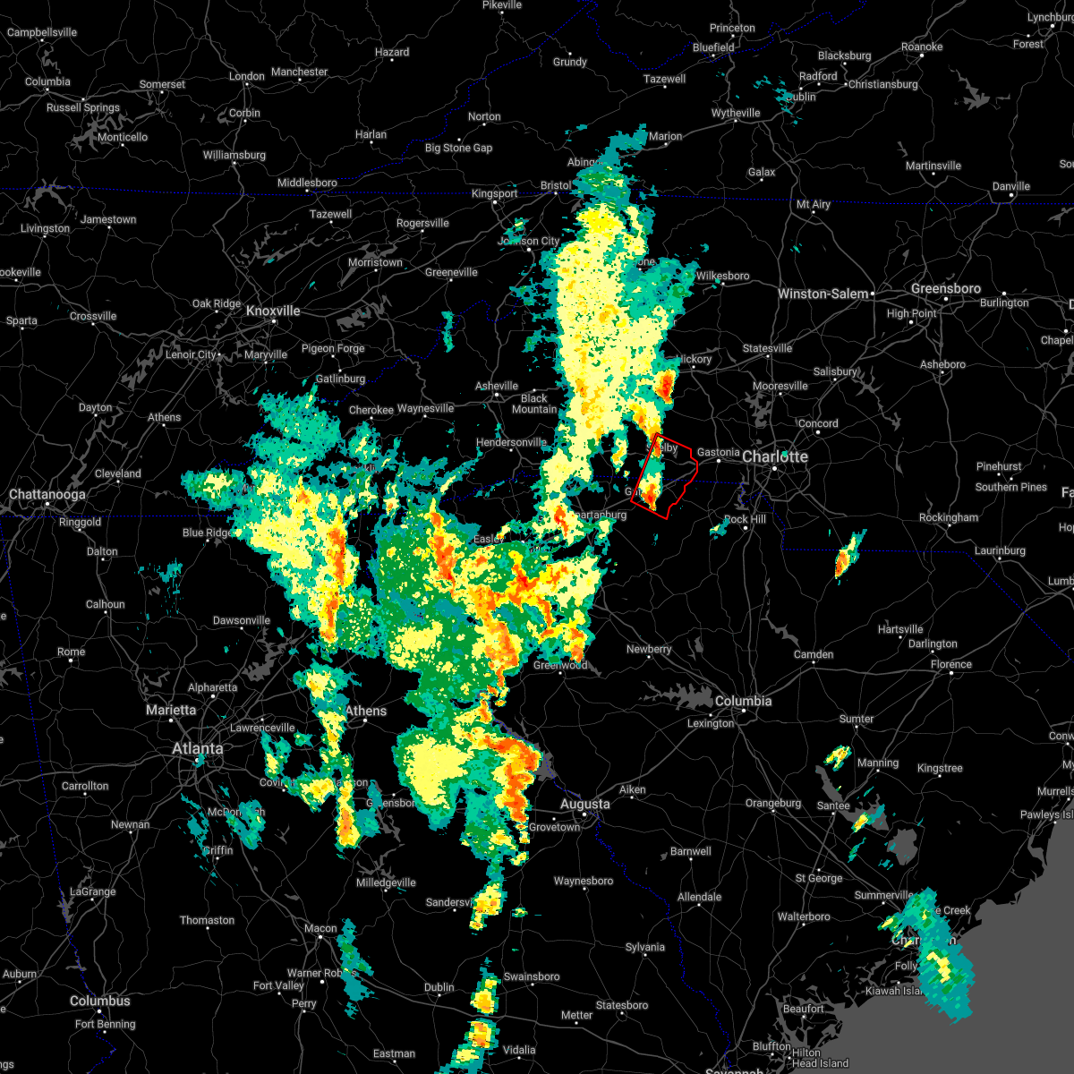 At 459 pm edt, a severe thunderstorm capable of producing a tornado was located near gaffney, moving northeast at 30 mph (radar indicated rotation). Hazards include tornado. Flying debris will be dangerous to those caught without shelter. mobile homes will be damaged or destroyed. damage to roofs, windows, and vehicles will occur. tree damage is likely. this dangerous storm will be near, blacksburg around 510 pm edt. earl, patterson springs and grover around 520 pm edt. shelby around 530 pm edt. kings mountain around 540 pm edt. Other locations impacted by this tornadic thunderstorm include cherokee falls, draytonville and kings creek. At 459 pm edt, a severe thunderstorm capable of producing a tornado was located near gaffney, moving northeast at 30 mph (radar indicated rotation). Hazards include tornado. Flying debris will be dangerous to those caught without shelter. mobile homes will be damaged or destroyed. damage to roofs, windows, and vehicles will occur. tree damage is likely. this dangerous storm will be near, blacksburg around 510 pm edt. earl, patterson springs and grover around 520 pm edt. shelby around 530 pm edt. kings mountain around 540 pm edt. Other locations impacted by this tornadic thunderstorm include cherokee falls, draytonville and kings creek.
|
| 5/26/2022 4:45 PM EDT |
 At 444 pm edt, a severe thunderstorm capable of producing a tornado was located 5 miles south of gaffney, moving northeast at 30 mph (radar indicated rotation). Hazards include tornado. Flying debris will be dangerous to those caught without shelter. mobile homes will be damaged or destroyed. damage to roofs, windows, and vehicles will occur. tree damage is likely. this dangerous storm will be near, gaffney around 500 pm edt. blacksburg around 510 pm edt. earl, patterson springs and grover around 520 pm edt. shelby and kings mountain around 530 pm edt. Other locations impacted by this dangerous thunderstorm include cherokee falls, draytonville, thicketty and kings creek. At 444 pm edt, a severe thunderstorm capable of producing a tornado was located 5 miles south of gaffney, moving northeast at 30 mph (radar indicated rotation). Hazards include tornado. Flying debris will be dangerous to those caught without shelter. mobile homes will be damaged or destroyed. damage to roofs, windows, and vehicles will occur. tree damage is likely. this dangerous storm will be near, gaffney around 500 pm edt. blacksburg around 510 pm edt. earl, patterson springs and grover around 520 pm edt. shelby and kings mountain around 530 pm edt. Other locations impacted by this dangerous thunderstorm include cherokee falls, draytonville, thicketty and kings creek.
|
| 5/26/2022 4:26 PM EDT |
 At 426 pm edt, a severe thunderstorm capable of producing a tornado was located 5 miles north of gaffney, moving northeast at 30 mph (radar indicated rotation). Hazards include tornado. Flying debris will be dangerous to those caught without shelter. mobile homes will be damaged or destroyed. damage to roofs, windows, and vehicles will occur. tree damage is likely. this dangerous storm will be near, blacksburg around 430 pm edt. boiling springs nc, earl and mooresboro around 440 pm edt. patterson springs and lattimore around 450 pm edt. shelby and kingstown around 500 pm edt. Fallston, belwood, lawndale and waco around 510 pm edt. At 426 pm edt, a severe thunderstorm capable of producing a tornado was located 5 miles north of gaffney, moving northeast at 30 mph (radar indicated rotation). Hazards include tornado. Flying debris will be dangerous to those caught without shelter. mobile homes will be damaged or destroyed. damage to roofs, windows, and vehicles will occur. tree damage is likely. this dangerous storm will be near, blacksburg around 430 pm edt. boiling springs nc, earl and mooresboro around 440 pm edt. patterson springs and lattimore around 450 pm edt. shelby and kingstown around 500 pm edt. Fallston, belwood, lawndale and waco around 510 pm edt.
|
| 5/26/2022 4:17 PM EDT |
 At 417 pm edt, a severe thunderstorm capable of producing a tornado was located near gaffney, moving northeast at 30 mph (radar indicated rotation). Hazards include tornado. Flying debris will be dangerous to those caught without shelter. mobile homes will be damaged or destroyed. damage to roofs, windows, and vehicles will occur. tree damage is likely. this dangerous storm will be near, blacksburg around 430 pm edt. boiling springs nc, earl and mooresboro around 440 pm edt. patterson springs and lattimore around 450 pm edt. shelby, waco, lawndale, kingstown and fallston around 500 pm edt. Other locations impacted by this dangerous thunderstorm include draytonville and thicketty. At 417 pm edt, a severe thunderstorm capable of producing a tornado was located near gaffney, moving northeast at 30 mph (radar indicated rotation). Hazards include tornado. Flying debris will be dangerous to those caught without shelter. mobile homes will be damaged or destroyed. damage to roofs, windows, and vehicles will occur. tree damage is likely. this dangerous storm will be near, blacksburg around 430 pm edt. boiling springs nc, earl and mooresboro around 440 pm edt. patterson springs and lattimore around 450 pm edt. shelby, waco, lawndale, kingstown and fallston around 500 pm edt. Other locations impacted by this dangerous thunderstorm include draytonville and thicketty.
|
| 5/23/2022 11:27 AM EDT |
 At 1126 am edt, a severe thunderstorm was located 8 miles west of union, or 5 miles west of buffalo, moving northeast at 45 mph (radar indicated). Hazards include 60 mph wind gusts. Expect damage to trees and power lines. locations impacted include, gaffney, union, pacolet, blacksburg, buffalo, jonesville, pacolet mills, hickory grove, smyrna and croft state park. hail threat, radar indicated max hail size, <. 75 in wind threat, radar indicated max wind gust, 60 mph. At 1126 am edt, a severe thunderstorm was located 8 miles west of union, or 5 miles west of buffalo, moving northeast at 45 mph (radar indicated). Hazards include 60 mph wind gusts. Expect damage to trees and power lines. locations impacted include, gaffney, union, pacolet, blacksburg, buffalo, jonesville, pacolet mills, hickory grove, smyrna and croft state park. hail threat, radar indicated max hail size, <. 75 in wind threat, radar indicated max wind gust, 60 mph.
|
| 5/23/2022 11:16 AM EDT |
 At 1116 am edt, a severe thunderstorm was located 12 miles northeast of laurens, or 8 miles north of clinton, moving northeast at 45 mph (radar indicated). Hazards include 60 mph wind gusts. expect damage to trees and power lines At 1116 am edt, a severe thunderstorm was located 12 miles northeast of laurens, or 8 miles north of clinton, moving northeast at 45 mph (radar indicated). Hazards include 60 mph wind gusts. expect damage to trees and power lines
|
| 5/16/2022 4:21 PM EDT |
 At 421 pm edt, a severe thunderstorm was located 4 miles east of gaffney, moving east at 25 mph (radar indicated). Hazards include 60 mph wind gusts and penny size hail. expect damage to trees and power lines At 421 pm edt, a severe thunderstorm was located 4 miles east of gaffney, moving east at 25 mph (radar indicated). Hazards include 60 mph wind gusts and penny size hail. expect damage to trees and power lines
|
| 5/4/2022 5:09 PM EDT |
 At 509 pm edt, a severe thunderstorm was located 9 miles east of gaffney, or 5 miles west of smyrna, moving southeast at 10 mph (radar indicated). Hazards include 60 mph wind gusts and quarter size hail. Minor hail damage to vehicles is expected. expect wind damage to trees and power lines. locations impacted include, gaffney, blacksburg, hickory grove, smyrna, kings mountain state park, cherokee falls, draytonville, kings creek, bullock creek and bethany. hail threat, radar indicated max hail size, 1. 00 in wind threat, radar indicated max wind gust, 60 mph. At 509 pm edt, a severe thunderstorm was located 9 miles east of gaffney, or 5 miles west of smyrna, moving southeast at 10 mph (radar indicated). Hazards include 60 mph wind gusts and quarter size hail. Minor hail damage to vehicles is expected. expect wind damage to trees and power lines. locations impacted include, gaffney, blacksburg, hickory grove, smyrna, kings mountain state park, cherokee falls, draytonville, kings creek, bullock creek and bethany. hail threat, radar indicated max hail size, 1. 00 in wind threat, radar indicated max wind gust, 60 mph.
|
| 5/4/2022 4:39 PM EDT |
 At 439 pm edt, a severe thunderstorm was located 4 miles east of gaffney, moving east at 5 mph (radar indicated). Hazards include 60 mph wind gusts and quarter size hail. Minor hail damage to vehicles is expected. Expect wind damage to trees and power lines. At 439 pm edt, a severe thunderstorm was located 4 miles east of gaffney, moving east at 5 mph (radar indicated). Hazards include 60 mph wind gusts and quarter size hail. Minor hail damage to vehicles is expected. Expect wind damage to trees and power lines.
|
| 8/31/2021 4:40 PM EDT |
 At 438 pm edt, severe thunderstorms were located along a line extending from 4 miles north of spartanburg to 6 miles south of gaffney to 5 miles northeast of union, moving north at 45 mph (radar indicated. wind damage has been reported with the passage of this line of storms across laurens county). Hazards include 60 mph wind gusts. Expect damage to trees and power lines. locations impacted include, spartanburg, gaffney, boiling springs sc, pacolet, cowpens, monarch mill, blacksburg, mayo, chesnee and pacolet mills. hail threat, radar indicated max hail size, <. 75 in wind threat, radar indicated max wind gust, 60 mph. At 438 pm edt, severe thunderstorms were located along a line extending from 4 miles north of spartanburg to 6 miles south of gaffney to 5 miles northeast of union, moving north at 45 mph (radar indicated. wind damage has been reported with the passage of this line of storms across laurens county). Hazards include 60 mph wind gusts. Expect damage to trees and power lines. locations impacted include, spartanburg, gaffney, boiling springs sc, pacolet, cowpens, monarch mill, blacksburg, mayo, chesnee and pacolet mills. hail threat, radar indicated max hail size, <. 75 in wind threat, radar indicated max wind gust, 60 mph.
|
| 8/31/2021 4:23 PM EDT |
 At 423 pm edt, severe thunderstorms were located along a line extending from 5 miles south of spartanburg to 15 miles south of gaffney to 5 miles southeast of union, moving north at 50 mph (radar indicated). Hazards include 60 mph wind gusts. expect damage to trees and power lines At 423 pm edt, severe thunderstorms were located along a line extending from 5 miles south of spartanburg to 15 miles south of gaffney to 5 miles southeast of union, moving north at 50 mph (radar indicated). Hazards include 60 mph wind gusts. expect damage to trees and power lines
|
| 8/19/2021 5:56 PM EDT |
 The severe thunderstorm warning for northwestern york and northeastern cherokee counties will expire at 600 pm edt, the storm which prompted the warning has weakened below severe limits, and no longer poses an immediate threat to life or property. therefore, the warning will be allowed to expire. however gusty winds and heavy rain are still possible with this thunderstorm. The severe thunderstorm warning for northwestern york and northeastern cherokee counties will expire at 600 pm edt, the storm which prompted the warning has weakened below severe limits, and no longer poses an immediate threat to life or property. therefore, the warning will be allowed to expire. however gusty winds and heavy rain are still possible with this thunderstorm.
|
| 8/19/2021 5:31 PM EDT |
 At 531 pm edt, a severe thunderstorm was located 7 miles east of gaffney, or near blacksburg, moving east at 10 mph (radar indicated). Hazards include 60 mph wind gusts and penny size hail. Expect damage to trees and power lines. locations impacted include, york, blacksburg, hickory grove, smyrna, kings mountain state park, cherokee falls, draytonville, kings creek, bethany and gaffney. hail threat, radar indicated max hail size, 0. 75 in wind threat, radar indicated max wind gust, 60 mph. At 531 pm edt, a severe thunderstorm was located 7 miles east of gaffney, or near blacksburg, moving east at 10 mph (radar indicated). Hazards include 60 mph wind gusts and penny size hail. Expect damage to trees and power lines. locations impacted include, york, blacksburg, hickory grove, smyrna, kings mountain state park, cherokee falls, draytonville, kings creek, bethany and gaffney. hail threat, radar indicated max hail size, 0. 75 in wind threat, radar indicated max wind gust, 60 mph.
|
| 8/19/2021 5:11 PM EDT |
 At 510 pm edt, a severe thunderstorm was located 5 miles east of gaffney, moving east at 15 mph (radar indicated). Hazards include 60 mph wind gusts and penny size hail. expect damage to trees and power lines At 510 pm edt, a severe thunderstorm was located 5 miles east of gaffney, moving east at 15 mph (radar indicated). Hazards include 60 mph wind gusts and penny size hail. expect damage to trees and power lines
|
| 8/17/2021 8:17 PM EDT |
 At 817 pm edt, a severe thunderstorm capable of producing a tornado was located 11 miles north of union, or 4 miles northeast of jonesville, moving northeast at 35 mph (radar indicated rotation). Hazards include tornado. Flying debris will be dangerous to those caught without shelter. mobile homes will be damaged or destroyed. damage to roofs, windows, and vehicles will occur. tree damage is likely. this dangerous storm will be near, smyrna and hickory grove around 840 pm edt. blacksburg around 850 pm edt. Other locations impacted by this tornadic thunderstorm include cherokee falls, draytonville, saratt and kings creek. At 817 pm edt, a severe thunderstorm capable of producing a tornado was located 11 miles north of union, or 4 miles northeast of jonesville, moving northeast at 35 mph (radar indicated rotation). Hazards include tornado. Flying debris will be dangerous to those caught without shelter. mobile homes will be damaged or destroyed. damage to roofs, windows, and vehicles will occur. tree damage is likely. this dangerous storm will be near, smyrna and hickory grove around 840 pm edt. blacksburg around 850 pm edt. Other locations impacted by this tornadic thunderstorm include cherokee falls, draytonville, saratt and kings creek.
|
| 8/17/2021 8:16 PM EDT |
 At 816 pm edt, a severe thunderstorm capable of producing a tornado was located near gaffney, moving northeast at 35 mph (radar indicated rotation). Hazards include tornado. Flying debris will be dangerous to those caught without shelter. mobile homes will be damaged or destroyed. damage to roofs, windows, and vehicles will occur. tree damage is likely. this dangerous storm will be near, earl, patterson springs, blacksburg, boiling springs nc and grover around 830 pm edt. shelby around 840 pm edt. lawndale around 850 pm edt. Other locations impacted by this tornadic thunderstorm include cherokee falls, draytonville, thicketty and kings creek. At 816 pm edt, a severe thunderstorm capable of producing a tornado was located near gaffney, moving northeast at 35 mph (radar indicated rotation). Hazards include tornado. Flying debris will be dangerous to those caught without shelter. mobile homes will be damaged or destroyed. damage to roofs, windows, and vehicles will occur. tree damage is likely. this dangerous storm will be near, earl, patterson springs, blacksburg, boiling springs nc and grover around 830 pm edt. shelby around 840 pm edt. lawndale around 850 pm edt. Other locations impacted by this tornadic thunderstorm include cherokee falls, draytonville, thicketty and kings creek.
|
| 8/17/2021 8:00 PM EDT |
 At 759 pm edt, a severe thunderstorm capable of producing a tornado was located 7 miles west of union, or 4 miles northwest of buffalo, moving northeast at 35 mph (radar indicated rotation). Hazards include tornado. Flying debris will be dangerous to those caught without shelter. mobile homes will be damaged or destroyed. damage to roofs, windows, and vehicles will occur. tree damage is likely. this dangerous storm will be near, buffalo around 800 pm edt. union and jonesville around 810 pm edt. pacolet and pacolet mills around 820 pm edt. blacksburg, smyrna and hickory grove around 840 pm edt. Other locations impacted by this dangerous thunderstorm include cherokee falls, draytonville, saratt and kings creek. At 759 pm edt, a severe thunderstorm capable of producing a tornado was located 7 miles west of union, or 4 miles northwest of buffalo, moving northeast at 35 mph (radar indicated rotation). Hazards include tornado. Flying debris will be dangerous to those caught without shelter. mobile homes will be damaged or destroyed. damage to roofs, windows, and vehicles will occur. tree damage is likely. this dangerous storm will be near, buffalo around 800 pm edt. union and jonesville around 810 pm edt. pacolet and pacolet mills around 820 pm edt. blacksburg, smyrna and hickory grove around 840 pm edt. Other locations impacted by this dangerous thunderstorm include cherokee falls, draytonville, saratt and kings creek.
|
| 8/17/2021 7:59 PM EDT |
 At 758 pm edt, a severe thunderstorm capable of producing a tornado was located 8 miles southwest of gaffney, or near pacolet mills, moving northeast at 35 mph (radar indicated rotation). Hazards include tornado. Flying debris will be dangerous to those caught without shelter. mobile homes will be damaged or destroyed. damage to roofs, windows, and vehicles will occur. tree damage is likely. this dangerous storm will be near, gaffney around 810 pm edt. earl, patterson springs, blacksburg, grover and boiling springs nc around 830 pm edt. shelby around 840 pm edt. Other locations impacted by this dangerous thunderstorm include cherokee falls, draytonville, thicketty and kings creek. At 758 pm edt, a severe thunderstorm capable of producing a tornado was located 8 miles southwest of gaffney, or near pacolet mills, moving northeast at 35 mph (radar indicated rotation). Hazards include tornado. Flying debris will be dangerous to those caught without shelter. mobile homes will be damaged or destroyed. damage to roofs, windows, and vehicles will occur. tree damage is likely. this dangerous storm will be near, gaffney around 810 pm edt. earl, patterson springs, blacksburg, grover and boiling springs nc around 830 pm edt. shelby around 840 pm edt. Other locations impacted by this dangerous thunderstorm include cherokee falls, draytonville, thicketty and kings creek.
|
| 8/11/2021 6:18 PM EDT |
 At 618 pm edt, a severe thunderstorm was located 4 miles south of gaffney, and is nearly stationary (radar indicated). Hazards include 60 mph wind gusts and quarter size hail. Minor hail damage to vehicles is expected. Expect wind damage to trees and power lines. At 618 pm edt, a severe thunderstorm was located 4 miles south of gaffney, and is nearly stationary (radar indicated). Hazards include 60 mph wind gusts and quarter size hail. Minor hail damage to vehicles is expected. Expect wind damage to trees and power lines.
|
| 8/11/2021 5:39 PM EDT |
 At 539 pm edt, a severe thunderstorm was located 7 miles north of gaffney, or 4 miles west of earl, and is nearly stationary (radar indicated). Hazards include 60 mph wind gusts and quarter size hail. Minor hail damage to vehicles is expected. expect wind damage to trees and power lines. locations impacted include, gaffney, blacksburg, earl, grover and draytonville. hail threat, radar indicated max hail size, 1. 00 in wind threat, radar indicated max wind gust, 60 mph. At 539 pm edt, a severe thunderstorm was located 7 miles north of gaffney, or 4 miles west of earl, and is nearly stationary (radar indicated). Hazards include 60 mph wind gusts and quarter size hail. Minor hail damage to vehicles is expected. expect wind damage to trees and power lines. locations impacted include, gaffney, blacksburg, earl, grover and draytonville. hail threat, radar indicated max hail size, 1. 00 in wind threat, radar indicated max wind gust, 60 mph.
|
| 8/11/2021 5:17 PM EDT |
 At 517 pm edt, a severe thunderstorm was located 8 miles north of gaffney, or near boiling springs nc, and is nearly stationary (radar indicated). Hazards include 60 mph wind gusts and quarter size hail. Minor hail damage to vehicles is expected. Expect wind damage to trees and power lines. At 517 pm edt, a severe thunderstorm was located 8 miles north of gaffney, or near boiling springs nc, and is nearly stationary (radar indicated). Hazards include 60 mph wind gusts and quarter size hail. Minor hail damage to vehicles is expected. Expect wind damage to trees and power lines.
|
| 6/7/2021 3:39 PM EDT |
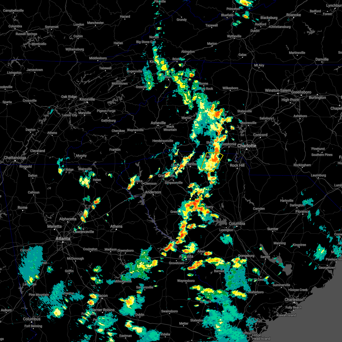 The severe thunderstorm warning for northwestern york and cherokee counties will expire at 345 pm edt, the storm which prompted the warning has weakened below severe limits, and no longer poses an immediate threat to life or property. therefore, the warning will be allowed to expire on schedule at 345 pm edt. however, gusty winds and heavy rain are still possible with this thunderstorm. The severe thunderstorm warning for northwestern york and cherokee counties will expire at 345 pm edt, the storm which prompted the warning has weakened below severe limits, and no longer poses an immediate threat to life or property. therefore, the warning will be allowed to expire on schedule at 345 pm edt. however, gusty winds and heavy rain are still possible with this thunderstorm.
|
| 6/7/2021 3:15 PM EDT |
 At 313 pm edt, a severe thunderstorm was located 7 miles southeast of gaffney, moving northeast at 30 mph (radar indicated). Hazards include 60 mph wind gusts and nickel size hail. Expect damage to trees and power lines. Locations impacted include, gaffney, blacksburg, hickory grove, smyrna, kings mountain state park, cherokee falls, draytonville, saratt, kings creek and grover. At 313 pm edt, a severe thunderstorm was located 7 miles southeast of gaffney, moving northeast at 30 mph (radar indicated). Hazards include 60 mph wind gusts and nickel size hail. Expect damage to trees and power lines. Locations impacted include, gaffney, blacksburg, hickory grove, smyrna, kings mountain state park, cherokee falls, draytonville, saratt, kings creek and grover.
|
| 6/7/2021 2:58 PM EDT |
 At 257 pm edt, a severe thunderstorm was located 11 miles north of union, or 4 miles northeast of jonesville, moving northeast at 20 mph (radar indicated). Hazards include 60 mph wind gusts and nickel size hail. expect damage to trees and power lines At 257 pm edt, a severe thunderstorm was located 11 miles north of union, or 4 miles northeast of jonesville, moving northeast at 20 mph (radar indicated). Hazards include 60 mph wind gusts and nickel size hail. expect damage to trees and power lines
|
| 3/25/2021 4:43 PM EDT |
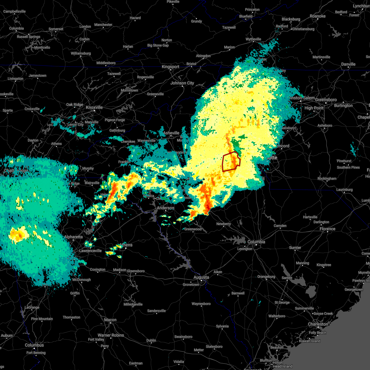 The tornado warning for southeastern cleveland and northeastern cherokee counties will expire at 445 pm edt, the storm which prompted the warning has weakened below severe limits, and no longer appears capable of producing a tornado. therefore the warning will be allowed to expire. however gusty winds are still possible with this thunderstorm. The tornado warning for southeastern cleveland and northeastern cherokee counties will expire at 445 pm edt, the storm which prompted the warning has weakened below severe limits, and no longer appears capable of producing a tornado. therefore the warning will be allowed to expire. however gusty winds are still possible with this thunderstorm.
|
| 3/25/2021 4:33 PM EDT |
 At 433 pm edt, a severe thunderstorm capable of producing a tornado was located 6 miles south of shelby, or over earl, moving east at 35 mph (radar indicated rotation). Hazards include tornado. Flying debris will be dangerous to those caught without shelter. mobile homes will be damaged or destroyed. damage to roofs, windows, and vehicles will occur. tree damage is likely. this dangerous storm will be near, grover around 440 pm edt. Crowders mountain state park and kings mountain around 450 pm edt. At 433 pm edt, a severe thunderstorm capable of producing a tornado was located 6 miles south of shelby, or over earl, moving east at 35 mph (radar indicated rotation). Hazards include tornado. Flying debris will be dangerous to those caught without shelter. mobile homes will be damaged or destroyed. damage to roofs, windows, and vehicles will occur. tree damage is likely. this dangerous storm will be near, grover around 440 pm edt. Crowders mountain state park and kings mountain around 450 pm edt.
|
| 3/25/2021 4:33 PM EDT |
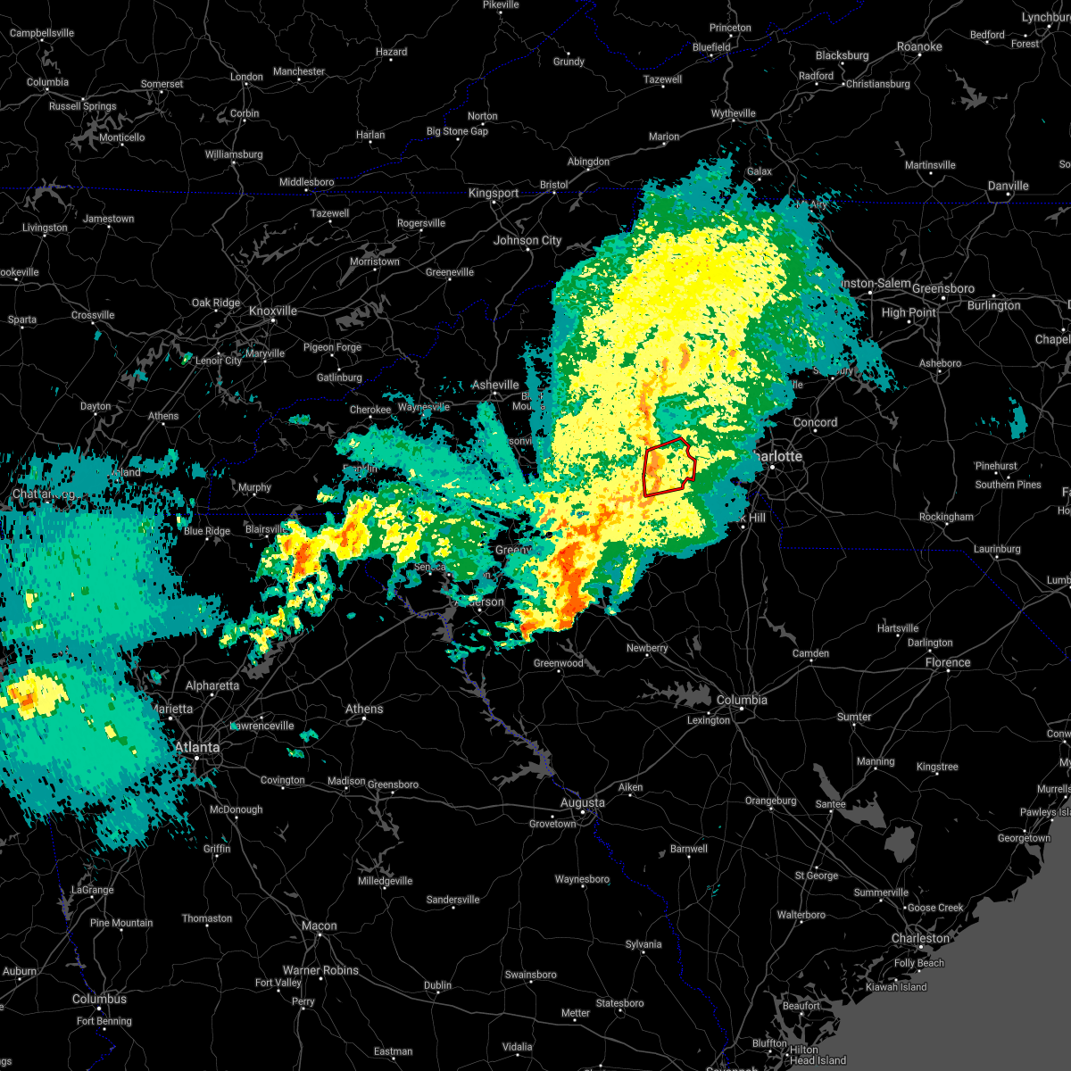 At 433 pm edt, a severe thunderstorm capable of producing a tornado was located 6 miles south of shelby, or over earl, moving east at 35 mph (radar indicated rotation). Hazards include tornado. Flying debris will be dangerous to those caught without shelter. mobile homes will be damaged or destroyed. damage to roofs, windows, and vehicles will occur. tree damage is likely. this dangerous storm will be near, grover around 440 pm edt. Crowders mountain state park and kings mountain around 450 pm edt. At 433 pm edt, a severe thunderstorm capable of producing a tornado was located 6 miles south of shelby, or over earl, moving east at 35 mph (radar indicated rotation). Hazards include tornado. Flying debris will be dangerous to those caught without shelter. mobile homes will be damaged or destroyed. damage to roofs, windows, and vehicles will occur. tree damage is likely. this dangerous storm will be near, grover around 440 pm edt. Crowders mountain state park and kings mountain around 450 pm edt.
|
| 3/25/2021 4:19 PM EDT |
 At 418 pm edt, a severe thunderstorm capable of producing a tornado was located 8 miles north of gaffney, or 4 miles south of boiling springs nc, moving east at 45 mph (radar indicated rotation). Hazards include tornado. Flying debris will be dangerous to those caught without shelter. mobile homes will be damaged or destroyed. damage to roofs, windows, and vehicles will occur. tree damage is likely. this dangerous storm will be near, boiling springs nc around 420 pm edt. shelby, patterson springs, earl and blacksburg around 430 pm edt. grover, waco and crowders mountain state park around 440 pm edt. Kings mountain around 450 pm edt. At 418 pm edt, a severe thunderstorm capable of producing a tornado was located 8 miles north of gaffney, or 4 miles south of boiling springs nc, moving east at 45 mph (radar indicated rotation). Hazards include tornado. Flying debris will be dangerous to those caught without shelter. mobile homes will be damaged or destroyed. damage to roofs, windows, and vehicles will occur. tree damage is likely. this dangerous storm will be near, boiling springs nc around 420 pm edt. shelby, patterson springs, earl and blacksburg around 430 pm edt. grover, waco and crowders mountain state park around 440 pm edt. Kings mountain around 450 pm edt.
|
| 3/25/2021 4:19 PM EDT |
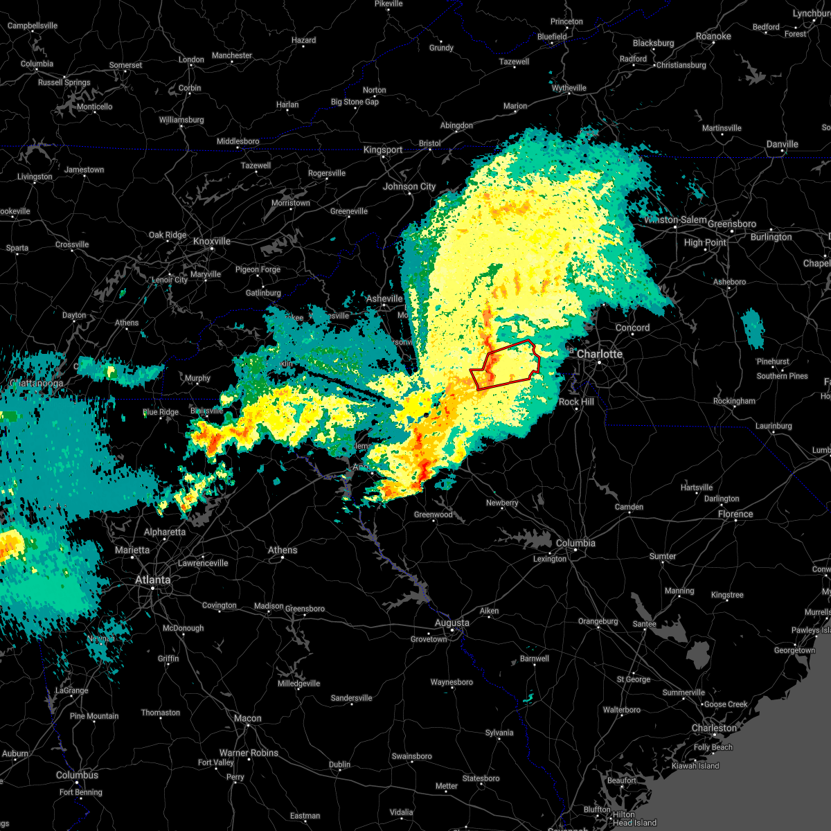 At 418 pm edt, a severe thunderstorm capable of producing a tornado was located 8 miles north of gaffney, or 4 miles south of boiling springs nc, moving east at 45 mph (radar indicated rotation). Hazards include tornado. Flying debris will be dangerous to those caught without shelter. mobile homes will be damaged or destroyed. damage to roofs, windows, and vehicles will occur. tree damage is likely. this dangerous storm will be near, boiling springs nc around 420 pm edt. shelby, patterson springs, earl and blacksburg around 430 pm edt. grover, waco and crowders mountain state park around 440 pm edt. Kings mountain around 450 pm edt. At 418 pm edt, a severe thunderstorm capable of producing a tornado was located 8 miles north of gaffney, or 4 miles south of boiling springs nc, moving east at 45 mph (radar indicated rotation). Hazards include tornado. Flying debris will be dangerous to those caught without shelter. mobile homes will be damaged or destroyed. damage to roofs, windows, and vehicles will occur. tree damage is likely. this dangerous storm will be near, boiling springs nc around 420 pm edt. shelby, patterson springs, earl and blacksburg around 430 pm edt. grover, waco and crowders mountain state park around 440 pm edt. Kings mountain around 450 pm edt.
|
| 3/25/2021 4:01 PM EDT |
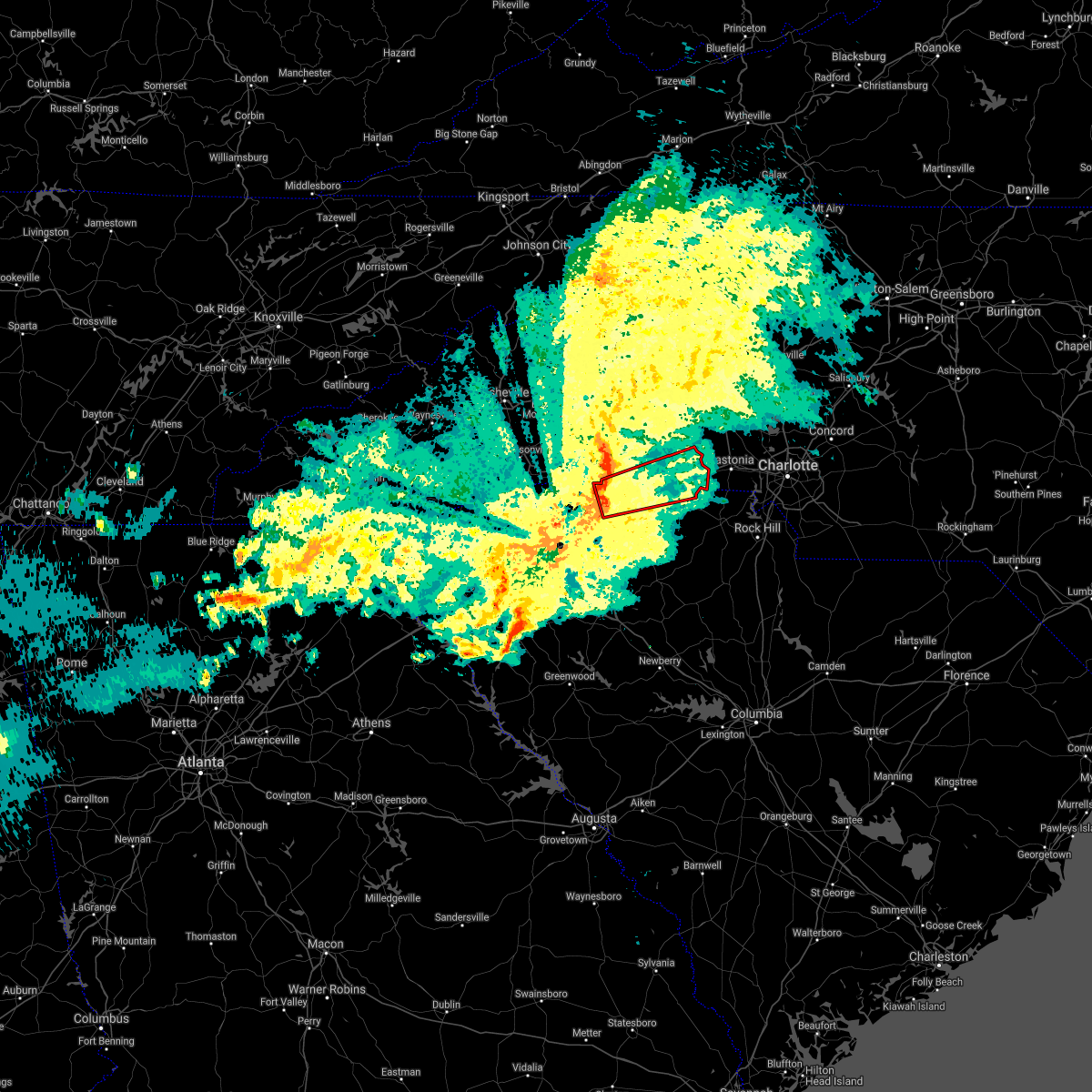 At 401 pm edt, a severe thunderstorm capable of producing a tornado was located 13 miles north of spartanburg, or near chesnee, moving east at 45 mph (radar indicated rotation). Hazards include tornado. Flying debris will be dangerous to those caught without shelter. mobile homes will be damaged or destroyed. damage to roofs, windows, and vehicles will occur. tree damage is likely. this dangerous storm will be near, gaffney around 420 pm edt. shelby, earl, patterson springs, blacksburg and boiling springs nc around 430 pm edt. grover, kings mountain, crowders mountain state park and waco around 440 pm edt. Other locations impacted by this dangerous thunderstorm include cliffside and henrietta. At 401 pm edt, a severe thunderstorm capable of producing a tornado was located 13 miles north of spartanburg, or near chesnee, moving east at 45 mph (radar indicated rotation). Hazards include tornado. Flying debris will be dangerous to those caught without shelter. mobile homes will be damaged or destroyed. damage to roofs, windows, and vehicles will occur. tree damage is likely. this dangerous storm will be near, gaffney around 420 pm edt. shelby, earl, patterson springs, blacksburg and boiling springs nc around 430 pm edt. grover, kings mountain, crowders mountain state park and waco around 440 pm edt. Other locations impacted by this dangerous thunderstorm include cliffside and henrietta.
|
| 3/18/2021 2:53 PM EDT |
 At 253 pm edt, a severe thunderstorm capable of producing a tornado was located 8 miles west of gaffney, or near mayo, moving northeast at 35 mph (radar indicated rotation). Hazards include tornado. Flying debris will be dangerous to those caught without shelter. mobile homes will be damaged or destroyed. damage to roofs, windows, and vehicles will occur. tree damage is likely. this dangerous storm will be near, gaffney around 310 pm edt. Other locations impacted by this dangerous storm include thicketty. At 253 pm edt, a severe thunderstorm capable of producing a tornado was located 8 miles west of gaffney, or near mayo, moving northeast at 35 mph (radar indicated rotation). Hazards include tornado. Flying debris will be dangerous to those caught without shelter. mobile homes will be damaged or destroyed. damage to roofs, windows, and vehicles will occur. tree damage is likely. this dangerous storm will be near, gaffney around 310 pm edt. Other locations impacted by this dangerous storm include thicketty.
|
| 3/18/2021 2:37 PM EDT |
 At 236 pm edt, a severe thunderstorm capable of producing a tornado was located near spartanburg, or over usc upstate, moving northeast at 35 mph (radar indicated rotation). Hazards include tornado. Flying debris will be dangerous to those caught without shelter. mobile homes will be damaged or destroyed. damage to roofs, windows, and vehicles will occur. tree damage is likely. this dangerous storm will be near, cowpens, mayo and chesnee around 250 pm edt. cowpens national battlefield around 300 pm edt. gaffney around 310 pm edt. Other locations impacted by this dangerous thunderstorm include thicketty. At 236 pm edt, a severe thunderstorm capable of producing a tornado was located near spartanburg, or over usc upstate, moving northeast at 35 mph (radar indicated rotation). Hazards include tornado. Flying debris will be dangerous to those caught without shelter. mobile homes will be damaged or destroyed. damage to roofs, windows, and vehicles will occur. tree damage is likely. this dangerous storm will be near, cowpens, mayo and chesnee around 250 pm edt. cowpens national battlefield around 300 pm edt. gaffney around 310 pm edt. Other locations impacted by this dangerous thunderstorm include thicketty.
|
| 8/7/2020 9:27 PM EDT |
 The severe thunderstorm warning for western lincoln, cleveland, western gaston, western york and cherokee counties will expire at 930 pm edt, the storms which prompted the warning have weakened below severe limits, and no longer pose an immediate threat to life or property. therefore the warning will be allowed to expire. however gusty winds are still possible with these thunderstorms. The severe thunderstorm warning for western lincoln, cleveland, western gaston, western york and cherokee counties will expire at 930 pm edt, the storms which prompted the warning have weakened below severe limits, and no longer pose an immediate threat to life or property. therefore the warning will be allowed to expire. however gusty winds are still possible with these thunderstorms.
|
| 8/7/2020 9:12 PM EDT |
 At 912 pm edt, severe thunderstorms were located along a line extending from 16 miles west of lincolnton to 8 miles southeast of shelby to 7 miles south of gaffney, moving east at 20 mph (radar indicated). Hazards include 60 mph wind gusts and quarter size hail. Minor hail damage to vehicles is expected. expect wind damage to trees and power lines. Locations impacted include, shelby, gaffney, lincolnton, kings mountain, cherryville, bessemer city, blacksburg, belwood, grover and lawndale. At 912 pm edt, severe thunderstorms were located along a line extending from 16 miles west of lincolnton to 8 miles southeast of shelby to 7 miles south of gaffney, moving east at 20 mph (radar indicated). Hazards include 60 mph wind gusts and quarter size hail. Minor hail damage to vehicles is expected. expect wind damage to trees and power lines. Locations impacted include, shelby, gaffney, lincolnton, kings mountain, cherryville, bessemer city, blacksburg, belwood, grover and lawndale.
|
| 8/7/2020 8:51 PM EDT |
 At 851 pm edt, severe thunderstorms were located along a line extending from 16 miles west of lincolnton to 6 miles south of shelby to 6 miles south of gaffney, moving east at 15 mph (radar indicated). Hazards include 60 mph wind gusts and quarter size hail. Minor hail damage to vehicles is expected. Expect wind damage to trees and power lines. At 851 pm edt, severe thunderstorms were located along a line extending from 16 miles west of lincolnton to 6 miles south of shelby to 6 miles south of gaffney, moving east at 15 mph (radar indicated). Hazards include 60 mph wind gusts and quarter size hail. Minor hail damage to vehicles is expected. Expect wind damage to trees and power lines.
|
| 7/20/2020 6:13 PM EDT |
 At 613 pm edt, severe thunderstorms were located along a line extending from near shelby to 3 miles southeast of gaffney to 13 miles east of spartanburg, moving southeast at 10 mph (radar indicated). Hazards include 60 mph wind gusts and penny size hail. Expect damage to trees and power lines. Locations impacted include, shelby, gaffney, blacksburg, grover, patterson springs, earl, cherokee falls, draytonville, thicketty and kings creek. At 613 pm edt, severe thunderstorms were located along a line extending from near shelby to 3 miles southeast of gaffney to 13 miles east of spartanburg, moving southeast at 10 mph (radar indicated). Hazards include 60 mph wind gusts and penny size hail. Expect damage to trees and power lines. Locations impacted include, shelby, gaffney, blacksburg, grover, patterson springs, earl, cherokee falls, draytonville, thicketty and kings creek.
|
| 7/20/2020 6:13 PM EDT |
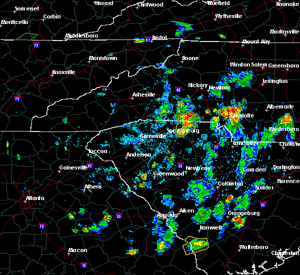 At 613 pm edt, severe thunderstorms were located along a line extending from near shelby to 3 miles southeast of gaffney to 13 miles east of spartanburg, moving southeast at 10 mph (radar indicated). Hazards include 60 mph wind gusts and penny size hail. Expect damage to trees and power lines. Locations impacted include, shelby, gaffney, blacksburg, grover, patterson springs, earl, cherokee falls, draytonville, thicketty and kings creek. At 613 pm edt, severe thunderstorms were located along a line extending from near shelby to 3 miles southeast of gaffney to 13 miles east of spartanburg, moving southeast at 10 mph (radar indicated). Hazards include 60 mph wind gusts and penny size hail. Expect damage to trees and power lines. Locations impacted include, shelby, gaffney, blacksburg, grover, patterson springs, earl, cherokee falls, draytonville, thicketty and kings creek.
|
| 7/20/2020 6:00 PM EDT |
 At 559 pm edt, a severe thunderstorm was located 5 miles southwest of shelby, or near earl, moving east at 10 mph. another severe storm was developing over the southwestern part of cherokee county as well, south of thicketty (radar indicated). Hazards include 60 mph wind gusts and penny size hail. expect damage to trees and power lines At 559 pm edt, a severe thunderstorm was located 5 miles southwest of shelby, or near earl, moving east at 10 mph. another severe storm was developing over the southwestern part of cherokee county as well, south of thicketty (radar indicated). Hazards include 60 mph wind gusts and penny size hail. expect damage to trees and power lines
|
| 7/20/2020 5:48 PM EDT |
 At 548 pm edt, a severe thunderstorm was located 5 miles northeast of gaffney, or near blacksburg, moving east at 10 mph (radar indicated). Hazards include 60 mph wind gusts and half dollar size hail. Minor hail damage to vehicles is expected. expect wind damage to trees and power lines. Locations impacted include, gaffney, blacksburg, grover, earl, cherokee falls, draytonville, kings creek and kings mountain. At 548 pm edt, a severe thunderstorm was located 5 miles northeast of gaffney, or near blacksburg, moving east at 10 mph (radar indicated). Hazards include 60 mph wind gusts and half dollar size hail. Minor hail damage to vehicles is expected. expect wind damage to trees and power lines. Locations impacted include, gaffney, blacksburg, grover, earl, cherokee falls, draytonville, kings creek and kings mountain.
|
| 7/20/2020 5:48 PM EDT |
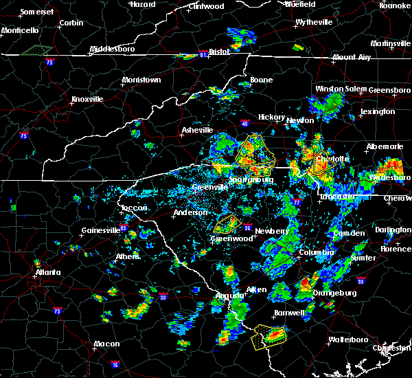 At 548 pm edt, a severe thunderstorm was located 5 miles northeast of gaffney, or near blacksburg, moving east at 10 mph (radar indicated). Hazards include 60 mph wind gusts and half dollar size hail. Minor hail damage to vehicles is expected. expect wind damage to trees and power lines. Locations impacted include, gaffney, blacksburg, grover, earl, cherokee falls, draytonville, kings creek and kings mountain. At 548 pm edt, a severe thunderstorm was located 5 miles northeast of gaffney, or near blacksburg, moving east at 10 mph (radar indicated). Hazards include 60 mph wind gusts and half dollar size hail. Minor hail damage to vehicles is expected. expect wind damage to trees and power lines. Locations impacted include, gaffney, blacksburg, grover, earl, cherokee falls, draytonville, kings creek and kings mountain.
|
| 7/20/2020 5:34 PM EDT |
 At 534 pm edt, a severe thunderstorm was located 4 miles northeast of gaffney, or 4 miles west of blacksburg, moving east at 10 mph (radar indicated). Hazards include 60 mph wind gusts and penny size hail. expect damage to trees and power lines At 534 pm edt, a severe thunderstorm was located 4 miles northeast of gaffney, or 4 miles west of blacksburg, moving east at 10 mph (radar indicated). Hazards include 60 mph wind gusts and penny size hail. expect damage to trees and power lines
|
| 7/18/2020 5:39 PM EDT |
 The severe thunderstorm warning for northwestern chester, southwestern york, southeastern cherokee and northeastern union counties will expire at 545 pm edt, the storm which prompted the warning has weakened below severe limits, and no longer poses an immediate threat to life or property. therefore the warning will be allowed to expire. however gusty winds and heavy rain are still possible with this thunderstorm. The severe thunderstorm warning for northwestern chester, southwestern york, southeastern cherokee and northeastern union counties will expire at 545 pm edt, the storm which prompted the warning has weakened below severe limits, and no longer poses an immediate threat to life or property. therefore the warning will be allowed to expire. however gusty winds and heavy rain are still possible with this thunderstorm.
|
| 7/18/2020 4:55 PM EDT |
 At 455 pm edt, a severe thunderstorm was located 11 miles southeast of gaffney, or 4 miles west of hickory grove, moving east at 10 mph (radar indicated). Hazards include 60 mph wind gusts and quarter size hail. Minor hail damage to vehicles is expected. Expect wind damage to trees and power lines. At 455 pm edt, a severe thunderstorm was located 11 miles southeast of gaffney, or 4 miles west of hickory grove, moving east at 10 mph (radar indicated). Hazards include 60 mph wind gusts and quarter size hail. Minor hail damage to vehicles is expected. Expect wind damage to trees and power lines.
|
| 6/21/2020 9:55 PM EDT |
 The severe thunderstorm warning for south central rutherford, southeastern polk, northern spartanburg and northwestern cherokee counties will expire at 1000 pm edt, the storm which prompted the warning has weakened below severe limits, and no longer poses an immediate threat to life or property. therefore, the warning will be allowed to expire at 10 pm. however, gusty winds and heavy rain are still possible with this thunderstorm. The severe thunderstorm warning for south central rutherford, southeastern polk, northern spartanburg and northwestern cherokee counties will expire at 1000 pm edt, the storm which prompted the warning has weakened below severe limits, and no longer poses an immediate threat to life or property. therefore, the warning will be allowed to expire at 10 pm. however, gusty winds and heavy rain are still possible with this thunderstorm.
|
| 6/21/2020 9:22 PM EDT |
 At 921 pm edt, a severe thunderstorm was located 8 miles northwest of spartanburg, or near wellford, moving northeast at 30 mph (radar indicated). Hazards include 60 mph wind gusts and quarter size hail. Minor hail damage to vehicles is expected. Expect wind damage to trees and power lines. At 921 pm edt, a severe thunderstorm was located 8 miles northwest of spartanburg, or near wellford, moving northeast at 30 mph (radar indicated). Hazards include 60 mph wind gusts and quarter size hail. Minor hail damage to vehicles is expected. Expect wind damage to trees and power lines.
|
| 6/19/2020 4:30 PM EDT |
 At 429 pm edt, a severe thunderstorm was located 7 miles south of shelby, or near earl, moving southeast at 10 mph (radar indicated). Hazards include 60 mph wind gusts. expect damage to trees and power lines At 429 pm edt, a severe thunderstorm was located 7 miles south of shelby, or near earl, moving southeast at 10 mph (radar indicated). Hazards include 60 mph wind gusts. expect damage to trees and power lines
|
| 5/29/2020 10:38 AM EDT |
 At 1038 am edt, a severe thunderstorm was located 11 miles west of york, or near hickory grove, moving northeast at 30 mph (radar indicated). Hazards include 60 mph wind gusts and quarter size hail. Minor hail damage to vehicles is expected. expect wind damage to trees and power lines. Locations impacted include, york, kings mountain, clover, newport, blacksburg, grover, sharon, hickory grove, earl and smyrna. At 1038 am edt, a severe thunderstorm was located 11 miles west of york, or near hickory grove, moving northeast at 30 mph (radar indicated). Hazards include 60 mph wind gusts and quarter size hail. Minor hail damage to vehicles is expected. expect wind damage to trees and power lines. Locations impacted include, york, kings mountain, clover, newport, blacksburg, grover, sharon, hickory grove, earl and smyrna.
|
| 5/29/2020 10:29 AM EDT |
 At 1029 am edt, a severe thunderstorm was located 10 miles southeast of gaffney, or 5 miles west of hickory grove, moving northeast at 30 mph (radar indicated). Hazards include 60 mph wind gusts and quarter size hail. Minor hail damage to vehicles is expected. Expect wind damage to trees and power lines. At 1029 am edt, a severe thunderstorm was located 10 miles southeast of gaffney, or 5 miles west of hickory grove, moving northeast at 30 mph (radar indicated). Hazards include 60 mph wind gusts and quarter size hail. Minor hail damage to vehicles is expected. Expect wind damage to trees and power lines.
|
| 5/28/2020 9:43 PM EDT |
 At 943 pm edt, a severe thunderstorm was located near gaffney, moving northeast at 30 mph (radar indicated). Hazards include 60 mph wind gusts and quarter size hail. Minor hail damage to vehicles is expected. expect wind damage to trees and power lines. Locations impacted include, gaffney, cherokee falls, draytonville and thicketty. At 943 pm edt, a severe thunderstorm was located near gaffney, moving northeast at 30 mph (radar indicated). Hazards include 60 mph wind gusts and quarter size hail. Minor hail damage to vehicles is expected. expect wind damage to trees and power lines. Locations impacted include, gaffney, cherokee falls, draytonville and thicketty.
|
| 5/28/2020 9:31 PM EDT |
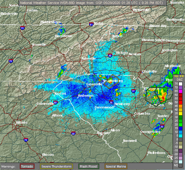 At 931 pm edt, a severe thunderstorm was located 8 miles south of gaffney, or near pacolet mills, moving northeast at 25 mph (radar indicated). Hazards include 60 mph wind gusts and quarter size hail. Minor hail damage to vehicles is expected. expect wind damage to trees and power lines. Locations impacted include, gaffney, cherokee falls, draytonville and thicketty. At 931 pm edt, a severe thunderstorm was located 8 miles south of gaffney, or near pacolet mills, moving northeast at 25 mph (radar indicated). Hazards include 60 mph wind gusts and quarter size hail. Minor hail damage to vehicles is expected. expect wind damage to trees and power lines. Locations impacted include, gaffney, cherokee falls, draytonville and thicketty.
|
| 5/28/2020 9:19 PM EDT |
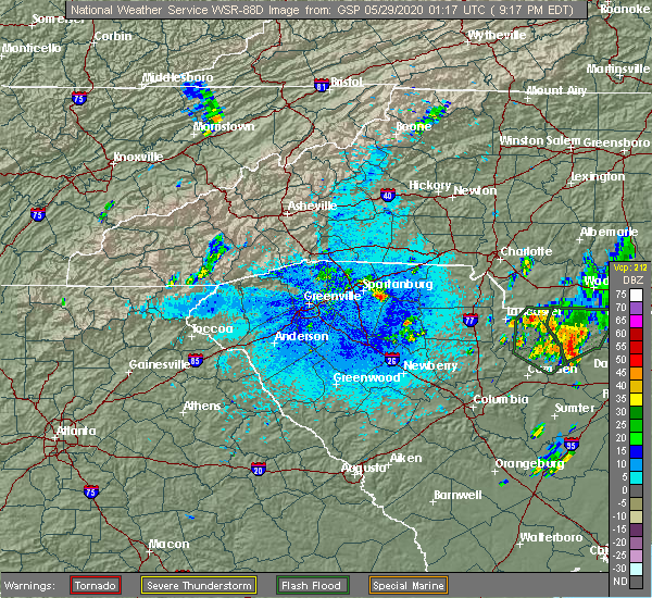 At 919 pm edt, a severe thunderstorm was located 9 miles east of spartanburg, or near pacolet mills, moving northeast at 25 mph (radar indicated). Hazards include 60 mph wind gusts and quarter size hail. Minor hail damage to vehicles is expected. Expect wind damage to trees and power lines. At 919 pm edt, a severe thunderstorm was located 9 miles east of spartanburg, or near pacolet mills, moving northeast at 25 mph (radar indicated). Hazards include 60 mph wind gusts and quarter size hail. Minor hail damage to vehicles is expected. Expect wind damage to trees and power lines.
|
| 5/22/2020 3:40 PM EDT |
 The severe thunderstorm warning for southeastern rutherford, southeastern polk, southern cleveland, northwestern laurens, spartanburg, cherokee and central union counties will expire at 345 pm edt, the storms which prompted the warning have moved out of the area. therefore the warning will be allowed to expire. however small hail, gusty winds and heavy rain are still possible with these thunderstorms. a severe thunderstorm watch remains in effect until 800 pm edt for western and the piedmont of north carolina, and upstate south carolina. remember, a severe thunderstorm warning still remains in effect for cherokee county until 4:00 pm. The severe thunderstorm warning for southeastern rutherford, southeastern polk, southern cleveland, northwestern laurens, spartanburg, cherokee and central union counties will expire at 345 pm edt, the storms which prompted the warning have moved out of the area. therefore the warning will be allowed to expire. however small hail, gusty winds and heavy rain are still possible with these thunderstorms. a severe thunderstorm watch remains in effect until 800 pm edt for western and the piedmont of north carolina, and upstate south carolina. remember, a severe thunderstorm warning still remains in effect for cherokee county until 4:00 pm.
|
| 5/22/2020 2:58 PM EDT |
 At 258 pm edt, severe thunderstorms were located along a line extending from 7 miles south of rutherfordton to 15 miles northwest of laurens, moving east at 40 mph (radar indicated). Hazards include 60 mph wind gusts and quarter size hail. Minor hail damage to vehicles is expected. Expect wind damage to trees and power lines. At 258 pm edt, severe thunderstorms were located along a line extending from 7 miles south of rutherfordton to 15 miles northwest of laurens, moving east at 40 mph (radar indicated). Hazards include 60 mph wind gusts and quarter size hail. Minor hail damage to vehicles is expected. Expect wind damage to trees and power lines.
|
| 5/5/2020 5:36 PM EDT |
 The severe thunderstorm warning for northeastern spartanburg and cherokee counties will expire at 545 pm edt, the storm which prompted the warning has weakened below severe limits, and no longer poses an immediate threat to life or property. therefore the warning will be allowed to expire. however gusty winds and heavy rain are still possible with this thunderstorm. a severe thunderstorm watch remains in effect until 1100 pm edt for upstate south carolina. if you observed large hail or wind damage, please report it to the national weather service greenville-spartanburg by calling toll free, 1, 800, 2 6 7, 8 1 0 1, or by posting on our facebook page, or tweet it using hashtag nwsgsp. your message should describe the event and the specific location where it occurred. The severe thunderstorm warning for northeastern spartanburg and cherokee counties will expire at 545 pm edt, the storm which prompted the warning has weakened below severe limits, and no longer poses an immediate threat to life or property. therefore the warning will be allowed to expire. however gusty winds and heavy rain are still possible with this thunderstorm. a severe thunderstorm watch remains in effect until 1100 pm edt for upstate south carolina. if you observed large hail or wind damage, please report it to the national weather service greenville-spartanburg by calling toll free, 1, 800, 2 6 7, 8 1 0 1, or by posting on our facebook page, or tweet it using hashtag nwsgsp. your message should describe the event and the specific location where it occurred.
|
| 5/5/2020 5:13 PM EDT |
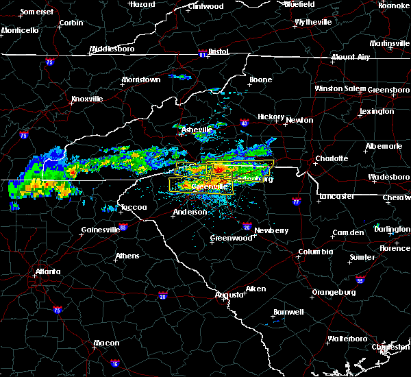 At 513 pm edt, a severe thunderstorm was located 11 miles north of spartanburg, or near lake bowen, moving east at 55 mph (radar indicated). Hazards include 60 mph wind gusts and quarter size hail. Minor hail damage to vehicles is expected. expect wind damage to trees and power lines. Locations impacted include, gaffney, boiling springs sc, cowpens, inman, blacksburg, mayo, chesnee, cowpens national battlefield, lake bowen and cherokee falls. At 513 pm edt, a severe thunderstorm was located 11 miles north of spartanburg, or near lake bowen, moving east at 55 mph (radar indicated). Hazards include 60 mph wind gusts and quarter size hail. Minor hail damage to vehicles is expected. expect wind damage to trees and power lines. Locations impacted include, gaffney, boiling springs sc, cowpens, inman, blacksburg, mayo, chesnee, cowpens national battlefield, lake bowen and cherokee falls.
|
| 5/5/2020 4:52 PM EDT |
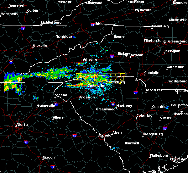 At 452 pm edt, a severe thunderstorm was located 8 miles southeast of columbus, or near campobello, moving east at 55 mph (radar indicated). Hazards include ping pong ball size hail and 60 mph wind gusts. People and animals outdoors will be injured. expect hail damage to roofs, siding, windows, and vehicles. Expect wind damage to trees and power lines. At 452 pm edt, a severe thunderstorm was located 8 miles southeast of columbus, or near campobello, moving east at 55 mph (radar indicated). Hazards include ping pong ball size hail and 60 mph wind gusts. People and animals outdoors will be injured. expect hail damage to roofs, siding, windows, and vehicles. Expect wind damage to trees and power lines.
|
| 5/5/2020 3:49 AM EDT |
 At 348 am edt, severe thunderstorms were located along a line extending from 11 miles northwest of york to 9 miles northwest of chester to 16 miles northwest of vc summer nuclear station, moving east at 55 mph (radar indicated). Hazards include 60 mph wind gusts and quarter size hail. Minor hail damage to vehicles is expected. expect wind damage to trees and power lines. Locations impacted include, spartanburg, gaffney, union, york, chester, clinton, clover, boiling springs sc, pacolet and cowpens. At 348 am edt, severe thunderstorms were located along a line extending from 11 miles northwest of york to 9 miles northwest of chester to 16 miles northwest of vc summer nuclear station, moving east at 55 mph (radar indicated). Hazards include 60 mph wind gusts and quarter size hail. Minor hail damage to vehicles is expected. expect wind damage to trees and power lines. Locations impacted include, spartanburg, gaffney, union, york, chester, clinton, clover, boiling springs sc, pacolet and cowpens.
|
| 5/5/2020 3:22 AM EDT |
 At 321 am edt, severe thunderstorms were located along a line extending from 7 miles northeast of spartanburg to 5 miles west of union to 10 miles southeast of laurens, moving east at 55 mph (radar indicated). Hazards include 60 mph wind gusts and quarter size hail. Minor hail damage to vehicles is expected. Expect wind damage to trees and power lines. At 321 am edt, severe thunderstorms were located along a line extending from 7 miles northeast of spartanburg to 5 miles west of union to 10 miles southeast of laurens, moving east at 55 mph (radar indicated). Hazards include 60 mph wind gusts and quarter size hail. Minor hail damage to vehicles is expected. Expect wind damage to trees and power lines.
|
| 4/25/2020 10:07 PM EDT |
 At 1007 pm edt, a severe thunderstorm capable of producing a tornado was located 9 miles south of gaffney, or 5 miles east of pacolet mills, moving east at 40 mph (radar indicated rotation). Hazards include tornado and quarter size hail. Flying debris will be dangerous to those caught without shelter. mobile homes will be damaged or destroyed. damage to roofs, windows, and vehicles will occur. tree damage is likely. this dangerous storm will be near, sharon, hickory grove and smyrna around 1030 pm edt. Other locations impacted by this dangerous thunderstorm include cherokee falls, draytonville, thicketty, saratt and kings creek. At 1007 pm edt, a severe thunderstorm capable of producing a tornado was located 9 miles south of gaffney, or 5 miles east of pacolet mills, moving east at 40 mph (radar indicated rotation). Hazards include tornado and quarter size hail. Flying debris will be dangerous to those caught without shelter. mobile homes will be damaged or destroyed. damage to roofs, windows, and vehicles will occur. tree damage is likely. this dangerous storm will be near, sharon, hickory grove and smyrna around 1030 pm edt. Other locations impacted by this dangerous thunderstorm include cherokee falls, draytonville, thicketty, saratt and kings creek.
|
| 4/25/2020 9:35 PM EDT |
 At 935 pm edt, a severe thunderstorm was located 8 miles east of gaffney, or near blacksburg, moving east at 40 mph (radar indicated). Hazards include 60 mph wind gusts and quarter size hail. Minor hail damage to vehicles is expected. expect wind damage to trees and power lines. Locations impacted include, gaffney, boiling springs nc, blacksburg, grover, patterson springs, earl, smyrna, cherokee falls, draytonville and kings creek. At 935 pm edt, a severe thunderstorm was located 8 miles east of gaffney, or near blacksburg, moving east at 40 mph (radar indicated). Hazards include 60 mph wind gusts and quarter size hail. Minor hail damage to vehicles is expected. expect wind damage to trees and power lines. Locations impacted include, gaffney, boiling springs nc, blacksburg, grover, patterson springs, earl, smyrna, cherokee falls, draytonville and kings creek.
|
| 4/25/2020 9:35 PM EDT |
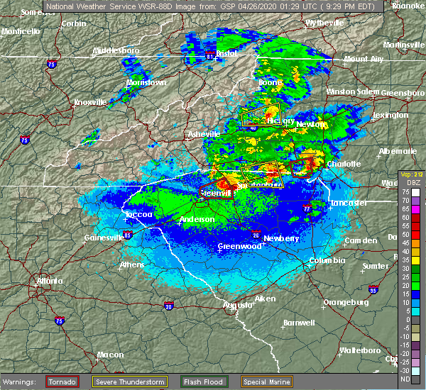 At 935 pm edt, a severe thunderstorm was located 8 miles east of gaffney, or near blacksburg, moving east at 40 mph (radar indicated). Hazards include 60 mph wind gusts and quarter size hail. Minor hail damage to vehicles is expected. expect wind damage to trees and power lines. Locations impacted include, gaffney, boiling springs nc, blacksburg, grover, patterson springs, earl, smyrna, cherokee falls, draytonville and kings creek. At 935 pm edt, a severe thunderstorm was located 8 miles east of gaffney, or near blacksburg, moving east at 40 mph (radar indicated). Hazards include 60 mph wind gusts and quarter size hail. Minor hail damage to vehicles is expected. expect wind damage to trees and power lines. Locations impacted include, gaffney, boiling springs nc, blacksburg, grover, patterson springs, earl, smyrna, cherokee falls, draytonville and kings creek.
|
| 4/25/2020 9:20 PM EDT |
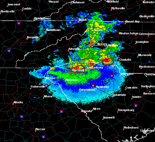 At 919 pm edt, a severe thunderstorm was located near gaffney, moving east at 40 mph (radar indicated). Hazards include 60 mph wind gusts and quarter size hail. Minor hail damage to vehicles is expected. Expect wind damage to trees and power lines. At 919 pm edt, a severe thunderstorm was located near gaffney, moving east at 40 mph (radar indicated). Hazards include 60 mph wind gusts and quarter size hail. Minor hail damage to vehicles is expected. Expect wind damage to trees and power lines.
|
| 4/25/2020 8:53 PM EDT |
 At 852 pm edt, a severe thunderstorm capable of producing a tornado was located 7 miles northeast of gaffney, or near blacksburg, moving east at 40 mph. another severe thunderstorm was moving east toward cherokee county south carolina. another warning may be issued for the follow-up storm (radar indicated rotation). Hazards include tornado and quarter size hail. Flying debris will be dangerous to those caught without shelter. mobile homes will be damaged or destroyed. damage to roofs, windows, and vehicles will occur. tree damage is likely. this dangerous storm will be near, grover around 900 pm edt. crowders mountain state park, kings mountain state park and kings mountain around 910 pm edt. Other locations impacted by this dangerous storm include cherokee falls, draytonville and kings creek. At 852 pm edt, a severe thunderstorm capable of producing a tornado was located 7 miles northeast of gaffney, or near blacksburg, moving east at 40 mph. another severe thunderstorm was moving east toward cherokee county south carolina. another warning may be issued for the follow-up storm (radar indicated rotation). Hazards include tornado and quarter size hail. Flying debris will be dangerous to those caught without shelter. mobile homes will be damaged or destroyed. damage to roofs, windows, and vehicles will occur. tree damage is likely. this dangerous storm will be near, grover around 900 pm edt. crowders mountain state park, kings mountain state park and kings mountain around 910 pm edt. Other locations impacted by this dangerous storm include cherokee falls, draytonville and kings creek.
|
| 4/25/2020 8:40 PM EDT |
 At 840 pm edt, a severe thunderstorm capable of producing a tornado was located near gaffney, moving east at 40 mph (radar indicated rotation). Hazards include tornado and quarter size hail. Flying debris will be dangerous to those caught without shelter. mobile homes will be damaged or destroyed. damage to roofs, windows, and vehicles will occur. tree damage is likely. this dangerous storm will be near, blacksburg, grover, earl and patterson springs around 900 pm edt. crowders mountain state park, kings mountain state park and kings mountain around 910 pm edt. Other locations impacted by this dangerous thunderstorm include cherokee falls, draytonville, thicketty and kings creek. At 840 pm edt, a severe thunderstorm capable of producing a tornado was located near gaffney, moving east at 40 mph (radar indicated rotation). Hazards include tornado and quarter size hail. Flying debris will be dangerous to those caught without shelter. mobile homes will be damaged or destroyed. damage to roofs, windows, and vehicles will occur. tree damage is likely. this dangerous storm will be near, blacksburg, grover, earl and patterson springs around 900 pm edt. crowders mountain state park, kings mountain state park and kings mountain around 910 pm edt. Other locations impacted by this dangerous thunderstorm include cherokee falls, draytonville, thicketty and kings creek.
|
| 4/25/2020 8:40 PM EDT |
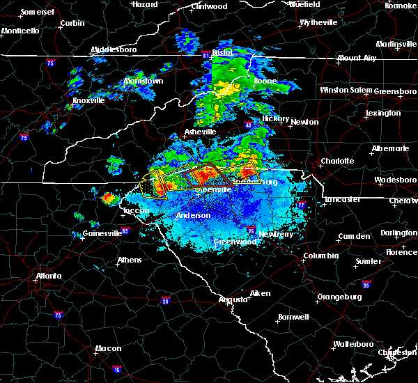 At 840 pm edt, a severe thunderstorm capable of producing a tornado was located near gaffney, moving east at 40 mph (radar indicated rotation). Hazards include tornado and quarter size hail. Flying debris will be dangerous to those caught without shelter. mobile homes will be damaged or destroyed. damage to roofs, windows, and vehicles will occur. tree damage is likely. this dangerous storm will be near, blacksburg, grover, earl and patterson springs around 900 pm edt. crowders mountain state park, kings mountain state park and kings mountain around 910 pm edt. Other locations impacted by this dangerous thunderstorm include cherokee falls, draytonville, thicketty and kings creek. At 840 pm edt, a severe thunderstorm capable of producing a tornado was located near gaffney, moving east at 40 mph (radar indicated rotation). Hazards include tornado and quarter size hail. Flying debris will be dangerous to those caught without shelter. mobile homes will be damaged or destroyed. damage to roofs, windows, and vehicles will occur. tree damage is likely. this dangerous storm will be near, blacksburg, grover, earl and patterson springs around 900 pm edt. crowders mountain state park, kings mountain state park and kings mountain around 910 pm edt. Other locations impacted by this dangerous thunderstorm include cherokee falls, draytonville, thicketty and kings creek.
|
| 4/25/2020 8:30 PM EDT |
 At 829 pm edt, a severe thunderstorm was located 7 miles west of gaffney, or near mayo, moving east at 40 mph. another severe thunderstorm was moving east into northern spartanburg county (radar indicated). Hazards include 60 mph wind gusts and quarter size hail. Minor hail damage to vehicles is expected. expect wind damage to trees and power lines. Locations impacted include, gaffney, boiling springs sc, cowpens, mayo, chesnee, cowpens national battlefield, lake bowen, thicketty, fingerville and draytonville. At 829 pm edt, a severe thunderstorm was located 7 miles west of gaffney, or near mayo, moving east at 40 mph. another severe thunderstorm was moving east into northern spartanburg county (radar indicated). Hazards include 60 mph wind gusts and quarter size hail. Minor hail damage to vehicles is expected. expect wind damage to trees and power lines. Locations impacted include, gaffney, boiling springs sc, cowpens, mayo, chesnee, cowpens national battlefield, lake bowen, thicketty, fingerville and draytonville.
|
| 4/25/2020 8:30 PM EDT |
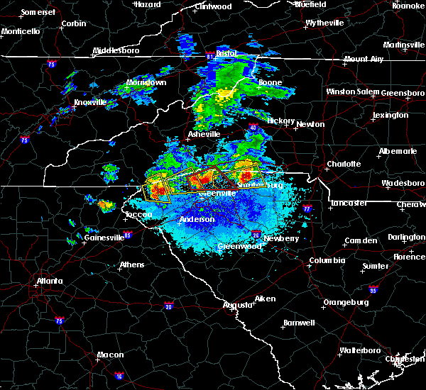 At 829 pm edt, a severe thunderstorm was located 7 miles west of gaffney, or near mayo, moving east at 40 mph. another severe thunderstorm was moving east into northern spartanburg county (radar indicated). Hazards include 60 mph wind gusts and quarter size hail. Minor hail damage to vehicles is expected. expect wind damage to trees and power lines. Locations impacted include, gaffney, boiling springs sc, cowpens, mayo, chesnee, cowpens national battlefield, lake bowen, thicketty, fingerville and draytonville. At 829 pm edt, a severe thunderstorm was located 7 miles west of gaffney, or near mayo, moving east at 40 mph. another severe thunderstorm was moving east into northern spartanburg county (radar indicated). Hazards include 60 mph wind gusts and quarter size hail. Minor hail damage to vehicles is expected. expect wind damage to trees and power lines. Locations impacted include, gaffney, boiling springs sc, cowpens, mayo, chesnee, cowpens national battlefield, lake bowen, thicketty, fingerville and draytonville.
|
| 4/25/2020 8:03 PM EDT |
 At 803 pm edt, a severe thunderstorm was located 10 miles northwest of spartanburg, or near inman, moving east at 40 mph (radar indicated). Hazards include 60 mph wind gusts and half dollar size hail. Minor hail damage to vehicles is expected. Expect wind damage to trees and power lines. At 803 pm edt, a severe thunderstorm was located 10 miles northwest of spartanburg, or near inman, moving east at 40 mph (radar indicated). Hazards include 60 mph wind gusts and half dollar size hail. Minor hail damage to vehicles is expected. Expect wind damage to trees and power lines.
|
| 4/13/2020 4:38 AM EDT |
 The severe thunderstorm warning for east central hart, western laurens, greenville, spartanburg, western cherokee, anderson, northeastern abbeville and northwestern greenwood counties will expire at 445 am edt, the storms which prompted the warning have weakened below severe limits, and no longer pose an immediate threat to life or property. therefore the warning will be allowed to expire. however gusty winds and heavy rain are still possible with these thunderstorms. a tornado watch remains in effect until 800 am edt for northeastern georgia, western north carolina, and upstate south carolina. if you observed large hail or wind damage, please report it to the national weather service greenville-spartanburg by calling toll free, 1, 800, 2 6 7, 8 1 0 1, or by posting on our facebook page, or tweet it using hashtag nwsgsp. your message should describe the event and the specific location where it occurred. The severe thunderstorm warning for east central hart, western laurens, greenville, spartanburg, western cherokee, anderson, northeastern abbeville and northwestern greenwood counties will expire at 445 am edt, the storms which prompted the warning have weakened below severe limits, and no longer pose an immediate threat to life or property. therefore the warning will be allowed to expire. however gusty winds and heavy rain are still possible with these thunderstorms. a tornado watch remains in effect until 800 am edt for northeastern georgia, western north carolina, and upstate south carolina. if you observed large hail or wind damage, please report it to the national weather service greenville-spartanburg by calling toll free, 1, 800, 2 6 7, 8 1 0 1, or by posting on our facebook page, or tweet it using hashtag nwsgsp. your message should describe the event and the specific location where it occurred.
|
| 4/13/2020 4:13 AM EDT |
 At 413 am edt, severe thunderstorms were located along a line extending from 10 miles southeast of shelby to 13 miles west of newberry, moving northeast at 30 mph (radar indicated). Hazards include 60 mph wind gusts. expect damage to trees and power lines At 413 am edt, severe thunderstorms were located along a line extending from 10 miles southeast of shelby to 13 miles west of newberry, moving northeast at 30 mph (radar indicated). Hazards include 60 mph wind gusts. expect damage to trees and power lines
|
| 4/13/2020 4:03 AM EDT |
 At 403 am edt, severe thunderstorms were located along a line extending from 10 miles southwest of columbus to 8 miles northeast of anderson to 5 miles east of hartwell, moving east at 45 mph (radar indicated). Hazards include 60 mph wind gusts and penny size hail. expect damage to trees and power lines At 403 am edt, severe thunderstorms were located along a line extending from 10 miles southwest of columbus to 8 miles northeast of anderson to 5 miles east of hartwell, moving east at 45 mph (radar indicated). Hazards include 60 mph wind gusts and penny size hail. expect damage to trees and power lines
|
| 4/8/2020 9:43 PM EDT |
 The severe thunderstorm warning for mecklenburg, cleveland, gaston, union, central york and northeastern cherokee counties will expire at 945 pm edt, the storms which prompted the warning have weakened below severe limits, and no longer pose an immediate threat to life or property. therefore the warning will be allowed to expire. however heavy rain is still possible with these thunderstorms. The severe thunderstorm warning for mecklenburg, cleveland, gaston, union, central york and northeastern cherokee counties will expire at 945 pm edt, the storms which prompted the warning have weakened below severe limits, and no longer pose an immediate threat to life or property. therefore the warning will be allowed to expire. however heavy rain is still possible with these thunderstorms.
|
| 4/8/2020 9:26 PM EDT |
 At 925 pm edt, severe thunderstorms were located along a line extending from 3 miles south of shelby to 10 miles east of monroe, moving southeast at 5 mph (radar indicated). Hazards include 60 mph wind gusts and quarter size hail. Minor hail damage to vehicles is expected. expect wind damage to trees and power lines. Locations impacted include, gastonia, rock hill, uptown charlotte, monroe, shelby, york, central charlotte, south charlotte, southwest charlotte and east charlotte. At 925 pm edt, severe thunderstorms were located along a line extending from 3 miles south of shelby to 10 miles east of monroe, moving southeast at 5 mph (radar indicated). Hazards include 60 mph wind gusts and quarter size hail. Minor hail damage to vehicles is expected. expect wind damage to trees and power lines. Locations impacted include, gastonia, rock hill, uptown charlotte, monroe, shelby, york, central charlotte, south charlotte, southwest charlotte and east charlotte.
|
| 4/8/2020 8:56 PM EDT |
 At 855 pm edt, severe thunderstorms were located along a line extending from 3 miles west of shelby to 8 miles east of monroe, moving southeast at 5 mph (radar indicated). Hazards include 60 mph wind gusts and quarter size hail. Minor hail damage to vehicles is expected. Expect wind damage to trees and power lines. At 855 pm edt, severe thunderstorms were located along a line extending from 3 miles west of shelby to 8 miles east of monroe, moving southeast at 5 mph (radar indicated). Hazards include 60 mph wind gusts and quarter size hail. Minor hail damage to vehicles is expected. Expect wind damage to trees and power lines.
|
| 2/6/2020 10:46 AM EST |
 At 1046 am est, a severe thunderstorm was located 7 miles northeast of gaffney, or near blacksburg, moving northeast at 65 mph (radar indicated). Hazards include 60 mph wind gusts. expect damage to trees and power lines At 1046 am est, a severe thunderstorm was located 7 miles northeast of gaffney, or near blacksburg, moving northeast at 65 mph (radar indicated). Hazards include 60 mph wind gusts. expect damage to trees and power lines
|
| 2/6/2020 10:24 AM EST |
 At 1024 am est, a severe thunderstorm capable of producing a tornado was located near spartanburg, moving northeast at 35 mph (radar indicated rotation). Hazards include tornado. Flying debris will be dangerous to those caught without shelter. mobile homes will be damaged or destroyed. damage to roofs, windows, and vehicles will occur. tree damage is likely. this dangerous storm will be near, cedar springs and croft state park around 1030 am est. cowpens and mayo around 1040 am est. cowpens national battlefield around 1050 am est. gaffney around 1100 am est. Other locations impacted by this dangerous thunderstorm include draytonville and thicketty. At 1024 am est, a severe thunderstorm capable of producing a tornado was located near spartanburg, moving northeast at 35 mph (radar indicated rotation). Hazards include tornado. Flying debris will be dangerous to those caught without shelter. mobile homes will be damaged or destroyed. damage to roofs, windows, and vehicles will occur. tree damage is likely. this dangerous storm will be near, cedar springs and croft state park around 1030 am est. cowpens and mayo around 1040 am est. cowpens national battlefield around 1050 am est. gaffney around 1100 am est. Other locations impacted by this dangerous thunderstorm include draytonville and thicketty.
|
| 1/11/2020 9:21 PM EST |
 At 920 pm est, severe thunderstorms were located along a line extending from 7 miles north of gaffney to 14 miles south of union, moving east at 45 mph (radar indicated). Hazards include 60 mph wind gusts. expect damage to trees and power lines At 920 pm est, severe thunderstorms were located along a line extending from 7 miles north of gaffney to 14 miles south of union, moving east at 45 mph (radar indicated). Hazards include 60 mph wind gusts. expect damage to trees and power lines
|
| 1/11/2020 8:59 PM EST |
 At 859 pm est, severe thunderstorms were located along a line extending from 10 miles south of forest city to 5 miles south of spartanburg to 11 miles northwest of laurens, moving northeast at 50 mph (radar indicated). Hazards include 60 mph wind gusts. expect damage to trees and power lines At 859 pm est, severe thunderstorms were located along a line extending from 10 miles south of forest city to 5 miles south of spartanburg to 11 miles northwest of laurens, moving northeast at 50 mph (radar indicated). Hazards include 60 mph wind gusts. expect damage to trees and power lines
|
| 10/31/2019 4:35 PM EDT |
 At 434 pm edt, severe thunderstorms were located along a line extending from 12 miles north of shelby to near gaffney, moving east at 50 mph (radar indicated). Hazards include 60 mph wind gusts. Expect damage to trees and power lines. locations impacted include, shelby, gaffney, boiling springs nc, blacksburg, belwood, lawndale, patterson springs, fallston, polkville and lattimore. A tornado watch remains in effect until 1100 pm edt for western and the piedmont of north carolina, and upstate south carolina. At 434 pm edt, severe thunderstorms were located along a line extending from 12 miles north of shelby to near gaffney, moving east at 50 mph (radar indicated). Hazards include 60 mph wind gusts. Expect damage to trees and power lines. locations impacted include, shelby, gaffney, boiling springs nc, blacksburg, belwood, lawndale, patterson springs, fallston, polkville and lattimore. A tornado watch remains in effect until 1100 pm edt for western and the piedmont of north carolina, and upstate south carolina.
|
| 10/31/2019 4:30 PM EDT |
 At 430 pm edt, severe thunderstorms were located along a line extending from 3 miles southeast of shelby to 12 miles southeast of gaffney to 12 miles northeast of laurens, moving northeast at 40 mph (radar indicated). Hazards include 60 mph wind gusts. expect damage to trees and power lines At 430 pm edt, severe thunderstorms were located along a line extending from 3 miles southeast of shelby to 12 miles southeast of gaffney to 12 miles northeast of laurens, moving northeast at 40 mph (radar indicated). Hazards include 60 mph wind gusts. expect damage to trees and power lines
|
| 10/31/2019 4:17 PM EDT |
 At 416 pm edt, severe thunderstorms were located along a line extending from 10 miles north of union to 13 miles northeast of laurens, moving northeast at 60 mph (radar indicated). Hazards include 60 mph wind gusts. Expect damage to trees and power lines. locations impacted include, gaffney, laurens, union, clinton, woodruff, pacolet, buffalo, gray court, jonesville and pacolet mills. A tornado watch remains in effect until 1100 pm edt for upstate south carolina. At 416 pm edt, severe thunderstorms were located along a line extending from 10 miles north of union to 13 miles northeast of laurens, moving northeast at 60 mph (radar indicated). Hazards include 60 mph wind gusts. Expect damage to trees and power lines. locations impacted include, gaffney, laurens, union, clinton, woodruff, pacolet, buffalo, gray court, jonesville and pacolet mills. A tornado watch remains in effect until 1100 pm edt for upstate south carolina.
|
| 10/31/2019 3:58 PM EDT |
 At 357 pm edt, severe thunderstorms were located along a line extending from 6 miles southwest of rutherfordton to 14 miles east of greenville downtown, moving northeast at 45 mph (radar indicated). Hazards include 60 mph wind gusts. expect damage to trees and power lines At 357 pm edt, severe thunderstorms were located along a line extending from 6 miles southwest of rutherfordton to 14 miles east of greenville downtown, moving northeast at 45 mph (radar indicated). Hazards include 60 mph wind gusts. expect damage to trees and power lines
|
| 10/31/2019 3:46 PM EDT |
 At 346 pm edt, severe thunderstorms were located along a line extending from 7 miles northwest of laurens to 12 miles north of abbeville, moving northeast at 60 mph (radar indicated). Hazards include 60 mph wind gusts. expect damage to trees and power lines At 346 pm edt, severe thunderstorms were located along a line extending from 7 miles northwest of laurens to 12 miles north of abbeville, moving northeast at 60 mph (radar indicated). Hazards include 60 mph wind gusts. expect damage to trees and power lines
|
| 8/23/2019 5:48 PM EDT |
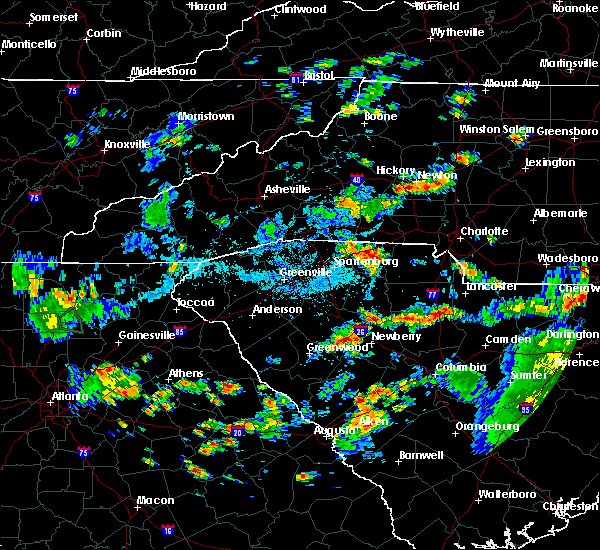 At 547 pm edt, severe thunderstorms were located along a line extending from 14 miles northeast of spartanburg to near gaffney to 14 miles west of york, moving northeast at 10 mph (radar indicated). Hazards include 60 mph wind gusts and penny size hail. Expect damage to trees and power lines. Locations impacted include, gaffney, clover, blacksburg, grover, earl, smyrna, cowpens national battlefield, kings mountain state park, cherokee falls and draytonville. At 547 pm edt, severe thunderstorms were located along a line extending from 14 miles northeast of spartanburg to near gaffney to 14 miles west of york, moving northeast at 10 mph (radar indicated). Hazards include 60 mph wind gusts and penny size hail. Expect damage to trees and power lines. Locations impacted include, gaffney, clover, blacksburg, grover, earl, smyrna, cowpens national battlefield, kings mountain state park, cherokee falls and draytonville.
|
| 8/23/2019 5:48 PM EDT |
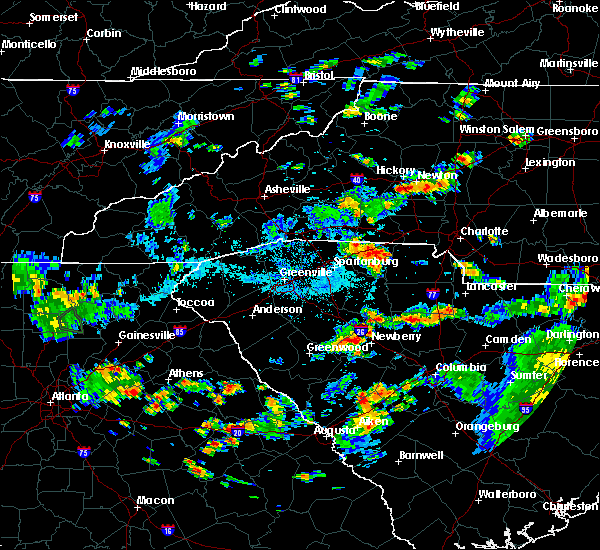 At 547 pm edt, severe thunderstorms were located along a line extending from 14 miles northeast of spartanburg to near gaffney to 14 miles west of york, moving northeast at 10 mph (radar indicated). Hazards include 60 mph wind gusts and penny size hail. Expect damage to trees and power lines. Locations impacted include, gaffney, clover, blacksburg, grover, earl, smyrna, cowpens national battlefield, kings mountain state park, cherokee falls and draytonville. At 547 pm edt, severe thunderstorms were located along a line extending from 14 miles northeast of spartanburg to near gaffney to 14 miles west of york, moving northeast at 10 mph (radar indicated). Hazards include 60 mph wind gusts and penny size hail. Expect damage to trees and power lines. Locations impacted include, gaffney, clover, blacksburg, grover, earl, smyrna, cowpens national battlefield, kings mountain state park, cherokee falls and draytonville.
|
| 8/23/2019 5:33 PM EDT |
 At 533 pm edt, severe thunderstorms were located along a line extending from 13 miles south of forest city to 3 miles north of gaffney to 15 miles south of shelby, moving east at 20 mph (radar indicated). Hazards include 60 mph wind gusts and half dollar size hail. Minor hail damage to vehicles is expected. Expect wind damage to trees and power lines. At 533 pm edt, severe thunderstorms were located along a line extending from 13 miles south of forest city to 3 miles north of gaffney to 15 miles south of shelby, moving east at 20 mph (radar indicated). Hazards include 60 mph wind gusts and half dollar size hail. Minor hail damage to vehicles is expected. Expect wind damage to trees and power lines.
|
| 8/23/2019 5:33 PM EDT |
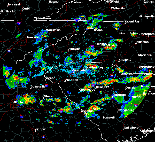 At 533 pm edt, severe thunderstorms were located along a line extending from 13 miles south of forest city to 3 miles north of gaffney to 15 miles south of shelby, moving east at 20 mph (radar indicated). Hazards include 60 mph wind gusts and half dollar size hail. Minor hail damage to vehicles is expected. Expect wind damage to trees and power lines. At 533 pm edt, severe thunderstorms were located along a line extending from 13 miles south of forest city to 3 miles north of gaffney to 15 miles south of shelby, moving east at 20 mph (radar indicated). Hazards include 60 mph wind gusts and half dollar size hail. Minor hail damage to vehicles is expected. Expect wind damage to trees and power lines.
|
| 8/19/2019 4:39 PM EDT |
 The severe thunderstorm warning for southeastern rutherford, southwestern cleveland, eastern spartanburg and western cherokee counties will expire at 445 pm edt, the storm which prompted the warning has weakened below severe limits, and has exited the warned area. therefore the warning will be allowed to expire. however gusty winds and heavy rain are still possible with this thunderstorm. The severe thunderstorm warning for southeastern rutherford, southwestern cleveland, eastern spartanburg and western cherokee counties will expire at 445 pm edt, the storm which prompted the warning has weakened below severe limits, and has exited the warned area. therefore the warning will be allowed to expire. however gusty winds and heavy rain are still possible with this thunderstorm.
|
| 8/19/2019 4:26 PM EDT |
 A severe thunderstorm warning remains in effect until 445 pm edt for southeastern rutherford. southwestern cleveland. eastern spartanburg and western cherokee counties. at 426 pm edt, a severe thunderstorm was located 4 miles west of gaffney, and is nearly stationary. hazard. 60 mph wind gusts and quarter size hail. A severe thunderstorm warning remains in effect until 445 pm edt for southeastern rutherford. southwestern cleveland. eastern spartanburg and western cherokee counties. at 426 pm edt, a severe thunderstorm was located 4 miles west of gaffney, and is nearly stationary. hazard. 60 mph wind gusts and quarter size hail.
|
| 8/19/2019 4:26 PM EDT |
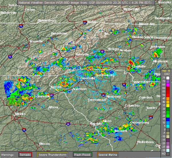 The severe thunderstorm warning for central cherokee county will expire at 430 pm edt, the storm which prompted the warning has moved out of the area. therefore the warning will be allowed to expire. however small hail, gusty winds and heavy rain are still possible with this thunderstorm. remember, a severe thunderstorm warning still remains in effect for western cherokee county until 445 pm. The severe thunderstorm warning for central cherokee county will expire at 430 pm edt, the storm which prompted the warning has moved out of the area. therefore the warning will be allowed to expire. however small hail, gusty winds and heavy rain are still possible with this thunderstorm. remember, a severe thunderstorm warning still remains in effect for western cherokee county until 445 pm.
|
| 8/19/2019 4:26 PM EDT |
 At 426 pm edt, a severe thunderstorm was located 4 miles west of gaffney, and is nearly stationary (radar indicated). Hazards include 60 mph wind gusts and quarter size hail. Minor hail damage to vehicles is expected. expect wind damage to trees and power lines. Locations impacted include, gaffney, cowpens, pacolet mills, cowpens national battlefield, cliffside, thicketty and pacolet. At 426 pm edt, a severe thunderstorm was located 4 miles west of gaffney, and is nearly stationary (radar indicated). Hazards include 60 mph wind gusts and quarter size hail. Minor hail damage to vehicles is expected. expect wind damage to trees and power lines. Locations impacted include, gaffney, cowpens, pacolet mills, cowpens national battlefield, cliffside, thicketty and pacolet.
|
| 8/19/2019 4:18 PM EDT |
 The national weather service in greenville-spartanburg has issued a * severe thunderstorm warning for. southeastern rutherford county in western north carolina. southwestern cleveland county in the piedmont of north carolina. eastern spartanburg county in upstate south carolina. Western cherokee county in upstate south carolina. The national weather service in greenville-spartanburg has issued a * severe thunderstorm warning for. southeastern rutherford county in western north carolina. southwestern cleveland county in the piedmont of north carolina. eastern spartanburg county in upstate south carolina. Western cherokee county in upstate south carolina.
|
| 8/19/2019 4:18 PM EDT |
 At 418 pm edt, a severe thunderstorm was located 4 miles west of gaffney, and is nearly stationary (radar indicated). Hazards include 60 mph wind gusts and quarter size hail. Minor hail damage to vehicles is expected. Expect wind damage to trees and power lines. At 418 pm edt, a severe thunderstorm was located 4 miles west of gaffney, and is nearly stationary (radar indicated). Hazards include 60 mph wind gusts and quarter size hail. Minor hail damage to vehicles is expected. Expect wind damage to trees and power lines.
|
| 8/19/2019 3:51 PM EDT |
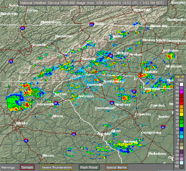 The national weather service in greenville-spartanburg has issued a * severe thunderstorm warning for. central cherokee county in upstate south carolina. until 430 pm edt. At 351 pm edt, a severe thunderstorm was located 7 miles southeast of gaffney, and is nearly stationary. The national weather service in greenville-spartanburg has issued a * severe thunderstorm warning for. central cherokee county in upstate south carolina. until 430 pm edt. At 351 pm edt, a severe thunderstorm was located 7 miles southeast of gaffney, and is nearly stationary.
|
| 8/1/2019 5:27 PM EDT |
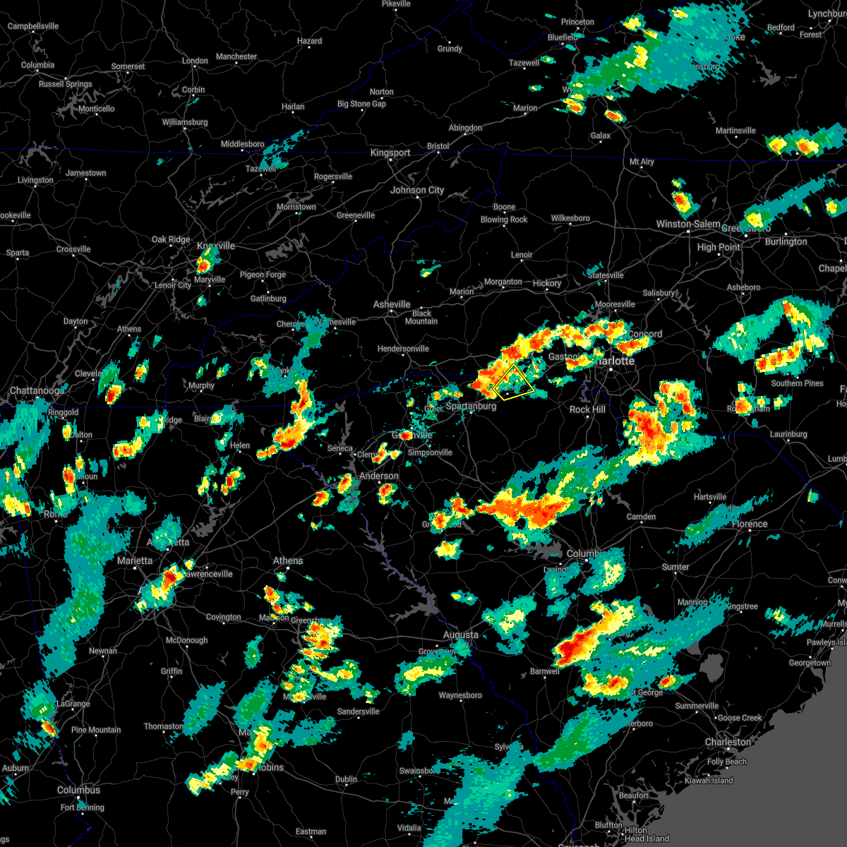 The severe thunderstorm warning for south central cleveland and northeastern cherokee counties will expire at 530 pm edt, the storm which prompted the warning has weakened below severe limits, and no longer poses an immediate threat to life or property. therefore the warning will be allowed to expire. however small hail is still possible with this thunderstorm. The severe thunderstorm warning for south central cleveland and northeastern cherokee counties will expire at 530 pm edt, the storm which prompted the warning has weakened below severe limits, and no longer poses an immediate threat to life or property. therefore the warning will be allowed to expire. however small hail is still possible with this thunderstorm.
|
| 8/1/2019 5:11 PM EDT |
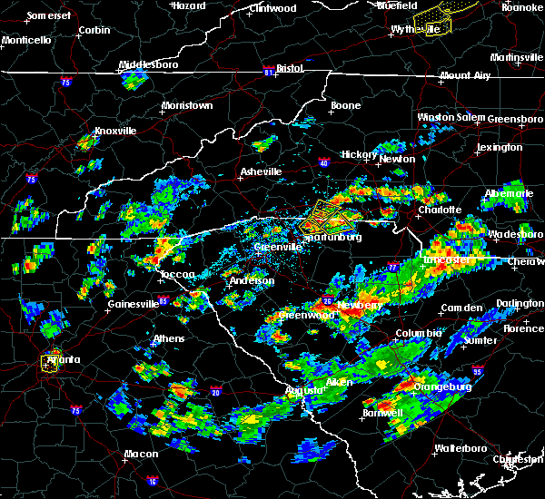 At 511 pm edt, a severe thunderstorm was located 7 miles northeast of gaffney, or near blacksburg, moving east at 5 mph (radar indicated). Hazards include 60 mph wind gusts and quarter size hail. Minor hail damage to vehicles is expected. expect wind damage to trees and power lines. Locations impacted include, gaffney, blacksburg, cherokee falls, draytonville and earl. At 511 pm edt, a severe thunderstorm was located 7 miles northeast of gaffney, or near blacksburg, moving east at 5 mph (radar indicated). Hazards include 60 mph wind gusts and quarter size hail. Minor hail damage to vehicles is expected. expect wind damage to trees and power lines. Locations impacted include, gaffney, blacksburg, cherokee falls, draytonville and earl.
|
| 8/1/2019 4:55 PM EDT |
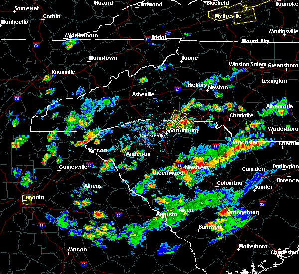 At 455 pm edt, a severe thunderstorm was located 6 miles northeast of gaffney, or near blacksburg, moving east at 5 mph (radar indicated). Hazards include 60 mph wind gusts and quarter size hail. Minor hail damage to vehicles is expected. expect wind damage to trees and power lines. Locations impacted include, gaffney, blacksburg, cherokee falls, draytonville and earl. At 455 pm edt, a severe thunderstorm was located 6 miles northeast of gaffney, or near blacksburg, moving east at 5 mph (radar indicated). Hazards include 60 mph wind gusts and quarter size hail. Minor hail damage to vehicles is expected. expect wind damage to trees and power lines. Locations impacted include, gaffney, blacksburg, cherokee falls, draytonville and earl.
|
| 8/1/2019 4:55 PM EDT |
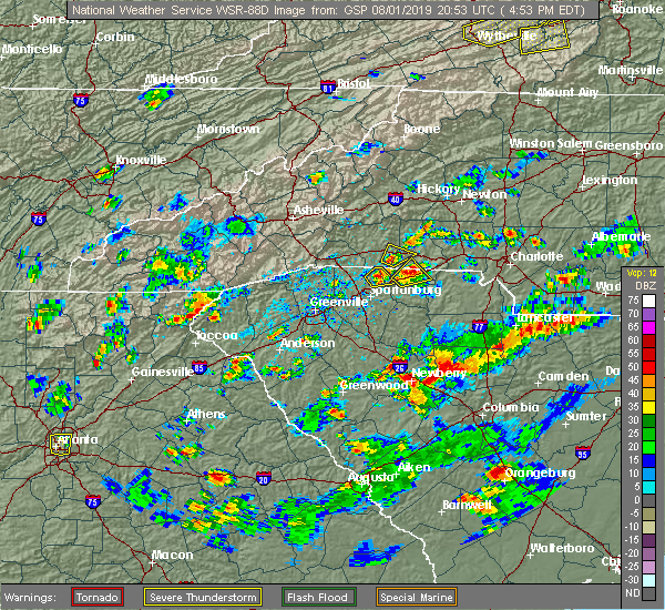 At 455 pm edt, a severe thunderstorm was located 6 miles northeast of gaffney, or near blacksburg, moving east at 5 mph (radar indicated). Hazards include 60 mph wind gusts and quarter size hail. Minor hail damage to vehicles is expected. expect wind damage to trees and power lines. Locations impacted include, gaffney, blacksburg, cherokee falls, draytonville and earl. At 455 pm edt, a severe thunderstorm was located 6 miles northeast of gaffney, or near blacksburg, moving east at 5 mph (radar indicated). Hazards include 60 mph wind gusts and quarter size hail. Minor hail damage to vehicles is expected. expect wind damage to trees and power lines. Locations impacted include, gaffney, blacksburg, cherokee falls, draytonville and earl.
|
| 8/1/2019 4:39 PM EDT |
 At 439 pm edt, a severe thunderstorm was located 4 miles northeast of gaffney, moving east at 5 mph (radar indicated). Hazards include 60 mph wind gusts and quarter size hail. Minor hail damage to vehicles is expected. Expect wind damage to trees and power lines. At 439 pm edt, a severe thunderstorm was located 4 miles northeast of gaffney, moving east at 5 mph (radar indicated). Hazards include 60 mph wind gusts and quarter size hail. Minor hail damage to vehicles is expected. Expect wind damage to trees and power lines.
|
| 8/1/2019 4:39 PM EDT |
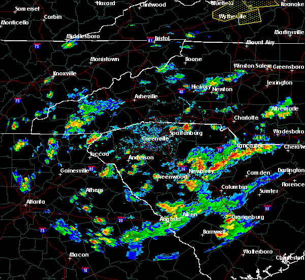 At 439 pm edt, a severe thunderstorm was located 4 miles northeast of gaffney, moving east at 5 mph (radar indicated). Hazards include 60 mph wind gusts and quarter size hail. Minor hail damage to vehicles is expected. Expect wind damage to trees and power lines. At 439 pm edt, a severe thunderstorm was located 4 miles northeast of gaffney, moving east at 5 mph (radar indicated). Hazards include 60 mph wind gusts and quarter size hail. Minor hail damage to vehicles is expected. Expect wind damage to trees and power lines.
|
| 7/12/2019 5:14 PM EDT |
 At 514 pm edt, a severe thunderstorm was located 11 miles south of shelby, or near grover, moving east at 15 mph (radar indicated). Hazards include 60 mph wind gusts and penny size hail. Expect damage to trees and power lines. Locations impacted include, blacksburg, grover, earl, kings mountain state park, cherokee falls, kings creek, kings mountain and crowders mountain state park. At 514 pm edt, a severe thunderstorm was located 11 miles south of shelby, or near grover, moving east at 15 mph (radar indicated). Hazards include 60 mph wind gusts and penny size hail. Expect damage to trees and power lines. Locations impacted include, blacksburg, grover, earl, kings mountain state park, cherokee falls, kings creek, kings mountain and crowders mountain state park.
|
| 7/12/2019 4:57 PM EDT |
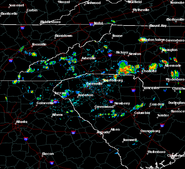 The national weather service in greenville-spartanburg has issued a * severe thunderstorm warning for. southeastern cleveland county in the piedmont of north carolina. northwestern york county in upstate south carolina. northeastern cherokee county in upstate south carolina. Until 530 pm edt. The national weather service in greenville-spartanburg has issued a * severe thunderstorm warning for. southeastern cleveland county in the piedmont of north carolina. northwestern york county in upstate south carolina. northeastern cherokee county in upstate south carolina. Until 530 pm edt.
|
| 7/12/2019 4:57 PM EDT |
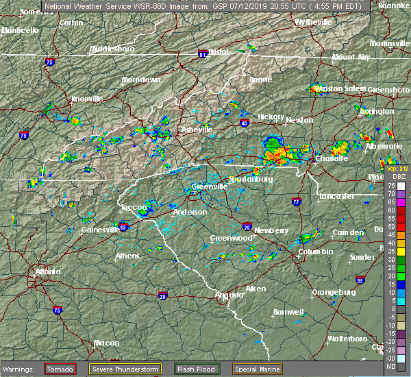 The national weather service in greenville-spartanburg has issued a * severe thunderstorm warning for. southeastern cleveland county in the piedmont of north carolina. northwestern york county in upstate south carolina. northeastern cherokee county in upstate south carolina. Until 530 pm edt. The national weather service in greenville-spartanburg has issued a * severe thunderstorm warning for. southeastern cleveland county in the piedmont of north carolina. northwestern york county in upstate south carolina. northeastern cherokee county in upstate south carolina. Until 530 pm edt.
|
| 6/24/2019 8:45 PM EDT |
 At 845 pm edt, severe thunderstorms were located along a line extending from 5 miles northeast of hickory to 5 miles northeast of lincolnton to 8 miles west of gastonia to 7 miles north of york to 13 miles northeast of union to 16 miles north of newberry, moving east at 60 mph (radar indicated). Hazards include 60 mph wind gusts. Expect damage to trees and power lines. Locations impacted include, gastonia, hickory, shelby, newton, gaffney, lincolnton, union, york, kings mountain and mt holly. At 845 pm edt, severe thunderstorms were located along a line extending from 5 miles northeast of hickory to 5 miles northeast of lincolnton to 8 miles west of gastonia to 7 miles north of york to 13 miles northeast of union to 16 miles north of newberry, moving east at 60 mph (radar indicated). Hazards include 60 mph wind gusts. Expect damage to trees and power lines. Locations impacted include, gastonia, hickory, shelby, newton, gaffney, lincolnton, union, york, kings mountain and mt holly.
|
| 6/24/2019 8:26 PM EDT |
 At 826 pm edt, severe thunderstorms were located along a line extending from 8 miles southwest of hickory to 7 miles southeast of shelby to 11 miles north of union to 7 miles southeast of laurens, moving northeast at 35 mph (radar indicated). Hazards include 60 mph wind gusts. expect damage to trees and power lines At 826 pm edt, severe thunderstorms were located along a line extending from 8 miles southwest of hickory to 7 miles southeast of shelby to 11 miles north of union to 7 miles southeast of laurens, moving northeast at 35 mph (radar indicated). Hazards include 60 mph wind gusts. expect damage to trees and power lines
|
| 6/24/2019 8:20 PM EDT |
 At 819 pm edt, severe thunderstorms were located along a line extending from 6 miles north of shelby to 7 miles south of gaffney to 8 miles southeast of laurens, moving east at 40 mph (radar indicated). Hazards include 70 mph wind gusts. Expect considerable tree damage. damage is likely to mobile homes, roofs, and outbuildings. Locations impacted include, spartanburg, shelby, gaffney, laurens, union, kings mountain, clinton, woodruff, boiling springs nc and pacolet. At 819 pm edt, severe thunderstorms were located along a line extending from 6 miles north of shelby to 7 miles south of gaffney to 8 miles southeast of laurens, moving east at 40 mph (radar indicated). Hazards include 70 mph wind gusts. Expect considerable tree damage. damage is likely to mobile homes, roofs, and outbuildings. Locations impacted include, spartanburg, shelby, gaffney, laurens, union, kings mountain, clinton, woodruff, boiling springs nc and pacolet.
|
| 6/24/2019 8:06 PM EDT |
 At 805 pm edt, severe thunderstorms were located along a line extending from 8 miles northwest of shelby to 9 miles southwest of gaffney to 8 miles southwest of laurens, moving east at 40 mph (radar indicated). Hazards include 70 mph wind gusts. Expect considerable tree damage. damage is likely to mobile homes, roofs, and outbuildings. Locations impacted include, spartanburg, shelby, gaffney, laurens, union, forest city, kings mountain, clinton, boiling springs sc and woodruff. At 805 pm edt, severe thunderstorms were located along a line extending from 8 miles northwest of shelby to 9 miles southwest of gaffney to 8 miles southwest of laurens, moving east at 40 mph (radar indicated). Hazards include 70 mph wind gusts. Expect considerable tree damage. damage is likely to mobile homes, roofs, and outbuildings. Locations impacted include, spartanburg, shelby, gaffney, laurens, union, forest city, kings mountain, clinton, boiling springs sc and woodruff.
|
| 6/24/2019 7:53 PM EDT |
 At 753 pm edt, severe thunderstorms were located along a line extending from 5 miles northeast of forest city to near spartanburg to 14 miles southwest of laurens, moving east at 40 mph (radar indicated). Hazards include 70 mph wind gusts. Expect considerable tree damage. Damage is likely to mobile homes, roofs, and outbuildings. At 753 pm edt, severe thunderstorms were located along a line extending from 5 miles northeast of forest city to near spartanburg to 14 miles southwest of laurens, moving east at 40 mph (radar indicated). Hazards include 70 mph wind gusts. Expect considerable tree damage. Damage is likely to mobile homes, roofs, and outbuildings.
|
| 6/22/2019 3:42 PM EDT |
 At 342 pm edt, severe thunderstorms were located along a line extending from 8 miles south of shelby to 6 miles southwest of spartanburg, moving east at 60 mph (radar indicated). Hazards include 60 mph wind gusts and penny size hail. expect damage to trees and power lines At 342 pm edt, severe thunderstorms were located along a line extending from 8 miles south of shelby to 6 miles southwest of spartanburg, moving east at 60 mph (radar indicated). Hazards include 60 mph wind gusts and penny size hail. expect damage to trees and power lines
|
| 6/22/2019 3:30 PM EDT |
 At 329 pm edt, severe thunderstorms were located along a line extending from 9 miles northwest of gaffney to 11 miles northeast of greenville downtown, moving east at 60 mph (radar indicated). Hazards include 60 mph wind gusts and penny size hail. Expect damage to trees and power lines. Locations impacted include, spartanburg, gaffney, greenville eastside, greer, taylors, five forks, boiling springs sc, duncan, lyman and cowpens. At 329 pm edt, severe thunderstorms were located along a line extending from 9 miles northwest of gaffney to 11 miles northeast of greenville downtown, moving east at 60 mph (radar indicated). Hazards include 60 mph wind gusts and penny size hail. Expect damage to trees and power lines. Locations impacted include, spartanburg, gaffney, greenville eastside, greer, taylors, five forks, boiling springs sc, duncan, lyman and cowpens.
|
| 6/22/2019 3:05 PM EDT |
 At 305 pm edt, severe thunderstorms were located along a line extending from 7 miles southeast of columbus to 11 miles north of easley, moving east at 30 mph (radar indicated). Hazards include 60 mph wind gusts and quarter size hail. Minor hail damage to vehicles is expected. Expect wind damage to trees and power lines. At 305 pm edt, severe thunderstorms were located along a line extending from 7 miles southeast of columbus to 11 miles north of easley, moving east at 30 mph (radar indicated). Hazards include 60 mph wind gusts and quarter size hail. Minor hail damage to vehicles is expected. Expect wind damage to trees and power lines.
|
| 4/19/2019 4:41 PM EDT |
 At 441 pm edt, severe thunderstorms were located along a line extending from 7 miles southwest of forest city to 11 miles northwest of gaffney to 7 miles northeast of spartanburg, moving northeast at 40 mph (radar indicated). Hazards include 60 mph wind gusts. Expect damage to trees and power lines. locations impacted include, gaffney, forest city, spindale, boiling springs nc, cowpens, mayo, chesnee, polkville, ellenboro and lattimore. A tornado watch remains in effect until 800 pm edt for western and the piedmont of north carolina, and upstate south carolina. At 441 pm edt, severe thunderstorms were located along a line extending from 7 miles southwest of forest city to 11 miles northwest of gaffney to 7 miles northeast of spartanburg, moving northeast at 40 mph (radar indicated). Hazards include 60 mph wind gusts. Expect damage to trees and power lines. locations impacted include, gaffney, forest city, spindale, boiling springs nc, cowpens, mayo, chesnee, polkville, ellenboro and lattimore. A tornado watch remains in effect until 800 pm edt for western and the piedmont of north carolina, and upstate south carolina.
|
| 4/19/2019 4:28 PM EDT |
 At 428 pm edt, severe thunderstorms were located along a line extending from 11 miles southeast of columbus to 15 miles west of gaffney to near spartanburg, moving northeast at 40 mph (radar indicated). Hazards include 60 mph wind gusts. expect damage to trees and power lines At 428 pm edt, severe thunderstorms were located along a line extending from 11 miles southeast of columbus to 15 miles west of gaffney to near spartanburg, moving northeast at 40 mph (radar indicated). Hazards include 60 mph wind gusts. expect damage to trees and power lines
|
| 4/8/2019 4:25 PM EDT |
 At 425 pm edt, a severe thunderstorm was located 13 miles northeast of union, or 6 miles north of lockhart, moving northeast at 30 mph (radar indicated). Hazards include 60 mph wind gusts and penny size hail. expect damage to trees and power lines At 425 pm edt, a severe thunderstorm was located 13 miles northeast of union, or 6 miles north of lockhart, moving northeast at 30 mph (radar indicated). Hazards include 60 mph wind gusts and penny size hail. expect damage to trees and power lines
|
| 4/8/2019 3:03 PM EDT |
 At 303 pm edt, a severe thunderstorm was located 9 miles north of gaffney, or near boiling springs nc, moving northeast at 30 mph (radar indicated). Hazards include 60 mph wind gusts and quarter size hail. Minor hail damage to vehicles is expected. expect wind damage to trees and power lines. Locations impacted include, shelby, gaffney, forest city, kings mountain, boiling springs nc, blacksburg, grover, patterson springs, polkville and ellenboro. At 303 pm edt, a severe thunderstorm was located 9 miles north of gaffney, or near boiling springs nc, moving northeast at 30 mph (radar indicated). Hazards include 60 mph wind gusts and quarter size hail. Minor hail damage to vehicles is expected. expect wind damage to trees and power lines. Locations impacted include, shelby, gaffney, forest city, kings mountain, boiling springs nc, blacksburg, grover, patterson springs, polkville and ellenboro.
|
| 4/8/2019 2:55 PM EDT |
 At 255 pm edt, a severe thunderstorm was located 8 miles northwest of gaffney, or 5 miles northeast of cowpens national battlefield, moving northeast at 30 mph (radar indicated). Hazards include 60 mph wind gusts and quarter size hail. Minor hail damage to vehicles is expected. expect wind damage to trees and power lines. Locations impacted include, shelby, gaffney, forest city, kings mountain, boiling springs nc, cowpens, blacksburg, mayo, chesnee and grover. At 255 pm edt, a severe thunderstorm was located 8 miles northwest of gaffney, or 5 miles northeast of cowpens national battlefield, moving northeast at 30 mph (radar indicated). Hazards include 60 mph wind gusts and quarter size hail. Minor hail damage to vehicles is expected. expect wind damage to trees and power lines. Locations impacted include, shelby, gaffney, forest city, kings mountain, boiling springs nc, cowpens, blacksburg, mayo, chesnee and grover.
|
| 4/8/2019 2:43 PM EDT |
 At 243 pm edt, a severe thunderstorm was located 8 miles west of gaffney, or near cowpens national battlefield, moving northeast at 25 mph (radar indicated). Hazards include 60 mph wind gusts and quarter size hail. Minor hail damage to vehicles is expected. Expect wind damage to trees and power lines. At 243 pm edt, a severe thunderstorm was located 8 miles west of gaffney, or near cowpens national battlefield, moving northeast at 25 mph (radar indicated). Hazards include 60 mph wind gusts and quarter size hail. Minor hail damage to vehicles is expected. Expect wind damage to trees and power lines.
|
| 9/27/2018 8:18 PM EDT |
 At 816 pm edt, severe thunderstorms were located along a line extending from near rutherfordton to 5 miles southeast of forest city and across cherokee county south carolina, moving northeast at 50 mph (law enforcement has reported damage along this line of thunderstorms). Hazards include 60 mph wind gusts and penny size hail. Expect damage to trees and power lines. Locations impacted include, gastonia, shelby, lincolnton, forest city, rutherfordton, kings mountain, cherryville, bessemer city, south gastonia and longview. At 816 pm edt, severe thunderstorms were located along a line extending from near rutherfordton to 5 miles southeast of forest city and across cherokee county south carolina, moving northeast at 50 mph (law enforcement has reported damage along this line of thunderstorms). Hazards include 60 mph wind gusts and penny size hail. Expect damage to trees and power lines. Locations impacted include, gastonia, shelby, lincolnton, forest city, rutherfordton, kings mountain, cherryville, bessemer city, south gastonia and longview.
|
| 9/27/2018 7:51 PM EDT |
 At 749 pm edt, severe thunderstorms were located along a line extending from 12 miles southwest of columbus to near inman to spartanburg to near pauline, moving northeast at 55 mph (law enforcement). Hazards include 60 mph wind gusts and penny size hail. expect damage to trees and power lines At 749 pm edt, severe thunderstorms were located along a line extending from 12 miles southwest of columbus to near inman to spartanburg to near pauline, moving northeast at 55 mph (law enforcement). Hazards include 60 mph wind gusts and penny size hail. expect damage to trees and power lines
|
| 9/10/2018 7:16 PM EDT |
 At 716 pm edt, a severe thunderstorm was located 10 miles east of gaffney, or near smyrna, moving east at 25 mph (radar indicated). Hazards include 60 mph wind gusts and nickel size hail. Expect damage to trees and power lines. Locations impacted include, blacksburg, hickory grove, smyrna, cherokee falls, draytonville, kings creek, kings mountain state park and york. At 716 pm edt, a severe thunderstorm was located 10 miles east of gaffney, or near smyrna, moving east at 25 mph (radar indicated). Hazards include 60 mph wind gusts and nickel size hail. Expect damage to trees and power lines. Locations impacted include, blacksburg, hickory grove, smyrna, cherokee falls, draytonville, kings creek, kings mountain state park and york.
|
| 9/10/2018 7:05 PM EDT |
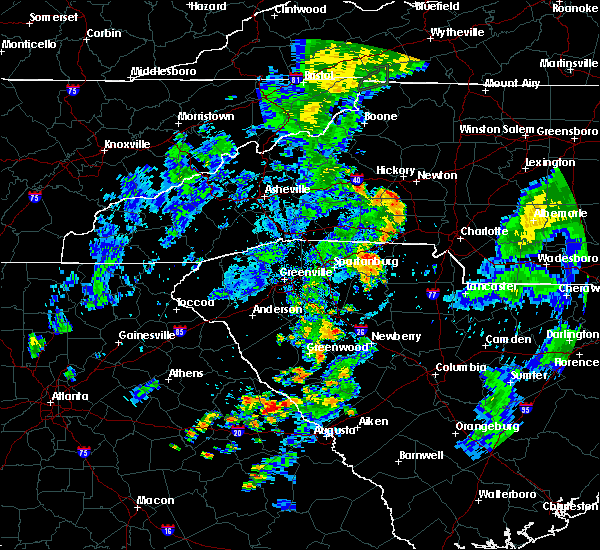 At 705 pm edt, a severe thunderstorm was located 8 miles southeast of gaffney, or 6 miles west of hickory grove, moving northeast at 25 mph (radar indicated). Hazards include 60 mph wind gusts and nickel size hail. expect damage to trees and power lines At 705 pm edt, a severe thunderstorm was located 8 miles southeast of gaffney, or 6 miles west of hickory grove, moving northeast at 25 mph (radar indicated). Hazards include 60 mph wind gusts and nickel size hail. expect damage to trees and power lines
|
| 7/21/2018 8:11 PM EDT |
 At 810 pm edt, severe thunderstorms were located along a line extending from 6 miles east of gaffney to 4 miles southeast of spartanburg, moving east at 15 mph (hail reported by a member of the public. winds indicated by radar). Hazards include 60 mph wind gusts and quarter size hail. Minor hail damage to vehicles is expected. expect wind damage to trees and power lines. Locations impacted include, pacolet, roebuck, jonesville, pacolet mills, smyrna, croft state park, cedar springs, pauline, cherokee falls and draytonville. At 810 pm edt, severe thunderstorms were located along a line extending from 6 miles east of gaffney to 4 miles southeast of spartanburg, moving east at 15 mph (hail reported by a member of the public. winds indicated by radar). Hazards include 60 mph wind gusts and quarter size hail. Minor hail damage to vehicles is expected. expect wind damage to trees and power lines. Locations impacted include, pacolet, roebuck, jonesville, pacolet mills, smyrna, croft state park, cedar springs, pauline, cherokee falls and draytonville.
|
| 7/21/2018 7:45 PM EDT |
 At 745 pm edt, severe thunderstorms were located along a line extending from near gaffney to 5 miles west of spartanburg, moving east at 20 mph (radar indicated). Hazards include 60 mph wind gusts and quarter size hail. Minor hail damage to vehicles is expected. Expect wind damage to trees and power lines. At 745 pm edt, severe thunderstorms were located along a line extending from near gaffney to 5 miles west of spartanburg, moving east at 20 mph (radar indicated). Hazards include 60 mph wind gusts and quarter size hail. Minor hail damage to vehicles is expected. Expect wind damage to trees and power lines.
|
| 7/21/2018 7:19 PM EDT |
 At 718 pm edt, a severe thunderstorm was located 10 miles northwest of gaffney, or 4 miles northeast of cowpens national battlefield, moving southeast at 25 mph (radar indicated). Hazards include 60 mph wind gusts and quarter size hail. Minor hail damage to vehicles is expected. expect wind damage to trees and power lines. Locations impacted include, gaffney, boiling springs nc and cowpens national battlefield. At 718 pm edt, a severe thunderstorm was located 10 miles northwest of gaffney, or 4 miles northeast of cowpens national battlefield, moving southeast at 25 mph (radar indicated). Hazards include 60 mph wind gusts and quarter size hail. Minor hail damage to vehicles is expected. expect wind damage to trees and power lines. Locations impacted include, gaffney, boiling springs nc and cowpens national battlefield.
|
| 7/21/2018 6:58 PM EDT |
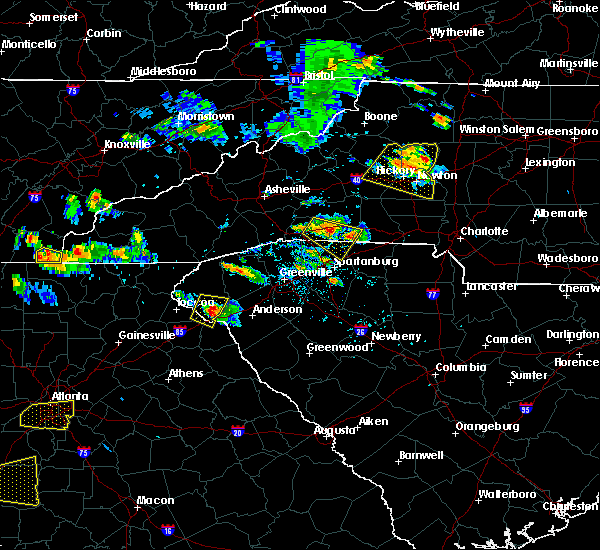 At 658 pm edt, a severe thunderstorm was located 6 miles southwest of forest city, moving southeast at 25 mph (radar indicated). Hazards include 60 mph wind gusts and quarter size hail. Minor hail damage to vehicles is expected. Expect wind damage to trees and power lines. At 658 pm edt, a severe thunderstorm was located 6 miles southwest of forest city, moving southeast at 25 mph (radar indicated). Hazards include 60 mph wind gusts and quarter size hail. Minor hail damage to vehicles is expected. Expect wind damage to trees and power lines.
|
| 6/27/2018 4:48 PM EDT |
 At 447 pm edt, a severe thunderstorm was located 11 miles west of york, or near hickory grove, moving east at 35 mph (radar indicated). Hazards include 60 mph wind gusts and penny size hail. Expect damage to trees and power lines. Locations impacted include, gaffney, york, newport, blacksburg, sharon, hickory grove, mcconnells, smyrna, kings mountain state park and bullock creek. At 447 pm edt, a severe thunderstorm was located 11 miles west of york, or near hickory grove, moving east at 35 mph (radar indicated). Hazards include 60 mph wind gusts and penny size hail. Expect damage to trees and power lines. Locations impacted include, gaffney, york, newport, blacksburg, sharon, hickory grove, mcconnells, smyrna, kings mountain state park and bullock creek.
|
| 6/27/2018 4:27 PM EDT |
 At 427 pm edt, a severe thunderstorm was located 7 miles east of gaffney, or near blacksburg, moving southeast at 30 mph (radar indicated). Hazards include 60 mph wind gusts and penny size hail. expect damage to trees and power lines At 427 pm edt, a severe thunderstorm was located 7 miles east of gaffney, or near blacksburg, moving southeast at 30 mph (radar indicated). Hazards include 60 mph wind gusts and penny size hail. expect damage to trees and power lines
|
| 6/27/2018 4:05 PM EDT |
 At 404 pm edt, a severe thunderstorm was located 6 miles north of gaffney, or 5 miles south of boiling springs nc, moving east at 20 mph (radar indicated). Hazards include golf ball size hail and 60 mph wind gusts. People and animals outdoors will be injured. expect hail damage to roofs, siding, windows, and vehicles. expect wind damage to trees and power lines. Locations impacted include, gaffney, boiling springs nc, blacksburg, grover, patterson springs, earl, cowpens national battlefield, cherokee falls, draytonville and mooresboro. At 404 pm edt, a severe thunderstorm was located 6 miles north of gaffney, or 5 miles south of boiling springs nc, moving east at 20 mph (radar indicated). Hazards include golf ball size hail and 60 mph wind gusts. People and animals outdoors will be injured. expect hail damage to roofs, siding, windows, and vehicles. expect wind damage to trees and power lines. Locations impacted include, gaffney, boiling springs nc, blacksburg, grover, patterson springs, earl, cowpens national battlefield, cherokee falls, draytonville and mooresboro.
|
| 6/27/2018 3:43 PM EDT |
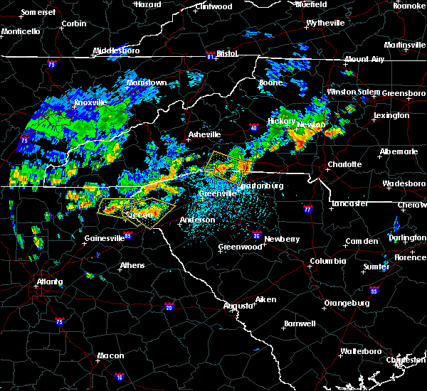 The national weather service in greenville-spartanburg has issued a * severe thunderstorm warning for. southeastern rutherford county in western north carolina. southwestern cleveland county in the piedmont of north carolina. northern cherokee county in upstate south carolina. Until 430 pm edt. The national weather service in greenville-spartanburg has issued a * severe thunderstorm warning for. southeastern rutherford county in western north carolina. southwestern cleveland county in the piedmont of north carolina. northern cherokee county in upstate south carolina. Until 430 pm edt.
|
| 6/27/2018 3:43 PM EDT |
 At 342 pm edt, a severe thunderstorm was located 9 miles south of forest city, or 5 miles north of cowpens national battlefield, moving east at 20 mph (radar indicated). Hazards include golf ball size hail and 60 mph wind gusts. People and animals outdoors will be injured. expect hail damage to roofs, siding, windows, and vehicles. Expect wind damage to trees and power lines. At 342 pm edt, a severe thunderstorm was located 9 miles south of forest city, or 5 miles north of cowpens national battlefield, moving east at 20 mph (radar indicated). Hazards include golf ball size hail and 60 mph wind gusts. People and animals outdoors will be injured. expect hail damage to roofs, siding, windows, and vehicles. Expect wind damage to trees and power lines.
|
| 6/26/2018 5:08 PM EDT |
 The severe thunderstorm warning for southern cleveland, southwestern gaston, northwestern york and northeastern cherokee counties will expire at 515 pm edt, the storms which prompted the warning have weakened below severe limits, and no longer pose an immediate threat to life or property. therefore the warning will be allowed to expire. however, gusty winds are still possible with these thunderstorms. The severe thunderstorm warning for southern cleveland, southwestern gaston, northwestern york and northeastern cherokee counties will expire at 515 pm edt, the storms which prompted the warning have weakened below severe limits, and no longer pose an immediate threat to life or property. therefore the warning will be allowed to expire. however, gusty winds are still possible with these thunderstorms.
|
| 6/26/2018 4:45 PM EDT |
 At 445 pm edt, severe thunderstorms were located along a line extending from near shelby to 19 miles northwest of york to 3 miles southeast of gaffney, moving east at 25 mph (radar indicated). Hazards include 60 mph wind gusts. Expect damage to trees and power lines. Locations impacted include, shelby, gaffney, kings mountain, bessemer city, boiling springs nc, blacksburg, grover, patterson springs, hickory grove and earl. At 445 pm edt, severe thunderstorms were located along a line extending from near shelby to 19 miles northwest of york to 3 miles southeast of gaffney, moving east at 25 mph (radar indicated). Hazards include 60 mph wind gusts. Expect damage to trees and power lines. Locations impacted include, shelby, gaffney, kings mountain, bessemer city, boiling springs nc, blacksburg, grover, patterson springs, hickory grove and earl.
|
| 6/26/2018 4:45 PM EDT |
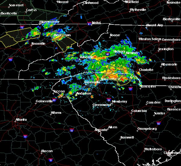 At 445 pm edt, severe thunderstorms were located along a line extending from near shelby to 19 miles northwest of york to 3 miles southeast of gaffney, moving east at 25 mph (radar indicated). Hazards include 60 mph wind gusts. Expect damage to trees and power lines. Locations impacted include, shelby, gaffney, kings mountain, bessemer city, boiling springs nc, blacksburg, grover, patterson springs, hickory grove and earl. At 445 pm edt, severe thunderstorms were located along a line extending from near shelby to 19 miles northwest of york to 3 miles southeast of gaffney, moving east at 25 mph (radar indicated). Hazards include 60 mph wind gusts. Expect damage to trees and power lines. Locations impacted include, shelby, gaffney, kings mountain, bessemer city, boiling springs nc, blacksburg, grover, patterson springs, hickory grove and earl.
|
| 6/26/2018 4:22 PM EDT |
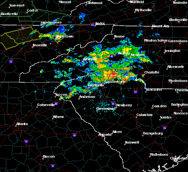 At 422 pm edt, severe thunderstorms were located along a line extending from 8 miles west of shelby to 5 miles west of gaffney, moving east at 25 mph (radar indicated). Hazards include 60 mph wind gusts. expect damage to trees and power lines At 422 pm edt, severe thunderstorms were located along a line extending from 8 miles west of shelby to 5 miles west of gaffney, moving east at 25 mph (radar indicated). Hazards include 60 mph wind gusts. expect damage to trees and power lines
|
| 6/26/2018 4:22 PM EDT |
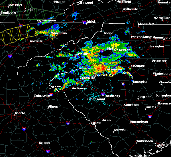 At 422 pm edt, severe thunderstorms were located along a line extending from 8 miles west of shelby to 5 miles west of gaffney, moving east at 25 mph (radar indicated). Hazards include 60 mph wind gusts. expect damage to trees and power lines At 422 pm edt, severe thunderstorms were located along a line extending from 8 miles west of shelby to 5 miles west of gaffney, moving east at 25 mph (radar indicated). Hazards include 60 mph wind gusts. expect damage to trees and power lines
|
| 6/25/2018 6:46 PM EDT |
 At 645 pm edt, severe thunderstorms were located along a line extending from 10 miles northeast of gastonia to 8 miles southwest of gaffney, moving east at 35 mph (radar indicated). Hazards include 60 mph wind gusts and quarter size hail. Minor hail damage to vehicles is expected. expect wind damage to trees and power lines. Locations impacted include, gastonia, spartanburg, shelby, gaffney, kings mountain, mt holly, cherryville, bessemer city, south gastonia and boiling springs sc. At 645 pm edt, severe thunderstorms were located along a line extending from 10 miles northeast of gastonia to 8 miles southwest of gaffney, moving east at 35 mph (radar indicated). Hazards include 60 mph wind gusts and quarter size hail. Minor hail damage to vehicles is expected. expect wind damage to trees and power lines. Locations impacted include, gastonia, spartanburg, shelby, gaffney, kings mountain, mt holly, cherryville, bessemer city, south gastonia and boiling springs sc.
|
| 6/25/2018 6:22 PM EDT |
 At 621 pm edt, severe thunderstorms were located along a line extending from 6 miles northwest of gastonia to 4 miles northwest of spartanburg, moving east at 35 mph (radar indicated). Hazards include 60 mph wind gusts and quarter size hail. Minor hail damage to vehicles is expected. Expect wind damage to trees and power lines. At 621 pm edt, severe thunderstorms were located along a line extending from 6 miles northwest of gastonia to 4 miles northwest of spartanburg, moving east at 35 mph (radar indicated). Hazards include 60 mph wind gusts and quarter size hail. Minor hail damage to vehicles is expected. Expect wind damage to trees and power lines.
|
| 6/22/2018 9:11 PM EDT |
 The severe thunderstorm warning for northwestern cherokee county will expire at 915 pm edt, the storms which prompted the warning have weakened below severe limits, and no longer pose an immediate threat to life or property. therefore the warning will be allowed to expire. however, gusty winds to 35 mph are still possible with these thunderstorms. The severe thunderstorm warning for northwestern cherokee county will expire at 915 pm edt, the storms which prompted the warning have weakened below severe limits, and no longer pose an immediate threat to life or property. therefore the warning will be allowed to expire. however, gusty winds to 35 mph are still possible with these thunderstorms.
|
| 6/22/2018 8:59 PM EDT |
 A severe thunderstorm warning remains in effect until 915 pm edt for northwestern cherokee county. at 859 pm edt, severe thunderstorms were located along a line extending from 12 miles south of forest city to 4 miles west of gaffney to 11 miles east of spartanburg, moving northeast at 40 mph. hazard. 60 mph wind gusts. A severe thunderstorm warning remains in effect until 915 pm edt for northwestern cherokee county. at 859 pm edt, severe thunderstorms were located along a line extending from 12 miles south of forest city to 4 miles west of gaffney to 11 miles east of spartanburg, moving northeast at 40 mph. hazard. 60 mph wind gusts.
|
| 6/22/2018 8:35 PM EDT |
 At 835 pm edt, severe thunderstorms were located along a line extending from 18 miles southeast of columbus to 3 miles west of spartanburg to 22 miles east of greenville downtown, moving northeast at 40 mph (radar indicated). Hazards include 60 mph wind gusts. expect damage to trees and power lines At 835 pm edt, severe thunderstorms were located along a line extending from 18 miles southeast of columbus to 3 miles west of spartanburg to 22 miles east of greenville downtown, moving northeast at 40 mph (radar indicated). Hazards include 60 mph wind gusts. expect damage to trees and power lines
|
| 6/11/2018 9:48 PM EDT |
 At 948 pm edt, a severe thunderstorm was located 10 miles east of gaffney, or near blacksburg, moving south at 15 mph (radar indicated). Hazards include 60 mph wind gusts. Expect damage to trees and power lines. Locations impacted include, blacksburg, cherokee falls, kings creek, draytonville and gaffney. At 948 pm edt, a severe thunderstorm was located 10 miles east of gaffney, or near blacksburg, moving south at 15 mph (radar indicated). Hazards include 60 mph wind gusts. Expect damage to trees and power lines. Locations impacted include, blacksburg, cherokee falls, kings creek, draytonville and gaffney.
|
| 6/11/2018 9:16 PM EDT |
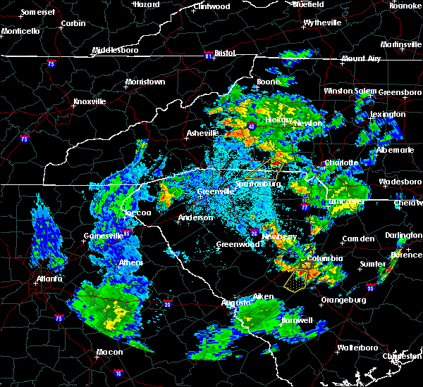 At 916 pm edt, a severe thunderstorm was located 6 miles southeast of shelby, or near patterson springs, moving southwest at 15 mph (radar indicated). Hazards include 60 mph wind gusts and half dollar size hail. Minor hail damage to vehicles is expected. Expect wind damage to trees and power lines. At 916 pm edt, a severe thunderstorm was located 6 miles southeast of shelby, or near patterson springs, moving southwest at 15 mph (radar indicated). Hazards include 60 mph wind gusts and half dollar size hail. Minor hail damage to vehicles is expected. Expect wind damage to trees and power lines.
|
| 6/1/2018 5:42 PM EDT |
 At 541 pm edt, severe thunderstorms were located along a line extending from 7 miles south of lincolnton to 11 miles northwest of york, moving east at 20 mph (radar indicated). Hazards include 60 mph wind gusts. Expect damage to trees and power lines. Locations impacted include, gastonia, york, kings mountain, mt holly, belmont, bessemer city, south gastonia, clover, dallas and stanley. At 541 pm edt, severe thunderstorms were located along a line extending from 7 miles south of lincolnton to 11 miles northwest of york, moving east at 20 mph (radar indicated). Hazards include 60 mph wind gusts. Expect damage to trees and power lines. Locations impacted include, gastonia, york, kings mountain, mt holly, belmont, bessemer city, south gastonia, clover, dallas and stanley.
|
| 6/1/2018 5:28 PM EDT |
 At 528 pm edt, severe thunderstorms were located along a line extending from 7 miles southwest of lincolnton to 9 miles northeast of gaffney, moving east at 20 mph (radar indicated). Hazards include 60 mph wind gusts. expect damage to trees and power lines At 528 pm edt, severe thunderstorms were located along a line extending from 7 miles southwest of lincolnton to 9 miles northeast of gaffney, moving east at 20 mph (radar indicated). Hazards include 60 mph wind gusts. expect damage to trees and power lines
|
| 6/1/2018 5:21 PM EDT |
 At 520 pm edt, a severe thunderstorm was located 7 miles south of shelby, or over earl, moving east at 25 mph. a new thunderstorm was also developing in southeastern rutherford county, which may also produce severe weather (radar indicated). Hazards include 60 mph wind gusts and quarter size hail. Minor hail damage to vehicles is expected. expect wind damage to trees and power lines. Locations impacted include, shelby, boiling springs nc, blacksburg, grover, patterson springs, mooresboro, earl, cowpens national battlefield, cliffside and henrietta. At 520 pm edt, a severe thunderstorm was located 7 miles south of shelby, or over earl, moving east at 25 mph. a new thunderstorm was also developing in southeastern rutherford county, which may also produce severe weather (radar indicated). Hazards include 60 mph wind gusts and quarter size hail. Minor hail damage to vehicles is expected. expect wind damage to trees and power lines. Locations impacted include, shelby, boiling springs nc, blacksburg, grover, patterson springs, mooresboro, earl, cowpens national battlefield, cliffside and henrietta.
|
| 6/1/2018 5:21 PM EDT |
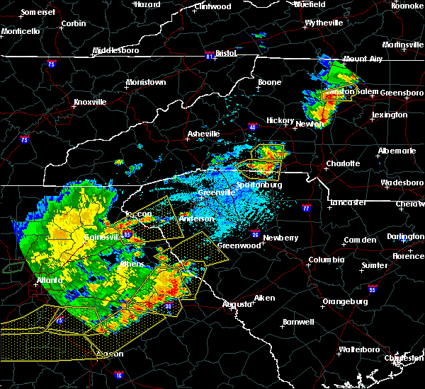 At 520 pm edt, a severe thunderstorm was located 7 miles south of shelby, or over earl, moving east at 25 mph. a new thunderstorm was also developing in southeastern rutherford county, which may also produce severe weather (radar indicated). Hazards include 60 mph wind gusts and quarter size hail. Minor hail damage to vehicles is expected. expect wind damage to trees and power lines. Locations impacted include, shelby, boiling springs nc, blacksburg, grover, patterson springs, mooresboro, earl, cowpens national battlefield, cliffside and henrietta. At 520 pm edt, a severe thunderstorm was located 7 miles south of shelby, or over earl, moving east at 25 mph. a new thunderstorm was also developing in southeastern rutherford county, which may also produce severe weather (radar indicated). Hazards include 60 mph wind gusts and quarter size hail. Minor hail damage to vehicles is expected. expect wind damage to trees and power lines. Locations impacted include, shelby, boiling springs nc, blacksburg, grover, patterson springs, mooresboro, earl, cowpens national battlefield, cliffside and henrietta.
|
| 6/1/2018 4:53 PM EDT |
 At 453 pm edt, a severe thunderstorm was located 10 miles north of gaffney, or near boiling springs nc, moving east at 20 mph (radar indicated). Hazards include 60 mph wind gusts and quarter size hail. Minor hail damage to vehicles is expected. Expect wind damage to trees and power lines. At 453 pm edt, a severe thunderstorm was located 10 miles north of gaffney, or near boiling springs nc, moving east at 20 mph (radar indicated). Hazards include 60 mph wind gusts and quarter size hail. Minor hail damage to vehicles is expected. Expect wind damage to trees and power lines.
|
| 6/1/2018 4:53 PM EDT |
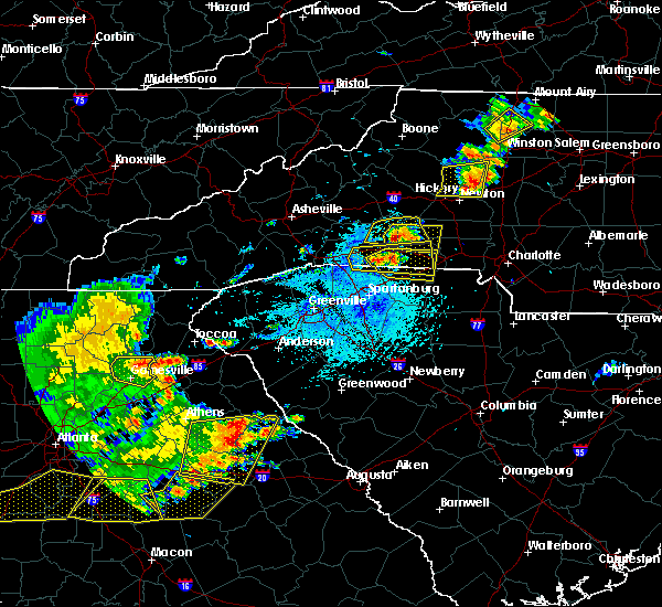 At 453 pm edt, a severe thunderstorm was located 10 miles north of gaffney, or near boiling springs nc, moving east at 20 mph (radar indicated). Hazards include 60 mph wind gusts and quarter size hail. Minor hail damage to vehicles is expected. Expect wind damage to trees and power lines. At 453 pm edt, a severe thunderstorm was located 10 miles north of gaffney, or near boiling springs nc, moving east at 20 mph (radar indicated). Hazards include 60 mph wind gusts and quarter size hail. Minor hail damage to vehicles is expected. Expect wind damage to trees and power lines.
|
| 5/10/2018 5:57 PM EDT |
 The severe thunderstorm warning for southeastern rutherford, southern cleveland, northeastern spartanburg and northwestern cherokee counties will expire at 600 pm edt, the storm which prompted the warning has weakened below severe limits, and no longer poses an immediate threat to life or property. therefore the warning will be allowed to expire. however gusty winds and heavy rain are still possible with this thunderstorm. a severe thunderstorm watch remains in effect until 1000 pm edt for western and the piedmont of north carolina, and upstate south carolina. The severe thunderstorm warning for southeastern rutherford, southern cleveland, northeastern spartanburg and northwestern cherokee counties will expire at 600 pm edt, the storm which prompted the warning has weakened below severe limits, and no longer poses an immediate threat to life or property. therefore the warning will be allowed to expire. however gusty winds and heavy rain are still possible with this thunderstorm. a severe thunderstorm watch remains in effect until 1000 pm edt for western and the piedmont of north carolina, and upstate south carolina.
|
| 5/10/2018 5:57 PM EDT |
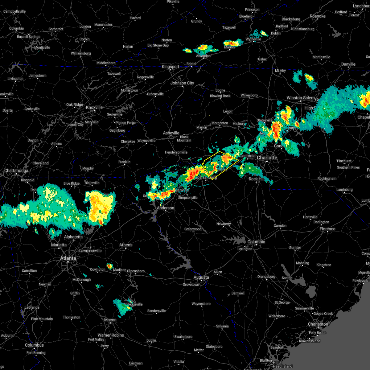 The severe thunderstorm warning for southeastern rutherford, southern cleveland, northeastern spartanburg and northwestern cherokee counties will expire at 600 pm edt, the storm which prompted the warning has weakened below severe limits, and no longer poses an immediate threat to life or property. therefore the warning will be allowed to expire. however gusty winds and heavy rain are still possible with this thunderstorm. a severe thunderstorm watch remains in effect until 1000 pm edt for western and the piedmont of north carolina, and upstate south carolina. The severe thunderstorm warning for southeastern rutherford, southern cleveland, northeastern spartanburg and northwestern cherokee counties will expire at 600 pm edt, the storm which prompted the warning has weakened below severe limits, and no longer poses an immediate threat to life or property. therefore the warning will be allowed to expire. however gusty winds and heavy rain are still possible with this thunderstorm. a severe thunderstorm watch remains in effect until 1000 pm edt for western and the piedmont of north carolina, and upstate south carolina.
|
| 5/10/2018 5:44 PM EDT |
 At 544 pm edt, a severe thunderstorm was located 8 miles southwest of shelby, or near boiling springs nc, moving southeast at 20 mph (radar indicated). Hazards include 60 mph wind gusts and quarter size hail. Minor hail damage to vehicles is expected. expect wind damage to trees and power lines. Locations impacted include, shelby, gaffney, boiling springs nc, cowpens, mayo, chesnee, patterson springs, ellenboro, lattimore and mooresboro. At 544 pm edt, a severe thunderstorm was located 8 miles southwest of shelby, or near boiling springs nc, moving southeast at 20 mph (radar indicated). Hazards include 60 mph wind gusts and quarter size hail. Minor hail damage to vehicles is expected. expect wind damage to trees and power lines. Locations impacted include, shelby, gaffney, boiling springs nc, cowpens, mayo, chesnee, patterson springs, ellenboro, lattimore and mooresboro.
|
| 5/10/2018 5:44 PM EDT |
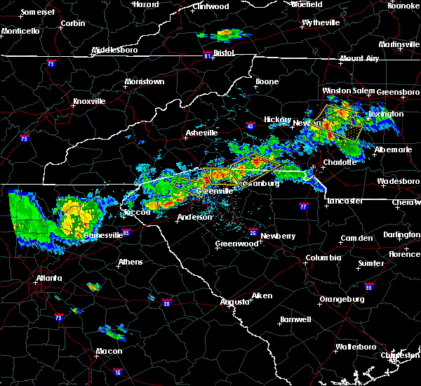 At 544 pm edt, a severe thunderstorm was located 8 miles southwest of shelby, or near boiling springs nc, moving southeast at 20 mph (radar indicated). Hazards include 60 mph wind gusts and quarter size hail. Minor hail damage to vehicles is expected. expect wind damage to trees and power lines. Locations impacted include, shelby, gaffney, boiling springs nc, cowpens, mayo, chesnee, patterson springs, ellenboro, lattimore and mooresboro. At 544 pm edt, a severe thunderstorm was located 8 miles southwest of shelby, or near boiling springs nc, moving southeast at 20 mph (radar indicated). Hazards include 60 mph wind gusts and quarter size hail. Minor hail damage to vehicles is expected. expect wind damage to trees and power lines. Locations impacted include, shelby, gaffney, boiling springs nc, cowpens, mayo, chesnee, patterson springs, ellenboro, lattimore and mooresboro.
|
| 5/10/2018 5:19 PM EDT |
 At 519 pm edt, a severe thunderstorm was located 6 miles southeast of forest city, or 4 miles southwest of ellenboro, moving southeast at 20 mph (radar indicated). Hazards include 60 mph wind gusts and quarter size hail. Minor hail damage to vehicles is expected. Expect wind damage to trees and power lines. At 519 pm edt, a severe thunderstorm was located 6 miles southeast of forest city, or 4 miles southwest of ellenboro, moving southeast at 20 mph (radar indicated). Hazards include 60 mph wind gusts and quarter size hail. Minor hail damage to vehicles is expected. Expect wind damage to trees and power lines.
|
| 5/10/2018 5:19 PM EDT |
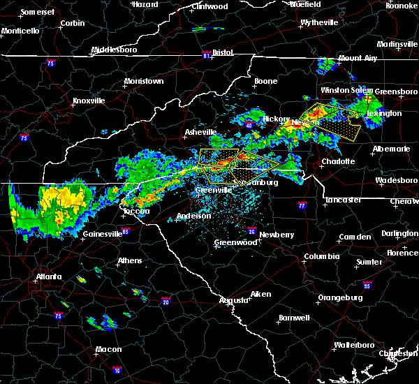 The national weather service in greenville-spartanburg has issued a * severe thunderstorm warning for. southeastern rutherford county in western north carolina. southern cleveland county in the piedmont of north carolina. northeastern spartanburg county in upstate south carolina. Northwestern cherokee county in upstate south carolina. The national weather service in greenville-spartanburg has issued a * severe thunderstorm warning for. southeastern rutherford county in western north carolina. southern cleveland county in the piedmont of north carolina. northeastern spartanburg county in upstate south carolina. Northwestern cherokee county in upstate south carolina.
|
| 4/15/2018 2:29 PM EDT |
 At 228 pm edt, a severe thunderstorm was located 6 miles northeast of union, or 5 miles north of monarch mill, moving north at 35 mph (radar indicated). Hazards include 60 mph wind gusts and quarter size hail. Minor hail damage to vehicles is expected. Expect wind damage to trees and power lines. At 228 pm edt, a severe thunderstorm was located 6 miles northeast of union, or 5 miles north of monarch mill, moving north at 35 mph (radar indicated). Hazards include 60 mph wind gusts and quarter size hail. Minor hail damage to vehicles is expected. Expect wind damage to trees and power lines.
|
| 4/15/2018 1:52 PM EDT |
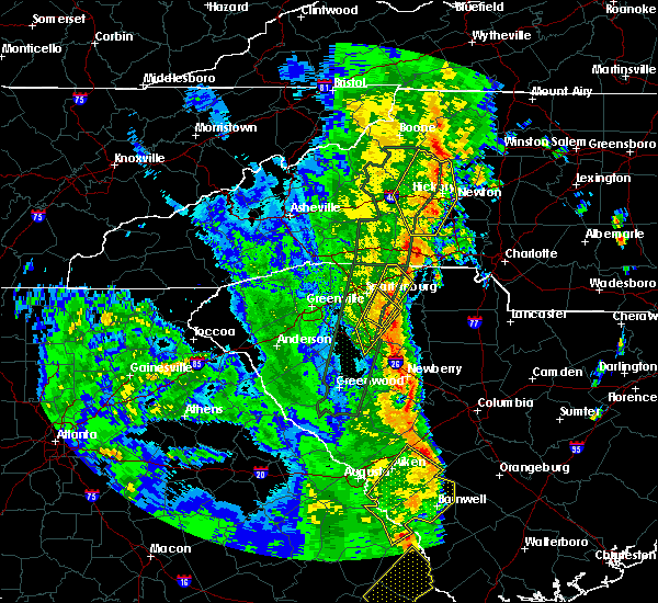 The severe thunderstorm warning for north central cherokee county will expire at 200 pm edt, the storm which prompted the warning has weakened below severe limits, and no longer poses an immediate threat to life or property. therefore the warning will be allowed to expire. a tornado watch remains in effect until 700 pm edt for the piedmont of north carolina, and upstate south carolina. The severe thunderstorm warning for north central cherokee county will expire at 200 pm edt, the storm which prompted the warning has weakened below severe limits, and no longer poses an immediate threat to life or property. therefore the warning will be allowed to expire. a tornado watch remains in effect until 700 pm edt for the piedmont of north carolina, and upstate south carolina.
|
| 4/15/2018 1:43 PM EDT |
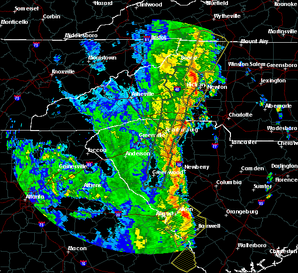 At 142 pm edt, a severe thunderstorm was located near shelby, or near patterson springs, moving northeast at 55 mph (radar indicated). Hazards include 60 mph wind gusts and quarter size hail. Minor hail damage to vehicles is expected. expect wind damage to trees and power lines. locations impacted include, gaffney and draytonville. A tornado watch remains in effect until 700 pm edt for the piedmont of north carolina, and upstate south carolina. At 142 pm edt, a severe thunderstorm was located near shelby, or near patterson springs, moving northeast at 55 mph (radar indicated). Hazards include 60 mph wind gusts and quarter size hail. Minor hail damage to vehicles is expected. expect wind damage to trees and power lines. locations impacted include, gaffney and draytonville. A tornado watch remains in effect until 700 pm edt for the piedmont of north carolina, and upstate south carolina.
|
| 4/15/2018 1:17 PM EDT |
 At 117 pm edt, a severe thunderstorm was located 9 miles southwest of gaffney, or near pacolet mills, moving northeast at 55 mph (radar indicated). Hazards include 60 mph wind gusts and quarter size hail. Minor hail damage to vehicles is expected. Expect wind damage to trees and power lines. At 117 pm edt, a severe thunderstorm was located 9 miles southwest of gaffney, or near pacolet mills, moving northeast at 55 mph (radar indicated). Hazards include 60 mph wind gusts and quarter size hail. Minor hail damage to vehicles is expected. Expect wind damage to trees and power lines.
|
| 10/23/2017 3:38 PM EDT |
 At 338 pm edt, a confirmed tornado was located 7 miles northwest of gaffney, or 6 miles east of cowpens national battlefield, moving north at 50 mph (radar confirmed tornado). Hazards include damaging tornado. Flying debris will be dangerous to those caught without shelter. mobile homes will be damaged or destroyed. damage to roofs, windows, and vehicles will occur. tree damage is likely. this tornado will be near, mooresboro, lattimore, boiling springs nc and kingstown around 350 pm edt. Polkville around 400 pm edt. At 338 pm edt, a confirmed tornado was located 7 miles northwest of gaffney, or 6 miles east of cowpens national battlefield, moving north at 50 mph (radar confirmed tornado). Hazards include damaging tornado. Flying debris will be dangerous to those caught without shelter. mobile homes will be damaged or destroyed. damage to roofs, windows, and vehicles will occur. tree damage is likely. this tornado will be near, mooresboro, lattimore, boiling springs nc and kingstown around 350 pm edt. Polkville around 400 pm edt.
|
| 10/23/2017 3:38 PM EDT |
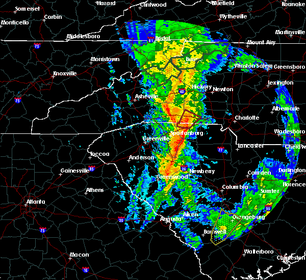 At 338 pm edt, a confirmed tornado was located 7 miles northwest of gaffney, or 6 miles east of cowpens national battlefield, moving north at 50 mph (radar confirmed tornado). Hazards include damaging tornado. Flying debris will be dangerous to those caught without shelter. mobile homes will be damaged or destroyed. damage to roofs, windows, and vehicles will occur. tree damage is likely. this tornado will be near, mooresboro, lattimore, boiling springs nc and kingstown around 350 pm edt. Polkville around 400 pm edt. At 338 pm edt, a confirmed tornado was located 7 miles northwest of gaffney, or 6 miles east of cowpens national battlefield, moving north at 50 mph (radar confirmed tornado). Hazards include damaging tornado. Flying debris will be dangerous to those caught without shelter. mobile homes will be damaged or destroyed. damage to roofs, windows, and vehicles will occur. tree damage is likely. this tornado will be near, mooresboro, lattimore, boiling springs nc and kingstown around 350 pm edt. Polkville around 400 pm edt.
|
| 10/23/2017 3:32 PM EDT |
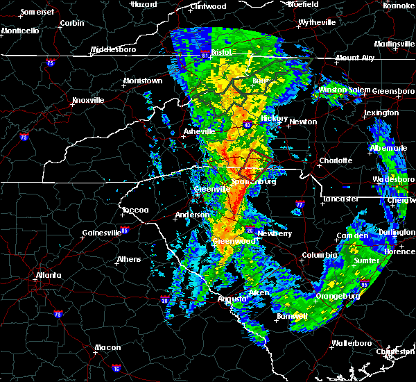 At 332 pm edt, a severe thunderstorm capable of producing a tornado was located 4 miles northwest of gaffney, moving northeast at 25 mph (radar indicated rotation). Hazards include tornado. Flying debris will be dangerous to those caught without shelter. mobile homes will be damaged or destroyed. damage to roofs, windows, and vehicles will occur. tree damage is likely. This dangerous storm will be near, shelby, boiling springs nc, mooresboro, lattimore and patterson springs around 400 pm edt. At 332 pm edt, a severe thunderstorm capable of producing a tornado was located 4 miles northwest of gaffney, moving northeast at 25 mph (radar indicated rotation). Hazards include tornado. Flying debris will be dangerous to those caught without shelter. mobile homes will be damaged or destroyed. damage to roofs, windows, and vehicles will occur. tree damage is likely. This dangerous storm will be near, shelby, boiling springs nc, mooresboro, lattimore and patterson springs around 400 pm edt.
|
| 10/8/2017 6:17 PM EDT |
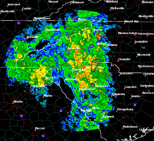 At 616 pm edt, a severe thunderstorm capable of producing a tornado was located 4 miles southwest of gaffney, moving north at 30 mph (radar indicated rotation). Hazards include tornado. Flying debris will be dangerous to those caught without shelter. mobile homes will be damaged or destroyed. damage to roofs, windows, and vehicles will occur. tree damage is likely. this dangerous storm will be near, gaffney around 630 pm edt. Other locations impacted by this dangerous storm include thicketty. At 616 pm edt, a severe thunderstorm capable of producing a tornado was located 4 miles southwest of gaffney, moving north at 30 mph (radar indicated rotation). Hazards include tornado. Flying debris will be dangerous to those caught without shelter. mobile homes will be damaged or destroyed. damage to roofs, windows, and vehicles will occur. tree damage is likely. this dangerous storm will be near, gaffney around 630 pm edt. Other locations impacted by this dangerous storm include thicketty.
|
| 10/8/2017 6:00 PM EDT |
 At 600 pm edt, a severe thunderstorm capable of producing a tornado was located 12 miles south of gaffney, or near pacolet, moving north at 30 mph (radar indicated rotation). Hazards include tornado. Flying debris will be dangerous to those caught without shelter. mobile homes will be damaged or destroyed. damage to roofs, windows, and vehicles will occur. tree damage is likely. this dangerous storm will be near, gaffney around 630 pm edt. blacksburg around 640 pm edt. Other locations impacted by this dangerous thunderstorm include cherokee falls, draytonville and thicketty. At 600 pm edt, a severe thunderstorm capable of producing a tornado was located 12 miles south of gaffney, or near pacolet, moving north at 30 mph (radar indicated rotation). Hazards include tornado. Flying debris will be dangerous to those caught without shelter. mobile homes will be damaged or destroyed. damage to roofs, windows, and vehicles will occur. tree damage is likely. this dangerous storm will be near, gaffney around 630 pm edt. blacksburg around 640 pm edt. Other locations impacted by this dangerous thunderstorm include cherokee falls, draytonville and thicketty.
|
| 7/28/2017 4:04 PM EDT |
 At 404 pm edt, severe thunderstorms were located along a line extending from 4 miles north of lincolnton to 10 miles west of gastonia to 9 miles east of chester, moving east at 15 mph (radar indicated). Hazards include 60 mph wind gusts. Expect damage to trees and power lines. Locations impacted include, gastonia, rock hill, shelby, gaffney, lincolnton, york, chester, kings mountain, mt holly and fort mill. At 404 pm edt, severe thunderstorms were located along a line extending from 4 miles north of lincolnton to 10 miles west of gastonia to 9 miles east of chester, moving east at 15 mph (radar indicated). Hazards include 60 mph wind gusts. Expect damage to trees and power lines. Locations impacted include, gastonia, rock hill, shelby, gaffney, lincolnton, york, chester, kings mountain, mt holly and fort mill.
|
| 7/28/2017 3:55 PM EDT |
 At 355 pm edt, severe thunderstorms were located along a line extending from 3 miles north of lincolnton to 9 miles southeast of shelby to 8 miles southeast of chester, moving northeast at 15 mph (radar indicated). Hazards include 60 mph wind gusts. expect damage to trees and power lines At 355 pm edt, severe thunderstorms were located along a line extending from 3 miles north of lincolnton to 9 miles southeast of shelby to 8 miles southeast of chester, moving northeast at 15 mph (radar indicated). Hazards include 60 mph wind gusts. expect damage to trees and power lines
|
| 7/28/2017 3:41 PM EDT |
 At 341 pm edt, severe thunderstorms were located along a line extending from 12 miles southeast of columbus to 7 miles east of spartanburg to 14 miles north of newberry, moving northeast at 25 mph (radar indicated). Hazards include 60 mph wind gusts. Expect damage to trees and power lines. Locations impacted include, spartanburg, gaffney, union, boiling springs sc, pacolet, cowpens, wellford, inman, monarch mill and blacksburg. At 341 pm edt, severe thunderstorms were located along a line extending from 12 miles southeast of columbus to 7 miles east of spartanburg to 14 miles north of newberry, moving northeast at 25 mph (radar indicated). Hazards include 60 mph wind gusts. Expect damage to trees and power lines. Locations impacted include, spartanburg, gaffney, union, boiling springs sc, pacolet, cowpens, wellford, inman, monarch mill and blacksburg.
|
| 7/28/2017 3:20 PM EDT |
 At 320 pm edt, severe thunderstorms were located along a line extending from 8 miles south of columbus to 10 miles west of union to 12 miles southwest of newberry, moving northeast at 30 mph (radar indicated). Hazards include 60 mph wind gusts. expect damage to trees and power lines At 320 pm edt, severe thunderstorms were located along a line extending from 8 miles south of columbus to 10 miles west of union to 12 miles southwest of newberry, moving northeast at 30 mph (radar indicated). Hazards include 60 mph wind gusts. expect damage to trees and power lines
|
| 7/23/2017 3:10 PM EDT |
 At 310 pm edt, a severe thunderstorm was located 8 miles southwest of shelby, or 4 miles southeast of boiling springs nc, moving southeast at 25 mph (radar indicated). Hazards include 60 mph wind gusts and quarter size hail. Minor hail damage to vehicles is expected. expect wind damage to trees and power lines. Locations impacted include, shelby, gaffney, boiling springs nc, blacksburg, grover, patterson springs, ellenboro, lattimore, mooresboro and earl. At 310 pm edt, a severe thunderstorm was located 8 miles southwest of shelby, or 4 miles southeast of boiling springs nc, moving southeast at 25 mph (radar indicated). Hazards include 60 mph wind gusts and quarter size hail. Minor hail damage to vehicles is expected. expect wind damage to trees and power lines. Locations impacted include, shelby, gaffney, boiling springs nc, blacksburg, grover, patterson springs, ellenboro, lattimore, mooresboro and earl.
|
| 7/23/2017 2:46 PM EDT |
 At 246 pm edt, a severe thunderstorm was located 5 miles southeast of forest city, or near ellenboro, moving southeast at 25 mph (radar indicated). Hazards include 60 mph wind gusts and quarter size hail. Minor hail damage to vehicles is expected. Expect wind damage to trees and power lines. At 246 pm edt, a severe thunderstorm was located 5 miles southeast of forest city, or near ellenboro, moving southeast at 25 mph (radar indicated). Hazards include 60 mph wind gusts and quarter size hail. Minor hail damage to vehicles is expected. Expect wind damage to trees and power lines.
|
| 7/15/2017 3:34 PM EDT |
 At 334 pm edt, a severe thunderstorm was located 10 miles southeast of shelby, or over grover, moving southeast at 10 mph (radar indicated). Hazards include 60 mph wind gusts and quarter size hail. Minor hail damage to vehicles is expected. Expect wind damage to trees and power lines. At 334 pm edt, a severe thunderstorm was located 10 miles southeast of shelby, or over grover, moving southeast at 10 mph (radar indicated). Hazards include 60 mph wind gusts and quarter size hail. Minor hail damage to vehicles is expected. Expect wind damage to trees and power lines.
|
| 7/1/2017 6:09 PM EDT |
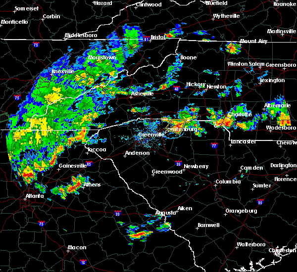 The severe thunderstorm warning for northeastern spartanburg and western cherokee counties will expire at 615 pm edt, the storm which prompted the warning has weakened below severe limits, and no longer poses an immediate threat to life or property. therefore the warning will be allowed to expire. however, gusty winds and heavy rain are still possible with this thunderstorm. The severe thunderstorm warning for northeastern spartanburg and western cherokee counties will expire at 615 pm edt, the storm which prompted the warning has weakened below severe limits, and no longer poses an immediate threat to life or property. therefore the warning will be allowed to expire. however, gusty winds and heavy rain are still possible with this thunderstorm.
|
| 7/1/2017 5:47 PM EDT |
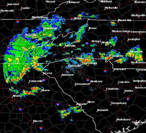 At 546 pm edt, a severe thunderstorm was located 6 miles west of gaffney, or near cowpens, moving southeast at 25 mph (radar indicated). Hazards include 60 mph wind gusts and quarter size hail. Minor hail damage to vehicles is expected. expect wind damage to trees and power lines. Locations impacted include, gaffney, cowpens, mayo, cowpens national battlefield, thicketty and draytonville. At 546 pm edt, a severe thunderstorm was located 6 miles west of gaffney, or near cowpens, moving southeast at 25 mph (radar indicated). Hazards include 60 mph wind gusts and quarter size hail. Minor hail damage to vehicles is expected. expect wind damage to trees and power lines. Locations impacted include, gaffney, cowpens, mayo, cowpens national battlefield, thicketty and draytonville.
|
| 7/1/2017 5:29 PM EDT |
 At 528 pm edt, a severe thunderstorm was located 12 miles north of spartanburg, or near chesnee, moving east at 15 mph (radar indicated). Hazards include 60 mph wind gusts and quarter size hail. Minor hail damage to vehicles is expected. Expect wind damage to trees and power lines. At 528 pm edt, a severe thunderstorm was located 12 miles north of spartanburg, or near chesnee, moving east at 15 mph (radar indicated). Hazards include 60 mph wind gusts and quarter size hail. Minor hail damage to vehicles is expected. Expect wind damage to trees and power lines.
|
| 7/1/2017 5:06 PM EDT |
 At 505 pm edt, a severe thunderstorm was located 11 miles south of forest city, or near chesnee, moving east at 20 mph (radar indicated). Hazards include 60 mph wind gusts and quarter size hail. Minor hail damage to vehicles is expected. expect wind damage to trees and power lines. Locations impacted include, gaffney, boiling springs nc, mayo, chesnee, cowpens national battlefield, cliffside, henrietta, harris, caroleen and fingerville. At 505 pm edt, a severe thunderstorm was located 11 miles south of forest city, or near chesnee, moving east at 20 mph (radar indicated). Hazards include 60 mph wind gusts and quarter size hail. Minor hail damage to vehicles is expected. expect wind damage to trees and power lines. Locations impacted include, gaffney, boiling springs nc, mayo, chesnee, cowpens national battlefield, cliffside, henrietta, harris, caroleen and fingerville.
|
| 7/1/2017 5:06 PM EDT |
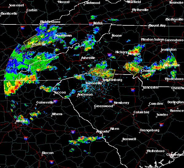 At 505 pm edt, a severe thunderstorm was located 11 miles south of forest city, or near chesnee, moving east at 20 mph (radar indicated). Hazards include 60 mph wind gusts and quarter size hail. Minor hail damage to vehicles is expected. expect wind damage to trees and power lines. Locations impacted include, gaffney, boiling springs nc, mayo, chesnee, cowpens national battlefield, cliffside, henrietta, harris, caroleen and fingerville. At 505 pm edt, a severe thunderstorm was located 11 miles south of forest city, or near chesnee, moving east at 20 mph (radar indicated). Hazards include 60 mph wind gusts and quarter size hail. Minor hail damage to vehicles is expected. expect wind damage to trees and power lines. Locations impacted include, gaffney, boiling springs nc, mayo, chesnee, cowpens national battlefield, cliffside, henrietta, harris, caroleen and fingerville.
|
| 7/1/2017 4:47 PM EDT |
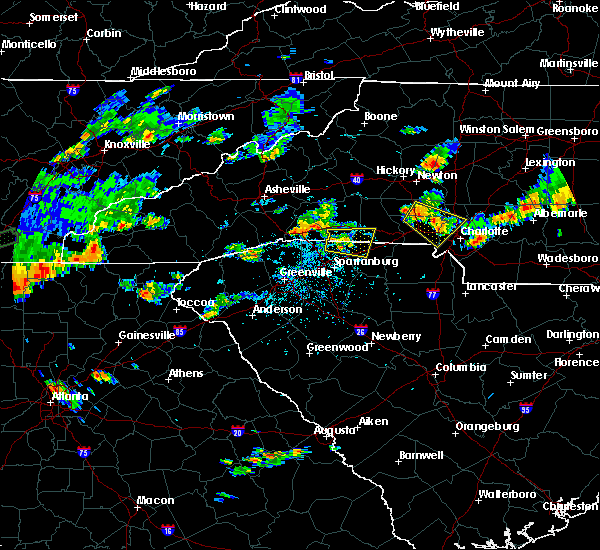 At 447 pm edt, a severe thunderstorm was located 10 miles south of forest city, or near chesnee, moving east at 20 mph (radar indicated). Hazards include 60 mph wind gusts and quarter size hail. Minor hail damage to vehicles is expected. Expect wind damage to trees and power lines. At 447 pm edt, a severe thunderstorm was located 10 miles south of forest city, or near chesnee, moving east at 20 mph (radar indicated). Hazards include 60 mph wind gusts and quarter size hail. Minor hail damage to vehicles is expected. Expect wind damage to trees and power lines.
|
| 6/13/2017 4:35 PM EDT |
 At 435 pm edt, a severe thunderstorm was located 5 miles west of gaffney, or near cowpens, moving southeast at 10 mph (radar indicated). Hazards include 60 mph wind gusts and quarter size hail. Minor hail damage to vehicles is expected. expect wind damage to trees and power lines. Locations impacted include, gaffney, pacolet, cowpens, mayo, pacolet mills, draytonville, thicketty and cowpens national battlefield. At 435 pm edt, a severe thunderstorm was located 5 miles west of gaffney, or near cowpens, moving southeast at 10 mph (radar indicated). Hazards include 60 mph wind gusts and quarter size hail. Minor hail damage to vehicles is expected. expect wind damage to trees and power lines. Locations impacted include, gaffney, pacolet, cowpens, mayo, pacolet mills, draytonville, thicketty and cowpens national battlefield.
|
| 6/13/2017 4:14 PM EDT |
 At 414 pm edt, a severe thunderstorm was located 6 miles south of shelby, or near earl, moving southeast at 15 mph (radar indicated). Hazards include 60 mph wind gusts and quarter size hail. Minor hail damage to vehicles is expected. expect wind damage to trees and power lines. Locations impacted include, gaffney, boiling springs nc, blacksburg, grover, patterson springs, earl, cowpens national battlefield and thicketty. At 414 pm edt, a severe thunderstorm was located 6 miles south of shelby, or near earl, moving southeast at 15 mph (radar indicated). Hazards include 60 mph wind gusts and quarter size hail. Minor hail damage to vehicles is expected. expect wind damage to trees and power lines. Locations impacted include, gaffney, boiling springs nc, blacksburg, grover, patterson springs, earl, cowpens national battlefield and thicketty.
|
| 6/13/2017 4:14 PM EDT |
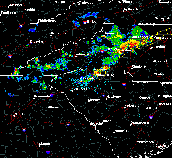 At 414 pm edt, a severe thunderstorm was located 6 miles south of shelby, or near earl, moving southeast at 15 mph (radar indicated). Hazards include 60 mph wind gusts and quarter size hail. Minor hail damage to vehicles is expected. expect wind damage to trees and power lines. Locations impacted include, gaffney, boiling springs nc, blacksburg, grover, patterson springs, earl, cowpens national battlefield and thicketty. At 414 pm edt, a severe thunderstorm was located 6 miles south of shelby, or near earl, moving southeast at 15 mph (radar indicated). Hazards include 60 mph wind gusts and quarter size hail. Minor hail damage to vehicles is expected. expect wind damage to trees and power lines. Locations impacted include, gaffney, boiling springs nc, blacksburg, grover, patterson springs, earl, cowpens national battlefield and thicketty.
|
| 6/13/2017 4:13 PM EDT |
 At 413 pm edt, a severe thunderstorm was located 9 miles northeast of spartanburg, or over mayo, moving southeast at 10 mph (radar indicated). Hazards include 60 mph wind gusts and quarter size hail. Minor hail damage to vehicles is expected. Expect wind damage to trees and power lines. At 413 pm edt, a severe thunderstorm was located 9 miles northeast of spartanburg, or over mayo, moving southeast at 10 mph (radar indicated). Hazards include 60 mph wind gusts and quarter size hail. Minor hail damage to vehicles is expected. Expect wind damage to trees and power lines.
|
| 6/13/2017 3:55 PM EDT |
 At 355 pm edt, a severe thunderstorm was located 9 miles north of gaffney, or near boiling springs nc, moving southeast at 10 mph (radar indicated). Hazards include 60 mph wind gusts and quarter size hail. Minor hail damage to vehicles is expected. Expect wind damage to trees and power lines. At 355 pm edt, a severe thunderstorm was located 9 miles north of gaffney, or near boiling springs nc, moving southeast at 10 mph (radar indicated). Hazards include 60 mph wind gusts and quarter size hail. Minor hail damage to vehicles is expected. Expect wind damage to trees and power lines.
|
| 4/6/2017 1:20 AM EDT |
 At 119 am edt, severe thunderstorms were located along a line extending from 10 miles east of gaffney to 9 miles northeast of union to 17 miles north of newberry, moving east at 65 mph (radar indicated). Hazards include 60 mph wind gusts and quarter size hail. Hail damage to vehicles is expected. expect wind damage to roofs, siding, and trees. Locations impacted include, gaffney, union, york, chester, clover, monarch mill, blacksburg, buffalo, jonesville and lockhart. At 119 am edt, severe thunderstorms were located along a line extending from 10 miles east of gaffney to 9 miles northeast of union to 17 miles north of newberry, moving east at 65 mph (radar indicated). Hazards include 60 mph wind gusts and quarter size hail. Hail damage to vehicles is expected. expect wind damage to roofs, siding, and trees. Locations impacted include, gaffney, union, york, chester, clover, monarch mill, blacksburg, buffalo, jonesville and lockhart.
|
| 4/6/2017 1:00 AM EDT |
 At 1259 am edt, severe thunderstorms were located along a line extending from 11 miles south of columbus to 15 miles southeast of greenville downtown to 14 miles west of laurens, moving east at 55 mph (radar indicated). Hazards include 60 mph wind gusts and quarter size hail. Hail damage to vehicles is expected. Expect wind damage to roofs, siding, and trees. At 1259 am edt, severe thunderstorms were located along a line extending from 11 miles south of columbus to 15 miles southeast of greenville downtown to 14 miles west of laurens, moving east at 55 mph (radar indicated). Hazards include 60 mph wind gusts and quarter size hail. Hail damage to vehicles is expected. Expect wind damage to roofs, siding, and trees.
|
| 4/3/2017 3:19 PM EDT |
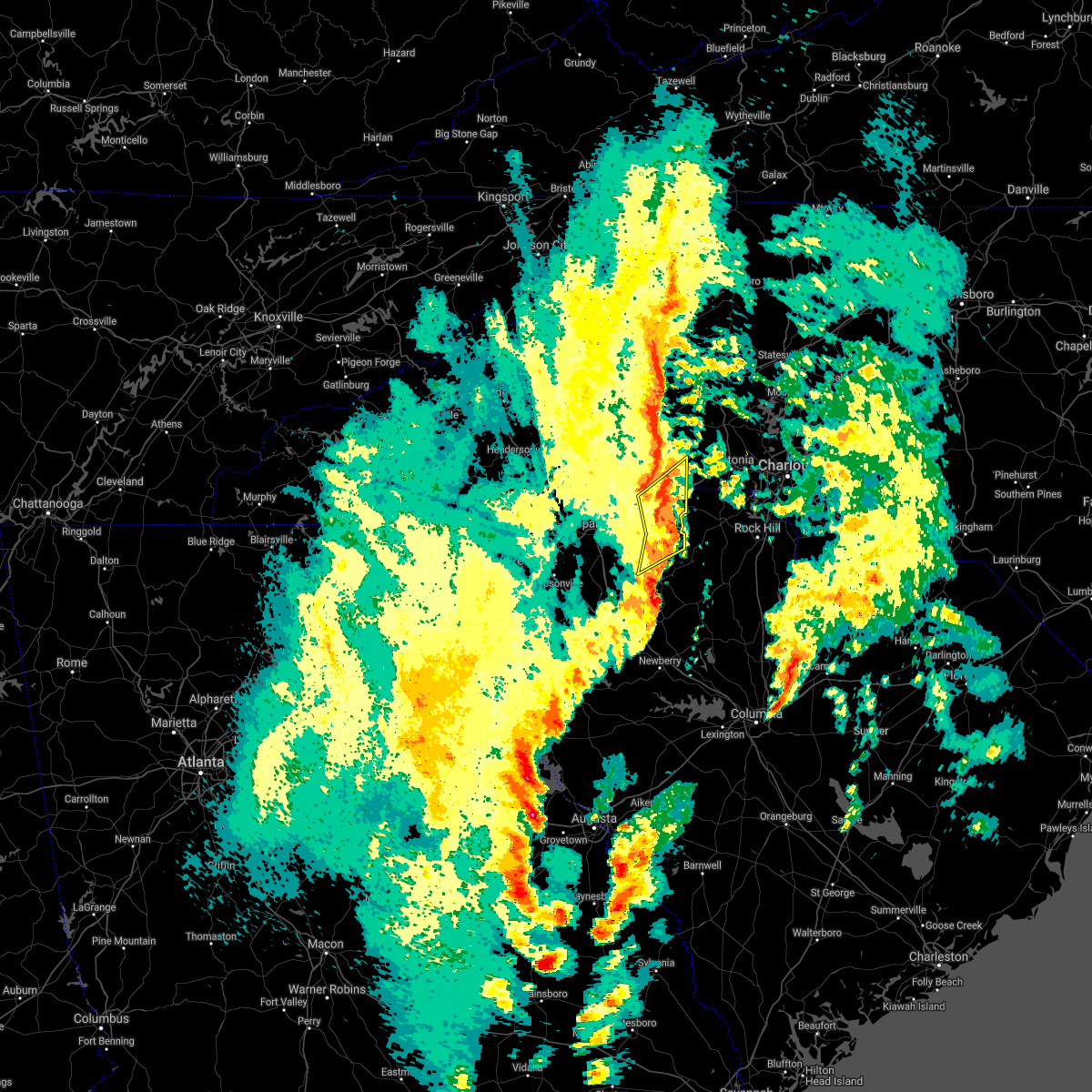 At 319 pm edt, severe thunderstorms were located along a line extending from 7 miles north of gaffney to 19 miles west of york to 7 miles north of union, moving northeast at 60 mph (radar indicated). Hazards include 60 mph wind gusts. Expect damage to trees and minor damage to roofs and siding. locations impacted include, gaffney, blacksburg, jonesville, patterson springs, earl, cherokee falls, draytonville, saratt, grover and thicketty. A tornado watch remains in effect until 900 pm edt for upstate south carolina. At 319 pm edt, severe thunderstorms were located along a line extending from 7 miles north of gaffney to 19 miles west of york to 7 miles north of union, moving northeast at 60 mph (radar indicated). Hazards include 60 mph wind gusts. Expect damage to trees and minor damage to roofs and siding. locations impacted include, gaffney, blacksburg, jonesville, patterson springs, earl, cherokee falls, draytonville, saratt, grover and thicketty. A tornado watch remains in effect until 900 pm edt for upstate south carolina.
|
| 4/3/2017 3:02 PM EDT |
 At 302 pm edt, severe thunderstorms were located along a line extending from 8 miles northeast of spartanburg to 13 miles northwest of union, moving northeast at 60 mph (radar indicated). Hazards include 60 mph wind gusts. expect damage to trees and minor damage to roofs and siding At 302 pm edt, severe thunderstorms were located along a line extending from 8 miles northeast of spartanburg to 13 miles northwest of union, moving northeast at 60 mph (radar indicated). Hazards include 60 mph wind gusts. expect damage to trees and minor damage to roofs and siding
|
| 3/21/2017 7:09 PM EDT |
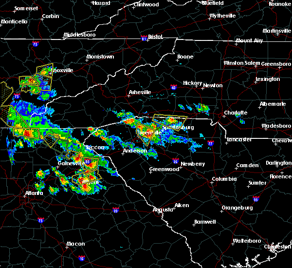 The severe thunderstorm warning for south central rutherford, southeastern polk, southwestern cleveland, northeastern spartanburg and northwestern cherokee counties will expire at 715 pm edt, the severe thunderstorm which prompted the warning was weakening and moving east of polk and spartanburg counties, however large hail remains a threat in extreme southeast rutherford and western cherokee counties. the greatest chance of nickel to quarter hail will be from east of chesnee to near gaffney through 715 pm. a severe thunderstorm watch remains in effect until 1100 pm edt for upstate south carolina. The severe thunderstorm warning for south central rutherford, southeastern polk, southwestern cleveland, northeastern spartanburg and northwestern cherokee counties will expire at 715 pm edt, the severe thunderstorm which prompted the warning was weakening and moving east of polk and spartanburg counties, however large hail remains a threat in extreme southeast rutherford and western cherokee counties. the greatest chance of nickel to quarter hail will be from east of chesnee to near gaffney through 715 pm. a severe thunderstorm watch remains in effect until 1100 pm edt for upstate south carolina.
|
| 3/21/2017 6:30 PM EDT |
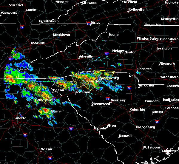 At 630 pm edt, a severe thunderstorm was located 12 miles southeast of columbus, or 5 miles northeast of lake bowen, moving east at 20 mph (radar indicated). Hazards include quarter size hail. damage to vehicles is expected At 630 pm edt, a severe thunderstorm was located 12 miles southeast of columbus, or 5 miles northeast of lake bowen, moving east at 20 mph (radar indicated). Hazards include quarter size hail. damage to vehicles is expected
|
| 3/1/2017 7:26 PM EST |
 At 726 pm est, severe thunderstorms were located along a line extending from 6 miles northeast of gaffney to 10 miles southeast of spartanburg to 15 miles northwest of newberry, moving east at 60 mph (radar indicated). Hazards include golf ball size hail and 70 mph wind gusts. People and animals outdoors will be injured. expect hail damage to roofs, siding, windows and vehicles. expect considerable tree damage. wind damage is also likely to mobile homes, roofs and outbuildings. Locations impacted include, spartanburg, gaffney, union, woodruff, pacolet, cowpens, monarch mill, blacksburg, mayo and roebuck. At 726 pm est, severe thunderstorms were located along a line extending from 6 miles northeast of gaffney to 10 miles southeast of spartanburg to 15 miles northwest of newberry, moving east at 60 mph (radar indicated). Hazards include golf ball size hail and 70 mph wind gusts. People and animals outdoors will be injured. expect hail damage to roofs, siding, windows and vehicles. expect considerable tree damage. wind damage is also likely to mobile homes, roofs and outbuildings. Locations impacted include, spartanburg, gaffney, union, woodruff, pacolet, cowpens, monarch mill, blacksburg, mayo and roebuck.
|
| 3/1/2017 7:10 PM EST |
 At 709 pm est, severe thunderstorms were located along a line extending from 7 miles northeast of spartanburg to 16 miles east of greenville downtown to 4 miles southeast of laurens, moving east at 55 mph (radar indicated). Hazards include golf ball size hail and 70 mph wind gusts. People and animals outdoors will be injured. expect hail damage to roofs, siding, windows and vehicles. expect considerable tree damage. Wind damage is also likely to mobile homes, roofs and outbuildings. At 709 pm est, severe thunderstorms were located along a line extending from 7 miles northeast of spartanburg to 16 miles east of greenville downtown to 4 miles southeast of laurens, moving east at 55 mph (radar indicated). Hazards include golf ball size hail and 70 mph wind gusts. People and animals outdoors will be injured. expect hail damage to roofs, siding, windows and vehicles. expect considerable tree damage. Wind damage is also likely to mobile homes, roofs and outbuildings.
|
| 11/30/2016 5:42 PM EST |
 At 542 pm est, severe thunderstorms were located along a line extending from 11 miles southwest of yadkinville to 8 miles southwest of newton to 3 miles northwest of shelby to 10 miles east of union to 6 miles north of newberry, moving northeast at 55 mph (radar indicated). Hazards include 60 mph wind gusts. Expect damage to roofs. siding and trees. Locations impacted include, gastonia, rock hill, hickory, statesville, shelby, newton, gaffney, lincolnton, union and york. At 542 pm est, severe thunderstorms were located along a line extending from 11 miles southwest of yadkinville to 8 miles southwest of newton to 3 miles northwest of shelby to 10 miles east of union to 6 miles north of newberry, moving northeast at 55 mph (radar indicated). Hazards include 60 mph wind gusts. Expect damage to roofs. siding and trees. Locations impacted include, gastonia, rock hill, hickory, statesville, shelby, newton, gaffney, lincolnton, union and york.
|
| 11/30/2016 5:26 PM EST |
 At 526 pm est, severe thunderstorms were located along a line extending from 8 miles east of taylorsville to 14 miles north of shelby to 8 miles southeast of forest city to 5 miles south of union to 8 miles west of newberry, moving northeast at 55 mph (radar indicated). Hazards include 60 mph wind gusts. Expect damage to roofs. Siding and trees. At 526 pm est, severe thunderstorms were located along a line extending from 8 miles east of taylorsville to 14 miles north of shelby to 8 miles southeast of forest city to 5 miles south of union to 8 miles west of newberry, moving northeast at 55 mph (radar indicated). Hazards include 60 mph wind gusts. Expect damage to roofs. Siding and trees.
|
| 11/30/2016 5:17 PM EST |
 At 517 pm est, severe thunderstorms were located along a line extending from 13 miles southeast of morganton to 4 miles northeast of spartanburg to 13 miles northwest of union to 12 miles southeast of laurens to 9 miles east of greenwood, moving east at 55 mph (radar indicated). Hazards include 60 mph wind gusts. Expect damage to roofs. siding and trees. Locations impacted include, spartanburg, greenwood, shelby, gaffney, laurens, union, forest city, rutherfordton, clinton and boiling springs sc. At 517 pm est, severe thunderstorms were located along a line extending from 13 miles southeast of morganton to 4 miles northeast of spartanburg to 13 miles northwest of union to 12 miles southeast of laurens to 9 miles east of greenwood, moving east at 55 mph (radar indicated). Hazards include 60 mph wind gusts. Expect damage to roofs. siding and trees. Locations impacted include, spartanburg, greenwood, shelby, gaffney, laurens, union, forest city, rutherfordton, clinton and boiling springs sc.
|
| 11/30/2016 5:16 PM EST |
 At 516 pm est, a severe thunderstorm capable of producing a tornado was located 9 miles north of spartanburg, or near boiling springs sc, moving east at 45 mph (radar indicated rotation). Hazards include tornado. Flying debris will be dangerous to those caught without shelter. mobile homes will be damaged or destroyed. damage to roofs, windows and vehicles will occur. tree damage is likely. this dangerous storm will be near, mayo, chesnee and cowpens around 520 pm est. gaffney and cowpens national battlefield around 530 pm est. Other locations impacted by this dangerous storm include draytonville, cherokee falls and thicketty. At 516 pm est, a severe thunderstorm capable of producing a tornado was located 9 miles north of spartanburg, or near boiling springs sc, moving east at 45 mph (radar indicated rotation). Hazards include tornado. Flying debris will be dangerous to those caught without shelter. mobile homes will be damaged or destroyed. damage to roofs, windows and vehicles will occur. tree damage is likely. this dangerous storm will be near, mayo, chesnee and cowpens around 520 pm est. gaffney and cowpens national battlefield around 530 pm est. Other locations impacted by this dangerous storm include draytonville, cherokee falls and thicketty.
|
| 11/30/2016 5:04 PM EST |
 At 504 pm est, a severe thunderstorm capable of producing a tornado was located 9 miles northwest of spartanburg, or near inman, moving east at 40 mph (radar indicated rotation). Hazards include tornado. Flying debris will be dangerous to those caught without shelter. mobile homes will be damaged or destroyed. damage to roofs, windows and vehicles will occur. tree damage is likely. this dangerous storm will be near, boiling springs sc and usc upstate around 510 pm est. mayo, chesnee and cowpens around 520 pm est. gaffney and cowpens national battlefield around 530 pm est. Other locations impacted by this dangerous thunderstorm include cherokee falls, thicketty, draytonville and fingerville. At 504 pm est, a severe thunderstorm capable of producing a tornado was located 9 miles northwest of spartanburg, or near inman, moving east at 40 mph (radar indicated rotation). Hazards include tornado. Flying debris will be dangerous to those caught without shelter. mobile homes will be damaged or destroyed. damage to roofs, windows and vehicles will occur. tree damage is likely. this dangerous storm will be near, boiling springs sc and usc upstate around 510 pm est. mayo, chesnee and cowpens around 520 pm est. gaffney and cowpens national battlefield around 530 pm est. Other locations impacted by this dangerous thunderstorm include cherokee falls, thicketty, draytonville and fingerville.
|
| 11/30/2016 4:41 PM EST |
 At 441 pm est, severe thunderstorms were located along a line extending from 7 miles west of rutherfordton to near greenville downtown to 18 miles southeast of easley to 5 miles northeast of abbeville to 21 miles northeast of washington, moving east at 55 mph (radar indicated). Hazards include 60 mph wind gusts. Expect damage to roofs. Siding and trees. At 441 pm est, severe thunderstorms were located along a line extending from 7 miles west of rutherfordton to near greenville downtown to 18 miles southeast of easley to 5 miles northeast of abbeville to 21 miles northeast of washington, moving east at 55 mph (radar indicated). Hazards include 60 mph wind gusts. Expect damage to roofs. Siding and trees.
|
| 9/27/2016 4:01 PM EDT |
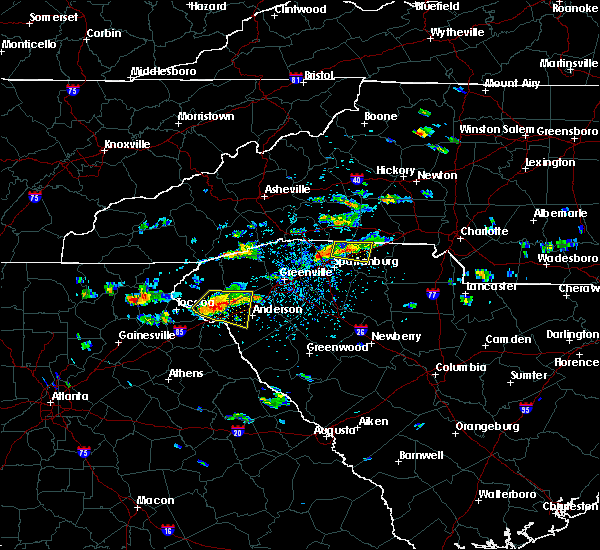 At 401 pm edt, a severe thunderstorm was located 6 miles west of gaffney, or 4 miles southeast of cowpens national battlefield, moving east at 15 mph (radar indicated). Hazards include 60 mph wind gusts and quarter size hail. Hail damage to vehicles is expected. expect wind damage to roofs, siding and trees. Locations impacted include, gaffney, mayo, chesnee, cowpens national battlefield, thicketty and cowpens. At 401 pm edt, a severe thunderstorm was located 6 miles west of gaffney, or 4 miles southeast of cowpens national battlefield, moving east at 15 mph (radar indicated). Hazards include 60 mph wind gusts and quarter size hail. Hail damage to vehicles is expected. expect wind damage to roofs, siding and trees. Locations impacted include, gaffney, mayo, chesnee, cowpens national battlefield, thicketty and cowpens.
|
| 9/27/2016 3:45 PM EDT |
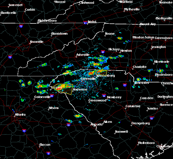 At 345 pm edt, a severe thunderstorm was located 10 miles west of gaffney, or near mayo, moving east at 15 mph (radar indicated). Hazards include 60 mph wind gusts and quarter size hail. Hail damage to vehicles is expected. Expect wind damage to roofs, siding and trees. At 345 pm edt, a severe thunderstorm was located 10 miles west of gaffney, or near mayo, moving east at 15 mph (radar indicated). Hazards include 60 mph wind gusts and quarter size hail. Hail damage to vehicles is expected. Expect wind damage to roofs, siding and trees.
|
| 8/27/2016 6:22 PM EDT |
 At 622 pm edt, severe thunderstorms were located along a line extending from 7 miles north of forest city to 10 miles west of shelby to 10 miles southeast of gaffney, moving west at 20 mph (radar indicated). Hazards include 60 mph wind gusts. Expect damage to roofs. siding and trees. Locations impacted include, gaffney, forest city, rutherfordton, spindale, boiling springs nc, blacksburg, polkville, sharon, ellenboro and lattimore. At 622 pm edt, severe thunderstorms were located along a line extending from 7 miles north of forest city to 10 miles west of shelby to 10 miles southeast of gaffney, moving west at 20 mph (radar indicated). Hazards include 60 mph wind gusts. Expect damage to roofs. siding and trees. Locations impacted include, gaffney, forest city, rutherfordton, spindale, boiling springs nc, blacksburg, polkville, sharon, ellenboro and lattimore.
|
| 8/27/2016 5:58 PM EDT |
 At 558 pm edt, severe thunderstorms were located along a line extending from 8 miles northeast of forest city to 6 miles southwest of shelby to 11 miles west of york, moving west at 20 mph (radar indicated). Hazards include 60 mph wind gusts. Expect damage to roofs. Siding and trees. At 558 pm edt, severe thunderstorms were located along a line extending from 8 miles northeast of forest city to 6 miles southwest of shelby to 11 miles west of york, moving west at 20 mph (radar indicated). Hazards include 60 mph wind gusts. Expect damage to roofs. Siding and trees.
|
| 7/20/2016 9:36 PM EDT |
 The severe thunderstorm warning for northeastern spartanburg and western cherokee counties will expire at 945 pm edt, the storm which prompted the warning has weakened below severe limits, and no longer poses an immediate threat to life or property. therefore the warning will be allowed to expire. however gusty winds are still possible with this thunderstorm. The severe thunderstorm warning for northeastern spartanburg and western cherokee counties will expire at 945 pm edt, the storm which prompted the warning has weakened below severe limits, and no longer poses an immediate threat to life or property. therefore the warning will be allowed to expire. however gusty winds are still possible with this thunderstorm.
|
| 7/20/2016 9:20 PM EDT |
 At 920 pm edt, a severe thunderstorm was located near gaffney, moving southeast at 25 mph (radar indicated). Hazards include 60 mph wind gusts. Expect damage to roofs. siding and trees. Locations impacted include, gaffney, pacolet, cowpens, pacolet mills, cedar springs, croft state park, thicketty, draytonville, pauline and spartanburg. At 920 pm edt, a severe thunderstorm was located near gaffney, moving southeast at 25 mph (radar indicated). Hazards include 60 mph wind gusts. Expect damage to roofs. siding and trees. Locations impacted include, gaffney, pacolet, cowpens, pacolet mills, cedar springs, croft state park, thicketty, draytonville, pauline and spartanburg.
|
| 7/20/2016 9:01 PM EDT |
 At 900 pm edt, a severe thunderstorm was located 9 miles north of spartanburg, or near mayo, moving southeast at 20 mph (radar indicated). Hazards include 60 mph wind gusts. Expect damage to roofs. Siding and trees. At 900 pm edt, a severe thunderstorm was located 9 miles north of spartanburg, or near mayo, moving southeast at 20 mph (radar indicated). Hazards include 60 mph wind gusts. Expect damage to roofs. Siding and trees.
|
| 7/5/2016 4:18 PM EDT |
 At 417 pm edt, severe thunderstorms were located along a line extending from 5 miles north of uptown charlotte to 6 miles south of gastonia to 4 miles southwest of gaffney, moving east at 30 mph (law enforcement). Hazards include damaging 60 mph wind gusts. Expect damage to roofs. Siding and trees. At 417 pm edt, severe thunderstorms were located along a line extending from 5 miles north of uptown charlotte to 6 miles south of gastonia to 4 miles southwest of gaffney, moving east at 30 mph (law enforcement). Hazards include damaging 60 mph wind gusts. Expect damage to roofs. Siding and trees.
|
| 6/14/2016 7:55 PM EDT |
 At 755 pm edt, severe thunderstorms were located along a line extending from 7 miles north of rutherfordton to 10 miles southeast of forest city to 8 miles south of gaffney, moving northeast at 15 mph (radar indicated). Hazards include 60 mph wind gusts and quarter size hail. Hail damage to vehicles is expected. Expect wind damage to roofs, siding and trees. At 755 pm edt, severe thunderstorms were located along a line extending from 7 miles north of rutherfordton to 10 miles southeast of forest city to 8 miles south of gaffney, moving northeast at 15 mph (radar indicated). Hazards include 60 mph wind gusts and quarter size hail. Hail damage to vehicles is expected. Expect wind damage to roofs, siding and trees.
|
| 6/14/2016 7:31 PM EDT |
 At 730 pm edt, severe thunderstorms were located along a line extending from 3 miles south of columbus to 12 miles north of spartanburg to 9 miles south of gaffney, moving east at 20 mph (radar indicated). Hazards include 60 mph wind gusts and nickel size hail. Expect damage to roofs. siding and trees. Locations impacted include, spartanburg, gaffney, columbus, boiling springs sc, pacolet, landrum, cowpens, inman, mayo and chesnee. At 730 pm edt, severe thunderstorms were located along a line extending from 3 miles south of columbus to 12 miles north of spartanburg to 9 miles south of gaffney, moving east at 20 mph (radar indicated). Hazards include 60 mph wind gusts and nickel size hail. Expect damage to roofs. siding and trees. Locations impacted include, spartanburg, gaffney, columbus, boiling springs sc, pacolet, landrum, cowpens, inman, mayo and chesnee.
|
| 6/14/2016 7:06 PM EDT |
 At 706 pm edt, severe thunderstorms were located along a line extending from 12 miles south of hendersonville to 11 miles southeast of columbus to 11 miles east of spartanburg, moving northeast at 15 mph (radar indicated). Hazards include 60 mph wind gusts and nickel size hail. Expect damage to roofs. Siding and trees. At 706 pm edt, severe thunderstorms were located along a line extending from 12 miles south of hendersonville to 11 miles southeast of columbus to 11 miles east of spartanburg, moving northeast at 15 mph (radar indicated). Hazards include 60 mph wind gusts and nickel size hail. Expect damage to roofs. Siding and trees.
|
| 5/31/2016 5:22 PM EDT |
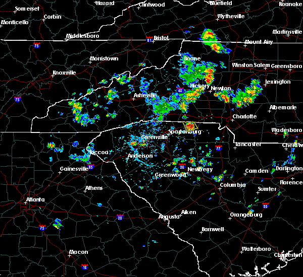 At 521 pm edt, a severe thunderstorm was located 7 miles east of gaffney, or near blacksburg, and is nearly stationary (radar indicated). Hazards include 60 mph wind gusts and quarter size hail. Hail damage to vehicles is expected. expect wind damage to roofs, siding and trees. Locations impacted include, blacksburg, draytonville, kings creek and cherokee falls. At 521 pm edt, a severe thunderstorm was located 7 miles east of gaffney, or near blacksburg, and is nearly stationary (radar indicated). Hazards include 60 mph wind gusts and quarter size hail. Hail damage to vehicles is expected. expect wind damage to roofs, siding and trees. Locations impacted include, blacksburg, draytonville, kings creek and cherokee falls.
|
| 5/31/2016 5:08 PM EDT |
 At 508 pm edt, a severe thunderstorm was located 6 miles east of gaffney, or near blacksburg, and is nearly stationary (radar indicated). Hazards include 60 mph wind gusts and quarter size hail. Hail damage to vehicles is expected. Expect wind damage to roofs, siding and trees. At 508 pm edt, a severe thunderstorm was located 6 miles east of gaffney, or near blacksburg, and is nearly stationary (radar indicated). Hazards include 60 mph wind gusts and quarter size hail. Hail damage to vehicles is expected. Expect wind damage to roofs, siding and trees.
|
| 3/14/2016 6:22 PM EDT |
 At 622 pm edt, doppler radar indicated a severe thunderstorm capable of producing large hail up to ping pong ball size and damaging winds in excess of 60 mph. this storm was located 9 miles west of spartanburg, or near duncan, and moving east at 40 mph. * locations in the warning include, spartanburg, gaffney, duncan, lyman, pacolet, cowpens, wellford, roebuck, jonesville and pacolet mills. At 622 pm edt, doppler radar indicated a severe thunderstorm capable of producing large hail up to ping pong ball size and damaging winds in excess of 60 mph. this storm was located 9 miles west of spartanburg, or near duncan, and moving east at 40 mph. * locations in the warning include, spartanburg, gaffney, duncan, lyman, pacolet, cowpens, wellford, roebuck, jonesville and pacolet mills.
|
| 9/11/2015 7:20 PM EDT |
 At 719 pm edt, doppler radar indicated a severe thunderstorm capable of producing quarter size hail and damaging winds in excess of 60 mph. this storm was located 10 miles northwest of gaffney, or over cowpens national battlefield, and moving northeast at 15 mph. * locations in the warning include, boiling springs nc, mayo, chesnee, mooresboro, earl, cowpens national battlefield, caroleen, henrietta, cliffside and harris. At 719 pm edt, doppler radar indicated a severe thunderstorm capable of producing quarter size hail and damaging winds in excess of 60 mph. this storm was located 10 miles northwest of gaffney, or over cowpens national battlefield, and moving northeast at 15 mph. * locations in the warning include, boiling springs nc, mayo, chesnee, mooresboro, earl, cowpens national battlefield, caroleen, henrietta, cliffside and harris.
|
| 9/11/2015 7:20 PM EDT |
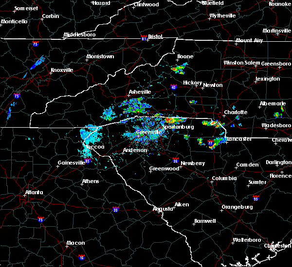 At 719 pm edt, doppler radar indicated a severe thunderstorm capable of producing quarter size hail and damaging winds in excess of 60 mph. this storm was located 10 miles northwest of gaffney, or over cowpens national battlefield, and moving northeast at 15 mph. * locations in the warning include, boiling springs nc, mayo, chesnee, mooresboro, earl, cowpens national battlefield, caroleen, henrietta, cliffside and harris. At 719 pm edt, doppler radar indicated a severe thunderstorm capable of producing quarter size hail and damaging winds in excess of 60 mph. this storm was located 10 miles northwest of gaffney, or over cowpens national battlefield, and moving northeast at 15 mph. * locations in the warning include, boiling springs nc, mayo, chesnee, mooresboro, earl, cowpens national battlefield, caroleen, henrietta, cliffside and harris.
|
| 9/4/2015 7:30 PM EDT |
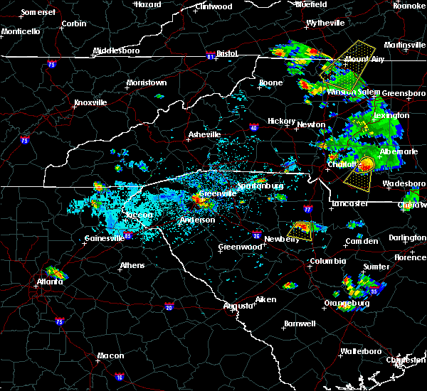 At 730 pm edt, doppler radar indicated a severe thunderstorm capable of producing quarter size hail and damaging winds in excess of 60 mph. this storm was located near gaffney, and moving southwest at 10 mph. * locations in the warning include, gaffney, draytonville, cherokee falls and thicketty. At 730 pm edt, doppler radar indicated a severe thunderstorm capable of producing quarter size hail and damaging winds in excess of 60 mph. this storm was located near gaffney, and moving southwest at 10 mph. * locations in the warning include, gaffney, draytonville, cherokee falls and thicketty.
|
| 8/6/2015 5:12 PM EDT | The severe thunderstorm warning for central union, west central york and eastern cherokee counties will expire at 515 pm edt, the line of storms which prompted the warning have moved out of the area. therefore the warning will be allowed to expire. however gusty winds and heavy rain are still possible through 530 pm. |
| 8/6/2015 4:53 PM EDT |
 At 453 pm edt, doppler radar indicated a line of severe thunderstorms capable of producing quarter size hail and damaging winds in excess of 60 mph. these storms were located along a line extending from 8 miles east of gaffney to 15 miles southwest of york to 7 miles south of union, moving east at 20 mph. locations impacted include, union, monarch mill, blacksburg, buffalo, rose hill state park, kings creek, draytonville, saratt, cherokee falls and cross keys. At 453 pm edt, doppler radar indicated a line of severe thunderstorms capable of producing quarter size hail and damaging winds in excess of 60 mph. these storms were located along a line extending from 8 miles east of gaffney to 15 miles southwest of york to 7 miles south of union, moving east at 20 mph. locations impacted include, union, monarch mill, blacksburg, buffalo, rose hill state park, kings creek, draytonville, saratt, cherokee falls and cross keys.
|
| 8/6/2015 4:30 PM EDT |
 At 430 pm edt, doppler radar indicated a line of severe thunderstorms capable of producing quarter size hail and damaging winds in excess of 60 mph. these storms were located along a line extending from 3 miles east of gaffney to 17 miles west of york to 6 miles southwest of union, moving east at 40 mph. locations impacted include, gaffney, union, monarch mill, blacksburg, buffalo, jonesville, cowpens national battlefield, rose hill state park, kings creek and draytonville. At 430 pm edt, doppler radar indicated a line of severe thunderstorms capable of producing quarter size hail and damaging winds in excess of 60 mph. these storms were located along a line extending from 3 miles east of gaffney to 17 miles west of york to 6 miles southwest of union, moving east at 40 mph. locations impacted include, gaffney, union, monarch mill, blacksburg, buffalo, jonesville, cowpens national battlefield, rose hill state park, kings creek and draytonville.
|
| 8/6/2015 4:15 PM EDT |
 At 415 pm edt, doppler radar indicated a line of severe thunderstorms capable of producing quarter size hail and damaging winds in excess of 60 mph. these storms were located along a line extending from 6 miles west of gaffney to 12 miles east of spartanburg to 14 miles northeast of laurens, moving east at 55 mph. locations impacted include, spartanburg, gaffney, union, pacolet, cowpens, monarch mill, blacksburg, mayo, buffalo and chesnee. At 415 pm edt, doppler radar indicated a line of severe thunderstorms capable of producing quarter size hail and damaging winds in excess of 60 mph. these storms were located along a line extending from 6 miles west of gaffney to 12 miles east of spartanburg to 14 miles northeast of laurens, moving east at 55 mph. locations impacted include, spartanburg, gaffney, union, pacolet, cowpens, monarch mill, blacksburg, mayo, buffalo and chesnee.
|
| 8/6/2015 4:01 PM EDT |
 At 401 pm edt, doppler radar indicated a line of severe thunderstorms capable of producing damaging winds in excess of 60 mph. these storms were located along a line extending from 14 miles west of gaffney to 5 miles south of spartanburg to 7 miles north of laurens, and moving east at 40 mph. * locations in the warning include, spartanburg, gaffney, union, pacolet, cowpens, monarch mill, blacksburg, mayo, buffalo and chesnee. At 401 pm edt, doppler radar indicated a line of severe thunderstorms capable of producing damaging winds in excess of 60 mph. these storms were located along a line extending from 14 miles west of gaffney to 5 miles south of spartanburg to 7 miles north of laurens, and moving east at 40 mph. * locations in the warning include, spartanburg, gaffney, union, pacolet, cowpens, monarch mill, blacksburg, mayo, buffalo and chesnee.
|
| 7/21/2015 3:55 PM EDT |
 At 355 pm edt, doppler radar indicated a severe thunderstorm capable of producing damaging winds in excess of 60 mph. this storm was located 10 miles northwest of gaffney, or 5 miles southwest of boiling springs nc, moving southeast at 20 mph. locations impacted include, gaffney, boiling springs nc, blacksburg, grover, patterson springs, ellenboro, mooresboro, earl, draytonville and cherokee falls. At 355 pm edt, doppler radar indicated a severe thunderstorm capable of producing damaging winds in excess of 60 mph. this storm was located 10 miles northwest of gaffney, or 5 miles southwest of boiling springs nc, moving southeast at 20 mph. locations impacted include, gaffney, boiling springs nc, blacksburg, grover, patterson springs, ellenboro, mooresboro, earl, draytonville and cherokee falls.
|
| 7/21/2015 3:22 PM EDT |
 At 321 pm edt, doppler radar indicated a severe thunderstorm capable of producing damaging winds in excess of 60 mph. this storm was located near forest city, and moving southeast at 20 mph. * locations in the warning include, shelby, gaffney, forest city, rutherfordton, spindale, boiling springs nc, blacksburg, grover, patterson springs and ellenboro. At 321 pm edt, doppler radar indicated a severe thunderstorm capable of producing damaging winds in excess of 60 mph. this storm was located near forest city, and moving southeast at 20 mph. * locations in the warning include, shelby, gaffney, forest city, rutherfordton, spindale, boiling springs nc, blacksburg, grover, patterson springs and ellenboro.
|
| 7/21/2015 3:22 PM EDT |
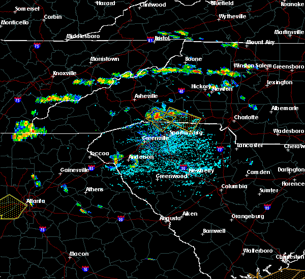 At 321 pm edt, doppler radar indicated a severe thunderstorm capable of producing damaging winds in excess of 60 mph. this storm was located near forest city, and moving southeast at 20 mph. * locations in the warning include, shelby, gaffney, forest city, rutherfordton, spindale, boiling springs nc, blacksburg, grover, patterson springs and ellenboro. At 321 pm edt, doppler radar indicated a severe thunderstorm capable of producing damaging winds in excess of 60 mph. this storm was located near forest city, and moving southeast at 20 mph. * locations in the warning include, shelby, gaffney, forest city, rutherfordton, spindale, boiling springs nc, blacksburg, grover, patterson springs and ellenboro.
|
| 7/13/2015 9:08 PM EDT |
 At 907 pm edt, doppler radar indicated a line of severe thunderstorms capable of producing quarter size hail and damaging winds in excess of 60 mph. these storms were located along a line extending from 11 miles east of gaffney to 8 miles northwest of union to 10 miles southwest of spartanburg, moving south at 15 mph. locations impacted include, spartanburg, gaffney, union, woodruff, pacolet, blacksburg, roebuck, buffalo, jonesville and pacolet mills. At 907 pm edt, doppler radar indicated a line of severe thunderstorms capable of producing quarter size hail and damaging winds in excess of 60 mph. these storms were located along a line extending from 11 miles east of gaffney to 8 miles northwest of union to 10 miles southwest of spartanburg, moving south at 15 mph. locations impacted include, spartanburg, gaffney, union, woodruff, pacolet, blacksburg, roebuck, buffalo, jonesville and pacolet mills.
|
| 7/13/2015 8:44 PM EDT |
 At 844 pm edt, doppler radar indicated a line of severe thunderstorms capable of producing damaging winds in excess of 60 mph. these storms were located along a line extending from 9 miles northeast of gaffney to 10 miles southeast of spartanburg to 16 miles east of greenville downtown, and moving south at 15 mph. penny size hail may also accompany the damaging winds. At 844 pm edt, doppler radar indicated a line of severe thunderstorms capable of producing damaging winds in excess of 60 mph. these storms were located along a line extending from 9 miles northeast of gaffney to 10 miles southeast of spartanburg to 16 miles east of greenville downtown, and moving south at 15 mph. penny size hail may also accompany the damaging winds.
|
| 4/20/2015 4:31 PM EDT | At 425 pm edt, national weather service doppler radar indicated a severe thunderstorm capable of producing quarter size hail. this storm was located near gaffney, and moving east at 35 mph. * other locations in the warning include but are not limited to hickory grove, kings mountain, clover, lowell, cramerton, belmont, tega cay and lake wylie. |
| 4/20/2015 4:31 PM EDT | At 425 pm edt, national weather service doppler radar indicated a severe thunderstorm capable of producing quarter size hail. this storm was located near gaffney, and moving east at 35 mph. * other locations in the warning include but are not limited to hickory grove, kings mountain, clover, lowell, cramerton, belmont, tega cay and lake wylie. |
| 4/20/2015 4:03 PM EDT | At 402 pm edt, national weather service doppler radar indicated a severe thunderstorm capable of producing quarter size hail, and damaging winds in excess of 60 mph. this storm was located near greer, or 11 miles northeast of greenville, and moving east at 55 mph. * the severe thunderstorm will be near, inman by 410 pm edt, boiling springs sc and spartanburg by 420 pm edt, mayo by 425 pm edt, cowpens by 430 pm edt, thicketty by 435 pm edt, gaffney by 440 pm edt,. |
| 4/20/2015 4:03 PM EDT | At 402 pm edt, national weather service doppler radar indicated a severe thunderstorm capable of producing quarter size hail, and damaging winds in excess of 60 mph. this storm was located near greer, or 11 miles northeast of greenville, and moving east at 55 mph. * the severe thunderstorm will be near, inman by 410 pm edt, boiling springs sc and spartanburg by 420 pm edt, mayo by 425 pm edt, cowpens by 430 pm edt, thicketty by 435 pm edt, gaffney by 440 pm edt,. |
| 4/20/2015 3:21 PM EDT | At 311 pm edt, national weather service doppler radar indicated multiple severe thunderstorm capable of producing quarter size hail. the storms extended from western greenville county through central cherokee county and were moving east at 45 mph. * other locations in the warning include but are not limited to taylors, tigerville, greer, duncan, lyman, inman, boiling springs sc, mayo, chesnee, cowpens, earl, cliffside, boiling springs nc, thicketty and blacksburg. |
| 4/20/2015 3:21 PM EDT | At 311 pm edt, national weather service doppler radar indicated multiple severe thunderstorm capable of producing quarter size hail. the storms extended from western greenville county through central cherokee county and were moving east at 45 mph. * other locations in the warning include but are not limited to taylors, tigerville, greer, duncan, lyman, inman, boiling springs sc, mayo, chesnee, cowpens, earl, cliffside, boiling springs nc, thicketty and blacksburg. |
| 4/20/2015 2:40 PM EDT | At 232 pm edt, national weather service doppler radar indicated a severe thunderstorm capable of producing nickel size hail. this storm was located 11 miles west of gaffney, and moving east at 35 mph. * the severe thunderstorm will be near, gaffney by 250 pm edt, 7 miles south of boiling springs nc by 255 pm edt, blacksburg by 300 pm edt, earl and 7 miles south of shelby by 305 pm edt, kings mountain by 315 pm edt,. |
| 4/20/2015 2:40 PM EDT | At 232 pm edt, national weather service doppler radar indicated a severe thunderstorm capable of producing nickel size hail. this storm was located 11 miles west of gaffney, and moving east at 35 mph. * the severe thunderstorm will be near, gaffney by 250 pm edt, 7 miles south of boiling springs nc by 255 pm edt, blacksburg by 300 pm edt, earl and 7 miles south of shelby by 305 pm edt, kings mountain by 315 pm edt,. |
Hail Maps for East Gaffney, SC


Connect with Interactive Hail Maps