

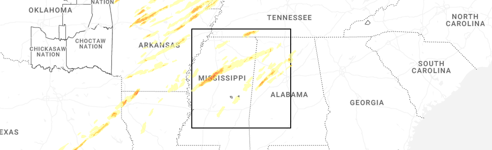
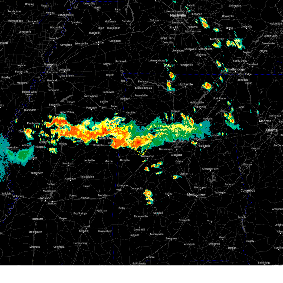
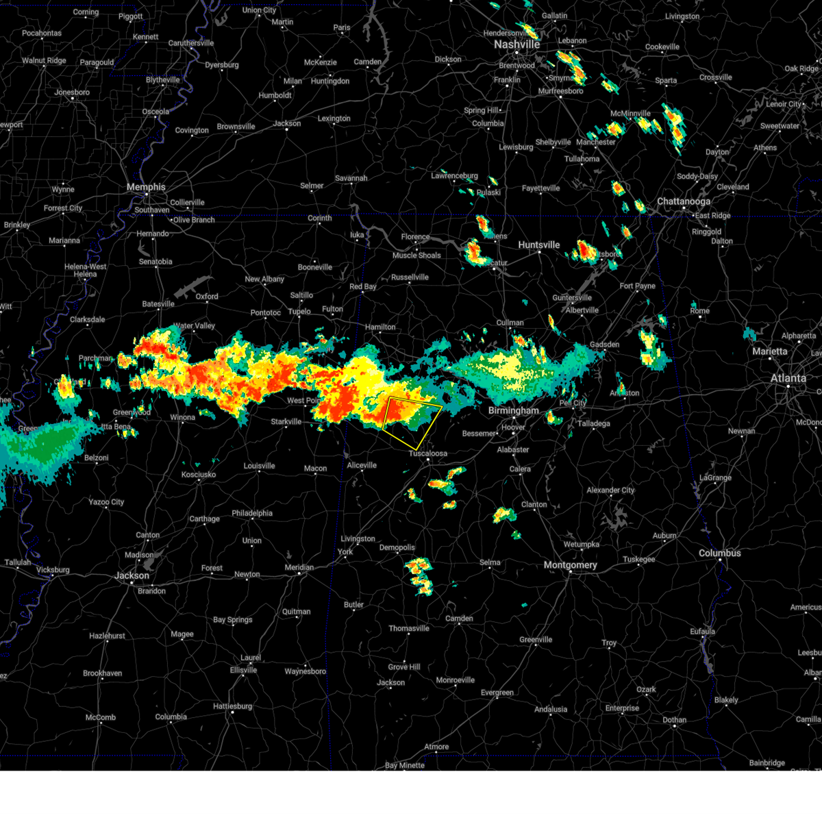
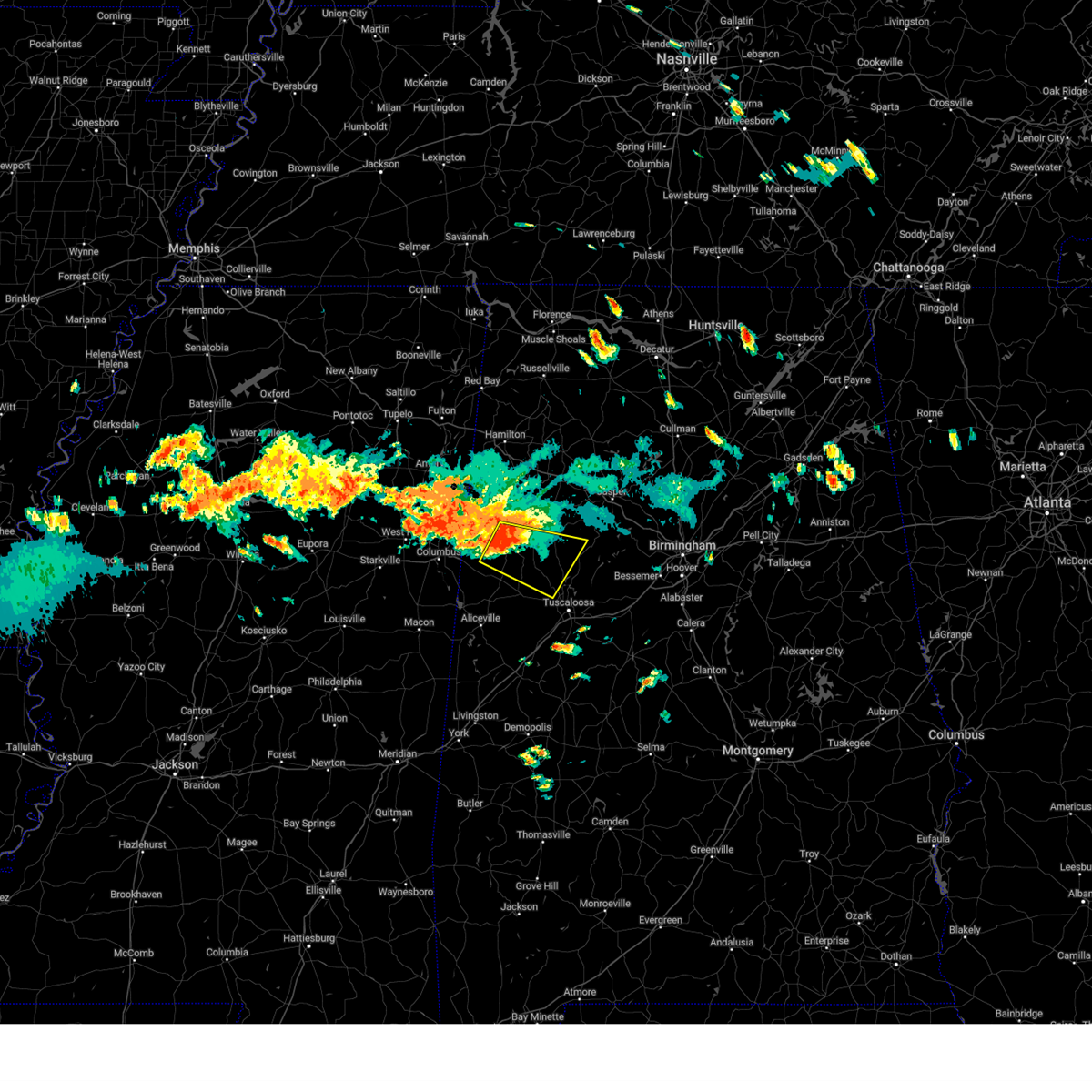
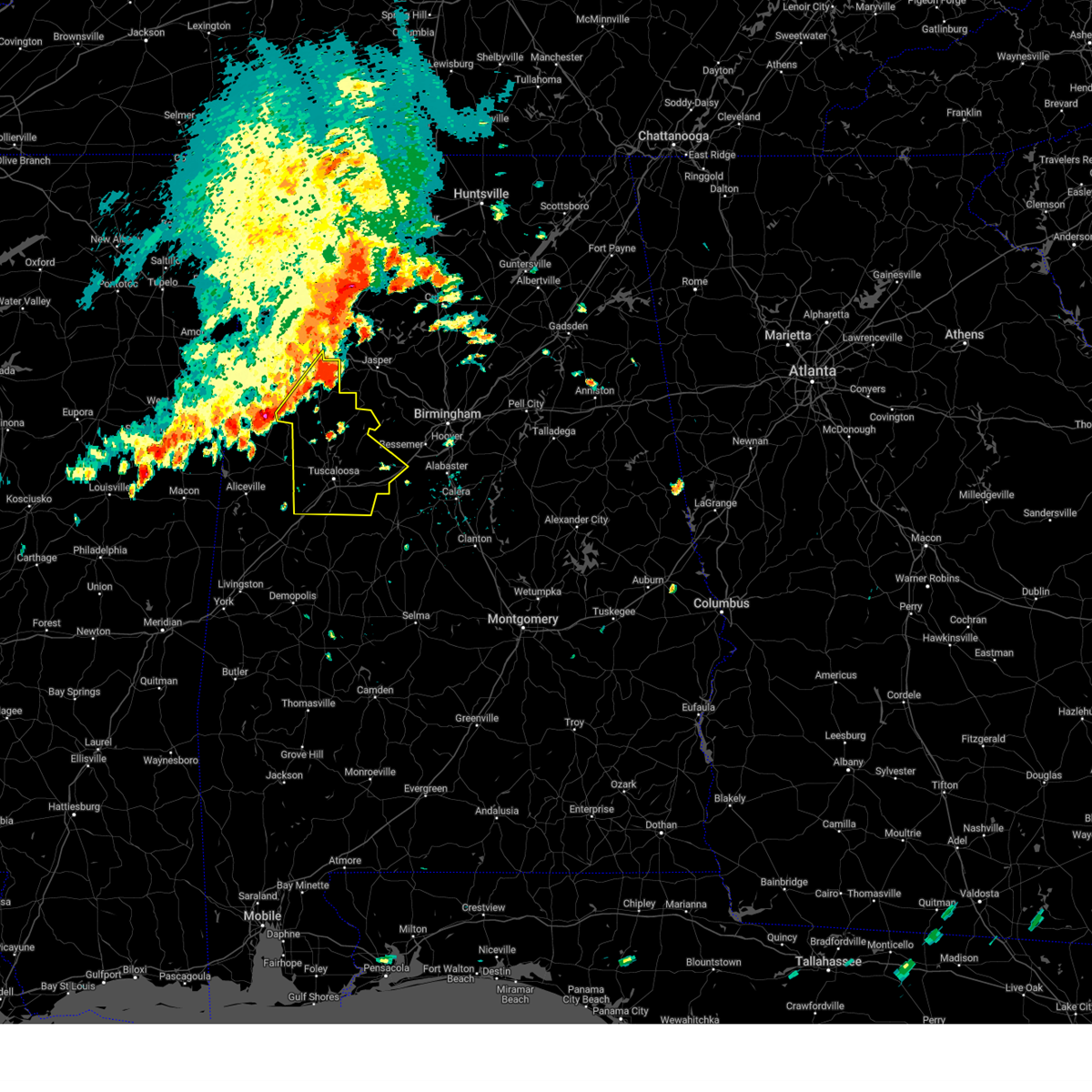
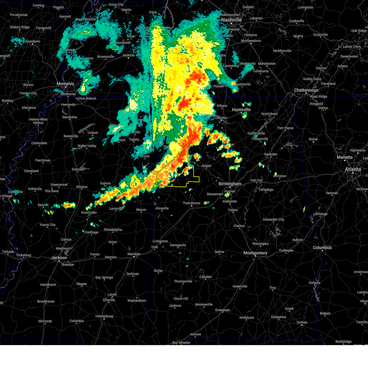
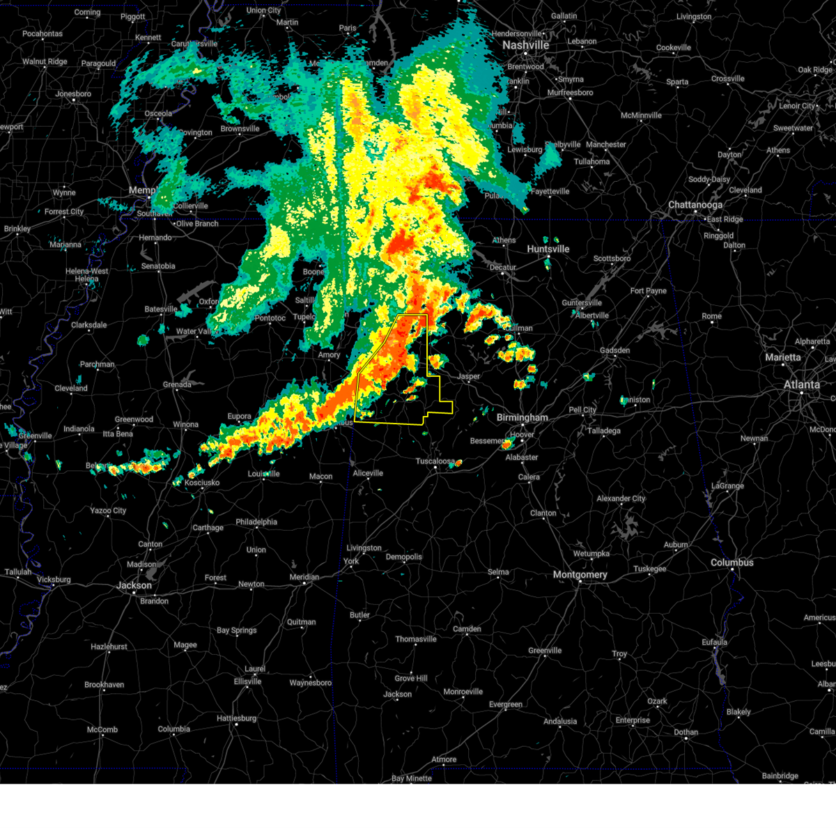
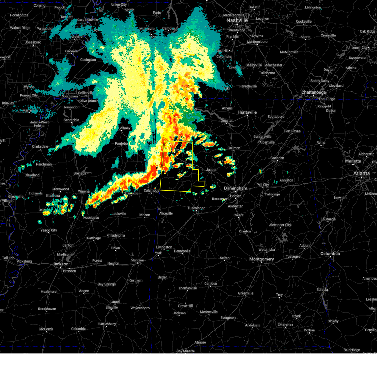
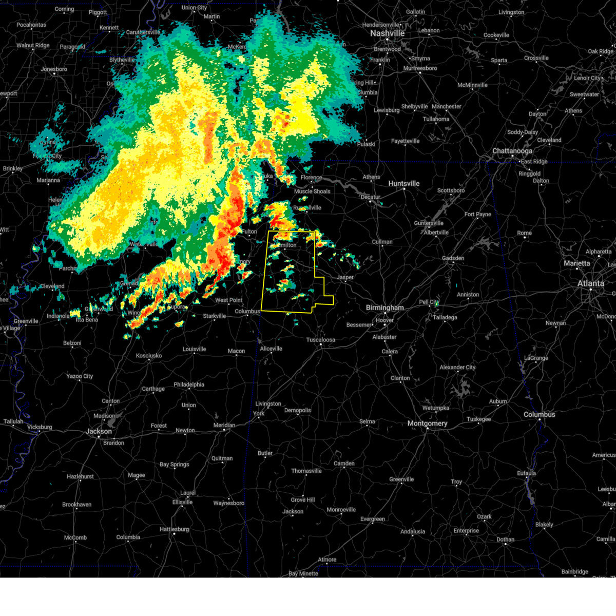
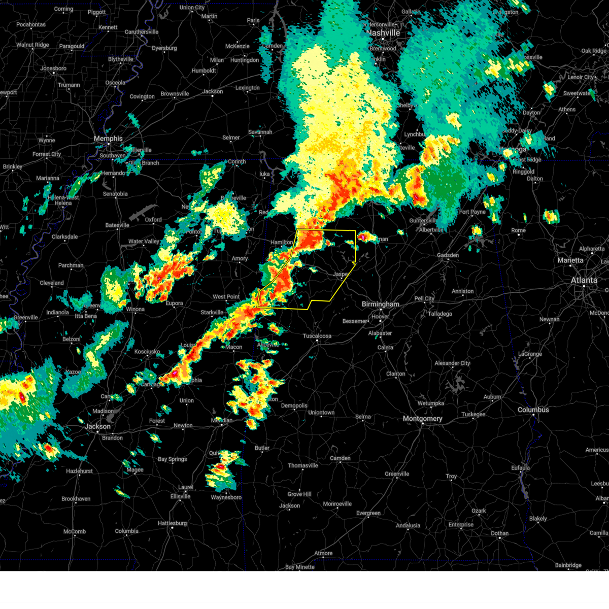
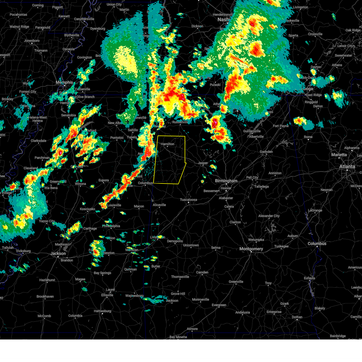
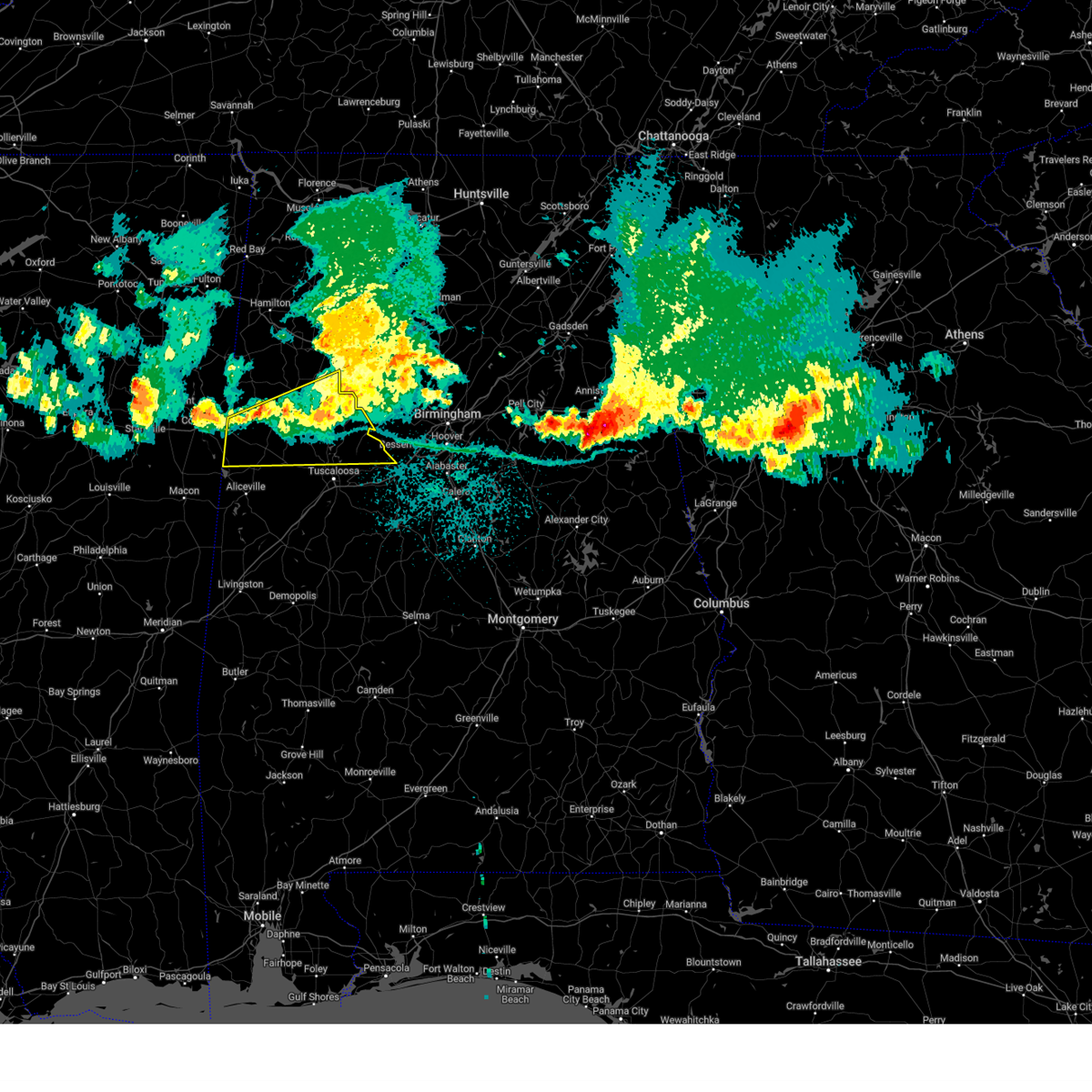
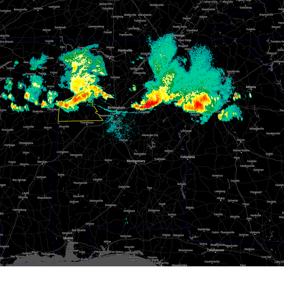
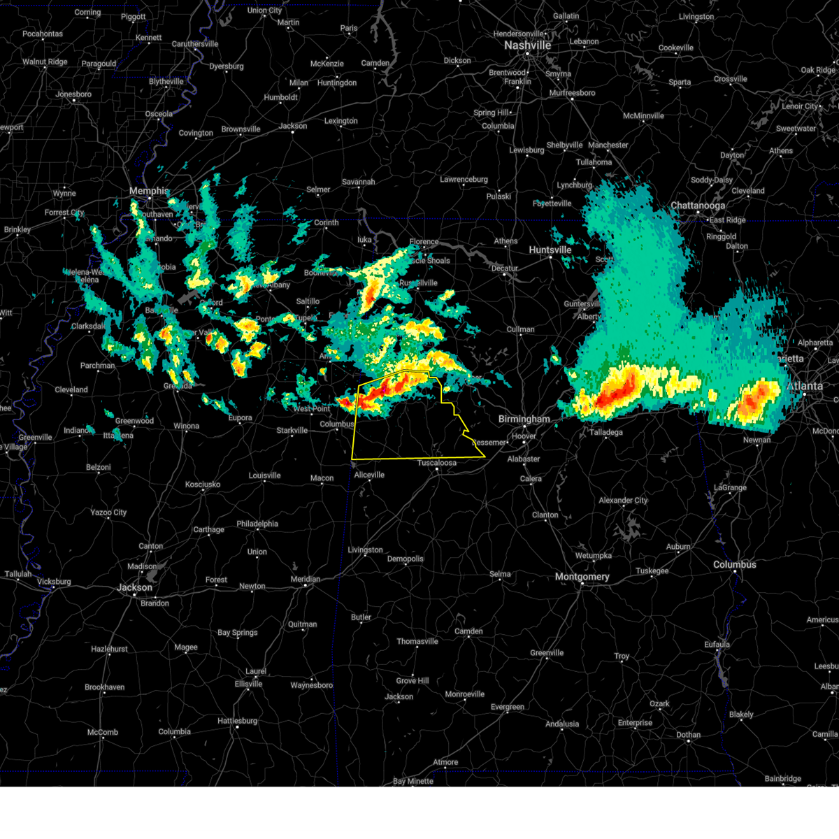
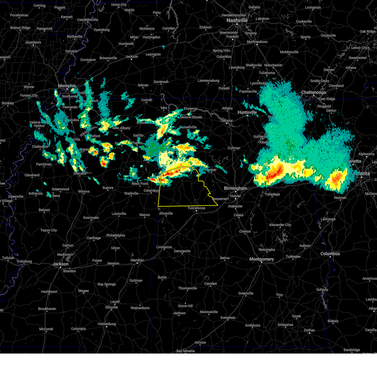
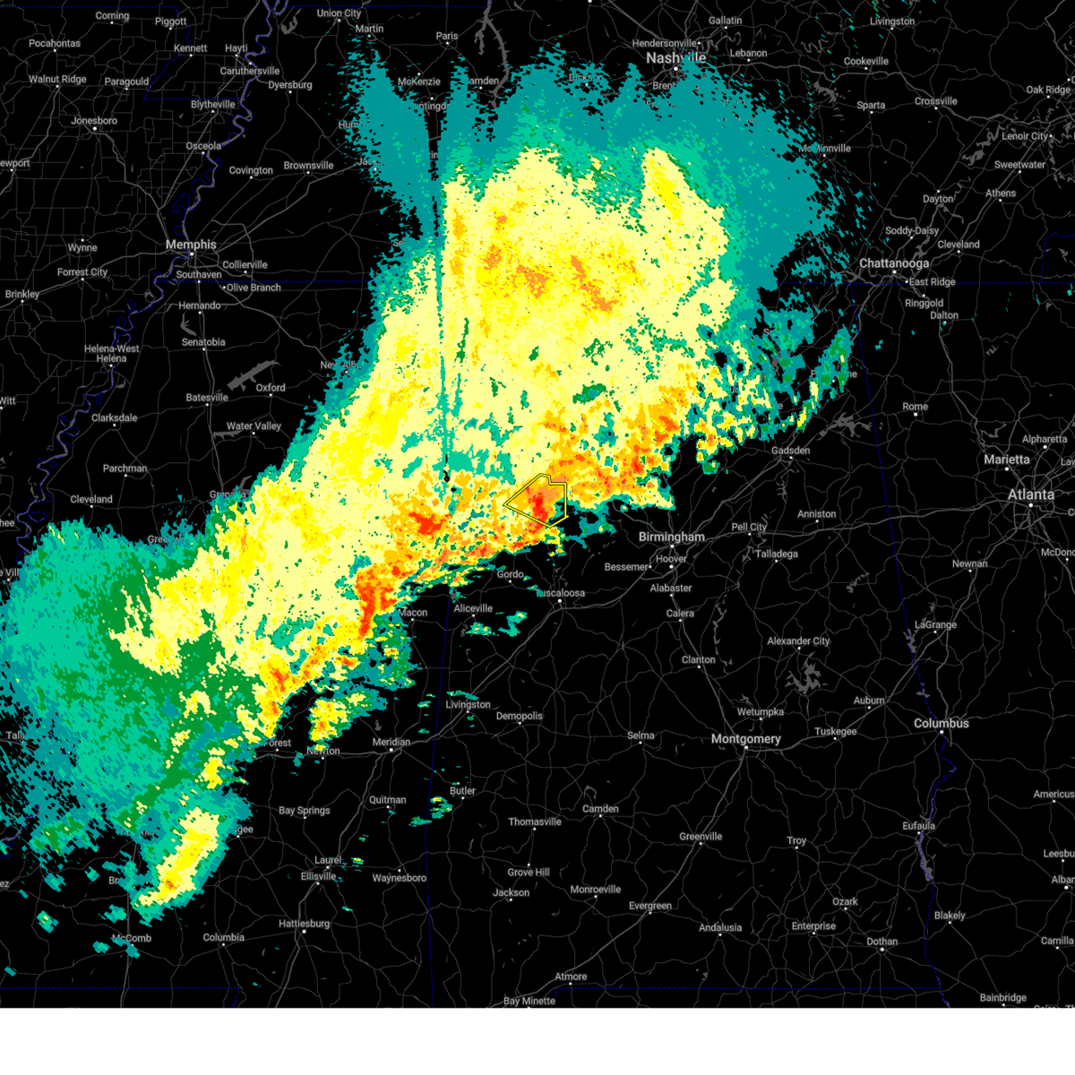
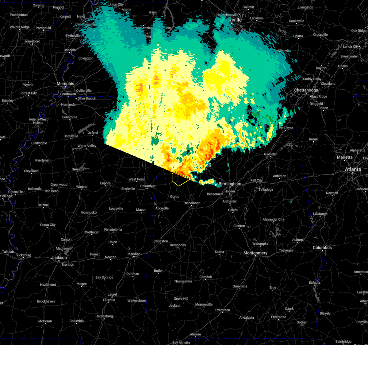
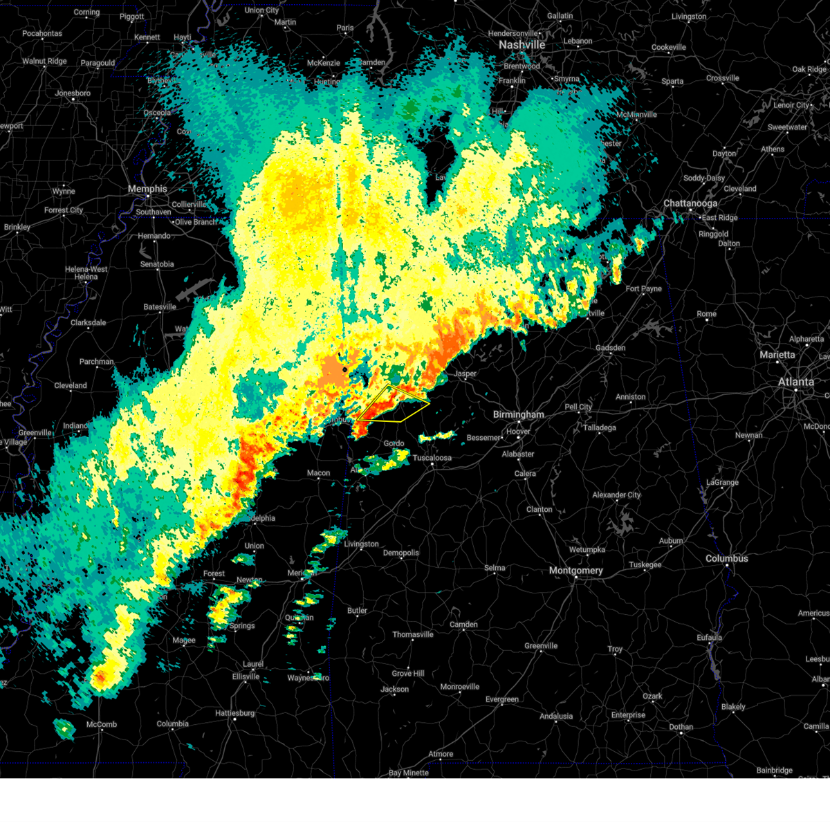
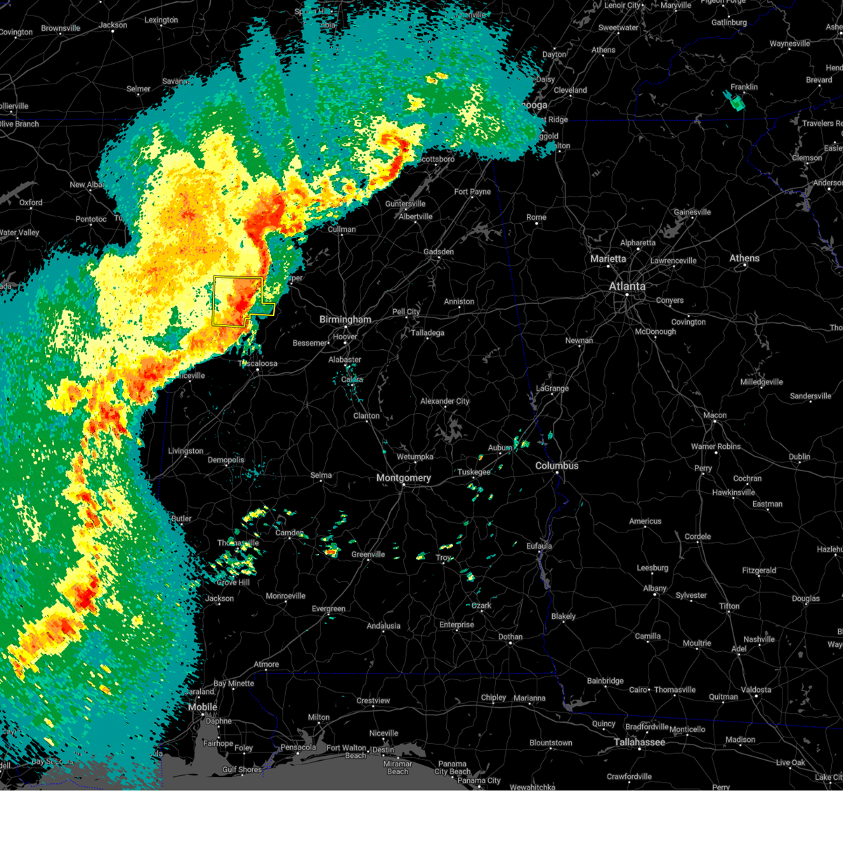
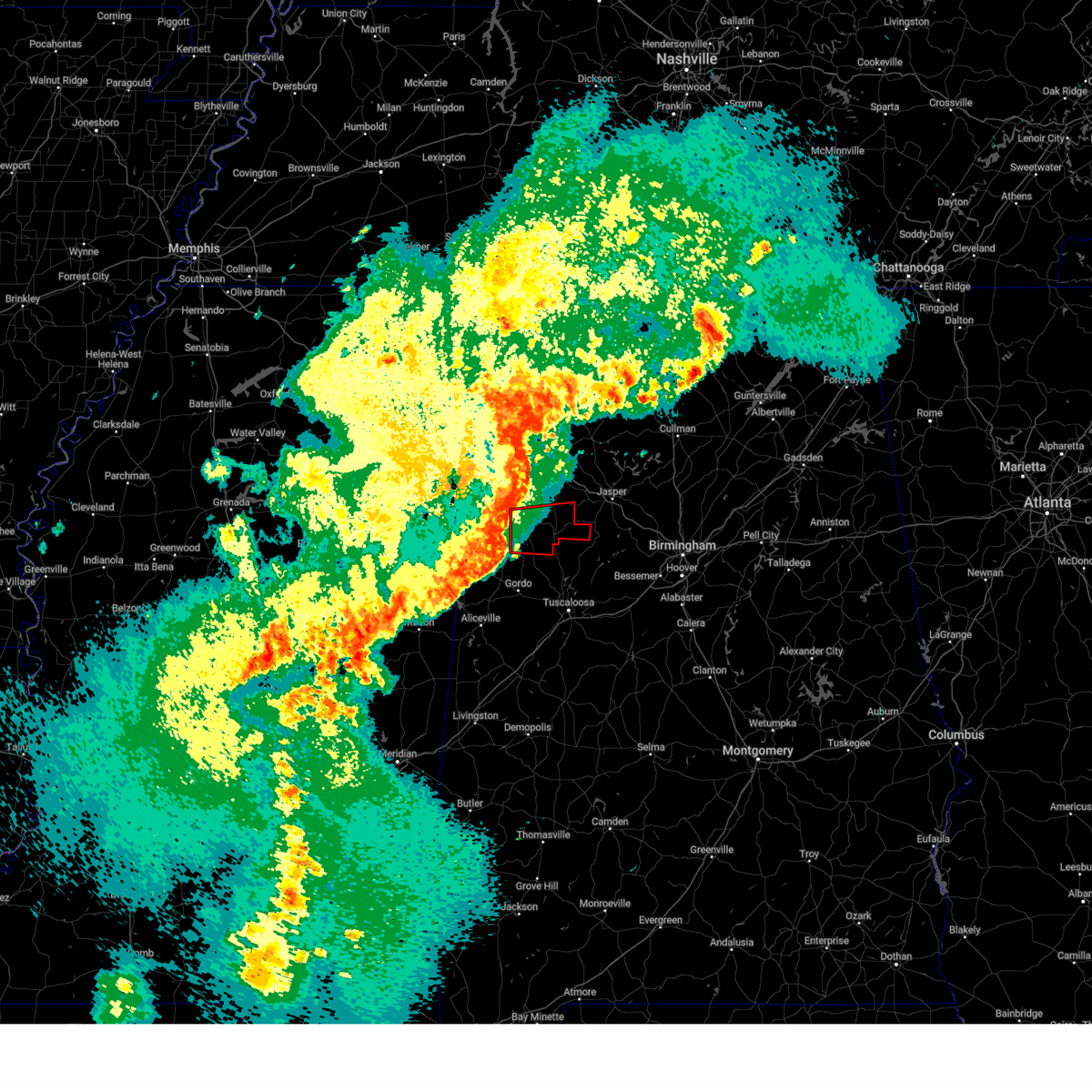
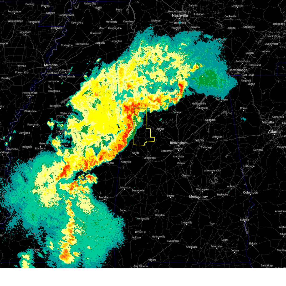
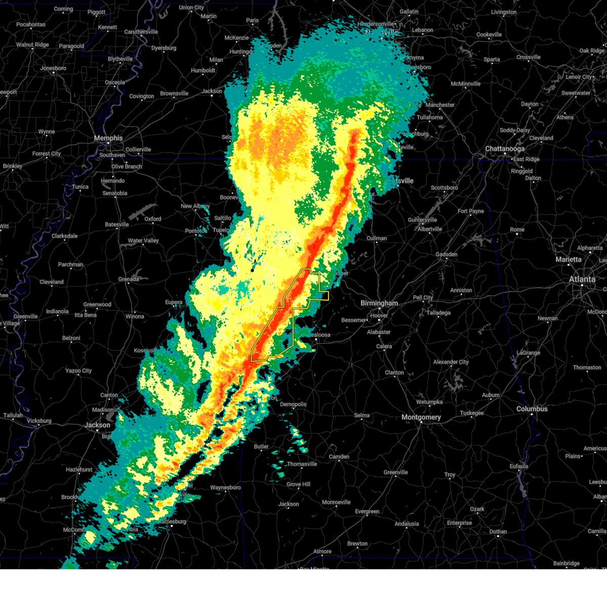
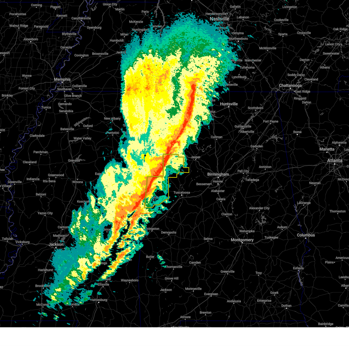
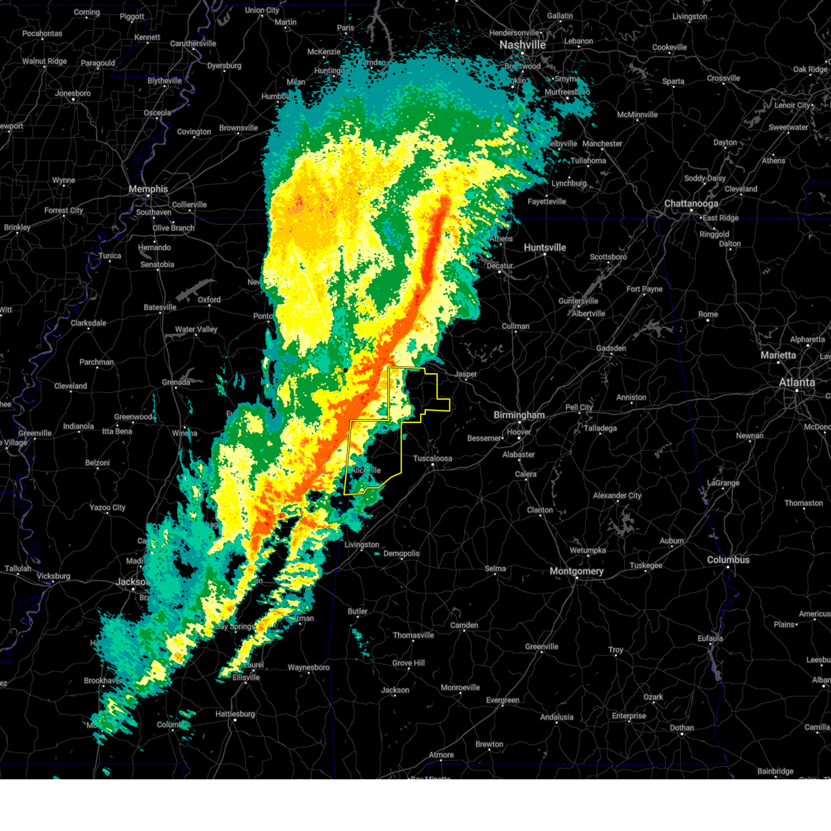
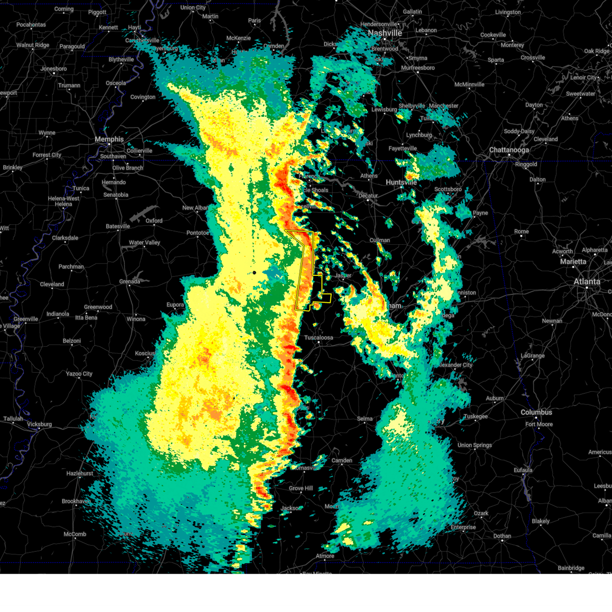
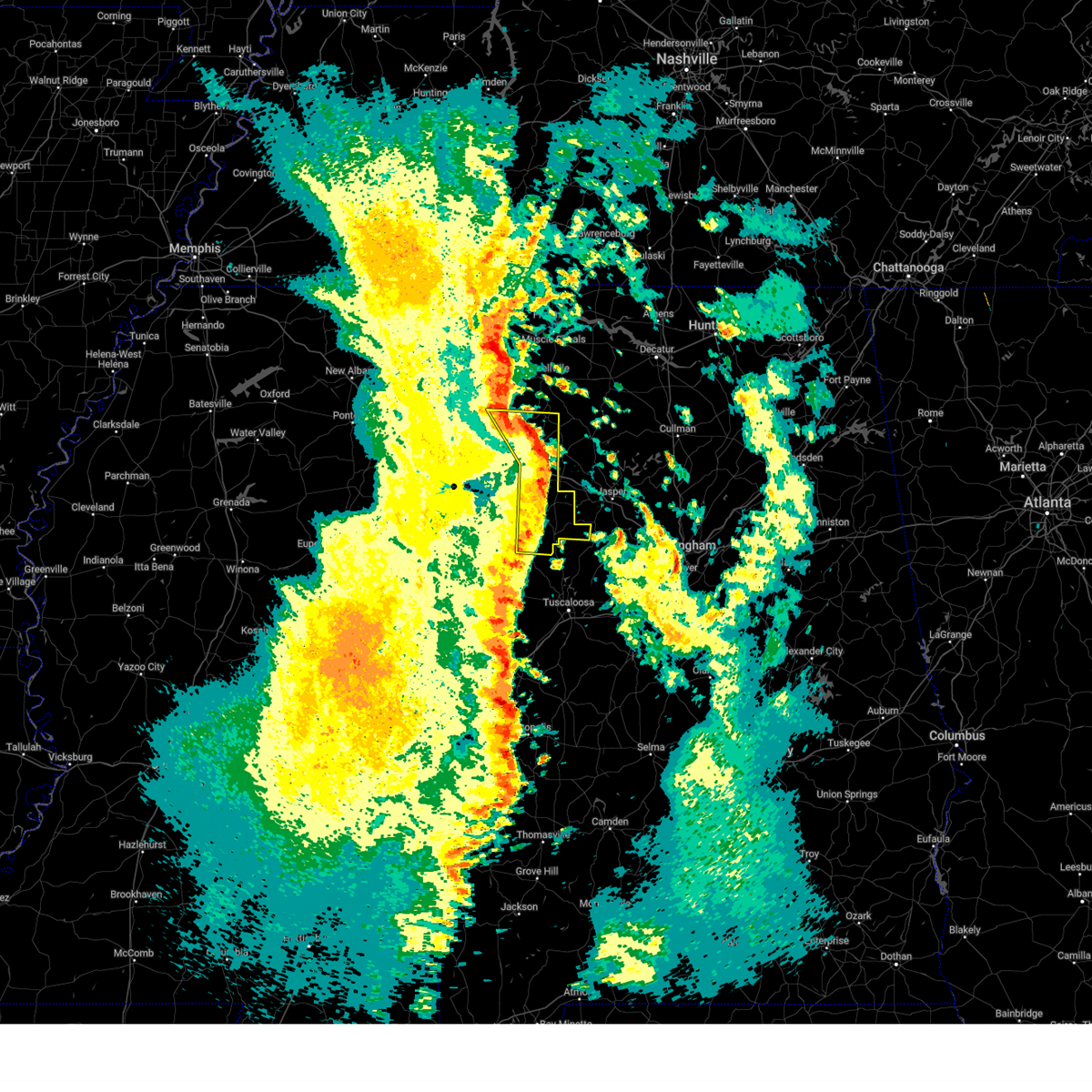
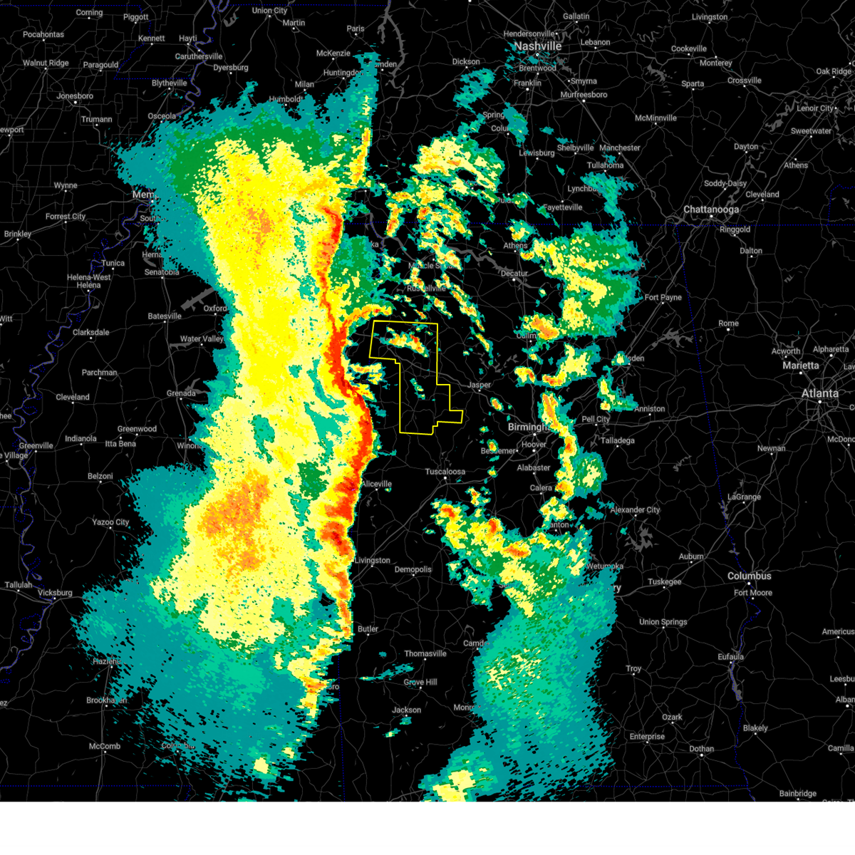
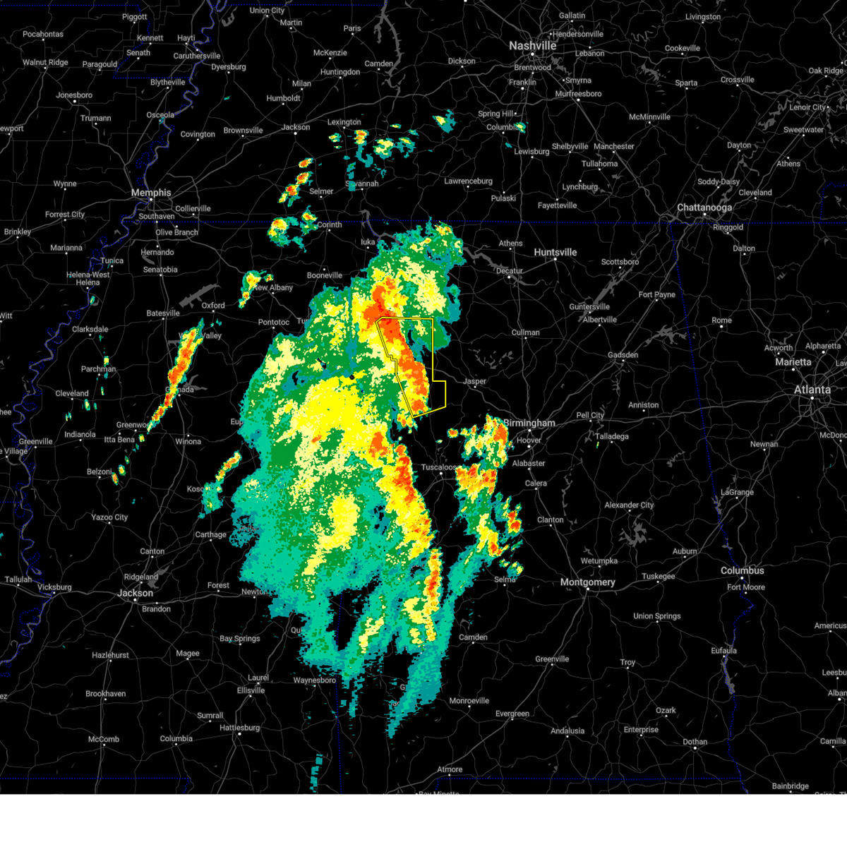
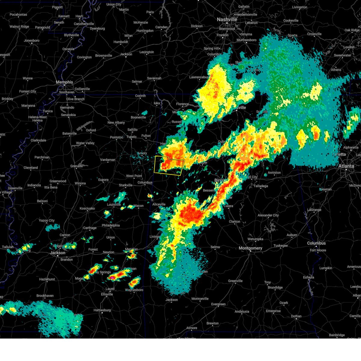
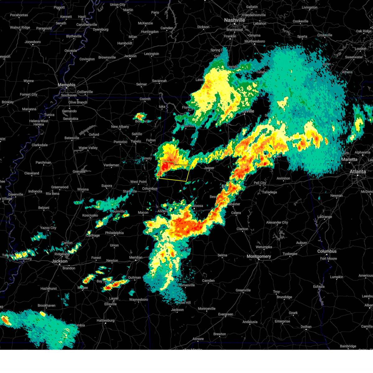
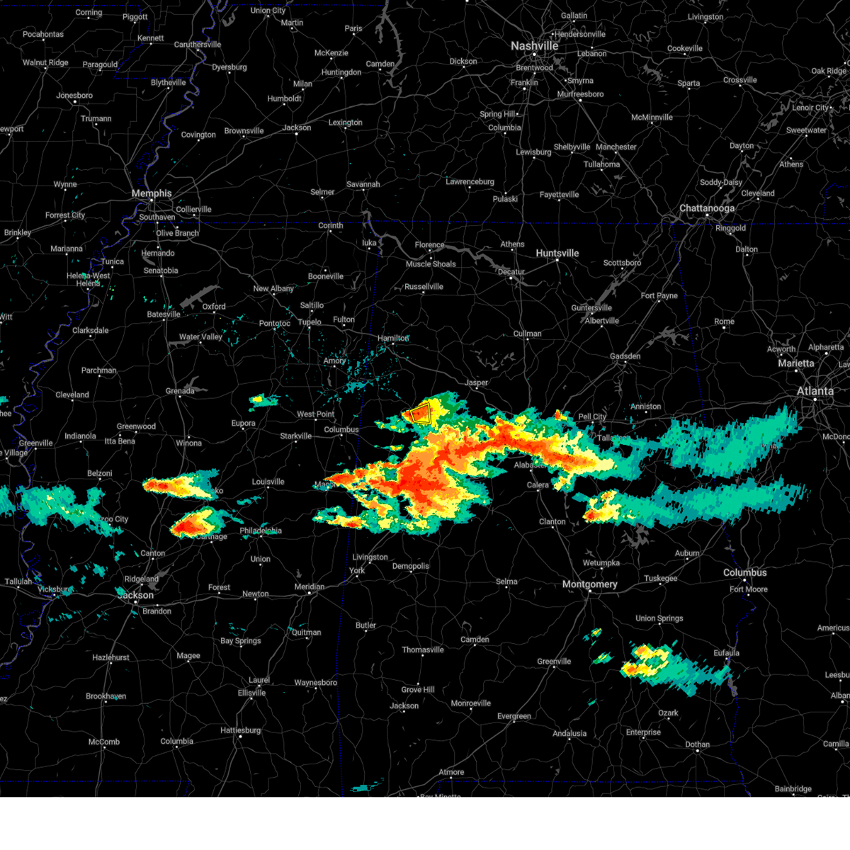
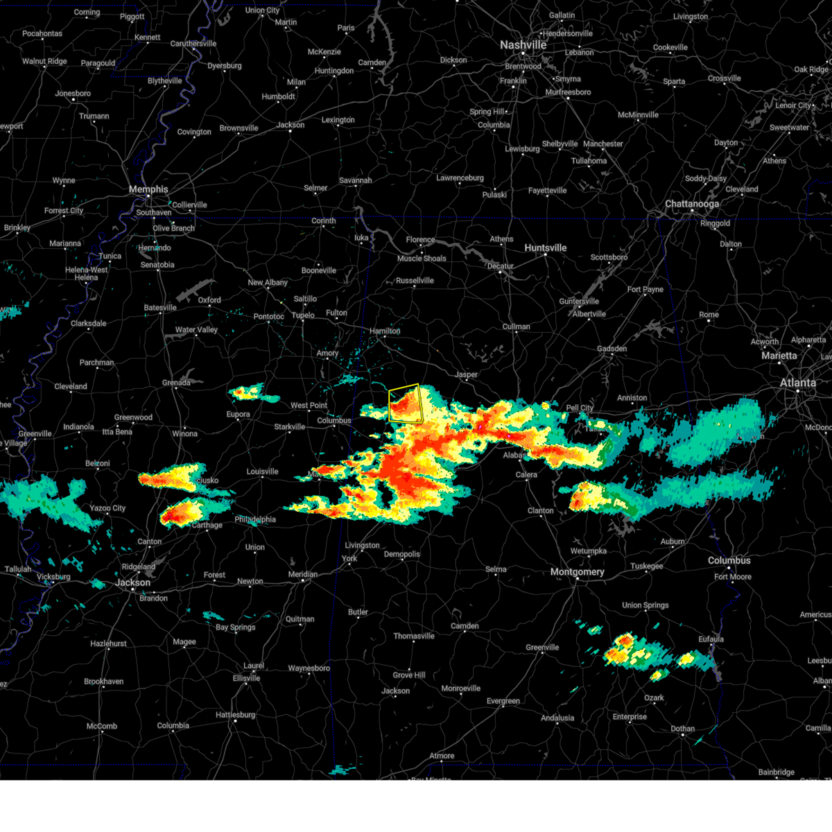
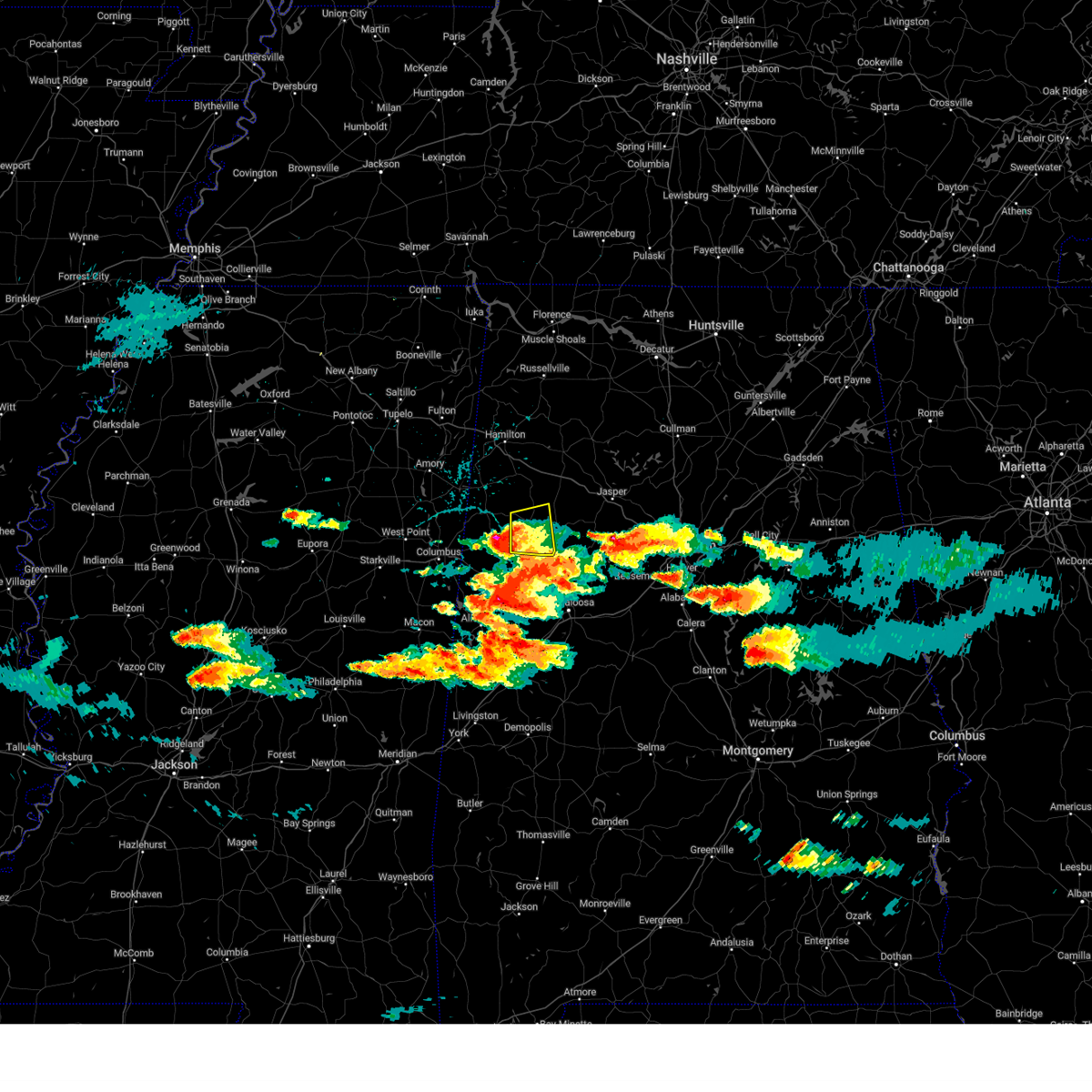
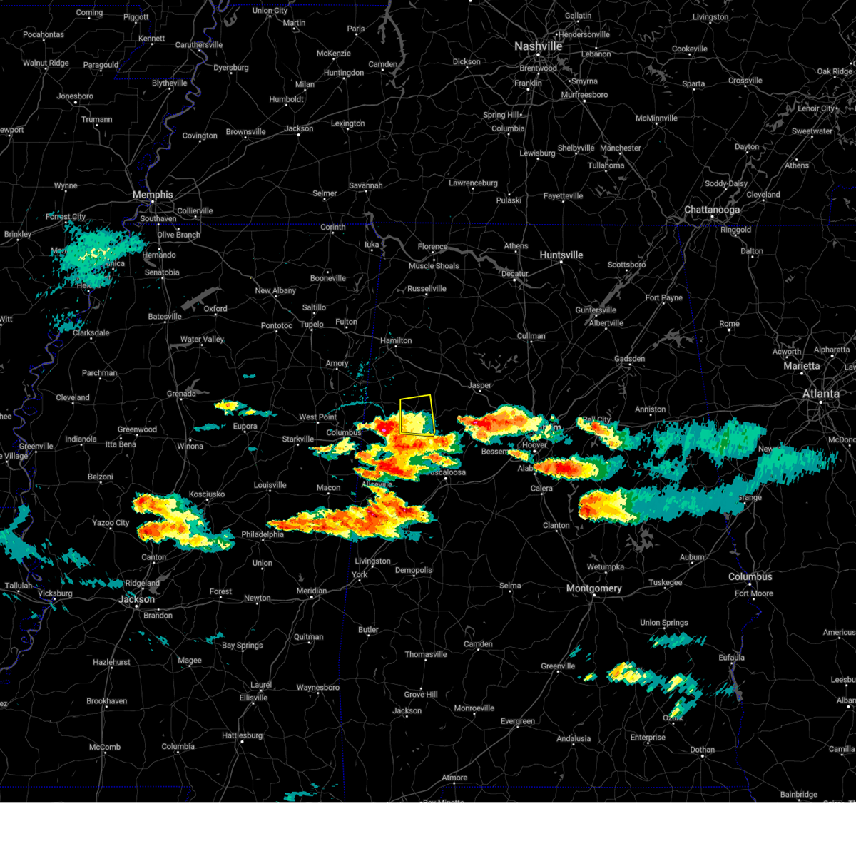
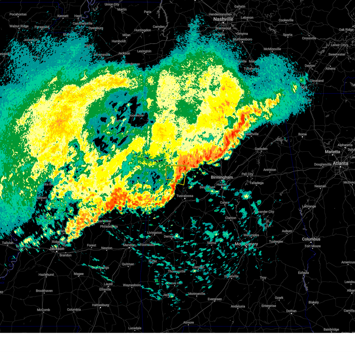
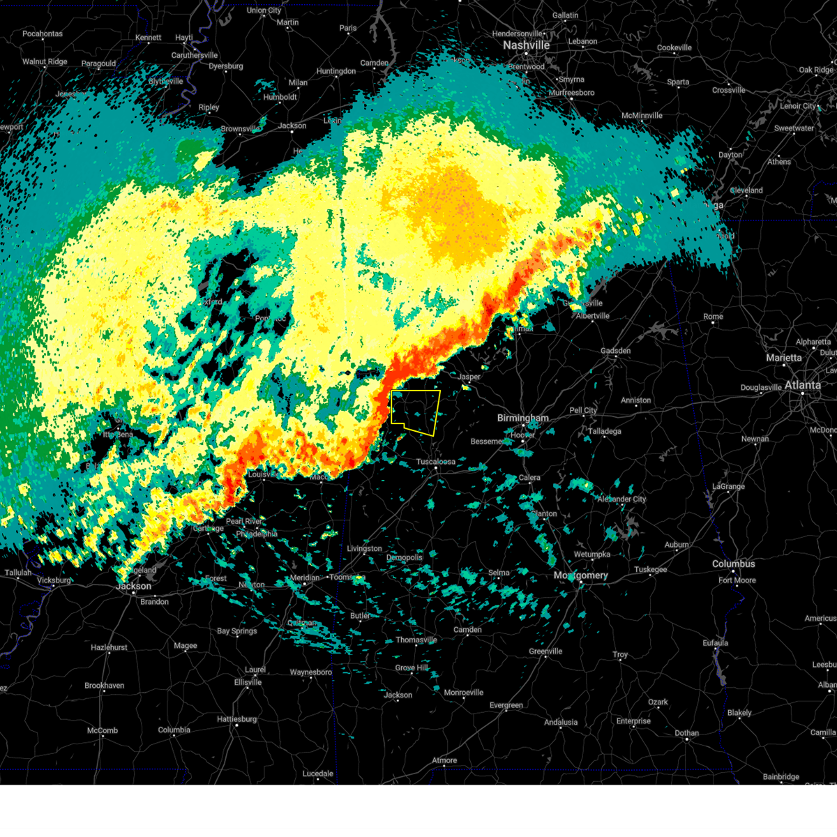
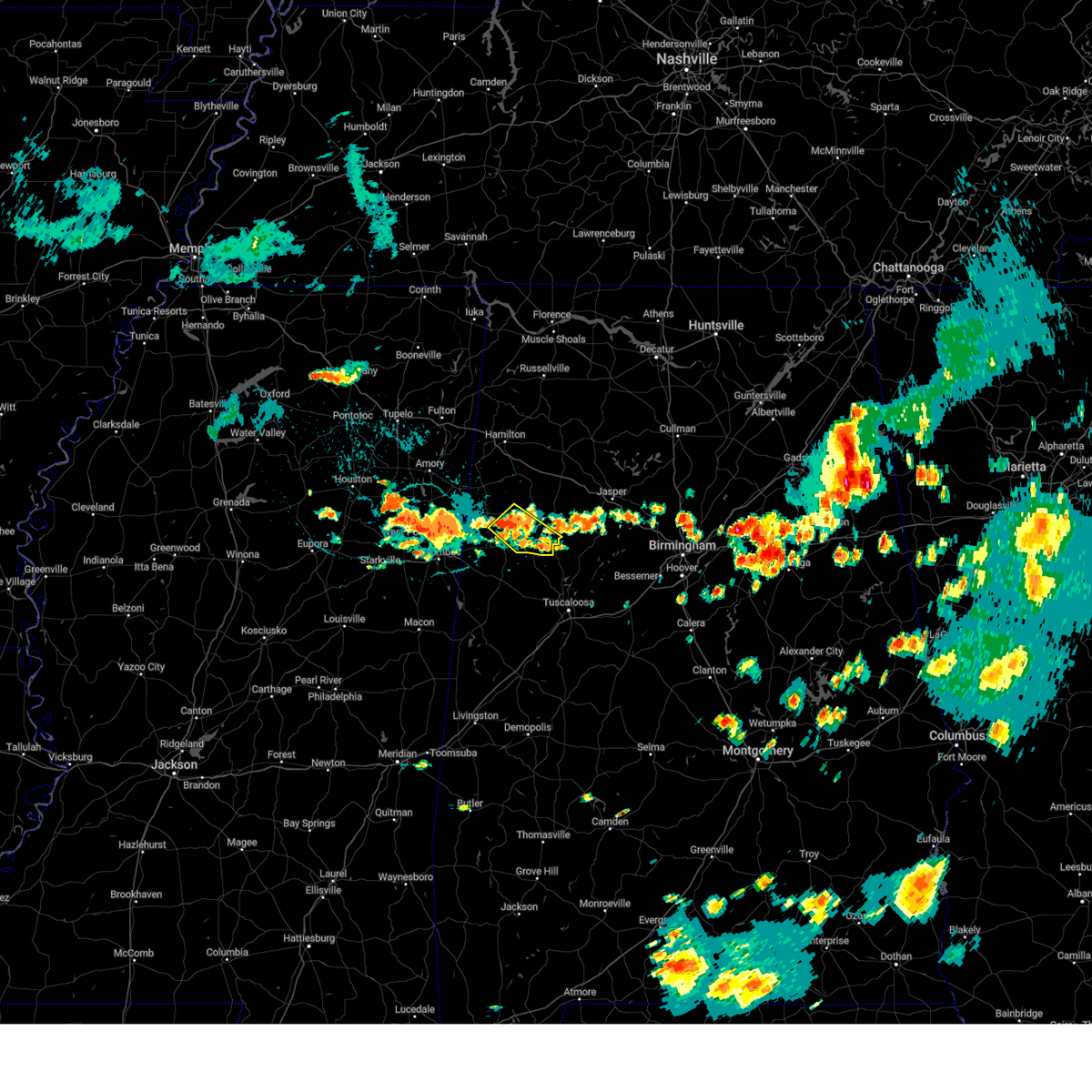
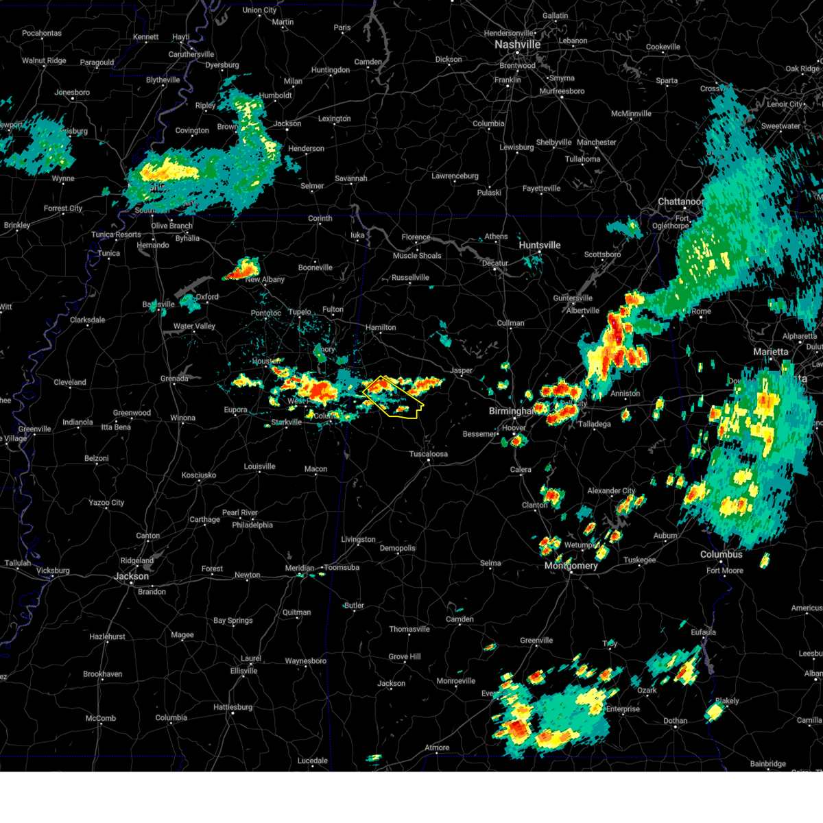
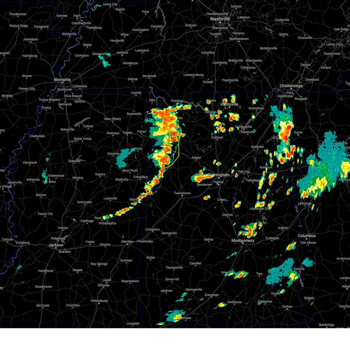
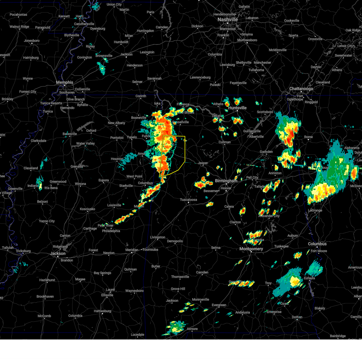
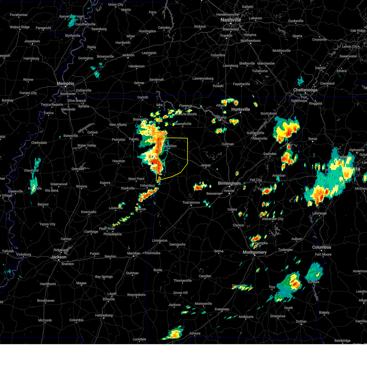
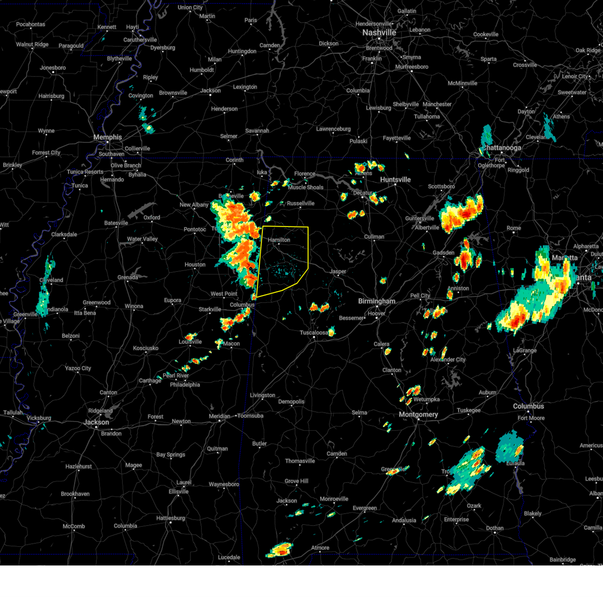
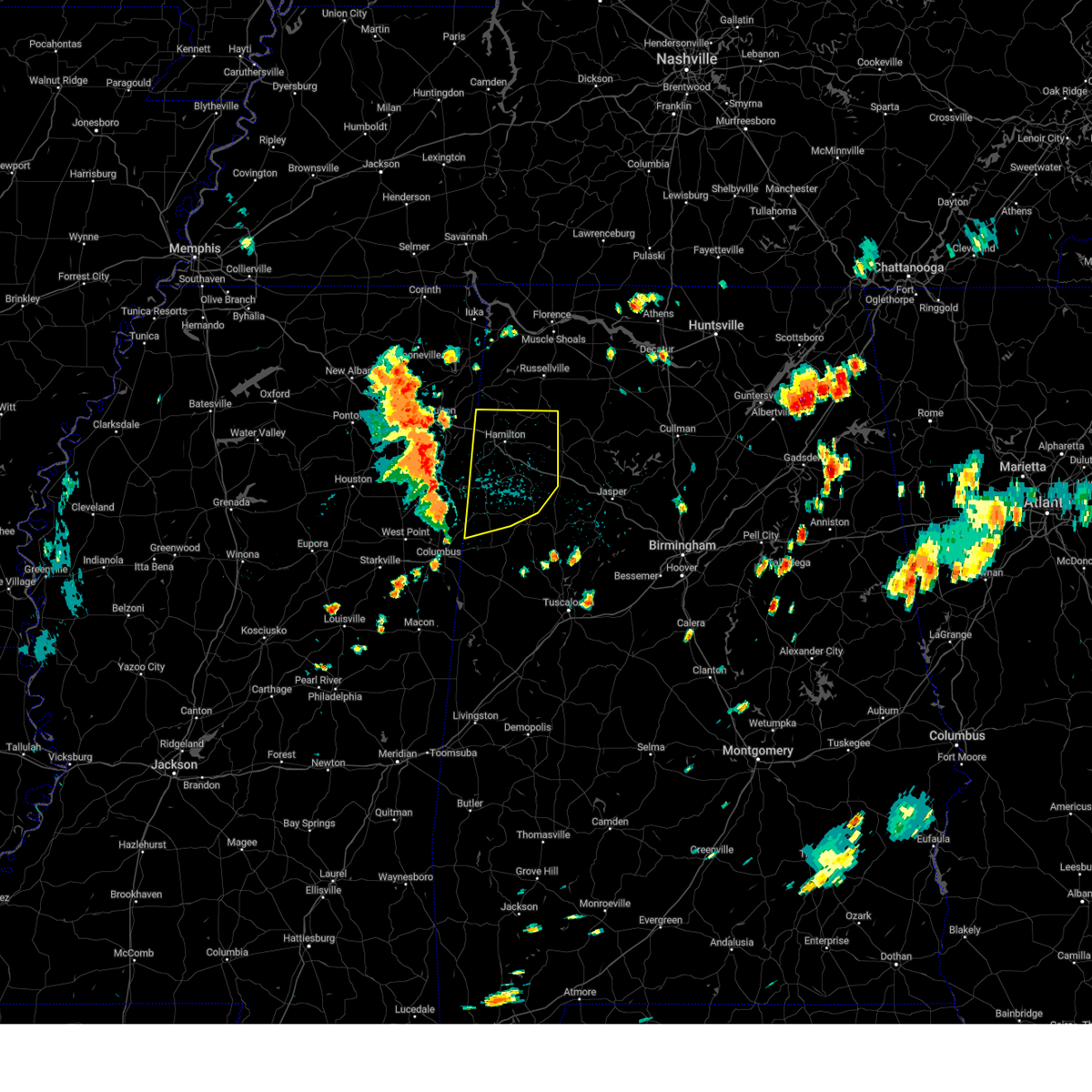
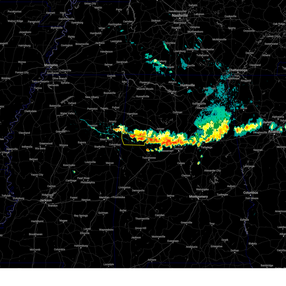
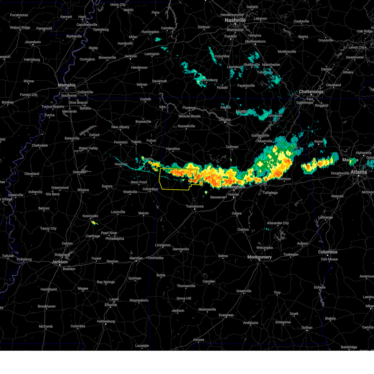
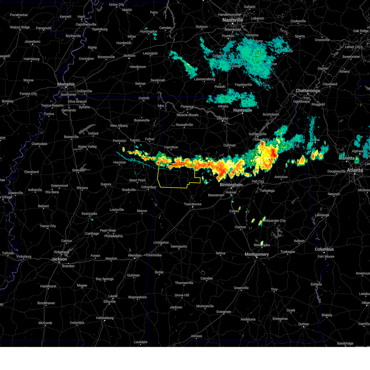
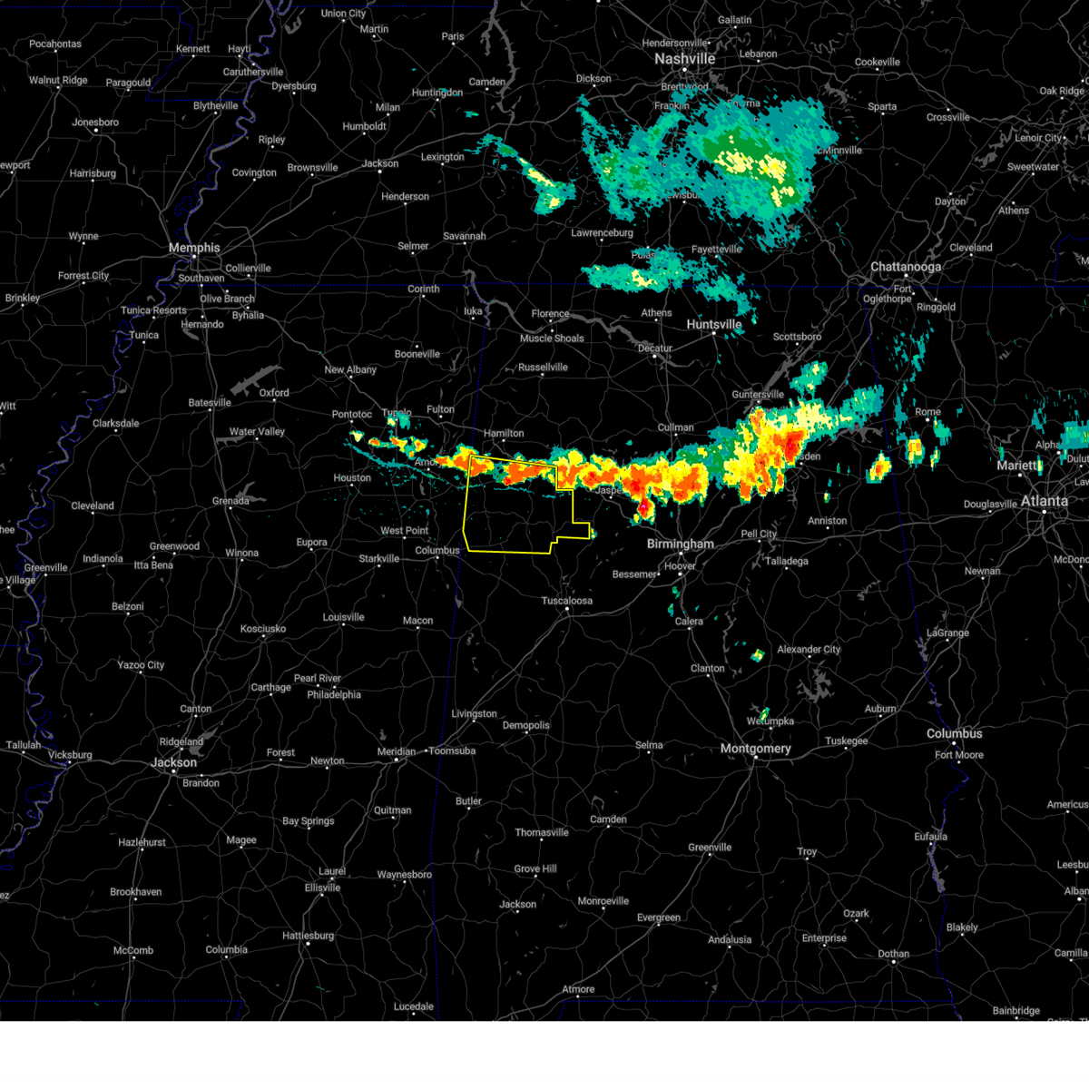
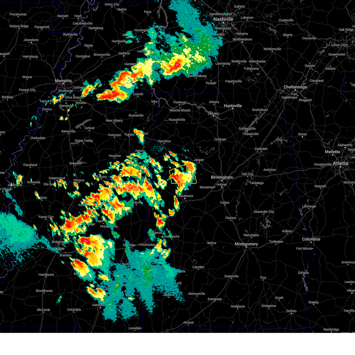
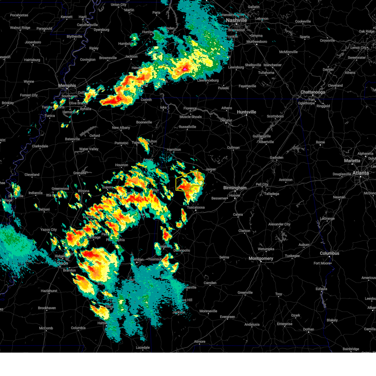
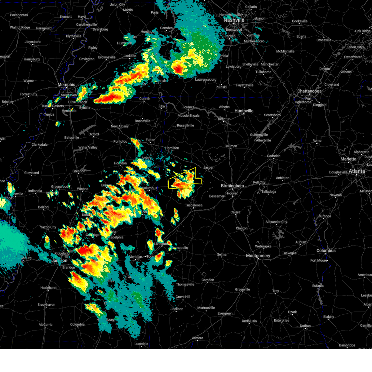
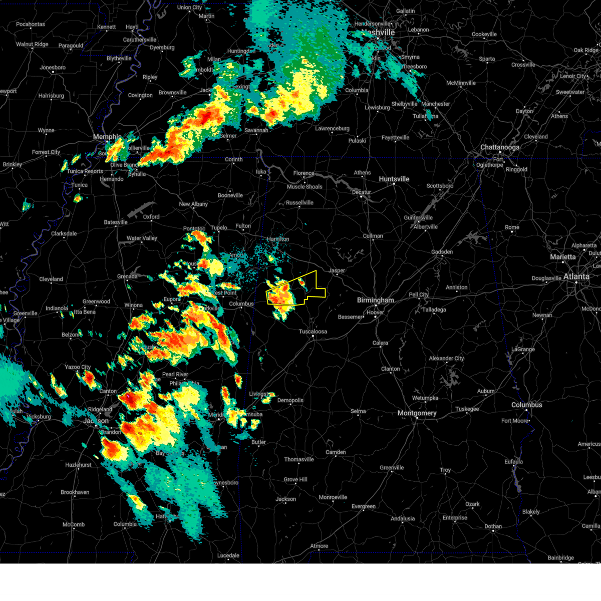
Hail Map for Fayette, AL
The Fayette, AL area has had 14 reports of on-the-ground hail by trained spotters, and has been under severe weather warnings 44 times during the past 12 months. Doppler radar has detected hail at or near Fayette, AL on 78 occasions, including 4 occasions during the past year.
| Name: | Fayette, AL |
| Where Located: | 59.4 miles ENE of Starkville, MS |
| Map: | Google Map for Fayette, AL |
| Population: | 4619 |
| Housing Units: | 2239 |
| More Info: | Search Google for Fayette, AL |
1
The Top Recent Hail Date for Fayette, AL is Friday, March 14, 2025 (10th out of 78)
Hail and Wind Damage Spotted near Fayette, AL
| Date / Time | Report Details |
|---|---|
| 6/8/2025 6:38 AM CDT |
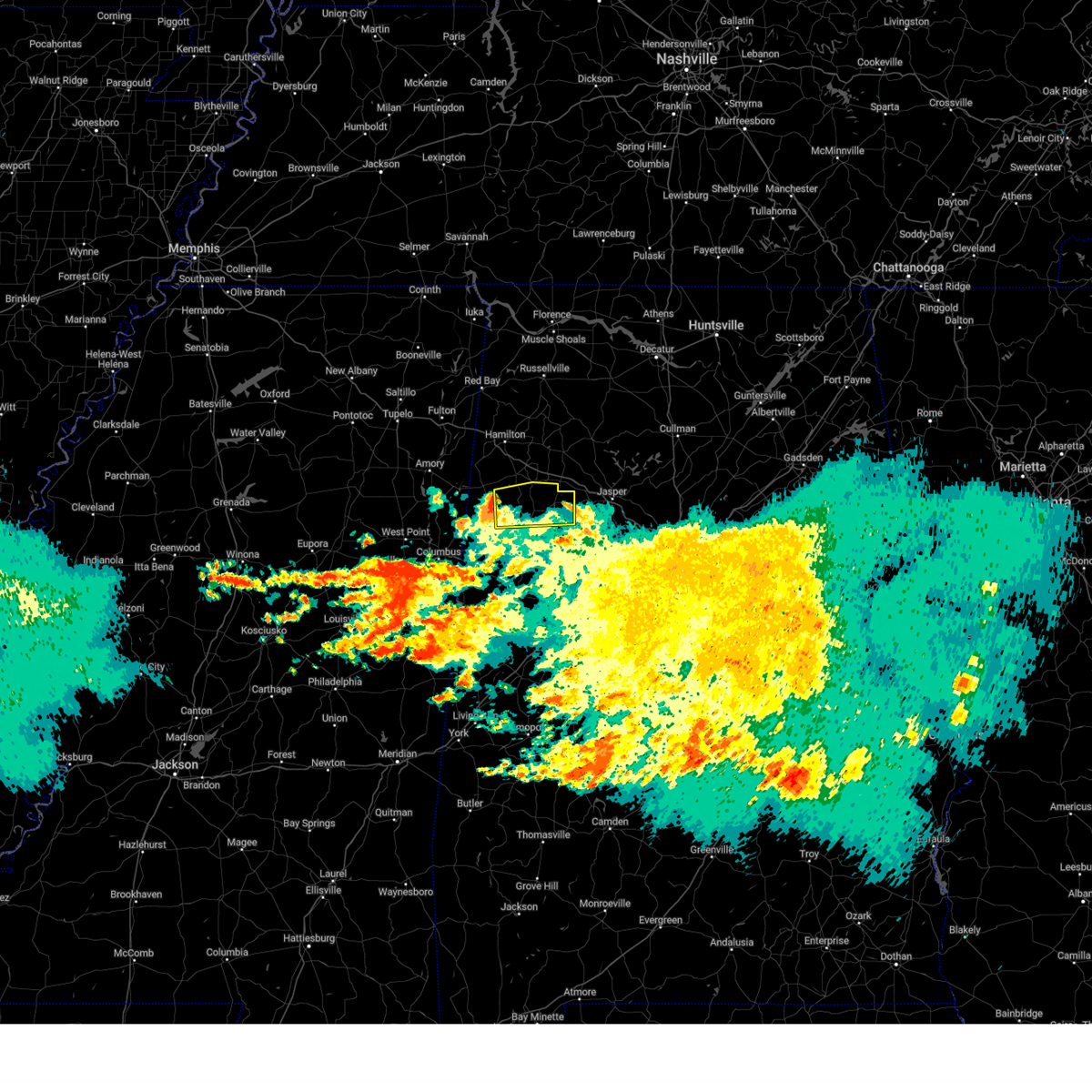
 The storm which prompted the warning has weakened below severe limits, and no longer poses an immediate threat to life or property. therefore, the warning will be allowed to expire. however, small hail is still possible with this thunderstorm. The storm which prompted the warning has weakened below severe limits, and no longer poses an immediate threat to life or property. therefore, the warning will be allowed to expire. however, small hail is still possible with this thunderstorm.
|
| 6/8/2025 6:09 AM CDT |
 the severe thunderstorm warning has been cancelled and is no longer in effect the severe thunderstorm warning has been cancelled and is no longer in effect
|
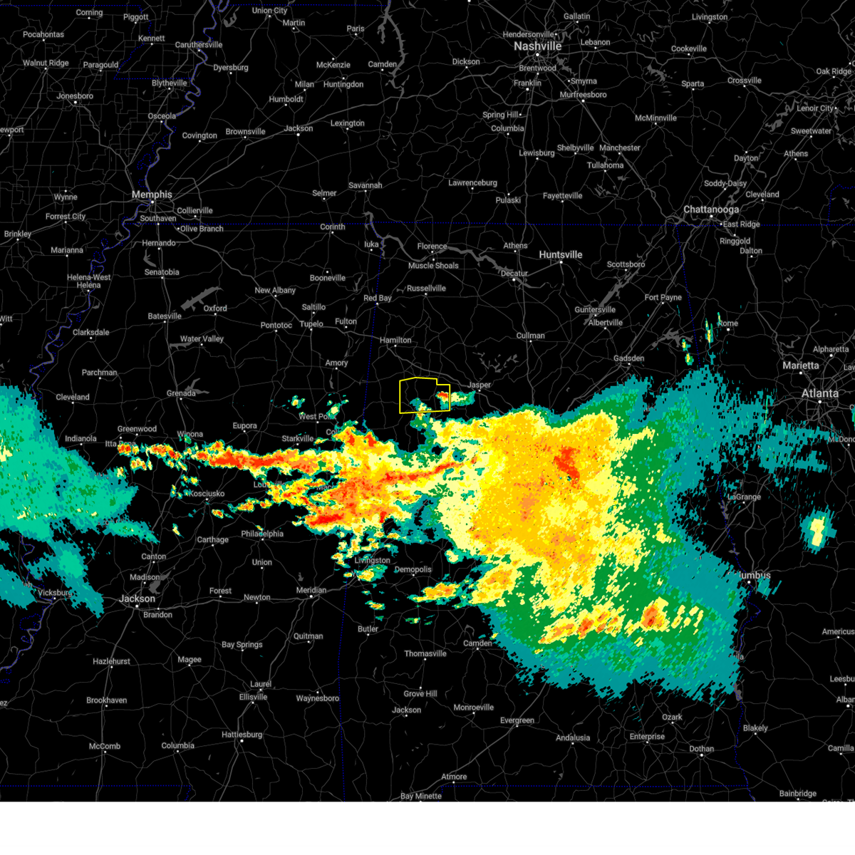
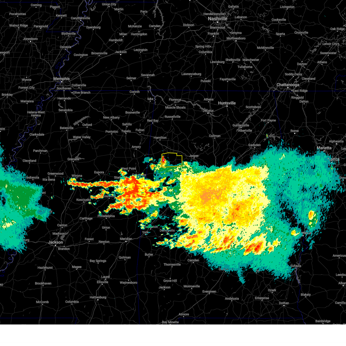
| 6/8/2025 6:09 AM CDT |
 At 609 am cdt, a severe thunderstorm was located over bluff, or 7 miles northwest of fayette, moving east at 40 mph (radar indicated). Hazards include ping pong ball size hail and 60 mph wind gusts. People and animals outdoors will be injured. expect hail damage to roofs, siding, windows, and vehicles. expect wind damage to roofs, siding, and trees. Locations impacted include, winfield, fayette, berry, glen allen, bluff, bevill state college fayette, hubbertville, bazemore, fowlers crossroads, wayside, and richard arthur field. At 609 am cdt, a severe thunderstorm was located over bluff, or 7 miles northwest of fayette, moving east at 40 mph (radar indicated). Hazards include ping pong ball size hail and 60 mph wind gusts. People and animals outdoors will be injured. expect hail damage to roofs, siding, windows, and vehicles. expect wind damage to roofs, siding, and trees. Locations impacted include, winfield, fayette, berry, glen allen, bluff, bevill state college fayette, hubbertville, bazemore, fowlers crossroads, wayside, and richard arthur field.
|
| 6/8/2025 6:02 AM CDT |
 Svrbmx the national weather service in birmingham has issued a * severe thunderstorm warning for, northern fayette county in west central alabama, east central lamar county in west central alabama, * until 645 am cdt. * at 602 am cdt, a severe thunderstorm was located over blooming grove, or 8 miles east of vernon, moving east at 40 mph (radar indicated). Hazards include 60 mph wind gusts and quarter size hail. Hail damage to vehicles is expected. Expect wind damage to roofs, siding, and trees. Svrbmx the national weather service in birmingham has issued a * severe thunderstorm warning for, northern fayette county in west central alabama, east central lamar county in west central alabama, * until 645 am cdt. * at 602 am cdt, a severe thunderstorm was located over blooming grove, or 8 miles east of vernon, moving east at 40 mph (radar indicated). Hazards include 60 mph wind gusts and quarter size hail. Hail damage to vehicles is expected. Expect wind damage to roofs, siding, and trees.
|
| 6/8/2025 2:03 AM CDT |
 the severe thunderstorm warning has been cancelled and is no longer in effect the severe thunderstorm warning has been cancelled and is no longer in effect
|
| 6/8/2025 1:48 AM CDT |
 the severe thunderstorm warning has been cancelled and is no longer in effect the severe thunderstorm warning has been cancelled and is no longer in effect
|
| 6/8/2025 1:48 AM CDT |
 At 148 am cdt, a severe thunderstorm was located 8 miles east of ashcraft corner, or 13 miles northeast of gordo, moving east at 40 mph (radar indicated). Hazards include 60 mph wind gusts and quarter size hail. Hail damage to vehicles is expected. expect wind damage to roofs, siding, and trees. Locations impacted include, fayette, ashcraft corner, lake lurleen state park, samantha, binion creek landing, stone wall, moores bridge, echola, lubbub, new lexington, and lake tuscaloosa. At 148 am cdt, a severe thunderstorm was located 8 miles east of ashcraft corner, or 13 miles northeast of gordo, moving east at 40 mph (radar indicated). Hazards include 60 mph wind gusts and quarter size hail. Hail damage to vehicles is expected. expect wind damage to roofs, siding, and trees. Locations impacted include, fayette, ashcraft corner, lake lurleen state park, samantha, binion creek landing, stone wall, moores bridge, echola, lubbub, new lexington, and lake tuscaloosa.
|
| 6/8/2025 1:29 AM CDT |
 Svrbmx the national weather service in birmingham has issued a * severe thunderstorm warning for, northwestern tuscaloosa county in west central alabama, northeastern pickens county in west central alabama, southern fayette county in west central alabama, southeastern lamar county in west central alabama, * until 215 am cdt. * at 129 am cdt, a severe thunderstorm was located over kennedy, or near millport, moving east at 40 mph (radar indicated). Hazards include 60 mph wind gusts and quarter size hail. Hail damage to vehicles is expected. Expect wind damage to roofs, siding, and trees. Svrbmx the national weather service in birmingham has issued a * severe thunderstorm warning for, northwestern tuscaloosa county in west central alabama, northeastern pickens county in west central alabama, southern fayette county in west central alabama, southeastern lamar county in west central alabama, * until 215 am cdt. * at 129 am cdt, a severe thunderstorm was located over kennedy, or near millport, moving east at 40 mph (radar indicated). Hazards include 60 mph wind gusts and quarter size hail. Hail damage to vehicles is expected. Expect wind damage to roofs, siding, and trees.
|
| 6/7/2025 1:25 PM CDT |
 Svrbmx the national weather service in birmingham has issued a * severe thunderstorm warning for, tuscaloosa county in west central alabama, fayette county in west central alabama, * until 245 pm cdt. * at 124 pm cdt, severe thunderstorms were located along a line extending from near eldridge to near ashcraft corner to near ethelsville, moving southeast at 55 mph (radar indicated). Hazards include 60 mph wind gusts and penny size hail. expect damage to roofs, siding, and trees Svrbmx the national weather service in birmingham has issued a * severe thunderstorm warning for, tuscaloosa county in west central alabama, fayette county in west central alabama, * until 245 pm cdt. * at 124 pm cdt, severe thunderstorms were located along a line extending from near eldridge to near ashcraft corner to near ethelsville, moving southeast at 55 mph (radar indicated). Hazards include 60 mph wind gusts and penny size hail. expect damage to roofs, siding, and trees
|
| 6/7/2025 1:21 PM CDT |
 At 120 pm cdt, severe thunderstorms were located along a line extending from near needmore to near glen allen to 6 miles southwest of millport, moving east at 50 mph (radar indicated). Hazards include 70 mph wind gusts and quarter size hail. Hail damage to vehicles is expected. expect considerable tree damage. wind damage is also likely to mobile homes, roofs, and outbuildings. Locations impacted include, winfield, fayette, vernon, millport, guin, berry, brilliant, glen allen, kennedy, belk, gu-win, bankston, bluff, boley springs, blooming grove, lake buttahatchee, ashcraft corner, crossville, twin, and tucker. At 120 pm cdt, severe thunderstorms were located along a line extending from near needmore to near glen allen to 6 miles southwest of millport, moving east at 50 mph (radar indicated). Hazards include 70 mph wind gusts and quarter size hail. Hail damage to vehicles is expected. expect considerable tree damage. wind damage is also likely to mobile homes, roofs, and outbuildings. Locations impacted include, winfield, fayette, vernon, millport, guin, berry, brilliant, glen allen, kennedy, belk, gu-win, bankston, bluff, boley springs, blooming grove, lake buttahatchee, ashcraft corner, crossville, twin, and tucker.
|
| 6/7/2025 1:09 PM CDT |
 At 107 pm cdt, severe thunderstorms were located along a line extending from near phil campbell to near bluff to near columbus, moving east at 50 mph (radar indicated). Hazards include 70 mph wind gusts and quarter size hail. Hail damage to vehicles is expected. expect considerable tree damage. wind damage is also likely to mobile homes, roofs, and outbuildings. Locations impacted include, hamilton, winfield, fayette, vernon, sulligent, millport, guin, hackleburg, berry, brilliant, glen allen, kennedy, belk, beaverton, gu-win, bluff, boley springs, blooming grove, brinn, and lake buttahatchee. At 107 pm cdt, severe thunderstorms were located along a line extending from near phil campbell to near bluff to near columbus, moving east at 50 mph (radar indicated). Hazards include 70 mph wind gusts and quarter size hail. Hail damage to vehicles is expected. expect considerable tree damage. wind damage is also likely to mobile homes, roofs, and outbuildings. Locations impacted include, hamilton, winfield, fayette, vernon, sulligent, millport, guin, hackleburg, berry, brilliant, glen allen, kennedy, belk, beaverton, gu-win, bluff, boley springs, blooming grove, brinn, and lake buttahatchee.
|
| 6/7/2025 12:51 PM CDT |
 At 1250 pm cdt, severe thunderstorms were located along a line extending from 7 miles east of red bay to near detroit to near west point, moving east at 55 mph (radar indicated). Hazards include 70 mph wind gusts and quarter size hail. Hail damage to vehicles is expected. expect considerable tree damage. wind damage is also likely to mobile homes, roofs, and outbuildings. Locations impacted include, hamilton, winfield, fayette, vernon, sulligent, millport, guin, hackleburg, berry, brilliant, glen allen, kennedy, detroit, belk, beaverton, gu-win, bluff, boley springs, blooming grove, and brinn. At 1250 pm cdt, severe thunderstorms were located along a line extending from 7 miles east of red bay to near detroit to near west point, moving east at 55 mph (radar indicated). Hazards include 70 mph wind gusts and quarter size hail. Hail damage to vehicles is expected. expect considerable tree damage. wind damage is also likely to mobile homes, roofs, and outbuildings. Locations impacted include, hamilton, winfield, fayette, vernon, sulligent, millport, guin, hackleburg, berry, brilliant, glen allen, kennedy, detroit, belk, beaverton, gu-win, bluff, boley springs, blooming grove, and brinn.
|
| 6/7/2025 12:21 PM CDT |
 Svrbmx the national weather service in birmingham has issued a * severe thunderstorm warning for, marion county in northwestern alabama, fayette county in west central alabama, lamar county in west central alabama, * until 130 pm cdt. * at 1220 pm cdt, severe thunderstorms were located along a line extending from near thrashers to tombigbee state park to pyland, moving east at 50 mph (radar indicated). Hazards include 70 mph wind gusts and quarter size hail. Hail damage to vehicles is expected. expect considerable tree damage. Wind damage is also likely to mobile homes, roofs, and outbuildings. Svrbmx the national weather service in birmingham has issued a * severe thunderstorm warning for, marion county in northwestern alabama, fayette county in west central alabama, lamar county in west central alabama, * until 130 pm cdt. * at 1220 pm cdt, severe thunderstorms were located along a line extending from near thrashers to tombigbee state park to pyland, moving east at 50 mph (radar indicated). Hazards include 70 mph wind gusts and quarter size hail. Hail damage to vehicles is expected. expect considerable tree damage. Wind damage is also likely to mobile homes, roofs, and outbuildings.
|
| 5/17/2025 4:00 AM CDT |
 Svrbmx the national weather service in birmingham has issued a * severe thunderstorm warning for, walker county in central alabama, tuscaloosa county in west central alabama, pickens county in west central alabama, southwestern blount county in central alabama, northern greene county in west central alabama, jefferson county in central alabama, southeastern winston county in northwestern alabama, fayette county in west central alabama, southeastern lamar county in west central alabama, * until 500 am cdt. * at 400 am cdt, severe thunderstorms were located along a line extending from smith dam to near ethelsville, moving southeast at 35 mph (radar indicated). Hazards include 60 mph wind gusts and quarter size hail. Hail damage to vehicles is expected. Expect wind damage to roofs, siding, and trees. Svrbmx the national weather service in birmingham has issued a * severe thunderstorm warning for, walker county in central alabama, tuscaloosa county in west central alabama, pickens county in west central alabama, southwestern blount county in central alabama, northern greene county in west central alabama, jefferson county in central alabama, southeastern winston county in northwestern alabama, fayette county in west central alabama, southeastern lamar county in west central alabama, * until 500 am cdt. * at 400 am cdt, severe thunderstorms were located along a line extending from smith dam to near ethelsville, moving southeast at 35 mph (radar indicated). Hazards include 60 mph wind gusts and quarter size hail. Hail damage to vehicles is expected. Expect wind damage to roofs, siding, and trees.
|
| 5/2/2025 4:02 PM CDT | At 402 pm cdt, severe thunderstorms were located along a line extending from near inmanfield to near arley to 8 miles south of carbon hill to ashcraft corner, moving east at 35 mph (radar indicated). Hazards include 70 mph wind gusts and quarter size hail. Hail damage to vehicles is expected. expect considerable tree damage. wind damage is also likely to mobile homes, roofs, and outbuildings. Locations impacted include, curry, cody, houston recreational area, camp mcdowell, mill branch, richard arthur field, clear creek, lynn, nesmith, ashbank, winston county airport, cane creek, fayette, bull branch, brushy lake, coon creek, poplar springs, corona, battle branch, and hidden cove campground. |
| 5/2/2025 3:46 PM CDT | At 346 pm cdt, severe thunderstorms were located along a line extending from near brushy lake to near houston recreational area to bankston to near millport, moving east at 50 mph (radar indicated). Hazards include 60 mph wind gusts and quarter size hail. Hail damage to vehicles is expected. expect wind damage to roofs, siding, and trees. Locations impacted include, cody, camp mcdowell, wayside, clear creek, lynn, ashbank, fayette, pebble, bull branch, coon creek, hightogy, piney grove, natural bridge, black pond, weiss, bazemore, addison town hall, blooming grove, berry, and millport. |
| 5/2/2025 3:40 PM CDT | Trees down at the intersection of highway 171 and highway 10 in fayette county AL, 3.9 miles SSW of Fayette, AL |
| 5/2/2025 3:29 PM CDT |
 At 329 pm cdt, severe thunderstorms were located along a line extending from near needmore to 6 miles north of lynn to near belk to 6 miles southwest of millport, moving east at 45 mph (radar indicated). Hazards include 60 mph wind gusts and quarter size hail. Hail damage to vehicles is expected. expect wind damage to roofs, siding, and trees. Locations impacted include, cody, camp mcdowell, wayside, clear creek, lynn, ashbank, fayette, pebble, bull branch, coon creek, hightogy, piney grove, natural bridge, black pond, weiss, bazemore, addison town hall, blooming grove, tessner, and berry. At 329 pm cdt, severe thunderstorms were located along a line extending from near needmore to 6 miles north of lynn to near belk to 6 miles southwest of millport, moving east at 45 mph (radar indicated). Hazards include 60 mph wind gusts and quarter size hail. Hail damage to vehicles is expected. expect wind damage to roofs, siding, and trees. Locations impacted include, cody, camp mcdowell, wayside, clear creek, lynn, ashbank, fayette, pebble, bull branch, coon creek, hightogy, piney grove, natural bridge, black pond, weiss, bazemore, addison town hall, blooming grove, tessner, and berry.
|
| 5/2/2025 3:16 PM CDT | Svrbmx the national weather service in birmingham has issued a * severe thunderstorm warning for, western walker county in central alabama, eastern marion county in northwestern alabama, winston county in northwestern alabama, fayette county in west central alabama, southern lamar county in west central alabama, * until 430 pm cdt. * at 316 pm cdt, severe thunderstorms were located along a line extending from near hackleburg to near brilliant to near vernon to near steens, moving east at 35 mph (radar indicated). Hazards include 60 mph wind gusts and quarter size hail. Hail damage to vehicles is expected. Expect wind damage to roofs, siding, and trees. |
| 5/2/2025 3:11 PM CDT | At 311 pm cdt, severe thunderstorms were located along a line extending from near phil campbell to near brilliant to 6 miles northwest of millport, moving east at 35 mph (radar indicated). Hazards include 60 mph wind gusts and nickel size hail. Expect damage to roofs, siding, and trees. Locations impacted include, tucker, cody, henson springs, wayside, richard arthur field, winfield, rankin fite airport, fayette, kennedy, upper bear creek reservoir, brilliant, guin, gu- win, weston, star, pine springs, bear creek, hamilton, marion county public lake, and hightogy. |
| 5/2/2025 2:58 PM CDT | At 258 pm cdt, severe thunderstorms were located along a line extending from near hackleburg to near guin to near steens, moving east at 30 mph (radar indicated). Hazards include 60 mph wind gusts and nickel size hail. Expect damage to roofs, siding, and trees. Locations impacted include, tucker, cody, henson springs, wayside, richard arthur field, winfield, rankin fite airport, fayette, kennedy, upper bear creek reservoir, brilliant, guin, gu- win, weston, star, pine springs, bear creek, hamilton, marion county public lake, and hightogy. |
| 5/2/2025 2:45 PM CDT | At 245 pm cdt, severe thunderstorms were located along a line extending from 10 miles southeast of red bay to 6 miles east of detroit to near caledonia, moving east at 35 mph (radar indicated). Hazards include 60 mph wind gusts and nickel size hail. Expect damage to roofs, siding, and trees. Locations impacted include, cody, detroit, henson springs, wayside, richard arthur field, rankin fite airport, fayette, upper bear creek reservoir, guin, pine springs, marion county public lake, hightogy, piney grove, crossville, bluff, bazemore, blooming grove, tessner, millport, and shottsville. |
| 5/2/2025 2:31 PM CDT | At 231 pm cdt, severe thunderstorms were located along a line extending from 7 miles south of red bay to detroit to columbus afb, moving east at 35 mph (radar indicated). Hazards include 60 mph wind gusts and nickel size hail. Expect damage to roofs, siding, and trees. Locations impacted include, cody, detroit, henson springs, wayside, richard arthur field, rankin fite airport, fayette, upper bear creek reservoir, guin, pine springs, marion county public lake, hightogy, piney grove, crossville, bluff, bazemore, blooming grove, tessner, millport, and shottsville. |
| 5/2/2025 2:16 PM CDT |
 Svrbmx the national weather service in birmingham has issued a * severe thunderstorm warning for, marion county in northwestern alabama, fayette county in west central alabama, lamar county in west central alabama, * until 330 pm cdt. * at 216 pm cdt, severe thunderstorms were located along a line extending from near fairview to 7 miles southeast of amory to near waverly, moving east at 35 mph (radar indicated). Hazards include 60 mph wind gusts and nickel size hail. expect damage to roofs, siding, and trees Svrbmx the national weather service in birmingham has issued a * severe thunderstorm warning for, marion county in northwestern alabama, fayette county in west central alabama, lamar county in west central alabama, * until 330 pm cdt. * at 216 pm cdt, severe thunderstorms were located along a line extending from near fairview to 7 miles southeast of amory to near waverly, moving east at 35 mph (radar indicated). Hazards include 60 mph wind gusts and nickel size hail. expect damage to roofs, siding, and trees
|
| 4/10/2025 8:33 PM CDT |
 At 832 pm cdt, severe thunderstorms were located along a line extending from 6 miles southwest of gorgas steam plant to near gordo, moving southeast at 65 mph (radar indicated). Hazards include 60 mph wind gusts. Expect damage to roofs, siding, and trees. Locations impacted include, stone wall, whitson, ethelsville, lake tuscaloosa, bankston, bull city, moores bridge, richard arthur field, windham springs, samantha, fayette county public lake, shaw, fayette, kennedy, lake nicol, wiley, echola, lake lurleen state park, highway 69 bridge, and ashcraft corner. At 832 pm cdt, severe thunderstorms were located along a line extending from 6 miles southwest of gorgas steam plant to near gordo, moving southeast at 65 mph (radar indicated). Hazards include 60 mph wind gusts. Expect damage to roofs, siding, and trees. Locations impacted include, stone wall, whitson, ethelsville, lake tuscaloosa, bankston, bull city, moores bridge, richard arthur field, windham springs, samantha, fayette county public lake, shaw, fayette, kennedy, lake nicol, wiley, echola, lake lurleen state park, highway 69 bridge, and ashcraft corner.
|
| 4/10/2025 8:12 PM CDT |
 At 811 pm cdt, severe thunderstorms were located along a line extending from 8 miles northeast of berry to near millport, moving southeast at 65 mph (radar indicated). Hazards include 60 mph wind gusts and quarter size hail. Hail damage to vehicles is expected. expect wind damage to roofs, siding, and trees. Locations impacted include, cody, stone wall, whitson, ethelsville, lake tuscaloosa, bankston, bull city, moores bridge, richard arthur field, windham springs, samantha, fayette county public lake, shaw, fayette, kennedy, lake nicol, wiley, star, echola, and lake lurleen state park. At 811 pm cdt, severe thunderstorms were located along a line extending from 8 miles northeast of berry to near millport, moving southeast at 65 mph (radar indicated). Hazards include 60 mph wind gusts and quarter size hail. Hail damage to vehicles is expected. expect wind damage to roofs, siding, and trees. Locations impacted include, cody, stone wall, whitson, ethelsville, lake tuscaloosa, bankston, bull city, moores bridge, richard arthur field, windham springs, samantha, fayette county public lake, shaw, fayette, kennedy, lake nicol, wiley, star, echola, and lake lurleen state park.
|
| 4/10/2025 7:58 PM CDT |
 At 758 pm cdt, severe thunderstorms were located along a line extending from near glen allen to near caledonia, moving southeast at 50 mph (radar indicated). Hazards include 60 mph wind gusts and quarter size hail. Hail damage to vehicles is expected. expect wind damage to roofs, siding, and trees. Locations impacted include, cody, whitson, ethelsville, lake tuscaloosa, bull city, moores bridge, wayside, richard arthur field, samantha, fayette, wiley, echola, lake lurleen state park, hightogy, crossville, bluff, bazemore, boley springs, blooming grove, and berry. At 758 pm cdt, severe thunderstorms were located along a line extending from near glen allen to near caledonia, moving southeast at 50 mph (radar indicated). Hazards include 60 mph wind gusts and quarter size hail. Hail damage to vehicles is expected. expect wind damage to roofs, siding, and trees. Locations impacted include, cody, whitson, ethelsville, lake tuscaloosa, bull city, moores bridge, wayside, richard arthur field, samantha, fayette, wiley, echola, lake lurleen state park, hightogy, crossville, bluff, bazemore, boley springs, blooming grove, and berry.
|
| 4/10/2025 7:53 PM CDT |
 Svrbmx the national weather service in birmingham has issued a * severe thunderstorm warning for, northern tuscaloosa county in west central alabama, northern pickens county in west central alabama, fayette county in west central alabama, lamar county in west central alabama, * until 915 pm cdt. * at 753 pm cdt, severe thunderstorms were located along a line extending from near bluff to near steens, moving southeast at 65 mph (radar indicated). Hazards include 60 mph wind gusts. expect damage to roofs, siding, and trees Svrbmx the national weather service in birmingham has issued a * severe thunderstorm warning for, northern tuscaloosa county in west central alabama, northern pickens county in west central alabama, fayette county in west central alabama, lamar county in west central alabama, * until 915 pm cdt. * at 753 pm cdt, severe thunderstorms were located along a line extending from near bluff to near steens, moving southeast at 65 mph (radar indicated). Hazards include 60 mph wind gusts. expect damage to roofs, siding, and trees
|
| 4/6/2025 3:00 AM CDT |
 the severe thunderstorm warning has been cancelled and is no longer in effect the severe thunderstorm warning has been cancelled and is no longer in effect
|
| 4/6/2025 2:35 AM CDT |
 the severe thunderstorm warning has been cancelled and is no longer in effect the severe thunderstorm warning has been cancelled and is no longer in effect
|
| 4/6/2025 2:35 AM CDT |
 At 234 am cdt, a severe thunderstorm was located near fayette, moving northeast at 35 mph (radar indicated). Hazards include 60 mph wind gusts and half dollar size hail. Hail damage to vehicles is expected. expect wind damage to roofs, siding, and trees. Locations impacted include, bevill state college fayette, stone wall, bankston, richard arthur field, fayette county public lake, belk, fayette, and berry. At 234 am cdt, a severe thunderstorm was located near fayette, moving northeast at 35 mph (radar indicated). Hazards include 60 mph wind gusts and half dollar size hail. Hail damage to vehicles is expected. expect wind damage to roofs, siding, and trees. Locations impacted include, bevill state college fayette, stone wall, bankston, richard arthur field, fayette county public lake, belk, fayette, and berry.
|
| 4/6/2025 2:34 AM CDT |
 Svrbmx the national weather service in birmingham has issued a * severe thunderstorm warning for, central fayette county in west central alabama, * until 330 am cdt. * at 233 am cdt, a severe thunderstorm was located near fayette, moving northeast at 35 mph (radar indicated). Hazards include 60 mph wind gusts and half dollar size hail. Hail damage to vehicles is expected. Expect wind damage to roofs, siding, and trees. Svrbmx the national weather service in birmingham has issued a * severe thunderstorm warning for, central fayette county in west central alabama, * until 330 am cdt. * at 233 am cdt, a severe thunderstorm was located near fayette, moving northeast at 35 mph (radar indicated). Hazards include 60 mph wind gusts and half dollar size hail. Hail damage to vehicles is expected. Expect wind damage to roofs, siding, and trees.
|
| 4/6/2025 2:18 AM CDT |
 At 218 am cdt, a severe thunderstorm was located over kennedy, or near millport, moving northeast at 35 mph (radar indicated). Hazards include ping pong ball size hail and 60 mph wind gusts. People and animals outdoors will be injured. expect hail damage to roofs, siding, windows, and vehicles. expect wind damage to roofs, siding, and trees. Locations impacted include, cody, ashcraft corner, stone wall, bankston, richard arthur field, millport, fayette county public lake, fayette, kennedy, bevill state college fayette, crossville, belk, and berry. At 218 am cdt, a severe thunderstorm was located over kennedy, or near millport, moving northeast at 35 mph (radar indicated). Hazards include ping pong ball size hail and 60 mph wind gusts. People and animals outdoors will be injured. expect hail damage to roofs, siding, windows, and vehicles. expect wind damage to roofs, siding, and trees. Locations impacted include, cody, ashcraft corner, stone wall, bankston, richard arthur field, millport, fayette county public lake, fayette, kennedy, bevill state college fayette, crossville, belk, and berry.
|
| 4/6/2025 1:57 AM CDT |
 Svrbmx the national weather service in birmingham has issued a * severe thunderstorm warning for, southwestern fayette county in west central alabama, southeastern lamar county in west central alabama, * until 300 am cdt. * at 157 am cdt, a severe thunderstorm was located near ethelsville, or 7 miles southwest of millport, moving northeast at 35 mph (radar indicated). Hazards include 60 mph wind gusts and quarter size hail. Hail damage to vehicles is expected. Expect wind damage to roofs, siding, and trees. Svrbmx the national weather service in birmingham has issued a * severe thunderstorm warning for, southwestern fayette county in west central alabama, southeastern lamar county in west central alabama, * until 300 am cdt. * at 157 am cdt, a severe thunderstorm was located near ethelsville, or 7 miles southwest of millport, moving northeast at 35 mph (radar indicated). Hazards include 60 mph wind gusts and quarter size hail. Hail damage to vehicles is expected. Expect wind damage to roofs, siding, and trees.
|
| 3/31/2025 7:08 AM CDT |
 the tornado warning has been cancelled and is no longer in effect the tornado warning has been cancelled and is no longer in effect
|
| 3/31/2025 7:04 AM CDT |
 the severe thunderstorm warning has been cancelled and is no longer in effect the severe thunderstorm warning has been cancelled and is no longer in effect
|
| 3/31/2025 7:04 AM CDT |
 At 704 am cdt, severe thunderstorms were located along a line extending from near lake buttahatchee to glen allen to near ashcraft corner, moving east at 40 mph (radar indicated). Hazards include 60 mph wind gusts and nickel size hail. Expect damage to roofs, siding, and trees. Locations impacted include, stone wall, boley springs, bankston, wayside, richard arthur field, berry, fayette county public lake, fayette, bevill state college fayette, hubbertville, fowlers crossroads, belk, and bluff. At 704 am cdt, severe thunderstorms were located along a line extending from near lake buttahatchee to glen allen to near ashcraft corner, moving east at 40 mph (radar indicated). Hazards include 60 mph wind gusts and nickel size hail. Expect damage to roofs, siding, and trees. Locations impacted include, stone wall, boley springs, bankston, wayside, richard arthur field, berry, fayette county public lake, fayette, bevill state college fayette, hubbertville, fowlers crossroads, belk, and bluff.
|
| 3/31/2025 7:02 AM CDT | Trees down on cr 6 in fayette county AL, 12.9 miles NNW of Fayette, AL |
| 3/31/2025 6:39 AM CDT |
 Torbmx the national weather service in birmingham has issued a * tornado warning for, fayette county in west central alabama, * until 730 am cdt. * at 639 am cdt, a severe thunderstorm capable of producing a tornado was located over kennedy, or near millport, moving east at 40 mph (radar indicated rotation). Hazards include tornado. Flying debris will be dangerous to those caught without shelter. mobile homes will be damaged or destroyed. damage to roofs, windows, and vehicles will occur. Tree damage is likely. Torbmx the national weather service in birmingham has issued a * tornado warning for, fayette county in west central alabama, * until 730 am cdt. * at 639 am cdt, a severe thunderstorm capable of producing a tornado was located over kennedy, or near millport, moving east at 40 mph (radar indicated rotation). Hazards include tornado. Flying debris will be dangerous to those caught without shelter. mobile homes will be damaged or destroyed. damage to roofs, windows, and vehicles will occur. Tree damage is likely.
|
| 3/31/2025 6:27 AM CDT |
 Svrbmx the national weather service in birmingham has issued a * severe thunderstorm warning for, marion county in northwestern alabama, fayette county in west central alabama, * until 730 am cdt. * at 627 am cdt, severe thunderstorms were located along a line extending from 6 miles southeast of tremont to near sulligent to near steens, moving east at 40 mph (radar indicated). Hazards include 60 mph wind gusts and nickel size hail. expect damage to roofs, siding, and trees Svrbmx the national weather service in birmingham has issued a * severe thunderstorm warning for, marion county in northwestern alabama, fayette county in west central alabama, * until 730 am cdt. * at 627 am cdt, severe thunderstorms were located along a line extending from 6 miles southeast of tremont to near sulligent to near steens, moving east at 40 mph (radar indicated). Hazards include 60 mph wind gusts and nickel size hail. expect damage to roofs, siding, and trees
|
| 2/15/2025 11:54 PM CST |
 At 1154 pm cst, severe thunderstorms were located along a line extending from near carbon hill to near panola, moving east at 55 mph (radar indicated). Hazards include 60 mph wind gusts. Expect damage to roofs, siding, and trees. Locations impacted include, fayette, aliceville, gordo, reform, carrollton, pickensville, berry, glen allen, belk, memphis, mcmullen, bankston, benevola, johnston lake, garden, ashcraft corner, boley springs, stone wall, dillburg, and richard arthur field. At 1154 pm cst, severe thunderstorms were located along a line extending from near carbon hill to near panola, moving east at 55 mph (radar indicated). Hazards include 60 mph wind gusts. Expect damage to roofs, siding, and trees. Locations impacted include, fayette, aliceville, gordo, reform, carrollton, pickensville, berry, glen allen, belk, memphis, mcmullen, bankston, benevola, johnston lake, garden, ashcraft corner, boley springs, stone wall, dillburg, and richard arthur field.
|
| 2/15/2025 11:48 PM CST | Trees down... some damaging two residences on 11th street s in fayette county AL, 2 miles NNE of Fayette, AL |
| 2/15/2025 11:45 PM CST | Siding was blown off the side of a hous in fayette county AL, 1 miles SSW of Fayette, AL |
| 2/15/2025 11:43 PM CST | A tree was blown down onto a house on 11th street in fayett in fayette county AL, 2 miles NNE of Fayette, AL |
| 2/15/2025 11:40 PM CST |
 At 1140 pm cst, severe thunderstorms were located along a line extending from glen allen to near paulette, moving east at 55 mph (radar indicated). Hazards include 60 mph wind gusts. Expect damage to roofs, siding, and trees. Locations impacted include, winfield, fayette, aliceville, gordo, reform, carrollton, pickensville, berry, glen allen, belk, gu- win, ethelsville, memphis, mcmullen, bankston, benevola, johnston lake, bevill lock and dam, bluff, and garden. At 1140 pm cst, severe thunderstorms were located along a line extending from glen allen to near paulette, moving east at 55 mph (radar indicated). Hazards include 60 mph wind gusts. Expect damage to roofs, siding, and trees. Locations impacted include, winfield, fayette, aliceville, gordo, reform, carrollton, pickensville, berry, glen allen, belk, gu- win, ethelsville, memphis, mcmullen, bankston, benevola, johnston lake, bevill lock and dam, bluff, and garden.
|
| 2/15/2025 11:26 PM CST |
 Svrbmx the national weather service in birmingham has issued a * severe thunderstorm warning for, pickens county in west central alabama, fayette county in west central alabama, * until 1230 am cst. * at 1126 pm cst, severe thunderstorms were located along a line extending from near beaverton to near gholson, moving east at 60 mph (radar indicated). Hazards include 60 mph wind gusts. expect damage to roofs, siding, and trees Svrbmx the national weather service in birmingham has issued a * severe thunderstorm warning for, pickens county in west central alabama, fayette county in west central alabama, * until 1230 am cst. * at 1126 pm cst, severe thunderstorms were located along a line extending from near beaverton to near gholson, moving east at 60 mph (radar indicated). Hazards include 60 mph wind gusts. expect damage to roofs, siding, and trees
|
| 12/28/2024 10:15 PM CST |
 At 1015 pm cst, severe thunderstorms were located along a line extending from near cherokee to near kansas, moving northeast at 55 mph (emergency management). Hazards include 70 mph wind gusts. Expect considerable tree damage. damage is likely to mobile homes, roofs, and outbuildings. Locations impacted include, winfield, fayette, haleyville, hackleburg, berry, brilliant, glen allen, boley springs, bankston, lake buttahatchee, bear creek, stone wall, bazemore, richard arthur field, tessner, fayette county public lake, upper bear creek reservoir, hubbertville, fowlers crossroads, and texas. At 1015 pm cst, severe thunderstorms were located along a line extending from near cherokee to near kansas, moving northeast at 55 mph (emergency management). Hazards include 70 mph wind gusts. Expect considerable tree damage. damage is likely to mobile homes, roofs, and outbuildings. Locations impacted include, winfield, fayette, haleyville, hackleburg, berry, brilliant, glen allen, boley springs, bankston, lake buttahatchee, bear creek, stone wall, bazemore, richard arthur field, tessner, fayette county public lake, upper bear creek reservoir, hubbertville, fowlers crossroads, and texas.
|
| 12/28/2024 10:08 PM CST |
 At 1008 pm cst, severe thunderstorms were located along a line extending from 8 miles south of cherokee to near eldridge, moving northeast at 55 mph (emergency management). Hazards include 70 mph wind gusts. Expect considerable tree damage. damage is likely to mobile homes, roofs, and outbuildings. Locations impacted include, hamilton, winfield, fayette, haleyville, guin, hackleburg, berry, brilliant, glen allen, gu- win, bankston, boley springs, brinn, lake buttahatchee, bear creek, twin, tucker, stone wall, wayside, and richard arthur field. At 1008 pm cst, severe thunderstorms were located along a line extending from 8 miles south of cherokee to near eldridge, moving northeast at 55 mph (emergency management). Hazards include 70 mph wind gusts. Expect considerable tree damage. damage is likely to mobile homes, roofs, and outbuildings. Locations impacted include, hamilton, winfield, fayette, haleyville, guin, hackleburg, berry, brilliant, glen allen, gu- win, bankston, boley springs, brinn, lake buttahatchee, bear creek, twin, tucker, stone wall, wayside, and richard arthur field.
|
| 12/28/2024 9:50 PM CST | Multiple trees down in extreme northwest fayette county... including highway 107 at turner roa in fayette county AL, 6.7 miles SE of Fayette, AL |
| 12/28/2024 9:29 PM CST |
 Svrbmx the national weather service in birmingham has issued a * severe thunderstorm warning for, marion county in northwestern alabama, fayette county in west central alabama, * until 1045 pm cst. * at 928 pm cst, severe thunderstorms were located along a line extending from near mantachie to near millport, moving northeast at 55 mph (radar indicated). Hazards include 70 mph wind gusts. Expect considerable tree damage. Damage is likely to mobile homes, roofs, and outbuildings. Svrbmx the national weather service in birmingham has issued a * severe thunderstorm warning for, marion county in northwestern alabama, fayette county in west central alabama, * until 1045 pm cst. * at 928 pm cst, severe thunderstorms were located along a line extending from near mantachie to near millport, moving northeast at 55 mph (radar indicated). Hazards include 70 mph wind gusts. Expect considerable tree damage. Damage is likely to mobile homes, roofs, and outbuildings.
|
| 8/2/2024 4:19 PM CDT | Multiple trees down on county road 47 at bethabara roa in fayette county AL, 7.1 miles SE of Fayette, AL |
| 6/5/2024 7:04 PM CDT |
 At 703 pm cdt, severe thunderstorms were located along a line extending from 6 miles northeast of weston to winfield to near bankston, moving northeast at 50 mph (radar indicated). Hazards include 60 mph wind gusts and penny size hail. Expect damage to roofs, siding, and trees. Locations impacted include, hamilton, winfield, fayette, guin, hackleburg, berry, brilliant, glen allen, gu- win, bankston, weston, brinn, lake buttahatchee, bluff, bear creek, twin, tucker, wayside, richard arthur field, and rankin fite airport. At 703 pm cdt, severe thunderstorms were located along a line extending from 6 miles northeast of weston to winfield to near bankston, moving northeast at 50 mph (radar indicated). Hazards include 60 mph wind gusts and penny size hail. Expect damage to roofs, siding, and trees. Locations impacted include, hamilton, winfield, fayette, guin, hackleburg, berry, brilliant, glen allen, gu- win, bankston, weston, brinn, lake buttahatchee, bluff, bear creek, twin, tucker, wayside, richard arthur field, and rankin fite airport.
|
| 6/5/2024 7:04 PM CDT |
 the severe thunderstorm warning has been cancelled and is no longer in effect the severe thunderstorm warning has been cancelled and is no longer in effect
|
| 6/5/2024 6:30 PM CDT |
 Svrbmx the national weather service in birmingham has issued a * severe thunderstorm warning for, marion county in northwestern alabama, northeastern pickens county in west central alabama, fayette county in west central alabama, lamar county in west central alabama, * until 730 pm cdt. * at 630 pm cdt, severe thunderstorms were located along a line extending from near smithville to near vernon to near millport, moving northeast at 50 mph (radar indicated). Hazards include 60 mph wind gusts and penny size hail. expect damage to roofs, siding, and trees Svrbmx the national weather service in birmingham has issued a * severe thunderstorm warning for, marion county in northwestern alabama, northeastern pickens county in west central alabama, fayette county in west central alabama, lamar county in west central alabama, * until 730 pm cdt. * at 630 pm cdt, severe thunderstorms were located along a line extending from near smithville to near vernon to near millport, moving northeast at 50 mph (radar indicated). Hazards include 60 mph wind gusts and penny size hail. expect damage to roofs, siding, and trees
|
| 5/27/2024 5:10 AM CDT |
 the severe thunderstorm warning has been cancelled and is no longer in effect the severe thunderstorm warning has been cancelled and is no longer in effect
|
| 5/27/2024 4:57 AM CDT |
 Svrbmx the national weather service in birmingham has issued a * severe thunderstorm warning for, northwestern fayette county in west central alabama, central lamar county in west central alabama, * until 545 am cdt. * at 457 am cdt, a severe thunderstorm was located over lamar county airport, or over sulligent, moving east at 40 mph (radar indicated). Hazards include 60 mph wind gusts and quarter size hail. Hail damage to vehicles is expected. Expect wind damage to roofs, siding, and trees. Svrbmx the national weather service in birmingham has issued a * severe thunderstorm warning for, northwestern fayette county in west central alabama, central lamar county in west central alabama, * until 545 am cdt. * at 457 am cdt, a severe thunderstorm was located over lamar county airport, or over sulligent, moving east at 40 mph (radar indicated). Hazards include 60 mph wind gusts and quarter size hail. Hail damage to vehicles is expected. Expect wind damage to roofs, siding, and trees.
|
| 5/9/2024 7:44 PM CDT |
 At 743 pm cdt, a severe thunderstorm was located near fayette, moving east at 35 mph (radar indicated). Hazards include 60 mph wind gusts and quarter size hail. Hail damage to vehicles is expected. expect wind damage to roofs, siding, and trees. Locations impacted include, fayette, fayette county public lake, and stone wall. At 743 pm cdt, a severe thunderstorm was located near fayette, moving east at 35 mph (radar indicated). Hazards include 60 mph wind gusts and quarter size hail. Hail damage to vehicles is expected. expect wind damage to roofs, siding, and trees. Locations impacted include, fayette, fayette county public lake, and stone wall.
|
| 5/9/2024 7:31 PM CDT |
 At 731 pm cdt, a severe thunderstorm was located near fayette, moving east at 25 mph (radar indicated). Hazards include 60 mph wind gusts and quarter size hail. Hail damage to vehicles is expected. expect wind damage to roofs, siding, and trees. Locations impacted include, fayette, belk, ashcraft corner, bevill state college fayette, stone wall, richard arthur field, and fayette county public lake. At 731 pm cdt, a severe thunderstorm was located near fayette, moving east at 25 mph (radar indicated). Hazards include 60 mph wind gusts and quarter size hail. Hail damage to vehicles is expected. expect wind damage to roofs, siding, and trees. Locations impacted include, fayette, belk, ashcraft corner, bevill state college fayette, stone wall, richard arthur field, and fayette county public lake.
|
| 5/9/2024 7:20 PM CDT | Quarter sized hail reported 7.3 miles ENE of Fayette, AL, social media video of hail at least quarter size falling in belk. |
| 5/9/2024 7:20 PM CDT | Hen Egg sized hail reported 7.3 miles ENE of Fayette, AL, social media video of hail at least quarter size falling in belk... with photos of large hail at least hen egg size. |
| 5/9/2024 7:19 PM CDT |
 At 719 pm cdt, a severe thunderstorm was located over kennedy, or near millport, moving east at 30 mph (radar indicated). Hazards include tennis ball size hail and 60 mph wind gusts. People and animals outdoors will be injured. expect hail damage to roofs, siding, windows, and vehicles. expect wind damage to roofs, siding, and trees. Locations impacted include, fayette, belk, ashcraft corner, bevill state college fayette, stone wall, richard arthur field, and fayette county public lake. At 719 pm cdt, a severe thunderstorm was located over kennedy, or near millport, moving east at 30 mph (radar indicated). Hazards include tennis ball size hail and 60 mph wind gusts. People and animals outdoors will be injured. expect hail damage to roofs, siding, windows, and vehicles. expect wind damage to roofs, siding, and trees. Locations impacted include, fayette, belk, ashcraft corner, bevill state college fayette, stone wall, richard arthur field, and fayette county public lake.
|
| 5/9/2024 7:08 PM CDT |
 Svrbmx the national weather service in birmingham has issued a * severe thunderstorm warning for, southwestern fayette county in west central alabama, * until 800 pm cdt. * at 707 pm cdt, a severe thunderstorm was located near millport, moving east at 25 mph (radar indicated). Hazards include golf ball size hail and 60 mph wind gusts. People and animals outdoors will be injured. expect hail damage to roofs, siding, windows, and vehicles. Expect wind damage to roofs, siding, and trees. Svrbmx the national weather service in birmingham has issued a * severe thunderstorm warning for, southwestern fayette county in west central alabama, * until 800 pm cdt. * at 707 pm cdt, a severe thunderstorm was located near millport, moving east at 25 mph (radar indicated). Hazards include golf ball size hail and 60 mph wind gusts. People and animals outdoors will be injured. expect hail damage to roofs, siding, windows, and vehicles. Expect wind damage to roofs, siding, and trees.
|
| 3/15/2024 6:16 AM CDT |
 the severe thunderstorm warning has been cancelled and is no longer in effect the severe thunderstorm warning has been cancelled and is no longer in effect
|
| 3/15/2024 5:52 AM CDT | Photo of a tree down across county road 1... resulting in a motor vehicle accident. also... a report of debris across the road near the intersection of state highway 15 in fayette county AL, 7.2 miles NNE of Fayette, AL |
| 3/15/2024 5:46 AM CDT |
 Svrbmx the national weather service in birmingham has issued a * severe thunderstorm warning for, northwestern tuscaloosa county in west central alabama, southern fayette county in west central alabama, * until 645 am cdt. * at 546 am cdt, severe thunderstorms were located along a line extending from bluff to near kennedy, moving east at 30 mph (radar indicated). Hazards include 60 mph wind gusts. expect damage to roofs, siding, and trees Svrbmx the national weather service in birmingham has issued a * severe thunderstorm warning for, northwestern tuscaloosa county in west central alabama, southern fayette county in west central alabama, * until 645 am cdt. * at 546 am cdt, severe thunderstorms were located along a line extending from bluff to near kennedy, moving east at 30 mph (radar indicated). Hazards include 60 mph wind gusts. expect damage to roofs, siding, and trees
|
| 8/12/2023 3:53 PM CDT |
 At 353 pm cdt, a severe thunderstorm was located over belk, or near fayette, moving southeast at 20 mph (radar indicated). Hazards include 60 mph wind gusts and penny size hail. Expect damage to roofs, siding, and trees. locations impacted include, fayette, kennedy, belk, crossville, bevill state college fayette, cody, stone wall, richard arthur field and fayette county public lake. hail threat, radar indicated max hail size, 0. 75 in wind threat, radar indicated max wind gust, 60 mph. At 353 pm cdt, a severe thunderstorm was located over belk, or near fayette, moving southeast at 20 mph (radar indicated). Hazards include 60 mph wind gusts and penny size hail. Expect damage to roofs, siding, and trees. locations impacted include, fayette, kennedy, belk, crossville, bevill state college fayette, cody, stone wall, richard arthur field and fayette county public lake. hail threat, radar indicated max hail size, 0. 75 in wind threat, radar indicated max wind gust, 60 mph.
|
| 8/12/2023 3:40 PM CDT |
 At 340 pm cdt, a severe thunderstorm was located near blooming grove, or 7 miles southeast of vernon, moving southeast at 20 mph (radar indicated). Hazards include 60 mph wind gusts and penny size hail. expect damage to roofs, siding, and trees At 340 pm cdt, a severe thunderstorm was located near blooming grove, or 7 miles southeast of vernon, moving southeast at 20 mph (radar indicated). Hazards include 60 mph wind gusts and penny size hail. expect damage to roofs, siding, and trees
|
| 8/7/2023 3:26 PM CDT |
 At 326 pm cdt, severe thunderstorms were located along a line extending from clay to near west jefferson to 6 miles north of samantha, moving southeast at 30 mph (radar indicated). Hazards include 60 mph wind gusts. Expect damage to roofs, siding, and trees. locations impacted include, northern birmingham, trussville, jasper, gardendale, fultondale, fayette, sumiton, cordova, dora, reform, center point, clay, pinson, tarrant, adamsville, warrior, kimberly, graysville, morris and brookside. hail threat, radar indicated max hail size, <. 75 in wind threat, radar indicated max wind gust, 60 mph. At 326 pm cdt, severe thunderstorms were located along a line extending from clay to near west jefferson to 6 miles north of samantha, moving southeast at 30 mph (radar indicated). Hazards include 60 mph wind gusts. Expect damage to roofs, siding, and trees. locations impacted include, northern birmingham, trussville, jasper, gardendale, fultondale, fayette, sumiton, cordova, dora, reform, center point, clay, pinson, tarrant, adamsville, warrior, kimberly, graysville, morris and brookside. hail threat, radar indicated max hail size, <. 75 in wind threat, radar indicated max wind gust, 60 mph.
|
| 8/7/2023 3:07 PM CDT |
 At 307 pm cdt, severe thunderstorms were located along a line extending from near county line to gorgas to 8 miles northeast of ashcraft corner, moving southeast at 30 mph (radar indicated). Hazards include 60 mph wind gusts. Expect damage to roofs, siding, and trees. locations impacted include, northern birmingham, trussville, jasper, gardendale, fultondale, fayette, sumiton, cordova, dora, carbon hill, vernon, reform, millport, center point, clay, pinson, tarrant, adamsville, warrior and kimberly. hail threat, radar indicated max hail size, <. 75 in wind threat, radar indicated max wind gust, 60 mph. At 307 pm cdt, severe thunderstorms were located along a line extending from near county line to gorgas to 8 miles northeast of ashcraft corner, moving southeast at 30 mph (radar indicated). Hazards include 60 mph wind gusts. Expect damage to roofs, siding, and trees. locations impacted include, northern birmingham, trussville, jasper, gardendale, fultondale, fayette, sumiton, cordova, dora, carbon hill, vernon, reform, millport, center point, clay, pinson, tarrant, adamsville, warrior and kimberly. hail threat, radar indicated max hail size, <. 75 in wind threat, radar indicated max wind gust, 60 mph.
|
| 8/7/2023 2:47 PM CDT |
 At 246 pm cdt, severe thunderstorms were located along a line extending from near arkadelphia to oakman to belk, moving southeast at 30 mph (radar indicated). Hazards include 60 mph wind gusts. expect damage to roofs, siding, and trees At 246 pm cdt, severe thunderstorms were located along a line extending from near arkadelphia to oakman to belk, moving southeast at 30 mph (radar indicated). Hazards include 60 mph wind gusts. expect damage to roofs, siding, and trees
|
| 8/6/2023 2:32 PM CDT |
 At 232 pm cdt, severe thunderstorms were located along a line extending from 6 miles southwest of kansas to 8 miles southwest of bankston to near carrollton, moving east at 30 mph (emergency management). Hazards include 60 mph wind gusts. Expect damage to roofs, siding, and trees. locations impacted include, fayette, gordo, reform, berry, bankston, bull city, samantha, lake lurleen state park, ashcraft corner, boley springs, bankhead lock and dam, binion creek landing, stone wall, whitson, lake tuscaloosa, moores bridge, richard arthur field, windham springs, fayette county public lake and lake nicol. hail threat, radar indicated max hail size, <. 75 in wind threat, radar indicated max wind gust, 60 mph. At 232 pm cdt, severe thunderstorms were located along a line extending from 6 miles southwest of kansas to 8 miles southwest of bankston to near carrollton, moving east at 30 mph (emergency management). Hazards include 60 mph wind gusts. Expect damage to roofs, siding, and trees. locations impacted include, fayette, gordo, reform, berry, bankston, bull city, samantha, lake lurleen state park, ashcraft corner, boley springs, bankhead lock and dam, binion creek landing, stone wall, whitson, lake tuscaloosa, moores bridge, richard arthur field, windham springs, fayette county public lake and lake nicol. hail threat, radar indicated max hail size, <. 75 in wind threat, radar indicated max wind gust, 60 mph.
|
| 8/6/2023 2:19 PM CDT |
 At 218 pm cdt, severe thunderstorms were located along a line extending from near fayette to near ashcraft corner to near reform, moving east at 25 mph (emergency management). Hazards include 70 mph wind gusts and quarter size hail. Hail damage to vehicles is expected. expect considerable tree damage. wind damage is also likely to mobile homes, roofs, and outbuildings. locations impacted include, fayette, gordo, reform, carrollton, berry, belk, bankston, bull city, samantha, lake lurleen state park, ashcraft corner, boley springs, bankhead lock and dam, binion creek landing, stone wall, whitson, lake tuscaloosa, moores bridge, richard arthur field and windham springs. thunderstorm damage threat, considerable hail threat, radar indicated max hail size, 1. 00 in wind threat, radar indicated max wind gust, 70 mph. At 218 pm cdt, severe thunderstorms were located along a line extending from near fayette to near ashcraft corner to near reform, moving east at 25 mph (emergency management). Hazards include 70 mph wind gusts and quarter size hail. Hail damage to vehicles is expected. expect considerable tree damage. wind damage is also likely to mobile homes, roofs, and outbuildings. locations impacted include, fayette, gordo, reform, carrollton, berry, belk, bankston, bull city, samantha, lake lurleen state park, ashcraft corner, boley springs, bankhead lock and dam, binion creek landing, stone wall, whitson, lake tuscaloosa, moores bridge, richard arthur field and windham springs. thunderstorm damage threat, considerable hail threat, radar indicated max hail size, 1. 00 in wind threat, radar indicated max wind gust, 70 mph.
|
| 8/6/2023 2:15 PM CDT |
 At 214 pm cdt, severe thunderstorms were located along a line extending from near belgreen to near fayette, moving east at 30 mph (emergency management). Hazards include 70 mph wind gusts and quarter size hail. Hail damage to vehicles is expected. expect considerable tree damage. wind damage is also likely to mobile homes, roofs, and outbuildings. locations impacted include, winfield, guin, brilliant, glen allen, gu- win, brinn, lake buttahatchee, bluff, bear creek, twin, tucker, bazemore, wayside, tessner, pearces mill, upper bear creek reservoir, hubbertville, texas and piney grove. thunderstorm damage threat, considerable hail threat, radar indicated max hail size, 1. 00 in wind threat, radar indicated max wind gust, 70 mph. At 214 pm cdt, severe thunderstorms were located along a line extending from near belgreen to near fayette, moving east at 30 mph (emergency management). Hazards include 70 mph wind gusts and quarter size hail. Hail damage to vehicles is expected. expect considerable tree damage. wind damage is also likely to mobile homes, roofs, and outbuildings. locations impacted include, winfield, guin, brilliant, glen allen, gu- win, brinn, lake buttahatchee, bluff, bear creek, twin, tucker, bazemore, wayside, tessner, pearces mill, upper bear creek reservoir, hubbertville, texas and piney grove. thunderstorm damage threat, considerable hail threat, radar indicated max hail size, 1. 00 in wind threat, radar indicated max wind gust, 70 mph.
|
| 8/6/2023 2:12 PM CDT | Tree and power lines down on county road 21 sout in fayette county AL, 2.7 miles E of Fayette, AL |
| 8/6/2023 1:59 PM CDT | Trees down on highway 107 northwest of fayett in fayette county AL, 9.3 miles SSE of Fayette, AL |
| 8/6/2023 1:55 PM CDT |
 At 155 pm cdt, severe thunderstorms were located along a line extending from 8 miles southwest of belgreen to near belk, moving east at 30 mph (radar indicated). Hazards include 70 mph wind gusts and quarter size hail. Hail damage to vehicles is expected. expect considerable tree damage. wind damage is also likely to mobile homes, roofs, and outbuildings. locations impacted include, hamilton, winfield, vernon, sulligent, guin, hackleburg, brilliant, glen allen, beaverton, gu- win, weston, bluff, blooming grove, lamar county airport, brinn, lake buttahatchee, crews, crossville, bear creek and twin. thunderstorm damage threat, considerable hail threat, radar indicated max hail size, 1. 00 in wind threat, radar indicated max wind gust, 70 mph. At 155 pm cdt, severe thunderstorms were located along a line extending from 8 miles southwest of belgreen to near belk, moving east at 30 mph (radar indicated). Hazards include 70 mph wind gusts and quarter size hail. Hail damage to vehicles is expected. expect considerable tree damage. wind damage is also likely to mobile homes, roofs, and outbuildings. locations impacted include, hamilton, winfield, vernon, sulligent, guin, hackleburg, brilliant, glen allen, beaverton, gu- win, weston, bluff, blooming grove, lamar county airport, brinn, lake buttahatchee, crews, crossville, bear creek and twin. thunderstorm damage threat, considerable hail threat, radar indicated max hail size, 1. 00 in wind threat, radar indicated max wind gust, 70 mph.
|
| 8/6/2023 1:53 PM CDT |
 At 153 pm cdt, severe thunderstorms were located along a line extending from near vernon to near millport to 6 miles northwest of carrollton, moving east at 25 mph (radar indicated). Hazards include 60 mph wind gusts and quarter size hail. Hail damage to vehicles is expected. Expect wind damage to roofs, siding, and trees. At 153 pm cdt, severe thunderstorms were located along a line extending from near vernon to near millport to 6 miles northwest of carrollton, moving east at 25 mph (radar indicated). Hazards include 60 mph wind gusts and quarter size hail. Hail damage to vehicles is expected. Expect wind damage to roofs, siding, and trees.
|
| 8/6/2023 1:44 PM CDT |
 At 144 pm cdt, severe thunderstorms were located along a line extending from 7 miles southeast of red bay to near vernon, moving east at 40 mph (radar indicated). Hazards include 70 mph wind gusts and quarter size hail. Hail damage to vehicles is expected. expect considerable tree damage. wind damage is also likely to mobile homes, roofs, and outbuildings. locations impacted include, hamilton, winfield, vernon, sulligent, guin, hackleburg, brilliant, glen allen, detroit, beaverton, gu- win, weston, bluff, blooming grove, lamar county airport, brinn, lake buttahatchee, crews, bedford and crossville. thunderstorm damage threat, considerable hail threat, radar indicated max hail size, 1. 00 in wind threat, radar indicated max wind gust, 70 mph. At 144 pm cdt, severe thunderstorms were located along a line extending from 7 miles southeast of red bay to near vernon, moving east at 40 mph (radar indicated). Hazards include 70 mph wind gusts and quarter size hail. Hail damage to vehicles is expected. expect considerable tree damage. wind damage is also likely to mobile homes, roofs, and outbuildings. locations impacted include, hamilton, winfield, vernon, sulligent, guin, hackleburg, brilliant, glen allen, detroit, beaverton, gu- win, weston, bluff, blooming grove, lamar county airport, brinn, lake buttahatchee, crews, bedford and crossville. thunderstorm damage threat, considerable hail threat, radar indicated max hail size, 1. 00 in wind threat, radar indicated max wind gust, 70 mph.
|
| 8/6/2023 1:27 PM CDT |
 At 126 pm cdt, severe thunderstorms were located along a line extending from near pratts friendship to near bedford in mississippi, moving east at 30 mph (radar indicated). Hazards include 70 mph wind gusts and quarter size hail. Hail damage to vehicles is expected. expect considerable tree damage. wind damage is also likely to mobile homes, roofs, and outbuildings. locations impacted include, hamilton, winfield, vernon, sulligent, guin, hackleburg, brilliant, glen allen, detroit, beaverton, gu- win, weston, bluff, blooming grove, lamar county airport, brinn, lake buttahatchee, crews, bedford and crossville. thunderstorm damage threat, considerable hail threat, radar indicated max hail size, 1. 00 in wind threat, radar indicated max wind gust, 70 mph. At 126 pm cdt, severe thunderstorms were located along a line extending from near pratts friendship to near bedford in mississippi, moving east at 30 mph (radar indicated). Hazards include 70 mph wind gusts and quarter size hail. Hail damage to vehicles is expected. expect considerable tree damage. wind damage is also likely to mobile homes, roofs, and outbuildings. locations impacted include, hamilton, winfield, vernon, sulligent, guin, hackleburg, brilliant, glen allen, detroit, beaverton, gu- win, weston, bluff, blooming grove, lamar county airport, brinn, lake buttahatchee, crews, bedford and crossville. thunderstorm damage threat, considerable hail threat, radar indicated max hail size, 1. 00 in wind threat, radar indicated max wind gust, 70 mph.
|
| 8/6/2023 1:14 PM CDT |
 At 113 pm cdt, severe thunderstorms were located along a line extending from pratts friendship to near caledonia in mississippi, moving east at 30 mph (radar indicated). Hazards include 60 mph wind gusts and quarter size hail. Hail damage to vehicles is expected. Expect wind damage to roofs, siding, and trees. At 113 pm cdt, severe thunderstorms were located along a line extending from pratts friendship to near caledonia in mississippi, moving east at 30 mph (radar indicated). Hazards include 60 mph wind gusts and quarter size hail. Hail damage to vehicles is expected. Expect wind damage to roofs, siding, and trees.
|
| 8/5/2023 9:41 PM CDT |
 At 940 pm cdt, a severe thunderstorm was located over berry, or 11 miles east of fayette, moving east at 15 mph (radar indicated). Hazards include 60 mph wind gusts and quarter size hail. Hail damage to vehicles is expected. expect wind damage to roofs, siding, and trees. locations impacted include, fayette, berry, parrish, oakman, belk, boley springs, bankston, stone wall, whitson, richard arthur field, windham springs, west corona, fayette county public lake, new lexington, bevill state college fayette, fowlers crossroads, wiley, the wye and corona. hail threat, radar indicated max hail size, 1. 00 in wind threat, radar indicated max wind gust, 60 mph. At 940 pm cdt, a severe thunderstorm was located over berry, or 11 miles east of fayette, moving east at 15 mph (radar indicated). Hazards include 60 mph wind gusts and quarter size hail. Hail damage to vehicles is expected. expect wind damage to roofs, siding, and trees. locations impacted include, fayette, berry, parrish, oakman, belk, boley springs, bankston, stone wall, whitson, richard arthur field, windham springs, west corona, fayette county public lake, new lexington, bevill state college fayette, fowlers crossroads, wiley, the wye and corona. hail threat, radar indicated max hail size, 1. 00 in wind threat, radar indicated max wind gust, 60 mph.
|
| 8/5/2023 9:26 PM CDT | Trees down near hwy 107 and cr 5 in fayette county AL, 4 miles SE of Fayette, AL |
| 8/5/2023 9:26 PM CDT |
 At 926 pm cdt, a severe thunderstorm was located over bankston, or 7 miles east of fayette, moving east at 15 mph (radar indicated). Hazards include 60 mph wind gusts and quarter size hail. Hail damage to vehicles is expected. Expect wind damage to roofs, siding, and trees. At 926 pm cdt, a severe thunderstorm was located over bankston, or 7 miles east of fayette, moving east at 15 mph (radar indicated). Hazards include 60 mph wind gusts and quarter size hail. Hail damage to vehicles is expected. Expect wind damage to roofs, siding, and trees.
|
| 8/3/2023 3:11 PM CDT |
 At 311 pm cdt, severe thunderstorms were located along a line extending from near vernon to near boley springs, moving southeast at 25 mph (radar indicated). Hazards include 60 mph wind gusts. Expect damage to roofs, siding, and trees. locations impacted include, fayette, vernon, millport, berry, kennedy, belk, ashcraft corner, boley springs, bankston, crossville, cody, stone wall, richard arthur field, lamar county public lake, fayette county public lake, star, hightogy and melborne. hail threat, radar indicated max hail size, <. 75 in wind threat, radar indicated max wind gust, 60 mph. At 311 pm cdt, severe thunderstorms were located along a line extending from near vernon to near boley springs, moving southeast at 25 mph (radar indicated). Hazards include 60 mph wind gusts. Expect damage to roofs, siding, and trees. locations impacted include, fayette, vernon, millport, berry, kennedy, belk, ashcraft corner, boley springs, bankston, crossville, cody, stone wall, richard arthur field, lamar county public lake, fayette county public lake, star, hightogy and melborne. hail threat, radar indicated max hail size, <. 75 in wind threat, radar indicated max wind gust, 60 mph.
|
| 8/3/2023 2:55 PM CDT | Trees down on highway 18 eas in fayette county AL, 2 miles NNW of Fayette, AL |
| 8/3/2023 2:54 PM CDT |
 At 254 pm cdt, severe thunderstorms were located along a line extending from bedford to near boley springs, moving southeast at 30 mph (radar indicated). Hazards include 60 mph wind gusts. Expect damage to roofs, siding, and trees. locations impacted include, fayette, vernon, sulligent, millport, berry, kennedy, belk, bankston, bluff, ashcraft corner, boley springs, blooming grove, lamar county airport, bedford, crossville, cody, stone wall, richard arthur field, fayette county public lake and star. hail threat, radar indicated max hail size, <. 75 in wind threat, radar indicated max wind gust, 60 mph. At 254 pm cdt, severe thunderstorms were located along a line extending from bedford to near boley springs, moving southeast at 30 mph (radar indicated). Hazards include 60 mph wind gusts. Expect damage to roofs, siding, and trees. locations impacted include, fayette, vernon, sulligent, millport, berry, kennedy, belk, bankston, bluff, ashcraft corner, boley springs, blooming grove, lamar county airport, bedford, crossville, cody, stone wall, richard arthur field, fayette county public lake and star. hail threat, radar indicated max hail size, <. 75 in wind threat, radar indicated max wind gust, 60 mph.
|
| 8/3/2023 2:42 PM CDT |
 At 242 pm cdt, severe thunderstorms were located along a line extending from 6 miles northwest of bedford to 7 miles south of kansas, moving southeast at 25 mph (radar indicated). Hazards include 60 mph wind gusts. Expect damage to roofs, siding, and trees. locations impacted include, winfield, fayette, vernon, sulligent, millport, berry, glen allen, kennedy, belk, beaverton, gu- win, bankston, bluff, ashcraft corner, boley springs, blooming grove, lamar county airport, crews, bedford and crossville. hail threat, radar indicated max hail size, <. 75 in wind threat, radar indicated max wind gust, 60 mph. At 242 pm cdt, severe thunderstorms were located along a line extending from 6 miles northwest of bedford to 7 miles south of kansas, moving southeast at 25 mph (radar indicated). Hazards include 60 mph wind gusts. Expect damage to roofs, siding, and trees. locations impacted include, winfield, fayette, vernon, sulligent, millport, berry, glen allen, kennedy, belk, beaverton, gu- win, bankston, bluff, ashcraft corner, boley springs, blooming grove, lamar county airport, crews, bedford and crossville. hail threat, radar indicated max hail size, <. 75 in wind threat, radar indicated max wind gust, 60 mph.
|
| 8/3/2023 2:40 PM CDT | Trees down on cr 4 in fayette county AL, 10.1 miles SSW of Fayette, AL |
| 8/3/2023 2:39 PM CDT |
 At 238 pm cdt, severe thunderstorms were located along a line extending from 7 miles northwest of bedford to 6 miles south of kansas, moving southeast at 25 mph (radar indicated). Hazards include 60 mph wind gusts. Expect damage to roofs, siding, and trees. locations impacted include, winfield, fayette, vernon, sulligent, millport, guin, berry, glen allen, kennedy, belk, beaverton, gu- win, bankston, bluff, ashcraft corner, boley springs, blooming grove, lamar county airport, crews and bedford. hail threat, radar indicated max hail size, <. 75 in wind threat, radar indicated max wind gust, 60 mph. At 238 pm cdt, severe thunderstorms were located along a line extending from 7 miles northwest of bedford to 6 miles south of kansas, moving southeast at 25 mph (radar indicated). Hazards include 60 mph wind gusts. Expect damage to roofs, siding, and trees. locations impacted include, winfield, fayette, vernon, sulligent, millport, guin, berry, glen allen, kennedy, belk, beaverton, gu- win, bankston, bluff, ashcraft corner, boley springs, blooming grove, lamar county airport, crews and bedford. hail threat, radar indicated max hail size, <. 75 in wind threat, radar indicated max wind gust, 60 mph.
|
| 8/3/2023 2:24 PM CDT |
 At 224 pm cdt, severe thunderstorms were located along a line extending from 9 miles southwest of detroit to near eldridge, moving southeast at 25 mph (radar indicated). Hazards include 60 mph wind gusts. expect damage to roofs, siding, and trees At 224 pm cdt, severe thunderstorms were located along a line extending from 9 miles southwest of detroit to near eldridge, moving southeast at 25 mph (radar indicated). Hazards include 60 mph wind gusts. expect damage to roofs, siding, and trees
|
| 7/21/2023 5:04 PM CDT | A tree was blown down and blocking the roadway on 13th st n in fayette county AL, 0.6 miles NE of Fayette, AL |
| 7/18/2023 8:55 PM CDT | Tree on home on 3rd ave nw in fayette. trees and power lines reported down across fayette count in fayette county AL, 1.2 miles NNE of Fayette, AL |
| 6/18/2023 9:57 PM CDT | A large tree was blown down and completely blocking highway 171 at the fayette/tuscaloosa county lin in fayette county AL, 12.9 miles N of Fayette, AL |
| 6/18/2023 9:52 PM CDT |
 At 951 pm cdt, a severe thunderstorm was located 8 miles northeast of ashcraft corner, or 9 miles southeast of fayette, moving east at 20 mph (radar indicated). Hazards include golf ball size hail and 60 mph wind gusts. People and animals outdoors will be injured. expect hail damage to roofs, siding, windows, and vehicles. Expect wind damage to roofs, siding, and trees. At 951 pm cdt, a severe thunderstorm was located 8 miles northeast of ashcraft corner, or 9 miles southeast of fayette, moving east at 20 mph (radar indicated). Hazards include golf ball size hail and 60 mph wind gusts. People and animals outdoors will be injured. expect hail damage to roofs, siding, windows, and vehicles. Expect wind damage to roofs, siding, and trees.
|
| 6/18/2023 9:45 PM CDT |
 At 944 pm cdt, a severe thunderstorm was located near fayette, moving east at 40 mph (radar indicated). Hazards include golf ball size hail and 60 mph wind gusts. People and animals outdoors will be injured. expect hail damage to roofs, siding, windows, and vehicles. expect wind damage to roofs, siding, and trees. locations impacted include, fayette, berry, belk, boley springs, bankston, ashcraft corner, bevill state college fayette, stone wall, fowlers crossroads, richard arthur field and fayette county public lake. thunderstorm damage threat, considerable hail threat, radar indicated max hail size, 1. 75 in wind threat, radar indicated max wind gust, 60 mph. At 944 pm cdt, a severe thunderstorm was located near fayette, moving east at 40 mph (radar indicated). Hazards include golf ball size hail and 60 mph wind gusts. People and animals outdoors will be injured. expect hail damage to roofs, siding, windows, and vehicles. expect wind damage to roofs, siding, and trees. locations impacted include, fayette, berry, belk, boley springs, bankston, ashcraft corner, bevill state college fayette, stone wall, fowlers crossroads, richard arthur field and fayette county public lake. thunderstorm damage threat, considerable hail threat, radar indicated max hail size, 1. 75 in wind threat, radar indicated max wind gust, 60 mph.
|
| 6/18/2023 9:37 PM CDT |
 At 937 pm cdt, a severe thunderstorm was located near belk, or near fayette, moving east at 40 mph (radar indicated). Hazards include golf ball size hail and 60 mph wind gusts. People and animals outdoors will be injured. expect hail damage to roofs, siding, windows, and vehicles. expect wind damage to roofs, siding, and trees. locations impacted include, fayette, millport, berry, kennedy, belk, ashcraft corner, boley springs, bankston, cody, stone wall, richard arthur field, fayette county public lake, bevill state college fayette and fowlers crossroads. thunderstorm damage threat, considerable hail threat, radar indicated max hail size, 1. 75 in wind threat, radar indicated max wind gust, 60 mph. At 937 pm cdt, a severe thunderstorm was located near belk, or near fayette, moving east at 40 mph (radar indicated). Hazards include golf ball size hail and 60 mph wind gusts. People and animals outdoors will be injured. expect hail damage to roofs, siding, windows, and vehicles. expect wind damage to roofs, siding, and trees. locations impacted include, fayette, millport, berry, kennedy, belk, ashcraft corner, boley springs, bankston, cody, stone wall, richard arthur field, fayette county public lake, bevill state college fayette and fowlers crossroads. thunderstorm damage threat, considerable hail threat, radar indicated max hail size, 1. 75 in wind threat, radar indicated max wind gust, 60 mph.
|
| 6/18/2023 9:29 PM CDT |
 At 929 pm cdt, a severe thunderstorm was located over belk, or near fayette, moving east at 40 mph (radar indicated). Hazards include ping pong ball size hail and 60 mph wind gusts. People and animals outdoors will be injured. expect hail damage to roofs, siding, windows, and vehicles. expect wind damage to roofs, siding, and trees. locations impacted include, fayette, millport, berry, kennedy, belk, ashcraft corner, boley springs, bankston, cody, stone wall, richard arthur field, fayette county public lake, bevill state college fayette and fowlers crossroads. hail threat, radar indicated max hail size, 1. 50 in wind threat, radar indicated max wind gust, 60 mph. At 929 pm cdt, a severe thunderstorm was located over belk, or near fayette, moving east at 40 mph (radar indicated). Hazards include ping pong ball size hail and 60 mph wind gusts. People and animals outdoors will be injured. expect hail damage to roofs, siding, windows, and vehicles. expect wind damage to roofs, siding, and trees. locations impacted include, fayette, millport, berry, kennedy, belk, ashcraft corner, boley springs, bankston, cody, stone wall, richard arthur field, fayette county public lake, bevill state college fayette and fowlers crossroads. hail threat, radar indicated max hail size, 1. 50 in wind threat, radar indicated max wind gust, 60 mph.
|
| 6/18/2023 9:17 PM CDT |
 At 917 pm cdt, a severe thunderstorm was located near kennedy, or near millport, moving east at 40 mph (radar indicated). Hazards include 60 mph wind gusts and quarter size hail. Hail damage to vehicles is expected. Expect wind damage to roofs, siding, and trees. At 917 pm cdt, a severe thunderstorm was located near kennedy, or near millport, moving east at 40 mph (radar indicated). Hazards include 60 mph wind gusts and quarter size hail. Hail damage to vehicles is expected. Expect wind damage to roofs, siding, and trees.
|
| 3/3/2023 10:32 AM CST |
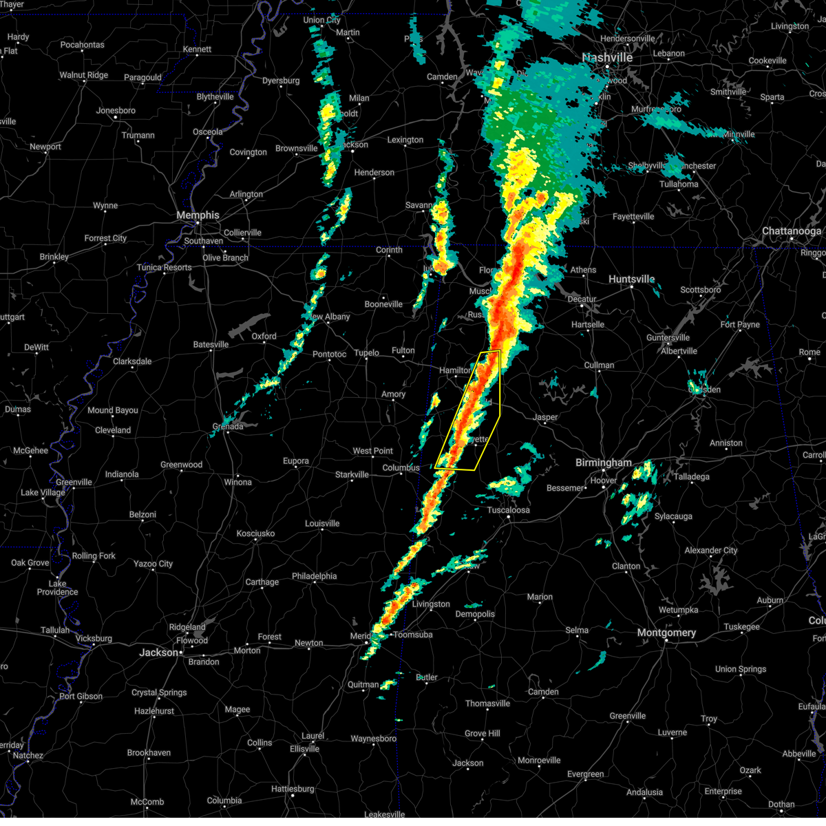 At 1032 am cst, severe thunderstorms were located along a line extending from 6 miles southeast of killen to near belk, moving northeast at 45 mph (radar indicated). Hazards include 60 mph wind gusts. Expect damage to roofs, siding, and trees. locations impacted include, winfield, fayette, millport, guin, brilliant, glen allen, kennedy, belk, gu- win, bluff, ashcraft corner, blooming grove, brinn, lake buttahatchee, crossville, bear creek, twin, tucker, cody and wayside. hail threat, radar indicated max hail size, <. 75 in wind threat, radar indicated max wind gust, 60 mph. At 1032 am cst, severe thunderstorms were located along a line extending from 6 miles southeast of killen to near belk, moving northeast at 45 mph (radar indicated). Hazards include 60 mph wind gusts. Expect damage to roofs, siding, and trees. locations impacted include, winfield, fayette, millport, guin, brilliant, glen allen, kennedy, belk, gu- win, bluff, ashcraft corner, blooming grove, brinn, lake buttahatchee, crossville, bear creek, twin, tucker, cody and wayside. hail threat, radar indicated max hail size, <. 75 in wind threat, radar indicated max wind gust, 60 mph.
|
| 3/3/2023 10:18 AM CST |
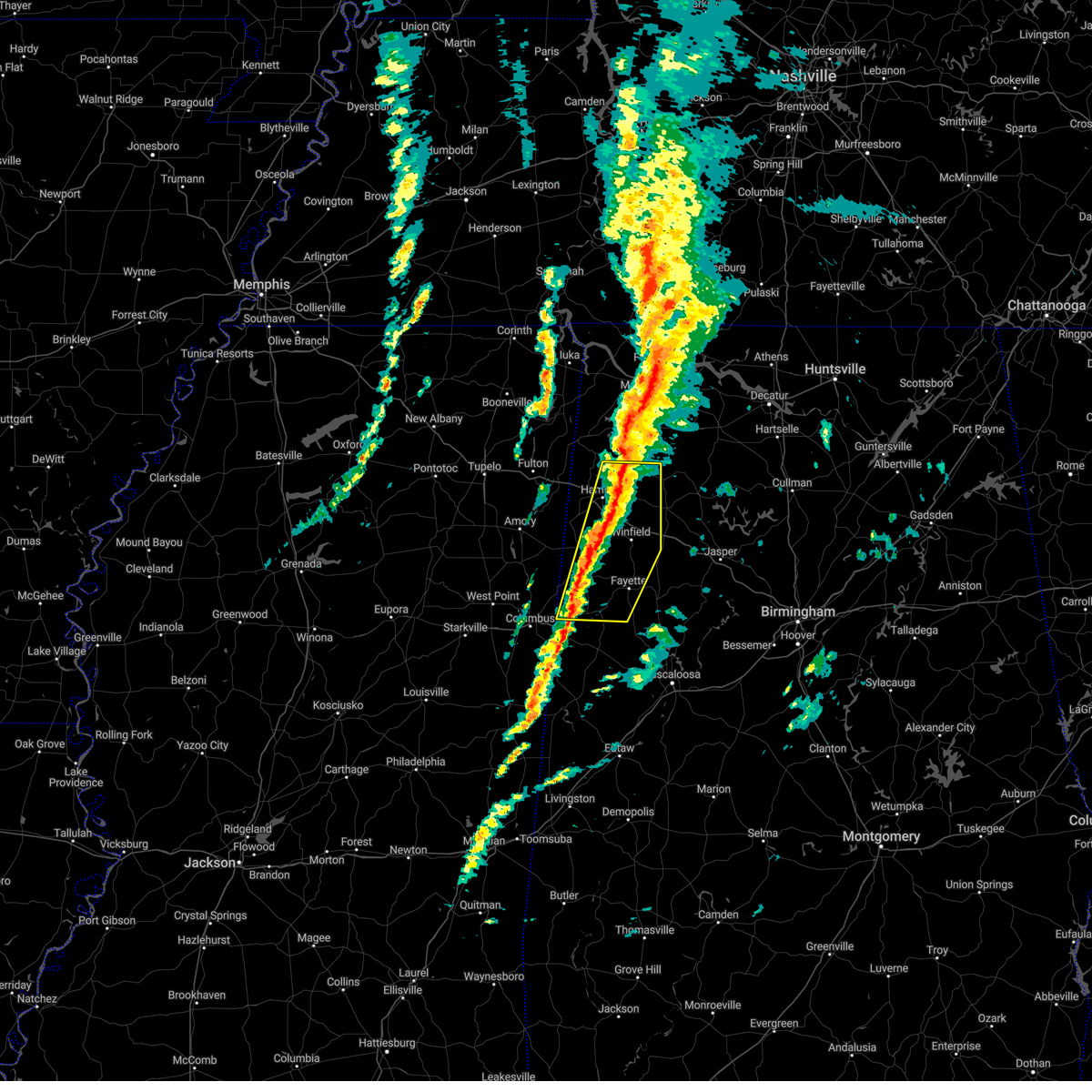 At 1018 am cst, severe thunderstorms were located along a line extending from near muscle shoals to near millport, moving east at 45 mph (radar indicated). Hazards include 60 mph wind gusts. Expect damage to roofs, siding, and trees. locations impacted include, hamilton, winfield, fayette, vernon, sulligent, millport, guin, hackleburg, brilliant, glen allen, kennedy, belk, beaverton, gu- win, weston, bluff, ashcraft corner, blooming grove, lamar county airport and brinn. hail threat, radar indicated max hail size, <. 75 in wind threat, radar indicated max wind gust, 60 mph. At 1018 am cst, severe thunderstorms were located along a line extending from near muscle shoals to near millport, moving east at 45 mph (radar indicated). Hazards include 60 mph wind gusts. Expect damage to roofs, siding, and trees. locations impacted include, hamilton, winfield, fayette, vernon, sulligent, millport, guin, hackleburg, brilliant, glen allen, kennedy, belk, beaverton, gu- win, weston, bluff, ashcraft corner, blooming grove, lamar county airport and brinn. hail threat, radar indicated max hail size, <. 75 in wind threat, radar indicated max wind gust, 60 mph.
|
| 3/3/2023 10:05 AM CST |
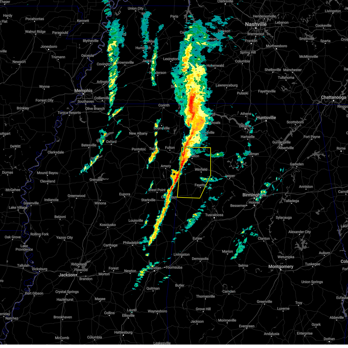 At 1005 am cst, severe thunderstorms were located along a line extending from near tuscumbia to near caledonia, moving east at 45 mph (radar indicated). Hazards include 60 mph wind gusts. Expect damage to roofs, siding, and trees. locations impacted include, hamilton, winfield, fayette, vernon, sulligent, millport, guin, hackleburg, brilliant, glen allen, kennedy, detroit, belk, beaverton, gu-win, bluff, blooming grove, brinn, lake buttahatchee and weston. hail threat, radar indicated max hail size, <. 75 in wind threat, radar indicated max wind gust, 60 mph. At 1005 am cst, severe thunderstorms were located along a line extending from near tuscumbia to near caledonia, moving east at 45 mph (radar indicated). Hazards include 60 mph wind gusts. Expect damage to roofs, siding, and trees. locations impacted include, hamilton, winfield, fayette, vernon, sulligent, millport, guin, hackleburg, brilliant, glen allen, kennedy, detroit, belk, beaverton, gu-win, bluff, blooming grove, brinn, lake buttahatchee and weston. hail threat, radar indicated max hail size, <. 75 in wind threat, radar indicated max wind gust, 60 mph.
|
| 3/3/2023 9:45 AM CST |
 At 944 am cst, severe thunderstorms were located along a line extending from 8 miles east of tishomingo state park to near columbus afb, moving northeast at 55 mph (radar indicated). Hazards include 60 mph wind gusts. Expect damage to roofs, siding, and trees. locations impacted include, hamilton, winfield, fayette, vernon, sulligent, millport, guin, hackleburg, brilliant, glen allen, kennedy, detroit, belk, beaverton, gu-win, bluff, blooming grove, brinn, lake buttahatchee and weston. hail threat, radar indicated max hail size, <. 75 in wind threat, radar indicated max wind gust, 60 mph. At 944 am cst, severe thunderstorms were located along a line extending from 8 miles east of tishomingo state park to near columbus afb, moving northeast at 55 mph (radar indicated). Hazards include 60 mph wind gusts. Expect damage to roofs, siding, and trees. locations impacted include, hamilton, winfield, fayette, vernon, sulligent, millport, guin, hackleburg, brilliant, glen allen, kennedy, detroit, belk, beaverton, gu-win, bluff, blooming grove, brinn, lake buttahatchee and weston. hail threat, radar indicated max hail size, <. 75 in wind threat, radar indicated max wind gust, 60 mph.
|
| 3/3/2023 9:29 AM CST |
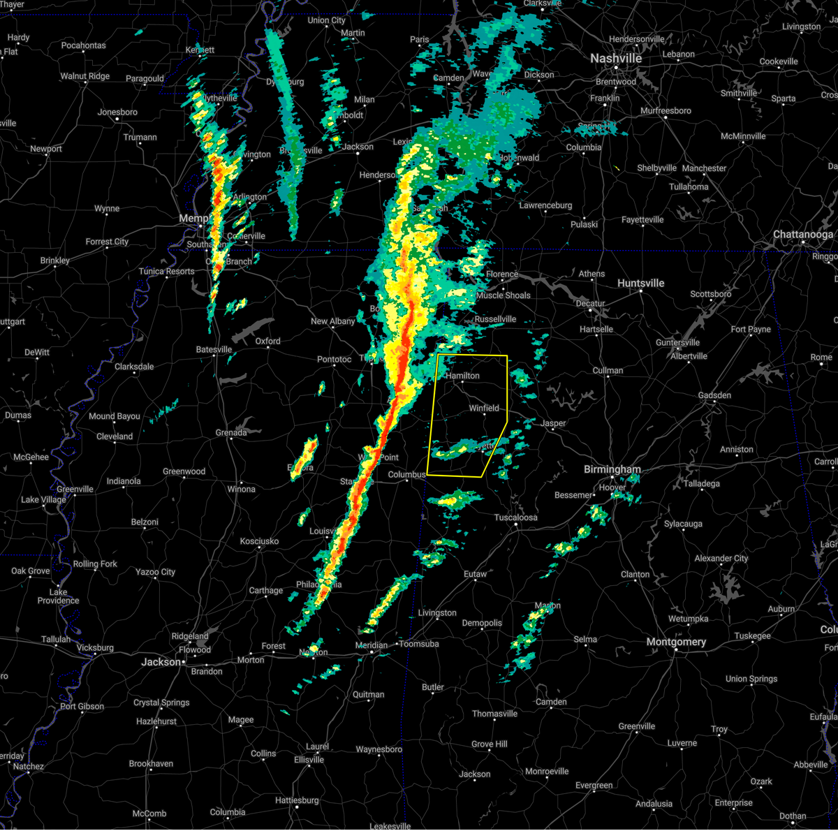 At 928 am cst, severe thunderstorms were located along a line extending from near tishomingo to near tibbee, moving northeast at 55 mph (radar indicated). Hazards include 60 mph wind gusts. expect damage to roofs, siding, and trees At 928 am cst, severe thunderstorms were located along a line extending from near tishomingo to near tibbee, moving northeast at 55 mph (radar indicated). Hazards include 60 mph wind gusts. expect damage to roofs, siding, and trees
|
| 11/30/2022 12:00 AM CST |
 At 1200 am cst, severe thunderstorms were located along a line extending from near glen allen to near ashcraft corner to near pickensville, moving east at 60 mph (radar indicated). Hazards include 60 mph wind gusts. expect damage to roofs, siding, and trees At 1200 am cst, severe thunderstorms were located along a line extending from near glen allen to near ashcraft corner to near pickensville, moving east at 60 mph (radar indicated). Hazards include 60 mph wind gusts. expect damage to roofs, siding, and trees
|
| 11/29/2022 6:09 PM CST |
 At 609 pm cst, a severe thunderstorm was located near fayette, moving northeast at 40 mph (radar indicated). Hazards include half dollar size hail. damage to vehicles is expected At 609 pm cst, a severe thunderstorm was located near fayette, moving northeast at 40 mph (radar indicated). Hazards include half dollar size hail. damage to vehicles is expected
|
| 10/13/2022 12:24 AM CDT |
 At 1224 am cdt, severe thunderstorms were located along a line extending from near kennedy to near millport to near ethelsville, moving southeast at 50 mph (radar indicated). Hazards include 60 mph wind gusts. Expect damage to roofs, siding, and trees. locations impacted include, fayette, gordo, reform, millport, kennedy, belk, ethelsville, ashcraft corner, cody, north pickens airport, mcshan, shaw, lubbub, hightogy, macedonia, forest and owens. hail threat, radar indicated max hail size, <. 75 in wind threat, radar indicated max wind gust, 60 mph. At 1224 am cdt, severe thunderstorms were located along a line extending from near kennedy to near millport to near ethelsville, moving southeast at 50 mph (radar indicated). Hazards include 60 mph wind gusts. Expect damage to roofs, siding, and trees. locations impacted include, fayette, gordo, reform, millport, kennedy, belk, ethelsville, ashcraft corner, cody, north pickens airport, mcshan, shaw, lubbub, hightogy, macedonia, forest and owens. hail threat, radar indicated max hail size, <. 75 in wind threat, radar indicated max wind gust, 60 mph.
|
| 10/13/2022 12:14 AM CDT |
 At 1213 am cdt, a severe thunderstorm was located near steens, or 7 miles west of millport, moving southeast at 50 mph (radar indicated). Hazards include 60 mph wind gusts. expect damage to roofs, siding, and trees At 1213 am cdt, a severe thunderstorm was located near steens, or 7 miles west of millport, moving southeast at 50 mph (radar indicated). Hazards include 60 mph wind gusts. expect damage to roofs, siding, and trees
|
| 6/17/2022 3:47 PM CDT |
 At 346 pm cdt, severe thunderstorms were located along a line extending from 7 miles east of carbon hill to 7 miles northeast of berry to near bankston, moving southeast at 45 mph (radar indicated). Hazards include 60 mph wind gusts. expect damage to roofs, siding, and trees At 346 pm cdt, severe thunderstorms were located along a line extending from 7 miles east of carbon hill to 7 miles northeast of berry to near bankston, moving southeast at 45 mph (radar indicated). Hazards include 60 mph wind gusts. expect damage to roofs, siding, and trees
|
| 6/17/2022 3:37 PM CDT |
 At 335 pm cdt, severe thunderstorms were located along a line extending from near lynn to near glen allen to near belk, moving southeast at 20 mph (radar indicated). Hazards include 60 mph wind gusts and quarter size hail. Hail damage to vehicles is expected. expect wind damage to roofs, siding, and trees. locations impacted include, winfield, fayette, carbon hill, berry, glen allen, kansas, nauvoo, eldridge, ashcraft corner, boley springs, bankston, stone wall, bazemore, richard arthur field, west corona, fayette county public lake, bevill state college fayette, hubbertville, cedrum area and fowlers crossroads. hail threat, radar indicated max hail size, 1. 00 in wind threat, radar indicated max wind gust, 60 mph. At 335 pm cdt, severe thunderstorms were located along a line extending from near lynn to near glen allen to near belk, moving southeast at 20 mph (radar indicated). Hazards include 60 mph wind gusts and quarter size hail. Hail damage to vehicles is expected. expect wind damage to roofs, siding, and trees. locations impacted include, winfield, fayette, carbon hill, berry, glen allen, kansas, nauvoo, eldridge, ashcraft corner, boley springs, bankston, stone wall, bazemore, richard arthur field, west corona, fayette county public lake, bevill state college fayette, hubbertville, cedrum area and fowlers crossroads. hail threat, radar indicated max hail size, 1. 00 in wind threat, radar indicated max wind gust, 60 mph.
|
| 6/17/2022 3:02 PM CDT |
 At 301 pm cdt, severe thunderstorms were located along a line extending from near lake buttahatchee to gu-win to near vernon, moving southeast at 20 mph (radar indicated). Hazards include 60 mph wind gusts and half dollar size hail. Hail damage to vehicles is expected. Expect wind damage to roofs, siding, and trees. At 301 pm cdt, severe thunderstorms were located along a line extending from near lake buttahatchee to gu-win to near vernon, moving southeast at 20 mph (radar indicated). Hazards include 60 mph wind gusts and half dollar size hail. Hail damage to vehicles is expected. Expect wind damage to roofs, siding, and trees.
|
| 6/2/2022 11:44 AM CDT |
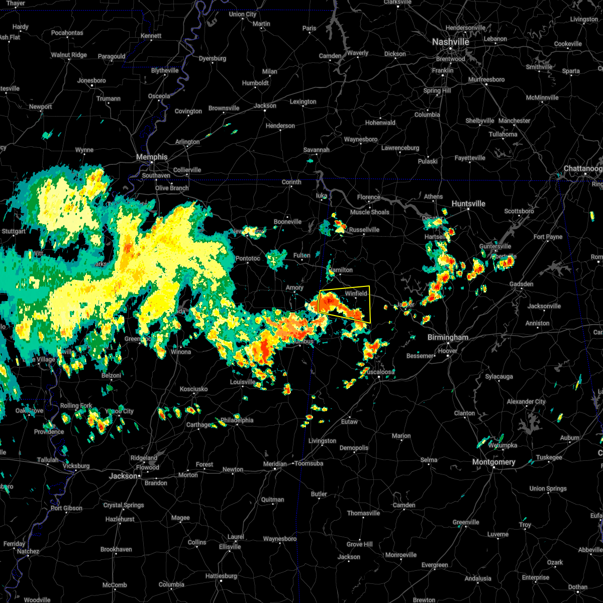 At 1143 am cdt, a severe thunderstorm was located near winfield, moving east at 40 mph (radar indicated). Hazards include 60 mph wind gusts and quarter size hail. Hail damage to vehicles is expected. expect wind damage to roofs, siding, and trees. locations impacted include, winfield, fayette, vernon, sulligent, guin, brilliant, glen allen, beaverton, gu- win, blooming grove, lamar county airport, crews, bluff, bedford, twin, tucker, bazemore, wayside, hubbertville and fowlers crossroads. hail threat, radar indicated max hail size, 1. 00 in wind threat, radar indicated max wind gust, 60 mph. At 1143 am cdt, a severe thunderstorm was located near winfield, moving east at 40 mph (radar indicated). Hazards include 60 mph wind gusts and quarter size hail. Hail damage to vehicles is expected. expect wind damage to roofs, siding, and trees. locations impacted include, winfield, fayette, vernon, sulligent, guin, brilliant, glen allen, beaverton, gu- win, blooming grove, lamar county airport, crews, bluff, bedford, twin, tucker, bazemore, wayside, hubbertville and fowlers crossroads. hail threat, radar indicated max hail size, 1. 00 in wind threat, radar indicated max wind gust, 60 mph.
|
| 6/2/2022 11:23 AM CDT |
 At 1122 am cdt, a severe thunderstorm was located over crews, or over sulligent, moving east at 40 mph (radar indicated). Hazards include 60 mph wind gusts and quarter size hail. Hail damage to vehicles is expected. Expect wind damage to roofs, siding, and trees. At 1122 am cdt, a severe thunderstorm was located over crews, or over sulligent, moving east at 40 mph (radar indicated). Hazards include 60 mph wind gusts and quarter size hail. Hail damage to vehicles is expected. Expect wind damage to roofs, siding, and trees.
|
| 5/2/2022 3:58 PM CDT |
 At 357 pm cdt, severe thunderstorms were located along a line extending from 7 miles south of vernon to 7 miles east of ashcraft corner, moving northeast at 30 mph (radar indicated). Hazards include 60 mph wind gusts and quarter size hail. Hail damage to vehicles is expected. expect wind damage to roofs, siding, and trees. locations impacted include, fayette, vernon, berry, kennedy, belk, bankston, blooming grove, lamar county airport, crossville, cody, stone wall, richard arthur field, fayette county public lake, bevill state college fayette, star and hightogy. hail threat, radar indicated max hail size, 1. 00 in wind threat, radar indicated max wind gust, 60 mph. At 357 pm cdt, severe thunderstorms were located along a line extending from 7 miles south of vernon to 7 miles east of ashcraft corner, moving northeast at 30 mph (radar indicated). Hazards include 60 mph wind gusts and quarter size hail. Hail damage to vehicles is expected. expect wind damage to roofs, siding, and trees. locations impacted include, fayette, vernon, berry, kennedy, belk, bankston, blooming grove, lamar county airport, crossville, cody, stone wall, richard arthur field, fayette county public lake, bevill state college fayette, star and hightogy. hail threat, radar indicated max hail size, 1. 00 in wind threat, radar indicated max wind gust, 60 mph.
|
| 5/2/2022 3:35 PM CDT |
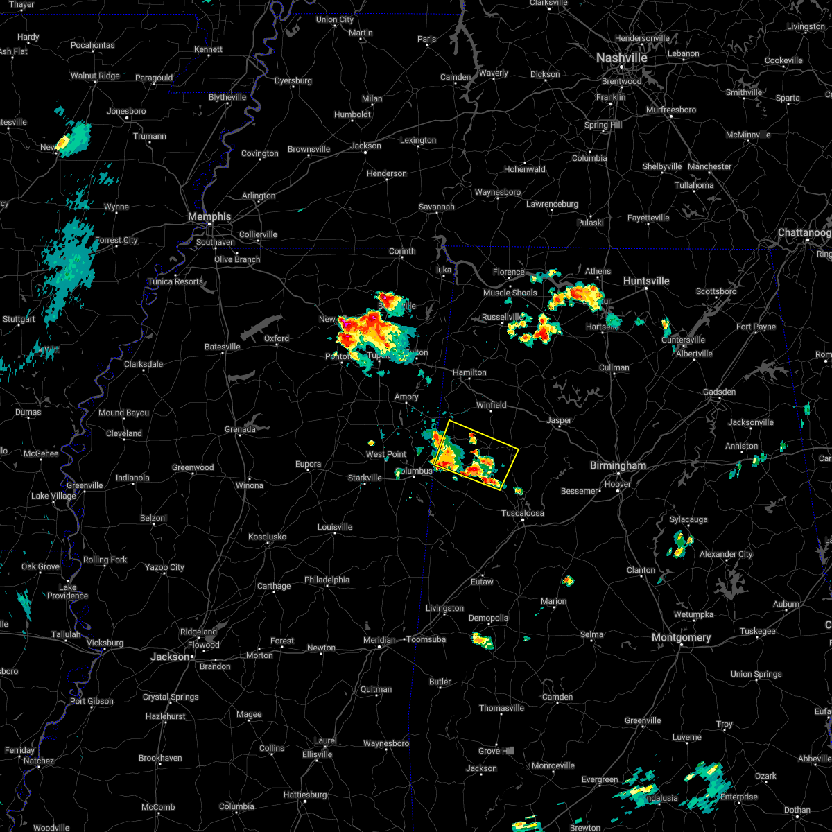 At 335 pm cdt, severe thunderstorms were located along a line extending from near steens to 6 miles southeast of ashcraft corner, moving northeast at 25 mph (radar indicated). Hazards include 60 mph wind gusts and quarter size hail. Hail damage to vehicles is expected. Expect wind damage to roofs, siding, and trees. At 335 pm cdt, severe thunderstorms were located along a line extending from near steens to 6 miles southeast of ashcraft corner, moving northeast at 25 mph (radar indicated). Hazards include 60 mph wind gusts and quarter size hail. Hail damage to vehicles is expected. Expect wind damage to roofs, siding, and trees.
|
| 4/13/2022 10:20 PM CDT |
 At 1019 pm cdt, severe thunderstorms were located along a line extending from brushy lake to 7 miles south of berry, moving east at 45 mph (radar indicated). Hazards include 60 mph wind gusts. Expect damage to roofs, siding, and trees. locations impacted include, fayette, carbon hill, lynn, berry, double springs, glen allen, kansas, nauvoo, eldridge, bankston, houston recreational area, ashbank, ashridge, winston free state barn, natural bridge, stone wall, richard arthur field, clear creek, fayette county public lake and pebble. hail threat, radar indicated max hail size, <. 75 in wind threat, radar indicated max wind gust, 60 mph. At 1019 pm cdt, severe thunderstorms were located along a line extending from brushy lake to 7 miles south of berry, moving east at 45 mph (radar indicated). Hazards include 60 mph wind gusts. Expect damage to roofs, siding, and trees. locations impacted include, fayette, carbon hill, lynn, berry, double springs, glen allen, kansas, nauvoo, eldridge, bankston, houston recreational area, ashbank, ashridge, winston free state barn, natural bridge, stone wall, richard arthur field, clear creek, fayette county public lake and pebble. hail threat, radar indicated max hail size, <. 75 in wind threat, radar indicated max wind gust, 60 mph.
|
| 4/13/2022 9:47 PM CDT |
 At 946 pm cdt, severe thunderstorms were located along a line extending from near haleyville to near millport, moving east at 45 mph (radar indicated). Hazards include 60 mph wind gusts. expect damage to roofs, siding, and trees At 946 pm cdt, severe thunderstorms were located along a line extending from near haleyville to near millport, moving east at 45 mph (radar indicated). Hazards include 60 mph wind gusts. expect damage to roofs, siding, and trees
|
| 3/30/2022 9:01 PM CDT |
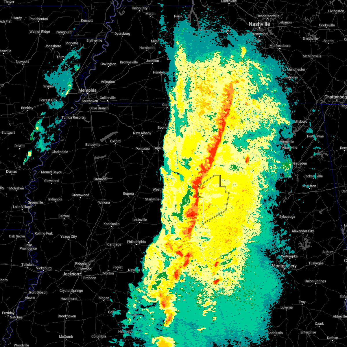 At 901 pm cdt, severe thunderstorms were located along a line extending from near belk to near mantua, moving northeast at 40 mph (radar indicated). Hazards include 60 mph wind gusts. expect damage to roofs, siding, and trees At 901 pm cdt, severe thunderstorms were located along a line extending from near belk to near mantua, moving northeast at 40 mph (radar indicated). Hazards include 60 mph wind gusts. expect damage to roofs, siding, and trees
|
| 12/29/2021 7:16 PM CST |
 At 716 pm cst, a severe thunderstorm was located near bankston, or 7 miles northeast of fayette, moving east at 45 mph (radar indicated). Hazards include ping pong ball size hail and 60 mph wind gusts. People and animals outdoors will be injured. expect hail damage to roofs, siding, windows, and vehicles. expect wind damage to roofs, siding, and trees. locations impacted include, fayette, berry, bankston, hubbertville, fowlers crossroads and richard arthur field. hail threat, radar indicated max hail size, 1. 50 in wind threat, radar indicated max wind gust, 60 mph. At 716 pm cst, a severe thunderstorm was located near bankston, or 7 miles northeast of fayette, moving east at 45 mph (radar indicated). Hazards include ping pong ball size hail and 60 mph wind gusts. People and animals outdoors will be injured. expect hail damage to roofs, siding, windows, and vehicles. expect wind damage to roofs, siding, and trees. locations impacted include, fayette, berry, bankston, hubbertville, fowlers crossroads and richard arthur field. hail threat, radar indicated max hail size, 1. 50 in wind threat, radar indicated max wind gust, 60 mph.
|
| 12/29/2021 7:06 PM CST |
 At 706 pm cst, a severe thunderstorm was located over fayette, moving east at 45 mph (radar indicated). Hazards include ping pong ball size hail and 60 mph wind gusts. People and animals outdoors will be injured. expect hail damage to roofs, siding, windows, and vehicles. expect wind damage to roofs, siding, and trees. locations impacted include, fayette, berry, belk, bankston, bluff, bevill state college fayette, hubbertville, fowlers crossroads, richard arthur field and fayette county public lake. hail threat, radar indicated max hail size, 1. 50 in wind threat, radar indicated max wind gust, 60 mph. At 706 pm cst, a severe thunderstorm was located over fayette, moving east at 45 mph (radar indicated). Hazards include ping pong ball size hail and 60 mph wind gusts. People and animals outdoors will be injured. expect hail damage to roofs, siding, windows, and vehicles. expect wind damage to roofs, siding, and trees. locations impacted include, fayette, berry, belk, bankston, bluff, bevill state college fayette, hubbertville, fowlers crossroads, richard arthur field and fayette county public lake. hail threat, radar indicated max hail size, 1. 50 in wind threat, radar indicated max wind gust, 60 mph.
|
| 12/29/2021 7:00 PM CST |
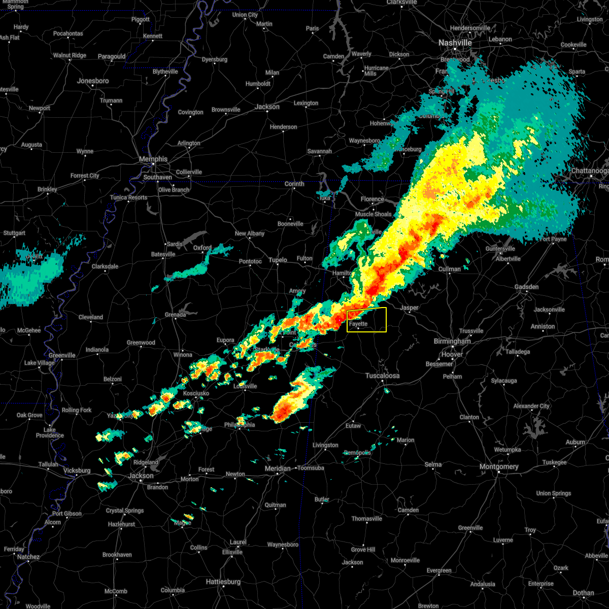 At 700 pm cst, a severe thunderstorm was located near blooming grove, or near fayette, moving east at 45 mph (radar indicated). Hazards include 60 mph wind gusts and quarter size hail. Hail damage to vehicles is expected. Expect wind damage to roofs, siding, and trees. At 700 pm cst, a severe thunderstorm was located near blooming grove, or near fayette, moving east at 45 mph (radar indicated). Hazards include 60 mph wind gusts and quarter size hail. Hail damage to vehicles is expected. Expect wind damage to roofs, siding, and trees.
|
| 12/6/2021 8:36 AM CST |
 At 834 am cst, severe thunderstorms were located along a line extending from near fayette to near ethelsville to near deerbrook, moving east at 40 mph (radar indicated). Hazards include 60 mph wind gusts. expect damage to roofs, siding, and trees At 834 am cst, severe thunderstorms were located along a line extending from near fayette to near ethelsville to near deerbrook, moving east at 40 mph (radar indicated). Hazards include 60 mph wind gusts. expect damage to roofs, siding, and trees
|
| 6/13/2021 1:26 PM CDT | Trees and powerlines down. trees were also reported down in the city of fayette... and near berry and newtonvill in fayette county AL, 10.3 miles NW of Fayette, AL |
| 6/13/2021 1:06 PM CDT |
 At 106 pm cdt, a severe thunderstorm was located near bankston, or near fayette, moving southeast at 15 mph (radar indicated). Hazards include 60 mph wind gusts. expect damage to roofs, siding, and trees At 106 pm cdt, a severe thunderstorm was located near bankston, or near fayette, moving southeast at 15 mph (radar indicated). Hazards include 60 mph wind gusts. expect damage to roofs, siding, and trees
|
| 5/6/2021 7:11 PM CDT |
 At 710 pm cdt, severe thunderstorms were located along a line extending from near curry to near berry to near kennedy, moving southeast at 40 mph (radar indicated). Hazards include 60 mph wind gusts. Expect damage to roofs, siding, and trees. Locations impacted include, jasper, fayette, sumiton, cordova, dora, carbon hill, millport, berry, parrish, oakman, kennedy, sipsey, kansas, belk, eldridge, curry, smith dam, boley springs, burnwell and beloit. At 710 pm cdt, severe thunderstorms were located along a line extending from near curry to near berry to near kennedy, moving southeast at 40 mph (radar indicated). Hazards include 60 mph wind gusts. Expect damage to roofs, siding, and trees. Locations impacted include, jasper, fayette, sumiton, cordova, dora, carbon hill, millport, berry, parrish, oakman, kennedy, sipsey, kansas, belk, eldridge, curry, smith dam, boley springs, burnwell and beloit.
|
| 5/6/2021 6:27 PM CDT |
 At 626 pm cdt, severe thunderstorms were located along a line extending from near ashridge to near lake buttahatchee to near detroit, moving southeast at 50 mph (radar indicated). Hazards include 60 mph wind gusts. expect damage to roofs, siding, and trees At 626 pm cdt, severe thunderstorms were located along a line extending from near ashridge to near lake buttahatchee to near detroit, moving southeast at 50 mph (radar indicated). Hazards include 60 mph wind gusts. expect damage to roofs, siding, and trees
|
| 3/28/2021 4:43 AM CDT |
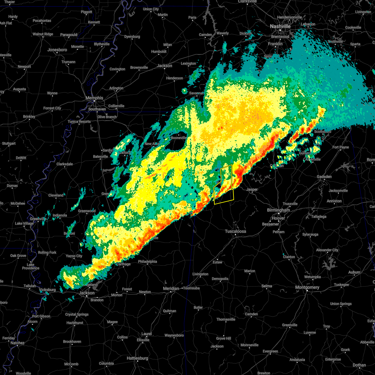 The severe thunderstorm warning for southeastern marion and northwestern fayette counties will expire at 445 am cdt, the storm which prompted the warning has moved out of the area. therefore, the warning will be allowed to expire. a tornado watch remains in effect until 600 am cdt for northwestern and west central alabama. The severe thunderstorm warning for southeastern marion and northwestern fayette counties will expire at 445 am cdt, the storm which prompted the warning has moved out of the area. therefore, the warning will be allowed to expire. a tornado watch remains in effect until 600 am cdt for northwestern and west central alabama.
|
| 3/28/2021 4:36 AM CDT |
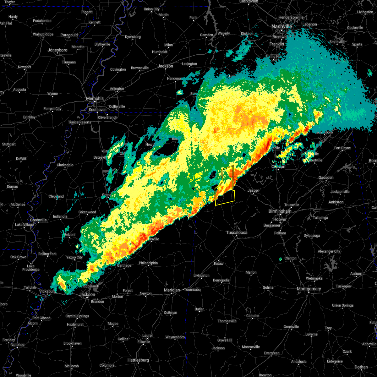 At 435 am cdt, a severe thunderstorm was located near eldridge, or 7 miles southeast of winfield, moving east at 65 mph (radar indicated). Hazards include 70 mph wind gusts and quarter size hail. Hail damage to vehicles is expected. expect considerable tree damage. wind damage is also likely to mobile homes, roofs, and outbuildings. Locations impacted include, winfield, fayette, haleyville, brilliant, glen allen, belk, gu- win, brinn, lake buttahatchee, bluff, tucker, bazemore, wayside, richard arthur field, bevill state college fayette, hubbertville, fowlers crossroads, texas and piney grove. At 435 am cdt, a severe thunderstorm was located near eldridge, or 7 miles southeast of winfield, moving east at 65 mph (radar indicated). Hazards include 70 mph wind gusts and quarter size hail. Hail damage to vehicles is expected. expect considerable tree damage. wind damage is also likely to mobile homes, roofs, and outbuildings. Locations impacted include, winfield, fayette, haleyville, brilliant, glen allen, belk, gu- win, brinn, lake buttahatchee, bluff, tucker, bazemore, wayside, richard arthur field, bevill state college fayette, hubbertville, fowlers crossroads, texas and piney grove.
|
| 3/28/2021 4:25 AM CDT |
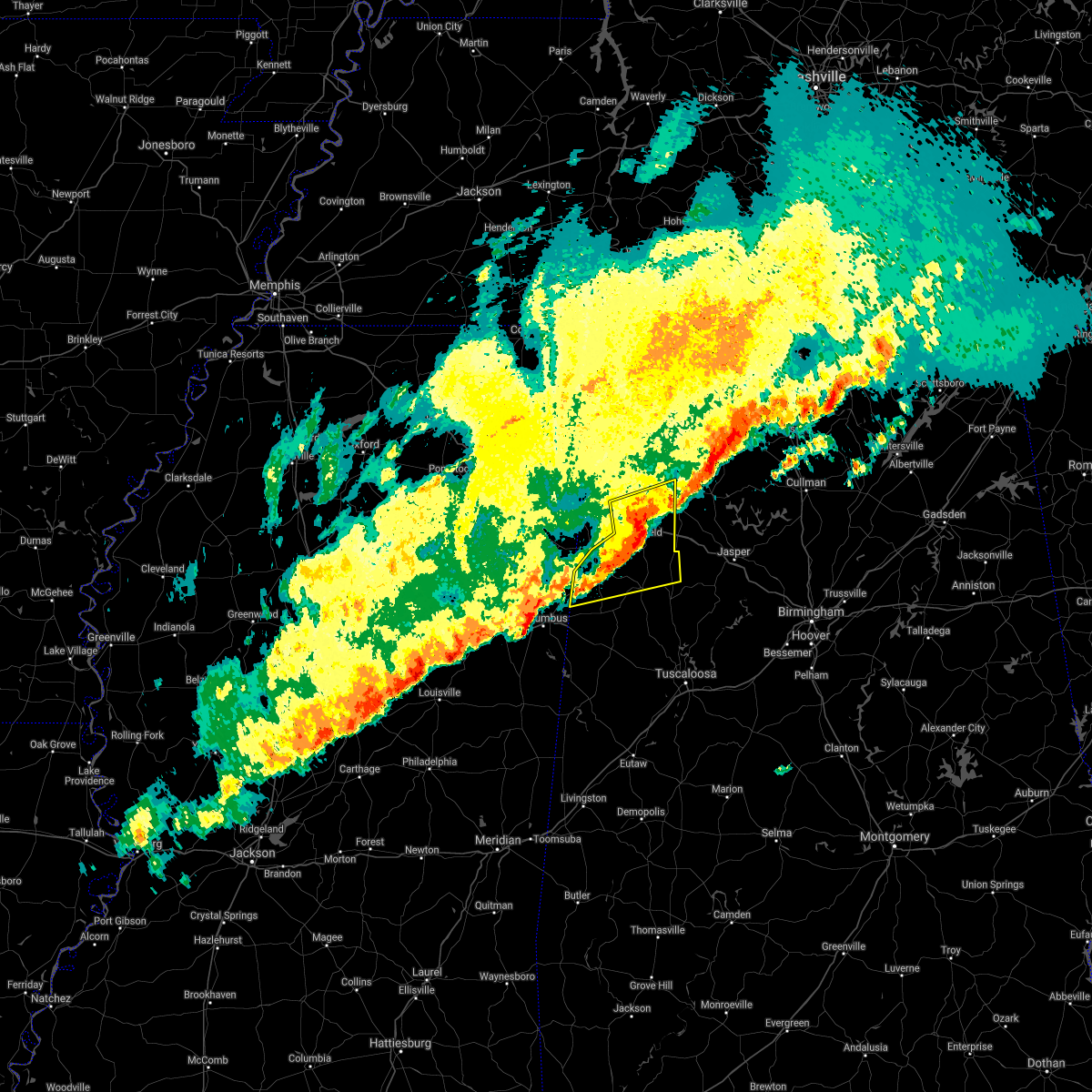 At 425 am cdt, a severe thunderstorm was located over bluff, or 7 miles southwest of winfield, moving east at 65 mph (radar indicated). Hazards include 70 mph wind gusts and quarter size hail. Hail damage to vehicles is expected. expect considerable tree damage. wind damage is also likely to mobile homes, roofs, and outbuildings. Locations impacted include, hamilton, winfield, fayette, haleyville, vernon, sulligent, guin, brilliant, glen allen, belk, beaverton, gu- win, bluff, blooming grove, lamar county airport, brinn, lake buttahatchee, crews, bedford and twin. At 425 am cdt, a severe thunderstorm was located over bluff, or 7 miles southwest of winfield, moving east at 65 mph (radar indicated). Hazards include 70 mph wind gusts and quarter size hail. Hail damage to vehicles is expected. expect considerable tree damage. wind damage is also likely to mobile homes, roofs, and outbuildings. Locations impacted include, hamilton, winfield, fayette, haleyville, vernon, sulligent, guin, brilliant, glen allen, belk, beaverton, gu- win, bluff, blooming grove, lamar county airport, brinn, lake buttahatchee, crews, bedford and twin.
|
| 3/28/2021 4:10 AM CDT |
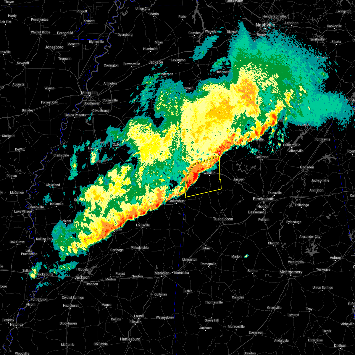 At 410 am cdt, a severe thunderstorm was located over bedford, or near vernon, moving east at 65 mph (radar indicated). Hazards include 70 mph wind gusts and quarter size hail. Hail damage to vehicles is expected. expect considerable tree damage. wind damage is also likely to mobile homes, roofs, and outbuildings. Locations impacted include, hamilton, winfield, fayette, haleyville, vernon, sulligent, guin, brilliant, glen allen, detroit, belk, beaverton, gu- win, bluff, blooming grove, lamar county airport, brinn, lake buttahatchee, crews and bedford. At 410 am cdt, a severe thunderstorm was located over bedford, or near vernon, moving east at 65 mph (radar indicated). Hazards include 70 mph wind gusts and quarter size hail. Hail damage to vehicles is expected. expect considerable tree damage. wind damage is also likely to mobile homes, roofs, and outbuildings. Locations impacted include, hamilton, winfield, fayette, haleyville, vernon, sulligent, guin, brilliant, glen allen, detroit, belk, beaverton, gu- win, bluff, blooming grove, lamar county airport, brinn, lake buttahatchee, crews and bedford.
|
| 3/28/2021 3:47 AM CDT |
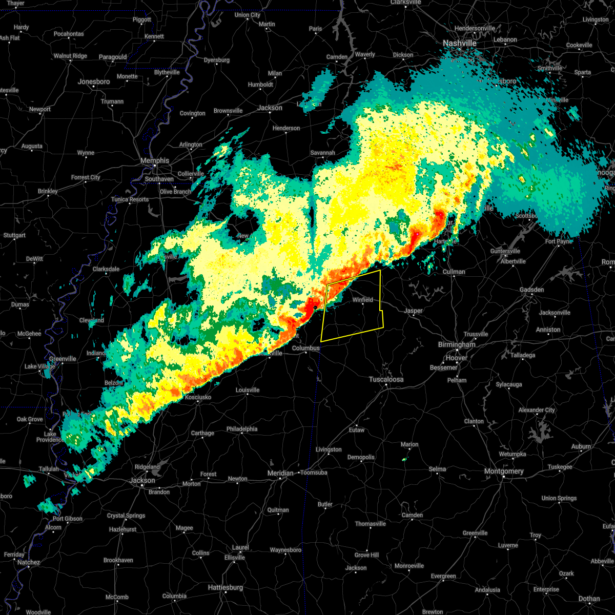 At 347 am cdt, a severe thunderstorm was located near west point, moving east at 65 mph (radar indicated). Hazards include 60 mph wind gusts and quarter size hail. Hail damage to vehicles is expected. Expect wind damage to roofs, siding, and trees. At 347 am cdt, a severe thunderstorm was located near west point, moving east at 65 mph (radar indicated). Hazards include 60 mph wind gusts and quarter size hail. Hail damage to vehicles is expected. Expect wind damage to roofs, siding, and trees.
|
| 3/27/2021 6:23 PM CDT |
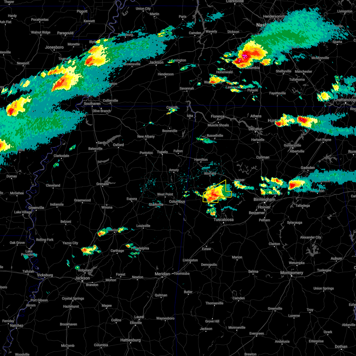 At 623 pm cdt, a severe thunderstorm was located near bankston, or near fayette, moving northeast at 40 mph (radar indicated). Hazards include 60 mph wind gusts and quarter size hail. Hail damage to vehicles is expected. expect wind damage to roofs, siding, and trees. Locations impacted include, fayette, berry, belk, bankston, boley springs, bevill state college fayette, stone wall, fowlers crossroads, richard arthur field and fayette county public lake. At 623 pm cdt, a severe thunderstorm was located near bankston, or near fayette, moving northeast at 40 mph (radar indicated). Hazards include 60 mph wind gusts and quarter size hail. Hail damage to vehicles is expected. expect wind damage to roofs, siding, and trees. Locations impacted include, fayette, berry, belk, bankston, boley springs, bevill state college fayette, stone wall, fowlers crossroads, richard arthur field and fayette county public lake.
|
| 3/27/2021 5:59 PM CDT |
 The national weather service in birmingham has issued a * severe thunderstorm warning for. northeastern pickens county in west central alabama. fayette county in west central alabama. until 645 pm cdt. At 559 pm cdt, a severe thunderstorm was located over kennedy, or. The national weather service in birmingham has issued a * severe thunderstorm warning for. northeastern pickens county in west central alabama. fayette county in west central alabama. until 645 pm cdt. At 559 pm cdt, a severe thunderstorm was located over kennedy, or.
|
| 3/17/2021 8:08 PM CDT |
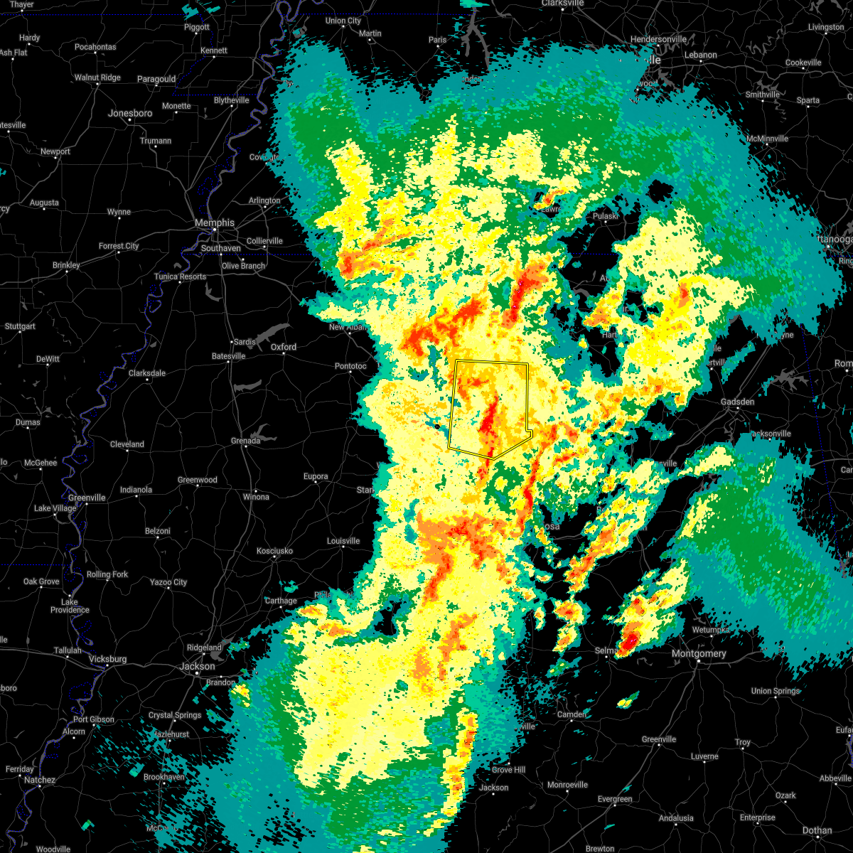 At 807 pm cdt, severe thunderstorms were located along a line extending from near tremont to near beaverton to near belk, moving northeast at 45 mph (radar indicated). Hazards include 60 mph wind gusts. Expect damage to roofs, siding, and trees. Locations impacted include, hamilton, winfield, fayette, haleyville, vernon, sulligent, guin, hackleburg, brilliant, glen allen, detroit, beaverton, gu- win, weston, bluff, blooming grove, lamar county airport, brinn, lake buttahatchee and crews. At 807 pm cdt, severe thunderstorms were located along a line extending from near tremont to near beaverton to near belk, moving northeast at 45 mph (radar indicated). Hazards include 60 mph wind gusts. Expect damage to roofs, siding, and trees. Locations impacted include, hamilton, winfield, fayette, haleyville, vernon, sulligent, guin, hackleburg, brilliant, glen allen, detroit, beaverton, gu- win, weston, bluff, blooming grove, lamar county airport, brinn, lake buttahatchee and crews.
|
| 3/17/2021 7:47 PM CDT |
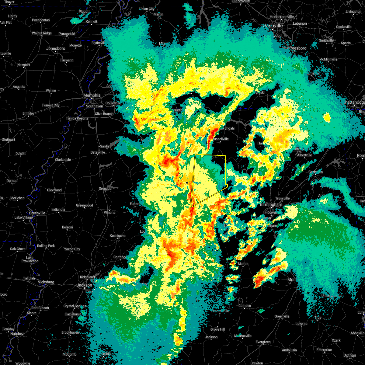 At 746 pm cdt, severe thunderstorms were located along a line extending from near amory to 7 miles northwest of bedford to near steens, moving northeast at 45 mph (radar indicated). Hazards include 60 mph wind gusts. expect damage to roofs, siding, and trees At 746 pm cdt, severe thunderstorms were located along a line extending from near amory to 7 miles northwest of bedford to near steens, moving northeast at 45 mph (radar indicated). Hazards include 60 mph wind gusts. expect damage to roofs, siding, and trees
|
| 8/28/2020 5:44 PM CDT |
 At 544 pm cdt, severe thunderstorms were located along a line extending from near eldridge to belk, moving east at 45 mph (radar indicated). Hazards include 60 mph wind gusts and penny size hail. Expect damage to roofs, siding, and trees. Locations impacted include, jasper, fayette, carbon hill, berry, belk, bankston, richard arthur field, west corona, fayette county public lake, bevill state college fayette, hubbertville, cedrum area, fowlers crossroads, holly grove, gamble and townley. At 544 pm cdt, severe thunderstorms were located along a line extending from near eldridge to belk, moving east at 45 mph (radar indicated). Hazards include 60 mph wind gusts and penny size hail. Expect damage to roofs, siding, and trees. Locations impacted include, jasper, fayette, carbon hill, berry, belk, bankston, richard arthur field, west corona, fayette county public lake, bevill state college fayette, hubbertville, cedrum area, fowlers crossroads, holly grove, gamble and townley.
|
| 8/28/2020 5:27 PM CDT |
 At 527 pm cdt, severe thunderstorms were located along a line extending from near bluff to near millport, moving east at 40 mph (radar indicated). Hazards include 60 mph wind gusts and penny size hail. expect damage to roofs, siding, and trees At 527 pm cdt, severe thunderstorms were located along a line extending from near bluff to near millport, moving east at 40 mph (radar indicated). Hazards include 60 mph wind gusts and penny size hail. expect damage to roofs, siding, and trees
|
| 8/27/2020 2:51 PM CDT |
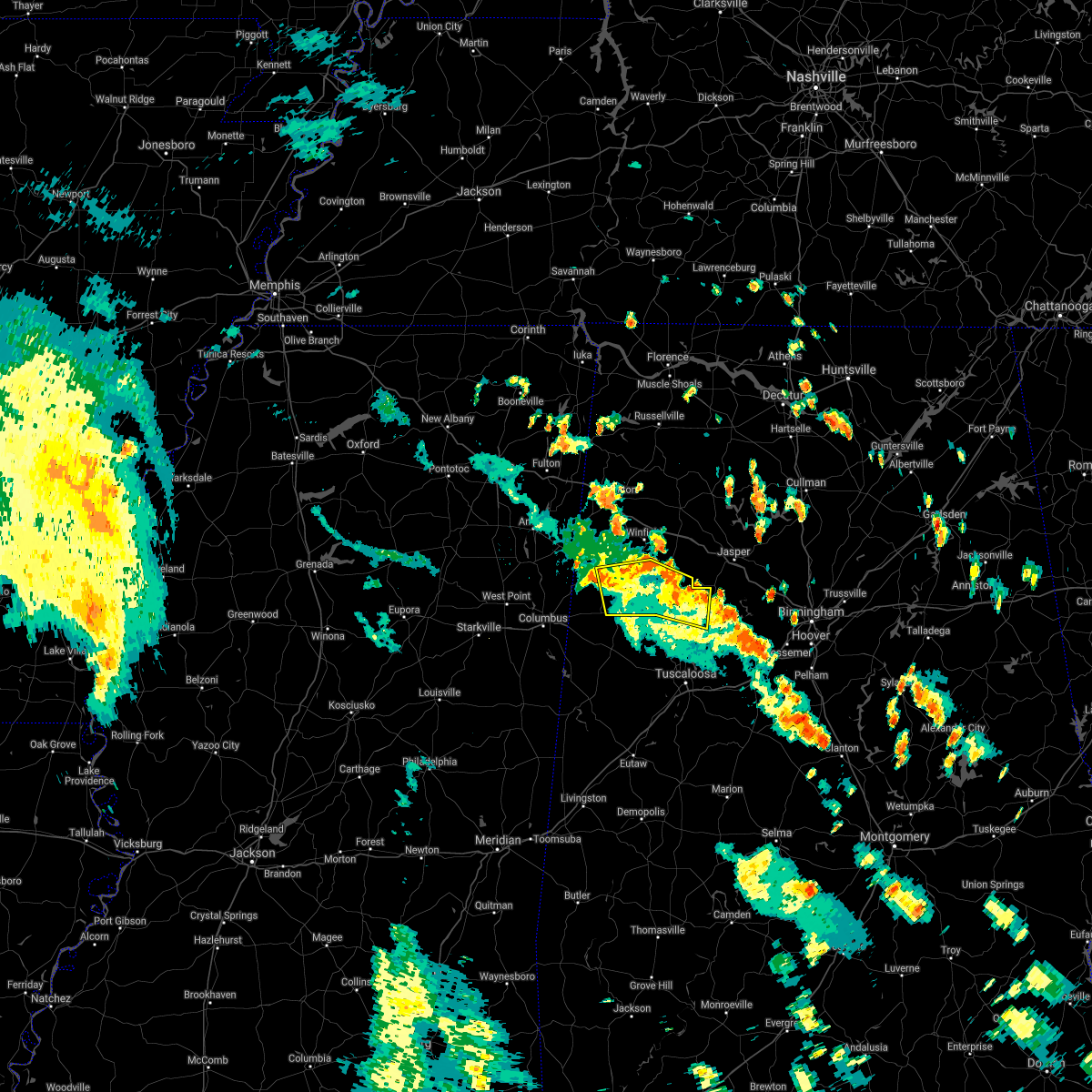 The severe thunderstorm warning for north central tuscaloosa, fayette and southeastern lamar counties will expire at 300 pm cdt, the storms which prompted the warning have weakened below severe limits, and no longer pose an immediate threat to life or property. therefore, the warning will be allowed to expire. however gusty winds are still possible with these thunderstorms. to report severe weather, contact your nearest law enforcement agency. they will relay your report to the national weather service birmingham. The severe thunderstorm warning for north central tuscaloosa, fayette and southeastern lamar counties will expire at 300 pm cdt, the storms which prompted the warning have weakened below severe limits, and no longer pose an immediate threat to life or property. therefore, the warning will be allowed to expire. however gusty winds are still possible with these thunderstorms. to report severe weather, contact your nearest law enforcement agency. they will relay your report to the national weather service birmingham.
|
| 8/27/2020 2:42 PM CDT |
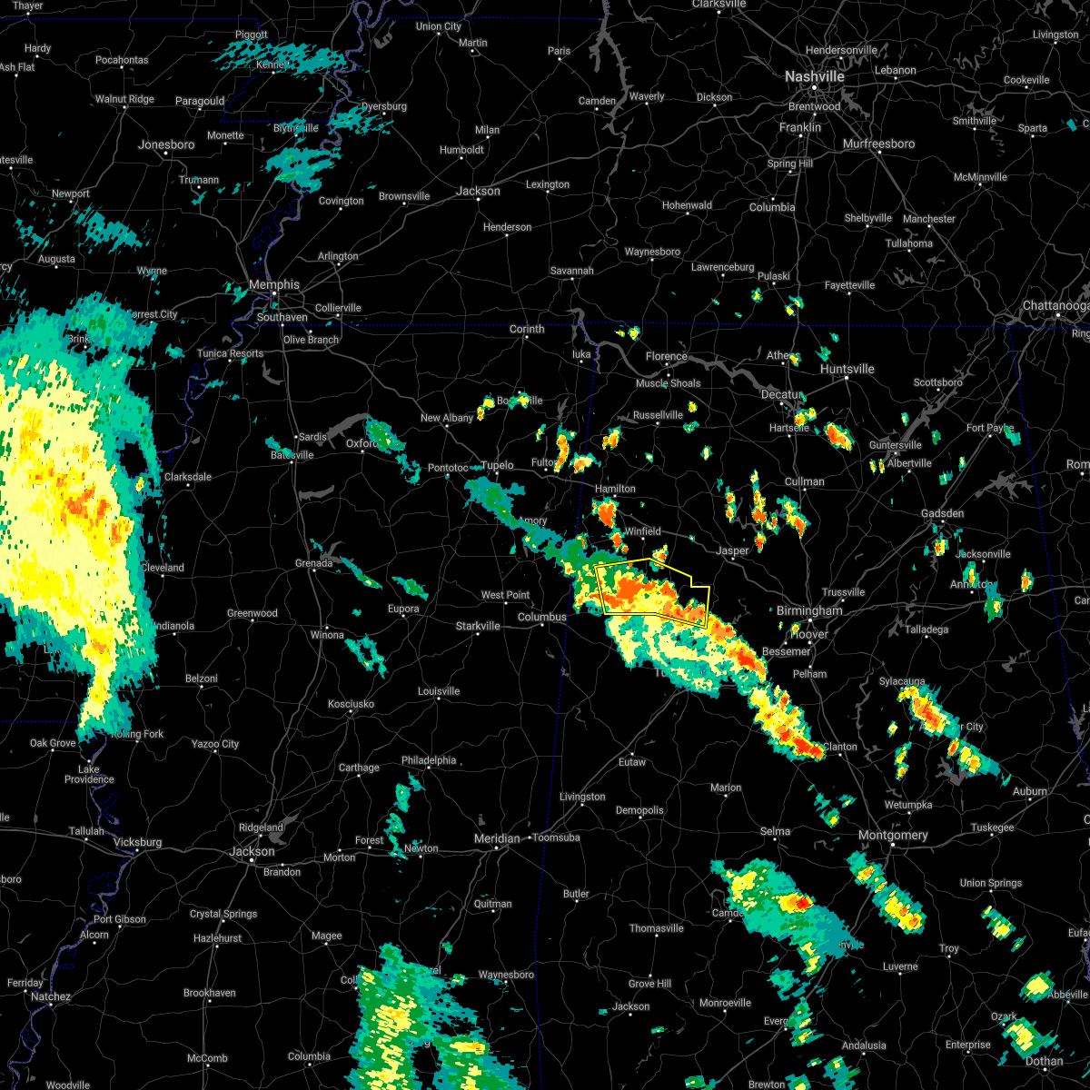 At 242 pm cdt, severe thunderstorms were located along a line extending from near belk to near fayette to near boley springs, moving north at 45 mph (radar indicated). Hazards include 60 mph wind gusts and penny size hail. Expect damage to roofs, siding, and trees. Locations impacted include, fayette, vernon, millport, berry, kennedy, belk, bankston, boley springs, blooming grove, cody, stone wall, richard arthur field, fayette county public lake, new lexington, bevill state college fayette and wiley. At 242 pm cdt, severe thunderstorms were located along a line extending from near belk to near fayette to near boley springs, moving north at 45 mph (radar indicated). Hazards include 60 mph wind gusts and penny size hail. Expect damage to roofs, siding, and trees. Locations impacted include, fayette, vernon, millport, berry, kennedy, belk, bankston, boley springs, blooming grove, cody, stone wall, richard arthur field, fayette county public lake, new lexington, bevill state college fayette and wiley.
|
| 8/27/2020 2:31 PM CDT |
 At 231 pm cdt, severe thunderstorms were located along a line extending from kennedy to 8 miles southwest of bankston to 7 miles south of boley springs, moving north at 45 mph (radar indicated). Hazards include 60 mph wind gusts and penny size hail. Expect damage to roofs, siding, and trees. Locations impacted include, fayette, vernon, reform, millport, berry, kennedy, belk, ashcraft corner, bankston, boley springs, blooming grove, samantha, binion creek landing, cody, stone wall, moores bridge, richard arthur field, windham springs, fayette county public lake and new lexington. At 231 pm cdt, severe thunderstorms were located along a line extending from kennedy to 8 miles southwest of bankston to 7 miles south of boley springs, moving north at 45 mph (radar indicated). Hazards include 60 mph wind gusts and penny size hail. Expect damage to roofs, siding, and trees. Locations impacted include, fayette, vernon, reform, millport, berry, kennedy, belk, ashcraft corner, bankston, boley springs, blooming grove, samantha, binion creek landing, cody, stone wall, moores bridge, richard arthur field, windham springs, fayette county public lake and new lexington.
|
| 8/27/2020 2:11 PM CDT |
 At 211 pm cdt, severe thunderstorms were located along a line extending from near gordo to near lake lurleen state park to near holt, moving north at 45 mph (radar indicated). Hazards include 60 mph wind gusts and penny size hail. expect damage to roofs, siding, and trees At 211 pm cdt, severe thunderstorms were located along a line extending from near gordo to near lake lurleen state park to near holt, moving north at 45 mph (radar indicated). Hazards include 60 mph wind gusts and penny size hail. expect damage to roofs, siding, and trees
|
| 7/12/2020 1:28 PM CDT |
 The severe thunderstorm warning for fayette and lamar counties will expire at 130 pm cdt, the storms which prompted the warning have weakened below severe limits, and no longer pose an immediate threat to life or property. therefore, the warning will be allowed to expire. a severe thunderstorm watch remains in effect until 700 pm cdt for central and west central alabama. The severe thunderstorm warning for fayette and lamar counties will expire at 130 pm cdt, the storms which prompted the warning have weakened below severe limits, and no longer pose an immediate threat to life or property. therefore, the warning will be allowed to expire. a severe thunderstorm watch remains in effect until 700 pm cdt for central and west central alabama.
|
| 7/12/2020 12:29 PM CDT |
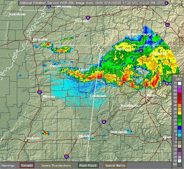 At 1229 pm cdt, severe thunderstorms were located along a line extending from near brilliant to near new wren, moving south at 35 mph (radar indicated). Hazards include 60 mph wind gusts. expect damage to roofs, siding, and trees At 1229 pm cdt, severe thunderstorms were located along a line extending from near brilliant to near new wren, moving south at 35 mph (radar indicated). Hazards include 60 mph wind gusts. expect damage to roofs, siding, and trees
|
| 3/29/2020 2:30 AM CDT |
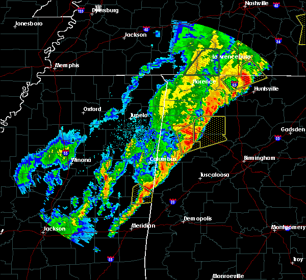 At 230 am cdt, severe thunderstorms were located along a line extending from near brilliant to near glen allen to 7 miles south of winfield, moving northeast at 75 mph (trained weather spotters). Hazards include golf ball size hail and 70 mph wind gusts. People and animals outdoors will be injured. expect hail damage to roofs, siding, windows, and vehicles. expect considerable tree damage. wind damage is also likely to mobile homes, roofs, and outbuildings. Locations impacted include, winfield, fayette, guin, brilliant, glen allen, gu- win, lake buttahatchee, twin, tucker, bazemore, richard arthur field, bevill state college fayette, hubbertville, fowlers crossroads, texas, piney grove and wayside. At 230 am cdt, severe thunderstorms were located along a line extending from near brilliant to near glen allen to 7 miles south of winfield, moving northeast at 75 mph (trained weather spotters). Hazards include golf ball size hail and 70 mph wind gusts. People and animals outdoors will be injured. expect hail damage to roofs, siding, windows, and vehicles. expect considerable tree damage. wind damage is also likely to mobile homes, roofs, and outbuildings. Locations impacted include, winfield, fayette, guin, brilliant, glen allen, gu- win, lake buttahatchee, twin, tucker, bazemore, richard arthur field, bevill state college fayette, hubbertville, fowlers crossroads, texas, piney grove and wayside.
|
| 3/29/2020 2:25 AM CDT | Tree across alabama highway 171 at jackson robertson roa in fayette county AL, 7.3 miles S of Fayette, AL |
| 3/29/2020 2:15 AM CDT |
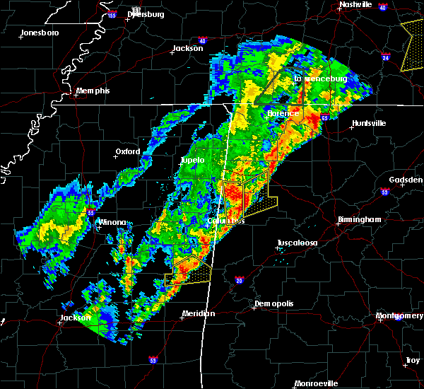 At 215 am cdt, severe thunderstorms were located along a line extending from crews to blooming grove to near belk, moving northeast at 75 mph. these are very dangerous storms (trained weather spotters). Hazards include baseball size hail and 70 mph wind gusts. People and animals outdoors will be severely injured. expect shattered windows, extensive damage to roofs, siding, and vehicles. Locations impacted include, winfield, fayette, guin, brilliant, glen allen, belk, gu- win, lake buttahatchee, bluff, twin, tucker, bazemore, wayside, richard arthur field, bevill state college fayette, hubbertville, fowlers crossroads, texas and piney grove. At 215 am cdt, severe thunderstorms were located along a line extending from crews to blooming grove to near belk, moving northeast at 75 mph. these are very dangerous storms (trained weather spotters). Hazards include baseball size hail and 70 mph wind gusts. People and animals outdoors will be severely injured. expect shattered windows, extensive damage to roofs, siding, and vehicles. Locations impacted include, winfield, fayette, guin, brilliant, glen allen, belk, gu- win, lake buttahatchee, bluff, twin, tucker, bazemore, wayside, richard arthur field, bevill state college fayette, hubbertville, fowlers crossroads, texas and piney grove.
|
| 3/29/2020 2:08 AM CDT |
 The national weather service in birmingham has issued a * severe thunderstorm warning for. southeastern marion county in northwestern alabama. northern fayette county in west central alabama. until 300 am cdt. At 208 am cdt, severe thunderstorms were located along a line. The national weather service in birmingham has issued a * severe thunderstorm warning for. southeastern marion county in northwestern alabama. northern fayette county in west central alabama. until 300 am cdt. At 208 am cdt, severe thunderstorms were located along a line.
|
| 3/23/2020 5:08 AM CDT |
 At 508 am cdt, severe thunderstorms were located along a line extending from 6 miles south of eldridge to bankston to near belk, moving east at 50 mph (radar indicated). Hazards include 60 mph wind gusts and quarter size hail. Hail damage to vehicles is expected. Expect wind damage to roofs, siding, and trees. At 508 am cdt, severe thunderstorms were located along a line extending from 6 miles south of eldridge to bankston to near belk, moving east at 50 mph (radar indicated). Hazards include 60 mph wind gusts and quarter size hail. Hail damage to vehicles is expected. Expect wind damage to roofs, siding, and trees.
|
| 3/23/2020 5:05 AM CDT | A couple trees down around fayette... including along county road 16 and 23... and county road 35 and 14 in fayette county AL, 3.3 miles NNW of Fayette, AL |
| 1/11/2020 11:46 AM CST |
 At 1145 am cst, severe thunderstorms were located along a line extending from near glen allen to near coker to near jefferson, moving northeast at 50 mph (radar indicated). Hazards include 60 mph wind gusts. Expect damage to roofs, siding, and trees. Locations impacted include, tuscaloosa, northport, demopolis, winfield, fayette, eutaw, greensboro, uniontown, gordo, holt, jefferson, moundville, berry, coker, forkland, glen allen, akron, union, newbern and faunsdale. At 1145 am cst, severe thunderstorms were located along a line extending from near glen allen to near coker to near jefferson, moving northeast at 50 mph (radar indicated). Hazards include 60 mph wind gusts. Expect damage to roofs, siding, and trees. Locations impacted include, tuscaloosa, northport, demopolis, winfield, fayette, eutaw, greensboro, uniontown, gordo, holt, jefferson, moundville, berry, coker, forkland, glen allen, akron, union, newbern and faunsdale.
|
| 1/11/2020 11:27 AM CST |
 At 1127 am cst, severe thunderstorms were located along a line extending from near fayette to near coatopa, moving northeast at 45 mph (radar indicated). Hazards include 60 mph wind gusts. expect damage to roofs, siding, and trees At 1127 am cst, severe thunderstorms were located along a line extending from near fayette to near coatopa, moving northeast at 45 mph (radar indicated). Hazards include 60 mph wind gusts. expect damage to roofs, siding, and trees
|
| 10/26/2019 12:43 PM CDT |
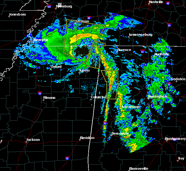 At 1242 pm cdt, heavy rain and strong winds were located along a line extending from near tishomingo state park to near hackleburg to near gu-win to near fayette, moving northeast at 55 mph (radar indicated). Hazards include 60 mph wind gusts. Expect damage to roofs, siding, and trees. Locations impacted include, hamilton, winfield, fayette, guin, hackleburg, brilliant, glen allen, belk, gu-win, brinn, lake buttahatchee, bear creek, twin, tucker, wayside, richard arthur field, upper bear creek reservoir, piney grove, bazemore and tessner. At 1242 pm cdt, heavy rain and strong winds were located along a line extending from near tishomingo state park to near hackleburg to near gu-win to near fayette, moving northeast at 55 mph (radar indicated). Hazards include 60 mph wind gusts. Expect damage to roofs, siding, and trees. Locations impacted include, hamilton, winfield, fayette, guin, hackleburg, brilliant, glen allen, belk, gu-win, brinn, lake buttahatchee, bear creek, twin, tucker, wayside, richard arthur field, upper bear creek reservoir, piney grove, bazemore and tessner.
|
| 10/26/2019 12:33 PM CDT |
 At 1232 pm cdt, heavy rain showers and strong winds were located along a line extending from near red bay to hamilton to near belk, moving north at 50 mph (radar indicated). Hazards include 60 mph wind gusts. Expect damage to roofs, siding, and trees. Locations impacted include, hamilton, winfield, fayette, guin, hackleburg, brilliant, glen allen, belk, gu-win, bankston, weston, bluff, brinn, lake buttahatchee, bear creek, twin, tucker, stone wall, wayside and richard arthur field. At 1232 pm cdt, heavy rain showers and strong winds were located along a line extending from near red bay to hamilton to near belk, moving north at 50 mph (radar indicated). Hazards include 60 mph wind gusts. Expect damage to roofs, siding, and trees. Locations impacted include, hamilton, winfield, fayette, guin, hackleburg, brilliant, glen allen, belk, gu-win, bankston, weston, bluff, brinn, lake buttahatchee, bear creek, twin, tucker, stone wall, wayside and richard arthur field.
|
| 10/26/2019 12:25 PM CDT |
 At 1225 pm cdt, heavy rain showers with strong winds were located along a line extending from near red bay to near hamilton to blooming grove, moving north at 60 mph (radar indicated). Hazards include 60 mph wind gusts. Expect damage to roofs, siding, and trees. Locations impacted include, hamilton, winfield, fayette, guin, hackleburg, brilliant, glen allen, kennedy, belk, beaverton, gu- win, bankston, weston, bluff, blooming grove, brinn, lake buttahatchee, ashcraft corner, bear creek and twin. At 1225 pm cdt, heavy rain showers with strong winds were located along a line extending from near red bay to near hamilton to blooming grove, moving north at 60 mph (radar indicated). Hazards include 60 mph wind gusts. Expect damage to roofs, siding, and trees. Locations impacted include, hamilton, winfield, fayette, guin, hackleburg, brilliant, glen allen, kennedy, belk, beaverton, gu- win, bankston, weston, bluff, blooming grove, brinn, lake buttahatchee, ashcraft corner, bear creek and twin.
|
| 10/26/2019 12:08 PM CDT |
 At 1207 pm cdt, rain showers with strong winds were located along a line extending from near tremont to near lamar county airport to near millport, moving north at 55 mph (emergency management). Hazards include 60 mph wind gusts. expect damage to roofs, siding, and trees At 1207 pm cdt, rain showers with strong winds were located along a line extending from near tremont to near lamar county airport to near millport, moving north at 55 mph (emergency management). Hazards include 60 mph wind gusts. expect damage to roofs, siding, and trees
|
| 6/27/2019 1:50 PM CDT | A tree was blown down and landed on a home. winds were estimated around 50 mp in fayette county AL, 7 miles NNE of Fayette, AL |
| 6/20/2019 1:52 AM CDT |
 The national weather service in birmingham has issued a * severe thunderstorm warning for. walker county in central alabama. tuscaloosa county in west central alabama. eastern marion county in northwestern alabama. Winston county in northwestern alabama. The national weather service in birmingham has issued a * severe thunderstorm warning for. walker county in central alabama. tuscaloosa county in west central alabama. eastern marion county in northwestern alabama. Winston county in northwestern alabama.
|
| 6/20/2019 1:41 AM CDT |
 At 141 am cdt, severe thunderstorms were located along a line extending from near beaverton to kennedy to near aliceville, moving east at 50 mph (radar indicated). Hazards include 60 mph wind gusts and penny size hail. Expect damage to roofs, siding, and trees. Locations impacted include, winfield, fayette, aliceville, vernon, sulligent, gordo, reform, millport, carrollton, pickensville, kennedy, detroit, belk, beaverton, gu- win, ethelsville, mcmullen, benevola, johnston lake and bluff. At 141 am cdt, severe thunderstorms were located along a line extending from near beaverton to kennedy to near aliceville, moving east at 50 mph (radar indicated). Hazards include 60 mph wind gusts and penny size hail. Expect damage to roofs, siding, and trees. Locations impacted include, winfield, fayette, aliceville, vernon, sulligent, gordo, reform, millport, carrollton, pickensville, kennedy, detroit, belk, beaverton, gu- win, ethelsville, mcmullen, benevola, johnston lake and bluff.
|
| 6/20/2019 1:12 AM CDT |
 At 112 am cdt, severe thunderstorms were located along a line extending from 8 miles southeast of amory to near columbus to 7 miles northeast of gholson, moving east at 55 mph (radar indicated). Hazards include 60 mph wind gusts and penny size hail. expect damage to roofs, siding, and trees At 112 am cdt, severe thunderstorms were located along a line extending from 8 miles southeast of amory to near columbus to 7 miles northeast of gholson, moving east at 55 mph (radar indicated). Hazards include 60 mph wind gusts and penny size hail. expect damage to roofs, siding, and trees
|
| 4/18/2019 6:46 PM CDT | A few trees were blown dow in fayette county AL, 8.3 miles SSE of Fayette, AL |
| 4/18/2019 6:40 PM CDT | Trees down along hwy 171 north of hwy 102 in fayette... a in fayette county AL, 4.6 miles SSW of Fayette, AL |
| 4/18/2019 6:32 PM CDT |
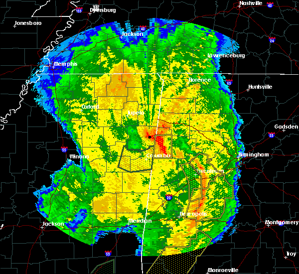 At 632 pm cdt, severe thunderstorms were located along a line extending from crews to millport, moving east at 40 mph (radar indicated). Hazards include 70 mph wind gusts. Expect considerable tree damage. Damage is likely to mobile homes, roofs, and outbuildings. At 632 pm cdt, severe thunderstorms were located along a line extending from crews to millport, moving east at 40 mph (radar indicated). Hazards include 70 mph wind gusts. Expect considerable tree damage. Damage is likely to mobile homes, roofs, and outbuildings.
|
| 4/7/2019 4:24 PM CDT |
 The severe thunderstorm warning for northwestern fayette county will expire at 430 pm cdt, the storm which prompted the warning has weakened below severe limits, and no longer poses an immediate threat to life or property. therefore, the warning will be allowed to expire. however heavy rain is still possible with this thunderstorm. to report severe weather, contact your nearest law enforcement agency. they will relay your report to the national weather service birmingham. The severe thunderstorm warning for northwestern fayette county will expire at 430 pm cdt, the storm which prompted the warning has weakened below severe limits, and no longer poses an immediate threat to life or property. therefore, the warning will be allowed to expire. however heavy rain is still possible with this thunderstorm. to report severe weather, contact your nearest law enforcement agency. they will relay your report to the national weather service birmingham.
|
| 4/7/2019 4:14 PM CDT | Half Dollar sized hail reported 2.9 miles NNE of Fayette, AL |
| 4/7/2019 4:14 PM CDT | Ping Pong Ball sized hail reported 2.9 miles NNE of Fayette, AL, corrects previous hail report from 2 ssw fayette. |
| 4/7/2019 4:08 PM CDT |
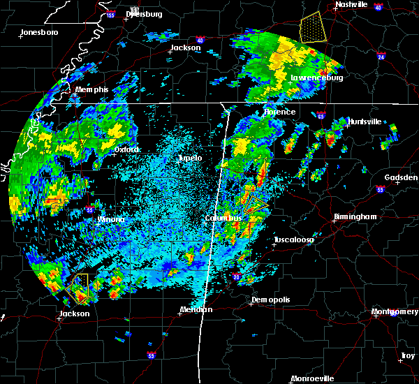 At 408 pm cdt, a severe thunderstorm was located over fayette, moving northeast at 20 mph (radar indicated). Hazards include ping pong ball size hail and 60 mph wind gusts. People and animals outdoors will be injured. expect hail damage to roofs, siding, windows, and vehicles. expect wind damage to roofs, siding, and trees. Locations impacted include, fayette, bevill state college fayette and richard arthur field. At 408 pm cdt, a severe thunderstorm was located over fayette, moving northeast at 20 mph (radar indicated). Hazards include ping pong ball size hail and 60 mph wind gusts. People and animals outdoors will be injured. expect hail damage to roofs, siding, windows, and vehicles. expect wind damage to roofs, siding, and trees. Locations impacted include, fayette, bevill state college fayette and richard arthur field.
|
| 4/7/2019 4:00 PM CDT |
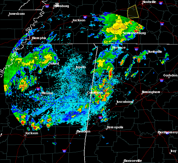 At 400 pm cdt, a severe thunderstorm was located near fayette, moving northeast at 20 mph (radar indicated). Hazards include 60 mph wind gusts and quarter size hail. Hail damage to vehicles is expected. Expect wind damage to roofs, siding, and trees. At 400 pm cdt, a severe thunderstorm was located near fayette, moving northeast at 20 mph (radar indicated). Hazards include 60 mph wind gusts and quarter size hail. Hail damage to vehicles is expected. Expect wind damage to roofs, siding, and trees.
|
| 3/14/2019 3:46 PM CDT |
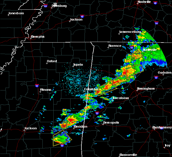 At 346 pm cdt, a severe thunderstorm was located over ashcraft corner, or 11 miles east of millport, moving northeast at 55 mph (radar indicated). Hazards include ping pong ball size hail and 60 mph wind gusts. People and animals outdoors will be injured. expect hail damage to roofs, siding, windows, and vehicles. Expect wind damage to roofs, siding, and trees. At 346 pm cdt, a severe thunderstorm was located over ashcraft corner, or 11 miles east of millport, moving northeast at 55 mph (radar indicated). Hazards include ping pong ball size hail and 60 mph wind gusts. People and animals outdoors will be injured. expect hail damage to roofs, siding, windows, and vehicles. Expect wind damage to roofs, siding, and trees.
|
| 3/14/2019 3:12 PM CDT | Golf Ball sized hail reported 0.6 miles NE of Fayette, AL |
| 3/14/2019 3:08 PM CDT | Quarter sized hail reported 2.4 miles ENE of Fayette, AL |
| 3/14/2019 3:08 PM CDT |
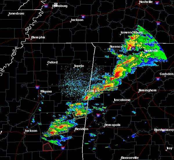 At 308 pm cdt, a severe thunderstorm was located near fayette, moving east at 45 mph (radar indicated). Hazards include tennis ball size hail and 60 mph wind gusts. People and animals outdoors will be injured. expect hail damage to roofs, siding, windows, and vehicles. expect wind damage to roofs, siding, and trees. locations impacted include, fayette, berry, bankston, bevill state college fayette, fowlers crossroads, richard arthur field, fayette county public lake and stone wall. A tornado watch remains in effect until 700 pm cdt for central and west central alabama. At 308 pm cdt, a severe thunderstorm was located near fayette, moving east at 45 mph (radar indicated). Hazards include tennis ball size hail and 60 mph wind gusts. People and animals outdoors will be injured. expect hail damage to roofs, siding, windows, and vehicles. expect wind damage to roofs, siding, and trees. locations impacted include, fayette, berry, bankston, bevill state college fayette, fowlers crossroads, richard arthur field, fayette county public lake and stone wall. A tornado watch remains in effect until 700 pm cdt for central and west central alabama.
|
| 3/14/2019 2:57 PM CDT |
 At 257 pm cdt, a severe thunderstorm was located over fayette, moving east at 50 mph (radar indicated). Hazards include tennis ball size hail and 60 mph wind gusts. People and animals outdoors will be injured. expect hail damage to roofs, siding, windows, and vehicles. expect wind damage to roofs, siding, and trees. locations impacted include, fayette, berry, belk, bankston, boley springs, bevill state college fayette, stone wall, fowlers crossroads, richard arthur field and fayette county public lake. A tornado watch remains in effect until 700 pm cdt for central and west central alabama. At 257 pm cdt, a severe thunderstorm was located over fayette, moving east at 50 mph (radar indicated). Hazards include tennis ball size hail and 60 mph wind gusts. People and animals outdoors will be injured. expect hail damage to roofs, siding, windows, and vehicles. expect wind damage to roofs, siding, and trees. locations impacted include, fayette, berry, belk, bankston, boley springs, bevill state college fayette, stone wall, fowlers crossroads, richard arthur field and fayette county public lake. A tornado watch remains in effect until 700 pm cdt for central and west central alabama.
|
| 3/14/2019 2:51 PM CDT |
 At 251 pm cdt, a severe thunderstorm was located over belk, or 8 miles southwest of fayette, moving east at 50 mph (radar indicated). Hazards include golf ball size hail and 60 mph wind gusts. People and animals outdoors will be injured. expect hail damage to roofs, siding, windows, and vehicles. expect wind damage to roofs, siding, and trees. locations impacted include, fayette, berry, belk, bankston, boley springs, bevill state college fayette, stone wall, fowlers crossroads, richard arthur field and fayette county public lake. A tornado watch remains in effect until 700 pm cdt for central and west central alabama. At 251 pm cdt, a severe thunderstorm was located over belk, or 8 miles southwest of fayette, moving east at 50 mph (radar indicated). Hazards include golf ball size hail and 60 mph wind gusts. People and animals outdoors will be injured. expect hail damage to roofs, siding, windows, and vehicles. expect wind damage to roofs, siding, and trees. locations impacted include, fayette, berry, belk, bankston, boley springs, bevill state college fayette, stone wall, fowlers crossroads, richard arthur field and fayette county public lake. A tornado watch remains in effect until 700 pm cdt for central and west central alabama.
|
| 3/14/2019 2:41 PM CDT |
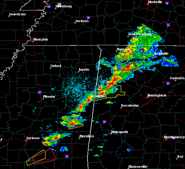 At 241 pm cdt, a severe thunderstorm was located over millport, moving east at 50 mph (radar indicated). Hazards include golf ball size hail and 60 mph wind gusts. People and animals outdoors will be injured. expect hail damage to roofs, siding, windows, and vehicles. Expect wind damage to roofs, siding, and trees. At 241 pm cdt, a severe thunderstorm was located over millport, moving east at 50 mph (radar indicated). Hazards include golf ball size hail and 60 mph wind gusts. People and animals outdoors will be injured. expect hail damage to roofs, siding, windows, and vehicles. Expect wind damage to roofs, siding, and trees.
|
| 2/23/2019 6:00 PM CST | Reports of power lines down and trees snapped along crawley road. possible tornado damag in fayette county AL, 6.7 miles E of Fayette, AL |
| 2/23/2019 5:59 PM CST |
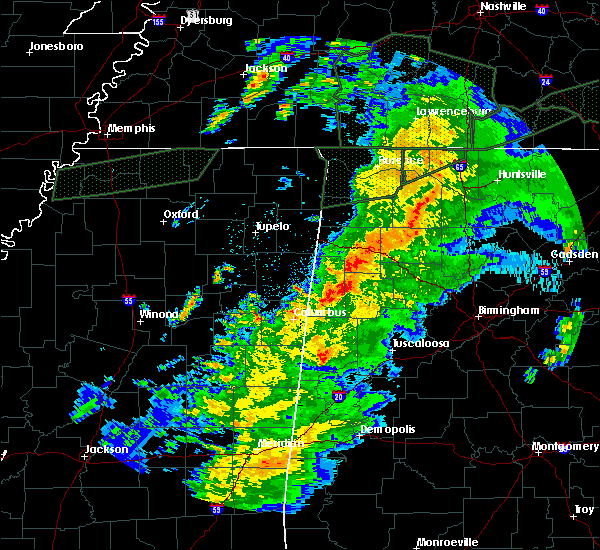 At 558 pm cst, a tornado producing storm was located near belk, or 7 miles southeast of vernon, moving northeast at 40 mph (radar confirmed tornado). Hazards include damaging tornado. Flying debris will be dangerous to those caught without shelter. mobile homes will be damaged or destroyed. damage to roofs, windows, and vehicles will occur. Tree damage is likely. At 558 pm cst, a tornado producing storm was located near belk, or 7 miles southeast of vernon, moving northeast at 40 mph (radar confirmed tornado). Hazards include damaging tornado. Flying debris will be dangerous to those caught without shelter. mobile homes will be damaged or destroyed. damage to roofs, windows, and vehicles will occur. Tree damage is likely.
|
| 6/23/2018 8:25 PM CDT |
 At 825 pm cdt, a severe thunderstorm was located near fayette, moving east at 15 mph (radar indicated). Hazards include 60 mph wind gusts. Expect damage to roofs, siding, and trees. locations impacted include, fayette, bankston, bevill state college fayette, fayette county public lake and richard arthur field. A tornado watch remains in effect until 1000 pm cdt for west central alabama. At 825 pm cdt, a severe thunderstorm was located near fayette, moving east at 15 mph (radar indicated). Hazards include 60 mph wind gusts. Expect damage to roofs, siding, and trees. locations impacted include, fayette, bankston, bevill state college fayette, fayette county public lake and richard arthur field. A tornado watch remains in effect until 1000 pm cdt for west central alabama.
|
| 6/23/2018 8:21 PM CDT |
 At 820 pm cdt, a severe thunderstorm was located over fayette, moving east at 15 mph (radar indicated). Hazards include 60 mph wind gusts and nickel size hail. Expect damage to roofs, siding, and trees. locations impacted include, fayette, bevill state college fayette, fayette county public lake and richard arthur field. A tornado watch remains in effect until 1000 pm cdt for west central alabama. At 820 pm cdt, a severe thunderstorm was located over fayette, moving east at 15 mph (radar indicated). Hazards include 60 mph wind gusts and nickel size hail. Expect damage to roofs, siding, and trees. locations impacted include, fayette, bevill state college fayette, fayette county public lake and richard arthur field. A tornado watch remains in effect until 1000 pm cdt for west central alabama.
|
| 6/23/2018 8:14 PM CDT |
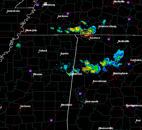 At 814 pm cdt, a severe thunderstorm was located over fayette, moving east at 15 mph (radar indicated). Hazards include 60 mph wind gusts and nickel size hail. expect damage to roofs, siding, and trees At 814 pm cdt, a severe thunderstorm was located over fayette, moving east at 15 mph (radar indicated). Hazards include 60 mph wind gusts and nickel size hail. expect damage to roofs, siding, and trees
|
| 6/23/2018 8:06 PM CDT |
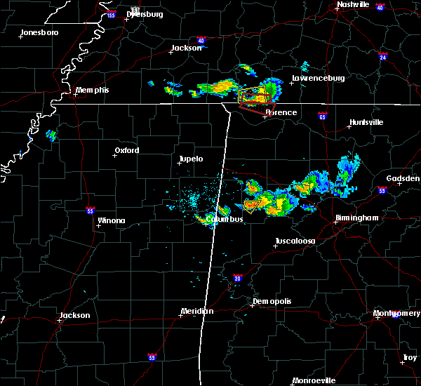 At 806 pm cdt, a severe thunderstorm was located near fayette, moving southeast at 15 mph (radar indicated). Hazards include 60 mph wind gusts and nickel size hail. Expect damage to roofs, siding, and trees. locations impacted include, fayette, bevill state college fayette and richard arthur field. A tornado watch remains in effect until 1000 pm cdt for west central alabama. At 806 pm cdt, a severe thunderstorm was located near fayette, moving southeast at 15 mph (radar indicated). Hazards include 60 mph wind gusts and nickel size hail. Expect damage to roofs, siding, and trees. locations impacted include, fayette, bevill state college fayette and richard arthur field. A tornado watch remains in effect until 1000 pm cdt for west central alabama.
|
| 6/23/2018 7:57 PM CDT |
 A severe thunderstorm warning remains in effect until 815 pm cdt for west central fayette county. at 756 pm cdt, a severe thunderstorm was located near bluff, or near fayette, moving southeast at 15 mph. hazard. 60 mph wind gusts and nickel size hail. source. Radar indicated. A severe thunderstorm warning remains in effect until 815 pm cdt for west central fayette county. at 756 pm cdt, a severe thunderstorm was located near bluff, or near fayette, moving southeast at 15 mph. hazard. 60 mph wind gusts and nickel size hail. source. Radar indicated.
|
| 6/23/2018 7:45 PM CDT |
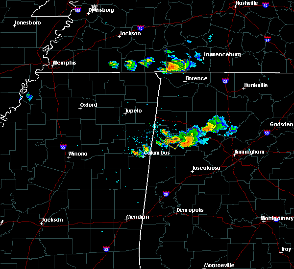 At 744 pm cdt, a severe thunderstorm was located over blooming grove, or 8 miles northwest of fayette, moving southeast at 15 mph (radar indicated). Hazards include 60 mph wind gusts and nickel size hail. expect damage to roofs, siding, and trees At 744 pm cdt, a severe thunderstorm was located over blooming grove, or 8 miles northwest of fayette, moving southeast at 15 mph (radar indicated). Hazards include 60 mph wind gusts and nickel size hail. expect damage to roofs, siding, and trees
|
| 6/23/2018 6:47 PM CDT |
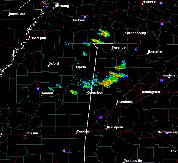 At 646 pm cdt, a severe thunderstorm was located over bluff, or 8 miles southwest of winfield, moving east at 25 mph (radar indicated). Hazards include 60 mph wind gusts. Expect damage to roofs, siding, and trees. locations impacted include, glen allen, bluff and wayside. A tornado watch remains in effect until 1000 pm cdt for west central alabama. At 646 pm cdt, a severe thunderstorm was located over bluff, or 8 miles southwest of winfield, moving east at 25 mph (radar indicated). Hazards include 60 mph wind gusts. Expect damage to roofs, siding, and trees. locations impacted include, glen allen, bluff and wayside. A tornado watch remains in effect until 1000 pm cdt for west central alabama.
|
| 6/23/2018 6:35 PM CDT |
 At 634 pm cdt, a severe thunderstorm was located over bluff, or 10 miles southwest of winfield, moving east at 25 mph (radar indicated). Hazards include 60 mph wind gusts. expect damage to roofs, siding, and trees At 634 pm cdt, a severe thunderstorm was located over bluff, or 10 miles southwest of winfield, moving east at 25 mph (radar indicated). Hazards include 60 mph wind gusts. expect damage to roofs, siding, and trees
|
| 6/10/2018 6:45 PM CDT | Trees were blown down onto a shed on highway 159... south of fayett in fayette county AL, 2.7 miles NNE of Fayette, AL |
| 4/14/2018 12:21 PM CDT |
 At 1221 pm cdt, severe thunderstorms were located along a line extending from phil campbell to near bankston, moving northeast at 55 mph (radar indicated). Hazards include 60 mph wind gusts. Expect damage to roofs, siding, and trees. locations impacted include, fayette, berry, bankston, boley springs, bevill state college fayette, stone wall, hubbertville, fowlers crossroads, richard arthur field and fayette county public lake. A tornado watch remains in effect until 700 pm cdt for central and west central alabama. At 1221 pm cdt, severe thunderstorms were located along a line extending from phil campbell to near bankston, moving northeast at 55 mph (radar indicated). Hazards include 60 mph wind gusts. Expect damage to roofs, siding, and trees. locations impacted include, fayette, berry, bankston, boley springs, bevill state college fayette, stone wall, hubbertville, fowlers crossroads, richard arthur field and fayette county public lake. A tornado watch remains in effect until 700 pm cdt for central and west central alabama.
|
| 4/14/2018 11:53 AM CDT |
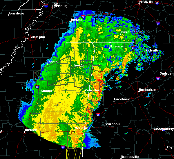 At 1153 am cdt, severe thunderstorms were located along a line extending from 6 miles northwest of brilliant to near gordo, moving northeast at 55 mph (radar indicated). Hazards include 60 mph wind gusts. expect damage to roofs, siding, and trees At 1153 am cdt, severe thunderstorms were located along a line extending from 6 miles northwest of brilliant to near gordo, moving northeast at 55 mph (radar indicated). Hazards include 60 mph wind gusts. expect damage to roofs, siding, and trees
|
| 4/3/2018 10:28 PM CDT |
 At 1027 pm cdt, severe thunderstorms were located along a line extending from near belk to near glen allen, moving east at 35 mph (radar indicated). Hazards include 60 mph wind gusts and penny size hail. Expect damage to roofs, siding, and trees. Locations impacted include, fayette, berry, glen allen, belk, bankston, boley springs, stone wall, bazemore, richard arthur field, fayette county public lake, bevill state college fayette, hubbertville and fowlers crossroads. At 1027 pm cdt, severe thunderstorms were located along a line extending from near belk to near glen allen, moving east at 35 mph (radar indicated). Hazards include 60 mph wind gusts and penny size hail. Expect damage to roofs, siding, and trees. Locations impacted include, fayette, berry, glen allen, belk, bankston, boley springs, stone wall, bazemore, richard arthur field, fayette county public lake, bevill state college fayette, hubbertville and fowlers crossroads.
|
| 4/3/2018 9:44 PM CDT |
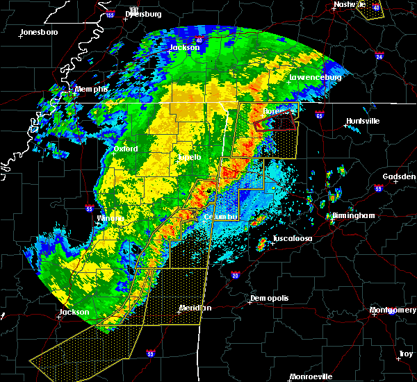 At 944 pm cdt, severe thunderstorms were located along a line extending from near columbus to 6 miles southeast of hamilton, moving east at 50 mph (radar indicated). Hazards include 60 mph wind gusts. expect damage to roofs, siding, and trees At 944 pm cdt, severe thunderstorms were located along a line extending from near columbus to 6 miles southeast of hamilton, moving east at 50 mph (radar indicated). Hazards include 60 mph wind gusts. expect damage to roofs, siding, and trees
|
| 11/18/2017 5:55 PM CST | Trees down near intersection of hwy 96 and 18. radar estimated winds 40-50 mph. time estimated from rada in fayette county AL, 1.5 miles NE of Fayette, AL |
| 8/31/2017 4:14 PM CDT |
 At 413 pm cdt, a confirmed large and extremely dangerous tornado was located over fayette, moving northeast at 45 mph. this is a particularly dangerous situation. take cover now! (radar confirmed tornado). Hazards include damaging tornado. You are in a life-threatening situation. flying debris may be deadly to those caught without shelter. mobile homes will be destroyed. considerable damage to homes, businesses, and vehicles is likely and complete destruction is possible. Locations impacted include, fayette, belk, bevill state college fayette and richard arthur field. At 413 pm cdt, a confirmed large and extremely dangerous tornado was located over fayette, moving northeast at 45 mph. this is a particularly dangerous situation. take cover now! (radar confirmed tornado). Hazards include damaging tornado. You are in a life-threatening situation. flying debris may be deadly to those caught without shelter. mobile homes will be destroyed. considerable damage to homes, businesses, and vehicles is likely and complete destruction is possible. Locations impacted include, fayette, belk, bevill state college fayette and richard arthur field.
|
| 8/31/2017 4:01 PM CDT |
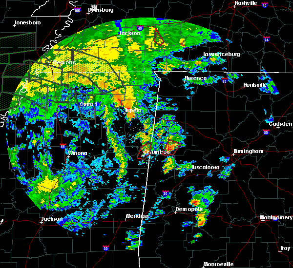 At 400 pm cdt, a confirmed large and extremely dangerous tornado was located near kennedy, or 8 miles southwest of fayette, moving northeast at 45 mph. this is a particularly dangerous situation. take cover now! (radar confirmed tornado). Hazards include damaging tornado. You are in a life-threatening situation. flying debris may be deadly to those caught without shelter. mobile homes will be destroyed. considerable damage to homes, businesses, and vehicles is likely and complete destruction is possible. Locations impacted include, fayette, millport, kennedy, belk, ashcraft corner, cody, bevill state college fayette and richard arthur field. At 400 pm cdt, a confirmed large and extremely dangerous tornado was located near kennedy, or 8 miles southwest of fayette, moving northeast at 45 mph. this is a particularly dangerous situation. take cover now! (radar confirmed tornado). Hazards include damaging tornado. You are in a life-threatening situation. flying debris may be deadly to those caught without shelter. mobile homes will be destroyed. considerable damage to homes, businesses, and vehicles is likely and complete destruction is possible. Locations impacted include, fayette, millport, kennedy, belk, ashcraft corner, cody, bevill state college fayette and richard arthur field.
|
| 8/31/2017 3:48 PM CDT |
 At 348 pm cdt, a confirmed large and extremely dangerous tornado was located near ashcraft corner, or 7 miles north of reform, moving northeast at 45 mph. this is a particularly dangerous situation. take cover now! (radar confirmed tornado). Hazards include damaging tornado. You are in a life-threatening situation. flying debris may be deadly to those caught without shelter. mobile homes will be destroyed. considerable damage to homes, businesses, and vehicles is likely and complete destruction is possible. Locations impacted include, fayette, reform, millport, kennedy, belk, ashcraft corner, cody, bevill state college fayette, stone wall, richard arthur field and fayette county public lake. At 348 pm cdt, a confirmed large and extremely dangerous tornado was located near ashcraft corner, or 7 miles north of reform, moving northeast at 45 mph. this is a particularly dangerous situation. take cover now! (radar confirmed tornado). Hazards include damaging tornado. You are in a life-threatening situation. flying debris may be deadly to those caught without shelter. mobile homes will be destroyed. considerable damage to homes, businesses, and vehicles is likely and complete destruction is possible. Locations impacted include, fayette, reform, millport, kennedy, belk, ashcraft corner, cody, bevill state college fayette, stone wall, richard arthur field and fayette county public lake.
|
| 8/31/2017 3:45 PM CDT |
 At 345 pm cdt, a confirmed tornado was located near reform, moving northeast at 45 mph (radar confirmed tornado). Hazards include damaging tornado. Flying debris will be dangerous to those caught without shelter. mobile homes will be damaged or destroyed. damage to roofs, windows, and vehicles will occur. tree damage is likely. Locations impacted include, fayette, reform, millport, kennedy, belk, ashcraft corner, cody, bevill state college fayette, stone wall, richard arthur field, north pickens airport and fayette county public lake. At 345 pm cdt, a confirmed tornado was located near reform, moving northeast at 45 mph (radar confirmed tornado). Hazards include damaging tornado. Flying debris will be dangerous to those caught without shelter. mobile homes will be damaged or destroyed. damage to roofs, windows, and vehicles will occur. tree damage is likely. Locations impacted include, fayette, reform, millport, kennedy, belk, ashcraft corner, cody, bevill state college fayette, stone wall, richard arthur field, north pickens airport and fayette county public lake.
|
| 8/31/2017 3:38 PM CDT |
 At 338 pm cdt, a severe thunderstorm capable of producing a tornado was located over reform, moving northeast at 40 mph (radar indicated rotation). Hazards include tornado. Flying debris will be dangerous to those caught without shelter. mobile homes will be damaged or destroyed. damage to roofs, windows, and vehicles will occur. Tree damage is likely. At 338 pm cdt, a severe thunderstorm capable of producing a tornado was located over reform, moving northeast at 40 mph (radar indicated rotation). Hazards include tornado. Flying debris will be dangerous to those caught without shelter. mobile homes will be damaged or destroyed. damage to roofs, windows, and vehicles will occur. Tree damage is likely.
|
| 7/6/2017 5:27 PM CDT |
 At 527 pm cdt, severe thunderstorms were located along a line extending from cordova to near bankston to near kennedy, moving east at 25 mph (radar indicated). Hazards include 60 mph wind gusts and penny size hail. Expect damage to roofs, siding, and trees. Locations impacted include, jasper, fayette, sumiton, cordova, dora, berry, parrish, oakman, sipsey, belk, bankston, gorgas steam plant, gorgas, boley springs, rocky hollow, burnwell, beloit, quinton, lynns park and stone wall. At 527 pm cdt, severe thunderstorms were located along a line extending from cordova to near bankston to near kennedy, moving east at 25 mph (radar indicated). Hazards include 60 mph wind gusts and penny size hail. Expect damage to roofs, siding, and trees. Locations impacted include, jasper, fayette, sumiton, cordova, dora, berry, parrish, oakman, sipsey, belk, bankston, gorgas steam plant, gorgas, boley springs, rocky hollow, burnwell, beloit, quinton, lynns park and stone wall.
|
| 7/6/2017 5:11 PM CDT |
 At 511 pm cdt, severe thunderstorms were located along a line extending from near parrish to near bankston to near kennedy, moving east at 20 mph (radar indicated). Hazards include 60 mph wind gusts and penny size hail. expect damage to roofs, siding, and trees At 511 pm cdt, severe thunderstorms were located along a line extending from near parrish to near bankston to near kennedy, moving east at 20 mph (radar indicated). Hazards include 60 mph wind gusts and penny size hail. expect damage to roofs, siding, and trees
|
| 6/23/2017 1:37 PM CDT |
 The severe thunderstorm warning for southeastern marion and northern fayette counties will expire at 145 pm cdt, the storms which prompted the warning have moved out of the area. therefore the warning will be allowed to expire. a tornado watch remains in effect until 800 pm cdt for northwestern, west central alabama. The severe thunderstorm warning for southeastern marion and northern fayette counties will expire at 145 pm cdt, the storms which prompted the warning have moved out of the area. therefore the warning will be allowed to expire. a tornado watch remains in effect until 800 pm cdt for northwestern, west central alabama.
|
| 6/23/2017 1:33 PM CDT |
 At 133 pm cdt, severe thunderstorms were located along a line extending from near haleyville to near lynn to near eldridge to near glen allen, moving northeast at 45 mph (radar indicated). Hazards include 60 mph wind gusts. expect damage to roofs, siding, and trees At 133 pm cdt, severe thunderstorms were located along a line extending from near haleyville to near lynn to near eldridge to near glen allen, moving northeast at 45 mph (radar indicated). Hazards include 60 mph wind gusts. expect damage to roofs, siding, and trees
|
| 6/23/2017 1:28 PM CDT |
 At 128 pm cdt, severe thunderstorms were located along a line extending from near haleyville to near lynn to near eldridge to near glen allen, moving northeast at 45 mph (radar indicated). Hazards include 60 mph wind gusts. Expect damage to roofs, siding, and trees. locations impacted include, winfield, fayette, guin, brilliant, glen allen, belk, gu- win, bluff, twin, tucker, bazemore, wayside, richard arthur field, bevill state college fayette, hubbertville, fowlers crossroads, texas and piney grove. A tornado watch remains in effect until 800 pm cdt for northwestern, west central alabama. At 128 pm cdt, severe thunderstorms were located along a line extending from near haleyville to near lynn to near eldridge to near glen allen, moving northeast at 45 mph (radar indicated). Hazards include 60 mph wind gusts. Expect damage to roofs, siding, and trees. locations impacted include, winfield, fayette, guin, brilliant, glen allen, belk, gu- win, bluff, twin, tucker, bazemore, wayside, richard arthur field, bevill state college fayette, hubbertville, fowlers crossroads, texas and piney grove. A tornado watch remains in effect until 800 pm cdt for northwestern, west central alabama.
|
| 6/23/2017 1:22 PM CDT |
 At 122 pm cdt, severe thunderstorms were located along a line extending from near hackleburg to near lake buttahatchee to near glen allen to near bluff, moving northeast at 50 mph (radar indicated). Hazards include 60 mph wind gusts. Expect damage to roofs, siding, and trees. locations impacted include, winfield, fayette, haleyville, guin, hackleburg, brilliant, glen allen, belk, gu- win, bluff, brinn, lake buttahatchee, bear creek, twin, tucker, wayside, richard arthur field, piney grove, bazemore and tessner. A tornado watch remains in effect until 800 pm cdt for northwestern, west central alabama. At 122 pm cdt, severe thunderstorms were located along a line extending from near hackleburg to near lake buttahatchee to near glen allen to near bluff, moving northeast at 50 mph (radar indicated). Hazards include 60 mph wind gusts. Expect damage to roofs, siding, and trees. locations impacted include, winfield, fayette, haleyville, guin, hackleburg, brilliant, glen allen, belk, gu- win, bluff, brinn, lake buttahatchee, bear creek, twin, tucker, wayside, richard arthur field, piney grove, bazemore and tessner. A tornado watch remains in effect until 800 pm cdt for northwestern, west central alabama.
|
| 6/23/2017 1:22 PM CDT |
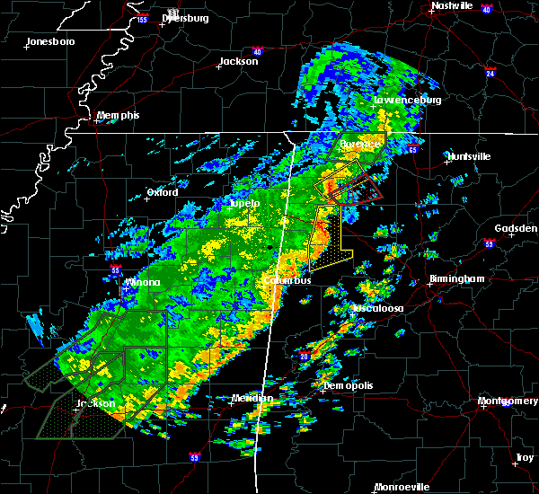 At 122 pm cdt, severe thunderstorms were located along a line extending from near hackleburg to near lake buttahatchee to near glen allen to near bluff, moving northeast at 50 mph (radar indicated). Hazards include 60 mph wind gusts. Expect damage to roofs, siding, and trees. locations impacted include, winfield, fayette, haleyville, guin, hackleburg, brilliant, glen allen, belk, gu- win, bluff, brinn, lake buttahatchee, bear creek, twin, tucker, wayside, richard arthur field, piney grove, bazemore and tessner. A tornado watch remains in effect until 800 pm cdt for northwestern, west central alabama. At 122 pm cdt, severe thunderstorms were located along a line extending from near hackleburg to near lake buttahatchee to near glen allen to near bluff, moving northeast at 50 mph (radar indicated). Hazards include 60 mph wind gusts. Expect damage to roofs, siding, and trees. locations impacted include, winfield, fayette, haleyville, guin, hackleburg, brilliant, glen allen, belk, gu- win, bluff, brinn, lake buttahatchee, bear creek, twin, tucker, wayside, richard arthur field, piney grove, bazemore and tessner. A tornado watch remains in effect until 800 pm cdt for northwestern, west central alabama.
|
| 6/23/2017 1:22 PM CDT |
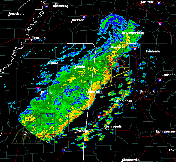 At 122 pm cdt, severe thunderstorms were located along a line extending from near hackleburg to near lake buttahatchee to near glen allen to near bluff, moving northeast at 50 mph (radar indicated). Hazards include 60 mph wind gusts. Expect damage to roofs, siding, and trees. locations impacted include, winfield, fayette, haleyville, guin, hackleburg, brilliant, glen allen, belk, gu- win, bluff, brinn, lake buttahatchee, bear creek, twin, tucker, wayside, richard arthur field, piney grove, bazemore and tessner. A tornado watch remains in effect until 800 pm cdt for northwestern, west central alabama. At 122 pm cdt, severe thunderstorms were located along a line extending from near hackleburg to near lake buttahatchee to near glen allen to near bluff, moving northeast at 50 mph (radar indicated). Hazards include 60 mph wind gusts. Expect damage to roofs, siding, and trees. locations impacted include, winfield, fayette, haleyville, guin, hackleburg, brilliant, glen allen, belk, gu- win, bluff, brinn, lake buttahatchee, bear creek, twin, tucker, wayside, richard arthur field, piney grove, bazemore and tessner. A tornado watch remains in effect until 800 pm cdt for northwestern, west central alabama.
|
| 6/23/2017 1:18 PM CDT | Trees down at stowe loop and county road 35. time estimated by rada in fayette county AL, 7.1 miles NNW of Fayette, AL |
| 6/23/2017 1:16 PM CDT |
 At 115 pm cdt, severe thunderstorms were located along a line extending from near brinn to near brilliant to near bluff to near blooming grove, moving east at 40 mph (radar indicated). Hazards include 60 mph wind gusts. Expect damage to roofs, siding, and trees. locations impacted include, hamilton, winfield, fayette, haleyville, guin, hackleburg, brilliant, glen allen, belk, gu- win, bluff, brinn, lake buttahatchee, bear creek, twin, tucker, wayside, richard arthur field, piney grove and bazemore. A tornado watch remains in effect until 800 pm cdt for northwestern, west central alabama. At 115 pm cdt, severe thunderstorms were located along a line extending from near brinn to near brilliant to near bluff to near blooming grove, moving east at 40 mph (radar indicated). Hazards include 60 mph wind gusts. Expect damage to roofs, siding, and trees. locations impacted include, hamilton, winfield, fayette, haleyville, guin, hackleburg, brilliant, glen allen, belk, gu- win, bluff, brinn, lake buttahatchee, bear creek, twin, tucker, wayside, richard arthur field, piney grove and bazemore. A tornado watch remains in effect until 800 pm cdt for northwestern, west central alabama.
|
| 6/23/2017 12:52 PM CDT |
 At 1251 pm cdt, severe thunderstorms were located along a line extending from 6 miles north of weston to near hamilton to near beaverton to 6 miles east of caledonia, moving northeast at 45 mph (radar indicated). Hazards include 60 mph wind gusts. expect damage to roofs, siding, and trees At 1251 pm cdt, severe thunderstorms were located along a line extending from 6 miles north of weston to near hamilton to near beaverton to 6 miles east of caledonia, moving northeast at 45 mph (radar indicated). Hazards include 60 mph wind gusts. expect damage to roofs, siding, and trees
|
| 5/28/2017 2:03 AM CDT |
 At 203 am cdt, severe thunderstorms were located along a line extending from 8 miles east of caledonia to 7 miles south of eldridge, moving southeast at 50 mph (radar indicated). Hazards include 60 mph wind gusts. Expect damage to roofs, siding, and trees. Locations impacted include, winfield, fayette, vernon, millport, berry, glen allen, kennedy, belk, gu-win, bankston, bluff, ashcraft corner, boley springs, blooming grove, cody, stone wall, wayside, richard arthur field, fayette county public lake and star. At 203 am cdt, severe thunderstorms were located along a line extending from 8 miles east of caledonia to 7 miles south of eldridge, moving southeast at 50 mph (radar indicated). Hazards include 60 mph wind gusts. Expect damage to roofs, siding, and trees. Locations impacted include, winfield, fayette, vernon, millport, berry, glen allen, kennedy, belk, gu-win, bankston, bluff, ashcraft corner, boley springs, blooming grove, cody, stone wall, wayside, richard arthur field, fayette county public lake and star.
|
| 5/28/2017 1:44 AM CDT |
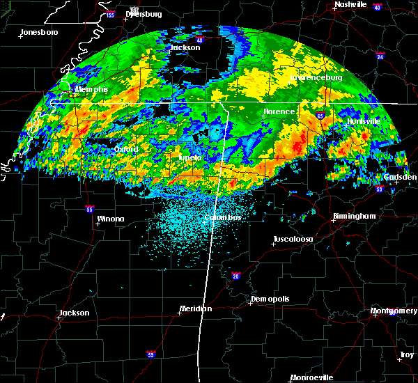 At 144 am cdt, severe thunderstorms were located along a line extending from 6 miles west of bedford to near winfield, moving southeast at 50 mph (radar indicated). Hazards include 70 mph wind gusts. Expect considerable tree damage. damage is likely to mobile homes, roofs, and outbuildings. Locations impacted include, winfield, fayette, vernon, sulligent, millport, berry, glen allen, kennedy, detroit, belk, beaverton, gu- win, bankston, bluff, ashcraft corner, boley springs, blooming grove, lamar county airport, crews and bedford. At 144 am cdt, severe thunderstorms were located along a line extending from 6 miles west of bedford to near winfield, moving southeast at 50 mph (radar indicated). Hazards include 70 mph wind gusts. Expect considerable tree damage. damage is likely to mobile homes, roofs, and outbuildings. Locations impacted include, winfield, fayette, vernon, sulligent, millport, berry, glen allen, kennedy, detroit, belk, beaverton, gu- win, bankston, bluff, ashcraft corner, boley springs, blooming grove, lamar county airport, crews and bedford.
|
| 5/28/2017 1:24 AM CDT |
 At 124 am cdt, severe thunderstorms were located along a line extending from near amory to near hamilton, moving southeast at 50 mph (radar indicated). Hazards include 70 mph wind gusts. Expect considerable tree damage. damage is likely to mobile homes, roofs, and outbuildings. Locations impacted include, winfield, fayette, vernon, sulligent, millport, berry, glen allen, kennedy, detroit, belk, beaverton, gu- win, bankston, bluff, ashcraft corner, boley springs, blooming grove, lamar county airport, crews and bedford. At 124 am cdt, severe thunderstorms were located along a line extending from near amory to near hamilton, moving southeast at 50 mph (radar indicated). Hazards include 70 mph wind gusts. Expect considerable tree damage. damage is likely to mobile homes, roofs, and outbuildings. Locations impacted include, winfield, fayette, vernon, sulligent, millport, berry, glen allen, kennedy, detroit, belk, beaverton, gu- win, bankston, bluff, ashcraft corner, boley springs, blooming grove, lamar county airport, crews and bedford.
|
| 5/28/2017 1:09 AM CDT |
 At 108 am cdt, severe thunderstorms were located along a line extending from near evergreen to 7 miles north of weston, moving southeast at 50 mph (radar indicated). Hazards include 70 mph wind gusts. Expect considerable tree damage. Damage is likely to mobile homes, roofs, and outbuildings. At 108 am cdt, severe thunderstorms were located along a line extending from near evergreen to 7 miles north of weston, moving southeast at 50 mph (radar indicated). Hazards include 70 mph wind gusts. Expect considerable tree damage. Damage is likely to mobile homes, roofs, and outbuildings.
|
| 4/30/2017 1:00 PM CDT | Trees down and blocking highway 10 in fayette county AL, 9.6 miles SW of Fayette, AL |
| 4/30/2017 12:12 PM CDT |
 At 1212 pm cdt, severe thunderstorms were located along a line extending from millport to near gordo to near epes, moving northeast at 50 mph (radar indicated). Hazards include 70 mph wind gusts. Expect considerable tree damage. Damage is likely to mobile homes, roofs, and outbuildings. At 1212 pm cdt, severe thunderstorms were located along a line extending from millport to near gordo to near epes, moving northeast at 50 mph (radar indicated). Hazards include 70 mph wind gusts. Expect considerable tree damage. Damage is likely to mobile homes, roofs, and outbuildings.
|
| 3/1/2017 2:35 PM CST |
 At 235 pm cst, severe thunderstorms were located along a line extending from near kansas to near fayette, moving east at 60 mph (radar indicated). Hazards include 60 mph wind gusts and quarter size hail. Hail damage to vehicles is expected. expect wind damage to roofs, siding, and trees. locations impacted include, fayette, berry, belk, bankston, bevill state college fayette, hubbertville, fowlers crossroads and richard arthur field. A tornado watch remains in effect until 600 pm cst for west central alabama. At 235 pm cst, severe thunderstorms were located along a line extending from near kansas to near fayette, moving east at 60 mph (radar indicated). Hazards include 60 mph wind gusts and quarter size hail. Hail damage to vehicles is expected. expect wind damage to roofs, siding, and trees. locations impacted include, fayette, berry, belk, bankston, bevill state college fayette, hubbertville, fowlers crossroads and richard arthur field. A tornado watch remains in effect until 600 pm cst for west central alabama.
|
| 3/1/2017 2:27 PM CST | Quarter sized hail reported 1.2 miles NNE of Fayette, AL, quarter-sized hail reported. |
| 3/1/2017 2:24 PM CST | Quarter sized hail reported 1.2 miles NNE of Fayette, AL, penny- to quarter-sized hail reported. |
| 3/1/2017 2:23 PM CST |
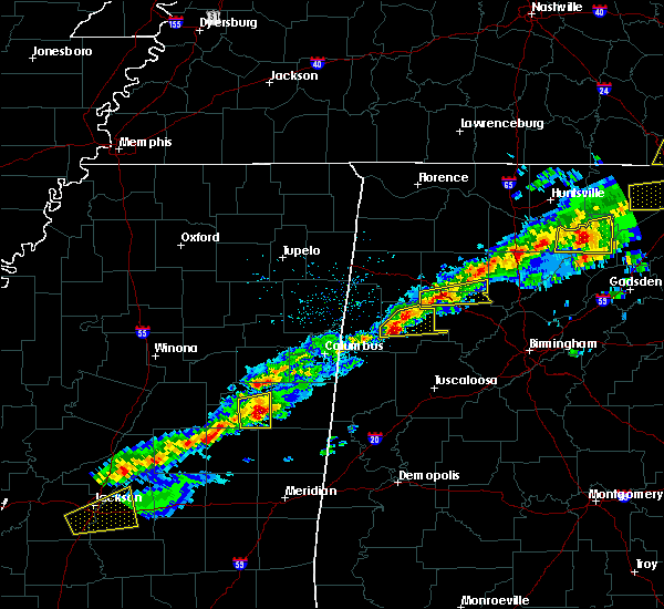 At 222 pm cst, severe thunderstorms were located along a line extending from 6 miles south of glen allen to near belk, moving east at 60 mph (radar indicated). Hazards include 60 mph wind gusts and quarter size hail. Hail damage to vehicles is expected. expect wind damage to roofs, siding, and trees. locations impacted include, fayette, berry, belk, bankston, bevill state college fayette, hubbertville, fowlers crossroads and richard arthur field. A tornado watch remains in effect until 600 pm cst for west central alabama. At 222 pm cst, severe thunderstorms were located along a line extending from 6 miles south of glen allen to near belk, moving east at 60 mph (radar indicated). Hazards include 60 mph wind gusts and quarter size hail. Hail damage to vehicles is expected. expect wind damage to roofs, siding, and trees. locations impacted include, fayette, berry, belk, bankston, bevill state college fayette, hubbertville, fowlers crossroads and richard arthur field. A tornado watch remains in effect until 600 pm cst for west central alabama.
|
| 3/1/2017 2:17 PM CST |
 At 217 pm cst, a severe thunderstorm was located near belk, or near fayette, moving east at 55 mph (radar indicated). Hazards include 60 mph wind gusts and quarter size hail. Hail damage to vehicles is expected. expect wind damage to roofs, siding, and trees. locations impacted include, fayette, vernon, berry, belk, bankston, blooming grove, bluff, cody, richard arthur field, bevill state college fayette, hubbertville, fowlers crossroads and hightogy. A tornado watch remains in effect until 600 pm cst for west central alabama. At 217 pm cst, a severe thunderstorm was located near belk, or near fayette, moving east at 55 mph (radar indicated). Hazards include 60 mph wind gusts and quarter size hail. Hail damage to vehicles is expected. expect wind damage to roofs, siding, and trees. locations impacted include, fayette, vernon, berry, belk, bankston, blooming grove, bluff, cody, richard arthur field, bevill state college fayette, hubbertville, fowlers crossroads and hightogy. A tornado watch remains in effect until 600 pm cst for west central alabama.
|
| 3/1/2017 2:07 PM CST |
 At 207 pm cst, a severe thunderstorm was located near vernon, moving east at 60 mph (radar indicated). Hazards include 60 mph wind gusts and quarter size hail. Hail damage to vehicles is expected. Expect wind damage to roofs, siding, and trees. At 207 pm cst, a severe thunderstorm was located near vernon, moving east at 60 mph (radar indicated). Hazards include 60 mph wind gusts and quarter size hail. Hail damage to vehicles is expected. Expect wind damage to roofs, siding, and trees.
|
| 11/29/2016 7:52 PM CST |
 At 752 pm cst, a severe thunderstorm capable of producing a tornado was located over fayette, moving northeast at 45 mph (radar indicated rotation). Hazards include tornado. Flying debris will be dangerous to those caught without shelter. mobile homes will be damaged or destroyed. damage to roofs, windows, and vehicles will occur. Tree damage is likely. At 752 pm cst, a severe thunderstorm capable of producing a tornado was located over fayette, moving northeast at 45 mph (radar indicated rotation). Hazards include tornado. Flying debris will be dangerous to those caught without shelter. mobile homes will be damaged or destroyed. damage to roofs, windows, and vehicles will occur. Tree damage is likely.
|
| 11/29/2016 7:44 PM CST |
 At 743 pm cst, a severe thunderstorm capable of producing a tornado was located over belk, or near fayette, moving northeast at 45 mph (radar indicated rotation). Hazards include tornado. Flying debris will be dangerous to those caught without shelter. mobile homes will be damaged or destroyed. damage to roofs, windows, and vehicles will occur. tree damage is likely. Locations impacted include, fayette, belk, stone wall, bevill state college fayette, richard arthur field and fayette county public lake. At 743 pm cst, a severe thunderstorm capable of producing a tornado was located over belk, or near fayette, moving northeast at 45 mph (radar indicated rotation). Hazards include tornado. Flying debris will be dangerous to those caught without shelter. mobile homes will be damaged or destroyed. damage to roofs, windows, and vehicles will occur. tree damage is likely. Locations impacted include, fayette, belk, stone wall, bevill state college fayette, richard arthur field and fayette county public lake.
|
| 11/29/2016 7:35 PM CST |
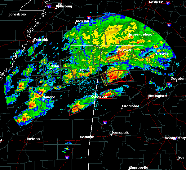 At 734 pm cst, a confirmed tornado was located over kennedy, or near millport, moving northeast at 40 mph (weather spotters confirmed tornado). Hazards include damaging tornado. Flying debris will be dangerous to those caught without shelter. mobile homes will be damaged or destroyed. damage to roofs, windows, and vehicles will occur. tree damage is likely. Locations impacted include, fayette, millport, kennedy, belk, ashcraft corner, cody, richard arthur field, fayette county public lake, stone wall and bevill state college fayette. At 734 pm cst, a confirmed tornado was located over kennedy, or near millport, moving northeast at 40 mph (weather spotters confirmed tornado). Hazards include damaging tornado. Flying debris will be dangerous to those caught without shelter. mobile homes will be damaged or destroyed. damage to roofs, windows, and vehicles will occur. tree damage is likely. Locations impacted include, fayette, millport, kennedy, belk, ashcraft corner, cody, richard arthur field, fayette county public lake, stone wall and bevill state college fayette.
|
| 11/29/2016 7:22 PM CST |
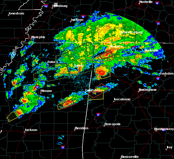 At 722 pm cst, a tornado producing storm was located near millport, moving northeast at 40 mph (radar confirmed tornado). Hazards include damaging tornado. Flying debris will be dangerous to those caught without shelter. mobile homes will be damaged or destroyed. damage to roofs, windows, and vehicles will occur. Tree damage is likely. At 722 pm cst, a tornado producing storm was located near millport, moving northeast at 40 mph (radar confirmed tornado). Hazards include damaging tornado. Flying debris will be dangerous to those caught without shelter. mobile homes will be damaged or destroyed. damage to roofs, windows, and vehicles will occur. Tree damage is likely.
|
| 6/17/2016 2:05 PM CDT |
 At 205 pm cdt, severe thunderstorms were located along a line extending from near guin to near smith dam, moving southeast at 30 mph (radar indicated). Hazards include 60 mph wind gusts and quarter size hail. Hail damage to vehicles is expected. expect wind damage to roofs, siding, and trees. Locations impacted include, jasper, hamilton, winfield, fayette, sumiton, cordova, dora, carbon hill, lynn, arley, guin, berry, double springs, parrish, brilliant, oakman, glen allen, sipsey, west jefferson and kansas. At 205 pm cdt, severe thunderstorms were located along a line extending from near guin to near smith dam, moving southeast at 30 mph (radar indicated). Hazards include 60 mph wind gusts and quarter size hail. Hail damage to vehicles is expected. expect wind damage to roofs, siding, and trees. Locations impacted include, jasper, hamilton, winfield, fayette, sumiton, cordova, dora, carbon hill, lynn, arley, guin, berry, double springs, parrish, brilliant, oakman, glen allen, sipsey, west jefferson and kansas.
|
| 6/17/2016 1:44 PM CDT |
 At 144 pm cdt, severe thunderstorms were located along a line extending from near beaverton to near smith lake, moving south at 25 mph (radar indicated). Hazards include 60 mph wind gusts and quarter size hail. Hail damage to vehicles is expected. Expect wind damage to roofs, siding, and trees. At 144 pm cdt, severe thunderstorms were located along a line extending from near beaverton to near smith lake, moving south at 25 mph (radar indicated). Hazards include 60 mph wind gusts and quarter size hail. Hail damage to vehicles is expected. Expect wind damage to roofs, siding, and trees.
|
| 6/17/2016 1:32 PM CDT |
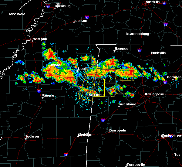 At 132 pm cdt, a severe thunderstorm was located near bankston, or near fayette, moving southeast at 20 mph (radar indicated). Hazards include 60 mph wind gusts and quarter size hail. Hail damage to vehicles is expected. Expect wind damage to roofs, siding, and trees. At 132 pm cdt, a severe thunderstorm was located near bankston, or near fayette, moving southeast at 20 mph (radar indicated). Hazards include 60 mph wind gusts and quarter size hail. Hail damage to vehicles is expected. Expect wind damage to roofs, siding, and trees.
|
| 6/17/2016 1:22 PM CDT | Large tree down on u.s. highway 18 west near fayette. time estimated by rada in fayette county AL, 1.2 miles NNE of Fayette, AL |
| 6/11/2016 6:50 PM CDT | Small outdoor carport-type shed blown down at canterbury auto sales. also damage to the roof of at least one other building in downtown fayette. winds estimated at 40-5 in fayette county AL, 0.6 miles NE of Fayette, AL |
| 3/31/2016 7:14 PM CDT |
 At 714 pm cdt, a severe thunderstorm capable of producing a tornado was located near ashcraft corner, or 7 miles south of fayette, moving northeast at 30 mph (radar indicated rotation). Hazards include tornado and golf ball size hail. Flying debris will be dangerous to those caught without shelter. mobile homes will be damaged or destroyed. damage to roofs, windows, and vehicles will occur. tree damage is likely. Locations impacted include, fayette, berry, belk, bankston, boley springs, richard arthur field, fayette county public lake and stone wall. At 714 pm cdt, a severe thunderstorm capable of producing a tornado was located near ashcraft corner, or 7 miles south of fayette, moving northeast at 30 mph (radar indicated rotation). Hazards include tornado and golf ball size hail. Flying debris will be dangerous to those caught without shelter. mobile homes will be damaged or destroyed. damage to roofs, windows, and vehicles will occur. tree damage is likely. Locations impacted include, fayette, berry, belk, bankston, boley springs, richard arthur field, fayette county public lake and stone wall.
|
| 3/31/2016 7:08 PM CDT | Damage to home reported along county road 51 with trees and power lines dow in fayette county AL, 6.4 miles SSE of Fayette, AL |
| 3/31/2016 7:08 PM CDT | Trees reported down along highway 96. location approximat in fayette county AL, 4.8 miles ENE of Fayette, AL |
| 3/31/2016 6:58 PM CDT |
 At 658 pm cdt, a severe thunderstorm capable of producing a tornado was located near kennedy, or near millport, moving northeast at 30 mph (radar indicated rotation). Hazards include tornado and golf ball size hail. Flying debris will be dangerous to those caught without shelter. mobile homes will be damaged or destroyed. damage to roofs, windows, and vehicles will occur. Tree damage is likely. At 658 pm cdt, a severe thunderstorm capable of producing a tornado was located near kennedy, or near millport, moving northeast at 30 mph (radar indicated rotation). Hazards include tornado and golf ball size hail. Flying debris will be dangerous to those caught without shelter. mobile homes will be damaged or destroyed. damage to roofs, windows, and vehicles will occur. Tree damage is likely.
|
| 2/2/2016 6:00 PM CST | Several trees are down along hwy 159 between cr 1 and 2. possible tornado in fayette county AL, 10.4 miles NNE of Fayette, AL |
| 2/2/2016 5:59 PM CST |
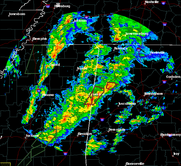 A tornado warning remains in effect until 630 pm cst for northwestern fayette county. at 558 pm cst. a severe thunderstorm capable of producing a tornado was located near fayette. moving northeast at 40 mph. hazard. tornado. source. Radar indicated rotation. A tornado warning remains in effect until 630 pm cst for northwestern fayette county. at 558 pm cst. a severe thunderstorm capable of producing a tornado was located near fayette. moving northeast at 40 mph. hazard. tornado. source. Radar indicated rotation.
|
| 2/2/2016 5:47 PM CST |
 At 547 pm cst, a tornado producing storm was located over belk, or near fayette, moving northeast at 40 mph (radar confirmed tornado). Hazards include damaging tornado. Flying debris will be dangerous to those caught without shelter. mobile homes will be damaged or destroyed. damage to roofs, windows and vehicles will occur. tree damage is likely. this tornadic storm will be near, fayette around 600 pm cst. winfield around 615 pm cst. glen allen around 620 pm cst. Other locations impacted by this tornadic thunderstorm include hubbertville, bazemore and fowlers crossroads. At 547 pm cst, a tornado producing storm was located over belk, or near fayette, moving northeast at 40 mph (radar confirmed tornado). Hazards include damaging tornado. Flying debris will be dangerous to those caught without shelter. mobile homes will be damaged or destroyed. damage to roofs, windows and vehicles will occur. tree damage is likely. this tornadic storm will be near, fayette around 600 pm cst. winfield around 615 pm cst. glen allen around 620 pm cst. Other locations impacted by this tornadic thunderstorm include hubbertville, bazemore and fowlers crossroads.
|
| 2/2/2016 5:44 PM CST |
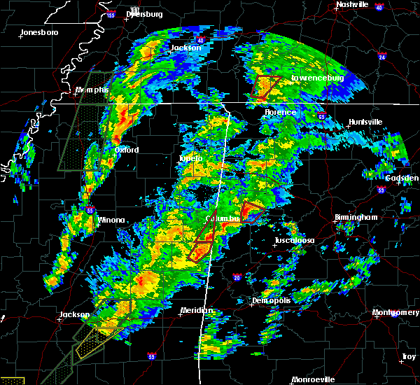 A tornado warning remains in effect until 600 pm cst for southwestern fayette county. at 544 pm cst. a confirmed tornado was located near belk. or near fayette. moving northeast at 45 mph. hazard. damaging tornado. source. Radar confirmed tornado. A tornado warning remains in effect until 600 pm cst for southwestern fayette county. at 544 pm cst. a confirmed tornado was located near belk. or near fayette. moving northeast at 45 mph. hazard. damaging tornado. source. Radar confirmed tornado.
|
| 2/2/2016 5:37 PM CST |
 At 536 pm cst, a severe thunderstorm capable of producing a tornado was located over ashcraft corner, or 9 miles east of millport, moving northeast at 40 mph (radar indicated rotation). Hazards include tornado. Flying debris will be dangerous to those caught without shelter. mobile homes will be damaged or destroyed. damage to roofs, windows and vehicles will occur. tree damage is likely. this dangerous storm will be near, belk around 545 pm cst. fayette and bankston around 600 pm cst. Other locations impacted by this tornadic thunderstorm include stone wall, bevill state college fayette, richard arthur field and fayette county public lake. At 536 pm cst, a severe thunderstorm capable of producing a tornado was located over ashcraft corner, or 9 miles east of millport, moving northeast at 40 mph (radar indicated rotation). Hazards include tornado. Flying debris will be dangerous to those caught without shelter. mobile homes will be damaged or destroyed. damage to roofs, windows and vehicles will occur. tree damage is likely. this dangerous storm will be near, belk around 545 pm cst. fayette and bankston around 600 pm cst. Other locations impacted by this tornadic thunderstorm include stone wall, bevill state college fayette, richard arthur field and fayette county public lake.
|
| 2/2/2016 5:26 PM CST |
 A tornado warning remains in effect until 600 pm cst for northeastern pickens. southwestern fayette and southeastern lamar counties. at 525 pm cst. a severe thunderstorm capable of producing a tornado was located over ashcraft corner. or 9 miles southeast of millport. Moving northeast at 45 mph. A tornado warning remains in effect until 600 pm cst for northeastern pickens. southwestern fayette and southeastern lamar counties. at 525 pm cst. a severe thunderstorm capable of producing a tornado was located over ashcraft corner. or 9 miles southeast of millport. Moving northeast at 45 mph.
|
| 2/2/2016 5:02 PM CST |
 At 501 pm cst, a confirmed large and extremely dangerous tornado was located over carrollton, moving northeast at 45 mph. this is a particularly dangerous situation (weather spotters confirmed tornado). Hazards include damaging tornado. You are in a life threatening situation. flying debris may be deadly to those caught without shelter. mobile homes will be destroyed. considerable damage to homes, businesses and vehicles is likely and complete destruction is possible. the tornado will be near, reform around 515 pm cst. kennedy and ashcraft corner around 530 pm cst. belk around 535 pm cst. fayette and bankston around 550 pm cst. berry around 555 pm cst. Other locations impacted by this tornadic thunderstorm include richard arthur field, fayette county public lake, moores bridge, north pickens airport, stone wall, bevill state college fayette, lubbub, new lexington and cody. At 501 pm cst, a confirmed large and extremely dangerous tornado was located over carrollton, moving northeast at 45 mph. this is a particularly dangerous situation (weather spotters confirmed tornado). Hazards include damaging tornado. You are in a life threatening situation. flying debris may be deadly to those caught without shelter. mobile homes will be destroyed. considerable damage to homes, businesses and vehicles is likely and complete destruction is possible. the tornado will be near, reform around 515 pm cst. kennedy and ashcraft corner around 530 pm cst. belk around 535 pm cst. fayette and bankston around 550 pm cst. berry around 555 pm cst. Other locations impacted by this tornadic thunderstorm include richard arthur field, fayette county public lake, moores bridge, north pickens airport, stone wall, bevill state college fayette, lubbub, new lexington and cody.
|
| 7/14/2015 8:01 PM CDT |
 At 800 pm cdt, severe thunderstorms were located along a line extending from near ashcraft corner to 8 miles south of fayette to 6 miles south of boley springs to 7 miles north of bankhead lock and dam to forestdale to birmingham to margaret, moving southeast at 50 mph (radar indicated). Hazards include 70 mph wind gusts and penny size hail. Expect considerable tree damage. damage is likely to mobile homes, roofs and outbuildings. Locations impacted include, jasper, fayette, sumiton, cordova, dora, vernon, millport, berry, parrish, oakman, kennedy, sipsey, west jefferson, belk, gorgas, boley springs, blooming grove, bankston, quinton and gorgas steam plant. At 800 pm cdt, severe thunderstorms were located along a line extending from near ashcraft corner to 8 miles south of fayette to 6 miles south of boley springs to 7 miles north of bankhead lock and dam to forestdale to birmingham to margaret, moving southeast at 50 mph (radar indicated). Hazards include 70 mph wind gusts and penny size hail. Expect considerable tree damage. damage is likely to mobile homes, roofs and outbuildings. Locations impacted include, jasper, fayette, sumiton, cordova, dora, vernon, millport, berry, parrish, oakman, kennedy, sipsey, west jefferson, belk, gorgas, boley springs, blooming grove, bankston, quinton and gorgas steam plant.
|
| 7/14/2015 7:34 PM CDT |
 At 734 pm cdt, severe thunderstorms were located along a line extending from near vernon to blooming grove to 8 miles north of bankston to 7 miles south of carbon hill to sipsey to near warrior to near nectar, moving southeast at 50 mph (radar indicated). Hazards include 70 mph wind gusts and penny size hail. Expect considerable tree damage. damage is likely to mobile homes, roofs and outbuildings. Locations impacted include, jasper, winfield, fayette, sumiton, cordova, dora, carbon hill, vernon, sulligent, millport, berry, parrish, oakman, glen allen, kennedy, sipsey, west jefferson, detroit, kansas and nauvoo. At 734 pm cdt, severe thunderstorms were located along a line extending from near vernon to blooming grove to 8 miles north of bankston to 7 miles south of carbon hill to sipsey to near warrior to near nectar, moving southeast at 50 mph (radar indicated). Hazards include 70 mph wind gusts and penny size hail. Expect considerable tree damage. damage is likely to mobile homes, roofs and outbuildings. Locations impacted include, jasper, winfield, fayette, sumiton, cordova, dora, carbon hill, vernon, sulligent, millport, berry, parrish, oakman, glen allen, kennedy, sipsey, west jefferson, detroit, kansas and nauvoo.
|
| 7/14/2015 7:10 PM CDT |
 At 709 pm cdt, severe thunderstorms were located along a line extending from 7 miles southeast of amory to near detroit to guin to near glen allen to camp mcdowell to 6 miles southeast of helicon to good hope, moving southeast at 55 mph (radar indicated). Hazards include 70 mph wind gusts and penny size hail. Expect considerable tree damage. Damage is likely to mobile homes, roofs and outbuildings. At 709 pm cdt, severe thunderstorms were located along a line extending from 7 miles southeast of amory to near detroit to guin to near glen allen to camp mcdowell to 6 miles southeast of helicon to good hope, moving southeast at 55 mph (radar indicated). Hazards include 70 mph wind gusts and penny size hail. Expect considerable tree damage. Damage is likely to mobile homes, roofs and outbuildings.
|
| 5/24/2015 3:49 PM CDT | At 349 pm cdt, a severe thunderstorm was located near millport, moving north at 40 mph (radar indicated). Hazards include 60 mph wind gusts and quarter size hail. Hail damage to vehicles is expected. expect wind damage to roofs, siding and trees. Locations impacted include, fayette, vernon, sulligent, gordo, reform, millport, kennedy, belk, ethelsville, blooming grove, lamar county airport, ashcraft corner, bluff, bedford, lubbub, mcshan, melborne, wayside, cody and pine grove. |
| 5/24/2015 3:32 PM CDT | At 332 pm cdt, a severe thunderstorm was located near reform, moving north at 40 mph (radar indicated). Hazards include 60 mph wind gusts and quarter size hail. Hail damage to vehicles is expected. Expect wind damage to roofs, siding and trees. |
| 4/20/2015 12:48 AM CDT | At 1247 am cdt, severe thunderstorms were located along a line extending from 9 miles northwest of hackleburg to near weston to near vernon, moving northeast at 50 mph (radar indicated). Hazards include 60 mph wind gusts and quarter size hail. Expect wind damage to roofs. Siding and trees. |
| 3/31/2015 5:59 PM CDT | A severe thunderstorm warning remains in effect until 615 pm cdt for southeastern fayette county. at 558 pm cdt. a severe thunderstorm was located over bankston. or near fayette. moving southeast at 25 mph. hazard. 60 mph wind gusts and quarter size hail. source. Radar indicated. |
| 3/31/2015 5:42 PM CDT | The national weather service in birmingham has issued a * severe thunderstorm warning for. central fayette county in west central alabama. until 615 pm cdt * at 542 pm cdt. a severe thunderstorm was located near fayette. Moving southeast at 20 mph. |
| 3/31/2015 4:00 PM CST | Quarter sized hail reported 8.2 miles N of Fayette, AL |
| 3/31/2015 4:51 PM CDT | The national weather service in birmingham has issued a * severe thunderstorm warning for. southeastern lamar county in west central alabama. northwestern tuscaloosa county in west central alabama. northeastern pickens county in west central alabama. Southwestern fayette county in west central alabama. |
| 6/9/2014 7:51 PM CDT | Ping Pong Ball sized hail reported 17 miles N of Fayette, AL, near highway 171 in far northwest tuscaloosa county. |
| 6/9/2014 7:47 PM CDT | Ping Pong Ball sized hail reported 12.2 miles N of Fayette, AL |
| 2/20/2014 9:48 PM CST | Several trees were blown down near fayett in fayette county AL, 1.2 miles NNE of Fayette, AL |
| 7/23/2013 2:30 PM CDT | Trees reported down east of demopolis near arcola road and county road in tuscaloosa county AL, 13.6 miles N of Fayette, AL |
| 7/18/2013 12:34 AM CDT | Trees reported down blocking the roadway at mile marker 2 on alabama highway 107. winds estimated 40-50 mph from radar. time estimated from radar. reported through soci in fayette county AL, 4 miles SE of Fayette, AL |
| 6/17/2013 4:45 PM CDT | Em reported a tree down at 5th st and 1st av in fayette county AL, 1.2 miles NNE of Fayette, AL |
| 6/17/2013 4:45 PM CDT | Sign blown off at the shop n save on hwy 43 just north of downtown. tree also down along hwy 43 near citizens bank. time estimated from rada in fayette county AL, 0.3 miles SW of Fayette, AL |
| 4/11/2013 2:03 PM CDT | A tree and pole pole blown down on 7th street s in fayette county AL, 1.2 miles NNE of Fayette, AL |
| 4/11/2013 2:03 PM CDT | A tree and power pole blown down on 7th street s in fayette county AL, 1.2 miles NNE of Fayette, AL |
| 4/11/2013 2:03 PM CDT | A tree and power pole blown were blown down on 7th street s in fayette county AL, 1.2 miles NNE of Fayette, AL |
| 4/11/2013 2:00 PM CDT | A few trees and power lines were blown down along 7th street ne and also across from walmart. time estimated from rada in fayette county AL, 1.1 miles N of Fayette, AL |
| 4/11/2013 2:00 PM CDT | Power lines down along 7th street ne and also across from walmart. time estimated from rada in fayette county AL, 1.1 miles N of Fayette, AL |
| 3/18/2013 2:26 PM CDT | Trees down across hwy 171 near the intersection of hwy 159 on the south end of tow in fayette county AL, 1.2 miles NNE of Fayette, AL |
| 3/18/2013 2:25 PM CDT | Trees down in town in fayette county AL, 1.2 miles NNE of Fayette, AL |
| 1/30/2013 5:32 AM CST | Numerous trees down on hwy 18 northwest of fayette in fayette county AL, 2.1 miles E of Fayette, AL |
| 1/30/2013 5:32 AM CST | Numerous trees down on hwy 18 northwest of fayette. trees also down along highwa in fayette county AL, 2.1 miles E of Fayette, AL |
| 12/20/2012 7:33 AM CST | Trees down across highway 102 and on highway 18e just north of fayett in fayette county AL, 1.2 miles NNE of Fayette, AL |
| 6/11/2012 6:34 PM CDT | Trees and power lines down along highway 107. power out in fayett in fayette county AL, 3.6 miles ESE of Fayette, AL |
| 5/21/2012 11:00 PM CDT | Quarter sized hail reported 9.2 miles SW of Fayette, AL |
| 5/21/2012 3:45 PM CDT | Quarter sized hail reported 9.2 miles SW of Fayette, AL |
| 4/5/2012 5:07 PM CDT | A few trees and power lines were blown down in fayett in fayette county AL, 1.2 miles NNE of Fayette, AL |
| 4/5/2012 5:07 PM CDT | Several trees and power lines were blown down in and around fayette. a few were blocking roadway in fayette county AL, 1.2 miles NNE of Fayette, AL |
| 1/1/0001 12:00 AM | A few trees were blown down near the intersection of highway 18 and county road 8 in fayette county AL, 2.7 miles WNW of Fayette, AL |
| 1/1/0001 12:00 AM | Numerous trees down across fayette count in fayette county AL, 1.2 miles NNE of Fayette, AL |
| 1/1/0001 12:00 AM | Tree and powerline blocking highway 102 near the intersection of co rd 5 in fayette county AL, 5.6 miles SW of Fayette, AL |
| 1/1/0001 12:00 AM | Tree and powerline down on rasberry lan in fayette county AL, 2.8 miles ESE of Fayette, AL |
| 1/1/0001 12:00 AM | Metal roof partially blown off factory in fayette. roof damage to small building and home 1 mile east of fayette on cr 26n. numerous tress across count in fayette county AL, 1.2 miles NNE of Fayette, AL |
| 1/1/0001 12:00 AM | Quarter sized hail reported 1.2 miles NNE of Fayette, AL |
| 1/1/0001 12:00 AM | Roof blown off buildin in fayette county AL, 2.4 miles S of Fayette, AL |
| 1/1/0001 12:00 AM | Barn blown onto highway 10 in fayette county AL, 4.9 miles SE of Fayette, AL |
Hail Maps for Fayette, AL


Connect with Interactive Hail Maps