

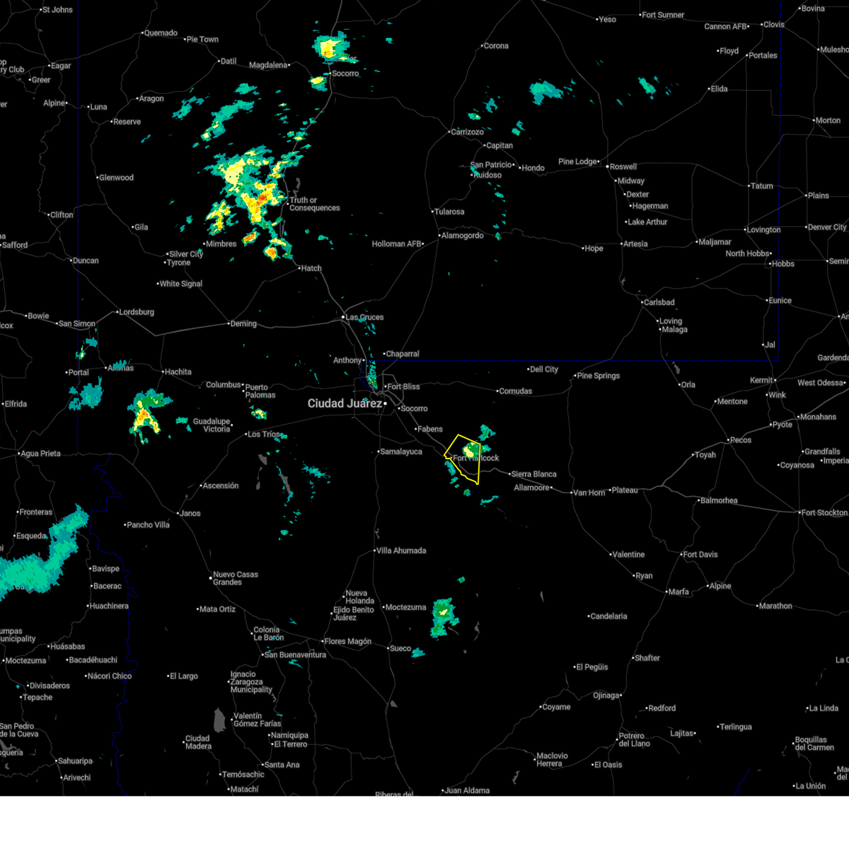
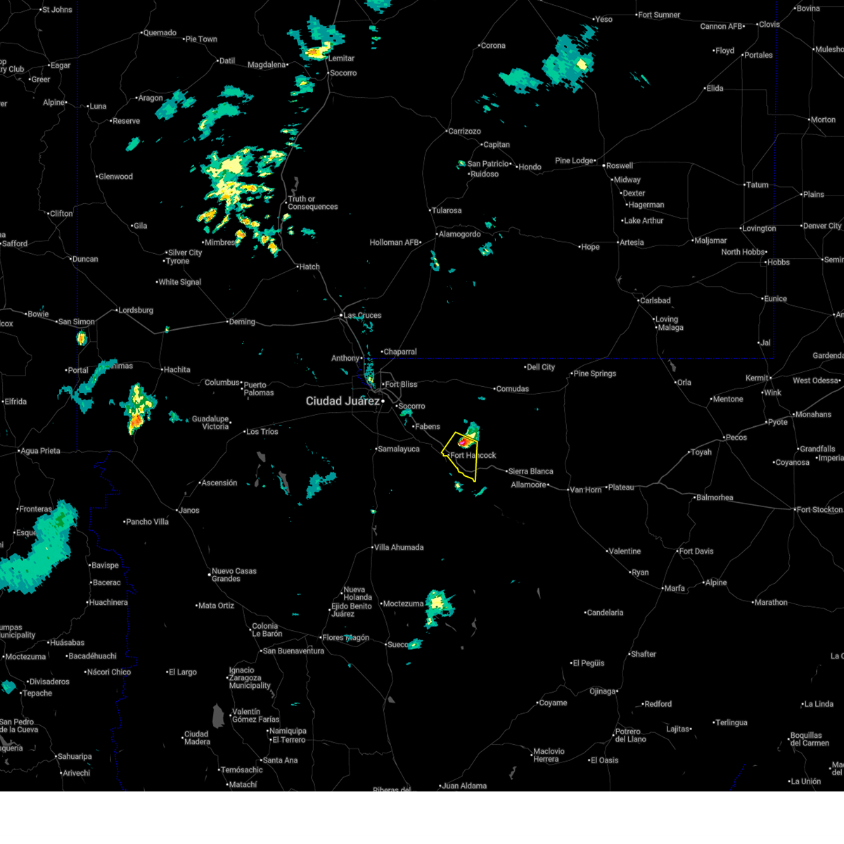
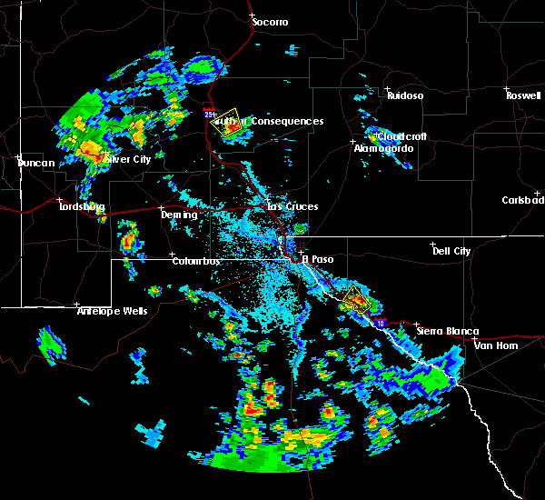
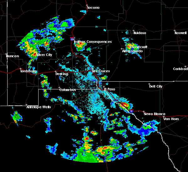
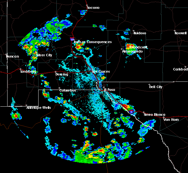
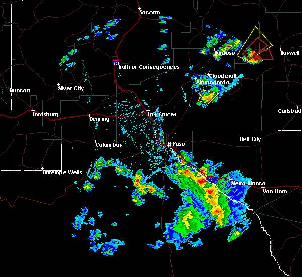
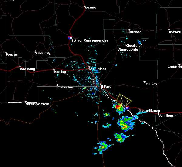
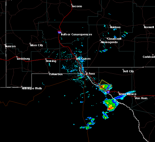
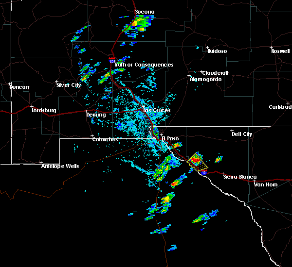
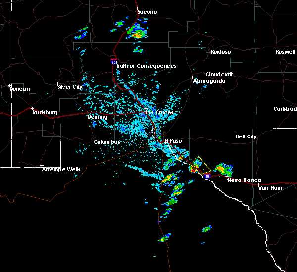
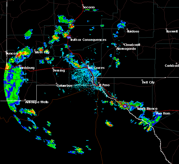
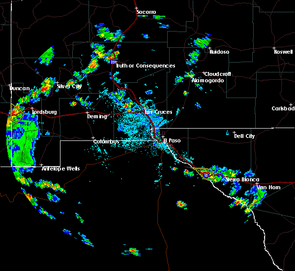
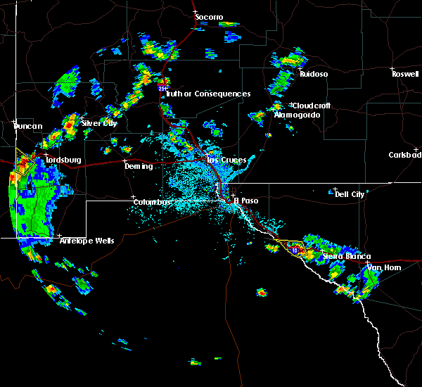
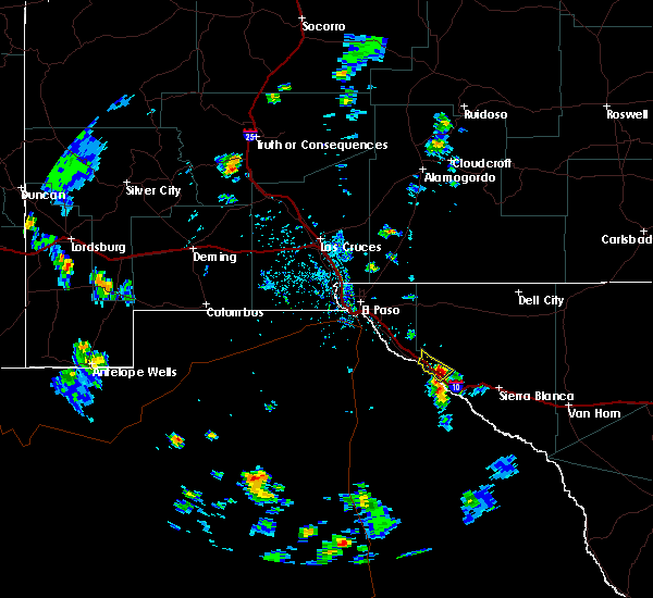
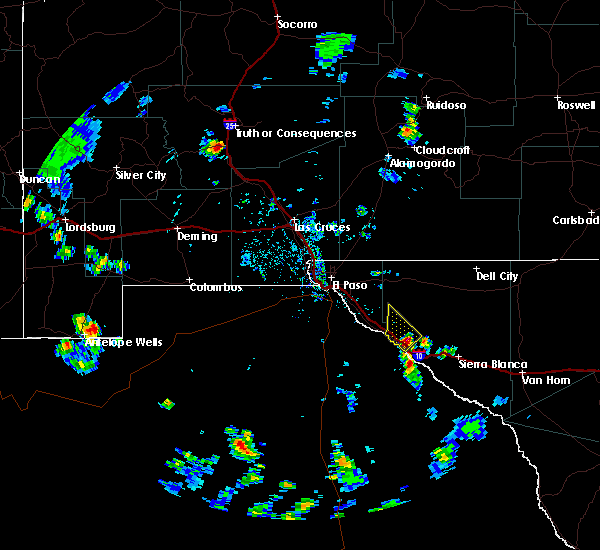
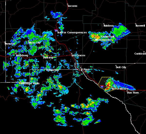
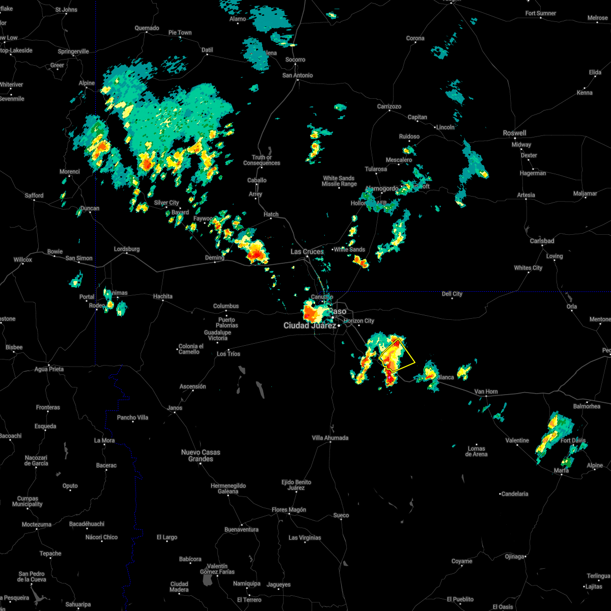
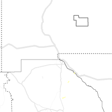
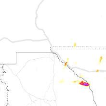
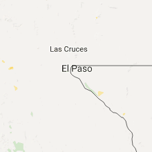
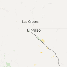
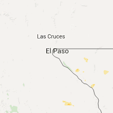
Hail Map for Fort Hancock, TX
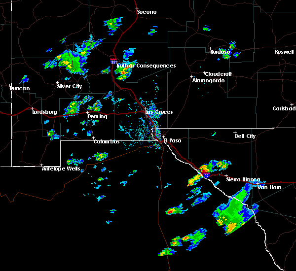
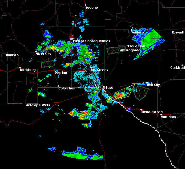
The Fort Hancock, TX area has had 3 reports of on-the-ground hail by trained spotters, and has been under severe weather warnings 2 times during the past 12 months. Doppler radar has detected hail at or near Fort Hancock, TX on 29 occasions.
| Name: | Fort Hancock, TX |
| Where Located: | 50.5 miles SE of El Paso, TX |
| Map: | Google Map for Fort Hancock, TX |
| Population: | 1750 |
| Housing Units: | 618 |
| More Info: | Search Google for Fort Hancock, TX |
0
The Top Recent Hail Date for Fort Hancock, TX is Friday, July 5, 2024 (29th out of 29)

Hail and Wind Damage Spotted near Fort Hancock, TX
| Date / Time | Report Details |
|---|---|
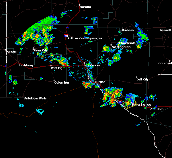
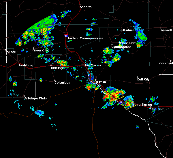
| 7/6/2025 8:17 PM MDT |
 the severe thunderstorm warning has been cancelled and is no longer in effect the severe thunderstorm warning has been cancelled and is no longer in effect
|
| 7/6/2025 7:57 PM MDT |
 Svrepz the national weather service in el paso has issued a * severe thunderstorm warning for, west central hudspeth county in western texas, * until 830 pm mdt. * at 757 pm mdt, a severe thunderstorm was located 7 miles northeast of fort hancock, moving southwest at 10 mph (radar indicated). Hazards include 60 mph wind gusts and quarter size hail. Hail damage to vehicles is expected. Expect wind damage to roofs, siding, and trees. Svrepz the national weather service in el paso has issued a * severe thunderstorm warning for, west central hudspeth county in western texas, * until 830 pm mdt. * at 757 pm mdt, a severe thunderstorm was located 7 miles northeast of fort hancock, moving southwest at 10 mph (radar indicated). Hazards include 60 mph wind gusts and quarter size hail. Hail damage to vehicles is expected. Expect wind damage to roofs, siding, and trees.
|
| 8/27/2019 6:14 PM MDT |
 At 614 pm mdt, a severe thunderstorm was located 6 miles north of acala, and is nearly stationary (radar indicated). Hazards include quarter size hail. damage to vehicles is expected At 614 pm mdt, a severe thunderstorm was located 6 miles north of acala, and is nearly stationary (radar indicated). Hazards include quarter size hail. damage to vehicles is expected
|
| 8/27/2019 5:54 PM MDT |
 At 554 pm mdt, a severe thunderstorm was located near acala, moving northwest at 5 mph (radar indicated). Hazards include half dollar size hail. Damage to vehicles is expected. Locations impacted include, fort hancock and acala. At 554 pm mdt, a severe thunderstorm was located near acala, moving northwest at 5 mph (radar indicated). Hazards include half dollar size hail. Damage to vehicles is expected. Locations impacted include, fort hancock and acala.
|
| 8/27/2019 5:35 PM MDT | Quarter sized hail reported 1.8 miles ESE of Fort Hancock, TX |
| 8/27/2019 5:33 PM MDT |
 At 533 pm mdt, a severe thunderstorm was located over acala, moving northwest at 5 mph (radar indicated). Hazards include quarter size hail. damage to vehicles is expected At 533 pm mdt, a severe thunderstorm was located over acala, moving northwest at 5 mph (radar indicated). Hazards include quarter size hail. damage to vehicles is expected
|
| 6/3/2019 4:10 PM MDT |
 At 409 pm mdt, a severe thunderstorm was located near mcnary, moving northeast at 35 mph (radar indicated). Hazards include 60 mph wind gusts and half dollar size hail. Hail damage to vehicles is expected. Expect wind damage to roofs, siding, and trees. At 409 pm mdt, a severe thunderstorm was located near mcnary, moving northeast at 35 mph (radar indicated). Hazards include 60 mph wind gusts and half dollar size hail. Hail damage to vehicles is expected. Expect wind damage to roofs, siding, and trees.
|
| 5/31/2019 5:07 PM MDT |
 At 506 pm mdt, a severe thunderstorm was located 9 miles southwest of fort hancock, moving northeast at 20 mph (radar indicated). Hazards include 60 mph wind gusts and quarter size hail. Hail damage to vehicles is expected. Expect wind damage to roofs, siding, and trees. At 506 pm mdt, a severe thunderstorm was located 9 miles southwest of fort hancock, moving northeast at 20 mph (radar indicated). Hazards include 60 mph wind gusts and quarter size hail. Hail damage to vehicles is expected. Expect wind damage to roofs, siding, and trees.
|
| 4/23/2019 3:12 PM MDT |
 At 312 pm mdt, a severe thunderstorm was located 6 miles northeast of acala, moving northeast at 10 mph (radar indicated). Hazards include 60 mph wind gusts and quarter size hail. Hail damage to vehicles is expected. Expect wind damage to roofs, siding, and trees. At 312 pm mdt, a severe thunderstorm was located 6 miles northeast of acala, moving northeast at 10 mph (radar indicated). Hazards include 60 mph wind gusts and quarter size hail. Hail damage to vehicles is expected. Expect wind damage to roofs, siding, and trees.
|
| 8/8/2018 5:36 PM MDT |
 At 535 pm mdt, a severe thunderstorm was located 13 miles north of acala, or 15 miles north of fort hancock, and is nearly stationary (radar indicated). Hazards include 70 mph wind gusts and quarter size hail. Hail damage to vehicles is expected. expect considerable tree damage. Wind damage is also likely to mobile homes, roofs, and outbuildings. At 535 pm mdt, a severe thunderstorm was located 13 miles north of acala, or 15 miles north of fort hancock, and is nearly stationary (radar indicated). Hazards include 70 mph wind gusts and quarter size hail. Hail damage to vehicles is expected. expect considerable tree damage. Wind damage is also likely to mobile homes, roofs, and outbuildings.
|
| 6/3/2018 5:53 PM MDT |
 At 553 pm mdt, a severe thunderstorm was located 12 miles northeast of fort hancock, moving east at 30 mph (radar indicated). Hazards include ping pong ball size hail and 60 mph wind gusts. People and animals outdoors will be injured. expect hail damage to roofs, siding, windows, and vehicles. expect wind damage to roofs, siding, and trees. Locations impacted include, fort hancock, esperanza, mcnary and acala. At 553 pm mdt, a severe thunderstorm was located 12 miles northeast of fort hancock, moving east at 30 mph (radar indicated). Hazards include ping pong ball size hail and 60 mph wind gusts. People and animals outdoors will be injured. expect hail damage to roofs, siding, windows, and vehicles. expect wind damage to roofs, siding, and trees. Locations impacted include, fort hancock, esperanza, mcnary and acala.
|
| 6/3/2018 5:28 PM MDT |
 At 528 pm mdt, a severe thunderstorm was located near acala, or 6 miles northwest of fort hancock, moving east at 30 mph (radar indicated). Hazards include 60 mph wind gusts and quarter size hail. Hail damage to vehicles is expected. Expect wind damage to roofs, siding, and trees. At 528 pm mdt, a severe thunderstorm was located near acala, or 6 miles northwest of fort hancock, moving east at 30 mph (radar indicated). Hazards include 60 mph wind gusts and quarter size hail. Hail damage to vehicles is expected. Expect wind damage to roofs, siding, and trees.
|
| 9/26/2017 4:11 PM MDT |
 At 411 pm mdt, a severe thunderstorm was located 5 miles northeast of fort hancock, moving northeast at 15 mph (radar indicated). Hazards include 60 mph wind gusts and quarter size hail. Hail damage to vehicles is expected. expect wind damage to roofs, siding, and trees. Locations impacted include, fort hancock, acala, and mcnary. At 411 pm mdt, a severe thunderstorm was located 5 miles northeast of fort hancock, moving northeast at 15 mph (radar indicated). Hazards include 60 mph wind gusts and quarter size hail. Hail damage to vehicles is expected. expect wind damage to roofs, siding, and trees. Locations impacted include, fort hancock, acala, and mcnary.
|
| 9/26/2017 3:41 PM MDT |
 At 341 pm mdt, a severe thunderstorm was located near acala, or near fort hancock, moving northeast at 15 mph (radar indicated). Hazards include 60 mph wind gusts and quarter size hail. Hail damage to vehicles is expected. Expect wind damage to roofs, siding, and trees. At 341 pm mdt, a severe thunderstorm was located near acala, or near fort hancock, moving northeast at 15 mph (radar indicated). Hazards include 60 mph wind gusts and quarter size hail. Hail damage to vehicles is expected. Expect wind damage to roofs, siding, and trees.
|
| 7/29/2017 5:50 PM MDT |
 The severe thunderstorm warning for west central hudspeth county will expire at 600 pm mdt, the storm which prompted the warning has weakened below severe limits, and no longer pose an immediate threat to life or property. therefore, the warning will be allowed to expire. however heavy rain is still possible with this thunderstorm. The severe thunderstorm warning for west central hudspeth county will expire at 600 pm mdt, the storm which prompted the warning has weakened below severe limits, and no longer pose an immediate threat to life or property. therefore, the warning will be allowed to expire. however heavy rain is still possible with this thunderstorm.
|
| 7/29/2017 5:26 PM MDT |
 At 526 pm mdt, a severe thunderstorm was located 4 miles southeast of mcnary, or 8 miles southeast of fort hancock, moving west at 15 mph (radar indicated). Hazards include 60 mph wind gusts and quarter size hail. Hail damage to vehicles is expected. expect wind damage to roofs, siding, and trees. Locations impacted include, fort hancock, esperanza, and mcnary. At 526 pm mdt, a severe thunderstorm was located 4 miles southeast of mcnary, or 8 miles southeast of fort hancock, moving west at 15 mph (radar indicated). Hazards include 60 mph wind gusts and quarter size hail. Hail damage to vehicles is expected. expect wind damage to roofs, siding, and trees. Locations impacted include, fort hancock, esperanza, and mcnary.
|
| 7/29/2017 5:08 PM MDT |
 At 508 pm mdt, a severe thunderstorm was located near esperanza, or 11 miles southeast of fort hancock, moving west at 15 mph (radar indicated). Hazards include 60 mph wind gusts and quarter size hail. Hail damage to vehicles is expected. Expect wind damage to roofs, siding, and trees. At 508 pm mdt, a severe thunderstorm was located near esperanza, or 11 miles southeast of fort hancock, moving west at 15 mph (radar indicated). Hazards include 60 mph wind gusts and quarter size hail. Hail damage to vehicles is expected. Expect wind damage to roofs, siding, and trees.
|
| 7/12/2017 5:50 PM MDT |
 At 549 pm mdt, a severe thunderstorm was located over fort hancock, moving southwest at 10 mph (radar indicated. at 543 pm a 59 mph wind gust was reported in fort hancock). Hazards include 60 mph wind gusts and half dollar size hail. Hail damage to vehicles is expected. expect wind damage to roofs, siding, and trees. Locations impacted include, fort hancock, acala and mcnary. At 549 pm mdt, a severe thunderstorm was located over fort hancock, moving southwest at 10 mph (radar indicated. at 543 pm a 59 mph wind gust was reported in fort hancock). Hazards include 60 mph wind gusts and half dollar size hail. Hail damage to vehicles is expected. expect wind damage to roofs, siding, and trees. Locations impacted include, fort hancock, acala and mcnary.
|
| 7/12/2017 5:43 PM MDT | Epzwxnet site at txdot building. mesowest id epz03. max sustained wind 45 mp in hudspeth county TX, 1.6 miles SSE of Fort Hancock, TX |
| 7/12/2017 5:29 PM MDT |
 At 529 pm mdt, a severe thunderstorm was located 4 miles northeast of fort hancock, moving northwest at 20 mph (radar indicated). Hazards include ping pong ball size hail and 60 mph wind gusts. People and animals outdoors will be injured. expect hail damage to roofs, siding, windows, and vehicles. Expect wind damage to roofs, siding, and trees. At 529 pm mdt, a severe thunderstorm was located 4 miles northeast of fort hancock, moving northwest at 20 mph (radar indicated). Hazards include ping pong ball size hail and 60 mph wind gusts. People and animals outdoors will be injured. expect hail damage to roofs, siding, windows, and vehicles. Expect wind damage to roofs, siding, and trees.
|
| 6/6/2017 7:39 PM MDT |
 The severe thunderstorm warning for central hudspeth county will expire at 745 pm mdt, the storm which prompted the warning has weakened below severe limits, and no longer pose an immediate threat to life or property. therefore, the warning will be allowed to expire. however small hail, gusty winds and heavy rain are still possible with this thunderstorm as it tracks south toward i-10 and the city of sierra blanca. to report severe weather, contact your nearest law enforcement agency. they will relay your report to the national weather service el paso. The severe thunderstorm warning for central hudspeth county will expire at 745 pm mdt, the storm which prompted the warning has weakened below severe limits, and no longer pose an immediate threat to life or property. therefore, the warning will be allowed to expire. however small hail, gusty winds and heavy rain are still possible with this thunderstorm as it tracks south toward i-10 and the city of sierra blanca. to report severe weather, contact your nearest law enforcement agency. they will relay your report to the national weather service el paso.
|
| 6/6/2017 7:03 PM MDT |
 At 702 pm mdt, a severe thunderstorm was located 15 miles northeast of fort hancock, or 16 miles northwest of sierra blanca, moving south at 15 mph (radar indicated). Hazards include 60 mph wind gusts and quarter size hail. Hail damage to vehicles is expected. Expect wind damage to roofs, siding, and trees. At 702 pm mdt, a severe thunderstorm was located 15 miles northeast of fort hancock, or 16 miles northwest of sierra blanca, moving south at 15 mph (radar indicated). Hazards include 60 mph wind gusts and quarter size hail. Hail damage to vehicles is expected. Expect wind damage to roofs, siding, and trees.
|
| 6/1/2017 3:57 PM MDT |
 The severe thunderstorm warning for west central hudspeth county will expire at 400 pm mdt. the storm which prompted the warning has weakened below severe limits, and no longer pose an immediate threat to life or property. therefore, the warning will be allowed to expire. However gusty winds and heavy rain are still possible with this thunderstorm. The severe thunderstorm warning for west central hudspeth county will expire at 400 pm mdt. the storm which prompted the warning has weakened below severe limits, and no longer pose an immediate threat to life or property. therefore, the warning will be allowed to expire. However gusty winds and heavy rain are still possible with this thunderstorm.
|
| 6/1/2017 3:35 PM MDT |
 At 335 pm mdt, a severe thunderstorm was located 4 miles northeast of acala, or 5 miles north of fort hancock, moving northeast at 10 mph (radar indicated). Hazards include 60 mph wind gusts and half dollar size hail. Hail damage to vehicles is expected. expect wind damage to roofs, siding, and trees. Locations impacted include, fort hancock, and acala. At 335 pm mdt, a severe thunderstorm was located 4 miles northeast of acala, or 5 miles north of fort hancock, moving northeast at 10 mph (radar indicated). Hazards include 60 mph wind gusts and half dollar size hail. Hail damage to vehicles is expected. expect wind damage to roofs, siding, and trees. Locations impacted include, fort hancock, and acala.
|
| 6/1/2017 3:19 PM MDT |
 At 319 pm mdt, a severe thunderstorm was located over acala, or 4 miles northwest of fort hancock, moving northeast at 10 mph (radar indicated). Hazards include 60 mph wind gusts and half dollar size hail. Hail damage to vehicles is expected. Expect wind damage to roofs, siding, and trees. At 319 pm mdt, a severe thunderstorm was located over acala, or 4 miles northwest of fort hancock, moving northeast at 10 mph (radar indicated). Hazards include 60 mph wind gusts and half dollar size hail. Hail damage to vehicles is expected. Expect wind damage to roofs, siding, and trees.
|
| 5/31/2017 10:14 PM MDT |
 At 1013 pm mdt, a severe thunderstorm was located near mcnary, or 7 miles southeast of fort hancock, moving east at 20 mph (radar indicated). Hazards include 60 mph wind gusts and quarter size hail. Hail damage to vehicles is expected. Expect wind damage to roofs, siding, and trees. At 1013 pm mdt, a severe thunderstorm was located near mcnary, or 7 miles southeast of fort hancock, moving east at 20 mph (radar indicated). Hazards include 60 mph wind gusts and quarter size hail. Hail damage to vehicles is expected. Expect wind damage to roofs, siding, and trees.
|
| 10/6/2015 5:03 PM MDT |
 At 503 pm mdt, a severe thunderstorm was located near mcnary, or 6 miles southeast of fort hancock, moving northeast at 15 mph (radar indicated). Hazards include 60 mph wind gusts and quarter size hail. Hail damage to vehicles is expected. Expect wind damage to roofs, siding and trees. At 503 pm mdt, a severe thunderstorm was located near mcnary, or 6 miles southeast of fort hancock, moving northeast at 15 mph (radar indicated). Hazards include 60 mph wind gusts and quarter size hail. Hail damage to vehicles is expected. Expect wind damage to roofs, siding and trees.
|
| 7/7/2015 7:03 PM MDT |
 At 702 pm mdt, a severe thunderstorm was located near indian cliffs ranch, or 7 miles east of fabens, moving southeast at 20 mph (radar indicated). Hazards include 60 mph wind gusts and quarter size hail. Hail damage to vehicles is expected. Expect wind damage to roofs, siding and trees. At 702 pm mdt, a severe thunderstorm was located near indian cliffs ranch, or 7 miles east of fabens, moving southeast at 20 mph (radar indicated). Hazards include 60 mph wind gusts and quarter size hail. Hail damage to vehicles is expected. Expect wind damage to roofs, siding and trees.
|
| 5/4/2015 1:27 PM MDT | At 123 pm mdt, national weather service meteorologists detected a severe thunderstorm capable of producing quarter size hail, and damaging winds in excess of 60 mph. this storm was located 5 miles north of fort hancock, moving northeast at 15 mph. locations impacted include, fort hancock, acala, mcnary,. |
| 5/4/2015 1:07 PM MDT | At 1259 pm mdt, national weather service meteorologists detected a severe thunderstorm capable of producing quarter size hail, and damaging winds in excess of 60 mph. this storm was located near fort hancock, moving northeast at 10 mph. |
| 6/2/2013 5:45 PM MDT | Sheriff dispatch relayed that roofs had been blown off houses in fort hancock in hudspeth county TX, 1.5 miles S of Fort Hancock, TX |
| 6/2/2013 5:41 PM MDT | Trees and powerlines down from near esperanza to fort hancock. barn blown down...tin roofing peeled from several barns and older buildings. wind lasted 10 to 15 minutes in hudspeth county TX, 9.1 miles NW of Fort Hancock, TX |
| 5/11/2012 8:20 PM MDT | Hen Egg sized hail reported 36.1 miles S of Fort Hancock, TX, large hail carpeting the ground reported by hudspeth county sheriffs office. |
| 5/11/2012 8:05 PM MDT | Hen Egg sized hail reported 39 miles SSE of Fort Hancock, TX |
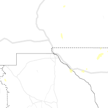
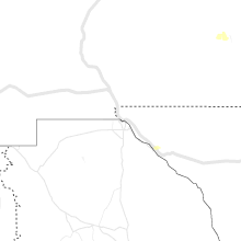
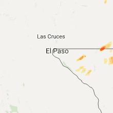
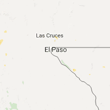
Hail Maps for Fort Hancock, TX


Connect with Interactive Hail Maps