

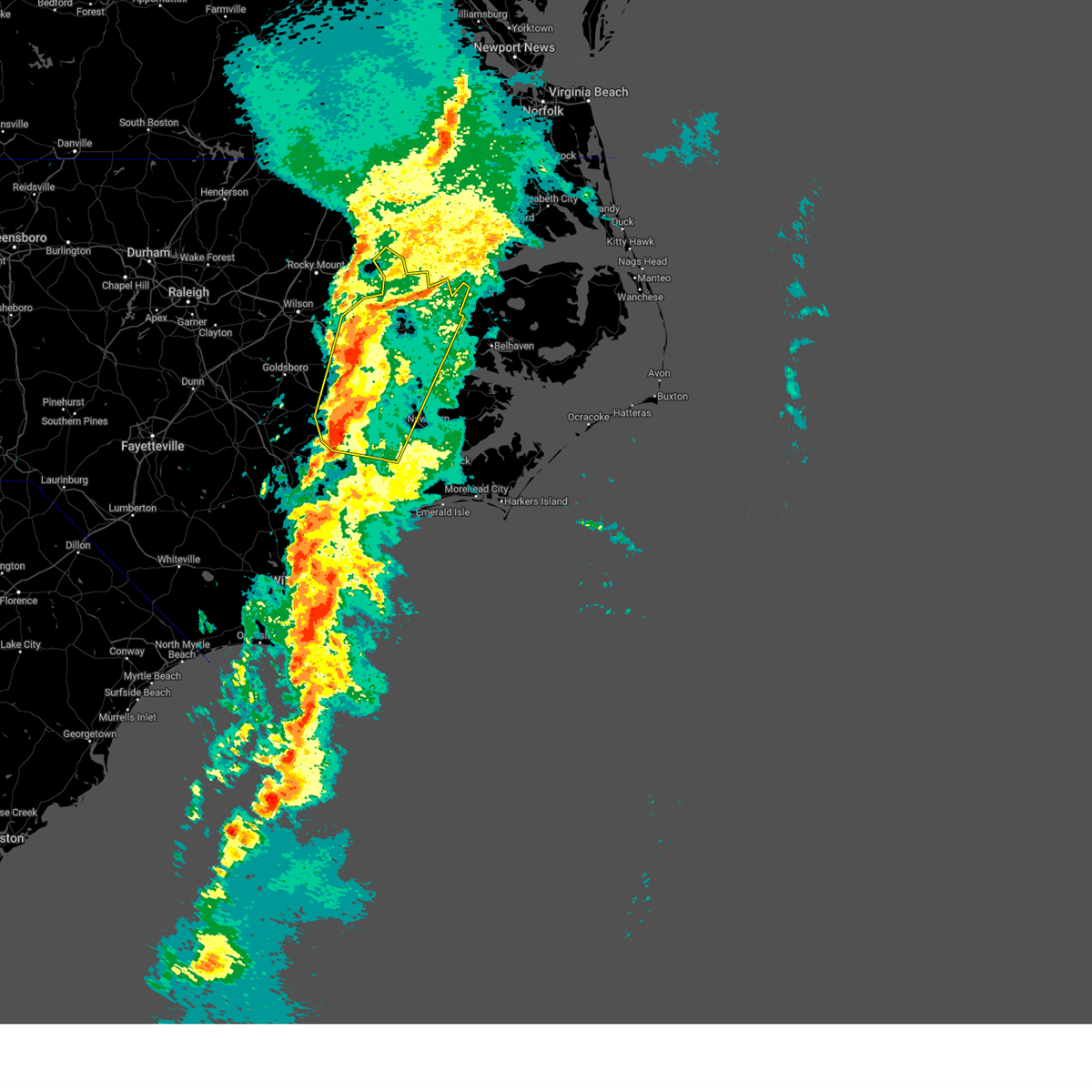
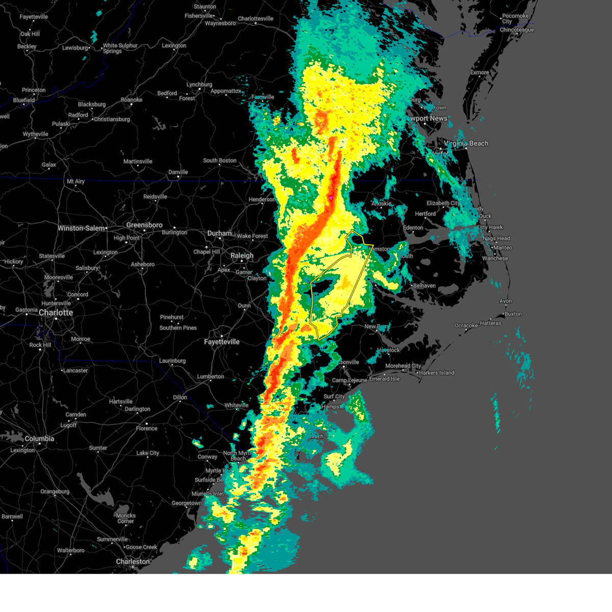
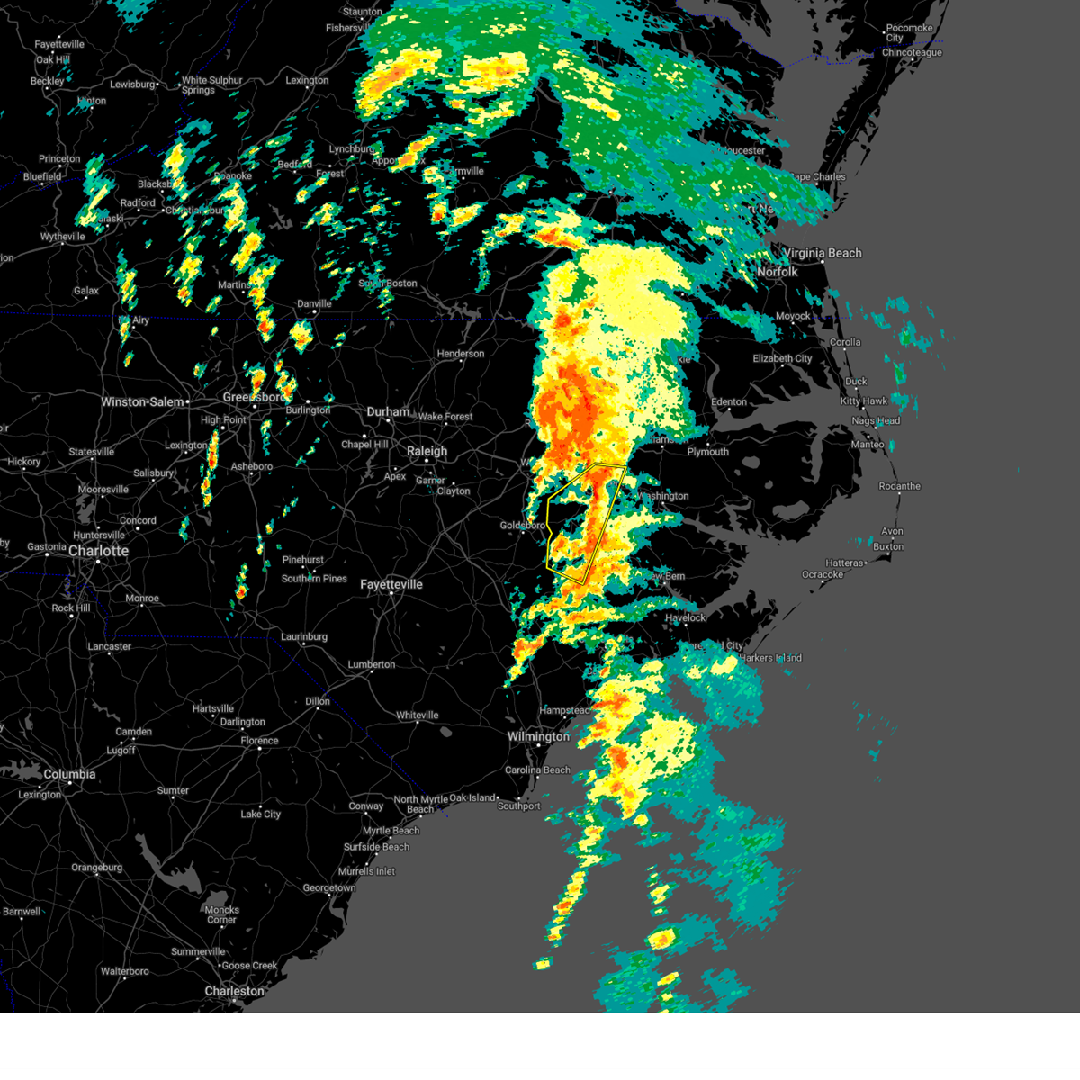
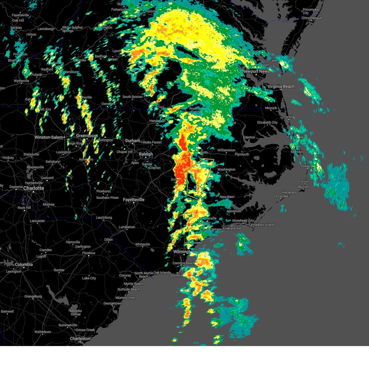
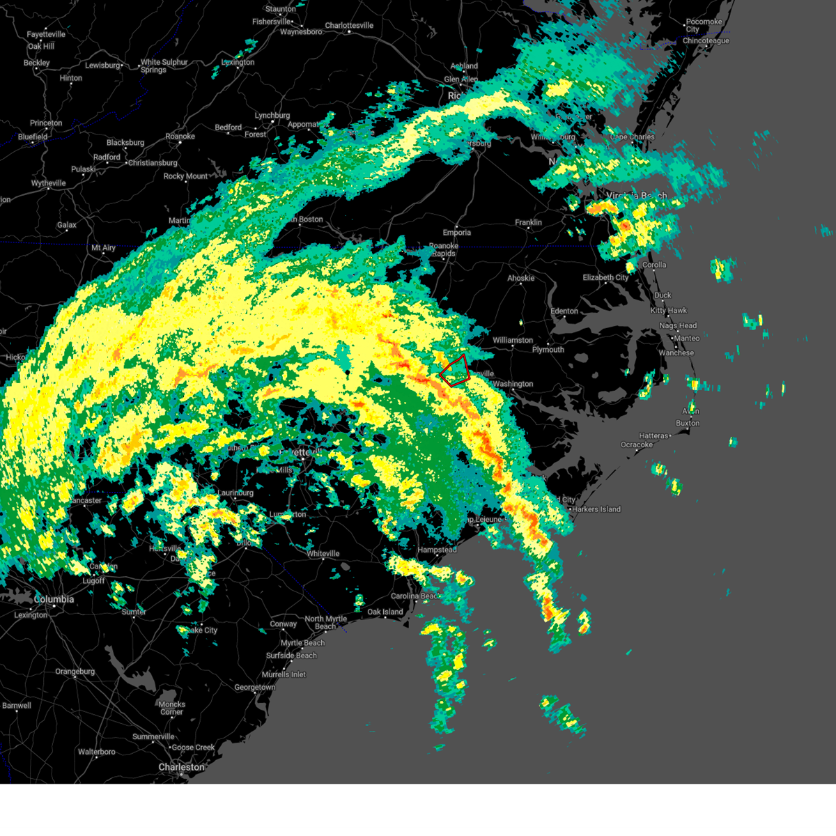
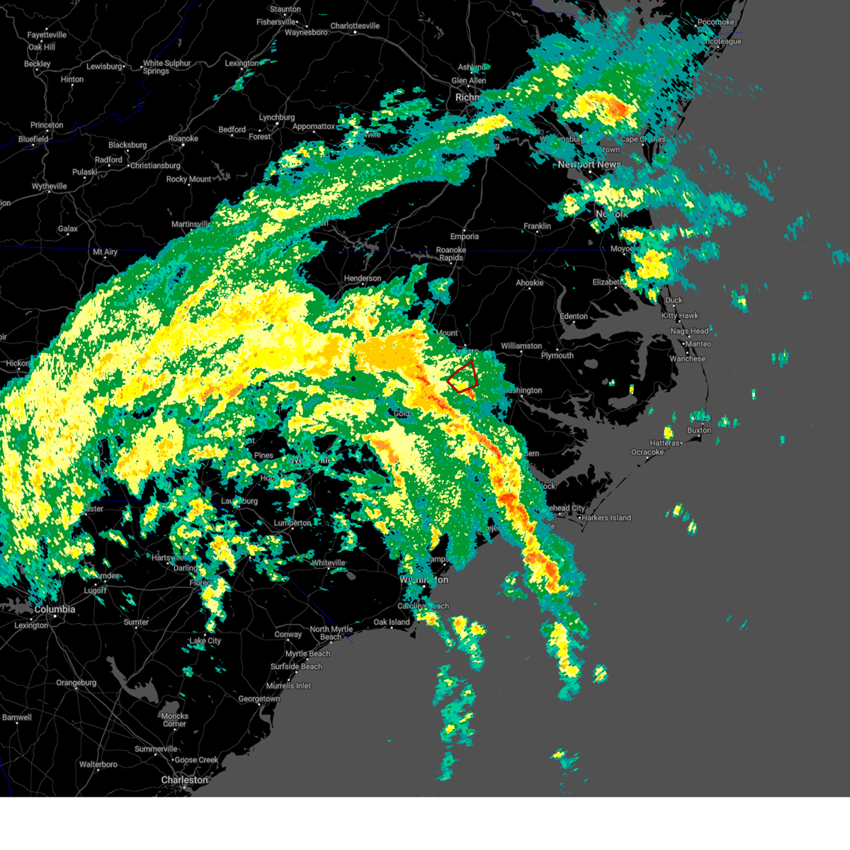
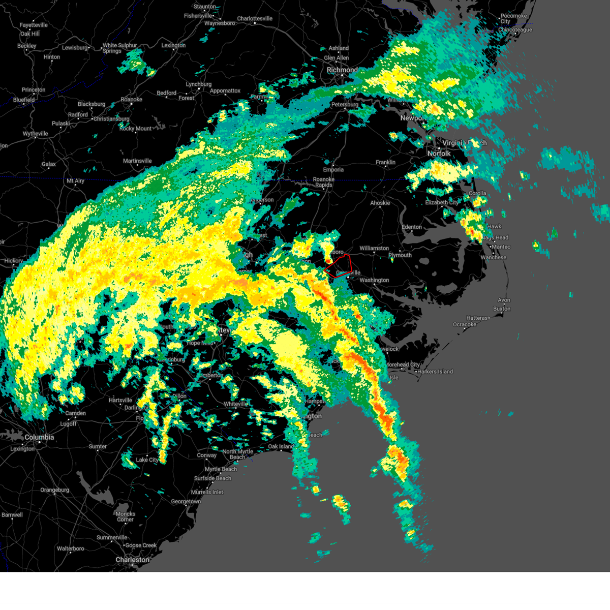
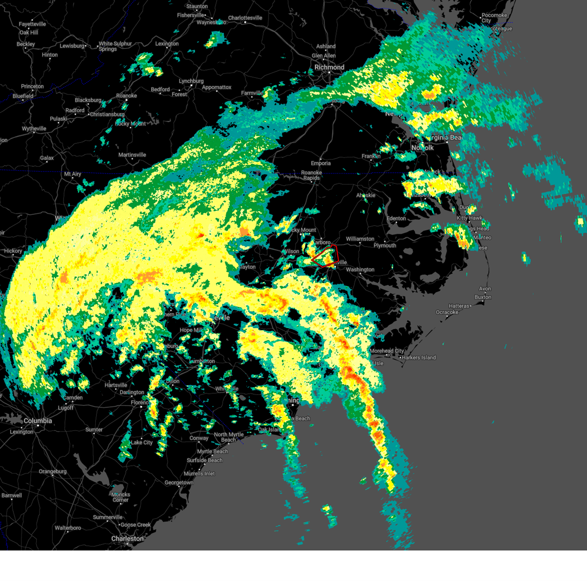
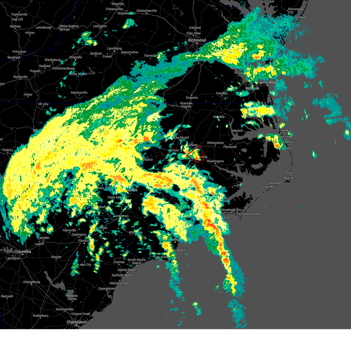
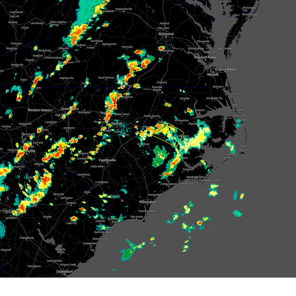
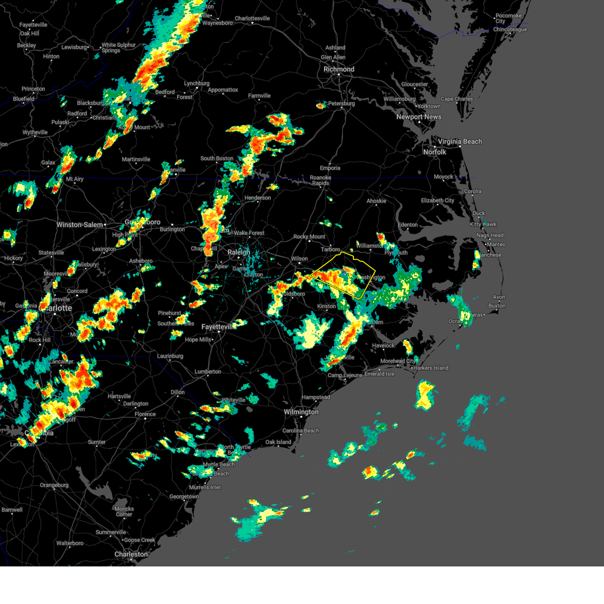
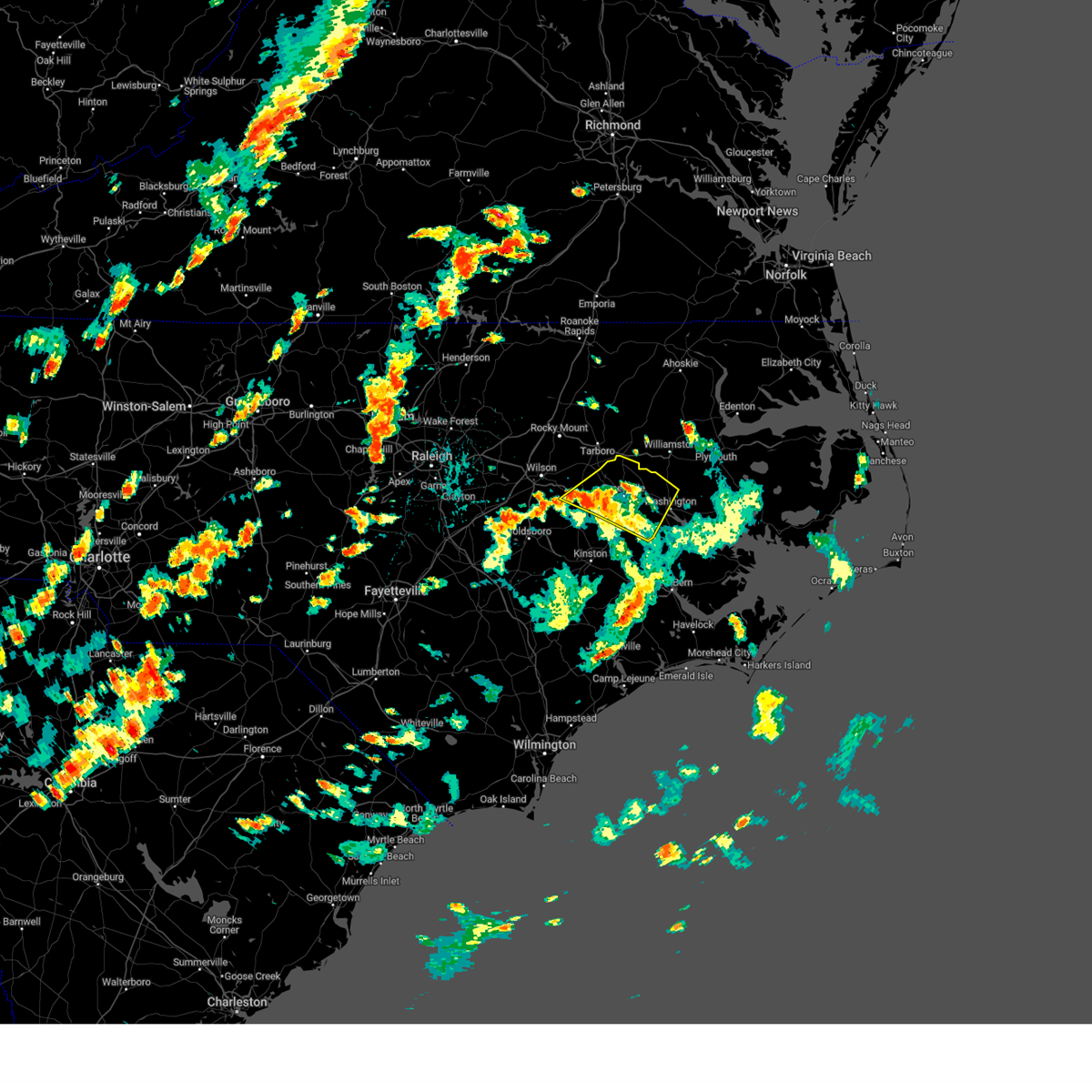
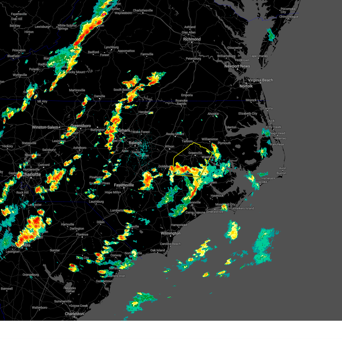
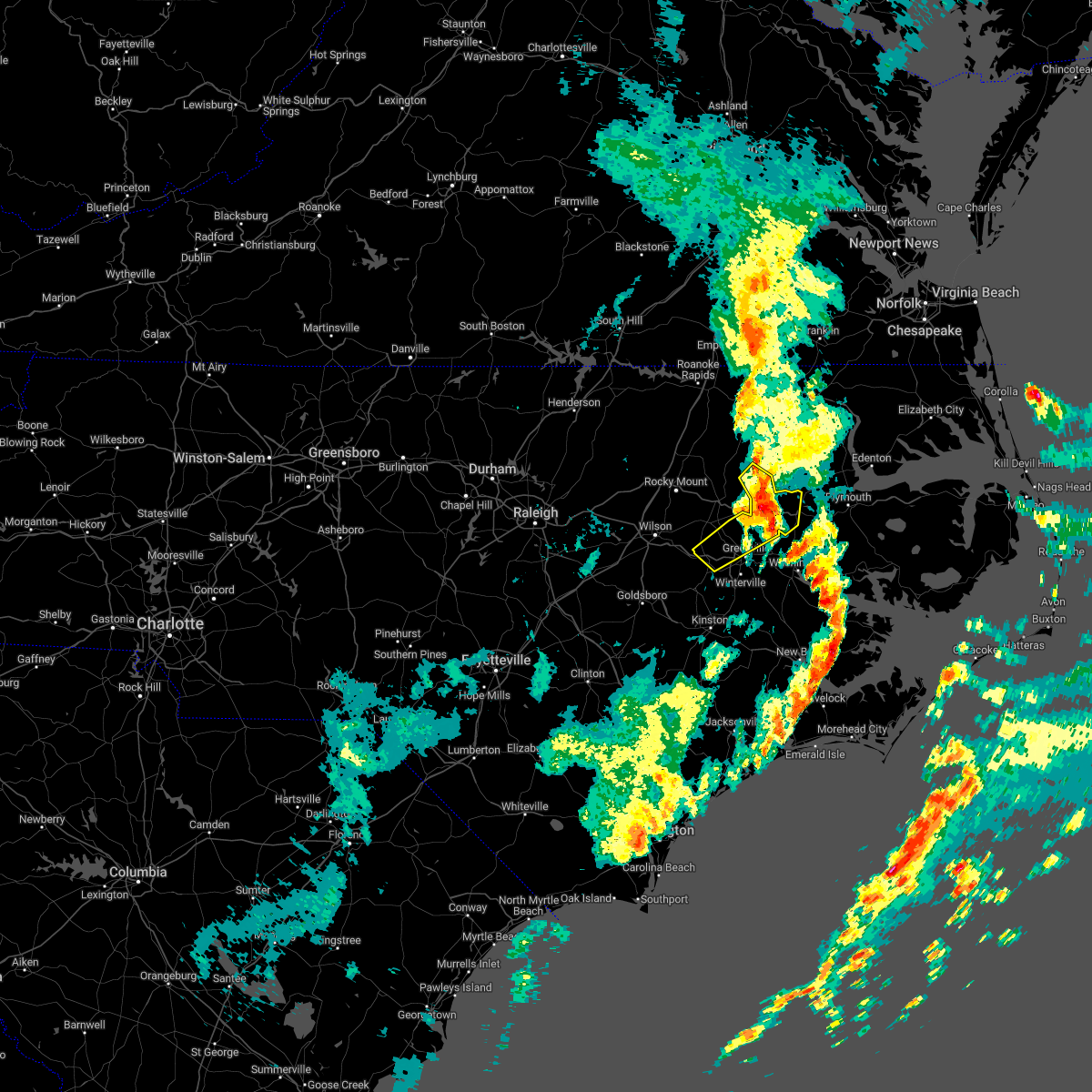
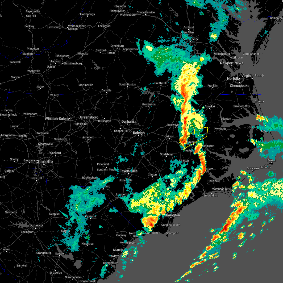
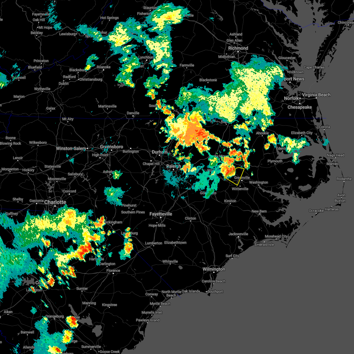
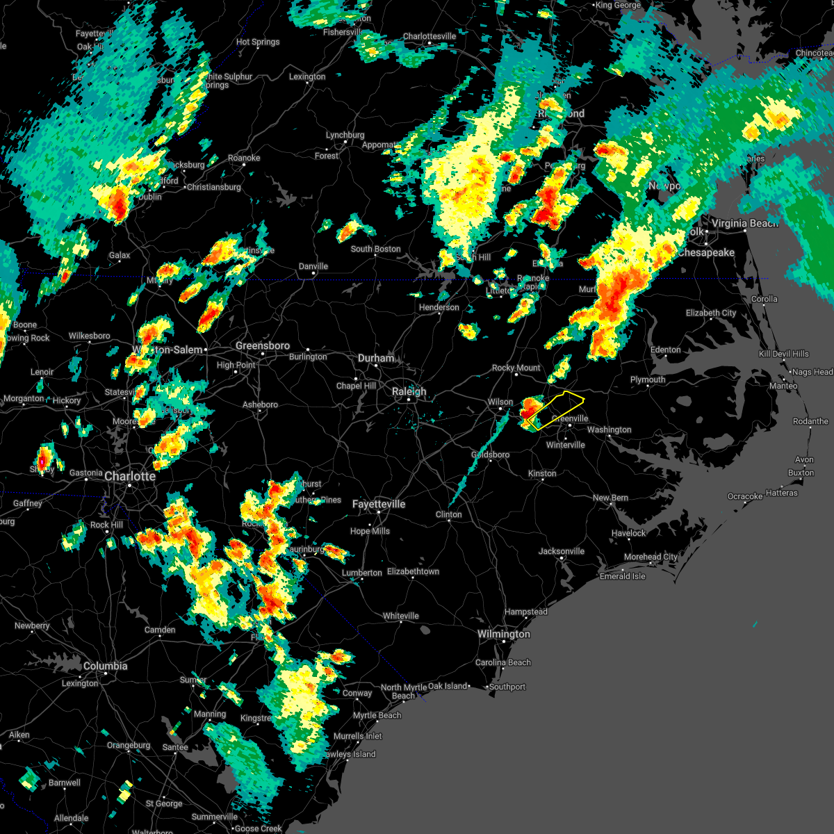
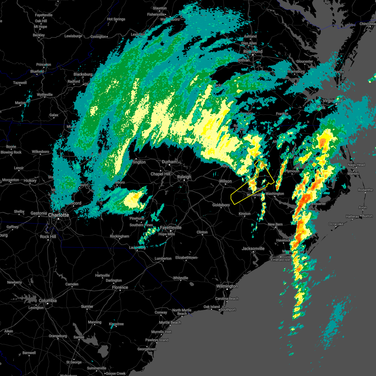
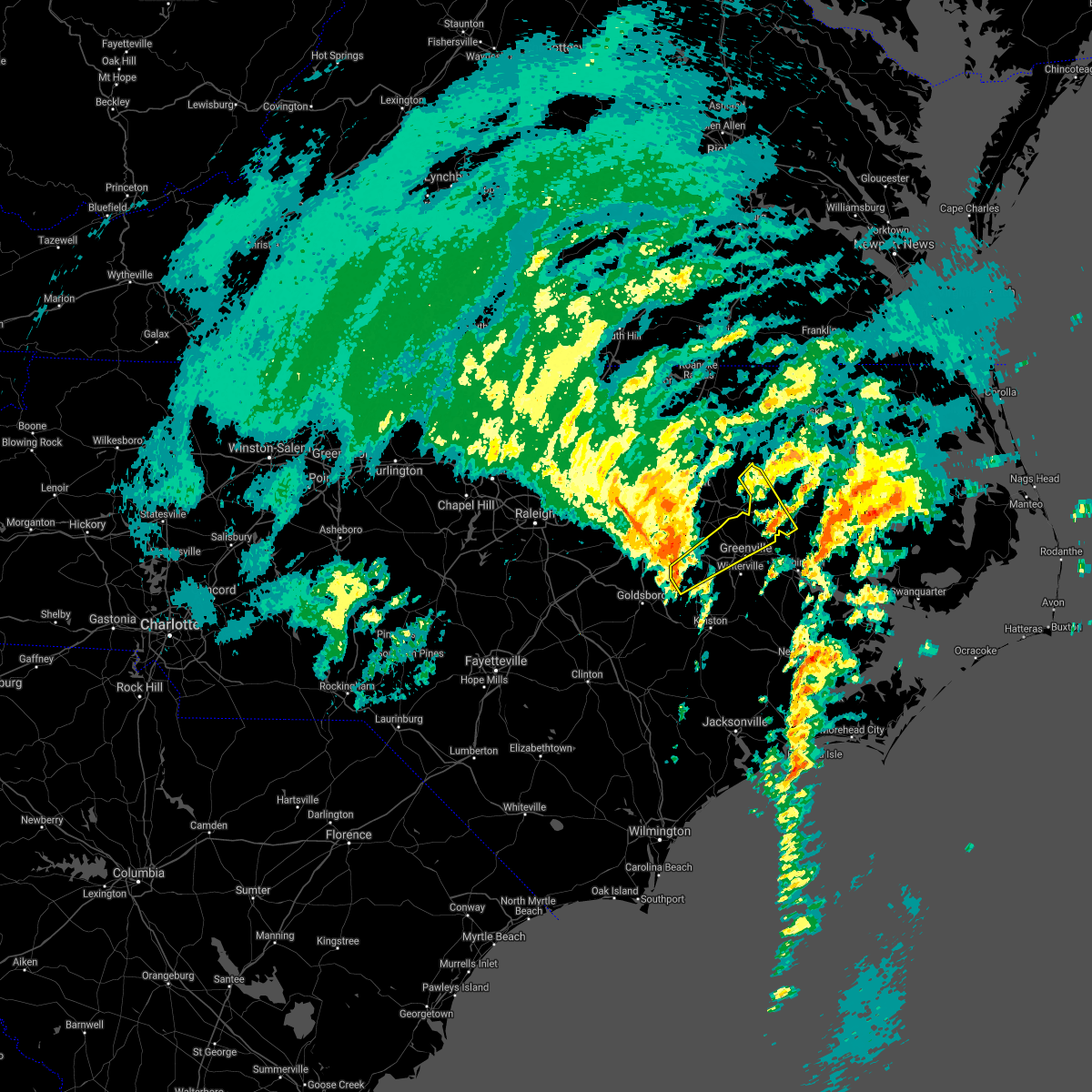
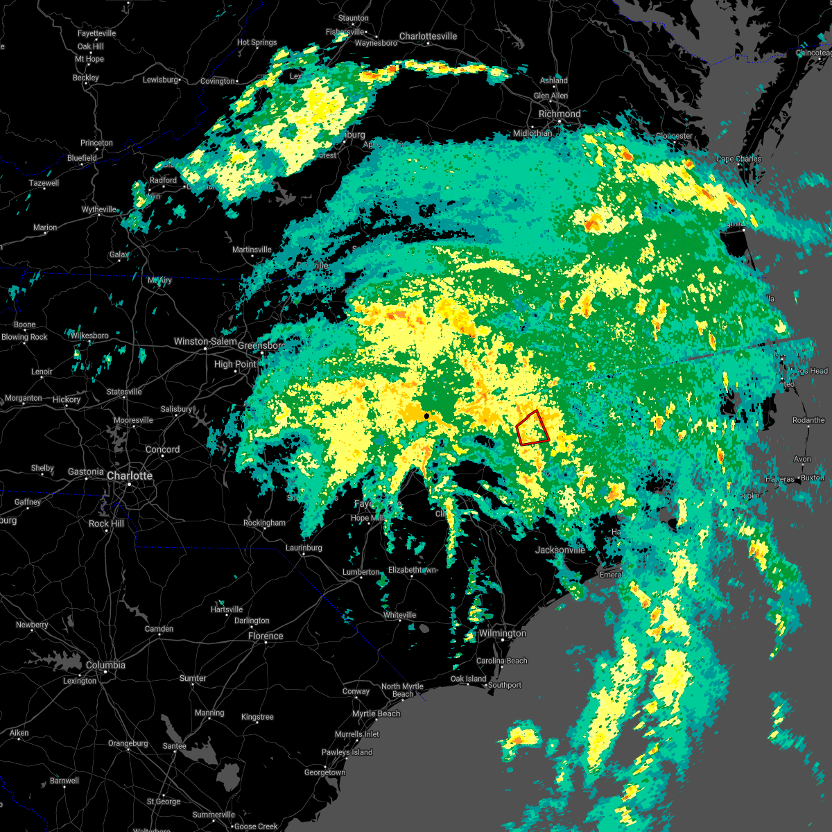
Hail Map for Fountain, NC
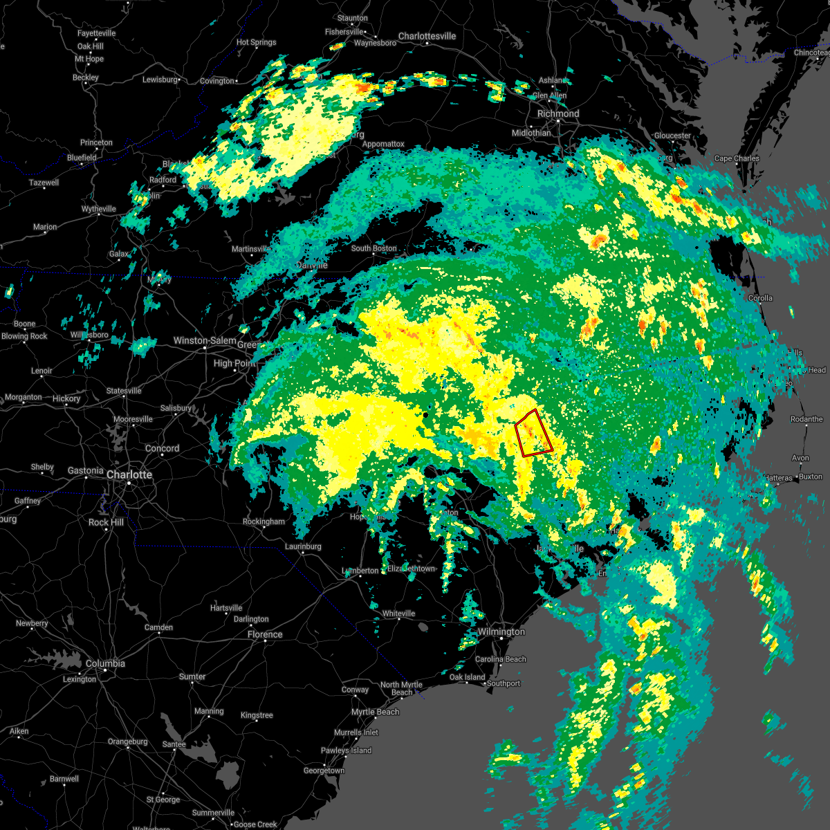
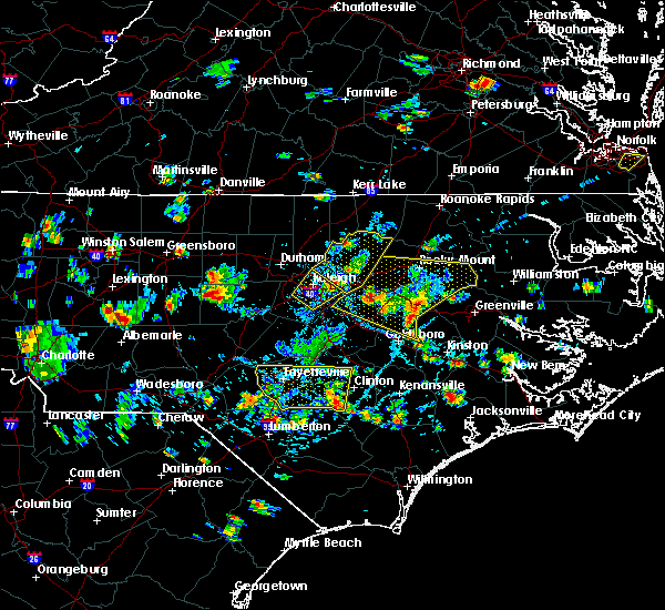
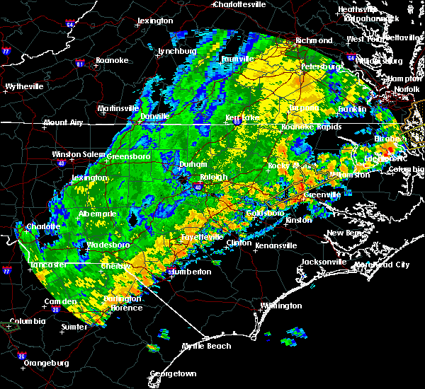
The Fountain, NC area has had 1 report of on-the-ground hail by trained spotters, and has been under severe weather warnings 17 times during the past 12 months. Doppler radar has detected hail at or near Fountain, NC on 45 occasions.
| Name: | Fountain, NC |
| Where Located: | 57.4 miles E of Raleigh, NC |
| Map: | Google Map for Fountain, NC |
| Population: | 427 |
| Housing Units: | 210 |
| More Info: | Search Google for Fountain, NC |
4
The Top Recent Hail Date for Fountain, NC is Friday, May 10, 2024 (5th out of 45)

Hail and Wind Damage Spotted near Fountain, NC
| Date / Time | Report Details |
|---|---|
| 6/19/2025 10:20 PM EDT | Tree down on powerlines north of saratog in wilson county NC, 6.4 miles ESE of Fountain, NC |
| 3/5/2025 3:16 PM EST |
 Svrmhx the national weather service in newport has issued a * severe thunderstorm warning for, jones county in eastern north carolina, eastern greene county in eastern north carolina, lenoir county in eastern north carolina, northwestern craven county in eastern north carolina, pitt county in eastern north carolina, martin county in eastern north carolina, western beaufort county in eastern north carolina, * until 430 pm est. * at 315 pm est, severe thunderstorms were located along a line extending from near ormondsville to near potters hill, moving northeast at 60 mph (radar indicated). Hazards include 70 mph wind gusts. Expect considerable tree damage. Damage is likely to mobile homes, roofs, and outbuildings. Svrmhx the national weather service in newport has issued a * severe thunderstorm warning for, jones county in eastern north carolina, eastern greene county in eastern north carolina, lenoir county in eastern north carolina, northwestern craven county in eastern north carolina, pitt county in eastern north carolina, martin county in eastern north carolina, western beaufort county in eastern north carolina, * until 430 pm est. * at 315 pm est, severe thunderstorms were located along a line extending from near ormondsville to near potters hill, moving northeast at 60 mph (radar indicated). Hazards include 70 mph wind gusts. Expect considerable tree damage. Damage is likely to mobile homes, roofs, and outbuildings.
|
| 3/5/2025 2:27 PM EST |
 Svrmhx the national weather service in newport has issued a * severe thunderstorm warning for, greene county in eastern north carolina, lenoir county in eastern north carolina, pitt county in eastern north carolina, western martin county in eastern north carolina, * until 330 pm est. * at 227 pm est, severe thunderstorms were located along a line extending from 8 miles northwest of fremont to bowdens, moving northeast at 60 mph (radar indicated). Hazards include 70 mph wind gusts. Expect considerable tree damage. Damage is likely to mobile homes, roofs, and outbuildings. Svrmhx the national weather service in newport has issued a * severe thunderstorm warning for, greene county in eastern north carolina, lenoir county in eastern north carolina, pitt county in eastern north carolina, western martin county in eastern north carolina, * until 330 pm est. * at 227 pm est, severe thunderstorms were located along a line extending from 8 miles northwest of fremont to bowdens, moving northeast at 60 mph (radar indicated). Hazards include 70 mph wind gusts. Expect considerable tree damage. Damage is likely to mobile homes, roofs, and outbuildings.
|
| 9/27/2024 1:54 PM EDT |
 At 153 pm edt, a severe thunderstorm was located 8 miles west of farmville, moving northeast at 30 mph (radar indicated). Hazards include 60 mph wind gusts. Expect damage to roofs, siding, and trees. Locations impacted include, greenville, kinston, winterville, ayden, farmville, la grange, snow hill, bell arthur, house, bruce, dawson, graingers, institute, jason, maury, ormondsville, roundtree, lizzie, pitt greenville airport, and east carolina university. At 153 pm edt, a severe thunderstorm was located 8 miles west of farmville, moving northeast at 30 mph (radar indicated). Hazards include 60 mph wind gusts. Expect damage to roofs, siding, and trees. Locations impacted include, greenville, kinston, winterville, ayden, farmville, la grange, snow hill, bell arthur, house, bruce, dawson, graingers, institute, jason, maury, ormondsville, roundtree, lizzie, pitt greenville airport, and east carolina university.
|
| 9/27/2024 1:54 PM EDT |
 the severe thunderstorm warning has been cancelled and is no longer in effect the severe thunderstorm warning has been cancelled and is no longer in effect
|
| 9/27/2024 1:20 PM EDT |
 Svrmhx the national weather service in newport has issued a * severe thunderstorm warning for, greene county in eastern north carolina, lenoir county in eastern north carolina, western pitt county in eastern north carolina, northeastern duplin county in eastern north carolina, * until 215 pm edt. * at 120 pm edt, a severe thunderstorm was located near goldsboro, moving northeast at 30 mph (radar indicated). Hazards include 60 mph wind gusts. expect damage to roofs, siding, and trees Svrmhx the national weather service in newport has issued a * severe thunderstorm warning for, greene county in eastern north carolina, lenoir county in eastern north carolina, western pitt county in eastern north carolina, northeastern duplin county in eastern north carolina, * until 215 pm edt. * at 120 pm edt, a severe thunderstorm was located near goldsboro, moving northeast at 30 mph (radar indicated). Hazards include 60 mph wind gusts. expect damage to roofs, siding, and trees
|
| 8/8/2024 6:25 AM EDT |
 The storm which prompted the warning has moved out of the area. therefore, the warning will be allowed to expire. a tornado watch remains in effect until 100 pm edt for eastern north carolina. The storm which prompted the warning has moved out of the area. therefore, the warning will be allowed to expire. a tornado watch remains in effect until 100 pm edt for eastern north carolina.
|
| 8/8/2024 6:09 AM EDT |
 the tornado warning has been cancelled and is no longer in effect the tornado warning has been cancelled and is no longer in effect
|
| 8/8/2024 6:09 AM EDT |
 At 609 am edt, a severe thunderstorm capable of producing a tornado was located near farmville, moving northwest at 45 mph (radar indicated rotation). Hazards include tornado. Flying debris will be dangerous to those caught without shelter. mobile homes will be damaged or destroyed. damage to roofs, windows, and vehicles will occur. tree damage is likely. This tornadic thunderstorm will remain over mainly rural areas of northwestern pitt county, including the following locations, fountain and falkland. At 609 am edt, a severe thunderstorm capable of producing a tornado was located near farmville, moving northwest at 45 mph (radar indicated rotation). Hazards include tornado. Flying debris will be dangerous to those caught without shelter. mobile homes will be damaged or destroyed. damage to roofs, windows, and vehicles will occur. tree damage is likely. This tornadic thunderstorm will remain over mainly rural areas of northwestern pitt county, including the following locations, fountain and falkland.
|
| 8/8/2024 6:00 AM EDT |
 Tormhx the national weather service in newport has issued a * tornado warning for, northeastern greene county in eastern north carolina, northwestern pitt county in eastern north carolina, * until 630 am edt. * at 600 am edt, a severe thunderstorm capable of producing a tornado was located near bell arthur, or near winterville, moving northwest at 35 mph (radar indicated rotation). Hazards include tornado. Flying debris will be dangerous to those caught without shelter. mobile homes will be damaged or destroyed. damage to roofs, windows, and vehicles will occur. tree damage is likely. this dangerous storm will be near, greenville, farmville, and bell arthur around 605 am edt. bruce around 610 am edt. Other locations impacted by this tornadic thunderstorm include fountain and falkland. Tormhx the national weather service in newport has issued a * tornado warning for, northeastern greene county in eastern north carolina, northwestern pitt county in eastern north carolina, * until 630 am edt. * at 600 am edt, a severe thunderstorm capable of producing a tornado was located near bell arthur, or near winterville, moving northwest at 35 mph (radar indicated rotation). Hazards include tornado. Flying debris will be dangerous to those caught without shelter. mobile homes will be damaged or destroyed. damage to roofs, windows, and vehicles will occur. tree damage is likely. this dangerous storm will be near, greenville, farmville, and bell arthur around 605 am edt. bruce around 610 am edt. Other locations impacted by this tornadic thunderstorm include fountain and falkland.
|
| 8/8/2024 5:22 AM EDT |
 The storm which prompted the warning has moved out of the area. therefore, the warning will be allowed to expire. a tornado watch remains in effect until 100 pm edt for eastern north carolina. The storm which prompted the warning has moved out of the area. therefore, the warning will be allowed to expire. a tornado watch remains in effect until 100 pm edt for eastern north carolina.
|
| 8/8/2024 5:05 AM EDT |
 At 505 am edt, a severe thunderstorm capable of producing a tornado was located over bruce, or 9 miles northwest of greenville, moving northwest at 35 mph (radar indicated rotation). Hazards include tornado. Flying debris will be dangerous to those caught without shelter. mobile homes will be damaged or destroyed. damage to roofs, windows, and vehicles will occur. tree damage is likely. This tornadic thunderstorm will remain over mainly rural areas of northwestern pitt and western martin counties, including the following locations, fountain and falkland. At 505 am edt, a severe thunderstorm capable of producing a tornado was located over bruce, or 9 miles northwest of greenville, moving northwest at 35 mph (radar indicated rotation). Hazards include tornado. Flying debris will be dangerous to those caught without shelter. mobile homes will be damaged or destroyed. damage to roofs, windows, and vehicles will occur. tree damage is likely. This tornadic thunderstorm will remain over mainly rural areas of northwestern pitt and western martin counties, including the following locations, fountain and falkland.
|
| 8/8/2024 4:56 AM EDT |
 Tormhx the national weather service in newport has issued a * tornado warning for, northwestern pitt county in eastern north carolina, western martin county in eastern north carolina, * until 530 am edt. * at 456 am edt, a severe thunderstorm capable of producing a tornado was located over pitt greenville airport, or near greenville, moving northwest at 35 mph (radar indicated rotation). Hazards include tornado. Flying debris will be dangerous to those caught without shelter. mobile homes will be damaged or destroyed. damage to roofs, windows, and vehicles will occur. tree damage is likely. this dangerous storm will be near, greenville and bruce around 500 am edt. Other locations impacted by this tornadic thunderstorm include fountain and falkland. Tormhx the national weather service in newport has issued a * tornado warning for, northwestern pitt county in eastern north carolina, western martin county in eastern north carolina, * until 530 am edt. * at 456 am edt, a severe thunderstorm capable of producing a tornado was located over pitt greenville airport, or near greenville, moving northwest at 35 mph (radar indicated rotation). Hazards include tornado. Flying debris will be dangerous to those caught without shelter. mobile homes will be damaged or destroyed. damage to roofs, windows, and vehicles will occur. tree damage is likely. this dangerous storm will be near, greenville and bruce around 500 am edt. Other locations impacted by this tornadic thunderstorm include fountain and falkland.
|
| 8/3/2024 3:34 PM EDT |
 the severe thunderstorm warning has been cancelled and is no longer in effect the severe thunderstorm warning has been cancelled and is no longer in effect
|
| 8/3/2024 3:15 PM EDT |
 At 315 pm edt, severe thunderstorms were located along a line extending from near farmville to near bell arthur to shelmerdine, moving northeast at 40 mph (radar indicated). Hazards include 60 mph wind gusts and quarter size hail. Hail damage to vehicles is expected. expect wind damage to roofs, siding, and trees. Locations impacted include, greenville, washington, winterville, ayden, farmville, bethel, stokes, bell arthur, house, shelmerdine, calico, pactolus, black jack, bruce, old ford, east carolina university, pitt greenville airport, dowdy ficklen stadium, chocowinity, and grimesland. At 315 pm edt, severe thunderstorms were located along a line extending from near farmville to near bell arthur to shelmerdine, moving northeast at 40 mph (radar indicated). Hazards include 60 mph wind gusts and quarter size hail. Hail damage to vehicles is expected. expect wind damage to roofs, siding, and trees. Locations impacted include, greenville, washington, winterville, ayden, farmville, bethel, stokes, bell arthur, house, shelmerdine, calico, pactolus, black jack, bruce, old ford, east carolina university, pitt greenville airport, dowdy ficklen stadium, chocowinity, and grimesland.
|
| 8/3/2024 3:15 PM EDT |
 the severe thunderstorm warning has been cancelled and is no longer in effect the severe thunderstorm warning has been cancelled and is no longer in effect
|
| 8/3/2024 2:48 PM EDT |
 Svrmhx the national weather service in newport has issued a * severe thunderstorm warning for, greene county in eastern north carolina, northern lenoir county in eastern north carolina, northwestern craven county in eastern north carolina, pitt county in eastern north carolina, northwestern beaufort county in eastern north carolina, * until 345 pm edt. * at 248 pm edt, severe thunderstorms were located along a line extending from near goldsboro to near calico, moving northeast at 30 mph (radar indicated). Hazards include 60 mph wind gusts and quarter size hail. Hail damage to vehicles is expected. Expect wind damage to roofs, siding, and trees. Svrmhx the national weather service in newport has issued a * severe thunderstorm warning for, greene county in eastern north carolina, northern lenoir county in eastern north carolina, northwestern craven county in eastern north carolina, pitt county in eastern north carolina, northwestern beaufort county in eastern north carolina, * until 345 pm edt. * at 248 pm edt, severe thunderstorms were located along a line extending from near goldsboro to near calico, moving northeast at 30 mph (radar indicated). Hazards include 60 mph wind gusts and quarter size hail. Hail damage to vehicles is expected. Expect wind damage to roofs, siding, and trees.
|
| 7/20/2024 8:29 PM EDT |
 Svrmhx the national weather service in newport has issued a * severe thunderstorm warning for, greene county in eastern north carolina, northern lenoir county in eastern north carolina, central pitt county in eastern north carolina, * until 915 pm edt. * at 828 pm edt, a severe thunderstorm was located near jason, or 7 miles northeast of goldsboro, moving east at 40 mph (radar indicated). Hazards include 60 mph wind gusts. expect damage to roofs, siding, and trees Svrmhx the national weather service in newport has issued a * severe thunderstorm warning for, greene county in eastern north carolina, northern lenoir county in eastern north carolina, central pitt county in eastern north carolina, * until 915 pm edt. * at 828 pm edt, a severe thunderstorm was located near jason, or 7 miles northeast of goldsboro, moving east at 40 mph (radar indicated). Hazards include 60 mph wind gusts. expect damage to roofs, siding, and trees
|
| 5/27/2024 12:55 AM EDT |
 Svrmhx the national weather service in newport has issued a * severe thunderstorm warning for, greene county in eastern north carolina, northeastern lenoir county in eastern north carolina, northwestern craven county in eastern north carolina, pitt county in eastern north carolina, southwestern martin county in eastern north carolina, northwestern beaufort county in eastern north carolina, * until 200 am edt. * at 1255 am edt, a severe thunderstorm was located near farmville, moving east at 30 mph (radar indicated). Hazards include 60 mph wind gusts. expect damage to roofs, siding, and trees Svrmhx the national weather service in newport has issued a * severe thunderstorm warning for, greene county in eastern north carolina, northeastern lenoir county in eastern north carolina, northwestern craven county in eastern north carolina, pitt county in eastern north carolina, southwestern martin county in eastern north carolina, northwestern beaufort county in eastern north carolina, * until 200 am edt. * at 1255 am edt, a severe thunderstorm was located near farmville, moving east at 30 mph (radar indicated). Hazards include 60 mph wind gusts. expect damage to roofs, siding, and trees
|
| 5/10/2024 4:11 PM EDT |
 Svrmhx the national weather service in newport has issued a * severe thunderstorm warning for, greene county in eastern north carolina, northeastern lenoir county in eastern north carolina, pitt county in eastern north carolina, northwestern beaufort county in eastern north carolina, * until 515 pm edt. * at 411 pm edt, severe thunderstorms were located along a line extending from 10 miles northwest of farmville to 6 miles south of wilson, moving east at 35 mph (radar indicated). Hazards include 60 mph wind gusts and quarter size hail. Hail damage to vehicles is expected. Expect wind damage to roofs, siding, and trees. Svrmhx the national weather service in newport has issued a * severe thunderstorm warning for, greene county in eastern north carolina, northeastern lenoir county in eastern north carolina, pitt county in eastern north carolina, northwestern beaufort county in eastern north carolina, * until 515 pm edt. * at 411 pm edt, severe thunderstorms were located along a line extending from 10 miles northwest of farmville to 6 miles south of wilson, moving east at 35 mph (radar indicated). Hazards include 60 mph wind gusts and quarter size hail. Hail damage to vehicles is expected. Expect wind damage to roofs, siding, and trees.
|
| 1/9/2024 8:14 PM EST |
 At 813 pm est, severe thunderstorms were located along a line extending from near house to near wyse fork, moving northeast at 70 mph (radar indicated). Hazards include 70 mph wind gusts. Expect considerable tree damage. Damage is likely to mobile homes, roofs, and outbuildings. At 813 pm est, severe thunderstorms were located along a line extending from near house to near wyse fork, moving northeast at 70 mph (radar indicated). Hazards include 70 mph wind gusts. Expect considerable tree damage. Damage is likely to mobile homes, roofs, and outbuildings.
|
| 1/9/2024 7:34 PM EST |
 At 733 pm est, severe thunderstorms were located along a line extending from near bruce to near kinston regional jetport, moving northeast at 65 mph (radar indicated). Hazards include 70 mph wind gusts. Expect considerable tree damage. Damage is likely to mobile homes, roofs, and outbuildings. At 733 pm est, severe thunderstorms were located along a line extending from near bruce to near kinston regional jetport, moving northeast at 65 mph (radar indicated). Hazards include 70 mph wind gusts. Expect considerable tree damage. Damage is likely to mobile homes, roofs, and outbuildings.
|
| 8/15/2023 6:43 PM EDT |
 At 642 pm edt, severe thunderstorms were located along a line extending from near pactolus to 10 miles west of mount olive, moving east at 35 mph (radar indicated). Hazards include 60 mph wind gusts. expect damage to roofs, siding, and trees At 642 pm edt, severe thunderstorms were located along a line extending from near pactolus to 10 miles west of mount olive, moving east at 35 mph (radar indicated). Hazards include 60 mph wind gusts. expect damage to roofs, siding, and trees
|
| 8/15/2023 6:12 PM EDT |
 At 611 pm edt, severe thunderstorms were located along a line extending from near scotland neck to near tarboro to 7 miles east of wilson, moving northeast at 40 mph (radar indicated). Hazards include 60 mph wind gusts. Expect damage to roofs, siding, and trees. locations impacted include, greenville, kinston, washington, winterville, williamston, ayden, farmville, la grange, bethel, grifton, stokes, snow hill, bell arthur, robersonville, house, shelmerdine, pactolus, calico, black jack and bruce. hail threat, radar indicated max hail size, <. 75 in wind threat, radar indicated max wind gust, 60 mph. At 611 pm edt, severe thunderstorms were located along a line extending from near scotland neck to near tarboro to 7 miles east of wilson, moving northeast at 40 mph (radar indicated). Hazards include 60 mph wind gusts. Expect damage to roofs, siding, and trees. locations impacted include, greenville, kinston, washington, winterville, williamston, ayden, farmville, la grange, bethel, grifton, stokes, snow hill, bell arthur, robersonville, house, shelmerdine, pactolus, calico, black jack and bruce. hail threat, radar indicated max hail size, <. 75 in wind threat, radar indicated max wind gust, 60 mph.
|
| 8/15/2023 5:39 PM EDT |
 At 539 pm edt, severe thunderstorms were located along a line extending from 9 miles south of halifax to 6 miles north of fremont, moving northeast at 50 mph (radar indicated). Hazards include 60 mph wind gusts. expect damage to roofs, siding, and trees At 539 pm edt, severe thunderstorms were located along a line extending from 9 miles south of halifax to 6 miles north of fremont, moving northeast at 50 mph (radar indicated). Hazards include 60 mph wind gusts. expect damage to roofs, siding, and trees
|
| 8/7/2023 8:33 PM EDT |
 At 832 pm edt, severe thunderstorms were located along a line extending from 8 miles northeast of rocky mount to 8 miles southeast of wilson to near mount olive, moving east at 40 mph (radar indicated). Hazards include 60 mph wind gusts. expect damage to roofs, siding, and trees At 832 pm edt, severe thunderstorms were located along a line extending from 8 miles northeast of rocky mount to 8 miles southeast of wilson to near mount olive, moving east at 40 mph (radar indicated). Hazards include 60 mph wind gusts. expect damage to roofs, siding, and trees
|
| 7/19/2023 3:26 PM EDT |
 At 326 pm edt, a severe thunderstorm was located over farmville, moving east at 25 mph (radar indicated). Hazards include 60 mph wind gusts and quarter size hail. Hail damage to vehicles is expected. expect wind damage to roofs, siding, and trees. locations impacted include, greenville, winterville, farmville, bell arthur, bruce, maury, lizzie, fountain, castoria, walstonburg and falkland. hail threat, radar indicated max hail size, 1. 00 in wind threat, radar indicated max wind gust, 60 mph. At 326 pm edt, a severe thunderstorm was located over farmville, moving east at 25 mph (radar indicated). Hazards include 60 mph wind gusts and quarter size hail. Hail damage to vehicles is expected. expect wind damage to roofs, siding, and trees. locations impacted include, greenville, winterville, farmville, bell arthur, bruce, maury, lizzie, fountain, castoria, walstonburg and falkland. hail threat, radar indicated max hail size, 1. 00 in wind threat, radar indicated max wind gust, 60 mph.
|
| 7/19/2023 3:02 PM EDT |
 At 302 pm edt, a severe thunderstorm was located near fremont, or 12 miles northeast of goldsboro, moving east at 30 mph (radar indicated). Hazards include 60 mph wind gusts and quarter size hail. Hail damage to vehicles is expected. Expect wind damage to roofs, siding, and trees. At 302 pm edt, a severe thunderstorm was located near fremont, or 12 miles northeast of goldsboro, moving east at 30 mph (radar indicated). Hazards include 60 mph wind gusts and quarter size hail. Hail damage to vehicles is expected. Expect wind damage to roofs, siding, and trees.
|
| 7/9/2023 3:30 PM EDT |
 At 330 pm edt, severe thunderstorms were located along a line extending from 7 miles northeast of tarboro to near institute to near harrells, moving southeast at 40 mph (radar indicated). Hazards include 60 mph wind gusts and nickel size hail. Expect damage to roofs, siding, and trees. Locations impacted include, greenville, kinston, winterville, ayden, farmville, wallace, warsaw, la grange, mount olive, bethel, grifton, kornegay, stokes, rose hill, snow hill, bell arthur, robersonville, beulaville, deep run and house. At 330 pm edt, severe thunderstorms were located along a line extending from 7 miles northeast of tarboro to near institute to near harrells, moving southeast at 40 mph (radar indicated). Hazards include 60 mph wind gusts and nickel size hail. Expect damage to roofs, siding, and trees. Locations impacted include, greenville, kinston, winterville, ayden, farmville, wallace, warsaw, la grange, mount olive, bethel, grifton, kornegay, stokes, rose hill, snow hill, bell arthur, robersonville, beulaville, deep run and house.
|
| 7/9/2023 3:00 PM EDT |
 At 258 pm edt, severe thunderstorms were located along a line extending from 8 miles south of warrenton to near wilson to near jerome, moving east at 50 mph (radar indicated. the line also has a history of producing extensive wind damage). Hazards include 60 mph wind gusts and penny size hail. expect damage to roofs, siding, and trees At 258 pm edt, severe thunderstorms were located along a line extending from 8 miles south of warrenton to near wilson to near jerome, moving east at 50 mph (radar indicated. the line also has a history of producing extensive wind damage). Hazards include 60 mph wind gusts and penny size hail. expect damage to roofs, siding, and trees
|
| 7/9/2023 2:52 PM EDT |
 At 251 pm edt, severe thunderstorms were located along a line extending from near dortches to near fremont to near clinton, moving east at 40 mph (radar indicated). Hazards include 60 mph wind gusts and nickel size hail. expect damage to roofs, siding, and trees At 251 pm edt, severe thunderstorms were located along a line extending from near dortches to near fremont to near clinton, moving east at 40 mph (radar indicated). Hazards include 60 mph wind gusts and nickel size hail. expect damage to roofs, siding, and trees
|
| 6/26/2023 11:41 PM EDT |
 At 1141 pm edt, severe thunderstorms were located along a line extending from 7 miles east of wilson to goldsboro, moving northeast at 40 mph (radar indicated). Hazards include 60 mph wind gusts and quarter size hail. Hail damage to vehicles is expected. Expect wind damage to roofs, siding, and trees. At 1141 pm edt, severe thunderstorms were located along a line extending from 7 miles east of wilson to goldsboro, moving northeast at 40 mph (radar indicated). Hazards include 60 mph wind gusts and quarter size hail. Hail damage to vehicles is expected. Expect wind damage to roofs, siding, and trees.
|
| 6/22/2023 1:41 PM EDT |
 At 140 pm edt, severe thunderstorms were located along a line extending from bruce to near pactolus to wilmar, moving northeast at 50 mph (emergency management. these thunderstorms have a history of producing tree and structure damage). Hazards include 70 mph wind gusts. Expect considerable tree damage. damage is likely to mobile homes, roofs, and outbuildings. Locations impacted include, greenville, washington, winterville, farmville, river road, bethel, stokes, bell arthur, vanceboro, pactolus, house, shelmerdine, calico, black jack, bruce, jasper, tuscarora, wilmar, pitt greenville airport and dowdy ficklen stadium. At 140 pm edt, severe thunderstorms were located along a line extending from bruce to near pactolus to wilmar, moving northeast at 50 mph (emergency management. these thunderstorms have a history of producing tree and structure damage). Hazards include 70 mph wind gusts. Expect considerable tree damage. damage is likely to mobile homes, roofs, and outbuildings. Locations impacted include, greenville, washington, winterville, farmville, river road, bethel, stokes, bell arthur, vanceboro, pactolus, house, shelmerdine, calico, black jack, bruce, jasper, tuscarora, wilmar, pitt greenville airport and dowdy ficklen stadium.
|
| 6/22/2023 1:16 PM EDT |
 At 116 pm edt, severe thunderstorms were located along a line extending from snow hill to grifton to near tuscarora, moving east at 50 mph (emergency management. at 100 pm, wind damage was reported in kinston). Hazards include 60 mph wind gusts. Expect damage to roofs, siding, and trees. Locations impacted include, greenville, winterville, ayden, farmville, bethel, grifton, stokes, snow hill, bell arthur, vanceboro, pactolus, house, shelmerdine, calico, black jack, fort barnwell, bruce, jasper, tuscarora and wilmar. At 116 pm edt, severe thunderstorms were located along a line extending from snow hill to grifton to near tuscarora, moving east at 50 mph (emergency management. at 100 pm, wind damage was reported in kinston). Hazards include 60 mph wind gusts. Expect damage to roofs, siding, and trees. Locations impacted include, greenville, winterville, ayden, farmville, bethel, grifton, stokes, snow hill, bell arthur, vanceboro, pactolus, house, shelmerdine, calico, black jack, fort barnwell, bruce, jasper, tuscarora and wilmar.
|
| 6/22/2023 1:07 PM EDT |
 At 107 pm edt, severe thunderstorms were located along a line extending from institute to graingers to near phillips crossroads, moving northeast at 50 mph (radar indicated). Hazards include 60 mph wind gusts. expect damage to roofs, siding, and trees At 107 pm edt, severe thunderstorms were located along a line extending from institute to graingers to near phillips crossroads, moving northeast at 50 mph (radar indicated). Hazards include 60 mph wind gusts. expect damage to roofs, siding, and trees
|
| 5/9/2023 7:21 PM EDT |
 The severe thunderstorm warning for central greene and northwestern pitt counties will expire at 730 pm edt, the storm which prompted the warning has weakened below severe limits, and no longer poses an immediate threat to life or property. therefore, the warning will be allowed to expire. a severe thunderstorm watch remains in effect until 1000 pm edt for eastern north carolina. The severe thunderstorm warning for central greene and northwestern pitt counties will expire at 730 pm edt, the storm which prompted the warning has weakened below severe limits, and no longer poses an immediate threat to life or property. therefore, the warning will be allowed to expire. a severe thunderstorm watch remains in effect until 1000 pm edt for eastern north carolina.
|
| 5/9/2023 6:42 PM EDT |
 At 641 pm edt, a severe thunderstorm was located 7 miles east of elm city, or 13 miles south of rocky mount, moving southeast at 20 mph (radar indicated). Hazards include 60 mph wind gusts and quarter size hail. Hail damage to vehicles is expected. Expect wind damage to roofs, siding, and trees. At 641 pm edt, a severe thunderstorm was located 7 miles east of elm city, or 13 miles south of rocky mount, moving southeast at 20 mph (radar indicated). Hazards include 60 mph wind gusts and quarter size hail. Hail damage to vehicles is expected. Expect wind damage to roofs, siding, and trees.
|
| 5/9/2023 3:41 PM EDT |
 At 341 pm edt, a severe thunderstorm was located 9 miles southeast of elm city, or 11 miles northwest of farmville, moving east at 30 mph (radar indicated). Hazards include 60 mph wind gusts and quarter size hail. Hail damage to vehicles is expected. Expect wind damage to roofs, siding, and trees. At 341 pm edt, a severe thunderstorm was located 9 miles southeast of elm city, or 11 miles northwest of farmville, moving east at 30 mph (radar indicated). Hazards include 60 mph wind gusts and quarter size hail. Hail damage to vehicles is expected. Expect wind damage to roofs, siding, and trees.
|
| 4/30/2023 3:19 PM EDT |
 At 319 pm edt, severe thunderstorms were located along a line extending from 8 miles northwest of snow hill to kinston, moving northeast at 45 mph (radar indicated). Hazards include 60 mph wind gusts and quarter size hail. Hail damage to vehicles is expected. expect wind damage to roofs, siding, and trees. locations impacted include, greenville, kinston, winterville, ayden, farmville, grifton, snow hill, bell arthur, bruce, dawson, graingers, maury, ormondsville, roundtree, lizzie, kinston regional jetport, fountain, hookerton, sandy bottom and castoria. hail threat, radar indicated max hail size, 1. 00 in wind threat, radar indicated max wind gust, 60 mph. At 319 pm edt, severe thunderstorms were located along a line extending from 8 miles northwest of snow hill to kinston, moving northeast at 45 mph (radar indicated). Hazards include 60 mph wind gusts and quarter size hail. Hail damage to vehicles is expected. expect wind damage to roofs, siding, and trees. locations impacted include, greenville, kinston, winterville, ayden, farmville, grifton, snow hill, bell arthur, bruce, dawson, graingers, maury, ormondsville, roundtree, lizzie, kinston regional jetport, fountain, hookerton, sandy bottom and castoria. hail threat, radar indicated max hail size, 1. 00 in wind threat, radar indicated max wind gust, 60 mph.
|
| 4/30/2023 2:50 PM EDT |
 At 250 pm edt, severe thunderstorms were located along a line extending from 6 miles southwest of fremont to near beautancus, moving northeast at 50 mph (radar indicated). Hazards include 60 mph wind gusts and quarter size hail. Hail damage to vehicles is expected. Expect wind damage to roofs, siding, and trees. At 250 pm edt, severe thunderstorms were located along a line extending from 6 miles southwest of fremont to near beautancus, moving northeast at 50 mph (radar indicated). Hazards include 60 mph wind gusts and quarter size hail. Hail damage to vehicles is expected. Expect wind damage to roofs, siding, and trees.
|
| 4/28/2023 9:05 PM EDT |
 At 905 pm edt, a severe thunderstorm was located over bruce, or 7 miles northeast of farmville, moving east at 35 mph (radar indicated). Hazards include 60 mph wind gusts and quarter size hail. Hail damage to vehicles is expected. expect wind damage to roofs, siding, and trees. locations impacted include, greenville, winterville, farmville, stokes, bell arthur, house, pactolus, black jack, bruce, east carolina university, pitt greenville airport, dowdy ficklen stadium, fountain, simpson and falkland. hail threat, radar indicated max hail size, 1. 00 in wind threat, radar indicated max wind gust, 60 mph. At 905 pm edt, a severe thunderstorm was located over bruce, or 7 miles northeast of farmville, moving east at 35 mph (radar indicated). Hazards include 60 mph wind gusts and quarter size hail. Hail damage to vehicles is expected. expect wind damage to roofs, siding, and trees. locations impacted include, greenville, winterville, farmville, stokes, bell arthur, house, pactolus, black jack, bruce, east carolina university, pitt greenville airport, dowdy ficklen stadium, fountain, simpson and falkland. hail threat, radar indicated max hail size, 1. 00 in wind threat, radar indicated max wind gust, 60 mph.
|
| 4/28/2023 8:52 PM EDT |
 At 851 pm edt, a severe thunderstorm was located near farmville, moving east at 35 mph (radar indicated). Hazards include 60 mph wind gusts and quarter size hail. Hail damage to vehicles is expected. expect wind damage to roofs, siding, and trees. locations impacted include, greenville, winterville, farmville, stokes, bell arthur, house, pactolus, black jack, bruce, east carolina university, pitt greenville airport, dowdy ficklen stadium, fountain, simpson, walstonburg and falkland. hail threat, radar indicated max hail size, 1. 00 in wind threat, radar indicated max wind gust, 60 mph. At 851 pm edt, a severe thunderstorm was located near farmville, moving east at 35 mph (radar indicated). Hazards include 60 mph wind gusts and quarter size hail. Hail damage to vehicles is expected. expect wind damage to roofs, siding, and trees. locations impacted include, greenville, winterville, farmville, stokes, bell arthur, house, pactolus, black jack, bruce, east carolina university, pitt greenville airport, dowdy ficklen stadium, fountain, simpson, walstonburg and falkland. hail threat, radar indicated max hail size, 1. 00 in wind threat, radar indicated max wind gust, 60 mph.
|
| 4/28/2023 8:30 PM EDT |
 At 830 pm edt, a severe thunderstorm was located near wilson, or 14 miles northwest of farmville, moving east at 30 mph (radar indicated). Hazards include 60 mph wind gusts and quarter size hail. Hail damage to vehicles is expected. Expect wind damage to roofs, siding, and trees. At 830 pm edt, a severe thunderstorm was located near wilson, or 14 miles northwest of farmville, moving east at 30 mph (radar indicated). Hazards include 60 mph wind gusts and quarter size hail. Hail damage to vehicles is expected. Expect wind damage to roofs, siding, and trees.
|
| 1/4/2023 2:41 PM EST |
 The severe thunderstorm warning for northern pitt and western martin counties will expire at 245 pm est, the storms which prompted the warning have moved out of the area. therefore, the warning will be allowed to expire. to report severe weather, contact your nearest law enforcement agency. they will relay your report to the national weather service newport. remember, a severe thunderstorm warning still remains in effect for far northern pitt and all of martin county until 300 pm est. The severe thunderstorm warning for northern pitt and western martin counties will expire at 245 pm est, the storms which prompted the warning have moved out of the area. therefore, the warning will be allowed to expire. to report severe weather, contact your nearest law enforcement agency. they will relay your report to the national weather service newport. remember, a severe thunderstorm warning still remains in effect for far northern pitt and all of martin county until 300 pm est.
|
| 1/4/2023 2:22 PM EST |
 At 221 pm est, severe thunderstorms were located along a line extending from 6 miles south of seaboard to near bruce, moving east at 60 mph (radar indicated). Hazards include 60 mph wind gusts. Expect damage to roofs, siding, and trees. locations impacted include, greenville, williamston, farmville, bethel, stokes, bell arthur, robersonville, house, bruce, pitt greenville airport, gold point, fountain, hamilton, oak city, parmele, everetts, falkland, hassell and beargrass. hail threat, radar indicated max hail size, <. 75 in wind threat, radar indicated max wind gust, 60 mph. At 221 pm est, severe thunderstorms were located along a line extending from 6 miles south of seaboard to near bruce, moving east at 60 mph (radar indicated). Hazards include 60 mph wind gusts. Expect damage to roofs, siding, and trees. locations impacted include, greenville, williamston, farmville, bethel, stokes, bell arthur, robersonville, house, bruce, pitt greenville airport, gold point, fountain, hamilton, oak city, parmele, everetts, falkland, hassell and beargrass. hail threat, radar indicated max hail size, <. 75 in wind threat, radar indicated max wind gust, 60 mph.
|
| 1/4/2023 2:02 PM EST |
 At 202 pm est, severe thunderstorms were located along a line extending from 7 miles southwest of halifax to 9 miles east of fremont, moving northeast at 65 mph (radar indicated). Hazards include 60 mph wind gusts. expect damage to roofs, siding, and trees At 202 pm est, severe thunderstorms were located along a line extending from 7 miles southwest of halifax to 9 miles east of fremont, moving northeast at 65 mph (radar indicated). Hazards include 60 mph wind gusts. expect damage to roofs, siding, and trees
|
| 8/21/2022 3:40 PM EDT | Two trees down near the intersection of edgewood church road and sharp point roa in edgecombe county NC, 3.8 miles SSW of Fountain, NC |
| 7/6/2022 9:13 PM EDT |
 At 912 pm edt, a severe thunderstorm was located 7 miles northwest of bruce, or 9 miles north of farmville, moving east at 10 mph (radar indicated). Hazards include 60 mph wind gusts. expect damage to roofs, siding, and trees At 912 pm edt, a severe thunderstorm was located 7 miles northwest of bruce, or 9 miles north of farmville, moving east at 10 mph (radar indicated). Hazards include 60 mph wind gusts. expect damage to roofs, siding, and trees
|
| 6/17/2022 8:06 PM EDT |
 At 805 pm edt, severe thunderstorms were located along a line extending from near greenville to near kinston to near kenansville, moving southeast at 60 mph (radar indicated). Hazards include 60 mph wind gusts. Expect damage to roofs, siding, and trees. locations impacted include, greenville, kinston, washington, winterville, ayden, farmville, wallace, warsaw, la grange, mount olive, grifton, phillips crossroads, kornegay, rose hill, snow hill, bell arthur, beulaville, deep run, house and shelmerdine. hail threat, radar indicated max hail size, <. 75 in wind threat, radar indicated max wind gust, 60 mph. At 805 pm edt, severe thunderstorms were located along a line extending from near greenville to near kinston to near kenansville, moving southeast at 60 mph (radar indicated). Hazards include 60 mph wind gusts. Expect damage to roofs, siding, and trees. locations impacted include, greenville, kinston, washington, winterville, ayden, farmville, wallace, warsaw, la grange, mount olive, grifton, phillips crossroads, kornegay, rose hill, snow hill, bell arthur, beulaville, deep run, house and shelmerdine. hail threat, radar indicated max hail size, <. 75 in wind threat, radar indicated max wind gust, 60 mph.
|
| 6/17/2022 7:24 PM EDT |
 At 723 pm edt, severe thunderstorms were located along a line extending from 7 miles southeast of wilson to 6 miles northwest of goldsboro to 12 miles southeast of godwin, moving southeast at 50 mph (radar indicated). Hazards include 60 mph wind gusts. expect damage to roofs, siding, and trees At 723 pm edt, severe thunderstorms were located along a line extending from 7 miles southeast of wilson to 6 miles northwest of goldsboro to 12 miles southeast of godwin, moving southeast at 50 mph (radar indicated). Hazards include 60 mph wind gusts. expect damage to roofs, siding, and trees
|
| 5/20/2022 2:05 AM EDT |
 At 204 am edt, a severe thunderstorm was located over farmville, moving east at 45 mph (radar indicated). Hazards include 60 mph wind gusts and quarter size hail. Hail damage to vehicles is expected. expect wind damage to roofs, siding, and trees. locations impacted include, greenville, washington, winterville, ayden, farmville, stokes, bell arthur, pactolus, house, shelmerdine, black jack, bruce, maury, ormondsville, roundtree, lizzie, old ford, pitt greenville airport, dowdy ficklen stadium and east carolina university. hail threat, radar indicated max hail size, 1. 00 in wind threat, radar indicated max wind gust, 60 mph. At 204 am edt, a severe thunderstorm was located over farmville, moving east at 45 mph (radar indicated). Hazards include 60 mph wind gusts and quarter size hail. Hail damage to vehicles is expected. expect wind damage to roofs, siding, and trees. locations impacted include, greenville, washington, winterville, ayden, farmville, stokes, bell arthur, pactolus, house, shelmerdine, black jack, bruce, maury, ormondsville, roundtree, lizzie, old ford, pitt greenville airport, dowdy ficklen stadium and east carolina university. hail threat, radar indicated max hail size, 1. 00 in wind threat, radar indicated max wind gust, 60 mph.
|
| 5/20/2022 1:51 AM EDT |
 At 150 am edt, a severe thunderstorm was located near farmville, moving east at 45 mph (radar indicated). Hazards include 60 mph wind gusts and quarter size hail. Hail damage to vehicles is expected. expect wind damage to roofs, siding, and trees. locations impacted include, greenville, washington, winterville, williamston, ayden, farmville, bethel, grifton, stokes, snow hill, bell arthur, robersonville, pactolus, house, shelmerdine, calico, black jack, bruce, jason and maury. hail threat, radar indicated max hail size, 1. 00 in wind threat, radar indicated max wind gust, 60 mph. At 150 am edt, a severe thunderstorm was located near farmville, moving east at 45 mph (radar indicated). Hazards include 60 mph wind gusts and quarter size hail. Hail damage to vehicles is expected. expect wind damage to roofs, siding, and trees. locations impacted include, greenville, washington, winterville, williamston, ayden, farmville, bethel, grifton, stokes, snow hill, bell arthur, robersonville, pactolus, house, shelmerdine, calico, black jack, bruce, jason and maury. hail threat, radar indicated max hail size, 1. 00 in wind threat, radar indicated max wind gust, 60 mph.
|
| 5/20/2022 1:30 AM EDT |
 At 129 am edt, a severe thunderstorm was located near wilson, or 17 miles west of farmville, moving east at 40 mph (radar indicated). Hazards include 60 mph wind gusts and quarter size hail. Hail damage to vehicles is expected. Expect wind damage to roofs, siding, and trees. At 129 am edt, a severe thunderstorm was located near wilson, or 17 miles west of farmville, moving east at 40 mph (radar indicated). Hazards include 60 mph wind gusts and quarter size hail. Hail damage to vehicles is expected. Expect wind damage to roofs, siding, and trees.
|
| 5/6/2022 7:09 PM EDT |
 At 709 pm edt, a severe thunderstorm was located near bruce, or 8 miles north of farmville, moving northeast at 25 mph (radar indicated). Hazards include 60 mph wind gusts and half dollar size hail. Hail damage to vehicles is expected. expect wind damage to roofs, siding, and trees. locations impacted include, bethel and falkland. hail threat, radar indicated max hail size, 1. 25 in wind threat, radar indicated max wind gust, 60 mph. At 709 pm edt, a severe thunderstorm was located near bruce, or 8 miles north of farmville, moving northeast at 25 mph (radar indicated). Hazards include 60 mph wind gusts and half dollar size hail. Hail damage to vehicles is expected. expect wind damage to roofs, siding, and trees. locations impacted include, bethel and falkland. hail threat, radar indicated max hail size, 1. 25 in wind threat, radar indicated max wind gust, 60 mph.
|
| 5/6/2022 6:55 PM EDT | Quarter sized hail reported 2.8 miles ENE of Fountain, NC, corrects previous hail report from 2 wsw fountain. trained spotter reported quarter size hail along highway 222 in pitt county. |
| 5/6/2022 6:53 PM EDT |
 At 653 pm edt, a severe thunderstorm was located near farmville, moving northeast at 25 mph (radar indicated). Hazards include 60 mph wind gusts and half dollar size hail. Hail damage to vehicles is expected. Expect wind damage to roofs, siding, and trees. At 653 pm edt, a severe thunderstorm was located near farmville, moving northeast at 25 mph (radar indicated). Hazards include 60 mph wind gusts and half dollar size hail. Hail damage to vehicles is expected. Expect wind damage to roofs, siding, and trees.
|
| 5/6/2022 3:12 PM EDT |
 At 312 pm edt, a severe thunderstorm was located near lizzie, or 7 miles southwest of farmville, moving northeast at 35 mph (radar indicated). Hazards include 60 mph wind gusts and quarter size hail. Hail damage to vehicles is expected. Expect wind damage to roofs, siding, and trees. At 312 pm edt, a severe thunderstorm was located near lizzie, or 7 miles southwest of farmville, moving northeast at 35 mph (radar indicated). Hazards include 60 mph wind gusts and quarter size hail. Hail damage to vehicles is expected. Expect wind damage to roofs, siding, and trees.
|
| 4/26/2022 6:04 PM EDT |
 At 603 pm edt, severe thunderstorms were located along a line extending from 8 miles north of robersonville to kornegay, moving southeast at 35 mph (radar indicated). Hazards include 60 mph wind gusts. Expect damage to roofs, siding, and trees. locations impacted include, greenville, kinston, washington, winterville, williamston, ayden, farmville, la grange, bethel, grifton, stokes, snow hill, bell arthur, robersonville, deep run, house, shelmerdine, pactolus, calico and black jack. hail threat, radar indicated max hail size, <. 75 in wind threat, radar indicated max wind gust, 60 mph. At 603 pm edt, severe thunderstorms were located along a line extending from 8 miles north of robersonville to kornegay, moving southeast at 35 mph (radar indicated). Hazards include 60 mph wind gusts. Expect damage to roofs, siding, and trees. locations impacted include, greenville, kinston, washington, winterville, williamston, ayden, farmville, la grange, bethel, grifton, stokes, snow hill, bell arthur, robersonville, deep run, house, shelmerdine, pactolus, calico and black jack. hail threat, radar indicated max hail size, <. 75 in wind threat, radar indicated max wind gust, 60 mph.
|
| 4/26/2022 5:35 PM EDT |
 At 534 pm edt, severe thunderstorms were located along a line extending from 8 miles southwest of scotland neck to mount olive, moving southeast at 35 mph (radar indicated). Hazards include 60 mph wind gusts. expect damage to roofs, siding, and trees At 534 pm edt, severe thunderstorms were located along a line extending from 8 miles southwest of scotland neck to mount olive, moving southeast at 35 mph (radar indicated). Hazards include 60 mph wind gusts. expect damage to roofs, siding, and trees
|
| 4/26/2022 5:27 PM EDT |
 At 526 pm edt, severe thunderstorms were located along a line extending from near seaboard to 6 miles east of fremont to near ammon, moving east at 35 mph (radar indicated). Hazards include 60 mph wind gusts and quarter size hail. Hail damage to vehicles is expected. expect wind damage to roofs, siding, and trees. these severe thunderstorms will remain over wayne, eastern nash, sampson, edgecombe, southeastern cumberland, central halifax, wilson and southeastern johnston counties, including the following locations, enfield, mar-mac, leggett, salemburg and fountain. hail threat, radar indicated max hail size, 1. 00 in wind threat, radar indicated max wind gust, 60 mph. At 526 pm edt, severe thunderstorms were located along a line extending from near seaboard to 6 miles east of fremont to near ammon, moving east at 35 mph (radar indicated). Hazards include 60 mph wind gusts and quarter size hail. Hail damage to vehicles is expected. expect wind damage to roofs, siding, and trees. these severe thunderstorms will remain over wayne, eastern nash, sampson, edgecombe, southeastern cumberland, central halifax, wilson and southeastern johnston counties, including the following locations, enfield, mar-mac, leggett, salemburg and fountain. hail threat, radar indicated max hail size, 1. 00 in wind threat, radar indicated max wind gust, 60 mph.
|
| 4/26/2022 5:05 PM EDT |
 At 505 pm edt, severe thunderstorms were located along a line extending from near gaston to near fremont to near jerome, moving east at 35 mph (radar indicated). Hazards include 60 mph wind gusts and quarter size hail. Hail damage to vehicles is expected. expect wind damage to roofs, siding, and trees. these severe storms will be near, roanoke rapids around 510 pm edt. fremont around 515 pm edt. other locations impacted by these severe thunderstorms include mar-mac, salemburg, whitakers, medoc mountain state park and pinetops. hail threat, radar indicated max hail size, 1. 00 in wind threat, radar indicated max wind gust, 60 mph. At 505 pm edt, severe thunderstorms were located along a line extending from near gaston to near fremont to near jerome, moving east at 35 mph (radar indicated). Hazards include 60 mph wind gusts and quarter size hail. Hail damage to vehicles is expected. expect wind damage to roofs, siding, and trees. these severe storms will be near, roanoke rapids around 510 pm edt. fremont around 515 pm edt. other locations impacted by these severe thunderstorms include mar-mac, salemburg, whitakers, medoc mountain state park and pinetops. hail threat, radar indicated max hail size, 1. 00 in wind threat, radar indicated max wind gust, 60 mph.
|
| 4/26/2022 4:44 PM EDT |
 At 442 pm edt, severe thunderstorms were located along a line extending from near gasburg to near smithfield to near rex, moving east at 35 mph (radar indicated). Hazards include 60 mph wind gusts and quarter size hail. Hail damage is expected. expect wind damage to trees and subsequent damage to homes and businesses from falling trees. severe thunderstorms will be near, littleton around 450 pm edt. jerome around 505 pm edt. roanoke rapids and fremont around 510 pm edt. other locations impacted by these severe thunderstorms include pilot, mar-mac, salemburg, whitakers and medoc mountain state park. hail threat, radar indicated max hail size, 1. 00 in wind threat, radar indicated max wind gust, 60 mph. At 442 pm edt, severe thunderstorms were located along a line extending from near gasburg to near smithfield to near rex, moving east at 35 mph (radar indicated). Hazards include 60 mph wind gusts and quarter size hail. Hail damage is expected. expect wind damage to trees and subsequent damage to homes and businesses from falling trees. severe thunderstorms will be near, littleton around 450 pm edt. jerome around 505 pm edt. roanoke rapids and fremont around 510 pm edt. other locations impacted by these severe thunderstorms include pilot, mar-mac, salemburg, whitakers and medoc mountain state park. hail threat, radar indicated max hail size, 1. 00 in wind threat, radar indicated max wind gust, 60 mph.
|
| 4/7/2022 6:53 PM EDT |
 At 652 pm edt, severe thunderstorms were located along a line extending from near lewiston woodville to black jack, moving northeast at 75 mph (radar indicated). Hazards include 60 mph wind gusts and nickel size hail. Expect damage to roofs, siding, and trees. locations impacted include, greenville, winterville, williamston, farmville, bethel, stokes, bell arthur, robersonville, pactolus, house, bruce, maury, ormondsville, roundtree, lizzie, old ford, pitt greenville airport, dowdy ficklen stadium, east carolina university and gold point. hail threat, radar indicated max hail size, 0. 88 in wind threat, radar indicated max wind gust, 60 mph. At 652 pm edt, severe thunderstorms were located along a line extending from near lewiston woodville to black jack, moving northeast at 75 mph (radar indicated). Hazards include 60 mph wind gusts and nickel size hail. Expect damage to roofs, siding, and trees. locations impacted include, greenville, winterville, williamston, farmville, bethel, stokes, bell arthur, robersonville, pactolus, house, bruce, maury, ormondsville, roundtree, lizzie, old ford, pitt greenville airport, dowdy ficklen stadium, east carolina university and gold point. hail threat, radar indicated max hail size, 0. 88 in wind threat, radar indicated max wind gust, 60 mph.
|
| 4/7/2022 6:28 PM EDT |
 At 627 pm edt, severe thunderstorms were located along a line extending from 8 miles northwest of bruce to near kinston, moving northeast at 75 mph (radar indicated). Hazards include 60 mph wind gusts and nickel size hail. expect damage to roofs, siding, and trees At 627 pm edt, severe thunderstorms were located along a line extending from 8 miles northwest of bruce to near kinston, moving northeast at 75 mph (radar indicated). Hazards include 60 mph wind gusts and nickel size hail. expect damage to roofs, siding, and trees
|
| 1/3/2022 8:57 AM EST |
 The severe thunderstorm warning for northern greene, northern pitt and western martin counties will expire at 900 am est, the severe thunderstorm which prompted the warning has weakened. therefore, the warning will be allowed to expire. a tornado watch remains in effect until 1100 am est for eastern north carolina. The severe thunderstorm warning for northern greene, northern pitt and western martin counties will expire at 900 am est, the severe thunderstorm which prompted the warning has weakened. therefore, the warning will be allowed to expire. a tornado watch remains in effect until 1100 am est for eastern north carolina.
|
| 1/3/2022 8:27 AM EST |
 At 826 am est, a severe thunderstorm was located 7 miles northwest of lizzie, or 7 miles west of farmville, moving northeast at 50 mph (radar indicated). Hazards include 60 mph wind gusts. expect damage to roofs, siding, and trees At 826 am est, a severe thunderstorm was located 7 miles northwest of lizzie, or 7 miles west of farmville, moving northeast at 50 mph (radar indicated). Hazards include 60 mph wind gusts. expect damage to roofs, siding, and trees
|
| 8/1/2021 2:32 PM EDT |
 At 232 pm edt, a severe thunderstorm was located over pactolus, or 8 miles northeast of greenville, moving east at 30 mph (radar indicated). Hazards include 60 mph wind gusts and quarter size hail. Hail damage to vehicles is expected. expect wind damage to roofs, siding, and trees. Locations impacted include, greenville, washington, farmville, river road, stokes, bell arthur, pinetown, pactolus, house, black jack, bruce, bayview, bunyan, core point, terra ceia, yeatesville, old ford, pitt greenville airport, dowdy ficklen stadium and goose creek state park. At 232 pm edt, a severe thunderstorm was located over pactolus, or 8 miles northeast of greenville, moving east at 30 mph (radar indicated). Hazards include 60 mph wind gusts and quarter size hail. Hail damage to vehicles is expected. expect wind damage to roofs, siding, and trees. Locations impacted include, greenville, washington, farmville, river road, stokes, bell arthur, pinetown, pactolus, house, black jack, bruce, bayview, bunyan, core point, terra ceia, yeatesville, old ford, pitt greenville airport, dowdy ficklen stadium and goose creek state park.
|
| 8/1/2021 2:25 PM EDT | Trained spotter from fire dept reported multiple trees down on seven pines r in pitt county NC, 4.7 miles W of Fountain, NC |
| 8/1/2021 2:15 PM EDT | Reported large tree dow in pitt county NC, 3.5 miles W of Fountain, NC |
| 8/1/2021 2:02 PM EDT |
 At 202 pm edt, a severe thunderstorm was located over bruce, or near farmville, moving east at 25 mph (radar indicated). Hazards include 60 mph wind gusts and quarter size hail. Hail damage to vehicles is expected. Expect wind damage to roofs, siding, and trees. At 202 pm edt, a severe thunderstorm was located over bruce, or near farmville, moving east at 25 mph (radar indicated). Hazards include 60 mph wind gusts and quarter size hail. Hail damage to vehicles is expected. Expect wind damage to roofs, siding, and trees.
|
| 7/30/2021 3:21 PM EDT |
 The severe thunderstorm warning for greene and west central pitt counties will expire at 330 pm edt, the storm which prompted the warning has weakened below severe limits, and no longer poses an immediate threat to life or property. therefore, the warning will be allowed to expire. The severe thunderstorm warning for greene and west central pitt counties will expire at 330 pm edt, the storm which prompted the warning has weakened below severe limits, and no longer poses an immediate threat to life or property. therefore, the warning will be allowed to expire.
|
| 7/30/2021 3:03 PM EDT |
 At 303 pm edt, a severe thunderstorm was located 8 miles west of farmville, moving southeast at 30 mph (radar indicated). Hazards include 60 mph wind gusts and quarter size hail. Hail damage to vehicles is expected. expect wind damage to roofs, siding, and trees. Locations impacted include, greenville, farmville, snow hill, bell arthur, maury, lizzie, fountain, castoria, fort run vfd, shine, bull head vfd and walstonburg. At 303 pm edt, a severe thunderstorm was located 8 miles west of farmville, moving southeast at 30 mph (radar indicated). Hazards include 60 mph wind gusts and quarter size hail. Hail damage to vehicles is expected. expect wind damage to roofs, siding, and trees. Locations impacted include, greenville, farmville, snow hill, bell arthur, maury, lizzie, fountain, castoria, fort run vfd, shine, bull head vfd and walstonburg.
|
| 7/30/2021 2:44 PM EDT |
 At 244 pm edt, a severe thunderstorm was located 8 miles northwest of farmville, moving southeast at 20 mph (radar indicated). Hazards include 60 mph wind gusts and quarter size hail. Hail damage to vehicles is expected. Expect wind damage to roofs, siding, and trees. At 244 pm edt, a severe thunderstorm was located 8 miles northwest of farmville, moving southeast at 20 mph (radar indicated). Hazards include 60 mph wind gusts and quarter size hail. Hail damage to vehicles is expected. Expect wind damage to roofs, siding, and trees.
|
| 7/28/2021 6:27 PM EDT |
 At 627 pm edt, severe thunderstorms were located along a line extending from near fremont to near roundtree to jasper, moving east at 20 mph (radar indicated). Hazards include 60 mph wind gusts and quarter size hail. Hail damage to vehicles is expected. expect wind damage to roofs, siding, and trees. Locations impacted include, greenville, new bern, kinston, winterville, ayden, farmville, la grange, river bend, grifton, snow hill, bell arthur, vanceboro, shelmerdine, calico, black jack, fort barnwell, jasper, tuscarora, dawson and rhems. At 627 pm edt, severe thunderstorms were located along a line extending from near fremont to near roundtree to jasper, moving east at 20 mph (radar indicated). Hazards include 60 mph wind gusts and quarter size hail. Hail damage to vehicles is expected. expect wind damage to roofs, siding, and trees. Locations impacted include, greenville, new bern, kinston, winterville, ayden, farmville, la grange, river bend, grifton, snow hill, bell arthur, vanceboro, shelmerdine, calico, black jack, fort barnwell, jasper, tuscarora, dawson and rhems.
|
| 7/28/2021 5:47 PM EDT |
 At 547 pm edt, severe thunderstorms were located along a line extending from near elm city to house to wilmar, moving south at 20 mph (radar indicated). Hazards include 60 mph wind gusts and quarter size hail. Hail damage to vehicles is expected. Expect wind damage to roofs, siding, and trees. At 547 pm edt, severe thunderstorms were located along a line extending from near elm city to house to wilmar, moving south at 20 mph (radar indicated). Hazards include 60 mph wind gusts and quarter size hail. Hail damage to vehicles is expected. Expect wind damage to roofs, siding, and trees.
|
| 7/8/2021 12:50 PM EDT |
 The tornado warning for east central greene and northwestern pitt counties will expire at 100 pm edt, the storm which prompted the warning has moved out of the area. therefore, the warning will be allowed to expire. a tornado watch remains in effect until 300 pm edt for eastern north carolina. The tornado warning for east central greene and northwestern pitt counties will expire at 100 pm edt, the storm which prompted the warning has moved out of the area. therefore, the warning will be allowed to expire. a tornado watch remains in effect until 300 pm edt for eastern north carolina.
|
| 7/8/2021 12:33 PM EDT |
 At 1233 pm edt, a severe thunderstorm capable of producing a tornado was located over farmville, moving north at 35 mph (radar indicated rotation). Hazards include tornado. Flying debris will be dangerous to those caught without shelter. mobile homes will be damaged or destroyed. damage to roofs, windows, and vehicles will occur. Tree damage is likely. At 1233 pm edt, a severe thunderstorm capable of producing a tornado was located over farmville, moving north at 35 mph (radar indicated rotation). Hazards include tornado. Flying debris will be dangerous to those caught without shelter. mobile homes will be damaged or destroyed. damage to roofs, windows, and vehicles will occur. Tree damage is likely.
|
| 7/8/2021 12:30 PM EDT |
 At 1230 pm edt, a severe thunderstorm capable of producing a tornado was located near farmville, moving north at 35 mph (radar indicated rotation). Hazards include tornado. Flying debris will be dangerous to those caught without shelter. mobile homes will be damaged or destroyed. damage to roofs, windows, and vehicles will occur. tree damage is likely. Locations impacted include, farmville, lizzie, fountain, castoria and walstonburg. At 1230 pm edt, a severe thunderstorm capable of producing a tornado was located near farmville, moving north at 35 mph (radar indicated rotation). Hazards include tornado. Flying debris will be dangerous to those caught without shelter. mobile homes will be damaged or destroyed. damage to roofs, windows, and vehicles will occur. tree damage is likely. Locations impacted include, farmville, lizzie, fountain, castoria and walstonburg.
|
| 7/8/2021 12:10 PM EDT |
 At 1210 pm edt, a severe thunderstorm capable of producing a tornado was located over lizzie, or 7 miles south of farmville, moving north at 35 mph (radar indicated rotation). Hazards include tornado. Flying debris will be dangerous to those caught without shelter. mobile homes will be damaged or destroyed. damage to roofs, windows, and vehicles will occur. Tree damage is likely. At 1210 pm edt, a severe thunderstorm capable of producing a tornado was located over lizzie, or 7 miles south of farmville, moving north at 35 mph (radar indicated rotation). Hazards include tornado. Flying debris will be dangerous to those caught without shelter. mobile homes will be damaged or destroyed. damage to roofs, windows, and vehicles will occur. Tree damage is likely.
|
| 3/27/2021 6:20 PM EDT |
 At 619 pm edt, a severe thunderstorm was located over wilson, or 15 miles south of rocky mount, moving east at 30 mph (radar indicated). Hazards include 60 mph wind gusts and quarter size hail. Hail damage to vehicles is expected. Expect wind damage to roofs, siding, and trees. At 619 pm edt, a severe thunderstorm was located over wilson, or 15 miles south of rocky mount, moving east at 30 mph (radar indicated). Hazards include 60 mph wind gusts and quarter size hail. Hail damage to vehicles is expected. Expect wind damage to roofs, siding, and trees.
|
| 2/22/2021 3:00 PM EST |
 At 259 pm est, severe thunderstorms were located along a line extending from ahoskie to 7 miles northeast of fremont, moving east at 70 mph (radar indicated). Hazards include 60 mph wind gusts. expect damage to roofs, siding, and trees At 259 pm est, severe thunderstorms were located along a line extending from ahoskie to 7 miles northeast of fremont, moving east at 70 mph (radar indicated). Hazards include 60 mph wind gusts. expect damage to roofs, siding, and trees
|
| 12/24/2020 10:22 PM EST |
 At 1022 pm est, severe thunderstorms were located along a line extending from 11 miles southwest of tarboro to dawson, moving northeast at 70 mph (radar indicated). Hazards include 60 mph wind gusts. expect damage to roofs, siding, and trees At 1022 pm est, severe thunderstorms were located along a line extending from 11 miles southwest of tarboro to dawson, moving northeast at 70 mph (radar indicated). Hazards include 60 mph wind gusts. expect damage to roofs, siding, and trees
|
| 12/24/2020 5:13 PM EST |
 At 450 pm est, a severe thunderstorm was located over bruce, or 8 miles northeast of farmville, moving northeast at 50 mph (radar indicated). Hazards include 60 mph wind gusts. expect damage to roofs, siding, and trees At 450 pm est, a severe thunderstorm was located over bruce, or 8 miles northeast of farmville, moving northeast at 50 mph (radar indicated). Hazards include 60 mph wind gusts. expect damage to roofs, siding, and trees
|
| 12/24/2020 5:02 PM EST |
 At 501 pm est, severe thunderstorms were located along a line extending from 6 miles southwest of mount olive to exum, moving northeast at 25 mph (radar indicated). Hazards include 60 mph wind gusts. expect damage to roofs, siding, and trees At 501 pm est, severe thunderstorms were located along a line extending from 6 miles southwest of mount olive to exum, moving northeast at 25 mph (radar indicated). Hazards include 60 mph wind gusts. expect damage to roofs, siding, and trees
|
| 12/24/2020 5:02 PM EST |
 The national weather service in newport has issued a * severe thunderstorm warning for. west central jones county in eastern north carolina. greene county in eastern north carolina. western lenoir county in eastern north carolina. Western pitt county in eastern north carolina. The national weather service in newport has issued a * severe thunderstorm warning for. west central jones county in eastern north carolina. greene county in eastern north carolina. western lenoir county in eastern north carolina. Western pitt county in eastern north carolina.
|
| 12/24/2020 4:50 PM EST |
 At 450 pm est, a severe thunderstorm was located over bruce, or 8 miles northeast of farmville, moving northeast at 50 mph (radar indicated). Hazards include 60 mph wind gusts. expect damage to roofs, siding, and trees At 450 pm est, a severe thunderstorm was located over bruce, or 8 miles northeast of farmville, moving northeast at 50 mph (radar indicated). Hazards include 60 mph wind gusts. expect damage to roofs, siding, and trees
|
| 4/13/2020 8:51 AM EDT |
 At 850 am edt, severe thunderstorms were located along a line extending from 9 miles southeast of wilson to near kenansville to near sandyfield, moving east at 50 mph (radar indicated). Hazards include 60 mph wind gusts. Expect damage to roofs, siding, and trees. locations impacted include, greenville, jacksonville, kinston, winterville, williamston, ayden, farmville, wallace, warsaw, la grange, half moon, mount olive, bethel, grifton, phillips crossroads, kornegay, stokes, rose hill, snow hill and richlands. A tornado watch remains in effect until noon edt for eastern north carolina. At 850 am edt, severe thunderstorms were located along a line extending from 9 miles southeast of wilson to near kenansville to near sandyfield, moving east at 50 mph (radar indicated). Hazards include 60 mph wind gusts. Expect damage to roofs, siding, and trees. locations impacted include, greenville, jacksonville, kinston, winterville, williamston, ayden, farmville, wallace, warsaw, la grange, half moon, mount olive, bethel, grifton, phillips crossroads, kornegay, stokes, rose hill, snow hill and richlands. A tornado watch remains in effect until noon edt for eastern north carolina.
|
| 4/13/2020 8:29 AM EDT |
 At 827 am edt, severe thunderstorms were located along a line extending from 7 miles west of fremont to near clinton to near abbottsburg, moving east at 40 mph (radar indicated). Hazards include 60 mph wind gusts. expect damage to roofs, siding, and trees At 827 am edt, severe thunderstorms were located along a line extending from 7 miles west of fremont to near clinton to near abbottsburg, moving east at 40 mph (radar indicated). Hazards include 60 mph wind gusts. expect damage to roofs, siding, and trees
|
| 4/8/2020 7:30 PM EDT |
 At 729 pm edt, a severe thunderstorm was located near wilson, or 20 miles north of goldsboro, moving southeast at 45 mph (radar indicated). Hazards include 60 mph wind gusts and quarter size hail. Hail damage to vehicles is expected. Expect wind damage to roofs, siding, and trees. At 729 pm edt, a severe thunderstorm was located near wilson, or 20 miles north of goldsboro, moving southeast at 45 mph (radar indicated). Hazards include 60 mph wind gusts and quarter size hail. Hail damage to vehicles is expected. Expect wind damage to roofs, siding, and trees.
|
| 1/12/2020 1:51 AM EST |
 At 149 am est, a severe thunderstorm was located 7 miles west of goldsboro, moving northeast at 45 mph (radar indicated). Hazards include 60 mph wind gusts. expect damage to roofs, siding, and trees At 149 am est, a severe thunderstorm was located 7 miles west of goldsboro, moving northeast at 45 mph (radar indicated). Hazards include 60 mph wind gusts. expect damage to roofs, siding, and trees
|
| 1/12/2020 12:57 AM EST |
 At 1256 am est, severe thunderstorms were located along a line extending from 7 miles southeast of littleton to 11 miles north of clinton to near st. pauls, moving northeast at 60 mph (radar indicated). Hazards include 60 mph wind gusts. expect damage to roofs, siding, and trees At 1256 am est, severe thunderstorms were located along a line extending from 7 miles southeast of littleton to 11 miles north of clinton to near st. pauls, moving northeast at 60 mph (radar indicated). Hazards include 60 mph wind gusts. expect damage to roofs, siding, and trees
|
| 8/19/2019 4:57 PM EDT |
 The national weather service in newport has issued a * severe thunderstorm warning for. greene county in eastern north carolina. northwestern lenoir county in eastern north carolina. northwestern pitt county in eastern north carolina. Until 545 pm edt. The national weather service in newport has issued a * severe thunderstorm warning for. greene county in eastern north carolina. northwestern lenoir county in eastern north carolina. northwestern pitt county in eastern north carolina. Until 545 pm edt.
|
| 7/23/2019 5:20 PM EDT |
 A severe thunderstorm warning remains in effect until 530 pm edt for greene. west central washington. pitt. martin and northwestern beaufort counties. At 520 pm edt, severe thunderstorms were located along a line extending from near bethel to near east carolina university, and are nearly stationary. A severe thunderstorm warning remains in effect until 530 pm edt for greene. west central washington. pitt. martin and northwestern beaufort counties. At 520 pm edt, severe thunderstorms were located along a line extending from near bethel to near east carolina university, and are nearly stationary.
|
| 7/23/2019 4:52 PM EDT |
 The national weather service in newport has issued a * severe thunderstorm warning for. greene county in eastern north carolina. west central washington county in eastern north carolina. pitt county in eastern north carolina. Martin county in eastern north carolina. The national weather service in newport has issued a * severe thunderstorm warning for. greene county in eastern north carolina. west central washington county in eastern north carolina. pitt county in eastern north carolina. Martin county in eastern north carolina.
|
| 7/23/2019 4:40 PM EDT |
 A severe thunderstorm warning remains in effect until 500 pm edt for northwestern pitt and northwestern martin counties. at 439 pm edt, a severe thunderstorm was located near bruce, or 9 miles northwest of greenville, moving east at 45 mph. hazard. 60 mph wind gusts and nickel size hail. source. Radar indicated. A severe thunderstorm warning remains in effect until 500 pm edt for northwestern pitt and northwestern martin counties. at 439 pm edt, a severe thunderstorm was located near bruce, or 9 miles northwest of greenville, moving east at 45 mph. hazard. 60 mph wind gusts and nickel size hail. source. Radar indicated.
|
| 7/23/2019 4:05 PM EDT |
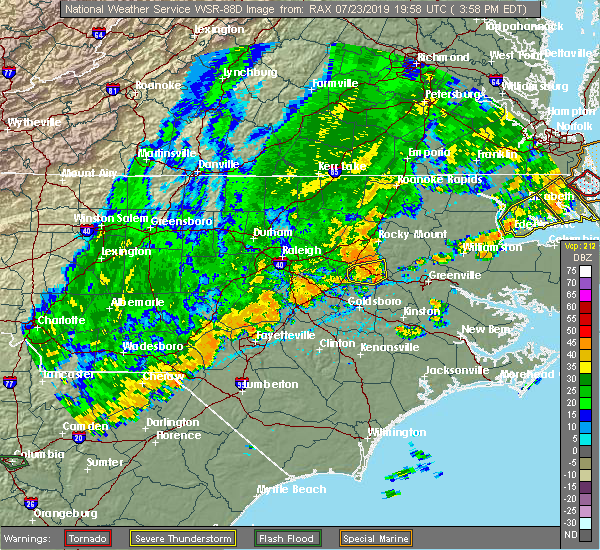 The national weather service in newport has issued a * severe thunderstorm warning for. northwestern greene county in eastern north carolina. northwestern pitt county in eastern north carolina. northwestern martin county in eastern north carolina. Until 500 pm edt. The national weather service in newport has issued a * severe thunderstorm warning for. northwestern greene county in eastern north carolina. northwestern pitt county in eastern north carolina. northwestern martin county in eastern north carolina. Until 500 pm edt.
|
| 6/5/2019 6:15 PM EDT |
 At 615 pm edt, severe thunderstorms were located along a line extending from near scotland neck to near bethel to near bruce, moving northeast at 40 mph (radar indicated). Hazards include 60 mph wind gusts. Expect damage to roofs, siding, and trees. Locations impacted include, greenville, farmville, bethel, stokes, robersonville, bruce, gold point, fountain, hamilton, oak city, parmele, everetts, falkland and hassell. At 615 pm edt, severe thunderstorms were located along a line extending from near scotland neck to near bethel to near bruce, moving northeast at 40 mph (radar indicated). Hazards include 60 mph wind gusts. Expect damage to roofs, siding, and trees. Locations impacted include, greenville, farmville, bethel, stokes, robersonville, bruce, gold point, fountain, hamilton, oak city, parmele, everetts, falkland and hassell.
|
| 6/5/2019 5:53 PM EDT |
 At 553 pm edt, severe thunderstorms were located along a line extending from 10 miles southwest of scotland neck to 8 miles south of tarboro to 9 miles west of farmville, moving northeast at 40 mph (radar indicated). Hazards include 60 mph wind gusts. expect damage to roofs, siding, and trees At 553 pm edt, severe thunderstorms were located along a line extending from 10 miles southwest of scotland neck to 8 miles south of tarboro to 9 miles west of farmville, moving northeast at 40 mph (radar indicated). Hazards include 60 mph wind gusts. expect damage to roofs, siding, and trees
|
| 5/31/2019 4:51 PM EDT |
 At 451 pm edt, a severe thunderstorm was located over farmville, moving east at 30 mph (radar indicated). Hazards include 60 mph wind gusts and quarter size hail. Hail damage to vehicles is expected. Expect wind damage to roofs, siding, and trees. At 451 pm edt, a severe thunderstorm was located over farmville, moving east at 30 mph (radar indicated). Hazards include 60 mph wind gusts and quarter size hail. Hail damage to vehicles is expected. Expect wind damage to roofs, siding, and trees.
|
| 4/19/2019 5:34 PM EDT |
 At 533 pm edt, severe thunderstorms were located along a line extending from 8 miles southwest of fremont to near lagoon, moving northeast at 60 mph (radar indicated). Hazards include 60 mph wind gusts and quarter size hail. Hail damage to vehicles is expected. Expect wind damage to roofs, siding, and trees. At 533 pm edt, severe thunderstorms were located along a line extending from 8 miles southwest of fremont to near lagoon, moving northeast at 60 mph (radar indicated). Hazards include 60 mph wind gusts and quarter size hail. Hail damage to vehicles is expected. Expect wind damage to roofs, siding, and trees.
|
| 8/12/2017 5:38 PM EDT |
 At 536 pm edt, severe thunderstorms were located along a line extending from near bethel to near farmville, moving east at 25 mph (radar indicated). Hazards include 60 mph wind gusts and quarter size hail. Hail damage to vehicles is expected. expect wind damage to roofs, siding, and trees. Locations impacted include, greenville, winterville, farmville, bethel, stokes, bell arthur, house, bruce, maury, roundtree, ormondsville, lizzie, east carolina university, pitt greenville airport, dowdy ficklen stadium, fountain, castoria, bull head vfd, parmele and walstonburg. At 536 pm edt, severe thunderstorms were located along a line extending from near bethel to near farmville, moving east at 25 mph (radar indicated). Hazards include 60 mph wind gusts and quarter size hail. Hail damage to vehicles is expected. expect wind damage to roofs, siding, and trees. Locations impacted include, greenville, winterville, farmville, bethel, stokes, bell arthur, house, bruce, maury, roundtree, ormondsville, lizzie, east carolina university, pitt greenville airport, dowdy ficklen stadium, fountain, castoria, bull head vfd, parmele and walstonburg.
|
| 8/12/2017 5:09 PM EDT |
 At 506 pm edt, severe thunderstorms were located along a line extending from 6 miles southwest of tarboro to near wilson, moving east at 25 mph (radar indicated). Hazards include 60 mph wind gusts and quarter size hail. Hail damage to vehicles is expected. Expect wind damage to roofs, siding, and trees. At 506 pm edt, severe thunderstorms were located along a line extending from 6 miles southwest of tarboro to near wilson, moving east at 25 mph (radar indicated). Hazards include 60 mph wind gusts and quarter size hail. Hail damage to vehicles is expected. Expect wind damage to roofs, siding, and trees.
|
| 7/8/2016 9:16 PM EDT |
 At 915 pm edt, severe thunderstorms were located along a line extending from 11 miles south of plymouth to near winterville to 6 miles west of snow hill, moving southeast at 40 mph (radar indicated). Hazards include 60 mph wind gusts. Expect damage to roofs. siding. and trees. Locations impacted include, greenville, jacksonville, new bern, kinston, washington, winterville, williamston, ayden, farmville, la grange, river road, half moon, james city, trent woods, river bend, grifton, belhaven, snow hill, richlands and robersonville. At 915 pm edt, severe thunderstorms were located along a line extending from 11 miles south of plymouth to near winterville to 6 miles west of snow hill, moving southeast at 40 mph (radar indicated). Hazards include 60 mph wind gusts. Expect damage to roofs. siding. and trees. Locations impacted include, greenville, jacksonville, new bern, kinston, washington, winterville, williamston, ayden, farmville, la grange, river road, half moon, james city, trent woods, river bend, grifton, belhaven, snow hill, richlands and robersonville.
|
| 7/8/2016 8:50 PM EDT |
 At 849 pm edt, severe thunderstorms were located along a line extending from 6 miles north of robersonville to 6 miles west of pitt greenville airport to near goldsboro, moving southeast at 45 mph (radar indicated). Hazards include 60 mph wind gusts. Expect damage to roofs. siding. And trees. At 849 pm edt, severe thunderstorms were located along a line extending from 6 miles north of robersonville to 6 miles west of pitt greenville airport to near goldsboro, moving southeast at 45 mph (radar indicated). Hazards include 60 mph wind gusts. Expect damage to roofs. siding. And trees.
|
| 7/7/2016 5:55 PM EDT |
 At 554 pm edt, severe thunderstorms were located along a line extending from 10 miles east of fremont to near kinston regional jetport to 11 miles northeast of kenansville, moving east at 40 mph (radar indicated). Hazards include 60 mph wind gusts. Expect damage to roofs. siding. and trees. Locations impacted include, greenville, kinston, ayden, farmville, la grange, mount olive, grifton, snow hill, kinston regional jetport, pink hill, calypso, hookerton and walstonburg. At 554 pm edt, severe thunderstorms were located along a line extending from 10 miles east of fremont to near kinston regional jetport to 11 miles northeast of kenansville, moving east at 40 mph (radar indicated). Hazards include 60 mph wind gusts. Expect damage to roofs. siding. and trees. Locations impacted include, greenville, kinston, ayden, farmville, la grange, mount olive, grifton, snow hill, kinston regional jetport, pink hill, calypso, hookerton and walstonburg.
|
| 7/7/2016 5:46 PM EDT |
 At 544 pm edt, severe thunderstorms were located along a line extending from 9 miles southeast of wilson to la grange to 8 miles southeast of mount olive, moving east at 40 mph (radar indicated). Hazards include 60 mph wind gusts. Expect damage to roofs. siding. and trees. Locations impacted include, greenville, kinston, ayden, farmville, warsaw, la grange, mount olive, grifton, snow hill, kinston regional jetport, faison, pink hill, calypso, fountain, hookerton, walstonburg and falkland. At 544 pm edt, severe thunderstorms were located along a line extending from 9 miles southeast of wilson to la grange to 8 miles southeast of mount olive, moving east at 40 mph (radar indicated). Hazards include 60 mph wind gusts. Expect damage to roofs. siding. and trees. Locations impacted include, greenville, kinston, ayden, farmville, warsaw, la grange, mount olive, grifton, snow hill, kinston regional jetport, faison, pink hill, calypso, fountain, hookerton, walstonburg and falkland.
|
| 7/7/2016 5:27 PM EDT |
 At 526 pm edt, severe thunderstorms were located along a line extending from 8 miles northwest of fremont to near goldsboro to near mount olive, moving east at 35 mph (radar indicated). Hazards include 60 mph wind gusts. Expect damage to roofs. siding. And trees. At 526 pm edt, severe thunderstorms were located along a line extending from 8 miles northwest of fremont to near goldsboro to near mount olive, moving east at 35 mph (radar indicated). Hazards include 60 mph wind gusts. Expect damage to roofs. siding. And trees.
|
| 5/3/2016 8:00 PM EDT | Public reported estimated wind gusts to 60 mph with dime sized hail near fountain along the wilson/pitt county border. report relayed through faceboo in pitt county NC, 0.5 miles ENE of Fountain, NC |
| 5/3/2016 8:00 PM EDT |
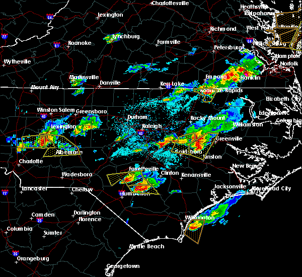 At 759 pm edt, a severe thunderstorm was located near snow hill, or 9 miles west of ayden, moving east at 35 mph (radar indicated). Hazards include 60 mph wind gusts and quarter size hail. Hail damage to vehicles is expected. expect wind damage to roofs, siding and trees. Locations impacted include, greenville, kinston, farmville, snow hill, fountain, hookerton, walstonburg and falkland. At 759 pm edt, a severe thunderstorm was located near snow hill, or 9 miles west of ayden, moving east at 35 mph (radar indicated). Hazards include 60 mph wind gusts and quarter size hail. Hail damage to vehicles is expected. expect wind damage to roofs, siding and trees. Locations impacted include, greenville, kinston, farmville, snow hill, fountain, hookerton, walstonburg and falkland.
|
| 5/3/2016 7:42 PM EDT |
 At 741 pm edt, a severe thunderstorm was located near snow hill, or 12 miles southwest of farmville, moving east at 35 mph (radar indicated). Hazards include 60 mph wind gusts and quarter size hail. Hail damage to vehicles is expected. expect wind damage to roofs, siding and trees. Locations impacted include, greenville, kinston, farmville, snow hill, kinston regional jetport, fountain, hookerton, walstonburg and falkland. At 741 pm edt, a severe thunderstorm was located near snow hill, or 12 miles southwest of farmville, moving east at 35 mph (radar indicated). Hazards include 60 mph wind gusts and quarter size hail. Hail damage to vehicles is expected. expect wind damage to roofs, siding and trees. Locations impacted include, greenville, kinston, farmville, snow hill, kinston regional jetport, fountain, hookerton, walstonburg and falkland.
|
| 5/3/2016 7:27 PM EDT |
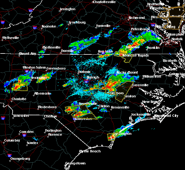 At 726 pm edt, a severe thunderstorm was located over fremont, or 11 miles north of goldsboro, moving east at 35 mph (radar indicated). Hazards include 60 mph wind gusts and quarter size hail. Hail damage to vehicles is expected. Expect wind damage to roofs, siding and trees. At 726 pm edt, a severe thunderstorm was located over fremont, or 11 miles north of goldsboro, moving east at 35 mph (radar indicated). Hazards include 60 mph wind gusts and quarter size hail. Hail damage to vehicles is expected. Expect wind damage to roofs, siding and trees.
|
| 4/28/2016 9:55 PM EDT |
 At 954 pm edt, a severe thunderstorm was located 9 miles southwest of bethel, or 10 miles northeast of farmville, moving southeast at 30 mph (radar indicated). Hazards include 70 mph wind gusts and quarter size hail. Hail damage to vehicles is expected. expect considerable tree damage. Wind damage is also likely to mobile homes, roofs and outbuildings. At 954 pm edt, a severe thunderstorm was located 9 miles southwest of bethel, or 10 miles northeast of farmville, moving southeast at 30 mph (radar indicated). Hazards include 70 mph wind gusts and quarter size hail. Hail damage to vehicles is expected. expect considerable tree damage. Wind damage is also likely to mobile homes, roofs and outbuildings.
|
| 2/24/2016 1:30 PM EST |
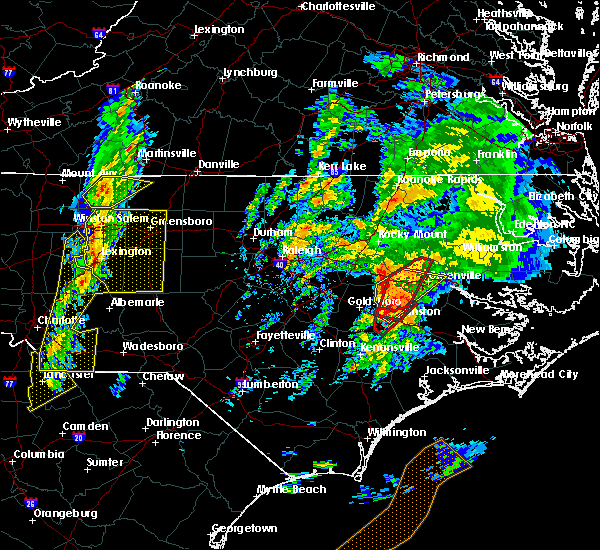 At 130 pm est, doppler radar indicated a severe thunderstorm capable of producing a tornado. this dangerous storm was located near kinston regional jetport, or 7 miles northeast of la grange, and moving north at 55 mph. At 130 pm est, doppler radar indicated a severe thunderstorm capable of producing a tornado. this dangerous storm was located near kinston regional jetport, or 7 miles northeast of la grange, and moving north at 55 mph.
|
| 2/24/2016 1:20 PM EST |
 At 120 pm est, doppler radar indicated a severe thunderstorm capable of producing destructive winds in excess of 70 mph. this storm was located near la grange, and moving northeast at 55 mph. At 120 pm est, doppler radar indicated a severe thunderstorm capable of producing destructive winds in excess of 70 mph. this storm was located near la grange, and moving northeast at 55 mph.
|
| 2/16/2016 8:04 AM EST |
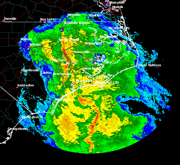 At 803 am est, doppler radar indicated a line of severe thunderstorms capable of producing damaging winds in excess of 60 mph. these storms were located along a line extending from 8 miles north of farmville to near ayden to 7 miles east of kinston, and moving east at 50 mph. At 803 am est, doppler radar indicated a line of severe thunderstorms capable of producing damaging winds in excess of 60 mph. these storms were located along a line extending from 8 miles north of farmville to near ayden to 7 miles east of kinston, and moving east at 50 mph.
|
| 7/21/2015 8:32 PM EDT |
 At 831 pm edt, doppler radar indicated a line of severe thunderstorms capable of producing damaging winds in excess of 60 mph. these storms were located along a line extending from near elm city to near mount olive, and moving east at 40 mph. At 831 pm edt, doppler radar indicated a line of severe thunderstorms capable of producing damaging winds in excess of 60 mph. these storms were located along a line extending from near elm city to near mount olive, and moving east at 40 mph.
|
| 5/21/2015 3:12 PM EDT | At 311 pm edt, doppler radar indicated a severe thunderstorm capable of producing half dollar size hail and damaging winds in excess of 60 mph. this storm was located near farmville, and moving east at 25 mph. |
| 6/5/2014 2:15 PM EDT | Spotter reported dime-size hail and gusty winds up to 70 mph along hog market r in pitt county NC, 2.3 miles NNE of Fountain, NC |
Hail Maps for Fountain, NC


Connect with Interactive Hail Maps