

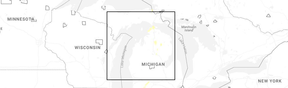
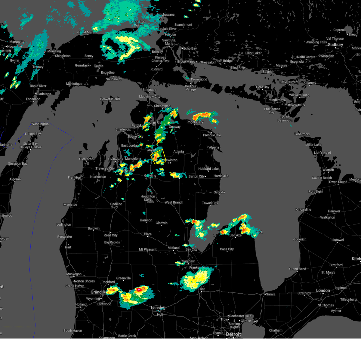
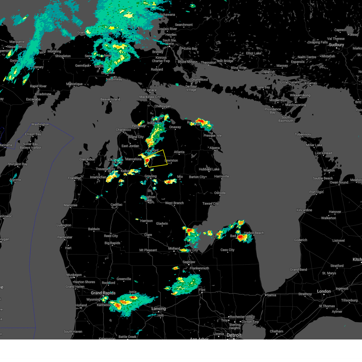
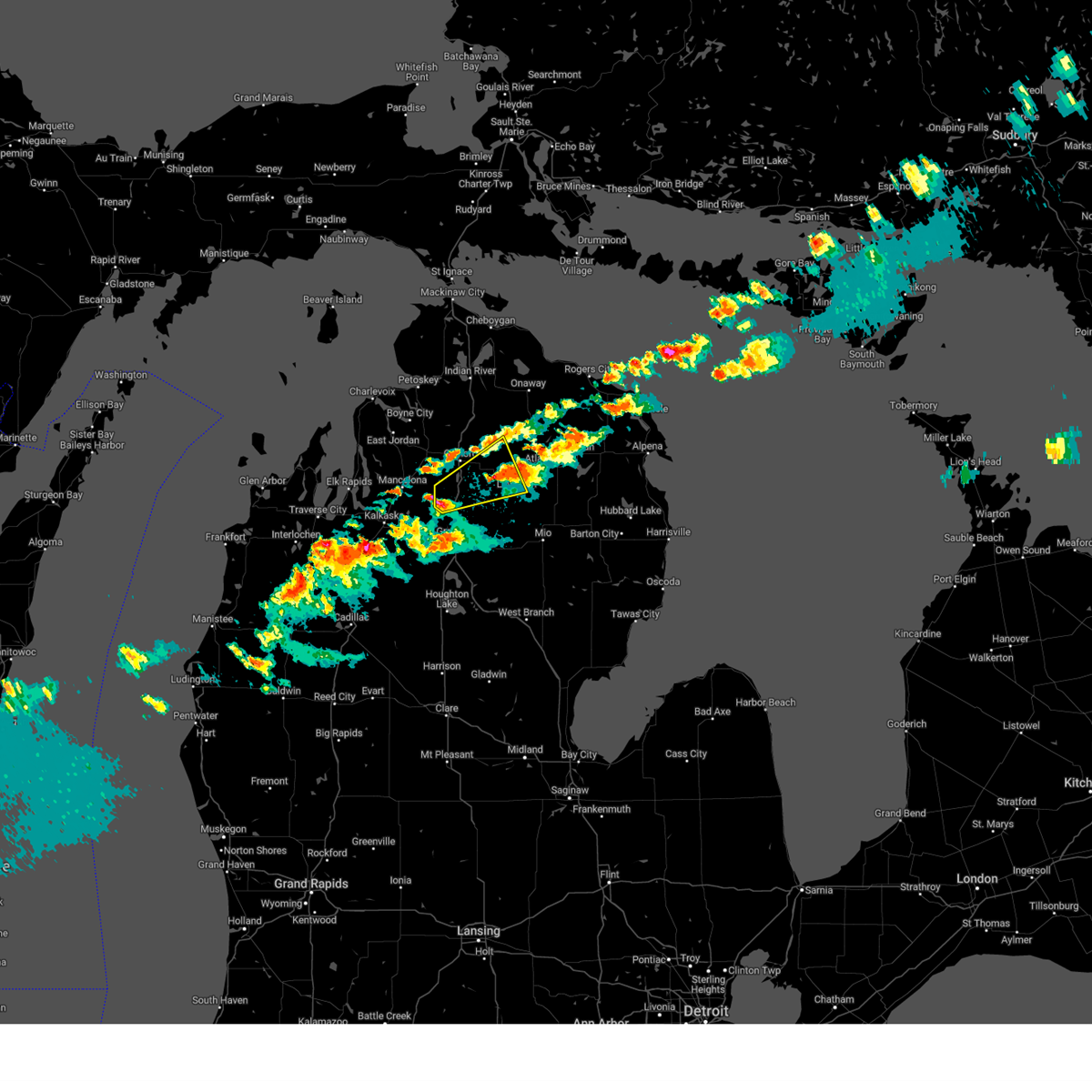
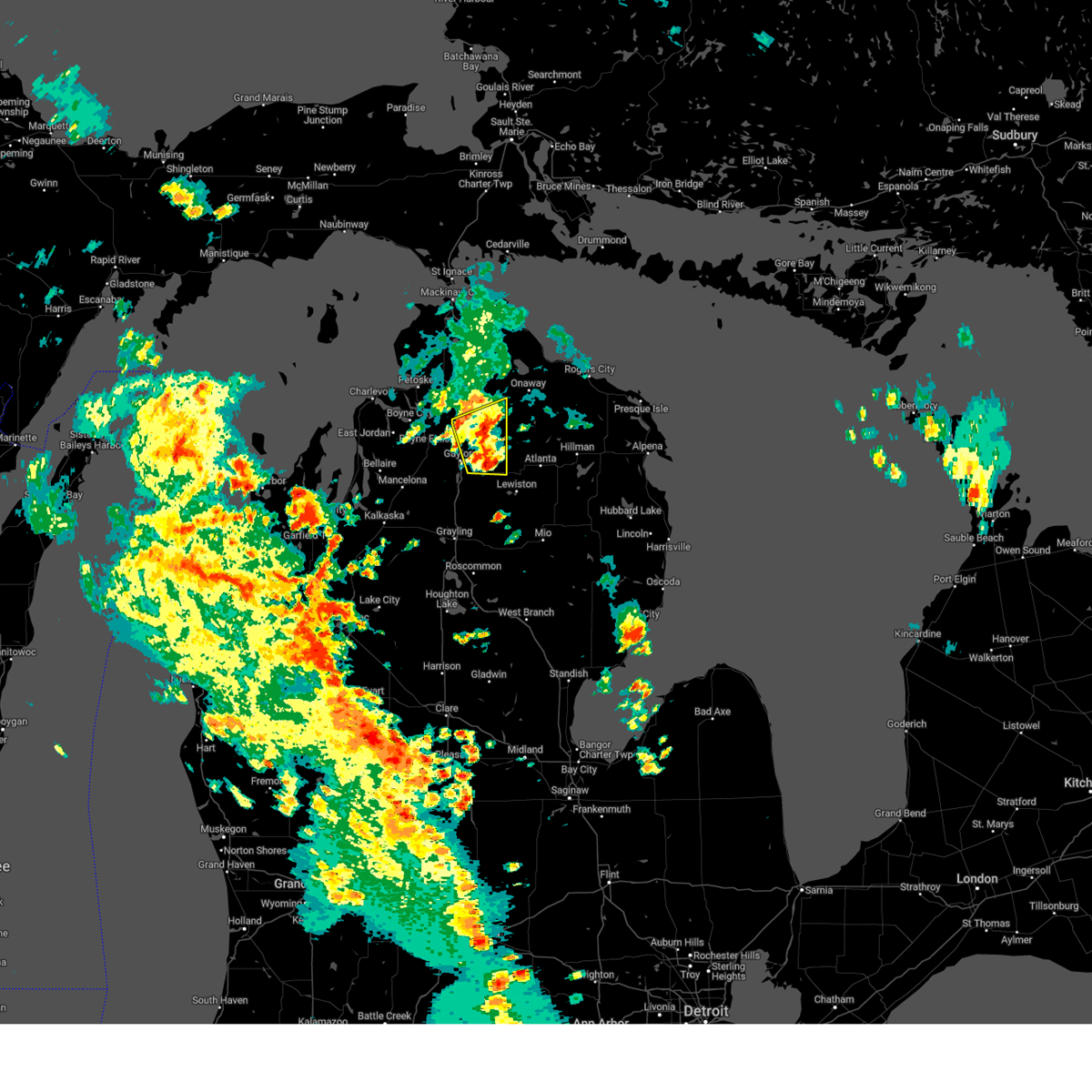
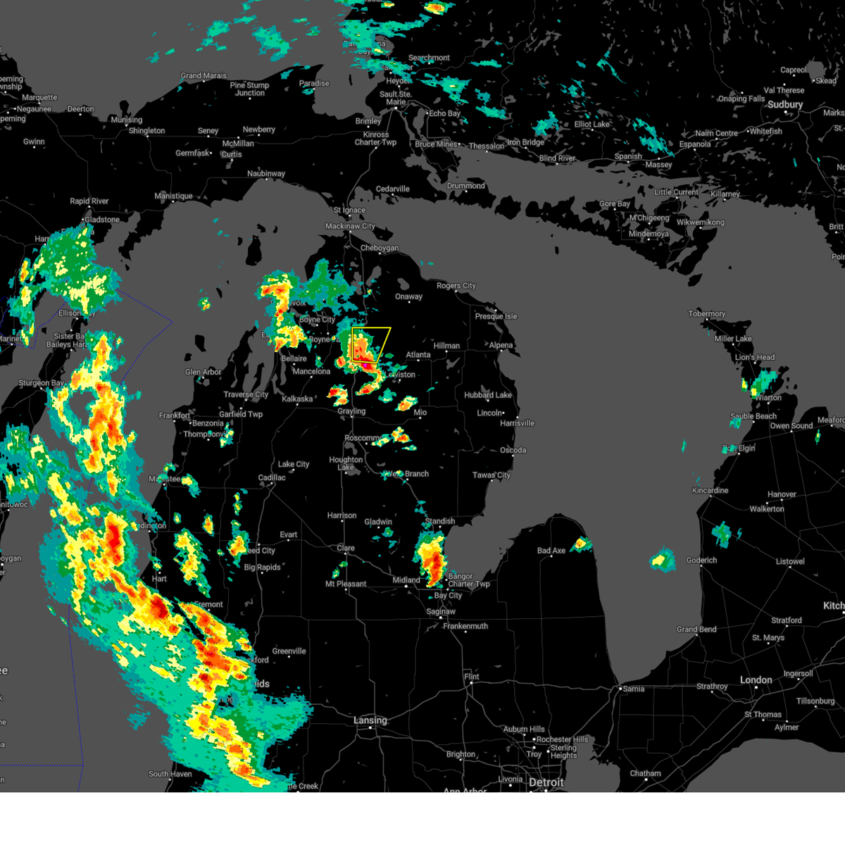
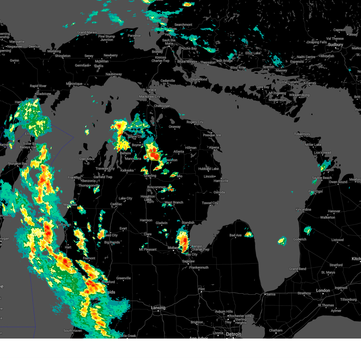
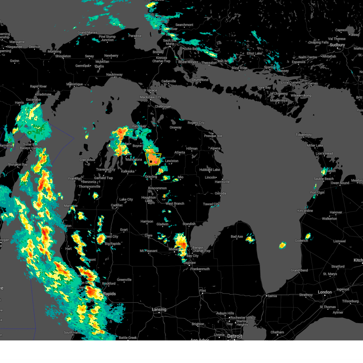
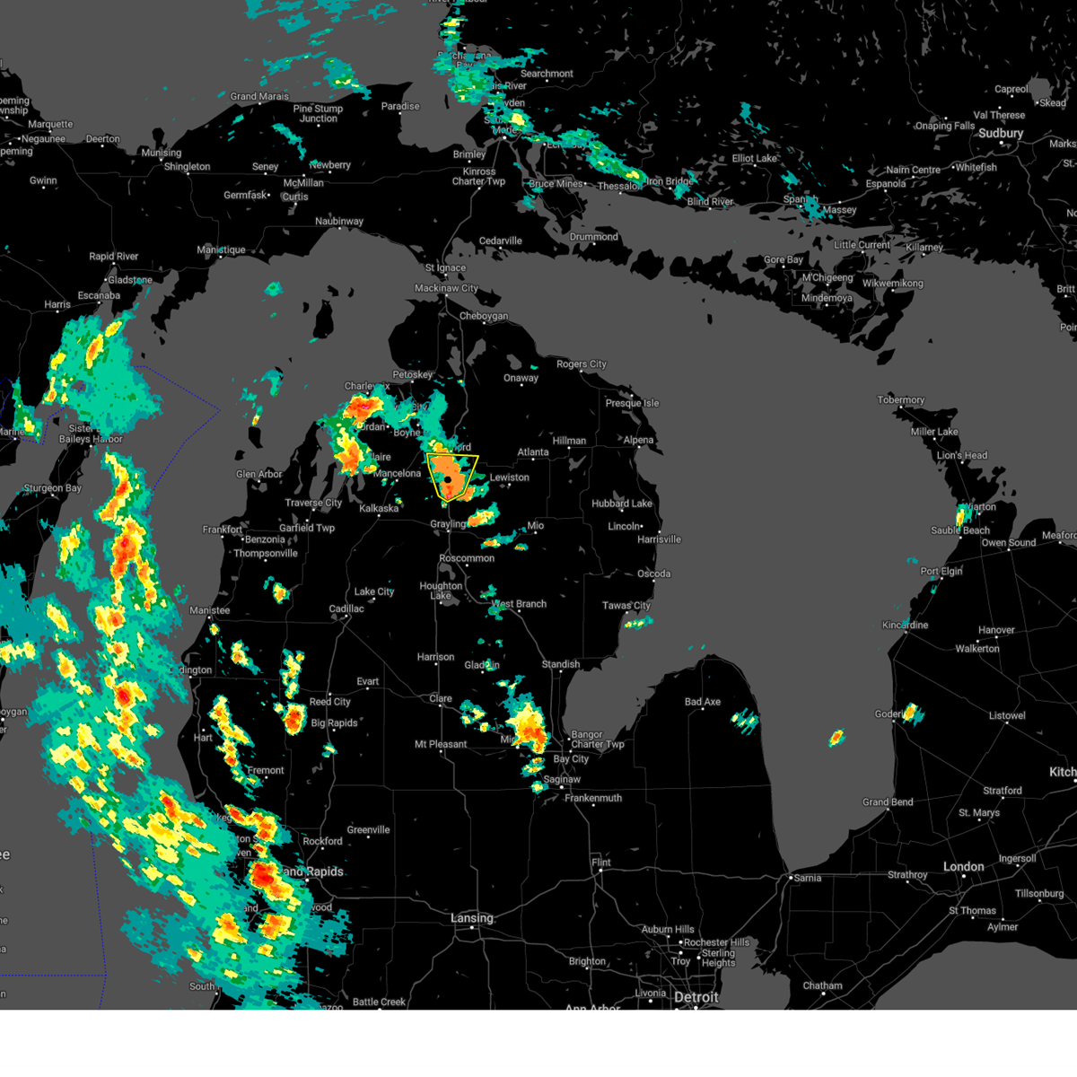
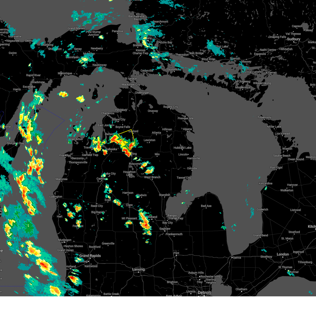
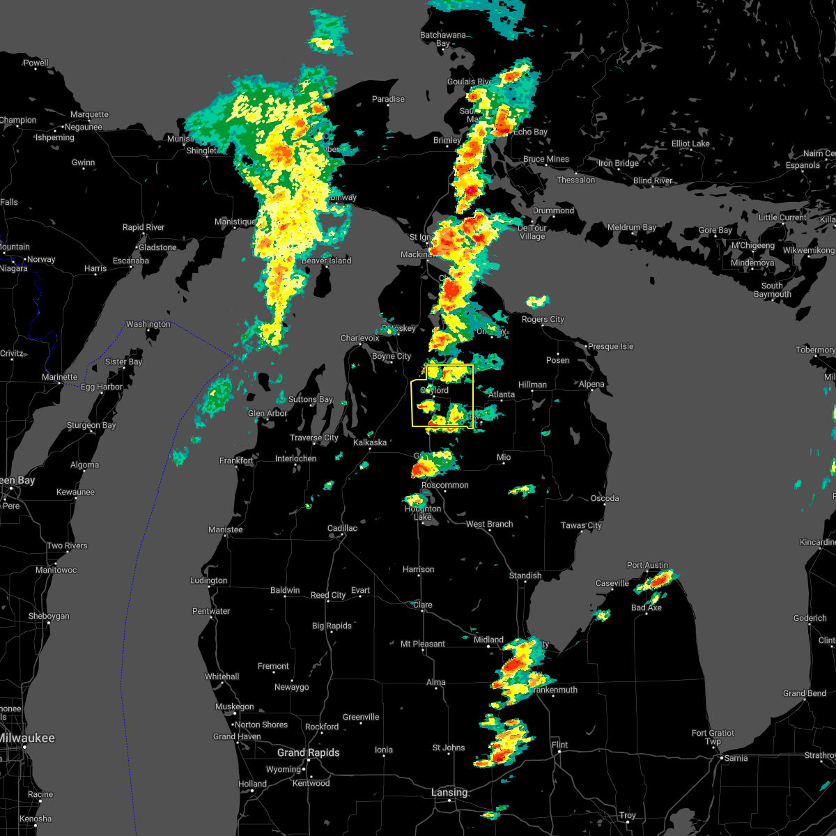
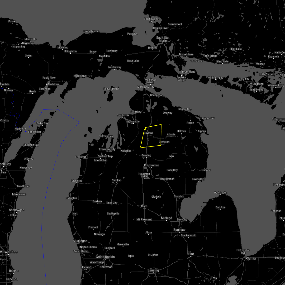
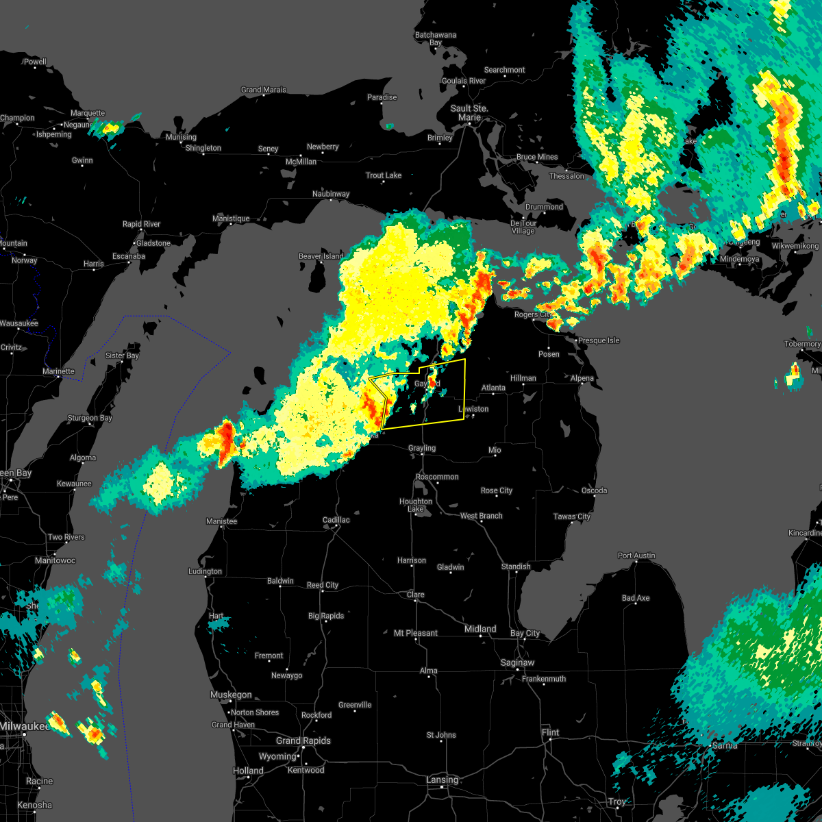
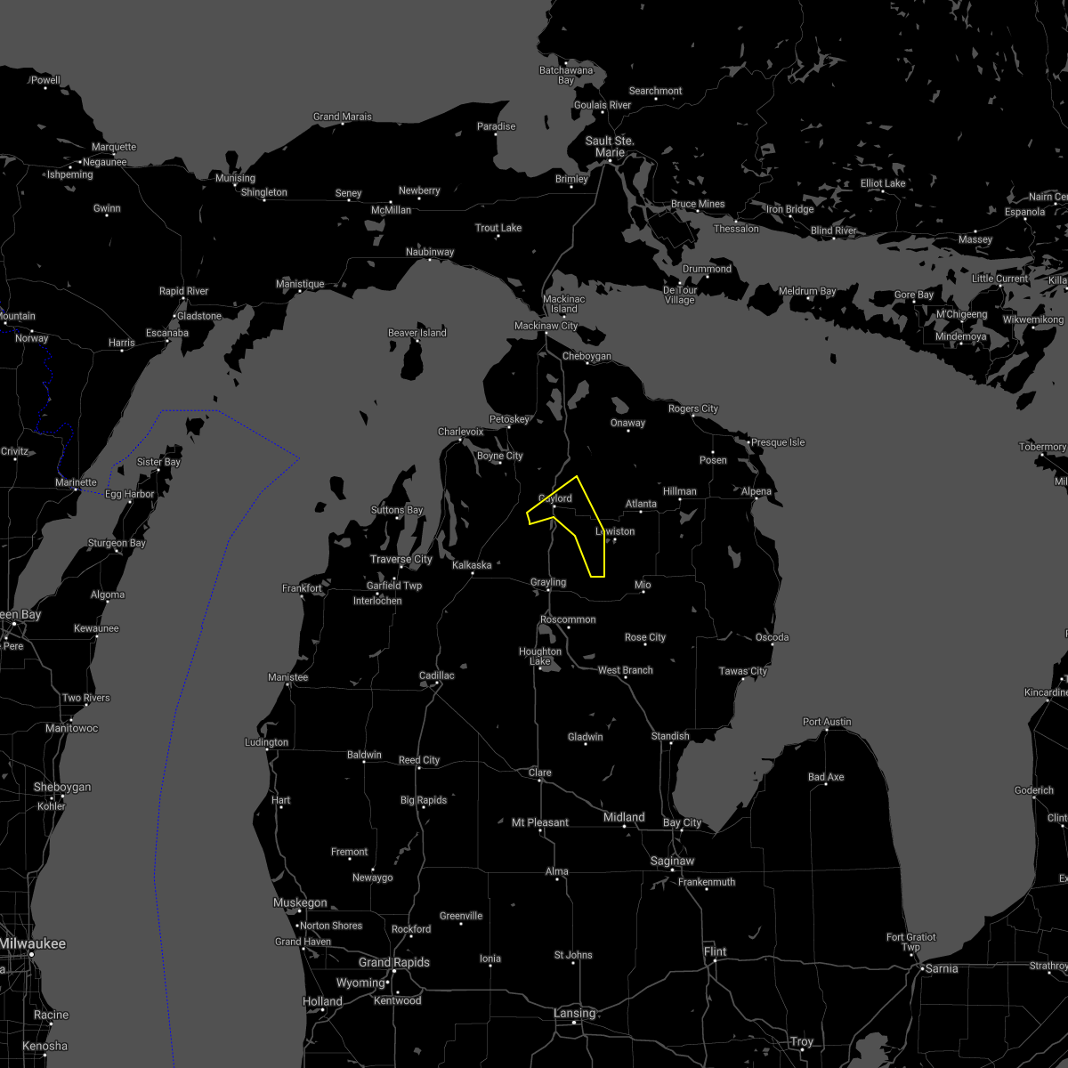
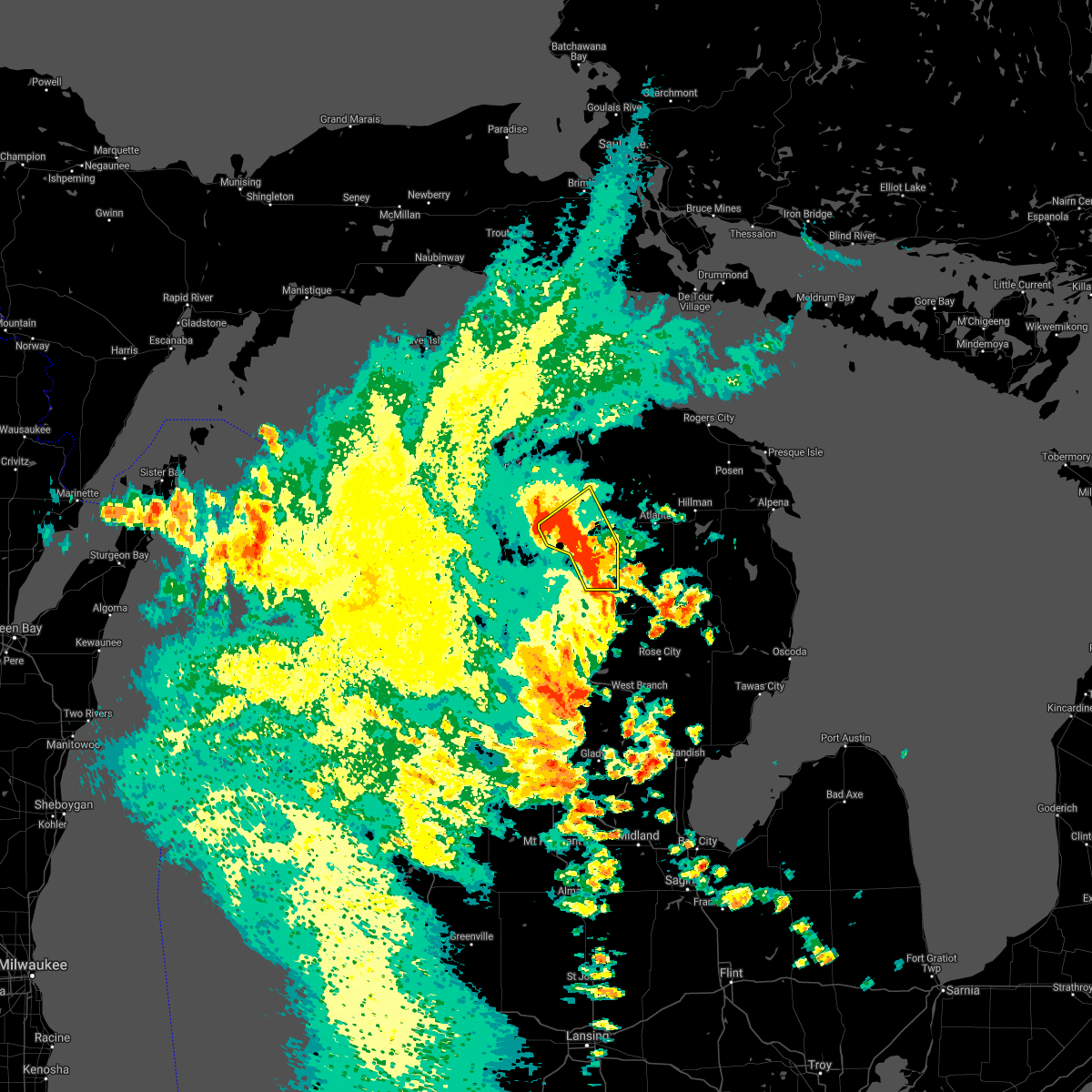
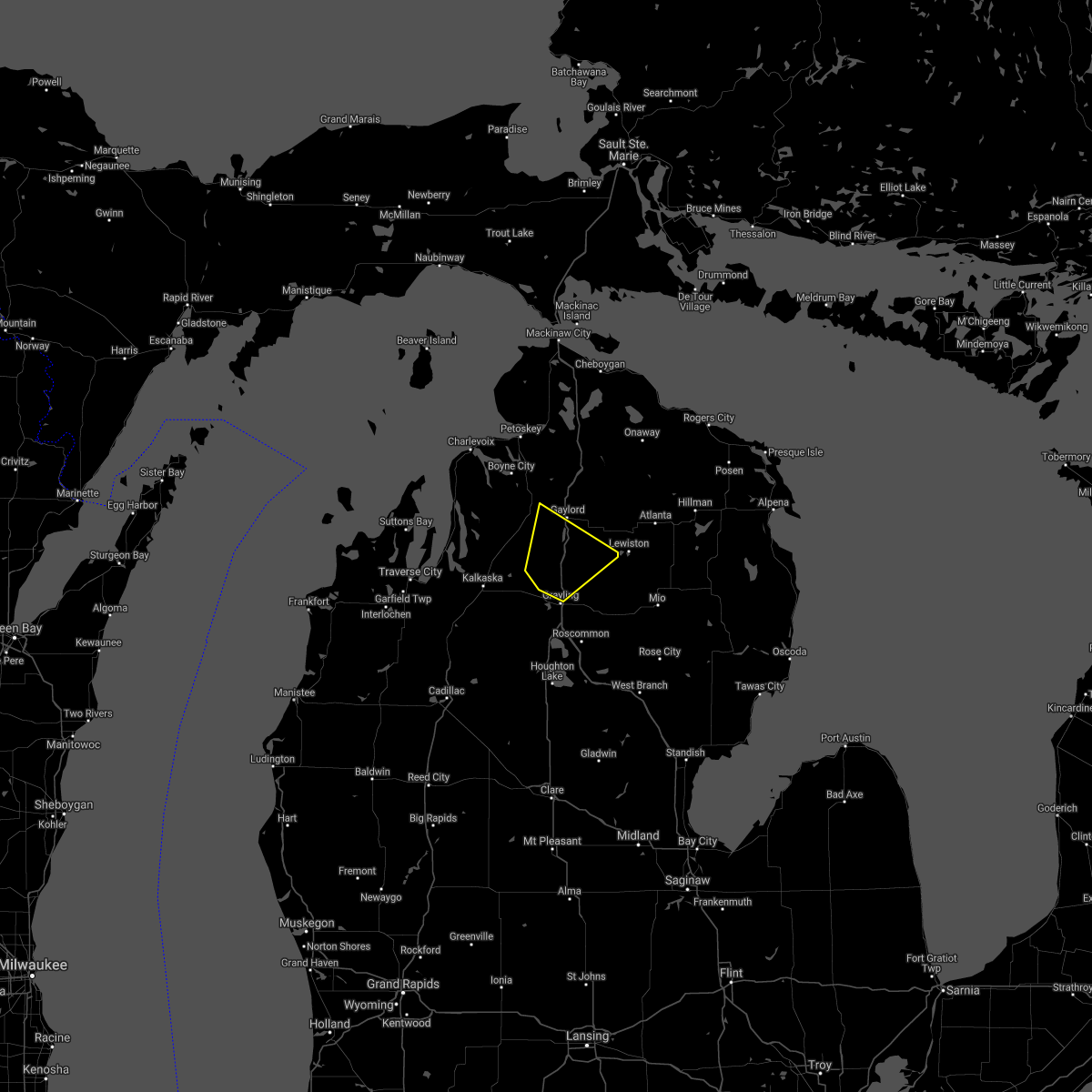
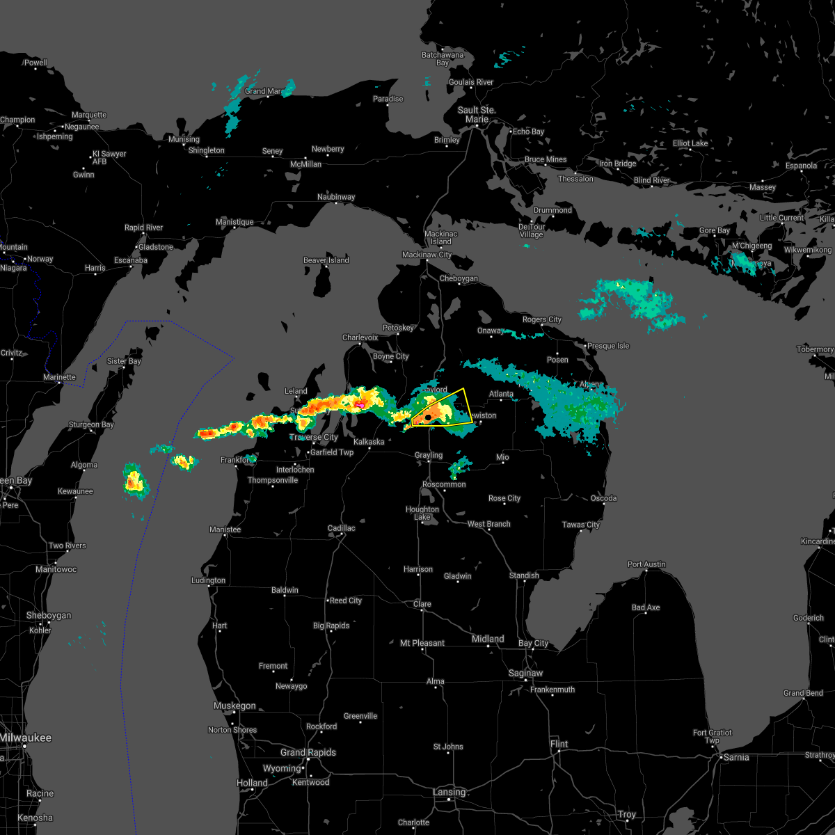
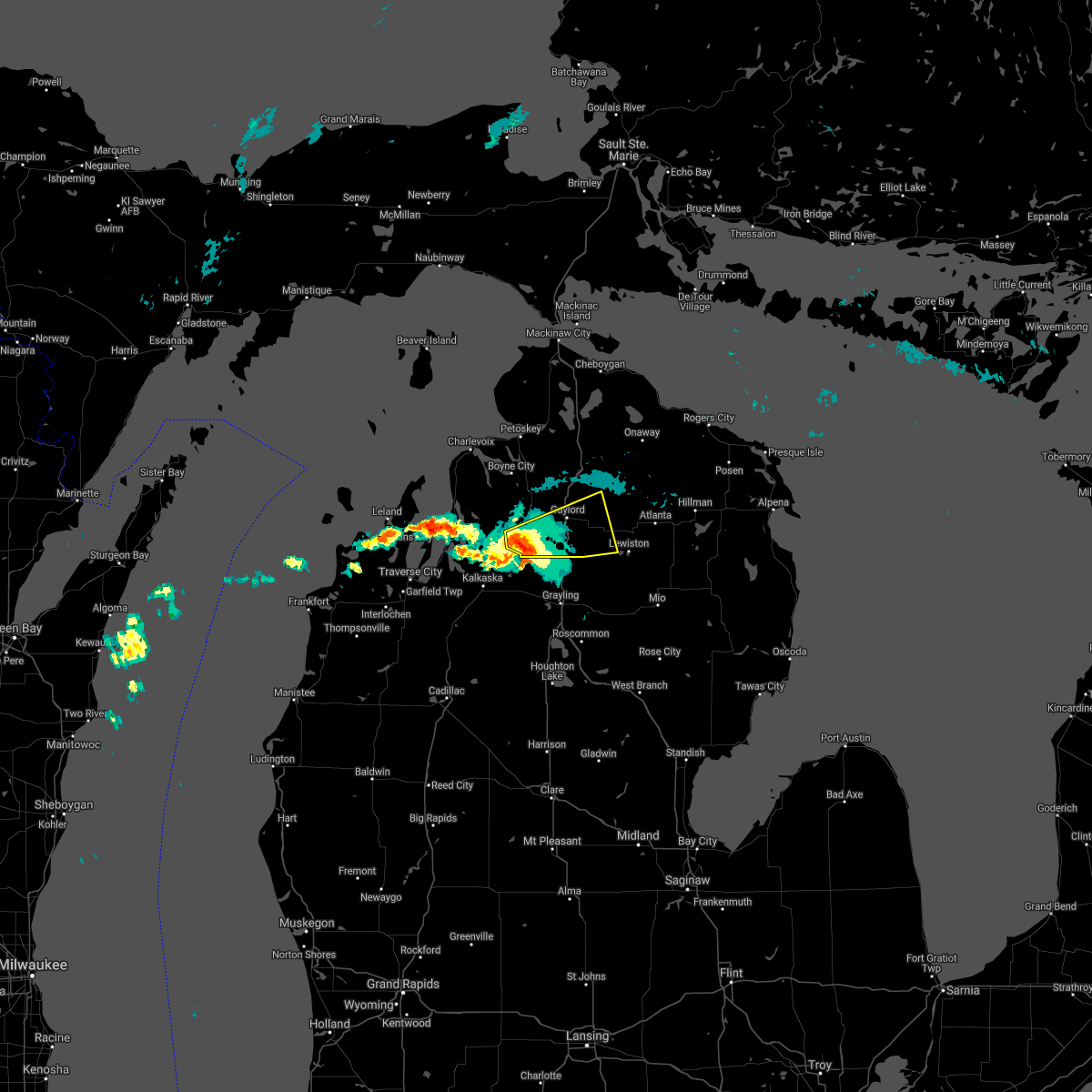
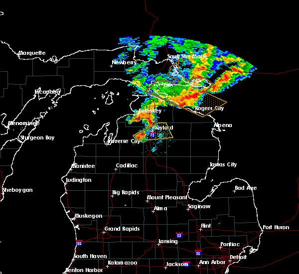
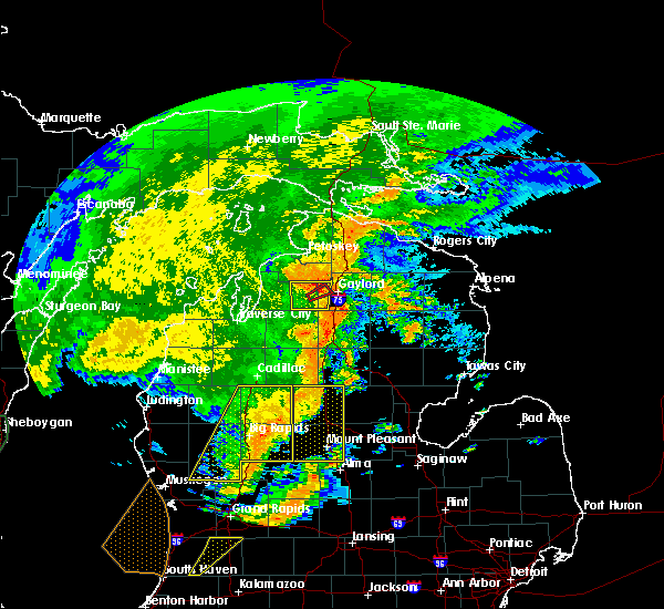
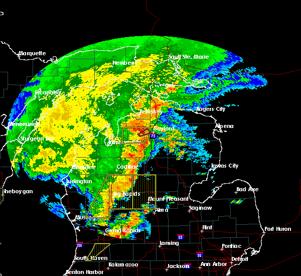
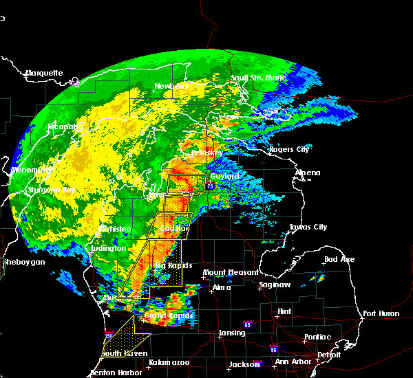
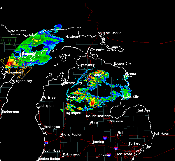
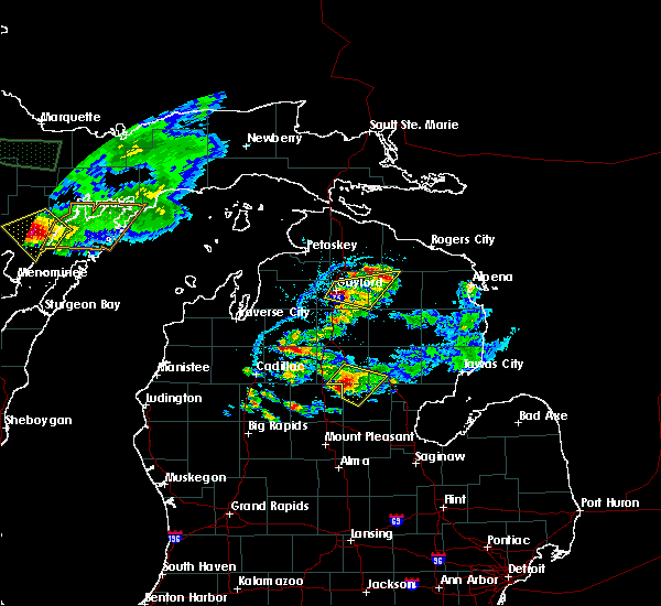
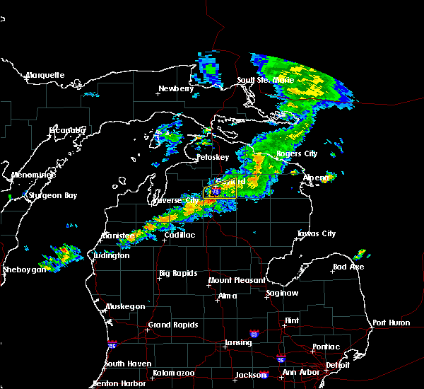
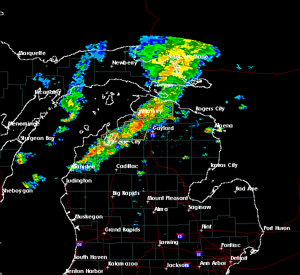
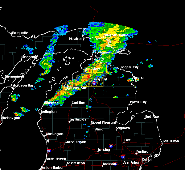
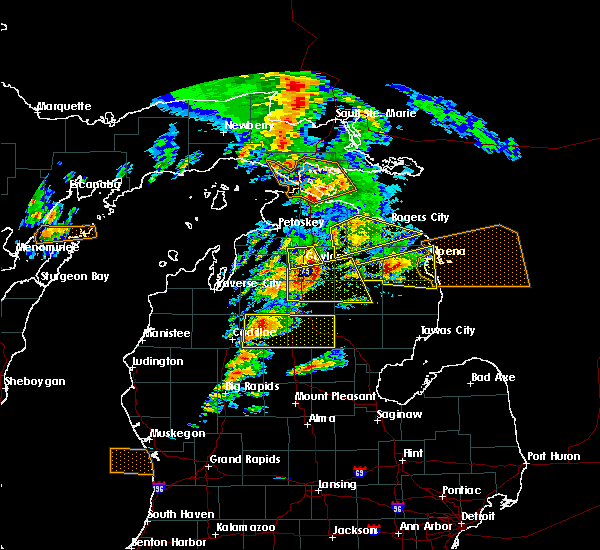
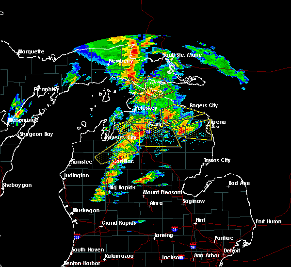
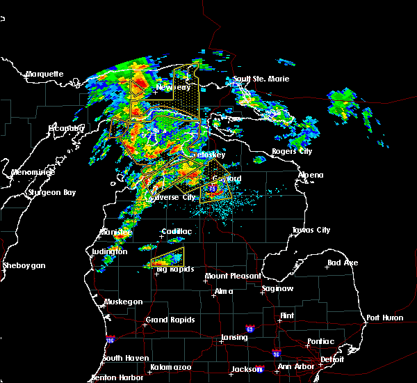
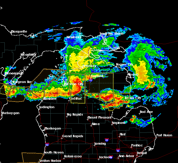
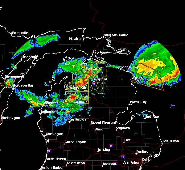
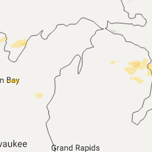
Hail Map for Gaylord, MI
The Gaylord, MI area has had 11 reports of on-the-ground hail by trained spotters, and has been under severe weather warnings 3 times during the past 12 months. Doppler radar has detected hail at or near Gaylord, MI on 12 occasions, including 1 occasion during the past year.
| Name: | Gaylord, MI |
| Where Located: | 49.4 miles ENE of Traverse City, MI |
| Map: | Google Map for Gaylord, MI |
| Population: | 3645 |
| Housing Units: | 1847 |
| More Info: | Search Google for Gaylord, MI |
0
The Top Recent Hail Date for Gaylord, MI is Monday, June 9, 2025 (8th out of 12)
Hail and Wind Damage Spotted near Gaylord, MI
| Date / Time | Report Details |
|---|---|
| 7/8/2024 6:06 PM EDT | Power lines dow in otsego county MI, 7.2 miles WNW of Gaylord, MI |
| 7/8/2024 5:51 PM EDT | Corrects time previous tstm wnd dmg report from 4 wsw johannesburg. power lines dow in otsego county MI, 7.2 miles WNW of Gaylord, MI |
| 7/8/2024 5:43 PM EDT |
 the severe thunderstorm warning has been cancelled and is no longer in effect the severe thunderstorm warning has been cancelled and is no longer in effect
|
| 7/8/2024 5:43 PM EDT |
 At 542 pm edt, a severe thunderstorm was located near chester township, or near gaylord, moving northeast at 35 mph (public reports 55 mph wind gust and half inch hail). Hazards include 60 mph wind gusts and nickel size hail. Expect damage to roofs, siding, and trees. This severe storm will be near, chester township and johannesburg around 545 pm edt. At 542 pm edt, a severe thunderstorm was located near chester township, or near gaylord, moving northeast at 35 mph (public reports 55 mph wind gust and half inch hail). Hazards include 60 mph wind gusts and nickel size hail. Expect damage to roofs, siding, and trees. This severe storm will be near, chester township and johannesburg around 545 pm edt.
|
| 7/8/2024 5:37 PM EDT | Report from mping: trees uprooted or snappe in otsego county MI, 6 miles NNW of Gaylord, MI |
| 7/8/2024 5:35 PM EDT | 9 inch diameter branches/trees knocked dow in otsego county MI, 5.1 miles N of Gaylord, MI |
| 7/8/2024 5:33 PM EDT | Power lines dow in otsego county MI, 6.4 miles N of Gaylord, MI |
| 7/8/2024 5:32 PM EDT | Multiple trees down -- one on a hous in otsego county MI, 6.5 miles NNE of Gaylord, MI |
| 7/8/2024 5:23 PM EDT |
 Svrapx the national weather service in gaylord has issued a * severe thunderstorm warning for, southern otsego county in northern michigan, north central crawford county in northern michigan, * until 600 pm edt. * at 523 pm edt, a severe thunderstorm was located near otsego lake state park, or 8 miles southwest of gaylord, moving east at 30 mph (radar indicated). Hazards include 60 mph wind gusts and quarter size hail. Hail damage to vehicles is expected. expect wind damage to roofs, siding, and trees. this severe thunderstorm will be near, gaylord, otsego lake state park, chester township, and waters around 530 pm edt. Johannesburg around 535 pm edt. Svrapx the national weather service in gaylord has issued a * severe thunderstorm warning for, southern otsego county in northern michigan, north central crawford county in northern michigan, * until 600 pm edt. * at 523 pm edt, a severe thunderstorm was located near otsego lake state park, or 8 miles southwest of gaylord, moving east at 30 mph (radar indicated). Hazards include 60 mph wind gusts and quarter size hail. Hail damage to vehicles is expected. expect wind damage to roofs, siding, and trees. this severe thunderstorm will be near, gaylord, otsego lake state park, chester township, and waters around 530 pm edt. Johannesburg around 535 pm edt.
|
| 4/27/2024 9:38 PM EDT |
 Svrapx the national weather service in gaylord has issued a * severe thunderstorm warning for, southern otsego county in northern michigan, northwestern crawford county in northern michigan, southwestern montmorency county in northern michigan, * until 1015 pm edt. * at 938 pm edt, a severe thunderstorm was located near waters, or 12 miles south of gaylord, moving northeast at 60 mph (radar indicated). Hazards include quarter size hail. Damage to vehicles is expected. this severe thunderstorm will be near, gaylord, otsego lake state park, chester township, and waters around 945 pm edt. johannesburg around 950 pm edt. Lewiston and hetherton around 955 pm edt. Svrapx the national weather service in gaylord has issued a * severe thunderstorm warning for, southern otsego county in northern michigan, northwestern crawford county in northern michigan, southwestern montmorency county in northern michigan, * until 1015 pm edt. * at 938 pm edt, a severe thunderstorm was located near waters, or 12 miles south of gaylord, moving northeast at 60 mph (radar indicated). Hazards include quarter size hail. Damage to vehicles is expected. this severe thunderstorm will be near, gaylord, otsego lake state park, chester township, and waters around 945 pm edt. johannesburg around 950 pm edt. Lewiston and hetherton around 955 pm edt.
|
| 6/25/2023 8:03 PM EDT |
 At 803 pm edt, severe thunderstorms were located along a line extending from near boyne falls to near gaylord to chester township, moving northeast at 30 mph (radar indicated). Hazards include 60 mph wind gusts. Expect damage to roofs, siding, and trees. locations impacted include, boyne city, gaylord, elmira, vanderbilt, boyne falls, sparr, chester township, johannesburg and warner township. hail threat, radar indicated max hail size, <. 75 in wind threat, radar indicated max wind gust, 60 mph. At 803 pm edt, severe thunderstorms were located along a line extending from near boyne falls to near gaylord to chester township, moving northeast at 30 mph (radar indicated). Hazards include 60 mph wind gusts. Expect damage to roofs, siding, and trees. locations impacted include, boyne city, gaylord, elmira, vanderbilt, boyne falls, sparr, chester township, johannesburg and warner township. hail threat, radar indicated max hail size, <. 75 in wind threat, radar indicated max wind gust, 60 mph.
|
| 6/25/2023 7:39 PM EDT |
 At 739 pm edt, severe thunderstorms were located along a line extending from alba to near otsego lake state park to near hartwick pines state park, moving northeast at 25 mph (radar indicated). Hazards include 60 mph wind gusts. expect damage to roofs, siding, and trees At 739 pm edt, severe thunderstorms were located along a line extending from alba to near otsego lake state park to near hartwick pines state park, moving northeast at 25 mph (radar indicated). Hazards include 60 mph wind gusts. expect damage to roofs, siding, and trees
|
| 6/25/2023 5:45 PM EDT | Quarter sized hail reported 6.9 miles W of Gaylord, MI, report of 1 inch hail near sparr. time estimated by radar. |
| 6/25/2023 5:32 PM EDT |
 At 531 pm edt, a severe thunderstorm was located near sparr, or 7 miles east of gaylord, moving north at 25 mph. additional storms are located within this warning (radar indicated). Hazards include 60 mph wind gusts and quarter size hail. Hail damage to vehicles is expected. Expect wind damage to roofs, siding, and trees. At 531 pm edt, a severe thunderstorm was located near sparr, or 7 miles east of gaylord, moving north at 25 mph. additional storms are located within this warning (radar indicated). Hazards include 60 mph wind gusts and quarter size hail. Hail damage to vehicles is expected. Expect wind damage to roofs, siding, and trees.
|
| 6/25/2023 4:50 PM EDT | Ping Pong Ball sized hail reported 1.6 miles ESE of Gaylord, MI, report of 1.50 inch hail just west of gaylord. |
| 6/25/2023 4:43 PM EDT |
 At 442 pm edt, a severe thunderstorm was located over gaylord, moving north at 20 mph (nws employee. at 4:40 pm, a nws employee reported one inch hail in gaylord). Hazards include 60 mph wind gusts and quarter size hail. Hail damage to vehicles is expected. Expect wind damage to roofs, siding, and trees. At 442 pm edt, a severe thunderstorm was located over gaylord, moving north at 20 mph (nws employee. at 4:40 pm, a nws employee reported one inch hail in gaylord). Hazards include 60 mph wind gusts and quarter size hail. Hail damage to vehicles is expected. Expect wind damage to roofs, siding, and trees.
|
| 6/25/2023 4:40 PM EDT | Quarter sized hail reported 0.6 miles S of Gaylord, MI, measured 1 inch hail by nws employee in gaylord at 4:40pm. |
| 6/25/2023 4:10 PM EDT | Quarter sized hail reported 2.9 miles N of Gaylord, MI |
| 6/25/2023 3:51 PM EDT |
 At 350 pm edt, a severe thunderstorm was located near gaylord, moving north at 20 mph (radar indicated). Hazards include 60 mph wind gusts and quarter size hail. Hail damage to vehicles is expected. Expect wind damage to roofs, siding, and trees. At 350 pm edt, a severe thunderstorm was located near gaylord, moving north at 20 mph (radar indicated). Hazards include 60 mph wind gusts and quarter size hail. Hail damage to vehicles is expected. Expect wind damage to roofs, siding, and trees.
|
| 6/25/2023 3:47 PM EDT |
 At 347 pm edt, a severe thunderstorm was located near gaylord, moving north at 20 mph (radar indicated). Hazards include 60 mph wind gusts and quarter size hail. Hail damage to vehicles is expected. expect wind damage to roofs, siding, and trees. locations impacted include, gaylord and otsego lake state park. hail threat, radar indicated max hail size, 1. 00 in wind threat, radar indicated max wind gust, 60 mph. At 347 pm edt, a severe thunderstorm was located near gaylord, moving north at 20 mph (radar indicated). Hazards include 60 mph wind gusts and quarter size hail. Hail damage to vehicles is expected. expect wind damage to roofs, siding, and trees. locations impacted include, gaylord and otsego lake state park. hail threat, radar indicated max hail size, 1. 00 in wind threat, radar indicated max wind gust, 60 mph.
|
| 6/25/2023 3:39 PM EDT |
 At 337 pm edt, a severe thunderstorm was located over waters, or 9 miles south of gaylord, moving north at 15 mph (radar indicated. at 333 pm, half inch size hail was reported 2 miles northwest of otsego lake state park. larger hailstones are still possible with this storm). Hazards include 60 mph wind gusts and quarter size hail. Hail damage to vehicles is expected. expect wind damage to roofs, siding, and trees. locations impacted include, gaylord, waters and otsego lake state park. hail threat, radar indicated max hail size, 1. 00 in wind threat, radar indicated max wind gust, 60 mph. At 337 pm edt, a severe thunderstorm was located over waters, or 9 miles south of gaylord, moving north at 15 mph (radar indicated. at 333 pm, half inch size hail was reported 2 miles northwest of otsego lake state park. larger hailstones are still possible with this storm). Hazards include 60 mph wind gusts and quarter size hail. Hail damage to vehicles is expected. expect wind damage to roofs, siding, and trees. locations impacted include, gaylord, waters and otsego lake state park. hail threat, radar indicated max hail size, 1. 00 in wind threat, radar indicated max wind gust, 60 mph.
|
| 6/25/2023 3:35 PM EDT | Trees down on old state r in otsego county MI, 8.9 miles NNW of Gaylord, MI |
| 6/25/2023 3:30 PM EDT | Delayed report of a tree down at a residence in michayw in otsego county MI, 4.5 miles NNW of Gaylord, MI |
| 6/25/2023 3:29 PM EDT |
 At 328 pm edt, a severe thunderstorm was located near waters, or 11 miles south of gaylord, moving north at 15 mph (radar indicated). Hazards include quarter size hail. damage to vehicles is expected At 328 pm edt, a severe thunderstorm was located near waters, or 11 miles south of gaylord, moving north at 15 mph (radar indicated). Hazards include quarter size hail. damage to vehicles is expected
|
| 6/25/2023 2:49 PM EDT |
 At 248 pm edt, a severe thunderstorm was located near frederic, or 12 miles south of gaylord, moving north at 30 mph (radar indicated). Hazards include 60 mph wind gusts and quarter size hail. Hail damage to vehicles is expected. Expect wind damage to roofs, siding, and trees. At 248 pm edt, a severe thunderstorm was located near frederic, or 12 miles south of gaylord, moving north at 30 mph (radar indicated). Hazards include 60 mph wind gusts and quarter size hail. Hail damage to vehicles is expected. Expect wind damage to roofs, siding, and trees.
|
| 7/20/2022 1:27 PM EDT |
 At 126 pm edt, a severe thunderstorm was located near otsego lake state park, or near gaylord, moving northeast at 30 mph (radar indicated). Hazards include 60 mph wind gusts and half dollar size hail. Hail damage to vehicles is expected. expect wind damage to roofs, siding, and trees. this severe thunderstorm will be near, gaylord around 130 pm edt. vanderbilt and sparr around 145 pm edt. other locations in the path of this severe thunderstorm include eastern corwith township and pickerel lake. hail threat, radar indicated max hail size, 1. 25 in wind threat, radar indicated max wind gust, 60 mph. At 126 pm edt, a severe thunderstorm was located near otsego lake state park, or near gaylord, moving northeast at 30 mph (radar indicated). Hazards include 60 mph wind gusts and half dollar size hail. Hail damage to vehicles is expected. expect wind damage to roofs, siding, and trees. this severe thunderstorm will be near, gaylord around 130 pm edt. vanderbilt and sparr around 145 pm edt. other locations in the path of this severe thunderstorm include eastern corwith township and pickerel lake. hail threat, radar indicated max hail size, 1. 25 in wind threat, radar indicated max wind gust, 60 mph.
|
| 5/20/2022 3:45 PM EDT | Quarter sized hail reported 5.9 miles SE of Gaylord, MI, delayed report... quarter sized hail 5mi nw of gaylord. |
| 5/20/2022 3:24 PM EDT |
 At 324 pm edt, a severe thunderstorm was located near mancelona, moving east at 50 mph (radar indicated). Hazards include 70 mph wind gusts and ping pong ball size hail. People and animals outdoors will be injured. expect hail damage to roofs, siding, windows, and vehicles. expect considerable tree damage. wind damage is also likely to mobile homes, roofs, and outbuildings. this severe thunderstorm will be near, alba and warner township around 335 pm edt. elmira around 340 pm edt. other locations in the path of this severe thunderstorm include gaylord, vanderbilt, sparr, johannesburg, eastern corwith township, pickerel lake and hetherton. thunderstorm damage threat, considerable hail threat, radar indicated max hail size, 1. 50 in wind threat, radar indicated max wind gust, 70 mph. At 324 pm edt, a severe thunderstorm was located near mancelona, moving east at 50 mph (radar indicated). Hazards include 70 mph wind gusts and ping pong ball size hail. People and animals outdoors will be injured. expect hail damage to roofs, siding, windows, and vehicles. expect considerable tree damage. wind damage is also likely to mobile homes, roofs, and outbuildings. this severe thunderstorm will be near, alba and warner township around 335 pm edt. elmira around 340 pm edt. other locations in the path of this severe thunderstorm include gaylord, vanderbilt, sparr, johannesburg, eastern corwith township, pickerel lake and hetherton. thunderstorm damage threat, considerable hail threat, radar indicated max hail size, 1. 50 in wind threat, radar indicated max wind gust, 70 mph.
|
| 8/29/2021 2:55 PM EDT |
 At 254 pm edt, severe thunderstorms were located along a line extending from near wolverine to near vanderbilt to near waters, moving northeast at 55 mph (radar indicated). Hazards include 60 mph wind gusts. Expect damage to roofs, siding, and trees. severe thunderstorms will be near, wolverine and afton around 300 pm edt. pickerel lake and eastern corwith township around 305 pm edt. johannesburg and tower around 310 pm edt. other locations in the path of these severe thunderstorms include hetherton, ocqueoc, allis township, tomahawk creek flooding, onaway, briley township, atlanta, millersburg, canada creek ranch and forty mile point. hail threat, radar indicated max hail size, <. 75 in wind threat, radar indicated max wind gust, 60 mph. At 254 pm edt, severe thunderstorms were located along a line extending from near wolverine to near vanderbilt to near waters, moving northeast at 55 mph (radar indicated). Hazards include 60 mph wind gusts. Expect damage to roofs, siding, and trees. severe thunderstorms will be near, wolverine and afton around 300 pm edt. pickerel lake and eastern corwith township around 305 pm edt. johannesburg and tower around 310 pm edt. other locations in the path of these severe thunderstorms include hetherton, ocqueoc, allis township, tomahawk creek flooding, onaway, briley township, atlanta, millersburg, canada creek ranch and forty mile point. hail threat, radar indicated max hail size, <. 75 in wind threat, radar indicated max wind gust, 60 mph.
|
| 8/29/2021 2:28 PM EDT |
 At 228 pm edt, severe thunderstorms were located along a line extending from near jordan township to near clam river to near williamsburg, moving northeast at 55 mph (radar indicated). Hazards include 60 mph wind gusts. Expect damage to roofs, siding, and trees. severe thunderstorms will be near, warner township around 235 pm edt. vanderbilt and jordan township around 245 pm edt. other locations in the path of these severe thunderstorms include alba, elmira and gaylord. hail threat, radar indicated max hail size, <. 75 in wind threat, radar indicated max wind gust, 60 mph. At 228 pm edt, severe thunderstorms were located along a line extending from near jordan township to near clam river to near williamsburg, moving northeast at 55 mph (radar indicated). Hazards include 60 mph wind gusts. Expect damage to roofs, siding, and trees. severe thunderstorms will be near, warner township around 235 pm edt. vanderbilt and jordan township around 245 pm edt. other locations in the path of these severe thunderstorms include alba, elmira and gaylord. hail threat, radar indicated max hail size, <. 75 in wind threat, radar indicated max wind gust, 60 mph.
|
| 8/11/2021 7:23 PM EDT | Trees down near parmater rd and pyke school r in otsego county MI, 3.4 miles S of Gaylord, MI |
| 8/11/2021 6:30 PM EDT | Trees down near m-32 and rock r in otsego county MI, 7.6 miles WNW of Gaylord, MI |
| 8/11/2021 6:25 PM EDT | Tree downed on top of vehicl in otsego county MI, 9.9 miles N of Gaylord, MI |
| 8/11/2021 6:23 PM EDT | Corrects time on previous tstm wnd dmg report from 3 nnw gaylord. trees down near parmater rd and pyke school r in otsego county MI, 3.4 miles S of Gaylord, MI |
| 8/11/2021 6:22 PM EDT |
 At 622 pm edt, a severe thunderstorm was located near otsego lake state park, or 8 miles southwest of gaylord, moving east at 55 mph (radar indicated). Hazards include 60 mph wind gusts. Expect damage to roofs, siding, and trees. locations impacted include, gaylord, sparr, johannesburg and chester township. hail threat, radar indicated max hail size, <. 75 in wind threat, radar indicated max wind gust, 60 mph. At 622 pm edt, a severe thunderstorm was located near otsego lake state park, or 8 miles southwest of gaylord, moving east at 55 mph (radar indicated). Hazards include 60 mph wind gusts. Expect damage to roofs, siding, and trees. locations impacted include, gaylord, sparr, johannesburg and chester township. hail threat, radar indicated max hail size, <. 75 in wind threat, radar indicated max wind gust, 60 mph.
|
| 8/11/2021 6:18 PM EDT | Trees down near estelle rd and van tyle r in otsego county MI, 6.4 miles E of Gaylord, MI |
| 8/11/2021 6:09 PM EDT |
 At 608 pm edt, a severe thunderstorm was located over mancelona, moving east at 55 mph (radar indicated). Hazards include 60 mph wind gusts. Expect damage to roofs, siding, and trees. this severe thunderstorm will be near, alba around 620 pm edt. other locations in the path of this severe thunderstorm include gaylord, otsego lake state park, waters, sparr, chester township and johannesburg. hail threat, radar indicated max hail size, <. 75 in wind threat, radar indicated max wind gust, 60 mph. At 608 pm edt, a severe thunderstorm was located over mancelona, moving east at 55 mph (radar indicated). Hazards include 60 mph wind gusts. Expect damage to roofs, siding, and trees. this severe thunderstorm will be near, alba around 620 pm edt. other locations in the path of this severe thunderstorm include gaylord, otsego lake state park, waters, sparr, chester township and johannesburg. hail threat, radar indicated max hail size, <. 75 in wind threat, radar indicated max wind gust, 60 mph.
|
| 8/11/2021 12:06 AM EDT |
 At 1206 am edt, severe thunderstorms were located along a line extending from near sparr to near hetherton, moving northeast at 40 mph (radar indicated). Hazards include 60 mph wind gusts and penny size hail. Expect damage to roofs, siding, and trees. Locations impacted include, gaylord, lewiston, lovells, sparr, chester township and johannesburg. At 1206 am edt, severe thunderstorms were located along a line extending from near sparr to near hetherton, moving northeast at 40 mph (radar indicated). Hazards include 60 mph wind gusts and penny size hail. Expect damage to roofs, siding, and trees. Locations impacted include, gaylord, lewiston, lovells, sparr, chester township and johannesburg.
|
| 8/10/2021 11:57 PM EDT |
 At 1156 pm edt, severe thunderstorms were located along a line extending from near sparr to lovells, moving east at 40 mph (radar indicated). Hazards include 60 mph wind gusts and penny size hail. Expect damage to roofs, siding, and trees. Locations impacted include, lovells, johannesburg and lewiston. At 1156 pm edt, severe thunderstorms were located along a line extending from near sparr to lovells, moving east at 40 mph (radar indicated). Hazards include 60 mph wind gusts and penny size hail. Expect damage to roofs, siding, and trees. Locations impacted include, lovells, johannesburg and lewiston.
|
| 8/10/2021 11:37 PM EDT |
 At 1137 pm edt, severe thunderstorms were located along a line extending from near alba to near hartwick pines state park, moving northeast at 40 mph (radar indicated). Hazards include 70 mph wind gusts and nickel size hail. Expect considerable tree damage. damage is likely to mobile homes, roofs, and outbuildings. these severe storms will be near, frederic and hartwick pines state park around 1140 pm edt. Other locations in the path of these severe thunderstorms include waters, gaylord, otsego lake state park, lovells, sparr, chester township, johannesburg and lewiston. At 1137 pm edt, severe thunderstorms were located along a line extending from near alba to near hartwick pines state park, moving northeast at 40 mph (radar indicated). Hazards include 70 mph wind gusts and nickel size hail. Expect considerable tree damage. damage is likely to mobile homes, roofs, and outbuildings. these severe storms will be near, frederic and hartwick pines state park around 1140 pm edt. Other locations in the path of these severe thunderstorms include waters, gaylord, otsego lake state park, lovells, sparr, chester township, johannesburg and lewiston.
|
| 8/10/2021 11:24 PM EDT |
 At 1124 pm edt, severe thunderstorms were located along a line extending from near mancelona to near bear lake, moving northeast at 40 mph (radar indicated). Hazards include 60 mph wind gusts and nickel size hail. Expect damage to roofs, siding, and trees. severe thunderstorms will be near, frederic and hartwick pines state park around 1140 pm edt. Other locations in the path of these severe thunderstorms include otsego lake state park, waters, gaylord, lovells, sparr, chester township, johannesburg and lewiston. At 1124 pm edt, severe thunderstorms were located along a line extending from near mancelona to near bear lake, moving northeast at 40 mph (radar indicated). Hazards include 60 mph wind gusts and nickel size hail. Expect damage to roofs, siding, and trees. severe thunderstorms will be near, frederic and hartwick pines state park around 1140 pm edt. Other locations in the path of these severe thunderstorms include otsego lake state park, waters, gaylord, lovells, sparr, chester township, johannesburg and lewiston.
|
| 8/10/2021 11:13 PM EDT |
 At 1113 pm edt, a severe thunderstorm was located over waters, or 9 miles south of gaylord, moving northeast at 40 mph (radar indicated). Hazards include 60 mph wind gusts and quarter size hail. Hail damage to vehicles is expected. expect wind damage to roofs, siding, and trees. locations impacted include, chester township and gaylord. hail threat, radar indicated max hail size, 1. 00 in wind threat, radar indicated max wind gust, 60 mph. At 1113 pm edt, a severe thunderstorm was located over waters, or 9 miles south of gaylord, moving northeast at 40 mph (radar indicated). Hazards include 60 mph wind gusts and quarter size hail. Hail damage to vehicles is expected. expect wind damage to roofs, siding, and trees. locations impacted include, chester township and gaylord. hail threat, radar indicated max hail size, 1. 00 in wind threat, radar indicated max wind gust, 60 mph.
|
| 8/10/2021 10:58 PM EDT |
 At 1058 pm edt, a severe thunderstorm was located near frederic, or 8 miles northwest of grayling, moving northeast at 35 mph (radar indicated). Hazards include 60 mph wind gusts and quarter size hail. Hail damage to vehicles is expected. expect wind damage to roofs, siding, and trees. this severe thunderstorm will be near, waters around 1115 pm edt. other locations in the path of this severe thunderstorm include otsego lake state park, chester township and gaylord. hail threat, radar indicated max hail size, 1. 00 in wind threat, radar indicated max wind gust, 60 mph. At 1058 pm edt, a severe thunderstorm was located near frederic, or 8 miles northwest of grayling, moving northeast at 35 mph (radar indicated). Hazards include 60 mph wind gusts and quarter size hail. Hail damage to vehicles is expected. expect wind damage to roofs, siding, and trees. this severe thunderstorm will be near, waters around 1115 pm edt. other locations in the path of this severe thunderstorm include otsego lake state park, chester township and gaylord. hail threat, radar indicated max hail size, 1. 00 in wind threat, radar indicated max wind gust, 60 mph.
|
| 11/10/2020 7:56 PM EST |
 At 755 pm est, severe thunderstorms were located along a line extending from near mancelona to near waters, moving northeast at 80 mph (radar indicated). Hazards include 60 mph wind gusts and quarter size hail. Hail damage to vehicles is expected. Expect wind damage to roofs, siding, and trees. At 755 pm est, severe thunderstorms were located along a line extending from near mancelona to near waters, moving northeast at 80 mph (radar indicated). Hazards include 60 mph wind gusts and quarter size hail. Hail damage to vehicles is expected. Expect wind damage to roofs, siding, and trees.
|
| 11/10/2020 7:48 PM EST |
 At 748 pm est, a severe thunderstorm was located 7 miles southeast of mancelona, moving northeast at 80 mph (radar indicated). Hazards include 70 mph wind gusts and quarter size hail. Hail damage to vehicles is expected. expect considerable tree damage. wind damage is also likely to mobile homes, roofs, and outbuildings. Locations impacted include, boyne city, gaylord, mancelona, antrim, elmira, frederic, boyne falls, sparr, otsego lake state park, warner township, alba, waters and blue lake township. At 748 pm est, a severe thunderstorm was located 7 miles southeast of mancelona, moving northeast at 80 mph (radar indicated). Hazards include 70 mph wind gusts and quarter size hail. Hail damage to vehicles is expected. expect considerable tree damage. wind damage is also likely to mobile homes, roofs, and outbuildings. Locations impacted include, boyne city, gaylord, mancelona, antrim, elmira, frederic, boyne falls, sparr, otsego lake state park, warner township, alba, waters and blue lake township.
|
| 11/10/2020 7:35 PM EST |
 At 735 pm est, a severe thunderstorm was located near sharon, or 8 miles south of kalkaska, moving northeast at 80 mph (radar indicated). Hazards include 60 mph wind gusts and quarter size hail. Hail damage to vehicles is expected. Expect wind damage to roofs, siding, and trees. At 735 pm est, a severe thunderstorm was located near sharon, or 8 miles south of kalkaska, moving northeast at 80 mph (radar indicated). Hazards include 60 mph wind gusts and quarter size hail. Hail damage to vehicles is expected. Expect wind damage to roofs, siding, and trees.
|
| 9/26/2020 11:50 AM EDT | Quarter sized hail reported 8.6 miles NNW of Gaylord, MI |
| 9/26/2020 10:34 AM EDT |
 At 1033 am edt, a severe thunderstorm was located over otsego lake state park, or 7 miles south of gaylord, moving east at 35 mph (radar indicated). Hazards include quarter size hail. Damage to vehicles is expected. Locations impacted include, otsego lake state park, chester township, waters and johannesburg. At 1033 am edt, a severe thunderstorm was located over otsego lake state park, or 7 miles south of gaylord, moving east at 35 mph (radar indicated). Hazards include quarter size hail. Damage to vehicles is expected. Locations impacted include, otsego lake state park, chester township, waters and johannesburg.
|
| 9/26/2020 10:14 AM EDT |
 At 1013 am edt, a severe thunderstorm was located near mancelona, moving east at 45 mph (radar indicated. at 1008 am edt, half dollar size hail was reported in mancelona). Hazards include ping pong ball size hail. People and animals outdoors will be injured. Expect damage to roofs, siding, windows, and vehicles. At 1013 am edt, a severe thunderstorm was located near mancelona, moving east at 45 mph (radar indicated. at 1008 am edt, half dollar size hail was reported in mancelona). Hazards include ping pong ball size hail. People and animals outdoors will be injured. Expect damage to roofs, siding, windows, and vehicles.
|
| 7/19/2020 6:23 AM EDT |
 At 622 am edt, severe thunderstorms were located along a line extending from 6 miles southwest of bisma township to near johannesburg, moving southeast at 45 mph (radar indicated). Hazards include 60 mph wind gusts. Expect damage to roofs, siding, and trees. Locations impacted include, gaylord, elk rapids, bellaire, elmira, vanderbilt, clam river, kewadin, sparr, alden, pickerel lake, warner township, alba, eastern corwith township, jordan township and lake bellaire. At 622 am edt, severe thunderstorms were located along a line extending from 6 miles southwest of bisma township to near johannesburg, moving southeast at 45 mph (radar indicated). Hazards include 60 mph wind gusts. Expect damage to roofs, siding, and trees. Locations impacted include, gaylord, elk rapids, bellaire, elmira, vanderbilt, clam river, kewadin, sparr, alden, pickerel lake, warner township, alba, eastern corwith township, jordan township and lake bellaire.
|
| 7/19/2020 6:00 AM EDT | Social media picture of limb down that crushed edge of house roof. time estimated from rada in otsego county MI, 5.2 miles WSW of Gaylord, MI |
| 7/19/2020 5:48 AM EDT |
 At 547 am edt, severe thunderstorms were located along a line extending from near wolverine to near alba, moving east at 35 mph (radar indicated). Hazards include 60 mph wind gusts and quarter size hail. Hail damage to vehicles is expected. expect wind damage to roofs, siding, and trees. Locations impacted include, boyne city, gaylord, east jordan, elk rapids, bellaire, indian river, elmira, torch lake, central lake, aloha, vanderbilt, boyne falls, wolverine, clam river, aloha state park, kewadin, sparr, warner township, young state park and alba. At 547 am edt, severe thunderstorms were located along a line extending from near wolverine to near alba, moving east at 35 mph (radar indicated). Hazards include 60 mph wind gusts and quarter size hail. Hail damage to vehicles is expected. expect wind damage to roofs, siding, and trees. Locations impacted include, boyne city, gaylord, east jordan, elk rapids, bellaire, indian river, elmira, torch lake, central lake, aloha, vanderbilt, boyne falls, wolverine, clam river, aloha state park, kewadin, sparr, warner township, young state park and alba.
|
| 7/19/2020 5:26 AM EDT |
 At 525 am edt, severe thunderstorms were located along a line extending from 6 miles north of torch lake to near omena, moving east at 40 mph (radar indicated). Hazards include 60 mph wind gusts and quarter size hail. Hail damage to vehicles is expected. Expect wind damage to roofs, siding, and trees. At 525 am edt, severe thunderstorms were located along a line extending from 6 miles north of torch lake to near omena, moving east at 40 mph (radar indicated). Hazards include 60 mph wind gusts and quarter size hail. Hail damage to vehicles is expected. Expect wind damage to roofs, siding, and trees.
|
| 7/18/2020 11:08 AM EDT |
 At 1107 am edt, severe thunderstorms were located along a line extending from near eastern corwith township to near frederic to near south boardman, moving east at 40 mph (radar indicated). Hazards include 60 mph wind gusts. expect damage to roofs, siding, and trees At 1107 am edt, severe thunderstorms were located along a line extending from near eastern corwith township to near frederic to near south boardman, moving east at 40 mph (radar indicated). Hazards include 60 mph wind gusts. expect damage to roofs, siding, and trees
|
| 7/15/2020 5:15 PM EDT | Few trees dow in otsego county MI, 5.2 miles NW of Gaylord, MI |
| 7/15/2020 4:38 PM EDT |
 The national weather service in gaylord has issued a * severe thunderstorm warning for. western otsego county in northern michigan. antrim county in northern michigan. north central kalkaska county in northern michigan. Southeastern charlevoix county in northern michigan. The national weather service in gaylord has issued a * severe thunderstorm warning for. western otsego county in northern michigan. antrim county in northern michigan. north central kalkaska county in northern michigan. Southeastern charlevoix county in northern michigan.
|
| 7/10/2019 10:56 PM EDT |
 The severe thunderstorm warning for otsego and southwestern montmorency counties will expire at 1100 pm edt, the storm which prompted the warning has moved out of the area. therefore, the warning will be allowed to expire. The severe thunderstorm warning for otsego and southwestern montmorency counties will expire at 1100 pm edt, the storm which prompted the warning has moved out of the area. therefore, the warning will be allowed to expire.
|
| 7/10/2019 10:32 PM EDT |
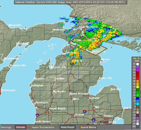 At 1032 pm edt, a severe thunderstorm was located over sparr, or near gaylord, moving northeast at 45 mph (radar indicated). Hazards include 60 mph wind gusts and quarter size hail. Hail damage to vehicles is expected. expect wind damage to roofs, siding, and trees. Locations impacted include, gaylord, lewiston, vanderbilt, hetherton, sparr, otsego lake state park, chester township, pickerel lake, johannesburg, eastern corwith township and waters. At 1032 pm edt, a severe thunderstorm was located over sparr, or near gaylord, moving northeast at 45 mph (radar indicated). Hazards include 60 mph wind gusts and quarter size hail. Hail damage to vehicles is expected. expect wind damage to roofs, siding, and trees. Locations impacted include, gaylord, lewiston, vanderbilt, hetherton, sparr, otsego lake state park, chester township, pickerel lake, johannesburg, eastern corwith township and waters.
|
| 7/10/2019 10:26 PM EDT | Otsego county dispatch reports several trees down over power lines. time estimated via rada in otsego county MI, 5.7 miles ENE of Gaylord, MI |
| 7/10/2019 10:14 PM EDT |
 The national weather service in gaylord has issued a * severe thunderstorm warning for. otsego county in northern michigan. southeastern antrim county in northern michigan. southwestern montmorency county in northern michigan. Until 1100 pm edt. The national weather service in gaylord has issued a * severe thunderstorm warning for. otsego county in northern michigan. southeastern antrim county in northern michigan. southwestern montmorency county in northern michigan. Until 1100 pm edt.
|
| 9/21/2018 12:00 PM EDT | 15 percent of customers within otsego county reported without powe in otsego county MI, 1.3 miles SSW of Gaylord, MI |
| 8/28/2018 8:24 PM EDT |
 At 824 pm edt, a severe thunderstorm was located over gaylord, moving east at 45 mph (radar indicated). Hazards include 70 mph wind gusts. Expect considerable tree damage. damage is likely to mobile homes, roofs, and outbuildings. Locations impacted include, gaylord, atlanta, lewiston, vanderbilt, wolverine, sparr, otsego lake state park, pickerel lake, johannesburg, briley township, canada creek ranch, hetherton, chester township, eastern corwith township and clear lake state park. At 824 pm edt, a severe thunderstorm was located over gaylord, moving east at 45 mph (radar indicated). Hazards include 70 mph wind gusts. Expect considerable tree damage. damage is likely to mobile homes, roofs, and outbuildings. Locations impacted include, gaylord, atlanta, lewiston, vanderbilt, wolverine, sparr, otsego lake state park, pickerel lake, johannesburg, briley township, canada creek ranch, hetherton, chester township, eastern corwith township and clear lake state park.
|
| 8/28/2018 8:15 PM EDT | 18 inch maple tree snapped and fell on house. extent of roof damage to be evaluated tomorro in otsego county MI, 1.6 miles ESE of Gaylord, MI |
| 8/28/2018 8:11 PM EDT |
 The tornado warning for west central otsego and east central antrim counties will expire at 815 pm edt, the tornado threat has diminished and the tornado warning will be allowed to expire. however, damaging winds remain possible and a severe thunderstorm warning remains in effect for eastern antrim and western otsego counties until 830 pm. a severe thunderstorm watch remains in effect until 100 am edt for northern michigan. remember, a severe thunderstorm warning still remains in effect for eastern antrim and western otsego counties until 830 pm. The tornado warning for west central otsego and east central antrim counties will expire at 815 pm edt, the tornado threat has diminished and the tornado warning will be allowed to expire. however, damaging winds remain possible and a severe thunderstorm warning remains in effect for eastern antrim and western otsego counties until 830 pm. a severe thunderstorm watch remains in effect until 100 am edt for northern michigan. remember, a severe thunderstorm warning still remains in effect for eastern antrim and western otsego counties until 830 pm.
|
| 8/28/2018 8:00 PM EDT |
 At 800 pm edt, a confirmed tornado was located over alba, or 10 miles northeast of mancelona, moving northeast at 25 mph (radar confirmed tornado). Hazards include damaging tornado. Flying debris will be dangerous to those caught without shelter. mobile homes will be damaged or destroyed. damage to roofs, windows, and vehicles will occur. tree damage is likely. Locations impacted include, alba. At 800 pm edt, a confirmed tornado was located over alba, or 10 miles northeast of mancelona, moving northeast at 25 mph (radar confirmed tornado). Hazards include damaging tornado. Flying debris will be dangerous to those caught without shelter. mobile homes will be damaged or destroyed. damage to roofs, windows, and vehicles will occur. tree damage is likely. Locations impacted include, alba.
|
| 8/28/2018 7:56 PM EDT |
 At 756 pm edt, a severe thunderstorm capable of producing a tornado was located over alba, or 8 miles northeast of mancelona, moving northeast at 30 mph (radar indicated rotation). Hazards include tornado. Flying debris will be dangerous to those caught without shelter. mobile homes will be damaged or destroyed. damage to roofs, windows, and vehicles will occur. tree damage is likely. This tornadic thunderstorm will remain over mainly rural areas of west central otsego and east central antrim counties. At 756 pm edt, a severe thunderstorm capable of producing a tornado was located over alba, or 8 miles northeast of mancelona, moving northeast at 30 mph (radar indicated rotation). Hazards include tornado. Flying debris will be dangerous to those caught without shelter. mobile homes will be damaged or destroyed. damage to roofs, windows, and vehicles will occur. tree damage is likely. This tornadic thunderstorm will remain over mainly rural areas of west central otsego and east central antrim counties.
|
| 8/28/2018 2:37 AM EDT |
 The severe thunderstorm warning for otsego, crawford and southeastern kalkaska counties will expire at 245 am edt, the storms which prompted the warning have moved out of the area. therefore, the warning will be allowed to expire. The severe thunderstorm warning for otsego, crawford and southeastern kalkaska counties will expire at 245 am edt, the storms which prompted the warning have moved out of the area. therefore, the warning will be allowed to expire.
|
| 8/28/2018 2:27 AM EDT |
 At 227 am edt, severe thunderstorms were located along a line extending from near tomahawk creek flooding to atlanta to near roscommon, moving east at 75 mph (radar indicated). Hazards include 60 mph wind gusts. Expect damage to roofs, siding, and trees. Locations impacted include, gaylord, grayling, frederic, lovells, sparr, otsego lake state park, chester township, south branch township, johannesburg, eastern corwith township, waters and hartwick pines state park. At 227 am edt, severe thunderstorms were located along a line extending from near tomahawk creek flooding to atlanta to near roscommon, moving east at 75 mph (radar indicated). Hazards include 60 mph wind gusts. Expect damage to roofs, siding, and trees. Locations impacted include, gaylord, grayling, frederic, lovells, sparr, otsego lake state park, chester township, south branch township, johannesburg, eastern corwith township, waters and hartwick pines state park.
|
| 8/28/2018 2:15 AM EDT | *** 1 inj *** trees and good sized branches down in neighborhood. report of emergency vehicle picking someone up... but no further information on that at this tim in otsego county MI, 1.5 miles E of Gaylord, MI |
| 8/28/2018 2:06 AM EDT | Multiple trees reported dow in otsego county MI, 1.9 miles SW of Gaylord, MI |
| 8/28/2018 2:05 AM EDT | Several branches blown down and blocking drive. power ou in otsego county MI, 0.6 miles S of Gaylord, MI |
| 8/28/2018 2:05 AM EDT | Picture relayed of tree down through house. time estimated from rada in otsego county MI, 1.6 miles ESE of Gaylord, MI |
| 8/28/2018 1:58 AM EDT |
 At 158 am edt, severe thunderstorms were located along a line extending from near boyne falls to near alba to near fife lake, moving east at 75 mph (radar indicated). Hazards include 60 mph wind gusts. expect damage to roofs, siding, and trees At 158 am edt, severe thunderstorms were located along a line extending from near boyne falls to near alba to near fife lake, moving east at 75 mph (radar indicated). Hazards include 60 mph wind gusts. expect damage to roofs, siding, and trees
|
| 7/1/2018 9:24 PM EDT |
 At 922 pm edt, severe thunderstorms were located along a line extending from elmira to near otsego lake state park to near lovells to near roscommon, moving northeast at 45 mph (radar indicated. at 916 pm a wind gust of 52 mph was reported at the national weather service office, 9 miles south-southwest of gaylord). Hazards include 60 mph wind gusts. Expect damage to roofs, siding, and trees. Locations impacted include, gaylord, grayling, mancelona, lewiston, elmira, frederic, lovells, vanderbilt, sparr, otsego lake state park, pickerel lake, johannesburg, chester township, alba, eastern corwith township, waters, hartwick pines state park and blue lake township. At 922 pm edt, severe thunderstorms were located along a line extending from elmira to near otsego lake state park to near lovells to near roscommon, moving northeast at 45 mph (radar indicated. at 916 pm a wind gust of 52 mph was reported at the national weather service office, 9 miles south-southwest of gaylord). Hazards include 60 mph wind gusts. Expect damage to roofs, siding, and trees. Locations impacted include, gaylord, grayling, mancelona, lewiston, elmira, frederic, lovells, vanderbilt, sparr, otsego lake state park, pickerel lake, johannesburg, chester township, alba, eastern corwith township, waters, hartwick pines state park and blue lake township.
|
| 7/1/2018 9:17 PM EDT |
 At 916 pm edt, severe thunderstorms were located along a line extending from alba to near waters to near north higgins lake, moving northeast at 55 mph (radar indicated). Hazards include 60 mph wind gusts. Expect damage to roofs, siding, and trees. Locations impacted include, gaylord, grayling, mancelona, lewiston, elmira, frederic, lovells, vanderbilt, sparr, otsego lake state park, pickerel lake, johannesburg, chester township, alba, eastern corwith township, waters, hartwick pines state park and blue lake township. At 916 pm edt, severe thunderstorms were located along a line extending from alba to near waters to near north higgins lake, moving northeast at 55 mph (radar indicated). Hazards include 60 mph wind gusts. Expect damage to roofs, siding, and trees. Locations impacted include, gaylord, grayling, mancelona, lewiston, elmira, frederic, lovells, vanderbilt, sparr, otsego lake state park, pickerel lake, johannesburg, chester township, alba, eastern corwith township, waters, hartwick pines state park and blue lake township.
|
| 7/1/2018 9:03 PM EDT |
 At 903 pm edt, severe thunderstorms were located along a line extending from near mancelona to 6 miles northwest of north higgins lake, moving northeast at 50 mph (radar indicated). Hazards include 60 mph wind gusts. expect damage to roofs, siding, and trees At 903 pm edt, severe thunderstorms were located along a line extending from near mancelona to 6 miles northwest of north higgins lake, moving northeast at 50 mph (radar indicated). Hazards include 60 mph wind gusts. expect damage to roofs, siding, and trees
|
| 5/26/2018 5:51 PM EDT |
 At 550 pm edt, a severe thunderstorm was located over sparr, or 6 miles east of gaylord, moving east at 20 mph (radar indicated). Hazards include quarter size hail. Damage to vehicles is expected. Locations impacted include, gaylord, lewiston, hetherton, sparr, otsego lake state park, chester township, johannesburg, briley township, canada creek ranch and clear lake state park. At 550 pm edt, a severe thunderstorm was located over sparr, or 6 miles east of gaylord, moving east at 20 mph (radar indicated). Hazards include quarter size hail. Damage to vehicles is expected. Locations impacted include, gaylord, lewiston, hetherton, sparr, otsego lake state park, chester township, johannesburg, briley township, canada creek ranch and clear lake state park.
|
| 5/26/2018 5:42 PM EDT |
 At 541 pm edt, a severe thunderstorm was located over gaylord, moving southeast at 20 mph (radar indicated. quarter sized hail was reported in gaylord at 541 pm). Hazards include ping pong ball size hail. People and animals outdoors will be injured. Expect damage to roofs, siding, windows, and vehicles. At 541 pm edt, a severe thunderstorm was located over gaylord, moving southeast at 20 mph (radar indicated. quarter sized hail was reported in gaylord at 541 pm). Hazards include ping pong ball size hail. People and animals outdoors will be injured. Expect damage to roofs, siding, windows, and vehicles.
|
| 5/26/2018 5:41 PM EDT | Quarter sized hail reported 1.9 miles W of Gaylord, MI |
| 5/26/2018 5:08 PM EDT | Quarter sized hail reported 8 miles NNE of Gaylord, MI |
| 10/17/2016 9:24 AM EDT |
 The severe thunderstorm warning for southeastern charlevoix, southwestern cheboygan, otsego and southeastern antrim counties will expire at 930 am edt, the storms which prompted the warning have weakened below severe limits, and have exited the warned area. therefore the warning will be allowed to expire. The severe thunderstorm warning for southeastern charlevoix, southwestern cheboygan, otsego and southeastern antrim counties will expire at 930 am edt, the storms which prompted the warning have weakened below severe limits, and have exited the warned area. therefore the warning will be allowed to expire.
|
| 10/17/2016 9:12 AM EDT |
 At 912 am edt, severe thunderstorms were located along a line extending from 6 miles southeast of afton to near eastern corwith township, moving east at 45 mph (radar indicated). Hazards include quarter size hail. Damage to vehicles is expected. Locations impacted include, gaylord, elmira, vanderbilt, boyne falls, wolverine, alba, waters, otsego lake state park, pickerel lake, chester township, johannesburg, eastern corwith township, walloon lake, sparr and warner township. At 912 am edt, severe thunderstorms were located along a line extending from 6 miles southeast of afton to near eastern corwith township, moving east at 45 mph (radar indicated). Hazards include quarter size hail. Damage to vehicles is expected. Locations impacted include, gaylord, elmira, vanderbilt, boyne falls, wolverine, alba, waters, otsego lake state park, pickerel lake, chester township, johannesburg, eastern corwith township, walloon lake, sparr and warner township.
|
| 10/17/2016 8:51 AM EDT |
 At 850 am edt, severe thunderstorms were located along a line extending from near vanderbilt to elmira, moving east at 45 mph (trained weather spotters). Hazards include ping pong ball size hail. People and animals outdoors will be injured. expect damage to roofs, siding, windows, and vehicles. Locations impacted include, gaylord, elmira, vanderbilt, boyne falls, wolverine, alba, waters, otsego lake state park, pickerel lake, chester township, johannesburg, eastern corwith township, walloon lake, sparr and warner township. At 850 am edt, severe thunderstorms were located along a line extending from near vanderbilt to elmira, moving east at 45 mph (trained weather spotters). Hazards include ping pong ball size hail. People and animals outdoors will be injured. expect damage to roofs, siding, windows, and vehicles. Locations impacted include, gaylord, elmira, vanderbilt, boyne falls, wolverine, alba, waters, otsego lake state park, pickerel lake, chester township, johannesburg, eastern corwith township, walloon lake, sparr and warner township.
|
| 10/17/2016 8:27 AM EDT |
 The national weather service in gaylord has issued a * severe thunderstorm warning for. southeastern charlevoix county in northern michigan. southwestern cheboygan county in northern michigan. otsego county in northern michigan. Southeastern antrim county in northern michigan. The national weather service in gaylord has issued a * severe thunderstorm warning for. southeastern charlevoix county in northern michigan. southwestern cheboygan county in northern michigan. otsego county in northern michigan. Southeastern antrim county in northern michigan.
|
| 9/6/2016 4:15 PM EDT |
 At 410 pm edt, a line of strong thunderstorms with damaging winds was located along a line extending from near onaway to waters, moving east at 40 mph. the strongest winds were pushing through waters (radar indicated). Hazards include 60 mph wind gusts. Expect damage to roofs. siding. and trees. These severe thunderstorms will remain over mainly rural areas of otsego county. At 410 pm edt, a line of strong thunderstorms with damaging winds was located along a line extending from near onaway to waters, moving east at 40 mph. the strongest winds were pushing through waters (radar indicated). Hazards include 60 mph wind gusts. Expect damage to roofs. siding. and trees. These severe thunderstorms will remain over mainly rural areas of otsego county.
|
| 9/6/2016 3:54 PM EDT |
 At 353 pm edt, severe thunderstorms were located along a line extending from near koehler township to near gaylord, moving east at 40 mph (law enforcement reported power lines down in vanderbilt). Hazards include 60 mph wind gusts. Expect damage to roofs. siding. and trees. these severe storms will be near, afton around 400 pm edt. eastern corwith township, johannesburg and pickerel lake around 410 pm edt. Other locations impacted by these severe thunderstorms include silver lake and pigeon river state forest. At 353 pm edt, severe thunderstorms were located along a line extending from near koehler township to near gaylord, moving east at 40 mph (law enforcement reported power lines down in vanderbilt). Hazards include 60 mph wind gusts. Expect damage to roofs. siding. and trees. these severe storms will be near, afton around 400 pm edt. eastern corwith township, johannesburg and pickerel lake around 410 pm edt. Other locations impacted by these severe thunderstorms include silver lake and pigeon river state forest.
|
| 9/6/2016 3:41 PM EDT | Power lines dow in otsego county MI, 5 miles N of Gaylord, MI |
| 9/6/2016 3:26 PM EDT |
 At 326 pm edt, severe thunderstorms were located along a line extending from reasoners corner to near jordan township, moving east at 40 mph (radar indicated). Hazards include 60 mph wind gusts. Expect damage to roofs. siding. and trees. severe thunderstorms will be near, wolverine around 340 pm edt. gaylord and afton around 350 pm edt. vanderbilt around 355 pm edt. sparr around 400 pm edt. johannesburg and pickerel lake around 405 pm edt. eastern corwith township around 410 pm edt. Other locations impacted by these severe thunderstorms include silver lake and pigeon river state forest. At 326 pm edt, severe thunderstorms were located along a line extending from reasoners corner to near jordan township, moving east at 40 mph (radar indicated). Hazards include 60 mph wind gusts. Expect damage to roofs. siding. and trees. severe thunderstorms will be near, wolverine around 340 pm edt. gaylord and afton around 350 pm edt. vanderbilt around 355 pm edt. sparr around 400 pm edt. johannesburg and pickerel lake around 405 pm edt. eastern corwith township around 410 pm edt. Other locations impacted by these severe thunderstorms include silver lake and pigeon river state forest.
|
| 7/8/2016 1:45 PM EDT |
 At 144 pm edt, a severe thunderstorm was located near sparr, or near gaylord, moving east at 35 mph (radar indicated). Hazards include 60 mph wind gusts and quarter size hail. Hail damage to vehicles is expected. expect wind damage to roofs, siding, and trees. Locations impacted include, gaylord, vanderbilt and sparr. At 144 pm edt, a severe thunderstorm was located near sparr, or near gaylord, moving east at 35 mph (radar indicated). Hazards include 60 mph wind gusts and quarter size hail. Hail damage to vehicles is expected. expect wind damage to roofs, siding, and trees. Locations impacted include, gaylord, vanderbilt and sparr.
|
| 7/8/2016 1:31 PM EDT |
 At 131 pm edt, a severe thunderstorm was located over waters, or 9 miles south of gaylord, moving east at 50 mph (radar indicated). Hazards include 60 mph wind gusts and quarter size hail. Hail damage to vehicles is expected. Expect wind damage to roofs, siding, and trees. At 131 pm edt, a severe thunderstorm was located over waters, or 9 miles south of gaylord, moving east at 50 mph (radar indicated). Hazards include 60 mph wind gusts and quarter size hail. Hail damage to vehicles is expected. Expect wind damage to roofs, siding, and trees.
|
| 7/8/2016 1:05 PM EDT |
 At 105 pm edt, a severe thunderstorm was located over warner township, or 7 miles south of boyne city, moving east at 35 mph (radar indicated). Hazards include two inch hail and 60 mph wind gusts. People and animals outdoors will be injured. expect hail damage to roofs, siding, windows, and vehicles. Expect wind damage to roofs, siding, and trees. At 105 pm edt, a severe thunderstorm was located over warner township, or 7 miles south of boyne city, moving east at 35 mph (radar indicated). Hazards include two inch hail and 60 mph wind gusts. People and animals outdoors will be injured. expect hail damage to roofs, siding, windows, and vehicles. Expect wind damage to roofs, siding, and trees.
|
| 7/8/2016 12:23 PM EDT |
 At 1222 pm edt, a severe thunderstorm was located over chester township, or 10 miles southeast of gaylord, moving east at 30 mph (radar indicated). Hazards include 60 mph wind gusts and quarter size hail. Hail damage to vehicles is expected. expect wind damage to roofs, siding, and trees. Locations impacted include, gaylord, frederic, lovells, waters, otsego lake state park, chester township, sparr and johannesburg. At 1222 pm edt, a severe thunderstorm was located over chester township, or 10 miles southeast of gaylord, moving east at 30 mph (radar indicated). Hazards include 60 mph wind gusts and quarter size hail. Hail damage to vehicles is expected. expect wind damage to roofs, siding, and trees. Locations impacted include, gaylord, frederic, lovells, waters, otsego lake state park, chester township, sparr and johannesburg.
|
| 7/8/2016 12:15 PM EDT | Ping Pong Ball sized hail reported 11.5 miles NNE of Gaylord, MI |
| 7/8/2016 11:57 AM EDT |
 At 1157 am edt, a severe thunderstorm was located near frederic, or 13 miles north of grayling, moving east at 35 mph (radar indicated). Hazards include two inch hail and 70 mph wind gusts. People and animals outdoors will be injured. expect hail damage to roofs, siding, windows, and vehicles. expect considerable tree damage. wind damage is also likely to mobile homes, roofs, and outbuildings. Locations impacted include, gaylord, frederic, lovells, waters, otsego lake state park, chester township, sparr, johannesburg and blue lake township. At 1157 am edt, a severe thunderstorm was located near frederic, or 13 miles north of grayling, moving east at 35 mph (radar indicated). Hazards include two inch hail and 70 mph wind gusts. People and animals outdoors will be injured. expect hail damage to roofs, siding, windows, and vehicles. expect considerable tree damage. wind damage is also likely to mobile homes, roofs, and outbuildings. Locations impacted include, gaylord, frederic, lovells, waters, otsego lake state park, chester township, sparr, johannesburg and blue lake township.
|
| 7/8/2016 11:24 AM EDT |
 At 1122 am edt, a severe thunderstorm was located near kalkaska, moving northeast at 35 mph (radar indicated. quarter size hail has been reported with this storm). Hazards include 60 mph wind gusts and quarter size hail. Hail damage to vehicles is expected. Expect wind damage to roofs, siding, and trees. At 1122 am edt, a severe thunderstorm was located near kalkaska, moving northeast at 35 mph (radar indicated. quarter size hail has been reported with this storm). Hazards include 60 mph wind gusts and quarter size hail. Hail damage to vehicles is expected. Expect wind damage to roofs, siding, and trees.
|
| 7/8/2016 11:10 AM EDT |
 At 1109 am edt, storms located over rapid city, or near elk rapids, moving northeast at 35 mph (public report of quarter size hail at grand traverse state park). Hazards include 60 mph wind gusts and quarter size hail. Hail damage to vehicles is expected. expect wind damage to roofs, siding, and trees. Locations impacted include, gaylord, elk rapids, mancelona, bellaire, antrim, elmira, vanderbilt, boyne falls, alba, kewadin, alden, barker creek, clam river, jordan township, rapid city, williamsburg, warner township, bates and lake bellaire. At 1109 am edt, storms located over rapid city, or near elk rapids, moving northeast at 35 mph (public report of quarter size hail at grand traverse state park). Hazards include 60 mph wind gusts and quarter size hail. Hail damage to vehicles is expected. expect wind damage to roofs, siding, and trees. Locations impacted include, gaylord, elk rapids, mancelona, bellaire, antrim, elmira, vanderbilt, boyne falls, alba, kewadin, alden, barker creek, clam river, jordan township, rapid city, williamsburg, warner township, bates and lake bellaire.
|
| 7/8/2016 10:53 AM EDT |
 At 1052 am edt, a severe thunderstorm was located over williamsburg, or 7 miles east of traverse city, moving northeast at 35 mph (report of quarter size hail grand traverse state park). Hazards include 60 mph wind gusts and quarter size hail. Hail damage to vehicles is expected. Expect wind damage to roofs, siding, and trees. At 1052 am edt, a severe thunderstorm was located over williamsburg, or 7 miles east of traverse city, moving northeast at 35 mph (report of quarter size hail grand traverse state park). Hazards include 60 mph wind gusts and quarter size hail. Hail damage to vehicles is expected. Expect wind damage to roofs, siding, and trees.
|
| 8/2/2015 5:00 PM EDT |
 At 459 pm edt, severe thunderstorms were located along a line extending from near warner township to 6 miles north of moorestown, moving east at 60 mph (radar indicated. earlier in grand traverse and antrim counties 60 to 70 mph winds were reported). Hazards include 70 mph wind gusts and quarter size hail. Hail damage to vehicles is expected. expect considerable tree damage. Wind damage is also likely to mobile homes, roofs and outbuildings. At 459 pm edt, severe thunderstorms were located along a line extending from near warner township to 6 miles north of moorestown, moving east at 60 mph (radar indicated. earlier in grand traverse and antrim counties 60 to 70 mph winds were reported). Hazards include 70 mph wind gusts and quarter size hail. Hail damage to vehicles is expected. expect considerable tree damage. Wind damage is also likely to mobile homes, roofs and outbuildings.
|
| 8/2/2015 12:35 PM EDT | Trees blown down in otsego county MI, 1.8 miles NNW of Gaylord, MI |
| 8/2/2015 12:35 PM EDT | Trees down in otsego county MI, 6 miles E of Gaylord, MI |
| 8/2/2015 12:24 PM EDT |
 At 1224 pm edt, severe thunderstorms were located along a line extending from alanson to near kalkaska, moving east at 40 mph (radar indicated). Hazards include 70 mph wind gusts and quarter size hail. Hail damage to vehicles is expected. expect considerable tree damage. Wind damage is also likely to mobile homes, roofs and outbuildings. At 1224 pm edt, severe thunderstorms were located along a line extending from alanson to near kalkaska, moving east at 40 mph (radar indicated). Hazards include 70 mph wind gusts and quarter size hail. Hail damage to vehicles is expected. expect considerable tree damage. Wind damage is also likely to mobile homes, roofs and outbuildings.
|
| 9/4/2014 9:01 PM EDT | Large oak trees reported down...also no powe in otsego county MI, 9.3 miles NNW of Gaylord, MI |
| 9/4/2014 8:40 PM EDT | Sporadic tree and minor stuctural damage. time estimated by rada in otsego county MI, 8.5 miles N of Gaylord, MI |
| 7/27/2014 1:55 PM EDT | 8 inch diameter pine tree snapped in half in waters in otsego county MI, 8.5 miles N of Gaylord, MI |
| 7/27/2014 12:40 PM EDT | A 4 to 6 inch healthy tree fell on a car. a 16 to 18 inch dead and rotting tree fell on hous in otsego county MI, 0.7 miles SW of Gaylord, MI |
| 11/17/2013 4:05 PM EST | Both southbound and northbound lanes of i-75 closed due to trees down over interstate. between mile marker 269 and 27 in otsego county MI, 9.1 miles N of Gaylord, MI |
| 1/1/0001 12:00 AM | Quarter sized hail reported 4 miles E of Gaylord, MI |
| 1/1/0001 12:00 AM | Quarter sized hail reported 1.2 miles NW of Gaylord, MI |
| 1/1/0001 12:00 AM | Tree down and large 20 foot limb snapped off in otsego county MI, 5.5 miles NNW of Gaylord, MI |
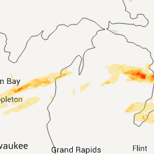
Hail Maps for Gaylord, MI


Connect with Interactive Hail Maps