

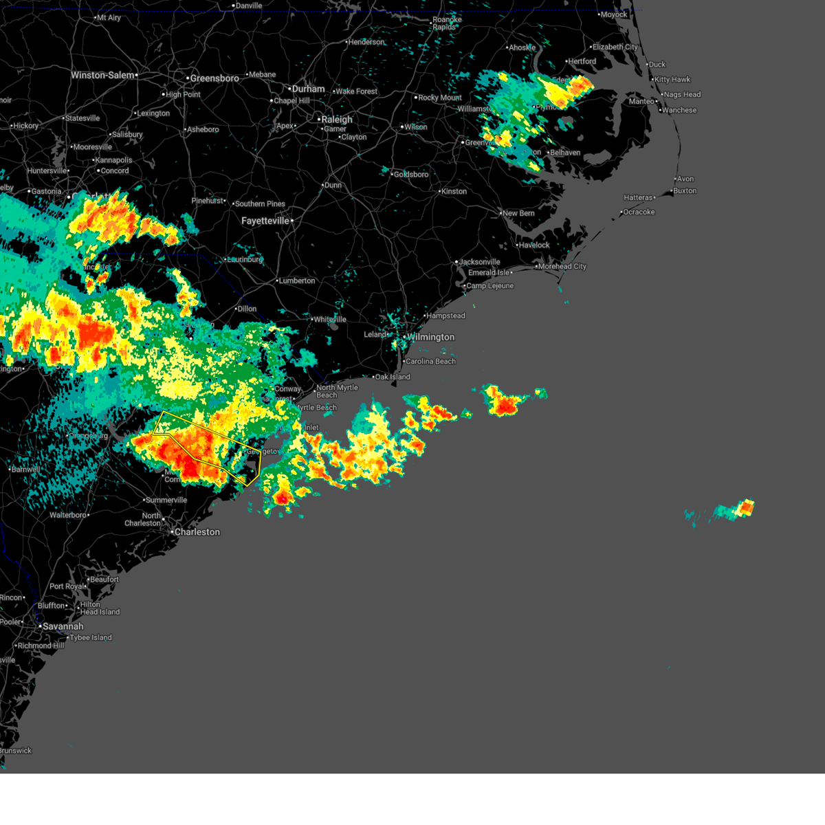
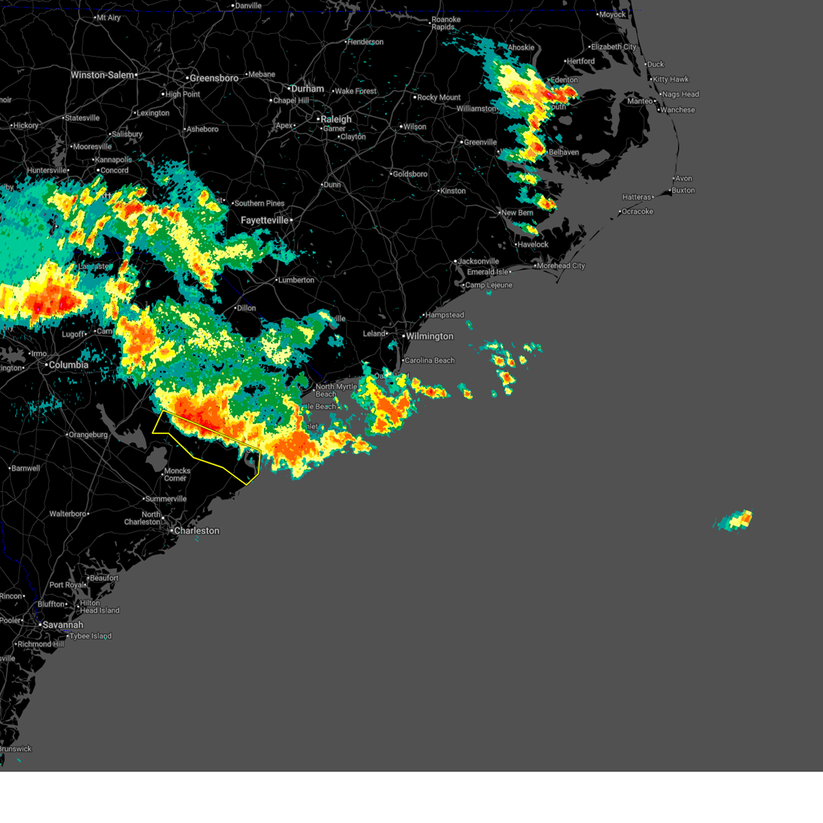
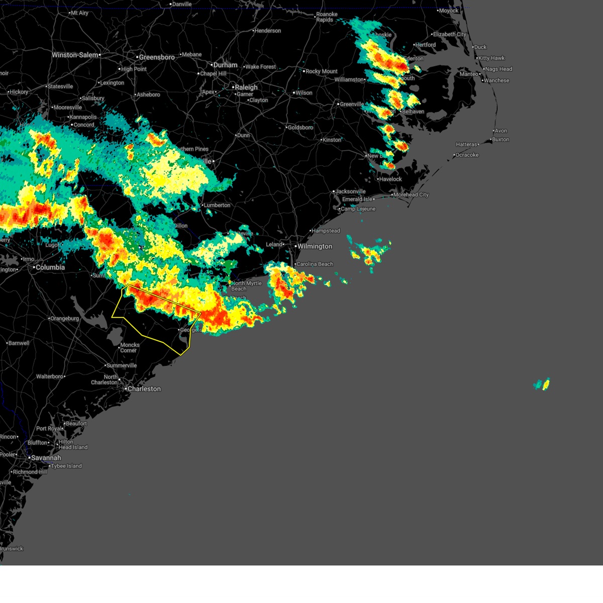
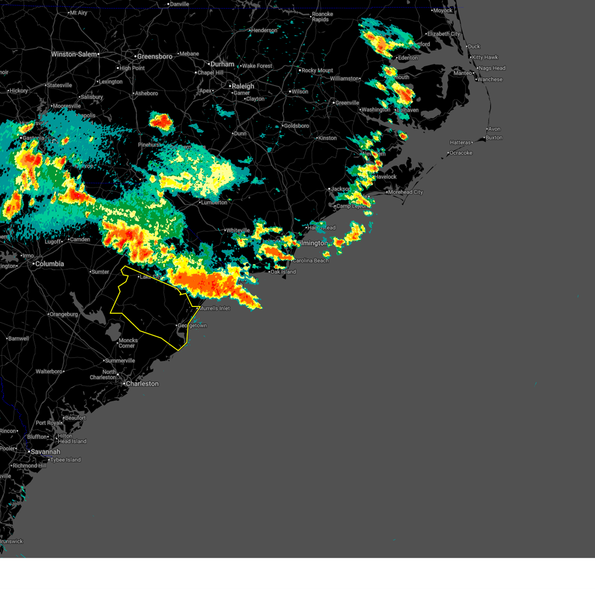
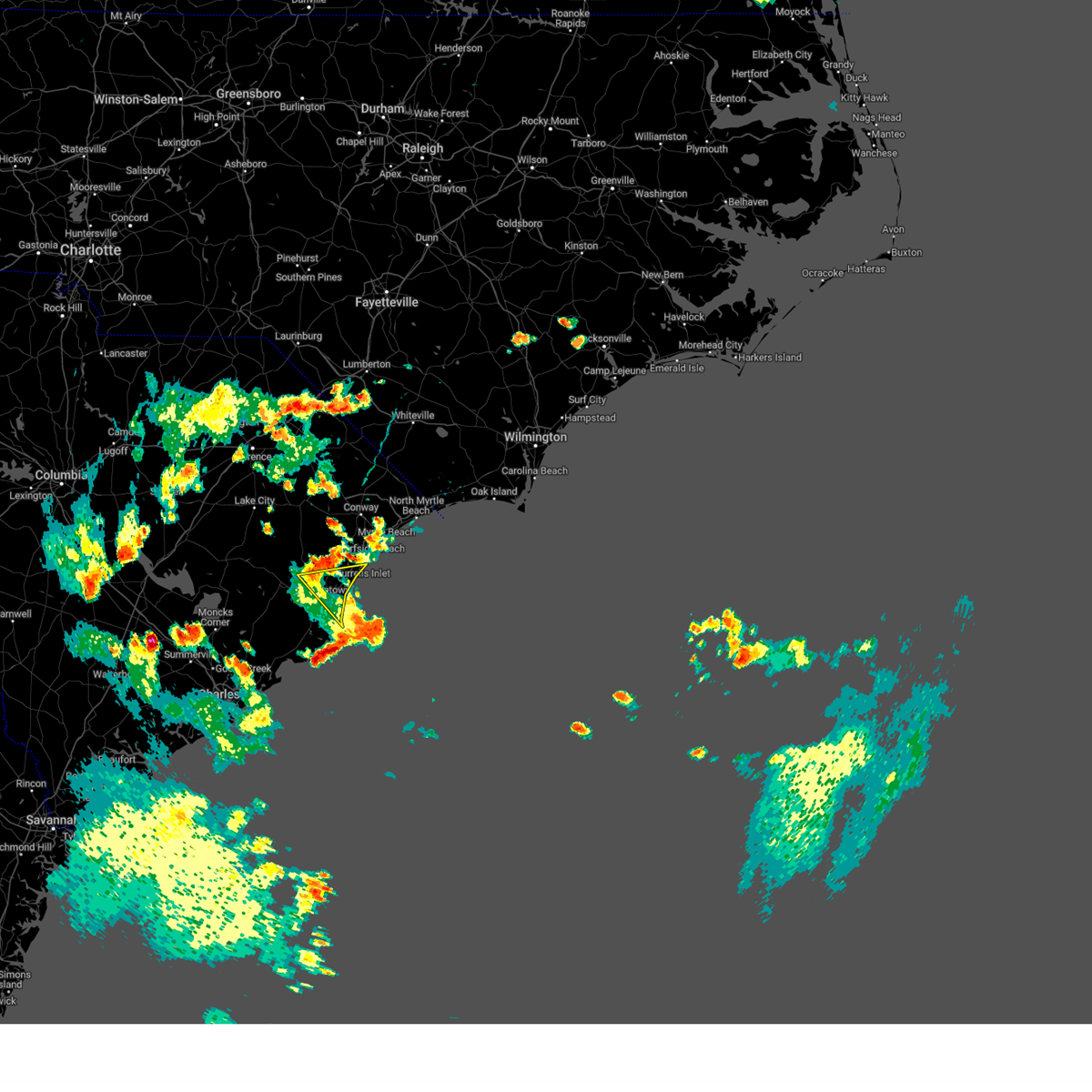
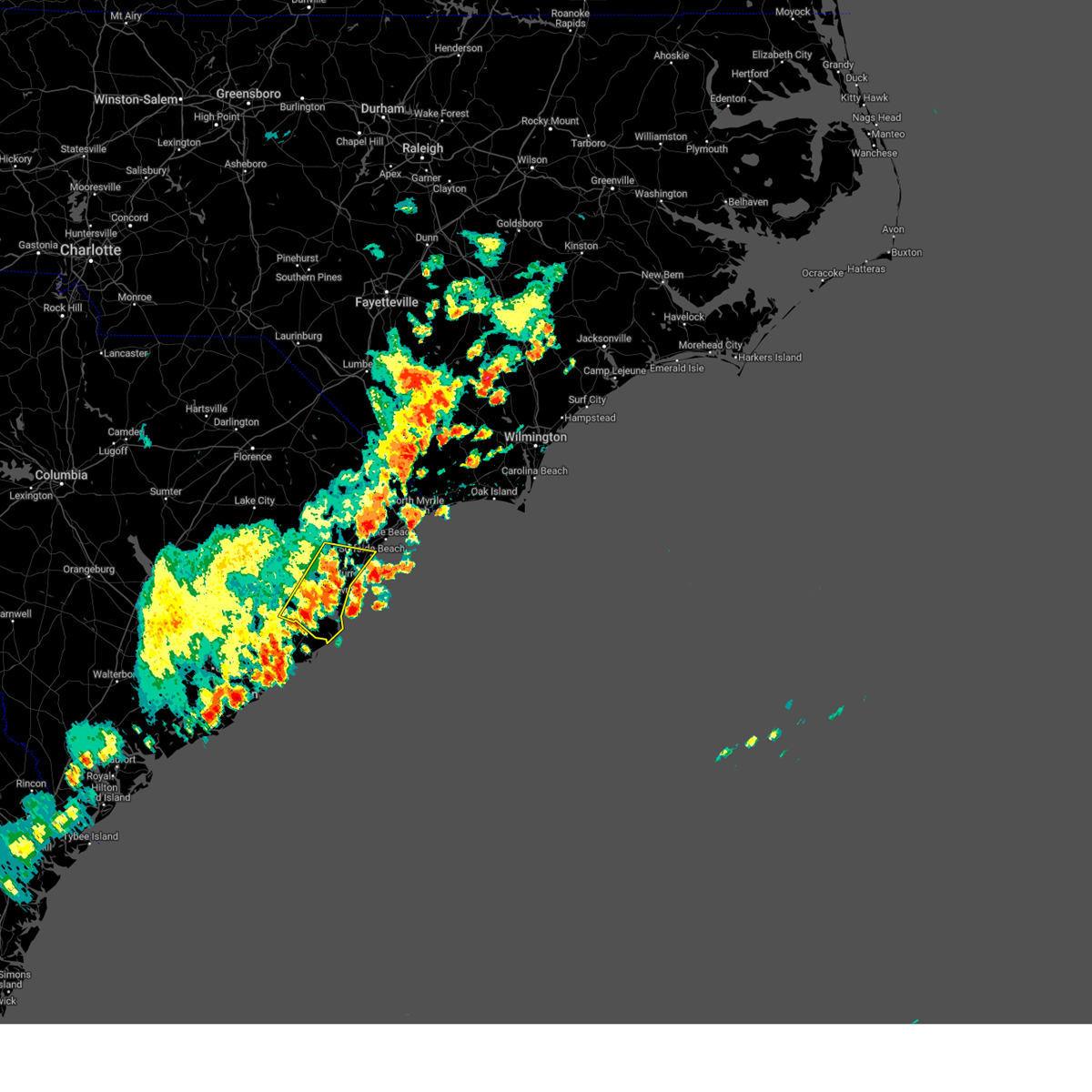
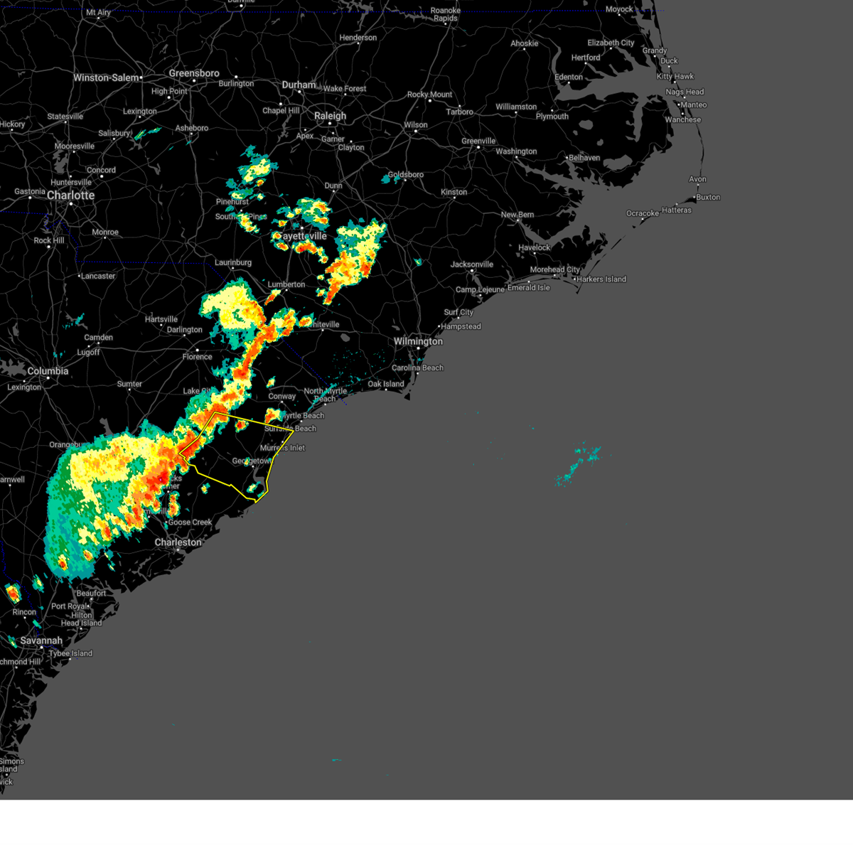
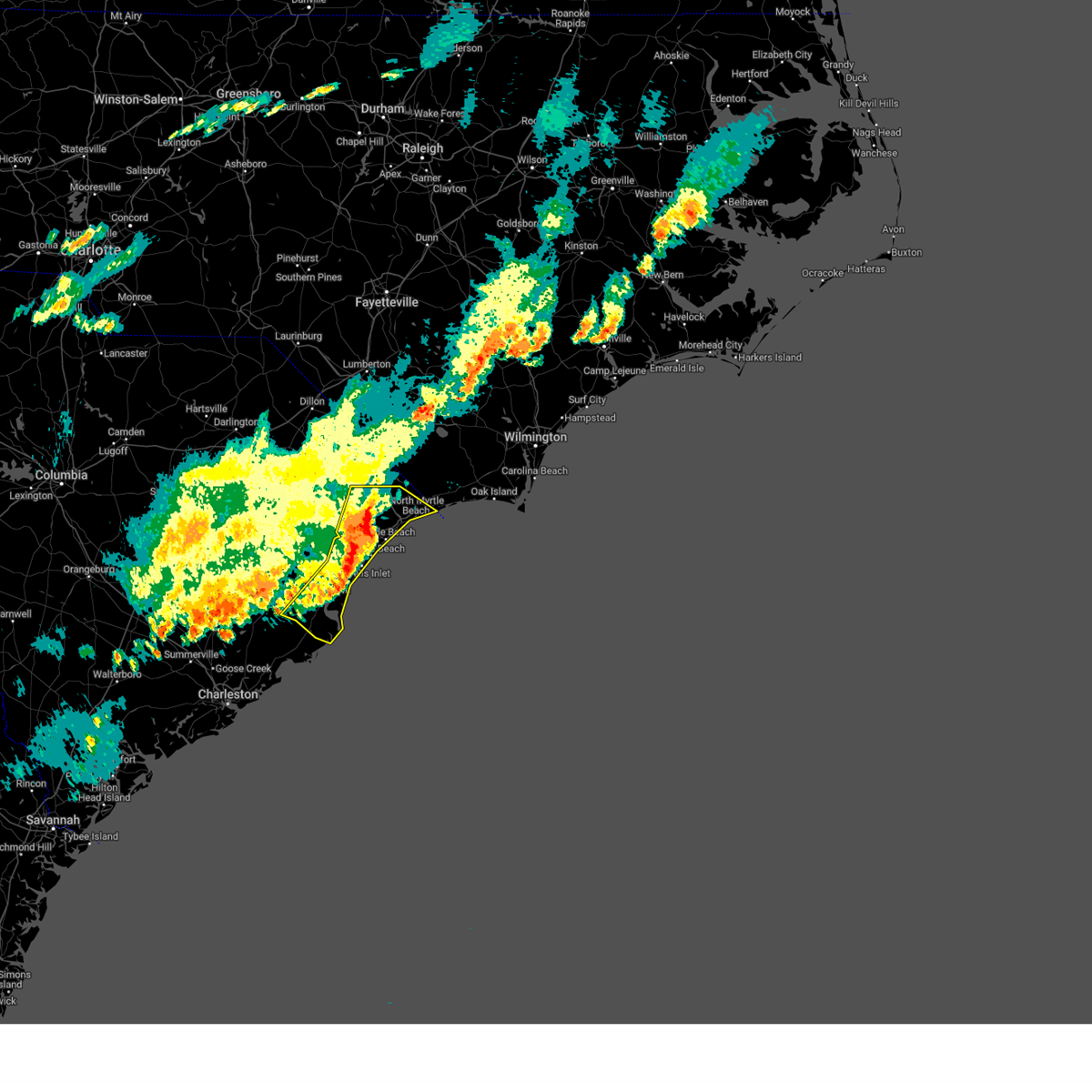
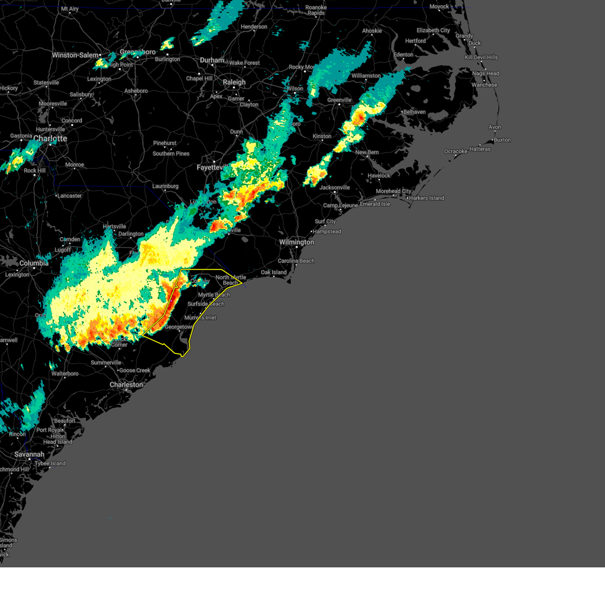
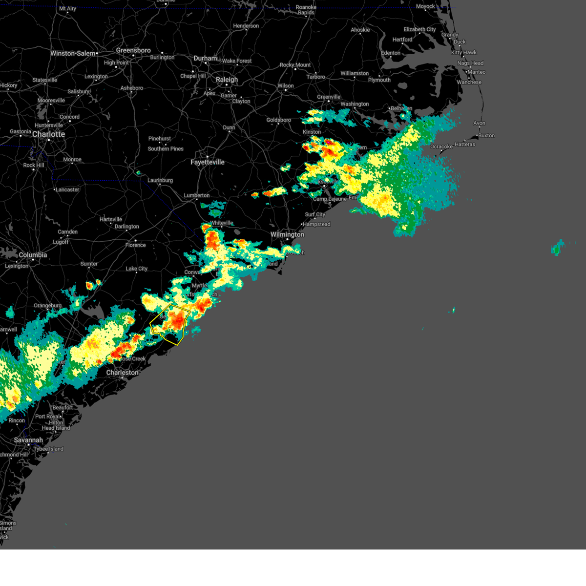
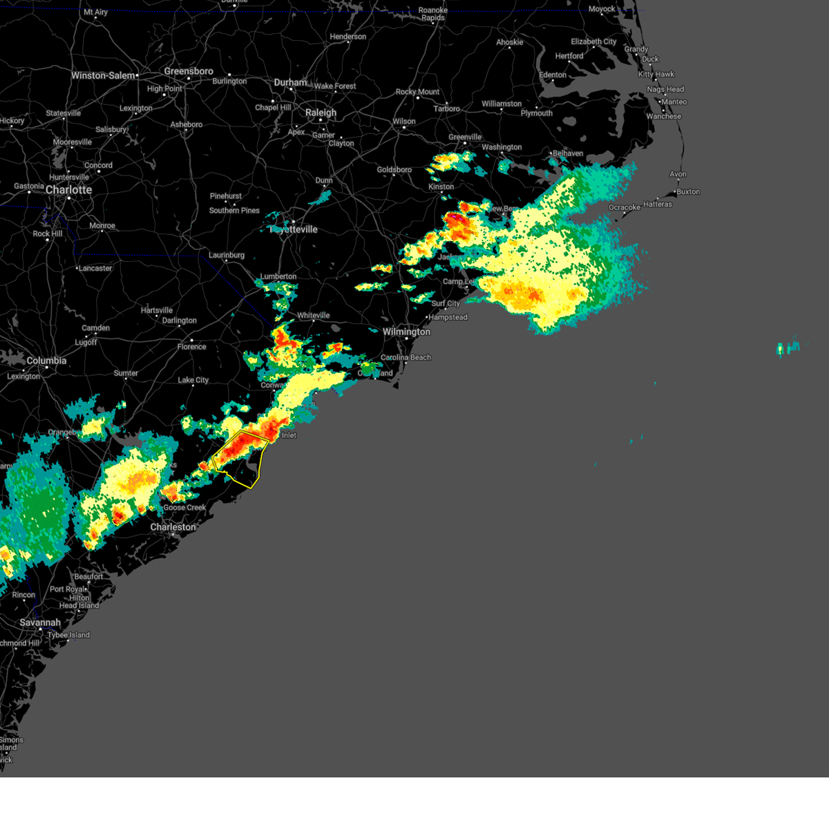
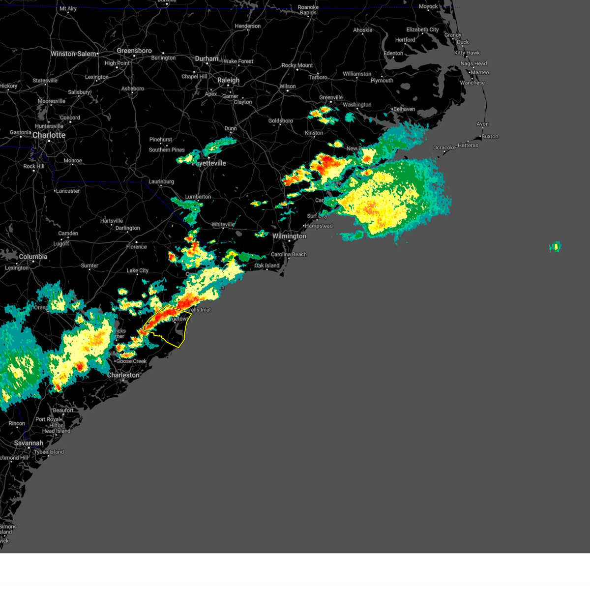
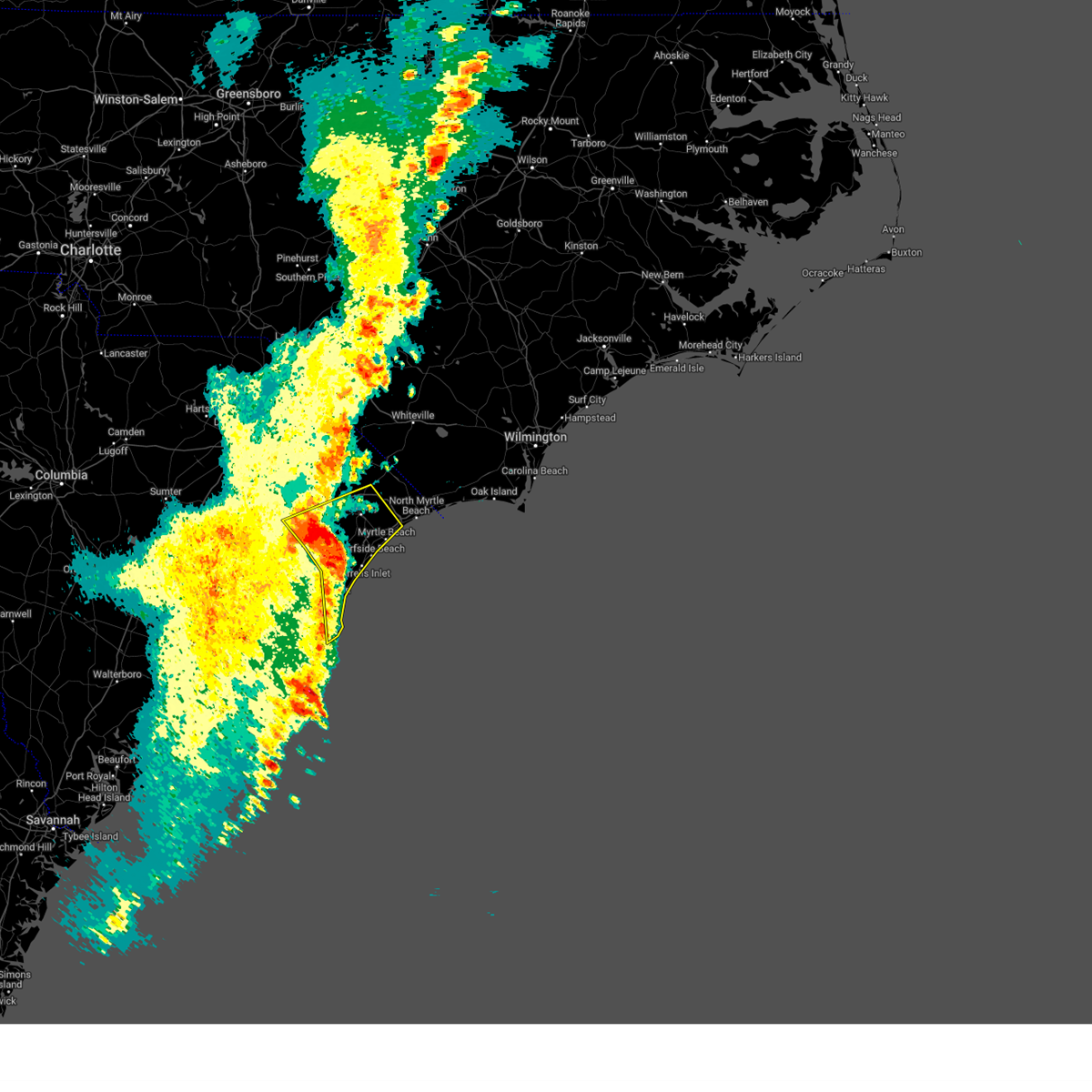
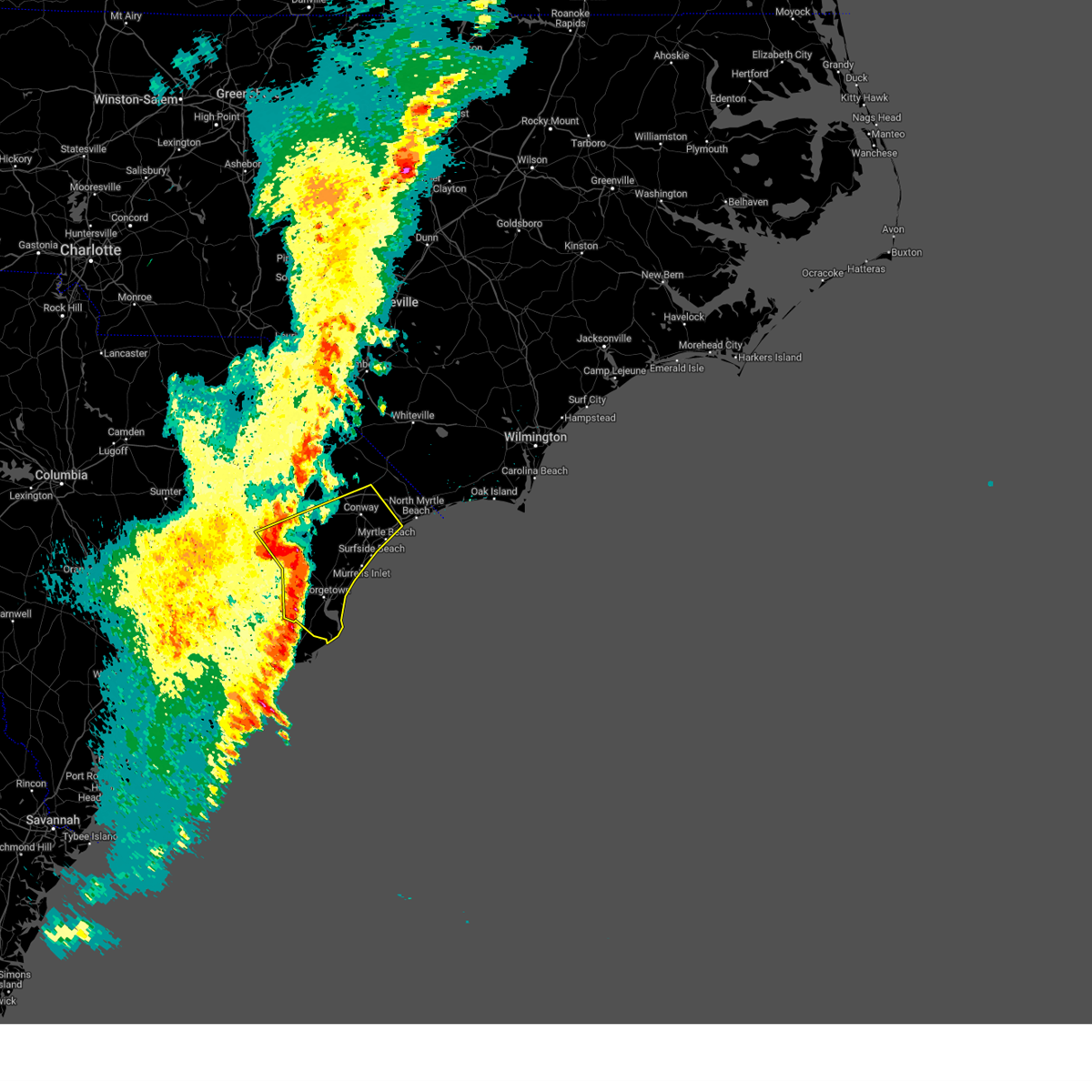
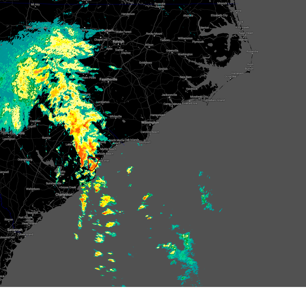
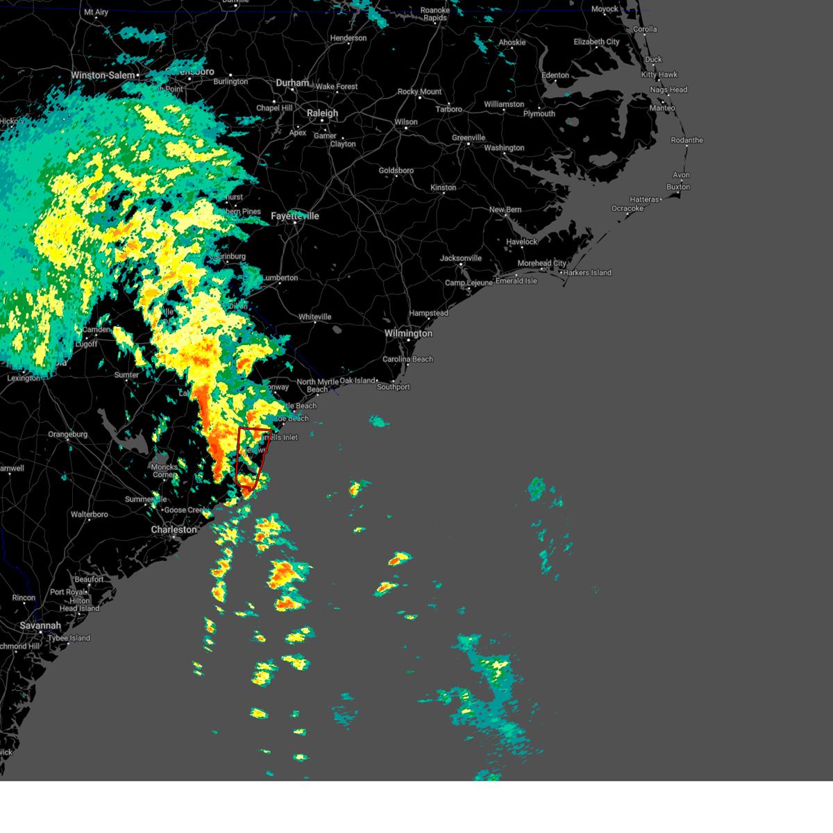
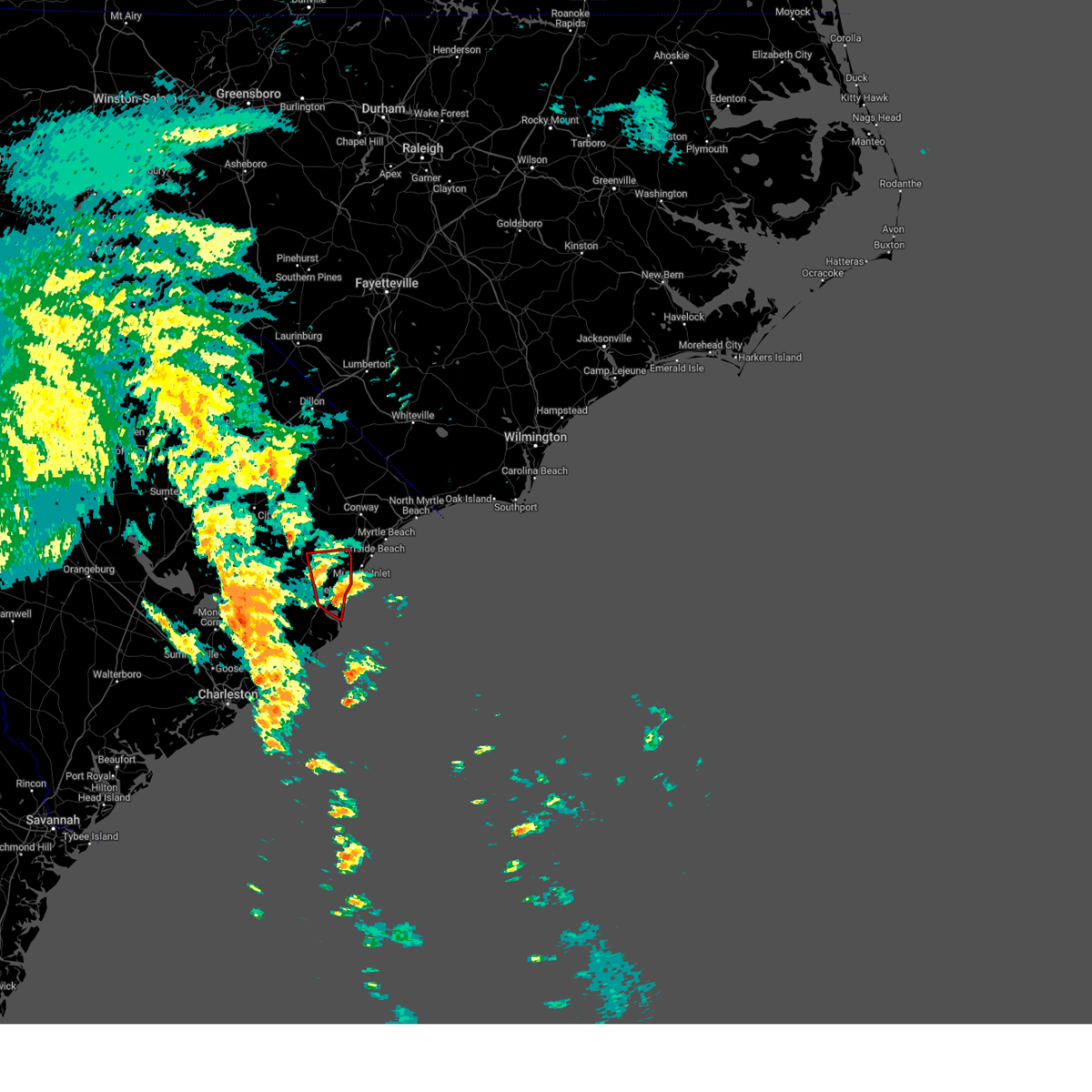
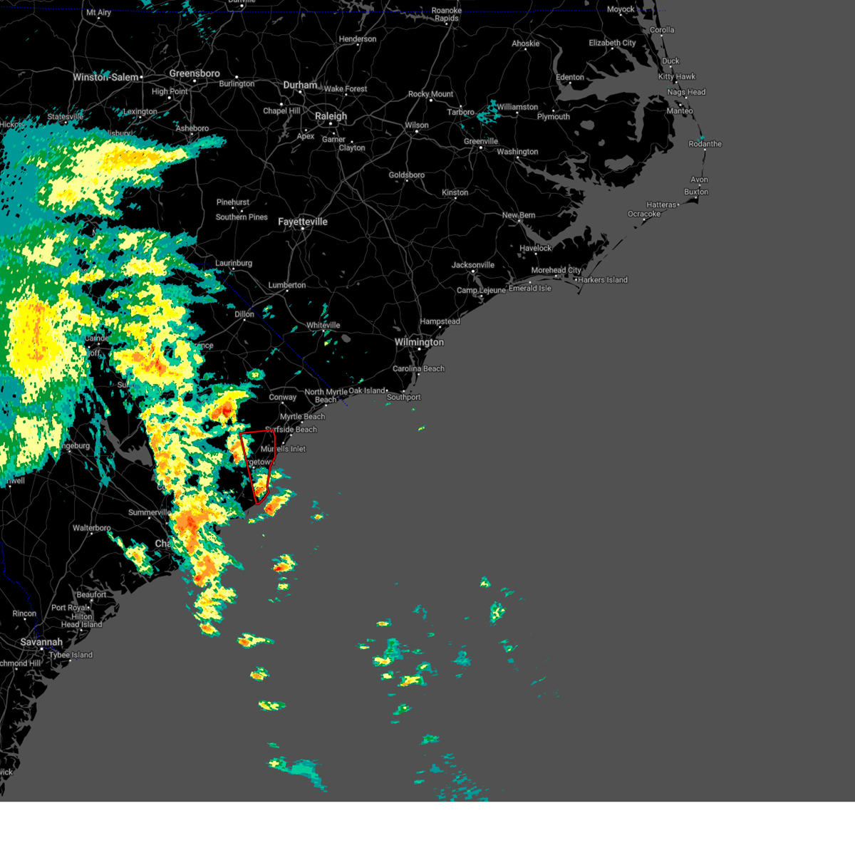
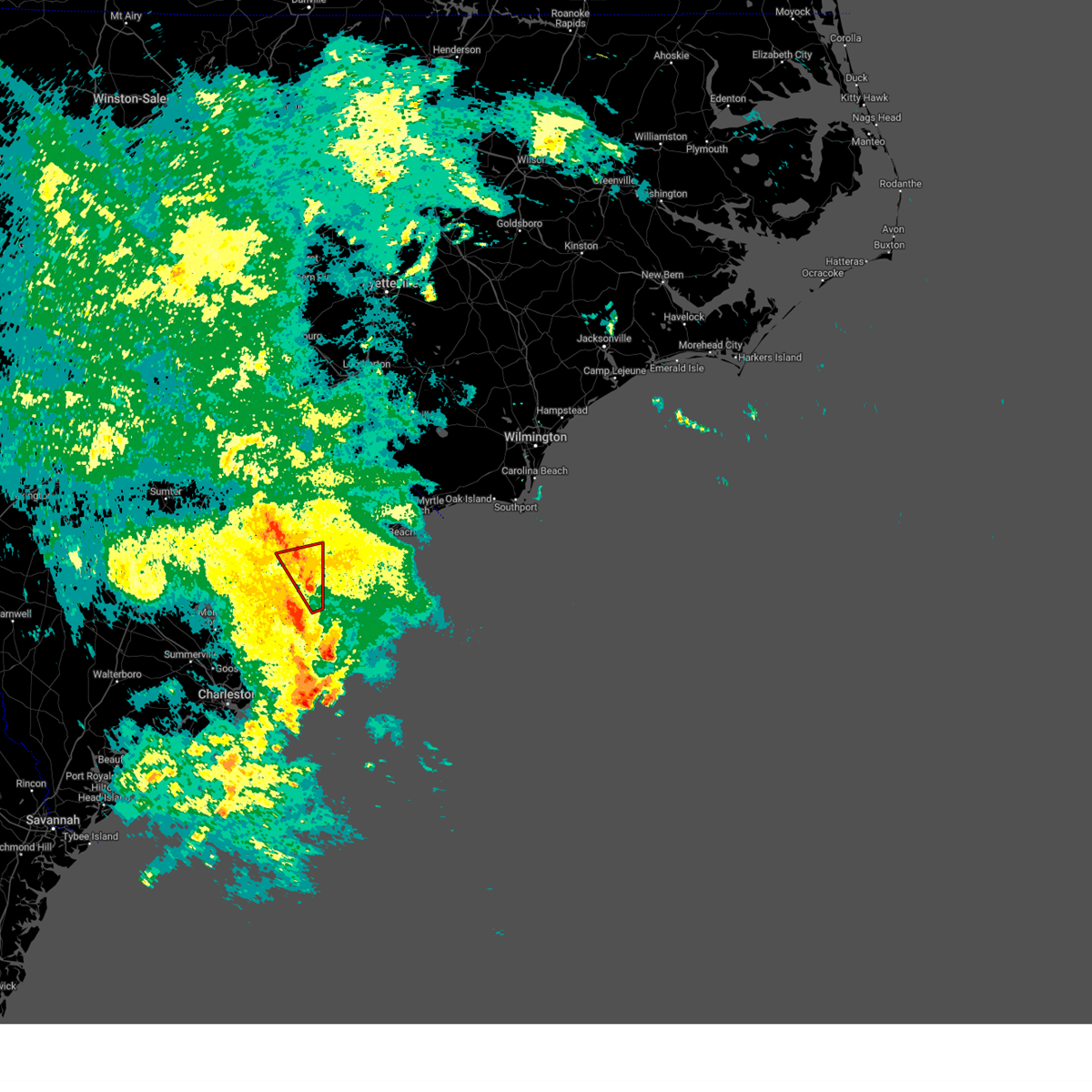
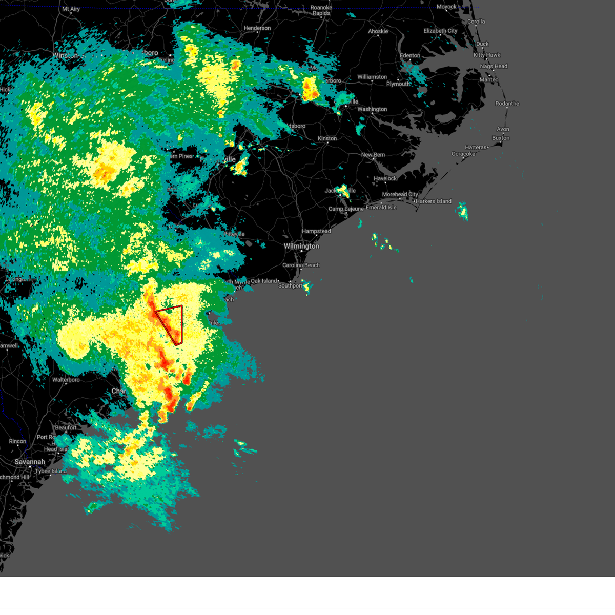
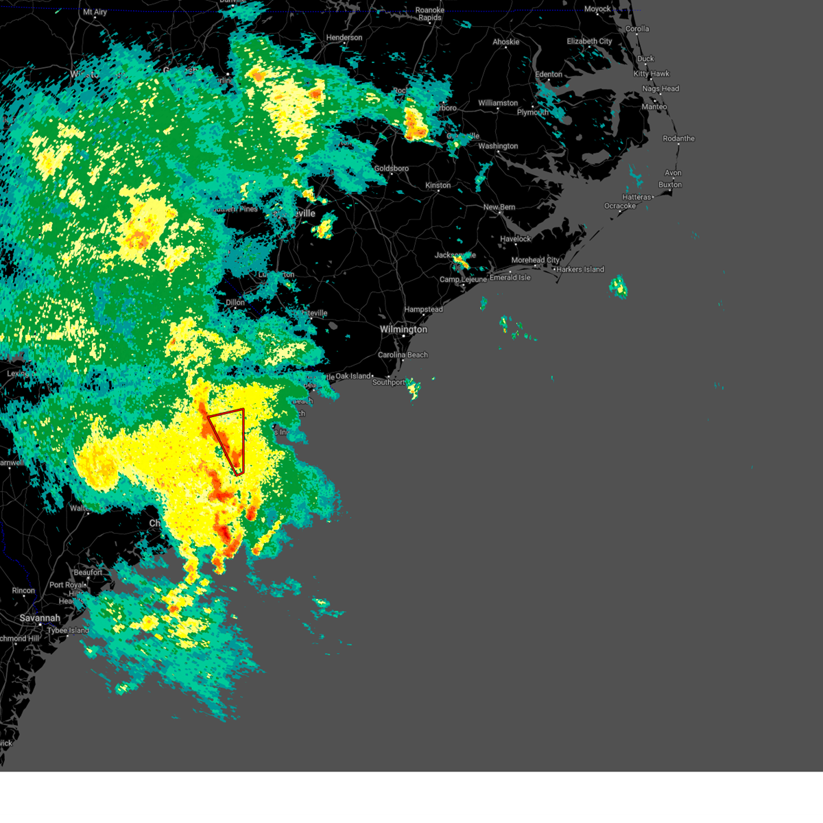
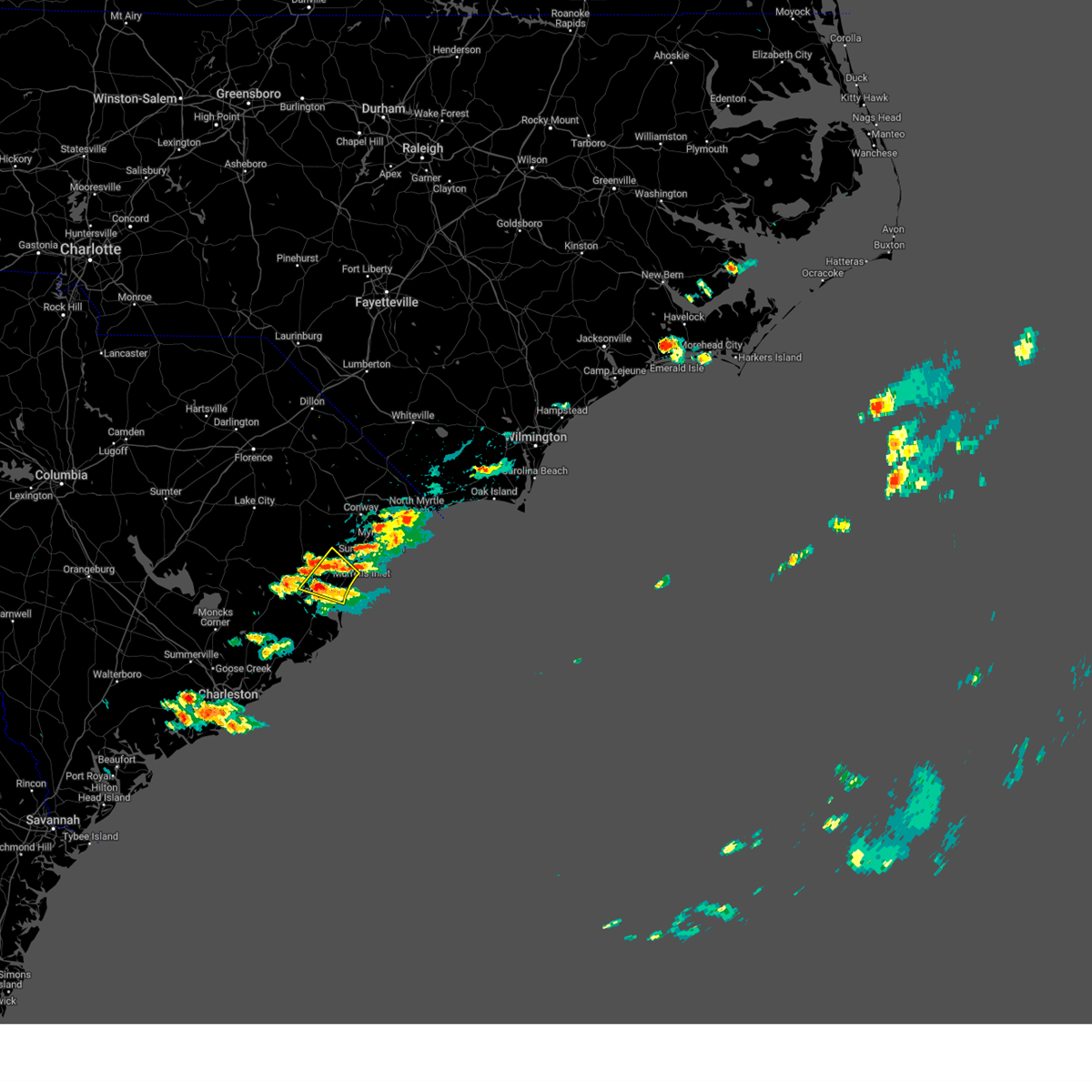
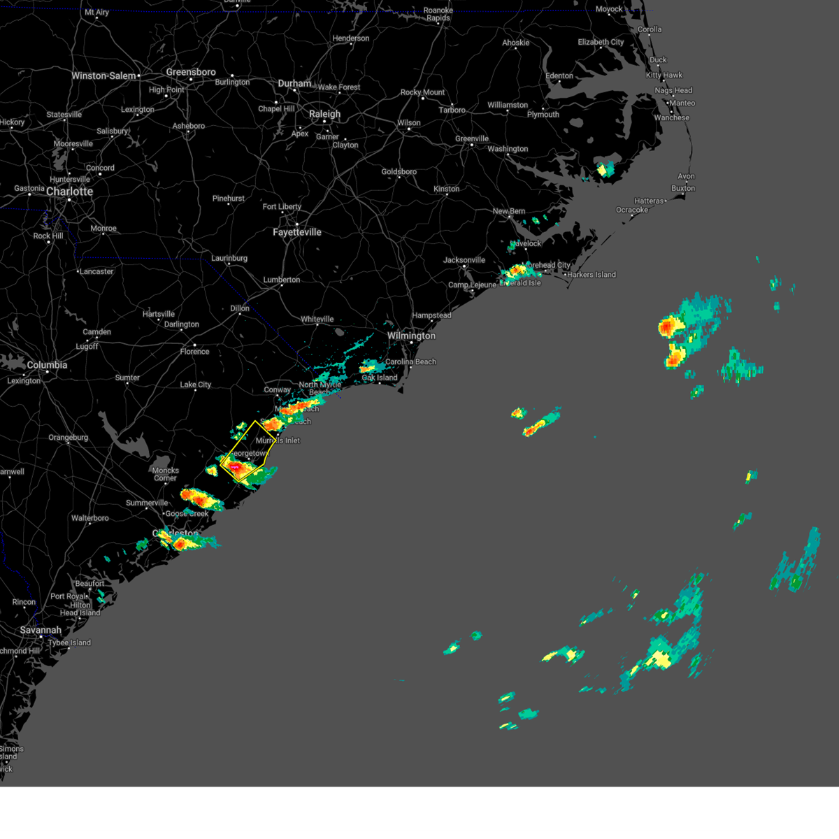
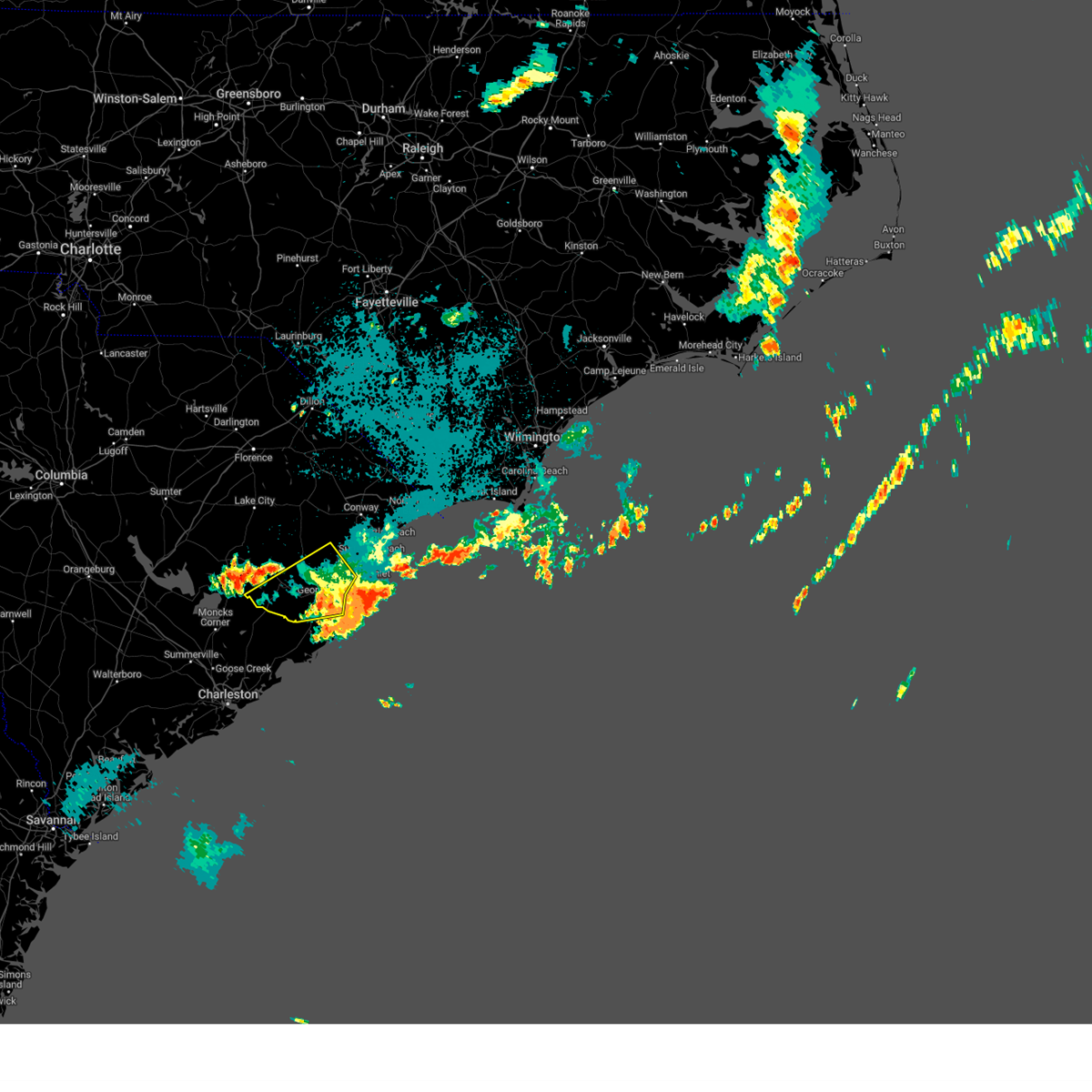
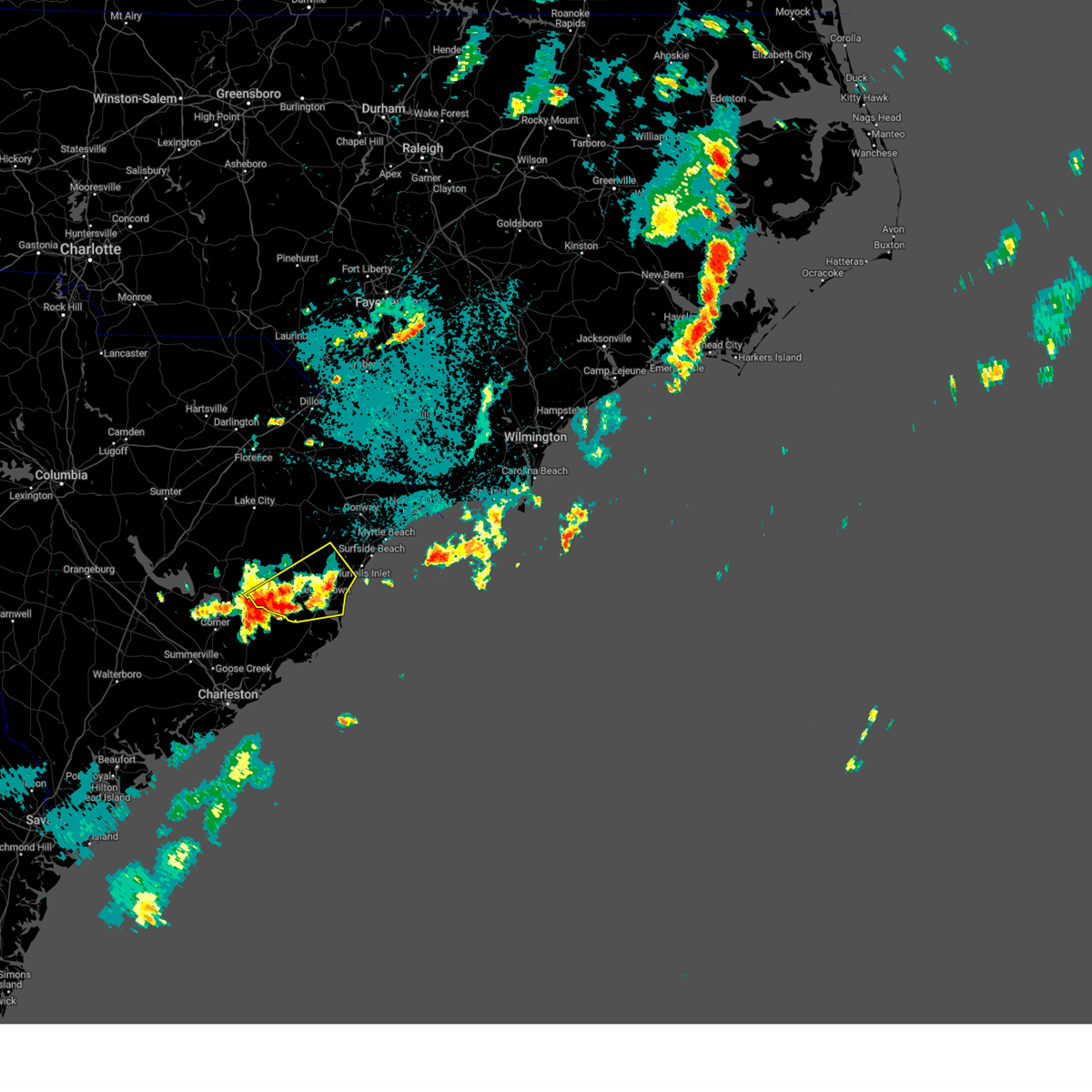
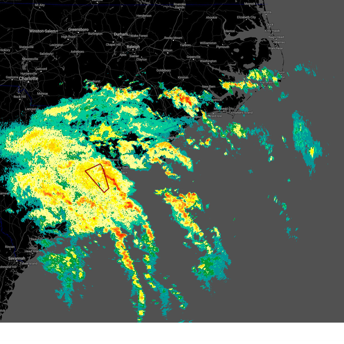
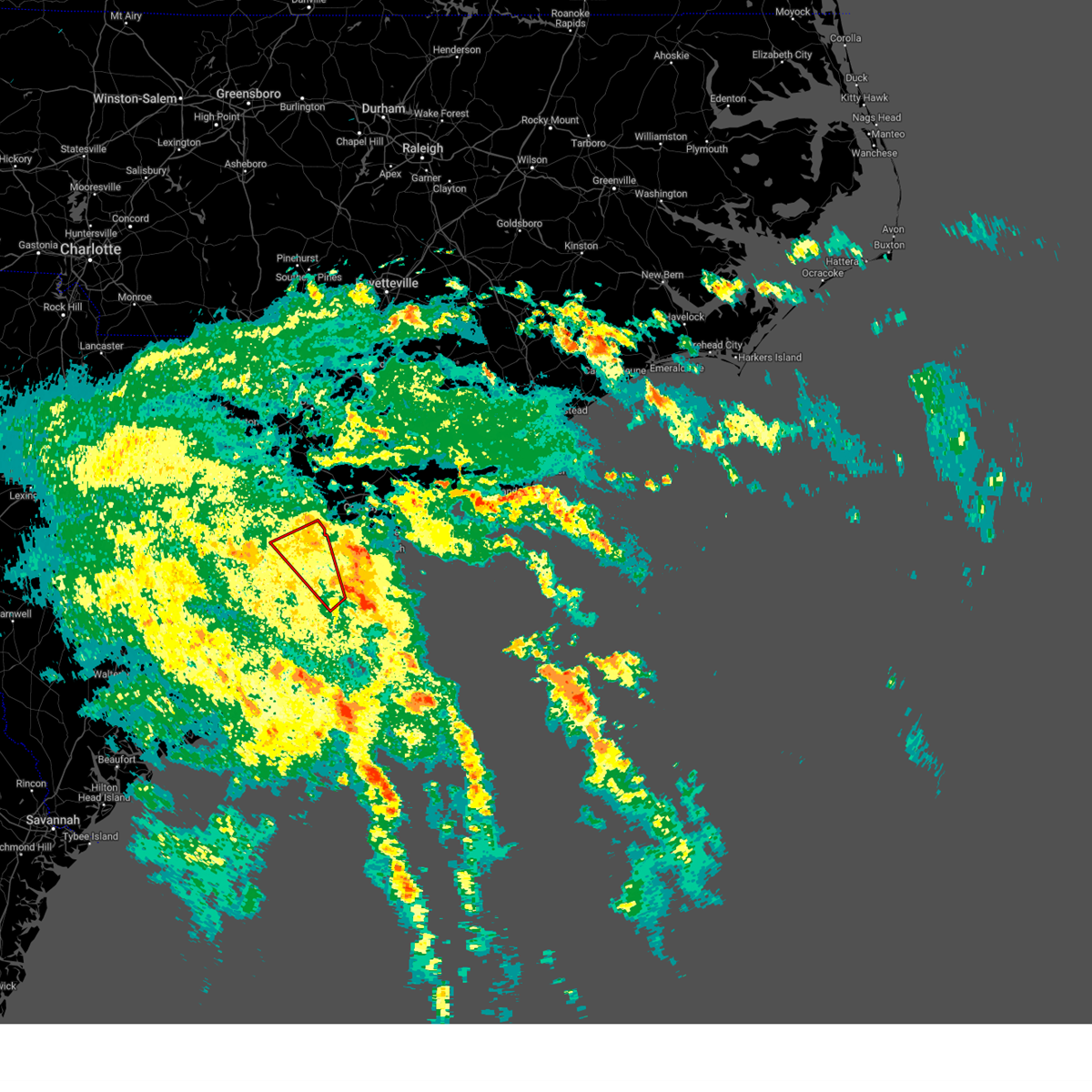
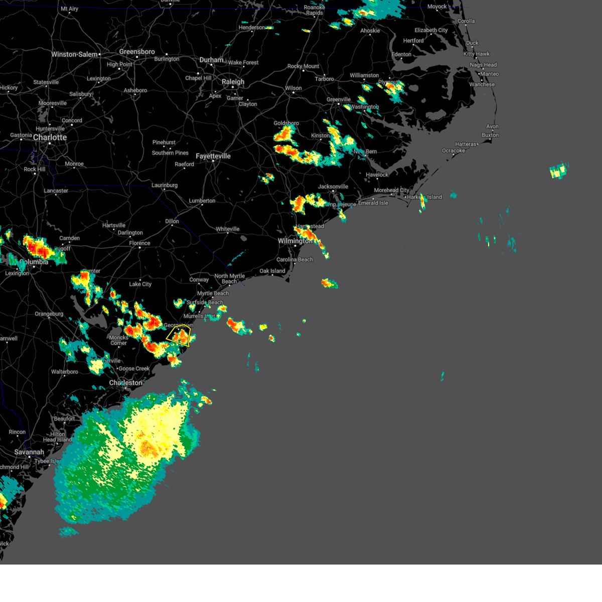
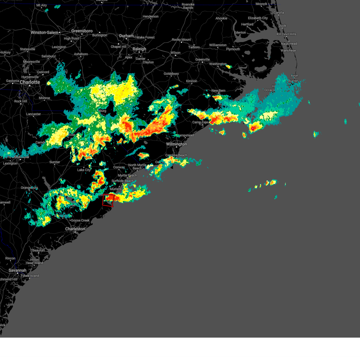
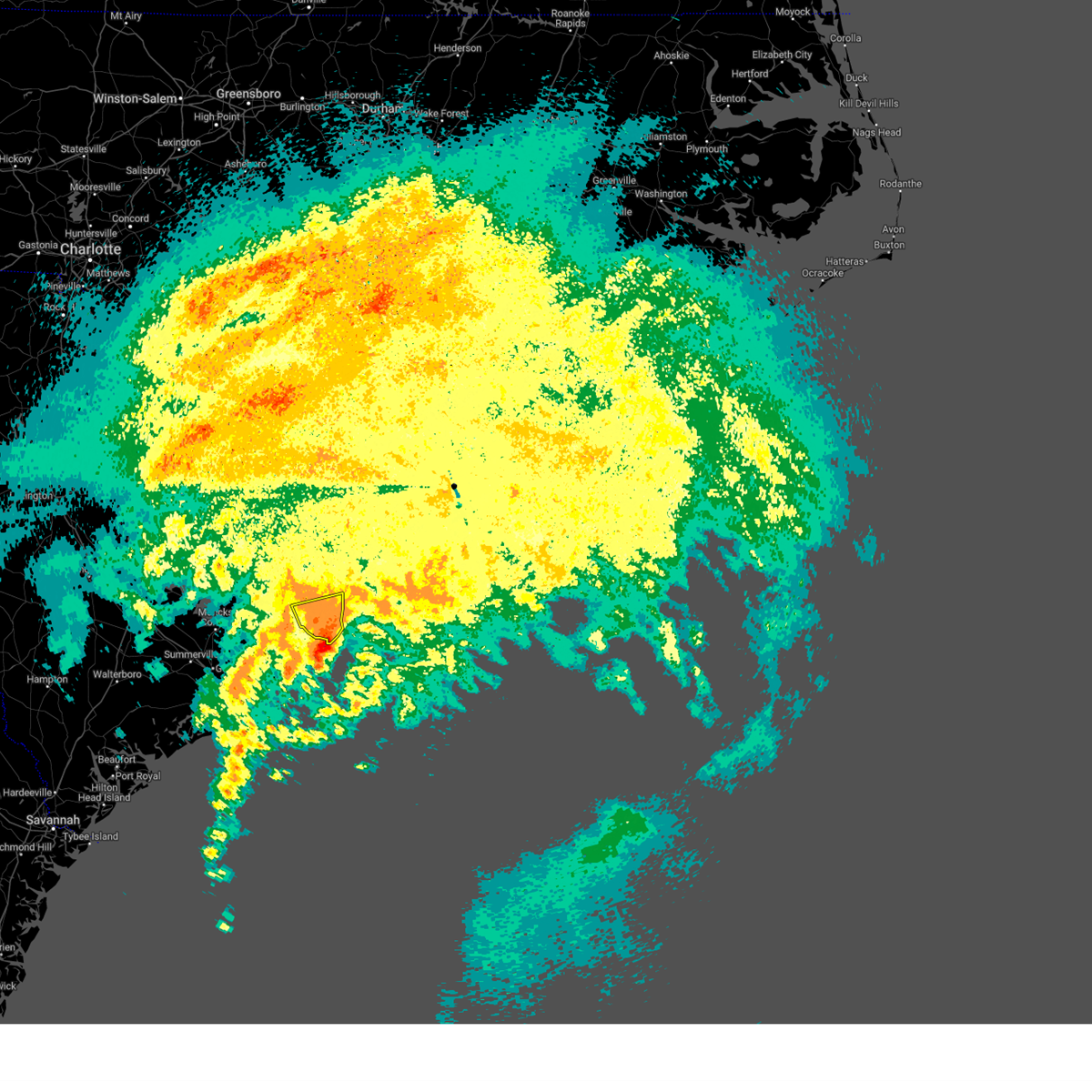
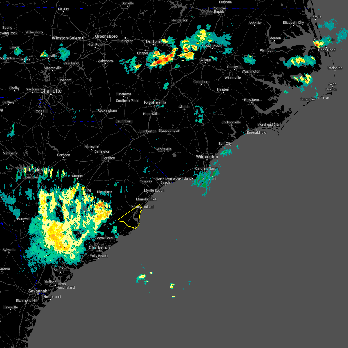
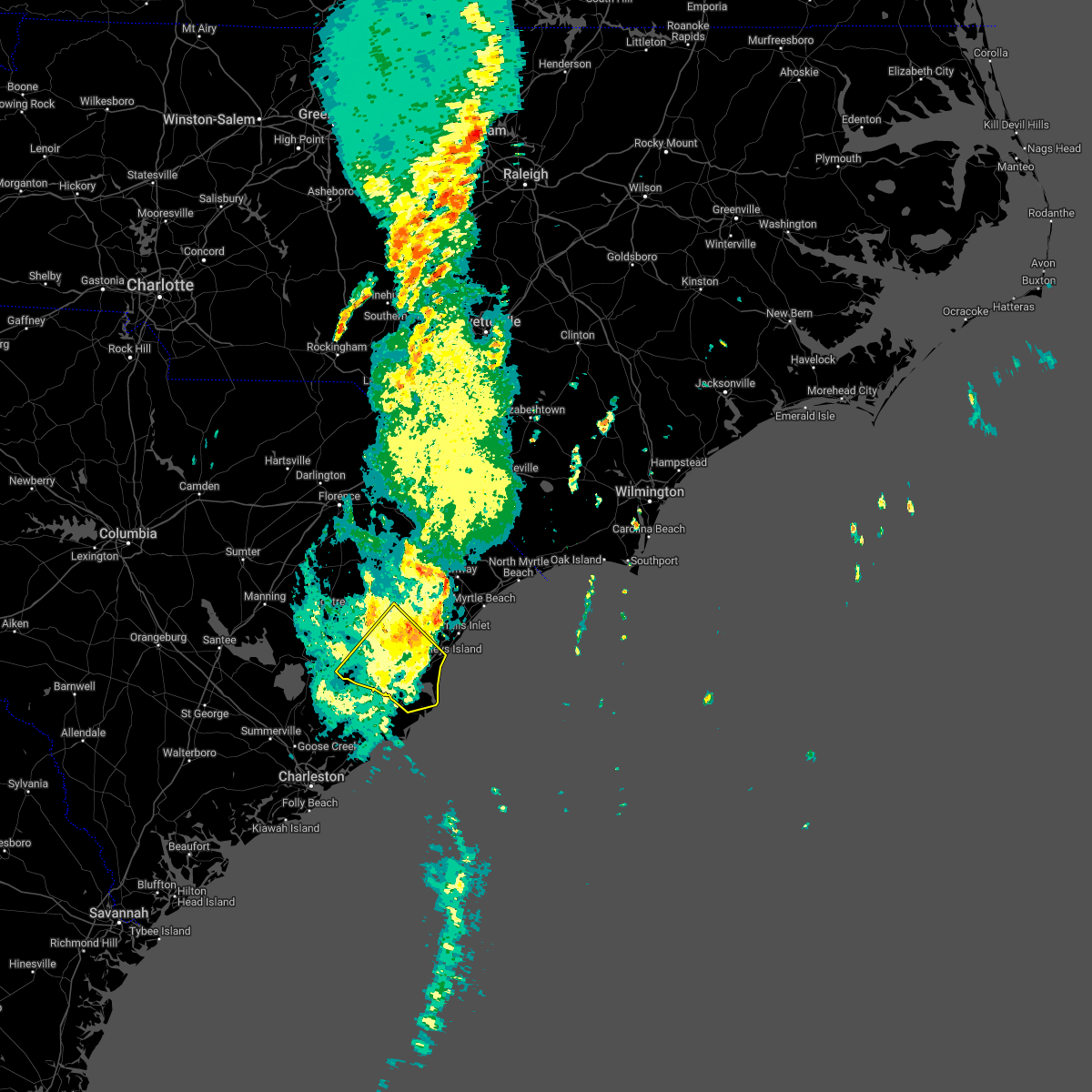
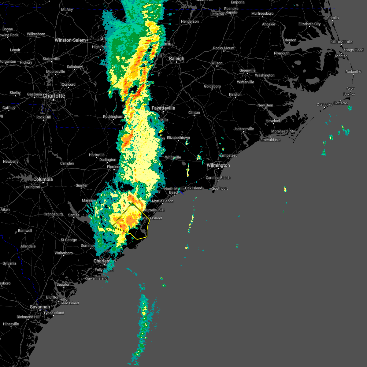
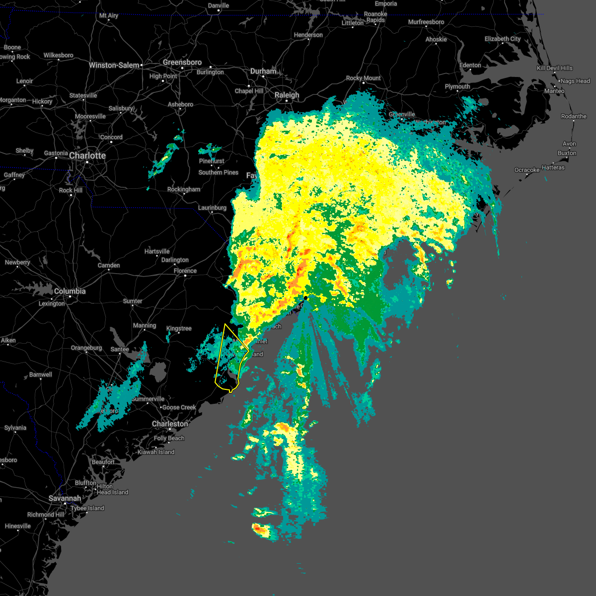
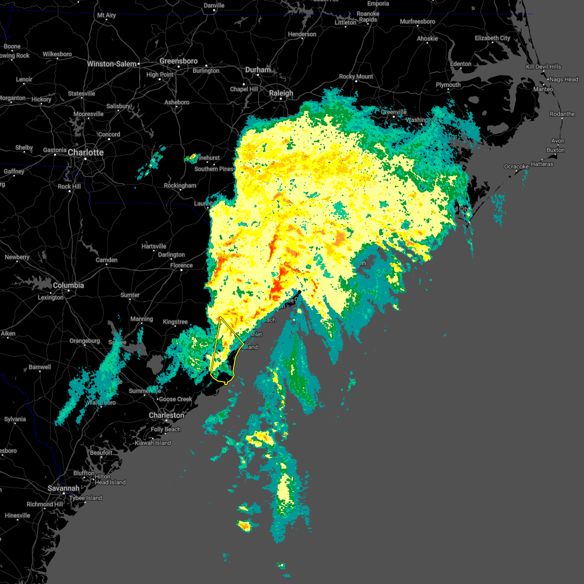
Hail Map for Georgetown, SC
The Georgetown, SC area has had 15 reports of on-the-ground hail by trained spotters, and has been under severe weather warnings 36 times during the past 12 months. Doppler radar has detected hail at or near Georgetown, SC on 36 occasions, including 3 occasions during the past year.
| Name: | Georgetown, SC |
| Where Located: | 42.6 miles ENE of Charleston, SC |
| Map: | Google Map for Georgetown, SC |
| Population: | 9163 |
| Housing Units: | 4180 |
| More Info: | Search Google for Georgetown, SC |
2
The Top Recent Hail Date for Georgetown, SC is Wednesday, April 23, 2025 (3rd out of 36)

Hail and Wind Damage Spotted near Georgetown, SC
| Date / Time | Report Details |
|---|---|
| 6/25/2025 8:29 PM EDT |
 the severe thunderstorm warning has been cancelled and is no longer in effect the severe thunderstorm warning has been cancelled and is no longer in effect
|
| 6/25/2025 8:07 PM EDT |
 At 806 pm edt, severe thunderstorms were located along a line extending from near salters to near sampit, moving southwest at 30 mph (radar indicated). Hazards include 60 mph wind gusts and penny size hail. Expect wind damage to trees and power lines. Locations impacted include, georgetown, debordieu colony, yawkey south island, winyah bay entrance, andrews, north santee, salters, trio, warsaw, gourdin, sampit, lambert, graves, earle, lane, and greeleyville. At 806 pm edt, severe thunderstorms were located along a line extending from near salters to near sampit, moving southwest at 30 mph (radar indicated). Hazards include 60 mph wind gusts and penny size hail. Expect wind damage to trees and power lines. Locations impacted include, georgetown, debordieu colony, yawkey south island, winyah bay entrance, andrews, north santee, salters, trio, warsaw, gourdin, sampit, lambert, graves, earle, lane, and greeleyville.
|
| 6/25/2025 7:47 PM EDT |
 At 747 pm edt, severe thunderstorms were located along a line extending from near salters to pawleys island, moving southwest at 40 mph (law enforcement). Hazards include 60 mph wind gusts and nickel size hail. Expect wind damage to trees and power lines. Locations impacted include, georgetown, debordieu colony, kingstree, pawleys island, yawkey south island, winyah bay entrance, murrells inlet, andrews, north santee, rhems, cades, oatland, nesmith, plantersville, sampit, earle, hebron, morrisville, henry, and salters. At 747 pm edt, severe thunderstorms were located along a line extending from near salters to pawleys island, moving southwest at 40 mph (law enforcement). Hazards include 60 mph wind gusts and nickel size hail. Expect wind damage to trees and power lines. Locations impacted include, georgetown, debordieu colony, kingstree, pawleys island, yawkey south island, winyah bay entrance, murrells inlet, andrews, north santee, rhems, cades, oatland, nesmith, plantersville, sampit, earle, hebron, morrisville, henry, and salters.
|
| 6/25/2025 7:47 PM EDT |
 the severe thunderstorm warning has been cancelled and is no longer in effect the severe thunderstorm warning has been cancelled and is no longer in effect
|
| 6/25/2025 7:15 PM EDT | Tree down in roadway. rose hill and antwine drive in georgetow in georgetown county SC, 18.2 miles SSE of Georgetown, SC |
| 6/25/2025 7:15 PM EDT | Tree down on sc-51 near hemingway lane. time estimated via radar. a car crashed into the tree a short time later - no injurie in georgetown county SC, 18.5 miles SSE of Georgetown, SC |
| 6/25/2025 7:15 PM EDT |
 Svrilm the national weather service in wilmington has issued a * severe thunderstorm warning for, southern florence county in northeastern south carolina, georgetown county in northeastern south carolina, williamsburg county in northeastern south carolina, * until 845 pm edt. * at 714 pm edt, severe thunderstorms were located along a line extending from new hope to johnsonville, to dongola and socastee, to near the myrtle beach airport, moving south at 30 mph (radar indicated). Hazards include 60 mph wind gusts and quarter size hail. Minor hail damage to vehicles is possible. Expect wind damage to trees and power lines. Svrilm the national weather service in wilmington has issued a * severe thunderstorm warning for, southern florence county in northeastern south carolina, georgetown county in northeastern south carolina, williamsburg county in northeastern south carolina, * until 845 pm edt. * at 714 pm edt, severe thunderstorms were located along a line extending from new hope to johnsonville, to dongola and socastee, to near the myrtle beach airport, moving south at 30 mph (radar indicated). Hazards include 60 mph wind gusts and quarter size hail. Minor hail damage to vehicles is possible. Expect wind damage to trees and power lines.
|
| 6/9/2025 6:33 PM EDT |
 At 633 pm edt, severe thunderstorms were located along a line extending from graves to 9 miles southeast of winyah bay entrance, moving east at 40 mph (radar indicated). Hazards include 60 mph wind gusts. Expect wind damage to trees and power lines. Locations impacted include, georgetown, debordieu colony, pawleys island, murrells inlet, litchfield beach, oatland, and georgetown memorial hospital. At 633 pm edt, severe thunderstorms were located along a line extending from graves to 9 miles southeast of winyah bay entrance, moving east at 40 mph (radar indicated). Hazards include 60 mph wind gusts. Expect wind damage to trees and power lines. Locations impacted include, georgetown, debordieu colony, pawleys island, murrells inlet, litchfield beach, oatland, and georgetown memorial hospital.
|
| 6/9/2025 6:13 PM EDT |
 the severe thunderstorm warning has been cancelled and is no longer in effect the severe thunderstorm warning has been cancelled and is no longer in effect
|
| 6/9/2025 6:13 PM EDT |
 At 613 pm edt, severe thunderstorms were located along a line extending from near lambert to 6 miles south of yawkey south island, moving east at 40 mph (radar indicated). Hazards include 60 mph wind gusts. Expect wind damage to trees and power lines. Locations impacted include, georgetown, debordieu colony, pawleys island, yawkey south island, winyah bay entrance, murrells inlet, andrews, north santee, oatland, sampit, lambert, graves, litchfield beach, and georgetown memorial hospital. At 613 pm edt, severe thunderstorms were located along a line extending from near lambert to 6 miles south of yawkey south island, moving east at 40 mph (radar indicated). Hazards include 60 mph wind gusts. Expect wind damage to trees and power lines. Locations impacted include, georgetown, debordieu colony, pawleys island, yawkey south island, winyah bay entrance, murrells inlet, andrews, north santee, oatland, sampit, lambert, graves, litchfield beach, and georgetown memorial hospital.
|
| 6/9/2025 6:01 PM EDT |
 Svrilm the national weather service in wilmington has issued a * severe thunderstorm warning for, georgetown county in northeastern south carolina, southeastern williamsburg county in northeastern south carolina, * until 645 pm edt. * at 601 pm edt, severe thunderstorms were located along a line extending from near lambert to near santee coastal reserve, moving east at 40 mph (radar indicated). Hazards include 60 mph wind gusts. expect wind damage to trees and power lines Svrilm the national weather service in wilmington has issued a * severe thunderstorm warning for, georgetown county in northeastern south carolina, southeastern williamsburg county in northeastern south carolina, * until 645 pm edt. * at 601 pm edt, severe thunderstorms were located along a line extending from near lambert to near santee coastal reserve, moving east at 40 mph (radar indicated). Hazards include 60 mph wind gusts. expect wind damage to trees and power lines
|
| 6/8/2025 2:05 PM EDT |
 The storms which prompted the warning have moved out of the area. therefore, the warning will be allowed to expire. a severe thunderstorm watch remains in effect until 500 pm edt for northeastern south carolina. please send your reports of hail and/or wind damage, including trees or large limbs downed, by calling the national weather service office in wilmington at 1-800-697-3901. The storms which prompted the warning have moved out of the area. therefore, the warning will be allowed to expire. a severe thunderstorm watch remains in effect until 500 pm edt for northeastern south carolina. please send your reports of hail and/or wind damage, including trees or large limbs downed, by calling the national weather service office in wilmington at 1-800-697-3901.
|
| 6/8/2025 1:50 PM EDT | Tree down on pennyroyal rd near mineral plac in georgetown county SC, 5.2 miles E of Georgetown, SC |
| 6/8/2025 1:50 PM EDT | Large branches down on power lines along paris lane in georgetown county SC, 7 miles E of Georgetown, SC |
| 6/8/2025 1:45 PM EDT |
 the severe thunderstorm warning has been cancelled and is no longer in effect the severe thunderstorm warning has been cancelled and is no longer in effect
|
| 6/8/2025 1:45 PM EDT |
 At 145 pm edt, severe thunderstorms were located along a line extending from yauhannah to near debordieu colony to north santee, moving east at 35 mph (radar indicated). Hazards include 60 mph wind gusts. Expect wind damage to trees and power lines. Locations impacted include, georgetown, debordieu colony, surfside beach, pawleys island, garden city, murrells inlet, yawkey south island, winyah bay entrance, north santee, burgess, oatland, sampit, plantersville, graves, yauhannah, litchfield beach, waccamaw community hospital, and georgetown memorial hospital. At 145 pm edt, severe thunderstorms were located along a line extending from yauhannah to near debordieu colony to north santee, moving east at 35 mph (radar indicated). Hazards include 60 mph wind gusts. Expect wind damage to trees and power lines. Locations impacted include, georgetown, debordieu colony, surfside beach, pawleys island, garden city, murrells inlet, yawkey south island, winyah bay entrance, north santee, burgess, oatland, sampit, plantersville, graves, yauhannah, litchfield beach, waccamaw community hospital, and georgetown memorial hospital.
|
| 6/8/2025 1:00 PM EDT |
 Svrilm the national weather service in wilmington has issued a * severe thunderstorm warning for, georgetown county in northeastern south carolina, south central horry county in northeastern south carolina, central williamsburg county in northeastern south carolina, * until 215 pm edt. * at 1259 pm edt, severe thunderstorms were located along a line extending from near indiantown to near earle to 6 miles southeast of gourdin, moving east at 35 mph (radar indicated). Hazards include 60 mph wind gusts and quarter size hail. Minor hail damage to vehicles is possible. Expect wind damage to trees and power lines. Svrilm the national weather service in wilmington has issued a * severe thunderstorm warning for, georgetown county in northeastern south carolina, south central horry county in northeastern south carolina, central williamsburg county in northeastern south carolina, * until 215 pm edt. * at 1259 pm edt, severe thunderstorms were located along a line extending from near indiantown to near earle to 6 miles southeast of gourdin, moving east at 35 mph (radar indicated). Hazards include 60 mph wind gusts and quarter size hail. Minor hail damage to vehicles is possible. Expect wind damage to trees and power lines.
|
| 5/30/2025 7:10 PM EDT |
 The storms which prompted the warning have moved out of the area. therefore, the warning will be allowed to expire. a severe thunderstorm watch remains in effect until 1100 pm edt for northeastern south carolina. please send your reports of hail and/or wind damage, including trees or large limbs downed, by calling the national weather service office in wilmington at 1-800-697-3901. The storms which prompted the warning have moved out of the area. therefore, the warning will be allowed to expire. a severe thunderstorm watch remains in effect until 1100 pm edt for northeastern south carolina. please send your reports of hail and/or wind damage, including trees or large limbs downed, by calling the national weather service office in wilmington at 1-800-697-3901.
|
| 5/30/2025 7:02 PM EDT |
 At 702 pm edt, severe thunderstorms were located along a line extending from near cherry grove beach to 18 miles east of litchfield beach to near winyah bay entrance, moving east at 45 mph (radar indicated). Hazards include 60 mph wind gusts. Expect wind damage to trees and power lines. Locations impacted include, myrtle beach, north myrtle beach, georgetown, debordieu colony, surfside beach, pawleys island, myrtle beach airport, little river, yawkey south island, springmaid pier, garden city, north myrtle beach airport, murrells inlet, cherry grove inlet, little river entrance, winyah bay entrance, socastee, north santee, barefoot landing area of north myrtle beach, and wampee. At 702 pm edt, severe thunderstorms were located along a line extending from near cherry grove beach to 18 miles east of litchfield beach to near winyah bay entrance, moving east at 45 mph (radar indicated). Hazards include 60 mph wind gusts. Expect wind damage to trees and power lines. Locations impacted include, myrtle beach, north myrtle beach, georgetown, debordieu colony, surfside beach, pawleys island, myrtle beach airport, little river, yawkey south island, springmaid pier, garden city, north myrtle beach airport, murrells inlet, cherry grove inlet, little river entrance, winyah bay entrance, socastee, north santee, barefoot landing area of north myrtle beach, and wampee.
|
| 5/30/2025 6:29 PM EDT |
 the severe thunderstorm warning has been cancelled and is no longer in effect the severe thunderstorm warning has been cancelled and is no longer in effect
|
| 5/30/2025 6:29 PM EDT |
 At 628 pm edt, severe thunderstorms were located along a line extending from conway to near plantersville to near hampton plantation state park, moving east at 45 mph (radar indicated). Hazards include 60 mph wind gusts and quarter size hail. Minor hail damage to vehicles is possible. expect wind damage to trees and power lines. Locations impacted include, myrtle beach, conway, north myrtle beach, georgetown, debordieu colony, surfside beach, pawleys island, myrtle beach airport, little river, yawkey south island, murrells inlet, little river entrance, winyah bay entrance, socastee, red hill, springmaid pier, garden city, north myrtle beach airport, cherry grove inlet, and horry. At 628 pm edt, severe thunderstorms were located along a line extending from conway to near plantersville to near hampton plantation state park, moving east at 45 mph (radar indicated). Hazards include 60 mph wind gusts and quarter size hail. Minor hail damage to vehicles is possible. expect wind damage to trees and power lines. Locations impacted include, myrtle beach, conway, north myrtle beach, georgetown, debordieu colony, surfside beach, pawleys island, myrtle beach airport, little river, yawkey south island, murrells inlet, little river entrance, winyah bay entrance, socastee, red hill, springmaid pier, garden city, north myrtle beach airport, cherry grove inlet, and horry.
|
| 5/30/2025 6:11 PM EDT |
 Svrilm the national weather service in wilmington has issued a * severe thunderstorm warning for, georgetown county in northeastern south carolina, horry county in northeastern south carolina, south central marion county in northeastern south carolina, southeastern williamsburg county in northeastern south carolina, * until 715 pm edt. * at 611 pm edt, severe thunderstorms were located along a line extending from near pee dee crossroads to near oatland to jamestown, moving east at 45 mph (radar indicated). Hazards include 60 mph wind gusts and quarter size hail. Minor hail damage to vehicles is possible. Expect wind damage to trees and power lines. Svrilm the national weather service in wilmington has issued a * severe thunderstorm warning for, georgetown county in northeastern south carolina, horry county in northeastern south carolina, south central marion county in northeastern south carolina, southeastern williamsburg county in northeastern south carolina, * until 715 pm edt. * at 611 pm edt, severe thunderstorms were located along a line extending from near pee dee crossroads to near oatland to jamestown, moving east at 45 mph (radar indicated). Hazards include 60 mph wind gusts and quarter size hail. Minor hail damage to vehicles is possible. Expect wind damage to trees and power lines.
|
| 4/23/2025 5:26 PM EDT |
 The storm which prompted the warning has weakened below severe limits, and no longer poses an immediate threat to life or property. therefore, the warning will be allowed to expire. however, gusty winds are still possible with this thunderstorm. please send your reports of hail and/or wind damage, including trees or large limbs downed, by calling the national weather service office in wilmington at 1-800-697-3901. The storm which prompted the warning has weakened below severe limits, and no longer poses an immediate threat to life or property. therefore, the warning will be allowed to expire. however, gusty winds are still possible with this thunderstorm. please send your reports of hail and/or wind damage, including trees or large limbs downed, by calling the national weather service office in wilmington at 1-800-697-3901.
|
| 4/23/2025 5:01 PM EDT |
 At 501 pm edt, a severe thunderstorm was located over graves, or near georgetown, moving southeast at 15 mph (radar indicated). Hazards include 60 mph wind gusts and quarter size hail. Minor hail damage to vehicles is possible. expect wind damage to trees and power lines. Locations impacted include, georgetown memorial hospital, lambert, north santee, sampit, pawleys island, graves, debordieu colony, litchfield beach, oatland, georgetown, yawkey south island, and winyah bay entrance. At 501 pm edt, a severe thunderstorm was located over graves, or near georgetown, moving southeast at 15 mph (radar indicated). Hazards include 60 mph wind gusts and quarter size hail. Minor hail damage to vehicles is possible. expect wind damage to trees and power lines. Locations impacted include, georgetown memorial hospital, lambert, north santee, sampit, pawleys island, graves, debordieu colony, litchfield beach, oatland, georgetown, yawkey south island, and winyah bay entrance.
|
| 4/23/2025 4:36 PM EDT |
 Svrilm the national weather service in wilmington has issued a * severe thunderstorm warning for, georgetown county in northeastern south carolina, * until 530 pm edt. * at 435 pm edt, a severe thunderstorm was located over oatland, or 9 miles northwest of georgetown, moving southeast at 10 mph (radar indicated). Hazards include 60 mph wind gusts and half dollar size hail. Minor hail damage to vehicles is possible. Expect wind damage to trees and power lines. Svrilm the national weather service in wilmington has issued a * severe thunderstorm warning for, georgetown county in northeastern south carolina, * until 530 pm edt. * at 435 pm edt, a severe thunderstorm was located over oatland, or 9 miles northwest of georgetown, moving southeast at 10 mph (radar indicated). Hazards include 60 mph wind gusts and half dollar size hail. Minor hail damage to vehicles is possible. Expect wind damage to trees and power lines.
|
| 4/23/2025 3:48 PM EDT | Quarter sized hail reported 22.2 miles SSW of Georgetown, SC |
| 3/31/2025 7:29 PM EDT |
 At 728 pm edt, severe thunderstorms were located along a line extending from near pee dee crossroads to near dongola to near burgess to near murrells inlet to near yawkey south island, moving east at 45 mph (radar indicated). Hazards include 60 mph wind gusts and penny size hail. Expect wind damage to trees and power lines. Locations impacted include, myrtle beach airport, pawleys island, homewood, horry georgetown technical college conway campus, adrian, johnsonville, pee dee crossroads, socastee, nixonville, bucksport, red hill, dongola, plantersville, outland, myrtle beach, grand strand regional medical center, horry, yawkey south island, burgess, and bucksville. At 728 pm edt, severe thunderstorms were located along a line extending from near pee dee crossroads to near dongola to near burgess to near murrells inlet to near yawkey south island, moving east at 45 mph (radar indicated). Hazards include 60 mph wind gusts and penny size hail. Expect wind damage to trees and power lines. Locations impacted include, myrtle beach airport, pawleys island, homewood, horry georgetown technical college conway campus, adrian, johnsonville, pee dee crossroads, socastee, nixonville, bucksport, red hill, dongola, plantersville, outland, myrtle beach, grand strand regional medical center, horry, yawkey south island, burgess, and bucksville.
|
| 3/31/2025 7:11 PM EDT |
 Svrilm the national weather service in wilmington has issued a * severe thunderstorm warning for, southeastern florence county in northeastern south carolina, georgetown county in northeastern south carolina, southwestern horry county in northeastern south carolina, south central marion county in northeastern south carolina, northeastern williamsburg county in northeastern south carolina, * until 800 pm edt. * at 711 pm edt, severe thunderstorms were located along a line extending from near johnsonville to near outland to near rhems to oatland to near mcclellanville, moving east at 45 mph (radar indicated). Hazards include 60 mph wind gusts and penny size hail. expect wind damage to trees and power lines Svrilm the national weather service in wilmington has issued a * severe thunderstorm warning for, southeastern florence county in northeastern south carolina, georgetown county in northeastern south carolina, southwestern horry county in northeastern south carolina, south central marion county in northeastern south carolina, northeastern williamsburg county in northeastern south carolina, * until 800 pm edt. * at 711 pm edt, severe thunderstorms were located along a line extending from near johnsonville to near outland to near rhems to oatland to near mcclellanville, moving east at 45 mph (radar indicated). Hazards include 60 mph wind gusts and penny size hail. expect wind damage to trees and power lines
|
| 9/27/2024 7:51 AM EDT |
 At 751 am edt, a severe thunderstorm capable of producing a tornado was located over georgetown, moving north at 60 mph (radar indicated rotation). Hazards include tornado. Flying debris will be dangerous to those caught without shelter. mobile homes will be damaged or destroyed. damage to roofs, windows, and vehicles will occur. tree damage is likely. this dangerous storm will be near, oatland around 755 am edt. plantersville around 800 am edt. Other locations impacted by this tornadic thunderstorm include georgetown memorial hospital. At 751 am edt, a severe thunderstorm capable of producing a tornado was located over georgetown, moving north at 60 mph (radar indicated rotation). Hazards include tornado. Flying debris will be dangerous to those caught without shelter. mobile homes will be damaged or destroyed. damage to roofs, windows, and vehicles will occur. tree damage is likely. this dangerous storm will be near, oatland around 755 am edt. plantersville around 800 am edt. Other locations impacted by this tornadic thunderstorm include georgetown memorial hospital.
|
| 9/27/2024 7:37 AM EDT |
 Torilm the national weather service in wilmington has issued a * tornado warning for, central georgetown county in northeastern south carolina, * until 815 am edt. * at 737 am edt, a severe thunderstorm capable of producing a tornado was located near santee coastal reserve, or near yawkey south island, moving north at 60 mph (radar indicated rotation). Hazards include tornado. Flying debris will be dangerous to those caught without shelter. mobile homes will be damaged or destroyed. damage to roofs, windows, and vehicles will occur. tree damage is likely. this dangerous storm will be near, georgetown around 745 am edt. oatland and plantersville around 800 am edt. Other locations impacted by this tornadic thunderstorm include georgetown memorial hospital. Torilm the national weather service in wilmington has issued a * tornado warning for, central georgetown county in northeastern south carolina, * until 815 am edt. * at 737 am edt, a severe thunderstorm capable of producing a tornado was located near santee coastal reserve, or near yawkey south island, moving north at 60 mph (radar indicated rotation). Hazards include tornado. Flying debris will be dangerous to those caught without shelter. mobile homes will be damaged or destroyed. damage to roofs, windows, and vehicles will occur. tree damage is likely. this dangerous storm will be near, georgetown around 745 am edt. oatland and plantersville around 800 am edt. Other locations impacted by this tornadic thunderstorm include georgetown memorial hospital.
|
| 9/27/2024 6:53 AM EDT |
 At 653 am edt, a severe thunderstorm capable of producing a tornado was located near debordieu colony, moving north at 60 mph (radar indicated rotation). Hazards include tornado. Flying debris will be dangerous to those caught without shelter. mobile homes will be damaged or destroyed. damage to roofs, windows, and vehicles will occur. tree damage is likely. this dangerous storm will be near, plantersville around 700 am edt. Other locations impacted by this tornadic thunderstorm include georgetown memorial hospital. At 653 am edt, a severe thunderstorm capable of producing a tornado was located near debordieu colony, moving north at 60 mph (radar indicated rotation). Hazards include tornado. Flying debris will be dangerous to those caught without shelter. mobile homes will be damaged or destroyed. damage to roofs, windows, and vehicles will occur. tree damage is likely. this dangerous storm will be near, plantersville around 700 am edt. Other locations impacted by this tornadic thunderstorm include georgetown memorial hospital.
|
| 9/27/2024 6:34 AM EDT |
 Torilm the national weather service in wilmington has issued a * tornado warning for, central georgetown county in northeastern south carolina, * until 700 am edt. * at 634 am edt, a severe thunderstorm capable of producing a tornado was located near winyah bay entrance, moving north at 60 mph (radar indicated rotation). Hazards include tornado. Flying debris will be dangerous to those caught without shelter. mobile homes will be damaged or destroyed. damage to roofs, windows, and vehicles will occur. tree damage is likely. this dangerous storm will be near, yawkey south island and winyah bay entrance around 640 am edt. debordieu colony around 645 am edt. georgetown around 650 am edt. Other locations impacted by this tornadic thunderstorm include georgetown memorial hospital. Torilm the national weather service in wilmington has issued a * tornado warning for, central georgetown county in northeastern south carolina, * until 700 am edt. * at 634 am edt, a severe thunderstorm capable of producing a tornado was located near winyah bay entrance, moving north at 60 mph (radar indicated rotation). Hazards include tornado. Flying debris will be dangerous to those caught without shelter. mobile homes will be damaged or destroyed. damage to roofs, windows, and vehicles will occur. tree damage is likely. this dangerous storm will be near, yawkey south island and winyah bay entrance around 640 am edt. debordieu colony around 645 am edt. georgetown around 650 am edt. Other locations impacted by this tornadic thunderstorm include georgetown memorial hospital.
|
| 9/26/2024 6:11 PM EDT |
 The storm which prompted the warning has weakened, and no longer appears capable of producing a tornado. however, heavy rain is still possible, as are additional severe cells that may bring a renewed risk of tornadoes later this evening. please send your reports of hail and/or wind damage, including trees or large limbs downed, by calling the national weather service office in wilmington at 1-800-697-3901. The storm which prompted the warning has weakened, and no longer appears capable of producing a tornado. however, heavy rain is still possible, as are additional severe cells that may bring a renewed risk of tornadoes later this evening. please send your reports of hail and/or wind damage, including trees or large limbs downed, by calling the national weather service office in wilmington at 1-800-697-3901.
|
| 9/26/2024 5:54 PM EDT |
 At 554 pm edt, a severe thunderstorm capable of producing a tornado was located near graves, or west of georgetown, moving north at 25 mph (radar indicated rotation). Hazards include tornado. Flying debris will be dangerous to those caught without shelter. mobile homes will be damaged or destroyed. damage to roofs, windows, and vehicles will occur. tree damage is likely. this dangerous storm will be near, georgetown and graves around 600 pm edt. Oatland around 610 pm edt. At 554 pm edt, a severe thunderstorm capable of producing a tornado was located near graves, or west of georgetown, moving north at 25 mph (radar indicated rotation). Hazards include tornado. Flying debris will be dangerous to those caught without shelter. mobile homes will be damaged or destroyed. damage to roofs, windows, and vehicles will occur. tree damage is likely. this dangerous storm will be near, georgetown and graves around 600 pm edt. Oatland around 610 pm edt.
|
| 9/26/2024 5:43 PM EDT |
 Torilm the national weather service in wilmington has issued a * tornado warning for, georgetown county in northeastern south carolina, east central williamsburg county in northeastern south carolina, * until 615 pm edt. * at 542 pm edt, a severe thunderstorm capable of producing a tornado was located near north santee, or just west of georgetown, moving north at 35 mph (radar indicated rotation). Hazards include tornado. Flying debris will be dangerous to those caught without shelter. mobile homes will be damaged or destroyed. damage to roofs, windows, and vehicles will occur. tree damage is likely. this dangerous storm will be near, graves and sampit around 550 pm edt. Oatland around 600 pm edt. Torilm the national weather service in wilmington has issued a * tornado warning for, georgetown county in northeastern south carolina, east central williamsburg county in northeastern south carolina, * until 615 pm edt. * at 542 pm edt, a severe thunderstorm capable of producing a tornado was located near north santee, or just west of georgetown, moving north at 35 mph (radar indicated rotation). Hazards include tornado. Flying debris will be dangerous to those caught without shelter. mobile homes will be damaged or destroyed. damage to roofs, windows, and vehicles will occur. tree damage is likely. this dangerous storm will be near, graves and sampit around 550 pm edt. Oatland around 600 pm edt.
|
| 8/20/2024 5:07 PM EDT |
 At 507 pm edt, a severe thunderstorm was located near oatland, or 7 miles north of georgetown, moving northeast at 20 mph (radar indicated). Hazards include 60 mph wind gusts and quarter size hail. Minor hail damage to vehicles is possible. expect wind damage to trees and power lines. Locations impacted include, georgetown, debordieu colony, plantersville, oatland, litchfield beach, and georgetown memorial hospital. At 507 pm edt, a severe thunderstorm was located near oatland, or 7 miles north of georgetown, moving northeast at 20 mph (radar indicated). Hazards include 60 mph wind gusts and quarter size hail. Minor hail damage to vehicles is possible. expect wind damage to trees and power lines. Locations impacted include, georgetown, debordieu colony, plantersville, oatland, litchfield beach, and georgetown memorial hospital.
|
| 8/20/2024 4:49 PM EDT | Railroad crossing gates damaged by winds near 9 mile curve on georgetown highwa in georgetown county SC, 7.8 miles ESE of Georgetown, SC |
| 8/20/2024 4:30 PM EDT |
 Svrilm the national weather service in wilmington has issued a * severe thunderstorm warning for, central georgetown county in northeastern south carolina, * until 530 pm edt. * at 430 pm edt, a severe thunderstorm was located near graves, or near georgetown, moving northeast at 20 mph (radar indicated). Hazards include 60 mph wind gusts and quarter size hail. Minor hail damage to vehicles is possible. Expect wind damage to trees and power lines. Svrilm the national weather service in wilmington has issued a * severe thunderstorm warning for, central georgetown county in northeastern south carolina, * until 530 pm edt. * at 430 pm edt, a severe thunderstorm was located near graves, or near georgetown, moving northeast at 20 mph (radar indicated). Hazards include 60 mph wind gusts and quarter size hail. Minor hail damage to vehicles is possible. Expect wind damage to trees and power lines.
|
| 8/19/2024 1:36 AM EDT |
 the severe thunderstorm warning has been cancelled and is no longer in effect the severe thunderstorm warning has been cancelled and is no longer in effect
|
| 8/19/2024 12:52 AM EDT |
 Svrilm the national weather service in wilmington has issued a * severe thunderstorm warning for, georgetown county in northeastern south carolina, southeastern williamsburg county in northeastern south carolina, * until 200 am edt. * at 1252 am edt, a severe thunderstorm was located near lambert, or 12 miles west of georgetown, moving northeast at 25 mph (radar indicated). Hazards include 60 mph wind gusts and nickel size hail. expect wind damage to trees and power lines Svrilm the national weather service in wilmington has issued a * severe thunderstorm warning for, georgetown county in northeastern south carolina, southeastern williamsburg county in northeastern south carolina, * until 200 am edt. * at 1252 am edt, a severe thunderstorm was located near lambert, or 12 miles west of georgetown, moving northeast at 25 mph (radar indicated). Hazards include 60 mph wind gusts and nickel size hail. expect wind damage to trees and power lines
|
| 8/6/2024 9:33 AM EDT |
 the tornado warning has been cancelled and is no longer in effect the tornado warning has been cancelled and is no longer in effect
|
| 8/6/2024 9:09 AM EDT |
 Torilm the national weather service in wilmington has issued a * tornado warning for, central georgetown county in northeastern south carolina, east central williamsburg county in northeastern south carolina, * until 945 am edt. * at 909 am edt, a severe thunderstorm capable of producing a tornado was located near georgetown, moving northwest at 35 mph (radar indicated rotation). Hazards include tornado. Flying debris will be dangerous to those caught without shelter. mobile homes will be damaged or destroyed. damage to roofs, windows, and vehicles will occur. tree damage is likely. this dangerous storm will be near, oatland around 915 am edt. rhems around 925 am edt. henry around 930 am edt. hemingway around 935 am edt. Other locations impacted by this tornadic thunderstorm include georgetown memorial hospital and stuckey. Torilm the national weather service in wilmington has issued a * tornado warning for, central georgetown county in northeastern south carolina, east central williamsburg county in northeastern south carolina, * until 945 am edt. * at 909 am edt, a severe thunderstorm capable of producing a tornado was located near georgetown, moving northwest at 35 mph (radar indicated rotation). Hazards include tornado. Flying debris will be dangerous to those caught without shelter. mobile homes will be damaged or destroyed. damage to roofs, windows, and vehicles will occur. tree damage is likely. this dangerous storm will be near, oatland around 915 am edt. rhems around 925 am edt. henry around 930 am edt. hemingway around 935 am edt. Other locations impacted by this tornadic thunderstorm include georgetown memorial hospital and stuckey.
|
| 5/24/2024 7:42 PM EDT |
 the severe thunderstorm warning has been cancelled and is no longer in effect the severe thunderstorm warning has been cancelled and is no longer in effect
|
| 5/24/2024 7:34 PM EDT |
 At 734 pm edt, a severe thunderstorm was located over debordieu colony, moving east at 30 mph (radar indicated). Hazards include quarter size hail. Minor damage to vehicles is possible. Locations impacted include, georgetown, debordieu colony, winyah bay entrance, and georgetown memorial hospital. At 734 pm edt, a severe thunderstorm was located over debordieu colony, moving east at 30 mph (radar indicated). Hazards include quarter size hail. Minor damage to vehicles is possible. Locations impacted include, georgetown, debordieu colony, winyah bay entrance, and georgetown memorial hospital.
|
| 5/24/2024 7:17 PM EDT |
 Svrilm the national weather service in wilmington has issued a * severe thunderstorm warning for, southeastern georgetown county in northeastern south carolina, * until 800 pm edt. * at 717 pm edt, a severe thunderstorm was located near graves, or near georgetown, moving east at 30 mph (radar indicated). Hazards include quarter size hail. minor damage to vehicles is possible Svrilm the national weather service in wilmington has issued a * severe thunderstorm warning for, southeastern georgetown county in northeastern south carolina, * until 800 pm edt. * at 717 pm edt, a severe thunderstorm was located near graves, or near georgetown, moving east at 30 mph (radar indicated). Hazards include quarter size hail. minor damage to vehicles is possible
|
| 5/15/2024 8:10 PM EDT |
 The storm which prompted the warning has weakened below severe limits, and no longer poses an immediate threat to life or property. therefore, the warning will be allowed to expire. a severe thunderstorm watch remains in effect until 900 pm edt for northeastern south carolina. please send your reports of hail and/or wind damage, including trees or large limbs downed, by calling the national weather service office in wilmington at 1-800-697-3901. The storm which prompted the warning has weakened below severe limits, and no longer poses an immediate threat to life or property. therefore, the warning will be allowed to expire. a severe thunderstorm watch remains in effect until 900 pm edt for northeastern south carolina. please send your reports of hail and/or wind damage, including trees or large limbs downed, by calling the national weather service office in wilmington at 1-800-697-3901.
|
| 5/15/2024 8:10 PM EDT |
 The storm which prompted the warning has moved out of the area. therefore, the warning will be allowed to expire. a severe thunderstorm watch remains in effect until 900 pm edt for northeastern south carolina. please send your reports of hail and/or wind damage, including trees or large limbs downed, by calling the national weather service office in wilmington at 1-800-697-3901. The storm which prompted the warning has moved out of the area. therefore, the warning will be allowed to expire. a severe thunderstorm watch remains in effect until 900 pm edt for northeastern south carolina. please send your reports of hail and/or wind damage, including trees or large limbs downed, by calling the national weather service office in wilmington at 1-800-697-3901.
|
| 5/15/2024 7:47 PM EDT |
 The tornado warning that was previously in effect has been reissued for georgetown county and is in effect until 815 pm. please refer to that bulletin for the latest severe weather information. a severe thunderstorm watch remains in effect until 900 pm edt for northeastern south carolina. please send your reports of hail and/or wind damage, including trees or large limbs downed, by calling the national weather service office in wilmington at 1-800-697-3901. The tornado warning that was previously in effect has been reissued for georgetown county and is in effect until 815 pm. please refer to that bulletin for the latest severe weather information. a severe thunderstorm watch remains in effect until 900 pm edt for northeastern south carolina. please send your reports of hail and/or wind damage, including trees or large limbs downed, by calling the national weather service office in wilmington at 1-800-697-3901.
|
| 5/15/2024 7:43 PM EDT |
 Torilm the national weather service in wilmington has issued a * tornado warning for, southeastern georgetown county in northeastern south carolina, * until 815 pm edt. * at 742 pm edt, a severe thunderstorm capable of producing a tornado was located near georgetown, moving east at 25 mph (radar indicated rotation). Hazards include tornado. Flying debris will be dangerous to those caught without shelter. mobile homes will be damaged or destroyed. damage to roofs, windows, and vehicles will occur. tree damage is likely. This tornadic thunderstorm will remain over mainly rural areas of southeastern georgetown county, including the following locations, georgetown memorial hospital. Torilm the national weather service in wilmington has issued a * tornado warning for, southeastern georgetown county in northeastern south carolina, * until 815 pm edt. * at 742 pm edt, a severe thunderstorm capable of producing a tornado was located near georgetown, moving east at 25 mph (radar indicated rotation). Hazards include tornado. Flying debris will be dangerous to those caught without shelter. mobile homes will be damaged or destroyed. damage to roofs, windows, and vehicles will occur. tree damage is likely. This tornadic thunderstorm will remain over mainly rural areas of southeastern georgetown county, including the following locations, georgetown memorial hospital.
|
| 5/15/2024 7:42 PM EDT | Ping Pong Ball sized hail reported 0.9 miles NW of Georgetown, SC, quarter to ping pong size hail in maryville relayed by media via social media. |
| 5/15/2024 7:17 PM EDT |
 Torilm the national weather service in wilmington has issued a * tornado warning for, southeastern georgetown county in northeastern south carolina, * until 745 pm edt. * at 717 pm edt, a severe thunderstorm capable of producing a tornado was located over georgetown, moving east at 30 mph (radar indicated rotation). Hazards include tornado. Flying debris will be dangerous to those caught without shelter. mobile homes will be damaged or destroyed. damage to roofs, windows, and vehicles will occur. tree damage is likely. this dangerous storm will be near, georgetown around 720 pm edt. debordieu colony around 725 pm edt. Other locations impacted by this tornadic thunderstorm include georgetown memorial hospital. Torilm the national weather service in wilmington has issued a * tornado warning for, southeastern georgetown county in northeastern south carolina, * until 745 pm edt. * at 717 pm edt, a severe thunderstorm capable of producing a tornado was located over georgetown, moving east at 30 mph (radar indicated rotation). Hazards include tornado. Flying debris will be dangerous to those caught without shelter. mobile homes will be damaged or destroyed. damage to roofs, windows, and vehicles will occur. tree damage is likely. this dangerous storm will be near, georgetown around 720 pm edt. debordieu colony around 725 pm edt. Other locations impacted by this tornadic thunderstorm include georgetown memorial hospital.
|
| 5/15/2024 7:12 PM EDT |
 Svrilm the national weather service in wilmington has issued a * severe thunderstorm warning for, southeastern georgetown county in northeastern south carolina, * until 815 pm edt. * at 711 pm edt, a severe thunderstorm was located over georgetown, moving east at 20 mph (radar indicated). Hazards include 60 mph wind gusts and quarter size hail. Minor hail damage to vehicles is possible. Expect wind damage to trees and power lines. Svrilm the national weather service in wilmington has issued a * severe thunderstorm warning for, southeastern georgetown county in northeastern south carolina, * until 815 pm edt. * at 711 pm edt, a severe thunderstorm was located over georgetown, moving east at 20 mph (radar indicated). Hazards include 60 mph wind gusts and quarter size hail. Minor hail damage to vehicles is possible. Expect wind damage to trees and power lines.
|
| 1/9/2024 7:16 PM EST | The weatherflow station off of winyah bay recorded a wind gust of 76 mph (instrument is 50 feet off the ground in amz256 county SC, 13 miles NNW of Georgetown, SC |
| 1/9/2024 6:21 PM EST |
 At 618 pm est, severe thunderstorms were located along a line extending from 6 miles northeast of jerome to near winyah bay entrance, moving east at 65 mph (radar indicated). Hazards include 60 mph wind gusts. Expect wind damage to trees and power lines. Locations impacted include, myrtle beach, conway, north myrtle beach, georgetown, whiteville, debordieu colony, surfside beach, elizabethtown, pawleys island, myrtle beach airport, yawkey south island, murrells inlet, winyah bay entrance, socastee, red hill, springmaid pier, garden city, north myrtle beach airport, little river, and tabor city. At 618 pm est, severe thunderstorms were located along a line extending from 6 miles northeast of jerome to near winyah bay entrance, moving east at 65 mph (radar indicated). Hazards include 60 mph wind gusts. Expect wind damage to trees and power lines. Locations impacted include, myrtle beach, conway, north myrtle beach, georgetown, whiteville, debordieu colony, surfside beach, elizabethtown, pawleys island, myrtle beach airport, yawkey south island, murrells inlet, winyah bay entrance, socastee, red hill, springmaid pier, garden city, north myrtle beach airport, little river, and tabor city.
|
| 1/9/2024 6:00 PM EST | Significant roof damage to mobile home on lafayette st. near intersection with church st. with half of roof torn of in georgetown county SC, 2.1 miles S of Georgetown, SC |
| 1/9/2024 5:45 PM EST |
 At 544 pm est, severe thunderstorms were located along a line extending from 9 miles north of rex to near hampton plantation state park, moving east at 45 mph (radar indicated). Hazards include 60 mph wind gusts. expect wind damage to trees and power lines At 544 pm est, severe thunderstorms were located along a line extending from 9 miles north of rex to near hampton plantation state park, moving east at 45 mph (radar indicated). Hazards include 60 mph wind gusts. expect wind damage to trees and power lines
|
| 1/9/2024 4:55 PM EST | The awos station at kgge recorded a wind gust of 52 knots (60 mph in georgetown county SC, 2.9 miles NNE of Georgetown, SC |
| 12/17/2023 11:31 AM EST |
 At 1131 am est, a severe thunderstorm was located near yawkey south island, moving north at 45 mph (radar indicated). Hazards include 60 mph wind gusts. expect wind damage to trees and power lines At 1131 am est, a severe thunderstorm was located near yawkey south island, moving north at 45 mph (radar indicated). Hazards include 60 mph wind gusts. expect wind damage to trees and power lines
|
| 8/30/2023 5:47 PM EDT | Multiple trees down in the sampit area along woodland rd. near the intersection with yellowthroat rd. possible tornado. time estimated based on rada in georgetown county SC, 8.1 miles E of Georgetown, SC |
| 8/11/2023 3:47 PM EDT |
 At 346 pm edt, a severe thunderstorm was located over debordieu colony, moving east at 35 mph (radar indicated). Hazards include 60 mph wind gusts. Expect wind damage to trees and power lines. locations impacted include, myrtle beach, conway, north myrtle beach, georgetown, debordieu colony, surfside beach, pawleys island, myrtle beach airport, little river, yawkey south island, murrells inlet, little river entrance, winyah bay entrance, socastee, red hill, springmaid pier, garden city, north myrtle beach airport, cherry grove inlet, and horry. hail threat, radar indicated max hail size, <. 75 in wind threat, radar indicated max wind gust, 60 mph. At 346 pm edt, a severe thunderstorm was located over debordieu colony, moving east at 35 mph (radar indicated). Hazards include 60 mph wind gusts. Expect wind damage to trees and power lines. locations impacted include, myrtle beach, conway, north myrtle beach, georgetown, debordieu colony, surfside beach, pawleys island, myrtle beach airport, little river, yawkey south island, murrells inlet, little river entrance, winyah bay entrance, socastee, red hill, springmaid pier, garden city, north myrtle beach airport, cherry grove inlet, and horry. hail threat, radar indicated max hail size, <. 75 in wind threat, radar indicated max wind gust, 60 mph.
|
| 8/11/2023 3:36 PM EDT |
 At 336 pm edt, a severe thunderstorm was located over georgetown, moving east at 35 mph (radar indicated). Hazards include 60 mph wind gusts. Expect wind damage to trees and power lines. locations impacted include, myrtle beach, conway, north myrtle beach, georgetown, marion, debordieu colony, mullins, surfside beach, pawleys island, myrtle beach airport, little river, yawkey south island, murrells inlet, little river entrance, winyah bay entrance, socastee, red hill, springmaid pier, garden city, and north myrtle beach airport. hail threat, radar indicated max hail size, <. 75 in wind threat, radar indicated max wind gust, 60 mph. At 336 pm edt, a severe thunderstorm was located over georgetown, moving east at 35 mph (radar indicated). Hazards include 60 mph wind gusts. Expect wind damage to trees and power lines. locations impacted include, myrtle beach, conway, north myrtle beach, georgetown, marion, debordieu colony, mullins, surfside beach, pawleys island, myrtle beach airport, little river, yawkey south island, murrells inlet, little river entrance, winyah bay entrance, socastee, red hill, springmaid pier, garden city, and north myrtle beach airport. hail threat, radar indicated max hail size, <. 75 in wind threat, radar indicated max wind gust, 60 mph.
|
| 8/11/2023 3:22 PM EDT |
 At 322 pm edt, a severe thunderstorm was located over sampit, or 9 miles west of georgetown, moving east at 35 mph (radar indicated). Hazards include 60 mph wind gusts. expect wind damage to trees and power lines At 322 pm edt, a severe thunderstorm was located over sampit, or 9 miles west of georgetown, moving east at 35 mph (radar indicated). Hazards include 60 mph wind gusts. expect wind damage to trees and power lines
|
| 8/7/2023 9:04 PM EDT |
 At 904 pm edt, a severe thunderstorm was located near shallotte, moving east at 75 mph (radar indicated). Hazards include 60 mph wind gusts and penny size hail. Expect wind damage to trees and power lines. locations impacted include, myrtle beach, conway, north myrtle beach, georgetown, debordieu colony, surfside beach, shallotte, sunset beach, ocean isle beach, pawleys island, myrtle beach airport, little river, yawkey south island, murrells inlet, little river entrance, winyah bay entrance, socastee, red hill, springmaid pier, and garden city. hail threat, radar indicated max hail size, 0. 75 in wind threat, observed max wind gust, 60 mph. At 904 pm edt, a severe thunderstorm was located near shallotte, moving east at 75 mph (radar indicated). Hazards include 60 mph wind gusts and penny size hail. Expect wind damage to trees and power lines. locations impacted include, myrtle beach, conway, north myrtle beach, georgetown, debordieu colony, surfside beach, shallotte, sunset beach, ocean isle beach, pawleys island, myrtle beach airport, little river, yawkey south island, murrells inlet, little river entrance, winyah bay entrance, socastee, red hill, springmaid pier, and garden city. hail threat, radar indicated max hail size, 0. 75 in wind threat, observed max wind gust, 60 mph.
|
| 8/7/2023 8:46 PM EDT |
 At 846 pm edt, a severe thunderstorm was located over goretown, or 16 miles northwest of little river, moving east at 75 mph (radar indicated). Hazards include 70 mph wind gusts and penny size hail. Expect considerable tree damage. damage is likely to mobile homes, roofs, and outbuildings. locations impacted include, myrtle beach, conway, north myrtle beach, georgetown, debordieu colony, surfside beach, shallotte, sunset beach, ocean isle beach, pawleys island, myrtle beach airport, little river, yawkey south island, murrells inlet, little river entrance, winyah bay entrance, socastee, red hill, springmaid pier, and garden city. thunderstorm damage threat, considerable hail threat, radar indicated max hail size, 0. 75 in wind threat, observed max wind gust, 70 mph. At 846 pm edt, a severe thunderstorm was located over goretown, or 16 miles northwest of little river, moving east at 75 mph (radar indicated). Hazards include 70 mph wind gusts and penny size hail. Expect considerable tree damage. damage is likely to mobile homes, roofs, and outbuildings. locations impacted include, myrtle beach, conway, north myrtle beach, georgetown, debordieu colony, surfside beach, shallotte, sunset beach, ocean isle beach, pawleys island, myrtle beach airport, little river, yawkey south island, murrells inlet, little river entrance, winyah bay entrance, socastee, red hill, springmaid pier, and garden city. thunderstorm damage threat, considerable hail threat, radar indicated max hail size, 0. 75 in wind threat, observed max wind gust, 70 mph.
|
| 8/7/2023 8:17 PM EDT |
 At 817 pm edt, a severe thunderstorm was located near marion, moving east at 75 mph (radar indicated). Hazards include 70 mph wind gusts and penny size hail. Expect considerable tree damage. Damage is likely to mobile homes, roofs, and outbuildings. At 817 pm edt, a severe thunderstorm was located near marion, moving east at 75 mph (radar indicated). Hazards include 70 mph wind gusts and penny size hail. Expect considerable tree damage. Damage is likely to mobile homes, roofs, and outbuildings.
|
| 7/20/2023 10:42 PM EDT |
 The severe thunderstorm warning for georgetown and central williamsburg counties will expire at 1045 pm edt, the storm which prompted the warning has weakened below severe limits, and no longer poses an immediate threat to life or property. therefore, the warning will be allowed to expire. however, gusty winds are still possible with this thunderstorm. The severe thunderstorm warning for georgetown and central williamsburg counties will expire at 1045 pm edt, the storm which prompted the warning has weakened below severe limits, and no longer poses an immediate threat to life or property. therefore, the warning will be allowed to expire. however, gusty winds are still possible with this thunderstorm.
|
| 7/20/2023 9:47 PM EDT |
 At 947 pm edt, a severe thunderstorm was located near trio, or 11 miles south of kingstree, moving east at 35 mph (radar indicated). Hazards include 60 mph wind gusts. expect wind damage to trees and power lines At 947 pm edt, a severe thunderstorm was located near trio, or 11 miles south of kingstree, moving east at 35 mph (radar indicated). Hazards include 60 mph wind gusts. expect wind damage to trees and power lines
|
| 6/27/2023 4:55 AM EDT | Georgetown county airport (gge) measured a thunderstorm wind gust of 58mp in georgetown county SC, 2.9 miles NNE of Georgetown, SC |
| 8/11/2022 7:51 PM EDT |
 The severe thunderstorm warning for southern georgetown county will expire at 800 pm edt, the storm which prompted the warning has weakened below severe limits, and no longer poses an immediate threat to life or property. therefore, the warning will be allowed to expire. The severe thunderstorm warning for southern georgetown county will expire at 800 pm edt, the storm which prompted the warning has weakened below severe limits, and no longer poses an immediate threat to life or property. therefore, the warning will be allowed to expire.
|
| 8/11/2022 7:38 PM EDT | Winyah bay range a rear light... 50 ft agl in amz256 county SC, 13 miles NNW of Georgetown, SC |
| 8/11/2022 7:10 PM EDT |
 At 709 pm edt, a severe thunderstorm was located near mcclellanville, moving northeast at 40 mph (radar indicated). Hazards include 60 mph wind gusts. expect wind damage to trees and power lines At 709 pm edt, a severe thunderstorm was located near mcclellanville, moving northeast at 40 mph (radar indicated). Hazards include 60 mph wind gusts. expect wind damage to trees and power lines
|
| 5/27/2022 9:11 AM EDT |
 The severe thunderstorm warning for georgetown and southeastern williamsburg counties will expire at 915 am edt, the storm which prompted the warning has weakened below severe limits, and no longer poses an immediate threat to life or property. therefore, the warning will be allowed to expire. however gusty winds are still possible with this thunderstorm. The severe thunderstorm warning for georgetown and southeastern williamsburg counties will expire at 915 am edt, the storm which prompted the warning has weakened below severe limits, and no longer poses an immediate threat to life or property. therefore, the warning will be allowed to expire. however gusty winds are still possible with this thunderstorm.
|
| 5/27/2022 8:48 AM EDT |
 At 847 am edt, a severe thunderstorm was located over lambert, or 16 miles west of georgetown, moving northeast at 40 mph (radar indicated). Hazards include 60 mph wind gusts. expect wind damage to trees and power lines At 847 am edt, a severe thunderstorm was located over lambert, or 16 miles west of georgetown, moving northeast at 40 mph (radar indicated). Hazards include 60 mph wind gusts. expect wind damage to trees and power lines
|
| 4/7/2022 3:52 PM EDT |
 The severe thunderstorm warning for georgetown and southeastern williamsburg counties will expire at 400 pm edt, the storm which prompted the warning has moved out of the area. therefore, the warning will be allowed to expire. however small hail and gusty winds are still possible with this thunderstorm. a severe thunderstorm watch remains in effect until 700 pm edt for northeastern south carolina. remember, a severe thunderstorm warning still remains in effect for northern georgetown county. The severe thunderstorm warning for georgetown and southeastern williamsburg counties will expire at 400 pm edt, the storm which prompted the warning has moved out of the area. therefore, the warning will be allowed to expire. however small hail and gusty winds are still possible with this thunderstorm. a severe thunderstorm watch remains in effect until 700 pm edt for northeastern south carolina. remember, a severe thunderstorm warning still remains in effect for northern georgetown county.
|
| 4/7/2022 3:41 PM EDT |
 At 341 pm edt, a severe thunderstorm was located over oatland, or 8 miles northwest of georgetown, moving northeast at 40 mph (radar indicated). Hazards include 60 mph wind gusts and quarter size hail. Minor hail damage to vehicles is possible. expect wind damage to trees and power lines. locations impacted include, georgetown, debordieu colony, pawleys island, andrews, lambert, sampit, plantersville, graves, oatland, litchfield beach and georgetown memorial hospital. hail threat, radar indicated max hail size, 1. 00 in wind threat, radar indicated max wind gust, 60 mph. At 341 pm edt, a severe thunderstorm was located over oatland, or 8 miles northwest of georgetown, moving northeast at 40 mph (radar indicated). Hazards include 60 mph wind gusts and quarter size hail. Minor hail damage to vehicles is possible. expect wind damage to trees and power lines. locations impacted include, georgetown, debordieu colony, pawleys island, andrews, lambert, sampit, plantersville, graves, oatland, litchfield beach and georgetown memorial hospital. hail threat, radar indicated max hail size, 1. 00 in wind threat, radar indicated max wind gust, 60 mph.
|
| 4/7/2022 3:25 PM EDT |
 At 325 pm edt, a severe thunderstorm was located near lambert, or 13 miles west of georgetown, moving northeast at 40 mph (radar indicated). Hazards include 60 mph wind gusts and quarter size hail. Minor hail damage to vehicles is possible. Expect wind damage to trees and power lines. At 325 pm edt, a severe thunderstorm was located near lambert, or 13 miles west of georgetown, moving northeast at 40 mph (radar indicated). Hazards include 60 mph wind gusts and quarter size hail. Minor hail damage to vehicles is possible. Expect wind damage to trees and power lines.
|
| 4/5/2022 8:56 PM EDT |
 The severe thunderstorm warning for central georgetown county will expire at 900 pm edt, the storm which prompted the warning has weakened below severe limits, and has exited the warned area. therefore, the warning will be allowed to expire. a tornado watch remains in effect until midnight edt for northeastern south carolina. The severe thunderstorm warning for central georgetown county will expire at 900 pm edt, the storm which prompted the warning has weakened below severe limits, and has exited the warned area. therefore, the warning will be allowed to expire. a tornado watch remains in effect until midnight edt for northeastern south carolina.
|
| 4/5/2022 8:49 PM EDT | Measured at 50 foot height in amz256 county SC, 13 miles NNW of Georgetown, SC |
| 4/5/2022 8:46 PM EDT |
 At 846 pm edt, a severe thunderstorm was located near georgetown, moving northeast at 50 mph (radar indicated). Hazards include 60 mph wind gusts. expect wind damage to trees and power lines At 846 pm edt, a severe thunderstorm was located near georgetown, moving northeast at 50 mph (radar indicated). Hazards include 60 mph wind gusts. expect wind damage to trees and power lines
|
| 4/5/2022 8:33 PM EDT |
 At 833 pm edt, a severe thunderstorm was located near plantersville, or 12 miles west of murrells inlet, moving northeast at 70 mph (radar indicated). Hazards include 60 mph wind gusts. Expect wind damage to trees and power lines. Locations impacted include, georgetown, debordieu colony, pawleys island, murrells inlet, rhems, burgess, oatland, lambert, sampit, plantersville, graves, yauhannah, litchfield beach, dongola, bucksport, waccamaw community hospital and georgetown memorial hospital. At 833 pm edt, a severe thunderstorm was located near plantersville, or 12 miles west of murrells inlet, moving northeast at 70 mph (radar indicated). Hazards include 60 mph wind gusts. Expect wind damage to trees and power lines. Locations impacted include, georgetown, debordieu colony, pawleys island, murrells inlet, rhems, burgess, oatland, lambert, sampit, plantersville, graves, yauhannah, litchfield beach, dongola, bucksport, waccamaw community hospital and georgetown memorial hospital.
|
| 4/5/2022 8:15 PM EDT |
 At 815 pm edt, a severe thunderstorm was located near andrews, or 18 miles west of georgetown, moving northeast at 70 mph (radar indicated). Hazards include 60 mph wind gusts. expect wind damage to trees and power lines At 815 pm edt, a severe thunderstorm was located near andrews, or 18 miles west of georgetown, moving northeast at 70 mph (radar indicated). Hazards include 60 mph wind gusts. expect wind damage to trees and power lines
|
| 1/3/2022 7:07 AM EST |
 The severe thunderstorm warning for robeson, western bladen, western columbus, eastern georgetown, southeastern dillon, horry and eastern marion counties will expire at 715 am est, the storms which prompted the warning have moved out of the area. therefore, the warning will be allowed to expire. however gusty winds are still possible with these thunderstorms. a tornado watch remains in effect until 1100 am est for southeastern north carolina, and northeastern south carolina. remember, a severe thunderstorm warning still remains in effect for portions of central and eastern bladen, eastern columbus, and extreme northeastern horry county. The severe thunderstorm warning for robeson, western bladen, western columbus, eastern georgetown, southeastern dillon, horry and eastern marion counties will expire at 715 am est, the storms which prompted the warning have moved out of the area. therefore, the warning will be allowed to expire. however gusty winds are still possible with these thunderstorms. a tornado watch remains in effect until 1100 am est for southeastern north carolina, and northeastern south carolina. remember, a severe thunderstorm warning still remains in effect for portions of central and eastern bladen, eastern columbus, and extreme northeastern horry county.
|
| 1/3/2022 6:41 AM EST |
 At 640 am est, severe thunderstorms were located along a line extending from near rowland to near plantersville, moving east at 40 mph (radar indicated). Hazards include 60 mph wind gusts. Expect wind damage to trees and power lines. locations impacted include, myrtle beach, lumberton, conway, georgetown, debordieu colony, mullins, surfside beach, red springs, pawleys island, murrells inlet, garden city, north myrtle beach airport, myrtle beach airport, yawkey south island, winyah bay entrance, socastee, red hill, horry, pembroke and fairmont. hail threat, radar indicated max hail size, <. 75 in wind threat, observed max wind gust, 60 mph. At 640 am est, severe thunderstorms were located along a line extending from near rowland to near plantersville, moving east at 40 mph (radar indicated). Hazards include 60 mph wind gusts. Expect wind damage to trees and power lines. locations impacted include, myrtle beach, lumberton, conway, georgetown, debordieu colony, mullins, surfside beach, red springs, pawleys island, murrells inlet, garden city, north myrtle beach airport, myrtle beach airport, yawkey south island, winyah bay entrance, socastee, red hill, horry, pembroke and fairmont. hail threat, radar indicated max hail size, <. 75 in wind threat, observed max wind gust, 60 mph.
|
| 1/3/2022 6:16 AM EST |
 At 615 am est, severe thunderstorms were located along a line extending from near minturn to near warsaw, moving east at 40 mph (radar indicated). Hazards include 60 mph wind gusts. Expect wind damage to trees and power lines. locations impacted include, myrtle beach, lumberton, conway, georgetown, marion, dillon, debordieu colony, mullins, surfside beach, red springs, pawleys island, murrells inlet, garden city, north myrtle beach airport, myrtle beach airport, yawkey south island, winyah bay entrance, socastee, red hill and horry. hail threat, radar indicated max hail size, <. 75 in wind threat, radar indicated max wind gust, 60 mph. At 615 am est, severe thunderstorms were located along a line extending from near minturn to near warsaw, moving east at 40 mph (radar indicated). Hazards include 60 mph wind gusts. Expect wind damage to trees and power lines. locations impacted include, myrtle beach, lumberton, conway, georgetown, marion, dillon, debordieu colony, mullins, surfside beach, red springs, pawleys island, murrells inlet, garden city, north myrtle beach airport, myrtle beach airport, yawkey south island, winyah bay entrance, socastee, red hill and horry. hail threat, radar indicated max hail size, <. 75 in wind threat, radar indicated max wind gust, 60 mph.
|
| 1/3/2022 5:48 AM EST |
 At 548 am est, severe thunderstorms were located along a line extending from near mont clare to near trio, moving east at 40 mph (radar indicated). Hazards include 60 mph wind gusts. expect wind damage to trees and power lines At 548 am est, severe thunderstorms were located along a line extending from near mont clare to near trio, moving east at 40 mph (radar indicated). Hazards include 60 mph wind gusts. expect wind damage to trees and power lines
|
| 7/8/2021 4:31 AM EDT |
 At 431 am edt, a severe thunderstorm capable of producing a tornado was located near hampton plantation state park, or 11 miles north of mcclellanville, moving north at 45 mph (radar indicated rotation). Hazards include tornado. Flying debris will be dangerous to those caught without shelter. mobile homes will be damaged or destroyed. damage to roofs, windows, and vehicles will occur. tree damage is likely. this dangerous storm will be near, sampit around 440 am edt. georgetown and graves around 445 am edt. andrews around 450 am edt. oatland and warsaw around 455 am edt. rhems and morrisville around 500 am edt. Other locations impacted by this tornadic thunderstorm include georgetown memorial hospital. At 431 am edt, a severe thunderstorm capable of producing a tornado was located near hampton plantation state park, or 11 miles north of mcclellanville, moving north at 45 mph (radar indicated rotation). Hazards include tornado. Flying debris will be dangerous to those caught without shelter. mobile homes will be damaged or destroyed. damage to roofs, windows, and vehicles will occur. tree damage is likely. this dangerous storm will be near, sampit around 440 am edt. georgetown and graves around 445 am edt. andrews around 450 am edt. oatland and warsaw around 455 am edt. rhems and morrisville around 500 am edt. Other locations impacted by this tornadic thunderstorm include georgetown memorial hospital.
|
| 6/20/2020 8:35 PM EDT |
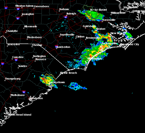 The severe thunderstorm warning for central georgetown county will expire at 845 pm edt, the storm which prompted the warning has weakened below severe limits, and has exited the warned area. therefore, the warning will be allowed to expire. however heavy rain is still possible with this thunderstorm. The severe thunderstorm warning for central georgetown county will expire at 845 pm edt, the storm which prompted the warning has weakened below severe limits, and has exited the warned area. therefore, the warning will be allowed to expire. however heavy rain is still possible with this thunderstorm.
|
| 6/20/2020 8:08 PM EDT |
 At 808 pm edt, a severe thunderstorm was located near rhems, or 18 miles north of georgetown, moving south at 5 mph (radar indicated). Hazards include 60 mph wind gusts and quarter size hail. Minor hail damage to vehicles is possible. expect wind damage to trees and power lines. Locations impacted include, georgetown, debordieu colony, pawleys island, murrells inlet, plantersville, outland, graves, yauhannah, oatland, litchfield beach and georgetown memorial hospital. At 808 pm edt, a severe thunderstorm was located near rhems, or 18 miles north of georgetown, moving south at 5 mph (radar indicated). Hazards include 60 mph wind gusts and quarter size hail. Minor hail damage to vehicles is possible. expect wind damage to trees and power lines. Locations impacted include, georgetown, debordieu colony, pawleys island, murrells inlet, plantersville, outland, graves, yauhannah, oatland, litchfield beach and georgetown memorial hospital.
|
| 6/20/2020 7:44 PM EDT |
 At 743 pm edt, a severe thunderstorm was located near plantersville, or 7 miles northwest of pawleys island, moving south at 15 mph (radar indicated). Hazards include 60 mph wind gusts and quarter size hail. Minor hail damage to vehicles is possible. Expect wind damage to trees and power lines. At 743 pm edt, a severe thunderstorm was located near plantersville, or 7 miles northwest of pawleys island, moving south at 15 mph (radar indicated). Hazards include 60 mph wind gusts and quarter size hail. Minor hail damage to vehicles is possible. Expect wind damage to trees and power lines.
|
| 4/13/2020 8:20 AM EDT | Possible tornado damage - tree down in yard and reported path cleared through woods behind home near county rd s22-20 and s22-119 in georgetown county SC, 5.4 miles SE of Georgetown, SC |
| 4/13/2020 8:20 AM EDT |
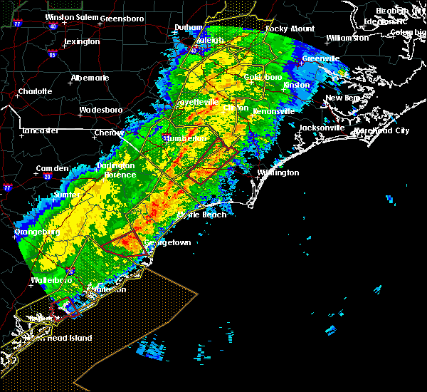 At 819 am edt, a severe thunderstorm capable of producing a tornado was located over sampit, or 9 miles west of georgetown, moving northeast at 50 mph (radar indicated rotation). Hazards include tornado. Flying debris will be dangerous to those caught without shelter. mobile homes will be damaged or destroyed. damage to roofs, windows, and vehicles will occur. tree damage is likely. this dangerous storm will be near, graves around 825 am edt. Georgetown around 830 am edt. At 819 am edt, a severe thunderstorm capable of producing a tornado was located over sampit, or 9 miles west of georgetown, moving northeast at 50 mph (radar indicated rotation). Hazards include tornado. Flying debris will be dangerous to those caught without shelter. mobile homes will be damaged or destroyed. damage to roofs, windows, and vehicles will occur. tree damage is likely. this dangerous storm will be near, graves around 825 am edt. Georgetown around 830 am edt.
|
| 4/13/2020 8:15 AM EDT |
 At 815 am edt, a severe thunderstorm was located over green sea, or 16 miles southeast of mullins, moving northeast at 65 mph (radar indicated). Hazards include 60 mph wind gusts. expect wind damage to trees and power lines At 815 am edt, a severe thunderstorm was located over green sea, or 16 miles southeast of mullins, moving northeast at 65 mph (radar indicated). Hazards include 60 mph wind gusts. expect wind damage to trees and power lines
|
| 4/13/2020 7:41 AM EDT |
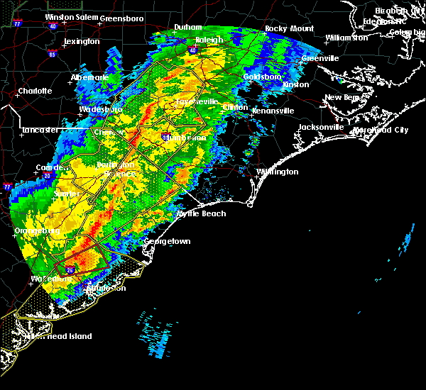 At 740 am edt, a severe thunderstorm was located near bonneau, or 7 miles northeast of moncks corner, moving northeast at 60 mph (radar indicated). Hazards include 60 mph wind gusts. expect wind damage to trees and power lines At 740 am edt, a severe thunderstorm was located near bonneau, or 7 miles northeast of moncks corner, moving northeast at 60 mph (radar indicated). Hazards include 60 mph wind gusts. expect wind damage to trees and power lines
|
| 7/3/2019 5:21 PM EDT |
 The national weather service in wilmington has issued a * severe thunderstorm warning for. southeastern georgetown county in northeastern south carolina. until 615 pm edt. At 521 pm edt, a severe thunderstorm was located near pawleys island, moving south at 25 mph. The national weather service in wilmington has issued a * severe thunderstorm warning for. southeastern georgetown county in northeastern south carolina. until 615 pm edt. At 521 pm edt, a severe thunderstorm was located near pawleys island, moving south at 25 mph.
|
| 6/22/2019 7:55 PM EDT |
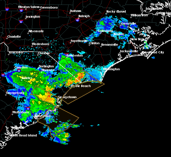 At 754 pm edt, a severe thunderstorm was approaching georgetown, moving east at 40 mph (radar indicated). Hazards include 60 mph wind gusts. Expect wind damage to trees and power lines. Locations impacted include, georgetown, debordieu colony, yawkey south island, winyah bay entrance, andrews, north santee, lambert, sampit, graves, warsaw, earle and georgetown memorial hospital. At 754 pm edt, a severe thunderstorm was approaching georgetown, moving east at 40 mph (radar indicated). Hazards include 60 mph wind gusts. Expect wind damage to trees and power lines. Locations impacted include, georgetown, debordieu colony, yawkey south island, winyah bay entrance, andrews, north santee, lambert, sampit, graves, warsaw, earle and georgetown memorial hospital.
|
| 6/22/2019 7:47 PM EDT | Public reported several trees down near the town of georgetown. a few of these trees were found blocking roadway in georgetown county SC, 9.3 miles NE of Georgetown, SC |
| 6/22/2019 7:15 PM EDT |
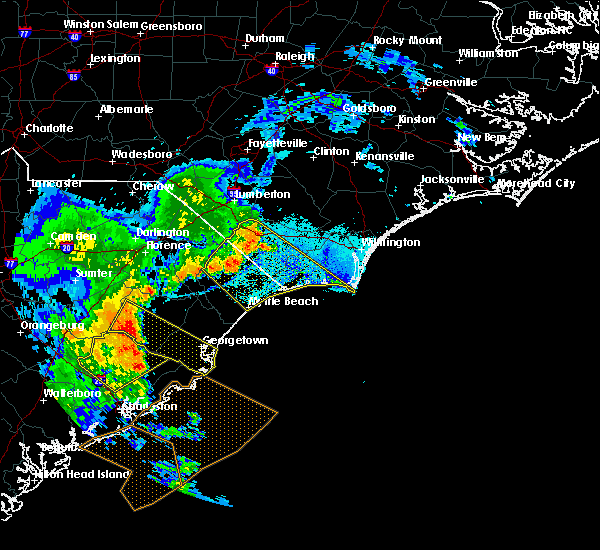 At 715 pm edt, a severe thunderstorm was located near gourdin, or 15 miles south of kingstree, moving southeast at 35 mph (radar indicated). Hazards include 60 mph wind gusts and quarter size hail. Minor hail damage to vehicles is possible. Expect wind damage to trees and power lines. At 715 pm edt, a severe thunderstorm was located near gourdin, or 15 miles south of kingstree, moving southeast at 35 mph (radar indicated). Hazards include 60 mph wind gusts and quarter size hail. Minor hail damage to vehicles is possible. Expect wind damage to trees and power lines.
|
| 6/22/2019 6:23 AM EDT |
 At 623 am edt, severe thunderstorms were located along a line extending from bucksport to near georgetown, moving southeast at 50 mph (radar indicated). Hazards include 60 mph wind gusts and penny size hail. Expect wind damage to trees and power lines. Locations impacted include, myrtle beach, georgetown, debordieu colony, surfside beach, pawleys island, myrtle beach airport, socastee, springmaid pier, garden city, murrells inlet, johnsonville, hemingway, rhems, oatland, nesmith, bucksport, sampit, dongola, plantersville and outland. At 623 am edt, severe thunderstorms were located along a line extending from bucksport to near georgetown, moving southeast at 50 mph (radar indicated). Hazards include 60 mph wind gusts and penny size hail. Expect wind damage to trees and power lines. Locations impacted include, myrtle beach, georgetown, debordieu colony, surfside beach, pawleys island, myrtle beach airport, socastee, springmaid pier, garden city, murrells inlet, johnsonville, hemingway, rhems, oatland, nesmith, bucksport, sampit, dongola, plantersville and outland.
|
| 6/22/2019 6:14 AM EDT |
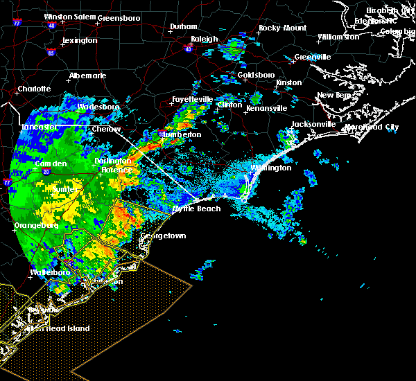 At 614 am edt, severe thunderstorms were located along a line extending from near surfside beach to near yawkey south island, moving east at 85 mph (radar indicated). Hazards include 60 mph wind gusts and penny size hail. Expect wind damage to trees and power lines. Locations impacted include, myrtle beach, georgetown, debordieu colony, surfside beach, pawleys island, myrtle beach airport, socastee, yawkey south island, springmaid pier, garden city, murrells inlet, winyah bay entrance, andrews, johnsonville, hemingway, north santee, rhems, oatland, nesmith and indiantown. At 614 am edt, severe thunderstorms were located along a line extending from near surfside beach to near yawkey south island, moving east at 85 mph (radar indicated). Hazards include 60 mph wind gusts and penny size hail. Expect wind damage to trees and power lines. Locations impacted include, myrtle beach, georgetown, debordieu colony, surfside beach, pawleys island, myrtle beach airport, socastee, yawkey south island, springmaid pier, garden city, murrells inlet, winyah bay entrance, andrews, johnsonville, hemingway, north santee, rhems, oatland, nesmith and indiantown.
|
| 6/22/2019 5:44 AM EDT |
 At 543 am edt, severe thunderstorms were located along a line extending from near hannah to near saint stephen, moving southeast at 85 mph (radar indicated). Hazards include 60 mph wind gusts and nickel size hail. expect wind damage to trees and power lines At 543 am edt, severe thunderstorms were located along a line extending from near hannah to near saint stephen, moving southeast at 85 mph (radar indicated). Hazards include 60 mph wind gusts and nickel size hail. expect wind damage to trees and power lines
|
| 6/20/2019 5:50 PM EDT |
 At 520 pm edt, a severe thunderstorm was located near gourdin, or 12 miles southwest of kingstree, moving east at 45 mph (radar indicated). Hazards include 60 mph wind gusts and quarter size hail. Minor hail damage to vehicles is possible. Expect wind damage to trees and power lines. At 520 pm edt, a severe thunderstorm was located near gourdin, or 12 miles southwest of kingstree, moving east at 45 mph (radar indicated). Hazards include 60 mph wind gusts and quarter size hail. Minor hail damage to vehicles is possible. Expect wind damage to trees and power lines.
|
| 6/20/2019 5:20 PM EDT |
 At 520 pm edt, a severe thunderstorm was located near gourdin, or 12 miles southwest of kingstree, moving east at 45 mph (radar indicated). Hazards include 60 mph wind gusts and quarter size hail. Minor hail damage to vehicles is possible. Expect wind damage to trees and power lines. At 520 pm edt, a severe thunderstorm was located near gourdin, or 12 miles southwest of kingstree, moving east at 45 mph (radar indicated). Hazards include 60 mph wind gusts and quarter size hail. Minor hail damage to vehicles is possible. Expect wind damage to trees and power lines.
|
| 6/5/2019 2:39 PM EDT |
 At 239 pm edt, a severe thunderstorm was located near sampit, or 11 miles west of georgetown, moving northeast at 30 mph (radar indicated). Hazards include 60 mph wind gusts and quarter size hail. Minor hail damage to vehicles is possible. Expect wind damage to trees and power lines. At 239 pm edt, a severe thunderstorm was located near sampit, or 11 miles west of georgetown, moving northeast at 30 mph (radar indicated). Hazards include 60 mph wind gusts and quarter size hail. Minor hail damage to vehicles is possible. Expect wind damage to trees and power lines.
|
| 4/19/2019 4:02 PM EDT |
 At 402 pm edt, severe thunderstorms were located along a line extending from 6 miles east of mullins to pawleys island, moving northeast at 55 mph (radar indicated). Hazards include 70 mph wind gusts. Expect considerable tree damage. damage is likely to mobile homes, roofs, and outbuildings. Locations impacted include, myrtle beach, conway, georgetown, debordieu colony, surfside beach, pawleys island, myrtle beach airport, murrells inlet, socastee, red hill, garden city, horry, tabor city, loris, chadbourn, jackson, johnsonville, fair bluff, hemingway and hickory grove. At 402 pm edt, severe thunderstorms were located along a line extending from 6 miles east of mullins to pawleys island, moving northeast at 55 mph (radar indicated). Hazards include 70 mph wind gusts. Expect considerable tree damage. damage is likely to mobile homes, roofs, and outbuildings. Locations impacted include, myrtle beach, conway, georgetown, debordieu colony, surfside beach, pawleys island, myrtle beach airport, murrells inlet, socastee, red hill, garden city, horry, tabor city, loris, chadbourn, jackson, johnsonville, fair bluff, hemingway and hickory grove.
|
| 4/19/2019 3:53 PM EDT | Public reported trees blown down across the road in choppe... s in georgetown county SC, 12.8 miles SSE of Georgetown, SC |
| 4/19/2019 3:51 PM EDT | Winyah bay weatherflow station measured wind gust of 58mph in amz256 county SC, 13 miles NNW of Georgetown, SC |
| 4/19/2019 3:41 PM EDT |
 At 341 pm edt, severe thunderstorms were located along a line extending from gresham to near santee coastal reserve, moving northeast at 75 mph (radar indicated). Hazards include 70 mph wind gusts. Expect considerable tree damage. Damage is likely to mobile homes, roofs, and outbuildings. At 341 pm edt, severe thunderstorms were located along a line extending from gresham to near santee coastal reserve, moving northeast at 75 mph (radar indicated). Hazards include 70 mph wind gusts. Expect considerable tree damage. Damage is likely to mobile homes, roofs, and outbuildings.
|
| 4/19/2019 3:30 PM EDT |
 At 330 pm edt, a severe thunderstorm was located near hampton plantation state park, or 8 miles northwest of mcclellanville, moving northeast at 55 mph (radar indicated). Hazards include 70 mph wind gusts. Expect considerable tree damage. Damage is likely to mobile homes, roofs, and outbuildings. At 330 pm edt, a severe thunderstorm was located near hampton plantation state park, or 8 miles northwest of mcclellanville, moving northeast at 55 mph (radar indicated). Hazards include 70 mph wind gusts. Expect considerable tree damage. Damage is likely to mobile homes, roofs, and outbuildings.
|
| 7/25/2018 2:58 PM EDT |
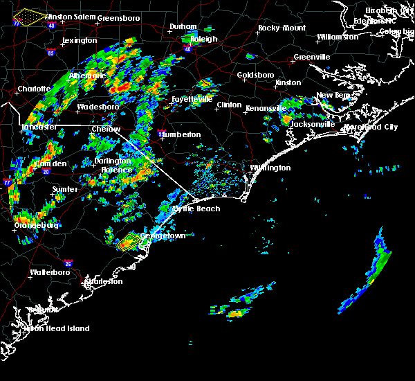 The national weather service in wilmington has issued a * severe thunderstorm warning for. southwestern georgetown county in northeastern south carolina. until 330 pm edt. At 258 pm edt, a severe thunderstorm was located near sampit, or 10 miles west of georgetown, moving northeast at 10 mph. The national weather service in wilmington has issued a * severe thunderstorm warning for. southwestern georgetown county in northeastern south carolina. until 330 pm edt. At 258 pm edt, a severe thunderstorm was located near sampit, or 10 miles west of georgetown, moving northeast at 10 mph.
|
| 6/25/2018 6:25 PM EDT |
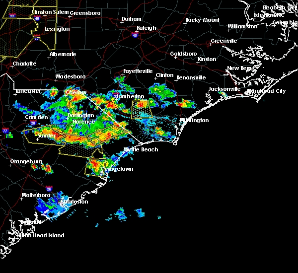 At 624 pm edt, a severe thunderstorm was located over oatland, or 9 miles northwest of georgetown, moving west at 5 mph (radar indicated). Hazards include 60 mph wind gusts and nickel size hail. Expect damage trees and power lines. Locations impacted include, georgetown, jackson, sampit, plantersville, graves, oatland and georgetown memorial hospital. At 624 pm edt, a severe thunderstorm was located over oatland, or 9 miles northwest of georgetown, moving west at 5 mph (radar indicated). Hazards include 60 mph wind gusts and nickel size hail. Expect damage trees and power lines. Locations impacted include, georgetown, jackson, sampit, plantersville, graves, oatland and georgetown memorial hospital.
|
| 6/25/2018 6:07 PM EDT |
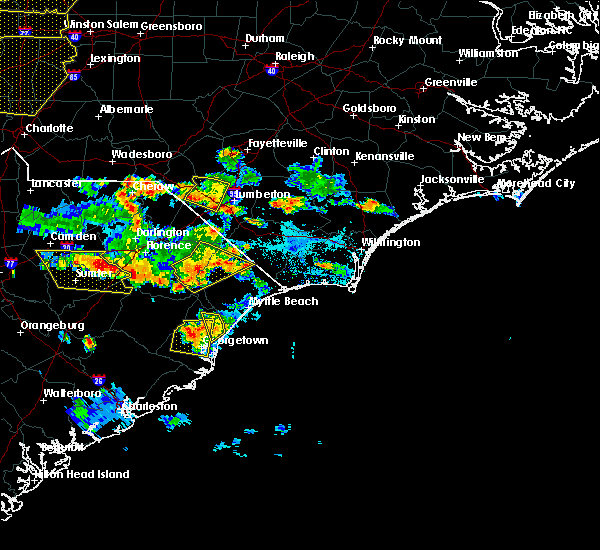 At 607 pm edt, a severe thunderstorm was located over oatland, or 9 miles north of georgetown, moving south at 15 mph (radar indicated). Hazards include 60 mph wind gusts and nickel size hail. expect damage trees and power lines At 607 pm edt, a severe thunderstorm was located over oatland, or 9 miles north of georgetown, moving south at 15 mph (radar indicated). Hazards include 60 mph wind gusts and nickel size hail. expect damage trees and power lines
|
| 6/15/2018 3:51 PM EDT |
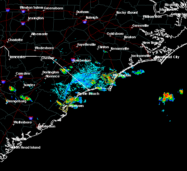 At 350 pm edt, a severe thunderstorm was located over burgess, or over garden city, moving southwest at 20 mph (radar indicated). Hazards include 60 mph wind gusts and quarter size hail. Minor hail damage to vehicles is possible. Expect wind damage to trees and power lines. At 350 pm edt, a severe thunderstorm was located over burgess, or over garden city, moving southwest at 20 mph (radar indicated). Hazards include 60 mph wind gusts and quarter size hail. Minor hail damage to vehicles is possible. Expect wind damage to trees and power lines.
|
| 6/14/2018 5:40 PM EDT |
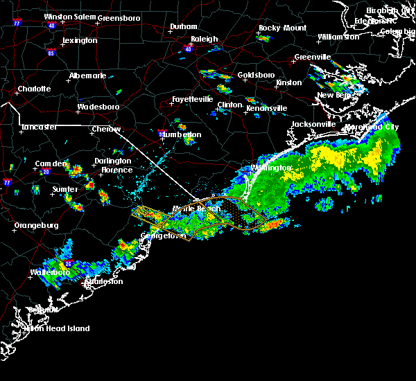 At 539 pm edt, a severe thunderstorm was located near sampit, or 11 miles west of georgetown, moving east at 10 mph (radar indicated). Hazards include 60 mph wind gusts and quarter size hail. Minor hail damage to vehicles is possible. Expect wind damage to trees and power lines. At 539 pm edt, a severe thunderstorm was located near sampit, or 11 miles west of georgetown, moving east at 10 mph (radar indicated). Hazards include 60 mph wind gusts and quarter size hail. Minor hail damage to vehicles is possible. Expect wind damage to trees and power lines.
|
| 4/15/2018 7:57 PM EDT | Tree down on browns ferry rd 1 mile west of browns ferry bridge in georgetown county SC, 15.9 miles SSE of Georgetown, SC |
| 9/11/2017 6:15 PM EDT | Storm damage reported in georgetown county SC, 3.2 miles NNE of Georgetown, SC |
| 6/15/2017 3:36 PM EDT |
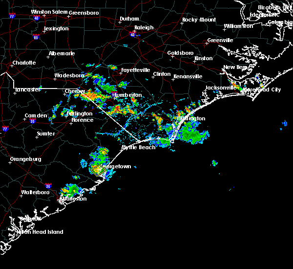 The severe thunderstorm warning for southeastern georgetown county will expire at 345 pm edt, the storm which prompted the warning has weakened below severe limits, and no longer poses an immediate threat to life or property. therefore the warning will be allowed to expire. however heavy rain is still possible with this thunderstorm and a flood advisory remains in effect. The severe thunderstorm warning for southeastern georgetown county will expire at 345 pm edt, the storm which prompted the warning has weakened below severe limits, and no longer poses an immediate threat to life or property. therefore the warning will be allowed to expire. however heavy rain is still possible with this thunderstorm and a flood advisory remains in effect.
|
| 6/15/2017 3:11 PM EDT | Half Dollar sized hail reported 0.7 miles S of Georgetown, SC, report of quarter sized to half dollar sized hail. |
| 6/15/2017 3:11 PM EDT | Report of a large tree down on hwy 1 in georgetown county SC, 0.7 miles S of Georgetown, SC |
| 6/15/2017 3:11 PM EDT |
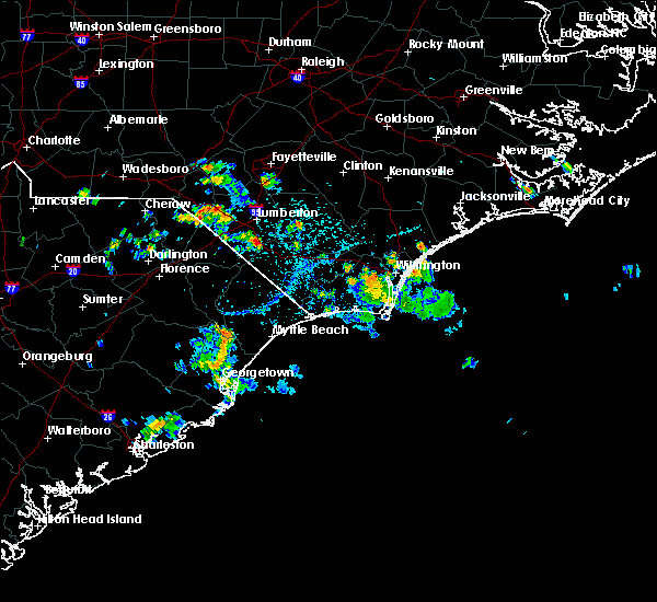 At 311 pm edt, a severe thunderstorm was located over georgetown, and is nearly stationary (radar indicated). Hazards include 60 mph wind gusts and quarter size hail. Minor hail damage to vehicles is possible. Expect wind damage to trees and power lines. At 311 pm edt, a severe thunderstorm was located over georgetown, and is nearly stationary (radar indicated). Hazards include 60 mph wind gusts and quarter size hail. Minor hail damage to vehicles is possible. Expect wind damage to trees and power lines.
|
| 4/3/2017 7:15 PM EDT |
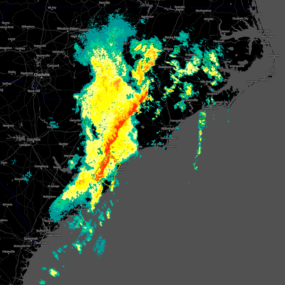 At 715 pm edt, a severe thunderstorm was located near oatland, or 13 miles northwest of georgetown, moving northeast at 50 mph (radar indicated). Hazards include 60 mph wind gusts and quarter size hail. Hail damage to vehicles is expected. expect wind damage to roofs, siding, and trees. Locations impacted include, georgetown, debordieu colony, pawleys island, murrells inlet, yawkey south island, winyah bay entrance, andrews, jackson, north santee, oatland, sampit, lambert, plantersville, graves, yauhannah, litchfield beach, waccamaw community hospital and georgetown memorial hospital. At 715 pm edt, a severe thunderstorm was located near oatland, or 13 miles northwest of georgetown, moving northeast at 50 mph (radar indicated). Hazards include 60 mph wind gusts and quarter size hail. Hail damage to vehicles is expected. expect wind damage to roofs, siding, and trees. Locations impacted include, georgetown, debordieu colony, pawleys island, murrells inlet, yawkey south island, winyah bay entrance, andrews, jackson, north santee, oatland, sampit, lambert, plantersville, graves, yauhannah, litchfield beach, waccamaw community hospital and georgetown memorial hospital.
|
| 4/3/2017 6:42 PM EDT |
 At 642 pm edt, a severe thunderstorm was located near bonneau, or 12 miles northeast of moncks corner, moving northeast at 50 mph (radar indicated). Hazards include 60 mph wind gusts and quarter size hail. Hail damage to vehicles is expected. Expect wind damage to roofs, siding, and trees. At 642 pm edt, a severe thunderstorm was located near bonneau, or 12 miles northeast of moncks corner, moving northeast at 50 mph (radar indicated). Hazards include 60 mph wind gusts and quarter size hail. Hail damage to vehicles is expected. Expect wind damage to roofs, siding, and trees.
|
| 2/15/2017 12:35 PM EST |
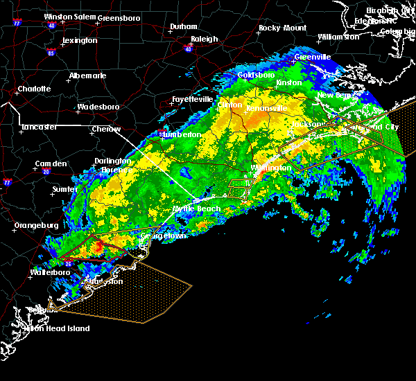 At 1235 pm est, a severe thunderstorm was located near jamestown, or 17 miles northeast of moncks corner, moving east at 70 mph (radar indicated). Hazards include 60 mph wind gusts. expect damage to roofs, siding, and trees At 1235 pm est, a severe thunderstorm was located near jamestown, or 17 miles northeast of moncks corner, moving east at 70 mph (radar indicated). Hazards include 60 mph wind gusts. expect damage to roofs, siding, and trees
|
| 8/18/2016 6:15 PM EDT |
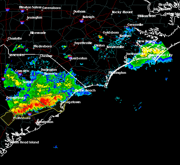 At 615 pm edt, a severe thunderstorm was located near sampit, or 12 miles west of georgetown, moving southeast at 25 mph (radar indicated). Hazards include 60 mph wind gusts and quarter size hail. Hail damage to vehicles is expected. expect wind damage to roofs, siding, and trees. Locations impacted include, georgetown, debordieu colony, pawleys island, winyah bay entrance, yawkey south island, andrews, jackson, warsaw, north santee, gourdin, earle, graves, plantersville, trio, oatland, lambert, litchfield beach, sampit, rhems and lane. At 615 pm edt, a severe thunderstorm was located near sampit, or 12 miles west of georgetown, moving southeast at 25 mph (radar indicated). Hazards include 60 mph wind gusts and quarter size hail. Hail damage to vehicles is expected. expect wind damage to roofs, siding, and trees. Locations impacted include, georgetown, debordieu colony, pawleys island, winyah bay entrance, yawkey south island, andrews, jackson, warsaw, north santee, gourdin, earle, graves, plantersville, trio, oatland, lambert, litchfield beach, sampit, rhems and lane.
|
| 8/18/2016 5:55 PM EDT |
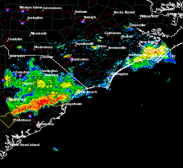 At 555 pm edt, a severe thunderstorm was located near andrews, or 16 miles west of georgetown, moving southeast at 25 mph (radar indicated). Hazards include 60 mph wind gusts and quarter size hail. Hail damage to vehicles is expected. Expect wind damage to roofs, siding, and trees. At 555 pm edt, a severe thunderstorm was located near andrews, or 16 miles west of georgetown, moving southeast at 25 mph (radar indicated). Hazards include 60 mph wind gusts and quarter size hail. Hail damage to vehicles is expected. Expect wind damage to roofs, siding, and trees.
|
| 7/31/2016 3:21 PM EDT |
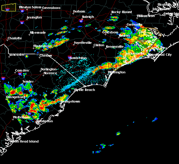 At 321 pm edt, a severe thunderstorm was located over oatland, or 7 miles northwest of georgetown, moving northeast at 20 mph (radar indicated). Hazards include 60 mph wind gusts and quarter size hail. Hail damage to vehicles is expected. Expect wind damage to roofs, siding, and trees. At 321 pm edt, a severe thunderstorm was located over oatland, or 7 miles northwest of georgetown, moving northeast at 20 mph (radar indicated). Hazards include 60 mph wind gusts and quarter size hail. Hail damage to vehicles is expected. Expect wind damage to roofs, siding, and trees.
|
| 7/9/2016 6:30 PM EDT | Golf Ball sized hail reported 8.9 miles WSW of Georgetown, SC, a retired meteorologist reported golf ball size hail on debordieu boulevard. the hail lasted for 10 minutes. |
| 7/9/2016 2:24 AM EDT |
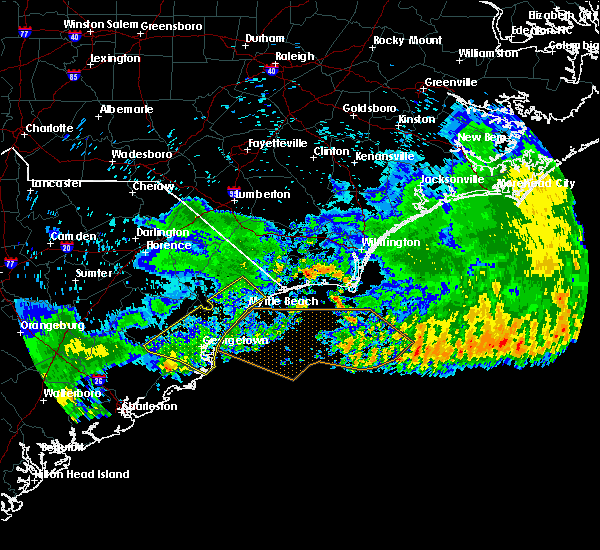 The severe thunderstorm warning for georgetown, southwestern horry and southeastern williamsburg counties will expire at 230 am edt, the storms which prompted the warning have moved out of the warned area, therefore the warning will be allowed to expire. The severe thunderstorm warning for georgetown, southwestern horry and southeastern williamsburg counties will expire at 230 am edt, the storms which prompted the warning have moved out of the warned area, therefore the warning will be allowed to expire.
|
| 7/9/2016 1:59 AM EDT |
 At 158 am edt, severe thunderstorms were located along a line extending from hand to near jamestown, moving southeast at 45 mph (radar indicated). Hazards include 60 mph wind gusts and penny size hail. Expect damage to roofs. siding. and trees. Locations impacted include, myrtle beach, conway, georgetown, debordieu colony, surfside beach, pawleys island, red hill, socastee, winyah bay entrance, yawkey south island, garden city, myrtle beach airport, murrells inlet, andrews, jackson, hickory grove, warsaw, homewood, dongola and north santee. At 158 am edt, severe thunderstorms were located along a line extending from hand to near jamestown, moving southeast at 45 mph (radar indicated). Hazards include 60 mph wind gusts and penny size hail. Expect damage to roofs. siding. and trees. Locations impacted include, myrtle beach, conway, georgetown, debordieu colony, surfside beach, pawleys island, red hill, socastee, winyah bay entrance, yawkey south island, garden city, myrtle beach airport, murrells inlet, andrews, jackson, hickory grove, warsaw, homewood, dongola and north santee.
|
| 7/9/2016 1:27 AM EDT |
 At 126 am edt, severe thunderstorms were located along a line extending from green sea to near trio, moving southeast at 45 mph (radar indicated). Hazards include 60 mph wind gusts and penny size hail. Expect damage to roofs. siding. And trees. At 126 am edt, severe thunderstorms were located along a line extending from green sea to near trio, moving southeast at 45 mph (radar indicated). Hazards include 60 mph wind gusts and penny size hail. Expect damage to roofs. siding. And trees.
|
| 7/7/2016 9:56 PM EDT |
 At 956 pm edt, severe thunderstorms were located along a line extending from 6 miles west of green sea to near horry to near brittons neck to near hannah to near hebron to 7 miles north of manning, moving east at 55 mph (radar indicated). Hazards include 60 mph wind gusts. Expect damage to roofs. siding. and trees. Locations impacted include, myrtle beach, conway, north myrtle beach, georgetown, marion, lake city, debordieu colony, mullins, surfside beach, sunset beach, kingstree, pawleys island, north myrtle beach airport, springmaid pier, socastee, little river, yawkey south island, myrtle beach airport, red hill and murrells inlet. At 956 pm edt, severe thunderstorms were located along a line extending from 6 miles west of green sea to near horry to near brittons neck to near hannah to near hebron to 7 miles north of manning, moving east at 55 mph (radar indicated). Hazards include 60 mph wind gusts. Expect damage to roofs. siding. and trees. Locations impacted include, myrtle beach, conway, north myrtle beach, georgetown, marion, lake city, debordieu colony, mullins, surfside beach, sunset beach, kingstree, pawleys island, north myrtle beach airport, springmaid pier, socastee, little river, yawkey south island, myrtle beach airport, red hill and murrells inlet.
|
| 7/7/2016 9:37 PM EDT |
 At 937 pm edt, severe thunderstorms were located along a line extending from near marion to 6 miles west of rains to near hyman to near sardis, moving east at 45 mph (radar indicated). Hazards include 60 mph wind gusts and penny size hail. Expect damage to roofs. siding. And trees. At 937 pm edt, severe thunderstorms were located along a line extending from near marion to 6 miles west of rains to near hyman to near sardis, moving east at 45 mph (radar indicated). Hazards include 60 mph wind gusts and penny size hail. Expect damage to roofs. siding. And trees.
|
| 6/28/2016 5:22 PM EDT |
 At 522 pm edt, a severe thunderstorm was located near trio, or 19 miles south of kingstree, moving east at 25 mph (radar indicated). Hazards include 60 mph wind gusts and quarter size hail. Hail damage to vehicles is expected. Expect wind damage to roofs, siding, and trees. At 522 pm edt, a severe thunderstorm was located near trio, or 19 miles south of kingstree, moving east at 25 mph (radar indicated). Hazards include 60 mph wind gusts and quarter size hail. Hail damage to vehicles is expected. Expect wind damage to roofs, siding, and trees.
|
| 6/25/2016 6:18 PM EDT |
 At 617 pm edt, a severe thunderstorm was located near hampton plantation state park, or 10 miles northwest of mcclellanville, moving south at 20 mph (radar indicated). Hazards include 60 mph wind gusts and quarter size hail. Hail damage to vehicles is expected. expect wind damage to roofs, siding, and trees. Locations impacted include, georgetown, winyah bay entrance, yawkey south island, andrews, north santee, oatland, lambert, sampit, graves and georgetown memorial hospital. At 617 pm edt, a severe thunderstorm was located near hampton plantation state park, or 10 miles northwest of mcclellanville, moving south at 20 mph (radar indicated). Hazards include 60 mph wind gusts and quarter size hail. Hail damage to vehicles is expected. expect wind damage to roofs, siding, and trees. Locations impacted include, georgetown, winyah bay entrance, yawkey south island, andrews, north santee, oatland, lambert, sampit, graves and georgetown memorial hospital.
|
| 6/25/2016 6:03 PM EDT |
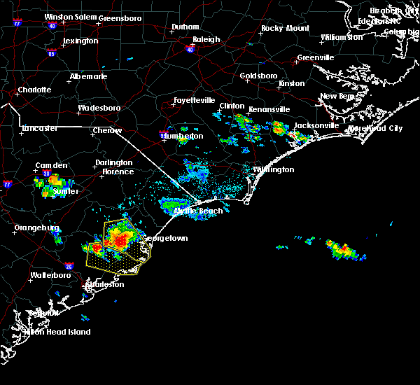 At 602 pm edt, a severe thunderstorm was located over lambert, or 16 miles west of georgetown, moving south at 20 mph (radar indicated). Hazards include 60 mph wind gusts and quarter size hail. Hail damage to vehicles is expected. expect wind damage to roofs, siding, and trees. Locations impacted include, georgetown, winyah bay entrance, yawkey south island, andrews, north santee, oatland, lambert, sampit, earle, graves and georgetown memorial hospital. At 602 pm edt, a severe thunderstorm was located over lambert, or 16 miles west of georgetown, moving south at 20 mph (radar indicated). Hazards include 60 mph wind gusts and quarter size hail. Hail damage to vehicles is expected. expect wind damage to roofs, siding, and trees. Locations impacted include, georgetown, winyah bay entrance, yawkey south island, andrews, north santee, oatland, lambert, sampit, earle, graves and georgetown memorial hospital.
|
| 6/25/2016 5:40 PM EDT |
 At 540 pm edt, a severe thunderstorm was located over andrews, or 18 miles west of georgetown, moving south at 20 mph (radar indicated). Hazards include 60 mph wind gusts and quarter size hail. Hail damage to vehicles is expected. Expect wind damage to roofs, siding, and trees. At 540 pm edt, a severe thunderstorm was located over andrews, or 18 miles west of georgetown, moving south at 20 mph (radar indicated). Hazards include 60 mph wind gusts and quarter size hail. Hail damage to vehicles is expected. Expect wind damage to roofs, siding, and trees.
|
| 6/24/2016 7:25 PM EDT |
 The severe thunderstorm warning for georgetown and south central williamsburg counties will expire at 730 pm edt, the storm which prompted the warning has weakened below severe limits, and no longer pose an immediate threat to life or property. therefore the warning will be allowed to expire. The severe thunderstorm warning for georgetown and south central williamsburg counties will expire at 730 pm edt, the storm which prompted the warning has weakened below severe limits, and no longer pose an immediate threat to life or property. therefore the warning will be allowed to expire.
|
| 6/24/2016 7:14 PM EDT |
 At 713 pm edt, a severe thunderstorm was located over debordieu colony, moving southeast at 25 mph (radar indicated). Hazards include 60 mph wind gusts. Expect damage to roofs. siding. and trees. Locations impacted include, georgetown, debordieu colony, pawleys island, winyah bay entrance, yawkey south island, murrells inlet, andrews, jackson, warsaw, north santee, earle, graves, plantersville, trio, oatland, lambert, litchfield beach, sampit, georgetown memorial hospital and waccamaw community hospital. At 713 pm edt, a severe thunderstorm was located over debordieu colony, moving southeast at 25 mph (radar indicated). Hazards include 60 mph wind gusts. Expect damage to roofs. siding. and trees. Locations impacted include, georgetown, debordieu colony, pawleys island, winyah bay entrance, yawkey south island, murrells inlet, andrews, jackson, warsaw, north santee, earle, graves, plantersville, trio, oatland, lambert, litchfield beach, sampit, georgetown memorial hospital and waccamaw community hospital.
|
| 6/24/2016 6:25 PM EDT |
 At 624 pm edt, a severe thunderstorm was located over rhems, or 15 miles northwest of georgetown, moving southeast at 25 mph (radar indicated). Hazards include 60 mph wind gusts. Expect damage to roofs. siding. And trees. At 624 pm edt, a severe thunderstorm was located over rhems, or 15 miles northwest of georgetown, moving southeast at 25 mph (radar indicated). Hazards include 60 mph wind gusts. Expect damage to roofs. siding. And trees.
|
| 6/17/2016 4:51 PM EDT | Tree down on kent road in georgetown county SC, 10.1 miles ESE of Georgetown, SC |
| 6/17/2016 4:21 PM EDT |
 The severe thunderstorm warning for georgetown county will expire at 430 pm edt, the severe thunderstorm which prompted the warning has moved out of the warned area. therefore the warning will be allowed to expire. a severe thunderstorm watch remains in effect until 1000 pm edt for northeastern south carolina. The severe thunderstorm warning for georgetown county will expire at 430 pm edt, the severe thunderstorm which prompted the warning has moved out of the warned area. therefore the warning will be allowed to expire. a severe thunderstorm watch remains in effect until 1000 pm edt for northeastern south carolina.
|
| 6/17/2016 4:10 PM EDT | Tree down on montford road near pennyroyal road in georgetown county SC, 2.2 miles NE of Georgetown, SC |
| 6/17/2016 4:01 PM EDT | Tree down on powell road near bertie avenue in georgetown county SC, 10.1 miles ENE of Georgetown, SC |
| 6/17/2016 3:57 PM EDT |
 At 357 pm edt, a severe thunderstorm was located near oatland, or 11 miles northwest of georgetown, moving southeast at 25 mph (radar indicated). Hazards include 60 mph wind gusts and quarter size hail. Hail damage to vehicles is expected. expect wind damage to roofs, siding, and trees. Locations impacted include, georgetown, debordieu colony, pawleys island, winyah bay entrance, yawkey south island, murrells inlet, andrews, jackson, north santee, graves, plantersville, oatland, litchfield beach, sampit and georgetown memorial hospital. At 357 pm edt, a severe thunderstorm was located near oatland, or 11 miles northwest of georgetown, moving southeast at 25 mph (radar indicated). Hazards include 60 mph wind gusts and quarter size hail. Hail damage to vehicles is expected. expect wind damage to roofs, siding, and trees. Locations impacted include, georgetown, debordieu colony, pawleys island, winyah bay entrance, yawkey south island, murrells inlet, andrews, jackson, north santee, graves, plantersville, oatland, litchfield beach, sampit and georgetown memorial hospital.
|
| 6/17/2016 3:56 PM EDT | Tree down on walker road near columbus road in georgetown county SC, 12.5 miles ENE of Georgetown, SC |
| 6/17/2016 3:51 PM EDT | Tree down on kent road in georgetown county SC, 10.1 miles ESE of Georgetown, SC |
| 6/17/2016 3:44 PM EDT |
 At 344 pm edt, a severe thunderstorm was located near morrisville, or 18 miles northwest of georgetown, moving southeast at 25 mph (radar indicated). Hazards include 60 mph wind gusts and quarter size hail. Hail damage to vehicles is expected. expect wind damage to roofs, siding, and trees. Locations impacted include, georgetown, debordieu colony, pawleys island, winyah bay entrance, yawkey south island, murrells inlet, andrews, jackson, warsaw, north santee, graves, plantersville, oatland, litchfield beach, sampit, nesmith, rhems, morrisville, earle and georgetown memorial hospital. At 344 pm edt, a severe thunderstorm was located near morrisville, or 18 miles northwest of georgetown, moving southeast at 25 mph (radar indicated). Hazards include 60 mph wind gusts and quarter size hail. Hail damage to vehicles is expected. expect wind damage to roofs, siding, and trees. Locations impacted include, georgetown, debordieu colony, pawleys island, winyah bay entrance, yawkey south island, murrells inlet, andrews, jackson, warsaw, north santee, graves, plantersville, oatland, litchfield beach, sampit, nesmith, rhems, morrisville, earle and georgetown memorial hospital.
|
| 6/17/2016 3:25 PM EDT |
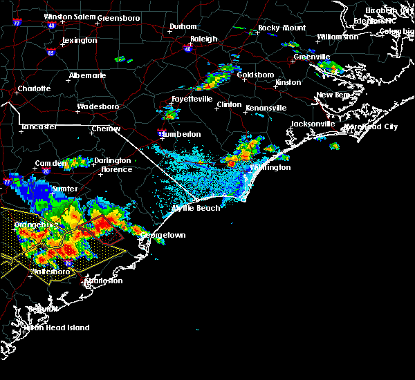 At 324 pm edt, a severe thunderstorm was located 8 miles southwest of indiantown, or 8 miles east of kingstree, moving southeast at 25 mph (radar indicated). Hazards include 60 mph wind gusts and quarter size hail. Hail damage to vehicles is expected. Expect wind damage to roofs, siding, and trees. At 324 pm edt, a severe thunderstorm was located 8 miles southwest of indiantown, or 8 miles east of kingstree, moving southeast at 25 mph (radar indicated). Hazards include 60 mph wind gusts and quarter size hail. Hail damage to vehicles is expected. Expect wind damage to roofs, siding, and trees.
|
| 6/15/2016 4:20 PM EDT |
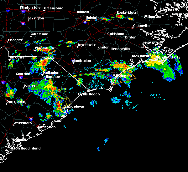 At 420 pm edt, a severe thunderstorm was located over oatland, or 8 miles north of georgetown, moving northeast at 35 mph (radar indicated). Hazards include 60 mph wind gusts. Expect damage to roofs. siding. And trees. At 420 pm edt, a severe thunderstorm was located over oatland, or 8 miles north of georgetown, moving northeast at 35 mph (radar indicated). Hazards include 60 mph wind gusts. Expect damage to roofs. siding. And trees.
|
| 6/2/2016 3:30 PM EDT | Trees down in the 14000 block of n fraser st in plantersville in georgetown county SC, 15.2 miles SSW of Georgetown, SC |
| 4/28/2016 5:16 PM EDT |
 At 516 pm edt, a severe thunderstorm was located over north santee, or 9 miles southwest of georgetown, moving east at 20 mph (radar indicated). Hazards include 60 mph wind gusts and quarter size hail. Hail damage to vehicles is expected. expect wind damage to roofs, siding, and trees. Locations impacted include, georgetown and north santee. At 516 pm edt, a severe thunderstorm was located over north santee, or 9 miles southwest of georgetown, moving east at 20 mph (radar indicated). Hazards include 60 mph wind gusts and quarter size hail. Hail damage to vehicles is expected. expect wind damage to roofs, siding, and trees. Locations impacted include, georgetown and north santee.
|
| 4/28/2016 4:56 PM EDT |
 At 456 pm edt, a severe thunderstorm was located near lambert, or 13 miles north of mcclellanville, moving east at 20 mph (radar indicated). Hazards include 60 mph wind gusts. Expect damage to roofs. siding. And trees. At 456 pm edt, a severe thunderstorm was located near lambert, or 13 miles north of mcclellanville, moving east at 20 mph (radar indicated). Hazards include 60 mph wind gusts. Expect damage to roofs. siding. And trees.
|
| 9/10/2015 9:40 PM EDT | The severe thunderstorm warning for georgetown county will expire at 945 pm edt, the storm which prompted the warning has weakened below severe limits, and no longer poses an immediate threat to life or property. therefore the warning will be allowed to expire. however gusty winds are still possible with this thunderstorm. |
| 9/10/2015 9:28 PM EDT |
 At 928 pm edt, doppler radar indicated a severe thunderstorm capable of producing damaging winds in excess of 60 mph. this storm was located near litchfield beach, or near murrells inlet, moving east at 45 mph. locations impacted include, georgetown, debordieu colony, pawleys island, winyah bay entrance, yawkey south island, murrells inlet, jackson, north santee, graves, plantersville, oatland, litchfield beach, sampit, yauhannah, georgetown memorial hospital and waccamaw community hospital. At 928 pm edt, doppler radar indicated a severe thunderstorm capable of producing damaging winds in excess of 60 mph. this storm was located near litchfield beach, or near murrells inlet, moving east at 45 mph. locations impacted include, georgetown, debordieu colony, pawleys island, winyah bay entrance, yawkey south island, murrells inlet, jackson, north santee, graves, plantersville, oatland, litchfield beach, sampit, yauhannah, georgetown memorial hospital and waccamaw community hospital.
|
| 9/10/2015 9:13 PM EDT |
 At 912 pm edt, doppler radar indicated a severe thunderstorm capable of producing damaging winds in excess of 60 mph. this storm was located near georgetown, moving east at 45 mph. locations impacted include, georgetown, debordieu colony, pawleys island, winyah bay entrance, yawkey south island, murrells inlet, andrews, jackson, warsaw, north santee, earle, graves, plantersville, oatland, lambert, litchfield beach, sampit, rhems, yauhannah and georgetown memorial hospital. At 912 pm edt, doppler radar indicated a severe thunderstorm capable of producing damaging winds in excess of 60 mph. this storm was located near georgetown, moving east at 45 mph. locations impacted include, georgetown, debordieu colony, pawleys island, winyah bay entrance, yawkey south island, murrells inlet, andrews, jackson, warsaw, north santee, earle, graves, plantersville, oatland, lambert, litchfield beach, sampit, rhems, yauhannah and georgetown memorial hospital.
|
| 9/10/2015 9:05 PM EDT | A tree was reported down on u.s. 521. the time was estimated based on radar dat in georgetown county SC, 6.7 miles ESE of Georgetown, SC |
| 9/10/2015 8:48 PM EDT |
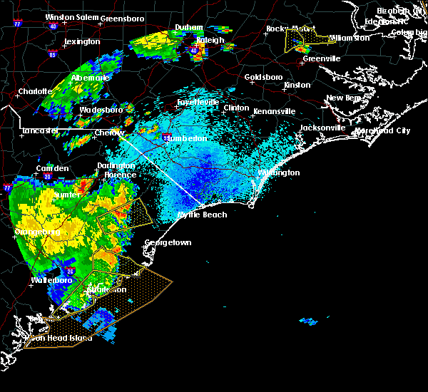 At 847 pm edt, doppler radar indicated a severe thunderstorm capable of producing damaging winds in excess of 60 mph. this storm was located over jamestown, or 19 miles northwest of mcclellanville, and moving east at 45 mph. At 847 pm edt, doppler radar indicated a severe thunderstorm capable of producing damaging winds in excess of 60 mph. this storm was located over jamestown, or 19 miles northwest of mcclellanville, and moving east at 45 mph.
|
| 7/11/2015 10:10 PM EDT |
 At 1008 pm edt, doppler radar indicated a severe thunderstorm capable of producing quarter size hail and damaging winds in excess of 60 mph. this storm was nearing georgetown, and was moving southeast at 15 to 20 mph. in addition, this thunderstorm was producing excessive cloud to ground lightning. stay indoors until this storm passes. locations impacted include, georgetown, winyah bay, and annandale plantation. At 1008 pm edt, doppler radar indicated a severe thunderstorm capable of producing quarter size hail and damaging winds in excess of 60 mph. this storm was nearing georgetown, and was moving southeast at 15 to 20 mph. in addition, this thunderstorm was producing excessive cloud to ground lightning. stay indoors until this storm passes. locations impacted include, georgetown, winyah bay, and annandale plantation.
|
| 7/11/2015 9:58 PM EDT |
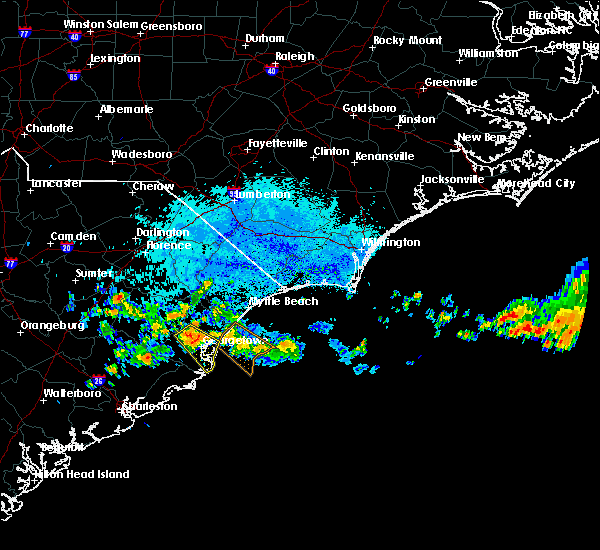 At 954 pm edt, doppler radar indicated a severe thunderstorm capable of producing quarter size hail, damaging winds in excess of 60 mph, and frequent cloud to ground lightning. this storm was located from near graves and oatland, then west toward indian hut road. the storm was moving southeast at 15 mph. locations impacted include, georgetown, and winyah bay to east of sampit. At 954 pm edt, doppler radar indicated a severe thunderstorm capable of producing quarter size hail, damaging winds in excess of 60 mph, and frequent cloud to ground lightning. this storm was located from near graves and oatland, then west toward indian hut road. the storm was moving southeast at 15 mph. locations impacted include, georgetown, and winyah bay to east of sampit.
|
| 7/11/2015 9:42 PM EDT |
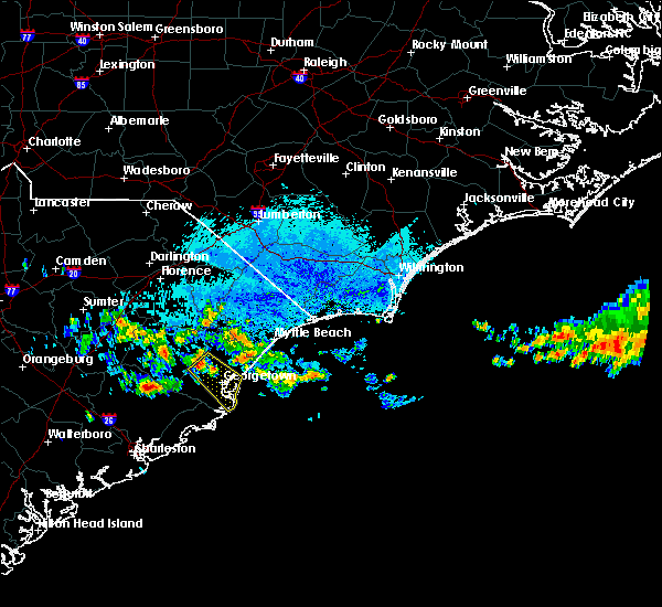 At 941 pm edt, doppler radar indicated a severe thunderstorm capable of producing quarter size hail and damaging winds in excess of 60 mph. this storm was located just west of oatland, or 10 miles northwest of georgetown, and moving southeast at 15 mph. At 941 pm edt, doppler radar indicated a severe thunderstorm capable of producing quarter size hail and damaging winds in excess of 60 mph. this storm was located just west of oatland, or 10 miles northwest of georgetown, and moving southeast at 15 mph.
|
| 7/2/2015 7:59 PM EDT |
 At 759 pm edt, doppler radar indicated a line of severe thunderstorms capable of producing damaging winds in excess of 60 mph. these storms were located along a line extending from dongola to near henry to warsaw to near jamestown, and moving southeast at 25 mph. At 759 pm edt, doppler radar indicated a line of severe thunderstorms capable of producing damaging winds in excess of 60 mph. these storms were located along a line extending from dongola to near henry to warsaw to near jamestown, and moving southeast at 25 mph.
|
| 6/30/2015 7:05 PM EDT |
 At 705 pm edt, doppler radar indicated a line of severe thunderstorms capable of producing quarter size hail and damaging winds in excess of 60 mph. these storms were located along a line extending from brownsville to near pamplico to 7 miles southeast of kingstree, and moving northeast at 65 mph. At 705 pm edt, doppler radar indicated a line of severe thunderstorms capable of producing quarter size hail and damaging winds in excess of 60 mph. these storms were located along a line extending from brownsville to near pamplico to 7 miles southeast of kingstree, and moving northeast at 65 mph.
|
| 4/19/2015 8:02 PM EDT | A severe thunderstorm warning remains in effect until 830 pm edt for south central marion. southeastern florence. eastern georgetown and horry counties. at 801 pm edt. doppler radar indicated a line of severe thunderstorms capable of producing quarter size hail and damaging winds in excess of 60 mph. These storms were located along a line. |
| 4/19/2015 7:29 PM EDT | At 727 pm edt, doppler radar indicated a line of severe thunderstorms capable of producing quarter size hail and damaging winds in excess of 60 mph. these storms were located along a line extending from near indiantown to santee coastal reserve, and moving northeast at 40 mph. |
| 7/28/2014 8:00 PM EDT | Quarter sized hail reported 16.3 miles SSW of Georgetown, SC, quarter size hail along brommell rd just north of plantersville |
| 5/23/2014 10:31 PM EDT | Golf Ball sized hail reported 8.6 miles NE of Georgetown, SC, north santee community |
| 5/23/2014 10:24 PM EDT | Golf Ball sized hail reported 8.8 miles E of Georgetown, SC |
| 5/23/2014 10:24 PM EDT | Trees down in georgetown county SC, 8.8 miles E of Georgetown, SC |
| 5/22/2012 1:45 PM EDT | Large branch blown out of an oak tree in georgetown county SC, 4.5 miles SSE of Georgetown, SC |
| 5/22/2012 1:35 PM EDT | Quarter sized hail reported 8.4 miles ESE of Georgetown, SC, 30 minute period of hail fell. |
| 5/16/2012 6:05 PM EDT | Hail from nickel to half dollar in size fell on hwy 17 a few miles north of the intersection with mt zion r in georgetown county SC, 6.5 miles NNE of Georgetown, SC |
| 5/16/2012 6:05 PM EDT | Half Dollar sized hail reported 6.5 miles NNE of Georgetown, SC, hail from nickel to half dollar in size fell on hwy 17 a few miles north of the intersection with mt zion rd. |
| 5/15/2012 2:05 PM EDT | Quarter sized hail reported 13.5 miles SSW of Georgetown, SC, nickel to quarter size hail fell at plantersville elementary school |
| 5/5/2012 9:33 PM EDT | Quarter sized hail reported 9.3 miles E of Georgetown, SC, report relayed by media |
| 1/1/0001 12:00 AM | Tree down on n hazard street in georgetown county SC, 2.2 miles SSW of Georgetown, SC |
| 1/1/0001 12:00 AM | Golf Ball sized hail reported 17.3 miles S of Georgetown, SC, time estimated based off radar |
| 5/10/2011 9:18 PM EDT | Softball sized hail reported 10.5 miles E of Georgetown, SC, report of golf ball to softball size hail along st. delight rd |
| 1/1/0001 12:00 AM | Quarter sized hail reported 18.8 miles SSE of Georgetown, SC, quarter size hail reported at the exxon station in rhems. |
| 1/1/0001 12:00 AM | Powerline down. dumbar road at black river bridg in georgetown county SC, 14.3 miles SSE of Georgetown, SC |
Hail Maps for Georgetown, SC
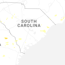


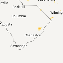


Connect with Interactive Hail Maps