

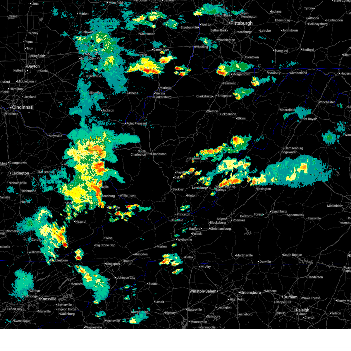
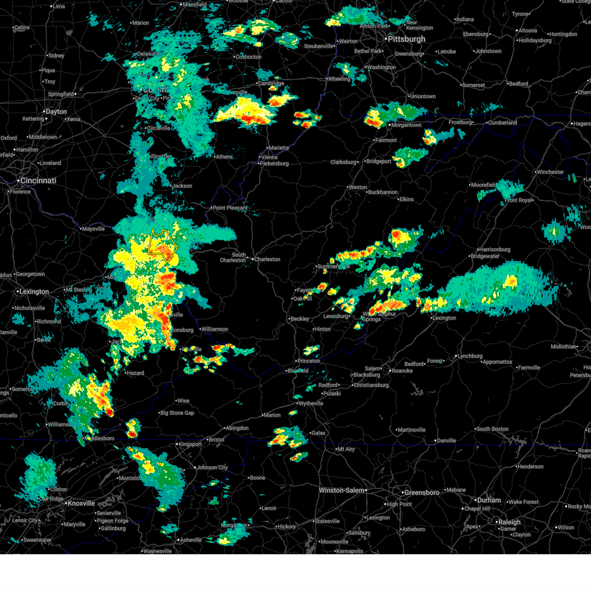
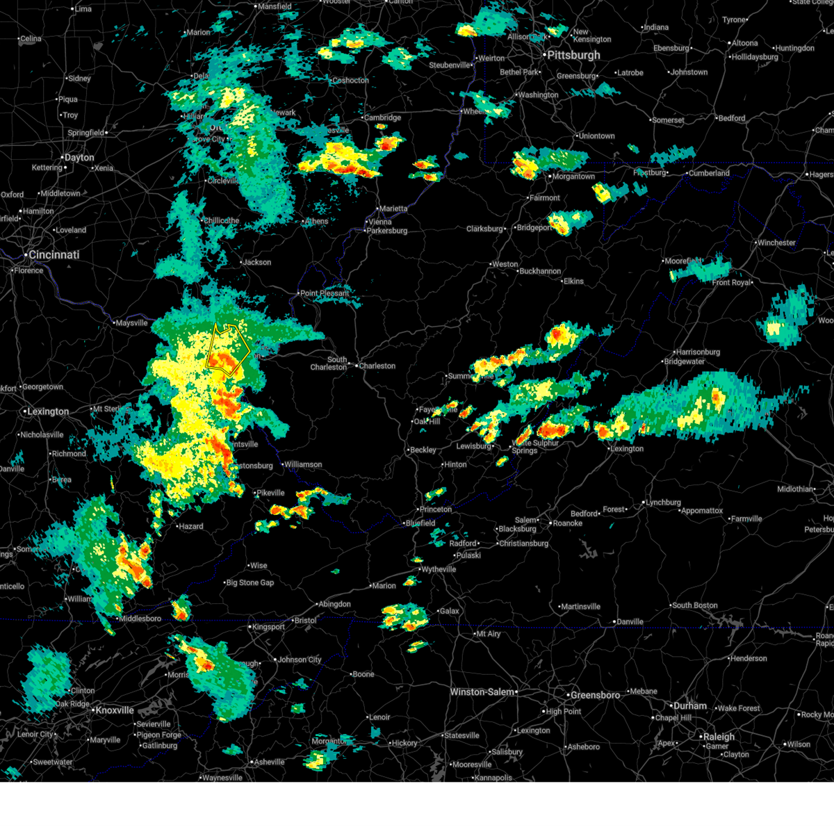
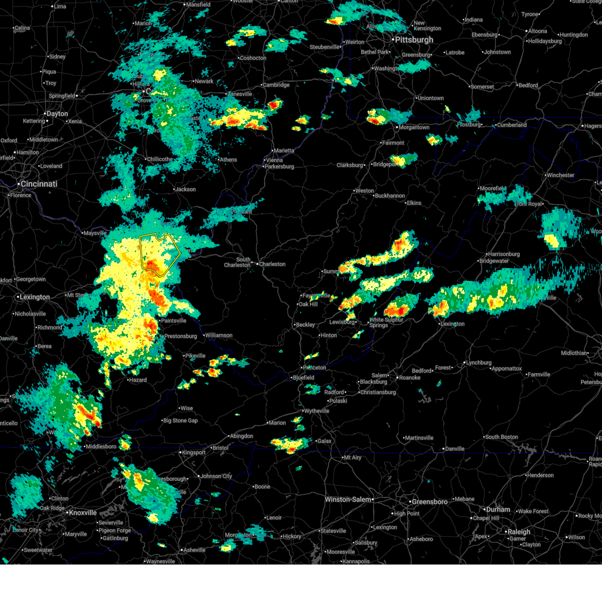
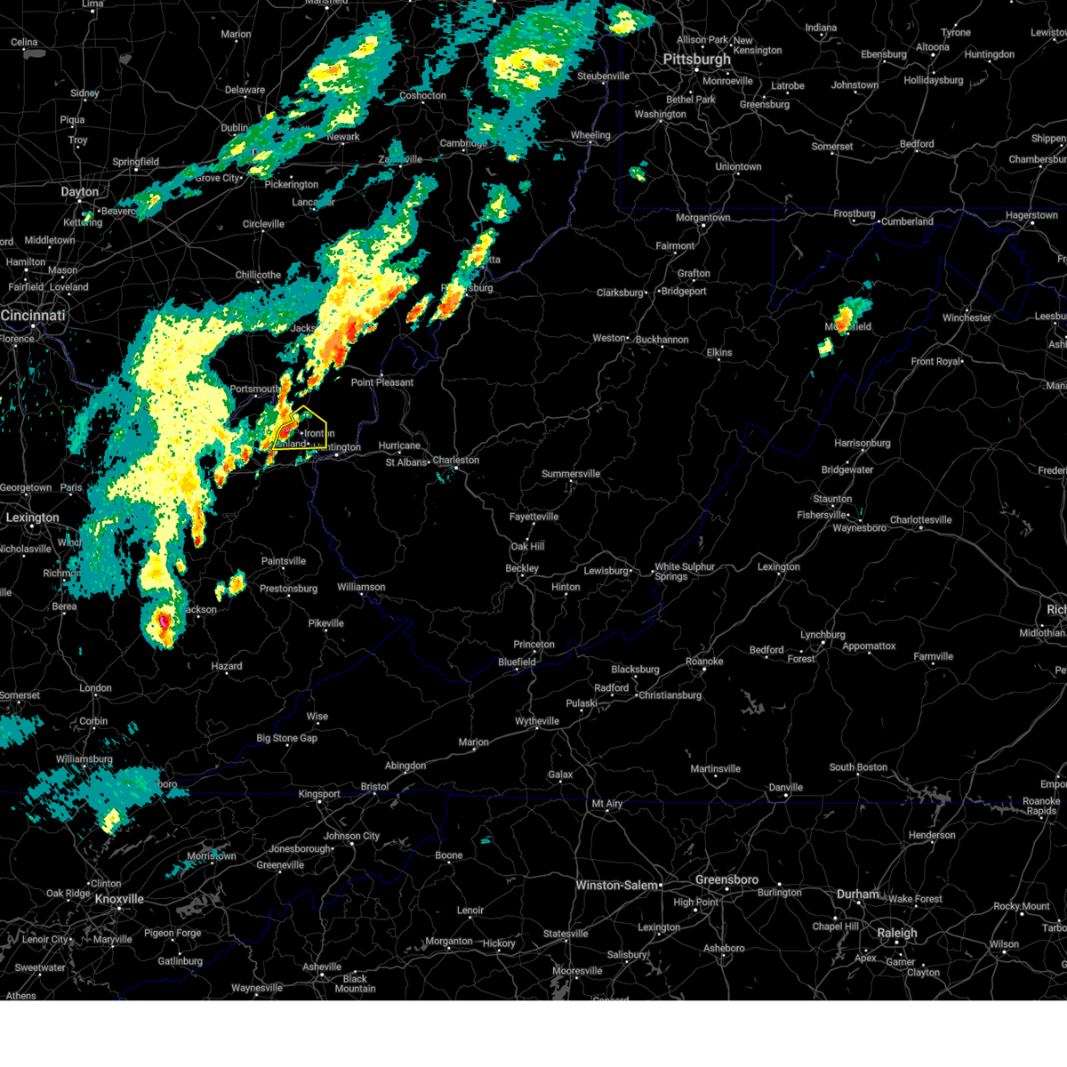
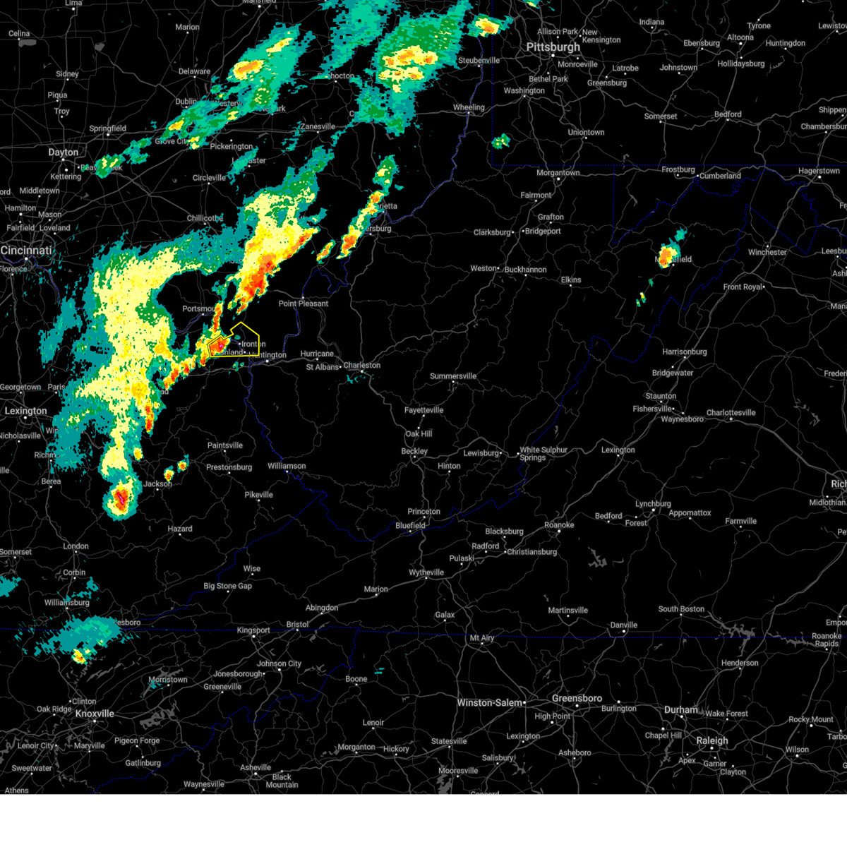
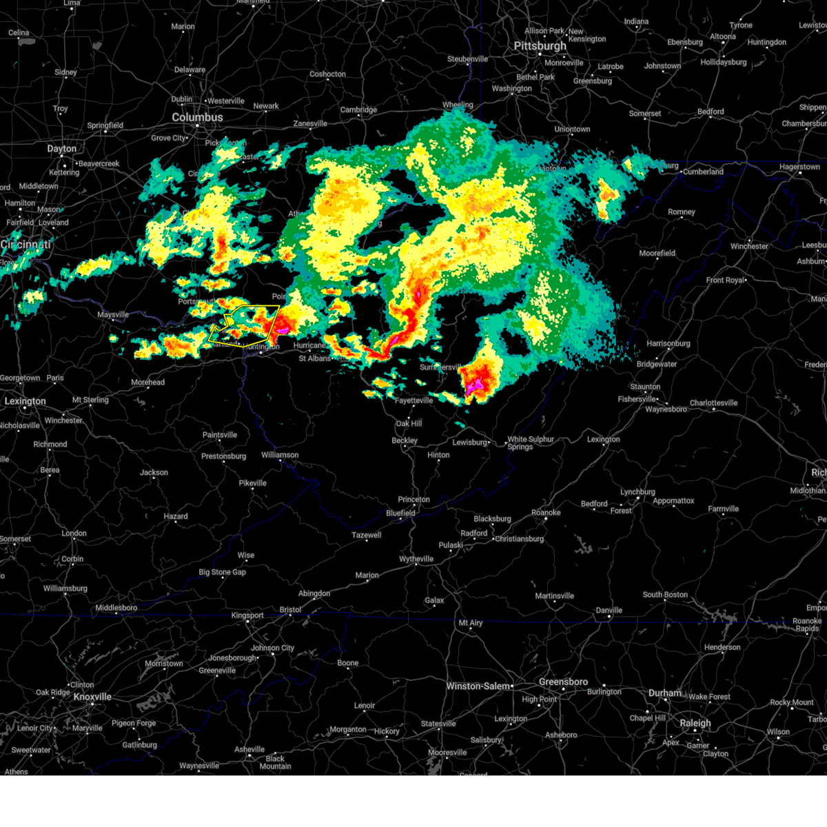
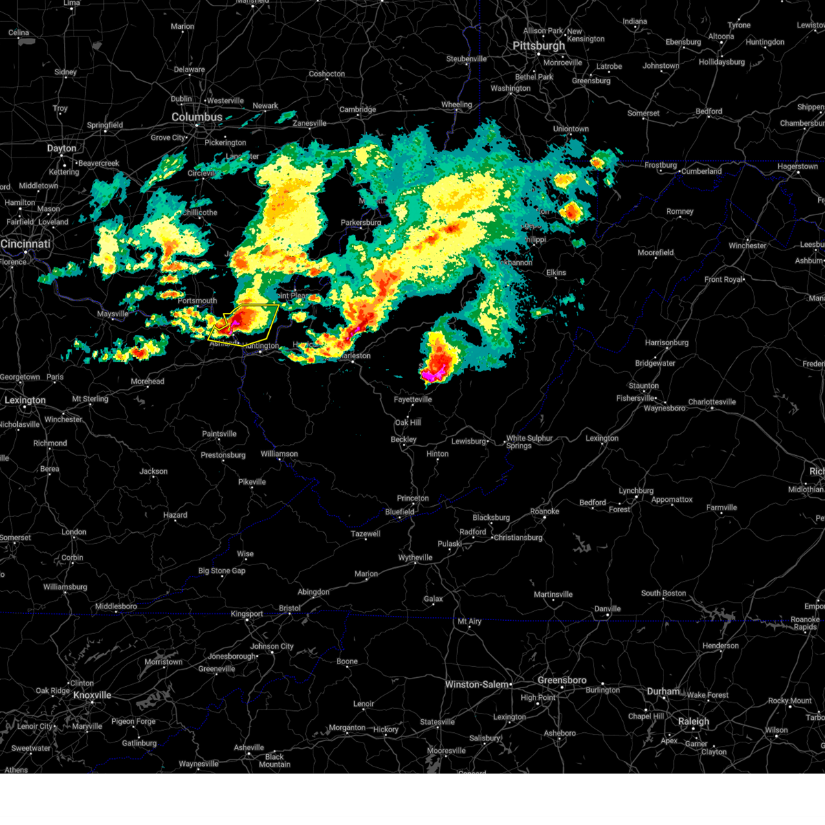
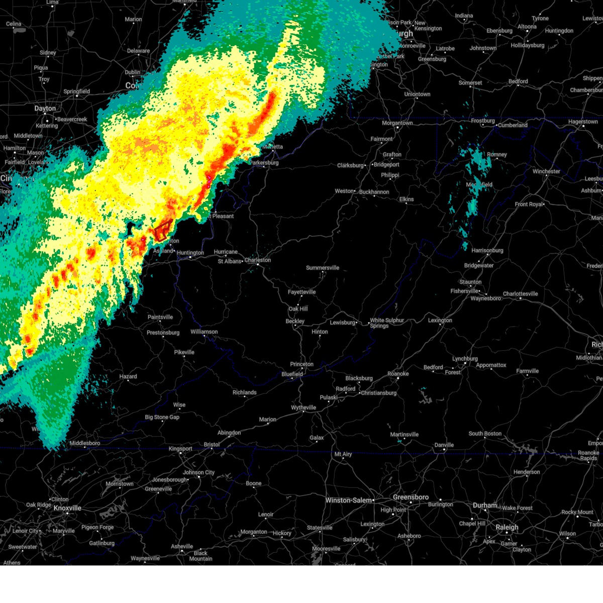
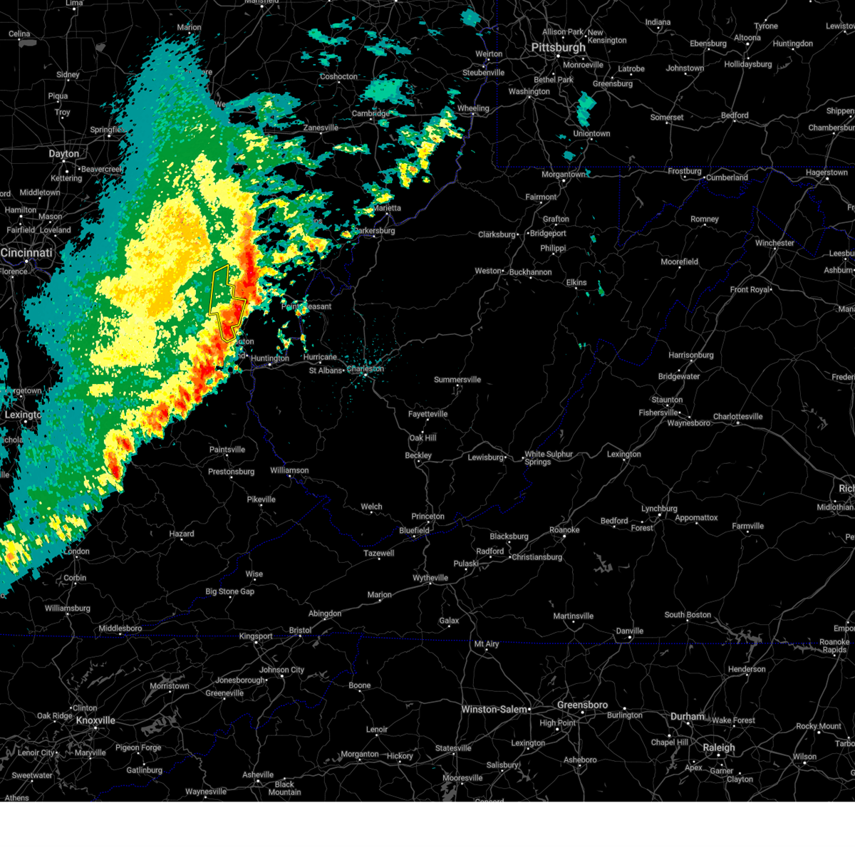
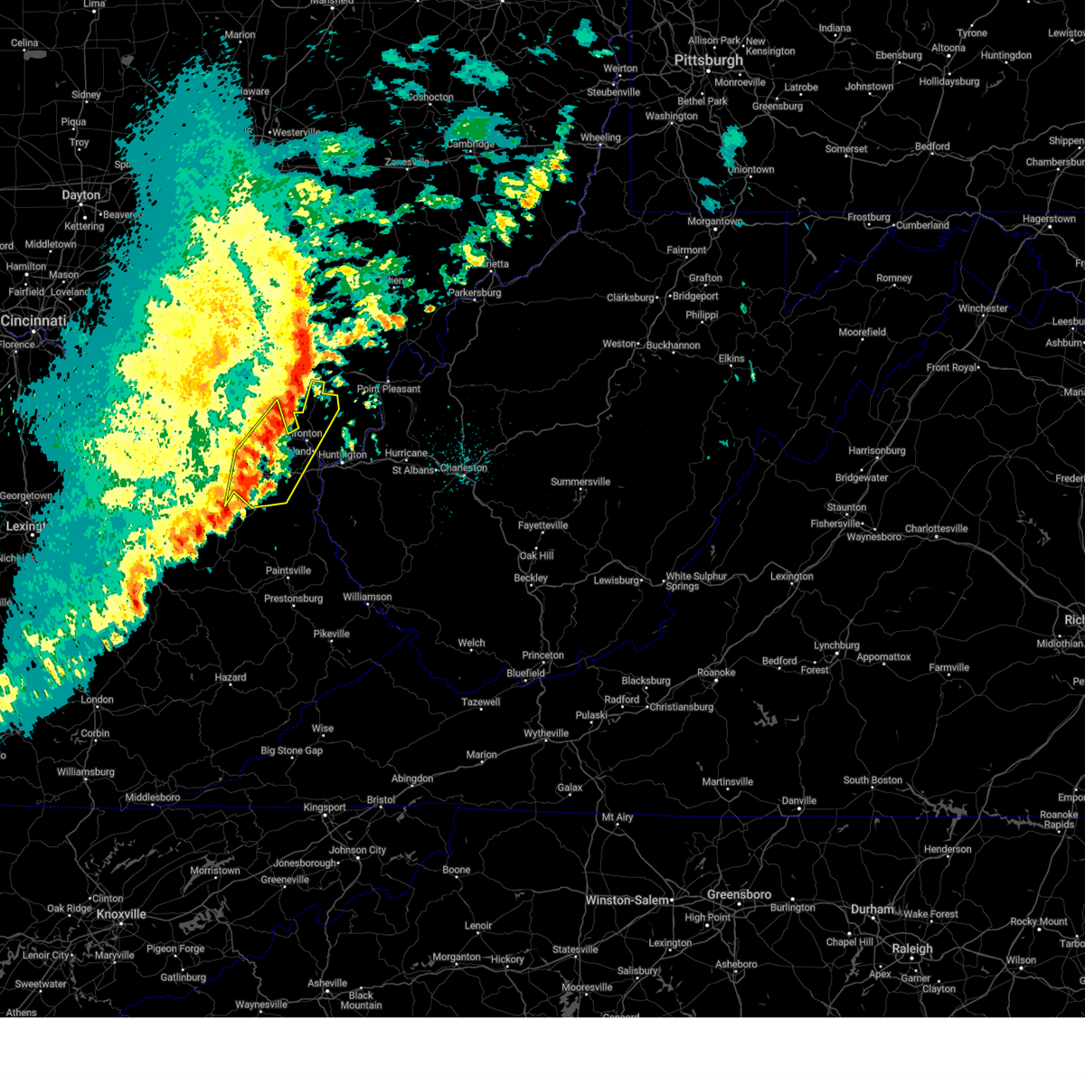
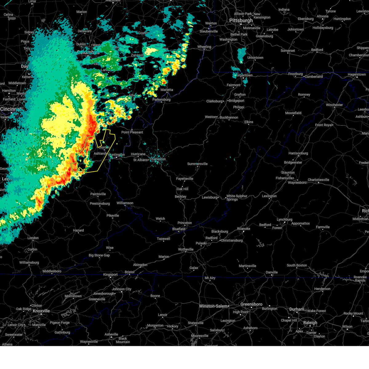
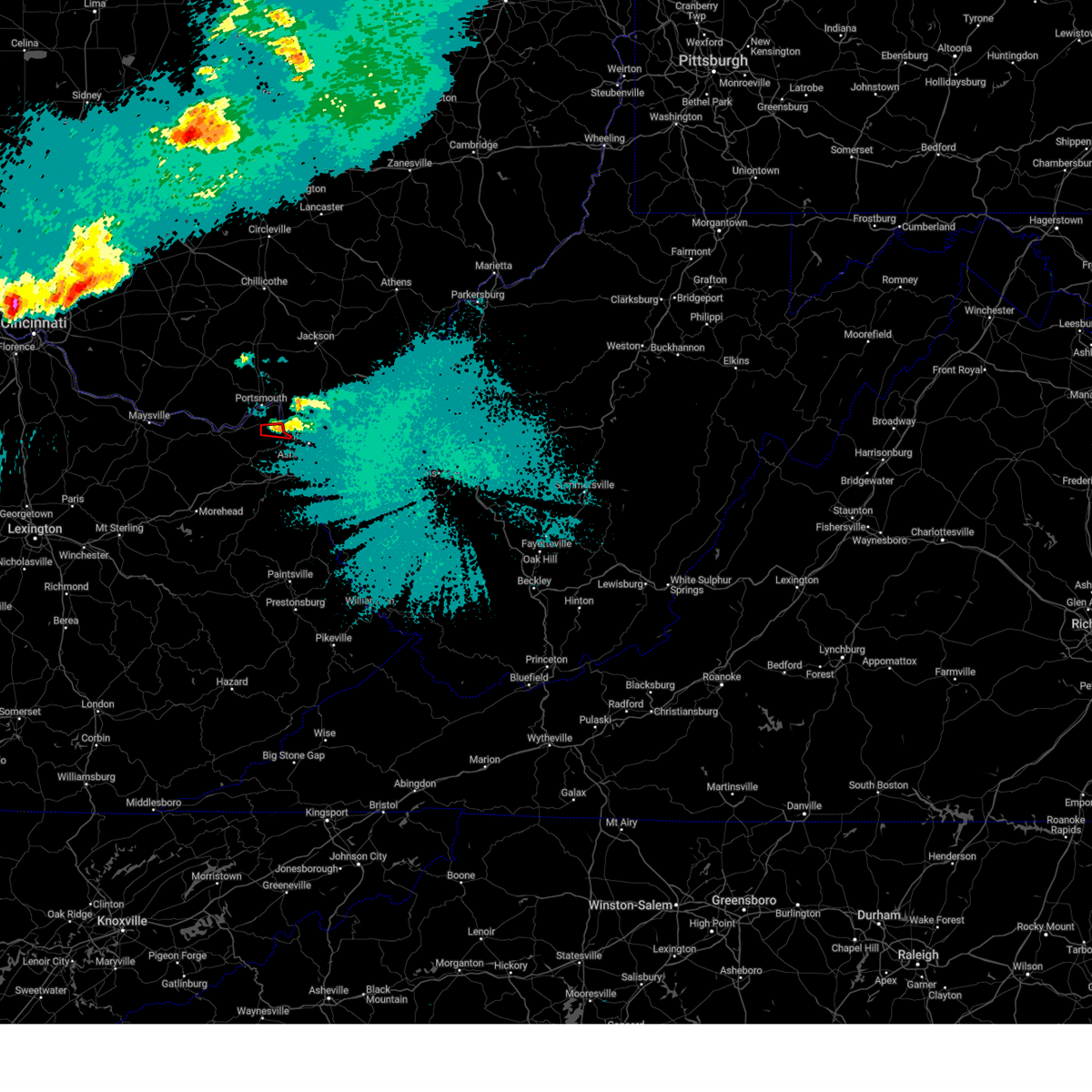
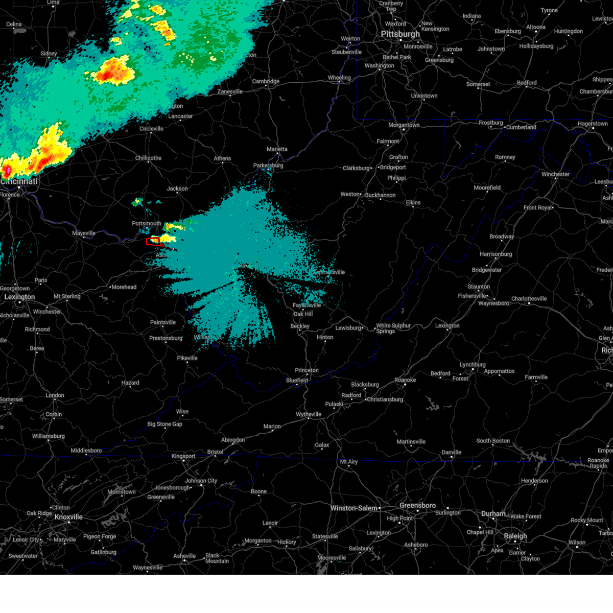
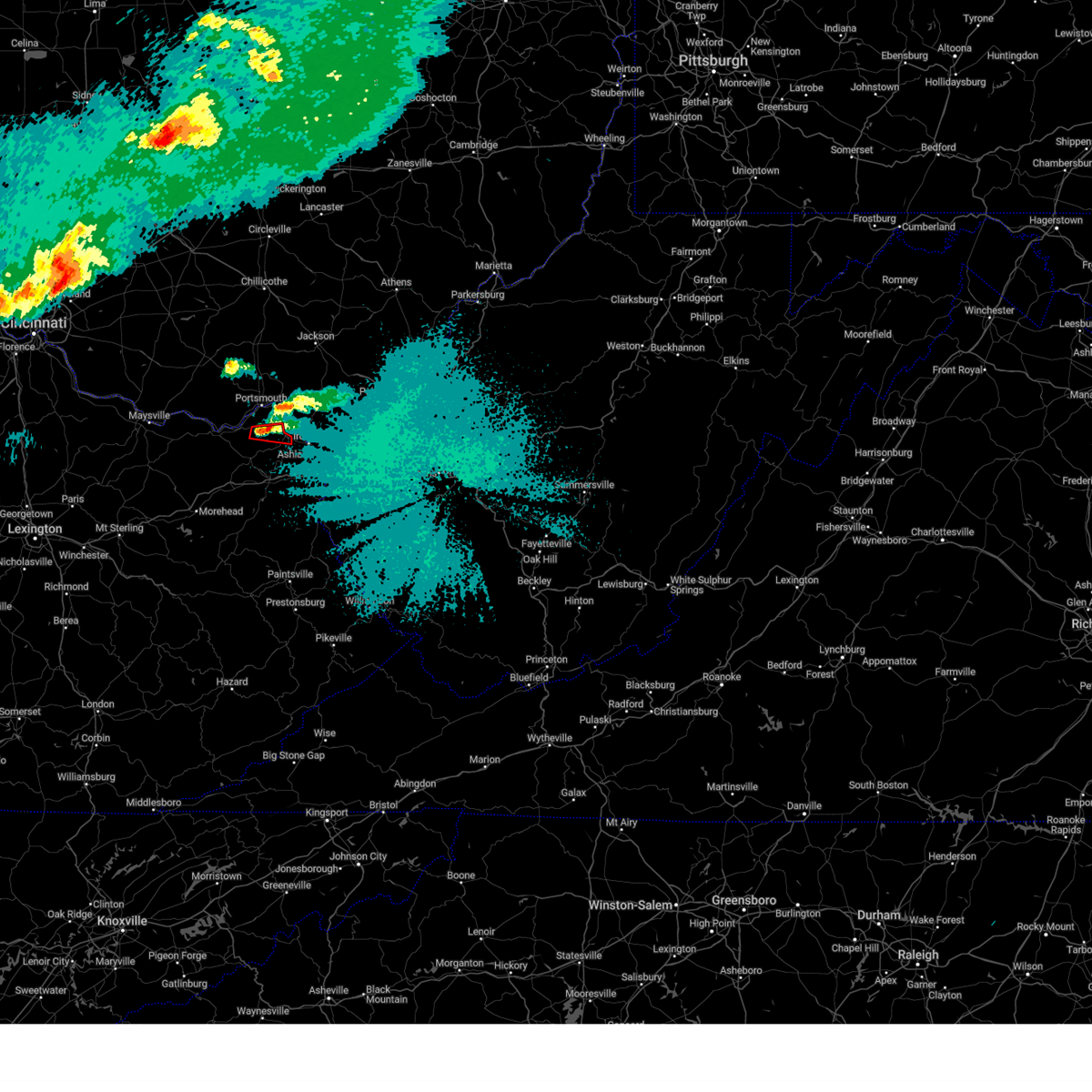
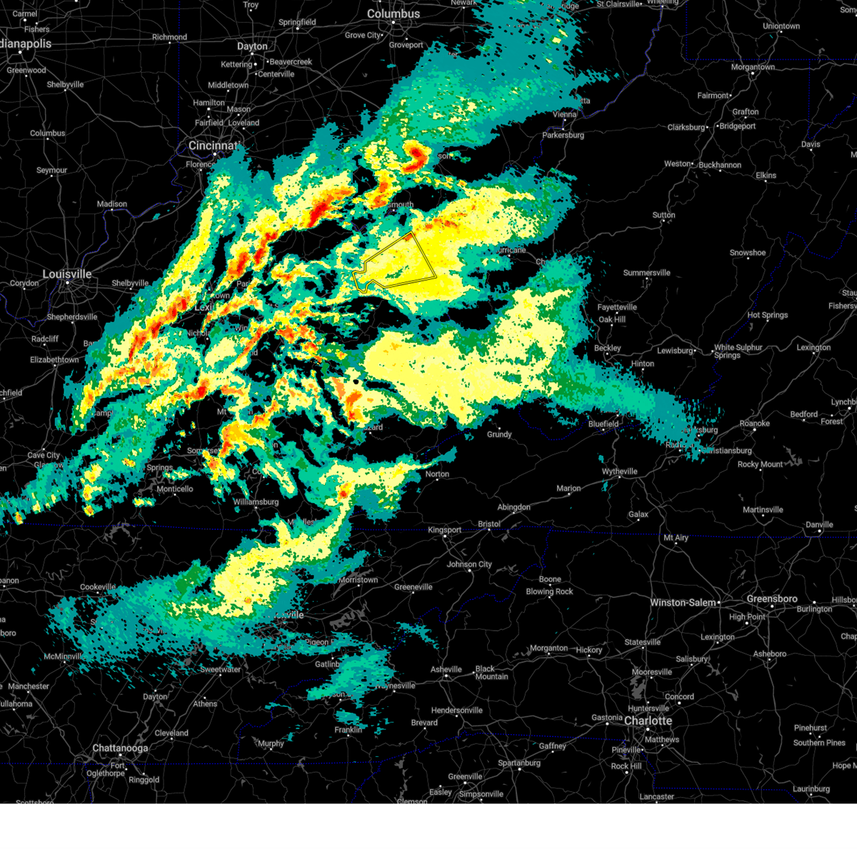
Hail Map for Greenup, KY
The Greenup, KY area has had 10 reports of on-the-ground hail by trained spotters, and has been under severe weather warnings 39 times during the past 12 months. Doppler radar has detected hail at or near Greenup, KY on 43 occasions, including 1 occasion during the past year.
| Name: | Greenup, KY |
| Where Located: | 66.5 miles WNW of Charleston, WV |
| Map: | Google Map for Greenup, KY |
| Population: | 1188 |
| Housing Units: | 507 |
| More Info: | Search Google for Greenup, KY |
3
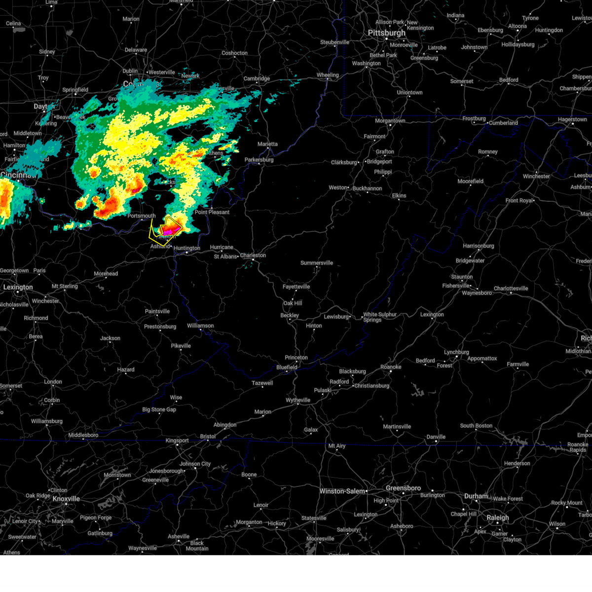
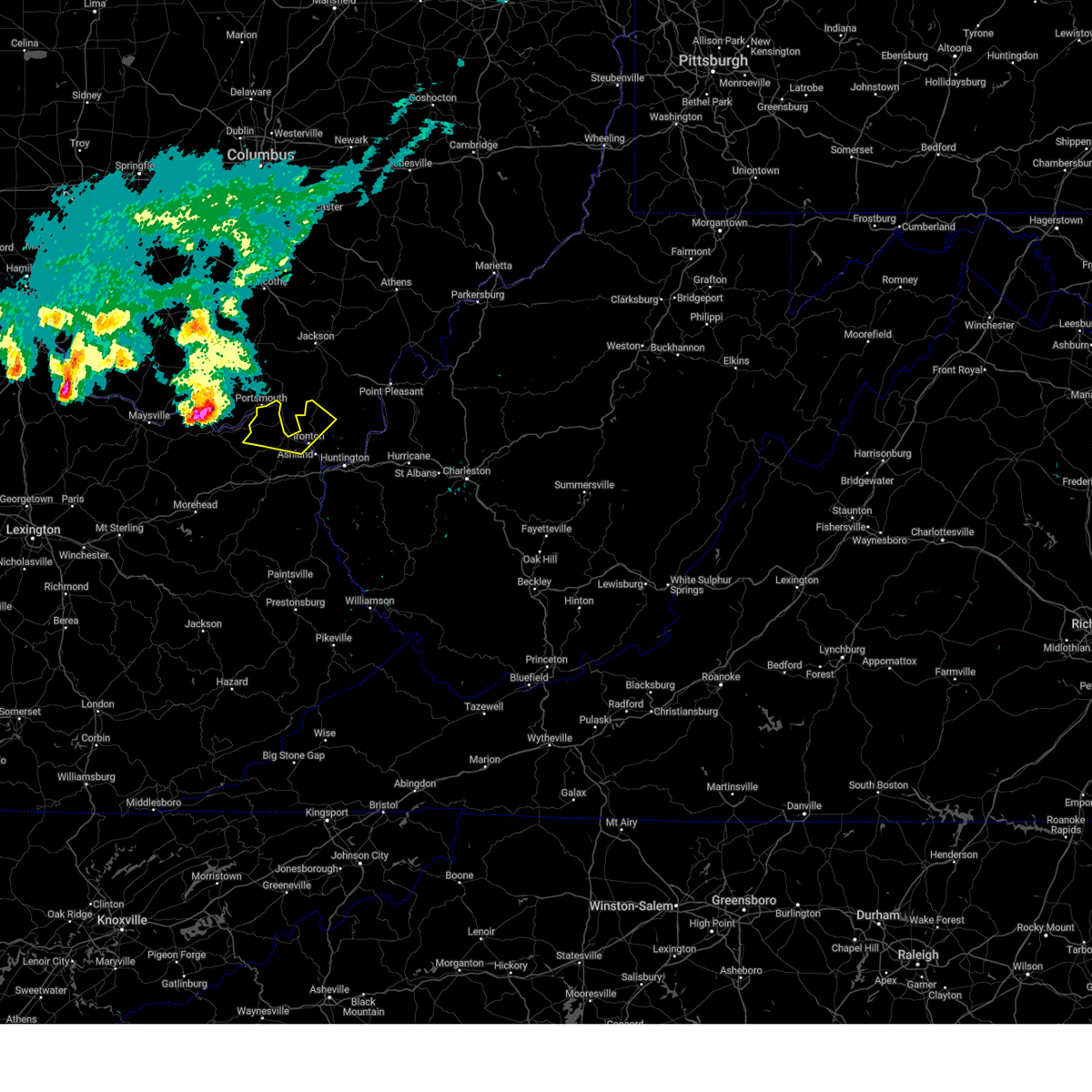
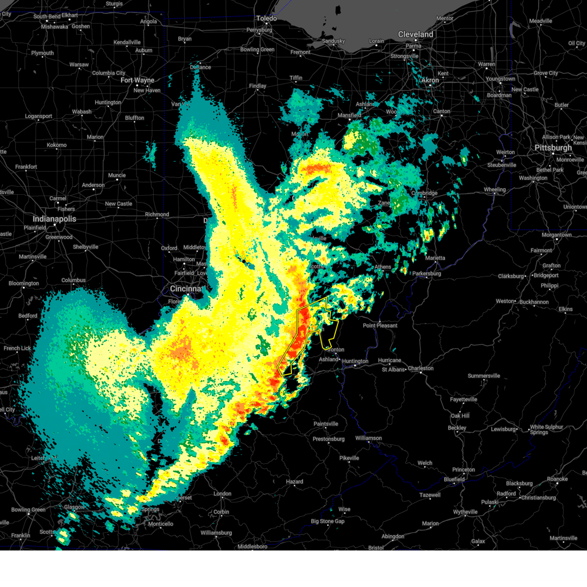
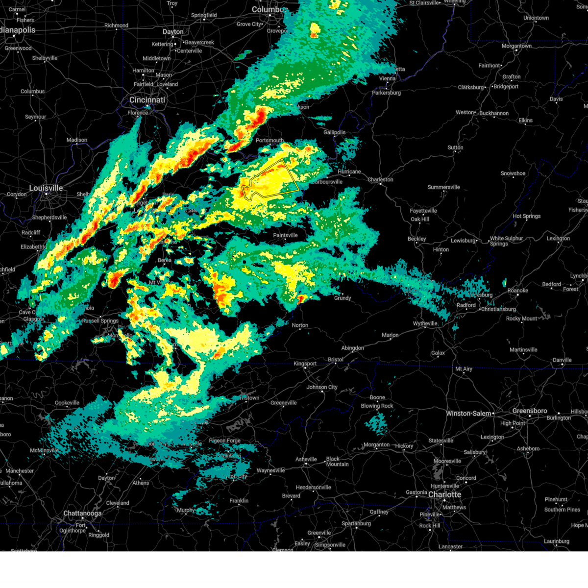
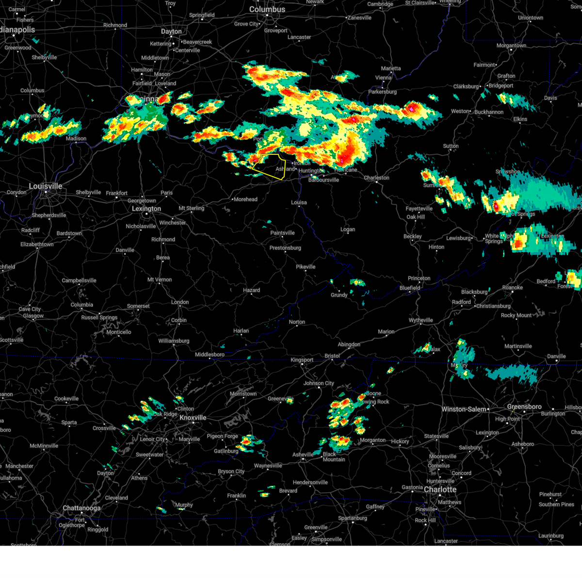
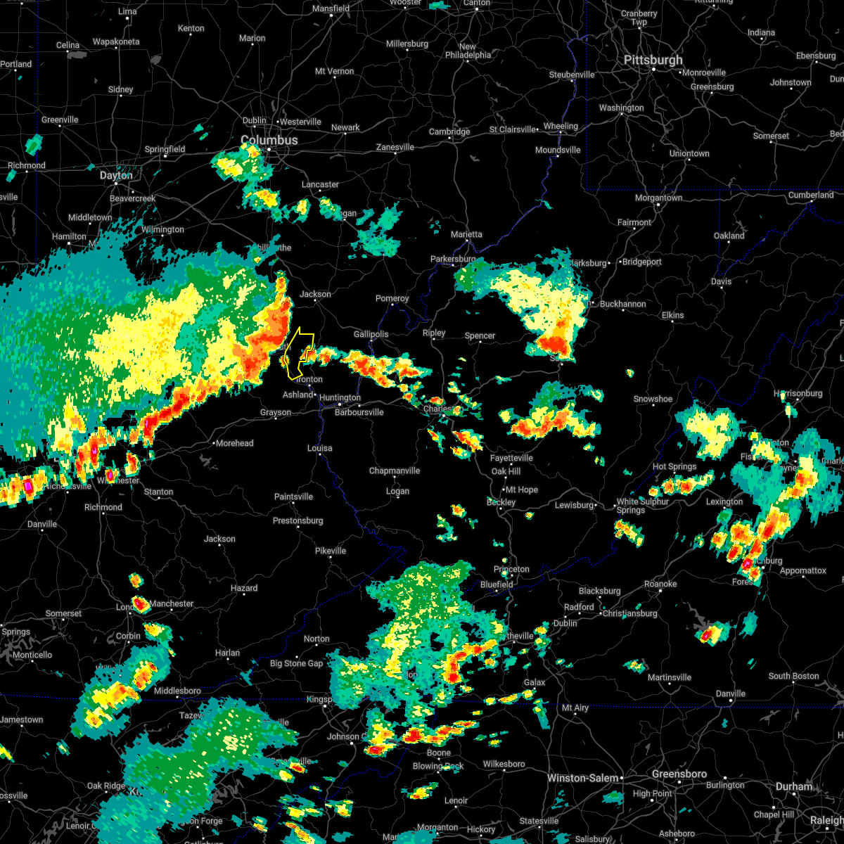
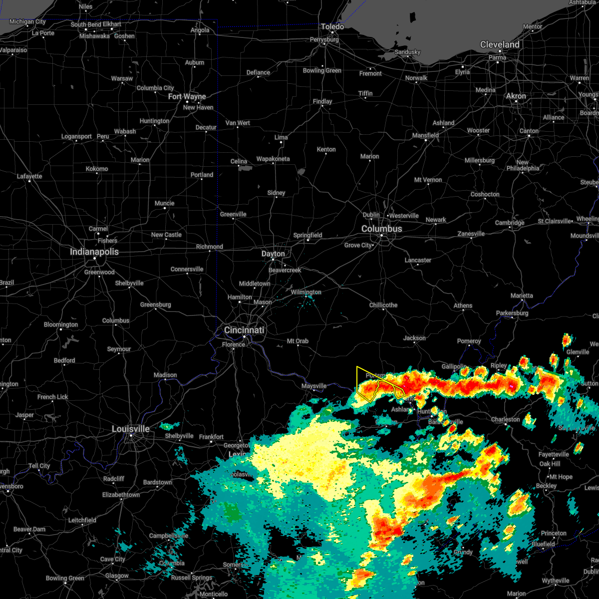
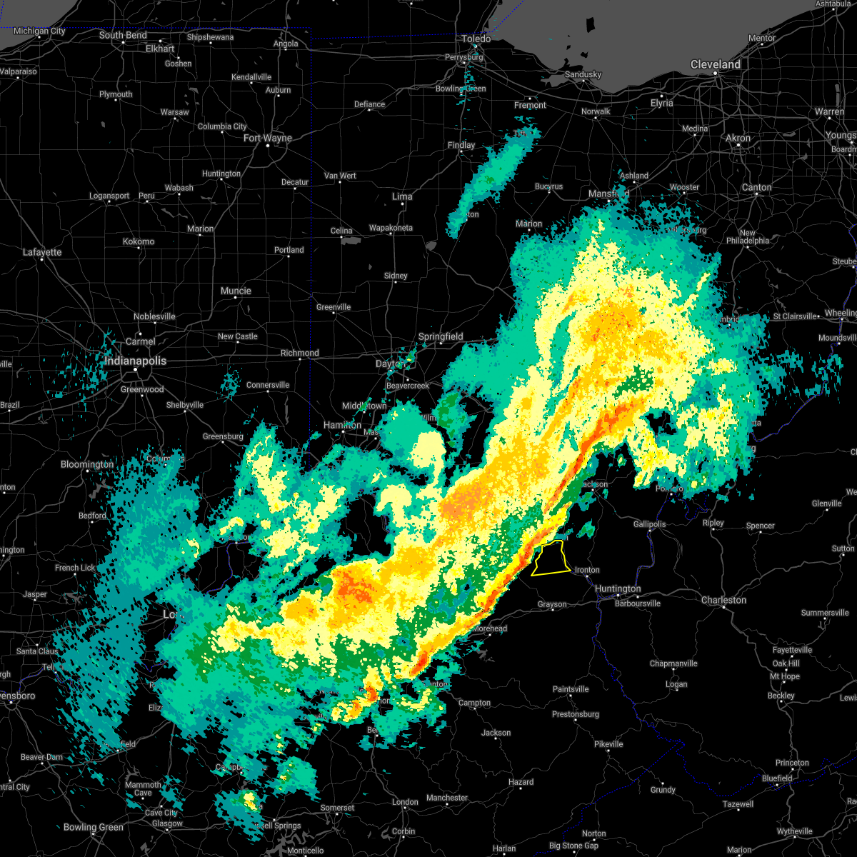
The Top Recent Hail Date for Greenup, KY is Monday, April 14, 2025 (4th out of 43)

Hail and Wind Damage Spotted near Greenup, KY
| Date / Time | Report Details |
|---|---|
| 6/13/2025 7:33 PM EDT |
 At 732 pm edt, severe thunderstorms were located along a line extending from oldtown to near naples to catlettsburg, moving north at 30 mph (radar indicated). Hazards include 60 mph wind gusts. Expect damage to roofs, siding, and trees. Locations impacted include, ashland, ironton, coal grove, cannonsburg, kenova, catlettsburg, greenup, oldtown, naples, flatwoods, south point, russell, raceland, worthington, wurtland, bellefonte, westwood, hanging rock, hopewell, and summit. At 732 pm edt, severe thunderstorms were located along a line extending from oldtown to near naples to catlettsburg, moving north at 30 mph (radar indicated). Hazards include 60 mph wind gusts. Expect damage to roofs, siding, and trees. Locations impacted include, ashland, ironton, coal grove, cannonsburg, kenova, catlettsburg, greenup, oldtown, naples, flatwoods, south point, russell, raceland, worthington, wurtland, bellefonte, westwood, hanging rock, hopewell, and summit.
|
| 6/13/2025 7:33 PM EDT |
 the severe thunderstorm warning has been cancelled and is no longer in effect the severe thunderstorm warning has been cancelled and is no longer in effect
|
| 6/13/2025 7:23 PM EDT |
 At 722 pm edt, severe thunderstorms were located along a line extending from near oldtown to naples to near cannonsburg, moving northeast at 30 mph (radar indicated). Hazards include 60 mph wind gusts. Expect damage to roofs, siding, and trees. Locations impacted include, ashland, ironton, grayson, coal grove, cannonsburg, kenova, catlettsburg, greenup, princess, coalton, oldtown, naples, rush, flatwoods, south point, russell, raceland, worthington, wurtland, and bellefonte. At 722 pm edt, severe thunderstorms were located along a line extending from near oldtown to naples to near cannonsburg, moving northeast at 30 mph (radar indicated). Hazards include 60 mph wind gusts. Expect damage to roofs, siding, and trees. Locations impacted include, ashland, ironton, grayson, coal grove, cannonsburg, kenova, catlettsburg, greenup, princess, coalton, oldtown, naples, rush, flatwoods, south point, russell, raceland, worthington, wurtland, and bellefonte.
|
| 6/13/2025 7:08 PM EDT |
 Svrrlx the national weather service in charleston west virginia has issued a * severe thunderstorm warning for, boyd county in northeastern kentucky, greenup county in northeastern kentucky, northeastern carter county in northeastern kentucky, southwestern lawrence county in southeastern ohio, * until 800 pm edt. * at 707 pm edt, severe thunderstorms were located along a line extending from near carter caves state park to near grayson to near denton, moving north at 30 mph (radar indicated). Hazards include 60 mph wind gusts. expect damage to roofs, siding, and trees Svrrlx the national weather service in charleston west virginia has issued a * severe thunderstorm warning for, boyd county in northeastern kentucky, greenup county in northeastern kentucky, northeastern carter county in northeastern kentucky, southwestern lawrence county in southeastern ohio, * until 800 pm edt. * at 707 pm edt, severe thunderstorms were located along a line extending from near carter caves state park to near grayson to near denton, moving north at 30 mph (radar indicated). Hazards include 60 mph wind gusts. expect damage to roofs, siding, and trees
|
| 6/9/2025 4:05 PM EDT |
 At 405 pm edt, a severe thunderstorm was located near ironton, moving east at 20 mph (radar indicated). Hazards include 60 mph wind gusts and quarter size hail. Hail damage to vehicles is expected. expect wind damage to roofs, siding, and trees. Locations impacted include, ashland, ironton, coal grove, lake vesuvius, flatwoods, russell, raceland, worthington, wurtland, bellefonte, westwood, hanging rock, and pedro. At 405 pm edt, a severe thunderstorm was located near ironton, moving east at 20 mph (radar indicated). Hazards include 60 mph wind gusts and quarter size hail. Hail damage to vehicles is expected. expect wind damage to roofs, siding, and trees. Locations impacted include, ashland, ironton, coal grove, lake vesuvius, flatwoods, russell, raceland, worthington, wurtland, bellefonte, westwood, hanging rock, and pedro.
|
| 6/9/2025 4:00 PM EDT | Tree down across the roadway. time estimated by rada in greenup county KY, 0.3 miles NNW of Greenup, KY |
| 6/9/2025 3:52 PM EDT |
 Svrrlx the national weather service in charleston west virginia has issued a * severe thunderstorm warning for, northeastern boyd county in northeastern kentucky, southeastern greenup county in northeastern kentucky, southwestern lawrence county in southeastern ohio, * until 445 pm edt. * at 352 pm edt, a severe thunderstorm was located near greenup, or 7 miles west of ironton, moving east at 20 mph (radar indicated). Hazards include 60 mph wind gusts and nickel size hail. expect damage to roofs, siding, and trees Svrrlx the national weather service in charleston west virginia has issued a * severe thunderstorm warning for, northeastern boyd county in northeastern kentucky, southeastern greenup county in northeastern kentucky, southwestern lawrence county in southeastern ohio, * until 445 pm edt. * at 352 pm edt, a severe thunderstorm was located near greenup, or 7 miles west of ironton, moving east at 20 mph (radar indicated). Hazards include 60 mph wind gusts and nickel size hail. expect damage to roofs, siding, and trees
|
| 4/14/2025 6:47 PM EDT |
 the severe thunderstorm warning has been cancelled and is no longer in effect the severe thunderstorm warning has been cancelled and is no longer in effect
|
| 4/14/2025 6:24 PM EDT |
 the severe thunderstorm warning has been cancelled and is no longer in effect the severe thunderstorm warning has been cancelled and is no longer in effect
|
| 4/14/2025 6:24 PM EDT |
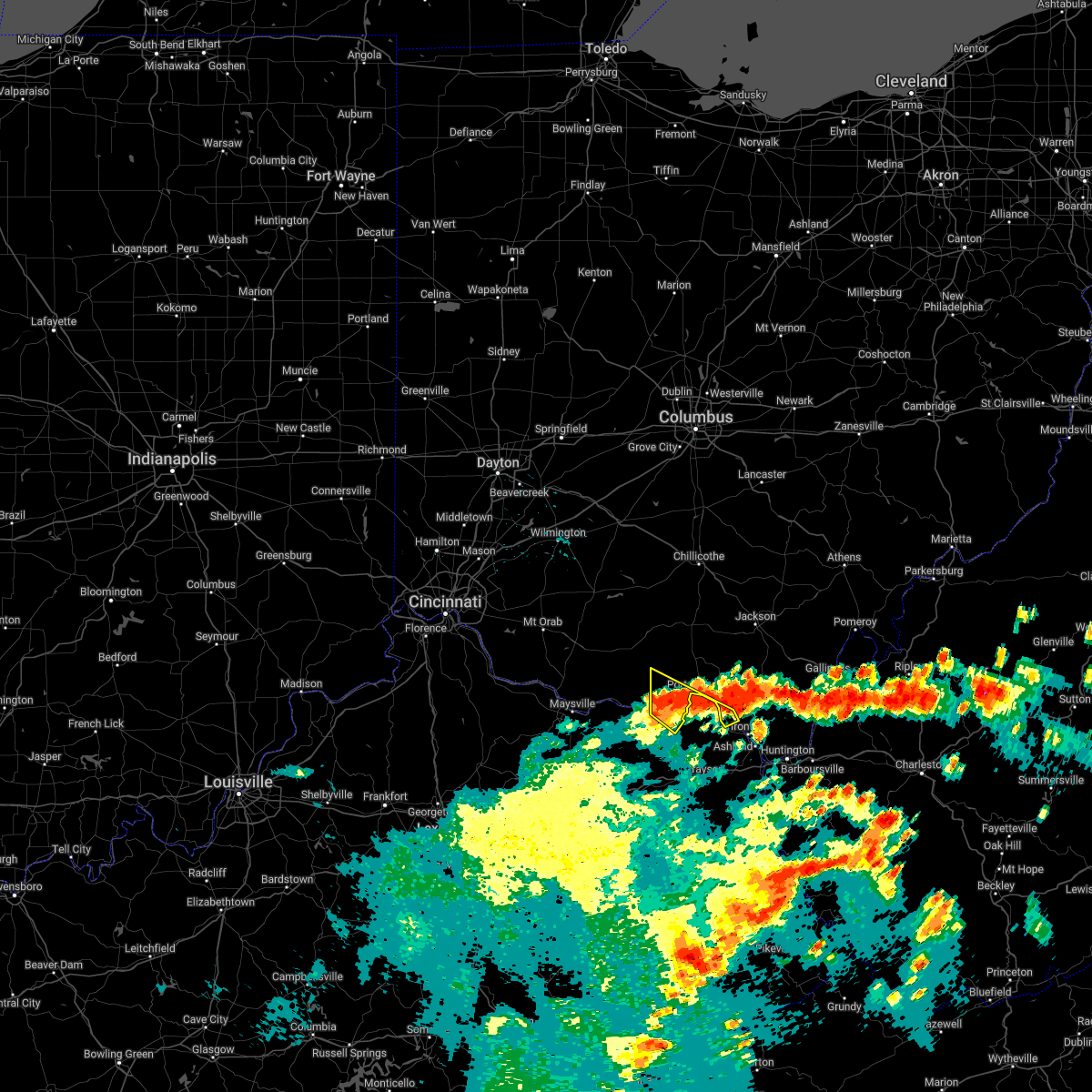
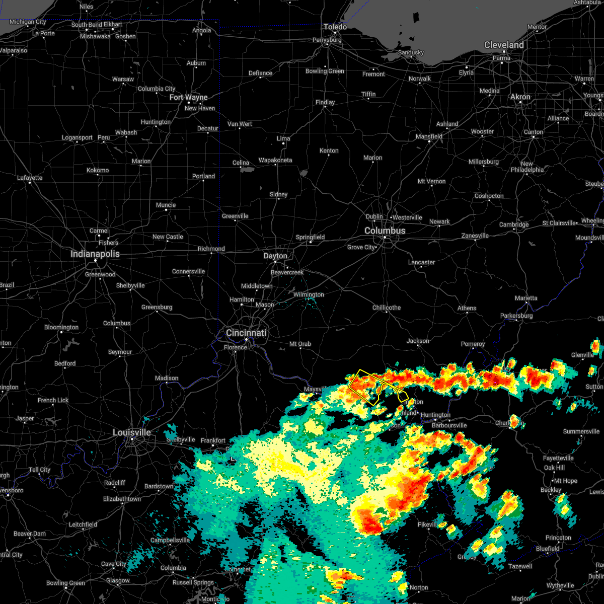
 At 624 pm edt, a severe thunderstorm was located over lake vesuvius, moving east at 70 mph (radar indicated). Hazards include 70 mph wind gusts and quarter size hail. Hail damage to vehicles is expected. expect considerable tree damage. wind damage is also likely to mobile homes, roofs, and outbuildings. Locations impacted include, lake vesuvius, flatwoods, scottown, waterloo, bellefonte, westwood, vernon, raceland, russell, ironton, greenbo lake, wurtland, worthington, coal grove, pedro, aid, hanging rock, greenup, and ashland. At 624 pm edt, a severe thunderstorm was located over lake vesuvius, moving east at 70 mph (radar indicated). Hazards include 70 mph wind gusts and quarter size hail. Hail damage to vehicles is expected. expect considerable tree damage. wind damage is also likely to mobile homes, roofs, and outbuildings. Locations impacted include, lake vesuvius, flatwoods, scottown, waterloo, bellefonte, westwood, vernon, raceland, russell, ironton, greenbo lake, wurtland, worthington, coal grove, pedro, aid, hanging rock, greenup, and ashland.
|
| 4/14/2025 6:10 PM EDT | Trees down... with one clipping corner of the house. times estimated based on rada in greenup county KY, 3.2 miles NW of Greenup, KY |
| 4/14/2025 5:57 PM EDT |
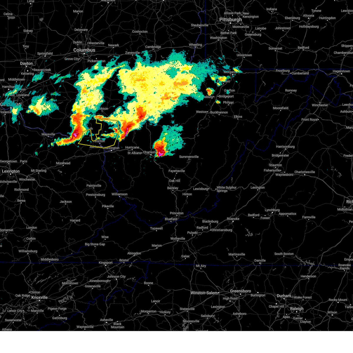 Svrrlx the national weather service in charleston west virginia has issued a * severe thunderstorm warning for, northeastern boyd county in northeastern kentucky, greenup county in northeastern kentucky, southwestern gallia county in southeastern ohio, southern jackson county in southeastern ohio, lawrence county in southeastern ohio, * until 700 pm edt. * at 555 pm edt, a severe thunderstorm was located 7 miles northeast of vanceburg, or 15 miles southwest of portsmouth, moving east at 55 mph (radar indicated). Hazards include 70 mph wind gusts and half dollar size hail. Hail damage to vehicles is expected. expect considerable tree damage. Wind damage is also likely to mobile homes, roofs, and outbuildings. Svrrlx the national weather service in charleston west virginia has issued a * severe thunderstorm warning for, northeastern boyd county in northeastern kentucky, greenup county in northeastern kentucky, southwestern gallia county in southeastern ohio, southern jackson county in southeastern ohio, lawrence county in southeastern ohio, * until 700 pm edt. * at 555 pm edt, a severe thunderstorm was located 7 miles northeast of vanceburg, or 15 miles southwest of portsmouth, moving east at 55 mph (radar indicated). Hazards include 70 mph wind gusts and half dollar size hail. Hail damage to vehicles is expected. expect considerable tree damage. Wind damage is also likely to mobile homes, roofs, and outbuildings.
|
| 4/14/2025 4:39 PM EDT |
 At 439 pm edt, a severe thunderstorm was located over lake vesuvius, moving east at 60 mph (radar indicated). Hazards include 60 mph wind gusts and quarter size hail. Hail damage to vehicles is expected. expect wind damage to roofs, siding, and trees. Locations impacted include, lake vesuvius, raceland, russell, ironton, wurtland, flatwoods, worthington, grays branch, pedro, hanging rock, vernon, and greenup. At 439 pm edt, a severe thunderstorm was located over lake vesuvius, moving east at 60 mph (radar indicated). Hazards include 60 mph wind gusts and quarter size hail. Hail damage to vehicles is expected. expect wind damage to roofs, siding, and trees. Locations impacted include, lake vesuvius, raceland, russell, ironton, wurtland, flatwoods, worthington, grays branch, pedro, hanging rock, vernon, and greenup.
|
| 4/14/2025 4:17 PM EDT | At 416 pm edt, a severe thunderstorm was located over letitia, or 7 miles southwest of portsmouth, moving east at 60 mph (radar indicated). Hazards include 60 mph wind gusts and quarter size hail. Hail damage to vehicles is expected. expect wind damage to roofs, siding, and trees. Locations impacted include, lake vesuvius, load, south shore, flatwoods, vernon, raceland, russell, ironton, wurtland, letitia, worthington, grays branch, pedro, south portsmouth, hanging rock, and greenup. |
| 4/14/2025 4:02 PM EDT |
 Svrrlx the national weather service in charleston west virginia has issued a * severe thunderstorm warning for, central greenup county in northeastern kentucky, northwestern lawrence county in southeastern ohio, * until 445 pm edt. * at 400 pm edt, a severe thunderstorm was located near rome, or 20 miles west of portsmouth, moving east at 60 mph (radar indicated). Hazards include 60 mph wind gusts and quarter size hail. Hail damage to vehicles is expected. Expect wind damage to roofs, siding, and trees. Svrrlx the national weather service in charleston west virginia has issued a * severe thunderstorm warning for, central greenup county in northeastern kentucky, northwestern lawrence county in southeastern ohio, * until 445 pm edt. * at 400 pm edt, a severe thunderstorm was located near rome, or 20 miles west of portsmouth, moving east at 60 mph (radar indicated). Hazards include 60 mph wind gusts and quarter size hail. Hail damage to vehicles is expected. Expect wind damage to roofs, siding, and trees.
|
| 4/3/2025 4:13 AM EDT | Svrrlx the national weather service in charleston west virginia has issued a * severe thunderstorm warning for, boyd county in northeastern kentucky, greenup county in northeastern kentucky, lawrence county in northeastern kentucky, carter county in northeastern kentucky, southern gallia county in southeastern ohio, lawrence county in southeastern ohio, southwestern mason county in western west virginia, cabell county in central west virginia, wayne county in western west virginia, * until 445 am edt. * at 412 am edt, severe thunderstorms were located along a line extending from near wheelersburg to wrigley, moving east at 60 mph (radar indicated). Hazards include 60 mph wind gusts. expect damage to roofs, siding, and trees |
| 4/3/2025 3:53 AM EDT | Svrrlx the national weather service in charleston west virginia has issued a * severe thunderstorm warning for, west central boyd county in northeastern kentucky, greenup county in northeastern kentucky, carter county in northeastern kentucky, west central lawrence county in southeastern ohio, * until 415 am edt. * at 352 am edt, severe thunderstorms were located along a line extending from rome to clearfield, moving northeast at 60 mph (radar indicated). Hazards include 60 mph wind gusts and penny size hail. expect damage to roofs, siding, and trees |
| 4/3/2025 3:40 AM EDT | The storm which prompted the warning has moved out of the area. therefore, the warning will be allowed to expire. a tornado watch remains in effect until 400 am edt for south central ohio. please report previous tornadoes, wind damage or hail to the national weather service by going to our website at weather.gov/iln and submitting your report via social media. |
| 4/3/2025 3:28 AM EDT | At 328 am edt, a severe thunderstorm was located near greenup, or 11 miles south of wheelersburg, moving northeast at 65 mph (radar indicated). Hazards include 60 mph wind gusts. Expect damage to roofs, siding, and trees. Locations impacted include, flatwoods, brushart, westwood, warnock, raceland, ironton, greenbo lake, oldtown, worthington, grays branch, coal grove, aid, greenup, lake vesuvius, load, hopewell, bellefonte, vernon, russell, and wurtland. |
| 4/3/2025 3:28 AM EDT | the severe thunderstorm warning has been cancelled and is no longer in effect |
| 4/3/2025 3:26 AM EDT |
 the tornado warning has been cancelled and is no longer in effect the tornado warning has been cancelled and is no longer in effect
|
| 4/3/2025 3:26 AM EDT |
 At 325 am edt, a severe thunderstorm capable of producing a tornado was located over load, or 12 miles south of wheelersburg, moving northeast at 60 mph (radar indicated rotation). Hazards include tornado. Flying debris will be dangerous to those caught without shelter. mobile homes will be damaged or destroyed. damage to roofs, windows, and vehicles will occur. tree damage is likely. this dangerous storm will be near, ironton, greenup, greenup, and franklin furnace around 330 am edt. lake vesuvius around 335 am edt. Other locations impacted by this tornadic thunderstorm include wurtland, worthington, grays branch, pedro, waterloo, hanging rock, vernon, warnock, raceland, and flatwoods. At 325 am edt, a severe thunderstorm capable of producing a tornado was located over load, or 12 miles south of wheelersburg, moving northeast at 60 mph (radar indicated rotation). Hazards include tornado. Flying debris will be dangerous to those caught without shelter. mobile homes will be damaged or destroyed. damage to roofs, windows, and vehicles will occur. tree damage is likely. this dangerous storm will be near, ironton, greenup, greenup, and franklin furnace around 330 am edt. lake vesuvius around 335 am edt. Other locations impacted by this tornadic thunderstorm include wurtland, worthington, grays branch, pedro, waterloo, hanging rock, vernon, warnock, raceland, and flatwoods.
|
| 4/3/2025 3:20 AM EDT |
 Toriln the national weather service in wilmington has issued a * tornado warning for, southeastern scioto county in south central ohio, * until 345 am edt. * at 319 am edt, a severe thunderstorm capable of producing a tornado was located over load, moving northeast at 55 mph (radar indicated rotation). Hazards include tornado and quarter size hail. Flying debris will be dangerous to those caught without shelter. mobile homes will be damaged or destroyed. damage to roofs, windows, and vehicles will occur. Tree damage is likely. Toriln the national weather service in wilmington has issued a * tornado warning for, southeastern scioto county in south central ohio, * until 345 am edt. * at 319 am edt, a severe thunderstorm capable of producing a tornado was located over load, moving northeast at 55 mph (radar indicated rotation). Hazards include tornado and quarter size hail. Flying debris will be dangerous to those caught without shelter. mobile homes will be damaged or destroyed. damage to roofs, windows, and vehicles will occur. Tree damage is likely.
|
| 4/3/2025 3:16 AM EDT | Torrlx the national weather service in charleston west virginia has issued a * tornado warning for, greenup county in northeastern kentucky, north central carter county in northeastern kentucky, southwestern gallia county in southeastern ohio, central lawrence county in southeastern ohio, * until 345 am edt. * at 316 am edt, a severe thunderstorm capable of producing a tornado was located near gesling, or 8 miles north of carter caves state park, moving northeast at 60 mph (radar indicated rotation). Hazards include tornado. Flying debris will be dangerous to those caught without shelter. mobile homes will be damaged or destroyed. damage to roofs, windows, and vehicles will occur. tree damage is likely. this dangerous storm will be near, load, letitia, greenbo lake, and greenup around 320 am edt. greenup and franklin furnace around 325 am edt. ironton around 330 am edt. lake vesuvius around 335 am edt. Other locations impacted by this tornadic thunderstorm include flatwoods, brushart, waterloo, carter, vernon, warnock, raceland, wurtland, worthington, and grays branch. |
| 4/3/2025 3:06 AM EDT | Svrrlx the national weather service in charleston west virginia has issued a * severe thunderstorm warning for, north central boyd county in northeastern kentucky, greenup county in northeastern kentucky, northwestern carter county in northeastern kentucky, west central gallia county in southeastern ohio, lawrence county in southeastern ohio, * until 345 am edt. * at 305 am edt, a severe thunderstorm was located near camp dix, or 7 miles northwest of carter caves state park, moving northeast at 65 mph (radar indicated). Hazards include 60 mph wind gusts. expect damage to roofs, siding, and trees |
| 3/31/2025 12:42 AM EDT |
 The storms which prompted the warning have moved out of the area. therefore, the warning will be allowed to expire. however, gusty winds are still possible with these thunderstorms. a tornado watch remains in effect until 100 am edt for south central ohio. please report previous wind damage or hail to the national weather service by going to our website at weather.gov/iln and submitting your report via social media. The storms which prompted the warning have moved out of the area. therefore, the warning will be allowed to expire. however, gusty winds are still possible with these thunderstorms. a tornado watch remains in effect until 100 am edt for south central ohio. please report previous wind damage or hail to the national weather service by going to our website at weather.gov/iln and submitting your report via social media.
|
| 1/1/0001 12:00 AM | Tree on power lin in greenup county KY, 2.6 miles E of Greenup, KY |
| 3/31/2025 12:35 AM EDT |
 At 1234 am edt, severe thunderstorms were located along a line extending from near south webster to near olive hill, moving east at 55 mph (radar indicated). Hazards include 60 mph wind gusts. Expect damage to roofs, siding, and trees. Locations impacted include, princess, flatwoods, coalton, brushart, denton, summit, waterloo, carter, westwood, hitchins, warnock, gesling, raceland, ironton, greenbo lake, oldtown, naples, worthington, grays branch, and coal grove. At 1234 am edt, severe thunderstorms were located along a line extending from near south webster to near olive hill, moving east at 55 mph (radar indicated). Hazards include 60 mph wind gusts. Expect damage to roofs, siding, and trees. Locations impacted include, princess, flatwoods, coalton, brushart, denton, summit, waterloo, carter, westwood, hitchins, warnock, gesling, raceland, ironton, greenbo lake, oldtown, naples, worthington, grays branch, and coal grove.
|
| 3/31/2025 12:30 AM EDT |
 At 1225 am edt, severe thunderstorms were located along a line extending from 8 miles southwest of jackson to near wheelersburg to near olive hill, moving east at 45 mph (radar indicated). Hazards include 60 mph wind gusts and quarter size hail. Minor hail damage to vehicles is possible. expect wind damage to trees and power lines. Locations impacted include, stockdale, clarktown, minford, haverhill, state route 335 at state route 776, powellsville, wheelersburg, portsmouth regional airport, sciotodale, lyra, beaver, south webster, franklin furnace, portsmouth, germany, new boston, and rosemount. At 1225 am edt, severe thunderstorms were located along a line extending from 8 miles southwest of jackson to near wheelersburg to near olive hill, moving east at 45 mph (radar indicated). Hazards include 60 mph wind gusts and quarter size hail. Minor hail damage to vehicles is possible. expect wind damage to trees and power lines. Locations impacted include, stockdale, clarktown, minford, haverhill, state route 335 at state route 776, powellsville, wheelersburg, portsmouth regional airport, sciotodale, lyra, beaver, south webster, franklin furnace, portsmouth, germany, new boston, and rosemount.
|
| 3/31/2025 12:30 AM EDT |
 the severe thunderstorm warning has been cancelled and is no longer in effect the severe thunderstorm warning has been cancelled and is no longer in effect
|
| 3/31/2025 12:18 AM EDT |
 Svrrlx the national weather service in charleston west virginia has issued a * severe thunderstorm warning for, western boyd county in northeastern kentucky, greenup county in northeastern kentucky, carter county in northeastern kentucky, western lawrence county in southeastern ohio, * until 1245 am edt. * at 1217 am edt, severe thunderstorms were located along a line extending from near south shore to christy, moving east at 55 mph (radar indicated). Hazards include 60 mph wind gusts. expect damage to roofs, siding, and trees Svrrlx the national weather service in charleston west virginia has issued a * severe thunderstorm warning for, western boyd county in northeastern kentucky, greenup county in northeastern kentucky, carter county in northeastern kentucky, western lawrence county in southeastern ohio, * until 1245 am edt. * at 1217 am edt, severe thunderstorms were located along a line extending from near south shore to christy, moving east at 55 mph (radar indicated). Hazards include 60 mph wind gusts. expect damage to roofs, siding, and trees
|
| 3/31/2025 12:12 AM EDT |
 At 1211 am edt, severe thunderstorms were located along a line extending from near lucasville to near south shore to gates, moving east at 50 mph (radar indicated). Hazards include 60 mph wind gusts and quarter size hail. Minor hail damage to vehicles is possible. expect wind damage to trees and power lines. Locations impacted include, wakefield, head of grassy, rosemount, clarktown, saint paul, minford, new boston, friendship, mcdermott, camp dix, lucasville, bear creek, beaver, rexton, franklin furnace, lombardsville, stockdale, firebrick, harris, and haverhill. At 1211 am edt, severe thunderstorms were located along a line extending from near lucasville to near south shore to gates, moving east at 50 mph (radar indicated). Hazards include 60 mph wind gusts and quarter size hail. Minor hail damage to vehicles is possible. expect wind damage to trees and power lines. Locations impacted include, wakefield, head of grassy, rosemount, clarktown, saint paul, minford, new boston, friendship, mcdermott, camp dix, lucasville, bear creek, beaver, rexton, franklin furnace, lombardsville, stockdale, firebrick, harris, and haverhill.
|
| 3/30/2025 11:51 PM EDT | Svriln the national weather service in wilmington has issued a * severe thunderstorm warning for, eastern lewis county in northeastern kentucky, southeastern pike county in south central ohio, scioto county in south central ohio, * until 1245 am edt. * at 1149 pm edt, severe thunderstorms were located along a line extending from near peebles to near rome to peasticks, moving east at 50 mph (radar indicated). Hazards include 60 mph wind gusts and quarter size hail. Minor hail damage to vehicles is possible. Expect wind damage to trees and power lines. |
| 9/27/2024 3:31 PM EDT |
 At 331 pm edt, a severe thunderstorm was located 7 miles southeast of south webster, or 9 miles south of oak hill, moving northwest at 20 mph (radar indicated). Hazards include 60 mph wind gusts. Expect damage to roofs, siding, and trees. Locations impacted include, jackson, oak hill, greenup, gallia, vernon, wurtland, mabee, grays branch, pedro, and centerpoint. At 331 pm edt, a severe thunderstorm was located 7 miles southeast of south webster, or 9 miles south of oak hill, moving northwest at 20 mph (radar indicated). Hazards include 60 mph wind gusts. Expect damage to roofs, siding, and trees. Locations impacted include, jackson, oak hill, greenup, gallia, vernon, wurtland, mabee, grays branch, pedro, and centerpoint.
|
| 9/27/2024 3:13 PM EDT |
 Svriln the national weather service in wilmington has issued a * severe thunderstorm warning for, pike county in south central ohio, scioto county in south central ohio, southeastern ross county in south central ohio, * until 400 pm edt. * at 312 pm edt, a severe thunderstorm was located 7 miles north of lake vesuvius, moving northwest at 30 mph (radar indicated). Hazards include 70 mph wind gusts. Expect considerable tree damage. Damage is likely to mobile homes, roofs, and outbuildings. Svriln the national weather service in wilmington has issued a * severe thunderstorm warning for, pike county in south central ohio, scioto county in south central ohio, southeastern ross county in south central ohio, * until 400 pm edt. * at 312 pm edt, a severe thunderstorm was located 7 miles north of lake vesuvius, moving northwest at 30 mph (radar indicated). Hazards include 70 mph wind gusts. Expect considerable tree damage. Damage is likely to mobile homes, roofs, and outbuildings.
|
| 9/27/2024 3:11 PM EDT |
 Svrrlx the national weather service in charleston west virginia has issued a * severe thunderstorm warning for, northeastern greenup county in northeastern kentucky, western gallia county in southeastern ohio, southern jackson county in southeastern ohio, central lawrence county in southeastern ohio, * until 400 pm edt. * at 310 pm edt, a severe thunderstorm was located near lake vesuvius, moving northwest at 20 mph (radar indicated). Hazards include 60 mph wind gusts. expect damage to roofs, siding, and trees Svrrlx the national weather service in charleston west virginia has issued a * severe thunderstorm warning for, northeastern greenup county in northeastern kentucky, western gallia county in southeastern ohio, southern jackson county in southeastern ohio, central lawrence county in southeastern ohio, * until 400 pm edt. * at 310 pm edt, a severe thunderstorm was located near lake vesuvius, moving northwest at 20 mph (radar indicated). Hazards include 60 mph wind gusts. expect damage to roofs, siding, and trees
|
| 9/27/2024 2:47 PM EDT |
 At 246 pm edt, a severe thunderstorm was located over ironton, moving northwest at 25 mph (radar indicated). Hazards include 70 mph wind gusts. Expect considerable tree damage. damage is likely to mobile homes, roofs, and outbuildings. Locations impacted include, ashland, ironton, coal grove, lake vesuvius, catlettsburg, flatwoods, russell, vernon, waterloo, raceland, worthington, wurtland, bellefonte, aid, westwood, crown city, athalia, hanging rock, scottown, and gage. At 246 pm edt, a severe thunderstorm was located over ironton, moving northwest at 25 mph (radar indicated). Hazards include 70 mph wind gusts. Expect considerable tree damage. damage is likely to mobile homes, roofs, and outbuildings. Locations impacted include, ashland, ironton, coal grove, lake vesuvius, catlettsburg, flatwoods, russell, vernon, waterloo, raceland, worthington, wurtland, bellefonte, aid, westwood, crown city, athalia, hanging rock, scottown, and gage.
|
| 9/27/2024 2:47 PM EDT |
 the severe thunderstorm warning has been cancelled and is no longer in effect the severe thunderstorm warning has been cancelled and is no longer in effect
|
| 9/27/2024 2:24 PM EDT |
 Svrrlx the national weather service in charleston west virginia has issued a * severe thunderstorm warning for, northeastern boyd county in northeastern kentucky, northeastern greenup county in northeastern kentucky, southwestern gallia county in southeastern ohio, lawrence county in southeastern ohio, northwestern cabell county in central west virginia, northwestern wayne county in western west virginia, * until 330 pm edt. * at 223 pm edt, a severe thunderstorm was located over catlettsburg, or near ashland, moving northwest at 25 mph (radar indicated). Hazards include 70 mph wind gusts. Expect considerable tree damage. Damage is likely to mobile homes, roofs, and outbuildings. Svrrlx the national weather service in charleston west virginia has issued a * severe thunderstorm warning for, northeastern boyd county in northeastern kentucky, northeastern greenup county in northeastern kentucky, southwestern gallia county in southeastern ohio, lawrence county in southeastern ohio, northwestern cabell county in central west virginia, northwestern wayne county in western west virginia, * until 330 pm edt. * at 223 pm edt, a severe thunderstorm was located over catlettsburg, or near ashland, moving northwest at 25 mph (radar indicated). Hazards include 70 mph wind gusts. Expect considerable tree damage. Damage is likely to mobile homes, roofs, and outbuildings.
|
| 8/29/2024 9:42 PM EDT | Trees down at osborne cemetery roa in greenup county KY, 8 miles ENE of Greenup, KY |
| 8/17/2024 4:06 PM EDT |
 The storm which prompted the warning has weakened below severe limits, and no longer poses an immediate threat to life or property. therefore, the warning will be allowed to expire. however, gusty winds are still possible with this thunderstorm. The storm which prompted the warning has weakened below severe limits, and no longer poses an immediate threat to life or property. therefore, the warning will be allowed to expire. however, gusty winds are still possible with this thunderstorm.
|
| 8/17/2024 4:02 PM EDT |
 At 402 pm edt, a severe thunderstorm was located near wheelersburg, moving east at 30 mph (radar indicated). Hazards include 60 mph wind gusts and quarter size hail. Hail damage to vehicles is expected. expect wind damage to roofs, siding, and trees. Locations impacted include, greenup, load, greenbo lake, letitia, flatwoods, russell, raceland, worthington, south shore, wurtland, hanging rock, brushart, warnock, grays branch, and south portsmouth. At 402 pm edt, a severe thunderstorm was located near wheelersburg, moving east at 30 mph (radar indicated). Hazards include 60 mph wind gusts and quarter size hail. Hail damage to vehicles is expected. expect wind damage to roofs, siding, and trees. Locations impacted include, greenup, load, greenbo lake, letitia, flatwoods, russell, raceland, worthington, south shore, wurtland, hanging rock, brushart, warnock, grays branch, and south portsmouth.
|
| 8/17/2024 3:28 PM EDT |
 Svrrlx the national weather service in charleston west virginia has issued a * severe thunderstorm warning for, greenup county in northeastern kentucky, * until 415 pm edt. * at 327 pm edt, a severe thunderstorm was located 8 miles west of south shore, or 10 miles west of portsmouth, moving southeast at 30 mph (radar indicated). Hazards include 60 mph wind gusts and quarter size hail. Hail damage to vehicles is expected. Expect wind damage to roofs, siding, and trees. Svrrlx the national weather service in charleston west virginia has issued a * severe thunderstorm warning for, greenup county in northeastern kentucky, * until 415 pm edt. * at 327 pm edt, a severe thunderstorm was located 8 miles west of south shore, or 10 miles west of portsmouth, moving southeast at 30 mph (radar indicated). Hazards include 60 mph wind gusts and quarter size hail. Hail damage to vehicles is expected. Expect wind damage to roofs, siding, and trees.
|
| 7/14/2024 5:48 PM EDT | Trees down at us highway 23 n and virginia stree in greenup county KY, 3.7 miles WNW of Greenup, KY |
| 7/14/2024 5:35 PM EDT |
 Svrrlx the national weather service in charleston west virginia has issued a * severe thunderstorm warning for, northeastern boyd county in northeastern kentucky, central greenup county in northeastern kentucky, meigs county in southeastern ohio, gallia county in southeastern ohio, lawrence county in southeastern ohio, mason county in western west virginia, cabell county in central west virginia, northwestern putnam county in western west virginia, northwestern jackson county in northwestern west virginia, north central wayne county in western west virginia, * until 615 pm edt. * at 534 pm edt, severe thunderstorms were located along a line extending from 10 miles southwest of albany to near rio grande to 6 miles northwest of lake vesuvius, moving southeast at 45 mph (radar indicated). Hazards include 60 mph wind gusts. expect damage to roofs, siding, and trees Svrrlx the national weather service in charleston west virginia has issued a * severe thunderstorm warning for, northeastern boyd county in northeastern kentucky, central greenup county in northeastern kentucky, meigs county in southeastern ohio, gallia county in southeastern ohio, lawrence county in southeastern ohio, mason county in western west virginia, cabell county in central west virginia, northwestern putnam county in western west virginia, northwestern jackson county in northwestern west virginia, north central wayne county in western west virginia, * until 615 pm edt. * at 534 pm edt, severe thunderstorms were located along a line extending from 10 miles southwest of albany to near rio grande to 6 miles northwest of lake vesuvius, moving southeast at 45 mph (radar indicated). Hazards include 60 mph wind gusts. expect damage to roofs, siding, and trees
|
| 5/26/2024 3:13 PM EDT |
 Svrrlx the national weather service in charleston west virginia has issued a * severe thunderstorm warning for, boyd county in northeastern kentucky, central greenup county in northeastern kentucky, lawrence county in northeastern kentucky, southeastern carter county in northeastern kentucky, southern lawrence county in southeastern ohio, southwestern cabell county in central west virginia, northwestern lincoln county in central west virginia, wayne county in western west virginia, * until 430 pm edt. * at 313 pm edt, a severe thunderstorm was located over rush, or near cannonsburg, moving east at 45 mph (radar indicated). Hazards include 60 mph wind gusts and quarter size hail. Hail damage to vehicles is expected. Expect wind damage to roofs, siding, and trees. Svrrlx the national weather service in charleston west virginia has issued a * severe thunderstorm warning for, boyd county in northeastern kentucky, central greenup county in northeastern kentucky, lawrence county in northeastern kentucky, southeastern carter county in northeastern kentucky, southern lawrence county in southeastern ohio, southwestern cabell county in central west virginia, northwestern lincoln county in central west virginia, wayne county in western west virginia, * until 430 pm edt. * at 313 pm edt, a severe thunderstorm was located over rush, or near cannonsburg, moving east at 45 mph (radar indicated). Hazards include 60 mph wind gusts and quarter size hail. Hail damage to vehicles is expected. Expect wind damage to roofs, siding, and trees.
|
| 5/26/2024 3:13 PM EDT |
 The storm which prompted the warning has moved out of the area. therefore, the warning will be allowed to expire. however, small hail and gusty winds are still possible with this thunderstorm. a severe thunderstorm watch remains in effect until 800 pm edt for northeastern kentucky, southeastern ohio, and western west virginia. The storm which prompted the warning has moved out of the area. therefore, the warning will be allowed to expire. however, small hail and gusty winds are still possible with this thunderstorm. a severe thunderstorm watch remains in effect until 800 pm edt for northeastern kentucky, southeastern ohio, and western west virginia.
|
| 5/26/2024 2:55 PM EDT |
 At 255 pm edt, a severe thunderstorm was located near carter caves state park, moving east at 45 mph (radar indicated). Hazards include 60 mph wind gusts and quarter size hail. Hail damage to vehicles is expected. expect wind damage to roofs, siding, and trees. Locations impacted include, ashland, ironton, grayson, louisa, olive hill, blaine, cannonsburg, grayson lake state park, yatesville lake state park, carter caves state park, greenup, fort gay, coalton, denton, burnaugh, gesling, greenbo lake, oldtown, martha, and load. At 255 pm edt, a severe thunderstorm was located near carter caves state park, moving east at 45 mph (radar indicated). Hazards include 60 mph wind gusts and quarter size hail. Hail damage to vehicles is expected. expect wind damage to roofs, siding, and trees. Locations impacted include, ashland, ironton, grayson, louisa, olive hill, blaine, cannonsburg, grayson lake state park, yatesville lake state park, carter caves state park, greenup, fort gay, coalton, denton, burnaugh, gesling, greenbo lake, oldtown, martha, and load.
|
| 5/26/2024 2:00 PM EDT |
 Svrrlx the national weather service in charleston west virginia has issued a * severe thunderstorm warning for, boyd county in northeastern kentucky, greenup county in northeastern kentucky, lawrence county in northeastern kentucky, carter county in northeastern kentucky, southwestern lawrence county in southeastern ohio, northwestern wayne county in western west virginia, * until 315 pm edt. * at 159 pm edt, a severe thunderstorm was located over bethel, or 8 miles northwest of owingsville, moving east at 45 mph (radar indicated). Hazards include 60 mph wind gusts and quarter size hail. Hail damage to vehicles is expected. Expect wind damage to roofs, siding, and trees. Svrrlx the national weather service in charleston west virginia has issued a * severe thunderstorm warning for, boyd county in northeastern kentucky, greenup county in northeastern kentucky, lawrence county in northeastern kentucky, carter county in northeastern kentucky, southwestern lawrence county in southeastern ohio, northwestern wayne county in western west virginia, * until 315 pm edt. * at 159 pm edt, a severe thunderstorm was located over bethel, or 8 miles northwest of owingsville, moving east at 45 mph (radar indicated). Hazards include 60 mph wind gusts and quarter size hail. Hail damage to vehicles is expected. Expect wind damage to roofs, siding, and trees.
|
| 5/22/2024 1:45 PM EDT | Multiple neighborhoods observed tree and power line damage near us 23... including wurtland avenue... virginia street... heaberlin road... chinns branch road... clark l in greenup county KY, 3.3 miles WNW of Greenup, KY |
| 5/22/2024 1:40 PM EDT | Tree down across state route 1459 in little sand in greenup county KY, 4.2 miles NNE of Greenup, KY |
| 5/22/2024 1:18 PM EDT | Trees dow in greenup county KY, 3.6 miles SSE of Greenup, KY |
| 5/7/2024 10:14 PM EDT |
 the tornado warning has been cancelled and is no longer in effect the tornado warning has been cancelled and is no longer in effect
|
| 5/7/2024 10:07 PM EDT |
 At 1006 pm edt, a severe thunderstorm capable of producing a tornado was located near load, or 11 miles south of portsmouth, moving east at 30 mph (radar indicated rotation). Hazards include tornado. Flying debris will be dangerous to those caught without shelter. mobile homes will be damaged or destroyed. damage to roofs, windows, and vehicles will occur. tree damage is likely. This dangerous storm will be near, greenup, greenup, and franklin furnace around 1010 pm edt. At 1006 pm edt, a severe thunderstorm capable of producing a tornado was located near load, or 11 miles south of portsmouth, moving east at 30 mph (radar indicated rotation). Hazards include tornado. Flying debris will be dangerous to those caught without shelter. mobile homes will be damaged or destroyed. damage to roofs, windows, and vehicles will occur. tree damage is likely. This dangerous storm will be near, greenup, greenup, and franklin furnace around 1010 pm edt.
|
| 5/7/2024 9:56 PM EDT |
 Torrlx the national weather service in charleston west virginia has issued a * tornado warning for, central greenup county in northeastern kentucky, * until 1030 pm edt. * at 955 pm edt, a severe thunderstorm capable of producing a tornado was located near letitia, or 11 miles south of portsmouth, moving east at 30 mph (radar indicated rotation). Hazards include tornado and quarter size hail. Flying debris will be dangerous to those caught without shelter. mobile homes will be damaged or destroyed. damage to roofs, windows, and vehicles will occur. tree damage is likely. This dangerous storm will be near, greenup, greenup, load, and franklin furnace around 1000 pm edt. Torrlx the national weather service in charleston west virginia has issued a * tornado warning for, central greenup county in northeastern kentucky, * until 1030 pm edt. * at 955 pm edt, a severe thunderstorm capable of producing a tornado was located near letitia, or 11 miles south of portsmouth, moving east at 30 mph (radar indicated rotation). Hazards include tornado and quarter size hail. Flying debris will be dangerous to those caught without shelter. mobile homes will be damaged or destroyed. damage to roofs, windows, and vehicles will occur. tree damage is likely. This dangerous storm will be near, greenup, greenup, load, and franklin furnace around 1000 pm edt.
|
| 4/2/2024 8:39 PM EDT |
 the severe thunderstorm warning has been cancelled and is no longer in effect the severe thunderstorm warning has been cancelled and is no longer in effect
|
| 4/2/2024 8:24 PM EDT |
 Svrrlx the national weather service in charleston west virginia has issued a * severe thunderstorm warning for, southwestern boyd county in northeastern kentucky, southern greenup county in northeastern kentucky, carter county in northeastern kentucky, * until 900 pm edt. * at 823 pm edt, a severe thunderstorm was located over haldeman, or 7 miles west of olive hill, moving northeast at 45 mph (radar indicated). Hazards include 60 mph wind gusts and quarter size hail. Hail damage to vehicles is expected. Expect wind damage to roofs, siding, and trees. Svrrlx the national weather service in charleston west virginia has issued a * severe thunderstorm warning for, southwestern boyd county in northeastern kentucky, southern greenup county in northeastern kentucky, carter county in northeastern kentucky, * until 900 pm edt. * at 823 pm edt, a severe thunderstorm was located over haldeman, or 7 miles west of olive hill, moving northeast at 45 mph (radar indicated). Hazards include 60 mph wind gusts and quarter size hail. Hail damage to vehicles is expected. Expect wind damage to roofs, siding, and trees.
|
| 4/2/2024 10:15 AM EDT |
 At 1014 am edt, severe thunderstorms were located along a line extending from near lake vesuvius to stark, moving east at 60 mph (radar indicated). Hazards include 60 mph wind gusts. Expect damage to roofs, siding, and trees. Locations impacted include, ashland, ironton, grayson, coal grove, cannonsburg, lake vesuvius, grayson lake state park, catlettsburg, greenup, princess, coalton, denton, greenbo lake, oldtown, naples, rush, flatwoods, south point, russell, and raceland. At 1014 am edt, severe thunderstorms were located along a line extending from near lake vesuvius to stark, moving east at 60 mph (radar indicated). Hazards include 60 mph wind gusts. Expect damage to roofs, siding, and trees. Locations impacted include, ashland, ironton, grayson, coal grove, cannonsburg, lake vesuvius, grayson lake state park, catlettsburg, greenup, princess, coalton, denton, greenbo lake, oldtown, naples, rush, flatwoods, south point, russell, and raceland.
|
| 4/2/2024 10:00 AM EDT |
 At 959 am edt, severe thunderstorms were located along a line extending from letitia to brandy, moving east at 60 mph (radar indicated). Hazards include 60 mph wind gusts. Expect damage to roofs, siding, and trees. Locations impacted include, ashland, ironton, grayson, coal grove, olive hill, cannonsburg, lake vesuvius, grayson lake state park, carter caves state park, catlettsburg, greenup, princess, coalton, denton, gesling, greenbo lake, oldtown, naples, rush, and load. At 959 am edt, severe thunderstorms were located along a line extending from letitia to brandy, moving east at 60 mph (radar indicated). Hazards include 60 mph wind gusts. Expect damage to roofs, siding, and trees. Locations impacted include, ashland, ironton, grayson, coal grove, olive hill, cannonsburg, lake vesuvius, grayson lake state park, carter caves state park, catlettsburg, greenup, princess, coalton, denton, gesling, greenbo lake, oldtown, naples, rush, and load.
|
| 4/2/2024 9:49 AM EDT |
 Svrrlx the national weather service in charleston west virginia has issued a * severe thunderstorm warning for, central boyd county in northeastern kentucky, greenup county in northeastern kentucky, carter county in northeastern kentucky, southern lawrence county in southeastern ohio, * until 1030 am edt. * at 949 am edt, severe thunderstorms were located along a line extending from near vanceburg to owingsville, moving east at 60 mph (radar indicated). Hazards include 60 mph wind gusts. expect damage to roofs, siding, and trees Svrrlx the national weather service in charleston west virginia has issued a * severe thunderstorm warning for, central boyd county in northeastern kentucky, greenup county in northeastern kentucky, carter county in northeastern kentucky, southern lawrence county in southeastern ohio, * until 1030 am edt. * at 949 am edt, severe thunderstorms were located along a line extending from near vanceburg to owingsville, moving east at 60 mph (radar indicated). Hazards include 60 mph wind gusts. expect damage to roofs, siding, and trees
|
| 8/7/2023 2:30 PM EDT | Multiple trees down in old town are in greenup county KY, 9.2 miles NNE of Greenup, KY |
| 8/7/2023 2:27 PM EDT |
 The severe thunderstorm warning for southern greenup, northwestern carter and western lawrence counties will expire at 230 pm edt, the storm which prompted the warning has moved out of the area. therefore, the warning will be allowed to expire. a tornado watch remains in effect until 600 pm edt for northeastern kentucky, and southeastern ohio. The severe thunderstorm warning for southern greenup, northwestern carter and western lawrence counties will expire at 230 pm edt, the storm which prompted the warning has moved out of the area. therefore, the warning will be allowed to expire. a tornado watch remains in effect until 600 pm edt for northeastern kentucky, and southeastern ohio.
|
| 8/7/2023 2:20 PM EDT | Downed tree reported on leadingham road off state route 20 in greenup county KY, 4.4 miles N of Greenup, KY |
| 8/7/2023 2:18 PM EDT | Tree down across state route 2. phone and cable lines involved as wel in greenup county KY, 0.5 miles ENE of Greenup, KY |
| 8/7/2023 2:05 PM EDT |
 At 205 pm edt, a severe thunderstorm was located over greenbo lake, or 9 miles north of grayson, moving east at 80 mph (radar indicated). Hazards include 60 mph wind gusts and quarter size hail. Hail damage to vehicles is expected. Expect wind damage to roofs, siding, and trees. At 205 pm edt, a severe thunderstorm was located over greenbo lake, or 9 miles north of grayson, moving east at 80 mph (radar indicated). Hazards include 60 mph wind gusts and quarter size hail. Hail damage to vehicles is expected. Expect wind damage to roofs, siding, and trees.
|
| 7/28/2023 2:06 PM EDT | 2nd and csx railroad. small tree down across railroad track in greenup county KY, 0.3 miles NNW of Greenup, KY |
| 7/28/2023 2:00 PM EDT | Mckay rd/smith branch rd. tree down on power line in greenup county KY, 3.2 miles SE of Greenup, KY |
| 7/28/2023 1:46 PM EDT |
 At 146 pm edt, a severe thunderstorm was located near grayson, moving southeast at 45 mph (radar indicated). Hazards include 60 mph wind gusts. expect damage to roofs, siding, and trees At 146 pm edt, a severe thunderstorm was located near grayson, moving southeast at 45 mph (radar indicated). Hazards include 60 mph wind gusts. expect damage to roofs, siding, and trees
|
| 7/18/2023 6:00 PM EDT | Trees down near intersection of smith branch road and us highway 23 sout in greenup county KY, 2.9 miles SSE of Greenup, KY |
| 7/18/2023 5:54 PM EDT |
 The severe thunderstorm warning for western boyd, greenup, lawrence and eastern carter counties will expire at 600 pm edt, the storms which prompted the warning have weakened below severe limits, and no longer pose an immediate threat to life or property. therefore, the warning will be allowed to expire. however small hail, gusty winds and heavy rain are still possible with these thunderstorms. The severe thunderstorm warning for western boyd, greenup, lawrence and eastern carter counties will expire at 600 pm edt, the storms which prompted the warning have weakened below severe limits, and no longer pose an immediate threat to life or property. therefore, the warning will be allowed to expire. however small hail, gusty winds and heavy rain are still possible with these thunderstorms.
|
| 7/18/2023 5:50 PM EDT | Trees down. time estimated from rada in greenup county KY, 9.7 miles E of Greenup, KY |
| 7/18/2023 5:50 PM EDT | Tree contact caused power outage in greenup county KY, 1.1 miles NW of Greenup, KY |
| 7/18/2023 5:36 PM EDT |
 At 536 pm edt, severe thunderstorms were located along a line extending from near letitia to near blaine, moving east at 30 mph (radar indicated). Hazards include 60 mph wind gusts and quarter size hail. Hail damage to vehicles is expected. expect wind damage to roofs, siding, and trees. locations impacted include, grayson, blaine, cannonsburg, yatesville lake state park, greenup, webbville, princess, coalton, denton, greenbo lake, oldtown, naples, rush, load, letitia, flatwoods, raceland, south shore, wurtland and brushart. hail threat, radar indicated max hail size, 1. 00 in wind threat, radar indicated max wind gust, 60 mph. At 536 pm edt, severe thunderstorms were located along a line extending from near letitia to near blaine, moving east at 30 mph (radar indicated). Hazards include 60 mph wind gusts and quarter size hail. Hail damage to vehicles is expected. expect wind damage to roofs, siding, and trees. locations impacted include, grayson, blaine, cannonsburg, yatesville lake state park, greenup, webbville, princess, coalton, denton, greenbo lake, oldtown, naples, rush, load, letitia, flatwoods, raceland, south shore, wurtland and brushart. hail threat, radar indicated max hail size, 1. 00 in wind threat, radar indicated max wind gust, 60 mph.
|
| 7/18/2023 5:13 PM EDT |
 At 512 pm edt, severe thunderstorms were located across eastern kentucky and southeast ohio, moving east at 35 mph (radar indicated). Hazards include 60 mph wind gusts and quarter size hail. Hail damage to vehicles is expected. Expect wind damage to roofs, siding, and trees. At 512 pm edt, severe thunderstorms were located across eastern kentucky and southeast ohio, moving east at 35 mph (radar indicated). Hazards include 60 mph wind gusts and quarter size hail. Hail damage to vehicles is expected. Expect wind damage to roofs, siding, and trees.
|
| 1/1/0001 12:00 AM | Tree fell onto house and powerlines along state route 207 near baker cemetery roa in greenup county KY, 6.1 miles NW of Greenup, KY |
| 7/13/2023 4:14 PM EDT |
 At 413 pm edt, a severe thunderstorm was located 8 miles west of load, or 11 miles north of carter caves state park, moving east at 35 mph (radar indicated). Hazards include quarter size hail. damage to vehicles is expected At 413 pm edt, a severe thunderstorm was located 8 miles west of load, or 11 miles north of carter caves state park, moving east at 35 mph (radar indicated). Hazards include quarter size hail. damage to vehicles is expected
|
| 4/5/2023 7:11 PM EDT | Tree down along state route 3307 between greenup and little sandy. since cleare in greenup county KY, 2.6 miles NE of Greenup, KY |
| 4/1/2023 2:40 AM EDT | Huge tree down blocking the roadway... state route 20 in greenup county KY, 4.3 miles NNW of Greenup, KY |
| 3/3/2023 4:25 PM EST |
 At 424 pm est, a severe thunderstorm was located near grayson, moving east at 60 mph (radar indicated). Hazards include 60 mph wind gusts. Expect damage to roofs, siding, and trees. locations impacted include, ashland, grayson, olive hill, blaine, cannonsburg, grayson lake state park, yatesville lake state park, carter caves state park, greenup, webbville, princess, coalton, denton, gesling, greenbo lake, oldtown, naples, martha, rush and load. hail threat, radar indicated max hail size, <. 75 in wind threat, radar indicated max wind gust, 60 mph. At 424 pm est, a severe thunderstorm was located near grayson, moving east at 60 mph (radar indicated). Hazards include 60 mph wind gusts. Expect damage to roofs, siding, and trees. locations impacted include, ashland, grayson, olive hill, blaine, cannonsburg, grayson lake state park, yatesville lake state park, carter caves state park, greenup, webbville, princess, coalton, denton, gesling, greenbo lake, oldtown, naples, martha, rush and load. hail threat, radar indicated max hail size, <. 75 in wind threat, radar indicated max wind gust, 60 mph.
|
| 3/3/2023 4:07 PM EST |
 At 406 pm est, a severe thunderstorm was located over grayson, moving east at 60 mph (radar indicated). Hazards include 60 mph wind gusts. expect damage to roofs, siding, and trees At 406 pm est, a severe thunderstorm was located over grayson, moving east at 60 mph (radar indicated). Hazards include 60 mph wind gusts. expect damage to roofs, siding, and trees
|
| 7/6/2022 5:18 PM EDT | Trees and power lines down at flatwood in greenup county KY, 1.1 miles ESE of Greenup, KY |
| 7/6/2022 5:07 PM EDT |
 At 506 pm edt, severe thunderstorms were located along a line extending from 7 miles north of clarktown to 6 miles southwest of letitia to goddard, and are nearly stationary (radar indicated). Hazards include 60 mph wind gusts and penny size hail. Expect damage to roofs, siding, and trees. locations impacted include, ashland, ironton, jackson, grayson, coal grove, olive hill, oak hill, rio grande, lake vesuvius, carter caves state park, grayson lake state park, greenup, coalton, gesling, greenbo lake, oldtown, naples, load, letitia and gallia. hail threat, radar indicated max hail size, 0. 75 in wind threat, radar indicated max wind gust, 60 mph. At 506 pm edt, severe thunderstorms were located along a line extending from 7 miles north of clarktown to 6 miles southwest of letitia to goddard, and are nearly stationary (radar indicated). Hazards include 60 mph wind gusts and penny size hail. Expect damage to roofs, siding, and trees. locations impacted include, ashland, ironton, jackson, grayson, coal grove, olive hill, oak hill, rio grande, lake vesuvius, carter caves state park, grayson lake state park, greenup, coalton, gesling, greenbo lake, oldtown, naples, load, letitia and gallia. hail threat, radar indicated max hail size, 0. 75 in wind threat, radar indicated max wind gust, 60 mph.
|
| 7/6/2022 4:48 PM EDT |
 At 446 pm edt, severe thunderstorms were located along a line extending from 7 miles north of clarktown to 6 miles southwest of letitia to goddard, moving southeast at 35 mph (radar indicated). Hazards include 60 mph wind gusts and penny size hail. expect damage to roofs, siding, and trees At 446 pm edt, severe thunderstorms were located along a line extending from 7 miles north of clarktown to 6 miles southwest of letitia to goddard, moving southeast at 35 mph (radar indicated). Hazards include 60 mph wind gusts and penny size hail. expect damage to roofs, siding, and trees
|
| 7/6/2022 4:47 PM EDT |
 At 447 pm edt, a severe thunderstorm was located near clarktown, moving east at 45 mph (radar indicated). Hazards include 60 mph wind gusts. expect damage to trees and power lines At 447 pm edt, a severe thunderstorm was located near clarktown, moving east at 45 mph (radar indicated). Hazards include 60 mph wind gusts. expect damage to trees and power lines
|
| 6/22/2022 7:07 PM EDT | Tree dow in greenup county KY, 5.8 miles E of Greenup, KY |
| 6/22/2022 6:52 PM EDT |
 At 652 pm edt, severe thunderstorms were located along a line extending from near clarktown to stoops, moving south at 45 mph (radar indicated). Hazards include 60 mph wind gusts. expect damage to roofs, siding, and trees At 652 pm edt, severe thunderstorms were located along a line extending from near clarktown to stoops, moving south at 45 mph (radar indicated). Hazards include 60 mph wind gusts. expect damage to roofs, siding, and trees
|
| 6/17/2022 2:07 PM EDT |
 The severe thunderstorm warning for northeastern lewis and southwestern scioto counties will expire at 215 pm edt, the storm which prompted the warning is moving out of the area. therefore, the warning will be allowed to expire. however small hail, gusty winds and heavy rain are still possible with this thunderstorm. a severe thunderstorm watch remains in effect until 300 pm edt for northeastern kentucky, and southwestern ohio. please report previous wind damage or hail to the national weather service by going to our website at weather.gov/iln and submitting your report via social media. The severe thunderstorm warning for northeastern lewis and southwestern scioto counties will expire at 215 pm edt, the storm which prompted the warning is moving out of the area. therefore, the warning will be allowed to expire. however small hail, gusty winds and heavy rain are still possible with this thunderstorm. a severe thunderstorm watch remains in effect until 300 pm edt for northeastern kentucky, and southwestern ohio. please report previous wind damage or hail to the national weather service by going to our website at weather.gov/iln and submitting your report via social media.
|
| 6/17/2022 1:55 PM EDT |
 At 154 pm edt, a severe thunderstorm was located 7 miles west of letitia, moving southeast at 50 mph (radar indicated). Hazards include 60 mph wind gusts and penny size hail. Expect damage to trees and power lines. locations impacted include, portsmouth, greenup, franklin furnace, south shore, buena vista in scioto county, saint paul, firebrick, haverhill, turkey creek lake, friendship, garrison, rexton and west portsmouth. hail threat, radar indicated max hail size, 0. 75 in wind threat, radar indicated max wind gust, 60 mph. At 154 pm edt, a severe thunderstorm was located 7 miles west of letitia, moving southeast at 50 mph (radar indicated). Hazards include 60 mph wind gusts and penny size hail. Expect damage to trees and power lines. locations impacted include, portsmouth, greenup, franklin furnace, south shore, buena vista in scioto county, saint paul, firebrick, haverhill, turkey creek lake, friendship, garrison, rexton and west portsmouth. hail threat, radar indicated max hail size, 0. 75 in wind threat, radar indicated max wind gust, 60 mph.
|
| 6/17/2022 1:51 PM EDT |
 At 151 pm edt, severe thunderstorms were located along a line extending from near south webster to near vanceburg, moving east at 50 mph (radar indicated). Hazards include 60 mph wind gusts. expect damage to roofs, siding, and trees At 151 pm edt, severe thunderstorms were located along a line extending from near south webster to near vanceburg, moving east at 50 mph (radar indicated). Hazards include 60 mph wind gusts. expect damage to roofs, siding, and trees
|
| 6/17/2022 1:44 PM EDT |
 At 144 pm edt, a severe thunderstorm was located 8 miles northeast of rome, moving southeast at 50 mph (radar indicated). Hazards include 60 mph wind gusts and penny size hail. expect damage to trees and power lines At 144 pm edt, a severe thunderstorm was located 8 miles northeast of rome, moving southeast at 50 mph (radar indicated). Hazards include 60 mph wind gusts and penny size hail. expect damage to trees and power lines
|
| 6/13/2022 10:11 PM EDT | Multiple trees dow in greenup county KY, 0.3 miles NNW of Greenup, KY |
| 6/13/2022 9:45 PM EDT | Corrects previous tstm wnd dmg report from greenup. multiple trees dow in greenup county KY, 0.3 miles NNW of Greenup, KY |
| 6/13/2022 9:30 PM EDT | Corrects previous tstm wnd dmg report from greenup. corrects previous tstm wnd dmg report from greenup. multiple trees dow in greenup county KY, 0.3 miles NNW of Greenup, KY |
| 6/13/2022 7:50 PM EDT | Corrects previous tstm wnd dmg report from greenup. corrects previous tstm wnd dmg report from greenup. corrects previous tstm wnd dmg report from greenup. multiple tre in greenup county KY, 0.3 miles NNW of Greenup, KY |
| 6/13/2022 7:45 PM EDT | Multiple trees dow in greenup county KY, 0.3 miles NNW of Greenup, KY |
| 12/6/2021 5:54 AM EST |
 At 553 am est, a severe thunderstorm was located near vanceburg, or 18 miles northwest of carter caves state park, moving northeast at 35 mph (radar indicated). Hazards include 60 mph wind gusts. expect damage to roofs, siding, and trees At 553 am est, a severe thunderstorm was located near vanceburg, or 18 miles northwest of carter caves state park, moving northeast at 35 mph (radar indicated). Hazards include 60 mph wind gusts. expect damage to roofs, siding, and trees
|
| 6/13/2021 5:08 PM EDT | Trees down along laurel road in greenup county KY, 10.1 miles NE of Greenup, KY |
| 6/13/2021 4:32 PM EDT |
 At 431 pm edt, severe thunderstorms were located along a line extending from 8 miles northwest of letitia to 6 miles northeast of franklin furnace, moving south at 20 mph (radar indicated). Hazards include 60 mph wind gusts and penny size hail. Expect damage to roofs, siding, and trees. Locations impacted include, ironton, greenup, load, letitia, flatwoods, russell, vernon, raceland, worthington, south shore, wurtland, hanging rock, brushart, grays branch and pedro. At 431 pm edt, severe thunderstorms were located along a line extending from 8 miles northwest of letitia to 6 miles northeast of franklin furnace, moving south at 20 mph (radar indicated). Hazards include 60 mph wind gusts and penny size hail. Expect damage to roofs, siding, and trees. Locations impacted include, ironton, greenup, load, letitia, flatwoods, russell, vernon, raceland, worthington, south shore, wurtland, hanging rock, brushart, grays branch and pedro.
|
| 6/13/2021 4:09 PM EDT |
 At 409 pm edt, severe thunderstorms were located along a line extending from 11 miles southwest of lucasville to near south webster, moving southeast at 25 mph (radar indicated). Hazards include 60 mph wind gusts and quarter size hail. Hail damage to vehicles is expected. Expect wind damage to roofs, siding, and trees. At 409 pm edt, severe thunderstorms were located along a line extending from 11 miles southwest of lucasville to near south webster, moving southeast at 25 mph (radar indicated). Hazards include 60 mph wind gusts and quarter size hail. Hail damage to vehicles is expected. Expect wind damage to roofs, siding, and trees.
|
| 8/3/2020 10:55 PM EDT |
 The severe thunderstorm warning for central greenup and west central lawrence counties will expire at 1100 pm edt, the storm which prompted the warning has weakened below severe limits, and no longer poses an immediate threat to life or property. therefore, the warning will be allowed to expire. The severe thunderstorm warning for central greenup and west central lawrence counties will expire at 1100 pm edt, the storm which prompted the warning has weakened below severe limits, and no longer poses an immediate threat to life or property. therefore, the warning will be allowed to expire.
|
| 8/3/2020 10:28 PM EDT |
 At 1027 pm edt, a severe thunderstorm was located near load, or 11 miles south of portsmouth, moving east at 20 mph (radar indicated). Hazards include 60 mph wind gusts and penny size hail. expect damage to roofs, siding, and trees At 1027 pm edt, a severe thunderstorm was located near load, or 11 miles south of portsmouth, moving east at 20 mph (radar indicated). Hazards include 60 mph wind gusts and penny size hail. expect damage to roofs, siding, and trees
|
| 8/1/2020 4:18 PM EDT |
 At 417 pm edt, severe thunderstorms were located along a line extending from near clarktown to near south webster to ashland, moving northeast at 40 mph (radar indicated). Hazards include 60 mph wind gusts and penny size hail. Expect damage to roofs, siding, and trees. Locations impacted include, ashland, ironton, jackson, coal grove, oak hill, lake vesuvius, gallia, vernon, worthington, hanging rock, mabee, petersburg and pedro. At 417 pm edt, severe thunderstorms were located along a line extending from near clarktown to near south webster to ashland, moving northeast at 40 mph (radar indicated). Hazards include 60 mph wind gusts and penny size hail. Expect damage to roofs, siding, and trees. Locations impacted include, ashland, ironton, jackson, coal grove, oak hill, lake vesuvius, gallia, vernon, worthington, hanging rock, mabee, petersburg and pedro.
|
| 8/1/2020 3:58 PM EDT |
 At 358 pm edt, severe thunderstorms were located along a line extending from south shore to near greenup to near rush, moving northeast at 40 mph (radar indicated). Hazards include 60 mph wind gusts and penny size hail. expect damage to roofs, siding, and trees At 358 pm edt, severe thunderstorms were located along a line extending from south shore to near greenup to near rush, moving northeast at 40 mph (radar indicated). Hazards include 60 mph wind gusts and penny size hail. expect damage to roofs, siding, and trees
|
| 6/10/2020 8:58 PM EDT |
 The severe thunderstorm warning for northern boyd, southeastern greenup, east central carter, gallia, southeastern jackson, lawrence and northwestern cabell counties will expire at 900 pm edt, the storms which prompted the warning have weakened below severe limits, and no longer pose an immediate threat to life or property. therefore, the warning will be allowed to expire. however gusty winds are still possible with these thunderstorms. a severe thunderstorm watch remains in effect until 100 am edt for northeastern kentucky, southeastern ohio, and central and western west virginia. to report severe weather, contact your nearest law enforcement agency. they will relay your report to the national weather service charleston west virginia. remember, a tornado warning still remains in effect for gallia county until 9 15 pm edt. The severe thunderstorm warning for northern boyd, southeastern greenup, east central carter, gallia, southeastern jackson, lawrence and northwestern cabell counties will expire at 900 pm edt, the storms which prompted the warning have weakened below severe limits, and no longer pose an immediate threat to life or property. therefore, the warning will be allowed to expire. however gusty winds are still possible with these thunderstorms. a severe thunderstorm watch remains in effect until 100 am edt for northeastern kentucky, southeastern ohio, and central and western west virginia. to report severe weather, contact your nearest law enforcement agency. they will relay your report to the national weather service charleston west virginia. remember, a tornado warning still remains in effect for gallia county until 9 15 pm edt.
|
| 6/10/2020 8:24 PM EDT |
 At 824 pm edt, severe thunderstorms were located along a line extending from rio grande to near lake vesuvius to near oldtown, moving northeast at 40 mph (radar indicated). Hazards include 60 mph wind gusts and quarter size hail. Hail damage to vehicles is expected. expect wind damage to roofs, siding, and trees. Locations impacted include, huntington, ashland, ironton, grayson, gallipolis, coal grove, oak hill, rio grande, chesapeake, cannonsburg, lake vesuvius, kenova, catlettsburg, ceredo, princess, coalton, naples, gallia, flatwoods and south point. At 824 pm edt, severe thunderstorms were located along a line extending from rio grande to near lake vesuvius to near oldtown, moving northeast at 40 mph (radar indicated). Hazards include 60 mph wind gusts and quarter size hail. Hail damage to vehicles is expected. expect wind damage to roofs, siding, and trees. Locations impacted include, huntington, ashland, ironton, grayson, gallipolis, coal grove, oak hill, rio grande, chesapeake, cannonsburg, lake vesuvius, kenova, catlettsburg, ceredo, princess, coalton, naples, gallia, flatwoods and south point.
|
| 6/10/2020 7:59 PM EDT |
 At 758 pm edt, severe thunderstorms were located along a line extending from near south webster to near greenbo lake to near olive hill, moving northeast at 45 mph (radar indicated). Hazards include 70 mph wind gusts and half dollar size hail. Hail damage to vehicles is expected. expect considerable tree damage. Wind damage is also likely to mobile homes, roofs, and outbuildings. At 758 pm edt, severe thunderstorms were located along a line extending from near south webster to near greenbo lake to near olive hill, moving northeast at 45 mph (radar indicated). Hazards include 70 mph wind gusts and half dollar size hail. Hail damage to vehicles is expected. expect considerable tree damage. Wind damage is also likely to mobile homes, roofs, and outbuildings.
|
| 6/10/2020 7:52 PM EDT |
 At 752 pm edt, a severe thunderstorm capable of producing a tornado was located near franklin furnace, moving northeast at 20 mph (radar indicated rotation). Hazards include tornado. Flying debris will be dangerous to those caught without shelter. mobile homes will be damaged or destroyed. damage to roofs, windows, and vehicles will occur. Tree damage is likely. At 752 pm edt, a severe thunderstorm capable of producing a tornado was located near franklin furnace, moving northeast at 20 mph (radar indicated rotation). Hazards include tornado. Flying debris will be dangerous to those caught without shelter. mobile homes will be damaged or destroyed. damage to roofs, windows, and vehicles will occur. Tree damage is likely.
|
| 6/10/2020 7:50 PM EDT | Trees down on power lines. also... dime size hai in greenup county KY, 7.6 miles ENE of Greenup, KY |
| 6/10/2020 7:50 PM EDT |
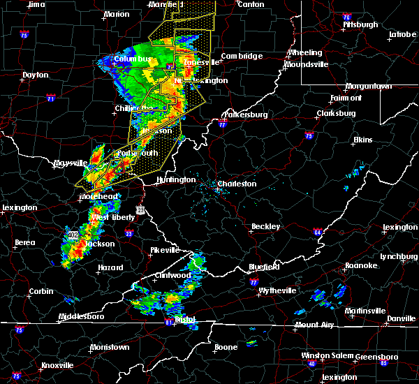 At 748 pm edt, a severe squall line capable of producing both tornadoes and straight line wind damage was located across greenup county, moving northeast at 30 mph. although the initial part of the line that prompted the tornado warning has exited the area, a new area with rotation is currently approaching the tornado warning. thus, the tornado warning remains in effect (radar indicated rotation). Hazards include tornado. Flying debris will be dangerous to those caught without shelter. mobile homes will be damaged or destroyed. damage to roofs, windows, and vehicles will occur. tree damage is likely. This tornadic thunderstorm will remain over mainly rural areas of central greenup county, including the following locations, grays branch. At 748 pm edt, a severe squall line capable of producing both tornadoes and straight line wind damage was located across greenup county, moving northeast at 30 mph. although the initial part of the line that prompted the tornado warning has exited the area, a new area with rotation is currently approaching the tornado warning. thus, the tornado warning remains in effect (radar indicated rotation). Hazards include tornado. Flying debris will be dangerous to those caught without shelter. mobile homes will be damaged or destroyed. damage to roofs, windows, and vehicles will occur. tree damage is likely. This tornadic thunderstorm will remain over mainly rural areas of central greenup county, including the following locations, grays branch.
|
| 6/10/2020 7:46 PM EDT | Quarter sized hail reported 11.7 miles ENE of Greenup, KY |
| 6/10/2020 7:37 PM EDT |
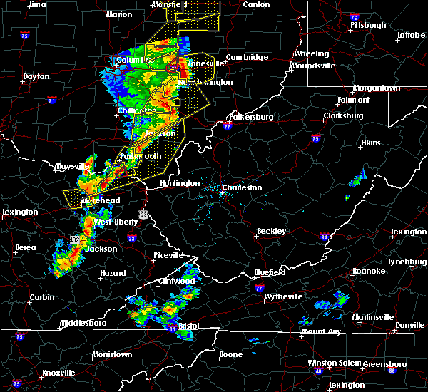 At 736 pm edt, severe thunderstorms capable of producing both tornadoes and extensive straight line wind damage were located near load, or 10 miles southwest of wheelersburg, moving northeast at 30 mph (radar indicated rotation). Hazards include tornado. Flying debris will be dangerous to those caught without shelter. mobile homes will be damaged or destroyed. damage to roofs, windows, and vehicles will occur. tree damage is likely. these dangerous storms will be near, greenup around 740 pm edt. franklin furnace around 745 pm edt. Other locations impacted by this tornadic thunderstorm include grays branch. At 736 pm edt, severe thunderstorms capable of producing both tornadoes and extensive straight line wind damage were located near load, or 10 miles southwest of wheelersburg, moving northeast at 30 mph (radar indicated rotation). Hazards include tornado. Flying debris will be dangerous to those caught without shelter. mobile homes will be damaged or destroyed. damage to roofs, windows, and vehicles will occur. tree damage is likely. these dangerous storms will be near, greenup around 740 pm edt. franklin furnace around 745 pm edt. Other locations impacted by this tornadic thunderstorm include grays branch.
|
| 6/10/2020 7:36 PM EDT |
 At 736 pm edt, severe thunderstorms were located along a line extending from near mcarthur to 7 miles northeast of oak hill to near lake vesuvius, moving northeast at 50 mph (radar indicated). Hazards include 60 mph wind gusts. Expect damage to roofs, siding, and trees. Locations impacted include, athens, ironton, jackson, wellston, oak hill, rio grande, albany, rutland, lake vesuvius, greenup, gesling, greenbo lake, load, letitia, gallia, carter, flatwoods, russell, vernon and waterloo. At 736 pm edt, severe thunderstorms were located along a line extending from near mcarthur to 7 miles northeast of oak hill to near lake vesuvius, moving northeast at 50 mph (radar indicated). Hazards include 60 mph wind gusts. Expect damage to roofs, siding, and trees. Locations impacted include, athens, ironton, jackson, wellston, oak hill, rio grande, albany, rutland, lake vesuvius, greenup, gesling, greenbo lake, load, letitia, gallia, carter, flatwoods, russell, vernon and waterloo.
|
| 6/10/2020 7:28 PM EDT |
 At 727 pm edt, severe thunderstorms were located along a line extending from 8 miles north of south webster to near south shore, moving east at 40 mph (emergency management). Hazards include 60 mph wind gusts. Expect damage to trees and power lines. Locations impacted include, portsmouth, wheelersburg, new boston, south webster, rosemount, clarktown, sciotodale, franklin furnace, minford, haverhill, state route 335 at state route 776, powellsville, portsmouth regional airport and lyra. At 727 pm edt, severe thunderstorms were located along a line extending from 8 miles north of south webster to near south shore, moving east at 40 mph (emergency management). Hazards include 60 mph wind gusts. Expect damage to trees and power lines. Locations impacted include, portsmouth, wheelersburg, new boston, south webster, rosemount, clarktown, sciotodale, franklin furnace, minford, haverhill, state route 335 at state route 776, powellsville, portsmouth regional airport and lyra.
|
| 6/10/2020 7:11 PM EDT |
 At 711 pm edt, severe thunderstorms were located along a line extending from 6 miles south of piketon to near letitia, moving east at 30 mph (radar indicated). Hazards include 60 mph wind gusts. Expect damage to trees and power lines. Locations impacted include, portsmouth, wheelersburg, new boston, south webster, rosemount, clarktown, lucasville, sciotodale, franklin furnace, saint paul, minford, firebrick, west portsmouth, haverhill, state route 335 at state route 776, friendship, mcdermott, powellsville, portsmouth regional airport and bear creek. At 711 pm edt, severe thunderstorms were located along a line extending from 6 miles south of piketon to near letitia, moving east at 30 mph (radar indicated). Hazards include 60 mph wind gusts. Expect damage to trees and power lines. Locations impacted include, portsmouth, wheelersburg, new boston, south webster, rosemount, clarktown, lucasville, sciotodale, franklin furnace, saint paul, minford, firebrick, west portsmouth, haverhill, state route 335 at state route 776, friendship, mcdermott, powellsville, portsmouth regional airport and bear creek.
|
| 6/10/2020 6:48 PM EDT |
 At 647 pm edt, severe thunderstorms were located along a line extending from 7 miles northwest of lucasville to 7 miles west of south shore to near head of grassy, moving northeast at 50 mph (radar indicated). Hazards include 60 mph wind gusts. expect damage to roofs, siding, and trees At 647 pm edt, severe thunderstorms were located along a line extending from 7 miles northwest of lucasville to 7 miles west of south shore to near head of grassy, moving northeast at 50 mph (radar indicated). Hazards include 60 mph wind gusts. expect damage to roofs, siding, and trees
|
| 6/10/2020 6:47 PM EDT |
 At 647 pm edt, severe thunderstorms were located along a line extending from 9 miles east of peebles to near vanceburg, moving east at 30 mph (emergency management). Hazards include 60 mph wind gusts. expect damage to trees and power lines At 647 pm edt, severe thunderstorms were located along a line extending from 9 miles east of peebles to near vanceburg, moving east at 30 mph (emergency management). Hazards include 60 mph wind gusts. expect damage to trees and power lines
|
| 4/13/2020 8:11 AM EDT |
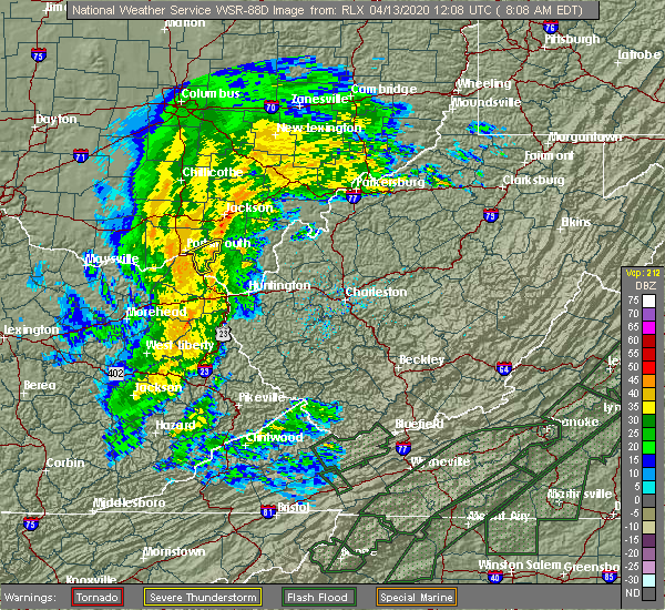 The severe thunderstorm warning for southeastern scioto county will expire at 815 am edt, the storm which prompted the warning has weakened below severe limits, and no longer poses an immediate threat to life or property. therefore, the warning will be allowed to expire. please report previous wind damage or hail to the national weather service by going to our website at weather.gov/iln and submitting your report via social media. The severe thunderstorm warning for southeastern scioto county will expire at 815 am edt, the storm which prompted the warning has weakened below severe limits, and no longer poses an immediate threat to life or property. therefore, the warning will be allowed to expire. please report previous wind damage or hail to the national weather service by going to our website at weather.gov/iln and submitting your report via social media.
|
| 4/13/2020 7:56 AM EDT |
 At 756 am edt, a severe thunderstorm was located near franklin furnace, moving northeast at 45 mph (radar indicated). Hazards include 60 mph wind gusts. Expect damage to trees and power lines. Locations impacted include, portsmouth, wheelersburg, greenup, south webster, sciotodale, franklin furnace, powellsville, lyra, sciotoville and haverhill. At 756 am edt, a severe thunderstorm was located near franklin furnace, moving northeast at 45 mph (radar indicated). Hazards include 60 mph wind gusts. Expect damage to trees and power lines. Locations impacted include, portsmouth, wheelersburg, greenup, south webster, sciotodale, franklin furnace, powellsville, lyra, sciotoville and haverhill.
|
| 4/13/2020 7:52 AM EDT |
 At 752 am edt, a severe thunderstorm was located near franklin furnace, moving northeast at 40 mph (radar indicated). Hazards include 60 mph wind gusts. expect damage to trees and power lines At 752 am edt, a severe thunderstorm was located near franklin furnace, moving northeast at 40 mph (radar indicated). Hazards include 60 mph wind gusts. expect damage to trees and power lines
|
| 4/9/2020 12:29 AM EDT |
 At 1228 am edt, severe thunderstorms were located along a line extending from 8 miles south of oak hill to culver, moving southeast at 65 mph (radar indicated). Hazards include 70 mph wind gusts and penny size hail. Expect considerable tree damage. damage is likely to mobile homes, roofs, and outbuildings. Locations impacted include, ashland, ironton, grayson, gallipolis, coal grove, cannonsburg, lake vesuvius, kenova, catlettsburg, greenup, princess, coalton, denton, oldtown, naples, rush, flatwoods, south point, russell and vernon. At 1228 am edt, severe thunderstorms were located along a line extending from 8 miles south of oak hill to culver, moving southeast at 65 mph (radar indicated). Hazards include 70 mph wind gusts and penny size hail. Expect considerable tree damage. damage is likely to mobile homes, roofs, and outbuildings. Locations impacted include, ashland, ironton, grayson, gallipolis, coal grove, cannonsburg, lake vesuvius, kenova, catlettsburg, greenup, princess, coalton, denton, oldtown, naples, rush, flatwoods, south point, russell and vernon.
|
| 4/9/2020 12:12 AM EDT |
 At 1212 am edt, severe thunderstorms were located along a line extending from near jackson to near olive hill, moving east at 60 mph (radar indicated). Hazards include 70 mph wind gusts and penny size hail. Expect considerable tree damage. damage is likely to mobile homes, roofs, and outbuildings. Locations impacted include, ashland, ironton, jackson, wellston, grayson, gallipolis, coal grove, olive hill, cannonsburg, lake vesuvius, carter caves state park, kenova, catlettsburg, greenup, coalton, denton, gesling, greenbo lake, oldtown and load. At 1212 am edt, severe thunderstorms were located along a line extending from near jackson to near olive hill, moving east at 60 mph (radar indicated). Hazards include 70 mph wind gusts and penny size hail. Expect considerable tree damage. damage is likely to mobile homes, roofs, and outbuildings. Locations impacted include, ashland, ironton, jackson, wellston, grayson, gallipolis, coal grove, olive hill, cannonsburg, lake vesuvius, carter caves state park, kenova, catlettsburg, greenup, coalton, denton, gesling, greenbo lake, oldtown and load.
|
| 4/8/2020 11:52 PM EDT |
 At 1151 pm edt, severe thunderstorms were located along a line extending from 10 miles west of lucasville to 8 miles southwest of vanceburg to ewington, moving southeast at 65 mph (radar indicated). Hazards include 70 mph wind gusts and penny size hail. Expect considerable tree damage. Damage is likely to mobile homes, roofs, and outbuildings. At 1151 pm edt, severe thunderstorms were located along a line extending from 10 miles west of lucasville to 8 miles southwest of vanceburg to ewington, moving southeast at 65 mph (radar indicated). Hazards include 70 mph wind gusts and penny size hail. Expect considerable tree damage. Damage is likely to mobile homes, roofs, and outbuildings.
|
| 4/8/2020 2:01 PM EDT |
 At 159 pm edt, severe thunderstorms were located along a line extending from near greenup to 9 miles north of proctorville, moving southeast at 30 mph (radar indicated). Hazards include 60 mph wind gusts and quarter size hail. Hail damage to vehicles is expected. Expect wind damage to roofs, siding, and trees. At 159 pm edt, severe thunderstorms were located along a line extending from near greenup to 9 miles north of proctorville, moving southeast at 30 mph (radar indicated). Hazards include 60 mph wind gusts and quarter size hail. Hail damage to vehicles is expected. Expect wind damage to roofs, siding, and trees.
|
| 3/28/2020 12:54 AM EDT |
 The severe thunderstorm warning for southern greenup and northwestern carter counties will expire at 100 am edt, the storm which prompted the warning has weakened below severe limits, and no longer poses an immediate threat to life or property. therefore, the warning will be allowed to expire. however gusty winds are still possible with this thunderstorm. The severe thunderstorm warning for southern greenup and northwestern carter counties will expire at 100 am edt, the storm which prompted the warning has weakened below severe limits, and no longer poses an immediate threat to life or property. therefore, the warning will be allowed to expire. however gusty winds are still possible with this thunderstorm.
|
| 3/28/2020 12:36 AM EDT |
 At 1236 am edt, a severe thunderstorm was located over camp dix, or 10 miles northwest of carter caves state park, moving east at 55 mph (radar indicated). Hazards include 60 mph wind gusts and penny size hail. expect damage to roofs, siding, and trees At 1236 am edt, a severe thunderstorm was located over camp dix, or 10 miles northwest of carter caves state park, moving east at 55 mph (radar indicated). Hazards include 60 mph wind gusts and penny size hail. expect damage to roofs, siding, and trees
|
| 1/11/2020 3:11 PM EST |
 The severe thunderstorm warning for southeastern scioto county will expire at 315 pm est, the storms which prompted the warning have moved out of the area. therefore, the warning will be allowed to expire. however gusty winds are still possible with these thunderstorms. a severe thunderstorm watch remains in effect until 500 pm est for southwestern ohio. please report previous wind damage or hail to the national weather service by going to our website at weather.gov/iln and submitting your report via social media. The severe thunderstorm warning for southeastern scioto county will expire at 315 pm est, the storms which prompted the warning have moved out of the area. therefore, the warning will be allowed to expire. however gusty winds are still possible with these thunderstorms. a severe thunderstorm watch remains in effect until 500 pm est for southwestern ohio. please report previous wind damage or hail to the national weather service by going to our website at weather.gov/iln and submitting your report via social media.
|
| 1/11/2020 3:04 PM EST |
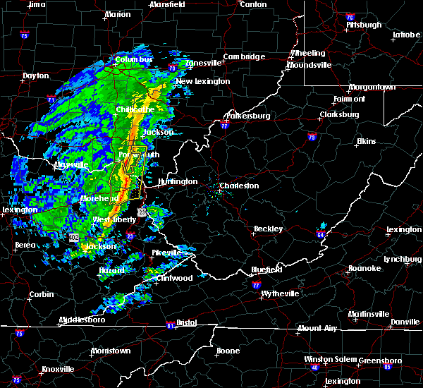 At 303 pm est, severe thunderstorms were located along a line extending from 7 miles west of oak hill to near greenup, moving northeast at 75 mph (radar indicated. damage has been reported across scioto county with this line of storms). Hazards include 60 mph wind gusts. Expect damage to trees and power lines. Locations impacted include, south webster, franklin furnace, lyra, powellsville and haverhill. At 303 pm est, severe thunderstorms were located along a line extending from 7 miles west of oak hill to near greenup, moving northeast at 75 mph (radar indicated. damage has been reported across scioto county with this line of storms). Hazards include 60 mph wind gusts. Expect damage to trees and power lines. Locations impacted include, south webster, franklin furnace, lyra, powellsville and haverhill.
|
| 1/11/2020 2:59 PM EST | Telephone pole blown down in greenup county KY, 3.8 miles SSE of Greenup, KY |
| 1/11/2020 2:55 PM EST |
 At 255 pm est, severe thunderstorms were located along a line extending from new boston to grayson, moving east at 55 mph (radar indicated). Hazards include 60 mph wind gusts. Expect damage to roofs, siding, and trees. Locations impacted include, ashland, ironton, grayson, coal grove, oak hill, cannonsburg, lake vesuvius, grayson lake state park, greenup, princess, coalton, denton, greenbo lake, oldtown, naples, rush, load, letitia, flatwoods and russell. At 255 pm est, severe thunderstorms were located along a line extending from new boston to grayson, moving east at 55 mph (radar indicated). Hazards include 60 mph wind gusts. Expect damage to roofs, siding, and trees. Locations impacted include, ashland, ironton, grayson, coal grove, oak hill, cannonsburg, lake vesuvius, grayson lake state park, greenup, princess, coalton, denton, greenbo lake, oldtown, naples, rush, load, letitia, flatwoods and russell.
|
| 1/11/2020 2:55 PM EST |
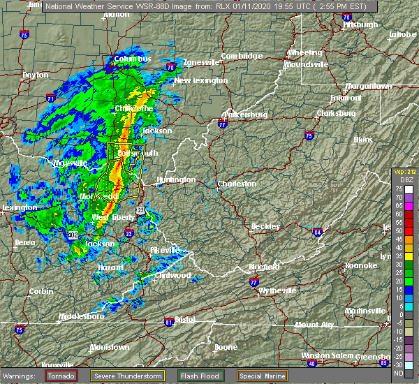 At 255 pm est, severe thunderstorms were located along a line extending from 8 miles northeast of clarktown to near greenbo lake, moving northeast at 60 mph (radar indicated). Hazards include 60 mph wind gusts. Expect damage to trees and power lines. Locations impacted include, portsmouth, wheelersburg, south webster, sciotodale, franklin furnace, clarktown, powellsville, portsmouth regional airport, minford, lyra, haverhill and state route 335 at state route 776. At 255 pm est, severe thunderstorms were located along a line extending from 8 miles northeast of clarktown to near greenbo lake, moving northeast at 60 mph (radar indicated). Hazards include 60 mph wind gusts. Expect damage to trees and power lines. Locations impacted include, portsmouth, wheelersburg, south webster, sciotodale, franklin furnace, clarktown, powellsville, portsmouth regional airport, minford, lyra, haverhill and state route 335 at state route 776.
|
| 1/11/2020 2:43 PM EST |
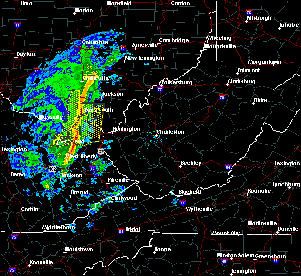 At 242 pm est, severe thunderstorms were located along a line extending from near lucasville to near stark, moving east at 55 mph (radar indicated). Hazards include 60 mph wind gusts. expect damage to trees and power lines At 242 pm est, severe thunderstorms were located along a line extending from near lucasville to near stark, moving east at 55 mph (radar indicated). Hazards include 60 mph wind gusts. expect damage to trees and power lines
|
| 1/11/2020 2:43 PM EST |
 At 243 pm est, severe thunderstorms were located along a line extending from near letitia to near olive hill, moving east at 50 mph (radar indicated). Hazards include 60 mph wind gusts. expect damage to roofs, siding, and trees At 243 pm est, severe thunderstorms were located along a line extending from near letitia to near olive hill, moving east at 50 mph (radar indicated). Hazards include 60 mph wind gusts. expect damage to roofs, siding, and trees
|
| 6/16/2019 7:59 PM EDT |
 At 759 pm edt, severe thunderstorms were located along a line extending from near letitia to near grayson to near little sandy, moving east at 30 mph (radar indicated). Hazards include 60 mph wind gusts and quarter size hail. Hail damage to vehicles is expected. Expect wind damage to roofs, siding, and trees. At 759 pm edt, severe thunderstorms were located along a line extending from near letitia to near grayson to near little sandy, moving east at 30 mph (radar indicated). Hazards include 60 mph wind gusts and quarter size hail. Hail damage to vehicles is expected. Expect wind damage to roofs, siding, and trees.
|
| 5/29/2019 12:06 PM EDT |
 The severe thunderstorm warning for southeastern scioto county will expire at 1215 pm edt, the storm which prompted the warning has moved out of the area. therefore, the warning will be allowed to expire. please report previous wind damage or hail to the national weather service by going to our website at weather.gov/iln and submitting your report via social media. The severe thunderstorm warning for southeastern scioto county will expire at 1215 pm edt, the storm which prompted the warning has moved out of the area. therefore, the warning will be allowed to expire. please report previous wind damage or hail to the national weather service by going to our website at weather.gov/iln and submitting your report via social media.
|
| 5/29/2019 11:56 AM EDT |
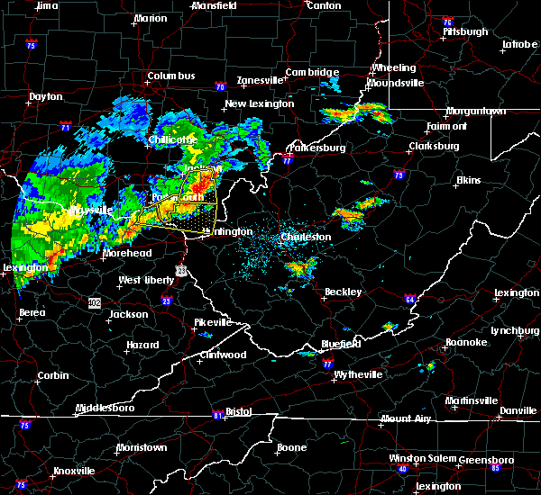 At 1155 am edt, a severe thunderstorm was located near wheelersburg, moving east at 35 mph (radar indicated). Hazards include 60 mph wind gusts and penny size hail. Expect damage to trees and power lines. Locations impacted include, wheelersburg, greenup, south webster, franklin furnace, sciotodale, powellsville, lyra and haverhill. At 1155 am edt, a severe thunderstorm was located near wheelersburg, moving east at 35 mph (radar indicated). Hazards include 60 mph wind gusts and penny size hail. Expect damage to trees and power lines. Locations impacted include, wheelersburg, greenup, south webster, franklin furnace, sciotodale, powellsville, lyra and haverhill.
|
| 5/29/2019 11:39 AM EDT |
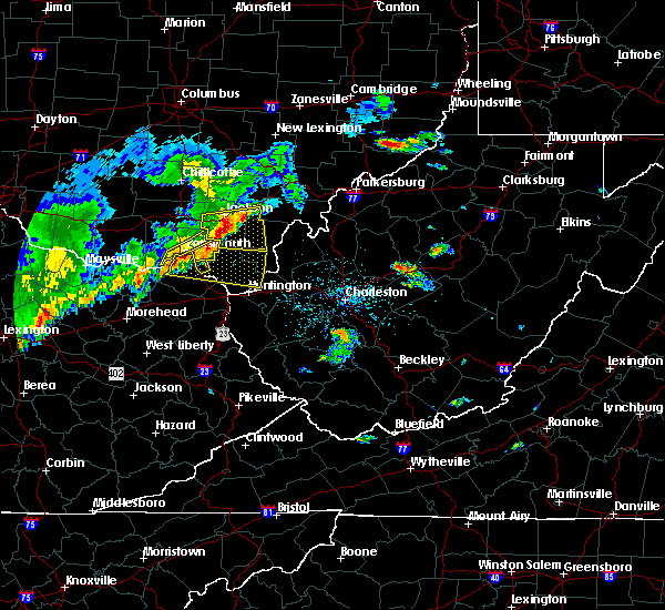 At 1139 am edt, a severe thunderstorm was located over wheelersburg, moving east at 40 mph (radar indicated). Hazards include 60 mph wind gusts and penny size hail. expect damage to trees and power lines At 1139 am edt, a severe thunderstorm was located over wheelersburg, moving east at 40 mph (radar indicated). Hazards include 60 mph wind gusts and penny size hail. expect damage to trees and power lines
|
| 5/29/2019 11:36 AM EDT |
 At 1136 am edt, a severe thunderstorm was located near south shore, or near portsmouth, moving east at 40 mph (radar indicated). Hazards include 60 mph wind gusts and quarter size hail. Hail damage to vehicles is expected. Expect wind damage to roofs, siding, and trees. At 1136 am edt, a severe thunderstorm was located near south shore, or near portsmouth, moving east at 40 mph (radar indicated). Hazards include 60 mph wind gusts and quarter size hail. Hail damage to vehicles is expected. Expect wind damage to roofs, siding, and trees.
|
| 9/2/2018 4:26 PM EDT |
 At 426 pm edt, a severe thunderstorm was located over naples, or near cannonsburg, and is nearly stationary (radar indicated). Hazards include 60 mph wind gusts and quarter size hail. Minor hail damage to vehicles is possible. expect wind damage to trees and power lines, resulting in some power outages. Locations impacted include, greenup, naples, flatwoods, russell, raceland, worthington, wurtland, bellefonte and hanging rock. At 426 pm edt, a severe thunderstorm was located over naples, or near cannonsburg, and is nearly stationary (radar indicated). Hazards include 60 mph wind gusts and quarter size hail. Minor hail damage to vehicles is possible. expect wind damage to trees and power lines, resulting in some power outages. Locations impacted include, greenup, naples, flatwoods, russell, raceland, worthington, wurtland, bellefonte and hanging rock.
|
| 9/2/2018 4:08 PM EDT |
 At 408 pm edt, a severe thunderstorm was located over naples, or near cannonsburg, and is nearly stationary (radar indicated). Hazards include 60 mph wind gusts and quarter size hail. Minor hail damage to vehicles is possible. Expect wind damage to trees and power lines, resulting in some power outages. At 408 pm edt, a severe thunderstorm was located over naples, or near cannonsburg, and is nearly stationary (radar indicated). Hazards include 60 mph wind gusts and quarter size hail. Minor hail damage to vehicles is possible. Expect wind damage to trees and power lines, resulting in some power outages.
|
| 8/11/2018 1:42 PM EDT |
 The severe thunderstorm warning for central greenup and northwestern lawrence counties will expire at 145 pm edt, the storm which prompted the warning has weakened below severe limits, and no longer poses an immediate threat to life or property. therefore, the warning will be allowed to expire. however heavy rain is still possible with this thunderstorm. The severe thunderstorm warning for central greenup and northwestern lawrence counties will expire at 145 pm edt, the storm which prompted the warning has weakened below severe limits, and no longer poses an immediate threat to life or property. therefore, the warning will be allowed to expire. however heavy rain is still possible with this thunderstorm.
|
| 8/11/2018 1:42 PM EDT |
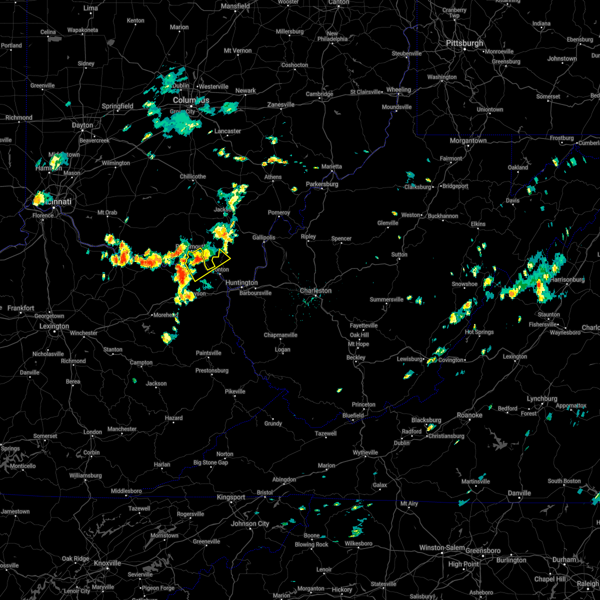 The severe thunderstorm warning for central greenup and northwestern lawrence counties will expire at 145 pm edt, the storm which prompted the warning has weakened below severe limits, and no longer poses an immediate threat to life or property. therefore, the warning will be allowed to expire. however heavy rain is still possible with this thunderstorm. The severe thunderstorm warning for central greenup and northwestern lawrence counties will expire at 145 pm edt, the storm which prompted the warning has weakened below severe limits, and no longer poses an immediate threat to life or property. therefore, the warning will be allowed to expire. however heavy rain is still possible with this thunderstorm.
|
| 8/11/2018 1:30 PM EDT |
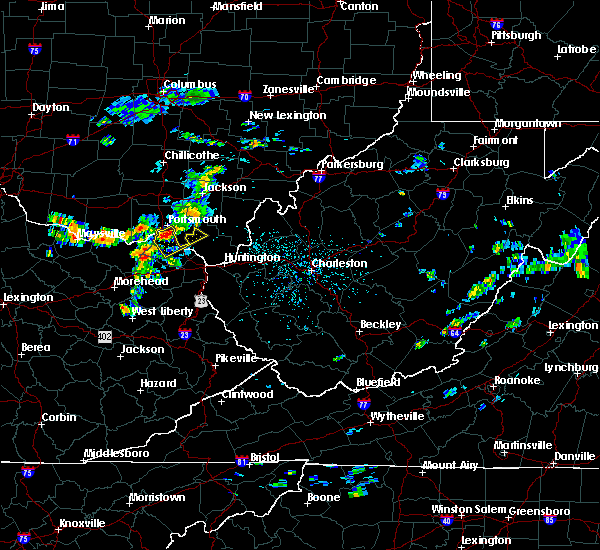 At 129 pm edt, a severe thunderstorm was located over south shore, or near portsmouth, moving southeast at 20 mph (radar indicated). Hazards include 60 mph wind gusts. Expect damage to roofs, siding, and trees. Locations impacted include, greenup, load, letitia, greenbo lake, vernon, south shore, grays branch, pedro and south portsmouth. At 129 pm edt, a severe thunderstorm was located over south shore, or near portsmouth, moving southeast at 20 mph (radar indicated). Hazards include 60 mph wind gusts. Expect damage to roofs, siding, and trees. Locations impacted include, greenup, load, letitia, greenbo lake, vernon, south shore, grays branch, pedro and south portsmouth.
|
| 8/11/2018 1:04 PM EDT |
 At 104 pm edt, a severe thunderstorm was located near rosemount, or near portsmouth, moving southeast at 20 mph (radar indicated). Hazards include 60 mph wind gusts. expect damage to roofs, siding, and trees At 104 pm edt, a severe thunderstorm was located near rosemount, or near portsmouth, moving southeast at 20 mph (radar indicated). Hazards include 60 mph wind gusts. expect damage to roofs, siding, and trees
|
| 8/11/2018 1:04 PM EDT |
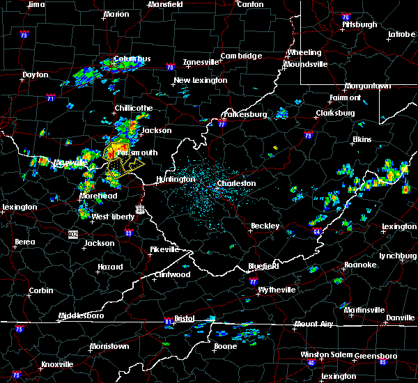 At 104 pm edt, a severe thunderstorm was located near rosemount, or near portsmouth, moving southeast at 20 mph (radar indicated). Hazards include 60 mph wind gusts. expect damage to roofs, siding, and trees At 104 pm edt, a severe thunderstorm was located near rosemount, or near portsmouth, moving southeast at 20 mph (radar indicated). Hazards include 60 mph wind gusts. expect damage to roofs, siding, and trees
|
| 6/13/2018 9:36 PM EDT |
 At 936 pm edt, a severe thunderstorm was located near wheelersburg, moving southeast at 20 mph (radar indicated). Hazards include 60 mph wind gusts and nickel size hail. Expect damage to trees and power lines. Locations impacted include, portsmouth, wheelersburg, greenup, sciotodale, franklin furnace, powellsville, lyra and haverhill. At 936 pm edt, a severe thunderstorm was located near wheelersburg, moving southeast at 20 mph (radar indicated). Hazards include 60 mph wind gusts and nickel size hail. Expect damage to trees and power lines. Locations impacted include, portsmouth, wheelersburg, greenup, sciotodale, franklin furnace, powellsville, lyra and haverhill.
|
| 6/13/2018 9:29 PM EDT |
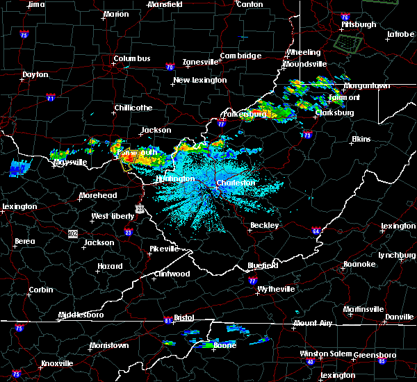 At 928 pm edt, a severe thunderstorm was located near wheelersburg, moving southeast at 20 mph (radar indicated). Hazards include 60 mph wind gusts and nickel size hail. Expect damage to trees and power lines. Locations impacted include, portsmouth, wheelersburg, greenup, south webster, sciotodale, franklin furnace, powellsville, lyra, haverhill and sciotoville. At 928 pm edt, a severe thunderstorm was located near wheelersburg, moving southeast at 20 mph (radar indicated). Hazards include 60 mph wind gusts and nickel size hail. Expect damage to trees and power lines. Locations impacted include, portsmouth, wheelersburg, greenup, south webster, sciotodale, franklin furnace, powellsville, lyra, haverhill and sciotoville.
|
| 6/13/2018 9:18 PM EDT |
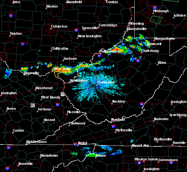 At 917 pm edt, a severe thunderstorm was located near sciotodale, moving southeast at 20 mph (radar indicated). Hazards include 60 mph wind gusts and penny size hail. expect damage to trees and power lines At 917 pm edt, a severe thunderstorm was located near sciotodale, moving southeast at 20 mph (radar indicated). Hazards include 60 mph wind gusts and penny size hail. expect damage to trees and power lines
|
| 5/31/2018 5:50 PM EDT |
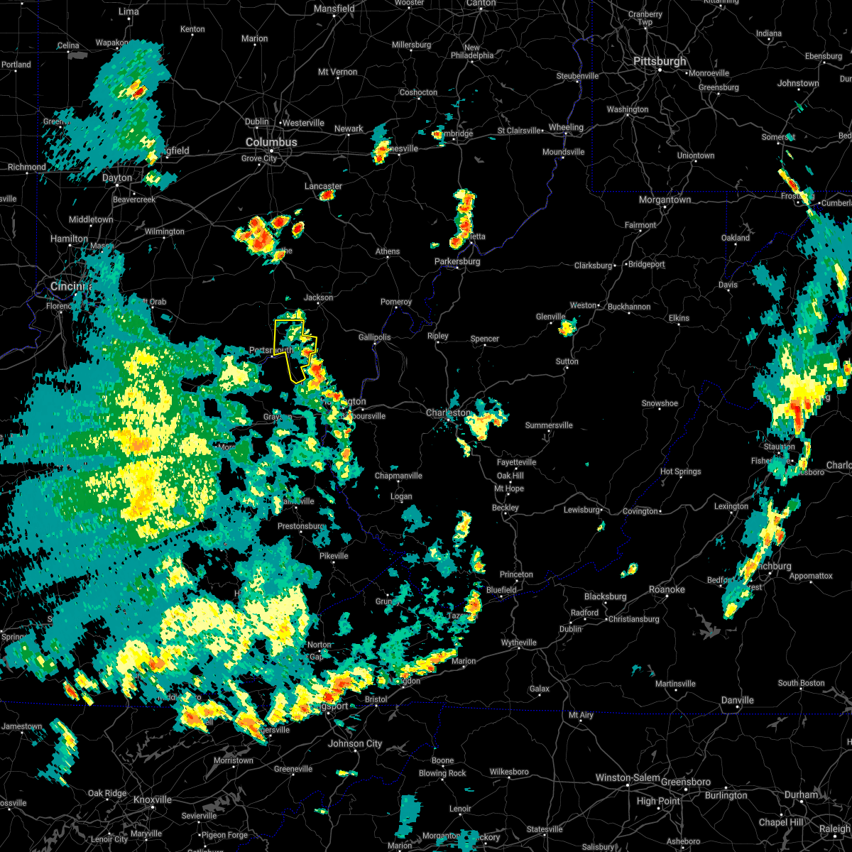 The severe thunderstorm warning for eastern scioto county will expire at 600 pm edt, the storms which prompted the warning have weakened below severe limits, and have exited the warned area. therefore, the warning will be allowed to expire. a severe thunderstorm watch remains in effect until 600 pm edt for southwestern ohio. please report previous wind damage or hail to the national weather service by going to our website at weather.gov/iln and submitting your report via social media. The severe thunderstorm warning for eastern scioto county will expire at 600 pm edt, the storms which prompted the warning have weakened below severe limits, and have exited the warned area. therefore, the warning will be allowed to expire. a severe thunderstorm watch remains in effect until 600 pm edt for southwestern ohio. please report previous wind damage or hail to the national weather service by going to our website at weather.gov/iln and submitting your report via social media.
|
| 5/31/2018 5:41 PM EDT |
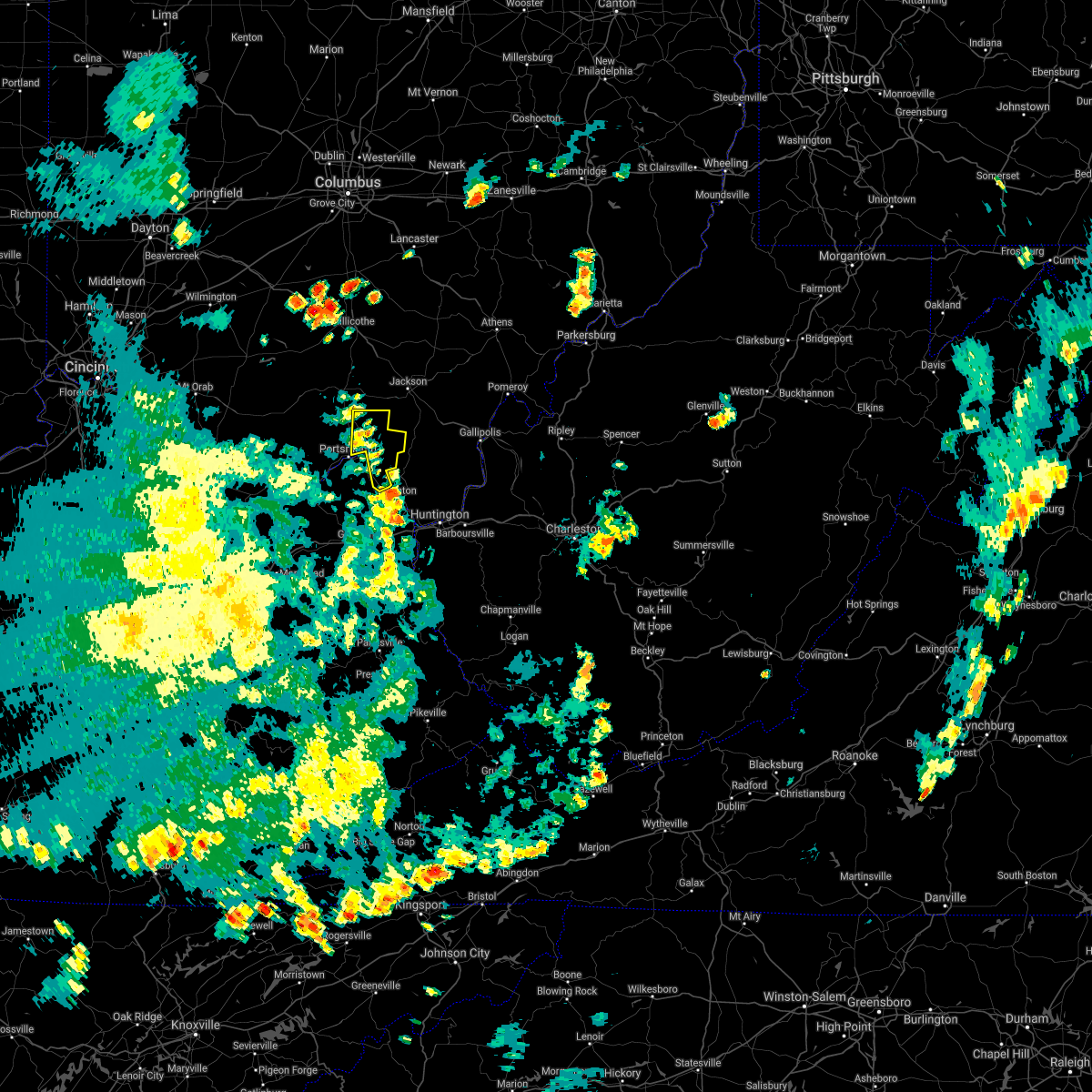 At 540 pm edt, severe thunderstorms were located along a line extending from near lucasville to near load, moving northeast at 30 mph (emergency management reported trees down in mcdermott and in nile township as the storm went through western and central scioto county). Hazards include 60 mph wind gusts. Expect damage to trees and power lines. Locations impacted include, portsmouth, wheelersburg, new boston, south webster, rosemount, clarktown, sciotodale, franklin furnace, lucasville, minford, haverhill, state route 335 at state route 776, powellsville, portsmouth regional airport and lyra. At 540 pm edt, severe thunderstorms were located along a line extending from near lucasville to near load, moving northeast at 30 mph (emergency management reported trees down in mcdermott and in nile township as the storm went through western and central scioto county). Hazards include 60 mph wind gusts. Expect damage to trees and power lines. Locations impacted include, portsmouth, wheelersburg, new boston, south webster, rosemount, clarktown, sciotodale, franklin furnace, lucasville, minford, haverhill, state route 335 at state route 776, powellsville, portsmouth regional airport and lyra.
|
| 5/31/2018 5:31 PM EDT |
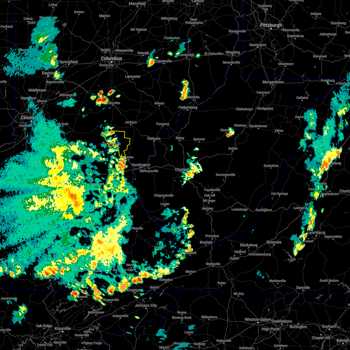 At 530 pm edt, severe thunderstorms were located along a line extending from near lucasville to near load, moving northeast at 30 mph (emergency management and the public reported trees down in western scioto county). Hazards include 60 mph wind gusts. Expect damage to trees and power lines. Locations impacted include, portsmouth, wheelersburg, new boston, south webster, rosemount, clarktown, lucasville, sciotodale, franklin furnace, minford, west portsmouth, haverhill, state route 335 at state route 776, mcdermott, powellsville, portsmouth regional airport, bear creek, lyra and stockdale. At 530 pm edt, severe thunderstorms were located along a line extending from near lucasville to near load, moving northeast at 30 mph (emergency management and the public reported trees down in western scioto county). Hazards include 60 mph wind gusts. Expect damage to trees and power lines. Locations impacted include, portsmouth, wheelersburg, new boston, south webster, rosemount, clarktown, lucasville, sciotodale, franklin furnace, minford, west portsmouth, haverhill, state route 335 at state route 776, mcdermott, powellsville, portsmouth regional airport, bear creek, lyra and stockdale.
|
| 5/31/2018 5:24 PM EDT |
 At 524 pm edt, severe thunderstorms were located along a line extending from near lucasville to 7 miles west of load, moving northeast at 30 mph (radar indicated). Hazards include 60 mph wind gusts. Expect damage to trees and power lines. Locations impacted include, portsmouth, wheelersburg, new boston, south webster, rosemount, clarktown, lucasville, franklin furnace, sciotodale, rarden, otway, saint paul, minford, friendship, mcdermott, bear creek, rexton, lombardsville, firebrick and west portsmouth. At 524 pm edt, severe thunderstorms were located along a line extending from near lucasville to 7 miles west of load, moving northeast at 30 mph (radar indicated). Hazards include 60 mph wind gusts. Expect damage to trees and power lines. Locations impacted include, portsmouth, wheelersburg, new boston, south webster, rosemount, clarktown, lucasville, franklin furnace, sciotodale, rarden, otway, saint paul, minford, friendship, mcdermott, bear creek, rexton, lombardsville, firebrick and west portsmouth.
|
| 5/31/2018 5:24 PM EDT |
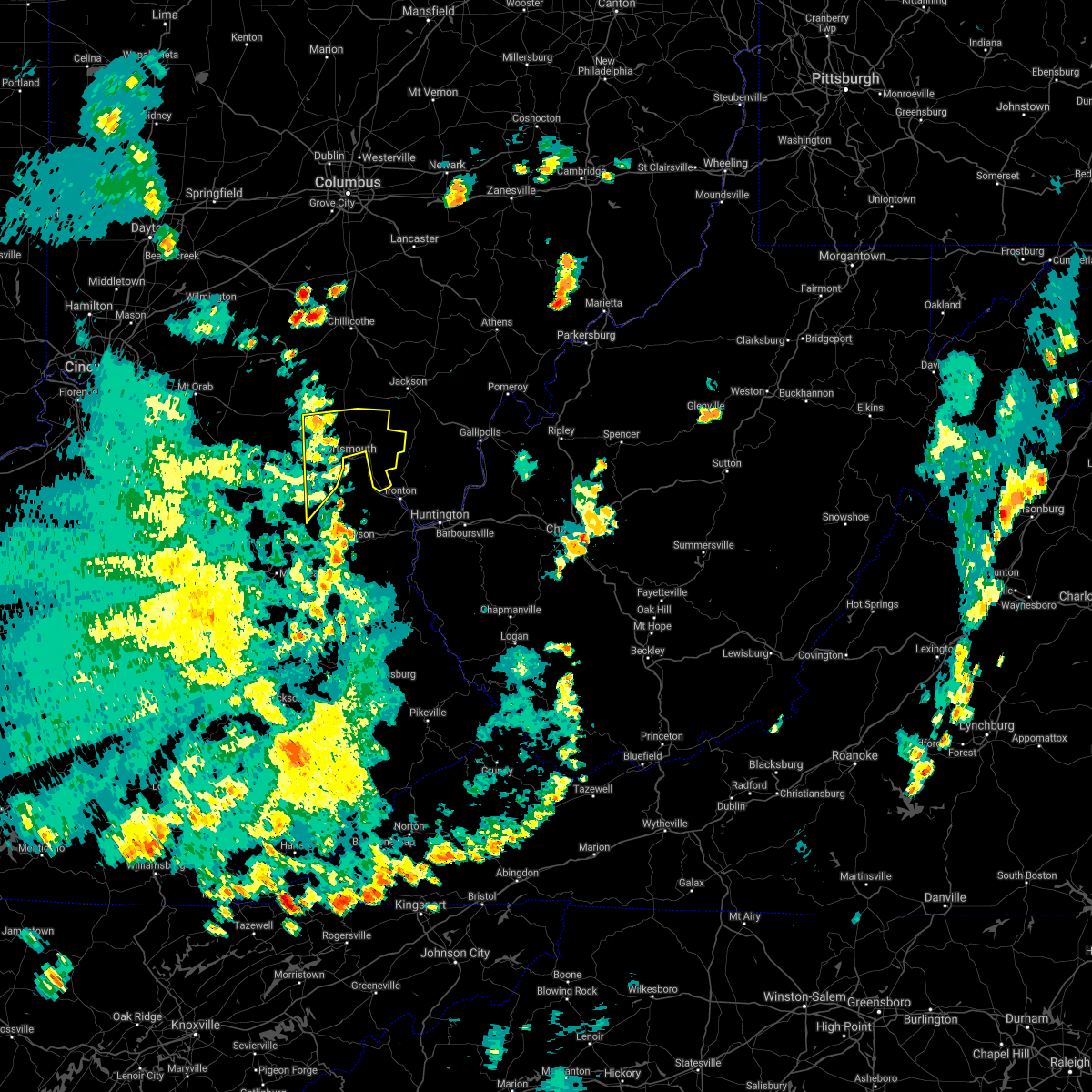 At 524 pm edt, severe thunderstorms were located along a line extending from near lucasville to 7 miles west of load, moving northeast at 30 mph (radar indicated). Hazards include 60 mph wind gusts. Expect damage to trees and power lines. Locations impacted include, portsmouth, wheelersburg, new boston, south webster, rosemount, clarktown, lucasville, franklin furnace, sciotodale, rarden, otway, saint paul, minford, friendship, mcdermott, bear creek, rexton, lombardsville, firebrick and west portsmouth. At 524 pm edt, severe thunderstorms were located along a line extending from near lucasville to 7 miles west of load, moving northeast at 30 mph (radar indicated). Hazards include 60 mph wind gusts. Expect damage to trees and power lines. Locations impacted include, portsmouth, wheelersburg, new boston, south webster, rosemount, clarktown, lucasville, franklin furnace, sciotodale, rarden, otway, saint paul, minford, friendship, mcdermott, bear creek, rexton, lombardsville, firebrick and west portsmouth.
|
| 5/31/2018 5:13 PM EDT |
 At 513 pm edt, severe thunderstorms were located along a line extending from 8 miles west of lucasville to near camp dix, moving northeast at 30 mph (radar indicated). Hazards include 60 mph wind gusts. expect damage to trees and power lines At 513 pm edt, severe thunderstorms were located along a line extending from 8 miles west of lucasville to near camp dix, moving northeast at 30 mph (radar indicated). Hazards include 60 mph wind gusts. expect damage to trees and power lines
|
| 5/21/2018 7:06 PM EDT |
 The severe thunderstorm warning for south central greenup county will expire at 715 pm edt, the storm which prompted the warning has weakened below severe limits, and has exited the warned area. therefore, the warning will be allowed to expire. The severe thunderstorm warning for south central greenup county will expire at 715 pm edt, the storm which prompted the warning has weakened below severe limits, and has exited the warned area. therefore, the warning will be allowed to expire.
|
| 5/21/2018 6:43 PM EDT |
 At 643 pm edt, a severe thunderstorm was located over greenbo lake, or 10 miles west of ironton, moving north at 15 mph (radar indicated). Hazards include 60 mph wind gusts and quarter size hail. Hail damage to vehicles is expected. expect wind damage to roofs, siding, and trees. locations impacted include, greenup, greenbo lake and franklin furnace. At 643 pm edt, a severe thunderstorm was located over greenbo lake, or 10 miles west of ironton, moving north at 15 mph (radar indicated). Hazards include 60 mph wind gusts and quarter size hail. Hail damage to vehicles is expected. expect wind damage to roofs, siding, and trees. locations impacted include, greenup, greenbo lake and franklin furnace.
|
| 5/21/2018 6:25 PM EDT |
 At 625 pm edt, a severe thunderstorm was located over oldtown, or 8 miles north of grayson, moving north at 15 mph (radar indicated). Hazards include 60 mph wind gusts and quarter size hail. Hail damage to vehicles is expected. Expect wind damage to roofs, siding, and trees. At 625 pm edt, a severe thunderstorm was located over oldtown, or 8 miles north of grayson, moving north at 15 mph (radar indicated). Hazards include 60 mph wind gusts and quarter size hail. Hail damage to vehicles is expected. Expect wind damage to roofs, siding, and trees.
|
| 4/3/2018 7:26 PM EDT |
 At 725 pm edt, severe thunderstorms were located along a line extending from 6 miles northwest of lucasville to near rome, moving east at 45 mph (radar indicated). Hazards include 60 mph wind gusts. expect damage to trees and power lines At 725 pm edt, severe thunderstorms were located along a line extending from 6 miles northwest of lucasville to near rome, moving east at 45 mph (radar indicated). Hazards include 60 mph wind gusts. expect damage to trees and power lines
|
| 4/3/2018 7:26 PM EDT |
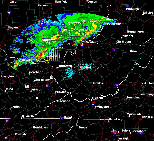 At 725 pm edt, severe thunderstorms were located along a line extending from 6 miles northwest of lucasville to near rome, moving east at 45 mph (radar indicated). Hazards include 60 mph wind gusts. expect damage to trees and power lines At 725 pm edt, severe thunderstorms were located along a line extending from 6 miles northwest of lucasville to near rome, moving east at 45 mph (radar indicated). Hazards include 60 mph wind gusts. expect damage to trees and power lines
|
| 8/22/2017 2:01 PM EDT |
 At 200 pm edt, a severe thunderstorm was located over south shore, or near portsmouth, moving east at 35 mph (radar indicated). Hazards include 60 mph wind gusts and quarter size hail. Hail damage to vehicles is expected. Expect wind damage to roofs, siding, and trees. At 200 pm edt, a severe thunderstorm was located over south shore, or near portsmouth, moving east at 35 mph (radar indicated). Hazards include 60 mph wind gusts and quarter size hail. Hail damage to vehicles is expected. Expect wind damage to roofs, siding, and trees.
|
| 7/7/2017 8:32 PM EDT |
 At 832 pm edt, severe thunderstorms were located along a line extending from new haven to near oldtown, moving southeast at 25 mph (radar indicated). Hazards include 60 mph wind gusts and nickel size hail. Expect damage to roofs, siding, and trees. locations impacted include, ashland, ironton, point pleasant, grayson, gallipolis, coal grove, pomeroy, olive hill, rio grande, chesapeake, racine, rutland, cannonsburg, lake vesuvius, carter caves state park, kenova, catlettsburg, new haven, ceredo and greenup. This includes interstate 64 in kentucky between mile markers 151 and 190. At 832 pm edt, severe thunderstorms were located along a line extending from new haven to near oldtown, moving southeast at 25 mph (radar indicated). Hazards include 60 mph wind gusts and nickel size hail. Expect damage to roofs, siding, and trees. locations impacted include, ashland, ironton, point pleasant, grayson, gallipolis, coal grove, pomeroy, olive hill, rio grande, chesapeake, racine, rutland, cannonsburg, lake vesuvius, carter caves state park, kenova, catlettsburg, new haven, ceredo and greenup. This includes interstate 64 in kentucky between mile markers 151 and 190.
|
| 7/7/2017 8:16 PM EDT |
 At 816 pm edt, severe thunderstorms were located along a line extending from near pomeroy to near load, moving southeast at 30 mph (radar indicated). Hazards include 60 mph wind gusts and nickel size hail. Expect damage to roofs, siding, and trees. locations impacted include, ashland, portsmouth, ironton, jackson, wellston, point pleasant, grayson, gallipolis, coal grove, pomeroy, olive hill, oak hill, rio grande, chesapeake, racine, rutland, cannonsburg, lake vesuvius, carter caves state park and kenova. This includes interstate 64 in kentucky between mile markers 151 and 190. At 816 pm edt, severe thunderstorms were located along a line extending from near pomeroy to near load, moving southeast at 30 mph (radar indicated). Hazards include 60 mph wind gusts and nickel size hail. Expect damage to roofs, siding, and trees. locations impacted include, ashland, portsmouth, ironton, jackson, wellston, point pleasant, grayson, gallipolis, coal grove, pomeroy, olive hill, oak hill, rio grande, chesapeake, racine, rutland, cannonsburg, lake vesuvius, carter caves state park and kenova. This includes interstate 64 in kentucky between mile markers 151 and 190.
|
| 7/7/2017 7:47 PM EDT |
 At 747 pm edt, severe thunderstorms were located along a line extending from 8 miles south of chesterhill to near vanceburg, moving southeast at 30 mph (radar indicated). Hazards include 60 mph wind gusts and nickel size hail. expect damage to roofs, siding, and trees At 747 pm edt, severe thunderstorms were located along a line extending from 8 miles south of chesterhill to near vanceburg, moving southeast at 30 mph (radar indicated). Hazards include 60 mph wind gusts and nickel size hail. expect damage to roofs, siding, and trees
|
| 6/16/2017 1:48 PM EDT |
 At 148 pm edt, a severe thunderstorm was located 8 miles northwest of letitia, moving southeast at 15 mph (radar indicated). Hazards include 60 mph wind gusts and quarter size hail. Hail damage to vehicles is expected. Expect wind damage to roofs, siding, and trees. At 148 pm edt, a severe thunderstorm was located 8 miles northwest of letitia, moving southeast at 15 mph (radar indicated). Hazards include 60 mph wind gusts and quarter size hail. Hail damage to vehicles is expected. Expect wind damage to roofs, siding, and trees.
|
| 5/1/2017 11:09 AM EDT |
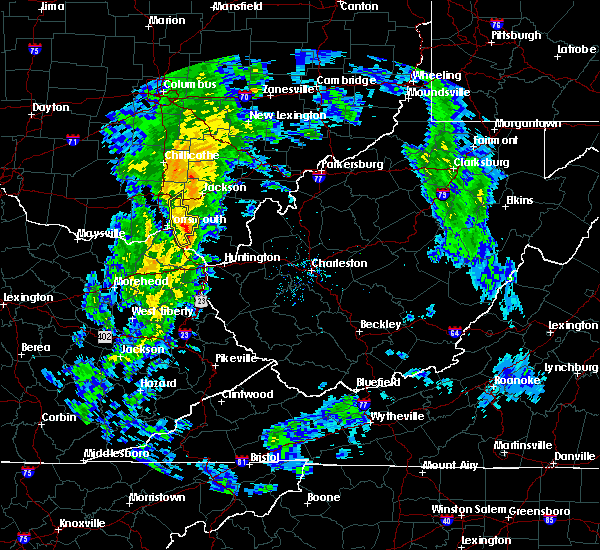 At 1108 am edt, a severe thunderstorm was located near south webster, moving east at 40 mph (radar indicated). Hazards include 60 mph wind gusts. Expect damage to roofs, siding, and trees. Locations impacted include, portsmouth, wheelersburg, greenup, south webster, sciotodale, franklin furnace, clarktown, beaver, stockdale, minford, sciotoville, state route 335 at state route 776, powellsville, portsmouth regional airport, lyra and haverhill. At 1108 am edt, a severe thunderstorm was located near south webster, moving east at 40 mph (radar indicated). Hazards include 60 mph wind gusts. Expect damage to roofs, siding, and trees. Locations impacted include, portsmouth, wheelersburg, greenup, south webster, sciotodale, franklin furnace, clarktown, beaver, stockdale, minford, sciotoville, state route 335 at state route 776, powellsville, portsmouth regional airport, lyra and haverhill.
|
| 5/1/2017 10:59 AM EDT |
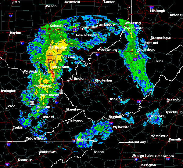 At 1059 am edt, a severe thunderstorm was located over clarktown, moving northeast at 55 mph (radar indicated). Hazards include 60 mph wind gusts. expect damage to roofs, siding, and trees At 1059 am edt, a severe thunderstorm was located over clarktown, moving northeast at 55 mph (radar indicated). Hazards include 60 mph wind gusts. expect damage to roofs, siding, and trees
|
| 4/29/2017 3:38 AM EDT |
 At 338 am edt, a severe thunderstorm was located over coal grove, moving east at 60 mph (radar indicated). Hazards include 60 mph wind gusts and penny size hail. Expect damage to roofs, siding, and trees. locations impacted include, huntington, ashland, ironton, coal grove, chesapeake, proctorville, cannonsburg, lake vesuvius, barboursville, kenova, catlettsburg, ceredo, greenup, princess, coalton, greenbo lake, oldtown, naples, rush and durbin. this includes the following highways, interstate 64 in kentucky between mile markers 174 and 191. Interstate 64 in west virginia between mile markers 1 and 15. At 338 am edt, a severe thunderstorm was located over coal grove, moving east at 60 mph (radar indicated). Hazards include 60 mph wind gusts and penny size hail. Expect damage to roofs, siding, and trees. locations impacted include, huntington, ashland, ironton, coal grove, chesapeake, proctorville, cannonsburg, lake vesuvius, barboursville, kenova, catlettsburg, ceredo, greenup, princess, coalton, greenbo lake, oldtown, naples, rush and durbin. this includes the following highways, interstate 64 in kentucky between mile markers 174 and 191. Interstate 64 in west virginia between mile markers 1 and 15.
|
| 4/29/2017 3:10 AM EDT |
 At 310 am edt, a severe thunderstorm was located 7 miles northeast of camp dix, or 12 miles north of carter caves state park, moving east at 60 mph (radar indicated). Hazards include 60 mph wind gusts and penny size hail. expect damage to roofs, siding, and trees At 310 am edt, a severe thunderstorm was located 7 miles northeast of camp dix, or 12 miles north of carter caves state park, moving east at 60 mph (radar indicated). Hazards include 60 mph wind gusts and penny size hail. expect damage to roofs, siding, and trees
|
| 4/29/2017 1:35 AM EDT |
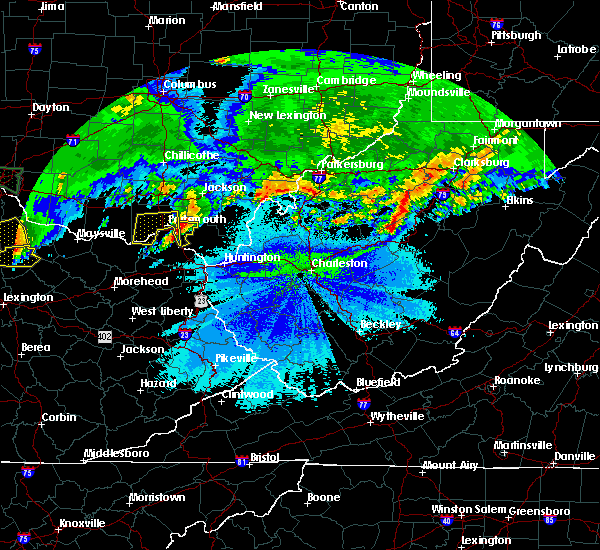 At 134 am edt, a severe thunderstorm was located over wheelersburg, moving east at 40 mph (radar indicated). Hazards include 60 mph wind gusts and quarter size hail. Hail damage to vehicles is expected. Expect wind damage to roofs, siding, and trees. At 134 am edt, a severe thunderstorm was located over wheelersburg, moving east at 40 mph (radar indicated). Hazards include 60 mph wind gusts and quarter size hail. Hail damage to vehicles is expected. Expect wind damage to roofs, siding, and trees.
|
| 4/29/2017 1:25 AM EDT |
 At 124 am edt, a severe thunderstorm was located over south shore, or near portsmouth, moving east at 50 mph (radar indicated). Hazards include 60 mph wind gusts and quarter size hail. Hail damage to vehicles is expected. expect wind damage to roofs, siding, and trees. locations impacted include, portsmouth, greenup, letitia, franklin furnace, south shore, grays branch, sciotoville, south portsmouth and haverhill. At 124 am edt, a severe thunderstorm was located over south shore, or near portsmouth, moving east at 50 mph (radar indicated). Hazards include 60 mph wind gusts and quarter size hail. Hail damage to vehicles is expected. expect wind damage to roofs, siding, and trees. locations impacted include, portsmouth, greenup, letitia, franklin furnace, south shore, grays branch, sciotoville, south portsmouth and haverhill.
|
| 4/29/2017 1:03 AM EDT |
 At 102 am edt, a severe thunderstorm was located near rome, or 20 miles west of portsmouth, moving east at 50 mph (radar indicated). Hazards include 60 mph wind gusts and quarter size hail. Hail damage to vehicles is expected. Expect wind damage to roofs, siding, and trees. At 102 am edt, a severe thunderstorm was located near rome, or 20 miles west of portsmouth, moving east at 50 mph (radar indicated). Hazards include 60 mph wind gusts and quarter size hail. Hail damage to vehicles is expected. Expect wind damage to roofs, siding, and trees.
|
| 4/5/2017 10:10 PM EDT |
 The severe thunderstorm warning for boyd, southeastern greenup, east central carter and lawrence counties will expire at 1015 pm edt, the storm which prompted the warning has weakened below severe limits, and no longer pose an immediate threat to life or property. therefore the warning will be allowed to expire. however heavy rain is still possible with this thunderstorm. The severe thunderstorm warning for boyd, southeastern greenup, east central carter and lawrence counties will expire at 1015 pm edt, the storm which prompted the warning has weakened below severe limits, and no longer pose an immediate threat to life or property. therefore the warning will be allowed to expire. however heavy rain is still possible with this thunderstorm.
|
| 4/5/2017 10:00 PM EDT |
 At 959 pm edt, a severe thunderstorm was located over coal grove, moving east at 55 mph (radar indicated). Hazards include 60 mph wind gusts. Expect damage to roofs, siding, and trees. locations impacted include, ashland, ironton, coal grove, cannonsburg, lake vesuvius, kenova, catlettsburg, ceredo, greenup, princess, coalton, greenbo lake, naples, rush, franklin furnace, flatwoods, south point, russell, vernon and raceland. This includes interstate 64 in kentucky between mile markers 179 and 191. At 959 pm edt, a severe thunderstorm was located over coal grove, moving east at 55 mph (radar indicated). Hazards include 60 mph wind gusts. Expect damage to roofs, siding, and trees. locations impacted include, ashland, ironton, coal grove, cannonsburg, lake vesuvius, kenova, catlettsburg, ceredo, greenup, princess, coalton, greenbo lake, naples, rush, franklin furnace, flatwoods, south point, russell, vernon and raceland. This includes interstate 64 in kentucky between mile markers 179 and 191.
|
| 4/5/2017 9:43 PM EDT |
 At 942 pm edt, a severe thunderstorm was located over oldtown, or 7 miles north of grayson, moving east at 55 mph (radar indicated). Hazards include 60 mph wind gusts. expect damage to roofs, siding, and trees At 942 pm edt, a severe thunderstorm was located over oldtown, or 7 miles north of grayson, moving east at 55 mph (radar indicated). Hazards include 60 mph wind gusts. expect damage to roofs, siding, and trees
|
| 3/1/2017 8:47 AM EST |
 At 846 am est, severe thunderstorms were located along a line extending from near mcarthur to near greenbo lake, moving east at 55 mph (radar indicated). Hazards include 70 mph wind gusts and half dollar size hail. Hail damage to vehicles is expected. expect considerable tree damage. Wind damage is also likely to mobile homes, roofs, and outbuildings. At 846 am est, severe thunderstorms were located along a line extending from near mcarthur to near greenbo lake, moving east at 55 mph (radar indicated). Hazards include 70 mph wind gusts and half dollar size hail. Hail damage to vehicles is expected. expect considerable tree damage. Wind damage is also likely to mobile homes, roofs, and outbuildings.
|
| 3/1/2017 8:36 AM EST |
 At 835 am est, severe thunderstorms were located along a line extending from 8 miles north of south webster to near franklin furnace, moving east at 60 mph (radar indicated). Hazards include 70 mph wind gusts and penny size hail. Expect considerable tree damage. damage is likely to mobile homes, roofs, and outbuildings. locations impacted include, portsmouth, wheelersburg, new boston, south webster, clarktown, sciotodale, franklin furnace, rosemount, minford, haverhill, sciotoville, state route 335 at state route 776, powellsville, portsmouth regional airport and lyra. A tornado watch remains in effect until 1100 am est for southwestern ohio. At 835 am est, severe thunderstorms were located along a line extending from 8 miles north of south webster to near franklin furnace, moving east at 60 mph (radar indicated). Hazards include 70 mph wind gusts and penny size hail. Expect considerable tree damage. damage is likely to mobile homes, roofs, and outbuildings. locations impacted include, portsmouth, wheelersburg, new boston, south webster, clarktown, sciotodale, franklin furnace, rosemount, minford, haverhill, sciotoville, state route 335 at state route 776, powellsville, portsmouth regional airport and lyra. A tornado watch remains in effect until 1100 am est for southwestern ohio.
|
| 3/1/2017 8:31 AM EST |
 At 831 am est, severe thunderstorms were located along a line extending from piketon to 7 miles southwest of letitia, moving east at 60 mph (radar indicated). Hazards include 70 mph wind gusts and half dollar size hail. Hail damage to vehicles is expected. expect considerable tree damage. wind damage is also likely to mobile homes, roofs, and outbuildings. Locations impacted include, portsmouth, ironton, jackson, wellston, coal grove, oak hill, rio grande, lake vesuvius, new boston, greenup, greenbo lake, load, letitia, franklin furnace, gallia, flatwoods, russell, vernon, waterloo and raceland. At 831 am est, severe thunderstorms were located along a line extending from piketon to 7 miles southwest of letitia, moving east at 60 mph (radar indicated). Hazards include 70 mph wind gusts and half dollar size hail. Hail damage to vehicles is expected. expect considerable tree damage. wind damage is also likely to mobile homes, roofs, and outbuildings. Locations impacted include, portsmouth, ironton, jackson, wellston, coal grove, oak hill, rio grande, lake vesuvius, new boston, greenup, greenbo lake, load, letitia, franklin furnace, gallia, flatwoods, russell, vernon, waterloo and raceland.
|
| 3/1/2017 8:24 AM EST |
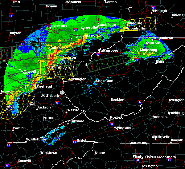 At 824 am est, severe thunderstorms were located along a line extending from 6 miles northeast of lucasville to near letitia, moving east at 65 mph (radar indicated). Hazards include 70 mph wind gusts and penny size hail. Expect considerable tree damage. Damage is likely to mobile homes, roofs, and outbuildings. At 824 am est, severe thunderstorms were located along a line extending from 6 miles northeast of lucasville to near letitia, moving east at 65 mph (radar indicated). Hazards include 70 mph wind gusts and penny size hail. Expect considerable tree damage. Damage is likely to mobile homes, roofs, and outbuildings.
|
| 3/1/2017 8:22 AM EST |
 At 821 am est, severe thunderstorms were located along a line extending from near piketon to 8 miles northeast of camp dix, moving east at 60 mph (radar indicated). Hazards include 70 mph wind gusts and half dollar size hail. Hail damage to vehicles is expected. expect considerable tree damage. Wind damage is also likely to mobile homes, roofs, and outbuildings. At 821 am est, severe thunderstorms were located along a line extending from near piketon to 8 miles northeast of camp dix, moving east at 60 mph (radar indicated). Hazards include 70 mph wind gusts and half dollar size hail. Hail damage to vehicles is expected. expect considerable tree damage. Wind damage is also likely to mobile homes, roofs, and outbuildings.
|
| 3/1/2017 6:32 AM EST |
 At 632 am est, a severe thunderstorm was located near lake vesuvius, moving east at 70 mph (radar indicated). Hazards include golf ball size hail and 70 mph wind gusts. People and animals outdoors will be injured. expect hail damage to roofs, siding, windows, and vehicles. expect considerable tree damage. wind damage is also likely to mobile homes, roofs, and outbuildings. Locations impacted include, ironton, lake vesuvius, greenup, greenbo lake, franklin furnace, flatwoods, russell, vernon, waterloo, raceland, worthington, wurtland, aid, crown city, hanging rock, haverhill, gage, grays branch and pedro. At 632 am est, a severe thunderstorm was located near lake vesuvius, moving east at 70 mph (radar indicated). Hazards include golf ball size hail and 70 mph wind gusts. People and animals outdoors will be injured. expect hail damage to roofs, siding, windows, and vehicles. expect considerable tree damage. wind damage is also likely to mobile homes, roofs, and outbuildings. Locations impacted include, ironton, lake vesuvius, greenup, greenbo lake, franklin furnace, flatwoods, russell, vernon, waterloo, raceland, worthington, wurtland, aid, crown city, hanging rock, haverhill, gage, grays branch and pedro.
|
| 3/1/2017 6:22 AM EST |
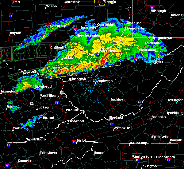 At 621 am est, a severe thunderstorm was located over franklin furnace, moving east at 60 mph (radar indicated). Hazards include ping pong ball size hail and 60 mph wind gusts. People and animals outdoors will be injured. expect hail damage to roofs, siding, windows, and vehicles. expect wind damage to roofs, siding, and trees. locations impacted include, wheelersburg, greenup, franklin furnace, sciotodale, powellsville, lyra and haverhill. A tornado watch remains in effect until 1100 am est for southwestern ohio. At 621 am est, a severe thunderstorm was located over franklin furnace, moving east at 60 mph (radar indicated). Hazards include ping pong ball size hail and 60 mph wind gusts. People and animals outdoors will be injured. expect hail damage to roofs, siding, windows, and vehicles. expect wind damage to roofs, siding, and trees. locations impacted include, wheelersburg, greenup, franklin furnace, sciotodale, powellsville, lyra and haverhill. A tornado watch remains in effect until 1100 am est for southwestern ohio.
|
| 3/1/2017 6:13 AM EST |
 At 613 am est, a severe thunderstorm was located near load, moving east at 60 mph (radar indicated). Hazards include golf ball size hail and 60 mph wind gusts. People and animals outdoors will be injured. expect hail damage to roofs, siding, windows, and vehicles. Expect wind damage to roofs, siding, and trees. At 613 am est, a severe thunderstorm was located near load, moving east at 60 mph (radar indicated). Hazards include golf ball size hail and 60 mph wind gusts. People and animals outdoors will be injured. expect hail damage to roofs, siding, windows, and vehicles. Expect wind damage to roofs, siding, and trees.
|
| 3/1/2017 6:12 AM EST |
 At 612 am est, a severe thunderstorm was located over load, or 12 miles south of portsmouth, moving east at 70 mph (radar indicated). Hazards include golf ball size hail and 70 mph wind gusts. People and animals outdoors will be injured. expect hail damage to roofs, siding, windows, and vehicles. expect considerable tree damage. Wind damage is also likely to mobile homes, roofs, and outbuildings. At 612 am est, a severe thunderstorm was located over load, or 12 miles south of portsmouth, moving east at 70 mph (radar indicated). Hazards include golf ball size hail and 70 mph wind gusts. People and animals outdoors will be injured. expect hail damage to roofs, siding, windows, and vehicles. expect considerable tree damage. Wind damage is also likely to mobile homes, roofs, and outbuildings.
|
| 12/18/2016 1:53 AM EST |
 The severe thunderstorm warning for northwestern carter, greenup, lawrence, gallia, south central vinton, jackson and west central mason counties will expire at 200 am est, the storm which prompted the warning has weakened below severe limits, and no longer pose an immediate threat to life or property. therefore the warning will be allowed to expire. however gusty winds and heavy rain are still possible with this thunderstorm. The severe thunderstorm warning for northwestern carter, greenup, lawrence, gallia, south central vinton, jackson and west central mason counties will expire at 200 am est, the storm which prompted the warning has weakened below severe limits, and no longer pose an immediate threat to life or property. therefore the warning will be allowed to expire. however gusty winds and heavy rain are still possible with this thunderstorm.
|
| 12/18/2016 1:14 AM EST |
 At 114 am est, a severe thunderstorm was located over letitia, or near portsmouth, moving northeast at 55 mph (radar indicated). Hazards include 60 mph wind gusts. expect damage to roofs, siding, and trees At 114 am est, a severe thunderstorm was located over letitia, or near portsmouth, moving northeast at 55 mph (radar indicated). Hazards include 60 mph wind gusts. expect damage to roofs, siding, and trees
|
| 7/14/2016 4:51 PM EDT |
 The severe thunderstorm warning for greenup, northeastern carter, northern boyd, lawrence, south central gallia and central cabell counties will expire at 500 pm edt, the storm which prompted the warning has moved out of the area. therefore, the warning will be allowed to expire. however gusty winds are still possible with this thunderstorm. The severe thunderstorm warning for greenup, northeastern carter, northern boyd, lawrence, south central gallia and central cabell counties will expire at 500 pm edt, the storm which prompted the warning has moved out of the area. therefore, the warning will be allowed to expire. however gusty winds are still possible with this thunderstorm.
|
| 7/14/2016 4:03 PM EDT |
 At 402 pm edt, a line of severe thunderstorms were located over greenbo lake, or 10 miles north of grayson, moving east at 40 mph (radar indicated). Hazards include 60 mph wind gusts. Expect damage to roofs. siding. And trees. At 402 pm edt, a line of severe thunderstorms were located over greenbo lake, or 10 miles north of grayson, moving east at 40 mph (radar indicated). Hazards include 60 mph wind gusts. Expect damage to roofs. siding. And trees.
|
| 7/14/2016 3:21 PM EDT | Trees and power lines down in tow in greenup county KY, 3.7 miles WNW of Greenup, KY |
| 7/8/2016 2:04 PM EDT |
 At 203 pm edt, a severe thunderstorm was located near lake vesuvius, moving east at 45 mph (radar indicated. these storms have a wind damage history along its path). Hazards include 60 mph wind gusts and nickel size hail. Expect damage to roofs, siding, and trees. Locations impacted include, greenup, load, greenbo lake, naples, oldtown, franklin furnace, flatwoods, russell, raceland, worthington, wurtland, hanging rock, warnock and hopewell. At 203 pm edt, a severe thunderstorm was located near lake vesuvius, moving east at 45 mph (radar indicated. these storms have a wind damage history along its path). Hazards include 60 mph wind gusts and nickel size hail. Expect damage to roofs, siding, and trees. Locations impacted include, greenup, load, greenbo lake, naples, oldtown, franklin furnace, flatwoods, russell, raceland, worthington, wurtland, hanging rock, warnock and hopewell.
|
| 7/8/2016 1:52 PM EDT |
 The severe thunderstorm warning for eastern scioto county will expire at 200 pm edt, the storms which prompted the warning are moving out of the area. therefore the warning will be allowed to expire. a severe thunderstorm watch remains in effect until 600 pm edt for southwestern ohio. please report previous wind damage or hail to the national weather service by going to our website at weather.gov/iln and submitting your report via social media. The severe thunderstorm warning for eastern scioto county will expire at 200 pm edt, the storms which prompted the warning are moving out of the area. therefore the warning will be allowed to expire. a severe thunderstorm watch remains in effect until 600 pm edt for southwestern ohio. please report previous wind damage or hail to the national weather service by going to our website at weather.gov/iln and submitting your report via social media.
|
| 7/8/2016 1:40 PM EDT |
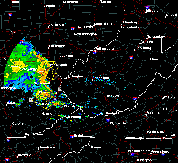 At 139 pm edt, severe thunderstorms were located along a line extending from lucasville to portsmouth, moving east at 60 mph (radar indicated). Hazards include 60 mph wind gusts. Expect damage to roofs. siding. and trees. Locations impacted include, portsmouth, wheelersburg, new boston, south webster, sciotodale, lucasville, franklin furnace, rosemount, powellsville, lyra, portsmouth regional airport, minford and haverhill. At 139 pm edt, severe thunderstorms were located along a line extending from lucasville to portsmouth, moving east at 60 mph (radar indicated). Hazards include 60 mph wind gusts. Expect damage to roofs. siding. and trees. Locations impacted include, portsmouth, wheelersburg, new boston, south webster, sciotodale, lucasville, franklin furnace, rosemount, powellsville, lyra, portsmouth regional airport, minford and haverhill.
|
| 7/8/2016 1:34 PM EDT |
 At 134 pm edt, severe thunderstorms were located along a line extending from lucasville to letitia, moving east at 60 mph (radar indicated). Hazards include 60 mph wind gusts. Expect damage to roofs. siding. and trees. Locations impacted include, portsmouth, wheelersburg, new boston, south webster, sciotodale, lucasville, franklin furnace, rosemount, west portsmouth, powellsville, lyra, friendship, portsmouth regional airport, mcdermott, minford, haverhill and bear creek. At 134 pm edt, severe thunderstorms were located along a line extending from lucasville to letitia, moving east at 60 mph (radar indicated). Hazards include 60 mph wind gusts. Expect damage to roofs. siding. and trees. Locations impacted include, portsmouth, wheelersburg, new boston, south webster, sciotodale, lucasville, franklin furnace, rosemount, west portsmouth, powellsville, lyra, friendship, portsmouth regional airport, mcdermott, minford, haverhill and bear creek.
|
| 7/8/2016 1:34 PM EDT |
 At 134 pm edt, a severe thunderstorm was located near letitia, or 12 miles southwest of portsmouth, moving east at 50 mph (radar indicated). Hazards include 60 mph wind gusts and nickel size hail. Expect damage to roofs. siding. And trees. At 134 pm edt, a severe thunderstorm was located near letitia, or 12 miles southwest of portsmouth, moving east at 50 mph (radar indicated). Hazards include 60 mph wind gusts and nickel size hail. Expect damage to roofs. siding. And trees.
|
| 7/8/2016 1:34 PM EDT |
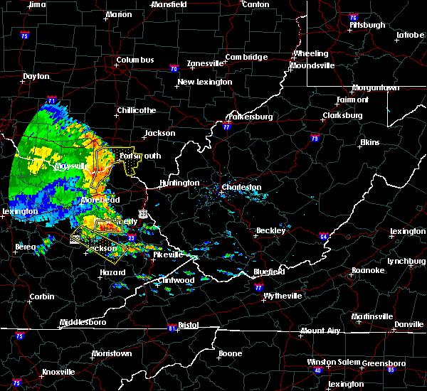 At 134 pm edt, severe thunderstorms were located along a line extending from lucasville to letitia, moving east at 60 mph (radar indicated). Hazards include 60 mph wind gusts. Expect damage to roofs. siding. and trees. Locations impacted include, portsmouth, wheelersburg, new boston, south webster, sciotodale, lucasville, franklin furnace, rosemount, west portsmouth, powellsville, lyra, friendship, portsmouth regional airport, mcdermott, minford, haverhill and bear creek. At 134 pm edt, severe thunderstorms were located along a line extending from lucasville to letitia, moving east at 60 mph (radar indicated). Hazards include 60 mph wind gusts. Expect damage to roofs. siding. and trees. Locations impacted include, portsmouth, wheelersburg, new boston, south webster, sciotodale, lucasville, franklin furnace, rosemount, west portsmouth, powellsville, lyra, friendship, portsmouth regional airport, mcdermott, minford, haverhill and bear creek.
|
| 7/8/2016 1:27 PM EDT |
 At 125 pm edt, severe thunderstorms were located along a line extending from 10 miles west of lucasville to camp dix, moving east at 55 mph (radar indicated). Hazards include 60 mph wind gusts. Expect damage to roofs. siding. And trees. At 125 pm edt, severe thunderstorms were located along a line extending from 10 miles west of lucasville to camp dix, moving east at 55 mph (radar indicated). Hazards include 60 mph wind gusts. Expect damage to roofs. siding. And trees.
|
| 7/8/2016 1:27 PM EDT |
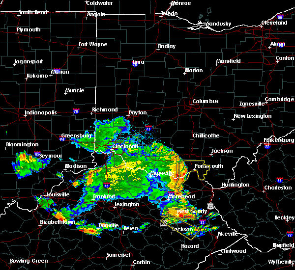 At 125 pm edt, severe thunderstorms were located along a line extending from 10 miles west of lucasville to camp dix, moving east at 55 mph (radar indicated). Hazards include 60 mph wind gusts. Expect damage to roofs. siding. And trees. At 125 pm edt, severe thunderstorms were located along a line extending from 10 miles west of lucasville to camp dix, moving east at 55 mph (radar indicated). Hazards include 60 mph wind gusts. Expect damage to roofs. siding. And trees.
|
| 6/23/2016 3:36 PM EDT | Tree down along route 2 in greenup county KY, 4.8 miles NNE of Greenup, KY |
| 6/23/2016 6:17 AM EDT |
 At 616 am edt, severe thunderstorms were located along a line extending from near jackson to 9 miles west of lucasville to near tollesboro, moving southeast at 50 mph (radar indicated). Hazards include 60 mph wind gusts. Expect damage to roofs. siding. And trees. At 616 am edt, severe thunderstorms were located along a line extending from near jackson to 9 miles west of lucasville to near tollesboro, moving southeast at 50 mph (radar indicated). Hazards include 60 mph wind gusts. Expect damage to roofs. siding. And trees.
|
| 7/14/2015 5:20 PM EDT | Several trees dow in greenup county KY, 0.3 miles NNW of Greenup, KY |
| 7/14/2015 5:05 PM EDT |
 At 504 pm edt, doppler radar indicated a line of severe thunderstorms capable of producing damaging winds in excess of 60 mph. these storms were located along a line extending from 9 miles northeast of lake vesuvius to near letitia, moving southeast at 45 mph. locations impacted include, portsmouth, ironton, coal grove, lake vesuvius, greenup, load, greenbo lake, letitia, franklin furnace, flatwoods, russell, vernon, waterloo, raceland, worthington, south shore, wurtland, bellefonte, aid and crown city. At 504 pm edt, doppler radar indicated a line of severe thunderstorms capable of producing damaging winds in excess of 60 mph. these storms were located along a line extending from 9 miles northeast of lake vesuvius to near letitia, moving southeast at 45 mph. locations impacted include, portsmouth, ironton, coal grove, lake vesuvius, greenup, load, greenbo lake, letitia, franklin furnace, flatwoods, russell, vernon, waterloo, raceland, worthington, south shore, wurtland, bellefonte, aid and crown city.
|
| 7/14/2015 4:58 PM EDT |
 At 457 pm edt, radar indicated a severe thunderstorm located 11 miles west of rosemount, moving southeast at 50 mph. storm hazards include, winds to 60 mph, penny size hail, locations impacted include, portsmouth, wheelersburg, new boston, greenup, south webster, sciotodale, lucasville, rosemount, franklin furnace, blue creek, otway, buena vista in scioto county, west portsmouth, sandy springs, powellsville, friendship, cedar mills, mcdermott, minford and sciotoville. At 457 pm edt, radar indicated a severe thunderstorm located 11 miles west of rosemount, moving southeast at 50 mph. storm hazards include, winds to 60 mph, penny size hail, locations impacted include, portsmouth, wheelersburg, new boston, greenup, south webster, sciotodale, lucasville, rosemount, franklin furnace, blue creek, otway, buena vista in scioto county, west portsmouth, sandy springs, powellsville, friendship, cedar mills, mcdermott, minford and sciotoville.
|
| 7/14/2015 4:58 PM EDT |
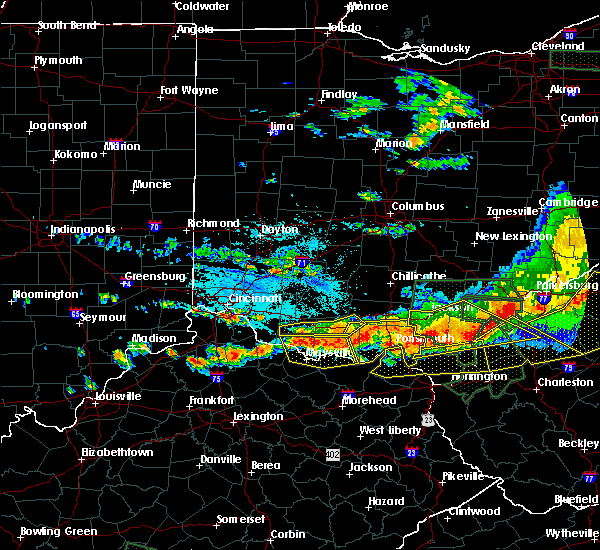 At 457 pm edt, radar indicated a severe thunderstorm located 11 miles west of rosemount, moving southeast at 50 mph. storm hazards include, winds to 60 mph, penny size hail, locations impacted include, portsmouth, wheelersburg, new boston, greenup, south webster, sciotodale, lucasville, rosemount, franklin furnace, blue creek, otway, buena vista in scioto county, west portsmouth, sandy springs, powellsville, friendship, cedar mills, mcdermott, minford and sciotoville. At 457 pm edt, radar indicated a severe thunderstorm located 11 miles west of rosemount, moving southeast at 50 mph. storm hazards include, winds to 60 mph, penny size hail, locations impacted include, portsmouth, wheelersburg, new boston, greenup, south webster, sciotodale, lucasville, rosemount, franklin furnace, blue creek, otway, buena vista in scioto county, west portsmouth, sandy springs, powellsville, friendship, cedar mills, mcdermott, minford and sciotoville.
|
| 7/14/2015 4:40 PM EDT |
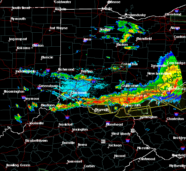 At 440 pm edt, radar indicated a severe thunderstorm located near lucasville, moving southeast at 45 mph. storm hazards include, winds to 60 mph, penny size hail, locations impacted include, portsmouth, wheelersburg, new boston, greenup, south webster, sciotodale, lucasville, rosemount, franklin furnace, blue creek, rarden, otway, west portsmouth, sandy springs, powellsville, friendship, mcdermott and minford. At 440 pm edt, radar indicated a severe thunderstorm located near lucasville, moving southeast at 45 mph. storm hazards include, winds to 60 mph, penny size hail, locations impacted include, portsmouth, wheelersburg, new boston, greenup, south webster, sciotodale, lucasville, rosemount, franklin furnace, blue creek, rarden, otway, west portsmouth, sandy springs, powellsville, friendship, mcdermott and minford.
|
| 7/14/2015 4:27 PM EDT |
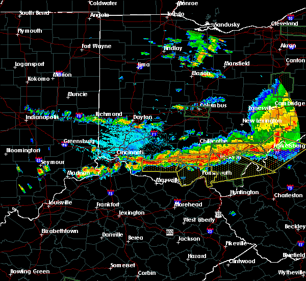 At 426 pm edt, radar indicated a severe thunderstorm located near piketon, moving southeast at 35 mph. storm hazards include, winds to 60 mph, penny size hail,. At 426 pm edt, radar indicated a severe thunderstorm located near piketon, moving southeast at 35 mph. storm hazards include, winds to 60 mph, penny size hail,.
|
| 7/14/2015 4:27 PM EDT |
 At 427 pm edt, doppler radar indicated a line of severe thunderstorms capable of producing damaging winds in excess of 60 mph. these storms were located along a line extending from 10 miles northeast of lucasville to near peebles, and moving southeast at 45 mph. At 427 pm edt, doppler radar indicated a line of severe thunderstorms capable of producing damaging winds in excess of 60 mph. these storms were located along a line extending from 10 miles northeast of lucasville to near peebles, and moving southeast at 45 mph.
|
| 7/14/2015 4:27 PM EDT |
 At 427 pm edt, doppler radar indicated a line of severe thunderstorms capable of producing damaging winds in excess of 60 mph. these storms were located along a line extending from 10 miles northeast of lucasville to near peebles, and moving southeast at 45 mph. At 427 pm edt, doppler radar indicated a line of severe thunderstorms capable of producing damaging winds in excess of 60 mph. these storms were located along a line extending from 10 miles northeast of lucasville to near peebles, and moving southeast at 45 mph.
|
| 7/13/2015 3:22 PM EDT |
 At 321 pm edt, doppler radar indicated a line of severe thunderstorms capable of producing damaging winds in excess of 60 mph. these storms were located along a line extending from near lake vesuvius to near triplett, moving southeast at 45 mph. these severe thunderstorms will remain over mainly rural areas of western boyd, northwestern lawrence, greenup and carter counties, including the following locations, brushart, soldier, globe, carter, hitchins, warnock, raceland, hopewell, worthington and willard. At 321 pm edt, doppler radar indicated a line of severe thunderstorms capable of producing damaging winds in excess of 60 mph. these storms were located along a line extending from near lake vesuvius to near triplett, moving southeast at 45 mph. these severe thunderstorms will remain over mainly rural areas of western boyd, northwestern lawrence, greenup and carter counties, including the following locations, brushart, soldier, globe, carter, hitchins, warnock, raceland, hopewell, worthington and willard.
|
| 7/13/2015 2:39 PM EDT |
 At 238 pm edt, doppler radar indicated a line of severe thunderstorms capable of producing damaging winds in excess of 60 mph. these storms were located along a line extending from 6 miles east of lucasville to near manchester, and moving southeast at 45 mph. * severe thunderstorms will be near, portsmouth around 245 pm edt. new boston around 250 pm edt. olive hill around 330 pm edt. other locations impacted by these severe thunderstorms include south shore, sciotoville, brushart, soldier, grays branch, globe, carter, hitchins, warnock and raceland. At 238 pm edt, doppler radar indicated a line of severe thunderstorms capable of producing damaging winds in excess of 60 mph. these storms were located along a line extending from 6 miles east of lucasville to near manchester, and moving southeast at 45 mph. * severe thunderstorms will be near, portsmouth around 245 pm edt. new boston around 250 pm edt. olive hill around 330 pm edt. other locations impacted by these severe thunderstorms include south shore, sciotoville, brushart, soldier, grays branch, globe, carter, hitchins, warnock and raceland.
|
| 7/7/2015 6:44 PM EDT |
 At 642 pm edt, radar continued to indicate severe thunderstorms located along a line extending from ladd to mcdermott to west portsmouth, moving east at 35 mph. storm hazards include, winds to 60 mph, very heavy rain which may cause minor flooding, locations impacted include, lucasville, franklin furnace and wheelersburg. in addition, rosemount, wakefield, new boston, haverhill, sciotoville, sciotodale, minford and powellsville are near the path of these storms. At 642 pm edt, radar continued to indicate severe thunderstorms located along a line extending from ladd to mcdermott to west portsmouth, moving east at 35 mph. storm hazards include, winds to 60 mph, very heavy rain which may cause minor flooding, locations impacted include, lucasville, franklin furnace and wheelersburg. in addition, rosemount, wakefield, new boston, haverhill, sciotoville, sciotodale, minford and powellsville are near the path of these storms.
|
| 7/7/2015 6:25 PM EDT |
 At 623 pm edt, radar indicated severe thunderstorms located along a line extending from rarden to blue creek to buena vista, moving east at 35 mph. storm hazards include, winds to 60 mph, very heavy rain which may cause minor flooding,. At 623 pm edt, radar indicated severe thunderstorms located along a line extending from rarden to blue creek to buena vista, moving east at 35 mph. storm hazards include, winds to 60 mph, very heavy rain which may cause minor flooding,.
|
| 6/29/2015 5:30 PM EDT |
 At 530 pm edt, doppler radar indicated a severe thunderstorm capable of producing quarter size hail and damaging winds in excess of 60 mph. this storm was located over greenup, or 11 miles west of ironton, moving east at 20 mph. locations impacted include, ironton, greenup, greenbo lake, naples, franklin furnace, flatwoods, russell, raceland, worthington, wurtland, bellefonte and hanging rock. a tornado watch remains in effect until 900 pm edt for central kentucky and southeastern ohio. At 530 pm edt, doppler radar indicated a severe thunderstorm capable of producing quarter size hail and damaging winds in excess of 60 mph. this storm was located over greenup, or 11 miles west of ironton, moving east at 20 mph. locations impacted include, ironton, greenup, greenbo lake, naples, franklin furnace, flatwoods, russell, raceland, worthington, wurtland, bellefonte and hanging rock. a tornado watch remains in effect until 900 pm edt for central kentucky and southeastern ohio.
|
| 6/29/2015 4:54 PM EDT |
 At 453 pm edt, doppler radar indicated a severe thunderstorm capable of producing quarter size hail and damaging winds in excess of 60 mph. this storm was located 7 miles southwest of letitia, or 14 miles north of carter caves state park, and moving east at 20 mph. At 453 pm edt, doppler radar indicated a severe thunderstorm capable of producing quarter size hail and damaging winds in excess of 60 mph. this storm was located 7 miles southwest of letitia, or 14 miles north of carter caves state park, and moving east at 20 mph.
|
| 5/11/2015 5:17 PM EDT | At 514 pm edt, national weather service doppler radar indicated a severe thunderstorm capable of producing quarter size hail, and damaging winds in excess of 60 mph. this storm was located 12 miles west of carter caves state park, or 11 miles northwest of olive hill, moving east at 35 mph. * other locations in the warning include but are not limited to princess, naples, oldtown, load, greenbo lake, gesling, coalton, catlettsburg and greenup. this will impact the following interstate, i-64 between mile markers 156 and 191 in kentucky. a severe thunderstorm watch remains in effect until 1000 pm edt monday evening for central kentucky and southeast ohio and central west virginia. please report hail or strong wind to the national weather service by calling toll free, 800-401-9535, when you can do so safely. you may also report severe weather by posting your report to the charleston west virginia national weather service facebook page, or by using the twitter hashtag, nwsrlx. |
| 5/11/2015 5:17 PM EDT | At 514 pm edt, national weather service doppler radar indicated a severe thunderstorm capable of producing quarter size hail, and damaging winds in excess of 60 mph. this storm was located 12 miles west of carter caves state park, or 11 miles northwest of olive hill, moving east at 35 mph. * other locations in the warning include but are not limited to princess, naples, oldtown, load, greenbo lake, gesling, coalton, catlettsburg and greenup. this will impact the following interstate, i-64 between mile markers 156 and 191 in kentucky. a severe thunderstorm watch remains in effect until 1000 pm edt monday evening for central kentucky and southeast ohio and central west virginia. please report hail or strong wind to the national weather service by calling toll free, 800-401-9535, when you can do so safely. you may also report severe weather by posting your report to the charleston west virginia national weather service facebook page, or by using the twitter hashtag, nwsrlx. |
| 4/8/2015 1:35 PM EDT | A severe thunderstorm warning remains in effect until 200 pm edt for southern greenup. carter and boyd counties in kentucky. and eastern meigs. lawrence. southern gallia and extreme southeastern athens counties in southeast ohio. and northern wayne. cabell. northern jackson and mason counties in west virginia. at 122 pm edt. National weather service doppler radar continued to. |
| 4/8/2015 1:35 PM EDT | A severe thunderstorm warning remains in effect until 200 pm edt for southern greenup. carter and boyd counties in kentucky. and eastern meigs. lawrence. southern gallia and extreme southeastern athens counties in southeast ohio. and northern wayne. cabell. northern jackson and mason counties in west virginia. at 122 pm edt. National weather service doppler radar continued to. |
| 4/8/2015 1:35 PM EDT | A severe thunderstorm warning remains in effect until 200 pm edt for southern greenup. carter and boyd counties in kentucky. and eastern meigs. lawrence. southern gallia and extreme southeastern athens counties in southeast ohio. and northern wayne. cabell. northern jackson and mason counties in west virginia. at 122 pm edt. National weather service doppler radar continued to. |
| 4/8/2015 12:56 PM EDT | The national weather service in charleston has issued a * severe thunderstorm warning for. boyd county in kentucky. this includes the cities of. cannonsburg. ashland. carter county in kentucky. this includes the cities of. olive hill. Grayson lake state. |
| 4/8/2015 12:56 PM EDT | The national weather service in charleston has issued a * severe thunderstorm warning for. boyd county in kentucky. this includes the cities of. cannonsburg. ashland. carter county in kentucky. this includes the cities of. olive hill. Grayson lake state. |
| 4/8/2015 12:56 PM EDT | The national weather service in charleston has issued a * severe thunderstorm warning for. boyd county in kentucky. this includes the cities of. cannonsburg. ashland. carter county in kentucky. this includes the cities of. olive hill. Grayson lake state. |
| 4/8/2015 12:29 PM EDT | A severe thunderstorm warning remains in effect until 100 pm edt for greenup county in kentucky. and vinton. western meigs. northern lawrence. jackson. gallia and western athens counties in southeast ohio. at 1221 pm edt. National weather service doppler radar continued to indicate a line of severe thunderstorms capable of producing damaging. |
| 4/8/2015 12:29 PM EDT | A severe thunderstorm warning remains in effect until 100 pm edt for greenup county in kentucky. and vinton. western meigs. northern lawrence. jackson. gallia and western athens counties in southeast ohio. at 1221 pm edt. National weather service doppler radar continued to indicate a line of severe thunderstorms capable of producing damaging. |
| 4/8/2015 12:06 PM EDT | The national weather service in wilmington has issued a * severe thunderstorm warning for. scioto county in southwest ohio. eastern ross county in southwest ohio. eastern pike county in southwest ohio. Southeastern pickaway county in central ohio. |
| 4/8/2015 12:06 PM EDT | The national weather service in wilmington has issued a * severe thunderstorm warning for. scioto county in southwest ohio. eastern ross county in southwest ohio. eastern pike county in southwest ohio. Southeastern pickaway county in central ohio. |
| 4/8/2015 12:02 PM EDT | The national weather service in charleston has issued a * severe thunderstorm warning for. greenup county in kentucky. western athens county in southeast ohio. this includes the cities of. nelsonville. albany. Gallia county in southeast ohio. |
| 4/8/2015 12:02 PM EDT | The national weather service in charleston has issued a * severe thunderstorm warning for. greenup county in kentucky. western athens county in southeast ohio. this includes the cities of. nelsonville. albany. Gallia county in southeast ohio. |
| 7/8/2014 2:10 PM EDT | Several trees down along state route 2 toward load. time estimated from rada in greenup county KY, 3.3 miles NNE of Greenup, KY |
| 5/27/2014 4:05 PM EDT | Quarter sized hail reported 7.6 miles ENE of Greenup, KY, 911 center received reports of up to quarter sized hail. |
| 11/1/2013 1:43 AM EDT | Trees down around county. time estimated by rada in greenup county KY, 0.3 miles NNW of Greenup, KY |
| 11/1/2013 1:38 AM EDT | Eight trees down along ridg in greenup county KY, 11.2 miles ENE of Greenup, KY |
| 7/8/2012 3:12 PM EDT | Trees down across route 1 and route 2 in greenup county KY, 3.3 miles NNE of Greenup, KY |
| 3/28/2012 3:22 PM EDT | Storm damage reported in greenup county KY, 0.3 miles NNW of Greenup, KY |
| 9/14/2011 8:55 PM EDT | Quarter sized hail reported 2.9 miles SSE of Greenup, KY, 40 mph wind in addition to the hail |
| 9/14/2011 8:55 PM EDT | Golf Ball sized hail reported 7 miles ENE of Greenup, KY, glass patio door destroyed...damage to cars reported |
| 9/14/2011 8:55 PM EDT | Golf Ball sized hail reported 2.9 miles SSE of Greenup, KY, damage to car windshields |
| 9/14/2011 8:55 PM EDT | Hen Egg sized hail reported 2.1 miles SSE of Greenup, KY, hail left dents in awnings on a house |
| 9/14/2011 8:55 PM EDT | Hen Egg sized hail reported 2.9 miles SSE of Greenup, KY, hail damaged one rescue truck and two fire trucks |
| 9/14/2011 8:52 PM EDT | Golf Ball sized hail reported 7 miles ENE of Greenup, KY |
| 1/1/0001 12:00 AM | Two trees down in the load area...exact roads unknown in greenup county KY, 7.6 miles ENE of Greenup, KY |
| 1/1/0001 12:00 AM | Golf Ball sized hail reported 2.5 miles NNE of Greenup, KY, reports of golf ball sized hail outside of argillite... ky. |
| 1/1/0001 12:00 AM | Quarter sized hail reported 3.6 miles NE of Greenup, KY, post office reports quarter sized hail on site... with patrons reporting golf ball sized in the area. |
| 1/1/0001 12:00 AM | A few trees down in greenup county KY, 11.2 miles ENE of Greenup, KY |
| 1/1/0001 12:00 AM | Multiple trees and powerlines down throughout greenup county in greenup county KY, 5.2 miles NE of Greenup, KY |
| 1/1/0001 12:00 AM | Large branches broke in greenup county KY, 7 miles ENE of Greenup, KY |
| 1/1/0001 12:00 AM | Structural damage from straight line winds. section of roof blown off apartment building. damage to cars reported in greenup county KY, 7 miles ENE of Greenup, KY |
Hail Maps for Greenup, KY


Connect with Interactive Hail Maps