

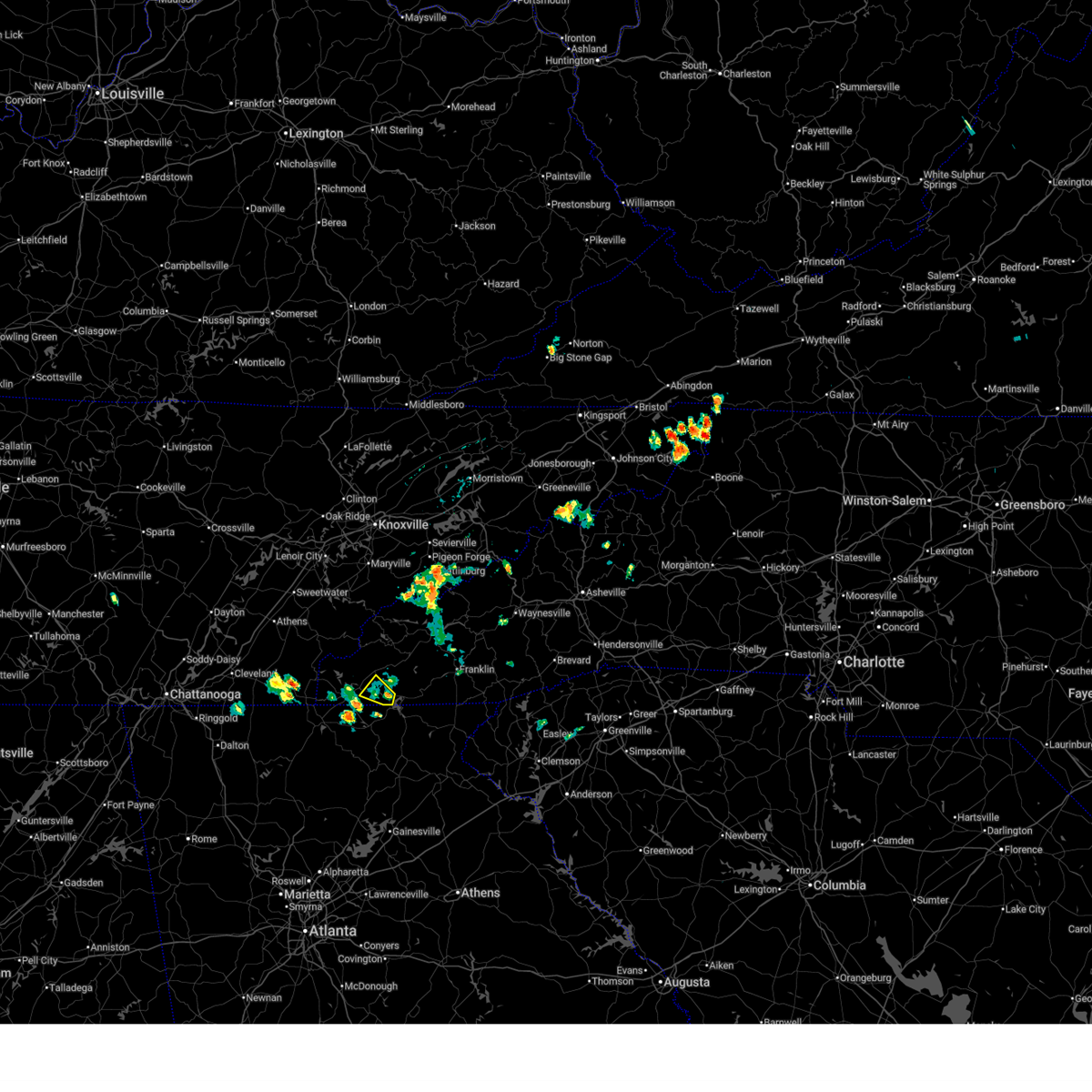
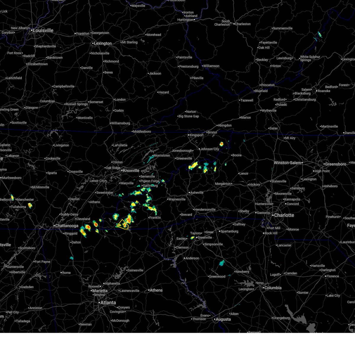
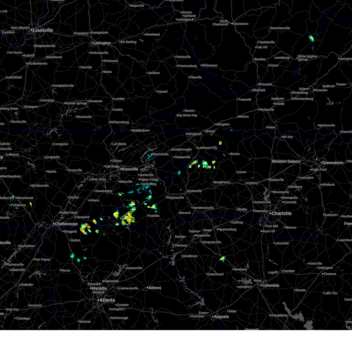
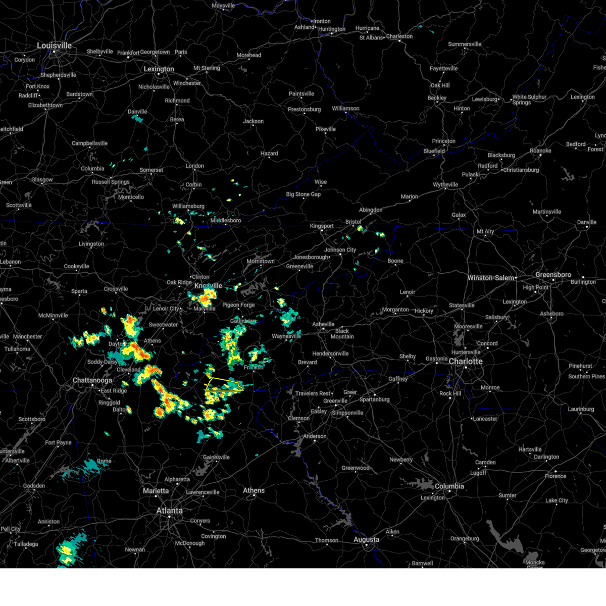
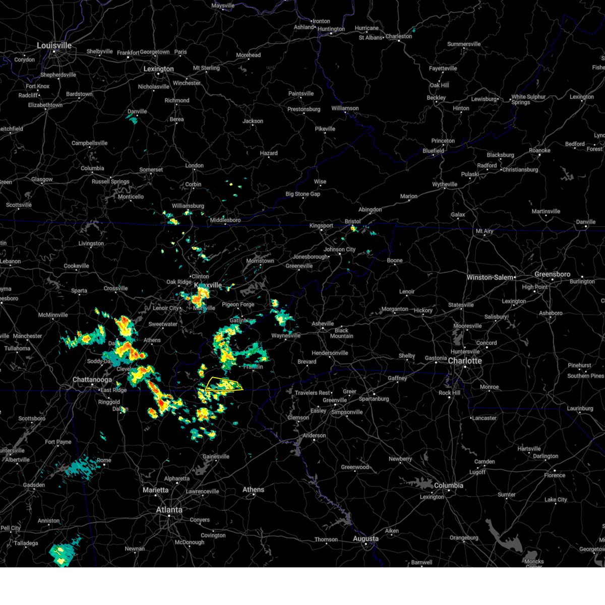
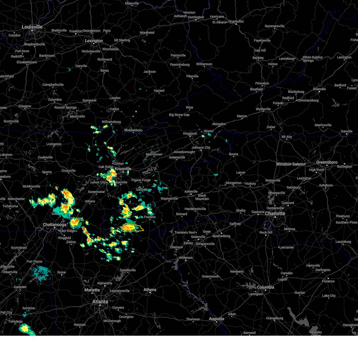
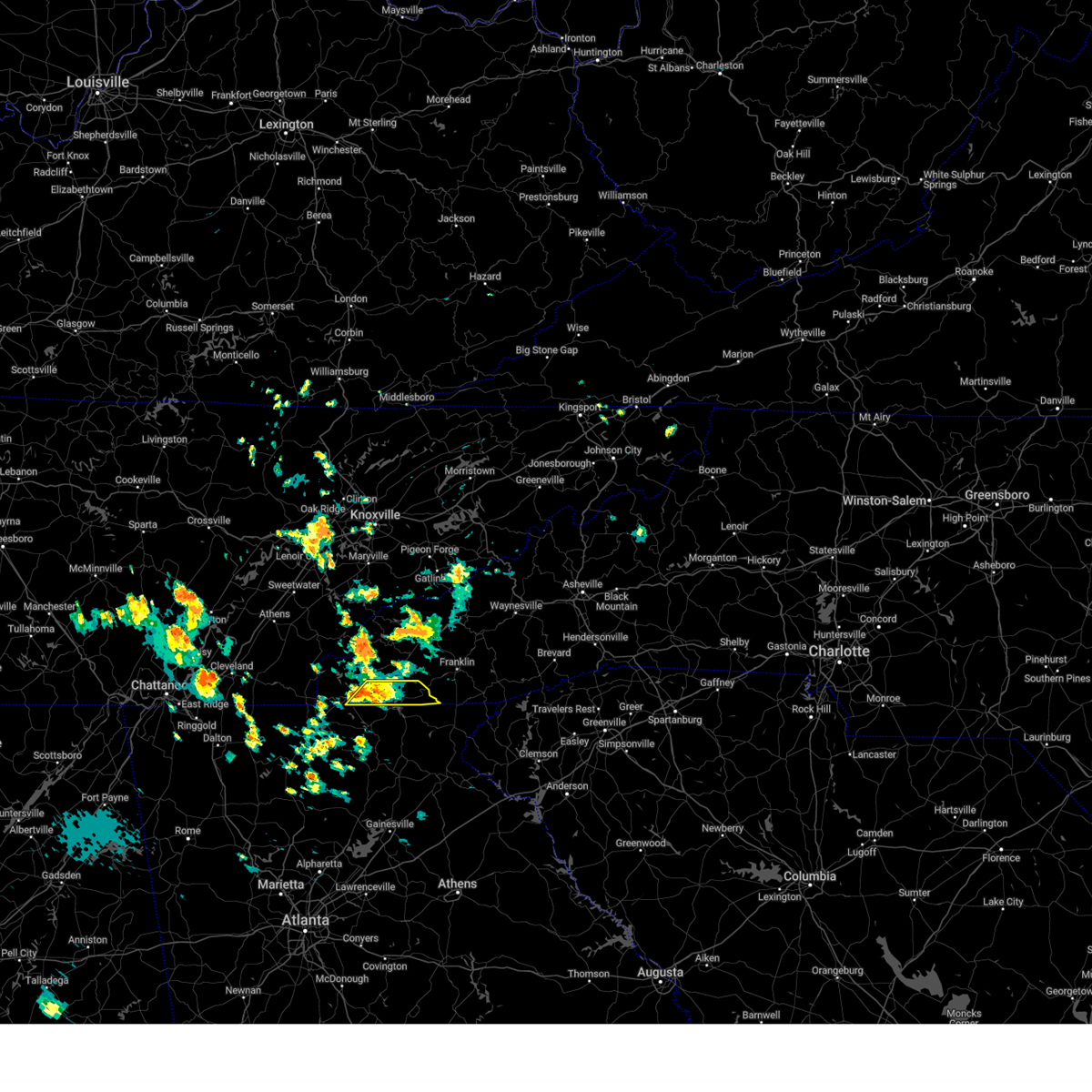
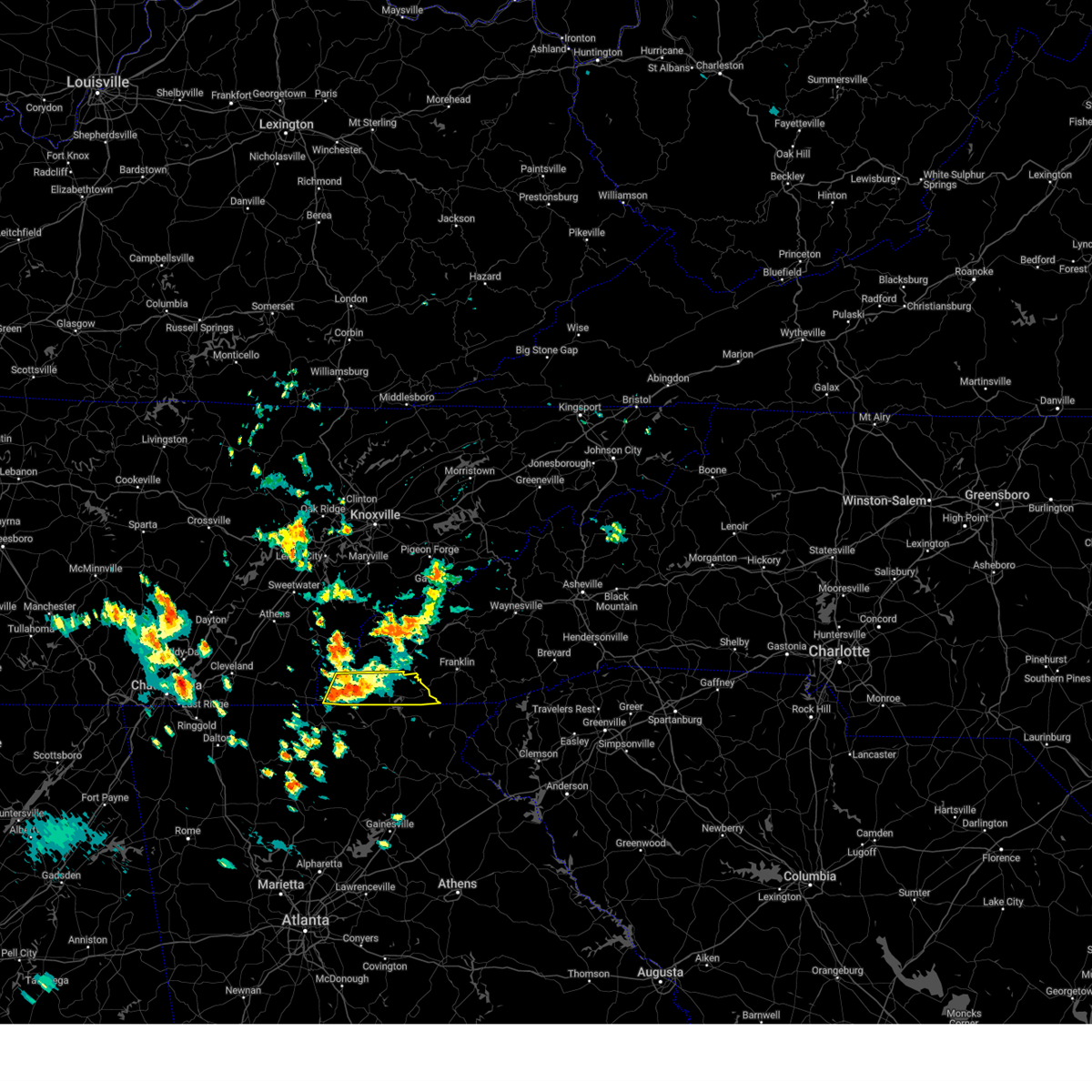
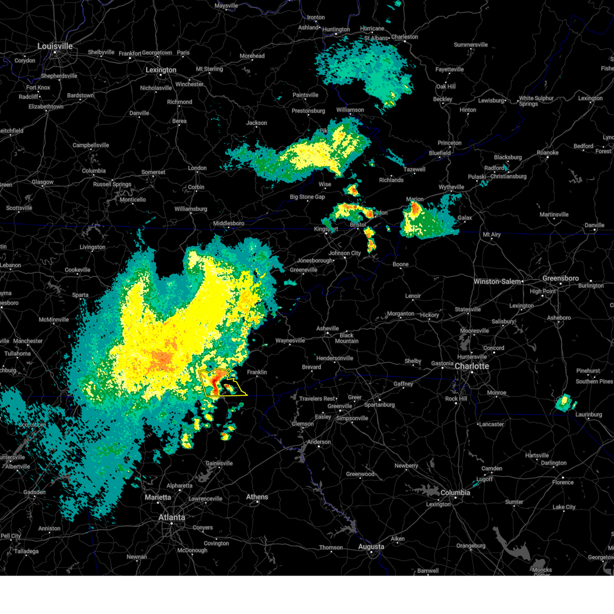
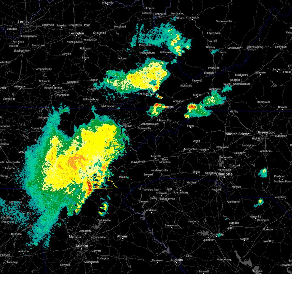
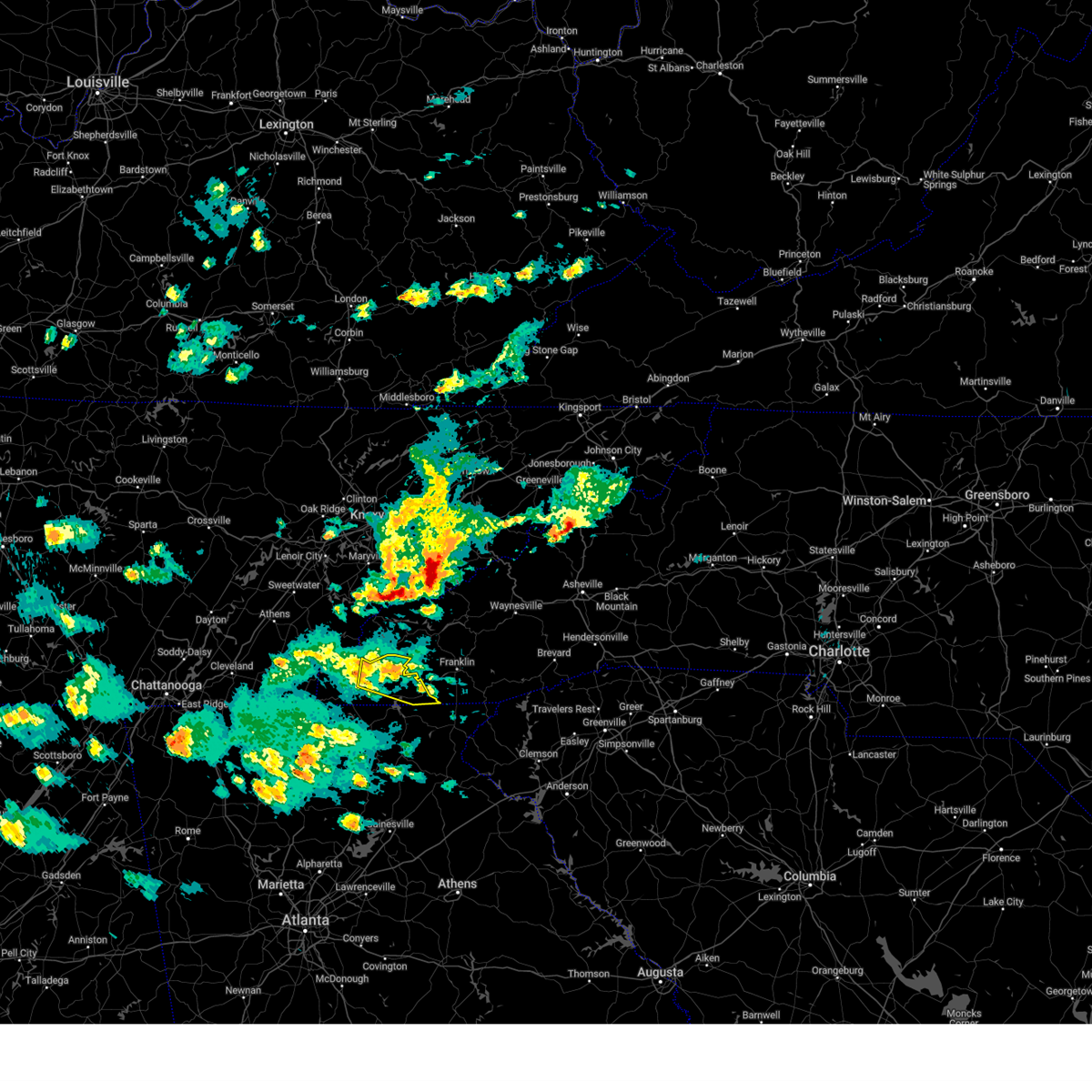
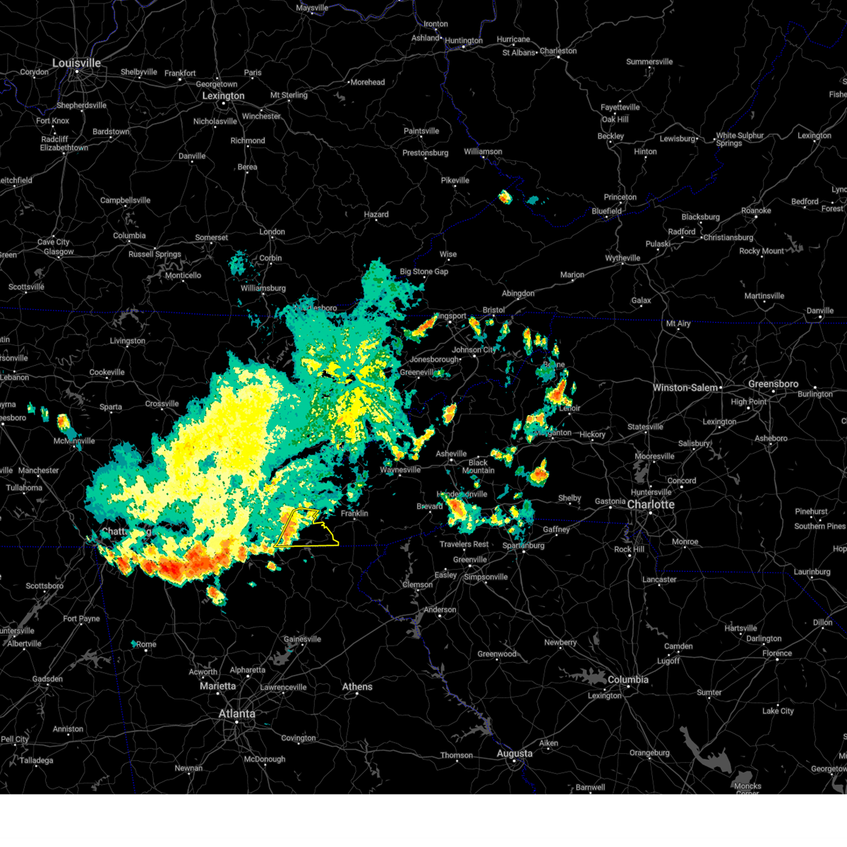
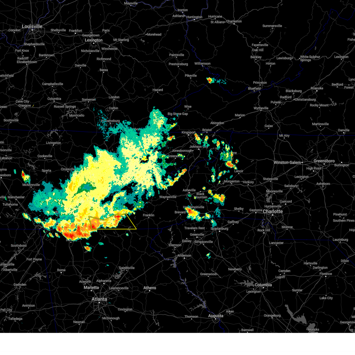
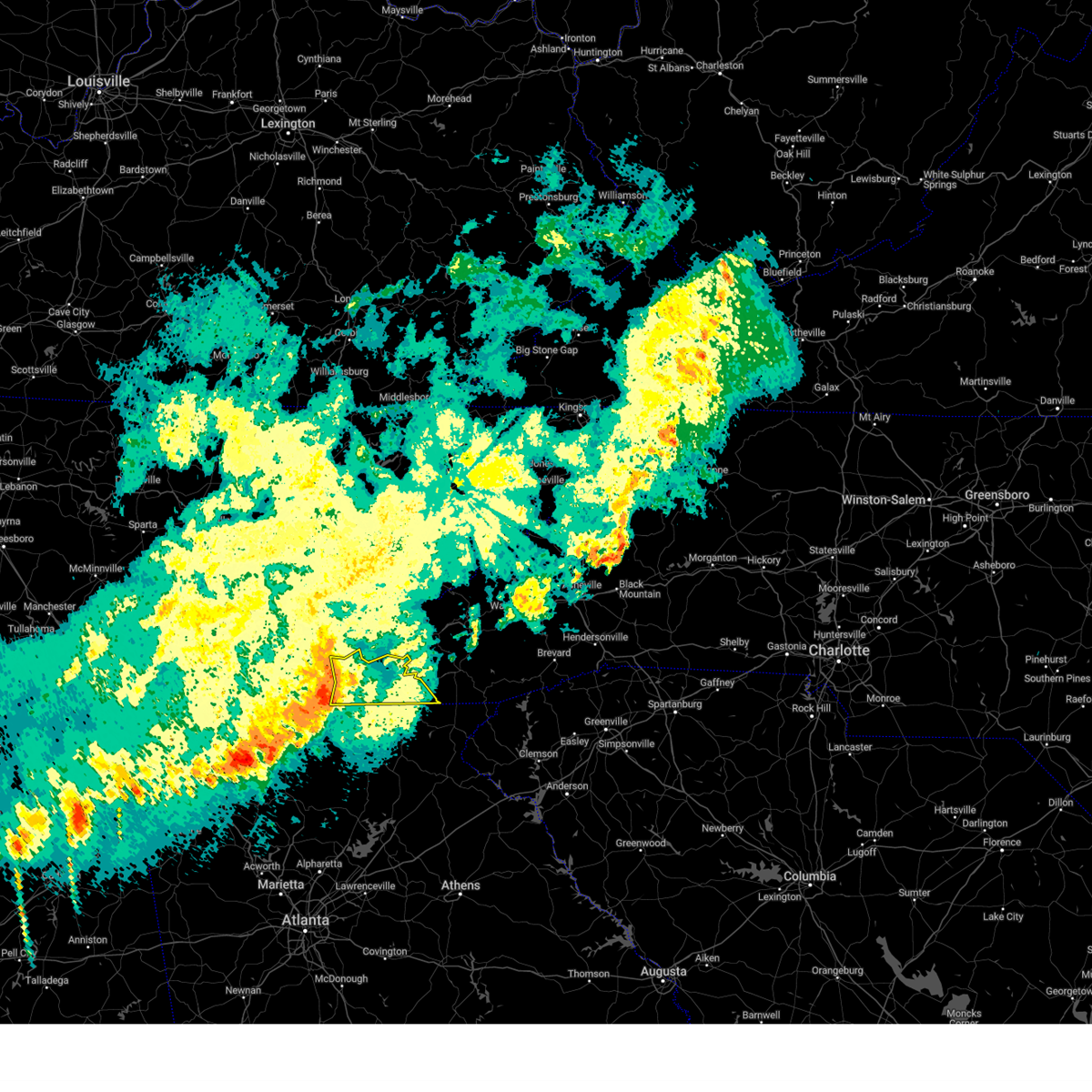
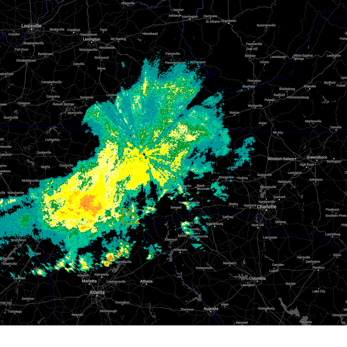
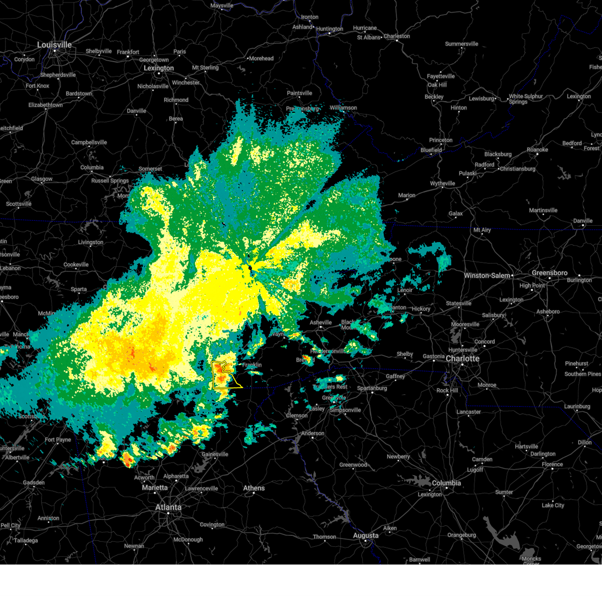
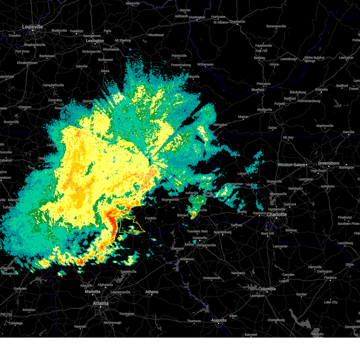
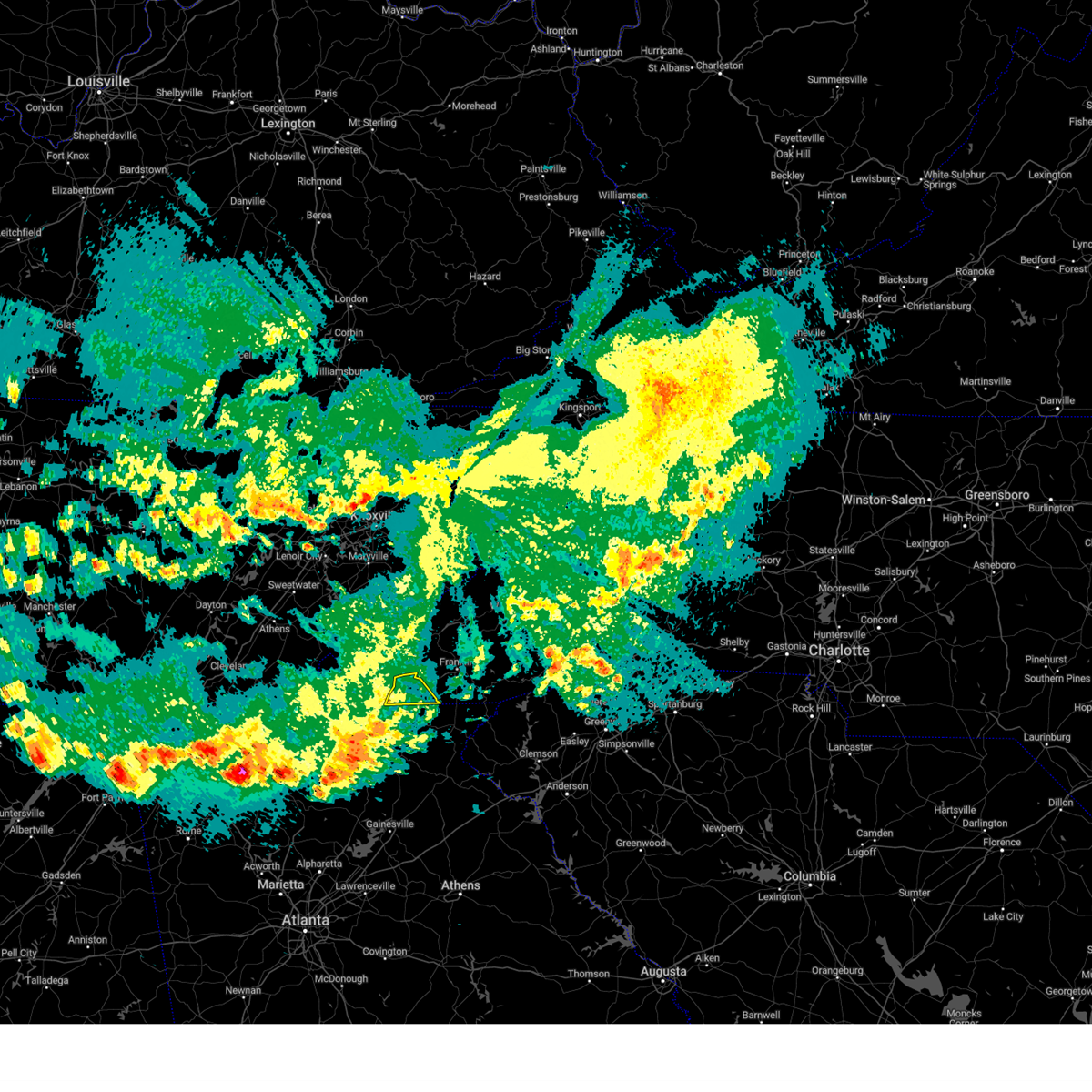
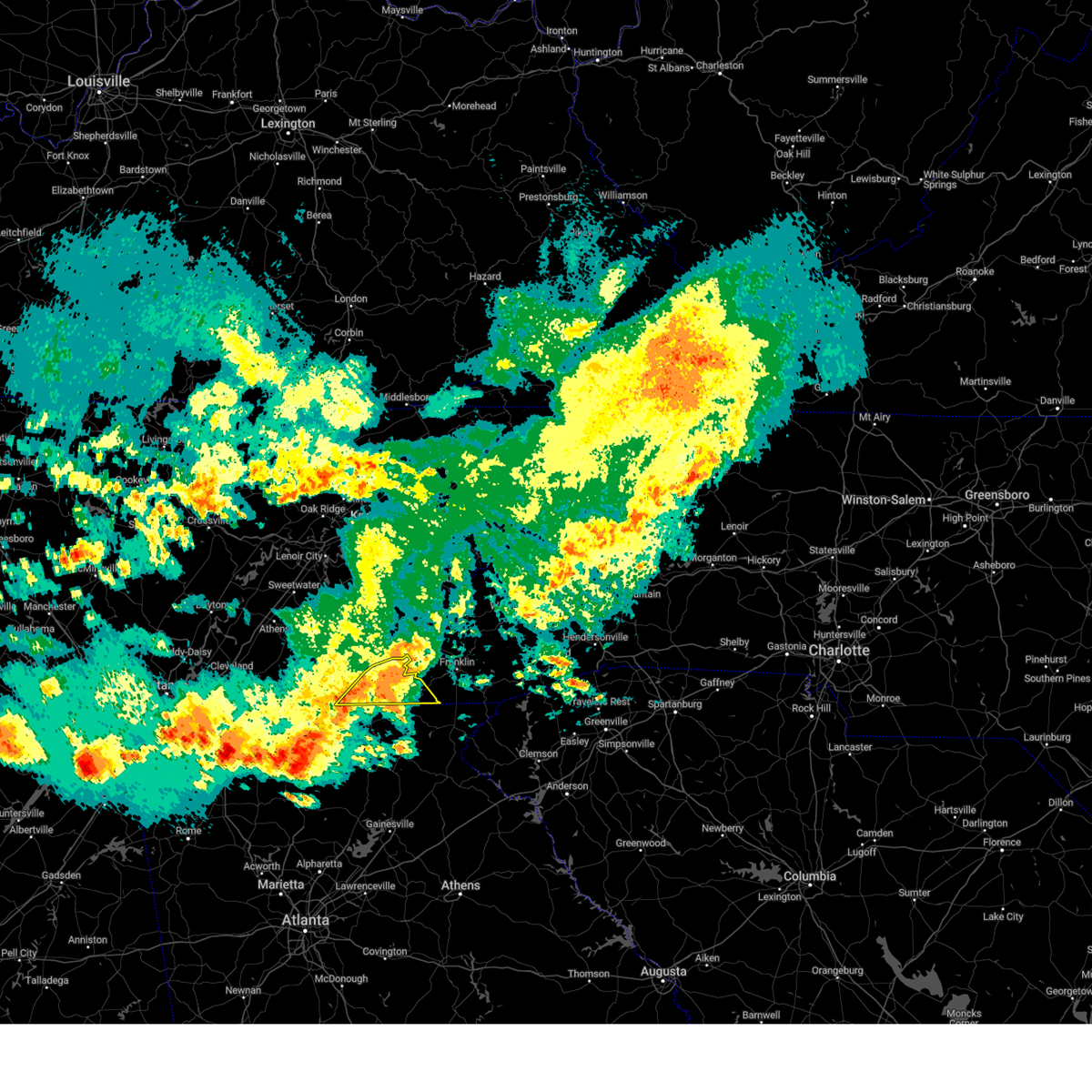
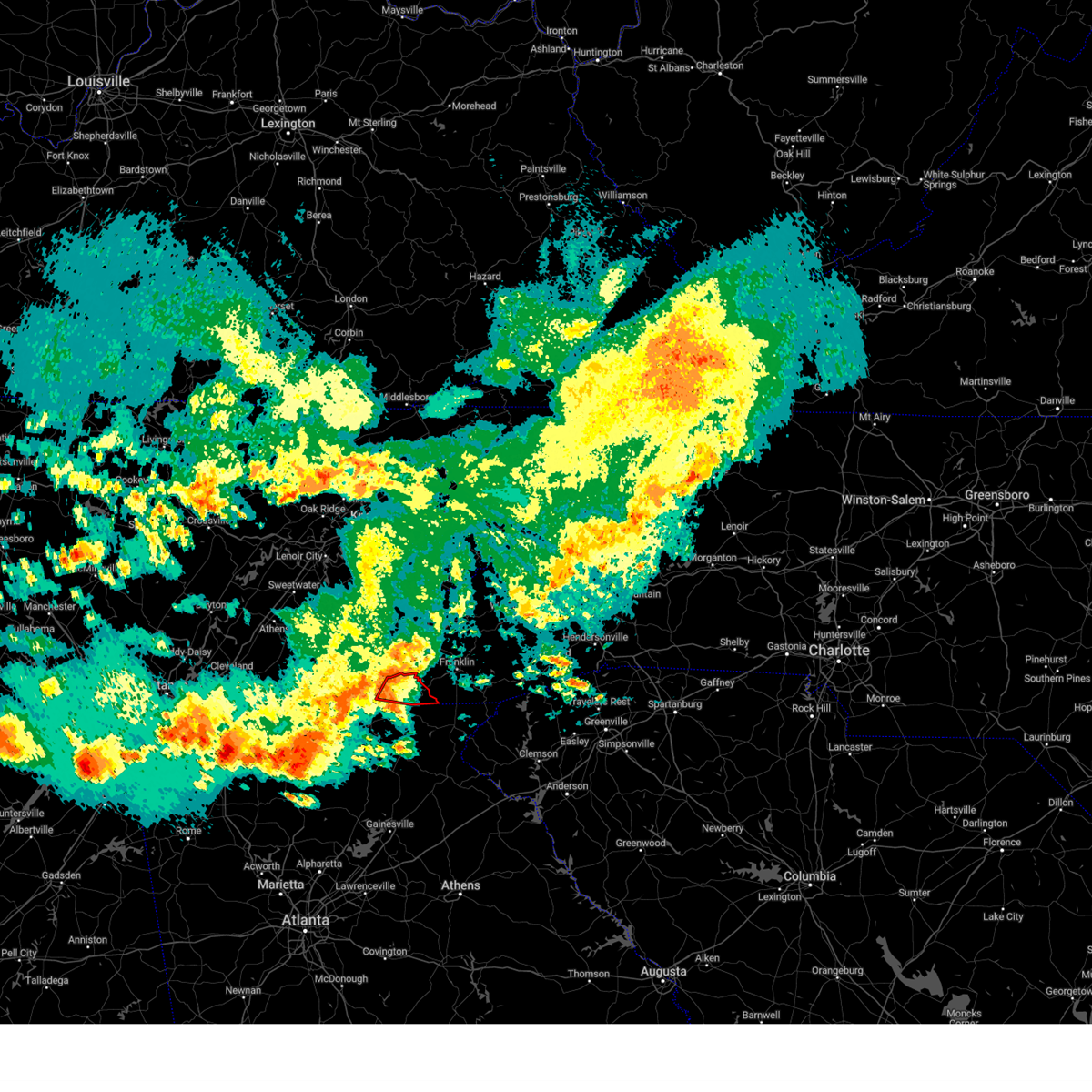
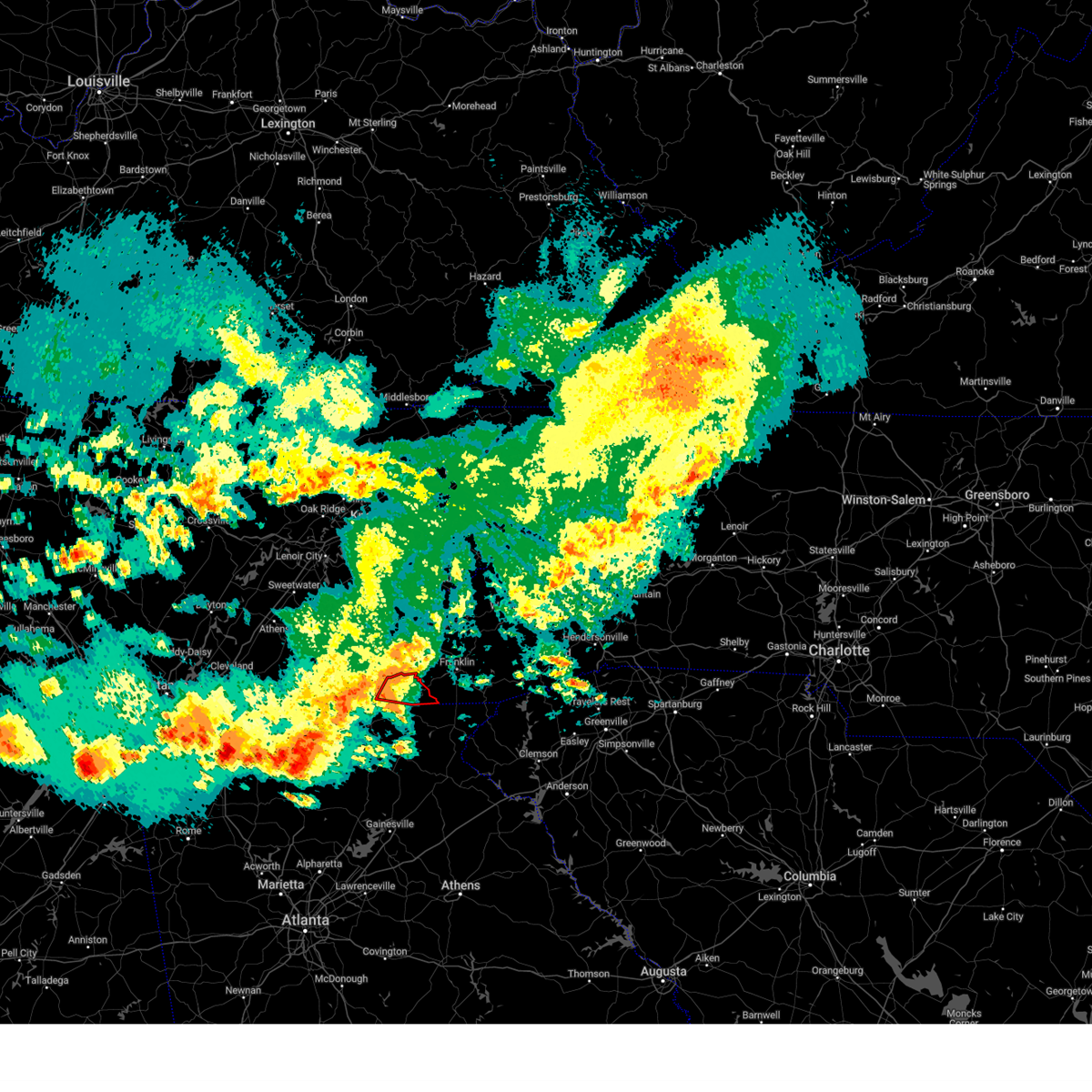
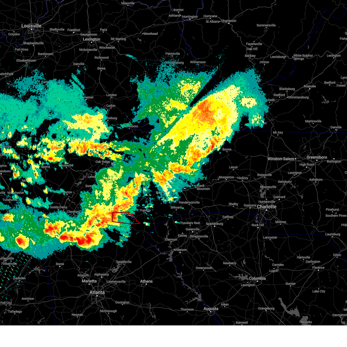
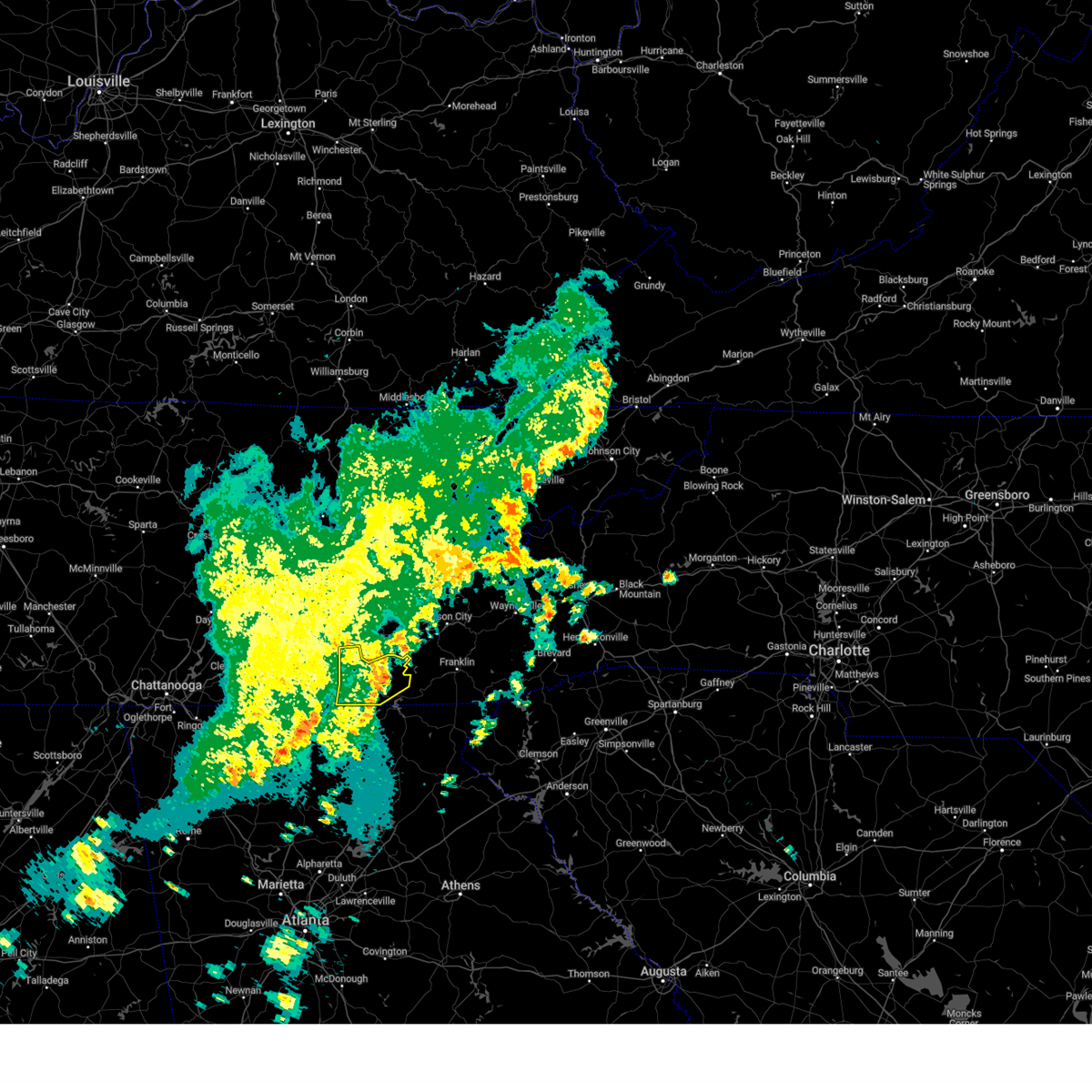
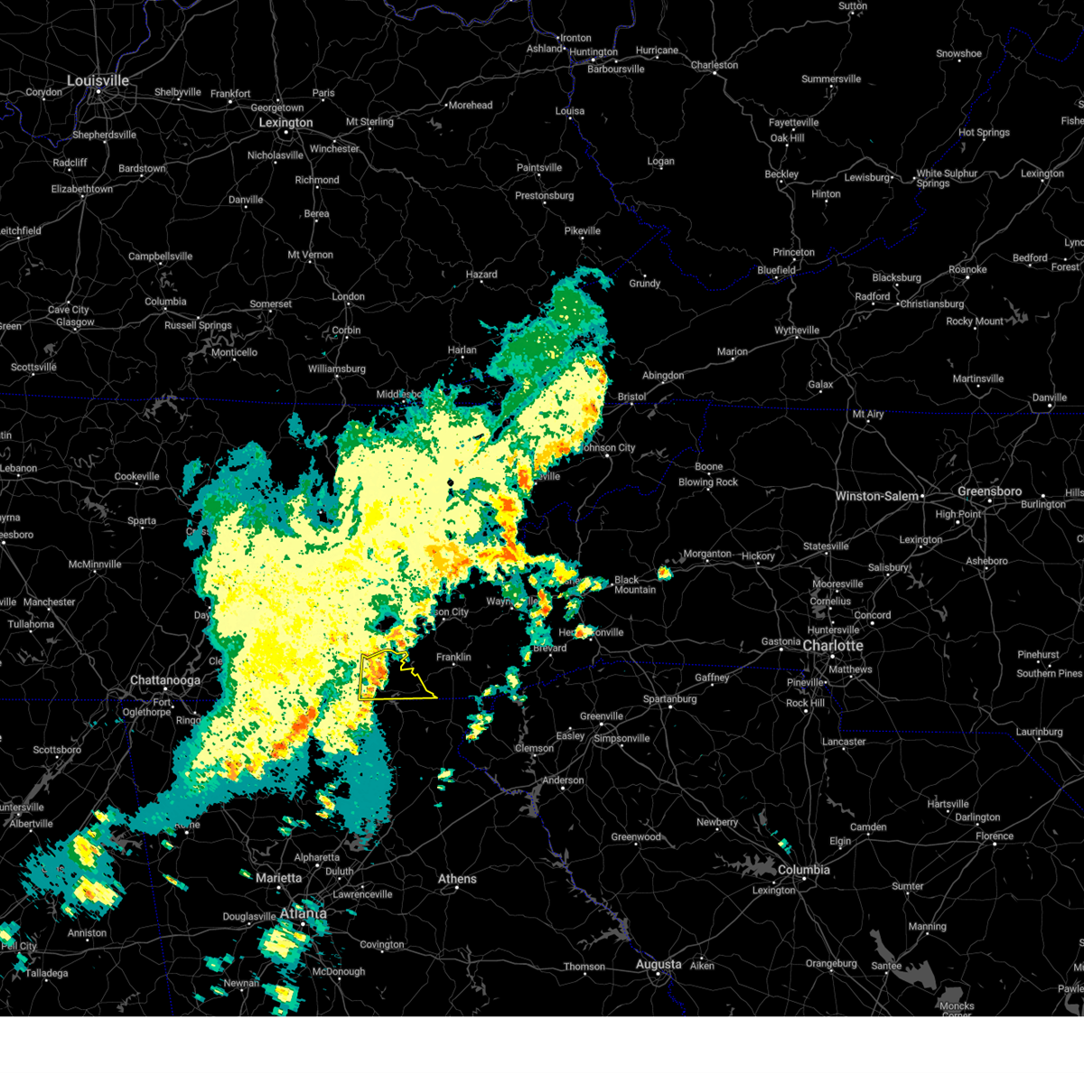
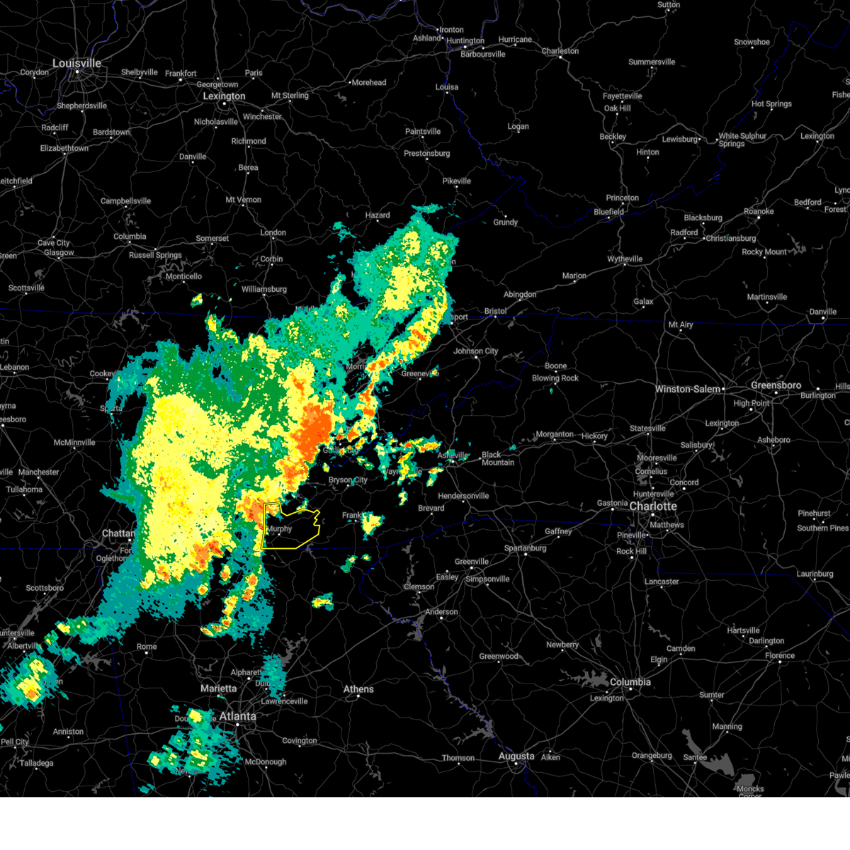
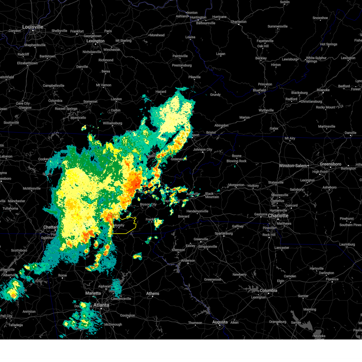
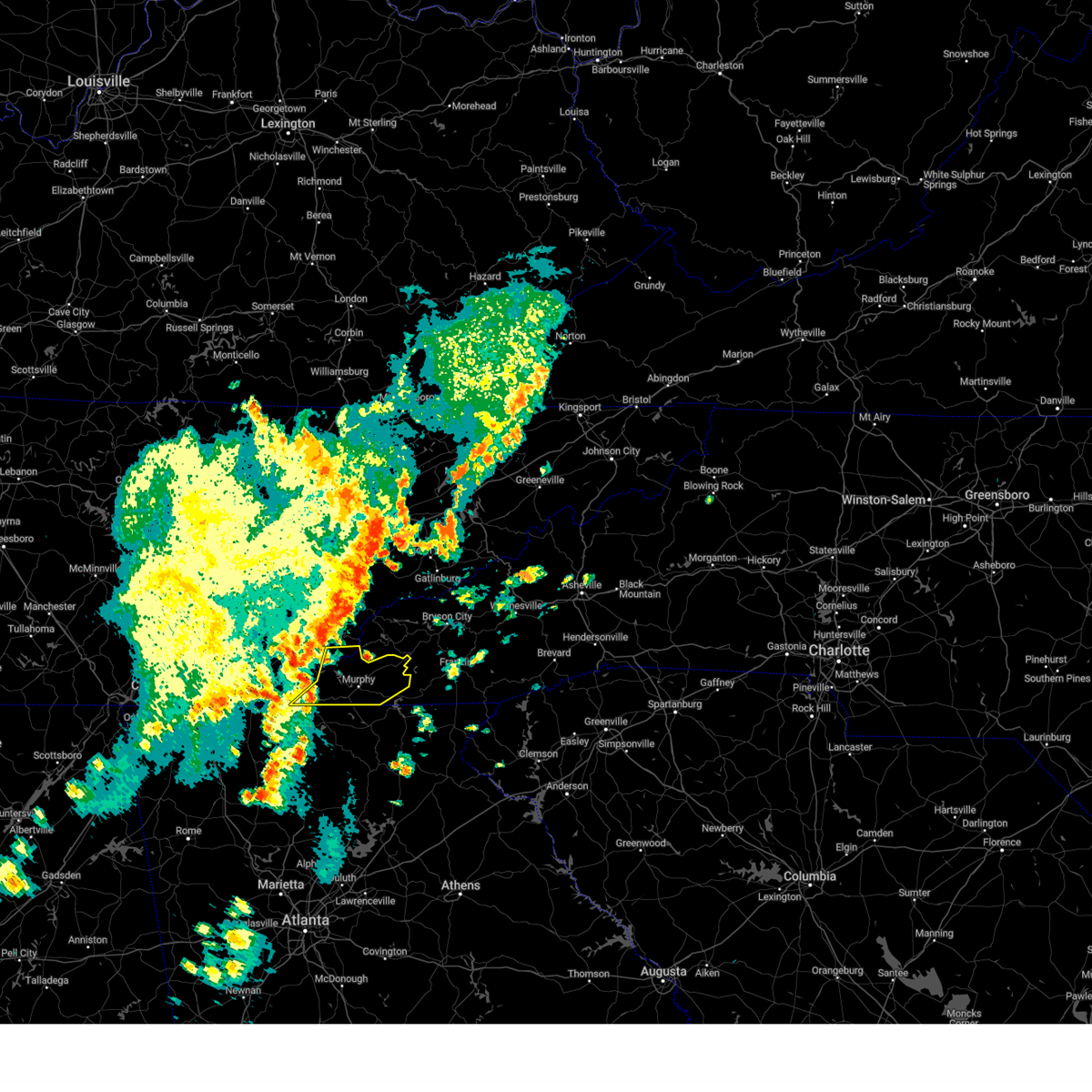
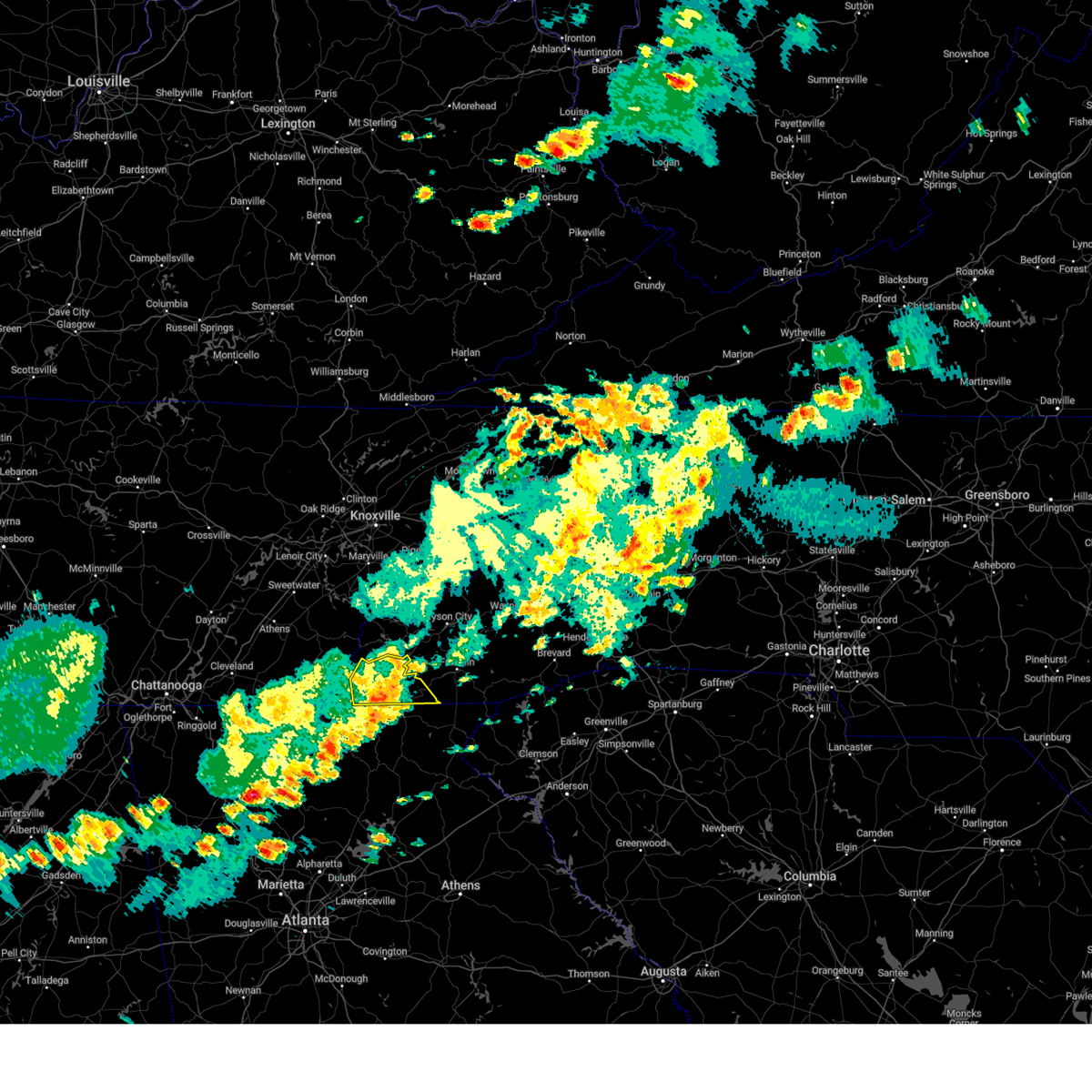
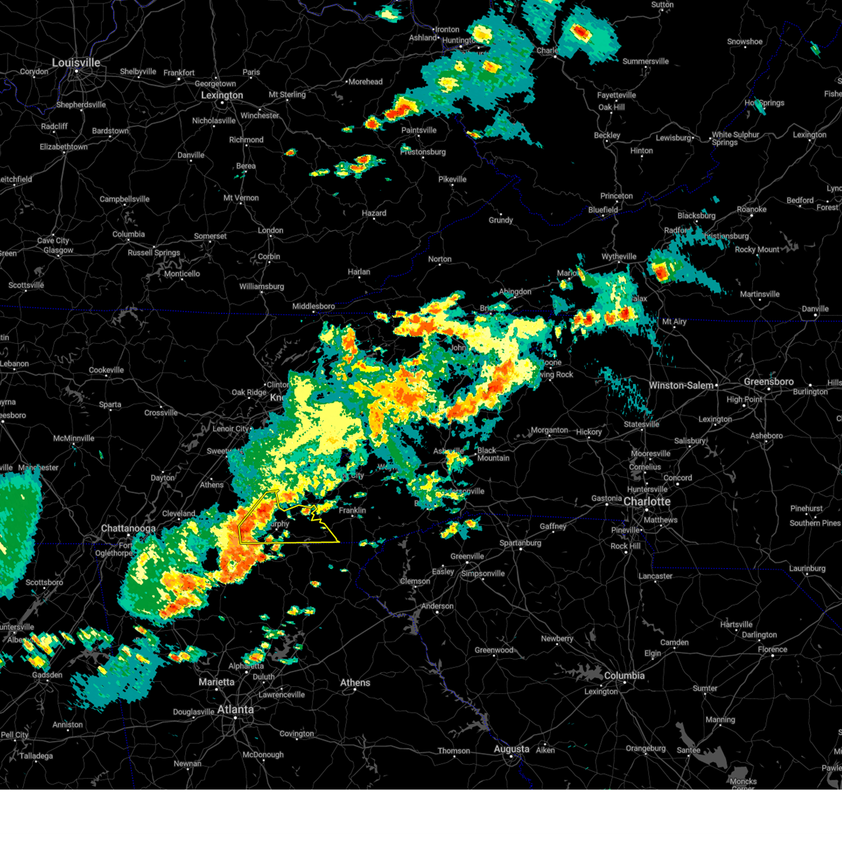
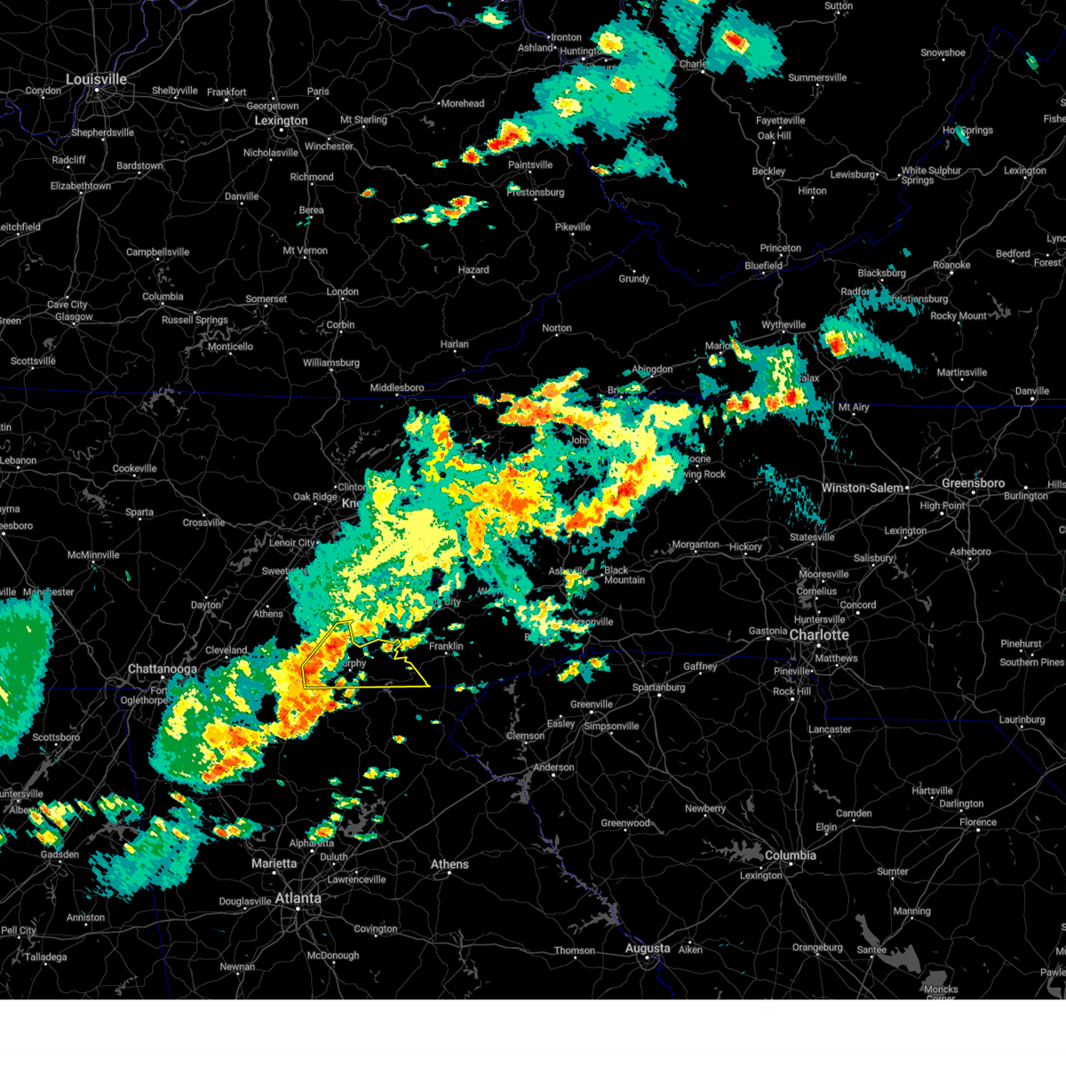
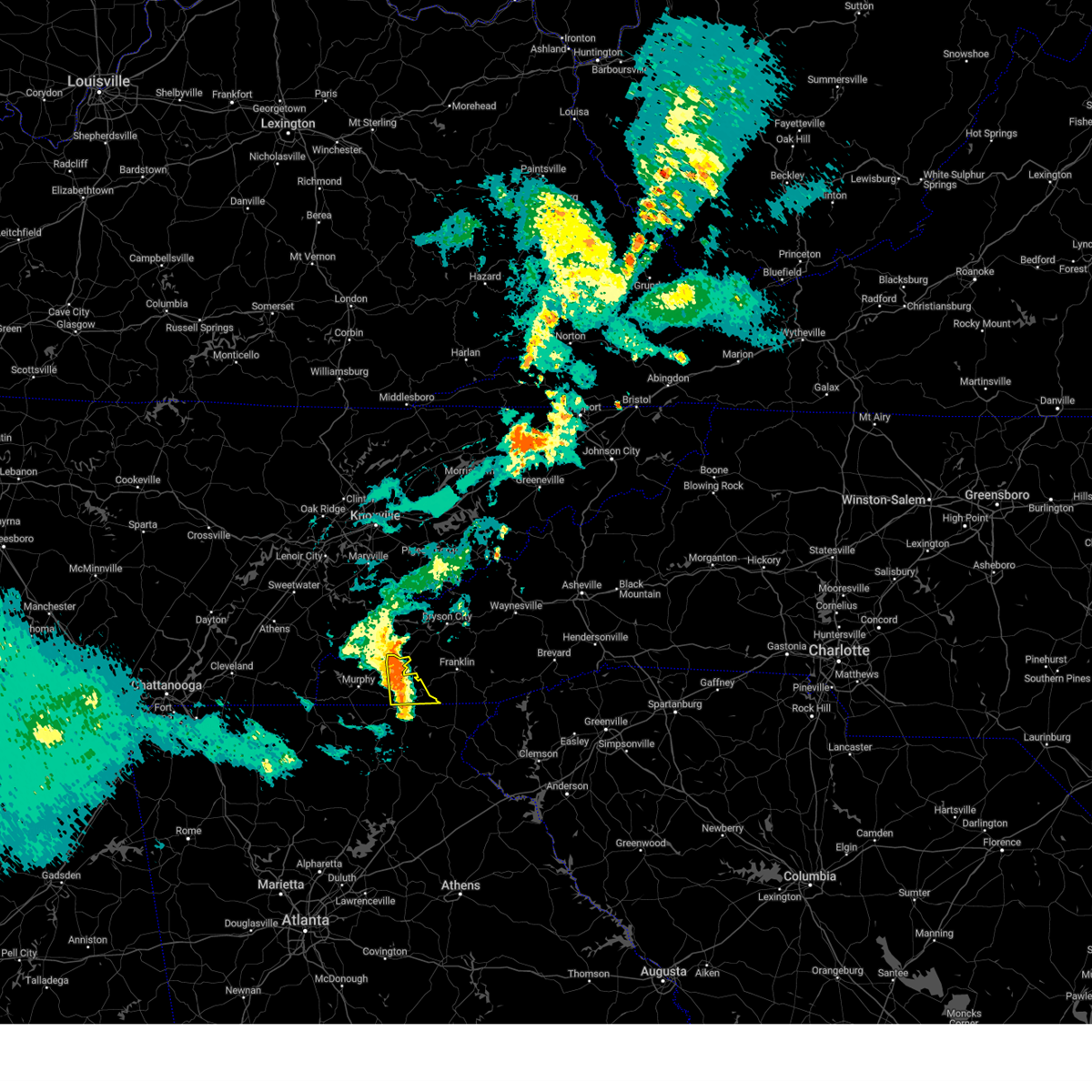
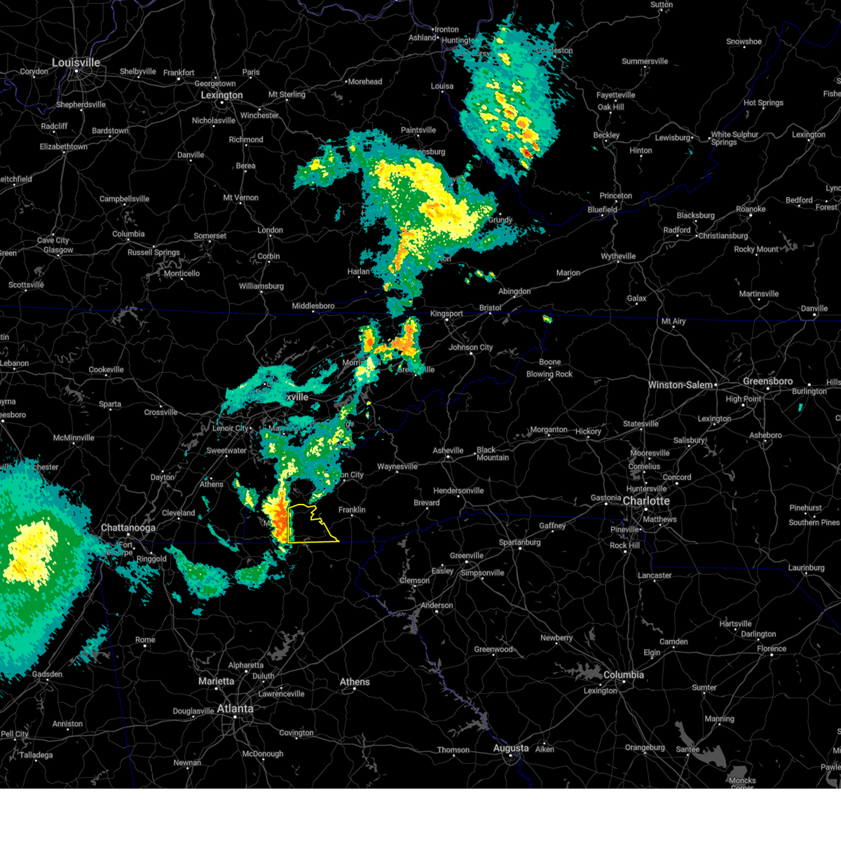
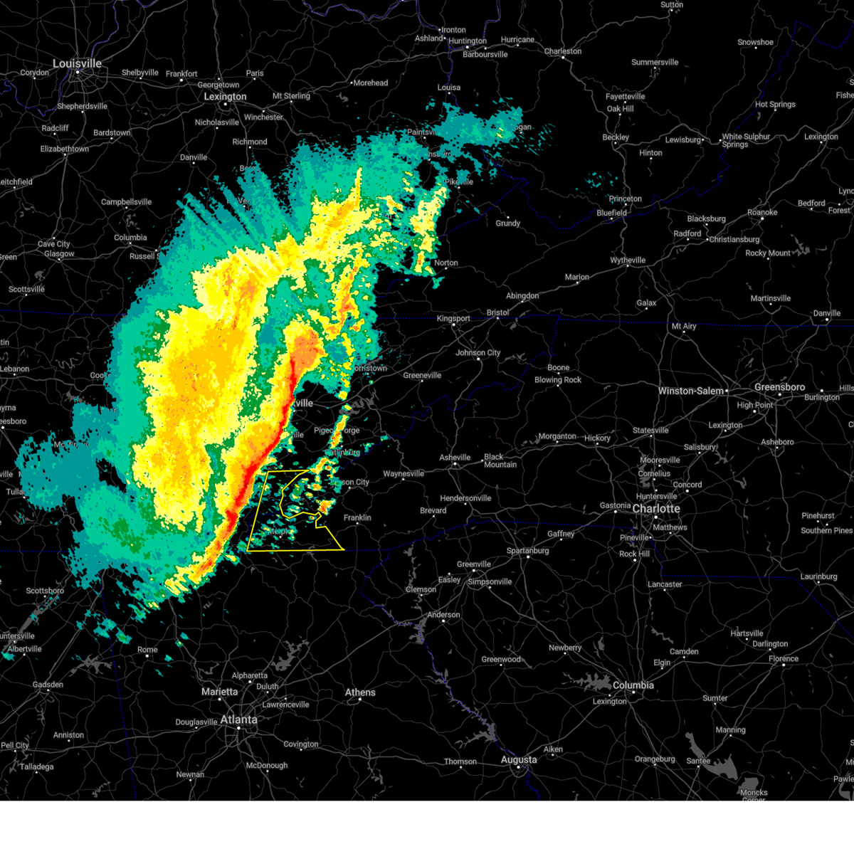
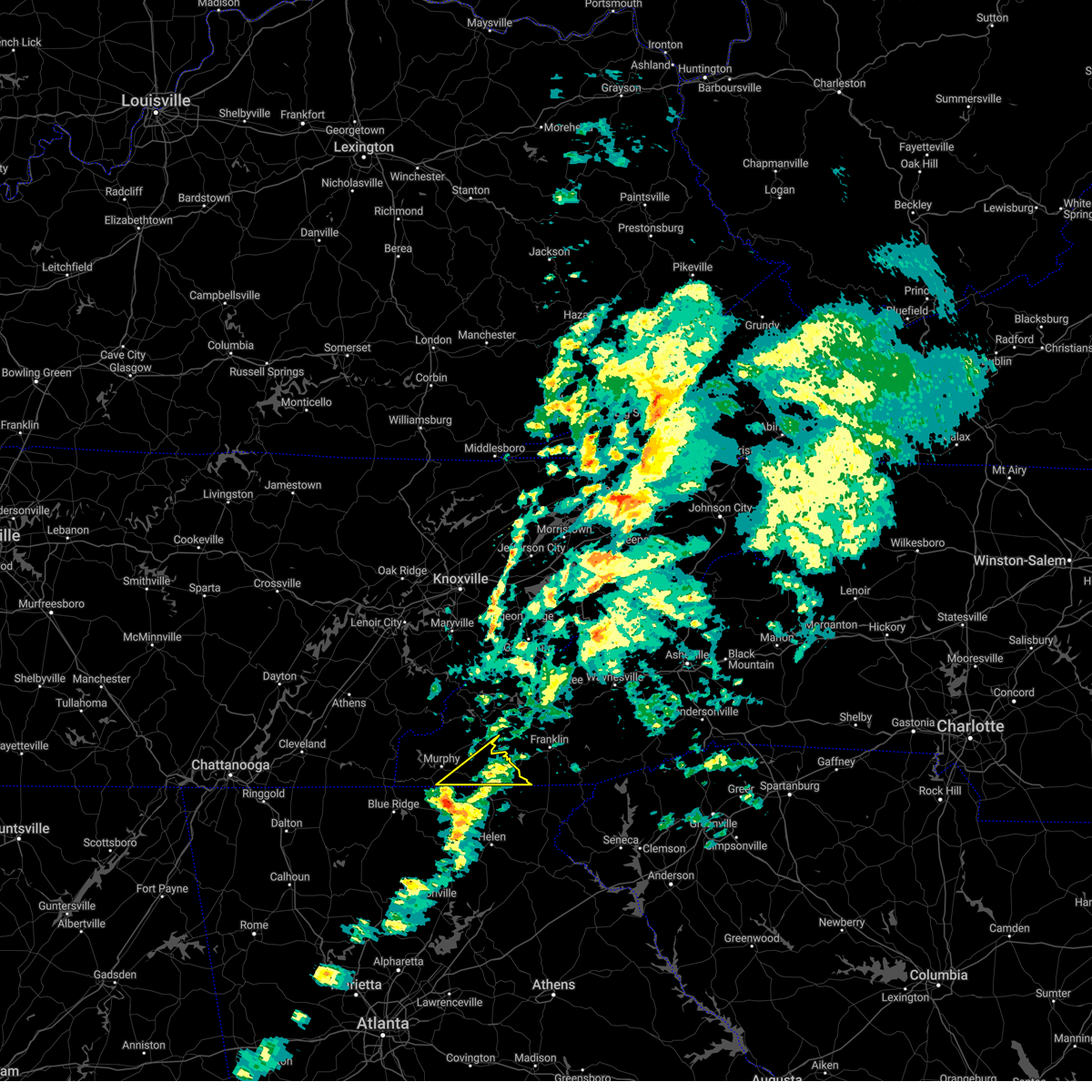
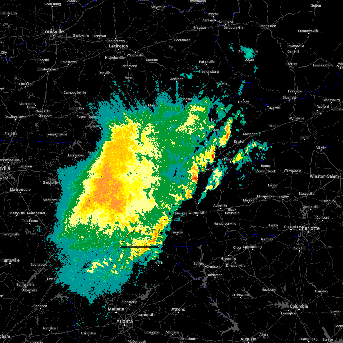
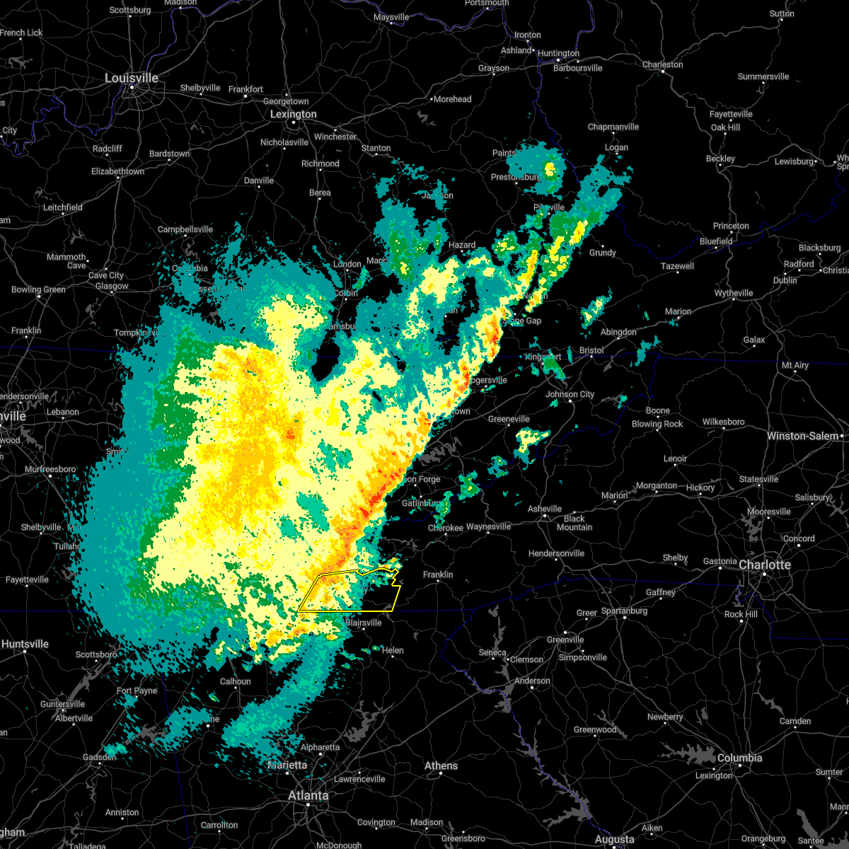
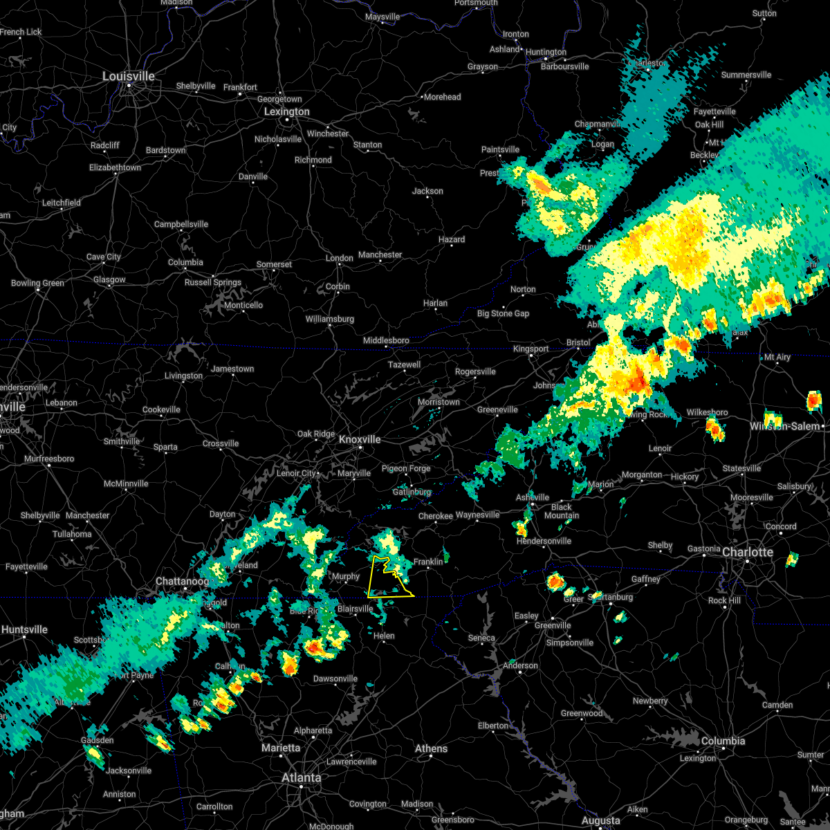
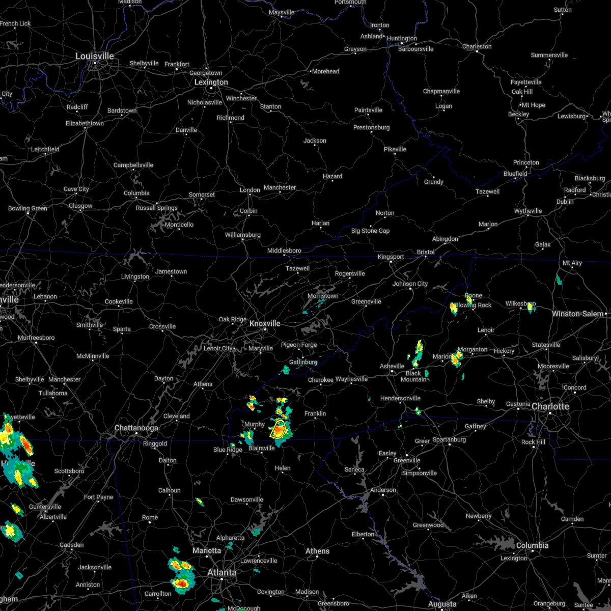
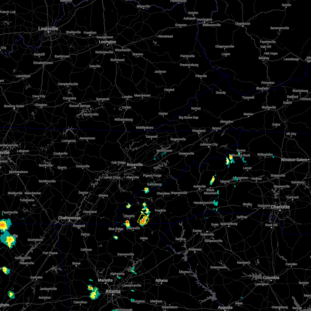
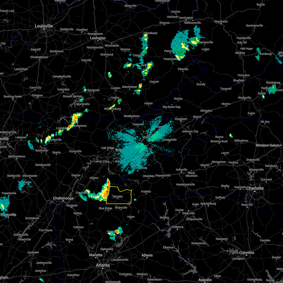
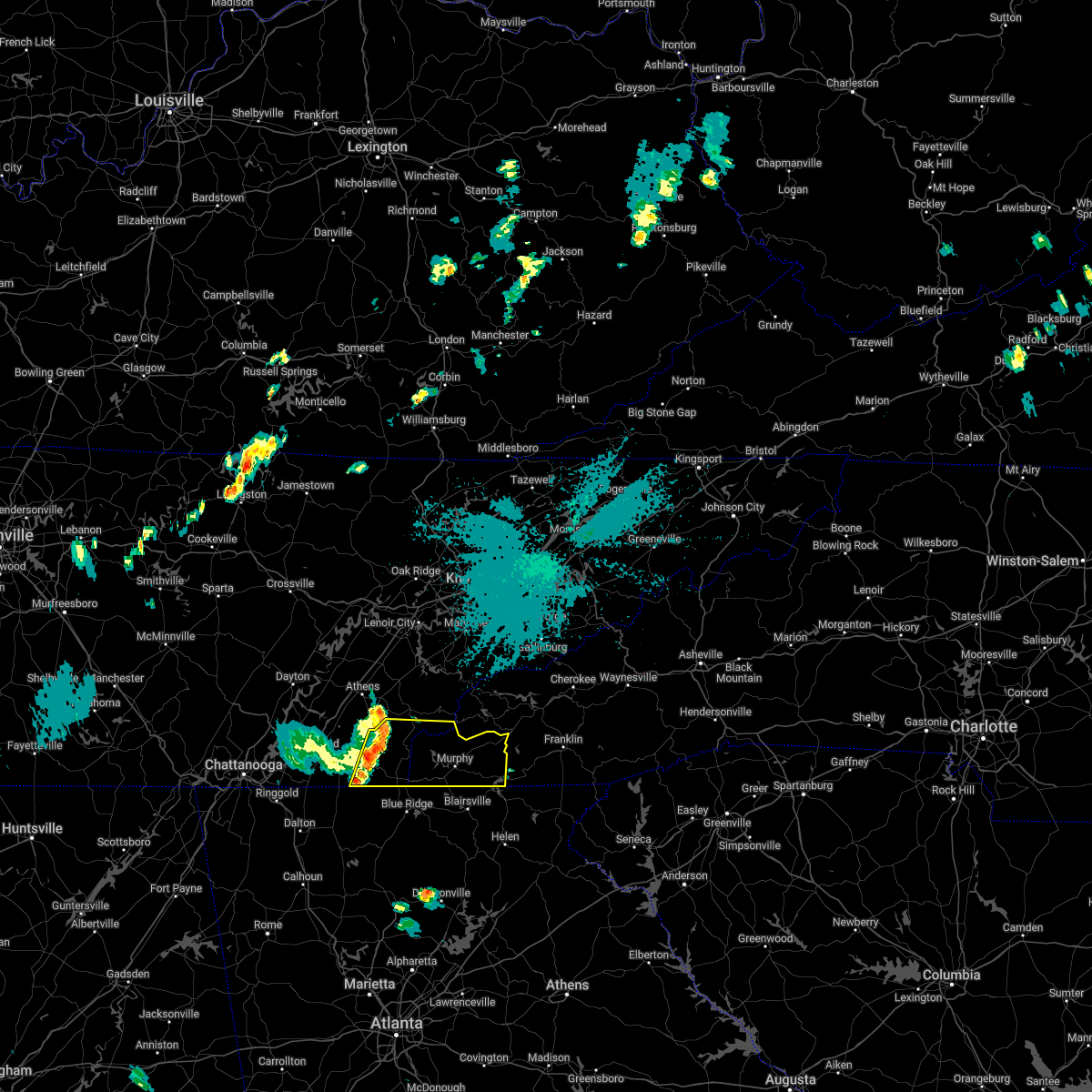
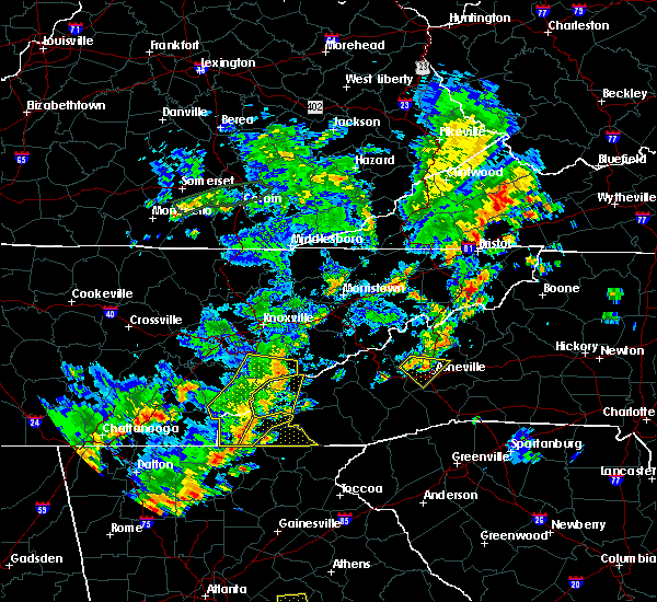
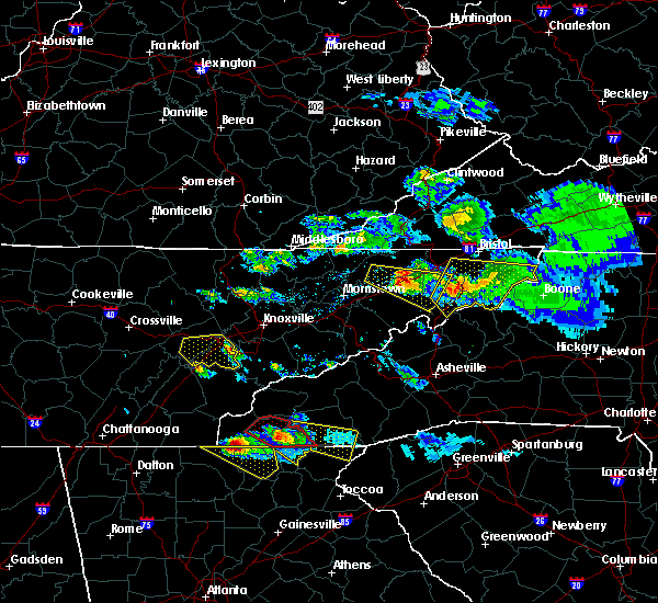
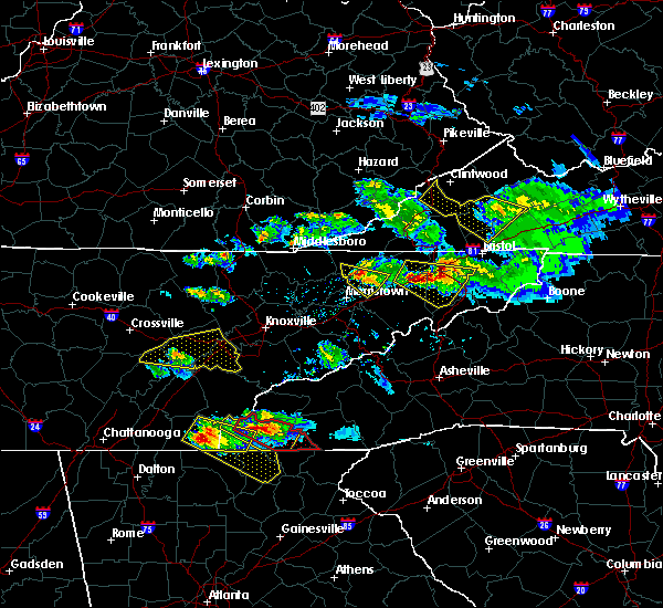
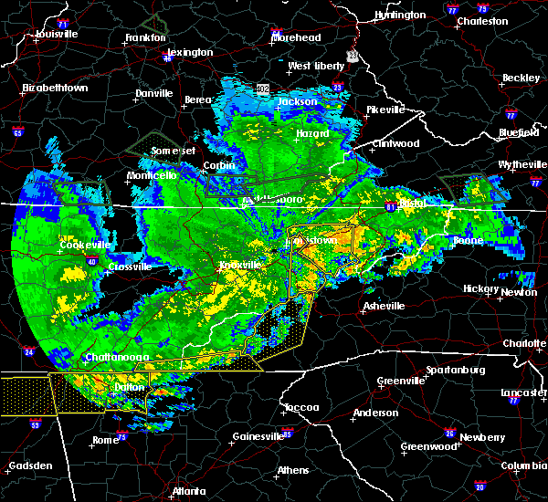
Hail Map for Hayesville, NC
The Hayesville, NC area has had 7 reports of on-the-ground hail by trained spotters, and has been under severe weather warnings 17 times during the past 12 months. Doppler radar has detected hail at or near Hayesville, NC on 26 occasions, including 3 occasions during the past year.
| Name: | Hayesville, NC |
| Where Located: | 63.3 miles S of Knoxville, TN |
| Map: | Google Map for Hayesville, NC |
| Population: | 311 |
| Housing Units: | 188 |
| More Info: | Search Google for Hayesville, NC |
4
The Top Recent Hail Date for Hayesville, NC is Friday, July 5, 2024 (4th out of 26)

Hail and Wind Damage Spotted near Hayesville, NC
| Date / Time | Report Details |
|---|---|
| 6/24/2025 6:13 PM EDT |
 The severe thunderstorm which prompted the warning has weakened. therefore, the warning will be allowed to expire. however, gusty winds and heavy rain are still possible with this thunderstorm. The severe thunderstorm which prompted the warning has weakened. therefore, the warning will be allowed to expire. however, gusty winds and heavy rain are still possible with this thunderstorm.
|
| 6/24/2025 5:26 PM EDT |
 Svrmrx the national weather service in morristown has issued a * severe thunderstorm warning for, south central cherokee county in southwestern north carolina, southwestern clay county in southwestern north carolina, * until 615 pm edt. * at 526 pm edt, a severe thunderstorm was located over hayesville, moving west at 5 mph (radar indicated). Hazards include 60 mph wind gusts. expect damage to roofs, siding, and trees Svrmrx the national weather service in morristown has issued a * severe thunderstorm warning for, south central cherokee county in southwestern north carolina, southwestern clay county in southwestern north carolina, * until 615 pm edt. * at 526 pm edt, a severe thunderstorm was located over hayesville, moving west at 5 mph (radar indicated). Hazards include 60 mph wind gusts. expect damage to roofs, siding, and trees
|
| 6/24/2025 5:18 PM EDT |
 Svrmrx the national weather service in morristown has issued a * severe thunderstorm warning for, east central cherokee county in southwestern north carolina, north central clay county in southwestern north carolina, * until 600 pm edt. * at 518 pm edt, a severe thunderstorm was located near andrews, and is nearly stationary (radar indicated). Hazards include 60 mph wind gusts. expect damage to roofs, siding, and trees Svrmrx the national weather service in morristown has issued a * severe thunderstorm warning for, east central cherokee county in southwestern north carolina, north central clay county in southwestern north carolina, * until 600 pm edt. * at 518 pm edt, a severe thunderstorm was located near andrews, and is nearly stationary (radar indicated). Hazards include 60 mph wind gusts. expect damage to roofs, siding, and trees
|
| 6/8/2025 5:49 AM EDT |
 the severe thunderstorm warning has been cancelled and is no longer in effect the severe thunderstorm warning has been cancelled and is no longer in effect
|
| 6/8/2025 5:42 AM EDT |
 At 541 am edt, a severe thunderstorm was located 41 miles south of cape lookout lighthouse, or 47 miles south of harkers island, moving east at 45 mph (radar indicated). Hazards include 60 mph wind gusts and penny size hail. Expect damage to roofs, siding, and trees. Locations impacted include, hayesville, shooting creek, tusquitee, and brasstown. At 541 am edt, a severe thunderstorm was located 41 miles south of cape lookout lighthouse, or 47 miles south of harkers island, moving east at 45 mph (radar indicated). Hazards include 60 mph wind gusts and penny size hail. Expect damage to roofs, siding, and trees. Locations impacted include, hayesville, shooting creek, tusquitee, and brasstown.
|
| 6/8/2025 5:42 AM EDT |
 The severe thunderstorm which prompted the warning has moved out of the warned area. therefore, the warning has been cancelled. The severe thunderstorm which prompted the warning has moved out of the warned area. therefore, the warning has been cancelled.
|
| 6/8/2025 5:34 AM EDT |
 At 534 am edt, a severe thunderstorm was located near hayesville, moving east at 45 mph (radar indicated). Hazards include 60 mph wind gusts and penny size hail. Expect damage to roofs, siding, and trees. Locations impacted include, hayesville, shooting creek, tusquitee, and brasstown. At 534 am edt, a severe thunderstorm was located near hayesville, moving east at 45 mph (radar indicated). Hazards include 60 mph wind gusts and penny size hail. Expect damage to roofs, siding, and trees. Locations impacted include, hayesville, shooting creek, tusquitee, and brasstown.
|
| 6/8/2025 5:34 AM EDT |
 the severe thunderstorm warning has been cancelled and is no longer in effect the severe thunderstorm warning has been cancelled and is no longer in effect
|
| 6/8/2025 5:24 AM EDT |
 At 523 am edt, a severe thunderstorm was located near hayesville, moving east at 40 mph (radar indicated). Hazards include 60 mph wind gusts and penny size hail. Expect damage to roofs, siding, and trees. Locations impacted include, murphy, hayesville, shooting creek, tusquitee, and brasstown. At 523 am edt, a severe thunderstorm was located near hayesville, moving east at 40 mph (radar indicated). Hazards include 60 mph wind gusts and penny size hail. Expect damage to roofs, siding, and trees. Locations impacted include, murphy, hayesville, shooting creek, tusquitee, and brasstown.
|
| 6/8/2025 5:09 AM EDT |
 Svrmrx the national weather service in morristown has issued a * severe thunderstorm warning for, southern cherokee county in southwestern north carolina, clay county in southwestern north carolina, * until 600 am edt. * at 509 am edt, a severe thunderstorm was located over murphy, moving east at 45 mph (radar indicated). Hazards include 60 mph wind gusts and penny size hail. expect damage to roofs, siding, and trees Svrmrx the national weather service in morristown has issued a * severe thunderstorm warning for, southern cherokee county in southwestern north carolina, clay county in southwestern north carolina, * until 600 am edt. * at 509 am edt, a severe thunderstorm was located over murphy, moving east at 45 mph (radar indicated). Hazards include 60 mph wind gusts and penny size hail. expect damage to roofs, siding, and trees
|
| 5/2/2025 8:52 PM EDT |
 At 852 pm edt, severe thunderstorms were located along a line extending from 6 miles north of murphy to 7 miles northwest of young harris to near blairsville, moving east at 40 mph (radar indicated). Hazards include 60 mph wind gusts. Expect damage to roofs, siding, and trees. Locations impacted include, shooting creek, tusquitee, hayesville, andrews, topton, marble, brasstown, murphy, and nantahala lake. At 852 pm edt, severe thunderstorms were located along a line extending from 6 miles north of murphy to 7 miles northwest of young harris to near blairsville, moving east at 40 mph (radar indicated). Hazards include 60 mph wind gusts. Expect damage to roofs, siding, and trees. Locations impacted include, shooting creek, tusquitee, hayesville, andrews, topton, marble, brasstown, murphy, and nantahala lake.
|
| 5/2/2025 8:25 PM EDT |
 Svrmrx the national weather service in morristown has issued a * severe thunderstorm warning for, cherokee county in southwestern north carolina, clay county in southwestern north carolina, * until 915 pm edt. * at 824 pm edt, severe thunderstorms were located along a line extending from 14 miles southeast of etowah to 7 miles southeast of ducktown to blue ridge, moving east at 40 mph (radar indicated). Hazards include 60 mph wind gusts. expect damage to roofs, siding, and trees Svrmrx the national weather service in morristown has issued a * severe thunderstorm warning for, cherokee county in southwestern north carolina, clay county in southwestern north carolina, * until 915 pm edt. * at 824 pm edt, severe thunderstorms were located along a line extending from 14 miles southeast of etowah to 7 miles southeast of ducktown to blue ridge, moving east at 40 mph (radar indicated). Hazards include 60 mph wind gusts. expect damage to roofs, siding, and trees
|
| 4/10/2025 6:42 PM EDT |
 Svrmrx the national weather service in morristown has issued a * severe thunderstorm warning for, northeastern cherokee county in southwestern north carolina, clay county in southwestern north carolina, * until 730 pm edt. * at 642 pm edt, a severe thunderstorm was located near andrews, moving east at 35 mph (radar indicated). Hazards include quarter size hail. damage to vehicles is expected Svrmrx the national weather service in morristown has issued a * severe thunderstorm warning for, northeastern cherokee county in southwestern north carolina, clay county in southwestern north carolina, * until 730 pm edt. * at 642 pm edt, a severe thunderstorm was located near andrews, moving east at 35 mph (radar indicated). Hazards include quarter size hail. damage to vehicles is expected
|
| 7/30/2024 6:44 PM EDT |
 Svrmrx the national weather service in morristown has issued a * severe thunderstorm warning for, eastern cherokee county in southwestern north carolina, clay county in southwestern north carolina, * until 730 pm edt. * at 643 pm edt, severe thunderstorms were located along a line extending from near andrews to 6 miles northwest of young harris to 8 miles northwest of blairsville, moving east at 25 mph (radar indicated). Hazards include 60 mph wind gusts. expect damage to roofs, siding, and trees Svrmrx the national weather service in morristown has issued a * severe thunderstorm warning for, eastern cherokee county in southwestern north carolina, clay county in southwestern north carolina, * until 730 pm edt. * at 643 pm edt, severe thunderstorms were located along a line extending from near andrews to 6 miles northwest of young harris to 8 miles northwest of blairsville, moving east at 25 mph (radar indicated). Hazards include 60 mph wind gusts. expect damage to roofs, siding, and trees
|
| 7/30/2024 6:32 PM EDT |
 the severe thunderstorm warning has been cancelled and is no longer in effect the severe thunderstorm warning has been cancelled and is no longer in effect
|
| 7/30/2024 6:32 PM EDT |
 At 631 pm edt, severe thunderstorms were located along a line extending from near andrews to 6 miles southwest of murphy to 6 miles west of ducktown, moving southeast at 30 mph (radar indicated). Hazards include 60 mph wind gusts and penny size hail. Expect damage to roofs, siding, and trees. locations impacted include, andrews, murphy, ducktown, hayesville, william l. Davenport refuge, tusquitee, big frog mountain, turtletown, copperhill, and reliance. At 631 pm edt, severe thunderstorms were located along a line extending from near andrews to 6 miles southwest of murphy to 6 miles west of ducktown, moving southeast at 30 mph (radar indicated). Hazards include 60 mph wind gusts and penny size hail. Expect damage to roofs, siding, and trees. locations impacted include, andrews, murphy, ducktown, hayesville, william l. Davenport refuge, tusquitee, big frog mountain, turtletown, copperhill, and reliance.
|
| 7/30/2024 5:41 PM EDT | Svrmrx the national weather service in morristown has issued a * severe thunderstorm warning for, cherokee county in southwestern north carolina, clay county in southwestern north carolina, polk county in east tennessee, southeastern mcminn county in east tennessee, southern monroe county in east tennessee, * until 645 pm edt. * at 541 pm edt, severe thunderstorms were located along a line extending from 8 miles southwest of town of santeetlah to near etowah, moving southeast at 35 mph (radar indicated). Hazards include 60 mph wind gusts and penny size hail. expect damage to roofs, siding, and trees |
| 5/27/2024 6:16 AM EDT |
 the severe thunderstorm warning has been cancelled and is no longer in effect the severe thunderstorm warning has been cancelled and is no longer in effect
|
| 5/27/2024 5:57 AM EDT |
 At 557 am edt, severe thunderstorms were located along a line extending from near robbinsville to near nantahala lake to 7 miles east of hayesville to near hiawassee, moving east at 45 mph (radar indicated). Hazards include 60 mph wind gusts. Expect damage to roofs, siding, and trees. Locations impacted include, andrews, hayesville, nantahala lake, shooting creek, topton, and tusquitee. At 557 am edt, severe thunderstorms were located along a line extending from near robbinsville to near nantahala lake to 7 miles east of hayesville to near hiawassee, moving east at 45 mph (radar indicated). Hazards include 60 mph wind gusts. Expect damage to roofs, siding, and trees. Locations impacted include, andrews, hayesville, nantahala lake, shooting creek, topton, and tusquitee.
|
| 5/27/2024 5:55 AM EDT | Lots of down tree in clay county NC, 0.3 miles SSE of Hayesville, NC |
| 5/27/2024 5:46 AM EDT | A large tree down blocking front doo in clay county NC, 3.9 miles N of Hayesville, NC |
| 5/27/2024 5:46 AM EDT |
 At 545 am edt, severe thunderstorms were located along a line extending from near robbinsville to near andrews to hayesville to young harris, moving east at 45 mph (radar indicated). Hazards include 60 mph wind gusts. Expect damage to roofs, siding, and trees. Locations impacted include, andrews, hayesville, nantahala lake, shooting creek, tusquitee, topton, marble, and brasstown. At 545 am edt, severe thunderstorms were located along a line extending from near robbinsville to near andrews to hayesville to young harris, moving east at 45 mph (radar indicated). Hazards include 60 mph wind gusts. Expect damage to roofs, siding, and trees. Locations impacted include, andrews, hayesville, nantahala lake, shooting creek, tusquitee, topton, marble, and brasstown.
|
| 5/27/2024 5:23 AM EDT |
 Svrmrx the national weather service in morristown has issued a * severe thunderstorm warning for, cherokee county in southwestern north carolina, clay county in southwestern north carolina, * until 630 am edt. * at 522 am edt, severe thunderstorms were located along a line extending from 17 miles southwest of town of santeetlah to near murphy to 13 miles northwest of blairsville to near morganton, moving east at 45 mph (radar indicated). Hazards include 60 mph wind gusts. expect damage to roofs, siding, and trees Svrmrx the national weather service in morristown has issued a * severe thunderstorm warning for, cherokee county in southwestern north carolina, clay county in southwestern north carolina, * until 630 am edt. * at 522 am edt, severe thunderstorms were located along a line extending from 17 miles southwest of town of santeetlah to near murphy to 13 miles northwest of blairsville to near morganton, moving east at 45 mph (radar indicated). Hazards include 60 mph wind gusts. expect damage to roofs, siding, and trees
|
| 5/26/2024 6:22 PM EDT | Quarter sized hail reported 11.4 miles WSW of Hayesville, NC, dispatch report of quarter size hail and strong gusty winds a few miles north of shooting creek. no reports of downed trees at this time. |
| 5/9/2024 7:39 AM EDT |
 The storms which prompted the warning have moved out of the area. therefore, the warning will be allowed to expire. however, heavy rain is still possible with these thunderstorms. The storms which prompted the warning have moved out of the area. therefore, the warning will be allowed to expire. however, heavy rain is still possible with these thunderstorms.
|
| 5/9/2024 7:22 AM EDT |
 At 722 am edt, severe thunderstorms were located along a line extending from near robbinsville to near andrews to near hayesville to hiawassee, moving east at 50 mph (radar indicated). Hazards include 60 mph wind gusts. Expect damage to roofs, siding, and trees. Locations impacted include, andrews, hayesville, nantahala lake, shooting creek, topton, and tusquitee. At 722 am edt, severe thunderstorms were located along a line extending from near robbinsville to near andrews to near hayesville to hiawassee, moving east at 50 mph (radar indicated). Hazards include 60 mph wind gusts. Expect damage to roofs, siding, and trees. Locations impacted include, andrews, hayesville, nantahala lake, shooting creek, topton, and tusquitee.
|
| 5/9/2024 7:01 AM EDT |
 Svrmrx the national weather service in morristown has issued a * severe thunderstorm warning for, eastern cherokee county in southwestern north carolina, clay county in southwestern north carolina, * until 745 am edt. * at 701 am edt, severe thunderstorms were located along a line extending from 14 miles southwest of town of santeetlah to 11 miles west of andrews to near murphy to 8 miles northwest of blairsville, moving east at 50 mph (radar indicated). Hazards include 60 mph wind gusts. expect damage to roofs, siding, and trees Svrmrx the national weather service in morristown has issued a * severe thunderstorm warning for, eastern cherokee county in southwestern north carolina, clay county in southwestern north carolina, * until 745 am edt. * at 701 am edt, severe thunderstorms were located along a line extending from 14 miles southwest of town of santeetlah to 11 miles west of andrews to near murphy to 8 miles northwest of blairsville, moving east at 50 mph (radar indicated). Hazards include 60 mph wind gusts. expect damage to roofs, siding, and trees
|
| 5/9/2024 12:19 AM EDT |
 the severe thunderstorm warning has been cancelled and is no longer in effect the severe thunderstorm warning has been cancelled and is no longer in effect
|
| 5/9/2024 12:19 AM EDT |
 At 1219 am edt, a severe thunderstorm was located near franklin, moving east at 45 mph (radar indicated). Hazards include 60 mph wind gusts and quarter size hail. Hail damage to vehicles is expected. expect wind damage to roofs, siding, and trees. Locations impacted include, hayesville, nantahala lake, shooting creek, and tusquitee. At 1219 am edt, a severe thunderstorm was located near franklin, moving east at 45 mph (radar indicated). Hazards include 60 mph wind gusts and quarter size hail. Hail damage to vehicles is expected. expect wind damage to roofs, siding, and trees. Locations impacted include, hayesville, nantahala lake, shooting creek, and tusquitee.
|
| 5/9/2024 12:01 AM EDT |
 At 1200 am edt, a severe thunderstorm was located near nantahala lake, or 10 miles west of franklin, moving east at 45 mph (radar indicated). Hazards include 60 mph wind gusts and quarter size hail. Hail damage to vehicles is expected. expect wind damage to roofs, siding, and trees. Locations impacted include, andrews, murphy, hayesville, nantahala lake, shooting creek, tusquitee, topton, marble, brasstown, and culberson. At 1200 am edt, a severe thunderstorm was located near nantahala lake, or 10 miles west of franklin, moving east at 45 mph (radar indicated). Hazards include 60 mph wind gusts and quarter size hail. Hail damage to vehicles is expected. expect wind damage to roofs, siding, and trees. Locations impacted include, andrews, murphy, hayesville, nantahala lake, shooting creek, tusquitee, topton, marble, brasstown, and culberson.
|
| 5/9/2024 12:01 AM EDT |
 the severe thunderstorm warning has been cancelled and is no longer in effect the severe thunderstorm warning has been cancelled and is no longer in effect
|
| 5/8/2024 11:58 PM EDT |
 the tornado warning has been cancelled and is no longer in effect the tornado warning has been cancelled and is no longer in effect
|
| 5/8/2024 11:58 PM EDT |
 At 1158 pm edt, a severe thunderstorm capable of producing a tornado was located near hayesville, moving east at 30 mph (radar indicated rotation). Hazards include tornado and ping pong ball size hail. Flying debris will be dangerous to those caught without shelter. mobile homes will be damaged or destroyed. damage to roofs, windows, and vehicles will occur. tree damage is likely. This tornadic thunderstorm will remain over mainly rural areas of clay county, including the following locations, shooting creek and tusquitee. At 1158 pm edt, a severe thunderstorm capable of producing a tornado was located near hayesville, moving east at 30 mph (radar indicated rotation). Hazards include tornado and ping pong ball size hail. Flying debris will be dangerous to those caught without shelter. mobile homes will be damaged or destroyed. damage to roofs, windows, and vehicles will occur. tree damage is likely. This tornadic thunderstorm will remain over mainly rural areas of clay county, including the following locations, shooting creek and tusquitee.
|
| 5/8/2024 11:39 PM EDT |
 Tormrx the national weather service in morristown has issued a * tornado warning for, central cherokee county in southwestern north carolina, clay county in southwestern north carolina, * until 1230 am edt. * at 1138 pm edt, a severe thunderstorm capable of producing a tornado was located near murphy, moving east at 40 mph (radar indicated rotation). Hazards include tornado and ping pong ball size hail. Flying debris will be dangerous to those caught without shelter. mobile homes will be damaged or destroyed. damage to roofs, windows, and vehicles will occur. tree damage is likely. this dangerous storm will be near, hayesville around 1145 pm edt. Other locations impacted by this tornadic thunderstorm include shooting creek, tusquitee, marble, and brasstown. Tormrx the national weather service in morristown has issued a * tornado warning for, central cherokee county in southwestern north carolina, clay county in southwestern north carolina, * until 1230 am edt. * at 1138 pm edt, a severe thunderstorm capable of producing a tornado was located near murphy, moving east at 40 mph (radar indicated rotation). Hazards include tornado and ping pong ball size hail. Flying debris will be dangerous to those caught without shelter. mobile homes will be damaged or destroyed. damage to roofs, windows, and vehicles will occur. tree damage is likely. this dangerous storm will be near, hayesville around 1145 pm edt. Other locations impacted by this tornadic thunderstorm include shooting creek, tusquitee, marble, and brasstown.
|
| 5/8/2024 11:26 PM EDT |
 Svrmrx the national weather service in morristown has issued a * severe thunderstorm warning for, cherokee county in southwestern north carolina, clay county in southwestern north carolina, southeastern monroe county in east tennessee, * until 1230 am edt. * at 1125 pm edt, a severe thunderstorm was located near murphy, moving east at 45 mph (radar indicated). Hazards include 60 mph wind gusts and quarter size hail. Hail damage to vehicles is expected. Expect wind damage to roofs, siding, and trees. Svrmrx the national weather service in morristown has issued a * severe thunderstorm warning for, cherokee county in southwestern north carolina, clay county in southwestern north carolina, southeastern monroe county in east tennessee, * until 1230 am edt. * at 1125 pm edt, a severe thunderstorm was located near murphy, moving east at 45 mph (radar indicated). Hazards include 60 mph wind gusts and quarter size hail. Hail damage to vehicles is expected. Expect wind damage to roofs, siding, and trees.
|
| 5/6/2024 3:07 PM EDT | Quarter sized hail reported 3.6 miles SW of Hayesville, NC, primarily pea to nickel sized hail fell... with pictures and video provided on social media. largest hailstones were a quarter inch in diameter. |
| 8/12/2023 4:41 PM EDT |
 The severe thunderstorm warning for cherokee, western clay and southeastern monroe counties will expire at 445 pm edt, the storms which prompted the warning have moved out of the area. therefore, the warning will be allowed to expire. a severe thunderstorm watch remains in effect until 700 pm edt for east tennessee. a severe thunderstorm watch also remains in effect until 800 pm edt for southwestern north carolina. remember, a severe thunderstorm warning still remains in effect until 515 pm edt. The severe thunderstorm warning for cherokee, western clay and southeastern monroe counties will expire at 445 pm edt, the storms which prompted the warning have moved out of the area. therefore, the warning will be allowed to expire. a severe thunderstorm watch remains in effect until 700 pm edt for east tennessee. a severe thunderstorm watch also remains in effect until 800 pm edt for southwestern north carolina. remember, a severe thunderstorm warning still remains in effect until 515 pm edt.
|
| 8/12/2023 4:40 PM EDT | A few trees dow in clay county NC, 2.7 miles W of Hayesville, NC |
| 8/12/2023 4:40 PM EDT |
 At 439 pm edt, a severe thunderstorm was located near hayesville, moving east at 45 mph (law enforcement reported trees down in portions of cherokee county). Hazards include 60 mph wind gusts. expect damage to roofs, siding, and trees At 439 pm edt, a severe thunderstorm was located near hayesville, moving east at 45 mph (law enforcement reported trees down in portions of cherokee county). Hazards include 60 mph wind gusts. expect damage to roofs, siding, and trees
|
| 8/12/2023 4:29 PM EDT |
 At 428 pm edt, severe thunderstorms were located along a line extending from near robbinsville to near hayesville to near murphy, moving east at 35 mph (radar indicated). Hazards include 60 mph wind gusts. Expect damage to roofs, siding, and trees. locations impacted include, andrews, murphy, hayesville, tusquitee, topton, marble, brasstown, culberson, and unaka. hail threat, radar indicated max hail size, <. 75 in wind threat, radar indicated max wind gust, 60 mph. At 428 pm edt, severe thunderstorms were located along a line extending from near robbinsville to near hayesville to near murphy, moving east at 35 mph (radar indicated). Hazards include 60 mph wind gusts. Expect damage to roofs, siding, and trees. locations impacted include, andrews, murphy, hayesville, tusquitee, topton, marble, brasstown, culberson, and unaka. hail threat, radar indicated max hail size, <. 75 in wind threat, radar indicated max wind gust, 60 mph.
|
| 8/12/2023 3:57 PM EDT |
 At 356 pm edt, severe thunderstorms were located along a line extending from 15 miles northwest of murphy to ducktown, moving east at 40 mph (law enforcement reported trees down to the west). Hazards include 60 mph wind gusts. expect damage to roofs, siding, and trees At 356 pm edt, severe thunderstorms were located along a line extending from 15 miles northwest of murphy to ducktown, moving east at 40 mph (law enforcement reported trees down to the west). Hazards include 60 mph wind gusts. expect damage to roofs, siding, and trees
|
| 8/7/2023 3:50 PM EDT | Reports of trees and power lines down on pounding mill terrace road provided by ham radio. time estimated from rada in clay county NC, 7.3 miles W of Hayesville, NC |
| 8/7/2023 3:35 PM EDT |
 At 334 pm edt, severe thunderstorms were located along a line extending from 8 miles north of nantahala lake to near andrews to near hayesville, moving east at 55 mph (radar indicated). Hazards include 70 mph wind gusts and quarter size hail. Hail damage to vehicles is expected. expect considerable tree damage. wind damage is also likely to mobile homes, roofs, and outbuildings. locations impacted include, andrews, murphy, hayesville, nantahala lake, shooting creek, tusquitee, topton, marble and brasstown. thunderstorm damage threat, considerable hail threat, radar indicated max hail size, 1. 00 in wind threat, radar indicated max wind gust, 70 mph. At 334 pm edt, severe thunderstorms were located along a line extending from 8 miles north of nantahala lake to near andrews to near hayesville, moving east at 55 mph (radar indicated). Hazards include 70 mph wind gusts and quarter size hail. Hail damage to vehicles is expected. expect considerable tree damage. wind damage is also likely to mobile homes, roofs, and outbuildings. locations impacted include, andrews, murphy, hayesville, nantahala lake, shooting creek, tusquitee, topton, marble and brasstown. thunderstorm damage threat, considerable hail threat, radar indicated max hail size, 1. 00 in wind threat, radar indicated max wind gust, 70 mph.
|
| 8/7/2023 3:09 PM EDT |
 At 309 pm edt, severe thunderstorms were located along a line extending from 11 miles southwest of town of santeetlah to 9 miles east of ducktown to 8 miles north of morganton, moving east at 55 mph (radar indicated). Hazards include 70 mph wind gusts and half dollar size hail. Hail damage to vehicles is expected. expect considerable tree damage. Wind damage is also likely to mobile homes, roofs, and outbuildings. At 309 pm edt, severe thunderstorms were located along a line extending from 11 miles southwest of town of santeetlah to 9 miles east of ducktown to 8 miles north of morganton, moving east at 55 mph (radar indicated). Hazards include 70 mph wind gusts and half dollar size hail. Hail damage to vehicles is expected. expect considerable tree damage. Wind damage is also likely to mobile homes, roofs, and outbuildings.
|
| 7/18/2023 11:20 PM EDT |
 At 1120 pm edt, severe thunderstorms were located along a line extending from near robbinsville to near hiawassee, moving east at 25 mph (radar indicated). Hazards include 60 mph wind gusts. Expect damage to roofs, siding, and trees. locations impacted include, andrews, hayesville, nantahala lake, shooting creek, topton and tusquitee. hail threat, radar indicated max hail size, <. 75 in wind threat, radar indicated max wind gust, 60 mph. At 1120 pm edt, severe thunderstorms were located along a line extending from near robbinsville to near hiawassee, moving east at 25 mph (radar indicated). Hazards include 60 mph wind gusts. Expect damage to roofs, siding, and trees. locations impacted include, andrews, hayesville, nantahala lake, shooting creek, topton and tusquitee. hail threat, radar indicated max hail size, <. 75 in wind threat, radar indicated max wind gust, 60 mph.
|
| 7/18/2023 11:02 PM EDT |
 At 1101 pm edt, severe thunderstorms were located along a line extending from near robbinsville to near young harris, moving east at 25 mph (radar indicated). Hazards include 60 mph wind gusts and penny size hail. expect damage to roofs, siding, and trees At 1101 pm edt, severe thunderstorms were located along a line extending from near robbinsville to near young harris, moving east at 25 mph (radar indicated). Hazards include 60 mph wind gusts and penny size hail. expect damage to roofs, siding, and trees
|
| 5/16/2023 8:30 PM EDT | Tree down. exact location unknow in clay county NC, 3.6 miles SW of Hayesville, NC |
| 3/25/2023 4:20 AM EDT |
 At 420 am edt, a severe thunderstorm was located near murphy, moving southeast at 35 mph (radar indicated). Hazards include 60 mph wind gusts. Expect damage to roofs, siding, and trees. locations impacted include, andrews, murphy, hayesville, nantahala lake, shooting creek, tusquitee, topton, marble and brasstown. hail threat, radar indicated max hail size, <. 75 in wind threat, radar indicated max wind gust, 60 mph. At 420 am edt, a severe thunderstorm was located near murphy, moving southeast at 35 mph (radar indicated). Hazards include 60 mph wind gusts. Expect damage to roofs, siding, and trees. locations impacted include, andrews, murphy, hayesville, nantahala lake, shooting creek, tusquitee, topton, marble and brasstown. hail threat, radar indicated max hail size, <. 75 in wind threat, radar indicated max wind gust, 60 mph.
|
| 3/25/2023 3:43 AM EDT |
 At 343 am edt, a severe thunderstorm was located 13 miles east of etowah, or 16 miles south of madisonville, moving northeast at 45 mph (radar indicated). Hazards include 60 mph wind gusts. expect damage to roofs, siding, and trees At 343 am edt, a severe thunderstorm was located 13 miles east of etowah, or 16 miles south of madisonville, moving northeast at 45 mph (radar indicated). Hazards include 60 mph wind gusts. expect damage to roofs, siding, and trees
|
| 3/3/2023 4:30 PM EST | Trees and power lines reported down county wid in clay county NC, 0.5 miles WSW of Hayesville, NC |
| 3/3/2023 4:22 PM EST |
 At 421 pm est, a severe thunderstorm was located near young harris, or near hayesville, moving northeast at 50 mph (radar indicated). Hazards include 70 mph wind gusts. Expect considerable tree damage. Damage is likely to mobile homes, roofs, and outbuildings. At 421 pm est, a severe thunderstorm was located near young harris, or near hayesville, moving northeast at 50 mph (radar indicated). Hazards include 70 mph wind gusts. Expect considerable tree damage. Damage is likely to mobile homes, roofs, and outbuildings.
|
| 1/3/2023 4:08 PM EST |
 The severe thunderstorm warning for cherokee, clay and southeastern polk counties will expire at 415 pm est, the storms which prompted the warning have moved out of the area. therefore, the warning will be allowed to expire. remember, a severe thunderstorm warning still remains in effect for northeastern cherokee county and clay county until 430 pm est. The severe thunderstorm warning for cherokee, clay and southeastern polk counties will expire at 415 pm est, the storms which prompted the warning have moved out of the area. therefore, the warning will be allowed to expire. remember, a severe thunderstorm warning still remains in effect for northeastern cherokee county and clay county until 430 pm est.
|
| 1/3/2023 4:06 PM EST |
 At 406 pm est, a severe thunderstorm was located near andrews, moving east at 50 mph (radar indicated). Hazards include 60 mph wind gusts. expect damage to roofs, siding, and trees At 406 pm est, a severe thunderstorm was located near andrews, moving east at 50 mph (radar indicated). Hazards include 60 mph wind gusts. expect damage to roofs, siding, and trees
|
| 1/3/2023 3:32 PM EST |
 At 332 pm est, severe thunderstorms were located along a line extending from 16 miles northwest of murphy to near ducktown, moving east at 45 mph (radar indicated). Hazards include 60 mph wind gusts. expect damage to roofs, siding, and trees At 332 pm est, severe thunderstorms were located along a line extending from 16 miles northwest of murphy to near ducktown, moving east at 45 mph (radar indicated). Hazards include 60 mph wind gusts. expect damage to roofs, siding, and trees
|
| 6/17/2022 4:15 PM EDT |
 At 415 pm edt, a severe thunderstorm was located 7 miles southeast of nantahala lake, or 9 miles west of franklin, moving east at 35 mph (law enforcement). Hazards include 60 mph wind gusts and quarter size hail. Hail damage to vehicles is expected. expect wind damage to roofs, siding, and trees. locations impacted include, andrews, hayesville, nantahala lake, shooting creek, topton and tusquitee. hail threat, radar indicated max hail size, 1. 00 in wind threat, observed max wind gust, 60 mph. At 415 pm edt, a severe thunderstorm was located 7 miles southeast of nantahala lake, or 9 miles west of franklin, moving east at 35 mph (law enforcement). Hazards include 60 mph wind gusts and quarter size hail. Hail damage to vehicles is expected. expect wind damage to roofs, siding, and trees. locations impacted include, andrews, hayesville, nantahala lake, shooting creek, topton and tusquitee. hail threat, radar indicated max hail size, 1. 00 in wind threat, observed max wind gust, 60 mph.
|
| 6/17/2022 3:58 PM EDT |
 At 358 pm edt, a severe thunderstorm was located near nantahala lake, or 7 miles east of andrews, moving east at 35 mph (trained weather spotters). Hazards include 60 mph wind gusts and quarter size hail. Hail damage to vehicles is expected. Expect wind damage to roofs, siding, and trees. At 358 pm edt, a severe thunderstorm was located near nantahala lake, or 7 miles east of andrews, moving east at 35 mph (trained weather spotters). Hazards include 60 mph wind gusts and quarter size hail. Hail damage to vehicles is expected. Expect wind damage to roofs, siding, and trees.
|
| 6/15/2022 6:10 PM EDT | Several trees dow in clay county NC, 2.8 miles SW of Hayesville, NC |
| 6/15/2022 5:54 PM EDT |
 At 553 pm edt, a severe thunderstorm was located near hayesville, moving northwest at 5 mph (radar indicated). Hazards include 60 mph wind gusts and penny size hail. Expect damage to roofs, siding, and trees. locations impacted include, hayesville and tusquitee. hail threat, radar indicated max hail size, 0. 75 in wind threat, radar indicated max wind gust, 60 mph. At 553 pm edt, a severe thunderstorm was located near hayesville, moving northwest at 5 mph (radar indicated). Hazards include 60 mph wind gusts and penny size hail. Expect damage to roofs, siding, and trees. locations impacted include, hayesville and tusquitee. hail threat, radar indicated max hail size, 0. 75 in wind threat, radar indicated max wind gust, 60 mph.
|
| 6/15/2022 5:36 PM EDT |
 At 535 pm edt, a severe thunderstorm was located near hayesville, moving northwest at 5 mph (radar indicated). Hazards include 60 mph wind gusts and penny size hail. expect damage to roofs, siding, and trees At 535 pm edt, a severe thunderstorm was located near hayesville, moving northwest at 5 mph (radar indicated). Hazards include 60 mph wind gusts and penny size hail. expect damage to roofs, siding, and trees
|
| 5/3/2022 11:03 PM EDT |
 At 1102 pm edt, a severe thunderstorm was located 9 miles northwest of murphy, moving east at 35 mph (radar indicated). Hazards include 60 mph wind gusts and nickel size hail. Expect damage to roofs, siding, and trees. locations impacted include, andrews, murphy, hayesville, tusquitee, violet, hot house, hiawasse dam, marble, brasstown and culberson. hail threat, radar indicated max hail size, 0. 88 in wind threat, radar indicated max wind gust, 60 mph. At 1102 pm edt, a severe thunderstorm was located 9 miles northwest of murphy, moving east at 35 mph (radar indicated). Hazards include 60 mph wind gusts and nickel size hail. Expect damage to roofs, siding, and trees. locations impacted include, andrews, murphy, hayesville, tusquitee, violet, hot house, hiawasse dam, marble, brasstown and culberson. hail threat, radar indicated max hail size, 0. 88 in wind threat, radar indicated max wind gust, 60 mph.
|
| 5/3/2022 10:35 PM EDT |
 At 1033 pm edt, a severe thunderstorm was located 9 miles northwest of ducktown, moving east at 35 mph (radar indicated). Hazards include 60 mph wind gusts and quarter size hail. Hail damage to vehicles is expected. Expect wind damage to roofs, siding, and trees. At 1033 pm edt, a severe thunderstorm was located 9 miles northwest of ducktown, moving east at 35 mph (radar indicated). Hazards include 60 mph wind gusts and quarter size hail. Hail damage to vehicles is expected. Expect wind damage to roofs, siding, and trees.
|
| 6/14/2020 3:10 PM EDT |
 At 309 pm edt, a severe thunderstorm was located 7 miles east of hayesville, moving east at 15 mph (radar indicated). Hazards include 60 mph wind gusts and quarter size hail. Hail damage to vehicles is expected. Expect wind damage to roofs, siding, and trees. At 309 pm edt, a severe thunderstorm was located 7 miles east of hayesville, moving east at 15 mph (radar indicated). Hazards include 60 mph wind gusts and quarter size hail. Hail damage to vehicles is expected. Expect wind damage to roofs, siding, and trees.
|
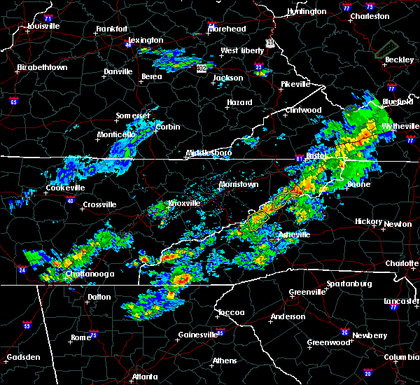
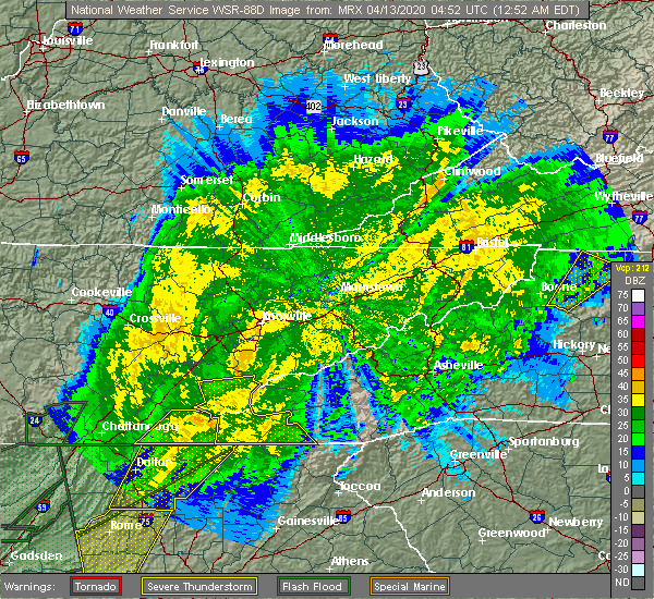
| 4/13/2020 1:55 AM EDT |
 At 155 am edt, a severe thunderstorm was located near murphy, moving northeast at 60 mph (radar indicated). Hazards include 60 mph wind gusts. Expect damage to roofs, siding, and trees. Locations impacted include, andrews, murphy, hayesville, nantahala lake, shooting creek, tusquitee, topton, marble, brasstown and culberson. At 155 am edt, a severe thunderstorm was located near murphy, moving northeast at 60 mph (radar indicated). Hazards include 60 mph wind gusts. Expect damage to roofs, siding, and trees. Locations impacted include, andrews, murphy, hayesville, nantahala lake, shooting creek, tusquitee, topton, marble, brasstown and culberson.
|
| 4/13/2020 1:40 AM EDT |
 At 140 am edt, a severe thunderstorm was located 9 miles southwest of murphy, moving northeast at 60 mph (radar indicated). Hazards include 60 mph wind gusts. Expect damage to roofs, siding, and trees. Locations impacted include, andrews, murphy, hayesville, nantahala lake, shooting creek, tusquitee, hot house, hiawasse dam, topton and marble. At 140 am edt, a severe thunderstorm was located 9 miles southwest of murphy, moving northeast at 60 mph (radar indicated). Hazards include 60 mph wind gusts. Expect damage to roofs, siding, and trees. Locations impacted include, andrews, murphy, hayesville, nantahala lake, shooting creek, tusquitee, hot house, hiawasse dam, topton and marble.
|
| 4/13/2020 1:28 AM EDT |
 At 127 am edt, a severe thunderstorm was located over blue ridge, moving northeast at 60 mph (radar indicated). Hazards include 60 mph wind gusts. expect damage to roofs, siding, and trees At 127 am edt, a severe thunderstorm was located over blue ridge, moving northeast at 60 mph (radar indicated). Hazards include 60 mph wind gusts. expect damage to roofs, siding, and trees
|
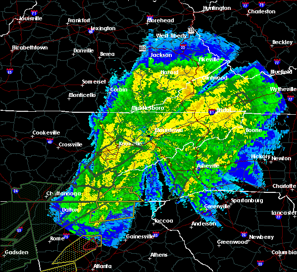
| 4/13/2020 12:51 AM EDT |
 At 1250 am edt, severe thunderstorms were located along a line extending from smoky mountains-twentymile creek to near robbinsville to near murphy, moving east at 55 mph (radar indicated). Hazards include 60 mph wind gusts. Expect damage to roofs, siding, and trees. Locations impacted include, andrews, murphy, hayesville, nantahala lake, shooting creek, tusquitee, citico beach, tariffville, citico and topton. At 1250 am edt, severe thunderstorms were located along a line extending from smoky mountains-twentymile creek to near robbinsville to near murphy, moving east at 55 mph (radar indicated). Hazards include 60 mph wind gusts. Expect damage to roofs, siding, and trees. Locations impacted include, andrews, murphy, hayesville, nantahala lake, shooting creek, tusquitee, citico beach, tariffville, citico and topton.
|
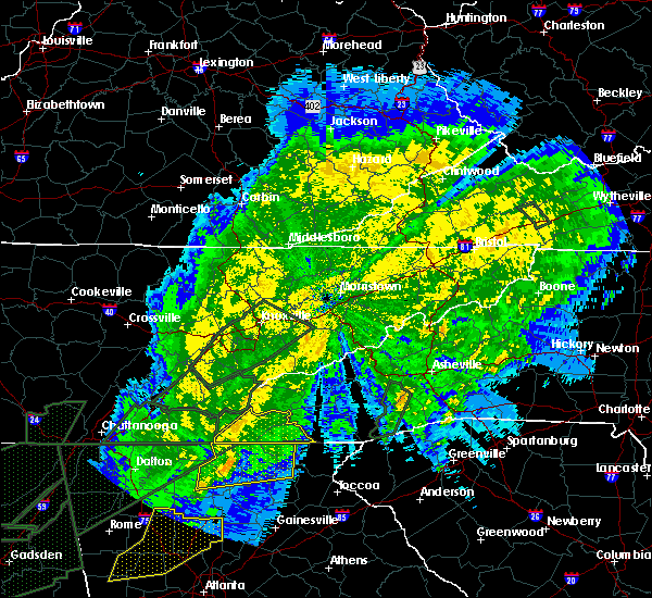
| 4/13/2020 12:13 AM EDT |
 At 1213 am edt, severe thunderstorms were located along a line extending from near etowah to 12 miles east of benton to 9 miles southwest of ducktown, moving east at 55 mph (radar indicated). Hazards include 70 mph wind gusts. Expect considerable tree damage. Damage is likely to mobile homes, roofs, and outbuildings. At 1213 am edt, severe thunderstorms were located along a line extending from near etowah to 12 miles east of benton to 9 miles southwest of ducktown, moving east at 55 mph (radar indicated). Hazards include 70 mph wind gusts. Expect considerable tree damage. Damage is likely to mobile homes, roofs, and outbuildings.
|
| 1/11/2020 5:40 PM EST | Numerous trees dow in clay county NC, 0.3 miles SSE of Hayesville, NC |
| 1/11/2020 5:34 PM EST |
 At 534 pm est, severe thunderstorms were located along a line extending from 6 miles southwest of robbinsville to near young harris, moving east at 50 mph (radar indicated). Hazards include 70 mph wind gusts. Expect considerable tree damage. Damage is likely to mobile homes, roofs, and outbuildings. At 534 pm est, severe thunderstorms were located along a line extending from 6 miles southwest of robbinsville to near young harris, moving east at 50 mph (radar indicated). Hazards include 70 mph wind gusts. Expect considerable tree damage. Damage is likely to mobile homes, roofs, and outbuildings.
|
| 6/22/2019 1:06 AM EDT | Trees down across the count in clay county NC, 11.8 miles W of Hayesville, NC |
| 6/22/2019 12:53 AM EDT | Several trees dow in clay county NC, 5.8 miles E of Hayesville, NC |
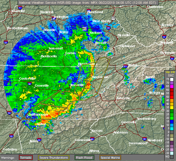
| 6/22/2019 12:49 AM EDT |
 At 1248 am edt, severe thunderstorms were located along a line extending from near franklin to near hayesville to 8 miles south of blue ridge, moving east at 40 mph (radar indicated). Hazards include 65 mph wind gusts and quarter size hail. Hail damage to vehicles is expected. expect wind damage to roofs, siding, and trees. Locations impacted include, hayesville, nantahala lake, shooting creek and tusquitee. At 1248 am edt, severe thunderstorms were located along a line extending from near franklin to near hayesville to 8 miles south of blue ridge, moving east at 40 mph (radar indicated). Hazards include 65 mph wind gusts and quarter size hail. Hail damage to vehicles is expected. expect wind damage to roofs, siding, and trees. Locations impacted include, hayesville, nantahala lake, shooting creek and tusquitee.
|
| 6/22/2019 12:36 AM EDT |
 At 1234 am edt, severe thunderstorms were located along a line extending from near nantahala lake to near hayesville to near ellijay, moving southeast at 140 mph (radar indicated). Hazards include 60 mph wind gusts and quarter size hail. Hail damage to vehicles is expected. expect wind damage to roofs, siding, and trees. locations impacted include, andrews, murphy, hayesville, nantahala lake, shooting creek, tusquitee, hot house, topton, marble, brasstown and culberson. Time, mot, loc 0434z 307deg 120kt 3524 8362 3505 8391 3476 8443. At 1234 am edt, severe thunderstorms were located along a line extending from near nantahala lake to near hayesville to near ellijay, moving southeast at 140 mph (radar indicated). Hazards include 60 mph wind gusts and quarter size hail. Hail damage to vehicles is expected. expect wind damage to roofs, siding, and trees. locations impacted include, andrews, murphy, hayesville, nantahala lake, shooting creek, tusquitee, hot house, topton, marble, brasstown and culberson. Time, mot, loc 0434z 307deg 120kt 3524 8362 3505 8391 3476 8443.
|
| 6/22/2019 12:22 AM EDT |
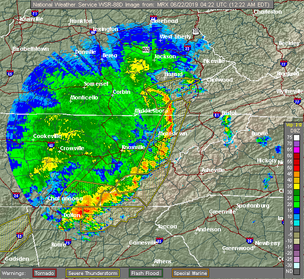 At 1221 am edt, severe thunderstorms were located along a line extending from robbinsville to near murphy to 8 miles east of eton, moving east at 40 mph (radar indicated). Hazards include 70 mph wind gusts and quarter size hail. Hail damage to vehicles is expected. expect considerable tree damage. wind damage is also likely to mobile homes, roofs, and outbuildings. locations impacted include, andrews, murphy, ducktown, hayesville, nantahala lake, william l. Davenport refuge, tusquitee, violet, big frog mountain, turtletown, hiawasse dam, copperhill, marble, brasstown, shooting creek, hot house, topton and unaka. At 1221 am edt, severe thunderstorms were located along a line extending from robbinsville to near murphy to 8 miles east of eton, moving east at 40 mph (radar indicated). Hazards include 70 mph wind gusts and quarter size hail. Hail damage to vehicles is expected. expect considerable tree damage. wind damage is also likely to mobile homes, roofs, and outbuildings. locations impacted include, andrews, murphy, ducktown, hayesville, nantahala lake, william l. Davenport refuge, tusquitee, violet, big frog mountain, turtletown, hiawasse dam, copperhill, marble, brasstown, shooting creek, hot house, topton and unaka.
|
| 6/22/2019 12:04 AM EDT |
 At 1204 am edt, severe thunderstorms were located along a line extending from 7 miles southwest of town of santeetlah to 8 miles northeast of ducktown to near eton, moving east at 40 mph (radar indicated). Hazards include 70 mph wind gusts and quarter size hail. Hail damage to vehicles is expected. expect considerable tree damage. Wind damage is also likely to mobile homes, roofs, and outbuildings. At 1204 am edt, severe thunderstorms were located along a line extending from 7 miles southwest of town of santeetlah to 8 miles northeast of ducktown to near eton, moving east at 40 mph (radar indicated). Hazards include 70 mph wind gusts and quarter size hail. Hail damage to vehicles is expected. expect considerable tree damage. Wind damage is also likely to mobile homes, roofs, and outbuildings.
|
| 5/4/2019 1:15 PM EDT |
 At 115 pm edt, a severe thunderstorm was located near murphy, moving northeast at 30 mph (radar indicated). Hazards include 60 mph wind gusts and quarter size hail. Hail damage to vehicles is expected. expect wind damage to roofs, siding, and trees. Locations impacted include, andrews, murphy, hayesville, nantahala lake, tusquitee, topton, marble and brasstown. At 115 pm edt, a severe thunderstorm was located near murphy, moving northeast at 30 mph (radar indicated). Hazards include 60 mph wind gusts and quarter size hail. Hail damage to vehicles is expected. expect wind damage to roofs, siding, and trees. Locations impacted include, andrews, murphy, hayesville, nantahala lake, tusquitee, topton, marble and brasstown.
|
| 5/4/2019 12:55 PM EDT |
 At 1255 pm edt, a severe thunderstorm was located 10 miles north of morganton, or 10 miles southwest of murphy, moving northeast at 30 mph (radar indicated). Hazards include 60 mph wind gusts and quarter size hail. Hail damage to vehicles is expected. Expect wind damage to roofs, siding, and trees. At 1255 pm edt, a severe thunderstorm was located 10 miles north of morganton, or 10 miles southwest of murphy, moving northeast at 30 mph (radar indicated). Hazards include 60 mph wind gusts and quarter size hail. Hail damage to vehicles is expected. Expect wind damage to roofs, siding, and trees.
|
| 11/6/2018 5:45 AM EST |
 At 545 am est, severe thunderstorms were located along a line extending from smoky mountains-fontana area to near robbinsville to 8 miles south of murphy, moving east at 50 mph (radar indicated). Hazards include 60 mph wind gusts. Expect damage to roofs, siding, and trees. locations impacted include, andrews, murphy, hayesville, shooting creek, tusquitee, violet, hot house, topton, hiawasse dam, marble, brasstown and unaka. A tornado watch remains in effect until 900 am est for southwestern north carolina, and east tennessee. At 545 am est, severe thunderstorms were located along a line extending from smoky mountains-fontana area to near robbinsville to 8 miles south of murphy, moving east at 50 mph (radar indicated). Hazards include 60 mph wind gusts. Expect damage to roofs, siding, and trees. locations impacted include, andrews, murphy, hayesville, shooting creek, tusquitee, violet, hot house, topton, hiawasse dam, marble, brasstown and unaka. A tornado watch remains in effect until 900 am est for southwestern north carolina, and east tennessee.
|
| 11/6/2018 5:14 AM EST |
 At 513 am est, severe thunderstorms were located along a line extending from 13 miles west of smoky mountains-twentymile creek to 15 miles east of etowah to 9 miles southwest of ducktown, moving east at 50 mph (radar indicated). Hazards include 60 mph wind gusts. expect damage to roofs, siding, and trees At 513 am est, severe thunderstorms were located along a line extending from 13 miles west of smoky mountains-twentymile creek to 15 miles east of etowah to 9 miles southwest of ducktown, moving east at 50 mph (radar indicated). Hazards include 60 mph wind gusts. expect damage to roofs, siding, and trees
|
| 6/26/2018 7:48 PM EDT |
 At 748 pm edt/648 pm cdt/, severe thunderstorms were located along a line extending from near murphy to near jasper, moving south at 25 mph (radar indicated). Hazards include 60 mph wind gusts and penny size hail. Expect damage to roofs, siding, and trees. Locations impacted include, chattanooga, cleveland, jasper, andrews, murphy, benton, ducktown, hayesville, soddy-daisy, signal mountain, south pittsburg, walden, lakesite, whitwell, kimball, monteagle, ridgeside, harrison, east cleveland and south cleveland. At 748 pm edt/648 pm cdt/, severe thunderstorms were located along a line extending from near murphy to near jasper, moving south at 25 mph (radar indicated). Hazards include 60 mph wind gusts and penny size hail. Expect damage to roofs, siding, and trees. Locations impacted include, chattanooga, cleveland, jasper, andrews, murphy, benton, ducktown, hayesville, soddy-daisy, signal mountain, south pittsburg, walden, lakesite, whitwell, kimball, monteagle, ridgeside, harrison, east cleveland and south cleveland.
|
| 6/26/2018 7:17 PM EDT |
 At 716 pm edt/616 pm cdt/, severe thunderstorms were located along a line extending from 10 miles north of murphy to near whitwell, moving south at 30 mph (radar indicated). Hazards include 60 mph wind gusts and penny size hail. expect damage to roofs, siding, and trees At 716 pm edt/616 pm cdt/, severe thunderstorms were located along a line extending from 10 miles north of murphy to near whitwell, moving south at 30 mph (radar indicated). Hazards include 60 mph wind gusts and penny size hail. expect damage to roofs, siding, and trees
|
| 6/25/2018 3:56 PM EDT |
 At 355 pm edt, severe thunderstorms were located along a line extending from near andrews to near young harris to 6 miles southwest of blairsville, moving east at 25 mph (radar indicated). Hazards include 60 mph wind gusts and penny size hail. Expect damage to roofs, siding, and trees. Locations impacted include, andrews, hayesville, shooting creek, tusquitee, topton and brasstown. At 355 pm edt, severe thunderstorms were located along a line extending from near andrews to near young harris to 6 miles southwest of blairsville, moving east at 25 mph (radar indicated). Hazards include 60 mph wind gusts and penny size hail. Expect damage to roofs, siding, and trees. Locations impacted include, andrews, hayesville, shooting creek, tusquitee, topton and brasstown.
|
| 6/25/2018 3:55 PM EDT | Trees and power lines dow in clay county NC, 3 miles E of Hayesville, NC |
| 6/25/2018 3:31 PM EDT |
 At 331 pm edt, severe thunderstorms were located along a line extending from 8 miles southwest of town of santeetlah to 6 miles south of murphy to near morganton, moving east at 25 mph (radar indicated). Hazards include 60 mph wind gusts and penny size hail. expect damage to roofs, siding, and trees At 331 pm edt, severe thunderstorms were located along a line extending from 8 miles southwest of town of santeetlah to 6 miles south of murphy to near morganton, moving east at 25 mph (radar indicated). Hazards include 60 mph wind gusts and penny size hail. expect damage to roofs, siding, and trees
|
| 6/23/2018 3:50 PM EDT | Clay county 911 call center reported numerous trees down across the count in clay county NC, 0.3 miles SSE of Hayesville, NC |
| 6/23/2018 3:24 PM EDT |
 At 323 pm edt, severe thunderstorms were located along a line extending from 14 miles west of andrews to 9 miles southwest of murphy, moving east at 55 mph (radar indicated). Hazards include 60 mph wind gusts and penny size hail. expect damage to roofs, siding, and trees At 323 pm edt, severe thunderstorms were located along a line extending from 14 miles west of andrews to 9 miles southwest of murphy, moving east at 55 mph (radar indicated). Hazards include 60 mph wind gusts and penny size hail. expect damage to roofs, siding, and trees
|
| 5/31/2018 4:20 PM EDT | Several trees down across the count in clay county NC, 0.3 miles SSE of Hayesville, NC |
| 5/14/2018 6:13 PM EDT |
 At 613 pm edt, a severe thunderstorm was located near murphy, moving northwest at 10 mph (radar indicated). Hazards include 60 mph wind gusts and quarter size hail. Hail damage to vehicles is expected. expect wind damage to roofs, siding, and trees. Locations impacted include, andrews, murphy, hayesville, tusquitee, brasstown and marble. At 613 pm edt, a severe thunderstorm was located near murphy, moving northwest at 10 mph (radar indicated). Hazards include 60 mph wind gusts and quarter size hail. Hail damage to vehicles is expected. expect wind damage to roofs, siding, and trees. Locations impacted include, andrews, murphy, hayesville, tusquitee, brasstown and marble.
|
| 5/14/2018 5:49 PM EDT |
 At 548 pm edt, a severe thunderstorm was located near hayesville, and is nearly stationary (radar indicated). Hazards include 60 mph wind gusts and quarter size hail. Hail damage to vehicles is expected. Expect wind damage to roofs, siding, and trees. At 548 pm edt, a severe thunderstorm was located near hayesville, and is nearly stationary (radar indicated). Hazards include 60 mph wind gusts and quarter size hail. Hail damage to vehicles is expected. Expect wind damage to roofs, siding, and trees.
|
| 3/17/2018 9:15 PM EDT | Several trees and power lines down as well as quarter size hail near hayesville... n in clay county NC, 0.3 miles SSE of Hayesville, NC |
| 3/17/2018 9:09 PM EDT | Reported at fires creek road. 3 miles north of hwy 64. numerous large trees across the road. quarter sized hail also reported with this stor in clay county NC, 2.9 miles SE of Hayesville, NC |
| 3/17/2018 8:54 PM EDT |
 At 853 pm edt, a severe thunderstorm was located over hayesville, moving southeast at 30 mph (radar indicated). Hazards include 60 mph wind gusts and quarter size hail. Hail damage to vehicles is expected. Expect wind damage to roofs, siding, and trees. At 853 pm edt, a severe thunderstorm was located over hayesville, moving southeast at 30 mph (radar indicated). Hazards include 60 mph wind gusts and quarter size hail. Hail damage to vehicles is expected. Expect wind damage to roofs, siding, and trees.
|
| 3/17/2018 8:32 PM EDT |
 At 832 pm edt, a severe thunderstorm capable of producing a tornado was located near murphy, moving southeast at 30 mph (radar indicated rotation). Hazards include tornado and two inch hail. Flying debris will be dangerous to those caught without shelter. mobile homes will be damaged or destroyed. damage to roofs, windows, and vehicles will occur. tree damage is likely. this dangerous storm will be near, andrews around 835 pm edt. hayesville around 850 pm edt. Other locations impacted by this tornadic thunderstorm include shooting creek, marble and tusquitee. At 832 pm edt, a severe thunderstorm capable of producing a tornado was located near murphy, moving southeast at 30 mph (radar indicated rotation). Hazards include tornado and two inch hail. Flying debris will be dangerous to those caught without shelter. mobile homes will be damaged or destroyed. damage to roofs, windows, and vehicles will occur. tree damage is likely. this dangerous storm will be near, andrews around 835 pm edt. hayesville around 850 pm edt. Other locations impacted by this tornadic thunderstorm include shooting creek, marble and tusquitee.
|
| 3/17/2018 8:22 PM EDT |
 At 822 pm edt, a severe thunderstorm was located near murphy, moving southeast at 40 mph (radar indicated). Hazards include golf ball size hail and 60 mph wind gusts. People and animals outdoors will be injured. expect hail damage to roofs, siding, windows, and vehicles. expect wind damage to roofs, siding, and trees. Locations impacted include, andrews, murphy, hayesville, nantahala lake, tusquitee, violet, hiawasse dam, brasstown, marble and unaka. At 822 pm edt, a severe thunderstorm was located near murphy, moving southeast at 40 mph (radar indicated). Hazards include golf ball size hail and 60 mph wind gusts. People and animals outdoors will be injured. expect hail damage to roofs, siding, windows, and vehicles. expect wind damage to roofs, siding, and trees. Locations impacted include, andrews, murphy, hayesville, nantahala lake, tusquitee, violet, hiawasse dam, brasstown, marble and unaka.
|
| 3/17/2018 8:14 PM EDT |
 At 814 pm edt, a severe thunderstorm capable of producing a tornado was located near murphy, moving east at 55 mph (radar indicated rotation). Hazards include tornado and golf ball size hail. Flying debris will be dangerous to those caught without shelter. mobile homes will be damaged or destroyed. damage to roofs, windows, and vehicles will occur. tree damage is likely. this dangerous storm will be near, andrews around 825 pm edt. hayesville around 830 pm edt. Other locations impacted by this tornadic thunderstorm include shooting creek, tusquitee, marble, unaka and brasstown. At 814 pm edt, a severe thunderstorm capable of producing a tornado was located near murphy, moving east at 55 mph (radar indicated rotation). Hazards include tornado and golf ball size hail. Flying debris will be dangerous to those caught without shelter. mobile homes will be damaged or destroyed. damage to roofs, windows, and vehicles will occur. tree damage is likely. this dangerous storm will be near, andrews around 825 pm edt. hayesville around 830 pm edt. Other locations impacted by this tornadic thunderstorm include shooting creek, tusquitee, marble, unaka and brasstown.
|
| 3/17/2018 7:55 PM EDT |
 At 755 pm edt, a severe thunderstorm was located 16 miles east of etowah, or 16 miles northeast of ducktown, moving southeast at 40 mph (radar indicated). Hazards include 60 mph wind gusts and half dollar size hail. Hail damage to vehicles is expected. Expect wind damage to roofs, siding, and trees. At 755 pm edt, a severe thunderstorm was located 16 miles east of etowah, or 16 miles northeast of ducktown, moving southeast at 40 mph (radar indicated). Hazards include 60 mph wind gusts and half dollar size hail. Hail damage to vehicles is expected. Expect wind damage to roofs, siding, and trees.
|
| 5/27/2017 11:33 PM EDT |
 At 1133 pm edt, severe thunderstorms were located along a line extending from 6 miles north of franklin to near hayesville to 8 miles west of murphy to 10 miles south of benton, moving southeast at 35 mph (radar indicated). Hazards include 70 mph wind gusts. Expect considerable tree damage. damage is likely to mobile homes, roofs, and outbuildings. locations impacted include, murphy, ducktown, hayesville, nantahala lake, william l. Davenport refuge, shooting creek, tusquitee, conasauga, hot house, brasstown, big frog mountain and copperhill. At 1133 pm edt, severe thunderstorms were located along a line extending from 6 miles north of franklin to near hayesville to 8 miles west of murphy to 10 miles south of benton, moving southeast at 35 mph (radar indicated). Hazards include 70 mph wind gusts. Expect considerable tree damage. damage is likely to mobile homes, roofs, and outbuildings. locations impacted include, murphy, ducktown, hayesville, nantahala lake, william l. Davenport refuge, shooting creek, tusquitee, conasauga, hot house, brasstown, big frog mountain and copperhill.
|
| 5/27/2017 10:50 PM EDT |
 At 1050 pm edt, severe thunderstorms were located along a line extending from 12 miles southwest of pigeon forge to 10 miles southeast of madisonville to near etowah to 6 miles northwest of cleveland, moving southeast at 60 mph (radar indicated). Hazards include 70 mph wind gusts. Expect considerable tree damage. Damage is likely to mobile homes, roofs, and outbuildings. At 1050 pm edt, severe thunderstorms were located along a line extending from 12 miles southwest of pigeon forge to 10 miles southeast of madisonville to near etowah to 6 miles northwest of cleveland, moving southeast at 60 mph (radar indicated). Hazards include 70 mph wind gusts. Expect considerable tree damage. Damage is likely to mobile homes, roofs, and outbuildings.
|
| 3/27/2017 9:40 PM EDT |
 At 940 pm edt, a severe thunderstorm was located over hayesville, moving northeast at 35 mph (radar indicated). Hazards include 60 mph wind gusts and quarter size hail. Hail damage to vehicles is expected. expect wind damage to roofs, siding, and trees. Locations impacted include, hayesville, nantahala lake, shooting creek, tusquitee and brasstown. At 940 pm edt, a severe thunderstorm was located over hayesville, moving northeast at 35 mph (radar indicated). Hazards include 60 mph wind gusts and quarter size hail. Hail damage to vehicles is expected. expect wind damage to roofs, siding, and trees. Locations impacted include, hayesville, nantahala lake, shooting creek, tusquitee and brasstown.
|
| 3/27/2017 9:23 PM EDT |
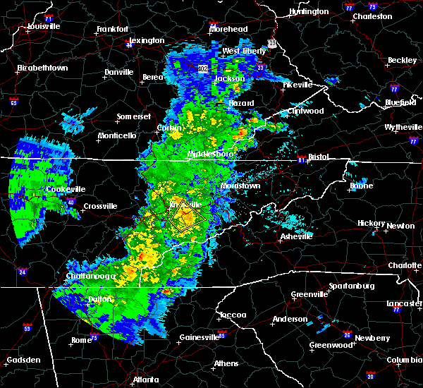 At 923 pm edt, a severe thunderstorm was located near blairsville, moving northeast at 35 mph (radar indicated). Hazards include 60 mph wind gusts and quarter size hail. Hail damage to vehicles is expected. Expect wind damage to roofs, siding, and trees. At 923 pm edt, a severe thunderstorm was located near blairsville, moving northeast at 35 mph (radar indicated). Hazards include 60 mph wind gusts and quarter size hail. Hail damage to vehicles is expected. Expect wind damage to roofs, siding, and trees.
|
| 3/21/2017 8:50 PM EDT | Trees down countywide in clay county NC, 0.3 miles SSE of Hayesville, NC |
| 3/21/2017 8:35 PM EDT |
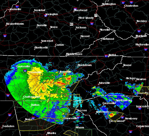 At 834 pm edt, a severe thunderstorm was located near young harris, or near hiawassee, moving east at 60 mph (law enforcement. reports of trees down across western cherokee county as these storms moved through). Hazards include 60 mph wind gusts and penny size hail. Expect damage to roofs, siding, and trees. Locations impacted include, andrews, murphy, hayesville, nantahala lake, tusquitee, violet, hiawasse dam, marble, brasstown, shooting creek, hot house, topton and unaka. At 834 pm edt, a severe thunderstorm was located near young harris, or near hiawassee, moving east at 60 mph (law enforcement. reports of trees down across western cherokee county as these storms moved through). Hazards include 60 mph wind gusts and penny size hail. Expect damage to roofs, siding, and trees. Locations impacted include, andrews, murphy, hayesville, nantahala lake, tusquitee, violet, hiawasse dam, marble, brasstown, shooting creek, hot house, topton and unaka.
|
| 3/21/2017 8:05 PM EDT |
 At 804 pm edt, a severe thunderstorm was located near ducktown, moving east at 60 mph (radar indicated). Hazards include 60 mph wind gusts and quarter size hail. Hail damage to vehicles is expected. Expect wind damage to roofs, siding, and trees. At 804 pm edt, a severe thunderstorm was located near ducktown, moving east at 60 mph (radar indicated). Hazards include 60 mph wind gusts and quarter size hail. Hail damage to vehicles is expected. Expect wind damage to roofs, siding, and trees.
|
| 7/8/2016 8:09 PM EDT |
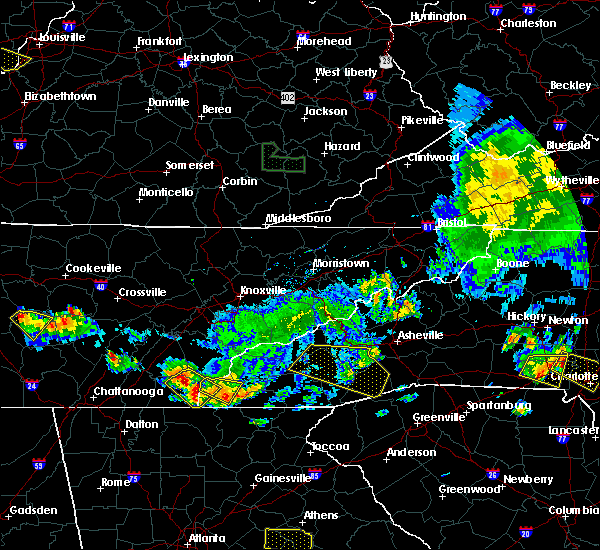 At 809 pm edt, a severe thunderstorm was located over murphy, moving southeast at 40 mph (radar indicated). Hazards include 60 mph wind gusts. Expect damage to roofs. siding. And trees. At 809 pm edt, a severe thunderstorm was located over murphy, moving southeast at 40 mph (radar indicated). Hazards include 60 mph wind gusts. Expect damage to roofs. siding. And trees.
|
| 7/7/2016 7:34 PM EDT |
 At 734 pm edt, a severe thunderstorm was located near murphy, moving southeast at 30 mph (radar indicated). Hazards include 60 mph wind gusts. Expect damage to roofs. siding. and trees. Locations impacted include, murphy, hayesville, tusquitee and brasstown. At 734 pm edt, a severe thunderstorm was located near murphy, moving southeast at 30 mph (radar indicated). Hazards include 60 mph wind gusts. Expect damage to roofs. siding. and trees. Locations impacted include, murphy, hayesville, tusquitee and brasstown.
|
| 7/7/2016 7:19 PM EDT |
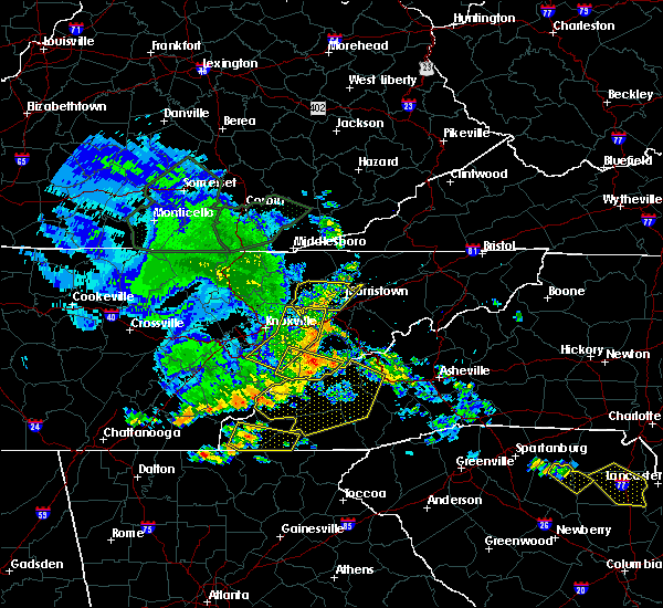 At 719 pm edt, a severe thunderstorm was located over murphy, moving east at 45 mph (radar indicated). Hazards include 60 mph wind gusts. Expect damage to roofs. siding. And trees. At 719 pm edt, a severe thunderstorm was located over murphy, moving east at 45 mph (radar indicated). Hazards include 60 mph wind gusts. Expect damage to roofs. siding. And trees.
|
| 7/6/2016 7:07 PM EDT |
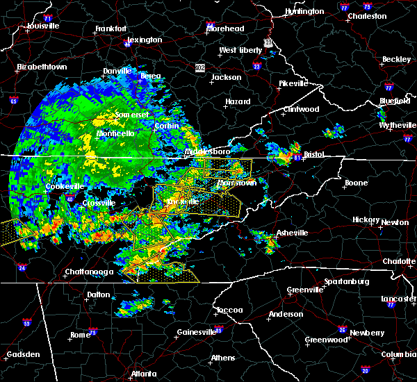 At 706 pm edt, severe thunderstorms were located along a line extending from 11 miles southwest of town of santeetlah to 13 miles northwest of murphy to 7 miles north of ducktown, moving southeast at 35 mph (radar indicated). Hazards include 60 mph wind gusts. Expect damage to roofs. siding. And trees. At 706 pm edt, severe thunderstorms were located along a line extending from 11 miles southwest of town of santeetlah to 13 miles northwest of murphy to 7 miles north of ducktown, moving southeast at 35 mph (radar indicated). Hazards include 60 mph wind gusts. Expect damage to roofs. siding. And trees.
|
| 7/14/2015 6:28 PM EDT |
 At 628 pm edt, severe thunderstorms were located along a line extending from 13 miles east of hayesville to near ducktown, moving southeast at 20 mph (radar indicated). Hazards include 60 mph wind gusts and nickel size hail. Expect damage to roofs. siding and trees. Locations impacted include, hayesville, culberson, shooting creek and brasstown. At 628 pm edt, severe thunderstorms were located along a line extending from 13 miles east of hayesville to near ducktown, moving southeast at 20 mph (radar indicated). Hazards include 60 mph wind gusts and nickel size hail. Expect damage to roofs. siding and trees. Locations impacted include, hayesville, culberson, shooting creek and brasstown.
|
| 7/14/2015 6:15 PM EDT |
 At 614 pm edt, severe thunderstorms were located along a line extending from 10 miles east of hayesville to near ducktown, moving south at 25 mph (radar indicated). Hazards include 60 mph wind gusts and quarter size hail. Hail damage to vehicles is expected. Expect wind damage to roofs, siding and trees. At 614 pm edt, severe thunderstorms were located along a line extending from 10 miles east of hayesville to near ducktown, moving south at 25 mph (radar indicated). Hazards include 60 mph wind gusts and quarter size hail. Hail damage to vehicles is expected. Expect wind damage to roofs, siding and trees.
|
| 7/14/2015 6:05 PM EDT |
 At 604 pm edt, a severe thunderstorm was located over murphy, moving southeast at 35 mph (radar indicated). Hazards include 60 mph wind gusts and quarter size hail. Hail damage to vehicles is expected. expect wind damage to roofs, siding and trees. Locations impacted include, murphy, hayesville, hiawasse dam, shooting creek, brasstown, unaka, marble, violet and tusquitee. At 604 pm edt, a severe thunderstorm was located over murphy, moving southeast at 35 mph (radar indicated). Hazards include 60 mph wind gusts and quarter size hail. Hail damage to vehicles is expected. expect wind damage to roofs, siding and trees. Locations impacted include, murphy, hayesville, hiawasse dam, shooting creek, brasstown, unaka, marble, violet and tusquitee.
|
| 7/14/2015 5:47 PM EDT |
 At 546 pm edt, a severe thunderstorm was located near murphy, moving southeast at 35 mph (radar indicated). Hazards include 60 mph wind gusts and quarter size hail. Hail damage to vehicles is expected. expect wind damage to roofs, siding and trees. Locations impacted include, andrews, murphy, hayesville, topton, hiawasse dam, shooting creek, brasstown, coker creek, unaka, marble, violet and tusquitee. At 546 pm edt, a severe thunderstorm was located near murphy, moving southeast at 35 mph (radar indicated). Hazards include 60 mph wind gusts and quarter size hail. Hail damage to vehicles is expected. expect wind damage to roofs, siding and trees. Locations impacted include, andrews, murphy, hayesville, topton, hiawasse dam, shooting creek, brasstown, coker creek, unaka, marble, violet and tusquitee.
|
| 7/14/2015 5:47 PM EDT |
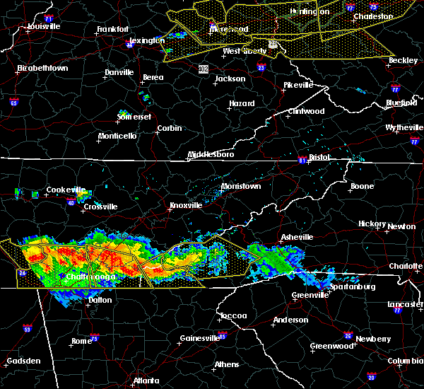 At 546 pm edt, a severe thunderstorm was located near murphy, moving southeast at 35 mph (radar indicated). Hazards include 60 mph wind gusts and quarter size hail. Hail damage to vehicles is expected. expect wind damage to roofs, siding and trees. Locations impacted include, andrews, murphy, hayesville, topton, hiawasse dam, shooting creek, brasstown, coker creek, unaka, marble, violet and tusquitee. At 546 pm edt, a severe thunderstorm was located near murphy, moving southeast at 35 mph (radar indicated). Hazards include 60 mph wind gusts and quarter size hail. Hail damage to vehicles is expected. expect wind damage to roofs, siding and trees. Locations impacted include, andrews, murphy, hayesville, topton, hiawasse dam, shooting creek, brasstown, coker creek, unaka, marble, violet and tusquitee.
|
| 7/14/2015 5:29 PM EDT |
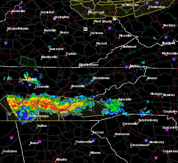 At 529 pm edt, a severe thunderstorm was located 9 miles north of murphy, moving southeast at 35 mph (radar indicated). Hazards include 60 mph wind gusts and quarter size hail. Hail damage to vehicles is expected. Expect wind damage to roofs, siding and trees. At 529 pm edt, a severe thunderstorm was located 9 miles north of murphy, moving southeast at 35 mph (radar indicated). Hazards include 60 mph wind gusts and quarter size hail. Hail damage to vehicles is expected. Expect wind damage to roofs, siding and trees.
|
| 7/14/2015 12:17 PM EDT |
 At 1216 pm edt, a severe thunderstorm was located near hayesville, moving southeast at 30 mph (radar indicated). Hazards include 60 mph wind gusts and quarter size hail. Hail damage to vehicles is expected. expect wind damage to roofs, siding and trees. Locations impacted include, hayesville, shooting creek, brasstown and tusquitee. At 1216 pm edt, a severe thunderstorm was located near hayesville, moving southeast at 30 mph (radar indicated). Hazards include 60 mph wind gusts and quarter size hail. Hail damage to vehicles is expected. expect wind damage to roofs, siding and trees. Locations impacted include, hayesville, shooting creek, brasstown and tusquitee.
|
| 7/14/2015 11:56 AM EDT |
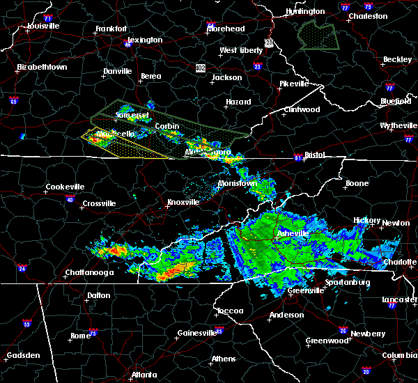 At 1155 am edt, a severe thunderstorm was located near andrews, moving southeast at 25 mph (radar indicated). Hazards include 60 mph wind gusts and quarter size hail. Hail damage to vehicles is expected. Expect wind damage to roofs, siding and trees. At 1155 am edt, a severe thunderstorm was located near andrews, moving southeast at 25 mph (radar indicated). Hazards include 60 mph wind gusts and quarter size hail. Hail damage to vehicles is expected. Expect wind damage to roofs, siding and trees.
|
| 6/26/2015 5:00 PM EDT | At 459 pm edt, a severe thunderstorm was located over hayesville, moving northeast at 15 mph (radar indicated). Hazards include 60 mph wind gusts and penny size hail. Expect damage to roofs. siding and trees. Locations impacted include, hayesville, nantahala lake, tusquitee, brasstown and shooting creek. |
| 6/26/2015 4:42 PM EDT | At 441 pm edt, a severe thunderstorm was located near hayesville, moving northeast at 15 mph (radar indicated). Hazards include 60 mph wind gusts and penny size hail. Expect damage to roofs. Siding and trees. |
| 6/24/2015 3:19 PM EDT |
 At 319 pm edt, a severe thunderstorm was located 9 miles west of dillard, or 12 miles northwest of clayton, moving east at 30 mph (radar indicated). Hazards include 60 mph wind gusts and quarter size hail. Hail damage to vehicles is expected. expect wind damage to roofs, siding and trees. Locations impacted include, hayesville and shooting creek. At 319 pm edt, a severe thunderstorm was located 9 miles west of dillard, or 12 miles northwest of clayton, moving east at 30 mph (radar indicated). Hazards include 60 mph wind gusts and quarter size hail. Hail damage to vehicles is expected. expect wind damage to roofs, siding and trees. Locations impacted include, hayesville and shooting creek.
|
| 6/24/2015 3:09 PM EDT |
 At 309 pm edt, a severe thunderstorm was located near hiawassee, moving southeast at 20 mph (radar indicated). Hazards include 60 mph wind gusts and quarter size hail. Hail damage to vehicles is expected. expect wind damage to roofs, siding and trees. Locations impacted include, hayesville, nantahala lake, tusquitee, brasstown and shooting creek. At 309 pm edt, a severe thunderstorm was located near hiawassee, moving southeast at 20 mph (radar indicated). Hazards include 60 mph wind gusts and quarter size hail. Hail damage to vehicles is expected. expect wind damage to roofs, siding and trees. Locations impacted include, hayesville, nantahala lake, tusquitee, brasstown and shooting creek.
|
| 6/24/2015 3:03 PM EDT |
 At 302 pm edt, a severe thunderstorm was located near hiawassee, moving southeast at 20 mph (radar indicated). Hazards include 60 mph wind gusts and quarter size hail. Hail damage to vehicles is expected. expect wind damage to roofs, siding and trees. Locations impacted include, andrews, murphy, hayesville, nantahala lake, tusquitee, marble, brasstown and shooting creek. At 302 pm edt, a severe thunderstorm was located near hiawassee, moving southeast at 20 mph (radar indicated). Hazards include 60 mph wind gusts and quarter size hail. Hail damage to vehicles is expected. expect wind damage to roofs, siding and trees. Locations impacted include, andrews, murphy, hayesville, nantahala lake, tusquitee, marble, brasstown and shooting creek.
|
| 6/24/2015 2:50 PM EDT | Couple trees dow in clay county NC, 0.3 miles SSE of Hayesville, NC |
| 6/24/2015 2:48 PM EDT |
 At 248 pm edt, a severe thunderstorm was located over hayesville, moving southeast at 20 mph (radar indicated). Hazards include 60 mph wind gusts and quarter size hail. Hail damage to vehicles is expected. Expect wind damage to roofs, siding and trees. At 248 pm edt, a severe thunderstorm was located over hayesville, moving southeast at 20 mph (radar indicated). Hazards include 60 mph wind gusts and quarter size hail. Hail damage to vehicles is expected. Expect wind damage to roofs, siding and trees.
|
| 6/8/2015 9:19 PM EDT | At 918 pm edt, a severe thunderstorm was located 9 miles northeast of hiawassee, moving east at 25 mph (radar indicated). Hazards include 60 mph wind gusts and penny size hail. Expect damage to roofs. siding and trees. Locations impacted include, hayesville, nantahala lake, tusquitee, shooting creek and brasstown. |
| 6/8/2015 8:54 PM EDT | At 854 pm edt, a severe thunderstorm was located 7 miles east of hayesville, moving east at 35 mph (radar indicated). Hazards include 60 mph wind gusts and penny size hail. Expect damage to roofs. Siding and trees. |
| 6/8/2015 8:20 PM EDT | At 819 pm edt, severe thunderstorms were located along a line extending from 8 miles northwest of smoky mountains, twentymile creek to 8 miles east of chatsworth, moving east at 25 mph (radar indicated). Hazards include 60 mph wind gusts and penny size hail. Expect damage to roofs. siding and trees. locations impacted include, andrews, murphy, ducktown, hayesville, nantahala lake, coker creek, unaka, topton, brasstown, hiawasse dam, violet, tusquitee, hot house, copperhill, marble, citico, turtletown, william l. Davenport refuge and shooting creek. |
| 6/8/2015 8:20 PM EDT | At 819 pm edt, severe thunderstorms were located along a line extending from 8 miles northwest of smoky mountains, twentymile creek to 8 miles east of chatsworth, moving east at 25 mph (radar indicated). Hazards include 60 mph wind gusts and penny size hail. Expect damage to roofs. siding and trees. locations impacted include, andrews, murphy, ducktown, hayesville, nantahala lake, coker creek, unaka, topton, brasstown, hiawasse dam, violet, tusquitee, hot house, copperhill, marble, citico, turtletown, william l. Davenport refuge and shooting creek. |
| 6/8/2015 7:58 PM EDT | At 758 pm edt, severe thunderstorms were located along a line extending from 12 miles southwest of maryville to chatsworth, moving east at 30 mph (radar indicated). Hazards include 60 mph wind gusts and penny size hail. Expect damage to roofs. Siding and trees. |
| 6/8/2015 7:58 PM EDT | At 758 pm edt, severe thunderstorms were located along a line extending from 12 miles southwest of maryville to chatsworth, moving east at 30 mph (radar indicated). Hazards include 60 mph wind gusts and penny size hail. Expect damage to roofs. Siding and trees. |
| 6/1/2015 7:27 PM EDT | At 727 pm edt, a severe thunderstorm was located near hayesville, moving northeast at 10 mph (radar indicated). Hazards include 60 mph wind gusts and penny size hail. Expect damage to roofs. siding and trees. Locations impacted include, andrews, hayesville, nantahala lake, tusquitee, topton and brasstown. |
| 6/1/2015 7:12 PM EDT | At 711 pm edt, a severe thunderstorm was located near murphy, moving northeast at 40 mph (radar indicated). Hazards include 60 mph wind gusts and quarter size hail. Hail damage to vehicles is expected. Expect wind damage to roofs, siding and trees. |
| 5/31/2015 5:04 PM EDT | At 503 pm edt, a severe thunderstorm was located near murphy, moving northeast at 30 mph (radar indicated). Hazards include 60 mph wind gusts and penny size hail. Expect damage to roofs. siding and trees. Locations impacted include, murphy, hayesville, culberson and brasstown. |
| 5/31/2015 4:44 PM EDT | At 443 pm edt, a severe thunderstorm was located 7 miles northwest of blairsville, moving northeast at 35 mph (radar indicated). Hazards include 60 mph wind gusts and quarter size hail. Hail damage to vehicles is expected. Expect wind damage to roofs, siding and trees. |
| 4/3/2015 10:14 PM EDT | A severe thunderstorm warning remains in effect until 1045 pm edt for clay and cherokee counties. at 1013 pm edt. severe thunderstorms were located along a line extending from 7 miles east of ducktown to 10 miles north of murphy. moving east at 40 mph. hazard. 60 mph wind gusts and penny size hail. |
| 4/3/2015 9:41 PM EDT | The national weather service in morristown has issued a * severe thunderstorm warning for. clay county in southwestern north carolina. cherokee county in southwestern north carolina. until 1045 pm edt * at 939 pm edt. Severe thunderstorms were located along a line. |
| 7/8/2014 6:49 PM EDT | Trees down near the city of hayesville... n in clay county NC, 0.3 miles SSE of Hayesville, NC |
| 6/13/2013 5:40 PM EDT | Dispatch reported 2 trees downed across the count in clay county NC, 0.3 miles SSE of Hayesville, NC |
| 1/30/2013 1:00 PM EST | Several trees dow in clay county NC, 1 miles S of Hayesville, NC |
| 4/26/2012 6:54 PM EDT | Golf Ball sized hail reported 0.3 miles SSE of Hayesville, NC |
| 4/17/2012 6:17 PM EDT | Several trees down. a couple of trees on house in clay county NC, 0.3 miles SSE of Hayesville, NC |
| 1/1/0001 12:00 AM | Several trees down. reported by dispatc in clay county NC, 2.7 miles W of Hayesville, NC |
| 1/1/0001 12:00 AM | Several trees dow in clay county NC, 5.5 miles ENE of Hayesville, NC |
| 1/1/0001 12:00 AM | Several trees dow in clay county NC, 0.3 miles SSE of Hayesville, NC |
| 1/1/0001 12:00 AM | Numerous trees down in the tusquittee road and downings creek road areas. reported by dispatc in clay county NC, 2.9 miles WSW of Hayesville, NC |
| 6/15/2011 5:34 PM EDT | Golf Ball sized hail reported 0.3 miles SSE of Hayesville, NC, dime to gold ball sized hail in hayesville. reported by dispatch. |
| 1/1/0001 12:00 AM | Golf Ball sized hail reported 3.6 miles SW of Hayesville, NC, golf ball size hail |
| 1/1/0001 12:00 AM | Quarter sized hail reported 0.3 miles SSE of Hayesville, NC, pea to quarter size hail. |
| 5/26/2011 3:44 PM EDT | Golf Ball sized hail reported 5.5 miles ENE of Hayesville, NC, golf ball size hail was reported. |
Hail Maps for Hayesville, NC
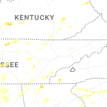


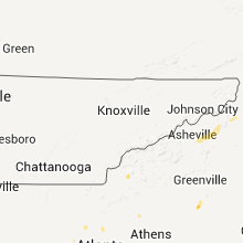


Connect with Interactive Hail Maps