

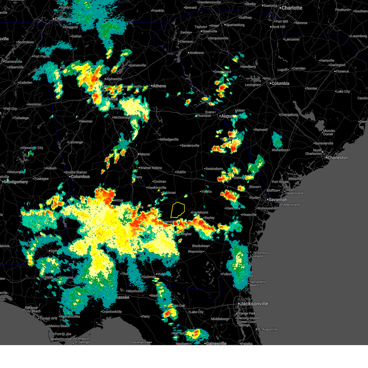
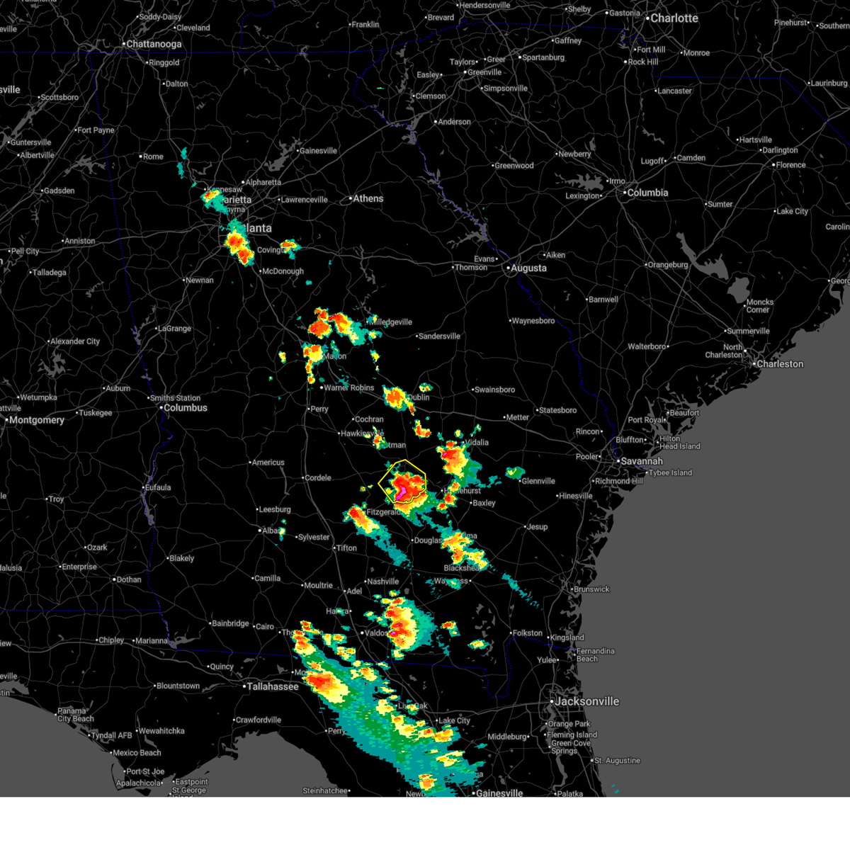
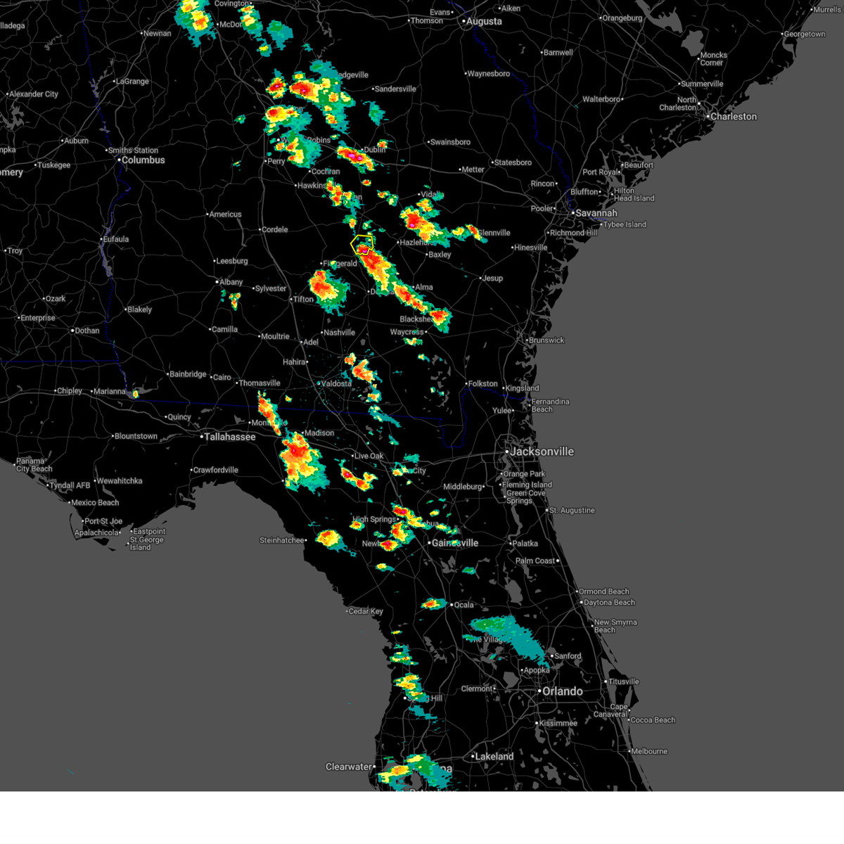
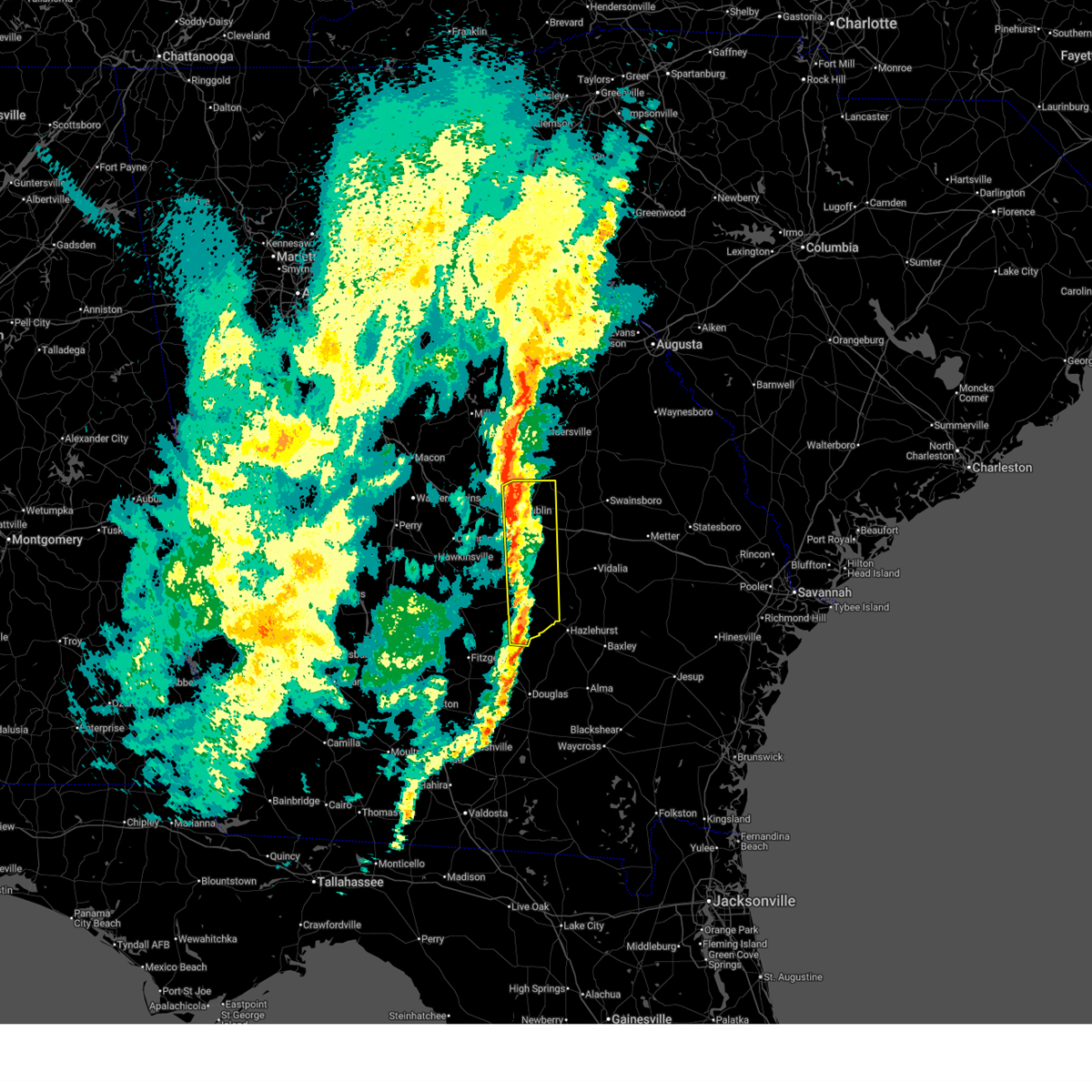
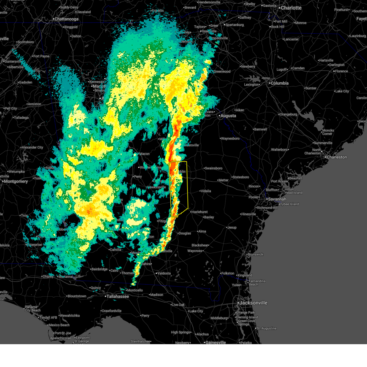
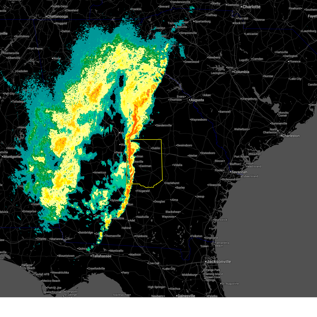
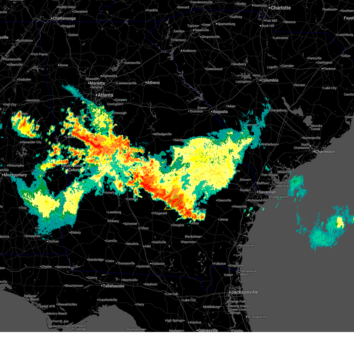
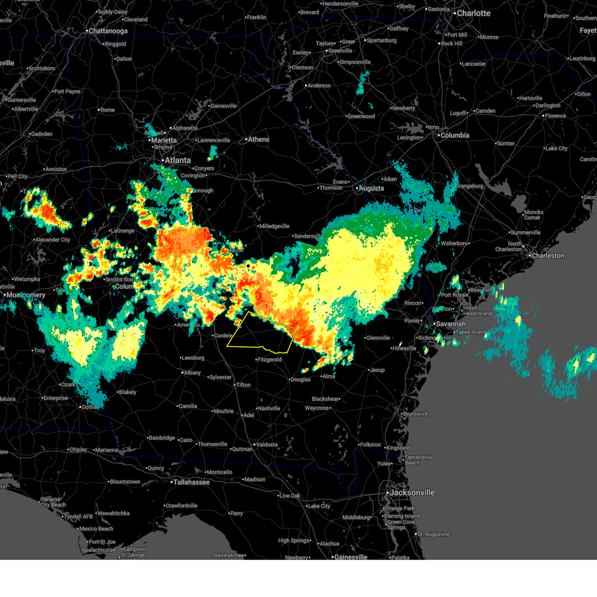
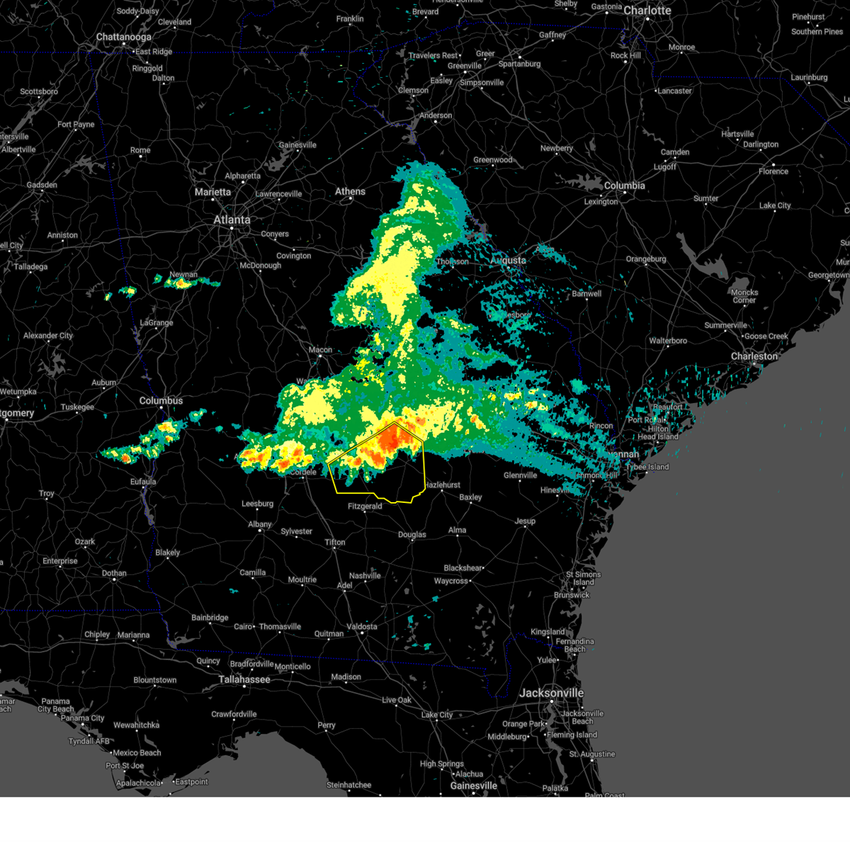
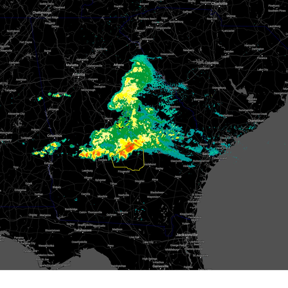
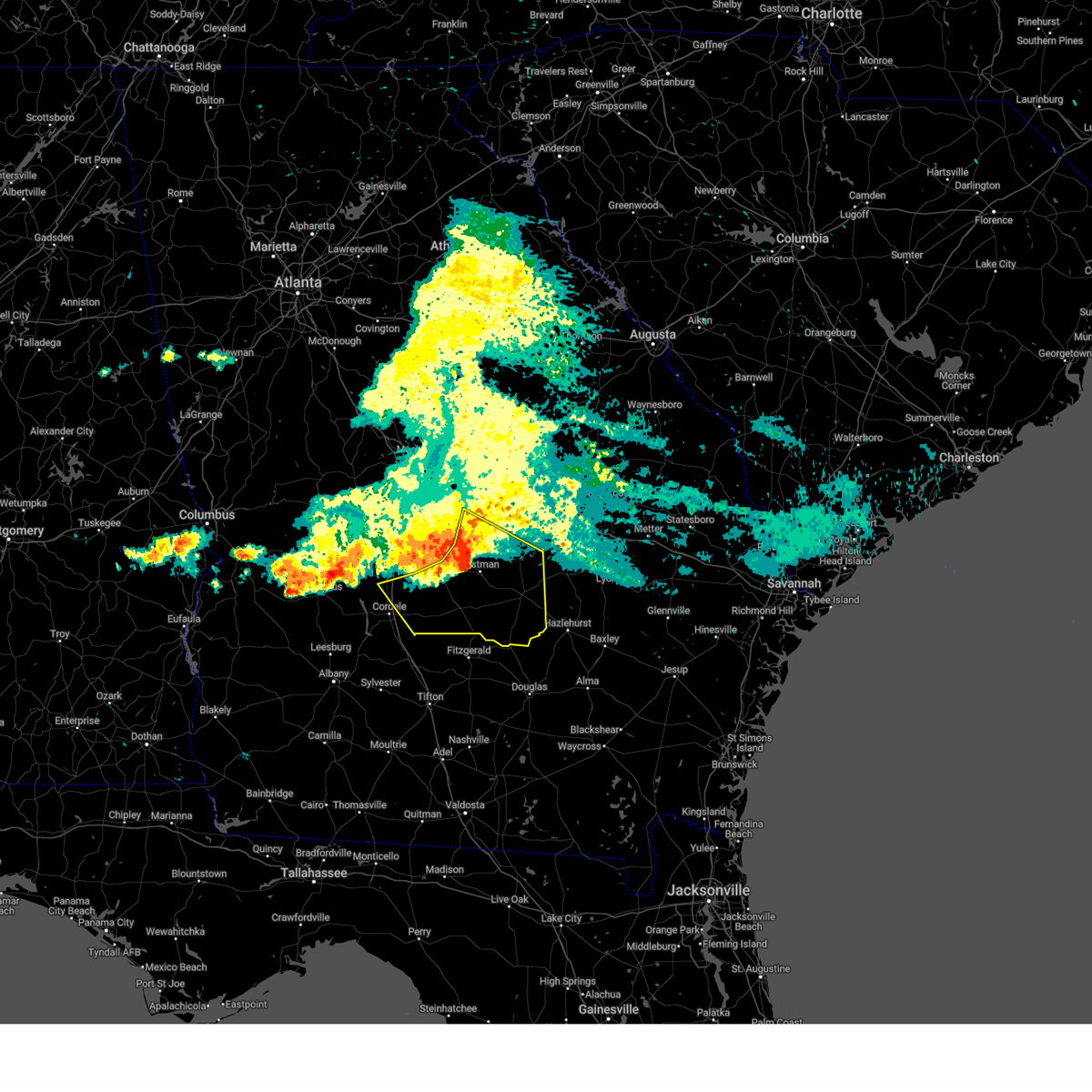
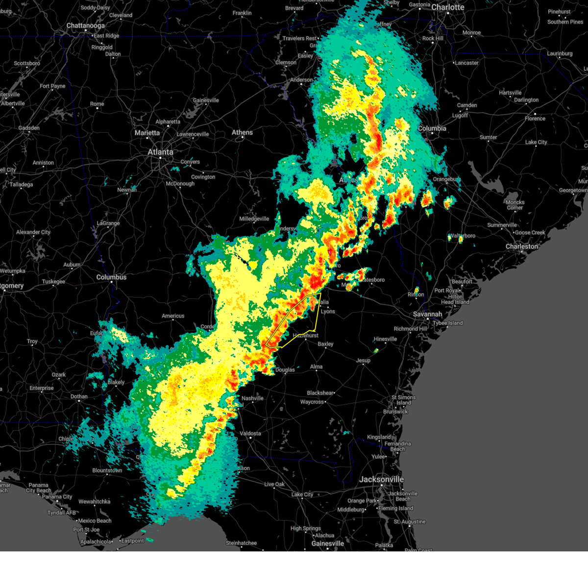
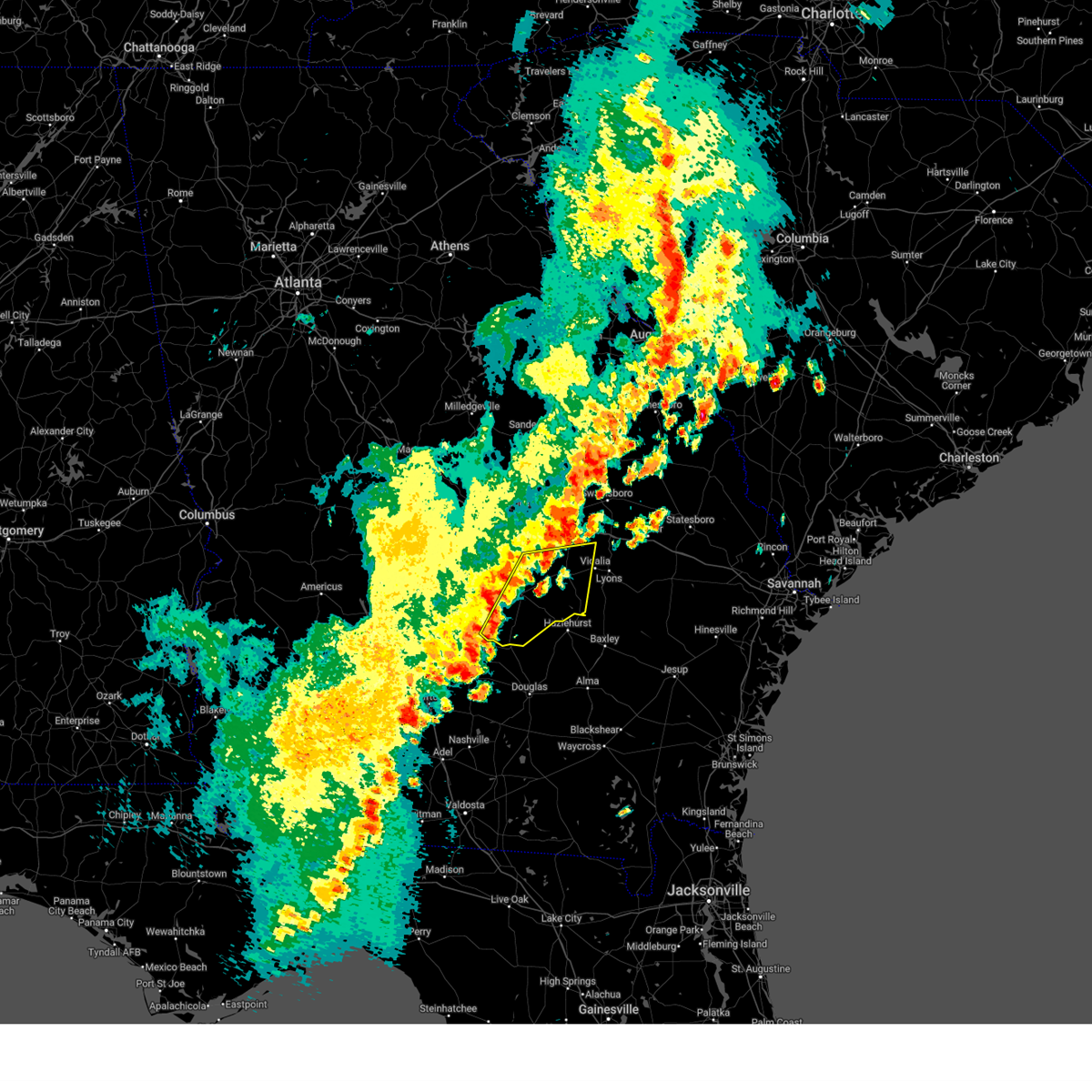
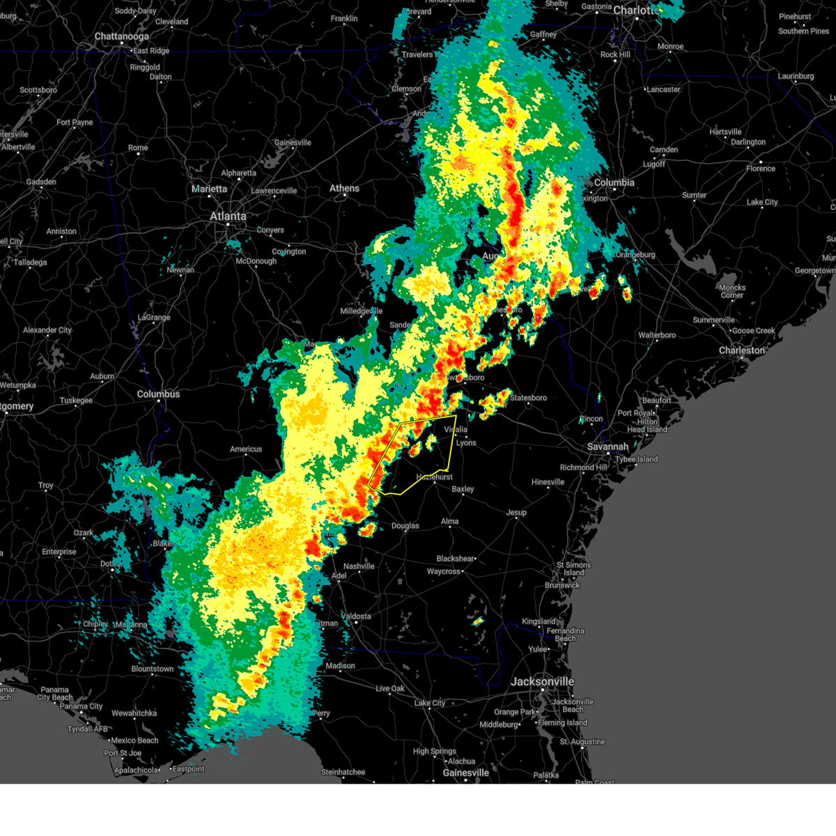
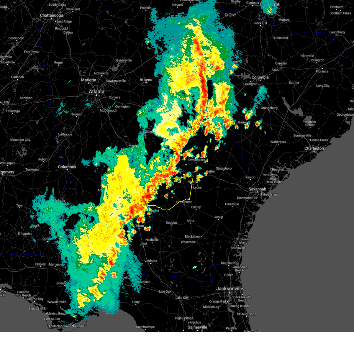
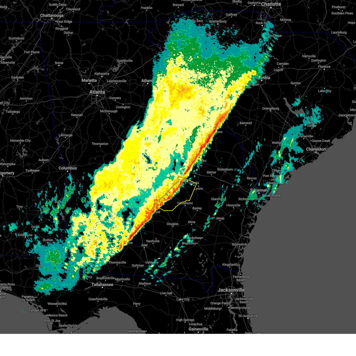
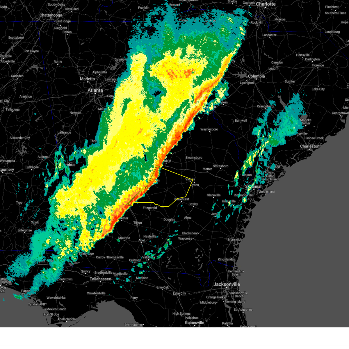
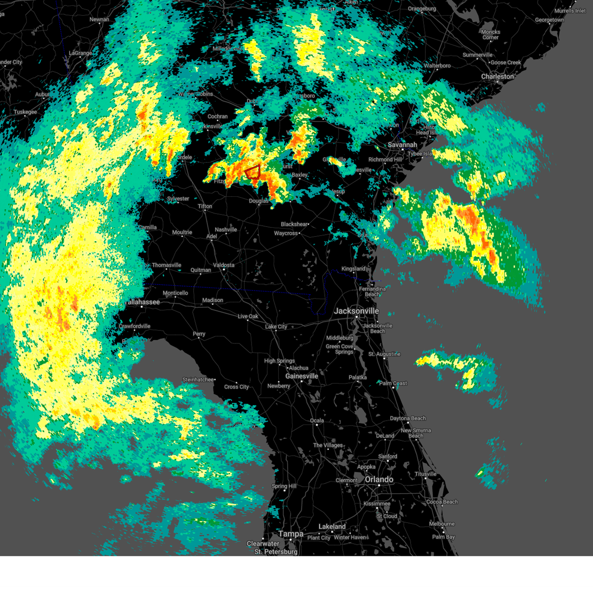
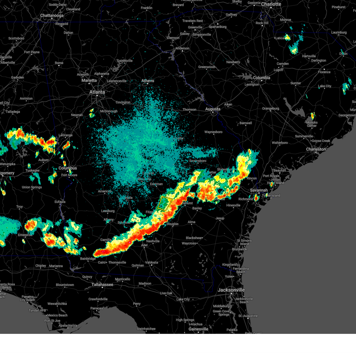
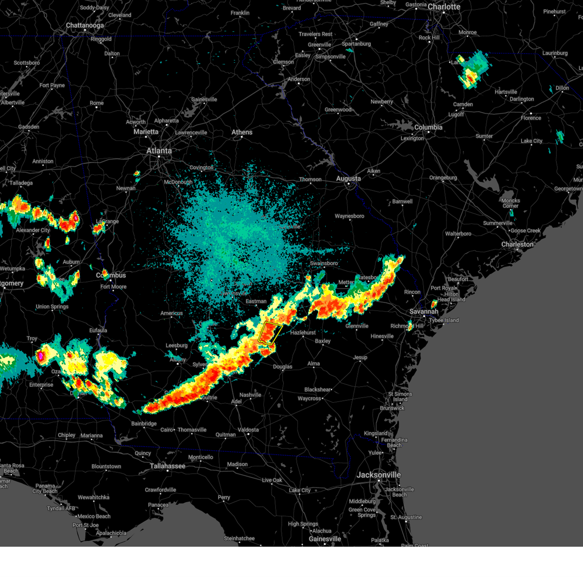
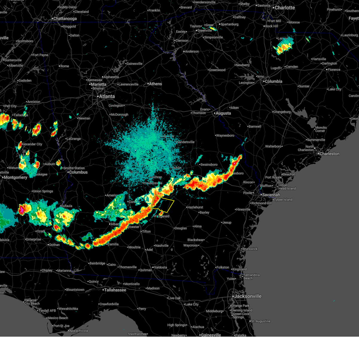
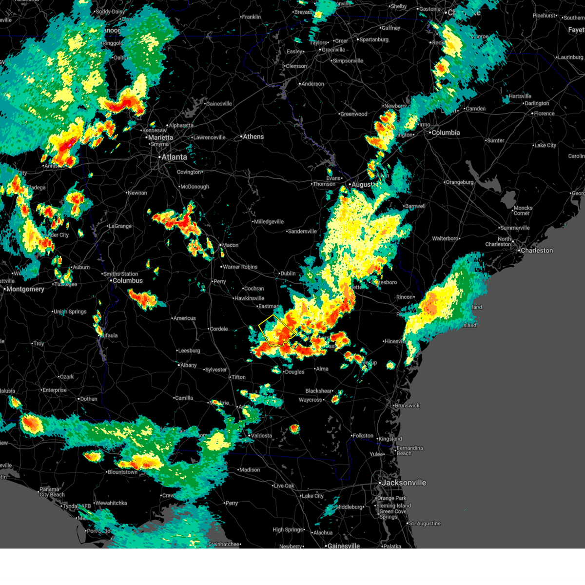
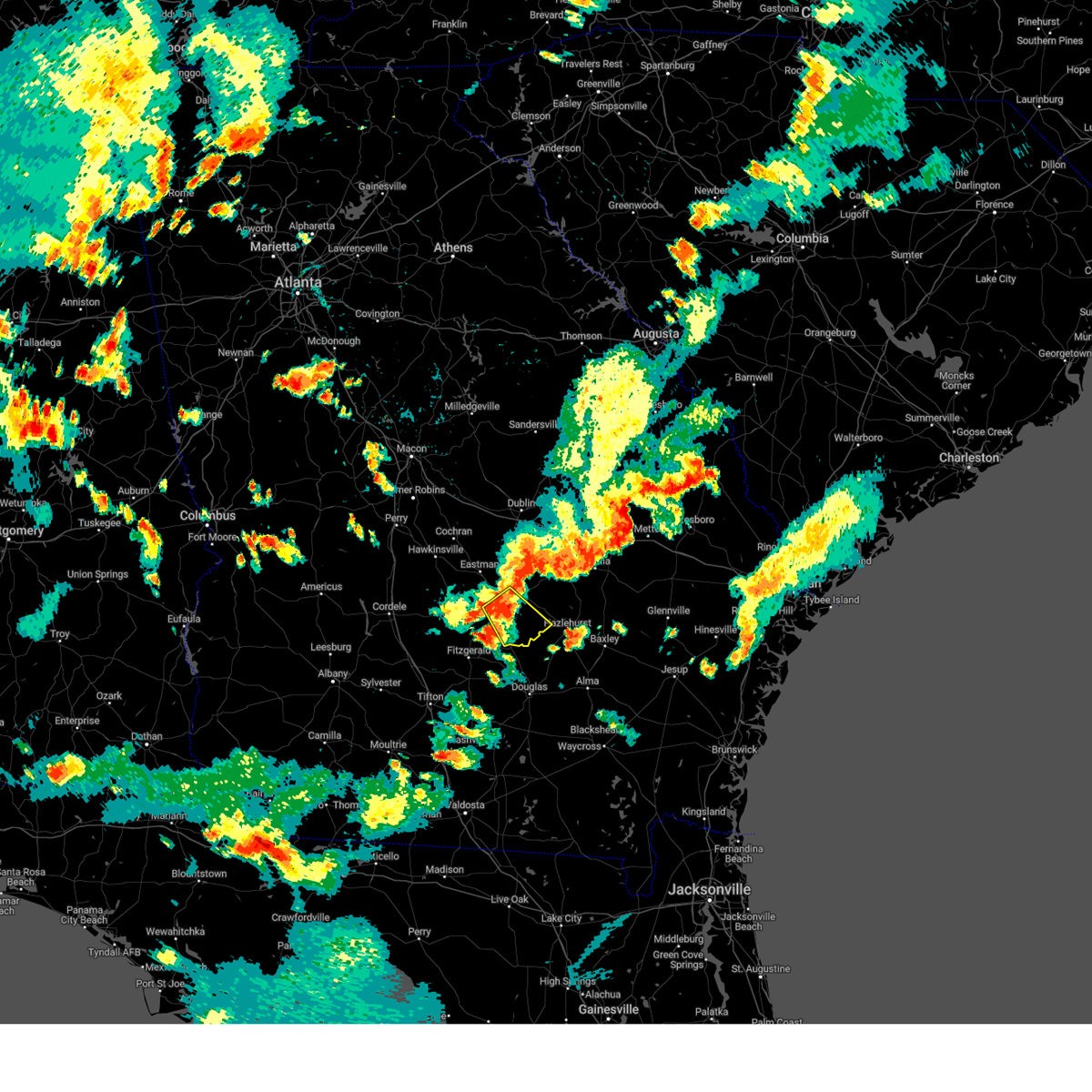
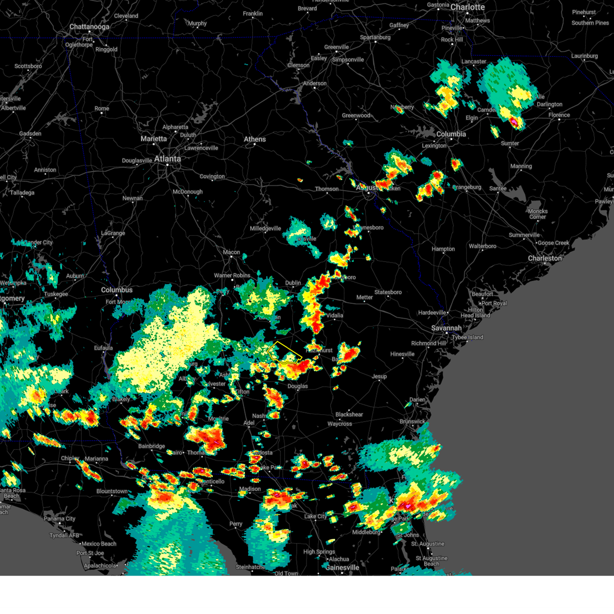
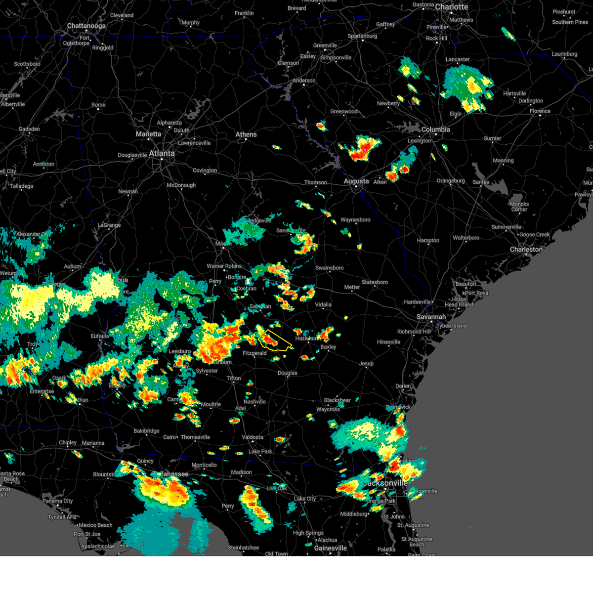
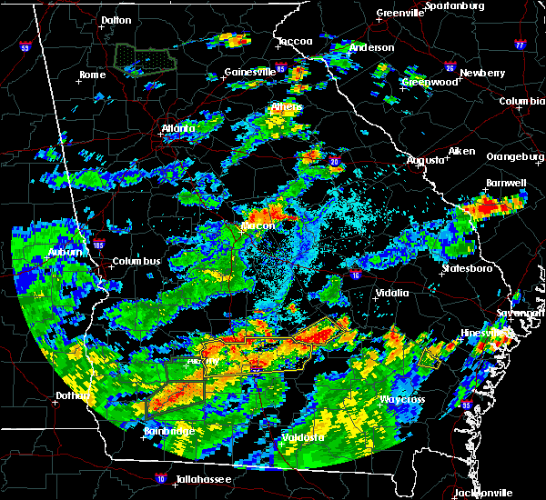
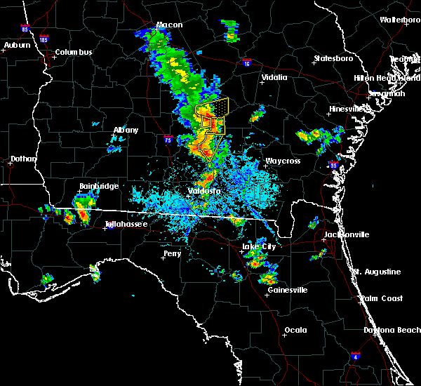
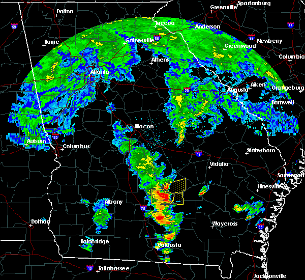
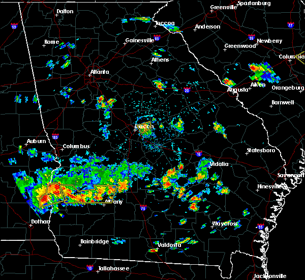
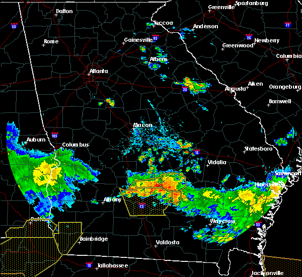
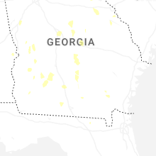
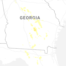
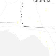
Hail Map for Jacksonville, GA
The Jacksonville, GA area has had 1 report of on-the-ground hail by trained spotters, and has been under severe weather warnings 6 times during the past 12 months. Doppler radar has detected hail at or near Jacksonville, GA on 55 occasions, including 4 occasions during the past year.
| Name: | Jacksonville, GA |
| Where Located: | 22.5 miles NNW of Douglas, GA |
| Map: | Google Map for Jacksonville, GA |
| Population: | 140 |
| Housing Units: | 95 |
| More Info: | Search Google for Jacksonville, GA |
5
The Top Recent Hail Date for Jacksonville, GA is Sunday, May 17, 2026 (1st out of 55)

Hail and Wind Damage Spotted near Jacksonville, GA
| Date / Time | Report Details |
|---|---|
| 5/24/2026 6:07 PM EDT |
 Svrffc the national weather service in peachtree city has issued a * severe thunderstorm warning for, southeastern telfair county in central georgia, * until 630 pm edt. * at 607 pm edt, a severe thunderstorm was located over horse creek wma, or 11 miles north of broxton, moving north at 30 mph (radar indicated). Hazards include 60 mph wind gusts and quarter size hail. Hail damage to vehicles is expected. Expect wind damage to roofs, siding, and trees. Svrffc the national weather service in peachtree city has issued a * severe thunderstorm warning for, southeastern telfair county in central georgia, * until 630 pm edt. * at 607 pm edt, a severe thunderstorm was located over horse creek wma, or 11 miles north of broxton, moving north at 30 mph (radar indicated). Hazards include 60 mph wind gusts and quarter size hail. Hail damage to vehicles is expected. Expect wind damage to roofs, siding, and trees.
|
| 5/17/2026 4:47 PM EDT |
 Svrffc the national weather service in peachtree city has issued a * severe thunderstorm warning for, telfair county in central georgia, * until 515 pm edt. * at 447 pm edt, a severe thunderstorm was located over jacksonville, or 15 miles north of broxton, moving northwest at 15 mph (radar indicated). Hazards include 60 mph wind gusts and quarter size hail. Hail damage to vehicles is expected. Expect wind damage to roofs, siding, and trees. Svrffc the national weather service in peachtree city has issued a * severe thunderstorm warning for, telfair county in central georgia, * until 515 pm edt. * at 447 pm edt, a severe thunderstorm was located over jacksonville, or 15 miles north of broxton, moving northwest at 15 mph (radar indicated). Hazards include 60 mph wind gusts and quarter size hail. Hail damage to vehicles is expected. Expect wind damage to roofs, siding, and trees.
|
| 5/17/2026 4:40 PM EDT | Quarter sized hail reported 0.2 miles NNE of Jacksonville, GA, one inch hail reported in jacksonville... ga at water tower rd and north ocmulgee blvd. |
| 5/17/2026 4:20 PM EDT |
 Svrffc the national weather service in peachtree city has issued a * severe thunderstorm warning for, south central telfair county in central georgia, * until 445 pm edt. * at 420 pm edt, a severe thunderstorm was located over horse creek wma, or 12 miles north of broxton, and is nearly stationary (radar indicated). Hazards include 60 mph wind gusts and quarter size hail. Hail damage to vehicles is expected. Expect wind damage to roofs, siding, and trees. Svrffc the national weather service in peachtree city has issued a * severe thunderstorm warning for, south central telfair county in central georgia, * until 445 pm edt. * at 420 pm edt, a severe thunderstorm was located over horse creek wma, or 12 miles north of broxton, and is nearly stationary (radar indicated). Hazards include 60 mph wind gusts and quarter size hail. Hail damage to vehicles is expected. Expect wind damage to roofs, siding, and trees.
|
| 3/12/2026 8:04 AM EDT |
 At 804 am edt, severe thunderstorms were located along a line extending from near brewton to near pridgen, moving east at 50 mph (radar indicated). Hazards include 60 mph wind gusts. Expect damage to roofs, siding, and trees. Locations impacted include, dublin, mcrae, alamo, wrightsville, helena, east dublin, lumber city, glenwood, scotland, rentz, jacksonville, towns, spann, horse creek wma, spring hill, cedar grove, rockledge, barnhill, minter, and lovett. At 804 am edt, severe thunderstorms were located along a line extending from near brewton to near pridgen, moving east at 50 mph (radar indicated). Hazards include 60 mph wind gusts. Expect damage to roofs, siding, and trees. Locations impacted include, dublin, mcrae, alamo, wrightsville, helena, east dublin, lumber city, glenwood, scotland, rentz, jacksonville, towns, spann, horse creek wma, spring hill, cedar grove, rockledge, barnhill, minter, and lovett.
|
| 3/12/2026 8:04 AM EDT |
 the severe thunderstorm warning has been cancelled and is no longer in effect the severe thunderstorm warning has been cancelled and is no longer in effect
|
| 3/12/2026 7:25 AM EDT |
 Svrffc the national weather service in peachtree city has issued a * severe thunderstorm warning for, southeastern wilkinson county in central georgia, laurens county in central georgia, dodge county in central georgia, eastern pulaski county in central georgia, southeastern twiggs county in central georgia, telfair county in central georgia, southwestern treutlen county in east central georgia, central wilcox county in central georgia, bleckley county in central georgia, central johnson county in east central georgia, wheeler county in central georgia, * until 815 am edt. * at 725 am edt, severe thunderstorms were located along a line extending from near district path to arp, moving east at 50 mph (radar indicated). Hazards include 60 mph wind gusts. expect damage to roofs, siding, and trees Svrffc the national weather service in peachtree city has issued a * severe thunderstorm warning for, southeastern wilkinson county in central georgia, laurens county in central georgia, dodge county in central georgia, eastern pulaski county in central georgia, southeastern twiggs county in central georgia, telfair county in central georgia, southwestern treutlen county in east central georgia, central wilcox county in central georgia, bleckley county in central georgia, central johnson county in east central georgia, wheeler county in central georgia, * until 815 am edt. * at 725 am edt, severe thunderstorms were located along a line extending from near district path to arp, moving east at 50 mph (radar indicated). Hazards include 60 mph wind gusts. expect damage to roofs, siding, and trees
|
| 6/26/2025 1:30 AM EDT |
 Svrffc the national weather service in peachtree city has issued a * severe thunderstorm warning for, southeastern telfair county in central georgia, * until 200 am edt. * at 130 am edt, a severe thunderstorm was located near towns, or 10 miles northwest of hazlehurst, moving southwest at 25 mph (radar indicated). Hazards include 60 mph wind gusts and penny size hail. expect damage to roofs, siding, and trees Svrffc the national weather service in peachtree city has issued a * severe thunderstorm warning for, southeastern telfair county in central georgia, * until 200 am edt. * at 130 am edt, a severe thunderstorm was located near towns, or 10 miles northwest of hazlehurst, moving southwest at 25 mph (radar indicated). Hazards include 60 mph wind gusts and penny size hail. expect damage to roofs, siding, and trees
|
| 6/26/2025 1:19 AM EDT |
 Svrffc the national weather service in peachtree city has issued a * severe thunderstorm warning for, southwestern dodge county in central georgia, southeastern pulaski county in central georgia, telfair county in central georgia, wilcox county in central georgia, * until 200 am edt. * at 119 am edt, severe thunderstorms were located along a line extending from near ocmulgee banks to near milan to towns, moving southwest at 30 mph (radar indicated). Hazards include 60 mph wind gusts and penny size hail. expect damage to roofs, siding, and trees Svrffc the national weather service in peachtree city has issued a * severe thunderstorm warning for, southwestern dodge county in central georgia, southeastern pulaski county in central georgia, telfair county in central georgia, wilcox county in central georgia, * until 200 am edt. * at 119 am edt, severe thunderstorms were located along a line extending from near ocmulgee banks to near milan to towns, moving southwest at 30 mph (radar indicated). Hazards include 60 mph wind gusts and penny size hail. expect damage to roofs, siding, and trees
|
| 5/18/2025 11:59 AM EDT |
 the severe thunderstorm warning has been cancelled and is no longer in effect the severe thunderstorm warning has been cancelled and is no longer in effect
|
| 5/18/2025 11:49 AM EDT |
 the severe thunderstorm warning has been cancelled and is no longer in effect the severe thunderstorm warning has been cancelled and is no longer in effect
|
| 5/18/2025 11:49 AM EDT |
 At 1149 am edt, severe thunderstorms were located along a line extending from near plainfield to chauncey to near milan to abbeville to near rochelle, moving southeast at 45 mph (radar indicated). Hazards include 60 mph wind gusts. Expect damage to roofs, siding, and trees. Locations impacted include, mcrae, eastman, abbeville, alamo, helena, rochelle, milan, cadwell, pineview, rhine, scotland, chauncey, jacksonville, union, towns, horse creek wma, plainfield, cedar grove, ocmulgee banks, and jay bird springs. At 1149 am edt, severe thunderstorms were located along a line extending from near plainfield to chauncey to near milan to abbeville to near rochelle, moving southeast at 45 mph (radar indicated). Hazards include 60 mph wind gusts. Expect damage to roofs, siding, and trees. Locations impacted include, mcrae, eastman, abbeville, alamo, helena, rochelle, milan, cadwell, pineview, rhine, scotland, chauncey, jacksonville, union, towns, horse creek wma, plainfield, cedar grove, ocmulgee banks, and jay bird springs.
|
| 5/18/2025 11:27 AM EDT |
 Svrffc the national weather service in peachtree city has issued a * severe thunderstorm warning for, southern laurens county in central georgia, dodge county in central georgia, southern pulaski county in central georgia, telfair county in central georgia, wilcox county in central georgia, southeastern dooly county in central georgia, central bleckley county in central georgia, western wheeler county in central georgia, northeastern crisp county in central georgia, * until 1215 pm edt. * at 1124 am edt, severe thunderstorms were located along a line extending from near cochran to dubois to near ocmulgee banks to near finleyson to near vienna, moving southeast at 45 mph (radar indicated). Hazards include 60 mph wind gusts. expect damage to roofs, siding, and trees Svrffc the national weather service in peachtree city has issued a * severe thunderstorm warning for, southern laurens county in central georgia, dodge county in central georgia, southern pulaski county in central georgia, telfair county in central georgia, wilcox county in central georgia, southeastern dooly county in central georgia, central bleckley county in central georgia, western wheeler county in central georgia, northeastern crisp county in central georgia, * until 1215 pm edt. * at 1124 am edt, severe thunderstorms were located along a line extending from near cochran to dubois to near ocmulgee banks to near finleyson to near vienna, moving southeast at 45 mph (radar indicated). Hazards include 60 mph wind gusts. expect damage to roofs, siding, and trees
|
| 3/31/2025 4:10 PM EDT |
 the severe thunderstorm warning has been cancelled and is no longer in effect the severe thunderstorm warning has been cancelled and is no longer in effect
|
| 3/31/2025 4:10 PM EDT |
 At 409 pm edt, severe thunderstorms were located along a line extending from near mount vernon to 6 miles northeast of horse creek wma, moving east at 40 mph (radar indicated). Hazards include 60 mph wind gusts. Expect damage to roofs, siding, and trees. Locations impacted include, horse creek wma, spring hill, higgston, landsburg, glenwood, scotland, tarrytown, lumber city, kibbee, uvalda, towns, mount vernon, alston, jordan, charlotteville, jacksonville, ailey, alamo, workmore, and mcrae. At 409 pm edt, severe thunderstorms were located along a line extending from near mount vernon to 6 miles northeast of horse creek wma, moving east at 40 mph (radar indicated). Hazards include 60 mph wind gusts. Expect damage to roofs, siding, and trees. Locations impacted include, horse creek wma, spring hill, higgston, landsburg, glenwood, scotland, tarrytown, lumber city, kibbee, uvalda, towns, mount vernon, alston, jordan, charlotteville, jacksonville, ailey, alamo, workmore, and mcrae.
|
| 3/31/2025 3:59 PM EDT |
 the severe thunderstorm warning has been cancelled and is no longer in effect the severe thunderstorm warning has been cancelled and is no longer in effect
|
| 3/31/2025 3:59 PM EDT |
 At 358 pm edt, severe thunderstorms were located along a line extending from alamo to near jacksonville, moving east at 45 mph (radar indicated). Hazards include 60 mph wind gusts. Expect damage to roofs, siding, and trees. Locations impacted include, horse creek wma, spring hill, cedar grove, scotland, barnhill, uvalda, towns, china hill, mount vernon, helena, alston, jordan, jacksonville, ailey, alamo, higgston, landsburg, glenwood, tarrytown, and mcrae. At 358 pm edt, severe thunderstorms were located along a line extending from alamo to near jacksonville, moving east at 45 mph (radar indicated). Hazards include 60 mph wind gusts. Expect damage to roofs, siding, and trees. Locations impacted include, horse creek wma, spring hill, cedar grove, scotland, barnhill, uvalda, towns, china hill, mount vernon, helena, alston, jordan, jacksonville, ailey, alamo, higgston, landsburg, glenwood, tarrytown, and mcrae.
|
| 3/31/2025 3:39 PM EDT |
 Svrffc the national weather service in peachtree city has issued a * severe thunderstorm warning for, southeastern laurens county in central georgia, southeastern dodge county in central georgia, telfair county in central georgia, southern treutlen county in east central georgia, southeastern wilcox county in central georgia, wheeler county in central georgia, montgomery county in central georgia, * until 430 pm edt. * at 338 pm edt, severe thunderstorms were located along a line extending from chauncey to bowens mill, moving east at 45 mph (radar indicated). Hazards include 60 mph wind gusts. expect damage to roofs, siding, and trees Svrffc the national weather service in peachtree city has issued a * severe thunderstorm warning for, southeastern laurens county in central georgia, southeastern dodge county in central georgia, telfair county in central georgia, southern treutlen county in east central georgia, southeastern wilcox county in central georgia, wheeler county in central georgia, montgomery county in central georgia, * until 430 pm edt. * at 338 pm edt, severe thunderstorms were located along a line extending from chauncey to bowens mill, moving east at 45 mph (radar indicated). Hazards include 60 mph wind gusts. expect damage to roofs, siding, and trees
|
| 2/16/2025 7:37 AM EST |
 the severe thunderstorm warning has been cancelled and is no longer in effect the severe thunderstorm warning has been cancelled and is no longer in effect
|
| 2/16/2025 7:37 AM EST |
 At 736 am est, severe thunderstorms were located along a line extending from near landsburg to towns to ocilla, moving southeast at 45 mph (radar indicated). Hazards include 60 mph wind gusts. Expect damage to roofs, siding, and trees. Locations impacted include, mcrae, alamo, mount vernon, vidalia, helena, lumber city, glenwood, milan, uvalda, ailey, scotland, higgston, alston, jacksonville, tarrytown, towns, horse creek wma, spring hill, barnhill, and china hill. At 736 am est, severe thunderstorms were located along a line extending from near landsburg to towns to ocilla, moving southeast at 45 mph (radar indicated). Hazards include 60 mph wind gusts. Expect damage to roofs, siding, and trees. Locations impacted include, mcrae, alamo, mount vernon, vidalia, helena, lumber city, glenwood, milan, uvalda, ailey, scotland, higgston, alston, jacksonville, tarrytown, towns, horse creek wma, spring hill, barnhill, and china hill.
|
| 2/16/2025 6:57 AM EST |
 Svrffc the national weather service in peachtree city has issued a * severe thunderstorm warning for, southern laurens county in central georgia, northwestern toombs county in southeastern georgia, dodge county in central georgia, telfair county in central georgia, southwestern treutlen county in east central georgia, wilcox county in central georgia, wheeler county in central georgia, southeastern crisp county in central georgia, montgomery county in central georgia, * until 800 am est. * at 657 am est, severe thunderstorms were located along a line extending from dexter to near eastman to dakota, moving southeast at 45 mph (radar indicated). Hazards include 60 mph wind gusts. expect damage to roofs, siding, and trees Svrffc the national weather service in peachtree city has issued a * severe thunderstorm warning for, southern laurens county in central georgia, northwestern toombs county in southeastern georgia, dodge county in central georgia, telfair county in central georgia, southwestern treutlen county in east central georgia, wilcox county in central georgia, wheeler county in central georgia, southeastern crisp county in central georgia, montgomery county in central georgia, * until 800 am est. * at 657 am est, severe thunderstorms were located along a line extending from dexter to near eastman to dakota, moving southeast at 45 mph (radar indicated). Hazards include 60 mph wind gusts. expect damage to roofs, siding, and trees
|
| 9/26/2024 2:40 PM EDT |
 Torffc the national weather service in peachtree city has issued a * tornado warning for, south central telfair county in central georgia, * until 315 pm edt. * at 240 pm edt, a confirmed tornado was located near pridgen, or 7 miles north of broxton, moving north at 20 mph (weather spotters confirmed tornado). Hazards include damaging tornado. Flying debris will be dangerous to those caught without shelter. mobile homes will be damaged or destroyed. damage to roofs, windows, and vehicles will occur. Tree damage is likely. Torffc the national weather service in peachtree city has issued a * tornado warning for, south central telfair county in central georgia, * until 315 pm edt. * at 240 pm edt, a confirmed tornado was located near pridgen, or 7 miles north of broxton, moving north at 20 mph (weather spotters confirmed tornado). Hazards include damaging tornado. Flying debris will be dangerous to those caught without shelter. mobile homes will be damaged or destroyed. damage to roofs, windows, and vehicles will occur. Tree damage is likely.
|
| 8/18/2024 9:28 PM EDT |
 the severe thunderstorm warning has been cancelled and is no longer in effect the severe thunderstorm warning has been cancelled and is no longer in effect
|
| 8/18/2024 9:15 PM EDT |
 At 915 pm edt, a severe thunderstorm was located near workmore, or 11 miles southwest of mcrae, moving east at 35 mph (radar indicated). Hazards include 60 mph wind gusts. Expect damage to roofs, siding, and trees. Locations impacted include, milan, jacksonville, china hill, and workmore. At 915 pm edt, a severe thunderstorm was located near workmore, or 11 miles southwest of mcrae, moving east at 35 mph (radar indicated). Hazards include 60 mph wind gusts. Expect damage to roofs, siding, and trees. Locations impacted include, milan, jacksonville, china hill, and workmore.
|
| 8/18/2024 9:15 PM EDT |
 the severe thunderstorm warning has been cancelled and is no longer in effect the severe thunderstorm warning has been cancelled and is no longer in effect
|
| 8/18/2024 8:56 PM EDT |
 Svrffc the national weather service in peachtree city has issued a * severe thunderstorm warning for, south central dodge county in central georgia, southwestern telfair county in central georgia, southeastern wilcox county in central georgia, * until 945 pm edt. * at 856 pm edt, a severe thunderstorm was located near temperance, or 10 miles east of abbeville, moving east at 35 mph (radar indicated). Hazards include 60 mph wind gusts. expect damage to roofs, siding, and trees Svrffc the national weather service in peachtree city has issued a * severe thunderstorm warning for, south central dodge county in central georgia, southwestern telfair county in central georgia, southeastern wilcox county in central georgia, * until 945 pm edt. * at 856 pm edt, a severe thunderstorm was located near temperance, or 10 miles east of abbeville, moving east at 35 mph (radar indicated). Hazards include 60 mph wind gusts. expect damage to roofs, siding, and trees
|
| 7/29/2024 7:28 PM EDT |
 The storm which prompted the warning has weakened below severe limits, and no longer poses an immediate threat to life or property. therefore, the warning will be allowed to expire. however, small hail and gusty winds are still possible with this thunderstorm. The storm which prompted the warning has weakened below severe limits, and no longer poses an immediate threat to life or property. therefore, the warning will be allowed to expire. however, small hail and gusty winds are still possible with this thunderstorm.
|
| 7/29/2024 6:52 PM EDT |
 Svrffc the national weather service in peachtree city has issued a * severe thunderstorm warning for, southeastern dodge county in central georgia, telfair county in central georgia, * until 730 pm edt. * at 652 pm edt, a severe thunderstorm was located near workmore, or 9 miles southwest of mcrae, moving southeast at 30 mph (radar indicated). Hazards include 60 mph wind gusts and quarter size hail. Hail damage to vehicles is expected. Expect wind damage to roofs, siding, and trees. Svrffc the national weather service in peachtree city has issued a * severe thunderstorm warning for, southeastern dodge county in central georgia, telfair county in central georgia, * until 730 pm edt. * at 652 pm edt, a severe thunderstorm was located near workmore, or 9 miles southwest of mcrae, moving southeast at 30 mph (radar indicated). Hazards include 60 mph wind gusts and quarter size hail. Hail damage to vehicles is expected. Expect wind damage to roofs, siding, and trees.
|
| 5/25/2024 1:53 PM EDT |
 Svrffc the national weather service in peachtree city has issued a * severe thunderstorm warning for, south central dodge county in central georgia, telfair county in central georgia, east central wilcox county in central georgia, * until 245 pm edt. * at 152 pm edt, a severe thunderstorm was located over rhine, or 7 miles east of abbeville, moving southeast at 20 mph (radar indicated). Hazards include 60 mph wind gusts and quarter size hail. Hail damage to vehicles is expected. Expect wind damage to roofs, siding, and trees. Svrffc the national weather service in peachtree city has issued a * severe thunderstorm warning for, south central dodge county in central georgia, telfair county in central georgia, east central wilcox county in central georgia, * until 245 pm edt. * at 152 pm edt, a severe thunderstorm was located over rhine, or 7 miles east of abbeville, moving southeast at 20 mph (radar indicated). Hazards include 60 mph wind gusts and quarter size hail. Hail damage to vehicles is expected. Expect wind damage to roofs, siding, and trees.
|
| 4/3/2024 6:23 AM EDT |
 Torffc the national weather service in peachtree city has issued a * tornado warning for, southern telfair county in central georgia, southeastern wheeler county in central georgia, * until 700 am edt. * at 623 am edt, a severe thunderstorm capable of producing a tornado was located near jacksonville, or 15 miles southwest of mcrae, moving east at 50 mph (radar indicated rotation). Hazards include tornado. Flying debris will be dangerous to those caught without shelter. mobile homes will be damaged or destroyed. damage to roofs, windows, and vehicles will occur. Tree damage is likely. Torffc the national weather service in peachtree city has issued a * tornado warning for, southern telfair county in central georgia, southeastern wheeler county in central georgia, * until 700 am edt. * at 623 am edt, a severe thunderstorm capable of producing a tornado was located near jacksonville, or 15 miles southwest of mcrae, moving east at 50 mph (radar indicated rotation). Hazards include tornado. Flying debris will be dangerous to those caught without shelter. mobile homes will be damaged or destroyed. damage to roofs, windows, and vehicles will occur. Tree damage is likely.
|
| 1/9/2024 12:38 PM EST |
 At 1237 pm est, severe thunderstorms were located along a line extending from near blackville to 6 miles southwest of lumber city, moving northeast at 45 mph (radar indicated). Hazards include 60 mph wind gusts. expect damage to roofs, siding, and trees At 1237 pm est, severe thunderstorms were located along a line extending from near blackville to 6 miles southwest of lumber city, moving northeast at 45 mph (radar indicated). Hazards include 60 mph wind gusts. expect damage to roofs, siding, and trees
|
| 1/9/2024 12:27 PM EST |
 At 1227 pm est, severe thunderstorms were located along a line extending from alamo to near horse creek wma, moving east at 35 mph (radar indicated). Hazards include 60 mph wind gusts. Expect damage to roofs, siding, and trees. Locations impacted include, mcrae, alamo, mount vernon, helena, lumber city, glenwood, scotland, jacksonville, towns, horse creek wma, spring hill, little ocmulgee state park, jordan, and workmore. At 1227 pm est, severe thunderstorms were located along a line extending from alamo to near horse creek wma, moving east at 35 mph (radar indicated). Hazards include 60 mph wind gusts. Expect damage to roofs, siding, and trees. Locations impacted include, mcrae, alamo, mount vernon, helena, lumber city, glenwood, scotland, jacksonville, towns, horse creek wma, spring hill, little ocmulgee state park, jordan, and workmore.
|
| 1/9/2024 12:07 PM EST |
 At 1206 pm est, severe thunderstorms were located along a line extending from near jay bird springs to near china hill, moving east at 35 mph (radar indicated). Hazards include 60 mph wind gusts. expect damage to roofs, siding, and trees At 1206 pm est, severe thunderstorms were located along a line extending from near jay bird springs to near china hill, moving east at 35 mph (radar indicated). Hazards include 60 mph wind gusts. expect damage to roofs, siding, and trees
|
| 1/9/2024 11:37 AM EST |
 At 1137 am est, severe thunderstorms were located along a line extending from near union to owensboro, moving east at 30 mph (radar indicated). Hazards include 60 mph wind gusts. expect damage to roofs, siding, and trees At 1137 am est, severe thunderstorms were located along a line extending from near union to owensboro, moving east at 30 mph (radar indicated). Hazards include 60 mph wind gusts. expect damage to roofs, siding, and trees
|
| 8/8/2023 6:26 PM EDT | A tree was reported down on a powerline along hwy 11 in telfair county GA, 1.1 miles W of Jacksonville, GA |
| 8/6/2023 7:47 PM EDT |
 At 747 pm edt, severe thunderstorms were located along a line extending from near milan to near jacksonville to near red bluff, moving east at 20 mph (radar indicated). Hazards include 60 mph wind gusts. expect damage to roofs, siding, and trees At 747 pm edt, severe thunderstorms were located along a line extending from near milan to near jacksonville to near red bluff, moving east at 20 mph (radar indicated). Hazards include 60 mph wind gusts. expect damage to roofs, siding, and trees
|
| 7/30/2023 6:06 PM EDT |
 The severe thunderstorm warning for southwestern telfair county will expire at 615 pm edt, the storm which prompted the warning has weakened below severe limits, and has exited the warned area. therefore, the warning will be allowed to expire. The severe thunderstorm warning for southwestern telfair county will expire at 615 pm edt, the storm which prompted the warning has weakened below severe limits, and has exited the warned area. therefore, the warning will be allowed to expire.
|
| 7/30/2023 5:24 PM EDT | Tree down on friendship church rd near hwy 11 in telfair county GA, 2.7 miles ESE of Jacksonville, GA |
| 7/30/2023 5:23 PM EDT |
 At 523 pm edt, a severe thunderstorm was located over temperance, or 11 miles southeast of abbeville, moving southeast at 15 mph (radar indicated). Hazards include 60 mph wind gusts and quarter size hail. Hail damage to vehicles is expected. Expect wind damage to roofs, siding, and trees. At 523 pm edt, a severe thunderstorm was located over temperance, or 11 miles southeast of abbeville, moving southeast at 15 mph (radar indicated). Hazards include 60 mph wind gusts and quarter size hail. Hail damage to vehicles is expected. Expect wind damage to roofs, siding, and trees.
|
| 6/25/2023 10:20 PM EDT |
 The severe thunderstorm warning for south central dodge, telfair, southern wilcox, southern wheeler and southern crisp counties will expire at 1030 pm edt, the storms which prompted the warning have moved out of the area. therefore, the warning will be allowed to expire. The severe thunderstorm warning for south central dodge, telfair, southern wilcox, southern wheeler and southern crisp counties will expire at 1030 pm edt, the storms which prompted the warning have moved out of the area. therefore, the warning will be allowed to expire.
|
| 6/25/2023 9:56 PM EDT |
 At 956 pm edt, severe thunderstorms were located along a line extending from near jordan to near browning to near arabi, moving southeast at 35 mph (radar indicated). Hazards include 60 mph wind gusts. Expect damage to roofs, siding, and trees. locations impacted include, cordele, mcrae, abbeville, alamo, helena, lumber city, rochelle, glenwood, milan, arabi, rhine, scotland, pitts, jacksonville, towns, horse creek wma, spring hill, china hill, raines and double run. hail threat, radar indicated max hail size, <. 75 in wind threat, radar indicated max wind gust, 60 mph. At 956 pm edt, severe thunderstorms were located along a line extending from near jordan to near browning to near arabi, moving southeast at 35 mph (radar indicated). Hazards include 60 mph wind gusts. Expect damage to roofs, siding, and trees. locations impacted include, cordele, mcrae, abbeville, alamo, helena, lumber city, rochelle, glenwood, milan, arabi, rhine, scotland, pitts, jacksonville, towns, horse creek wma, spring hill, china hill, raines and double run. hail threat, radar indicated max hail size, <. 75 in wind threat, radar indicated max wind gust, 60 mph.
|
| 6/25/2023 9:27 PM EDT |
 At 927 pm edt, severe thunderstorms were located along a line extending from near cedar grove to near union to near georgia veterans memorial st pk, moving southeast at 35 mph (radar indicated). Hazards include 60 mph wind gusts. expect damage to roofs, siding, and trees At 927 pm edt, severe thunderstorms were located along a line extending from near cedar grove to near union to near georgia veterans memorial st pk, moving southeast at 35 mph (radar indicated). Hazards include 60 mph wind gusts. expect damage to roofs, siding, and trees
|
| 4/1/2023 3:07 PM EDT |
 At 306 pm edt, severe thunderstorms were located along a line extending from kibbee to near workmore, moving east at 45 mph (radar indicated). Hazards include 60 mph wind gusts and penny size hail. Expect damage to roofs, siding, and trees. Locations impacted include, mcrae, alamo, helena, lumber city, glenwood, scotland, jacksonville, towns, horse creek wma, spring hill, landsburg, little ocmulgee state park, jordan and workmore. At 306 pm edt, severe thunderstorms were located along a line extending from kibbee to near workmore, moving east at 45 mph (radar indicated). Hazards include 60 mph wind gusts and penny size hail. Expect damage to roofs, siding, and trees. Locations impacted include, mcrae, alamo, helena, lumber city, glenwood, scotland, jacksonville, towns, horse creek wma, spring hill, landsburg, little ocmulgee state park, jordan and workmore.
|
| 4/1/2023 2:59 PM EDT |
 At 258 pm edt, severe thunderstorms were located along a line extending from near landsburg to near workmore, moving east at 45 mph (radar indicated). Hazards include 60 mph wind gusts and penny size hail. Expect damage to roofs, siding, and trees. Locations impacted include, mcrae, alamo, helena, lumber city, glenwood, scotland, jacksonville, towns, horse creek wma, spring hill, landsburg, little ocmulgee state park, jordan and workmore. At 258 pm edt, severe thunderstorms were located along a line extending from near landsburg to near workmore, moving east at 45 mph (radar indicated). Hazards include 60 mph wind gusts and penny size hail. Expect damage to roofs, siding, and trees. Locations impacted include, mcrae, alamo, helena, lumber city, glenwood, scotland, jacksonville, towns, horse creek wma, spring hill, landsburg, little ocmulgee state park, jordan and workmore.
|
| 4/1/2023 2:46 PM EDT |
 At 245 pm edt, severe thunderstorms were located along a line extending from near cedar grove to temperance, moving east at 45 mph (radar indicated). Hazards include 60 mph wind gusts and penny size hail. Expect damage to roofs, siding, and trees. Locations impacted include, mcrae, alamo, helena, lumber city, glenwood, milan, scotland, jacksonville, towns, horse creek wma, spring hill, landsburg, cedar grove, jay bird springs, temperance, china hill, achord, little ocmulgee state park, jordan and workmore. At 245 pm edt, severe thunderstorms were located along a line extending from near cedar grove to temperance, moving east at 45 mph (radar indicated). Hazards include 60 mph wind gusts and penny size hail. Expect damage to roofs, siding, and trees. Locations impacted include, mcrae, alamo, helena, lumber city, glenwood, milan, scotland, jacksonville, towns, horse creek wma, spring hill, landsburg, cedar grove, jay bird springs, temperance, china hill, achord, little ocmulgee state park, jordan and workmore.
|
| 4/1/2023 2:15 PM EDT |
 At 215 pm edt, severe thunderstorms were located along a line extending from near plainfield to near pitts, moving east at 45 mph (radar indicated). Hazards include 60 mph wind gusts and penny size hail. expect damage to roofs, siding, and trees At 215 pm edt, severe thunderstorms were located along a line extending from near plainfield to near pitts, moving east at 45 mph (radar indicated). Hazards include 60 mph wind gusts and penny size hail. expect damage to roofs, siding, and trees
|
| 1/22/2023 5:24 PM EST |
 At 523 pm est, a severe thunderstorm was located near osierfield, or 9 miles north of ambrose, moving northeast at 55 mph (radar indicated). Hazards include 60 mph wind gusts. expect damage to roofs, siding, and trees At 523 pm est, a severe thunderstorm was located near osierfield, or 9 miles north of ambrose, moving northeast at 55 mph (radar indicated). Hazards include 60 mph wind gusts. expect damage to roofs, siding, and trees
|
| 1/12/2023 7:17 PM EST |
 At 716 pm est, severe thunderstorms were located along a line extending from eastman to godwinsville to rhine to near antioch church, moving east at 55 mph (radar indicated). Hazards include golf ball size hail and 60 mph wind gusts. People and animals outdoors will be injured. expect hail damage to roofs, siding, windows, and vehicles. expect wind damage to roofs, siding, and trees. Locations impacted include, mcrae, eastman, abbeville, alamo, mount vernon, helena, lumber city, glenwood, milan, cadwell, ailey, rhine, scotland, chauncey, higgston, jacksonville, union, towns, lothair and spring hill. At 716 pm est, severe thunderstorms were located along a line extending from eastman to godwinsville to rhine to near antioch church, moving east at 55 mph (radar indicated). Hazards include golf ball size hail and 60 mph wind gusts. People and animals outdoors will be injured. expect hail damage to roofs, siding, windows, and vehicles. expect wind damage to roofs, siding, and trees. Locations impacted include, mcrae, eastman, abbeville, alamo, mount vernon, helena, lumber city, glenwood, milan, cadwell, ailey, rhine, scotland, chauncey, higgston, jacksonville, union, towns, lothair and spring hill.
|
| 1/12/2023 7:14 PM EST |
 At 713 pm est, severe thunderstorms were located along a line extending from near eastman to near godwinsville to rhine to near antioch church, moving east at 55 mph (radar indicated). Hazards include 60 mph wind gusts. expect damage to roofs, siding, and trees At 713 pm est, severe thunderstorms were located along a line extending from near eastman to near godwinsville to rhine to near antioch church, moving east at 55 mph (radar indicated). Hazards include 60 mph wind gusts. expect damage to roofs, siding, and trees
|
| 6/29/2022 3:02 PM EDT |
 At 302 pm edt, a severe thunderstorm was located near temperance, or 9 miles southeast of abbeville, moving south at 5 mph (radar indicated). Hazards include 60 mph wind gusts. expect damage to roofs, siding, and trees At 302 pm edt, a severe thunderstorm was located near temperance, or 9 miles southeast of abbeville, moving south at 5 mph (radar indicated). Hazards include 60 mph wind gusts. expect damage to roofs, siding, and trees
|
| 4/5/2022 5:31 PM EDT |
 At 531 pm edt, a severe thunderstorm was located near hazlehurst, moving east at 85 mph (radar indicated). Hazards include 60 mph wind gusts and penny size hail. Expect damage to roofs, siding, and trees. locations impacted include, lumber city, jacksonville and horse creek wma. hail threat, radar indicated max hail size, 0. 75 in wind threat, radar indicated max wind gust, 60 mph. At 531 pm edt, a severe thunderstorm was located near hazlehurst, moving east at 85 mph (radar indicated). Hazards include 60 mph wind gusts and penny size hail. Expect damage to roofs, siding, and trees. locations impacted include, lumber city, jacksonville and horse creek wma. hail threat, radar indicated max hail size, 0. 75 in wind threat, radar indicated max wind gust, 60 mph.
|
| 4/5/2022 5:29 PM EDT |
 At 526 pm edt, a severe thunderstorm was located near lumber city, or 8 miles west of hazlehurst, moving east at 60 mph (radar indicated). Hazards include 60 mph wind gusts and penny size hail. expect damage to roofs, siding, and trees At 526 pm edt, a severe thunderstorm was located near lumber city, or 8 miles west of hazlehurst, moving east at 60 mph (radar indicated). Hazards include 60 mph wind gusts and penny size hail. expect damage to roofs, siding, and trees
|
| 4/23/2020 11:18 AM EDT |
 At 1117 am edt, severe thunderstorms were located along a line extending from plainfield to near pitts, moving east at 55 mph (radar indicated). Hazards include 60 mph wind gusts and penny size hail. expect damage to roofs, siding, and trees At 1117 am edt, severe thunderstorms were located along a line extending from plainfield to near pitts, moving east at 55 mph (radar indicated). Hazards include 60 mph wind gusts and penny size hail. expect damage to roofs, siding, and trees
|
| 4/13/2020 5:36 AM EDT |
 At 536 am edt, a severe thunderstorm was located over workmore, or 9 miles southwest of mcrae, moving east at 55 mph (radar indicated). Hazards include 60 mph wind gusts. expect damage to roofs, siding, and trees At 536 am edt, a severe thunderstorm was located over workmore, or 9 miles southwest of mcrae, moving east at 55 mph (radar indicated). Hazards include 60 mph wind gusts. expect damage to roofs, siding, and trees
|
| 4/13/2020 4:38 AM EDT |
 At 438 am edt, severe thunderstorms were located along a line extending from orianna to near bowens mill, moving east at 45 mph (radar indicated). Hazards include 60 mph wind gusts. Expect damage to roofs, siding, and trees. Locations impacted include, dublin, cordele, mcrae, eastman, soperton, abbeville, alamo, mount vernon, helena, rochelle, glenwood, milan, arabi, cadwell, ailey, rhine, scotland, chauncey, pitts and rentz. At 438 am edt, severe thunderstorms were located along a line extending from orianna to near bowens mill, moving east at 45 mph (radar indicated). Hazards include 60 mph wind gusts. Expect damage to roofs, siding, and trees. Locations impacted include, dublin, cordele, mcrae, eastman, soperton, abbeville, alamo, mount vernon, helena, rochelle, glenwood, milan, arabi, cadwell, ailey, rhine, scotland, chauncey, pitts and rentz.
|
| 4/13/2020 4:17 AM EDT |
 At 416 am edt, severe thunderstorms were located along a line extending from near dublin to near owensboro, moving east at 45 mph (radar indicated). Hazards include 60 mph wind gusts. expect damage to roofs, siding, and trees At 416 am edt, severe thunderstorms were located along a line extending from near dublin to near owensboro, moving east at 45 mph (radar indicated). Hazards include 60 mph wind gusts. expect damage to roofs, siding, and trees
|
| 2/6/2020 4:58 PM EST | Power lines reported across the road at the intersection of st pauls church rd and hwy 44 in telfair county GA, 3.3 miles S of Jacksonville, GA |
| 2/6/2020 4:55 PM EST | Tree reported down on a house at the 100 block of east river road. moderate damage to the house. no injurie in telfair county GA, 0.5 miles WNW of Jacksonville, GA |
| 12/17/2019 12:21 PM EST |
 At 1220 pm est, a severe thunderstorm capable of producing a tornado was located over red bluff, or 9 miles northwest of broxton, moving east at 35 mph (radar indicated rotation). Hazards include tornado. Flying debris will be dangerous to those caught without shelter. mobile homes will be damaged or destroyed. damage to roofs, windows, and vehicles will occur. tree damage is likely. Locations impacted include, lumber city, jacksonville and horse creek wma. At 1220 pm est, a severe thunderstorm capable of producing a tornado was located over red bluff, or 9 miles northwest of broxton, moving east at 35 mph (radar indicated rotation). Hazards include tornado. Flying debris will be dangerous to those caught without shelter. mobile homes will be damaged or destroyed. damage to roofs, windows, and vehicles will occur. tree damage is likely. Locations impacted include, lumber city, jacksonville and horse creek wma.
|
| 12/17/2019 12:05 PM EST |
 At 1204 pm est, a confirmed large and extremely dangerous tornado was located over ashton, or 7 miles east of fitzgerald, moving east at 40 mph. this is a particularly dangerous situation. take cover now! (radar confirmed tornado). Hazards include damaging tornado. You are in a life-threatening situation. flying debris may be deadly to those caught without shelter. mobile homes will be destroyed. Considerable damage to homes, businesses, and vehicles is likely and complete destruction is possible. At 1204 pm est, a confirmed large and extremely dangerous tornado was located over ashton, or 7 miles east of fitzgerald, moving east at 40 mph. this is a particularly dangerous situation. take cover now! (radar confirmed tornado). Hazards include damaging tornado. You are in a life-threatening situation. flying debris may be deadly to those caught without shelter. mobile homes will be destroyed. Considerable damage to homes, businesses, and vehicles is likely and complete destruction is possible.
|
| 7/19/2019 5:52 PM EDT |
 At 551 pm edt, a severe thunderstorm was located near horse creek wma, or 14 miles south of mcrae, and is nearly stationary (radar indicated). Hazards include 60 mph wind gusts and quarter size hail. Hail damage to vehicles is expected. Expect wind damage to roofs, siding, and trees. At 551 pm edt, a severe thunderstorm was located near horse creek wma, or 14 miles south of mcrae, and is nearly stationary (radar indicated). Hazards include 60 mph wind gusts and quarter size hail. Hail damage to vehicles is expected. Expect wind damage to roofs, siding, and trees.
|
| 6/20/2019 6:58 PM EDT |
 At 658 pm edt, a severe thunderstorm was located over johnson corner, or 7 miles north of plant hatch, moving east at 45 mph (radar indicated). Hazards include 60 mph wind gusts. Expect damage to roofs, siding, and trees. Locations impacted include, lyons, mount vernon, vidalia, lumber city, uvalda, oak park, ailey, higgston, santa claus, alston, jacksonville, towns, ohoopee, horse creek wma, new branch, spring hill, mcnatt falls, south thompson, english eddy and cedar crossing. At 658 pm edt, a severe thunderstorm was located over johnson corner, or 7 miles north of plant hatch, moving east at 45 mph (radar indicated). Hazards include 60 mph wind gusts. Expect damage to roofs, siding, and trees. Locations impacted include, lyons, mount vernon, vidalia, lumber city, uvalda, oak park, ailey, higgston, santa claus, alston, jacksonville, towns, ohoopee, horse creek wma, new branch, spring hill, mcnatt falls, south thompson, english eddy and cedar crossing.
|
| 6/20/2019 6:43 PM EDT |
 At 643 pm edt, a severe thunderstorm was located over alston, or 9 miles southeast of mount vernon, moving east at 45 mph (radar indicated). Hazards include 60 mph wind gusts. Expect damage to roofs, siding, and trees. Locations impacted include, mcrae, lyons, alamo, mount vernon, vidalia, lumber city, glenwood, uvalda, stillmore, oak park, ailey, scotland, higgston, santa claus, alston, jacksonville, tarrytown, towns, ohoopee and horse creek wma. At 643 pm edt, a severe thunderstorm was located over alston, or 9 miles southeast of mount vernon, moving east at 45 mph (radar indicated). Hazards include 60 mph wind gusts. Expect damage to roofs, siding, and trees. Locations impacted include, mcrae, lyons, alamo, mount vernon, vidalia, lumber city, glenwood, uvalda, stillmore, oak park, ailey, scotland, higgston, santa claus, alston, jacksonville, tarrytown, towns, ohoopee and horse creek wma.
|
| 6/20/2019 6:36 PM EDT |
 At 636 pm edt, a severe thunderstorm was located near mount vernon, moving east at 45 mph (radar indicated). Hazards include 60 mph wind gusts. Expect damage to roofs, siding, and trees. Locations impacted include, mcrae, lyons, soperton, alamo, mount vernon, vidalia, helena, lumber city, glenwood, uvalda, stillmore, oak park, ailey, scotland, higgston, santa claus, alston, jacksonville, tarrytown and towns. At 636 pm edt, a severe thunderstorm was located near mount vernon, moving east at 45 mph (radar indicated). Hazards include 60 mph wind gusts. Expect damage to roofs, siding, and trees. Locations impacted include, mcrae, lyons, soperton, alamo, mount vernon, vidalia, helena, lumber city, glenwood, uvalda, stillmore, oak park, ailey, scotland, higgston, santa claus, alston, jacksonville, tarrytown and towns.
|
| 6/20/2019 6:19 PM EDT |
 At 618 pm edt, a severe thunderstorm was located over rhine, or 7 miles east of abbeville, moving east at 55 mph (radar indicated). Hazards include 60 mph wind gusts. Expect damage to roofs, siding, and trees. Locations impacted include, abbeville, rochelle, milan, rhine, chauncey, jacksonville, antioch church, jay bird springs, temperance, browning, china hill, five points, achord, double run, owensboro and godwinsville. At 618 pm edt, a severe thunderstorm was located over rhine, or 7 miles east of abbeville, moving east at 55 mph (radar indicated). Hazards include 60 mph wind gusts. Expect damage to roofs, siding, and trees. Locations impacted include, abbeville, rochelle, milan, rhine, chauncey, jacksonville, antioch church, jay bird springs, temperance, browning, china hill, five points, achord, double run, owensboro and godwinsville.
|
| 6/20/2019 6:17 PM EDT |
 At 616 pm edt, a severe thunderstorm was located near alamo, moving east at 45 mph (radar indicated). Hazards include 60 mph wind gusts. expect damage to roofs, siding, and trees At 616 pm edt, a severe thunderstorm was located near alamo, moving east at 45 mph (radar indicated). Hazards include 60 mph wind gusts. expect damage to roofs, siding, and trees
|
| 6/20/2019 6:07 PM EDT |
 At 607 pm edt, a severe thunderstorm was located over abbeville, moving east at 55 mph (radar indicated). Hazards include 60 mph wind gusts. Expect damage to roofs, siding, and trees. Locations impacted include, cordele, eastman, abbeville, rochelle, milan, arabi, rhine, chauncey, pitts, jacksonville, union, east crisp, antioch church, seville, hatley, jay bird springs, temperance, browning, china hill and five points. At 607 pm edt, a severe thunderstorm was located over abbeville, moving east at 55 mph (radar indicated). Hazards include 60 mph wind gusts. Expect damage to roofs, siding, and trees. Locations impacted include, cordele, eastman, abbeville, rochelle, milan, arabi, rhine, chauncey, pitts, jacksonville, union, east crisp, antioch church, seville, hatley, jay bird springs, temperance, browning, china hill and five points.
|
| 6/20/2019 5:49 PM EDT |
 The national weather service in peachtree city has issued a * severe thunderstorm warning for. southern dodge county in central georgia. southern pulaski county in central georgia. western telfair county in central georgia. Wilcox county in central georgia. The national weather service in peachtree city has issued a * severe thunderstorm warning for. southern dodge county in central georgia. southern pulaski county in central georgia. western telfair county in central georgia. Wilcox county in central georgia.
|
| 3/3/2019 4:39 PM EST |
 The tornado warning for southeastern telfair, southeastern wheeler and southwestern montgomery counties will expire at 445 pm est, the storm which prompted the warning has moved out of the area. therefore, the warning will be allowed to expire. however heavy rain is still possible with this thunderstorm. a tornado watch remains in effect until 800 pm est for central georgia. The tornado warning for southeastern telfair, southeastern wheeler and southwestern montgomery counties will expire at 445 pm est, the storm which prompted the warning has moved out of the area. therefore, the warning will be allowed to expire. however heavy rain is still possible with this thunderstorm. a tornado watch remains in effect until 800 pm est for central georgia.
|
| 3/3/2019 4:04 PM EST |
 At 404 pm est, a severe thunderstorm capable of producing a tornado was located near jacksonville, or 14 miles south of mcrae, moving east at 40 mph (radar indicated rotation). Hazards include tornado and quarter size hail. Flying debris will be dangerous to those caught without shelter. mobile homes will be damaged or destroyed. damage to roofs, windows, and vehicles will occur. Tree damage is likely. At 404 pm est, a severe thunderstorm capable of producing a tornado was located near jacksonville, or 14 miles south of mcrae, moving east at 40 mph (radar indicated rotation). Hazards include tornado and quarter size hail. Flying debris will be dangerous to those caught without shelter. mobile homes will be damaged or destroyed. damage to roofs, windows, and vehicles will occur. Tree damage is likely.
|
| 3/3/2019 3:49 PM EST |
 At 348 pm est, a severe thunderstorm was located over china hill, or 13 miles northeast of fitzgerald, moving east at 50 mph (radar indicated). Hazards include 60 mph wind gusts and quarter size hail. Hail damage to vehicles is expected. Expect wind damage to roofs, siding, and trees. At 348 pm est, a severe thunderstorm was located over china hill, or 13 miles northeast of fitzgerald, moving east at 50 mph (radar indicated). Hazards include 60 mph wind gusts and quarter size hail. Hail damage to vehicles is expected. Expect wind damage to roofs, siding, and trees.
|
| 6/28/2018 4:06 PM EDT |
 At 404 pm edt, severe thunderstorms were located along a line extending from horse creek wma to rebecca, moving southeast at 40 mph (radar indicated). Hazards include 60 mph wind gusts. Expect damage to roofs, siding, and trees. Locations impacted include, abbeville, rochelle, rhine, pitts, jacksonville, horse creek wma, antioch church, seville, temperance, browning, china hill, double run, owensboro and workmore. At 404 pm edt, severe thunderstorms were located along a line extending from horse creek wma to rebecca, moving southeast at 40 mph (radar indicated). Hazards include 60 mph wind gusts. Expect damage to roofs, siding, and trees. Locations impacted include, abbeville, rochelle, rhine, pitts, jacksonville, horse creek wma, antioch church, seville, temperance, browning, china hill, double run, owensboro and workmore.
|
| 6/28/2018 3:44 PM EDT |
 At 344 pm edt, severe thunderstorms were located along a line extending from near workmore to seville, moving southeast at 40 mph (radar indicated). Hazards include 60 mph wind gusts. expect damage to roofs, siding, and trees At 344 pm edt, severe thunderstorms were located along a line extending from near workmore to seville, moving southeast at 40 mph (radar indicated). Hazards include 60 mph wind gusts. expect damage to roofs, siding, and trees
|
| 6/28/2018 3:06 PM EDT |
 At 305 pm edt, severe thunderstorms were located along a line extending from near mock springs to near jay bird springs, moving south at 30 mph (radar indicated). Hazards include 60 mph wind gusts. expect damage to roofs, siding, and trees At 305 pm edt, severe thunderstorms were located along a line extending from near mock springs to near jay bird springs, moving south at 30 mph (radar indicated). Hazards include 60 mph wind gusts. expect damage to roofs, siding, and trees
|
| 8/30/2017 5:33 PM EDT |
 At 533 pm edt, a severe thunderstorm was located near red bluff, or 14 miles northeast of fitzgerald, moving east at 20 mph (radar indicated). Hazards include 60 mph wind gusts. Expect damage to roofs, siding, and trees. Locations impacted include, jacksonville, horse creek wma and china hill. At 533 pm edt, a severe thunderstorm was located near red bluff, or 14 miles northeast of fitzgerald, moving east at 20 mph (radar indicated). Hazards include 60 mph wind gusts. Expect damage to roofs, siding, and trees. Locations impacted include, jacksonville, horse creek wma and china hill.
|
| 8/30/2017 5:14 PM EDT |
 At 512 pm edt, a severe thunderstorm was located over china hill, or 13 miles northeast of fitzgerald, moving east at 25 mph. a second severe thunderstorm was located across northern ben hill county, moving northeast. these two storms will impact most of southern telfair county for the duration of the warning (radar indicated). Hazards include 60 mph wind gusts. expect damage to roofs, siding, and trees At 512 pm edt, a severe thunderstorm was located over china hill, or 13 miles northeast of fitzgerald, moving east at 25 mph. a second severe thunderstorm was located across northern ben hill county, moving northeast. these two storms will impact most of southern telfair county for the duration of the warning (radar indicated). Hazards include 60 mph wind gusts. expect damage to roofs, siding, and trees
|
| 7/16/2017 4:18 PM EDT |
 At 418 pm edt, a severe thunderstorm was located near workmore, or 12 miles south of mcrae, moving northeast at 25 mph (radar indicated). Hazards include 60 mph wind gusts and quarter size hail. Hail damage to vehicles is expected. Expect wind damage to roofs, siding, and trees. At 418 pm edt, a severe thunderstorm was located near workmore, or 12 miles south of mcrae, moving northeast at 25 mph (radar indicated). Hazards include 60 mph wind gusts and quarter size hail. Hail damage to vehicles is expected. Expect wind damage to roofs, siding, and trees.
|
| 4/5/2017 5:48 PM EDT |
 At 548 pm edt, a severe thunderstorm capable of producing a tornado was located over horse creek wma, or 11 miles north of broxton, moving northeast at 35 mph (radar indicated rotation). Hazards include tornado. Flying debris will be dangerous to those caught without shelter. mobile homes will be damaged or destroyed. damage to roofs, windows, and vehicles will occur. Tree damage is likely. At 548 pm edt, a severe thunderstorm capable of producing a tornado was located over horse creek wma, or 11 miles north of broxton, moving northeast at 35 mph (radar indicated rotation). Hazards include tornado. Flying debris will be dangerous to those caught without shelter. mobile homes will be damaged or destroyed. damage to roofs, windows, and vehicles will occur. Tree damage is likely.
|
| 4/5/2017 4:30 PM EDT |
 At 429 pm edt, a severe thunderstorm was located over workmore, or 11 miles south of mcrae, moving northeast at 35 mph (radar indicated). Hazards include 60 mph wind gusts and quarter size hail. Hail damage to vehicles is expected. expect wind damage to roofs, siding, and trees. locations impacted include, mcrae, alamo, mount vernon, vidalia, helena, lumber city, glenwood, milan, uvalda, ailey, scotland, chauncey, higgston, alston, jacksonville, towns, horse creek wma, spring hill, mcnatt falls and jay bird springs. A tornado watch remains in effect until 800 pm edt for central and southeastern georgia. At 429 pm edt, a severe thunderstorm was located over workmore, or 11 miles south of mcrae, moving northeast at 35 mph (radar indicated). Hazards include 60 mph wind gusts and quarter size hail. Hail damage to vehicles is expected. expect wind damage to roofs, siding, and trees. locations impacted include, mcrae, alamo, mount vernon, vidalia, helena, lumber city, glenwood, milan, uvalda, ailey, scotland, chauncey, higgston, alston, jacksonville, towns, horse creek wma, spring hill, mcnatt falls and jay bird springs. A tornado watch remains in effect until 800 pm edt for central and southeastern georgia.
|
| 4/5/2017 4:04 PM EDT |
 At 404 pm edt, a severe thunderstorm was located over china hill, or 14 miles northeast of fitzgerald, moving east at 60 mph (radar indicated). Hazards include 60 mph wind gusts and quarter size hail. Hail damage to vehicles is expected. Expect wind damage to roofs, siding, and trees. At 404 pm edt, a severe thunderstorm was located over china hill, or 14 miles northeast of fitzgerald, moving east at 60 mph (radar indicated). Hazards include 60 mph wind gusts and quarter size hail. Hail damage to vehicles is expected. Expect wind damage to roofs, siding, and trees.
|
| 1/21/2017 2:12 PM EST |
 At 211 pm est, severe thunderstorms extended from herndon to near garfield to near oak park to near uvalda to near horse creek, moving east at 45 mph (radar indicated). Hazards include 60 mph wind gusts. expect damage to roofs, siding, and trees At 211 pm est, severe thunderstorms extended from herndon to near garfield to near oak park to near uvalda to near horse creek, moving east at 45 mph (radar indicated). Hazards include 60 mph wind gusts. expect damage to roofs, siding, and trees
|
| 1/21/2017 1:31 PM EST |
 At 130 pm est, severe thunderstorms were located extending from near lowery to near jay bird springs to near bowens mill, moving east at 50 mph (radar indicated). Hazards include 60 mph wind gusts. expect damage to roofs, siding, and trees At 130 pm est, severe thunderstorms were located extending from near lowery to near jay bird springs to near bowens mill, moving east at 50 mph (radar indicated). Hazards include 60 mph wind gusts. expect damage to roofs, siding, and trees
|
| 7/19/2016 3:50 PM EDT |
 At 350 pm edt, a severe thunderstorm was located near milan, or 13 miles southwest of mcrae, moving south at 15 mph (radar indicated). Hazards include 60 mph wind gusts and quarter size hail. Hail damage to vehicles is expected. expect wind damage to roofs, siding, and trees. Other locations in the warning include but are not limited to jacksonville, china hill and temperance. At 350 pm edt, a severe thunderstorm was located near milan, or 13 miles southwest of mcrae, moving south at 15 mph (radar indicated). Hazards include 60 mph wind gusts and quarter size hail. Hail damage to vehicles is expected. expect wind damage to roofs, siding, and trees. Other locations in the warning include but are not limited to jacksonville, china hill and temperance.
|
| 7/9/2016 6:11 PM EDT |
 At 610 pm edt, a severe thunderstorm was located over jacksonville, or 16 miles northwest of broxton, and is nearly stationary (radar indicated). Hazards include 60 mph wind gusts. Expect damage to roofs. siding. and trees. Other locations in the warning include but are not limited to lumber city, jacksonville and horse creek wma. At 610 pm edt, a severe thunderstorm was located over jacksonville, or 16 miles northwest of broxton, and is nearly stationary (radar indicated). Hazards include 60 mph wind gusts. Expect damage to roofs. siding. and trees. Other locations in the warning include but are not limited to lumber city, jacksonville and horse creek wma.
|
| 7/9/2016 6:00 PM EDT | Several trees were downed on highway 441. one tree temporarily blocked the highwa in telfair county GA, 4 miles S of Jacksonville, GA |
| 7/9/2016 5:47 PM EDT |
 At 547 pm edt, a severe thunderstorm was located over jacksonville, or 14 miles north of broxton, moving east at 15 mph (radar indicated). Hazards include 60 mph wind gusts and penny size hail. Expect damage to roofs. siding. and trees. Other locations in the warning include but are not limited to lumber city, jacksonville and horse creek wma. At 547 pm edt, a severe thunderstorm was located over jacksonville, or 14 miles north of broxton, moving east at 15 mph (radar indicated). Hazards include 60 mph wind gusts and penny size hail. Expect damage to roofs. siding. and trees. Other locations in the warning include but are not limited to lumber city, jacksonville and horse creek wma.
|
| 6/17/2016 9:21 PM EDT |
 At 920 pm edt, severe thunderstorms were located along a line extending from 7 miles south of milan to 7 miles west of jacksonville, moving southeast at 35 mph (radar indicated). Hazards include 60 mph wind gusts and quarter size hail. Hail damage to vehicles is expected. expect wind damage to roofs, siding, and trees. Other locations in the warning include but are not limited to jacksonville, workmore, china hill, horse creek wma and temperance. At 920 pm edt, severe thunderstorms were located along a line extending from 7 miles south of milan to 7 miles west of jacksonville, moving southeast at 35 mph (radar indicated). Hazards include 60 mph wind gusts and quarter size hail. Hail damage to vehicles is expected. expect wind damage to roofs, siding, and trees. Other locations in the warning include but are not limited to jacksonville, workmore, china hill, horse creek wma and temperance.
|
| 6/17/2016 9:00 PM EDT |
 At 900 pm edt, severe thunderstorms were located along a line extending from near milan to near rhine, moving east at 35 mph (radar indicated). Hazards include 60 mph wind gusts and quarter size hail. Hail damage to vehicles is expected. expect wind damage to roofs, siding, and trees. Other locations in the warning include but are not limited to mcrae, helena, milan, scotland, jacksonville, workmore, china hill, horse creek wma and temperance. At 900 pm edt, severe thunderstorms were located along a line extending from near milan to near rhine, moving east at 35 mph (radar indicated). Hazards include 60 mph wind gusts and quarter size hail. Hail damage to vehicles is expected. expect wind damage to roofs, siding, and trees. Other locations in the warning include but are not limited to mcrae, helena, milan, scotland, jacksonville, workmore, china hill, horse creek wma and temperance.
|
| 6/17/2016 8:44 PM EDT |
 At 844 pm edt, severe thunderstorms were located along a line extending from near chauncey to near abbeville, moving southeast at 35 mph (radar indicated). Hazards include 60 mph wind gusts and quarter size hail. Hail damage to vehicles is expected. expect wind damage to roofs, siding, and trees. Other locations in the warning include but are not limited to mcrae, eastman, helena, milan, scotland, chauncey, jacksonville, workmore, little ocmulgee state park, china hill, godwinsville, achord, five points, horse creek wma, temperance and jay bird springs. At 844 pm edt, severe thunderstorms were located along a line extending from near chauncey to near abbeville, moving southeast at 35 mph (radar indicated). Hazards include 60 mph wind gusts and quarter size hail. Hail damage to vehicles is expected. expect wind damage to roofs, siding, and trees. Other locations in the warning include but are not limited to mcrae, eastman, helena, milan, scotland, chauncey, jacksonville, workmore, little ocmulgee state park, china hill, godwinsville, achord, five points, horse creek wma, temperance and jay bird springs.
|
| 6/17/2016 7:34 PM EDT |
 At 734 pm edt, a severe thunderstorm was located over snipesville, or 11 miles southwest of hazlehurst, moving southeast at 40 mph (radar indicated). Hazards include 60 mph wind gusts and quarter size hail. Hail damage to vehicles is expected. expect wind damage to roofs, siding, and trees. Other locations in the warning include but are not limited to lumber city, jacksonville and horse creek wma. At 734 pm edt, a severe thunderstorm was located over snipesville, or 11 miles southwest of hazlehurst, moving southeast at 40 mph (radar indicated). Hazards include 60 mph wind gusts and quarter size hail. Hail damage to vehicles is expected. expect wind damage to roofs, siding, and trees. Other locations in the warning include but are not limited to lumber city, jacksonville and horse creek wma.
|
| 6/17/2016 7:12 PM EDT |
 At 712 pm edt, a severe thunderstorm was located near jacksonville, or 12 miles south of mcrae, moving southeast at 40 mph (radar indicated). Hazards include 60 mph wind gusts and quarter size hail. Hail damage to vehicles is expected. expect wind damage to roofs, siding, and trees. Other locations in the warning include but are not limited to lumber city, jacksonville, workmore, china hill, horse creek wma and temperance. At 712 pm edt, a severe thunderstorm was located near jacksonville, or 12 miles south of mcrae, moving southeast at 40 mph (radar indicated). Hazards include 60 mph wind gusts and quarter size hail. Hail damage to vehicles is expected. expect wind damage to roofs, siding, and trees. Other locations in the warning include but are not limited to lumber city, jacksonville, workmore, china hill, horse creek wma and temperance.
|
| 6/17/2016 6:51 PM EDT |
 At 651 pm edt, severe thunderstorms were located along a line extending from 7 miles west of uvalda to rhine, moving south at 15 mph (radar indicated). Hazards include 60 mph wind gusts and quarter size hail. Hail damage to vehicles is expected. expect wind damage to roofs, siding, and trees. Other locations in the warning include but are not limited to mcrae, helena, lumber city, milan, rhine, scotland, chauncey, jacksonville, towns, workmore, little ocmulgee state park, china hill, jordan, achord, five points, horse creek wma, temperance and spring hill. At 651 pm edt, severe thunderstorms were located along a line extending from 7 miles west of uvalda to rhine, moving south at 15 mph (radar indicated). Hazards include 60 mph wind gusts and quarter size hail. Hail damage to vehicles is expected. expect wind damage to roofs, siding, and trees. Other locations in the warning include but are not limited to mcrae, helena, lumber city, milan, rhine, scotland, chauncey, jacksonville, towns, workmore, little ocmulgee state park, china hill, jordan, achord, five points, horse creek wma, temperance and spring hill.
|
| 6/17/2016 6:27 PM EDT |
 At 627 pm edt, severe thunderstorms were located along a line extending from near glenwood to near rhine, moving southeast at 35 mph (radar indicated). Hazards include 60 mph wind gusts and quarter size hail. Hail damage to vehicles is expected. expect wind damage to roofs, siding, and trees. Other locations in the warning include but are not limited to mcrae, eastman, alamo, helena, lumber city, glenwood, milan, rhine, scotland, chauncey, jacksonville, union, towns, workmore, china hill, jordan, horse creek wma, landsburg, spring hill and little ocmulgee state park. At 627 pm edt, severe thunderstorms were located along a line extending from near glenwood to near rhine, moving southeast at 35 mph (radar indicated). Hazards include 60 mph wind gusts and quarter size hail. Hail damage to vehicles is expected. expect wind damage to roofs, siding, and trees. Other locations in the warning include but are not limited to mcrae, eastman, alamo, helena, lumber city, glenwood, milan, rhine, scotland, chauncey, jacksonville, union, towns, workmore, china hill, jordan, horse creek wma, landsburg, spring hill and little ocmulgee state park.
|
| 6/1/2016 4:18 PM EDT |
 At 418 pm edt, a severe thunderstorm was located near milan, or 10 miles southwest of mcrae, moving southeast at 10 mph (radar indicated). Hazards include 60 mph wind gusts and quarter size hail. Hail damage to vehicles is expected. expect wind damage to roofs, siding, and trees. Other locations in the warning include but are not limited to milan, jacksonville, workmore, china hill and horse creek wma. At 418 pm edt, a severe thunderstorm was located near milan, or 10 miles southwest of mcrae, moving southeast at 10 mph (radar indicated). Hazards include 60 mph wind gusts and quarter size hail. Hail damage to vehicles is expected. expect wind damage to roofs, siding, and trees. Other locations in the warning include but are not limited to milan, jacksonville, workmore, china hill and horse creek wma.
|
| 5/3/2016 6:20 PM EDT | Numerous trees down north of jacksonville on us 319. other trees down further east toward lumber city but no details att in telfair county GA, 5.3 miles S of Jacksonville, GA |
| 5/3/2016 6:20 PM EDT | Numerous trees down north of jacksonville on us 319. other trees down further east toward lumber city but no details att in telfair county GA, 4 miles S of Jacksonville, GA |
| 5/3/2016 6:05 PM EDT |
 At 605 pm edt, a severe thunderstorm was located near jacksonville, or 13 miles northeast of fitzgerald, moving northeast at 35 mph (radar indicated). Hazards include 60 mph wind gusts and quarter size hail. Hail damage to vehicles is expected. expect wind damage to roofs, siding, and trees. Other locations in the warning include but are not limited to mcrae, helena, lumber city, milan, scotland, jacksonville, towns, workmore, china hill, horse creek wma and temperance. At 605 pm edt, a severe thunderstorm was located near jacksonville, or 13 miles northeast of fitzgerald, moving northeast at 35 mph (radar indicated). Hazards include 60 mph wind gusts and quarter size hail. Hail damage to vehicles is expected. expect wind damage to roofs, siding, and trees. Other locations in the warning include but are not limited to mcrae, helena, lumber city, milan, scotland, jacksonville, towns, workmore, china hill, horse creek wma and temperance.
|
| 7/10/2015 7:23 PM EDT |
 The severe thunderstorm warning for telfair county will expire at 730 pm edt, the storm which prompted the warning has weakened below severe limits, and no longer pose an immediate threat to life or property. therefore the warning will be allowed to expire. to report severe weather, contact your nearest law enforcement agency. they will relay your report to the national weather service peachtree city. The severe thunderstorm warning for telfair county will expire at 730 pm edt, the storm which prompted the warning has weakened below severe limits, and no longer pose an immediate threat to life or property. therefore the warning will be allowed to expire. to report severe weather, contact your nearest law enforcement agency. they will relay your report to the national weather service peachtree city.
|
| 7/10/2015 6:46 PM EDT |
 At 645 pm edt, a severe thunderstorm was located near scotland, or 7 miles southeast of mcrae, moving southwest at 10 mph (radar indicated). Hazards include 60 mph wind gusts and penny size hail. Expect damage to roofs. siding and trees. Other locations in the warning include but are not limited to mcrae, lumber city, scotland, jacksonville, towns, workmore, china hill and horse creek wma. At 645 pm edt, a severe thunderstorm was located near scotland, or 7 miles southeast of mcrae, moving southwest at 10 mph (radar indicated). Hazards include 60 mph wind gusts and penny size hail. Expect damage to roofs. siding and trees. Other locations in the warning include but are not limited to mcrae, lumber city, scotland, jacksonville, towns, workmore, china hill and horse creek wma.
|
| 4/25/2015 7:57 PM EDT | At 756 pm edt, severe thunderstorms were located along a line extending from near milan to jacksonville, moving east at 50 mph (radar indicated). Hazards include 60 mph wind gusts and penny size hail. Expect damage to roofs. siding and trees. other locations in the warning include but are not limited to mcrae, alamo, helena, lumber city, milan, uvalda, scotland, alston, jacksonville, towns, workmore, cedar crossing, johnson corner, rock springs, charlotteville, little ocmulgee state park, toombs central, jordan, south thompson and horse creek wma. 0. 75in. |
| 12/17/2012 2:28 PM EST | Coffee county emergency manager reported numerous trees and powerlines down between broxton and highway 10 in coffee county GA, 8.7 miles WNW of Jacksonville, GA |
| 7/1/2012 9:52 PM EDT | Coffee county emergency management reports trees down on the intersection of us highway 441 and mcrae highwa in coffee county GA, 3.7 miles N of Jacksonville, GA |
| 1/1/0001 12:00 AM | Telfair county 911 relayed report of a downed tre in telfair county GA, 5.8 miles W of Jacksonville, GA |
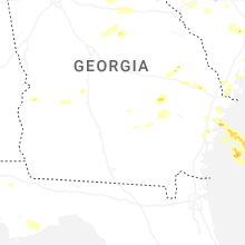
Hail Maps for Jacksonville, GA


Connect with Interactive Hail Maps