

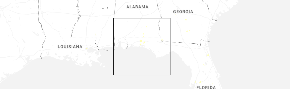
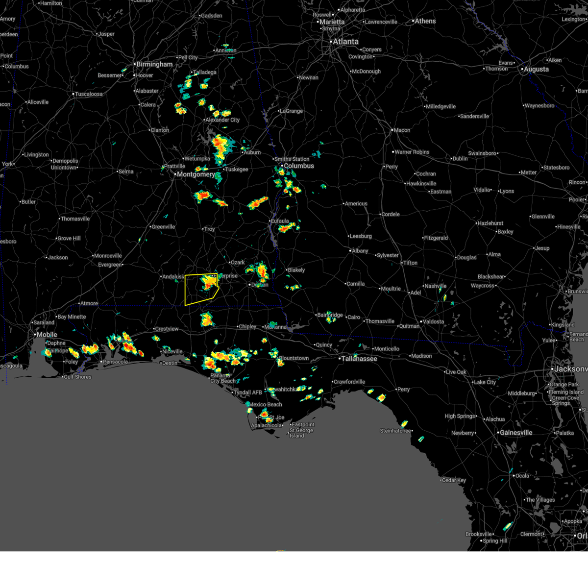
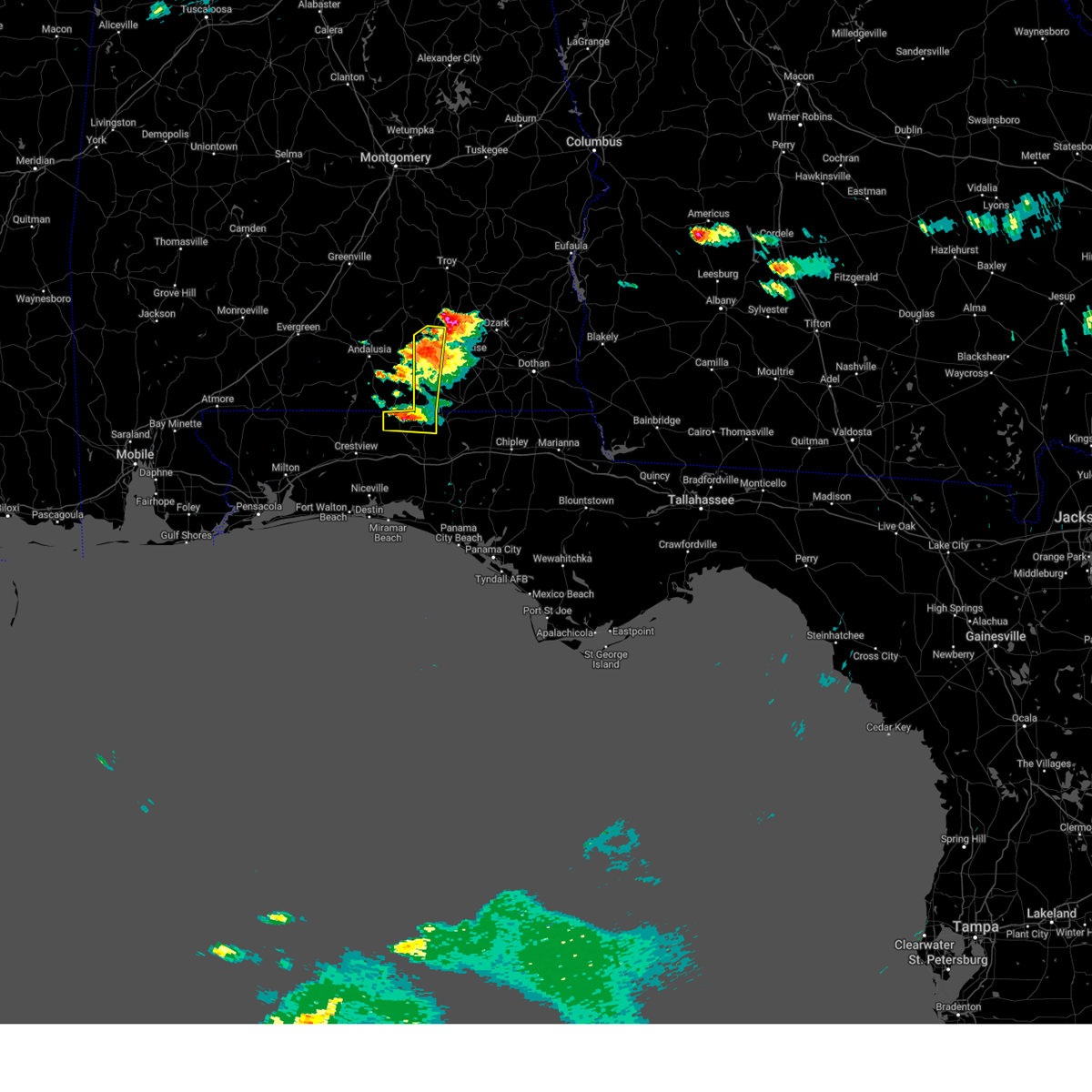
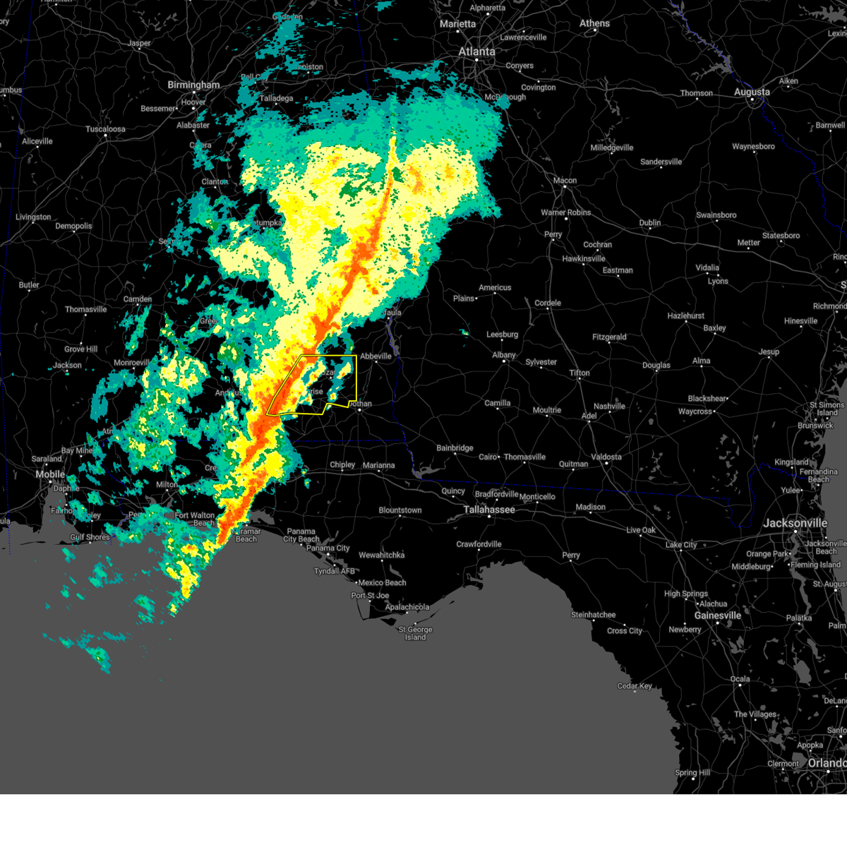
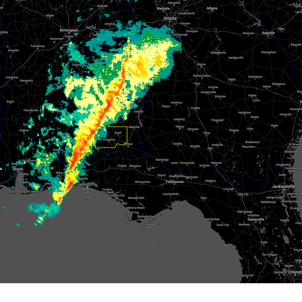
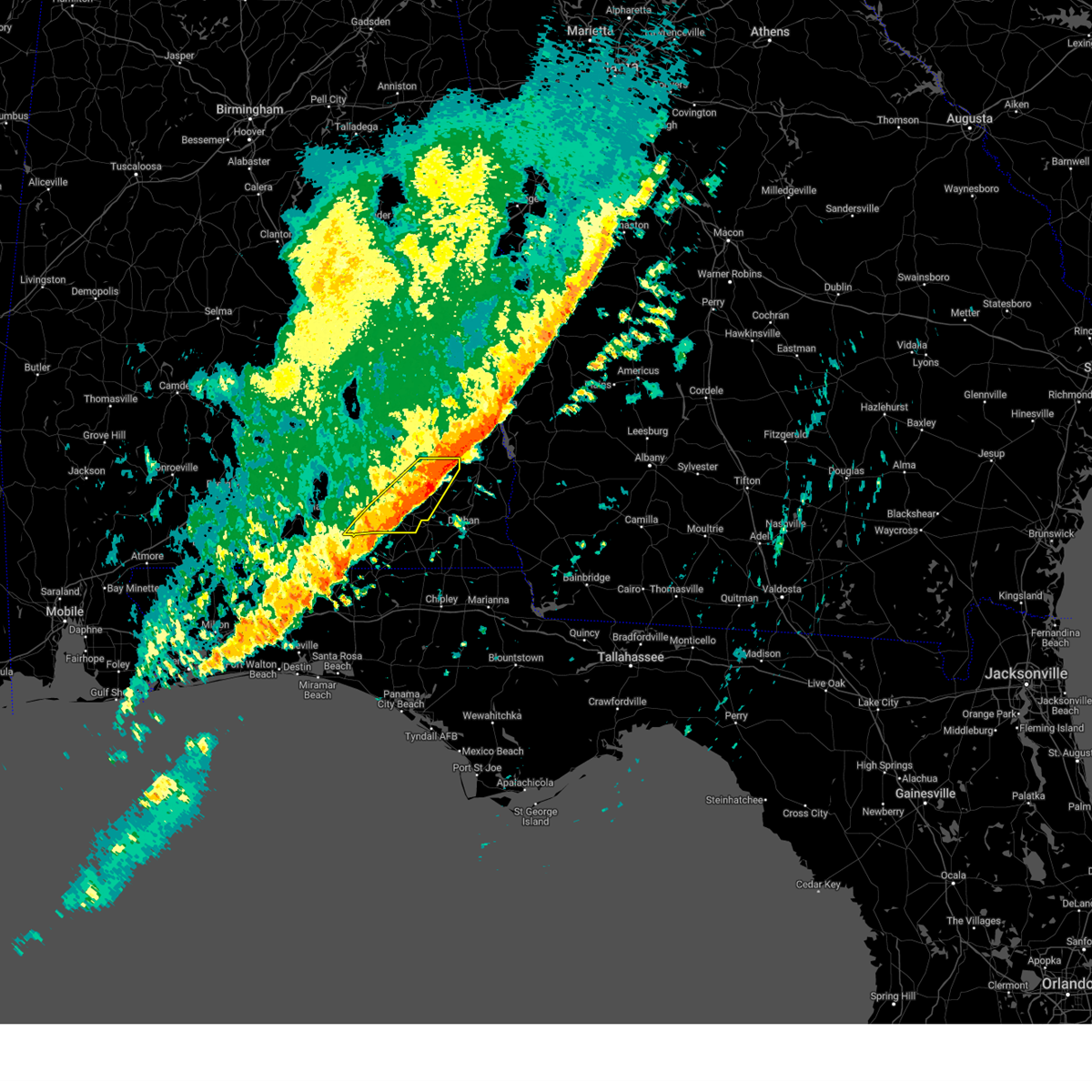
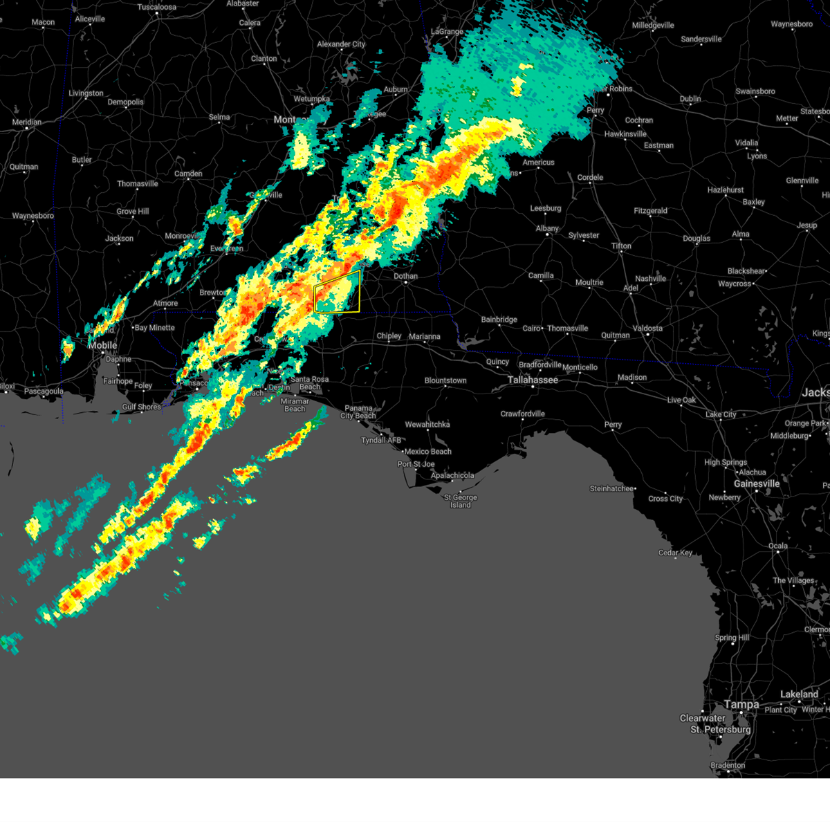
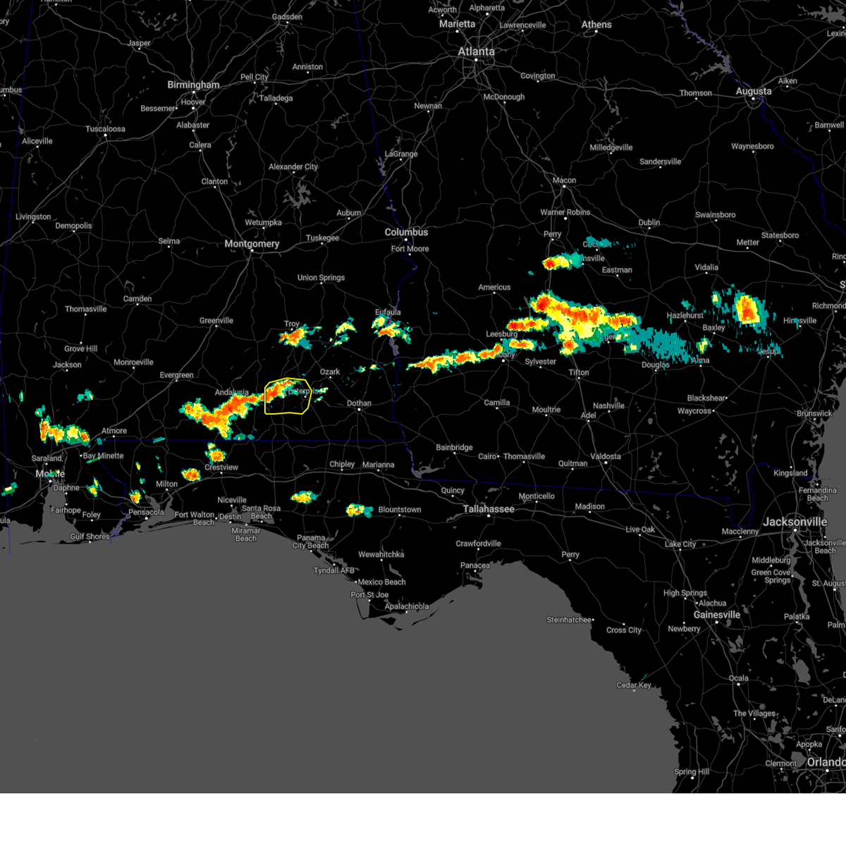
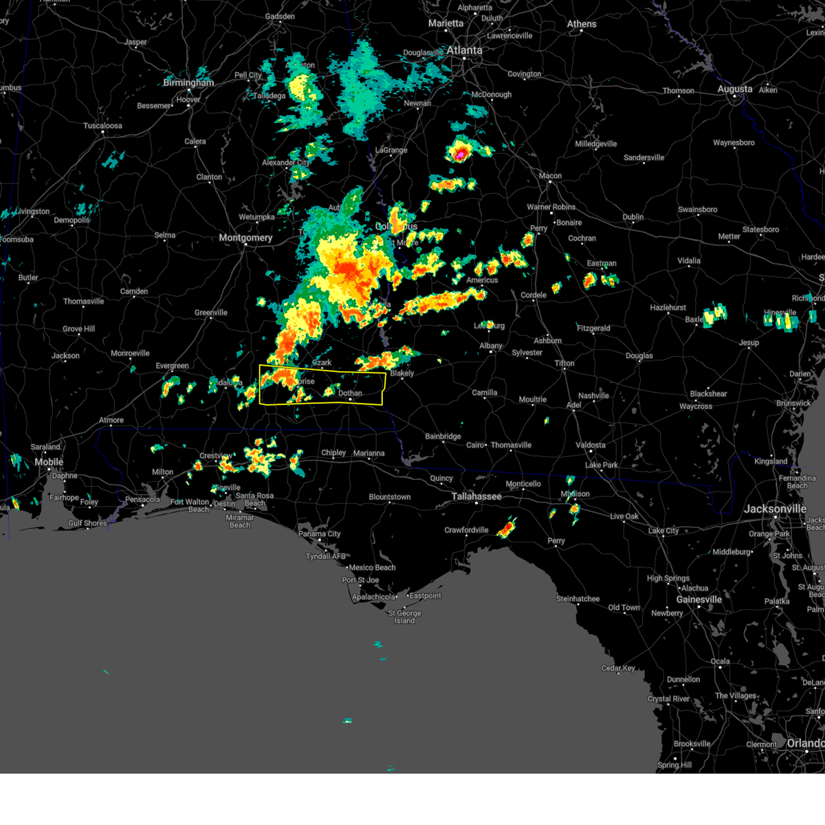
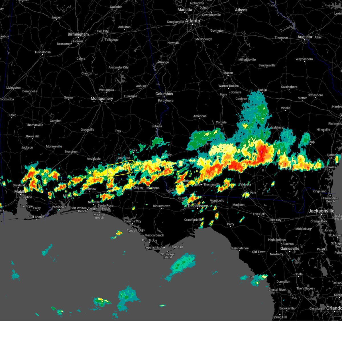
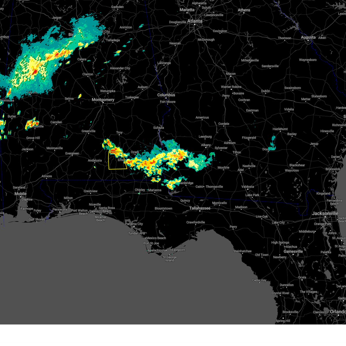
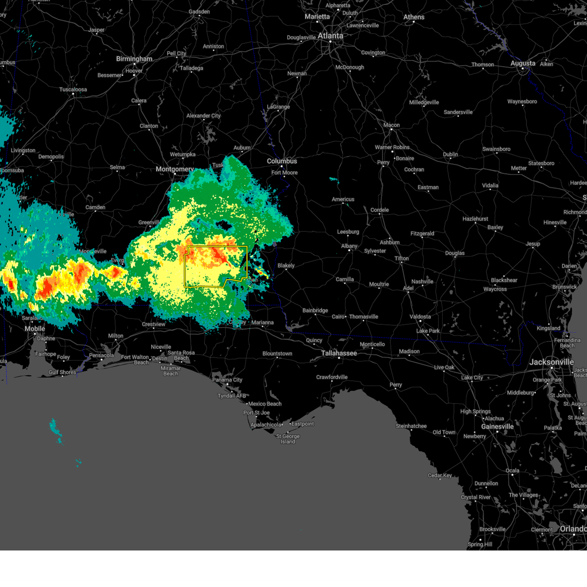
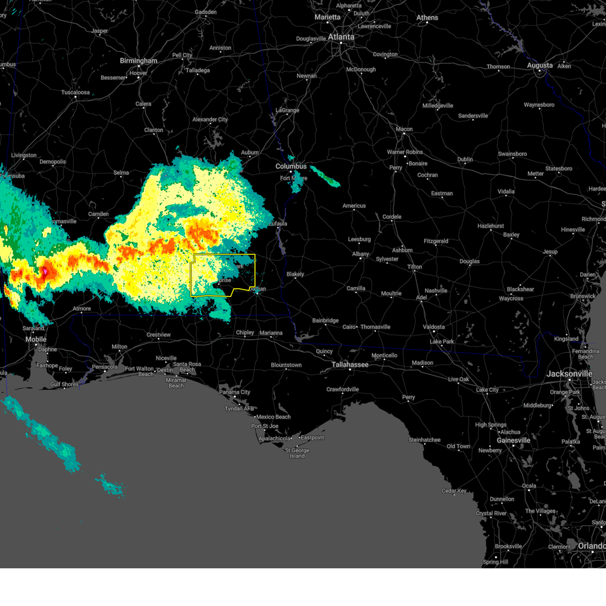
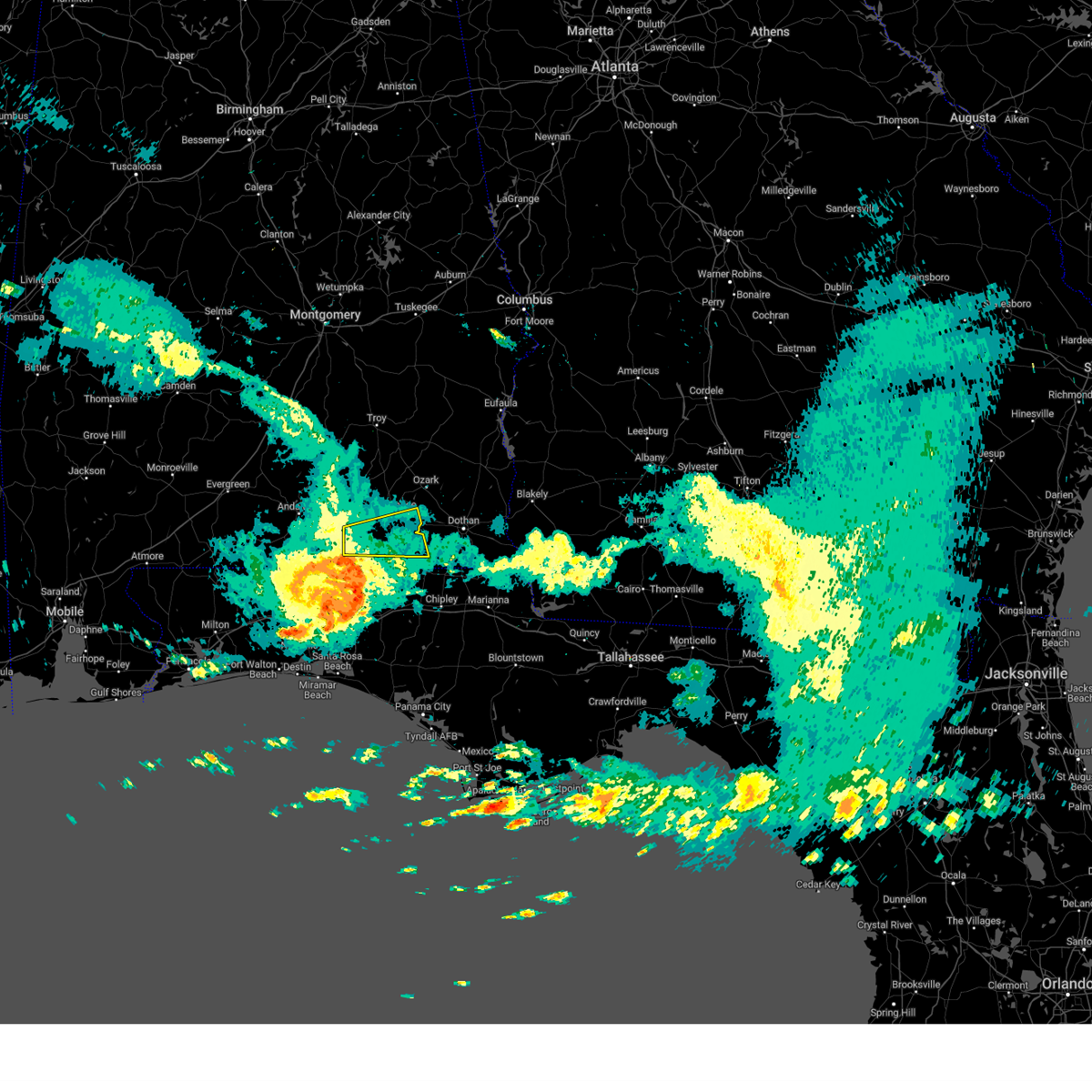
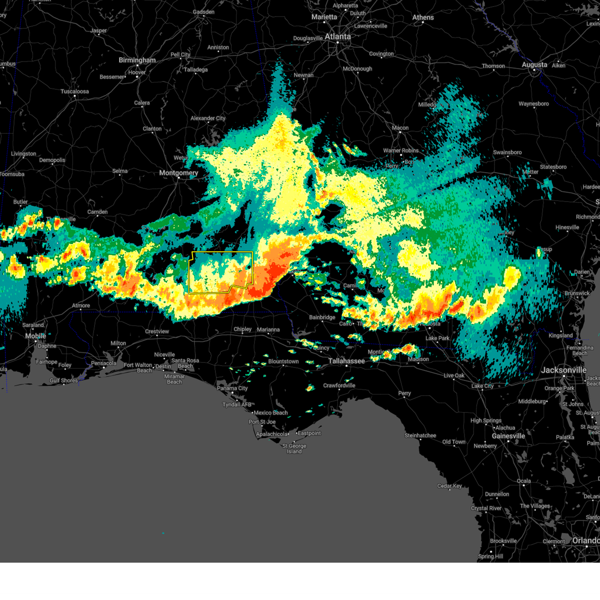
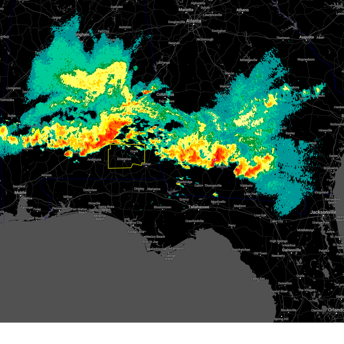
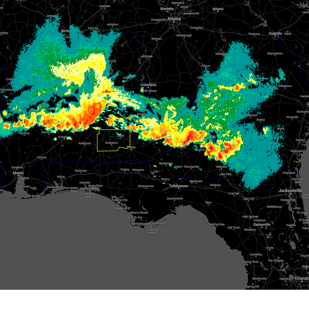
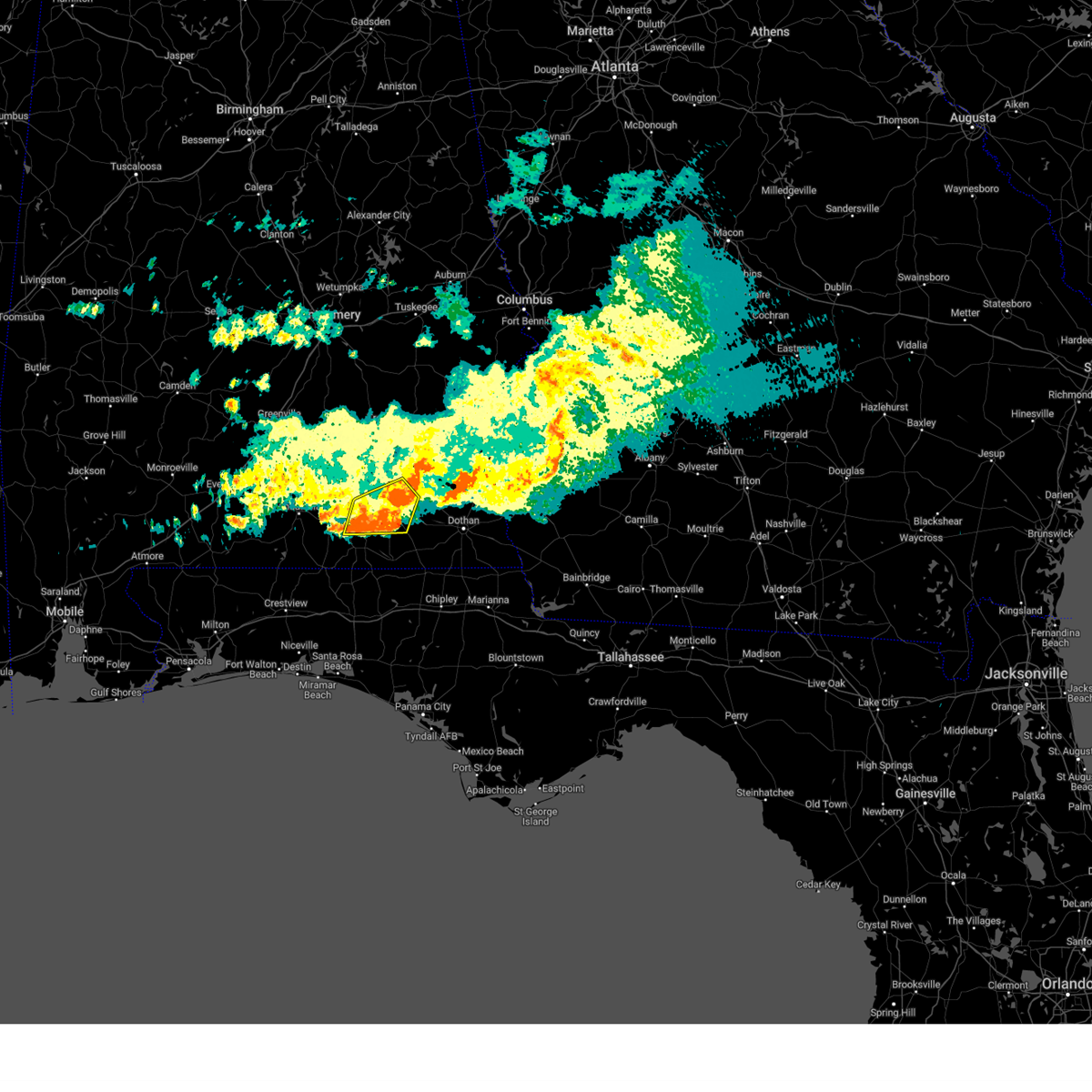
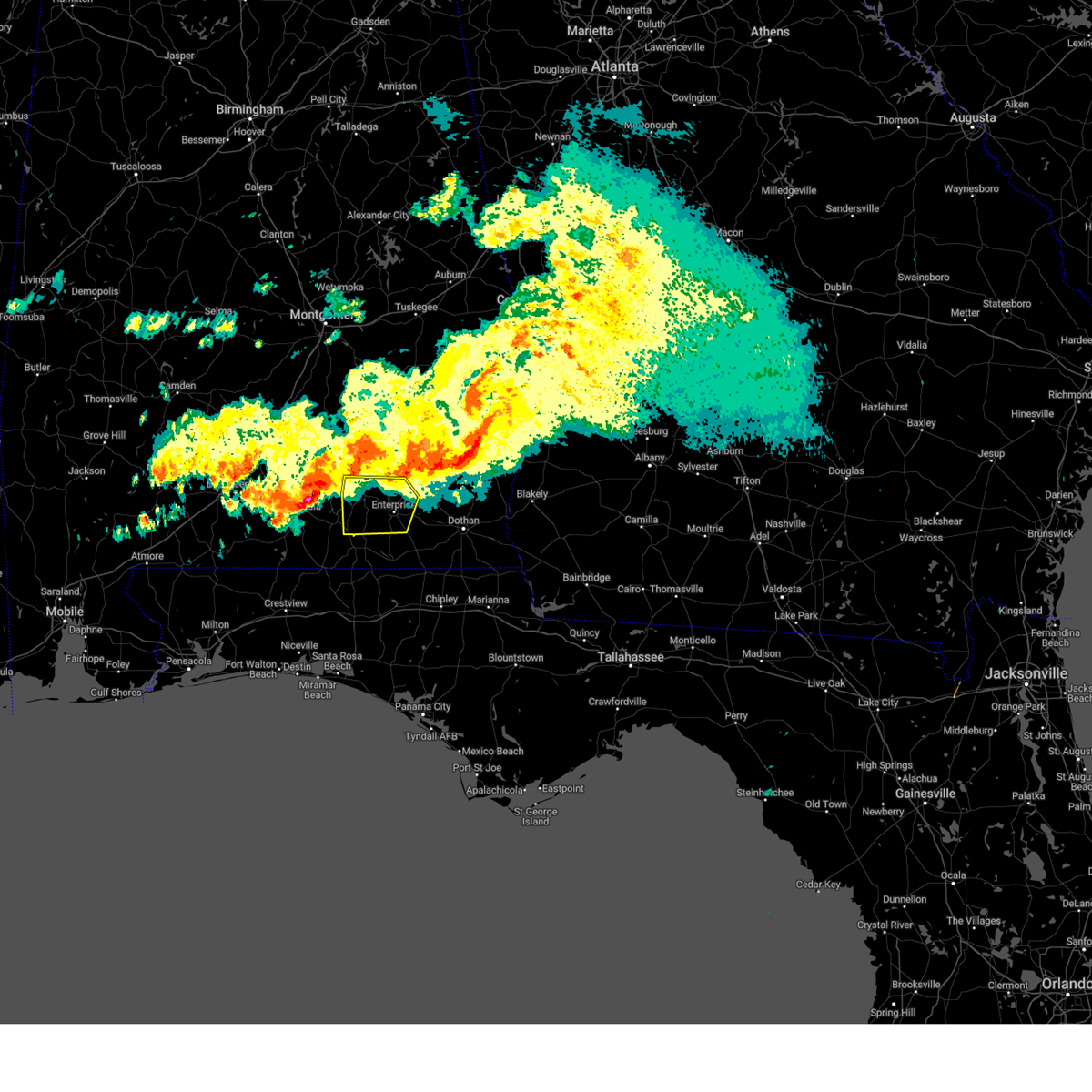
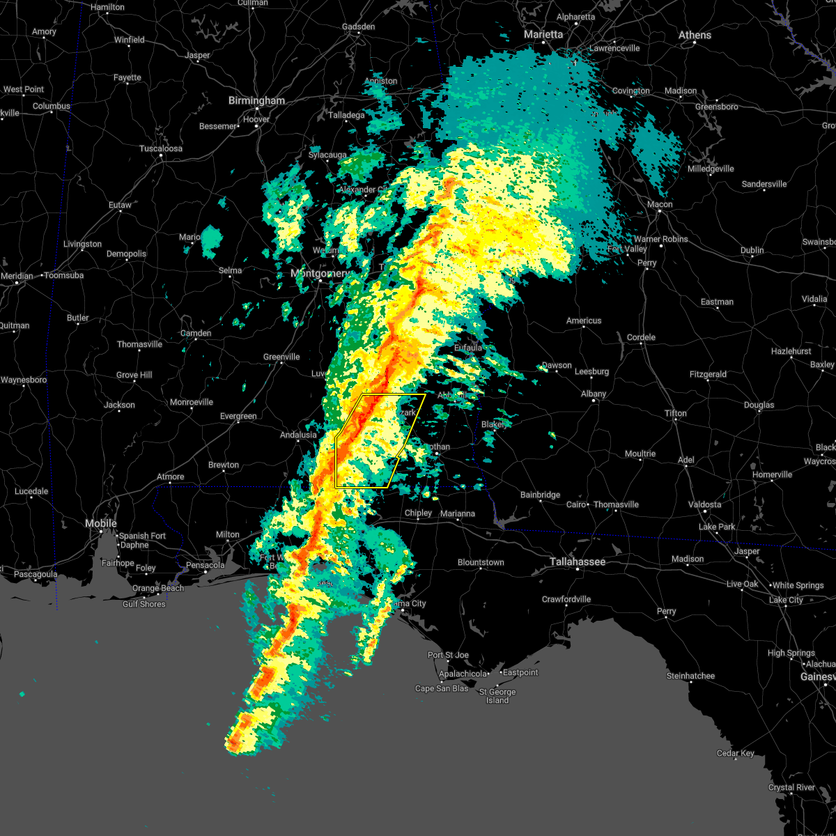
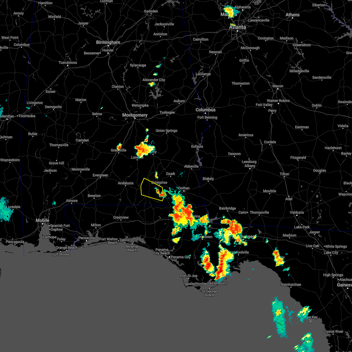
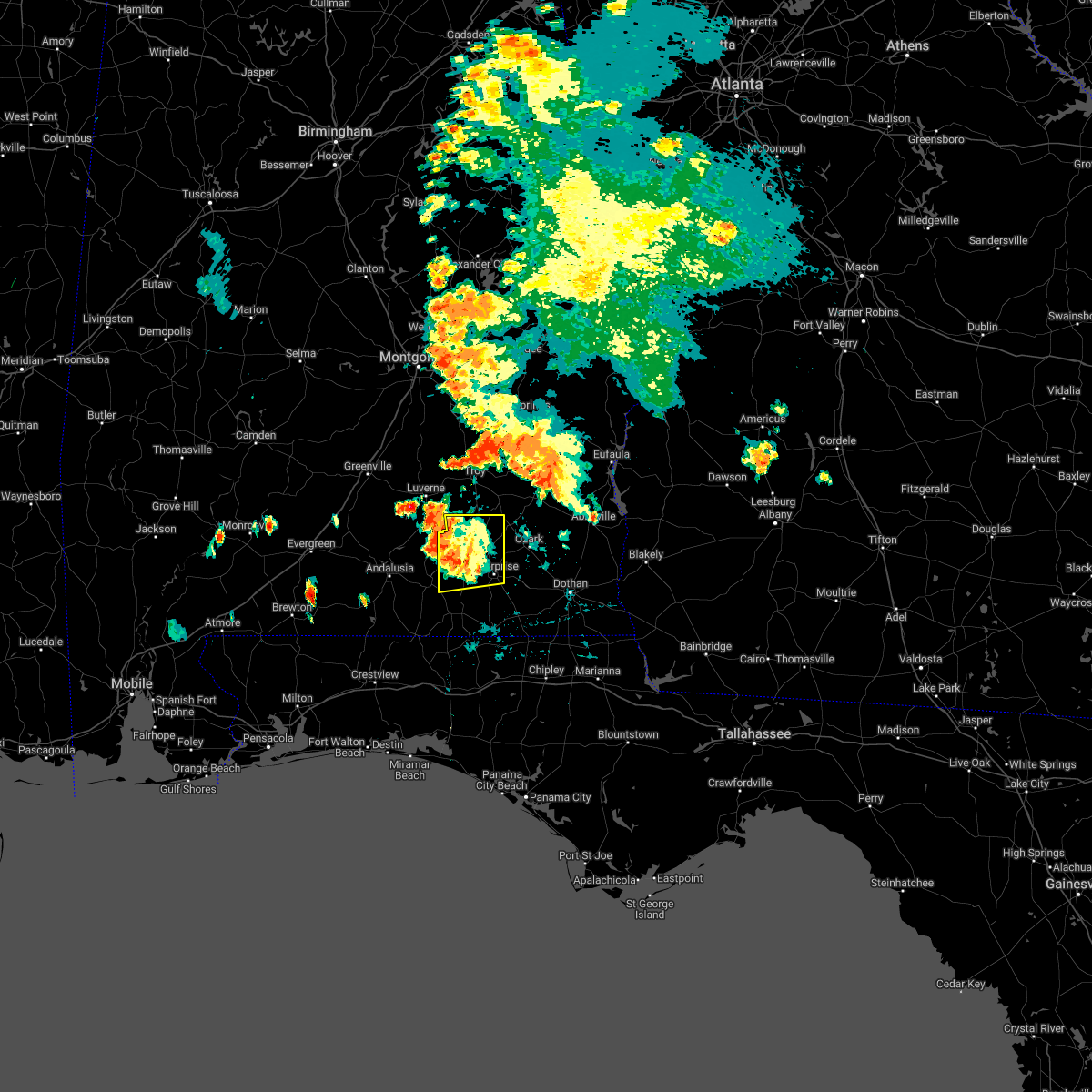
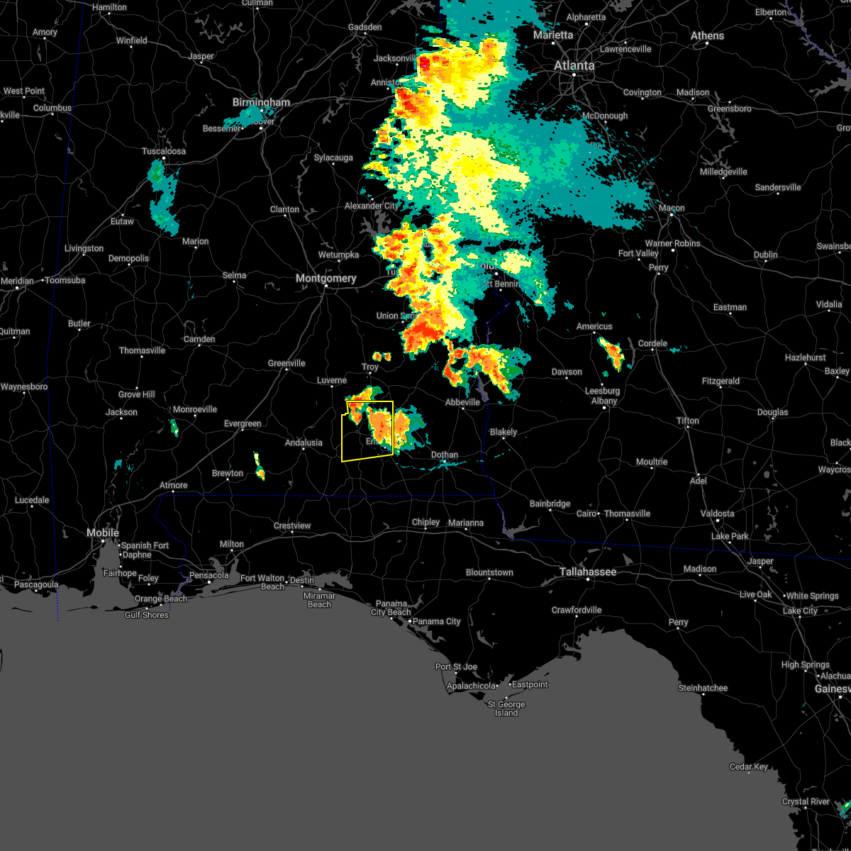
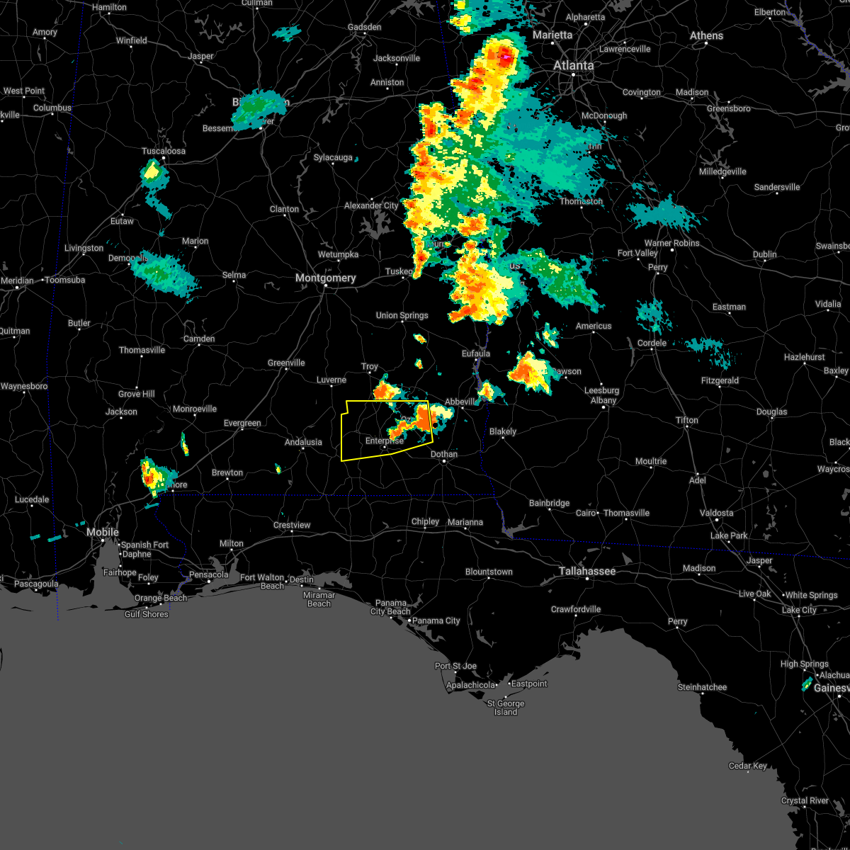
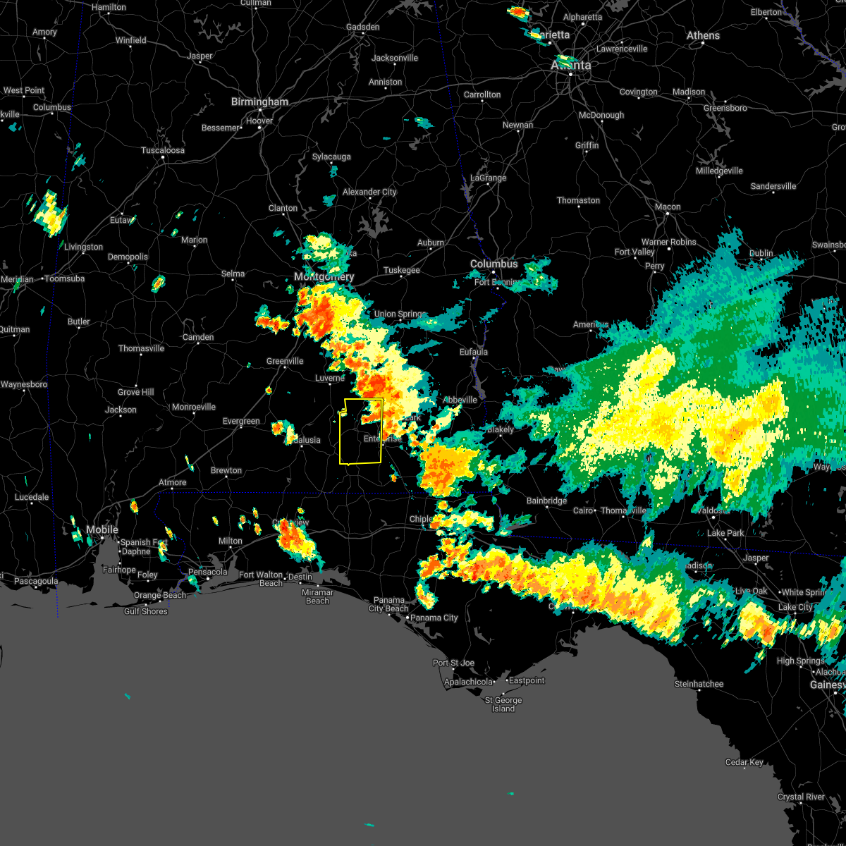
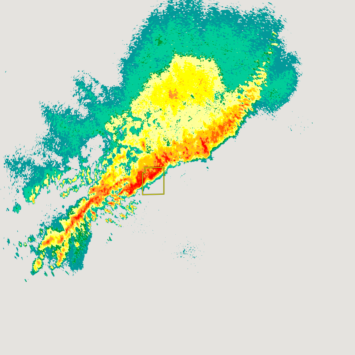
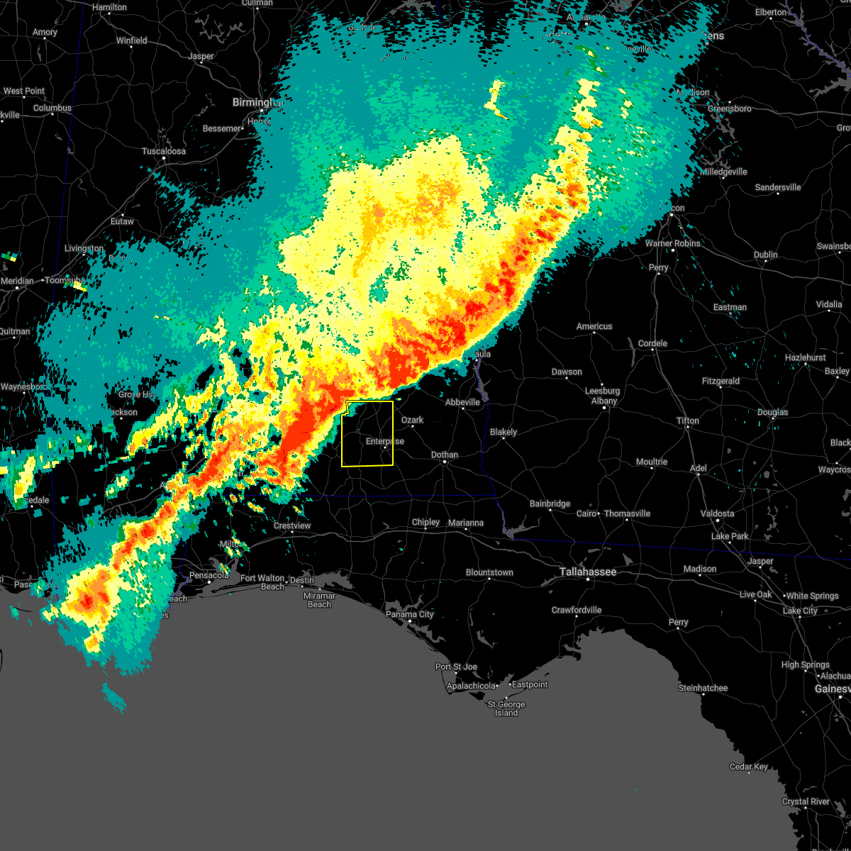
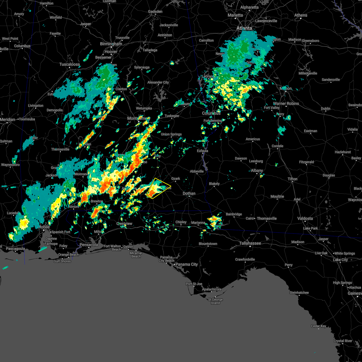
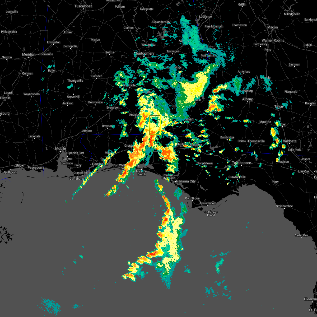
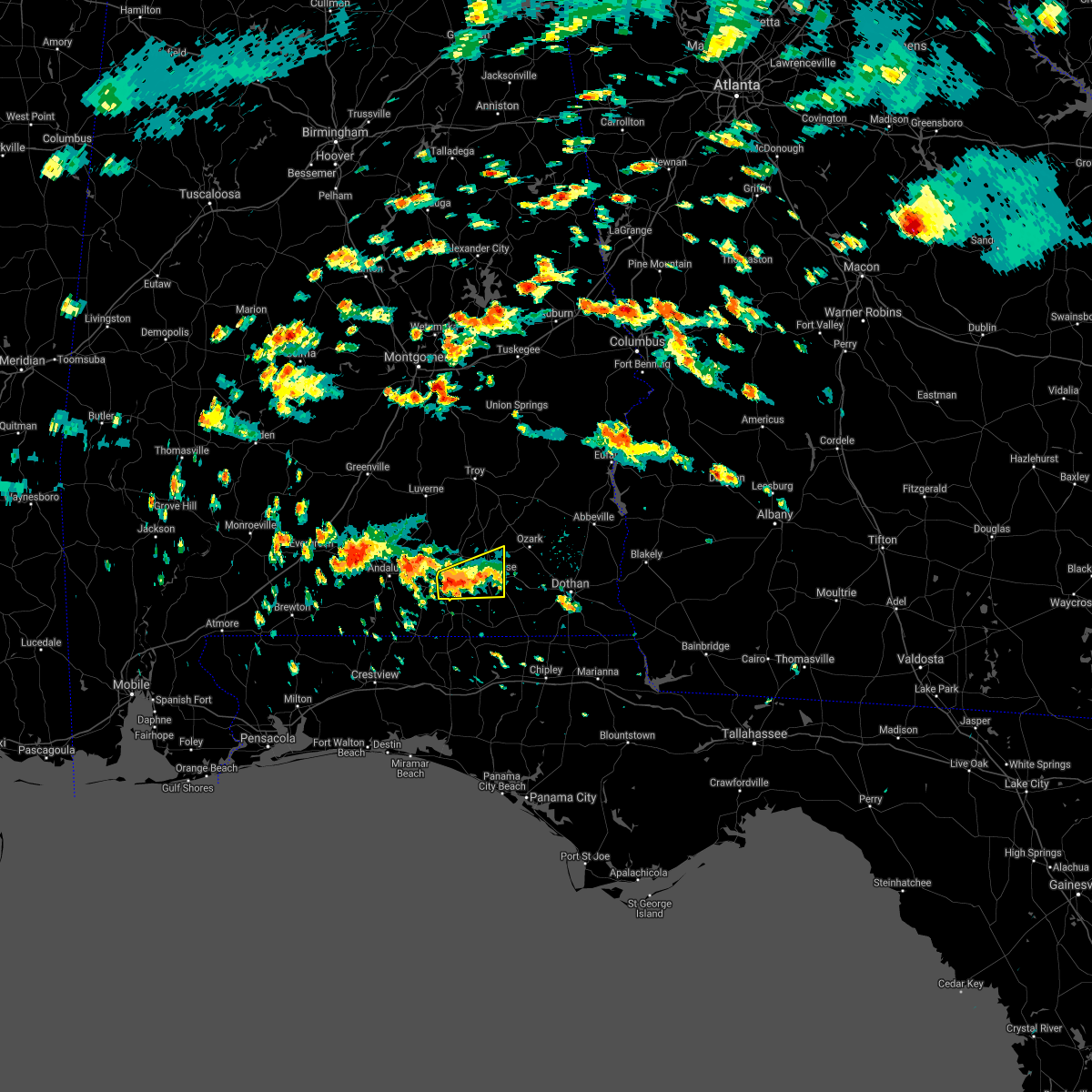
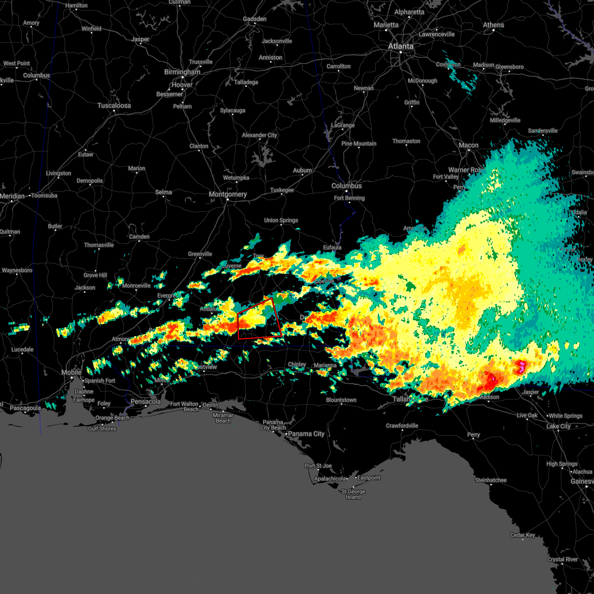
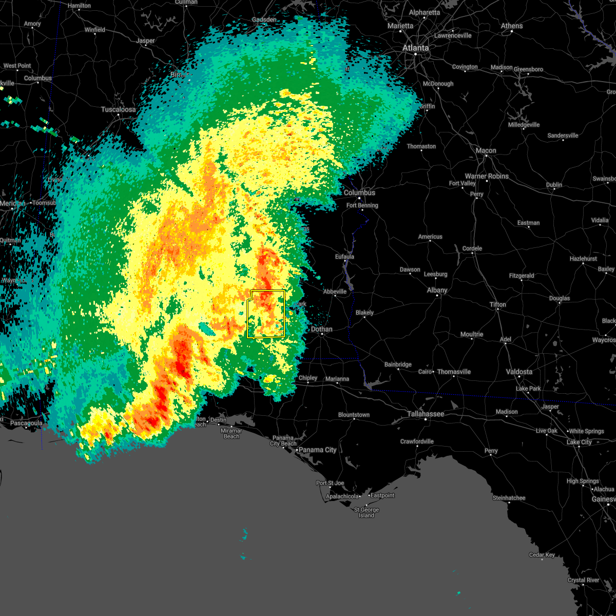
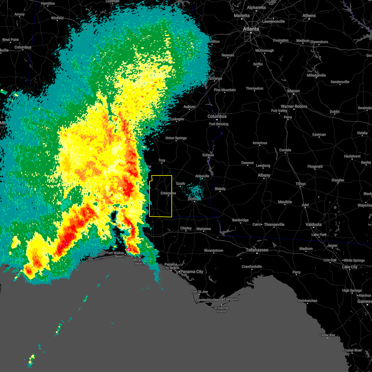
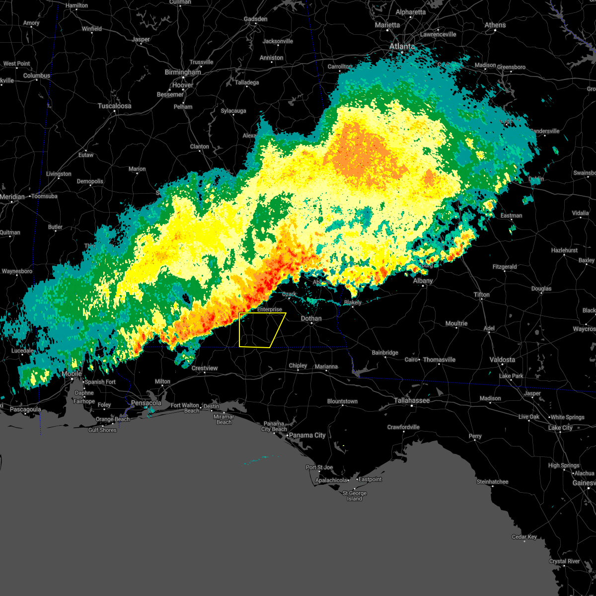
Hail Map for Kinston, AL
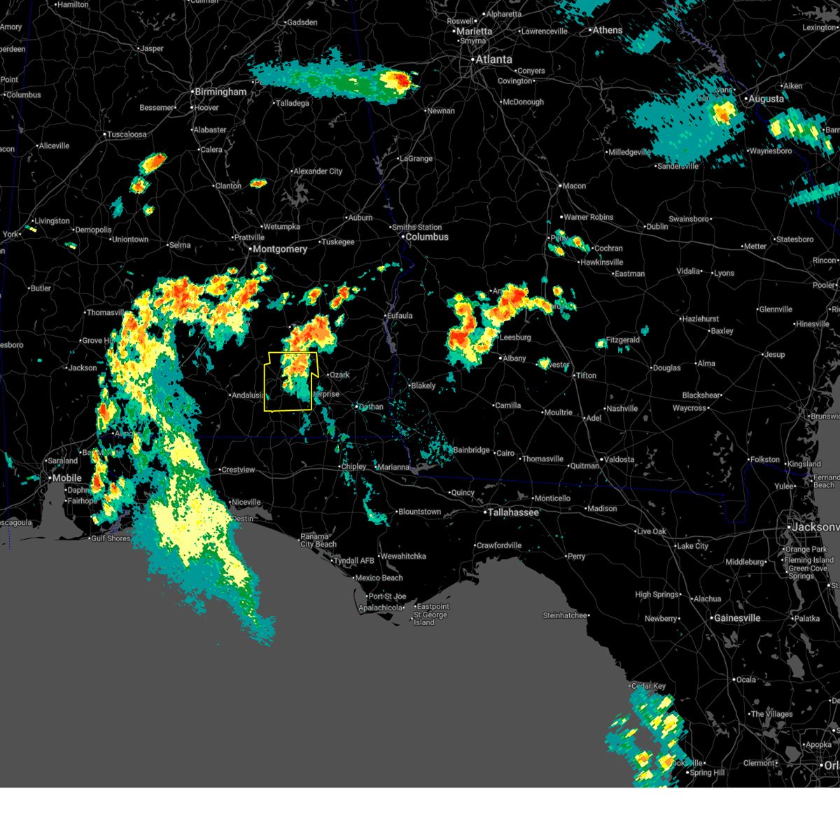
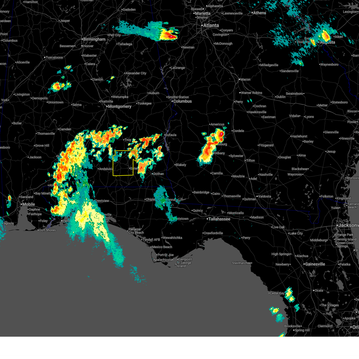
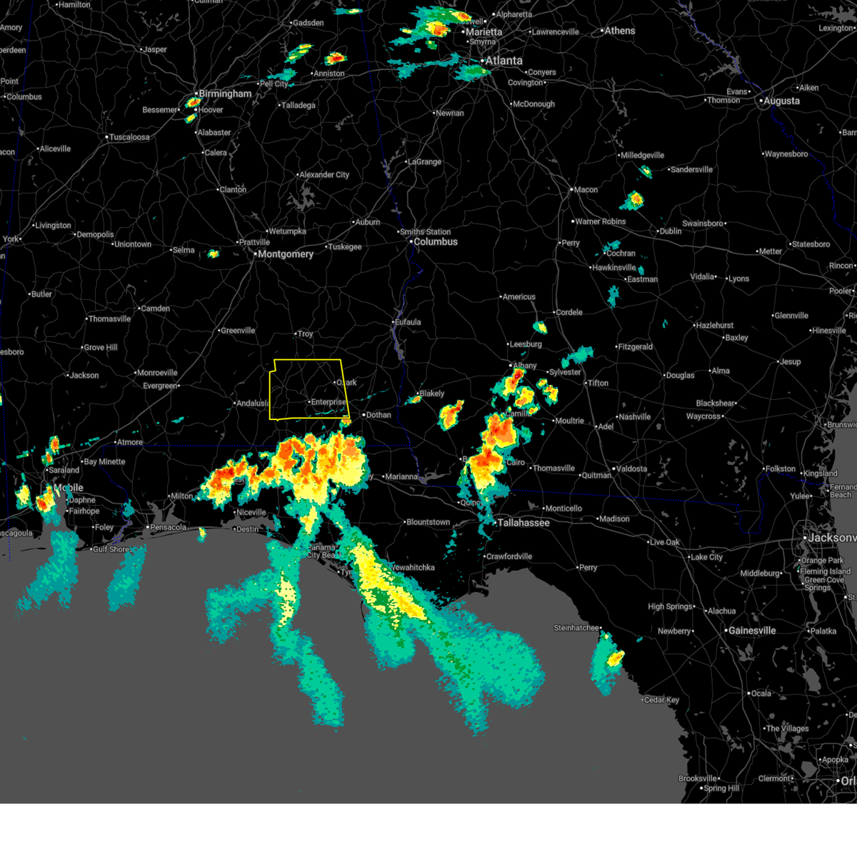
The Kinston, AL area has had 0 reports of on-the-ground hail by trained spotters, and has been under severe weather warnings 19 times during the past 12 months. Doppler radar has detected hail at or near Kinston, AL on 51 occasions, including 3 occasions during the past year.
| Name: | Kinston, AL |
| Where Located: | 59.1 miles NNE of Miramar Beach, FL |
| Map: | Google Map for Kinston, AL |
| Population: | 540 |
| Housing Units: | 271 |
| More Info: | Search Google for Kinston, AL |
0
The Top Recent Hail Date for Kinston, AL is Thursday, June 19, 2025 (25th out of 51)
Hail and Wind Damage Spotted near Kinston, AL
| Date / Time | Report Details |
|---|---|
| 6/25/2025 9:20 PM CDT |
 the severe thunderstorm warning has been cancelled and is no longer in effect the severe thunderstorm warning has been cancelled and is no longer in effect
|
| 6/25/2025 8:49 PM CDT |
 Svrtae the national weather service in tallahassee has issued a * severe thunderstorm warning for, western dale county in southeastern alabama, coffee county in southeastern alabama, * until 1000 pm cdt. * at 849 pm cdt, severe thunderstorms were located along a line extending from near ariton to daleville, moving west at 15 mph (radar indicated). Hazards include 60 mph wind gusts. expect damage to roofs, siding, and trees Svrtae the national weather service in tallahassee has issued a * severe thunderstorm warning for, western dale county in southeastern alabama, coffee county in southeastern alabama, * until 1000 pm cdt. * at 849 pm cdt, severe thunderstorms were located along a line extending from near ariton to daleville, moving west at 15 mph (radar indicated). Hazards include 60 mph wind gusts. expect damage to roofs, siding, and trees
|
| 6/25/2025 6:45 PM CDT |
 Svrtae the national weather service in tallahassee has issued a * severe thunderstorm warning for, dale county in southeastern alabama, coffee county in southeastern alabama, northwestern houston county in southeastern alabama, * until 800 pm cdt. * at 645 pm cdt, severe thunderstorms were located along a line extending from 9 miles southwest of samson to near slocomb, moving northwest at 20 mph (radar indicated). Hazards include 60 mph wind gusts. expect damage to roofs, siding, and trees Svrtae the national weather service in tallahassee has issued a * severe thunderstorm warning for, dale county in southeastern alabama, coffee county in southeastern alabama, northwestern houston county in southeastern alabama, * until 800 pm cdt. * at 645 pm cdt, severe thunderstorms were located along a line extending from 9 miles southwest of samson to near slocomb, moving northwest at 20 mph (radar indicated). Hazards include 60 mph wind gusts. expect damage to roofs, siding, and trees
|
| 6/22/2025 3:06 PM CDT |
 Svrtae the national weather service in tallahassee has issued a * severe thunderstorm warning for, southern coffee county in southeastern alabama, western geneva county in southeastern alabama, * until 345 pm cdt. * at 306 pm cdt, a severe thunderstorm was located near samson, or 11 miles northwest of geneva, moving west at 15 mph (radar indicated). Hazards include 60 mph wind gusts and penny size hail. expect damage to roofs, siding, and trees Svrtae the national weather service in tallahassee has issued a * severe thunderstorm warning for, southern coffee county in southeastern alabama, western geneva county in southeastern alabama, * until 345 pm cdt. * at 306 pm cdt, a severe thunderstorm was located near samson, or 11 miles northwest of geneva, moving west at 15 mph (radar indicated). Hazards include 60 mph wind gusts and penny size hail. expect damage to roofs, siding, and trees
|
| 5/8/2025 7:20 PM CDT | At 720 pm cdt, severe thunderstorms were located along a line extending from 6 miles south of new brockton to 12 miles north of de funiak springs, moving southeast at 25 mph (radar indicated). Hazards include 60 mph wind gusts and quarter size hail. Hail damage to vehicles is expected. expect wind damage to roofs, siding, and trees. Locations impacted include, earlytown, alberton, perry store, curtis, carl folsom a/p, weeks, elba, danleys crossroads, rhoades, ino, camp humming hills, new haven, kinston, basin, holley store, and lowery. |
| 5/8/2025 7:20 PM CDT | the severe thunderstorm warning has been cancelled and is no longer in effect |
| 5/8/2025 7:08 PM CDT | At 708 pm cdt, severe thunderstorms were located along a line extending from 7 miles southwest of new brockton to 8 miles southeast of florala, moving southeast at 25 mph (radar indicated). Hazards include 60 mph wind gusts and quarter size hail. Hail damage to vehicles is expected. expect wind damage to roofs, siding, and trees. Locations impacted include, perry store, gaskin, curtis, carl folsom a/p, darlington, ino, logan field municipal a/p, camp humming hills, kinston, basin, caney creek, samson, gordon, earlytown, hacoda, pera, alberton, weeks, elba, and danleys crossroads. |
| 5/8/2025 6:56 PM CDT |
 Svrtae the national weather service in tallahassee has issued a * severe thunderstorm warning for, southwestern coffee county in southeastern alabama, western geneva county in southeastern alabama, northwestern walton county in the panhandle of florida, * until 730 pm cdt. * at 656 pm cdt, severe thunderstorms were located along a line extending from near elba to near florala, moving southeast at 25 mph (radar indicated). Hazards include golf ball size hail and 60 mph wind gusts. People and animals outdoors will be injured. expect hail damage to roofs, siding, windows, and vehicles. Expect wind damage to roofs, siding, and trees. Svrtae the national weather service in tallahassee has issued a * severe thunderstorm warning for, southwestern coffee county in southeastern alabama, western geneva county in southeastern alabama, northwestern walton county in the panhandle of florida, * until 730 pm cdt. * at 656 pm cdt, severe thunderstorms were located along a line extending from near elba to near florala, moving southeast at 25 mph (radar indicated). Hazards include golf ball size hail and 60 mph wind gusts. People and animals outdoors will be injured. expect hail damage to roofs, siding, windows, and vehicles. Expect wind damage to roofs, siding, and trees.
|
| 5/8/2025 6:06 PM CDT | Svrtae the national weather service in tallahassee has issued a * severe thunderstorm warning for, southwestern coffee county in southeastern alabama, western geneva county in southeastern alabama, northwestern walton county in the panhandle of florida, * until 700 pm cdt. * at 605 pm cdt, severe thunderstorms were located along a line extending from 7 miles north of opp to near laurel hill, moving northeast at 5 mph (radar indicated). Hazards include 60 mph wind gusts and quarter size hail. Hail damage to vehicles is expected. Expect wind damage to roofs, siding, and trees. |
| 3/5/2025 12:05 AM CST |
 At 1204 am cst, severe thunderstorms were located along a line extending from near clio to near samson, moving east at 45 mph (radar indicated). Hazards include 60 mph wind gusts. Expect damage to roofs, siding, and trees. Locations impacted include, mixons crossroads, hunt field, waterford, hooper stage field, gerald, central city, camp humming hills, clintonville, ewell, roeton, cairns aaf, dale county lake, camp alaflo bsa, daleville, phillips crossroads, enterprise municipal a/p, hwy 231 pea river bridge, alberton, richburg, and skipperville. At 1204 am cst, severe thunderstorms were located along a line extending from near clio to near samson, moving east at 45 mph (radar indicated). Hazards include 60 mph wind gusts. Expect damage to roofs, siding, and trees. Locations impacted include, mixons crossroads, hunt field, waterford, hooper stage field, gerald, central city, camp humming hills, clintonville, ewell, roeton, cairns aaf, dale county lake, camp alaflo bsa, daleville, phillips crossroads, enterprise municipal a/p, hwy 231 pea river bridge, alberton, richburg, and skipperville.
|
| 3/4/2025 11:52 PM CST | Coffee county dispatch reported a downed tree on cr-47 in coffee county AL, 3.4 miles W of Kinston, AL |
| 3/4/2025 11:20 PM CST |
 Svrtae the national weather service in tallahassee has issued a * severe thunderstorm warning for, dale county in southeastern alabama, coffee county in southeastern alabama, * until 1245 am cst. * at 1119 pm cst, severe thunderstorms were located along a line extending from near glenwood to 7 miles northwest of laurel hill, moving east at 50 mph (radar indicated). Hazards include 60 mph wind gusts. expect damage to roofs, siding, and trees Svrtae the national weather service in tallahassee has issued a * severe thunderstorm warning for, dale county in southeastern alabama, coffee county in southeastern alabama, * until 1245 am cst. * at 1119 pm cst, severe thunderstorms were located along a line extending from near glenwood to 7 miles northwest of laurel hill, moving east at 50 mph (radar indicated). Hazards include 60 mph wind gusts. expect damage to roofs, siding, and trees
|
| 2/16/2025 4:06 AM CST |
 At 405 am cst, severe thunderstorms were located along a line extending from texasville to near samson, moving east at 50 mph (radar indicated). Hazards include 60 mph wind gusts. Expect damage to roofs, siding, and trees. Locations impacted include, daleville, fort novosel, enterprise, ozark, level plains, newton, new brockton, ariton, clayhatchee, kinston, hunt field, waterford, hooper stage field, gerald, central city, clintonville, ewell, cairns aaf, dale county lake, and camp alaflo bsa. At 405 am cst, severe thunderstorms were located along a line extending from texasville to near samson, moving east at 50 mph (radar indicated). Hazards include 60 mph wind gusts. Expect damage to roofs, siding, and trees. Locations impacted include, daleville, fort novosel, enterprise, ozark, level plains, newton, new brockton, ariton, clayhatchee, kinston, hunt field, waterford, hooper stage field, gerald, central city, clintonville, ewell, cairns aaf, dale county lake, and camp alaflo bsa.
|
| 2/16/2025 3:39 AM CST |
 At 339 am cst, severe thunderstorms were located along a line extending from near brundidge to 8 miles south of andalusia, moving east at 50 mph. a wind gust of 58 mph was measured at the k79j airport in covington county (radar indicated). Hazards include 60 mph wind gusts. Expect damage to roofs, siding, and trees. Locations impacted include, daleville, elba, fort novosel, enterprise, ozark, level plains, newton, new brockton, ariton, lee, clayhatchee, kinston, mixons crossroads, hunt field, waterford, curtis, carl folsom a/p, hooper stage field, gerald, and central city. At 339 am cst, severe thunderstorms were located along a line extending from near brundidge to 8 miles south of andalusia, moving east at 50 mph. a wind gust of 58 mph was measured at the k79j airport in covington county (radar indicated). Hazards include 60 mph wind gusts. Expect damage to roofs, siding, and trees. Locations impacted include, daleville, elba, fort novosel, enterprise, ozark, level plains, newton, new brockton, ariton, lee, clayhatchee, kinston, mixons crossroads, hunt field, waterford, curtis, carl folsom a/p, hooper stage field, gerald, and central city.
|
| 2/16/2025 3:03 AM CST |
 Svrtae the national weather service in tallahassee has issued a * severe thunderstorm warning for, dale county in southeastern alabama, coffee county in southeastern alabama, * until 430 am cst. * at 303 am cst, severe thunderstorms were located along a line extending from near lapine to near east brewton, moving east at 55 mph (radar indicated). Hazards include 60 mph wind gusts. expect damage to roofs, siding, and trees Svrtae the national weather service in tallahassee has issued a * severe thunderstorm warning for, dale county in southeastern alabama, coffee county in southeastern alabama, * until 430 am cst. * at 303 am cst, severe thunderstorms were located along a line extending from near lapine to near east brewton, moving east at 55 mph (radar indicated). Hazards include 60 mph wind gusts. expect damage to roofs, siding, and trees
|
| 2/13/2025 3:24 AM CST |
 The storm which prompted the warning has weakened below severe limits, and no longer poses an immediate threat to life or property. therefore, the warning will be allowed to expire. however, gusty winds and heavy rain are still possible with this thunderstorm. to report severe weather, contact your nearest law enforcement agency. they will relay your report to the national weather service tallahassee. The storm which prompted the warning has weakened below severe limits, and no longer poses an immediate threat to life or property. therefore, the warning will be allowed to expire. however, gusty winds and heavy rain are still possible with this thunderstorm. to report severe weather, contact your nearest law enforcement agency. they will relay your report to the national weather service tallahassee.
|
| 2/13/2025 2:57 AM CST |
 Svrtae the national weather service in tallahassee has issued a * severe thunderstorm warning for, southeastern coffee county in southeastern alabama, western geneva county in southeastern alabama, * until 330 am cst. * at 257 am cst, a severe thunderstorm was located 8 miles northeast of florala, moving east at 50 mph (radar indicated). Hazards include 60 mph wind gusts and quarter size hail. Hail damage to vehicles is expected. Expect wind damage to roofs, siding, and trees. Svrtae the national weather service in tallahassee has issued a * severe thunderstorm warning for, southeastern coffee county in southeastern alabama, western geneva county in southeastern alabama, * until 330 am cst. * at 257 am cst, a severe thunderstorm was located 8 miles northeast of florala, moving east at 50 mph (radar indicated). Hazards include 60 mph wind gusts and quarter size hail. Hail damage to vehicles is expected. Expect wind damage to roofs, siding, and trees.
|
| 12/29/2024 2:06 AM CST |
 At 206 am cst, severe thunderstorms were located along a line extending from 6 miles west of ariton to near samson, moving east at 35 mph (radar indicated). Hazards include 60 mph wind gusts. Expect damage to roofs, siding, and trees. Locations impacted include, elba, enterprise, fort novosel, new brockton, kinston, mixons crossroads, perry store, lucile, ino, turner crossroads, central city, camp humming hills, clintonville, roeton, goodman, camp alaflo bsa, clowers crossroads, basin, arcus, and enterprise municipal a/p. At 206 am cst, severe thunderstorms were located along a line extending from 6 miles west of ariton to near samson, moving east at 35 mph (radar indicated). Hazards include 60 mph wind gusts. Expect damage to roofs, siding, and trees. Locations impacted include, elba, enterprise, fort novosel, new brockton, kinston, mixons crossroads, perry store, lucile, ino, turner crossroads, central city, camp humming hills, clintonville, roeton, goodman, camp alaflo bsa, clowers crossroads, basin, arcus, and enterprise municipal a/p.
|
| 12/29/2024 1:54 AM CST |
 At 154 am cst, severe thunderstorms were located along a line extending from 10 miles southwest of brundidge to 6 miles southeast of opp, moving east at 35 mph (radar indicated). Hazards include 60 mph wind gusts. Expect damage to roofs, siding, and trees. Locations impacted include, elba, enterprise, fort novosel, new brockton, lee, kinston, mixons crossroads, curtis, carl folsom a/p, central city, camp humming hills, clintonville, roeton, camp alaflo bsa, arcus, enterprise municipal a/p, alberton, richburg, victoria, and danleys crossroads. At 154 am cst, severe thunderstorms were located along a line extending from 10 miles southwest of brundidge to 6 miles southeast of opp, moving east at 35 mph (radar indicated). Hazards include 60 mph wind gusts. Expect damage to roofs, siding, and trees. Locations impacted include, elba, enterprise, fort novosel, new brockton, lee, kinston, mixons crossroads, curtis, carl folsom a/p, central city, camp humming hills, clintonville, roeton, camp alaflo bsa, arcus, enterprise municipal a/p, alberton, richburg, victoria, and danleys crossroads.
|
| 12/29/2024 1:05 AM CST |
 Svrtae the national weather service in tallahassee has issued a * severe thunderstorm warning for, coffee county in southeastern alabama, * until 230 am cst. * at 105 am cst, severe thunderstorms were located along a line extending from near rutledge to 9 miles southwest of red level, moving east at 35 mph (radar indicated). Hazards include 60 mph wind gusts. expect damage to roofs, siding, and trees Svrtae the national weather service in tallahassee has issued a * severe thunderstorm warning for, coffee county in southeastern alabama, * until 230 am cst. * at 105 am cst, severe thunderstorms were located along a line extending from near rutledge to 9 miles southwest of red level, moving east at 35 mph (radar indicated). Hazards include 60 mph wind gusts. expect damage to roofs, siding, and trees
|
| 6/10/2024 2:29 PM CDT |
 Svrtae the national weather service in tallahassee has issued a * severe thunderstorm warning for, southern coffee county in southeastern alabama, * until 315 pm cdt. * at 229 pm cdt, a severe thunderstorm was located 7 miles southwest of elba, moving southeast at 15 mph (radar indicated). Hazards include 60 mph wind gusts and quarter size hail. Hail damage to vehicles is expected. Expect wind damage to roofs, siding, and trees. Svrtae the national weather service in tallahassee has issued a * severe thunderstorm warning for, southern coffee county in southeastern alabama, * until 315 pm cdt. * at 229 pm cdt, a severe thunderstorm was located 7 miles southwest of elba, moving southeast at 15 mph (radar indicated). Hazards include 60 mph wind gusts and quarter size hail. Hail damage to vehicles is expected. Expect wind damage to roofs, siding, and trees.
|
| 5/13/2024 8:32 AM CDT |
 the severe thunderstorm warning has been cancelled and is no longer in effect the severe thunderstorm warning has been cancelled and is no longer in effect
|
| 5/13/2024 8:08 AM CDT |
 Svrtae the national weather service in tallahassee has issued a * severe thunderstorm warning for, southern dale county in southeastern alabama, southern coffee county in southeastern alabama, geneva county in southeastern alabama, western houston county in southeastern alabama, * until 915 am cdt. * at 808 am cdt, a severe thunderstorm was located near opp, moving east at 50 mph (radar indicated). Hazards include 60 mph wind gusts and penny size hail. expect damage to roofs, siding, and trees Svrtae the national weather service in tallahassee has issued a * severe thunderstorm warning for, southern dale county in southeastern alabama, southern coffee county in southeastern alabama, geneva county in southeastern alabama, western houston county in southeastern alabama, * until 915 am cdt. * at 808 am cdt, a severe thunderstorm was located near opp, moving east at 50 mph (radar indicated). Hazards include 60 mph wind gusts and penny size hail. expect damage to roofs, siding, and trees
|
| 5/10/2024 3:18 AM CDT |
 At 318 am cdt, severe thunderstorms were located along a line extending from near brundidge to near fort novosel to 9 miles west of samson, moving east at 65 mph (radar indicated). Hazards include 70 mph wind gusts and quarter size hail. Hail damage to vehicles is expected. expect considerable tree damage. wind damage is also likely to mobile homes, roofs, and outbuildings. Locations impacted include, daleville, elba, abbeville, cottonwood, fort gaines, geneva, fort novosel, headland, dothan, ozark, enterprise, hartford, taylor, midland city, kinsey, ashford, level plains, slocomb, samson, and cowarts. At 318 am cdt, severe thunderstorms were located along a line extending from near brundidge to near fort novosel to 9 miles west of samson, moving east at 65 mph (radar indicated). Hazards include 70 mph wind gusts and quarter size hail. Hail damage to vehicles is expected. expect considerable tree damage. wind damage is also likely to mobile homes, roofs, and outbuildings. Locations impacted include, daleville, elba, abbeville, cottonwood, fort gaines, geneva, fort novosel, headland, dothan, ozark, enterprise, hartford, taylor, midland city, kinsey, ashford, level plains, slocomb, samson, and cowarts.
|
| 5/10/2024 2:42 AM CDT |
 Svrtae the national weather service in tallahassee has issued a * severe thunderstorm warning for, dale county in southeastern alabama, henry county in southeastern alabama, coffee county in southeastern alabama, geneva county in southeastern alabama, houston county in southeastern alabama, * until 345 am cdt. * at 242 am cdt, severe thunderstorms were located along a line extending from 6 miles southeast of logan to near dozier to 12 miles east of castleberry, moving east at 65 mph (radar indicated). Hazards include 60 mph wind gusts and quarter size hail. Hail damage to vehicles is expected. Expect wind damage to roofs, siding, and trees. Svrtae the national weather service in tallahassee has issued a * severe thunderstorm warning for, dale county in southeastern alabama, henry county in southeastern alabama, coffee county in southeastern alabama, geneva county in southeastern alabama, houston county in southeastern alabama, * until 345 am cdt. * at 242 am cdt, severe thunderstorms were located along a line extending from 6 miles southeast of logan to near dozier to 12 miles east of castleberry, moving east at 65 mph (radar indicated). Hazards include 60 mph wind gusts and quarter size hail. Hail damage to vehicles is expected. Expect wind damage to roofs, siding, and trees.
|
| 4/10/2024 3:40 PM CDT |
 Svrtae the national weather service in tallahassee has issued a * severe thunderstorm warning for, dale county in southeastern alabama, southern henry county in southeastern alabama, coffee county in southeastern alabama, geneva county in southeastern alabama, houston county in southeastern alabama, jackson county in the panhandle of florida, northwestern gulf county in the panhandle of florida, bay county in the panhandle of florida, western calhoun county in the panhandle of florida, walton county in the panhandle of florida, holmes county in the panhandle of florida, washington county in the panhandle of florida, * until 615 pm edt/515 pm cdt/. * at 440 pm edt/340 pm cdt/, severe thunderstorms were located along a line extending from 9 miles northeast of samson to 10 miles southwest of geneva to 7 miles southeast of de funiak springs to near santa rosa beach, moving northeast at 35 mph (radar indicated). Hazards include 60 mph wind gusts. expect damage to roofs, siding, and trees Svrtae the national weather service in tallahassee has issued a * severe thunderstorm warning for, dale county in southeastern alabama, southern henry county in southeastern alabama, coffee county in southeastern alabama, geneva county in southeastern alabama, houston county in southeastern alabama, jackson county in the panhandle of florida, northwestern gulf county in the panhandle of florida, bay county in the panhandle of florida, western calhoun county in the panhandle of florida, walton county in the panhandle of florida, holmes county in the panhandle of florida, washington county in the panhandle of florida, * until 615 pm edt/515 pm cdt/. * at 440 pm edt/340 pm cdt/, severe thunderstorms were located along a line extending from 9 miles northeast of samson to 10 miles southwest of geneva to 7 miles southeast of de funiak springs to near santa rosa beach, moving northeast at 35 mph (radar indicated). Hazards include 60 mph wind gusts. expect damage to roofs, siding, and trees
|
| 1/9/2024 5:57 AM CST |
 At 556 am cst, severe thunderstorms were located along a line extending from near dozier to near navarre, moving northeast at 75 mph (radar indicated). Hazards include 70 mph wind gusts and quarter size hail. Hail damage to vehicles is expected. expect considerable tree damage. Wind damage is also likely to mobile homes, roofs, and outbuildings. At 556 am cst, severe thunderstorms were located along a line extending from near dozier to near navarre, moving northeast at 75 mph (radar indicated). Hazards include 70 mph wind gusts and quarter size hail. Hail damage to vehicles is expected. expect considerable tree damage. Wind damage is also likely to mobile homes, roofs, and outbuildings.
|
| 8/15/2023 5:57 PM CDT |
 The severe thunderstorm warning for coffee county will expire at 600 pm cdt, the storm which prompted the warning has weakened below severe limits, and no longer poses an immediate threat to life or property. therefore, the warning will be allowed to expire. however gusty winds are still possible with this thunderstorm. The severe thunderstorm warning for coffee county will expire at 600 pm cdt, the storm which prompted the warning has weakened below severe limits, and no longer poses an immediate threat to life or property. therefore, the warning will be allowed to expire. however gusty winds are still possible with this thunderstorm.
|
| 8/15/2023 5:44 PM CDT |
 At 543 pm cdt, a severe thunderstorm was located near enterprise, moving southeast at 30 mph. at 535 pm cdt, the enterprise municipal airport gusted to 49 mph (radar indicated). Hazards include 60 mph wind gusts and penny size hail. Expect damage to roofs, siding, and trees. locations impacted include, elba, enterprise, fort novosel, new brockton, lee, kinston, pine level, mixons crossroads, perry store, curtis, carl folsom a/p, lucile, ino, turner crossroads, central city, camp humming hills, clintonville, wise mill, goodman and camp alaflo bsa. hail threat, radar indicated max hail size, 0. 75 in wind threat, radar indicated max wind gust, 60 mph. At 543 pm cdt, a severe thunderstorm was located near enterprise, moving southeast at 30 mph. at 535 pm cdt, the enterprise municipal airport gusted to 49 mph (radar indicated). Hazards include 60 mph wind gusts and penny size hail. Expect damage to roofs, siding, and trees. locations impacted include, elba, enterprise, fort novosel, new brockton, lee, kinston, pine level, mixons crossroads, perry store, curtis, carl folsom a/p, lucile, ino, turner crossroads, central city, camp humming hills, clintonville, wise mill, goodman and camp alaflo bsa. hail threat, radar indicated max hail size, 0. 75 in wind threat, radar indicated max wind gust, 60 mph.
|
| 8/15/2023 5:01 PM CDT |
 At 501 pm cdt, a severe thunderstorm was located 8 miles west of elba, moving southeast at 30 mph (radar indicated). Hazards include 60 mph wind gusts and penny size hail. expect damage to roofs, siding, and trees At 501 pm cdt, a severe thunderstorm was located 8 miles west of elba, moving southeast at 30 mph (radar indicated). Hazards include 60 mph wind gusts and penny size hail. expect damage to roofs, siding, and trees
|
| 8/8/2023 3:11 PM CDT |
 At 311 pm cdt, a severe thunderstorm was located over new brockton, or 7 miles east of elba, moving east at 30 mph (radar indicated). Hazards include 60 mph wind gusts. expect damage to roofs, siding, and trees At 311 pm cdt, a severe thunderstorm was located over new brockton, or 7 miles east of elba, moving east at 30 mph (radar indicated). Hazards include 60 mph wind gusts. expect damage to roofs, siding, and trees
|
| 8/4/2023 6:22 PM CDT |
 The severe thunderstorm warning for dale and southern coffee counties will expire at 630 pm cdt, the storms which prompted the warning have moved out of the area. therefore, the warning will be allowed to expire. to report severe weather, contact your nearest law enforcement agency. they will relay your report to the national weather service tallahassee. The severe thunderstorm warning for dale and southern coffee counties will expire at 630 pm cdt, the storms which prompted the warning have moved out of the area. therefore, the warning will be allowed to expire. to report severe weather, contact your nearest law enforcement agency. they will relay your report to the national weather service tallahassee.
|
| 8/4/2023 5:46 PM CDT |
 At 545 pm cdt, severe thunderstorms were located along a line extending from near ariton to 7 miles northwest of samson, moving southeast at 35 mph (radar indicated). Hazards include 60 mph wind gusts. Expect damage to roofs, siding, and trees. locations impacted include, daleville, fort novosel, enterprise, ozark, midland city, level plains, newton, new brockton, ariton, pinckard, clayhatchee, grimes, kinston, napier field, mixons crossroads, hunt field, waterford, hooper stage field, gerald and central city. hail threat, radar indicated max hail size, <. 75 in wind threat, radar indicated max wind gust, 60 mph. At 545 pm cdt, severe thunderstorms were located along a line extending from near ariton to 7 miles northwest of samson, moving southeast at 35 mph (radar indicated). Hazards include 60 mph wind gusts. Expect damage to roofs, siding, and trees. locations impacted include, daleville, fort novosel, enterprise, ozark, midland city, level plains, newton, new brockton, ariton, pinckard, clayhatchee, grimes, kinston, napier field, mixons crossroads, hunt field, waterford, hooper stage field, gerald and central city. hail threat, radar indicated max hail size, <. 75 in wind threat, radar indicated max wind gust, 60 mph.
|
| 8/4/2023 5:05 PM CDT |
 At 505 pm cdt, severe thunderstorms were located along a line extending from near troy municipal airport to near goshen, moving southeast at 30 mph (radar indicated). Hazards include 60 mph wind gusts. expect damage to roofs, siding, and trees At 505 pm cdt, severe thunderstorms were located along a line extending from near troy municipal airport to near goshen, moving southeast at 30 mph (radar indicated). Hazards include 60 mph wind gusts. expect damage to roofs, siding, and trees
|
| 7/22/2023 1:10 PM CDT |
 The severe thunderstorm warning for southwestern dale, southern coffee and western geneva counties will expire at 115 pm cdt, the storms which prompted the warning have weakened below severe limits, and have exited the warned area. therefore, the warning will be allowed to expire. however gusty winds and heavy rain are still possible with these thunderstorms. a severe thunderstorm watch remains in effect until 700 pm cdt for southeastern alabama. to report severe weather, contact your nearest law enforcement agency. they will relay your report to the national weather service tallahassee. The severe thunderstorm warning for southwestern dale, southern coffee and western geneva counties will expire at 115 pm cdt, the storms which prompted the warning have weakened below severe limits, and have exited the warned area. therefore, the warning will be allowed to expire. however gusty winds and heavy rain are still possible with these thunderstorms. a severe thunderstorm watch remains in effect until 700 pm cdt for southeastern alabama. to report severe weather, contact your nearest law enforcement agency. they will relay your report to the national weather service tallahassee.
|
| 7/22/2023 12:50 PM CDT |
 At 1250 pm cdt, severe thunderstorms were located along a line extending from near daleville to 8 miles west of samson, moving southeast at 10 mph (radar indicated). Hazards include 60 mph wind gusts and nickel size hail. expect damage to roofs, siding, and trees At 1250 pm cdt, severe thunderstorms were located along a line extending from near daleville to 8 miles west of samson, moving southeast at 10 mph (radar indicated). Hazards include 60 mph wind gusts and nickel size hail. expect damage to roofs, siding, and trees
|
| 7/8/2023 4:35 PM CDT | Tree down on county road 47 in coffee county AL, 3.4 miles W of Kinston, AL |
| 7/8/2023 4:17 PM CDT |
 At 417 pm cdt, a severe thunderstorm was located near opp, moving southeast at 15 mph (radar indicated). Hazards include 60 mph wind gusts and penny size hail. expect damage to roofs, siding, and trees At 417 pm cdt, a severe thunderstorm was located near opp, moving southeast at 15 mph (radar indicated). Hazards include 60 mph wind gusts and penny size hail. expect damage to roofs, siding, and trees
|
| 6/26/2023 12:34 AM CDT |
 At 1233 am cdt, a severe thunderstorm was located 9 miles southwest of new brockton, or 9 miles south of elba, moving south at 15 mph (radar indicated). Hazards include 60 mph wind gusts and quarter size hail. Hail damage to vehicles is expected. expect wind damage to roofs, siding, and trees. locations impacted include, elba, kinston, alberton, perry store, lucile, rhoades, ino, turner crossroads, central city, battens crossroads, goodman, new haven, basin, holley store, enterprise municipal a/p and marvin chapel. hail threat, radar indicated max hail size, 1. 00 in wind threat, radar indicated max wind gust, 60 mph. At 1233 am cdt, a severe thunderstorm was located 9 miles southwest of new brockton, or 9 miles south of elba, moving south at 15 mph (radar indicated). Hazards include 60 mph wind gusts and quarter size hail. Hail damage to vehicles is expected. expect wind damage to roofs, siding, and trees. locations impacted include, elba, kinston, alberton, perry store, lucile, rhoades, ino, turner crossroads, central city, battens crossroads, goodman, new haven, basin, holley store, enterprise municipal a/p and marvin chapel. hail threat, radar indicated max hail size, 1. 00 in wind threat, radar indicated max wind gust, 60 mph.
|
| 6/25/2023 11:51 PM CDT |
 At 1151 pm cdt, a severe thunderstorm was located over elba, moving south at 15 mph (radar indicated). Hazards include 60 mph wind gusts and quarter size hail. Hail damage to vehicles is expected. Expect wind damage to roofs, siding, and trees. At 1151 pm cdt, a severe thunderstorm was located over elba, moving south at 15 mph (radar indicated). Hazards include 60 mph wind gusts and quarter size hail. Hail damage to vehicles is expected. Expect wind damage to roofs, siding, and trees.
|
| 6/19/2023 6:37 AM CDT |
 At 636 am cdt, severe thunderstorms were located along a line extending from near columbia to 7 miles south of hartford, moving southeast at 45 mph (radar indicated). Hazards include 60 mph wind gusts. Expect damage to roofs, siding, and trees. locations impacted include, daleville, headland, dothan, enterprise, taylor, midland city, kinsey, samson, cowarts, newton, webb, pinckard, malvern, clayhatchee, grimes, avon, kinston, newville, napier field and coffee springs. hail threat, radar indicated max hail size, <. 75 in wind threat, radar indicated max wind gust, 60 mph. At 636 am cdt, severe thunderstorms were located along a line extending from near columbia to 7 miles south of hartford, moving southeast at 45 mph (radar indicated). Hazards include 60 mph wind gusts. Expect damage to roofs, siding, and trees. locations impacted include, daleville, headland, dothan, enterprise, taylor, midland city, kinsey, samson, cowarts, newton, webb, pinckard, malvern, clayhatchee, grimes, avon, kinston, newville, napier field and coffee springs. hail threat, radar indicated max hail size, <. 75 in wind threat, radar indicated max wind gust, 60 mph.
|
| 6/19/2023 5:57 AM CDT | At 556 am cdt, severe thunderstorms were located along a line extending from 11 miles northwest of headland to 8 miles southeast of opp, moving southeast at 45 mph (radar indicated). Hazards include 60 mph wind gusts. expect damage to roofs, siding, and trees |
| 6/19/2023 5:12 AM CDT |
 At 512 am cdt, a severe thunderstorm was located over brantley, or 9 miles south of luverne, moving east at 65 mph (radar indicated). Hazards include 60 mph wind gusts. expect damage to roofs, siding, and trees At 512 am cdt, a severe thunderstorm was located over brantley, or 9 miles south of luverne, moving east at 65 mph (radar indicated). Hazards include 60 mph wind gusts. expect damage to roofs, siding, and trees
|
| 6/18/2023 2:13 PM CDT |
 At 213 pm cdt, severe thunderstorms were located along a line extending from 11 miles southwest of brundidge to 6 miles northeast of samson to 10 miles southeast of florala, moving east at 45 mph (radar indicated). Hazards include 60 mph wind gusts. Expect damage to roofs, siding, and trees. locations impacted include, daleville, elba, geneva, enterprise, dothan, fort rucker, ozark, de funiak springs, hartford, taylor, midland city, kinsey, level plains, slocomb, samson, newton, new brockton, pinckard, lee and union. hail threat, radar indicated max hail size, <. 75 in wind threat, radar indicated max wind gust, 60 mph. At 213 pm cdt, severe thunderstorms were located along a line extending from 11 miles southwest of brundidge to 6 miles northeast of samson to 10 miles southeast of florala, moving east at 45 mph (radar indicated). Hazards include 60 mph wind gusts. Expect damage to roofs, siding, and trees. locations impacted include, daleville, elba, geneva, enterprise, dothan, fort rucker, ozark, de funiak springs, hartford, taylor, midland city, kinsey, level plains, slocomb, samson, newton, new brockton, pinckard, lee and union. hail threat, radar indicated max hail size, <. 75 in wind threat, radar indicated max wind gust, 60 mph.
|
| 6/18/2023 1:31 PM CDT |
 At 131 pm cdt, severe thunderstorms were located along a line extending from near brantley to 6 miles southeast of andalusia to 16 miles north of baker, moving southeast at 55 mph (radar indicated). Hazards include 70 mph wind gusts. Expect considerable tree damage. Damage is likely to mobile homes, roofs, and outbuildings. At 131 pm cdt, severe thunderstorms were located along a line extending from near brantley to 6 miles southeast of andalusia to 16 miles north of baker, moving southeast at 55 mph (radar indicated). Hazards include 70 mph wind gusts. Expect considerable tree damage. Damage is likely to mobile homes, roofs, and outbuildings.
|
| 6/16/2023 10:47 PM CDT |
 At 1047 pm cdt, severe thunderstorms were located along a line extending from near brantley to 6 miles northeast of ozark, moving southeast at 40 mph (radar indicated). Hazards include 60 mph wind gusts. Expect damage to roofs, siding, and trees. locations impacted include, daleville, elba, enterprise, fort rucker, ozark, midland city, level plains, newton, new brockton, ariton, pinckard, lee, clayhatchee, grimes, kinston, napier field, carl folsom a/p, hooper stage field, gerald and camp humming hills. hail threat, radar indicated max hail size, <. 75 in wind threat, radar indicated max wind gust, 60 mph. At 1047 pm cdt, severe thunderstorms were located along a line extending from near brantley to 6 miles northeast of ozark, moving southeast at 40 mph (radar indicated). Hazards include 60 mph wind gusts. Expect damage to roofs, siding, and trees. locations impacted include, daleville, elba, enterprise, fort rucker, ozark, midland city, level plains, newton, new brockton, ariton, pinckard, lee, clayhatchee, grimes, kinston, napier field, carl folsom a/p, hooper stage field, gerald and camp humming hills. hail threat, radar indicated max hail size, <. 75 in wind threat, radar indicated max wind gust, 60 mph.
|
| 6/16/2023 10:16 PM CDT |
 At 1015 pm cdt, a severe thunderstorm was located near antioch, or near troy, moving southeast at 40 mph (radar indicated). Hazards include 60 mph wind gusts. expect damage to roofs, siding, and trees At 1015 pm cdt, a severe thunderstorm was located near antioch, or near troy, moving southeast at 40 mph (radar indicated). Hazards include 60 mph wind gusts. expect damage to roofs, siding, and trees
|
| 6/16/2023 9:04 AM CDT |
 At 904 am cdt, severe thunderstorms were located along a line extending from near fort deposit to near baker to near pensacola beach, moving east at 65 mph (radar indicated). Hazards include 70 mph wind gusts and penny size hail. Expect considerable tree damage. Damage is likely to mobile homes, roofs, and outbuildings. At 904 am cdt, severe thunderstorms were located along a line extending from near fort deposit to near baker to near pensacola beach, moving east at 65 mph (radar indicated). Hazards include 70 mph wind gusts and penny size hail. Expect considerable tree damage. Damage is likely to mobile homes, roofs, and outbuildings.
|
| 6/15/2023 2:42 PM CDT |
 At 241 pm cdt, severe thunderstorms were located along a line extending from near elba to 8 miles southwest of samson, moving southeast at 55 mph (radar indicated). Hazards include 60 mph wind gusts and penny size hail. expect damage to roofs, siding, and trees At 241 pm cdt, severe thunderstorms were located along a line extending from near elba to 8 miles southwest of samson, moving southeast at 55 mph (radar indicated). Hazards include 60 mph wind gusts and penny size hail. expect damage to roofs, siding, and trees
|
| 6/14/2023 10:10 PM CDT |
 At 1010 pm cdt, a severe thunderstorm was located near samson, or 12 miles east of florala, moving east at 70 mph (radar indicated). Hazards include 60 mph wind gusts and penny size hail. expect damage to roofs, siding, and trees At 1010 pm cdt, a severe thunderstorm was located near samson, or 12 miles east of florala, moving east at 70 mph (radar indicated). Hazards include 60 mph wind gusts and penny size hail. expect damage to roofs, siding, and trees
|
| 6/14/2023 7:06 PM CDT |
 The severe thunderstorm warning for dale and coffee counties will expire at 715 pm cdt, the storms which prompted the warning have moved out of the area. therefore, the warning will be allowed to expire. a tornado watch remains in effect until 1100 pm cdt for southeastern alabama. The severe thunderstorm warning for dale and coffee counties will expire at 715 pm cdt, the storms which prompted the warning have moved out of the area. therefore, the warning will be allowed to expire. a tornado watch remains in effect until 1100 pm cdt for southeastern alabama.
|
| 6/14/2023 5:59 PM CDT |
 At 559 pm cdt, severe thunderstorms were located along a line extending from near linwood to near red level, moving southeast at 55 mph (radar indicated). Hazards include 70 mph wind gusts and quarter size hail. Hail damage to vehicles is expected. expect considerable tree damage. wind damage is also likely to mobile homes, roofs, and outbuildings. Locations impacted include, daleville, elba, enterprise, fort rucker, ozark, midland city, level plains, newton, new brockton, ariton, pinckard, lee, clayhatchee, grimes, kinston, napier field, carl folsom a/p, hooper stage field, gerald and camp humming hills. At 559 pm cdt, severe thunderstorms were located along a line extending from near linwood to near red level, moving southeast at 55 mph (radar indicated). Hazards include 70 mph wind gusts and quarter size hail. Hail damage to vehicles is expected. expect considerable tree damage. wind damage is also likely to mobile homes, roofs, and outbuildings. Locations impacted include, daleville, elba, enterprise, fort rucker, ozark, midland city, level plains, newton, new brockton, ariton, pinckard, lee, clayhatchee, grimes, kinston, napier field, carl folsom a/p, hooper stage field, gerald and camp humming hills.
|
| 6/14/2023 5:42 PM CDT |
 At 542 pm cdt, severe thunderstorms were located along a line extending from dublin to 10 miles east of georgiana, moving southeast at 65 mph (radar indicated). Hazards include 60 mph wind gusts and quarter size hail. Hail damage to vehicles is expected. Expect wind damage to roofs, siding, and trees. At 542 pm cdt, severe thunderstorms were located along a line extending from dublin to 10 miles east of georgiana, moving southeast at 65 mph (radar indicated). Hazards include 60 mph wind gusts and quarter size hail. Hail damage to vehicles is expected. Expect wind damage to roofs, siding, and trees.
|
| 4/15/2023 4:58 PM CDT |
 At 458 pm cdt, severe thunderstorms were located along a line extending from near heath to 9 miles west of samson, moving northeast at 45 mph (radar indicated). Hazards include 60 mph wind gusts. expect damage to roofs, siding, and trees At 458 pm cdt, severe thunderstorms were located along a line extending from near heath to 9 miles west of samson, moving northeast at 45 mph (radar indicated). Hazards include 60 mph wind gusts. expect damage to roofs, siding, and trees
|
| 4/3/2023 10:36 AM CDT |
 At 1036 am cdt, severe thunderstorms were located along a line extending from 7 miles northeast of samson to fort rucker, moving east at 30 mph (radar indicated). Hazards include 60 mph wind gusts and quarter size hail. Hail damage to vehicles is expected. expect wind damage to roofs, siding, and trees. locations impacted include, daleville, elba, enterprise, fort rucker, level plains, new brockton, kinston, lucile, gerald, ino, turner crossroads, central city, clintonville, goodman, camp alaflo bsa, basin, enterprise municipal a/p, alberton, richburg and rhoades. hail threat, radar indicated max hail size, 1. 00 in wind threat, radar indicated max wind gust, 60 mph. At 1036 am cdt, severe thunderstorms were located along a line extending from 7 miles northeast of samson to fort rucker, moving east at 30 mph (radar indicated). Hazards include 60 mph wind gusts and quarter size hail. Hail damage to vehicles is expected. expect wind damage to roofs, siding, and trees. locations impacted include, daleville, elba, enterprise, fort rucker, level plains, new brockton, kinston, lucile, gerald, ino, turner crossroads, central city, clintonville, goodman, camp alaflo bsa, basin, enterprise municipal a/p, alberton, richburg and rhoades. hail threat, radar indicated max hail size, 1. 00 in wind threat, radar indicated max wind gust, 60 mph.
|
| 4/3/2023 10:14 AM CDT | Trees down east of al 189 near cr 427. time estimated by rada in coffee county AL, 5.5 miles SSW of Kinston, AL |
| 4/3/2023 10:12 AM CDT | Trees down on al 189 near cr 433. time estimated by rada in coffee county AL, 7.3 miles SSW of Kinston, AL |
| 4/3/2023 9:48 AM CDT |
 At 948 am cdt, a severe thunderstorm was located near gantt, or 8 miles northeast of andalusia, moving east at 35 mph (radar indicated). Hazards include 60 mph wind gusts and quarter size hail. Hail damage to vehicles is expected. Expect wind damage to roofs, siding, and trees. At 948 am cdt, a severe thunderstorm was located near gantt, or 8 miles northeast of andalusia, moving east at 35 mph (radar indicated). Hazards include 60 mph wind gusts and quarter size hail. Hail damage to vehicles is expected. Expect wind damage to roofs, siding, and trees.
|
| 1/25/2023 4:31 AM CST |
 At 431 am cst, severe thunderstorms were located along a line extending from near ariton to 9 miles southwest of samson, moving east at 30 mph (radar indicated). Hazards include 60 mph wind gusts. Expect damage to roofs, siding, and trees. Locations impacted include, daleville, elba, geneva, enterprise, fort rucker, ozark, level plains, samson, newton, new brockton, ariton, clayhatchee, kinston, coffee springs, carl folsom a/p, hooper stage field, gerald, camp humming hills, cairns aaf and camp alaflo bsa. At 431 am cst, severe thunderstorms were located along a line extending from near ariton to 9 miles southwest of samson, moving east at 30 mph (radar indicated). Hazards include 60 mph wind gusts. Expect damage to roofs, siding, and trees. Locations impacted include, daleville, elba, geneva, enterprise, fort rucker, ozark, level plains, samson, newton, new brockton, ariton, clayhatchee, kinston, coffee springs, carl folsom a/p, hooper stage field, gerald, camp humming hills, cairns aaf and camp alaflo bsa.
|
| 1/25/2023 4:03 AM CST |
 At 403 am cst, severe thunderstorms were located along a line extending from near glenwood to near florala, moving northeast at 55 mph (radar indicated). Hazards include 60 mph wind gusts. expect damage to roofs, siding, and trees At 403 am cst, severe thunderstorms were located along a line extending from near glenwood to near florala, moving northeast at 55 mph (radar indicated). Hazards include 60 mph wind gusts. expect damage to roofs, siding, and trees
|
| 11/30/2022 6:00 AM CST | Tree down on highway 189 between elba and kinsto in coffee county AL, 6.8 miles SSW of Kinston, AL |
| 11/30/2022 5:56 AM CST |
 At 555 am cst, severe thunderstorms were located along a line extending from near doster to near ozark to near fort rucker to opp, moving southeast at 30 mph (radar indicated). Hazards include 60 mph wind gusts. expect damage to roofs, siding, and trees At 555 am cst, severe thunderstorms were located along a line extending from near doster to near ozark to near fort rucker to opp, moving southeast at 30 mph (radar indicated). Hazards include 60 mph wind gusts. expect damage to roofs, siding, and trees
|
| 11/30/2022 5:48 AM CST |
 At 548 am cst, severe thunderstorms were located along a line extending from near boot hill to near ariton to near elba, moving east at 50 mph (radar indicated). Hazards include 60 mph wind gusts and penny size hail. Expect damage to roofs, siding, and trees. Locations impacted include, daleville, elba, enterprise, fort rucker, ozark, midland city, level plains, newton, new brockton, ariton, pinckard, lee, kinston, mixons crossroads, hunt field, waterford, curtis, carl folsom a/p, hooper stage field and gerald. At 548 am cst, severe thunderstorms were located along a line extending from near boot hill to near ariton to near elba, moving east at 50 mph (radar indicated). Hazards include 60 mph wind gusts and penny size hail. Expect damage to roofs, siding, and trees. Locations impacted include, daleville, elba, enterprise, fort rucker, ozark, midland city, level plains, newton, new brockton, ariton, pinckard, lee, kinston, mixons crossroads, hunt field, waterford, curtis, carl folsom a/p, hooper stage field and gerald.
|
| 11/30/2022 5:02 AM CST |
 At 502 am cst, severe thunderstorms were located along a line extending from near petrey to 6 miles north of dozier to 9 miles west of red level, moving east at 50 mph (radar indicated). Hazards include 70 mph wind gusts and penny size hail. Expect considerable tree damage. Damage is likely to mobile homes, roofs, and outbuildings. At 502 am cst, severe thunderstorms were located along a line extending from near petrey to 6 miles north of dozier to 9 miles west of red level, moving east at 50 mph (radar indicated). Hazards include 70 mph wind gusts and penny size hail. Expect considerable tree damage. Damage is likely to mobile homes, roofs, and outbuildings.
|
| 6/16/2022 7:58 PM CDT |
 At 758 pm cdt, a severe thunderstorm was located 8 miles southwest of enterprise, moving west at 15 mph (radar indicated). Hazards include 60 mph wind gusts and penny size hail. expect damage to roofs, siding, and trees At 758 pm cdt, a severe thunderstorm was located 8 miles southwest of enterprise, moving west at 15 mph (radar indicated). Hazards include 60 mph wind gusts and penny size hail. expect damage to roofs, siding, and trees
|
| 6/15/2022 9:20 PM CDT |
 The severe thunderstorm warning for coffee county will expire at 930 pm cdt. the storm which prompted the warning has weakened below severe limits, and has exited the warned area. therefore, the warning will be allowed to expire. A severe thunderstorm watch remains in effect until 200 am cdt for. The severe thunderstorm warning for coffee county will expire at 930 pm cdt. the storm which prompted the warning has weakened below severe limits, and has exited the warned area. therefore, the warning will be allowed to expire. A severe thunderstorm watch remains in effect until 200 am cdt for.
|
| 6/15/2022 8:48 PM CDT |
 At 848 pm cdt, a severe thunderstorm was located near new brockton, or 8 miles west of fort rucker, moving west at 15 mph (radar indicated). Hazards include 60 mph wind gusts. Expect damage to roofs, siding, and trees. locations impacted include, elba, enterprise, fort rucker, new brockton, lee, kinston, pine level, mixons crossroads, perry store, curtis, carl folsom a/p, ino, turner crossroads, lowry mill, camp humming hills, clintonville, wise mill, roeton, goodman and camp alaflo bsa. hail threat, radar indicated max hail size, <. 75 in wind threat, radar indicated max wind gust, 60 mph. At 848 pm cdt, a severe thunderstorm was located near new brockton, or 8 miles west of fort rucker, moving west at 15 mph (radar indicated). Hazards include 60 mph wind gusts. Expect damage to roofs, siding, and trees. locations impacted include, elba, enterprise, fort rucker, new brockton, lee, kinston, pine level, mixons crossroads, perry store, curtis, carl folsom a/p, ino, turner crossroads, lowry mill, camp humming hills, clintonville, wise mill, roeton, goodman and camp alaflo bsa. hail threat, radar indicated max hail size, <. 75 in wind threat, radar indicated max wind gust, 60 mph.
|
| 6/15/2022 8:09 PM CDT |
 At 809 pm cdt, a severe thunderstorm was located near ozark, moving west at 20 mph (radar indicated). Hazards include 60 mph wind gusts. expect damage to roofs, siding, and trees At 809 pm cdt, a severe thunderstorm was located near ozark, moving west at 20 mph (radar indicated). Hazards include 60 mph wind gusts. expect damage to roofs, siding, and trees
|
| 6/14/2022 5:36 PM CDT |
 At 536 pm cdt, severe thunderstorms were located along a line extending from 9 miles southwest of brundidge to enterprise, moving west at 35 mph (radar indicated). Hazards include 60 mph wind gusts. expect damage to roofs, siding, and trees At 536 pm cdt, severe thunderstorms were located along a line extending from 9 miles southwest of brundidge to enterprise, moving west at 35 mph (radar indicated). Hazards include 60 mph wind gusts. expect damage to roofs, siding, and trees
|
| 5/6/2022 5:47 AM CDT |
 At 546 am cdt, severe thunderstorms were located along a line extending from near rutledge to near brantley to 6 miles east of dozier to near opp to 10 miles north of lockhart to near florala to valparaiso, moving east at 45 mph (radar indicated). Hazards include 60 mph wind gusts. Expect damage to roofs, siding, and trees. locations impacted include, panama city beach, elba, santa rosa beach, de funiak springs, geneva, enterprise, fort rucker, samson, new brockton, eglin air force base, lee, union, liberty, live oak, freeport, paxton, ponce de leon, kinston, westville and ebro. hail threat, radar indicated max hail size, <. 75 in wind threat, radar indicated max wind gust, 60 mph. At 546 am cdt, severe thunderstorms were located along a line extending from near rutledge to near brantley to 6 miles east of dozier to near opp to 10 miles north of lockhart to near florala to valparaiso, moving east at 45 mph (radar indicated). Hazards include 60 mph wind gusts. Expect damage to roofs, siding, and trees. locations impacted include, panama city beach, elba, santa rosa beach, de funiak springs, geneva, enterprise, fort rucker, samson, new brockton, eglin air force base, lee, union, liberty, live oak, freeport, paxton, ponce de leon, kinston, westville and ebro. hail threat, radar indicated max hail size, <. 75 in wind threat, radar indicated max wind gust, 60 mph.
|
| 5/6/2022 5:18 AM CDT |
 At 518 am cdt, severe thunderstorms were located along a line extending from 7 miles east of georgiana to near mckenzie to near red level to 10 miles southwest of river falls to 17 miles west of lockhart to 7 miles west of laurel hill to near crestview to near navarre beach, moving east at 45 mph (radar indicated). Hazards include 70 mph wind gusts. Expect considerable tree damage. Damage is likely to mobile homes, roofs, and outbuildings. At 518 am cdt, severe thunderstorms were located along a line extending from 7 miles east of georgiana to near mckenzie to near red level to 10 miles southwest of river falls to 17 miles west of lockhart to 7 miles west of laurel hill to near crestview to near navarre beach, moving east at 45 mph (radar indicated). Hazards include 70 mph wind gusts. Expect considerable tree damage. Damage is likely to mobile homes, roofs, and outbuildings.
|
| 4/5/2022 12:16 PM CDT |
 At 115 pm edt/1215 pm cdt/, severe thunderstorms were located along a line extending from near clayton to near andalusia, moving east at 45 mph (radar indicated). Hazards include 60 mph wind gusts. expect damage to roofs, siding, and trees At 115 pm edt/1215 pm cdt/, severe thunderstorms were located along a line extending from near clayton to near andalusia, moving east at 45 mph (radar indicated). Hazards include 60 mph wind gusts. expect damage to roofs, siding, and trees
|
| 3/18/2022 12:44 PM CDT |
 At 1244 pm cdt, severe thunderstorms were located along a line extending from 6 miles east of ozark to 9 miles south of samson, moving east at 15 mph (radar indicated). Hazards include 60 mph wind gusts. Expect damage to roofs, siding, and trees. Locations impacted include, daleville, abbeville, geneva, enterprise, fort rucker, ozark, headland, dothan, hartford, taylor, midland city, level plains, slocomb, samson, newton, new brockton, pinckard, malvern, clayhatchee and grimes. At 1244 pm cdt, severe thunderstorms were located along a line extending from 6 miles east of ozark to 9 miles south of samson, moving east at 15 mph (radar indicated). Hazards include 60 mph wind gusts. Expect damage to roofs, siding, and trees. Locations impacted include, daleville, abbeville, geneva, enterprise, fort rucker, ozark, headland, dothan, hartford, taylor, midland city, level plains, slocomb, samson, newton, new brockton, pinckard, malvern, clayhatchee and grimes.
|
| 3/18/2022 11:47 AM CDT |
 At 1147 am cdt, severe thunderstorms were located along a line extending from near blue springs state park to near florala, moving northeast at 30 mph (radar indicated). Hazards include 60 mph wind gusts. expect damage to roofs, siding, and trees At 1147 am cdt, severe thunderstorms were located along a line extending from near blue springs state park to near florala, moving northeast at 30 mph (radar indicated). Hazards include 60 mph wind gusts. expect damage to roofs, siding, and trees
|
| 3/18/2022 11:02 AM CDT |
 At 1101 am cdt, severe thunderstorms were located along a line extending from near ariton to near opp, moving east at 55 mph (radar indicated). Hazards include 60 mph wind gusts and quarter size hail. Hail damage to vehicles is expected. expect wind damage to roofs, siding, and trees. Locations impacted include, elba, enterprise, fort rucker, new brockton, lee, kinston, mixons crossroads, curtis, carl folsom a/p, central city, camp humming hills, clintonville, roeton, camp alaflo bsa, arcus, enterprise municipal a/p, alberton, richburg, victoria and danleys crossroads. At 1101 am cdt, severe thunderstorms were located along a line extending from near ariton to near opp, moving east at 55 mph (radar indicated). Hazards include 60 mph wind gusts and quarter size hail. Hail damage to vehicles is expected. expect wind damage to roofs, siding, and trees. Locations impacted include, elba, enterprise, fort rucker, new brockton, lee, kinston, mixons crossroads, curtis, carl folsom a/p, central city, camp humming hills, clintonville, roeton, camp alaflo bsa, arcus, enterprise municipal a/p, alberton, richburg, victoria and danleys crossroads.
|
| 3/18/2022 10:57 AM CDT |
 At 1057 am cdt, severe thunderstorms were located along a line extending from 8 miles south of brundidge to opp, moving east at 55 mph (radar indicated). Hazards include 60 mph wind gusts. Expect damage to roofs, siding, and trees. Locations impacted include, elba, enterprise, fort rucker, new brockton, lee, kinston, mixons crossroads, curtis, carl folsom a/p, central city, camp humming hills, clintonville, roeton, camp alaflo bsa, arcus, enterprise municipal a/p, alberton, richburg, victoria and danleys crossroads. At 1057 am cdt, severe thunderstorms were located along a line extending from 8 miles south of brundidge to opp, moving east at 55 mph (radar indicated). Hazards include 60 mph wind gusts. Expect damage to roofs, siding, and trees. Locations impacted include, elba, enterprise, fort rucker, new brockton, lee, kinston, mixons crossroads, curtis, carl folsom a/p, central city, camp humming hills, clintonville, roeton, camp alaflo bsa, arcus, enterprise municipal a/p, alberton, richburg, victoria and danleys crossroads.
|
| 3/18/2022 10:25 AM CDT |
 At 1025 am cdt, severe thunderstorms were located along a line extending from 7 miles north of dozier to 10 miles northwest of laurel hill, moving east at 55 mph (radar indicated). Hazards include 60 mph wind gusts. expect damage to roofs, siding, and trees At 1025 am cdt, severe thunderstorms were located along a line extending from 7 miles north of dozier to 10 miles northwest of laurel hill, moving east at 55 mph (radar indicated). Hazards include 60 mph wind gusts. expect damage to roofs, siding, and trees
|
| 12/18/2021 1:22 PM CST |
 At 122 pm cst, a severe thunderstorm was located 9 miles north of samson, or 11 miles south of elba, moving northeast at 25 mph (radar indicated). Hazards include 60 mph wind gusts and penny size hail. expect damage to roofs, siding, and trees At 122 pm cst, a severe thunderstorm was located 9 miles north of samson, or 11 miles south of elba, moving northeast at 25 mph (radar indicated). Hazards include 60 mph wind gusts and penny size hail. expect damage to roofs, siding, and trees
|
| 6/19/2021 1:31 PM CDT |
 At 130 pm cdt, a severe thunderstorm was located near florala, moving northeast at 45 mph (radar indicated). Hazards include 60 mph wind gusts. expect damage to roofs, siding, and trees At 130 pm cdt, a severe thunderstorm was located near florala, moving northeast at 45 mph (radar indicated). Hazards include 60 mph wind gusts. expect damage to roofs, siding, and trees
|
| 5/12/2021 6:52 AM CDT |
 At 652 am cdt, severe thunderstorms were located along a line extending from 6 miles southeast of heath to 6 miles north of lockhart to laurel hill, moving east at 40 mph (radar indicated). Hazards include 60 mph wind gusts. expect damage to roofs, siding, and trees At 652 am cdt, severe thunderstorms were located along a line extending from 6 miles southeast of heath to 6 miles north of lockhart to laurel hill, moving east at 40 mph (radar indicated). Hazards include 60 mph wind gusts. expect damage to roofs, siding, and trees
|
| 5/4/2021 7:41 PM CDT |
 The national weather service in tallahassee has issued a * severe thunderstorm warning for. southern coffee county in southeastern alabama. western geneva county in southeastern alabama. until 900 pm cdt. At 741 pm cdt, severe thunderstorms were located along a line. The national weather service in tallahassee has issued a * severe thunderstorm warning for. southern coffee county in southeastern alabama. western geneva county in southeastern alabama. until 900 pm cdt. At 741 pm cdt, severe thunderstorms were located along a line.
|
| 5/3/2021 1:42 PM CDT |
 At 142 pm cdt, a severe thunderstorm was located 7 miles southeast of opp, moving northeast at 20 mph (radar indicated). Hazards include 60 mph wind gusts and quarter size hail. Hail damage to vehicles is expected. Expect wind damage to roofs, siding, and trees. At 142 pm cdt, a severe thunderstorm was located 7 miles southeast of opp, moving northeast at 20 mph (radar indicated). Hazards include 60 mph wind gusts and quarter size hail. Hail damage to vehicles is expected. Expect wind damage to roofs, siding, and trees.
|
| 4/24/2021 7:23 PM CDT |
 At 723 pm cdt, a severe thunderstorm was located near new brockton, or 7 miles southeast of elba, moving east at 55 mph (radar indicated). Hazards include 60 mph wind gusts. expect damage to roofs, siding, and trees At 723 pm cdt, a severe thunderstorm was located near new brockton, or 7 miles southeast of elba, moving east at 55 mph (radar indicated). Hazards include 60 mph wind gusts. expect damage to roofs, siding, and trees
|
| 4/24/2021 2:12 PM CDT |
 At 211 pm cdt, a severe thunderstorm was located near opp, moving east at 40 mph (radar indicated). Hazards include 60 mph wind gusts. expect damage to roofs, siding, and trees At 211 pm cdt, a severe thunderstorm was located near opp, moving east at 40 mph (radar indicated). Hazards include 60 mph wind gusts. expect damage to roofs, siding, and trees
|
| 4/24/2021 1:20 PM CDT |
 At 119 pm cdt, a severe thunderstorm capable of producing a tornado was located 9 miles north of florala, moving east at 35 mph (radar indicated rotation). Hazards include tornado and quarter size hail. Flying debris will be dangerous to those caught without shelter. mobile homes will be damaged or destroyed. damage to roofs, windows, and vehicles will occur. tree damage is likely. this dangerous storm will be near, samson around 140 pm cdt. enterprise and new brockton around 200 pm cdt. Other locations impacted by this tornadic thunderstorm include chancellor, perry store, lytle, lucile, marl, ino, turner crossroads, central city, logan field municipal a/p and clintonville. At 119 pm cdt, a severe thunderstorm capable of producing a tornado was located 9 miles north of florala, moving east at 35 mph (radar indicated rotation). Hazards include tornado and quarter size hail. Flying debris will be dangerous to those caught without shelter. mobile homes will be damaged or destroyed. damage to roofs, windows, and vehicles will occur. tree damage is likely. this dangerous storm will be near, samson around 140 pm cdt. enterprise and new brockton around 200 pm cdt. Other locations impacted by this tornadic thunderstorm include chancellor, perry store, lytle, lucile, marl, ino, turner crossroads, central city, logan field municipal a/p and clintonville.
|
| 4/24/2021 1:15 PM CDT |
 At 115 pm cdt, a severe thunderstorm was located 9 miles south of opp, moving east at 45 mph (radar indicated). Hazards include 70 mph wind gusts and quarter size hail. Hail damage to vehicles is expected. expect considerable tree damage. Wind damage is also likely to mobile homes, roofs, and outbuildings. At 115 pm cdt, a severe thunderstorm was located 9 miles south of opp, moving east at 45 mph (radar indicated). Hazards include 70 mph wind gusts and quarter size hail. Hail damage to vehicles is expected. expect considerable tree damage. Wind damage is also likely to mobile homes, roofs, and outbuildings.
|
| 4/24/2021 7:05 AM CDT | Trees down near alabama highway 189 and cr 452 in coffee count in coffee county AL, 1.7 miles SSW of Kinston, AL |
| 4/24/2021 6:29 AM CDT |
 At 628 am cdt, severe thunderstorms were located along a line extending from 6 miles northwest of brantley to 9 miles southeast of riverview, moving east at 45 mph (radar indicated). Hazards include 70 mph wind gusts. Expect considerable tree damage. Damage is likely to mobile homes, roofs, and outbuildings. At 628 am cdt, severe thunderstorms were located along a line extending from 6 miles northwest of brantley to 9 miles southeast of riverview, moving east at 45 mph (radar indicated). Hazards include 70 mph wind gusts. Expect considerable tree damage. Damage is likely to mobile homes, roofs, and outbuildings.
|
| 4/10/2021 5:26 AM CDT |
 At 525 am cdt, severe thunderstorms were located along a line extending from 7 miles southeast of glenwood to 6 miles north of samson, moving east at 35 mph (radar indicated). Hazards include 60 mph wind gusts. Expect damage to roofs, siding, and trees. Locations impacted include, elba, enterprise, fort rucker, new brockton, lee, kinston, mixons crossroads, curtis, carl folsom a/p, central city, camp humming hills, clintonville, roeton, camp alaflo bsa, arcus, enterprise municipal a/p, alberton, richburg, victoria and danleys crossroads. At 525 am cdt, severe thunderstorms were located along a line extending from 7 miles southeast of glenwood to 6 miles north of samson, moving east at 35 mph (radar indicated). Hazards include 60 mph wind gusts. Expect damage to roofs, siding, and trees. Locations impacted include, elba, enterprise, fort rucker, new brockton, lee, kinston, mixons crossroads, curtis, carl folsom a/p, central city, camp humming hills, clintonville, roeton, camp alaflo bsa, arcus, enterprise municipal a/p, alberton, richburg, victoria and danleys crossroads.
|
| 4/10/2021 4:45 AM CDT |
 At 445 am cdt, severe thunderstorms were located along a line extending from near lowndes county airport to near laurel hill, moving east at 35 mph (radar indicated). Hazards include 60 mph wind gusts. expect damage to roofs, siding, and trees At 445 am cdt, severe thunderstorms were located along a line extending from near lowndes county airport to near laurel hill, moving east at 35 mph (radar indicated). Hazards include 60 mph wind gusts. expect damage to roofs, siding, and trees
|
| 3/31/2021 4:37 PM CDT |
 At 436 pm cdt, severe thunderstorms were located along a line extending from 6 miles south of brundidge to 6 miles southwest of elba to 8 miles east of riverview, moving east at 45 mph (radar indicated). Hazards include 60 mph wind gusts. expect damage to roofs, siding, and trees At 436 pm cdt, severe thunderstorms were located along a line extending from 6 miles south of brundidge to 6 miles southwest of elba to 8 miles east of riverview, moving east at 45 mph (radar indicated). Hazards include 60 mph wind gusts. expect damage to roofs, siding, and trees
|
| 2/15/2021 1:34 PM CST |
 At 134 pm cst, severe thunderstorms were located along a line extending from near opp to 11 miles southeast of florala, moving northeast at 80 mph (radar indicated). Hazards include 60 mph wind gusts and quarter size hail. Hail damage to vehicles is expected. Expect wind damage to roofs, siding, and trees. At 134 pm cst, severe thunderstorms were located along a line extending from near opp to 11 miles southeast of florala, moving northeast at 80 mph (radar indicated). Hazards include 60 mph wind gusts and quarter size hail. Hail damage to vehicles is expected. Expect wind damage to roofs, siding, and trees.
|
| 8/10/2020 4:24 PM CDT |
 At 424 pm cdt, a severe thunderstorm was located near taylor, or near dothan, moving southwest at 20 mph (radar indicated). Hazards include 60 mph wind gusts and penny size hail. Expect damage to roofs, siding, and trees. Locations impacted include, daleville, elba, headland, dothan, enterprise, fort rucker, taylor, midland city, kinsey, ashford, level plains, slocomb, cowarts, newton, webb, new brockton, columbia, pinckard, malvern and clayhatchee. At 424 pm cdt, a severe thunderstorm was located near taylor, or near dothan, moving southwest at 20 mph (radar indicated). Hazards include 60 mph wind gusts and penny size hail. Expect damage to roofs, siding, and trees. Locations impacted include, daleville, elba, headland, dothan, enterprise, fort rucker, taylor, midland city, kinsey, ashford, level plains, slocomb, cowarts, newton, webb, new brockton, columbia, pinckard, malvern and clayhatchee.
|
| 8/10/2020 4:05 PM CDT |
 At 404 pm cdt, a severe thunderstorm was located over dothan, moving south at 20 mph (radar indicated). Hazards include 60 mph wind gusts and penny size hail. expect damage to roofs, siding, and trees At 404 pm cdt, a severe thunderstorm was located over dothan, moving south at 20 mph (radar indicated). Hazards include 60 mph wind gusts and penny size hail. expect damage to roofs, siding, and trees
|
| 4/23/2020 1:13 PM CDT |
 At 112 pm cdt, severe thunderstorms were located along a line extending from near samson to 10 miles north of niceville to 7 miles northwest of wright, moving northeast at 45 mph (radar indicated). Hazards include 60 mph wind gusts and nickel size hail. expect damage to roofs, siding, and trees At 112 pm cdt, severe thunderstorms were located along a line extending from near samson to 10 miles north of niceville to 7 miles northwest of wright, moving northeast at 45 mph (radar indicated). Hazards include 60 mph wind gusts and nickel size hail. expect damage to roofs, siding, and trees
|
| 4/23/2020 9:14 AM CDT |
 At 913 am cdt, severe thunderstorms were located along a line extending from near fort rucker to 7 miles south of enterprise to 8 miles south of samson to 10 miles south of florala, moving east at 55 mph (radar indicated). Hazards include golf ball size hail and 70 mph wind gusts. People and animals outdoors will be injured. expect hail damage to roofs, siding, windows, and vehicles. expect considerable tree damage. wind damage is also likely to mobile homes, roofs, and outbuildings. Locations impacted include, daleville, elba, geneva, enterprise, fort rucker, ozark, hartford, level plains, samson, newton, new brockton, ariton, pinckard, union, liberty, paxton, clayhatchee, kinston, coffee springs and black. At 913 am cdt, severe thunderstorms were located along a line extending from near fort rucker to 7 miles south of enterprise to 8 miles south of samson to 10 miles south of florala, moving east at 55 mph (radar indicated). Hazards include golf ball size hail and 70 mph wind gusts. People and animals outdoors will be injured. expect hail damage to roofs, siding, windows, and vehicles. expect considerable tree damage. wind damage is also likely to mobile homes, roofs, and outbuildings. Locations impacted include, daleville, elba, geneva, enterprise, fort rucker, ozark, hartford, level plains, samson, newton, new brockton, ariton, pinckard, union, liberty, paxton, clayhatchee, kinston, coffee springs and black.
|
| 4/23/2020 8:22 AM CDT |
 At 822 am cdt, severe thunderstorms were located along a line extending from near gantt to near river falls to 17 miles east of east brewton to 14 miles southeast of riverview, moving east at 50 mph (radar indicated). Hazards include 60 mph wind gusts and half dollar size hail. Hail damage to vehicles is expected. Expect wind damage to roofs, siding, and trees. At 822 am cdt, severe thunderstorms were located along a line extending from near gantt to near river falls to 17 miles east of east brewton to 14 miles southeast of riverview, moving east at 50 mph (radar indicated). Hazards include 60 mph wind gusts and half dollar size hail. Hail damage to vehicles is expected. Expect wind damage to roofs, siding, and trees.
|
| 4/20/2020 12:43 AM CDT |
 At 1243 am cdt, severe thunderstorms were located along a line extending from 7 miles southeast of andalusia to 6 miles east of crestview to near navarre beach, moving east at 45 mph (radar indicated). Hazards include 70 mph wind gusts and quarter size hail. Hail damage to vehicles is expected. expect considerable tree damage. Wind damage is also likely to mobile homes, roofs, and outbuildings. At 1243 am cdt, severe thunderstorms were located along a line extending from 7 miles southeast of andalusia to 6 miles east of crestview to near navarre beach, moving east at 45 mph (radar indicated). Hazards include 70 mph wind gusts and quarter size hail. Hail damage to vehicles is expected. expect considerable tree damage. Wind damage is also likely to mobile homes, roofs, and outbuildings.
|
| 4/19/2020 11:05 PM CDT |
 At 1105 pm cdt, a confirmed tornado was located 10 miles north of new brockton, or 11 miles northeast of elba, moving east at 60 mph (radar confirmed tornado). Hazards include damaging tornado. Flying debris will be dangerous to those caught without shelter. mobile homes will be damaged or destroyed. damage to roofs, windows, and vehicles will occur. tree damage is likely. Locations impacted include, daleville, elba, enterprise, fort rucker, level plains, new brockton, ariton, lee, kinston, mixons crossroads, curtis, carl folsom a/p, gerald, central city, camp humming hills, clintonville, roeton, camp alaflo bsa, arcus and enterprise municipal a/p. At 1105 pm cdt, a confirmed tornado was located 10 miles north of new brockton, or 11 miles northeast of elba, moving east at 60 mph (radar confirmed tornado). Hazards include damaging tornado. Flying debris will be dangerous to those caught without shelter. mobile homes will be damaged or destroyed. damage to roofs, windows, and vehicles will occur. tree damage is likely. Locations impacted include, daleville, elba, enterprise, fort rucker, level plains, new brockton, ariton, lee, kinston, mixons crossroads, curtis, carl folsom a/p, gerald, central city, camp humming hills, clintonville, roeton, camp alaflo bsa, arcus and enterprise municipal a/p.
|
| 4/19/2020 10:55 PM CDT |
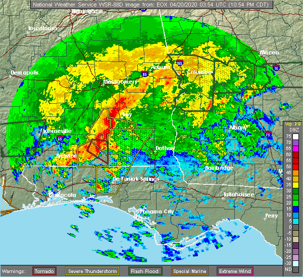 At 1055 pm cdt, severe thunderstorms capable of producing a tornado were located along a line extending from goshen to 11 miles south of andalusia, moving east at 65 mph (radar indicated rotation). Hazards include tornado. Flying debris will be dangerous to those caught without shelter. mobile homes will be damaged or destroyed. damage to roofs, windows, and vehicles will occur. tree damage is likely. These tornadic storms will remain over mainly rural areas of northwestern dale and coffee counties, including the following locations, mixons crossroads, curtis, carl folsom a/p, gerald, central city, camp humming hills, clintonville, roeton, camp alaflo bsa and arcus. At 1055 pm cdt, severe thunderstorms capable of producing a tornado were located along a line extending from goshen to 11 miles south of andalusia, moving east at 65 mph (radar indicated rotation). Hazards include tornado. Flying debris will be dangerous to those caught without shelter. mobile homes will be damaged or destroyed. damage to roofs, windows, and vehicles will occur. tree damage is likely. These tornadic storms will remain over mainly rural areas of northwestern dale and coffee counties, including the following locations, mixons crossroads, curtis, carl folsom a/p, gerald, central city, camp humming hills, clintonville, roeton, camp alaflo bsa and arcus.
|
| 4/19/2020 10:47 PM CDT |
 At 1046 pm cdt, severe thunderstorms were located along a line extending from near grady to 14 miles east of riverview, moving east at 45 mph (radar indicated). Hazards include 70 mph wind gusts. Expect considerable tree damage. damage is likely to mobile homes, roofs, and outbuildings. Locations impacted include, daleville, elba, de funiak springs, geneva, enterprise, fort rucker, ozark, level plains, samson, newton, new brockton, ariton, eglin air force base, lee, union, liberty, paxton, ponce de leon, clayhatchee and kinston. At 1046 pm cdt, severe thunderstorms were located along a line extending from near grady to 14 miles east of riverview, moving east at 45 mph (radar indicated). Hazards include 70 mph wind gusts. Expect considerable tree damage. damage is likely to mobile homes, roofs, and outbuildings. Locations impacted include, daleville, elba, de funiak springs, geneva, enterprise, fort rucker, ozark, level plains, samson, newton, new brockton, ariton, eglin air force base, lee, union, liberty, paxton, ponce de leon, clayhatchee and kinston.
|
| 4/19/2020 10:36 PM CDT |
 At 1036 pm cdt, severe thunderstorms were located along a line extending from lapine to 8 miles east of east brewton, moving east at 45 mph (radar indicated). Hazards include 60 mph wind gusts. expect damage to roofs, siding, and trees At 1036 pm cdt, severe thunderstorms were located along a line extending from lapine to 8 miles east of east brewton, moving east at 45 mph (radar indicated). Hazards include 60 mph wind gusts. expect damage to roofs, siding, and trees
|
| 4/13/2020 1:46 AM CDT |
 At 146 am cdt, severe thunderstorms were located along a line extending from near doster to 8 miles southwest of samson, moving east at 40 mph (radar indicated). Hazards include 60 mph wind gusts. Expect damage to roofs, siding, and trees. Locations impacted include, daleville, elba, geneva, enterprise, fort rucker, ozark, hartford, level plains, samson, newton, new brockton, ariton, clayhatchee, kinston, coffee springs, black, mixons crossroads, kellys crossroads, hunt field and waterford. At 146 am cdt, severe thunderstorms were located along a line extending from near doster to 8 miles southwest of samson, moving east at 40 mph (radar indicated). Hazards include 60 mph wind gusts. Expect damage to roofs, siding, and trees. Locations impacted include, daleville, elba, geneva, enterprise, fort rucker, ozark, hartford, level plains, samson, newton, new brockton, ariton, clayhatchee, kinston, coffee springs, black, mixons crossroads, kellys crossroads, hunt field and waterford.
|
| 4/13/2020 1:21 AM CDT |
 At 121 am cdt, severe thunderstorms were located along a line extending from 7 miles southwest of antioch to near lockhart, moving east at 65 mph (radar indicated). Hazards include 60 mph wind gusts. expect damage to roofs, siding, and trees At 121 am cdt, severe thunderstorms were located along a line extending from 7 miles southwest of antioch to near lockhart, moving east at 65 mph (radar indicated). Hazards include 60 mph wind gusts. expect damage to roofs, siding, and trees
|
| 4/13/2020 12:42 AM CDT |
 At 1241 am cdt, severe thunderstorms were located along a line extending from near ariton to 6 miles southwest of samson, moving east at 35 mph. other strong storms west of the area may intensify over the next hour as they move into the area (radar indicated). Hazards include 60 mph wind gusts. Expect damage to roofs, siding, and trees. Locations impacted include, daleville, elba, geneva, enterprise, fort rucker, ozark, level plains, samson, new brockton, ariton, lee, clayhatchee, kinston, coffee springs, carl folsom a/p, hooper stage field, gerald, camp humming hills, cairns aaf and camp alaflo bsa. At 1241 am cdt, severe thunderstorms were located along a line extending from near ariton to 6 miles southwest of samson, moving east at 35 mph. other strong storms west of the area may intensify over the next hour as they move into the area (radar indicated). Hazards include 60 mph wind gusts. Expect damage to roofs, siding, and trees. Locations impacted include, daleville, elba, geneva, enterprise, fort rucker, ozark, level plains, samson, new brockton, ariton, lee, clayhatchee, kinston, coffee springs, carl folsom a/p, hooper stage field, gerald, camp humming hills, cairns aaf and camp alaflo bsa.
|
| 4/13/2020 12:04 AM CDT |
 At 1203 am cdt, a severe thunderstorm was located 9 miles southwest of new brockton, or 9 miles south of elba, moving northeast at 60 mph. other strong storms are expected to intensify west of the area and move into the area over the next hour (radar indicated). Hazards include 60 mph wind gusts. expect damage to roofs, siding, and trees At 1203 am cdt, a severe thunderstorm was located 9 miles southwest of new brockton, or 9 miles south of elba, moving northeast at 60 mph. other strong storms are expected to intensify west of the area and move into the area over the next hour (radar indicated). Hazards include 60 mph wind gusts. expect damage to roofs, siding, and trees
|
| 3/31/2020 11:08 AM CDT |
 At 1207 pm edt/1107 am cdt/, severe thunderstorms were located along a line extending from near clayton to 6 miles north of new brockton to 8 miles south of andalusia, moving east at 60 mph (radar indicated). Hazards include 60 mph wind gusts. expect damage to roofs, siding, and trees At 1207 pm edt/1107 am cdt/, severe thunderstorms were located along a line extending from near clayton to 6 miles north of new brockton to 8 miles south of andalusia, moving east at 60 mph (radar indicated). Hazards include 60 mph wind gusts. expect damage to roofs, siding, and trees
|
| 3/5/2020 4:27 AM CST |
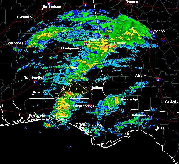 At 426 am cst, a severe thunderstorm was located over samson, or 11 miles northwest of geneva, moving northeast at 55 mph (radar indicated). Hazards include half dollar size hail. Damage to vehicles is expected. Locations impacted include, daleville, elba, enterprise, fort rucker, level plains, samson, new brockton, clayhatchee, kinston, coffee springs, chancellor, mixons crossroads, knox field, lucile, gerald, marl, ino, turner crossroads, central city and logan field municipal a/p. At 426 am cst, a severe thunderstorm was located over samson, or 11 miles northwest of geneva, moving northeast at 55 mph (radar indicated). Hazards include half dollar size hail. Damage to vehicles is expected. Locations impacted include, daleville, elba, enterprise, fort rucker, level plains, samson, new brockton, clayhatchee, kinston, coffee springs, chancellor, mixons crossroads, knox field, lucile, gerald, marl, ino, turner crossroads, central city and logan field municipal a/p.
|
| 3/5/2020 4:14 AM CST |
 At 413 am cst, a severe thunderstorm was located 7 miles east of florala, moving northeast at 55 mph (radar indicated). Hazards include quarter size hail. damage to vehicles is expected At 413 am cst, a severe thunderstorm was located 7 miles east of florala, moving northeast at 55 mph (radar indicated). Hazards include quarter size hail. damage to vehicles is expected
|
| 1/11/2020 3:47 PM CST | Coffee county reporting trees across the road on hwy 5 in geneva county AL, 6.3 miles NNW of Kinston, AL |
| 1/11/2020 3:47 PM CST | Coffee county reporting trees across the road on hwy 5 in coffee county AL, 0.3 miles SE of Kinston, AL |
| 1/11/2020 3:42 PM CST |
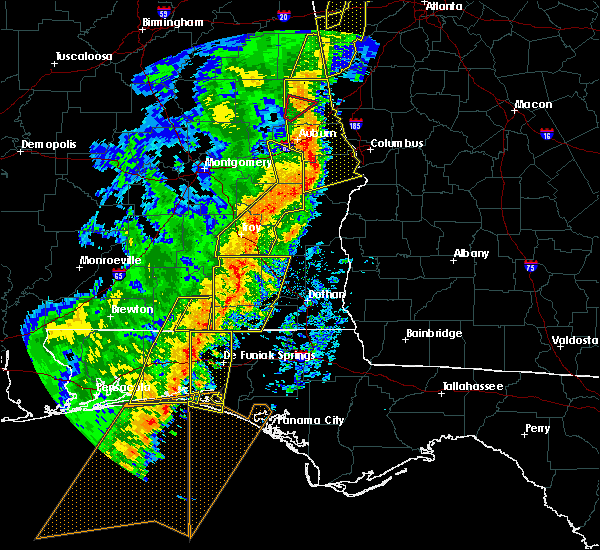 At 342 pm cst, severe thunderstorms were located along a line extending from near brundidge to 9 miles east of florala, moving east at 40 mph (radar indicated). Hazards include 60 mph wind gusts. Expect damage to roofs, siding, and trees. Locations impacted include, daleville, elba, geneva, enterprise, fort rucker, ozark, level plains, samson, new brockton, ariton, lee, clayhatchee, kinston, coffee springs, mixons crossroads, kellys crossroads, hunt field, curtis, carl folsom a/p and hooper stage field. At 342 pm cst, severe thunderstorms were located along a line extending from near brundidge to 9 miles east of florala, moving east at 40 mph (radar indicated). Hazards include 60 mph wind gusts. Expect damage to roofs, siding, and trees. Locations impacted include, daleville, elba, geneva, enterprise, fort rucker, ozark, level plains, samson, new brockton, ariton, lee, clayhatchee, kinston, coffee springs, mixons crossroads, kellys crossroads, hunt field, curtis, carl folsom a/p and hooper stage field.
|
| 1/11/2020 3:28 PM CST |
 At 328 pm cst, severe thunderstorms were located along a line extending from troy university to florala, moving east at 35 mph (radar indicated). Hazards include 60 mph wind gusts. Expect damage to roofs, siding, and trees. Locations impacted include, daleville, elba, geneva, enterprise, fort rucker, ozark, level plains, samson, new brockton, ariton, lee, clayhatchee, kinston, coffee springs, carl folsom a/p, hooper stage field, gerald, camp humming hills, cairns aaf and camp alaflo bsa. At 328 pm cst, severe thunderstorms were located along a line extending from troy university to florala, moving east at 35 mph (radar indicated). Hazards include 60 mph wind gusts. Expect damage to roofs, siding, and trees. Locations impacted include, daleville, elba, geneva, enterprise, fort rucker, ozark, level plains, samson, new brockton, ariton, lee, clayhatchee, kinston, coffee springs, carl folsom a/p, hooper stage field, gerald, camp humming hills, cairns aaf and camp alaflo bsa.
|
| 1/11/2020 2:49 PM CST |
 At 248 pm cst, severe thunderstorms were located along a line extending from near rutledge to 12 miles west of laurel hill, moving east at 40 mph (radar indicated). Hazards include 60 mph wind gusts. expect damage to roofs, siding, and trees At 248 pm cst, severe thunderstorms were located along a line extending from near rutledge to 12 miles west of laurel hill, moving east at 40 mph (radar indicated). Hazards include 60 mph wind gusts. expect damage to roofs, siding, and trees
|
| 12/17/2019 2:51 AM CST |
 The severe thunderstorm warning for southern coffee and northwestern geneva counties will expire at 300 am cst, the storm which prompted the warning has weakened below severe limits, and no longer poses an immediate threat to life or property. therefore, the warning will be allowed to expire. this storm is still a strong storm and another warning may be needed downstream. The severe thunderstorm warning for southern coffee and northwestern geneva counties will expire at 300 am cst, the storm which prompted the warning has weakened below severe limits, and no longer poses an immediate threat to life or property. therefore, the warning will be allowed to expire. this storm is still a strong storm and another warning may be needed downstream.
|
| 12/17/2019 2:28 AM CST |
 At 227 am cst, a severe thunderstorm was located 8 miles southwest of new brockton, or 9 miles south of elba, moving northeast at 25 mph. the highest wind speeds are just now moving into northwest geneva county and southwest coffee county. damaging wind gusts are still possible within the warning (radar indicated). Hazards include 60 mph wind gusts. Expect damage to roofs, siding, and trees. Locations impacted include, enterprise, samson, new brockton, kinston, coffee springs, chancellor, perry store, lucile, ino, turner crossroads, central city, logan field municipal a/p, clintonville, goodman, enterprise municipal a/p, earlytown, hacoda, spears, pera and alberton. At 227 am cst, a severe thunderstorm was located 8 miles southwest of new brockton, or 9 miles south of elba, moving northeast at 25 mph. the highest wind speeds are just now moving into northwest geneva county and southwest coffee county. damaging wind gusts are still possible within the warning (radar indicated). Hazards include 60 mph wind gusts. Expect damage to roofs, siding, and trees. Locations impacted include, enterprise, samson, new brockton, kinston, coffee springs, chancellor, perry store, lucile, ino, turner crossroads, central city, logan field municipal a/p, clintonville, goodman, enterprise municipal a/p, earlytown, hacoda, spears, pera and alberton.
|
| 12/17/2019 2:04 AM CST |
 At 204 am cst, a severe thunderstorm was located 9 miles south of opp, moving northeast at 25 mph (radar indicated). Hazards include 60 mph wind gusts. expect damage to roofs, siding, and trees At 204 am cst, a severe thunderstorm was located 9 miles south of opp, moving northeast at 25 mph (radar indicated). Hazards include 60 mph wind gusts. expect damage to roofs, siding, and trees
|
| 7/9/2019 5:18 PM CDT |
 At 517 pm cdt, severe thunderstorms were located along a line extending from near opp to near samson to near geneva, moving southwest at 30 mph (radar indicated). Hazards include 60 mph wind gusts. Expect damage to roofs, siding, and trees. Locations impacted include, daleville, geneva, enterprise, hartford, samson, clayhatchee, kinston, coffee springs, black, chancellor, perry store, kellys crossroads, lytle, lucile, marl, ino, central city, logan field municipal a/p, geneva municipal a/p and hendrix crossroad. At 517 pm cdt, severe thunderstorms were located along a line extending from near opp to near samson to near geneva, moving southwest at 30 mph (radar indicated). Hazards include 60 mph wind gusts. Expect damage to roofs, siding, and trees. Locations impacted include, daleville, geneva, enterprise, hartford, samson, clayhatchee, kinston, coffee springs, black, chancellor, perry store, kellys crossroads, lytle, lucile, marl, ino, central city, logan field municipal a/p, geneva municipal a/p and hendrix crossroad.
|
| 7/9/2019 4:52 PM CDT |
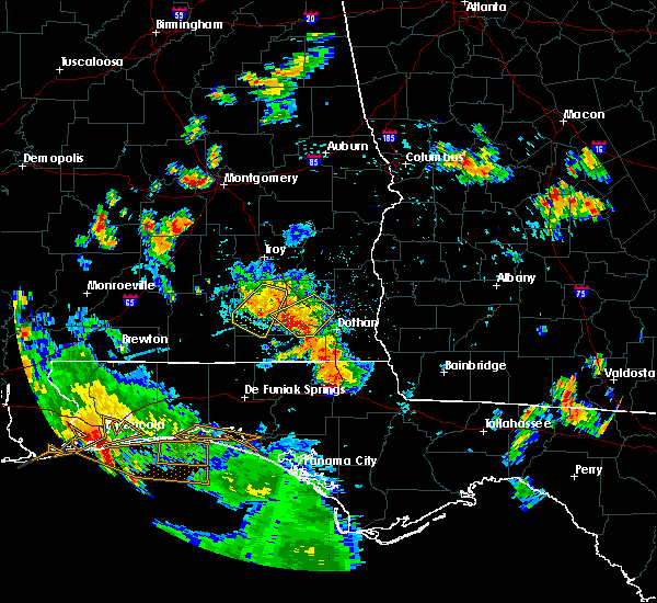 At 452 pm cdt, severe thunderstorms were located along a line extending from near new brockton to near enterprise to near daleville, moving southwest at 30 mph (radar indicated). Hazards include 60 mph wind gusts. expect damage to roofs, siding, and trees At 452 pm cdt, severe thunderstorms were located along a line extending from near new brockton to near enterprise to near daleville, moving southwest at 30 mph (radar indicated). Hazards include 60 mph wind gusts. expect damage to roofs, siding, and trees
|
| 5/12/2019 9:33 AM CDT |
 At 932 am cdt, a severe thunderstorm was located near opp, moving east at 40 mph (radar indicated). Hazards include 60 mph wind gusts. expect damage to roofs, siding, and trees At 932 am cdt, a severe thunderstorm was located near opp, moving east at 40 mph (radar indicated). Hazards include 60 mph wind gusts. expect damage to roofs, siding, and trees
|
| 5/4/2019 5:07 PM CDT |
 At 506 pm cdt, severe thunderstorms were located along a line extending from near elba to 7 miles west of samson, moving northeast at 50 mph (radar indicated). Hazards include 60 mph wind gusts. expect damage to roofs, siding, and trees At 506 pm cdt, severe thunderstorms were located along a line extending from near elba to 7 miles west of samson, moving northeast at 50 mph (radar indicated). Hazards include 60 mph wind gusts. expect damage to roofs, siding, and trees
|
| 3/3/2019 3:53 PM CST |
 At 453 pm est/353 pm cst/, severe thunderstorms were located along a line extending from near texasville to near opp, moving southeast at 50 mph (radar indicated). Hazards include 60 mph wind gusts. expect damage to roofs, siding, and trees At 453 pm est/353 pm cst/, severe thunderstorms were located along a line extending from near texasville to near opp, moving southeast at 50 mph (radar indicated). Hazards include 60 mph wind gusts. expect damage to roofs, siding, and trees
|
| 3/3/2019 3:12 PM CST |
 At 312 pm cst, severe thunderstorms were located along a line extending from near banks to 10 miles southwest of red level, moving southeast at 30 mph (radar indicated). Hazards include 60 mph wind gusts and nickel size hail. expect damage to roofs, siding, and trees At 312 pm cst, severe thunderstorms were located along a line extending from near banks to 10 miles southwest of red level, moving southeast at 30 mph (radar indicated). Hazards include 60 mph wind gusts and nickel size hail. expect damage to roofs, siding, and trees
|
| 1/23/2019 6:44 PM CST |
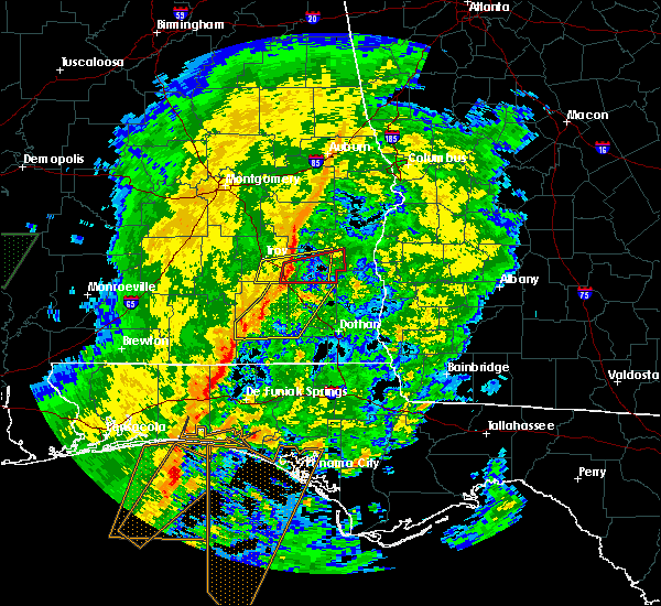 At 644 pm cst, severe thunderstorms were located along a line extending from near brundidge to 7 miles southeast of opp, moving east at 40 mph (radar indicated). Hazards include 60 mph wind gusts. Expect damage to roofs, siding, and trees. Locations impacted include, daleville, elba, enterprise, fort rucker, ozark, level plains, newton, new brockton, ariton, clayhatchee, kinston, mixons crossroads, hunt field, waterford, carl folsom a/p, hooper stage field, gerald, central city, camp humming hills and clintonville. At 644 pm cst, severe thunderstorms were located along a line extending from near brundidge to 7 miles southeast of opp, moving east at 40 mph (radar indicated). Hazards include 60 mph wind gusts. Expect damage to roofs, siding, and trees. Locations impacted include, daleville, elba, enterprise, fort rucker, ozark, level plains, newton, new brockton, ariton, clayhatchee, kinston, mixons crossroads, hunt field, waterford, carl folsom a/p, hooper stage field, gerald, central city, camp humming hills and clintonville.
|
| 1/23/2019 6:23 PM CST |
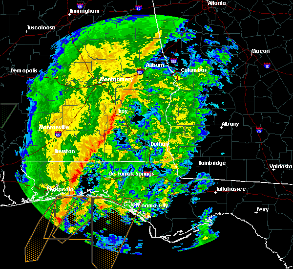 At 622 pm cst, severe thunderstorms were located along a line extending from 7 miles southeast of glenwood to near opp, moving northeast at 55 mph (radar indicated). Hazards include 60 mph wind gusts. expect damage to roofs, siding, and trees At 622 pm cst, severe thunderstorms were located along a line extending from 7 miles southeast of glenwood to near opp, moving northeast at 55 mph (radar indicated). Hazards include 60 mph wind gusts. expect damage to roofs, siding, and trees
|
| 1/19/2019 4:51 PM CST |
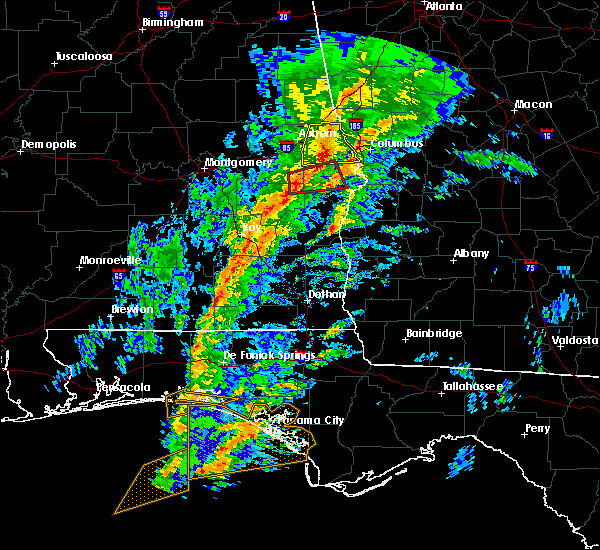 At 451 pm cst, severe thunderstorms were located along a line extending from 6 miles southwest of antioch to near florala, moving northeast at 40 mph (radar indicated). Hazards include 60 mph wind gusts. expect damage to roofs, siding, and trees At 451 pm cst, severe thunderstorms were located along a line extending from 6 miles southwest of antioch to near florala, moving northeast at 40 mph (radar indicated). Hazards include 60 mph wind gusts. expect damage to roofs, siding, and trees
|
| 11/1/2018 10:24 AM CDT |
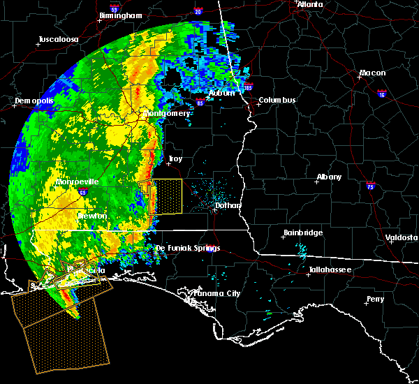 At 1024 am cdt, severe thunderstorms were located along a line extending from 6 miles south of glenwood to 7 miles southeast of opp, moving northeast at 45 mph (radar indicated). Hazards include 60 mph wind gusts. expect damage to roofs, siding, and trees At 1024 am cdt, severe thunderstorms were located along a line extending from 6 miles south of glenwood to 7 miles southeast of opp, moving northeast at 45 mph (radar indicated). Hazards include 60 mph wind gusts. expect damage to roofs, siding, and trees
|
| 8/10/2018 6:28 PM CDT | Tree down on county road 47 in coffee county AL, 1 miles WSW of Kinston, AL |
| 8/10/2018 6:20 PM CDT |
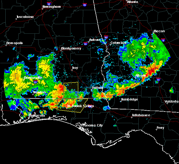 At 620 pm cdt, severe thunderstorms were located along a line extending from near opp to near florala, moving east at 40 mph (radar indicated). Hazards include 60 mph wind gusts. expect damage to roofs, siding, and trees At 620 pm cdt, severe thunderstorms were located along a line extending from near opp to near florala, moving east at 40 mph (radar indicated). Hazards include 60 mph wind gusts. expect damage to roofs, siding, and trees
|
| 7/22/2018 1:07 PM CDT |
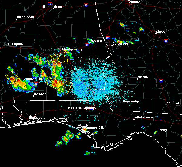 At 106 pm cdt, a severe thunderstorm was located near gantt, or 11 miles north of andalusia, moving southeast at 35 mph (radar indicated). Hazards include 60 mph wind gusts and quarter size hail. Hail damage to vehicles is expected. Expect wind damage to roofs, siding, and trees. At 106 pm cdt, a severe thunderstorm was located near gantt, or 11 miles north of andalusia, moving southeast at 35 mph (radar indicated). Hazards include 60 mph wind gusts and quarter size hail. Hail damage to vehicles is expected. Expect wind damage to roofs, siding, and trees.
|
| 6/28/2018 5:42 PM CDT |
 At 642 pm edt/542 pm cdt/, doppler radar indicated a line of severe thunderstorms capable of producing damaging winds in excess of 60 mph. these storms were located along a line extending from near richards crossroads to near ozark to 6 miles west of elba, and moving southeast at 30 mph. At 642 pm edt/542 pm cdt/, doppler radar indicated a line of severe thunderstorms capable of producing damaging winds in excess of 60 mph. these storms were located along a line extending from near richards crossroads to near ozark to 6 miles west of elba, and moving southeast at 30 mph.
|
| 6/9/2018 4:22 PM CDT |
 At 422 pm cdt, a severe thunderstorm was located near new brockton, or near elba, and is nearly stationary (radar indicated). Hazards include 60 mph wind gusts and penny size hail. expect damage to roofs, siding, and trees At 422 pm cdt, a severe thunderstorm was located near new brockton, or near elba, and is nearly stationary (radar indicated). Hazards include 60 mph wind gusts and penny size hail. expect damage to roofs, siding, and trees
|
| 5/17/2018 5:52 PM CDT |
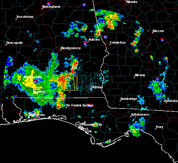 At 551 pm cdt, a severe thunderstorm was located near elba, moving east at 30 mph (radar indicated). Hazards include 60 mph wind gusts. expect damage to roofs, siding, and trees At 551 pm cdt, a severe thunderstorm was located near elba, moving east at 30 mph (radar indicated). Hazards include 60 mph wind gusts. expect damage to roofs, siding, and trees
|
| 5/17/2018 5:36 PM CDT |
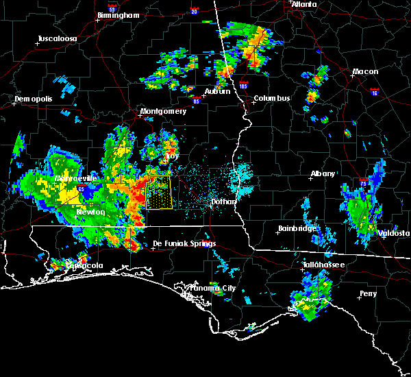 At 536 pm cdt, a severe thunderstorm was located near opp, moving east at 30 mph (radar indicated). Hazards include 60 mph wind gusts. expect damage to roofs, siding, and trees At 536 pm cdt, a severe thunderstorm was located near opp, moving east at 30 mph (radar indicated). Hazards include 60 mph wind gusts. expect damage to roofs, siding, and trees
|
| 6/30/2017 8:39 AM CDT |
 At 139 pm cdt, a severe thunderstorm was located over samson, or 11 miles northwest of geneva, moving east at 30 mph (radar indicated). Hazards include 60 mph wind gusts. expect damage to roofs, siding, and trees At 139 pm cdt, a severe thunderstorm was located over samson, or 11 miles northwest of geneva, moving east at 30 mph (radar indicated). Hazards include 60 mph wind gusts. expect damage to roofs, siding, and trees
|
| 5/23/2017 8:50 AM CDT |
 At 850 am cdt, a severe thunderstorm capable of producing a tornado was located near opp, moving northeast at 40 mph (radar indicated rotation). Hazards include tornado. Flying debris will be dangerous to those caught without shelter. mobile homes will be damaged or destroyed. damage to roofs, windows, and vehicles will occur. tree damage is likely. this dangerous storm will be near, elba around 910 am cdt. new brockton around 915 am cdt. Other locations impacted by this tornadic thunderstorm include alberton, richburg, mixons crossroads, perry store, county line, estothel, rhoades, ino, turner crossroads and clintonville. At 850 am cdt, a severe thunderstorm capable of producing a tornado was located near opp, moving northeast at 40 mph (radar indicated rotation). Hazards include tornado. Flying debris will be dangerous to those caught without shelter. mobile homes will be damaged or destroyed. damage to roofs, windows, and vehicles will occur. tree damage is likely. this dangerous storm will be near, elba around 910 am cdt. new brockton around 915 am cdt. Other locations impacted by this tornadic thunderstorm include alberton, richburg, mixons crossroads, perry store, county line, estothel, rhoades, ino, turner crossroads and clintonville.
|
| 5/23/2017 8:34 AM CDT |
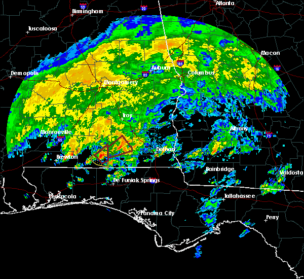 At 834 am cdt, a severe thunderstorm capable of producing a tornado was located 7 miles south of opp, moving northeast at 40 mph (radar indicated rotation). Hazards include tornado. Flying debris will be dangerous to those caught without shelter. mobile homes will be damaged or destroyed. damage to roofs, windows, and vehicles will occur. tree damage is likely. this dangerous storm will be near, elba around 905 am cdt. new brockton around 915 am cdt. Other locations impacted by this tornadic thunderstorm include alberton, richburg, perry store, carl folsom a/p, county line, lucile, rhoades, ino, turner crossroads and central city. At 834 am cdt, a severe thunderstorm capable of producing a tornado was located 7 miles south of opp, moving northeast at 40 mph (radar indicated rotation). Hazards include tornado. Flying debris will be dangerous to those caught without shelter. mobile homes will be damaged or destroyed. damage to roofs, windows, and vehicles will occur. tree damage is likely. this dangerous storm will be near, elba around 905 am cdt. new brockton around 915 am cdt. Other locations impacted by this tornadic thunderstorm include alberton, richburg, perry store, carl folsom a/p, county line, lucile, rhoades, ino, turner crossroads and central city.
|
| 5/21/2017 12:11 AM CDT |
 The severe thunderstorm warning for western dale, coffee and western geneva counties will expire at 1215 am cdt, the storms which prompted the warning have weakened below severe limits, and no longer pose an immediate threat to life or property. therefore the warning will be allowed to expire. however gusty winds are still possible with these thunderstorms. The severe thunderstorm warning for western dale, coffee and western geneva counties will expire at 1215 am cdt, the storms which prompted the warning have weakened below severe limits, and no longer pose an immediate threat to life or property. therefore the warning will be allowed to expire. however gusty winds are still possible with these thunderstorms.
|
| 5/20/2017 11:51 PM CDT |
 At 1151 pm cdt, severe thunderstorms were located along a line extending from near blue springs state park to near enterprise to near samson, moving east at 30 mph (radar indicated). Hazards include 60 mph wind gusts and penny size hail. Expect damage to roofs, siding, and trees. Locations impacted include, daleville, elba, geneva, enterprise, fort rucker, ozark, level plains, samson, new brockton, ariton, lee, clayhatchee, kinston, coffee springs, mixons crossroads, curtis, carl folsom a/p, hooper stage field, gerald and central city. At 1151 pm cdt, severe thunderstorms were located along a line extending from near blue springs state park to near enterprise to near samson, moving east at 30 mph (radar indicated). Hazards include 60 mph wind gusts and penny size hail. Expect damage to roofs, siding, and trees. Locations impacted include, daleville, elba, geneva, enterprise, fort rucker, ozark, level plains, samson, new brockton, ariton, lee, clayhatchee, kinston, coffee springs, mixons crossroads, curtis, carl folsom a/p, hooper stage field, gerald and central city.
|
| 5/20/2017 11:14 PM CDT |
 At 1114 pm cdt, a severe thunderstorm was located 7 miles south of elba, moving east at 35 mph (radar indicated). Hazards include 60 mph wind gusts and penny size hail. expect damage to roofs, siding, and trees At 1114 pm cdt, a severe thunderstorm was located 7 miles south of elba, moving east at 35 mph (radar indicated). Hazards include 60 mph wind gusts and penny size hail. expect damage to roofs, siding, and trees
|
| 4/3/2017 10:32 AM CDT |
 At 1032 am cdt, severe thunderstorms were located along a line extending from near enterprise to 12 miles south of samson to shalimar, moving east at 40 mph (radar indicated). Hazards include 60 mph wind gusts and nickel size hail. Expect damage to roofs, siding, and trees. locations impacted include, daleville, elba, santa rosa beach, de funiak springs, geneva, enterprise, fort rucker, dothan, hartford, midland city, level plains, slocomb, samson, new brockton, pinckard, eglin air force base, lee, union, liberty and live oak. A tornado watch remains in effect until 100 pm cdt for southeastern alabama, and the panhandle of florida. At 1032 am cdt, severe thunderstorms were located along a line extending from near enterprise to 12 miles south of samson to shalimar, moving east at 40 mph (radar indicated). Hazards include 60 mph wind gusts and nickel size hail. Expect damage to roofs, siding, and trees. locations impacted include, daleville, elba, santa rosa beach, de funiak springs, geneva, enterprise, fort rucker, dothan, hartford, midland city, level plains, slocomb, samson, new brockton, pinckard, eglin air force base, lee, union, liberty and live oak. A tornado watch remains in effect until 100 pm cdt for southeastern alabama, and the panhandle of florida.
|
| 4/3/2017 9:59 AM CDT |
 At 958 am cdt, severe thunderstorms were located along a line extending from 7 miles southeast of dozier to lockhart to 7 miles west of wright, moving east at 30 mph (radar indicated). Hazards include 60 mph wind gusts and nickel size hail. expect damage to roofs, siding, and trees At 958 am cdt, severe thunderstorms were located along a line extending from 7 miles southeast of dozier to lockhart to 7 miles west of wright, moving east at 30 mph (radar indicated). Hazards include 60 mph wind gusts and nickel size hail. expect damage to roofs, siding, and trees
|
| 4/3/2017 9:41 AM CDT |
 At 940 am cdt, severe thunderstorms were located along a line extending from near brundidge to near enterprise to near baker, moving east at 25 mph (radar indicated). Hazards include 60 mph wind gusts and nickel size hail. Expect damage to roofs, siding, and trees. locations impacted include, daleville, elba, geneva, enterprise, fort rucker, ozark, dothan, hartford, midland city, level plains, samson, newton, new brockton, ariton, pinckard, eglin air force base, lee, liberty, paxton and clayhatchee. A tornado watch remains in effect until 100 pm cdt for southeastern alabama, and the panhandle of florida. At 940 am cdt, severe thunderstorms were located along a line extending from near brundidge to near enterprise to near baker, moving east at 25 mph (radar indicated). Hazards include 60 mph wind gusts and nickel size hail. Expect damage to roofs, siding, and trees. locations impacted include, daleville, elba, geneva, enterprise, fort rucker, ozark, dothan, hartford, midland city, level plains, samson, newton, new brockton, ariton, pinckard, eglin air force base, lee, liberty, paxton and clayhatchee. A tornado watch remains in effect until 100 pm cdt for southeastern alabama, and the panhandle of florida.
|
| 4/3/2017 9:01 AM CDT |
 At 900 am cdt, severe thunderstorms were located along a line extending from near luverne to 8 miles southwest of opp to 10 miles north of roeville, moving east at 30 mph (radar indicated). Hazards include 60 mph wind gusts and nickel size hail. expect damage to roofs, siding, and trees At 900 am cdt, severe thunderstorms were located along a line extending from near luverne to 8 miles southwest of opp to 10 miles north of roeville, moving east at 30 mph (radar indicated). Hazards include 60 mph wind gusts and nickel size hail. expect damage to roofs, siding, and trees
|
| 1/22/2017 11:22 AM CST |
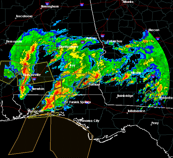 At 1122 am cst, severe thunderstorms were located along a line extending from near opp to near laurel hill, moving northeast at 50 mph (radar indicated). Hazards include 60 mph wind gusts and penny size hail. expect damage to roofs, siding, and trees At 1122 am cst, severe thunderstorms were located along a line extending from near opp to near laurel hill, moving northeast at 50 mph (radar indicated). Hazards include 60 mph wind gusts and penny size hail. expect damage to roofs, siding, and trees
|
| 1/21/2017 9:18 PM CST |
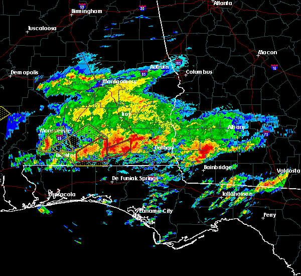 At 918 pm cst, a severe thunderstorm capable of producing a tornado was located near opp, moving northeast at 45 mph (radar indicated rotation). Hazards include tornado. Flying debris will be dangerous to those caught without shelter. mobile homes will be damaged or destroyed. damage to roofs, windows, and vehicles will occur. tree damage is likely. this dangerous storm will be near, enterprise and new brockton around 950 pm cst. fort rucker around 1000 pm cst. Other locations impacted by this tornadic thunderstorm include clintonville, coppinville, rhoades, keyton, perry store, battens crossroads, estothel, central city, marvin chapel and enterprise municipal a/p. At 918 pm cst, a severe thunderstorm capable of producing a tornado was located near opp, moving northeast at 45 mph (radar indicated rotation). Hazards include tornado. Flying debris will be dangerous to those caught without shelter. mobile homes will be damaged or destroyed. damage to roofs, windows, and vehicles will occur. tree damage is likely. this dangerous storm will be near, enterprise and new brockton around 950 pm cst. fort rucker around 1000 pm cst. Other locations impacted by this tornadic thunderstorm include clintonville, coppinville, rhoades, keyton, perry store, battens crossroads, estothel, central city, marvin chapel and enterprise municipal a/p.
|
| 1/21/2017 8:58 AM CST |
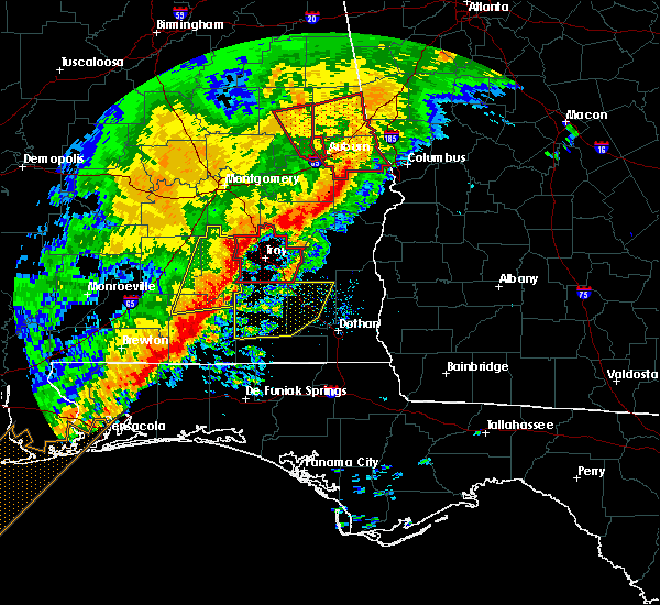 At 857 am cst, severe thunderstorms were located along a line extending from troy municipal airport to 8 miles north of laurel hill, moving east at 50 mph (radar indicated). Hazards include 60 mph wind gusts. expect damage to roofs, siding, and trees At 857 am cst, severe thunderstorms were located along a line extending from troy municipal airport to 8 miles north of laurel hill, moving east at 50 mph (radar indicated). Hazards include 60 mph wind gusts. expect damage to roofs, siding, and trees
|
| 1/2/2017 6:25 PM CST |
 At 624 pm cst, severe thunderstorms were located along a line extending from near heath to near crestview to navarre beach, moving southeast at 50 mph (radar indicated). Hazards include 70 mph wind gusts. Expect considerable tree damage. Damage is likely to mobile homes, roofs, and outbuildings. At 624 pm cst, severe thunderstorms were located along a line extending from near heath to near crestview to navarre beach, moving southeast at 50 mph (radar indicated). Hazards include 70 mph wind gusts. Expect considerable tree damage. Damage is likely to mobile homes, roofs, and outbuildings.
|
| 11/30/2016 2:42 PM CST |
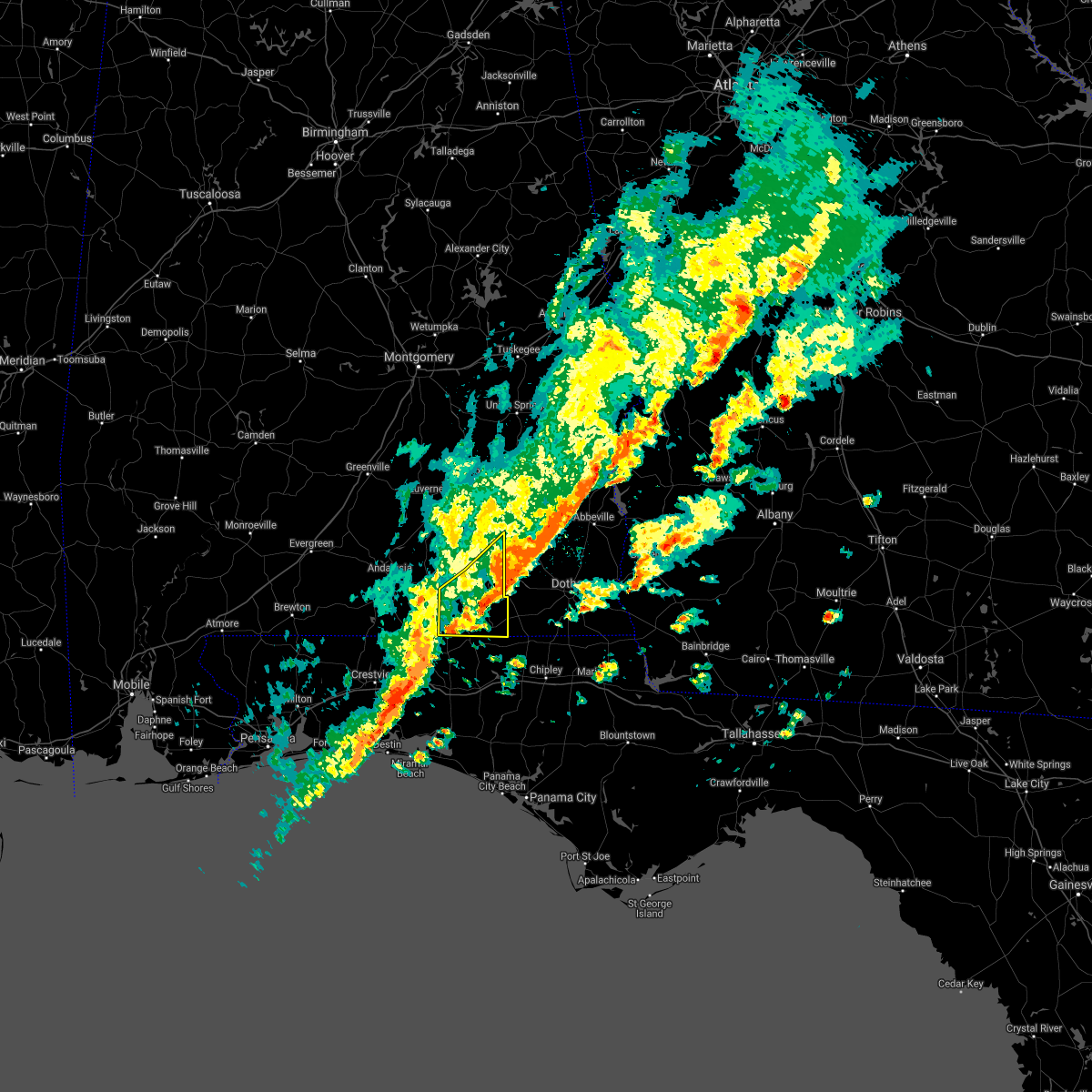 The severe thunderstorm warning for southern coffee and western geneva counties will expire at 245 pm cst, the storms which prompted the warning have weakened below severe limits, and no longer pose an immediate threat to life or property. therefore the warning will be allowed to expire. a tornado watch remains in effect until 500 pm cst for southeastern alabama, and the panhandle of florida. to report severe weather, contact your nearest law enforcement agency. they will relay your report to the national weather service tallahassee. The severe thunderstorm warning for southern coffee and western geneva counties will expire at 245 pm cst, the storms which prompted the warning have weakened below severe limits, and no longer pose an immediate threat to life or property. therefore the warning will be allowed to expire. a tornado watch remains in effect until 500 pm cst for southeastern alabama, and the panhandle of florida. to report severe weather, contact your nearest law enforcement agency. they will relay your report to the national weather service tallahassee.
|
| 11/30/2016 2:23 PM CST |
 At 223 pm cst, severe thunderstorms were located along a line extending from near fort rucker to near samson, moving east at 40 mph (radar indicated). Hazards include 60 mph wind gusts. Expect damage to roofs. siding. and trees. locations impacted include, geneva, enterprise, fort rucker, samson, new brockton, kinston, coffee springs, clintonville, somerset, coppinville, pera, lytle, battens crossroads, central city, sellersville, enterprise municipal a/p, marl, eunola, camp alaflo bsa and turner crossroads. A tornado watch remains in effect until 500 pm cst for southeastern alabama, and the panhandle of florida. At 223 pm cst, severe thunderstorms were located along a line extending from near fort rucker to near samson, moving east at 40 mph (radar indicated). Hazards include 60 mph wind gusts. Expect damage to roofs. siding. and trees. locations impacted include, geneva, enterprise, fort rucker, samson, new brockton, kinston, coffee springs, clintonville, somerset, coppinville, pera, lytle, battens crossroads, central city, sellersville, enterprise municipal a/p, marl, eunola, camp alaflo bsa and turner crossroads. A tornado watch remains in effect until 500 pm cst for southeastern alabama, and the panhandle of florida.
|
| 11/30/2016 2:19 PM CST |
 At 219 pm cst, severe thunderstorms were located along a line extending from near fort rucker to near samson, moving east at 35 mph (radar indicated). Hazards include 60 mph wind gusts. Expect damage to roofs. siding. and trees. locations impacted include, elba, geneva, enterprise, fort rucker, samson, new brockton, kinston, coffee springs, clintonville, somerset, battens crossroads, central city, sellersville, java, enterprise municipal a/p, camp alaflo bsa, turner crossroads, mixons crossroads, cool springs and ino. A tornado watch remains in effect until 500 pm cst for southeastern alabama, and the panhandle of florida. At 219 pm cst, severe thunderstorms were located along a line extending from near fort rucker to near samson, moving east at 35 mph (radar indicated). Hazards include 60 mph wind gusts. Expect damage to roofs. siding. and trees. locations impacted include, elba, geneva, enterprise, fort rucker, samson, new brockton, kinston, coffee springs, clintonville, somerset, battens crossroads, central city, sellersville, java, enterprise municipal a/p, camp alaflo bsa, turner crossroads, mixons crossroads, cool springs and ino. A tornado watch remains in effect until 500 pm cst for southeastern alabama, and the panhandle of florida.
|
| 11/30/2016 2:11 PM CST |
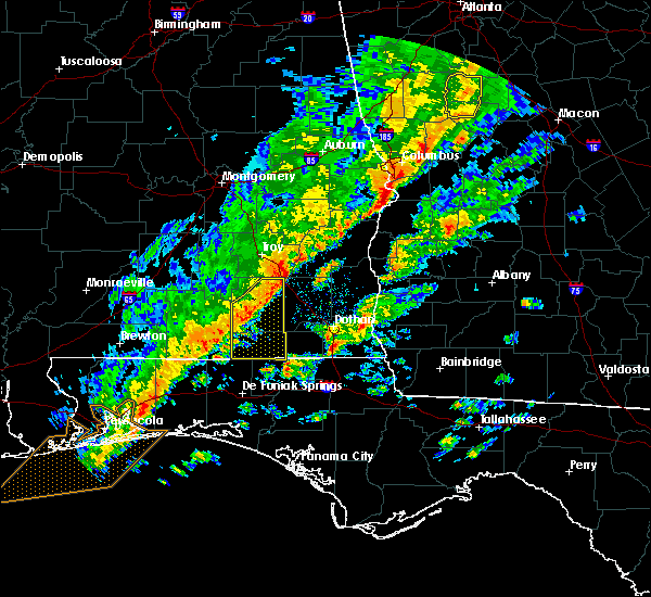 At 210 pm cst, severe thunderstorms were located along a line extending from near ariton to 8 miles northeast of florala, moving east at 45 mph (radar indicated). Hazards include 60 mph wind gusts. Expect damage to roofs. siding. and trees. locations impacted include, elba, geneva, enterprise, fort rucker, samson, new brockton, kinston, coffee springs, clintonville, somerset, battens crossroads, clowers crossroads, central city, sellersville, java, enterprise municipal a/p, camp alaflo bsa, turner crossroads, arcus and mixons crossroads. A tornado watch remains in effect until 500 pm cst for southeastern alabama, and the panhandle of florida. At 210 pm cst, severe thunderstorms were located along a line extending from near ariton to 8 miles northeast of florala, moving east at 45 mph (radar indicated). Hazards include 60 mph wind gusts. Expect damage to roofs. siding. and trees. locations impacted include, elba, geneva, enterprise, fort rucker, samson, new brockton, kinston, coffee springs, clintonville, somerset, battens crossroads, clowers crossroads, central city, sellersville, java, enterprise municipal a/p, camp alaflo bsa, turner crossroads, arcus and mixons crossroads. A tornado watch remains in effect until 500 pm cst for southeastern alabama, and the panhandle of florida.
|
| 11/30/2016 2:00 PM CST |
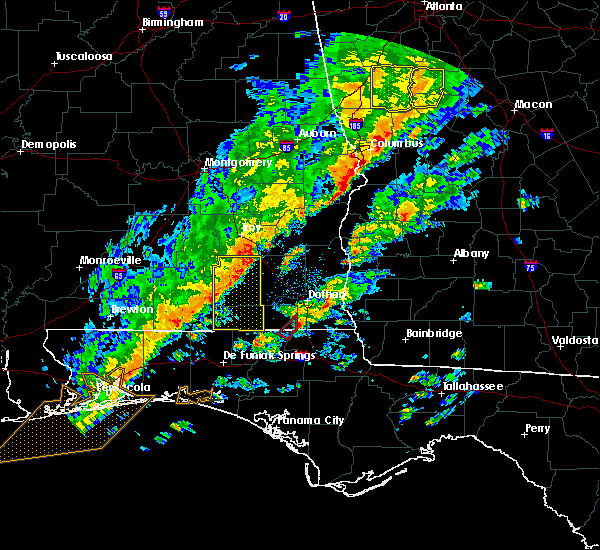 At 200 pm cst, severe thunderstorms were located along a line extending from 9 miles southwest of brundidge to near lockhart, moving east at 40 mph (radar indicated). Hazards include 60 mph wind gusts. Expect damage to roofs. siding. and trees. locations impacted include, elba, geneva, enterprise, fort rucker, samson, new brockton, lee, kinston, coffee springs, clintonville, somerset, battens crossroads, clowers crossroads, central city, sellersville, java, enterprise municipal a/p, camp alaflo bsa, turner crossroads and arcus. A tornado watch remains in effect until 500 pm cst for southeastern alabama, and the panhandle of florida. At 200 pm cst, severe thunderstorms were located along a line extending from 9 miles southwest of brundidge to near lockhart, moving east at 40 mph (radar indicated). Hazards include 60 mph wind gusts. Expect damage to roofs. siding. and trees. locations impacted include, elba, geneva, enterprise, fort rucker, samson, new brockton, lee, kinston, coffee springs, clintonville, somerset, battens crossroads, clowers crossroads, central city, sellersville, java, enterprise municipal a/p, camp alaflo bsa, turner crossroads and arcus. A tornado watch remains in effect until 500 pm cst for southeastern alabama, and the panhandle of florida.
|
| 11/30/2016 1:30 PM CST |
 At 130 pm cst, severe thunderstorms were located along a line extending from near dozier to 11 miles northwest of laurel hill, moving east at 45 mph (radar indicated). Hazards include 60 mph wind gusts. Expect damage to roofs. siding. And trees. At 130 pm cst, severe thunderstorms were located along a line extending from near dozier to 11 miles northwest of laurel hill, moving east at 45 mph (radar indicated). Hazards include 60 mph wind gusts. Expect damage to roofs. siding. And trees.
|
| 8/4/2016 8:01 PM CDT |
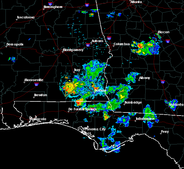 At 801 pm cdt, a severe thunderstorm was located near elba, moving southwest at 15 mph (radar indicated). Hazards include 60 mph wind gusts. Expect damage to roofs. siding. and trees. Locations impacted include, elba, new brockton, lee, kinston, richburg, rhoades, basin, perry store, carl folsom a/p, danleys crossroads, curtis, new haven, turner crossroads, wise mill, ino, alberton, holley store, camp humming hills and pine level. At 801 pm cdt, a severe thunderstorm was located near elba, moving southwest at 15 mph (radar indicated). Hazards include 60 mph wind gusts. Expect damage to roofs. siding. and trees. Locations impacted include, elba, new brockton, lee, kinston, richburg, rhoades, basin, perry store, carl folsom a/p, danleys crossroads, curtis, new haven, turner crossroads, wise mill, ino, alberton, holley store, camp humming hills and pine level.
|
| 8/4/2016 7:46 PM CDT |
 At 745 pm cdt, a severe thunderstorm was located over elba, moving southwest at 15 mph (radar indicated). Hazards include 60 mph wind gusts. Expect damage to roofs. siding. And trees. At 745 pm cdt, a severe thunderstorm was located over elba, moving southwest at 15 mph (radar indicated). Hazards include 60 mph wind gusts. Expect damage to roofs. siding. And trees.
|
| 7/21/2016 3:17 PM CDT |
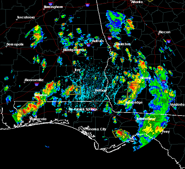 At 317 pm cdt, a severe thunderstorm was located near elba, moving east at 15 mph (radar indicated). Hazards include 60 mph wind gusts and penny size hail. Expect damage to roofs. siding. And trees. At 317 pm cdt, a severe thunderstorm was located near elba, moving east at 15 mph (radar indicated). Hazards include 60 mph wind gusts and penny size hail. Expect damage to roofs. siding. And trees.
|
| 7/9/2016 4:45 PM CDT | Reports of trees down along hwy 427 in coffee county AL, 6.4 miles SSW of Kinston, AL |
| 7/9/2016 4:23 PM CDT |
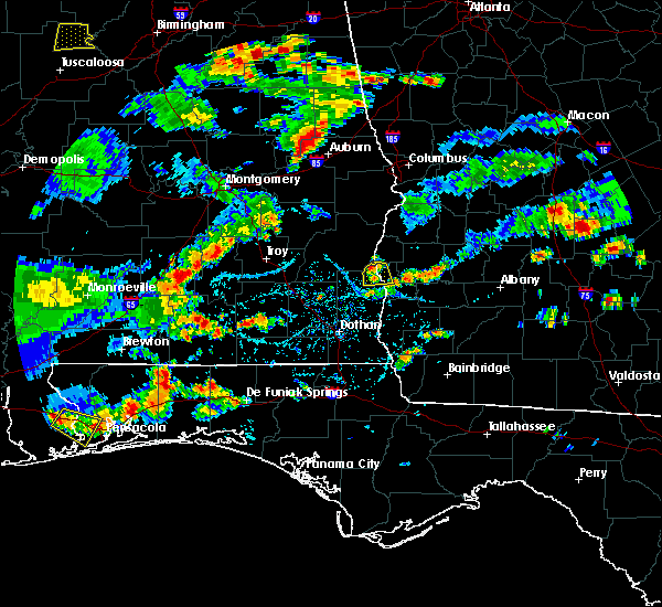 At 422 pm cdt, a severe thunderstorm was located 7 miles south of elba, and is nearly stationary (radar indicated). Hazards include 60 mph wind gusts and penny size hail. Expect damage to roofs. siding. And trees. At 422 pm cdt, a severe thunderstorm was located 7 miles south of elba, and is nearly stationary (radar indicated). Hazards include 60 mph wind gusts and penny size hail. Expect damage to roofs. siding. And trees.
|
| 6/17/2016 6:20 PM CDT |
 At 719 pm edt/619 pm cdt/, severe thunderstorms were located along a line extending from 8 miles south of seale to near gantt, moving southeast at 60 mph (radar indicated). Hazards include 60 mph wind gusts and quarter size hail. Hail damage to vehicles is expected. Expect wind damage to roofs, siding, and trees. At 719 pm edt/619 pm cdt/, severe thunderstorms were located along a line extending from 8 miles south of seale to near gantt, moving southeast at 60 mph (radar indicated). Hazards include 60 mph wind gusts and quarter size hail. Hail damage to vehicles is expected. Expect wind damage to roofs, siding, and trees.
|
| 6/13/2016 5:12 PM CDT |
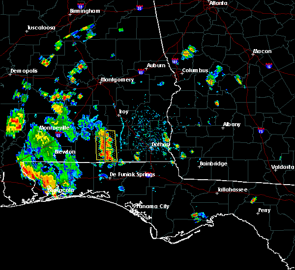 At 511 pm cdt, a severe thunderstorm was located near opp, and is nearly stationary (radar indicated). Hazards include 60 mph wind gusts and quarter size hail. Hail damage to vehicles is expected. Expect wind damage to roofs, siding, and trees. At 511 pm cdt, a severe thunderstorm was located near opp, and is nearly stationary (radar indicated). Hazards include 60 mph wind gusts and quarter size hail. Hail damage to vehicles is expected. Expect wind damage to roofs, siding, and trees.
|
| 6/13/2016 4:48 PM CDT |
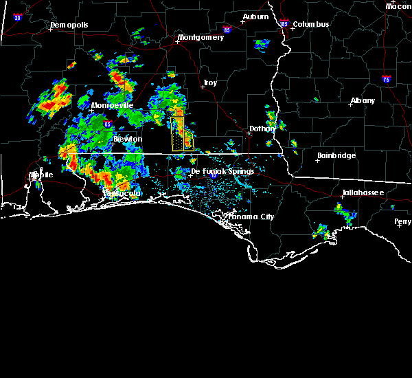 At 447 pm cdt, a severe thunderstorm was located near samson, or 11 miles southeast of opp, and is nearly stationary (radar indicated). Hazards include 60 mph wind gusts and quarter size hail. Hail damage to vehicles is expected. Expect wind damage to roofs, siding, and trees. At 447 pm cdt, a severe thunderstorm was located near samson, or 11 miles southeast of opp, and is nearly stationary (radar indicated). Hazards include 60 mph wind gusts and quarter size hail. Hail damage to vehicles is expected. Expect wind damage to roofs, siding, and trees.
|
| 3/31/2016 2:12 PM CDT | Reports of trees down near kinston in coffee county AL, 0.3 miles SE of Kinston, AL |
| 3/31/2016 2:10 PM CDT |
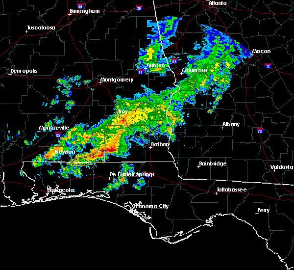 At 210 pm cdt, a severe thunderstorm was located 7 miles southeast of onycha, or 10 miles south of opp, moving east at 40 mph (radar indicated). Hazards include 60 mph wind gusts. Expect damage to roofs. siding. And trees. At 210 pm cdt, a severe thunderstorm was located 7 miles southeast of onycha, or 10 miles south of opp, moving east at 40 mph (radar indicated). Hazards include 60 mph wind gusts. Expect damage to roofs. siding. And trees.
|
| 3/24/2016 2:52 PM CDT |
 At 251 pm cdt, a severe thunderstorm was located near babbie, or near opp, moving east at 50 mph (radar indicated). Hazards include 60 mph wind gusts. Expect damage to roofs. siding. And trees. At 251 pm cdt, a severe thunderstorm was located near babbie, or near opp, moving east at 50 mph (radar indicated). Hazards include 60 mph wind gusts. Expect damage to roofs. siding. And trees.
|
| 2/15/2016 6:22 PM CST |
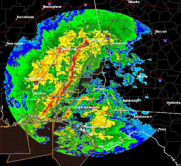 At 622 pm cst, the national weather service has detected a line of severe thunderstorms capable of producing damaging winds in excess of 60 mph. these storms were located along a line extending from near ariton to 8 miles southwest of new brockton, and moving east at 50 mph. At 622 pm cst, the national weather service has detected a line of severe thunderstorms capable of producing damaging winds in excess of 60 mph. these storms were located along a line extending from near ariton to 8 miles southwest of new brockton, and moving east at 50 mph.
|
| 2/15/2016 6:19 PM CST |
 At 618 pm cst, severe thunderstorms were located along a line extending from 9 miles southwest of new brockton to near fort walton beach--navarre--wright, moving east at 60 mph (radar indicated). Hazards include 60 mph wind gusts. Expect damage to roofs. Siding and trees. At 618 pm cst, severe thunderstorms were located along a line extending from 9 miles southwest of new brockton to near fort walton beach--navarre--wright, moving east at 60 mph (radar indicated). Hazards include 60 mph wind gusts. Expect damage to roofs. Siding and trees.
|
| 2/15/2016 5:46 PM CST |
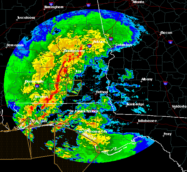 At 546 pm cst, severe thunderstorms were located along a line extending from near rutledge to rose hill to libertyville to 10 miles south of carolina, moving northeast at 55 mph (radar indicated). Hazards include 60 mph wind gusts. Expect damage to roofs. Siding and trees. At 546 pm cst, severe thunderstorms were located along a line extending from near rutledge to rose hill to libertyville to 10 miles south of carolina, moving northeast at 55 mph (radar indicated). Hazards include 60 mph wind gusts. Expect damage to roofs. Siding and trees.
|
| 1/22/2016 1:15 AM CST | At 115 am cst, severe thunderstorms were located along a line extending from 6 miles southeast of goshen to near florala, moving east at 40 mph (radar indicated). Hazards include 60 mph wind gusts. Expect damage to roofs. siding and trees. locations impacted include, daleville, elba, geneva, fort rucker, enterprise, ozark, hartford, level plains, samson, new brockton, ariton, lee, clayhatchee, kinston, coffee springs, black, clintonville, somerset, bluff spring and battens crossroads. A tornado watch remains in effect until 500 am cst for southeastern alabama and northwest florida. |
| 1/22/2016 12:50 AM CST | At 1250 am cst, severe thunderstorms were located along a line extending from near brantley to near laurel hill, moving east at 40 mph (radar indicated). Hazards include 60 mph wind gusts. Expect damage to roofs. Siding and trees. |
| 12/28/2015 10:52 AM CST |
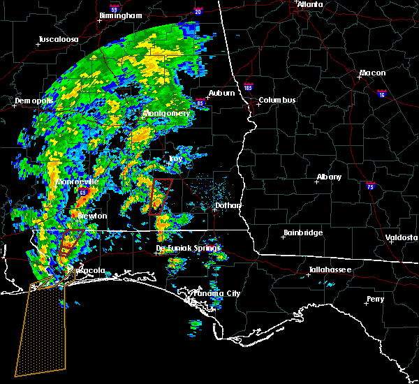 The national weather service in tallahassee has issued a * tornado warning for. western coffee county in southeastern alabama. until 1130 am cst * at 1051 am cst. a severe thunderstorm capable of producing a tornado was located 7 miles east of opp. Moving north at 45 mph. The national weather service in tallahassee has issued a * tornado warning for. western coffee county in southeastern alabama. until 1130 am cst * at 1051 am cst. a severe thunderstorm capable of producing a tornado was located 7 miles east of opp. Moving north at 45 mph.
|
| 12/24/2015 12:06 AM CST | At 1205 am cst, a severe thunderstorm was located over elba, moving east at 30 mph (radar indicated). Hazards include 60 mph wind gusts. Expect damage to roofs. Siding and trees. |
| 11/18/2015 11:26 AM CST |
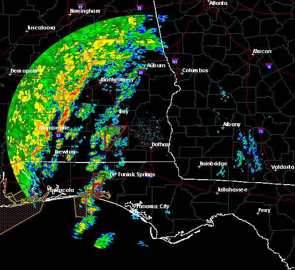 At 1126 am cst, a severe thunderstorm capable of producing a tornado was located near opp, moving northeast at 35 mph (radar indicated rotation). Hazards include tornado. Flying debris will be dangerous to those caught without shelter. mobile homes will be damaged or destroyed. damage to roofs, windows and vehicles will occur. tree damage is likely. this dangerous storm will be near, elba around 1145 am cst. Other locations impacted by this tornadic thunderstorm include chestnut grove, bluff spring, clowers crossroads, zoar, carl folsom a/p, danleys crossroads, arcus, wise mill, ino and camp humming hills. At 1126 am cst, a severe thunderstorm capable of producing a tornado was located near opp, moving northeast at 35 mph (radar indicated rotation). Hazards include tornado. Flying debris will be dangerous to those caught without shelter. mobile homes will be damaged or destroyed. damage to roofs, windows and vehicles will occur. tree damage is likely. this dangerous storm will be near, elba around 1145 am cst. Other locations impacted by this tornadic thunderstorm include chestnut grove, bluff spring, clowers crossroads, zoar, carl folsom a/p, danleys crossroads, arcus, wise mill, ino and camp humming hills.
|
| 9/6/2015 4:55 PM CDT |
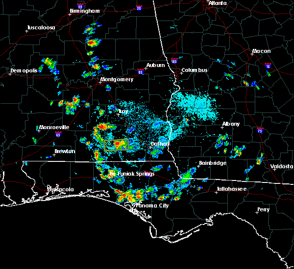 At 455 pm cdt, doppler radar indicated a severe thunderstorm capable of producing quarter size hail and damaging winds in excess of 60 mph. this storm was located 8 miles west of enterprise, moving southwest at 20 mph. At 455 pm cdt, doppler radar indicated a severe thunderstorm capable of producing quarter size hail and damaging winds in excess of 60 mph. this storm was located 8 miles west of enterprise, moving southwest at 20 mph.
|
| 9/6/2015 4:46 PM CDT |
 At 446 pm cdt, the national weather service has detected a severe thunderstorm capable of producing quarter size hail and damaging winds in excess of 60 mph. this storm was located near enterprise, and moving southwest at 15 mph. At 446 pm cdt, the national weather service has detected a severe thunderstorm capable of producing quarter size hail and damaging winds in excess of 60 mph. this storm was located near enterprise, and moving southwest at 15 mph.
|
| 7/21/2015 3:54 PM CDT |
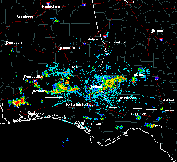 At 354 pm cdt, the national weather service has detected a line of severe thunderstorms capable of producing damaging winds in excess of 60 mph. these storms were located along a line extending from 7 miles east of onycha to 6 miles southwest of daleville, and moving southeast at 10 mph. At 354 pm cdt, the national weather service has detected a line of severe thunderstorms capable of producing damaging winds in excess of 60 mph. these storms were located along a line extending from 7 miles east of onycha to 6 miles southwest of daleville, and moving southeast at 10 mph.
|
| 7/15/2015 8:51 PM CDT |
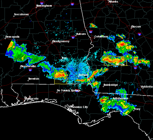 At 850 pm cdt, doppler radar indicated a severe thunderstorm capable of producing damaging winds in excess of 60 mph. this storm was located 8 miles southwest of enterprise, moving southeast at 30 mph. locations impacted include, elba, geneva, enterprise, samson, new brockton, kinston, coffee springs, somerset, coppinville, piney grove, pera, lytle, battens crossroads, central city, sellersville, enterprise municipal a/p, marl, eunola, turner crossroads and weeks. At 850 pm cdt, doppler radar indicated a severe thunderstorm capable of producing damaging winds in excess of 60 mph. this storm was located 8 miles southwest of enterprise, moving southeast at 30 mph. locations impacted include, elba, geneva, enterprise, samson, new brockton, kinston, coffee springs, somerset, coppinville, piney grove, pera, lytle, battens crossroads, central city, sellersville, enterprise municipal a/p, marl, eunola, turner crossroads and weeks.
|
| 7/15/2015 8:32 PM CDT |
 At 831 pm cdt, the national weather service has detected a severe thunderstorm capable of producing damaging winds in excess of 60 mph. this storm was located over new brockton, or near enterprise, and moving southeast at 35 mph. At 831 pm cdt, the national weather service has detected a severe thunderstorm capable of producing damaging winds in excess of 60 mph. this storm was located over new brockton, or near enterprise, and moving southeast at 35 mph.
|
| 7/4/2015 6:40 PM CDT |
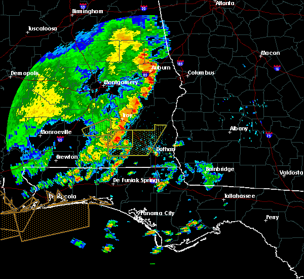 At 639 pm cdt, the national weather service has detected a line of severe thunderstorms capable of producing damaging winds in excess of 60 mph. these storms were located along a line extending from brundidge to near opp, and moving east at 40 mph. a 45 mph wind gust was measured in andalusia with these storms. At 639 pm cdt, the national weather service has detected a line of severe thunderstorms capable of producing damaging winds in excess of 60 mph. these storms were located along a line extending from brundidge to near opp, and moving east at 40 mph. a 45 mph wind gust was measured in andalusia with these storms.
|
| 7/2/2015 11:47 AM CDT |
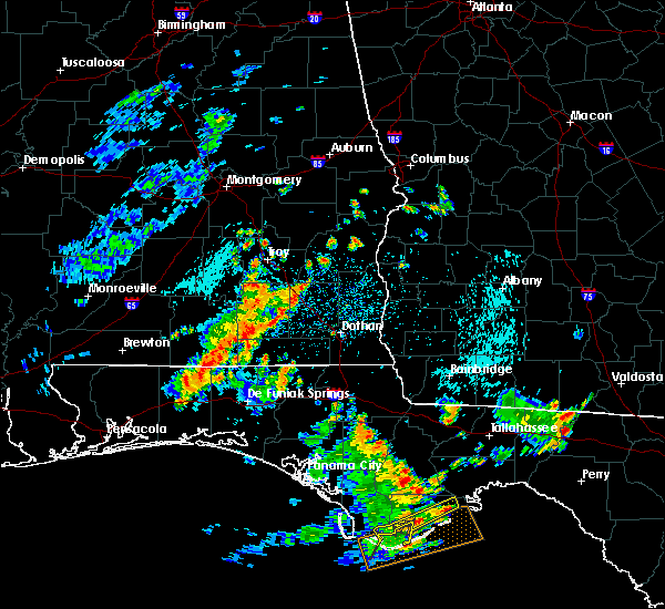 At 1146 am cdt, the national weather service has detected a line of severe thunderstorms capable of producing damaging winds in excess of 60 mph. these storms were located along a line extending from near ariton to 7 miles northeast of florala, and moving east at 35 mph. At 1146 am cdt, the national weather service has detected a line of severe thunderstorms capable of producing damaging winds in excess of 60 mph. these storms were located along a line extending from near ariton to 7 miles northeast of florala, and moving east at 35 mph.
|
| 6/13/2015 4:29 PM CDT |
 At 429 pm cdt, doppler radar indicated a severe thunderstorm capable of producing damaging winds in excess of 60 mph. this storm was located near opp, moving northwest at 25 mph. locations impacted include, kinston, county line, rhoades, basin, perry store, ino, alberton, holley store and marvin chapel. At 429 pm cdt, doppler radar indicated a severe thunderstorm capable of producing damaging winds in excess of 60 mph. this storm was located near opp, moving northwest at 25 mph. locations impacted include, kinston, county line, rhoades, basin, perry store, ino, alberton, holley store and marvin chapel.
|
| 6/13/2015 4:11 PM CDT | Tree down on highway 492 in coffee county AL, 5.8 miles W of Kinston, AL |
| 6/13/2015 4:06 PM CDT |
 At 405 pm cdt, the national weather service has detected a severe thunderstorm capable of producing damaging winds in excess of 60 mph. this storm was located near samson, or 13 miles southeast of opp, and moving northwest at 25 mph. At 405 pm cdt, the national weather service has detected a severe thunderstorm capable of producing damaging winds in excess of 60 mph. this storm was located near samson, or 13 miles southeast of opp, and moving northwest at 25 mph.
|
| 4/25/2015 5:01 PM CDT | At 501 pm cdt, doppler radar indicated a line of severe thunderstorms capable of producing quarter size hail and destructive winds in excess of 70 mph. these storms were located along a line extending from 6 miles west of ariton to 6 miles southwest of samson, moving east at 55 mph. locations impacted include, daleville, elba, geneva, ozark, fort rucker, enterprise, level plains, samson, newton, new brockton, ariton, lee, clayhatchee, kinston, coffee springs, bluff spring, phillips crossroads, battens crossroads, sellersville and dykes crossroads. |
| 4/25/2015 4:32 PM CDT | At 431 pm cdt, the national weather service has detected a line of severe thunderstorms capable of producing quarter size hail and destructive winds in excess of 70 mph. these storms were located along a line extending from dozier to 7 miles west of laurel hill, and moving east at 65 mph. |
Hail Maps for Kinston, AL
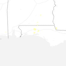
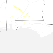
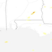


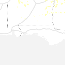


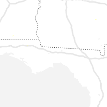


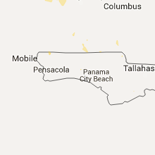


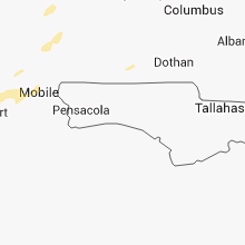

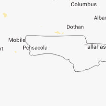

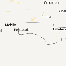


Connect with Interactive Hail Maps