

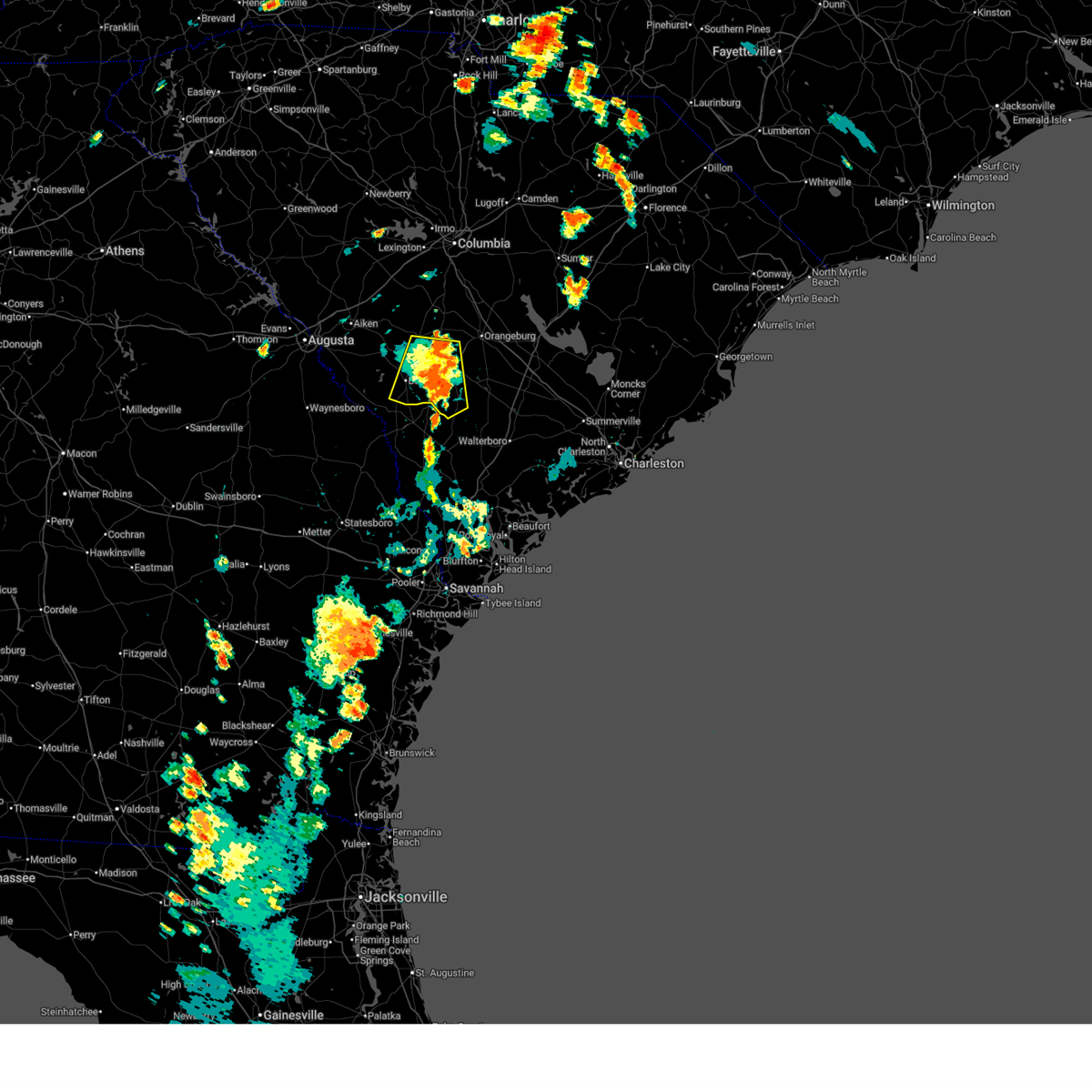
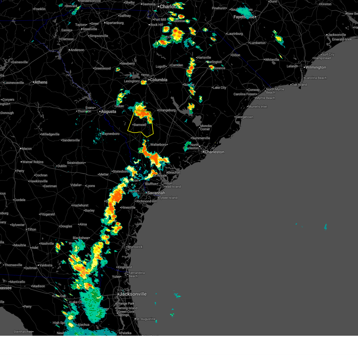
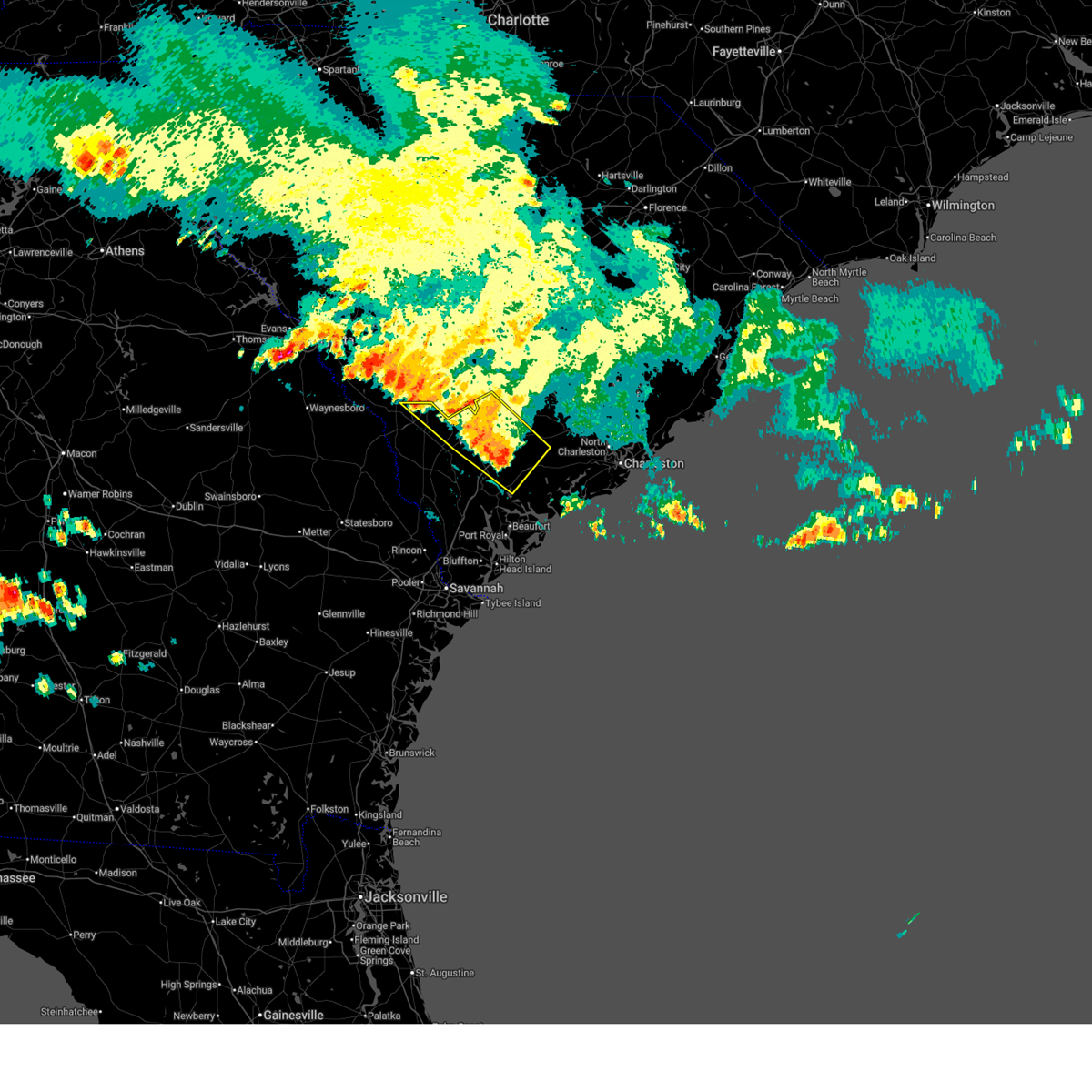
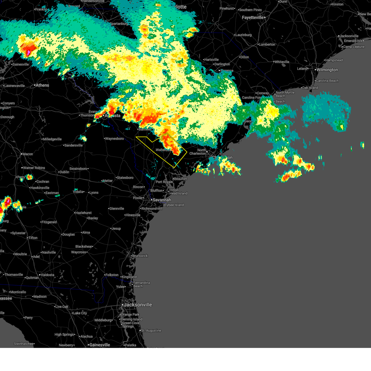
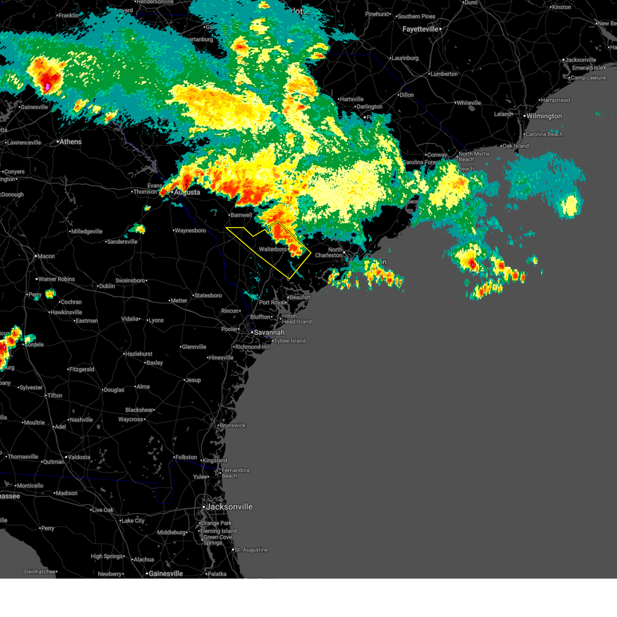
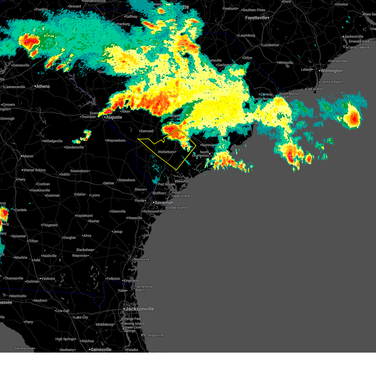
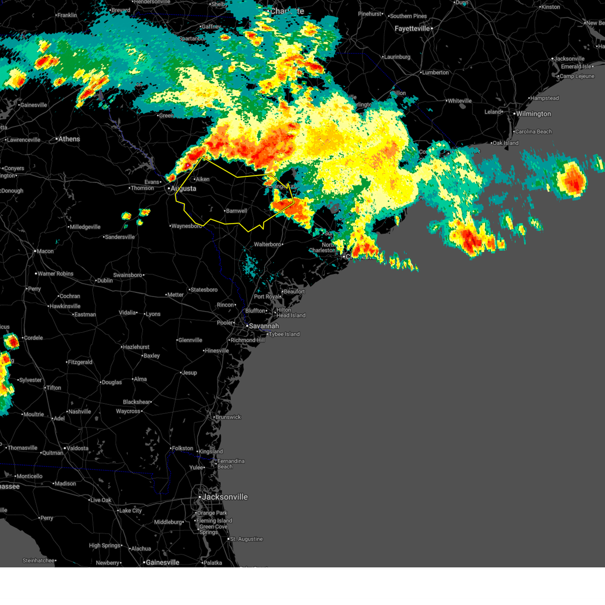
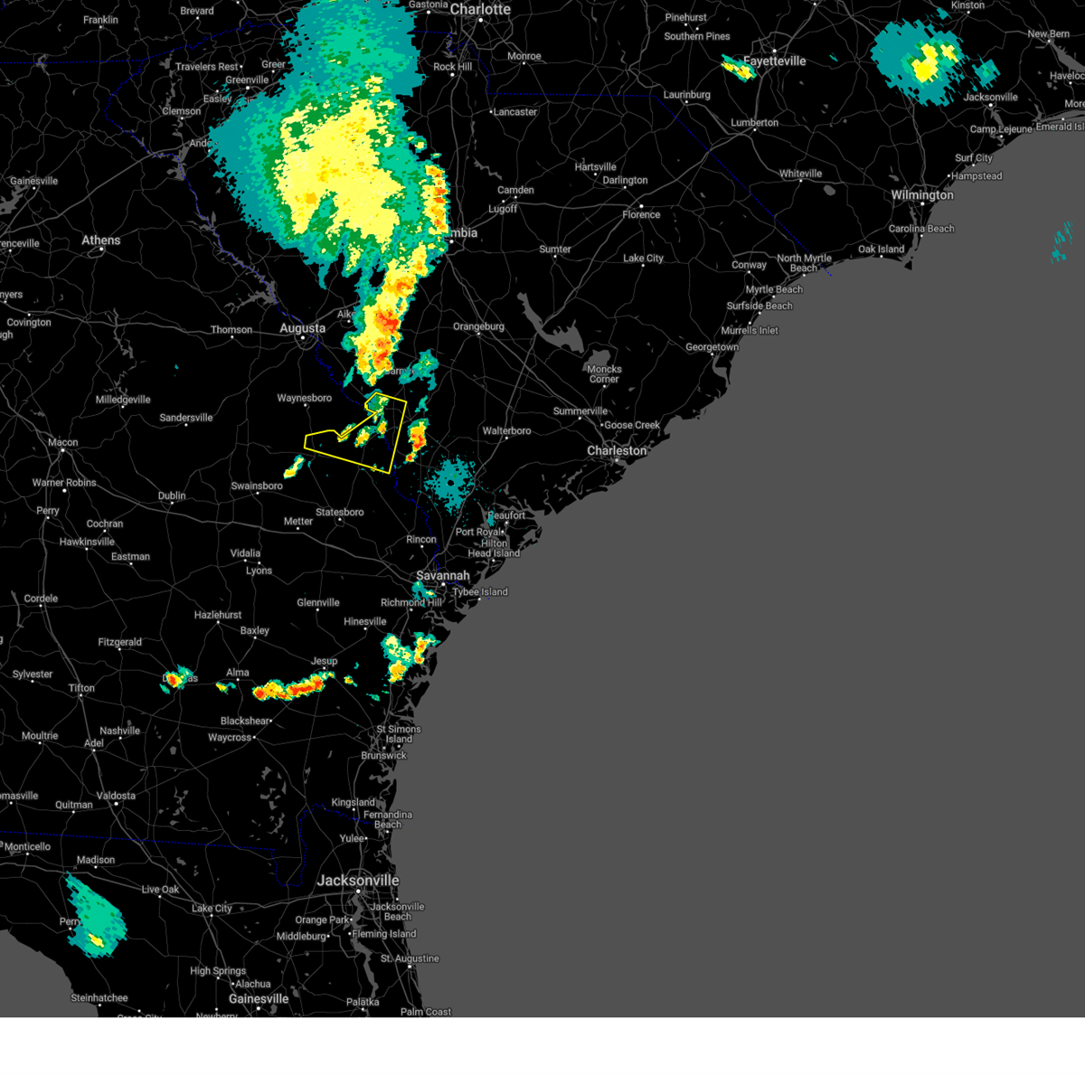
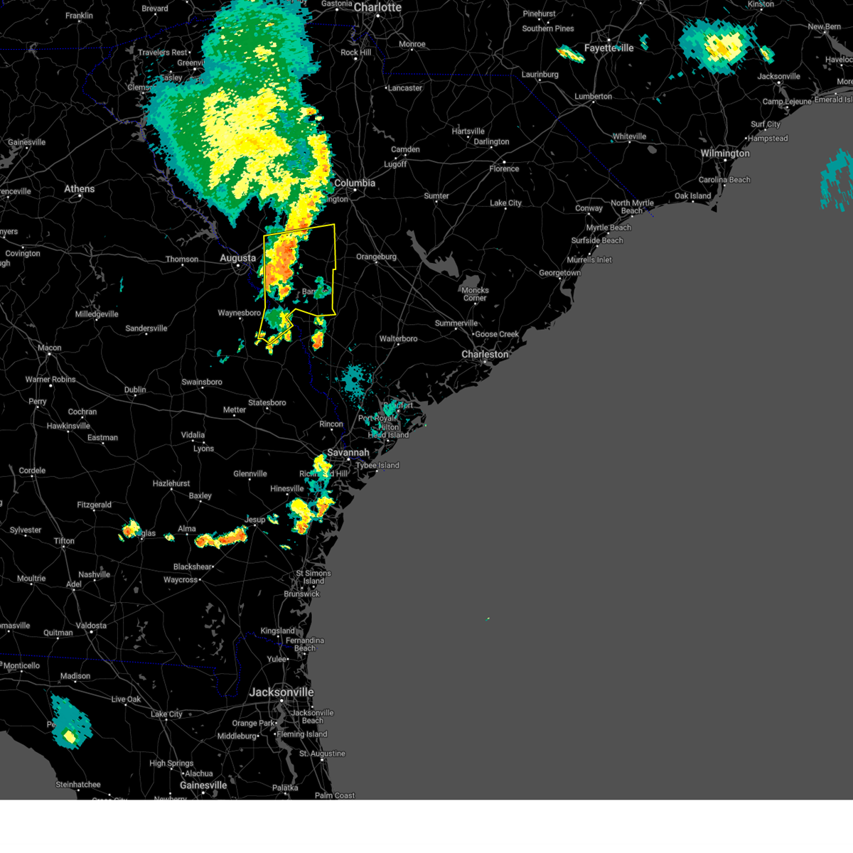
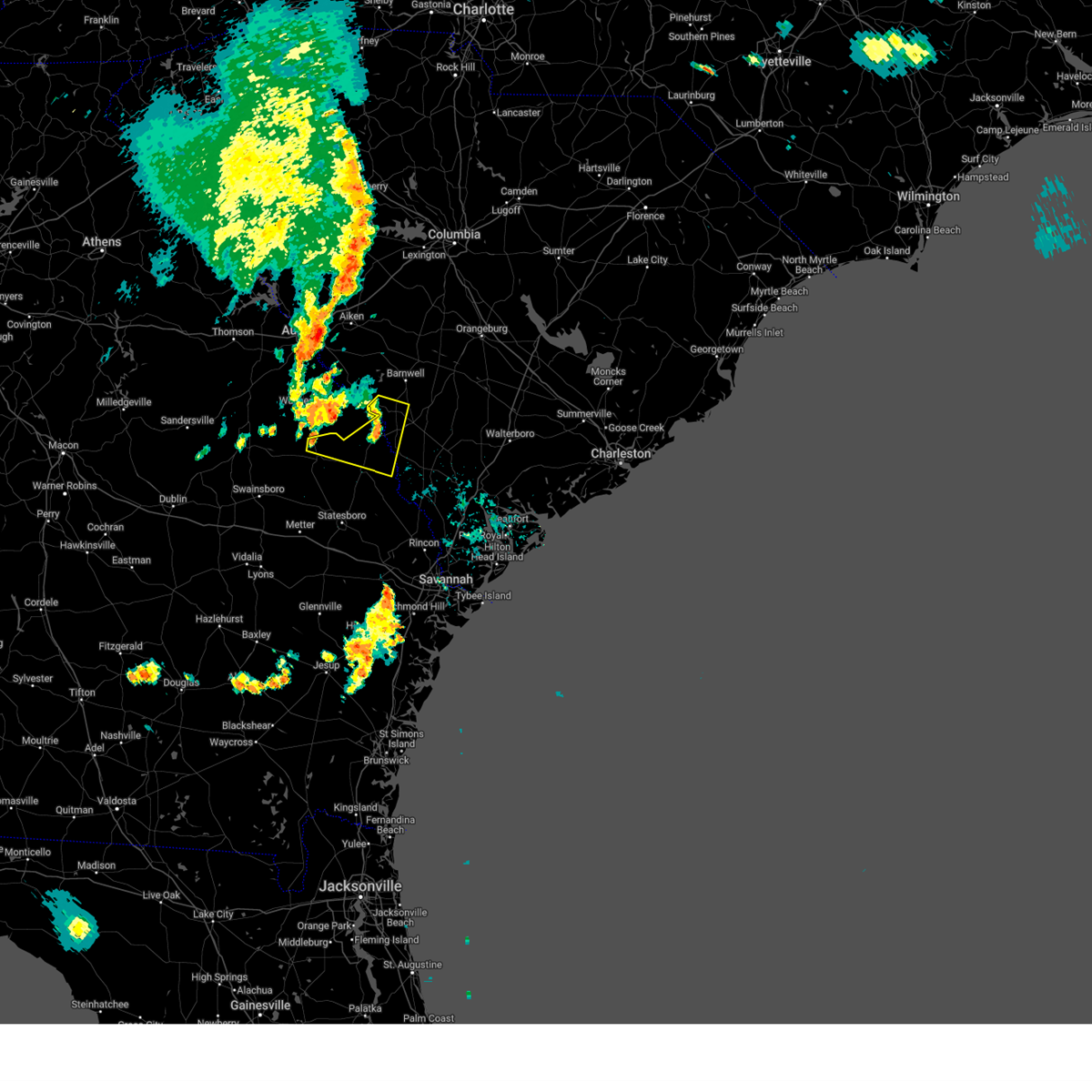
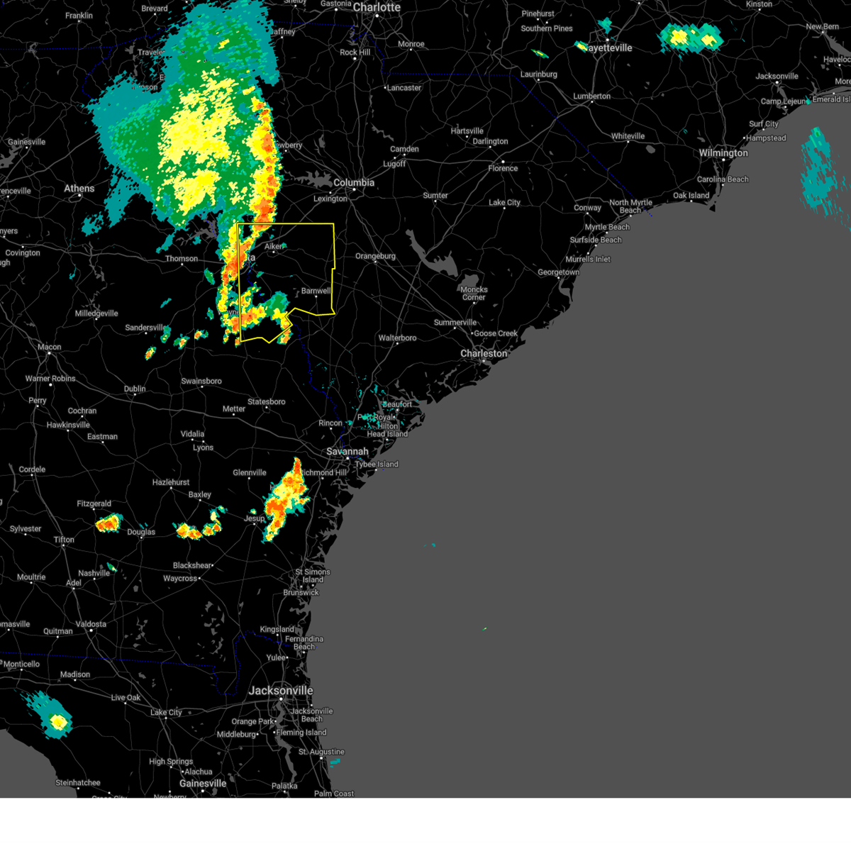
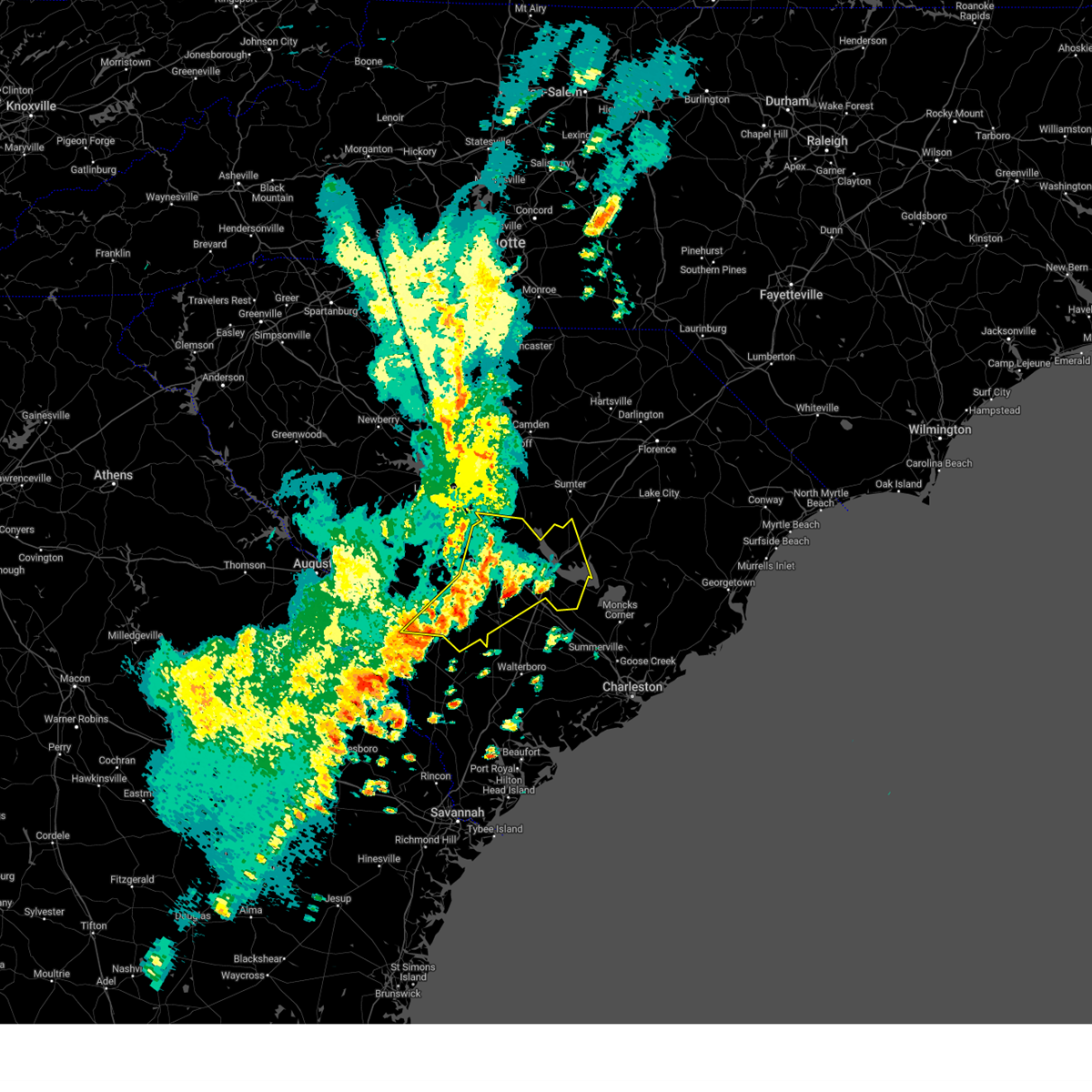
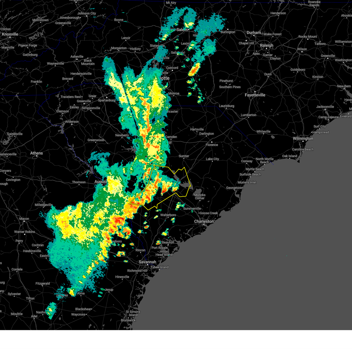
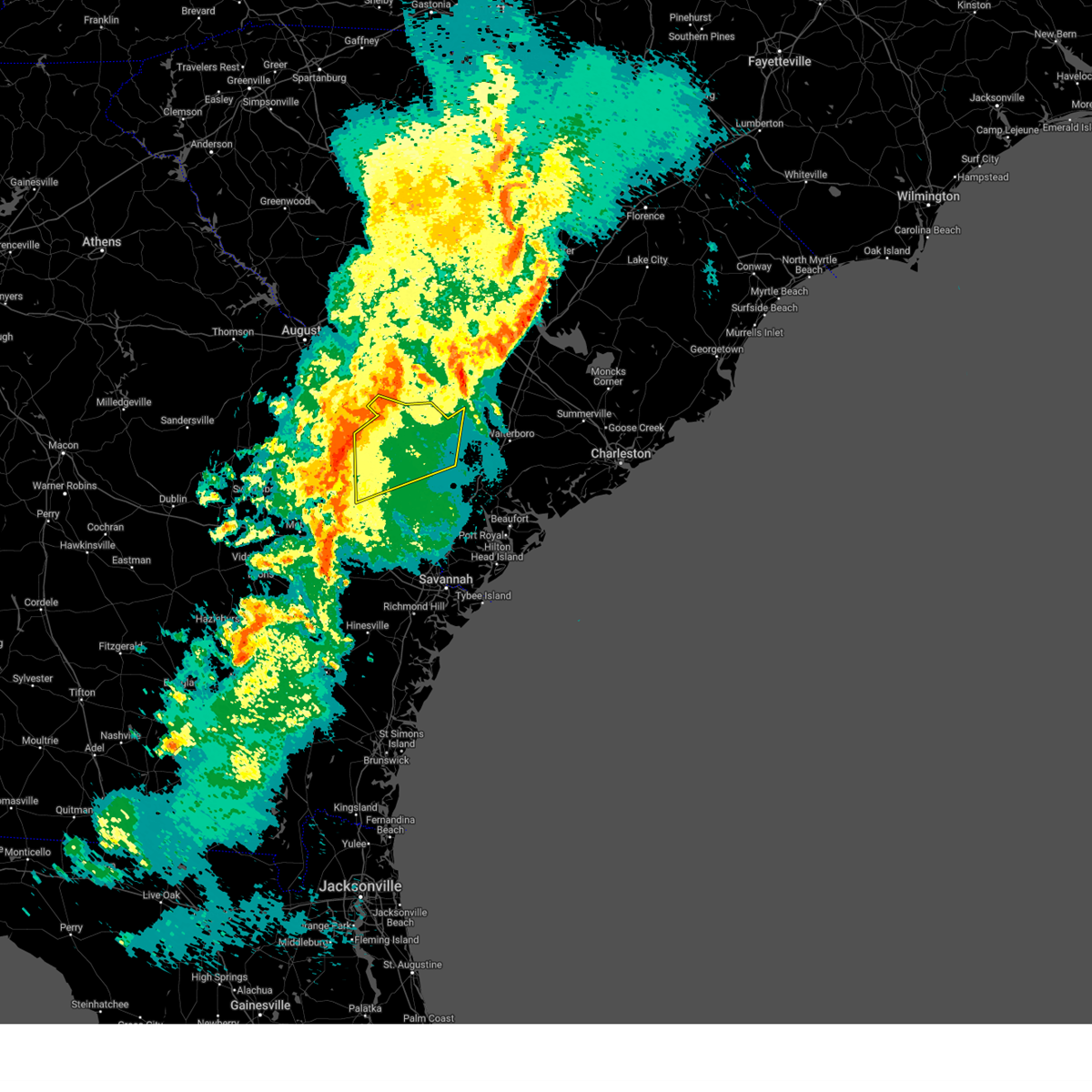
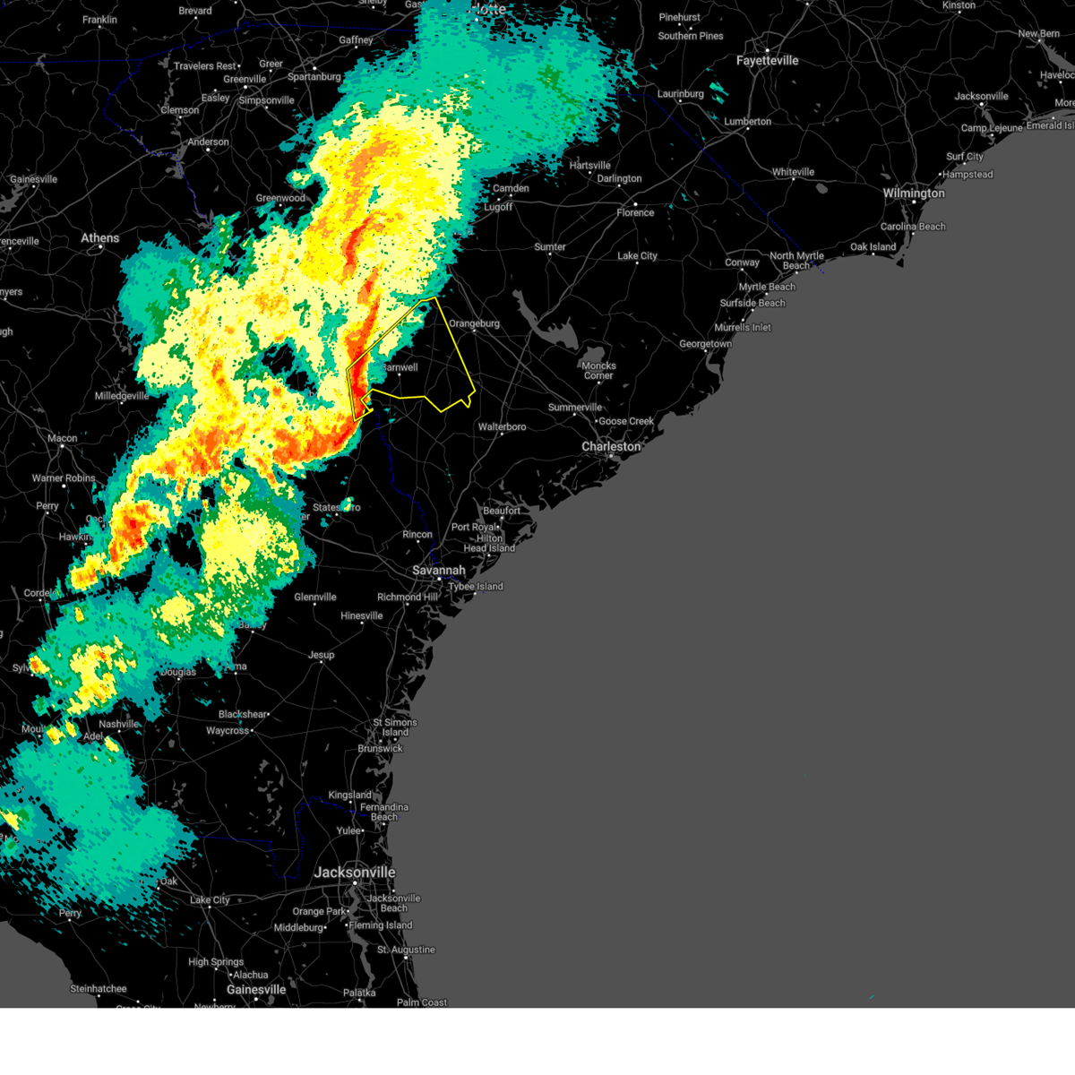
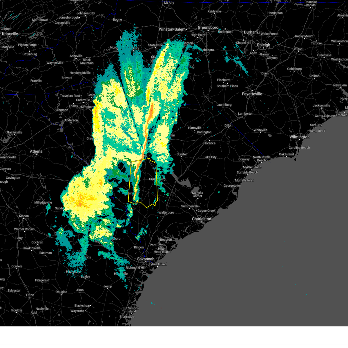
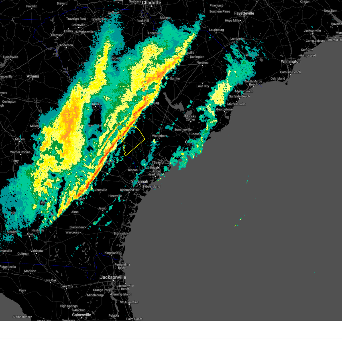
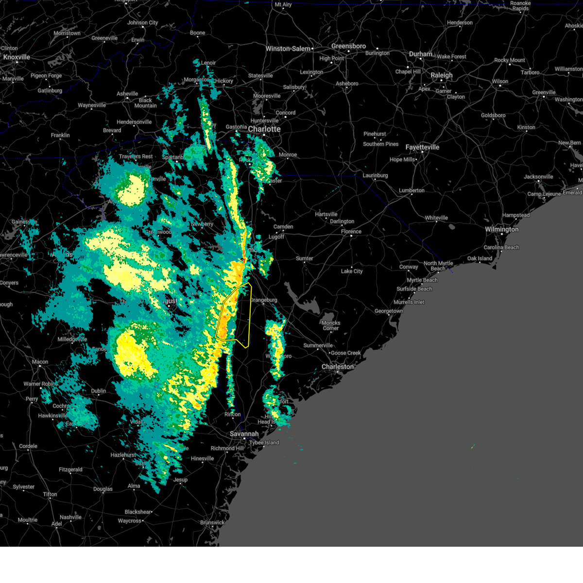
Hail Map for Kline, SC
The Kline, SC area has had 0 reports of on-the-ground hail by trained spotters, and has been under severe weather warnings 46 times during the past 12 months. Doppler radar has detected hail at or near Kline, SC on 34 occasions.
| Name: | Kline, SC |
| Where Located: | 44.1 miles SE of Augusta, GA |
| Map: | Google Map for Kline, SC |
| Population: | 197 |
| Housing Units: | 99 |
| More Info: | Search Google for Kline, SC |
5
The Top Recent Hail Date for Kline, SC is Friday, July 8, 2016 (2nd out of 34)

Hail and Wind Damage Spotted near Kline, SC
| Date / Time | Report Details |
|---|---|
| 7/14/2025 6:12 PM EDT |
 The storm which prompted the warning has weakened below severe limits, and no longer poses an immediate threat to life or property. therefore, the warning will be allowed to expire. however, gusty winds, heavy rain, and numerous cloud-to-ground lightning strikes are still possible with this thunderstorm. to report severe weather, contact your nearest law enforcement agency. they will relay your report to the national weather service columbia. The storm which prompted the warning has weakened below severe limits, and no longer poses an immediate threat to life or property. therefore, the warning will be allowed to expire. however, gusty winds, heavy rain, and numerous cloud-to-ground lightning strikes are still possible with this thunderstorm. to report severe weather, contact your nearest law enforcement agency. they will relay your report to the national weather service columbia.
|
| 7/14/2025 5:30 PM EDT |
 Svrcae the national weather service in columbia has issued a * severe thunderstorm warning for, eastern barnwell county in central south carolina, bamberg county in central south carolina, west central orangeburg county in central south carolina, * until 615 pm edt. * at 530 pm edt, a severe thunderstorm was located near denmark, moving south at 10 mph (radar indicated). Hazards include 60 mph wind gusts and penny size hail. expect damage to trees and powerlines Svrcae the national weather service in columbia has issued a * severe thunderstorm warning for, eastern barnwell county in central south carolina, bamberg county in central south carolina, west central orangeburg county in central south carolina, * until 615 pm edt. * at 530 pm edt, a severe thunderstorm was located near denmark, moving south at 10 mph (radar indicated). Hazards include 60 mph wind gusts and penny size hail. expect damage to trees and powerlines
|
| 6/25/2025 10:15 PM EDT |
 At 1015 pm edt, severe thunderstorms were located along a line from over white hall to over lodge, moving southwest at 25 mph (radar indicated). Hazards include 70 mph wind gusts and ping pong ball size hail. People and animals outdoors will be injured. expect hail damage to roofs, siding, windows, and vehicles. expect considerable tree damage. wind damage is also likely to mobile homes, roofs, and outbuildings. locations impacted include, cottageville, walterboro, smoaks, williams, ruffin, colleton, lodge, islandton, sycamore and ulmer. This includes i-95 in south carolina between mile markers 42 and 68. At 1015 pm edt, severe thunderstorms were located along a line from over white hall to over lodge, moving southwest at 25 mph (radar indicated). Hazards include 70 mph wind gusts and ping pong ball size hail. People and animals outdoors will be injured. expect hail damage to roofs, siding, windows, and vehicles. expect considerable tree damage. wind damage is also likely to mobile homes, roofs, and outbuildings. locations impacted include, cottageville, walterboro, smoaks, williams, ruffin, colleton, lodge, islandton, sycamore and ulmer. This includes i-95 in south carolina between mile markers 42 and 68.
|
| 6/25/2025 10:06 PM EDT |
 At 1006 pm edt, severe thunderstorms were located along a line from over ritter to over lodge, moving southwest at 25 mph (radar indicated). Hazards include 70 mph wind gusts and quarter size hail. Hail damage to vehicles is expected. expect considerable tree damage. wind damage is also likely to mobile homes, roofs, and outbuildings. locations impacted include, cottageville, walterboro, smoaks, williams, ruffin, colleton, lodge, islandton, sycamore and ulmer. This includes i-95 in south carolina between mile markers 42 and 68. At 1006 pm edt, severe thunderstorms were located along a line from over ritter to over lodge, moving southwest at 25 mph (radar indicated). Hazards include 70 mph wind gusts and quarter size hail. Hail damage to vehicles is expected. expect considerable tree damage. wind damage is also likely to mobile homes, roofs, and outbuildings. locations impacted include, cottageville, walterboro, smoaks, williams, ruffin, colleton, lodge, islandton, sycamore and ulmer. This includes i-95 in south carolina between mile markers 42 and 68.
|
| 6/25/2025 10:01 PM EDT |
 the severe thunderstorm warning has been cancelled and is no longer in effect the severe thunderstorm warning has been cancelled and is no longer in effect
|
| 6/25/2025 10:01 PM EDT |
 At 1001 pm edt, severe thunderstorms were located along a line from over ritter to near padgetts, moving southwest at 25 mph (radar indicated). Hazards include 60 mph wind gusts and small hail. Expect damage to roofs, siding, and trees. locations impacted include, walterboro, colleton, cottageville, sycamore, smoaks, lodge, williams, ulmer, ruffin and islandton. This includes i-95 in south carolina between mile markers 42 and 68. At 1001 pm edt, severe thunderstorms were located along a line from over ritter to near padgetts, moving southwest at 25 mph (radar indicated). Hazards include 60 mph wind gusts and small hail. Expect damage to roofs, siding, and trees. locations impacted include, walterboro, colleton, cottageville, sycamore, smoaks, lodge, williams, ulmer, ruffin and islandton. This includes i-95 in south carolina between mile markers 42 and 68.
|
| 6/25/2025 9:33 PM EDT |
 Svrchs the national weather service in charleston has issued a * severe thunderstorm warning for portions of, allendale county in southeastern south carolina, beaufort county in southeastern south carolina, colleton county in southeastern south carolina, dorchester county in southeastern south carolina, hampton county in southeastern south carolina, * until 1030 pm edt. * at 933 pm edt, severe thunderstorms were located along a line from over cottageville to 12 miles north of lodge, moving southwest at 25 mph (radar indicated). Hazards include 60 mph wind gusts. expect damage to roofs, siding, and trees Svrchs the national weather service in charleston has issued a * severe thunderstorm warning for portions of, allendale county in southeastern south carolina, beaufort county in southeastern south carolina, colleton county in southeastern south carolina, dorchester county in southeastern south carolina, hampton county in southeastern south carolina, * until 1030 pm edt. * at 933 pm edt, severe thunderstorms were located along a line from over cottageville to 12 miles north of lodge, moving southwest at 25 mph (radar indicated). Hazards include 60 mph wind gusts. expect damage to roofs, siding, and trees
|
| 6/25/2025 9:20 PM EDT |
 Svrcae the national weather service in columbia has issued a * severe thunderstorm warning for, barnwell county in central south carolina, bamberg county in central south carolina, aiken county in central south carolina, orangeburg county in central south carolina, * until 1015 pm edt. * at 919 pm edt, severe thunderstorms were located along a line extending from near orangeburg to 11 miles northeast of blackville to near aiken mall, moving south at 30 mph (radar indicated). Hazards include 60 mph wind gusts and penny size hail. expect damage to trees and powerlines Svrcae the national weather service in columbia has issued a * severe thunderstorm warning for, barnwell county in central south carolina, bamberg county in central south carolina, aiken county in central south carolina, orangeburg county in central south carolina, * until 1015 pm edt. * at 919 pm edt, severe thunderstorms were located along a line extending from near orangeburg to 11 miles northeast of blackville to near aiken mall, moving south at 30 mph (radar indicated). Hazards include 60 mph wind gusts and penny size hail. expect damage to trees and powerlines
|
| 6/7/2025 9:16 PM EDT |
 The storm which prompted the warning has weakened below severe limits, and no longer poses an immediate threat to life or property. therefore, the warning has been allowed to expire. however, gusty winds are still possible with this thunderstorm. The storm which prompted the warning has weakened below severe limits, and no longer poses an immediate threat to life or property. therefore, the warning has been allowed to expire. however, gusty winds are still possible with this thunderstorm.
|
| 6/7/2025 9:04 PM EDT |
 the severe thunderstorm warning has been cancelled and is no longer in effect the severe thunderstorm warning has been cancelled and is no longer in effect
|
| 6/7/2025 9:04 PM EDT |
 At 904 pm edt, severe thunderstorms were located along a line extending from 6 miles southeast of ridge spring to near millett, moving east at 45 mph (radar indicated). Hazards include 60 mph wind gusts and penny size hail. Expect damage to trees and powerlines. locations impacted include, aiken, barnwell, savannah river site, aiken mall, plant vogtle, williston, blackville, new ellenton, jackson, sardis, usc aiken, aiken municipal airport, citizens park, aiken state park, barnwell state park, gloverville, wagener, pelion, springfield, and hilda. This includes interstate 20 in south carolina between mile markers 14 and 28. At 904 pm edt, severe thunderstorms were located along a line extending from 6 miles southeast of ridge spring to near millett, moving east at 45 mph (radar indicated). Hazards include 60 mph wind gusts and penny size hail. Expect damage to trees and powerlines. locations impacted include, aiken, barnwell, savannah river site, aiken mall, plant vogtle, williston, blackville, new ellenton, jackson, sardis, usc aiken, aiken municipal airport, citizens park, aiken state park, barnwell state park, gloverville, wagener, pelion, springfield, and hilda. This includes interstate 20 in south carolina between mile markers 14 and 28.
|
| 6/7/2025 8:43 PM EDT |
 Svrchs the national weather service in charleston has issued a * severe thunderstorm warning for portions of, jenkins county in southeastern georgia, screven county in southeastern georgia, allendale county in southeastern south carolina, * until 915 pm edt. * at 843 pm edt, a severe thunderstorm was located 8 miles northwest of millhaven, moving east at 45 mph (radar indicated). Hazards include 60 mph wind gusts and quarter size hail. Hail damage to vehicles is expected. Expect wind damage to roofs, siding, and trees. Svrchs the national weather service in charleston has issued a * severe thunderstorm warning for portions of, jenkins county in southeastern georgia, screven county in southeastern georgia, allendale county in southeastern south carolina, * until 915 pm edt. * at 843 pm edt, a severe thunderstorm was located 8 miles northwest of millhaven, moving east at 45 mph (radar indicated). Hazards include 60 mph wind gusts and quarter size hail. Hail damage to vehicles is expected. Expect wind damage to roofs, siding, and trees.
|
| 6/7/2025 8:36 PM EDT |
 Svrcae the national weather service in columbia has issued a * severe thunderstorm warning for, central burke county in east central georgia, eastern richmond county in east central georgia, southeastern edgefield county in central south carolina, barnwell county in central south carolina, south central lexington county in central south carolina, aiken county in central south carolina, western orangeburg county in central south carolina, * until 915 pm edt. * at 836 pm edt, severe thunderstorms were located along a line extending from near edgefield to alexander, moving east at 45 mph (radar indicated). Hazards include 60 mph wind gusts and penny size hail. expect damage to trees and powerlines Svrcae the national weather service in columbia has issued a * severe thunderstorm warning for, central burke county in east central georgia, eastern richmond county in east central georgia, southeastern edgefield county in central south carolina, barnwell county in central south carolina, south central lexington county in central south carolina, aiken county in central south carolina, western orangeburg county in central south carolina, * until 915 pm edt. * at 836 pm edt, severe thunderstorms were located along a line extending from near edgefield to alexander, moving east at 45 mph (radar indicated). Hazards include 60 mph wind gusts and penny size hail. expect damage to trees and powerlines
|
| 3/31/2025 5:06 PM EDT |
 the severe thunderstorm warning has been cancelled and is no longer in effect the severe thunderstorm warning has been cancelled and is no longer in effect
|
| 3/31/2025 5:06 PM EDT |
 At 505 pm edt, severe thunderstorms were located along a line extending from 7 miles southwest of poinsett state park to rivers bridge state park, moving east at 15 mph (radar indicated). Hazards include 60 mph wind gusts and penny size hail. Expect damage to trees and powerlines. locations impacted include, bowman, govan, fort motte, stumphole landing, cameron, hilda, ehrhardt, prince of orange mall, santee state park, edisto, holly hill, lone star, cope, orangeburg county airport, bamberg, yonder field, eutawville, st. matthews, elloree, and creston. this includes the following highways, interstate 26 between mile markers 131 and 169. Interstate 95 between mile markers 85 and 113. At 505 pm edt, severe thunderstorms were located along a line extending from 7 miles southwest of poinsett state park to rivers bridge state park, moving east at 15 mph (radar indicated). Hazards include 60 mph wind gusts and penny size hail. Expect damage to trees and powerlines. locations impacted include, bowman, govan, fort motte, stumphole landing, cameron, hilda, ehrhardt, prince of orange mall, santee state park, edisto, holly hill, lone star, cope, orangeburg county airport, bamberg, yonder field, eutawville, st. matthews, elloree, and creston. this includes the following highways, interstate 26 between mile markers 131 and 169. Interstate 95 between mile markers 85 and 113.
|
| 3/31/2025 4:26 PM EDT |
 Svrcae the national weather service in columbia has issued a * severe thunderstorm warning for, calhoun county in central south carolina, southwestern clarendon county in central south carolina, eastern barnwell county in central south carolina, bamberg county in central south carolina, southeastern lexington county in central south carolina, orangeburg county in central south carolina, * until 530 pm edt. * at 426 pm edt, severe thunderstorms were located along a line extending from near sandy run to near sycamore, moving east at 40 mph (radar indicated). Hazards include 60 mph wind gusts and penny size hail. expect damage to trees and powerlines Svrcae the national weather service in columbia has issued a * severe thunderstorm warning for, calhoun county in central south carolina, southwestern clarendon county in central south carolina, eastern barnwell county in central south carolina, bamberg county in central south carolina, southeastern lexington county in central south carolina, orangeburg county in central south carolina, * until 530 pm edt. * at 426 pm edt, severe thunderstorms were located along a line extending from near sandy run to near sycamore, moving east at 40 mph (radar indicated). Hazards include 60 mph wind gusts and penny size hail. expect damage to trees and powerlines
|
| 3/31/2025 4:23 PM EDT |
 At 423 pm edt, severe thunderstorms were located along a line extending from near savannah river site to near sardis, moving east at 30 mph (radar indicated). Hazards include 60 mph wind gusts and nickel size hail. Expect damage to trees and powerlines. Locations impacted include, savannah river site, alexander, plant vogtle, sardis, girard, burke county airport, new ellenton, savannah river site badge office, jackson, kline, savannah river site h canyon, savannah river site k complex, shell bluff, shell bluff landing, snelling, waynesboro, and aiken. At 423 pm edt, severe thunderstorms were located along a line extending from near savannah river site to near sardis, moving east at 30 mph (radar indicated). Hazards include 60 mph wind gusts and nickel size hail. Expect damage to trees and powerlines. Locations impacted include, savannah river site, alexander, plant vogtle, sardis, girard, burke county airport, new ellenton, savannah river site badge office, jackson, kline, savannah river site h canyon, savannah river site k complex, shell bluff, shell bluff landing, snelling, waynesboro, and aiken.
|
| 3/31/2025 4:23 PM EDT |
 the severe thunderstorm warning has been cancelled and is no longer in effect the severe thunderstorm warning has been cancelled and is no longer in effect
|
| 3/31/2025 4:11 PM EDT |
 At 411 pm edt, severe thunderstorms were located along a line extending from near jackson to alexander, moving east at 50 mph (radar indicated). Hazards include 60 mph wind gusts and nickel size hail. Expect damage to trees and powerlines. Locations impacted include, savannah river site, alexander, plant vogtle, sardis, audubon's silver bluff sanctuary, girard, burke county airport, new ellenton, savannah river site badge office, jackson, waynesboro, kline, savannah river site h canyon, bennock mill, savannah river site k complex, shell bluff, shell bluff landing, snelling, boyd pond park, and gloverville. At 411 pm edt, severe thunderstorms were located along a line extending from near jackson to alexander, moving east at 50 mph (radar indicated). Hazards include 60 mph wind gusts and nickel size hail. Expect damage to trees and powerlines. Locations impacted include, savannah river site, alexander, plant vogtle, sardis, audubon's silver bluff sanctuary, girard, burke county airport, new ellenton, savannah river site badge office, jackson, waynesboro, kline, savannah river site h canyon, bennock mill, savannah river site k complex, shell bluff, shell bluff landing, snelling, boyd pond park, and gloverville.
|
| 3/31/2025 3:27 PM EDT |
 Svrcae the national weather service in columbia has issued a * severe thunderstorm warning for, burke county in east central georgia, southeastern richmond county in east central georgia, southwestern barnwell county in central south carolina, southwestern aiken county in central south carolina, * until 430 pm edt. * at 327 pm edt, severe thunderstorms were located along a line extending from 6 miles southwest of hephzibah to near perkins, moving east at 30 mph (radar indicated). Hazards include 60 mph wind gusts and nickel size hail. expect damage to trees and powerlines Svrcae the national weather service in columbia has issued a * severe thunderstorm warning for, burke county in east central georgia, southeastern richmond county in east central georgia, southwestern barnwell county in central south carolina, southwestern aiken county in central south carolina, * until 430 pm edt. * at 327 pm edt, severe thunderstorms were located along a line extending from 6 miles southwest of hephzibah to near perkins, moving east at 30 mph (radar indicated). Hazards include 60 mph wind gusts and nickel size hail. expect damage to trees and powerlines
|
| 3/16/2025 9:39 AM EDT |
 The storms which prompted the warning have weakened below severe limits, and no longer pose an immediate threat to life or property. therefore, the warning will be allowed to expire. however, gusty winds are still possible with these thunderstorms. a tornado watch remains in effect until 200 pm edt sunday for portions of southeast georgia and southeast south carolina. The storms which prompted the warning have weakened below severe limits, and no longer pose an immediate threat to life or property. therefore, the warning will be allowed to expire. however, gusty winds are still possible with these thunderstorms. a tornado watch remains in effect until 200 pm edt sunday for portions of southeast georgia and southeast south carolina.
|
| 3/16/2025 9:01 AM EDT |
 Svrchs the national weather service in charleston has issued a * severe thunderstorm warning for portions of, screven county in southeastern georgia, allendale county in southeastern south carolina, colleton county in southeastern south carolina, hampton county in southeastern south carolina, * until 945 am edt. * at 901 am edt, severe thunderstorms were located along a line from near millett to near captolo, moving northeast at 55 mph (radar indicated). Hazards include 60 mph wind gusts and small hail. expect damage to roofs, siding, and trees Svrchs the national weather service in charleston has issued a * severe thunderstorm warning for portions of, screven county in southeastern georgia, allendale county in southeastern south carolina, colleton county in southeastern south carolina, hampton county in southeastern south carolina, * until 945 am edt. * at 901 am edt, severe thunderstorms were located along a line from near millett to near captolo, moving northeast at 55 mph (radar indicated). Hazards include 60 mph wind gusts and small hail. expect damage to roofs, siding, and trees
|
| 3/16/2025 7:45 AM EDT |
 The storm which prompted the warning has weakened below severe limits, and has exited the warned area. therefore, the warning will be allowed to expire. a tornado watch remains in effect until 200 pm edt for central south carolina. The storm which prompted the warning has weakened below severe limits, and has exited the warned area. therefore, the warning will be allowed to expire. a tornado watch remains in effect until 200 pm edt for central south carolina.
|
| 3/16/2025 7:31 AM EDT |
 the severe thunderstorm warning has been cancelled and is no longer in effect the severe thunderstorm warning has been cancelled and is no longer in effect
|
| 3/16/2025 7:31 AM EDT |
 At 730 am edt, severe thunderstorms were located along a line extending from 6 miles north of blackville to allendale, moving northeast at 55 mph (radar indicated). Hazards include 60 mph wind gusts. Expect damage to trees and powerlines. Locations impacted include, cope, livingston, govan, bamberg, elko, olar, neeses, kline, hilda, williston, barnwell, ehrhardt, snelling, norway, springfield, denmark, north, bamberg county airport, blackville, and barnwell state park. At 730 am edt, severe thunderstorms were located along a line extending from 6 miles north of blackville to allendale, moving northeast at 55 mph (radar indicated). Hazards include 60 mph wind gusts. Expect damage to trees and powerlines. Locations impacted include, cope, livingston, govan, bamberg, elko, olar, neeses, kline, hilda, williston, barnwell, ehrhardt, snelling, norway, springfield, denmark, north, bamberg county airport, blackville, and barnwell state park.
|
| 3/16/2025 7:27 AM EDT | At 727 am edt, a severe thunderstorm capable of producing a tornado was located near barnwell, moving northeast at 55 mph (radar indicated rotation). Hazards include tornado. Flying debris will be dangerous to those caught without shelter. mobile homes will be damaged or destroyed. damage to roofs, windows, and vehicles will occur. tree damage is likely. this dangerous storm will be near, blackville, barnwell, and barnwell state park around 730 am edt. Other locations impacted by this tornadic thunderstorm include olar, kline, snelling, barnwell county airport, hilda, and govan. |
| 3/16/2025 7:14 AM EDT |
 Torcae the national weather service in columbia has issued a * tornado warning for, southeastern barnwell county in central south carolina, west central bamberg county in central south carolina, * until 745 am edt. * at 714 am edt, a severe thunderstorm capable of producing a tornado was located near millett, or 11 miles southwest of barnwell, moving northeast at 55 mph (radar indicated rotation). Hazards include tornado. Flying debris will be dangerous to those caught without shelter. mobile homes will be damaged or destroyed. damage to roofs, windows, and vehicles will occur. tree damage is likely. this dangerous storm will be near, barnwell around 720 am edt. blackville and barnwell state park around 730 am edt. Other locations impacted by this tornadic thunderstorm include olar, kline, snelling, barnwell county airport, hilda, and govan. Torcae the national weather service in columbia has issued a * tornado warning for, southeastern barnwell county in central south carolina, west central bamberg county in central south carolina, * until 745 am edt. * at 714 am edt, a severe thunderstorm capable of producing a tornado was located near millett, or 11 miles southwest of barnwell, moving northeast at 55 mph (radar indicated rotation). Hazards include tornado. Flying debris will be dangerous to those caught without shelter. mobile homes will be damaged or destroyed. damage to roofs, windows, and vehicles will occur. tree damage is likely. this dangerous storm will be near, barnwell around 720 am edt. blackville and barnwell state park around 730 am edt. Other locations impacted by this tornadic thunderstorm include olar, kline, snelling, barnwell county airport, hilda, and govan.
|
| 3/16/2025 7:12 AM EDT |
 Svrcae the national weather service in columbia has issued a * severe thunderstorm warning for, east central burke county in east central georgia, barnwell county in central south carolina, bamberg county in central south carolina, southeastern aiken county in central south carolina, western orangeburg county in central south carolina, * until 800 am edt. * at 711 am edt, severe thunderstorms were located along a line extending from near williston to burtons ferry landing, moving northeast at 55 mph (radar indicated). Hazards include 60 mph wind gusts. expect damage to trees and powerlines Svrcae the national weather service in columbia has issued a * severe thunderstorm warning for, east central burke county in east central georgia, barnwell county in central south carolina, bamberg county in central south carolina, southeastern aiken county in central south carolina, western orangeburg county in central south carolina, * until 800 am edt. * at 711 am edt, severe thunderstorms were located along a line extending from near williston to burtons ferry landing, moving northeast at 55 mph (radar indicated). Hazards include 60 mph wind gusts. expect damage to trees and powerlines
|
| 3/16/2025 7:01 AM EDT |
 the severe thunderstorm warning has been cancelled and is no longer in effect the severe thunderstorm warning has been cancelled and is no longer in effect
|
| 3/16/2025 7:01 AM EDT |
 At 700 am edt, a severe thunderstorm was located near savannah river site, moving northeast at 55 mph (radar indicated). Hazards include 60 mph wind gusts. Expect damage to trees and powerlines. Locations impacted include, savannah river site, alexander, plant vogtle, sardis, girard, kline, savannah river site h canyon, savannah river site k complex, shell bluff, shell bluff landing, barnwell, snelling, barnwell county airport, and williston. At 700 am edt, a severe thunderstorm was located near savannah river site, moving northeast at 55 mph (radar indicated). Hazards include 60 mph wind gusts. Expect damage to trees and powerlines. Locations impacted include, savannah river site, alexander, plant vogtle, sardis, girard, kline, savannah river site h canyon, savannah river site k complex, shell bluff, shell bluff landing, barnwell, snelling, barnwell county airport, and williston.
|
| 3/16/2025 6:29 AM EDT |
 Svrcae the national weather service in columbia has issued a * severe thunderstorm warning for, burke county in east central georgia, southeastern richmond county in east central georgia, barnwell county in central south carolina, south central aiken county in central south carolina, * until 715 am edt. * at 629 am edt, a severe thunderstorm was located over burke county airport, or near waynesboro, moving northeast at 55 mph (radar indicated). Hazards include 60 mph wind gusts. expect damage to trees and powerlines Svrcae the national weather service in columbia has issued a * severe thunderstorm warning for, burke county in east central georgia, southeastern richmond county in east central georgia, barnwell county in central south carolina, south central aiken county in central south carolina, * until 715 am edt. * at 629 am edt, a severe thunderstorm was located over burke county airport, or near waynesboro, moving northeast at 55 mph (radar indicated). Hazards include 60 mph wind gusts. expect damage to trees and powerlines
|
| 3/5/2025 8:08 AM EST |
 The storms which prompted the warning have weakened below severe limits, and no longer pose an immediate threat to life or property. therefore, the warning will be allowed to expire. a tornado watch remains in effect until 100 pm est for central south carolina. remember, a severe thunderstorm warning still remains in effect for northeastern lexington county until 8:30am. The storms which prompted the warning have weakened below severe limits, and no longer pose an immediate threat to life or property. therefore, the warning will be allowed to expire. a tornado watch remains in effect until 100 pm est for central south carolina. remember, a severe thunderstorm warning still remains in effect for northeastern lexington county until 8:30am.
|
| 3/5/2025 7:46 AM EST |
 the severe thunderstorm warning has been cancelled and is no longer in effect the severe thunderstorm warning has been cancelled and is no longer in effect
|
| 3/5/2025 7:46 AM EST |
 At 745 am est, severe thunderstorms were located along a line extending from 7 miles south of red bank to 6 miles south of barnwell, moving northeast at 45 mph (radar indicated). Hazards include 60 mph wind gusts. Expect damage to trees and powerlines. locations impacted include, govan, salley, elko, olar, wagener, gaston, hilda, thor, ehrhardt, perry, prince of orange mall, edisto, north, aiken gopher tortoise heritage preserve, perry airport, cope, new zion, lexington county airport at pelion, livingston, and lexington acres pond. This includes interstate 26 between mile markers 119 and 139. At 745 am est, severe thunderstorms were located along a line extending from 7 miles south of red bank to 6 miles south of barnwell, moving northeast at 45 mph (radar indicated). Hazards include 60 mph wind gusts. Expect damage to trees and powerlines. locations impacted include, govan, salley, elko, olar, wagener, gaston, hilda, thor, ehrhardt, perry, prince of orange mall, edisto, north, aiken gopher tortoise heritage preserve, perry airport, cope, new zion, lexington county airport at pelion, livingston, and lexington acres pond. This includes interstate 26 between mile markers 119 and 139.
|
| 3/5/2025 7:25 AM EST |
 Svrcae the national weather service in columbia has issued a * severe thunderstorm warning for, east central burke county in east central georgia, northwestern calhoun county in central south carolina, barnwell county in central south carolina, bamberg county in central south carolina, southern lexington county in central south carolina, eastern aiken county in central south carolina, western orangeburg county in central south carolina, * until 815 am est. * at 724 am est, severe thunderstorms were located along a line extending from 9 miles southeast of batesburg-leesville to near millett, moving east at 40 mph (radar indicated). Hazards include 60 mph wind gusts. expect damage to trees and powerlines Svrcae the national weather service in columbia has issued a * severe thunderstorm warning for, east central burke county in east central georgia, northwestern calhoun county in central south carolina, barnwell county in central south carolina, bamberg county in central south carolina, southern lexington county in central south carolina, eastern aiken county in central south carolina, western orangeburg county in central south carolina, * until 815 am est. * at 724 am est, severe thunderstorms were located along a line extending from 9 miles southeast of batesburg-leesville to near millett, moving east at 40 mph (radar indicated). Hazards include 60 mph wind gusts. expect damage to trees and powerlines
|
| 2/16/2025 8:29 AM EST |
 Svrcae the national weather service in columbia has issued a * severe thunderstorm warning for, lee county in central south carolina, calhoun county in central south carolina, clarendon county in central south carolina, southeastern barnwell county in central south carolina, bamberg county in central south carolina, sumter county in central south carolina, orangeburg county in central south carolina, southeastern richland county in central south carolina, * until 945 am est. * at 827 am est, severe thunderstorms were located along a line extending from near bishopville to near ulmer, moving east at 45 mph (numerous reports of downed trees from trained weather spotters). Hazards include 60 mph wind gusts. expect damage to trees and powerlines Svrcae the national weather service in columbia has issued a * severe thunderstorm warning for, lee county in central south carolina, calhoun county in central south carolina, clarendon county in central south carolina, southeastern barnwell county in central south carolina, bamberg county in central south carolina, sumter county in central south carolina, orangeburg county in central south carolina, southeastern richland county in central south carolina, * until 945 am est. * at 827 am est, severe thunderstorms were located along a line extending from near bishopville to near ulmer, moving east at 45 mph (numerous reports of downed trees from trained weather spotters). Hazards include 60 mph wind gusts. expect damage to trees and powerlines
|
| 2/16/2025 8:27 AM EST |
 The severe thunderstorm warning that was previously in effect has been reissued for hampton and allendale counties and is in effect until 915 am est. please refer to that bulletin for the latest severe weather information. to report severe weather, contact your nearest law enforcement agency. they will send your report to the national weather service office. a severe thunderstorm watch remains in effect until 100 pm est for a portion of southeast south carolina. The severe thunderstorm warning that was previously in effect has been reissued for hampton and allendale counties and is in effect until 915 am est. please refer to that bulletin for the latest severe weather information. to report severe weather, contact your nearest law enforcement agency. they will send your report to the national weather service office. a severe thunderstorm watch remains in effect until 100 pm est for a portion of southeast south carolina.
|
| 2/16/2025 8:12 AM EST |
 the severe thunderstorm warning has been cancelled and is no longer in effect the severe thunderstorm warning has been cancelled and is no longer in effect
|
| 2/16/2025 8:12 AM EST |
 At 812 am est, severe thunderstorms were located along a line extending from 8 miles south of sandy run to near sylvania, moving east at 50 mph (radar indicated). Hazards include 60 mph wind gusts. Expect damage to trees and powerlines. locations impacted include, orangeburg, barnwell, bamberg, denmark, brookdale, blackville, st. matthews, claflin college, south carolina state university, orangeburg county airport, barnwell state park, edisto gardens, north, hilda, cameron, neeses, norway, rowesville, snelling, and olar. This includes interstate 26 between mile markers 138 and 153. At 812 am est, severe thunderstorms were located along a line extending from 8 miles south of sandy run to near sylvania, moving east at 50 mph (radar indicated). Hazards include 60 mph wind gusts. Expect damage to trees and powerlines. locations impacted include, orangeburg, barnwell, bamberg, denmark, brookdale, blackville, st. matthews, claflin college, south carolina state university, orangeburg county airport, barnwell state park, edisto gardens, north, hilda, cameron, neeses, norway, rowesville, snelling, and olar. This includes interstate 26 between mile markers 138 and 153.
|
| 2/16/2025 8:01 AM EST |
 At 801 am est, severe thunderstorms were located along a line from 24 miles north of ulmer to near portal, moving east at 50 mph (radar indicated). Hazards include 60 mph wind gusts. Expect damage to roofs, siding, and trees. Locations impacted include, allendale, hampton, lake warren state park, varnville, estill, fairfax, brunson, gifford, scotia and sycamore. At 801 am est, severe thunderstorms were located along a line from 24 miles north of ulmer to near portal, moving east at 50 mph (radar indicated). Hazards include 60 mph wind gusts. Expect damage to roofs, siding, and trees. Locations impacted include, allendale, hampton, lake warren state park, varnville, estill, fairfax, brunson, gifford, scotia and sycamore.
|
| 2/16/2025 7:34 AM EST | Svrchs the national weather service in charleston has issued a * severe thunderstorm warning for portions of, allendale county in southeastern south carolina, hampton county in southeastern south carolina, * until 830 am est. * at 734 am est, severe thunderstorms were located along a line swainsboro to aiken, moving east at 50 mph (radar indicated). Hazards include 60 mph wind gusts. expect damage to roofs, siding, and trees |
| 2/16/2025 7:30 AM EST | Svrcae the national weather service in columbia has issued a * severe thunderstorm warning for, burke county in east central georgia, southeastern richmond county in east central georgia, southern calhoun county in central south carolina, barnwell county in central south carolina, bamberg county in central south carolina, aiken county in central south carolina, western orangeburg county in central south carolina, * until 830 am est. * at 730 am est, severe thunderstorms were located along a line extending from 6 miles northeast of aiken municipal airport to near summertown, moving east at 45 mph (radar indicated). Hazards include 60 mph wind gusts. expect damage to trees and powerlines |
| 12/29/2024 9:11 AM EST |
 The storms which prompted the warning have weakened below severe limits. therefore, the warning will be allowed to expire. The storms which prompted the warning have weakened below severe limits. therefore, the warning will be allowed to expire.
|
| 12/29/2024 8:58 AM EST |
 the severe thunderstorm warning has been cancelled and is no longer in effect the severe thunderstorm warning has been cancelled and is no longer in effect
|
| 12/29/2024 8:58 AM EST |
 At 857 am est, severe thunderstorms were located along a line extending from 14 miles west of edisto gardens to sycamore, moving east at 45 mph (radar indicated). Hazards include 60 mph wind gusts. Expect damage to trees and powerlines. Locations impacted include, barnwell, bamberg, denmark, blackville, barnwell state park, rivers bridge state park, north, springfield, hilda, neeses, norway, olar, kline, elko, woodford, livingston, govan, bamberg county airport, and barnwell county airport. At 857 am est, severe thunderstorms were located along a line extending from 14 miles west of edisto gardens to sycamore, moving east at 45 mph (radar indicated). Hazards include 60 mph wind gusts. Expect damage to trees and powerlines. Locations impacted include, barnwell, bamberg, denmark, blackville, barnwell state park, rivers bridge state park, north, springfield, hilda, neeses, norway, olar, kline, elko, woodford, livingston, govan, bamberg county airport, and barnwell county airport.
|
| 12/29/2024 8:08 AM EST |
 Svrcae the national weather service in columbia has issued a * severe thunderstorm warning for, northeastern burke county in east central georgia, barnwell county in central south carolina, western bamberg county in central south carolina, southeastern aiken county in central south carolina, northwestern orangeburg county in central south carolina, * until 915 am est. * at 808 am est, severe thunderstorms were located along a line extending from aiken mall to near sardis, moving east at 45 mph (radar indicated). Hazards include 60 mph wind gusts. expect damage to trees and powerlines Svrcae the national weather service in columbia has issued a * severe thunderstorm warning for, northeastern burke county in east central georgia, barnwell county in central south carolina, western bamberg county in central south carolina, southeastern aiken county in central south carolina, northwestern orangeburg county in central south carolina, * until 915 am est. * at 808 am est, severe thunderstorms were located along a line extending from aiken mall to near sardis, moving east at 45 mph (radar indicated). Hazards include 60 mph wind gusts. expect damage to trees and powerlines
|
| 6/10/2024 8:43 PM EDT |
 The storm which prompted the warning has weakened below severe limits, and no longer poses an immediate threat to life or property. therefore, the warning will be allowed to expire. a severe thunderstorm watch remains in effect until 900 pm edt for central south carolina. The storm which prompted the warning has weakened below severe limits, and no longer poses an immediate threat to life or property. therefore, the warning will be allowed to expire. a severe thunderstorm watch remains in effect until 900 pm edt for central south carolina.
|
| 6/10/2024 8:26 PM EDT |
 the severe thunderstorm warning has been cancelled and is no longer in effect the severe thunderstorm warning has been cancelled and is no longer in effect
|
| 6/10/2024 8:26 PM EDT |
 At 826 pm edt, a severe thunderstorm was located near savannah river site, moving northeast at 30 mph (radar indicated). Hazards include 60 mph wind gusts and quarter size hail. Hail damage to vehicles is expected. expect wind damage to trees and powerlines. Locations impacted include, barnwell, savannah river site, snelling, kline, barnwell county airport, and savannah river site k complex. At 826 pm edt, a severe thunderstorm was located near savannah river site, moving northeast at 30 mph (radar indicated). Hazards include 60 mph wind gusts and quarter size hail. Hail damage to vehicles is expected. expect wind damage to trees and powerlines. Locations impacted include, barnwell, savannah river site, snelling, kline, barnwell county airport, and savannah river site k complex.
|
| 6/10/2024 8:06 PM EDT |
 Svrcae the national weather service in columbia has issued a * severe thunderstorm warning for, northeastern burke county in east central georgia, barnwell county in central south carolina, south central aiken county in central south carolina, * until 845 pm edt. * at 806 pm edt, a severe thunderstorm was located over plant vogtle, moving northeast at 30 mph (radar indicated). Hazards include 60 mph wind gusts and quarter size hail. Hail damage to vehicles is expected. Expect wind damage to trees and powerlines. Svrcae the national weather service in columbia has issued a * severe thunderstorm warning for, northeastern burke county in east central georgia, barnwell county in central south carolina, south central aiken county in central south carolina, * until 845 pm edt. * at 806 pm edt, a severe thunderstorm was located over plant vogtle, moving northeast at 30 mph (radar indicated). Hazards include 60 mph wind gusts and quarter size hail. Hail damage to vehicles is expected. Expect wind damage to trees and powerlines.
|
| 6/10/2024 5:30 AM EDT |
 Svrcae the national weather service in columbia has issued a * severe thunderstorm warning for, north central burke county in east central georgia, southeastern richmond county in east central georgia, barnwell county in central south carolina, southwestern aiken county in central south carolina, * until 615 am edt. * at 529 am edt, severe thunderstorms were located along a line extending from near new ellenton to near mcbean, moving east at 50 mph (radar indicated). Hazards include 60 mph wind gusts and penny size hail. expect damage to trees and powerlines Svrcae the national weather service in columbia has issued a * severe thunderstorm warning for, north central burke county in east central georgia, southeastern richmond county in east central georgia, barnwell county in central south carolina, southwestern aiken county in central south carolina, * until 615 am edt. * at 529 am edt, severe thunderstorms were located along a line extending from near new ellenton to near mcbean, moving east at 50 mph (radar indicated). Hazards include 60 mph wind gusts and penny size hail. expect damage to trees and powerlines
|
| 1/9/2024 2:32 PM EST |
 At 232 pm est, severe thunderstorms were located along a line extending from near ulmer to oliver, moving northeast at 50 mph (radar indicated). Hazards include 70 mph wind gusts. Expect considerable tree damage. damage is likely to mobile homes, roofs, and outbuildings. locations impacted include: allendale, lake warren state park, estill, fairfax, brunson, gifford, newington, oliver, scotia, sycamore, luray, ulmer, seigling, egypt, and shawnee. thunderstorm damage threat, considerable hail threat, radar indicated max hail size, <. 75 in wind threat, radar indicated max wind gust, 70 mph. At 232 pm est, severe thunderstorms were located along a line extending from near ulmer to oliver, moving northeast at 50 mph (radar indicated). Hazards include 70 mph wind gusts. Expect considerable tree damage. damage is likely to mobile homes, roofs, and outbuildings. locations impacted include: allendale, lake warren state park, estill, fairfax, brunson, gifford, newington, oliver, scotia, sycamore, luray, ulmer, seigling, egypt, and shawnee. thunderstorm damage threat, considerable hail threat, radar indicated max hail size, <. 75 in wind threat, radar indicated max wind gust, 70 mph.
|
| 1/9/2024 2:29 PM EST |
 At 228 pm est, severe thunderstorms were located along a line extending from 15 miles south of gaston to barton, moving northeast at 50 mph (radar indicated). Hazards include 70 mph wind gusts. Expect considerable tree damage. damage is likely to mobile homes, roofs, and outbuildings. locations impacted include, orangeburg, barnwell, bamberg, denmark, brookdale, blackville, st. matthews, branchville, claflin college, south carolina state university, orangeburg county airport, barnwell state park, rivers bridge state park, edisto gardens, ehrhardt, hilda, neeses, norway, rowesville, and olar. This includes interstate 26 between mile markers 141 and 152. At 228 pm est, severe thunderstorms were located along a line extending from 15 miles south of gaston to barton, moving northeast at 50 mph (radar indicated). Hazards include 70 mph wind gusts. Expect considerable tree damage. damage is likely to mobile homes, roofs, and outbuildings. locations impacted include, orangeburg, barnwell, bamberg, denmark, brookdale, blackville, st. matthews, branchville, claflin college, south carolina state university, orangeburg county airport, barnwell state park, rivers bridge state park, edisto gardens, ehrhardt, hilda, neeses, norway, rowesville, and olar. This includes interstate 26 between mile markers 141 and 152.
|
| 1/9/2024 1:59 PM EST |
 The national weather service in columbia has issued a * severe thunderstorm warning for. east central burke county in east central georgia. south central calhoun county in central south carolina. barnwell county in central south carolina. Bamberg county in central south carolina. The national weather service in columbia has issued a * severe thunderstorm warning for. east central burke county in east central georgia. south central calhoun county in central south carolina. barnwell county in central south carolina. Bamberg county in central south carolina.
|
| 1/9/2024 1:59 PM EST |
 At 158 pm est, severe thunderstorms were located along a line extending from near williston to near altman, moving northeast at 50 mph (radar indicated). Hazards include 70 mph wind gusts. Expect considerable tree damage. Damage is likely to mobile homes, roofs, and outbuildings. At 158 pm est, severe thunderstorms were located along a line extending from near williston to near altman, moving northeast at 50 mph (radar indicated). Hazards include 70 mph wind gusts. Expect considerable tree damage. Damage is likely to mobile homes, roofs, and outbuildings.
|
| 1/9/2024 1:46 PM EST |
 At 146 pm est, severe thunderstorms were located along a line extending from 6 miles east of plant vogtle to near hopeulikit, moving northeast at 60 mph (radar indicated). Hazards include 70 mph wind gusts. Expect considerable tree damage. damage is likely to mobile homes, roofs, and outbuildings. locations impacted include: statesboro, allendale, sylvania, lake warren state park, estill, fairfax, brunson, hiltonia, gifford, newington, oliver, scotia, sycamore, luray, and ulmer. thunderstorm damage threat, considerable hail threat, radar indicated max hail size, <. 75 in wind threat, radar indicated max wind gust, 70 mph. At 146 pm est, severe thunderstorms were located along a line extending from 6 miles east of plant vogtle to near hopeulikit, moving northeast at 60 mph (radar indicated). Hazards include 70 mph wind gusts. Expect considerable tree damage. damage is likely to mobile homes, roofs, and outbuildings. locations impacted include: statesboro, allendale, sylvania, lake warren state park, estill, fairfax, brunson, hiltonia, gifford, newington, oliver, scotia, sycamore, luray, and ulmer. thunderstorm damage threat, considerable hail threat, radar indicated max hail size, <. 75 in wind threat, radar indicated max wind gust, 70 mph.
|
| 7/20/2023 9:22 PM EDT |
 At 922 pm edt, severe thunderstorms were located along a line extending from blackville to near hilltonia to near twin city, moving east at 60 mph (radar indicated). Hazards include 60 mph wind gusts. Expect damage to trees and powerlines. locations impacted include: statesboro, metter, allendale, millen, sylvania, hampton, lake warren state park, colleton, butts, varnville, estill, fairfax, portal, brunson, and hiltonia. this warning includes i-16 between mile markers 96 and 108. hail threat, radar indicated max hail size, <. 75 in wind threat, radar indicated max wind gust, 60 mph. At 922 pm edt, severe thunderstorms were located along a line extending from blackville to near hilltonia to near twin city, moving east at 60 mph (radar indicated). Hazards include 60 mph wind gusts. Expect damage to trees and powerlines. locations impacted include: statesboro, metter, allendale, millen, sylvania, hampton, lake warren state park, colleton, butts, varnville, estill, fairfax, portal, brunson, and hiltonia. this warning includes i-16 between mile markers 96 and 108. hail threat, radar indicated max hail size, <. 75 in wind threat, radar indicated max wind gust, 60 mph.
|
| 7/20/2023 9:12 PM EDT |
 At 911 pm edt, severe thunderstorms were located along a line extending from 14 miles northeast of aiken state park to near barnwell to near perkins, moving southeast at 65 mph (radar indicated). Hazards include 60 mph wind gusts. expect damage to trees and powerlines At 911 pm edt, severe thunderstorms were located along a line extending from 14 miles northeast of aiken state park to near barnwell to near perkins, moving southeast at 65 mph (radar indicated). Hazards include 60 mph wind gusts. expect damage to trees and powerlines
|
| 7/20/2023 8:54 PM EDT |
 At 853 pm edt, severe thunderstorms were located along a line extending from near ridge spring to near savannah river site to near waynesboro, moving east at 60 mph (radar indicated). Hazards include 60 mph wind gusts. Expect damage to trees and powerlines. locations impacted include, aiken, waynesboro, barnwell, denmark, savannah river site, aiken mall, plant vogtle, hephzibah, williston, blackville, new ellenton, jackson, sardis, midville, gough, citizens park, barnwell state park, alexander, burke county airport and mcbean. this includes interstate 20 in south carolina between mile markers 24 and 41. hail threat, radar indicated max hail size, <. 75 in wind threat, radar indicated max wind gust, 60 mph. At 853 pm edt, severe thunderstorms were located along a line extending from near ridge spring to near savannah river site to near waynesboro, moving east at 60 mph (radar indicated). Hazards include 60 mph wind gusts. Expect damage to trees and powerlines. locations impacted include, aiken, waynesboro, barnwell, denmark, savannah river site, aiken mall, plant vogtle, hephzibah, williston, blackville, new ellenton, jackson, sardis, midville, gough, citizens park, barnwell state park, alexander, burke county airport and mcbean. this includes interstate 20 in south carolina between mile markers 24 and 41. hail threat, radar indicated max hail size, <. 75 in wind threat, radar indicated max wind gust, 60 mph.
|
| 7/20/2023 8:29 PM EDT |
 At 829 pm edt, severe thunderstorms were located along a line extending from near saluda to near glendale to near wrens, moving east at 60 mph (radar indicated). Hazards include 60 mph wind gusts. expect damage to trees and powerlines At 829 pm edt, severe thunderstorms were located along a line extending from near saluda to near glendale to near wrens, moving east at 60 mph (radar indicated). Hazards include 60 mph wind gusts. expect damage to trees and powerlines
|
| 1/4/2023 10:35 AM EST |
 At 1034 am est, severe thunderstorms were located along a line extending from 9 miles south of red bank to near blackville to near martin, moving east at 45 mph (radar indicated. this storm has a history of producing wind damage). Hazards include 70 mph wind gusts. Expect considerable tree damage. Damage is likely to mobile homes, roofs, and outbuildings. At 1034 am est, severe thunderstorms were located along a line extending from 9 miles south of red bank to near blackville to near martin, moving east at 45 mph (radar indicated. this storm has a history of producing wind damage). Hazards include 70 mph wind gusts. Expect considerable tree damage. Damage is likely to mobile homes, roofs, and outbuildings.
|
| 1/4/2023 10:20 AM EST |
 At 1020 am est, severe thunderstorms were located along a line extending from near williston to near sardis, moving east at 40 mph (radar indicated). Hazards include 60 mph wind gusts. Expect damage to trees and powerlines. locations impacted include: allendale, fairfax, brunson, gifford, sycamore, luray, ulmer, seigling, martin, barton, millett, appleton and burtons ferry landing. hail threat, radar indicated max hail size, <. 75 in wind threat, radar indicated max wind gust, 60 mph. At 1020 am est, severe thunderstorms were located along a line extending from near williston to near sardis, moving east at 40 mph (radar indicated). Hazards include 60 mph wind gusts. Expect damage to trees and powerlines. locations impacted include: allendale, fairfax, brunson, gifford, sycamore, luray, ulmer, seigling, martin, barton, millett, appleton and burtons ferry landing. hail threat, radar indicated max hail size, <. 75 in wind threat, radar indicated max wind gust, 60 mph.
|
| 1/4/2023 10:17 AM EST |
 At 1017 am est, severe thunderstorms were located along a line extending from 10 miles southeast of ridge spring to near savannah river site to near sardis, moving east at 45 mph (law enforcement reported multiple trees down in burke county). Hazards include 70 mph wind gusts. Expect considerable tree damage. damage is likely to mobile homes, roofs, and outbuildings. locations impacted include, aiken, barnwell, savannah river site, aiken mall, plant vogtle, williston, blackville, new ellenton, sardis, aiken municipal airport, citizens park, aiken state park, barnwell state park, wagener, pelion, springfield, hilda, salley, snelling and perry. This includes interstate 20 in south carolina between mile markers 20 and 35. At 1017 am est, severe thunderstorms were located along a line extending from 10 miles southeast of ridge spring to near savannah river site to near sardis, moving east at 45 mph (law enforcement reported multiple trees down in burke county). Hazards include 70 mph wind gusts. Expect considerable tree damage. damage is likely to mobile homes, roofs, and outbuildings. locations impacted include, aiken, barnwell, savannah river site, aiken mall, plant vogtle, williston, blackville, new ellenton, sardis, aiken municipal airport, citizens park, aiken state park, barnwell state park, wagener, pelion, springfield, hilda, salley, snelling and perry. This includes interstate 20 in south carolina between mile markers 20 and 35.
|
| 1/4/2023 9:56 AM EST |
 At 956 am est, severe thunderstorms were located along a line extending from near edgefield county airport to near jackson to near perkins, moving east at 45 mph (radar indicated). Hazards include 60 mph wind gusts. expect damage to trees and powerlines At 956 am est, severe thunderstorms were located along a line extending from near edgefield county airport to near jackson to near perkins, moving east at 45 mph (radar indicated). Hazards include 60 mph wind gusts. expect damage to trees and powerlines
|
| 7/8/2022 4:21 PM EDT |
 At 420 pm edt, a severe thunderstorm was located over williston, or 10 miles northwest of barnwell, moving west at 10 mph (radar indicated). Hazards include 60 mph wind gusts. expect damage to trees and powerlines At 420 pm edt, a severe thunderstorm was located over williston, or 10 miles northwest of barnwell, moving west at 10 mph (radar indicated). Hazards include 60 mph wind gusts. expect damage to trees and powerlines
|
| 6/17/2022 8:30 PM EDT |
 At 829 pm edt, severe thunderstorms were located along a line extending from near islandton to altman, moving southeast at 25 mph (emergency management). Hazards include 70 mph wind gusts and nickel size hail. Expect considerable tree damage. damage is likely to mobile homes, roofs, and outbuildings. locations impacted include: allendale, sylvania, hampton, yemassee, lake warren state park, varnville, estill, fairfax, brunson, gifford, newington, furman, oliver, scotia and sycamore. this warning includes i-95 in south carolina between mile markers 40 and 41. thunderstorm damage threat, considerable hail threat, radar indicated max hail size, 0. 88 in wind threat, radar indicated max wind gust, 70 mph. At 829 pm edt, severe thunderstorms were located along a line extending from near islandton to altman, moving southeast at 25 mph (emergency management). Hazards include 70 mph wind gusts and nickel size hail. Expect considerable tree damage. damage is likely to mobile homes, roofs, and outbuildings. locations impacted include: allendale, sylvania, hampton, yemassee, lake warren state park, varnville, estill, fairfax, brunson, gifford, newington, furman, oliver, scotia and sycamore. this warning includes i-95 in south carolina between mile markers 40 and 41. thunderstorm damage threat, considerable hail threat, radar indicated max hail size, 0. 88 in wind threat, radar indicated max wind gust, 70 mph.
|
| 6/17/2022 8:05 PM EDT |
 At 804 pm edt, severe thunderstorms were located along a line extending from ashton to near woodcliff, moving southeast at 25 mph (emergency management). Hazards include 70 mph wind gusts and nickel size hail. Expect considerable tree damage. damage is likely to mobile homes, roofs, and outbuildings. locations impacted include: allendale, sylvania, hampton, yemassee, lake warren state park, varnville, estill, fairfax, brunson, hiltonia, gifford, newington, furman, oliver and scotia. this warning includes i-95 in south carolina between mile markers 40 and 42. thunderstorm damage threat, considerable hail threat, radar indicated max hail size, 0. 88 in wind threat, radar indicated max wind gust, 70 mph. At 804 pm edt, severe thunderstorms were located along a line extending from ashton to near woodcliff, moving southeast at 25 mph (emergency management). Hazards include 70 mph wind gusts and nickel size hail. Expect considerable tree damage. damage is likely to mobile homes, roofs, and outbuildings. locations impacted include: allendale, sylvania, hampton, yemassee, lake warren state park, varnville, estill, fairfax, brunson, hiltonia, gifford, newington, furman, oliver and scotia. this warning includes i-95 in south carolina between mile markers 40 and 42. thunderstorm damage threat, considerable hail threat, radar indicated max hail size, 0. 88 in wind threat, radar indicated max wind gust, 70 mph.
|
| 6/17/2022 8:01 PM EDT |
 At 800 pm edt, severe thunderstorms were located along a line extending from near ashton to near woodcliff, moving southeast at 25 mph (radar indicated). Hazards include 70 mph wind gusts and nickel size hail. Expect considerable tree damage. damage is likely to mobile homes, roofs, and outbuildings. locations impacted include: allendale, sylvania, hampton, yemassee, lake warren state park, varnville, estill, fairfax, brunson, hiltonia, gifford, newington, furman, oliver and scotia. this warning includes i-95 in south carolina between mile markers 40 and 42. thunderstorm damage threat, considerable hail threat, radar indicated max hail size, 0. 88 in wind threat, radar indicated max wind gust, 70 mph. At 800 pm edt, severe thunderstorms were located along a line extending from near ashton to near woodcliff, moving southeast at 25 mph (radar indicated). Hazards include 70 mph wind gusts and nickel size hail. Expect considerable tree damage. damage is likely to mobile homes, roofs, and outbuildings. locations impacted include: allendale, sylvania, hampton, yemassee, lake warren state park, varnville, estill, fairfax, brunson, hiltonia, gifford, newington, furman, oliver and scotia. this warning includes i-95 in south carolina between mile markers 40 and 42. thunderstorm damage threat, considerable hail threat, radar indicated max hail size, 0. 88 in wind threat, radar indicated max wind gust, 70 mph.
|
| 6/17/2022 7:49 PM EDT |
 At 749 pm edt, severe thunderstorms were located along a line extending from near rivers bridge state park to 7 miles north of woodcliff, moving southeast at 25 mph (radar indicated). Hazards include 60 mph wind gusts and penny size hail. Expect damage to trees and powerlines. locations impacted include: allendale, sylvania, hampton, yemassee, lake warren state park, varnville, estill, fairfax, brunson, hiltonia, gifford, newington, furman, oliver and scotia. this warning includes i-95 in south carolina between mile markers 40 and 42. hail threat, radar indicated max hail size, 0. 75 in wind threat, radar indicated max wind gust, 60 mph. At 749 pm edt, severe thunderstorms were located along a line extending from near rivers bridge state park to 7 miles north of woodcliff, moving southeast at 25 mph (radar indicated). Hazards include 60 mph wind gusts and penny size hail. Expect damage to trees and powerlines. locations impacted include: allendale, sylvania, hampton, yemassee, lake warren state park, varnville, estill, fairfax, brunson, hiltonia, gifford, newington, furman, oliver and scotia. this warning includes i-95 in south carolina between mile markers 40 and 42. hail threat, radar indicated max hail size, 0. 75 in wind threat, radar indicated max wind gust, 60 mph.
|
| 6/17/2022 6:55 PM EDT |
 At 655 pm edt, a severe thunderstorm was located near savannah river site, moving southeast at 30 mph (radar indicated). Hazards include 60 mph wind gusts and quarter size hail. Hail damage to vehicles is expected. Expect wind damage to trees and powerlines. At 655 pm edt, a severe thunderstorm was located near savannah river site, moving southeast at 30 mph (radar indicated). Hazards include 60 mph wind gusts and quarter size hail. Hail damage to vehicles is expected. Expect wind damage to trees and powerlines.
|
| 6/14/2022 12:43 PM EDT |
 The severe thunderstorm warning for portions of screven, hampton and allendale counties will expire at 1245 pm edt, the storms which prompted the warning have weakened below severe limits, and no longer pose an immediate threat to life or property. therefore, the warning will be allowed to expire. however, gusty winds are still possible with these thunderstorms. remember, a severe thunderstorm watch remains in effect for the region until 8 pm edt. The severe thunderstorm warning for portions of screven, hampton and allendale counties will expire at 1245 pm edt, the storms which prompted the warning have weakened below severe limits, and no longer pose an immediate threat to life or property. therefore, the warning will be allowed to expire. however, gusty winds are still possible with these thunderstorms. remember, a severe thunderstorm watch remains in effect for the region until 8 pm edt.
|
| 6/14/2022 12:24 PM EDT |
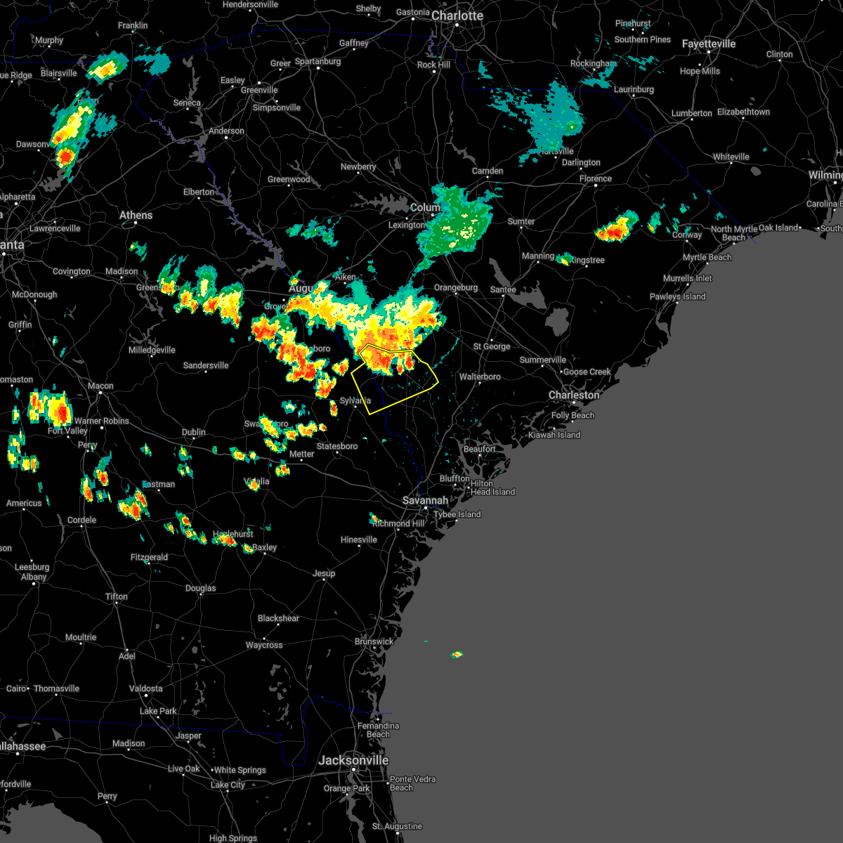 At 1223 pm edt, severe thunderstorms were located along a line extending from near rivers bridge state park to fairfax to near burtons ferry landing, moving south at 45 mph (radar indicated). Hazards include 60 mph wind gusts and penny size hail. Expect damage to trees and powerlines. locations impacted include: allendale, hampton, lake warren state park, varnville, fairfax, brunson, gifford, sycamore, luray, ulmer, crocketville, seigling, martin, miley and barton. hail threat, radar indicated max hail size, 0. 75 in wind threat, radar indicated max wind gust, 60 mph. At 1223 pm edt, severe thunderstorms were located along a line extending from near rivers bridge state park to fairfax to near burtons ferry landing, moving south at 45 mph (radar indicated). Hazards include 60 mph wind gusts and penny size hail. Expect damage to trees and powerlines. locations impacted include: allendale, hampton, lake warren state park, varnville, fairfax, brunson, gifford, sycamore, luray, ulmer, crocketville, seigling, martin, miley and barton. hail threat, radar indicated max hail size, 0. 75 in wind threat, radar indicated max wind gust, 60 mph.
|
| 6/14/2022 12:24 PM EDT |
 The severe thunderstorm warning for northeastern burke, barnwell, northwestern bamberg, southwestern aiken and west central orangeburg counties will expire at 1230 pm edt, the storms which prompted the warning have moved out of the area. therefore, the warning will be allowed to expire. however heavy rain is still possible with these thunderstorms. remember, a severe thunderstorm warning still remains in effect for central and southern burke county. The severe thunderstorm warning for northeastern burke, barnwell, northwestern bamberg, southwestern aiken and west central orangeburg counties will expire at 1230 pm edt, the storms which prompted the warning have moved out of the area. therefore, the warning will be allowed to expire. however heavy rain is still possible with these thunderstorms. remember, a severe thunderstorm warning still remains in effect for central and southern burke county.
|
| 6/14/2022 12:24 PM EDT |
 At 1223 pm edt, severe thunderstorms were located along a line extending from near rivers bridge state park to fairfax to near burtons ferry landing, moving south at 45 mph (radar indicated). Hazards include 60 mph wind gusts and penny size hail. Expect damage to trees and powerlines. locations impacted include: allendale, hampton, lake warren state park, varnville, fairfax, brunson, gifford, sycamore, luray, ulmer, crocketville, seigling, martin, miley and barton. hail threat, radar indicated max hail size, 0. 75 in wind threat, radar indicated max wind gust, 60 mph. At 1223 pm edt, severe thunderstorms were located along a line extending from near rivers bridge state park to fairfax to near burtons ferry landing, moving south at 45 mph (radar indicated). Hazards include 60 mph wind gusts and penny size hail. Expect damage to trees and powerlines. locations impacted include: allendale, hampton, lake warren state park, varnville, fairfax, brunson, gifford, sycamore, luray, ulmer, crocketville, seigling, martin, miley and barton. hail threat, radar indicated max hail size, 0. 75 in wind threat, radar indicated max wind gust, 60 mph.
|
| 6/14/2022 11:59 AM EDT |
 At 1158 am edt, severe thunderstorms were located along a line extending from near bamberg to near barnwell to near millett, moving southeast at 25 mph (radar indicated). Hazards include 60 mph wind gusts and penny size hail. Expect damage to trees and powerlines. locations impacted include: allendale, hampton, lake warren state park, colleton, varnville, fairfax, brunson, gifford, sycamore, luray, smoaks, lodge, williams, ulmer and miley. hail threat, radar indicated max hail size, 0. 75 in wind threat, radar indicated max wind gust, 60 mph. At 1158 am edt, severe thunderstorms were located along a line extending from near bamberg to near barnwell to near millett, moving southeast at 25 mph (radar indicated). Hazards include 60 mph wind gusts and penny size hail. Expect damage to trees and powerlines. locations impacted include: allendale, hampton, lake warren state park, colleton, varnville, fairfax, brunson, gifford, sycamore, luray, smoaks, lodge, williams, ulmer and miley. hail threat, radar indicated max hail size, 0. 75 in wind threat, radar indicated max wind gust, 60 mph.
|
| 5/23/2022 5:58 PM EDT |
 The severe thunderstorm warning for portions of screven and allendale counties will expire at 600 pm edt, the storm which prompted the warning has moved out of the area. therefore, the warning will be allowed to expire. however, gusty winds are still possible with this thunderstorm. The severe thunderstorm warning for portions of screven and allendale counties will expire at 600 pm edt, the storm which prompted the warning has moved out of the area. therefore, the warning will be allowed to expire. however, gusty winds are still possible with this thunderstorm.
|
| 5/23/2022 5:58 PM EDT |
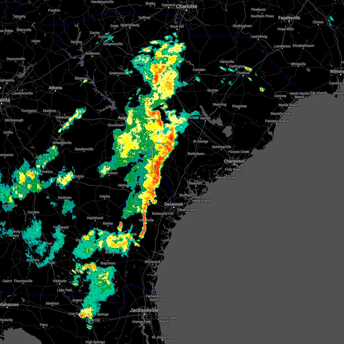 The severe thunderstorm warning for portions of screven and allendale counties will expire at 600 pm edt, the storm which prompted the warning has moved out of the area. therefore, the warning will be allowed to expire. however, gusty winds are still possible with this thunderstorm. The severe thunderstorm warning for portions of screven and allendale counties will expire at 600 pm edt, the storm which prompted the warning has moved out of the area. therefore, the warning will be allowed to expire. however, gusty winds are still possible with this thunderstorm.
|
| 5/23/2022 5:06 PM EDT |
 At 505 pm edt, a severe thunderstorm was located over burtons ferry landing, moving northeast at 20 mph. additional severe thunderstorms will advance into the region from the west before 6 pm edt (radar indicated). Hazards include 60 mph wind gusts and quarter size hail. Minor hail damage to vehicles is possible. expect wind damage to trees and powerlines. locations impacted include: allendale, fairfax, sycamore, ulmer, seigling, martin, barton and appleton. hail threat, radar indicated max hail size, 1. 00 in wind threat, radar indicated max wind gust, 60 mph. At 505 pm edt, a severe thunderstorm was located over burtons ferry landing, moving northeast at 20 mph. additional severe thunderstorms will advance into the region from the west before 6 pm edt (radar indicated). Hazards include 60 mph wind gusts and quarter size hail. Minor hail damage to vehicles is possible. expect wind damage to trees and powerlines. locations impacted include: allendale, fairfax, sycamore, ulmer, seigling, martin, barton and appleton. hail threat, radar indicated max hail size, 1. 00 in wind threat, radar indicated max wind gust, 60 mph.
|
| 5/23/2022 5:06 PM EDT |
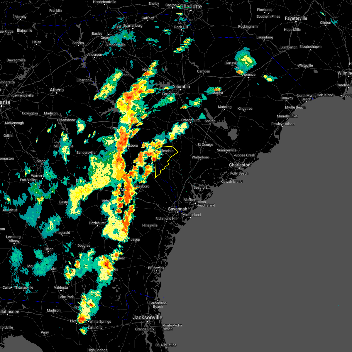 At 505 pm edt, a severe thunderstorm was located over burtons ferry landing, moving northeast at 20 mph. additional severe thunderstorms will advance into the region from the west before 6 pm edt (radar indicated). Hazards include 60 mph wind gusts and quarter size hail. Minor hail damage to vehicles is possible. expect wind damage to trees and powerlines. locations impacted include: allendale, fairfax, sycamore, ulmer, seigling, martin, barton and appleton. hail threat, radar indicated max hail size, 1. 00 in wind threat, radar indicated max wind gust, 60 mph. At 505 pm edt, a severe thunderstorm was located over burtons ferry landing, moving northeast at 20 mph. additional severe thunderstorms will advance into the region from the west before 6 pm edt (radar indicated). Hazards include 60 mph wind gusts and quarter size hail. Minor hail damage to vehicles is possible. expect wind damage to trees and powerlines. locations impacted include: allendale, fairfax, sycamore, ulmer, seigling, martin, barton and appleton. hail threat, radar indicated max hail size, 1. 00 in wind threat, radar indicated max wind gust, 60 mph.
|
| 5/23/2022 3:50 PM EDT |
 At 349 pm edt, severe thunderstorms were located along a line extending from 7 miles south of sardis to near martin, moving northeast at 20 mph (radar indicated). Hazards include 60 mph wind gusts and quarter size hail. Minor hail damage to vehicles is possible. expect wind damage to trees and powerlines. locations impacted include: hiltonia, millett, martin, millhaven, appleton and hilltonia. hail threat, radar indicated max hail size, 1. 00 in wind threat, radar indicated max wind gust, 60 mph. At 349 pm edt, severe thunderstorms were located along a line extending from 7 miles south of sardis to near martin, moving northeast at 20 mph (radar indicated). Hazards include 60 mph wind gusts and quarter size hail. Minor hail damage to vehicles is possible. expect wind damage to trees and powerlines. locations impacted include: hiltonia, millett, martin, millhaven, appleton and hilltonia. hail threat, radar indicated max hail size, 1. 00 in wind threat, radar indicated max wind gust, 60 mph.
|
| 5/23/2022 3:33 PM EDT |
 At 333 pm edt, a severe thunderstorm was located near burtons ferry landing, moving northeast at 15 mph (radar indicated). Hazards include 60 mph wind gusts and quarter size hail. Minor hail damage to vehicles is possible. expect wind damage to trees and powerlines. locations impacted include: hiltonia, millett, martin, millhaven, appleton and hilltonia. hail threat, radar indicated max hail size, 1. 00 in wind threat, radar indicated max wind gust, 60 mph. At 333 pm edt, a severe thunderstorm was located near burtons ferry landing, moving northeast at 15 mph (radar indicated). Hazards include 60 mph wind gusts and quarter size hail. Minor hail damage to vehicles is possible. expect wind damage to trees and powerlines. locations impacted include: hiltonia, millett, martin, millhaven, appleton and hilltonia. hail threat, radar indicated max hail size, 1. 00 in wind threat, radar indicated max wind gust, 60 mph.
|
| 5/6/2022 6:10 PM EDT |
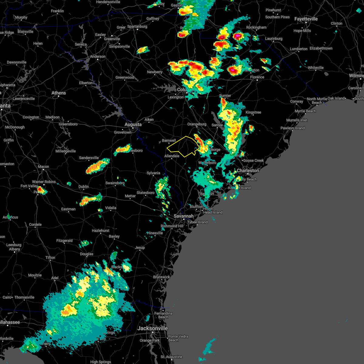 The severe thunderstorm warning for southeastern barnwell and bamberg counties will expire at 615 pm edt, the storm which prompted the warning has moved out of the area. therefore, the warning will be allowed to expire. a severe thunderstorm watch remains in effect until 1000 pm edt for central south carolina. The severe thunderstorm warning for southeastern barnwell and bamberg counties will expire at 615 pm edt, the storm which prompted the warning has moved out of the area. therefore, the warning will be allowed to expire. a severe thunderstorm watch remains in effect until 1000 pm edt for central south carolina.
|
| 5/6/2022 5:46 PM EDT |
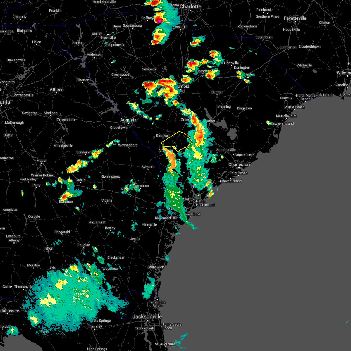 At 545 pm edt, a severe thunderstorm was located over rivers bridge state park, or 12 miles north of hampton, moving northeast at 70 mph (radar indicated). Hazards include 60 mph wind gusts and quarter size hail. Hail damage to vehicles is expected. Expect wind damage to trees and powerlines. At 545 pm edt, a severe thunderstorm was located over rivers bridge state park, or 12 miles north of hampton, moving northeast at 70 mph (radar indicated). Hazards include 60 mph wind gusts and quarter size hail. Hail damage to vehicles is expected. Expect wind damage to trees and powerlines.
|
| 5/6/2022 5:41 PM EDT |
 At 541 pm edt, severe thunderstorms were located along a line extending from near ulmer to near crocketville to near grays, moving northeast at 65 mph (radar indicated). Hazards include 60 mph wind gusts. Expect damage to trees and powerlines. locations impacted include: walterboro, allendale, hampton, lake warren state park, colleton, varnville, estill, fairfax, cottageville, brunson, gifford, furman, sycamore, luray and smoaks. this warning includes i-95 in south carolina between mile markers 49 and 69. hail threat, radar indicated max hail size, <. 75 in wind threat, radar indicated max wind gust, 60 mph. At 541 pm edt, severe thunderstorms were located along a line extending from near ulmer to near crocketville to near grays, moving northeast at 65 mph (radar indicated). Hazards include 60 mph wind gusts. Expect damage to trees and powerlines. locations impacted include: walterboro, allendale, hampton, lake warren state park, colleton, varnville, estill, fairfax, cottageville, brunson, gifford, furman, sycamore, luray and smoaks. this warning includes i-95 in south carolina between mile markers 49 and 69. hail threat, radar indicated max hail size, <. 75 in wind threat, radar indicated max wind gust, 60 mph.
|
| 5/6/2022 5:15 PM EDT |
 At 515 pm edt, a severe thunderstorm was located near denmark, moving northeast at 60 mph (radar indicated). Hazards include 60 mph wind gusts and quarter size hail. Hail damage to vehicles is expected. expect wind damage to trees and powerlines. locations impacted include, barnwell, bamberg, denmark, williston, blackville, branchville, barnwell state park, rivers bridge state park, ehrhardt, springfield, hilda, salley, neeses, norway, rowesville, snelling, olar, perry, kline and elko. hail threat, radar indicated max hail size, 1. 00 in wind threat, observed max wind gust, 60 mph. At 515 pm edt, a severe thunderstorm was located near denmark, moving northeast at 60 mph (radar indicated). Hazards include 60 mph wind gusts and quarter size hail. Hail damage to vehicles is expected. expect wind damage to trees and powerlines. locations impacted include, barnwell, bamberg, denmark, williston, blackville, branchville, barnwell state park, rivers bridge state park, ehrhardt, springfield, hilda, salley, neeses, norway, rowesville, snelling, olar, perry, kline and elko. hail threat, radar indicated max hail size, 1. 00 in wind threat, observed max wind gust, 60 mph.
|
| 5/6/2022 4:57 PM EDT |
 At 457 pm edt, a severe thunderstorm was located near barnwell, moving northeast at 60 mph (radar indicated). Hazards include 60 mph wind gusts and quarter size hail. Hail damage to vehicles is expected. Expect wind damage to trees and powerlines. At 457 pm edt, a severe thunderstorm was located near barnwell, moving northeast at 60 mph (radar indicated). Hazards include 60 mph wind gusts and quarter size hail. Hail damage to vehicles is expected. Expect wind damage to trees and powerlines.
|
| 5/6/2022 4:52 PM EDT | Allendale county 911 center reported multiple trees blown down in the martin area. time was estimated from radar dat in allendale county SC, 8.7 miles ENE of Kline, SC |
| 5/6/2022 4:50 PM EDT |
 At 449 pm edt, a severe thunderstorm was located 7 miles southwest of barnwell, moving northeast at 65 mph (radar indicated). Hazards include 60 mph wind gusts and quarter size hail. Hail damage to vehicles is expected. expect wind damage to trees and powerlines. locations impacted include, barnwell, savannah river site, plant vogtle, sardis, snelling, kline, girard, savannah river site h canyon and savannah river site k complex. hail threat, radar indicated max hail size, 1. 00 in wind threat, radar indicated max wind gust, 60 mph. At 449 pm edt, a severe thunderstorm was located 7 miles southwest of barnwell, moving northeast at 65 mph (radar indicated). Hazards include 60 mph wind gusts and quarter size hail. Hail damage to vehicles is expected. expect wind damage to trees and powerlines. locations impacted include, barnwell, savannah river site, plant vogtle, sardis, snelling, kline, girard, savannah river site h canyon and savannah river site k complex. hail threat, radar indicated max hail size, 1. 00 in wind threat, radar indicated max wind gust, 60 mph.
|
| 5/6/2022 4:49 PM EDT |
 At 448 pm edt, a severe thunderstorm was located near burtons ferry landing, moving northeast at 65 mph (radar indicated). Hazards include 60 mph wind gusts and quarter size hail. Minor hail damage to vehicles is possible. expect wind damage to trees and powerlines. locations impacted include: allendale, hampton, lake warren state park, fairfax, brunson, gifford, sycamore, luray, ulmer, crocketville, seigling, martin, miley, barton and millett. hail threat, radar indicated max hail size, 1. 00 in wind threat, radar indicated max wind gust, 60 mph. At 448 pm edt, a severe thunderstorm was located near burtons ferry landing, moving northeast at 65 mph (radar indicated). Hazards include 60 mph wind gusts and quarter size hail. Minor hail damage to vehicles is possible. expect wind damage to trees and powerlines. locations impacted include: allendale, hampton, lake warren state park, fairfax, brunson, gifford, sycamore, luray, ulmer, crocketville, seigling, martin, miley, barton and millett. hail threat, radar indicated max hail size, 1. 00 in wind threat, radar indicated max wind gust, 60 mph.
|
| 5/6/2022 4:28 PM EDT |
 At 427 pm edt, a severe thunderstorm was located over alexander, or 10 miles southwest of plant vogtle, moving northeast at 65 mph (radar indicated). Hazards include 60 mph wind gusts and quarter size hail. Hail damage to vehicles is expected. Expect wind damage to trees and powerlines. At 427 pm edt, a severe thunderstorm was located over alexander, or 10 miles southwest of plant vogtle, moving northeast at 65 mph (radar indicated). Hazards include 60 mph wind gusts and quarter size hail. Hail damage to vehicles is expected. Expect wind damage to trees and powerlines.
|
| 4/6/2022 10:08 PM EDT |
 The severe thunderstorm warning for portions of bryan, screven, bulloch, effingham, hampton, allendale and jasper counties will expire at 1015 pm edt, the storms which prompted the warning are expected to weaken below severe limits by 1015 pm, and thus no longer pose an immediate threat to life or property. therefore, the warning will be allowed to expire. however, gusty winds and heavy rain are still possible with these thunderstorms. The severe thunderstorm warning for portions of bryan, screven, bulloch, effingham, hampton, allendale and jasper counties will expire at 1015 pm edt, the storms which prompted the warning are expected to weaken below severe limits by 1015 pm, and thus no longer pose an immediate threat to life or property. therefore, the warning will be allowed to expire. however, gusty winds and heavy rain are still possible with these thunderstorms.
|
| 4/6/2022 9:51 PM EDT |
 At 950 pm edt, severe thunderstorms were located along a line extending from near burtons ferry landing to near shirley to near springfield to marlow to 7 miles south of ellabell, moving east at 45 mph (radar indicated). Hazards include 60 mph wind gusts. Expect damage to trees and powerlines. locations impacted include: allendale, springfield, godley station, rincon, port wentworth, estill, fairfax, guyton, hiltonia, gifford, furman, scotia, luray, eden and tarboro. this warning includes i-16 between mile markers 142 and 150. hail threat, radar indicated max hail size, <. 75 in wind threat, radar indicated max wind gust, 60 mph. At 950 pm edt, severe thunderstorms were located along a line extending from near burtons ferry landing to near shirley to near springfield to marlow to 7 miles south of ellabell, moving east at 45 mph (radar indicated). Hazards include 60 mph wind gusts. Expect damage to trees and powerlines. locations impacted include: allendale, springfield, godley station, rincon, port wentworth, estill, fairfax, guyton, hiltonia, gifford, furman, scotia, luray, eden and tarboro. this warning includes i-16 between mile markers 142 and 150. hail threat, radar indicated max hail size, <. 75 in wind threat, radar indicated max wind gust, 60 mph.
|
| 4/6/2022 9:31 PM EDT |
 At 931 pm edt, severe thunderstorms were located along a line extending from 8 miles northeast of sylvania to oliver to near egypt to near bay to near groveland, moving east at 55 mph (radar indicated). Hazards include 60 mph wind gusts. Expect damage to trees and powerlines. locations impacted include: allendale, sylvania, springfield, pembroke, godley station, lanier, rincon, port wentworth, estill, fairfax, guyton, hiltonia, gifford, newington and furman. this warning includes i-16 between mile markers 129 and 150. hail threat, radar indicated max hail size, <. 75 in wind threat, radar indicated max wind gust, 60 mph. At 931 pm edt, severe thunderstorms were located along a line extending from 8 miles northeast of sylvania to oliver to near egypt to near bay to near groveland, moving east at 55 mph (radar indicated). Hazards include 60 mph wind gusts. Expect damage to trees and powerlines. locations impacted include: allendale, sylvania, springfield, pembroke, godley station, lanier, rincon, port wentworth, estill, fairfax, guyton, hiltonia, gifford, newington and furman. this warning includes i-16 between mile markers 129 and 150. hail threat, radar indicated max hail size, <. 75 in wind threat, radar indicated max wind gust, 60 mph.
|
| 4/5/2022 6:30 PM EDT |
 At 630 pm edt, a severe thunderstorm was located near barnwell, moving east at 50 mph (radar indicated). Hazards include 60 mph wind gusts. expect damage to trees and powerlines At 630 pm edt, a severe thunderstorm was located near barnwell, moving east at 50 mph (radar indicated). Hazards include 60 mph wind gusts. expect damage to trees and powerlines
|
| 4/5/2022 5:50 PM EDT |
 At 550 pm edt, a severe thunderstorm capable of producing a tornado was located over appleton, or near allendale, moving northeast at 45 mph (radar indicated rotation). Hazards include tornado. Flying debris will be dangerous to those caught without shelter. mobile homes will be damaged or destroyed. damage to roofs, windows, and vehicles will occur. tree damage is likely. this dangerous storm will be near, denmark around 615 pm edt. bamberg around 625 pm edt. Other locations impacted by this tornadic thunderstorm include cope, olar, bamberg county airport, kline, govan and ehrhardt. At 550 pm edt, a severe thunderstorm capable of producing a tornado was located over appleton, or near allendale, moving northeast at 45 mph (radar indicated rotation). Hazards include tornado. Flying debris will be dangerous to those caught without shelter. mobile homes will be damaged or destroyed. damage to roofs, windows, and vehicles will occur. tree damage is likely. this dangerous storm will be near, denmark around 615 pm edt. bamberg around 625 pm edt. Other locations impacted by this tornadic thunderstorm include cope, olar, bamberg county airport, kline, govan and ehrhardt.
|
| 4/5/2022 3:58 PM EDT |
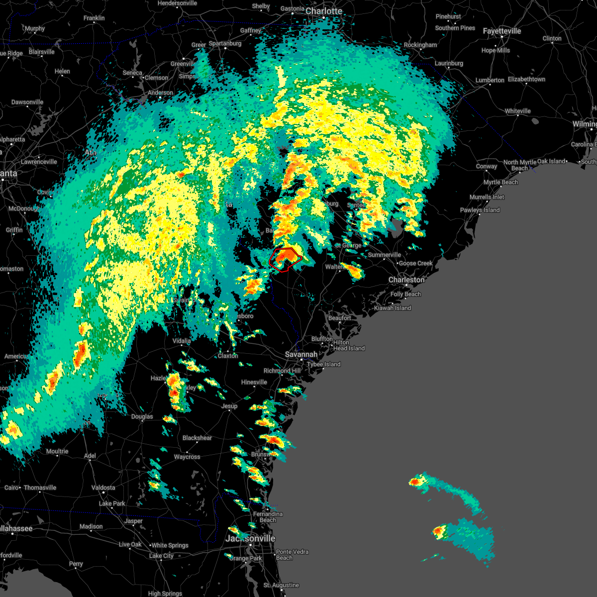 At 357 pm edt, a confirmed large and destructive tornado was located over allendale, moving northeast at 30 mph. tornado emergency for allendale, sycamore, and seigling. this is a particularly dangerous situation. take cover now! (law enforcement confirmed tornado). Hazards include deadly tornado. You are in a life-threatening situation. flying debris may be deadly to those caught without shelter. mobile homes will be destroyed. considerable damage to homes, businesses, and vehicles is likely and complete destruction is possible. Locations impacted include: allendale, fairfax, sycamore, ulmer, seigling, barton and appleton. At 357 pm edt, a confirmed large and destructive tornado was located over allendale, moving northeast at 30 mph. tornado emergency for allendale, sycamore, and seigling. this is a particularly dangerous situation. take cover now! (law enforcement confirmed tornado). Hazards include deadly tornado. You are in a life-threatening situation. flying debris may be deadly to those caught without shelter. mobile homes will be destroyed. considerable damage to homes, businesses, and vehicles is likely and complete destruction is possible. Locations impacted include: allendale, fairfax, sycamore, ulmer, seigling, barton and appleton.
|
| 4/5/2022 3:51 PM EDT |
 At 350 pm edt, a severe thunderstorm capable of producing a tornado was located near barton, moving northeast at 35 mph (weather spotters reported a funnel cloud). Hazards include tornado. Flying debris will be dangerous to those caught without shelter. mobile homes will be damaged or destroyed. damage to roofs, windows, and vehicles will occur. tree damage is likely. Locations impacted include: allendale, fairfax, sycamore, ulmer, seigling, millett, martin, barton, appleton and burtons ferry landing. At 350 pm edt, a severe thunderstorm capable of producing a tornado was located near barton, moving northeast at 35 mph (weather spotters reported a funnel cloud). Hazards include tornado. Flying debris will be dangerous to those caught without shelter. mobile homes will be damaged or destroyed. damage to roofs, windows, and vehicles will occur. tree damage is likely. Locations impacted include: allendale, fairfax, sycamore, ulmer, seigling, millett, martin, barton, appleton and burtons ferry landing.
|
| 4/5/2022 3:37 PM EDT |
 At 336 pm edt, a severe thunderstorm capable of producing a tornado was located near burtons ferry landing, moving northeast at 30 mph (radar indicated rotation). Hazards include tornado. Flying debris will be dangerous to those caught without shelter. mobile homes will be damaged or destroyed. damage to roofs, windows, and vehicles will occur. tree damage is likely. Locations impacted include: allendale, fairfax, sycamore, ulmer, seigling, millett, martin, barton, millhaven, appleton and burtons ferry landing. At 336 pm edt, a severe thunderstorm capable of producing a tornado was located near burtons ferry landing, moving northeast at 30 mph (radar indicated rotation). Hazards include tornado. Flying debris will be dangerous to those caught without shelter. mobile homes will be damaged or destroyed. damage to roofs, windows, and vehicles will occur. tree damage is likely. Locations impacted include: allendale, fairfax, sycamore, ulmer, seigling, millett, martin, barton, millhaven, appleton and burtons ferry landing.
|
| 4/5/2022 3:37 PM EDT |
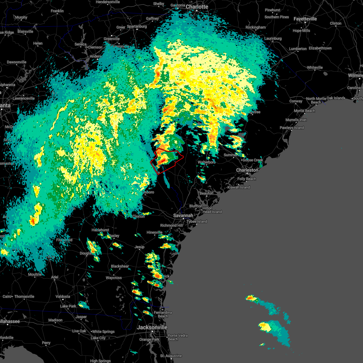 At 336 pm edt, a severe thunderstorm capable of producing a tornado was located near burtons ferry landing, moving northeast at 30 mph (radar indicated rotation). Hazards include tornado. Flying debris will be dangerous to those caught without shelter. mobile homes will be damaged or destroyed. damage to roofs, windows, and vehicles will occur. tree damage is likely. Locations impacted include: allendale, fairfax, sycamore, ulmer, seigling, millett, martin, barton, millhaven, appleton and burtons ferry landing. At 336 pm edt, a severe thunderstorm capable of producing a tornado was located near burtons ferry landing, moving northeast at 30 mph (radar indicated rotation). Hazards include tornado. Flying debris will be dangerous to those caught without shelter. mobile homes will be damaged or destroyed. damage to roofs, windows, and vehicles will occur. tree damage is likely. Locations impacted include: allendale, fairfax, sycamore, ulmer, seigling, millett, martin, barton, millhaven, appleton and burtons ferry landing.
|
| 4/5/2022 3:29 PM EDT |
 At 328 pm edt, a severe thunderstorm capable of producing a tornado was located near hilltonia, moving northeast at 30 mph (radar indicated rotation). Hazards include tornado. Flying debris will be dangerous to those caught without shelter. mobile homes will be damaged or destroyed. damage to roofs, windows, and vehicles will occur. tree damage is likely. Locations impacted include: allendale, sylvania, fairfax, hiltonia, sycamore, ulmer, altman, seigling, martin, barton, millhaven, hilltonia, millett, appleton and burtons ferry landing. At 328 pm edt, a severe thunderstorm capable of producing a tornado was located near hilltonia, moving northeast at 30 mph (radar indicated rotation). Hazards include tornado. Flying debris will be dangerous to those caught without shelter. mobile homes will be damaged or destroyed. damage to roofs, windows, and vehicles will occur. tree damage is likely. Locations impacted include: allendale, sylvania, fairfax, hiltonia, sycamore, ulmer, altman, seigling, martin, barton, millhaven, hilltonia, millett, appleton and burtons ferry landing.
|
| 8/17/2021 2:31 PM EDT |
 At 230 pm edt, a severe thunderstorm capable of producing a tornado was located near kline, moving towards barnwell, moving north at 20 mph (radar indicated rotation). Hazards include tornado. Flying debris will be dangerous to those caught without shelter. mobile homes will be damaged or destroyed. damage to roofs, windows, and vehicles will occur. tree damage is likely. this dangerous storm will be near, barnwell around 250 pm edt. barnwell state park around 305 pm edt. williston and blackville around 315 pm edt. Other locations impacted by this tornadic thunderstorm include elko, kline, snelling, barnwell county airport and hilda. At 230 pm edt, a severe thunderstorm capable of producing a tornado was located near kline, moving towards barnwell, moving north at 20 mph (radar indicated rotation). Hazards include tornado. Flying debris will be dangerous to those caught without shelter. mobile homes will be damaged or destroyed. damage to roofs, windows, and vehicles will occur. tree damage is likely. this dangerous storm will be near, barnwell around 250 pm edt. barnwell state park around 305 pm edt. williston and blackville around 315 pm edt. Other locations impacted by this tornadic thunderstorm include elko, kline, snelling, barnwell county airport and hilda.
|
| 5/4/2021 6:57 PM EDT |
 The severe thunderstorm warning for southeastern calhoun, southeastern barnwell, bamberg and orangeburg counties will expire at 700 pm edt, the storms which prompted the warning have weakened below severe limits, and no longer pose an immediate threat to life or property. therefore, the warning will be allowed to expire. however gusty winds are still possible with these thunderstorms. a severe thunderstorm watch remains in effect until 900 pm edt for central south carolina. The severe thunderstorm warning for southeastern calhoun, southeastern barnwell, bamberg and orangeburg counties will expire at 700 pm edt, the storms which prompted the warning have weakened below severe limits, and no longer pose an immediate threat to life or property. therefore, the warning will be allowed to expire. however gusty winds are still possible with these thunderstorms. a severe thunderstorm watch remains in effect until 900 pm edt for central south carolina.
|
| 5/4/2021 6:43 PM EDT |
 At 642 pm edt, severe thunderstorms were located along a line extending from near santee state park to near ulmer, moving southeast at 25 mph (radar indicated). Hazards include 60 mph wind gusts and penny size hail. Expect damage to roofs, siding, and trees. locations impacted include, orangeburg, barnwell, bamberg, denmark, brookdale, holly hill, branchville, bowman, elloree, santee state park, claflin college, south carolina state university, orangeburg county airport, rivers bridge state park, edisto gardens, santee, ehrhardt, hilda, cameron and eutawville. this includes the following highways, interstate 26 between mile markers 149 and 169. Interstate 95 between mile markers 85 and 101. At 642 pm edt, severe thunderstorms were located along a line extending from near santee state park to near ulmer, moving southeast at 25 mph (radar indicated). Hazards include 60 mph wind gusts and penny size hail. Expect damage to roofs, siding, and trees. locations impacted include, orangeburg, barnwell, bamberg, denmark, brookdale, holly hill, branchville, bowman, elloree, santee state park, claflin college, south carolina state university, orangeburg county airport, rivers bridge state park, edisto gardens, santee, ehrhardt, hilda, cameron and eutawville. this includes the following highways, interstate 26 between mile markers 149 and 169. Interstate 95 between mile markers 85 and 101.
|
| 5/4/2021 6:03 PM EDT |
 At 603 pm edt, severe thunderstorms were located along a line extending from near poinsett state park to 6 miles east of savannah river site, moving east at 30 mph (radar indicated). Hazards include 60 mph wind gusts. expect damage to roofs, siding, and trees At 603 pm edt, severe thunderstorms were located along a line extending from near poinsett state park to 6 miles east of savannah river site, moving east at 30 mph (radar indicated). Hazards include 60 mph wind gusts. expect damage to roofs, siding, and trees
|
| 5/3/2021 6:36 PM EDT |
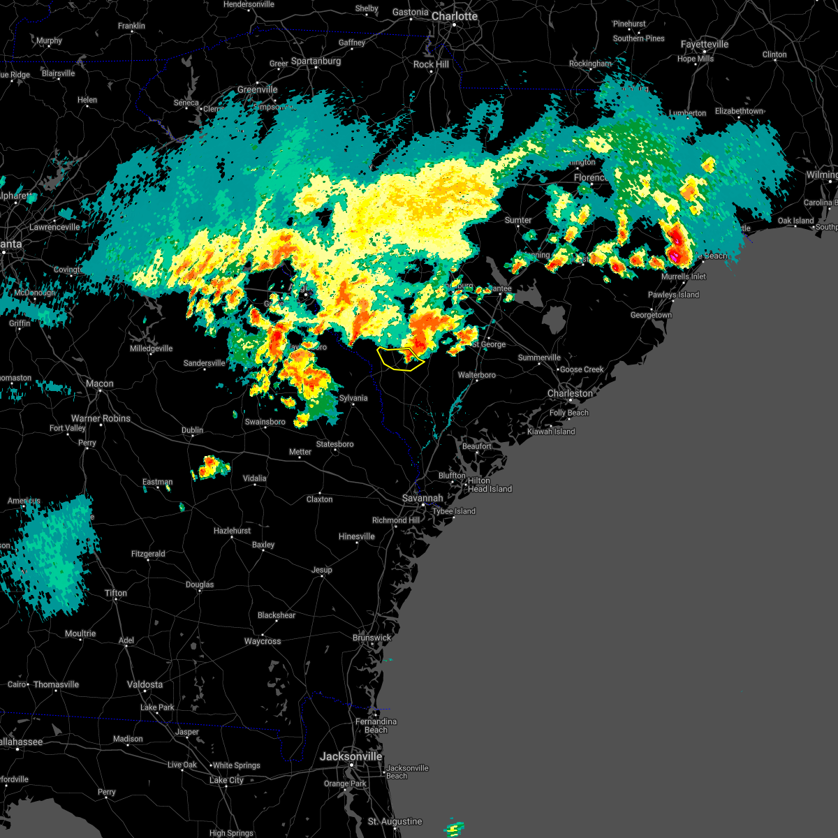 The severe thunderstorm warning for allendale county will expire at 645 pm edt, the immediate risk for severe weather has ended. The severe thunderstorm warning for allendale county will expire at 645 pm edt, the immediate risk for severe weather has ended.
|
| 5/3/2021 6:23 PM EDT |
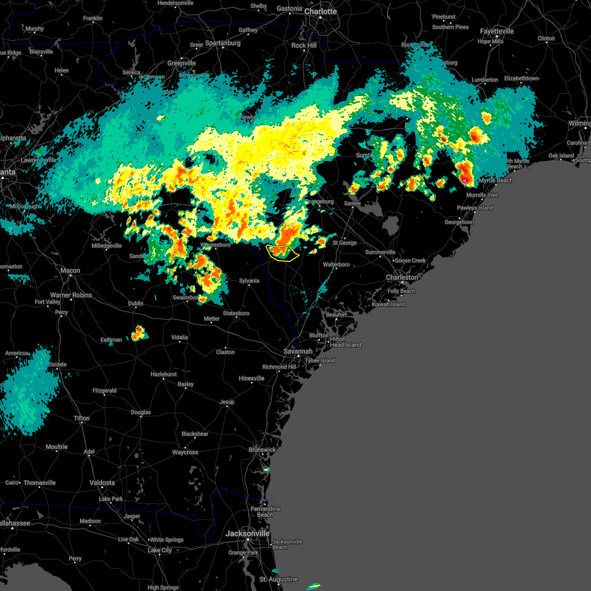 At 622 pm edt, a severe thunderstorm was located near ulmer, moving east at 30 mph (radar indicated). Hazards include 60 mph wind gusts and nickel size hail. Expect damage to trees and powerlines. Locations impacted include, allendale, sycamore, ulmer, seigling and appleton. At 622 pm edt, a severe thunderstorm was located near ulmer, moving east at 30 mph (radar indicated). Hazards include 60 mph wind gusts and nickel size hail. Expect damage to trees and powerlines. Locations impacted include, allendale, sycamore, ulmer, seigling and appleton.
|
| 5/3/2021 6:14 PM EDT |
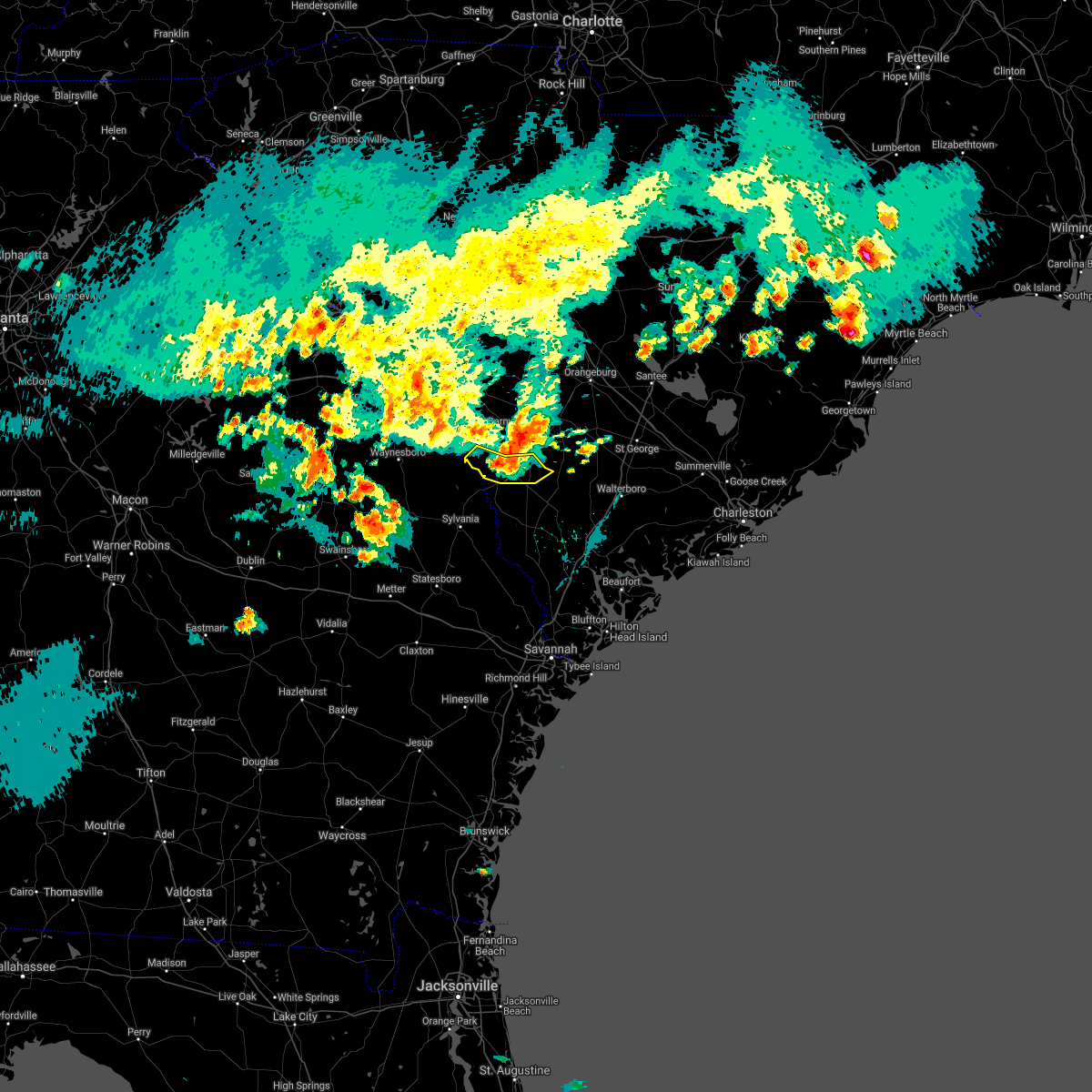 At 613 pm edt, a severe thunderstorm was located near appleton, moving east at 30 mph (radar indicated). Hazards include 60 mph wind gusts and quarter size hail. Minor hail damage to vehicles is possible. expect wind damage to trees and powerlines. Locations impacted include, allendale, fairfax, sycamore, ulmer, seigling, millett, martin and appleton. At 613 pm edt, a severe thunderstorm was located near appleton, moving east at 30 mph (radar indicated). Hazards include 60 mph wind gusts and quarter size hail. Minor hail damage to vehicles is possible. expect wind damage to trees and powerlines. Locations impacted include, allendale, fairfax, sycamore, ulmer, seigling, millett, martin and appleton.
|
| 5/3/2021 6:07 PM EDT |
 At 606 pm edt, a severe thunderstorm was located near martin, moving east at 40 mph (radar indicated). Hazards include 60 mph wind gusts and quarter size hail. Minor hail damage to vehicles is possible. expect wind damage to trees and powerlines. Locations impacted include, allendale, fairfax, sycamore, ulmer, seigling, millett, martin, appleton and burtons ferry landing. At 606 pm edt, a severe thunderstorm was located near martin, moving east at 40 mph (radar indicated). Hazards include 60 mph wind gusts and quarter size hail. Minor hail damage to vehicles is possible. expect wind damage to trees and powerlines. Locations impacted include, allendale, fairfax, sycamore, ulmer, seigling, millett, martin, appleton and burtons ferry landing.
|
| 5/3/2021 6:07 PM EDT |
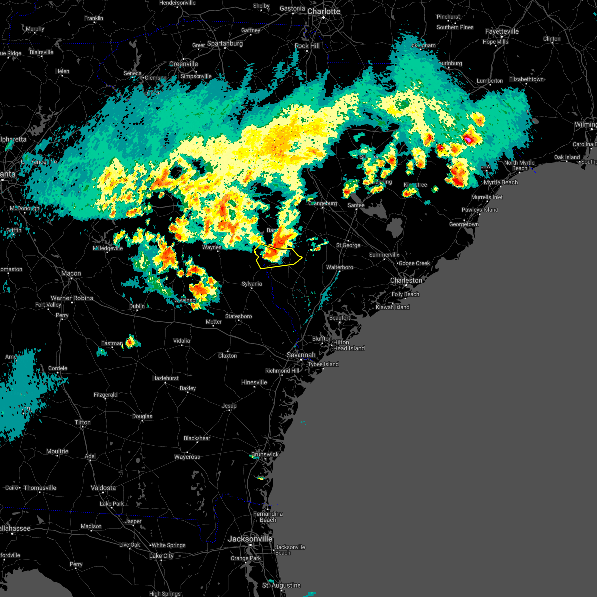 At 606 pm edt, a severe thunderstorm was located near martin, moving east at 40 mph (radar indicated). Hazards include 60 mph wind gusts and quarter size hail. Minor hail damage to vehicles is possible. expect wind damage to trees and powerlines. Locations impacted include, allendale, fairfax, sycamore, ulmer, seigling, millett, martin, appleton and burtons ferry landing. At 606 pm edt, a severe thunderstorm was located near martin, moving east at 40 mph (radar indicated). Hazards include 60 mph wind gusts and quarter size hail. Minor hail damage to vehicles is possible. expect wind damage to trees and powerlines. Locations impacted include, allendale, fairfax, sycamore, ulmer, seigling, millett, martin, appleton and burtons ferry landing.
|
| 5/3/2021 6:01 PM EDT |
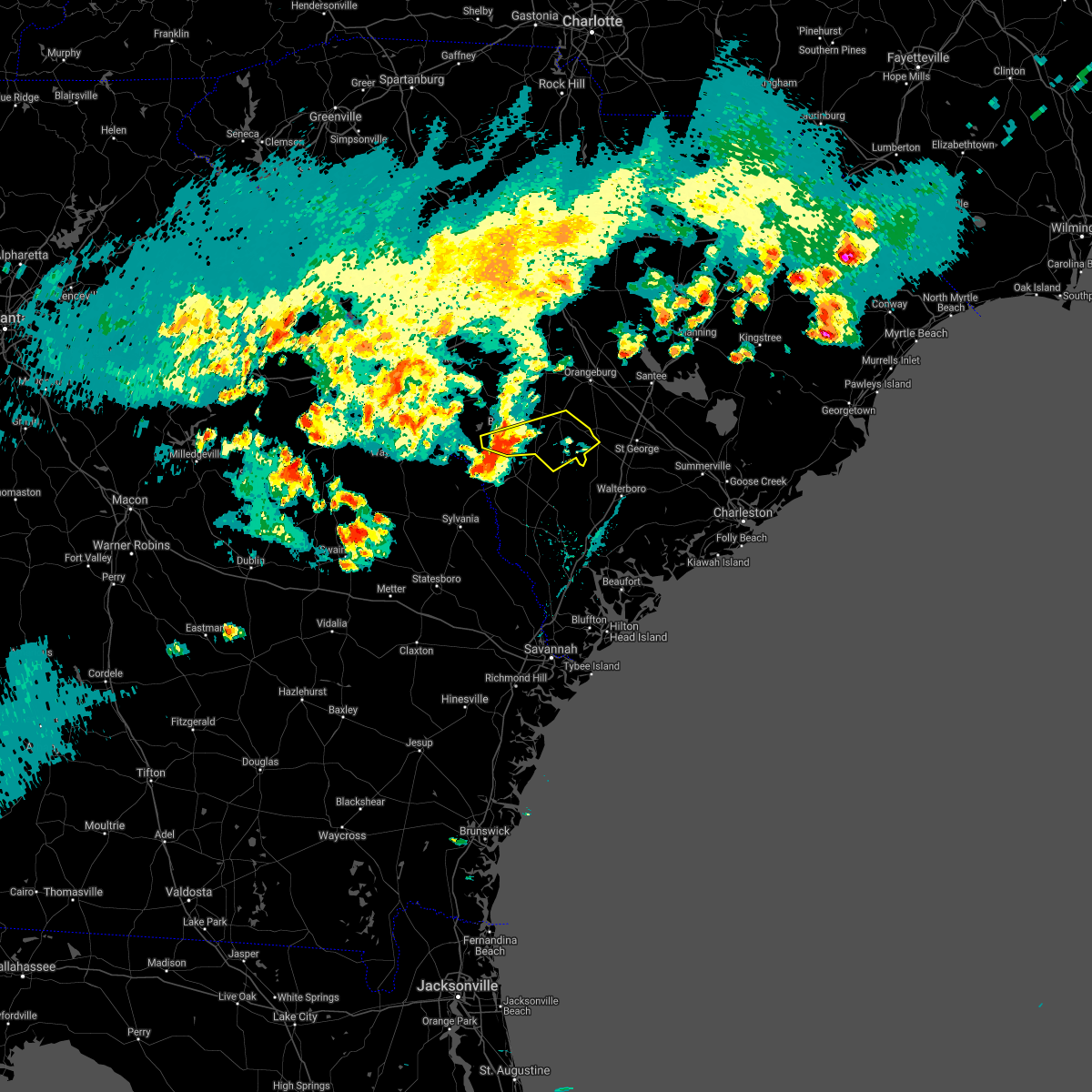 At 600 pm edt, a severe thunderstorm was located near martin, or 9 miles southwest of barnwell, moving east at 40 mph (radar indicated). Hazards include ping pong ball size hail and 60 mph wind gusts. People and animals outdoors will be injured. expect hail damage to roofs, siding, windows, and vehicles. Expect wind damage to roofs, siding, and trees. At 600 pm edt, a severe thunderstorm was located near martin, or 9 miles southwest of barnwell, moving east at 40 mph (radar indicated). Hazards include ping pong ball size hail and 60 mph wind gusts. People and animals outdoors will be injured. expect hail damage to roofs, siding, windows, and vehicles. Expect wind damage to roofs, siding, and trees.
|
| 5/3/2021 6:00 PM EDT | Numerous trees down along hwy 125 and hwy 32 in allendale county SC, 8.5 miles ENE of Kline, SC |
| 5/3/2021 5:50 PM EDT |
 At 549 pm edt, a severe thunderstorm was located near millhaven, moving east at 30 mph (radar indicated). Hazards include 60 mph wind gusts and quarter size hail. Minor hail damage to vehicles is possible. Expect wind damage to trees and powerlines. At 549 pm edt, a severe thunderstorm was located near millhaven, moving east at 30 mph (radar indicated). Hazards include 60 mph wind gusts and quarter size hail. Minor hail damage to vehicles is possible. Expect wind damage to trees and powerlines.
|
| 5/3/2021 5:50 PM EDT |
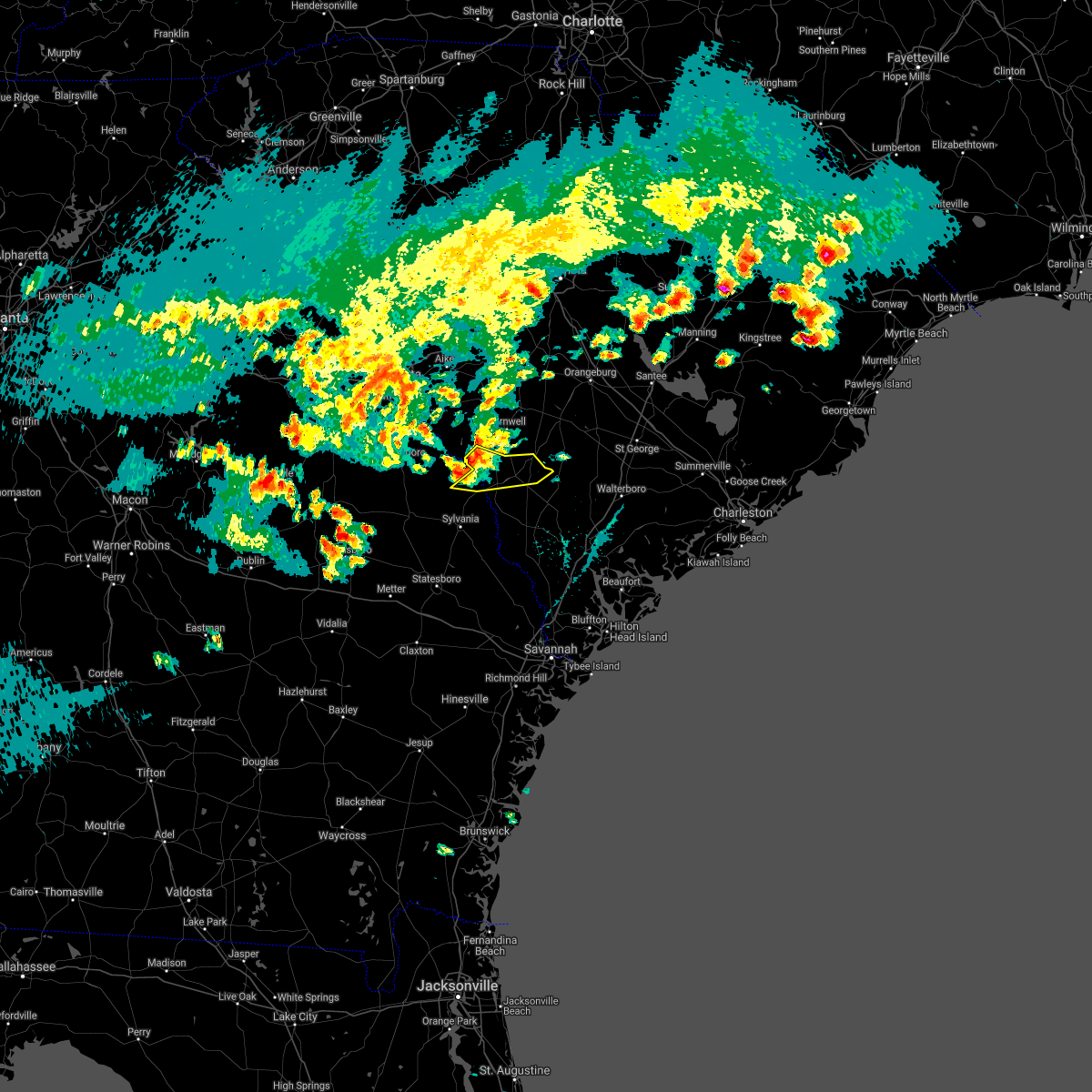 At 549 pm edt, a severe thunderstorm was located near millhaven, moving east at 30 mph (radar indicated). Hazards include 60 mph wind gusts and quarter size hail. Minor hail damage to vehicles is possible. Expect wind damage to trees and powerlines. At 549 pm edt, a severe thunderstorm was located near millhaven, moving east at 30 mph (radar indicated). Hazards include 60 mph wind gusts and quarter size hail. Minor hail damage to vehicles is possible. Expect wind damage to trees and powerlines.
|
| 7/20/2020 6:05 PM EDT |
 At 605 pm edt, a severe thunderstorm was located over appleton, moving west at 5 mph (radar indicated). Hazards include 60 mph wind gusts and quarter size hail. Minor hail damage to vehicles is possible. expect wind damage to trees and powerlines. Locations impacted include, allendale, fairfax, sycamore, seigling, millett, martin, barton, appleton and burtons ferry landing. At 605 pm edt, a severe thunderstorm was located over appleton, moving west at 5 mph (radar indicated). Hazards include 60 mph wind gusts and quarter size hail. Minor hail damage to vehicles is possible. expect wind damage to trees and powerlines. Locations impacted include, allendale, fairfax, sycamore, seigling, millett, martin, barton, appleton and burtons ferry landing.
|
| 7/20/2020 6:05 PM EDT |
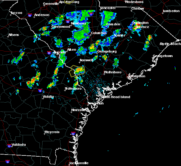 At 605 pm edt, a severe thunderstorm was located over appleton, moving west at 5 mph (radar indicated). Hazards include 60 mph wind gusts and quarter size hail. Minor hail damage to vehicles is possible. expect wind damage to trees and powerlines. Locations impacted include, allendale, fairfax, sycamore, seigling, millett, martin, barton, appleton and burtons ferry landing. At 605 pm edt, a severe thunderstorm was located over appleton, moving west at 5 mph (radar indicated). Hazards include 60 mph wind gusts and quarter size hail. Minor hail damage to vehicles is possible. expect wind damage to trees and powerlines. Locations impacted include, allendale, fairfax, sycamore, seigling, millett, martin, barton, appleton and burtons ferry landing.
|
| 7/20/2020 5:42 PM EDT |
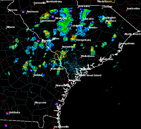 At 542 pm edt, a severe thunderstorm was located over appleton, moving west at 5 mph (radar indicated). Hazards include 60 mph wind gusts and quarter size hail. Minor hail damage to vehicles is possible. Expect wind damage to trees and powerlines. At 542 pm edt, a severe thunderstorm was located over appleton, moving west at 5 mph (radar indicated). Hazards include 60 mph wind gusts and quarter size hail. Minor hail damage to vehicles is possible. Expect wind damage to trees and powerlines.
|
| 7/20/2020 5:42 PM EDT |
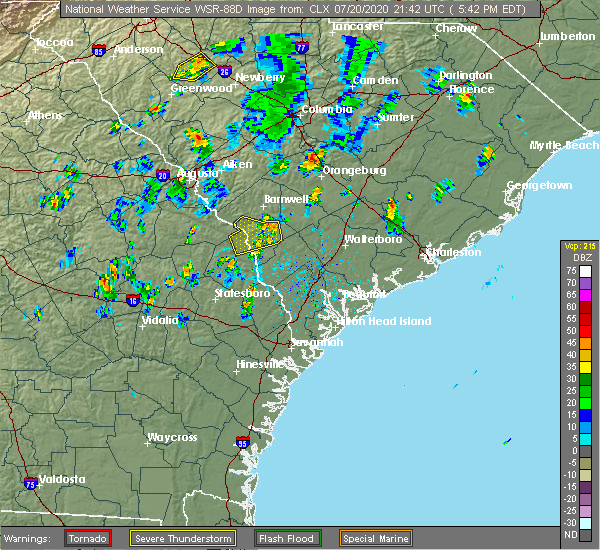 At 542 pm edt, a severe thunderstorm was located over appleton, moving west at 5 mph (radar indicated). Hazards include 60 mph wind gusts and quarter size hail. Minor hail damage to vehicles is possible. Expect wind damage to trees and powerlines. At 542 pm edt, a severe thunderstorm was located over appleton, moving west at 5 mph (radar indicated). Hazards include 60 mph wind gusts and quarter size hail. Minor hail damage to vehicles is possible. Expect wind damage to trees and powerlines.
|
| 6/27/2020 8:31 PM EDT |
 At 830 pm edt, severe thunderstorms were located along a line extending from 13 miles northwest of edisto gardens to near denmark to millett, moving east at 45 mph (radar indicated). Hazards include 60 mph wind gusts. Expect damage to roofs, siding, and trees. locations impacted include, orangeburg, barnwell, bamberg, denmark, brookdale, blackville, branchville, claflin college, south carolina state university, orangeburg county airport, barnwell state park, rivers bridge state park, edisto gardens, north, ehrhardt, hilda, neeses, norway, rowesville and olar. This includes interstate 26 between mile markers 142 and 147. At 830 pm edt, severe thunderstorms were located along a line extending from 13 miles northwest of edisto gardens to near denmark to millett, moving east at 45 mph (radar indicated). Hazards include 60 mph wind gusts. Expect damage to roofs, siding, and trees. locations impacted include, orangeburg, barnwell, bamberg, denmark, brookdale, blackville, branchville, claflin college, south carolina state university, orangeburg county airport, barnwell state park, rivers bridge state park, edisto gardens, north, ehrhardt, hilda, neeses, norway, rowesville and olar. This includes interstate 26 between mile markers 142 and 147.
|
| 6/27/2020 8:19 PM EDT |
 The national weather service in charleston has issued a * severe thunderstorm warning for portions of. hampton county in southeastern south carolina. colleton county in southeastern south carolina. allendale county in southeastern south carolina. Until 900 pm edt. The national weather service in charleston has issued a * severe thunderstorm warning for portions of. hampton county in southeastern south carolina. colleton county in southeastern south carolina. allendale county in southeastern south carolina. Until 900 pm edt.
|
| 6/27/2020 8:05 PM EDT |
 At 805 pm edt, severe thunderstorms were located along a line extending from 9 miles northeast of aiken state park to 6 miles south of williston to near plant vogtle, moving east at 50 mph (radar indicated). Hazards include 60 mph wind gusts. Expect damage to roofs, siding, and trees. locations impacted include, orangeburg, barnwell, bamberg, denmark, savannah river site, plant vogtle, brookdale, williston, blackville, branchville, claflin college, south carolina state university, orangeburg county airport, barnwell state park, rivers bridge state park, edisto gardens, wagener, north, ehrhardt and springfield. This includes interstate 26 between mile markers 142 and 147. At 805 pm edt, severe thunderstorms were located along a line extending from 9 miles northeast of aiken state park to 6 miles south of williston to near plant vogtle, moving east at 50 mph (radar indicated). Hazards include 60 mph wind gusts. Expect damage to roofs, siding, and trees. locations impacted include, orangeburg, barnwell, bamberg, denmark, savannah river site, plant vogtle, brookdale, williston, blackville, branchville, claflin college, south carolina state university, orangeburg county airport, barnwell state park, rivers bridge state park, edisto gardens, wagener, north, ehrhardt and springfield. This includes interstate 26 between mile markers 142 and 147.
|
| 6/27/2020 7:42 PM EDT |
 At 742 pm edt, severe thunderstorms were located along a line extending from near edgefield county airport to near jackson to 9 miles north of gough, moving east at 40 mph (radar indicated). Hazards include 60 mph wind gusts. expect damage to roofs, siding, and trees At 742 pm edt, severe thunderstorms were located along a line extending from near edgefield county airport to near jackson to 9 miles north of gough, moving east at 40 mph (radar indicated). Hazards include 60 mph wind gusts. expect damage to roofs, siding, and trees
|
| 5/22/2020 6:32 PM EDT |
 At 632 pm edt, a severe thunderstorm was located over appleton, or near allendale, moving east at 15 mph (radar indicated). Hazards include 60 mph wind gusts and quarter size hail. Hail damage to vehicles is expected. Expect wind damage to roofs, siding, and trees. At 632 pm edt, a severe thunderstorm was located over appleton, or near allendale, moving east at 15 mph (radar indicated). Hazards include 60 mph wind gusts and quarter size hail. Hail damage to vehicles is expected. Expect wind damage to roofs, siding, and trees.
|
| 5/22/2020 6:22 PM EDT |
 At 622 pm edt, a severe thunderstorm was located over martin, moving east at 20 mph (radar indicated). Hazards include 60 mph wind gusts and quarter size hail. Minor hail damage to vehicles is possible. expect wind damage to trees and powerlines. Locations impacted include, allendale, sycamore, ulmer, martin, seigling and appleton. At 622 pm edt, a severe thunderstorm was located over martin, moving east at 20 mph (radar indicated). Hazards include 60 mph wind gusts and quarter size hail. Minor hail damage to vehicles is possible. expect wind damage to trees and powerlines. Locations impacted include, allendale, sycamore, ulmer, martin, seigling and appleton.
|
| 5/22/2020 6:00 PM EDT |
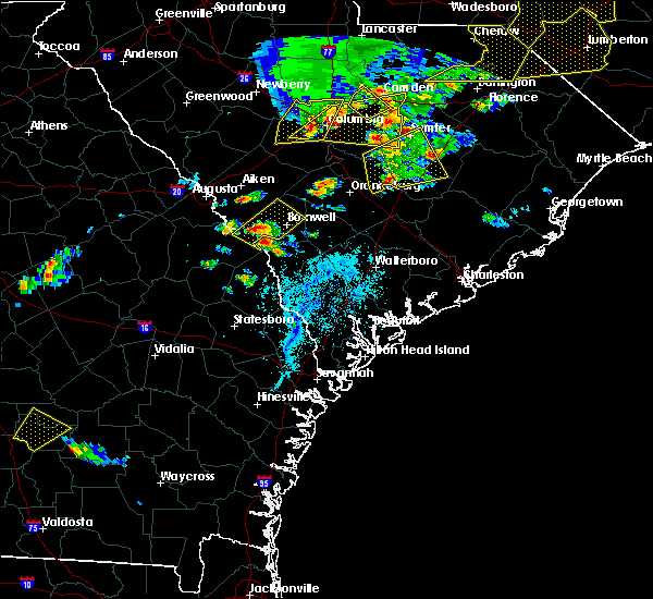 At 600 pm edt, a severe thunderstorm was located over millett, moving east at 30 mph (radar indicated). Hazards include 60 mph wind gusts and quarter size hail. Minor hail damage to vehicles is possible. Expect wind damage to trees and powerlines. At 600 pm edt, a severe thunderstorm was located over millett, moving east at 30 mph (radar indicated). Hazards include 60 mph wind gusts and quarter size hail. Minor hail damage to vehicles is possible. Expect wind damage to trees and powerlines.
|
| 4/13/2020 5:43 AM EDT |
 At 542 am edt, a severe thunderstorm capable of producing a tornado was located near barnwell, moving northeast at 55 mph (radar indicated rotation). Hazards include tornado. Flying debris will be dangerous to those caught without shelter. mobile homes will be damaged or destroyed. damage to roofs, windows, and vehicles will occur. tree damage is likely. this dangerous storm will be near, blackville and barnwell state park around 555 am edt. denmark around 600 am edt. bamberg around 610 am edt. Other locations impacted by this tornadic thunderstorm include cope, govan, olar, bamberg county airport, kline, barnwell county airport, hilda and snelling. At 542 am edt, a severe thunderstorm capable of producing a tornado was located near barnwell, moving northeast at 55 mph (radar indicated rotation). Hazards include tornado. Flying debris will be dangerous to those caught without shelter. mobile homes will be damaged or destroyed. damage to roofs, windows, and vehicles will occur. tree damage is likely. this dangerous storm will be near, blackville and barnwell state park around 555 am edt. denmark around 600 am edt. bamberg around 610 am edt. Other locations impacted by this tornadic thunderstorm include cope, govan, olar, bamberg county airport, kline, barnwell county airport, hilda and snelling.
|
| 4/13/2020 5:33 AM EDT |
 At 532 am edt, severe thunderstorms were located along a line extending from 6 miles west of barnwell to near santa claus, moving east at 60 mph (radar indicated). Hazards include 60 mph wind gusts and penny size hail. expect damage to trees and powerlines At 532 am edt, severe thunderstorms were located along a line extending from 6 miles west of barnwell to near santa claus, moving east at 60 mph (radar indicated). Hazards include 60 mph wind gusts and penny size hail. expect damage to trees and powerlines
|
| 3/31/2020 4:05 PM EDT |
 At 404 pm edt, severe thunderstorms were located along a line extending from ulmer to fairfax, moving east at 50 mph (radar indicated). Hazards include 60 mph wind gusts and penny size hail. Expect damage to trees and powerlines. Locations impacted include, allendale, lake warren state park, estill, fairfax, brunson, hiltonia, gifford, sycamore, luray, ulmer, seigling, barton, millhaven, hilltonia and appleton. At 404 pm edt, severe thunderstorms were located along a line extending from ulmer to fairfax, moving east at 50 mph (radar indicated). Hazards include 60 mph wind gusts and penny size hail. Expect damage to trees and powerlines. Locations impacted include, allendale, lake warren state park, estill, fairfax, brunson, hiltonia, gifford, sycamore, luray, ulmer, seigling, barton, millhaven, hilltonia and appleton.
|
| 3/31/2020 3:51 PM EDT |
 At 351 pm edt, severe thunderstorms were located along a line extending from near appleton to near allendale, moving east at 55 mph (radar indicated). Hazards include 70 mph wind gusts and penny size hail. Expect considerable tree damage. damage is likely to mobile homes, roofs, and outbuildings. Locations impacted include, allendale, lake warren state park, estill, fairfax, brunson, hiltonia, gifford, sycamore, luray, ulmer, seigling, martin, barton, millhaven and hilltonia. At 351 pm edt, severe thunderstorms were located along a line extending from near appleton to near allendale, moving east at 55 mph (radar indicated). Hazards include 70 mph wind gusts and penny size hail. Expect considerable tree damage. damage is likely to mobile homes, roofs, and outbuildings. Locations impacted include, allendale, lake warren state park, estill, fairfax, brunson, hiltonia, gifford, sycamore, luray, ulmer, seigling, martin, barton, millhaven and hilltonia.
|
| 3/31/2020 3:46 PM EDT |
 At 345 pm edt, severe thunderstorms were located along a line extending from near martin to near burtons ferry landing, moving east at 55 mph (radar indicated). Hazards include 60 mph wind gusts and penny size hail. expect damage to trees and powerlines At 345 pm edt, severe thunderstorms were located along a line extending from near martin to near burtons ferry landing, moving east at 55 mph (radar indicated). Hazards include 60 mph wind gusts and penny size hail. expect damage to trees and powerlines
|
| 2/6/2020 5:22 PM EST |
 The severe thunderstorm warning for east central burke, barnwell, northwestern bamberg and northwestern orangeburg counties will expire at 530 pm est, the storms which prompted the warning have weakened below severe limits, and no longer pose an immediate threat to life or property. therefore, the warning will be allowed to expire. however gusty winds of 45-55 mph are still possible with these thunderstorms. a tornado watch remains in effect until 800 pm est for east central georgia, and central south carolina. The severe thunderstorm warning for east central burke, barnwell, northwestern bamberg and northwestern orangeburg counties will expire at 530 pm est, the storms which prompted the warning have weakened below severe limits, and no longer pose an immediate threat to life or property. therefore, the warning will be allowed to expire. however gusty winds of 45-55 mph are still possible with these thunderstorms. a tornado watch remains in effect until 800 pm est for east central georgia, and central south carolina.
|
| 2/6/2020 4:39 PM EST |
 At 439 pm est, severe thunderstorms were located along a line extending from 15 miles south of gaston to near sardis, moving northeast at 45 mph (radar indicated). Hazards include 60 mph wind gusts. expect damage to roofs, siding, and trees At 439 pm est, severe thunderstorms were located along a line extending from 15 miles south of gaston to near sardis, moving northeast at 45 mph (radar indicated). Hazards include 60 mph wind gusts. expect damage to roofs, siding, and trees
|
| 2/6/2020 4:07 PM EST |
 At 407 pm est, severe thunderstorms were located along a line extending from 13 miles northeast of aiken state park to near perkins, moving east at 75 mph (radar indicated). Hazards include 60 mph wind gusts. expect damage to roofs, siding, and trees At 407 pm est, severe thunderstorms were located along a line extending from 13 miles northeast of aiken state park to near perkins, moving east at 75 mph (radar indicated). Hazards include 60 mph wind gusts. expect damage to roofs, siding, and trees
|
| 1/11/2020 10:32 PM EST |
 At 1031 pm est, likely severe thunderstorms were along the aiken and barnwell county line and near the burke and barnwell county line. movement was northeast at 50 mph (radar indicated). Hazards include 60 mph wind gusts. expect damage to roofs, siding, and trees At 1031 pm est, likely severe thunderstorms were along the aiken and barnwell county line and near the burke and barnwell county line. movement was northeast at 50 mph (radar indicated). Hazards include 60 mph wind gusts. expect damage to roofs, siding, and trees
|
| 6/22/2019 4:51 PM EDT |
 At 450 pm edt, severe thunderstorms were located along a line extending from near grovetown to near appleton, moving east at 40 mph (radar indicated). Hazards include 70 mph wind gusts and quarter size hail. Hail damage to vehicles is expected. expect considerable tree damage. wind damage is also likely to mobile homes, roofs, and outbuildings. locations impacted include, grovetown, evans, savannah river site, fort gordon, plant vogtle, hephzibah, harlem, jackson, sardis, glendale, south augusta, midtown, summerville, augusta mall, daniel field, augusta regional airport, mcbean, blythe, dearing and snelling. this includes the following highways, interstate 20 in georgia between mile markers 193 and 195. Interstate 520 in georgia between mile markers 1 and 14. At 450 pm edt, severe thunderstorms were located along a line extending from near grovetown to near appleton, moving east at 40 mph (radar indicated). Hazards include 70 mph wind gusts and quarter size hail. Hail damage to vehicles is expected. expect considerable tree damage. wind damage is also likely to mobile homes, roofs, and outbuildings. locations impacted include, grovetown, evans, savannah river site, fort gordon, plant vogtle, hephzibah, harlem, jackson, sardis, glendale, south augusta, midtown, summerville, augusta mall, daniel field, augusta regional airport, mcbean, blythe, dearing and snelling. this includes the following highways, interstate 20 in georgia between mile markers 193 and 195. Interstate 520 in georgia between mile markers 1 and 14.
|
| 6/22/2019 4:44 PM EDT |
 At 444 pm edt, severe thunderstorms were located along a line extending from 14 miles southeast of plant vogtle to 7 miles west of lake warren state park, moving east at 35 mph (radar indicated). Hazards include 60 mph wind gusts. expect damage to trees and powerlines At 444 pm edt, severe thunderstorms were located along a line extending from 14 miles southeast of plant vogtle to 7 miles west of lake warren state park, moving east at 35 mph (radar indicated). Hazards include 60 mph wind gusts. expect damage to trees and powerlines
|
| 6/22/2019 4:23 PM EDT |
 At 422 pm edt, severe thunderstorms were located along a line extending from 6 miles south of thomson to near millhaven, moving east at 40 mph (radar indicated). Hazards include 70 mph wind gusts and quarter size hail. Hail damage to vehicles is expected. expect considerable tree damage. Wind damage is also likely to mobile homes, roofs, and outbuildings. At 422 pm edt, severe thunderstorms were located along a line extending from 6 miles south of thomson to near millhaven, moving east at 40 mph (radar indicated). Hazards include 70 mph wind gusts and quarter size hail. Hail damage to vehicles is expected. expect considerable tree damage. Wind damage is also likely to mobile homes, roofs, and outbuildings.
|
| 6/22/2019 5:21 AM EDT |
 At 520 am edt, severe thunderstorms were located along a line extending from 12 miles southeast of bamberg to 6 miles northwest of allendale, moving east at 35 mph (radar indicated). Hazards include 60 mph wind gusts and quarter size hail. Minor hail damage to vehicles is possible. expect wind damage to trees and powerlines. locations impacted include, walterboro, allendale, hampton, lake warren state park, indian field, saint george, givhans ferry state park and dorchester. this warning includes, i-26 between mile markers 171 and 189. I-95 in south carolina between mile markers 51 and 85. At 520 am edt, severe thunderstorms were located along a line extending from 12 miles southeast of bamberg to 6 miles northwest of allendale, moving east at 35 mph (radar indicated). Hazards include 60 mph wind gusts and quarter size hail. Minor hail damage to vehicles is possible. expect wind damage to trees and powerlines. locations impacted include, walterboro, allendale, hampton, lake warren state park, indian field, saint george, givhans ferry state park and dorchester. this warning includes, i-26 between mile markers 171 and 189. I-95 in south carolina between mile markers 51 and 85.
|
| 6/22/2019 4:51 AM EDT |
 At 450 am edt, severe thunderstorms were located along a line extending from 6 miles south of denmark to near plant vogtle, moving east at 35 mph (radar indicated). Hazards include 60 mph wind gusts and quarter size hail. Minor hail damage to vehicles is possible. Expect wind damage to trees and powerlines. At 450 am edt, severe thunderstorms were located along a line extending from 6 miles south of denmark to near plant vogtle, moving east at 35 mph (radar indicated). Hazards include 60 mph wind gusts and quarter size hail. Minor hail damage to vehicles is possible. Expect wind damage to trees and powerlines.
|
| 6/22/2019 4:43 AM EDT |
 At 442 am edt, severe thunderstorms were located along a line extending from near st. matthews to near ulmer, moving southeast at 45 mph (radar indicated). Hazards include 70 mph wind gusts. Expect considerable tree damage. damage is likely to mobile homes, roofs, and outbuildings. locations impacted include, orangeburg, barnwell, bamberg, denmark, savannah river site, brookdale, williston, blackville, st. Matthews, claflin college, south carolina state university, orangeburg county airport, barnwell state park, edisto gardens, north, springfield, hilda, cameron, salley and neeses. At 442 am edt, severe thunderstorms were located along a line extending from near st. matthews to near ulmer, moving southeast at 45 mph (radar indicated). Hazards include 70 mph wind gusts. Expect considerable tree damage. damage is likely to mobile homes, roofs, and outbuildings. locations impacted include, orangeburg, barnwell, bamberg, denmark, savannah river site, brookdale, williston, blackville, st. Matthews, claflin college, south carolina state university, orangeburg county airport, barnwell state park, edisto gardens, north, springfield, hilda, cameron, salley and neeses.
|
| 6/22/2019 4:05 AM EDT |
 At 404 am edt, severe thunderstorms were located along a line extending from near red bank to new ellenton, moving east at 45 mph (radar indicated). Hazards include 70 mph wind gusts. Expect considerable tree damage. Damage is likely to mobile homes, roofs, and outbuildings. At 404 am edt, severe thunderstorms were located along a line extending from near red bank to new ellenton, moving east at 45 mph (radar indicated). Hazards include 70 mph wind gusts. Expect considerable tree damage. Damage is likely to mobile homes, roofs, and outbuildings.
|
| 6/20/2019 6:26 PM EDT |
 At 626 pm edt, severe thunderstorms were located along a line extending from 7 miles north of allendale to 9 miles east of sylvania to near westside, moving east at 60 mph (radar indicated). Hazards include 70 mph wind gusts. Expect considerable tree damage. Damage is likely to mobile homes, roofs, and outbuildings. At 626 pm edt, severe thunderstorms were located along a line extending from 7 miles north of allendale to 9 miles east of sylvania to near westside, moving east at 60 mph (radar indicated). Hazards include 70 mph wind gusts. Expect considerable tree damage. Damage is likely to mobile homes, roofs, and outbuildings.
|
| 6/20/2019 6:06 PM EDT |
 At 606 pm edt, severe thunderstorms were located along a line extending from 6 miles northeast of barnwell to near plant vogtle, moving east at 70 mph (radar indicated). Hazards include 60 mph wind gusts. expect damage to trees and powerlines At 606 pm edt, severe thunderstorms were located along a line extending from 6 miles northeast of barnwell to near plant vogtle, moving east at 70 mph (radar indicated). Hazards include 60 mph wind gusts. expect damage to trees and powerlines
|
| 6/20/2019 6:01 PM EDT |
 At 600 pm edt, severe thunderstorms were located along a line extending from williston to near waynesboro, moving east at 45 mph (radar indicated). Hazards include 70 mph wind gusts. Expect considerable tree damage. damage is likely to mobile homes, roofs, and outbuildings. Locations impacted include, waynesboro, barnwell, denmark, savannah river site, plant vogtle, williston, blackville, sardis, midville, alexander, burke county airport, barnwell state park, hilda, snelling, kline, elko, girard, vidette, govan and rosier. At 600 pm edt, severe thunderstorms were located along a line extending from williston to near waynesboro, moving east at 45 mph (radar indicated). Hazards include 70 mph wind gusts. Expect considerable tree damage. damage is likely to mobile homes, roofs, and outbuildings. Locations impacted include, waynesboro, barnwell, denmark, savannah river site, plant vogtle, williston, blackville, sardis, midville, alexander, burke county airport, barnwell state park, hilda, snelling, kline, elko, girard, vidette, govan and rosier.
|
| 6/20/2019 5:30 PM EDT |
 At 529 pm edt, severe thunderstorms were located along a line extending from near new ellenton to near gough, moving east at 45 mph (radar indicated). Hazards include 70 mph wind gusts. Expect considerable tree damage. Damage is likely to mobile homes, roofs, and outbuildings. At 529 pm edt, severe thunderstorms were located along a line extending from near new ellenton to near gough, moving east at 45 mph (radar indicated). Hazards include 70 mph wind gusts. Expect considerable tree damage. Damage is likely to mobile homes, roofs, and outbuildings.
|
| 6/20/2019 5:30 PM EDT |
 The national weather service in columbia has issued a * severe thunderstorm warning for. burke county in east central georgia. richmond county in east central georgia. barnwell county in central south carolina. West central bamberg county in central south carolina. The national weather service in columbia has issued a * severe thunderstorm warning for. burke county in east central georgia. richmond county in east central georgia. barnwell county in central south carolina. West central bamberg county in central south carolina.
|
| 6/5/2019 6:03 PM EDT |
 At 603 pm edt, a severe thunderstorm was located near savannah river site, moving east at 20 mph (radar indicated). Hazards include 60 mph wind gusts and quarter size hail. Hail damage to vehicles is expected. Expect wind damage to roofs, siding, and trees. At 603 pm edt, a severe thunderstorm was located near savannah river site, moving east at 20 mph (radar indicated). Hazards include 60 mph wind gusts and quarter size hail. Hail damage to vehicles is expected. Expect wind damage to roofs, siding, and trees.
|
| 4/19/2019 1:17 PM EDT |
 At 116 pm edt, a severe thunderstorm was located near crocketville, or near hampton, moving northeast at 60 mph (radar indicated). Hazards include 70 mph wind gusts. Expect considerable tree damage. Damage is likely to mobile homes, roofs, and outbuildings. At 116 pm edt, a severe thunderstorm was located near crocketville, or near hampton, moving northeast at 60 mph (radar indicated). Hazards include 70 mph wind gusts. Expect considerable tree damage. Damage is likely to mobile homes, roofs, and outbuildings.
|
| 4/19/2019 1:07 PM EDT |
 At 104 pm edt, severe thunderstorms were located along a line extending from 8 miles southwest of allendale to 7 miles northwest of bluffton, moving northeast at 55 mph (radar indicated. these thunderstorms have been producing wind damage). Hazards include 70 mph wind gusts. Expect considerable tree damage. damage is likely to mobile homes, roofs, and outbuildings. locations impacted include, hilton head island, bluffton, beaufort, port royal, walterboro, ridgeland, allendale and hampton. those attending the rbc heritage golf tournament at harbour town are in the path of this storm and should prepare for imminent, dangerous weather conditions. Seek shelter now! this warning includes i-95 in south carolina between mile markers 2 and 66. At 104 pm edt, severe thunderstorms were located along a line extending from 8 miles southwest of allendale to 7 miles northwest of bluffton, moving northeast at 55 mph (radar indicated. these thunderstorms have been producing wind damage). Hazards include 70 mph wind gusts. Expect considerable tree damage. damage is likely to mobile homes, roofs, and outbuildings. locations impacted include, hilton head island, bluffton, beaufort, port royal, walterboro, ridgeland, allendale and hampton. those attending the rbc heritage golf tournament at harbour town are in the path of this storm and should prepare for imminent, dangerous weather conditions. Seek shelter now! this warning includes i-95 in south carolina between mile markers 2 and 66.
|
| 4/19/2019 12:49 PM EDT |
 At 1247 pm edt, severe thunderstorms were located along a line extending from 6 miles east of sylvania to 6 miles north of savannah, moving northeast at 55 mph (radar indicated. at 1246 pm edt a wind gust to 66 mph was reported at the savannah airport). Hazards include 70 mph wind gusts. Expect considerable tree damage. Damage is likely to mobile homes, roofs, and outbuildings. At 1247 pm edt, severe thunderstorms were located along a line extending from 6 miles east of sylvania to 6 miles north of savannah, moving northeast at 55 mph (radar indicated. at 1246 pm edt a wind gust to 66 mph was reported at the savannah airport). Hazards include 70 mph wind gusts. Expect considerable tree damage. Damage is likely to mobile homes, roofs, and outbuildings.
|
| 3/3/2019 5:05 PM EST |
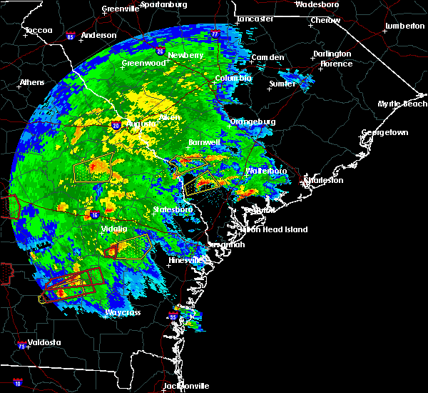 At 504 pm est, a severe thunderstorm was located over appleton, or 11 miles south of barnwell, moving east at 40 mph (radar indicated). Hazards include 60 mph wind gusts and quarter size hail. Hail damage to vehicles is expected. Expect wind damage to roofs, siding, and trees. At 504 pm est, a severe thunderstorm was located over appleton, or 11 miles south of barnwell, moving east at 40 mph (radar indicated). Hazards include 60 mph wind gusts and quarter size hail. Hail damage to vehicles is expected. Expect wind damage to roofs, siding, and trees.
|
| 3/3/2019 5:02 PM EST |
 At 502 pm est, a severe thunderstorm was located near allendale, moving northeast at 40 mph (radar indicated). Hazards include 60 mph wind gusts and quarter size hail. Minor hail damage to vehicles is possible. expect wind damage to trees and powerlines. Locations impacted include, allendale, sycamore, ulmer, seigling, millett, martin and appleton. At 502 pm est, a severe thunderstorm was located near allendale, moving northeast at 40 mph (radar indicated). Hazards include 60 mph wind gusts and quarter size hail. Minor hail damage to vehicles is possible. expect wind damage to trees and powerlines. Locations impacted include, allendale, sycamore, ulmer, seigling, millett, martin and appleton.
|
| 3/3/2019 4:47 PM EST |
 At 447 pm est, a severe thunderstorm was located 13 miles west of allendale, moving northeast at 40 mph (radar indicated). Hazards include 60 mph wind gusts and quarter size hail. Minor hail damage to vehicles is possible. Expect wind damage to trees and powerlines. At 447 pm est, a severe thunderstorm was located 13 miles west of allendale, moving northeast at 40 mph (radar indicated). Hazards include 60 mph wind gusts and quarter size hail. Minor hail damage to vehicles is possible. Expect wind damage to trees and powerlines.
|
| 3/3/2019 4:47 PM EST |
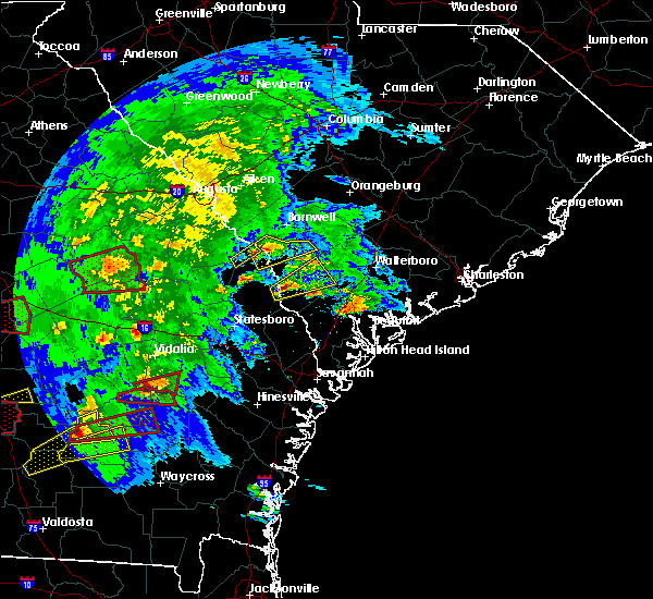 At 447 pm est, a severe thunderstorm was located 13 miles west of allendale, moving northeast at 40 mph (radar indicated). Hazards include 60 mph wind gusts and quarter size hail. Minor hail damage to vehicles is possible. Expect wind damage to trees and powerlines. At 447 pm est, a severe thunderstorm was located 13 miles west of allendale, moving northeast at 40 mph (radar indicated). Hazards include 60 mph wind gusts and quarter size hail. Minor hail damage to vehicles is possible. Expect wind damage to trees and powerlines.
|
| 8/9/2018 6:44 PM EDT |
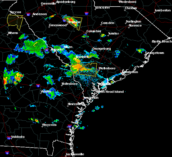 At 643 pm edt, a severe thunderstorm was located near allendale, moving southeast at 25 mph (radar indicated). Hazards include 60 mph wind gusts. Expect damage to trees and powerlines. Locations impacted include, allendale, fairfax, sycamore, ulmer, seigling, barton and appleton. At 643 pm edt, a severe thunderstorm was located near allendale, moving southeast at 25 mph (radar indicated). Hazards include 60 mph wind gusts. Expect damage to trees and powerlines. Locations impacted include, allendale, fairfax, sycamore, ulmer, seigling, barton and appleton.
|
| 8/9/2018 6:18 PM EDT |
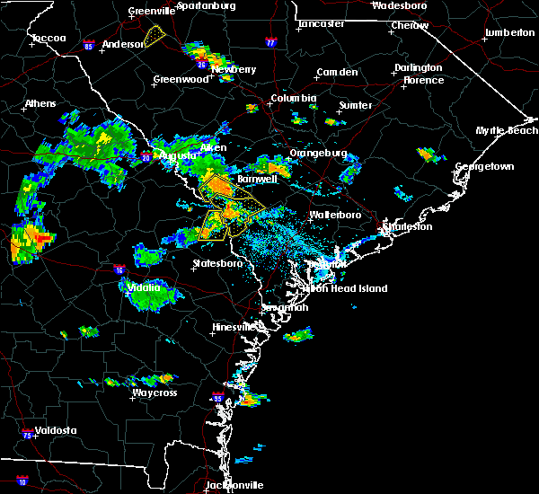 At 615 pm edt, a severe thunderstorm was in the savannah river site moving southeast near 20 mph and toward the lynhurst and kline area (radar indicated). Hazards include 60 mph wind gusts. Expect damage to roofs, siding, and trees. Locations impacted include, snelling and kline. At 615 pm edt, a severe thunderstorm was in the savannah river site moving southeast near 20 mph and toward the lynhurst and kline area (radar indicated). Hazards include 60 mph wind gusts. Expect damage to roofs, siding, and trees. Locations impacted include, snelling and kline.
|
| 8/9/2018 6:10 PM EDT |
 At 610 pm edt, a severe thunderstorm was located 10 miles southwest of barnwell, moving southeast at 30 mph (radar indicated). Hazards include 60 mph wind gusts. expect damage to trees and powerlines At 610 pm edt, a severe thunderstorm was located 10 miles southwest of barnwell, moving southeast at 30 mph (radar indicated). Hazards include 60 mph wind gusts. expect damage to trees and powerlines
|
| 8/9/2018 5:42 PM EDT |
 At 541 pm edt, a likely severe thunderstorm was located in the area from near new ellenton to around jackson, moving east-southeast at 20 mph (radar indicated). Hazards include 60 mph wind gusts. expect damage to roofs, siding, and trees At 541 pm edt, a likely severe thunderstorm was located in the area from near new ellenton to around jackson, moving east-southeast at 20 mph (radar indicated). Hazards include 60 mph wind gusts. expect damage to roofs, siding, and trees
|
| 7/26/2018 6:19 PM EDT |
 At 619 pm edt, severe thunderstorms were located along a line extending from near orangeburg to 6 miles northwest of ulmer, moving east at 15 mph (radar indicated). Hazards include 60 mph wind gusts and quarter size hail. Hail damage to vehicles is expected. expect wind damage to roofs, siding, and trees. locations impacted include, orangeburg, barnwell, bamberg, denmark, brookdale, blackville, branchville, bowman, ehrhardt, hilda, neeses, norway, rowesville, snelling, olar, kline, cordova, livingston, cope and govan. this includes the following highways, interstate 26 between mile markers 143 and 167. Interstate 95 near mile marker 89. At 619 pm edt, severe thunderstorms were located along a line extending from near orangeburg to 6 miles northwest of ulmer, moving east at 15 mph (radar indicated). Hazards include 60 mph wind gusts and quarter size hail. Hail damage to vehicles is expected. expect wind damage to roofs, siding, and trees. locations impacted include, orangeburg, barnwell, bamberg, denmark, brookdale, blackville, branchville, bowman, ehrhardt, hilda, neeses, norway, rowesville, snelling, olar, kline, cordova, livingston, cope and govan. this includes the following highways, interstate 26 between mile markers 143 and 167. Interstate 95 near mile marker 89.
|
| 7/26/2018 6:13 PM EDT |
 At 613 pm edt, severe thunderstorms were located along a line extending from near orangeburg to 6 miles north of seigling, moving east at 15 mph (radar indicated). Hazards include 60 mph wind gusts and penny size hail. expect damage to roofs, siding, and trees At 613 pm edt, severe thunderstorms were located along a line extending from near orangeburg to 6 miles north of seigling, moving east at 15 mph (radar indicated). Hazards include 60 mph wind gusts and penny size hail. expect damage to roofs, siding, and trees
|
| 6/25/2018 9:40 PM EDT |
 The severe thunderstorm warning for screven, evans, bulloch, jenkins, candler, effingham, tattnall, hampton, colleton and allendale counties will expire at 945 pm edt, the storms which prompted the warning will have weakened below severe limits by 945 pm and will no longer pose an immediate threat to life or property. therefore the warning will be allowed to expire. however gusty winds and heavy rain are still possible with these thunderstorms. to report severe weather, contact your nearest law enforcement agency. they will relay your report to the national weather service charleston. The severe thunderstorm warning for screven, evans, bulloch, jenkins, candler, effingham, tattnall, hampton, colleton and allendale counties will expire at 945 pm edt, the storms which prompted the warning will have weakened below severe limits by 945 pm and will no longer pose an immediate threat to life or property. therefore the warning will be allowed to expire. however gusty winds and heavy rain are still possible with these thunderstorms. to report severe weather, contact your nearest law enforcement agency. they will relay your report to the national weather service charleston.
|
| 6/25/2018 9:23 PM EDT |
 The severe thunderstorm warning for barnwell, bamberg and southwestern orangeburg counties will expire at 930 pm edt, the storms which prompted the warning have weakened below severe limits, and no longer pose an immediate threat to life or property. therefore, the warning will be allowed to expire. however gusty winds and frequent lightning are still expected with these thunderstorms. to report severe weather, contact your nearest law enforcement agency. they will relay your report to the national weather service columbia. remember, a severe thunderstorm warning still remains in effect for portions of bamberg and orangeburg counties until 10 pm. The severe thunderstorm warning for barnwell, bamberg and southwestern orangeburg counties will expire at 930 pm edt, the storms which prompted the warning have weakened below severe limits, and no longer pose an immediate threat to life or property. therefore, the warning will be allowed to expire. however gusty winds and frequent lightning are still expected with these thunderstorms. to report severe weather, contact your nearest law enforcement agency. they will relay your report to the national weather service columbia. remember, a severe thunderstorm warning still remains in effect for portions of bamberg and orangeburg counties until 10 pm.
|
| 6/25/2018 9:18 PM EDT |
 At 917 pm edt, severe thunderstorms were located along a line extending from near denmark to 7 miles south of lyons, moving east at 30 mph (radar indicated). Hazards include 60 mph wind gusts. Expect damage to trees and powerlines. locations impacted include, statesboro, reidsville, metter, allendale, millen, sylvania, hampton and claxton. this warning includes, i-16 between mile markers 96 and 130. I-95 in south carolina near mile marker 68. At 917 pm edt, severe thunderstorms were located along a line extending from near denmark to 7 miles south of lyons, moving east at 30 mph (radar indicated). Hazards include 60 mph wind gusts. Expect damage to trees and powerlines. locations impacted include, statesboro, reidsville, metter, allendale, millen, sylvania, hampton and claxton. this warning includes, i-16 between mile markers 96 and 130. I-95 in south carolina near mile marker 68.
|
| 6/25/2018 8:58 PM EDT |
 At 858 pm edt, severe thunderstorms were located along a line extending from near orangeburg to barnwell, moving east at 55 mph (radar indicated). Hazards include 60 mph wind gusts and penny size hail. Expect damage to roofs, siding, and trees. locations impacted include, barnwell, bamberg, denmark, savannah river site, williston, blackville, branchville, bowman, ehrhardt, springfield, hilda, neeses, norway, rowesville, snelling, olar, kline, elko, cordova and cope. This includes interstate 95 near mile marker 85. At 858 pm edt, severe thunderstorms were located along a line extending from near orangeburg to barnwell, moving east at 55 mph (radar indicated). Hazards include 60 mph wind gusts and penny size hail. Expect damage to roofs, siding, and trees. locations impacted include, barnwell, bamberg, denmark, savannah river site, williston, blackville, branchville, bowman, ehrhardt, springfield, hilda, neeses, norway, rowesville, snelling, olar, kline, elko, cordova and cope. This includes interstate 95 near mile marker 85.
|
| 6/25/2018 8:52 PM EDT |
 At 851 pm edt, severe thunderstorms were located along a line extending from 12 miles northwest of barnwell to near mount vernon, moving east at 45 mph (law enforcement reports. multiple reports of trees blown down). Hazards include 60 mph wind gusts and penny size hail. expect damage to trees and powerlines At 851 pm edt, severe thunderstorms were located along a line extending from 12 miles northwest of barnwell to near mount vernon, moving east at 45 mph (law enforcement reports. multiple reports of trees blown down). Hazards include 60 mph wind gusts and penny size hail. expect damage to trees and powerlines
|
| 6/25/2018 8:28 PM EDT |
 At 827 pm edt, severe thunderstorms were located along a line extending from 13 miles north of williston to near jackson, moving east at 60 mph (radar indicated). Hazards include 60 mph wind gusts and penny size hail. expect damage to roofs, siding, and trees At 827 pm edt, severe thunderstorms were located along a line extending from 13 miles north of williston to near jackson, moving east at 60 mph (radar indicated). Hazards include 60 mph wind gusts and penny size hail. expect damage to roofs, siding, and trees
|
| 6/24/2018 11:38 PM EDT |
 At 1138 pm edt, severe thunderstorms were located along a line extending from lake warren state park to 7 miles southeast of sylvania to 9 miles southwest of millen, moving south at 30 mph (radar indicated). Hazards include 60 mph wind gusts. Expect damage to trees and powerlines. Locations impacted include, allendale, millen, sylvania, butts, fairfax, brunson, hiltonia and sycamore. At 1138 pm edt, severe thunderstorms were located along a line extending from lake warren state park to 7 miles southeast of sylvania to 9 miles southwest of millen, moving south at 30 mph (radar indicated). Hazards include 60 mph wind gusts. Expect damage to trees and powerlines. Locations impacted include, allendale, millen, sylvania, butts, fairfax, brunson, hiltonia and sycamore.
|
| 6/24/2018 11:30 PM EDT |
 At 1129 pm edt, severe thunderstorms were located along a line extending from 9 miles southwest of cross to 8 miles south of orangeburg to near denmark to 6 miles north of sardis, moving east at 50 mph (radar indicated). Hazards include 60 mph wind gusts and quarter size hail. Hail damage to vehicles is expected. expect wind damage to roofs, siding, and trees. locations impacted include, barnwell, bamberg, denmark, blackville, branchville, sardis, bowman, ehrhardt, hilda, rowesville, snelling, olar, kline, elko, cordova, girard, cope and govan. this includes the following highways, interstate 26 between mile markers 154 and 164. Interstate 95 near mile marker 85. At 1129 pm edt, severe thunderstorms were located along a line extending from 9 miles southwest of cross to 8 miles south of orangeburg to near denmark to 6 miles north of sardis, moving east at 50 mph (radar indicated). Hazards include 60 mph wind gusts and quarter size hail. Hail damage to vehicles is expected. expect wind damage to roofs, siding, and trees. locations impacted include, barnwell, bamberg, denmark, blackville, branchville, sardis, bowman, ehrhardt, hilda, rowesville, snelling, olar, kline, elko, cordova, girard, cope and govan. this includes the following highways, interstate 26 between mile markers 154 and 164. Interstate 95 near mile marker 85.
|
| 6/24/2018 10:58 PM EDT |
 At 1057 pm edt, severe thunderstorms were located along a line extending from 10 miles southeast of barnwell to 14 miles northeast of millen, moving south at 35 mph (radar indicated). Hazards include 60 mph wind gusts. expect damage to trees and powerlines At 1057 pm edt, severe thunderstorms were located along a line extending from 10 miles southeast of barnwell to 14 miles northeast of millen, moving south at 35 mph (radar indicated). Hazards include 60 mph wind gusts. expect damage to trees and powerlines
|
| 6/24/2018 10:52 PM EDT |
 At 1051 pm edt, severe thunderstorms were located along a line extending from bowman to 10 miles north of blackville to near new ellenton to 7 miles south of hephzibah, moving southeast at 20 mph (radar indicated). Hazards include 60 mph wind gusts and quarter size hail. Hail damage to vehicles is expected. Expect wind damage to roofs, siding, and trees. At 1051 pm edt, severe thunderstorms were located along a line extending from bowman to 10 miles north of blackville to near new ellenton to 7 miles south of hephzibah, moving southeast at 20 mph (radar indicated). Hazards include 60 mph wind gusts and quarter size hail. Hail damage to vehicles is expected. Expect wind damage to roofs, siding, and trees.
|
| 6/15/2018 6:21 PM EDT |
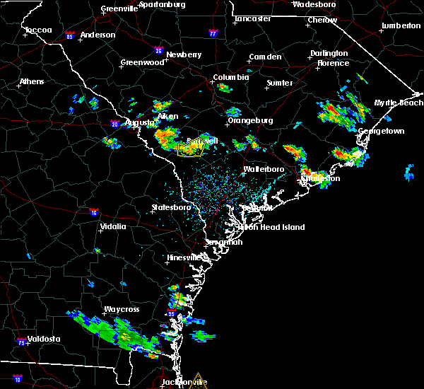 The severe thunderstorm warning for southeastern barnwell and west central bamberg counties will expire at 630 pm edt, the storm which prompted the warning has weakened below severe limits, and no longer poses an immediate threat to life or property. therefore, the warning will be allowed to expire. to report severe weather, contact your nearest law enforcement agency. they will relay your report to the national weather service columbia. The severe thunderstorm warning for southeastern barnwell and west central bamberg counties will expire at 630 pm edt, the storm which prompted the warning has weakened below severe limits, and no longer poses an immediate threat to life or property. therefore, the warning will be allowed to expire. to report severe weather, contact your nearest law enforcement agency. they will relay your report to the national weather service columbia.
|
| 6/15/2018 6:12 PM EDT |
 At 611 pm edt, a severe thunderstorm was located near ulmer, or 9 miles south of denmark, moving south at 25 mph (radar indicated). Hazards include 60 mph wind gusts and nickel size hail. Expect damage to roofs, siding, and trees. Locations impacted include, barnwell, hilda, snelling, olar, kline and govan. At 611 pm edt, a severe thunderstorm was located near ulmer, or 9 miles south of denmark, moving south at 25 mph (radar indicated). Hazards include 60 mph wind gusts and nickel size hail. Expect damage to roofs, siding, and trees. Locations impacted include, barnwell, hilda, snelling, olar, kline and govan.
|
| 6/15/2018 5:54 PM EDT |
 At 554 pm edt, a severe thunderstorm was located near denmark, moving south at 25 mph (radar indicated). Hazards include 60 mph wind gusts and nickel size hail. Expect damage to roofs, siding, and trees. Locations impacted include, barnwell, bamberg, denmark, blackville, hilda, snelling, olar, kline and govan. At 554 pm edt, a severe thunderstorm was located near denmark, moving south at 25 mph (radar indicated). Hazards include 60 mph wind gusts and nickel size hail. Expect damage to roofs, siding, and trees. Locations impacted include, barnwell, bamberg, denmark, blackville, hilda, snelling, olar, kline and govan.
|
| 6/15/2018 5:37 PM EDT |
 At 537 pm edt, a severe thunderstorm was located over blackville, or near denmark, moving south at 25 mph (radar indicated). Hazards include 60 mph wind gusts and quarter size hail. Hail damage to vehicles is expected. Expect wind damage to roofs, siding, and trees. At 537 pm edt, a severe thunderstorm was located over blackville, or near denmark, moving south at 25 mph (radar indicated). Hazards include 60 mph wind gusts and quarter size hail. Hail damage to vehicles is expected. Expect wind damage to roofs, siding, and trees.
|
| 4/15/2018 2:13 PM EDT |
 At 212 pm edt, likely severe thunderstorms were in the savannah river site moving northeast near 50 mph (radar indicated). Hazards include 60 mph wind gusts. expect damage to roofs, siding, and trees At 212 pm edt, likely severe thunderstorms were in the savannah river site moving northeast near 50 mph (radar indicated). Hazards include 60 mph wind gusts. expect damage to roofs, siding, and trees
|
| 3/20/2018 3:42 AM EDT |
 At 342 am edt, a severe thunderstorm was located near allendale, moving east at 55 mph (radar indicated). Hazards include 60 mph wind gusts and penny size hail. expect damage to trees and powerlines At 342 am edt, a severe thunderstorm was located near allendale, moving east at 55 mph (radar indicated). Hazards include 60 mph wind gusts and penny size hail. expect damage to trees and powerlines
|
| 3/20/2018 3:18 AM EDT |
 At 318 am edt, severe thunderstorms were located along a line extending from 13 miles west of allendale to 9 miles north of sylvania to millen, moving east at 60 mph (radar indicated). Hazards include 60 mph wind gusts and quarter size hail. Minor hail damage to vehicles is possible. expect wind damage to trees and powerlines. Locations impacted include, allendale, millen, sylvania, hampton, lake warren state park, butts, estill and fairfax. At 318 am edt, severe thunderstorms were located along a line extending from 13 miles west of allendale to 9 miles north of sylvania to millen, moving east at 60 mph (radar indicated). Hazards include 60 mph wind gusts and quarter size hail. Minor hail damage to vehicles is possible. expect wind damage to trees and powerlines. Locations impacted include, allendale, millen, sylvania, hampton, lake warren state park, butts, estill and fairfax.
|
| 3/20/2018 2:50 AM EDT |
 At 248 am edt, severe thunderstorms were located along a line extending from 12 miles west of savannah river site to 8 miles southwest of waynesboro to near louisville, moving east at 55 mph (radar indicated). Hazards include 60 mph wind gusts and quarter size hail. Minor hail damage to vehicles is possible. Expect wind damage to trees and powerlines. At 248 am edt, severe thunderstorms were located along a line extending from 12 miles west of savannah river site to 8 miles southwest of waynesboro to near louisville, moving east at 55 mph (radar indicated). Hazards include 60 mph wind gusts and quarter size hail. Minor hail damage to vehicles is possible. Expect wind damage to trees and powerlines.
|
| 8/8/2017 1:49 PM EDT |
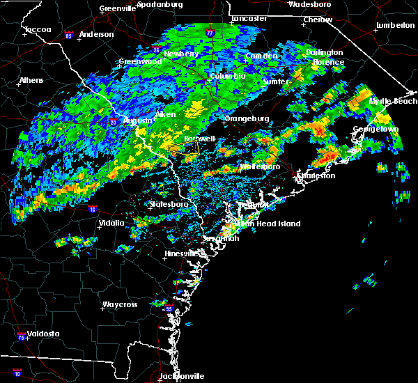 At 149 pm edt, a severe thunderstorm was located near barnwell, moving east at 30 mph (radar indicated). Hazards include 60 mph wind gusts. Expect damage to roofs, siding, and trees. Locations impacted include, barnwell, hilda, olar, kline and govan. At 149 pm edt, a severe thunderstorm was located near barnwell, moving east at 30 mph (radar indicated). Hazards include 60 mph wind gusts. Expect damage to roofs, siding, and trees. Locations impacted include, barnwell, hilda, olar, kline and govan.
|
| 8/8/2017 1:27 PM EDT |
 At 127 pm edt, a severe thunderstorm was located 7 miles northwest of millett, or 7 miles south of savannah river site, moving east at 30 mph (radar indicated). Hazards include 60 mph wind gusts. expect damage to roofs, siding, and trees At 127 pm edt, a severe thunderstorm was located 7 miles northwest of millett, or 7 miles south of savannah river site, moving east at 30 mph (radar indicated). Hazards include 60 mph wind gusts. expect damage to roofs, siding, and trees
|
| 7/20/2017 5:33 PM EDT |
 At 533 pm edt, a severe thunderstorm was located near blackville, or near denmark, moving south at 10 mph (radar indicated). Hazards include 60 mph wind gusts and nickel size hail. expect damage to roofs, siding, and trees At 533 pm edt, a severe thunderstorm was located near blackville, or near denmark, moving south at 10 mph (radar indicated). Hazards include 60 mph wind gusts and nickel size hail. expect damage to roofs, siding, and trees
|
| 7/19/2017 3:03 PM EDT |
 At 301 pm edt, severe thunderstorms were located along a line extending from near denmark to 6 miles northwest of ulmer. the strongest part of the storm was between barnwell, kline, and olar. the storm was moving to the southeast at 15 mph (radar indicated). Hazards include 70 mph wind gusts and penny size hail. Expect considerable tree damage. damage is likely to mobile homes, roofs, and outbuildings. Locations impacted include, barnwell, bamberg, denmark, blackville, hilda, olar, kline and govan. At 301 pm edt, severe thunderstorms were located along a line extending from near denmark to 6 miles northwest of ulmer. the strongest part of the storm was between barnwell, kline, and olar. the storm was moving to the southeast at 15 mph (radar indicated). Hazards include 70 mph wind gusts and penny size hail. Expect considerable tree damage. damage is likely to mobile homes, roofs, and outbuildings. Locations impacted include, barnwell, bamberg, denmark, blackville, hilda, olar, kline and govan.
|
| 7/19/2017 2:46 PM EDT |
 At 246 pm edt, severe thunderstorms were located along a line extending from near blackville to near barnwell, moving southeast at 10 mph (radar indicated). Hazards include 60 mph wind gusts and penny size hail. expect damage to roofs, siding, and trees At 246 pm edt, severe thunderstorms were located along a line extending from near blackville to near barnwell, moving southeast at 10 mph (radar indicated). Hazards include 60 mph wind gusts and penny size hail. expect damage to roofs, siding, and trees
|
| 5/1/2017 7:03 PM EDT |
 At 703 pm edt, severe thunderstorms were located along a line extending from 9 miles northeast of blackville to near shirley, moving northeast at 40 mph (radar indicated). Hazards include 60 mph wind gusts and nickel size hail. expect damage to roofs, siding, and trees At 703 pm edt, severe thunderstorms were located along a line extending from 9 miles northeast of blackville to near shirley, moving northeast at 40 mph (radar indicated). Hazards include 60 mph wind gusts and nickel size hail. expect damage to roofs, siding, and trees
|
| 4/5/2017 4:35 PM EDT |
 The severe thunderstorm warning for barnwell, northwestern bamberg, central aiken and northwestern orangeburg counties will expire at 445 pm edt, the storms which prompted the warning have moved out of the area. therefore the warning will be allowed to expire. however gusty winds and heavy rain are still possible with these thunderstorms. a tornado watch remains in effect until 800 pm edt for central south carolina. The severe thunderstorm warning for barnwell, northwestern bamberg, central aiken and northwestern orangeburg counties will expire at 445 pm edt, the storms which prompted the warning have moved out of the area. therefore the warning will be allowed to expire. however gusty winds and heavy rain are still possible with these thunderstorms. a tornado watch remains in effect until 800 pm edt for central south carolina.
|
| 4/5/2017 3:43 PM EDT |
 At 342 pm edt, severe thunderstorms were located along a line extending from 13 miles south of gaston to near new ellenton, moving southeast at 10 mph (radar indicated). Hazards include 60 mph wind gusts and quarter size hail. Hail damage to vehicles is expected. Expect wind damage to roofs, siding, and trees. At 342 pm edt, severe thunderstorms were located along a line extending from 13 miles south of gaston to near new ellenton, moving southeast at 10 mph (radar indicated). Hazards include 60 mph wind gusts and quarter size hail. Hail damage to vehicles is expected. Expect wind damage to roofs, siding, and trees.
|
| 4/3/2017 4:32 PM EDT |
 At 432 pm edt, severe thunderstorms were located along a line extending from 10 miles southeast of batesburg-leesville to near appleton, moving east at 35 mph (radar indicated). Hazards include 70 mph wind gusts and quarter size hail. Hail damage to vehicles is expected. expect considerable tree damage. Wind damage is also likely to mobile homes, roofs, and outbuildings. At 432 pm edt, severe thunderstorms were located along a line extending from 10 miles southeast of batesburg-leesville to near appleton, moving east at 35 mph (radar indicated). Hazards include 70 mph wind gusts and quarter size hail. Hail damage to vehicles is expected. expect considerable tree damage. Wind damage is also likely to mobile homes, roofs, and outbuildings.
|
| 4/3/2017 4:25 PM EDT |
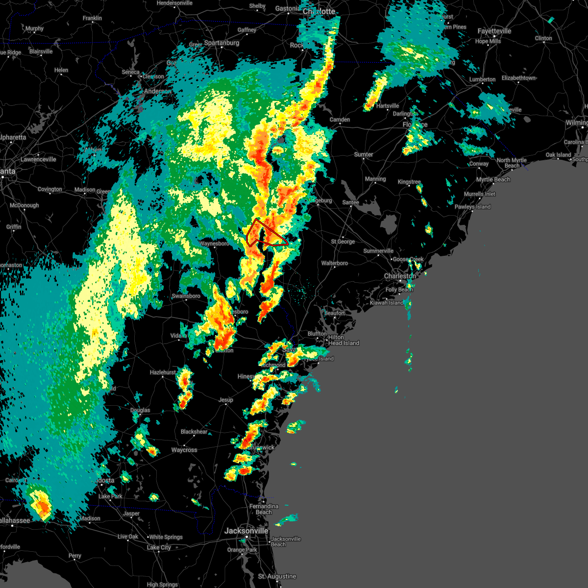 The tornado warning for southern barnwell county will expire at 430 pm edt, the tornado threat has diminished and the tornado warning has been cancelled. however, large hail and damaging winds remain likely and a severe thunderstorm warning remains in effect for the area. a tornado watch remains in effect until 900 pm edt for central south carolina. report large hail, damaging winds or flooding to local law enforcement. send reports by facebook or twitter to nwscolumbia, e-mail us at [email protected] or call 803-234-4115. The tornado warning for southern barnwell county will expire at 430 pm edt, the tornado threat has diminished and the tornado warning has been cancelled. however, large hail and damaging winds remain likely and a severe thunderstorm warning remains in effect for the area. a tornado watch remains in effect until 900 pm edt for central south carolina. report large hail, damaging winds or flooding to local law enforcement. send reports by facebook or twitter to nwscolumbia, e-mail us at [email protected] or call 803-234-4115.
|
| 4/3/2017 4:10 PM EDT |
 At 409 pm edt, a severe thunderstorm capable of producing a tornado was located near millett, or 10 miles southeast of savannah river site, moving northeast at 35 mph (radar indicated rotation). Hazards include tornado and quarter size hail. Flying debris will be dangerous to those caught without shelter. mobile homes will be damaged or destroyed. damage to roofs, windows, and vehicles will occur. tree damage is likely. Locations impacted include, barnwell, snelling and kline. At 409 pm edt, a severe thunderstorm capable of producing a tornado was located near millett, or 10 miles southeast of savannah river site, moving northeast at 35 mph (radar indicated rotation). Hazards include tornado and quarter size hail. Flying debris will be dangerous to those caught without shelter. mobile homes will be damaged or destroyed. damage to roofs, windows, and vehicles will occur. tree damage is likely. Locations impacted include, barnwell, snelling and kline.
|
| 4/3/2017 4:03 PM EDT |
 At 402 pm edt, severe thunderstorms were located along a line extending from 9 miles north of aiken to near millett, moving northeast at 60 mph (damage reports). Hazards include 70 mph wind gusts and quarter size hail. Hail damage to vehicles is expected. expect considerable tree damage. wind damage is also likely to mobile homes, roofs, and outbuildings. locations impacted include, aiken, barnwell, savannah river site, clearwater, williston, blackville, new ellenton, jackson, sardis, gloverville, burnettown, wagener, gilbert, hilda, summit, salley, snelling, perry, kline and elko. wind damage has been reported in north augusta and clearwater with this line of severe thunderstorms. A tornado watch remains in effect until 900 pm edt for east central georgia, and central south carolina. At 402 pm edt, severe thunderstorms were located along a line extending from 9 miles north of aiken to near millett, moving northeast at 60 mph (damage reports). Hazards include 70 mph wind gusts and quarter size hail. Hail damage to vehicles is expected. expect considerable tree damage. wind damage is also likely to mobile homes, roofs, and outbuildings. locations impacted include, aiken, barnwell, savannah river site, clearwater, williston, blackville, new ellenton, jackson, sardis, gloverville, burnettown, wagener, gilbert, hilda, summit, salley, snelling, perry, kline and elko. wind damage has been reported in north augusta and clearwater with this line of severe thunderstorms. A tornado watch remains in effect until 900 pm edt for east central georgia, and central south carolina.
|
| 4/3/2017 4:00 PM EDT |
 At 359 pm edt, a severe thunderstorm capable of producing a tornado was located near millett, or 10 miles south of savannah river site, moving northeast at 35 mph (radar indicated rotation). Hazards include tornado and quarter size hail. Flying debris will be dangerous to those caught without shelter. mobile homes will be damaged or destroyed. damage to roofs, windows, and vehicles will occur. tree damage is likely. Locations impacted include, barnwell, savannah river site, snelling, kline and girard. At 359 pm edt, a severe thunderstorm capable of producing a tornado was located near millett, or 10 miles south of savannah river site, moving northeast at 35 mph (radar indicated rotation). Hazards include tornado and quarter size hail. Flying debris will be dangerous to those caught without shelter. mobile homes will be damaged or destroyed. damage to roofs, windows, and vehicles will occur. tree damage is likely. Locations impacted include, barnwell, savannah river site, snelling, kline and girard.
|
| 4/3/2017 3:57 PM EDT |
 At 357 pm edt, severe thunderstorms were located along a line extending from 8 miles north of aiken to 6 miles west of millett, moving northeast at 60 mph (radar indicated). Hazards include 70 mph wind gusts and quarter size hail. Hail damage to vehicles is expected. expect considerable tree damage. Wind damage is also likely to mobile homes, roofs, and outbuildings. At 357 pm edt, severe thunderstorms were located along a line extending from 8 miles north of aiken to 6 miles west of millett, moving northeast at 60 mph (radar indicated). Hazards include 70 mph wind gusts and quarter size hail. Hail damage to vehicles is expected. expect considerable tree damage. Wind damage is also likely to mobile homes, roofs, and outbuildings.
|
| 4/3/2017 3:51 PM EDT |
 At 350 pm edt, a severe thunderstorm capable of producing a tornado was located near sardis, or 14 miles south of savannah river site, moving northeast at 35 mph (radar indicated rotation). Hazards include tornado and quarter size hail. Flying debris will be dangerous to those caught without shelter. mobile homes will be damaged or destroyed. damage to roofs, windows, and vehicles will occur. tree damage is likely. Locations impacted include, barnwell, savannah river site, snelling, kline and girard. At 350 pm edt, a severe thunderstorm capable of producing a tornado was located near sardis, or 14 miles south of savannah river site, moving northeast at 35 mph (radar indicated rotation). Hazards include tornado and quarter size hail. Flying debris will be dangerous to those caught without shelter. mobile homes will be damaged or destroyed. damage to roofs, windows, and vehicles will occur. tree damage is likely. Locations impacted include, barnwell, savannah river site, snelling, kline and girard.
|
| 4/3/2017 3:42 PM EDT |
 At 342 pm edt, a severe thunderstorm capable of producing a tornado was located over sardis, or 14 miles southeast of waynesboro, moving northeast at 35 mph (radar indicated rotation). Hazards include tornado and quarter size hail. Flying debris will be dangerous to those caught without shelter. mobile homes will be damaged or destroyed. damage to roofs, windows, and vehicles will occur. Tree damage is likely. At 342 pm edt, a severe thunderstorm capable of producing a tornado was located over sardis, or 14 miles southeast of waynesboro, moving northeast at 35 mph (radar indicated rotation). Hazards include tornado and quarter size hail. Flying debris will be dangerous to those caught without shelter. mobile homes will be damaged or destroyed. damage to roofs, windows, and vehicles will occur. Tree damage is likely.
|
| 3/22/2017 12:03 AM EDT |
 At 1203 am edt, severe thunderstorms were located along a line extending from 9 miles southeast of barnwell to 7 miles south of allendale to 13 miles east of sylvania, moving east at 55 mph (radar indicated). Hazards include 60 mph wind gusts and penny size hail. Expect damage to roofs, siding, and trees. Locations impacted include, allendale, sylvania, fairfax, brunson, gifford, sycamore, luray and ulmer. At 1203 am edt, severe thunderstorms were located along a line extending from 9 miles southeast of barnwell to 7 miles south of allendale to 13 miles east of sylvania, moving east at 55 mph (radar indicated). Hazards include 60 mph wind gusts and penny size hail. Expect damage to roofs, siding, and trees. Locations impacted include, allendale, sylvania, fairfax, brunson, gifford, sycamore, luray and ulmer.
|
| 3/21/2017 11:56 PM EDT |
 The severe thunderstorm warning for eastern burke and barnwell counties will expire at midnight edt, the storm which prompted the warning has weakened below severe limits, and have exited the warned area. therefore the warning will be allowed to expire. however frequent lightning is still occurring. a severe thunderstorm watch remains in effect until 200 am edt for east central georgia, and central south carolina. The severe thunderstorm warning for eastern burke and barnwell counties will expire at midnight edt, the storm which prompted the warning has weakened below severe limits, and have exited the warned area. therefore the warning will be allowed to expire. however frequent lightning is still occurring. a severe thunderstorm watch remains in effect until 200 am edt for east central georgia, and central south carolina.
|
| 3/21/2017 11:51 PM EDT |
 At 1151 pm edt, severe thunderstorms were located along a line extending from 7 miles south of barnwell to 8 miles southwest of allendale to sylvania, moving east at 65 mph (radar indicated). Hazards include 60 mph wind gusts and penny size hail. Expect damage to roofs, siding, and trees. Locations impacted include, allendale, sylvania, fairfax, brunson, hiltonia, gifford, sycamore and luray. At 1151 pm edt, severe thunderstorms were located along a line extending from 7 miles south of barnwell to 8 miles southwest of allendale to sylvania, moving east at 65 mph (radar indicated). Hazards include 60 mph wind gusts and penny size hail. Expect damage to roofs, siding, and trees. Locations impacted include, allendale, sylvania, fairfax, brunson, hiltonia, gifford, sycamore and luray.
|
| 3/21/2017 11:31 PM EDT |
 At 1131 pm edt, severe thunderstorms were located along a line extending from 7 miles southeast of savannah river site to 16 miles north of sylvania to 7 miles east of millen, moving east at 55 mph (radar indicated). Hazards include 60 mph wind gusts and penny size hail. expect damage to roofs, siding, and trees At 1131 pm edt, severe thunderstorms were located along a line extending from 7 miles southeast of savannah river site to 16 miles north of sylvania to 7 miles east of millen, moving east at 55 mph (radar indicated). Hazards include 60 mph wind gusts and penny size hail. expect damage to roofs, siding, and trees
|
| 3/21/2017 11:15 PM EDT |
 At 1113 pm edt, a severe thunderstorm was located near savannah river site, moving east at 55 mph (radar indicated). Hazards include 60 mph wind gusts. expect damage to roofs, siding, and trees At 1113 pm edt, a severe thunderstorm was located near savannah river site, moving east at 55 mph (radar indicated). Hazards include 60 mph wind gusts. expect damage to roofs, siding, and trees
|
| 2/15/2017 11:32 AM EST |
 At 1132 am est, a severe thunderstorm was located near bamberg, moving east at 45 mph (radar indicated). Hazards include 60 mph wind gusts. Expect damage to roofs, siding, and trees. Locations impacted include, bamberg, branchville, bowman, ehrhardt, rowesville, olar, kline, cordova, cope and govan. At 1132 am est, a severe thunderstorm was located near bamberg, moving east at 45 mph (radar indicated). Hazards include 60 mph wind gusts. Expect damage to roofs, siding, and trees. Locations impacted include, bamberg, branchville, bowman, ehrhardt, rowesville, olar, kline, cordova, cope and govan.
|
| 2/15/2017 11:21 AM EST |
 At 1120 am est, a severe thunderstorm was located 7 miles northeast of ulmer, or 8 miles south of denmark, moving east at 55 mph (radar indicated). Hazards include 60 mph wind gusts. Expect damage to roofs, siding, and trees. Locations impacted include, bamberg, denmark, branchville, bowman, ehrhardt, hilda, norway, rowesville, olar, kline, cordova, cope and govan. At 1120 am est, a severe thunderstorm was located 7 miles northeast of ulmer, or 8 miles south of denmark, moving east at 55 mph (radar indicated). Hazards include 60 mph wind gusts. Expect damage to roofs, siding, and trees. Locations impacted include, bamberg, denmark, branchville, bowman, ehrhardt, hilda, norway, rowesville, olar, kline, cordova, cope and govan.
|
| 2/15/2017 11:09 AM EST |
 At 1109 am est, a severe thunderstorm was located over barnwell, moving east at 55 mph (radar indicated). Hazards include 60 mph wind gusts. expect damage to roofs, siding, and trees At 1109 am est, a severe thunderstorm was located over barnwell, moving east at 55 mph (radar indicated). Hazards include 60 mph wind gusts. expect damage to roofs, siding, and trees
|
| 2/15/2017 11:02 AM EST |
 At 1101 am est, a severe thunderstorm capable of producing a tornado was located near barnwell, moving east at 55 mph (radar indicated rotation). Hazards include tornado. Flying debris will be dangerous to those caught without shelter. mobile homes will be damaged or destroyed. damage to roofs, windows, and vehicles will occur. tree damage is likely. This tornadic thunderstorm will remain over mainly rural areas of southeastern barnwell county, including the following locations: kline, snelling and hilda. At 1101 am est, a severe thunderstorm capable of producing a tornado was located near barnwell, moving east at 55 mph (radar indicated rotation). Hazards include tornado. Flying debris will be dangerous to those caught without shelter. mobile homes will be damaged or destroyed. damage to roofs, windows, and vehicles will occur. tree damage is likely. This tornadic thunderstorm will remain over mainly rural areas of southeastern barnwell county, including the following locations: kline, snelling and hilda.
|
| 2/15/2017 10:50 AM EST |
 At 1049 am est, a severe thunderstorm capable of producing a tornado was located over savannah river site, moving east at 55 mph (radar indicated rotation). Hazards include tornado. Flying debris will be dangerous to those caught without shelter. mobile homes will be damaged or destroyed. damage to roofs, windows, and vehicles will occur. tree damage is likely. this dangerous storm will be near, barnwell around 1105 am est. Other locations impacted by this tornadic thunderstorm include kline, snelling and hilda. At 1049 am est, a severe thunderstorm capable of producing a tornado was located over savannah river site, moving east at 55 mph (radar indicated rotation). Hazards include tornado. Flying debris will be dangerous to those caught without shelter. mobile homes will be damaged or destroyed. damage to roofs, windows, and vehicles will occur. tree damage is likely. this dangerous storm will be near, barnwell around 1105 am est. Other locations impacted by this tornadic thunderstorm include kline, snelling and hilda.
|
| 1/21/2017 3:31 PM EST |
 At 330 pm est, severe thunderstorms were located along a line extending from 14 miles northeast of hampton to near ridgeland to 7 miles east of hinesville, moving east at 65 mph (radar indicated). Hazards include 60 mph wind gusts and penny size hail. Expect damage to roofs, siding, and trees. locations impacted include, hinesville, ridgeland, allendale, springfield, hampton, pembroke, ludowici and yemassee. A tornado watch remains in effect until 700 pm est for southeastern georgia, and southeastern south carolina. At 330 pm est, severe thunderstorms were located along a line extending from 14 miles northeast of hampton to near ridgeland to 7 miles east of hinesville, moving east at 65 mph (radar indicated). Hazards include 60 mph wind gusts and penny size hail. Expect damage to roofs, siding, and trees. locations impacted include, hinesville, ridgeland, allendale, springfield, hampton, pembroke, ludowici and yemassee. A tornado watch remains in effect until 700 pm est for southeastern georgia, and southeastern south carolina.
|
| 1/21/2017 3:06 PM EST |
 At 304 pm est, severe thunderstorms were located along a line extending from 9 miles west of allendale to 12 miles northwest of springfield to 14 miles northwest of ludowici, moving east at 65 mph (radar indicated). Hazards include 60 mph wind gusts and penny size hail. expect damage to roofs, siding, and trees At 304 pm est, severe thunderstorms were located along a line extending from 9 miles west of allendale to 12 miles northwest of springfield to 14 miles northwest of ludowici, moving east at 65 mph (radar indicated). Hazards include 60 mph wind gusts and penny size hail. expect damage to roofs, siding, and trees
|
| 7/15/2016 9:56 PM EDT |
 The severe thunderstorm warning for northwestern orangeburg, barnwell and western bamberg counties will expire at 1000 pm edt, the storm which prompted the warning has weakened below severe limits, and has exited the warned area. therefore the warning will be allowed to expire. however gusty winds and heavy rain are still possible with this thunderstorm. to report severe weather, contact your nearest law enforcement agency. they will relay your report to the national weather service columbia. The severe thunderstorm warning for northwestern orangeburg, barnwell and western bamberg counties will expire at 1000 pm edt, the storm which prompted the warning has weakened below severe limits, and has exited the warned area. therefore the warning will be allowed to expire. however gusty winds and heavy rain are still possible with this thunderstorm. to report severe weather, contact your nearest law enforcement agency. they will relay your report to the national weather service columbia.
|
| 7/15/2016 9:34 PM EDT |
 At 933 pm edt, a severe thunderstorm was located near blackville, or 9 miles northwest of denmark, moving northeast at 30 mph (radar indicated). Hazards include 60 mph wind gusts and quarter size hail. Expect wind damage to roofs. siding. and trees. Locations impacted include, barnwell, bamberg, denmark, williston, blackville, springfield, hilda, neeses, norway, snelling, olar, kline, elko, cordova, livingston, cope, govan and edisto. At 933 pm edt, a severe thunderstorm was located near blackville, or 9 miles northwest of denmark, moving northeast at 30 mph (radar indicated). Hazards include 60 mph wind gusts and quarter size hail. Expect wind damage to roofs. siding. and trees. Locations impacted include, barnwell, bamberg, denmark, williston, blackville, springfield, hilda, neeses, norway, snelling, olar, kline, elko, cordova, livingston, cope, govan and edisto.
|
| 7/15/2016 9:09 PM EDT |
 At 909 pm edt, a severe thunderstorm was located near barnwell, moving northeast at 30 mph (radar indicated). Hazards include 60 mph wind gusts and quarter size hail. Hail damage to vehicles is expected. Expect wind damage to roofs, siding, and trees. At 909 pm edt, a severe thunderstorm was located near barnwell, moving northeast at 30 mph (radar indicated). Hazards include 60 mph wind gusts and quarter size hail. Hail damage to vehicles is expected. Expect wind damage to roofs, siding, and trees.
|
| 7/9/2016 1:22 AM EDT |
 At 120 am edt, severe thunderstorms were located along a line extending from 6 miles east of indian field to near allendale, moving southeast at 40 mph (radar indicated). Hazards include 60 mph wind gusts and nickel size hail. Expect damage to roofs. siding. and trees. Locations impacted include, walterboro, allendale, hampton, saint george, indian field, lake warren state park, williams. At 120 am edt, severe thunderstorms were located along a line extending from 6 miles east of indian field to near allendale, moving southeast at 40 mph (radar indicated). Hazards include 60 mph wind gusts and nickel size hail. Expect damage to roofs. siding. and trees. Locations impacted include, walterboro, allendale, hampton, saint george, indian field, lake warren state park, williams.
|
| 7/9/2016 12:56 AM EDT |
 At 1254 am edt, severe thunderstorms were located along a line extending from near canadys to gifford to near woodcliff, moving southeast at 35 mph (radar indicated). Hazards include 60 mph wind gusts. Expect damage to roofs. siding. and trees. Locations impacted include, waynesboro, barnwell, bamberg, denmark, savannah river site, hephzibah, williston, blackville, jackson, branchville, sardis, midville, ehrhardt, hilda, keysville, rowesville, snelling, olar, kline and elko. At 1254 am edt, severe thunderstorms were located along a line extending from near canadys to gifford to near woodcliff, moving southeast at 35 mph (radar indicated). Hazards include 60 mph wind gusts. Expect damage to roofs. siding. and trees. Locations impacted include, waynesboro, barnwell, bamberg, denmark, savannah river site, hephzibah, williston, blackville, jackson, branchville, sardis, midville, ehrhardt, hilda, keysville, rowesville, snelling, olar, kline and elko.
|
| 7/9/2016 12:53 AM EDT |
 At 1252 am edt, a severe thunderstorm was located 11 miles south of savannah river site, moving southeast at 45 mph (radar indicated). Hazards include 60 mph wind gusts and nickel size hail. Expect damage to roofs. siding. And trees. At 1252 am edt, a severe thunderstorm was located 11 miles south of savannah river site, moving southeast at 45 mph (radar indicated). Hazards include 60 mph wind gusts and nickel size hail. Expect damage to roofs. siding. And trees.
|
| 7/9/2016 12:27 AM EDT |
 At 1227 am edt, severe thunderstorms were located along a line extending from 9 miles north of denmark to savannah river site to 8 miles east of wrens, moving southeast at 80 mph (radar indicated). Hazards include 60 mph wind gusts. Expect damage to roofs. siding. And trees. At 1227 am edt, severe thunderstorms were located along a line extending from 9 miles north of denmark to savannah river site to 8 miles east of wrens, moving southeast at 80 mph (radar indicated). Hazards include 60 mph wind gusts. Expect damage to roofs. siding. And trees.
|
| 7/6/2016 5:12 PM EDT |
 At 512 pm edt, severe thunderstorms were located along a line extending from 8 miles west of barnwell to 16 miles north of springfield, moving northeast at 40 mph (radar indicated). Hazards include 60 mph wind gusts. Expect damage to roofs. siding. And trees. At 512 pm edt, severe thunderstorms were located along a line extending from 8 miles west of barnwell to 16 miles north of springfield, moving northeast at 40 mph (radar indicated). Hazards include 60 mph wind gusts. Expect damage to roofs. siding. And trees.
|
| 7/6/2016 5:10 PM EDT |
 The severe thunderstorm warning for southwestern orangeburg, southeastern barnwell and bamberg counties will expire at 515 pm edt, the storms which prompted the warning have moved out of the area. therefore the warning will be allowed to expire. however gusty winds are still possible with these thunderstorms. a severe thunderstorm watch remains in effect until 900 pm edt for central south carolina. The severe thunderstorm warning for southwestern orangeburg, southeastern barnwell and bamberg counties will expire at 515 pm edt, the storms which prompted the warning have moved out of the area. therefore the warning will be allowed to expire. however gusty winds are still possible with these thunderstorms. a severe thunderstorm watch remains in effect until 900 pm edt for central south carolina.
|
| 7/6/2016 4:53 PM EDT |
 At 452 pm edt, severe thunderstorms were located along a line extending from near bowman to 6 miles southeast of barnwell to near woodcliff, moving southeast at 40 mph (radar indicated). Hazards include 60 mph wind gusts. Expect damage to roofs. siding. and trees. Locations impacted include, barnwell, bamberg, denmark, blackville, branchville, bowman, ehrhardt, hilda, norway, rowesville, snelling, olar, kline, cordova, cope, govan and duncan chapel. At 452 pm edt, severe thunderstorms were located along a line extending from near bowman to 6 miles southeast of barnwell to near woodcliff, moving southeast at 40 mph (radar indicated). Hazards include 60 mph wind gusts. Expect damage to roofs. siding. and trees. Locations impacted include, barnwell, bamberg, denmark, blackville, branchville, bowman, ehrhardt, hilda, norway, rowesville, snelling, olar, kline, cordova, cope, govan and duncan chapel.
|
| 7/6/2016 4:42 PM EDT |
 At 441 pm edt, severe thunderstorms were located along a line extending from 6 miles southeast of orangeburg to barnwell to 6 miles east of millen, moving southeast at 40 mph (radar indicated). Hazards include 60 mph wind gusts. Expect damage to roofs. siding. and trees. Locations impacted include, barnwell, bamberg, denmark, blackville, branchville, sardis, bowman, ehrhardt, hilda, norway, rowesville, snelling, olar, kline, elko, cordova, girard, cope, govan and duncan chapel. At 441 pm edt, severe thunderstorms were located along a line extending from 6 miles southeast of orangeburg to barnwell to 6 miles east of millen, moving southeast at 40 mph (radar indicated). Hazards include 60 mph wind gusts. Expect damage to roofs. siding. and trees. Locations impacted include, barnwell, bamberg, denmark, blackville, branchville, sardis, bowman, ehrhardt, hilda, norway, rowesville, snelling, olar, kline, elko, cordova, girard, cope, govan and duncan chapel.
|
| 7/6/2016 4:33 PM EDT |
 At 432 pm edt, severe thunderstorms were located along a line extending from near orangeburg to near barnwell to near perkins, moving southeast at 40 mph (radar indicated). Hazards include 60 mph wind gusts. Expect damage to roofs. siding. and trees. Locations impacted include, waynesboro, barnwell, bamberg, denmark, savannah river site, williston, blackville, branchville, sardis, bowman, ehrhardt, hilda, norway, rowesville, snelling, olar, kline, elko, cordova and girard. At 432 pm edt, severe thunderstorms were located along a line extending from near orangeburg to near barnwell to near perkins, moving southeast at 40 mph (radar indicated). Hazards include 60 mph wind gusts. Expect damage to roofs. siding. and trees. Locations impacted include, waynesboro, barnwell, bamberg, denmark, savannah river site, williston, blackville, branchville, sardis, bowman, ehrhardt, hilda, norway, rowesville, snelling, olar, kline, elko, cordova and girard.
|
| 7/6/2016 4:23 PM EDT |
 At 423 pm edt, severe thunderstorms were located along a line extending from near orangeburg to 9 miles east of savannah river site to near perkins, moving southeast at 40 mph (radar indicated). Hazards include 60 mph wind gusts. Expect damage to roofs. siding. And trees. At 423 pm edt, severe thunderstorms were located along a line extending from near orangeburg to 9 miles east of savannah river site to near perkins, moving southeast at 40 mph (radar indicated). Hazards include 60 mph wind gusts. Expect damage to roofs. siding. And trees.
|
| 7/5/2016 5:33 PM EDT |
 At 531 pm edt, a line of thunderstorms extended from western orangeburg county southward into southwest barnwell county. movement was east-northeast near 35 mph. some of the thunderstorms within the line likely contained wind gusts of 40 to 60 mph (radar indicated). Hazards include 60 mph wind gusts. Expect damage to roofs. siding. And trees. At 531 pm edt, a line of thunderstorms extended from western orangeburg county southward into southwest barnwell county. movement was east-northeast near 35 mph. some of the thunderstorms within the line likely contained wind gusts of 40 to 60 mph (radar indicated). Hazards include 60 mph wind gusts. Expect damage to roofs. siding. And trees.
|
| 6/17/2016 4:07 PM EDT |
 At 406 pm edt, a severe thunderstorm was located 7 miles south of bamberg, moving southeast at 40 mph (radar indicated). Hazards include 70 mph wind gusts and half dollar size hail. Hail damage to vehicles is expected. expect considerable tree damage. wind damage is also likely to mobile homes, roofs, and outbuildings. Locations impacted include, barnwell, bamberg, denmark, blackville, branchville, bowman, ehrhardt, hilda, norway, rowesville, olar, kline, cope and govan. At 406 pm edt, a severe thunderstorm was located 7 miles south of bamberg, moving southeast at 40 mph (radar indicated). Hazards include 70 mph wind gusts and half dollar size hail. Hail damage to vehicles is expected. expect considerable tree damage. wind damage is also likely to mobile homes, roofs, and outbuildings. Locations impacted include, barnwell, bamberg, denmark, blackville, branchville, bowman, ehrhardt, hilda, norway, rowesville, olar, kline, cope and govan.
|
| 6/17/2016 3:58 PM EDT |
 At 357 pm edt, severe thunderstorms were located along a line extending from 8 miles east of allendale to 13 miles north of sylvania, moving east at 40 mph (radar indicated). Hazards include 70 mph wind gusts and quarter size hail. Hail damage to vehicles is expected. expect considerable tree damage. wind damage is also likely to mobile homes, roofs, and outbuildings. Locations impacted include, allendale, hampton, lake warren state park, colleton, varnville, estill, fairfax, barton, rouse, dukes and brunson. At 357 pm edt, severe thunderstorms were located along a line extending from 8 miles east of allendale to 13 miles north of sylvania, moving east at 40 mph (radar indicated). Hazards include 70 mph wind gusts and quarter size hail. Hail damage to vehicles is expected. expect considerable tree damage. wind damage is also likely to mobile homes, roofs, and outbuildings. Locations impacted include, allendale, hampton, lake warren state park, colleton, varnville, estill, fairfax, barton, rouse, dukes and brunson.
|
| 6/17/2016 3:53 PM EDT |
 At 353 pm edt, a severe thunderstorm was located near barnwell, moving southeast at 30 mph (radar indicated). Hazards include 70 mph wind gusts and half dollar size hail. Hail damage to vehicles is expected. expect considerable tree damage. Wind damage is also likely to mobile homes, roofs, and outbuildings. At 353 pm edt, a severe thunderstorm was located near barnwell, moving southeast at 30 mph (radar indicated). Hazards include 70 mph wind gusts and half dollar size hail. Hail damage to vehicles is expected. expect considerable tree damage. Wind damage is also likely to mobile homes, roofs, and outbuildings.
|
| 6/17/2016 3:40 PM EDT |
 At 339 pm edt, a severe thunderstorm was located near allendale, moving southeast at 25 mph (radar indicated). Hazards include 60 mph wind gusts and quarter size hail. Hail damage to vehicles is expected. expect wind damage to roofs, siding, and trees. Locations impacted include, allendale, hampton, lake warren state park, colleton, varnville, estill, fairfax and brunson. At 339 pm edt, a severe thunderstorm was located near allendale, moving southeast at 25 mph (radar indicated). Hazards include 60 mph wind gusts and quarter size hail. Hail damage to vehicles is expected. expect wind damage to roofs, siding, and trees. Locations impacted include, allendale, hampton, lake warren state park, colleton, varnville, estill, fairfax and brunson.
|
| 6/17/2016 3:35 PM EDT |
 At 334 pm edt, a severe thunderstorm was located 10 miles northeast of waynesboro, moving southeast at 35 mph (radar indicated). Hazards include 60 mph wind gusts and quarter size hail. Hail damage to vehicles is expected. expect wind damage to roofs, siding, and trees. Locations impacted include, waynesboro, barnwell, savannah river site, hephzibah, new ellenton, sardis, midville, blythe, ehrhardt, hilda, keysville, snelling, olar, kline, girard, vidette and govan. At 334 pm edt, a severe thunderstorm was located 10 miles northeast of waynesboro, moving southeast at 35 mph (radar indicated). Hazards include 60 mph wind gusts and quarter size hail. Hail damage to vehicles is expected. expect wind damage to roofs, siding, and trees. Locations impacted include, waynesboro, barnwell, savannah river site, hephzibah, new ellenton, sardis, midville, blythe, ehrhardt, hilda, keysville, snelling, olar, kline, girard, vidette and govan.
|
| 6/17/2016 3:23 PM EDT |
 At 322 pm edt, a severe thunderstorm was located 12 miles northwest of allendale, moving southeast at 25 mph (radar indicated). Hazards include 60 mph wind gusts and quarter size hail. Hail damage to vehicles is expected. Expect wind damage to roofs, siding, and trees. At 322 pm edt, a severe thunderstorm was located 12 miles northwest of allendale, moving southeast at 25 mph (radar indicated). Hazards include 60 mph wind gusts and quarter size hail. Hail damage to vehicles is expected. Expect wind damage to roofs, siding, and trees.
|
| 6/17/2016 3:17 PM EDT |
 At 317 pm edt, a severe thunderstorm was located near millett, or 8 miles southeast of savannah river site, moving southeast at 30 mph (radar indicated). Hazards include 60 mph wind gusts and quarter size hail. Hail damage to vehicles is expected. Expect wind damage to roofs, siding, and trees. At 317 pm edt, a severe thunderstorm was located near millett, or 8 miles southeast of savannah river site, moving southeast at 30 mph (radar indicated). Hazards include 60 mph wind gusts and quarter size hail. Hail damage to vehicles is expected. Expect wind damage to roofs, siding, and trees.
|
| 6/5/2016 7:09 PM EDT |
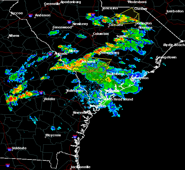 The severe thunderstorm warning for dorchester, allendale and colleton counties will expire at 715 pm edt, the storm which prompted the warning has moved out of the area. therefore the warning will be allowed to expire. to report severe weather, contact your nearest law enforcement agency. they will relay your report to the national weather service charleston. The severe thunderstorm warning for dorchester, allendale and colleton counties will expire at 715 pm edt, the storm which prompted the warning has moved out of the area. therefore the warning will be allowed to expire. to report severe weather, contact your nearest law enforcement agency. they will relay your report to the national weather service charleston.
|
| 6/5/2016 6:52 PM EDT |
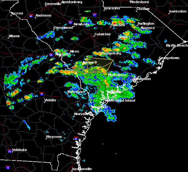 At 651 pm edt, a severe thunderstorm was located 11 miles west of saint george, moving northeast at 40 mph (radar indicated. also, these thunderstorms have a history of wind damage including downed trees). Hazards include 60 mph wind gusts and penny size hail. Expect damage to roofs. siding. and trees. Locations impacted include, allendale, colleton, reevesville, sycamore, smoaks, lodge, williams and ulmer. At 651 pm edt, a severe thunderstorm was located 11 miles west of saint george, moving northeast at 40 mph (radar indicated. also, these thunderstorms have a history of wind damage including downed trees). Hazards include 60 mph wind gusts and penny size hail. Expect damage to roofs. siding. and trees. Locations impacted include, allendale, colleton, reevesville, sycamore, smoaks, lodge, williams and ulmer.
|
| 6/5/2016 6:37 PM EDT |
 At 637 pm edt, a severe thunderstorm was located 14 miles northwest of walterboro, moving northeast at 40 mph (radar indicated). Hazards include 60 mph wind gusts and penny size hail. Expect damage to roofs. siding. and trees. Locations impacted include, allendale, colleton, fairfax, brunson, reevesville, sycamore, smoaks and lodge. At 637 pm edt, a severe thunderstorm was located 14 miles northwest of walterboro, moving northeast at 40 mph (radar indicated). Hazards include 60 mph wind gusts and penny size hail. Expect damage to roofs. siding. and trees. Locations impacted include, allendale, colleton, fairfax, brunson, reevesville, sycamore, smoaks and lodge.
|
| 6/5/2016 6:19 PM EDT |
 At 619 pm edt, severe thunderstorms were located along a line extending from near allendale to 12 miles east of hampton, moving north at 45 mph (radar indicated). Hazards include 70 mph wind gusts and quarter size hail. Hail damage to vehicles is expected. expect considerable tree damage. wind damage is also likely to mobile homes, roofs, and outbuildings. Locations impacted include, allendale, hampton, lake warren state park, colleton, varnville, fairfax, brunson and gifford. At 619 pm edt, severe thunderstorms were located along a line extending from near allendale to 12 miles east of hampton, moving north at 45 mph (radar indicated). Hazards include 70 mph wind gusts and quarter size hail. Hail damage to vehicles is expected. expect considerable tree damage. wind damage is also likely to mobile homes, roofs, and outbuildings. Locations impacted include, allendale, hampton, lake warren state park, colleton, varnville, fairfax, brunson and gifford.
|
| 6/5/2016 6:11 PM EDT |
 At 611 pm edt, severe thunderstorms were located along a line extending from near allendale to 10 miles east of hampton, moving north at 45 mph (radar indicated). Hazards include 60 mph wind gusts and penny size hail. Expect damage to roofs. siding. And trees. At 611 pm edt, severe thunderstorms were located along a line extending from near allendale to 10 miles east of hampton, moving north at 45 mph (radar indicated). Hazards include 60 mph wind gusts and penny size hail. Expect damage to roofs. siding. And trees.
|
| 5/31/2016 9:13 PM EDT |
 At 912 pm edt, a severe thunderstorm was located over blackville, or near barnwell, moving south at 15 mph (radar indicated). Hazards include 60 mph wind gusts and penny size hail. Expect damage to roofs. siding. And trees. At 912 pm edt, a severe thunderstorm was located over blackville, or near barnwell, moving south at 15 mph (radar indicated). Hazards include 60 mph wind gusts and penny size hail. Expect damage to roofs. siding. And trees.
|
| 5/3/2016 4:28 PM EDT |
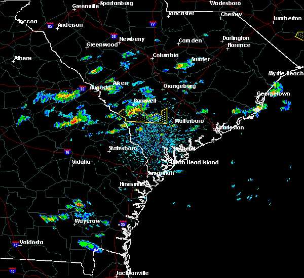 At 427 pm edt, a severe thunderstorm was located near ulmer, or 8 miles north of allendale, moving east at 35 mph (public). Hazards include 60 mph wind gusts and quarter size hail. Hail damage to vehicles is expected. Expect wind damage to roofs, siding, and trees. At 427 pm edt, a severe thunderstorm was located near ulmer, or 8 miles north of allendale, moving east at 35 mph (public). Hazards include 60 mph wind gusts and quarter size hail. Hail damage to vehicles is expected. Expect wind damage to roofs, siding, and trees.
|
| 5/3/2016 4:09 PM EDT |
 At 407 pm edt, a severe thunderstorm was located over the extremesouthern portion of the savannah river site, moving east at 35 mph. golfball sized hail was reported with this storm over burke county georgia (public). Hazards include golf ball size hail and 60 mph wind gusts. People and animals outdoors will be injured. expect hail damage to roofs, siding, windows, and vehicles. expect wind damage to roofs, siding, and trees. Locations impacted include, barnwell, savannah river site, williston, blackville, hilda, snelling, kline and elko. At 407 pm edt, a severe thunderstorm was located over the extremesouthern portion of the savannah river site, moving east at 35 mph. golfball sized hail was reported with this storm over burke county georgia (public). Hazards include golf ball size hail and 60 mph wind gusts. People and animals outdoors will be injured. expect hail damage to roofs, siding, windows, and vehicles. expect wind damage to roofs, siding, and trees. Locations impacted include, barnwell, savannah river site, williston, blackville, hilda, snelling, kline and elko.
|
| 5/3/2016 4:05 PM EDT |
 At 405 pm edt, a severe thunderstorm was located 11 miles south of savannah river site, moving east at 45 mph (radar indicated). Hazards include ping pong ball size hail and 60 mph wind gusts. People and animals outdoors will be injured. expect hail damage to roofs, siding, windows, and vehicles. Expect wind damage to roofs, siding, and trees. At 405 pm edt, a severe thunderstorm was located 11 miles south of savannah river site, moving east at 45 mph (radar indicated). Hazards include ping pong ball size hail and 60 mph wind gusts. People and animals outdoors will be injured. expect hail damage to roofs, siding, windows, and vehicles. Expect wind damage to roofs, siding, and trees.
|
| 5/3/2016 3:41 PM EDT |
 At 341 pm edt, a severe thunderstorm was located 8 miles northeast of waynesboro, moving east at 45 mph (radar indicated). Hazards include 60 mph wind gusts and quarter size hail. Hail damage to vehicles is expected. Expect wind damage to roofs, siding, and trees. At 341 pm edt, a severe thunderstorm was located 8 miles northeast of waynesboro, moving east at 45 mph (radar indicated). Hazards include 60 mph wind gusts and quarter size hail. Hail damage to vehicles is expected. Expect wind damage to roofs, siding, and trees.
|
| 5/2/2016 6:05 PM EDT | Spotter reported pine trees down along uchee farm road...including one on powerlines and one across the roadwa in allendale county SC, 6.2 miles NE of Kline, SC |
| 4/28/2016 5:41 PM EDT |
 The severe thunderstorm warning for southern barnwell county will expire at 545 pm edt, the storm which prompted the warning has weakened below severe limits, and no longer pose an immediate threat to life or property. therefore the warning will be allowed to expire. The severe thunderstorm warning for southern barnwell county will expire at 545 pm edt, the storm which prompted the warning has weakened below severe limits, and no longer pose an immediate threat to life or property. therefore the warning will be allowed to expire.
|
| 4/28/2016 5:13 PM EDT |
 At 509 pm edt, a severe thunderstorm was located in southern barnwell county, or 12 miles south of savannah river site, moving east at 20 mph. storm may redevelop to the north (radar indicated). Hazards include 60 mph wind gusts and penny size hail. Expect damage to roofs. siding. and trees. Locations impacted include, barnwell, snelling, kline and elko. At 509 pm edt, a severe thunderstorm was located in southern barnwell county, or 12 miles south of savannah river site, moving east at 20 mph. storm may redevelop to the north (radar indicated). Hazards include 60 mph wind gusts and penny size hail. Expect damage to roofs. siding. and trees. Locations impacted include, barnwell, snelling, kline and elko.
|
| 4/28/2016 4:50 PM EDT |
 At 450 pm edt, a severe thunderstorm was located 7 miles northeast of sardis, or 12 miles south of savannah river site, moving east at 20 mph (radar indicated). Hazards include 60 mph wind gusts and quarter size hail. Hail damage to vehicles is expected. Expect wind damage to roofs, siding, and trees. At 450 pm edt, a severe thunderstorm was located 7 miles northeast of sardis, or 12 miles south of savannah river site, moving east at 20 mph (radar indicated). Hazards include 60 mph wind gusts and quarter size hail. Hail damage to vehicles is expected. Expect wind damage to roofs, siding, and trees.
|
| 9/10/2015 5:38 PM EDT |
 At 535 pm edt, doppler radar indicated a severe thunderstorm capable of producing quarter size hail and damaging winds in excess of 60 mph. this storm was located 8 miles southwest of savannah river site, and moving northeast at 40 mph. At 535 pm edt, doppler radar indicated a severe thunderstorm capable of producing quarter size hail and damaging winds in excess of 60 mph. this storm was located 8 miles southwest of savannah river site, and moving northeast at 40 mph.
|
| 8/6/2015 6:16 PM EDT |
 At 615 pm edt, severe thunderstorms were located along a line extending from near barnwell to 13 miles northeast of sylvania to near millen, moving east at 40 mph (radar indicated. at 614 pm...the jenkins county warning point point reported trees blown down near perkins). Hazards include 60 mph wind gusts. Expect damage to roofs. siding and trees. Locations impacted include, allendale, millen, hiltonia, ulmer, seigling, martin, hilltonia and millhaven. At 615 pm edt, severe thunderstorms were located along a line extending from near barnwell to 13 miles northeast of sylvania to near millen, moving east at 40 mph (radar indicated. at 614 pm...the jenkins county warning point point reported trees blown down near perkins). Hazards include 60 mph wind gusts. Expect damage to roofs. siding and trees. Locations impacted include, allendale, millen, hiltonia, ulmer, seigling, martin, hilltonia and millhaven.
|
| 8/6/2015 5:50 PM EDT |
 At 550 pm edt, severe thunderstorms were located along a line extending from near savannah river site to 16 miles southeast of waynesboro to near millen, moving east at 45 mph (radar indicated). Hazards include 60 mph wind gusts and nickel size hail. Expect damage to roofs. Siding and trees. At 550 pm edt, severe thunderstorms were located along a line extending from near savannah river site to 16 miles southeast of waynesboro to near millen, moving east at 45 mph (radar indicated). Hazards include 60 mph wind gusts and nickel size hail. Expect damage to roofs. Siding and trees.
|
| 8/6/2015 5:48 PM EDT |
 At 548 pm edt, doppler radar indicated a line of severe thunderstorms capable of producing damaging winds in excess of 60 mph. these storms were located along a line extending from 8 miles south of prosperity to near garfield, and moving east at 25 mph. At 548 pm edt, doppler radar indicated a line of severe thunderstorms capable of producing damaging winds in excess of 60 mph. these storms were located along a line extending from 8 miles south of prosperity to near garfield, and moving east at 25 mph.
|
| 7/19/2015 3:14 PM EDT |
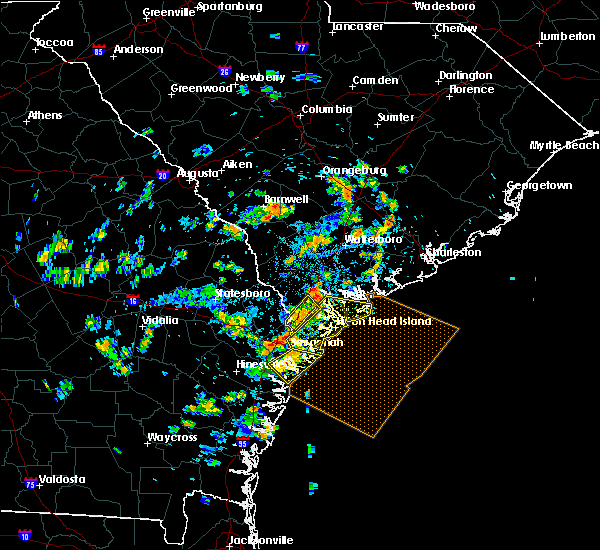 At 314 pm edt, doppler radar indicated a severe thunderstorm capable of producing damaging winds in excess of 60 mph. this storm was located near barnwell, and moving southeast at 25 mph. nickel size hail may also accompany the damaging winds. At 314 pm edt, doppler radar indicated a severe thunderstorm capable of producing damaging winds in excess of 60 mph. this storm was located near barnwell, and moving southeast at 25 mph. nickel size hail may also accompany the damaging winds.
|
| 7/3/2015 1:25 PM EDT |
 At 124 pm edt, severe thunderstorms were located along a line extending from near sycamore to near millen, moving east at 45 mph (radar indicated). Hazards include 60 mph wind gusts. Expect damage to roofs. siding and trees. locations impacted include, allendale, millen, sylvania, hampton and lake warren state park. At 123 pm, large branches were reported down near millen. At 124 pm edt, severe thunderstorms were located along a line extending from near sycamore to near millen, moving east at 45 mph (radar indicated). Hazards include 60 mph wind gusts. Expect damage to roofs. siding and trees. locations impacted include, allendale, millen, sylvania, hampton and lake warren state park. At 123 pm, large branches were reported down near millen.
|
| 7/3/2015 1:09 PM EDT |
 At 109 pm edt, severe thunderstorms were located along a line extending from near seigling to herndon, moving east at 45 mph (radar indicated). Hazards include 60 mph wind gusts. Expect damage to roofs. Siding and trees. At 109 pm edt, severe thunderstorms were located along a line extending from near seigling to herndon, moving east at 45 mph (radar indicated). Hazards include 60 mph wind gusts. Expect damage to roofs. Siding and trees.
|
| 7/3/2015 1:00 PM EDT |
 At 100 pm edt, doppler radar indicated a line of severe thunderstorms capable of producing damaging winds in excess of 60 mph. these storms were located along a line extending from 6 miles southwest of williston to 8 miles northeast of louisville to near wadley, moving southeast at 25 mph. locations impacted include, waynesboro, barnwell, savannah river site, sardis, midville, hilda, snelling, kline, girard, vidette and colemans lake. At 100 pm edt, doppler radar indicated a line of severe thunderstorms capable of producing damaging winds in excess of 60 mph. these storms were located along a line extending from 6 miles southwest of williston to 8 miles northeast of louisville to near wadley, moving southeast at 25 mph. locations impacted include, waynesboro, barnwell, savannah river site, sardis, midville, hilda, snelling, kline, girard, vidette and colemans lake.
|
| 7/3/2015 12:24 PM EDT |
 At 1224 pm edt, doppler radar indicated a line of severe thunderstorms capable of producing damaging winds in excess of 60 mph. these storms were located along a line extending from near augusta to 7 miles northeast of wrens to near sandersville, and moving east at 35 mph. At 1224 pm edt, doppler radar indicated a line of severe thunderstorms capable of producing damaging winds in excess of 60 mph. these storms were located along a line extending from near augusta to 7 miles northeast of wrens to near sandersville, and moving east at 35 mph.
|
| 7/2/2015 6:14 PM EDT |
 At 613 pm edt, severe thunderstorms were located along a line extending from appleton to hunters, moving east at 35 mph (radar indicated). Hazards include 70 mph wind gusts and penny size hail. Expect considerable tree damage. damage is likely to mobile homes, roofs and outbuildings. Locations impacted include, milbury, barton, estill, luray, allendale, sylvania, hampton and lake warren state park. At 613 pm edt, severe thunderstorms were located along a line extending from appleton to hunters, moving east at 35 mph (radar indicated). Hazards include 70 mph wind gusts and penny size hail. Expect considerable tree damage. damage is likely to mobile homes, roofs and outbuildings. Locations impacted include, milbury, barton, estill, luray, allendale, sylvania, hampton and lake warren state park.
|
| 7/2/2015 5:57 PM EDT |
 At 555 pm edt, severe thunderstorms were located along a line extending from near millett to near woodcliff, moving southeast at 30 mph (radar indicated. at 552 pm wind damage was reported with trees down in the rocky ford area). Hazards include 70 mph wind gusts and penny size hail. Expect considerable tree damage. damage is likely to mobile homes, roofs and outbuildings. Locations impacted include, lewis, millhaven, parkers, goloid, allendale, sylvania, hampton, milbury, waters and lake warren state park. At 555 pm edt, severe thunderstorms were located along a line extending from near millett to near woodcliff, moving southeast at 30 mph (radar indicated. at 552 pm wind damage was reported with trees down in the rocky ford area). Hazards include 70 mph wind gusts and penny size hail. Expect considerable tree damage. damage is likely to mobile homes, roofs and outbuildings. Locations impacted include, lewis, millhaven, parkers, goloid, allendale, sylvania, hampton, milbury, waters and lake warren state park.
|
| 7/2/2015 5:43 PM EDT |
 At 542 pm edt, severe thunderstorms were located along a line extending from near barnwell to near scarboro, moving southeast at 35 mph (radar indicated). Hazards include 70 mph wind gusts and penny size hail. Expect considerable tree damage. damage is likely to mobile homes, roofs and outbuildings. Locations impacted include, lewis, bascom, hilltonia, millhaven, allendale, sylvania, hampton and lake warren state park. At 542 pm edt, severe thunderstorms were located along a line extending from near barnwell to near scarboro, moving southeast at 35 mph (radar indicated). Hazards include 70 mph wind gusts and penny size hail. Expect considerable tree damage. damage is likely to mobile homes, roofs and outbuildings. Locations impacted include, lewis, bascom, hilltonia, millhaven, allendale, sylvania, hampton and lake warren state park.
|
| 7/2/2015 5:31 PM EDT |
 At 530 pm edt, severe thunderstorms were located along a line extending from 8 miles west of barnwell to near scarboro, moving southeast at 40 mph (radar indicated). Hazards include 60 mph wind gusts and penny size hail. Expect damage to roofs. Siding and trees. At 530 pm edt, severe thunderstorms were located along a line extending from 8 miles west of barnwell to near scarboro, moving southeast at 40 mph (radar indicated). Hazards include 60 mph wind gusts and penny size hail. Expect damage to roofs. Siding and trees.
|
| 6/30/2015 4:24 PM EDT |
 At 423 pm edt, doppler radar indicated a line of severe thunderstorms capable of producing quarter size hail and damaging winds in excess of 60 mph. these storms were located along a line extending from 12 miles north of blackville to near millett, and moving east at 30 mph. At 423 pm edt, doppler radar indicated a line of severe thunderstorms capable of producing quarter size hail and damaging winds in excess of 60 mph. these storms were located along a line extending from 12 miles north of blackville to near millett, and moving east at 30 mph.
|
| 4/19/2015 4:02 PM EDT | At 359 pm edt, national weather service doppler radar indicated a severe thunderstorm. this storm was located 7 miles south of savannah river site, and moving northeast at 45 mph. * some communities in the warning area include savannah river site, williston, denmark, blackville and barnwell. |
| 6/27/2013 9:28 PM EDT | County dispatch reported trees down on poplar road near highway 27 in barnwell county SC, 1.3 miles SSE of Kline, SC |
| 7/3/2012 3:23 PM EDT | A deputy reported one tree down along highway 12 in allendale county SC, 5.3 miles NE of Kline, SC |
| 7/1/2012 7:41 PM EDT | An emergency manager reported a power line down in martin south carolin in allendale county SC, 8.7 miles ENE of Kline, SC |
| 1/1/0001 12:00 AM | Highway patrol reports powerlines in roadway on us278 in klin in barnwell county SC, 0.2 miles NW of Kline, SC |
| 1/1/0001 12:00 AM | Trees down on highway 278 just outside of the town of klin in barnwell county SC, 0.6 miles SSW of Kline, SC |
Hail Maps for Kline, SC


Connect with Interactive Hail Maps