

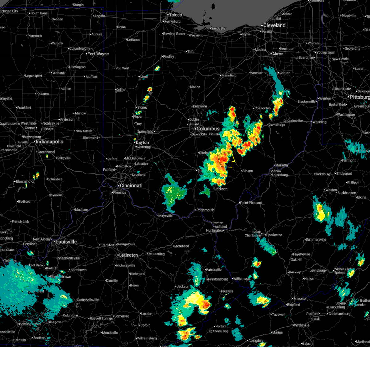
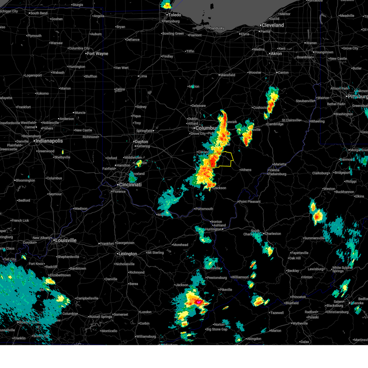
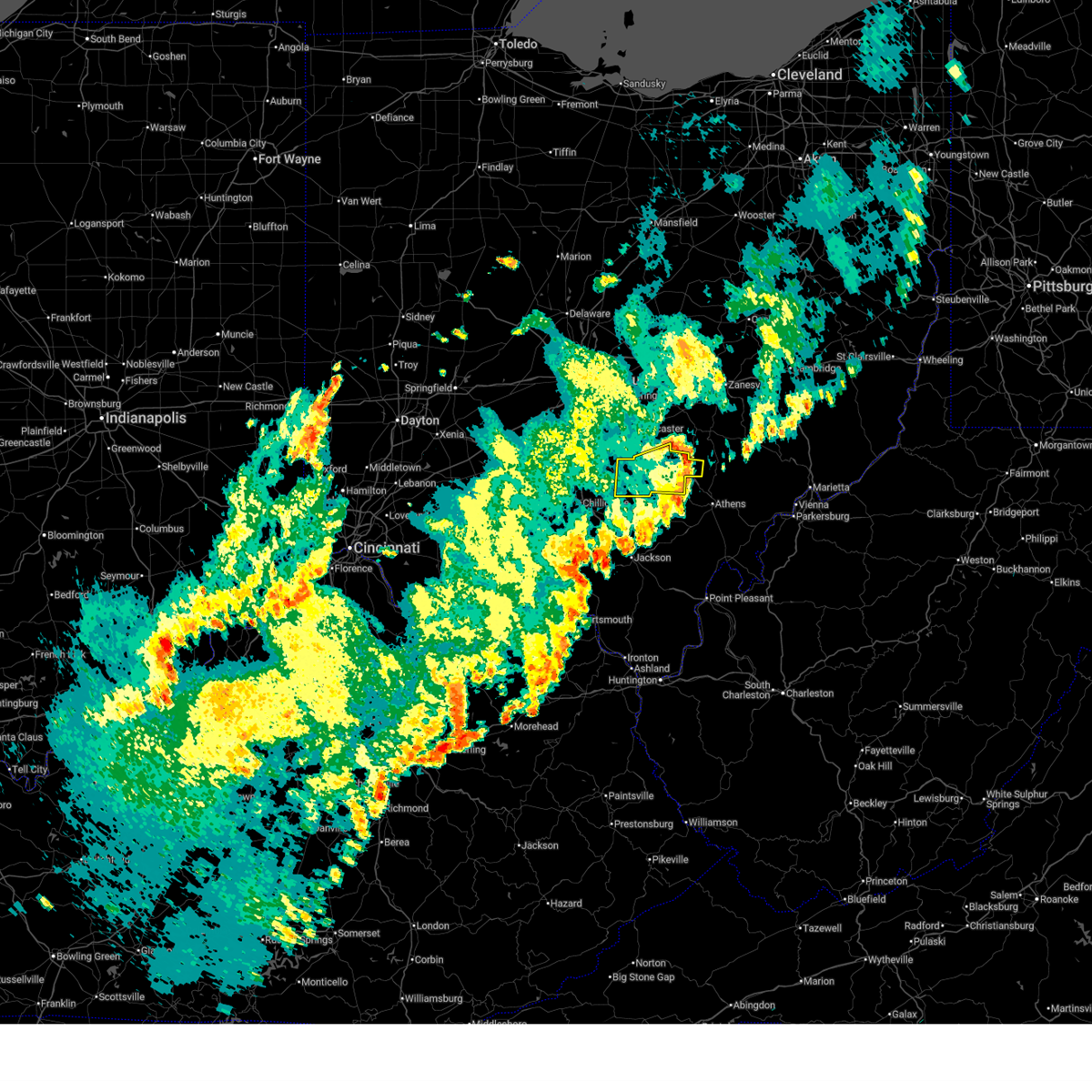
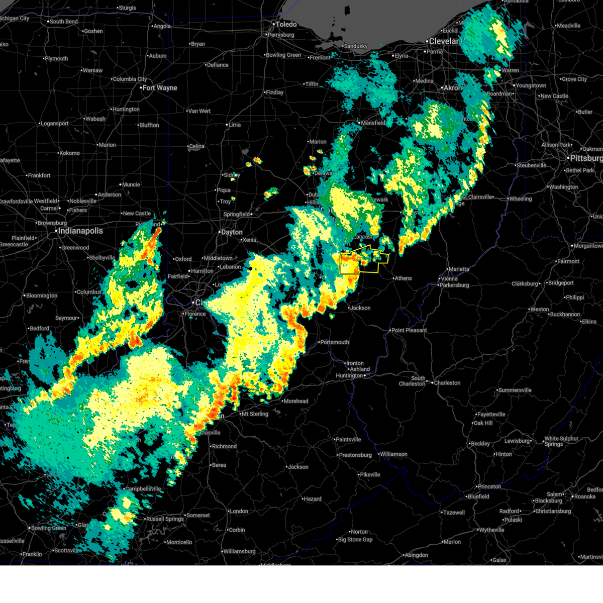
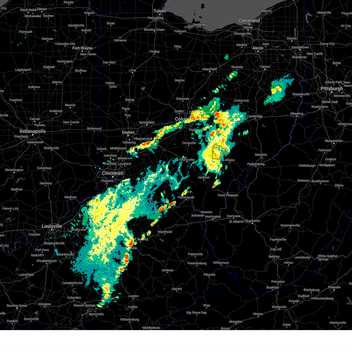
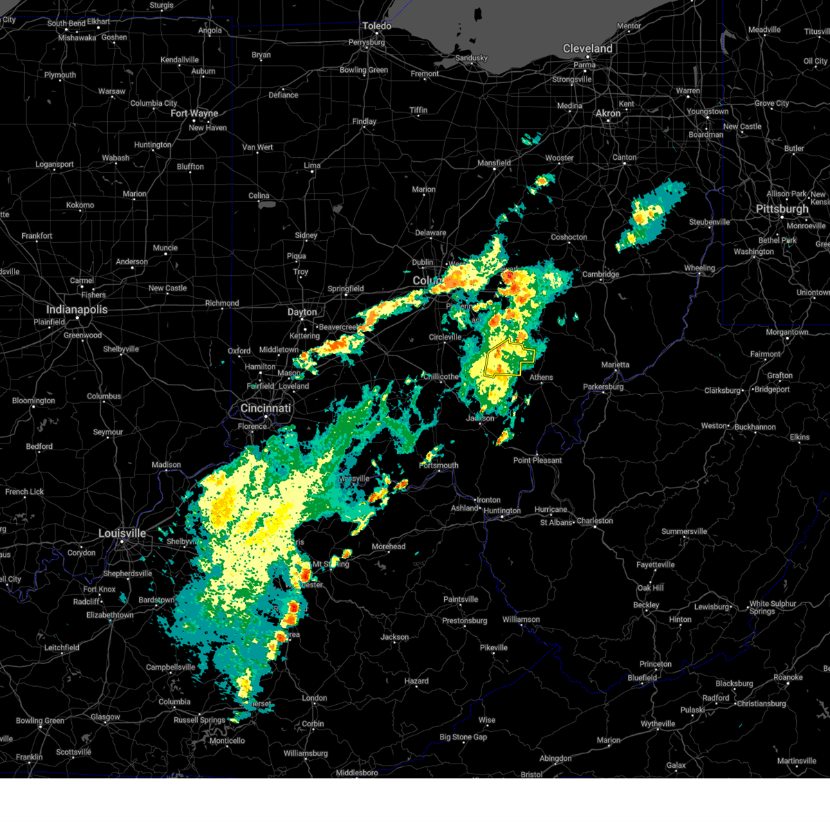
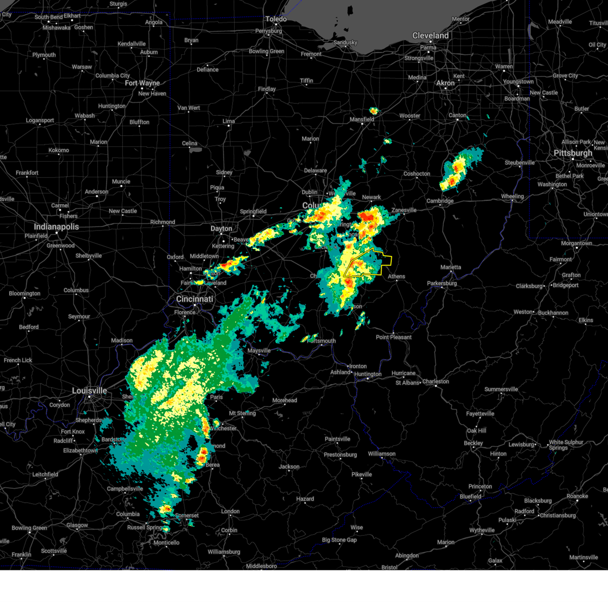
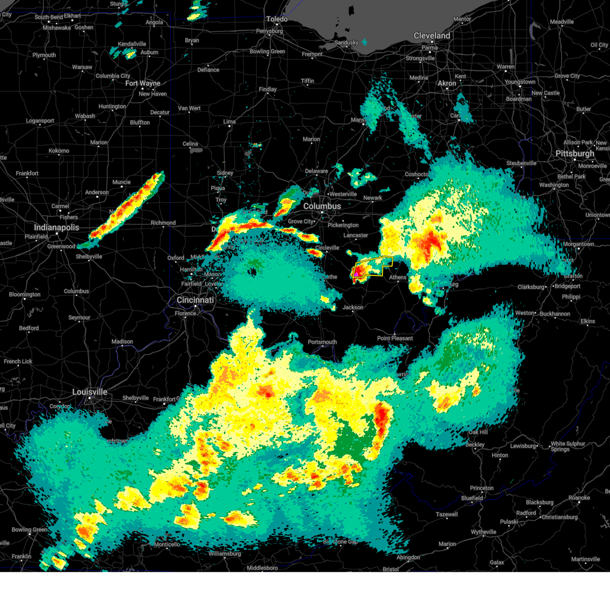
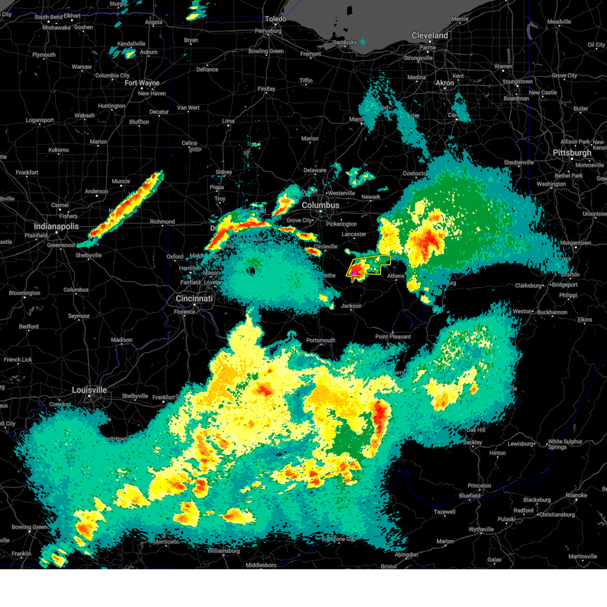
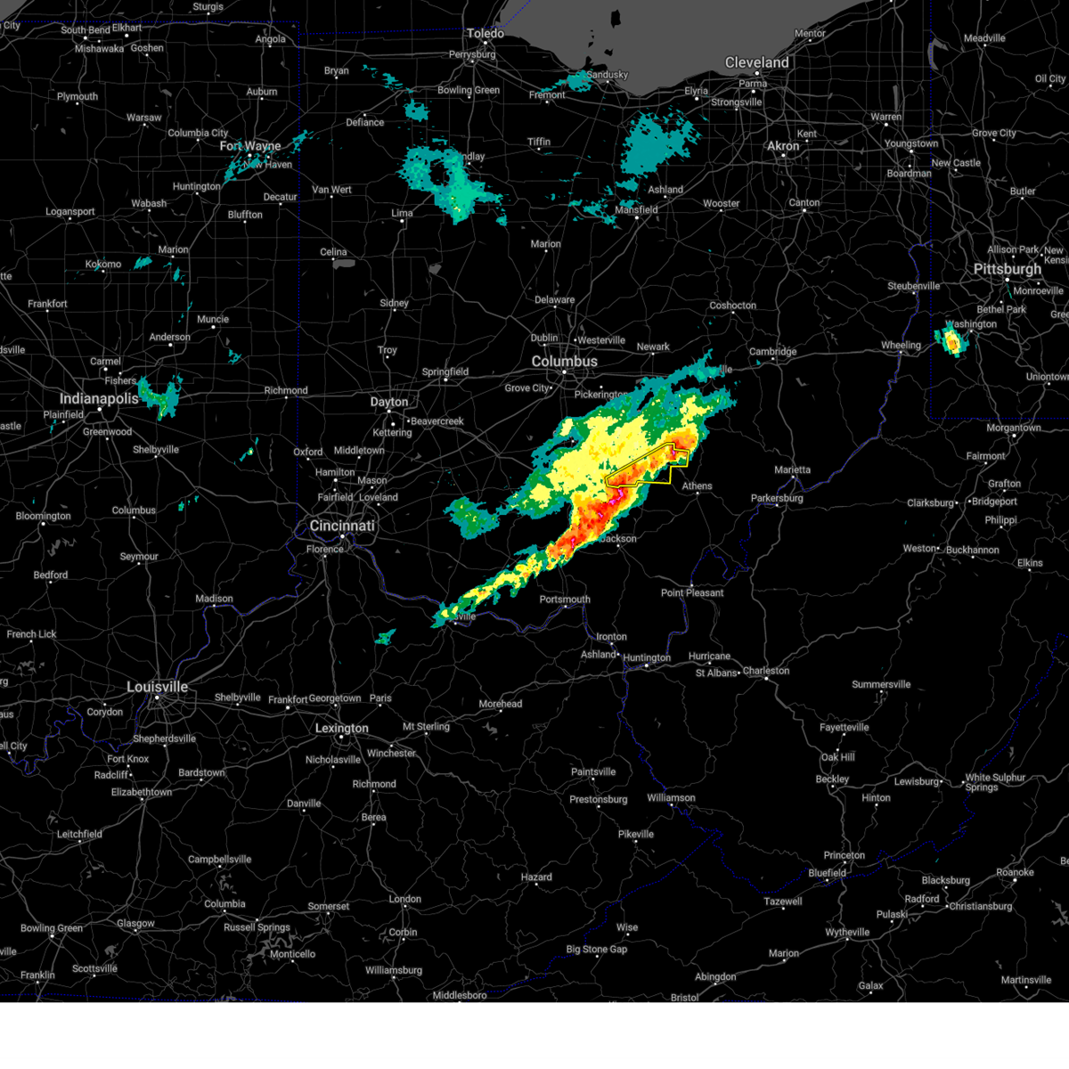
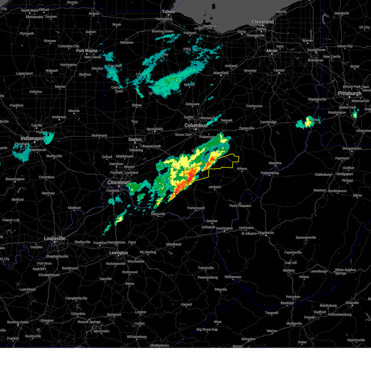
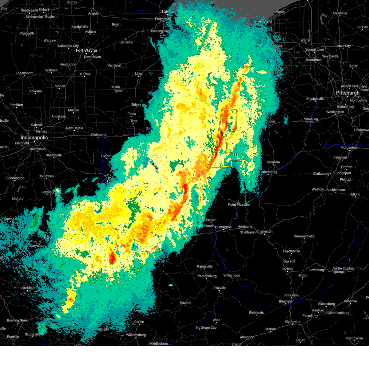
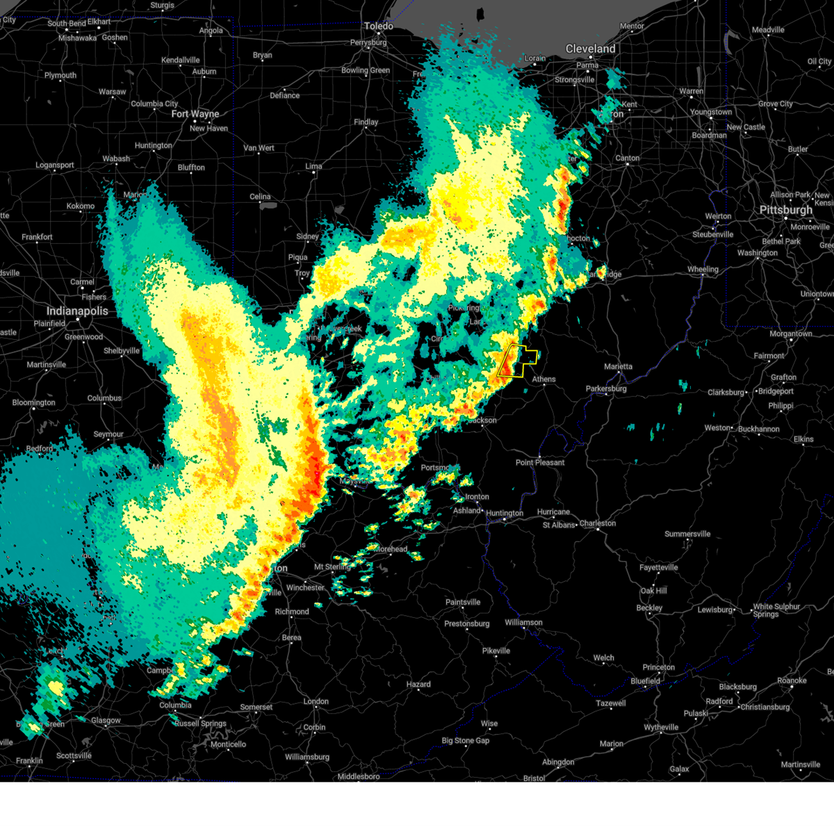
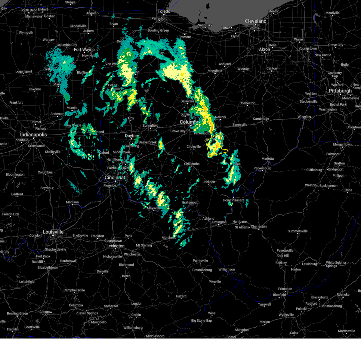
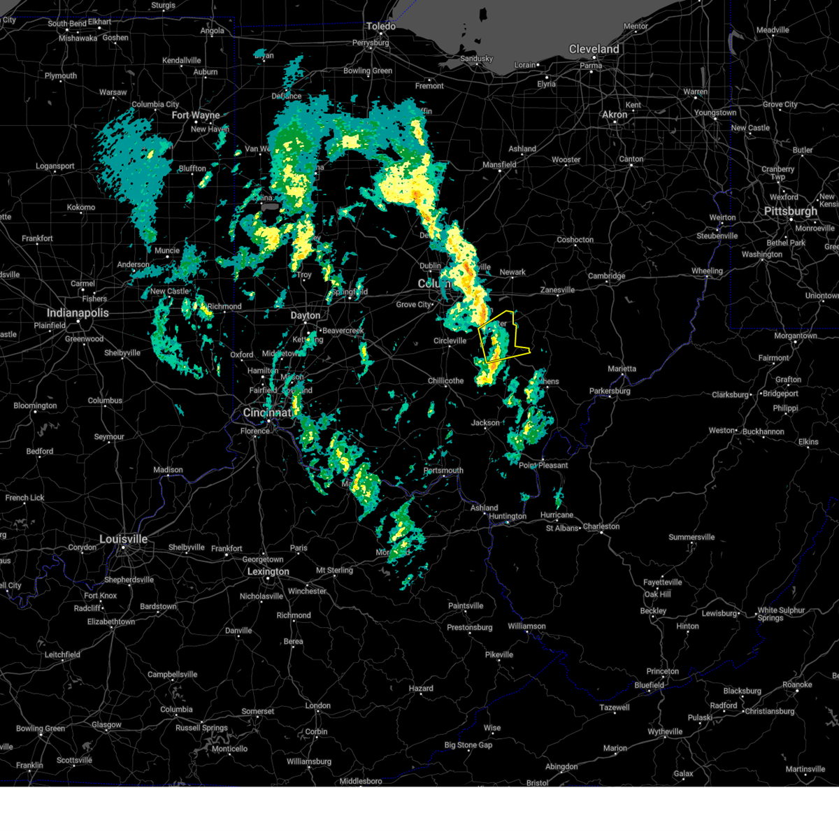
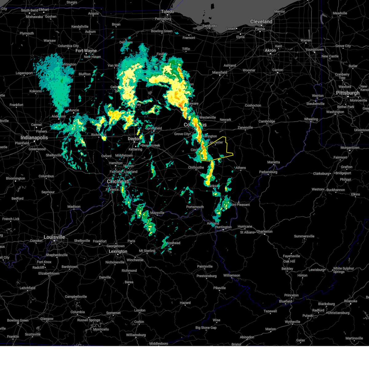
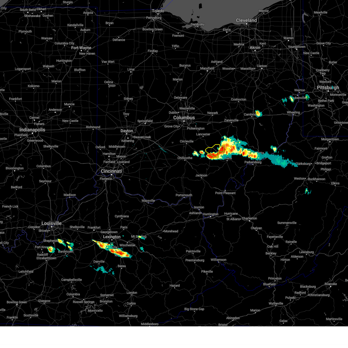
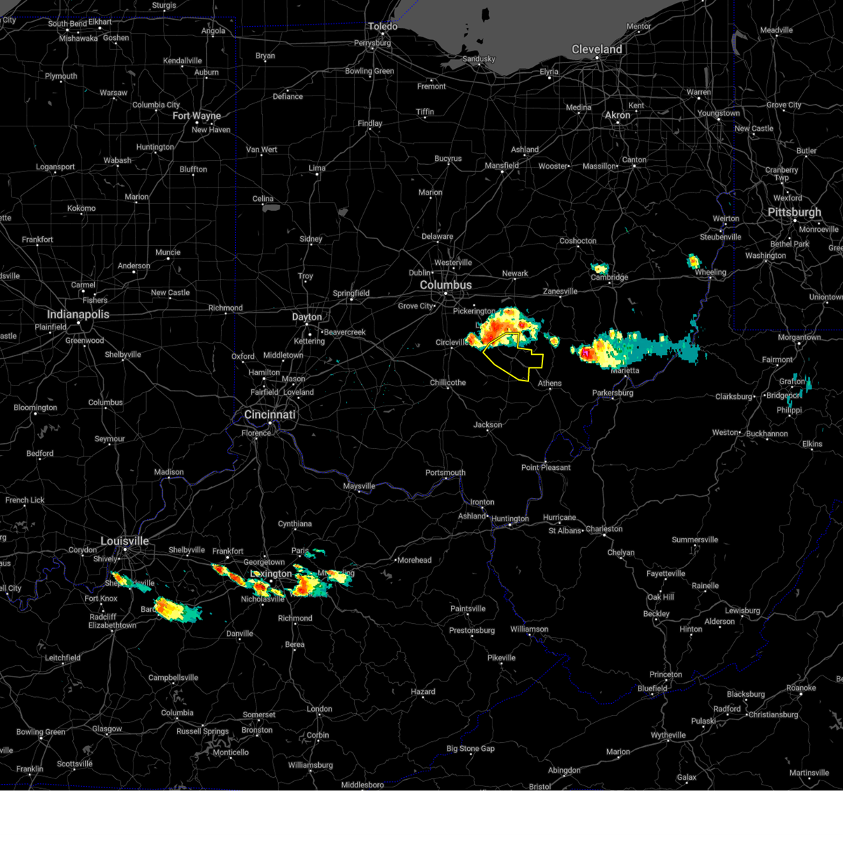
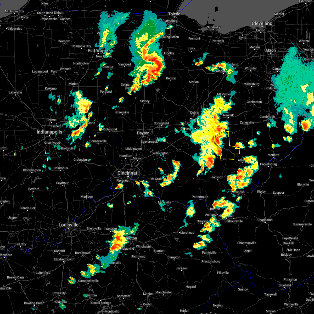
Hail Map for Logan, OH
The Logan, OH area has had 7 reports of on-the-ground hail by trained spotters, and has been under severe weather warnings 48 times during the past 12 months. Doppler radar has detected hail at or near Logan, OH on 41 occasions, including 1 occasion during the past year.
| Name: | Logan, OH |
| Where Located: | 43.1 miles SE of Columbus, OH |
| Map: | Google Map for Logan, OH |
| Population: | 7152 |
| Housing Units: | 3374 |
| More Info: | Search Google for Logan, OH |
5
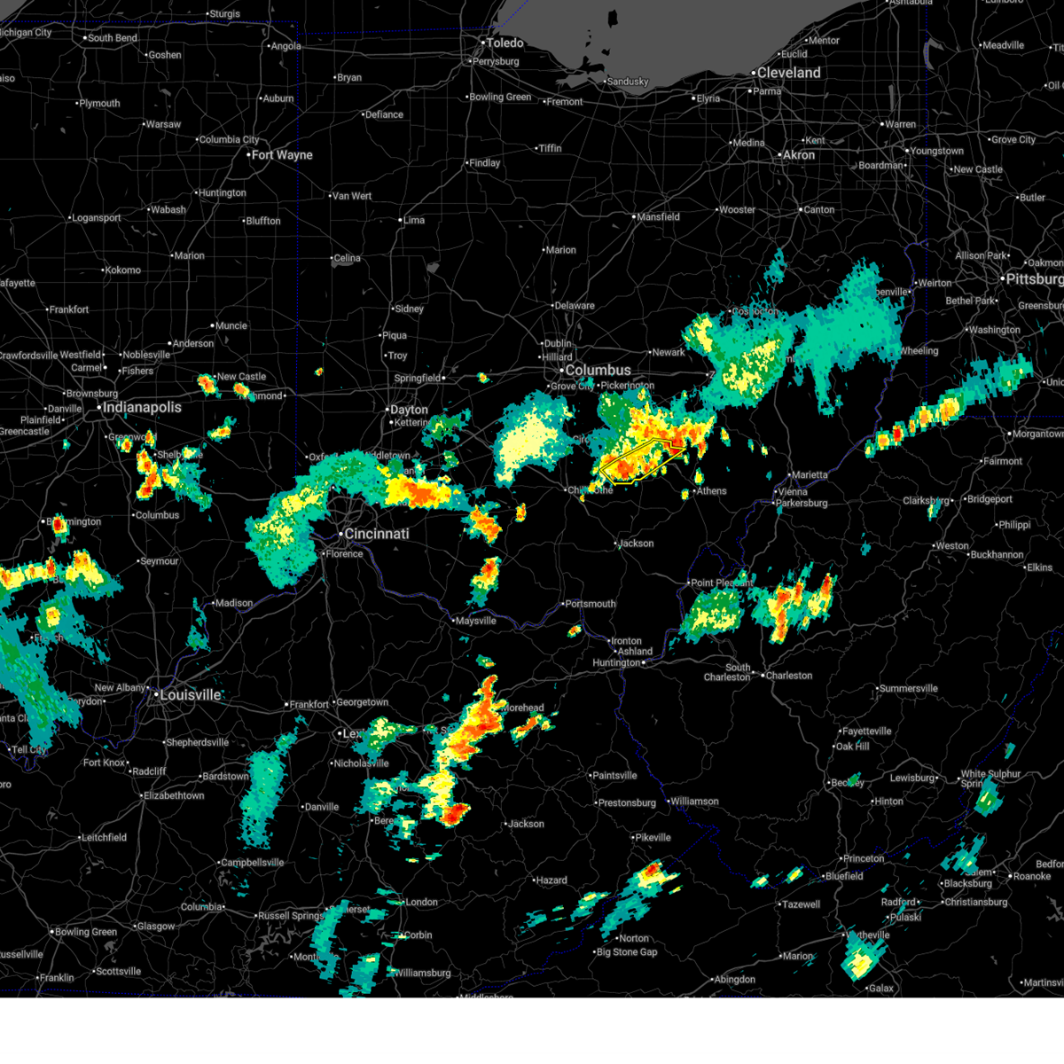
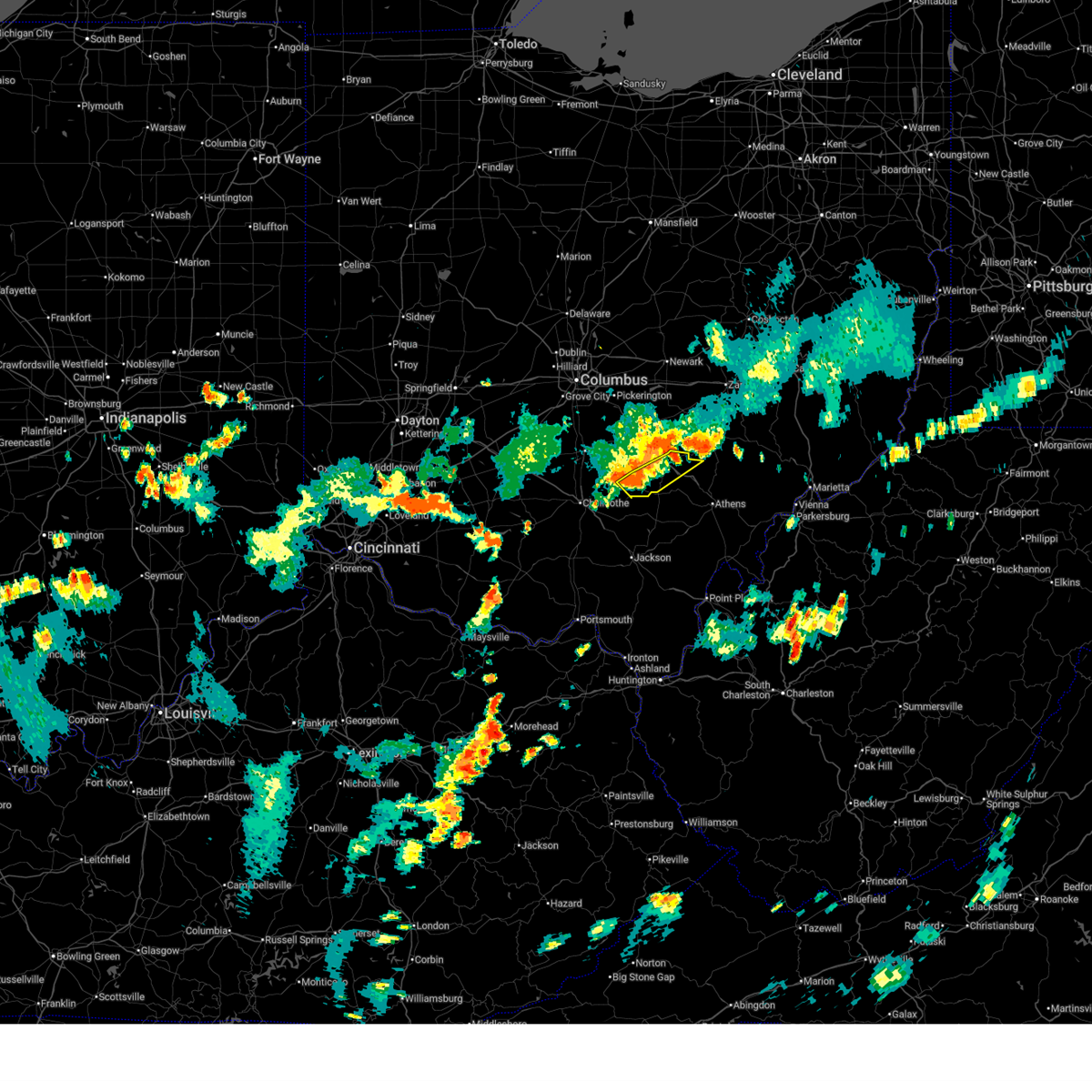
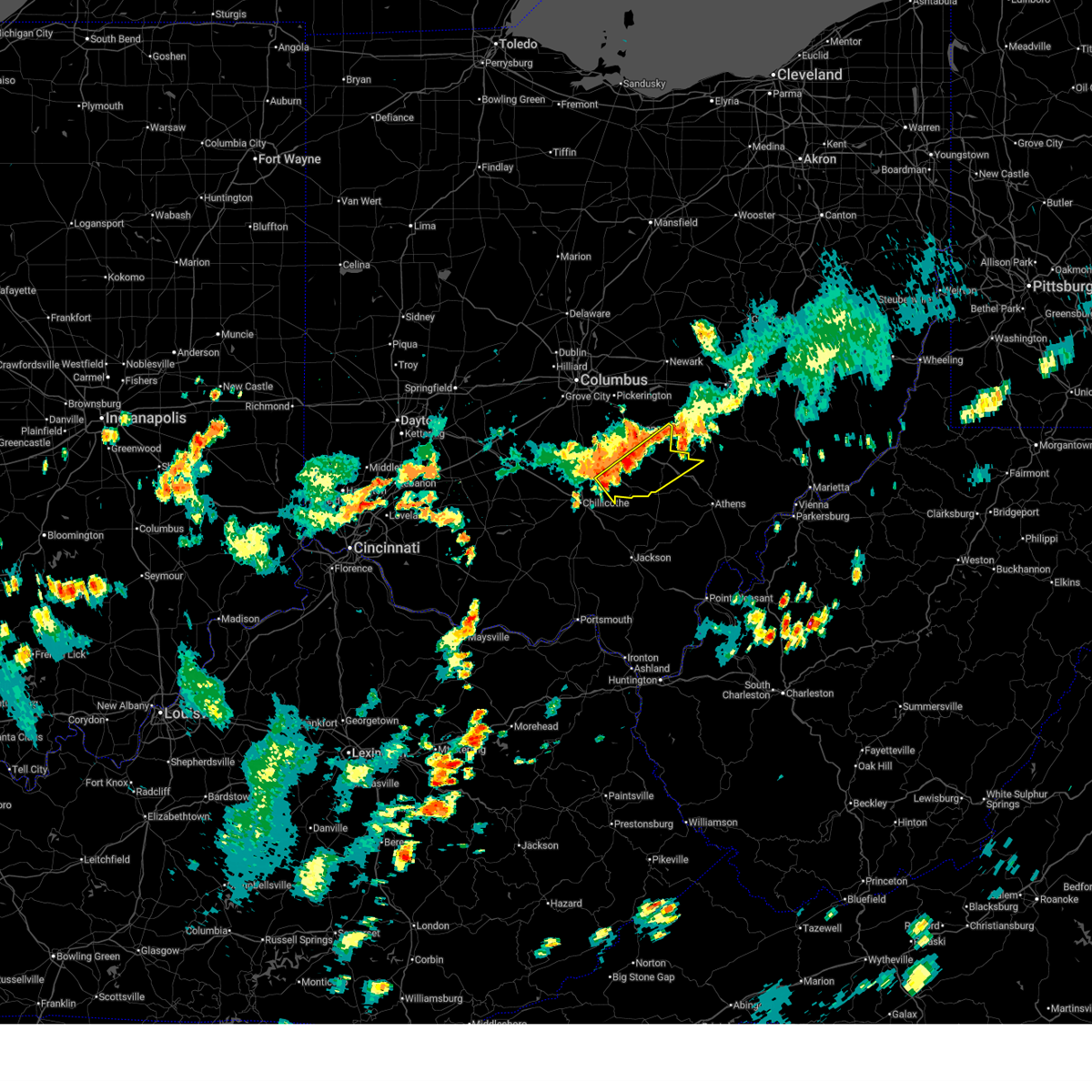
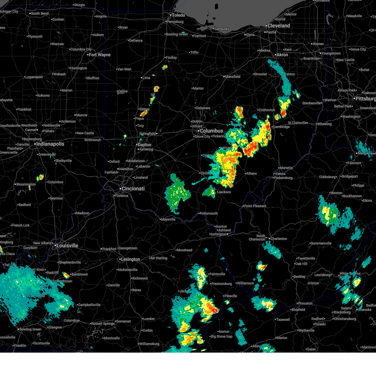
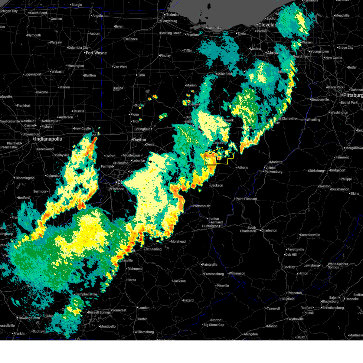
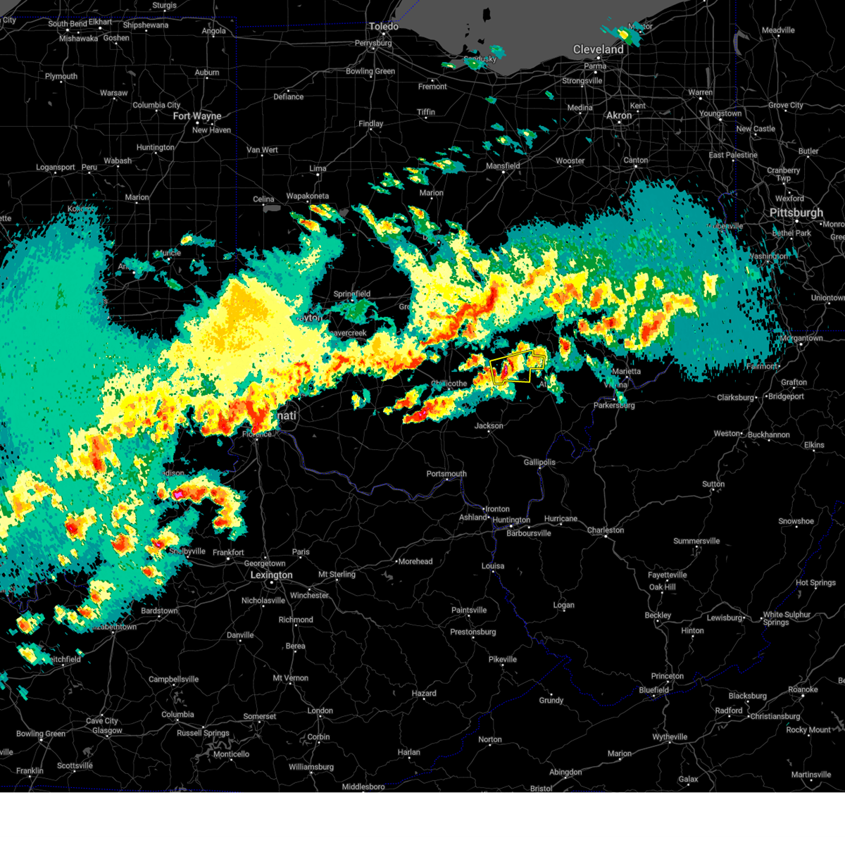
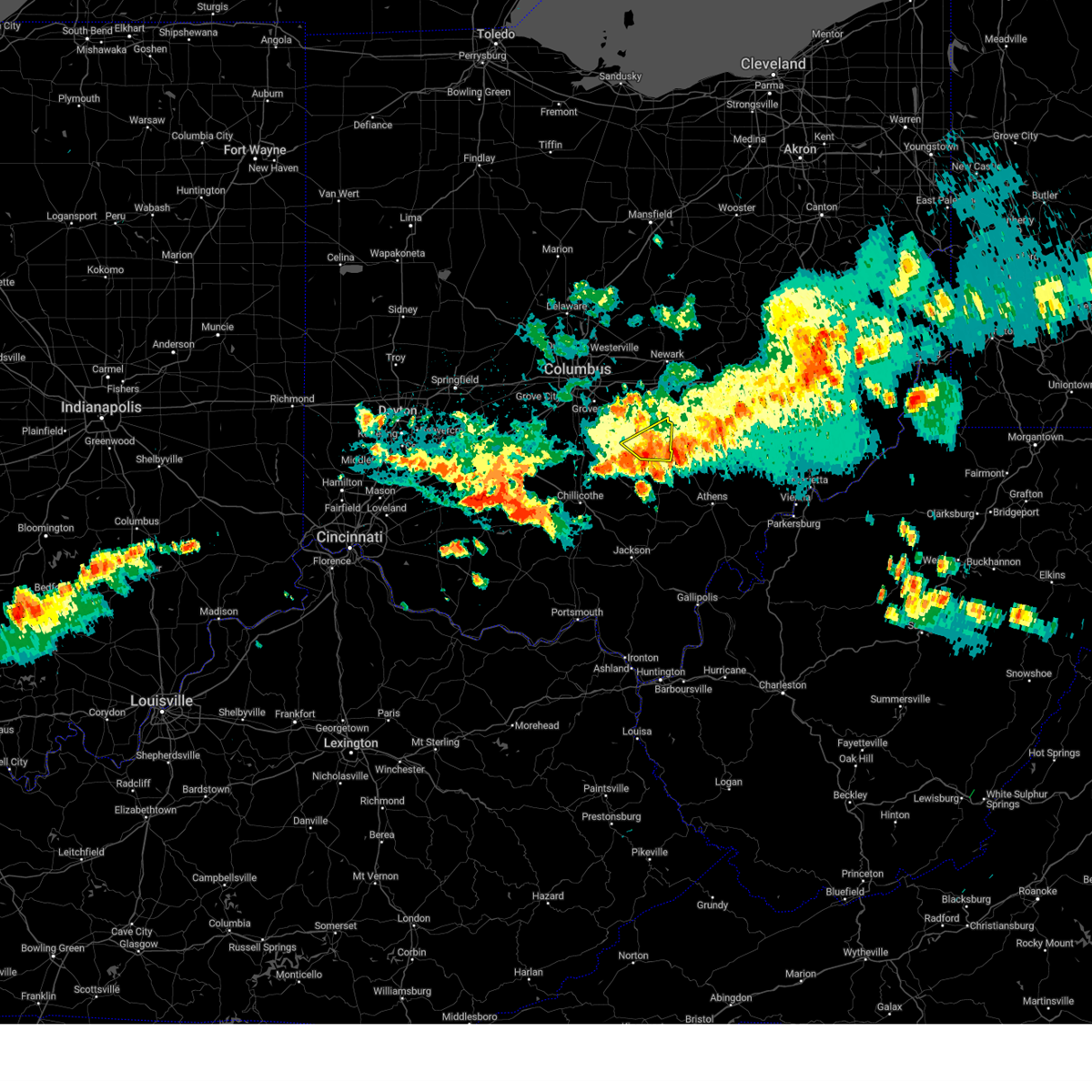
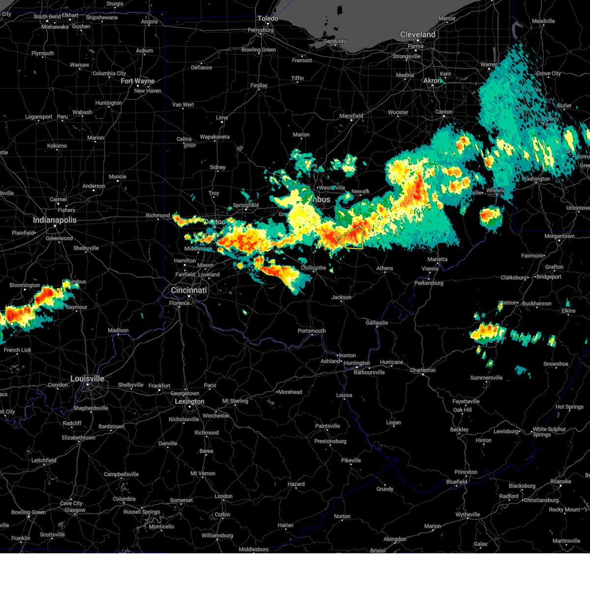
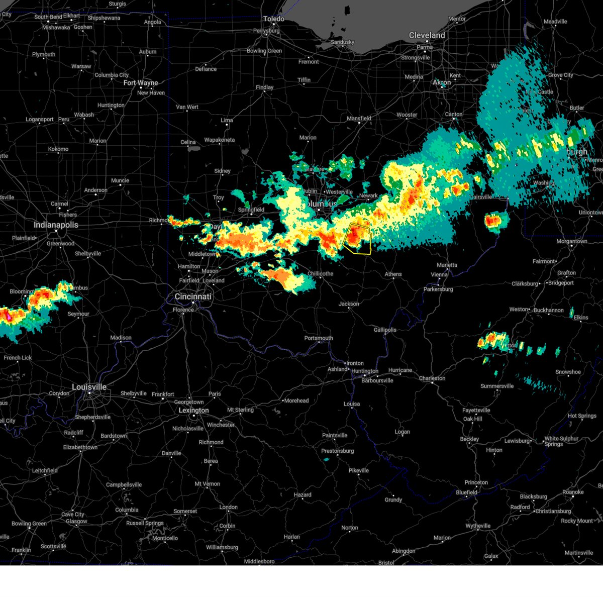
The Top Recent Hail Date for Logan, OH is Friday, May 16, 2025 (3rd out of 41)

Hail and Wind Damage Spotted near Logan, OH
| Date / Time | Report Details |
|---|---|
| 6/28/2025 7:12 PM EDT |
 the severe thunderstorm warning has been cancelled and is no longer in effect the severe thunderstorm warning has been cancelled and is no longer in effect
|
| 6/28/2025 7:05 PM EDT |
 the severe thunderstorm warning has been cancelled and is no longer in effect the severe thunderstorm warning has been cancelled and is no longer in effect
|
| 6/28/2025 7:05 PM EDT |
 At 705 pm edt, severe thunderstorms were located along a line extending from near shawnee to 8 miles southeast of kingston, moving southeast at 10 mph (radar indicated). Hazards include 60 mph wind gusts. Expect damage to trees and power lines. Locations impacted include, logan, hocking hills state park, south bloomingville, ilesboro, gibisonville, union furnace, lake logan state park, haydenville, oreville, and carbon hill. At 705 pm edt, severe thunderstorms were located along a line extending from near shawnee to 8 miles southeast of kingston, moving southeast at 10 mph (radar indicated). Hazards include 60 mph wind gusts. Expect damage to trees and power lines. Locations impacted include, logan, hocking hills state park, south bloomingville, ilesboro, gibisonville, union furnace, lake logan state park, haydenville, oreville, and carbon hill.
|
| 6/28/2025 6:54 PM EDT |
 At 654 pm edt, severe thunderstorms were located along a line extending from 6 miles southeast of bremen to 6 miles southeast of kingston, moving southeast at 10 mph (radar indicated). Hazards include 60 mph wind gusts. Expect damage to trees and power lines. Locations impacted include, logan, hocking hills state park, hide-a-way hills, laurelville, adelphi, ilesboro, gibisonville, hideaway hills, lake logan state park, haydenville, south bloomingville, enterprise, union furnace, rockbridge, oreville, and carbon hill. At 654 pm edt, severe thunderstorms were located along a line extending from 6 miles southeast of bremen to 6 miles southeast of kingston, moving southeast at 10 mph (radar indicated). Hazards include 60 mph wind gusts. Expect damage to trees and power lines. Locations impacted include, logan, hocking hills state park, hide-a-way hills, laurelville, adelphi, ilesboro, gibisonville, hideaway hills, lake logan state park, haydenville, south bloomingville, enterprise, union furnace, rockbridge, oreville, and carbon hill.
|
| 6/28/2025 6:54 PM EDT |
 the severe thunderstorm warning has been cancelled and is no longer in effect the severe thunderstorm warning has been cancelled and is no longer in effect
|
| 6/28/2025 6:32 PM EDT |
 Svriln the national weather service in wilmington has issued a * severe thunderstorm warning for, southeastern fairfield county in central ohio, hocking county in central ohio, southeastern pickaway county in central ohio, northeastern ross county in south central ohio, * until 730 pm edt. * at 632 pm edt, severe thunderstorms were located along a line extending from near bremen to near kingston, moving southeast at 10 mph (radar indicated). Hazards include 60 mph wind gusts. expect damage to trees and power lines Svriln the national weather service in wilmington has issued a * severe thunderstorm warning for, southeastern fairfield county in central ohio, hocking county in central ohio, southeastern pickaway county in central ohio, northeastern ross county in south central ohio, * until 730 pm edt. * at 632 pm edt, severe thunderstorms were located along a line extending from near bremen to near kingston, moving southeast at 10 mph (radar indicated). Hazards include 60 mph wind gusts. expect damage to trees and power lines
|
| 6/27/2025 7:51 PM EDT |
 The storm which prompted the warning has weakened below severe limits and no longer poses an immediate threat to life or property. therefore, the warning will be allowed to expire. however, gusty winds are still possible with this thunderstorm. please report previous wind damage or hail to the national weather service by going to our website at weather.gov/iln and submitting your report via social media. The storm which prompted the warning has weakened below severe limits and no longer poses an immediate threat to life or property. therefore, the warning will be allowed to expire. however, gusty winds are still possible with this thunderstorm. please report previous wind damage or hail to the national weather service by going to our website at weather.gov/iln and submitting your report via social media.
|
| 6/27/2025 7:42 PM EDT |
 At 742 pm edt, a severe thunderstorm was located near hocking hills state park, moving east at 20 mph (radar indicated). Hazards include 60 mph wind gusts. Expect damage to trees and power lines. Locations impacted include, logan, nelsonville, starr, ilesboro, enterprise, union furnace, lake logan state park, haydenville, and carbon hill. At 742 pm edt, a severe thunderstorm was located near hocking hills state park, moving east at 20 mph (radar indicated). Hazards include 60 mph wind gusts. Expect damage to trees and power lines. Locations impacted include, logan, nelsonville, starr, ilesboro, enterprise, union furnace, lake logan state park, haydenville, and carbon hill.
|
| 6/27/2025 7:22 PM EDT |
 Svriln the national weather service in wilmington has issued a * severe thunderstorm warning for, hocking county in central ohio, * until 800 pm edt. * at 721 pm edt, a severe thunderstorm was located near hocking hills state park, moving east at 20 mph (radar indicated). Hazards include 60 mph wind gusts. expect damage to trees and power lines Svriln the national weather service in wilmington has issued a * severe thunderstorm warning for, hocking county in central ohio, * until 800 pm edt. * at 721 pm edt, a severe thunderstorm was located near hocking hills state park, moving east at 20 mph (radar indicated). Hazards include 60 mph wind gusts. expect damage to trees and power lines
|
| 6/24/2025 8:03 PM EDT | Trees reported down at voris and bauer. time estimated from rada in hocking county OH, 4.9 miles SE of Logan, OH |
| 6/18/2025 10:46 PM EDT |
 the severe thunderstorm warning has been cancelled and is no longer in effect the severe thunderstorm warning has been cancelled and is no longer in effect
|
| 6/18/2025 10:23 PM EDT |
 At 1023 pm edt, a severe thunderstorm was located near hocking hills state park, moving northeast at 55 mph (radar indicated). Hazards include 60 mph wind gusts. Expect damage to trees and power lines. Locations impacted include, logan, nelsonville, hocking hills state park, starr, laurelville, murray city, ilesboro, gibisonville, lake logan state park, haydenville, south bloomingville, enterprise, union furnace, rockbridge, oreville, and carbon hill. At 1023 pm edt, a severe thunderstorm was located near hocking hills state park, moving northeast at 55 mph (radar indicated). Hazards include 60 mph wind gusts. Expect damage to trees and power lines. Locations impacted include, logan, nelsonville, hocking hills state park, starr, laurelville, murray city, ilesboro, gibisonville, lake logan state park, haydenville, south bloomingville, enterprise, union furnace, rockbridge, oreville, and carbon hill.
|
| 6/18/2025 10:23 PM EDT |
 the severe thunderstorm warning has been cancelled and is no longer in effect the severe thunderstorm warning has been cancelled and is no longer in effect
|
| 6/18/2025 10:08 PM EDT |
 Svriln the national weather service in wilmington has issued a * severe thunderstorm warning for, hocking county in central ohio, southeastern pickaway county in central ohio, * until 1100 pm edt. * at 1008 pm edt, a severe thunderstorm was located 10 miles southeast of kingston, moving northeast at 50 mph (radar indicated). Hazards include 60 mph wind gusts. expect damage to trees and power lines Svriln the national weather service in wilmington has issued a * severe thunderstorm warning for, hocking county in central ohio, southeastern pickaway county in central ohio, * until 1100 pm edt. * at 1008 pm edt, a severe thunderstorm was located 10 miles southeast of kingston, moving northeast at 50 mph (radar indicated). Hazards include 60 mph wind gusts. expect damage to trees and power lines
|
| 6/18/2025 9:32 PM EDT | the severe thunderstorm warning has been cancelled and is no longer in effect |
| 6/18/2025 9:17 PM EDT | At 917 pm edt, severe thunderstorms were located along a line extending from near south zanesville to near hocking hills state park, moving east at 50 mph (radar indicated). Hazards include 60 mph wind gusts. Expect damage to trees and power lines. Locations impacted include, lancaster, logan, nelsonville, bremen, hocking hills state park, hide-a-way hills, starr, laurelville, murray city, sugar grove, adelphi, rushville, tarlton, west rushville, ilesboro, haydenville, south bloomingville, clearport, north berne, and union furnace. |
| 6/18/2025 8:55 PM EDT |
 Svriln the national weather service in wilmington has issued a * severe thunderstorm warning for, southern fairfield county in central ohio, hocking county in central ohio, southeastern pickaway county in central ohio, northeastern ross county in south central ohio, * until 945 pm edt. * at 854 pm edt, severe thunderstorms were located along a line extending from near pleasantville to near kingston, moving east at 50 mph (at lancaster airport a 56 mph wind gust occurred). Hazards include 60 mph wind gusts. expect damage to trees and power lines Svriln the national weather service in wilmington has issued a * severe thunderstorm warning for, southern fairfield county in central ohio, hocking county in central ohio, southeastern pickaway county in central ohio, northeastern ross county in south central ohio, * until 945 pm edt. * at 854 pm edt, severe thunderstorms were located along a line extending from near pleasantville to near kingston, moving east at 50 mph (at lancaster airport a 56 mph wind gust occurred). Hazards include 60 mph wind gusts. expect damage to trees and power lines
|
| 6/9/2025 2:35 PM EDT |
 The storm which prompted the warning has weakened below severe limits and is exiting the warned area. therefore, the warning will be allowed to expire. please report previous wind damage or hail to the national weather service by going to our website at weather.gov/iln and submitting your report via social media. The storm which prompted the warning has weakened below severe limits and is exiting the warned area. therefore, the warning will be allowed to expire. please report previous wind damage or hail to the national weather service by going to our website at weather.gov/iln and submitting your report via social media.
|
| 6/9/2025 2:22 PM EDT | Tree down along stagecoach roa in hocking county OH, 2.7 miles ESE of Logan, OH |
| 6/9/2025 2:17 PM EDT |
 At 217 pm edt, a severe thunderstorm was located near nelsonville, moving northeast at 45 mph (radar indicated). Hazards include 60 mph wind gusts. Expect damage to trees and power lines. Locations impacted include, logan, nelsonville, starr, murray city, ilesboro, union furnace, haydenville, oreville, and carbon hill. At 217 pm edt, a severe thunderstorm was located near nelsonville, moving northeast at 45 mph (radar indicated). Hazards include 60 mph wind gusts. Expect damage to trees and power lines. Locations impacted include, logan, nelsonville, starr, murray city, ilesboro, union furnace, haydenville, oreville, and carbon hill.
|
| 6/9/2025 2:06 PM EDT |
 At 206 pm edt, a severe thunderstorm was located near hocking hills state park, moving northeast at 45 mph (radar indicated). Hazards include 60 mph wind gusts. Expect damage to trees and power lines. Locations impacted include, logan, nelsonville, hocking hills state park, starr, murray city, ilesboro, gibisonville, lake logan state park, haydenville, enterprise, union furnace, oreville, and carbon hill. At 206 pm edt, a severe thunderstorm was located near hocking hills state park, moving northeast at 45 mph (radar indicated). Hazards include 60 mph wind gusts. Expect damage to trees and power lines. Locations impacted include, logan, nelsonville, hocking hills state park, starr, murray city, ilesboro, gibisonville, lake logan state park, haydenville, enterprise, union furnace, oreville, and carbon hill.
|
| 6/9/2025 1:56 PM EDT |
 Svriln the national weather service in wilmington has issued a * severe thunderstorm warning for, hocking county in central ohio, * until 245 pm edt. * at 156 pm edt, a severe thunderstorm was located 7 miles southwest of hocking hills state park, moving northeast at 45 mph (radar indicated). Hazards include 60 mph wind gusts. expect damage to trees and power lines Svriln the national weather service in wilmington has issued a * severe thunderstorm warning for, hocking county in central ohio, * until 245 pm edt. * at 156 pm edt, a severe thunderstorm was located 7 miles southwest of hocking hills state park, moving northeast at 45 mph (radar indicated). Hazards include 60 mph wind gusts. expect damage to trees and power lines
|
| 5/16/2025 11:45 PM EDT |
 At 1145 pm edt, a severe thunderstorm was located over hocking hills state park, moving east at 50 mph (radar indicated). Hazards include ping pong ball size hail and 60 mph wind gusts. People and animals outdoors will be injured. expect hail damage to roofs, siding, windows, and vehicles. expect wind damage to trees and power lines. Locations impacted include, south bloomingville, hocking hills state park, starr, gibisonville, ilesboro, murray city, union furnace, haydenville, carbon hill, logan, and nelsonville. At 1145 pm edt, a severe thunderstorm was located over hocking hills state park, moving east at 50 mph (radar indicated). Hazards include ping pong ball size hail and 60 mph wind gusts. People and animals outdoors will be injured. expect hail damage to roofs, siding, windows, and vehicles. expect wind damage to trees and power lines. Locations impacted include, south bloomingville, hocking hills state park, starr, gibisonville, ilesboro, murray city, union furnace, haydenville, carbon hill, logan, and nelsonville.
|
| 5/16/2025 11:41 PM EDT |
 At 1141 pm edt, a severe thunderstorm was located over hocking hills state park, moving east at 60 mph (radar indicated). Hazards include 60 mph wind gusts and half dollar size hail. Minor hail damage to vehicles is possible. expect wind damage to trees and power lines. Locations impacted include, south bloomingville, hocking hills state park, logan, starr, gibisonville, ilesboro, murray city, union furnace, haydenville, lake logan state park, carbon hill, and nelsonville. At 1141 pm edt, a severe thunderstorm was located over hocking hills state park, moving east at 60 mph (radar indicated). Hazards include 60 mph wind gusts and half dollar size hail. Minor hail damage to vehicles is possible. expect wind damage to trees and power lines. Locations impacted include, south bloomingville, hocking hills state park, logan, starr, gibisonville, ilesboro, murray city, union furnace, haydenville, lake logan state park, carbon hill, and nelsonville.
|
| 5/16/2025 11:29 PM EDT | Svriln the national weather service in wilmington has issued a * severe thunderstorm warning for, hocking county in central ohio, * until 1215 am edt. * at 1129 pm edt, a severe thunderstorm was located 9 miles southeast of kingston, moving east at 60 mph (radar indicated). Hazards include 60 mph wind gusts and quarter size hail. Minor hail damage to vehicles is possible. Expect wind damage to trees and power lines. |
| 5/16/2025 11:20 PM EDT | The severe thunderstorm which prompted the warning has moved out of the warned area. therefore, the warning will be allowed to expire. a tornado watch remains in effect until 300 am edt for central ohio. please report previous wind damage or hail to the national weather service by going to our website at weather.gov/iln and submitting your report via social media. |
| 5/16/2025 11:12 PM EDT | At 1112 pm edt, a severe thunderstorm was located near shawnee, moving east at 55 mph (radar indicated). Hazards include 60 mph wind gusts and quarter size hail. Minor hail damage to vehicles is possible. expect wind damage to trees and power lines. Locations impacted include, starr, ilesboro, hideaway hills, haydenville, lake logan state park, logan, enterprise, murray city, union furnace, rockbridge, hide-a-way hills, oreville, carbon hill, and nelsonville. |
| 5/16/2025 11:12 PM EDT | the severe thunderstorm warning has been cancelled and is no longer in effect |
| 5/16/2025 11:05 PM EDT | At 1105 pm edt, a severe thunderstorm was located over logan, moving east at 50 mph (radar indicated). Hazards include 60 mph wind gusts and quarter size hail. Minor hail damage to vehicles is possible. expect wind damage to trees and power lines. Locations impacted include, hocking hills state park, buena vista in hocking county, starr, gibisonville, ilesboro, hideaway hills, haydenville, lake logan state park, south bloomingville, logan, bremen, north berne, enterprise, murray city, union furnace, sugar grove, rockbridge, hide-a-way hills, oreville, and carbon hill. |
| 5/16/2025 11:05 PM EDT | the severe thunderstorm warning has been cancelled and is no longer in effect |
| 5/16/2025 10:47 PM EDT | At 1046 pm edt, a severe thunderstorm was located 7 miles southwest of hide-a-way hills, moving east at 55 mph (radar indicated). Hazards include 60 mph wind gusts and quarter size hail. Minor hail damage to vehicles is possible. expect wind damage to trees and power lines. Locations impacted include, fairfield county airport, hocking hills state park, us route 22 at state route 159, starr, ilesboro, mooresville, haydenville, laurelville, south bloomingville, clearport, bremen, north berne, pleasantville, murray city, union furnace, adelphi, hide-a-way hills, oreville, carbon hill, and west rushville. |
| 5/16/2025 10:47 PM EDT | the severe thunderstorm warning has been cancelled and is no longer in effect |
| 5/16/2025 10:25 PM EDT | Svriln the national weather service in wilmington has issued a * severe thunderstorm warning for, southeastern franklin county in central ohio, fairfield county in central ohio, hocking county in central ohio, eastern pickaway county in central ohio, northeastern ross county in south central ohio, * until 1130 pm edt. * at 1025 pm edt, a severe thunderstorm was located over logan elm village, moving east at 55 mph (radar indicated). Hazards include 60 mph wind gusts and quarter size hail. Minor hail damage to vehicles is possible. Expect wind damage to trees and power lines. |
| 4/19/2025 6:17 PM EDT |
 the severe thunderstorm warning has been cancelled and is no longer in effect the severe thunderstorm warning has been cancelled and is no longer in effect
|
| 4/19/2025 6:17 PM EDT |
 At 616 pm edt, a severe thunderstorm was located near hocking hills state park, moving east at 60 mph (radar indicated). Hazards include 60 mph wind gusts and quarter size hail. Minor hail damage to vehicles is possible. expect wind damage to trees and power lines. Locations impacted include, south bloomingville, hocking hills state park, logan, starr, ilesboro, murray city, union furnace, haydenville, oreville, carbon hill, and nelsonville. At 616 pm edt, a severe thunderstorm was located near hocking hills state park, moving east at 60 mph (radar indicated). Hazards include 60 mph wind gusts and quarter size hail. Minor hail damage to vehicles is possible. expect wind damage to trees and power lines. Locations impacted include, south bloomingville, hocking hills state park, logan, starr, ilesboro, murray city, union furnace, haydenville, oreville, carbon hill, and nelsonville.
|
| 4/19/2025 5:49 PM EDT |
 Svriln the national weather service in wilmington has issued a * severe thunderstorm warning for, hocking county in central ohio, north central pike county in south central ohio, southern ross county in south central ohio, * until 645 pm edt. * at 548 pm edt, a severe thunderstorm was located near north folk village, moving east at 60 mph (radar indicated). Hazards include 60 mph wind gusts and quarter size hail. Minor hail damage to vehicles is possible. Expect wind damage to trees and power lines. Svriln the national weather service in wilmington has issued a * severe thunderstorm warning for, hocking county in central ohio, north central pike county in south central ohio, southern ross county in south central ohio, * until 645 pm edt. * at 548 pm edt, a severe thunderstorm was located near north folk village, moving east at 60 mph (radar indicated). Hazards include 60 mph wind gusts and quarter size hail. Minor hail damage to vehicles is possible. Expect wind damage to trees and power lines.
|
| 4/3/2025 2:50 AM EDT | At 250 am edt, a severe thunderstorm was located over logan, moving east at 30 mph (radar indicated). Hazards include 60 mph wind gusts. Expect damage to trees and power lines. Locations impacted include, hocking hills state park, starr, gibisonville, ilesboro, hideaway hills, haydenville, lake logan state park, south bloomingville, logan, enterprise, murray city, union furnace, rockbridge, hide-a-way hills, oreville, carbon hill, and nelsonville. |
| 4/3/2025 2:50 AM EDT | the severe thunderstorm warning has been cancelled and is no longer in effect |
| 4/3/2025 2:32 AM EDT |
 At 231 am edt, a severe thunderstorm was located over bremen, moving northeast at 65 mph (radar indicated). Hazards include 60 mph wind gusts. Expect damage to trees and power lines. locations impacted include, hanover, hocking hills state park, millersport, starr, purity, brownsville, ilesboro, new straitsville, haydenville, utica, harbor hills, south bloomingville, bremen, thornport, hebron, north berne, pleasantville, murray city, union furnace, and hide-a-way hills. This includes i-70 in ohio between mile markers 127 and 142, and near mile marker 144. At 231 am edt, a severe thunderstorm was located over bremen, moving northeast at 65 mph (radar indicated). Hazards include 60 mph wind gusts. Expect damage to trees and power lines. locations impacted include, hanover, hocking hills state park, millersport, starr, purity, brownsville, ilesboro, new straitsville, haydenville, utica, harbor hills, south bloomingville, bremen, thornport, hebron, north berne, pleasantville, murray city, union furnace, and hide-a-way hills. This includes i-70 in ohio between mile markers 127 and 142, and near mile marker 144.
|
| 4/3/2025 2:02 AM EDT | Svriln the national weather service in wilmington has issued a * severe thunderstorm warning for, fairfield county in central ohio, hocking county in central ohio, licking county in central ohio, * until 300 am edt. * at 202 am edt, a severe thunderstorm was located over canal winchester, moving northeast at 75 mph (radar indicated). Hazards include 60 mph wind gusts. expect damage to trees and power lines |
| 3/30/2025 11:25 PM EDT | The storms which prompted the warning have weakened below severe limits and no longer pose an immediate threat to life or property. therefore, the warning will be allowed to expire. however, gusty winds are still possible with these thunderstorms. a tornado watch remains in effect until 100 am edt for central ohio. please report previous wind damage or hail to the national weather service by going to our website at weather.gov/iln and submitting your report via social media. |
| 3/30/2025 11:16 PM EDT |
 the severe thunderstorm warning has been cancelled and is no longer in effect the severe thunderstorm warning has been cancelled and is no longer in effect
|
| 3/30/2025 11:16 PM EDT |
 At 1115 pm edt, severe thunderstorms were located along a line extending from 6 miles west of shawnee to near lake hope state park, moving east at 115 mph (radar indicated). Hazards include 60 mph wind gusts and penny size hail. Expect damage to trees and power lines. Locations impacted include, logan, starr, ilesboro, murray city, union furnace, haydenville, oreville, carbon hill, and nelsonville. At 1115 pm edt, severe thunderstorms were located along a line extending from 6 miles west of shawnee to near lake hope state park, moving east at 115 mph (radar indicated). Hazards include 60 mph wind gusts and penny size hail. Expect damage to trees and power lines. Locations impacted include, logan, starr, ilesboro, murray city, union furnace, haydenville, oreville, carbon hill, and nelsonville.
|
| 3/30/2025 11:04 PM EDT | At 1103 pm edt, severe thunderstorms were located along a line extending from 8 miles south of lancaster to 9 miles southwest of hocking hills state park, moving east at 50 mph (radar indicated). Hazards include 60 mph wind gusts and penny size hail. Expect damage to trees and power lines. Locations impacted include, hocking hills state park, starr, gibisonville, ilesboro, hideaway hills, haydenville, lake logan state park, south bloomingville, logan, bremen, enterprise, murray city, union furnace, sugar grove, rockbridge, hide-a-way hills, oreville, carbon hill, and nelsonville. |
| 3/30/2025 10:46 PM EDT | Svriln the national weather service in wilmington has issued a * severe thunderstorm warning for, southeastern fairfield county in central ohio, hocking county in central ohio, * until 1130 pm edt. * at 1045 pm edt, severe thunderstorms were located along a line extending from near circleville to 6 miles east of chillicothe, moving east at 40 mph (radar indicated). Hazards include 60 mph wind gusts and penny size hail. expect damage to trees and power lines |
| 12/29/2024 4:06 PM EST |
 The storm which prompted the warning has weakened below severe limits and no longer poses an immediate threat to life or property. therefore, the warning will be allowed to expire. please report previous wind damage or hail to the national weather service by going to our website at weather.gov/iln and submitting your report via social media. The storm which prompted the warning has weakened below severe limits and no longer poses an immediate threat to life or property. therefore, the warning will be allowed to expire. please report previous wind damage or hail to the national weather service by going to our website at weather.gov/iln and submitting your report via social media.
|
| 12/29/2024 3:49 PM EST |
 the severe thunderstorm warning has been cancelled and is no longer in effect the severe thunderstorm warning has been cancelled and is no longer in effect
|
| 12/29/2024 3:49 PM EST |
 At 348 pm est, a severe thunderstorm was located near lancaster, moving northeast at 35 mph (radar indicated). Hazards include 60 mph wind gusts. Expect damage to trees and power lines. Locations impacted include, lancaster, logan, bremen, pleasantville, hide-a-way hills, sugar grove, rushville, west rushville, us route 22 at state route 159, hideaway hills, lake logan state park, north berne, enterprise, rockbridge, and oreville. At 348 pm est, a severe thunderstorm was located near lancaster, moving northeast at 35 mph (radar indicated). Hazards include 60 mph wind gusts. Expect damage to trees and power lines. Locations impacted include, lancaster, logan, bremen, pleasantville, hide-a-way hills, sugar grove, rushville, west rushville, us route 22 at state route 159, hideaway hills, lake logan state park, north berne, enterprise, rockbridge, and oreville.
|
| 12/29/2024 3:31 PM EST |
 Svriln the national weather service in wilmington has issued a * severe thunderstorm warning for, southern fairfield county in central ohio, northern hocking county in central ohio, southeastern pickaway county in central ohio, * until 415 pm est. * at 331 pm est, a severe thunderstorm was located 9 miles east of circleville, moving northeast at 35 mph (radar indicated). Hazards include 60 mph wind gusts. expect damage to trees and power lines Svriln the national weather service in wilmington has issued a * severe thunderstorm warning for, southern fairfield county in central ohio, northern hocking county in central ohio, southeastern pickaway county in central ohio, * until 415 pm est. * at 331 pm est, a severe thunderstorm was located 9 miles east of circleville, moving northeast at 35 mph (radar indicated). Hazards include 60 mph wind gusts. expect damage to trees and power lines
|
| 7/17/2024 4:43 PM EDT | Svriln the national weather service in wilmington has issued a * severe thunderstorm warning for, northeastern hocking county in central ohio, * until 515 pm edt. * at 443 pm edt, a severe thunderstorm was located near nelsonville, moving east at 30 mph (radar indicated). Hazards include 60 mph wind gusts. expect damage to trees and power lines |
| 7/17/2024 4:29 PM EDT | Tree down on griggs roa in perry county OH, 7 miles SSW of Logan, OH |
| 6/14/2024 6:55 PM EDT |
 The storm which prompted the warning is moving out of the warned area. therefore, the warning will be allowed to expire. please report previous wind damage or hail to the national weather service by going to our website at weather.gov/iln and submitting your report via social media. The storm which prompted the warning is moving out of the warned area. therefore, the warning will be allowed to expire. please report previous wind damage or hail to the national weather service by going to our website at weather.gov/iln and submitting your report via social media.
|
| 6/14/2024 6:41 PM EDT |
 At 640 pm edt, a severe thunderstorm was located near logan, moving southeast at 30 mph (radar indicated). Hazards include 60 mph wind gusts. Expect damage to trees and power lines. Locations impacted include, logan, nelsonville, starr, murray city, ilesboro, union furnace, lake logan state park, haydenville, oreville, and carbon hill. At 640 pm edt, a severe thunderstorm was located near logan, moving southeast at 30 mph (radar indicated). Hazards include 60 mph wind gusts. Expect damage to trees and power lines. Locations impacted include, logan, nelsonville, starr, murray city, ilesboro, union furnace, lake logan state park, haydenville, oreville, and carbon hill.
|
| 6/14/2024 6:29 PM EDT |
 At 628 pm edt, a severe thunderstorm was located 3 miles northwest of logan, moving southeast at 30 mph (radar indicated). Hazards include 60 mph wind gusts. Expect damage to trees and power lines. Locations impacted include, logan, nelsonville, hide-a-way hills, starr, murray city, ilesboro, gibisonville, hideaway hills, lake logan state park, haydenville, enterprise, union furnace, rockbridge, oreville, and carbon hill. At 628 pm edt, a severe thunderstorm was located 3 miles northwest of logan, moving southeast at 30 mph (radar indicated). Hazards include 60 mph wind gusts. Expect damage to trees and power lines. Locations impacted include, logan, nelsonville, hide-a-way hills, starr, murray city, ilesboro, gibisonville, hideaway hills, lake logan state park, haydenville, enterprise, union furnace, rockbridge, oreville, and carbon hill.
|
| 6/14/2024 6:29 PM EDT |
 the severe thunderstorm warning has been cancelled and is no longer in effect the severe thunderstorm warning has been cancelled and is no longer in effect
|
| 6/14/2024 6:14 PM EDT |
 Svriln the national weather service in wilmington has issued a * severe thunderstorm warning for, southeastern fairfield county in central ohio, hocking county in central ohio, * until 700 pm edt. * at 614 pm edt, a severe thunderstorm was located near lancaster, moving southeast at 30 mph (radar indicated). Hazards include 60 mph wind gusts. expect damage to trees and power lines Svriln the national weather service in wilmington has issued a * severe thunderstorm warning for, southeastern fairfield county in central ohio, hocking county in central ohio, * until 700 pm edt. * at 614 pm edt, a severe thunderstorm was located near lancaster, moving southeast at 30 mph (radar indicated). Hazards include 60 mph wind gusts. expect damage to trees and power lines
|
| 5/26/2024 4:13 PM EDT |
 The storms which prompted the warning have weakened below severe limits and no longer pose an immediate threat to life or property. therefore, the warning will be allowed to expire. however, gusty winds are still possible with these thunderstorms. a severe thunderstorm watch remains in effect until 800 pm edt for central ohio. please report previous wind damage or hail to the national weather service by going to our website at weather.gov/iln and submitting your report via social media. The storms which prompted the warning have weakened below severe limits and no longer pose an immediate threat to life or property. therefore, the warning will be allowed to expire. however, gusty winds are still possible with these thunderstorms. a severe thunderstorm watch remains in effect until 800 pm edt for central ohio. please report previous wind damage or hail to the national weather service by going to our website at weather.gov/iln and submitting your report via social media.
|
| 5/26/2024 4:05 PM EDT |
 the severe thunderstorm warning has been cancelled and is no longer in effect the severe thunderstorm warning has been cancelled and is no longer in effect
|
| 5/26/2024 4:05 PM EDT |
 At 404 pm edt, severe thunderstorms were located along a line extending from near logan to near albany, moving northeast at 45 mph (radar indicated). Hazards include 60 mph wind gusts. Expect damage to trees and power lines. Locations impacted include, logan, nelsonville, starr, ilesboro, union furnace, lake logan state park, haydenville, oreville, and carbon hill. At 404 pm edt, severe thunderstorms were located along a line extending from near logan to near albany, moving northeast at 45 mph (radar indicated). Hazards include 60 mph wind gusts. Expect damage to trees and power lines. Locations impacted include, logan, nelsonville, starr, ilesboro, union furnace, lake logan state park, haydenville, oreville, and carbon hill.
|
| 5/26/2024 3:55 PM EDT |
 At 355 pm edt, severe thunderstorms were located along a line extending from groveport to near hide-a-way hills to near mcarthur, moving northeast at 50 mph (radar indicated). Hazards include 60 mph wind gusts. Expect damage to trees and power lines. Locations impacted include, lancaster, logan, nelsonville, bremen, hocking hills state park, hide-a-way hills, starr, amanda, sugar grove, rushville, west rushville, fairfield county airport, us route 22 at state route 159, ilesboro, haydenville, clearport, north berne, union furnace, oreville, and carbon hill. At 355 pm edt, severe thunderstorms were located along a line extending from groveport to near hide-a-way hills to near mcarthur, moving northeast at 50 mph (radar indicated). Hazards include 60 mph wind gusts. Expect damage to trees and power lines. Locations impacted include, lancaster, logan, nelsonville, bremen, hocking hills state park, hide-a-way hills, starr, amanda, sugar grove, rushville, west rushville, fairfield county airport, us route 22 at state route 159, ilesboro, haydenville, clearport, north berne, union furnace, oreville, and carbon hill.
|
| 5/26/2024 3:55 PM EDT |
 the severe thunderstorm warning has been cancelled and is no longer in effect the severe thunderstorm warning has been cancelled and is no longer in effect
|
| 5/26/2024 3:53 PM EDT | Trees down throughout the count in hocking county OH, 3.5 miles ENE of Logan, OH |
| 5/26/2024 3:44 PM EDT |
 At 344 pm edt, severe thunderstorms were located along a line extending from near ashville to 10 miles northwest of hocking hills state park to near mcarthur, moving northeast at 50 mph (radar indicated). Hazards include 60 mph wind gusts. Expect damage to trees and power lines. Locations impacted include, lancaster, logan, nelsonville, bremen, hocking hills state park, hide-a-way hills, starr, amanda, stoutsville, laurelville, sugar grove, rushville, tarlton, west rushville, fairfield county airport, us route 22 at state route 159, ilesboro, haydenville, south bloomingville, and clearport. At 344 pm edt, severe thunderstorms were located along a line extending from near ashville to 10 miles northwest of hocking hills state park to near mcarthur, moving northeast at 50 mph (radar indicated). Hazards include 60 mph wind gusts. Expect damage to trees and power lines. Locations impacted include, lancaster, logan, nelsonville, bremen, hocking hills state park, hide-a-way hills, starr, amanda, stoutsville, laurelville, sugar grove, rushville, tarlton, west rushville, fairfield county airport, us route 22 at state route 159, ilesboro, haydenville, south bloomingville, and clearport.
|
| 5/26/2024 3:44 PM EDT |
 the severe thunderstorm warning has been cancelled and is no longer in effect the severe thunderstorm warning has been cancelled and is no longer in effect
|
| 5/26/2024 3:13 PM EDT |
 Svriln the national weather service in wilmington has issued a * severe thunderstorm warning for, southern fairfield county in central ohio, hocking county in central ohio, southeastern pickaway county in central ohio, eastern ross county in south central ohio, * until 415 pm edt. * at 313 pm edt, severe thunderstorms were located along a line extending from 6 miles south of new holland to 7 miles southeast of chillicothe to near clarktown, moving northeast at 50 mph (radar indicated). Hazards include 60 mph wind gusts. expect damage to trees and power lines Svriln the national weather service in wilmington has issued a * severe thunderstorm warning for, southern fairfield county in central ohio, hocking county in central ohio, southeastern pickaway county in central ohio, eastern ross county in south central ohio, * until 415 pm edt. * at 313 pm edt, severe thunderstorms were located along a line extending from 6 miles south of new holland to 7 miles southeast of chillicothe to near clarktown, moving northeast at 50 mph (radar indicated). Hazards include 60 mph wind gusts. expect damage to trees and power lines
|
| 4/17/2024 8:05 PM EDT |
 the severe thunderstorm warning has been cancelled and is no longer in effect the severe thunderstorm warning has been cancelled and is no longer in effect
|
| 4/17/2024 8:05 PM EDT |
 At 805 pm edt, a severe thunderstorm was located near hocking hills state park, moving east at 35 mph (radar indicated). Hazards include 60 mph wind gusts and quarter size hail. Minor hail damage to vehicles is possible. expect wind damage to trees and power lines. Locations impacted include, logan, nelsonville, hocking hills state park, starr, laurelville, murray city, ilesboro, gibisonville, lake logan state park, haydenville, south bloomingville, enterprise, union furnace, oreville, and carbon hill. At 805 pm edt, a severe thunderstorm was located near hocking hills state park, moving east at 35 mph (radar indicated). Hazards include 60 mph wind gusts and quarter size hail. Minor hail damage to vehicles is possible. expect wind damage to trees and power lines. Locations impacted include, logan, nelsonville, hocking hills state park, starr, laurelville, murray city, ilesboro, gibisonville, lake logan state park, haydenville, south bloomingville, enterprise, union furnace, oreville, and carbon hill.
|
| 4/17/2024 7:46 PM EDT |
 At 746 pm edt, a severe thunderstorm was located near hocking hills state park, moving east at 45 mph (radar indicated). Hazards include 60 mph wind gusts and quarter size hail. Minor hail damage to vehicles is possible. expect wind damage to trees and power lines. Locations impacted include, logan, nelsonville, hocking hills state park, hide-a-way hills, starr, laurelville, murray city, adelphi, ilesboro, gibisonville, hideaway hills, lake logan state park, haydenville, whisler, south bloomingville, enterprise, union furnace, rockbridge, and hallsville. At 746 pm edt, a severe thunderstorm was located near hocking hills state park, moving east at 45 mph (radar indicated). Hazards include 60 mph wind gusts and quarter size hail. Minor hail damage to vehicles is possible. expect wind damage to trees and power lines. Locations impacted include, logan, nelsonville, hocking hills state park, hide-a-way hills, starr, laurelville, murray city, adelphi, ilesboro, gibisonville, hideaway hills, lake logan state park, haydenville, whisler, south bloomingville, enterprise, union furnace, rockbridge, and hallsville.
|
| 4/17/2024 7:46 PM EDT |
 the severe thunderstorm warning has been cancelled and is no longer in effect the severe thunderstorm warning has been cancelled and is no longer in effect
|
| 4/17/2024 7:44 PM EDT | Trees down. time estimated based on rada in hocking county OH, 5.2 miles N of Logan, OH |
| 4/17/2024 7:25 PM EDT |
 Svriln the national weather service in wilmington has issued a * severe thunderstorm warning for, southern fairfield county in central ohio, hocking county in central ohio, southeastern pickaway county in central ohio, northeastern ross county in south central ohio, * until 830 pm edt. * at 723 pm edt, a severe thunderstorm was located 10 miles northeast of kingston, moving east at 35 mph (radar indicated). Hazards include 60 mph wind gusts and quarter size hail. Minor hail damage to vehicles is possible. Expect wind damage to trees and power lines. Svriln the national weather service in wilmington has issued a * severe thunderstorm warning for, southern fairfield county in central ohio, hocking county in central ohio, southeastern pickaway county in central ohio, northeastern ross county in south central ohio, * until 830 pm edt. * at 723 pm edt, a severe thunderstorm was located 10 miles northeast of kingston, moving east at 35 mph (radar indicated). Hazards include 60 mph wind gusts and quarter size hail. Minor hail damage to vehicles is possible. Expect wind damage to trees and power lines.
|
| 4/17/2024 7:07 PM EDT |
 At 706 pm edt, a severe thunderstorm was located 8 miles east of circleville, moving east at 35 mph (radar indicated). Hazards include 60 mph wind gusts and half dollar size hail. Minor hail damage to vehicles is possible. expect wind damage to trees and power lines. Locations impacted include, logan, logan elm village, stoutsville, laurelville, tarlton, aw marion state park, gibisonville, lake logan state park, whisler, pickaway county airport, enterprise, and rockbridge. At 706 pm edt, a severe thunderstorm was located 8 miles east of circleville, moving east at 35 mph (radar indicated). Hazards include 60 mph wind gusts and half dollar size hail. Minor hail damage to vehicles is possible. expect wind damage to trees and power lines. Locations impacted include, logan, logan elm village, stoutsville, laurelville, tarlton, aw marion state park, gibisonville, lake logan state park, whisler, pickaway county airport, enterprise, and rockbridge.
|
| 4/17/2024 6:52 PM EDT |
 At 651 pm edt, a severe thunderstorm was located over logan elm village, moving east at 30 mph (radar indicated). Hazards include 60 mph wind gusts and half dollar size hail. Minor hail damage to vehicles is possible. expect wind damage to trees and power lines. Locations impacted include, circleville, logan, logan elm village, stoutsville, laurelville, tarlton, aw marion state park, gibisonville, lake logan state park, whisler, pickaway county airport, enterprise, and rockbridge. At 651 pm edt, a severe thunderstorm was located over logan elm village, moving east at 30 mph (radar indicated). Hazards include 60 mph wind gusts and half dollar size hail. Minor hail damage to vehicles is possible. expect wind damage to trees and power lines. Locations impacted include, circleville, logan, logan elm village, stoutsville, laurelville, tarlton, aw marion state park, gibisonville, lake logan state park, whisler, pickaway county airport, enterprise, and rockbridge.
|
| 4/17/2024 6:40 PM EDT |
 Svriln the national weather service in wilmington has issued a * severe thunderstorm warning for, southwestern fairfield county in central ohio, northwestern hocking county in central ohio, southeastern pickaway county in central ohio, * until 730 pm edt. * at 639 pm edt, a severe thunderstorm was located near williamsport, moving east at 40 mph (radar indicated). Hazards include 60 mph wind gusts and quarter size hail. Minor hail damage to vehicles is possible. Expect wind damage to trees and power lines. Svriln the national weather service in wilmington has issued a * severe thunderstorm warning for, southwestern fairfield county in central ohio, northwestern hocking county in central ohio, southeastern pickaway county in central ohio, * until 730 pm edt. * at 639 pm edt, a severe thunderstorm was located near williamsport, moving east at 40 mph (radar indicated). Hazards include 60 mph wind gusts and quarter size hail. Minor hail damage to vehicles is possible. Expect wind damage to trees and power lines.
|
| 3/14/2024 11:16 PM EDT |
 the severe thunderstorm warning has been cancelled and is no longer in effect the severe thunderstorm warning has been cancelled and is no longer in effect
|
| 3/14/2024 10:55 PM EDT | Quarter sized hail reported 5.2 miles N of Logan, OH |
| 3/14/2024 10:54 PM EDT |
 Svriln the national weather service in wilmington has issued a * severe thunderstorm warning for, central hocking county in central ohio, * until 1145 pm edt. * at 1053 pm edt, a severe thunderstorm was located near hocking hills state park, moving east at 70 mph (radar indicated). Hazards include 60 mph wind gusts and quarter size hail. Minor hail damage to vehicles is possible. Expect wind damage to trees and power lines. Svriln the national weather service in wilmington has issued a * severe thunderstorm warning for, central hocking county in central ohio, * until 1145 pm edt. * at 1053 pm edt, a severe thunderstorm was located near hocking hills state park, moving east at 70 mph (radar indicated). Hazards include 60 mph wind gusts and quarter size hail. Minor hail damage to vehicles is possible. Expect wind damage to trees and power lines.
|
| 7/24/2023 10:10 PM EDT | A tree was downed along state route 180. time estimated from rada in hocking county OH, 3.9 miles SE of Logan, OH |
| 7/24/2023 9:55 PM EDT | A tree was downed near the intersection of stage and dupler roads. time estimated from rada in hocking county OH, 5.2 miles SE of Logan, OH |
| 7/20/2023 10:36 PM EDT |
 The severe thunderstorm warning for southeastern fairfield and northwestern hocking counties will expire at 1045 pm edt, the storm which prompted the warning has weakened below severe limits, and has exited the warned area. therefore, the warning will be allowed to expire. a severe thunderstorm watch remains in effect until 1100 pm edt for central ohio. please report previous wind damage or hail to the national weather service by going to our website at weather.gov/iln and submitting your report via social media. The severe thunderstorm warning for southeastern fairfield and northwestern hocking counties will expire at 1045 pm edt, the storm which prompted the warning has weakened below severe limits, and has exited the warned area. therefore, the warning will be allowed to expire. a severe thunderstorm watch remains in effect until 1100 pm edt for central ohio. please report previous wind damage or hail to the national weather service by going to our website at weather.gov/iln and submitting your report via social media.
|
| 7/20/2023 10:16 PM EDT |
 At 1016 pm edt, a severe thunderstorm was located over bremen, moving east at 35 mph (radar indicated). Hazards include 60 mph wind gusts. Expect damage to trees and power lines. locations impacted include, logan, bremen, hide-a-way hills, sugar grove, clearport, north berne, enterprise, rockbridge and hideaway hills. hail threat, radar indicated max hail size, <. 75 in wind threat, radar indicated max wind gust, 60 mph. At 1016 pm edt, a severe thunderstorm was located over bremen, moving east at 35 mph (radar indicated). Hazards include 60 mph wind gusts. Expect damage to trees and power lines. locations impacted include, logan, bremen, hide-a-way hills, sugar grove, clearport, north berne, enterprise, rockbridge and hideaway hills. hail threat, radar indicated max hail size, <. 75 in wind threat, radar indicated max wind gust, 60 mph.
|
| 7/20/2023 10:05 PM EDT |
 At 1004 pm edt, a severe thunderstorm was located over lancaster, moving east at 40 mph (radar indicated). Hazards include 60 mph wind gusts and penny size hail. expect damage to trees and power lines At 1004 pm edt, a severe thunderstorm was located over lancaster, moving east at 40 mph (radar indicated). Hazards include 60 mph wind gusts and penny size hail. expect damage to trees and power lines
|
| 8/21/2022 5:26 PM EDT |
 The severe thunderstorm warning for southern fairfield, western hocking and southeastern pickaway counties will expire at 530 pm edt, the storm which prompted the warning has weakened below severe limits, and no longer poses an immediate threat to life or property. therefore, the warning will be allowed to expire. however gusty winds and heavy rain are still possible with this thunderstorm. please report previous wind damage or hail to the national weather service by going to our website at weather.gov/iln and submitting your report via social media. The severe thunderstorm warning for southern fairfield, western hocking and southeastern pickaway counties will expire at 530 pm edt, the storm which prompted the warning has weakened below severe limits, and no longer poses an immediate threat to life or property. therefore, the warning will be allowed to expire. however gusty winds and heavy rain are still possible with this thunderstorm. please report previous wind damage or hail to the national weather service by going to our website at weather.gov/iln and submitting your report via social media.
|
| 8/21/2022 5:21 PM EDT |
 At 520 pm edt, a severe thunderstorm was located 9 miles south of lancaster, moving northeast at 20 mph (radar indicated). Hazards include 60 mph wind gusts and quarter size hail. Minor hail damage to vehicles is possible. expect wind damage to trees and power lines. locations impacted include, lancaster, logan, hide-a-way hills, amanda, stoutsville, laurelville, sugar grove, tarlton, us route 22 at state route 159, buena vista in hocking county, gibisonville, hideaway hills, lake logan state park, clearport, north berne, enterprise, rockbridge and dumontville. hail threat, radar indicated max hail size, 1. 00 in wind threat, radar indicated max wind gust, 60 mph. At 520 pm edt, a severe thunderstorm was located 9 miles south of lancaster, moving northeast at 20 mph (radar indicated). Hazards include 60 mph wind gusts and quarter size hail. Minor hail damage to vehicles is possible. expect wind damage to trees and power lines. locations impacted include, lancaster, logan, hide-a-way hills, amanda, stoutsville, laurelville, sugar grove, tarlton, us route 22 at state route 159, buena vista in hocking county, gibisonville, hideaway hills, lake logan state park, clearport, north berne, enterprise, rockbridge and dumontville. hail threat, radar indicated max hail size, 1. 00 in wind threat, radar indicated max wind gust, 60 mph.
|
| 8/21/2022 5:04 PM EDT |
 At 503 pm edt, a severe thunderstorm was located 8 miles east of kingston, moving northeast at 20 mph (radar indicated). Hazards include 60 mph wind gusts and quarter size hail. Minor hail damage to vehicles is possible. Expect wind damage to trees and power lines. At 503 pm edt, a severe thunderstorm was located 8 miles east of kingston, moving northeast at 20 mph (radar indicated). Hazards include 60 mph wind gusts and quarter size hail. Minor hail damage to vehicles is possible. Expect wind damage to trees and power lines.
|
| 6/8/2022 7:31 PM EDT |
 At 730 pm edt, a confirmed large and extremely dangerous tornado was located in thunderstorms over hocking hills state park, moving east at 40 mph. this is a particularly dangerous situation. take cover now! (radar confirmed tornado. radar shows tornado debris in the air). Hazards include damaging tornado. You are in a life-threatening situation. flying debris may be deadly to those caught without shelter. mobile homes will be destroyed. considerable damage to homes, businesses, and vehicles is likely and complete destruction is possible. Locations impacted include, logan, nelsonville, hocking hills state park, starr, laurelville, murray city, south bloomingville, gibisonville, ilesboro, union furnace, haydenville and carbon hill. At 730 pm edt, a confirmed large and extremely dangerous tornado was located in thunderstorms over hocking hills state park, moving east at 40 mph. this is a particularly dangerous situation. take cover now! (radar confirmed tornado. radar shows tornado debris in the air). Hazards include damaging tornado. You are in a life-threatening situation. flying debris may be deadly to those caught without shelter. mobile homes will be destroyed. considerable damage to homes, businesses, and vehicles is likely and complete destruction is possible. Locations impacted include, logan, nelsonville, hocking hills state park, starr, laurelville, murray city, south bloomingville, gibisonville, ilesboro, union furnace, haydenville and carbon hill.
|
| 6/8/2022 7:24 PM EDT |
 At 724 pm edt, a confirmed large and extremely dangerous tornado was located in thunderstorms near hocking hills state park, moving east at 30 mph. this is a particularly dangerous situation. take cover now! (radar confirmed tornado. radar shows tornado debris in the air). Hazards include damaging tornado. You are in a life-threatening situation. flying debris may be deadly to those caught without shelter. mobile homes will be destroyed. considerable damage to homes, businesses, and vehicles is likely and complete destruction is possible. Locations impacted include, logan, nelsonville, hocking hills state park, starr, laurelville, murray city, south bloomingville, gibisonville, ilesboro, union furnace, haydenville and carbon hill. At 724 pm edt, a confirmed large and extremely dangerous tornado was located in thunderstorms near hocking hills state park, moving east at 30 mph. this is a particularly dangerous situation. take cover now! (radar confirmed tornado. radar shows tornado debris in the air). Hazards include damaging tornado. You are in a life-threatening situation. flying debris may be deadly to those caught without shelter. mobile homes will be destroyed. considerable damage to homes, businesses, and vehicles is likely and complete destruction is possible. Locations impacted include, logan, nelsonville, hocking hills state park, starr, laurelville, murray city, south bloomingville, gibisonville, ilesboro, union furnace, haydenville and carbon hill.
|
| 6/8/2022 7:12 PM EDT |
 At 711 pm edt, a severe thunderstorm capable of producing a tornado was located 8 miles southeast of kingston, moving east at 40 mph (radar indicated rotation). Hazards include tornado. Flying debris will be dangerous to those caught without shelter. mobile homes will be damaged or destroyed. damage to roofs, windows, and vehicles will occur. Tree damage is likely. At 711 pm edt, a severe thunderstorm capable of producing a tornado was located 8 miles southeast of kingston, moving east at 40 mph (radar indicated rotation). Hazards include tornado. Flying debris will be dangerous to those caught without shelter. mobile homes will be damaged or destroyed. damage to roofs, windows, and vehicles will occur. Tree damage is likely.
|
| 5/3/2022 5:45 PM EDT |
 At 545 pm edt, a severe thunderstorm was located near shawnee, moving east at 40 mph (radar indicated). Hazards include 60 mph wind gusts. Expect damage to trees and power lines. locations impacted include, logan, nelsonville, bremen, hocking hills state park, hide-a-way hills, starr, murray city, rushville, west rushville, ilesboro, haydenville, lake logan state park, enterprise, union furnace, oreville and carbon hill. hail threat, radar indicated max hail size, <. 75 in wind threat, radar indicated max wind gust, 60 mph. At 545 pm edt, a severe thunderstorm was located near shawnee, moving east at 40 mph (radar indicated). Hazards include 60 mph wind gusts. Expect damage to trees and power lines. locations impacted include, logan, nelsonville, bremen, hocking hills state park, hide-a-way hills, starr, murray city, rushville, west rushville, ilesboro, haydenville, lake logan state park, enterprise, union furnace, oreville and carbon hill. hail threat, radar indicated max hail size, <. 75 in wind threat, radar indicated max wind gust, 60 mph.
|
| 5/3/2022 5:41 PM EDT | Numerous trees down on property on walnut dowler. time estimated from rada in hocking county OH, 3.8 miles S of Logan, OH |
| 5/3/2022 5:32 PM EDT |
 At 532 pm edt, a severe thunderstorm was located near hide-a-way hills, moving northeast at 45 mph (radar indicated). Hazards include 60 mph wind gusts. Expect damage to trees and power lines. locations impacted include, lancaster, logan, nelsonville, bremen, pleasantville, hocking hills state park, hide-a-way hills, starr, murray city, sugar grove, rushville, west rushville, fairfield county airport, ilesboro, haydenville, north berne, union furnace, oreville and carbon hill. hail threat, radar indicated max hail size, <. 75 in wind threat, radar indicated max wind gust, 60 mph. At 532 pm edt, a severe thunderstorm was located near hide-a-way hills, moving northeast at 45 mph (radar indicated). Hazards include 60 mph wind gusts. Expect damage to trees and power lines. locations impacted include, lancaster, logan, nelsonville, bremen, pleasantville, hocking hills state park, hide-a-way hills, starr, murray city, sugar grove, rushville, west rushville, fairfield county airport, ilesboro, haydenville, north berne, union furnace, oreville and carbon hill. hail threat, radar indicated max hail size, <. 75 in wind threat, radar indicated max wind gust, 60 mph.
|
| 5/3/2022 5:24 PM EDT |
 At 523 pm edt, a severe thunderstorm was located near hocking hills state park, moving east at 40 mph (radar indicated). Hazards include 60 mph wind gusts and penny size hail. expect damage to trees and power lines At 523 pm edt, a severe thunderstorm was located near hocking hills state park, moving east at 40 mph (radar indicated). Hazards include 60 mph wind gusts and penny size hail. expect damage to trees and power lines
|
| 5/3/2022 3:38 PM EDT |
 At 337 pm edt, a severe thunderstorm was located near kingston, moving northeast at 45 mph (radar indicated). Hazards include 60 mph wind gusts and half dollar size hail. Minor hail damage to vehicles is possible. Expect wind damage to trees and power lines. At 337 pm edt, a severe thunderstorm was located near kingston, moving northeast at 45 mph (radar indicated). Hazards include 60 mph wind gusts and half dollar size hail. Minor hail damage to vehicles is possible. Expect wind damage to trees and power lines.
|
| 7/29/2021 4:54 PM EDT |
 At 454 pm edt, a severe thunderstorm was located near hide-a-way hills, moving southeast at 25 mph (radar indicated). Hazards include 60 mph wind gusts and quarter size hail. Minor hail damage to vehicles is possible. expect wind damage to trees and power lines. Locations impacted include, logan, nelsonville, hide-a-way hills, murray city, enterprise, hideaway hills, haydenville, oreville, carbon hill and rockbridge. At 454 pm edt, a severe thunderstorm was located near hide-a-way hills, moving southeast at 25 mph (radar indicated). Hazards include 60 mph wind gusts and quarter size hail. Minor hail damage to vehicles is possible. expect wind damage to trees and power lines. Locations impacted include, logan, nelsonville, hide-a-way hills, murray city, enterprise, hideaway hills, haydenville, oreville, carbon hill and rockbridge.
|
| 7/29/2021 4:24 PM EDT |
 At 424 pm edt, a severe thunderstorm was located over lancaster, moving southeast at 25 mph (radar indicated). Hazards include 60 mph wind gusts and quarter size hail. Minor hail damage to vehicles is possible. Expect wind damage to trees and power lines. At 424 pm edt, a severe thunderstorm was located over lancaster, moving southeast at 25 mph (radar indicated). Hazards include 60 mph wind gusts and quarter size hail. Minor hail damage to vehicles is possible. Expect wind damage to trees and power lines.
|
| 11/15/2020 1:13 PM EST |
 The severe thunderstorm warning for southeastern fairfield and hocking counties will expire at 115 pm est, the storms which prompted the warning have moved out of the area. therefore, the warning will be allowed to expire. however gusty winds are still possible with these thunderstorms. a severe thunderstorm watch remains in effect until 400 pm est for central ohio. please report previous wind damage or hail to the national weather service by going to our website at weather.gov/iln and submitting your report via social media. The severe thunderstorm warning for southeastern fairfield and hocking counties will expire at 115 pm est, the storms which prompted the warning have moved out of the area. therefore, the warning will be allowed to expire. however gusty winds are still possible with these thunderstorms. a severe thunderstorm watch remains in effect until 400 pm est for central ohio. please report previous wind damage or hail to the national weather service by going to our website at weather.gov/iln and submitting your report via social media.
|
| 11/15/2020 1:02 PM EST |
 At 102 pm est, severe thunderstorms were located along a line extending from near south zanesville to near shawnee, moving northeast at 65 mph (radar indicated). Hazards include 60 mph wind gusts. Expect damage to trees and power lines. Locations impacted include, logan, nelsonville, hocking hills state park, hide-a-way hills, starr, murray city, gibisonville, ilesboro, hideaway hills, haydenville, lake logan state park, south bloomingville, enterprise, union furnace, rockbridge, oreville and carbon hill. At 102 pm est, severe thunderstorms were located along a line extending from near south zanesville to near shawnee, moving northeast at 65 mph (radar indicated). Hazards include 60 mph wind gusts. Expect damage to trees and power lines. Locations impacted include, logan, nelsonville, hocking hills state park, hide-a-way hills, starr, murray city, gibisonville, ilesboro, hideaway hills, haydenville, lake logan state park, south bloomingville, enterprise, union furnace, rockbridge, oreville and carbon hill.
|
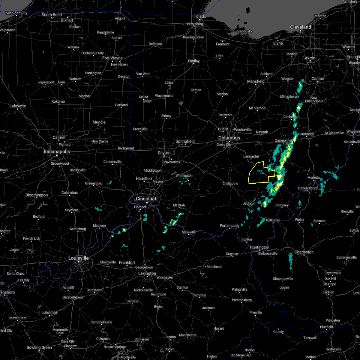
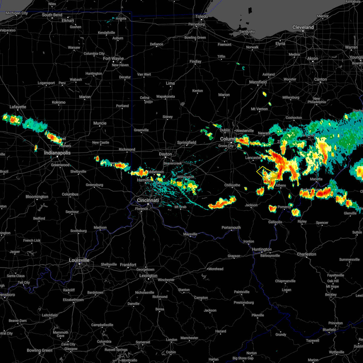
| 11/15/2020 12:53 PM EST | Trees down throughout county. time and location estimate in hocking county OH, 0.7 miles WSW of Logan, OH |
| 11/15/2020 12:49 PM EST |
 At 1248 pm est, severe thunderstorms were located along a line extending from near somerset to near logan, moving northeast at 65 mph (radar indicated). Hazards include 60 mph wind gusts. Expect damage to trees and power lines. Locations impacted include, logan, nelsonville, hocking hills state park, hide-a-way hills, starr, laurelville, murray city, sugar grove, buena vista in hocking county, gibisonville, ilesboro, hideaway hills, haydenville, lake logan state park, south bloomingville, clearport, enterprise, union furnace, rockbridge and oreville. At 1248 pm est, severe thunderstorms were located along a line extending from near somerset to near logan, moving northeast at 65 mph (radar indicated). Hazards include 60 mph wind gusts. Expect damage to trees and power lines. Locations impacted include, logan, nelsonville, hocking hills state park, hide-a-way hills, starr, laurelville, murray city, sugar grove, buena vista in hocking county, gibisonville, ilesboro, hideaway hills, haydenville, lake logan state park, south bloomingville, clearport, enterprise, union furnace, rockbridge and oreville.
|
| 11/15/2020 12:29 PM EST |
 At 1229 pm est, severe thunderstorms were located along a line extending from 6 miles southwest of lancaster to 8 miles east of kingston, moving northeast at 65 mph (radar indicated). Hazards include 60 mph wind gusts. expect damage to trees and power lines At 1229 pm est, severe thunderstorms were located along a line extending from 6 miles southwest of lancaster to 8 miles east of kingston, moving northeast at 65 mph (radar indicated). Hazards include 60 mph wind gusts. expect damage to trees and power lines
|
| 8/25/2020 4:27 PM EDT |
 The severe thunderstorm warning for eastern hocking county will expire at 430 pm edt, the storm which prompted the warning has weakened below severe limits, and has exited the warned area. therefore, the warning will be allowed to expire. a severe thunderstorm watch remains in effect until 1100 pm edt for central ohio. please report previous wind damage or hail to the national weather service by going to our website at weather.gov/iln and submitting your report via social media. The severe thunderstorm warning for eastern hocking county will expire at 430 pm edt, the storm which prompted the warning has weakened below severe limits, and has exited the warned area. therefore, the warning will be allowed to expire. a severe thunderstorm watch remains in effect until 1100 pm edt for central ohio. please report previous wind damage or hail to the national weather service by going to our website at weather.gov/iln and submitting your report via social media.
|
| 8/25/2020 4:14 PM EDT |
 At 413 pm edt, a severe thunderstorm was located near logan, moving southeast at 35 mph (radar indicated). Hazards include 60 mph wind gusts and penny size hail. Expect damage to trees and power lines. Locations impacted include, logan, nelsonville, murray city, enterprise, union furnace, haydenville, lake logan state park and carbon hill. At 413 pm edt, a severe thunderstorm was located near logan, moving southeast at 35 mph (radar indicated). Hazards include 60 mph wind gusts and penny size hail. Expect damage to trees and power lines. Locations impacted include, logan, nelsonville, murray city, enterprise, union furnace, haydenville, lake logan state park and carbon hill.
|
| 8/25/2020 4:04 PM EDT |
 At 403 pm edt, a severe thunderstorm was located over logan, moving southeast at 25 mph. a second storm was located near sugar grove also moving southeast (radar indicated). Hazards include 60 mph wind gusts and quarter size hail. Minor hail damage to vehicles is possible. expect wind damage to trees and power lines. Locations impacted include, logan, nelsonville, hide-a-way hills, murray city, sugar grove, enterprise, union furnace, rockbridge, haydenville, lake logan state park and carbon hill. At 403 pm edt, a severe thunderstorm was located over logan, moving southeast at 25 mph. a second storm was located near sugar grove also moving southeast (radar indicated). Hazards include 60 mph wind gusts and quarter size hail. Minor hail damage to vehicles is possible. expect wind damage to trees and power lines. Locations impacted include, logan, nelsonville, hide-a-way hills, murray city, sugar grove, enterprise, union furnace, rockbridge, haydenville, lake logan state park and carbon hill.
|
| 8/25/2020 4:02 PM EDT | Multiple reports of trees down across county. most reports were from the logan are in hocking county OH, 0.7 miles WSW of Logan, OH |
| 8/25/2020 3:49 PM EDT |
 At 349 pm edt, a severe thunderstorm was located near hide-a-way hills, moving southeast at 25 mph (radar indicated). Hazards include 60 mph wind gusts and quarter size hail. Minor hail damage to vehicles is possible. Expect wind damage to trees and power lines. At 349 pm edt, a severe thunderstorm was located near hide-a-way hills, moving southeast at 25 mph (radar indicated). Hazards include 60 mph wind gusts and quarter size hail. Minor hail damage to vehicles is possible. Expect wind damage to trees and power lines.
|
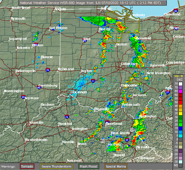
| 7/10/2020 3:31 PM EDT |
 At 331 pm edt, a severe thunderstorm was located near buchtel, or near glouster, moving east at 30 mph (radar indicated). Hazards include 60 mph wind gusts. Expect damage to trees and power lines. Locations impacted include, logan, nelsonville, starr, murray city, union furnace, haydenville, oreville and carbon hill. At 331 pm edt, a severe thunderstorm was located near buchtel, or near glouster, moving east at 30 mph (radar indicated). Hazards include 60 mph wind gusts. Expect damage to trees and power lines. Locations impacted include, logan, nelsonville, starr, murray city, union furnace, haydenville, oreville and carbon hill.
|
| 7/10/2020 3:08 PM EDT | Limbs down near arcadia acres in hocking county OH, 6.9 miles NNE of Logan, OH |
| 7/10/2020 3:07 PM EDT |
 At 306 pm edt, a severe thunderstorm was located near logan, moving northeast at 15 mph (radar indicated). Hazards include 60 mph wind gusts. expect damage to trees and power lines At 306 pm edt, a severe thunderstorm was located near logan, moving northeast at 15 mph (radar indicated). Hazards include 60 mph wind gusts. expect damage to trees and power lines
|
| 7/10/2020 2:27 PM EDT |
 At 227 pm edt, a severe thunderstorm was located 9 miles south of lancaster, moving northeast at 15 mph (radar indicated). Hazards include 60 mph wind gusts. Expect damage to trees and power lines. Locations impacted include, lancaster, logan, bremen, hide-a-way hills, sugar grove, rushville, west rushville, buena vista in hocking county, gibisonville, hideaway hills, lake logan state park, clearport, north berne, enterprise and rockbridge. At 227 pm edt, a severe thunderstorm was located 9 miles south of lancaster, moving northeast at 15 mph (radar indicated). Hazards include 60 mph wind gusts. Expect damage to trees and power lines. Locations impacted include, lancaster, logan, bremen, hide-a-way hills, sugar grove, rushville, west rushville, buena vista in hocking county, gibisonville, hideaway hills, lake logan state park, clearport, north berne, enterprise and rockbridge.
|
| 7/10/2020 2:12 PM EDT |
 At 211 pm edt, a severe thunderstorm was located 11 miles northwest of hocking hills state park, moving east at 25 mph (radar indicated). Hazards include 60 mph wind gusts and penny size hail. expect damage to trees and power lines At 211 pm edt, a severe thunderstorm was located 11 miles northwest of hocking hills state park, moving east at 25 mph (radar indicated). Hazards include 60 mph wind gusts and penny size hail. expect damage to trees and power lines
|
| 6/10/2020 7:51 PM EDT |
 At 750 pm edt, severe thunderstorms were located along a line extending from near perry state forest to near logan, moving northeast at 30 mph (radar indicated). Hazards include 60 mph wind gusts. Expect damage to trees and power lines. Locations impacted include, logan, nelsonville, hide-a-way hills, starr, murray city, enterprise, union furnace, hideaway hills, haydenville, lake logan state park, oreville and carbon hill. At 750 pm edt, severe thunderstorms were located along a line extending from near perry state forest to near logan, moving northeast at 30 mph (radar indicated). Hazards include 60 mph wind gusts. Expect damage to trees and power lines. Locations impacted include, logan, nelsonville, hide-a-way hills, starr, murray city, enterprise, union furnace, hideaway hills, haydenville, lake logan state park, oreville and carbon hill.
|
| 6/10/2020 7:22 PM EDT |
 At 722 pm edt, severe thunderstorms were located along a line extending from hide-a-way hills to 6 miles southwest of hocking hills state park, moving northeast at 30 mph (radar indicated). Hazards include 60 mph wind gusts. expect damage to trees and power lines At 722 pm edt, severe thunderstorms were located along a line extending from hide-a-way hills to 6 miles southwest of hocking hills state park, moving northeast at 30 mph (radar indicated). Hazards include 60 mph wind gusts. expect damage to trees and power lines
|
| 6/10/2020 7:15 PM EDT |
 At 714 pm edt, severe thunderstorms were located along a line extending from near thornport to near bremen to 6 miles northwest of wellston, moving northeast at 30 mph (radar indicated). Hazards include 60 mph wind gusts. Expect damage to trees and power lines. Locations impacted include, logan, nelsonville, piketon, hocking hills state park, hide-a-way hills, starr, amanda, londonderry, laurelville, murray city, beaver, sugar grove, adelphi, tarlton, us route 22 at state route 159, ilesboro, haydenville, omega, givens and south bloomingville. At 714 pm edt, severe thunderstorms were located along a line extending from near thornport to near bremen to 6 miles northwest of wellston, moving northeast at 30 mph (radar indicated). Hazards include 60 mph wind gusts. Expect damage to trees and power lines. Locations impacted include, logan, nelsonville, piketon, hocking hills state park, hide-a-way hills, starr, amanda, londonderry, laurelville, murray city, beaver, sugar grove, adelphi, tarlton, us route 22 at state route 159, ilesboro, haydenville, omega, givens and south bloomingville.
|
| 6/10/2020 7:06 PM EDT |
 At 706 pm edt, severe thunderstorms were located along a line extending from pleasantville to near shawnee to 9 miles northwest of wellston, moving east at 60 mph (trained weather spotters). Hazards include 70 mph wind gusts. Expect considerable tree damage. damage is likely to mobile homes, roofs, and outbuildings. Locations impacted include, chillicothe, logan, waverly, nelsonville, piketon, kingston, hide-a-way hills, hocking hills state park, starr, amanda, londonderry, stoutsville, laurelville, murray city, beaver, sugar grove, adelphi, tarlton, east ringgold and us route 22 at state route 159. At 706 pm edt, severe thunderstorms were located along a line extending from pleasantville to near shawnee to 9 miles northwest of wellston, moving east at 60 mph (trained weather spotters). Hazards include 70 mph wind gusts. Expect considerable tree damage. damage is likely to mobile homes, roofs, and outbuildings. Locations impacted include, chillicothe, logan, waverly, nelsonville, piketon, kingston, hide-a-way hills, hocking hills state park, starr, amanda, londonderry, stoutsville, laurelville, murray city, beaver, sugar grove, adelphi, tarlton, east ringgold and us route 22 at state route 159.
|
| 6/10/2020 6:52 PM EDT |
 At 651 pm edt, severe thunderstorms were located along a line extending from 7 miles south of canal winchester to 8 miles north of hocking hills state park to near waverly, moving east at 60 mph (radar indicated). Hazards include 70 mph wind gusts. Expect considerable tree damage. damage is likely to mobile homes, roofs, and outbuildings. Locations impacted include, chillicothe, circleville, logan, waverly, nelsonville, piketon, south bloomfield, kingston, hide-a-way hills, logan elm village, hocking hills state park, pike lake, north folk village, starr, fox, amanda, londonderry, stoutsville, laurelville and murray city. At 651 pm edt, severe thunderstorms were located along a line extending from 7 miles south of canal winchester to 8 miles north of hocking hills state park to near waverly, moving east at 60 mph (radar indicated). Hazards include 70 mph wind gusts. Expect considerable tree damage. damage is likely to mobile homes, roofs, and outbuildings. Locations impacted include, chillicothe, circleville, logan, waverly, nelsonville, piketon, south bloomfield, kingston, hide-a-way hills, logan elm village, hocking hills state park, pike lake, north folk village, starr, fox, amanda, londonderry, stoutsville, laurelville and murray city.
|
| 6/10/2020 6:35 PM EDT |
 At 635 pm edt, severe thunderstorms were located along a line extending from near south bloomfield to near kingston to 6 miles south of kincaid springs, moving east at 60 mph (radar indicated). Hazards include 70 mph wind gusts. Expect considerable tree damage. Damage is likely to mobile homes, roofs, and outbuildings. At 635 pm edt, severe thunderstorms were located along a line extending from near south bloomfield to near kingston to 6 miles south of kincaid springs, moving east at 60 mph (radar indicated). Hazards include 70 mph wind gusts. Expect considerable tree damage. Damage is likely to mobile homes, roofs, and outbuildings.
|
| 4/8/2020 3:38 AM EDT |
 At 337 am edt, a severe thunderstorm was located 7 miles northeast of kingston, moving east at 60 mph (radar indicated). Hazards include 60 mph wind gusts and quarter size hail. Minor hail damage to vehicles is possible. expect wind damage to trees and power lines. Locations impacted include, logan, nelsonville, hocking hills state park, hide-a-way hills, starr, laurelville, murray city, buena vista in hocking county, gibisonville, ilesboro, haydenville, lake logan state park, south bloomingville, enterprise, union furnace, rockbridge, oreville and carbon hill. At 337 am edt, a severe thunderstorm was located 7 miles northeast of kingston, moving east at 60 mph (radar indicated). Hazards include 60 mph wind gusts and quarter size hail. Minor hail damage to vehicles is possible. expect wind damage to trees and power lines. Locations impacted include, logan, nelsonville, hocking hills state park, hide-a-way hills, starr, laurelville, murray city, buena vista in hocking county, gibisonville, ilesboro, haydenville, lake logan state park, south bloomingville, enterprise, union furnace, rockbridge, oreville and carbon hill.
|
| 4/8/2020 3:27 AM EDT |
 At 327 am edt, a severe thunderstorm was located near williamsport, moving southeast at 55 mph (radar indicated). Hazards include 60 mph wind gusts and quarter size hail. Minor hail damage to vehicles is possible. Expect wind damage to trees and power lines. At 327 am edt, a severe thunderstorm was located near williamsport, moving southeast at 55 mph (radar indicated). Hazards include 60 mph wind gusts and quarter size hail. Minor hail damage to vehicles is possible. Expect wind damage to trees and power lines.
|
| 6/24/2019 7:25 PM EDT |
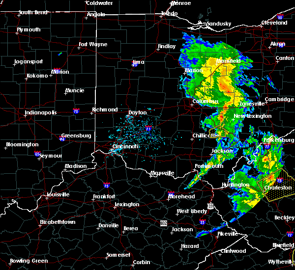 The severe thunderstorm warning for western hocking county will expire at 730 pm edt, the storm which prompted the warning has weakened below severe limits, and no longer poses an immediate threat to life or property. therefore, the warning will be allowed to expire. a severe thunderstorm watch remains in effect until 900 pm edt for central ohio. please report previous wind damage or hail to the national weather service by going to our website at weather.gov/iln and submitting your report via social media. The severe thunderstorm warning for western hocking county will expire at 730 pm edt, the storm which prompted the warning has weakened below severe limits, and no longer poses an immediate threat to life or property. therefore, the warning will be allowed to expire. a severe thunderstorm watch remains in effect until 900 pm edt for central ohio. please report previous wind damage or hail to the national weather service by going to our website at weather.gov/iln and submitting your report via social media.
|
| 6/24/2019 7:11 PM EDT |
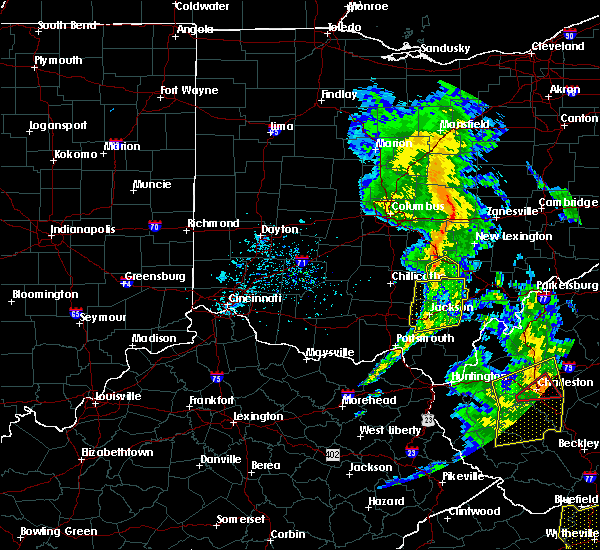 At 710 pm edt, a severe thunderstorm was located over hocking hills state park, moving east at 40 mph (radar indicated). Hazards include 60 mph wind gusts. Expect damage to trees and power lines. Locations impacted include, logan, hocking hills state park, starr, south bloomingville, enterprise, gibisonville, ilesboro, union furnace and lake logan state park. At 710 pm edt, a severe thunderstorm was located over hocking hills state park, moving east at 40 mph (radar indicated). Hazards include 60 mph wind gusts. Expect damage to trees and power lines. Locations impacted include, logan, hocking hills state park, starr, south bloomingville, enterprise, gibisonville, ilesboro, union furnace and lake logan state park.
|
| 6/24/2019 6:57 PM EDT |
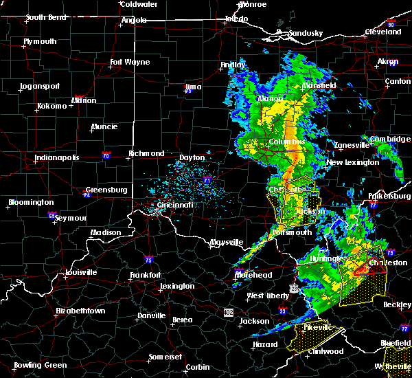 At 656 pm edt, a severe thunderstorm was located near laurelville, moving northeast at 35 mph (radar indicated). Hazards include 60 mph wind gusts. Expect damage to trees and power lines. Locations impacted include, logan, hocking hills state park, starr, laurelville, adelphi, south bloomingville, enterprise, gibisonville, ilesboro, union furnace, lake logan state park and rockbridge. At 656 pm edt, a severe thunderstorm was located near laurelville, moving northeast at 35 mph (radar indicated). Hazards include 60 mph wind gusts. Expect damage to trees and power lines. Locations impacted include, logan, hocking hills state park, starr, laurelville, adelphi, south bloomingville, enterprise, gibisonville, ilesboro, union furnace, lake logan state park and rockbridge.
|
| 6/24/2019 6:46 PM EDT |
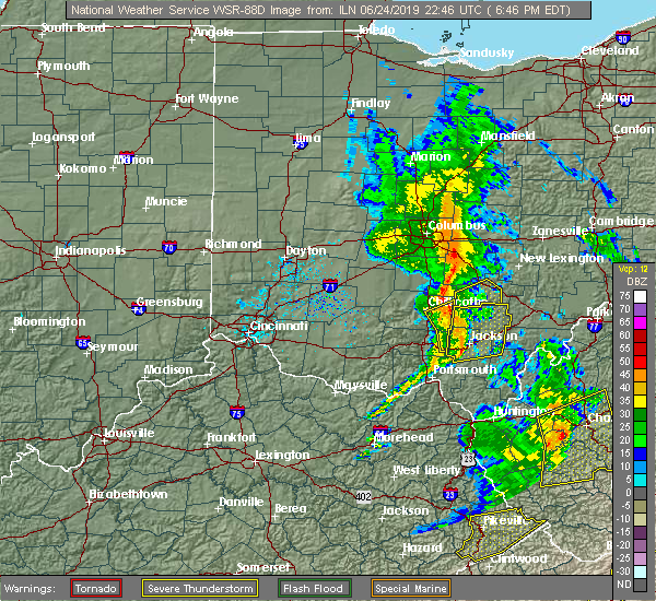 At 646 pm edt, a severe thunderstorm was located 10 miles southeast of kingston, moving east at 40 mph (radar indicated). Hazards include 60 mph wind gusts. expect damage to trees and power lines At 646 pm edt, a severe thunderstorm was located 10 miles southeast of kingston, moving east at 40 mph (radar indicated). Hazards include 60 mph wind gusts. expect damage to trees and power lines
|
| 6/24/2019 3:59 PM EDT |
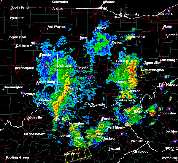 At 358 pm edt, a severe thunderstorm was located near logan, moving northeast at 45 mph (radar indicated). Hazards include 60 mph wind gusts. Expect damage to trees and power lines. Locations impacted include, logan, nelsonville, starr, murray city, enterprise, union furnace, haydenville, lake logan state park, oreville and carbon hill. At 358 pm edt, a severe thunderstorm was located near logan, moving northeast at 45 mph (radar indicated). Hazards include 60 mph wind gusts. Expect damage to trees and power lines. Locations impacted include, logan, nelsonville, starr, murray city, enterprise, union furnace, haydenville, lake logan state park, oreville and carbon hill.
|
| 6/24/2019 3:49 PM EDT |
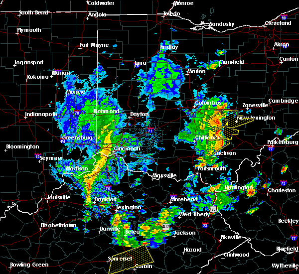 At 339 pm edt, a severe thunderstorm was located 5 miles southwest of hocking hills state park, moving northeast at 45 mph (radar indicated). Hazards include 60 mph wind gusts. Expect damage to trees and power lines. Locations impacted include, hocking hills state park, logan, nelsonville, starr, murray city, gibisonville, ilesboro, haydenville, lake logan state park, south bloomingville, enterprise, union furnace, rockbridge, oreville and carbon hill. At 339 pm edt, a severe thunderstorm was located 5 miles southwest of hocking hills state park, moving northeast at 45 mph (radar indicated). Hazards include 60 mph wind gusts. Expect damage to trees and power lines. Locations impacted include, hocking hills state park, logan, nelsonville, starr, murray city, gibisonville, ilesboro, haydenville, lake logan state park, south bloomingville, enterprise, union furnace, rockbridge, oreville and carbon hill.
|
| 6/24/2019 3:39 PM EDT |
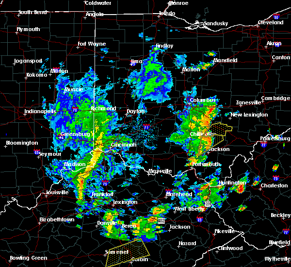 At 339 pm edt, a severe thunderstorm was located 5 miles southwest of hocking hills state park, moving northeast at 45 mph (radar indicated). Hazards include 60 mph wind gusts. Expect damage to trees and power lines. Locations impacted include, hocking hills state park, logan, nelsonville, starr, murray city, gibisonville, ilesboro, haydenville, lake logan state park, south bloomingville, enterprise, union furnace, rockbridge, oreville and carbon hill. At 339 pm edt, a severe thunderstorm was located 5 miles southwest of hocking hills state park, moving northeast at 45 mph (radar indicated). Hazards include 60 mph wind gusts. Expect damage to trees and power lines. Locations impacted include, hocking hills state park, logan, nelsonville, starr, murray city, gibisonville, ilesboro, haydenville, lake logan state park, south bloomingville, enterprise, union furnace, rockbridge, oreville and carbon hill.
|
| 6/24/2019 3:28 PM EDT |
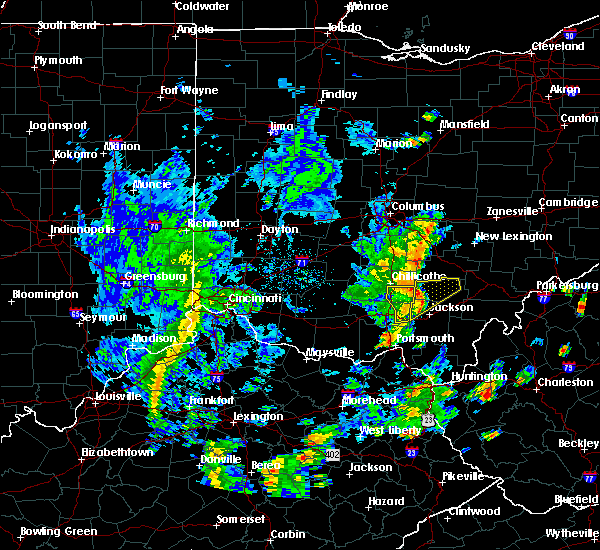 At 328 pm edt, a severe thunderstorm was located near londonderry, moving northeast at 45 mph (radar indicated). Hazards include 60 mph wind gusts. expect damage to trees and power lines At 328 pm edt, a severe thunderstorm was located near londonderry, moving northeast at 45 mph (radar indicated). Hazards include 60 mph wind gusts. expect damage to trees and power lines
|
| 6/17/2019 10:43 PM EDT | Tree downed along honey fork road. time estimated based on rada in hocking county OH, 4.6 miles NNE of Logan, OH |
| 6/17/2019 10:42 PM EDT |
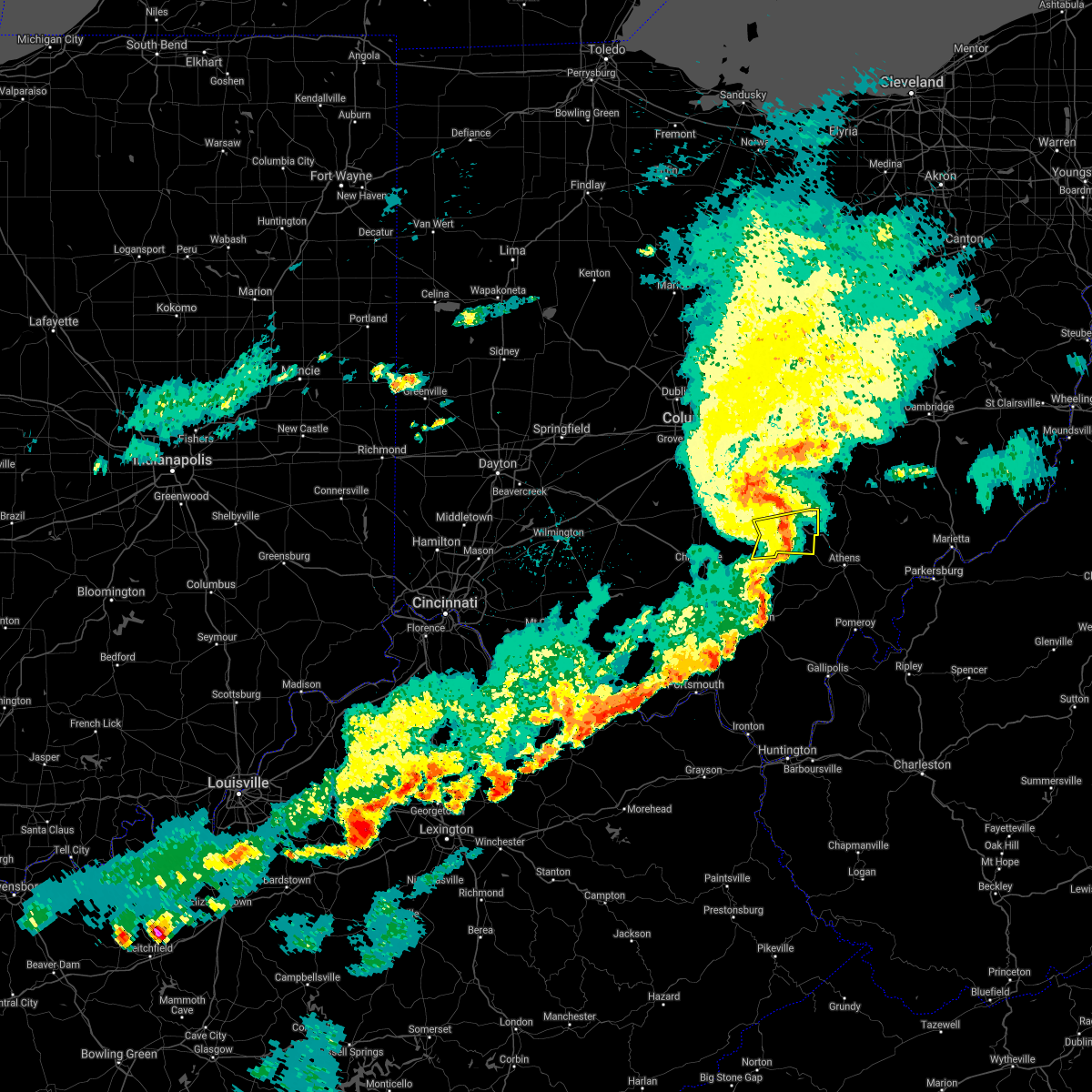 The severe thunderstorm warning for central hocking county will expire at 1045 pm edt, the storm which prompted the warning has weakened below severe limits, and no longer poses an immediate threat to life or property. therefore, the warning will be allowed to expire. however gusty winds and heavy rain are still possible with this thunderstorm. please report previous wind damage or hail to the national weather service by going to our website at weather.gov/iln and submitting your report via social media. The severe thunderstorm warning for central hocking county will expire at 1045 pm edt, the storm which prompted the warning has weakened below severe limits, and no longer poses an immediate threat to life or property. therefore, the warning will be allowed to expire. however gusty winds and heavy rain are still possible with this thunderstorm. please report previous wind damage or hail to the national weather service by going to our website at weather.gov/iln and submitting your report via social media.
|
| 6/17/2019 10:37 PM EDT |
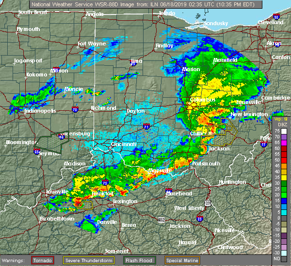 At 1036 pm edt, a severe thunderstorm was located near hocking hills state park, moving east at 40 mph (radar indicated). Hazards include 60 mph wind gusts. Expect damage to trees and power lines. Locations impacted include, logan, hocking hills state park, starr, south bloomingville, enterprise, gibisonville, ilesboro, union furnace, haydenville, lake logan state park and oreville. At 1036 pm edt, a severe thunderstorm was located near hocking hills state park, moving east at 40 mph (radar indicated). Hazards include 60 mph wind gusts. Expect damage to trees and power lines. Locations impacted include, logan, hocking hills state park, starr, south bloomingville, enterprise, gibisonville, ilesboro, union furnace, haydenville, lake logan state park and oreville.
|
| 6/17/2019 10:29 PM EDT |
 A severe thunderstorm warning remains in effect until 1045 pm edt for hocking and southeastern ross counties. at 1028 pm edt, a severe thunderstorm was located near hocking hills state park, moving east at 35 mph. hazard. 60 mph wind gusts. source. Radar indicated. A severe thunderstorm warning remains in effect until 1045 pm edt for hocking and southeastern ross counties. at 1028 pm edt, a severe thunderstorm was located near hocking hills state park, moving east at 35 mph. hazard. 60 mph wind gusts. source. Radar indicated.
|
| 6/17/2019 10:14 PM EDT |
 At 1014 pm edt, a severe thunderstorm was located 10 miles southeast of kingston, moving east at 35 mph (radar indicated). Hazards include 60 mph wind gusts. Expect damage to trees and power lines. Locations impacted include, logan, hocking hills state park, starr, londonderry, laurelville, adelphi, gibisonville, ilesboro, mooresville, haydenville, lake logan state park, whisler, south bloomingville, enterprise, union furnace, hallsville and oreville. At 1014 pm edt, a severe thunderstorm was located 10 miles southeast of kingston, moving east at 35 mph (radar indicated). Hazards include 60 mph wind gusts. Expect damage to trees and power lines. Locations impacted include, logan, hocking hills state park, starr, londonderry, laurelville, adelphi, gibisonville, ilesboro, mooresville, haydenville, lake logan state park, whisler, south bloomingville, enterprise, union furnace, hallsville and oreville.
|
| 6/17/2019 10:02 PM EDT |
 At 1002 pm edt, a severe thunderstorm was located near chillicothe, moving east at 35 mph (radar indicated). Hazards include 60 mph wind gusts. expect damage to trees and power lines At 1002 pm edt, a severe thunderstorm was located near chillicothe, moving east at 35 mph (radar indicated). Hazards include 60 mph wind gusts. expect damage to trees and power lines
|
| 5/28/2019 1:51 AM EDT |
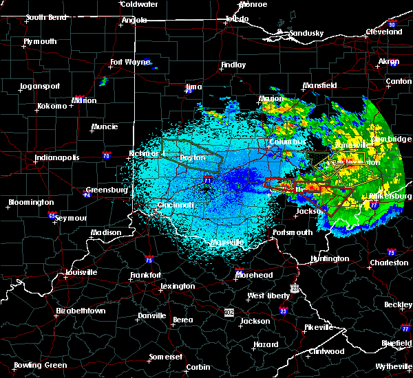 At 150 am edt, a severe thunderstorm capable of producing a tornado was located 7 miles east of kingston, moving east at 40 mph (radar indicated rotation). Hazards include tornado. Flying debris will be dangerous to those caught without shelter. mobile homes will be damaged or destroyed. damage to roofs, windows, and vehicles will occur. Tree damage is likely. At 150 am edt, a severe thunderstorm capable of producing a tornado was located 7 miles east of kingston, moving east at 40 mph (radar indicated rotation). Hazards include tornado. Flying debris will be dangerous to those caught without shelter. mobile homes will be damaged or destroyed. damage to roofs, windows, and vehicles will occur. Tree damage is likely.
|
| 5/28/2019 1:44 AM EDT |
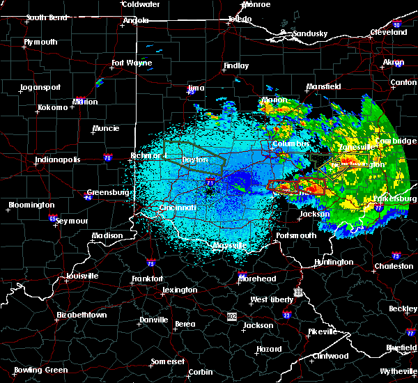 At 144 am edt, a severe thunderstorm capable of producing a tornado was located over hocking hills state park, moving east at 40 mph (radar indicated rotation). Hazards include tornado. Flying debris will be dangerous to those caught without shelter. mobile homes will be damaged or destroyed. damage to roofs, windows, and vehicles will occur. Tree damage is likely. At 144 am edt, a severe thunderstorm capable of producing a tornado was located over hocking hills state park, moving east at 40 mph (radar indicated rotation). Hazards include tornado. Flying debris will be dangerous to those caught without shelter. mobile homes will be damaged or destroyed. damage to roofs, windows, and vehicles will occur. Tree damage is likely.
|
| 5/28/2019 1:28 AM EDT |
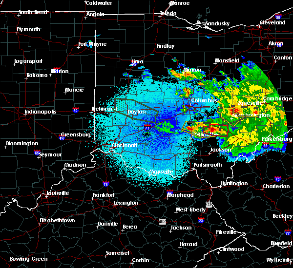 At 126 am edt, a confirmed tornado was located 4 miles northeast of laurelville, moving east at 30 mph (radar confirmed tornado. radar shows tornado debris in the air. damage has been reported from this storm near laurelville). Hazards include damaging tornado and quarter size hail. Flying debris will be dangerous to those caught without shelter. mobile homes will be damaged or destroyed. damage to roofs, windows, and vehicles will occur. tree damage is likely. Locations impacted include, logan, hocking hills state park, starr, enterprise, gibisonville, ilesboro, union furnace, rockbridge, haydenville and lake logan state park. At 126 am edt, a confirmed tornado was located 4 miles northeast of laurelville, moving east at 30 mph (radar confirmed tornado. radar shows tornado debris in the air. damage has been reported from this storm near laurelville). Hazards include damaging tornado and quarter size hail. Flying debris will be dangerous to those caught without shelter. mobile homes will be damaged or destroyed. damage to roofs, windows, and vehicles will occur. tree damage is likely. Locations impacted include, logan, hocking hills state park, starr, enterprise, gibisonville, ilesboro, union furnace, rockbridge, haydenville and lake logan state park.
|
| 5/28/2019 1:20 AM EDT |
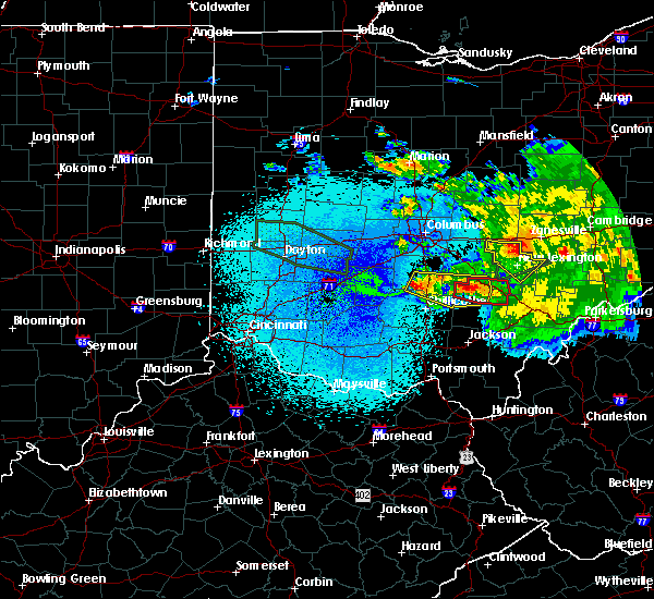 A tornado warning remains in effect until 145 am edt for hocking county. at 120 am edt, a confirmed tornado was located 2 miles southeast of tarlton, moving east at 30 mph. hazard. damaging tornado and quarter size hail. source. radar confirmed tornado. Radar shows tornado debris in the. A tornado warning remains in effect until 145 am edt for hocking county. at 120 am edt, a confirmed tornado was located 2 miles southeast of tarlton, moving east at 30 mph. hazard. damaging tornado and quarter size hail. source. radar confirmed tornado. Radar shows tornado debris in the.
|
| 5/28/2019 1:12 AM EDT |
 At 111 am edt, a severe thunderstorm was located over williamsport, moving east at 55 mph (radar indicated). Hazards include 60 mph wind gusts and quarter size hail. Minor hail damage to vehicles is possible. expect wind damage to trees and power lines. locations impacted include, circleville, logan, kingston, williamsport, hocking hills state park, logan elm village, fox, stoutsville, laurelville, clarksburg, sugar grove, adelphi, tarlton, ilesboro, south bloomingville, clearport, aw marion state park, buena vista in hocking county, gibisonville and lake logan state park. A tornado watch remains in effect until 200 am edt for central and southwestern ohio. At 111 am edt, a severe thunderstorm was located over williamsport, moving east at 55 mph (radar indicated). Hazards include 60 mph wind gusts and quarter size hail. Minor hail damage to vehicles is possible. expect wind damage to trees and power lines. locations impacted include, circleville, logan, kingston, williamsport, hocking hills state park, logan elm village, fox, stoutsville, laurelville, clarksburg, sugar grove, adelphi, tarlton, ilesboro, south bloomingville, clearport, aw marion state park, buena vista in hocking county, gibisonville and lake logan state park. A tornado watch remains in effect until 200 am edt for central and southwestern ohio.
|
| 5/28/2019 1:07 AM EDT |
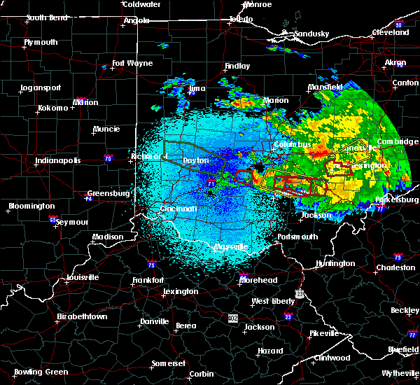 At 107 am edt, a tornado-producing storm was located near tarlton, moving east at 30 mph (radar confirmed tornado. radar shows tornado debris in the air). Hazards include damaging tornado and quarter size hail. Flying debris will be dangerous to those caught without shelter. mobile homes will be damaged or destroyed. damage to roofs, windows, and vehicles will occur. Tree damage is likely. At 107 am edt, a tornado-producing storm was located near tarlton, moving east at 30 mph (radar confirmed tornado. radar shows tornado debris in the air). Hazards include damaging tornado and quarter size hail. Flying debris will be dangerous to those caught without shelter. mobile homes will be damaged or destroyed. damage to roofs, windows, and vehicles will occur. Tree damage is likely.
|
| 5/28/2019 12:45 AM EDT |
 At 1245 am edt, a severe thunderstorm was located near circleville, moving southeast at 40 mph (radar indicated). Hazards include 60 mph wind gusts and quarter size hail. Minor hail damage to vehicles is possible. Expect wind damage to trees and power lines. At 1245 am edt, a severe thunderstorm was located near circleville, moving southeast at 40 mph (radar indicated). Hazards include 60 mph wind gusts and quarter size hail. Minor hail damage to vehicles is possible. Expect wind damage to trees and power lines.
|
| 5/26/2019 6:03 PM EDT | Numerous trees down across property. time estimated from rada in hocking county OH, 6.8 miles SSE of Logan, OH |
| 5/26/2019 2:40 PM EDT |
 The severe thunderstorm warning for hocking county will expire at 245 pm edt, the storm which prompted the warning has weakened below severe limits, and has exited the warned area. therefore, the warning will be allowed to expire. a severe thunderstorm watch remains in effect until 900 pm edt for central ohio. please report previous wind damage or hail to the national weather service by going to our website at weather.gov/iln and submitting your report via social media. The severe thunderstorm warning for hocking county will expire at 245 pm edt, the storm which prompted the warning has weakened below severe limits, and has exited the warned area. therefore, the warning will be allowed to expire. a severe thunderstorm watch remains in effect until 900 pm edt for central ohio. please report previous wind damage or hail to the national weather service by going to our website at weather.gov/iln and submitting your report via social media.
|
| 5/26/2019 2:29 PM EDT |
 At 228 pm edt, a severe thunderstorm was located near hocking hills state park, moving east at 20 mph (radar indicated). Hazards include 60 mph wind gusts and half dollar size hail. Minor hail damage to vehicles is possible. expect wind damage to trees and power lines. Locations impacted include, logan, nelsonville, hocking hills state park, starr, murray city, gibisonville, ilesboro, haydenville, lake logan state park, south bloomingville, enterprise, union furnace, rockbridge, oreville and carbon hill. At 228 pm edt, a severe thunderstorm was located near hocking hills state park, moving east at 20 mph (radar indicated). Hazards include 60 mph wind gusts and half dollar size hail. Minor hail damage to vehicles is possible. expect wind damage to trees and power lines. Locations impacted include, logan, nelsonville, hocking hills state park, starr, murray city, gibisonville, ilesboro, haydenville, lake logan state park, south bloomingville, enterprise, union furnace, rockbridge, oreville and carbon hill.
|
| 5/26/2019 2:20 PM EDT | Half Dollar sized hail reported 9.8 miles NE of Logan, OH, by cedar falls. photo verified. time estimated from radar. |
| 5/26/2019 2:19 PM EDT | Golf Ball sized hail reported 10.1 miles NE of Logan, OH |
| 5/26/2019 2:18 PM EDT |
 At 218 pm edt, a severe thunderstorm was located over hocking hills state park, moving east at 20 mph (radar indicated). Hazards include tennis ball size hail and 60 mph wind gusts. People and animals outdoors will be injured. expect hail damage to roofs, siding, windows, and vehicles. expect wind damage to trees and power lines. Locations impacted include, logan, nelsonville, hocking hills state park, starr, laurelville, murray city, buena vista in hocking county, gibisonville, ilesboro, haydenville, lake logan state park, south bloomingville, enterprise, union furnace, rockbridge, oreville and carbon hill. At 218 pm edt, a severe thunderstorm was located over hocking hills state park, moving east at 20 mph (radar indicated). Hazards include tennis ball size hail and 60 mph wind gusts. People and animals outdoors will be injured. expect hail damage to roofs, siding, windows, and vehicles. expect wind damage to trees and power lines. Locations impacted include, logan, nelsonville, hocking hills state park, starr, laurelville, murray city, buena vista in hocking county, gibisonville, ilesboro, haydenville, lake logan state park, south bloomingville, enterprise, union furnace, rockbridge, oreville and carbon hill.
|
| 5/26/2019 2:10 PM EDT |
 At 210 pm edt, a severe thunderstorm was located near hocking hills state park, moving east at 20 mph (radar indicated). Hazards include two inch hail and 60 mph wind gusts. People and animals outdoors will be injured. expect hail damage to roofs, siding, windows, and vehicles. expect wind damage to trees and power lines. Locations impacted include, logan, nelsonville, hocking hills state park, starr, laurelville, murray city, buena vista in hocking county, gibisonville, ilesboro, haydenville, lake logan state park, south bloomingville, enterprise, union furnace, rockbridge, oreville and carbon hill. At 210 pm edt, a severe thunderstorm was located near hocking hills state park, moving east at 20 mph (radar indicated). Hazards include two inch hail and 60 mph wind gusts. People and animals outdoors will be injured. expect hail damage to roofs, siding, windows, and vehicles. expect wind damage to trees and power lines. Locations impacted include, logan, nelsonville, hocking hills state park, starr, laurelville, murray city, buena vista in hocking county, gibisonville, ilesboro, haydenville, lake logan state park, south bloomingville, enterprise, union furnace, rockbridge, oreville and carbon hill.
|
| 5/26/2019 2:10 PM EDT |
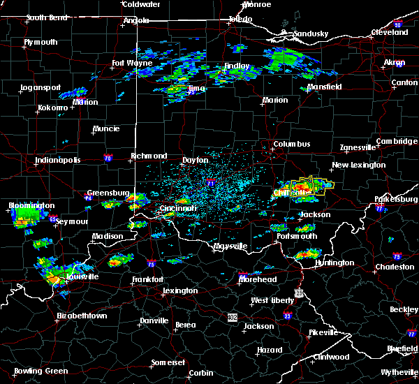 The severe thunderstorm warning for western hocking county will expire at 215 pm edt, this warning was replaced with a new severe thunderstorm warning for hocking county until 245 pm. this storm remains capable of producing 60 mph winds and two inch hail. a severe thunderstorm watch remains in effect until 900 pm edt for central and southwestern ohio. please report previous wind damage or hail to the national weather service by going to our website at weather.gov/iln and submitting your report via social media. The severe thunderstorm warning for western hocking county will expire at 215 pm edt, this warning was replaced with a new severe thunderstorm warning for hocking county until 245 pm. this storm remains capable of producing 60 mph winds and two inch hail. a severe thunderstorm watch remains in effect until 900 pm edt for central and southwestern ohio. please report previous wind damage or hail to the national weather service by going to our website at weather.gov/iln and submitting your report via social media.
|
| 5/26/2019 2:02 PM EDT |
 At 202 pm edt, a severe thunderstorm was located 7 miles west of hocking hills state park, moving east at 30 mph (radar indicated). Hazards include two inch hail and 60 mph wind gusts. People and animals outdoors will be injured. expect hail damage to roofs, siding, windows, and vehicles. expect wind damage to trees and power lines. Locations impacted include, hocking hills state park, logan, laurelville, south bloomingville, buena vista in hocking county, enterprise, gibisonville, ilesboro, rockbridge and lake logan state park. At 202 pm edt, a severe thunderstorm was located 7 miles west of hocking hills state park, moving east at 30 mph (radar indicated). Hazards include two inch hail and 60 mph wind gusts. People and animals outdoors will be injured. expect hail damage to roofs, siding, windows, and vehicles. expect wind damage to trees and power lines. Locations impacted include, hocking hills state park, logan, laurelville, south bloomingville, buena vista in hocking county, enterprise, gibisonville, ilesboro, rockbridge and lake logan state park.
|
| 5/26/2019 2:00 PM EDT |
 At 200 pm edt, a severe thunderstorm was located 8 miles west of hocking hills state park, moving east at 20 mph (radar indicated). Hazards include two inch hail and 60 mph wind gusts. People and animals outdoors will be injured. expect hail damage to roofs, siding, windows, and vehicles. Expect wind damage to trees and power lines. At 200 pm edt, a severe thunderstorm was located 8 miles west of hocking hills state park, moving east at 20 mph (radar indicated). Hazards include two inch hail and 60 mph wind gusts. People and animals outdoors will be injured. expect hail damage to roofs, siding, windows, and vehicles. Expect wind damage to trees and power lines.
|
| 5/26/2019 1:52 PM EDT |
 At 152 pm edt, a severe thunderstorm was located 8 miles east of kingston, moving east at 20 mph (radar indicated). Hazards include two inch hail and 60 mph wind gusts. People and animals outdoors will be injured. expect hail damage to roofs, siding, windows, and vehicles. expect wind damage to trees and power lines. Locations impacted include, logan, kingston, hocking hills state park, laurelville, sugar grove, adelphi, tarlton, buena vista in hocking county, gibisonville, ilesboro, lake logan state park, whisler, south bloomingville, enterprise, rockbridge and hallsville. At 152 pm edt, a severe thunderstorm was located 8 miles east of kingston, moving east at 20 mph (radar indicated). Hazards include two inch hail and 60 mph wind gusts. People and animals outdoors will be injured. expect hail damage to roofs, siding, windows, and vehicles. expect wind damage to trees and power lines. Locations impacted include, logan, kingston, hocking hills state park, laurelville, sugar grove, adelphi, tarlton, buena vista in hocking county, gibisonville, ilesboro, lake logan state park, whisler, south bloomingville, enterprise, rockbridge and hallsville.
|
| 5/26/2019 1:45 PM EDT |
 At 145 pm edt, a severe thunderstorm was located near kingston, moving east at 20 mph (radar indicated). Hazards include golf ball size hail and 60 mph wind gusts. People and animals outdoors will be injured. expect hail damage to roofs, siding, windows, and vehicles. expect wind damage to trees and power lines. Locations impacted include, logan, kingston, hocking hills state park, laurelville, sugar grove, adelphi, tarlton, buena vista in hocking county, gibisonville, ilesboro, lake logan state park, whisler, south bloomingville, enterprise, rockbridge and hallsville. At 145 pm edt, a severe thunderstorm was located near kingston, moving east at 20 mph (radar indicated). Hazards include golf ball size hail and 60 mph wind gusts. People and animals outdoors will be injured. expect hail damage to roofs, siding, windows, and vehicles. expect wind damage to trees and power lines. Locations impacted include, logan, kingston, hocking hills state park, laurelville, sugar grove, adelphi, tarlton, buena vista in hocking county, gibisonville, ilesboro, lake logan state park, whisler, south bloomingville, enterprise, rockbridge and hallsville.
|
| 5/26/2019 1:37 PM EDT |
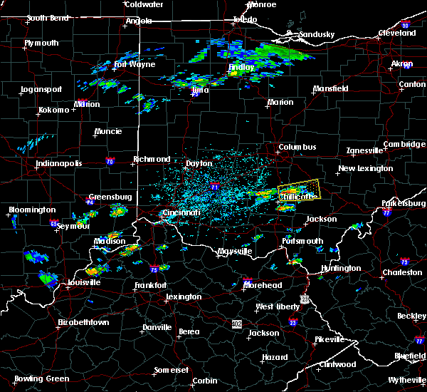 At 137 pm edt, a severe thunderstorm was located over kingston, moving east at 20 mph (radar indicated). Hazards include 60 mph wind gusts and quarter size hail. Minor hail damage to vehicles is possible. Expect wind damage to trees and power lines. At 137 pm edt, a severe thunderstorm was located over kingston, moving east at 20 mph (radar indicated). Hazards include 60 mph wind gusts and quarter size hail. Minor hail damage to vehicles is possible. Expect wind damage to trees and power lines.
|
| 4/14/2019 5:01 PM EDT |
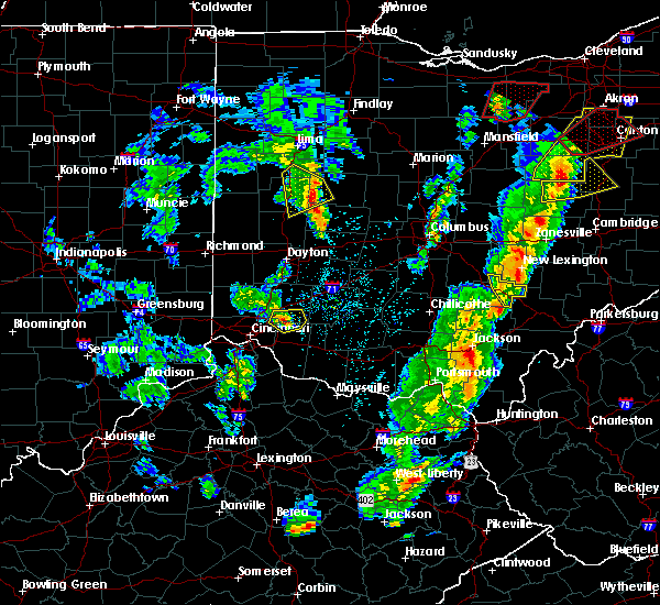 At 501 pm edt, a severe thunderstorm was located near shawnee, moving northeast at 40 mph (radar indicated). Hazards include 60 mph wind gusts and penny size hail. Expect damage to trees and power lines. locations impacted include, logan, nelsonville, hide-a-way hills, murray city, union furnace, hideaway hills, haydenville, oreville and carbon hill. A tornado watch remains in effect until 900 pm edt for central ohio. At 501 pm edt, a severe thunderstorm was located near shawnee, moving northeast at 40 mph (radar indicated). Hazards include 60 mph wind gusts and penny size hail. Expect damage to trees and power lines. locations impacted include, logan, nelsonville, hide-a-way hills, murray city, union furnace, hideaway hills, haydenville, oreville and carbon hill. A tornado watch remains in effect until 900 pm edt for central ohio.
|
| 4/14/2019 4:55 PM EDT |
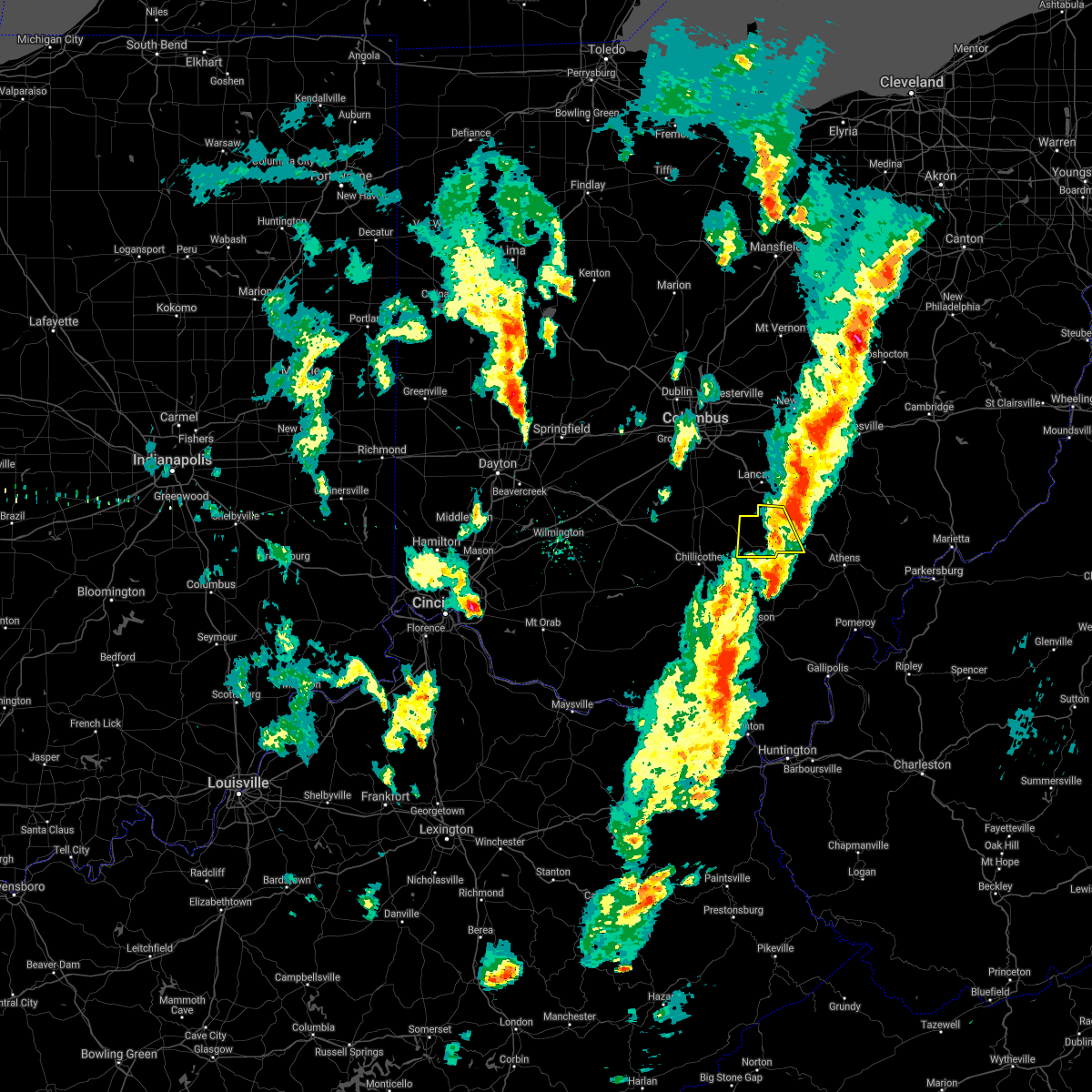 The severe thunderstorm warning for hocking county will expire at 500 pm edt, an additional severe thunderstorm warning remains in effect for eastern hocking county until 515 pm. a tornado watch remains in effect until 900 pm edt for central and southwestern ohio. please report previous wind damage or hail to the national weather service by going to our website at weather.gov/iln and submitting your report via social media. The severe thunderstorm warning for hocking county will expire at 500 pm edt, an additional severe thunderstorm warning remains in effect for eastern hocking county until 515 pm. a tornado watch remains in effect until 900 pm edt for central and southwestern ohio. please report previous wind damage or hail to the national weather service by going to our website at weather.gov/iln and submitting your report via social media.
|
| 4/14/2019 4:49 PM EDT | Numerous trees downed throughout the county... including in logan. time estimated by rada in hocking county OH, 0.7 miles WSW of Logan, OH |
| 4/14/2019 4:39 PM EDT |
 At 438 pm edt, a severe thunderstorm was located near hide-a-way hills, moving northeast at 50 mph (radar indicated). Hazards include 60 mph wind gusts and penny size hail. Expect damage to trees and power lines. locations impacted include, lancaster, logan, nelsonville, bremen, hide-a-way hills, murray city, sugar grove, rushville, west rushville, hideaway hills, haydenville, north berne, enterprise, union furnace, rockbridge, oreville and carbon hill. A tornado watch remains in effect until 900 pm edt for central ohio. At 438 pm edt, a severe thunderstorm was located near hide-a-way hills, moving northeast at 50 mph (radar indicated). Hazards include 60 mph wind gusts and penny size hail. Expect damage to trees and power lines. locations impacted include, lancaster, logan, nelsonville, bremen, hide-a-way hills, murray city, sugar grove, rushville, west rushville, hideaway hills, haydenville, north berne, enterprise, union furnace, rockbridge, oreville and carbon hill. A tornado watch remains in effect until 900 pm edt for central ohio.
|
| 4/14/2019 4:33 PM EDT |
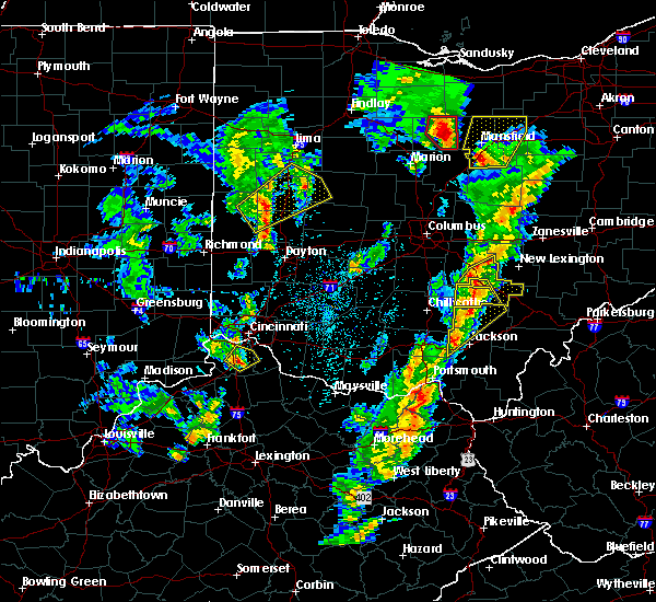 At 432 pm edt, a severe thunderstorm was located near hocking hills state park, moving northeast at 55 mph (radar indicated). Hazards include 60 mph wind gusts and penny size hail. Expect damage to trees and power lines. locations impacted include, logan, hocking hills state park, starr, laurelville, south bloomingville, buena vista in hocking county, enterprise, gibisonville, ilesboro, rockbridge and lake logan state park. A tornado watch remains in effect until 900 pm edt for central and southwestern ohio. At 432 pm edt, a severe thunderstorm was located near hocking hills state park, moving northeast at 55 mph (radar indicated). Hazards include 60 mph wind gusts and penny size hail. Expect damage to trees and power lines. locations impacted include, logan, hocking hills state park, starr, laurelville, south bloomingville, buena vista in hocking county, enterprise, gibisonville, ilesboro, rockbridge and lake logan state park. A tornado watch remains in effect until 900 pm edt for central and southwestern ohio.
|
| 4/14/2019 4:27 PM EDT |
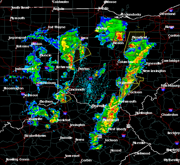 At 426 pm edt, a severe thunderstorm was located 8 miles northwest of hocking hills state park, moving northeast at 45 mph (radar indicated). Hazards include 60 mph wind gusts and penny size hail. expect damage to trees and power lines At 426 pm edt, a severe thunderstorm was located 8 miles northwest of hocking hills state park, moving northeast at 45 mph (radar indicated). Hazards include 60 mph wind gusts and penny size hail. expect damage to trees and power lines
|
| 4/14/2019 4:23 PM EDT |
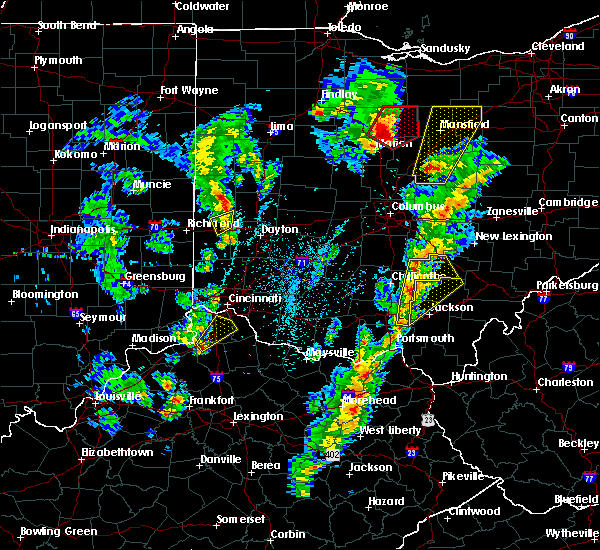 At 422 pm edt, severe thunderstorms were located along a line extending from laurelville to 8 miles east of piketon, moving northeast at 50 mph (radar indicated). Hazards include 60 mph wind gusts and penny size hail. Expect damage to trees and power lines. locations impacted include, logan, hocking hills state park, starr, londonderry, laurelville, beaver, adelphi, tarlton, stockdale, buena vista in hocking county, gibisonville, ilesboro, mooresville, lake logan state park, south bloomingville, richmond dale, enterprise, linn, rockbridge and hallsville. A tornado watch remains in effect until 900 pm edt for central and southwestern ohio. At 422 pm edt, severe thunderstorms were located along a line extending from laurelville to 8 miles east of piketon, moving northeast at 50 mph (radar indicated). Hazards include 60 mph wind gusts and penny size hail. Expect damage to trees and power lines. locations impacted include, logan, hocking hills state park, starr, londonderry, laurelville, beaver, adelphi, tarlton, stockdale, buena vista in hocking county, gibisonville, ilesboro, mooresville, lake logan state park, south bloomingville, richmond dale, enterprise, linn, rockbridge and hallsville. A tornado watch remains in effect until 900 pm edt for central and southwestern ohio.
|
| 4/14/2019 4:13 PM EDT |
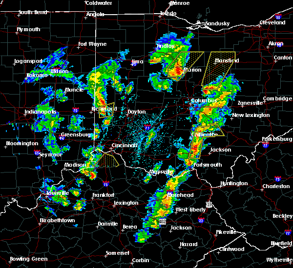 At 413 pm edt, severe thunderstorms were located along a line extending from laurelville to piketon, moving northeast at 40 mph (radar indicated). Hazards include 60 mph wind gusts and penny size hail. expect damage to trees and power lines At 413 pm edt, severe thunderstorms were located along a line extending from laurelville to piketon, moving northeast at 40 mph (radar indicated). Hazards include 60 mph wind gusts and penny size hail. expect damage to trees and power lines
|
| 3/14/2019 11:15 PM EDT | Quarter sized hail reported 5.4 miles NW of Logan, OH |
| 3/14/2019 10:38 PM EDT |
 At 1038 pm edt, a severe thunderstorm capable of producing a tornado was located near logan, moving east at 45 mph (radar indicated rotation). Hazards include tornado. Flying debris will be dangerous to those caught without shelter. mobile homes will be damaged or destroyed. damage to roofs, windows, and vehicles will occur. tree damage is likely. Locations impacted include, logan, nelsonville, murray city, union furnace, haydenville and carbon hill. At 1038 pm edt, a severe thunderstorm capable of producing a tornado was located near logan, moving east at 45 mph (radar indicated rotation). Hazards include tornado. Flying debris will be dangerous to those caught without shelter. mobile homes will be damaged or destroyed. damage to roofs, windows, and vehicles will occur. tree damage is likely. Locations impacted include, logan, nelsonville, murray city, union furnace, haydenville and carbon hill.
|
| 3/14/2019 10:34 PM EDT |
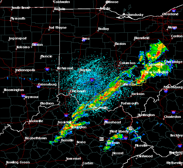 At 1034 pm edt, a severe thunderstorm capable of producing a tornado was located near logan, moving east at 40 mph (radar indicated rotation). Hazards include tornado. Flying debris will be dangerous to those caught without shelter. mobile homes will be damaged or destroyed. damage to roofs, windows, and vehicles will occur. Tree damage is likely. At 1034 pm edt, a severe thunderstorm capable of producing a tornado was located near logan, moving east at 40 mph (radar indicated rotation). Hazards include tornado. Flying debris will be dangerous to those caught without shelter. mobile homes will be damaged or destroyed. damage to roofs, windows, and vehicles will occur. Tree damage is likely.
|
| 3/14/2019 10:28 PM EDT |
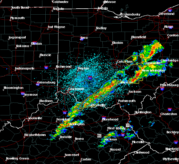 At 1028 pm edt, a severe thunderstorm was located over hocking hills state park, moving northeast at 50 mph (radar indicated). Hazards include 60 mph wind gusts. expect damage to trees and power lines At 1028 pm edt, a severe thunderstorm was located over hocking hills state park, moving northeast at 50 mph (radar indicated). Hazards include 60 mph wind gusts. expect damage to trees and power lines
|
| 3/14/2019 9:12 PM EDT |
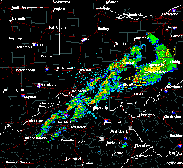 At 912 pm edt, a severe thunderstorm was located near logan, moving northeast at 60 mph (radar indicated). Hazards include 60 mph wind gusts. Expect damage to trees and power lines. Locations impacted include, logan, nelsonville, hide-a-way hills, murray city, sugar grove, gibisonville, ilesboro, hideaway hills, haydenville, lake logan state park, enterprise, union furnace, rockbridge, oreville and carbon hill. At 912 pm edt, a severe thunderstorm was located near logan, moving northeast at 60 mph (radar indicated). Hazards include 60 mph wind gusts. Expect damage to trees and power lines. Locations impacted include, logan, nelsonville, hide-a-way hills, murray city, sugar grove, gibisonville, ilesboro, hideaway hills, haydenville, lake logan state park, enterprise, union furnace, rockbridge, oreville and carbon hill.
|
| 3/14/2019 8:54 PM EDT |
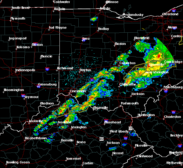 At 854 pm edt, a severe thunderstorm was located 8 miles west of hocking hills state park, moving east at 60 mph (radar indicated). Hazards include 60 mph wind gusts. expect damage to trees and power lines At 854 pm edt, a severe thunderstorm was located 8 miles west of hocking hills state park, moving east at 60 mph (radar indicated). Hazards include 60 mph wind gusts. expect damage to trees and power lines
|
| 8/10/2018 4:20 PM EDT |
 At 419 pm edt, a severe thunderstorm was located over pleasantville, moving southeast at 25 mph (radar indicated). Hazards include 60 mph wind gusts. Expect damage to trees and power lines. Locations impacted include, lancaster, logan, bremen, pleasantville, hide-a-way hills, carroll, sugar grove, rushville, west rushville, hideaway hills, lake logan state park, north berne, enterprise, dumontville and fairfield county airport. At 419 pm edt, a severe thunderstorm was located over pleasantville, moving southeast at 25 mph (radar indicated). Hazards include 60 mph wind gusts. Expect damage to trees and power lines. Locations impacted include, lancaster, logan, bremen, pleasantville, hide-a-way hills, carroll, sugar grove, rushville, west rushville, hideaway hills, lake logan state park, north berne, enterprise, dumontville and fairfield county airport.
|
| 8/10/2018 4:11 PM EDT |
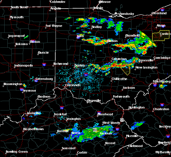 At 411 pm edt, a severe thunderstorm was located over baltimore, moving southeast at 25 mph (radar indicated). Hazards include 60 mph wind gusts. expect damage to trees and power lines At 411 pm edt, a severe thunderstorm was located over baltimore, moving southeast at 25 mph (radar indicated). Hazards include 60 mph wind gusts. expect damage to trees and power lines
|
| 6/16/2018 8:53 PM EDT |
 At 852 pm edt, a severe thunderstorm was located near hide-a-way hills, moving southeast at 35 mph (radar indicated). Hazards include 60 mph wind gusts. expect damage to trees and power lines At 852 pm edt, a severe thunderstorm was located near hide-a-way hills, moving southeast at 35 mph (radar indicated). Hazards include 60 mph wind gusts. expect damage to trees and power lines
|
| 5/14/2018 2:25 PM EDT |
 At 225 pm edt, severe thunderstorms were located along a line extending from near shawnee to near logan, moving east at 25 mph (law enforcement reported numerous trees down around lancaster, oh). Hazards include 60 mph wind gusts and penny size hail. Expect damage to trees and power lines. Locations impacted include, logan, nelsonville, starr, murray city, union furnace, haydenville, oreville and carbon hill. At 225 pm edt, severe thunderstorms were located along a line extending from near shawnee to near logan, moving east at 25 mph (law enforcement reported numerous trees down around lancaster, oh). Hazards include 60 mph wind gusts and penny size hail. Expect damage to trees and power lines. Locations impacted include, logan, nelsonville, starr, murray city, union furnace, haydenville, oreville and carbon hill.
|
| 5/14/2018 2:19 PM EDT |
 At 217 pm edt, severe thunderstorms were located along a line extending from near shawnee to near hocking hills state park, moving east at 25 mph (law enforcement reported numerous trees down around lancaster, oh). Hazards include 60 mph wind gusts and nickel size hail. Expect damage to trees and power lines. Locations impacted include, logan, nelsonville, starr, murray city, enterprise, ilesboro, union furnace, haydenville, lake logan state park, oreville and carbon hill. At 217 pm edt, severe thunderstorms were located along a line extending from near shawnee to near hocking hills state park, moving east at 25 mph (law enforcement reported numerous trees down around lancaster, oh). Hazards include 60 mph wind gusts and nickel size hail. Expect damage to trees and power lines. Locations impacted include, logan, nelsonville, starr, murray city, enterprise, ilesboro, union furnace, haydenville, lake logan state park, oreville and carbon hill.
|
| 5/14/2018 2:12 PM EDT |
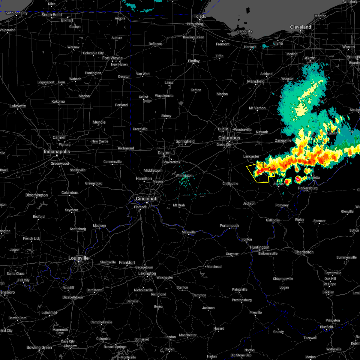 The severe thunderstorm warning for southeastern fairfield and hocking counties will expire at 215 pm edt, the storms which prompted the warning have moved out of the area. therefore, the warning will be allowed to expire. please report previous wind damage or hail to the national weather service by going to our website at weather.gov/iln and submitting your report via social media. remember, a severe thunderstorm warning 40 still remains in effect for hocking county. The severe thunderstorm warning for southeastern fairfield and hocking counties will expire at 215 pm edt, the storms which prompted the warning have moved out of the area. therefore, the warning will be allowed to expire. please report previous wind damage or hail to the national weather service by going to our website at weather.gov/iln and submitting your report via social media. remember, a severe thunderstorm warning 40 still remains in effect for hocking county.
|
| 5/14/2018 2:10 PM EDT |
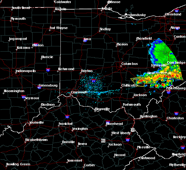 At 209 pm edt, severe thunderstorms were located along a line extending from near shawnee to 6 miles north of hocking hills state park, moving east at 25 mph (radar indicated). Hazards include 60 mph wind gusts and quarter size hail. Minor hail damage to vehicles is possible. Expect wind damage to trees and power lines. At 209 pm edt, severe thunderstorms were located along a line extending from near shawnee to 6 miles north of hocking hills state park, moving east at 25 mph (radar indicated). Hazards include 60 mph wind gusts and quarter size hail. Minor hail damage to vehicles is possible. Expect wind damage to trees and power lines.
|
| 5/14/2018 1:57 PM EDT |
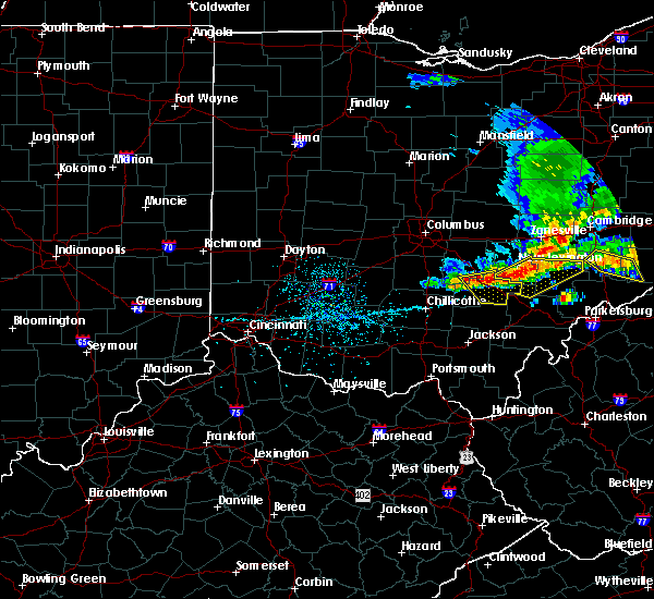 At 157 pm edt, severe thunderstorms were located along a line extending from near shawnee to 6 miles northwest of nelsonville to near logan, moving southeast at 25 mph (radar indicated). Hazards include 60 mph wind gusts and quarter size hail. Minor hail damage to vehicles is possible. expect wind damage to trees and power lines. Locations impacted include, logan, nelsonville, hocking hills state park, hide-a-way hills, starr, murray city, sugar grove, gibisonville, ilesboro, haydenville, lake logan state park, enterprise, union furnace, rockbridge, oreville and carbon hill. At 157 pm edt, severe thunderstorms were located along a line extending from near shawnee to 6 miles northwest of nelsonville to near logan, moving southeast at 25 mph (radar indicated). Hazards include 60 mph wind gusts and quarter size hail. Minor hail damage to vehicles is possible. expect wind damage to trees and power lines. Locations impacted include, logan, nelsonville, hocking hills state park, hide-a-way hills, starr, murray city, sugar grove, gibisonville, ilesboro, haydenville, lake logan state park, enterprise, union furnace, rockbridge, oreville and carbon hill.
|
| 5/14/2018 1:47 PM EDT |
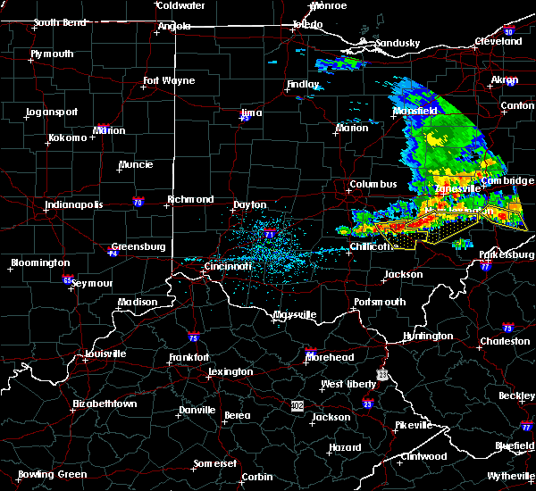 At 146 pm edt, severe thunderstorms were located along a line extending from shawnee to near logan to 8 miles southwest of hide-a-way hills, moving southeast at 25 mph (radar indicated). Hazards include 60 mph wind gusts and quarter size hail. Minor hail damage to vehicles is possible. expect wind damage to trees and power lines. Locations impacted include, logan, nelsonville, hocking hills state park, hide-a-way hills, starr, murray city, sugar grove, gibisonville, ilesboro, hideaway hills, haydenville, lake logan state park, clearport, enterprise, union furnace, rockbridge, oreville and carbon hill. At 146 pm edt, severe thunderstorms were located along a line extending from shawnee to near logan to 8 miles southwest of hide-a-way hills, moving southeast at 25 mph (radar indicated). Hazards include 60 mph wind gusts and quarter size hail. Minor hail damage to vehicles is possible. expect wind damage to trees and power lines. Locations impacted include, logan, nelsonville, hocking hills state park, hide-a-way hills, starr, murray city, sugar grove, gibisonville, ilesboro, hideaway hills, haydenville, lake logan state park, clearport, enterprise, union furnace, rockbridge, oreville and carbon hill.
|
| 5/14/2018 1:35 PM EDT |
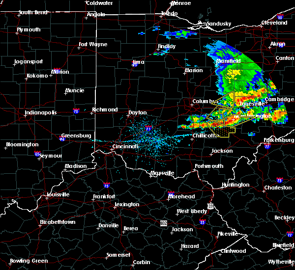 At 135 pm edt, severe thunderstorms were located along a line extending from 6 miles west of shawnee to near logan to 9 miles south of lancaster, moving southeast at 25 mph (radar indicated). Hazards include 60 mph wind gusts and quarter size hail. Minor hail damage to vehicles is possible. expect wind damage to trees and power lines. Locations impacted include, lancaster, logan, nelsonville, bremen, hocking hills state park, hide-a-way hills, starr, murray city, sugar grove, gibisonville, ilesboro, hideaway hills, haydenville, lake logan state park, clearport, north berne, enterprise, union furnace, rockbridge and oreville. At 135 pm edt, severe thunderstorms were located along a line extending from 6 miles west of shawnee to near logan to 9 miles south of lancaster, moving southeast at 25 mph (radar indicated). Hazards include 60 mph wind gusts and quarter size hail. Minor hail damage to vehicles is possible. expect wind damage to trees and power lines. Locations impacted include, lancaster, logan, nelsonville, bremen, hocking hills state park, hide-a-way hills, starr, murray city, sugar grove, gibisonville, ilesboro, hideaway hills, haydenville, lake logan state park, clearport, north berne, enterprise, union furnace, rockbridge and oreville.
|
| 5/14/2018 1:23 PM EDT |
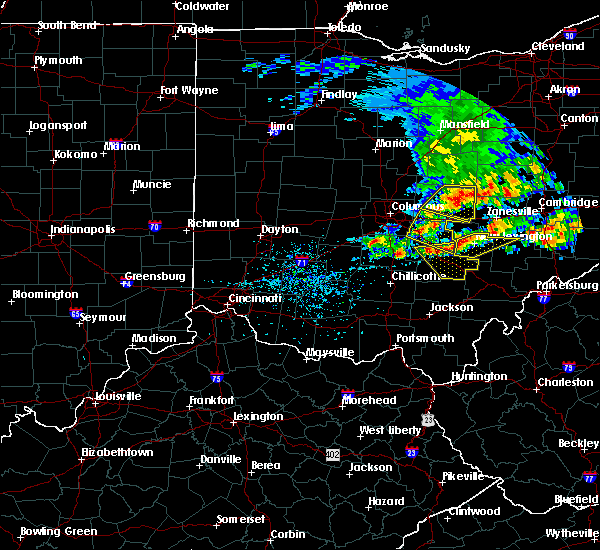 At 123 pm edt, severe thunderstorms were located along a line extending from near bremen to near hide-a-way hills to 9 miles southwest of lancaster, moving southeast at 25 mph (radar indicated). Hazards include 60 mph wind gusts and quarter size hail. Minor hail damage to vehicles is possible. Expect wind damage to trees and power lines. At 123 pm edt, severe thunderstorms were located along a line extending from near bremen to near hide-a-way hills to 9 miles southwest of lancaster, moving southeast at 25 mph (radar indicated). Hazards include 60 mph wind gusts and quarter size hail. Minor hail damage to vehicles is possible. Expect wind damage to trees and power lines.
|
| 5/13/2018 6:56 PM EDT | One tree down on blosser road. time estimated from rada in hocking county OH, 3.1 miles E of Logan, OH |
| 5/4/2018 6:55 PM EDT |
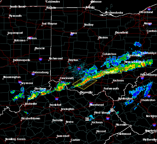 The severe thunderstorm warning for hocking, southeastern pickaway and northeastern ross counties will expire at 700 pm edt, the storm which prompted the warning has weakened below severe limits, and no longer poses an immediate threat to life or property. therefore, the warning will be allowed to expire. please report previous wind damage or hail to the national weather service by going to our website at weather.gov/iln and submitting your report via social media. The severe thunderstorm warning for hocking, southeastern pickaway and northeastern ross counties will expire at 700 pm edt, the storm which prompted the warning has weakened below severe limits, and no longer poses an immediate threat to life or property. therefore, the warning will be allowed to expire. please report previous wind damage or hail to the national weather service by going to our website at weather.gov/iln and submitting your report via social media.
|
| 5/4/2018 6:44 PM EDT |
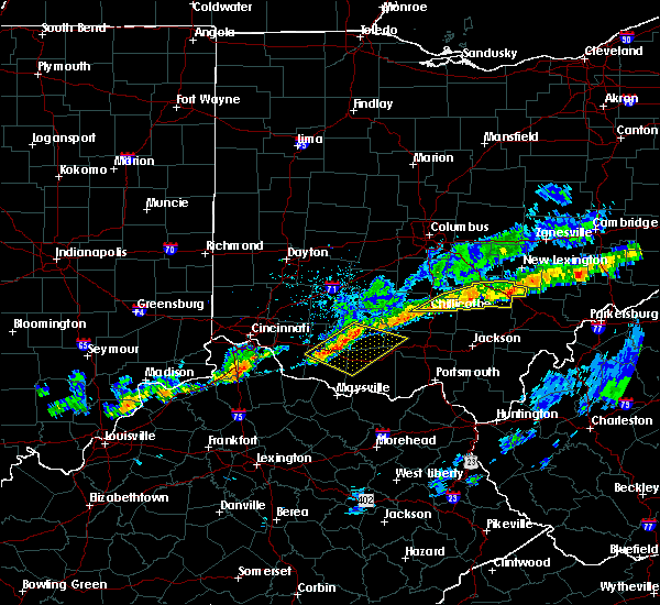 At 644 pm edt, a severe thunderstorm was located over hocking hills state park, moving east at 55 mph (radar indicated). Hazards include 60 mph wind gusts. Expect damage to trees and power lines. Locations impacted include, chillicothe, logan, nelsonville, kingston, hocking hills state park, starr, laurelville, murray city, adelphi, gibisonville, ilesboro, haydenville, lake logan state park, whisler, south bloomingville, enterprise, union furnace, rockbridge, hallsville and oreville. At 644 pm edt, a severe thunderstorm was located over hocking hills state park, moving east at 55 mph (radar indicated). Hazards include 60 mph wind gusts. Expect damage to trees and power lines. Locations impacted include, chillicothe, logan, nelsonville, kingston, hocking hills state park, starr, laurelville, murray city, adelphi, gibisonville, ilesboro, haydenville, lake logan state park, whisler, south bloomingville, enterprise, union furnace, rockbridge, hallsville and oreville.
|
| 5/4/2018 6:22 PM EDT |
 At 622 pm edt, a severe thunderstorm was located near kingston, moving east at 55 mph (radar indicated). Hazards include 60 mph wind gusts. expect damage to trees and power lines At 622 pm edt, a severe thunderstorm was located near kingston, moving east at 55 mph (radar indicated). Hazards include 60 mph wind gusts. expect damage to trees and power lines
|
| 7/22/2017 5:20 PM EDT |
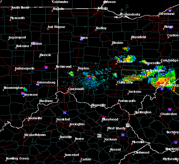 The severe thunderstorm warning for central hocking county will expire at 530 pm edt, the severe thunderstorm which prompted the warning is weakening. gusty winds and heavy rain are still a threat with this storm. a severe thunderstorm watch remains in effect until 1000 pm edt for central ohio. please report previous wind damage or hail to the national weather service by going to our website at weather.gov/iln and submitting your report via social media. The severe thunderstorm warning for central hocking county will expire at 530 pm edt, the severe thunderstorm which prompted the warning is weakening. gusty winds and heavy rain are still a threat with this storm. a severe thunderstorm watch remains in effect until 1000 pm edt for central ohio. please report previous wind damage or hail to the national weather service by going to our website at weather.gov/iln and submitting your report via social media.
|
| 7/22/2017 5:12 PM EDT |
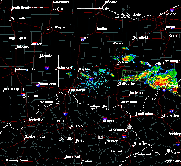 At 512 pm edt, a severe thunderstorm was located near logan, moving east at 35 mph (radar indicated). Hazards include 60 mph wind gusts. Expect damage to trees and power lines. Locations impacted include, logan, buena vista in hocking county, enterprise, gibisonville, rockbridge, lake logan state park and haydenville. At 512 pm edt, a severe thunderstorm was located near logan, moving east at 35 mph (radar indicated). Hazards include 60 mph wind gusts. Expect damage to trees and power lines. Locations impacted include, logan, buena vista in hocking county, enterprise, gibisonville, rockbridge, lake logan state park and haydenville.
|
| 7/22/2017 4:56 PM EDT |
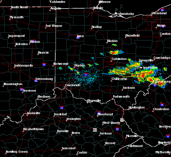 At 456 pm edt, a severe thunderstorm was located 8 miles south of lancaster, moving east at 30 mph (radar indicated). Hazards include 60 mph wind gusts. Expect damage to trees and power lines. Locations impacted include, logan, hide-a-way hills, amanda, stoutsville, sugar grove, tarlton, buena vista in hocking county, gibisonville, hideaway hills, lake logan state park, haydenville, clearport, enterprise and rockbridge. At 456 pm edt, a severe thunderstorm was located 8 miles south of lancaster, moving east at 30 mph (radar indicated). Hazards include 60 mph wind gusts. Expect damage to trees and power lines. Locations impacted include, logan, hide-a-way hills, amanda, stoutsville, sugar grove, tarlton, buena vista in hocking county, gibisonville, hideaway hills, lake logan state park, haydenville, clearport, enterprise and rockbridge.
|
| 7/22/2017 4:43 PM EDT |
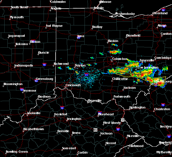 At 442 pm edt, a severe thunderstorm was located 9 miles southwest of lancaster, moving east at 35 mph (radar indicated). Hazards include 60 mph wind gusts and penny size hail. expect damage to trees and power lines At 442 pm edt, a severe thunderstorm was located 9 miles southwest of lancaster, moving east at 35 mph (radar indicated). Hazards include 60 mph wind gusts and penny size hail. expect damage to trees and power lines
|
| 7/22/2017 4:36 PM EDT |
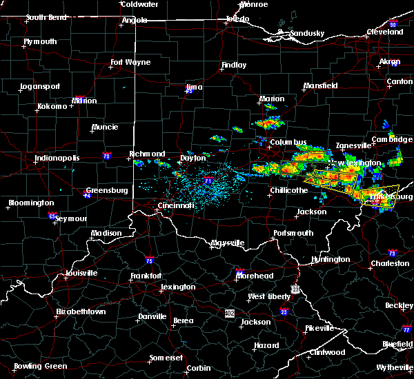 At 436 pm edt, a severe thunderstorm was located near nelsonville, moving east at 35 mph (radar indicated). Hazards include 60 mph wind gusts. Expect damage to trees and power lines. Locations impacted include, logan, nelsonville, murray city, lake logan state park, haydenville, oreville and carbon hill. At 436 pm edt, a severe thunderstorm was located near nelsonville, moving east at 35 mph (radar indicated). Hazards include 60 mph wind gusts. Expect damage to trees and power lines. Locations impacted include, logan, nelsonville, murray city, lake logan state park, haydenville, oreville and carbon hill.
|
| 7/22/2017 4:24 PM EDT |
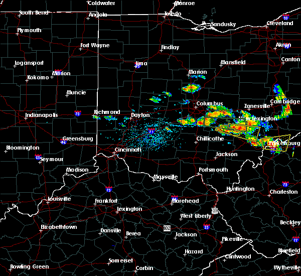 At 424 pm edt, a severe thunderstorm was located over logan, moving east at 30 mph (radar indicated). Hazards include 60 mph wind gusts and penny size hail. Expect damage to trees and power lines. Locations impacted include, logan, nelsonville, hide-a-way hills, murray city, enterprise, hideaway hills, rockbridge, lake logan state park, haydenville, oreville and carbon hill. At 424 pm edt, a severe thunderstorm was located over logan, moving east at 30 mph (radar indicated). Hazards include 60 mph wind gusts and penny size hail. Expect damage to trees and power lines. Locations impacted include, logan, nelsonville, hide-a-way hills, murray city, enterprise, hideaway hills, rockbridge, lake logan state park, haydenville, oreville and carbon hill.
|
| 7/22/2017 4:10 PM EDT |
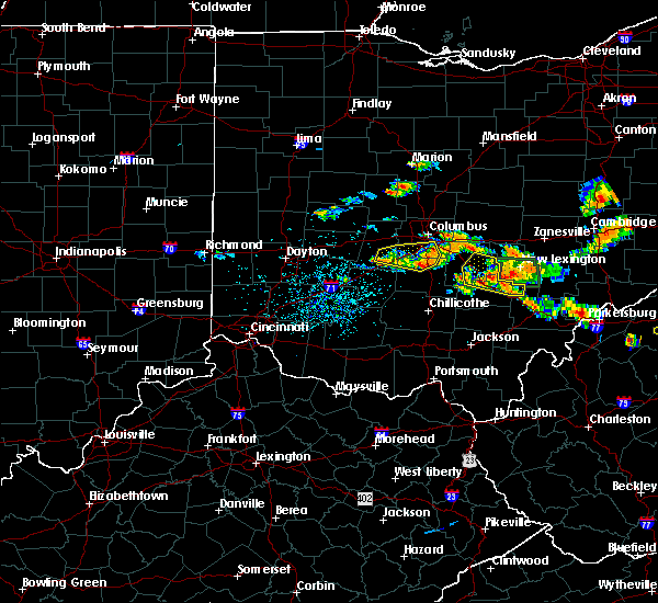 At 410 pm edt, a severe thunderstorm was located over hide-a-way hills, moving east at 40 mph (radar indicated). Hazards include 60 mph wind gusts and penny size hail. Expect damage to trees and power lines. Locations impacted include, lancaster, logan, nelsonville, bremen, hide-a-way hills, murray city, sugar grove, hideaway hills, lake logan state park, haydenville, north berne, enterprise, rockbridge, oreville, carbon hill and clearport. At 410 pm edt, a severe thunderstorm was located over hide-a-way hills, moving east at 40 mph (radar indicated). Hazards include 60 mph wind gusts and penny size hail. Expect damage to trees and power lines. Locations impacted include, lancaster, logan, nelsonville, bremen, hide-a-way hills, murray city, sugar grove, hideaway hills, lake logan state park, haydenville, north berne, enterprise, rockbridge, oreville, carbon hill and clearport.
|
| 7/22/2017 3:55 PM EDT |
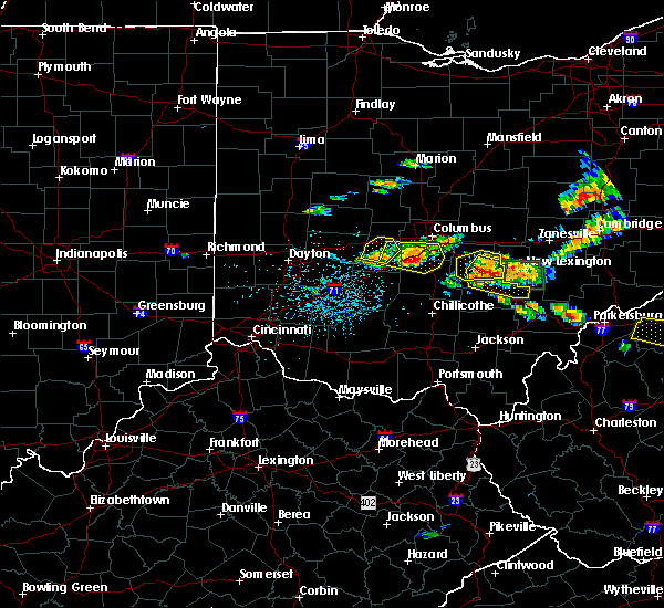 At 354 pm edt, a severe thunderstorm was located near hide-a-way hills, moving east at 35 mph (radar indicated). Hazards include 60 mph wind gusts and penny size hail. expect damage to trees and power lines At 354 pm edt, a severe thunderstorm was located near hide-a-way hills, moving east at 35 mph (radar indicated). Hazards include 60 mph wind gusts and penny size hail. expect damage to trees and power lines
|
| 7/13/2017 3:44 PM EDT |
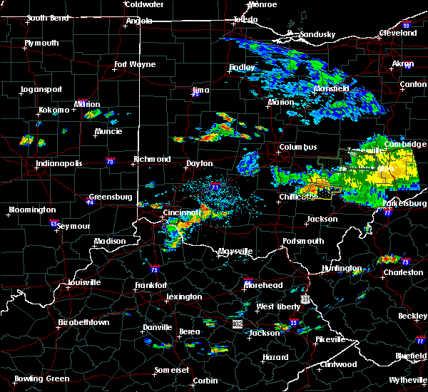 At 344 pm edt, a severe thunderstorm was located near hocking hills state park, moving east at 35 mph (radar indicated). Hazards include 60 mph wind gusts. Expect damage to trees and power lines. Locations impacted include, logan, nelsonville, hocking hills state park, starr, murray city, gibisonville, ilesboro, lake logan state park, haydenville, south bloomingville, enterprise, union furnace and carbon hill. At 344 pm edt, a severe thunderstorm was located near hocking hills state park, moving east at 35 mph (radar indicated). Hazards include 60 mph wind gusts. Expect damage to trees and power lines. Locations impacted include, logan, nelsonville, hocking hills state park, starr, murray city, gibisonville, ilesboro, lake logan state park, haydenville, south bloomingville, enterprise, union furnace and carbon hill.
|
| 7/13/2017 3:29 PM EDT |
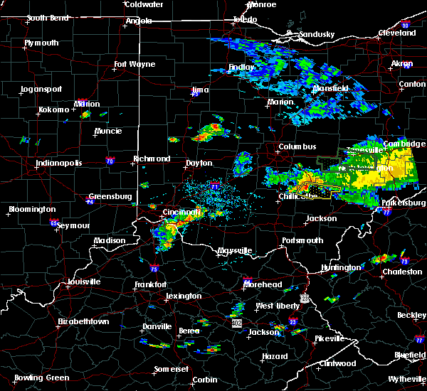 At 329 pm edt, a severe thunderstorm was located 7 miles northwest of hocking hills state park, moving east at 35 mph (radar indicated). Hazards include 60 mph wind gusts. expect damage to trees and power lines At 329 pm edt, a severe thunderstorm was located 7 miles northwest of hocking hills state park, moving east at 35 mph (radar indicated). Hazards include 60 mph wind gusts. expect damage to trees and power lines
|
| 7/10/2017 6:18 PM EDT |
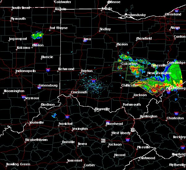 At 618 pm edt, a severe thunderstorm was located near hocking hills state park, moving east at 30 mph (radar indicated). Hazards include 60 mph wind gusts and quarter size hail. Minor hail damage to vehicles is possible. expect wind damage to trees and power lines. Locations impacted include, logan, nelsonville, hocking hills state park, starr, south bloomingville, gibisonville, ilesboro, union furnace, lake logan state park, haydenville and carbon hill. At 618 pm edt, a severe thunderstorm was located near hocking hills state park, moving east at 30 mph (radar indicated). Hazards include 60 mph wind gusts and quarter size hail. Minor hail damage to vehicles is possible. expect wind damage to trees and power lines. Locations impacted include, logan, nelsonville, hocking hills state park, starr, south bloomingville, gibisonville, ilesboro, union furnace, lake logan state park, haydenville and carbon hill.
|
| 7/10/2017 6:09 PM EDT |
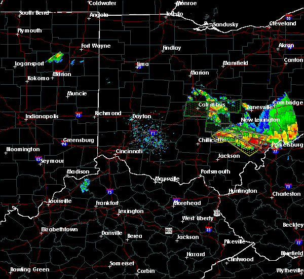 At 609 pm edt, a severe thunderstorm was located near hocking hills state park, moving east at 30 mph (radar indicated). Hazards include 60 mph wind gusts and quarter size hail. Minor hail damage to vehicles is possible. Expect wind damage to trees and power lines. At 609 pm edt, a severe thunderstorm was located near hocking hills state park, moving east at 30 mph (radar indicated). Hazards include 60 mph wind gusts and quarter size hail. Minor hail damage to vehicles is possible. Expect wind damage to trees and power lines.
|
| 7/7/2017 3:15 PM EDT | Multiple trees down in rockbridge and logan. time estimated from rada in hocking county OH, 3.2 miles ESE of Logan, OH |
| 7/7/2017 3:06 PM EDT |
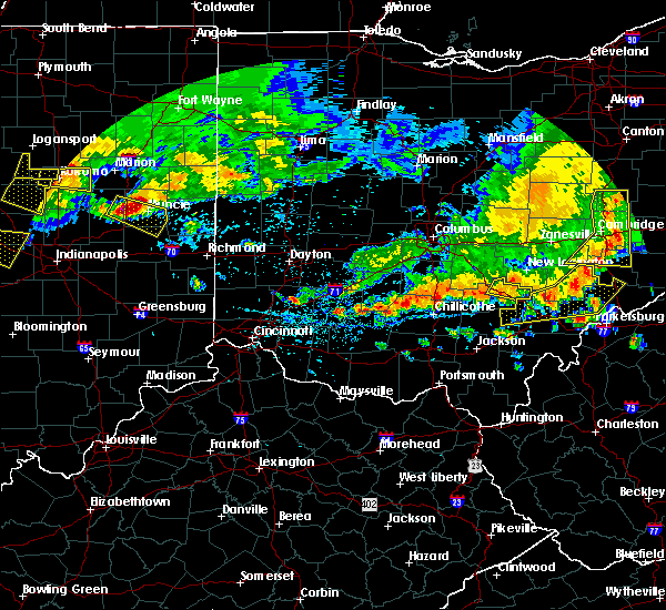 At 305 pm edt, a severe thunderstorm was located near shawnee, moving east at 40 mph (radar indicated). Hazards include 60 mph wind gusts and penny size hail. Expect damage to trees and power lines. Locations impacted include, logan, murray city, enterprise, lake logan state park, haydenville, oreville and carbon hill. At 305 pm edt, a severe thunderstorm was located near shawnee, moving east at 40 mph (radar indicated). Hazards include 60 mph wind gusts and penny size hail. Expect damage to trees and power lines. Locations impacted include, logan, murray city, enterprise, lake logan state park, haydenville, oreville and carbon hill.
|
| 7/7/2017 2:43 PM EDT |
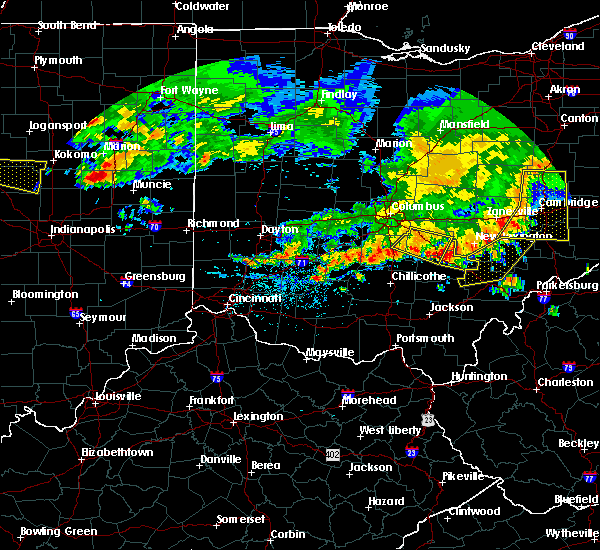 At 243 pm edt, a severe thunderstorm was located over hide-a-way hills, moving east at 40 mph (radar indicated). Hazards include 60 mph wind gusts and quarter size hail. Minor hail damage to vehicles is possible. Expect wind damage to trees and power lines. At 243 pm edt, a severe thunderstorm was located over hide-a-way hills, moving east at 40 mph (radar indicated). Hazards include 60 mph wind gusts and quarter size hail. Minor hail damage to vehicles is possible. Expect wind damage to trees and power lines.
|
| 5/19/2017 6:54 PM EDT |
 The severe thunderstorm warning for eastern hocking county will expire at 700 pm edt, the storm which prompted the warning has weakened below severe limits, and no longer poses an immediate threat to life or property. therefore, the warning will be allowed to expire. a severe thunderstorm watch remains in effect until 1100 pm edt for central ohio. please report previous wind damage or hail to the national weather service by going to our website at weather.gov/iln and submitting your report via social media. The severe thunderstorm warning for eastern hocking county will expire at 700 pm edt, the storm which prompted the warning has weakened below severe limits, and no longer poses an immediate threat to life or property. therefore, the warning will be allowed to expire. a severe thunderstorm watch remains in effect until 1100 pm edt for central ohio. please report previous wind damage or hail to the national weather service by going to our website at weather.gov/iln and submitting your report via social media.
|
| 5/19/2017 6:51 PM EDT |
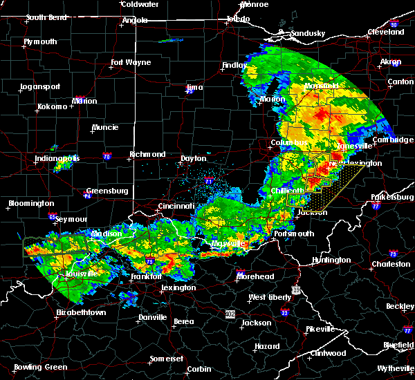 At 650 pm edt, a severe thunderstorm was located over logan, moving east at 35 mph (radar indicated). Hazards include 60 mph wind gusts. Expect damage to roofs, siding, and trees. Locations impacted include, logan, nelsonville, starr, murray city, enterprise, ilesboro, union furnace, lake logan state park, haydenville, oreville and carbon hill. At 650 pm edt, a severe thunderstorm was located over logan, moving east at 35 mph (radar indicated). Hazards include 60 mph wind gusts. Expect damage to roofs, siding, and trees. Locations impacted include, logan, nelsonville, starr, murray city, enterprise, ilesboro, union furnace, lake logan state park, haydenville, oreville and carbon hill.
|
| 5/19/2017 6:45 PM EDT |
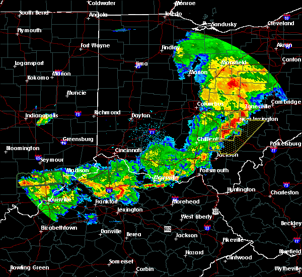 At 644 pm edt, a severe thunderstorm was located near logan, moving east at 35 mph (radar indicated). Hazards include 60 mph wind gusts. expect damage to roofs, siding, and trees At 644 pm edt, a severe thunderstorm was located near logan, moving east at 35 mph (radar indicated). Hazards include 60 mph wind gusts. expect damage to roofs, siding, and trees
|
| 5/19/2017 6:40 PM EDT |
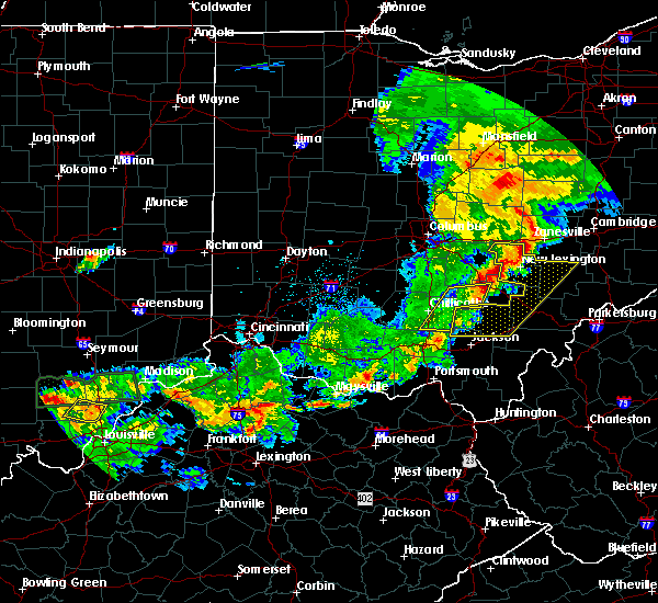 The severe thunderstorm warning for southwestern hocking, southeastern pickaway and eastern ross counties will expire at 645 pm edt, the storm which prompted the warning has weakened below severe limits, and no longer poses an immediate threat to life or property. therefore, the warning will be allowed to expire. a severe thunderstorm watch remains in effect until 1100 pm edt for central and southwestern ohio. please report previous wind damage or hail to the national weather service by going to our website at weather.gov/iln and submitting your report via social media. The severe thunderstorm warning for southwestern hocking, southeastern pickaway and eastern ross counties will expire at 645 pm edt, the storm which prompted the warning has weakened below severe limits, and no longer poses an immediate threat to life or property. therefore, the warning will be allowed to expire. a severe thunderstorm watch remains in effect until 1100 pm edt for central and southwestern ohio. please report previous wind damage or hail to the national weather service by going to our website at weather.gov/iln and submitting your report via social media.
|
| 5/19/2017 6:32 PM EDT |
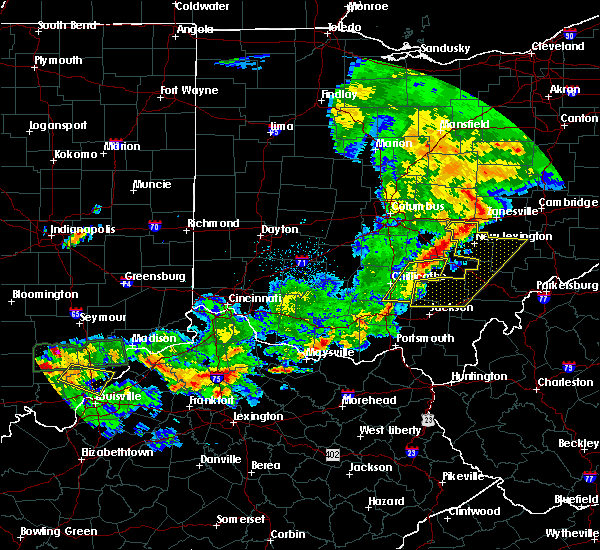 At 632 pm edt, a severe thunderstorm was located 11 miles southeast of kingston, moving east at 35 mph (radar indicated). Hazards include 60 mph wind gusts. Expect damage to roofs, siding, and trees. Locations impacted include, logan, hocking hills state park, londonderry, laurelville, adelphi, buena vista in hocking county, gibisonville, mooresville, whisler, south bloomingville, richmond dale, enterprise, massieville, hallsville and scioto trail state park. At 632 pm edt, a severe thunderstorm was located 11 miles southeast of kingston, moving east at 35 mph (radar indicated). Hazards include 60 mph wind gusts. Expect damage to roofs, siding, and trees. Locations impacted include, logan, hocking hills state park, londonderry, laurelville, adelphi, buena vista in hocking county, gibisonville, mooresville, whisler, south bloomingville, richmond dale, enterprise, massieville, hallsville and scioto trail state park.
|
| 5/19/2017 6:11 PM EDT |
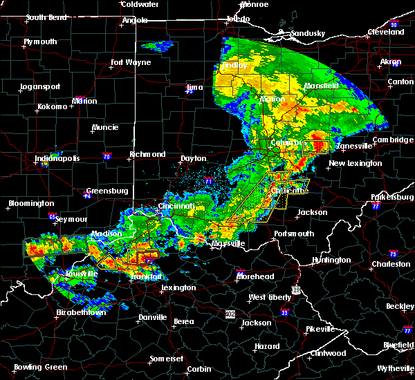 At 611 pm edt, a severe thunderstorm was located over chillicothe, moving east at 35 mph (radar indicated). Hazards include 60 mph wind gusts. expect damage to roofs, siding, and trees At 611 pm edt, a severe thunderstorm was located over chillicothe, moving east at 35 mph (radar indicated). Hazards include 60 mph wind gusts. expect damage to roofs, siding, and trees
|
| 4/16/2017 5:51 PM EDT |
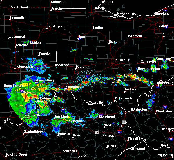 At 551 pm edt, a severe thunderstorm was located over logan, moving east at 20 mph (radar indicated). Hazards include 60 mph wind gusts and quarter size hail. Hail damage to vehicles is expected. expect wind damage to roofs, siding, and trees. Locations impacted include, logan, nelsonville, hocking hills state park, murray city, gibisonville, ilesboro, lake logan state park, haydenville, south bloomingville, enterprise, union furnace, rockbridge, oreville and carbon hill. At 551 pm edt, a severe thunderstorm was located over logan, moving east at 20 mph (radar indicated). Hazards include 60 mph wind gusts and quarter size hail. Hail damage to vehicles is expected. expect wind damage to roofs, siding, and trees. Locations impacted include, logan, nelsonville, hocking hills state park, murray city, gibisonville, ilesboro, lake logan state park, haydenville, south bloomingville, enterprise, union furnace, rockbridge, oreville and carbon hill.
|
| 4/16/2017 5:28 PM EDT |
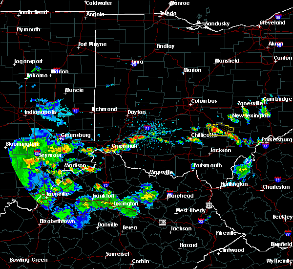 At 528 pm edt, a severe thunderstorm was located near hocking hills state park, moving east at 20 mph (radar indicated). Hazards include 60 mph wind gusts and quarter size hail. Hail damage to vehicles is expected. Expect wind damage to roofs, siding, and trees. At 528 pm edt, a severe thunderstorm was located near hocking hills state park, moving east at 20 mph (radar indicated). Hazards include 60 mph wind gusts and quarter size hail. Hail damage to vehicles is expected. Expect wind damage to roofs, siding, and trees.
|
| 3/1/2017 3:34 AM EST |
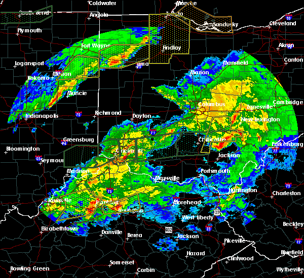 At 333 am est, severe thunderstorms were located along a line extending from near somerset to near mcarthur, moving northeast at 65 mph (radar indicated). Hazards include 60 mph wind gusts. Expect damage to roofs, siding, and trees. locations impacted include, logan, nelsonville, bremen, hocking hills state park, hide-a-way hills, starr, murray city, rushville, gibisonville, ilesboro, hideaway hills, lake logan state park, haydenville, south bloomingville, enterprise, union furnace, rockbridge, oreville and carbon hill. A tornado watch remains in effect until 700 am est for central ohio. At 333 am est, severe thunderstorms were located along a line extending from near somerset to near mcarthur, moving northeast at 65 mph (radar indicated). Hazards include 60 mph wind gusts. Expect damage to roofs, siding, and trees. locations impacted include, logan, nelsonville, bremen, hocking hills state park, hide-a-way hills, starr, murray city, rushville, gibisonville, ilesboro, hideaway hills, lake logan state park, haydenville, south bloomingville, enterprise, union furnace, rockbridge, oreville and carbon hill. A tornado watch remains in effect until 700 am est for central ohio.
|
| 3/1/2017 3:20 AM EST |
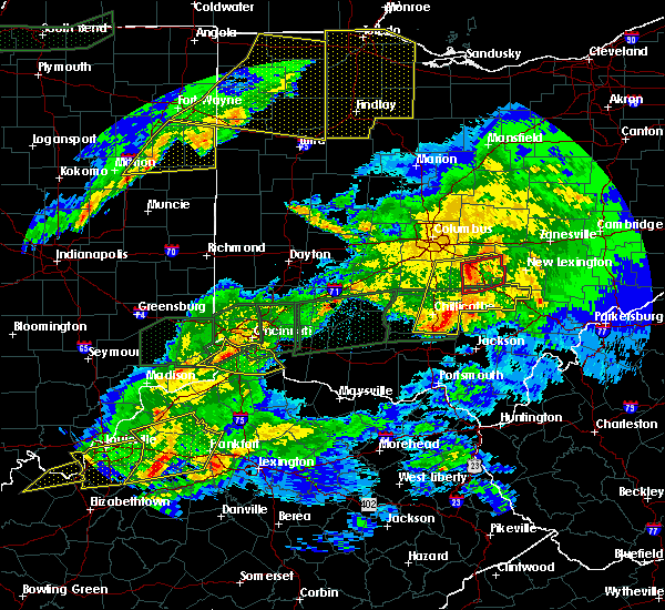 At 320 am est, severe thunderstorms were located along a line extending from near lancaster to 11 miles northwest of wellston, moving east at 55 mph (radar indicated). Hazards include 60 mph wind gusts. Expect damage to roofs, siding, and trees. locations impacted include, lancaster, logan, nelsonville, bremen, pleasantville, hocking hills state park, hide-a-way hills, starr, amanda, londonderry, thurston, laurelville, carroll, murray city, sugar grove, adelphi, rushville, tarlton, west rushville and fairfield county airport. A tornado watch remains in effect until 700 am est for central and southwestern ohio. At 320 am est, severe thunderstorms were located along a line extending from near lancaster to 11 miles northwest of wellston, moving east at 55 mph (radar indicated). Hazards include 60 mph wind gusts. Expect damage to roofs, siding, and trees. locations impacted include, lancaster, logan, nelsonville, bremen, pleasantville, hocking hills state park, hide-a-way hills, starr, amanda, londonderry, thurston, laurelville, carroll, murray city, sugar grove, adelphi, rushville, tarlton, west rushville and fairfield county airport. A tornado watch remains in effect until 700 am est for central and southwestern ohio.
|
| 3/1/2017 3:04 AM EST |
 At 304 am est, severe thunderstorms were located along a line extending from near ashville to 6 miles northeast of pike lake, moving east at 50 mph (radar indicated). Hazards include 60 mph wind gusts and penny size hail. expect damage to roofs, siding, and trees At 304 am est, severe thunderstorms were located along a line extending from near ashville to 6 miles northeast of pike lake, moving east at 50 mph (radar indicated). Hazards include 60 mph wind gusts and penny size hail. expect damage to roofs, siding, and trees
|
| 7/18/2016 9:16 AM EDT |
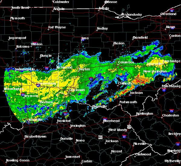 At 915 am edt, a severe thunderstorm was located near lake hope state park, moving southeast at 35 mph (radar indicated). Hazards include 60 mph wind gusts and nickel size hail. Expect damage to roofs. siding. and trees. Locations impacted include, logan, nelsonville, hocking hills state park, starr, ilesboro, lake logan state park, haydenville and union furnace. At 915 am edt, a severe thunderstorm was located near lake hope state park, moving southeast at 35 mph (radar indicated). Hazards include 60 mph wind gusts and nickel size hail. Expect damage to roofs. siding. and trees. Locations impacted include, logan, nelsonville, hocking hills state park, starr, ilesboro, lake logan state park, haydenville and union furnace.
|
| 7/18/2016 9:03 AM EDT |
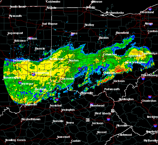 At 903 am edt, a severe thunderstorm was located near logan, moving southeast at 35 mph (radar indicated). Hazards include 60 mph wind gusts and nickel size hail. Expect damage to roofs. siding. And trees. At 903 am edt, a severe thunderstorm was located near logan, moving southeast at 35 mph (radar indicated). Hazards include 60 mph wind gusts and nickel size hail. Expect damage to roofs. siding. And trees.
|
| 6/6/2016 8:55 PM EDT |
 The severe thunderstorm warning for central hocking county will expire at 900 pm edt, the storm which prompted the warning has weakened below severe limits, and no longer poses an immediate threat to life or property. therefore the warning will be allowed to expire. however gusty winds and heavy rain are still possible with this thunderstorm. please report previous wind damage or hail to the national weather service by going to our website at weather.gov/iln and submitting your report via social media. The severe thunderstorm warning for central hocking county will expire at 900 pm edt, the storm which prompted the warning has weakened below severe limits, and no longer poses an immediate threat to life or property. therefore the warning will be allowed to expire. however gusty winds and heavy rain are still possible with this thunderstorm. please report previous wind damage or hail to the national weather service by going to our website at weather.gov/iln and submitting your report via social media.
|
| 6/6/2016 8:44 PM EDT |
 At 843 pm edt, a severe thunderstorm was located over logan, moving east at 35 mph (radar indicated). Hazards include 60 mph wind gusts. Expect damage to roofs. siding. and trees. Locations impacted include, logan, enterprise, rockbridge, lake logan state park, gibisonville, haydenville and union furnace. At 843 pm edt, a severe thunderstorm was located over logan, moving east at 35 mph (radar indicated). Hazards include 60 mph wind gusts. Expect damage to roofs. siding. and trees. Locations impacted include, logan, enterprise, rockbridge, lake logan state park, gibisonville, haydenville and union furnace.
|
| 6/6/2016 8:34 PM EDT | Tree down along gore greendale rd. time estimated by rada in hocking county OH, 7.2 miles WSW of Logan, OH |
| 6/6/2016 8:32 PM EDT |
 At 832 pm edt, a severe thunderstorm was located near logan, moving east at 35 mph (radar indicated). Hazards include 60 mph wind gusts. Expect damage to roofs. siding. and trees. Locations impacted include, logan, enterprise, rockbridge, lake logan state park, gibisonville, haydenville and union furnace. At 832 pm edt, a severe thunderstorm was located near logan, moving east at 35 mph (radar indicated). Hazards include 60 mph wind gusts. Expect damage to roofs. siding. and trees. Locations impacted include, logan, enterprise, rockbridge, lake logan state park, gibisonville, haydenville and union furnace.
|
| 6/6/2016 8:24 PM EDT |
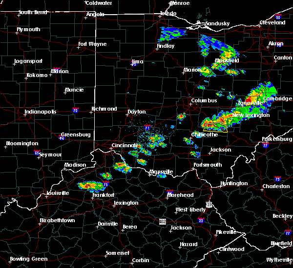 At 824 pm edt, a severe thunderstorm was located 9 miles south of lancaster, moving east at 35 mph (radar indicated). Hazards include 60 mph wind gusts. Expect damage to roofs. siding. And trees. At 824 pm edt, a severe thunderstorm was located 9 miles south of lancaster, moving east at 35 mph (radar indicated). Hazards include 60 mph wind gusts. Expect damage to roofs. siding. And trees.
|
| 4/28/2016 5:23 PM EDT |
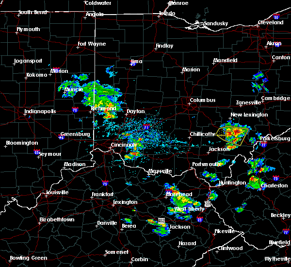 The severe thunderstorm warning for southeastern hocking county will expire at 530 pm edt, the storm which prompted the warning is moving out of the area. therefore the warning will be allowed to expire. please report previous wind damage or hail to the national weather service by going to our website at weather.gov/iln and submitting your report via social media. The severe thunderstorm warning for southeastern hocking county will expire at 530 pm edt, the storm which prompted the warning is moving out of the area. therefore the warning will be allowed to expire. please report previous wind damage or hail to the national weather service by going to our website at weather.gov/iln and submitting your report via social media.
|
| 4/28/2016 5:15 PM EDT |
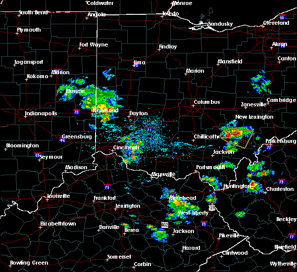 At 514 pm edt, a severe thunderstorm was located near lake hope state park, moving east at 35 mph (radar indicated). Hazards include 60 mph wind gusts and quarter size hail. Hail damage to vehicles is expected. expect wind damage to roofs, siding, and trees. Locations impacted include, logan, nelsonville, starr, murray city, ilesboro, haydenville, union furnace and carbon hill. At 514 pm edt, a severe thunderstorm was located near lake hope state park, moving east at 35 mph (radar indicated). Hazards include 60 mph wind gusts and quarter size hail. Hail damage to vehicles is expected. expect wind damage to roofs, siding, and trees. Locations impacted include, logan, nelsonville, starr, murray city, ilesboro, haydenville, union furnace and carbon hill.
|
| 4/28/2016 5:02 PM EDT |
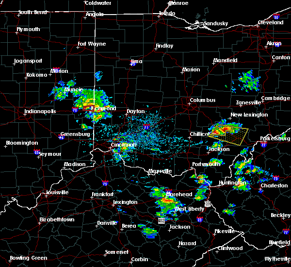 At 502 pm edt, a severe thunderstorm was located near nelsonville, moving east at 30 mph (radar indicated). Hazards include 60 mph wind gusts and quarter size hail. Hail damage to vehicles is expected. expect wind damage to roofs, siding, and trees. Locations impacted include, logan, nelsonville, hocking hills state park, starr, murray city, ilesboro, haydenville, union furnace and carbon hill. At 502 pm edt, a severe thunderstorm was located near nelsonville, moving east at 30 mph (radar indicated). Hazards include 60 mph wind gusts and quarter size hail. Hail damage to vehicles is expected. expect wind damage to roofs, siding, and trees. Locations impacted include, logan, nelsonville, hocking hills state park, starr, murray city, ilesboro, haydenville, union furnace and carbon hill.
|
| 4/28/2016 5:00 PM EDT | Quarter sized hail reported 2 miles WNW of Logan, OH |
| 4/28/2016 4:57 PM EDT | The severe thunderstorm warning for central hocking county will expire at 500 pm edt, however, an additional severe thunderstorm warning still remains in effect for eastern hocking county until 530 pm. |
| 4/28/2016 4:55 PM EDT | Hen Egg sized hail reported 2.5 miles NNW of Logan, OH |
| 4/28/2016 4:53 PM EDT | Ping Pong Ball sized hail reported 3.9 miles N of Logan, OH |
| 4/28/2016 4:53 PM EDT |
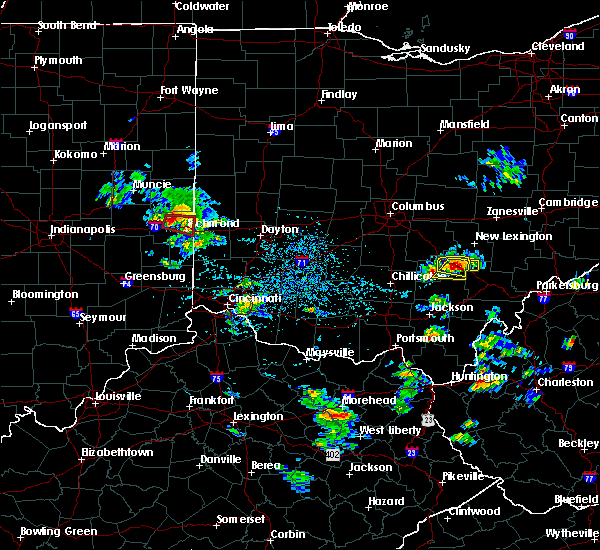 At 453 pm edt, a severe thunderstorm was located over logan, moving east at 30 mph (radar indicated). Hazards include 60 mph wind gusts and half dollar size hail. Hail damage to vehicles is expected. Expect wind damage to roofs, siding, and trees. At 453 pm edt, a severe thunderstorm was located over logan, moving east at 30 mph (radar indicated). Hazards include 60 mph wind gusts and half dollar size hail. Hail damage to vehicles is expected. Expect wind damage to roofs, siding, and trees.
|
| 4/28/2016 4:44 PM EDT |
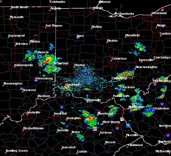 At 443 pm edt, a severe thunderstorm was located near logan, moving east at 30 mph. at 441 pm, a trained spotter reported one inch diameter hail 3 miles north-northeast of gibisonville (radar indicated). Hazards include 60 mph wind gusts and half dollar size hail. Hail damage to vehicles is expected. expect wind damage to roofs, siding, and trees. Locations impacted include, logan, enterprise, lake logan state park, haydenville, union furnace, oreville and rockbridge. At 443 pm edt, a severe thunderstorm was located near logan, moving east at 30 mph. at 441 pm, a trained spotter reported one inch diameter hail 3 miles north-northeast of gibisonville (radar indicated). Hazards include 60 mph wind gusts and half dollar size hail. Hail damage to vehicles is expected. expect wind damage to roofs, siding, and trees. Locations impacted include, logan, enterprise, lake logan state park, haydenville, union furnace, oreville and rockbridge.
|
| 4/28/2016 4:37 PM EDT |
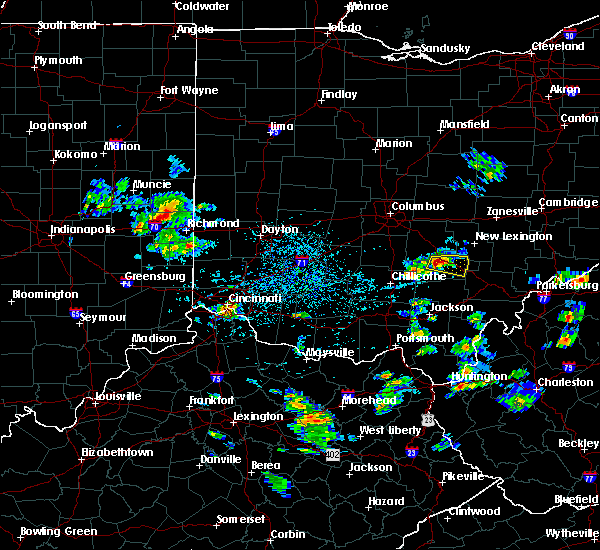 At 436 pm edt, a severe thunderstorm was located near hocking hills state park, moving east at 40 mph (radar indicated). Hazards include 60 mph wind gusts and quarter size hail. Hail damage to vehicles is expected. expect wind damage to roofs, siding, and trees. Locations impacted include, logan, enterprise, rockbridge, lake logan state park, gibisonville, haydenville, union furnace and oreville. At 436 pm edt, a severe thunderstorm was located near hocking hills state park, moving east at 40 mph (radar indicated). Hazards include 60 mph wind gusts and quarter size hail. Hail damage to vehicles is expected. expect wind damage to roofs, siding, and trees. Locations impacted include, logan, enterprise, rockbridge, lake logan state park, gibisonville, haydenville, union furnace and oreville.
|
| 4/28/2016 4:27 PM EDT |
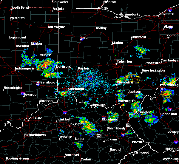 At 427 pm edt, a severe thunderstorm was located 10 miles northwest of hocking hills state park, moving east at 30 mph (radar indicated). Hazards include 60 mph wind gusts and quarter size hail. Hail damage to vehicles is expected. Expect wind damage to roofs, siding, and trees. At 427 pm edt, a severe thunderstorm was located 10 miles northwest of hocking hills state park, moving east at 30 mph (radar indicated). Hazards include 60 mph wind gusts and quarter size hail. Hail damage to vehicles is expected. Expect wind damage to roofs, siding, and trees.
|
| 8/10/2015 6:35 PM EDT |
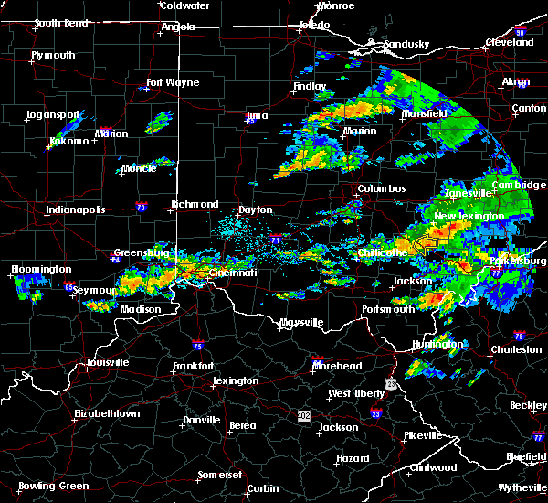 At 635 pm edt, radar indicated a severe thunderstorm located near glouster, moving southeast at 45 mph. storm hazards include, winds to 60 mph, locations impacted include, logan, nelsonville, murray city, haydenville, union furnace, oreville and carbon hill. At 635 pm edt, radar indicated a severe thunderstorm located near glouster, moving southeast at 45 mph. storm hazards include, winds to 60 mph, locations impacted include, logan, nelsonville, murray city, haydenville, union furnace, oreville and carbon hill.
|
| 8/10/2015 6:23 PM EDT |
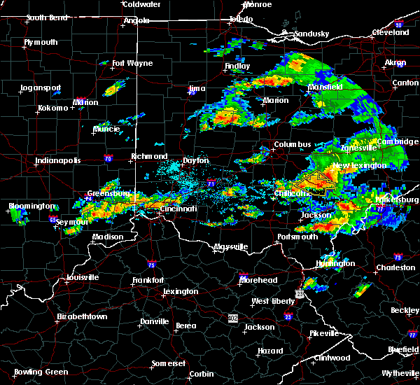 At 622 pm edt, radar indicated a severe thunderstorm located over nelsonville, moving southeast at 45 mph. storm hazards include, winds to 60 mph, locations impacted include, logan, nelsonville, starr, murray city, enterprise, ilesboro, lake logan state park, gibisonville, haydenville, union furnace, oreville and carbon hill. At 622 pm edt, radar indicated a severe thunderstorm located over nelsonville, moving southeast at 45 mph. storm hazards include, winds to 60 mph, locations impacted include, logan, nelsonville, starr, murray city, enterprise, ilesboro, lake logan state park, gibisonville, haydenville, union furnace, oreville and carbon hill.
|
| 8/10/2015 6:12 PM EDT |
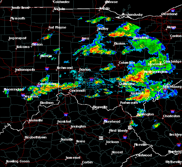 At 611 pm edt, radar indicated a severe thunderstorm located over logan, moving southeast at 45 mph. storm hazards include, winds to 60 mph,. At 611 pm edt, radar indicated a severe thunderstorm located over logan, moving southeast at 45 mph. storm hazards include, winds to 60 mph,.
|
| 7/14/2015 3:31 PM EDT |
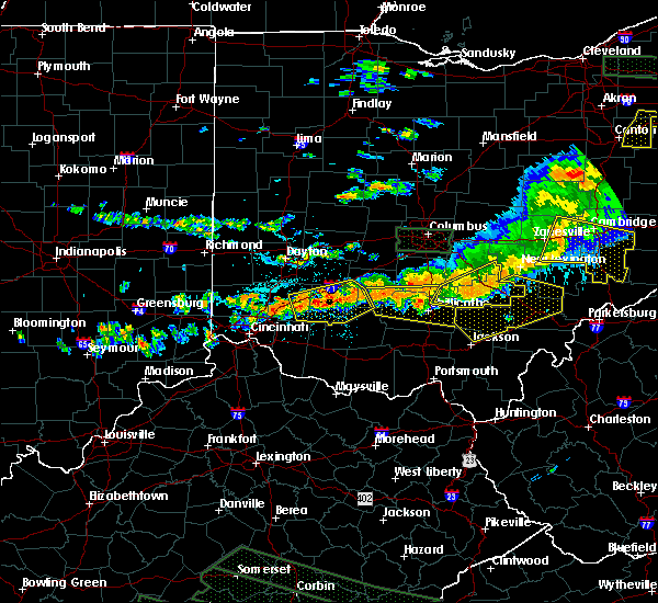 At 330 pm edt, radar indicated severe thunderstorms located along a line extending from near shawnee to 10 miles west of hocking hills state park, moving southeast at 50 mph. storm hazards include, winds to 60 mph, penny size hail, locations impacted include, logan, nelsonville, kingston, hocking hills state park, starr, laurelville, murray city, adelphi, tarlton, south bloomingville, haydenville, buena vista in hocking county, hallsville, carbon hill, enterprise, ilesboro, lake logan state park, gibisonville, whisler and union furnace. At 330 pm edt, radar indicated severe thunderstorms located along a line extending from near shawnee to 10 miles west of hocking hills state park, moving southeast at 50 mph. storm hazards include, winds to 60 mph, penny size hail, locations impacted include, logan, nelsonville, kingston, hocking hills state park, starr, laurelville, murray city, adelphi, tarlton, south bloomingville, haydenville, buena vista in hocking county, hallsville, carbon hill, enterprise, ilesboro, lake logan state park, gibisonville, whisler and union furnace.
|
| 7/14/2015 3:13 PM EDT |
 At 312 pm edt, radar indicated severe thunderstorms located along a line extending from bremen to near logan elm village, moving east at 55 mph. storm hazards include, winds to 60 mph, penny size hail,. At 312 pm edt, radar indicated severe thunderstorms located along a line extending from bremen to near logan elm village, moving east at 55 mph. storm hazards include, winds to 60 mph, penny size hail,.
|
| 5/26/2015 5:11 PM EDT | The severe thunderstorm warning for central hocking county will expire at 515 pm edt, the storm has moved out of the warned area, therefore the severe thunderstorm warning will be allowed to expire. storm spotters reported one tree down near rockbridge earlier with this storm. please report previous wind damage or hail to the national weather service by going to our website at weather.gov/iln and submitting your report via social media. |
| 5/26/2015 4:54 PM EDT | 1 tree down falls township in hocking county OH, 5.6 miles NE of Logan, OH |
| 5/26/2015 4:51 PM EDT | At 450 pm edt, radar continued to indicate a severe thunderstorm located near lake logan state park, moving northeast at 40 mph. storm hazards include, winds to 60 mph, quarter size hail, locations impacted include, logan. in addition, lake logan state park, enterprise, rockbridge and hideaway hills are near the path of this storm. |
| 5/26/2015 4:31 PM EDT | At 430 pm edt, radar indicated a severe thunderstorm located near south bloomingville, moving northeast at 30 mph. storm hazards include, winds to 60 mph, quarter size hail,. |
| 5/11/2015 6:24 PM EDT | The severe thunderstorm warning for hocking and eastern fairfield counties will expire at 630 pm edt, the storms were moving out of the warned area, therefore the severe thunderstorm warning will be allowed to expire. gusty winds and heavy rain are still possible just behind these storms. please report previous wind damage or hail to the national weather service by going to our website at weather.gov/iln and submitting your report via social media. |
| 5/11/2015 6:05 PM EDT | Storm damage reported in hocking county OH, 0.7 miles WSW of Logan, OH |
| 5/11/2015 6:02 PM EDT | At 600 pm edt, radar continued to indicate severe thunderstorms located along a line extending from rushville to logan to hocking hills state park, moving east at 30 mph. storm hazards include, winds to 60 mph, quarter size hail, frequent cloud to ground lightning, locations impacted include, logan. in addition, ilesboro, union furnace, haydenville, starr and carbon hill are near the path of these storms. , 1.00in. |
| 5/11/2015 5:48 PM EDT | At 546 pm edt, radar continued to indicate severe thunderstorms located along a line extending from thurston to rockbridge to linn, moving east at 30 mph. storm hazards include, winds to 60 mph, quarter size hail, frequent cloud to ground lightning, locations impacted include, hocking hills state park, bremen and logan. in addition, fairfield beach, north berne, hideaway hills, enterprise, lake logan state park, west rushville, rushville and ilesboro are near the path of these storms. , 1.00in. |
| 5/11/2015 5:25 PM EDT | At 522 pm edt, radar indicated severe thunderstorms located along a line extending from pickerington to tarlton to omega, moving east at 25 mph. storm hazards include, winds to 60 mph, quarter size hail,. |
| 5/11/2015 5:12 PM EDT | At 510 pm edt, radar continued to indicate severe thunderstorms located along a line extending from royalton to tarlton to omega, moving east at 40 mph. storm hazards include, winds to 60 mph, quarter size hail, frequent cloud to ground lightning, locations impacted include, baltimore, lancaster and hocking hills state park. in addition, amanda, linn, laurelville, adelphi, carroll, us route 22 at state route 159, clearport and buena vista are near the path of these storms. , 1.00in. |
| 5/11/2015 5:01 PM EDT | At 458 pm edt, radar indicated that the severe thunderstorms had strengthened. these storms were located along a line extending from ashville to kingston to pike county airport, moving east at 40 mph. storm hazards include, winds to 60 mph, quarter size hail, frequent cloud to ground lightning, locations impacted include, baltimore, lancaster and hocking hills state park. in addition, scioto trail state park, aw marion state park, slate run metro park, omega, pike county airport, east ringgold, state route 674 at state route 188 and lithopolis are near the path of these storms. , 1.00in. |
| 5/11/2015 4:51 PM EDT | At 448 pm edt, radar indicated severe thunderstorms located along a line extending from darbyville to pickaway county airport to buchanan, moving east at 40 mph. storm hazards include, winds to 60 mph, penny size hail, frequent cloud to ground lightning,. |
| 12/22/2013 12:55 AM EST | Several trees down countywide in hocking county OH, 0.7 miles WSW of Logan, OH |
| 7/10/2013 5:00 PM EDT | Multiple trees down in and around logan in hocking county OH, 0.7 miles WSW of Logan, OH |
| 7/5/2013 12:52 AM EDT | One tree down on scout road in hocking county OH, 2.8 miles W of Logan, OH |
| 7/5/2013 12:36 AM EDT | One tree down on ilesboro road in hocking county OH, 9.8 miles NE of Logan, OH |
| 7/26/2012 5:33 PM EDT | Large tree down on poer lines along monnett roa in hocking county OH, 5.2 miles S of Logan, OH |
| 7/26/2012 5:33 PM EDT | Large tree down on power lines along monnett roa in hocking county OH, 5.2 miles S of Logan, OH |
| 7/1/2012 7:17 PM EDT | Several trees and limbs down throughout the park. time estimated from rada in hocking county OH, 10.8 miles NE of Logan, OH |
| 6/29/2012 5:45 PM EDT | Large tree snapped midway up. numerous large tree branches dow in hocking county OH, 0.7 miles WSW of Logan, OH |
| 6/29/2012 5:45 PM EDT | Numerous trees downed in hocking hills state par in hocking county OH, 10 miles NE of Logan, OH |
| 1/1/0001 12:00 AM | Many trees uprotted/twisted in hocking county OH, 0.7 miles WSW of Logan, OH |
| 1/1/0001 12:00 AM | Trees and wires down in several locations...including sr56...sr374 and chieftain drive. time estimate in hocking county OH, 10.8 miles NE of Logan, OH |
| 1/1/0001 12:00 AM | Trees dow in hocking county OH, 10.8 miles NE of Logan, OH |
| 1/1/0001 12:00 AM | Trees down in logan and north and south of loga in hocking county OH, 0.7 miles WSW of Logan, OH |
| 1/1/0001 12:00 AM | Numerous trees downed on marysville-williams roa in hocking county OH, 3.5 miles WSW of Logan, OH |
| 1/1/0001 12:00 AM | 20 trees down in hocking county OH, 0.7 miles WSW of Logan, OH |
Hail Maps for Logan, OH


Connect with Interactive Hail Maps