

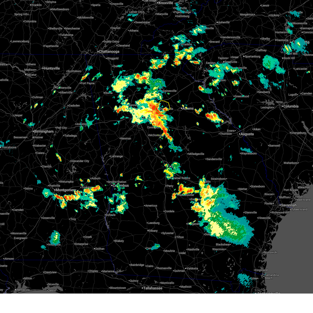
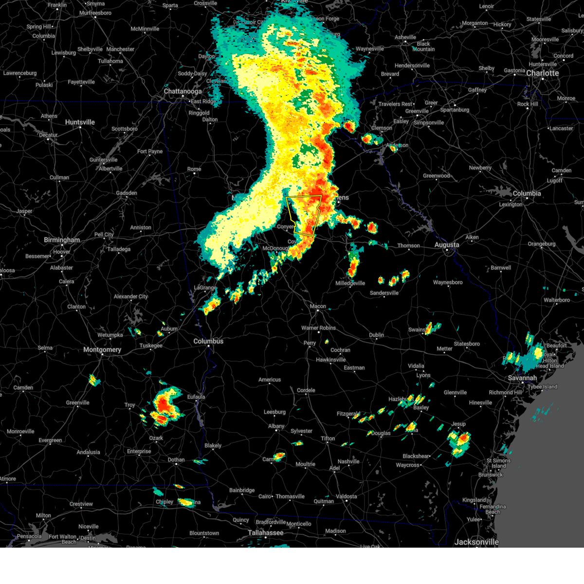
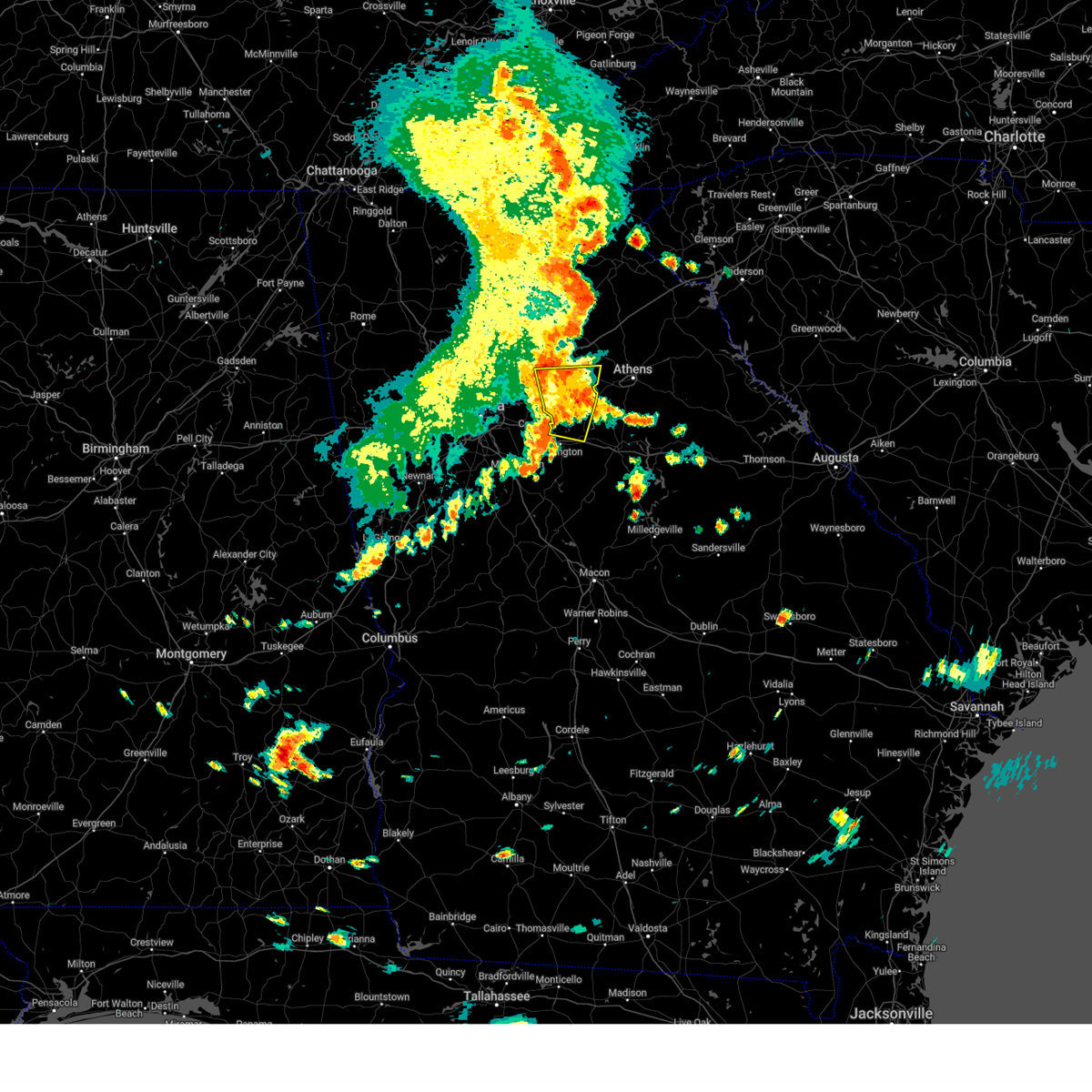
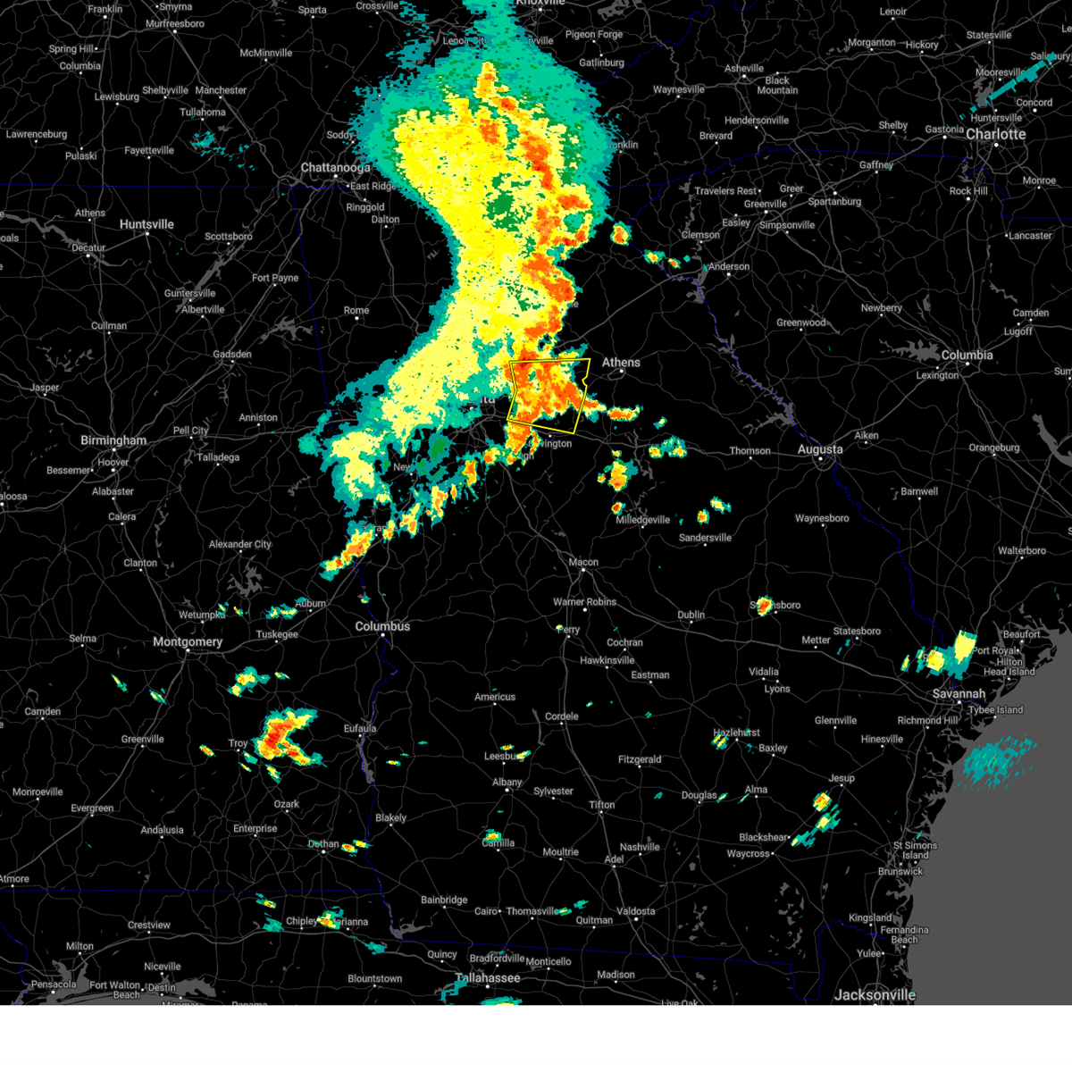
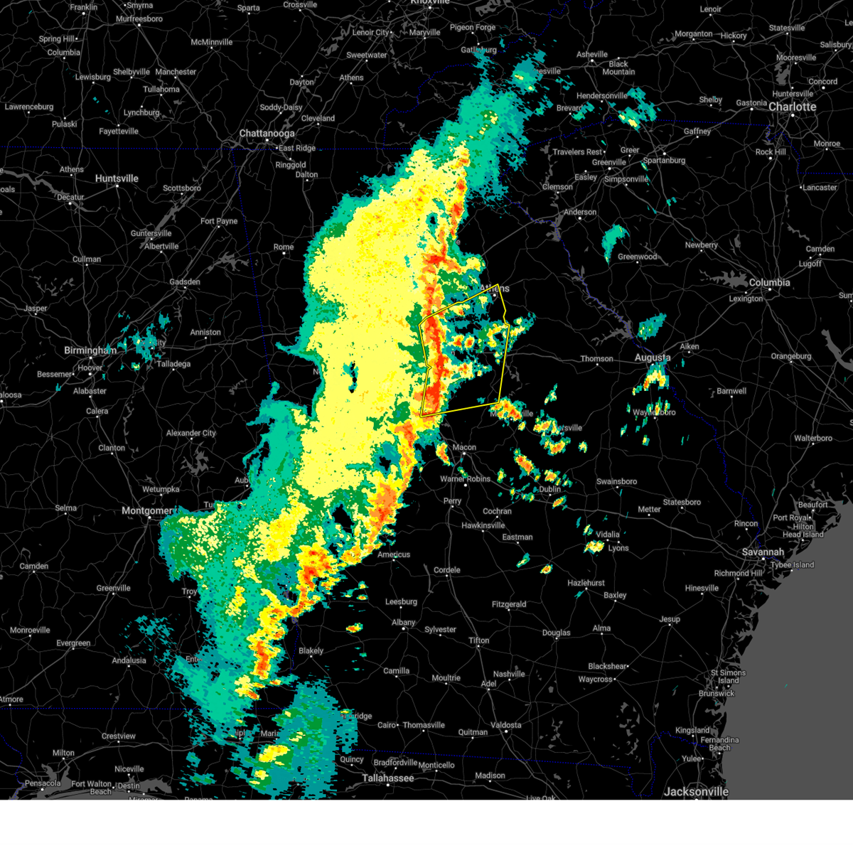
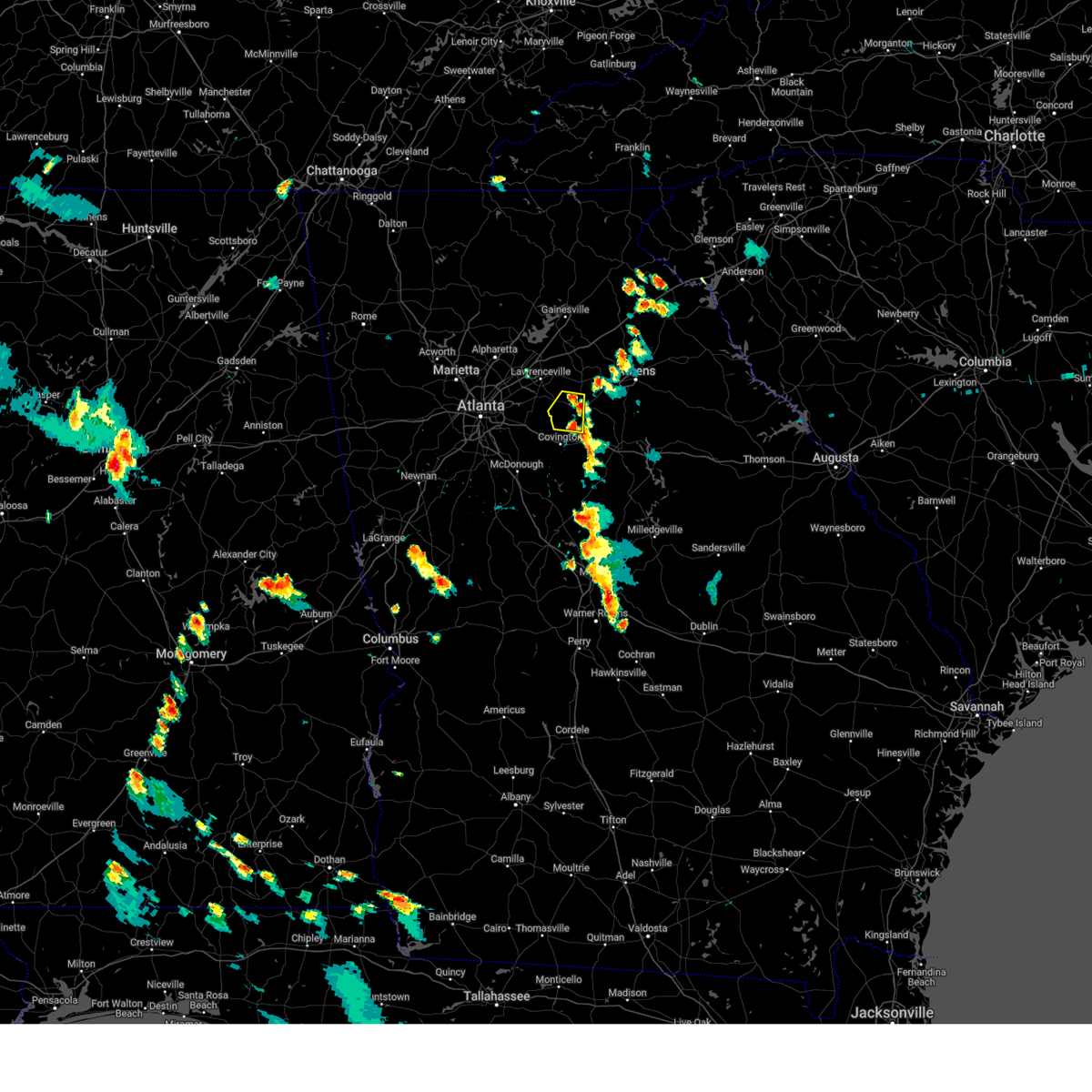
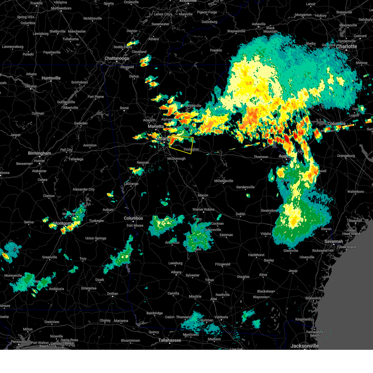
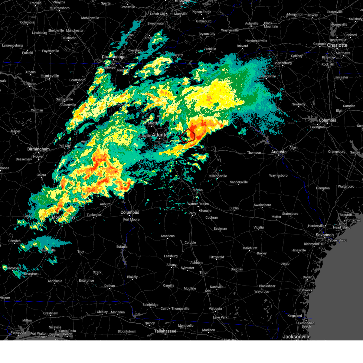
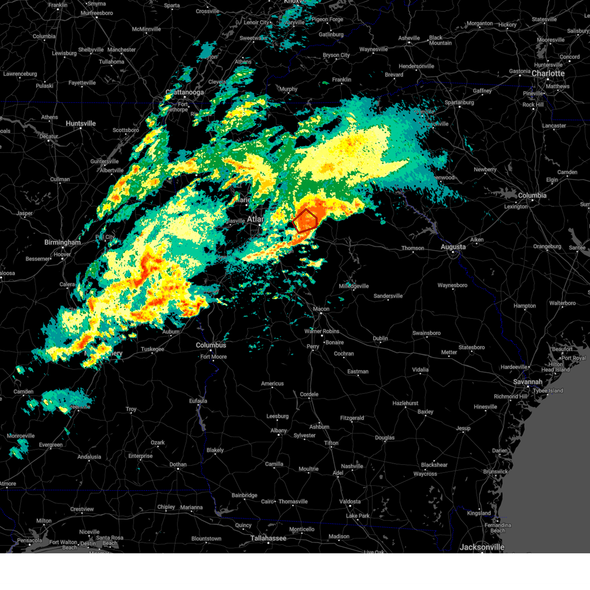
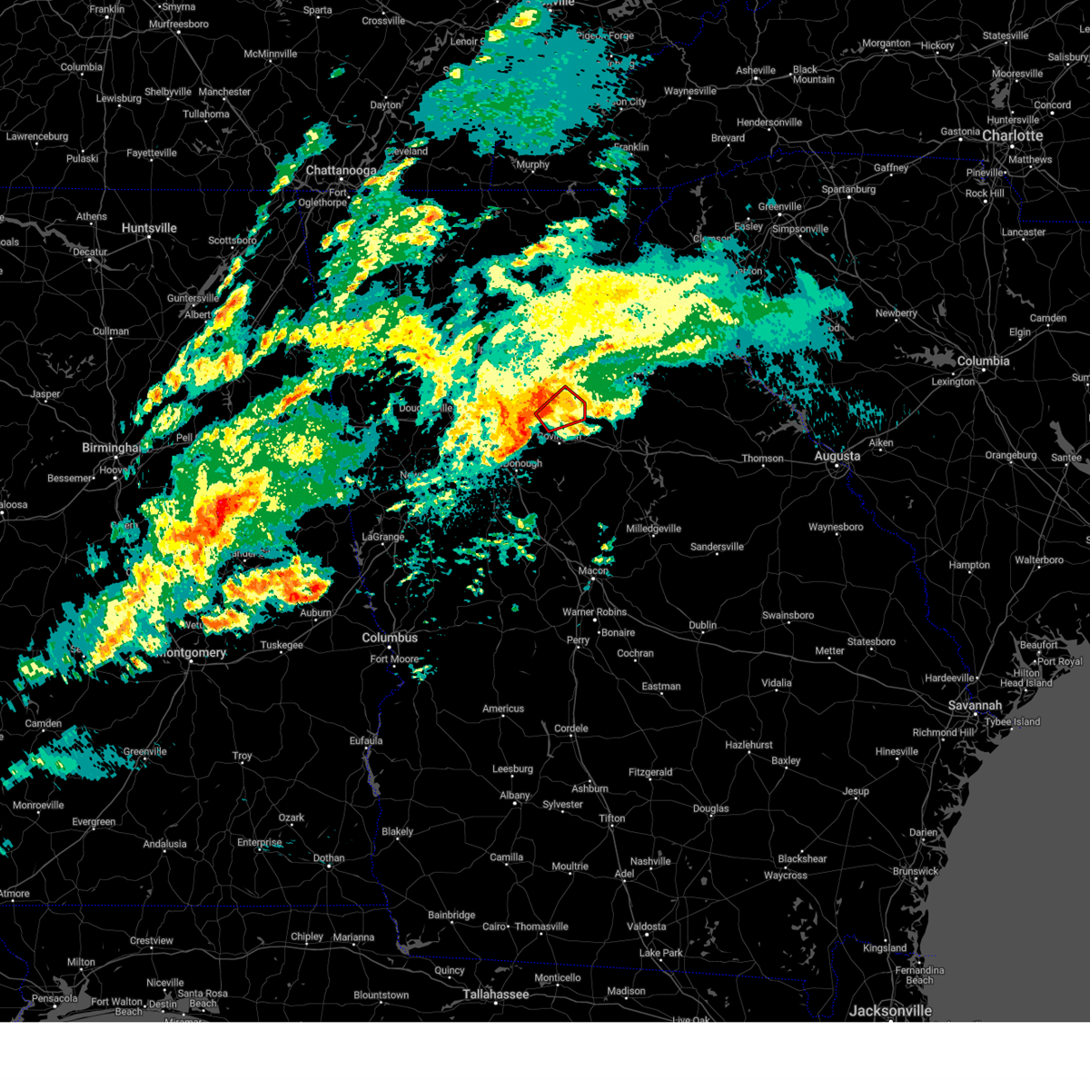
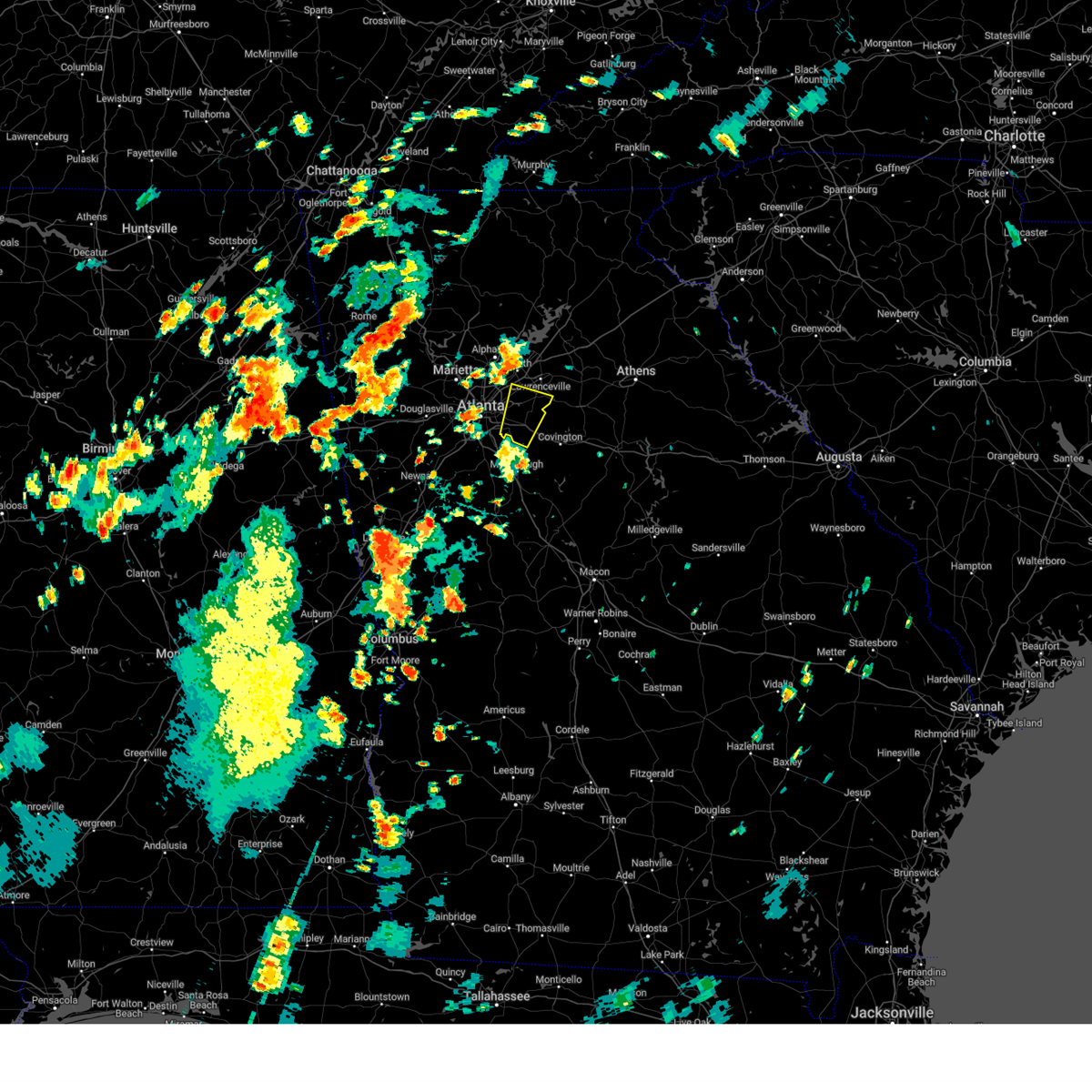
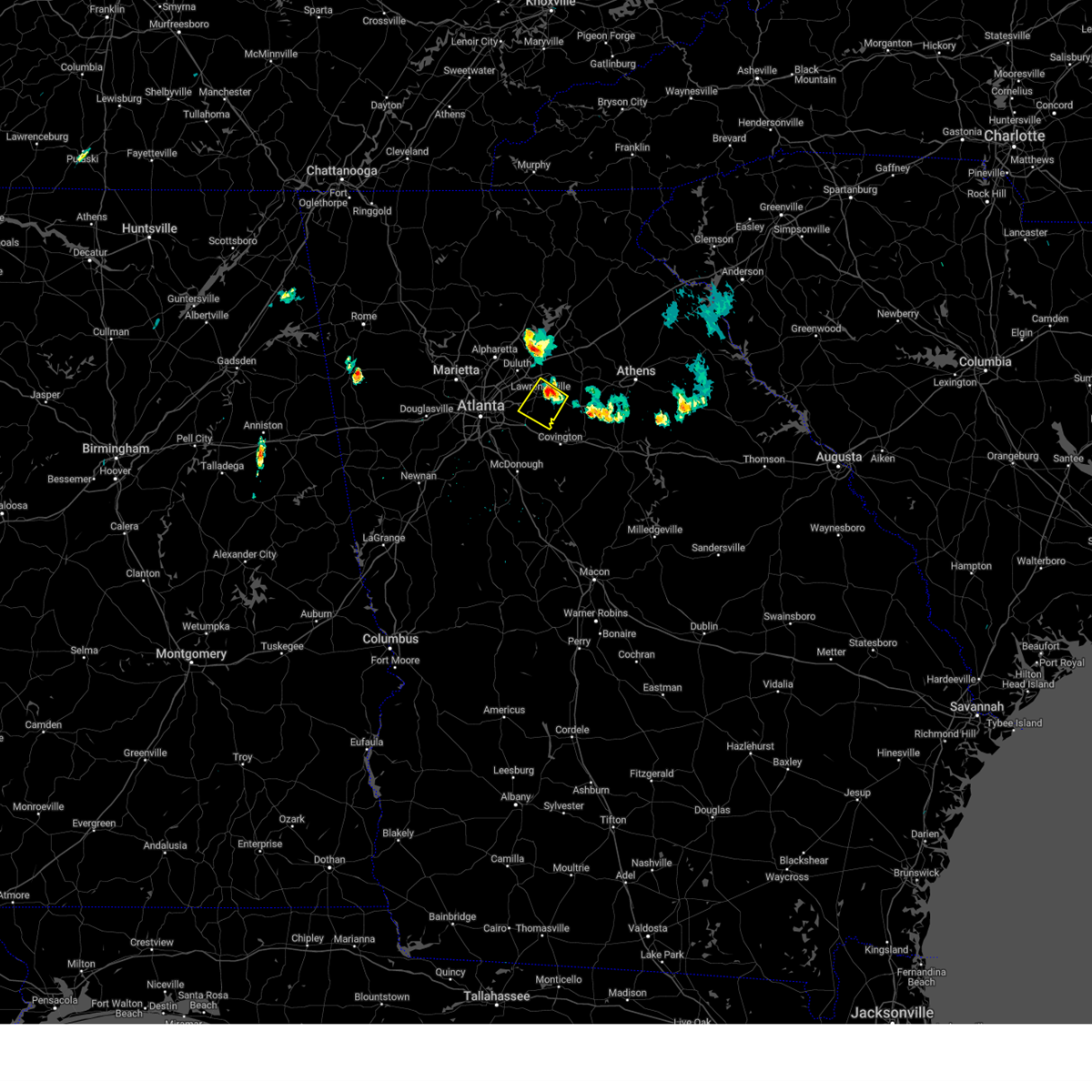
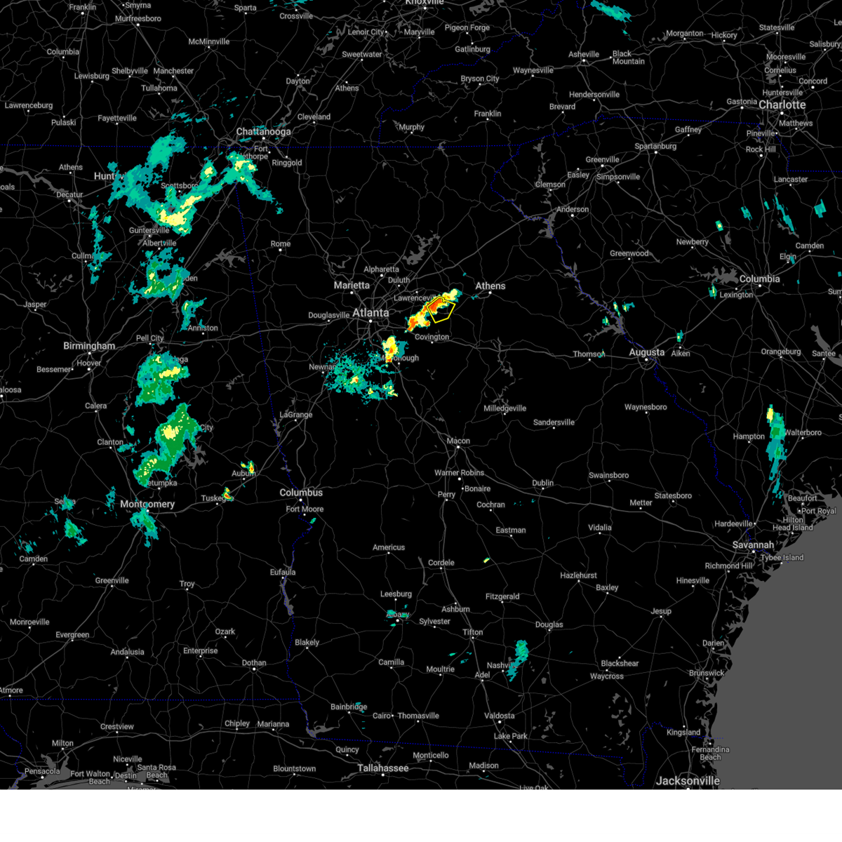
Hail Map for Loganville, GA
The Loganville, GA area has had 5 reports of on-the-ground hail by trained spotters, and has been under severe weather warnings 19 times during the past 12 months. Doppler radar has detected hail at or near Loganville, GA on 34 occasions, including 4 occasions during the past year.
| Name: | Loganville, GA |
| Where Located: | 29.1 miles ENE of Atlanta, GA |
| Map: | Google Map for Loganville, GA |
| Population: | 10458 |
| Housing Units: | 4176 |
| More Info: | Search Google for Loganville, GA |
2
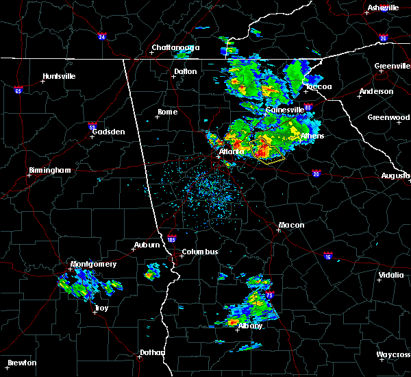
The Top Recent Hail Date for Loganville, GA is Thursday, August 29, 2024 (6th out of 34)

Hail and Wind Damage Spotted near Loganville, GA
| Date / Time | Report Details |
|---|---|
| 6/12/2025 8:42 PM EDT |
 Svrffc the national weather service in peachtree city has issued a * severe thunderstorm warning for, barrow county in north central georgia, east central gwinnett county in north central georgia, northwestern walton county in north central georgia, west central jackson county in northeastern georgia, * until 915 pm edt. * at 842 pm edt, a severe thunderstorm was located over harbin, or near lawrenceville, moving northeast at 25 mph (radar indicated). Hazards include 60 mph wind gusts. expect damage to roofs, siding, and trees Svrffc the national weather service in peachtree city has issued a * severe thunderstorm warning for, barrow county in north central georgia, east central gwinnett county in north central georgia, northwestern walton county in north central georgia, west central jackson county in northeastern georgia, * until 915 pm edt. * at 842 pm edt, a severe thunderstorm was located over harbin, or near lawrenceville, moving northeast at 25 mph (radar indicated). Hazards include 60 mph wind gusts. expect damage to roofs, siding, and trees
|
| 6/10/2025 4:29 PM EDT | Svrffc the national weather service in peachtree city has issued a * severe thunderstorm warning for, northeastern rockdale county in north central georgia, central walton county in north central georgia, northeastern newton county in north central georgia, * until 500 pm edt. * at 429 pm edt, a severe thunderstorm was located over gum creek, or 7 miles north of covington, moving east at 30 mph (radar indicated). Hazards include 60 mph wind gusts and quarter size hail. Hail damage to vehicles is expected. Expect wind damage to roofs, siding, and trees. |
| 6/7/2025 6:38 PM EDT |
 The storm which prompted the warning has moved out of the area. therefore, the warning will be allowed to expire. a severe thunderstorm watch remains in effect until 900 pm edt for north central and northeastern georgia. remember, a severe thunderstorm warning still remains in effect for barrow, walton, eastern gwinnett, and northeast newton counties. The storm which prompted the warning has moved out of the area. therefore, the warning will be allowed to expire. a severe thunderstorm watch remains in effect until 900 pm edt for north central and northeastern georgia. remember, a severe thunderstorm warning still remains in effect for barrow, walton, eastern gwinnett, and northeast newton counties.
|
| 6/7/2025 6:27 PM EDT |
 At 626 pm edt, a severe thunderstorm was located over nicholasville, or near monroe, moving east at 50 mph (radar indicated). Hazards include 60 mph wind gusts. Expect damage to roofs, siding, and trees. Locations impacted include, lawrenceville, winder, monroe, covington, snellville, loganville, auburn, dacula, social circle, grayson, statham, oxford, walnut grove, bethlehem, between, carl, jersey, fort yargo state park, windsor, and harbin. At 626 pm edt, a severe thunderstorm was located over nicholasville, or near monroe, moving east at 50 mph (radar indicated). Hazards include 60 mph wind gusts. Expect damage to roofs, siding, and trees. Locations impacted include, lawrenceville, winder, monroe, covington, snellville, loganville, auburn, dacula, social circle, grayson, statham, oxford, walnut grove, bethlehem, between, carl, jersey, fort yargo state park, windsor, and harbin.
|
| 6/7/2025 6:27 PM EDT |
 the severe thunderstorm warning has been cancelled and is no longer in effect the severe thunderstorm warning has been cancelled and is no longer in effect
|
| 6/7/2025 6:18 PM EDT |
 At 617 pm edt, a severe thunderstorm was located over loganville, or 7 miles southeast of lawrenceville, moving east at 50 mph (radar indicated). Hazards include 60 mph wind gusts. Expect damage to roofs, siding, and trees. Locations impacted include, lawrenceville, conyers, winder, monroe, covington, duluth, snellville, loganville, auburn, dacula, social circle, grayson, statham, oxford, lithonia, walnut grove, bethlehem, between, carl, and jersey. At 617 pm edt, a severe thunderstorm was located over loganville, or 7 miles southeast of lawrenceville, moving east at 50 mph (radar indicated). Hazards include 60 mph wind gusts. Expect damage to roofs, siding, and trees. Locations impacted include, lawrenceville, conyers, winder, monroe, covington, duluth, snellville, loganville, auburn, dacula, social circle, grayson, statham, oxford, lithonia, walnut grove, bethlehem, between, carl, and jersey.
|
| 6/7/2025 6:13 PM EDT |
 At 613 pm edt, a severe thunderstorm was located over snellville, or near lawrenceville, moving east at 50 mph (radar indicated). Hazards include 60 mph wind gusts. Expect damage to roofs, siding, and trees. Locations impacted include, lawrenceville, conyers, winder, monroe, covington, peachtree corners, duluth, snellville, lilburn, loganville, norcross, clarkston, auburn, stone mountain, dacula, social circle, grayson, statham, oxford, and lithonia. At 613 pm edt, a severe thunderstorm was located over snellville, or near lawrenceville, moving east at 50 mph (radar indicated). Hazards include 60 mph wind gusts. Expect damage to roofs, siding, and trees. Locations impacted include, lawrenceville, conyers, winder, monroe, covington, peachtree corners, duluth, snellville, lilburn, loganville, norcross, clarkston, auburn, stone mountain, dacula, social circle, grayson, statham, oxford, and lithonia.
|
| 6/7/2025 6:13 PM EDT |
 the severe thunderstorm warning has been cancelled and is no longer in effect the severe thunderstorm warning has been cancelled and is no longer in effect
|
| 6/7/2025 6:12 PM EDT |
 Svrffc the national weather service in peachtree city has issued a * severe thunderstorm warning for, oconee county in northeastern georgia, barrow county in north central georgia, northwestern morgan county in north central georgia, east central gwinnett county in north central georgia, clarke county in northeastern georgia, walton county in north central georgia, southern jackson county in northeastern georgia, western oglethorpe county in northeastern georgia, southwestern madison county in northeastern georgia, * until 700 pm edt. * at 612 pm edt, severe thunderstorms were located along a line extending from lawrenceville to near ebenezer, moving east at 60 mph (radar indicated). Hazards include 60 mph wind gusts. expect damage to roofs, siding, and trees Svrffc the national weather service in peachtree city has issued a * severe thunderstorm warning for, oconee county in northeastern georgia, barrow county in north central georgia, northwestern morgan county in north central georgia, east central gwinnett county in north central georgia, clarke county in northeastern georgia, walton county in north central georgia, southern jackson county in northeastern georgia, western oglethorpe county in northeastern georgia, southwestern madison county in northeastern georgia, * until 700 pm edt. * at 612 pm edt, severe thunderstorms were located along a line extending from lawrenceville to near ebenezer, moving east at 60 mph (radar indicated). Hazards include 60 mph wind gusts. expect damage to roofs, siding, and trees
|
| 6/7/2025 5:55 PM EDT |
 Svrffc the national weather service in peachtree city has issued a * severe thunderstorm warning for, northeastern rockdale county in north central georgia, barrow county in north central georgia, dekalb county in north central georgia, eastern cobb county in north central georgia, gwinnett county in north central georgia, walton county in north central georgia, central fulton county in north central georgia, northeastern newton county in north central georgia, * until 645 pm edt. * at 555 pm edt, a severe thunderstorm was located over tucker, or near decatur, moving east at 50 mph (radar indicated). Hazards include 60 mph wind gusts. expect damage to roofs, siding, and trees Svrffc the national weather service in peachtree city has issued a * severe thunderstorm warning for, northeastern rockdale county in north central georgia, barrow county in north central georgia, dekalb county in north central georgia, eastern cobb county in north central georgia, gwinnett county in north central georgia, walton county in north central georgia, central fulton county in north central georgia, northeastern newton county in north central georgia, * until 645 pm edt. * at 555 pm edt, a severe thunderstorm was located over tucker, or near decatur, moving east at 50 mph (radar indicated). Hazards include 60 mph wind gusts. expect damage to roofs, siding, and trees
|
| 3/31/2025 1:55 PM EDT | Powerlines down at emmett still road and park stree in walton county GA, 5.9 miles NNW of Loganville, GA |
| 3/31/2025 1:50 PM EDT | Powerlines down along center hill church roa in walton county GA, 3.9 miles NE of Loganville, GA |
| 3/31/2025 1:45 PM EDT | Tree down at the intersection of highway 20 and mccullers roa in walton county GA, 3 miles ENE of Loganville, GA |
| 3/31/2025 1:41 PM EDT | Tree down at the intersection of center hill church road sw and mcculler roa in walton county GA, 3.9 miles NE of Loganville, GA |
| 3/31/2025 1:38 PM EDT |
 the severe thunderstorm warning has been cancelled and is no longer in effect the severe thunderstorm warning has been cancelled and is no longer in effect
|
| 3/31/2025 1:38 PM EDT |
 At 138 pm edt, severe thunderstorms were located along a line extending from youth to near starrsville to near berner, moving east at 55 mph (radar indicated). Hazards include 60 mph wind gusts. Expect damage to roofs, siding, and trees. Locations impacted include, beechwood hills, turtle cove, oconee heights, eastville, nicholasville, jackson, big haynes creek park, greshamville, barretts mill, covington, eudora, mcelheneys crossroads, jersey, watkinsville, whitehall, james holland youth sports cmpx, ebenezer, harmony, almon, and between. At 138 pm edt, severe thunderstorms were located along a line extending from youth to near starrsville to near berner, moving east at 55 mph (radar indicated). Hazards include 60 mph wind gusts. Expect damage to roofs, siding, and trees. Locations impacted include, beechwood hills, turtle cove, oconee heights, eastville, nicholasville, jackson, big haynes creek park, greshamville, barretts mill, covington, eudora, mcelheneys crossroads, jersey, watkinsville, whitehall, james holland youth sports cmpx, ebenezer, harmony, almon, and between.
|
| 3/31/2025 1:23 PM EDT |
 Svrffc the national weather service in peachtree city has issued a * severe thunderstorm warning for, southeastern dekalb county in north central georgia, clarke county in northeastern georgia, northwestern monroe county in central georgia, butts county in central georgia, newton county in north central georgia, rockdale county in north central georgia, oconee county in northeastern georgia, morgan county in north central georgia, putnam county in central georgia, southeastern henry county in north central georgia, walton county in north central georgia, northwestern greene county in east central georgia, jasper county in central georgia, northeastern lamar county in west central georgia, * until 215 pm edt. * at 123 pm edt, severe thunderstorms were located along a line extending from near lithonia to oak hill to jenkinsburg, moving east at 65 mph (radar indicated). Hazards include 60 mph wind gusts. expect damage to roofs, siding, and trees Svrffc the national weather service in peachtree city has issued a * severe thunderstorm warning for, southeastern dekalb county in north central georgia, clarke county in northeastern georgia, northwestern monroe county in central georgia, butts county in central georgia, newton county in north central georgia, rockdale county in north central georgia, oconee county in northeastern georgia, morgan county in north central georgia, putnam county in central georgia, southeastern henry county in north central georgia, walton county in north central georgia, northwestern greene county in east central georgia, jasper county in central georgia, northeastern lamar county in west central georgia, * until 215 pm edt. * at 123 pm edt, severe thunderstorms were located along a line extending from near lithonia to oak hill to jenkinsburg, moving east at 65 mph (radar indicated). Hazards include 60 mph wind gusts. expect damage to roofs, siding, and trees
|
| 2/16/2025 5:02 AM EST | At 502 am est, severe thunderstorms were located along a line extending from near hog mountain to near lakeview estates to lovejoy, moving east at 55 mph (radar indicated). Hazards include 60 mph wind gusts. Expect damage to roofs, siding, and trees. Locations impacted include, lawrenceville, mcdonough, conyers, winder, stockbridge, sugar hill, snellville, suwanee, buford, lilburn, loganville, braselton, hampton, auburn, lovejoy, stone mountain, dacula, grayson, lithonia, and hoschton. |
| 2/16/2025 5:02 AM EST | the severe thunderstorm warning has been cancelled and is no longer in effect |
| 2/16/2025 4:48 AM EST |
 Svrffc the national weather service in peachtree city has issued a * severe thunderstorm warning for, southeastern dekalb county in north central georgia, gwinnett county in north central georgia, clarke county in northeastern georgia, northeastern butts county in central georgia, southwestern hall county in north central georgia, southern jackson county in northeastern georgia, newton county in north central georgia, rockdale county in north central georgia, oconee county in northeastern georgia, barrow county in north central georgia, western morgan county in north central georgia, henry county in north central georgia, walton county in north central georgia, eastern clayton county in north central georgia, northern jasper county in central georgia, * until 530 am est. * at 447 am est, severe thunderstorms were located along a line extending from near hog mountain to atlanta motor speedway, moving east at 65 mph (radar indicated). Hazards include 60 mph wind gusts. expect damage to roofs, siding, and trees Svrffc the national weather service in peachtree city has issued a * severe thunderstorm warning for, southeastern dekalb county in north central georgia, gwinnett county in north central georgia, clarke county in northeastern georgia, northeastern butts county in central georgia, southwestern hall county in north central georgia, southern jackson county in northeastern georgia, newton county in north central georgia, rockdale county in north central georgia, oconee county in northeastern georgia, barrow county in north central georgia, western morgan county in north central georgia, henry county in north central georgia, walton county in north central georgia, eastern clayton county in north central georgia, northern jasper county in central georgia, * until 530 am est. * at 447 am est, severe thunderstorms were located along a line extending from near hog mountain to atlanta motor speedway, moving east at 65 mph (radar indicated). Hazards include 60 mph wind gusts. expect damage to roofs, siding, and trees
|
| 2/16/2025 4:25 AM EST |
 Svrffc the national weather service in peachtree city has issued a * severe thunderstorm warning for, rockdale county in north central georgia, western barrow county in north central georgia, dekalb county in north central georgia, fayette county in north central georgia, southwestern forsyth county in north central georgia, eastern cobb county in north central georgia, gwinnett county in north central georgia, henry county in north central georgia, northwestern walton county in north central georgia, northern coweta county in west central georgia, fulton county in north central georgia, clayton county in north central georgia, * until 515 am est. * at 424 am est, severe thunderstorms were located along a line extending from near roswell to near six flags over georgia to dunaway gardens, moving east at 55 mph (radar indicated). Hazards include 60 mph wind gusts. expect damage to roofs, siding, and trees Svrffc the national weather service in peachtree city has issued a * severe thunderstorm warning for, rockdale county in north central georgia, western barrow county in north central georgia, dekalb county in north central georgia, fayette county in north central georgia, southwestern forsyth county in north central georgia, eastern cobb county in north central georgia, gwinnett county in north central georgia, henry county in north central georgia, northwestern walton county in north central georgia, northern coweta county in west central georgia, fulton county in north central georgia, clayton county in north central georgia, * until 515 am est. * at 424 am est, severe thunderstorms were located along a line extending from near roswell to near six flags over georgia to dunaway gardens, moving east at 55 mph (radar indicated). Hazards include 60 mph wind gusts. expect damage to roofs, siding, and trees
|
| 8/29/2024 7:27 PM EDT |
 At 727 pm edt, a severe thunderstorm was located over youth, or 7 miles west of monroe, moving west at 10 mph (radar indicated). Hazards include 60 mph wind gusts. Expect damage to roofs, siding, and trees. Locations impacted include, loganville, walnut grove, between, jersey, windsor, gum creek, and youth. At 727 pm edt, a severe thunderstorm was located over youth, or 7 miles west of monroe, moving west at 10 mph (radar indicated). Hazards include 60 mph wind gusts. Expect damage to roofs, siding, and trees. Locations impacted include, loganville, walnut grove, between, jersey, windsor, gum creek, and youth.
|
| 8/29/2024 7:05 PM EDT |
 Svrffc the national weather service in peachtree city has issued a * severe thunderstorm warning for, central walton county in north central georgia, north central newton county in north central georgia, * until 745 pm edt. * at 705 pm edt, a severe thunderstorm was located over between, or near monroe, moving west at 10 mph (radar indicated). Hazards include 60 mph wind gusts. expect damage to roofs, siding, and trees Svrffc the national weather service in peachtree city has issued a * severe thunderstorm warning for, central walton county in north central georgia, north central newton county in north central georgia, * until 745 pm edt. * at 705 pm edt, a severe thunderstorm was located over between, or near monroe, moving west at 10 mph (radar indicated). Hazards include 60 mph wind gusts. expect damage to roofs, siding, and trees
|
| 7/7/2024 8:58 PM EDT |
 Svrffc the national weather service in peachtree city has issued a * severe thunderstorm warning for, rockdale county in north central georgia, southern dekalb county in north central georgia, south central gwinnett county in north central georgia, west central walton county in north central georgia, northwestern newton county in north central georgia, * until 945 pm edt. * at 858 pm edt, a severe thunderstorm was located over redan, or near decatur, moving east at 15 mph (radar indicated). Hazards include 60 mph wind gusts and penny size hail. expect damage to roofs, siding, and trees Svrffc the national weather service in peachtree city has issued a * severe thunderstorm warning for, rockdale county in north central georgia, southern dekalb county in north central georgia, south central gwinnett county in north central georgia, west central walton county in north central georgia, northwestern newton county in north central georgia, * until 945 pm edt. * at 858 pm edt, a severe thunderstorm was located over redan, or near decatur, moving east at 15 mph (radar indicated). Hazards include 60 mph wind gusts and penny size hail. expect damage to roofs, siding, and trees
|
| 5/27/2024 9:22 AM EDT |
 the severe thunderstorm warning has been cancelled and is no longer in effect the severe thunderstorm warning has been cancelled and is no longer in effect
|
| 5/27/2024 9:22 AM EDT |
 At 921 am edt, severe thunderstorms were located along a line extending from near windsor to near jersey to near stewart, moving east at 60 mph (radar indicated). Hazards include 60 mph wind gusts. Expect damage to roofs, siding, and trees. Locations impacted include, winder, monroe, covington, loganville, auburn, social circle, oxford, porterdale, walnut grove, bethlehem, mansfield, between, carl, jersey, fort yargo state park, windsor, harbin, nicholasville, pannell, and bold springs. At 921 am edt, severe thunderstorms were located along a line extending from near windsor to near jersey to near stewart, moving east at 60 mph (radar indicated). Hazards include 60 mph wind gusts. Expect damage to roofs, siding, and trees. Locations impacted include, winder, monroe, covington, loganville, auburn, social circle, oxford, porterdale, walnut grove, bethlehem, mansfield, between, carl, jersey, fort yargo state park, windsor, harbin, nicholasville, pannell, and bold springs.
|
| 5/27/2024 9:09 AM EDT |
 Svrffc the national weather service in peachtree city has issued a * severe thunderstorm warning for, rockdale county in north central georgia, southwestern barrow county in north central georgia, southeastern dekalb county in north central georgia, southern gwinnett county in north central georgia, southeastern henry county in north central georgia, walton county in north central georgia, newton county in north central georgia, * until 945 am edt. * at 908 am edt, severe thunderstorms were located along a line extending from near stone mountain to near magnet to near locust grove, moving northeast at 55 mph (radar indicated). Hazards include 60 mph wind gusts. expect damage to roofs, siding, and trees Svrffc the national weather service in peachtree city has issued a * severe thunderstorm warning for, rockdale county in north central georgia, southwestern barrow county in north central georgia, southeastern dekalb county in north central georgia, southern gwinnett county in north central georgia, southeastern henry county in north central georgia, walton county in north central georgia, newton county in north central georgia, * until 945 am edt. * at 908 am edt, severe thunderstorms were located along a line extending from near stone mountain to near magnet to near locust grove, moving northeast at 55 mph (radar indicated). Hazards include 60 mph wind gusts. expect damage to roofs, siding, and trees
|
| 5/27/2024 9:01 AM EDT |
 At 901 am edt, severe thunderstorms were located along a line extending from rosebud to near kelleytown to zetella, moving east at 50 mph (radar indicated). Hazards include 60 mph wind gusts and penny size hail. Expect damage to roofs, siding, and trees. Locations impacted include, atlanta, griffin, mcdonough, decatur, conyers, jonesboro, stockbridge, forest park, snellville, riverdale, college park, lilburn, loganville, chamblee, doraville, clarkston, hampton, morrow, lovejoy, and stone mountain. At 901 am edt, severe thunderstorms were located along a line extending from rosebud to near kelleytown to zetella, moving east at 50 mph (radar indicated). Hazards include 60 mph wind gusts and penny size hail. Expect damage to roofs, siding, and trees. Locations impacted include, atlanta, griffin, mcdonough, decatur, conyers, jonesboro, stockbridge, forest park, snellville, riverdale, college park, lilburn, loganville, chamblee, doraville, clarkston, hampton, morrow, lovejoy, and stone mountain.
|
| 5/27/2024 9:01 AM EDT |
 the severe thunderstorm warning has been cancelled and is no longer in effect the severe thunderstorm warning has been cancelled and is no longer in effect
|
| 5/27/2024 8:52 AM EDT |
 At 850 am edt, severe thunderstorms were located along a line extending from near stone mountain to near hidden valley park to digbey, moving east at 50 mph (radar indicated). Hazards include 60 mph wind gusts and penny size hail. Expect damage to roofs, siding, and trees. Locations impacted include, atlanta, douglasville, griffin, mcdonough, decatur, fayetteville, conyers, jonesboro, city of south fulton, peachtree city, east point, stockbridge, union city, forest park, snellville, riverdale, college park, fairburn, lilburn, and loganville. At 850 am edt, severe thunderstorms were located along a line extending from near stone mountain to near hidden valley park to digbey, moving east at 50 mph (radar indicated). Hazards include 60 mph wind gusts and penny size hail. Expect damage to roofs, siding, and trees. Locations impacted include, atlanta, douglasville, griffin, mcdonough, decatur, fayetteville, conyers, jonesboro, city of south fulton, peachtree city, east point, stockbridge, union city, forest park, snellville, riverdale, college park, fairburn, lilburn, and loganville.
|
| 5/27/2024 8:52 AM EDT |
 the severe thunderstorm warning has been cancelled and is no longer in effect the severe thunderstorm warning has been cancelled and is no longer in effect
|
| 5/27/2024 8:27 AM EDT |
 Svrffc the national weather service in peachtree city has issued a * severe thunderstorm warning for, rockdale county in north central georgia, spalding county in west central georgia, dekalb county in north central georgia, fayette county in north central georgia, southeastern cobb county in north central georgia, east central douglas county in north central georgia, southern gwinnett county in north central georgia, henry county in north central georgia, coweta county in west central georgia, south central fulton county in north central georgia, clayton county in north central georgia, * until 915 am edt. * at 827 am edt, severe thunderstorms were located along a line extending from bolton to union city to grantville, moving east at 50 mph (radar indicated). Hazards include 60 mph wind gusts and penny size hail. expect damage to roofs, siding, and trees Svrffc the national weather service in peachtree city has issued a * severe thunderstorm warning for, rockdale county in north central georgia, spalding county in west central georgia, dekalb county in north central georgia, fayette county in north central georgia, southeastern cobb county in north central georgia, east central douglas county in north central georgia, southern gwinnett county in north central georgia, henry county in north central georgia, coweta county in west central georgia, south central fulton county in north central georgia, clayton county in north central georgia, * until 915 am edt. * at 827 am edt, severe thunderstorms were located along a line extending from bolton to union city to grantville, moving east at 50 mph (radar indicated). Hazards include 60 mph wind gusts and penny size hail. expect damage to roofs, siding, and trees
|
| 5/9/2024 8:40 AM EDT | Power line downed on carriage way off of hwy 8 in walton county GA, 5.2 miles NNW of Loganville, GA |
| 4/3/2024 12:27 AM EDT |
 the tornado warning has been cancelled and is no longer in effect the tornado warning has been cancelled and is no longer in effect
|
| 4/3/2024 12:14 AM EDT |
 At 1214 am edt, a severe thunderstorm capable of producing a tornado was located over walnut grove, or 9 miles west of monroe, moving northeast at 35 mph (radar indicated rotation). Hazards include tornado. Flying debris will be dangerous to those caught without shelter. mobile homes will be damaged or destroyed. damage to roofs, windows, and vehicles will occur. tree damage is likely. Locations impacted include, monroe, loganville, walnut grove, between, jersey, windsor, gum creek, youth, and big haynes creek park. At 1214 am edt, a severe thunderstorm capable of producing a tornado was located over walnut grove, or 9 miles west of monroe, moving northeast at 35 mph (radar indicated rotation). Hazards include tornado. Flying debris will be dangerous to those caught without shelter. mobile homes will be damaged or destroyed. damage to roofs, windows, and vehicles will occur. tree damage is likely. Locations impacted include, monroe, loganville, walnut grove, between, jersey, windsor, gum creek, youth, and big haynes creek park.
|
| 4/3/2024 12:01 AM EDT |
 Torffc the national weather service in peachtree city has issued a * tornado warning for, northeastern rockdale county in north central georgia, northwestern walton county in north central georgia, north central newton county in north central georgia, * until 1245 am edt. * at 1201 am edt, a tornado producing storm was located over milstead, or over conyers, moving northeast at 35 mph (radar confirmed tornado). Hazards include damaging tornado. Flying debris will be dangerous to those caught without shelter. mobile homes will be damaged or destroyed. damage to roofs, windows, and vehicles will occur. Tree damage is likely. Torffc the national weather service in peachtree city has issued a * tornado warning for, northeastern rockdale county in north central georgia, northwestern walton county in north central georgia, north central newton county in north central georgia, * until 1245 am edt. * at 1201 am edt, a tornado producing storm was located over milstead, or over conyers, moving northeast at 35 mph (radar confirmed tornado). Hazards include damaging tornado. Flying debris will be dangerous to those caught without shelter. mobile homes will be damaged or destroyed. damage to roofs, windows, and vehicles will occur. Tree damage is likely.
|
| 2/28/2024 3:50 PM EST | Tree down... blocking one lane of traffic on hwy 78 near the intersection of cown r in walton county GA, 3.7 miles W of Loganville, GA |
| 2/28/2024 3:46 PM EST | Tree down at the intersection of center hill church rd and mccullers r in walton county GA, 3.9 miles NE of Loganville, GA |
| 2/28/2024 3:41 PM EST |
 Svrffc the national weather service in peachtree city has issued a * severe thunderstorm warning for, northeastern rockdale county in north central georgia, oconee county in northeastern georgia, barrow county in north central georgia, northwestern morgan county in north central georgia, southeastern gwinnett county in north central georgia, clarke county in northeastern georgia, walton county in north central georgia, southern jackson county in northeastern georgia, northwestern oglethorpe county in northeastern georgia, northeastern newton county in north central georgia, * until 430 pm est. * at 340 pm est, severe thunderstorms were located along a line extending from county line to near loganville to near rosebud, moving east at 45 mph (radar indicated). Hazards include 70 mph wind gusts. Expect considerable tree damage. Damage is likely to mobile homes, roofs, and outbuildings. Svrffc the national weather service in peachtree city has issued a * severe thunderstorm warning for, northeastern rockdale county in north central georgia, oconee county in northeastern georgia, barrow county in north central georgia, northwestern morgan county in north central georgia, southeastern gwinnett county in north central georgia, clarke county in northeastern georgia, walton county in north central georgia, southern jackson county in northeastern georgia, northwestern oglethorpe county in northeastern georgia, northeastern newton county in north central georgia, * until 430 pm est. * at 340 pm est, severe thunderstorms were located along a line extending from county line to near loganville to near rosebud, moving east at 45 mph (radar indicated). Hazards include 70 mph wind gusts. Expect considerable tree damage. Damage is likely to mobile homes, roofs, and outbuildings.
|
| 2/28/2024 3:26 PM EST |
 Svrffc the national weather service in peachtree city has issued a * severe thunderstorm warning for, rockdale county in north central georgia, dekalb county in north central georgia, east central douglas county in north central georgia, southwestern gwinnett county in north central georgia, northern henry county in north central georgia, central walton county in north central georgia, clayton county in north central georgia, southwestern fulton county in north central georgia, central newton county in north central georgia, * until 415 pm est. * at 326 pm est, severe thunderstorms were located along a line extending from lilburn to clarkston to cascade heights to campbellton, moving southeast at 40 mph (radar indicated). Hazards include 60 mph wind gusts and penny size hail. expect damage to roofs, siding, and trees Svrffc the national weather service in peachtree city has issued a * severe thunderstorm warning for, rockdale county in north central georgia, dekalb county in north central georgia, east central douglas county in north central georgia, southwestern gwinnett county in north central georgia, northern henry county in north central georgia, central walton county in north central georgia, clayton county in north central georgia, southwestern fulton county in north central georgia, central newton county in north central georgia, * until 415 pm est. * at 326 pm est, severe thunderstorms were located along a line extending from lilburn to clarkston to cascade heights to campbellton, moving southeast at 40 mph (radar indicated). Hazards include 60 mph wind gusts and penny size hail. expect damage to roofs, siding, and trees
|
| 2/28/2024 3:13 PM EST |
 Svrffc the national weather service in peachtree city has issued a * severe thunderstorm warning for, barrow county in north central georgia, south central forsyth county in north central georgia, gwinnett county in north central georgia, banks county in northeastern georgia, southern hall county in north central georgia, jackson county in northeastern georgia, northeastern fulton county in north central georgia, western madison county in northeastern georgia, * until 345 pm est. * at 313 pm est, severe thunderstorms were located along a line extending from near pinefield crossroads to talmo to peachtree corners, moving east at 50 mph (radar indicated). Hazards include 60 mph wind gusts and penny size hail. expect damage to roofs, siding, and trees Svrffc the national weather service in peachtree city has issued a * severe thunderstorm warning for, barrow county in north central georgia, south central forsyth county in north central georgia, gwinnett county in north central georgia, banks county in northeastern georgia, southern hall county in north central georgia, jackson county in northeastern georgia, northeastern fulton county in north central georgia, western madison county in northeastern georgia, * until 345 pm est. * at 313 pm est, severe thunderstorms were located along a line extending from near pinefield crossroads to talmo to peachtree corners, moving east at 50 mph (radar indicated). Hazards include 60 mph wind gusts and penny size hail. expect damage to roofs, siding, and trees
|
| 1/9/2024 9:08 AM EST | Tree down on powerline causing fire near intersection of oakland ln and n sharon church r in walton county GA, 1.8 miles NNE of Loganville, GA |
| 8/28/2023 7:41 PM EDT |
 The severe thunderstorm warning for central rockdale, southeastern dekalb and southwestern gwinnett counties will expire at 745 pm edt, the storm which prompted the warning has weakened below severe limits, and no longer poses an immediate threat to life or property. therefore, the warning will be allowed to expire. however, heavy rain is still possible with this thunderstorm. The severe thunderstorm warning for central rockdale, southeastern dekalb and southwestern gwinnett counties will expire at 745 pm edt, the storm which prompted the warning has weakened below severe limits, and no longer poses an immediate threat to life or property. therefore, the warning will be allowed to expire. however, heavy rain is still possible with this thunderstorm.
|
| 8/28/2023 7:06 PM EDT |
 At 705 pm edt, a severe thunderstorm was located over panola mountain state park, or 9 miles west of conyers, moving north at 15 mph (radar indicated). Hazards include 60 mph wind gusts and nickel size hail. expect damage to roofs, siding, and trees At 705 pm edt, a severe thunderstorm was located over panola mountain state park, or 9 miles west of conyers, moving north at 15 mph (radar indicated). Hazards include 60 mph wind gusts and nickel size hail. expect damage to roofs, siding, and trees
|
| 8/24/2023 6:45 PM EDT |
 At 645 pm edt, a severe thunderstorm was located over grayson, or 7 miles south of lawrenceville, moving southwest at 15 mph (radar indicated). Hazards include 60 mph wind gusts. expect damage to roofs, siding, and trees At 645 pm edt, a severe thunderstorm was located over grayson, or 7 miles south of lawrenceville, moving southwest at 15 mph (radar indicated). Hazards include 60 mph wind gusts. expect damage to roofs, siding, and trees
|
| 8/12/2023 5:49 PM EDT |
 At 549 pm edt, severe thunderstorms were located along a line extending from gum creek to near walker mill, moving southeast at 15 mph (radar indicated). Hazards include 60 mph wind gusts. Expect damage to roofs, siding, and trees. locations impacted include, mcdonough, conyers, monroe, covington, jackson, loganville, locust grove, social circle, oxford, porterdale, walnut grove, jenkinsburg, between, jersey, georgia international horse park, lakeview estates, stewart, ola, worthville, and walker mill. hail threat, radar indicated max hail size, <. 75 in wind threat, radar indicated max wind gust, 60 mph. At 549 pm edt, severe thunderstorms were located along a line extending from gum creek to near walker mill, moving southeast at 15 mph (radar indicated). Hazards include 60 mph wind gusts. Expect damage to roofs, siding, and trees. locations impacted include, mcdonough, conyers, monroe, covington, jackson, loganville, locust grove, social circle, oxford, porterdale, walnut grove, jenkinsburg, between, jersey, georgia international horse park, lakeview estates, stewart, ola, worthville, and walker mill. hail threat, radar indicated max hail size, <. 75 in wind threat, radar indicated max wind gust, 60 mph.
|
| 8/12/2023 5:41 PM EDT | Tree fell on power pole... snapping it and bringing lines down onto front porch of home along the 5000 block of center hill church r in walton county GA, 4.4 miles N of Loganville, GA |
| 8/12/2023 5:41 PM EDT | Large oak down across road at 900 block of park s in walton county GA, 6.1 miles NNW of Loganville, GA |
| 8/12/2023 5:36 PM EDT |
 At 536 pm edt, severe thunderstorms were located along a line extending from monroe to ola, moving southeast at 15 mph (radar indicated). Hazards include 60 mph wind gusts. expect damage to roofs, siding, and trees At 536 pm edt, severe thunderstorms were located along a line extending from monroe to ola, moving southeast at 15 mph (radar indicated). Hazards include 60 mph wind gusts. expect damage to roofs, siding, and trees
|
| 8/12/2023 5:16 PM EDT |
 At 515 pm edt, severe thunderstorms were located along a line extending from near rosebud to experiment, moving southeast at 15 mph (radar indicated). Hazards include 60 mph wind gusts. expect damage to roofs, siding, and trees At 515 pm edt, severe thunderstorms were located along a line extending from near rosebud to experiment, moving southeast at 15 mph (radar indicated). Hazards include 60 mph wind gusts. expect damage to roofs, siding, and trees
|
| 8/7/2023 6:35 PM EDT |
 The severe thunderstorm warning for northeastern rockdale, northwestern oconee, barrow, eastern gwinnett, walton and northeastern newton counties will expire at 645 pm edt, the storms which prompted the warning have moved out of the area. therefore, the warning will be allowed to expire. a severe thunderstorm watch remains in effect until 800 pm edt for north central and northeastern georgia. The severe thunderstorm warning for northeastern rockdale, northwestern oconee, barrow, eastern gwinnett, walton and northeastern newton counties will expire at 645 pm edt, the storms which prompted the warning have moved out of the area. therefore, the warning will be allowed to expire. a severe thunderstorm watch remains in effect until 800 pm edt for north central and northeastern georgia.
|
| 8/7/2023 6:12 PM EDT | Two trees down in the bay creek rd area of loganville... between ga78 and bay creek church r in walton county GA, 1 miles WSW of Loganville, GA |
| 8/7/2023 6:10 PM EDT | Numerous trees and powerpoles down in the area between randy poynter reservoir and walnut grov in walton county GA, 5.7 miles N of Loganville, GA |
| 8/7/2023 6:07 PM EDT | A tree fell onto power lines in the 3500 block of miller bottom roa in rockdale county GA, 6.7 miles NNE of Loganville, GA |
| 8/7/2023 6:07 PM EDT |
 At 607 pm edt, severe thunderstorms were located along a line extending from dacula to near loganville to lakeview estates, moving east at 45 mph (radar indicated). Hazards include 60 mph wind gusts and quarter size hail. Hail damage to vehicles is expected. Expect wind damage to roofs, siding, and trees. At 607 pm edt, severe thunderstorms were located along a line extending from dacula to near loganville to lakeview estates, moving east at 45 mph (radar indicated). Hazards include 60 mph wind gusts and quarter size hail. Hail damage to vehicles is expected. Expect wind damage to roofs, siding, and trees.
|
| 8/7/2023 5:04 PM EDT |
 At 504 pm edt, severe thunderstorms were located along a line extending from near county line to windsor, moving east at 35 mph (radar indicated). Hazards include 60 mph wind gusts and quarter size hail. Hail damage to vehicles is expected. Expect wind damage to roofs, siding, and trees. At 504 pm edt, severe thunderstorms were located along a line extending from near county line to windsor, moving east at 35 mph (radar indicated). Hazards include 60 mph wind gusts and quarter size hail. Hail damage to vehicles is expected. Expect wind damage to roofs, siding, and trees.
|
| 7/21/2023 6:09 PM EDT |
 At 609 pm edt, severe thunderstorms were located along a line extending from youth to jersey to oxford to near conyers, moving east at 35 mph (radar indicated). Hazards include 60 mph wind gusts and penny size hail. Expect damage to roofs, siding, and trees. locations impacted include, conyers, monroe, covington, loganville, social circle, oxford, porterdale, walnut grove, between, good hope, jersey, georgia international horse park, ebenezer, almon, nicholasville, youth, brick store, pannell, herndonville and gum creek. hail threat, radar indicated max hail size, 0. 75 in wind threat, radar indicated max wind gust, 60 mph. At 609 pm edt, severe thunderstorms were located along a line extending from youth to jersey to oxford to near conyers, moving east at 35 mph (radar indicated). Hazards include 60 mph wind gusts and penny size hail. Expect damage to roofs, siding, and trees. locations impacted include, conyers, monroe, covington, loganville, social circle, oxford, porterdale, walnut grove, between, good hope, jersey, georgia international horse park, ebenezer, almon, nicholasville, youth, brick store, pannell, herndonville and gum creek. hail threat, radar indicated max hail size, 0. 75 in wind threat, radar indicated max wind gust, 60 mph.
|
| 7/21/2023 5:55 PM EDT |
 At 554 pm edt, severe thunderstorms were located along a line extending from rosebud to gum creek to conyers to arabia mountain, moving east at 35 mph (radar indicated). Hazards include 60 mph wind gusts and penny size hail. expect damage to roofs, siding, and trees At 554 pm edt, severe thunderstorms were located along a line extending from rosebud to gum creek to conyers to arabia mountain, moving east at 35 mph (radar indicated). Hazards include 60 mph wind gusts and penny size hail. expect damage to roofs, siding, and trees
|
| 7/20/2023 6:22 PM EDT | Multiple trees down within the city of loganvill in walton county GA, 0.6 miles SSE of Loganville, GA |
| 7/20/2023 6:13 PM EDT |
 At 612 pm edt, severe thunderstorms were located along a line extending from near clermont to suwanee, moving southeast at 50 mph (radar indicated). Hazards include 70 mph wind gusts and penny size hail. Expect considerable tree damage. Damage is likely to mobile homes, roofs, and outbuildings. At 612 pm edt, severe thunderstorms were located along a line extending from near clermont to suwanee, moving southeast at 50 mph (radar indicated). Hazards include 70 mph wind gusts and penny size hail. Expect considerable tree damage. Damage is likely to mobile homes, roofs, and outbuildings.
|
| 7/14/2023 9:17 PM EDT |
 At 916 pm edt, a severe thunderstorm was located over windsor, or 7 miles northwest of monroe, moving southeast at 10 mph (radar indicated). Hazards include 60 mph wind gusts. expect damage to roofs, siding, and trees At 916 pm edt, a severe thunderstorm was located over windsor, or 7 miles northwest of monroe, moving southeast at 10 mph (radar indicated). Hazards include 60 mph wind gusts. expect damage to roofs, siding, and trees
|
| 7/1/2023 8:00 PM EDT | Tree down on a car near the intersection of broadnax mill rd and youth monroe r in walton county GA, 4.4 miles WNW of Loganville, GA |
| 6/25/2023 7:28 PM EDT | Trees dow in walton county GA, 5.2 miles NW of Loganville, GA |
| 6/25/2023 6:24 PM EDT |
 At 623 pm edt, severe thunderstorms were located along a line extending from near lilburn to hiram to winston to near arnco-sargent, moving southeast at 45 mph (radar indicated). Hazards include 60 mph wind gusts and penny size hail. Expect damage to roofs, siding, and trees. locations impacted include, atlanta, marietta, douglasville, lawrenceville, decatur, fayetteville, conyers, covington, dallas, jonesboro, peachtree corners, city of south fulton, sandy springs, roswell, smyrna, dunwoody, east point, kennesaw, duluth and stockbridge. hail threat, radar indicated max hail size, 0. 75 in wind threat, radar indicated max wind gust, 60 mph. At 623 pm edt, severe thunderstorms were located along a line extending from near lilburn to hiram to winston to near arnco-sargent, moving southeast at 45 mph (radar indicated). Hazards include 60 mph wind gusts and penny size hail. Expect damage to roofs, siding, and trees. locations impacted include, atlanta, marietta, douglasville, lawrenceville, decatur, fayetteville, conyers, covington, dallas, jonesboro, peachtree corners, city of south fulton, sandy springs, roswell, smyrna, dunwoody, east point, kennesaw, duluth and stockbridge. hail threat, radar indicated max hail size, 0. 75 in wind threat, radar indicated max wind gust, 60 mph.
|
| 6/25/2023 6:00 PM EDT |
 At 600 pm edt, severe thunderstorms were located along a line extending from near alpharetta to near taylorsville to near yorkville to near clem, moving southeast at 45 mph (radar indicated). Hazards include 60 mph wind gusts and penny size hail. expect damage to roofs, siding, and trees At 600 pm edt, severe thunderstorms were located along a line extending from near alpharetta to near taylorsville to near yorkville to near clem, moving southeast at 45 mph (radar indicated). Hazards include 60 mph wind gusts and penny size hail. expect damage to roofs, siding, and trees
|
| 6/14/2023 3:10 PM EDT | Quarter sized hail reported 6.1 miles NNW of Loganville, GA, report from mping: quarter (1.00 in.). |
| 6/11/2023 7:16 PM EDT |
 At 716 pm edt, a severe thunderstorm was located near lilburn, or near lawrenceville, moving northeast at 30 mph (radar indicated). Hazards include 60 mph wind gusts and quarter size hail. Hail damage to vehicles is expected. Expect wind damage to roofs, siding, and trees. At 716 pm edt, a severe thunderstorm was located near lilburn, or near lawrenceville, moving northeast at 30 mph (radar indicated). Hazards include 60 mph wind gusts and quarter size hail. Hail damage to vehicles is expected. Expect wind damage to roofs, siding, and trees.
|
| 5/16/2023 5:48 PM EDT |
 At 548 pm edt, a severe thunderstorm was located over grayson, or near lawrenceville, moving east at 25 mph (radar indicated). Hazards include 60 mph wind gusts and quarter size hail. Hail damage to vehicles is expected. Expect wind damage to roofs, siding, and trees. At 548 pm edt, a severe thunderstorm was located over grayson, or near lawrenceville, moving east at 25 mph (radar indicated). Hazards include 60 mph wind gusts and quarter size hail. Hail damage to vehicles is expected. Expect wind damage to roofs, siding, and trees.
|
| 3/26/2023 11:50 PM EDT |
 At 1150 pm edt, severe thunderstorms were located along a line extending from lake spivey to near luella to near walker mill, moving northeast at 60 mph (radar indicated). Hazards include 60 mph wind gusts and nickel size hail. expect damage to roofs, siding, and trees At 1150 pm edt, severe thunderstorms were located along a line extending from lake spivey to near luella to near walker mill, moving northeast at 60 mph (radar indicated). Hazards include 60 mph wind gusts and nickel size hail. expect damage to roofs, siding, and trees
|
| 3/26/2023 10:16 PM EDT |
 At 1016 pm edt, severe thunderstorms were located along a line extending from berkeley lake to near lawrenceville to snellville, moving northeast at 35 mph (radar indicated). Hazards include 60 mph wind gusts and quarter size hail. Hail damage to vehicles is expected. expect wind damage to roofs, siding, and trees. locations impacted include, lawrenceville, peachtree corners, roswell, johns creek, duluth, suwanee, loganville, grayson and berkeley lake. hail threat, radar indicated max hail size, 1. 00 in wind threat, radar indicated max wind gust, 60 mph. At 1016 pm edt, severe thunderstorms were located along a line extending from berkeley lake to near lawrenceville to snellville, moving northeast at 35 mph (radar indicated). Hazards include 60 mph wind gusts and quarter size hail. Hail damage to vehicles is expected. expect wind damage to roofs, siding, and trees. locations impacted include, lawrenceville, peachtree corners, roswell, johns creek, duluth, suwanee, loganville, grayson and berkeley lake. hail threat, radar indicated max hail size, 1. 00 in wind threat, radar indicated max wind gust, 60 mph.
|
| 3/26/2023 9:55 PM EDT |
 At 955 pm edt, severe thunderstorms were located along a line extending from brookhaven to tucker to redan, moving northeast at 35 mph (radar indicated). Hazards include 60 mph wind gusts and quarter size hail. Hail damage to vehicles is expected. Expect wind damage to roofs, siding, and trees. At 955 pm edt, severe thunderstorms were located along a line extending from brookhaven to tucker to redan, moving northeast at 35 mph (radar indicated). Hazards include 60 mph wind gusts and quarter size hail. Hail damage to vehicles is expected. Expect wind damage to roofs, siding, and trees.
|
| 1/12/2023 4:07 PM EST |
 At 406 pm est, severe thunderstorms were located along a line extending from near duluth to stone mountain to near panthersville, moving east at 50 mph (radar indicated). Hazards include 60 mph wind gusts. expect damage to roofs, siding, and trees At 406 pm est, severe thunderstorms were located along a line extending from near duluth to stone mountain to near panthersville, moving east at 50 mph (radar indicated). Hazards include 60 mph wind gusts. expect damage to roofs, siding, and trees
|
| 6/17/2022 6:40 PM EDT |
 The severe thunderstorm warning for rockdale, southern barrow, southeastern dekalb, southeastern gwinnett, northwestern walton and northwestern newton counties will expire at 645 pm edt, the storm which prompted the warning has weakened below severe limits, and no longer poses an immediate threat to life or property. therefore, the warning will be allowed to expire. remember, a severe thunderstorm warning still remains in effect for portions of rockdale county. The severe thunderstorm warning for rockdale, southern barrow, southeastern dekalb, southeastern gwinnett, northwestern walton and northwestern newton counties will expire at 645 pm edt, the storm which prompted the warning has weakened below severe limits, and no longer poses an immediate threat to life or property. therefore, the warning will be allowed to expire. remember, a severe thunderstorm warning still remains in effect for portions of rockdale county.
|
| 6/17/2022 6:20 PM EDT | Several trees were downed across horseshoe roa in walton county GA, 3.3 miles WNW of Loganville, GA |
| 6/17/2022 6:20 PM EDT | Numerous trees were downed... some onto power lines and blocking roads... including on atkinson road... natalie court... plantation place... brookview road... and highw in walton county GA, 3.9 miles NW of Loganville, GA |
| 6/17/2022 6:20 PM EDT | Numerous trees were downed... some onto power lines and blocking roads... including on atkinson road... natalie court... plantation place... brookview road... and highw in walton county GA, 3.9 miles NW of Loganville, GA |
| 6/17/2022 6:19 PM EDT |
 At 619 pm edt, a severe thunderstorm was located over snellville, or near lawrenceville, moving east at 20 mph (radar indicated). Hazards include 60 mph wind gusts and quarter size hail. Hail damage to vehicles is expected. expect wind damage to roofs, siding, and trees. locations impacted include, conyers, winder, snellville, loganville, dacula, grayson, lithonia, walnut grove, bethlehem, between, lakeview estates, georgia international horse park, fort yargo state park, windsor, harbin, nicholasville, arabia mountain, big haynes creek park, rosebud and bold springs. hail threat, radar indicated max hail size, 1. 00 in wind threat, radar indicated max wind gust, 60 mph. At 619 pm edt, a severe thunderstorm was located over snellville, or near lawrenceville, moving east at 20 mph (radar indicated). Hazards include 60 mph wind gusts and quarter size hail. Hail damage to vehicles is expected. expect wind damage to roofs, siding, and trees. locations impacted include, conyers, winder, snellville, loganville, dacula, grayson, lithonia, walnut grove, bethlehem, between, lakeview estates, georgia international horse park, fort yargo state park, windsor, harbin, nicholasville, arabia mountain, big haynes creek park, rosebud and bold springs. hail threat, radar indicated max hail size, 1. 00 in wind threat, radar indicated max wind gust, 60 mph.
|
| 6/17/2022 6:15 PM EDT | A tree fell across both lanes of fair street... onto power lines... and onto a hous in walton county GA, 2.1 miles NW of Loganville, GA |
| 6/17/2022 5:55 PM EDT |
 At 555 pm edt, a severe thunderstorm was located over lilburn, or 9 miles west of lawrenceville, moving east at 20 mph (radar indicated). Hazards include 60 mph wind gusts and quarter size hail. Hail damage to vehicles is expected. Expect wind damage to roofs, siding, and trees. At 555 pm edt, a severe thunderstorm was located over lilburn, or 9 miles west of lawrenceville, moving east at 20 mph (radar indicated). Hazards include 60 mph wind gusts and quarter size hail. Hail damage to vehicles is expected. Expect wind damage to roofs, siding, and trees.
|
| 12/11/2021 2:20 PM EST | The emergency manager reported a tree on a power line on loganville highwa in walton county GA, 0.6 miles SSE of Loganville, GA |
| 8/10/2021 6:09 PM EDT |
 At 608 pm edt, a severe thunderstorm was located near lilburn, or near lawrenceville, moving northeast at 5 mph (radar indicated). Hazards include 60 mph wind gusts and quarter size hail. Hail damage to vehicles is expected. Expect wind damage to roofs, siding, and trees. At 608 pm edt, a severe thunderstorm was located near lilburn, or near lawrenceville, moving northeast at 5 mph (radar indicated). Hazards include 60 mph wind gusts and quarter size hail. Hail damage to vehicles is expected. Expect wind damage to roofs, siding, and trees.
|
| 7/8/2021 8:41 PM EDT | A tree was reported down on a house at the end of new horizon d in walton county GA, 5.4 miles NNW of Loganville, GA |
| 6/14/2021 5:07 PM EDT | Quarter sized hail reported 4.6 miles NNE of Loganville, GA, cedar lakes golf club reported hail from dime to quarter sized. |
| 6/14/2021 5:07 PM EDT | Golf Ball sized hail reported 3.9 miles NNE of Loganville, GA, golf ball sized hail was reported along center hill church rd. |
| 6/14/2021 4:52 PM EDT |
 At 452 pm edt, a severe thunderstorm was located over youth, or 10 miles west of monroe, moving south at 15 mph (radar indicated). Hazards include 60 mph wind gusts and half dollar size hail. Hail damage to vehicles is expected. Expect wind damage to roofs, siding, and trees. At 452 pm edt, a severe thunderstorm was located over youth, or 10 miles west of monroe, moving south at 15 mph (radar indicated). Hazards include 60 mph wind gusts and half dollar size hail. Hail damage to vehicles is expected. Expect wind damage to roofs, siding, and trees.
|
| 5/3/2021 11:53 AM EDT |
 At 1153 am edt, a severe thunderstorm was located over loganville, or 10 miles southeast of lawrenceville, moving northeast at 30 mph (radar indicated). Hazards include 60 mph wind gusts and penny size hail. expect damage to roofs, siding, and trees At 1153 am edt, a severe thunderstorm was located over loganville, or 10 miles southeast of lawrenceville, moving northeast at 30 mph (radar indicated). Hazards include 60 mph wind gusts and penny size hail. expect damage to roofs, siding, and trees
|
| 4/24/2021 9:03 PM EDT |
 At 903 pm edt, severe thunderstorms were located along a line extending from near rosebud to near oak hill to near digbey, moving east at 65 mph (radar indicated). Hazards include 60 mph wind gusts and quarter size hail. Hail damage to vehicles is expected. Expect wind damage to roofs, siding, and trees. At 903 pm edt, severe thunderstorms were located along a line extending from near rosebud to near oak hill to near digbey, moving east at 65 mph (radar indicated). Hazards include 60 mph wind gusts and quarter size hail. Hail damage to vehicles is expected. Expect wind damage to roofs, siding, and trees.
|
| 4/24/2021 8:36 PM EDT |
 At 835 pm edt, severe thunderstorms were located along a line extending from mountain park to near thomas crossroads, moving east at 50 mph (radar indicated). Hazards include 70 mph wind gusts and quarter size hail. Hail damage to vehicles is expected. expect considerable tree damage. Wind damage is also likely to mobile homes, roofs, and outbuildings. At 835 pm edt, severe thunderstorms were located along a line extending from mountain park to near thomas crossroads, moving east at 50 mph (radar indicated). Hazards include 70 mph wind gusts and quarter size hail. Hail damage to vehicles is expected. expect considerable tree damage. Wind damage is also likely to mobile homes, roofs, and outbuildings.
|
| 4/24/2021 5:46 PM EDT |
 At 546 pm edt, a severe thunderstorm was located over windsor, or 8 miles east of lawrenceville, moving northeast at 55 mph (radar indicated). Hazards include 60 mph wind gusts and quarter size hail. Hail damage to vehicles is expected. expect wind damage to roofs, siding, and trees. Locations impacted include, lawrenceville, snellville, lilburn, grayson and mountain park. At 546 pm edt, a severe thunderstorm was located over windsor, or 8 miles east of lawrenceville, moving northeast at 55 mph (radar indicated). Hazards include 60 mph wind gusts and quarter size hail. Hail damage to vehicles is expected. expect wind damage to roofs, siding, and trees. Locations impacted include, lawrenceville, snellville, lilburn, grayson and mountain park.
|
| 4/24/2021 5:24 PM EDT |
 At 524 pm edt, a severe thunderstorm was located over redan, or 7 miles east of decatur, moving northeast at 55 mph (radar indicated). Hazards include 60 mph wind gusts and quarter size hail. Hail damage to vehicles is expected. expect wind damage to roofs, siding, and trees. Locations impacted include, lawrenceville, decatur, snellville, lilburn, loganville, clarkston, stone mountain, avondale estates, grayson, lithonia, pine lake, tucker, belvedere park, lakeview estates, candler-mcafee, north decatur, mountain park, windsor, belmont and big haynes creek park. At 524 pm edt, a severe thunderstorm was located over redan, or 7 miles east of decatur, moving northeast at 55 mph (radar indicated). Hazards include 60 mph wind gusts and quarter size hail. Hail damage to vehicles is expected. expect wind damage to roofs, siding, and trees. Locations impacted include, lawrenceville, decatur, snellville, lilburn, loganville, clarkston, stone mountain, avondale estates, grayson, lithonia, pine lake, tucker, belvedere park, lakeview estates, candler-mcafee, north decatur, mountain park, windsor, belmont and big haynes creek park.
|
| 4/24/2021 5:09 PM EDT |
 At 508 pm edt, a severe thunderstorm was located over hapeville, or near atlanta, moving northeast at 55 mph (radar indicated). Hazards include 60 mph wind gusts and quarter size hail. Hail damage to vehicles is expected. Expect wind damage to roofs, siding, and trees. At 508 pm edt, a severe thunderstorm was located over hapeville, or near atlanta, moving northeast at 55 mph (radar indicated). Hazards include 60 mph wind gusts and quarter size hail. Hail damage to vehicles is expected. Expect wind damage to roofs, siding, and trees.
|
| 10/10/2020 5:37 PM EDT |
 The tornado warning for southeastern gwinnett and northwestern walton counties will expire at 545 pm edt, the storm which prompted the warning has weakened below severe limits, and no longer appears capable of producing a tornado. therefore, the warning will be allowed to expire. however gusty winds are still possible with this thunderstorm. The tornado warning for southeastern gwinnett and northwestern walton counties will expire at 545 pm edt, the storm which prompted the warning has weakened below severe limits, and no longer appears capable of producing a tornado. therefore, the warning will be allowed to expire. however gusty winds are still possible with this thunderstorm.
|
| 10/10/2020 5:13 PM EDT |
 At 513 pm edt, a severe thunderstorm capable of producing a tornado was located over youth, or 9 miles northeast of conyers, moving north at 15 mph (radar indicated rotation). Hazards include tornado. Flying debris will be dangerous to those caught without shelter. mobile homes will be damaged or destroyed. damage to roofs, windows, and vehicles will occur. Tree damage is likely. At 513 pm edt, a severe thunderstorm capable of producing a tornado was located over youth, or 9 miles northeast of conyers, moving north at 15 mph (radar indicated rotation). Hazards include tornado. Flying debris will be dangerous to those caught without shelter. mobile homes will be damaged or destroyed. damage to roofs, windows, and vehicles will occur. Tree damage is likely.
|
| 8/26/2020 3:49 PM EDT |
 At 349 pm edt, a severe thunderstorm was located near lawrenceville, moving southeast at 10 mph (radar indicated). Hazards include 60 mph wind gusts and quarter size hail. Hail damage to vehicles is expected. Expect wind damage to roofs, siding, and trees. At 349 pm edt, a severe thunderstorm was located near lawrenceville, moving southeast at 10 mph (radar indicated). Hazards include 60 mph wind gusts and quarter size hail. Hail damage to vehicles is expected. Expect wind damage to roofs, siding, and trees.
|
| 8/10/2020 3:35 PM EDT |
 At 335 pm edt, severe thunderstorms were located along a line extending from bold springs to near mountain park to near vinings, moving southeast at 45 mph (radar indicated). Hazards include 60 mph wind gusts and penny size hail. Expect damage to roofs, siding, and trees. Locations impacted include, atlanta, lawrenceville, decatur, sandy springs, roswell, alpharetta, dunwoody, duluth, snellville, suwanee, lilburn, chamblee, norcross, doraville, clarkston, stone mountain, dacula, avondale estates, grayson and berkeley lake. At 335 pm edt, severe thunderstorms were located along a line extending from bold springs to near mountain park to near vinings, moving southeast at 45 mph (radar indicated). Hazards include 60 mph wind gusts and penny size hail. Expect damage to roofs, siding, and trees. Locations impacted include, atlanta, lawrenceville, decatur, sandy springs, roswell, alpharetta, dunwoody, duluth, snellville, suwanee, lilburn, chamblee, norcross, doraville, clarkston, stone mountain, dacula, avondale estates, grayson and berkeley lake.
|
| 8/10/2020 3:27 PM EDT |
 At 327 pm edt, severe thunderstorms were located along a line extending from dacula to lilburn to near sandy plains, moving southeast at 40 mph (radar indicated). Hazards include 60 mph wind gusts and nickel size hail. Expect damage to roofs, siding, and trees. Locations impacted include, atlanta, marietta, lawrenceville, decatur, sandy springs, roswell, johns creek, alpharetta, smyrna, dunwoody, milton, kennesaw, duluth, acworth, sugar hill, snellville, suwanee, buford, lilburn and chamblee. At 327 pm edt, severe thunderstorms were located along a line extending from dacula to lilburn to near sandy plains, moving southeast at 40 mph (radar indicated). Hazards include 60 mph wind gusts and nickel size hail. Expect damage to roofs, siding, and trees. Locations impacted include, atlanta, marietta, lawrenceville, decatur, sandy springs, roswell, johns creek, alpharetta, smyrna, dunwoody, milton, kennesaw, duluth, acworth, sugar hill, snellville, suwanee, buford, lilburn and chamblee.
|
| 8/10/2020 2:54 PM EDT |
 At 253 pm edt, severe thunderstorms were located along a line extending from woodstock to cumming and chestatee, moving southeast at 40 mph (radar indicated). Hazards include 60 mph wind gusts and nickel size hail. expect damage to roofs, siding, and trees At 253 pm edt, severe thunderstorms were located along a line extending from woodstock to cumming and chestatee, moving southeast at 40 mph (radar indicated). Hazards include 60 mph wind gusts and nickel size hail. expect damage to roofs, siding, and trees
|
| 8/3/2020 3:14 PM EDT |
 At 314 pm edt, a severe thunderstorm was located near youth, or 9 miles west of monroe, moving east at 10 mph (radar indicated). Hazards include 60 mph wind gusts and quarter size hail. Hail damage to vehicles is expected. expect wind damage to roofs, siding, and trees. Locations impacted include, monroe, loganville, walnut grove, between, jersey, nicholasville, youth and pannell. At 314 pm edt, a severe thunderstorm was located near youth, or 9 miles west of monroe, moving east at 10 mph (radar indicated). Hazards include 60 mph wind gusts and quarter size hail. Hail damage to vehicles is expected. expect wind damage to roofs, siding, and trees. Locations impacted include, monroe, loganville, walnut grove, between, jersey, nicholasville, youth and pannell.
|
| 8/3/2020 2:48 PM EDT |
 At 248 pm edt, a severe thunderstorm was located over big haynes creek park, or near conyers, moving east at 10 mph (radar indicated). Hazards include 60 mph wind gusts and half dollar size hail. Hail damage to vehicles is expected. Expect wind damage to roofs, siding, and trees. At 248 pm edt, a severe thunderstorm was located over big haynes creek park, or near conyers, moving east at 10 mph (radar indicated). Hazards include 60 mph wind gusts and half dollar size hail. Hail damage to vehicles is expected. Expect wind damage to roofs, siding, and trees.
|
| 7/9/2020 6:56 PM EDT |
 At 656 pm edt, a severe thunderstorm was located over lilburn, or 9 miles west of lawrenceville, moving southeast at 15 mph (radar indicated). Hazards include 60 mph wind gusts and nickel size hail. expect damage to roofs, siding, and trees At 656 pm edt, a severe thunderstorm was located over lilburn, or 9 miles west of lawrenceville, moving southeast at 15 mph (radar indicated). Hazards include 60 mph wind gusts and nickel size hail. expect damage to roofs, siding, and trees
|
| 6/27/2020 5:03 PM EDT | A tree was downed on lee peters rd at etchison r in walton county GA, 4.3 miles W of Loganville, GA |
| 6/27/2020 5:03 PM EDT | A tree was downed on buck smith roa in walton county GA, 3.3 miles NNW of Loganville, GA |
| 6/27/2020 5:00 PM EDT |
 At 459 pm edt, severe thunderstorms were located along a line extending from near lula to near hoschton to near rosebud, moving east at 40 mph (radar indicated). Hazards include 60 mph wind gusts and penny size hail. expect damage to roofs, siding, and trees At 459 pm edt, severe thunderstorms were located along a line extending from near lula to near hoschton to near rosebud, moving east at 40 mph (radar indicated). Hazards include 60 mph wind gusts and penny size hail. expect damage to roofs, siding, and trees
|
| 6/24/2020 3:07 PM EDT |
 The severe thunderstorm warning for central gwinnett county will expire at 315 pm edt, the storm which prompted the warning has weakened below severe limits, and no longer poses an immediate threat to life or property. therefore, the warning will be allowed to expire. however gusty winds are still possible with this thunderstorm. The severe thunderstorm warning for central gwinnett county will expire at 315 pm edt, the storm which prompted the warning has weakened below severe limits, and no longer poses an immediate threat to life or property. therefore, the warning will be allowed to expire. however gusty winds are still possible with this thunderstorm.
|
| 6/24/2020 2:58 PM EDT |
 At 258 pm edt, a severe thunderstorm was located near duluth, or 7 miles west of lawrenceville, moving east at 20 mph (radar indicated). Hazards include 60 mph wind gusts and quarter size hail. Hail damage to vehicles is expected. expect wind damage to roofs, siding, and trees. Locations impacted include, lawrenceville, snellville, lilburn, loganville, dacula, grayson and harbin. At 258 pm edt, a severe thunderstorm was located near duluth, or 7 miles west of lawrenceville, moving east at 20 mph (radar indicated). Hazards include 60 mph wind gusts and quarter size hail. Hail damage to vehicles is expected. expect wind damage to roofs, siding, and trees. Locations impacted include, lawrenceville, snellville, lilburn, loganville, dacula, grayson and harbin.
|
| 6/24/2020 2:53 PM EDT |
 At 252 pm edt, a severe thunderstorm was located over berkeley lake, or 9 miles west of lawrenceville, moving east at 20 mph (radar indicated). Hazards include 60 mph wind gusts and quarter size hail. Hail damage to vehicles is expected. expect wind damage to roofs, siding, and trees. Locations impacted include, lawrenceville, dunwoody, duluth, snellville, suwanee, lilburn, norcross, dacula, grayson, berkeley lake, tucker, mountain park, harbin, rosebud, mechanicsville and hog mountain. At 252 pm edt, a severe thunderstorm was located over berkeley lake, or 9 miles west of lawrenceville, moving east at 20 mph (radar indicated). Hazards include 60 mph wind gusts and quarter size hail. Hail damage to vehicles is expected. expect wind damage to roofs, siding, and trees. Locations impacted include, lawrenceville, dunwoody, duluth, snellville, suwanee, lilburn, norcross, dacula, grayson, berkeley lake, tucker, mountain park, harbin, rosebud, mechanicsville and hog mountain.
|
| 6/24/2020 2:36 PM EDT |
 At 236 pm edt, a severe thunderstorm was located near norcross, or 14 miles north of decatur, moving east at 20 mph (radar indicated). Hazards include 60 mph wind gusts and quarter size hail. Hail damage to vehicles is expected. Expect wind damage to roofs, siding, and trees. At 236 pm edt, a severe thunderstorm was located near norcross, or 14 miles north of decatur, moving east at 20 mph (radar indicated). Hazards include 60 mph wind gusts and quarter size hail. Hail damage to vehicles is expected. Expect wind damage to roofs, siding, and trees.
|
| 6/15/2020 4:22 PM EDT |
 At 422 pm edt, a severe thunderstorm was located over big haynes creek park, or 8 miles northeast of conyers, moving south at 25 mph (radar indicated). Hazards include 60 mph wind gusts and quarter size hail. Hail damage to vehicles is expected. Expect wind damage to roofs, siding, and trees. At 422 pm edt, a severe thunderstorm was located over big haynes creek park, or 8 miles northeast of conyers, moving south at 25 mph (radar indicated). Hazards include 60 mph wind gusts and quarter size hail. Hail damage to vehicles is expected. Expect wind damage to roofs, siding, and trees.
|
| 6/15/2020 4:20 PM EDT | Picture submitted on social media shows several trees down and powerlines snapped along center hill church road between ga hwy 20 and rabbit farm roa in walton county GA, 3.9 miles NNE of Loganville, GA |
| 6/15/2020 4:10 PM EDT | Multiple trees down along hoke okelly mill roa in gwinnett county GA, 2.3 miles SE of Loganville, GA |
| 6/15/2020 4:02 PM EDT |
 At 401 pm edt, a severe thunderstorm was located over harbin, or near lawrenceville, moving southeast at 25 mph (radar indicated). Hazards include 60 mph wind gusts and quarter size hail. Hail damage to vehicles is expected. Expect wind damage to roofs, siding, and trees. At 401 pm edt, a severe thunderstorm was located over harbin, or near lawrenceville, moving southeast at 25 mph (radar indicated). Hazards include 60 mph wind gusts and quarter size hail. Hail damage to vehicles is expected. Expect wind damage to roofs, siding, and trees.
|
| 4/13/2020 3:20 AM EDT |
 The severe thunderstorm warning for northeastern rockdale, western walton and northeastern newton counties will expire at 330 am edt, the storm which prompted the warning has weakened below severe limits, and no longer poses an immediate threat to life or property. therefore, the warning will be allowed to expire. however gusty winds are still possible with this thunderstorm. a tornado watch remains in effect until 700 am edt for north central georgia. The severe thunderstorm warning for northeastern rockdale, western walton and northeastern newton counties will expire at 330 am edt, the storm which prompted the warning has weakened below severe limits, and no longer poses an immediate threat to life or property. therefore, the warning will be allowed to expire. however gusty winds are still possible with this thunderstorm. a tornado watch remains in effect until 700 am edt for north central georgia.
|
| 4/13/2020 3:14 AM EDT |
 At 314 am edt, a severe thunderstorm was located over walnut grove, or 8 miles southwest of monroe, moving east at 60 mph (radar indicated). Hazards include 60 mph wind gusts. Expect damage to roofs, siding, and trees. Locations impacted include, conyers, monroe, covington, loganville, social circle, oxford, walnut grove, between, jersey, georgia international horse park, almon, youth, big haynes creek park and gum creek. At 314 am edt, a severe thunderstorm was located over walnut grove, or 8 miles southwest of monroe, moving east at 60 mph (radar indicated). Hazards include 60 mph wind gusts. Expect damage to roofs, siding, and trees. Locations impacted include, conyers, monroe, covington, loganville, social circle, oxford, walnut grove, between, jersey, georgia international horse park, almon, youth, big haynes creek park and gum creek.
|
| 4/13/2020 3:05 AM EDT |
 At 305 am edt, a severe thunderstorm was located over milstead, or over conyers, moving east at 60 mph (radar indicated). Hazards include 60 mph wind gusts. Expect damage to roofs, siding, and trees. Locations impacted include, conyers, monroe, covington, snellville, loganville, social circle, oxford, lithonia, porterdale, walnut grove, between, jersey, lakeview estates, georgia international horse park, windsor, arabia mountain, big haynes creek park, rosebud, bold springs and magnet. At 305 am edt, a severe thunderstorm was located over milstead, or over conyers, moving east at 60 mph (radar indicated). Hazards include 60 mph wind gusts. Expect damage to roofs, siding, and trees. Locations impacted include, conyers, monroe, covington, snellville, loganville, social circle, oxford, lithonia, porterdale, walnut grove, between, jersey, lakeview estates, georgia international horse park, windsor, arabia mountain, big haynes creek park, rosebud, bold springs and magnet.
|
| 4/13/2020 2:53 AM EDT |
 At 253 am edt, a severe thunderstorm was located over panola mountain state park, or 10 miles west of conyers, moving east at 60 mph (radar indicated). Hazards include 60 mph wind gusts. expect damage to roofs, siding, and trees At 253 am edt, a severe thunderstorm was located over panola mountain state park, or 10 miles west of conyers, moving east at 60 mph (radar indicated). Hazards include 60 mph wind gusts. expect damage to roofs, siding, and trees
|
| 2/6/2020 9:58 AM EST |
 At 958 am est, a severe thunderstorm capable of producing a tornado was located over youth, or 9 miles west of monroe, moving northeast at 65 mph (radar indicated rotation). Hazards include tornado. Flying debris will be dangerous to those caught without shelter. mobile homes will be damaged or destroyed. damage to roofs, windows, and vehicles will occur. Tree damage is likely. At 958 am est, a severe thunderstorm capable of producing a tornado was located over youth, or 9 miles west of monroe, moving northeast at 65 mph (radar indicated rotation). Hazards include tornado. Flying debris will be dangerous to those caught without shelter. mobile homes will be damaged or destroyed. damage to roofs, windows, and vehicles will occur. Tree damage is likely.
|
| 1/11/2020 6:10 PM EST |
 At 610 pm est, severe thunderstorms were located along a line extending from near raoul to snellville to near mountain park, moving east at 45 mph (radar indicated). Hazards include 60 mph wind gusts. expect damage to roofs, siding, and trees At 610 pm est, severe thunderstorms were located along a line extending from near raoul to snellville to near mountain park, moving east at 45 mph (radar indicated). Hazards include 60 mph wind gusts. expect damage to roofs, siding, and trees
|
| 10/31/2019 1:44 PM EDT |
 At 144 pm edt, a severe thunderstorm was located over lithonia, or near conyers, moving northeast at 60 mph (radar indicated). Hazards include 60 mph wind gusts. expect damage to roofs, siding, and trees At 144 pm edt, a severe thunderstorm was located over lithonia, or near conyers, moving northeast at 60 mph (radar indicated). Hazards include 60 mph wind gusts. expect damage to roofs, siding, and trees
|
| 9/13/2019 9:41 PM EDT |
 At 914 pm edt, severe thunderstorms were located along a line extending from arnoldsville to gratis, moving southwest at 15 mph (radar indicated). Hazards include 60 mph wind gusts. expect damage to roofs, siding, and trees At 914 pm edt, severe thunderstorms were located along a line extending from arnoldsville to gratis, moving southwest at 15 mph (radar indicated). Hazards include 60 mph wind gusts. expect damage to roofs, siding, and trees
|
| 9/13/2019 9:15 PM EDT |
 At 914 pm edt, severe thunderstorms were located along a line extending from arnoldsville to gratis, moving southwest at 15 mph (radar indicated). Hazards include 60 mph wind gusts. expect damage to roofs, siding, and trees At 914 pm edt, severe thunderstorms were located along a line extending from arnoldsville to gratis, moving southwest at 15 mph (radar indicated). Hazards include 60 mph wind gusts. expect damage to roofs, siding, and trees
|
| 7/17/2019 4:21 PM EDT |
 At 421 pm edt, a severe thunderstorm was located about 3 miles southeast of snellville, or 9 miles south of lawrenceville, moving east at 25 mph (radar indicated). Hazards include 60 mph wind gusts. expect damage to roofs, siding, and trees At 421 pm edt, a severe thunderstorm was located about 3 miles southeast of snellville, or 9 miles south of lawrenceville, moving east at 25 mph (radar indicated). Hazards include 60 mph wind gusts. expect damage to roofs, siding, and trees
|
| 6/24/2019 7:30 PM EDT | Tree reported down at the intersection of camp mitchell rd and ozora r in gwinnett county GA, 4.2 miles SSE of Loganville, GA |
| 6/24/2019 7:25 PM EDT | A tree was reported down near the intersection of lake carlton road and midway roa in gwinnett county GA, 2.8 miles ESE of Loganville, GA |
| 6/23/2019 4:41 PM EDT | Trees down over the roadway on the 3100 block of plantation run drive sw in loganville g in gwinnett county GA, 3.2 miles SE of Loganville, GA |
| 6/23/2019 4:33 PM EDT | Several trees down on broadnax mill rd near youth... ga in walton county GA, 3.9 miles NW of Loganville, GA |
| 6/23/2019 4:22 PM EDT |
 At 422 pm edt, a severe thunderstorm was located over harbin, or near lawrenceville, moving east at 15 mph (radar indicated). Hazards include 60 mph wind gusts and quarter size hail. Hail damage to vehicles is expected. expect wind damage to roofs, siding, and trees. Locations impacted include, lawrenceville, snellville, loganville, dacula, grayson, between, bold springs, windsor, harbin, nicholasville, youth and rosebud. At 422 pm edt, a severe thunderstorm was located over harbin, or near lawrenceville, moving east at 15 mph (radar indicated). Hazards include 60 mph wind gusts and quarter size hail. Hail damage to vehicles is expected. expect wind damage to roofs, siding, and trees. Locations impacted include, lawrenceville, snellville, loganville, dacula, grayson, between, bold springs, windsor, harbin, nicholasville, youth and rosebud.
|
| 6/23/2019 4:00 PM EDT |
 At 400 pm edt, a severe thunderstorm was located over lawrenceville, moving east at 15 mph (radar indicated). Hazards include 60 mph wind gusts and quarter size hail. Hail damage to vehicles is expected. Expect wind damage to roofs, siding, and trees. At 400 pm edt, a severe thunderstorm was located over lawrenceville, moving east at 15 mph (radar indicated). Hazards include 60 mph wind gusts and quarter size hail. Hail damage to vehicles is expected. Expect wind damage to roofs, siding, and trees.
|
| 6/18/2019 3:28 PM EDT |
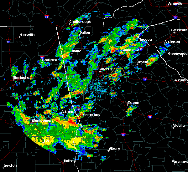 At 327 pm edt, a severe thunderstorm was located over conyers, moving northeast at 15 mph (radar indicated). Hazards include 60 mph wind gusts. expect damage to roofs, siding, and trees At 327 pm edt, a severe thunderstorm was located over conyers, moving northeast at 15 mph (radar indicated). Hazards include 60 mph wind gusts. expect damage to roofs, siding, and trees
|
| 4/19/2019 7:06 AM EDT |
 At 706 am edt, severe thunderstorms were located along a line extending from loganville to youth to near gum creek, moving northeast at 50 mph (radar indicated). Hazards include 60 mph wind gusts. Expect damage to roofs, siding, and trees. Locations impacted include, monroe, covington, loganville, social circle, oxford, walnut grove, between, good hope, jersey, ebenezer, bold springs, windsor, nicholasville, youth, pannell, campton, herndonville, gratis and gum creek. At 706 am edt, severe thunderstorms were located along a line extending from loganville to youth to near gum creek, moving northeast at 50 mph (radar indicated). Hazards include 60 mph wind gusts. Expect damage to roofs, siding, and trees. Locations impacted include, monroe, covington, loganville, social circle, oxford, walnut grove, between, good hope, jersey, ebenezer, bold springs, windsor, nicholasville, youth, pannell, campton, herndonville, gratis and gum creek.
|
| 4/19/2019 6:57 AM EDT |
 At 656 am edt, severe thunderstorms were located along a line extending from lakeview estates to milstead to magnet, moving northeast at 30 mph (radar indicated). Hazards include 60 mph wind gusts. expect damage to roofs, siding, and trees At 656 am edt, severe thunderstorms were located along a line extending from lakeview estates to milstead to magnet, moving northeast at 30 mph (radar indicated). Hazards include 60 mph wind gusts. expect damage to roofs, siding, and trees
|
| 4/14/2019 12:30 PM EDT |
 At 1230 pm edt, severe thunderstorms were located along a line extending from near grayson to youth to near oxford, moving northeast at 55 mph (radar indicated). Hazards include 60 mph wind gusts. Expect damage to roofs, siding, and trees. Locations impacted include, lawrenceville, winder, monroe, jefferson, snellville, loganville, braselton, auburn, dacula, social circle, grayson, statham, hoschton, walnut grove, bethlehem, between, good hope, carl, jersey and fort yargo state park. At 1230 pm edt, severe thunderstorms were located along a line extending from near grayson to youth to near oxford, moving northeast at 55 mph (radar indicated). Hazards include 60 mph wind gusts. Expect damage to roofs, siding, and trees. Locations impacted include, lawrenceville, winder, monroe, jefferson, snellville, loganville, braselton, auburn, dacula, social circle, grayson, statham, hoschton, walnut grove, bethlehem, between, good hope, carl, jersey and fort yargo state park.
|
| 4/14/2019 12:18 PM EDT |
 At 1218 pm edt, severe thunderstorms were located along a line extending from near rosebud to near georgia international horse park to rocky plains, moving northeast at 55 mph (radar indicated). Hazards include 60 mph wind gusts. expect damage to roofs, siding, and trees At 1218 pm edt, severe thunderstorms were located along a line extending from near rosebud to near georgia international horse park to rocky plains, moving northeast at 55 mph (radar indicated). Hazards include 60 mph wind gusts. expect damage to roofs, siding, and trees
|
| 9/27/2018 5:02 PM EDT |
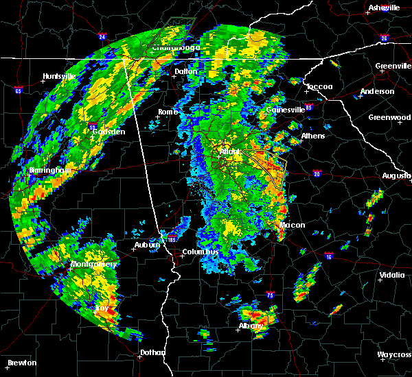 At 502 pm edt, severe thunderstorms were located along a line extending from gum creek to near social circle to farrar, moving northeast at 50 mph (radar indicated. multiple trees were reported down near the covington area). Hazards include 70 mph wind gusts and quarter size hail. Hail damage to vehicles is expected. expect considerable tree damage. wind damage is also likely to mobile homes, roofs, and outbuildings. Locations impacted include, monroe, covington, snellville, loganville, social circle, oxford, walnut grove, rutledge, newborn, mansfield, between, jersey, ebenezer, youth, hard labor creek state park, big haynes creek park, brick store, rosebud, herndonville and farrar. At 502 pm edt, severe thunderstorms were located along a line extending from gum creek to near social circle to farrar, moving northeast at 50 mph (radar indicated. multiple trees were reported down near the covington area). Hazards include 70 mph wind gusts and quarter size hail. Hail damage to vehicles is expected. expect considerable tree damage. wind damage is also likely to mobile homes, roofs, and outbuildings. Locations impacted include, monroe, covington, snellville, loganville, social circle, oxford, walnut grove, rutledge, newborn, mansfield, between, jersey, ebenezer, youth, hard labor creek state park, big haynes creek park, brick store, rosebud, herndonville and farrar.
|
| 9/27/2018 4:50 PM EDT |
 At 449 pm edt, severe thunderstorms were located along a line extending from conyers to starrsville to near calvin, moving northeast at 40 mph (radar indicated). Hazards include 70 mph wind gusts and quarter size hail. Hail damage to vehicles is expected. expect considerable tree damage. wind damage is also likely to mobile homes, roofs, and outbuildings. Locations impacted include, conyers, monroe, covington, monticello, snellville, loganville, social circle, oxford, lithonia, porterdale, walnut grove, rutledge, newborn, mansfield, between, jersey, lakeview estates, georgia international horse park, stewart and turtle cove. At 449 pm edt, severe thunderstorms were located along a line extending from conyers to starrsville to near calvin, moving northeast at 40 mph (radar indicated). Hazards include 70 mph wind gusts and quarter size hail. Hail damage to vehicles is expected. expect considerable tree damage. wind damage is also likely to mobile homes, roofs, and outbuildings. Locations impacted include, conyers, monroe, covington, monticello, snellville, loganville, social circle, oxford, lithonia, porterdale, walnut grove, rutledge, newborn, mansfield, between, jersey, lakeview estates, georgia international horse park, stewart and turtle cove.
|
| 9/27/2018 4:45 PM EDT |
 At 432 pm edt, severe thunderstorms were located along a line extending from lovejoy to locust grove to near high falls state park, moving northeast at 40 mph (radar indicated). Hazards include 60 mph wind gusts. expect damage to roofs, siding, and trees At 432 pm edt, severe thunderstorms were located along a line extending from lovejoy to locust grove to near high falls state park, moving northeast at 40 mph (radar indicated). Hazards include 60 mph wind gusts. expect damage to roofs, siding, and trees
|
| 9/27/2018 4:32 PM EDT |
 The national weather service in peachtree city has issued a * severe thunderstorm warning for. rockdale county in north central georgia. southeastern dekalb county in north central georgia. southwestern morgan county in north central georgia. South central gwinnett county in north central georgia. The national weather service in peachtree city has issued a * severe thunderstorm warning for. rockdale county in north central georgia. southeastern dekalb county in north central georgia. southwestern morgan county in north central georgia. South central gwinnett county in north central georgia.
|
| 7/21/2018 8:06 PM EDT |
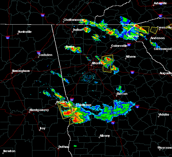 The severe thunderstorm warning for rockdale, west central walton and northwestern newton counties will expire at 815 pm edt, the storm which prompted the warning has moved out of the area. therefore, the warning will be allowed to expire. a severe thunderstorm watch remains in effect until 200 am edt for north central georgia. The severe thunderstorm warning for rockdale, west central walton and northwestern newton counties will expire at 815 pm edt, the storm which prompted the warning has moved out of the area. therefore, the warning will be allowed to expire. a severe thunderstorm watch remains in effect until 200 am edt for north central georgia.
|
| 7/21/2018 7:49 PM EDT |
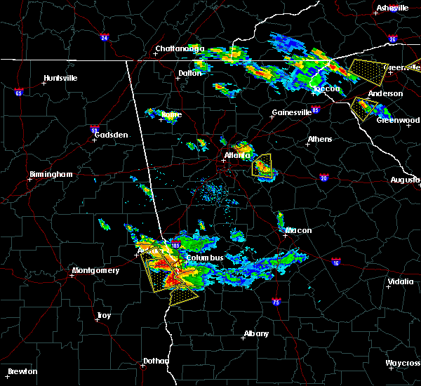 At 748 pm edt, a severe thunderstorm was located over gum creek, or near conyers, moving east at 40 mph (radar indicated). Hazards include 60 mph wind gusts and half dollar size hail. Hail damage to vehicles is expected. expect wind damage to roofs, siding, and trees. Locations impacted include, conyers, covington, loganville, oxford, porterdale, walnut grove, lakeview estates, georgia international horse park, almon, milstead, youth, big haynes creek park and gum creek. At 748 pm edt, a severe thunderstorm was located over gum creek, or near conyers, moving east at 40 mph (radar indicated). Hazards include 60 mph wind gusts and half dollar size hail. Hail damage to vehicles is expected. expect wind damage to roofs, siding, and trees. Locations impacted include, conyers, covington, loganville, oxford, porterdale, walnut grove, lakeview estates, georgia international horse park, almon, milstead, youth, big haynes creek park and gum creek.
|
| 7/21/2018 7:29 PM EDT |
 At 729 pm edt, a severe thunderstorm was located over lithonia, or near conyers, moving east at 40 mph (radar indicated). Hazards include 60 mph wind gusts and half dollar size hail. Hail damage to vehicles is expected. Expect wind damage to roofs, siding, and trees. At 729 pm edt, a severe thunderstorm was located over lithonia, or near conyers, moving east at 40 mph (radar indicated). Hazards include 60 mph wind gusts and half dollar size hail. Hail damage to vehicles is expected. Expect wind damage to roofs, siding, and trees.
|
| 7/21/2018 6:50 AM EDT |
 At 648 am edt, severe thunderstorms were located along a line extending from near rosebud to near loganville to near fort yargo state park, moving southeast at 45 mph (radar indicated). Hazards include 60 mph wind gusts and quarter size hail. Hail damage to vehicles is expected. expect wind damage to roofs, siding, and trees. Locations impacted include, lawrenceville, winder, monroe, snellville, loganville, auburn, dacula, grayson, walnut grove, bethlehem, between, good hope, carl, jersey, mountain park, fort yargo state park, windsor, harbin, nicholasville and pannell. At 648 am edt, severe thunderstorms were located along a line extending from near rosebud to near loganville to near fort yargo state park, moving southeast at 45 mph (radar indicated). Hazards include 60 mph wind gusts and quarter size hail. Hail damage to vehicles is expected. expect wind damage to roofs, siding, and trees. Locations impacted include, lawrenceville, winder, monroe, snellville, loganville, auburn, dacula, grayson, walnut grove, bethlehem, between, good hope, carl, jersey, mountain park, fort yargo state park, windsor, harbin, nicholasville and pannell.
|
| 7/21/2018 6:25 AM EDT |
 At 625 am edt, severe thunderstorms were located along a line extending from lake lanier islands to suwanee to near berkeley lake, moving southeast at 45 mph (radar indicated). Hazards include 60 mph wind gusts and quarter size hail. Hail damage to vehicles is expected. Expect wind damage to roofs, siding, and trees. At 625 am edt, severe thunderstorms were located along a line extending from lake lanier islands to suwanee to near berkeley lake, moving southeast at 45 mph (radar indicated). Hazards include 60 mph wind gusts and quarter size hail. Hail damage to vehicles is expected. Expect wind damage to roofs, siding, and trees.
|
| 6/1/2018 3:24 PM EDT |
 The national weather service in peachtree city has issued a * severe thunderstorm warning for. walton county in north central georgia. northeastern newton county in north central georgia. until 400 pm edt. At 323 pm edt, a severe thunderstorm was located over between, or. The national weather service in peachtree city has issued a * severe thunderstorm warning for. walton county in north central georgia. northeastern newton county in north central georgia. until 400 pm edt. At 323 pm edt, a severe thunderstorm was located over between, or.
|
| 6/1/2018 2:55 PM EDT |
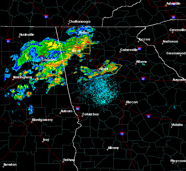 At 255 pm edt, a severe thunderstorm was located over snellville, or 7 miles south of lawrenceville, moving east at 20 mph (radar indicated). Hazards include 60 mph wind gusts and nickel size hail. expect damage to roofs, siding, and trees At 255 pm edt, a severe thunderstorm was located over snellville, or 7 miles south of lawrenceville, moving east at 20 mph (radar indicated). Hazards include 60 mph wind gusts and nickel size hail. expect damage to roofs, siding, and trees
|
| 7/11/2017 5:16 PM EDT |
 At 516 pm edt, a severe thunderstorm was located over snellville, or 9 miles south of lawrenceville, moving east at 15 mph (radar indicated). Hazards include 60 mph wind gusts and quarter size hail. Hail damage to vehicles is expected. Expect wind damage to roofs, siding, and trees. At 516 pm edt, a severe thunderstorm was located over snellville, or 9 miles south of lawrenceville, moving east at 15 mph (radar indicated). Hazards include 60 mph wind gusts and quarter size hail. Hail damage to vehicles is expected. Expect wind damage to roofs, siding, and trees.
|
| 7/1/2017 5:27 PM EDT |
 At 527 pm edt, a severe thunderstorm was located over lawrenceville, moving east at 35 mph (radar indicated). Hazards include 60 mph wind gusts and quarter size hail. Hail damage to vehicles is expected. Expect wind damage to roofs, siding, and trees. At 527 pm edt, a severe thunderstorm was located over lawrenceville, moving east at 35 mph (radar indicated). Hazards include 60 mph wind gusts and quarter size hail. Hail damage to vehicles is expected. Expect wind damage to roofs, siding, and trees.
|
| 6/22/2017 7:50 PM EDT | Large tree was uprooted sw of loganville in gwinnett county GA, 2.7 miles ENE of Loganville, GA |
| 4/5/2017 12:07 PM EDT |
 At 1207 pm edt, severe thunderstorms were located along a line extending from near dacula to gum creek, moving northeast at 65 mph (radar indicated). Hazards include 60 mph wind gusts and half dollar size hail. Hail damage to vehicles is expected. Expect wind damage to roofs, siding, and trees. At 1207 pm edt, severe thunderstorms were located along a line extending from near dacula to gum creek, moving northeast at 65 mph (radar indicated). Hazards include 60 mph wind gusts and half dollar size hail. Hail damage to vehicles is expected. Expect wind damage to roofs, siding, and trees.
|
| 3/30/2017 9:06 PM EDT |
 The severe thunderstorm warning for gwinnett county will expire at 915 pm edt, the storm which prompted the warning has weakened below severe limits, and is exiting the warned area. therefore, the warning will be allowed to expire. however gusty winds over 40 mph are still possible with this thunderstorm. The severe thunderstorm warning for gwinnett county will expire at 915 pm edt, the storm which prompted the warning has weakened below severe limits, and is exiting the warned area. therefore, the warning will be allowed to expire. however gusty winds over 40 mph are still possible with this thunderstorm.
|
| 3/30/2017 8:48 PM EDT |
 At 848 pm edt, a severe thunderstorm was located near snellville, moving north at 40 mph (radar indicated). Hazards include 60 mph wind gusts and penny size hail. Expect damage to roofs, siding, and trees. Locations impacted include, lawrenceville, duluth, sugar hill, snellville, suwanee, buford, lilburn, norcross, dacula, grayson, berkeley lake, tucker, mountain park, harbin, rosebud and hog mountain. At 848 pm edt, a severe thunderstorm was located near snellville, moving north at 40 mph (radar indicated). Hazards include 60 mph wind gusts and penny size hail. Expect damage to roofs, siding, and trees. Locations impacted include, lawrenceville, duluth, sugar hill, snellville, suwanee, buford, lilburn, norcross, dacula, grayson, berkeley lake, tucker, mountain park, harbin, rosebud and hog mountain.
|
| 3/30/2017 8:38 PM EDT |
 At 838 pm edt, a severe thunderstorm was located near mountain park, moving north at 40 mph (radar indicated). Hazards include 60 mph wind gusts and penny size hail. expect damage to roofs, siding, and trees At 838 pm edt, a severe thunderstorm was located near mountain park, moving north at 40 mph (radar indicated). Hazards include 60 mph wind gusts and penny size hail. expect damage to roofs, siding, and trees
|
| 3/21/2017 8:40 PM EDT |
 At 838 pm edt, severe thunderstorms were located extending from near milton to sandy plains to near eubank lake to near piedmont, moving southeast at 40 mph (radar indicated, plus multiple reports of downed trees and powerlines due to the very strong winds). Hazards include 60 mph wind gusts and penny size hail. expect damage to roofs, siding, and trees At 838 pm edt, severe thunderstorms were located extending from near milton to sandy plains to near eubank lake to near piedmont, moving southeast at 40 mph (radar indicated, plus multiple reports of downed trees and powerlines due to the very strong winds). Hazards include 60 mph wind gusts and penny size hail. expect damage to roofs, siding, and trees
|
| 3/21/2017 8:10 PM EDT |
 The severe thunderstorm warning for southwestern barrow, east central gwinnett and northwestern walton counties will expire at 815 pm edt, the storm which prompted the warning has moved out of the area. therefore the warning will be allowed to expire. a severe thunderstorm watch remains in effect until 1100 pm edt for north central georgia. remember, a severe thunderstorm warning still remains in effect for northeast portions of walton county. The severe thunderstorm warning for southwestern barrow, east central gwinnett and northwestern walton counties will expire at 815 pm edt, the storm which prompted the warning has moved out of the area. therefore the warning will be allowed to expire. a severe thunderstorm watch remains in effect until 1100 pm edt for north central georgia. remember, a severe thunderstorm warning still remains in effect for northeast portions of walton county.
|
| 3/21/2017 7:48 PM EDT |
 At 748 pm edt, a severe thunderstorm was located over harbin, or near winder, moving east at 30 mph (radar indicated). Hazards include 60 mph wind gusts and quarter size hail. Hail damage to vehicles is expected. expect wind damage to roofs, siding, and trees. Locations impacted include, winder, auburn, dacula, bethlehem, carl, russell, fort yargo state park, bold springs, windsor, harbin, nicholasville and campton. At 748 pm edt, a severe thunderstorm was located over harbin, or near winder, moving east at 30 mph (radar indicated). Hazards include 60 mph wind gusts and quarter size hail. Hail damage to vehicles is expected. expect wind damage to roofs, siding, and trees. Locations impacted include, winder, auburn, dacula, bethlehem, carl, russell, fort yargo state park, bold springs, windsor, harbin, nicholasville and campton.
|
| 3/21/2017 7:33 PM EDT |
 At 732 pm edt, a severe thunderstorm was located over lawrenceville, moving east at 30 mph (radar indicated). Hazards include 60 mph wind gusts and quarter size hail. Hail damage to vehicles is expected. Expect wind damage to roofs, siding, and trees. At 732 pm edt, a severe thunderstorm was located over lawrenceville, moving east at 30 mph (radar indicated). Hazards include 60 mph wind gusts and quarter size hail. Hail damage to vehicles is expected. Expect wind damage to roofs, siding, and trees.
|
| 11/30/2016 2:08 PM EST |
 At 207 pm est, severe thunderstorms were located along a line extending from berkeley lake to lilburn to belvedere park, moving northeast at 60 mph (radar indicated). Hazards include 60 mph wind gusts. Expect damage to roofs. siding. And trees. At 207 pm est, severe thunderstorms were located along a line extending from berkeley lake to lilburn to belvedere park, moving northeast at 60 mph (radar indicated). Hazards include 60 mph wind gusts. Expect damage to roofs. siding. And trees.
|
| 8/2/2016 3:10 PM EDT |
 At 310 pm edt, a severe thunderstorm was located over lithonia, or near conyers, moving east at 25 mph (radar indicated). Hazards include 60 mph wind gusts and penny size hail. Expect damage to roofs. siding. and trees. Other locations in the warning include but are not limited to conyers, snellville, loganville, stone mountain, lithonia, georgia international horse park, lakeview estates, mountain park, snapfinger, arabia mountain, belmont, milstead, big haynes creek park, redan and rosebud. At 310 pm edt, a severe thunderstorm was located over lithonia, or near conyers, moving east at 25 mph (radar indicated). Hazards include 60 mph wind gusts and penny size hail. Expect damage to roofs. siding. and trees. Other locations in the warning include but are not limited to conyers, snellville, loganville, stone mountain, lithonia, georgia international horse park, lakeview estates, mountain park, snapfinger, arabia mountain, belmont, milstead, big haynes creek park, redan and rosebud.
|
| 7/21/2016 4:03 PM EDT |
 At 403 pm edt, a severe thunderstorm was located over lawrenceville, moving southeast at 15 mph (radar indicated). Hazards include 60 mph wind gusts and quarter size hail. Hail damage to vehicles is expected. expect wind damage to roofs, siding, and trees. Other locations in the warning include but are not limited to lawrenceville, monroe, snellville, loganville, dacula, grayson, walnut grove, between, nicholasville, bold springs, harbin, rosebud, hog mountain, youth and windsor. At 403 pm edt, a severe thunderstorm was located over lawrenceville, moving southeast at 15 mph (radar indicated). Hazards include 60 mph wind gusts and quarter size hail. Hail damage to vehicles is expected. expect wind damage to roofs, siding, and trees. Other locations in the warning include but are not limited to lawrenceville, monroe, snellville, loganville, dacula, grayson, walnut grove, between, nicholasville, bold springs, harbin, rosebud, hog mountain, youth and windsor.
|
| 7/18/2016 5:07 PM EDT |
 The severe thunderstorm warning for northwestern walton, southeastern gwinnett, northeastern rockdale and southwestern barrow counties will expire at 515 pm edt, the storm which prompted the warning is weakening below severe limits, and no longer poses an immediate threat to life or property. therefore the warning will be allowed to expire. however gusty winds up to 40 mph and heavy rain are still likely with this thunderstorm. to report severe weather, contact your nearest law enforcement agency. they will relay your report to the national weather service peachtree city. The severe thunderstorm warning for northwestern walton, southeastern gwinnett, northeastern rockdale and southwestern barrow counties will expire at 515 pm edt, the storm which prompted the warning is weakening below severe limits, and no longer poses an immediate threat to life or property. therefore the warning will be allowed to expire. however gusty winds up to 40 mph and heavy rain are still likely with this thunderstorm. to report severe weather, contact your nearest law enforcement agency. they will relay your report to the national weather service peachtree city.
|
| 7/18/2016 4:42 PM EDT |
 At 441 pm edt, a severe thunderstorm was located from around snellville to loganville and campton, moving south at 10 mph (radar indicated). Hazards include 60 mph wind gusts and quarter size hail. Hail damage to vehicles is expected. expect wind damage to roofs, siding, and trees. Other locations in the warning include but are not limited to winder, monroe, snellville, loganville, grayson, walnut grove, bethlehem, between, jersey, nicholasville, gratis, campton, bold springs, fort yargo state park, big haynes creek park, rosebud, youth and windsor. At 441 pm edt, a severe thunderstorm was located from around snellville to loganville and campton, moving south at 10 mph (radar indicated). Hazards include 60 mph wind gusts and quarter size hail. Hail damage to vehicles is expected. expect wind damage to roofs, siding, and trees. Other locations in the warning include but are not limited to winder, monroe, snellville, loganville, grayson, walnut grove, bethlehem, between, jersey, nicholasville, gratis, campton, bold springs, fort yargo state park, big haynes creek park, rosebud, youth and windsor.
|
| 7/18/2016 4:25 PM EDT |
 At 424 pm edt, a severe thunderstorm was located near loganville, moving southeast at 10 mph (radar indicated). Hazards include 60 mph wind gusts and quarter size hail. Hail damage to vehicles is expected. expect wind damage to roofs, siding, and trees. Other locations in the warning include but are not limited to lawrenceville, winder, monroe, snellville, loganville, auburn, dacula, grayson, walnut grove, bethlehem, between, carl, jersey, nicholasville, gratis, campton, bold springs, fort yargo state park, big haynes creek park and harbin. At 424 pm edt, a severe thunderstorm was located near loganville, moving southeast at 10 mph (radar indicated). Hazards include 60 mph wind gusts and quarter size hail. Hail damage to vehicles is expected. expect wind damage to roofs, siding, and trees. Other locations in the warning include but are not limited to lawrenceville, winder, monroe, snellville, loganville, auburn, dacula, grayson, walnut grove, bethlehem, between, carl, jersey, nicholasville, gratis, campton, bold springs, fort yargo state park, big haynes creek park and harbin.
|
| 7/17/2016 7:32 PM EDT |
 At 731 pm edt, a severe thunderstorm was located near lakeview estates, moving northeast at 10 mph (radar indicated). Hazards include 60 mph wind gusts and penny size hail. Expect damage to roofs. siding. and trees. Other locations in the warning include but are not limited to conyers, snellville, lilburn, loganville, grayson, lithonia, lakeview estates, mountain park, milstead, big haynes creek park, redan and rosebud. At 731 pm edt, a severe thunderstorm was located near lakeview estates, moving northeast at 10 mph (radar indicated). Hazards include 60 mph wind gusts and penny size hail. Expect damage to roofs. siding. and trees. Other locations in the warning include but are not limited to conyers, snellville, lilburn, loganville, grayson, lithonia, lakeview estates, mountain park, milstead, big haynes creek park, redan and rosebud.
|
| 7/11/2016 7:01 PM EDT |
 At 700 pm edt, severe thunderstorms were located along a line extending from tucker to near loganville to near covington, moving northeast at 45 mph (radar indicated). Hazards include 60 mph wind gusts. Expect damage to roofs. siding. and trees. Other locations in the warning include but are not limited to lawrenceville, conyers, winder, monroe, covington, duluth, sugar hill, snellville, suwanee, buford, lilburn, loganville, norcross, clarkston, braselton, auburn, stone mountain, dacula, social circle and grayson. At 700 pm edt, severe thunderstorms were located along a line extending from tucker to near loganville to near covington, moving northeast at 45 mph (radar indicated). Hazards include 60 mph wind gusts. Expect damage to roofs. siding. and trees. Other locations in the warning include but are not limited to lawrenceville, conyers, winder, monroe, covington, duluth, sugar hill, snellville, suwanee, buford, lilburn, loganville, norcross, clarkston, braselton, auburn, stone mountain, dacula, social circle and grayson.
|
| 7/11/2016 6:31 PM EDT |
 At 631 pm edt, severe thunderstorms were located along a line extending from lake city to near mcdonough to near locust grove, moving northeast at 45 mph (radar indicated). Hazards include 60 mph wind gusts. Expect damage to roofs. siding. and trees. Other locations in the warning include but are not limited to atlanta, decatur, conyers, monroe, covington, snellville, loganville, clarkston, stone mountain, social circle, avondale estates, oxford, lithonia, porterdale, walnut grove, pine lake, between, jersey, candler-mcafee and belvedere park. At 631 pm edt, severe thunderstorms were located along a line extending from lake city to near mcdonough to near locust grove, moving northeast at 45 mph (radar indicated). Hazards include 60 mph wind gusts. Expect damage to roofs. siding. and trees. Other locations in the warning include but are not limited to atlanta, decatur, conyers, monroe, covington, snellville, loganville, clarkston, stone mountain, social circle, avondale estates, oxford, lithonia, porterdale, walnut grove, pine lake, between, jersey, candler-mcafee and belvedere park.
|
| 7/6/2016 12:47 PM EDT |
 At 1247 pm edt, a severe thunderstorm was located over tucker, or 8 miles northeast of decatur, moving east at 40 mph (radar indicated). Hazards include 60 mph wind gusts. Expect damage to roofs. siding. and trees. other locations in the warning include but are not limited to atlanta, lawrenceville, sandy springs, roswell, dunwoody, duluth, snellville, lilburn, loganville, chamblee, norcross, doraville. Clarkston, stone mountain, dacula, grayson, berkeley lake, pine lake, north atlanta and north decatur. At 1247 pm edt, a severe thunderstorm was located over tucker, or 8 miles northeast of decatur, moving east at 40 mph (radar indicated). Hazards include 60 mph wind gusts. Expect damage to roofs. siding. and trees. other locations in the warning include but are not limited to atlanta, lawrenceville, sandy springs, roswell, dunwoody, duluth, snellville, lilburn, loganville, chamblee, norcross, doraville. Clarkston, stone mountain, dacula, grayson, berkeley lake, pine lake, north atlanta and north decatur.
|
| 7/6/2016 12:35 PM EDT |
 At 1235 pm edt, a severe thunderstorm was located over north atlanta, or 8 miles northwest of decatur, moving east at 40 mph (radar indicated). Hazards include 60 mph wind gusts. Expect damage to roofs. siding. and trees. Other locations in the warning include but are not limited to atlanta, lawrenceville, sandy springs, roswell, dunwoody, duluth, snellville, lilburn, loganville, chamblee, norcross, doraville , clarkston, stone mountain, dacula, grayson, berkeley lake, pine lake, north atlanta and tucker. At 1235 pm edt, a severe thunderstorm was located over north atlanta, or 8 miles northwest of decatur, moving east at 40 mph (radar indicated). Hazards include 60 mph wind gusts. Expect damage to roofs. siding. and trees. Other locations in the warning include but are not limited to atlanta, lawrenceville, sandy springs, roswell, dunwoody, duluth, snellville, lilburn, loganville, chamblee, norcross, doraville , clarkston, stone mountain, dacula, grayson, berkeley lake, pine lake, north atlanta and tucker.
|
| 7/5/2016 3:11 PM EDT |
 The severe thunderstorm warning for northwestern walton county will expire at 315 pm edt, the storm which prompted the warning has weakened below severe limits, and no longer pose an immediate threat to life or property. therefore the warning will be allowed to expire. The severe thunderstorm warning for northwestern walton county will expire at 315 pm edt, the storm which prompted the warning has weakened below severe limits, and no longer pose an immediate threat to life or property. therefore the warning will be allowed to expire.
|
| 7/5/2016 2:48 PM EDT |
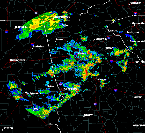 At 248 pm edt, a severe thunderstorm was located over loganville, or 9 miles southeast of lawrenceville, moving east at 30 mph (radar indicated). Hazards include 60 mph wind gusts. Expect damage to roofs. siding. and trees. Other locations in the warning include but are not limited to monroe, loganville, between, nicholasville, gratis, bold springs, campton and windsor. At 248 pm edt, a severe thunderstorm was located over loganville, or 9 miles southeast of lawrenceville, moving east at 30 mph (radar indicated). Hazards include 60 mph wind gusts. Expect damage to roofs. siding. and trees. Other locations in the warning include but are not limited to monroe, loganville, between, nicholasville, gratis, bold springs, campton and windsor.
|
| 6/1/2016 6:28 PM EDT | The severe thunderstorm warning for south central gwinnett and east central dekalb counties will expire at 630 pm edt, the storm which prompted the warning has weakened below severe limits, and no longer pose an immediate threat to life or property. therefore the warning will be allowed to expire. however gusty winds and heavy rain are still possible with this thunderstorm. |
| 6/1/2016 6:15 PM EDT |
 At 614 pm edt, a severe thunderstorm was located over snellville, or 8 miles south of lawrenceville, moving northeast at 10 mph (radar indicated). Hazards include 60 mph wind gusts. Expect damage to roofs. siding. and trees. Other locations in the warning include but are not limited to snellville, loganville, grayson, mountain park and rosebud. At 614 pm edt, a severe thunderstorm was located over snellville, or 8 miles south of lawrenceville, moving northeast at 10 mph (radar indicated). Hazards include 60 mph wind gusts. Expect damage to roofs. siding. and trees. Other locations in the warning include but are not limited to snellville, loganville, grayson, mountain park and rosebud.
|
| 6/1/2016 6:00 PM EDT |
 At 600 pm edt, a severe thunderstorm was located near snellville, or 10 miles southwest of lawrenceville, moving northeast at 10 mph (radar indicated). Hazards include 60 mph wind gusts and quarter size hail. Hail damage to vehicles is expected. expect wind damage to roofs, siding, and trees. Other locations in the warning include but are not limited to snellville, loganville, grayson, mountain park and rosebud. At 600 pm edt, a severe thunderstorm was located near snellville, or 10 miles southwest of lawrenceville, moving northeast at 10 mph (radar indicated). Hazards include 60 mph wind gusts and quarter size hail. Hail damage to vehicles is expected. expect wind damage to roofs, siding, and trees. Other locations in the warning include but are not limited to snellville, loganville, grayson, mountain park and rosebud.
|
| 5/1/2016 5:51 PM EDT |
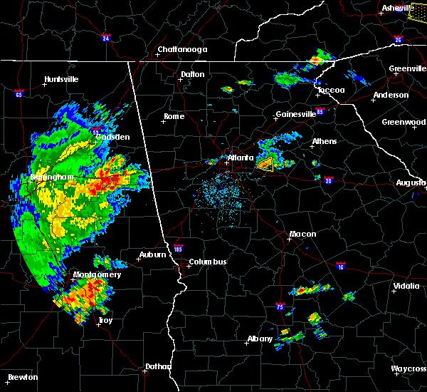 The severe thunderstorm warning for west central walton, northeastern rockdale and north central newton counties will expire at 600 pm edt, the storm which prompted the warning has weakened below severe limits, and no longer pose an immediate threat to life or property. therefore the warning will be allowed to expire. however small hail is still possible with this thunderstorm. The severe thunderstorm warning for west central walton, northeastern rockdale and north central newton counties will expire at 600 pm edt, the storm which prompted the warning has weakened below severe limits, and no longer pose an immediate threat to life or property. therefore the warning will be allowed to expire. however small hail is still possible with this thunderstorm.
|
| 5/1/2016 5:44 PM EDT |
 At 544 pm edt, a severe thunderstorm was located near lakeview estates, or near conyers, moving east at 25 mph (radar indicated). Hazards include quarter size hail. Damage to vehicles is expected. Other locations in the warning include but are not limited to conyers, loganville, walnut grove, lakeview estates, gum creek, big haynes creek park and youth. At 544 pm edt, a severe thunderstorm was located near lakeview estates, or near conyers, moving east at 25 mph (radar indicated). Hazards include quarter size hail. Damage to vehicles is expected. Other locations in the warning include but are not limited to conyers, loganville, walnut grove, lakeview estates, gum creek, big haynes creek park and youth.
|
| 5/1/2016 5:24 PM EDT |
 At 524 pm edt, a severe thunderstorm was located near lithonia, or 8 miles northwest of conyers, moving east at 30 mph (radar indicated). Hazards include quarter size hail. Damage to vehicles is expected. Other locations in the warning include but are not limited to conyers, snellville, loganville, stone mountain, lithonia, walnut grove, lakeview estates, mountain park, gum creek, belmont, milstead, big haynes creek park, redan, rosebud and youth. At 524 pm edt, a severe thunderstorm was located near lithonia, or 8 miles northwest of conyers, moving east at 30 mph (radar indicated). Hazards include quarter size hail. Damage to vehicles is expected. Other locations in the warning include but are not limited to conyers, snellville, loganville, stone mountain, lithonia, walnut grove, lakeview estates, mountain park, gum creek, belmont, milstead, big haynes creek park, redan, rosebud and youth.
|
| 4/7/2016 12:27 AM EDT |
 At 1226 am edt, severe thunderstorms were located along a line extending from buford to near lithonia to near sunny side, moving east at 50 mph (radar indicated. damaging winds have already been reported with this line). Hazards include 60 mph wind gusts and nickel size hail. Expect damage to roofs. siding. and trees. Other locations in the warning include but are not limited to lawrenceville, mcdonough, conyers, winder, monroe, covington, jefferson, watkinsville, snellville, buford, loganville, braselton, auburn, locust grove, dacula, social circle, grayson, statham, oxford and arcade. At 1226 am edt, severe thunderstorms were located along a line extending from buford to near lithonia to near sunny side, moving east at 50 mph (radar indicated. damaging winds have already been reported with this line). Hazards include 60 mph wind gusts and nickel size hail. Expect damage to roofs. siding. and trees. Other locations in the warning include but are not limited to lawrenceville, mcdonough, conyers, winder, monroe, covington, jefferson, watkinsville, snellville, buford, loganville, braselton, auburn, locust grove, dacula, social circle, grayson, statham, oxford and arcade.
|
| 8/17/2015 7:35 PM EDT |
 At 734 pm edt, severe thunderstorms were located extending from grayson to near between, moving northeast at 30 mph (radar indicated). Hazards include 60 mph wind gusts. Expect damage to roofs. siding and trees. Other locations in the warning include but are not limited to lawrenceville, winder, monroe, jefferson, snellville, loganville, braselton, auburn, dacula, grayson, statham, arcade, nicholson, hoschton, walnut grove, bethlehem, pendergrass, between, carl and talmo. At 734 pm edt, severe thunderstorms were located extending from grayson to near between, moving northeast at 30 mph (radar indicated). Hazards include 60 mph wind gusts. Expect damage to roofs. siding and trees. Other locations in the warning include but are not limited to lawrenceville, winder, monroe, jefferson, snellville, loganville, braselton, auburn, dacula, grayson, statham, arcade, nicholson, hoschton, walnut grove, bethlehem, pendergrass, between, carl and talmo.
|
| 7/14/2015 9:40 PM EDT |
 The severe thunderstorm warning for walton, central oconee and northwestern morgan counties will expire at 945 pm edt, the storms which prompted the warning have weakened below severe limits, and no longer pose an immediate threat to life or property. therefore the warning will be allowed to expire. however heavy rain and dangerous cloud to ground lightning are still possible with these thunderstorms. a severe thunderstorm watch remains in effect until 1100 pm edt for northeastern georgia. The severe thunderstorm warning for walton, central oconee and northwestern morgan counties will expire at 945 pm edt, the storms which prompted the warning have weakened below severe limits, and no longer pose an immediate threat to life or property. therefore the warning will be allowed to expire. however heavy rain and dangerous cloud to ground lightning are still possible with these thunderstorms. a severe thunderstorm watch remains in effect until 1100 pm edt for northeastern georgia.
|
| 7/14/2015 9:22 PM EDT |
 At 921 pm edt, severe thunderstorms were located extending from near suwanee to lilburn to pine lake to near hapeville to near college park to near fairburn to near chattahoochee hills, moving southeast at 45 mph (radar indicated). Hazards include 60 mph wind gusts and nickel size hail. Expect damage to roofs. siding and trees. Other locations in the warning include but are not limited to atlanta, newnan, lawrenceville, mcdonough, decatur, fayetteville, conyers, winder, monroe, covington, jonesboro, peachtree city, east point, duluth, stockbridge, union city, sugar hill, forest park, snellville and suwanee. At 921 pm edt, severe thunderstorms were located extending from near suwanee to lilburn to pine lake to near hapeville to near college park to near fairburn to near chattahoochee hills, moving southeast at 45 mph (radar indicated). Hazards include 60 mph wind gusts and nickel size hail. Expect damage to roofs. siding and trees. Other locations in the warning include but are not limited to atlanta, newnan, lawrenceville, mcdonough, decatur, fayetteville, conyers, winder, monroe, covington, jonesboro, peachtree city, east point, duluth, stockbridge, union city, sugar hill, forest park, snellville and suwanee.
|
| 7/14/2015 8:55 PM EDT |
 At 855 pm edt, severe thunderstorms were located extending from bogart to near grayson, moving southeast at 35 mph (radar indicated). Hazards include 60 mph wind gusts. Expect damage to roofs. siding and trees. Other locations in the warning include but are not limited to monroe, loganville, social circle, walnut grove, rutledge, north high shoals, bostwick, between, good hope, bishop, jersey, nicholasville, gratis, farmington, campton, ebenezer, bold springs, hard labor creek state park, pannell and apalachee. At 855 pm edt, severe thunderstorms were located extending from bogart to near grayson, moving southeast at 35 mph (radar indicated). Hazards include 60 mph wind gusts. Expect damage to roofs. siding and trees. Other locations in the warning include but are not limited to monroe, loganville, social circle, walnut grove, rutledge, north high shoals, bostwick, between, good hope, bishop, jersey, nicholasville, gratis, farmington, campton, ebenezer, bold springs, hard labor creek state park, pannell and apalachee.
|
| 6/24/2015 4:38 PM EDT |
 The severe thunderstorm warning for southern gwinnett and central dekalb counties will expire at 445 pm edt, the storm which prompted the warning has weakened below severe limits, therefore the severe thunderstorm warning will be allowed to expire. a flash flood warning remains in effect until 930 pm edt for much of gwinnett county. remain alert and do not drive into flooded areas. just because the rain has ended does not mean water levels will recede. a severe thunderstorm watch remains in effect until 1000 pm edt for north central georgia. The severe thunderstorm warning for southern gwinnett and central dekalb counties will expire at 445 pm edt, the storm which prompted the warning has weakened below severe limits, therefore the severe thunderstorm warning will be allowed to expire. a flash flood warning remains in effect until 930 pm edt for much of gwinnett county. remain alert and do not drive into flooded areas. just because the rain has ended does not mean water levels will recede. a severe thunderstorm watch remains in effect until 1000 pm edt for north central georgia.
|
| 6/24/2015 3:59 PM EDT |
 At 358 pm edt, a severe thunderstorm was centered over lilburn, or 7 miles southwest of lawrenceville, and moving south at 5 mph (radar indicated). Hazards include 60 mph wind gusts and quarter size hail. Hail damage to vehicles is expected. expect wind damage to roofs, siding and trees. Other locations in the warning include but are not limited to lawrenceville, dunwoody, duluth, snellville, lilburn, loganville, chamblee, norcross, doraville, clarkston, stone mountain, grayson, lithonia, berkeley lake, pine lake, tucker, north atlanta, north decatur, mountain park and belmont. At 358 pm edt, a severe thunderstorm was centered over lilburn, or 7 miles southwest of lawrenceville, and moving south at 5 mph (radar indicated). Hazards include 60 mph wind gusts and quarter size hail. Hail damage to vehicles is expected. expect wind damage to roofs, siding and trees. Other locations in the warning include but are not limited to lawrenceville, dunwoody, duluth, snellville, lilburn, loganville, chamblee, norcross, doraville, clarkston, stone mountain, grayson, lithonia, berkeley lake, pine lake, tucker, north atlanta, north decatur, mountain park and belmont.
|
| 6/24/2015 3:47 PM EDT |
 At 346 pm edt, a severe thunderstorm was located near lilburn, or near lawrenceville, moving west at 15 mph (radar indicated). Hazards include 60 mph wind gusts and quarter size hail. Hail damage to vehicles is expected. expect wind damage to roofs, siding and trees. Other locations in the warning include but are not limited to lawrenceville, duluth, snellville, lilburn, loganville, norcross, grayson, tucker, mountain park and rosebud. At 346 pm edt, a severe thunderstorm was located near lilburn, or near lawrenceville, moving west at 15 mph (radar indicated). Hazards include 60 mph wind gusts and quarter size hail. Hail damage to vehicles is expected. expect wind damage to roofs, siding and trees. Other locations in the warning include but are not limited to lawrenceville, duluth, snellville, lilburn, loganville, norcross, grayson, tucker, mountain park and rosebud.
|
| 6/24/2015 3:45 PM EDT |
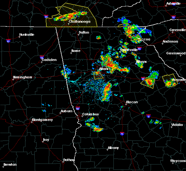 At 344 pm edt, a severe thunderstorm was located just west of between or 3 miles west of monroe, moving south at 5 mph (radar indicated). Hazards include 60 mph wind gusts and quarter size hail. Hail damage to vehicles is expected. expect wind damage to roofs, siding and trees. Other locations in the warning include but are not limited to monroe, loganville, social circle, walnut grove, between, jersey, pannell, herndonville, youth and windsor. At 344 pm edt, a severe thunderstorm was located just west of between or 3 miles west of monroe, moving south at 5 mph (radar indicated). Hazards include 60 mph wind gusts and quarter size hail. Hail damage to vehicles is expected. expect wind damage to roofs, siding and trees. Other locations in the warning include but are not limited to monroe, loganville, social circle, walnut grove, between, jersey, pannell, herndonville, youth and windsor.
|
| 6/24/2015 3:20 PM EDT |
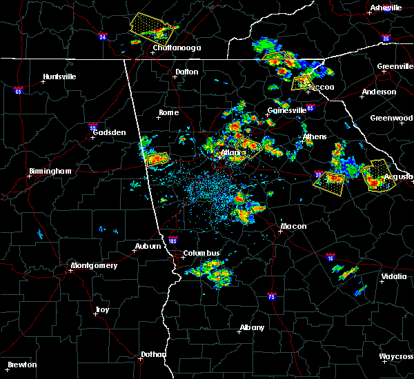 At 320 pm edt, a severe thunderstorm was located over grayson, or near lawrenceville, and is nearly stationary (radar indicated). Hazards include 60 mph wind gusts and quarter size hail. Hail damage to vehicles is expected. expect wind damage to roofs, siding and trees. Other locations in the warning include but are not limited to lawrenceville, duluth, snellville, lilburn, loganville, norcross, grayson, tucker, mountain park and rosebud. At 320 pm edt, a severe thunderstorm was located over grayson, or near lawrenceville, and is nearly stationary (radar indicated). Hazards include 60 mph wind gusts and quarter size hail. Hail damage to vehicles is expected. expect wind damage to roofs, siding and trees. Other locations in the warning include but are not limited to lawrenceville, duluth, snellville, lilburn, loganville, norcross, grayson, tucker, mountain park and rosebud.
|
| 6/24/2015 2:14 PM EDT |
 At 214 pm edt, a severe thunderstorm was located over dacula, or 7 miles northeast of lawrenceville, moving southeast at 10 mph (radar indicated). Hazards include 60 mph wind gusts and penny size hail. Expect damage to roofs. siding and trees. Other locations in the warning include but are not limited to winder, loganville, braselton, auburn, dacula, carl, russell, fort yargo state park, harbin, chateau elan, hog mountain and county line. At 214 pm edt, a severe thunderstorm was located over dacula, or 7 miles northeast of lawrenceville, moving southeast at 10 mph (radar indicated). Hazards include 60 mph wind gusts and penny size hail. Expect damage to roofs. siding and trees. Other locations in the warning include but are not limited to winder, loganville, braselton, auburn, dacula, carl, russell, fort yargo state park, harbin, chateau elan, hog mountain and county line.
|
| 5/26/2015 5:38 PM EDT | At 536 pm edt, severe thunderstorms were located along a line extending from near winder to near north high shoals to near bostwick, moving northeast at 60 mph (law enforcement). Hazards include 70 mph wind gusts. Expect considerable tree damage. damage is likely to mobile homes, roofs and outbuildings. Other locations in the warning include but are not limited to winder, monroe, madison, watkinsville, athens, loganville, social circle, statham, walnut grove, winterville, bogart, crawford, rutledge, newborn, north high shoals, bethlehem, bostwick, arnoldsville, between and good hope. |
| 5/26/2015 5:15 PM EDT | At 515 pm edt, severe thunderstorms were located along a line extending from near loganville to near jersey to near mansfield, moving northeast at 60 mph (radar indicated). Hazards include 60 mph wind gusts. Expect damage to roofs. siding and trees. Other locations in the warning include but are not limited to conyers, winder, monroe, madison, watkinsville, athens, loganville, social circle, statham, walnut grove, winterville, bogart, crawford, rutledge, newborn, north high shoals, bethlehem, bostwick, arnoldsville and between. |
| 4/10/2015 6:34 PM EDT | A severe thunderstorm warning remains in effect until 645 pm edt for southeastern gwinnett and east central dekalb counties. at 634 pm edt. a severe thunderstorm was located near stone mountain. or 10 miles northwest of conyers. moving east at 35 mph. hazard. 60 mph wind gusts and quarter size hail. source. Radar indicated. |
| 4/10/2015 6:19 PM EDT | A severe thunderstorm warning remains in effect until 645 pm edt for southern gwinnett and central dekalb counties. at 618 pm edt. a severe thunderstorm was located over pine lake. or near decatur. moving east at 45 mph. hazard. 60 mph wind gusts and quarter size hail. source. Radar indicated. |
| 4/10/2015 6:07 PM EDT | The national weather service in peachtree city has issued a * severe thunderstorm warning for. southern gwinnett county in north central georgia. dekalb county in north central georgia. central fulton county in north central georgia. Until 645 pm edt. |
| 6/17/2014 5:15 PM EDT | Quarter sized hail reported 4.1 miles SW of Loganville, GA, quarter sized hail was reported by local gas station near windsor. |
| 5/19/2013 6:15 AM EDT | Several trees and power lines were reported down in the loganville are in walton county GA, 0.6 miles SSE of Loganville, GA |
| 1/1/0001 12:00 AM | Quarter sized hail reported 3.3 miles NNW of Loganville, GA |
Hail Maps for Loganville, GA


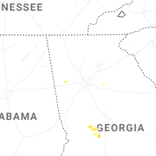


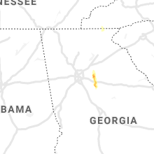


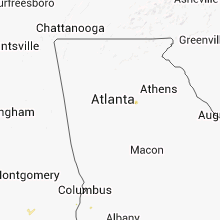


Connect with Interactive Hail Maps