

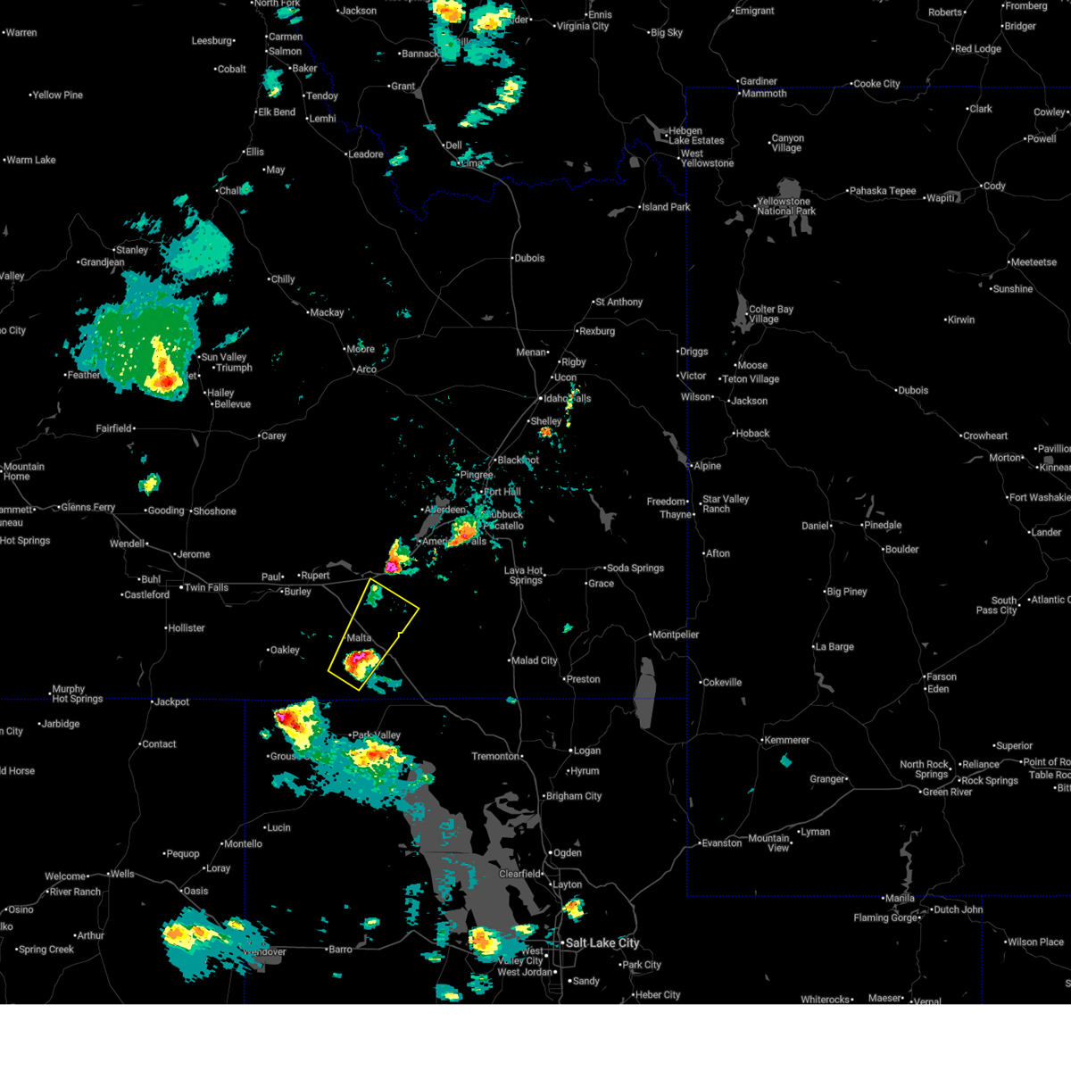
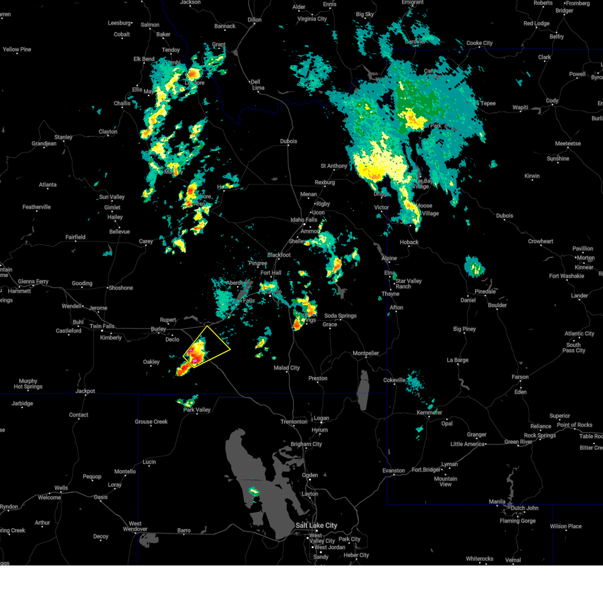
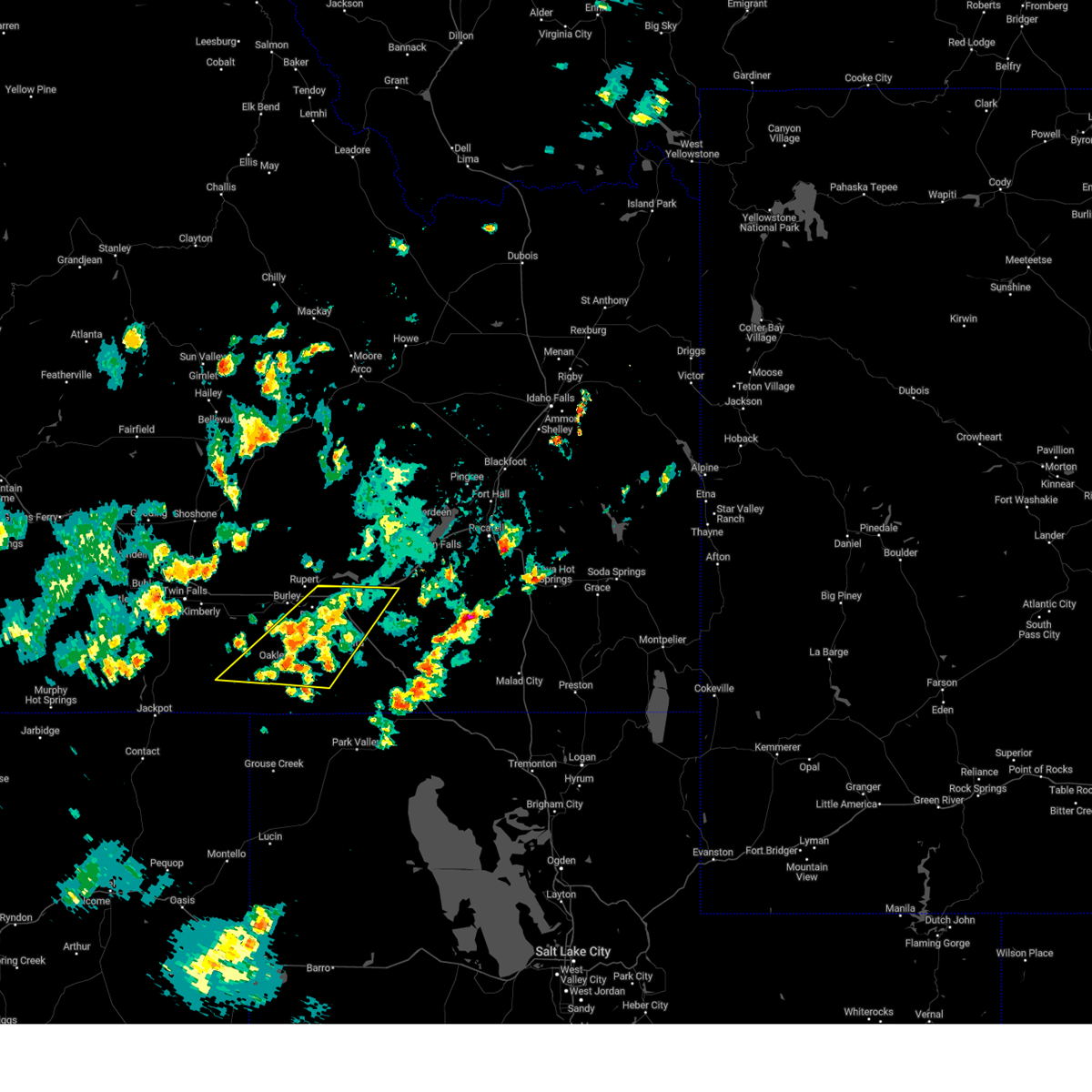
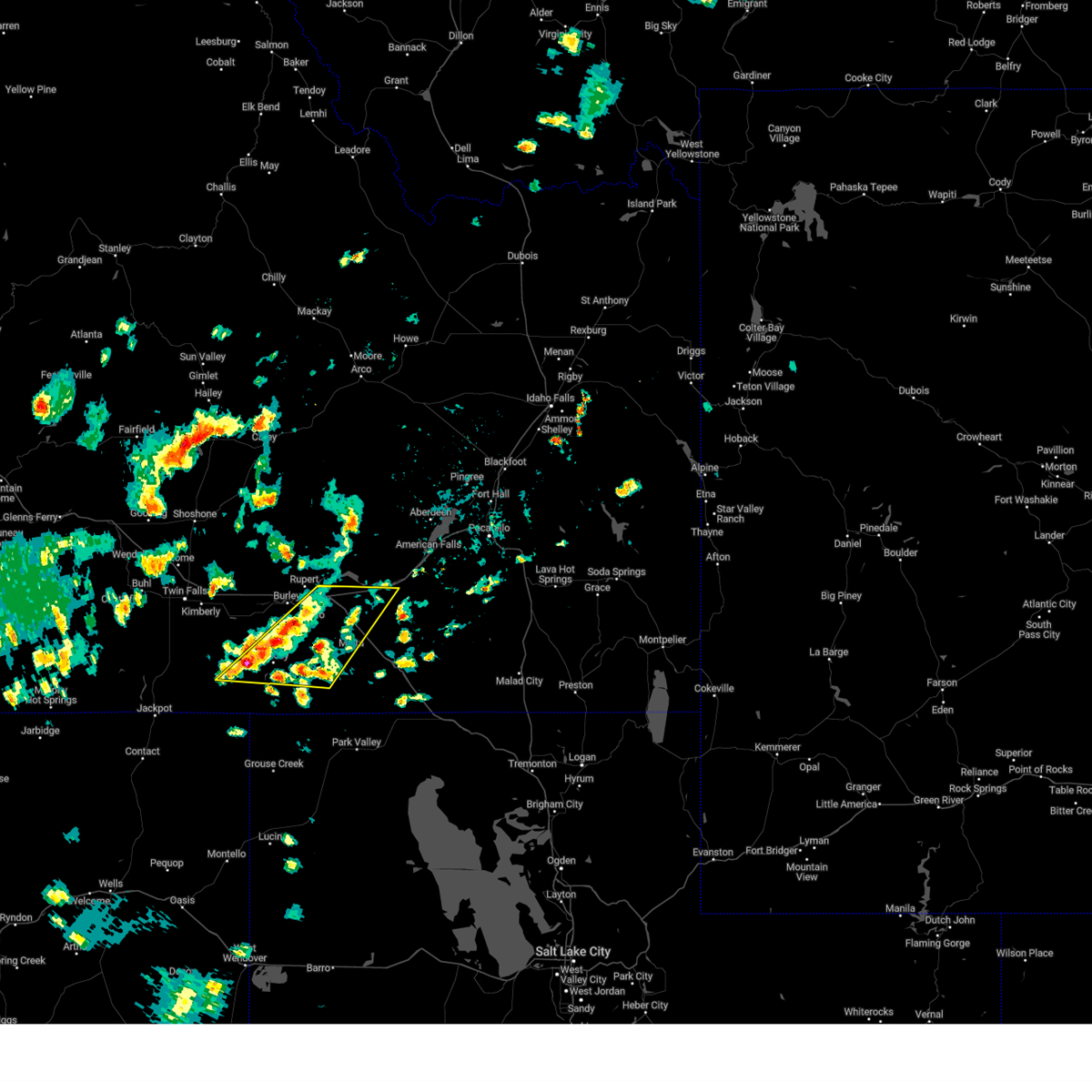
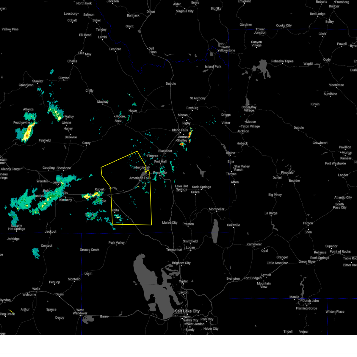
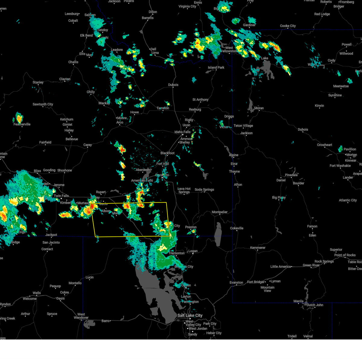
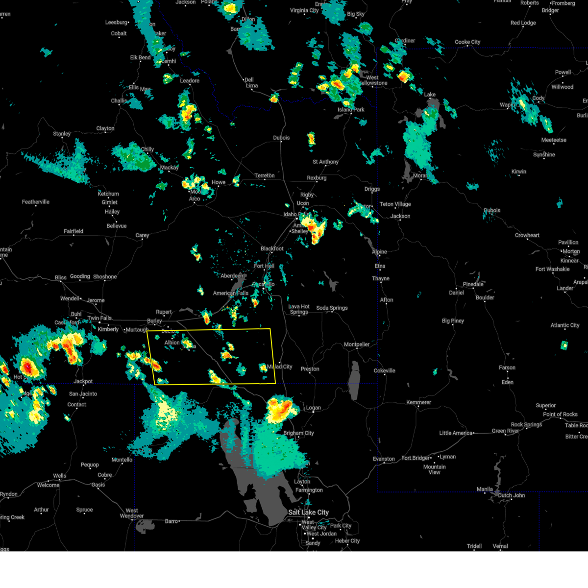
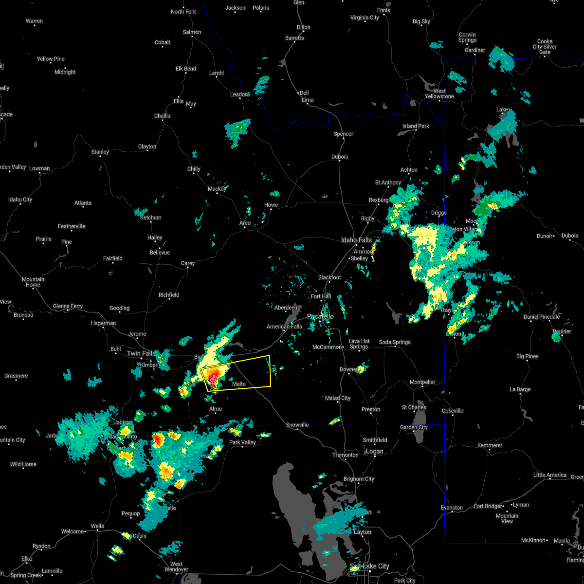
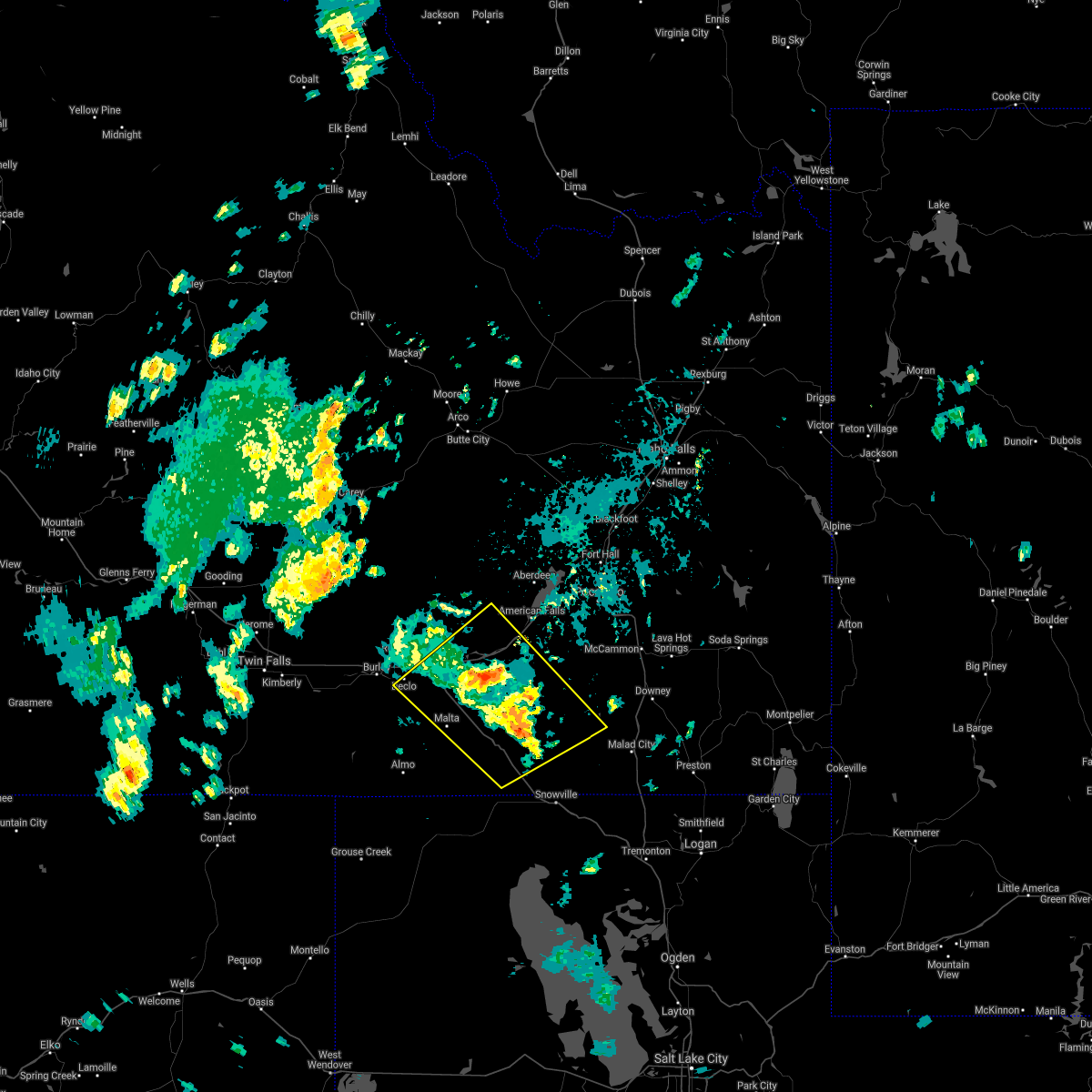
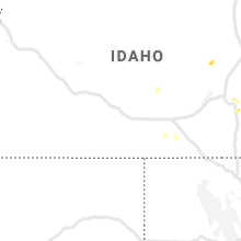
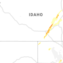
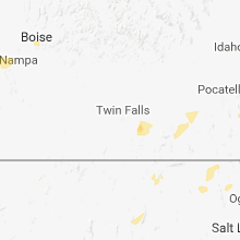
Hail Map for Malta, ID
The Malta, ID area has had 4 reports of on-the-ground hail by trained spotters, and has been under severe weather warnings 7 times during the past 12 months. Doppler radar has detected hail at or near Malta, ID on 14 occasions, including 4 occasions during the past year.
| Name: | Malta, ID |
| Where Located: | 58.6 miles ESE of Twin Falls, ID |
| Map: | Google Map for Malta, ID |
| Population: | 193 |
| Housing Units: | 74 |
| More Info: | Search Google for Malta, ID |
5
The Top Recent Hail Date for Malta, ID is Monday, August 19, 2024 (1st out of 14)

Hail and Wind Damage Spotted near Malta, ID
| Date / Time | Report Details |
|---|---|
| 7/4/2025 4:23 PM MDT |
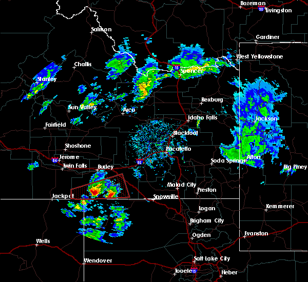
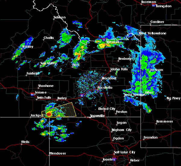
 Svrpih the national weather service in pocatello has issued a * severe thunderstorm warning for, southwestern power county in southeastern idaho, eastern cassia county in southeastern idaho, * until 515 pm mdt. * at 423 pm mdt, a severe thunderstorm was located 8 miles southeast of malta, moving northeast at 35 mph (radar indicated). Hazards include half dollar size hail. damage to vehicles is expected Svrpih the national weather service in pocatello has issued a * severe thunderstorm warning for, southwestern power county in southeastern idaho, eastern cassia county in southeastern idaho, * until 515 pm mdt. * at 423 pm mdt, a severe thunderstorm was located 8 miles southeast of malta, moving northeast at 35 mph (radar indicated). Hazards include half dollar size hail. damage to vehicles is expected
|
| 7/3/2025 10:00 PM MDT | Mesonet station msi04 pilot gol in cassia county ID, 24.6 miles NW of Malta, ID |
| 6/11/2025 2:27 PM MDT |
 The storm which prompted the warning has moved out of the area. therefore, the warning will be allowed to expire. remember, a severe thunderstorm warning still remains in effect for east central cassia, northwestern oneida, and southeastern power counties. The storm which prompted the warning has moved out of the area. therefore, the warning will be allowed to expire. remember, a severe thunderstorm warning still remains in effect for east central cassia, northwestern oneida, and southeastern power counties.
|
| 6/11/2025 2:12 PM MDT |
 At 212 pm mdt, a severe thunderstorm was located 9 miles northwest of juniper, or 12 miles southeast of malta, moving northeast at 40 mph (radar indicated). Hazards include quarter size hail. Damage to vehicles is expected. Locations impacted include, juniper and sweetzer summit. At 212 pm mdt, a severe thunderstorm was located 9 miles northwest of juniper, or 12 miles southeast of malta, moving northeast at 40 mph (radar indicated). Hazards include quarter size hail. Damage to vehicles is expected. Locations impacted include, juniper and sweetzer summit.
|
| 6/11/2025 1:53 PM MDT |
 Svrpih the national weather service in pocatello has issued a * severe thunderstorm warning for, west central oneida county in southeastern idaho, southeastern cassia county in southeastern idaho, * until 230 pm mdt. * at 153 pm mdt, a severe thunderstorm was located 11 miles south of malta, moving northeast at 40 mph (radar indicated). Hazards include quarter size hail. damage to vehicles is expected Svrpih the national weather service in pocatello has issued a * severe thunderstorm warning for, west central oneida county in southeastern idaho, southeastern cassia county in southeastern idaho, * until 230 pm mdt. * at 153 pm mdt, a severe thunderstorm was located 11 miles south of malta, moving northeast at 40 mph (radar indicated). Hazards include quarter size hail. damage to vehicles is expected
|
| 3/18/2025 10:15 AM MDT | Moburg canyon raw in cassia county ID, 10.1 miles NW of Malta, ID |
| 3/18/2025 10:00 AM MDT | Pilot gold msi mesonet near sweetzer summi in cassia county ID, 15.3 miles WNW of Malta, ID |
| 9/16/2024 6:00 PM MDT | Mesonet station msi04 pilot gol in cassia county ID, 24.6 miles NW of Malta, ID |
| 9/16/2024 5:39 PM MDT | Mesonet station mofi1 moburg canyo in cassia county ID, 22 miles NNW of Malta, ID |
| 8/13/2024 12:17 PM MDT |
 Svrpih the national weather service in pocatello has issued a * severe thunderstorm warning for, southwestern power county in southeastern idaho, northeastern cassia county in southeastern idaho, * until 100 pm mdt. * at 1216 pm mdt, a severe thunderstorm was located over malta, moving northeast at 20 mph (radar indicated). Hazards include 60 mph wind gusts and quarter size hail. Hail damage to vehicles is expected. Expect wind damage to roofs, siding, and trees. Svrpih the national weather service in pocatello has issued a * severe thunderstorm warning for, southwestern power county in southeastern idaho, northeastern cassia county in southeastern idaho, * until 100 pm mdt. * at 1216 pm mdt, a severe thunderstorm was located over malta, moving northeast at 20 mph (radar indicated). Hazards include 60 mph wind gusts and quarter size hail. Hail damage to vehicles is expected. Expect wind damage to roofs, siding, and trees.
|
| 8/13/2024 10:15 AM MDT | Storm damage reported in cassia county ID, 14.3 miles NNW of Malta, ID |
| 7/25/2024 6:06 PM MDT |
 The storms which prompted the warning have weakened below severe limits, and no longer pose an immediate threat to life or property. therefore, the warning will be allowed to expire. however, small hail, gusty winds and heavy rain are still possible with these thunderstorms. The storms which prompted the warning have weakened below severe limits, and no longer pose an immediate threat to life or property. therefore, the warning will be allowed to expire. however, small hail, gusty winds and heavy rain are still possible with these thunderstorms.
|
| 7/25/2024 5:30 PM MDT |
 Svrpih the national weather service in pocatello has issued a * severe thunderstorm warning for, southwestern power county in southeastern idaho, central cassia county in southeastern idaho, south central minidoka county in south central idaho, * until 615 pm mdt. * at 530 pm mdt, severe thunderstorms were located along a line extending from declo to 10 miles west of oakley reservoir, moving northeast at 35 mph (radar indicated). Hazards include 60 mph wind gusts and nickel size hail. expect damage to roofs, siding, and trees Svrpih the national weather service in pocatello has issued a * severe thunderstorm warning for, southwestern power county in southeastern idaho, central cassia county in southeastern idaho, south central minidoka county in south central idaho, * until 615 pm mdt. * at 530 pm mdt, severe thunderstorms were located along a line extending from declo to 10 miles west of oakley reservoir, moving northeast at 35 mph (radar indicated). Hazards include 60 mph wind gusts and nickel size hail. expect damage to roofs, siding, and trees
|
| 6/27/2024 12:39 AM MDT | Mesonet station mofi1 moburg canyon raw in cassia county ID, 22 miles NNW of Malta, ID |
| 5/13/2024 5:01 PM MDT |
 At 501 pm mdt, severe thunderstorms were located along a line extending from 20 miles northeast of minidoka to 8 miles north of cold water rest area to 12 miles east of malta, moving east at 45 mph (radar indicated). Hazards include 60 mph wind gusts. Expect damage to roofs, siding, and trees. Locations impacted include, american falls, malta, neeley, lake walcott, american falls reservoir, aberdeen, rockland, minidoka, cold water rest area, juniper, fort hall bannock peak, yale rest area, massacre rocks, bear trap airport, sweetzer summit, pilar butte, idahome, holbrook, sublett reservoir, and roy. At 501 pm mdt, severe thunderstorms were located along a line extending from 20 miles northeast of minidoka to 8 miles north of cold water rest area to 12 miles east of malta, moving east at 45 mph (radar indicated). Hazards include 60 mph wind gusts. Expect damage to roofs, siding, and trees. Locations impacted include, american falls, malta, neeley, lake walcott, american falls reservoir, aberdeen, rockland, minidoka, cold water rest area, juniper, fort hall bannock peak, yale rest area, massacre rocks, bear trap airport, sweetzer summit, pilar butte, idahome, holbrook, sublett reservoir, and roy.
|
| 5/13/2024 4:34 PM MDT |
 Svrpih the national weather service in pocatello has issued a * severe thunderstorm warning for, southeastern blaine county in central idaho, northwestern oneida county in southeastern idaho, power county in southeastern idaho, southwestern bingham county in southeastern idaho, eastern cassia county in southeastern idaho, southeastern minidoka county in south central idaho, * until 530 pm mdt. * at 433 pm mdt, severe thunderstorms were located along a line extending from 13 miles northwest of minidoka to 6 miles east of rupert to near elba, moving east at 45 mph (radar indicated). Hazards include 60 mph wind gusts. expect damage to roofs, siding, and trees Svrpih the national weather service in pocatello has issued a * severe thunderstorm warning for, southeastern blaine county in central idaho, northwestern oneida county in southeastern idaho, power county in southeastern idaho, southwestern bingham county in southeastern idaho, eastern cassia county in southeastern idaho, southeastern minidoka county in south central idaho, * until 530 pm mdt. * at 433 pm mdt, severe thunderstorms were located along a line extending from 13 miles northwest of minidoka to 6 miles east of rupert to near elba, moving east at 45 mph (radar indicated). Hazards include 60 mph wind gusts. expect damage to roofs, siding, and trees
|
| 9/1/2023 5:39 PM MDT | Mesonet station tr257 sawtooth portable no. in cassia county ID, 18.2 miles ENE of Malta, ID |
| 8/27/2023 4:17 PM MDT | Mesonet station mofi1 - moburg canyo in cassia county ID, 22 miles NNW of Malta, ID |
| 6/6/2023 6:41 PM MDT |
 The severe thunderstorm warning for oneida, southwestern bannock, southeastern power and southeastern cassia counties will expire at 645 pm mdt, the outflow gusts which prompted the warning have weakened below severe limits, and no longer pose an immediate threat to life or property. therefore, the warning will be allowed to expire. however gusty winds are still possible with these thunderstorms. The severe thunderstorm warning for oneida, southwestern bannock, southeastern power and southeastern cassia counties will expire at 645 pm mdt, the outflow gusts which prompted the warning have weakened below severe limits, and no longer pose an immediate threat to life or property. therefore, the warning will be allowed to expire. however gusty winds are still possible with these thunderstorms.
|
| 6/6/2023 6:19 PM MDT |
 At 617 pm mdt, severe outflow gusts from storms were located along a line extending from 7 miles east of oakley to 6 miles northeast of holbrook summit, moving north at 45 mph (public. at 610 pm mdt a weather station in elba reported a 65 mph gust). Hazards include 70 mph wind gusts. Expect considerable tree damage. damage is likely to mobile homes, roofs, and outbuildings. locations impacted include, malta, albion, juniper, elba, pleasantview, almo, holbrook summit, mt harrison, stone, city of rocks, sweetzer summit, samaria, daniels reservoir, idahome, holbrook, arbon, sublett reservoir, roy and bridge. thunderstorm damage threat, considerable hail threat, radar indicated max hail size, <. 75 in wind threat, observed max wind gust, 70 mph. At 617 pm mdt, severe outflow gusts from storms were located along a line extending from 7 miles east of oakley to 6 miles northeast of holbrook summit, moving north at 45 mph (public. at 610 pm mdt a weather station in elba reported a 65 mph gust). Hazards include 70 mph wind gusts. Expect considerable tree damage. damage is likely to mobile homes, roofs, and outbuildings. locations impacted include, malta, albion, juniper, elba, pleasantview, almo, holbrook summit, mt harrison, stone, city of rocks, sweetzer summit, samaria, daniels reservoir, idahome, holbrook, arbon, sublett reservoir, roy and bridge. thunderstorm damage threat, considerable hail threat, radar indicated max hail size, <. 75 in wind threat, observed max wind gust, 70 mph.
|
| 6/6/2023 6:10 PM MDT | Private weather station kidmalta in cassia county ID, 10.1 miles ENE of Malta, ID |
| 6/6/2023 5:57 PM MDT |
 At 556 pm mdt, severe outflow gusts were located ahead of storms extending from 7 miles southwest of almo to 10 miles south of pleasantview, moving north at 45 mph. itd juniper exchange recorded a gusts of 70 mph on i-84 with reduced visibility to a quarter mile (radar indicated). Hazards include 70 mph wind gusts. Expect considerable tree damage. Damage is likely to mobile homes, roofs, and outbuildings. At 556 pm mdt, severe outflow gusts were located ahead of storms extending from 7 miles southwest of almo to 10 miles south of pleasantview, moving north at 45 mph. itd juniper exchange recorded a gusts of 70 mph on i-84 with reduced visibility to a quarter mile (radar indicated). Hazards include 70 mph wind gusts. Expect considerable tree damage. Damage is likely to mobile homes, roofs, and outbuildings.
|
| 6/6/2023 5:45 PM MDT | Itd rwis itd47 juniper interchange with sustained winds at 48 mph gusting to 70 mph reducing visibility to a quarter mil in oneida county ID, 23.4 miles WNW of Malta, ID |
| 7/13/2022 3:05 PM MDT |
 At 305 pm mdt, severe thunderstorms were located along a line extending from 17 miles northeast of minidoka to near lake walcott to 6 miles southeast of almo, moving east at 30 mph (radar indicated). Hazards include 60 mph wind gusts. expect damage to roofs, siding, and trees At 305 pm mdt, severe thunderstorms were located along a line extending from 17 miles northeast of minidoka to near lake walcott to 6 miles southeast of almo, moving east at 30 mph (radar indicated). Hazards include 60 mph wind gusts. expect damage to roofs, siding, and trees
|
| 10/7/2021 4:12 PM MDT |
 At 412 pm mdt, a severe thunderstorm was located near albion, or 8 miles northwest of malta, moving east at 30 mph (radar indicated). Hazards include 60 mph wind gusts and quarter size hail. Hail damage to vehicles is expected. expect wind damage to roofs, siding, and trees. locations impacted include, malta, albion, sublett reservoir, yale rest area and idahome. hail threat, radar indicated max hail size, 1. 00 in wind threat, radar indicated max wind gust, 60 mph. At 412 pm mdt, a severe thunderstorm was located near albion, or 8 miles northwest of malta, moving east at 30 mph (radar indicated). Hazards include 60 mph wind gusts and quarter size hail. Hail damage to vehicles is expected. expect wind damage to roofs, siding, and trees. locations impacted include, malta, albion, sublett reservoir, yale rest area and idahome. hail threat, radar indicated max hail size, 1. 00 in wind threat, radar indicated max wind gust, 60 mph.
|
| 10/7/2021 3:54 PM MDT |
 At 354 pm mdt, a severe thunderstorm was located near albion, or 13 miles west of malta, moving east at 35 mph (radar indicated). Hazards include 60 mph wind gusts and quarter size hail. Hail damage to vehicles is expected. Expect wind damage to roofs, siding, and trees. At 354 pm mdt, a severe thunderstorm was located near albion, or 13 miles west of malta, moving east at 35 mph (radar indicated). Hazards include 60 mph wind gusts and quarter size hail. Hail damage to vehicles is expected. Expect wind damage to roofs, siding, and trees.
|
| 8/25/2020 3:56 PM MDT |
 The severe thunderstorm warning for southeastern blaine, northwestern oneida, southwestern power and northeastern cassia counties will expire at 400 pm mdt, the storms which prompted the warning have moved out of the area and are progressing to the northeast. a new warning has been issued. therefore, this warning will be allowed to expire. The severe thunderstorm warning for southeastern blaine, northwestern oneida, southwestern power and northeastern cassia counties will expire at 400 pm mdt, the storms which prompted the warning have moved out of the area and are progressing to the northeast. a new warning has been issued. therefore, this warning will be allowed to expire.
|
| 8/25/2020 3:38 PM MDT |
 At 338 pm mdt, severe thunderstorms were located along a line extending from 7 miles northeast of albion to near juniper, moving east at 50 mph (radar indicated). Hazards include 60 mph wind gusts and nickel size hail. Expect damage to roofs, siding, and trees. Locations impacted include, malta, lake walcott, declo, rockland, albion, cold water rest area, juniper, yale rest area, massacre rocks, sweetzer summit, idahome, sublett reservoir, interstate 84 and 86 junction and roy. At 338 pm mdt, severe thunderstorms were located along a line extending from 7 miles northeast of albion to near juniper, moving east at 50 mph (radar indicated). Hazards include 60 mph wind gusts and nickel size hail. Expect damage to roofs, siding, and trees. Locations impacted include, malta, lake walcott, declo, rockland, albion, cold water rest area, juniper, yale rest area, massacre rocks, sweetzer summit, idahome, sublett reservoir, interstate 84 and 86 junction and roy.
|
| 8/25/2020 3:22 PM MDT | Power outage from passing thunderstorm in cassia county ID, 20.9 miles N of Malta, ID |
| 8/25/2020 3:20 PM MDT |
 At 319 pm mdt, severe thunderstorms were located along a line extending from near albion to 11 miles west of juniper, moving east at 50 mph (radar indicated). Hazards include 60 mph wind gusts and nickel size hail. expect damage to roofs, siding, and trees At 319 pm mdt, severe thunderstorms were located along a line extending from near albion to 11 miles west of juniper, moving east at 50 mph (radar indicated). Hazards include 60 mph wind gusts and nickel size hail. expect damage to roofs, siding, and trees
|
| 6/27/2020 7:44 PM MDT | Quarter sized hail reported 21.8 miles N of Malta, ID |
| 6/6/2020 3:40 PM MDT |
 The severe thunderstorm warning for southeastern cassia county will expire at 345 pm mdt, the storm which prompted the warning has weakened below severe limits, and no longer poses an immediate threat to life or property. therefore, the warning will be allowed to expire. The severe thunderstorm warning for southeastern cassia county will expire at 345 pm mdt, the storm which prompted the warning has weakened below severe limits, and no longer poses an immediate threat to life or property. therefore, the warning will be allowed to expire.
|
| 6/6/2020 3:20 PM MDT |
 At 319 pm mdt, a severe thunderstorm was located near almo, or 19 miles east of oakley reservoir, moving northeast at 45 mph (radar indicated). Hazards include 60 mph wind gusts and quarter size hail. Hail damage to vehicles is expected. expect wind damage to roofs, siding, and trees. Locations impacted include, malta, albion, almo, elba, idahome, mt harrison, city of rocks and bridge. At 319 pm mdt, a severe thunderstorm was located near almo, or 19 miles east of oakley reservoir, moving northeast at 45 mph (radar indicated). Hazards include 60 mph wind gusts and quarter size hail. Hail damage to vehicles is expected. expect wind damage to roofs, siding, and trees. Locations impacted include, malta, albion, almo, elba, idahome, mt harrison, city of rocks and bridge.
|
| 6/6/2020 2:56 PM MDT |
 The national weather service in pocatello has issued a * severe thunderstorm warning for. southeastern cassia county in southeastern idaho. until 345 pm mdt. At 256 pm mdt, a severe thunderstorm was located 14 miles southwest of almo, or 20 miles southeast of oakley reservoir, moving north at. The national weather service in pocatello has issued a * severe thunderstorm warning for. southeastern cassia county in southeastern idaho. until 345 pm mdt. At 256 pm mdt, a severe thunderstorm was located 14 miles southwest of almo, or 20 miles southeast of oakley reservoir, moving north at.
|
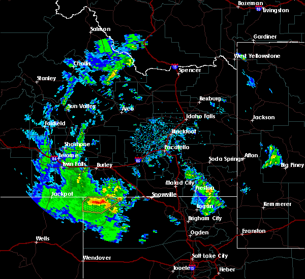
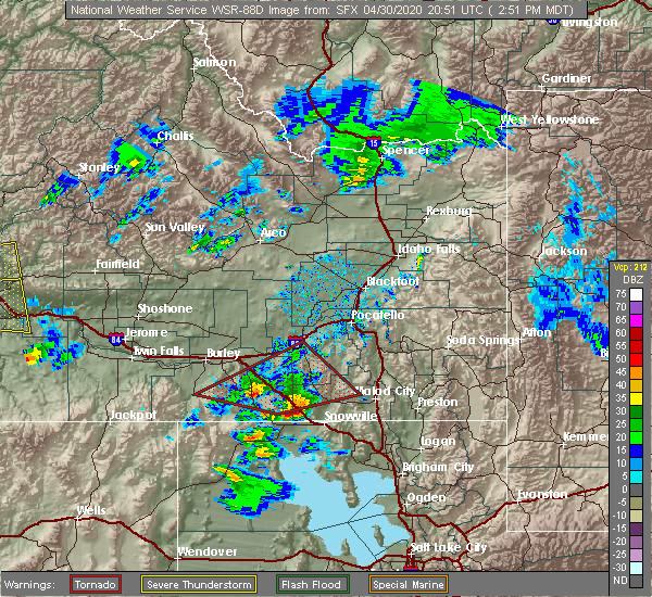
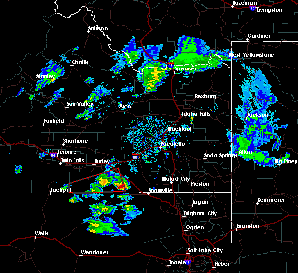
| 4/30/2020 6:25 PM MDT |
 At 624 pm mdt, severe thunderstorms were located along a line extending from near aberdeen to near rockland to 18 miles southeast of cold water rest area, moving east at 40 mph (radar indicated). Hazards include 60 mph wind gusts and up to nickel size hail. Expect damage to roofs, siding, and trees. Locations impacted include, pocatello, american falls, mccammon, american falls reservoir, neeley, chubbuck, aberdeen, inkom, rockland, fort hall bannock creek lodge, pocatello airport, fort hall putnam lodge, cold water rest area, fort hall buffalo lodge, fort hall bannock peak, portneuf gap, fort hall townsite, massacre rocks, mink creek pass and hawkins reservoir. At 624 pm mdt, severe thunderstorms were located along a line extending from near aberdeen to near rockland to 18 miles southeast of cold water rest area, moving east at 40 mph (radar indicated). Hazards include 60 mph wind gusts and up to nickel size hail. Expect damage to roofs, siding, and trees. Locations impacted include, pocatello, american falls, mccammon, american falls reservoir, neeley, chubbuck, aberdeen, inkom, rockland, fort hall bannock creek lodge, pocatello airport, fort hall putnam lodge, cold water rest area, fort hall buffalo lodge, fort hall bannock peak, portneuf gap, fort hall townsite, massacre rocks, mink creek pass and hawkins reservoir.
|
| 4/30/2020 5:59 PM MDT |
 At 558 pm mdt, severe thunderstorms were located along a line extending from 10 miles northeast of minidoka to near lake walcott to near malta, moving east at 45 mph (radar indicated). Hazards include 60 mph wind gusts and nickel size hail. expect damage to roofs, siding, and trees At 558 pm mdt, severe thunderstorms were located along a line extending from 10 miles northeast of minidoka to near lake walcott to near malta, moving east at 45 mph (radar indicated). Hazards include 60 mph wind gusts and nickel size hail. expect damage to roofs, siding, and trees
|
| 4/30/2020 3:11 PM MDT |
 The tornado warning for northwestern oneida, southwestern power and southeastern cassia counties will expire at 315 pm mdt, the tornadic thunderstorm which prompted the warning has weakened. therefore, the warning will be allowed to expire. however hail and gusty winds are still possible with this thunderstorm. The tornado warning for northwestern oneida, southwestern power and southeastern cassia counties will expire at 315 pm mdt, the tornadic thunderstorm which prompted the warning has weakened. therefore, the warning will be allowed to expire. however hail and gusty winds are still possible with this thunderstorm.
|
| 4/30/2020 2:52 PM MDT |
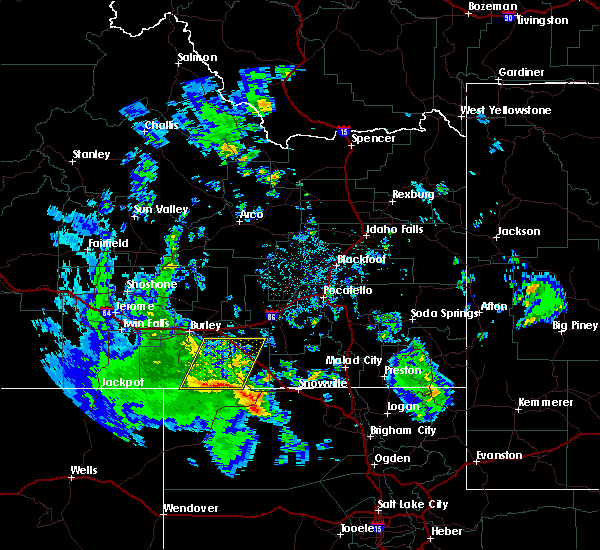
 At 252 pm mdt, a severe thunderstorm capable of producing a tornado was located 11 miles north of holbrook summit, or 19 miles northwest of malad, moving east at 40 mph (radar indicated rotation). Hazards include tornado and two inch hail. Flying debris will be dangerous to those caught without shelter. mobile homes will be damaged or destroyed. damage to roofs, windows, and vehicles will occur. tree damage is likely. Locations impacted include, malta, oakley, rockland, elba, juniper, idahome, sublett reservoir, mt harrison, roy, sweetzer summit, bridge and massacre rocks. At 252 pm mdt, a severe thunderstorm capable of producing a tornado was located 11 miles north of holbrook summit, or 19 miles northwest of malad, moving east at 40 mph (radar indicated rotation). Hazards include tornado and two inch hail. Flying debris will be dangerous to those caught without shelter. mobile homes will be damaged or destroyed. damage to roofs, windows, and vehicles will occur. tree damage is likely. Locations impacted include, malta, oakley, rockland, elba, juniper, idahome, sublett reservoir, mt harrison, roy, sweetzer summit, bridge and massacre rocks.
|
| 4/30/2020 2:27 PM MDT |
 At 226 pm mdt, a severe thunderstorm capable of producing a tornado was located 14 miles east of malta, moving east at 40 mph (radar indicated rotation). Hazards include tornado and hail up to two inches in diameter. wind gusts up to 50 mph. Flying debris will be dangerous to those caught without shelter. mobile homes will be damaged or destroyed. damage to roofs, windows, and vehicles will occur. tree damage is likely. This tornadic thunderstorm will remain over mainly rural areas of northwestern oneida, southwestern power and southeastern cassia counties, including the following locations, idahome, sublett reservoir, mt harrison, roy, sweetzer summit, bridge and massacre rocks. At 226 pm mdt, a severe thunderstorm capable of producing a tornado was located 14 miles east of malta, moving east at 40 mph (radar indicated rotation). Hazards include tornado and hail up to two inches in diameter. wind gusts up to 50 mph. Flying debris will be dangerous to those caught without shelter. mobile homes will be damaged or destroyed. damage to roofs, windows, and vehicles will occur. tree damage is likely. This tornadic thunderstorm will remain over mainly rural areas of northwestern oneida, southwestern power and southeastern cassia counties, including the following locations, idahome, sublett reservoir, mt harrison, roy, sweetzer summit, bridge and massacre rocks.
|
| 4/30/2020 2:08 PM MDT |
 The severe thunderstorm warning for southern cassia county will expire at 215 pm mdt, the severe thunderstorm which prompted the warning has developed a likely tornado. therefore, the warning will be allowed to expire. however small hail and gusty winds are still possible with this thunderstorm. remember, a tornado warning still remains in effect for cassia county. The severe thunderstorm warning for southern cassia county will expire at 215 pm mdt, the severe thunderstorm which prompted the warning has developed a likely tornado. therefore, the warning will be allowed to expire. however small hail and gusty winds are still possible with this thunderstorm. remember, a tornado warning still remains in effect for cassia county.
|
| 4/30/2020 2:07 PM MDT |
 At 207 pm mdt, a severe thunderstorm capable of producing a tornado was located near almo, or 14 miles east of oakley reservoir, moving east at 50 mph (radar indicated rotation). Hazards include tornado and two inch hail. Flying debris will be dangerous to those caught without shelter. mobile homes will be damaged or destroyed. damage to roofs, windows, and vehicles will occur. tree damage is likely. this dangerous storm will be near, elba around 215 pm mdt. malta around 225 pm mdt. Other locations impacted by this tornadic thunderstorm include bostetter ranger station, mt harrison, city of rocks, idahome and bridge. At 207 pm mdt, a severe thunderstorm capable of producing a tornado was located near almo, or 14 miles east of oakley reservoir, moving east at 50 mph (radar indicated rotation). Hazards include tornado and two inch hail. Flying debris will be dangerous to those caught without shelter. mobile homes will be damaged or destroyed. damage to roofs, windows, and vehicles will occur. tree damage is likely. this dangerous storm will be near, elba around 215 pm mdt. malta around 225 pm mdt. Other locations impacted by this tornadic thunderstorm include bostetter ranger station, mt harrison, city of rocks, idahome and bridge.
|
| 4/30/2020 2:05 PM MDT |
 At 204 pm mdt, a severe thunderstorm capable of producing a tornado was located near almo, or 13 miles east of oakley reservoir, moving east at 50 mph (radar indicated rotation). Hazards include tornado and two inch hail. Flying debris will be dangerous to those caught without shelter. mobile homes will be damaged or destroyed. damage to roofs, windows, and vehicles will occur. tree damage is likely. this dangerous storm will be near, elba around 215 pm mdt. malta around 225 pm mdt. Other locations impacted by this tornadic thunderstorm include bostetter ranger station, mt harrison, city of rocks, idahome and bridge. At 204 pm mdt, a severe thunderstorm capable of producing a tornado was located near almo, or 13 miles east of oakley reservoir, moving east at 50 mph (radar indicated rotation). Hazards include tornado and two inch hail. Flying debris will be dangerous to those caught without shelter. mobile homes will be damaged or destroyed. damage to roofs, windows, and vehicles will occur. tree damage is likely. this dangerous storm will be near, elba around 215 pm mdt. malta around 225 pm mdt. Other locations impacted by this tornadic thunderstorm include bostetter ranger station, mt harrison, city of rocks, idahome and bridge.
|
| 4/30/2020 1:46 PM MDT |
 At 146 pm mdt, a severe thunderstorm capable of producing a tornado was located near oakley reservoir, moving east at 50 mph (radar indicated rotation). Hazards include tornado. Flying debris will be dangerous to those caught without shelter. mobile homes will be damaged or destroyed. damage to roofs, windows, and vehicles will occur. tree damage is likely. this dangerous storm will be near, oakley reservoir around 150 pm mdt. oakley around 155 pm mdt. almo around 205 pm mdt. elba around 215 pm mdt. malta around 230 pm mdt. Other locations impacted by this tornadic thunderstorm include bostetter ranger station, mt harrison, city of rocks, idahome and bridge. At 146 pm mdt, a severe thunderstorm capable of producing a tornado was located near oakley reservoir, moving east at 50 mph (radar indicated rotation). Hazards include tornado. Flying debris will be dangerous to those caught without shelter. mobile homes will be damaged or destroyed. damage to roofs, windows, and vehicles will occur. tree damage is likely. this dangerous storm will be near, oakley reservoir around 150 pm mdt. oakley around 155 pm mdt. almo around 205 pm mdt. elba around 215 pm mdt. malta around 230 pm mdt. Other locations impacted by this tornadic thunderstorm include bostetter ranger station, mt harrison, city of rocks, idahome and bridge.
|
| 4/30/2020 1:22 PM MDT |
 At 122 pm mdt, a severe thunderstorm was located 14 miles southwest of oakley reservoir, moving east at 40 mph (radar indicated). Hazards include two inch hail and 60 mph wind gusts. People and animals outdoors will be injured. expect hail damage to roofs, siding, windows, and vehicles. Expect wind damage to roofs, siding, and trees. At 122 pm mdt, a severe thunderstorm was located 14 miles southwest of oakley reservoir, moving east at 40 mph (radar indicated). Hazards include two inch hail and 60 mph wind gusts. People and animals outdoors will be injured. expect hail damage to roofs, siding, windows, and vehicles. Expect wind damage to roofs, siding, and trees.
|
| 10/19/2019 4:39 PM MDT | Mesonet station mofi1 moburg canyo in cassia county ID, 22 miles NNW of Malta, ID |
| 9/10/2019 4:25 PM MDT | Half Dollar sized hail reported 21.8 miles N of Malta, ID |
| 6/6/2019 3:27 PM MDT |
 The severe thunderstorm warning for southeastern cassia county will expire at 330 pm mdt, the storm which prompted the warning has weakened below severe limits, and no longer poses an immediate threat to life or property. therefore, the warning will be allowed to expire. however small hail and gusty winds are still possible with this thunderstorm. a severe thunderstorm watch remains in effect until 1100 pm mdt for southeastern idaho. The severe thunderstorm warning for southeastern cassia county will expire at 330 pm mdt, the storm which prompted the warning has weakened below severe limits, and no longer poses an immediate threat to life or property. therefore, the warning will be allowed to expire. however small hail and gusty winds are still possible with this thunderstorm. a severe thunderstorm watch remains in effect until 1100 pm mdt for southeastern idaho.
|
| 6/6/2019 3:16 PM MDT |
 At 315 pm mdt, a severe thunderstorm was located over almo or 16 miles east of oakley reservoir, moving northeast at 30 mph (radar indicated). Hazards include 60 mph wind gusts and quarter size hail. Hail damage to vehicles is expected. expect wind damage to roofs, siding, and trees. Locations impacted include, malta, almo, elba and city of rocks. At 315 pm mdt, a severe thunderstorm was located over almo or 16 miles east of oakley reservoir, moving northeast at 30 mph (radar indicated). Hazards include 60 mph wind gusts and quarter size hail. Hail damage to vehicles is expected. expect wind damage to roofs, siding, and trees. Locations impacted include, malta, almo, elba and city of rocks.
|
| 6/6/2019 2:57 PM MDT |
 At 256 pm mdt, a severe thunderstorm was located 8 miles southwest of almo or 14 miles southeast of oakley reservoir, moving northeast at 60 mph (radar indicated). Hazards include 60 mph wind gusts and quarter size hail. Hail damage to vehicles is expected. Expect wind damage to roofs, siding, and trees. At 256 pm mdt, a severe thunderstorm was located 8 miles southwest of almo or 14 miles southeast of oakley reservoir, moving northeast at 60 mph (radar indicated). Hazards include 60 mph wind gusts and quarter size hail. Hail damage to vehicles is expected. Expect wind damage to roofs, siding, and trees.
|
| 6/6/2019 2:55 PM MDT |
 At 254 pm mdt, a severe thunderstorm was located 10 miles northeast of malta, moving northeast at 55 mph (radar indicated). Hazards include 60 mph wind gusts and quarter size hail. Hail damage to vehicles is expected. expect wind damage to roofs, siding, and trees. Locations impacted include, malta, rockland, cold water rest area, massacre rocks, sublett reservoir and idahome. At 254 pm mdt, a severe thunderstorm was located 10 miles northeast of malta, moving northeast at 55 mph (radar indicated). Hazards include 60 mph wind gusts and quarter size hail. Hail damage to vehicles is expected. expect wind damage to roofs, siding, and trees. Locations impacted include, malta, rockland, cold water rest area, massacre rocks, sublett reservoir and idahome.
|
| 6/6/2019 2:42 PM MDT |
 At 242 pm mdt, a severe thunderstorm was located over malta, moving northeast at 55 mph (radar indicated). Hazards include quarter size hail. damage to vehicles is expected At 242 pm mdt, a severe thunderstorm was located over malta, moving northeast at 55 mph (radar indicated). Hazards include quarter size hail. damage to vehicles is expected
|
| 5/31/2018 5:56 PM MDT |
 The severe thunderstorm warning for southeastern blaine, southwestern power and northeastern cassia counties will expire at 600 pm mdt, the storm which prompted the warning has weakened below severe limits, and no longer poses an immediate threat to life or property. therefore the warning will be allowed to expire. a severe thunderstorm watch remains in effect until 800 pm mdt for central and southeastern idaho. The severe thunderstorm warning for southeastern blaine, southwestern power and northeastern cassia counties will expire at 600 pm mdt, the storm which prompted the warning has weakened below severe limits, and no longer poses an immediate threat to life or property. therefore the warning will be allowed to expire. a severe thunderstorm watch remains in effect until 800 pm mdt for central and southeastern idaho.
|
| 5/31/2018 5:47 PM MDT |
 At 546 pm mdt, a severe thunderstorm was located over cold water rest area or 13 miles east of lake walcott, moving northeast at 45 mph. this storm previously produced gusts to 73 mph (radar indicated). Hazards include 60 mph wind gusts and quarter size hail. Hail damage to vehicles is expected. expect wind damage to roofs, siding, and trees. Locations impacted include, malta, southern lake walcott, rockland, cold water rest area, yale rest area, idahome and massacre rocks. At 546 pm mdt, a severe thunderstorm was located over cold water rest area or 13 miles east of lake walcott, moving northeast at 45 mph. this storm previously produced gusts to 73 mph (radar indicated). Hazards include 60 mph wind gusts and quarter size hail. Hail damage to vehicles is expected. expect wind damage to roofs, siding, and trees. Locations impacted include, malta, southern lake walcott, rockland, cold water rest area, yale rest area, idahome and massacre rocks.
|
| 5/31/2018 5:22 PM MDT |
 At 521 pm mdt, a severe thunderstorm was located near malta, moving northeast at 45 mph (radar indicated). Hazards include 60 mph wind gusts and quarter size hail. Hail damage to vehicles is expected. Expect wind damage to roofs, siding, and trees. At 521 pm mdt, a severe thunderstorm was located near malta, moving northeast at 45 mph (radar indicated). Hazards include 60 mph wind gusts and quarter size hail. Hail damage to vehicles is expected. Expect wind damage to roofs, siding, and trees.
|
| 5/30/2018 2:19 PM MDT |
 At 217 pm mdt, a severe thunderstorm was located near malta, moving northeast at 20 mph (radar indicated). Hazards include 60 mph wind gusts and quarter size hail. Hail damage to vehicles is expected. expect wind damage to roofs, siding, and trees. Locations impacted include, malta and idahome. At 217 pm mdt, a severe thunderstorm was located near malta, moving northeast at 20 mph (radar indicated). Hazards include 60 mph wind gusts and quarter size hail. Hail damage to vehicles is expected. expect wind damage to roofs, siding, and trees. Locations impacted include, malta and idahome.
|
| 5/30/2018 2:01 PM MDT |
 At 201 pm mdt, a severe thunderstorm was located over malta, moving northeast at 15 mph (radar indicated). Hazards include 60 mph wind gusts and quarter size hail. Hail damage to vehicles is expected. Expect wind damage to roofs, siding, and trees. At 201 pm mdt, a severe thunderstorm was located over malta, moving northeast at 15 mph (radar indicated). Hazards include 60 mph wind gusts and quarter size hail. Hail damage to vehicles is expected. Expect wind damage to roofs, siding, and trees.
|
| 8/10/2017 4:01 PM MDT |
 At 401 pm mdt, a severe thunderstorm was located near malta, and is nearly stationary (radar indicated). Hazards include quarter size hail. damage to vehicles is expected At 401 pm mdt, a severe thunderstorm was located near malta, and is nearly stationary (radar indicated). Hazards include quarter size hail. damage to vehicles is expected
|
| 7/26/2017 5:39 PM MDT | Mesonet station mofi1... moburg canyo in cassia county ID, 22 miles NNW of Malta, ID |
| 7/10/2016 3:39 PM MDT | Moburg canyon raw in cassia county ID, 22 miles NNW of Malta, ID |
| 7/10/2016 3:00 PM MDT | Storm damage reported in cassia county ID, 7.3 miles SSW of Malta, ID |
| 6/29/2016 1:59 PM MDT |
 At 159 pm mdt, doppler radar indicated a severe thunderstorm capable of producing quarter size hail. this storm was located 7 miles southeast of elba, or 10 miles southwest of malta, and moving northeast at 25 mph. At 159 pm mdt, doppler radar indicated a severe thunderstorm capable of producing quarter size hail. this storm was located 7 miles southeast of elba, or 10 miles southwest of malta, and moving northeast at 25 mph.
|
| 8/14/2015 9:26 PM MDT |
 At 925 pm mdt, doppler radar indicated a line of severe thunderstorms capable of producing damaging winds in excess of 60 mph. these storms were located along a line extending from 14 miles south of richfield to 6 miles northwest of paul to 7 miles southeast of oakley, moving east at 40 mph. locations impacted include, burley, rupert, heyburn, malta, oakley reservoir, lake walcott, paul, oakley, richfield, declo, albion, minidoka, elba, almo, dietrich, acequia, interstate 84 and 86 junction, bridge, kimama and mt harrison. At 925 pm mdt, doppler radar indicated a line of severe thunderstorms capable of producing damaging winds in excess of 60 mph. these storms were located along a line extending from 14 miles south of richfield to 6 miles northwest of paul to 7 miles southeast of oakley, moving east at 40 mph. locations impacted include, burley, rupert, heyburn, malta, oakley reservoir, lake walcott, paul, oakley, richfield, declo, albion, minidoka, elba, almo, dietrich, acequia, interstate 84 and 86 junction, bridge, kimama and mt harrison.
|
| 8/14/2015 9:00 PM MDT |
 At 858 pm mdt, doppler radar indicated a line of severe thunderstorms capable of producing damaging winds in excess of 60 mph. these storms were located along a line extending from near jerome to eden to 10 miles southwest of oakley reservoir, and moving east at 40 mph. 61 mph winds were reported in twin falls at 853 pm. At 858 pm mdt, doppler radar indicated a line of severe thunderstorms capable of producing damaging winds in excess of 60 mph. these storms were located along a line extending from near jerome to eden to 10 miles southwest of oakley reservoir, and moving east at 40 mph. 61 mph winds were reported in twin falls at 853 pm.
|
| 6/15/2015 5:40 PM MDT |
 A severe thunderstorm warning remains in effect until 600 pm mdt for east central cassia. southwestern power and northwestern oneida counties. at 539 pm mdt. doppler radar indicated a severe thunderstorm capable of producing large hail up to ping pong ball size and damaging winds in excess of 60 mph. This storm was located 14 miles south of cold. A severe thunderstorm warning remains in effect until 600 pm mdt for east central cassia. southwestern power and northwestern oneida counties. at 539 pm mdt. doppler radar indicated a severe thunderstorm capable of producing large hail up to ping pong ball size and damaging winds in excess of 60 mph. This storm was located 14 miles south of cold.
|
| 6/15/2015 5:30 PM MDT | Quarter sized hail reported 1.4 miles SSW of Malta, ID, pea to 1 inch and falling heavily during phone call. |
| 6/15/2015 5:25 PM MDT |
 At 524 pm mdt, doppler radar indicated a severe thunderstorm capable of producing large hail up to ping pong ball size and damaging winds in excess of 60 mph. this storm was located near malta, and moving northeast at 50 mph. At 524 pm mdt, doppler radar indicated a severe thunderstorm capable of producing large hail up to ping pong ball size and damaging winds in excess of 60 mph. this storm was located near malta, and moving northeast at 50 mph.
|
| 6/15/2015 4:40 PM MDT |
 At 439 pm mdt, doppler radar indicated a severe thunderstorm capable of producing quarter size hail and damaging winds in excess of 60 mph. this storm was located near malta, moving northeast at 15 mph. locations impacted include, malta, albion, bridge, idahome, sublett reservoir and yale rest area. At 439 pm mdt, doppler radar indicated a severe thunderstorm capable of producing quarter size hail and damaging winds in excess of 60 mph. this storm was located near malta, moving northeast at 15 mph. locations impacted include, malta, albion, bridge, idahome, sublett reservoir and yale rest area.
|
| 6/15/2015 4:22 PM MDT |
 At 421 pm mdt, doppler radar indicated a severe thunderstorm capable of producing quarter size hail and damaging winds in excess of 60 mph. this storm was located over malta, and moving northeast at 15 mph. At 421 pm mdt, doppler radar indicated a severe thunderstorm capable of producing quarter size hail and damaging winds in excess of 60 mph. this storm was located over malta, and moving northeast at 15 mph.
|
| 6/10/2015 5:12 PM MDT |
 At 509 pm mdt, doppler radar indicated a severe thunderstorm capable of producing quarter size hail and damaging winds in excess of 60 mph. this storm was located near malta, moving northeast at 20 mph. locations impacted include, malta, sublett reservoir and bridge and i-84. At 509 pm mdt, doppler radar indicated a severe thunderstorm capable of producing quarter size hail and damaging winds in excess of 60 mph. this storm was located near malta, moving northeast at 20 mph. locations impacted include, malta, sublett reservoir and bridge and i-84.
|
| 6/10/2015 4:54 PM MDT |
 At 453 pm mdt, doppler radar indicated a severe thunderstorm capable of producing quarter size hail and damaging winds in excess of 60 mph. this storm was located near malta, and moving northeast at 25 mph. At 453 pm mdt, doppler radar indicated a severe thunderstorm capable of producing quarter size hail and damaging winds in excess of 60 mph. this storm was located near malta, and moving northeast at 25 mph.
|
| 6/1/2015 3:43 PM MDT | The severe thunderstorm warning for southeastern cassia county will expire at 345 pm mdt, the storms which prompted the warning have weakened below severe limits, and no longer poses an immediate threat to life or property. therefore the warning will be allowed to expire. however small hail and gusty winds are still possible with these thunderstorms. |
| 6/1/2015 3:26 PM MDT | At 326 pm mdt, doppler radar indicated a line of severe thunderstorms capable of producing quarter size hail and damaging winds in excess of 60 mph. these storms were located along a line extending from near elba to 12 miles north of park valley, moving northeast at 30 mph. locations impacted include, malta, elba, bridge, idahome and sublett reservoir. |
| 6/1/2015 3:05 PM MDT | At 305 pm mdt, doppler radar indicated a severe thunderstorm capable of producing quarter size hail and damaging winds in excess of 60 mph. this storm was located 9 miles southeast of almo, or 23 miles south of malta, and moving northeast at 40 mph. |
| 6/1/2015 2:37 PM MDT | The severe thunderstorm warning for southeastern blaine, northeastern cassia and southwestern power counties will expire at 245 pm mdt, the storm which prompted the warning has weakened below severe limits and exited the warned area. therefore the warning will be allowed to expire. |
| 6/1/2015 2:17 PM MDT | At 217 pm mdt, doppler radar indicated a severe thunderstorm capable of producing quarter size hail and damaging winds in excess of 60 mph. this storm was located near malta, moving northeast at 15 mph. locations impacted include, malta, lake walcott, rockland, cold water rest area, yale rest area, massacre rocks and idahome. |
| 6/1/2015 1:56 PM MDT | At 155 pm mdt, doppler radar indicated a severe thunderstorm capable of producing quarter size hail and damaging winds in excess of 60 mph. this storm was located 8 miles southeast of elba, or 9 miles south of malta, and moving northeast at 15 mph. |
| 7/21/2014 7:46 PM MDT | Quarter sized hail reported 2.2 miles NW of Malta, ID, large marble size hail. |
| 1/1/0001 12:00 AM | Storm damage reported in cassia county ID, 17.4 miles SSW of Malta, ID |
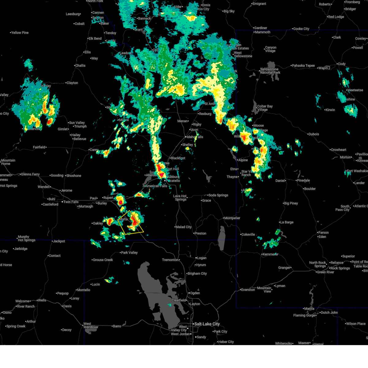
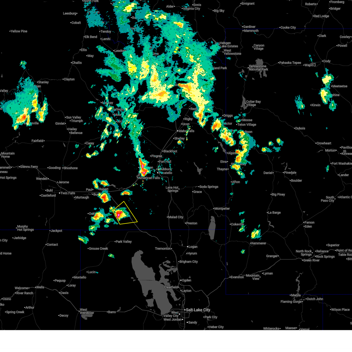
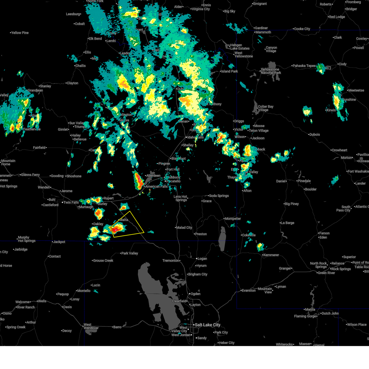
Hail Maps for Malta, ID


Connect with Interactive Hail Maps