

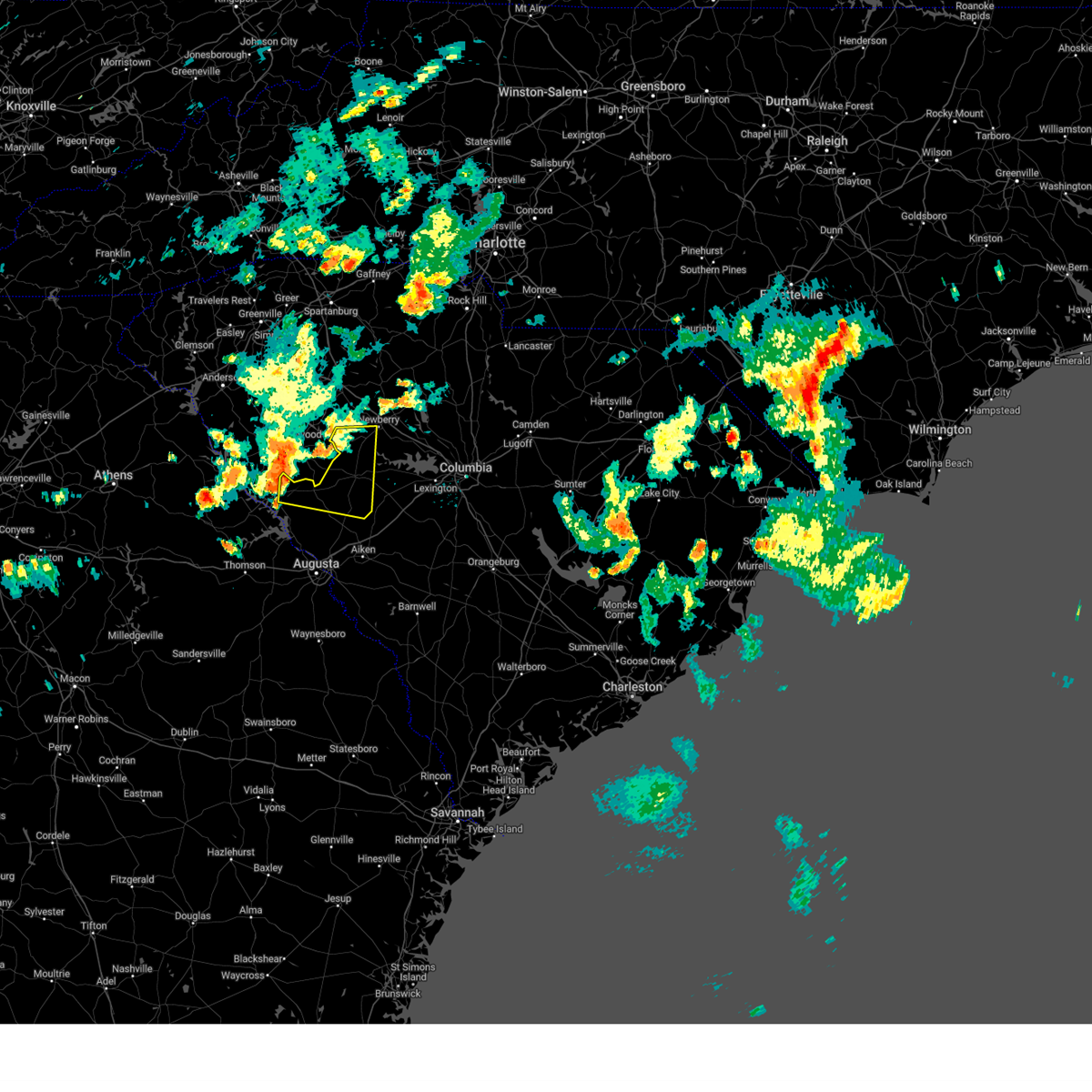
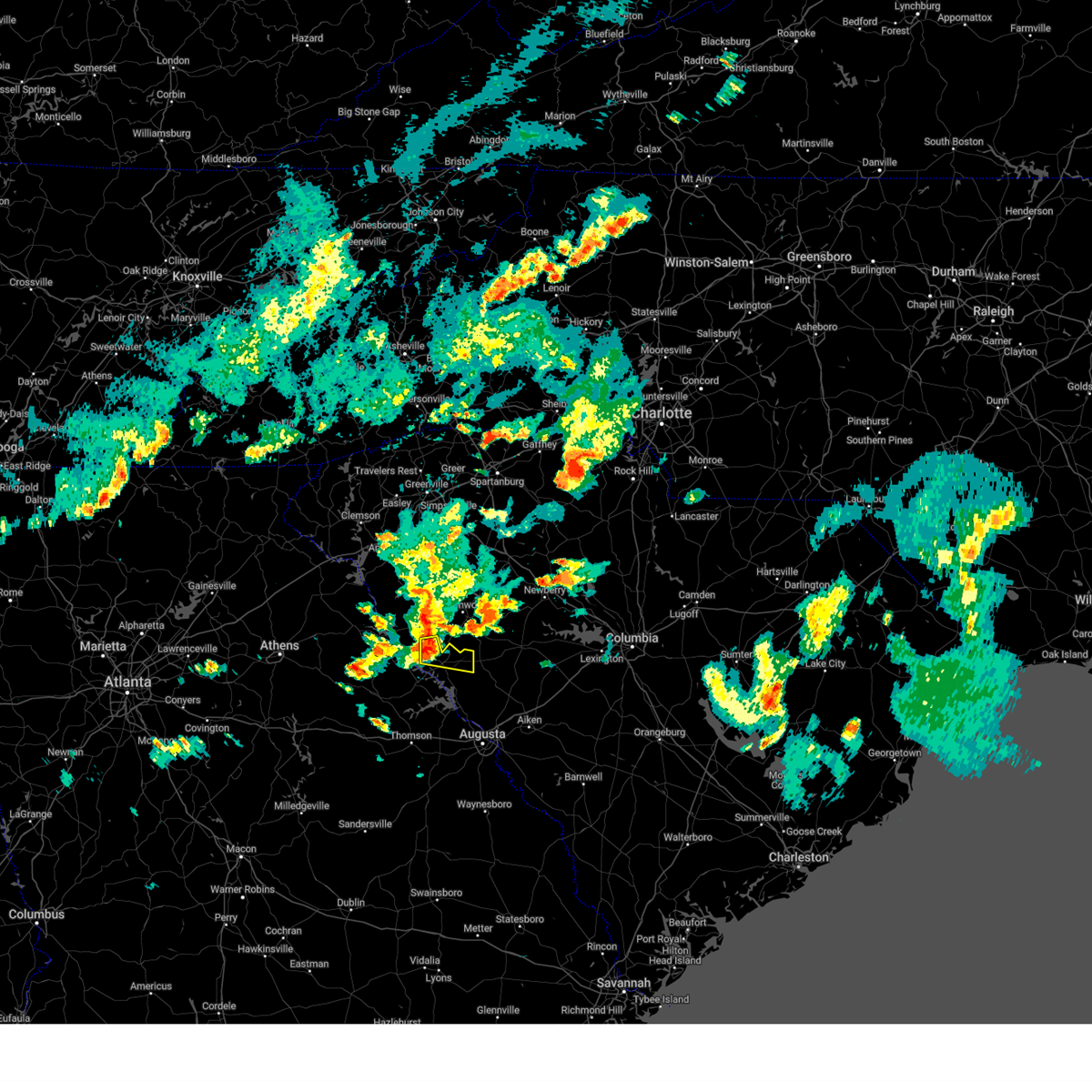
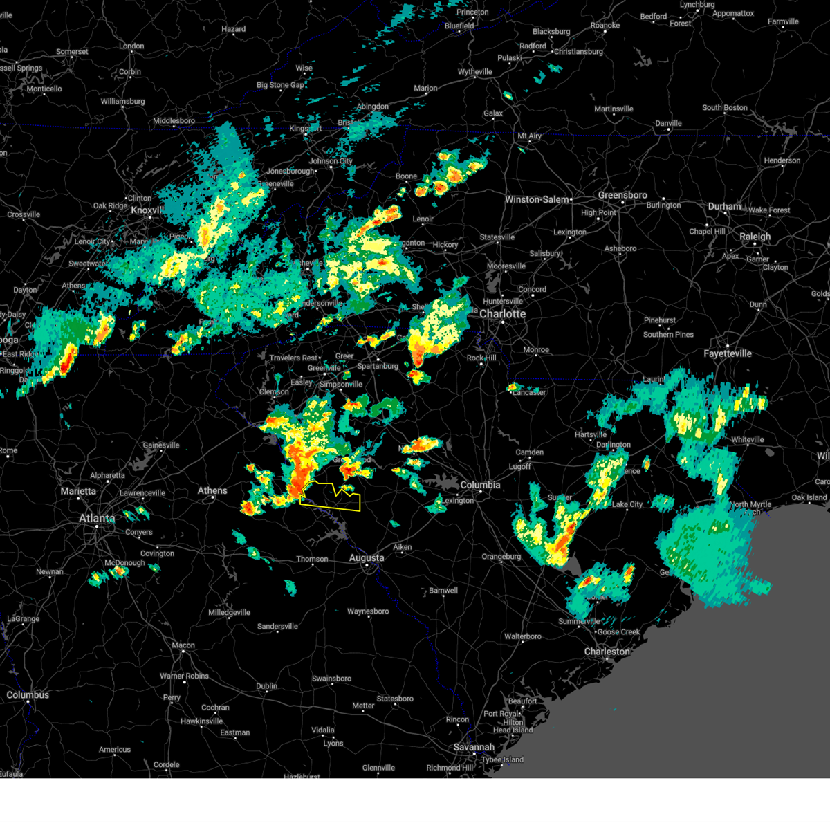
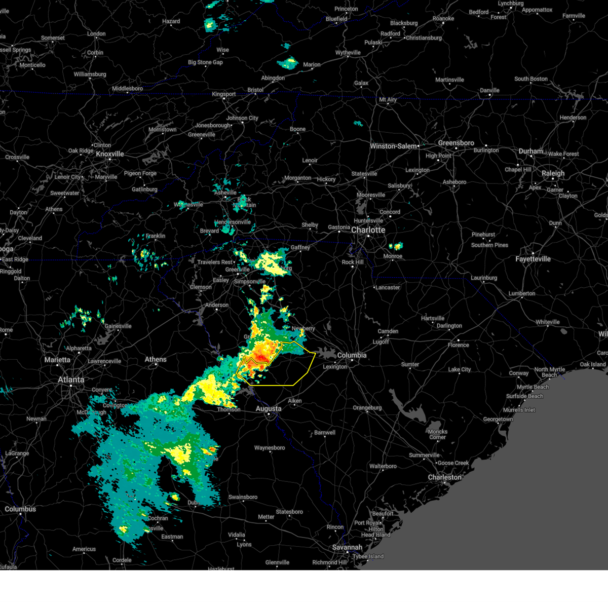
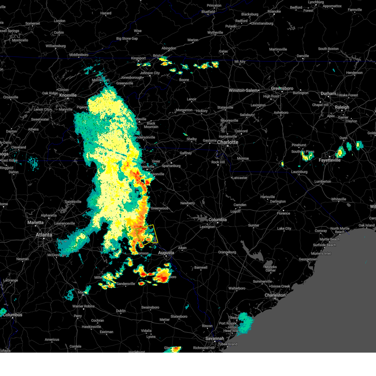
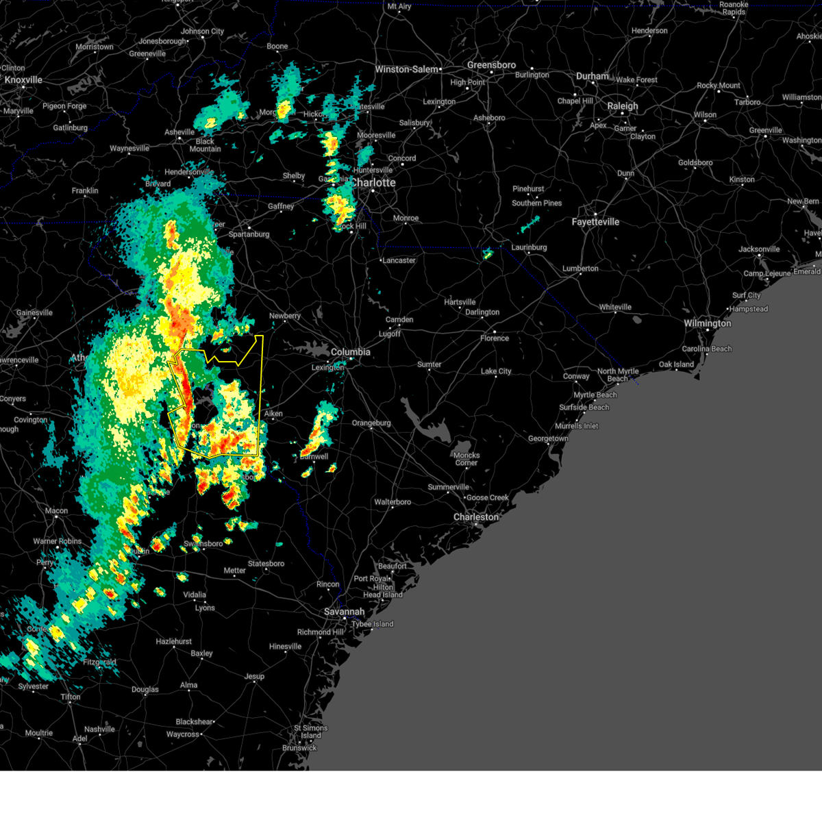
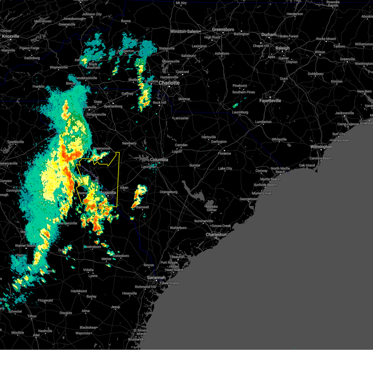
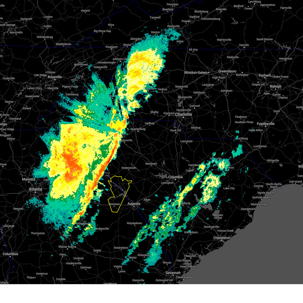
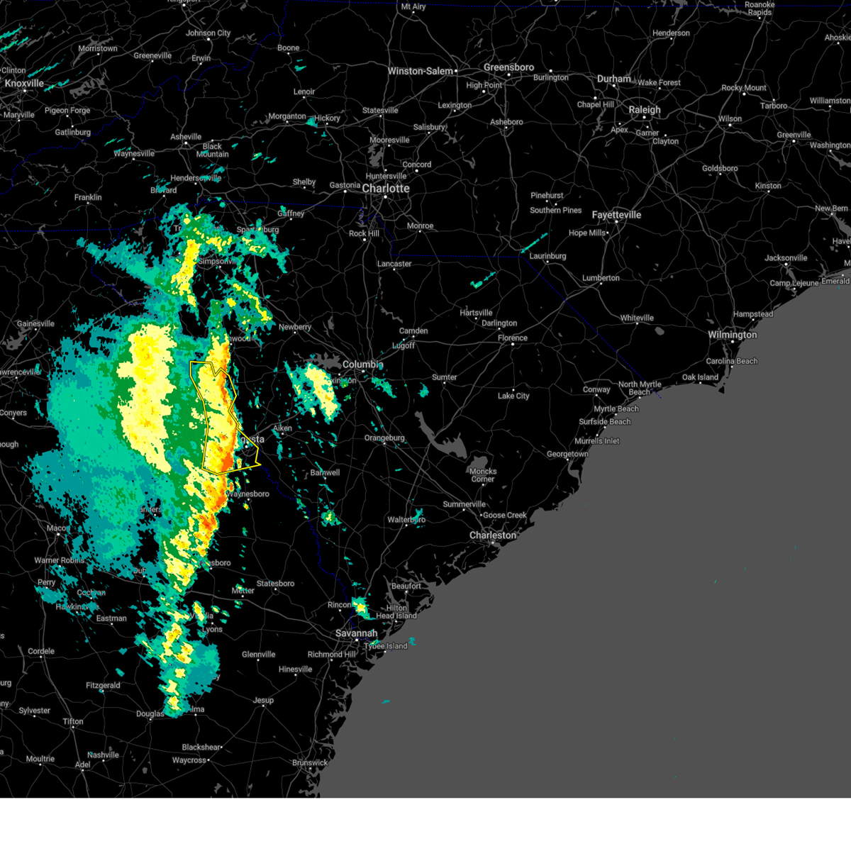
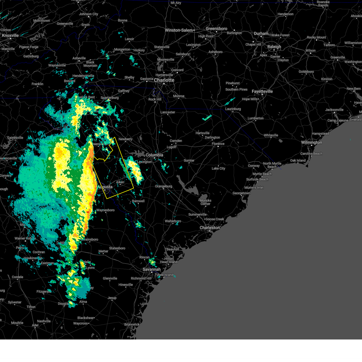
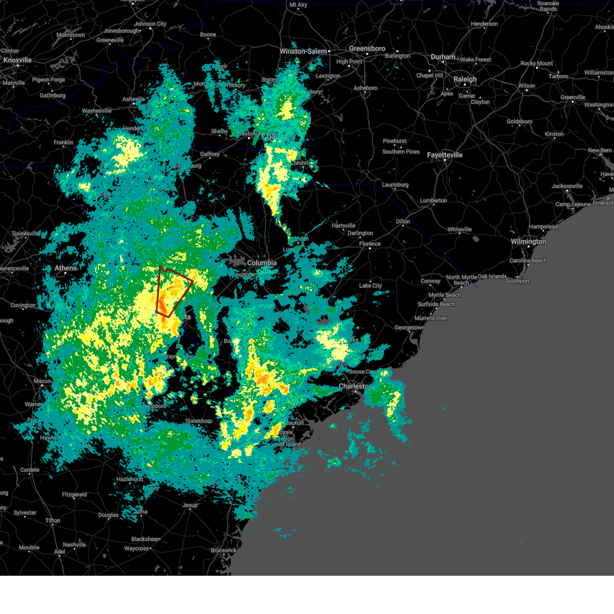
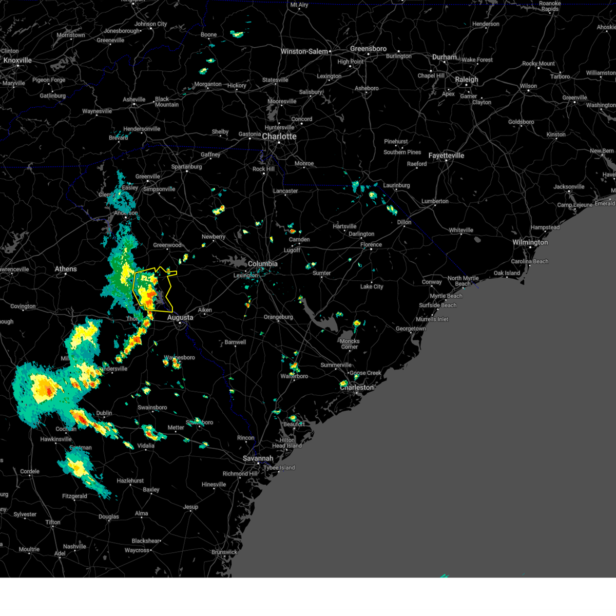
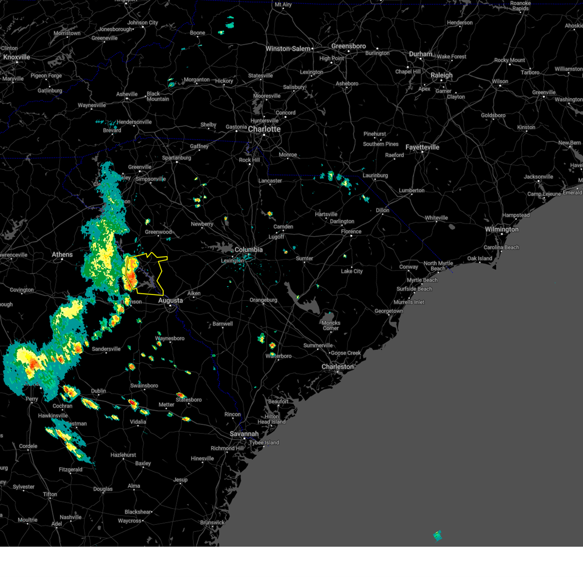
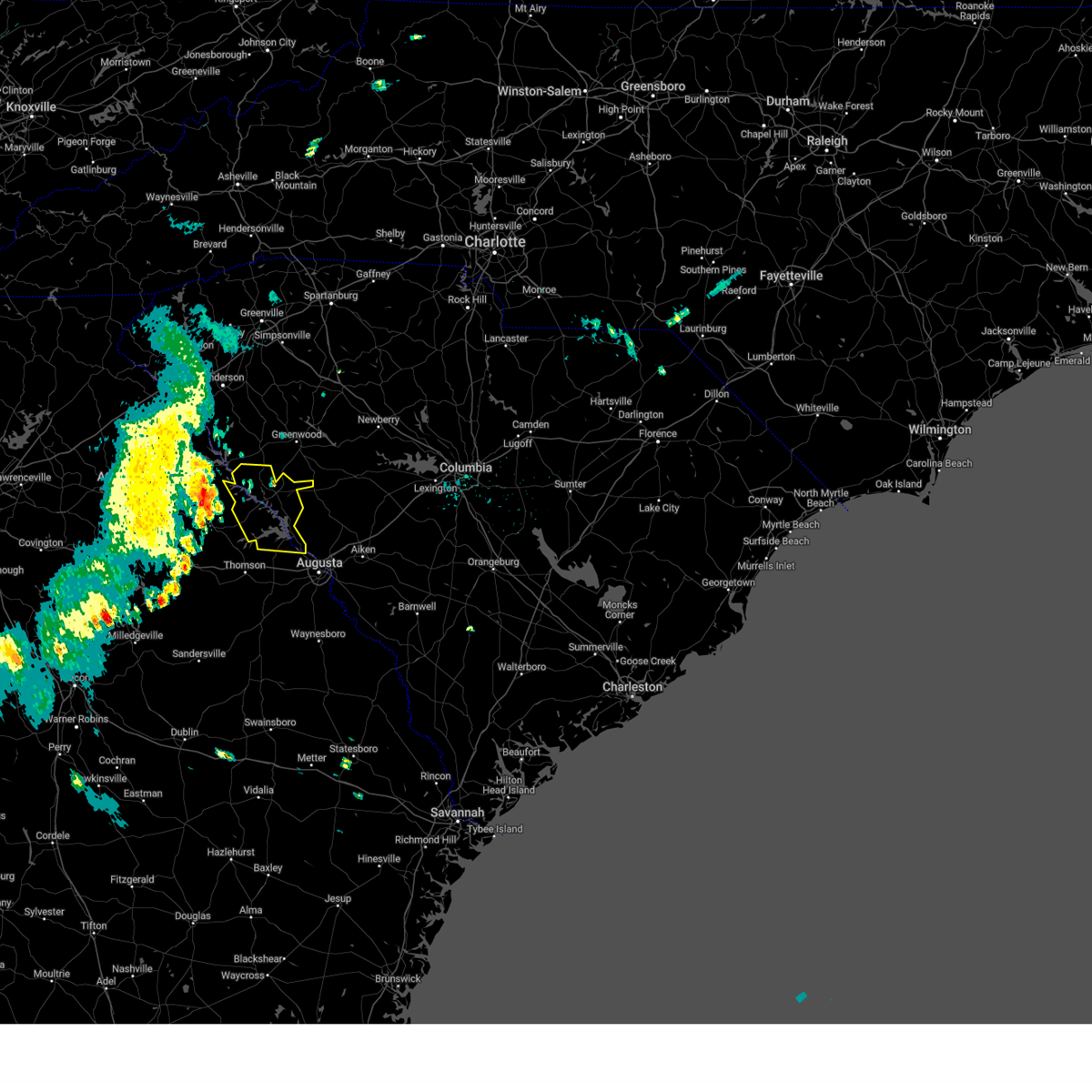
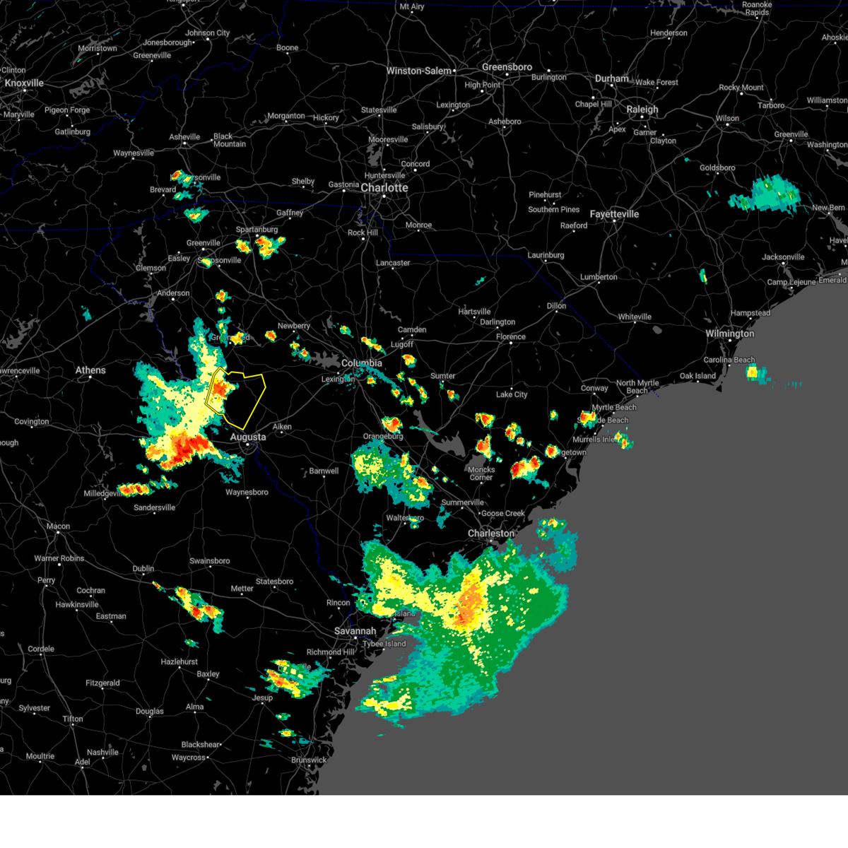
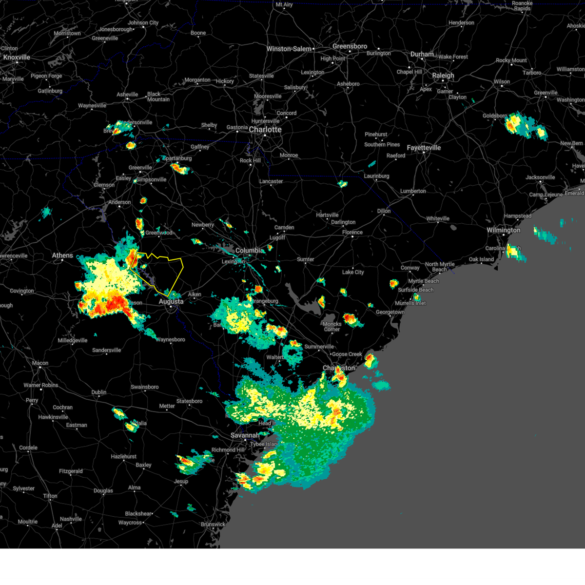
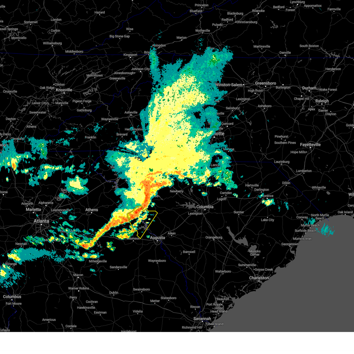
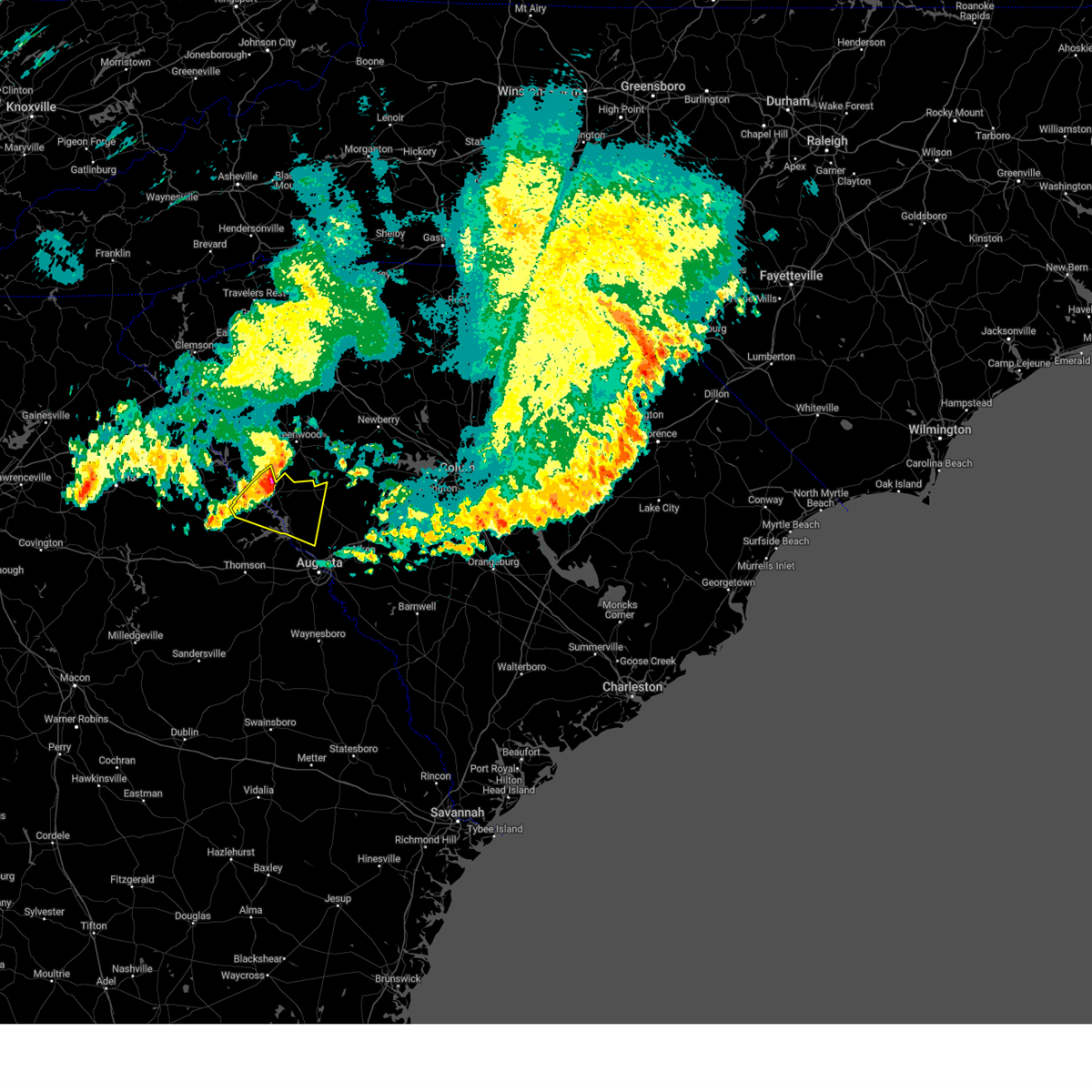
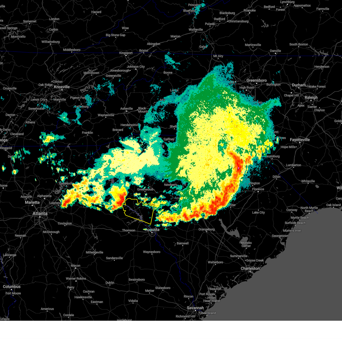
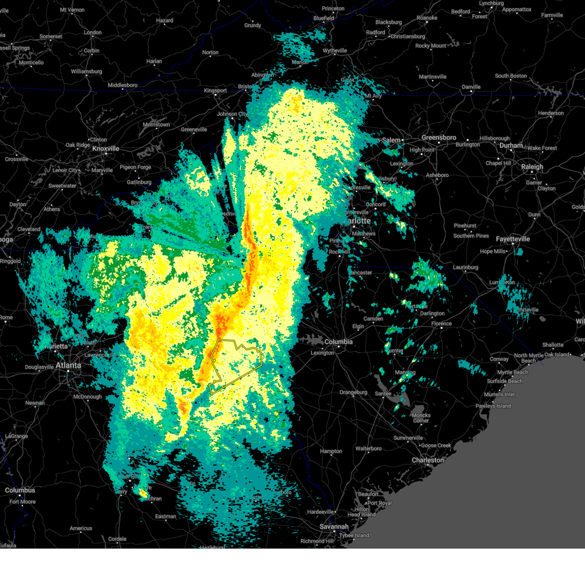
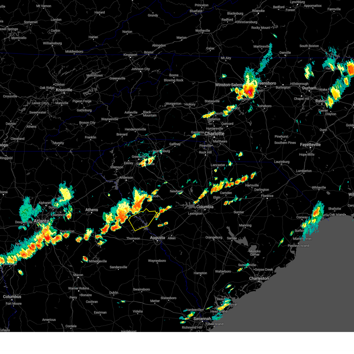
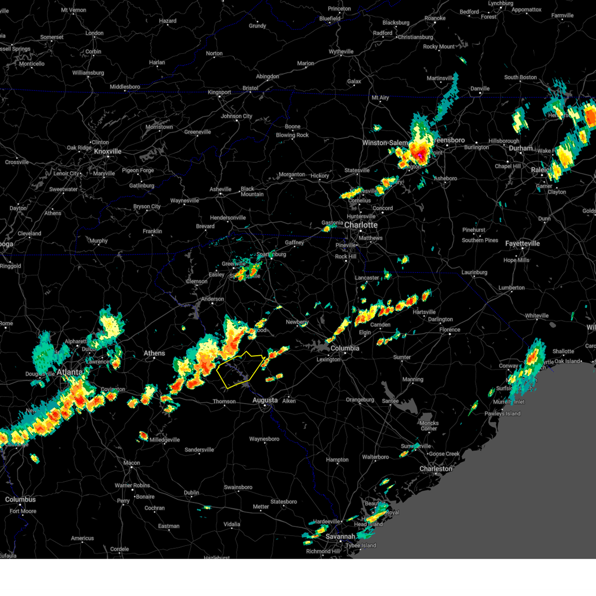
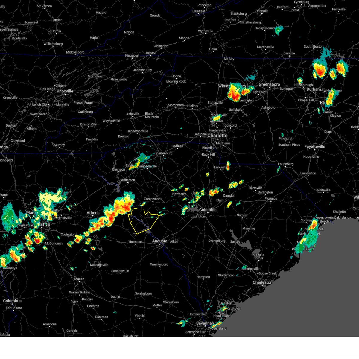
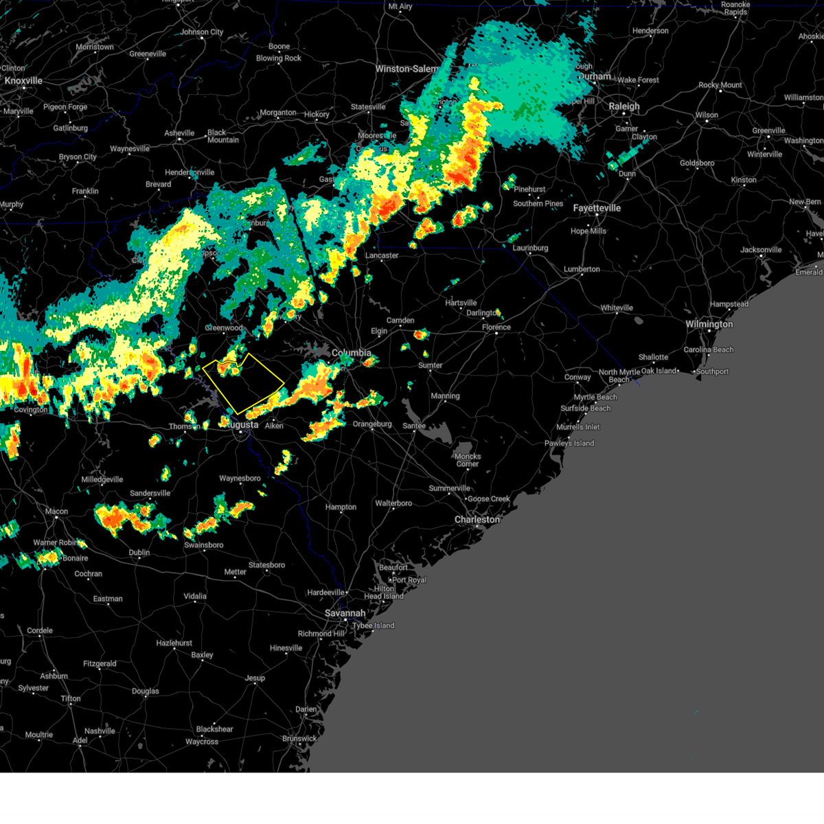
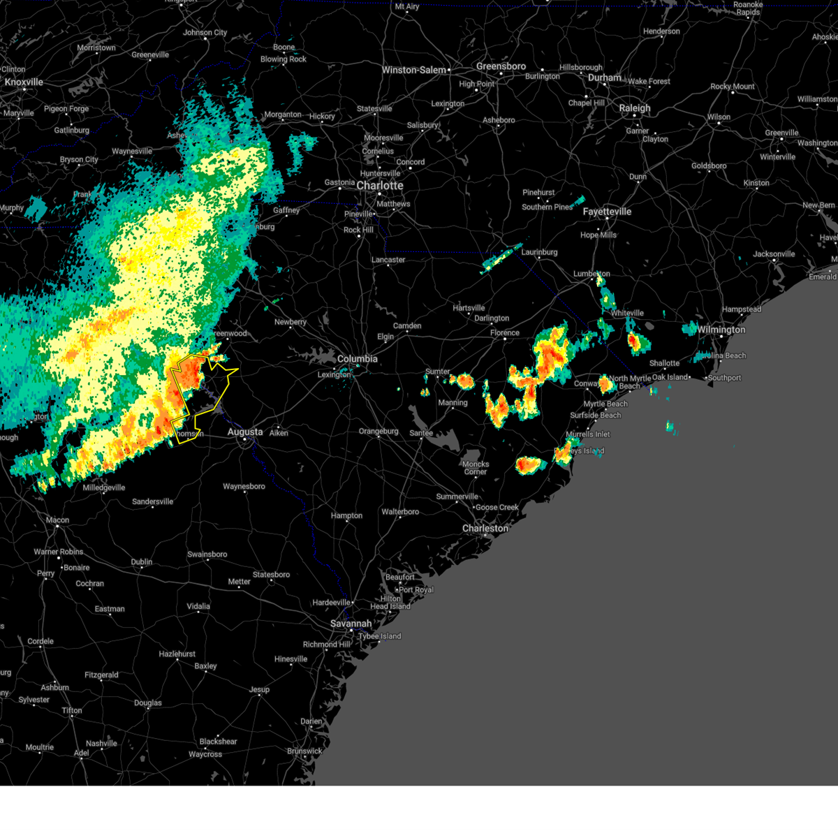
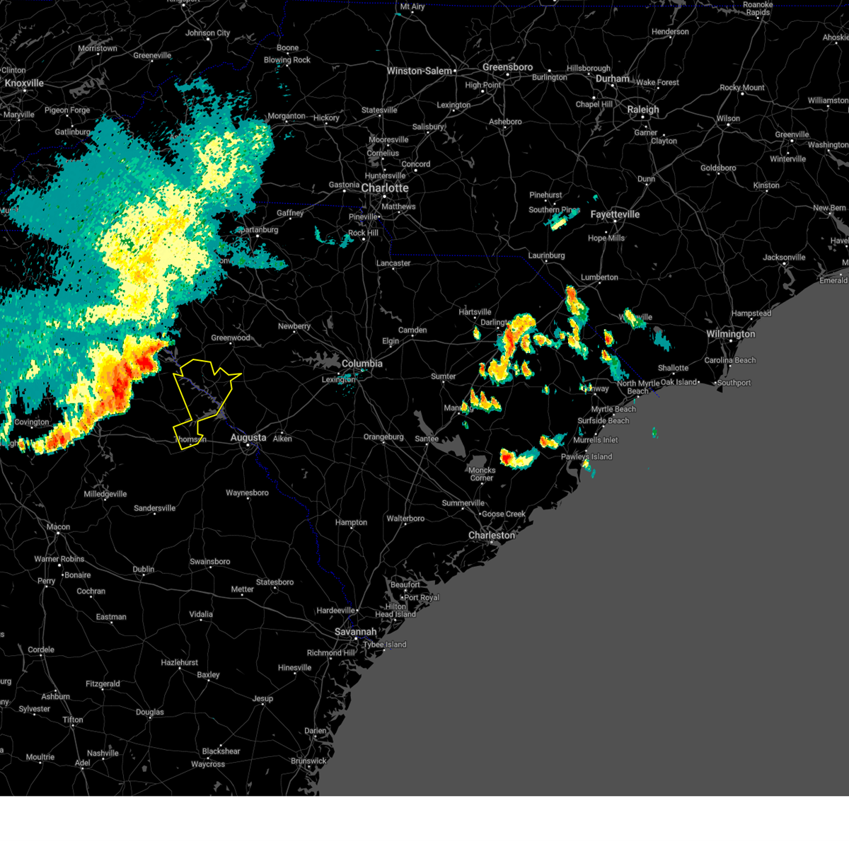
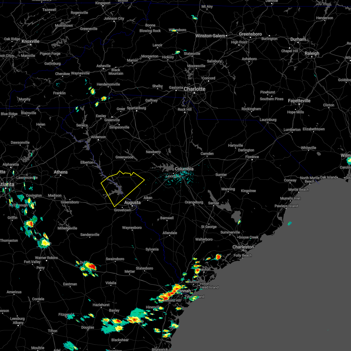
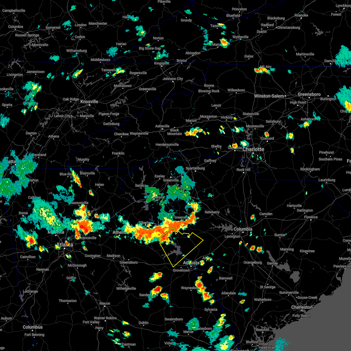
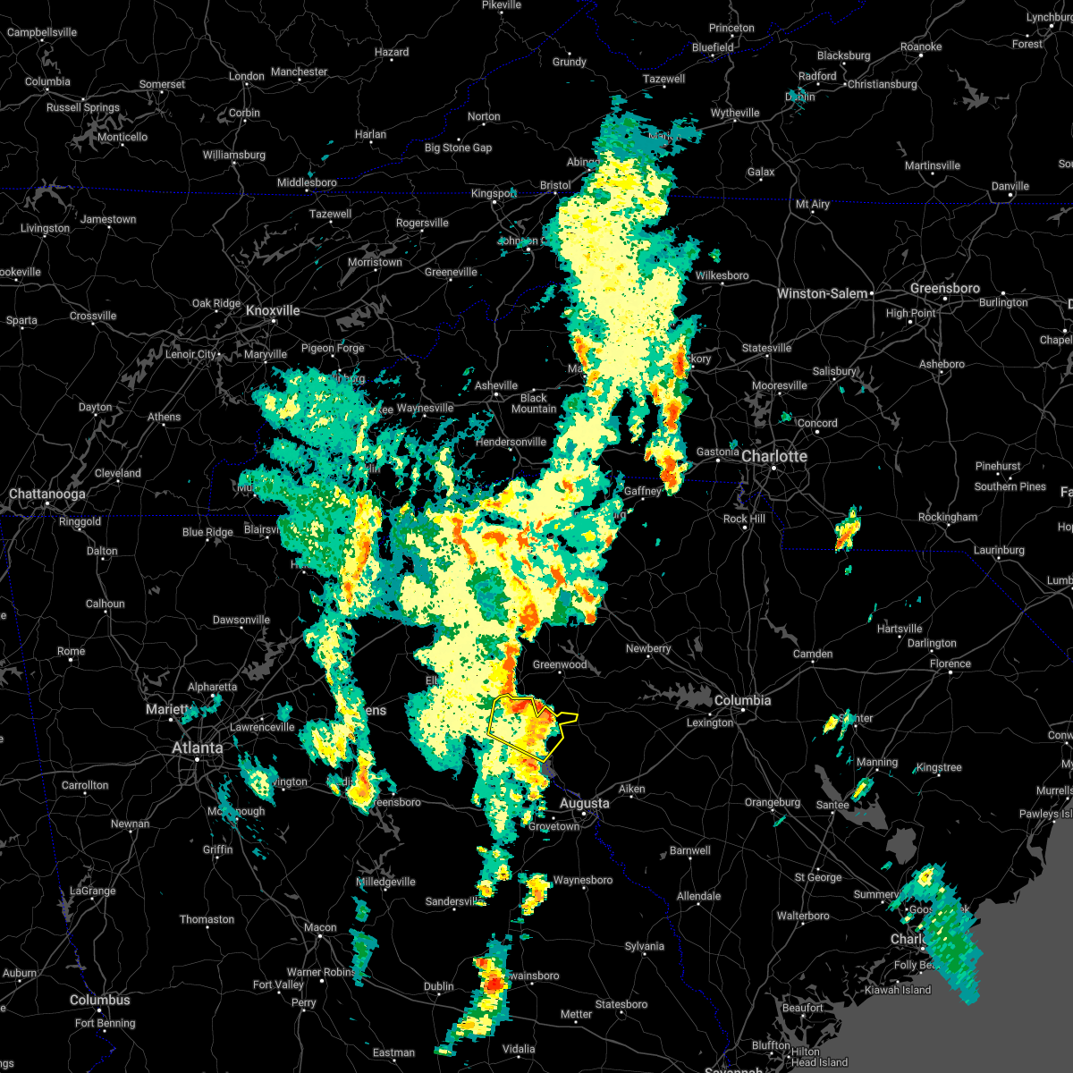
Hail Map for McCormick, SC
The McCormick, SC area has had 1 report of on-the-ground hail by trained spotters, and has been under severe weather warnings 21 times during the past 12 months. Doppler radar has detected hail at or near McCormick, SC on 41 occasions, including 3 occasions during the past year.
| Name: | McCormick, SC |
| Where Located: | 34.7 miles NNW of Augusta, GA |
| Map: | Google Map for McCormick, SC |
| Population: | 2783 |
| Housing Units: | 813 |
| More Info: | Search Google for McCormick, SC |
1
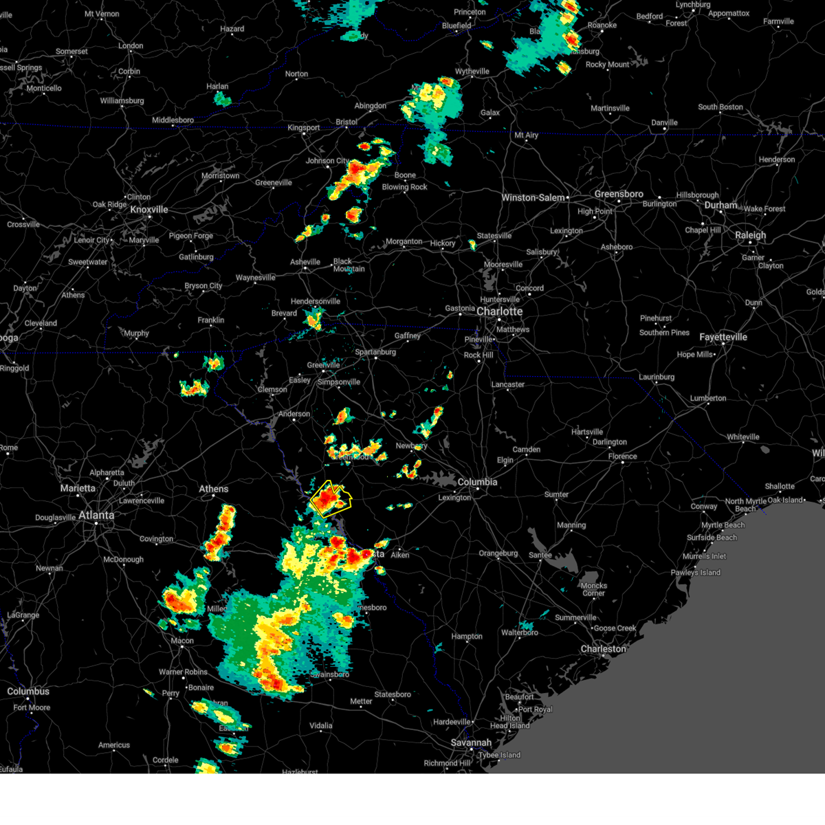
The Top Recent Hail Date for McCormick, SC is Friday, July 11, 2025 (12th out of 41)

Hail and Wind Damage Spotted near McCormick, SC
| Date / Time | Report Details |
|---|---|
| 6/9/2025 7:43 PM EDT |
 Svrcae the national weather service in columbia has issued a * severe thunderstorm warning for, southwestern newberry county in central south carolina, northern edgefield county in central south carolina, saluda county in central south carolina, northeastern mccormick county in central south carolina, * until 815 pm edt. * at 742 pm edt, severe thunderstorms were located along a line extending from greenwood to near mccormick county airport, moving east at 45 mph (radar indicated). Hazards include 60 mph wind gusts. expect damage to trees and powerlines Svrcae the national weather service in columbia has issued a * severe thunderstorm warning for, southwestern newberry county in central south carolina, northern edgefield county in central south carolina, saluda county in central south carolina, northeastern mccormick county in central south carolina, * until 815 pm edt. * at 742 pm edt, severe thunderstorms were located along a line extending from greenwood to near mccormick county airport, moving east at 45 mph (radar indicated). Hazards include 60 mph wind gusts. expect damage to trees and powerlines
|
| 6/9/2025 7:36 PM EDT |
 the severe thunderstorm warning has been cancelled and is no longer in effect the severe thunderstorm warning has been cancelled and is no longer in effect
|
| 6/9/2025 7:36 PM EDT |
 At 736 pm edt, a severe thunderstorm was located over troy, or 13 miles south of abbeville, moving east at 35 mph (radar indicated). Hazards include 60 mph wind gusts. Expect damage to trees and powerlines. Locations impacted include, mccormick, mccormick county airport, bordeaux, long cane creek picnic area, and willington. At 736 pm edt, a severe thunderstorm was located over troy, or 13 miles south of abbeville, moving east at 35 mph (radar indicated). Hazards include 60 mph wind gusts. Expect damage to trees and powerlines. Locations impacted include, mccormick, mccormick county airport, bordeaux, long cane creek picnic area, and willington.
|
| 6/9/2025 7:16 PM EDT |
 Svrcae the national weather service in columbia has issued a * severe thunderstorm warning for, northwestern lincoln county in east central georgia, northwestern edgefield county in central south carolina, mccormick county in central south carolina, * until 745 pm edt. * at 716 pm edt, a severe thunderstorm was located near bobby brown state park, or 16 miles southwest of abbeville, moving east at 35 mph (radar indicated). Hazards include 60 mph wind gusts. expect damage to trees and powerlines Svrcae the national weather service in columbia has issued a * severe thunderstorm warning for, northwestern lincoln county in east central georgia, northwestern edgefield county in central south carolina, mccormick county in central south carolina, * until 745 pm edt. * at 716 pm edt, a severe thunderstorm was located near bobby brown state park, or 16 miles southwest of abbeville, moving east at 35 mph (radar indicated). Hazards include 60 mph wind gusts. expect damage to trees and powerlines
|
| 6/8/2025 9:28 AM EDT |
 Svrcae the national weather service in columbia has issued a * severe thunderstorm warning for, northern edgefield county in central south carolina, saluda county in central south carolina, central mccormick county in central south carolina, * until 1015 am edt. * at 928 am edt, a severe thunderstorm was located 10 miles south of ninety six historic site, or 14 miles southeast of greenwood, moving east at 55 mph (radar indicated). Hazards include 60 mph wind gusts and quarter size hail. Hail damage to vehicles is expected. Expect wind damage to trees and powerlines. Svrcae the national weather service in columbia has issued a * severe thunderstorm warning for, northern edgefield county in central south carolina, saluda county in central south carolina, central mccormick county in central south carolina, * until 1015 am edt. * at 928 am edt, a severe thunderstorm was located 10 miles south of ninety six historic site, or 14 miles southeast of greenwood, moving east at 55 mph (radar indicated). Hazards include 60 mph wind gusts and quarter size hail. Hail damage to vehicles is expected. Expect wind damage to trees and powerlines.
|
| 6/7/2025 7:59 PM EDT | Mccormick county dispatch reported trees down throughout the county. time estimated by rada in mccormick county SC, 6.2 miles WSW of McCormick, SC |
| 6/7/2025 7:56 PM EDT |
 The storm which prompted the warning has moved out of the area. therefore, the warning will be allowed to expire. another line of severe thunderstorms is set to impact southern lincoln and mccormick counties soon! a severe thunderstorm watch remains in effect until midnight edt for east central georgia, and central south carolina. remember, a severe thunderstorm warning still remains in effect for southern lincoln and mccormick counties until 845p!. The storm which prompted the warning has moved out of the area. therefore, the warning will be allowed to expire. another line of severe thunderstorms is set to impact southern lincoln and mccormick counties soon! a severe thunderstorm watch remains in effect until midnight edt for east central georgia, and central south carolina. remember, a severe thunderstorm warning still remains in effect for southern lincoln and mccormick counties until 845p!.
|
| 6/7/2025 7:50 PM EDT | Mccormick county dispatch reported trees down throughout the county. time estimated by rada in mccormick county SC, 1.2 miles ENE of McCormick, SC |
| 6/7/2025 7:38 PM EDT |
 Svrcae the national weather service in columbia has issued a * severe thunderstorm warning for, northwestern lincoln county in east central georgia, northern edgefield county in central south carolina, southwestern saluda county in central south carolina, mccormick county in central south carolina, * until 830 pm edt. * at 738 pm edt, a severe thunderstorm was located near bobby brown state park, or 17 miles northeast of washington, moving east at 60 mph (radar indicated). Hazards include 60 mph wind gusts. expect damage to trees and powerlines Svrcae the national weather service in columbia has issued a * severe thunderstorm warning for, northwestern lincoln county in east central georgia, northern edgefield county in central south carolina, southwestern saluda county in central south carolina, mccormick county in central south carolina, * until 830 pm edt. * at 738 pm edt, a severe thunderstorm was located near bobby brown state park, or 17 miles northeast of washington, moving east at 60 mph (radar indicated). Hazards include 60 mph wind gusts. expect damage to trees and powerlines
|
| 6/7/2025 7:10 PM EDT |
 Svrcae the national weather service in columbia has issued a * severe thunderstorm warning for, lincoln county in east central georgia, central mccormick county in central south carolina, * until 800 pm edt. * at 709 pm edt, a severe thunderstorm was located near washington, moving east at 30 mph (radar indicated). Hazards include 60 mph wind gusts. expect damage to trees and powerlines Svrcae the national weather service in columbia has issued a * severe thunderstorm warning for, lincoln county in east central georgia, central mccormick county in central south carolina, * until 800 pm edt. * at 709 pm edt, a severe thunderstorm was located near washington, moving east at 30 mph (radar indicated). Hazards include 60 mph wind gusts. expect damage to trees and powerlines
|
| 3/31/2025 3:31 PM EDT |
 At 331 pm edt, severe thunderstorms were located along a line extending from 7 miles southeast of abbeville to near hamilton branch state park to evans, moving east at 55 mph (radar indicated). Hazards include 60 mph wind gusts. Expect damage to trees and powerlines. locations impacted include, west end augusta, parksville, new savannah bluff lock & dam park, poverty hill, blythe, glenn hills, scott's landing, northside fire station main, edgefield, westover, knox scout reservation, glendale, savannah bluffs heritage preserve, cleora, south augusta, clarks hill recreation area, westmont, long cane creek picnic area, dearing, and forest hills. this includes the following highways, interstate 20 in georgia between mile markers 178 and 201. interstate 20 in south carolina between mile markers 0 and 11. interstate 520 in georgia between mile markers 1 and 15. Interstate 520 in south carolina between mile markers 16 and 23. At 331 pm edt, severe thunderstorms were located along a line extending from 7 miles southeast of abbeville to near hamilton branch state park to evans, moving east at 55 mph (radar indicated). Hazards include 60 mph wind gusts. Expect damage to trees and powerlines. locations impacted include, west end augusta, parksville, new savannah bluff lock & dam park, poverty hill, blythe, glenn hills, scott's landing, northside fire station main, edgefield, westover, knox scout reservation, glendale, savannah bluffs heritage preserve, cleora, south augusta, clarks hill recreation area, westmont, long cane creek picnic area, dearing, and forest hills. this includes the following highways, interstate 20 in georgia between mile markers 178 and 201. interstate 20 in south carolina between mile markers 0 and 11. interstate 520 in georgia between mile markers 1 and 15. Interstate 520 in south carolina between mile markers 16 and 23.
|
| 3/31/2025 3:12 PM EDT |
 At 310 pm edt, severe thunderstorms were located along a line extending from near lake strom thurmond to near lincolnton to near thomson, moving east at 60 mph (radar indicated). Hazards include 60 mph wind gusts. Expect damage to trees and powerlines. locations impacted include, west end augusta, bordeaux, parksville, new savannah bluff lock & dam park, poverty hill, blythe, glenn hills, thomson fire department, scott's landing, mcduffie regional medical center, northside fire station main, edgefield, westover, knox scout reservation, glendale, savannah bluffs heritage preserve, cleora, south augusta, clarks hill recreation area, and westmont. this includes the following highways, interstate 20 in georgia between mile markers 166 and 201. interstate 20 in south carolina between mile markers 0 and 11. interstate 520 in georgia between mile markers 1 and 15. Interstate 520 in south carolina between mile markers 16 and 23. At 310 pm edt, severe thunderstorms were located along a line extending from near lake strom thurmond to near lincolnton to near thomson, moving east at 60 mph (radar indicated). Hazards include 60 mph wind gusts. Expect damage to trees and powerlines. locations impacted include, west end augusta, bordeaux, parksville, new savannah bluff lock & dam park, poverty hill, blythe, glenn hills, thomson fire department, scott's landing, mcduffie regional medical center, northside fire station main, edgefield, westover, knox scout reservation, glendale, savannah bluffs heritage preserve, cleora, south augusta, clarks hill recreation area, and westmont. this includes the following highways, interstate 20 in georgia between mile markers 166 and 201. interstate 20 in south carolina between mile markers 0 and 11. interstate 520 in georgia between mile markers 1 and 15. Interstate 520 in south carolina between mile markers 16 and 23.
|
| 3/31/2025 2:50 PM EDT |
 Svrcae the national weather service in columbia has issued a * severe thunderstorm warning for, mcduffie county in east central georgia, columbia county in east central georgia, lincoln county in east central georgia, richmond county in east central georgia, edgefield county in central south carolina, western saluda county in central south carolina, southwestern aiken county in central south carolina, mccormick county in central south carolina, * until 345 pm edt. * at 250 pm edt, severe thunderstorms were located along a line extending from 7 miles west of nancy hart state park to near sparta, moving east at 50 mph (radar indicated). Hazards include 60 mph wind gusts. expect damage to trees and powerlines Svrcae the national weather service in columbia has issued a * severe thunderstorm warning for, mcduffie county in east central georgia, columbia county in east central georgia, lincoln county in east central georgia, richmond county in east central georgia, edgefield county in central south carolina, western saluda county in central south carolina, southwestern aiken county in central south carolina, mccormick county in central south carolina, * until 345 pm edt. * at 250 pm edt, severe thunderstorms were located along a line extending from 7 miles west of nancy hart state park to near sparta, moving east at 50 mph (radar indicated). Hazards include 60 mph wind gusts. expect damage to trees and powerlines
|
| 2/16/2025 6:01 AM EST |
 Svrcae the national weather service in columbia has issued a * severe thunderstorm warning for, mcduffie county in east central georgia, northwestern columbia county in east central georgia, lincoln county in east central georgia, mccormick county in central south carolina, * until 645 am est. * at 601 am est, severe thunderstorms were located along a line extending from near lake secession to near white plains, moving east at 65 mph (radar indicated). Hazards include 60 mph wind gusts. expect damage to trees and powerlines Svrcae the national weather service in columbia has issued a * severe thunderstorm warning for, mcduffie county in east central georgia, northwestern columbia county in east central georgia, lincoln county in east central georgia, mccormick county in central south carolina, * until 645 am est. * at 601 am est, severe thunderstorms were located along a line extending from near lake secession to near white plains, moving east at 65 mph (radar indicated). Hazards include 60 mph wind gusts. expect damage to trees and powerlines
|
| 12/29/2024 7:33 AM EST |
 At 733 am est, severe thunderstorms were located along a line extending from 6 miles southeast of abbeville to near harlem, moving east at 40 mph (radar indicated). Hazards include 60 mph wind gusts. Expect damage to trees and powerlines. locations impacted include, north augusta, grovetown, evans, fort eisenhower, augusta, martinez, hephzibah, mccormick, harlem, glendale, south augusta, clarks hill recreation area, elijah clark state park, summerville, augusta mall, daniel field, village plaza shopping center, augusta national golf club, j. strom thurmond dam, and appling. this includes the following highways, interstate 20 in georgia between mile markers 180 and 201. Interstate 520 in georgia between mile markers 1 and 14. At 733 am est, severe thunderstorms were located along a line extending from 6 miles southeast of abbeville to near harlem, moving east at 40 mph (radar indicated). Hazards include 60 mph wind gusts. Expect damage to trees and powerlines. locations impacted include, north augusta, grovetown, evans, fort eisenhower, augusta, martinez, hephzibah, mccormick, harlem, glendale, south augusta, clarks hill recreation area, elijah clark state park, summerville, augusta mall, daniel field, village plaza shopping center, augusta national golf club, j. strom thurmond dam, and appling. this includes the following highways, interstate 20 in georgia between mile markers 180 and 201. Interstate 520 in georgia between mile markers 1 and 14.
|
| 12/29/2024 7:29 AM EST |
 Svrcae the national weather service in columbia has issued a * severe thunderstorm warning for, east central columbia county in east central georgia, northeastern richmond county in east central georgia, southwestern newberry county in central south carolina, edgefield county in central south carolina, saluda county in central south carolina, northwestern aiken county in central south carolina, eastern mccormick county in central south carolina, * until 830 am est. * at 729 am est, severe thunderstorms were located along a line extending from near mccormick county airport to 6 miles southeast of harlem, moving east at 35 mph (radar indicated). Hazards include 60 mph wind gusts. expect damage to trees and powerlines Svrcae the national weather service in columbia has issued a * severe thunderstorm warning for, east central columbia county in east central georgia, northeastern richmond county in east central georgia, southwestern newberry county in central south carolina, edgefield county in central south carolina, saluda county in central south carolina, northwestern aiken county in central south carolina, eastern mccormick county in central south carolina, * until 830 am est. * at 729 am est, severe thunderstorms were located along a line extending from near mccormick county airport to 6 miles southeast of harlem, moving east at 35 mph (radar indicated). Hazards include 60 mph wind gusts. expect damage to trees and powerlines
|
| 12/29/2024 6:44 AM EST |
 Svrcae the national weather service in columbia has issued a * severe thunderstorm warning for, mcduffie county in east central georgia, columbia county in east central georgia, lincoln county in east central georgia, richmond county in east central georgia, mccormick county in central south carolina, * until 745 am est. * at 642 am est, severe thunderstorms were located along a line extending from near nancy hart state park to near mitchell, moving northeast at 40 mph (radar indicated). Hazards include 60 mph wind gusts. expect damage to trees and powerlines Svrcae the national weather service in columbia has issued a * severe thunderstorm warning for, mcduffie county in east central georgia, columbia county in east central georgia, lincoln county in east central georgia, richmond county in east central georgia, mccormick county in central south carolina, * until 745 am est. * at 642 am est, severe thunderstorms were located along a line extending from near nancy hart state park to near mitchell, moving northeast at 40 mph (radar indicated). Hazards include 60 mph wind gusts. expect damage to trees and powerlines
|
| 9/26/2024 8:12 AM EDT |
 the tornado warning has been cancelled and is no longer in effect the tornado warning has been cancelled and is no longer in effect
|
| 9/26/2024 7:54 AM EDT |
 At 753 am edt, a severe thunderstorm capable of producing a tornado was located over j. strom thurmond dam, or 9 miles north of evans, moving north at 25 mph (radar indicated rotation). Hazards include tornado. Flying debris will be dangerous to those caught without shelter. mobile homes will be damaged or destroyed. damage to roofs, windows, and vehicles will occur. tree damage is likely. this dangerous storm will be near, clarks hill recreation area and hamilton branch state park around 800 am edt. Other locations impacted by this tornadic thunderstorm include lick fork campground, riverside park, parksville, modoc, lost wilderness fire station, pleasant lane, scott's landing, blanchard woods park, modoc campground, and woodbridge. At 753 am edt, a severe thunderstorm capable of producing a tornado was located over j. strom thurmond dam, or 9 miles north of evans, moving north at 25 mph (radar indicated rotation). Hazards include tornado. Flying debris will be dangerous to those caught without shelter. mobile homes will be damaged or destroyed. damage to roofs, windows, and vehicles will occur. tree damage is likely. this dangerous storm will be near, clarks hill recreation area and hamilton branch state park around 800 am edt. Other locations impacted by this tornadic thunderstorm include lick fork campground, riverside park, parksville, modoc, lost wilderness fire station, pleasant lane, scott's landing, blanchard woods park, modoc campground, and woodbridge.
|
| 9/26/2024 7:46 AM EDT |
 Torcae the national weather service in columbia has issued a * tornado warning for, northeastern columbia county in east central georgia, eastern lincoln county in east central georgia, western edgefield county in central south carolina, eastern mccormick county in central south carolina, * until 830 am edt. * at 745 am edt, a severe thunderstorm capable of producing a tornado was located near riverwood, or 7 miles north of evans, moving northeast at 30 mph (radar indicated rotation). Hazards include tornado. Flying debris will be dangerous to those caught without shelter. mobile homes will be damaged or destroyed. damage to roofs, windows, and vehicles will occur. tree damage is likely. this dangerous storm will be near, clarks hill recreation area, hamilton branch state park, and j. strom thurmond dam around 750 am edt. edgefield around 810 am edt. Other locations impacted by this tornadic thunderstorm include lick fork campground, riverside park, parksville, modoc, lost wilderness fire station, pleasant lane, scott's landing, blanchard woods park, modoc campground, and woodbridge. Torcae the national weather service in columbia has issued a * tornado warning for, northeastern columbia county in east central georgia, eastern lincoln county in east central georgia, western edgefield county in central south carolina, eastern mccormick county in central south carolina, * until 830 am edt. * at 745 am edt, a severe thunderstorm capable of producing a tornado was located near riverwood, or 7 miles north of evans, moving northeast at 30 mph (radar indicated rotation). Hazards include tornado. Flying debris will be dangerous to those caught without shelter. mobile homes will be damaged or destroyed. damage to roofs, windows, and vehicles will occur. tree damage is likely. this dangerous storm will be near, clarks hill recreation area, hamilton branch state park, and j. strom thurmond dam around 750 am edt. edgefield around 810 am edt. Other locations impacted by this tornadic thunderstorm include lick fork campground, riverside park, parksville, modoc, lost wilderness fire station, pleasant lane, scott's landing, blanchard woods park, modoc campground, and woodbridge.
|
| 8/29/2024 4:25 PM EDT |
 The storm which prompted the warning has weakened below severe limits, and no longer poses an immediate threat to life or property. therefore, the warning will be allowed to expire. The storm which prompted the warning has weakened below severe limits, and no longer poses an immediate threat to life or property. therefore, the warning will be allowed to expire.
|
| 8/29/2024 3:36 PM EDT |
 Svrcae the national weather service in columbia has issued a * severe thunderstorm warning for, mccormick county in central south carolina, * until 430 pm edt. * at 336 pm edt, a severe thunderstorm was located over troy, or 11 miles southeast of abbeville, moving southwest at 15 mph (radar indicated). Hazards include 60 mph wind gusts. expect damage to trees and powerlines Svrcae the national weather service in columbia has issued a * severe thunderstorm warning for, mccormick county in central south carolina, * until 430 pm edt. * at 336 pm edt, a severe thunderstorm was located over troy, or 11 miles southeast of abbeville, moving southwest at 15 mph (radar indicated). Hazards include 60 mph wind gusts. expect damage to trees and powerlines
|
| 8/17/2024 8:30 PM EDT |
 Svrcae the national weather service in columbia has issued a * severe thunderstorm warning for, lincoln county in east central georgia, northwestern edgefield county in central south carolina, mccormick county in central south carolina, * until 930 pm edt. * at 830 pm edt, a severe thunderstorm was located near lake strom thurmond, or 14 miles southwest of abbeville, moving east at 55 mph (radar indicated). Hazards include 60 mph wind gusts and penny size hail. expect damage to trees and powerlines Svrcae the national weather service in columbia has issued a * severe thunderstorm warning for, lincoln county in east central georgia, northwestern edgefield county in central south carolina, mccormick county in central south carolina, * until 930 pm edt. * at 830 pm edt, a severe thunderstorm was located near lake strom thurmond, or 14 miles southwest of abbeville, moving east at 55 mph (radar indicated). Hazards include 60 mph wind gusts and penny size hail. expect damage to trees and powerlines
|
| 5/25/2024 1:41 PM EDT |
 The storm which prompted the warning has weakened below severe limits, and no longer poses an immediate threat to life or property. therefore, the warning will be allowed to expire. however, gusty winds up 50 mph are still possible with this thunderstorm. The storm which prompted the warning has weakened below severe limits, and no longer poses an immediate threat to life or property. therefore, the warning will be allowed to expire. however, gusty winds up 50 mph are still possible with this thunderstorm.
|
| 5/25/2024 1:25 PM EDT |
 At 124 pm edt, a severe thunderstorm was located over lincolnton, or 16 miles east of washington, moving east at 25 mph (radar indicated). Hazards include 60 mph wind gusts and pea size hail. Expect damage to trees and powerlines. locations impacted include, mccormick, lincolnton, clarks hill recreation area, j. Strom thurmond dam, elijah clark state park, mistletoe state park, mccormick county airport, hamilton branch state park, parksville, plum branch, bordeaux, winfield, modoc, scott's landing, knox scout reservation, double branches, curry hill, wildwood park, modoc boat ramp, and eubank-blanchard community center. At 124 pm edt, a severe thunderstorm was located over lincolnton, or 16 miles east of washington, moving east at 25 mph (radar indicated). Hazards include 60 mph wind gusts and pea size hail. Expect damage to trees and powerlines. locations impacted include, mccormick, lincolnton, clarks hill recreation area, j. Strom thurmond dam, elijah clark state park, mistletoe state park, mccormick county airport, hamilton branch state park, parksville, plum branch, bordeaux, winfield, modoc, scott's landing, knox scout reservation, double branches, curry hill, wildwood park, modoc boat ramp, and eubank-blanchard community center.
|
| 5/25/2024 12:54 PM EDT |
 Svrcae the national weather service in columbia has issued a * severe thunderstorm warning for, northern columbia county in east central georgia, lincoln county in east central georgia, mccormick county in central south carolina, * until 145 pm edt. * at 1253 pm edt, a severe thunderstorm was located near tignall, or 7 miles northeast of washington, moving east at 40 mph (radar indicated). Hazards include 60 mph wind gusts and pea size hail. expect damage to trees and powerlines Svrcae the national weather service in columbia has issued a * severe thunderstorm warning for, northern columbia county in east central georgia, lincoln county in east central georgia, mccormick county in central south carolina, * until 145 pm edt. * at 1253 pm edt, a severe thunderstorm was located near tignall, or 7 miles northeast of washington, moving east at 40 mph (radar indicated). Hazards include 60 mph wind gusts and pea size hail. expect damage to trees and powerlines
|
| 5/24/2024 6:57 PM EDT |
 At 657 pm edt, a severe thunderstorm was located near mccormick county airport, or 23 miles south of greenwood, moving east at 30 mph (radar indicated). Hazards include 60 mph wind gusts. Expect damage to trees and powerlines. locations impacted include, edgefield, mccormick, clarks hill recreation area, j. Strom thurmond dam, mccormick county airport, hamilton branch state park, parksville, plum branch, modoc, scott's landing, northside fire station main, knox scout reservation, double branches, cleora, modoc boat ramp, colliers, bussey point campground, lick fork campground, lost wilderness fire station, and pleasant lane. At 657 pm edt, a severe thunderstorm was located near mccormick county airport, or 23 miles south of greenwood, moving east at 30 mph (radar indicated). Hazards include 60 mph wind gusts. Expect damage to trees and powerlines. locations impacted include, edgefield, mccormick, clarks hill recreation area, j. Strom thurmond dam, mccormick county airport, hamilton branch state park, parksville, plum branch, modoc, scott's landing, northside fire station main, knox scout reservation, double branches, cleora, modoc boat ramp, colliers, bussey point campground, lick fork campground, lost wilderness fire station, and pleasant lane.
|
| 5/24/2024 6:42 PM EDT | Mccormick county sheriffs office reported widespread trees down across the county with the worst damage in the sandy branch area of mccormick. time estimated by rada in mccormick county SC, 6.5 miles ENE of McCormick, SC |
| 5/24/2024 6:35 PM EDT |
 Svrcae the national weather service in columbia has issued a * severe thunderstorm warning for, northeastern lincoln county in east central georgia, western edgefield county in central south carolina, mccormick county in central south carolina, * until 730 pm edt. * at 635 pm edt, a severe thunderstorm was located near elijah clark state park, or 17 miles south of abbeville, moving southeast at 30 mph (radar indicated). Hazards include 60 mph wind gusts and penny size hail. expect damage to trees and powerlines Svrcae the national weather service in columbia has issued a * severe thunderstorm warning for, northeastern lincoln county in east central georgia, western edgefield county in central south carolina, mccormick county in central south carolina, * until 730 pm edt. * at 635 pm edt, a severe thunderstorm was located near elijah clark state park, or 17 miles south of abbeville, moving southeast at 30 mph (radar indicated). Hazards include 60 mph wind gusts and penny size hail. expect damage to trees and powerlines
|
| 5/9/2024 9:45 AM EDT |
 Svrcae the national weather service in columbia has issued a * severe thunderstorm warning for, edgefield county in central south carolina, saluda county in central south carolina, eastern mccormick county in central south carolina, * until 1045 am edt. * at 945 am edt, severe thunderstorms were located along a line extending from near ninety six historic site to 6 miles south of elijah clark state park, moving east at 50 mph (radar indicated). Hazards include 60 mph wind gusts and penny size hail. expect damage to trees and powerlines Svrcae the national weather service in columbia has issued a * severe thunderstorm warning for, edgefield county in central south carolina, saluda county in central south carolina, eastern mccormick county in central south carolina, * until 1045 am edt. * at 945 am edt, severe thunderstorms were located along a line extending from near ninety six historic site to 6 miles south of elijah clark state park, moving east at 50 mph (radar indicated). Hazards include 60 mph wind gusts and penny size hail. expect damage to trees and powerlines
|
| 5/9/2024 9:33 AM EDT |
 At 933 am edt, severe thunderstorms were located along a line extending from near troy to near lincolnton, moving east at 45 mph (radar indicated). Hazards include 60 mph wind gusts and penny size hail. Expect damage to trees and powerlines. Locations impacted include, mccormick, lincolnton, elijah clark state park, mistletoe state park, mccormick county airport, hamilton branch state park, parksville, plum branch, bordeaux, winfield, modoc, knox scout reservation, double branches, curry hill, wildwood park, chennault, modoc boat ramp, eubank-blanchard community center, bussey point campground, and new hope. At 933 am edt, severe thunderstorms were located along a line extending from near troy to near lincolnton, moving east at 45 mph (radar indicated). Hazards include 60 mph wind gusts and penny size hail. Expect damage to trees and powerlines. Locations impacted include, mccormick, lincolnton, elijah clark state park, mistletoe state park, mccormick county airport, hamilton branch state park, parksville, plum branch, bordeaux, winfield, modoc, knox scout reservation, double branches, curry hill, wildwood park, chennault, modoc boat ramp, eubank-blanchard community center, bussey point campground, and new hope.
|
| 5/9/2024 9:07 AM EDT |
 Svrcae the national weather service in columbia has issued a * severe thunderstorm warning for, northwestern columbia county in east central georgia, lincoln county in east central georgia, northwestern edgefield county in central south carolina, mccormick county in central south carolina, * until 945 am edt. * at 906 am edt, severe thunderstorms were located along a line extending from near lake secession to near nancy hart state park, moving southeast at 45 mph (radar indicated). Hazards include 60 mph wind gusts and penny size hail. expect damage to trees and powerlines Svrcae the national weather service in columbia has issued a * severe thunderstorm warning for, northwestern columbia county in east central georgia, lincoln county in east central georgia, northwestern edgefield county in central south carolina, mccormick county in central south carolina, * until 945 am edt. * at 906 am edt, severe thunderstorms were located along a line extending from near lake secession to near nancy hart state park, moving southeast at 45 mph (radar indicated). Hazards include 60 mph wind gusts and penny size hail. expect damage to trees and powerlines
|
| 5/9/2024 4:52 AM EDT |
 At 452 am edt, a severe thunderstorm was located over mccormick county airport, or 18 miles south of greenwood, moving east at 50 mph (radar indicated). Hazards include 60 mph wind gusts and quarter size hail. Hail damage to vehicles is expected. expect wind damage to trees and powerlines. Locations impacted include, mccormick, lincolnton, clarks hill recreation area, elijah clark state park, mccormick county airport, hamilton branch state park, parksville, plum branch, bordeaux, modoc, scott's landing, knox scout reservation, double branches, curry hill, cleora, modoc boat ramp, colliers, bussey point campground, new hope, and long cane creek picnic area. At 452 am edt, a severe thunderstorm was located over mccormick county airport, or 18 miles south of greenwood, moving east at 50 mph (radar indicated). Hazards include 60 mph wind gusts and quarter size hail. Hail damage to vehicles is expected. expect wind damage to trees and powerlines. Locations impacted include, mccormick, lincolnton, clarks hill recreation area, elijah clark state park, mccormick county airport, hamilton branch state park, parksville, plum branch, bordeaux, modoc, scott's landing, knox scout reservation, double branches, curry hill, cleora, modoc boat ramp, colliers, bussey point campground, new hope, and long cane creek picnic area.
|
| 5/9/2024 4:24 AM EDT |
 Svrcae the national weather service in columbia has issued a * severe thunderstorm warning for, lincoln county in east central georgia, western edgefield county in central south carolina, mccormick county in central south carolina, * until 515 am edt. * at 424 am edt, a severe thunderstorm was located over lake strom thurmond, or 15 miles southeast of elberton, moving east at 50 mph (radar indicated). Hazards include 60 mph wind gusts and quarter size hail. Hail damage to vehicles is expected. Expect wind damage to trees and powerlines. Svrcae the national weather service in columbia has issued a * severe thunderstorm warning for, lincoln county in east central georgia, western edgefield county in central south carolina, mccormick county in central south carolina, * until 515 am edt. * at 424 am edt, a severe thunderstorm was located over lake strom thurmond, or 15 miles southeast of elberton, moving east at 50 mph (radar indicated). Hazards include 60 mph wind gusts and quarter size hail. Hail damage to vehicles is expected. Expect wind damage to trees and powerlines.
|
| 2/28/2024 4:59 PM EST | At 459 pm est, severe thunderstorms were located along a line extending from near cokesbury to near maxeys, moving east at 35 mph (radar indicated). Hazards include 60 mph wind gusts. Expect damage to trees and powerlines. locations impacted include, north augusta, grovetown, evans, thomson, batesburg-leesville, martinez, edgefield, saluda, mccormick, harlem, johnston, lincolnton, ridge spring, clarks hill recreation area, edgefield county airport, elijah clark state park, mistletoe state park, wrightsboro, village plaza shopping center, and j. strom thurmond dam. this includes the following highways, interstate 20 in georgia between mile markers 166 and 201. Interstate 20 in south carolina near mile marker 0. |
| 2/28/2024 4:54 PM EST | Svrcae the national weather service in columbia has issued a * severe thunderstorm warning for, mcduffie county in east central georgia, columbia county in east central georgia, lincoln county in east central georgia, edgefield county in central south carolina, saluda county in central south carolina, mccormick county in central south carolina, * until 615 pm est. * at 452 pm est, severe thunderstorms were located along a line extending from near cokesbury to near maxeys, moving east at 35 mph (radar indicated). Hazards include 60 mph wind gusts. expect damage to trees and powerlines |
| 1/9/2024 12:26 PM EST |
 At 1226 pm est, severe thunderstorms were located along a line extending from near rose hill state park to near hamilton branch state park, moving east at 50 mph (emergency management). Hazards include 70 mph wind gusts. Expect considerable tree damage. damage is likely to mobile homes, roofs, and outbuildings. locations impacted include, newberry, saluda, mccormick, whitmire, prosperity, saluda county airport, newberry college, mistletoe state park, mccormick county airport, newberry county airport, hamilton branch state park, silverstreet, parksville, plum branch, saluda co sheriff`s office, us-176 and sc- 34 crossroads, good hope, modoc, northside fire station main, and belfast wildlife management area. This includes interstate 26 between mile markers 62 and 79. At 1226 pm est, severe thunderstorms were located along a line extending from near rose hill state park to near hamilton branch state park, moving east at 50 mph (emergency management). Hazards include 70 mph wind gusts. Expect considerable tree damage. damage is likely to mobile homes, roofs, and outbuildings. locations impacted include, newberry, saluda, mccormick, whitmire, prosperity, saluda county airport, newberry college, mistletoe state park, mccormick county airport, newberry county airport, hamilton branch state park, silverstreet, parksville, plum branch, saluda co sheriff`s office, us-176 and sc- 34 crossroads, good hope, modoc, northside fire station main, and belfast wildlife management area. This includes interstate 26 between mile markers 62 and 79.
|
| 1/9/2024 12:14 PM EST |
 At 1214 pm est, severe thunderstorms were located along a line extending from 7 miles north of clinton to near mistletoe state park, moving northeast at 50 mph (radar indicated). Hazards include 70 mph wind gusts. Expect considerable tree damage. Damage is likely to mobile homes, roofs, and outbuildings. At 1214 pm est, severe thunderstorms were located along a line extending from 7 miles north of clinton to near mistletoe state park, moving northeast at 50 mph (radar indicated). Hazards include 70 mph wind gusts. Expect considerable tree damage. Damage is likely to mobile homes, roofs, and outbuildings.
|
| 1/9/2024 12:01 PM EST | Trees down across the savannah lakes area in the vicinity of hwy 378 and hwy in mccormick county SC, 6.5 miles ENE of McCormick, SC |
| 1/9/2024 11:50 AM EST |
 At 1150 am est, severe thunderstorms were located along a line extending from near greenwood to near lincolnton, moving northeast at 45 mph (radar indicated). Hazards include 70 mph wind gusts. Expect considerable tree damage. damage is likely to mobile homes, roofs, and outbuildings. Locations impacted include, mccormick, lincolnton, elijah clark state park, mistletoe state park, mccormick county airport, wrightsboro, hamilton branch state park, parksville, plum branch, bordeaux, modoc, knox scout reservation, double branches, curry hill, cleora, modoc boat ramp, bussey point campground, new hope, long cane creek picnic area, and hickory knob state resort park. At 1150 am est, severe thunderstorms were located along a line extending from near greenwood to near lincolnton, moving northeast at 45 mph (radar indicated). Hazards include 70 mph wind gusts. Expect considerable tree damage. damage is likely to mobile homes, roofs, and outbuildings. Locations impacted include, mccormick, lincolnton, elijah clark state park, mistletoe state park, mccormick county airport, wrightsboro, hamilton branch state park, parksville, plum branch, bordeaux, modoc, knox scout reservation, double branches, curry hill, cleora, modoc boat ramp, bussey point campground, new hope, long cane creek picnic area, and hickory knob state resort park.
|
| 1/9/2024 11:25 AM EST |
 At 1124 am est, severe thunderstorms were located along a line extending from near lake strom thurmond to near sharon, moving northeast at 45 mph (radar indicated). Hazards include 70 mph wind gusts. Expect considerable tree damage. Damage is likely to mobile homes, roofs, and outbuildings. At 1124 am est, severe thunderstorms were located along a line extending from near lake strom thurmond to near sharon, moving northeast at 45 mph (radar indicated). Hazards include 70 mph wind gusts. Expect considerable tree damage. Damage is likely to mobile homes, roofs, and outbuildings.
|
| 9/7/2023 4:20 PM EDT | Tree down at bell field rd and bradley rd. time estimate in mccormick county SC, 2.5 miles SSE of McCormick, SC |
| 9/7/2023 4:11 PM EDT | Tree down on a power line at 4200 hwy 28 n... near wideman cemetery rd. time estimate in mccormick county SC, 4.9 miles ESE of McCormick, SC |
| 9/7/2023 4:08 PM EDT |
 At 408 pm edt, a severe thunderstorm was located near mccormick, or 17 miles south of abbeville, moving northeast at 20 mph (radar indicated). Hazards include 60 mph wind gusts. Expect damage to trees and powerlines. locations impacted include, mccormick, mccormick county airport, elijah clark state park, plum branch, hickory knob state resort park, willington, bordeaux, baker creek state park, leroy`s ferry recreation area, whitetown, hawe creek campground, and long cane creek picnic area. hail threat, radar indicated max hail size, <. 75 in wind threat, radar indicated max wind gust, 60 mph. At 408 pm edt, a severe thunderstorm was located near mccormick, or 17 miles south of abbeville, moving northeast at 20 mph (radar indicated). Hazards include 60 mph wind gusts. Expect damage to trees and powerlines. locations impacted include, mccormick, mccormick county airport, elijah clark state park, plum branch, hickory knob state resort park, willington, bordeaux, baker creek state park, leroy`s ferry recreation area, whitetown, hawe creek campground, and long cane creek picnic area. hail threat, radar indicated max hail size, <. 75 in wind threat, radar indicated max wind gust, 60 mph.
|
| 9/7/2023 3:51 PM EDT |
 At 351 pm edt, a severe thunderstorm was located near lincolnton, or 17 miles northeast of washington, moving northeast at 15 mph (radar indicated). Hazards include 60 mph wind gusts. expect damage to trees and powerlines At 351 pm edt, a severe thunderstorm was located near lincolnton, or 17 miles northeast of washington, moving northeast at 15 mph (radar indicated). Hazards include 60 mph wind gusts. expect damage to trees and powerlines
|
| 8/27/2023 4:06 PM EDT |
 At 406 pm edt, a severe thunderstorm was located over elijah clark state park, or 19 miles east of washington, and is nearly stationary (radar indicated). Hazards include 60 mph wind gusts. expect damage to trees and powerlines At 406 pm edt, a severe thunderstorm was located over elijah clark state park, or 19 miles east of washington, and is nearly stationary (radar indicated). Hazards include 60 mph wind gusts. expect damage to trees and powerlines
|
| 8/15/2023 3:22 PM EDT |
 The severe thunderstorm warning for lincoln, northwestern edgefield and central mccormick counties will expire at 330 pm edt, the storms which prompted the warning have weakened below severe limits, and have exited the warned area. therefore, the warning will be allowed to expire. however, heavy rain is still possible with these thunderstorms. The severe thunderstorm warning for lincoln, northwestern edgefield and central mccormick counties will expire at 330 pm edt, the storms which prompted the warning have weakened below severe limits, and have exited the warned area. therefore, the warning will be allowed to expire. however, heavy rain is still possible with these thunderstorms.
|
| 8/15/2023 3:16 PM EDT |
 At 316 pm edt, severe thunderstorms were located along a line extending from near troy to mccormick to near elijah clark state park to 8 miles east of washington, moving southeast at 25 mph (radar indicated). Hazards include 60 mph wind gusts. Expect damage to trees and powerlines. locations impacted include, mccormick, lincolnton, mccormick county airport, hamilton branch state park, elijah clark state park, parksville, plum branch, hickory knob state resort park, loce, bordeaux, baker creek state park, clay hill campground, knox scout reservation, woodlawn, double branches, curry hill, modoc boat ramp, whitetown, hawe creek campground, and new hope. hail threat, radar indicated max hail size, <. 75 in wind threat, radar indicated max wind gust, 60 mph. At 316 pm edt, severe thunderstorms were located along a line extending from near troy to mccormick to near elijah clark state park to 8 miles east of washington, moving southeast at 25 mph (radar indicated). Hazards include 60 mph wind gusts. Expect damage to trees and powerlines. locations impacted include, mccormick, lincolnton, mccormick county airport, hamilton branch state park, elijah clark state park, parksville, plum branch, hickory knob state resort park, loce, bordeaux, baker creek state park, clay hill campground, knox scout reservation, woodlawn, double branches, curry hill, modoc boat ramp, whitetown, hawe creek campground, and new hope. hail threat, radar indicated max hail size, <. 75 in wind threat, radar indicated max wind gust, 60 mph.
|
| 8/15/2023 2:54 PM EDT |
 At 254 pm edt, severe thunderstorms were located along a line extending from near troy to 8 miles east of lake strom thurmond to near bobby brown state park to near washington, moving east at 30 mph (radar indicated). Hazards include 60 mph wind gusts. Expect damage to trees and powerlines. locations impacted include, mccormick, lincolnton, elijah clark state park, mccormick county airport, hamilton branch state park, parksville, plum branch, bordeaux, knox scout reservation, double branches, curry hill, chennault, modoc boat ramp, new hope, long cane creek picnic area, hickory knob state resort park, loce, gill`s point, hester`s ferry campground, and mount carmel. hail threat, radar indicated max hail size, <. 75 in wind threat, radar indicated max wind gust, 60 mph. At 254 pm edt, severe thunderstorms were located along a line extending from near troy to 8 miles east of lake strom thurmond to near bobby brown state park to near washington, moving east at 30 mph (radar indicated). Hazards include 60 mph wind gusts. Expect damage to trees and powerlines. locations impacted include, mccormick, lincolnton, elijah clark state park, mccormick county airport, hamilton branch state park, parksville, plum branch, bordeaux, knox scout reservation, double branches, curry hill, chennault, modoc boat ramp, new hope, long cane creek picnic area, hickory knob state resort park, loce, gill`s point, hester`s ferry campground, and mount carmel. hail threat, radar indicated max hail size, <. 75 in wind threat, radar indicated max wind gust, 60 mph.
|
| 8/15/2023 2:54 PM EDT |
 At 233 pm edt, a severe thunderstorm was located over calhoun falls, or 14 miles east of elberton, moving southeast at 20 mph. another severe thunderstorm was located east of lincoln county, moving east at 20 mph (radar indicated). Hazards include 60 mph wind gusts and penny size hail. expect damage to trees and powerlines At 233 pm edt, a severe thunderstorm was located over calhoun falls, or 14 miles east of elberton, moving southeast at 20 mph. another severe thunderstorm was located east of lincoln county, moving east at 20 mph (radar indicated). Hazards include 60 mph wind gusts and penny size hail. expect damage to trees and powerlines
|
| 8/15/2023 2:34 PM EDT |
 At 233 pm edt, a severe thunderstorm was located over calhoun falls, or 14 miles east of elberton, moving southeast at 20 mph. another severe thunderstorm was located east of lincoln county, moving east at 20 mph (radar indicated). Hazards include 60 mph wind gusts and penny size hail. expect damage to trees and powerlines At 233 pm edt, a severe thunderstorm was located over calhoun falls, or 14 miles east of elberton, moving southeast at 20 mph. another severe thunderstorm was located east of lincoln county, moving east at 20 mph (radar indicated). Hazards include 60 mph wind gusts and penny size hail. expect damage to trees and powerlines
|
| 8/7/2023 6:14 PM EDT |
 At 614 pm edt, a severe thunderstorm was located 7 miles east of mccormick county airport, or 17 miles south of greenwood, moving southeast at 35 mph (radar indicated). Hazards include 60 mph wind gusts and quarter size hail. Hail damage to vehicles is expected. Expect wind damage to trees and powerlines. At 614 pm edt, a severe thunderstorm was located 7 miles east of mccormick county airport, or 17 miles south of greenwood, moving southeast at 35 mph (radar indicated). Hazards include 60 mph wind gusts and quarter size hail. Hail damage to vehicles is expected. Expect wind damage to trees and powerlines.
|
| 7/20/2023 8:00 PM EDT | Mccormick county emergency manager reported widespread trees down across the count in mccormick county SC, 0.3 miles N of McCormick, SC |
| 7/20/2023 7:52 PM EDT |
 At 751 pm edt, severe thunderstorms were located along a line extending from 6 miles northwest of troy to near sharon to near eatonton, moving east at 35 mph (emergency management reported several trees down in the town of lincolnton at 7:45 pm). Hazards include 70 mph wind gusts and penny size hail. Expect considerable tree damage. damage is likely to mobile homes, roofs, and outbuildings. locations impacted include, thomson, mccormick, lincolnton, elijah clark state park, mccormick county airport, thomson-mcduffie county airport, wrightsboro, parksville, plum branch, bordeaux, sweetwater park, thomson fire department, knox scout reservation, double branches, fishing creek public hunting area, curry hill, chennault, new hope, long cane creek picnic area and hickory knob state resort park. this includes interstate 20 in georgia between mile markers 167 and 176. thunderstorm damage threat, considerable hail threat, radar indicated max hail size, 0. 75 in wind threat, radar indicated max wind gust, 70 mph. At 751 pm edt, severe thunderstorms were located along a line extending from 6 miles northwest of troy to near sharon to near eatonton, moving east at 35 mph (emergency management reported several trees down in the town of lincolnton at 7:45 pm). Hazards include 70 mph wind gusts and penny size hail. Expect considerable tree damage. damage is likely to mobile homes, roofs, and outbuildings. locations impacted include, thomson, mccormick, lincolnton, elijah clark state park, mccormick county airport, thomson-mcduffie county airport, wrightsboro, parksville, plum branch, bordeaux, sweetwater park, thomson fire department, knox scout reservation, double branches, fishing creek public hunting area, curry hill, chennault, new hope, long cane creek picnic area and hickory knob state resort park. this includes interstate 20 in georgia between mile markers 167 and 176. thunderstorm damage threat, considerable hail threat, radar indicated max hail size, 0. 75 in wind threat, radar indicated max wind gust, 70 mph.
|
| 7/20/2023 7:15 PM EDT |
 At 714 pm edt, severe thunderstorms were located along a line extending from russell state park to woodville to mansfield, moving east at 35 mph (radar indicated). Hazards include 70 mph wind gusts and penny size hail. Expect considerable tree damage. Damage is likely to mobile homes, roofs, and outbuildings. At 714 pm edt, severe thunderstorms were located along a line extending from russell state park to woodville to mansfield, moving east at 35 mph (radar indicated). Hazards include 70 mph wind gusts and penny size hail. Expect considerable tree damage. Damage is likely to mobile homes, roofs, and outbuildings.
|
| 1/12/2023 5:56 PM EST |
 At 556 pm est, severe thunderstorms were located along a line extending from near nancy hart state park to 7 miles southeast of sparta, moving east at 55 mph (radar indicated). Hazards include 60 mph wind gusts and penny size hail. expect damage to trees and powerlines At 556 pm est, severe thunderstorms were located along a line extending from near nancy hart state park to 7 miles southeast of sparta, moving east at 55 mph (radar indicated). Hazards include 60 mph wind gusts and penny size hail. expect damage to trees and powerlines
|
| 7/7/2022 6:27 PM EDT |
 The severe thunderstorm warning for north central mcduffie, northwestern columbia, lincoln, northwestern edgefield, southwestern saluda and mccormick counties will expire at 630 pm edt, the storms which prompted the warning have moved out of the area. therefore, the warning will be allowed to expire. to report severe weather, contact your nearest law enforcement agency. they will relay your report to the national weather service columbia. remember, a severe thunderstorm warning still remains in effect for edgefield, saluda, and columbia counties until 730p!. The severe thunderstorm warning for north central mcduffie, northwestern columbia, lincoln, northwestern edgefield, southwestern saluda and mccormick counties will expire at 630 pm edt, the storms which prompted the warning have moved out of the area. therefore, the warning will be allowed to expire. to report severe weather, contact your nearest law enforcement agency. they will relay your report to the national weather service columbia. remember, a severe thunderstorm warning still remains in effect for edgefield, saluda, and columbia counties until 730p!.
|
| 7/7/2022 6:12 PM EDT |
 At 612 pm edt, severe thunderstorms were located along a line extending from 10 miles east of mccormick county airport to near mistletoe state park, moving east at 20 mph (law enforcement. at 610p, mccormick county dispatch reported a tree down southeast of the city of mccormick). Hazards include 60 mph wind gusts. Expect damage to trees and powerlines. locations impacted include, edgefield, mccormick, johnston, lincolnton, appling, clarks hill recreation area, j. strom thurmond dam, elijah clark state park, mistletoe state park, mccormick county airport, hamilton branch state park, parksville, plum branch, bordeaux, winfield, modoc, scott`s landing, northside fire station main, knox scout reservation and double branches. this includes interstate 20 in georgia between mile markers 180 and 183. hail threat, radar indicated max hail size, <. 75 in wind threat, radar indicated max wind gust, 60 mph. At 612 pm edt, severe thunderstorms were located along a line extending from 10 miles east of mccormick county airport to near mistletoe state park, moving east at 20 mph (law enforcement. at 610p, mccormick county dispatch reported a tree down southeast of the city of mccormick). Hazards include 60 mph wind gusts. Expect damage to trees and powerlines. locations impacted include, edgefield, mccormick, johnston, lincolnton, appling, clarks hill recreation area, j. strom thurmond dam, elijah clark state park, mistletoe state park, mccormick county airport, hamilton branch state park, parksville, plum branch, bordeaux, winfield, modoc, scott`s landing, northside fire station main, knox scout reservation and double branches. this includes interstate 20 in georgia between mile markers 180 and 183. hail threat, radar indicated max hail size, <. 75 in wind threat, radar indicated max wind gust, 60 mph.
|
| 7/7/2022 6:05 PM EDT |
 At 605 pm edt, severe thunderstorms were located along a line extending from 10 miles northeast of mccormick county airport to near mistletoe state park, moving southeast at 20 mph (radar indicated). Hazards include 60 mph wind gusts. Expect damage to trees and powerlines. locations impacted include, edgefield, mccormick, johnston, lincolnton, appling, clarks hill recreation area, j. strom thurmond dam, elijah clark state park, mistletoe state park, mccormick county airport, hamilton branch state park, parksville, plum branch, bordeaux, winfield, modoc, scott`s landing, northside fire station main, knox scout reservation and double branches. this includes interstate 20 in georgia between mile markers 180 and 183. hail threat, radar indicated max hail size, <. 75 in wind threat, radar indicated max wind gust, 60 mph. At 605 pm edt, severe thunderstorms were located along a line extending from 10 miles northeast of mccormick county airport to near mistletoe state park, moving southeast at 20 mph (radar indicated). Hazards include 60 mph wind gusts. Expect damage to trees and powerlines. locations impacted include, edgefield, mccormick, johnston, lincolnton, appling, clarks hill recreation area, j. strom thurmond dam, elijah clark state park, mistletoe state park, mccormick county airport, hamilton branch state park, parksville, plum branch, bordeaux, winfield, modoc, scott`s landing, northside fire station main, knox scout reservation and double branches. this includes interstate 20 in georgia between mile markers 180 and 183. hail threat, radar indicated max hail size, <. 75 in wind threat, radar indicated max wind gust, 60 mph.
|
| 7/7/2022 5:55 PM EDT | Highway patrol reported a tree blocking the roadway at the intersection of hwy. 378 and liberty hill roa in mccormick county SC, 5.8 miles W of McCormick, SC |
| 7/7/2022 5:48 PM EDT | Sheriff dispatch reported a tree down across whitetown road near the town of mccormic in mccormick county SC, 1 miles N of McCormick, SC |
| 7/7/2022 5:44 PM EDT |
 At 543 pm edt, severe thunderstorms were located along a line extending from 7 miles northeast of troy to lincolnton, moving southeast at 20 mph (radar indicated). Hazards include 60 mph wind gusts. expect damage to trees and powerlines At 543 pm edt, severe thunderstorms were located along a line extending from 7 miles northeast of troy to lincolnton, moving southeast at 20 mph (radar indicated). Hazards include 60 mph wind gusts. expect damage to trees and powerlines
|
| 5/26/2022 5:22 PM EDT |
 The severe thunderstorm warning for central lincoln, northwestern edgefield and mccormick counties will expire at 530 pm edt, the storms which prompted the warning are moving out of the area. therefore, the warning will be allowed to expire. however gusty winds and heavy rain are still possible with these thunderstorms. The severe thunderstorm warning for central lincoln, northwestern edgefield and mccormick counties will expire at 530 pm edt, the storms which prompted the warning are moving out of the area. therefore, the warning will be allowed to expire. however gusty winds and heavy rain are still possible with these thunderstorms.
|
| 5/26/2022 5:11 PM EDT |
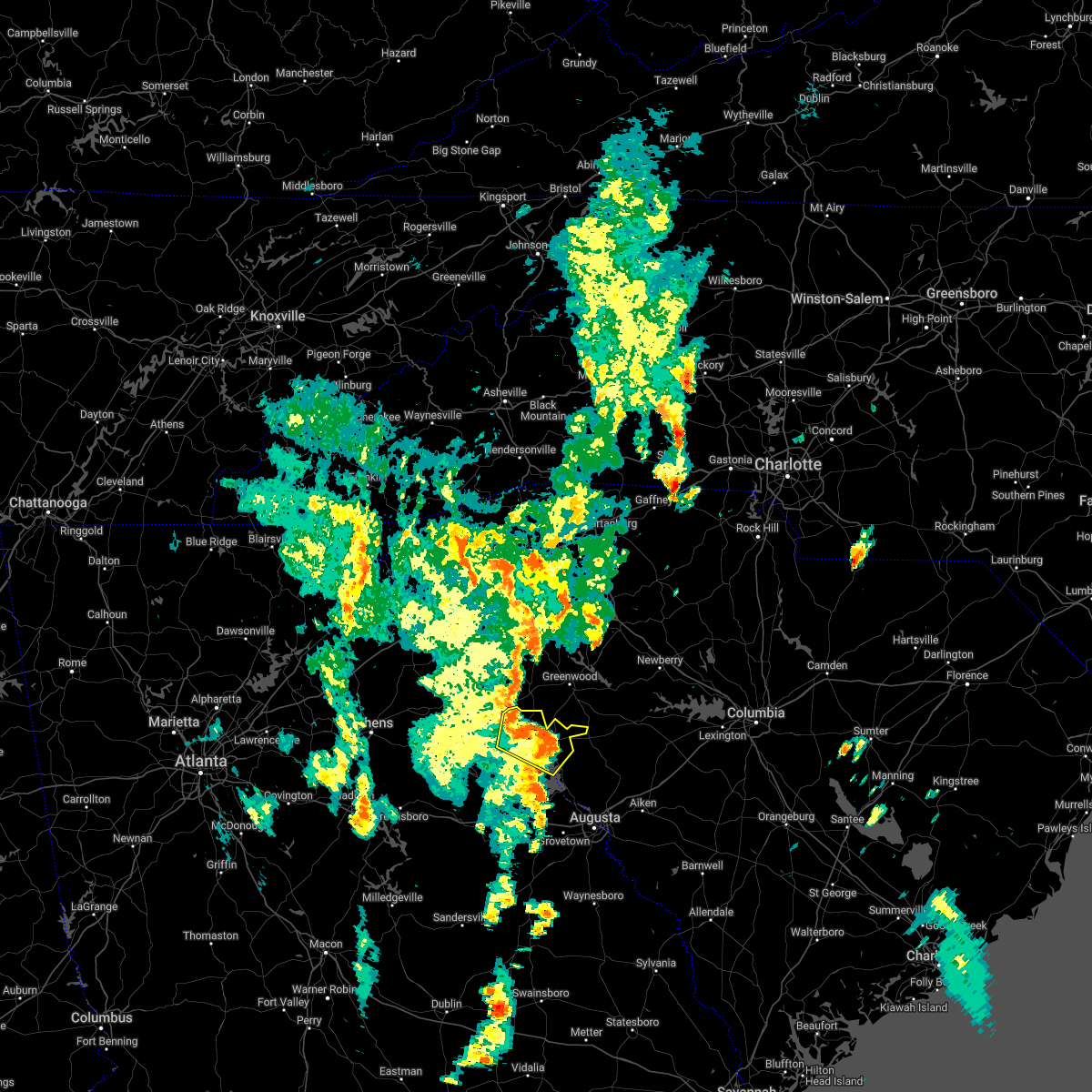 At 510 pm edt, severe thunderstorms were located along a line extending from near elijah clark state park to near hamilton branch state park, moving east at 40 mph (radar indicated). Hazards include 60 mph wind gusts. Expect damage to trees and powerlines. locations impacted include, mccormick, mccormick county airport, elijah clark state park, parksville, plum branch, hickory knob state resort park, bordeaux, hester`s ferry campground, mount carmel, baker creek state park, leroy`s ferry recreation area, knox scout reservation, willington, mount carmel park, whitetown, hawe creek campground and long cane creek picnic area. hail threat, radar indicated max hail size, <. 75 in wind threat, radar indicated max wind gust, 60 mph. At 510 pm edt, severe thunderstorms were located along a line extending from near elijah clark state park to near hamilton branch state park, moving east at 40 mph (radar indicated). Hazards include 60 mph wind gusts. Expect damage to trees and powerlines. locations impacted include, mccormick, mccormick county airport, elijah clark state park, parksville, plum branch, hickory knob state resort park, bordeaux, hester`s ferry campground, mount carmel, baker creek state park, leroy`s ferry recreation area, knox scout reservation, willington, mount carmel park, whitetown, hawe creek campground and long cane creek picnic area. hail threat, radar indicated max hail size, <. 75 in wind threat, radar indicated max wind gust, 60 mph.
|
| 5/26/2022 4:48 PM EDT |
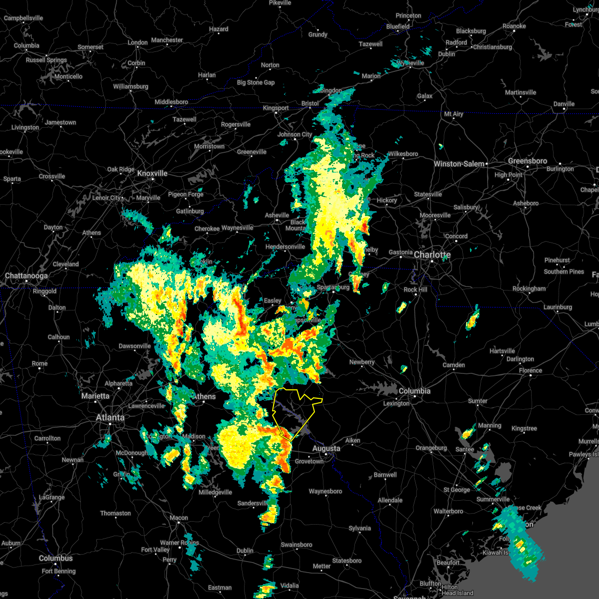 At 448 pm edt, severe thunderstorms were located along a line extending from near lincolnton to near mistletoe state park, moving northeast at 40 mph (radar indicated). Hazards include 60 mph wind gusts. expect damage to trees and powerlines At 448 pm edt, severe thunderstorms were located along a line extending from near lincolnton to near mistletoe state park, moving northeast at 40 mph (radar indicated). Hazards include 60 mph wind gusts. expect damage to trees and powerlines
|
| 4/6/2022 6:22 PM EDT |
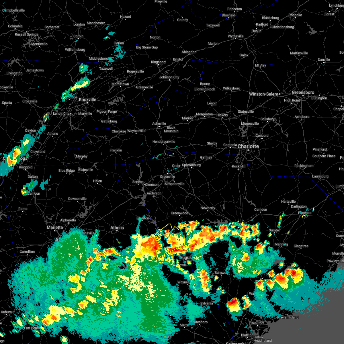 At 621 pm edt, severe thunderstorms were located along a line extending from 8 miles east of tignall to 7 miles southwest of lincolnton to wrightsboro, moving northeast at 35 mph (radar indicated). Hazards include 60 mph wind gusts. expect damage to trees and powerlines At 621 pm edt, severe thunderstorms were located along a line extending from 8 miles east of tignall to 7 miles southwest of lincolnton to wrightsboro, moving northeast at 35 mph (radar indicated). Hazards include 60 mph wind gusts. expect damage to trees and powerlines
|
| 4/6/2022 5:29 PM EDT |
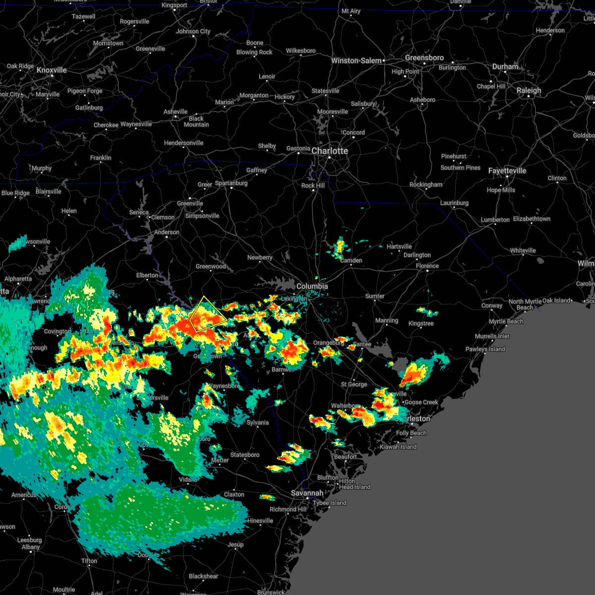 At 529 pm edt, a severe thunderstorm was located near mistletoe state park, or 15 miles northwest of evans, moving north at 40 mph (radar indicated). Hazards include 60 mph wind gusts and quarter size hail. Hail damage to vehicles is expected. Expect wind damage to trees and powerlines. At 529 pm edt, a severe thunderstorm was located near mistletoe state park, or 15 miles northwest of evans, moving north at 40 mph (radar indicated). Hazards include 60 mph wind gusts and quarter size hail. Hail damage to vehicles is expected. Expect wind damage to trees and powerlines.
|
| 4/5/2022 5:15 PM EDT |
 At 514 pm edt, severe thunderstorms were located along a line extending from 10 miles southwest of ninety six historic site to near appling, moving northeast at 50 mph (radar indicated). Hazards include 60 mph wind gusts. expect damage to trees and powerlines At 514 pm edt, severe thunderstorms were located along a line extending from 10 miles southwest of ninety six historic site to near appling, moving northeast at 50 mph (radar indicated). Hazards include 60 mph wind gusts. expect damage to trees and powerlines
|
| 8/31/2021 2:59 PM EDT |
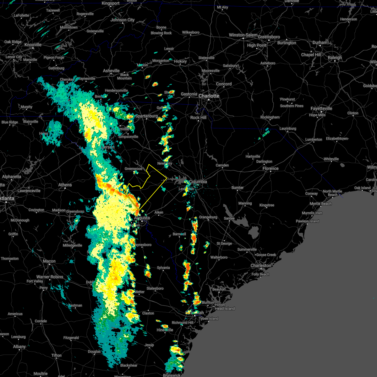 At 259 pm edt, a severe thunderstorm was located 10 miles northwest of edgefield, or 20 miles south of greenwood, moving northeast at 45 mph (radar indicated). Hazards include 60 mph wind gusts. expect damage to roofs, siding, and trees At 259 pm edt, a severe thunderstorm was located 10 miles northwest of edgefield, or 20 miles south of greenwood, moving northeast at 45 mph (radar indicated). Hazards include 60 mph wind gusts. expect damage to roofs, siding, and trees
|
| 8/31/2021 2:39 PM EDT |
 At 239 pm edt, severe thunderstorms were located along a line extending from near mistletoe state park to evans, moving northeast at 40 mph (radar indicated). Hazards include 60 mph wind gusts. Expect damage to roofs, siding, and trees. locations impacted include, evans, martinez, mccormick, lincolnton, appling, clarks hill recreation area, elijah clark state park, riverwood, mistletoe state park, hamilton branch state park, j. strom thurmond dam, mccormick county airport, parksville, plum branch, scott`s landing, knox scout reservation, double branches, wildwood park, new hope and riverside park. hail threat, radar indicated max hail size, <. 75 in wind threat, radar indicated max wind gust, 60 mph. At 239 pm edt, severe thunderstorms were located along a line extending from near mistletoe state park to evans, moving northeast at 40 mph (radar indicated). Hazards include 60 mph wind gusts. Expect damage to roofs, siding, and trees. locations impacted include, evans, martinez, mccormick, lincolnton, appling, clarks hill recreation area, elijah clark state park, riverwood, mistletoe state park, hamilton branch state park, j. strom thurmond dam, mccormick county airport, parksville, plum branch, scott`s landing, knox scout reservation, double branches, wildwood park, new hope and riverside park. hail threat, radar indicated max hail size, <. 75 in wind threat, radar indicated max wind gust, 60 mph.
|
| 8/31/2021 2:21 PM EDT |
 At 221 pm edt, severe thunderstorms were located along a line extending from near wrightsboro to near harlem, moving northeast at 40 mph (radar indicated). Hazards include 60 mph wind gusts. expect damage to roofs, siding, and trees At 221 pm edt, severe thunderstorms were located along a line extending from near wrightsboro to near harlem, moving northeast at 40 mph (radar indicated). Hazards include 60 mph wind gusts. expect damage to roofs, siding, and trees
|
| 5/4/2021 4:38 PM EDT |
 At 437 pm edt, severe thunderstorms were located along a line extending from near saluda county airport to near wrightsboro, moving east at 20 mph (radar indicated). Hazards include 60 mph wind gusts and penny size hail. expect damage to roofs, siding, and trees At 437 pm edt, severe thunderstorms were located along a line extending from near saluda county airport to near wrightsboro, moving east at 20 mph (radar indicated). Hazards include 60 mph wind gusts and penny size hail. expect damage to roofs, siding, and trees
|
| 5/3/2021 3:51 PM EDT |
 At 351 pm edt, a severe thunderstorm was located near tignall, or 11 miles north of washington, moving east at 40 mph (radar indicated). Hazards include 60 mph wind gusts and quarter size hail. Hail damage to vehicles is expected. Expect wind damage to roofs, siding, and trees. At 351 pm edt, a severe thunderstorm was located near tignall, or 11 miles north of washington, moving east at 40 mph (radar indicated). Hazards include 60 mph wind gusts and quarter size hail. Hail damage to vehicles is expected. Expect wind damage to roofs, siding, and trees.
|
| 5/3/2021 3:51 PM EDT |
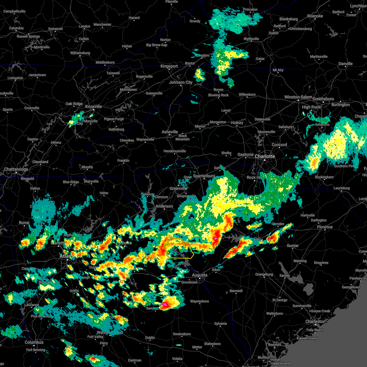 At 351 pm edt, a severe thunderstorm was located near tignall, or 11 miles north of washington, moving east at 40 mph (radar indicated). Hazards include 60 mph wind gusts and quarter size hail. Hail damage to vehicles is expected. Expect wind damage to roofs, siding, and trees. At 351 pm edt, a severe thunderstorm was located near tignall, or 11 miles north of washington, moving east at 40 mph (radar indicated). Hazards include 60 mph wind gusts and quarter size hail. Hail damage to vehicles is expected. Expect wind damage to roofs, siding, and trees.
|
| 3/26/2021 3:20 PM EDT |
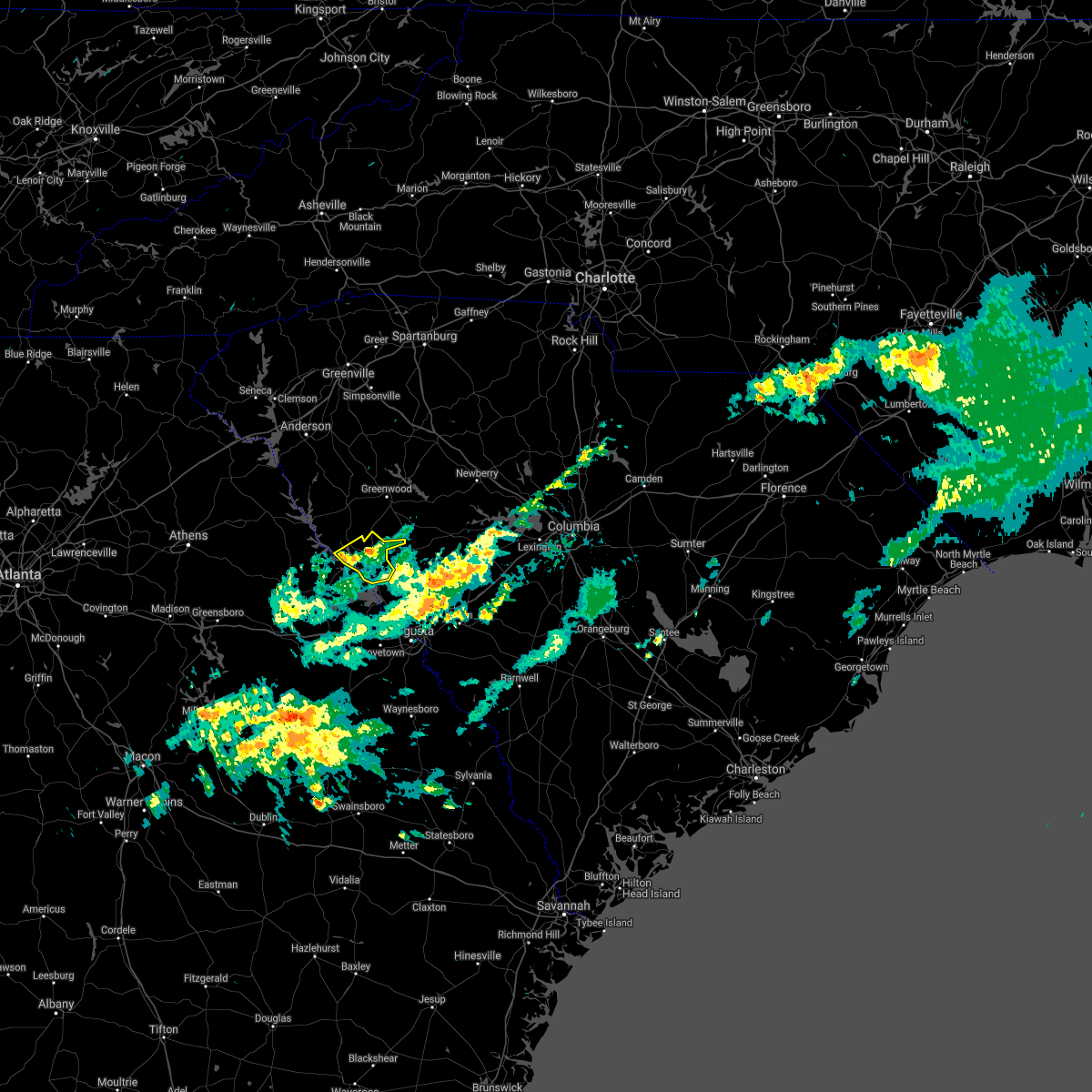 The severe thunderstorm warning for central mccormick county will expire at 330 pm edt, the storm which prompted the warning has weakened below severe limits, and no longer poses an immediate threat to life or property. therefore, the warning will be allowed to expire. The severe thunderstorm warning for central mccormick county will expire at 330 pm edt, the storm which prompted the warning has weakened below severe limits, and no longer poses an immediate threat to life or property. therefore, the warning will be allowed to expire.
|
| 3/26/2021 3:08 PM EDT |
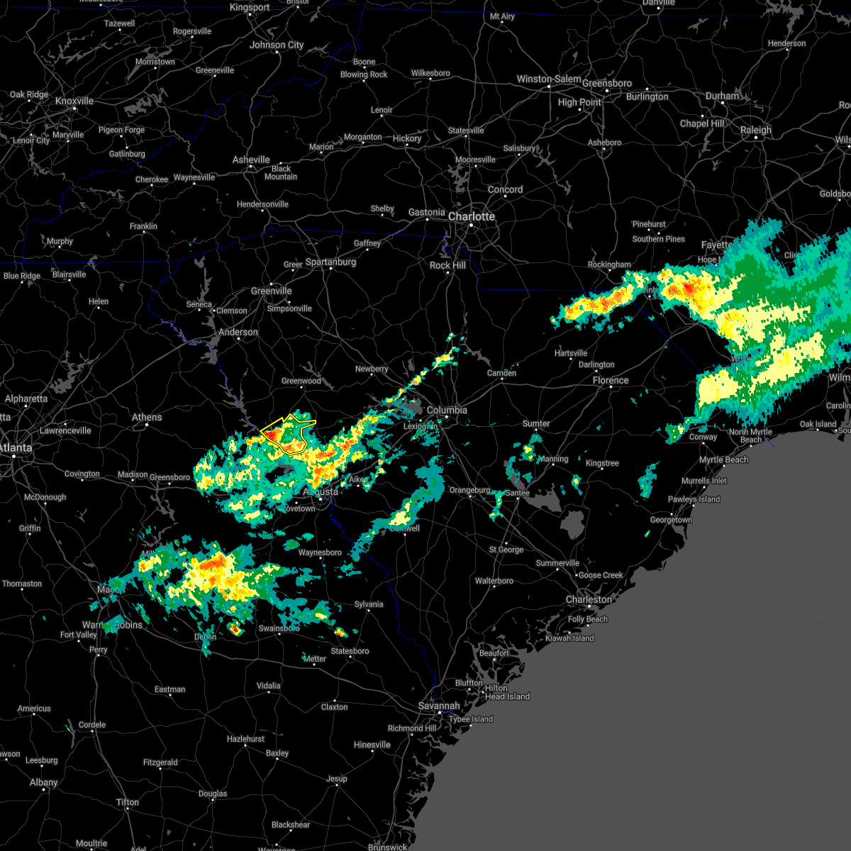 At 308 pm edt, a severe thunderstorm was located over mccormick, or 18 miles south of abbeville, moving northeast at 55 mph (radar indicated). Hazards include quarter size hail. Damage to vehicles is expected. Locations impacted include, mccormick, mccormick county airport, elijah clark state park, parksville, plum branch, hickory knob state resort park, bordeaux, baker creek state park, whitetown, hawe creek campground and long cane creek picnic area. At 308 pm edt, a severe thunderstorm was located over mccormick, or 18 miles south of abbeville, moving northeast at 55 mph (radar indicated). Hazards include quarter size hail. Damage to vehicles is expected. Locations impacted include, mccormick, mccormick county airport, elijah clark state park, parksville, plum branch, hickory knob state resort park, bordeaux, baker creek state park, whitetown, hawe creek campground and long cane creek picnic area.
|
| 3/26/2021 2:46 PM EDT |
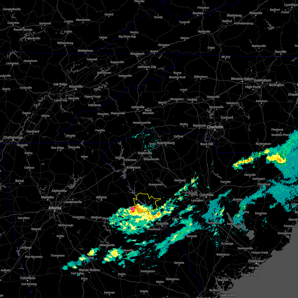 At 245 pm edt, a severe thunderstorm was located near washington, moving northeast at 65 mph (radar indicated). Hazards include 60 mph wind gusts and quarter size hail. Hail damage to vehicles is expected. Expect wind damage to roofs, siding, and trees. At 245 pm edt, a severe thunderstorm was located near washington, moving northeast at 65 mph (radar indicated). Hazards include 60 mph wind gusts and quarter size hail. Hail damage to vehicles is expected. Expect wind damage to roofs, siding, and trees.
|
| 5/22/2020 4:57 PM EDT |
 At 457 pm edt, severe thunderstorms were located along a line extending from 6 miles west of vc summer nuclear station to 8 miles west of saluda county airport, moving east at 40 mph (radar indicated). Hazards include 60 mph wind gusts and quarter size hail. Hail damage to vehicles is expected. expect wind damage to roofs, siding, and trees. locations impacted include, columbia, lexington, irmo, newberry, winnsboro, vc summer nuclear station, highway 6 at lake murray dam, st. andrews, saluda, mccormick, prosperity, jenkinsville, harbison state forest, dreher island state park, fairfield county airport, longtown, ballentine, blythewood, chapin and ridgeway. this includes the following highways, interstate 26 between mile markers 76 and 104. Interstate 77 between mile markers 25 and 38. At 457 pm edt, severe thunderstorms were located along a line extending from 6 miles west of vc summer nuclear station to 8 miles west of saluda county airport, moving east at 40 mph (radar indicated). Hazards include 60 mph wind gusts and quarter size hail. Hail damage to vehicles is expected. expect wind damage to roofs, siding, and trees. locations impacted include, columbia, lexington, irmo, newberry, winnsboro, vc summer nuclear station, highway 6 at lake murray dam, st. andrews, saluda, mccormick, prosperity, jenkinsville, harbison state forest, dreher island state park, fairfield county airport, longtown, ballentine, blythewood, chapin and ridgeway. this includes the following highways, interstate 26 between mile markers 76 and 104. Interstate 77 between mile markers 25 and 38.
|
| 5/22/2020 4:36 PM EDT |
 At 435 pm edt, severe thunderstorms were located along a line extending from newberry county airport to near mccormick county airport, moving east at 40 mph (radar indicated). Hazards include 60 mph wind gusts and quarter size hail. Hail damage to vehicles is expected. Expect wind damage to roofs, siding, and trees. At 435 pm edt, severe thunderstorms were located along a line extending from newberry county airport to near mccormick county airport, moving east at 40 mph (radar indicated). Hazards include 60 mph wind gusts and quarter size hail. Hail damage to vehicles is expected. Expect wind damage to roofs, siding, and trees.
|
| 5/22/2020 4:19 PM EDT |
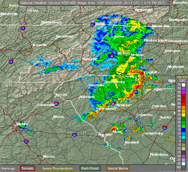 At 333 pm edt, severe thunderstorms were located along a line extending from 6 miles west of abbeville to near nancy hart state park, moving east at 40 mph (radar indicated). Hazards include 60 mph wind gusts and quarter size hail. Hail damage to vehicles is expected. Expect wind damage to roofs, siding, and trees. At 333 pm edt, severe thunderstorms were located along a line extending from 6 miles west of abbeville to near nancy hart state park, moving east at 40 mph (radar indicated). Hazards include 60 mph wind gusts and quarter size hail. Hail damage to vehicles is expected. Expect wind damage to roofs, siding, and trees.
|
| 5/22/2020 3:35 PM EDT |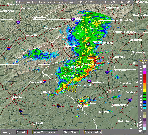
 At 333 pm edt, severe thunderstorms were located along a line extending from 6 miles west of abbeville to near nancy hart state park, moving east at 40 mph (radar indicated). Hazards include 60 mph wind gusts and quarter size hail. Hail damage to vehicles is expected. Expect wind damage to roofs, siding, and trees. At 333 pm edt, severe thunderstorms were located along a line extending from 6 miles west of abbeville to near nancy hart state park, moving east at 40 mph (radar indicated). Hazards include 60 mph wind gusts and quarter size hail. Hail damage to vehicles is expected. Expect wind damage to roofs, siding, and trees.
|
| 4/13/2020 5:10 AM EDT |
 The severe thunderstorm warning for northeastern columbia, lincoln, southwestern newberry, edgefield, saluda and mccormick counties will expire at 515 am edt, the storms which prompted the warning have moved out of the warned area. therefore, the warning will be allowed to expire. a tornado watch remains in effect until 1100 am edt for east central georgia, and central south carolina. The severe thunderstorm warning for northeastern columbia, lincoln, southwestern newberry, edgefield, saluda and mccormick counties will expire at 515 am edt, the storms which prompted the warning have moved out of the warned area. therefore, the warning will be allowed to expire. a tornado watch remains in effect until 1100 am edt for east central georgia, and central south carolina.
|
| 4/13/2020 4:29 AM EDT |
 At 429 am edt, severe thunderstorms were located along a line extending from 6 miles west of troy to near thomson, moving northeast at 75 mph (radar indicated). Hazards include 70 mph wind gusts and penny size hail. Expect considerable tree damage. Damage is likely to mobile homes, roofs, and outbuildings. At 429 am edt, severe thunderstorms were located along a line extending from 6 miles west of troy to near thomson, moving northeast at 75 mph (radar indicated). Hazards include 70 mph wind gusts and penny size hail. Expect considerable tree damage. Damage is likely to mobile homes, roofs, and outbuildings.
|
| 3/24/2020 12:54 PM EDT | Quarter sized hail reported 0.7 miles ENE of McCormick, SC, mccormick post office reported hail lasting 5 minutes. the largest hail size was 1 inch. time estimated based on radar. |
| 3/24/2020 12:51 PM EDT |
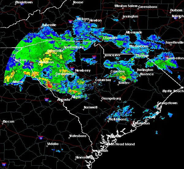 At 1251 pm edt, a severe thunderstorm was located over mccormick, or 19 miles south of abbeville, moving east at 50 mph (radar indicated). Hazards include quarter size hail. damage to vehicles is expected At 1251 pm edt, a severe thunderstorm was located over mccormick, or 19 miles south of abbeville, moving east at 50 mph (radar indicated). Hazards include quarter size hail. damage to vehicles is expected
|
| 2/13/2020 10:07 AM EST |
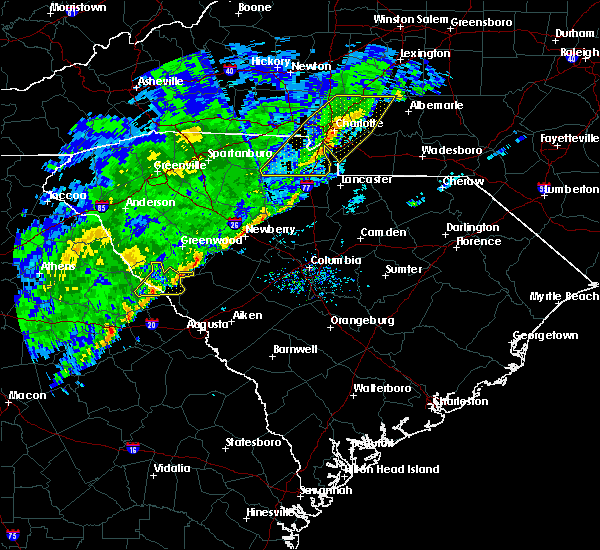 At 1006 am est, severe thunderstorms were located along a line extending from 10 miles southwest of ninety six historic site to near lincolnton, moving east at 30 mph (radar indicated). Hazards include 60 mph wind gusts. Expect damage to roofs, siding, and trees. Locations impacted include, mccormick, lincolnton, mccormick county airport, elijah clark state park, parksville, plum branch, hickory knob state resort park, baker creek state park, whitetown and hawe creek campground. At 1006 am est, severe thunderstorms were located along a line extending from 10 miles southwest of ninety six historic site to near lincolnton, moving east at 30 mph (radar indicated). Hazards include 60 mph wind gusts. Expect damage to roofs, siding, and trees. Locations impacted include, mccormick, lincolnton, mccormick county airport, elijah clark state park, parksville, plum branch, hickory knob state resort park, baker creek state park, whitetown and hawe creek campground.
|
| 2/13/2020 9:45 AM EST |
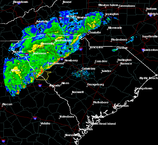 At 944 am est, severe thunderstorms were located along a line extending from near troy to near lincolnton, moving east at 45 mph (radar indicated). Hazards include 60 mph wind gusts. Expect damage to roofs, siding, and trees. Locations impacted include, mccormick, lincolnton, mccormick county airport, elijah clark state park, parksville, plum branch, hickory knob state resort park, bordeaux, baker creek state park, curry hill, whitetown, hawe creek campground, long cane creek picnic area and willington. At 944 am est, severe thunderstorms were located along a line extending from near troy to near lincolnton, moving east at 45 mph (radar indicated). Hazards include 60 mph wind gusts. Expect damage to roofs, siding, and trees. Locations impacted include, mccormick, lincolnton, mccormick county airport, elijah clark state park, parksville, plum branch, hickory knob state resort park, bordeaux, baker creek state park, curry hill, whitetown, hawe creek campground, long cane creek picnic area and willington.
|
| 2/13/2020 9:29 AM EST |
 At 928 am est, severe thunderstorms were located along a line extending from near bobby brown state park to washington, moving east at 45 mph (radar indicated). Hazards include 60 mph wind gusts. expect damage to roofs, siding, and trees At 928 am est, severe thunderstorms were located along a line extending from near bobby brown state park to washington, moving east at 45 mph (radar indicated). Hazards include 60 mph wind gusts. expect damage to roofs, siding, and trees
|
| 2/13/2020 9:29 AM EST |
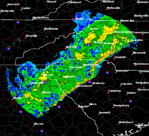 At 928 am est, severe thunderstorms were located along a line extending from near bobby brown state park to washington, moving east at 45 mph (radar indicated). Hazards include 60 mph wind gusts. expect damage to roofs, siding, and trees At 928 am est, severe thunderstorms were located along a line extending from near bobby brown state park to washington, moving east at 45 mph (radar indicated). Hazards include 60 mph wind gusts. expect damage to roofs, siding, and trees
|
| 2/6/2020 2:12 PM EST |
 At 212 pm est, severe thunderstorms were located along a line extending from near lake greenwood to near mccormick county airport, moving northeast at 60 mph (radar indicated). Hazards include 60 mph wind gusts. Expect damage to roofs, siding, and trees. Locations impacted include, mccormick, lincolnton, mccormick county airport, elijah clark state park, plum branch, hickory knob state resort park, loce, bordeaux, baker creek state park, whitetown, hawe creek campground and long cane creek picnic area. At 212 pm est, severe thunderstorms were located along a line extending from near lake greenwood to near mccormick county airport, moving northeast at 60 mph (radar indicated). Hazards include 60 mph wind gusts. Expect damage to roofs, siding, and trees. Locations impacted include, mccormick, lincolnton, mccormick county airport, elijah clark state park, plum branch, hickory knob state resort park, loce, bordeaux, baker creek state park, whitetown, hawe creek campground and long cane creek picnic area.
|
| 2/6/2020 2:12 PM EST |
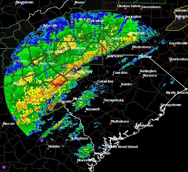 At 212 pm est, severe thunderstorms were located along a line extending from near lake greenwood to near mccormick county airport, moving northeast at 60 mph (radar indicated). Hazards include 60 mph wind gusts. Expect damage to roofs, siding, and trees. Locations impacted include, mccormick, lincolnton, mccormick county airport, elijah clark state park, plum branch, hickory knob state resort park, loce, bordeaux, baker creek state park, whitetown, hawe creek campground and long cane creek picnic area. At 212 pm est, severe thunderstorms were located along a line extending from near lake greenwood to near mccormick county airport, moving northeast at 60 mph (radar indicated). Hazards include 60 mph wind gusts. Expect damage to roofs, siding, and trees. Locations impacted include, mccormick, lincolnton, mccormick county airport, elijah clark state park, plum branch, hickory knob state resort park, loce, bordeaux, baker creek state park, whitetown, hawe creek campground and long cane creek picnic area.
|
| 2/6/2020 1:51 PM EST |
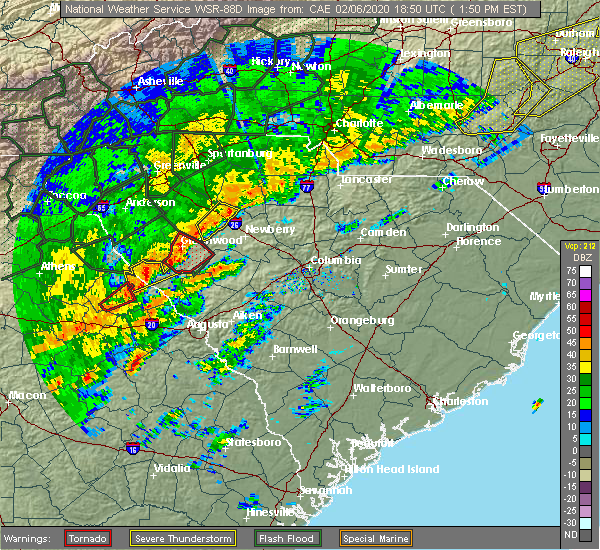 At 150 pm est, severe thunderstorms were located along a line extending from 6 miles north of troy to 8 miles east of washington, moving northeast at 60 mph (radar indicated). Hazards include 60 mph wind gusts. expect damage to roofs, siding, and trees At 150 pm est, severe thunderstorms were located along a line extending from 6 miles north of troy to 8 miles east of washington, moving northeast at 60 mph (radar indicated). Hazards include 60 mph wind gusts. expect damage to roofs, siding, and trees
|
| 2/6/2020 1:36 PM EST |
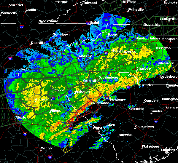 At 135 pm est, a severe thunderstorm capable of producing a tornado was located near troy, or 10 miles south of abbeville, moving northeast at 45 mph (radar indicated rotation). Hazards include tornado. Flying debris will be dangerous to those caught without shelter. mobile homes will be damaged or destroyed. damage to roofs, windows, and vehicles will occur. tree damage is likely. Locations impacted include, mccormick, hickory knob state resort park, gill`s point, bordeaux, hester`s ferry campground, broad river campground, mount carmel, baker creek state park, leroy`s ferry recreation area, willington, curry hill, mount carmel park, chennault and long cane creek picnic area. At 135 pm est, a severe thunderstorm capable of producing a tornado was located near troy, or 10 miles south of abbeville, moving northeast at 45 mph (radar indicated rotation). Hazards include tornado. Flying debris will be dangerous to those caught without shelter. mobile homes will be damaged or destroyed. damage to roofs, windows, and vehicles will occur. tree damage is likely. Locations impacted include, mccormick, hickory knob state resort park, gill`s point, bordeaux, hester`s ferry campground, broad river campground, mount carmel, baker creek state park, leroy`s ferry recreation area, willington, curry hill, mount carmel park, chennault and long cane creek picnic area.
|
| 2/6/2020 1:36 PM EST |
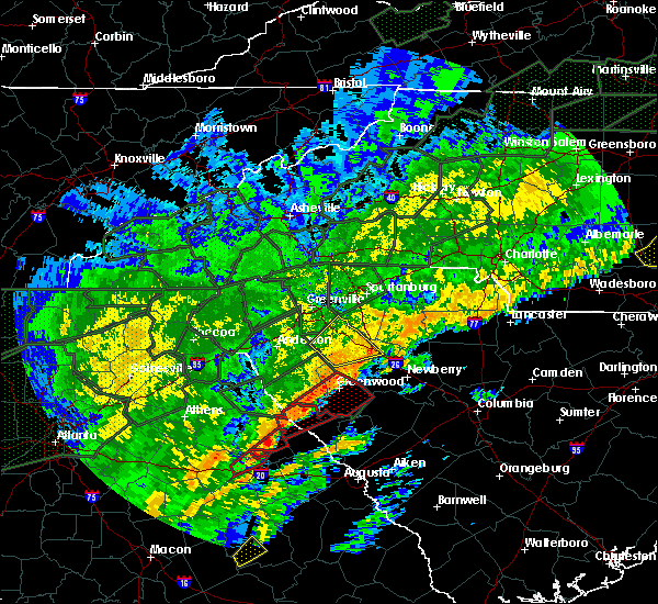 At 127 pm est, a severe thunderstorm capable of producing a tornado was located near bobby brown state park, or 15 miles southwest of abbeville, moving northeast at 40 mph (radar indicated rotation). Hazards include tornado. Flying debris will be dangerous to those caught without shelter. mobile homes will be damaged or destroyed. damage to roofs, windows, and vehicles will occur. tree damage is likely. Locations impacted include, mccormick, hickory knob state resort park, gill`s point, bordeaux, hester`s ferry campground, broad river campground, mount carmel, baker creek state park, leroy`s ferry recreation area, willington, curry hill, mount carmel park, chennault and long cane creek picnic area. At 127 pm est, a severe thunderstorm capable of producing a tornado was located near bobby brown state park, or 15 miles southwest of abbeville, moving northeast at 40 mph (radar indicated rotation). Hazards include tornado. Flying debris will be dangerous to those caught without shelter. mobile homes will be damaged or destroyed. damage to roofs, windows, and vehicles will occur. tree damage is likely. Locations impacted include, mccormick, hickory knob state resort park, gill`s point, bordeaux, hester`s ferry campground, broad river campground, mount carmel, baker creek state park, leroy`s ferry recreation area, willington, curry hill, mount carmel park, chennault and long cane creek picnic area.
|
| 2/6/2020 1:27 PM EST |
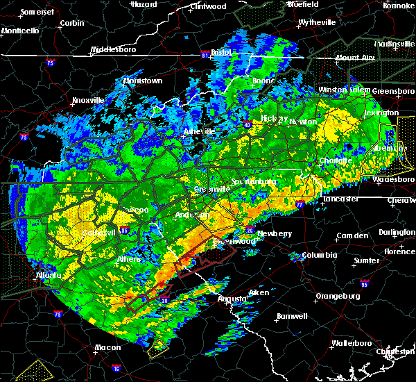 At 127 pm est, a severe thunderstorm capable of producing a tornado was located near bobby brown state park, or 15 miles southwest of abbeville, moving northeast at 40 mph (radar indicated rotation). Hazards include tornado. Flying debris will be dangerous to those caught without shelter. mobile homes will be damaged or destroyed. damage to roofs, windows, and vehicles will occur. tree damage is likely. Locations impacted include, mccormick, hickory knob state resort park, gill`s point, bordeaux, hester`s ferry campground, broad river campground, mount carmel, baker creek state park, leroy`s ferry recreation area, willington, curry hill, mount carmel park, chennault and long cane creek picnic area. At 127 pm est, a severe thunderstorm capable of producing a tornado was located near bobby brown state park, or 15 miles southwest of abbeville, moving northeast at 40 mph (radar indicated rotation). Hazards include tornado. Flying debris will be dangerous to those caught without shelter. mobile homes will be damaged or destroyed. damage to roofs, windows, and vehicles will occur. tree damage is likely. Locations impacted include, mccormick, hickory knob state resort park, gill`s point, bordeaux, hester`s ferry campground, broad river campground, mount carmel, baker creek state park, leroy`s ferry recreation area, willington, curry hill, mount carmel park, chennault and long cane creek picnic area.
|
| 2/6/2020 1:18 PM EST |
 At 118 pm est, a severe thunderstorm capable of producing a tornado was located near bobby brown state park, or 15 miles northeast of washington, moving northeast at 40 mph (radar indicated rotation). Hazards include tornado. Flying debris will be dangerous to those caught without shelter. mobile homes will be damaged or destroyed. damage to roofs, windows, and vehicles will occur. tree damage is likely. This tornadic thunderstorm will remain over mainly rural areas of northwestern lincoln and northern mccormick counties, including the following locations, hickory knob state resort park, gill`s point, bordeaux, hester`s ferry campground, broad river campground, mount carmel, baker creek state park, leroy`s ferry recreation area, willington and curry hill. At 118 pm est, a severe thunderstorm capable of producing a tornado was located near bobby brown state park, or 15 miles northeast of washington, moving northeast at 40 mph (radar indicated rotation). Hazards include tornado. Flying debris will be dangerous to those caught without shelter. mobile homes will be damaged or destroyed. damage to roofs, windows, and vehicles will occur. tree damage is likely. This tornadic thunderstorm will remain over mainly rural areas of northwestern lincoln and northern mccormick counties, including the following locations, hickory knob state resort park, gill`s point, bordeaux, hester`s ferry campground, broad river campground, mount carmel, baker creek state park, leroy`s ferry recreation area, willington and curry hill.
|
| 2/6/2020 1:16 PM EST |
 At 116 pm est, a severe thunderstorm was located near bobby brown state park, or 14 miles northeast of washington, moving northeast at 40 mph (radar indicated). Hazards include 70 mph wind gusts. Expect considerable tree damage. Damage is likely to mobile homes, roofs, and outbuildings. At 116 pm est, a severe thunderstorm was located near bobby brown state park, or 14 miles northeast of washington, moving northeast at 40 mph (radar indicated). Hazards include 70 mph wind gusts. Expect considerable tree damage. Damage is likely to mobile homes, roofs, and outbuildings.
|
| 1/11/2020 8:50 PM EST | Trees down along us-378 e... time estimated by rada in mccormick county SC, 1.8 miles WSW of McCormick, SC |
| 1/11/2020 8:46 PM EST |
 At 846 pm est, severe thunderstorms were located along a line extending from 6 miles east of mccormick county airport to near mistletoe state park, moving east at 45 mph (radar indicated). Hazards include 60 mph wind gusts. Expect damage to roofs, siding, and trees. locations impacted include, mccormick, clarks hill recreation area, j. strom thurmond dam, mistletoe state park, mccormick county airport, thomson-mcduffie county airport, wrightsboro, hamilton branch state park, parksville, plum branch, winfield, modoc, scott`s landing, knox scout reservation, double branches, wildwood park, modoc boat ramp, eubank-blanchard community center, bussey point campground and leah. This includes interstate 20 in georgia between mile markers 167 and 175. At 846 pm est, severe thunderstorms were located along a line extending from 6 miles east of mccormick county airport to near mistletoe state park, moving east at 45 mph (radar indicated). Hazards include 60 mph wind gusts. Expect damage to roofs, siding, and trees. locations impacted include, mccormick, clarks hill recreation area, j. strom thurmond dam, mistletoe state park, mccormick county airport, thomson-mcduffie county airport, wrightsboro, hamilton branch state park, parksville, plum branch, winfield, modoc, scott`s landing, knox scout reservation, double branches, wildwood park, modoc boat ramp, eubank-blanchard community center, bussey point campground and leah. This includes interstate 20 in georgia between mile markers 167 and 175.
|
| 1/11/2020 8:46 PM EST |
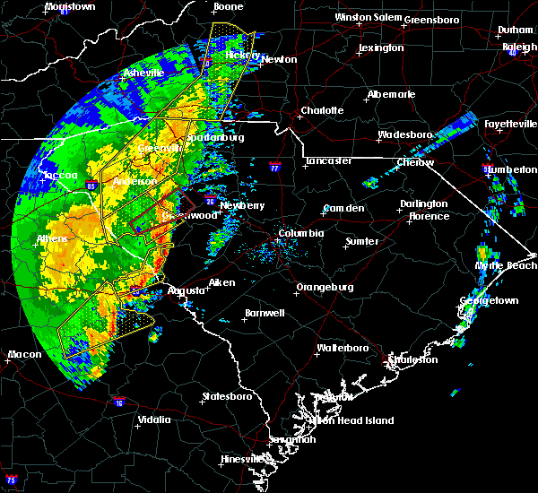 At 846 pm est, severe thunderstorms were located along a line extending from 6 miles east of mccormick county airport to near mistletoe state park, moving east at 45 mph (radar indicated). Hazards include 60 mph wind gusts. Expect damage to roofs, siding, and trees. locations impacted include, mccormick, clarks hill recreation area, j. strom thurmond dam, mistletoe state park, mccormick county airport, thomson-mcduffie county airport, wrightsboro, hamilton branch state park, parksville, plum branch, winfield, modoc, scott`s landing, knox scout reservation, double branches, wildwood park, modoc boat ramp, eubank-blanchard community center, bussey point campground and leah. This includes interstate 20 in georgia between mile markers 167 and 175. At 846 pm est, severe thunderstorms were located along a line extending from 6 miles east of mccormick county airport to near mistletoe state park, moving east at 45 mph (radar indicated). Hazards include 60 mph wind gusts. Expect damage to roofs, siding, and trees. locations impacted include, mccormick, clarks hill recreation area, j. strom thurmond dam, mistletoe state park, mccormick county airport, thomson-mcduffie county airport, wrightsboro, hamilton branch state park, parksville, plum branch, winfield, modoc, scott`s landing, knox scout reservation, double branches, wildwood park, modoc boat ramp, eubank-blanchard community center, bussey point campground and leah. This includes interstate 20 in georgia between mile markers 167 and 175.
|
| 1/11/2020 8:33 PM EST |
 At 833 pm est, a severe thunderstorm was located near troy, or 14 miles south of abbeville, moving east at 45 mph (trained weather spotters reported large branches down). Hazards include 60 mph wind gusts. Expect damage to roofs, siding, and trees. Locations impacted include, mccormick, hickory knob state resort park, willington, bordeaux, mount carmel, baker creek state park, leroy`s ferry recreation area and long cane creek picnic area. At 833 pm est, a severe thunderstorm was located near troy, or 14 miles south of abbeville, moving east at 45 mph (trained weather spotters reported large branches down). Hazards include 60 mph wind gusts. Expect damage to roofs, siding, and trees. Locations impacted include, mccormick, hickory knob state resort park, willington, bordeaux, mount carmel, baker creek state park, leroy`s ferry recreation area and long cane creek picnic area.
|
| 1/11/2020 8:33 PM EST |
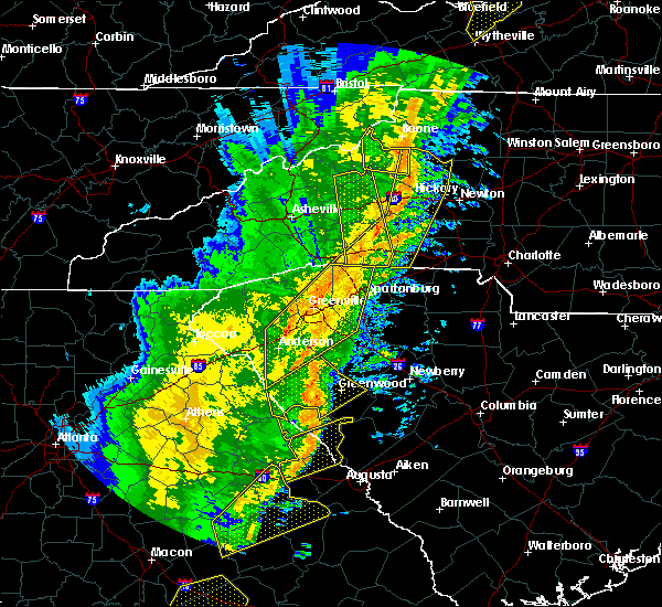 At 833 pm est, a severe thunderstorm was located near troy, or 14 miles south of abbeville, moving east at 45 mph (trained weather spotters reported large branches down). Hazards include 60 mph wind gusts. Expect damage to roofs, siding, and trees. Locations impacted include, mccormick, hickory knob state resort park, willington, bordeaux, mount carmel, baker creek state park, leroy`s ferry recreation area and long cane creek picnic area. At 833 pm est, a severe thunderstorm was located near troy, or 14 miles south of abbeville, moving east at 45 mph (trained weather spotters reported large branches down). Hazards include 60 mph wind gusts. Expect damage to roofs, siding, and trees. Locations impacted include, mccormick, hickory knob state resort park, willington, bordeaux, mount carmel, baker creek state park, leroy`s ferry recreation area and long cane creek picnic area.
|
| 1/11/2020 8:25 PM EST |
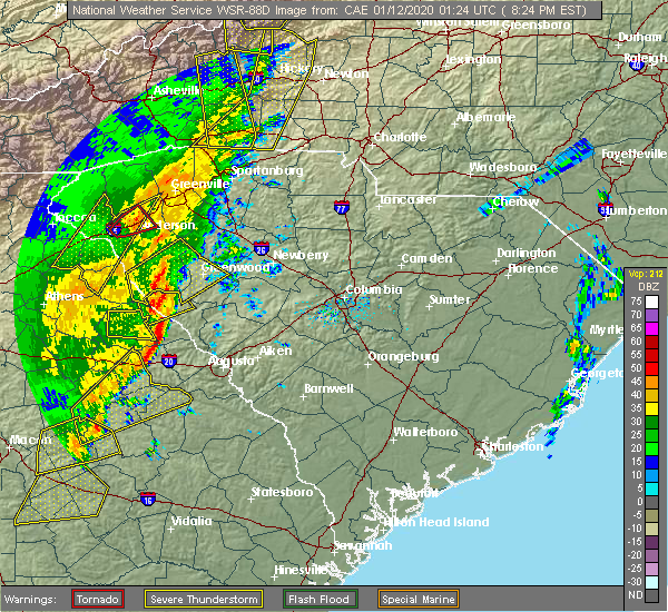 At 824 pm est, severe thunderstorms were located along a line extending from lincolnton to near camak, moving northeast at 50 mph (radar indicated). Hazards include 60 mph wind gusts. expect damage to roofs, siding, and trees At 824 pm est, severe thunderstorms were located along a line extending from lincolnton to near camak, moving northeast at 50 mph (radar indicated). Hazards include 60 mph wind gusts. expect damage to roofs, siding, and trees
|
| 1/11/2020 8:25 PM EST |
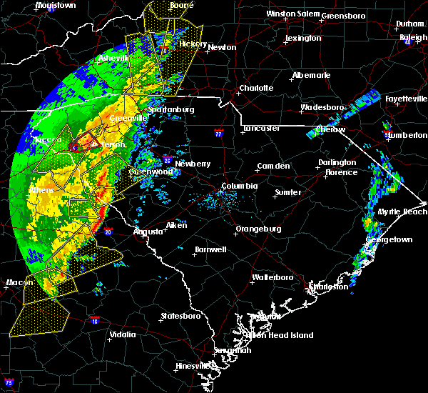 At 824 pm est, severe thunderstorms were located along a line extending from lincolnton to near camak, moving northeast at 50 mph (radar indicated). Hazards include 60 mph wind gusts. expect damage to roofs, siding, and trees At 824 pm est, severe thunderstorms were located along a line extending from lincolnton to near camak, moving northeast at 50 mph (radar indicated). Hazards include 60 mph wind gusts. expect damage to roofs, siding, and trees
|
| 1/11/2020 8:13 PM EST |
 At 812 pm est, a severe thunderstorm was located near tignall, or 12 miles north of washington, moving northeast at 45 mph (radar indicated). Hazards include 60 mph wind gusts. expect damage to roofs, siding, and trees At 812 pm est, a severe thunderstorm was located near tignall, or 12 miles north of washington, moving northeast at 45 mph (radar indicated). Hazards include 60 mph wind gusts. expect damage to roofs, siding, and trees
|
| 1/11/2020 8:13 PM EST |
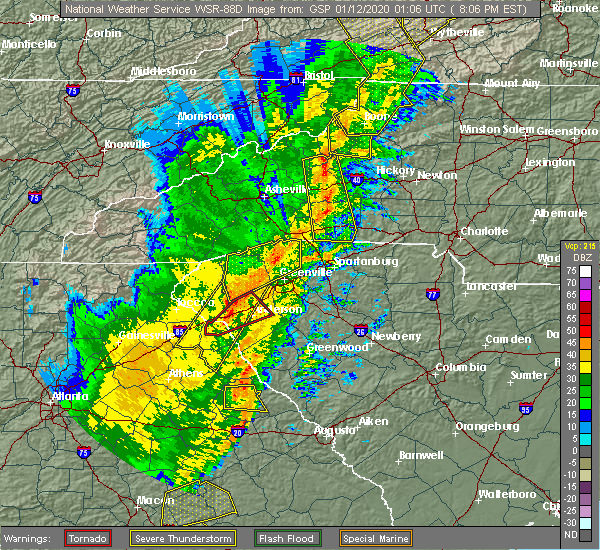 At 812 pm est, a severe thunderstorm was located near tignall, or 12 miles north of washington, moving northeast at 45 mph (radar indicated). Hazards include 60 mph wind gusts. expect damage to roofs, siding, and trees At 812 pm est, a severe thunderstorm was located near tignall, or 12 miles north of washington, moving northeast at 45 mph (radar indicated). Hazards include 60 mph wind gusts. expect damage to roofs, siding, and trees
|
| 8/21/2019 12:10 AM EDT |
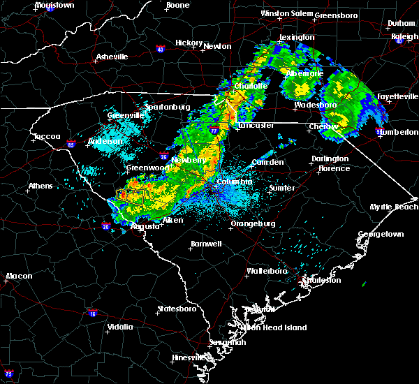 A severe thunderstorm warning remains in effect until 1230 am edt for northwestern edgefield and northeastern mccormick counties. at 1206 am edt, a likely severe thunderstorm was located near about 4 miles east of mccormick in the highway 378 area. movement was eastward near 15 mph. The storm will affect the area near highway 378 near the edgefield and mccormick line. A severe thunderstorm warning remains in effect until 1230 am edt for northwestern edgefield and northeastern mccormick counties. at 1206 am edt, a likely severe thunderstorm was located near about 4 miles east of mccormick in the highway 378 area. movement was eastward near 15 mph. The storm will affect the area near highway 378 near the edgefield and mccormick line.
|
| 8/21/2019 12:01 AM EDT |
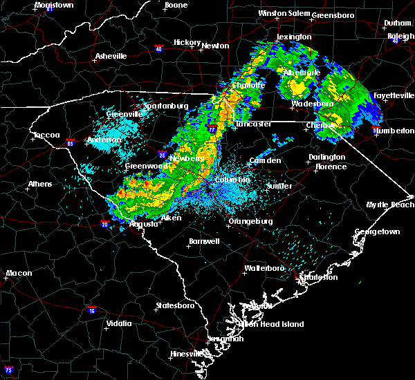 At 1201 am edt, a severe thunderstorm was located over mccormick county airport, or 18 miles south of greenwood, moving east at 10 mph (radar indicated). Hazards include 60 mph wind gusts and penny size hail. expect damage to roofs, siding, and trees At 1201 am edt, a severe thunderstorm was located over mccormick county airport, or 18 miles south of greenwood, moving east at 10 mph (radar indicated). Hazards include 60 mph wind gusts and penny size hail. expect damage to roofs, siding, and trees
|
| 7/18/2019 3:33 PM EDT |
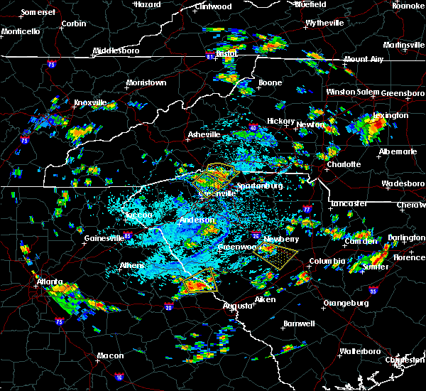 At 333 pm edt, a severe thunderstorm was located over lincolnton, or 17 miles east of washington, moving east at 25 mph (emergency management reported trees down in the town of lincolnton). Hazards include 60 mph wind gusts and penny size hail. Expect damage to roofs, siding, and trees. Locations impacted include, mccormick, lincolnton, mccormick county airport, hamilton branch state park, elijah clark state park, parksville, plum branch, hickory knob state resort park, loce, baker creek state park, modoc, knox scout reservation, woodlawn, modoc campground, double branches, curry hill, modoc boat ramp, hawe creek campground, new hope and long cane creek picnic area. At 333 pm edt, a severe thunderstorm was located over lincolnton, or 17 miles east of washington, moving east at 25 mph (emergency management reported trees down in the town of lincolnton). Hazards include 60 mph wind gusts and penny size hail. Expect damage to roofs, siding, and trees. Locations impacted include, mccormick, lincolnton, mccormick county airport, hamilton branch state park, elijah clark state park, parksville, plum branch, hickory knob state resort park, loce, baker creek state park, modoc, knox scout reservation, woodlawn, modoc campground, double branches, curry hill, modoc boat ramp, hawe creek campground, new hope and long cane creek picnic area.
|
| 7/18/2019 3:33 PM EDT |
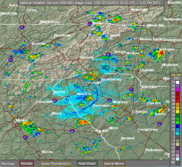 At 333 pm edt, a severe thunderstorm was located over lincolnton, or 17 miles east of washington, moving east at 25 mph (emergency management reported trees down in the town of lincolnton). Hazards include 60 mph wind gusts and penny size hail. Expect damage to roofs, siding, and trees. Locations impacted include, mccormick, lincolnton, mccormick county airport, hamilton branch state park, elijah clark state park, parksville, plum branch, hickory knob state resort park, loce, baker creek state park, modoc, knox scout reservation, woodlawn, modoc campground, double branches, curry hill, modoc boat ramp, hawe creek campground, new hope and long cane creek picnic area. At 333 pm edt, a severe thunderstorm was located over lincolnton, or 17 miles east of washington, moving east at 25 mph (emergency management reported trees down in the town of lincolnton). Hazards include 60 mph wind gusts and penny size hail. Expect damage to roofs, siding, and trees. Locations impacted include, mccormick, lincolnton, mccormick county airport, hamilton branch state park, elijah clark state park, parksville, plum branch, hickory knob state resort park, loce, baker creek state park, modoc, knox scout reservation, woodlawn, modoc campground, double branches, curry hill, modoc boat ramp, hawe creek campground, new hope and long cane creek picnic area.
|
| 7/18/2019 3:22 PM EDT |
 At 322 pm edt, a severe thunderstorm was located over lincolnton, or 12 miles east of washington, moving east at 25 mph (radar indicated). Hazards include 60 mph wind gusts and penny size hail. expect damage to roofs, siding, and trees At 322 pm edt, a severe thunderstorm was located over lincolnton, or 12 miles east of washington, moving east at 25 mph (radar indicated). Hazards include 60 mph wind gusts and penny size hail. expect damage to roofs, siding, and trees
|
| 7/18/2019 3:22 PM EDT |
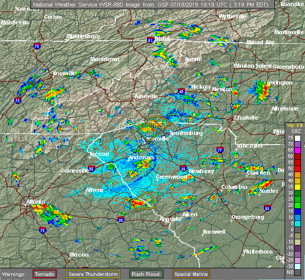 At 322 pm edt, a severe thunderstorm was located over lincolnton, or 12 miles east of washington, moving east at 25 mph (radar indicated). Hazards include 60 mph wind gusts and penny size hail. expect damage to roofs, siding, and trees At 322 pm edt, a severe thunderstorm was located over lincolnton, or 12 miles east of washington, moving east at 25 mph (radar indicated). Hazards include 60 mph wind gusts and penny size hail. expect damage to roofs, siding, and trees
|
| 6/22/2019 4:34 PM EDT |
 At 434 pm edt, severe thunderstorms were located along a line extending from near washington to near mistletoe state park, moving east at 30 mph (radar indicated). Hazards include 70 mph wind gusts and quarter size hail. Hail damage to vehicles is expected. expect considerable tree damage. Wind damage is also likely to mobile homes, roofs, and outbuildings. At 434 pm edt, severe thunderstorms were located along a line extending from near washington to near mistletoe state park, moving east at 30 mph (radar indicated). Hazards include 70 mph wind gusts and quarter size hail. Hail damage to vehicles is expected. expect considerable tree damage. Wind damage is also likely to mobile homes, roofs, and outbuildings.
|
| 6/22/2019 3:24 AM EDT |
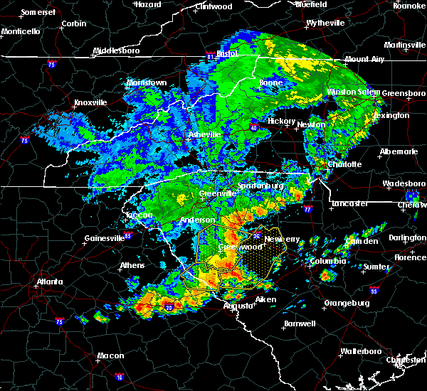 The severe thunderstorm warning for lincoln and mccormick counties will expire at 330 am edt, the storms which prompted the warning have moved out of the area. therefore, the warning will be allowed to expire. to report severe weather, contact your nearest law enforcement agency. they will relay your report to the national weather service columbia. The severe thunderstorm warning for lincoln and mccormick counties will expire at 330 am edt, the storms which prompted the warning have moved out of the area. therefore, the warning will be allowed to expire. to report severe weather, contact your nearest law enforcement agency. they will relay your report to the national weather service columbia.
|
| 6/22/2019 3:03 AM EDT |
 At 302 am edt, severe thunderstorms were located along a line extending from 9 miles east of troy to near lincolnton, moving southeast at 40 mph (radar indicated). Hazards include 60 mph wind gusts and penny size hail. Expect damage to roofs, siding, and trees. Locations impacted include, mccormick, lincolnton, elijah clark state park, mccormick county airport, hamilton branch state park, parksville, plum branch, bordeaux, modoc, knox scout reservation, double branches, curry hill, chennault, modoc boat ramp, new hope, long cane creek picnic area, hickory knob state resort park, gill`s point, hester`s ferry campground and mount carmel. At 302 am edt, severe thunderstorms were located along a line extending from 9 miles east of troy to near lincolnton, moving southeast at 40 mph (radar indicated). Hazards include 60 mph wind gusts and penny size hail. Expect damage to roofs, siding, and trees. Locations impacted include, mccormick, lincolnton, elijah clark state park, mccormick county airport, hamilton branch state park, parksville, plum branch, bordeaux, modoc, knox scout reservation, double branches, curry hill, chennault, modoc boat ramp, new hope, long cane creek picnic area, hickory knob state resort park, gill`s point, hester`s ferry campground and mount carmel.
|
| 6/22/2019 3:03 AM EDT |
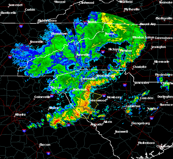 At 302 am edt, severe thunderstorms were located along a line extending from 9 miles east of troy to near lincolnton, moving southeast at 40 mph (radar indicated). Hazards include 60 mph wind gusts and penny size hail. Expect damage to roofs, siding, and trees. Locations impacted include, mccormick, lincolnton, elijah clark state park, mccormick county airport, hamilton branch state park, parksville, plum branch, bordeaux, modoc, knox scout reservation, double branches, curry hill, chennault, modoc boat ramp, new hope, long cane creek picnic area, hickory knob state resort park, gill`s point, hester`s ferry campground and mount carmel. At 302 am edt, severe thunderstorms were located along a line extending from 9 miles east of troy to near lincolnton, moving southeast at 40 mph (radar indicated). Hazards include 60 mph wind gusts and penny size hail. Expect damage to roofs, siding, and trees. Locations impacted include, mccormick, lincolnton, elijah clark state park, mccormick county airport, hamilton branch state park, parksville, plum branch, bordeaux, modoc, knox scout reservation, double branches, curry hill, chennault, modoc boat ramp, new hope, long cane creek picnic area, hickory knob state resort park, gill`s point, hester`s ferry campground and mount carmel.
|
| 6/22/2019 2:42 AM EDT |
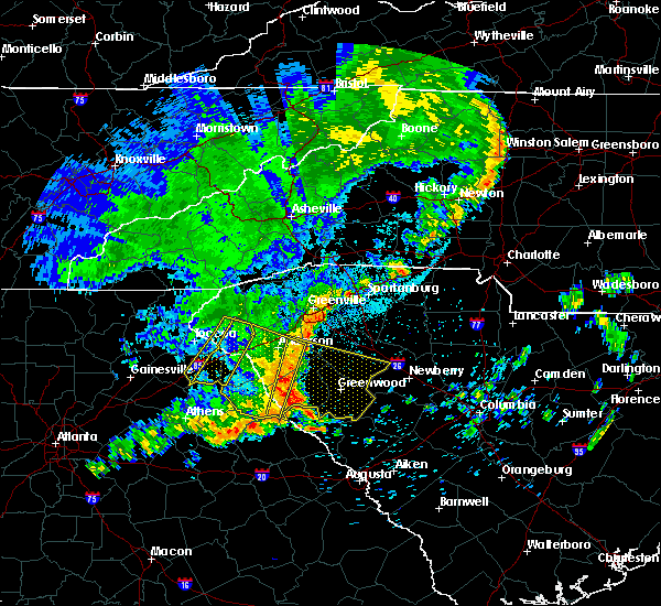 At 241 am edt, severe thunderstorms were located along a line extending from 7 miles west of abbeville to 7 miles north of elijah clark state park, moving east at 30 mph (radar indicated). Hazards include 60 mph wind gusts and penny size hail. expect damage to roofs, siding, and trees At 241 am edt, severe thunderstorms were located along a line extending from 7 miles west of abbeville to 7 miles north of elijah clark state park, moving east at 30 mph (radar indicated). Hazards include 60 mph wind gusts and penny size hail. expect damage to roofs, siding, and trees
|
| 6/20/2019 3:36 PM EDT |
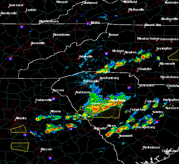 The severe thunderstorm warning for northern lincoln, northwestern edgefield and mccormick counties will expire at 345 pm edt, the storm which prompted the warning has moved out of the area. therefore, the warning will be allowed to expire. a severe thunderstorm watch remains in effect until 1000 pm edt for east central georgia, and central south carolina. The severe thunderstorm warning for northern lincoln, northwestern edgefield and mccormick counties will expire at 345 pm edt, the storm which prompted the warning has moved out of the area. therefore, the warning will be allowed to expire. a severe thunderstorm watch remains in effect until 1000 pm edt for east central georgia, and central south carolina.
|
| 6/20/2019 3:26 PM EDT |
 At 325 pm edt, a severe thunderstorm was located near elijah clark state park, or 18 miles northeast of washington, moving east at 45 mph (radar indicated). Hazards include 70 mph wind gusts and quarter size hail. Hail damage to vehicles is expected. expect considerable tree damage. wind damage is also likely to mobile homes, roofs, and outbuildings. Locations impacted include, mccormick, lincolnton, mccormick county airport, elijah clark state park, parksville, plum branch, hickory knob state resort park, gill`s point, hester`s ferry campground, bordeaux, mount carmel, baker creek state park, leroy`s ferry recreation area, willington, curry hill, mount carmel park, chennault, whitetown, hawe creek campground and long cane creek picnic area. At 325 pm edt, a severe thunderstorm was located near elijah clark state park, or 18 miles northeast of washington, moving east at 45 mph (radar indicated). Hazards include 70 mph wind gusts and quarter size hail. Hail damage to vehicles is expected. expect considerable tree damage. wind damage is also likely to mobile homes, roofs, and outbuildings. Locations impacted include, mccormick, lincolnton, mccormick county airport, elijah clark state park, parksville, plum branch, hickory knob state resort park, gill`s point, hester`s ferry campground, bordeaux, mount carmel, baker creek state park, leroy`s ferry recreation area, willington, curry hill, mount carmel park, chennault, whitetown, hawe creek campground and long cane creek picnic area.
|
| 6/20/2019 3:26 PM EDT |
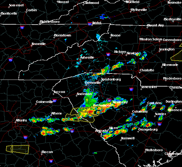 At 325 pm edt, a severe thunderstorm was located near elijah clark state park, or 18 miles northeast of washington, moving east at 45 mph (radar indicated). Hazards include 70 mph wind gusts and quarter size hail. Hail damage to vehicles is expected. expect considerable tree damage. wind damage is also likely to mobile homes, roofs, and outbuildings. Locations impacted include, mccormick, lincolnton, mccormick county airport, elijah clark state park, parksville, plum branch, hickory knob state resort park, gill`s point, hester`s ferry campground, bordeaux, mount carmel, baker creek state park, leroy`s ferry recreation area, willington, curry hill, mount carmel park, chennault, whitetown, hawe creek campground and long cane creek picnic area. At 325 pm edt, a severe thunderstorm was located near elijah clark state park, or 18 miles northeast of washington, moving east at 45 mph (radar indicated). Hazards include 70 mph wind gusts and quarter size hail. Hail damage to vehicles is expected. expect considerable tree damage. wind damage is also likely to mobile homes, roofs, and outbuildings. Locations impacted include, mccormick, lincolnton, mccormick county airport, elijah clark state park, parksville, plum branch, hickory knob state resort park, gill`s point, hester`s ferry campground, bordeaux, mount carmel, baker creek state park, leroy`s ferry recreation area, willington, curry hill, mount carmel park, chennault, whitetown, hawe creek campground and long cane creek picnic area.
|
| 6/20/2019 3:09 PM EDT |
 At 309 pm edt, a severe thunderstorm was located 7 miles east of bobby brown state park, or 13 miles southwest of abbeville, moving east at 55 mph (radar indicated). Hazards include 70 mph wind gusts and half dollar size hail. Hail damage to vehicles is expected. expect considerable tree damage. wind damage is also likely to mobile homes, roofs, and outbuildings. Locations impacted include, mccormick, lincolnton, elijah clark state park, mccormick county airport, hamilton branch state park, parksville, plum branch, bordeaux, modoc, knox scout reservation, double branches, curry hill, chennault, modoc boat ramp, new hope, long cane creek picnic area, hickory knob state resort park, gill`s point, hester`s ferry campground and mount carmel. At 309 pm edt, a severe thunderstorm was located 7 miles east of bobby brown state park, or 13 miles southwest of abbeville, moving east at 55 mph (radar indicated). Hazards include 70 mph wind gusts and half dollar size hail. Hail damage to vehicles is expected. expect considerable tree damage. wind damage is also likely to mobile homes, roofs, and outbuildings. Locations impacted include, mccormick, lincolnton, elijah clark state park, mccormick county airport, hamilton branch state park, parksville, plum branch, bordeaux, modoc, knox scout reservation, double branches, curry hill, chennault, modoc boat ramp, new hope, long cane creek picnic area, hickory knob state resort park, gill`s point, hester`s ferry campground and mount carmel.
|
| 6/20/2019 3:09 PM EDT |
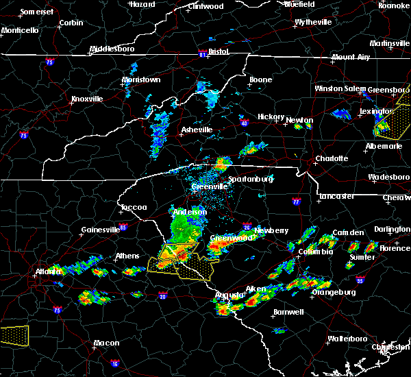 At 309 pm edt, a severe thunderstorm was located 7 miles east of bobby brown state park, or 13 miles southwest of abbeville, moving east at 55 mph (radar indicated). Hazards include 70 mph wind gusts and half dollar size hail. Hail damage to vehicles is expected. expect considerable tree damage. wind damage is also likely to mobile homes, roofs, and outbuildings. Locations impacted include, mccormick, lincolnton, elijah clark state park, mccormick county airport, hamilton branch state park, parksville, plum branch, bordeaux, modoc, knox scout reservation, double branches, curry hill, chennault, modoc boat ramp, new hope, long cane creek picnic area, hickory knob state resort park, gill`s point, hester`s ferry campground and mount carmel. At 309 pm edt, a severe thunderstorm was located 7 miles east of bobby brown state park, or 13 miles southwest of abbeville, moving east at 55 mph (radar indicated). Hazards include 70 mph wind gusts and half dollar size hail. Hail damage to vehicles is expected. expect considerable tree damage. wind damage is also likely to mobile homes, roofs, and outbuildings. Locations impacted include, mccormick, lincolnton, elijah clark state park, mccormick county airport, hamilton branch state park, parksville, plum branch, bordeaux, modoc, knox scout reservation, double branches, curry hill, chennault, modoc boat ramp, new hope, long cane creek picnic area, hickory knob state resort park, gill`s point, hester`s ferry campground and mount carmel.
|
| 6/20/2019 2:56 PM EDT |
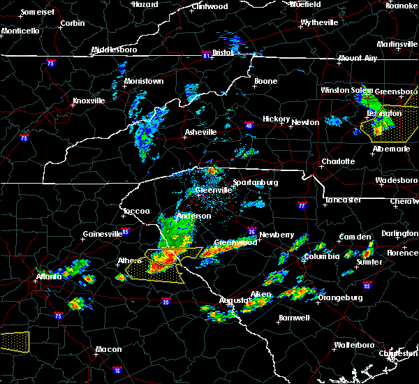 At 256 pm edt, a severe thunderstorm was located near nancy hart state park, or 13 miles southeast of elberton, moving east at 45 mph (radar indicated). Hazards include 60 mph wind gusts and quarter size hail. Hail damage to vehicles is expected. Expect wind damage to roofs, siding, and trees. At 256 pm edt, a severe thunderstorm was located near nancy hart state park, or 13 miles southeast of elberton, moving east at 45 mph (radar indicated). Hazards include 60 mph wind gusts and quarter size hail. Hail damage to vehicles is expected. Expect wind damage to roofs, siding, and trees.
|
| 4/14/2019 3:08 PM EDT |
 The severe thunderstorm warning for east central lincoln, northwestern edgefield and northeastern mccormick counties will expire at 315 pm edt, the storm which prompted the warning has weakened below severe limits, and no longer poses an immediate threat to life or property. therefore, the warning will be allowed to expire. a tornado watch remains in effect until 700 pm edt for east central georgia, and central south carolina. The severe thunderstorm warning for east central lincoln, northwestern edgefield and northeastern mccormick counties will expire at 315 pm edt, the storm which prompted the warning has weakened below severe limits, and no longer poses an immediate threat to life or property. therefore, the warning will be allowed to expire. a tornado watch remains in effect until 700 pm edt for east central georgia, and central south carolina.
|
| 4/14/2019 3:08 PM EDT |
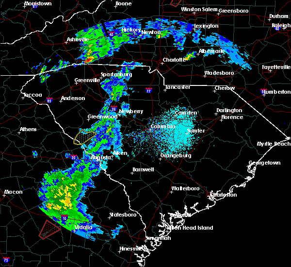 The severe thunderstorm warning for east central lincoln, northwestern edgefield and northeastern mccormick counties will expire at 315 pm edt, the storm which prompted the warning has weakened below severe limits, and no longer poses an immediate threat to life or property. therefore, the warning will be allowed to expire. a tornado watch remains in effect until 700 pm edt for east central georgia, and central south carolina. The severe thunderstorm warning for east central lincoln, northwestern edgefield and northeastern mccormick counties will expire at 315 pm edt, the storm which prompted the warning has weakened below severe limits, and no longer poses an immediate threat to life or property. therefore, the warning will be allowed to expire. a tornado watch remains in effect until 700 pm edt for east central georgia, and central south carolina.
|
| 4/14/2019 2:59 PM EDT |
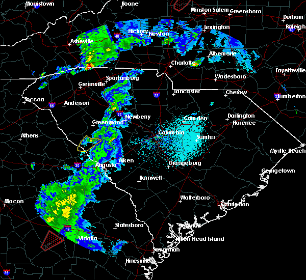 At 258 pm edt, a severe thunderstorm was located 8 miles east of troy, or 13 miles south of greenwood, moving northeast at 60 mph (radar indicated). Hazards include 60 mph wind gusts. Expect damage to roofs, siding, and trees. Locations impacted include, mccormick, mccormick county airport, parksville, plum branch, double branches, baker creek state park, whitetown, hawe creek campground and knox scout reservation. At 258 pm edt, a severe thunderstorm was located 8 miles east of troy, or 13 miles south of greenwood, moving northeast at 60 mph (radar indicated). Hazards include 60 mph wind gusts. Expect damage to roofs, siding, and trees. Locations impacted include, mccormick, mccormick county airport, parksville, plum branch, double branches, baker creek state park, whitetown, hawe creek campground and knox scout reservation.
|
| 4/14/2019 2:57 PM EDT | Mccormick county dispatch reported trees down at pierce roa in mccormick county SC, 2.5 miles ENE of McCormick, SC |
| 4/14/2019 2:54 PM EDT |
 At 253 pm edt, a severe thunderstorm capable of producing a tornado was located near hamilton branch state park, or 18 miles northwest of evans, moving northeast at 45 mph (radar indicated rotation). Hazards include tornado. Flying debris will be dangerous to those caught without shelter. mobile homes will be damaged or destroyed. damage to roofs, windows, and vehicles will occur. tree damage is likely. this dangerous storm will be near, mccormick and mccormick county airport around 305 pm edt. Other locations impacted by this tornadic thunderstorm include double branches, parksville, whitetown, plum branch, hawe creek campground, new hope, knox scout reservation, cherokee boat ramp, woodlawn and clay hill campground. At 253 pm edt, a severe thunderstorm capable of producing a tornado was located near hamilton branch state park, or 18 miles northwest of evans, moving northeast at 45 mph (radar indicated rotation). Hazards include tornado. Flying debris will be dangerous to those caught without shelter. mobile homes will be damaged or destroyed. damage to roofs, windows, and vehicles will occur. tree damage is likely. this dangerous storm will be near, mccormick and mccormick county airport around 305 pm edt. Other locations impacted by this tornadic thunderstorm include double branches, parksville, whitetown, plum branch, hawe creek campground, new hope, knox scout reservation, cherokee boat ramp, woodlawn and clay hill campground.
|
| 4/14/2019 2:31 PM EDT |
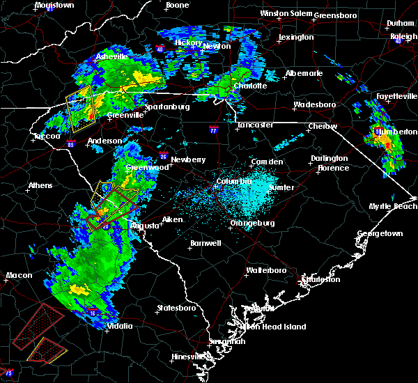 At 231 pm edt, a severe thunderstorm capable of producing a tornado was located over thomson-mcduffie county airport, or near thomson, moving northeast at 45 mph (radar indicated rotation). Hazards include tornado. Flying debris will be dangerous to those caught without shelter. mobile homes will be damaged or destroyed. damage to roofs, windows, and vehicles will occur. tree damage is likely. this dangerous storm will be near, mistletoe state park around 245 pm edt. elijah clark state park around 255 pm edt. mccormick, hamilton branch state park and mccormick county airport around 300 pm edt. Other locations impacted by this tornadic thunderstorm include parksville, winfield, modoc, scott`s landing, knox scout reservation, double branches, wildwood park, modoc boat ramp, eubank-blanchard community center and plum branch. At 231 pm edt, a severe thunderstorm capable of producing a tornado was located over thomson-mcduffie county airport, or near thomson, moving northeast at 45 mph (radar indicated rotation). Hazards include tornado. Flying debris will be dangerous to those caught without shelter. mobile homes will be damaged or destroyed. damage to roofs, windows, and vehicles will occur. tree damage is likely. this dangerous storm will be near, mistletoe state park around 245 pm edt. elijah clark state park around 255 pm edt. mccormick, hamilton branch state park and mccormick county airport around 300 pm edt. Other locations impacted by this tornadic thunderstorm include parksville, winfield, modoc, scott`s landing, knox scout reservation, double branches, wildwood park, modoc boat ramp, eubank-blanchard community center and plum branch.
|
| 4/14/2019 2:19 PM EDT |
 At 218 pm edt, a severe thunderstorm was located over wrightsboro, or 8 miles northwest of thomson, moving northeast at 60 mph (radar indicated). Hazards include 60 mph wind gusts. expect damage to roofs, siding, and trees At 218 pm edt, a severe thunderstorm was located over wrightsboro, or 8 miles northwest of thomson, moving northeast at 60 mph (radar indicated). Hazards include 60 mph wind gusts. expect damage to roofs, siding, and trees
|
| 4/14/2019 2:19 PM EDT |
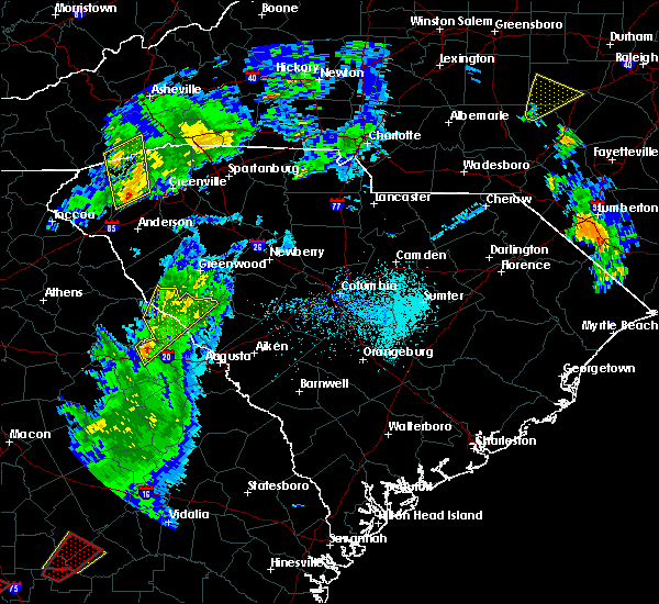 At 218 pm edt, a severe thunderstorm was located over wrightsboro, or 8 miles northwest of thomson, moving northeast at 60 mph (radar indicated). Hazards include 60 mph wind gusts. expect damage to roofs, siding, and trees At 218 pm edt, a severe thunderstorm was located over wrightsboro, or 8 miles northwest of thomson, moving northeast at 60 mph (radar indicated). Hazards include 60 mph wind gusts. expect damage to roofs, siding, and trees
|
| 7/22/2018 12:27 AM EDT |
 At 1226 am edt, a severe thunderstorm was located 11 miles west of edgefield, or 15 miles north of martinez, moving east at 35 mph (radar indicated). Hazards include 60 mph wind gusts and penny size hail. Expect damage to roofs, siding, and trees. Locations impacted include, edgefield, mccormick, johnston, trenton, parksville, plum branch and modoc. At 1226 am edt, a severe thunderstorm was located 11 miles west of edgefield, or 15 miles north of martinez, moving east at 35 mph (radar indicated). Hazards include 60 mph wind gusts and penny size hail. Expect damage to roofs, siding, and trees. Locations impacted include, edgefield, mccormick, johnston, trenton, parksville, plum branch and modoc.
|
| 7/22/2018 12:09 AM EDT |
 At 1208 am edt, a severe thunderstorm was located near mccormick, or 22 miles north of evans, moving east at 55 mph (radar indicated). Hazards include 60 mph wind gusts and penny size hail. expect damage to roofs, siding, and trees At 1208 am edt, a severe thunderstorm was located near mccormick, or 22 miles north of evans, moving east at 55 mph (radar indicated). Hazards include 60 mph wind gusts and penny size hail. expect damage to roofs, siding, and trees
|
| 7/22/2018 12:09 AM EDT |
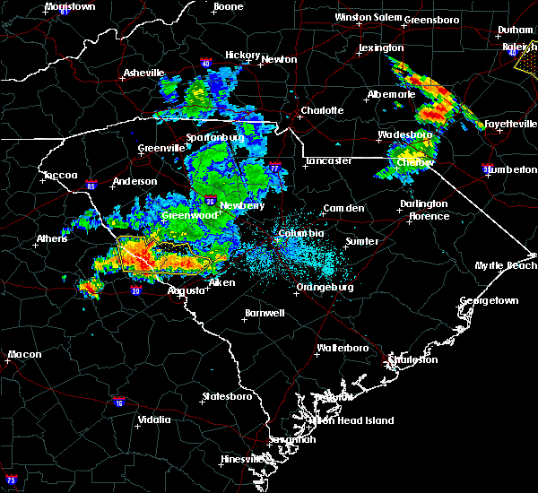 At 1208 am edt, a severe thunderstorm was located near mccormick, or 22 miles north of evans, moving east at 55 mph (radar indicated). Hazards include 60 mph wind gusts and penny size hail. expect damage to roofs, siding, and trees At 1208 am edt, a severe thunderstorm was located near mccormick, or 22 miles north of evans, moving east at 55 mph (radar indicated). Hazards include 60 mph wind gusts and penny size hail. expect damage to roofs, siding, and trees
|
| 7/21/2018 11:35 PM EDT |
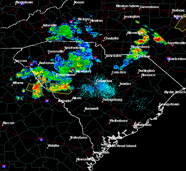 At 1134 pm edt, a severe thunderstorm was located near johnston, or 19 miles west of batesburg, moving east at 40 mph (radar indicated). Hazards include 60 mph wind gusts and quarter size hail. Hail damage to vehicles is expected. expect wind damage to roofs, siding, and trees. Locations impacted include, edgefield, mccormick, johnston, trenton, parksville, plum branch and willington. At 1134 pm edt, a severe thunderstorm was located near johnston, or 19 miles west of batesburg, moving east at 40 mph (radar indicated). Hazards include 60 mph wind gusts and quarter size hail. Hail damage to vehicles is expected. expect wind damage to roofs, siding, and trees. Locations impacted include, edgefield, mccormick, johnston, trenton, parksville, plum branch and willington.
|
| 7/21/2018 11:05 PM EDT |
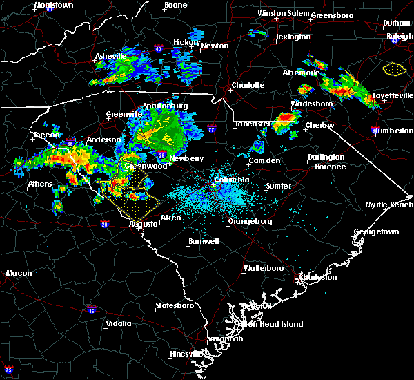 At 1104 pm edt, a severe thunderstorm was located 9 miles northwest of edgefield, or 23 miles north of martinez, moving southeast at 15 mph (radar indicated). Hazards include 60 mph wind gusts and quarter size hail. Hail damage to vehicles is expected. Expect wind damage to roofs, siding, and trees. At 1104 pm edt, a severe thunderstorm was located 9 miles northwest of edgefield, or 23 miles north of martinez, moving southeast at 15 mph (radar indicated). Hazards include 60 mph wind gusts and quarter size hail. Hail damage to vehicles is expected. Expect wind damage to roofs, siding, and trees.
|
| 6/26/2018 7:33 PM EDT |
 At 732 pm edt, a severe thunderstorm was located near lincolnton, or 24 miles northwest of evans, moving southeast at 15 mph (radar indicated). Hazards include 60 mph wind gusts and quarter size hail. Hail damage to vehicles is expected. expect wind damage to roofs, siding, and trees. Locations impacted include, mccormick, lincolnton, parksville and plum branch. At 732 pm edt, a severe thunderstorm was located near lincolnton, or 24 miles northwest of evans, moving southeast at 15 mph (radar indicated). Hazards include 60 mph wind gusts and quarter size hail. Hail damage to vehicles is expected. expect wind damage to roofs, siding, and trees. Locations impacted include, mccormick, lincolnton, parksville and plum branch.
|
| 6/26/2018 7:33 PM EDT |
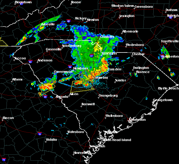 At 732 pm edt, a severe thunderstorm was located near lincolnton, or 24 miles northwest of evans, moving southeast at 15 mph (radar indicated). Hazards include 60 mph wind gusts and quarter size hail. Hail damage to vehicles is expected. expect wind damage to roofs, siding, and trees. Locations impacted include, mccormick, lincolnton, parksville and plum branch. At 732 pm edt, a severe thunderstorm was located near lincolnton, or 24 miles northwest of evans, moving southeast at 15 mph (radar indicated). Hazards include 60 mph wind gusts and quarter size hail. Hail damage to vehicles is expected. expect wind damage to roofs, siding, and trees. Locations impacted include, mccormick, lincolnton, parksville and plum branch.
|
| 6/26/2018 7:16 PM EDT | Numerous trees down in the town of mccormic in mccormick county SC, 0.7 miles ENE of McCormick, SC |
| 6/26/2018 6:56 PM EDT |
 At 655 pm edt, a severe thunderstorm was located 8 miles north of lincolnton, or 30 miles north of thomson, moving southeast at 10 mph (radar indicated). Hazards include 60 mph wind gusts and quarter size hail. Hail damage to vehicles is expected. Expect wind damage to roofs, siding, and trees. At 655 pm edt, a severe thunderstorm was located 8 miles north of lincolnton, or 30 miles north of thomson, moving southeast at 10 mph (radar indicated). Hazards include 60 mph wind gusts and quarter size hail. Hail damage to vehicles is expected. Expect wind damage to roofs, siding, and trees.
|
| 6/26/2018 6:56 PM EDT |
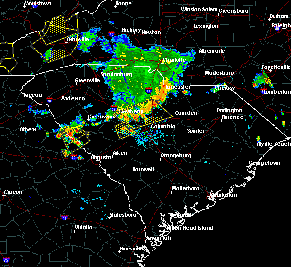 At 655 pm edt, a severe thunderstorm was located 8 miles north of lincolnton, or 30 miles north of thomson, moving southeast at 10 mph (radar indicated). Hazards include 60 mph wind gusts and quarter size hail. Hail damage to vehicles is expected. Expect wind damage to roofs, siding, and trees. At 655 pm edt, a severe thunderstorm was located 8 miles north of lincolnton, or 30 miles north of thomson, moving southeast at 10 mph (radar indicated). Hazards include 60 mph wind gusts and quarter size hail. Hail damage to vehicles is expected. Expect wind damage to roofs, siding, and trees.
|
| 6/26/2018 6:18 PM EDT |
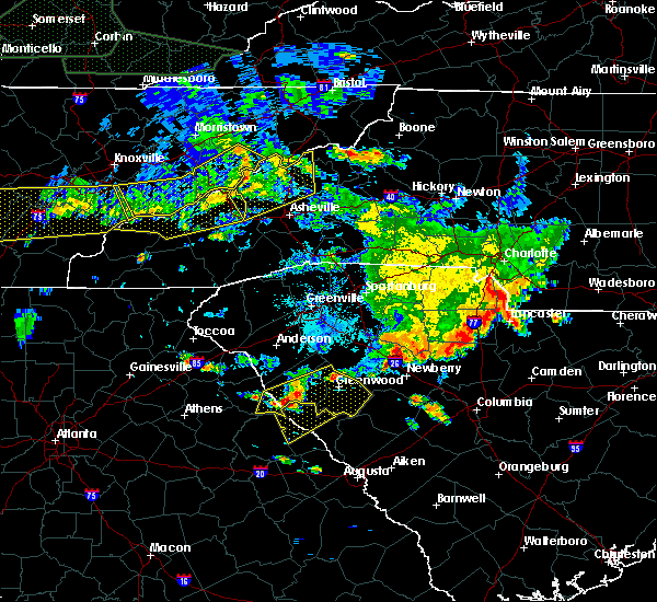 At 617 pm edt, a severe thunderstorm was located over calhoun falls, or 41 miles north of thomson, moving southeast at 15 mph (radar indicated). Hazards include 60 mph wind gusts and nickel size hail. expect damage to roofs, siding, and trees At 617 pm edt, a severe thunderstorm was located over calhoun falls, or 41 miles north of thomson, moving southeast at 15 mph (radar indicated). Hazards include 60 mph wind gusts and nickel size hail. expect damage to roofs, siding, and trees
|
| 6/25/2018 7:30 PM EDT | Sheriff dispatch reported multiple trees down across the central and eastern portion of the count in mccormick county SC, 3.6 miles SSW of McCormick, SC |
| 6/25/2018 6:57 PM EDT |
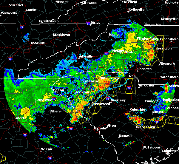 At 657 pm edt, a severe thunderstorm was located near lincolnton, or 25 miles north of thomson, moving east at 15 mph (radar indicated). Hazards include 60 mph wind gusts and quarter size hail. Hail damage to vehicles is expected. Expect wind damage to roofs, siding, and trees. At 657 pm edt, a severe thunderstorm was located near lincolnton, or 25 miles north of thomson, moving east at 15 mph (radar indicated). Hazards include 60 mph wind gusts and quarter size hail. Hail damage to vehicles is expected. Expect wind damage to roofs, siding, and trees.
|
| 6/22/2018 8:49 PM EDT |
 At 848 pm edt, a severe thunderstorm was located 8 miles northeast of troy, or 35 miles southwest of newberry, moving northeast at 35 mph (radar indicated). Hazards include 60 mph wind gusts and penny size hail. expect damage to roofs, siding, and trees At 848 pm edt, a severe thunderstorm was located 8 miles northeast of troy, or 35 miles southwest of newberry, moving northeast at 35 mph (radar indicated). Hazards include 60 mph wind gusts and penny size hail. expect damage to roofs, siding, and trees
|
| 6/1/2018 6:00 PM EDT | Multiple trees down reported around mccormick. time estimated by rada in mccormick county SC, 0.7 miles ENE of McCormick, SC |
| 6/1/2018 5:46 PM EDT |
 At 546 pm edt, severe thunderstorms were located along a line extending from near mccormick to 6 miles south of lincolnton to near camak, moving east at 25 mph (radar indicated). Hazards include 70 mph wind gusts and penny size hail. Expect considerable tree damage. Damage is likely to mobile homes, roofs, and outbuildings. At 546 pm edt, severe thunderstorms were located along a line extending from near mccormick to 6 miles south of lincolnton to near camak, moving east at 25 mph (radar indicated). Hazards include 70 mph wind gusts and penny size hail. Expect considerable tree damage. Damage is likely to mobile homes, roofs, and outbuildings.
|
| 6/1/2018 5:46 PM EDT |
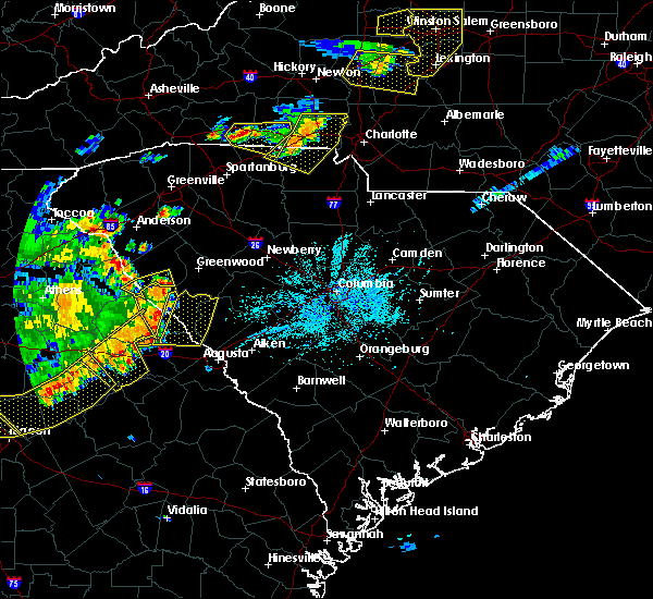 At 546 pm edt, severe thunderstorms were located along a line extending from near mccormick to 6 miles south of lincolnton to near camak, moving east at 25 mph (radar indicated). Hazards include 70 mph wind gusts and penny size hail. Expect considerable tree damage. Damage is likely to mobile homes, roofs, and outbuildings. At 546 pm edt, severe thunderstorms were located along a line extending from near mccormick to 6 miles south of lincolnton to near camak, moving east at 25 mph (radar indicated). Hazards include 70 mph wind gusts and penny size hail. Expect considerable tree damage. Damage is likely to mobile homes, roofs, and outbuildings.
|
| 11/7/2017 5:10 PM EST |
 At 508 pm est, a severe thunderstorm was located over northern mccormick county, between mccormick and troy, moving east at 30 mph (radar indicated). Hazards include 60 mph wind gusts and penny size hail. Expect damage to roofs, siding, and trees. Locations impacted include, mccormick, plum branch. At 508 pm est, a severe thunderstorm was located over northern mccormick county, between mccormick and troy, moving east at 30 mph (radar indicated). Hazards include 60 mph wind gusts and penny size hail. Expect damage to roofs, siding, and trees. Locations impacted include, mccormick, plum branch.
|
| 11/7/2017 4:42 PM EST |
 At 441 pm est, a severe thunderstorm was located just northwest of mount carmel, moving east at 40 mph (radar indicated). Hazards include 60 mph wind gusts and quarter size hail. Hail damage to vehicles is expected. Expect wind damage to roofs, siding, and trees. At 441 pm est, a severe thunderstorm was located just northwest of mount carmel, moving east at 40 mph (radar indicated). Hazards include 60 mph wind gusts and quarter size hail. Hail damage to vehicles is expected. Expect wind damage to roofs, siding, and trees.
|
| 7/23/2017 7:53 PM EDT |
 At 753 pm edt, a severe thunderstorm was located near bobby brown state park, or 35 miles north of thomson, moving southeast at 15 mph (radar indicated). Hazards include 60 mph wind gusts and quarter size hail. Minor hail damage to vehicles is expected. Expect wind damage to roofs, siding, and trees. At 753 pm edt, a severe thunderstorm was located near bobby brown state park, or 35 miles north of thomson, moving southeast at 15 mph (radar indicated). Hazards include 60 mph wind gusts and quarter size hail. Minor hail damage to vehicles is expected. Expect wind damage to roofs, siding, and trees.
|
| 7/23/2017 7:53 PM EDT |
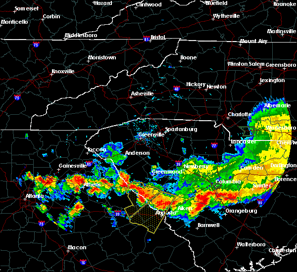 At 753 pm edt, a severe thunderstorm was located near bobby brown state park, or 35 miles north of thomson, moving southeast at 15 mph (radar indicated). Hazards include 60 mph wind gusts and quarter size hail. Minor hail damage to vehicles is expected. Expect wind damage to roofs, siding, and trees. At 753 pm edt, a severe thunderstorm was located near bobby brown state park, or 35 miles north of thomson, moving southeast at 15 mph (radar indicated). Hazards include 60 mph wind gusts and quarter size hail. Minor hail damage to vehicles is expected. Expect wind damage to roofs, siding, and trees.
|
| 7/15/2017 6:41 PM EDT |
 At 638 pm edt, a likely severe thunderstorm was located 7 miles east of mccormick, moving east at 10 mph. this was the state road 67 area of mccormick county. further development may occur east of this area in northern edgefield county and along the saluda and edgefield county line (radar indicated). Hazards include 60 mph wind gusts. expect damage to roofs, siding, and trees At 638 pm edt, a likely severe thunderstorm was located 7 miles east of mccormick, moving east at 10 mph. this was the state road 67 area of mccormick county. further development may occur east of this area in northern edgefield county and along the saluda and edgefield county line (radar indicated). Hazards include 60 mph wind gusts. expect damage to roofs, siding, and trees
|
| 7/7/2017 3:22 PM EDT |
 The severe thunderstorm warning for lincoln and northern mccormick counties will expire at 330 pm edt, the storms which prompted the warning have weakened below severe limits, and no longer pose an immediate threat to life or property. therefore the warning will be allowed to expire. however gusty winds are still possible with these thunderstorms. The severe thunderstorm warning for lincoln and northern mccormick counties will expire at 330 pm edt, the storms which prompted the warning have weakened below severe limits, and no longer pose an immediate threat to life or property. therefore the warning will be allowed to expire. however gusty winds are still possible with these thunderstorms.
|
| 7/7/2017 3:22 PM EDT |
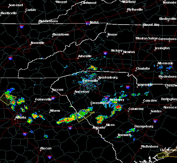 The severe thunderstorm warning for lincoln and northern mccormick counties will expire at 330 pm edt, the storms which prompted the warning have weakened below severe limits, and no longer pose an immediate threat to life or property. therefore the warning will be allowed to expire. however gusty winds are still possible with these thunderstorms. The severe thunderstorm warning for lincoln and northern mccormick counties will expire at 330 pm edt, the storms which prompted the warning have weakened below severe limits, and no longer pose an immediate threat to life or property. therefore the warning will be allowed to expire. however gusty winds are still possible with these thunderstorms.
|
| 7/7/2017 3:09 PM EDT |
 At 237 pm edt, severe thunderstorms were located along a line extending from 6 miles south of abbeville to near rayle, moving east at 25 mph (radar indicated). Hazards include 60 mph wind gusts and penny size hail. expect damage to roofs, siding, and trees At 237 pm edt, severe thunderstorms were located along a line extending from 6 miles south of abbeville to near rayle, moving east at 25 mph (radar indicated). Hazards include 60 mph wind gusts and penny size hail. expect damage to roofs, siding, and trees
|
| 7/7/2017 3:09 PM EDT |
 At 308 pm edt, severe thunderstorms were located along a line extending from 6 miles northeast of troy to washington, moving east at 25 mph (radar indicated). Hazards include 60 mph wind gusts and penny size hail. Expect damage to roofs, siding, and trees. Locations impacted include, mccormick, lincolnton, plum branch and willington. At 308 pm edt, severe thunderstorms were located along a line extending from 6 miles northeast of troy to washington, moving east at 25 mph (radar indicated). Hazards include 60 mph wind gusts and penny size hail. Expect damage to roofs, siding, and trees. Locations impacted include, mccormick, lincolnton, plum branch and willington.
|
| 7/7/2017 2:37 PM EDT |
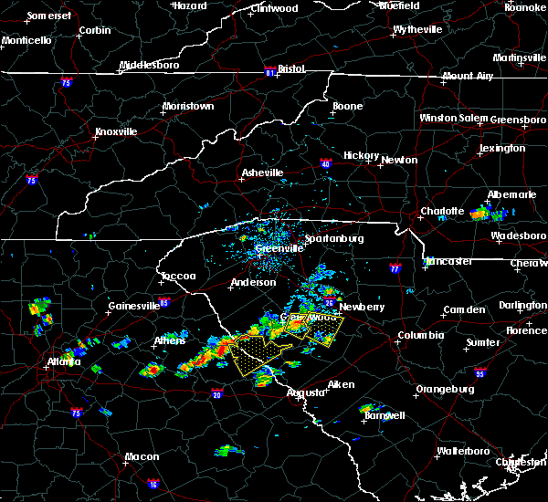 At 237 pm edt, severe thunderstorms were located along a line extending from 6 miles south of abbeville to near rayle, moving east at 25 mph (radar indicated). Hazards include 60 mph wind gusts and penny size hail. expect damage to roofs, siding, and trees At 237 pm edt, severe thunderstorms were located along a line extending from 6 miles south of abbeville to near rayle, moving east at 25 mph (radar indicated). Hazards include 60 mph wind gusts and penny size hail. expect damage to roofs, siding, and trees
|
| 7/6/2017 6:14 PM EDT |
 At 612 pm edt, severe thunderstorms were located along a line extending from 6 miles east of mccormick to near lincolnton, moving east at 40 mph (radar indicated. at 553 pm, 10 power poles were reported snapped due to damaging winds 11 miles northwest of lincolnton with this storm). Hazards include 60 mph wind gusts and quarter size hail. Hail damage to vehicles is expected. Expect wind damage to roofs, siding, and trees. At 612 pm edt, severe thunderstorms were located along a line extending from 6 miles east of mccormick to near lincolnton, moving east at 40 mph (radar indicated. at 553 pm, 10 power poles were reported snapped due to damaging winds 11 miles northwest of lincolnton with this storm). Hazards include 60 mph wind gusts and quarter size hail. Hail damage to vehicles is expected. Expect wind damage to roofs, siding, and trees.
|
| 7/6/2017 6:06 PM EDT |
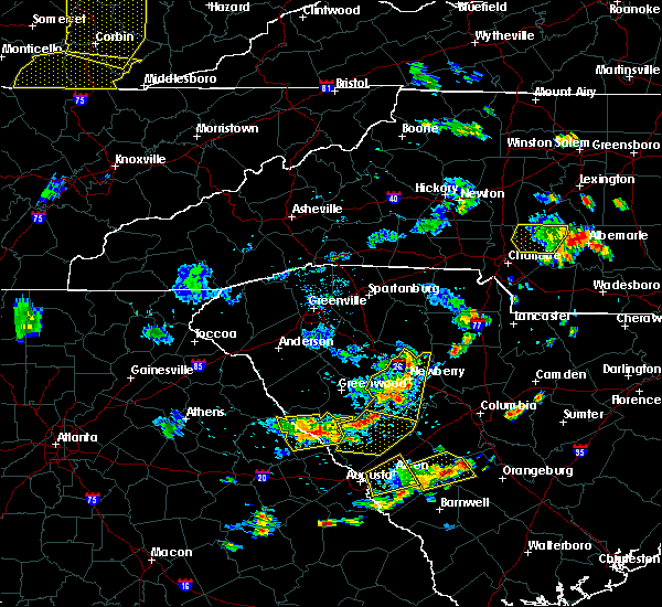 At 604 pm edt, severe thunderstorms were located along a line extending from 7 miles east of mccormick to near lincolnton, moving east at 30 mph (radar indicated). Hazards include 60 mph wind gusts and quarter size hail. Hail damage to vehicles is expected. expect wind damage to roofs, siding, and trees. Locations impacted include, mccormick, lincolnton, parksville, plum branch and willington. At 604 pm edt, severe thunderstorms were located along a line extending from 7 miles east of mccormick to near lincolnton, moving east at 30 mph (radar indicated). Hazards include 60 mph wind gusts and quarter size hail. Hail damage to vehicles is expected. expect wind damage to roofs, siding, and trees. Locations impacted include, mccormick, lincolnton, parksville, plum branch and willington.
|
| 7/6/2017 5:32 PM EDT |
 At 531 pm edt, a severe thunderstorm was located near lincolnton, or 23 miles north of thomson, moving east at 5 mph (radar indicated). Hazards include 70 mph wind gusts and quarter size hail. Hail damage to vehicles is expected. expect considerable tree damage. wind damage is also likely to mobile homes, roofs, and outbuildings. Locations impacted include, mccormick, lincolnton, parksville, plum branch, willington, mount carmel and modoc. At 531 pm edt, a severe thunderstorm was located near lincolnton, or 23 miles north of thomson, moving east at 5 mph (radar indicated). Hazards include 70 mph wind gusts and quarter size hail. Hail damage to vehicles is expected. expect considerable tree damage. wind damage is also likely to mobile homes, roofs, and outbuildings. Locations impacted include, mccormick, lincolnton, parksville, plum branch, willington, mount carmel and modoc.
|
| 7/6/2017 5:23 PM EDT |
 At 522 pm edt, a severe thunderstorm was located near lincolnton, or 23 miles north of thomson, moving east at 10 mph. additional severe thunderstorms could move into the warned area from the west (radar indicated). Hazards include 60 mph wind gusts. expect damage to roofs, siding, and trees At 522 pm edt, a severe thunderstorm was located near lincolnton, or 23 miles north of thomson, moving east at 10 mph. additional severe thunderstorms could move into the warned area from the west (radar indicated). Hazards include 60 mph wind gusts. expect damage to roofs, siding, and trees
|
| 7/6/2017 5:23 PM EDT |
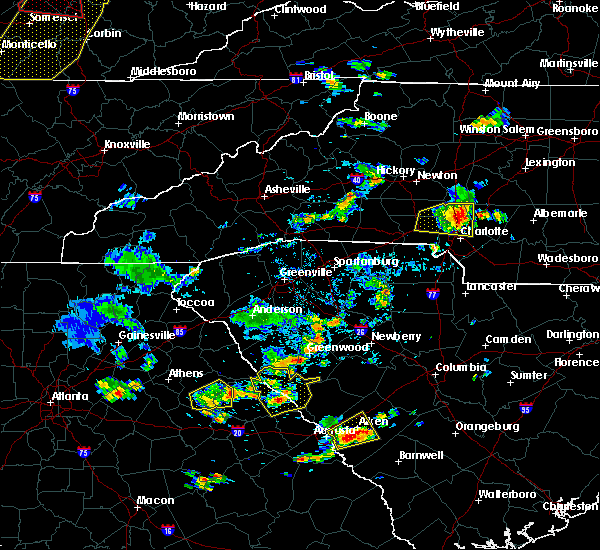 At 522 pm edt, a severe thunderstorm was located near lincolnton, or 23 miles north of thomson, moving east at 10 mph. additional severe thunderstorms could move into the warned area from the west (radar indicated). Hazards include 60 mph wind gusts. expect damage to roofs, siding, and trees At 522 pm edt, a severe thunderstorm was located near lincolnton, or 23 miles north of thomson, moving east at 10 mph. additional severe thunderstorms could move into the warned area from the west (radar indicated). Hazards include 60 mph wind gusts. expect damage to roofs, siding, and trees
|
| 5/29/2017 7:16 PM EDT |
 At 715 pm edt, a severe thunderstorm was located near mccormick, or 26 miles north of evans, moving east at 40 mph (radar indicated). Hazards include 60 mph wind gusts and penny size hail. Expect damage to roofs, siding, and trees. Locations impacted include, mccormick and plum branch. At 715 pm edt, a severe thunderstorm was located near mccormick, or 26 miles north of evans, moving east at 40 mph (radar indicated). Hazards include 60 mph wind gusts and penny size hail. Expect damage to roofs, siding, and trees. Locations impacted include, mccormick and plum branch.
|
| 5/29/2017 6:31 PM EDT |
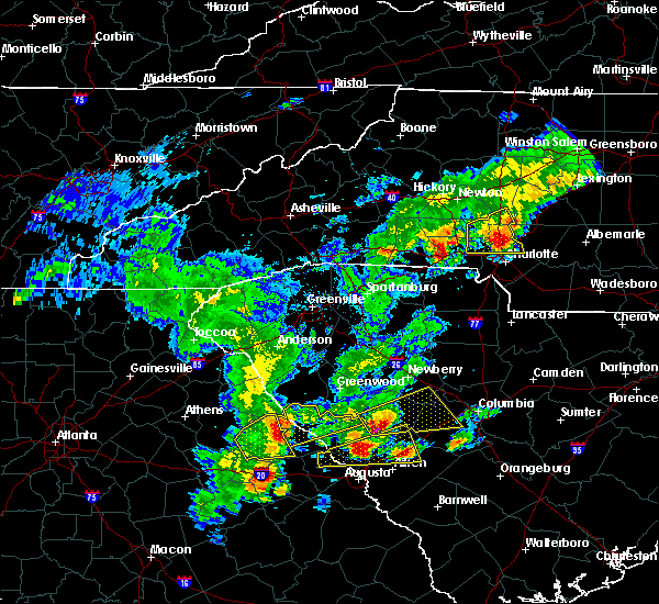 At 630 pm edt, a severe thunderstorm was located over tignall, or 30 miles northwest of thomson, moving northeast at 35 mph (radar indicated). Hazards include 60 mph wind gusts and penny size hail. expect damage to roofs, siding, and trees At 630 pm edt, a severe thunderstorm was located over tignall, or 30 miles northwest of thomson, moving northeast at 35 mph (radar indicated). Hazards include 60 mph wind gusts and penny size hail. expect damage to roofs, siding, and trees
|
| 5/29/2017 5:35 PM EDT |
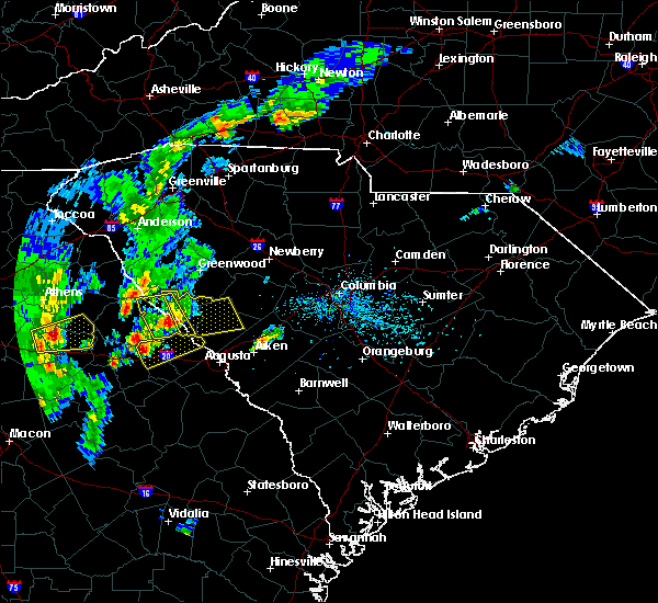 At 533 pm edt, a severe thunderstorm was located near lincolnton, or 22 miles north of thomson, moving east at 25 mph (radar indicated). Hazards include 70 mph wind gusts and quarter size hail. Hail damage to vehicles is expected. expect considerable tree damage. Wind damage is also likely to mobile homes, roofs, and outbuildings. At 533 pm edt, a severe thunderstorm was located near lincolnton, or 22 miles north of thomson, moving east at 25 mph (radar indicated). Hazards include 70 mph wind gusts and quarter size hail. Hail damage to vehicles is expected. expect considerable tree damage. Wind damage is also likely to mobile homes, roofs, and outbuildings.
|
| 5/29/2017 5:15 PM EDT |
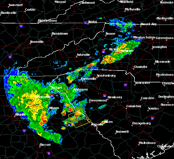 At 514 pm edt, a severe thunderstorm was located over lincolnton, or 21 miles north of thomson, moving east at 30 mph (radar indicated). Hazards include 70 mph wind gusts and quarter size hail. Hail damage to vehicles is expected. expect considerable tree damage. wind damage is also likely to mobile homes, roofs, and outbuildings. Locations impacted include, mccormick, lincolnton, plum branch, willington and modoc. At 514 pm edt, a severe thunderstorm was located over lincolnton, or 21 miles north of thomson, moving east at 30 mph (radar indicated). Hazards include 70 mph wind gusts and quarter size hail. Hail damage to vehicles is expected. expect considerable tree damage. wind damage is also likely to mobile homes, roofs, and outbuildings. Locations impacted include, mccormick, lincolnton, plum branch, willington and modoc.
|
| 5/29/2017 4:58 PM EDT |
 At 454 pm edt, a severe thunderstorm was located near washington, or 21 miles northwest of thomson, moving east at 30 mph (radar indicated). Hazards include 60 mph wind gusts and quarter size hail. Hail damage to vehicles is expected. expect wind damage to roofs, siding, and trees. Locations impacted include, mccormick, lincolnton, plum branch, willington and modoc. At 454 pm edt, a severe thunderstorm was located near washington, or 21 miles northwest of thomson, moving east at 30 mph (radar indicated). Hazards include 60 mph wind gusts and quarter size hail. Hail damage to vehicles is expected. expect wind damage to roofs, siding, and trees. Locations impacted include, mccormick, lincolnton, plum branch, willington and modoc.
|
| 5/29/2017 4:58 PM EDT |
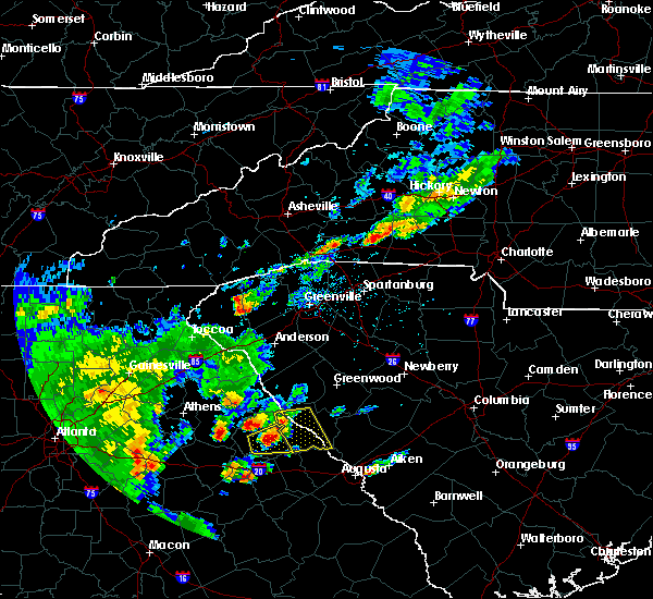 At 454 pm edt, a severe thunderstorm was located near washington, or 21 miles northwest of thomson, moving east at 30 mph (radar indicated). Hazards include 60 mph wind gusts and quarter size hail. Hail damage to vehicles is expected. expect wind damage to roofs, siding, and trees. Locations impacted include, mccormick, lincolnton, plum branch, willington and modoc. At 454 pm edt, a severe thunderstorm was located near washington, or 21 miles northwest of thomson, moving east at 30 mph (radar indicated). Hazards include 60 mph wind gusts and quarter size hail. Hail damage to vehicles is expected. expect wind damage to roofs, siding, and trees. Locations impacted include, mccormick, lincolnton, plum branch, willington and modoc.
|
| 5/29/2017 4:51 PM EDT |
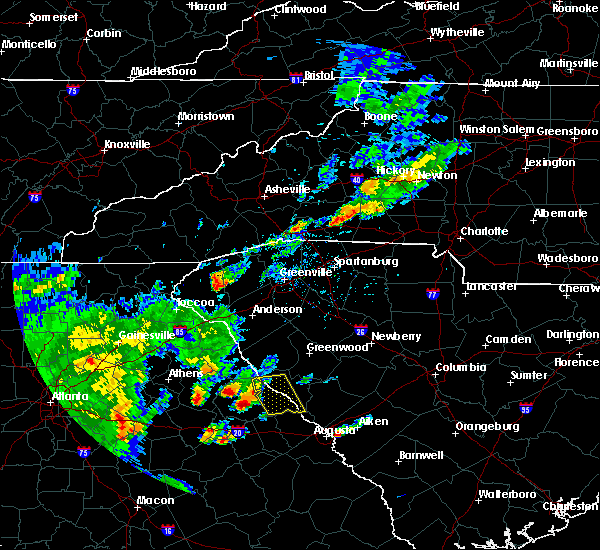 At 451 pm edt, a severe thunderstorm was located over washington, or 22 miles northwest of thomson, moving east at 30 mph (radar indicated). Hazards include 60 mph wind gusts and quarter size hail. Hail damage to vehicles is expected. Expect wind damage to roofs, siding, and trees. At 451 pm edt, a severe thunderstorm was located over washington, or 22 miles northwest of thomson, moving east at 30 mph (radar indicated). Hazards include 60 mph wind gusts and quarter size hail. Hail damage to vehicles is expected. Expect wind damage to roofs, siding, and trees.
|
| 5/1/2017 2:45 PM EDT |
 At 244 pm edt, a severe thunderstorm was located near lincolnton, or 25 miles north of thomson, moving northeast at 50 mph (radar indicated). Hazards include 60 mph wind gusts. expect damage to roofs, siding, and trees At 244 pm edt, a severe thunderstorm was located near lincolnton, or 25 miles north of thomson, moving northeast at 50 mph (radar indicated). Hazards include 60 mph wind gusts. expect damage to roofs, siding, and trees
|
| 5/1/2017 2:45 PM EDT |
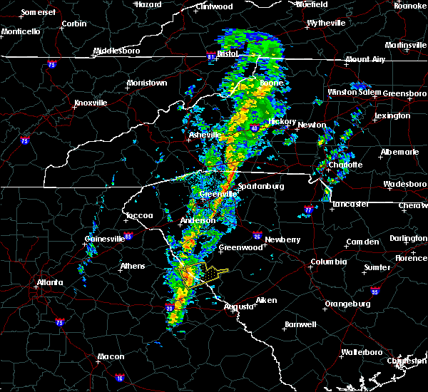 At 244 pm edt, a severe thunderstorm was located near lincolnton, or 25 miles north of thomson, moving northeast at 50 mph (radar indicated). Hazards include 60 mph wind gusts. expect damage to roofs, siding, and trees At 244 pm edt, a severe thunderstorm was located near lincolnton, or 25 miles north of thomson, moving northeast at 50 mph (radar indicated). Hazards include 60 mph wind gusts. expect damage to roofs, siding, and trees
|
| 4/5/2017 2:38 PM EDT |
 The severe thunderstorm warning for columbia, mcduffie, lincoln, southwestern edgefield and mccormick counties will expire at 245 pm edt, the storms which prompted the warning have moved out of the area. therefore the warning will be allowed to expire. however gusty winds and heavy rain are still possible with these thunderstorms. a tornado watch remains in effect until 800 pm edt for east central georgia, and central south carolina. The severe thunderstorm warning for columbia, mcduffie, lincoln, southwestern edgefield and mccormick counties will expire at 245 pm edt, the storms which prompted the warning have moved out of the area. therefore the warning will be allowed to expire. however gusty winds and heavy rain are still possible with these thunderstorms. a tornado watch remains in effect until 800 pm edt for east central georgia, and central south carolina.
|
| 4/5/2017 2:18 PM EDT |
 At 215 pm edt, severe thunderstorms were located along a line extending from near bobby brown state park to thomson, and are nearly stationary (emergency management reported golf ball sized hail at 210 pm 8 miles south of lincolnton). Hazards include golf ball size hail and 70 mph wind gusts. People and animals outdoors will be injured. expect hail damage to roofs, siding, windows, and vehicles. expect considerable tree damage. wind damage is also likely to mobile homes, roofs, and outbuildings. locations impacted include, evans, thomson, mccormick, lincolnton, dearing, parksville, plum branch, willington, mount carmel, modoc and clarks hill. A tornado watch remains in effect until 800 pm edt for east central georgia, and central south carolina. At 215 pm edt, severe thunderstorms were located along a line extending from near bobby brown state park to thomson, and are nearly stationary (emergency management reported golf ball sized hail at 210 pm 8 miles south of lincolnton). Hazards include golf ball size hail and 70 mph wind gusts. People and animals outdoors will be injured. expect hail damage to roofs, siding, windows, and vehicles. expect considerable tree damage. wind damage is also likely to mobile homes, roofs, and outbuildings. locations impacted include, evans, thomson, mccormick, lincolnton, dearing, parksville, plum branch, willington, mount carmel, modoc and clarks hill. A tornado watch remains in effect until 800 pm edt for east central georgia, and central south carolina.
|
| 4/5/2017 2:05 PM EDT |
 At 204 pm edt, severe thunderstorms were located along a line extending from near bobby brown state park to thomson, moving northeast at 55 mph (radar indicated). Hazards include golf ball size hail and 70 mph wind gusts. People and animals outdoors will be injured. expect hail damage to roofs, siding, windows, and vehicles. expect considerable tree damage. Wind damage is also likely to mobile homes, roofs, and outbuildings. At 204 pm edt, severe thunderstorms were located along a line extending from near bobby brown state park to thomson, moving northeast at 55 mph (radar indicated). Hazards include golf ball size hail and 70 mph wind gusts. People and animals outdoors will be injured. expect hail damage to roofs, siding, windows, and vehicles. expect considerable tree damage. Wind damage is also likely to mobile homes, roofs, and outbuildings.
|
| 4/5/2017 12:27 PM EDT |
 At 1225 pm edt, a severe thunderstorm was located 7 miles east of bobby brown state park, or 32 miles north of thomson, moving east at 50 mph (emergency manager). Hazards include golf ball size hail and 60 mph wind gusts. People and animals outdoors will be injured. expect hail damage to roofs, siding, windows, and vehicles. expect wind damage to roofs, siding, and trees. Locations impacted include, mccormick, lincolnton, parksville, plum branch, willington and mount carmel. At 1225 pm edt, a severe thunderstorm was located 7 miles east of bobby brown state park, or 32 miles north of thomson, moving east at 50 mph (emergency manager). Hazards include golf ball size hail and 60 mph wind gusts. People and animals outdoors will be injured. expect hail damage to roofs, siding, windows, and vehicles. expect wind damage to roofs, siding, and trees. Locations impacted include, mccormick, lincolnton, parksville, plum branch, willington and mount carmel.
|
| 4/5/2017 12:27 PM EDT |
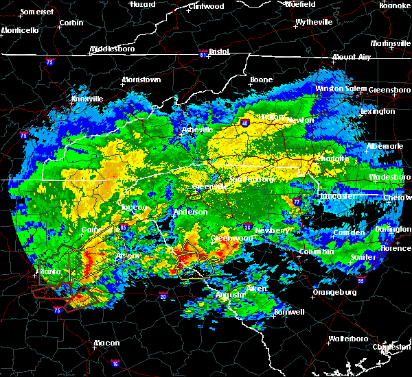 At 1225 pm edt, a severe thunderstorm was located 7 miles east of bobby brown state park, or 32 miles north of thomson, moving east at 50 mph (emergency manager). Hazards include golf ball size hail and 60 mph wind gusts. People and animals outdoors will be injured. expect hail damage to roofs, siding, windows, and vehicles. expect wind damage to roofs, siding, and trees. Locations impacted include, mccormick, lincolnton, parksville, plum branch, willington and mount carmel. At 1225 pm edt, a severe thunderstorm was located 7 miles east of bobby brown state park, or 32 miles north of thomson, moving east at 50 mph (emergency manager). Hazards include golf ball size hail and 60 mph wind gusts. People and animals outdoors will be injured. expect hail damage to roofs, siding, windows, and vehicles. expect wind damage to roofs, siding, and trees. Locations impacted include, mccormick, lincolnton, parksville, plum branch, willington and mount carmel.
|
| 4/5/2017 12:21 PM EDT |
 At 1202 pm edt, a severe thunderstorm was located over tignall, or 33 miles northwest of thomson, moving east at 55 mph (radar indicated). Hazards include 60 mph wind gusts and half dollar size hail. Hail damage to vehicles is expected. Expect wind damage to roofs, siding, and trees. At 1202 pm edt, a severe thunderstorm was located over tignall, or 33 miles northwest of thomson, moving east at 55 mph (radar indicated). Hazards include 60 mph wind gusts and half dollar size hail. Hail damage to vehicles is expected. Expect wind damage to roofs, siding, and trees.
|
| 4/5/2017 12:21 PM EDT |
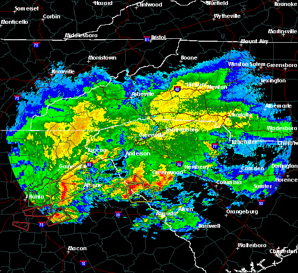 At 1220 pm edt, a severe thunderstorm was located near bobby brown state park, or 32 miles north of thomson, moving east at 50 mph (radar indicated). Hazards include 60 mph wind gusts and half dollar size hail. Hail damage to vehicles is expected. expect wind damage to roofs, siding, and trees. Locations impacted include, mccormick, lincolnton, parksville, plum branch, willington and mount carmel. At 1220 pm edt, a severe thunderstorm was located near bobby brown state park, or 32 miles north of thomson, moving east at 50 mph (radar indicated). Hazards include 60 mph wind gusts and half dollar size hail. Hail damage to vehicles is expected. expect wind damage to roofs, siding, and trees. Locations impacted include, mccormick, lincolnton, parksville, plum branch, willington and mount carmel.
|
| 4/5/2017 12:03 PM EDT |
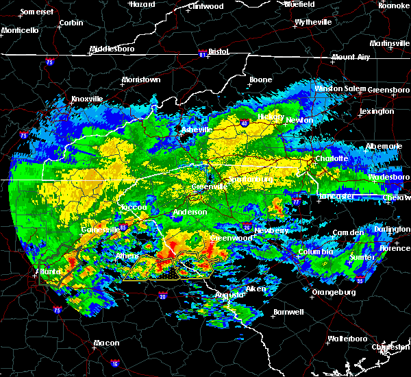 At 1202 pm edt, a severe thunderstorm was located over tignall, or 33 miles northwest of thomson, moving east at 55 mph (radar indicated). Hazards include 60 mph wind gusts and half dollar size hail. Hail damage to vehicles is expected. Expect wind damage to roofs, siding, and trees. At 1202 pm edt, a severe thunderstorm was located over tignall, or 33 miles northwest of thomson, moving east at 55 mph (radar indicated). Hazards include 60 mph wind gusts and half dollar size hail. Hail damage to vehicles is expected. Expect wind damage to roofs, siding, and trees.
|
| 4/3/2017 3:37 PM EDT |
 At 336 pm edt, severe thunderstorms were located along a line extending from 10 miles southwest of ninety six historic site to near grovetown, moving east at 50 mph (radar indicated). Hazards include 70 mph wind gusts and quarter size hail. Hail damage to vehicles is expected. expect considerable tree damage. wind damage is also likely to mobile homes, roofs, and outbuildings. locations impacted include, grovetown, evans, martinez, mccormick, harlem, dearing, parksville, plum branch, modoc and clarks hill. A tornado watch remains in effect until 900 pm edt for east central georgia, and central south carolina. At 336 pm edt, severe thunderstorms were located along a line extending from 10 miles southwest of ninety six historic site to near grovetown, moving east at 50 mph (radar indicated). Hazards include 70 mph wind gusts and quarter size hail. Hail damage to vehicles is expected. expect considerable tree damage. wind damage is also likely to mobile homes, roofs, and outbuildings. locations impacted include, grovetown, evans, martinez, mccormick, harlem, dearing, parksville, plum branch, modoc and clarks hill. A tornado watch remains in effect until 900 pm edt for east central georgia, and central south carolina.
|
| 4/3/2017 3:31 PM EDT |
 At 331 pm edt, a severe thunderstorm capable of producing a tornado was located 11 miles southeast of mccormick, or 17 miles north of evans, moving northeast at 55 mph (radar indicated rotation). Hazards include tornado and quarter size hail. Flying debris will be dangerous to those caught without shelter. mobile homes will be damaged or destroyed. damage to roofs, windows, and vehicles will occur. tree damage is likely. this dangerous storm will be near, edgefield around 350 pm edt. johnston around 355 pm edt. Other locations impacted by this tornadic thunderstorm include plum branch, parksville, modoc and clarks hill. At 331 pm edt, a severe thunderstorm capable of producing a tornado was located 11 miles southeast of mccormick, or 17 miles north of evans, moving northeast at 55 mph (radar indicated rotation). Hazards include tornado and quarter size hail. Flying debris will be dangerous to those caught without shelter. mobile homes will be damaged or destroyed. damage to roofs, windows, and vehicles will occur. tree damage is likely. this dangerous storm will be near, edgefield around 350 pm edt. johnston around 355 pm edt. Other locations impacted by this tornadic thunderstorm include plum branch, parksville, modoc and clarks hill.
|
| 4/3/2017 3:08 PM EDT |
 At 307 pm edt, severe thunderstorms were located along a line extending from near abbeville to near mitchell, moving northeast at 65 mph (radar indicated). Hazards include 70 mph wind gusts and quarter size hail. Hail damage to vehicles is expected. expect considerable tree damage. wind damage is also likely to mobile homes, roofs, and outbuildings. locations impacted include, grovetown, evans, thomson, martinez, mccormick, harlem, lincolnton, dearing, parksville, plum branch, mount carmel, modoc, willington and clarks hill. A tornado watch remains in effect until 900 pm edt for east central georgia, and central south carolina. At 307 pm edt, severe thunderstorms were located along a line extending from near abbeville to near mitchell, moving northeast at 65 mph (radar indicated). Hazards include 70 mph wind gusts and quarter size hail. Hail damage to vehicles is expected. expect considerable tree damage. wind damage is also likely to mobile homes, roofs, and outbuildings. locations impacted include, grovetown, evans, thomson, martinez, mccormick, harlem, lincolnton, dearing, parksville, plum branch, mount carmel, modoc, willington and clarks hill. A tornado watch remains in effect until 900 pm edt for east central georgia, and central south carolina.
|
| 4/3/2017 2:47 PM EDT |
 The national weather service in columbia has issued a * severe thunderstorm warning for. columbia county in east central georgia. mcduffie county in east central georgia. lincoln county in east central georgia. Mccormick county in central south carolina. The national weather service in columbia has issued a * severe thunderstorm warning for. columbia county in east central georgia. mcduffie county in east central georgia. lincoln county in east central georgia. Mccormick county in central south carolina.
|
| 4/3/2017 2:47 PM EDT |
 At 247 pm edt, severe thunderstorms were located along a line extending from near lake secession to 8 miles southwest of warrenton, moving east at 50 mph (radar indicated). Hazards include 60 mph wind gusts and quarter size hail. Hail damage to vehicles is expected. Expect wind damage to roofs, siding, and trees. At 247 pm edt, severe thunderstorms were located along a line extending from near lake secession to 8 miles southwest of warrenton, moving east at 50 mph (radar indicated). Hazards include 60 mph wind gusts and quarter size hail. Hail damage to vehicles is expected. Expect wind damage to roofs, siding, and trees.
|
| 3/21/2017 10:23 PM EDT |
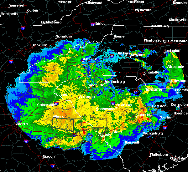 At 1022 pm edt, severe thunderstorms were located along a line extending from 7 miles east of lake strom thurmond to 10 miles southeast of lincolnton, moving east at 55 mph (radar indicated). Hazards include 60 mph wind gusts. Expect damage to roofs, siding, and trees. Locations impacted include, edgefield, mccormick, lincolnton, parksville, plum branch, willington, mount carmel and modoc. At 1022 pm edt, severe thunderstorms were located along a line extending from 7 miles east of lake strom thurmond to 10 miles southeast of lincolnton, moving east at 55 mph (radar indicated). Hazards include 60 mph wind gusts. Expect damage to roofs, siding, and trees. Locations impacted include, edgefield, mccormick, lincolnton, parksville, plum branch, willington, mount carmel and modoc.
|
| 3/21/2017 10:05 PM EDT |
 At 1005 pm edt, severe thunderstorms were located along a line extending from near lake strom thurmond to 7 miles southeast of washington, moving east at 60 mph (radar indicated). Hazards include 60 mph wind gusts. expect damage to roofs, siding, and trees At 1005 pm edt, severe thunderstorms were located along a line extending from near lake strom thurmond to 7 miles southeast of washington, moving east at 60 mph (radar indicated). Hazards include 60 mph wind gusts. expect damage to roofs, siding, and trees
|
| 11/30/2016 5:36 PM EST |
 At 535 pm est, a severe thunderstorm was located near mccormick, or 25 miles north of evans, moving east-northeast at 40 mph (radar indicated). Hazards include 60 mph wind gusts. Expect damage to roofs. siding. And trees. At 535 pm est, a severe thunderstorm was located near mccormick, or 25 miles north of evans, moving east-northeast at 40 mph (radar indicated). Hazards include 60 mph wind gusts. Expect damage to roofs. siding. And trees.
|
| 7/20/2016 10:10 PM EDT |
 At 1007 pm edt, a severe thunderstorm was located 10 miles west of edgefield, or 21 miles north of martinez, moving south at 15 mph (radar indicated). Hazards include 60 mph wind gusts and quarter size hail. Hail damage to vehicles is expected. expect wind damage to roofs, siding, and trees. locations impacted include, north augusta, edgefield, mccormick, trenton, parksville, plum branch, modoc, murphys estates and clarks hill. Hamilton branch state park. At 1007 pm edt, a severe thunderstorm was located 10 miles west of edgefield, or 21 miles north of martinez, moving south at 15 mph (radar indicated). Hazards include 60 mph wind gusts and quarter size hail. Hail damage to vehicles is expected. expect wind damage to roofs, siding, and trees. locations impacted include, north augusta, edgefield, mccormick, trenton, parksville, plum branch, modoc, murphys estates and clarks hill. Hamilton branch state park.
|
| 7/20/2016 9:54 PM EDT |
 At 953 pm edt, a severe thunderstorm was located 11 miles east of mccormick, or 21 miles south of greenwood, moving south at 15 mph (radar indicated). Hazards include 60 mph wind gusts and quarter size hail. Hail damage to vehicles is expected. Expect wind damage to roofs, siding, and trees. At 953 pm edt, a severe thunderstorm was located 11 miles east of mccormick, or 21 miles south of greenwood, moving south at 15 mph (radar indicated). Hazards include 60 mph wind gusts and quarter size hail. Hail damage to vehicles is expected. Expect wind damage to roofs, siding, and trees.
|
| 7/17/2016 8:13 PM EDT |
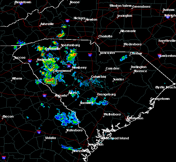 At 812 pm edt, a severe thunderstorm was located near troy, or 16 miles south of greenwood, moving south at 10 mph (radar indicated. wind damage has been reported in greenwood county with this storm). Hazards include 60 mph wind gusts and penny size hail. Expect damage to roofs. siding. and trees. Locations impacted include, mccormick. At 812 pm edt, a severe thunderstorm was located near troy, or 16 miles south of greenwood, moving south at 10 mph (radar indicated. wind damage has been reported in greenwood county with this storm). Hazards include 60 mph wind gusts and penny size hail. Expect damage to roofs. siding. and trees. Locations impacted include, mccormick.
|
| 7/17/2016 8:01 PM EDT |
 At 801 pm edt, a severe thunderstorm was located near troy, or 14 miles south of greenwood, moving south at 15 mph (radar indicated). Hazards include 60 mph wind gusts and nickel size hail. Expect damage to roofs. siding. and trees. Locations impacted include, mccormick. At 801 pm edt, a severe thunderstorm was located near troy, or 14 miles south of greenwood, moving south at 15 mph (radar indicated). Hazards include 60 mph wind gusts and nickel size hail. Expect damage to roofs. siding. and trees. Locations impacted include, mccormick.
|
| 7/17/2016 7:47 PM EDT |
 At 746 pm edt, a severe thunderstorm was located 7 miles northeast of troy, or 9 miles south of greenwood, moving south at 10 mph (radar indicated). Hazards include 60 mph wind gusts and quarter size hail. Hail damage to vehicles is expected. Expect wind damage to roofs, siding, and trees. At 746 pm edt, a severe thunderstorm was located 7 miles northeast of troy, or 9 miles south of greenwood, moving south at 10 mph (radar indicated). Hazards include 60 mph wind gusts and quarter size hail. Hail damage to vehicles is expected. Expect wind damage to roofs, siding, and trees.
|
| 7/10/2016 6:47 PM EDT |
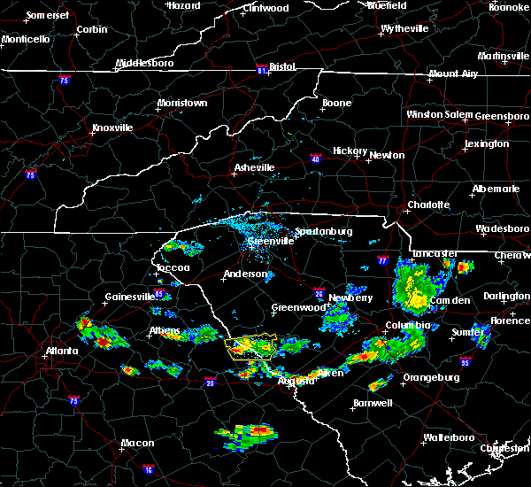 At 647 pm edt, a severe thunderstorm was located near lincolnton, or 17 miles northeast of washington, moving east at 5 mph (radar indicated). Hazards include 60 mph wind gusts. Expect damage to roofs. siding. and trees. Locations impacted include, lake strom thurmond, mccormick, lincolnton, parksville, plum branch, willington and modoc. At 647 pm edt, a severe thunderstorm was located near lincolnton, or 17 miles northeast of washington, moving east at 5 mph (radar indicated). Hazards include 60 mph wind gusts. Expect damage to roofs. siding. and trees. Locations impacted include, lake strom thurmond, mccormick, lincolnton, parksville, plum branch, willington and modoc.
|
| 7/10/2016 6:27 PM EDT |
 At 627 pm edt, a severe thunderstorm was located near lincolnton, or 16 miles northeast of washington, moving east at 15 mph (radar indicated). Hazards include 60 mph wind gusts. Expect damage to roofs. siding. And trees. At 627 pm edt, a severe thunderstorm was located near lincolnton, or 16 miles northeast of washington, moving east at 15 mph (radar indicated). Hazards include 60 mph wind gusts. Expect damage to roofs. siding. And trees.
|
| 7/6/2016 1:40 PM EDT |
 At 138 pm edt, radar indicate thunderstorms will affect much of mccormick and lincoln counties, especially northern sections. storm movement was east near 30 mph. some of the storms will contain wind of 40 to 60 mph (radar indicated). Hazards include 60 mph wind gusts. Expect damage to roofs. siding. And trees. At 138 pm edt, radar indicate thunderstorms will affect much of mccormick and lincoln counties, especially northern sections. storm movement was east near 30 mph. some of the storms will contain wind of 40 to 60 mph (radar indicated). Hazards include 60 mph wind gusts. Expect damage to roofs. siding. And trees.
|
| 6/3/2016 12:04 AM EDT |
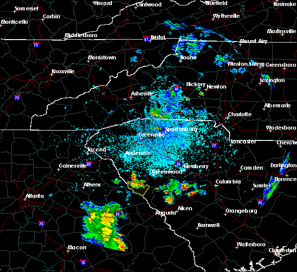 At 1201 am edt, a severe thunderstorm was located near lake strom thurmond, or 13 miles southwest of abbeville, moving southeast at 15 mph (radar indicated). Hazards include 60 mph wind gusts and quarter size hail. Hail damage to vehicles is expected. expect wind damage to roofs, siding, and trees. Locations impacted include, mccormick, lake strom thurmond, bobby brown state park, willington and mount carmel. At 1201 am edt, a severe thunderstorm was located near lake strom thurmond, or 13 miles southwest of abbeville, moving southeast at 15 mph (radar indicated). Hazards include 60 mph wind gusts and quarter size hail. Hail damage to vehicles is expected. expect wind damage to roofs, siding, and trees. Locations impacted include, mccormick, lake strom thurmond, bobby brown state park, willington and mount carmel.
|
| 6/2/2016 11:48 PM EDT |
 At 1147 pm edt, a severe thunderstorm was located near lake strom thurmond, or 13 miles southwest of abbeville, moving southeast at 15 mph (radar indicated). Hazards include 60 mph wind gusts and quarter size hail. Hail damage to vehicles is expected. Expect wind damage to roofs, siding, and trees. At 1147 pm edt, a severe thunderstorm was located near lake strom thurmond, or 13 miles southwest of abbeville, moving southeast at 15 mph (radar indicated). Hazards include 60 mph wind gusts and quarter size hail. Hail damage to vehicles is expected. Expect wind damage to roofs, siding, and trees.
|
| 5/2/2016 11:20 PM EDT |
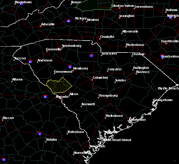 At 1119 pm edt, a line of severe thunderstorms were located near edgefield, or 16 miles north of belvedere, moving east at 35 mph (radar indicated). Hazards include 60 mph wind gusts. Expect damage to roofs. siding. And trees. At 1119 pm edt, a line of severe thunderstorms were located near edgefield, or 16 miles north of belvedere, moving east at 35 mph (radar indicated). Hazards include 60 mph wind gusts. Expect damage to roofs. siding. And trees.
|
| 8/6/2015 4:45 PM EDT | Dispatch reported trees down on highway 378 about 4 miles east of mccormic in mccormick county SC, 3.5 miles W of McCormick, SC |
| 8/6/2015 4:06 PM EDT |
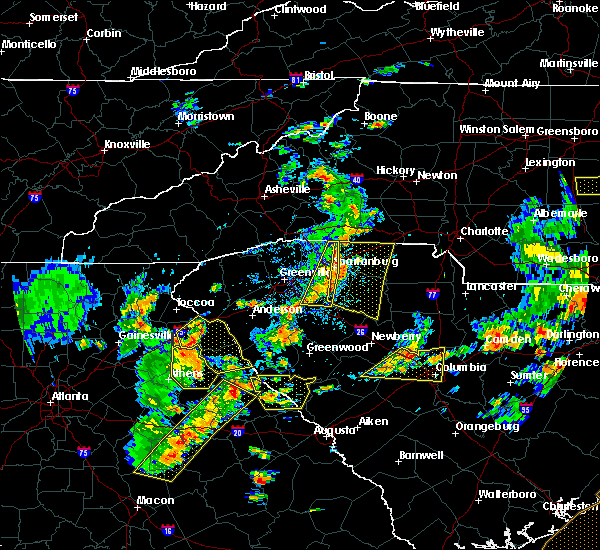 At 406 pm edt, doppler radar indicated a line of severe thunderstorms capable of producing damaging winds in excess of 60 mph. these storms were located along a line extending from near lake strom thurmond to near siloam, and moving east at 25 mph. At 406 pm edt, doppler radar indicated a line of severe thunderstorms capable of producing damaging winds in excess of 60 mph. these storms were located along a line extending from near lake strom thurmond to near siloam, and moving east at 25 mph.
|
| 7/14/2015 8:09 PM EDT |
 At 806 pm edt, doppler radar indicated a line of severe thunderstorms capable of producing damaging winds in excess of 60 mph. these storms were located along a line extending from near anderson south carolina to near danielsville georgia, and moving southeast at 35 mph. At 806 pm edt, doppler radar indicated a line of severe thunderstorms capable of producing damaging winds in excess of 60 mph. these storms were located along a line extending from near anderson south carolina to near danielsville georgia, and moving southeast at 35 mph.
|
| 4/20/2015 9:13 PM EDT | At 910 pm edt, national weather service doppler radar indicated a severe thunderstorm capable of producing quarter size hail, and damaging winds in excess of 60 mph. this storm was located 12 miles northwest of mccormick, or 12 miles south of abbeville, and moving east at 40 mph. * some communities in the warning area include mccormick. |
| 4/28/2013 6:40 PM EDT | Trees down on us 378 and callison highway reported by highway patro in edgefield county SC, 9.2 miles W of McCormick, SC |
| 1/1/0001 12:00 AM | Trees down on us hwy 378 about one mile east of mccormick co lin in edgefield county SC, 8.6 miles W of McCormick, SC |
| 1/1/0001 12:00 AM | Trees down on us hwy 378 about one mile west of mccormick co lin in edgefield county SC, 8.6 miles W of McCormick, SC |
| 1/1/0001 12:00 AM | Trees down in savannah lakes villag in mccormick county SC, 6.5 miles ENE of McCormick, SC |
| 1/1/0001 12:00 AM | Trees reported down along troy west rd in mccormick county SC, 2.4 miles NNE of McCormick, SC |
Hail Maps for McCormick, SC


Connect with Interactive Hail Maps