

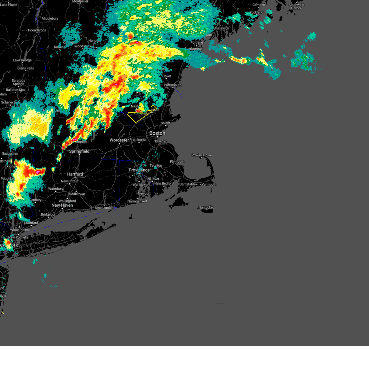
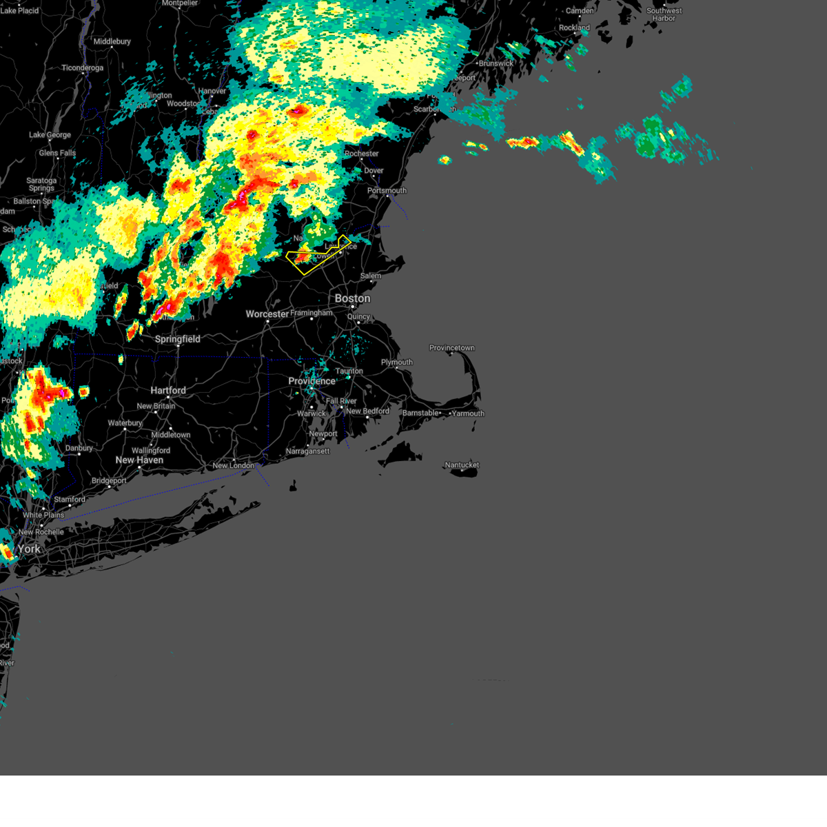
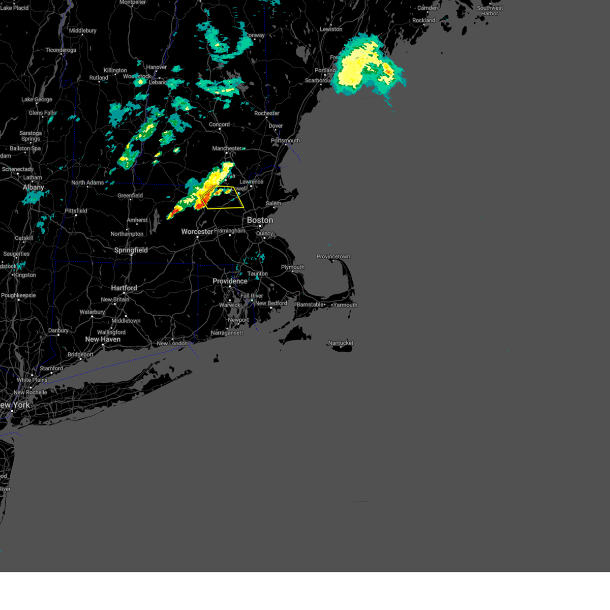
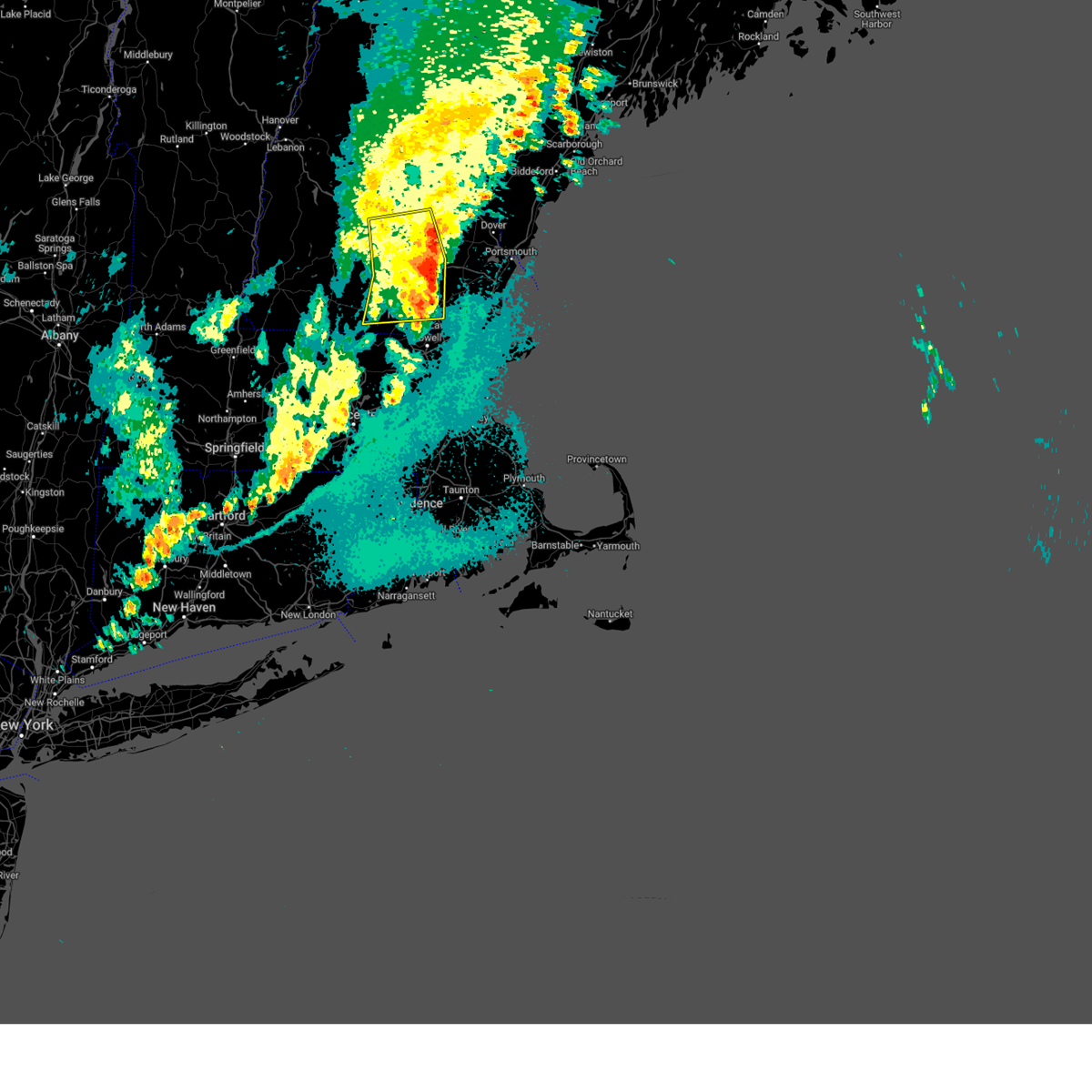
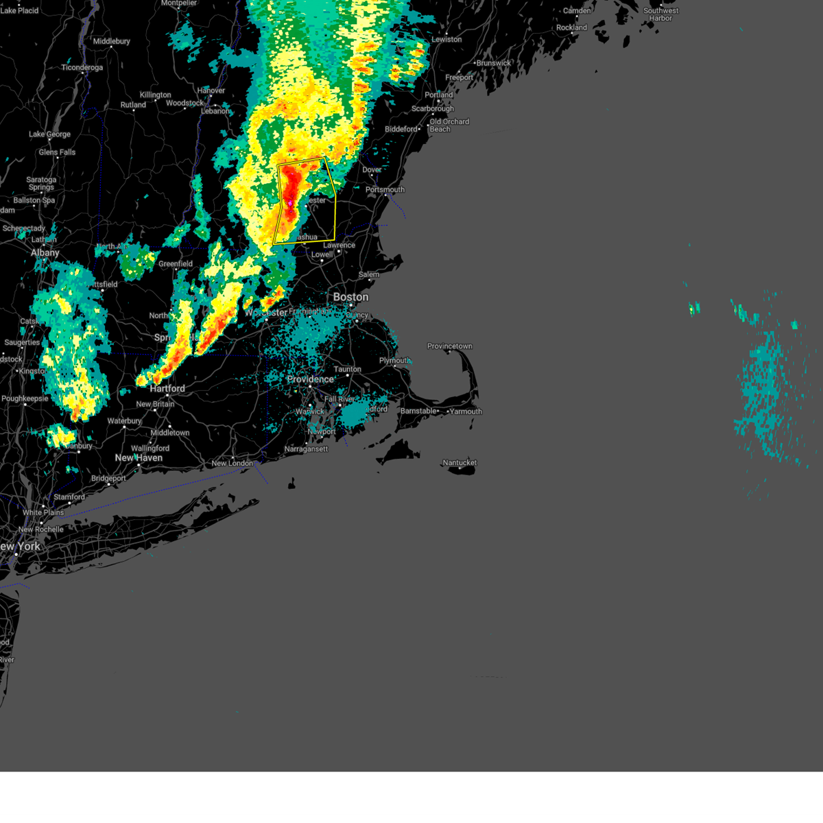
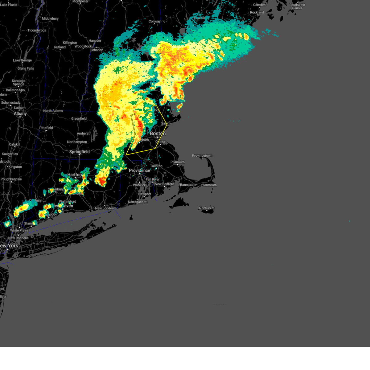
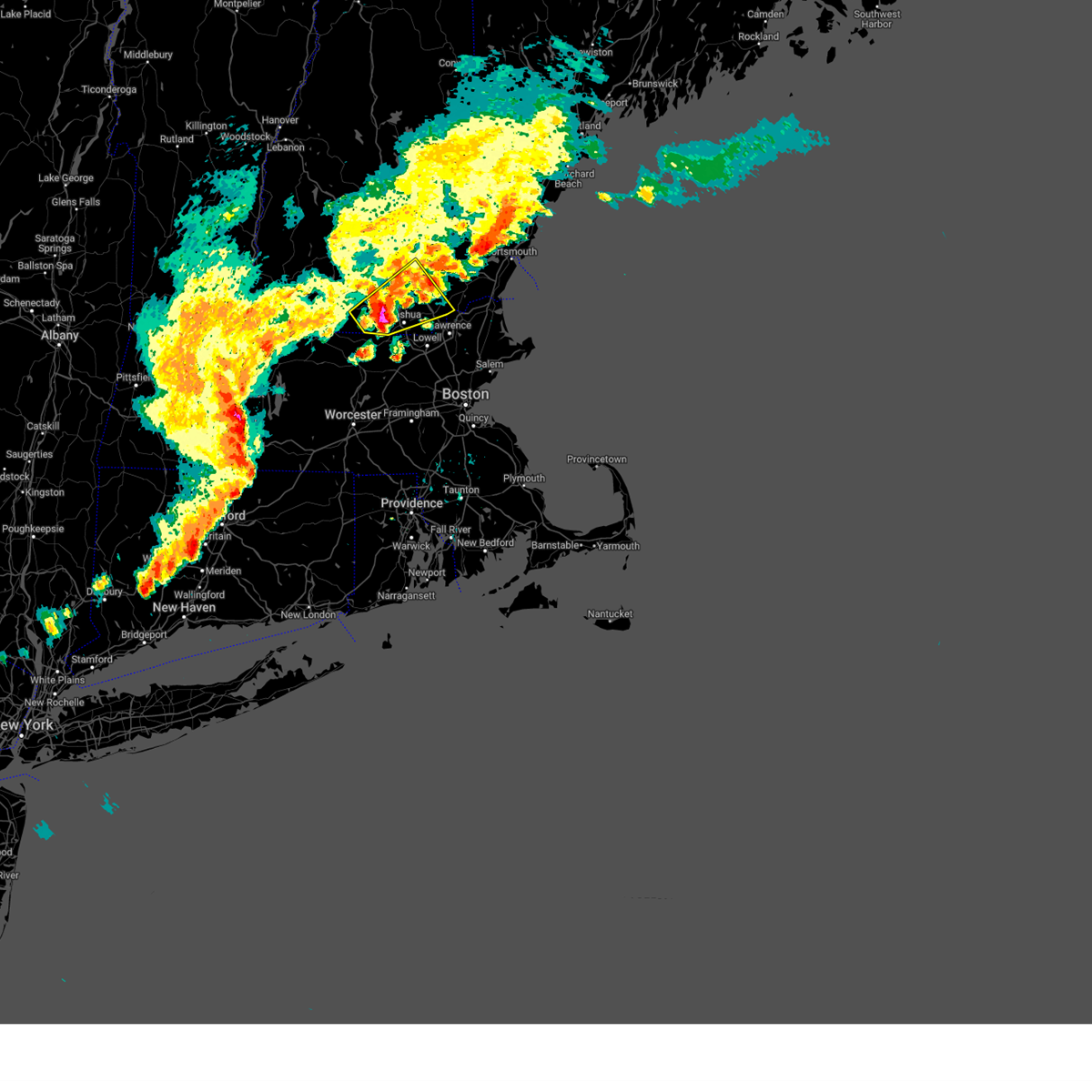
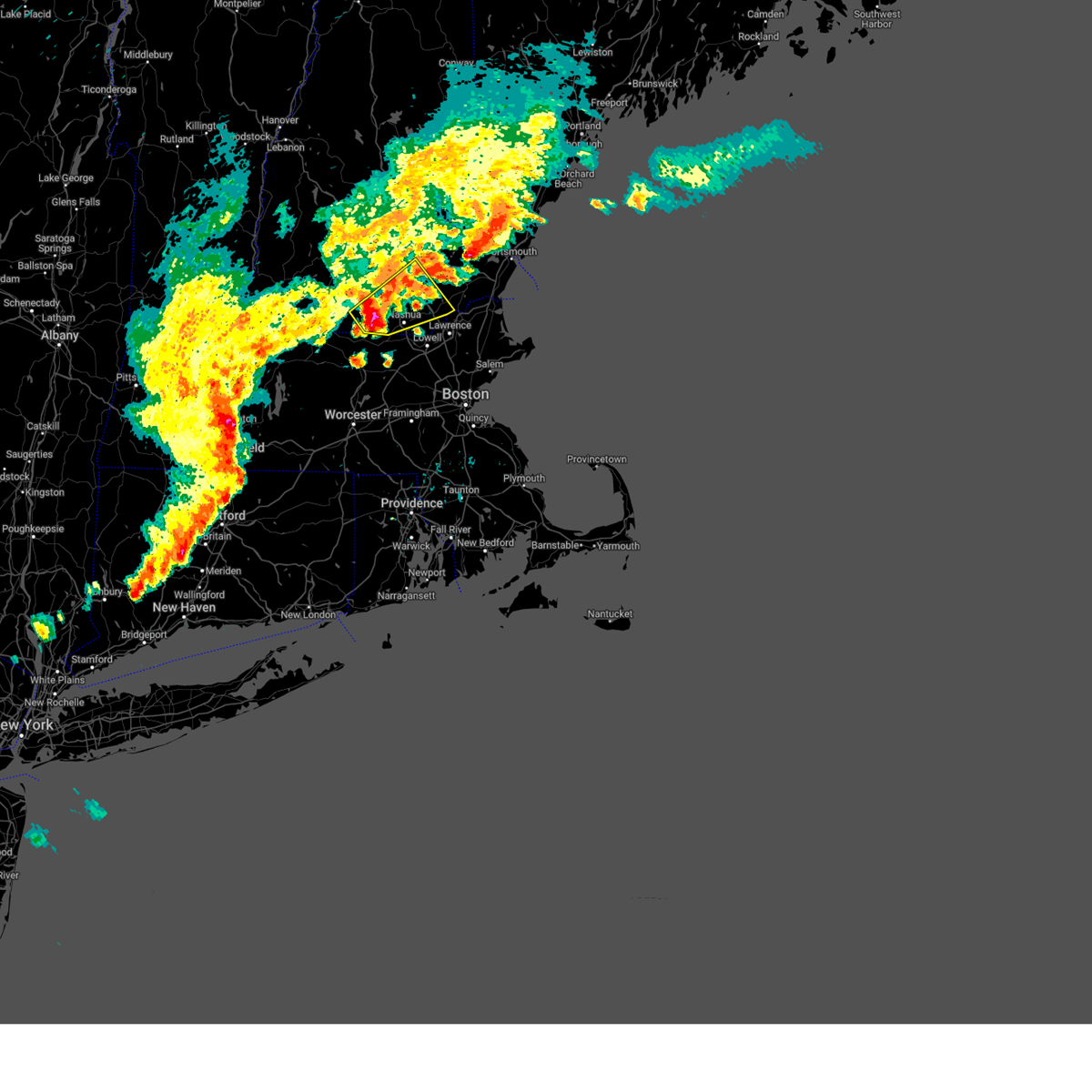
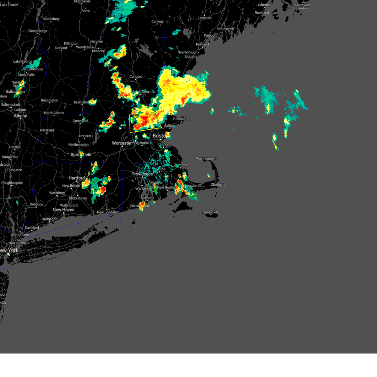
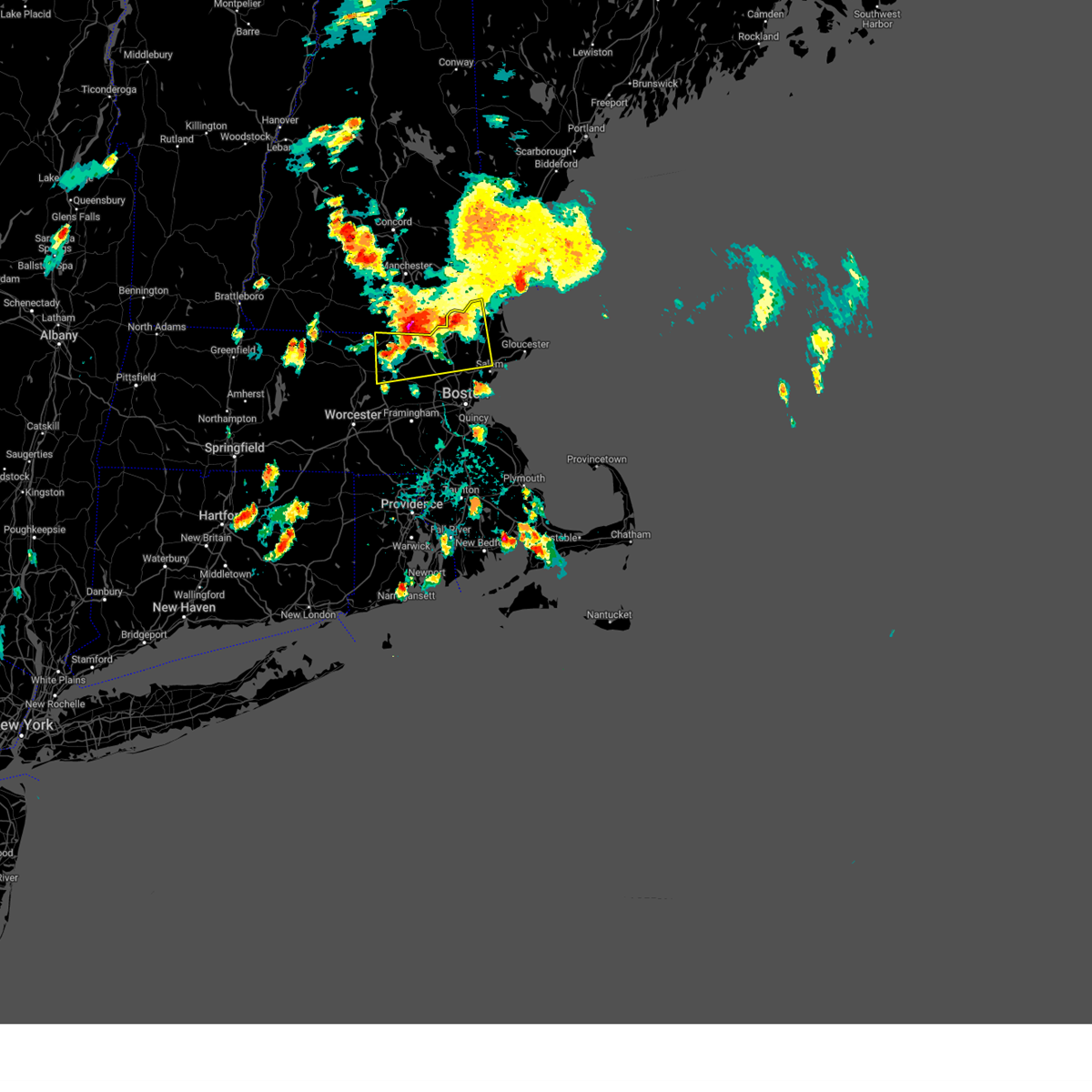
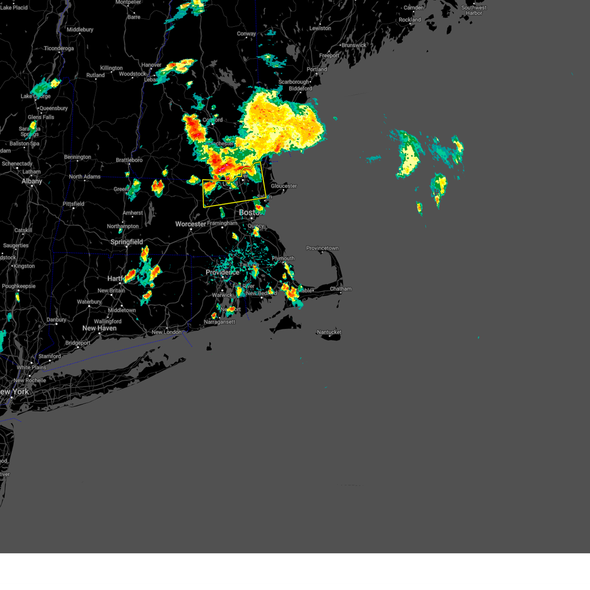
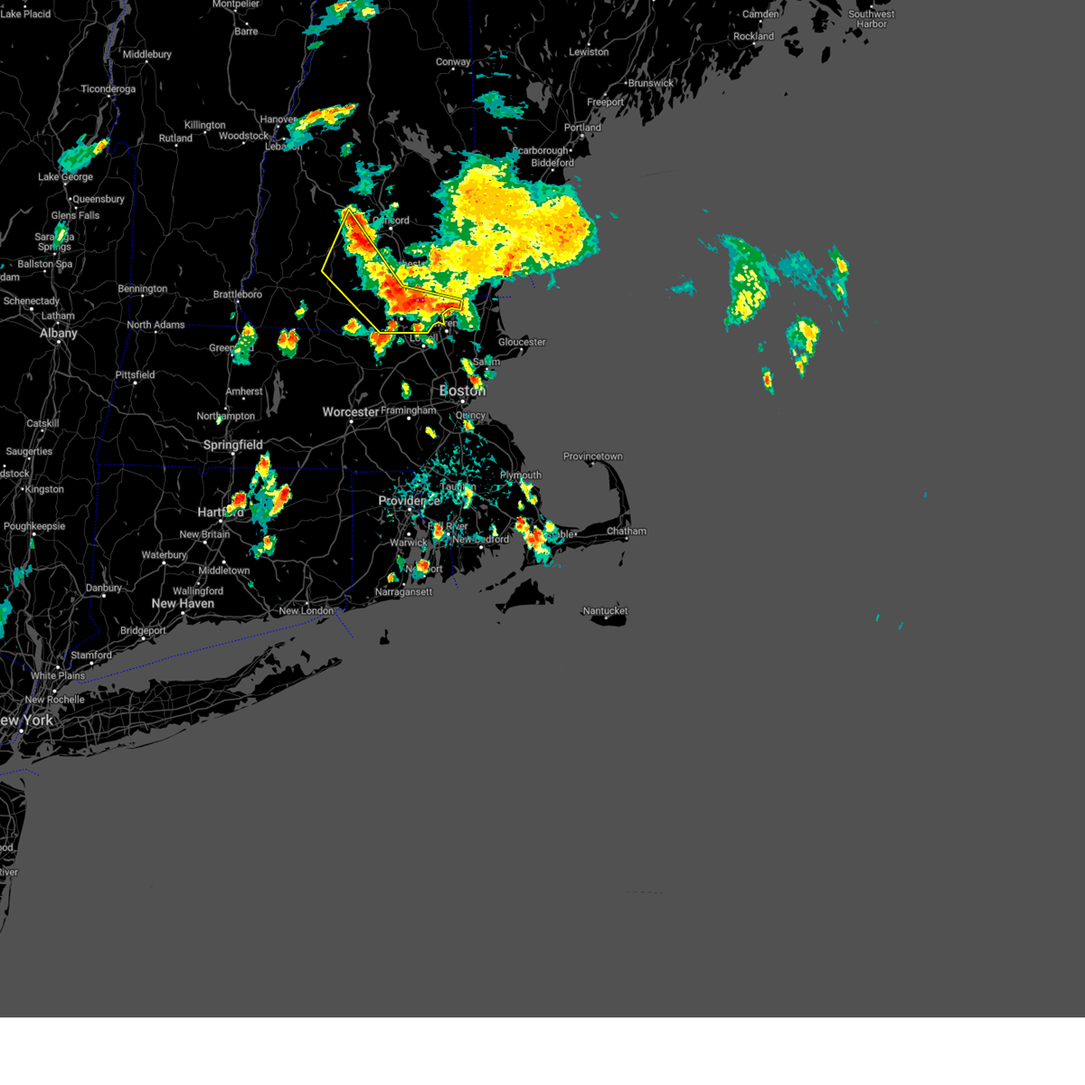
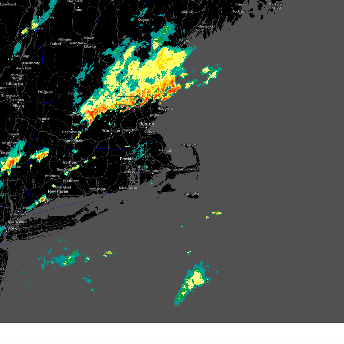
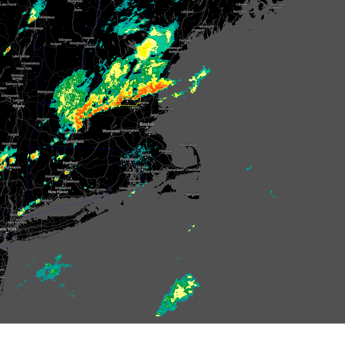
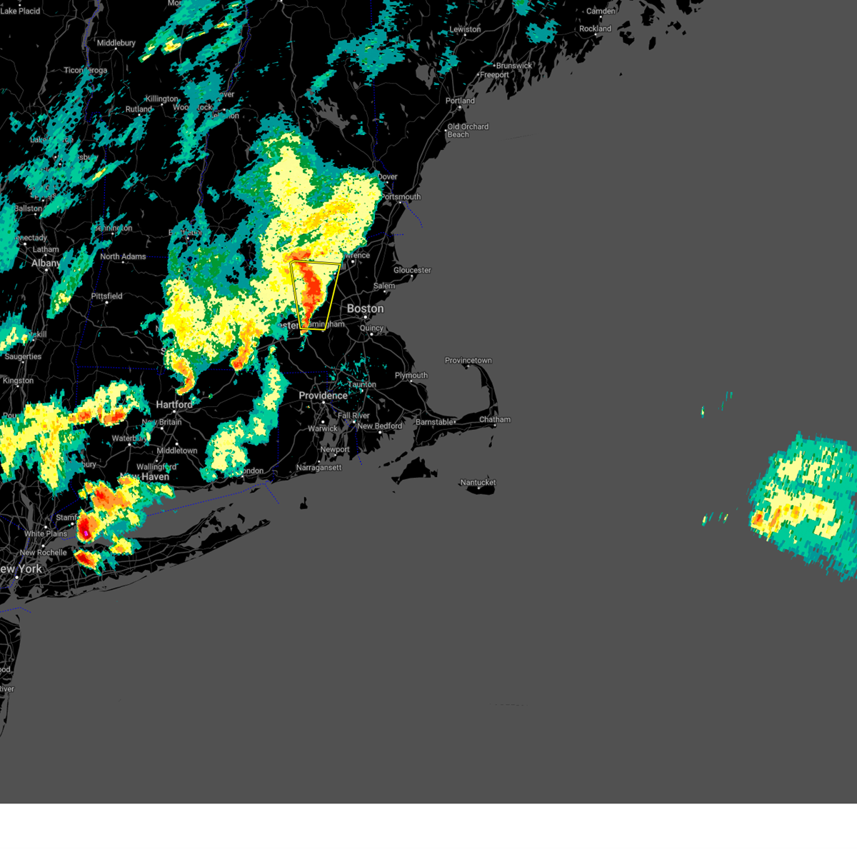
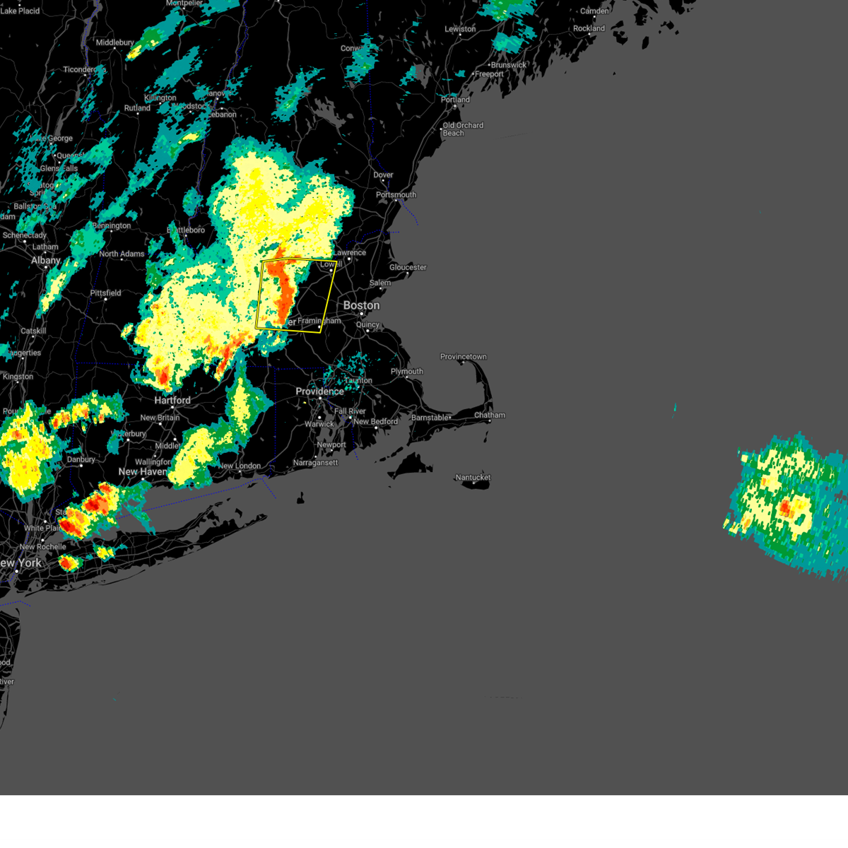
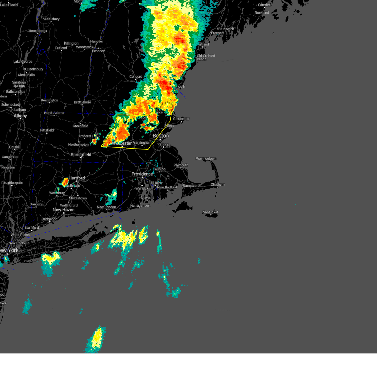
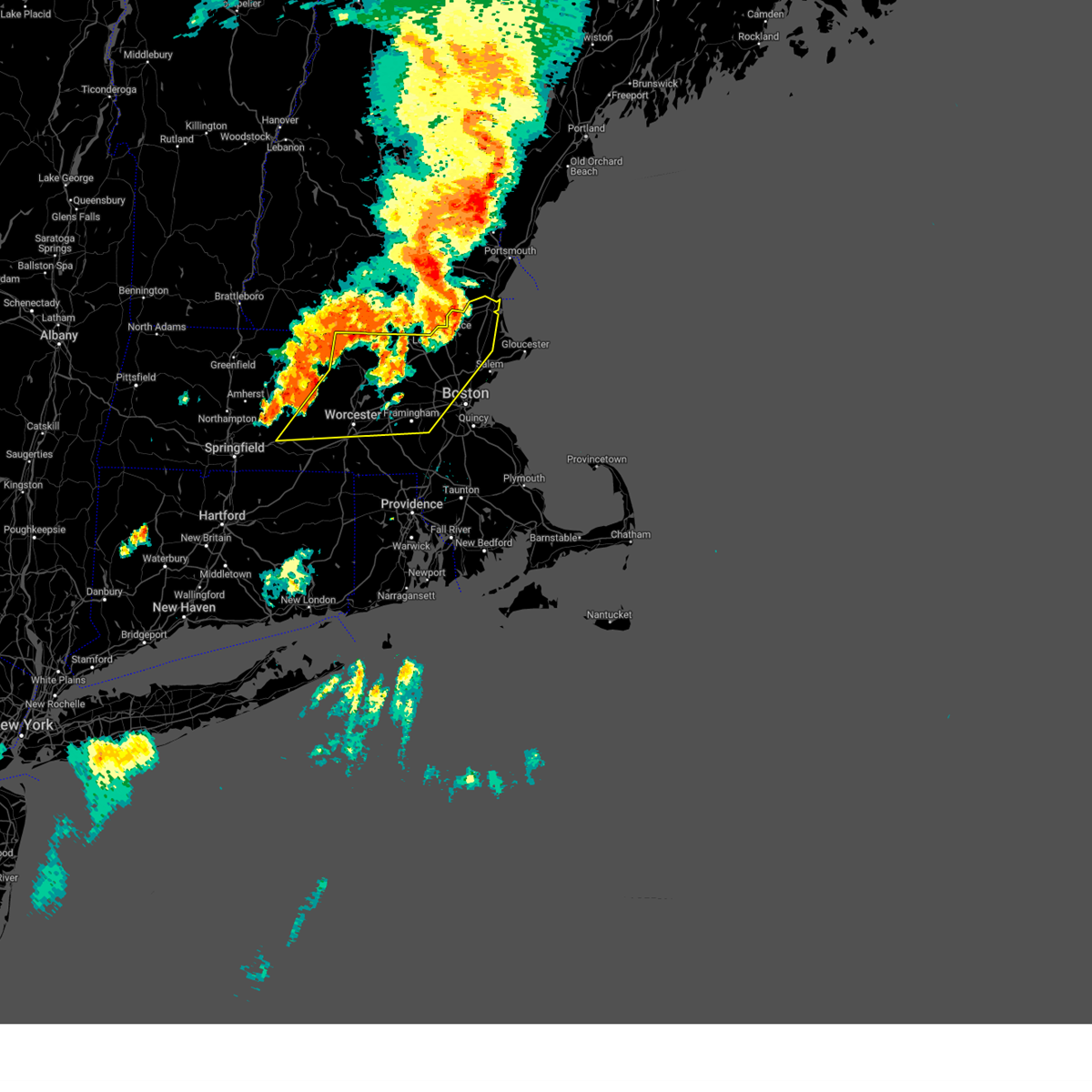
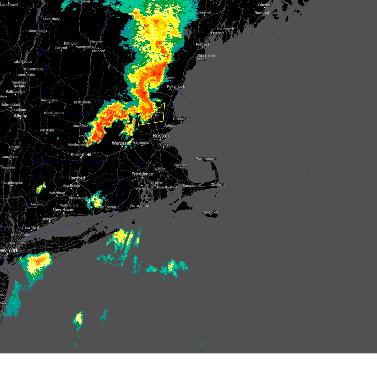
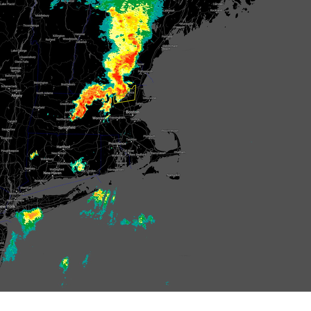
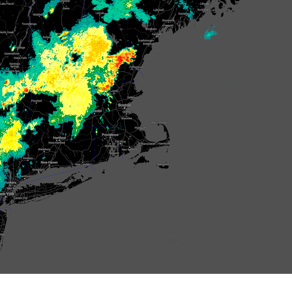
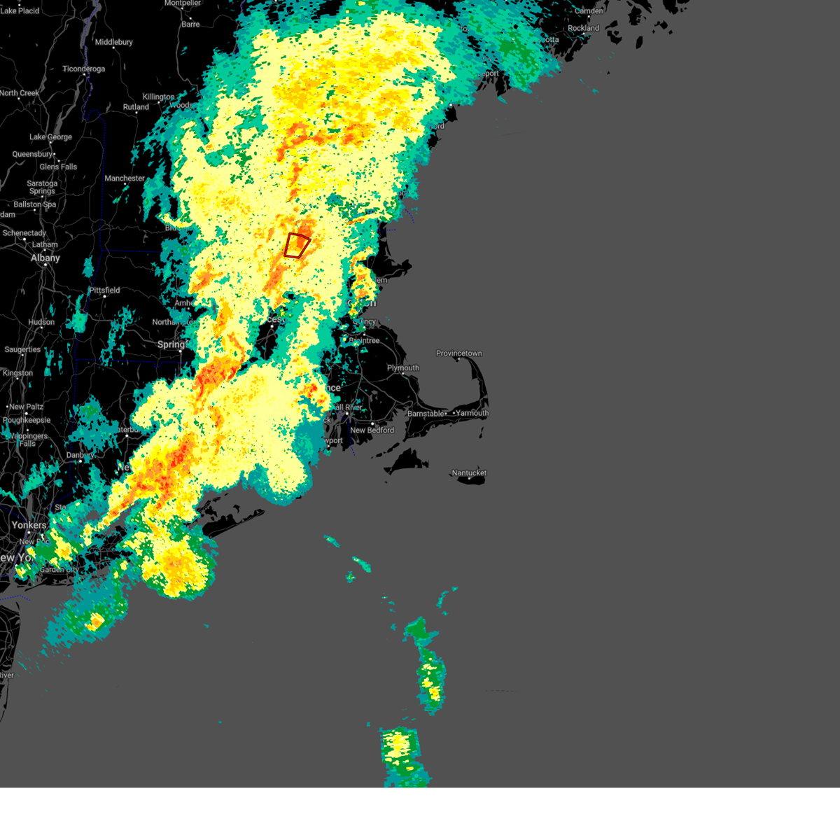
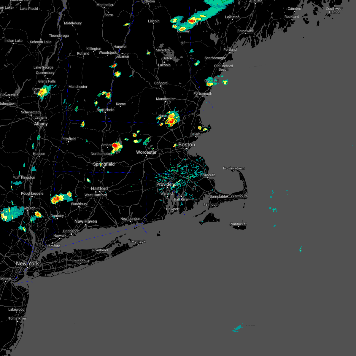
Hail Map for Nashua, NH
The Nashua, NH area has had 5 reports of on-the-ground hail by trained spotters, and has been under severe weather warnings 29 times during the past 12 months. Doppler radar has detected hail at or near Nashua, NH on 18 occasions, including 1 occasion during the past year.
| Name: | Nashua, NH |
| Where Located: | 64.3 miles N of Providence, RI |
| Map: | Google Map for Nashua, NH |
| Population: | 86494 |
| Housing Units: | 37168 |
| More Info: | Search Google for Nashua, NH |
5
The Top Recent Hail Date for Nashua, NH is Thursday, August 15, 2024 (1st out of 18)

Hail and Wind Damage Spotted near Nashua, NH
| Date / Time | Report Details |
|---|---|
| 7/3/2025 12:25 PM EDT | Tree and wires down in the area of blossom stree in hillsborough county NH, 1.1 miles WNW of Nashua, NH |
| 6/6/2025 5:45 PM EDT |
 the severe thunderstorm warning has been cancelled and is no longer in effect the severe thunderstorm warning has been cancelled and is no longer in effect
|
| 6/6/2025 5:32 PM EDT |
 Svrbox the national weather service in boston/norton has issued a * severe thunderstorm warning for, northwestern essex county in northeastern massachusetts, north central middlesex county in northeastern massachusetts, * until 615 pm edt. * at 532 pm edt, a severe thunderstorm was located over dunstable, or near nashua, moving northeast at 20 mph (radar indicated). Hazards include 60 mph wind gusts and quarter size hail. Hail damage to vehicles is expected. Expect wind damage to trees and power lines. Svrbox the national weather service in boston/norton has issued a * severe thunderstorm warning for, northwestern essex county in northeastern massachusetts, north central middlesex county in northeastern massachusetts, * until 615 pm edt. * at 532 pm edt, a severe thunderstorm was located over dunstable, or near nashua, moving northeast at 20 mph (radar indicated). Hazards include 60 mph wind gusts and quarter size hail. Hail damage to vehicles is expected. Expect wind damage to trees and power lines.
|
| 6/6/2025 6:52 AM EDT |
 Svrbox the national weather service in boston/norton has issued a * severe thunderstorm warning for, northeastern worcester county in central massachusetts, north central middlesex county in northeastern massachusetts, * until 745 am edt. * at 652 am edt, a severe thunderstorm was located over shirley, or near leominster, moving east at 20 mph (radar indicated). Hazards include 60 mph wind gusts and quarter size hail. Hail damage to vehicles is expected. Expect wind damage to trees and power lines. Svrbox the national weather service in boston/norton has issued a * severe thunderstorm warning for, northeastern worcester county in central massachusetts, north central middlesex county in northeastern massachusetts, * until 745 am edt. * at 652 am edt, a severe thunderstorm was located over shirley, or near leominster, moving east at 20 mph (radar indicated). Hazards include 60 mph wind gusts and quarter size hail. Hail damage to vehicles is expected. Expect wind damage to trees and power lines.
|
| 5/17/2025 9:15 PM EDT |
 The storms which prompted the warning have weakened. therefore, the warning will be allowed to expire. The storms which prompted the warning have weakened. therefore, the warning will be allowed to expire.
|
| 5/17/2025 8:46 PM EDT |
 Svrgyx the national weather service in gray maine has issued a * severe thunderstorm warning for, western rockingham county in southern new hampshire, central hillsborough county in southern new hampshire, southeastern merrimack county in central new hampshire, * until 915 pm edt. * at 845 pm edt, severe thunderstorms were located along a line extending from near concord to goffstown to mason, moving east at 40 mph (radar indicated). Hazards include 60 mph wind gusts and nickel size hail. expect damage to roofs, siding, and trees Svrgyx the national weather service in gray maine has issued a * severe thunderstorm warning for, western rockingham county in southern new hampshire, central hillsborough county in southern new hampshire, southeastern merrimack county in central new hampshire, * until 915 pm edt. * at 845 pm edt, severe thunderstorms were located along a line extending from near concord to goffstown to mason, moving east at 40 mph (radar indicated). Hazards include 60 mph wind gusts and nickel size hail. expect damage to roofs, siding, and trees
|
| 5/3/2025 5:29 PM EDT |
 the severe thunderstorm warning has been cancelled and is no longer in effect the severe thunderstorm warning has been cancelled and is no longer in effect
|
| 5/3/2025 5:29 PM EDT |
 At 528 pm edt, severe thunderstorms were located along a line extending from tyngsborough to near concord to hopedale, moving east at 40 mph (automated weather station reported. at 455 pm edt, a wind gust of 61 mph was reported at worcester airport). Hazards include 60 mph wind gusts. Expect damage to trees and power lines. Locations impacted include, sudbury, woburn, belmont, lynn, dunstable, everett, carlisle, cambridge, lexington, waltham, dracut, acton, north reading, dedham, hopedale, chelsea, wilmington, lincoln, arlington, and methuen. At 528 pm edt, severe thunderstorms were located along a line extending from tyngsborough to near concord to hopedale, moving east at 40 mph (automated weather station reported. at 455 pm edt, a wind gust of 61 mph was reported at worcester airport). Hazards include 60 mph wind gusts. Expect damage to trees and power lines. Locations impacted include, sudbury, woburn, belmont, lynn, dunstable, everett, carlisle, cambridge, lexington, waltham, dracut, acton, north reading, dedham, hopedale, chelsea, wilmington, lincoln, arlington, and methuen.
|
| 5/3/2025 5:06 PM EDT | Svrbox the national weather service in boston/norton has issued a * severe thunderstorm warning for, northeastern windham county in northern connecticut, western essex county in northeastern massachusetts, suffolk county in eastern massachusetts, eastern worcester county in central massachusetts, central norfolk county in eastern massachusetts, middlesex county in northeastern massachusetts, * until 545 pm edt. * at 505 pm edt, severe thunderstorms were located along a line extending from fitchburg to near berlin to webster, moving east at 40 mph (automated weather station reported. at 455 pm edt, a wind gust of 61 mph was reported at worcester airport). Hazards include 60 mph wind gusts. expect damage to trees and power lines |
| 5/3/2025 4:13 PM EDT |
 At 412 pm edt, a severe thunderstorm was located near milford, or near merrimack, moving northeast at 45 mph (radar indicated). Hazards include 60 mph wind gusts and quarter size hail. Hail damage to vehicles is expected. expect wind damage to roofs, siding, and trees. Locations impacted include, windham, atkinson, nashua, derry, merrimack, salem, milford, hudson, litchfield, auburn, wilton, brookline, londonderry, mason, amherst, manchester, bedford, hollis, mont vernon, and mount vernon. At 412 pm edt, a severe thunderstorm was located near milford, or near merrimack, moving northeast at 45 mph (radar indicated). Hazards include 60 mph wind gusts and quarter size hail. Hail damage to vehicles is expected. expect wind damage to roofs, siding, and trees. Locations impacted include, windham, atkinson, nashua, derry, merrimack, salem, milford, hudson, litchfield, auburn, wilton, brookline, londonderry, mason, amherst, manchester, bedford, hollis, mont vernon, and mount vernon.
|
| 5/3/2025 4:08 PM EDT |
 Svrgyx the national weather service in gray maine has issued a * severe thunderstorm warning for, southwestern rockingham county in southern new hampshire, southeastern hillsborough county in southern new hampshire, southern merrimack county in central new hampshire, * until 445 pm edt. * at 408 pm edt, a severe thunderstorm was located over milford, or 7 miles southwest of merrimack, moving northeast at 45 mph (radar indicated). Hazards include 60 mph wind gusts and quarter size hail. Hail damage to vehicles is expected. Expect wind damage to roofs, siding, and trees. Svrgyx the national weather service in gray maine has issued a * severe thunderstorm warning for, southwestern rockingham county in southern new hampshire, southeastern hillsborough county in southern new hampshire, southern merrimack county in central new hampshire, * until 445 pm edt. * at 408 pm edt, a severe thunderstorm was located over milford, or 7 miles southwest of merrimack, moving northeast at 45 mph (radar indicated). Hazards include 60 mph wind gusts and quarter size hail. Hail damage to vehicles is expected. Expect wind damage to roofs, siding, and trees.
|
| 8/15/2024 3:40 PM EDT | Large tree down blocking a roa in hillsborough county NH, 2.7 miles SSW of Nashua, NH |
| 8/15/2024 3:39 PM EDT |
 The storms which prompted the warning have weakened below severe limits, and no longer pose an immediate threat to life or property. therefore, the warning will be allowed to expire. however, gusty winds and heavy rain are still possible with these thunderstorms. The storms which prompted the warning have weakened below severe limits, and no longer pose an immediate threat to life or property. therefore, the warning will be allowed to expire. however, gusty winds and heavy rain are still possible with these thunderstorms.
|
| 8/15/2024 3:36 PM EDT |
 At 336 pm edt, a severe thunderstorm was located over chelmsford, moving southeast at 40 mph (radar indicated). Hazards include 60 mph wind gusts and quarter size hail. Hail damage to vehicles is expected. expect wind damage to trees and power lines. Locations impacted include, lowell, lawrence, methuen, billerica, woburn, chelmsford, andover, dracut, tewksbury, wakefield, reading, burlington, wilmington, westford, acton, concord, north reading, bedford, lynnfield, and pepperell. At 336 pm edt, a severe thunderstorm was located over chelmsford, moving southeast at 40 mph (radar indicated). Hazards include 60 mph wind gusts and quarter size hail. Hail damage to vehicles is expected. expect wind damage to trees and power lines. Locations impacted include, lowell, lawrence, methuen, billerica, woburn, chelmsford, andover, dracut, tewksbury, wakefield, reading, burlington, wilmington, westford, acton, concord, north reading, bedford, lynnfield, and pepperell.
|
| 8/15/2024 3:25 PM EDT | Several trees dow in hillsborough county NH, 2.8 miles SW of Nashua, NH |
| 8/15/2024 3:25 PM EDT | Trees down on wire in hillsborough county NH, 4 miles NNW of Nashua, NH |
| 8/15/2024 3:20 PM EDT | Trees down on wires on march stree in hillsborough county NH, 3.5 miles WNW of Nashua, NH |
| 8/15/2024 3:20 PM EDT | Spit brook road in nashua. large trees down on three cars. no occupant in hillsborough county NH, 3.7 miles NW of Nashua, NH |
| 8/15/2024 3:20 PM EDT | Large tree uprooted near the baseball field in hillsborough county NH, 4.5 miles SW of Nashua, NH |
| 8/15/2024 3:20 PM EDT |
 At 319 pm edt, a severe thunderstorm was located over pelham, or near dracut, moving south at 20 mph (radar indicated). Hazards include 60 mph wind gusts and quarter size hail. Hail damage to vehicles is expected. expect wind damage to trees and power lines. Locations impacted include, lowell, lawrence, haverhill, peabody, methuen, billerica, beverly, woburn, chelmsford, andover, dracut, tewksbury, north andover, danvers, reading, burlington, wilmington, westford, acton, and concord. At 319 pm edt, a severe thunderstorm was located over pelham, or near dracut, moving south at 20 mph (radar indicated). Hazards include 60 mph wind gusts and quarter size hail. Hail damage to vehicles is expected. expect wind damage to trees and power lines. Locations impacted include, lowell, lawrence, haverhill, peabody, methuen, billerica, beverly, woburn, chelmsford, andover, dracut, tewksbury, north andover, danvers, reading, burlington, wilmington, westford, acton, and concord.
|
| 8/15/2024 3:11 PM EDT |
 Svrbox the national weather service in boston/norton has issued a * severe thunderstorm warning for, northwestern essex county in northeastern massachusetts, east central worcester county in central massachusetts, northeastern middlesex county in northeastern massachusetts, * until 415 pm edt. * at 311 pm edt, a severe thunderstorm was located near hudson, or near salem, moving south at 20 mph (radar indicated). Hazards include 60 mph wind gusts and quarter size hail. Hail damage to vehicles is expected. Expect wind damage to trees and power lines. Svrbox the national weather service in boston/norton has issued a * severe thunderstorm warning for, northwestern essex county in northeastern massachusetts, east central worcester county in central massachusetts, northeastern middlesex county in northeastern massachusetts, * until 415 pm edt. * at 311 pm edt, a severe thunderstorm was located near hudson, or near salem, moving south at 20 mph (radar indicated). Hazards include 60 mph wind gusts and quarter size hail. Hail damage to vehicles is expected. Expect wind damage to trees and power lines.
|
| 8/15/2024 3:06 PM EDT |
 Svrgyx the national weather service in gray maine has issued a * severe thunderstorm warning for, southwestern rockingham county in southern new hampshire, hillsborough county in southern new hampshire, south central merrimack county in central new hampshire, * until 345 pm edt. * at 306 pm edt, severe thunderstorms were located along a line extending from near henniker to litchfield to near salem, moving south at 25 mph (radar indicated). Hazards include 60 mph wind gusts and quarter size hail. Hail damage to vehicles is expected. Expect wind damage to roofs, siding, and trees. Svrgyx the national weather service in gray maine has issued a * severe thunderstorm warning for, southwestern rockingham county in southern new hampshire, hillsborough county in southern new hampshire, south central merrimack county in central new hampshire, * until 345 pm edt. * at 306 pm edt, severe thunderstorms were located along a line extending from near henniker to litchfield to near salem, moving south at 25 mph (radar indicated). Hazards include 60 mph wind gusts and quarter size hail. Hail damage to vehicles is expected. Expect wind damage to roofs, siding, and trees.
|
| 8/4/2024 2:07 PM EDT |
 The storm which prompted the warning has weakened below severe limits, and no longer poses an immediate threat to life or property. therefore, the warning will be allowed to expire. however, heavy rain is still possible with this thunderstorm. The storm which prompted the warning has weakened below severe limits, and no longer poses an immediate threat to life or property. therefore, the warning will be allowed to expire. however, heavy rain is still possible with this thunderstorm.
|
| 8/4/2024 1:50 PM EDT | Large tree down partially blocking manchester st. time estimated via rada in hillsborough county NH, 2.1 miles SSW of Nashua, NH |
| 8/4/2024 1:45 PM EDT | Large tree down blocking derry rd. pd has closed the road. time estimated via rada in hillsborough county NH, 0.6 miles SE of Nashua, NH |
| 8/4/2024 1:33 PM EDT |
 Svrgyx the national weather service in gray maine has issued a * severe thunderstorm warning for, southwestern rockingham county in southern new hampshire, southeastern hillsborough county in southern new hampshire, * until 215 pm edt. * at 133 pm edt, a severe thunderstorm was located over hollis, or near nashua, moving east at 15 mph (radar indicated). Hazards include 60 mph wind gusts and penny size hail. expect damage to roofs, siding, and trees Svrgyx the national weather service in gray maine has issued a * severe thunderstorm warning for, southwestern rockingham county in southern new hampshire, southeastern hillsborough county in southern new hampshire, * until 215 pm edt. * at 133 pm edt, a severe thunderstorm was located over hollis, or near nashua, moving east at 15 mph (radar indicated). Hazards include 60 mph wind gusts and penny size hail. expect damage to roofs, siding, and trees
|
| 7/17/2024 7:13 PM EDT |
 At 712 pm edt, severe thunderstorms were located along a line extending from tyngsborough to southborough to near webster, moving east at 35 mph (radar indicated). Hazards include 60 mph wind gusts. Expect damage to roofs, siding, and trees. Locations impacted include, lowell, framingham, billerica, marlborough, chelmsford, natick, dracut, westford, acton, hudson, westborough, concord, sudbury, ashland, northborough, wayland, pepperell, tyngsborough, groton, and maynard. At 712 pm edt, severe thunderstorms were located along a line extending from tyngsborough to southborough to near webster, moving east at 35 mph (radar indicated). Hazards include 60 mph wind gusts. Expect damage to roofs, siding, and trees. Locations impacted include, lowell, framingham, billerica, marlborough, chelmsford, natick, dracut, westford, acton, hudson, westborough, concord, sudbury, ashland, northborough, wayland, pepperell, tyngsborough, groton, and maynard.
|
| 7/17/2024 7:00 PM EDT | At 700 pm edt, severe thunderstorms were located along a line extending from near groton to westborough to near dudley, moving east at 30 mph (radar indicated). Hazards include 60 mph wind gusts and penny size hail. Expect damage to roofs, siding, and trees. Locations impacted include, worcester, lowell, framingham, leominster, fitchburg, billerica, marlborough, shrewsbury, chelmsford, natick, dracut, westford, acton, hudson, westborough, concord, sudbury, ashland, hopkinton, and northborough. |
| 7/17/2024 6:49 PM EDT |
 At 648 pm edt, severe thunderstorms were located along a line extending from near groton to shrewsbury to southbridge, moving east at 60 mph (radar indicated). Hazards include 60 mph wind gusts and penny size hail. Expect damage to roofs, siding, and trees. Locations impacted include, worcester, lowell, framingham, leominster, fitchburg, billerica, marlborough, shrewsbury, chelmsford, natick, dracut, westford, acton, hudson, westborough, concord, sudbury, holden, ashland, and hopkinton. At 648 pm edt, severe thunderstorms were located along a line extending from near groton to shrewsbury to southbridge, moving east at 60 mph (radar indicated). Hazards include 60 mph wind gusts and penny size hail. Expect damage to roofs, siding, and trees. Locations impacted include, worcester, lowell, framingham, leominster, fitchburg, billerica, marlborough, shrewsbury, chelmsford, natick, dracut, westford, acton, hudson, westborough, concord, sudbury, holden, ashland, and hopkinton.
|
| 7/17/2024 6:49 PM EDT |
 the severe thunderstorm warning has been cancelled and is no longer in effect the severe thunderstorm warning has been cancelled and is no longer in effect
|
| 7/17/2024 6:23 PM EDT | Svrbox the national weather service in boston/norton has issued a * severe thunderstorm warning for, worcester county in central massachusetts, central middlesex county in northeastern massachusetts, southeastern hampden county in western massachusetts, * until 730 pm edt. * at 622 pm edt, severe thunderstorms were located along a line extending from near ashburnham to spencer to near monson, moving east at 30 mph (radar indicated). Hazards include 60 mph wind gusts and penny size hail. expect damage to roofs, siding, and trees |
| 7/16/2024 8:51 PM EDT |
 At 851 pm edt, severe thunderstorms were located along a line extending from near nashua to ayer to near worcester, moving east at 55 mph (radar indicated). Hazards include 60 mph wind gusts. Expect damage to roofs, siding, and trees. Locations impacted include, boston, worcester, lowell, cambridge, lynn, newton, lawrence, somerville, framingham, haverhill, waltham, malden, medford, peabody, methuen, arlington, leominster, fitchburg, billerica, and marlborough. At 851 pm edt, severe thunderstorms were located along a line extending from near nashua to ayer to near worcester, moving east at 55 mph (radar indicated). Hazards include 60 mph wind gusts. Expect damage to roofs, siding, and trees. Locations impacted include, boston, worcester, lowell, cambridge, lynn, newton, lawrence, somerville, framingham, haverhill, waltham, malden, medford, peabody, methuen, arlington, leominster, fitchburg, billerica, and marlborough.
|
| 7/16/2024 8:51 PM EDT |
 the severe thunderstorm warning has been cancelled and is no longer in effect the severe thunderstorm warning has been cancelled and is no longer in effect
|
| 7/16/2024 8:32 PM EDT |
 Svrbox the national weather service in boston/norton has issued a * severe thunderstorm warning for, essex county in northeastern massachusetts, central worcester county in central massachusetts, north central norfolk county in eastern massachusetts, northwestern suffolk county in eastern massachusetts, eastern hampshire county in western massachusetts, middlesex county in northeastern massachusetts, northeastern hampden county in western massachusetts, * until 915 pm edt. * at 830 pm edt, severe thunderstorms were located along a line extending from greenville to westminster to west brookfield, moving east at 45 mph (radar indicated). Hazards include 60 mph wind gusts. expect damage to roofs, siding, and trees Svrbox the national weather service in boston/norton has issued a * severe thunderstorm warning for, essex county in northeastern massachusetts, central worcester county in central massachusetts, north central norfolk county in eastern massachusetts, northwestern suffolk county in eastern massachusetts, eastern hampshire county in western massachusetts, middlesex county in northeastern massachusetts, northeastern hampden county in western massachusetts, * until 915 pm edt. * at 830 pm edt, severe thunderstorms were located along a line extending from greenville to westminster to west brookfield, moving east at 45 mph (radar indicated). Hazards include 60 mph wind gusts. expect damage to roofs, siding, and trees
|
| 7/16/2024 8:21 PM EDT |
 the severe thunderstorm warning has been cancelled and is no longer in effect the severe thunderstorm warning has been cancelled and is no longer in effect
|
| 7/16/2024 8:21 PM EDT |
 At 821 pm edt, severe thunderstorms were located along a line extending from salem to lowell to westford, moving east at 55 mph (trained weather spotters). Hazards include 60 mph wind gusts. Expect damage to roofs, siding, and trees. Locations impacted include, lowell, lawrence, haverhill, methuen, billerica, chelmsford, andover, dracut, tewksbury, north andover, wilmington, westford, amesbury, tyngsborough, groton, middleton, littleton, georgetown, boxford, and groveland. At 821 pm edt, severe thunderstorms were located along a line extending from salem to lowell to westford, moving east at 55 mph (trained weather spotters). Hazards include 60 mph wind gusts. Expect damage to roofs, siding, and trees. Locations impacted include, lowell, lawrence, haverhill, methuen, billerica, chelmsford, andover, dracut, tewksbury, north andover, wilmington, westford, amesbury, tyngsborough, groton, middleton, littleton, georgetown, boxford, and groveland.
|
| 7/16/2024 8:11 PM EDT | Svrbox the national weather service in boston/norton has issued a * severe thunderstorm warning for, northwestern essex county in northeastern massachusetts, east central worcester county in central massachusetts, northeastern middlesex county in northeastern massachusetts, * until 845 pm edt. * at 810 pm edt, severe thunderstorms were located along a line extending from hudson to near groton to shirley, moving east at 45 mph (trained weather spotters). Hazards include 60 mph wind gusts. expect damage to roofs, siding, and trees |
| 7/16/2024 7:42 PM EDT |
 Svrgyx the national weather service in gray maine has issued a * severe thunderstorm warning for, rockingham county in southern new hampshire, southwestern strafford county in central new hampshire, southeastern cheshire county in southern new hampshire, hillsborough county in southern new hampshire, southeastern merrimack county in central new hampshire, * until 830 pm edt. * at 741 pm edt, severe thunderstorms were located along a line extending from near deering to near new ipswich, moving east at 60 mph (radar indicated). Hazards include 60 mph wind gusts. expect damage to roofs, siding, and trees Svrgyx the national weather service in gray maine has issued a * severe thunderstorm warning for, rockingham county in southern new hampshire, southwestern strafford county in central new hampshire, southeastern cheshire county in southern new hampshire, hillsborough county in southern new hampshire, southeastern merrimack county in central new hampshire, * until 830 pm edt. * at 741 pm edt, severe thunderstorms were located along a line extending from near deering to near new ipswich, moving east at 60 mph (radar indicated). Hazards include 60 mph wind gusts. expect damage to roofs, siding, and trees
|
| 6/20/2024 7:45 PM EDT | Chaser noted a tree down blocking parish hill rd in nashu in hillsborough county NH, 1 miles ESE of Nashua, NH |
| 6/20/2024 7:45 PM EDT | Trees and large branches down on the north end of nashua. time estimated via rada in hillsborough county NH, 2.7 miles SSW of Nashua, NH |
| 6/20/2024 7:43 PM EDT |
 the severe thunderstorm warning has been cancelled and is no longer in effect the severe thunderstorm warning has been cancelled and is no longer in effect
|
| 6/20/2024 7:40 PM EDT | Chaser noted numerous trees down driving through hollis. time estimated via rada in hillsborough county NH, 4.6 miles ENE of Nashua, NH |
| 6/20/2024 7:31 PM EDT |
 At 731 pm edt, a severe thunderstorm was located over amherst, or near merrimack, moving east at 30 mph (radar indicated). Hazards include 60 mph wind gusts. Expect damage to roofs, siding, and trees. locations impacted include, manchester, nashua, derry, merrimack, salem, bedford, milford, amherst, litchfield, hollis, new boston, mont vernon, lyndeborough, francestown, mount vernon, hudson, wilton, pelham, goffstown, and raymond. this includes the following highways, interstate 293 between mile markers 1 and 8. Interstate 93 between mile markers 4 and 23. At 731 pm edt, a severe thunderstorm was located over amherst, or near merrimack, moving east at 30 mph (radar indicated). Hazards include 60 mph wind gusts. Expect damage to roofs, siding, and trees. locations impacted include, manchester, nashua, derry, merrimack, salem, bedford, milford, amherst, litchfield, hollis, new boston, mont vernon, lyndeborough, francestown, mount vernon, hudson, wilton, pelham, goffstown, and raymond. this includes the following highways, interstate 293 between mile markers 1 and 8. Interstate 93 between mile markers 4 and 23.
|
| 6/20/2024 7:07 PM EDT |
 Svrgyx the national weather service in gray maine has issued a * severe thunderstorm warning for, southwestern rockingham county in southern new hampshire, southern hillsborough county in southern new hampshire, * until 800 pm edt. * at 707 pm edt, a severe thunderstorm was located over lyndeborough, or 13 miles east of jaffrey, moving east at 30 mph (radar indicated). Hazards include 60 mph wind gusts and quarter size hail. Hail damage to vehicles is expected. Expect wind damage to roofs, siding, and trees. Svrgyx the national weather service in gray maine has issued a * severe thunderstorm warning for, southwestern rockingham county in southern new hampshire, southern hillsborough county in southern new hampshire, * until 800 pm edt. * at 707 pm edt, a severe thunderstorm was located over lyndeborough, or 13 miles east of jaffrey, moving east at 30 mph (radar indicated). Hazards include 60 mph wind gusts and quarter size hail. Hail damage to vehicles is expected. Expect wind damage to roofs, siding, and trees.
|
| 9/8/2023 7:51 PM EDT |
 The severe thunderstorm warning for north central middlesex county will expire at 800 pm edt, the storm which prompted the warning has weakened below severe limits, and has exited the warned area. therefore, the warning will be allowed to expire. a severe thunderstorm watch remains in effect until 1100 pm edt for northeastern massachusetts. The severe thunderstorm warning for north central middlesex county will expire at 800 pm edt, the storm which prompted the warning has weakened below severe limits, and has exited the warned area. therefore, the warning will be allowed to expire. a severe thunderstorm watch remains in effect until 1100 pm edt for northeastern massachusetts.
|
| 9/8/2023 7:46 PM EDT |
 At 746 pm edt, a severe thunderstorm was located over dunstable, or near nashua, moving northeast at 50 mph (radar indicated). Hazards include 60 mph wind gusts and quarter size hail. Hail damage to vehicles is expected. expect wind damage to roofs, siding, and trees. locations impacted include, pepperell, groton, townsend, and dunstable. hail threat, radar indicated max hail size, 1. 00 in wind threat, radar indicated max wind gust, 60 mph. At 746 pm edt, a severe thunderstorm was located over dunstable, or near nashua, moving northeast at 50 mph (radar indicated). Hazards include 60 mph wind gusts and quarter size hail. Hail damage to vehicles is expected. expect wind damage to roofs, siding, and trees. locations impacted include, pepperell, groton, townsend, and dunstable. hail threat, radar indicated max hail size, 1. 00 in wind threat, radar indicated max wind gust, 60 mph.
|
| 9/8/2023 7:37 PM EDT |
 At 737 pm edt, a severe thunderstorm was located over townsend, or 7 miles northeast of fitchburg, moving northeast at 40 mph (radar indicated). Hazards include 60 mph wind gusts and quarter size hail. Hail damage to vehicles is expected. expect wind damage to roofs, siding, and trees. locations impacted include, leominster, fitchburg, pepperell, groton, lunenburg, townsend, lancaster, ayer, westminster, shirley, harvard, dunstable, and ashby. hail threat, radar indicated max hail size, 1. 00 in wind threat, radar indicated max wind gust, 60 mph. At 737 pm edt, a severe thunderstorm was located over townsend, or 7 miles northeast of fitchburg, moving northeast at 40 mph (radar indicated). Hazards include 60 mph wind gusts and quarter size hail. Hail damage to vehicles is expected. expect wind damage to roofs, siding, and trees. locations impacted include, leominster, fitchburg, pepperell, groton, lunenburg, townsend, lancaster, ayer, westminster, shirley, harvard, dunstable, and ashby. hail threat, radar indicated max hail size, 1. 00 in wind threat, radar indicated max wind gust, 60 mph.
|
| 9/8/2023 7:19 PM EDT |
 At 719 pm edt, a severe thunderstorm was located over sterling, or near leominster, moving northeast at 45 mph (radar indicated). Hazards include 60 mph wind gusts and quarter size hail. Hail damage to vehicles is expected. expect wind damage to roofs, siding, and trees. locations impacted include, lowell, leominster, fitchburg, marlborough, shrewsbury, chelmsford, dracut, westford, acton, hudson, westborough, holden, northborough, clinton, pepperell, tyngsborough, groton, lunenburg, townsend, and littleton. hail threat, radar indicated max hail size, 1. 00 in wind threat, radar indicated max wind gust, 60 mph. At 719 pm edt, a severe thunderstorm was located over sterling, or near leominster, moving northeast at 45 mph (radar indicated). Hazards include 60 mph wind gusts and quarter size hail. Hail damage to vehicles is expected. expect wind damage to roofs, siding, and trees. locations impacted include, lowell, leominster, fitchburg, marlborough, shrewsbury, chelmsford, dracut, westford, acton, hudson, westborough, holden, northborough, clinton, pepperell, tyngsborough, groton, lunenburg, townsend, and littleton. hail threat, radar indicated max hail size, 1. 00 in wind threat, radar indicated max wind gust, 60 mph.
|
| 9/8/2023 7:10 PM EDT |
 At 710 pm edt, a severe thunderstorm was located over princeton, or near leominster, moving northeast at 50 mph (radar indicated). Hazards include 60 mph wind gusts and quarter size hail. Hail damage to vehicles is expected. Expect wind damage to roofs, siding, and trees. At 710 pm edt, a severe thunderstorm was located over princeton, or near leominster, moving northeast at 50 mph (radar indicated). Hazards include 60 mph wind gusts and quarter size hail. Hail damage to vehicles is expected. Expect wind damage to roofs, siding, and trees.
|
| 9/8/2023 3:11 PM EDT |
 At 310 pm edt, a severe thunderstorm was located near salem, moving north at 35 mph (radar indicated). Hazards include 60 mph wind gusts and quarter size hail. Hail damage to vehicles is expected. expect wind damage to roofs, siding, and trees. locations impacted include, nashua, derry, salem, merrimack, litchfield, hollis, hudson, pelham, londonderry, hampstead, atkinson, chester, windham, plaistow, and sandown. this includes interstate 93 between mile markers 1 and 15. hail threat, radar indicated max hail size, 1. 00 in wind threat, radar indicated max wind gust, 60 mph. At 310 pm edt, a severe thunderstorm was located near salem, moving north at 35 mph (radar indicated). Hazards include 60 mph wind gusts and quarter size hail. Hail damage to vehicles is expected. expect wind damage to roofs, siding, and trees. locations impacted include, nashua, derry, salem, merrimack, litchfield, hollis, hudson, pelham, londonderry, hampstead, atkinson, chester, windham, plaistow, and sandown. this includes interstate 93 between mile markers 1 and 15. hail threat, radar indicated max hail size, 1. 00 in wind threat, radar indicated max wind gust, 60 mph.
|
| 9/8/2023 3:10 PM EDT |
 At 310 pm edt, severe thunderstorms were located along a line extending from near pelham to north andover to near weston, moving northeast at 45 mph (trained weather spotters reported several trees downed in chelmsford and westford ma between 240 pm and 245 pm). Hazards include 60 mph wind gusts and quarter size hail. Hail damage to vehicles is expected. expect wind damage to roofs, siding, and trees. locations impacted include, boston, lowell, cambridge, quincy, lynn, newton, lawrence, somerville, haverhill, waltham, malden, brookline, medford, revere, peabody, methuen, arlington, everett, salem, and billerica. hail threat, radar indicated max hail size, 1. 00 in wind threat, radar indicated max wind gust, 60 mph. At 310 pm edt, severe thunderstorms were located along a line extending from near pelham to north andover to near weston, moving northeast at 45 mph (trained weather spotters reported several trees downed in chelmsford and westford ma between 240 pm and 245 pm). Hazards include 60 mph wind gusts and quarter size hail. Hail damage to vehicles is expected. expect wind damage to roofs, siding, and trees. locations impacted include, boston, lowell, cambridge, quincy, lynn, newton, lawrence, somerville, haverhill, waltham, malden, brookline, medford, revere, peabody, methuen, arlington, everett, salem, and billerica. hail threat, radar indicated max hail size, 1. 00 in wind threat, radar indicated max wind gust, 60 mph.
|
| 9/8/2023 2:56 PM EDT | Reports of trees and branches down in the city of nahua. time estimated by rada in hillsborough county NH, 2.2 miles WSW of Nashua, NH |
| 9/8/2023 2:56 PM EDT |
 At 256 pm edt, severe thunderstorms were located along a line extending from near tyngsborough to tewksbury to natick, moving northeast at 35 mph (radar indicated). Hazards include 60 mph wind gusts and quarter size hail. Hail damage to vehicles is expected. expect wind damage to roofs, siding, and trees. locations impacted include, lowell, lawrence, methuen, billerica, chelmsford, andover, dracut, tewksbury, north andover, wilmington, westford, acton, concord, north reading, bedford, pepperell, tyngsborough, groton, littleton, and ayer. hail threat, radar indicated max hail size, 1. 00 in wind threat, radar indicated max wind gust, 60 mph. At 256 pm edt, severe thunderstorms were located along a line extending from near tyngsborough to tewksbury to natick, moving northeast at 35 mph (radar indicated). Hazards include 60 mph wind gusts and quarter size hail. Hail damage to vehicles is expected. expect wind damage to roofs, siding, and trees. locations impacted include, lowell, lawrence, methuen, billerica, chelmsford, andover, dracut, tewksbury, north andover, wilmington, westford, acton, concord, north reading, bedford, pepperell, tyngsborough, groton, littleton, and ayer. hail threat, radar indicated max hail size, 1. 00 in wind threat, radar indicated max wind gust, 60 mph.
|
| 9/8/2023 2:52 PM EDT |
 At 252 pm edt, severe thunderstorms were located along a line extending from pepperell to carlisle to sherborn, moving northeast at 40 mph (radar indicated). Hazards include 60 mph wind gusts and quarter size hail. Hail damage to vehicles is expected. Expect wind damage to roofs, siding, and trees. At 252 pm edt, severe thunderstorms were located along a line extending from pepperell to carlisle to sherborn, moving northeast at 40 mph (radar indicated). Hazards include 60 mph wind gusts and quarter size hail. Hail damage to vehicles is expected. Expect wind damage to roofs, siding, and trees.
|
| 9/8/2023 2:40 PM EDT |
 At 240 pm edt, severe thunderstorms were located along a line extending from pepperell to near chelmsford to sudbury, moving northeast at 40 mph (radar indicated). Hazards include 60 mph wind gusts and quarter size hail. Hail damage to vehicles is expected. expect wind damage to roofs, siding, and trees. locations impacted include, lowell, lawrence, methuen, billerica, marlborough, chelmsford, andover, dracut, tewksbury, north andover, wilmington, westford, acton, hudson, concord, north reading, bedford, pepperell, tyngsborough, and groton. hail threat, radar indicated max hail size, 1. 00 in wind threat, radar indicated max wind gust, 60 mph. At 240 pm edt, severe thunderstorms were located along a line extending from pepperell to near chelmsford to sudbury, moving northeast at 40 mph (radar indicated). Hazards include 60 mph wind gusts and quarter size hail. Hail damage to vehicles is expected. expect wind damage to roofs, siding, and trees. locations impacted include, lowell, lawrence, methuen, billerica, marlborough, chelmsford, andover, dracut, tewksbury, north andover, wilmington, westford, acton, hudson, concord, north reading, bedford, pepperell, tyngsborough, and groton. hail threat, radar indicated max hail size, 1. 00 in wind threat, radar indicated max wind gust, 60 mph.
|
| 9/8/2023 2:28 PM EDT |
 At 228 pm edt, a severe thunderstorm was located 15 miles south of nashua, moving northeast at 20 mph (radar indicated). Hazards include 60 mph wind gusts and quarter size hail. Hail damage to vehicles is expected. Expect wind damage to roofs, siding, and trees. At 228 pm edt, a severe thunderstorm was located 15 miles south of nashua, moving northeast at 20 mph (radar indicated). Hazards include 60 mph wind gusts and quarter size hail. Hail damage to vehicles is expected. Expect wind damage to roofs, siding, and trees.
|
| 9/8/2023 2:25 PM EDT |
 At 225 pm edt, severe thunderstorms were located along a line extending from shirley to boxborough to northborough, moving northeast at 45 mph (radar indicated). Hazards include 60 mph wind gusts and quarter size hail. Hail damage to vehicles is expected. Expect wind damage to roofs, siding, and trees. At 225 pm edt, severe thunderstorms were located along a line extending from shirley to boxborough to northborough, moving northeast at 45 mph (radar indicated). Hazards include 60 mph wind gusts and quarter size hail. Hail damage to vehicles is expected. Expect wind damage to roofs, siding, and trees.
|
| 7/21/2023 5:11 PM EDT |
 The severe thunderstorm warning for southeastern hillsborough county will expire at 515 pm edt, the storm which prompted the warning has weakened and is moving out of the area. however, gusty winds, small hail and heavy rainfall with flooding reamin likely. a severe thunderstorm watch remains in effect until 800 pm edt for southern new hampshire. The severe thunderstorm warning for southeastern hillsborough county will expire at 515 pm edt, the storm which prompted the warning has weakened and is moving out of the area. however, gusty winds, small hail and heavy rainfall with flooding reamin likely. a severe thunderstorm watch remains in effect until 800 pm edt for southern new hampshire.
|
| 7/21/2023 4:56 PM EDT | Quarter sized hail reported 1.9 miles SSE of Nashua, NH, delayed report...hail fell in vicinity of nashua airport for 7-8 minutes. estimated at quarter size. |
| 7/21/2023 4:50 PM EDT | Delayed report...a few trees down on pine hill r in hillsborough county NH, 1.9 miles SSE of Nashua, NH |
| 7/21/2023 4:50 PM EDT |
 At 449 pm edt, a severe thunderstorm was located over nashua, moving east at 20 mph (radar indicated). Hazards include 60 mph wind gusts and quarter size hail. Hail damage to vehicles is expected. expect wind damage to roofs, siding, and trees. locations impacted include, nashua, merrimack, milford, amherst, litchfield, hollis, hudson, pelham and windham. hail threat, radar indicated max hail size, 1. 00 in wind threat, radar indicated max wind gust, 60 mph. At 449 pm edt, a severe thunderstorm was located over nashua, moving east at 20 mph (radar indicated). Hazards include 60 mph wind gusts and quarter size hail. Hail damage to vehicles is expected. expect wind damage to roofs, siding, and trees. locations impacted include, nashua, merrimack, milford, amherst, litchfield, hollis, hudson, pelham and windham. hail threat, radar indicated max hail size, 1. 00 in wind threat, radar indicated max wind gust, 60 mph.
|
| 7/21/2023 4:46 PM EDT | Half Dollar sized hail reported 4.8 miles ENE of Nashua, NH |
| 7/21/2023 4:46 PM EDT | Delayed report...trained spotter observed downed trees and larges branches around greeley park and other parts of north nashu in hillsborough county NH, 2.4 miles SW of Nashua, NH |
| 7/21/2023 4:33 PM EDT |
 At 433 pm edt, a severe thunderstorm was located over hollis, or near nashua, moving east at 20 mph (radar indicated). Hazards include 60 mph wind gusts and quarter size hail. Hail damage to vehicles is expected. expect wind damage to roofs, siding, and trees. locations impacted include, manchester, nashua, merrimack, bedford, milford, amherst, litchfield, hollis, hudson, brookline, mason, pelham, greenville, wilton and windham. hail threat, radar indicated max hail size, 1. 00 in wind threat, radar indicated max wind gust, 60 mph. At 433 pm edt, a severe thunderstorm was located over hollis, or near nashua, moving east at 20 mph (radar indicated). Hazards include 60 mph wind gusts and quarter size hail. Hail damage to vehicles is expected. expect wind damage to roofs, siding, and trees. locations impacted include, manchester, nashua, merrimack, bedford, milford, amherst, litchfield, hollis, hudson, brookline, mason, pelham, greenville, wilton and windham. hail threat, radar indicated max hail size, 1. 00 in wind threat, radar indicated max wind gust, 60 mph.
|
| 7/21/2023 4:32 PM EDT | Delayed report...uprooted tree partially blocking wheeler rd near apple tree far in hillsborough county NH, 4 miles E of Nashua, NH |
| 7/21/2023 4:16 PM EDT |
 At 416 pm edt, a severe thunderstorm was located near mason, or 12 miles west of nashua, moving east at 20 mph (radar indicated). Hazards include 60 mph wind gusts and penny size hail. expect damage to roofs, siding, and trees At 416 pm edt, a severe thunderstorm was located near mason, or 12 miles west of nashua, moving east at 20 mph (radar indicated). Hazards include 60 mph wind gusts and penny size hail. expect damage to roofs, siding, and trees
|
| 7/18/2023 4:35 PM EDT | Multiple trees down blocking walden pond d in hillsborough county NH, 2.9 miles WSW of Nashua, NH |
| 7/18/2023 4:35 PM EDT | Tree down partially blocking amherst s in hillsborough county NH, 1.8 miles S of Nashua, NH |
| 7/18/2023 4:35 PM EDT | Tree down blocking the intersection of orange and lock street in hillsborough county NH, 2 miles SW of Nashua, NH |
| 7/18/2023 4:35 PM EDT | Wires down blocking granite s in hillsborough county NH, 2.4 miles WSW of Nashua, NH |
| 7/18/2023 4:35 PM EDT | Half Dollar sized hail reported 1 miles ENE of Nashua, NH, measured hail up to half dollar size on broad st in w. nashua. |
| 7/18/2023 4:34 PM EDT | Quarter sized hail reported 3.1 miles ENE of Nashua, NH, hail measured at 1-inch. dented car hood. |
| 7/18/2023 4:33 PM EDT |
 At 433 pm edt, a severe thunderstorm was located over litchfield, or near merrimack, moving northeast at 20 mph (radar indicated). Hazards include 60 mph wind gusts and quarter size hail. Hail damage to vehicles is expected. Expect wind damage to roofs, siding, and trees. At 433 pm edt, a severe thunderstorm was located over litchfield, or near merrimack, moving northeast at 20 mph (radar indicated). Hazards include 60 mph wind gusts and quarter size hail. Hail damage to vehicles is expected. Expect wind damage to roofs, siding, and trees.
|
| 7/16/2023 10:41 AM EDT |
 The tornado warning for south central hillsborough county will expire at 1045 am edt, the storm which prompted the warning has weakened below severe limits, and has exited the warned area. therefore, the warning will be allowed to expire. however heavy rain is still possible with this thunderstorm. a tornado watch remains in effect until 300 pm edt for southern new hampshire. The tornado warning for south central hillsborough county will expire at 1045 am edt, the storm which prompted the warning has weakened below severe limits, and has exited the warned area. therefore, the warning will be allowed to expire. however heavy rain is still possible with this thunderstorm. a tornado watch remains in effect until 300 pm edt for southern new hampshire.
|
| 7/16/2023 10:30 AM EDT | Downed tree blocking monza roa in hillsborough county NH, 2.6 miles SSW of Nashua, NH |
| 7/16/2023 10:27 AM EDT |
 The tornado warning for northeastern worcester and northwestern middlesex counties will expire at 1030 am edt, the storm which prompted the warning has moved out of the area. therefore, the warning will be allowed to expire. however gusty winds are still possible with this thunderstorm. a tornado watch remains in effect until 300 pm edt for central and northeastern massachusetts. The tornado warning for northeastern worcester and northwestern middlesex counties will expire at 1030 am edt, the storm which prompted the warning has moved out of the area. therefore, the warning will be allowed to expire. however gusty winds are still possible with this thunderstorm. a tornado watch remains in effect until 300 pm edt for central and northeastern massachusetts.
|
| 7/16/2023 10:24 AM EDT | Trees down on ridge road near hwy 122. time estimated based on rada in hillsborough county NH, 4.8 miles ENE of Nashua, NH |
| 7/16/2023 10:16 AM EDT |
 At 1016 am edt, a severe thunderstorm capable of producing a tornado was located near brookline, or 8 miles southwest of nashua, moving northeast at 30 mph (radar indicated rotation). Hazards include tornado. Flying debris will be dangerous to those caught without shelter. mobile homes will be damaged or destroyed. damage to roofs, windows, and vehicles will occur. tree damage is likely. this dangerous storm will be near, hollis and brookline around 1030 am edt. nashua and milford around 1035 am edt. Merrimack and amherst around 1045 am edt. At 1016 am edt, a severe thunderstorm capable of producing a tornado was located near brookline, or 8 miles southwest of nashua, moving northeast at 30 mph (radar indicated rotation). Hazards include tornado. Flying debris will be dangerous to those caught without shelter. mobile homes will be damaged or destroyed. damage to roofs, windows, and vehicles will occur. tree damage is likely. this dangerous storm will be near, hollis and brookline around 1030 am edt. nashua and milford around 1035 am edt. Merrimack and amherst around 1045 am edt.
|
| 7/16/2023 10:10 AM EDT |
 At 1010 am edt, a severe thunderstorm capable of producing a tornado was located over townsend, or 9 miles northeast of fitchburg, moving northeast at 35 mph (radar indicated rotation). Hazards include tornado. Flying debris will be dangerous to those caught without shelter. mobile homes will be damaged or destroyed. damage to roofs, windows, and vehicles will occur. tree damage is likely. This dangerous storm will be near, pepperell, groton, townsend and dunstable around 1015 am edt. At 1010 am edt, a severe thunderstorm capable of producing a tornado was located over townsend, or 9 miles northeast of fitchburg, moving northeast at 35 mph (radar indicated rotation). Hazards include tornado. Flying debris will be dangerous to those caught without shelter. mobile homes will be damaged or destroyed. damage to roofs, windows, and vehicles will occur. tree damage is likely. This dangerous storm will be near, pepperell, groton, townsend and dunstable around 1015 am edt.
|
| 7/16/2023 9:58 AM EDT |
 At 958 am edt, a severe thunderstorm was located over lunenburg, or near fitchburg, moving northeast at 30 mph (radar indicated). Hazards include 60 mph wind gusts. Expect damage to trees and power lines. Locations impacted include, leominster, fitchburg, pepperell, tyngsborough, groton, lunenburg, townsend, lancaster, ayer, shirley, harvard, dunstable and ashby. At 958 am edt, a severe thunderstorm was located over lunenburg, or near fitchburg, moving northeast at 30 mph (radar indicated). Hazards include 60 mph wind gusts. Expect damage to trees and power lines. Locations impacted include, leominster, fitchburg, pepperell, tyngsborough, groton, lunenburg, townsend, lancaster, ayer, shirley, harvard, dunstable and ashby.
|
| 7/16/2023 9:30 AM EDT |
 At 930 am edt, a severe thunderstorm was located over princeton, or near leominster, moving northeast at 30 mph (radar indicated). Hazards include 60 mph wind gusts. expect damage to trees and power lines At 930 am edt, a severe thunderstorm was located over princeton, or near leominster, moving northeast at 30 mph (radar indicated). Hazards include 60 mph wind gusts. expect damage to trees and power lines
|
| 7/16/2023 8:15 AM EDT |
 At 814 am edt, a severe thunderstorm was located over maynard, or near marlborough, moving northeast at 30 mph (radar indicated). Hazards include 60 mph wind gusts. expect damage to trees and power lines At 814 am edt, a severe thunderstorm was located over maynard, or near marlborough, moving northeast at 30 mph (radar indicated). Hazards include 60 mph wind gusts. expect damage to trees and power lines
|
| 11/30/2022 6:50 PM EST |
 At 649 pm est, a severe thunderstorm was located over bedford, or near manchester, moving northeast at 40 mph (radar indicated). Hazards include 60 mph wind gusts and penny size hail. Expect damage to roofs, siding, and trees. locations impacted include, manchester, nashua, derry, merrimack, bedford, milford, hooksett, amherst, litchfield, hollis, new boston, mont vernon, raymond, goffstown, mount vernon, londonderry, hampstead, chester, candia and dunbarton. this includes the following highways, interstate 293 between mile markers 1 and 11. Interstate 93 between mile markers 11 and 28. At 649 pm est, a severe thunderstorm was located over bedford, or near manchester, moving northeast at 40 mph (radar indicated). Hazards include 60 mph wind gusts and penny size hail. Expect damage to roofs, siding, and trees. locations impacted include, manchester, nashua, derry, merrimack, bedford, milford, hooksett, amherst, litchfield, hollis, new boston, mont vernon, raymond, goffstown, mount vernon, londonderry, hampstead, chester, candia and dunbarton. this includes the following highways, interstate 293 between mile markers 1 and 11. Interstate 93 between mile markers 11 and 28.
|
| 11/30/2022 6:20 PM EST |
 At 619 pm est, a severe thunderstorm was located over new ipswich, or 10 miles east of jaffrey, moving northeast at 40 mph (radar indicated). Hazards include 60 mph wind gusts and penny size hail. expect damage to roofs, siding, and trees At 619 pm est, a severe thunderstorm was located over new ipswich, or 10 miles east of jaffrey, moving northeast at 40 mph (radar indicated). Hazards include 60 mph wind gusts and penny size hail. expect damage to roofs, siding, and trees
|
| 9/13/2022 8:56 PM EDT |
 At 856 pm edt, a severe thunderstorm was located over bedford, or near manchester, moving east at 25 mph (radar indicated). Hazards include 60 mph wind gusts and penny size hail. Expect damage to roofs, siding, and trees. locations impacted include, manchester, nashua, derry, merrimack, bedford, milford, hooksett, amherst, litchfield, hollis, new boston, epsom, mont vernon, goffstown, hudson, pelham, weare, mount vernon, londonderry and bow. this includes the following highways, interstate 293 between mile markers 1 and 11. Interstate 93 between mile markers 9 and 34. At 856 pm edt, a severe thunderstorm was located over bedford, or near manchester, moving east at 25 mph (radar indicated). Hazards include 60 mph wind gusts and penny size hail. Expect damage to roofs, siding, and trees. locations impacted include, manchester, nashua, derry, merrimack, bedford, milford, hooksett, amherst, litchfield, hollis, new boston, epsom, mont vernon, goffstown, hudson, pelham, weare, mount vernon, londonderry and bow. this includes the following highways, interstate 293 between mile markers 1 and 11. Interstate 93 between mile markers 9 and 34.
|
| 9/13/2022 8:43 PM EDT |
 At 843 pm edt, a severe thunderstorm was located over new boston, or 11 miles northwest of merrimack, moving east at 15 mph (radar indicated). Hazards include 60 mph wind gusts and penny size hail. expect damage to roofs, siding, and trees At 843 pm edt, a severe thunderstorm was located over new boston, or 11 miles northwest of merrimack, moving east at 15 mph (radar indicated). Hazards include 60 mph wind gusts and penny size hail. expect damage to roofs, siding, and trees
|
| 9/13/2022 8:19 PM EDT |
 At 819 pm edt, a severe thunderstorm was located over wilton, or 13 miles east of jaffrey, moving east at 20 mph (radar indicated). Hazards include 60 mph wind gusts and penny size hail. Expect damage to roofs, siding, and trees. Locations impacted include, nashua, merrimack, bedford, milford, amherst, hollis, peterborough, new boston, mont vernon, greenfield, lyndeborough, hancock, francestown, bennington, sharon, new ipswich, mount vernon, greenville, wilton and brookline. At 819 pm edt, a severe thunderstorm was located over wilton, or 13 miles east of jaffrey, moving east at 20 mph (radar indicated). Hazards include 60 mph wind gusts and penny size hail. Expect damage to roofs, siding, and trees. Locations impacted include, nashua, merrimack, bedford, milford, amherst, hollis, peterborough, new boston, mont vernon, greenfield, lyndeborough, hancock, francestown, bennington, sharon, new ipswich, mount vernon, greenville, wilton and brookline.
|
| 9/13/2022 8:00 PM EDT |
 At 800 pm edt, a severe thunderstorm was located over sharon, or near jaffrey, moving east at 20 mph (radar indicated). Hazards include 60 mph wind gusts and penny size hail. expect damage to roofs, siding, and trees At 800 pm edt, a severe thunderstorm was located over sharon, or near jaffrey, moving east at 20 mph (radar indicated). Hazards include 60 mph wind gusts and penny size hail. expect damage to roofs, siding, and trees
|
| 8/7/2022 3:37 PM EDT | Several reports of down tree limbs and penny size hail in the parrish hill neighborhood on the west end of nashua. time estimated by rada in hillsborough county NH, 1 miles ENE of Nashua, NH |
| 8/5/2022 2:43 PM EDT |
 At 242 pm edt, a severe thunderstorm was located over pelham, or 8 miles southwest of salem, moving east at 25 mph (radar indicated). Hazards include 60 mph wind gusts and quarter size hail. Hail damage to vehicles is expected. Expect wind damage to roofs, siding, and trees. At 242 pm edt, a severe thunderstorm was located over pelham, or 8 miles southwest of salem, moving east at 25 mph (radar indicated). Hazards include 60 mph wind gusts and quarter size hail. Hail damage to vehicles is expected. Expect wind damage to roofs, siding, and trees.
|
| 8/5/2022 2:14 PM EDT | Trees down in greeley park. branches down on concord street north of downtown. time estimated by rada in hillsborough county NH, 2.4 miles SW of Nashua, NH |
| 8/5/2022 2:04 PM EDT | Trees and branches down on north end of nashua near the penichuck. time estimated by rada in hillsborough county NH, 2.7 miles SSW of Nashua, NH |
| 8/5/2022 1:59 PM EDT | Corrects previous tstm wnd dmg report from 1 nnw hollis. multiple reports on social media and broadcast media on storm damage in hollis. trees down across town. time es in hillsborough county NH, 4.6 miles ENE of Nashua, NH |
| 8/5/2022 1:59 PM EDT | Corrects previous tstm wnd dmg report from 1 nnw hollis. multiple reports on social media and broadcast media on storm damage in hollis. trees down across town. time es in hillsborough county NH, 4.6 miles ENE of Nashua, NH |
| 7/28/2022 7:39 PM EDT |
 At 739 pm edt, severe thunderstorms were located along a line extending from brookline to near ashburnham, moving east at 55 mph (radar indicated). Hazards include 60 mph wind gusts. Expect damage to trees and power lines. these severe storms will be near, shirley around 750 pm edt. ayer and harvard around 755 pm edt. pepperell, groton and littleton around 800 pm edt. chelmsford and dunstable around 805 pm edt. lowell and tyngsborough around 810 pm edt. dracut around 815 pm edt. hail threat, radar indicated max hail size, <. 75 in wind threat, radar indicated max wind gust, 60 mph. At 739 pm edt, severe thunderstorms were located along a line extending from brookline to near ashburnham, moving east at 55 mph (radar indicated). Hazards include 60 mph wind gusts. Expect damage to trees and power lines. these severe storms will be near, shirley around 750 pm edt. ayer and harvard around 755 pm edt. pepperell, groton and littleton around 800 pm edt. chelmsford and dunstable around 805 pm edt. lowell and tyngsborough around 810 pm edt. dracut around 815 pm edt. hail threat, radar indicated max hail size, <. 75 in wind threat, radar indicated max wind gust, 60 mph.
|
| 7/28/2022 7:19 PM EDT |
 At 719 pm edt, severe thunderstorms were located along a line extending from near rindge to athol, moving east at 55 mph (radar indicated). Hazards include 60 mph wind gusts. Expect damage to trees and power lines. severe thunderstorms will be near, ashburnham around 725 pm edt. gardner and ashby around 735 pm edt. westminster and princeton around 740 pm edt. leominster and fitchburg around 745 pm edt. lunenburg, townsend and shirley around 750 pm edt. pepperell, groton, ayer and harvard around 755 pm edt. dracut, littleton and dunstable around 800 pm edt. chelmsford and tyngsborough around 805 pm edt. hail threat, radar indicated max hail size, <. 75 in wind threat, radar indicated max wind gust, 60 mph. At 719 pm edt, severe thunderstorms were located along a line extending from near rindge to athol, moving east at 55 mph (radar indicated). Hazards include 60 mph wind gusts. Expect damage to trees and power lines. severe thunderstorms will be near, ashburnham around 725 pm edt. gardner and ashby around 735 pm edt. westminster and princeton around 740 pm edt. leominster and fitchburg around 745 pm edt. lunenburg, townsend and shirley around 750 pm edt. pepperell, groton, ayer and harvard around 755 pm edt. dracut, littleton and dunstable around 800 pm edt. chelmsford and tyngsborough around 805 pm edt. hail threat, radar indicated max hail size, <. 75 in wind threat, radar indicated max wind gust, 60 mph.
|
| 7/25/2022 11:25 AM EDT |
 At 1124 am edt, a severe thunderstorm was located near mount vernon, or 9 miles west of merrimack, moving northeast at 55 mph (radar indicated). Hazards include 60 mph wind gusts and quarter size hail. Hail damage to vehicles is expected. expect wind damage to roofs, siding, and trees. locations impacted include, manchester, nashua, derry, merrimack, salem, bedford, milford, hooksett, amherst, litchfield, hollis, peterborough, new boston, mont vernon, greenfield, lyndeborough, new ipswich, sharon, goffstown and mount vernon. this includes the following highways, interstate 293 between mile markers 1 and 11. Interstate 93 between mile markers 7 and 29. At 1124 am edt, a severe thunderstorm was located near mount vernon, or 9 miles west of merrimack, moving northeast at 55 mph (radar indicated). Hazards include 60 mph wind gusts and quarter size hail. Hail damage to vehicles is expected. expect wind damage to roofs, siding, and trees. locations impacted include, manchester, nashua, derry, merrimack, salem, bedford, milford, hooksett, amherst, litchfield, hollis, peterborough, new boston, mont vernon, greenfield, lyndeborough, new ipswich, sharon, goffstown and mount vernon. this includes the following highways, interstate 293 between mile markers 1 and 11. Interstate 93 between mile markers 7 and 29.
|
| 7/25/2022 11:06 AM EDT |
 At 1105 am edt, a severe thunderstorm was located over rindge, or 8 miles south of jaffrey, moving northeast at 55 mph (radar indicated). Hazards include 60 mph wind gusts and quarter size hail. Hail damage to vehicles is expected. Expect wind damage to roofs, siding, and trees. At 1105 am edt, a severe thunderstorm was located over rindge, or 8 miles south of jaffrey, moving northeast at 55 mph (radar indicated). Hazards include 60 mph wind gusts and quarter size hail. Hail damage to vehicles is expected. Expect wind damage to roofs, siding, and trees.
|
| 7/21/2022 6:09 PM EDT |
 The severe thunderstorm warning for southern hillsborough county will expire at 615 pm edt, the storm which prompted the warning has weakened below severe limits, and no longer poses an immediate threat to life or property. therefore, the warning will be allowed to expire. however gusty winds and heavy rain are still possible with this thunderstorm. a severe thunderstorm watch remains in effect until 800 pm edt for southern new hampshire. The severe thunderstorm warning for southern hillsborough county will expire at 615 pm edt, the storm which prompted the warning has weakened below severe limits, and no longer poses an immediate threat to life or property. therefore, the warning will be allowed to expire. however gusty winds and heavy rain are still possible with this thunderstorm. a severe thunderstorm watch remains in effect until 800 pm edt for southern new hampshire.
|
| 7/21/2022 6:01 PM EDT |
 At 601 pm edt, a severe thunderstorm was located over jaffrey, moving east at 45 mph (radar indicated). Hazards include 60 mph wind gusts and quarter size hail. Hail damage to vehicles is expected. expect wind damage to roofs, siding, and trees. locations impacted include, manchester, nashua, jaffrey, merrimack, bedford, milford, amherst, litchfield, hollis, peterborough, mont vernon, greenfield, lyndeborough, greenville, hudson, wilton, new ipswich, sharon, brookline and mason. hail threat, radar indicated max hail size, 1. 00 in wind threat, radar indicated max wind gust, 60 mph. At 601 pm edt, a severe thunderstorm was located over jaffrey, moving east at 45 mph (radar indicated). Hazards include 60 mph wind gusts and quarter size hail. Hail damage to vehicles is expected. expect wind damage to roofs, siding, and trees. locations impacted include, manchester, nashua, jaffrey, merrimack, bedford, milford, amherst, litchfield, hollis, peterborough, mont vernon, greenfield, lyndeborough, greenville, hudson, wilton, new ipswich, sharon, brookline and mason. hail threat, radar indicated max hail size, 1. 00 in wind threat, radar indicated max wind gust, 60 mph.
|
| 7/21/2022 5:42 PM EDT |
 At 542 pm edt, severe thunderstorms were located along a line extending from hillsborough to bennington to near richmond, moving east at 30 mph (radar indicated). Hazards include 60 mph wind gusts and quarter size hail. Hail damage to vehicles is expected. expect wind damage to roofs, siding, and trees. locations impacted include, manchester, nashua, merrimack, bedford, milford, amherst, litchfield, hollis, peterborough, new boston, mont vernon, greenfield, lyndeborough, francestown, harrisville, hancock, new ipswich, sharon, mount vernon and greenville. this includes the following highways, interstate 293 between mile markers 1 and 6. interstate 93 between mile markers 18 and 20. hail threat, radar indicated max hail size, 1. 00 in wind threat, radar indicated max wind gust, 60 mph. At 542 pm edt, severe thunderstorms were located along a line extending from hillsborough to bennington to near richmond, moving east at 30 mph (radar indicated). Hazards include 60 mph wind gusts and quarter size hail. Hail damage to vehicles is expected. expect wind damage to roofs, siding, and trees. locations impacted include, manchester, nashua, merrimack, bedford, milford, amherst, litchfield, hollis, peterborough, new boston, mont vernon, greenfield, lyndeborough, francestown, harrisville, hancock, new ipswich, sharon, mount vernon and greenville. this includes the following highways, interstate 293 between mile markers 1 and 6. interstate 93 between mile markers 18 and 20. hail threat, radar indicated max hail size, 1. 00 in wind threat, radar indicated max wind gust, 60 mph.
|
| 7/21/2022 5:19 PM EDT |
 At 519 pm edt, severe thunderstorms were located along a line extending from marlow to nelson to near hinsdale, moving east at 30 mph (radar indicated). Hazards include 60 mph wind gusts. expect damage to roofs, siding, and trees At 519 pm edt, severe thunderstorms were located along a line extending from marlow to nelson to near hinsdale, moving east at 30 mph (radar indicated). Hazards include 60 mph wind gusts. expect damage to roofs, siding, and trees
|
| 7/21/2022 4:35 PM EDT | Tree down blocking lakeview avenue. relayed by amateur radi in middlesex county MA, 6.6 miles NW of Nashua, NH |
| 7/21/2022 4:34 PM EDT | Public reported 1 inch hail. time estimated by rada in hillsborough county NH, 4.6 miles ENE of Nashua, NH |
| 7/21/2022 4:28 PM EDT |
 At 427 pm edt, a severe thunderstorm was located over townsend, or 9 miles southwest of nashua, moving east at 25 mph (radar indicated). Hazards include 60 mph wind gusts and penny size hail. Expect damage to trees and power lines. locations impacted include, lowell, methuen, andover, dracut, pepperell, tyngsborough, groton, townsend and dunstable. hail threat, radar indicated max hail size, 0. 75 in wind threat, radar indicated max wind gust, 60 mph. At 427 pm edt, a severe thunderstorm was located over townsend, or 9 miles southwest of nashua, moving east at 25 mph (radar indicated). Hazards include 60 mph wind gusts and penny size hail. Expect damage to trees and power lines. locations impacted include, lowell, methuen, andover, dracut, pepperell, tyngsborough, groton, townsend and dunstable. hail threat, radar indicated max hail size, 0. 75 in wind threat, radar indicated max wind gust, 60 mph.
|
| 7/21/2022 4:24 PM EDT |
 At 424 pm edt, a severe thunderstorm was located over brookline, or 8 miles west of nashua, moving northeast at 40 mph (radar indicated). Hazards include 60 mph wind gusts and quarter size hail. Hail damage to vehicles is expected. Expect wind damage to roofs, siding, and trees. At 424 pm edt, a severe thunderstorm was located over brookline, or 8 miles west of nashua, moving northeast at 40 mph (radar indicated). Hazards include 60 mph wind gusts and quarter size hail. Hail damage to vehicles is expected. Expect wind damage to roofs, siding, and trees.
|
| 7/21/2022 4:21 PM EDT | Thunderstorm winds knocked down several branches... blew over barrels near the hollis post offic in hillsborough county NH, 4.6 miles ENE of Nashua, NH |
| 7/21/2022 4:17 PM EDT |
 At 416 pm edt, a severe thunderstorm was located near nashua, moving northeast at 40 mph (radar indicated). Hazards include ping pong ball size hail and 60 mph wind gusts. People and animals outdoors will be injured. expect hail damage to roofs, siding, windows, and vehicles. expect wind damage to roofs, siding, and trees. locations impacted include, manchester, nashua, merrimack, bedford, milford, amherst, litchfield, hollis, mont vernon, hudson, brookline, mason, pelham, greenville, mount vernon, wilton and new ipswich. this includes the following highways, interstate 293 between mile markers 1 and 4. Interstate 93 between mile markers 18 and 20. At 416 pm edt, a severe thunderstorm was located near nashua, moving northeast at 40 mph (radar indicated). Hazards include ping pong ball size hail and 60 mph wind gusts. People and animals outdoors will be injured. expect hail damage to roofs, siding, windows, and vehicles. expect wind damage to roofs, siding, and trees. locations impacted include, manchester, nashua, merrimack, bedford, milford, amherst, litchfield, hollis, mont vernon, hudson, brookline, mason, pelham, greenville, mount vernon, wilton and new ipswich. this includes the following highways, interstate 293 between mile markers 1 and 4. Interstate 93 between mile markers 18 and 20.
|
| 7/21/2022 4:14 PM EDT |
 At 414 pm edt, a severe thunderstorm was located over ashby, or 7 miles north of fitchburg, moving east at 35 mph (radar indicated). Hazards include 60 mph wind gusts and penny size hail. expect damage to trees and power lines At 414 pm edt, a severe thunderstorm was located over ashby, or 7 miles north of fitchburg, moving east at 35 mph (radar indicated). Hazards include 60 mph wind gusts and penny size hail. expect damage to trees and power lines
|
| 7/21/2022 3:56 PM EDT |
 At 356 pm edt, a severe thunderstorm was located over mason, or 13 miles west of nashua, moving east at 35 mph (radar indicated). Hazards include ping pong ball size hail and 60 mph wind gusts. People and animals outdoors will be injured. expect hail damage to roofs, siding, windows, and vehicles. expect wind damage to roofs, siding, and trees. locations impacted include, manchester, nashua, merrimack, bedford, milford, amherst, litchfield, hollis, peterborough, new boston, mont vernon, greenfield, lyndeborough, rindge, new ipswich, sharon, mount vernon, greenville, hudson and wilton. this includes the following highways, interstate 293 between mile markers 1 and 8. Interstate 93 between mile markers 18 and 23. At 356 pm edt, a severe thunderstorm was located over mason, or 13 miles west of nashua, moving east at 35 mph (radar indicated). Hazards include ping pong ball size hail and 60 mph wind gusts. People and animals outdoors will be injured. expect hail damage to roofs, siding, windows, and vehicles. expect wind damage to roofs, siding, and trees. locations impacted include, manchester, nashua, merrimack, bedford, milford, amherst, litchfield, hollis, peterborough, new boston, mont vernon, greenfield, lyndeborough, rindge, new ipswich, sharon, mount vernon, greenville, hudson and wilton. this includes the following highways, interstate 293 between mile markers 1 and 8. Interstate 93 between mile markers 18 and 23.
|
| 7/21/2022 3:28 PM EDT |
 At 327 pm edt, a severe thunderstorm was located near fitzwilliam, or 11 miles south of jaffrey, moving northeast at 40 mph (radar indicated). Hazards include ping pong ball size hail and 60 mph wind gusts. People and animals outdoors will be injured. expect hail damage to roofs, siding, windows, and vehicles. Expect wind damage to roofs, siding, and trees. At 327 pm edt, a severe thunderstorm was located near fitzwilliam, or 11 miles south of jaffrey, moving northeast at 40 mph (radar indicated). Hazards include ping pong ball size hail and 60 mph wind gusts. People and animals outdoors will be injured. expect hail damage to roofs, siding, windows, and vehicles. Expect wind damage to roofs, siding, and trees.
|
| 3/7/2022 10:20 PM EST |
 The severe thunderstorm warning for central rockingham, southeastern strafford and southeastern hillsborough counties will expire at 1030 pm est, the storms which prompted the warning have weakened below severe limits, and have exited the warned area. therefore, the warning will be allowed to expire. however gusty winds are still possible with these thunderstorms. The severe thunderstorm warning for central rockingham, southeastern strafford and southeastern hillsborough counties will expire at 1030 pm est, the storms which prompted the warning have weakened below severe limits, and have exited the warned area. therefore, the warning will be allowed to expire. however gusty winds are still possible with these thunderstorms.
|
| 3/7/2022 10:11 PM EST |
 At 1010 pm est, severe thunderstorms were located along a line extending from near epping to near salem to near pelham, moving east at 60 mph (radar indicated). Hazards include 60 mph wind gusts. Expect damage to roofs, siding, and trees. locations impacted include, derry, portsmouth, hampton, durham, exeter, salem, dover, epping, brentwood, greenland, newington, seabrook, rye, pelham, stratham, newmarket, raymond, hudson, hampstead and atkinson. hail threat, radar indicated max hail size, <. 75 in wind threat, radar indicated max wind gust, 60 mph. At 1010 pm est, severe thunderstorms were located along a line extending from near epping to near salem to near pelham, moving east at 60 mph (radar indicated). Hazards include 60 mph wind gusts. Expect damage to roofs, siding, and trees. locations impacted include, derry, portsmouth, hampton, durham, exeter, salem, dover, epping, brentwood, greenland, newington, seabrook, rye, pelham, stratham, newmarket, raymond, hudson, hampstead and atkinson. hail threat, radar indicated max hail size, <. 75 in wind threat, radar indicated max wind gust, 60 mph.
|
| 3/7/2022 9:57 PM EST |
 At 957 pm est, severe thunderstorms were located along a line extending from near goffstown to amherst to near greenville, moving east at 60 mph (radar indicated). Hazards include 60 mph wind gusts. expect damage to roofs, siding, and trees At 957 pm est, severe thunderstorms were located along a line extending from near goffstown to amherst to near greenville, moving east at 60 mph (radar indicated). Hazards include 60 mph wind gusts. expect damage to roofs, siding, and trees
|
| 3/7/2022 9:44 PM EST |
 At 944 pm est, severe thunderstorms were located along a line extending from near new boston to near greenville to 16 miles south of fitzwilliam, moving east at 55 mph (radar indicated). Hazards include 60 mph wind gusts. Expect damage to roofs, siding, and trees. locations impacted include, manchester, nashua, merrimack, bedford, milford, hooksett, amherst, litchfield, hollis, new boston, mont vernon, lyndeborough, francestown, new ipswich, goffstown, mount vernon, greenville, hudson, wilton and brookline. hail threat, radar indicated max hail size, <. 75 in wind threat, radar indicated max wind gust, 60 mph. At 944 pm est, severe thunderstorms were located along a line extending from near new boston to near greenville to 16 miles south of fitzwilliam, moving east at 55 mph (radar indicated). Hazards include 60 mph wind gusts. Expect damage to roofs, siding, and trees. locations impacted include, manchester, nashua, merrimack, bedford, milford, hooksett, amherst, litchfield, hollis, new boston, mont vernon, lyndeborough, francestown, new ipswich, goffstown, mount vernon, greenville, hudson, wilton and brookline. hail threat, radar indicated max hail size, <. 75 in wind threat, radar indicated max wind gust, 60 mph.
|
| 3/7/2022 9:28 PM EST |
 At 927 pm est, severe thunderstorms were located along a line extending from antrim to fitzwilliam to 19 miles southwest of hinsdale, moving east at 65 mph (radar indicated). Hazards include 60 mph wind gusts. Expect damage to roofs, siding, and trees. locations impacted include, manchester, nashua, jaffrey, henniker, merrimack, bedford, milford, hooksett, amherst, litchfield, hollis, peterborough, new boston, winchester, antrim, marlborough, mont vernon, greenfield, lyndeborough and dublin. hail threat, radar indicated max hail size, <. 75 in wind threat, radar indicated max wind gust, 60 mph. At 927 pm est, severe thunderstorms were located along a line extending from antrim to fitzwilliam to 19 miles southwest of hinsdale, moving east at 65 mph (radar indicated). Hazards include 60 mph wind gusts. Expect damage to roofs, siding, and trees. locations impacted include, manchester, nashua, jaffrey, henniker, merrimack, bedford, milford, hooksett, amherst, litchfield, hollis, peterborough, new boston, winchester, antrim, marlborough, mont vernon, greenfield, lyndeborough and dublin. hail threat, radar indicated max hail size, <. 75 in wind threat, radar indicated max wind gust, 60 mph.
|
| 3/7/2022 9:00 PM EST |
 At 859 pm est, severe thunderstorms were located along a line extending from 10 miles west of walpole to 10 miles west of hinsdale to 40 miles southwest of winchester, moving east at 60 mph (radar indicated). Hazards include 60 mph wind gusts. expect damage to roofs, siding, and trees At 859 pm est, severe thunderstorms were located along a line extending from 10 miles west of walpole to 10 miles west of hinsdale to 40 miles southwest of winchester, moving east at 60 mph (radar indicated). Hazards include 60 mph wind gusts. expect damage to roofs, siding, and trees
|
| 9/24/2021 11:11 AM EDT |
 At 1111 am edt, a severe thunderstorm was located over ayer, or 10 miles west of chelmsford, moving north at 30 mph (radar indicated). Hazards include 60 mph wind gusts. expect damage to trees and power lines At 1111 am edt, a severe thunderstorm was located over ayer, or 10 miles west of chelmsford, moving north at 30 mph (radar indicated). Hazards include 60 mph wind gusts. expect damage to trees and power lines
|
| 9/13/2021 5:34 AM EDT |
 At 534 am edt, a severe thunderstorm was located over chelmsford, moving east at 50 mph (radar indicated). Hazards include 60 mph wind gusts and quarter size hail. Expect wind damage to trees and power lines. Minor hail damage to vehicles is possible. At 534 am edt, a severe thunderstorm was located over chelmsford, moving east at 50 mph (radar indicated). Hazards include 60 mph wind gusts and quarter size hail. Expect wind damage to trees and power lines. Minor hail damage to vehicles is possible.
|
| 8/23/2021 1:35 PM EDT |
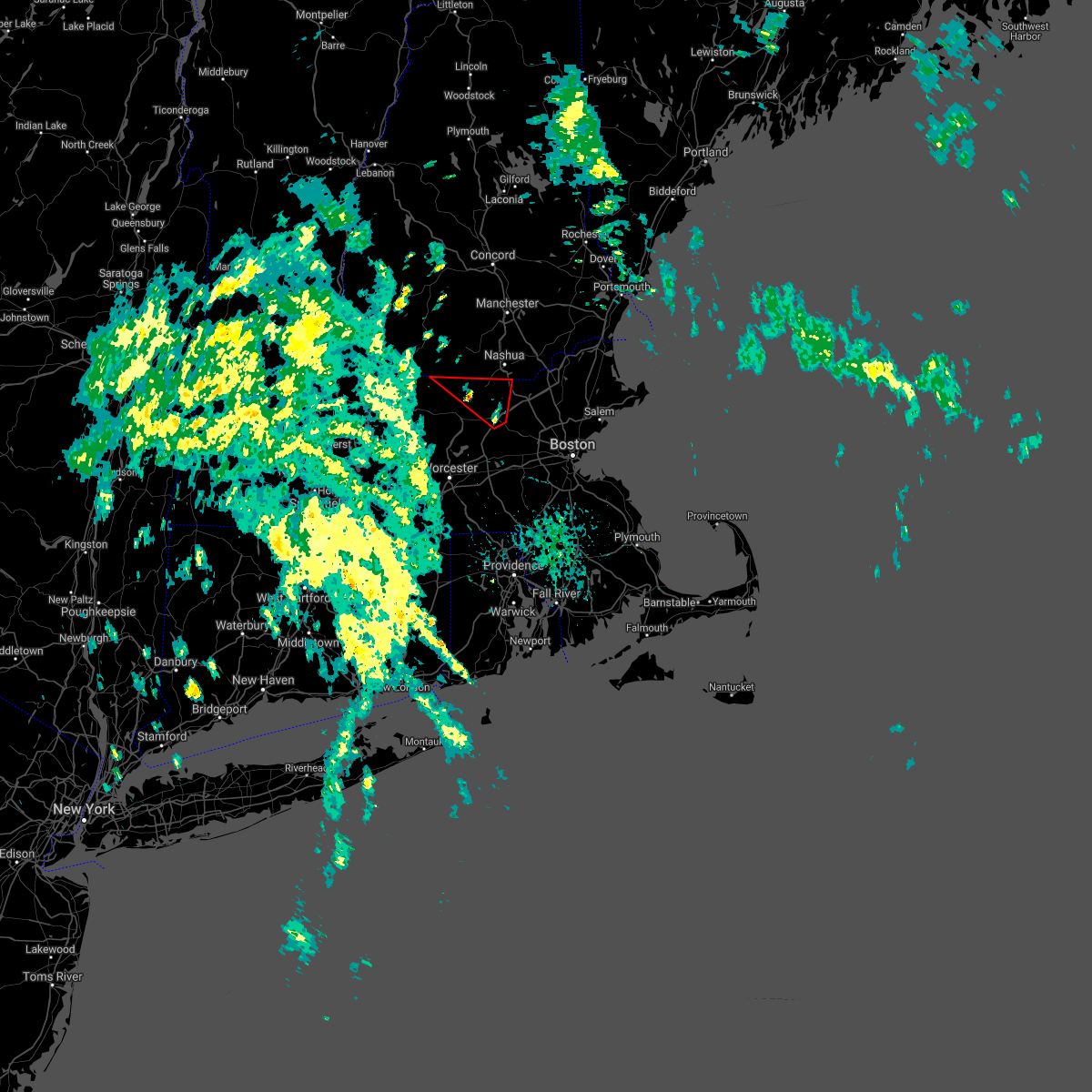 At 134 pm edt, a storm capable of producing a tornado was located over littleton, or 9 miles southwest of chelmsford, moving north at 20 mph (weather spotters reported funnel cloud in west acton). Hazards include tornado. Flying debris will be dangerous to those caught without shelter. mobile homes will be damaged or destroyed. damage to roofs, windows, and vehicles will occur. Tree damage is likely. At 134 pm edt, a storm capable of producing a tornado was located over littleton, or 9 miles southwest of chelmsford, moving north at 20 mph (weather spotters reported funnel cloud in west acton). Hazards include tornado. Flying debris will be dangerous to those caught without shelter. mobile homes will be damaged or destroyed. damage to roofs, windows, and vehicles will occur. Tree damage is likely.
|
| 8/19/2021 2:23 PM EDT |
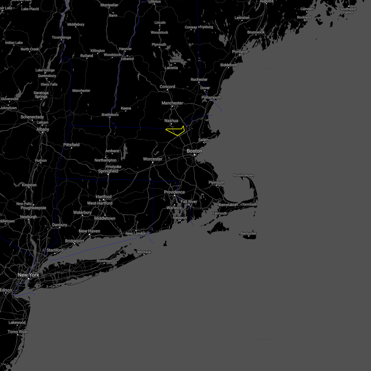 At 223 pm edt, a severe thunderstorm was located over tyngsborough, or near dracut, moving northeast at 20 mph (radar indicated). Hazards include 60 mph wind gusts and penny size hail. expect damage to trees and power lines At 223 pm edt, a severe thunderstorm was located over tyngsborough, or near dracut, moving northeast at 20 mph (radar indicated). Hazards include 60 mph wind gusts and penny size hail. expect damage to trees and power lines
|
| 7/17/2021 5:29 PM EDT |
 At 528 pm edt, a severe thunderstorm was located over lancaster, or 7 miles east of leominster, moving northeast at 25 mph (radar indicated. at 522 pm, half dollar size hail reported in berlin, ma per amateur radio). Hazards include 60 mph wind gusts and half dollar size hail. Expect wind damage to trees and power lines. minor hail damage to vehicles is possible. Locations impacted include, lowell, leominster, chelmsford, dracut, westford, acton, hudson, clinton, pepperell, tyngsborough, groton, lunenburg, townsend, littleton, lancaster, sterling, ayer, shirley, stow and harvard. At 528 pm edt, a severe thunderstorm was located over lancaster, or 7 miles east of leominster, moving northeast at 25 mph (radar indicated. at 522 pm, half dollar size hail reported in berlin, ma per amateur radio). Hazards include 60 mph wind gusts and half dollar size hail. Expect wind damage to trees and power lines. minor hail damage to vehicles is possible. Locations impacted include, lowell, leominster, chelmsford, dracut, westford, acton, hudson, clinton, pepperell, tyngsborough, groton, lunenburg, townsend, littleton, lancaster, sterling, ayer, shirley, stow and harvard.
|
| 7/17/2021 5:10 PM EDT |
 At 509 pm edt, a severe thunderstorm was located over clinton, or 7 miles north of shrewsbury, moving northeast at 25 mph (radar indicated). Hazards include 60 mph wind gusts and half dollar size hail. Expect wind damage to trees and power lines. Minor hail damage to vehicles is possible. At 509 pm edt, a severe thunderstorm was located over clinton, or 7 miles north of shrewsbury, moving northeast at 25 mph (radar indicated). Hazards include 60 mph wind gusts and half dollar size hail. Expect wind damage to trees and power lines. Minor hail damage to vehicles is possible.
|
| 6/30/2021 5:39 PM EDT |
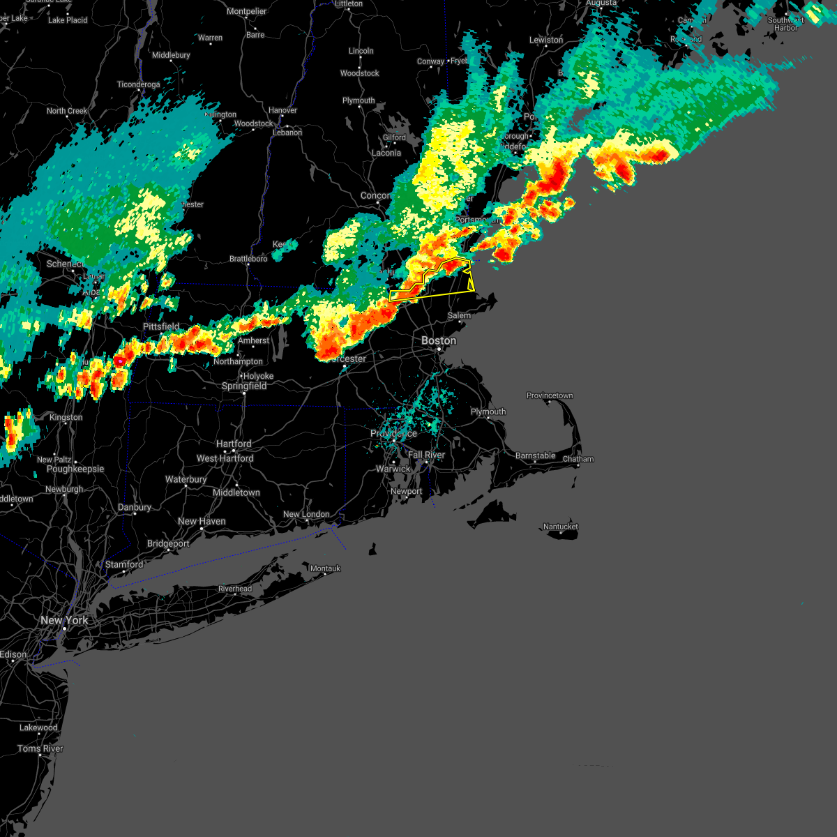 At 538 pm edt, a severe thunderstorm was located near dracut, moving east at 30 mph (radar indicated). Hazards include 60 mph wind gusts and penny size hail. Expect damage to trees and power lines. Locations impacted include, lowell, lawrence, haverhill, methuen, chelmsford, andover, dracut, north andover, westford, newburyport, amesbury, ipswich, tyngsborough, salisbury, georgetown, boxford, newbury, groveland, merrimac and rowley. At 538 pm edt, a severe thunderstorm was located near dracut, moving east at 30 mph (radar indicated). Hazards include 60 mph wind gusts and penny size hail. Expect damage to trees and power lines. Locations impacted include, lowell, lawrence, haverhill, methuen, chelmsford, andover, dracut, north andover, westford, newburyport, amesbury, ipswich, tyngsborough, salisbury, georgetown, boxford, newbury, groveland, merrimac and rowley.
|
| 6/30/2021 5:25 PM EDT |
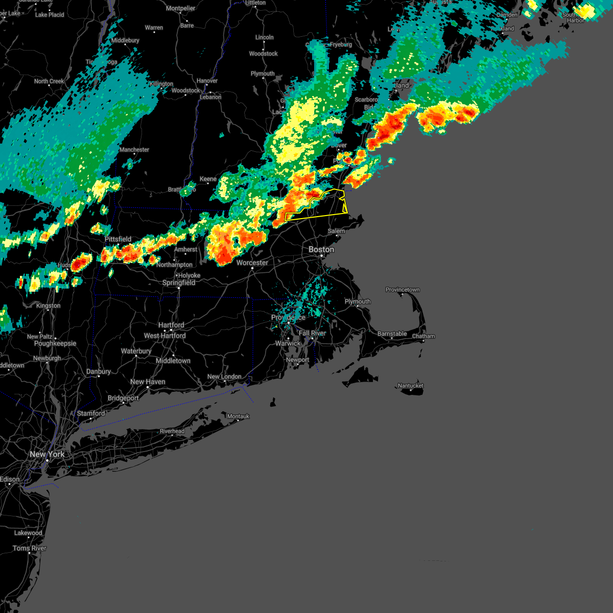 At 525 pm edt, a severe thunderstorm was located near haverhill, moving east at 25 mph (radar indicated). Hazards include 60 mph wind gusts and quarter size hail. Expect wind damage to trees and power lines. Minor hail damage to vehicles is possible. At 525 pm edt, a severe thunderstorm was located near haverhill, moving east at 25 mph (radar indicated). Hazards include 60 mph wind gusts and quarter size hail. Expect wind damage to trees and power lines. Minor hail damage to vehicles is possible.
|
| 6/30/2021 5:15 PM EDT | Corrects time of previous tstm wnd dmg report from 2 nw nashua. large tree limb down on lutheran drive. time estimated by rada in hillsborough county NH, 1 miles ESE of Nashua, NH |
| 6/30/2021 5:14 PM EDT | Multiple trees down on broad street. time estimated from rada in hillsborough county NH, 1.5 miles E of Nashua, NH |
| 6/30/2021 5:12 PM EDT |
 At 512 pm edt, a severe thunderstorm was located over nashua, moving east at 30 mph (radar indicated). Hazards include 60 mph wind gusts and half dollar size hail. Hail damage to vehicles is expected. Expect wind damage to roofs, siding, and trees. At 512 pm edt, a severe thunderstorm was located over nashua, moving east at 30 mph (radar indicated). Hazards include 60 mph wind gusts and half dollar size hail. Hail damage to vehicles is expected. Expect wind damage to roofs, siding, and trees.
|
| 6/30/2021 5:00 PM EDT |
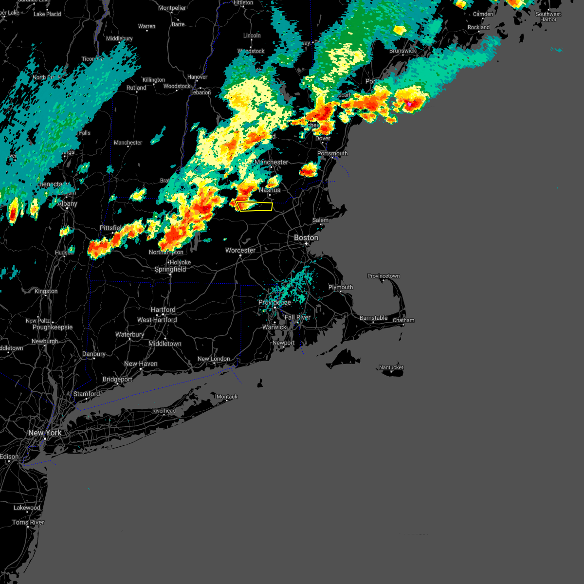 At 500 pm edt, a severe thunderstorm was located over townsend, or 7 miles northeast of fitchburg, moving east at 20 mph (radar indicated). Hazards include 60 mph wind gusts and quarter size hail. Expect wind damage to trees and power lines. Minor hail damage to vehicles is possible. At 500 pm edt, a severe thunderstorm was located over townsend, or 7 miles northeast of fitchburg, moving east at 20 mph (radar indicated). Hazards include 60 mph wind gusts and quarter size hail. Expect wind damage to trees and power lines. Minor hail damage to vehicles is possible.
|
| 6/30/2021 4:45 PM EDT |
 At 445 pm edt, a severe thunderstorm was located over temple, or 11 miles east of jaffrey, moving east at 40 mph (radar indicated). Hazards include 60 mph wind gusts and quarter size hail. Hail damage to vehicles is expected. expect wind damage to roofs, siding, and trees. Locations impacted include, nashua, merrimack, bedford, milford, amherst, hollis, peterborough, mont vernon, greenfield, lyndeborough, greenville, wilton, new ipswich, brookline, mason, mount vernon, temple and sharon. At 445 pm edt, a severe thunderstorm was located over temple, or 11 miles east of jaffrey, moving east at 40 mph (radar indicated). Hazards include 60 mph wind gusts and quarter size hail. Hail damage to vehicles is expected. expect wind damage to roofs, siding, and trees. Locations impacted include, nashua, merrimack, bedford, milford, amherst, hollis, peterborough, mont vernon, greenfield, lyndeborough, greenville, wilton, new ipswich, brookline, mason, mount vernon, temple and sharon.
|
| 6/30/2021 4:25 PM EDT |
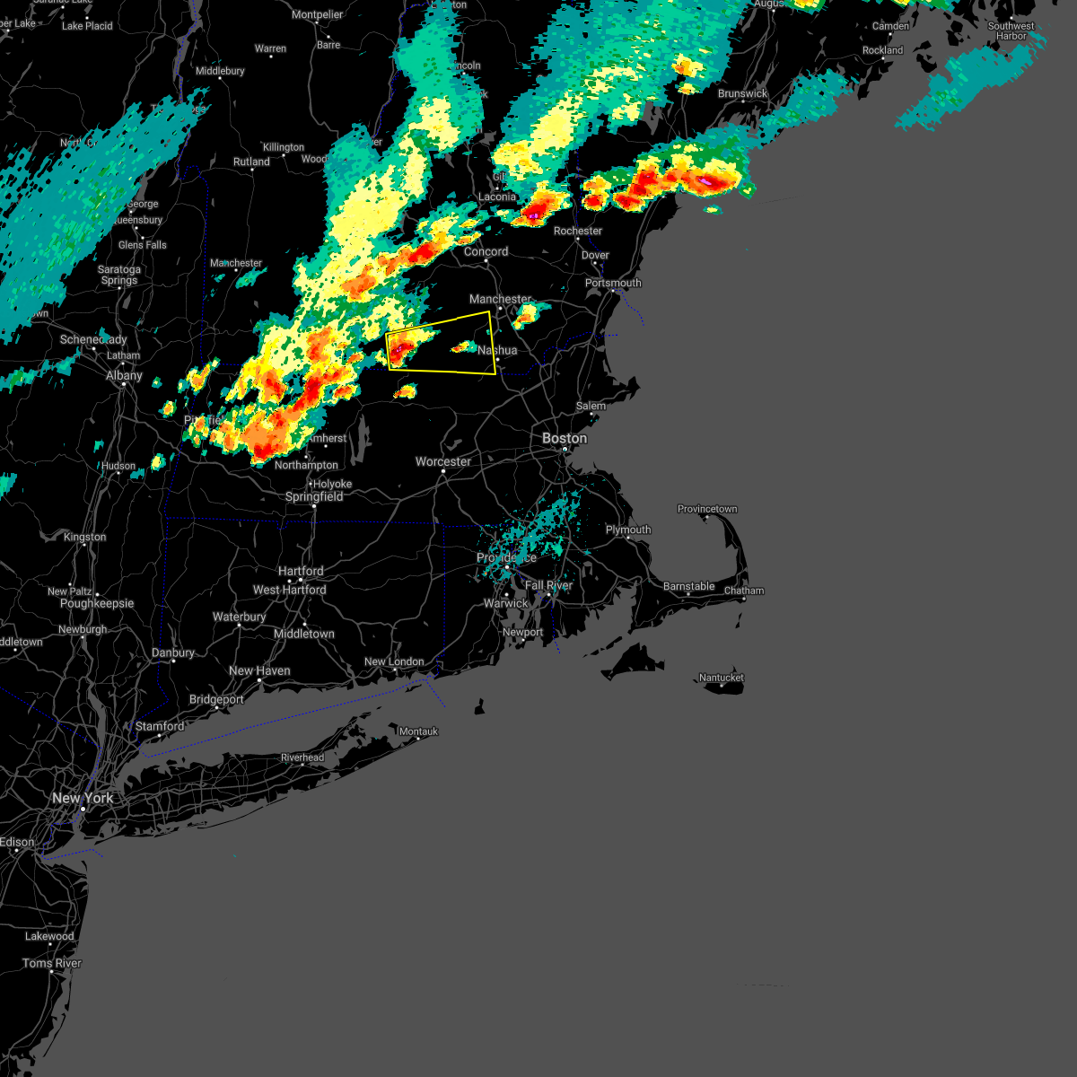 At 425 pm edt, a severe thunderstorm was located over jaffrey, moving east at 40 mph (radar indicated). Hazards include ping pong ball size hail and 60 mph wind gusts. People and animals outdoors will be injured. expect hail damage to roofs, siding, windows, and vehicles. Expect wind damage to roofs, siding, and trees. At 425 pm edt, a severe thunderstorm was located over jaffrey, moving east at 40 mph (radar indicated). Hazards include ping pong ball size hail and 60 mph wind gusts. People and animals outdoors will be injured. expect hail damage to roofs, siding, windows, and vehicles. Expect wind damage to roofs, siding, and trees.
|
| 6/30/2021 4:15 PM EDT | Large tree limb down on lutheran drive. time estimated by rada in hillsborough county NH, 1 miles ESE of Nashua, NH |
| 6/15/2021 5:09 PM EDT |
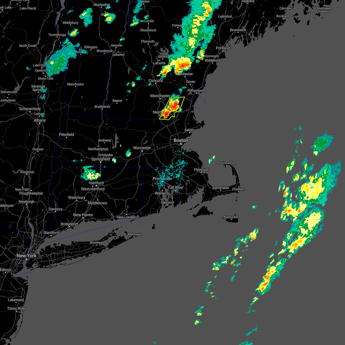 At 508 pm edt, severe thunderstorms were located along a line extending from near raymond to near pelham, moving east at 15 mph (radar indicated). Hazards include 60 mph wind gusts and nickel size hail. Expect damage to roofs, siding, and trees. locations impacted include, nashua, derry, exeter, salem, brentwood, hudson, pelham, raymond, londonderry, hampstead, atkinson, kingston, chester, danville, fremont, windham, sandown, plaistow and newton. This includes interstate 93 between mile markers 1 and 12. At 508 pm edt, severe thunderstorms were located along a line extending from near raymond to near pelham, moving east at 15 mph (radar indicated). Hazards include 60 mph wind gusts and nickel size hail. Expect damage to roofs, siding, and trees. locations impacted include, nashua, derry, exeter, salem, brentwood, hudson, pelham, raymond, londonderry, hampstead, atkinson, kingston, chester, danville, fremont, windham, sandown, plaistow and newton. This includes interstate 93 between mile markers 1 and 12.
|
| 6/15/2021 4:36 PM EDT |
 At 435 pm edt, severe thunderstorms were located along a line extending from near auburn to near hollis, moving east at 15 mph (radar indicated). Hazards include 60 mph wind gusts and nickel size hail. expect damage to roofs, siding, and trees At 435 pm edt, severe thunderstorms were located along a line extending from near auburn to near hollis, moving east at 15 mph (radar indicated). Hazards include 60 mph wind gusts and nickel size hail. expect damage to roofs, siding, and trees
|
| 5/26/2021 6:59 PM EDT |
 The national weather service in gray maine has issued a * severe thunderstorm warning for. york county in southwestern maine. rockingham county in southern new hampshire. strafford county in central new hampshire. Southeastern hillsborough county in southern new hampshire. The national weather service in gray maine has issued a * severe thunderstorm warning for. york county in southwestern maine. rockingham county in southern new hampshire. strafford county in central new hampshire. Southeastern hillsborough county in southern new hampshire.
|
| 5/26/2021 6:59 PM EDT |
 At 658 pm edt, severe thunderstorms were located along a line extending from 8 miles northeast of farmington to 6 miles northwest of raymond to near nashua, moving east at 45 mph. this storm has a history of producing wind damage (radar indicated). Hazards include 60 mph wind gusts. expect damage to roofs, siding, and trees At 658 pm edt, severe thunderstorms were located along a line extending from 8 miles northeast of farmington to 6 miles northwest of raymond to near nashua, moving east at 45 mph. this storm has a history of producing wind damage (radar indicated). Hazards include 60 mph wind gusts. expect damage to roofs, siding, and trees
|
| 5/26/2021 6:48 PM EDT |
 At 646 pm edt, severe thunderstorms were located along a line extending from near loudon to near hooksett to near brookline, moving east at 40 mph. these storms have a history of producing wind damage (radar indicated). Hazards include 60 mph wind gusts. Expect damage to roofs, siding, and trees. locations impacted include, manchester, nashua, concord, derry, rochester, merrimack, northwood, bedford, milford, hooksett, amherst, barrington, litchfield, hollis, farmington, epping, lebanon, hopkinton, new boston and loudon. this includes the following highways, interstate 293 between mile markers 1 and 11. interstate 89 between mile markers 0 and 4. Interstate 93 between mile markers 8 and 41. At 646 pm edt, severe thunderstorms were located along a line extending from near loudon to near hooksett to near brookline, moving east at 40 mph. these storms have a history of producing wind damage (radar indicated). Hazards include 60 mph wind gusts. Expect damage to roofs, siding, and trees. locations impacted include, manchester, nashua, concord, derry, rochester, merrimack, northwood, bedford, milford, hooksett, amherst, barrington, litchfield, hollis, farmington, epping, lebanon, hopkinton, new boston and loudon. this includes the following highways, interstate 293 between mile markers 1 and 11. interstate 89 between mile markers 0 and 4. Interstate 93 between mile markers 8 and 41.
|
| 5/26/2021 6:30 PM EDT |
 At 629 pm edt, severe thunderstorms were located along a line extending from near canterbury to near hopkinton to near new ipswich, moving east at 40 mph (radar indicated). Hazards include 60 mph wind gusts. Expect damage to roofs, siding, and trees. locations impacted include, manchester, nashua, concord, derry, rochester, franklin, jaffrey, henniker, merrimack, northwood, bedford, milford, hooksett, amherst, barrington, litchfield, hollis, farmington, epping and peterborough. this also includes, north pack monadnock. this includes the following highways, interstate 293 between mile markers 1 and 11. interstate 89 between mile markers 0 and 17. Interstate 93 between mile markers 8 and 54. At 629 pm edt, severe thunderstorms were located along a line extending from near canterbury to near hopkinton to near new ipswich, moving east at 40 mph (radar indicated). Hazards include 60 mph wind gusts. Expect damage to roofs, siding, and trees. locations impacted include, manchester, nashua, concord, derry, rochester, franklin, jaffrey, henniker, merrimack, northwood, bedford, milford, hooksett, amherst, barrington, litchfield, hollis, farmington, epping and peterborough. this also includes, north pack monadnock. this includes the following highways, interstate 293 between mile markers 1 and 11. interstate 89 between mile markers 0 and 17. Interstate 93 between mile markers 8 and 54.
|
| 5/26/2021 5:58 PM EDT |
 At 557 pm edt, severe thunderstorms were located along a line extending from near bradford to near windsor to near richmond, moving east at 40 mph. these storms have a history of producing wind damage (radar indicated). Hazards include 60 mph wind gusts. expect damage to roofs, siding, and trees At 557 pm edt, severe thunderstorms were located along a line extending from near bradford to near windsor to near richmond, moving east at 40 mph. these storms have a history of producing wind damage (radar indicated). Hazards include 60 mph wind gusts. expect damage to roofs, siding, and trees
|
| 11/15/2020 10:50 PM EST | Tree down on a house on frost r in middlesex county MA, 6.6 miles NW of Nashua, NH |
| 11/15/2020 10:48 PM EST |
 At 1047 pm est, severe thunderstorms were located along a line extending from litchfield to near littleton to near mendon, moving east at 50 mph (radar indicated). Hazards include 60 mph wind gusts. Expect damage to trees and power lines. Locations impacted include, boston, lowell, cambridge, brockton, quincy, lynn, newton, lawrence, somerville, framingham, haverhill, waltham, malden, brookline, medford, weymouth, revere, peabody, methuen and arlington. At 1047 pm est, severe thunderstorms were located along a line extending from litchfield to near littleton to near mendon, moving east at 50 mph (radar indicated). Hazards include 60 mph wind gusts. Expect damage to trees and power lines. Locations impacted include, boston, lowell, cambridge, brockton, quincy, lynn, newton, lawrence, somerville, framingham, haverhill, waltham, malden, brookline, medford, weymouth, revere, peabody, methuen and arlington.
|
| 11/15/2020 10:22 PM EST |
 At 1022 pm est, severe thunderstorms were located along a line extending from new ipswich to princeton to near woodstock, moving east at 50 mph (radar indicated). Hazards include 60 mph wind gusts. expect damage to trees and power lines At 1022 pm est, severe thunderstorms were located along a line extending from new ipswich to princeton to near woodstock, moving east at 50 mph (radar indicated). Hazards include 60 mph wind gusts. expect damage to trees and power lines
|
| 10/7/2020 5:42 PM EDT |
 The severe thunderstorm warning for southeastern cheshire and southwestern hillsborough counties will expire at 545 pm edt, the storms which prompted the warning have moved out of the area. therefore, the warning will be allowed to expire. The severe thunderstorm warning for southeastern cheshire and southwestern hillsborough counties will expire at 545 pm edt, the storms which prompted the warning have moved out of the area. therefore, the warning will be allowed to expire.
|
| 10/7/2020 5:30 PM EDT | Trees and wires dow in hillsborough county NH, 3.9 miles NE of Nashua, NH |
| 10/7/2020 5:30 PM EDT |
 At 529 pm edt, severe thunderstorms were located along a line extending from near hooksett to brookline, moving east at 65 mph (radar indicated). Hazards include 60 mph wind gusts. expect damage to roofs, siding, and trees At 529 pm edt, severe thunderstorms were located along a line extending from near hooksett to brookline, moving east at 65 mph (radar indicated). Hazards include 60 mph wind gusts. expect damage to roofs, siding, and trees
|
| 10/7/2020 5:27 PM EDT |
 At 526 pm edt, severe thunderstorms were located along a line extending from brookline to near sterling to near spencer, moving east at 70 mph (radar indicated). Hazards include 70 mph wind gusts. Expect considerable damage to trees and power lines. Damage is likely to mobile homes and outbuildings. At 526 pm edt, severe thunderstorms were located along a line extending from brookline to near sterling to near spencer, moving east at 70 mph (radar indicated). Hazards include 70 mph wind gusts. Expect considerable damage to trees and power lines. Damage is likely to mobile homes and outbuildings.
|
| 10/7/2020 4:59 PM EDT |
 The national weather service in gray maine has issued a * severe thunderstorm warning for. southeastern cheshire county in southern new hampshire. southwestern hillsborough county in southern new hampshire. until 545 pm edt. At 458 pm edt, severe thunderstorms were located along a line. The national weather service in gray maine has issued a * severe thunderstorm warning for. southeastern cheshire county in southern new hampshire. southwestern hillsborough county in southern new hampshire. until 545 pm edt. At 458 pm edt, severe thunderstorms were located along a line.
|
| 8/24/2020 5:06 PM EDT |
 The severe thunderstorm warning for southwestern rockingham and southeastern hillsborough counties will expire at 515 pm edt, the storm which prompted the warning has weakened below severe limits, and no longer poses an immediate threat to life or property. therefore, the warning will be allowed to expire. however heavy rain is still possible with this thunderstorm. The severe thunderstorm warning for southwestern rockingham and southeastern hillsborough counties will expire at 515 pm edt, the storm which prompted the warning has weakened below severe limits, and no longer poses an immediate threat to life or property. therefore, the warning will be allowed to expire. however heavy rain is still possible with this thunderstorm.
|
| 8/24/2020 4:18 PM EDT |
 At 418 pm edt, a severe thunderstorm was located over derry, moving east at 15 mph (radar indicated). Hazards include 60 mph wind gusts and quarter size hail. Hail damage to vehicles is expected. Expect wind damage to roofs, siding, and trees. At 418 pm edt, a severe thunderstorm was located over derry, moving east at 15 mph (radar indicated). Hazards include 60 mph wind gusts and quarter size hail. Hail damage to vehicles is expected. Expect wind damage to roofs, siding, and trees.
|
| 8/24/2020 4:00 PM EDT | Trees dow in hillsborough county NH, 3.3 miles S of Nashua, NH |
| 8/24/2020 3:54 PM EDT |
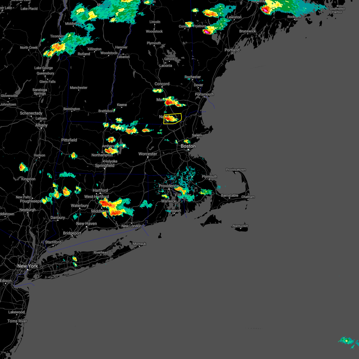 At 354 pm edt, a severe thunderstorm was located over hudson, or near nashua, moving east at 10 mph (radar indicated). Hazards include 60 mph wind gusts and quarter size hail. Hail damage to vehicles is expected. Expect wind damage to roofs, siding, and trees. At 354 pm edt, a severe thunderstorm was located over hudson, or near nashua, moving east at 10 mph (radar indicated). Hazards include 60 mph wind gusts and quarter size hail. Hail damage to vehicles is expected. Expect wind damage to roofs, siding, and trees.
|
| 8/23/2020 4:02 PM EDT |
 At 400 pm edt, a severe thunderstorm was located over north andover, moving east at 20 mph (radar indicated. this storm has a history of producing wind damage in orange, athol and fitchburg. currently, the biggest concern is in the lawrence, andover, and topfield areas in essex county). Hazards include 60 mph wind gusts and quarter size hail. Expect wind damage to trees and power lines. minor hail damage to vehicles is possible. Locations impacted include, lowell, lawrence, haverhill, peabody, methuen, leominster, fitchburg, billerica, beverly, woburn, chelmsford, andover, dracut, tewksbury, gloucester, north andover, danvers, orange, reading and burlington. At 400 pm edt, a severe thunderstorm was located over north andover, moving east at 20 mph (radar indicated. this storm has a history of producing wind damage in orange, athol and fitchburg. currently, the biggest concern is in the lawrence, andover, and topfield areas in essex county). Hazards include 60 mph wind gusts and quarter size hail. Expect wind damage to trees and power lines. minor hail damage to vehicles is possible. Locations impacted include, lowell, lawrence, haverhill, peabody, methuen, leominster, fitchburg, billerica, beverly, woburn, chelmsford, andover, dracut, tewksbury, gloucester, north andover, danvers, orange, reading and burlington.
|
| 8/23/2020 3:54 PM EDT |
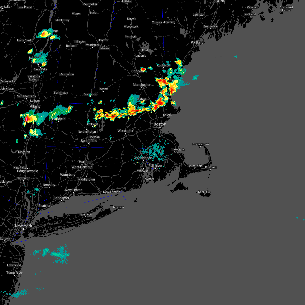 At 352 pm edt, a severe thunderstorm was located over templeton, or 9 miles east of orange, moving east at 15 mph (radar indicated. numerous reports of wind damage and downed trees have occurred were still occurring across orange, athol, fitchburg, and lunenburg with these storms. this storm has a history of wind damage, seek an indoor shelter!). Hazards include 60 mph wind gusts and quarter size hail. Expect wind damage to trees and power lines. minor hail damage to vehicles is possible. Locations impacted include, lowell, fitchburg, chelmsford, andover, dracut, tewksbury, orange, westford, gardner, athol, pepperell, tyngsborough, groton, winchendon, lunenburg, townsend, templeton, westminster, shirley and ashburnham. At 352 pm edt, a severe thunderstorm was located over templeton, or 9 miles east of orange, moving east at 15 mph (radar indicated. numerous reports of wind damage and downed trees have occurred were still occurring across orange, athol, fitchburg, and lunenburg with these storms. this storm has a history of wind damage, seek an indoor shelter!). Hazards include 60 mph wind gusts and quarter size hail. Expect wind damage to trees and power lines. minor hail damage to vehicles is possible. Locations impacted include, lowell, fitchburg, chelmsford, andover, dracut, tewksbury, orange, westford, gardner, athol, pepperell, tyngsborough, groton, winchendon, lunenburg, townsend, templeton, westminster, shirley and ashburnham.
|
| 8/23/2020 3:47 PM EDT |
 At 346 pm edt, a severe thunderstorm was located over phillipston, or 9 miles southeast of orange, moving east at 15 mph. there are also several other storms stretching into northeast ma that may result in pockets of wind damage (radar indicated). Hazards include 60 mph wind gusts and quarter size hail. Expect wind damage to trees and power lines. Minor hail damage to vehicles is possible. At 346 pm edt, a severe thunderstorm was located over phillipston, or 9 miles southeast of orange, moving east at 15 mph. there are also several other storms stretching into northeast ma that may result in pockets of wind damage (radar indicated). Hazards include 60 mph wind gusts and quarter size hail. Expect wind damage to trees and power lines. Minor hail damage to vehicles is possible.
|
| 8/23/2020 3:35 PM EDT |
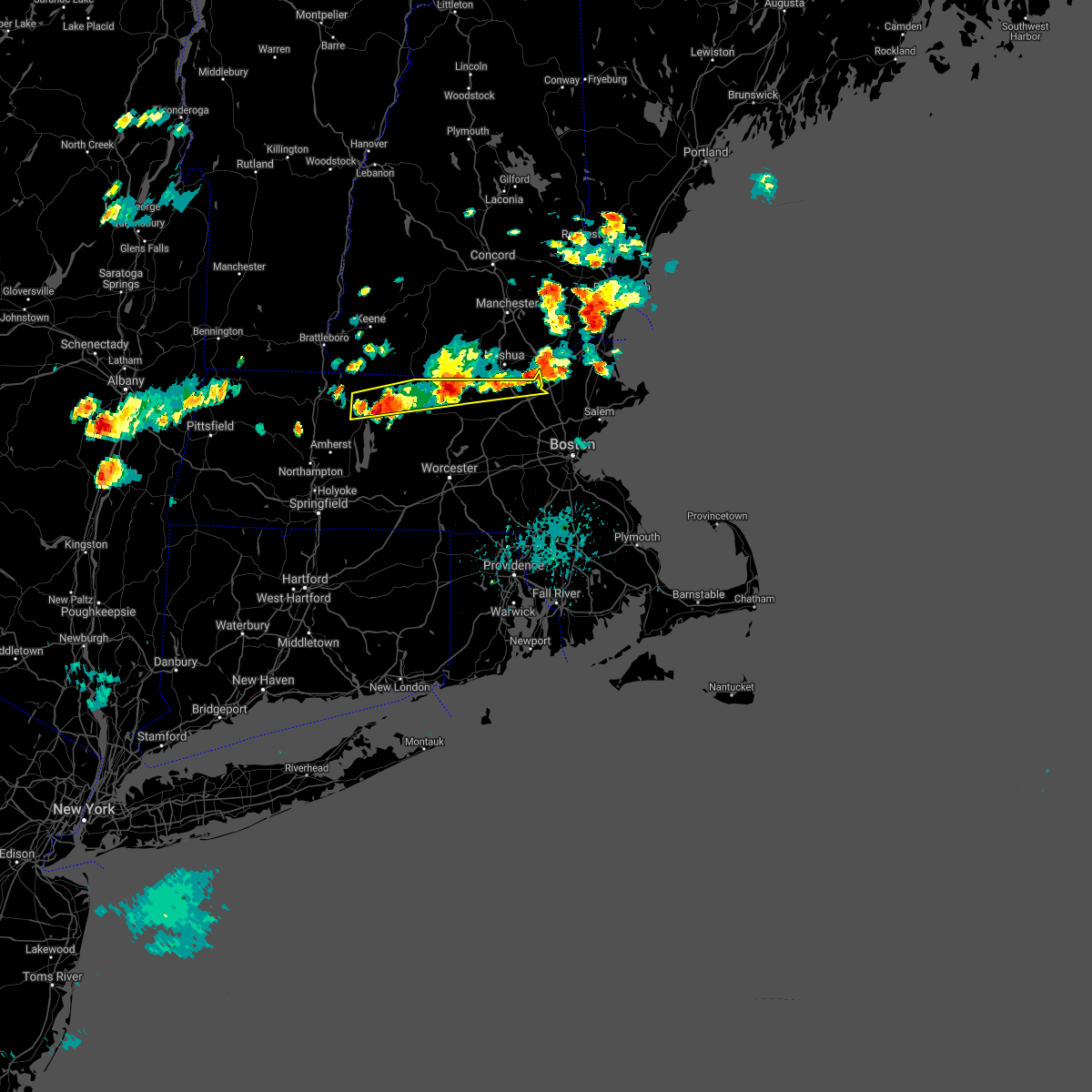 At 333 pm edt, a severe thunderstorm was located over athol, or near orange, moving east at 15 mph (radar indicated two main areas of concern. the first is near and east of orange, where we have received reports of multiple trees down. the second area is in the ashby, townsend, and pepperell areas where the radar indicated strong winds). Hazards include 60 mph wind gusts and quarter size hail. Expect wind damage to trees and power lines. minor hail damage to vehicles is possible. Locations impacted include, lowell, fitchburg, chelmsford, andover, dracut, tewksbury, orange, westford, gardner, athol, pepperell, tyngsborough, groton, winchendon, lunenburg, townsend, templeton, westminster, shirley and ashburnham. At 333 pm edt, a severe thunderstorm was located over athol, or near orange, moving east at 15 mph (radar indicated two main areas of concern. the first is near and east of orange, where we have received reports of multiple trees down. the second area is in the ashby, townsend, and pepperell areas where the radar indicated strong winds). Hazards include 60 mph wind gusts and quarter size hail. Expect wind damage to trees and power lines. minor hail damage to vehicles is possible. Locations impacted include, lowell, fitchburg, chelmsford, andover, dracut, tewksbury, orange, westford, gardner, athol, pepperell, tyngsborough, groton, winchendon, lunenburg, townsend, templeton, westminster, shirley and ashburnham.
|
| 8/23/2020 3:21 PM EDT |
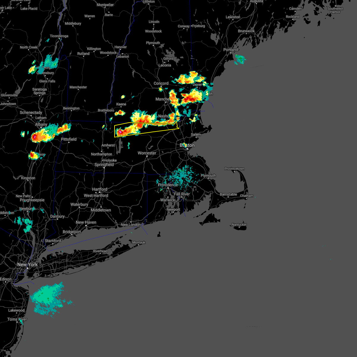 At 319 pm edt, a severe thunderstorm was located over orange, moving east at 15 mph (radar indicated two areas of concern. the first over orange where multiple trees have been knocked down beginning at 256 pm. in addition, a strong wind signature was evident in the ashburnham to ashby area). Hazards include 60 mph wind gusts and quarter size hail. Expect wind damage to trees and power lines. minor hail damage to vehicles is possible. Locations impacted include, lowell, fitchburg, chelmsford, andover, dracut, tewksbury, orange, westford, gardner, athol, pepperell, tyngsborough, groton, winchendon, lunenburg, townsend, templeton, westminster, shirley and ashburnham. At 319 pm edt, a severe thunderstorm was located over orange, moving east at 15 mph (radar indicated two areas of concern. the first over orange where multiple trees have been knocked down beginning at 256 pm. in addition, a strong wind signature was evident in the ashburnham to ashby area). Hazards include 60 mph wind gusts and quarter size hail. Expect wind damage to trees and power lines. minor hail damage to vehicles is possible. Locations impacted include, lowell, fitchburg, chelmsford, andover, dracut, tewksbury, orange, westford, gardner, athol, pepperell, tyngsborough, groton, winchendon, lunenburg, townsend, templeton, westminster, shirley and ashburnham.
|
| 8/23/2020 3:20 PM EDT | Multiple trees and wires down. reported at west hollis street nashua n in hillsborough county NH, 1.3 miles NE of Nashua, NH |
| 8/23/2020 3:16 PM EDT |
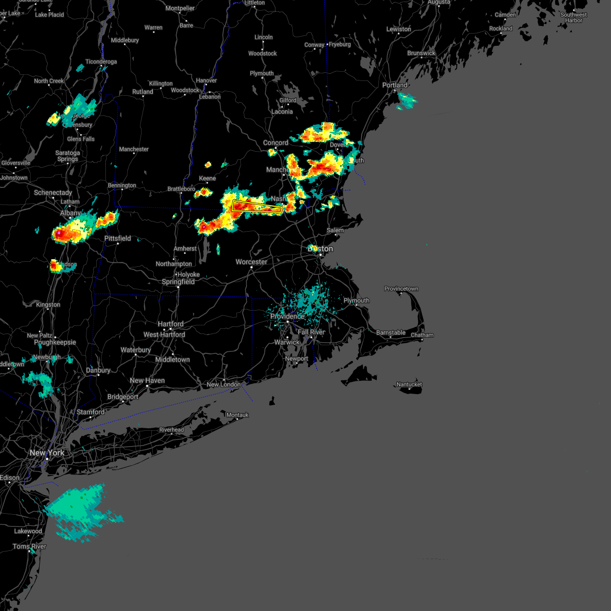 At 316 pm edt, a severe thunderstorm was located over new ipswich, or 11 miles southeast of jaffrey, moving east at 15 mph (radar indicated). Hazards include 60 mph wind gusts and nickel size hail. expect damage to roofs, siding, and trees At 316 pm edt, a severe thunderstorm was located over new ipswich, or 11 miles southeast of jaffrey, moving east at 15 mph (radar indicated). Hazards include 60 mph wind gusts and nickel size hail. expect damage to roofs, siding, and trees
|
| 8/23/2020 3:14 PM EDT |
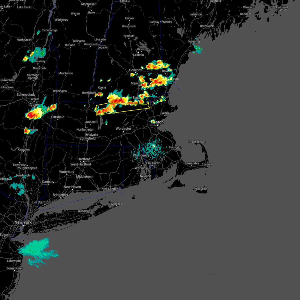 At 313 pm edt, a severe thunderstorm was located over athol, or near orange, moving east at 15 mph (radar indicated). Hazards include 60 mph wind gusts and quarter size hail. Expect wind damage to trees and power lines. Minor hail damage to vehicles is possible. At 313 pm edt, a severe thunderstorm was located over athol, or near orange, moving east at 15 mph (radar indicated). Hazards include 60 mph wind gusts and quarter size hail. Expect wind damage to trees and power lines. Minor hail damage to vehicles is possible.
|
| 8/23/2020 2:03 PM EDT |
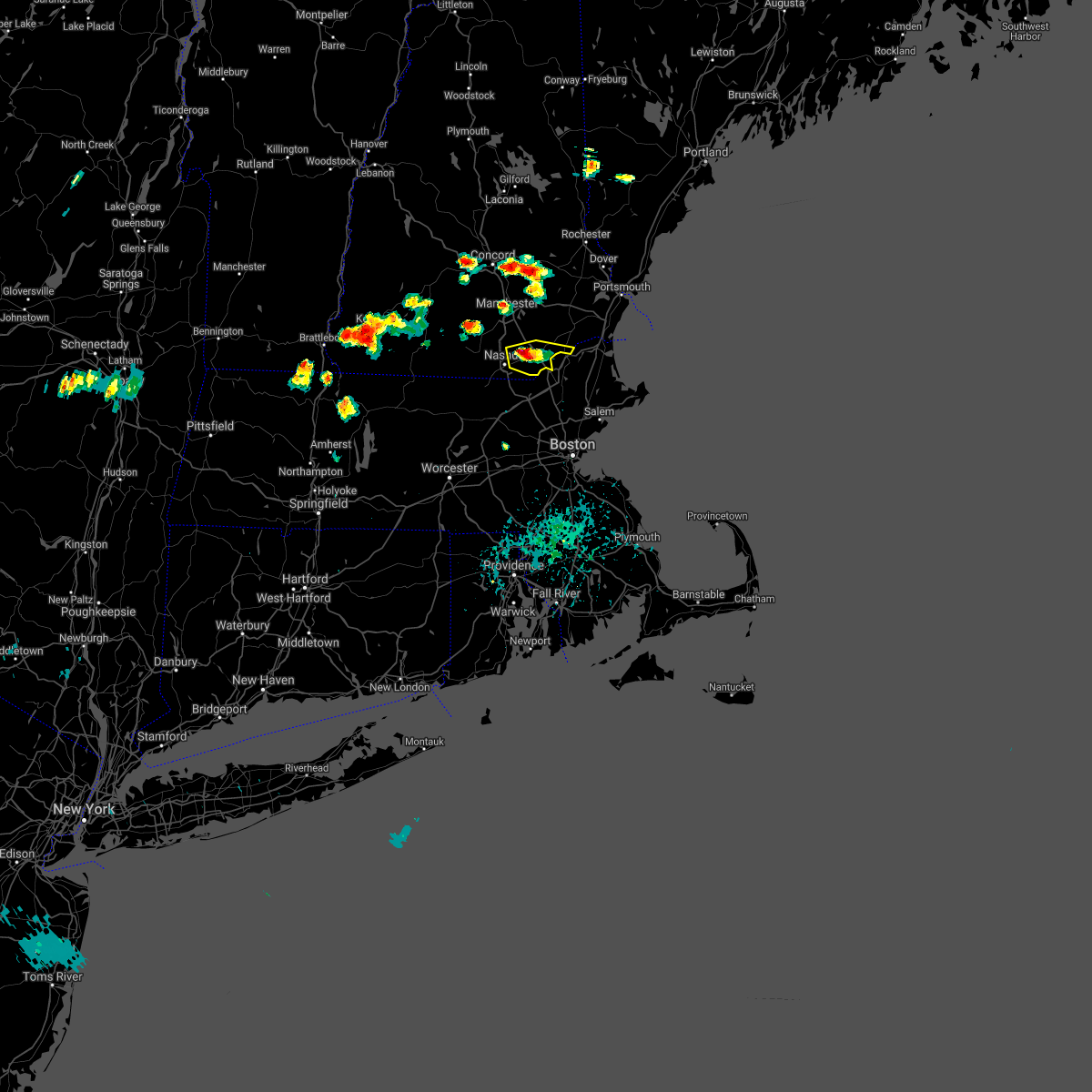 At 201 pm edt, a severe thunderstorm was located near pelham, or near salem, moving east at 15 mph (radar indicated). Hazards include 60 mph wind gusts and quarter size hail. Hail damage to vehicles is expected. expect wind damage to roofs, siding, and trees. locations impacted include, derry, salem, litchfield, hudson, pelham, londonderry, atkinson, windham, plaistow and newton. This includes interstate 93 between mile markers 1 and 10. At 201 pm edt, a severe thunderstorm was located near pelham, or near salem, moving east at 15 mph (radar indicated). Hazards include 60 mph wind gusts and quarter size hail. Hail damage to vehicles is expected. expect wind damage to roofs, siding, and trees. locations impacted include, derry, salem, litchfield, hudson, pelham, londonderry, atkinson, windham, plaistow and newton. This includes interstate 93 between mile markers 1 and 10.
|
| 8/23/2020 1:42 PM EDT |
 At 142 pm edt, a severe thunderstorm was located over hudson, or near nashua, moving east at 15 mph (radar indicated). Hazards include 60 mph wind gusts and penny size hail. expect damage to roofs, siding, and trees At 142 pm edt, a severe thunderstorm was located over hudson, or near nashua, moving east at 15 mph (radar indicated). Hazards include 60 mph wind gusts and penny size hail. expect damage to roofs, siding, and trees
|
| 8/22/2020 10:38 AM EDT |
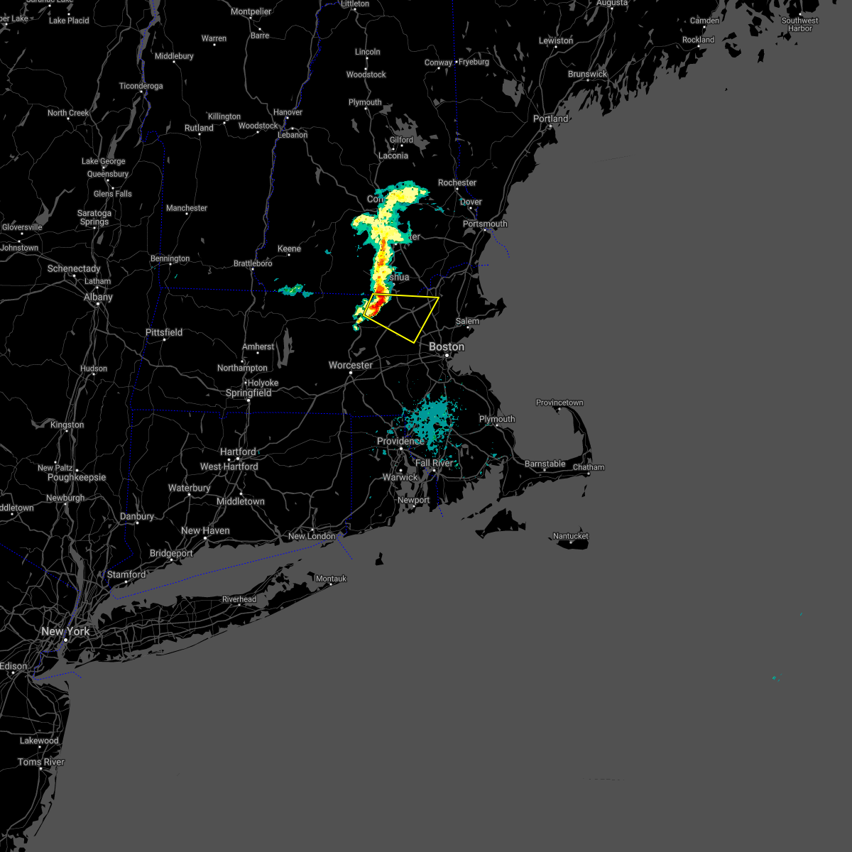 At 1038 am edt, a severe thunderstorm was located over pepperell, or 8 miles southwest of nashua, moving east at 40 mph (radar indicated). Hazards include 60 mph wind gusts and quarter size hail. Expect wind damage to trees and power lines. Minor hail damage to vehicles is possible. At 1038 am edt, a severe thunderstorm was located over pepperell, or 8 miles southwest of nashua, moving east at 40 mph (radar indicated). Hazards include 60 mph wind gusts and quarter size hail. Expect wind damage to trees and power lines. Minor hail damage to vehicles is possible.
|
| 8/4/2020 5:08 PM EDT |
 At 507 pm edt, a severe thunderstorm capable of producing a tornado was located over shirley, or 8 miles east of fitchburg, moving north at 55 mph (radar indicated rotation). Hazards include tornado. Flying debris will be dangerous to those caught without shelter. mobile homes will be damaged or destroyed. damage to roofs, windows, and vehicles will occur. tree damage is likely. This tornadic thunderstorm will remain over mainly rural areas of northeastern worcester and northwestern middlesex counties. At 507 pm edt, a severe thunderstorm capable of producing a tornado was located over shirley, or 8 miles east of fitchburg, moving north at 55 mph (radar indicated rotation). Hazards include tornado. Flying debris will be dangerous to those caught without shelter. mobile homes will be damaged or destroyed. damage to roofs, windows, and vehicles will occur. tree damage is likely. This tornadic thunderstorm will remain over mainly rural areas of northeastern worcester and northwestern middlesex counties.
|
| 8/4/2020 4:58 PM EDT |
 The national weather service in boston/norton has issued a * tornado warning for. northeastern worcester county in central massachusetts. northwestern middlesex county in northeastern massachusetts. until 545 pm edt. At 458 pm edt, a severe thunderstorm capable of producing a tornado. The national weather service in boston/norton has issued a * tornado warning for. northeastern worcester county in central massachusetts. northwestern middlesex county in northeastern massachusetts. until 545 pm edt. At 458 pm edt, a severe thunderstorm capable of producing a tornado.
|
| 7/23/2020 2:33 PM EDT |
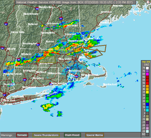 At 233 pm edt, a severe thunderstorm was located near fitchburg, moving northeast at 15 mph (radar indicated). Hazards include 60 mph wind gusts and penny size hail. expect damage to trees and power lines At 233 pm edt, a severe thunderstorm was located near fitchburg, moving northeast at 15 mph (radar indicated). Hazards include 60 mph wind gusts and penny size hail. expect damage to trees and power lines
|
| 7/14/2020 3:37 PM EDT |
 The severe thunderstorm warning for southwestern rockingham and southeastern hillsborough counties will expire at 345 pm edt, the storm which prompted the warning has weakened below severe limits, and no longer poses an immediate threat to life or property. therefore, the warning will be allowed to expire. however gusty winds and heavy rain are still possible with this thunderstorm. The severe thunderstorm warning for southwestern rockingham and southeastern hillsborough counties will expire at 345 pm edt, the storm which prompted the warning has weakened below severe limits, and no longer poses an immediate threat to life or property. therefore, the warning will be allowed to expire. however gusty winds and heavy rain are still possible with this thunderstorm.
|
| 7/14/2020 3:22 PM EDT | Half Dollar sized hail reported 3.8 miles SSW of Nashua, NH, down branches also reported. |
| 7/14/2020 3:06 PM EDT |
 At 306 pm edt, a severe thunderstorm was located near merrimack, moving southeast at 15 mph (radar indicated). Hazards include 60 mph wind gusts and quarter size hail. Hail damage to vehicles is expected. Expect wind damage to roofs, siding, and trees. At 306 pm edt, a severe thunderstorm was located near merrimack, moving southeast at 15 mph (radar indicated). Hazards include 60 mph wind gusts and quarter size hail. Hail damage to vehicles is expected. Expect wind damage to roofs, siding, and trees.
|
| 5/15/2020 8:40 PM EDT | Trees down on scribner rd in middlesex county MA, 6.6 miles NW of Nashua, NH |
| 5/15/2020 8:16 PM EDT |
 At 815 pm edt, severe thunderstorms were located along a line extending from near canterbury to near goffstown to hollis, moving east at 50 mph (radar indicated). Hazards include 60 mph wind gusts and penny size hail. expect damage to roofs, siding, and trees At 815 pm edt, severe thunderstorms were located along a line extending from near canterbury to near goffstown to hollis, moving east at 50 mph (radar indicated). Hazards include 60 mph wind gusts and penny size hail. expect damage to roofs, siding, and trees
|
| 5/15/2020 8:08 PM EDT |
 At 808 pm edt, a severe thunderstorm was located over townsend, or near fitchburg, moving east at 45 mph (radar indicated). Hazards include 60 mph wind gusts and quarter size hail. Expect wind damage to trees and power lines. Minor hail damage to vehicles is possible. At 808 pm edt, a severe thunderstorm was located over townsend, or near fitchburg, moving east at 45 mph (radar indicated). Hazards include 60 mph wind gusts and quarter size hail. Expect wind damage to trees and power lines. Minor hail damage to vehicles is possible.
|
| 5/15/2020 7:55 PM EDT |
 At 755 pm edt, severe thunderstorms were located along a line extending from near bradford to near peterborough to near fitzwilliam, moving east at 50 mph (radar indicated). Hazards include 70 mph wind gusts and penny size hail. Expect considerable tree damage. damage is likely to mobile homes, roofs, and outbuildings. locations impacted include, nashua, jaffrey, henniker, merrimack, bedford, milford, amherst, hollis, peterborough, hopkinton, new boston, antrim, mont vernon, greenfield, lyndeborough, bradford, dublin, francestown, bennington and harrisville. this also includes, north pack monadnock. This includes interstate 89 between mile markers 8 and 20. At 755 pm edt, severe thunderstorms were located along a line extending from near bradford to near peterborough to near fitzwilliam, moving east at 50 mph (radar indicated). Hazards include 70 mph wind gusts and penny size hail. Expect considerable tree damage. damage is likely to mobile homes, roofs, and outbuildings. locations impacted include, nashua, jaffrey, henniker, merrimack, bedford, milford, amherst, hollis, peterborough, hopkinton, new boston, antrim, mont vernon, greenfield, lyndeborough, bradford, dublin, francestown, bennington and harrisville. this also includes, north pack monadnock. This includes interstate 89 between mile markers 8 and 20.
|
| 5/15/2020 7:37 PM EDT |
 At 736 pm edt, severe thunderstorms were located along a line extending from near newport to near roxbury to near winchester, moving east at 50 mph (radar indicated). Hazards include 70 mph wind gusts and penny size hail. Expect considerable tree damage. Damage is likely to mobile homes, roofs, and outbuildings. At 736 pm edt, severe thunderstorms were located along a line extending from near newport to near roxbury to near winchester, moving east at 50 mph (radar indicated). Hazards include 70 mph wind gusts and penny size hail. Expect considerable tree damage. Damage is likely to mobile homes, roofs, and outbuildings.
|
| 8/21/2019 2:13 PM EDT |
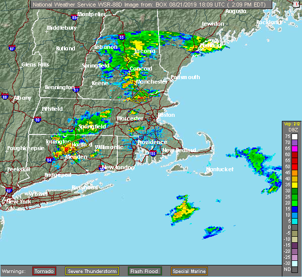 At 213 pm edt, a severe thunderstorm was located over pelham, or near salem, moving northeast at 25 mph (radar indicated). Hazards include 60 mph wind gusts and quarter size hail. Hail damage to vehicles is expected. expect wind damage to roofs, siding, and trees. locations impacted include, derry, salem, pelham, hudson and windham. This includes interstate 93 between mile markers 1 and 7. At 213 pm edt, a severe thunderstorm was located over pelham, or near salem, moving northeast at 25 mph (radar indicated). Hazards include 60 mph wind gusts and quarter size hail. Hail damage to vehicles is expected. expect wind damage to roofs, siding, and trees. locations impacted include, derry, salem, pelham, hudson and windham. This includes interstate 93 between mile markers 1 and 7.
|
| 8/21/2019 2:03 PM EDT |
 At 202 pm edt, a severe thunderstorm was located over tyngsborough, or near lowell, moving northeast at 20 mph (radar indicated). Hazards include 60 mph wind gusts and quarter size hail. Expect wind damage to trees and power lines. minor hail damage to vehicles is possible. this severe thunderstorm will be near, lowell around 215 pm edt. pelham around 220 pm edt. Dracut around 230 pm edt. At 202 pm edt, a severe thunderstorm was located over tyngsborough, or near lowell, moving northeast at 20 mph (radar indicated). Hazards include 60 mph wind gusts and quarter size hail. Expect wind damage to trees and power lines. minor hail damage to vehicles is possible. this severe thunderstorm will be near, lowell around 215 pm edt. pelham around 220 pm edt. Dracut around 230 pm edt.
|
| 8/21/2019 1:52 PM EDT |
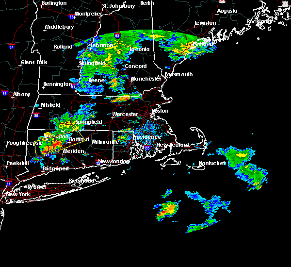 At 151 pm edt, a severe thunderstorm was located near nashua, moving northeast at 20 mph (radar indicated). Hazards include 60 mph wind gusts and quarter size hail. Hail damage to vehicles is expected. Expect wind damage to roofs, siding, and trees. At 151 pm edt, a severe thunderstorm was located near nashua, moving northeast at 20 mph (radar indicated). Hazards include 60 mph wind gusts and quarter size hail. Hail damage to vehicles is expected. Expect wind damage to roofs, siding, and trees.
|
| 6/30/2019 1:50 PM EDT | Trees down on power lines. penny size hail als in hillsborough county NH, 4.6 miles ENE of Nashua, NH |
| 6/30/2019 1:38 PM EDT |
 At 138 pm edt, a severe thunderstorm was located over hollis, or near nashua, moving south at 30 mph (radar indicated). Hazards include 60 mph wind gusts and quarter size hail. Hail damage to vehicles is expected. Expect wind damage to roofs, siding, and trees. At 138 pm edt, a severe thunderstorm was located over hollis, or near nashua, moving south at 30 mph (radar indicated). Hazards include 60 mph wind gusts and quarter size hail. Hail damage to vehicles is expected. Expect wind damage to roofs, siding, and trees.
|
| 8/3/2018 7:11 PM EDT |
 At 627 pm edt, a severe thunderstorm was located over barre, or 13 miles southeast of orange, moving northeast at 30 mph (radar indicated). Hazards include 60 mph wind gusts. expect damage to trees and power lines At 627 pm edt, a severe thunderstorm was located over barre, or 13 miles southeast of orange, moving northeast at 30 mph (radar indicated). Hazards include 60 mph wind gusts. expect damage to trees and power lines
|
| 8/3/2018 6:27 PM EDT |
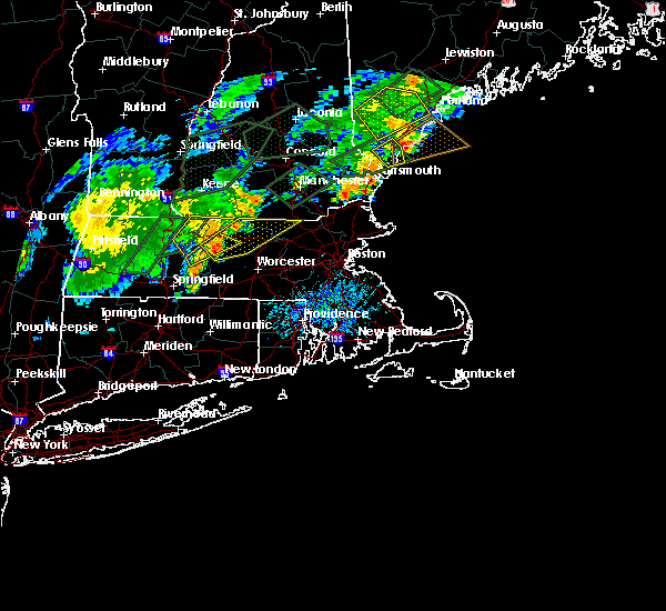 At 627 pm edt, a severe thunderstorm was located over barre, or 13 miles southeast of orange, moving northeast at 30 mph (radar indicated). Hazards include 60 mph wind gusts. expect damage to trees and power lines At 627 pm edt, a severe thunderstorm was located over barre, or 13 miles southeast of orange, moving northeast at 30 mph (radar indicated). Hazards include 60 mph wind gusts. expect damage to trees and power lines
|
| 8/3/2018 5:12 PM EDT |
 At 512 pm edt, severe thunderstorms were located along a line extending from manchester to new ipswich, moving northeast at 20 mph (radar indicated). Hazards include 60 mph wind gusts and quarter size hail. Hail damage to vehicles is expected. Expect wind damage to roofs, siding, and trees. At 512 pm edt, severe thunderstorms were located along a line extending from manchester to new ipswich, moving northeast at 20 mph (radar indicated). Hazards include 60 mph wind gusts and quarter size hail. Hail damage to vehicles is expected. Expect wind damage to roofs, siding, and trees.
|
| 7/17/2018 12:54 PM EDT |
 At 1229 pm edt, a severe thunderstorm was located over merrimack, moving east at 40 mph (radar indicated). Hazards include 60 mph wind gusts and penny size hail. expect damage to roofs, siding, and trees At 1229 pm edt, a severe thunderstorm was located over merrimack, moving east at 40 mph (radar indicated). Hazards include 60 mph wind gusts and penny size hail. expect damage to roofs, siding, and trees
|
| 7/17/2018 12:29 PM EDT |
 At 1229 pm edt, a severe thunderstorm was located over merrimack, moving east at 40 mph (radar indicated). Hazards include 60 mph wind gusts and penny size hail. expect damage to roofs, siding, and trees At 1229 pm edt, a severe thunderstorm was located over merrimack, moving east at 40 mph (radar indicated). Hazards include 60 mph wind gusts and penny size hail. expect damage to roofs, siding, and trees
|
| 7/15/2018 5:23 PM EDT |
 The severe thunderstorm warning for southwestern rockingham, southeastern hillsborough and southeastern merrimack counties will expire at 530 pm edt, the storm which prompted the warning has weakened below severe limits, and no longer poses an immediate threat to life or property. therefore, the warning will be allowed to expire. The severe thunderstorm warning for southwestern rockingham, southeastern hillsborough and southeastern merrimack counties will expire at 530 pm edt, the storm which prompted the warning has weakened below severe limits, and no longer poses an immediate threat to life or property. therefore, the warning will be allowed to expire.
|
| 7/15/2018 4:42 PM EDT |
 At 441 pm edt, a severe thunderstorm was located over bedford, or near manchester, moving south at 15 mph (radar indicated). Hazards include 60 mph wind gusts and penny size hail. expect damage to roofs, siding, and trees At 441 pm edt, a severe thunderstorm was located over bedford, or near manchester, moving south at 15 mph (radar indicated). Hazards include 60 mph wind gusts and penny size hail. expect damage to roofs, siding, and trees
|
| 6/18/2018 5:51 PM EDT |
 At 550 pm edt, severe thunderstorms were located along a line extending from near warner to near weare to milford to near new ipswich, moving east at 45 mph. these storms are producing widespread wind damage (radar indicated). Hazards include 70 mph wind gusts. Expect considerable tree damage. Damage is likely to mobile homes, roofs, and outbuildings. At 550 pm edt, severe thunderstorms were located along a line extending from near warner to near weare to milford to near new ipswich, moving east at 45 mph. these storms are producing widespread wind damage (radar indicated). Hazards include 70 mph wind gusts. Expect considerable tree damage. Damage is likely to mobile homes, roofs, and outbuildings.
|
| 6/18/2018 5:24 PM EDT |
 At 524 pm edt, severe thunderstorms were located along a line extending from 6 miles south of newport to near hancock to near richmond, moving east at 45 mph (radar indicated). Hazards include 60 mph wind gusts. expect damage to roofs, siding, and trees At 524 pm edt, severe thunderstorms were located along a line extending from 6 miles south of newport to near hancock to near richmond, moving east at 45 mph (radar indicated). Hazards include 60 mph wind gusts. expect damage to roofs, siding, and trees
|
| 7/8/2017 2:04 PM EDT |
 At 203 pm edt, severe thunderstorms were located along a line extending from 6 miles south of raymond to near hudson, moving east at 35 mph (radar indicated). Hazards include 60 mph wind gusts and penny size hail. Expect damage to trees, and power lines. locations impacted include, manchester, nashua, portland, derry, rochester, south portland, biddeford, portsmouth, brunswick, westbrook, hampton, durham, exeter, kittery, alfred, sanford, salem, northwood, topsham and merrimack. this also includes, hampton beach, york beach, ogunquit beach, wells beach, and fortunes rock beach. peaks island, long island, cushing island, cousins island, and great diamond island. this includes the following highways, interstate 295 between mile markers 1 and 30. interstate 93 between mile markers 0 and 17. interstate 95 between mile markers 1 and 63. Interstate 95 in new hampshire between mile markers 1 and 16. At 203 pm edt, severe thunderstorms were located along a line extending from 6 miles south of raymond to near hudson, moving east at 35 mph (radar indicated). Hazards include 60 mph wind gusts and penny size hail. Expect damage to trees, and power lines. locations impacted include, manchester, nashua, portland, derry, rochester, south portland, biddeford, portsmouth, brunswick, westbrook, hampton, durham, exeter, kittery, alfred, sanford, salem, northwood, topsham and merrimack. this also includes, hampton beach, york beach, ogunquit beach, wells beach, and fortunes rock beach. peaks island, long island, cushing island, cousins island, and great diamond island. this includes the following highways, interstate 295 between mile markers 1 and 30. interstate 93 between mile markers 0 and 17. interstate 95 between mile markers 1 and 63. Interstate 95 in new hampshire between mile markers 1 and 16.
|
| 7/8/2017 1:42 PM EDT |
 At 141 pm edt, severe thunderstorms were located along a line extending from near cornish to near brookline, moving east at 35 mph (radar indicated). Hazards include 60 mph wind gusts and penny size hail. expect damage to trees, and power lines At 141 pm edt, severe thunderstorms were located along a line extending from near cornish to near brookline, moving east at 35 mph (radar indicated). Hazards include 60 mph wind gusts and penny size hail. expect damage to trees, and power lines
|
| 7/8/2017 1:26 PM EDT |
 At 125 pm edt, severe thunderstorms were located along a line extending from standish to 6 miles southwest of new ipswich, moving east at 35 mph (public). Hazards include 60 mph wind gusts and penny size hail. Expect damage to trees, and power lines. locations impacted include, manchester, nashua, concord, derry, rochester, biddeford, durham, jaffrey, alfred, sanford, merrimack, northwood, ossipee, dover, bedford, saco, milford, hooksett, somersworth and amherst. this also includes, north pack monadnock. this includes the following highways, interstate 293 between mile markers 1 and 11. interstate 89 between mile markers 0 and 5. Interstate 93 between mile markers 10 and 40. At 125 pm edt, severe thunderstorms were located along a line extending from standish to 6 miles southwest of new ipswich, moving east at 35 mph (public). Hazards include 60 mph wind gusts and penny size hail. Expect damage to trees, and power lines. locations impacted include, manchester, nashua, concord, derry, rochester, biddeford, durham, jaffrey, alfred, sanford, merrimack, northwood, ossipee, dover, bedford, saco, milford, hooksett, somersworth and amherst. this also includes, north pack monadnock. this includes the following highways, interstate 293 between mile markers 1 and 11. interstate 89 between mile markers 0 and 5. Interstate 93 between mile markers 10 and 40.
|
| 7/8/2017 12:58 PM EDT |
 The national weather service in gray maine has issued a * severe thunderstorm warning for. york county in southwestern maine. northwestern rockingham county in southern new hampshire. strafford county in central new hampshire. Southeastern cheshire county in southern new hampshire. The national weather service in gray maine has issued a * severe thunderstorm warning for. york county in southwestern maine. northwestern rockingham county in southern new hampshire. strafford county in central new hampshire. Southeastern cheshire county in southern new hampshire.
|
| 7/8/2017 12:58 PM EDT |
 At 1257 pm edt, severe thunderstorms were located along a line extending from near effingham to 9 miles south of richmond, moving east at 35 mph (public). Hazards include 60 mph wind gusts and penny size hail. expect damage to trees, and power lines At 1257 pm edt, severe thunderstorms were located along a line extending from near effingham to 9 miles south of richmond, moving east at 35 mph (public). Hazards include 60 mph wind gusts and penny size hail. expect damage to trees, and power lines
|
| 5/31/2017 8:13 PM EDT |
 At 813 pm edt, severe thunderstorms were located along a line extending from manchester to hudson to 11 miles south of nashua, moving east at 25 mph (radar indicated). Hazards include 60 mph wind gusts and penny size hail. expect damage to trees, and power lines At 813 pm edt, severe thunderstorms were located along a line extending from manchester to hudson to 11 miles south of nashua, moving east at 25 mph (radar indicated). Hazards include 60 mph wind gusts and penny size hail. expect damage to trees, and power lines
|
| 5/18/2017 10:38 PM EDT |
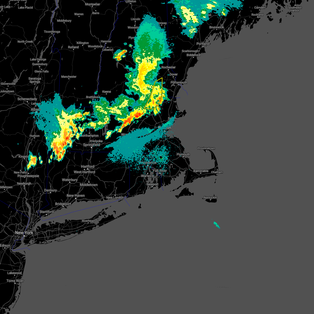 At 1038 pm edt, severe thunderstorms were located along a line extending from near durham to 10 miles east of salem to 20 miles south of pelham, moving east at 45 mph (radar indicated). Hazards include 60 mph wind gusts. Expect damage to trees, and power lines. locations impacted include, nashua, derry, salem, epping, raymond, hudson, pelham, londonderry, hampstead, atkinson, chester, danville, fremont, deerfield, candia, windham, sandown and nottingham. This includes interstate 93 between mile markers 1 and 13. At 1038 pm edt, severe thunderstorms were located along a line extending from near durham to 10 miles east of salem to 20 miles south of pelham, moving east at 45 mph (radar indicated). Hazards include 60 mph wind gusts. Expect damage to trees, and power lines. locations impacted include, nashua, derry, salem, epping, raymond, hudson, pelham, londonderry, hampstead, atkinson, chester, danville, fremont, deerfield, candia, windham, sandown and nottingham. This includes interstate 93 between mile markers 1 and 13.
|
| 5/18/2017 10:02 PM EDT |
 At 1001 pm edt, severe thunderstorms were located along a line extending from concord to near merrimack to 15 miles south of mason, moving east at 45 mph (radar indicated). Hazards include 60 mph wind gusts. Expect damage to trees, and power lines. locations impacted include, manchester, nashua, derry, merrimack, salem, northwood, bedford, milford, hooksett, amherst, litchfield, hollis, epping, new boston, mont vernon, lyndeborough, raymond, new ipswich, goffstown and mount vernon. this includes the following highways, interstate 293 between mile markers 1 and 11. Interstate 93 between mile markers 1 and 31. At 1001 pm edt, severe thunderstorms were located along a line extending from concord to near merrimack to 15 miles south of mason, moving east at 45 mph (radar indicated). Hazards include 60 mph wind gusts. Expect damage to trees, and power lines. locations impacted include, manchester, nashua, derry, merrimack, salem, northwood, bedford, milford, hooksett, amherst, litchfield, hollis, epping, new boston, mont vernon, lyndeborough, raymond, new ipswich, goffstown and mount vernon. this includes the following highways, interstate 293 between mile markers 1 and 11. Interstate 93 between mile markers 1 and 31.
|
| 5/18/2017 9:43 PM EDT |
 At 942 pm edt, a severe thunderstorm was located near templeton, or 10 miles east of orange, moving east at 55 mph (radar indicated). Hazards include 60 mph wind gusts. expect damage to trees and power lines At 942 pm edt, a severe thunderstorm was located near templeton, or 10 miles east of orange, moving east at 55 mph (radar indicated). Hazards include 60 mph wind gusts. expect damage to trees and power lines
|
| 5/18/2017 9:37 PM EDT |
 At 937 pm edt, severe thunderstorms were located along a line extending from near bradford to peterborough to 13 miles south of fitzwilliam, moving east at 45 mph (radar indicated). Hazards include 60 mph wind gusts. expect damage to trees, and power lines At 937 pm edt, severe thunderstorms were located along a line extending from near bradford to peterborough to 13 miles south of fitzwilliam, moving east at 45 mph (radar indicated). Hazards include 60 mph wind gusts. expect damage to trees, and power lines
|
| 9/11/2016 10:10 AM EDT |
 The severe thunderstorm warning for northwestern essex, southeastern hampshire, southeastern hampden, worcester and middlesex counties will expire at 1015 am edt, the storms which prompted the warning have moved out of the area. therefore, the warning will be allowed to expire. The severe thunderstorm warning for northwestern essex, southeastern hampshire, southeastern hampden, worcester and middlesex counties will expire at 1015 am edt, the storms which prompted the warning have moved out of the area. therefore, the warning will be allowed to expire.
|
| 9/11/2016 9:53 AM EDT |
 At 952 am edt, severe thunderstorms were located along a line extending from tyngsborough to near oxford, moving east at 45 mph (radar indicated). Hazards include 60 mph wind gusts. Expect damage to roofs. siding. And trees. At 952 am edt, severe thunderstorms were located along a line extending from tyngsborough to near oxford, moving east at 45 mph (radar indicated). Hazards include 60 mph wind gusts. Expect damage to roofs. siding. And trees.
|
| 9/11/2016 9:23 AM EDT |
 At 922 am edt, severe thunderstorms were located along a line extending from near new boston to near westminster to north brookfield to west hartford, moving east at 45 mph (radar indicated). Hazards include 60 mph wind gusts. Expect damage to roofs. siding. And trees. At 922 am edt, severe thunderstorms were located along a line extending from near new boston to near westminster to north brookfield to west hartford, moving east at 45 mph (radar indicated). Hazards include 60 mph wind gusts. Expect damage to roofs. siding. And trees.
|
| 7/23/2016 7:29 PM EDT |
 At 728 pm edt, a cluster of strong thunderstorms was affecting northern massachusetts producing damaging wind gusts (radar indicated and spotters have reported wind damage with these storms). Hazards include 60 mph wind gusts. Expect damage to roofs. siding. And trees. At 728 pm edt, a cluster of strong thunderstorms was affecting northern massachusetts producing damaging wind gusts (radar indicated and spotters have reported wind damage with these storms). Hazards include 60 mph wind gusts. Expect damage to roofs. siding. And trees.
|
| 7/23/2016 6:48 PM EDT | Trees down in hillsborough county NH, 0.6 miles WNW of Nashua, NH |
| 7/23/2016 6:42 PM EDT |
 At 641 pm edt, severe thunderstorms were located along a line extending from portsmouth to near manchester to keene, moving southeast at 25 mph (radar indicated). Hazards include 60 mph wind gusts and nickel size hail. Expect damage to roofs. siding. and trees. Locations impacted include, manchester, nashua, derry, merrimack, keene, portsmouth, hampton, durham, exeter, kittery, jaffrey, salem, dover, bedford, milford, amherst, litchfield, hollis, swanzey and epping. At 641 pm edt, severe thunderstorms were located along a line extending from portsmouth to near manchester to keene, moving southeast at 25 mph (radar indicated). Hazards include 60 mph wind gusts and nickel size hail. Expect damage to roofs. siding. and trees. Locations impacted include, manchester, nashua, derry, merrimack, keene, portsmouth, hampton, durham, exeter, kittery, jaffrey, salem, dover, bedford, milford, amherst, litchfield, hollis, swanzey and epping.
|
| 7/23/2016 6:41 PM EDT |
 At 641 pm edt, severe thunderstorms were located along a line extending from near brentwood to brookline to fitzwilliam, moving southeast at 50 mph (radar indicated). Hazards include 60 mph wind gusts. Expect damage to roofs. siding. And trees. At 641 pm edt, severe thunderstorms were located along a line extending from near brentwood to brookline to fitzwilliam, moving southeast at 50 mph (radar indicated). Hazards include 60 mph wind gusts. Expect damage to roofs. siding. And trees.
|
| 7/23/2016 6:38 PM EDT |
 At 636 pm edt, a line of severe thunderstorms in southern new hampshire will be dropping southeast into north central and northeast massachusetts through 730 pm (spotter reporting numerous reports of wind damage in southern new hampshire). Hazards include 60 mph wind gusts. Expect damage to roofs. siding. And trees. At 636 pm edt, a line of severe thunderstorms in southern new hampshire will be dropping southeast into north central and northeast massachusetts through 730 pm (spotter reporting numerous reports of wind damage in southern new hampshire). Hazards include 60 mph wind gusts. Expect damage to roofs. siding. And trees.
|
| 7/23/2016 6:30 PM EDT |
 At 630 pm edt, severe thunderstorms were located along a line extending from newington to manchester to swanzey, moving southeast at 25 mph (radar indicated). Hazards include 60 mph wind gusts and nickel size hail. Expect damage to roofs. siding. and trees. Locations impacted include, manchester, nashua, derry, merrimack, keene, portsmouth, hampton, durham, exeter, jaffrey, salem, northwood, dover, bedford, milford, hooksett, somersworth, amherst, barrington and litchfield. At 630 pm edt, severe thunderstorms were located along a line extending from newington to manchester to swanzey, moving southeast at 25 mph (radar indicated). Hazards include 60 mph wind gusts and nickel size hail. Expect damage to roofs. siding. and trees. Locations impacted include, manchester, nashua, derry, merrimack, keene, portsmouth, hampton, durham, exeter, jaffrey, salem, northwood, dover, bedford, milford, hooksett, somersworth, amherst, barrington and litchfield.
|
| 7/23/2016 6:08 PM EDT |
 At 608 pm edt, severe thunderstorms were located along a line extending from near dover to goffstown to walpole, moving southeast at 25 mph (radar indicated). Hazards include 60 mph wind gusts and nickel size hail. Expect damage to roofs. siding. And trees. At 608 pm edt, severe thunderstorms were located along a line extending from near dover to goffstown to walpole, moving southeast at 25 mph (radar indicated). Hazards include 60 mph wind gusts and nickel size hail. Expect damage to roofs. siding. And trees.
|
| 7/18/2016 3:15 PM EDT |
 At 315 pm edt, severe thunderstorms were located along a line extending from lyndeborough to hollis to fitchburg, moving east at 50 mph (radar indicated). Hazards include 60 mph wind gusts and penny size hail. Expect damage to roofs. siding. and trees. Locations impacted include, manchester, nashua, merrimack, salem, bedford, milford, hooksett, amherst, litchfield, hollis, new boston, mont vernon, greenfield, lyndeborough, francestown, mason, mount vernon, wilton, goffstown and greenville. At 315 pm edt, severe thunderstorms were located along a line extending from lyndeborough to hollis to fitchburg, moving east at 50 mph (radar indicated). Hazards include 60 mph wind gusts and penny size hail. Expect damage to roofs. siding. and trees. Locations impacted include, manchester, nashua, merrimack, salem, bedford, milford, hooksett, amherst, litchfield, hollis, new boston, mont vernon, greenfield, lyndeborough, francestown, mason, mount vernon, wilton, goffstown and greenville.
|
| 7/18/2016 3:05 PM EDT |
 At 305 pm edt, severe thunderstorms were located along a line extending from near peterborough to mason to near gardner, moving east at 60 mph (radar indicated). Hazards include 60 mph wind gusts and penny size hail. Expect damage to roofs. siding. and trees. Locations impacted include, manchester, nashua, merrimack, salem, bedford, milford, hooksett, amherst, litchfield, hollis, peterborough, new boston, ashby, mont vernon, greenfield, lyndeborough, francestown, mason, new ipswich and mount vernon. At 305 pm edt, severe thunderstorms were located along a line extending from near peterborough to mason to near gardner, moving east at 60 mph (radar indicated). Hazards include 60 mph wind gusts and penny size hail. Expect damage to roofs. siding. and trees. Locations impacted include, manchester, nashua, merrimack, salem, bedford, milford, hooksett, amherst, litchfield, hollis, peterborough, new boston, ashby, mont vernon, greenfield, lyndeborough, francestown, mason, new ipswich and mount vernon.
|
| 7/18/2016 2:56 PM EDT |
 At 256 pm edt, severe thunderstorms were located along a line extending from jaffrey to near new ipswich to templeton, moving east at 50 mph (radar indicated). Hazards include 60 mph wind gusts. Expect damage to roofs. siding. and trees. Locations impacted include, manchester, nashua, merrimack, salem, bedford, milford, hooksett, amherst, litchfield, hollis, peterborough, new boston, ashby, mont vernon, greenfield, lyndeborough, francestown, mason, harrisville and new ipswich. At 256 pm edt, severe thunderstorms were located along a line extending from jaffrey to near new ipswich to templeton, moving east at 50 mph (radar indicated). Hazards include 60 mph wind gusts. Expect damage to roofs. siding. and trees. Locations impacted include, manchester, nashua, merrimack, salem, bedford, milford, hooksett, amherst, litchfield, hollis, peterborough, new boston, ashby, mont vernon, greenfield, lyndeborough, francestown, mason, harrisville and new ipswich.
|
| 7/18/2016 2:48 PM EDT |
 At 248 pm edt, severe thunderstorms were located along a line extending from near jaffrey to near rindge to phillipston, moving east at 50 mph (radar indicated). Hazards include 60 mph wind gusts. Expect damage to roofs. siding. And trees. At 248 pm edt, severe thunderstorms were located along a line extending from near jaffrey to near rindge to phillipston, moving east at 50 mph (radar indicated). Hazards include 60 mph wind gusts. Expect damage to roofs. siding. And trees.
|
| 6/21/2016 3:25 AM EDT |
 At 324 am edt, severe thunderstorms were located along a line extending from wilton to ashby to near hubbardston, moving southeast at 45 mph (radar indicated). Hazards include 60 mph wind gusts. Expect damage to roofs. siding. and trees. Locations impacted include, nashua, derry, dracut, merrimack, salem, milford, amherst, litchfield, hollis, peterborough, ashby, mont vernon, greenfield, lyndeborough, mason, new ipswich, mount vernon, wilton, greenville and hudson. At 324 am edt, severe thunderstorms were located along a line extending from wilton to ashby to near hubbardston, moving southeast at 45 mph (radar indicated). Hazards include 60 mph wind gusts. Expect damage to roofs. siding. and trees. Locations impacted include, nashua, derry, dracut, merrimack, salem, milford, amherst, litchfield, hollis, peterborough, ashby, mont vernon, greenfield, lyndeborough, mason, new ipswich, mount vernon, wilton, greenville and hudson.
|
| 6/21/2016 3:03 AM EDT |
 At 303 am edt, severe thunderstorms were located along a line extending from near harrisville to near fitzwilliam to near athol, moving southeast at 45 mph (radar indicated). Hazards include 60 mph wind gusts. Expect damage to roofs. siding. And trees. At 303 am edt, severe thunderstorms were located along a line extending from near harrisville to near fitzwilliam to near athol, moving southeast at 45 mph (radar indicated). Hazards include 60 mph wind gusts. Expect damage to roofs. siding. And trees.
|
| 8/4/2015 1:52 PM EDT |
 At 151 pm edt, doppler radar indicated a severe thunderstorm capable of producing large damaging hail up to golf ball size and damaging winds in excess of 60 mph. this storm was located over fitchburg, moving east at 40 mph. golf ball sized hail has been reported with this storm as it moved through gardner. locations impacted include, lowell, nashua, leominster, fitchburg, billerica, chelmsford, dracut, tewksbury, hudson, westford, acton, gardner, pelham, pepperell, tyngsborough, groton, winchendon, lunenburg, townsend and littleton. At 151 pm edt, doppler radar indicated a severe thunderstorm capable of producing large damaging hail up to golf ball size and damaging winds in excess of 60 mph. this storm was located over fitchburg, moving east at 40 mph. golf ball sized hail has been reported with this storm as it moved through gardner. locations impacted include, lowell, nashua, leominster, fitchburg, billerica, chelmsford, dracut, tewksbury, hudson, westford, acton, gardner, pelham, pepperell, tyngsborough, groton, winchendon, lunenburg, townsend and littleton.
|
| 8/4/2015 1:35 PM EDT |
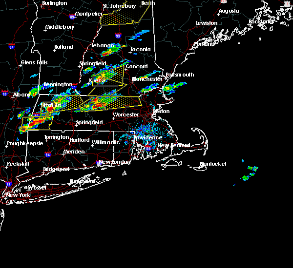 At 135 pm edt, doppler radar indicated a severe thunderstorm capable of producing large hail up to ping pong ball size and damaging winds in excess of 60 mph. this storm was located near templeton, or 12 miles southeast of orange, and was moving east at 50 mph. * some locations impacted include, lowell, nashua, leominster, fitchburg, billerica, chelmsford, dracut, tewksbury, hudson, westford, acton, gardner, pelham, athol, pepperell, tyngsborough, groton, winchendon, lunenburg and townsend. At 135 pm edt, doppler radar indicated a severe thunderstorm capable of producing large hail up to ping pong ball size and damaging winds in excess of 60 mph. this storm was located near templeton, or 12 miles southeast of orange, and was moving east at 50 mph. * some locations impacted include, lowell, nashua, leominster, fitchburg, billerica, chelmsford, dracut, tewksbury, hudson, westford, acton, gardner, pelham, athol, pepperell, tyngsborough, groton, winchendon, lunenburg and townsend.
|
| 7/1/2015 7:21 PM EDT | *** 1 inj *** boy hit by fallen tree...wires also down on whitney road in hillsborough county NH, 2.4 miles WSW of Nashua, NH |
| 7/1/2015 7:07 PM EDT |
 At 706 pm edt, doppler radar indicated a line of severe thunderstorms capable of producing damaging winds in excess of 60 mph. these storms were located along a line extending from near pawtuckaway state park to hollis, moving east at 30 mph. locations impacted include, nashua, derry, dracut, merrimack, western exeter, salem, hooksett, litchfield, hollis, epping, brentwood, raymond, newmarket, londonderry, hampstead, atkinson, kingston, chester, danville and fremont. At 706 pm edt, doppler radar indicated a line of severe thunderstorms capable of producing damaging winds in excess of 60 mph. these storms were located along a line extending from near pawtuckaway state park to hollis, moving east at 30 mph. locations impacted include, nashua, derry, dracut, merrimack, western exeter, salem, hooksett, litchfield, hollis, epping, brentwood, raymond, newmarket, londonderry, hampstead, atkinson, kingston, chester, danville and fremont.
|
| 7/1/2015 6:58 PM EDT |
 At 657 pm edt, doppler radar indicated a line of severe thunderstorms capable of producing damaging winds in excess of 60 mph. these storms were located along a line extending from near pawtuckaway state park to hollis, moving east at 30 mph. locations impacted include, nashua, derry, dracut, merrimack, western exeter, salem, bedford, hooksett, amherst, litchfield, hollis, epping, brentwood, raymond, newmarket, londonderry, hampstead, atkinson, kingston and chester. At 657 pm edt, doppler radar indicated a line of severe thunderstorms capable of producing damaging winds in excess of 60 mph. these storms were located along a line extending from near pawtuckaway state park to hollis, moving east at 30 mph. locations impacted include, nashua, derry, dracut, merrimack, western exeter, salem, bedford, hooksett, amherst, litchfield, hollis, epping, brentwood, raymond, newmarket, londonderry, hampstead, atkinson, kingston and chester.
|
| 7/1/2015 6:55 PM EDT | *** 1 inj *** boy hit by fallen tree...wires also down on whitney road in hillsborough county NH, 2.4 miles WSW of Nashua, NH |
| 7/1/2015 6:28 PM EDT |
 At 627 pm edt, doppler radar indicated a line of severe thunderstorms capable of producing damaging winds in excess of 60 mph. these storms were located along a line extending from near hooksett to near new ipswich, and moving east at 35 mph. At 627 pm edt, doppler radar indicated a line of severe thunderstorms capable of producing damaging winds in excess of 60 mph. these storms were located along a line extending from near hooksett to near new ipswich, and moving east at 35 mph.
|
| 5/28/2015 4:41 PM EDT | At 441 pm edt, doppler radar indicated a severe thunderstorm capable of producing quarter size hail and damaging winds in excess of 60 mph. this storm was located near dracut, and moving east at 25 mph. |
| 5/28/2015 4:23 PM EDT | At 423 pm edt, doppler radar indicated a severe thunderstorm capable of producing quarter size hail and damaging winds in excess of 60 mph. this storm was located over hollis, or near nashua, moving east at 25 mph. locations impacted include, nashua, merrimack, milford, amherst, litchfield, hollis, new ipswich, brookline, greenville and mason. |
| 5/28/2015 4:15 PM EDT | Large branches and power lines down in hillsborough county NH, 4.6 miles ENE of Nashua, NH |
| 5/28/2015 4:08 PM EDT | At 408 pm edt, doppler radar indicated a severe thunderstorm capable of producing quarter size hail and damaging winds in excess of 60 mph. this storm was located over amherst, or over merrimack, moving east at 35 mph. locations impacted include, nashua, merrimack, bedford, milford, amherst, litchfield, hollis, new ipswich, brookline, wilton, mont vernon, greenville, lyndeborough, mason and londonderry. |
| 5/28/2015 3:49 PM EDT | At 349 pm edt, doppler radar indicated a severe thunderstorm capable of producing quarter size hail and damaging winds in excess of 60 mph. this storm was located over wilton, or 12 miles west of merrimack, and moving east at 40 mph. |
| 9/6/2014 5:20 PM EDT | Trees and wires down on dow road in hillsborough county NH, 4.3 miles ENE of Nashua, NH |
| 9/6/2014 4:43 PM EDT | Trees and wires down on harris road and jill drive in hillsborough county NH, 0.6 miles WNW of Nashua, NH |
| 7/3/2014 4:45 PM EDT | Trees on wires on pepperell road in hillsborough county NH, 4.3 miles ENE of Nashua, NH |
| 9/8/2012 9:04 PM EDT | Tree down on pawtucket boulevard in middlesex county MA, 6.6 miles NW of Nashua, NH |
Hail Maps for Nashua, NH


Connect with Interactive Hail Maps