

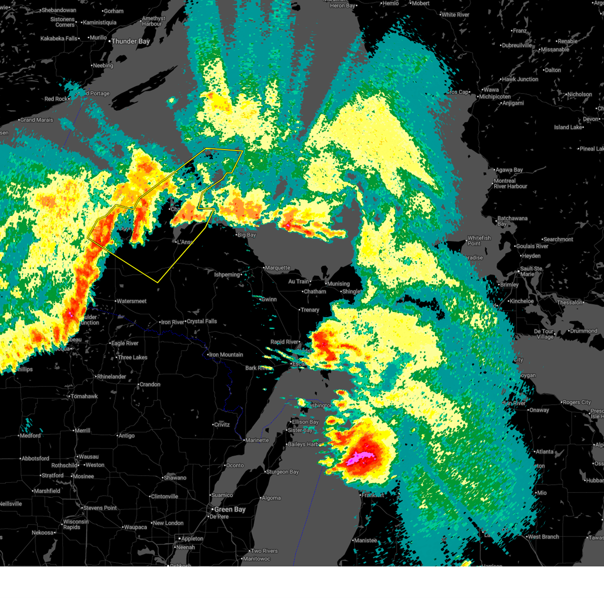
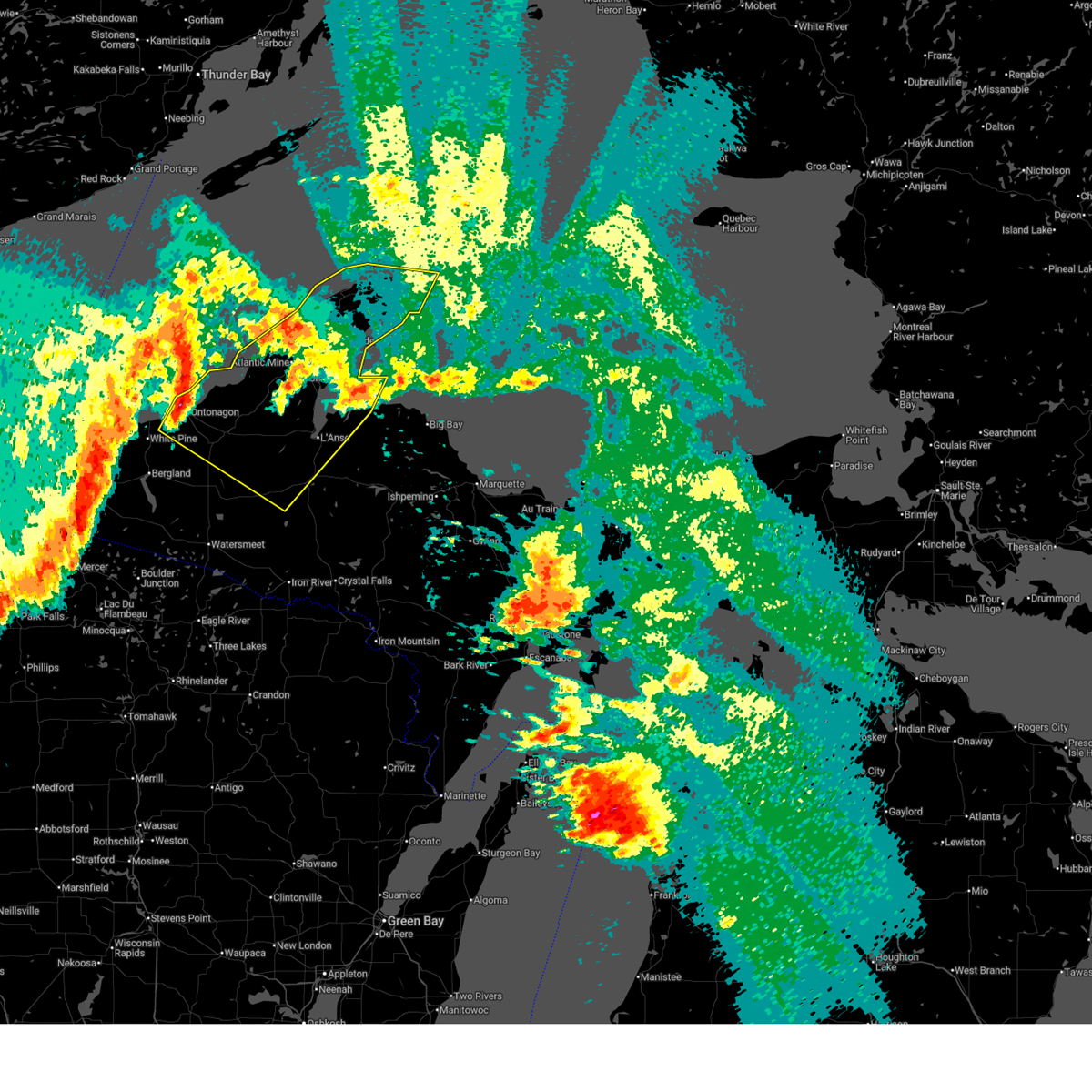
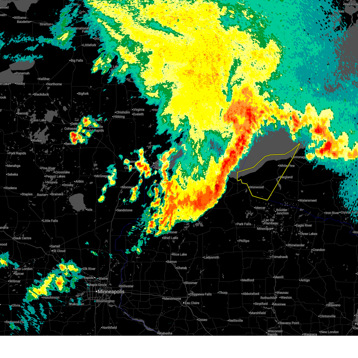
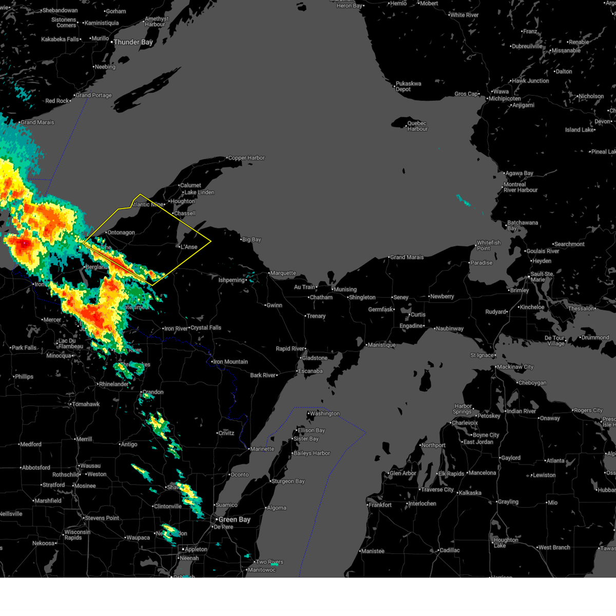
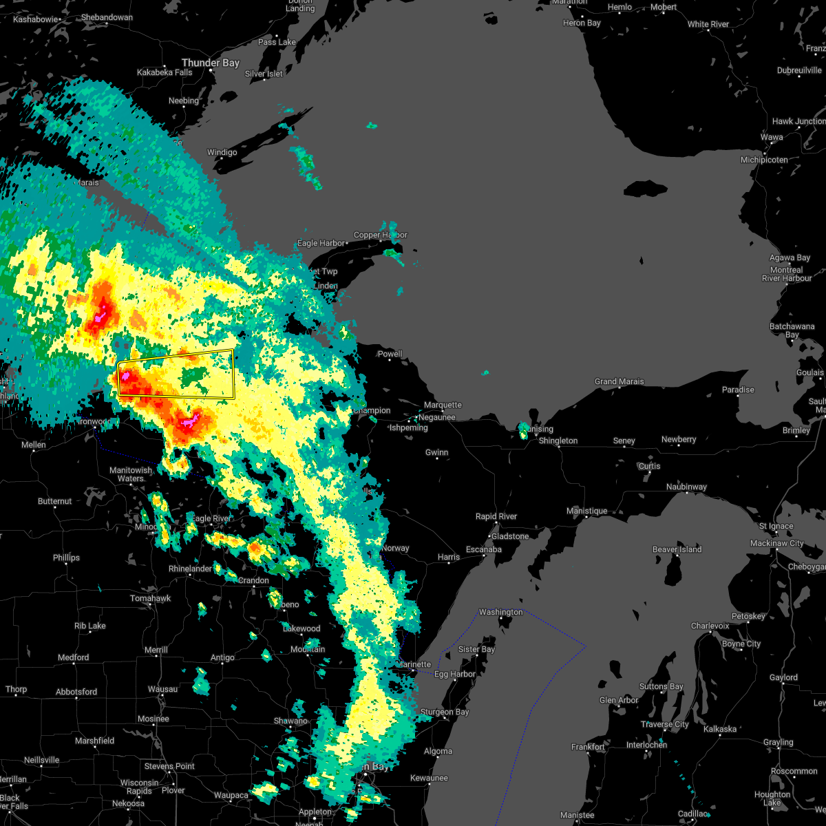
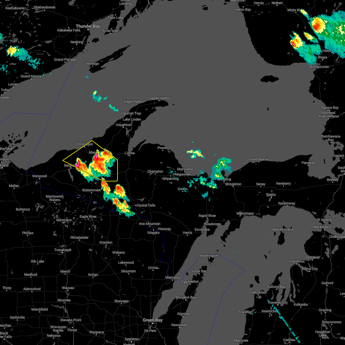
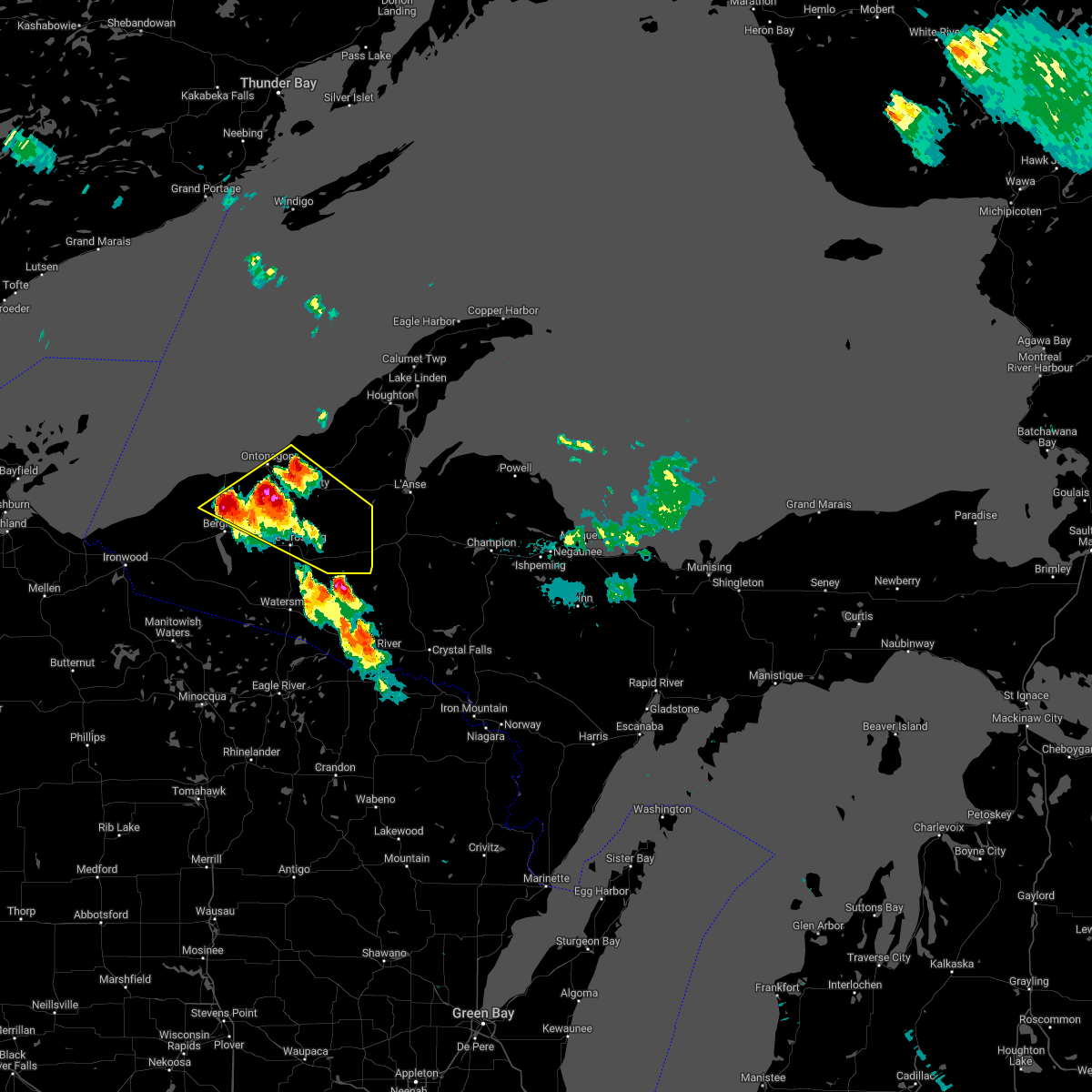
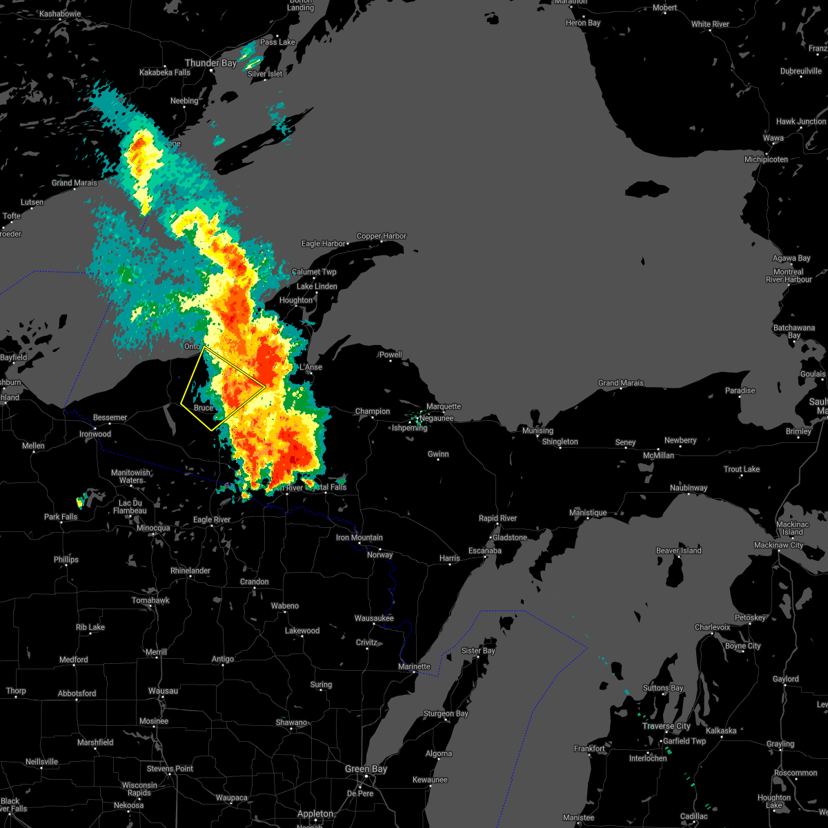
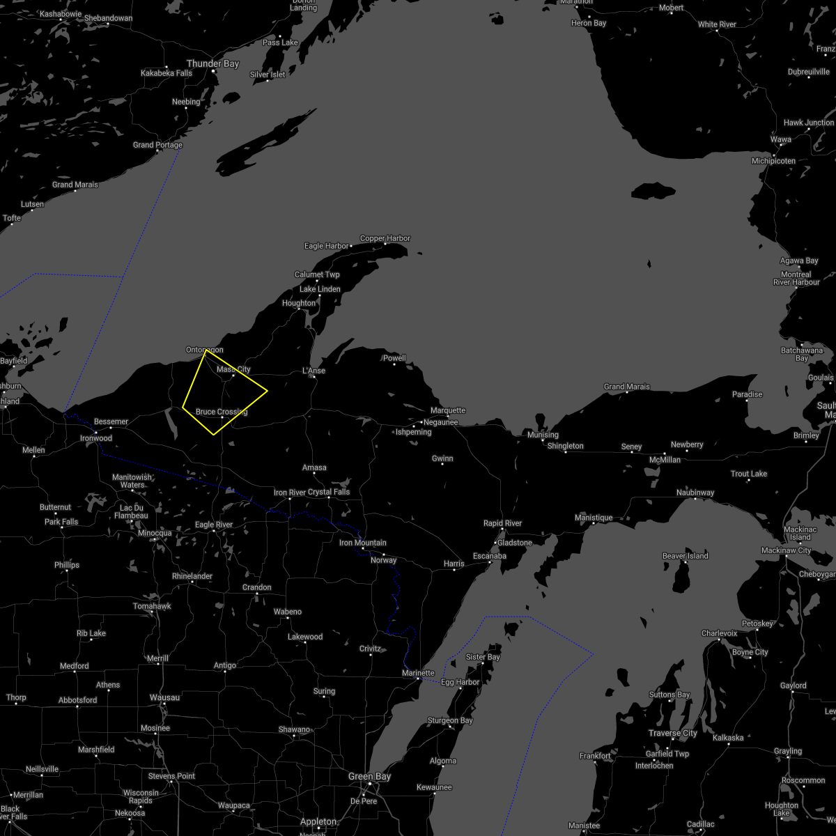
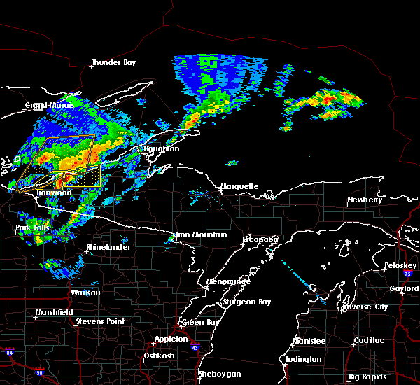
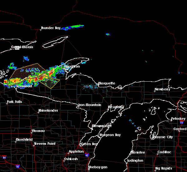
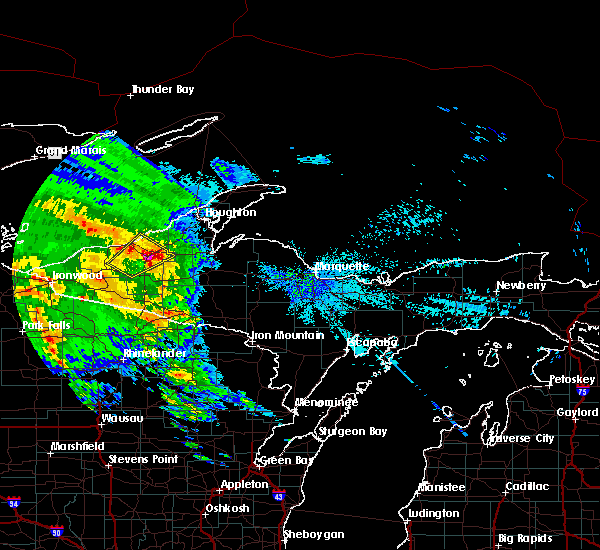
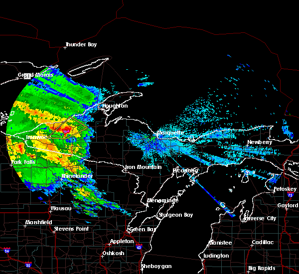
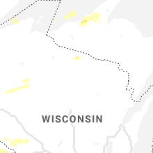
Hail Map for Ontonagon, MI
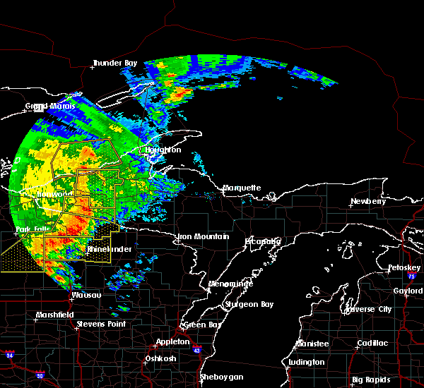
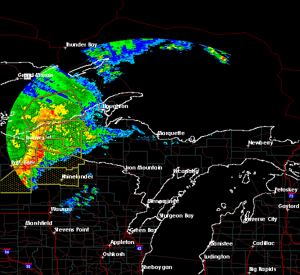
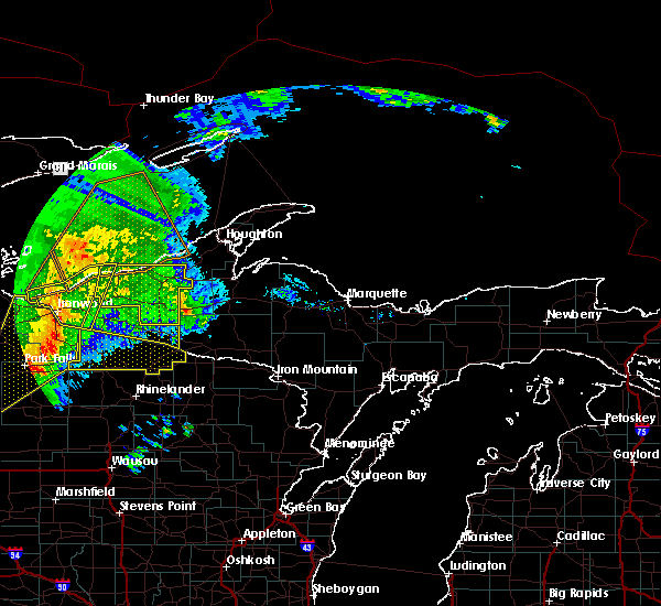
The Ontonagon, MI area has had 6 reports of on-the-ground hail by trained spotters, and has been under severe weather warnings 4 times during the past 12 months. Doppler radar has detected hail at or near Ontonagon, MI on 28 occasions.
| Name: | Ontonagon, MI |
| Where Located: | 85.1 miles N of Rhinelander, WI |
| Map: | Google Map for Ontonagon, MI |
| Population: | 1494 |
| Housing Units: | 910 |
| More Info: | Search Google for Ontonagon, MI |
1
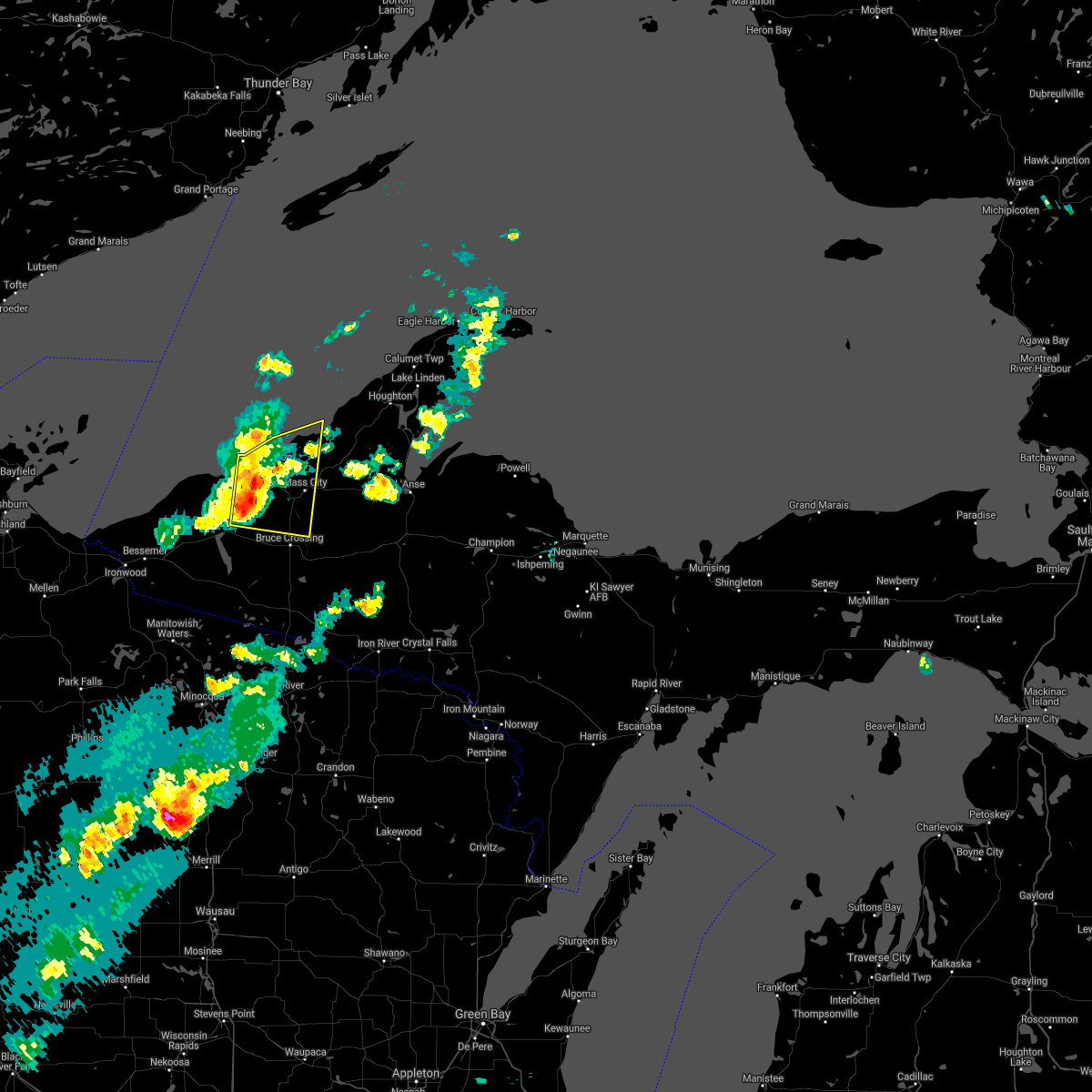
The Top Recent Hail Date for Ontonagon, MI is Saturday, May 18, 2024 (4th out of 28)

Hail and Wind Damage Spotted near Ontonagon, MI
| Date / Time | Report Details |
|---|---|
| 6/21/2025 6:25 AM EDT |
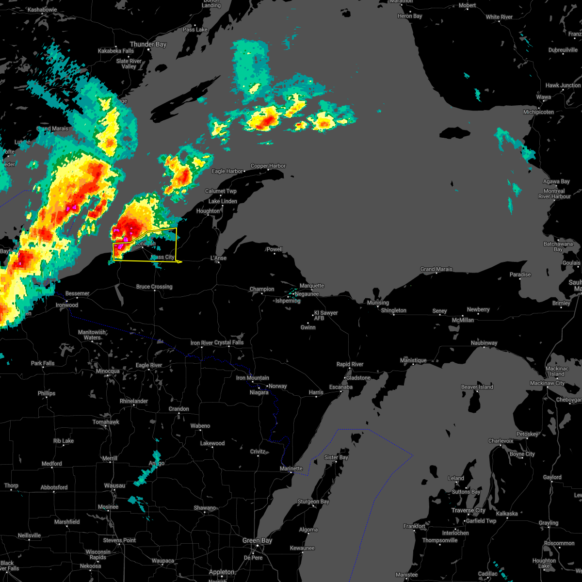
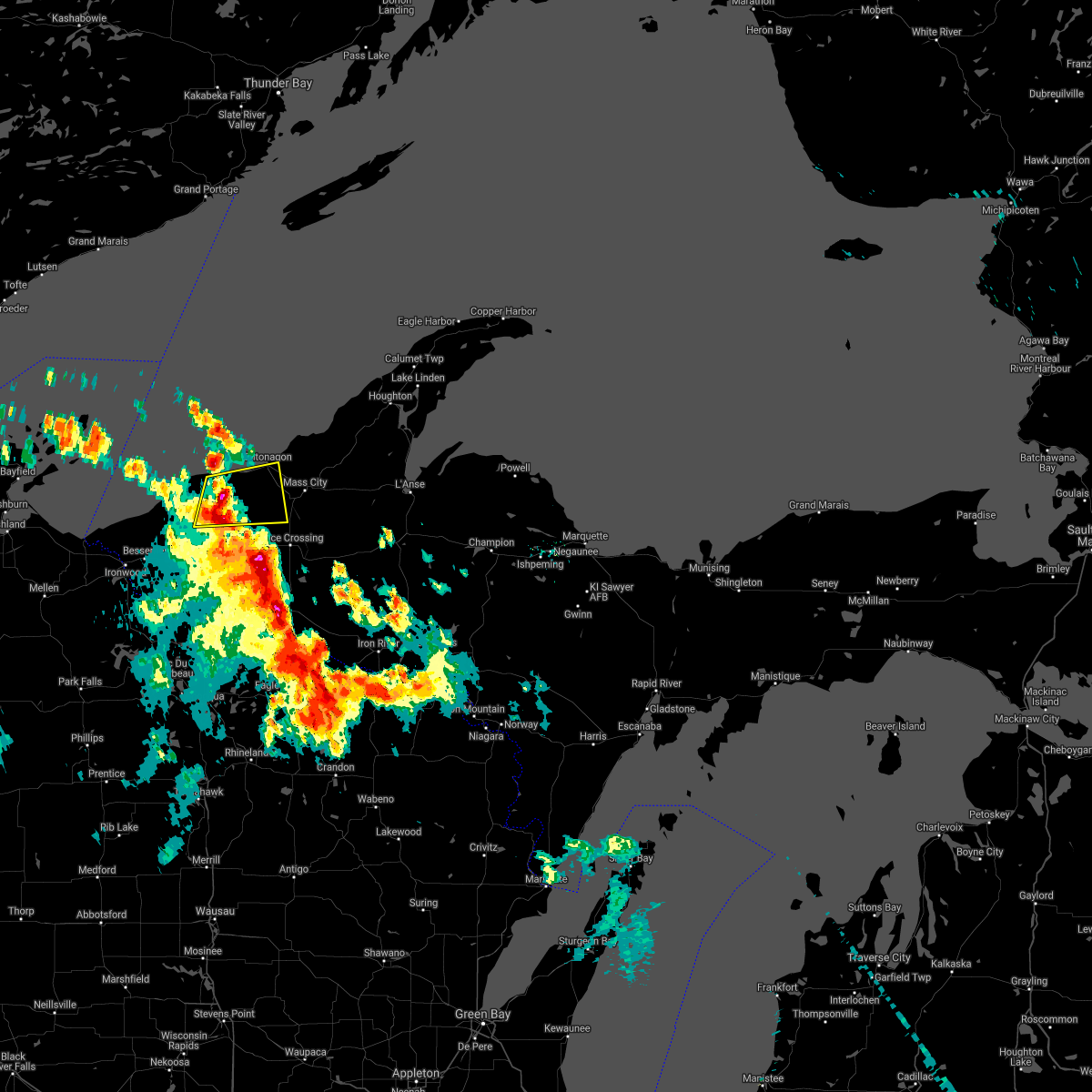
 At 625 am edt, severe thunderstorms were located along a line extending from 17 miles west of eagle river to 7 miles southwest of south range to 6 miles northeast of mass city, moving east at 45 mph (radar indicated). Hazards include 60 mph wind gusts. Expect damage to roofs, siding, and trees. Locations impacted include, houghton, baraga, l'anse, ontonagon, calumet, eagle harbor, copper harbor, eagle river, hancock, laurium, chassell, and lake linden. At 625 am edt, severe thunderstorms were located along a line extending from 17 miles west of eagle river to 7 miles southwest of south range to 6 miles northeast of mass city, moving east at 45 mph (radar indicated). Hazards include 60 mph wind gusts. Expect damage to roofs, siding, and trees. Locations impacted include, houghton, baraga, l'anse, ontonagon, calumet, eagle harbor, copper harbor, eagle river, hancock, laurium, chassell, and lake linden.
|
| 6/21/2025 6:00 AM EDT |
 Svrmqt the national weather service in marquette has issued a * severe thunderstorm warning for, keweenaw county in western upper michigan, houghton county in western upper michigan, northeastern ontonagon county in western upper michigan, northwestern baraga county in north central upper michigan, * until 700 am edt. * at 559 am edt, severe thunderstorms were located along a line extending from 26 miles south of windigo to 21 miles west of redridge to near ontonagon, moving east at 45 mph (radar indicated). Hazards include 60 mph wind gusts. expect damage to roofs, siding, and trees Svrmqt the national weather service in marquette has issued a * severe thunderstorm warning for, keweenaw county in western upper michigan, houghton county in western upper michigan, northeastern ontonagon county in western upper michigan, northwestern baraga county in north central upper michigan, * until 700 am edt. * at 559 am edt, severe thunderstorms were located along a line extending from 26 miles south of windigo to 21 miles west of redridge to near ontonagon, moving east at 45 mph (radar indicated). Hazards include 60 mph wind gusts. expect damage to roofs, siding, and trees
|
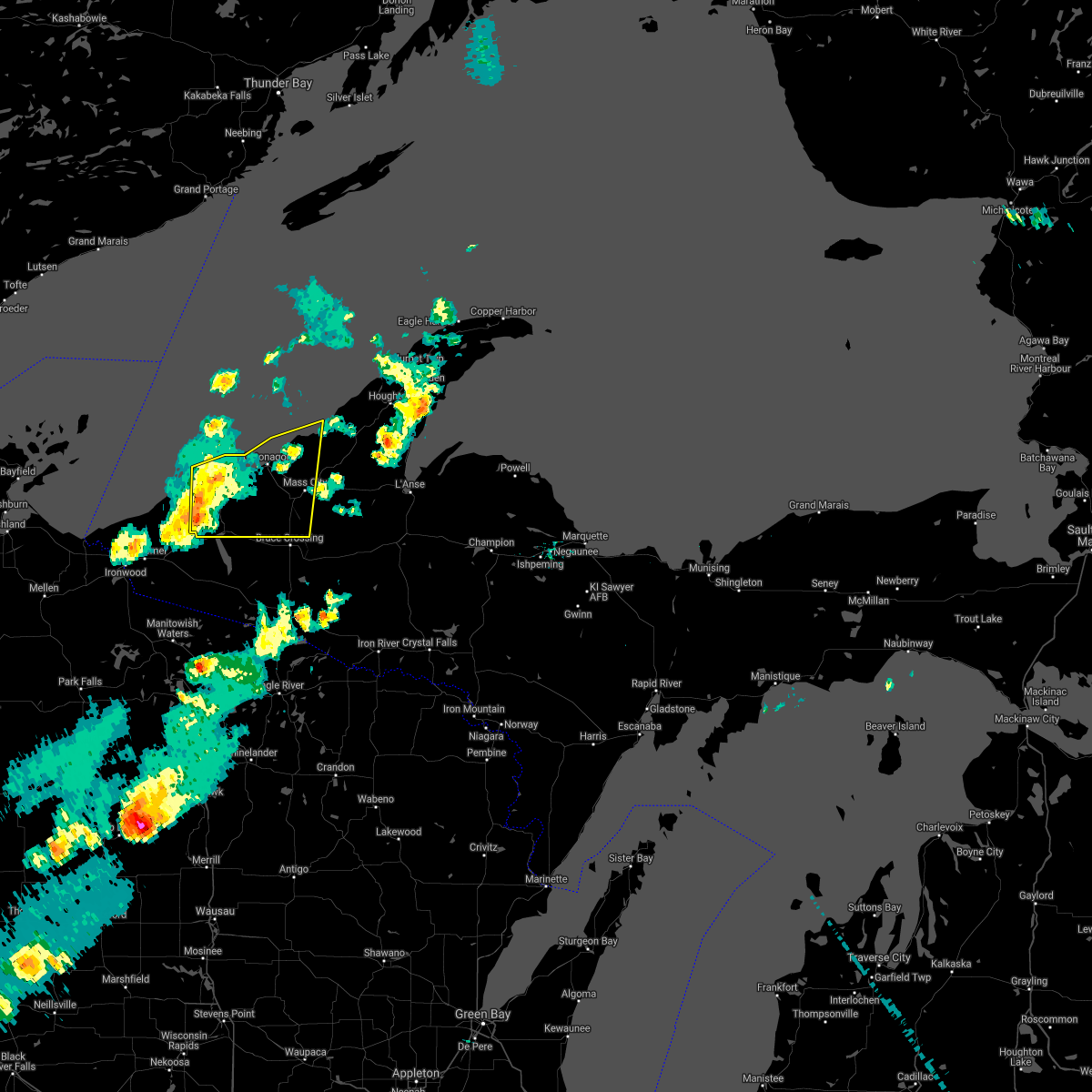
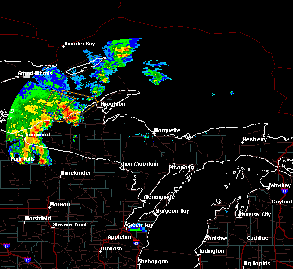
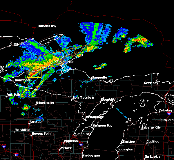
| 6/21/2025 4:21 AM CDT |
 Svrmqt the national weather service in marquette has issued a * severe thunderstorm warning for, northwestern gogebic county in western upper michigan, northwestern ontonagon county in western upper michigan, * until 600 am edt/500 am cdt/. * at 520 am edt/420 am cdt/, severe thunderstorms were located along a line extending from 28 miles south of hovland to 19 miles east of oak island to near mellen, moving east at 50 mph (radar indicated). Hazards include 60 mph wind gusts. expect damage to roofs, siding, and trees Svrmqt the national weather service in marquette has issued a * severe thunderstorm warning for, northwestern gogebic county in western upper michigan, northwestern ontonagon county in western upper michigan, * until 600 am edt/500 am cdt/. * at 520 am edt/420 am cdt/, severe thunderstorms were located along a line extending from 28 miles south of hovland to 19 miles east of oak island to near mellen, moving east at 50 mph (radar indicated). Hazards include 60 mph wind gusts. expect damage to roofs, siding, and trees
|
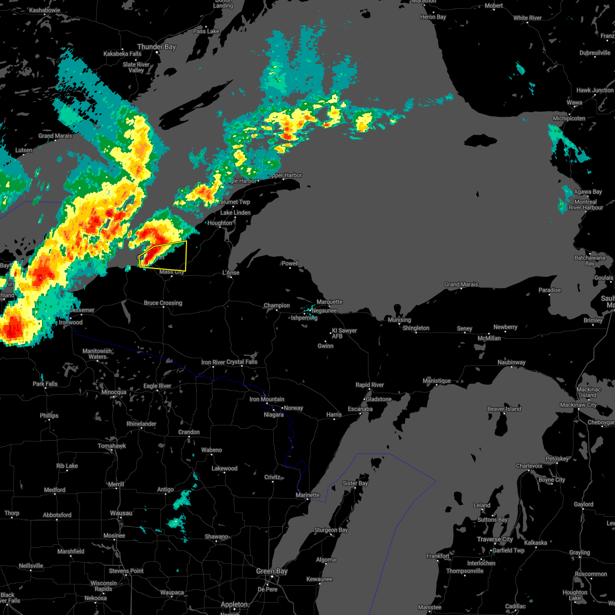
| 6/21/2025 2:55 AM EDT |
 Svrmqt the national weather service in marquette has issued a * severe thunderstorm warning for, houghton county in western upper michigan, northeastern ontonagon county in western upper michigan, northern baraga county in north central upper michigan, * until 345 am edt. * at 255 am edt, severe thunderstorms were located along a line extending from 7 miles southeast of silver city to near kenton, moving northeast at 40 mph (radar indicated). Hazards include 60 mph wind gusts and penny size hail. expect damage to roofs, siding, and trees Svrmqt the national weather service in marquette has issued a * severe thunderstorm warning for, houghton county in western upper michigan, northeastern ontonagon county in western upper michigan, northern baraga county in north central upper michigan, * until 345 am edt. * at 255 am edt, severe thunderstorms were located along a line extending from 7 miles southeast of silver city to near kenton, moving northeast at 40 mph (radar indicated). Hazards include 60 mph wind gusts and penny size hail. expect damage to roofs, siding, and trees
|
| 8/2/2022 7:06 PM EDT |
 At 705 pm edt/605 pm cdt/, a severe thunderstorm was located near porcupine mountains state park, moving east at 40 mph (radar indicated). Hazards include 60 mph wind gusts and quarter size hail. Hail damage to vehicles is expected. expect wind damage to roofs, siding, and trees. this severe thunderstorm will be near, porcupine mountains state park around 710 pm edt. silver city around 725 pm edt. other locations in the path of this severe thunderstorm include rockland. hail threat, radar indicated max hail size, 1. 00 in wind threat, radar indicated max wind gust, 60 mph. At 705 pm edt/605 pm cdt/, a severe thunderstorm was located near porcupine mountains state park, moving east at 40 mph (radar indicated). Hazards include 60 mph wind gusts and quarter size hail. Hail damage to vehicles is expected. expect wind damage to roofs, siding, and trees. this severe thunderstorm will be near, porcupine mountains state park around 710 pm edt. silver city around 725 pm edt. other locations in the path of this severe thunderstorm include rockland. hail threat, radar indicated max hail size, 1. 00 in wind threat, radar indicated max wind gust, 60 mph.
|
| 7/18/2022 11:51 PM EDT |
 At 1150 pm edt, a severe thunderstorm was located 9 miles southeast of mass city, or 22 miles southeast of ontonagon, moving southeast at 50 mph (public. at 1140 pm edt quarter-sized hail was reported at rockland). Hazards include 60 mph wind gusts and half dollar size hail. Hail damage to vehicles is expected. expect wind damage to roofs, siding, and trees. locations impacted include, kenton and sidnaw. hail threat, observed max hail size, 1. 25 in wind threat, radar indicated max wind gust, 60 mph. At 1150 pm edt, a severe thunderstorm was located 9 miles southeast of mass city, or 22 miles southeast of ontonagon, moving southeast at 50 mph (public. at 1140 pm edt quarter-sized hail was reported at rockland). Hazards include 60 mph wind gusts and half dollar size hail. Hail damage to vehicles is expected. expect wind damage to roofs, siding, and trees. locations impacted include, kenton and sidnaw. hail threat, observed max hail size, 1. 25 in wind threat, radar indicated max wind gust, 60 mph.
|
| 7/18/2022 11:40 PM EDT | Quarter sized hail reported 11 miles NW of Ontonagon, MI, got hail for 5 minutes. ending by the end of phone call. |
| 7/18/2022 11:40 PM EDT | Half Dollar sized hail reported 11 miles NW of Ontonagon, MI, facebook comment on largest hail size seen during storm. most were around quarter sized. time estimated by radar. |
| 7/18/2022 11:36 PM EDT |
 At 1135 pm edt, a severe thunderstorm was located over rockland, or 12 miles southeast of ontonagon, moving southeast at 50 mph (radar indicated). Hazards include golf ball size hail and 60 mph wind gusts. People and animals outdoors will be injured. expect hail damage to roofs, siding, windows, and vehicles. expect wind damage to roofs, siding, and trees. this severe thunderstorm will be near, mass city around 1140 pm edt. other locations in the path of this severe thunderstorm include kenton. thunderstorm damage threat, considerable hail threat, radar indicated max hail size, 1. 75 in wind threat, radar indicated max wind gust, 60 mph. At 1135 pm edt, a severe thunderstorm was located over rockland, or 12 miles southeast of ontonagon, moving southeast at 50 mph (radar indicated). Hazards include golf ball size hail and 60 mph wind gusts. People and animals outdoors will be injured. expect hail damage to roofs, siding, windows, and vehicles. expect wind damage to roofs, siding, and trees. this severe thunderstorm will be near, mass city around 1140 pm edt. other locations in the path of this severe thunderstorm include kenton. thunderstorm damage threat, considerable hail threat, radar indicated max hail size, 1. 75 in wind threat, radar indicated max wind gust, 60 mph.
|
| 6/30/2022 6:00 PM EDT | Quarter sized hail reported 17.1 miles WSW of Ontonagon, MI, delayed report. public report with photo showing from facebook estimated quarter size hail. report came from near misery bay. |
| 8/10/2021 2:52 PM EDT |
 The severe thunderstorm warning for southwestern houghton and eastern ontonagon counties will expire at 300 pm edt, the storm which prompted the warning has weakened below severe limits, and has exited the warned area. therefore, the warning will be allowed to expire. however gusty winds and heavy rain are still possible with this thunderstorm. The severe thunderstorm warning for southwestern houghton and eastern ontonagon counties will expire at 300 pm edt, the storm which prompted the warning has weakened below severe limits, and has exited the warned area. therefore, the warning will be allowed to expire. however gusty winds and heavy rain are still possible with this thunderstorm.
|
| 8/10/2021 2:38 PM EDT |
 At 238 pm edt, a severe thunderstorm was located near rockland, or 8 miles southeast of ontonagon, moving northeast at 35 mph (radar indicated). Hazards include 60 mph wind gusts and penny size hail. Expect damage to roofs, siding, and trees. locations impacted include, ontonagon, rockland, bruce crossing, mass city, greenland, norwich, bob lake, ewen and victoria dam. hail threat, radar indicated max hail size, 0. 75 in wind threat, radar indicated max wind gust, 60 mph. At 238 pm edt, a severe thunderstorm was located near rockland, or 8 miles southeast of ontonagon, moving northeast at 35 mph (radar indicated). Hazards include 60 mph wind gusts and penny size hail. Expect damage to roofs, siding, and trees. locations impacted include, ontonagon, rockland, bruce crossing, mass city, greenland, norwich, bob lake, ewen and victoria dam. hail threat, radar indicated max hail size, 0. 75 in wind threat, radar indicated max wind gust, 60 mph.
|
| 8/10/2021 2:08 PM EDT |
 At 207 pm edt/107 pm cdt/, a severe thunderstorm was located 9 miles east of bergland, or 22 miles south of ontonagon, moving northeast at 35 mph (radar indicated). Hazards include 60 mph wind gusts and penny size hail. expect damage to roofs, siding, and trees At 207 pm edt/107 pm cdt/, a severe thunderstorm was located 9 miles east of bergland, or 22 miles south of ontonagon, moving northeast at 35 mph (radar indicated). Hazards include 60 mph wind gusts and penny size hail. expect damage to roofs, siding, and trees
|
| 5/25/2021 6:43 PM EDT |
 At 643 pm edt, severe thunderstorms were located along a line extending from near silver city to near bergland, moving east at 45 mph (radar indicated). Hazards include 70 mph wind gusts and quarter size hail. Hail damage to vehicles is expected. expect considerable tree damage. wind damage is also likely to mobile homes, roofs, and outbuildings. Locations impacted include, ontonagon, rockland and mass city. At 643 pm edt, severe thunderstorms were located along a line extending from near silver city to near bergland, moving east at 45 mph (radar indicated). Hazards include 70 mph wind gusts and quarter size hail. Hail damage to vehicles is expected. expect considerable tree damage. wind damage is also likely to mobile homes, roofs, and outbuildings. Locations impacted include, ontonagon, rockland and mass city.
|
| 5/25/2021 6:28 PM EDT |
 At 627 pm edt, severe thunderstorms were located along a line extending from 6 miles west of silver city to 6 miles northwest of northern lake gogebic, moving east at 50 mph (radar indicated). Hazards include 60 mph wind gusts and quarter size hail. Hail damage to vehicles is expected. expect wind damage to roofs, siding, and trees. severe thunderstorms will be near, silver city around 635 pm edt. Other locations in the path of these severe thunderstorms include ontonagon, rockland and mass city. At 627 pm edt, severe thunderstorms were located along a line extending from 6 miles west of silver city to 6 miles northwest of northern lake gogebic, moving east at 50 mph (radar indicated). Hazards include 60 mph wind gusts and quarter size hail. Hail damage to vehicles is expected. expect wind damage to roofs, siding, and trees. severe thunderstorms will be near, silver city around 635 pm edt. Other locations in the path of these severe thunderstorms include ontonagon, rockland and mass city.
|
| 9/25/2020 8:28 PM EDT |
 At 827 pm edt, a severe thunderstorm was located over ontonagon, moving east at 40 mph (radar indicated). Hazards include 60 mph wind gusts and quarter size hail. Hail damage to vehicles is expected. expect wind damage to roofs, siding, and trees. Locations impacted include, ontonagon and fourteen mile point. At 827 pm edt, a severe thunderstorm was located over ontonagon, moving east at 40 mph (radar indicated). Hazards include 60 mph wind gusts and quarter size hail. Hail damage to vehicles is expected. expect wind damage to roofs, siding, and trees. Locations impacted include, ontonagon and fourteen mile point.
|
| 9/25/2020 8:14 PM EDT |
 At 813 pm edt, a severe thunderstorm was located near silver city, or 10 miles west of ontonagon, moving east at 40 mph (radar indicated). Hazards include 60 mph wind gusts and quarter size hail. Hail damage to vehicles is expected. Expect wind damage to roofs, siding, and trees. At 813 pm edt, a severe thunderstorm was located near silver city, or 10 miles west of ontonagon, moving east at 40 mph (radar indicated). Hazards include 60 mph wind gusts and quarter size hail. Hail damage to vehicles is expected. Expect wind damage to roofs, siding, and trees.
|
| 8/21/2020 8:19 PM EDT |
 At 819 pm edt, a severe thunderstorm was located 7 miles southeast of silver city, or 11 miles southwest of ontonagon, moving east at 25 mph (radar indicated). Hazards include 60 mph wind gusts and quarter size hail. Hail damage to vehicles is expected. Expect wind damage to roofs, siding, and trees. At 819 pm edt, a severe thunderstorm was located 7 miles southeast of silver city, or 11 miles southwest of ontonagon, moving east at 25 mph (radar indicated). Hazards include 60 mph wind gusts and quarter size hail. Hail damage to vehicles is expected. Expect wind damage to roofs, siding, and trees.
|
| 8/9/2020 8:13 PM EDT |
 At 813 pm edt, a severe thunderstorm was located 8 miles north of mass city, or 9 miles east of ontonagon, moving northeast at 35 mph (radar indicated). Hazards include 60 mph wind gusts and quarter size hail. Hail damage to vehicles is expected. Expect wind damage to roofs, siding, and trees. At 813 pm edt, a severe thunderstorm was located 8 miles north of mass city, or 9 miles east of ontonagon, moving northeast at 35 mph (radar indicated). Hazards include 60 mph wind gusts and quarter size hail. Hail damage to vehicles is expected. Expect wind damage to roofs, siding, and trees.
|
| 7/19/2020 12:10 AM EDT | Widespread power outages reported across ontonagon county... especially from white pine northeast to ontonagon. time radar estimate in ontonagon county MI, 0.2 miles E of Ontonagon, MI |
| 7/19/2020 12:03 AM EDT |
 At 1202 am edt/1102 pm cdt/, severe thunderstorms were located along a line extending from near ontonagon to near marenisco to 6 miles southeast of gile, moving east at 50 mph (radar indicated). Hazards include 60 mph wind gusts. expect damage to roofs, siding, and trees At 1202 am edt/1102 pm cdt/, severe thunderstorms were located along a line extending from near ontonagon to near marenisco to 6 miles southeast of gile, moving east at 50 mph (radar indicated). Hazards include 60 mph wind gusts. expect damage to roofs, siding, and trees
|
| 7/18/2020 11:51 PM EDT |
 At 1150 pm edt/1050 pm cdt/, severe thunderstorms were located along a line extending from near silver city to hurley, moving east at 40 mph (radar indicated). Hazards include 70 mph wind gusts and penny size hail. Expect considerable tree damage. damage is likely to mobile homes, roofs, and outbuildings. Locations impacted include, ironwood, ontonagon, bessemer, wakefield, hurley, bergland, northern lake gogebic, silver city, norwich, thomaston, van buskirk and fourteen mile point. At 1150 pm edt/1050 pm cdt/, severe thunderstorms were located along a line extending from near silver city to hurley, moving east at 40 mph (radar indicated). Hazards include 70 mph wind gusts and penny size hail. Expect considerable tree damage. damage is likely to mobile homes, roofs, and outbuildings. Locations impacted include, ironwood, ontonagon, bessemer, wakefield, hurley, bergland, northern lake gogebic, silver city, norwich, thomaston, van buskirk and fourteen mile point.
|
| 7/18/2020 11:31 PM EDT |
 At 1131 pm edt/1031 pm cdt/, severe thunderstorms were located along a line extending from 15 miles northwest of silver city to near gurney, moving east at 40 mph (radar indicated). Hazards include 70 mph wind gusts and quarter size hail. Hail damage to vehicles is expected. expect considerable tree damage. Wind damage is also likely to mobile homes, roofs, and outbuildings. At 1131 pm edt/1031 pm cdt/, severe thunderstorms were located along a line extending from 15 miles northwest of silver city to near gurney, moving east at 40 mph (radar indicated). Hazards include 70 mph wind gusts and quarter size hail. Hail damage to vehicles is expected. expect considerable tree damage. Wind damage is also likely to mobile homes, roofs, and outbuildings.
|
| 9/1/2018 2:33 AM EDT |
 At 232 am edt, a severe thunderstorm was located 7 miles southwest of ontonagon, moving east at 35 mph (radar indicated). Hazards include 60 mph wind gusts and quarter size hail. Hail damage to vehicles is expected. expect wind damage to roofs, siding, and trees. Locations impacted include, ontonagon, silver city, norwich, white pine and victoria dam. At 232 am edt, a severe thunderstorm was located 7 miles southwest of ontonagon, moving east at 35 mph (radar indicated). Hazards include 60 mph wind gusts and quarter size hail. Hail damage to vehicles is expected. expect wind damage to roofs, siding, and trees. Locations impacted include, ontonagon, silver city, norwich, white pine and victoria dam.
|
| 9/1/2018 2:07 AM EDT |
 At 207 am edt, a severe thunderstorm was located 8 miles southwest of silver city, or 20 miles southwest of ontonagon, moving east at 40 mph (radar indicated). Hazards include 60 mph wind gusts and quarter size hail. Hail damage to vehicles is expected. Expect wind damage to roofs, siding, and trees. At 207 am edt, a severe thunderstorm was located 8 miles southwest of silver city, or 20 miles southwest of ontonagon, moving east at 40 mph (radar indicated). Hazards include 60 mph wind gusts and quarter size hail. Hail damage to vehicles is expected. Expect wind damage to roofs, siding, and trees.
|
| 6/29/2018 11:35 AM EDT |
 At 1101 am edt, severe thunderstorms were located along a line extending from 29 miles northwest of redridge to 6 miles southwest of silver city, moving east-southeast at 50 mph (radar indicated). Hazards include 70 mph wind gusts and quarter size hail. Hail damage to vehicles is expected. expect considerable tree damage. Wind damage is also likely to mobile homes, roofs, and outbuildings. At 1101 am edt, severe thunderstorms were located along a line extending from 29 miles northwest of redridge to 6 miles southwest of silver city, moving east-southeast at 50 mph (radar indicated). Hazards include 70 mph wind gusts and quarter size hail. Hail damage to vehicles is expected. expect considerable tree damage. Wind damage is also likely to mobile homes, roofs, and outbuildings.
|
| 6/29/2018 11:30 AM EDT | Downed power poles. source is state police regional dispatc in ontonagon county MI, 13.1 miles NW of Ontonagon, MI |
| 6/29/2018 11:30 AM EDT | Barn destroyed. report is from social medi in ontonagon county MI, 11.9 miles WNW of Ontonagon, MI |
| 6/29/2018 11:15 AM EDT | Trees down over road. source is state police regional dispatc in ontonagon county MI, 4.6 miles NNW of Ontonagon, MI |
| 6/29/2018 11:03 AM EDT |
 At 1101 am edt, severe thunderstorms were located along a line extending from 29 miles northwest of redridge to 6 miles southwest of silver city, moving east-southeast at 50 mph (radar indicated). Hazards include 70 mph wind gusts and quarter size hail. Hail damage to vehicles is expected. expect considerable tree damage. Wind damage is also likely to mobile homes, roofs, and outbuildings. At 1101 am edt, severe thunderstorms were located along a line extending from 29 miles northwest of redridge to 6 miles southwest of silver city, moving east-southeast at 50 mph (radar indicated). Hazards include 70 mph wind gusts and quarter size hail. Hail damage to vehicles is expected. expect considerable tree damage. Wind damage is also likely to mobile homes, roofs, and outbuildings.
|
| 7/6/2017 7:10 PM EDT |
 At 709 pm edt, a severe thunderstorm was located near rockland, or near ontonagon, moving southeast at 50 mph (radar indicated). Hazards include 60 mph wind gusts and quarter size hail. Hail damage to vehicles is expected. Expect wind damage to roofs, siding, and trees. At 709 pm edt, a severe thunderstorm was located near rockland, or near ontonagon, moving southeast at 50 mph (radar indicated). Hazards include 60 mph wind gusts and quarter size hail. Hail damage to vehicles is expected. Expect wind damage to roofs, siding, and trees.
|
| 6/10/2017 9:38 PM EDT |
 At 937 pm edt, severe thunderstorms were located along a line extending from near gay to 8 miles southwest of silver city, moving east at 55 mph (radar indicated). Hazards include 60 mph wind gusts and penny size hail. Expect damage to roofs, siding, and trees. Locations impacted include, houghton, baraga, ontonagon, hancock, chassell, south range, bergland, rockland, bruce crossing, keweenaw bay, dollar bay, mass city, northern lake gogebic, nisula, greenland, and trout creek. At 937 pm edt, severe thunderstorms were located along a line extending from near gay to 8 miles southwest of silver city, moving east at 55 mph (radar indicated). Hazards include 60 mph wind gusts and penny size hail. Expect damage to roofs, siding, and trees. Locations impacted include, houghton, baraga, ontonagon, hancock, chassell, south range, bergland, rockland, bruce crossing, keweenaw bay, dollar bay, mass city, northern lake gogebic, nisula, greenland, and trout creek.
|
| 6/10/2017 9:21 PM EDT |
 The national weather service in marquette has issued a * severe thunderstorm warning for. houghton county in western upper michigan. northwestern baraga county in north central upper michigan. ontonagon county in western upper michigan. Until 1015 pm edt. The national weather service in marquette has issued a * severe thunderstorm warning for. houghton county in western upper michigan. northwestern baraga county in north central upper michigan. ontonagon county in western upper michigan. Until 1015 pm edt.
|
| 10/17/2016 3:18 AM EDT |
 At 317 am edt, a severe thunderstorm was located near rockland, or 14 miles southeast of ontonagon, moving northeast at 40 mph (radar indicated). Hazards include quarter size hail. Damage to vehicles is expected. Locations impacted include, ontonagon, rockland, mass city, greenland, norwich, ewen and victoria dam. At 317 am edt, a severe thunderstorm was located near rockland, or 14 miles southeast of ontonagon, moving northeast at 40 mph (radar indicated). Hazards include quarter size hail. Damage to vehicles is expected. Locations impacted include, ontonagon, rockland, mass city, greenland, norwich, ewen and victoria dam.
|
| 10/17/2016 3:04 AM EDT |
 At 303 am edt, a severe thunderstorm was located 10 miles northwest of bruce crossing, or 16 miles south of ontonagon, moving northeast at 40 mph (radar indicated). Hazards include quarter size hail. Damage to vehicles is expected. Locations impacted include, ontonagon, rockland, mass city, greenland, norwich, ewen and victoria dam. At 303 am edt, a severe thunderstorm was located 10 miles northwest of bruce crossing, or 16 miles south of ontonagon, moving northeast at 40 mph (radar indicated). Hazards include quarter size hail. Damage to vehicles is expected. Locations impacted include, ontonagon, rockland, mass city, greenland, norwich, ewen and victoria dam.
|
| 10/17/2016 2:49 AM EDT |
 At 249 am edt, a severe thunderstorm was located near bergland, or 24 miles south of ontonagon, moving northeast at 40 mph (radar indicated). Hazards include quarter size hail. damage to vehicles is expected At 249 am edt, a severe thunderstorm was located near bergland, or 24 miles south of ontonagon, moving northeast at 40 mph (radar indicated). Hazards include quarter size hail. damage to vehicles is expected
|
| 7/21/2016 6:52 AM EDT | Numerous trees down in and around mass cit in ontonagon county MI, 13.1 miles WNW of Ontonagon, MI |
| 7/21/2016 6:37 AM EDT |
 At 636 am edt/536 am cdt/, severe thunderstorms were located along a line extending from ontonagon to 9 miles west of bruce crossing to near boulder junction, moving east at 65 mph (radar indicated. this storm downed trees and powerlines as it moved through western gogebic county). Hazards include 60 mph wind gusts and quarter size hail. Hail damage to vehicles is expected. expect wind damage to roofs, siding and trees. Locations impacted include, ontonagon, watersmeet, rockland, bruce crossing, mass city, paulding, fourteen mile point, greenland, norwich, pomeroy lake, bond falls, ewen, tamarack lake, trout creek, victoria dam and thousand island lake. At 636 am edt/536 am cdt/, severe thunderstorms were located along a line extending from ontonagon to 9 miles west of bruce crossing to near boulder junction, moving east at 65 mph (radar indicated. this storm downed trees and powerlines as it moved through western gogebic county). Hazards include 60 mph wind gusts and quarter size hail. Hail damage to vehicles is expected. expect wind damage to roofs, siding and trees. Locations impacted include, ontonagon, watersmeet, rockland, bruce crossing, mass city, paulding, fourteen mile point, greenland, norwich, pomeroy lake, bond falls, ewen, tamarack lake, trout creek, victoria dam and thousand island lake.
|
| 7/21/2016 6:35 AM EDT | Trees dow in ontonagon county MI, 0.2 miles E of Ontonagon, MI |
| 7/21/2016 6:22 AM EDT |
 At 621 am edt/521 am cdt/, severe thunderstorms were located along a line extending from near silver city to near northern lake gogebic to manitowish, moving east at 65 mph (radar indicated. at 611 am edt/511 am cdt/ 55 mph wind gusts were observed in bessemer). Hazards include quarter size hail and 60 mph wind gusts. Hail damage to vehicles is expected. Expect wind damage to roofs, siding and trees. At 621 am edt/521 am cdt/, severe thunderstorms were located along a line extending from near silver city to near northern lake gogebic to manitowish, moving east at 65 mph (radar indicated. at 611 am edt/511 am cdt/ 55 mph wind gusts were observed in bessemer). Hazards include quarter size hail and 60 mph wind gusts. Hail damage to vehicles is expected. Expect wind damage to roofs, siding and trees.
|
| 7/12/2016 1:43 AM EDT |
 At 142 am edt/1242 am cdt/, severe thunderstorms were located along a line extending from ontonagon to 6 miles northwest of bruce crossing to 9 miles southeast of marenisco, moving east at 55 mph (law enforcement in wakefield and bessemer have reported widespread wind damage in those towns with this storm. numerous trees and powerlines are down). Hazards include 70 mph wind gusts and quarter size hail. Hail damage to vehicles is expected. expect considerable tree damage. wind damage is also likely to mobile homes, roofs and outbuildings. Locations impacted include, ontonagon, rockland, kenton, bruce crossing, mass city, paulding, sidnaw, nisula, greenland, norwich, bond falls, ewen, bob lake, winona, donken, echo lake, trout creek, twin lakes, victoria dam and alston. At 142 am edt/1242 am cdt/, severe thunderstorms were located along a line extending from ontonagon to 6 miles northwest of bruce crossing to 9 miles southeast of marenisco, moving east at 55 mph (law enforcement in wakefield and bessemer have reported widespread wind damage in those towns with this storm. numerous trees and powerlines are down). Hazards include 70 mph wind gusts and quarter size hail. Hail damage to vehicles is expected. expect considerable tree damage. wind damage is also likely to mobile homes, roofs and outbuildings. Locations impacted include, ontonagon, rockland, kenton, bruce crossing, mass city, paulding, sidnaw, nisula, greenland, norwich, bond falls, ewen, bob lake, winona, donken, echo lake, trout creek, twin lakes, victoria dam and alston.
|
| 7/12/2016 1:30 AM EDT |
 At 130 am edt/1230 am cdt/, severe thunderstorms were located along a line extending from 6 miles west of ontonagon to 9 miles east of bergland to 6 miles southeast of marenisco, moving east at 55 mph (radar indicated). Hazards include quarter size hail and 70 mph wind gusts. Hail damage to vehicles is expected. expect considerable tree damage. Wind damage is also likely to mobile homes, roofs and outbuildings. At 130 am edt/1230 am cdt/, severe thunderstorms were located along a line extending from 6 miles west of ontonagon to 9 miles east of bergland to 6 miles southeast of marenisco, moving east at 55 mph (radar indicated). Hazards include quarter size hail and 70 mph wind gusts. Hail damage to vehicles is expected. expect considerable tree damage. Wind damage is also likely to mobile homes, roofs and outbuildings.
|
| 7/12/2016 1:28 AM EDT |
 At 128 am edt/1228 am cdt/, severe thunderstorms were located along a line extending from 6 miles west of ontonagon to 9 miles east of bergland to 6 miles southeast of marenisco, moving east at 55 mph (law enforcement). Hazards include 60 mph wind gusts and quarter size hail. Hail damage to vehicles is expected. expect wind damage to roofs, siding and trees. Locations impacted include, ontonagon, marenisco, bergland, rockland, silver city, northern lake gogebic, norwich, pomeroy lake, ewen, merriweather, lake gogebic state park, victoria dam, white pine, thousand island lake and presque isle reservoir. At 128 am edt/1228 am cdt/, severe thunderstorms were located along a line extending from 6 miles west of ontonagon to 9 miles east of bergland to 6 miles southeast of marenisco, moving east at 55 mph (law enforcement). Hazards include 60 mph wind gusts and quarter size hail. Hail damage to vehicles is expected. expect wind damage to roofs, siding and trees. Locations impacted include, ontonagon, marenisco, bergland, rockland, silver city, northern lake gogebic, norwich, pomeroy lake, ewen, merriweather, lake gogebic state park, victoria dam, white pine, thousand island lake and presque isle reservoir.
|
| 7/12/2016 1:20 AM EDT |
 At 119 am edt/1219 am cdt/, severe thunderstorms were located along a line extending from 12 miles southwest of silver city to near northern lake gogebic to 6 miles southeast of wakefield, moving northeast at 50 mph (law enforcement at wakefield has reported multiple trees and powerlines down in wakefield). Hazards include 60 mph wind gusts and quarter size hail. Hail damage to vehicles is expected. expect wind damage to roofs, siding and trees. Locations impacted include, ontonagon, bessemer, wakefield, marenisco, bergland, rockland, silver city, black river harbor, northern lake gogebic, norwich, pomeroy lake, lake of the clouds, ewen, merriweather, clark lake, mirror lake, chaney lake, lake gogebic state park, thomaston and victoria dam. At 119 am edt/1219 am cdt/, severe thunderstorms were located along a line extending from 12 miles southwest of silver city to near northern lake gogebic to 6 miles southeast of wakefield, moving northeast at 50 mph (law enforcement at wakefield has reported multiple trees and powerlines down in wakefield). Hazards include 60 mph wind gusts and quarter size hail. Hail damage to vehicles is expected. expect wind damage to roofs, siding and trees. Locations impacted include, ontonagon, bessemer, wakefield, marenisco, bergland, rockland, silver city, black river harbor, northern lake gogebic, norwich, pomeroy lake, lake of the clouds, ewen, merriweather, clark lake, mirror lake, chaney lake, lake gogebic state park, thomaston and victoria dam.
|
| 7/12/2016 1:11 AM EDT |
 At 111 am edt/1211 am cdt/, severe thunderstorms were located along a line extending from 8 miles east of black river harbor to 7 miles west of northern lake gogebic to 6 miles south of wakefield, moving northeast at 45 mph (radar indicated). Hazards include 60 mph wind gusts and quarter size hail. Hail damage to vehicles is expected. expect wind damage to roofs, siding and trees. Locations impacted include, ontonagon, bessemer, wakefield, marenisco, bergland, rockland, silver city, black river harbor, northern lake gogebic, norwich, pomeroy lake, lake of the clouds, ewen, merriweather, clark lake, mirror lake, chaney lake, lake gogebic state park, thomaston and victoria dam. At 111 am edt/1211 am cdt/, severe thunderstorms were located along a line extending from 8 miles east of black river harbor to 7 miles west of northern lake gogebic to 6 miles south of wakefield, moving northeast at 45 mph (radar indicated). Hazards include 60 mph wind gusts and quarter size hail. Hail damage to vehicles is expected. expect wind damage to roofs, siding and trees. Locations impacted include, ontonagon, bessemer, wakefield, marenisco, bergland, rockland, silver city, black river harbor, northern lake gogebic, norwich, pomeroy lake, lake of the clouds, ewen, merriweather, clark lake, mirror lake, chaney lake, lake gogebic state park, thomaston and victoria dam.
|
| 7/12/2016 12:59 AM EDT |
 At 1259 am edt/1159 pm cdt/, severe thunderstorms were located along a line extending from near black river harbor to wakefield to near van buskirk, moving northeast at 50 mph (radar indicated). Hazards include quarter size hail and 60 mph wind gusts. Hail damage to vehicles is expected. Expect wind damage to roofs, siding and trees. At 1259 am edt/1159 pm cdt/, severe thunderstorms were located along a line extending from near black river harbor to wakefield to near van buskirk, moving northeast at 50 mph (radar indicated). Hazards include quarter size hail and 60 mph wind gusts. Hail damage to vehicles is expected. Expect wind damage to roofs, siding and trees.
|
| 6/25/2016 9:36 PM EDT |
 At 936 pm edt, severe thunderstorms were located along a line extending from near ontonagon to near bergland to 11 miles southeast of northern lake gogebic to 8 miles west of watersmeet to 13 miles northeast of boulder junction, moving east at 50 mph (radar indicated). Hazards include 60 mph wind gusts and penny size hail. Expect damage to roofs. siding and trees. Locations impacted include, ontonagon, bergland, rockland, bruce crossing, mass city, paulding, greenland, norwich, victoria dam, bond falls, ewen and trout creek. At 936 pm edt, severe thunderstorms were located along a line extending from near ontonagon to near bergland to 11 miles southeast of northern lake gogebic to 8 miles west of watersmeet to 13 miles northeast of boulder junction, moving east at 50 mph (radar indicated). Hazards include 60 mph wind gusts and penny size hail. Expect damage to roofs. siding and trees. Locations impacted include, ontonagon, bergland, rockland, bruce crossing, mass city, paulding, greenland, norwich, victoria dam, bond falls, ewen and trout creek.
|
| 6/25/2016 9:11 PM EDT |
 At 911 pm edt, severe thunderstorms were located along a line extending from 6 miles west of silver city to 7 miles west of northern lake gogebic to near marenisco, moving east at 45 mph (radar indicated). Hazards include 60 mph wind gusts and penny size hail. Expect damage to roofs. siding and trees. Locations impacted include, ontonagon, bergland, rockland, bruce crossing, mass city, paulding, silver city, northern lake gogebic, greenland, norwich, bond falls, ewen, merriweather, clark lake, trout creek, victoria dam and white pine. At 911 pm edt, severe thunderstorms were located along a line extending from 6 miles west of silver city to 7 miles west of northern lake gogebic to near marenisco, moving east at 45 mph (radar indicated). Hazards include 60 mph wind gusts and penny size hail. Expect damage to roofs. siding and trees. Locations impacted include, ontonagon, bergland, rockland, bruce crossing, mass city, paulding, silver city, northern lake gogebic, greenland, norwich, bond falls, ewen, merriweather, clark lake, trout creek, victoria dam and white pine.
|
| 6/25/2016 8:52 PM EDT |
 At 851 pm edt, severe thunderstorms were located along a line extending from 7 miles west of black river harbor to 6 miles north of bessemer to near van buskirk, moving east at 40 mph (radar indicated). Hazards include 60 mph wind gusts and penny size hail. Expect damage to roofs. Siding and trees. At 851 pm edt, severe thunderstorms were located along a line extending from 7 miles west of black river harbor to 6 miles north of bessemer to near van buskirk, moving east at 40 mph (radar indicated). Hazards include 60 mph wind gusts and penny size hail. Expect damage to roofs. Siding and trees.
|
| 9/4/2012 9:44 PM EDT | Pea size hail was also reporte in ontonagon county MI, 15.7 miles NW of Ontonagon, MI |
| 9/12/2011 8:10 PM EDT | Golf Ball sized hail reported 10.2 miles W of Ontonagon, MI |
| 9/12/2011 7:55 PM EDT | Quarter sized hail reported 2.2 miles SW of Ontonagon, MI, also reported several large branches down due to some strong winds. |
| 9/12/2011 7:52 PM EDT | Quarter sized hail reported 0.2 miles E of Ontonagon, MI, quarter and dime sized hail. hail still falling at time of report. estimated winds up to 65mph as well. |
| 1/1/0001 12:00 AM | Apple tree 6 inches in diameter down. various branches 3 inches in diameter down. hanging plants blown off the porch. wind estimated at 45-50 mp in ontonagon county MI, 15.7 miles NW of Ontonagon, MI |
| 1/1/0001 12:00 AM | Various trees down along us45 and m38.some fell on powerline in ontonagon county MI, 0.3 miles W of Ontonagon, MI |
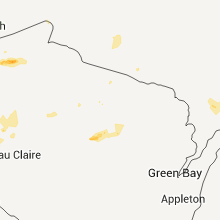
Hail Maps for Ontonagon, MI


Connect with Interactive Hail Maps