

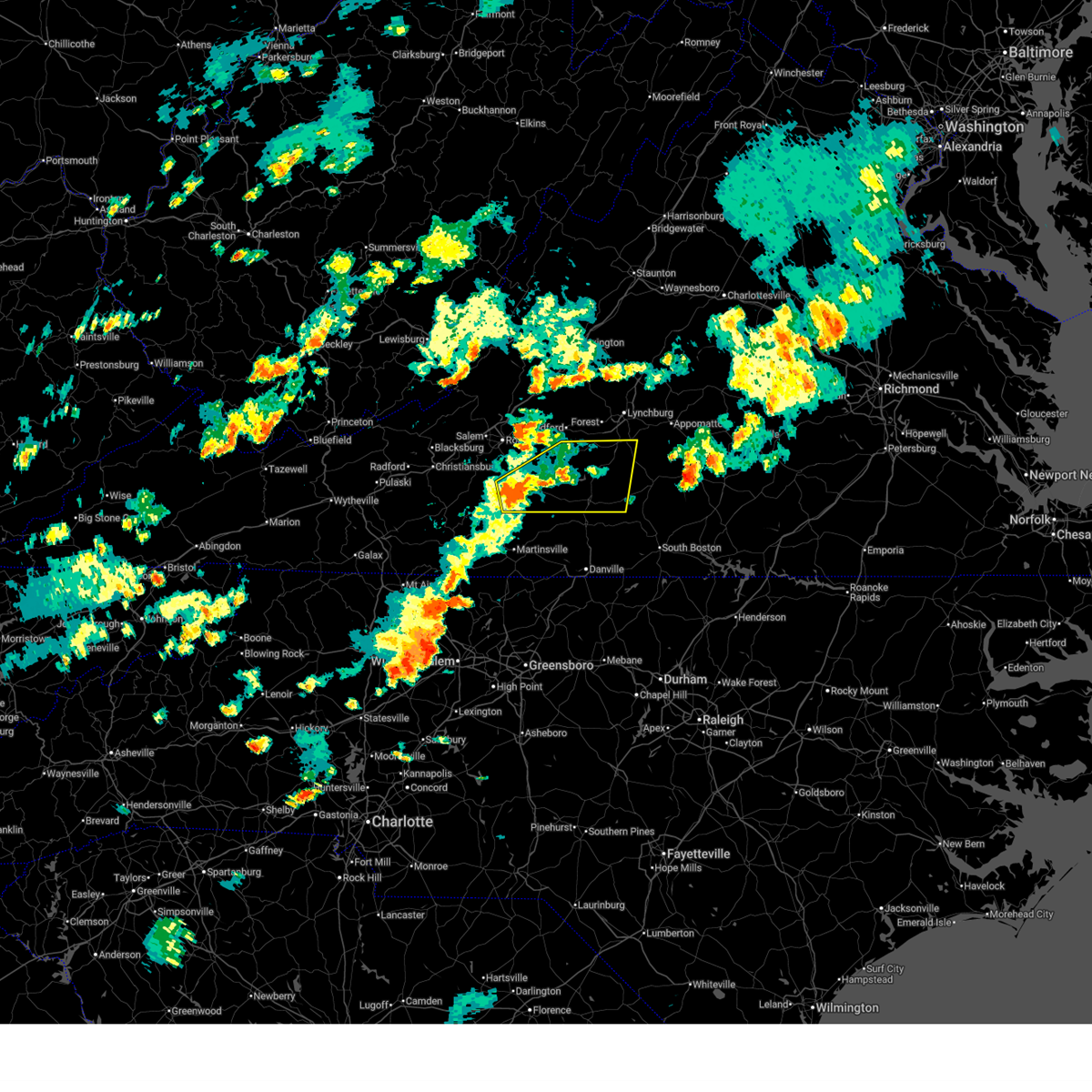
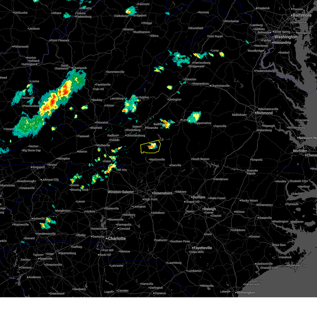
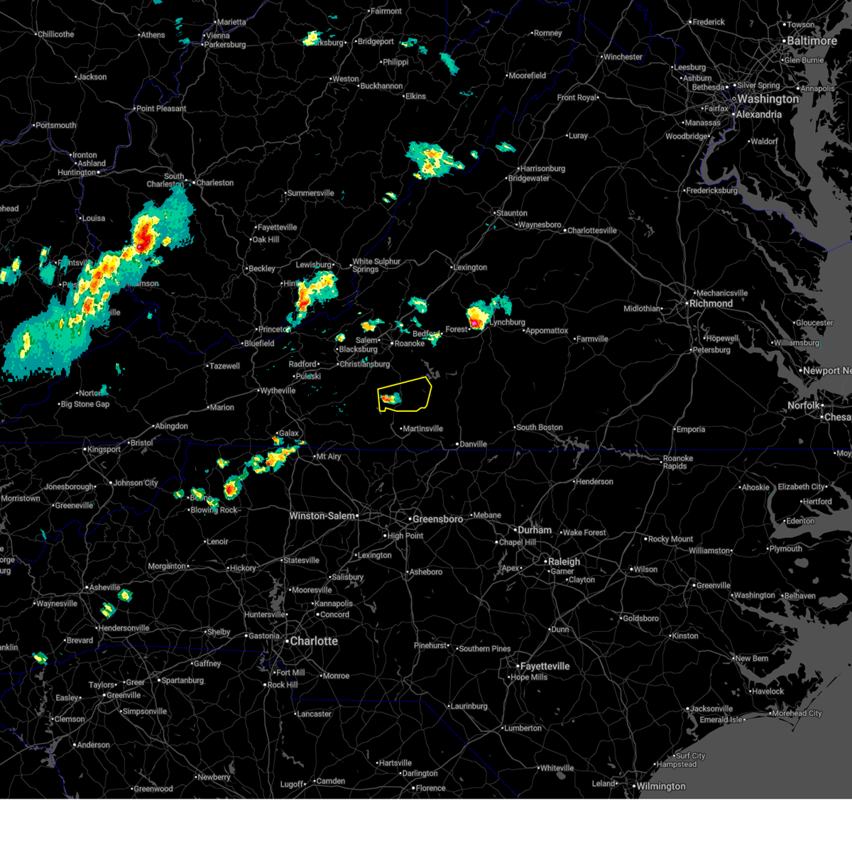
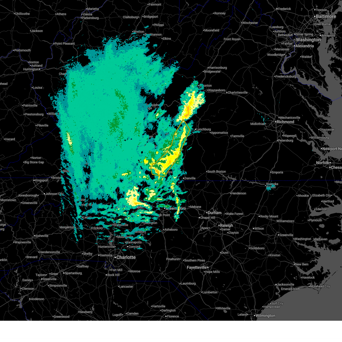
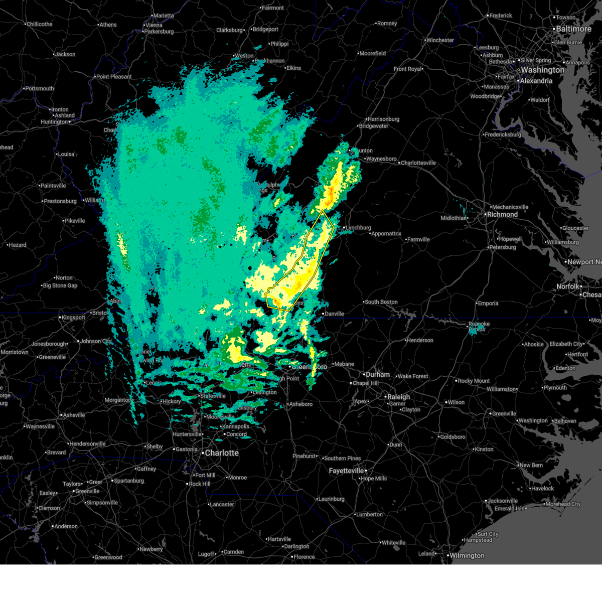
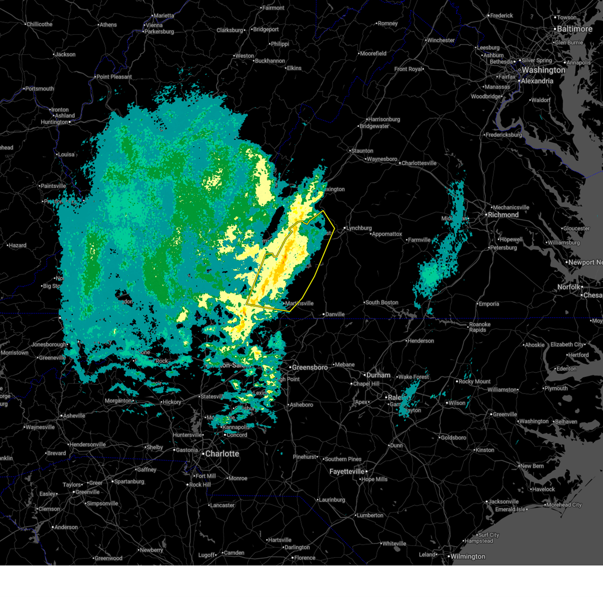
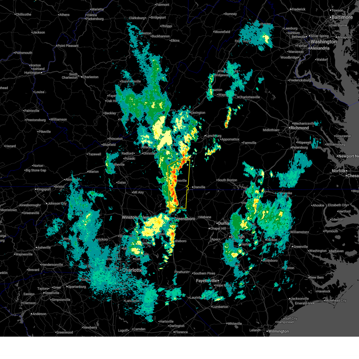
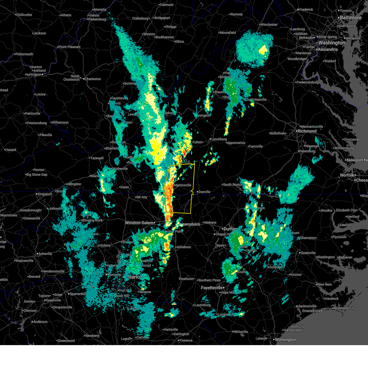
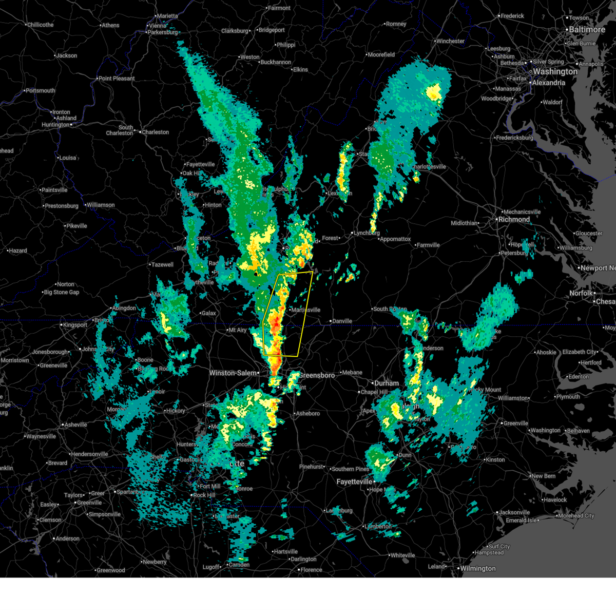
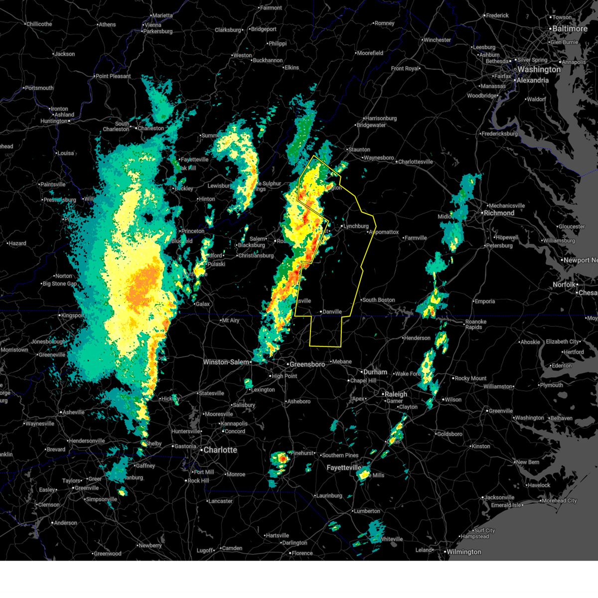
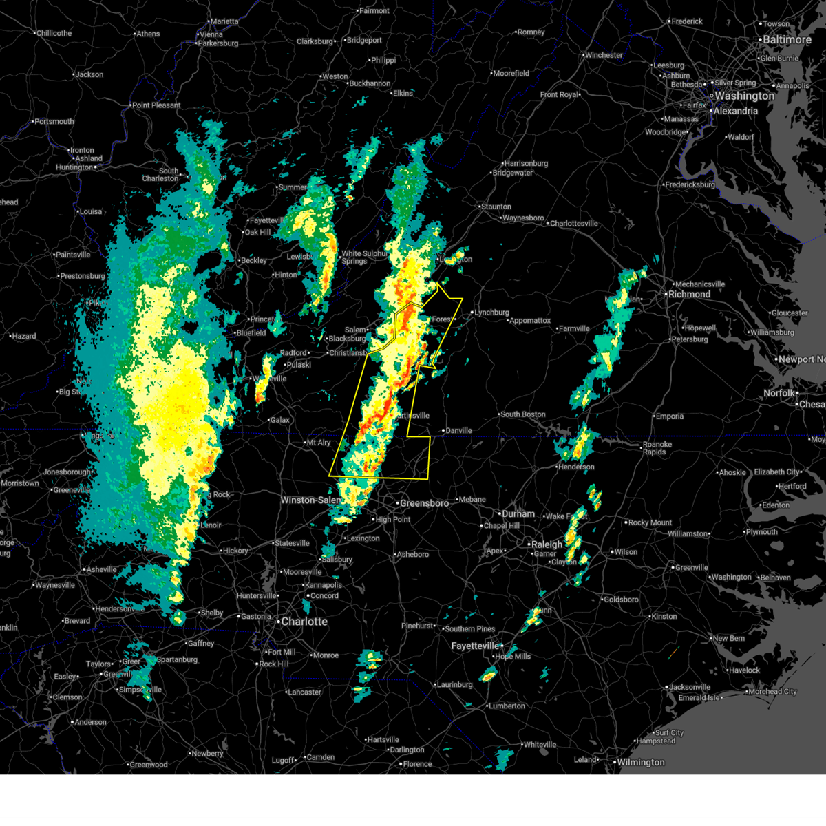
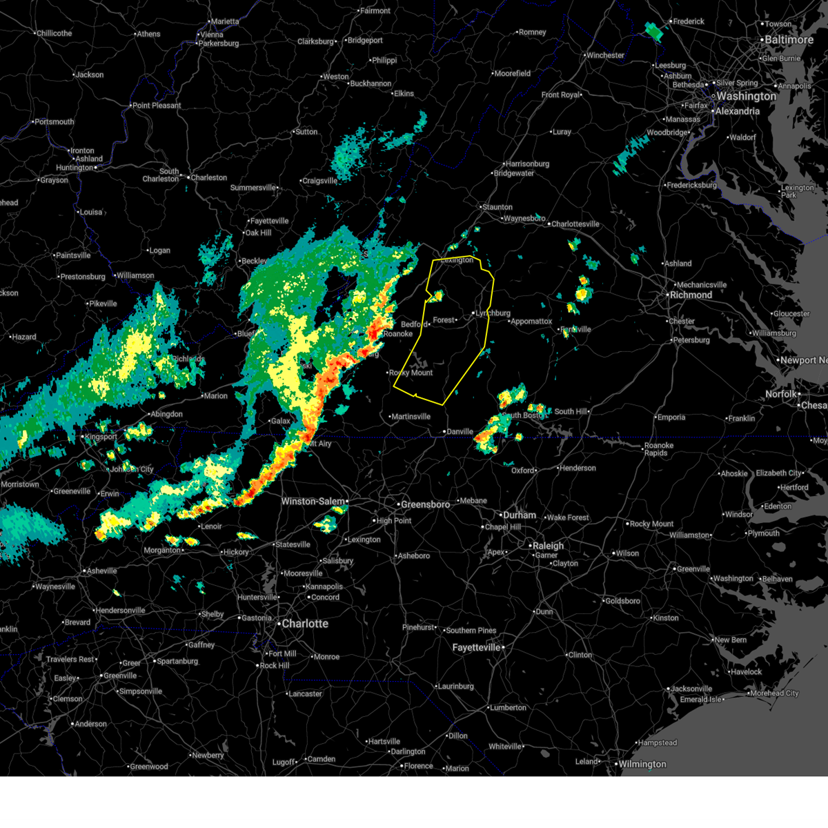
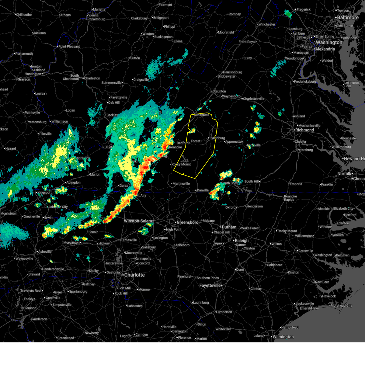
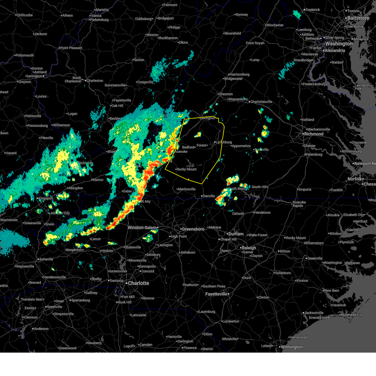
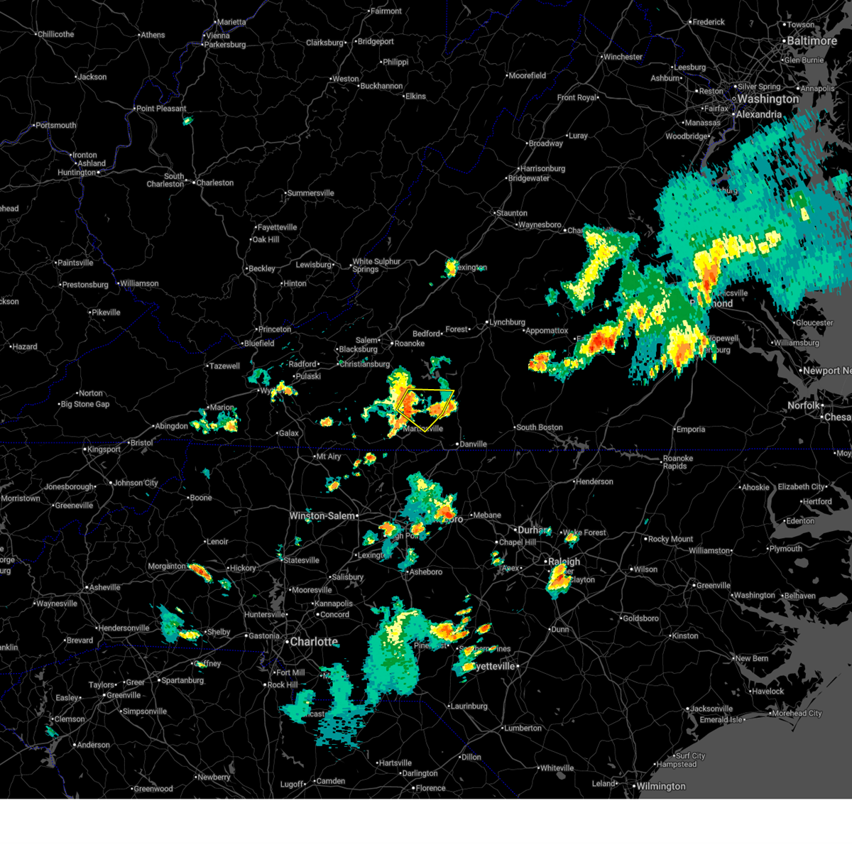
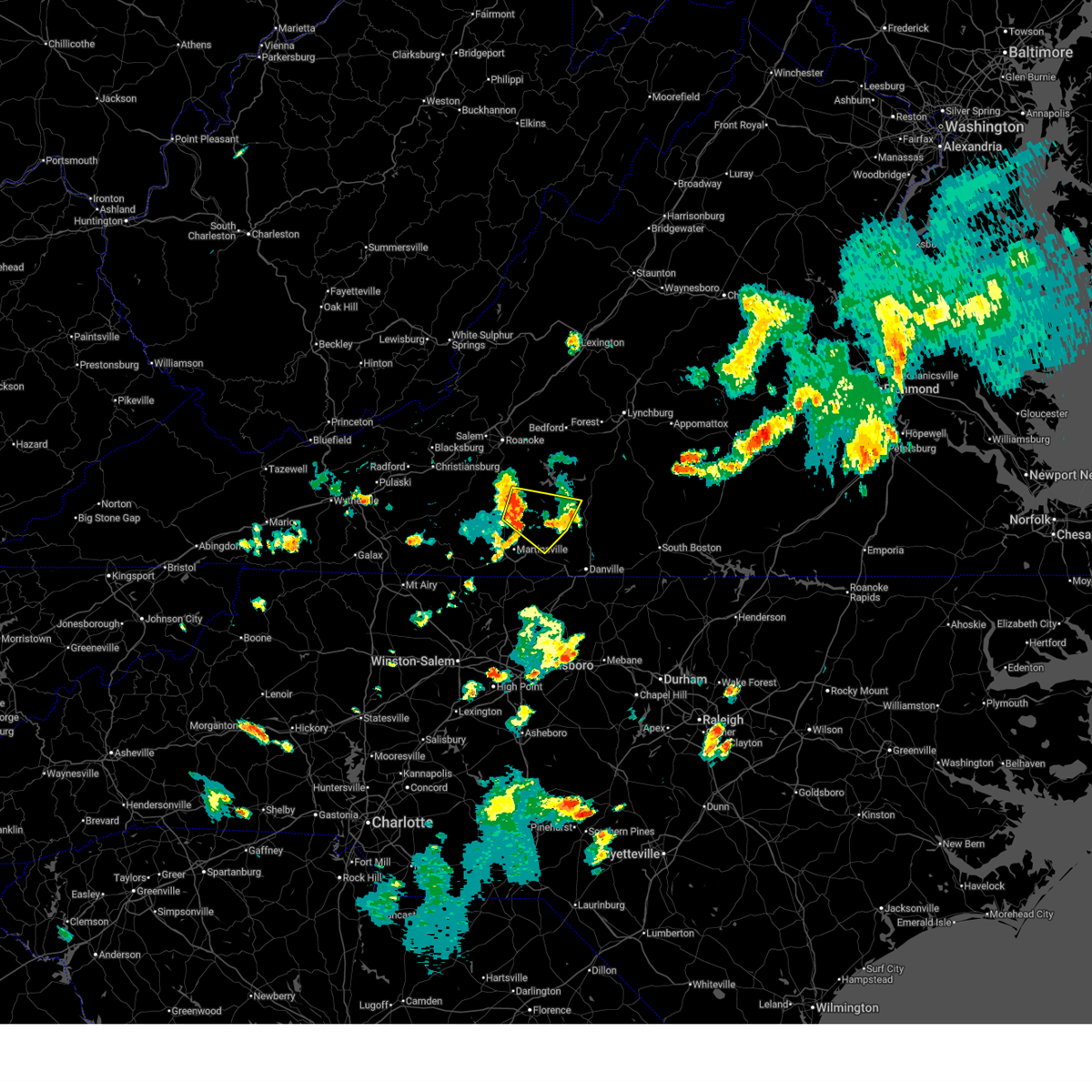
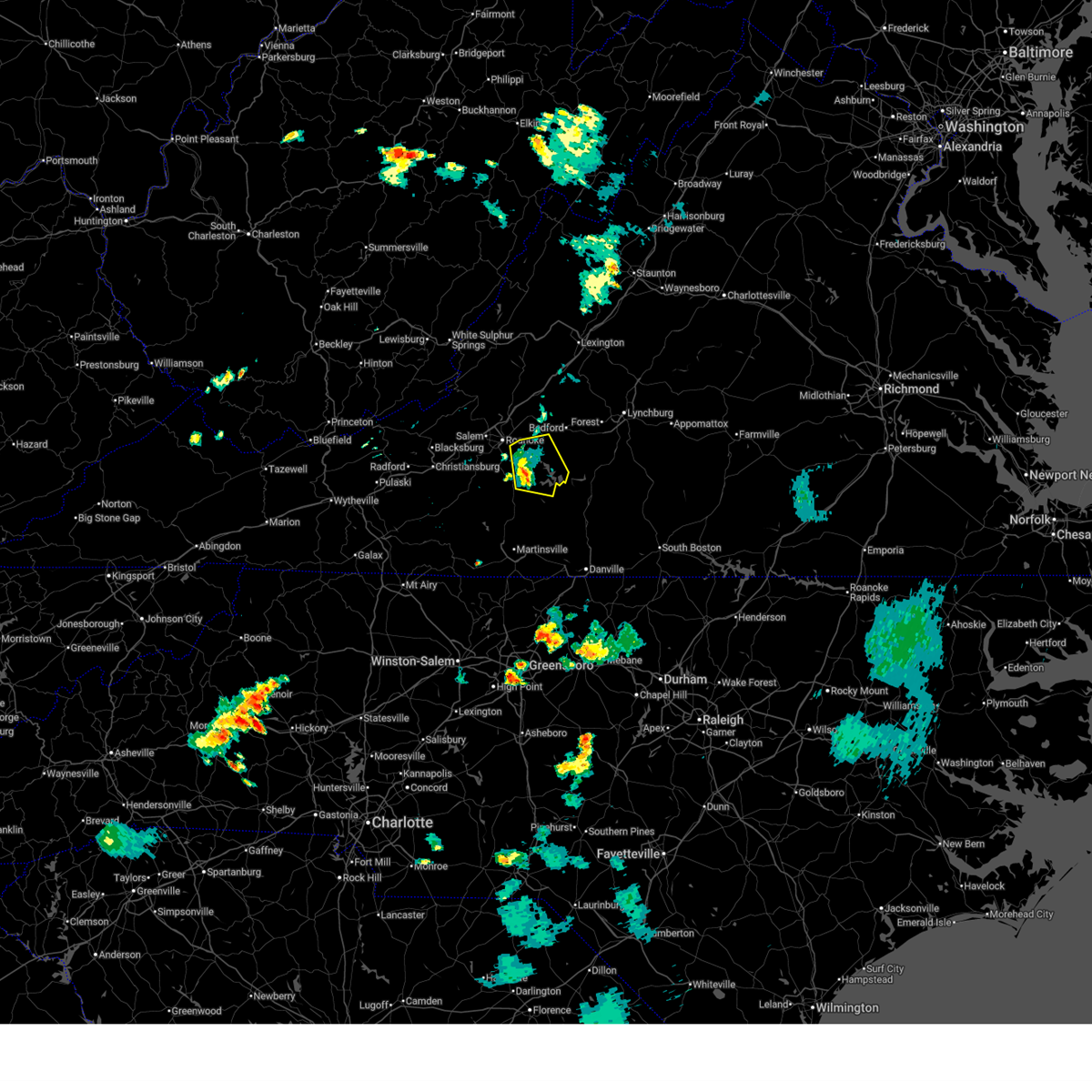
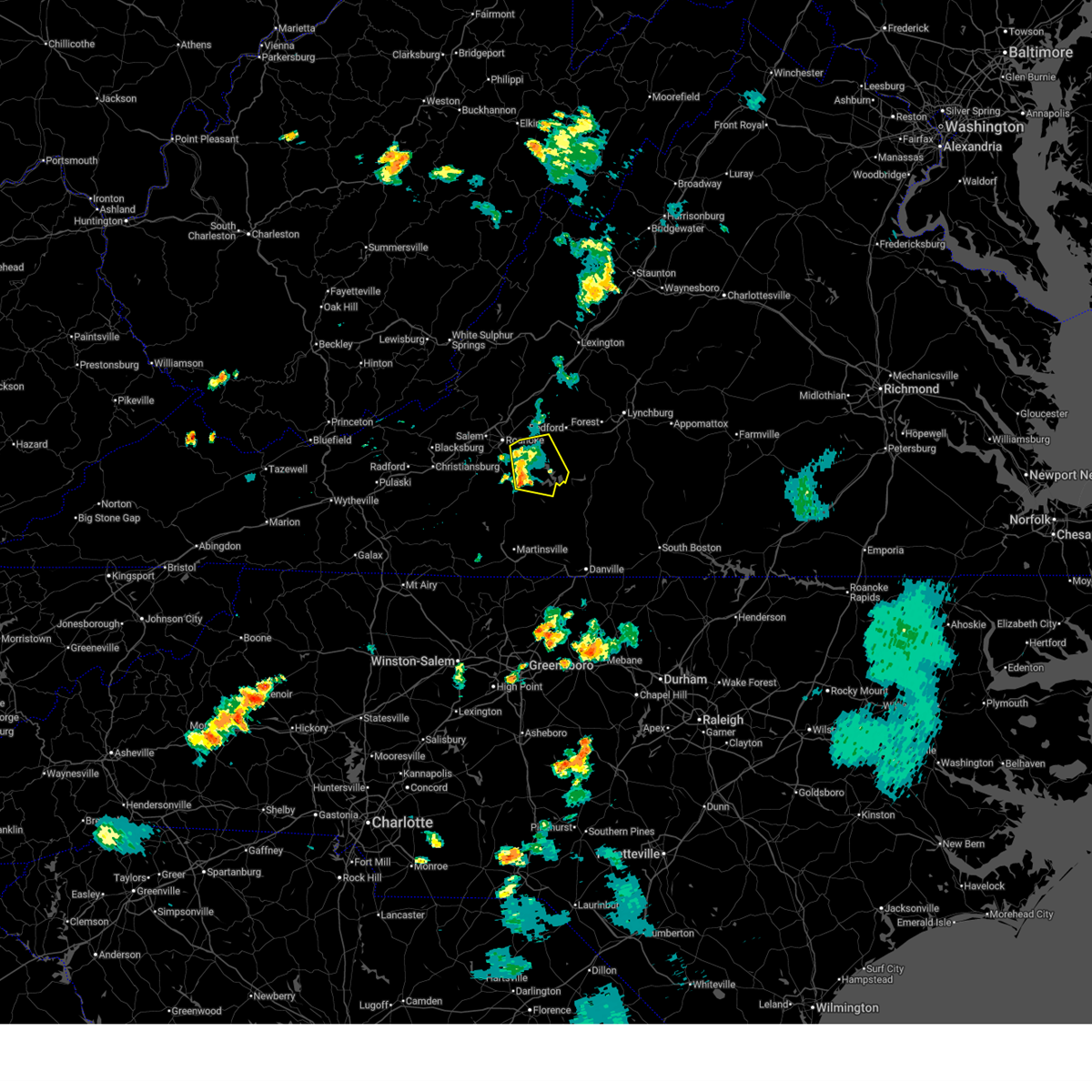
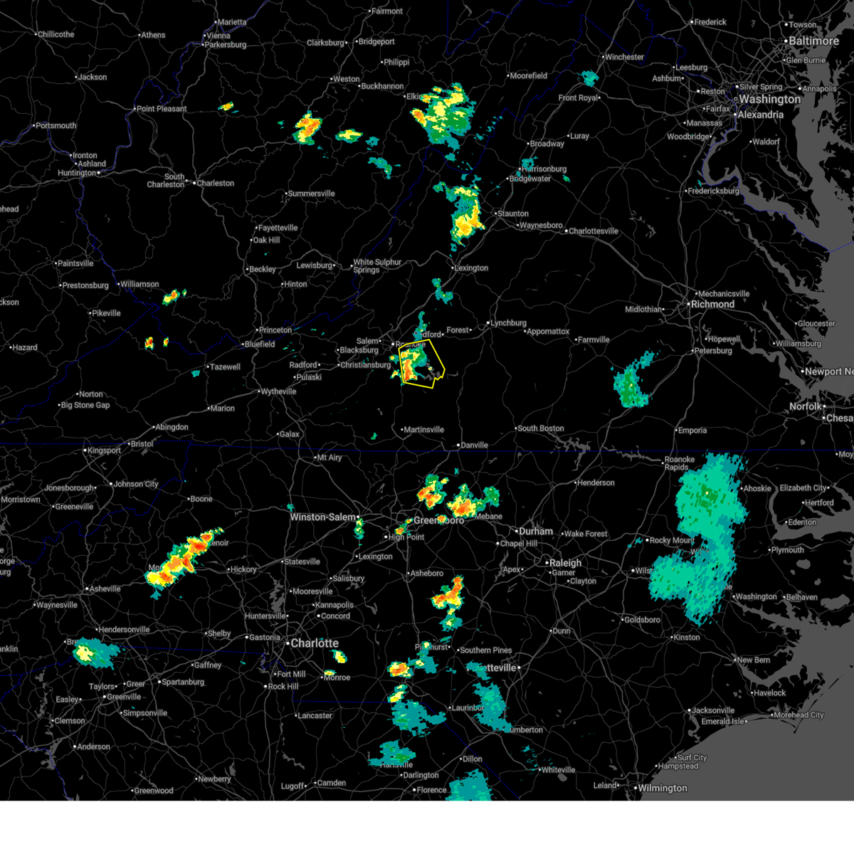
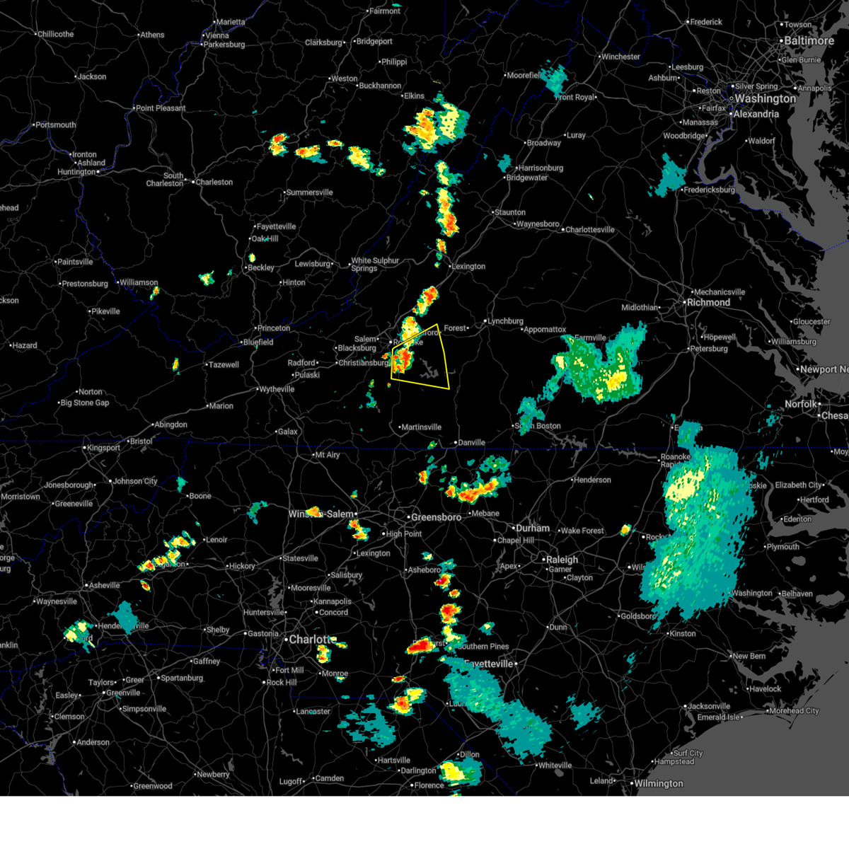
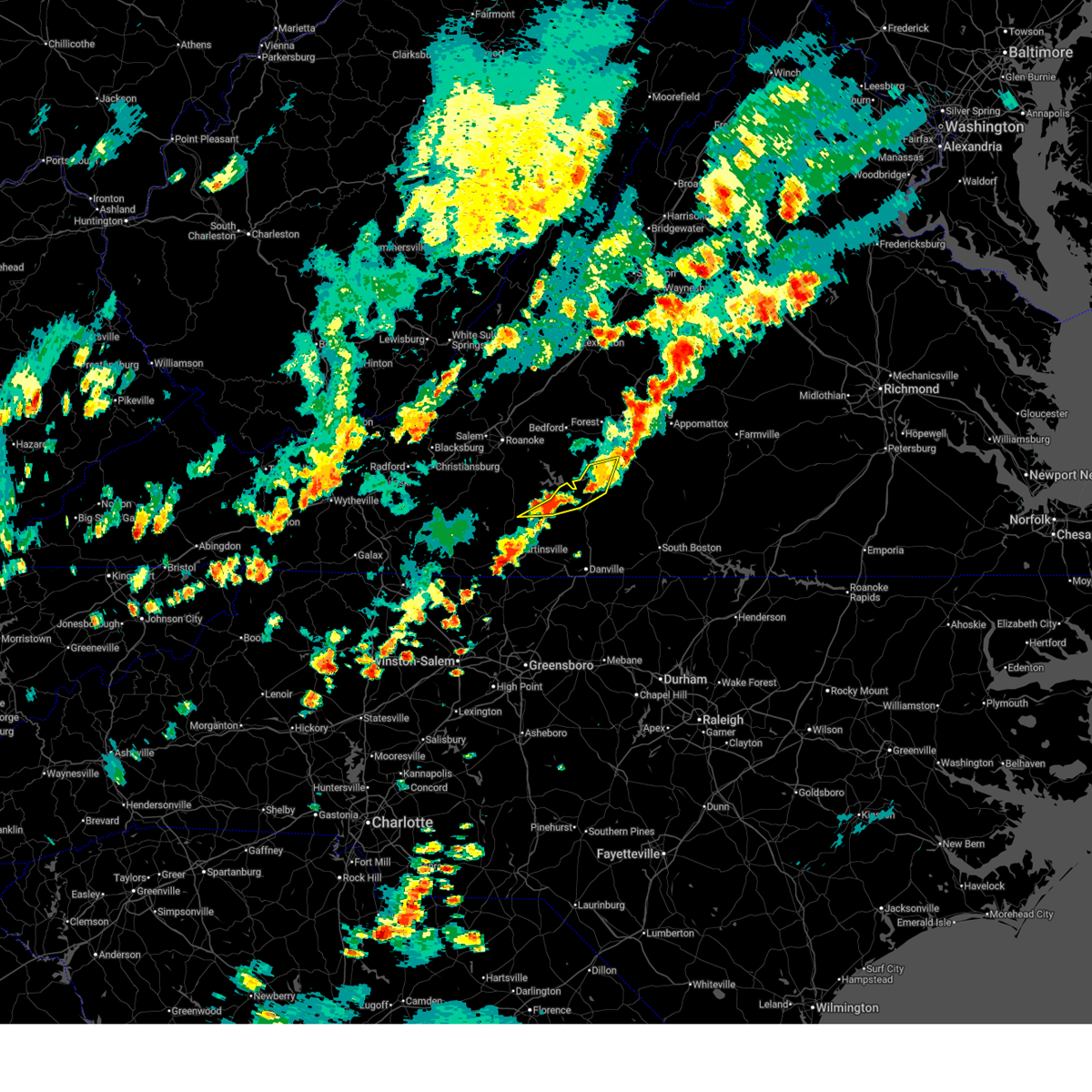
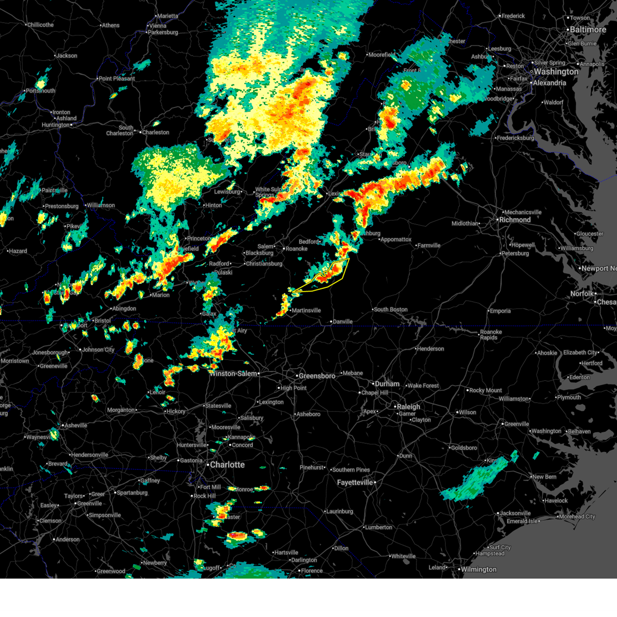
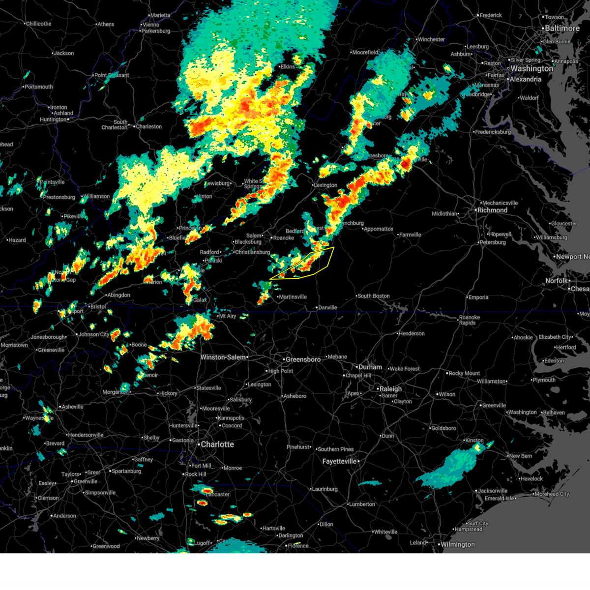
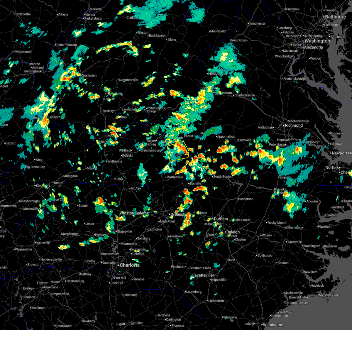
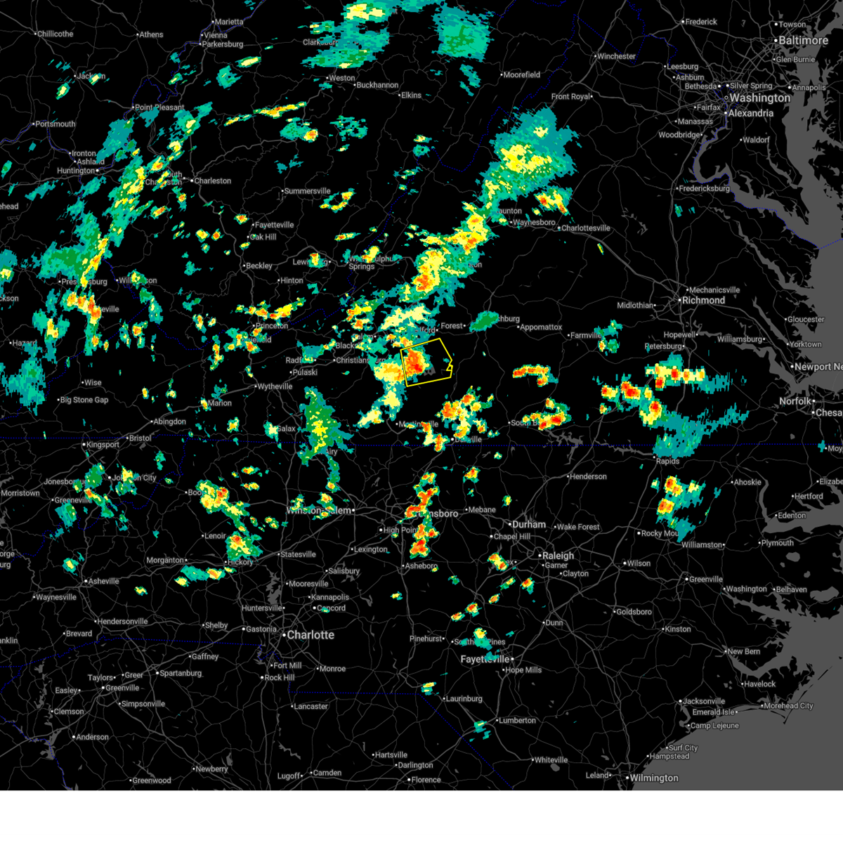
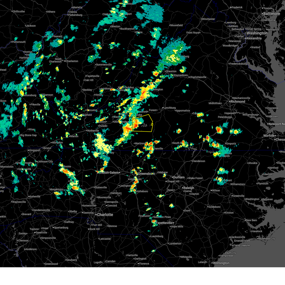
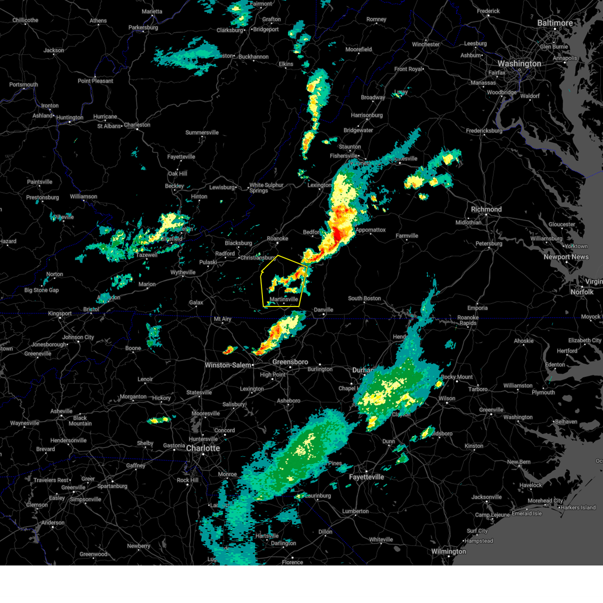
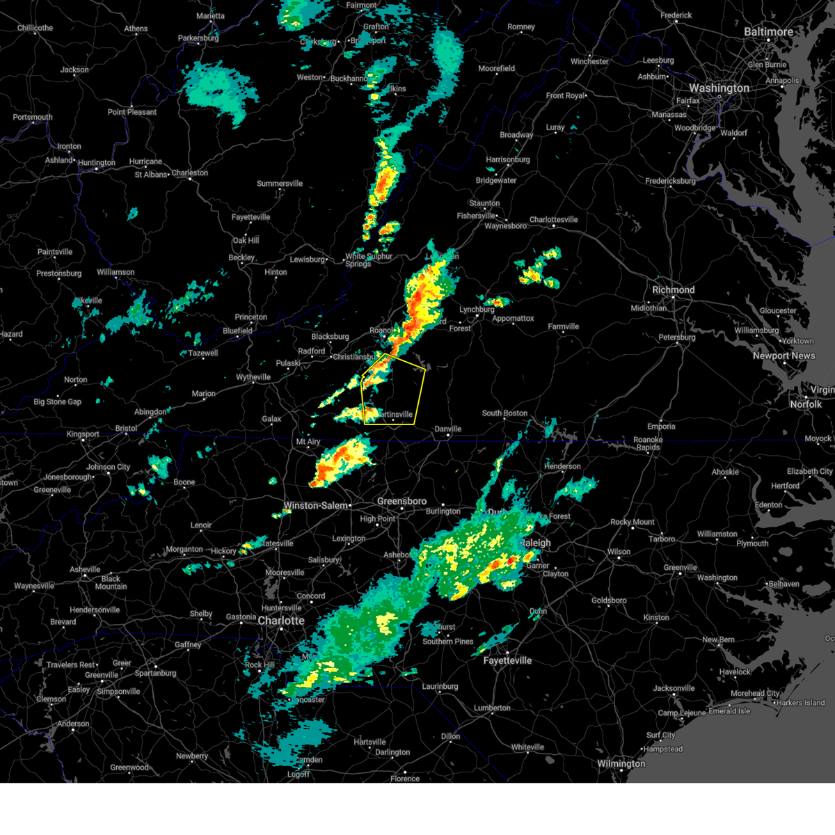
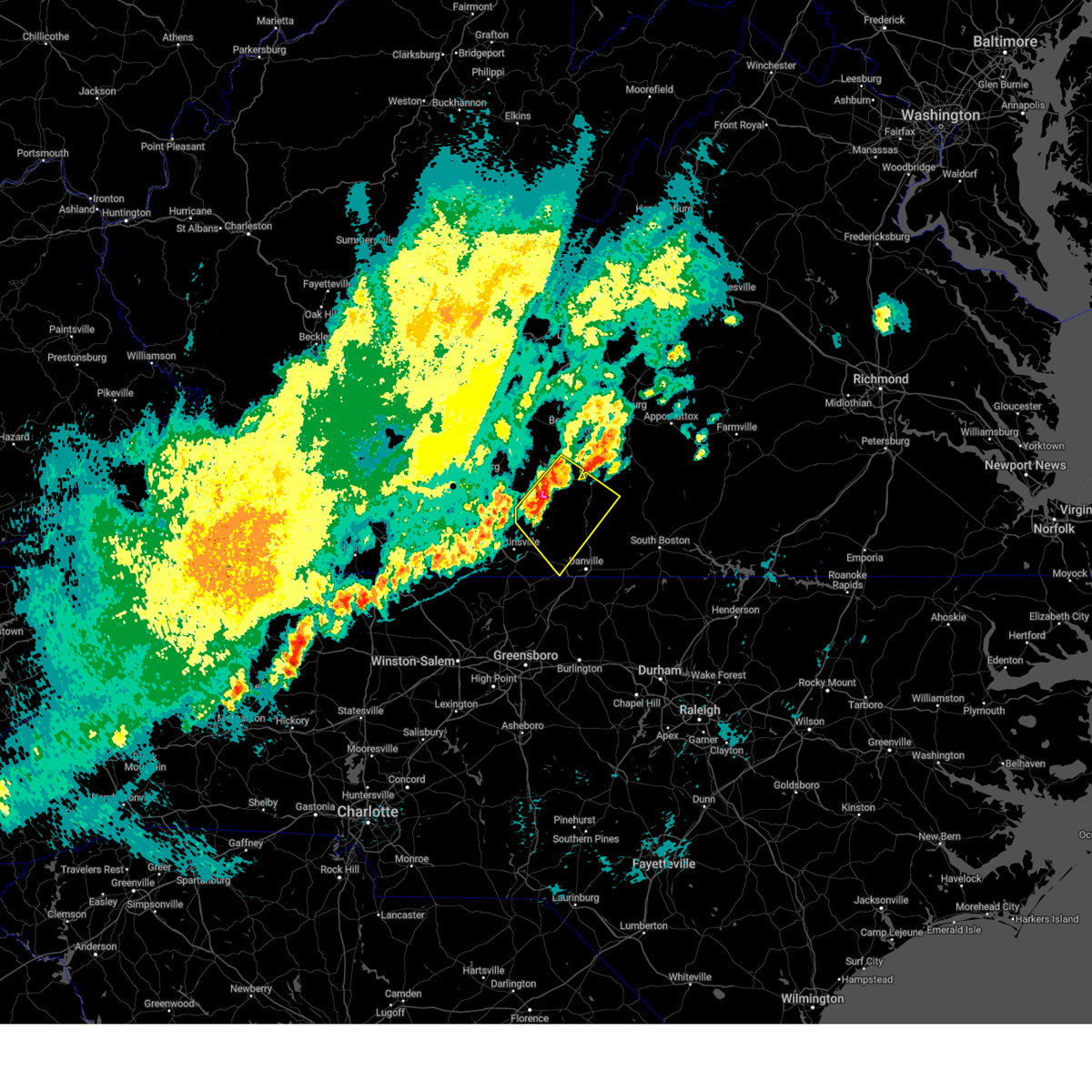
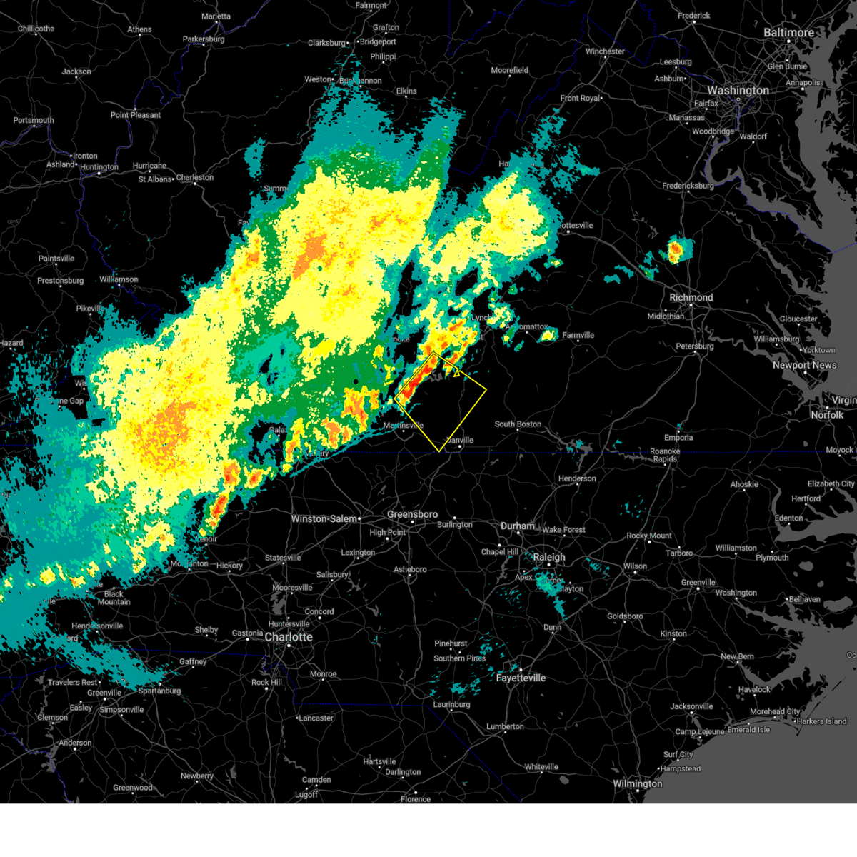
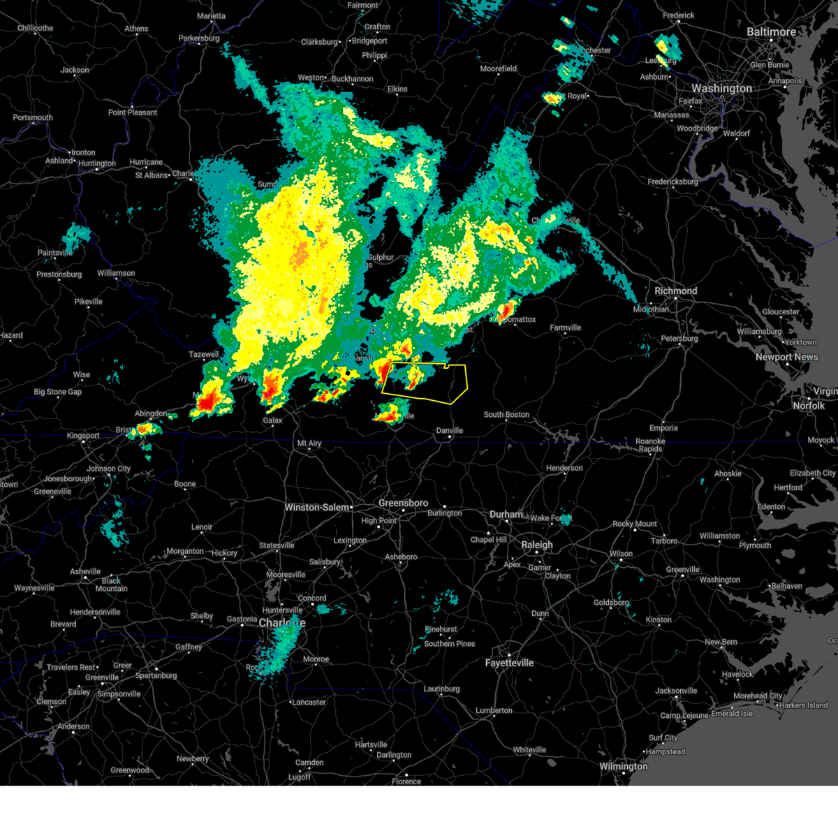
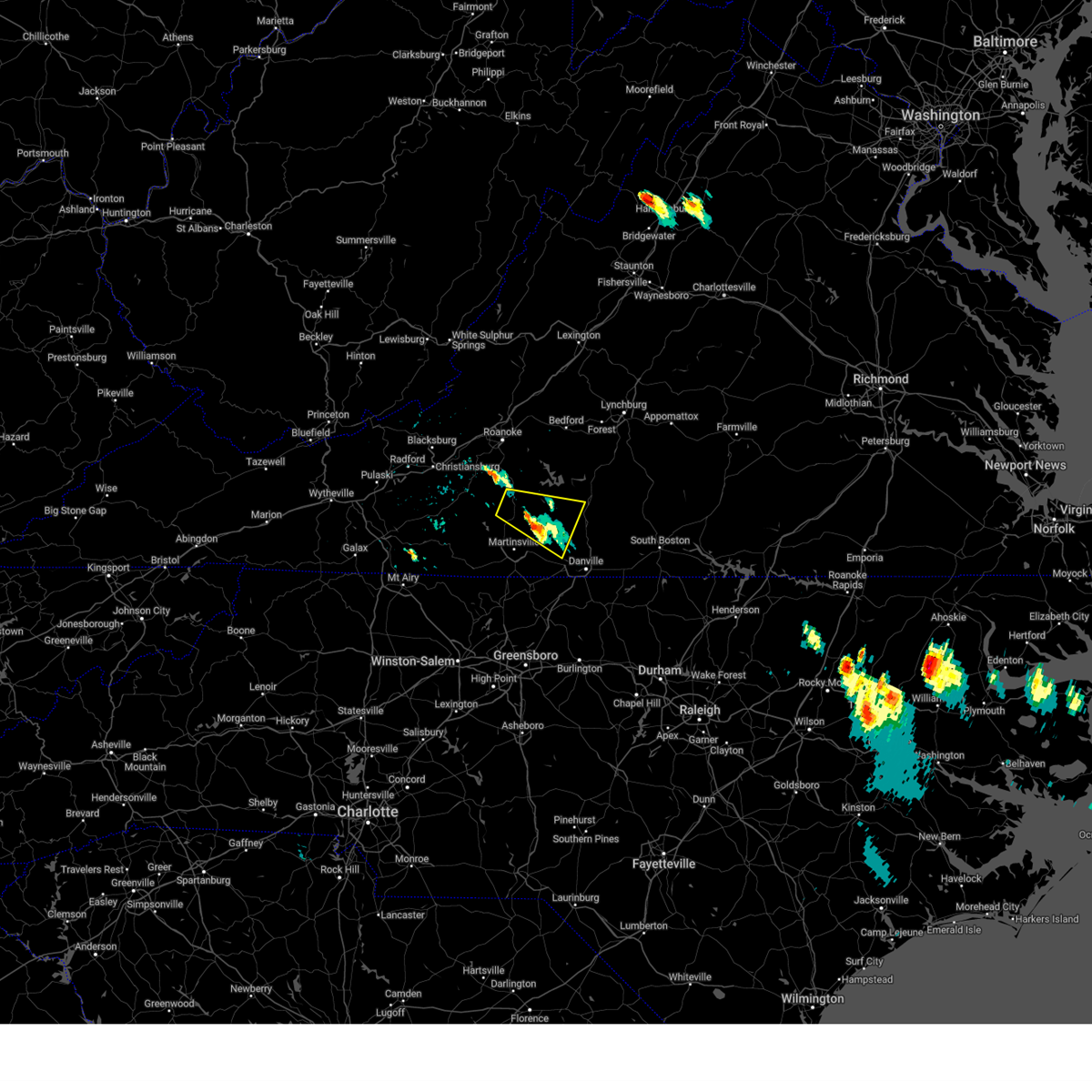
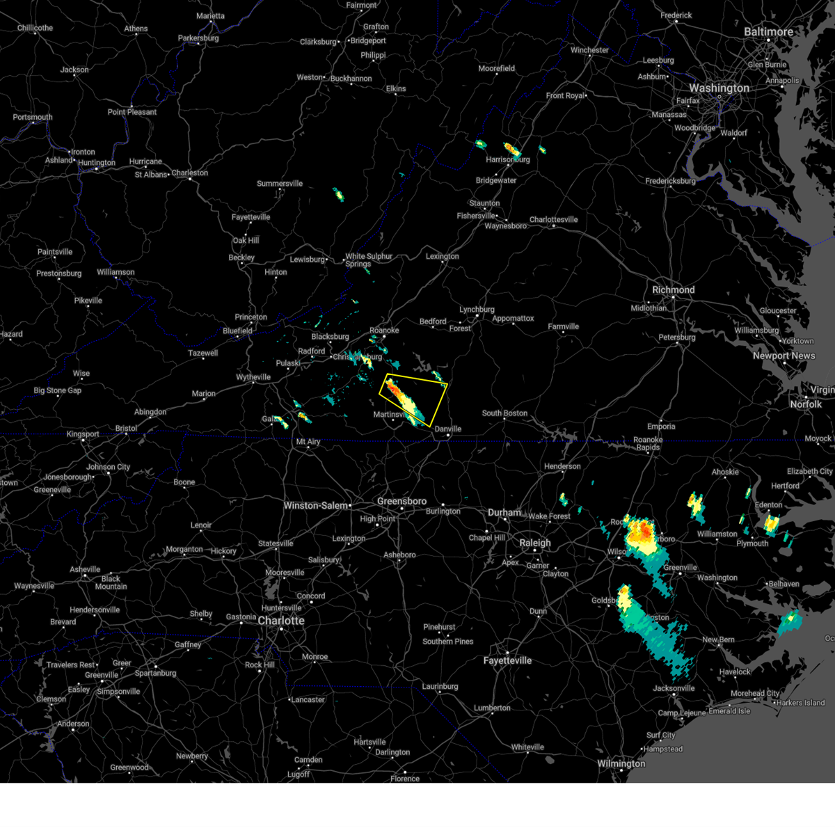
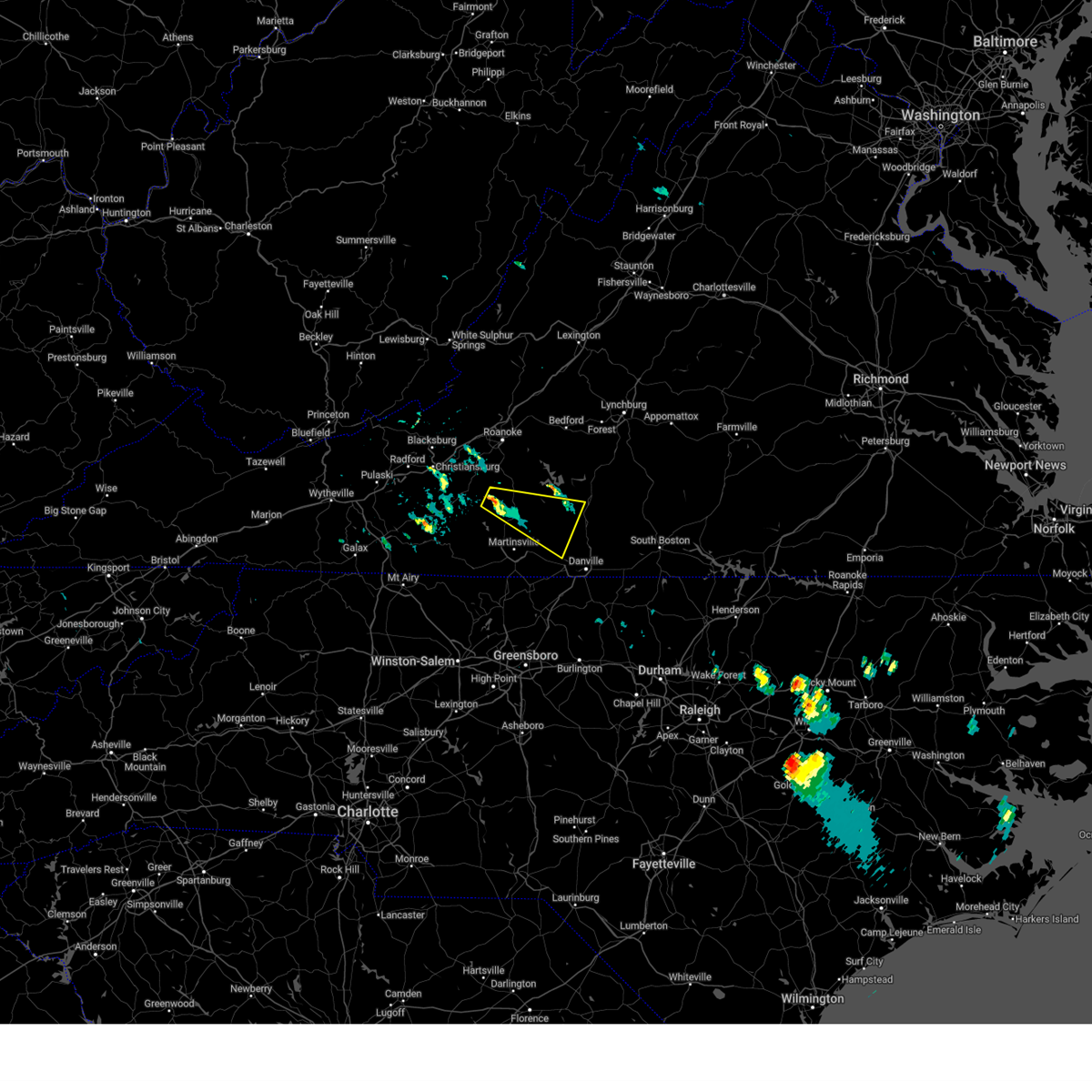
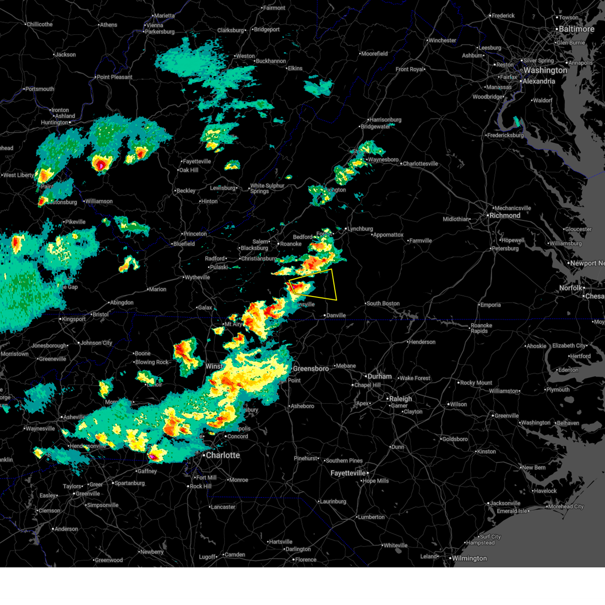
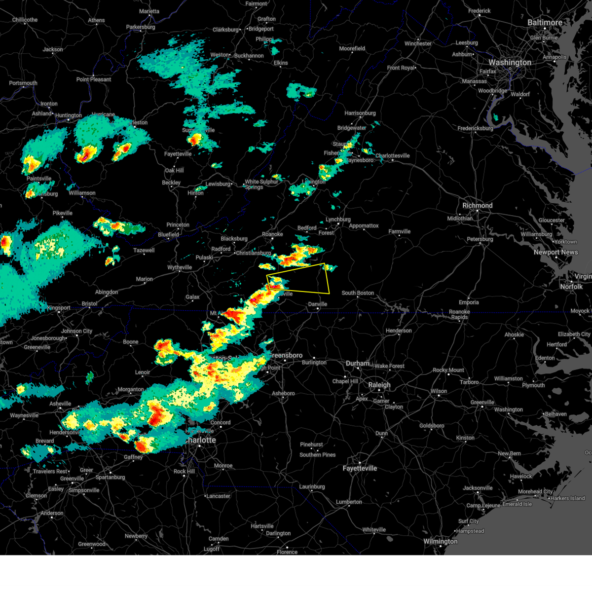
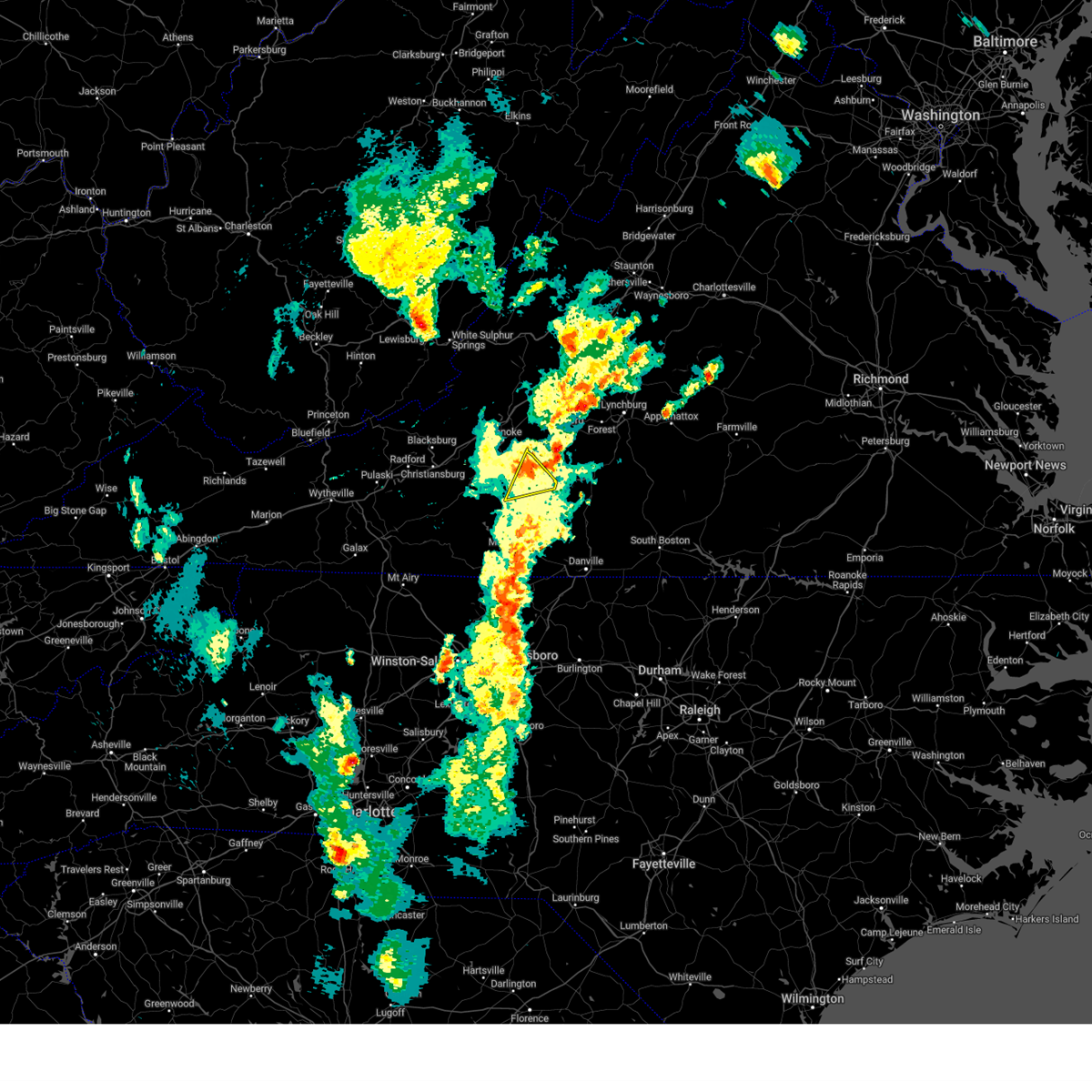
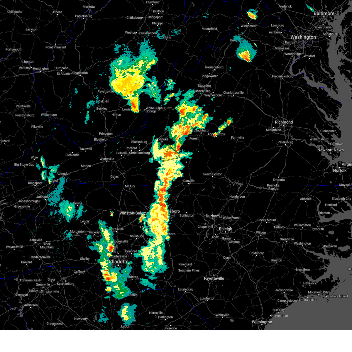
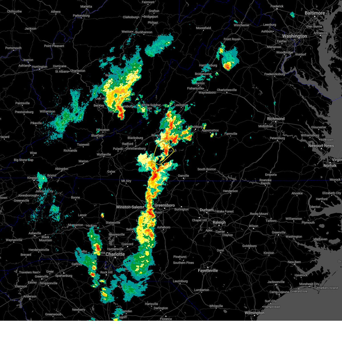
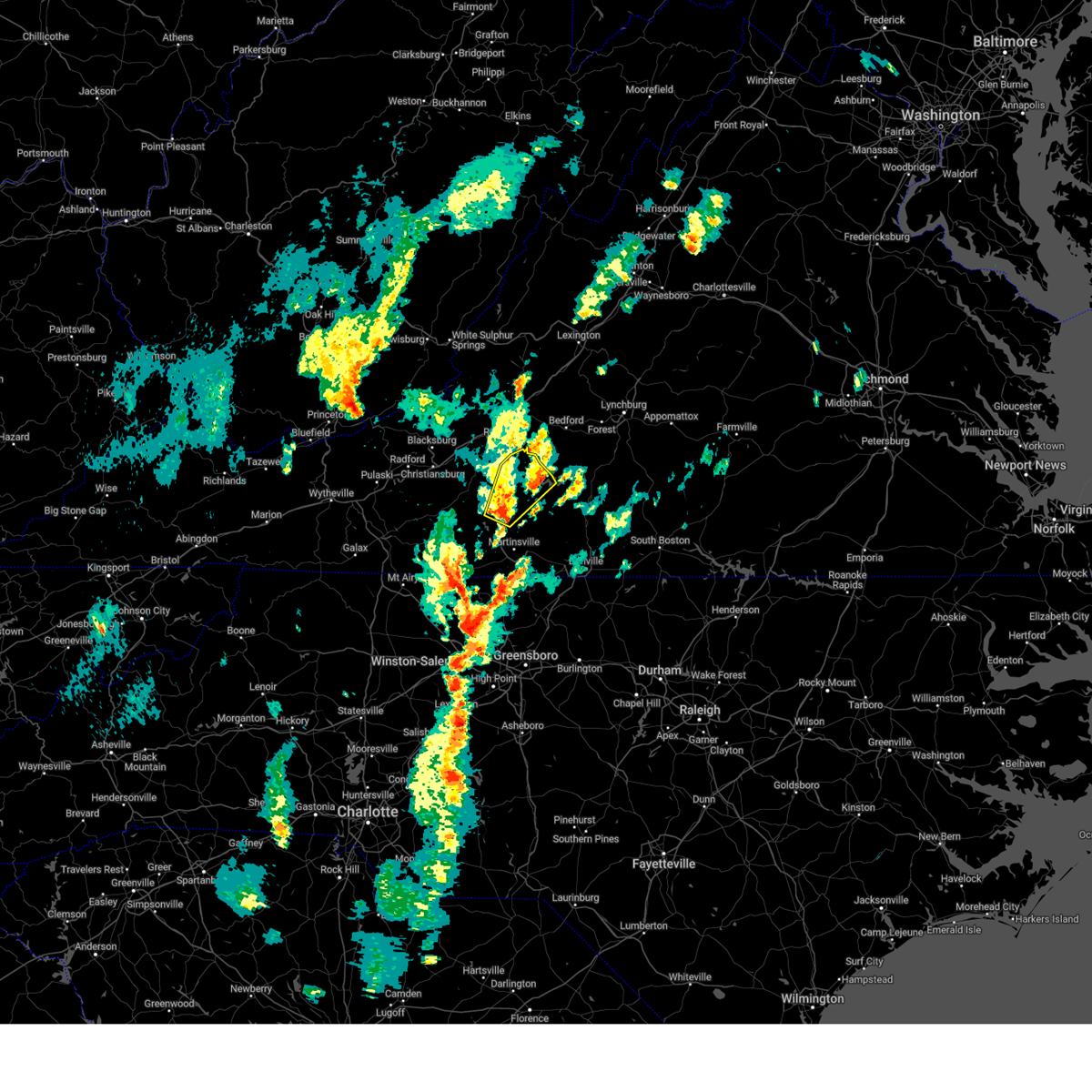
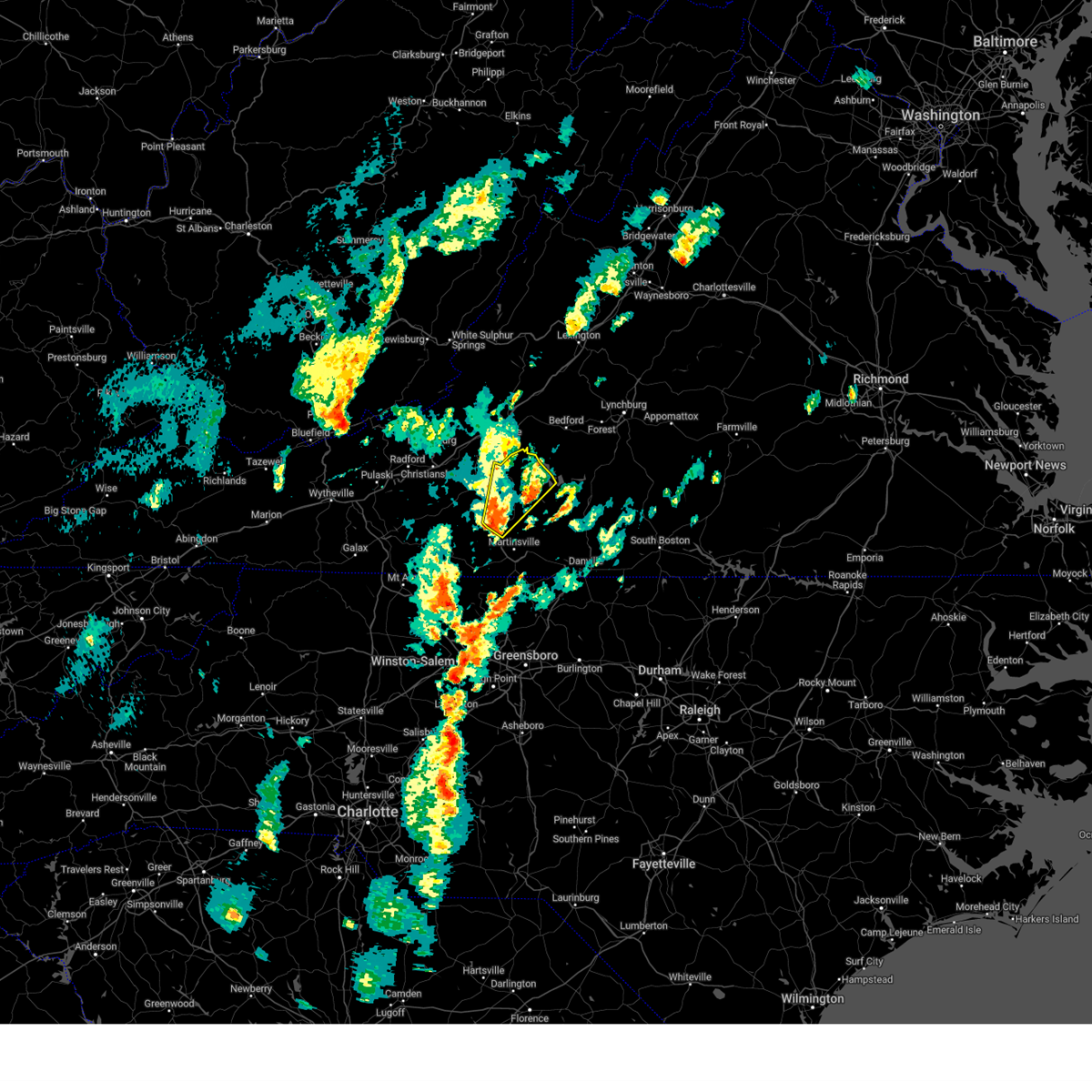
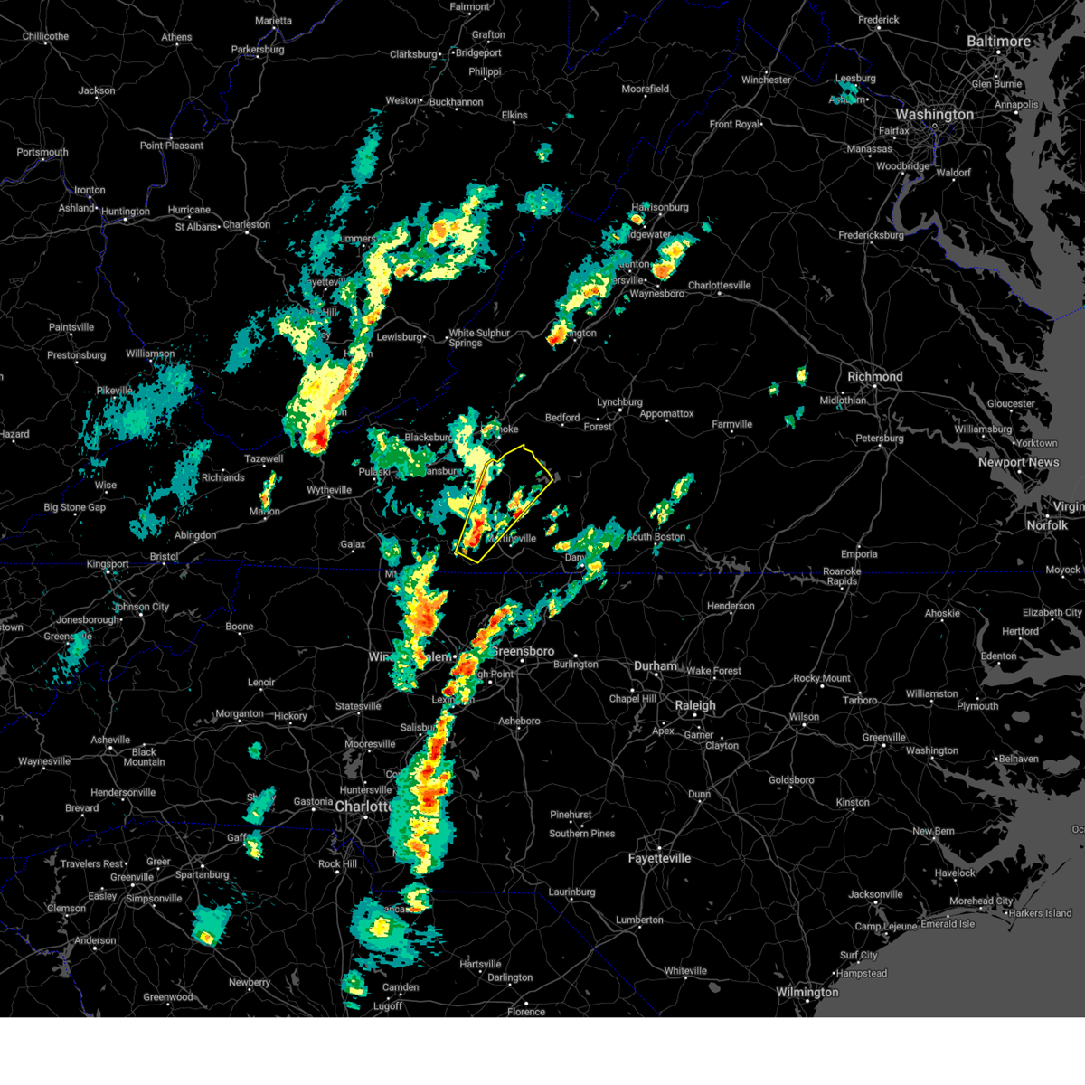
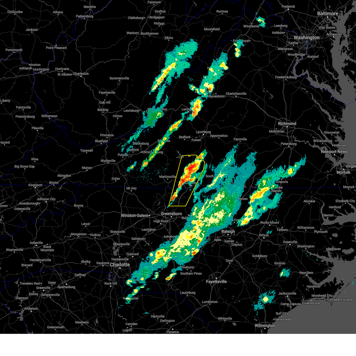
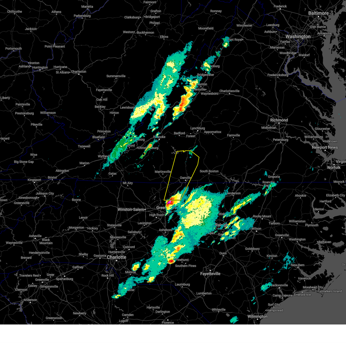
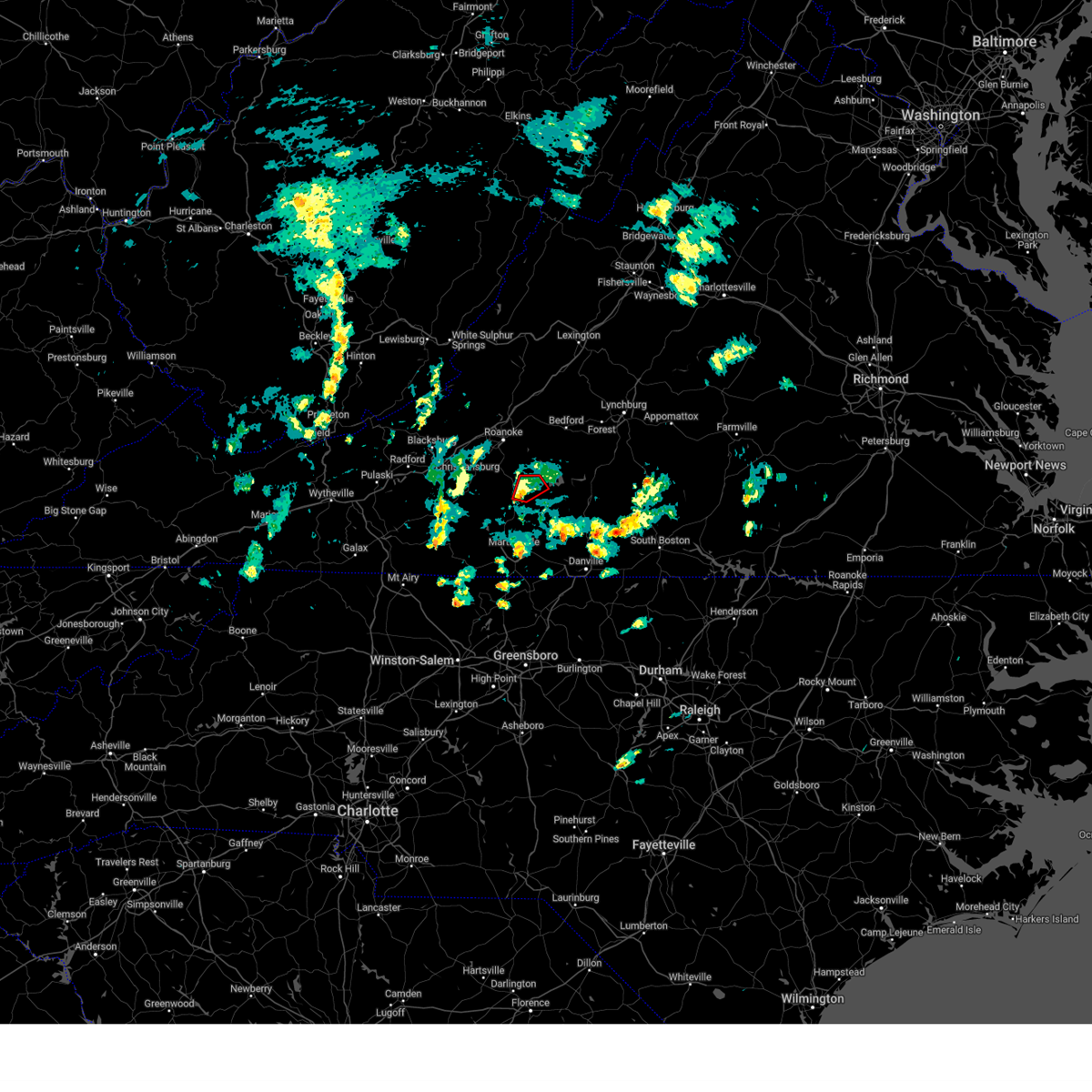
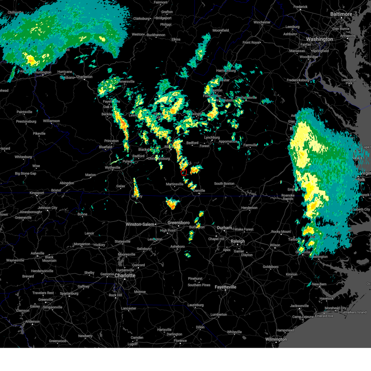
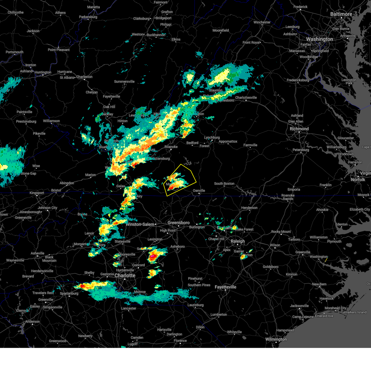
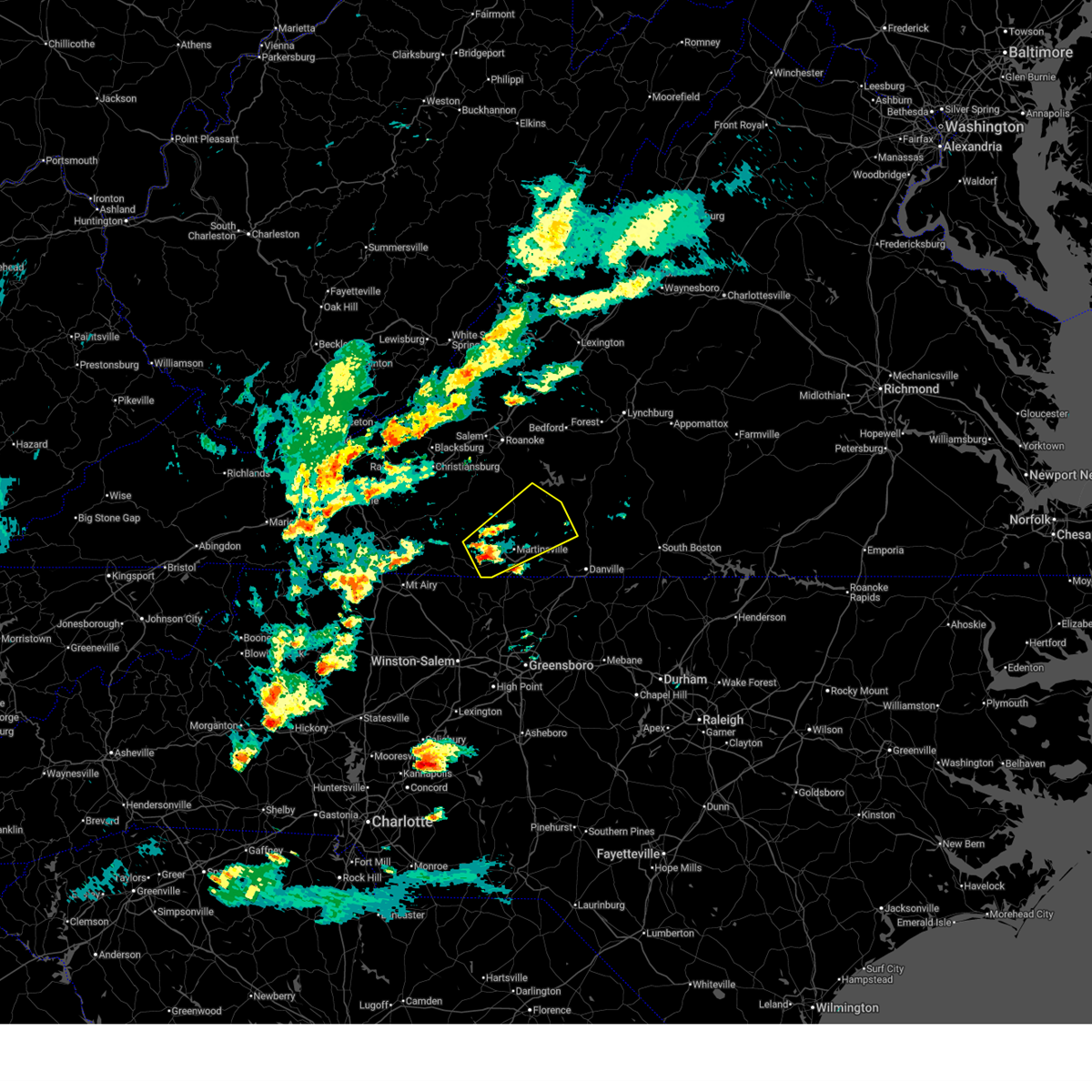
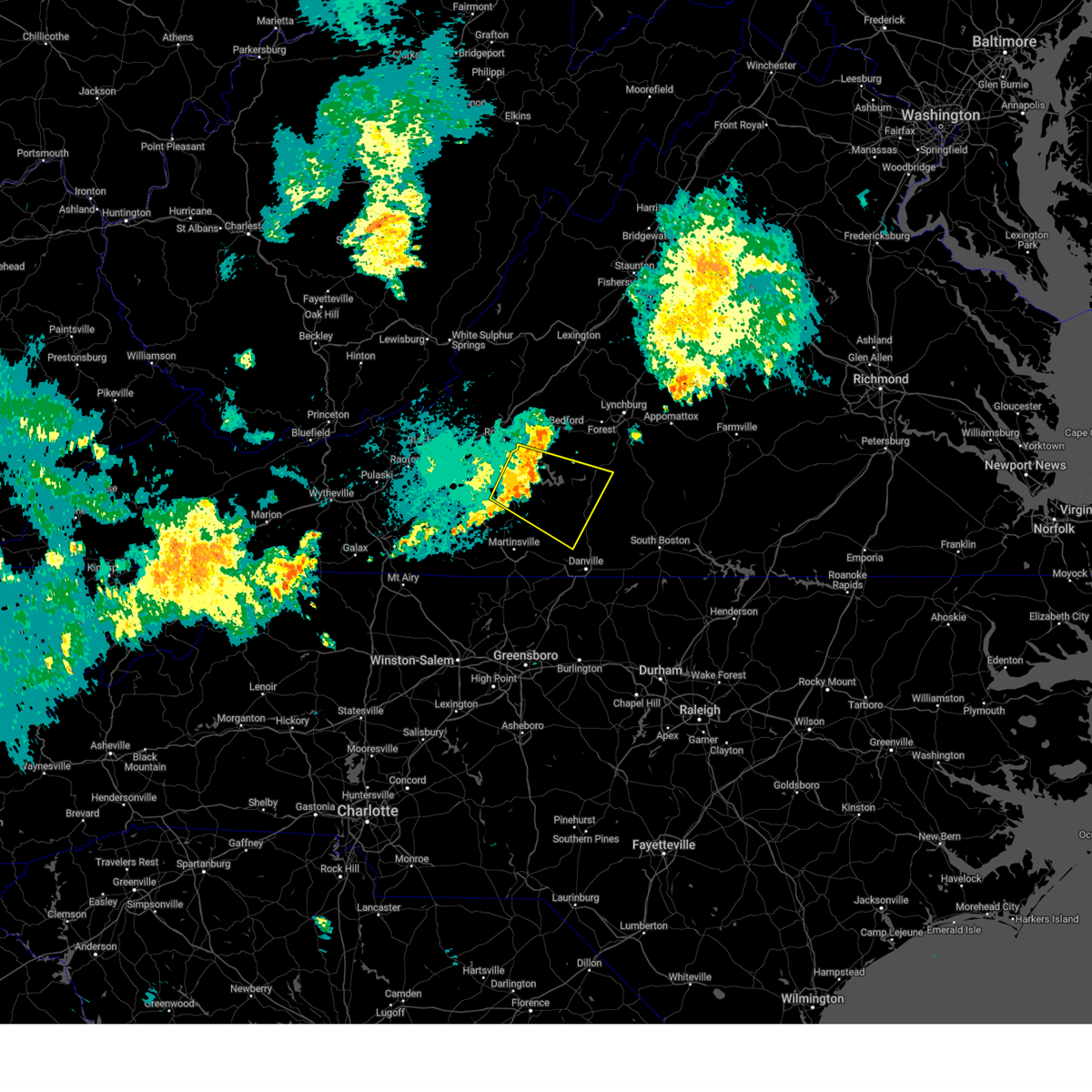
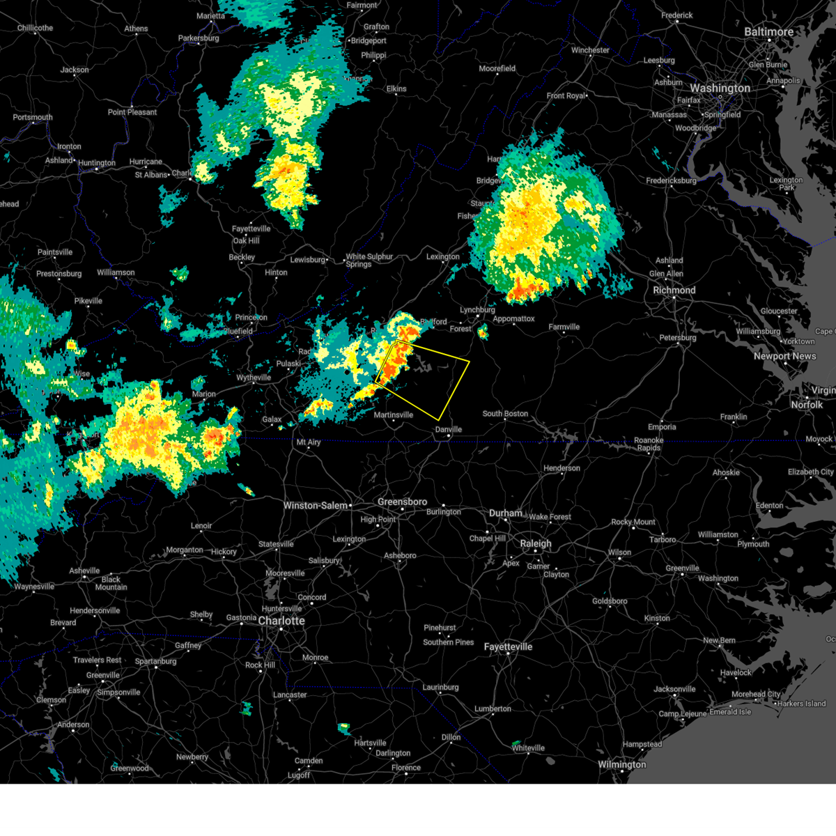
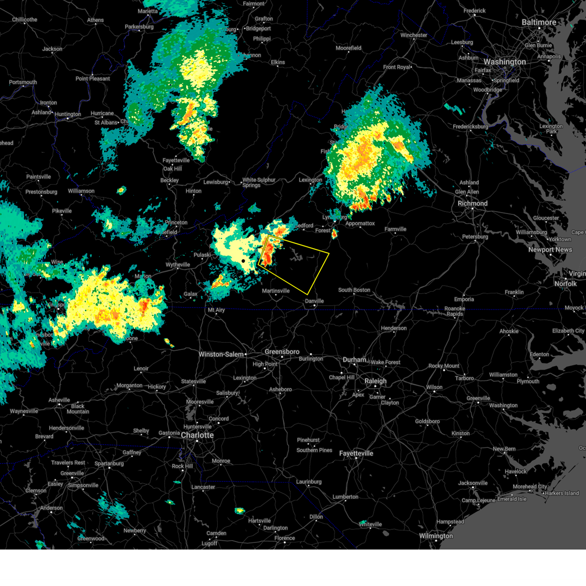
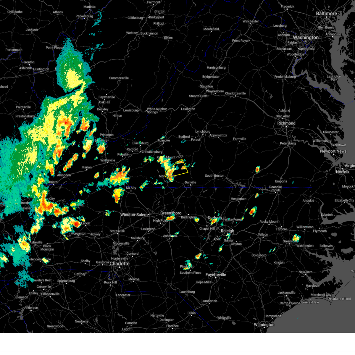
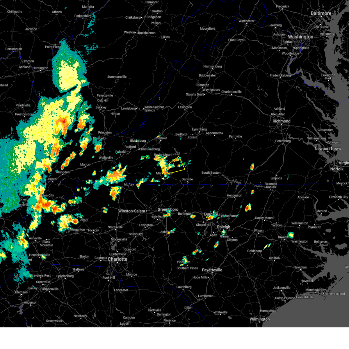
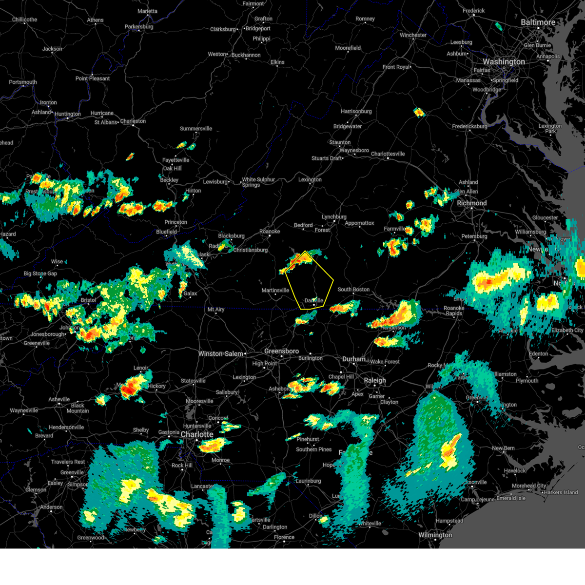
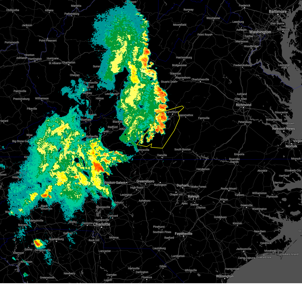
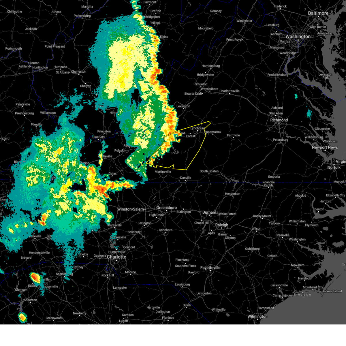
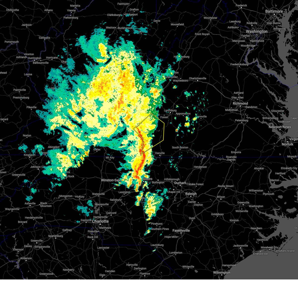
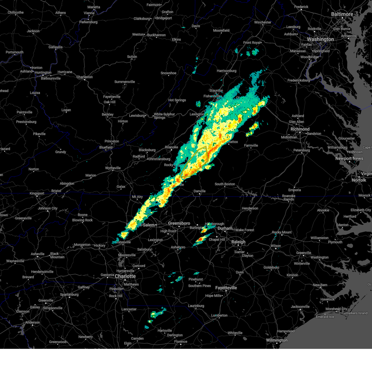
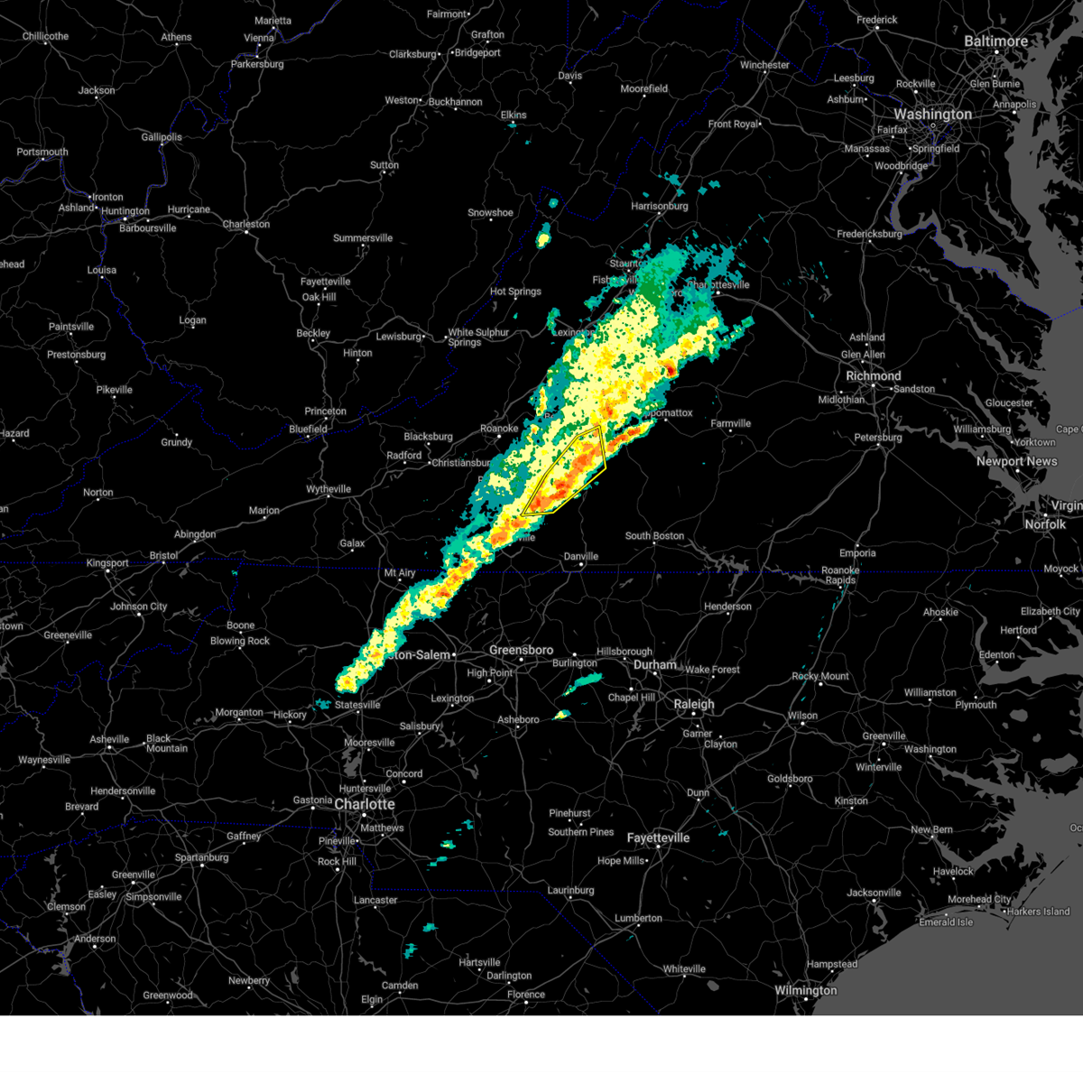
Hail Map for Penhook, VA
The Penhook, VA area has had 2 reports of on-the-ground hail by trained spotters, and has been under severe weather warnings 33 times during the past 12 months. Doppler radar has detected hail at or near Penhook, VA on 51 occasions, including 1 occasion during the past year.
| Name: | Penhook, VA |
| Where Located: | 26.2 miles SE of Roanoke, VA |
| Map: | Google Map for Penhook, VA |
| Population: | 801 |
| Housing Units: | 961 |
| More Info: | Search Google for Penhook, VA |
1
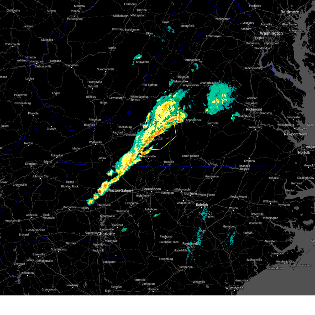
The Top Recent Hail Date for Penhook, VA is Sunday, July 5, 2026 (18th out of 51)

Hail and Wind Damage Spotted near Penhook, VA
| Date / Time | Report Details |
|---|---|
| 6/22/2026 6:14 PM EDT |
 Svrrnk the national weather service in blacksburg has issued a * severe thunderstorm warning for, southwestern campbell county in central virginia, northern pittsylvania county in south central virginia, southern bedford county in south central virginia, northeastern franklin county in west central virginia, * until 700 pm edt. * at 614 pm edt, a severe thunderstorm was located over western smith mountain lake, or near penhook, moving east at 50 mph (radar indicated). Hazards include 60 mph wind gusts. expect damage to roofs, siding, and trees Svrrnk the national weather service in blacksburg has issued a * severe thunderstorm warning for, southwestern campbell county in central virginia, northern pittsylvania county in south central virginia, southern bedford county in south central virginia, northeastern franklin county in west central virginia, * until 700 pm edt. * at 614 pm edt, a severe thunderstorm was located over western smith mountain lake, or near penhook, moving east at 50 mph (radar indicated). Hazards include 60 mph wind gusts. expect damage to roofs, siding, and trees
|
| 5/27/2026 2:15 PM EDT | Tree downed by thunderstorm winds near the intersection of liberty road and smith mountain road... and blocked the roadwa in pittsylvania county VA, 2.3 miles W of Penhook, VA |
| 4/1/2026 3:22 PM EDT |
 the severe thunderstorm warning has been cancelled and is no longer in effect the severe thunderstorm warning has been cancelled and is no longer in effect
|
| 4/1/2026 2:52 PM EDT |
 Svrrnk the national weather service in blacksburg has issued a * severe thunderstorm warning for, southeastern franklin county in west central virginia, * until 345 pm edt. * at 252 pm edt, a severe thunderstorm was located near ferrum, moving east at 15 mph (radar indicated). Hazards include 60 mph wind gusts and quarter size hail. Hail damage to vehicles is expected. Expect wind damage to roofs, siding, and trees. Svrrnk the national weather service in blacksburg has issued a * severe thunderstorm warning for, southeastern franklin county in west central virginia, * until 345 pm edt. * at 252 pm edt, a severe thunderstorm was located near ferrum, moving east at 15 mph (radar indicated). Hazards include 60 mph wind gusts and quarter size hail. Hail damage to vehicles is expected. Expect wind damage to roofs, siding, and trees.
|
| 3/16/2026 6:03 PM EDT |
 At 602 pm edt, severe thunderstorms were located along a line extending from near smith mountain lake state park to near penhook to near sago to near figsboro, moving east at 25 mph (radar indicated). Hazards include 60 mph wind gusts. Expect damage to roofs, siding, and trees. Locations impacted include, martinsville, bedford, huddleston, big island, moneta, penhook, and bassett. At 602 pm edt, severe thunderstorms were located along a line extending from near smith mountain lake state park to near penhook to near sago to near figsboro, moving east at 25 mph (radar indicated). Hazards include 60 mph wind gusts. Expect damage to roofs, siding, and trees. Locations impacted include, martinsville, bedford, huddleston, big island, moneta, penhook, and bassett.
|
| 3/16/2026 6:03 PM EDT |
 the severe thunderstorm warning has been cancelled and is no longer in effect the severe thunderstorm warning has been cancelled and is no longer in effect
|
| 3/16/2026 5:12 PM EDT |
 Svrrnk the national weather service in blacksburg has issued a * severe thunderstorm warning for, southeastern roanoke county in west central virginia, east central floyd county in southwestern virginia, northwestern pittsylvania county in south central virginia, the city of martinsville in south central virginia, bedford county in south central virginia, henry county in south central virginia, northeastern patrick county in southwestern virginia, franklin county in west central virginia, * until 615 pm edt. * at 512 pm edt, severe thunderstorms were located along a line extending from wirtz to near rocky mount to near ferrum to near buffalo ridge, moving east at 25 mph (radar indicated). Hazards include 60 mph wind gusts. expect damage to roofs, siding, and trees Svrrnk the national weather service in blacksburg has issued a * severe thunderstorm warning for, southeastern roanoke county in west central virginia, east central floyd county in southwestern virginia, northwestern pittsylvania county in south central virginia, the city of martinsville in south central virginia, bedford county in south central virginia, henry county in south central virginia, northeastern patrick county in southwestern virginia, franklin county in west central virginia, * until 615 pm edt. * at 512 pm edt, severe thunderstorms were located along a line extending from wirtz to near rocky mount to near ferrum to near buffalo ridge, moving east at 25 mph (radar indicated). Hazards include 60 mph wind gusts. expect damage to roofs, siding, and trees
|
| 3/16/2026 11:00 AM EDT |
 At 1059 am edt, severe thunderstorms were located along a line extending from near southern smith mountain lake to near monroeton, moving east at 40 mph (radar indicated). Hazards include 60 mph wind gusts. Expect damage to roofs, siding, and trees. Locations impacted include, eden, reidsville, martinsville, wentworth, axton, penhook, and mayfield. At 1059 am edt, severe thunderstorms were located along a line extending from near southern smith mountain lake to near monroeton, moving east at 40 mph (radar indicated). Hazards include 60 mph wind gusts. Expect damage to roofs, siding, and trees. Locations impacted include, eden, reidsville, martinsville, wentworth, axton, penhook, and mayfield.
|
| 3/16/2026 10:44 AM EDT |
 Svrrnk the national weather service in blacksburg has issued a * severe thunderstorm warning for, rockingham county in north central north carolina, western pittsylvania county in south central virginia, the city of martinsville in south central virginia, henry county in south central virginia, southeastern franklin county in west central virginia, * until 1130 am edt. * at 1043 am edt, severe thunderstorms were located along a line extending from near sontag to near bethany, moving east at 40 mph (radar indicated). Hazards include 60 mph wind gusts. expect damage to roofs, siding, and trees Svrrnk the national weather service in blacksburg has issued a * severe thunderstorm warning for, rockingham county in north central north carolina, western pittsylvania county in south central virginia, the city of martinsville in south central virginia, henry county in south central virginia, southeastern franklin county in west central virginia, * until 1130 am edt. * at 1043 am edt, severe thunderstorms were located along a line extending from near sontag to near bethany, moving east at 40 mph (radar indicated). Hazards include 60 mph wind gusts. expect damage to roofs, siding, and trees
|
| 3/16/2026 10:35 AM EDT |
 At 1033 am edt, severe thunderstorms were located along a line extending from near sydnorsville to near ellisboro, moving east at 45 mph. this is a separate warning from the tornado warning currently issued for the city of martinsville and central henry county (radar indicated). Hazards include 60 mph wind gusts. Expect damage to roofs, siding, and trees. Locations impacted include, eden, martinsville, rocky mount, wentworth, mayodan, madison, and walnut cove. At 1033 am edt, severe thunderstorms were located along a line extending from near sydnorsville to near ellisboro, moving east at 45 mph. this is a separate warning from the tornado warning currently issued for the city of martinsville and central henry county (radar indicated). Hazards include 60 mph wind gusts. Expect damage to roofs, siding, and trees. Locations impacted include, eden, martinsville, rocky mount, wentworth, mayodan, madison, and walnut cove.
|
| 3/16/2026 10:04 AM EDT |
 Svrrnk the national weather service in blacksburg has issued a * severe thunderstorm warning for, stokes county in north central north carolina, western rockingham county in north central north carolina, the city of martinsville in south central virginia, henry county in south central virginia, eastern patrick county in southwestern virginia, franklin county in west central virginia, * until 1045 am edt. * at 1004 am edt, severe thunderstorms were located along a line extending from near rocky knob summit to king, moving east at 45 mph (radar indicated). Hazards include 60 mph wind gusts. expect damage to roofs, siding, and trees Svrrnk the national weather service in blacksburg has issued a * severe thunderstorm warning for, stokes county in north central north carolina, western rockingham county in north central north carolina, the city of martinsville in south central virginia, henry county in south central virginia, eastern patrick county in southwestern virginia, franklin county in west central virginia, * until 1045 am edt. * at 1004 am edt, severe thunderstorms were located along a line extending from near rocky knob summit to king, moving east at 45 mph (radar indicated). Hazards include 60 mph wind gusts. expect damage to roofs, siding, and trees
|
| 3/16/2026 9:20 AM EDT |
 the severe thunderstorm warning has been cancelled and is no longer in effect the severe thunderstorm warning has been cancelled and is no longer in effect
|
| 3/16/2026 9:20 AM EDT |
 At 919 am edt, severe thunderstorms were located along a line extending from near staunton to near new glasgow to near chatham, moving northeast at 60 mph (radar indicated). Hazards include 60 mph wind gusts. Expect damage to roofs, siding, and trees. Locations impacted include, lynchburg, danville, buena vista, altavista, amherst, appomattox, and hurt. At 919 am edt, severe thunderstorms were located along a line extending from near staunton to near new glasgow to near chatham, moving northeast at 60 mph (radar indicated). Hazards include 60 mph wind gusts. Expect damage to roofs, siding, and trees. Locations impacted include, lynchburg, danville, buena vista, altavista, amherst, appomattox, and hurt.
|
| 3/16/2026 9:00 AM EDT |
 The storms which prompted the warning have moved out of the area. therefore, the warning has been allowed to expire. however, gusty winds are still possible with these thunderstorms. a tornado watch remains in effect until 200 pm edt for north central north carolina, and central, south central, southwestern and west central virginia. a severe thunderstorm watch remains in effect until 1100 am edt for northwestern north carolina, and southwestern virginia. The storms which prompted the warning have moved out of the area. therefore, the warning has been allowed to expire. however, gusty winds are still possible with these thunderstorms. a tornado watch remains in effect until 200 pm edt for north central north carolina, and central, south central, southwestern and west central virginia. a severe thunderstorm watch remains in effect until 1100 am edt for northwestern north carolina, and southwestern virginia.
|
| 3/16/2026 8:39 AM EDT |
 Svrrnk the national weather service in blacksburg has issued a * severe thunderstorm warning for, caswell county in north central north carolina, appomattox county in central virginia, the city of danville in south central virginia, the city of buena vista in west central virginia, the city of lexington in west central virginia, rockbridge county in west central virginia, campbell county in central virginia, pittsylvania county in south central virginia, western halifax county in south central virginia, eastern bedford county in south central virginia, amherst county in central virginia, the city of lynchburg in central virginia, * until 945 am edt. * at 838 am edt, severe thunderstorms were located along a line extending from near lexington to near evington to near wentworth, moving northeast at 70 mph (radar indicated). Hazards include 60 mph wind gusts. expect damage to roofs, siding, and trees Svrrnk the national weather service in blacksburg has issued a * severe thunderstorm warning for, caswell county in north central north carolina, appomattox county in central virginia, the city of danville in south central virginia, the city of buena vista in west central virginia, the city of lexington in west central virginia, rockbridge county in west central virginia, campbell county in central virginia, pittsylvania county in south central virginia, western halifax county in south central virginia, eastern bedford county in south central virginia, amherst county in central virginia, the city of lynchburg in central virginia, * until 945 am edt. * at 838 am edt, severe thunderstorms were located along a line extending from near lexington to near evington to near wentworth, moving northeast at 70 mph (radar indicated). Hazards include 60 mph wind gusts. expect damage to roofs, siding, and trees
|
| 3/16/2026 8:24 AM EDT |
 the severe thunderstorm warning has been cancelled and is no longer in effect the severe thunderstorm warning has been cancelled and is no longer in effect
|
| 3/16/2026 8:24 AM EDT |
 At 822 am edt, severe thunderstorms were located along a line extending from near buchanan to near penhook to prestonville, moving northeast at 55 mph (radar indicated). Hazards include 60 mph wind gusts. Expect damage to roofs, siding, and trees. Locations impacted include, eden, reidsville, martinsville, bedford, rocky mount, wentworth, and mayodan. At 822 am edt, severe thunderstorms were located along a line extending from near buchanan to near penhook to prestonville, moving northeast at 55 mph (radar indicated). Hazards include 60 mph wind gusts. Expect damage to roofs, siding, and trees. Locations impacted include, eden, reidsville, martinsville, bedford, rocky mount, wentworth, and mayodan.
|
| 9/4/2025 4:12 PM EDT |
 The storms which prompted the warning have weakened below severe limits, and no longer pose an immediate threat to life or property. therefore, the warning will be allowed to expire. however, gusty winds and heavy rain are still possible with these thunderstorms. The storms which prompted the warning have weakened below severe limits, and no longer pose an immediate threat to life or property. therefore, the warning will be allowed to expire. however, gusty winds and heavy rain are still possible with these thunderstorms.
|
| 9/4/2025 3:56 PM EDT |
 At 355 pm edt, severe thunderstorms were located along a line extending from near forks of buffalo to near evington to near climax, moving east at 30 mph (radar indicated). Hazards include 60 mph wind gusts. Expect damage to roofs, siding, and trees. Locations impacted include, lynchburg, lexington, buena vista, bedford, altavista, amherst, and hurt. At 355 pm edt, severe thunderstorms were located along a line extending from near forks of buffalo to near evington to near climax, moving east at 30 mph (radar indicated). Hazards include 60 mph wind gusts. Expect damage to roofs, siding, and trees. Locations impacted include, lynchburg, lexington, buena vista, bedford, altavista, amherst, and hurt.
|
| 9/4/2025 3:56 PM EDT |
 the severe thunderstorm warning has been cancelled and is no longer in effect the severe thunderstorm warning has been cancelled and is no longer in effect
|
| 9/4/2025 3:15 PM EDT |
 Svrrnk the national weather service in blacksburg has issued a * severe thunderstorm warning for, southeastern roanoke county in west central virginia, the city of buena vista in west central virginia, the city of lexington in west central virginia, southern rockbridge county in west central virginia, campbell county in central virginia, northern pittsylvania county in south central virginia, the southeastern city of roanoke in west central virginia, bedford county in south central virginia, central botetourt county in west central virginia, amherst county in central virginia, the city of lynchburg in central virginia, franklin county in west central virginia, * until 415 pm edt. * at 314 pm edt, severe thunderstorms were located along a line extending from collierstown to near chamblissburg to near ferrum, moving east at 30 mph (radar indicated). Hazards include 60 mph wind gusts. expect damage to roofs, siding, and trees Svrrnk the national weather service in blacksburg has issued a * severe thunderstorm warning for, southeastern roanoke county in west central virginia, the city of buena vista in west central virginia, the city of lexington in west central virginia, southern rockbridge county in west central virginia, campbell county in central virginia, northern pittsylvania county in south central virginia, the southeastern city of roanoke in west central virginia, bedford county in south central virginia, central botetourt county in west central virginia, amherst county in central virginia, the city of lynchburg in central virginia, franklin county in west central virginia, * until 415 pm edt. * at 314 pm edt, severe thunderstorms were located along a line extending from collierstown to near chamblissburg to near ferrum, moving east at 30 mph (radar indicated). Hazards include 60 mph wind gusts. expect damage to roofs, siding, and trees
|
| 8/1/2025 2:25 PM EDT |
 At 224 pm edt, severe thunderstorms were located along a line extending from near climax to leatherwood to near patrick springs, moving southeast at 20 mph (radar indicated). Hazards include 60 mph wind gusts. Expect damage to roofs, siding, and trees. Locations impacted include, martinsville, stuart, penhook, callands, spencer, bassett, and sydnorsville. At 224 pm edt, severe thunderstorms were located along a line extending from near climax to leatherwood to near patrick springs, moving southeast at 20 mph (radar indicated). Hazards include 60 mph wind gusts. Expect damage to roofs, siding, and trees. Locations impacted include, martinsville, stuart, penhook, callands, spencer, bassett, and sydnorsville.
|
| 8/1/2025 1:55 PM EDT |
 Svrrnk the national weather service in blacksburg has issued a * severe thunderstorm warning for, west central pittsylvania county in south central virginia, the city of martinsville in south central virginia, henry county in south central virginia, eastern patrick county in southwestern virginia, southern franklin county in west central virginia, * until 300 pm edt. * at 154 pm edt, severe thunderstorms were located along a line extending from near sago to near oak level to near stuart, moving southeast at 15 mph (radar indicated). Hazards include 60 mph wind gusts. expect damage to roofs, siding, and trees Svrrnk the national weather service in blacksburg has issued a * severe thunderstorm warning for, west central pittsylvania county in south central virginia, the city of martinsville in south central virginia, henry county in south central virginia, eastern patrick county in southwestern virginia, southern franklin county in west central virginia, * until 300 pm edt. * at 154 pm edt, severe thunderstorms were located along a line extending from near sago to near oak level to near stuart, moving southeast at 15 mph (radar indicated). Hazards include 60 mph wind gusts. expect damage to roofs, siding, and trees
|
| 7/17/2025 12:55 PM EDT |
 Svrrnk the national weather service in blacksburg has issued a * severe thunderstorm warning for, northwestern charlotte county in south central virginia, southern campbell county in central virginia, pittsylvania county in south central virginia, halifax county in south central virginia, the northern city of martinsville in south central virginia, south central bedford county in south central virginia, northeastern henry county in south central virginia, southeastern franklin county in west central virginia, * until 200 pm edt. * at 1255 pm edt, a severe thunderstorm was located over ajax, or near penhook, moving east at 40 mph (radar indicated). Hazards include 60 mph wind gusts. expect damage to roofs, siding, and trees Svrrnk the national weather service in blacksburg has issued a * severe thunderstorm warning for, northwestern charlotte county in south central virginia, southern campbell county in central virginia, pittsylvania county in south central virginia, halifax county in south central virginia, the northern city of martinsville in south central virginia, south central bedford county in south central virginia, northeastern henry county in south central virginia, southeastern franklin county in west central virginia, * until 200 pm edt. * at 1255 pm edt, a severe thunderstorm was located over ajax, or near penhook, moving east at 40 mph (radar indicated). Hazards include 60 mph wind gusts. expect damage to roofs, siding, and trees
|
| 7/14/2025 10:00 PM EDT |
 At 1000 pm edt, a severe thunderstorm was located over snow creek, or near sydnorsville, moving southeast at 15 mph (radar indicated). Hazards include 60 mph wind gusts. Expect damage to roofs, siding, and trees. Locations impacted include, callands, sydnorsville, snow creek, sago, leatherwood, climax, and sandy river. At 1000 pm edt, a severe thunderstorm was located over snow creek, or near sydnorsville, moving southeast at 15 mph (radar indicated). Hazards include 60 mph wind gusts. Expect damage to roofs, siding, and trees. Locations impacted include, callands, sydnorsville, snow creek, sago, leatherwood, climax, and sandy river.
|
| 7/14/2025 9:43 PM EDT |
 Svrrnk the national weather service in blacksburg has issued a * severe thunderstorm warning for, west central pittsylvania county in south central virginia, northeastern henry county in south central virginia, southeastern franklin county in west central virginia, * until 1045 pm edt. * at 943 pm edt, a severe thunderstorm was located over sontag, or near sydnorsville, moving east at 15 mph (radar indicated). Hazards include 60 mph wind gusts. expect damage to roofs, siding, and trees Svrrnk the national weather service in blacksburg has issued a * severe thunderstorm warning for, west central pittsylvania county in south central virginia, northeastern henry county in south central virginia, southeastern franklin county in west central virginia, * until 1045 pm edt. * at 943 pm edt, a severe thunderstorm was located over sontag, or near sydnorsville, moving east at 15 mph (radar indicated). Hazards include 60 mph wind gusts. expect damage to roofs, siding, and trees
|
| 7/13/2025 8:20 PM EDT |
 The storm which prompted the warning has weakened below severe limits, and no longer poses an immediate threat to life or property. therefore, the warning will be allowed to expire. The storm which prompted the warning has weakened below severe limits, and no longer poses an immediate threat to life or property. therefore, the warning will be allowed to expire.
|
| 7/13/2025 8:09 PM EDT |
 the severe thunderstorm warning has been cancelled and is no longer in effect the severe thunderstorm warning has been cancelled and is no longer in effect
|
| 7/13/2025 8:09 PM EDT |
 At 808 pm edt, a severe thunderstorm was located near burnt chimney, or 8 miles south of stewartsville, moving northeast at 10 mph (radar indicated). Hazards include 60 mph wind gusts. Expect damage to roofs, siding, and trees. Locations impacted include, stewartsville, moneta, penhook, burnt chimney, northwest smith mountain lake, goodview, and westlake corner. At 808 pm edt, a severe thunderstorm was located near burnt chimney, or 8 miles south of stewartsville, moving northeast at 10 mph (radar indicated). Hazards include 60 mph wind gusts. Expect damage to roofs, siding, and trees. Locations impacted include, stewartsville, moneta, penhook, burnt chimney, northwest smith mountain lake, goodview, and westlake corner.
|
| 7/13/2025 7:23 PM EDT |
 Svrrnk the national weather service in blacksburg has issued a * severe thunderstorm warning for, southeastern roanoke county in west central virginia, northwestern pittsylvania county in south central virginia, southwestern bedford county in south central virginia, northeastern franklin county in west central virginia, * until 830 pm edt. * at 722 pm edt, a severe thunderstorm was located near burnt chimney, or 8 miles south of stewartsville, moving east at 10 mph (radar indicated). Hazards include 60 mph wind gusts. expect damage to roofs, siding, and trees Svrrnk the national weather service in blacksburg has issued a * severe thunderstorm warning for, southeastern roanoke county in west central virginia, northwestern pittsylvania county in south central virginia, southwestern bedford county in south central virginia, northeastern franklin county in west central virginia, * until 830 pm edt. * at 722 pm edt, a severe thunderstorm was located near burnt chimney, or 8 miles south of stewartsville, moving east at 10 mph (radar indicated). Hazards include 60 mph wind gusts. expect damage to roofs, siding, and trees
|
| 7/9/2025 4:30 PM EDT | Tree down... blocking one lane of old mtn r in pittsylvania county VA, 2.5 miles WSW of Penhook, VA |
| 7/9/2025 4:25 PM EDT |
 The storms which prompted the warning have weakened below severe limits, and no longer pose an immediate threat to life or property. therefore, the warning has been allowed to expire. however, gusty winds and heavy rain are still possible with these thunderstorms. a severe thunderstorm watch remains in effect until 1000 pm edt for north central north carolina, and central, south central, southwestern and west central virginia. The storms which prompted the warning have weakened below severe limits, and no longer pose an immediate threat to life or property. therefore, the warning has been allowed to expire. however, gusty winds and heavy rain are still possible with these thunderstorms. a severe thunderstorm watch remains in effect until 1000 pm edt for north central north carolina, and central, south central, southwestern and west central virginia.
|
| 7/9/2025 3:56 PM EDT |
 At 355 pm edt, severe thunderstorms were located along a line extending from near leesville to near pittsville to near sontag, moving east at 15 mph (radar indicated). Hazards include 60 mph wind gusts and quarter size hail. Hail damage to vehicles is expected. expect wind damage to roofs, siding, and trees. Locations impacted include, altavista, hurt, gretna, sydnorsville, penhook, sago, and leesville. At 355 pm edt, severe thunderstorms were located along a line extending from near leesville to near pittsville to near sontag, moving east at 15 mph (radar indicated). Hazards include 60 mph wind gusts and quarter size hail. Hail damage to vehicles is expected. expect wind damage to roofs, siding, and trees. Locations impacted include, altavista, hurt, gretna, sydnorsville, penhook, sago, and leesville.
|
| 7/9/2025 3:56 PM EDT |
 the severe thunderstorm warning has been cancelled and is no longer in effect the severe thunderstorm warning has been cancelled and is no longer in effect
|
| 7/9/2025 3:36 PM EDT |
 Svrrnk the national weather service in blacksburg has issued a * severe thunderstorm warning for, southwestern campbell county in central virginia, northwestern pittsylvania county in south central virginia, south central bedford county in south central virginia, southeastern franklin county in west central virginia, * until 415 pm edt. * at 335 pm edt, severe thunderstorms were located along a line extending from near leesville to near pittsville to near sontag, moving east at 15 mph (radar indicated). Hazards include 60 mph wind gusts and quarter size hail. Hail damage to vehicles is expected. Expect wind damage to roofs, siding, and trees. Svrrnk the national weather service in blacksburg has issued a * severe thunderstorm warning for, southwestern campbell county in central virginia, northwestern pittsylvania county in south central virginia, south central bedford county in south central virginia, southeastern franklin county in west central virginia, * until 415 pm edt. * at 335 pm edt, severe thunderstorms were located along a line extending from near leesville to near pittsville to near sontag, moving east at 15 mph (radar indicated). Hazards include 60 mph wind gusts and quarter size hail. Hail damage to vehicles is expected. Expect wind damage to roofs, siding, and trees.
|
| 6/27/2025 8:13 PM EDT |
 The storm which prompted the warning has moved out of the area. therefore, the warning will be allowed to expire. however, gusty winds are still possible with this thunderstorm. remember, a severe thunderstorm warning still remains in effect for western bedford and southern botetourt counties until 9:15 pm edt!. The storm which prompted the warning has moved out of the area. therefore, the warning will be allowed to expire. however, gusty winds are still possible with this thunderstorm. remember, a severe thunderstorm warning still remains in effect for western bedford and southern botetourt counties until 9:15 pm edt!.
|
| 6/27/2025 7:46 PM EDT |
 At 746 pm edt, a severe thunderstorm was located over vinton, moving northwest at 20 mph (radar indicated). Hazards include 60 mph wind gusts. Expect damage to roofs, siding, and trees. Locations impacted include, roanoke, salem, vinton, troutville, stewartsville, moneta, and catawba. At 746 pm edt, a severe thunderstorm was located over vinton, moving northwest at 20 mph (radar indicated). Hazards include 60 mph wind gusts. Expect damage to roofs, siding, and trees. Locations impacted include, roanoke, salem, vinton, troutville, stewartsville, moneta, and catawba.
|
| 6/27/2025 7:20 PM EDT |
 Svrrnk the national weather service in blacksburg has issued a * severe thunderstorm warning for, central roanoke county in west central virginia, the city of salem in west central virginia, the city of roanoke in west central virginia, southwestern bedford county in south central virginia, southwestern botetourt county in west central virginia, northeastern franklin county in west central virginia, * until 815 pm edt. * at 719 pm edt, a severe thunderstorm was located near northwest smith mountain lake, or near stewartsville, moving northwest at 20 mph (radar indicated). Hazards include 60 mph wind gusts and quarter size hail. Hail damage to vehicles is expected. Expect wind damage to roofs, siding, and trees. Svrrnk the national weather service in blacksburg has issued a * severe thunderstorm warning for, central roanoke county in west central virginia, the city of salem in west central virginia, the city of roanoke in west central virginia, southwestern bedford county in south central virginia, southwestern botetourt county in west central virginia, northeastern franklin county in west central virginia, * until 815 pm edt. * at 719 pm edt, a severe thunderstorm was located near northwest smith mountain lake, or near stewartsville, moving northwest at 20 mph (radar indicated). Hazards include 60 mph wind gusts and quarter size hail. Hail damage to vehicles is expected. Expect wind damage to roofs, siding, and trees.
|
| 6/15/2025 3:25 PM EDT |
 The storm which prompted the warning has weakened below severe limits, and no longer poses an immediate threat to life or property. therefore, the warning will be allowed to expire. however, heavy rain is still possible with this thunderstorm. The storm which prompted the warning has weakened below severe limits, and no longer poses an immediate threat to life or property. therefore, the warning will be allowed to expire. however, heavy rain is still possible with this thunderstorm.
|
| 6/15/2025 2:54 PM EDT |
 At 254 pm edt, a severe thunderstorm was located over north shore, or near moneta, moving east at 20 mph (radar indicated). Hazards include 60 mph wind gusts and quarter size hail. Hail damage to vehicles is expected. expect wind damage to roofs, siding, and trees. Locations impacted include, moneta, huddleston, penhook, smith mountain lake state park, western smith mountain lake, union hall, and northwest smith mountain lake. At 254 pm edt, a severe thunderstorm was located over north shore, or near moneta, moving east at 20 mph (radar indicated). Hazards include 60 mph wind gusts and quarter size hail. Hail damage to vehicles is expected. expect wind damage to roofs, siding, and trees. Locations impacted include, moneta, huddleston, penhook, smith mountain lake state park, western smith mountain lake, union hall, and northwest smith mountain lake.
|
| 6/15/2025 2:25 PM EDT |
 Svrrnk the national weather service in blacksburg has issued a * severe thunderstorm warning for, northwestern pittsylvania county in south central virginia, southwestern bedford county in south central virginia, northeastern franklin county in west central virginia, * until 330 pm edt. * at 225 pm edt, a severe thunderstorm was located over burnt chimney, or near rocky mount, moving east at 15 mph (radar indicated). Hazards include 60 mph wind gusts and quarter size hail. Hail damage to vehicles is expected. Expect wind damage to roofs, siding, and trees. Svrrnk the national weather service in blacksburg has issued a * severe thunderstorm warning for, northwestern pittsylvania county in south central virginia, southwestern bedford county in south central virginia, northeastern franklin county in west central virginia, * until 330 pm edt. * at 225 pm edt, a severe thunderstorm was located over burnt chimney, or near rocky mount, moving east at 15 mph (radar indicated). Hazards include 60 mph wind gusts and quarter size hail. Hail damage to vehicles is expected. Expect wind damage to roofs, siding, and trees.
|
| 5/30/2025 4:39 PM EDT |
 The storms which prompted the warning have weakened below severe limits, and no longer pose an immediate threat to life or property. therefore, the warning will be allowed to expire. however, gusty winds are still possible with these thunderstorms. a tornado watch remains in effect until 800 pm edt for north central north carolina, and south central, central and west central virginia. The storms which prompted the warning have weakened below severe limits, and no longer pose an immediate threat to life or property. therefore, the warning will be allowed to expire. however, gusty winds are still possible with these thunderstorms. a tornado watch remains in effect until 800 pm edt for north central north carolina, and south central, central and west central virginia.
|
| 5/30/2025 3:59 PM EDT |
 Svrrnk the national weather service in blacksburg has issued a * severe thunderstorm warning for, the city of martinsville in south central virginia, central henry county in south central virginia, northeastern patrick county in southwestern virginia, franklin county in west central virginia, * until 445 pm edt. * at 359 pm edt, severe thunderstorms were located along a line extending from near burnt chimney to near endicott to near sanville to near critz, moving east at 40 mph (radar indicated). Hazards include 60 mph wind gusts. expect damage to roofs, siding, and trees Svrrnk the national weather service in blacksburg has issued a * severe thunderstorm warning for, the city of martinsville in south central virginia, central henry county in south central virginia, northeastern patrick county in southwestern virginia, franklin county in west central virginia, * until 445 pm edt. * at 359 pm edt, severe thunderstorms were located along a line extending from near burnt chimney to near endicott to near sanville to near critz, moving east at 40 mph (radar indicated). Hazards include 60 mph wind gusts. expect damage to roofs, siding, and trees
|
| 5/17/2025 4:25 AM EDT |
 At 424 am edt, severe thunderstorms were located along a line extending from near smith mountain lake state park to snow creek, moving southeast at 35 mph (radar indicated). Hazards include ping pong ball size hail and 60 mph wind gusts. People and animals outdoors will be injured. expect hail damage to roofs, siding, windows, and vehicles. expect wind damage to roofs, siding, and trees. Locations impacted include, chatham, gretna, callands, sydnorsville, penhook, mt airy, and snow creek. At 424 am edt, severe thunderstorms were located along a line extending from near smith mountain lake state park to snow creek, moving southeast at 35 mph (radar indicated). Hazards include ping pong ball size hail and 60 mph wind gusts. People and animals outdoors will be injured. expect hail damage to roofs, siding, windows, and vehicles. expect wind damage to roofs, siding, and trees. Locations impacted include, chatham, gretna, callands, sydnorsville, penhook, mt airy, and snow creek.
|
| 5/17/2025 4:11 AM EDT |
 Svrrnk the national weather service in blacksburg has issued a * severe thunderstorm warning for, central pittsylvania county in south central virginia, south central bedford county in south central virginia, northeastern henry county in south central virginia, southeastern franklin county in west central virginia, * until 500 am edt. * at 411 am edt, severe thunderstorms were located along a line extending from near moneta to near sydnorsville, moving southeast at 35 mph (radar indicated). Hazards include 60 mph wind gusts and quarter size hail. Hail damage to vehicles is expected. Expect wind damage to roofs, siding, and trees. Svrrnk the national weather service in blacksburg has issued a * severe thunderstorm warning for, central pittsylvania county in south central virginia, south central bedford county in south central virginia, northeastern henry county in south central virginia, southeastern franklin county in west central virginia, * until 500 am edt. * at 411 am edt, severe thunderstorms were located along a line extending from near moneta to near sydnorsville, moving southeast at 35 mph (radar indicated). Hazards include 60 mph wind gusts and quarter size hail. Hail damage to vehicles is expected. Expect wind damage to roofs, siding, and trees.
|
| 5/16/2025 3:56 PM EDT |
 Svrrnk the national weather service in blacksburg has issued a * severe thunderstorm warning for, northwestern pittsylvania county in south central virginia, south central bedford county in south central virginia, southeastern franklin county in west central virginia, * until 500 pm edt. * at 355 pm edt, a severe thunderstorm was located over rocky mount, moving east at 50 mph (radar indicated). Hazards include 60 mph wind gusts and quarter size hail. Hail damage to vehicles is expected. Expect wind damage to roofs, siding, and trees. Svrrnk the national weather service in blacksburg has issued a * severe thunderstorm warning for, northwestern pittsylvania county in south central virginia, south central bedford county in south central virginia, southeastern franklin county in west central virginia, * until 500 pm edt. * at 355 pm edt, a severe thunderstorm was located over rocky mount, moving east at 50 mph (radar indicated). Hazards include 60 mph wind gusts and quarter size hail. Hail damage to vehicles is expected. Expect wind damage to roofs, siding, and trees.
|
| 5/15/2025 5:51 PM EDT |
 The storm which prompted the warning has weakened below severe limits, and no longer poses an immediate threat to life or property. therefore, the warning will be allowed to expire. however, heavy rain is still possible with this thunderstorm. a severe thunderstorm watch remains in effect until midnight edt for north central north carolina, and south central, central, southwestern and west central virginia. The storm which prompted the warning has weakened below severe limits, and no longer poses an immediate threat to life or property. therefore, the warning will be allowed to expire. however, heavy rain is still possible with this thunderstorm. a severe thunderstorm watch remains in effect until midnight edt for north central north carolina, and south central, central, southwestern and west central virginia.
|
| 5/15/2025 5:19 PM EDT |
 At 518 pm edt, a severe thunderstorm was located over sydnorsville, moving southeast at 15 mph (radar indicated). Hazards include ping pong ball size hail and 60 mph wind gusts. People and animals outdoors will be injured. expect hail damage to roofs, siding, windows, and vehicles. expect wind damage to roofs, siding, and trees. Locations impacted include, rocky mount, callands, sydnorsville, penhook, snow creek, sago, and swansonville. At 518 pm edt, a severe thunderstorm was located over sydnorsville, moving southeast at 15 mph (radar indicated). Hazards include ping pong ball size hail and 60 mph wind gusts. People and animals outdoors will be injured. expect hail damage to roofs, siding, windows, and vehicles. expect wind damage to roofs, siding, and trees. Locations impacted include, rocky mount, callands, sydnorsville, penhook, snow creek, sago, and swansonville.
|
| 5/15/2025 4:55 PM EDT |
 Svrrnk the national weather service in blacksburg has issued a * severe thunderstorm warning for, southwestern pittsylvania county in south central virginia, northeastern henry county in south central virginia, southern franklin county in west central virginia, * until 600 pm edt. * at 455 pm edt, a severe thunderstorm was located over ferrum, moving east at 30 mph (radar indicated). Hazards include ping pong ball size hail and 60 mph wind gusts. People and animals outdoors will be injured. expect hail damage to roofs, siding, windows, and vehicles. Expect wind damage to roofs, siding, and trees. Svrrnk the national weather service in blacksburg has issued a * severe thunderstorm warning for, southwestern pittsylvania county in south central virginia, northeastern henry county in south central virginia, southern franklin county in west central virginia, * until 600 pm edt. * at 455 pm edt, a severe thunderstorm was located over ferrum, moving east at 30 mph (radar indicated). Hazards include ping pong ball size hail and 60 mph wind gusts. People and animals outdoors will be injured. expect hail damage to roofs, siding, windows, and vehicles. Expect wind damage to roofs, siding, and trees.
|
| 5/8/2025 7:02 PM EDT |
 At 701 pm edt, a severe thunderstorm was located over sago, or near callands, moving east at 25 mph (radar indicated). Hazards include ping pong ball size hail and 60 mph wind gusts. People and animals outdoors will be injured. expect hail damage to roofs, siding, windows, and vehicles. expect wind damage to roofs, siding, and trees. Locations impacted include, chatham, gretna, callands, penhook, snow creek, sago, and climax. At 701 pm edt, a severe thunderstorm was located over sago, or near callands, moving east at 25 mph (radar indicated). Hazards include ping pong ball size hail and 60 mph wind gusts. People and animals outdoors will be injured. expect hail damage to roofs, siding, windows, and vehicles. expect wind damage to roofs, siding, and trees. Locations impacted include, chatham, gretna, callands, penhook, snow creek, sago, and climax.
|
| 5/8/2025 6:38 PM EDT |
 Svrrnk the national weather service in blacksburg has issued a * severe thunderstorm warning for, central pittsylvania county in south central virginia, northeastern henry county in south central virginia, southeastern franklin county in west central virginia, * until 745 pm edt. * at 638 pm edt, a severe thunderstorm was located over figsboro, or near sydnorsville, moving east at 25 mph (radar indicated). Hazards include 60 mph wind gusts and quarter size hail. Hail damage to vehicles is expected. Expect wind damage to roofs, siding, and trees. Svrrnk the national weather service in blacksburg has issued a * severe thunderstorm warning for, central pittsylvania county in south central virginia, northeastern henry county in south central virginia, southeastern franklin county in west central virginia, * until 745 pm edt. * at 638 pm edt, a severe thunderstorm was located over figsboro, or near sydnorsville, moving east at 25 mph (radar indicated). Hazards include 60 mph wind gusts and quarter size hail. Hail damage to vehicles is expected. Expect wind damage to roofs, siding, and trees.
|
| 5/3/2025 4:44 PM EDT |
 the severe thunderstorm warning has been cancelled and is no longer in effect the severe thunderstorm warning has been cancelled and is no longer in effect
|
| 5/3/2025 4:34 PM EDT |
 At 433 pm edt, a severe thunderstorm was located near westlake corner, or 8 miles southwest of moneta, moving north at 45 mph (radar indicated). Hazards include 60 mph wind gusts. Expect damage to roofs, siding, and trees. Locations impacted include, rocky mount, penhook, burnt chimney, western smith mountain lake, union hall, north shore, and westlake corner. At 433 pm edt, a severe thunderstorm was located near westlake corner, or 8 miles southwest of moneta, moving north at 45 mph (radar indicated). Hazards include 60 mph wind gusts. Expect damage to roofs, siding, and trees. Locations impacted include, rocky mount, penhook, burnt chimney, western smith mountain lake, union hall, north shore, and westlake corner.
|
| 5/3/2025 4:34 PM EDT |
 the severe thunderstorm warning has been cancelled and is no longer in effect the severe thunderstorm warning has been cancelled and is no longer in effect
|
| 5/3/2025 4:13 PM EDT |
 Svrrnk the national weather service in blacksburg has issued a * severe thunderstorm warning for, the city of martinsville in south central virginia, western henry county in south central virginia, eastern franklin county in west central virginia, * until 500 pm edt. * at 412 pm edt, a severe thunderstorm was located over figsboro, or near bassett, moving northeast at 45 mph (radar indicated). Hazards include 60 mph wind gusts. expect damage to roofs, siding, and trees Svrrnk the national weather service in blacksburg has issued a * severe thunderstorm warning for, the city of martinsville in south central virginia, western henry county in south central virginia, eastern franklin county in west central virginia, * until 500 pm edt. * at 412 pm edt, a severe thunderstorm was located over figsboro, or near bassett, moving northeast at 45 mph (radar indicated). Hazards include 60 mph wind gusts. expect damage to roofs, siding, and trees
|
| 5/3/2025 4:06 PM EDT |
 The storm which prompted the warning has weakened below severe limits, and no longer poses an immediate threat to life or property. therefore, the warning will be allowed to expire. however, small hail and gusty winds are still possible with this thunderstorm. The storm which prompted the warning has weakened below severe limits, and no longer poses an immediate threat to life or property. therefore, the warning will be allowed to expire. however, small hail and gusty winds are still possible with this thunderstorm.
|
| 5/3/2025 3:37 PM EDT |
 At 336 pm edt, a severe thunderstorm was located near ferrum, moving northeast at 30 mph (radar indicated). Hazards include 60 mph wind gusts and quarter size hail. Hail damage to vehicles is expected. expect wind damage to roofs, siding, and trees. Locations impacted include, rocky mount, boones mill, sydnorsville, ferrum, penhook, burnt chimney, and northwest smith mountain lake. At 336 pm edt, a severe thunderstorm was located near ferrum, moving northeast at 30 mph (radar indicated). Hazards include 60 mph wind gusts and quarter size hail. Hail damage to vehicles is expected. expect wind damage to roofs, siding, and trees. Locations impacted include, rocky mount, boones mill, sydnorsville, ferrum, penhook, burnt chimney, and northwest smith mountain lake.
|
| 5/3/2025 3:37 PM EDT |
 the severe thunderstorm warning has been cancelled and is no longer in effect the severe thunderstorm warning has been cancelled and is no longer in effect
|
| 5/3/2025 3:28 PM EDT |
 the severe thunderstorm warning has been cancelled and is no longer in effect the severe thunderstorm warning has been cancelled and is no longer in effect
|
| 5/3/2025 3:28 PM EDT |
 At 327 pm edt, a severe thunderstorm was located near philpott dam, or near bassett, moving northeast at 30 mph (radar indicated). Hazards include 60 mph wind gusts and quarter size hail. Hail damage to vehicles is expected. expect wind damage to roofs, siding, and trees. Locations impacted include, rocky mount, boones mill, sydnorsville, ferrum, bassett, penhook, and burnt chimney. At 327 pm edt, a severe thunderstorm was located near philpott dam, or near bassett, moving northeast at 30 mph (radar indicated). Hazards include 60 mph wind gusts and quarter size hail. Hail damage to vehicles is expected. expect wind damage to roofs, siding, and trees. Locations impacted include, rocky mount, boones mill, sydnorsville, ferrum, bassett, penhook, and burnt chimney.
|
| 5/3/2025 3:11 PM EDT |
 Svrrnk the national weather service in blacksburg has issued a * severe thunderstorm warning for, northwestern henry county in south central virginia, northeastern patrick county in southwestern virginia, franklin county in west central virginia, * until 415 pm edt. * at 311 pm edt, a severe thunderstorm was located over sanville, or near bassett, moving northeast at 30 mph (radar indicated). Hazards include 60 mph wind gusts and quarter size hail. Hail damage to vehicles is expected. Expect wind damage to roofs, siding, and trees. Svrrnk the national weather service in blacksburg has issued a * severe thunderstorm warning for, northwestern henry county in south central virginia, northeastern patrick county in southwestern virginia, franklin county in west central virginia, * until 415 pm edt. * at 311 pm edt, a severe thunderstorm was located over sanville, or near bassett, moving northeast at 30 mph (radar indicated). Hazards include 60 mph wind gusts and quarter size hail. Hail damage to vehicles is expected. Expect wind damage to roofs, siding, and trees.
|
| 3/16/2025 8:28 PM EDT |
 At 827 pm edt, a severe thunderstorm was located near gretna, moving northeast at 55 mph (radar indicated). Hazards include ping pong ball size hail and 60 mph wind gusts. People and animals outdoors will be injured. expect hail damage to roofs, siding, windows, and vehicles. expect wind damage to roofs, siding, and trees. locations impacted include, danville, eden, reidsville, wentworth, bethel, hurt, and chatham. This includes the following location danville airport. At 827 pm edt, a severe thunderstorm was located near gretna, moving northeast at 55 mph (radar indicated). Hazards include ping pong ball size hail and 60 mph wind gusts. People and animals outdoors will be injured. expect hail damage to roofs, siding, windows, and vehicles. expect wind damage to roofs, siding, and trees. locations impacted include, danville, eden, reidsville, wentworth, bethel, hurt, and chatham. This includes the following location danville airport.
|
| 3/16/2025 7:51 PM EDT |
 Svrrnk the national weather service in blacksburg has issued a * severe thunderstorm warning for, eastern rockingham county in north central north carolina, western caswell county in north central north carolina, the city of danville in south central virginia, pittsylvania county in south central virginia, south central bedford county in south central virginia, southeastern henry county in south central virginia, * until 845 pm edt. * at 750 pm edt, a severe thunderstorm was located near monroeton, or near reidsville, moving north at 50 mph (radar indicated). Hazards include 60 mph wind gusts and quarter size hail. Hail damage to vehicles is expected. Expect wind damage to roofs, siding, and trees. Svrrnk the national weather service in blacksburg has issued a * severe thunderstorm warning for, eastern rockingham county in north central north carolina, western caswell county in north central north carolina, the city of danville in south central virginia, pittsylvania county in south central virginia, south central bedford county in south central virginia, southeastern henry county in south central virginia, * until 845 pm edt. * at 750 pm edt, a severe thunderstorm was located near monroeton, or near reidsville, moving north at 50 mph (radar indicated). Hazards include 60 mph wind gusts and quarter size hail. Hail damage to vehicles is expected. Expect wind damage to roofs, siding, and trees.
|
| 3/5/2025 9:41 AM EST |
 The storms which prompted the warning have weakened below severe limits, and no longer pose an immediate threat to life or property. therefore, the warning will be allowed to expire. however, gusty winds and heavy rain are still possible with these storms. a tornado watch remains in effect until 100 pm est for north central north carolina. The storms which prompted the warning have weakened below severe limits, and no longer pose an immediate threat to life or property. therefore, the warning will be allowed to expire. however, gusty winds and heavy rain are still possible with these storms. a tornado watch remains in effect until 100 pm est for north central north carolina.
|
| 3/5/2025 9:15 AM EST |
 the severe thunderstorm warning has been cancelled and is no longer in effect the severe thunderstorm warning has been cancelled and is no longer in effect
|
| 3/5/2025 9:15 AM EST |
 At 915 am est, severe thunderstorms were located along a line extending from wirtz to sydnorsville to martinsville, moving northeast at 50 mph (radar indicated). Hazards include 60 mph wind gusts. Expect damage to roofs, siding, and trees. Locations impacted include, rocky mount, altavista, hurt, gretna, huddleston, moneta, and penhook. At 915 am est, severe thunderstorms were located along a line extending from wirtz to sydnorsville to martinsville, moving northeast at 50 mph (radar indicated). Hazards include 60 mph wind gusts. Expect damage to roofs, siding, and trees. Locations impacted include, rocky mount, altavista, hurt, gretna, huddleston, moneta, and penhook.
|
| 3/5/2025 9:00 AM EST |
 Svrrnk the national weather service in blacksburg has issued a * severe thunderstorm warning for, southwestern campbell county in central virginia, northwestern pittsylvania county in south central virginia, southern bedford county in south central virginia, northern henry county in south central virginia, northeastern patrick county in southwestern virginia, franklin county in west central virginia, * until 945 am est. * at 900 am est, severe thunderstorms were located along a line extending from near ferrum to bassett to near penns store, moving northeast at 50 mph (radar indicated). Hazards include 60 mph wind gusts. expect damage to roofs, siding, and trees Svrrnk the national weather service in blacksburg has issued a * severe thunderstorm warning for, southwestern campbell county in central virginia, northwestern pittsylvania county in south central virginia, southern bedford county in south central virginia, northern henry county in south central virginia, northeastern patrick county in southwestern virginia, franklin county in west central virginia, * until 945 am est. * at 900 am est, severe thunderstorms were located along a line extending from near ferrum to bassett to near penns store, moving northeast at 50 mph (radar indicated). Hazards include 60 mph wind gusts. expect damage to roofs, siding, and trees
|
| 9/29/2024 4:40 PM EDT |
 Torrnk the national weather service in blacksburg has issued a * tornado warning for, east central franklin county in west central virginia, * until 515 pm edt. * at 439 pm edt, a severe thunderstorm capable of producing a tornado was located over sontag, or near rocky mount, moving northeast at 15 mph (radar indicated rotation). Hazards include tornado. Flying debris will be dangerous to those caught without shelter. mobile homes will be damaged or destroyed. damage to roofs, windows, and vehicles will occur. Tree damage is likely. Torrnk the national weather service in blacksburg has issued a * tornado warning for, east central franklin county in west central virginia, * until 515 pm edt. * at 439 pm edt, a severe thunderstorm capable of producing a tornado was located over sontag, or near rocky mount, moving northeast at 15 mph (radar indicated rotation). Hazards include tornado. Flying debris will be dangerous to those caught without shelter. mobile homes will be damaged or destroyed. damage to roofs, windows, and vehicles will occur. Tree damage is likely.
|
| 9/27/2024 3:10 PM EDT |
 The storm which prompted the warning has weakened below severe limits, and has exited the warned area. therefore, the warning will be allowed to expire. a tornado watch remains in effect until 600 pm edt for north central north carolina, and south central, central, southwestern and west central virginia. The storm which prompted the warning has weakened below severe limits, and has exited the warned area. therefore, the warning will be allowed to expire. a tornado watch remains in effect until 600 pm edt for north central north carolina, and south central, central, southwestern and west central virginia.
|
| 9/27/2024 3:00 PM EDT |
 At 259 pm edt, a severe thunderstorm capable of producing a tornado was located near sago, or 7 miles southwest of penhook, moving north at 25 mph (radar indicated rotation). Hazards include tornado. Flying debris will be dangerous to those caught without shelter. mobile homes will be damaged or destroyed. damage to roofs, windows, and vehicles will occur. tree damage is likely. This tornadic thunderstorm will remain over mainly rural areas of southeastern franklin county. At 259 pm edt, a severe thunderstorm capable of producing a tornado was located near sago, or 7 miles southwest of penhook, moving north at 25 mph (radar indicated rotation). Hazards include tornado. Flying debris will be dangerous to those caught without shelter. mobile homes will be damaged or destroyed. damage to roofs, windows, and vehicles will occur. tree damage is likely. This tornadic thunderstorm will remain over mainly rural areas of southeastern franklin county.
|
| 9/27/2024 3:00 PM EDT |
 the tornado warning has been cancelled and is no longer in effect the tornado warning has been cancelled and is no longer in effect
|
| 9/27/2024 2:39 PM EDT |
 Torrnk the national weather service in blacksburg has issued a * tornado warning for, west central pittsylvania county in south central virginia, northeastern henry county in south central virginia, southeastern franklin county in west central virginia, * until 315 pm edt. * at 239 pm edt, a severe thunderstorm capable of producing a tornado was located over mountain valley, or near callands, moving north at 25 mph (radar indicated rotation). Hazards include tornado. Flying debris will be dangerous to those caught without shelter. mobile homes will be damaged or destroyed. damage to roofs, windows, and vehicles will occur. Tree damage is likely. Torrnk the national weather service in blacksburg has issued a * tornado warning for, west central pittsylvania county in south central virginia, northeastern henry county in south central virginia, southeastern franklin county in west central virginia, * until 315 pm edt. * at 239 pm edt, a severe thunderstorm capable of producing a tornado was located over mountain valley, or near callands, moving north at 25 mph (radar indicated rotation). Hazards include tornado. Flying debris will be dangerous to those caught without shelter. mobile homes will be damaged or destroyed. damage to roofs, windows, and vehicles will occur. Tree damage is likely.
|
| 9/24/2024 5:24 PM EDT |
 At 524 pm edt, a severe thunderstorm was located over horse pasture, or near martinsville, moving east at 15 mph (radar indicated). Hazards include 60 mph wind gusts and quarter size hail. Hail damage to vehicles is expected. expect wind damage to roofs, siding, and trees. locations impacted include, martinsville, axton, spencer, callands, bassett, sydnorsville, and penhook. This includes the following locations the martinsville speedway and martinsville airport. At 524 pm edt, a severe thunderstorm was located over horse pasture, or near martinsville, moving east at 15 mph (radar indicated). Hazards include 60 mph wind gusts and quarter size hail. Hail damage to vehicles is expected. expect wind damage to roofs, siding, and trees. locations impacted include, martinsville, axton, spencer, callands, bassett, sydnorsville, and penhook. This includes the following locations the martinsville speedway and martinsville airport.
|
| 9/24/2024 5:24 PM EDT |
 the severe thunderstorm warning has been cancelled and is no longer in effect the severe thunderstorm warning has been cancelled and is no longer in effect
|
| 9/24/2024 4:59 PM EDT |
 Svrrnk the national weather service in blacksburg has issued a * severe thunderstorm warning for, west central pittsylvania county in south central virginia, the city of martinsville in south central virginia, henry county in south central virginia, southeastern patrick county in southwestern virginia, southeastern franklin county in west central virginia, * until 600 pm edt. * at 458 pm edt, a severe thunderstorm was located near spencer, moving northeast at 25 mph (radar indicated). Hazards include 60 mph wind gusts and quarter size hail. Hail damage to vehicles is expected. Expect wind damage to roofs, siding, and trees. Svrrnk the national weather service in blacksburg has issued a * severe thunderstorm warning for, west central pittsylvania county in south central virginia, the city of martinsville in south central virginia, henry county in south central virginia, southeastern patrick county in southwestern virginia, southeastern franklin county in west central virginia, * until 600 pm edt. * at 458 pm edt, a severe thunderstorm was located near spencer, moving northeast at 25 mph (radar indicated). Hazards include 60 mph wind gusts and quarter size hail. Hail damage to vehicles is expected. Expect wind damage to roofs, siding, and trees.
|
| 8/31/2024 8:41 PM EDT |
 the severe thunderstorm warning has been cancelled and is no longer in effect the severe thunderstorm warning has been cancelled and is no longer in effect
|
| 8/31/2024 8:26 PM EDT |
 At 825 pm edt, a severe thunderstorm was located over rocky mount, moving southeast at 25 mph (radar indicated). Hazards include 60 mph wind gusts. Expect damage to roofs, siding, and trees. Locations impacted include, rocky mount, altavista, hurt, chatham, gretna, moneta, and penhook. At 825 pm edt, a severe thunderstorm was located over rocky mount, moving southeast at 25 mph (radar indicated). Hazards include 60 mph wind gusts. Expect damage to roofs, siding, and trees. Locations impacted include, rocky mount, altavista, hurt, chatham, gretna, moneta, and penhook.
|
| 8/31/2024 8:26 PM EDT |
 the severe thunderstorm warning has been cancelled and is no longer in effect the severe thunderstorm warning has been cancelled and is no longer in effect
|
| 8/31/2024 8:10 PM EDT |
 Svrrnk the national weather service in blacksburg has issued a * severe thunderstorm warning for, southeastern roanoke county in west central virginia, southwestern campbell county in central virginia, central pittsylvania county in south central virginia, the southeastern city of roanoke in west central virginia, southwestern bedford county in south central virginia, northeastern henry county in south central virginia, franklin county in west central virginia, * until 915 pm edt. * at 810 pm edt, a severe thunderstorm was located near wirtz, or near boones mill, moving southeast at 25 mph (radar indicated). Hazards include 60 mph wind gusts. expect damage to roofs, siding, and trees Svrrnk the national weather service in blacksburg has issued a * severe thunderstorm warning for, southeastern roanoke county in west central virginia, southwestern campbell county in central virginia, central pittsylvania county in south central virginia, the southeastern city of roanoke in west central virginia, southwestern bedford county in south central virginia, northeastern henry county in south central virginia, franklin county in west central virginia, * until 915 pm edt. * at 810 pm edt, a severe thunderstorm was located near wirtz, or near boones mill, moving southeast at 25 mph (radar indicated). Hazards include 60 mph wind gusts. expect damage to roofs, siding, and trees
|
| 8/29/2024 9:15 PM EDT |
 The storm which prompted the warning has moved out of the area. therefore, the warning has been allowed to expire. The storm which prompted the warning has moved out of the area. therefore, the warning has been allowed to expire.
|
| 8/29/2024 8:49 PM EDT |
 At 849 pm edt, a severe thunderstorm was located near smith mountain lake state park, or near huddleston, moving northeast at 5 mph (radar indicated). Hazards include 60 mph wind gusts and quarter size hail. Hail damage to vehicles is expected. expect wind damage to roofs, siding, and trees. Locations impacted include, moneta, huddleston, penhook, smith mountain lake state park, pittsville, union hall, and north shore. At 849 pm edt, a severe thunderstorm was located near smith mountain lake state park, or near huddleston, moving northeast at 5 mph (radar indicated). Hazards include 60 mph wind gusts and quarter size hail. Hail damage to vehicles is expected. expect wind damage to roofs, siding, and trees. Locations impacted include, moneta, huddleston, penhook, smith mountain lake state park, pittsville, union hall, and north shore.
|
| 8/29/2024 8:13 PM EDT |
 Svrrnk the national weather service in blacksburg has issued a * severe thunderstorm warning for, northwestern pittsylvania county in south central virginia, south central bedford county in south central virginia, east central franklin county in west central virginia, * until 915 pm edt. * at 813 pm edt, a severe thunderstorm was located over north shore, or near penhook, moving east at 5 mph (radar indicated). Hazards include 60 mph wind gusts and quarter size hail. Hail damage to vehicles is expected. Expect wind damage to roofs, siding, and trees. Svrrnk the national weather service in blacksburg has issued a * severe thunderstorm warning for, northwestern pittsylvania county in south central virginia, south central bedford county in south central virginia, east central franklin county in west central virginia, * until 915 pm edt. * at 813 pm edt, a severe thunderstorm was located over north shore, or near penhook, moving east at 5 mph (radar indicated). Hazards include 60 mph wind gusts and quarter size hail. Hail damage to vehicles is expected. Expect wind damage to roofs, siding, and trees.
|
| 7/5/2024 3:25 PM EDT |
 The storm which prompted the warning has weakened below severe limits, and no longer poses an immediate threat to life or property. therefore, the warning will be allowed to expire. however, heavy rain is still possible with this thunderstorm. The storm which prompted the warning has weakened below severe limits, and no longer poses an immediate threat to life or property. therefore, the warning will be allowed to expire. however, heavy rain is still possible with this thunderstorm.
|
| 7/5/2024 3:19 PM EDT |
 At 318 pm edt, a severe thunderstorm was located over figsboro, or near martinsville, moving east at 25 mph (radar indicated). Hazards include 60 mph wind gusts. Expect damage to roofs, siding, and trees. Locations impacted include, callands, penhook, snow creek, sago, leatherwood, mountain valley, and ajax. At 318 pm edt, a severe thunderstorm was located over figsboro, or near martinsville, moving east at 25 mph (radar indicated). Hazards include 60 mph wind gusts. Expect damage to roofs, siding, and trees. Locations impacted include, callands, penhook, snow creek, sago, leatherwood, mountain valley, and ajax.
|
| 7/5/2024 3:19 PM EDT |
 the severe thunderstorm warning has been cancelled and is no longer in effect the severe thunderstorm warning has been cancelled and is no longer in effect
|
| 7/5/2024 2:49 PM EDT |
 Svrrnk the national weather service in blacksburg has issued a * severe thunderstorm warning for, northwestern pittsylvania county in south central virginia, the northern part of city of martinsville in south central virginia, northern henry county in south central virginia, southeastern franklin county in west central virginia, * until 330 pm edt. * at 249 pm edt, a severe thunderstorm was located over bassett, moving east at 30 mph (radar indicated). Hazards include 60 mph wind gusts. expect damage to roofs, siding, and trees Svrrnk the national weather service in blacksburg has issued a * severe thunderstorm warning for, northwestern pittsylvania county in south central virginia, the northern part of city of martinsville in south central virginia, northern henry county in south central virginia, southeastern franklin county in west central virginia, * until 330 pm edt. * at 249 pm edt, a severe thunderstorm was located over bassett, moving east at 30 mph (radar indicated). Hazards include 60 mph wind gusts. expect damage to roofs, siding, and trees
|
| 6/30/2024 4:37 PM EDT |
 Svrrnk the national weather service in blacksburg has issued a * severe thunderstorm warning for, the city of danville in south central virginia, pittsylvania county in south central virginia, south central bedford county in south central virginia, northeastern henry county in south central virginia, southeastern franklin county in west central virginia, * until 545 pm edt. * at 437 pm edt, a severe thunderstorm was located near sago, or near penhook, moving southeast at 30 mph (radar indicated). Hazards include 60 mph wind gusts. expect damage to roofs, siding, and trees Svrrnk the national weather service in blacksburg has issued a * severe thunderstorm warning for, the city of danville in south central virginia, pittsylvania county in south central virginia, south central bedford county in south central virginia, northeastern henry county in south central virginia, southeastern franklin county in west central virginia, * until 545 pm edt. * at 437 pm edt, a severe thunderstorm was located near sago, or near penhook, moving southeast at 30 mph (radar indicated). Hazards include 60 mph wind gusts. expect damage to roofs, siding, and trees
|
| 5/26/2024 7:30 PM EDT | The pittsylvania county 911 center reported that a large tree was down on toches road between its intersection with pigg river road and darby road... or about halfway b in pittsylvania county VA, 7.9 miles W of Penhook, VA |
| 5/26/2024 7:19 PM EDT |
 At 718 pm edt, severe thunderstorms were located along a line extending from timberlake to near leesville to near sago, moving east at 45 mph (radar indicated). Hazards include 60 mph wind gusts. Expect damage to roofs, siding, and trees. locations impacted include, lynchburg, bedford, altavista, hurt, chatham, gretna, and huddleston. This includes the following locations liberty university, the national d-day memorial, and lynchburg airport. At 718 pm edt, severe thunderstorms were located along a line extending from timberlake to near leesville to near sago, moving east at 45 mph (radar indicated). Hazards include 60 mph wind gusts. Expect damage to roofs, siding, and trees. locations impacted include, lynchburg, bedford, altavista, hurt, chatham, gretna, and huddleston. This includes the following locations liberty university, the national d-day memorial, and lynchburg airport.
|
| 5/26/2024 7:02 PM EDT |
 the severe thunderstorm warning has been cancelled and is no longer in effect the severe thunderstorm warning has been cancelled and is no longer in effect
|
| 5/26/2024 7:02 PM EDT |
 At 701 pm edt, severe thunderstorms were located along a line extending from bedford to near moneta to near ferrum, moving east at 35 mph (radar indicated). Hazards include 60 mph wind gusts. Expect damage to roofs, siding, and trees. locations impacted include, lynchburg, bedford, rocky mount, altavista, hurt, chatham, and gretna. This includes the following locations liberty university, the national d-day memorial, and lynchburg airport. At 701 pm edt, severe thunderstorms were located along a line extending from bedford to near moneta to near ferrum, moving east at 35 mph (radar indicated). Hazards include 60 mph wind gusts. Expect damage to roofs, siding, and trees. locations impacted include, lynchburg, bedford, rocky mount, altavista, hurt, chatham, and gretna. This includes the following locations liberty university, the national d-day memorial, and lynchburg airport.
|
| 5/26/2024 6:24 PM EDT |
 Svrrnk the national weather service in blacksburg has issued a * severe thunderstorm warning for, eastern roanoke county in west central virginia, campbell county in central virginia, the southeastern city of salem in west central virginia, northern pittsylvania county in south central virginia, the city of roanoke in west central virginia, bedford county in south central virginia, southeastern amherst county in central virginia, the city of lynchburg in central virginia, franklin county in west central virginia, * until 730 pm edt. * at 624 pm edt, severe thunderstorms were located along a line extending from hollins to near boones mill to endicott, moving east at 45 mph (radar indicated). Hazards include 60 mph wind gusts. expect damage to roofs, siding, and trees Svrrnk the national weather service in blacksburg has issued a * severe thunderstorm warning for, eastern roanoke county in west central virginia, campbell county in central virginia, the southeastern city of salem in west central virginia, northern pittsylvania county in south central virginia, the city of roanoke in west central virginia, bedford county in south central virginia, southeastern amherst county in central virginia, the city of lynchburg in central virginia, franklin county in west central virginia, * until 730 pm edt. * at 624 pm edt, severe thunderstorms were located along a line extending from hollins to near boones mill to endicott, moving east at 45 mph (radar indicated). Hazards include 60 mph wind gusts. expect damage to roofs, siding, and trees
|
| 4/11/2024 9:08 PM EDT |
 Svrrnk the national weather service in blacksburg has issued a * severe thunderstorm warning for, southwestern campbell county in central virginia, central pittsylvania county in south central virginia, southern bedford county in south central virginia, eastern henry county in south central virginia, eastern franklin county in west central virginia, * until 1015 pm edt. * at 908 pm edt, severe thunderstorms were located along a line extending from wirtz to near sontag to leatherwood, moving northeast at 50 mph (radar indicated). Hazards include 60 mph wind gusts. expect damage to roofs, siding, and trees Svrrnk the national weather service in blacksburg has issued a * severe thunderstorm warning for, southwestern campbell county in central virginia, central pittsylvania county in south central virginia, southern bedford county in south central virginia, eastern henry county in south central virginia, eastern franklin county in west central virginia, * until 1015 pm edt. * at 908 pm edt, severe thunderstorms were located along a line extending from wirtz to near sontag to leatherwood, moving northeast at 50 mph (radar indicated). Hazards include 60 mph wind gusts. expect damage to roofs, siding, and trees
|
| 4/3/2024 12:59 PM EDT |
 The storms which prompted the warning have weakened below severe limits, and no longer pose an immediate threat to life or property. therefore, the warning will be allowed to expire. a tornado watch remains in effect until 700 pm edt for north central north carolina, and central and south central virginia. The storms which prompted the warning have weakened below severe limits, and no longer pose an immediate threat to life or property. therefore, the warning will be allowed to expire. a tornado watch remains in effect until 700 pm edt for north central north carolina, and central and south central virginia.
|
| 4/3/2024 12:46 PM EDT |
 At 1246 pm edt, severe thunderstorms were located along a line extending from near evington to near ajax, moving east at 45 mph (radar indicated). Hazards include 60 mph wind gusts. Expect damage to roofs, siding, and trees. Locations impacted include, altavista, hurt, huddleston, penhook, evington, leesville, and southern smith mountain lake. At 1246 pm edt, severe thunderstorms were located along a line extending from near evington to near ajax, moving east at 45 mph (radar indicated). Hazards include 60 mph wind gusts. Expect damage to roofs, siding, and trees. Locations impacted include, altavista, hurt, huddleston, penhook, evington, leesville, and southern smith mountain lake.
|
| 4/3/2024 12:17 PM EDT |
 Svrrnk the national weather service in blacksburg has issued a * severe thunderstorm warning for, southwestern campbell county in central virginia, northwestern pittsylvania county in south central virginia, southern bedford county in south central virginia, eastern franklin county in west central virginia, * until 100 pm edt. * at 1217 pm edt, severe thunderstorms were located along a line extending from westlake corner to near ferrum, moving east at 45 mph (radar indicated). Hazards include 60 mph wind gusts. expect damage to roofs, siding, and trees Svrrnk the national weather service in blacksburg has issued a * severe thunderstorm warning for, southwestern campbell county in central virginia, northwestern pittsylvania county in south central virginia, southern bedford county in south central virginia, eastern franklin county in west central virginia, * until 100 pm edt. * at 1217 pm edt, severe thunderstorms were located along a line extending from westlake corner to near ferrum, moving east at 45 mph (radar indicated). Hazards include 60 mph wind gusts. expect damage to roofs, siding, and trees
|
| 1/9/2024 2:24 PM EST |
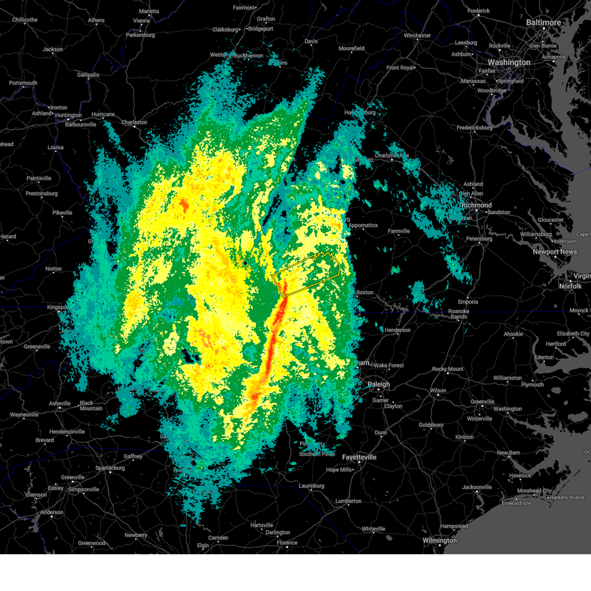 At 223 pm est, a severe thunderstorm was located over leatherwood, or 7 miles north of axton, moving northeast at 55 mph (radar indicated). Hazards include 60 mph wind gusts. expect damage to roofs, siding, and trees At 223 pm est, a severe thunderstorm was located over leatherwood, or 7 miles north of axton, moving northeast at 55 mph (radar indicated). Hazards include 60 mph wind gusts. expect damage to roofs, siding, and trees
|
| 9/12/2023 4:50 PM EDT |
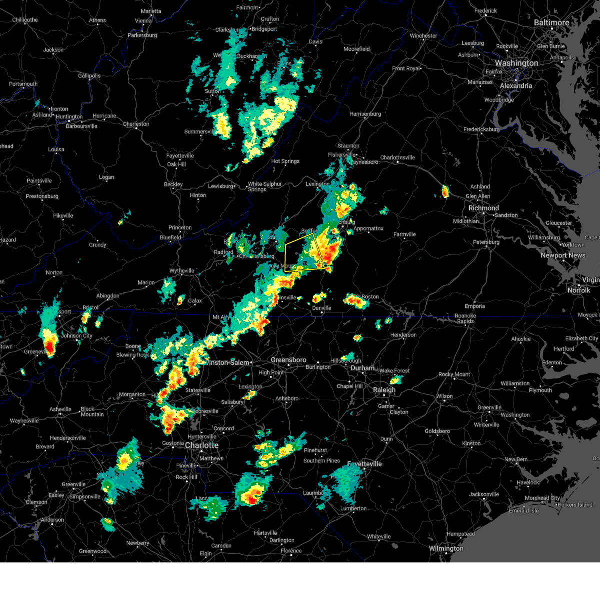 The severe thunderstorm warning for northwestern pittsylvania, southwestern bedford and northeastern franklin counties will expire at 500 pm edt, the storm which prompted the warning has weakened below severe limits, and has exited the warned area. therefore, the warning will be allowed to expire. however, heavy rain is still possible with this thunderstorm. The severe thunderstorm warning for northwestern pittsylvania, southwestern bedford and northeastern franklin counties will expire at 500 pm edt, the storm which prompted the warning has weakened below severe limits, and has exited the warned area. therefore, the warning will be allowed to expire. however, heavy rain is still possible with this thunderstorm.
|
| 9/12/2023 4:36 PM EDT |
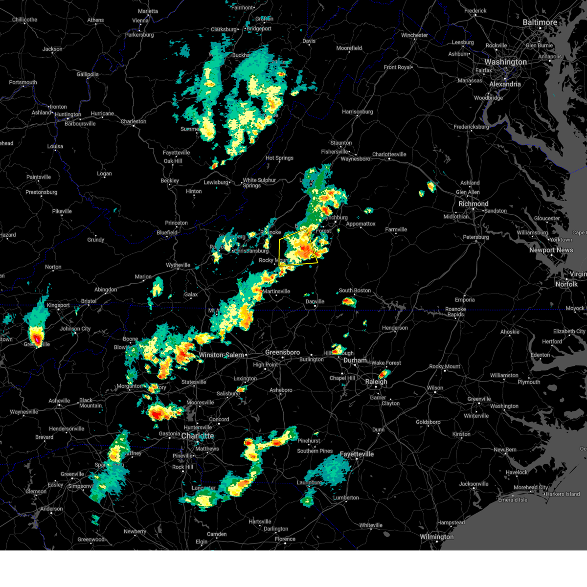 At 435 pm edt, a severe thunderstorm was located over moneta, moving east at 25 mph (radar indicated). Hazards include 60 mph wind gusts and quarter size hail. Hail damage to vehicles is expected. expect wind damage to roofs, siding, and trees. locations impacted include, bedford, huddleston, moneta, penhook, burnt chimney, northwest smith mountain lake, and goodview. this includes the following location the national d-day memorial. hail threat, radar indicated max hail size, 1. 00 in wind threat, radar indicated max wind gust, 60 mph. At 435 pm edt, a severe thunderstorm was located over moneta, moving east at 25 mph (radar indicated). Hazards include 60 mph wind gusts and quarter size hail. Hail damage to vehicles is expected. expect wind damage to roofs, siding, and trees. locations impacted include, bedford, huddleston, moneta, penhook, burnt chimney, northwest smith mountain lake, and goodview. this includes the following location the national d-day memorial. hail threat, radar indicated max hail size, 1. 00 in wind threat, radar indicated max wind gust, 60 mph.
|
| 9/12/2023 4:15 PM EDT |
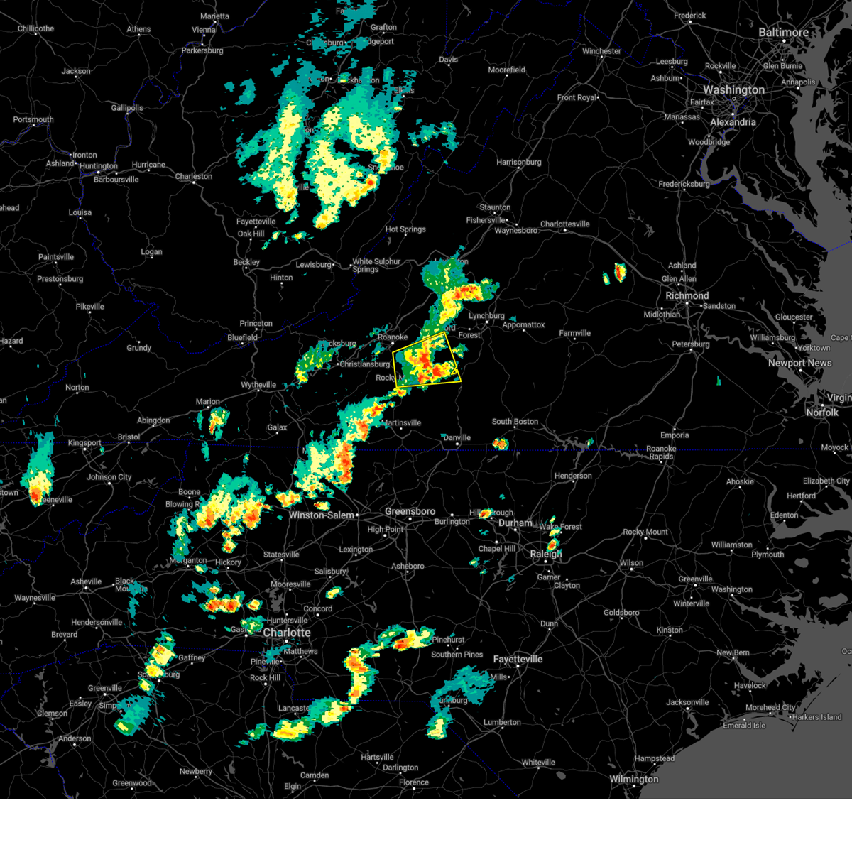 At 415 pm edt, a severe thunderstorm was located near burnt chimney, or 9 miles southwest of moneta, moving east at 15 mph (radar indicated). Hazards include 60 mph wind gusts and quarter size hail. Hail damage to vehicles is expected. expect wind damage to roofs, siding, and trees. locations impacted include, bedford, rocky mount, huddleston, moneta, penhook, burnt chimney, and northwest smith mountain lake. this includes the following location the national d-day memorial. hail threat, radar indicated max hail size, 1. 00 in wind threat, radar indicated max wind gust, 60 mph. At 415 pm edt, a severe thunderstorm was located near burnt chimney, or 9 miles southwest of moneta, moving east at 15 mph (radar indicated). Hazards include 60 mph wind gusts and quarter size hail. Hail damage to vehicles is expected. expect wind damage to roofs, siding, and trees. locations impacted include, bedford, rocky mount, huddleston, moneta, penhook, burnt chimney, and northwest smith mountain lake. this includes the following location the national d-day memorial. hail threat, radar indicated max hail size, 1. 00 in wind threat, radar indicated max wind gust, 60 mph.
|
| 9/12/2023 3:58 PM EDT |
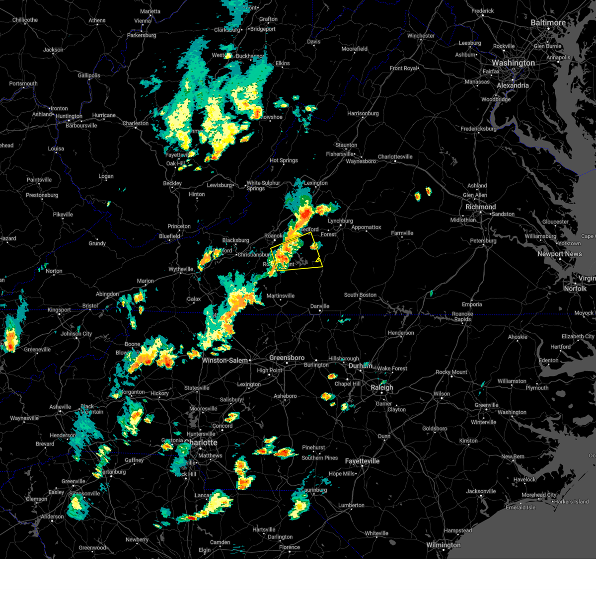 At 357 pm edt, a severe thunderstorm was located over burnt chimney, or near boones mill, moving east at 15 mph (radar indicated). Hazards include 60 mph wind gusts and quarter size hail. Hail damage to vehicles is expected. Expect wind damage to roofs, siding, and trees. At 357 pm edt, a severe thunderstorm was located over burnt chimney, or near boones mill, moving east at 15 mph (radar indicated). Hazards include 60 mph wind gusts and quarter size hail. Hail damage to vehicles is expected. Expect wind damage to roofs, siding, and trees.
|
| 9/8/2023 7:06 PM EDT |
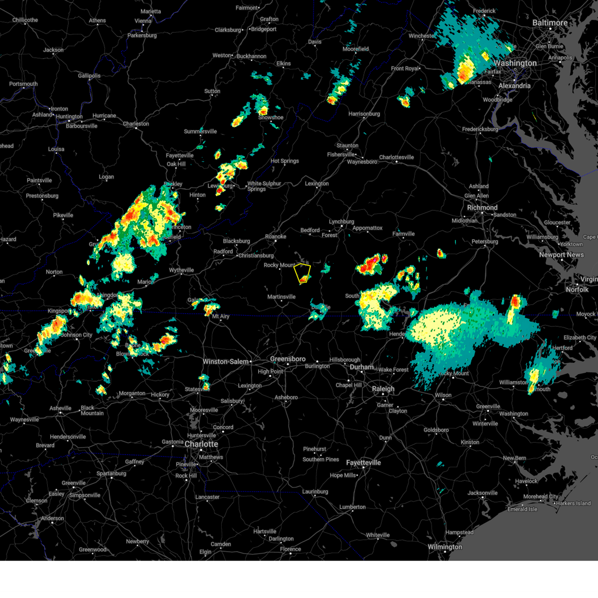 At 705 pm edt, a severe thunderstorm was located over sago, or near penhook, moving north at 15 mph (radar indicated). Hazards include 60 mph wind gusts and quarter size hail. Hail damage to vehicles is expected. expect wind damage to roofs, siding, and trees. locations impacted include, penhook, union hall, sago, southern smith mountain lake, ajax, and north shore. hail threat, radar indicated max hail size, 1. 00 in wind threat, radar indicated max wind gust, 60 mph. At 705 pm edt, a severe thunderstorm was located over sago, or near penhook, moving north at 15 mph (radar indicated). Hazards include 60 mph wind gusts and quarter size hail. Hail damage to vehicles is expected. expect wind damage to roofs, siding, and trees. locations impacted include, penhook, union hall, sago, southern smith mountain lake, ajax, and north shore. hail threat, radar indicated max hail size, 1. 00 in wind threat, radar indicated max wind gust, 60 mph.
|
| 9/8/2023 6:44 PM EDT |
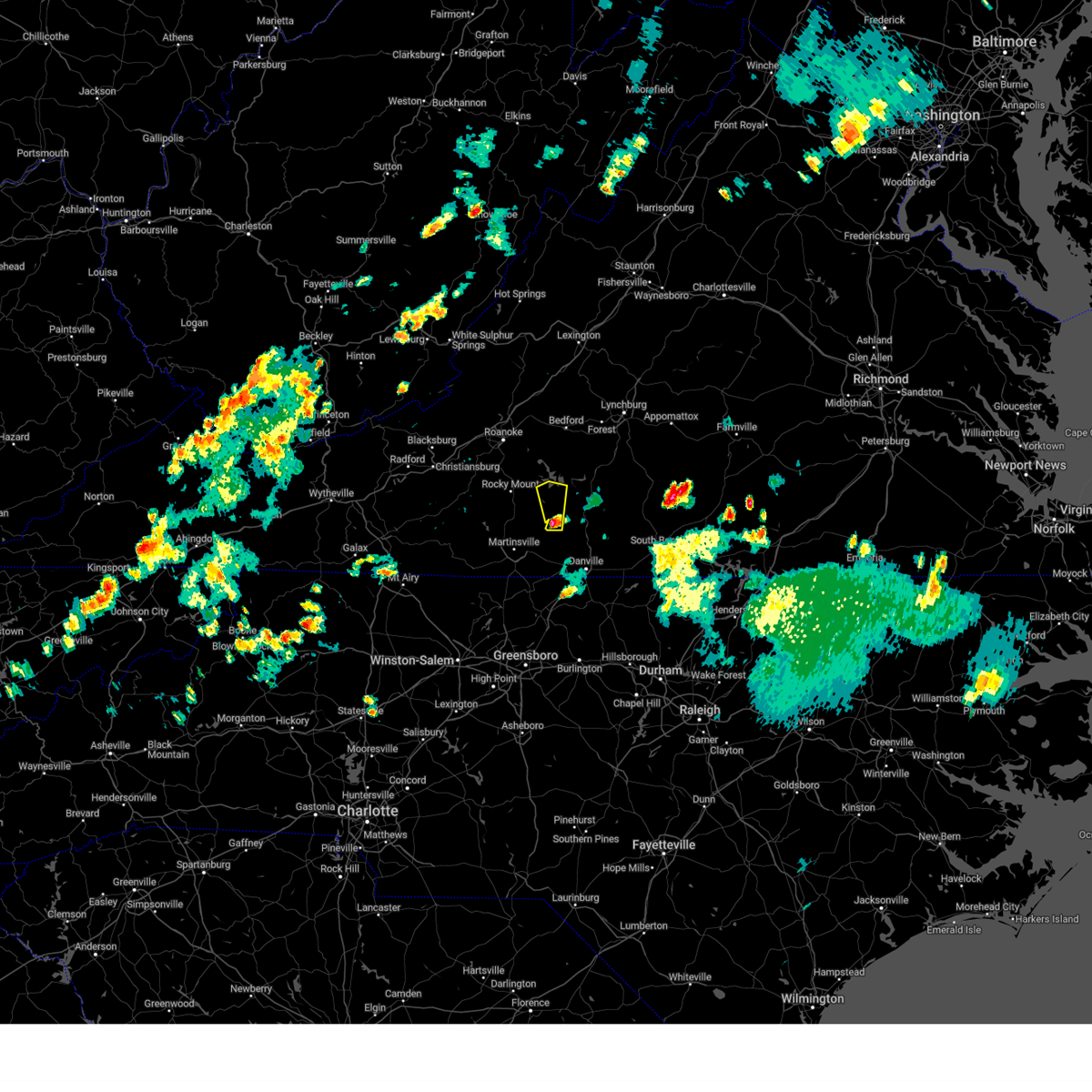 At 644 pm edt, a severe thunderstorm was located over callands, moving north at 15 mph (radar indicated). Hazards include 60 mph wind gusts and quarter size hail. Hail damage to vehicles is expected. Expect wind damage to roofs, siding, and trees. At 644 pm edt, a severe thunderstorm was located over callands, moving north at 15 mph (radar indicated). Hazards include 60 mph wind gusts and quarter size hail. Hail damage to vehicles is expected. Expect wind damage to roofs, siding, and trees.
|
| 7/29/2023 6:33 PM EDT |
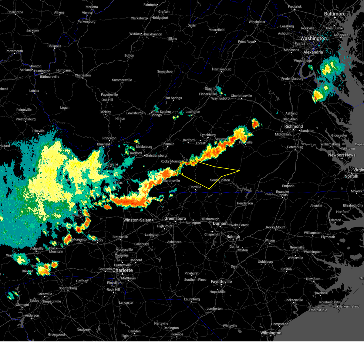 At 633 pm edt, severe thunderstorms were located along a line extending from near gretna to ajax to near sago, moving east at 30 mph (radar indicated). Hazards include 60 mph wind gusts. expect damage to roofs, siding, and trees At 633 pm edt, severe thunderstorms were located along a line extending from near gretna to ajax to near sago, moving east at 30 mph (radar indicated). Hazards include 60 mph wind gusts. expect damage to roofs, siding, and trees
|
| 7/28/2023 7:35 PM EDT |
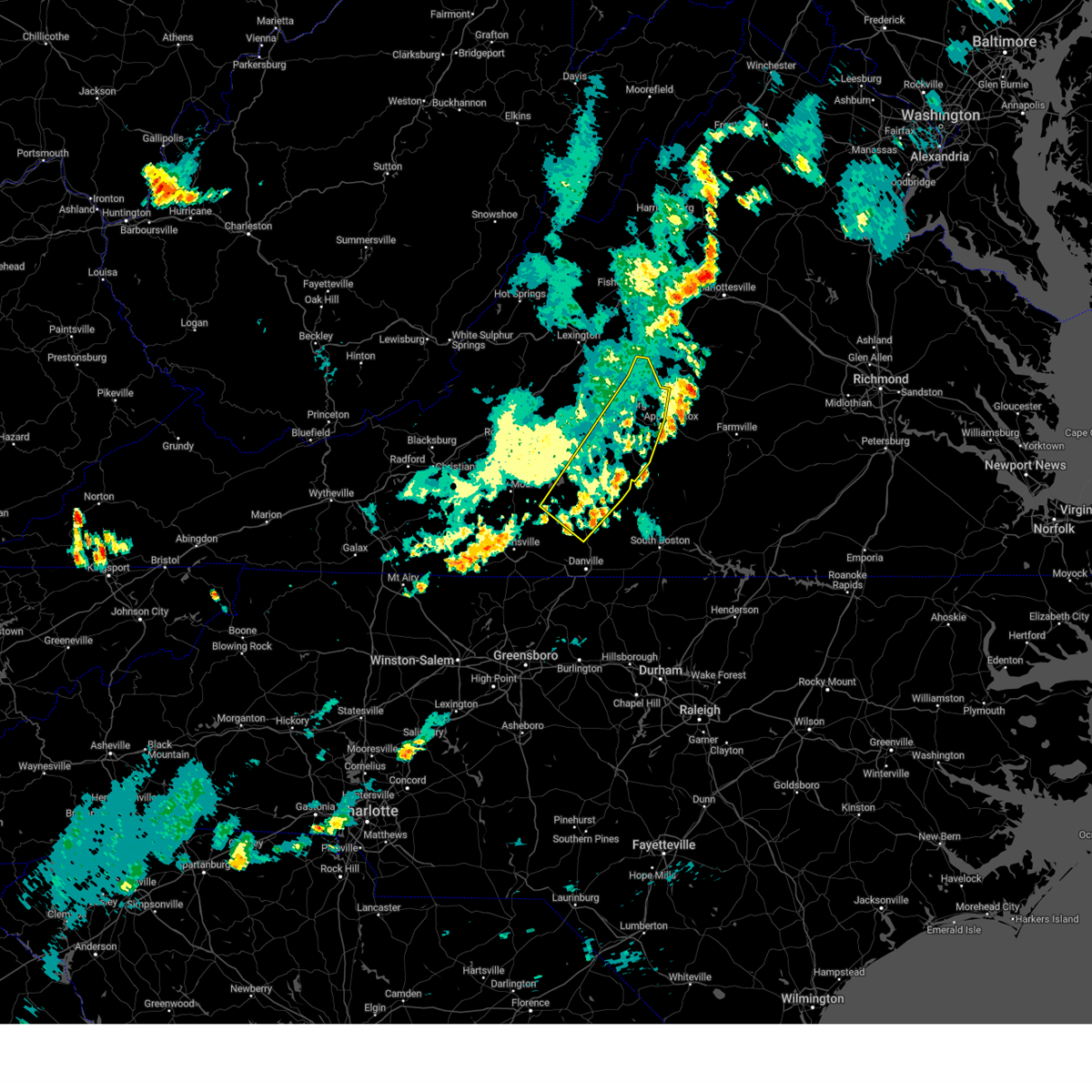 The severe thunderstorm warning for western appomattox, campbell, northern pittsylvania, southeastern bedford, southeastern amherst and east central franklin counties and the city of lynchburg will expire at 745 pm edt, the storms which prompted the warning have moved out of the area. therefore, the warning will be allowed to expire. The severe thunderstorm warning for western appomattox, campbell, northern pittsylvania, southeastern bedford, southeastern amherst and east central franklin counties and the city of lynchburg will expire at 745 pm edt, the storms which prompted the warning have moved out of the area. therefore, the warning will be allowed to expire.
|
| 7/28/2023 7:16 PM EDT |
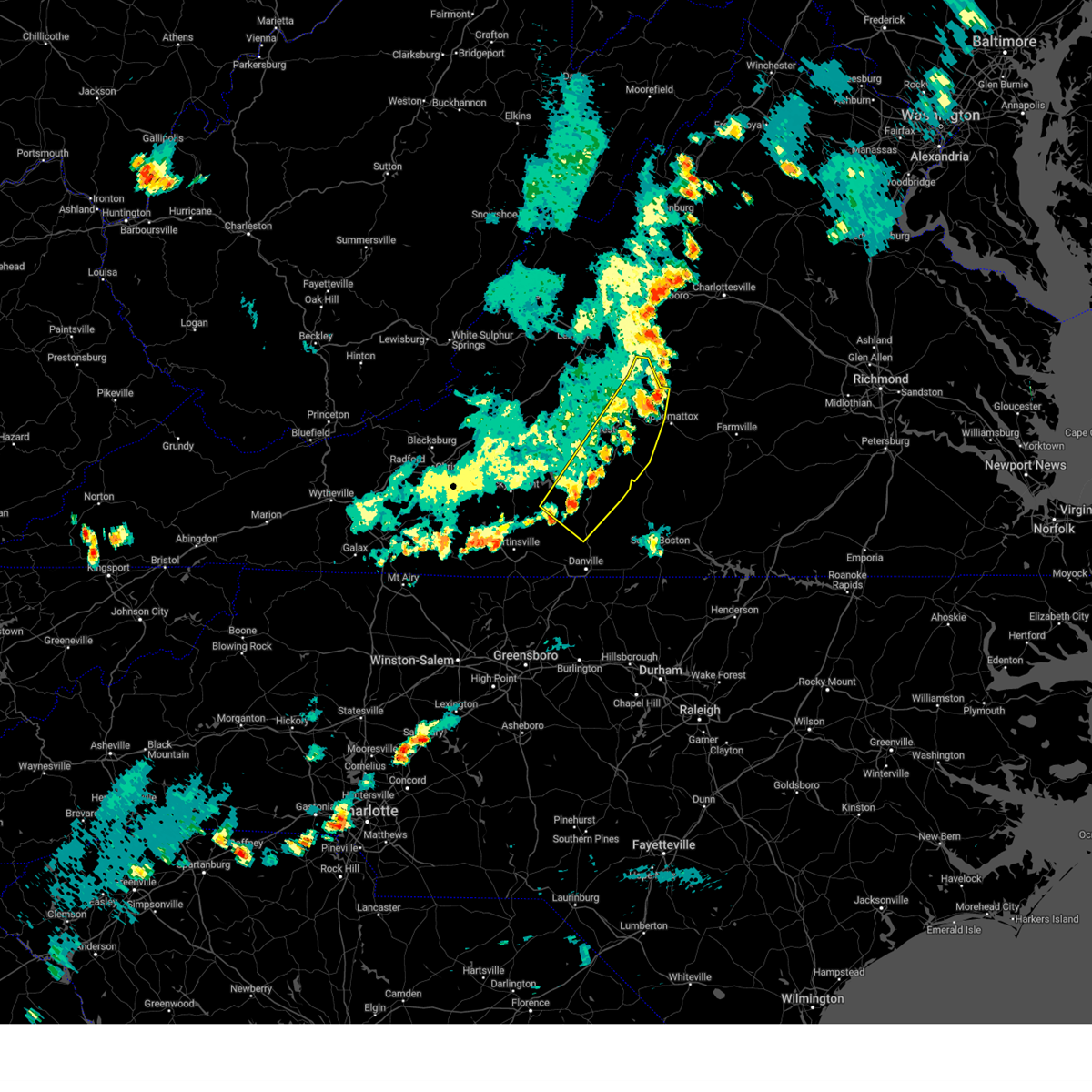 At 716 pm edt, severe thunderstorms were located along a line extending from near schuyler to near riverville to near pittsville, moving east at 30 mph (radar indicated). Hazards include 60 mph wind gusts. Expect damage to roofs, siding, and trees. locations impacted include, lynchburg, altavista, amherst, hurt, chatham, gretna, and huddleston. this includes the following locations liberty university and lynchburg airport. hail threat, radar indicated max hail size, <. 75 in wind threat, radar indicated max wind gust, 60 mph. At 716 pm edt, severe thunderstorms were located along a line extending from near schuyler to near riverville to near pittsville, moving east at 30 mph (radar indicated). Hazards include 60 mph wind gusts. Expect damage to roofs, siding, and trees. locations impacted include, lynchburg, altavista, amherst, hurt, chatham, gretna, and huddleston. this includes the following locations liberty university and lynchburg airport. hail threat, radar indicated max hail size, <. 75 in wind threat, radar indicated max wind gust, 60 mph.
|
| 7/28/2023 6:29 PM EDT |
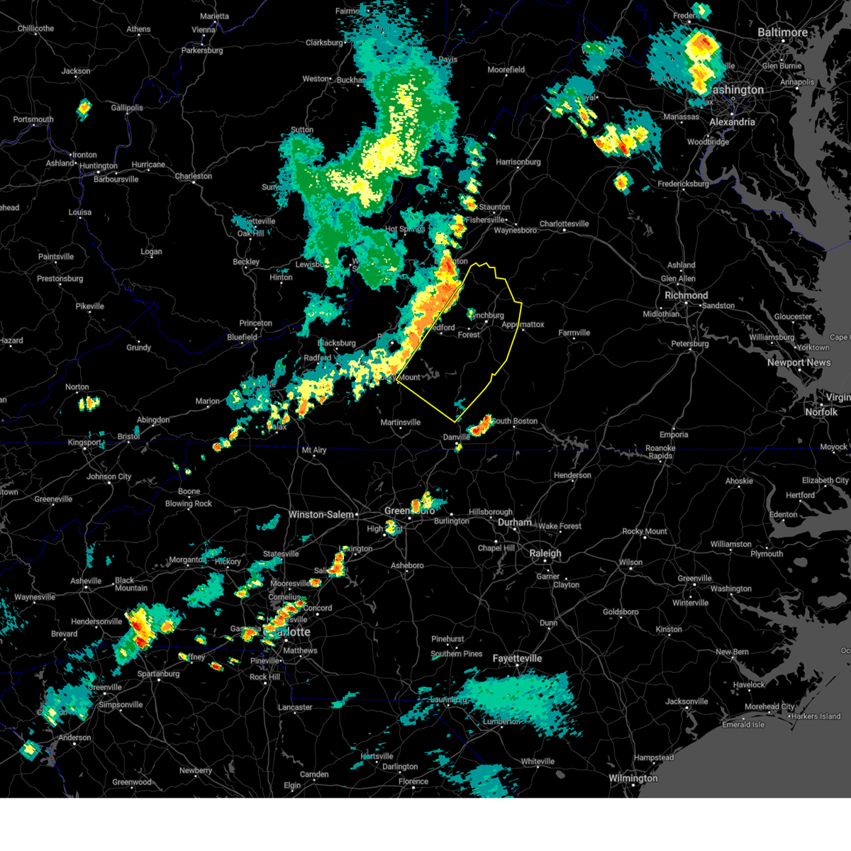 At 629 pm edt, severe thunderstorms were located along a line extending from vesuvius to near pleasant view to rocky mount, moving east at 30 mph (radar indicated). Hazards include 60 mph wind gusts. expect damage to roofs, siding, and trees At 629 pm edt, severe thunderstorms were located along a line extending from vesuvius to near pleasant view to rocky mount, moving east at 30 mph (radar indicated). Hazards include 60 mph wind gusts. expect damage to roofs, siding, and trees
|
| 7/28/2023 4:57 PM EDT |
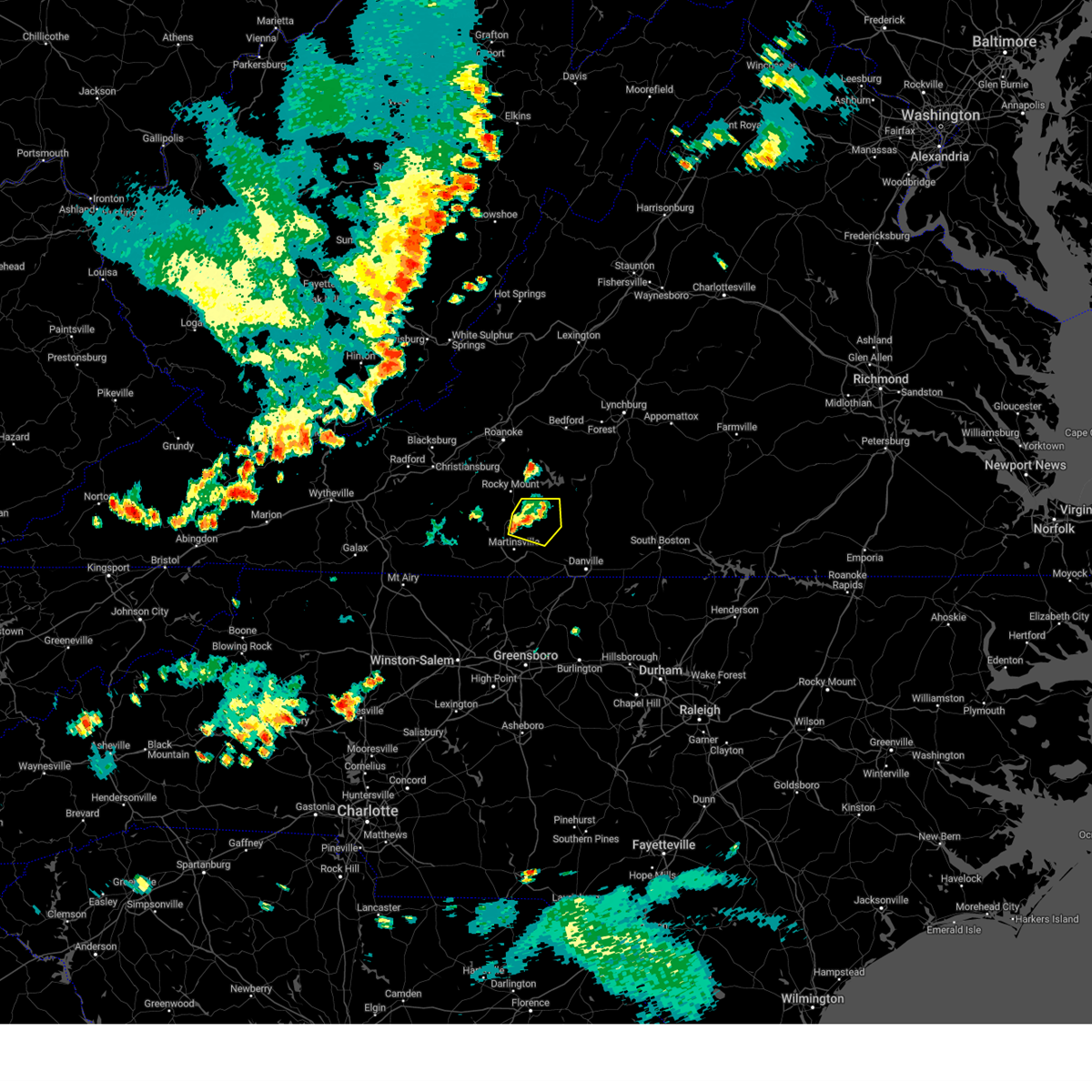 At 456 pm edt, a severe thunderstorm was located near snow creek, or near sydnorsville, moving east at 15 mph (radar indicated). Hazards include 60 mph wind gusts and penny size hail. Expect damage to roofs, siding, and trees. locations impacted include, callands, sydnorsville, penhook, snow creek, sago, leatherwood, and sontag. hail threat, radar indicated max hail size, 0. 75 in wind threat, radar indicated max wind gust, 60 mph. At 456 pm edt, a severe thunderstorm was located near snow creek, or near sydnorsville, moving east at 15 mph (radar indicated). Hazards include 60 mph wind gusts and penny size hail. Expect damage to roofs, siding, and trees. locations impacted include, callands, sydnorsville, penhook, snow creek, sago, leatherwood, and sontag. hail threat, radar indicated max hail size, 0. 75 in wind threat, radar indicated max wind gust, 60 mph.
|
| 7/28/2023 4:38 PM EDT |
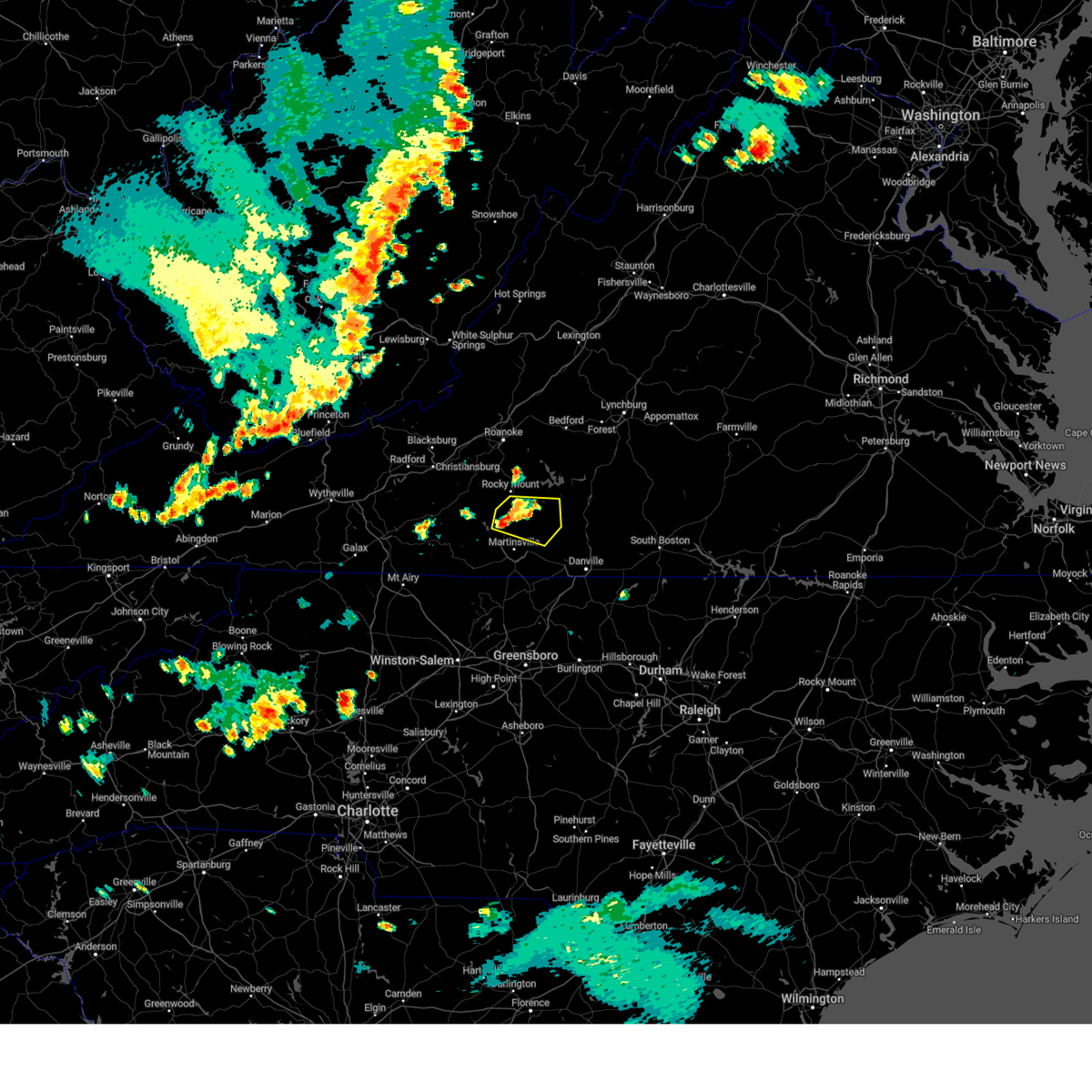 At 438 pm edt, a severe thunderstorm was located over figsboro, or near sydnorsville, moving southeast at 15 mph (radar indicated). Hazards include 60 mph wind gusts and nickel size hail. Expect damage to roofs, siding, and trees. locations impacted include, callands, sydnorsville, penhook, snow creek, sago, leatherwood, and oak level. hail threat, radar indicated max hail size, 0. 88 in wind threat, radar indicated max wind gust, 60 mph. At 438 pm edt, a severe thunderstorm was located over figsboro, or near sydnorsville, moving southeast at 15 mph (radar indicated). Hazards include 60 mph wind gusts and nickel size hail. Expect damage to roofs, siding, and trees. locations impacted include, callands, sydnorsville, penhook, snow creek, sago, leatherwood, and oak level. hail threat, radar indicated max hail size, 0. 88 in wind threat, radar indicated max wind gust, 60 mph.
|
| 7/28/2023 4:16 PM EDT |
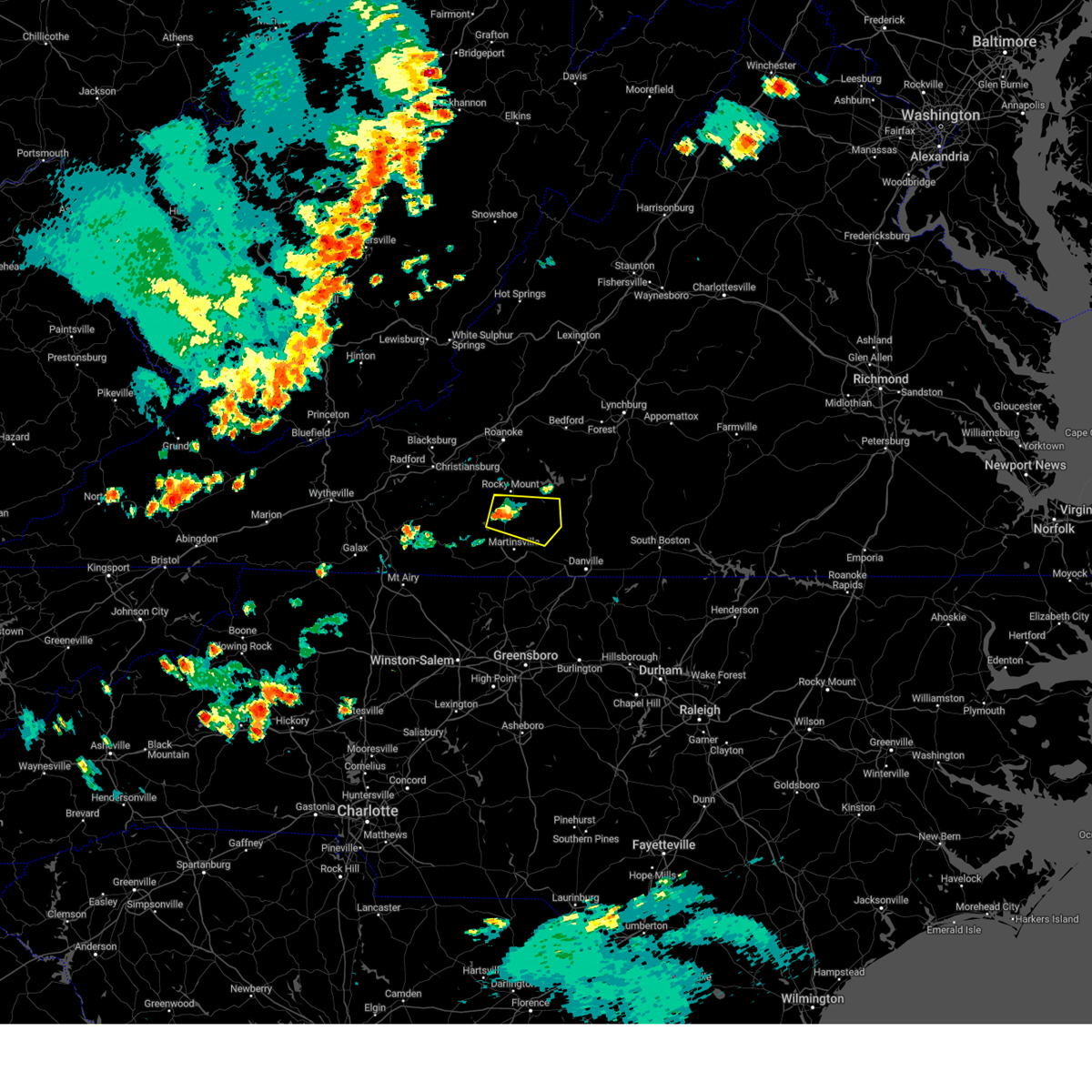 At 416 pm edt, a severe thunderstorm was located near ferrum, moving east at 15 mph (radar indicated). Hazards include 60 mph wind gusts and quarter size hail. Hail damage to vehicles is expected. Expect wind damage to roofs, siding, and trees. At 416 pm edt, a severe thunderstorm was located near ferrum, moving east at 15 mph (radar indicated). Hazards include 60 mph wind gusts and quarter size hail. Hail damage to vehicles is expected. Expect wind damage to roofs, siding, and trees.
|
| 6/19/2023 2:16 PM EDT |
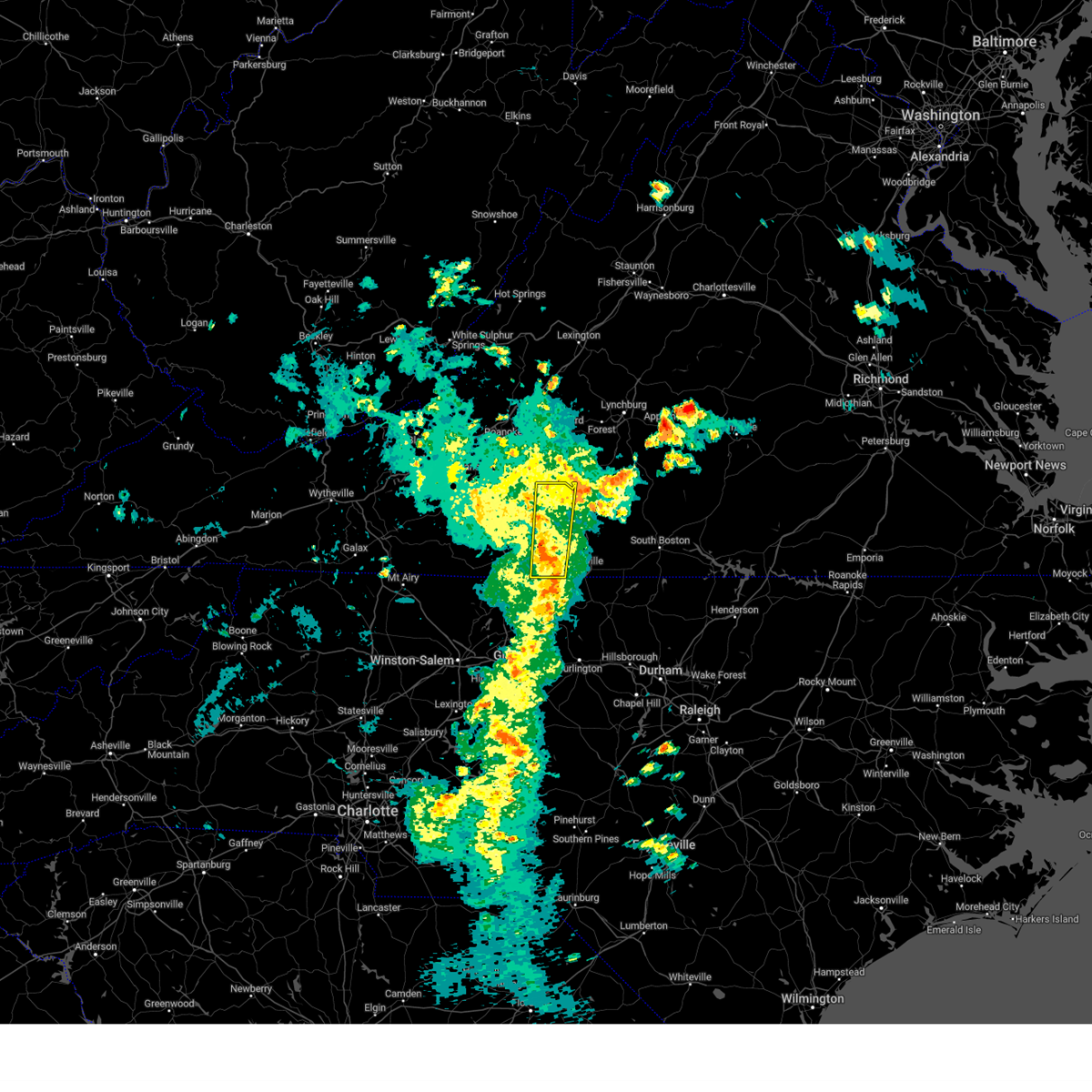 At 215 pm edt, a severe thunderstorm was located near sandy river, or near axton, moving northeast at 35 mph (radar indicated). Hazards include 60 mph wind gusts and quarter size hail. Hail damage to vehicles is expected. expect wind damage to roofs, siding, and trees. locations impacted include, callands, axton, penhook, aiken summit, mountain valley, southern smith mountain lake, and sago. hail threat, radar indicated max hail size, 1. 00 in wind threat, radar indicated max wind gust, 60 mph. At 215 pm edt, a severe thunderstorm was located near sandy river, or near axton, moving northeast at 35 mph (radar indicated). Hazards include 60 mph wind gusts and quarter size hail. Hail damage to vehicles is expected. expect wind damage to roofs, siding, and trees. locations impacted include, callands, axton, penhook, aiken summit, mountain valley, southern smith mountain lake, and sago. hail threat, radar indicated max hail size, 1. 00 in wind threat, radar indicated max wind gust, 60 mph.
|
| 6/19/2023 2:01 PM EDT |
 At 200 pm edt, a severe thunderstorm was located over leatherwood, or near axton, moving northeast at 20 mph (radar indicated). Hazards include 60 mph wind gusts and quarter size hail. Hail damage to vehicles is expected. expect wind damage to roofs, siding, and trees. locations impacted include, martinsville, axton, penhook, callands, sydnorsville, ridgeway, and snow creek. this includes the following locations the martinsville speedway and martinsville airport. hail threat, radar indicated max hail size, 1. 00 in wind threat, radar indicated max wind gust, 60 mph. At 200 pm edt, a severe thunderstorm was located over leatherwood, or near axton, moving northeast at 20 mph (radar indicated). Hazards include 60 mph wind gusts and quarter size hail. Hail damage to vehicles is expected. expect wind damage to roofs, siding, and trees. locations impacted include, martinsville, axton, penhook, callands, sydnorsville, ridgeway, and snow creek. this includes the following locations the martinsville speedway and martinsville airport. hail threat, radar indicated max hail size, 1. 00 in wind threat, radar indicated max wind gust, 60 mph.
|
| 6/19/2023 1:41 PM EDT |
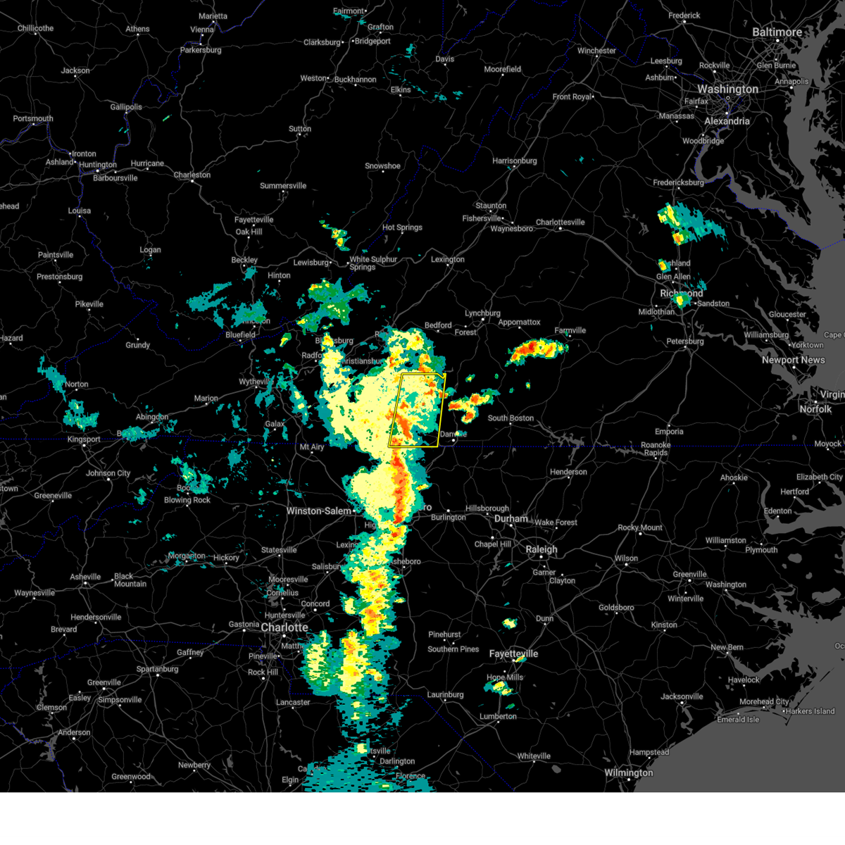 At 141 pm edt, a severe thunderstorm was located over chatmoss, or near martinsville, moving north at 20 mph (radar indicated). Hazards include 60 mph wind gusts and quarter size hail. Hail damage to vehicles is expected. Expect wind damage to roofs, siding, and trees. At 141 pm edt, a severe thunderstorm was located over chatmoss, or near martinsville, moving north at 20 mph (radar indicated). Hazards include 60 mph wind gusts and quarter size hail. Hail damage to vehicles is expected. Expect wind damage to roofs, siding, and trees.
|
| 6/19/2023 1:05 PM EDT | Tree blown down on sago road near the intersection with callands roa in pittsylvania county VA, 9.8 miles NNW of Penhook, VA |
| 5/16/2023 8:11 PM EDT |
 At 811 pm edt, severe thunderstorms were located along a line extending from near hurt to near price, moving east at 60 mph (radar indicated). Hazards include 70 mph wind gusts. Expect considerable tree damage. damage is likely to mobile homes, roofs, and outbuildings. locations impacted include, martinsville, stuart, hurt, chatham, gretna, penhook, and ararat. this includes the following locations the martinsville speedway and martinsville airport. thunderstorm damage threat, considerable hail threat, radar indicated max hail size, <. 75 in wind threat, radar indicated max wind gust, 70 mph. At 811 pm edt, severe thunderstorms were located along a line extending from near hurt to near price, moving east at 60 mph (radar indicated). Hazards include 70 mph wind gusts. Expect considerable tree damage. damage is likely to mobile homes, roofs, and outbuildings. locations impacted include, martinsville, stuart, hurt, chatham, gretna, penhook, and ararat. this includes the following locations the martinsville speedway and martinsville airport. thunderstorm damage threat, considerable hail threat, radar indicated max hail size, <. 75 in wind threat, radar indicated max wind gust, 70 mph.
|
| 5/16/2023 7:40 PM EDT |
 At 739 pm edt, severe thunderstorms were located along a line extending from near wirtz to near ararat, moving east at 55 mph (radar indicated). Hazards include 60 mph wind gusts. expect damage to roofs, siding, and trees At 739 pm edt, severe thunderstorms were located along a line extending from near wirtz to near ararat, moving east at 55 mph (radar indicated). Hazards include 60 mph wind gusts. expect damage to roofs, siding, and trees
|
| 4/22/2023 9:55 AM EDT |
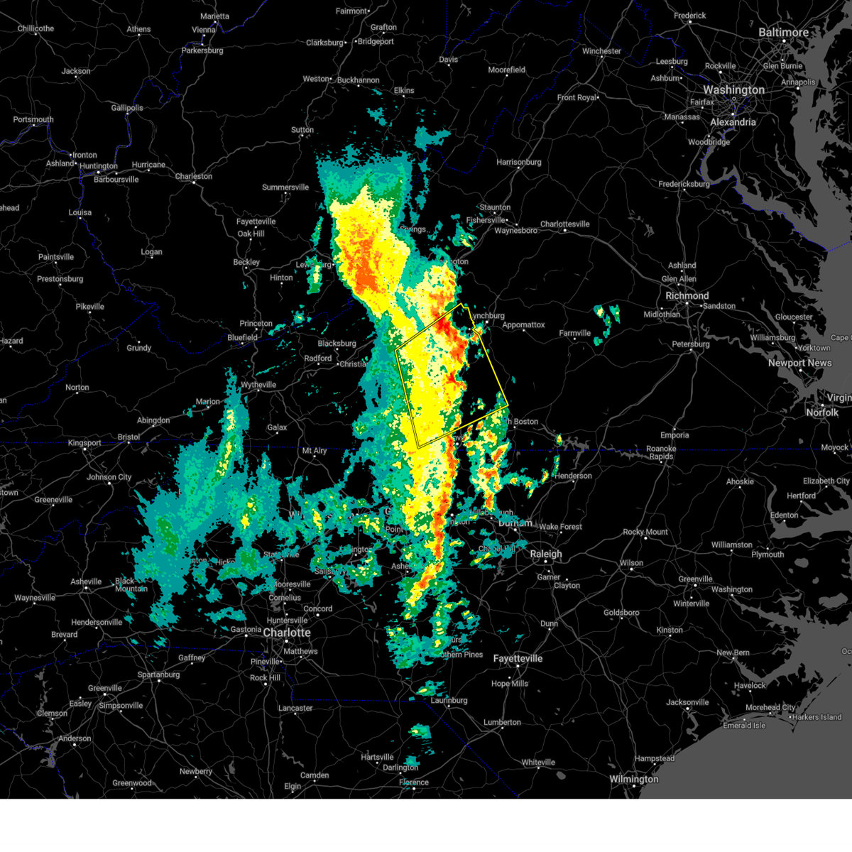 The severe thunderstorm warning for east central roanoke, western campbell, pittsylvania, northwestern halifax, bedford, eastern henry and eastern franklin counties will expire at 1000 am edt, the storms which prompted the warning have weakened below severe limits, and no longer pose an immediate threat to life or property. therefore, the warning will be allowed to expire. The severe thunderstorm warning for east central roanoke, western campbell, pittsylvania, northwestern halifax, bedford, eastern henry and eastern franklin counties will expire at 1000 am edt, the storms which prompted the warning have weakened below severe limits, and no longer pose an immediate threat to life or property. therefore, the warning will be allowed to expire.
|
| 4/22/2023 9:26 AM EDT |
 At 925 am edt, severe thunderstorms were located along a line extending from chamblissburg to near swansonville, moving northeast at 40 mph (radar indicated). Hazards include 60 mph wind gusts. Expect damage to roofs, siding, and trees. locations impacted include, bedford, altavista, hurt, chatham, gretna, stewartsville, and big island. this includes the following location the national d-day memorial. hail threat, radar indicated max hail size, <. 75 in wind threat, radar indicated max wind gust, 60 mph. At 925 am edt, severe thunderstorms were located along a line extending from chamblissburg to near swansonville, moving northeast at 40 mph (radar indicated). Hazards include 60 mph wind gusts. Expect damage to roofs, siding, and trees. locations impacted include, bedford, altavista, hurt, chatham, gretna, stewartsville, and big island. this includes the following location the national d-day memorial. hail threat, radar indicated max hail size, <. 75 in wind threat, radar indicated max wind gust, 60 mph.
|
| 4/22/2023 9:12 AM EDT |
 The severe thunderstorm warning for northwestern rockingham, northeastern floyd, western pittsylvania, southwestern bedford, henry and franklin counties and the city of martinsville will expire at 915 am edt, the severe thunderstorm which prompted the warning has moved out of the warned area. therefore, the warning will be allowed to expire. remember, a severe thunderstorm warning still remains in effect for franklin county and eastern henry county, including the city of martinsville. The severe thunderstorm warning for northwestern rockingham, northeastern floyd, western pittsylvania, southwestern bedford, henry and franklin counties and the city of martinsville will expire at 915 am edt, the severe thunderstorm which prompted the warning has moved out of the warned area. therefore, the warning will be allowed to expire. remember, a severe thunderstorm warning still remains in effect for franklin county and eastern henry county, including the city of martinsville.
|
| 4/22/2023 9:07 AM EDT |
 At 906 am edt, severe thunderstorms were located along a line extending from near boones mill to near ridgeway, moving northeast at 40 mph (radar indicated). Hazards include 60 mph wind gusts. expect damage to roofs, siding, and trees At 906 am edt, severe thunderstorms were located along a line extending from near boones mill to near ridgeway, moving northeast at 40 mph (radar indicated). Hazards include 60 mph wind gusts. expect damage to roofs, siding, and trees
|
| 4/22/2023 9:00 AM EDT |
 At 859 am edt, a severe thunderstorm was located over burnt chimney, or near rocky mount, moving northeast at 60 mph (radar indicated). Hazards include 60 mph wind gusts. Expect damage to roofs, siding, and trees. locations impacted include, martinsville, rocky mount, boones mill, copper hill, ferrum, axton, and penhook. this includes the following locations the martinsville speedway and martinsville airport. hail threat, radar indicated max hail size, <. 75 in wind threat, radar indicated max wind gust, 60 mph. At 859 am edt, a severe thunderstorm was located over burnt chimney, or near rocky mount, moving northeast at 60 mph (radar indicated). Hazards include 60 mph wind gusts. Expect damage to roofs, siding, and trees. locations impacted include, martinsville, rocky mount, boones mill, copper hill, ferrum, axton, and penhook. this includes the following locations the martinsville speedway and martinsville airport. hail threat, radar indicated max hail size, <. 75 in wind threat, radar indicated max wind gust, 60 mph.
|
| 4/22/2023 8:40 AM EDT |
 At 839 am edt, a severe thunderstorm was located near fairy stone state park, or 9 miles northwest of bassett, moving northeast at 60 mph (radar indicated). Hazards include 60 mph wind gusts. Expect damage to roofs, siding, and trees. locations impacted include, martinsville, rocky mount, stuart, floyd, boones mill, copper hill, and ferrum. this includes the following locations the martinsville speedway and martinsville airport. hail threat, radar indicated max hail size, <. 75 in wind threat, radar indicated max wind gust, 60 mph. At 839 am edt, a severe thunderstorm was located near fairy stone state park, or 9 miles northwest of bassett, moving northeast at 60 mph (radar indicated). Hazards include 60 mph wind gusts. Expect damage to roofs, siding, and trees. locations impacted include, martinsville, rocky mount, stuart, floyd, boones mill, copper hill, and ferrum. this includes the following locations the martinsville speedway and martinsville airport. hail threat, radar indicated max hail size, <. 75 in wind threat, radar indicated max wind gust, 60 mph.
|
| 4/22/2023 8:24 AM EDT |
 At 824 am edt, a severe thunderstorm was located near stuart, moving northeast at 60 mph (radar indicated). Hazards include 60 mph wind gusts. expect damage to roofs, siding, and trees At 824 am edt, a severe thunderstorm was located near stuart, moving northeast at 60 mph (radar indicated). Hazards include 60 mph wind gusts. expect damage to roofs, siding, and trees
|
| 4/6/2023 4:46 PM EDT |
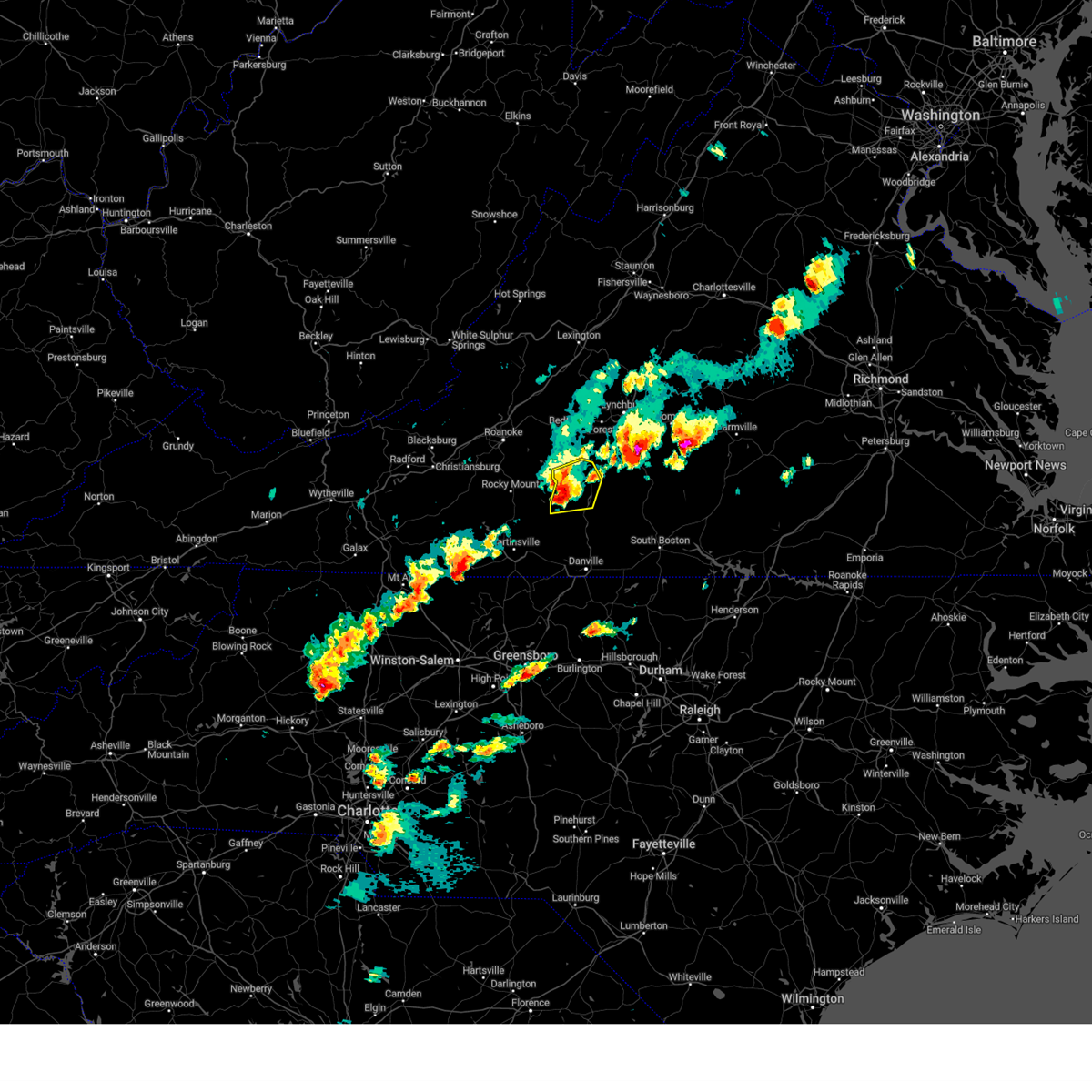 At 445 pm edt, a severe thunderstorm was located over ajax, or near penhook, moving east at 35 mph (radar indicated). Hazards include ping pong ball size hail and 60 mph wind gusts. People and animals outdoors will be injured. expect hail damage to roofs, siding, windows, and vehicles. expect wind damage to roofs, siding, and trees. locations impacted include, gretna, leesville, sago, smith mountain lake state park, pittsville, and ajax. hail threat, radar indicated max hail size, 1. 50 in wind threat, radar indicated max wind gust, 60 mph. At 445 pm edt, a severe thunderstorm was located over ajax, or near penhook, moving east at 35 mph (radar indicated). Hazards include ping pong ball size hail and 60 mph wind gusts. People and animals outdoors will be injured. expect hail damage to roofs, siding, windows, and vehicles. expect wind damage to roofs, siding, and trees. locations impacted include, gretna, leesville, sago, smith mountain lake state park, pittsville, and ajax. hail threat, radar indicated max hail size, 1. 50 in wind threat, radar indicated max wind gust, 60 mph.
|
| 4/6/2023 4:27 PM EDT |
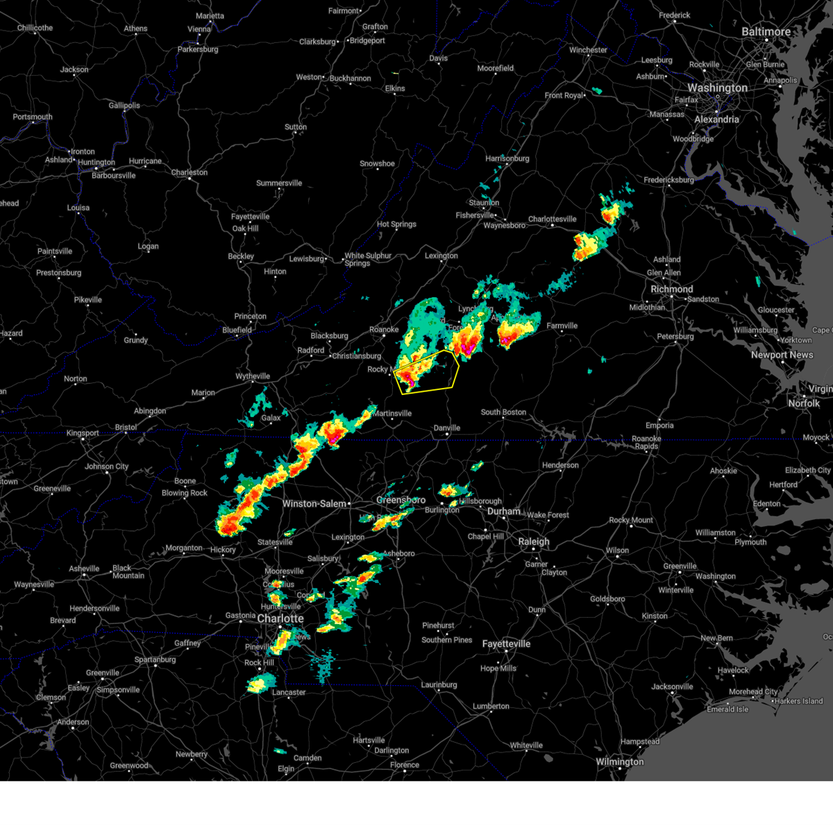 At 426 pm edt, a severe thunderstorm was located near sontag, or near penhook, moving east at 25 mph (radar indicated). Hazards include golf ball size hail and 60 mph wind gusts. People and animals outdoors will be injured. expect hail damage to roofs, siding, windows, and vehicles. Expect wind damage to roofs, siding, and trees. At 426 pm edt, a severe thunderstorm was located near sontag, or near penhook, moving east at 25 mph (radar indicated). Hazards include golf ball size hail and 60 mph wind gusts. People and animals outdoors will be injured. expect hail damage to roofs, siding, windows, and vehicles. Expect wind damage to roofs, siding, and trees.
|
| 4/6/2023 4:27 PM EDT |
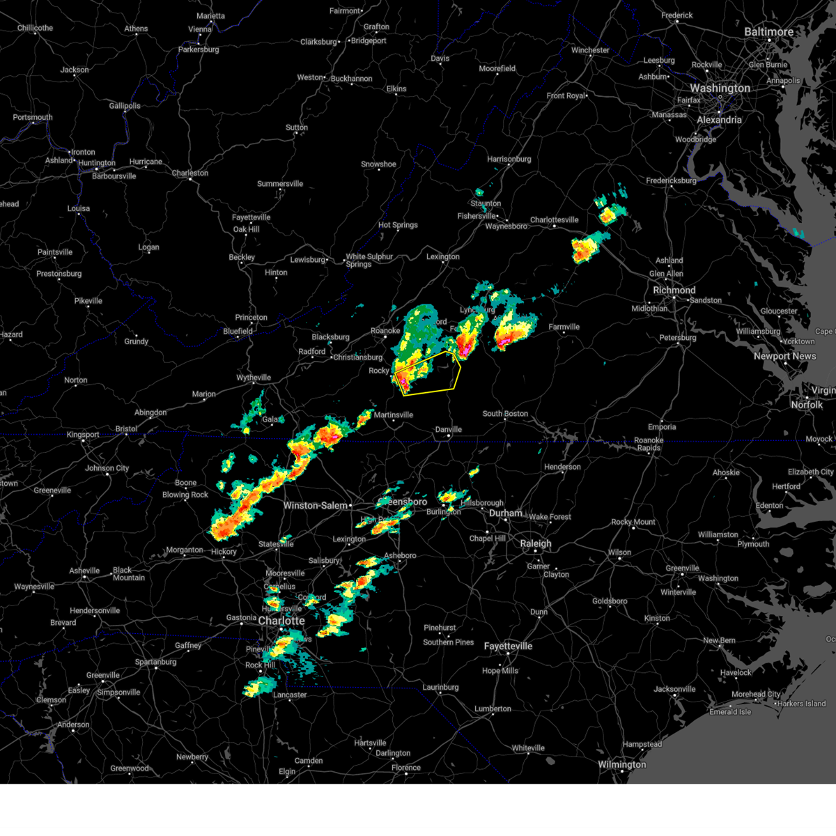 At 426 pm edt, a severe thunderstorm was located near sontag, or near penhook, moving east at 25 mph (radar indicated). Hazards include golf ball size hail and 60 mph wind gusts. People and animals outdoors will be injured. expect hail damage to roofs, siding, windows, and vehicles. Expect wind damage to roofs, siding, and trees. At 426 pm edt, a severe thunderstorm was located near sontag, or near penhook, moving east at 25 mph (radar indicated). Hazards include golf ball size hail and 60 mph wind gusts. People and animals outdoors will be injured. expect hail damage to roofs, siding, windows, and vehicles. Expect wind damage to roofs, siding, and trees.
|
| 8/10/2022 2:33 PM EDT |
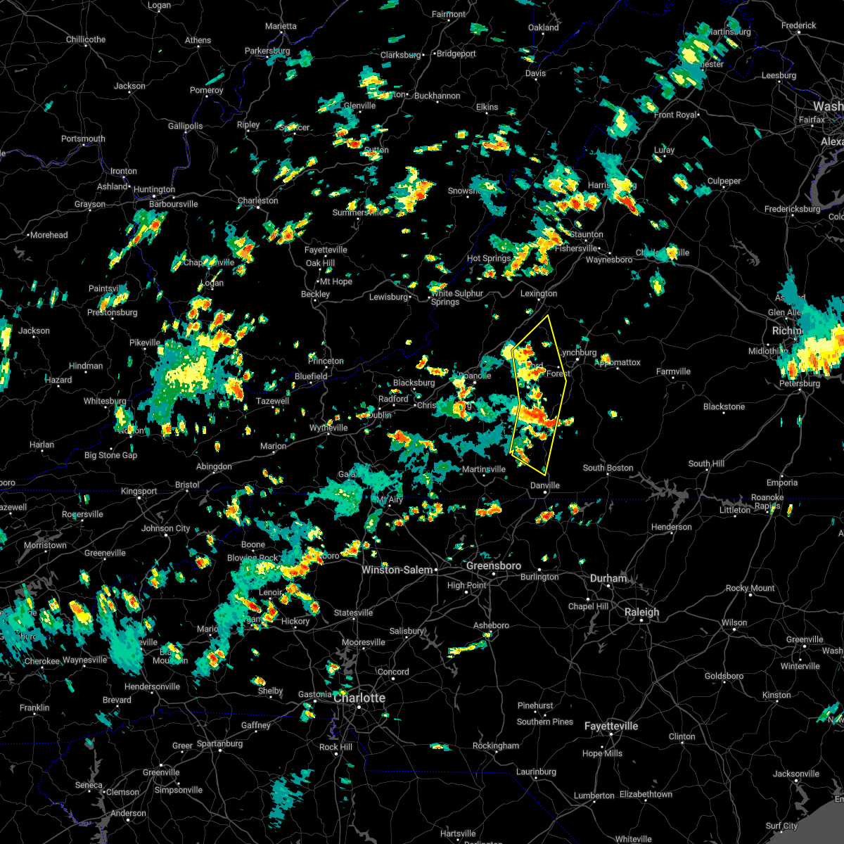 At 232 pm edt, severe thunderstorms were located along a line extending from near natural bridge to near leesville to sago, moving northeast at 20 mph (radar indicated). Hazards include 60 mph wind gusts and quarter size hail. Hail damage to vehicles is expected. expect wind damage to roofs, siding, and trees. locations impacted include, bedford, altavista, hurt, chatham, gretna, glasgow, and huddleston. hail threat, radar indicated max hail size, 1. 00 in wind threat, radar indicated max wind gust, 60 mph. At 232 pm edt, severe thunderstorms were located along a line extending from near natural bridge to near leesville to sago, moving northeast at 20 mph (radar indicated). Hazards include 60 mph wind gusts and quarter size hail. Hail damage to vehicles is expected. expect wind damage to roofs, siding, and trees. locations impacted include, bedford, altavista, hurt, chatham, gretna, glasgow, and huddleston. hail threat, radar indicated max hail size, 1. 00 in wind threat, radar indicated max wind gust, 60 mph.
|
| 8/10/2022 2:04 PM EDT |
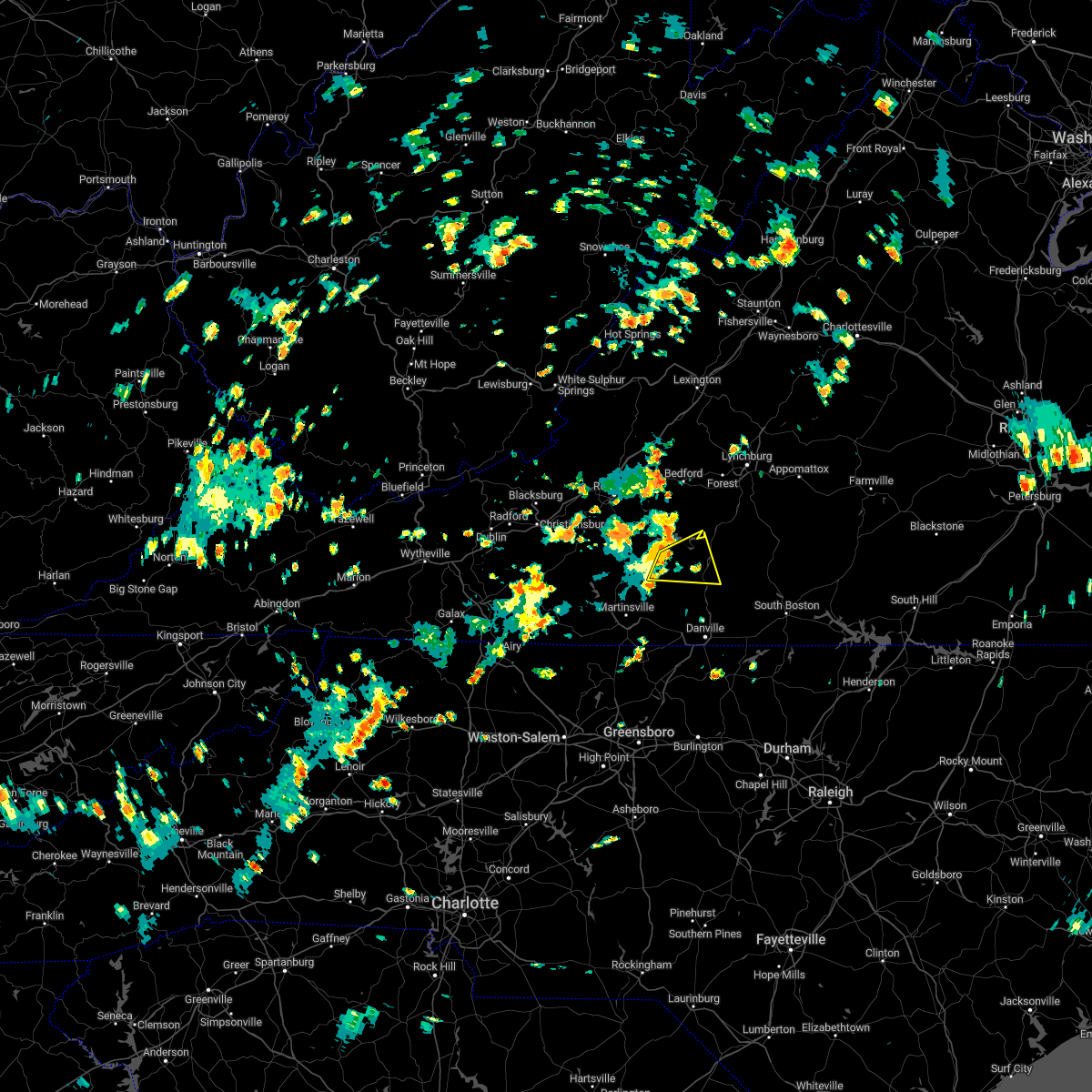 At 204 pm edt, a severe thunderstorm was located over ajax, or near penhook, moving east at 25 mph (radar indicated). Hazards include 60 mph wind gusts and quarter size hail. Hail damage to vehicles is expected. expect wind damage to roofs, siding, and trees. locations impacted include, gretna, penhook, sago, climax, pittsville, ajax, and southern smith mountain lake. hail threat, radar indicated max hail size, 1. 00 in wind threat, radar indicated max wind gust, 60 mph. At 204 pm edt, a severe thunderstorm was located over ajax, or near penhook, moving east at 25 mph (radar indicated). Hazards include 60 mph wind gusts and quarter size hail. Hail damage to vehicles is expected. expect wind damage to roofs, siding, and trees. locations impacted include, gretna, penhook, sago, climax, pittsville, ajax, and southern smith mountain lake. hail threat, radar indicated max hail size, 1. 00 in wind threat, radar indicated max wind gust, 60 mph.
|
| 8/10/2022 2:02 PM EDT |
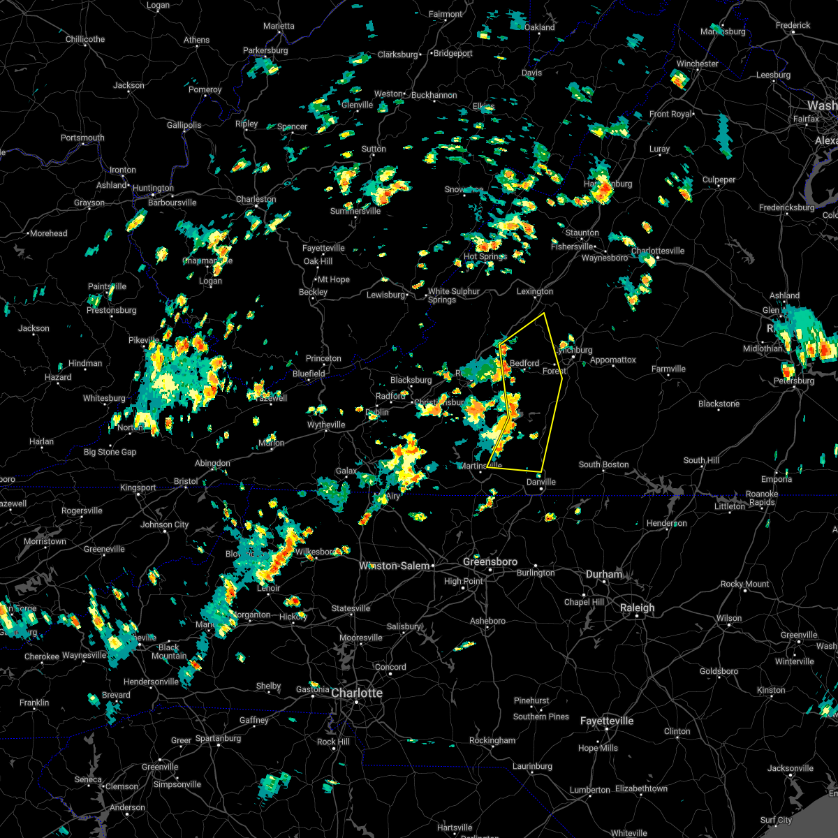 At 202 pm edt, severe thunderstorms were located along a line extending from near peaks of otter recreation area to near smith mountain lake state park to leatherwood, moving northeast at 20 mph (radar indicated). Hazards include 60 mph wind gusts and quarter size hail. Hail damage to vehicles is expected. Expect wind damage to roofs, siding, and trees. At 202 pm edt, severe thunderstorms were located along a line extending from near peaks of otter recreation area to near smith mountain lake state park to leatherwood, moving northeast at 20 mph (radar indicated). Hazards include 60 mph wind gusts and quarter size hail. Hail damage to vehicles is expected. Expect wind damage to roofs, siding, and trees.
|
| 8/10/2022 1:36 PM EDT |
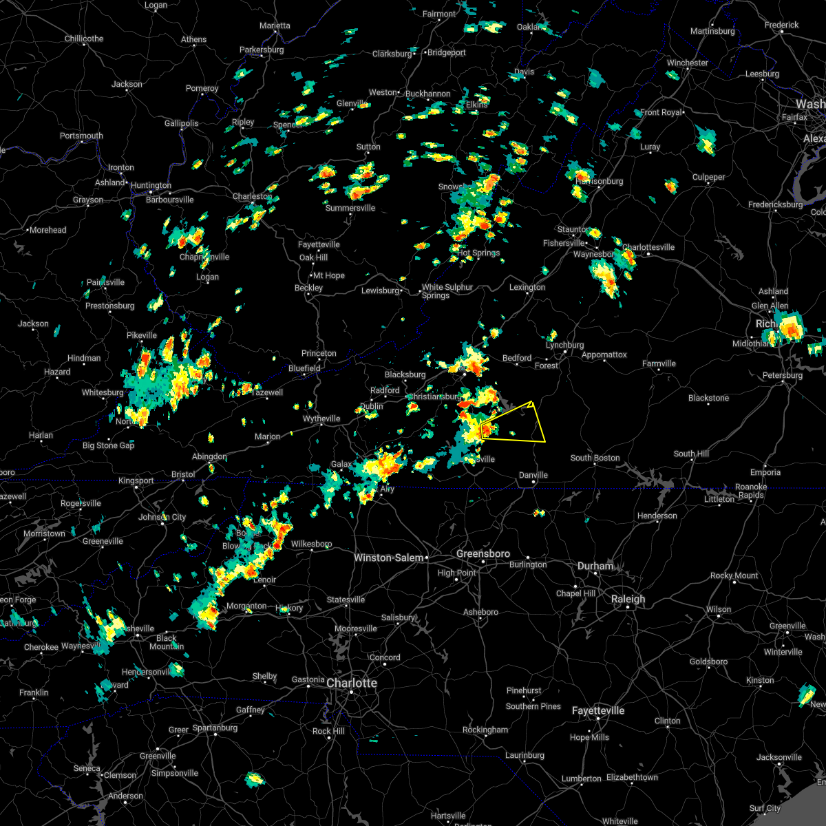 At 135 pm edt, a severe thunderstorm was located near sontag, or near sydnorsville, moving east at 25 mph (radar indicated). Hazards include 60 mph wind gusts and quarter size hail. Hail damage to vehicles is expected. Expect wind damage to roofs, siding, and trees. At 135 pm edt, a severe thunderstorm was located near sontag, or near sydnorsville, moving east at 25 mph (radar indicated). Hazards include 60 mph wind gusts and quarter size hail. Hail damage to vehicles is expected. Expect wind damage to roofs, siding, and trees.
|
| 7/26/2022 3:27 PM EDT |
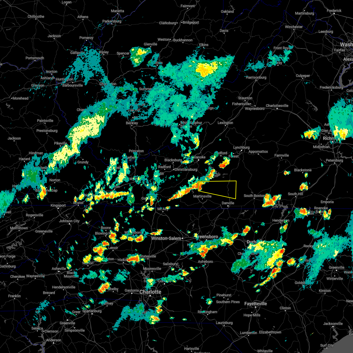 At 327 pm edt, a severe thunderstorm was located over sydnorsville, moving east at 35 mph (radar indicated). Hazards include 60 mph wind gusts. expect damage to roofs, siding, and trees At 327 pm edt, a severe thunderstorm was located over sydnorsville, moving east at 35 mph (radar indicated). Hazards include 60 mph wind gusts. expect damage to roofs, siding, and trees
|
| 7/25/2022 3:09 PM EDT |
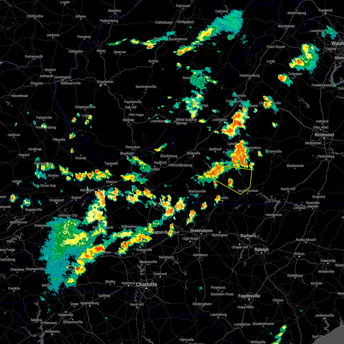 At 308 pm edt, severe thunderstorms were located along a line extending from near leesville to near gretna to near pittsville, moving east at 30 mph (radar indicated). Hazards include 60 mph wind gusts and quarter size hail. Hail damage to vehicles is expected. Expect wind damage to roofs, siding, and trees. At 308 pm edt, severe thunderstorms were located along a line extending from near leesville to near gretna to near pittsville, moving east at 30 mph (radar indicated). Hazards include 60 mph wind gusts and quarter size hail. Hail damage to vehicles is expected. Expect wind damage to roofs, siding, and trees.
|
| 7/25/2022 2:44 PM EDT |
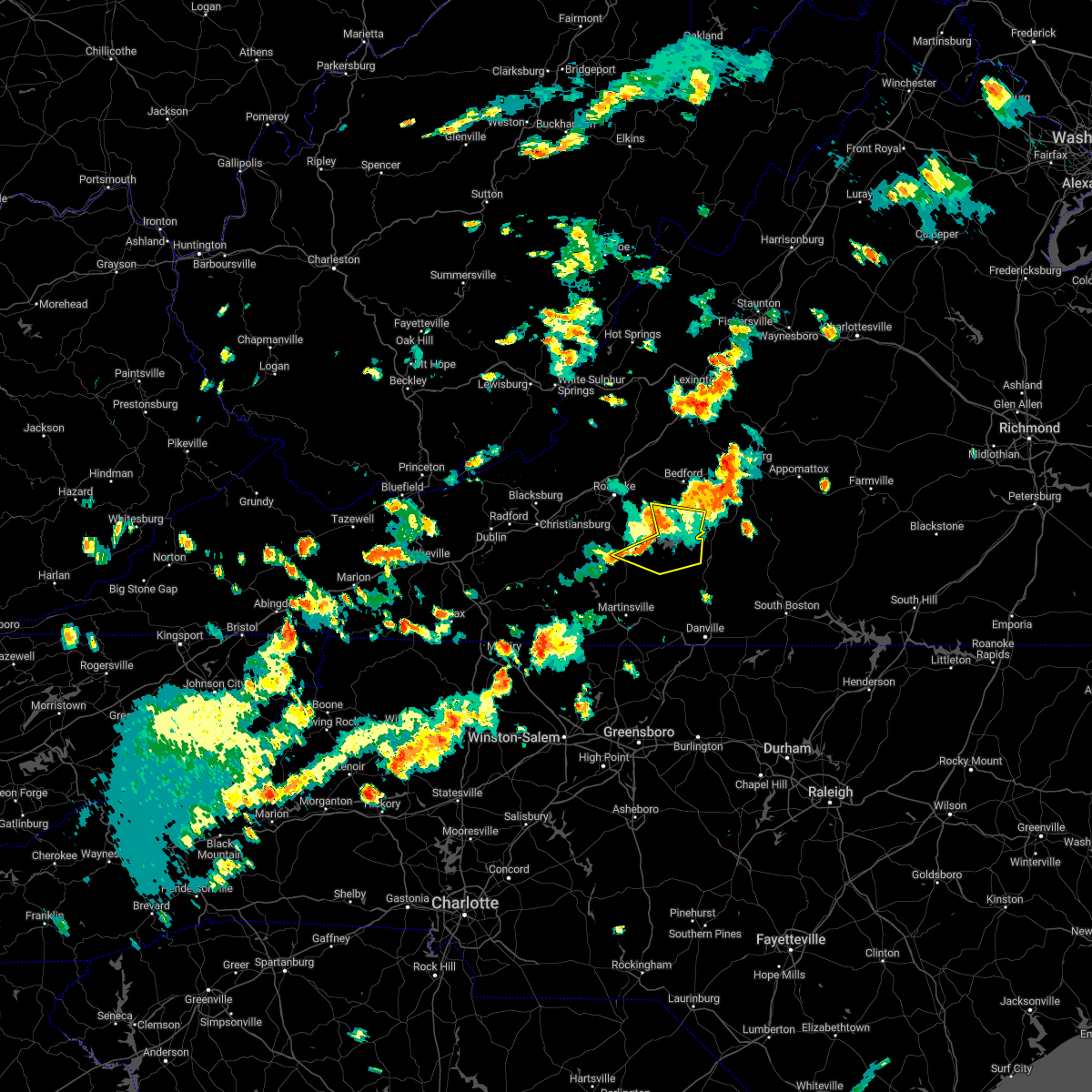 At 244 pm edt, severe thunderstorms were located along a line extending from moneta to union hall to near sontag, moving east at 20 mph (radar indicated). Hazards include 60 mph wind gusts and quarter size hail. Hail damage to vehicles is expected. expect wind damage to roofs, siding, and trees. locations impacted include, rocky mount, huddleston, moneta, penhook, southern smith mountain lake, smith mountain lake state park, and western smith mountain lake. hail threat, radar indicated max hail size, 1. 00 in wind threat, radar indicated max wind gust, 60 mph. At 244 pm edt, severe thunderstorms were located along a line extending from moneta to union hall to near sontag, moving east at 20 mph (radar indicated). Hazards include 60 mph wind gusts and quarter size hail. Hail damage to vehicles is expected. expect wind damage to roofs, siding, and trees. locations impacted include, rocky mount, huddleston, moneta, penhook, southern smith mountain lake, smith mountain lake state park, and western smith mountain lake. hail threat, radar indicated max hail size, 1. 00 in wind threat, radar indicated max wind gust, 60 mph.
|
| 7/25/2022 2:26 PM EDT |
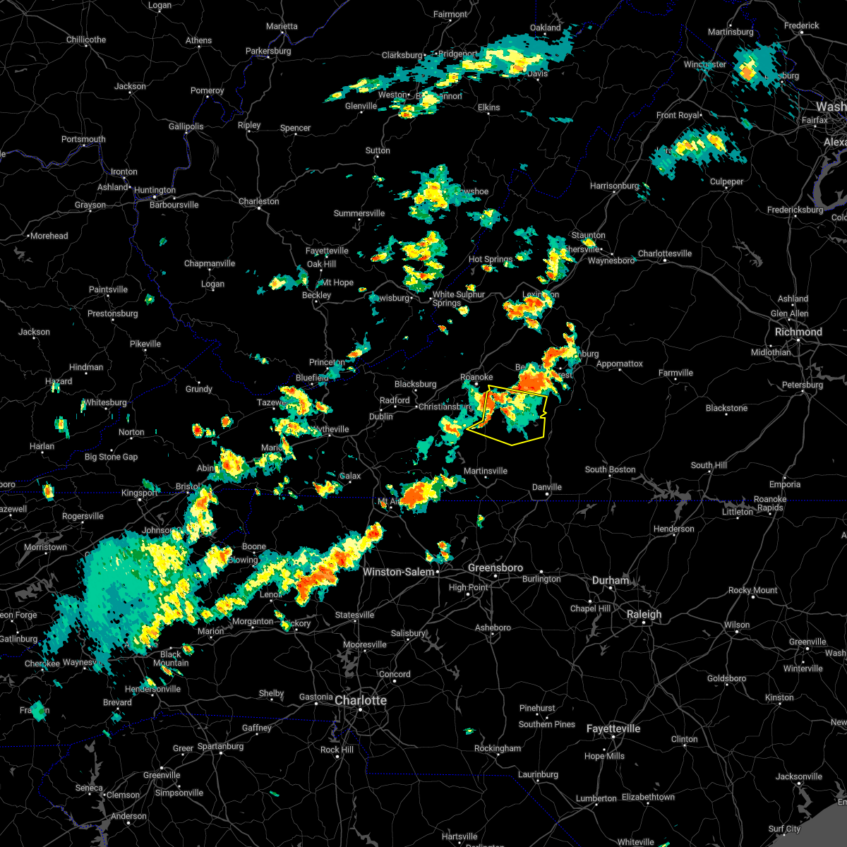 At 226 pm edt, severe thunderstorms were located along a line extending from northwest smith mountain lake to near western smith mountain lake to near rocky mount, moving east at 20 mph (radar indicated). Hazards include 60 mph wind gusts and quarter size hail. Hail damage to vehicles is expected. Expect wind damage to roofs, siding, and trees. At 226 pm edt, severe thunderstorms were located along a line extending from northwest smith mountain lake to near western smith mountain lake to near rocky mount, moving east at 20 mph (radar indicated). Hazards include 60 mph wind gusts and quarter size hail. Hail damage to vehicles is expected. Expect wind damage to roofs, siding, and trees.
|
| 7/25/2022 1:41 PM EDT |
 At 139 pm edt, a severe thunderstorm was located over crockett springs, or near shawsville, moving east at 35 mph. this storm has a history of creating wind gusts in excess of 45 mph (radar indicated). Hazards include 60 mph wind gusts. expect damage to roofs, siding, and trees At 139 pm edt, a severe thunderstorm was located over crockett springs, or near shawsville, moving east at 35 mph. this storm has a history of creating wind gusts in excess of 45 mph (radar indicated). Hazards include 60 mph wind gusts. expect damage to roofs, siding, and trees
|
| 7/12/2022 9:06 PM EDT |
 The severe thunderstorm warning for northeastern floyd and franklin counties will expire at 915 pm edt, the storms which prompted the warning have weakened below severe limits, and no longer pose an immediate threat to life or property. therefore, the warning will be allowed to expire. however gusty winds and heavy rain are still possible with these thunderstorms. a severe thunderstorm watch remains in effect until 1000 pm edt for south central, central, southwestern and west central virginia. The severe thunderstorm warning for northeastern floyd and franklin counties will expire at 915 pm edt, the storms which prompted the warning have weakened below severe limits, and no longer pose an immediate threat to life or property. therefore, the warning will be allowed to expire. however gusty winds and heavy rain are still possible with these thunderstorms. a severe thunderstorm watch remains in effect until 1000 pm edt for south central, central, southwestern and west central virginia.
|
| 7/12/2022 8:57 PM EDT |
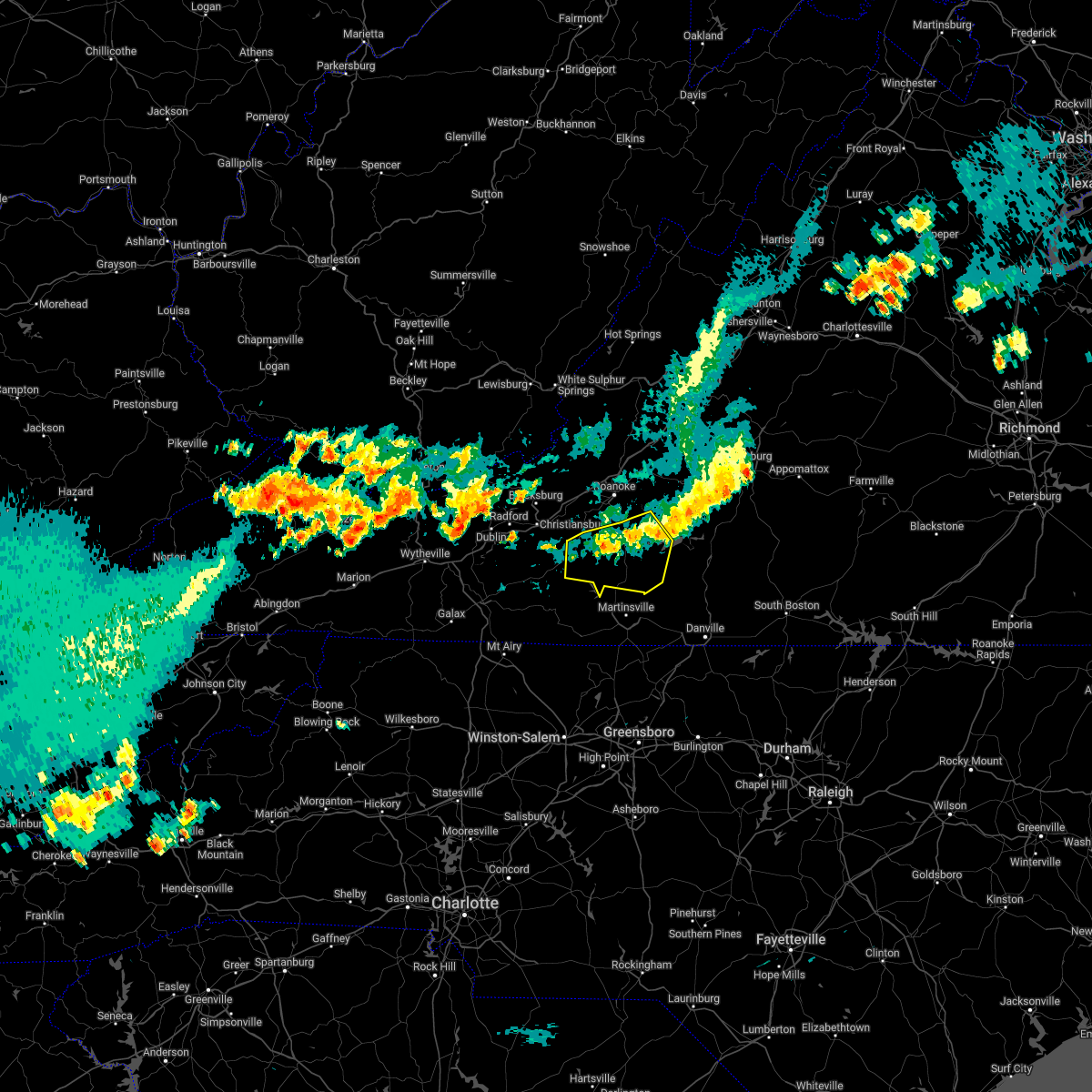 At 856 pm edt, severe thunderstorms were located along a line extending from north shore to near callaway, moving east at 40 mph (radar indicated). Hazards include 60 mph wind gusts and penny size hail. Expect damage to roofs, siding, and trees. locations impacted include, rocky mount, boones mill, copper hill, sydnorsville, ferrum, penhook, and snow creek. hail threat, radar indicated max hail size, 0. 75 in wind threat, radar indicated max wind gust, 60 mph. At 856 pm edt, severe thunderstorms were located along a line extending from north shore to near callaway, moving east at 40 mph (radar indicated). Hazards include 60 mph wind gusts and penny size hail. Expect damage to roofs, siding, and trees. locations impacted include, rocky mount, boones mill, copper hill, sydnorsville, ferrum, penhook, and snow creek. hail threat, radar indicated max hail size, 0. 75 in wind threat, radar indicated max wind gust, 60 mph.
|
| 7/12/2022 8:48 PM EDT |
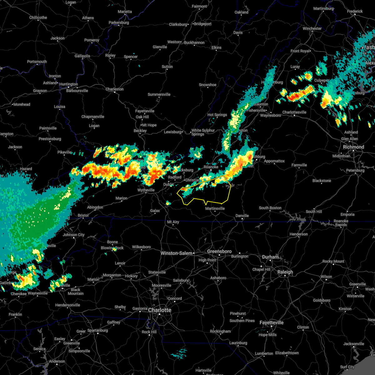 At 847 pm edt, severe thunderstorms were located along a line extending from near westlake corner to near floyd, moving southeast at 30 mph (radar indicated). Hazards include 60 mph wind gusts and penny size hail. Expect damage to roofs, siding, and trees. locations impacted include, rocky mount, floyd, boones mill, copper hill, sydnorsville, ferrum, and penhook. hail threat, radar indicated max hail size, 0. 75 in wind threat, radar indicated max wind gust, 60 mph. At 847 pm edt, severe thunderstorms were located along a line extending from near westlake corner to near floyd, moving southeast at 30 mph (radar indicated). Hazards include 60 mph wind gusts and penny size hail. Expect damage to roofs, siding, and trees. locations impacted include, rocky mount, floyd, boones mill, copper hill, sydnorsville, ferrum, and penhook. hail threat, radar indicated max hail size, 0. 75 in wind threat, radar indicated max wind gust, 60 mph.
|
| 7/12/2022 8:21 PM EDT |
 At 821 pm edt, severe thunderstorms were located along a line extending from stewartsville to near pilot, moving southeast at 25 mph (radar indicated). Hazards include 60 mph wind gusts and quarter size hail. Hail damage to vehicles is expected. Expect wind damage to roofs, siding, and trees. At 821 pm edt, severe thunderstorms were located along a line extending from stewartsville to near pilot, moving southeast at 25 mph (radar indicated). Hazards include 60 mph wind gusts and quarter size hail. Hail damage to vehicles is expected. Expect wind damage to roofs, siding, and trees.
|
| 7/5/2022 4:11 PM EDT |
 At 411 pm edt, severe thunderstorms were located along a line extending from hodges to near martinsville, moving east at 15 mph (radar indicated). Hazards include 60 mph wind gusts and quarter size hail. Hail damage to vehicles is expected. Expect wind damage to roofs, siding, and trees. At 411 pm edt, severe thunderstorms were located along a line extending from hodges to near martinsville, moving east at 15 mph (radar indicated). Hazards include 60 mph wind gusts and quarter size hail. Hail damage to vehicles is expected. Expect wind damage to roofs, siding, and trees.
|
| 7/5/2022 3:50 PM EDT |
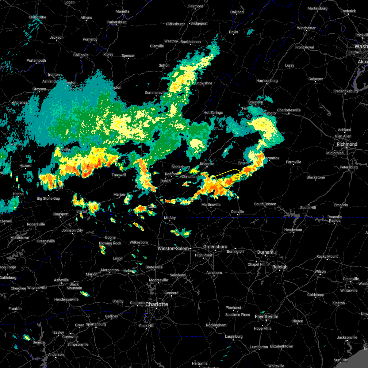 The severe thunderstorm warning for northwestern pittsylvania, southwestern bedford and northeastern franklin counties will expire at 400 pm edt, the storm which prompted the warning has weakened below severe limits, and has exited the warned area. therefore, the warning will be allowed to expire. The severe thunderstorm warning for northwestern pittsylvania, southwestern bedford and northeastern franklin counties will expire at 400 pm edt, the storm which prompted the warning has weakened below severe limits, and has exited the warned area. therefore, the warning will be allowed to expire.
|
| 7/5/2022 3:37 PM EDT |
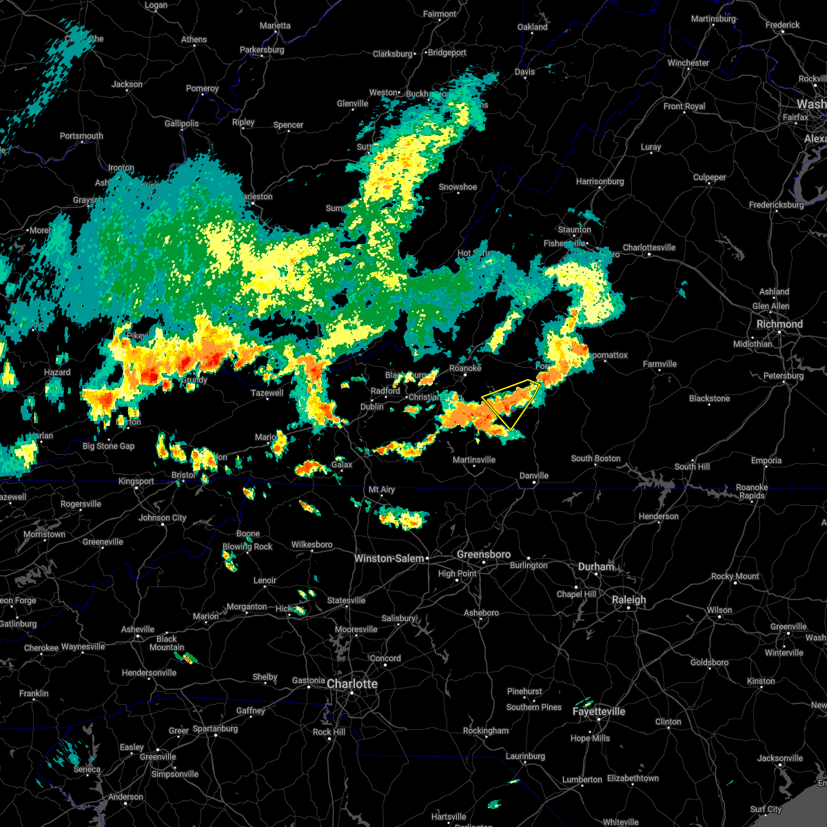 At 337 pm edt, a severe thunderstorm was located near smith mountain lake state park, or near huddleston, moving southeast at 20 mph (radar indicated). Hazards include 60 mph wind gusts and quarter size hail. Hail damage to vehicles is expected. expect wind damage to roofs, siding, and trees. locations impacted include, huddleston, penhook, moneta, smith mountain lake state park, union hall, north shore, and westlake corner. hail threat, radar indicated max hail size, 1. 00 in wind threat, radar indicated max wind gust, 60 mph. At 337 pm edt, a severe thunderstorm was located near smith mountain lake state park, or near huddleston, moving southeast at 20 mph (radar indicated). Hazards include 60 mph wind gusts and quarter size hail. Hail damage to vehicles is expected. expect wind damage to roofs, siding, and trees. locations impacted include, huddleston, penhook, moneta, smith mountain lake state park, union hall, north shore, and westlake corner. hail threat, radar indicated max hail size, 1. 00 in wind threat, radar indicated max wind gust, 60 mph.
|
| 7/5/2022 3:15 PM EDT |
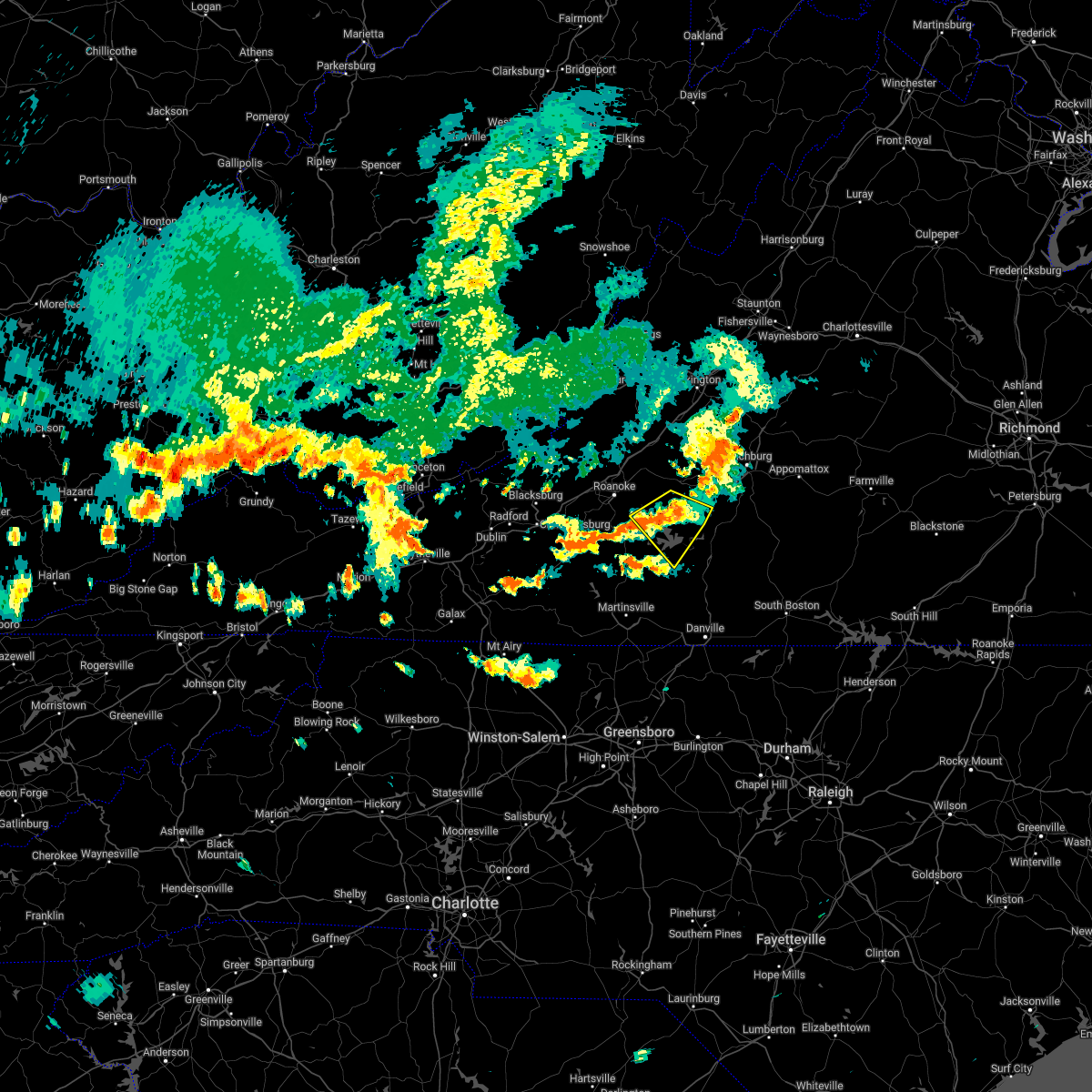 At 314 pm edt, a severe thunderstorm was located over moneta, moving southeast at 20 mph (radar indicated). Hazards include 60 mph wind gusts and quarter size hail. Hail damage to vehicles is expected. expect wind damage to roofs, siding, and trees. locations impacted include, moneta, huddleston, penhook, smith mountain lake state park, union hall, northwest smith mountain lake, and goodview. hail threat, radar indicated max hail size, 1. 00 in wind threat, radar indicated max wind gust, 60 mph. At 314 pm edt, a severe thunderstorm was located over moneta, moving southeast at 20 mph (radar indicated). Hazards include 60 mph wind gusts and quarter size hail. Hail damage to vehicles is expected. expect wind damage to roofs, siding, and trees. locations impacted include, moneta, huddleston, penhook, smith mountain lake state park, union hall, northwest smith mountain lake, and goodview. hail threat, radar indicated max hail size, 1. 00 in wind threat, radar indicated max wind gust, 60 mph.
|
| 7/5/2022 2:59 PM EDT |
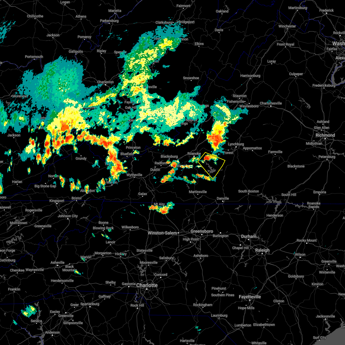 At 259 pm edt, a severe thunderstorm was located over goodview, or near moneta, moving southeast at 20 mph (radar indicated). Hazards include 60 mph wind gusts and quarter size hail. Hail damage to vehicles is expected. Expect wind damage to roofs, siding, and trees. At 259 pm edt, a severe thunderstorm was located over goodview, or near moneta, moving southeast at 20 mph (radar indicated). Hazards include 60 mph wind gusts and quarter size hail. Hail damage to vehicles is expected. Expect wind damage to roofs, siding, and trees.
|
| 6/17/2022 5:54 PM EDT |
 The severe thunderstorm warning for stokes, rockingham, western caswell, yadkin, pittsylvania and henry counties, the city of danville and the city of martinsville will expire at 600 pm edt, the storms which prompted the warning have moved southeast and out of the warned area. therefore, the warning will be allowed to expire. at 545 pm edt, regional radars indicated severe thunderstorms were moving southeast through southside virginia and into the northern piedmont of north carolina between south boston, virginia, and burlington, north carolina, moving southeast at 50 mph. The severe thunderstorm warning for stokes, rockingham, western caswell, yadkin, pittsylvania and henry counties, the city of danville and the city of martinsville will expire at 600 pm edt, the storms which prompted the warning have moved southeast and out of the warned area. therefore, the warning will be allowed to expire. at 545 pm edt, regional radars indicated severe thunderstorms were moving southeast through southside virginia and into the northern piedmont of north carolina between south boston, virginia, and burlington, north carolina, moving southeast at 50 mph.
|
| 6/17/2022 5:16 PM EDT |
 At 510 pm edt, strong winds were being produced by thunderstorms that were aligned just east of the blue ridge, and were moving into southside virginia and then piedmont of north carolina. wind gusts of 40 to 60 mph were being reported with these storms (radar indicated). Hazards include 60 mph wind gusts and penny size hail. Expect damage to roofs, siding, and trees. locations impacted include, danville, eden, reidsville, martinsville, yadkinville, wentworth, and mayodan. this includes the following locations the martinsville speedway, martinsville airport, and danville airport. hail threat, radar indicated max hail size, 0. 75 in wind threat, radar indicated max wind gust, 60 mph. At 510 pm edt, strong winds were being produced by thunderstorms that were aligned just east of the blue ridge, and were moving into southside virginia and then piedmont of north carolina. wind gusts of 40 to 60 mph were being reported with these storms (radar indicated). Hazards include 60 mph wind gusts and penny size hail. Expect damage to roofs, siding, and trees. locations impacted include, danville, eden, reidsville, martinsville, yadkinville, wentworth, and mayodan. this includes the following locations the martinsville speedway, martinsville airport, and danville airport. hail threat, radar indicated max hail size, 0. 75 in wind threat, radar indicated max wind gust, 60 mph.
|
| 6/17/2022 4:40 PM EDT |
 At 436 pm edt, severe thunderstorms were located along a line extending from near rocky mount virginia to wilkesboro north carolina, moving southeast at 50 mph. additional thunderstorms were developing ahead of this line, near wentworth and yadkinville, north carolina (radar indicated). Hazards include 60 mph wind gusts and quarter size hail. Hail damage to vehicles is expected. Expect wind damage to roofs, siding, and trees. At 436 pm edt, severe thunderstorms were located along a line extending from near rocky mount virginia to wilkesboro north carolina, moving southeast at 50 mph. additional thunderstorms were developing ahead of this line, near wentworth and yadkinville, north carolina (radar indicated). Hazards include 60 mph wind gusts and quarter size hail. Hail damage to vehicles is expected. Expect wind damage to roofs, siding, and trees.
|
| 6/17/2022 4:15 PM EDT |
 At 413 pm edt, severe thunderstorms were located along a line extending from vesuvius to near wirtz to near indian valley, moving southeast at 50 mph (radar indicated). Hazards include 70 mph wind gusts. Expect considerable tree damage. Damage is likely to mobile homes, roofs, and outbuildings. At 413 pm edt, severe thunderstorms were located along a line extending from vesuvius to near wirtz to near indian valley, moving southeast at 50 mph (radar indicated). Hazards include 70 mph wind gusts. Expect considerable tree damage. Damage is likely to mobile homes, roofs, and outbuildings.
|
| 6/16/2022 2:27 PM EDT |
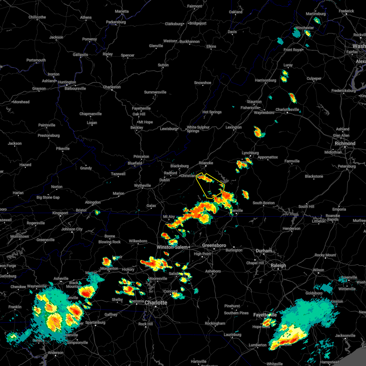 At 227 pm edt, a severe thunderstorm was located near boones mill, moving southeast at 10 mph (radar indicated). Hazards include 60 mph wind gusts and quarter size hail. Hail damage to vehicles is expected. Expect wind damage to roofs, siding, and trees. At 227 pm edt, a severe thunderstorm was located near boones mill, moving southeast at 10 mph (radar indicated). Hazards include 60 mph wind gusts and quarter size hail. Hail damage to vehicles is expected. Expect wind damage to roofs, siding, and trees.
|
| 6/14/2022 1:26 PM EDT |
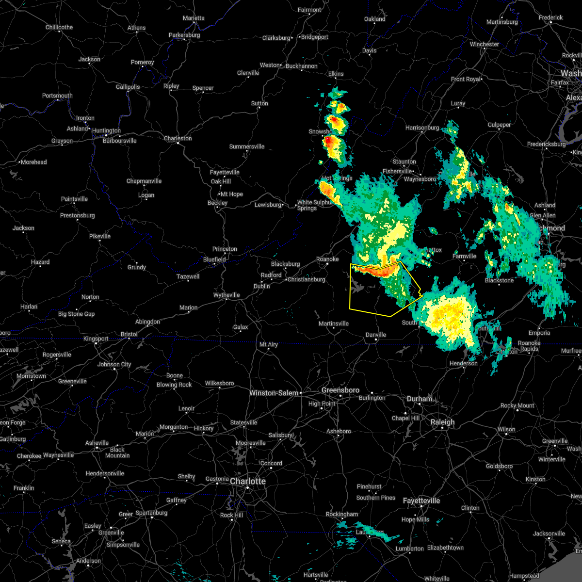 At 126 pm edt, severe thunderstorms were located along a line extending from near rustburg to near altavista to near moneta, moving south at 40 mph (radar indicated). Hazards include 60 mph wind gusts. expect damage to roofs, siding, and trees At 126 pm edt, severe thunderstorms were located along a line extending from near rustburg to near altavista to near moneta, moving south at 40 mph (radar indicated). Hazards include 60 mph wind gusts. expect damage to roofs, siding, and trees
|
| 6/2/2022 3:06 PM EDT |
 At 305 pm edt, severe thunderstorms were located along a line extending from southern smith mountain lake to near snow creek to near figsboro, moving east at 20 mph (radar indicated). Hazards include 60 mph wind gusts and quarter size hail. Hail damage to vehicles is expected. Expect wind damage to roofs, siding, and trees. At 305 pm edt, severe thunderstorms were located along a line extending from southern smith mountain lake to near snow creek to near figsboro, moving east at 20 mph (radar indicated). Hazards include 60 mph wind gusts and quarter size hail. Hail damage to vehicles is expected. Expect wind damage to roofs, siding, and trees.
|
| 5/27/2022 7:07 AM EDT |
 At 707 am edt, a severe thunderstorm was located over fieldale, or near martinsville, moving northeast at 50 mph (radar indicated). Hazards include 60 mph wind gusts. expect damage to roofs, siding, and trees At 707 am edt, a severe thunderstorm was located over fieldale, or near martinsville, moving northeast at 50 mph (radar indicated). Hazards include 60 mph wind gusts. expect damage to roofs, siding, and trees
|
| 5/27/2022 6:55 AM EDT |
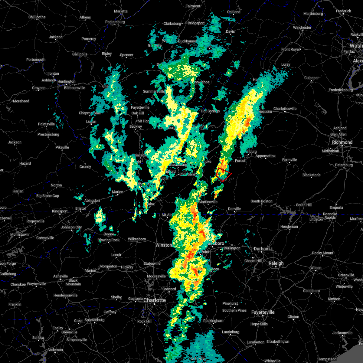 The tornado warning for southwestern bedford and northeastern franklin counties will expire at 700 am edt, the tornado warning that was previously in effect has been reissued for eastern bedford county until 730 am edt. please refer to that bulletin for the latest severe weather information. however gusty winds and heavy rain are still possible with this thunderstorm. a tornado watch remains in effect until 200 pm edt for south central, central and west central virginia. The tornado warning for southwestern bedford and northeastern franklin counties will expire at 700 am edt, the tornado warning that was previously in effect has been reissued for eastern bedford county until 730 am edt. please refer to that bulletin for the latest severe weather information. however gusty winds and heavy rain are still possible with this thunderstorm. a tornado watch remains in effect until 200 pm edt for south central, central and west central virginia.
|
| 5/27/2022 6:49 AM EDT |
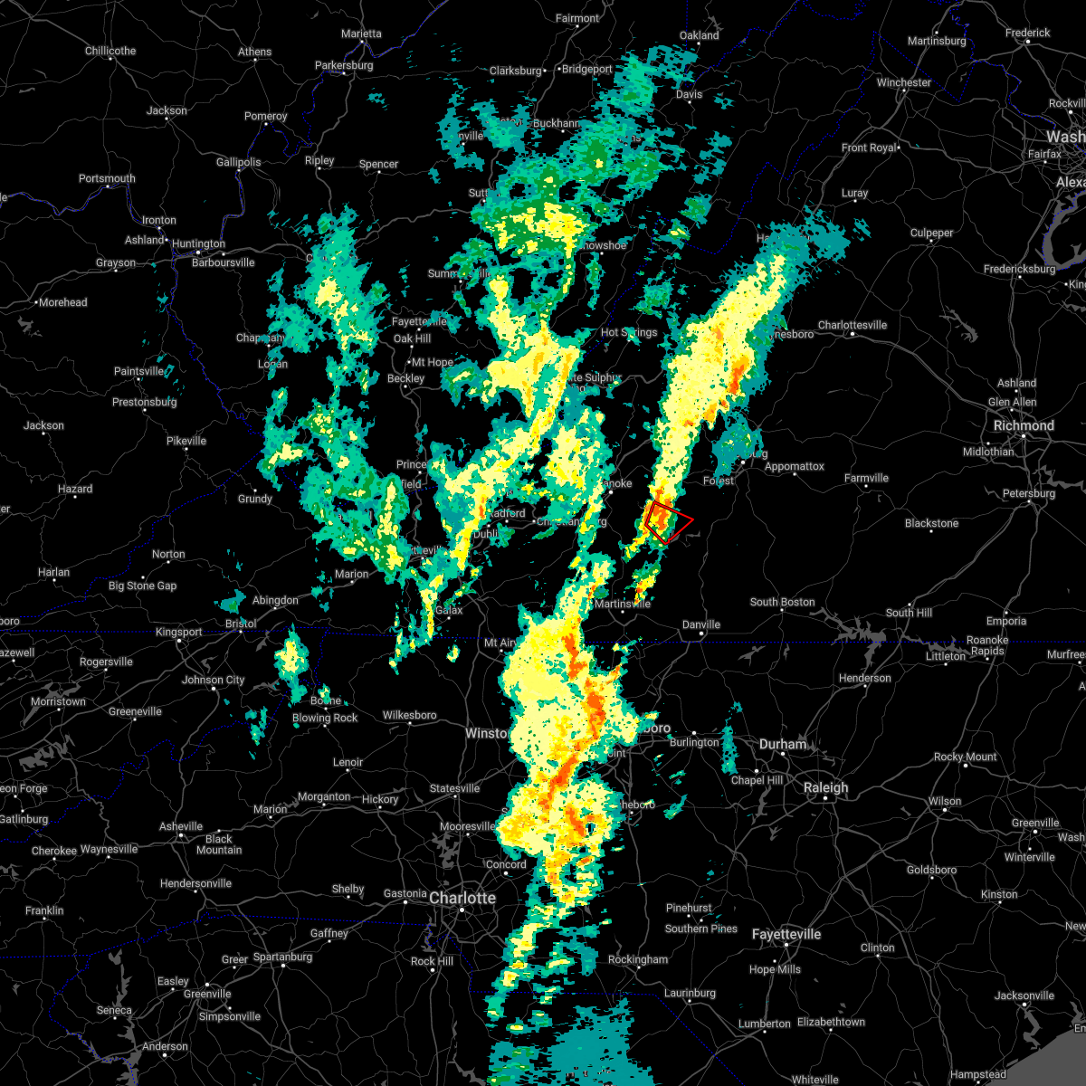 At 649 am edt, a severe thunderstorm capable of producing a tornado was located near moneta, moving northeast at 30 mph (radar indicated rotation). Hazards include tornado. Flying debris will be dangerous to those caught without shelter. mobile homes will be damaged or destroyed. damage to roofs, windows, and vehicles will occur. tree damage is likely. Locations impacted include, moneta, penhook, smith mountain lake state park, north shore, westlake corner, and union hall. At 649 am edt, a severe thunderstorm capable of producing a tornado was located near moneta, moving northeast at 30 mph (radar indicated rotation). Hazards include tornado. Flying debris will be dangerous to those caught without shelter. mobile homes will be damaged or destroyed. damage to roofs, windows, and vehicles will occur. tree damage is likely. Locations impacted include, moneta, penhook, smith mountain lake state park, north shore, westlake corner, and union hall.
|
| 5/27/2022 6:34 AM EDT |
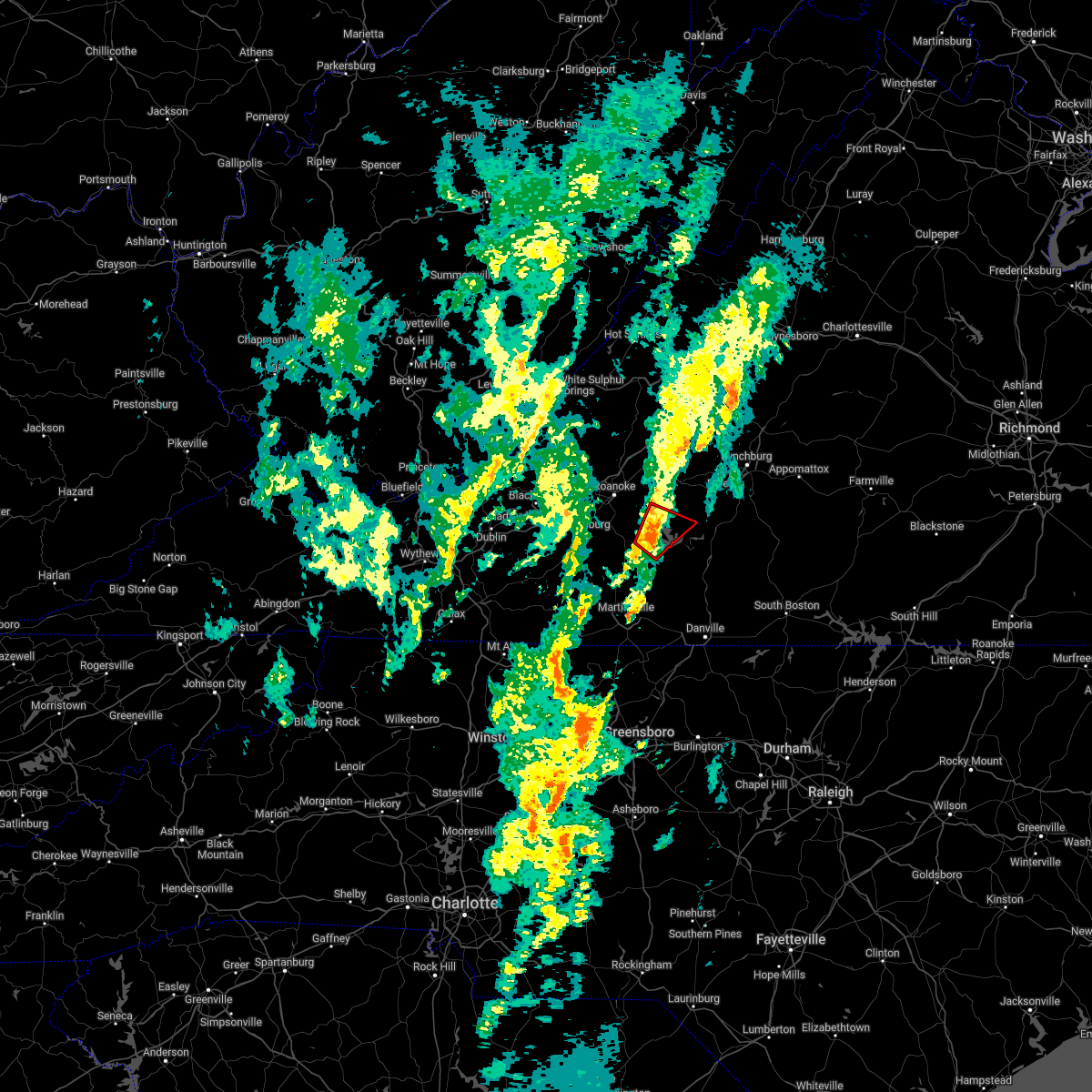 At 633 am edt, a severe thunderstorm capable of producing a tornado was located over union hall, or near penhook, moving northeast at 35 mph (radar indicated rotation). Hazards include tornado. Flying debris will be dangerous to those caught without shelter. mobile homes will be damaged or destroyed. damage to roofs, windows, and vehicles will occur. tree damage is likely. Locations impacted include, moneta, penhook, smith mountain lake state park, western smith mountain lake, union hall, northwest smith mountain lake, and goodview. At 633 am edt, a severe thunderstorm capable of producing a tornado was located over union hall, or near penhook, moving northeast at 35 mph (radar indicated rotation). Hazards include tornado. Flying debris will be dangerous to those caught without shelter. mobile homes will be damaged or destroyed. damage to roofs, windows, and vehicles will occur. tree damage is likely. Locations impacted include, moneta, penhook, smith mountain lake state park, western smith mountain lake, union hall, northwest smith mountain lake, and goodview.
|
| 5/27/2022 6:24 AM EDT |
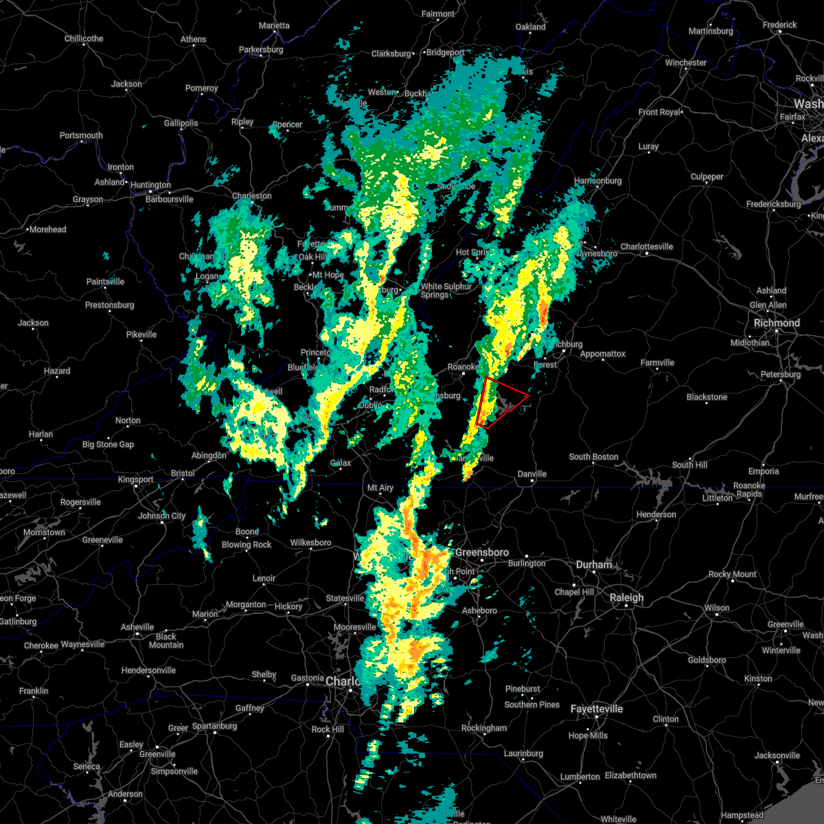 At 623 am edt, a severe thunderstorm capable of producing a tornado was located near sontag, or 7 miles east of rocky mount, moving northeast at 35 mph (radar indicated rotation). Hazards include tornado. Flying debris will be dangerous to those caught without shelter. mobile homes will be damaged or destroyed. damage to roofs, windows, and vehicles will occur. Tree damage is likely. At 623 am edt, a severe thunderstorm capable of producing a tornado was located near sontag, or 7 miles east of rocky mount, moving northeast at 35 mph (radar indicated rotation). Hazards include tornado. Flying debris will be dangerous to those caught without shelter. mobile homes will be damaged or destroyed. damage to roofs, windows, and vehicles will occur. Tree damage is likely.
|
| 5/26/2022 11:13 PM EDT |
 The severe thunderstorm warning for rockingham, western pittsylvania, southwestern bedford, henry and franklin counties and the city of martinsville will expire at 1115 pm edt, the storms which prompted the warning have weakened below severe limits, and have exited the warned area. therefore, the warning will be allowed to expire. however small hail, gusty winds and heavy rain are still possible with these thunderstorms. The severe thunderstorm warning for rockingham, western pittsylvania, southwestern bedford, henry and franklin counties and the city of martinsville will expire at 1115 pm edt, the storms which prompted the warning have weakened below severe limits, and have exited the warned area. therefore, the warning will be allowed to expire. however small hail, gusty winds and heavy rain are still possible with these thunderstorms.
|
| 5/26/2022 11:07 PM EDT |
 At 1106 pm edt, severe thunderstorms were located along a line extending from montvale to moneta to near sago, moving northeast at 45 mph (radar indicated). Hazards include 60 mph wind gusts. expect damage to roofs, siding, and trees At 1106 pm edt, severe thunderstorms were located along a line extending from montvale to moneta to near sago, moving northeast at 45 mph (radar indicated). Hazards include 60 mph wind gusts. expect damage to roofs, siding, and trees
|
| 5/26/2022 10:45 PM EDT |
 At 1045 pm edt, severe thunderstorms were located along a line extending from burnt chimney to near wentworth, moving northeast at 35 mph (radar indicated). Hazards include 60 mph wind gusts. Expect damage to roofs, siding, and trees. locations impacted include, eden, reidsville, martinsville, rocky mount, wentworth, stoneville, and ferrum. This includes the following locations the martinsville speedway and martinsville airport. At 1045 pm edt, severe thunderstorms were located along a line extending from burnt chimney to near wentworth, moving northeast at 35 mph (radar indicated). Hazards include 60 mph wind gusts. Expect damage to roofs, siding, and trees. locations impacted include, eden, reidsville, martinsville, rocky mount, wentworth, stoneville, and ferrum. This includes the following locations the martinsville speedway and martinsville airport.
|
| 5/26/2022 10:13 PM EDT |
 At 1013 pm edt, severe thunderstorms were located along a line extending from near callaway to near pine hall, moving east at 25 mph (radar indicated). Hazards include 60 mph wind gusts. expect damage to roofs, siding, and trees At 1013 pm edt, severe thunderstorms were located along a line extending from near callaway to near pine hall, moving east at 25 mph (radar indicated). Hazards include 60 mph wind gusts. expect damage to roofs, siding, and trees
|
| 5/6/2022 8:54 PM EDT |
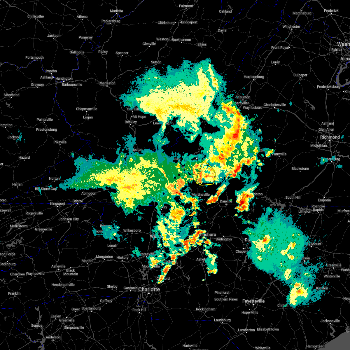 At 853 pm edt, a severe thunderstorm was located over rocky mount, moving northeast at 40 mph (radar indicated). Hazards include 60 mph wind gusts. Expect damage to roofs, siding, and trees. locations impacted include, rocky mount, penhook, sydnorsville, ferrum, burnt chimney, northwest smith mountain lake, and westlake corner. hail threat, radar indicated max hail size, <. 75 in wind threat, radar indicated max wind gust, 60 mph. At 853 pm edt, a severe thunderstorm was located over rocky mount, moving northeast at 40 mph (radar indicated). Hazards include 60 mph wind gusts. Expect damage to roofs, siding, and trees. locations impacted include, rocky mount, penhook, sydnorsville, ferrum, burnt chimney, northwest smith mountain lake, and westlake corner. hail threat, radar indicated max hail size, <. 75 in wind threat, radar indicated max wind gust, 60 mph.
|
| 5/6/2022 8:41 PM EDT |
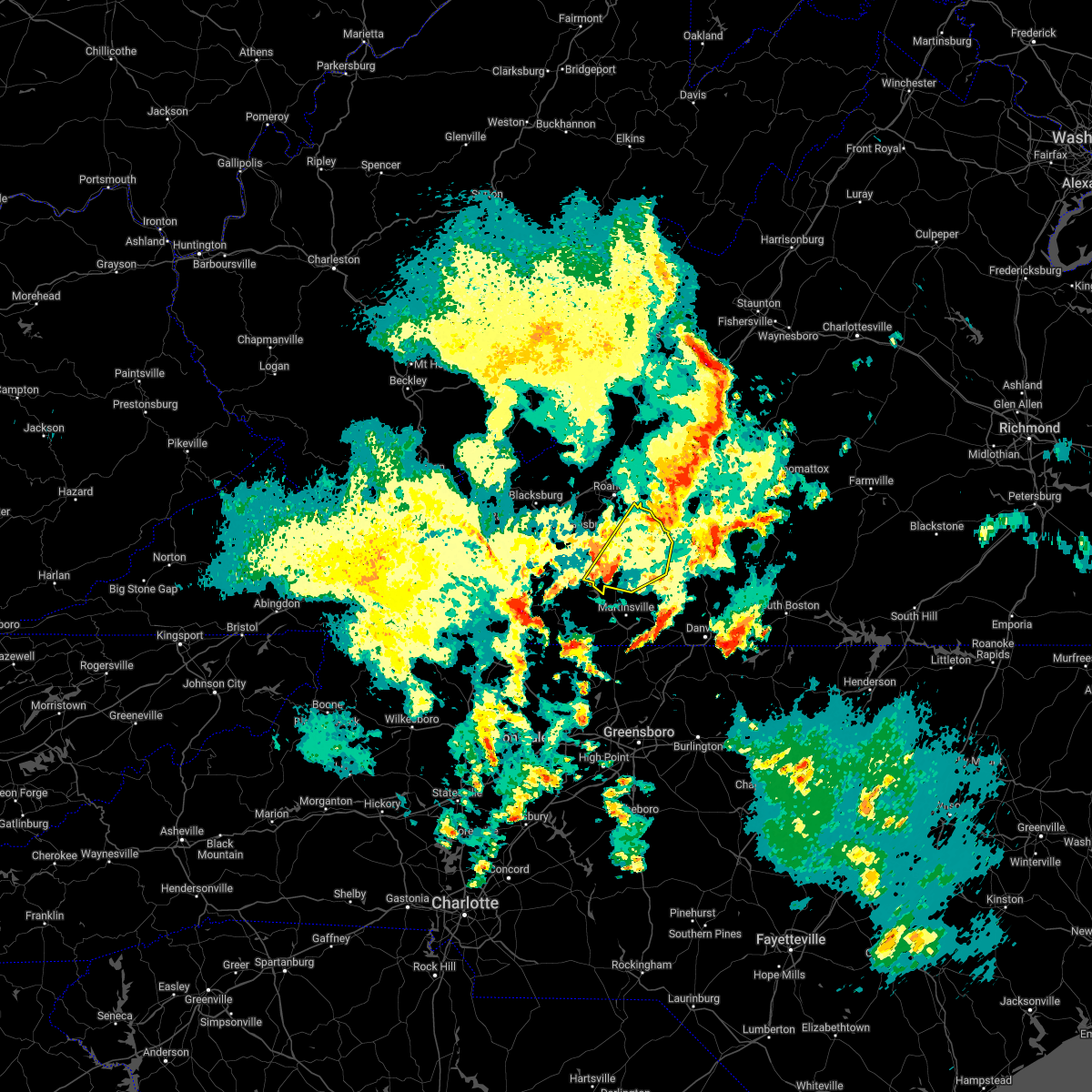 At 840 pm edt, a severe thunderstorm was located near ferrum, moving northeast at 30 mph (radar indicated). Hazards include 60 mph wind gusts and quarter size hail. Hail damage to vehicles is expected. Expect wind damage to roofs, siding, and trees. At 840 pm edt, a severe thunderstorm was located near ferrum, moving northeast at 30 mph (radar indicated). Hazards include 60 mph wind gusts and quarter size hail. Hail damage to vehicles is expected. Expect wind damage to roofs, siding, and trees.
|
| 5/6/2022 8:11 PM EDT |
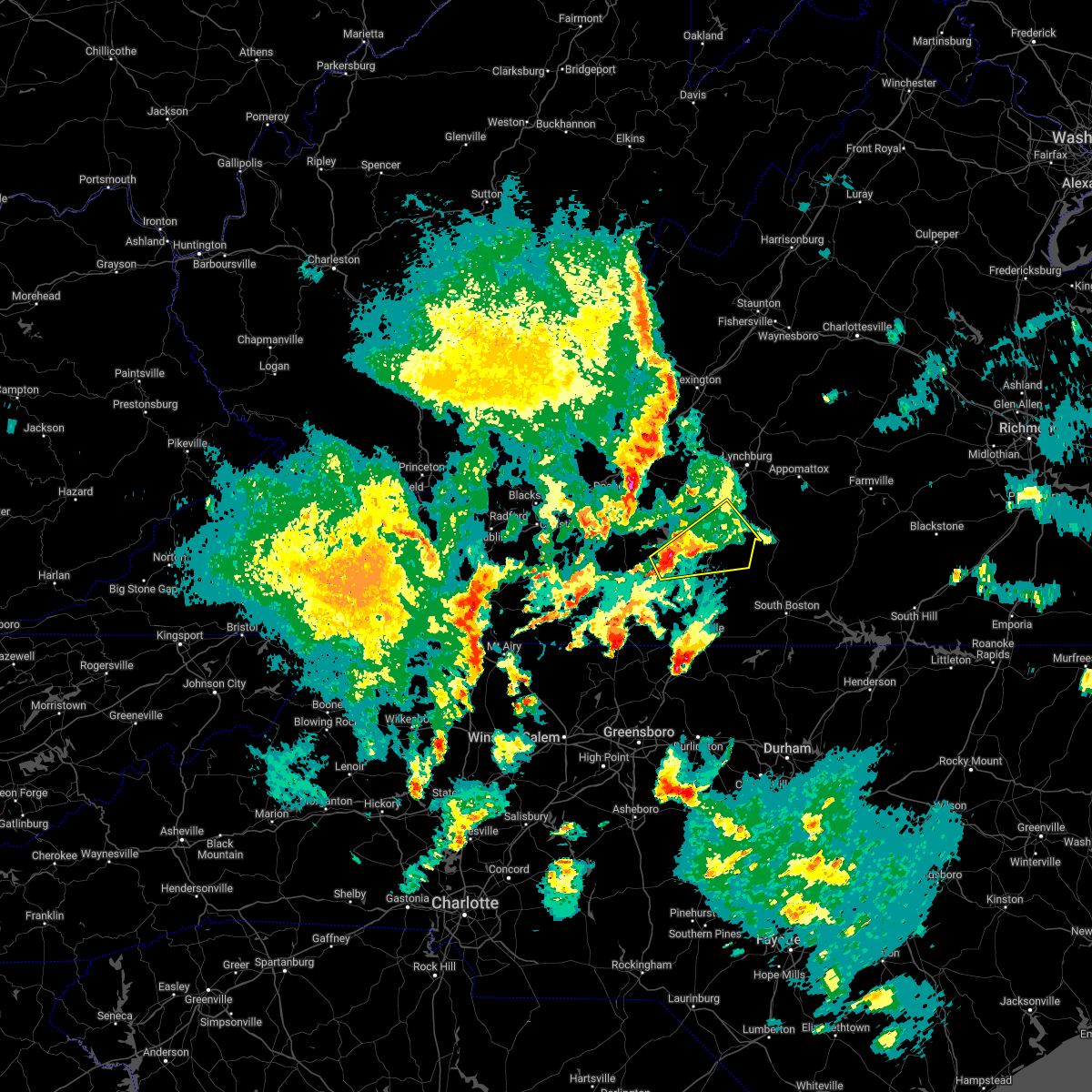 At 810 pm edt, a severe thunderstorm was located over ajax, or near penhook, moving northeast at 25 mph (radar indicated). Hazards include 60 mph wind gusts and quarter size hail. Hail damage to vehicles is expected. Expect wind damage to roofs, siding, and trees. At 810 pm edt, a severe thunderstorm was located over ajax, or near penhook, moving northeast at 25 mph (radar indicated). Hazards include 60 mph wind gusts and quarter size hail. Hail damage to vehicles is expected. Expect wind damage to roofs, siding, and trees.
|
| 10/25/2021 7:21 PM EDT |
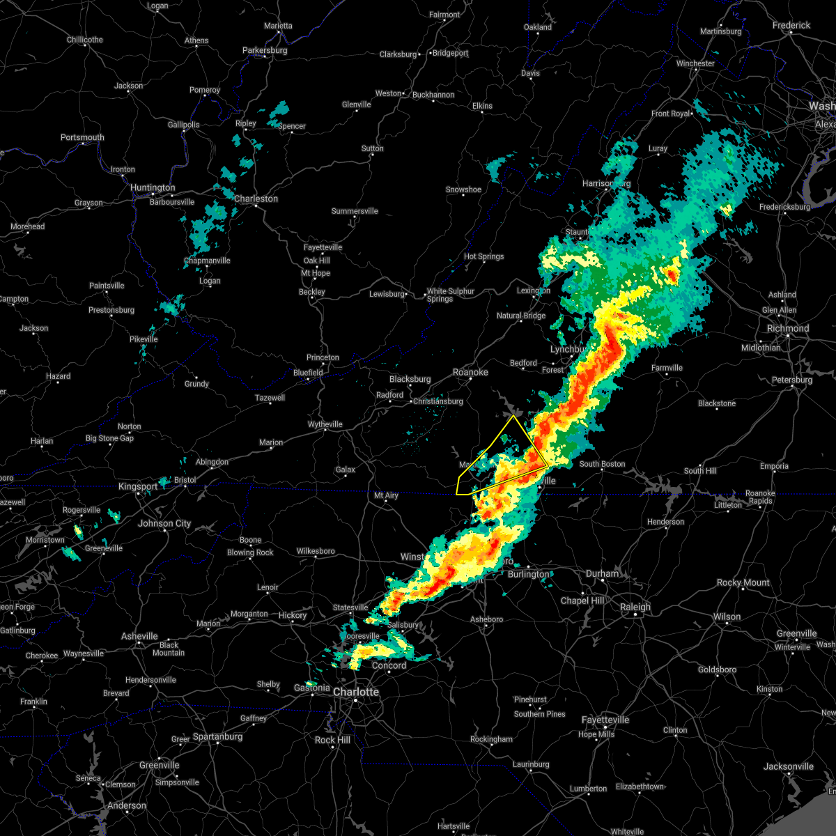 The severe thunderstorm warning for western pittsylvania, henry and southeastern franklin counties and the city of martinsville will expire at 730 pm edt, the storm which prompted the warning has moved out of the area. therefore, the warning will be allowed to expire. however gusty winds and heavy rain are still possible with this thunderstorm. a severe thunderstorm watch remains in effect until 100 am edt for north central north carolina, and central and south central virginia. The severe thunderstorm warning for western pittsylvania, henry and southeastern franklin counties and the city of martinsville will expire at 730 pm edt, the storm which prompted the warning has moved out of the area. therefore, the warning will be allowed to expire. however gusty winds and heavy rain are still possible with this thunderstorm. a severe thunderstorm watch remains in effect until 100 am edt for north central north carolina, and central and south central virginia.
|
| 10/25/2021 6:57 PM EDT |
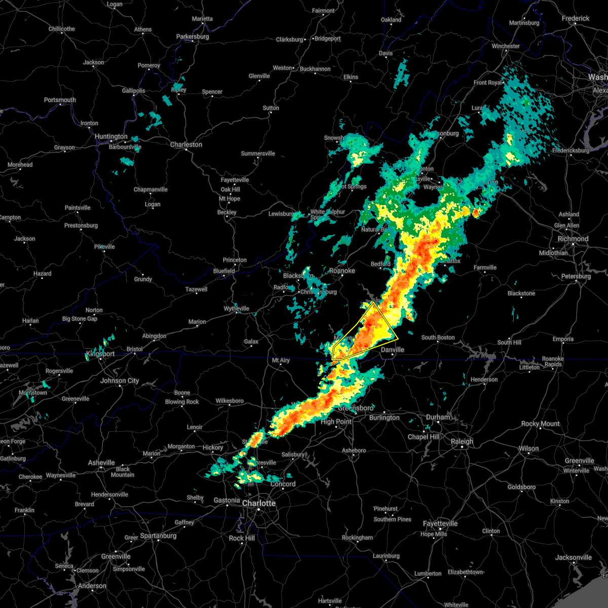 At 656 pm edt, a severe thunderstorm was located over leatherwood, or near axton, moving northeast at 35 mph (radar indicated). Hazards include 60 mph wind gusts and quarter size hail. Hail damage to vehicles is expected. expect wind damage to roofs, siding, and trees. locations impacted include, martinsville, spencer, callands, axton, penhook, snow creek, and leatherwood. This includes the following locations the martinsville speedway and martinsville airport. At 656 pm edt, a severe thunderstorm was located over leatherwood, or near axton, moving northeast at 35 mph (radar indicated). Hazards include 60 mph wind gusts and quarter size hail. Hail damage to vehicles is expected. expect wind damage to roofs, siding, and trees. locations impacted include, martinsville, spencer, callands, axton, penhook, snow creek, and leatherwood. This includes the following locations the martinsville speedway and martinsville airport.
|
| 10/25/2021 6:29 PM EDT |
 At 629 pm edt, a severe thunderstorm was located over spencer, moving northeast at 35 mph (radar indicated). Hazards include 60 mph wind gusts and quarter size hail. Hail damage to vehicles is expected. Expect wind damage to roofs, siding, and trees. At 629 pm edt, a severe thunderstorm was located over spencer, moving northeast at 35 mph (radar indicated). Hazards include 60 mph wind gusts and quarter size hail. Hail damage to vehicles is expected. Expect wind damage to roofs, siding, and trees.
|
| 9/8/2021 2:57 PM EDT |
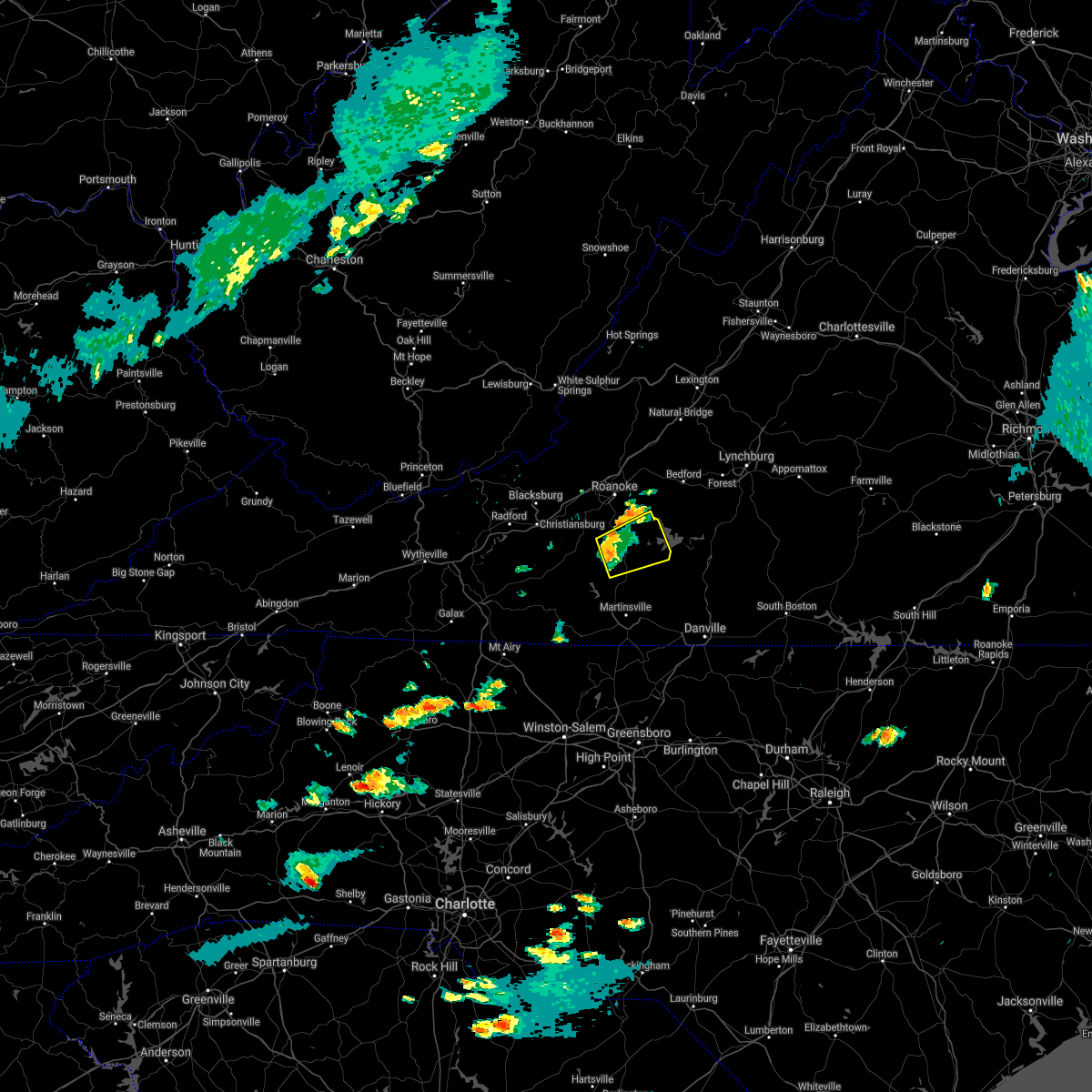 A severe thunderstorm warning remains in effect until 345 pm edt for central franklin county. at 256 pm edt, a severe thunderstorm was located over rocky mount, moving east at 40 mph. hazard. 60 mph wind gusts and pea size hail. source. Radar indicated. A severe thunderstorm warning remains in effect until 345 pm edt for central franklin county. at 256 pm edt, a severe thunderstorm was located over rocky mount, moving east at 40 mph. hazard. 60 mph wind gusts and pea size hail. source. Radar indicated.
|
| 9/8/2021 2:43 PM EDT |
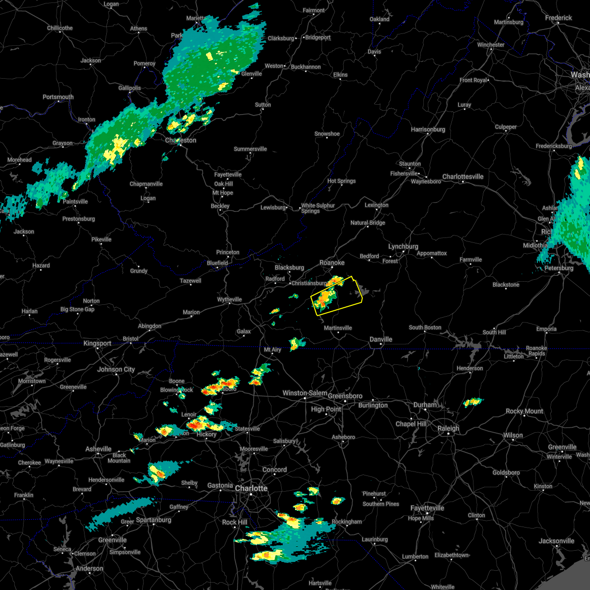 At 242 pm edt, a severe thunderstorm was located near callaway, or near ferrum, moving east at 20 mph (radar indicated). Hazards include 60 mph wind gusts and quarter size hail. Hail damage to vehicles is expected. Expect wind damage to roofs, siding, and trees. At 242 pm edt, a severe thunderstorm was located near callaway, or near ferrum, moving east at 20 mph (radar indicated). Hazards include 60 mph wind gusts and quarter size hail. Hail damage to vehicles is expected. Expect wind damage to roofs, siding, and trees.
|
| 8/12/2021 3:34 PM EDT |
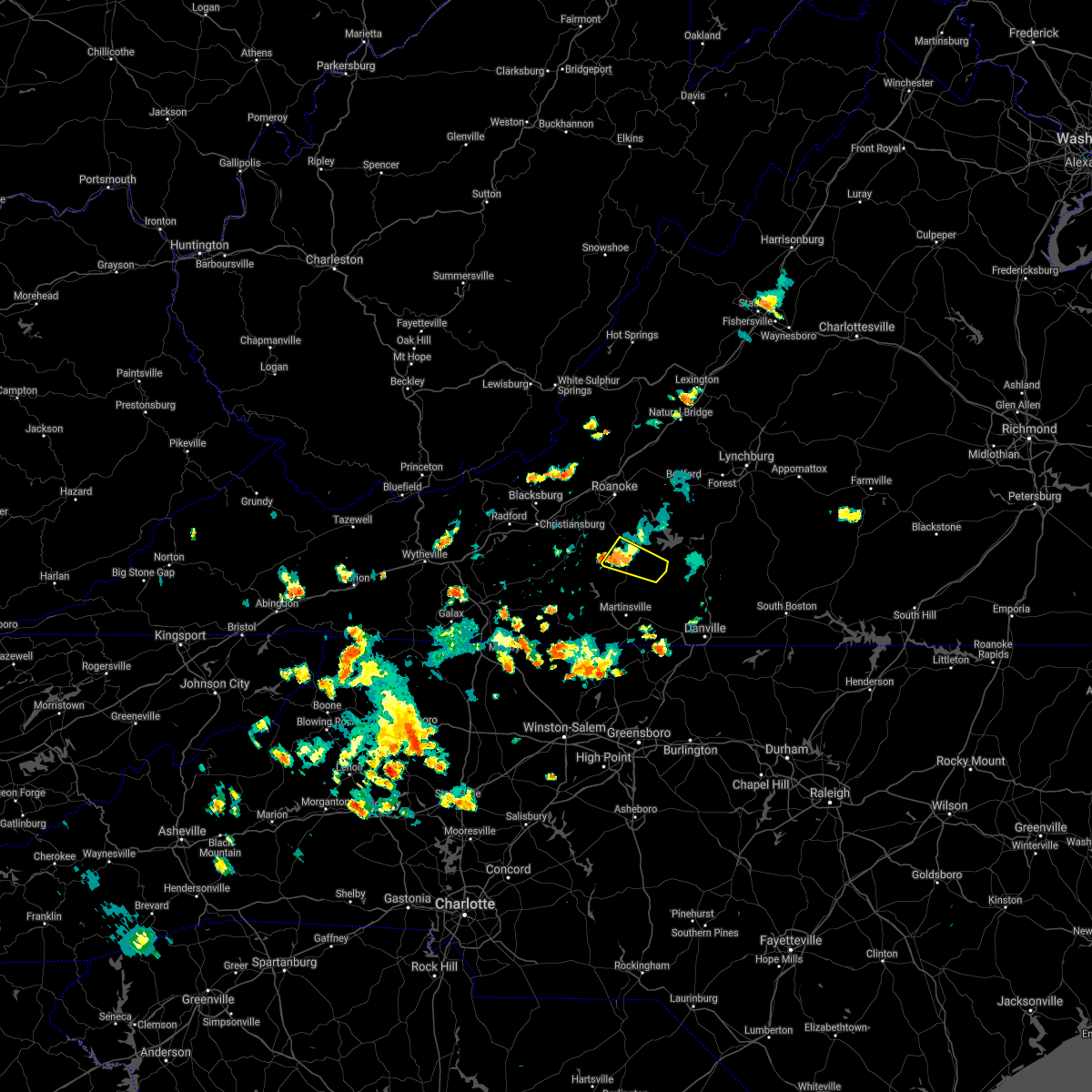 At 333 pm edt, a severe thunderstorm was located near sontag, or near rocky mount, moving southeast at 10 mph (radar indicated). Hazards include 60 mph wind gusts and quarter size hail. Hail damage to vehicles is expected. expect wind damage to roofs, siding, and trees. locations impacted include, rocky mount, ferrum, penhook, and sontag. hail threat, radar indicated max hail size, 1. 00 in wind threat, radar indicated max wind gust, 60 mph. At 333 pm edt, a severe thunderstorm was located near sontag, or near rocky mount, moving southeast at 10 mph (radar indicated). Hazards include 60 mph wind gusts and quarter size hail. Hail damage to vehicles is expected. expect wind damage to roofs, siding, and trees. locations impacted include, rocky mount, ferrum, penhook, and sontag. hail threat, radar indicated max hail size, 1. 00 in wind threat, radar indicated max wind gust, 60 mph.
|
| 8/12/2021 3:18 PM EDT |
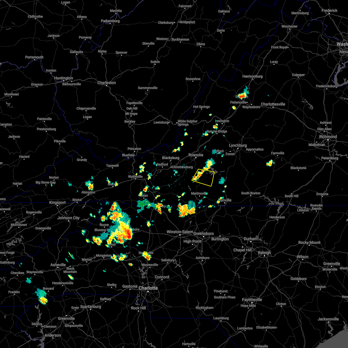 At 317 pm edt, a severe thunderstorm was located over rocky mount, moving east at 10 mph (radar indicated). Hazards include 60 mph wind gusts and quarter size hail. Hail damage to vehicles is expected. Expect wind damage to roofs, siding, and trees. At 317 pm edt, a severe thunderstorm was located over rocky mount, moving east at 10 mph (radar indicated). Hazards include 60 mph wind gusts and quarter size hail. Hail damage to vehicles is expected. Expect wind damage to roofs, siding, and trees.
|
| 8/12/2021 3:12 PM EDT |
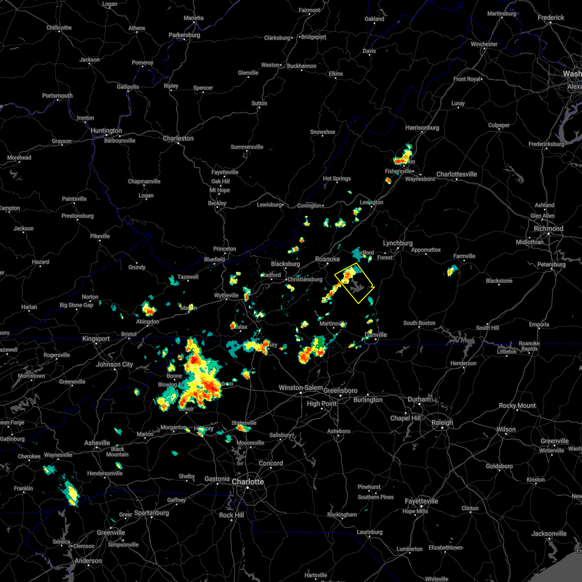 The severe thunderstorm warning for northwestern pittsylvania, southwestern bedford and northeastern franklin counties will expire at 315 pm edt, the storm which prompted the warning has weakened below severe limits, and no longer poses an immediate threat to life or property. therefore, the warning will be allowed to expire. however small hail, gusty winds and heavy rain are still possible with this thunderstorm. The severe thunderstorm warning for northwestern pittsylvania, southwestern bedford and northeastern franklin counties will expire at 315 pm edt, the storm which prompted the warning has weakened below severe limits, and no longer poses an immediate threat to life or property. therefore, the warning will be allowed to expire. however small hail, gusty winds and heavy rain are still possible with this thunderstorm.
|
| 8/12/2021 2:53 PM EDT |
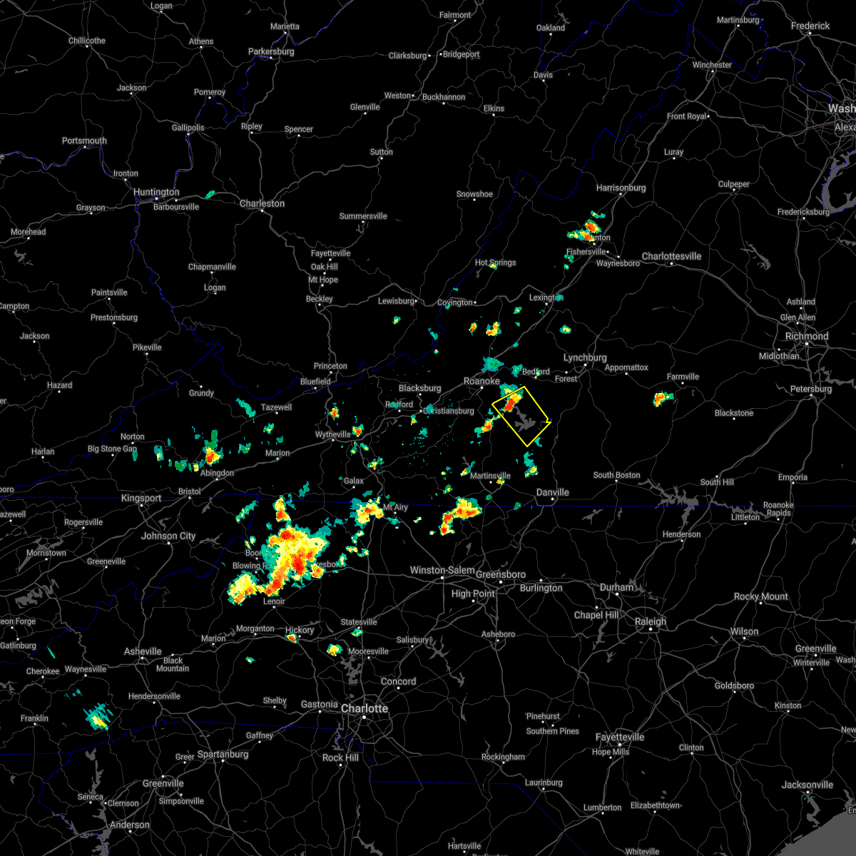 At 251 pm edt, a severe thunderstorm was located over westlake corner, or near moneta, moving southeast at 20 mph (radar indicated). Hazards include 60 mph wind gusts and quarter size hail. Hail damage to vehicles is expected. expect wind damage to roofs, siding, and trees. locations impacted include, moneta, penhook, smith mountain lake state park, union hall, northwest smith mountain lake, goodview, and north shore. hail threat, radar indicated max hail size, 1. 00 in wind threat, radar indicated max wind gust, 60 mph. At 251 pm edt, a severe thunderstorm was located over westlake corner, or near moneta, moving southeast at 20 mph (radar indicated). Hazards include 60 mph wind gusts and quarter size hail. Hail damage to vehicles is expected. expect wind damage to roofs, siding, and trees. locations impacted include, moneta, penhook, smith mountain lake state park, union hall, northwest smith mountain lake, goodview, and north shore. hail threat, radar indicated max hail size, 1. 00 in wind threat, radar indicated max wind gust, 60 mph.
|
| 8/12/2021 2:35 PM EDT |
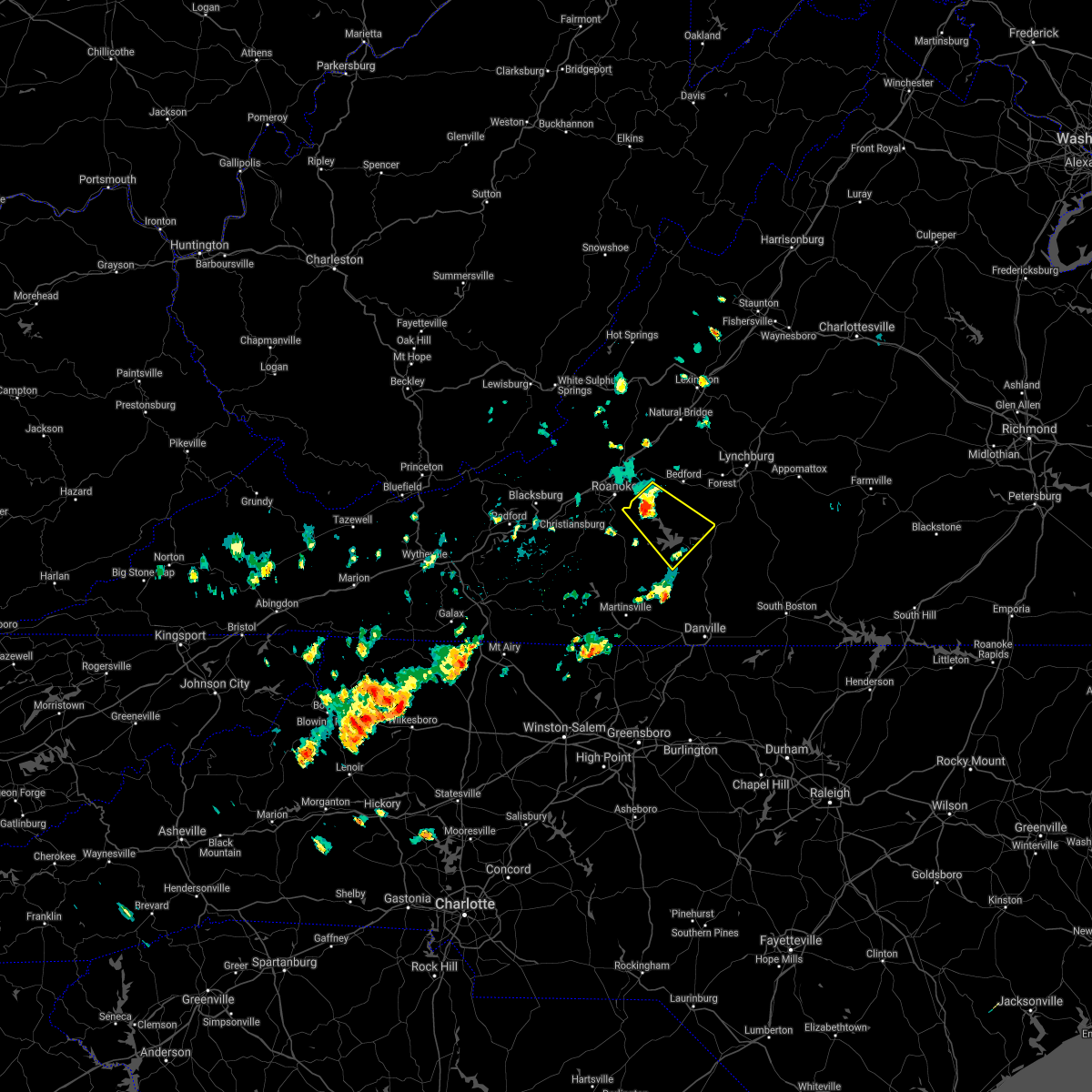 At 235 pm edt, a severe thunderstorm was located over northwest smith mountain lake, or near moneta, moving southeast at 20 mph (radar indicated). Hazards include 60 mph wind gusts and quarter size hail. Hail damage to vehicles is expected. expect wind damage to roofs, siding, and trees. locations impacted include, stewartsville, huddleston, moneta, penhook, leesville, northwest smith mountain lake, and goodview. hail threat, radar indicated max hail size, 1. 00 in wind threat, radar indicated max wind gust, 60 mph. At 235 pm edt, a severe thunderstorm was located over northwest smith mountain lake, or near moneta, moving southeast at 20 mph (radar indicated). Hazards include 60 mph wind gusts and quarter size hail. Hail damage to vehicles is expected. expect wind damage to roofs, siding, and trees. locations impacted include, stewartsville, huddleston, moneta, penhook, leesville, northwest smith mountain lake, and goodview. hail threat, radar indicated max hail size, 1. 00 in wind threat, radar indicated max wind gust, 60 mph.
|
| 8/12/2021 2:12 PM EDT |
 At 212 pm edt, a severe thunderstorm was located over stewartsville, moving southeast at 20 mph (radar indicated). Hazards include 60 mph wind gusts and quarter size hail. Hail damage to vehicles is expected. Expect wind damage to roofs, siding, and trees. At 212 pm edt, a severe thunderstorm was located over stewartsville, moving southeast at 20 mph (radar indicated). Hazards include 60 mph wind gusts and quarter size hail. Hail damage to vehicles is expected. Expect wind damage to roofs, siding, and trees.
|
| 8/11/2021 3:40 PM EDT |
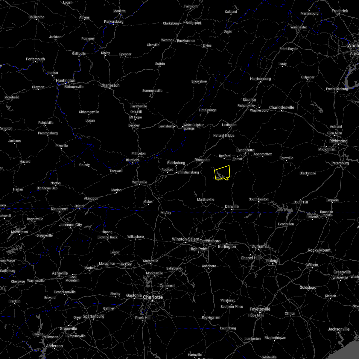 At 340 pm edt, a severe thunderstorm was located over north shore, or near moneta, moving east at 10 mph (radar indicated). Hazards include 60 mph wind gusts and quarter size hail. Hail damage to vehicles is expected. Expect wind damage to roofs, siding, and trees. At 340 pm edt, a severe thunderstorm was located over north shore, or near moneta, moving east at 10 mph (radar indicated). Hazards include 60 mph wind gusts and quarter size hail. Hail damage to vehicles is expected. Expect wind damage to roofs, siding, and trees.
|
| 8/10/2021 3:26 PM EDT |
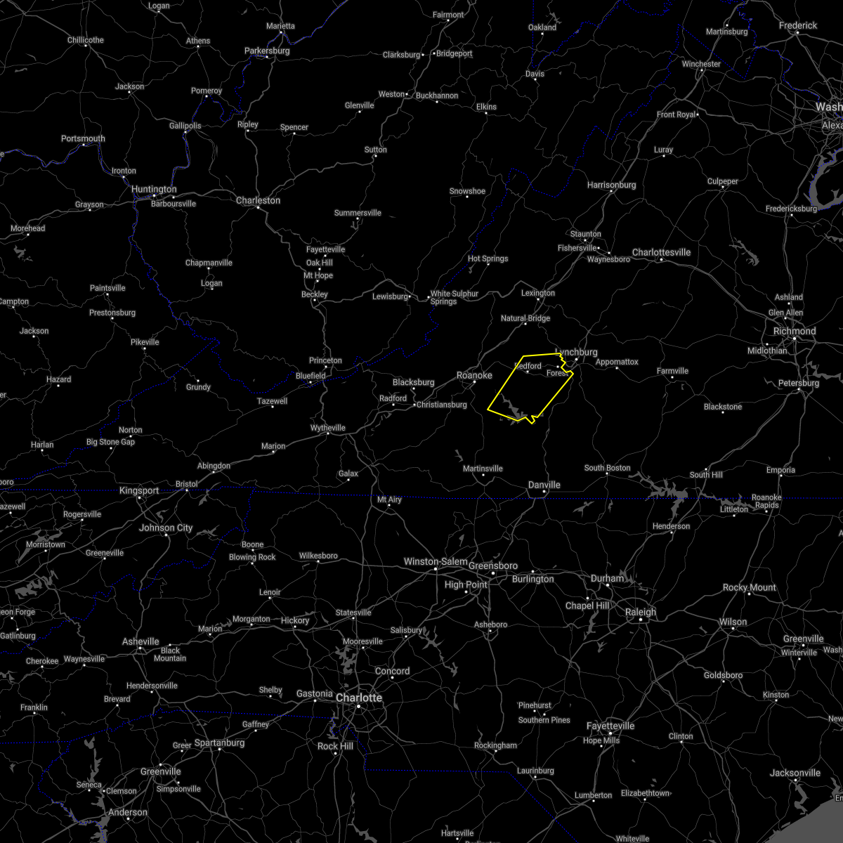 At 326 pm edt, severe thunderstorms were located along a line extending from goode to near north shore, moving east at 20 mph (radar indicated). Hazards include 60 mph wind gusts and quarter size hail. Hail damage to vehicles is expected. expect wind damage to roofs, siding, and trees. locations impacted include, bedford, huddleston, moneta, forest, evington, leesville, and burnt chimney. this includes the following locations the national d-day memorial and lynchburg airport. hail threat, radar indicated max hail size, 1. 00 in wind threat, radar indicated max wind gust, 60 mph. At 326 pm edt, severe thunderstorms were located along a line extending from goode to near north shore, moving east at 20 mph (radar indicated). Hazards include 60 mph wind gusts and quarter size hail. Hail damage to vehicles is expected. expect wind damage to roofs, siding, and trees. locations impacted include, bedford, huddleston, moneta, forest, evington, leesville, and burnt chimney. this includes the following locations the national d-day memorial and lynchburg airport. hail threat, radar indicated max hail size, 1. 00 in wind threat, radar indicated max wind gust, 60 mph.
|
| 8/10/2021 2:57 PM EDT |
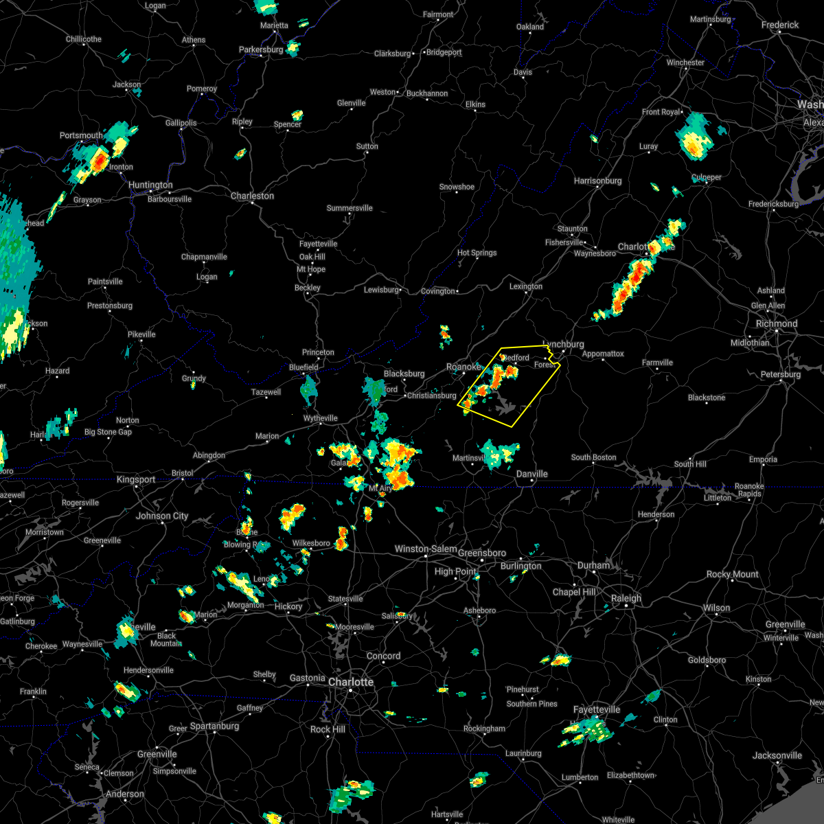 At 257 pm edt, severe thunderstorms were located along a line extending from thaxton to near burnt chimney, moving east at 15 mph (radar indicated). Hazards include 60 mph wind gusts and quarter size hail. Hail damage to vehicles is expected. Expect wind damage to roofs, siding, and trees. At 257 pm edt, severe thunderstorms were located along a line extending from thaxton to near burnt chimney, moving east at 15 mph (radar indicated). Hazards include 60 mph wind gusts and quarter size hail. Hail damage to vehicles is expected. Expect wind damage to roofs, siding, and trees.
|
| 7/26/2021 3:36 PM EDT |
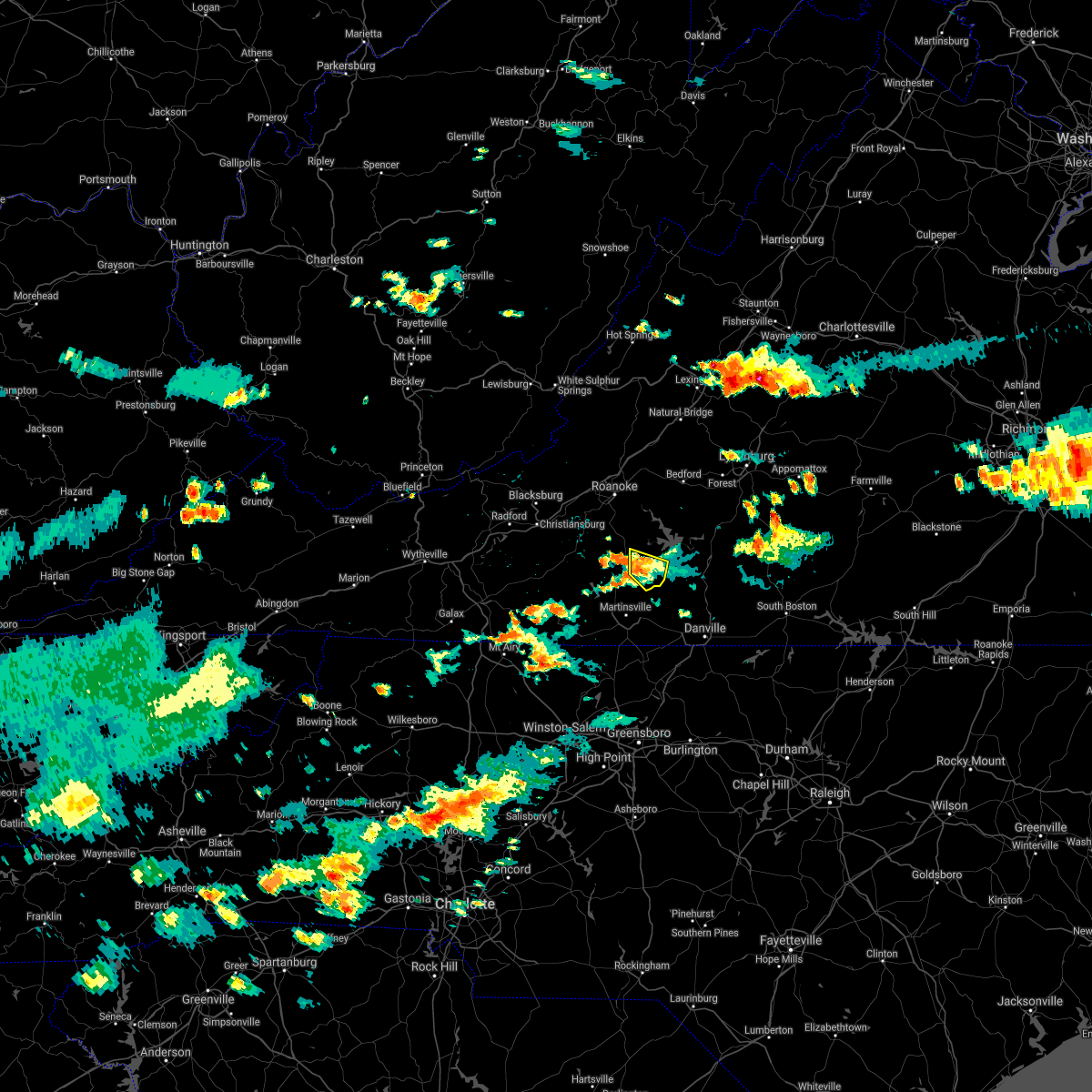 At 336 pm edt, a severe thunderstorm was located over sontag, or near sydnorsville, and is nearly stationary (radar indicated). Hazards include 60 mph wind gusts. Expect damage to roofs, siding, and trees. Locations impacted include, penhook, snow creek, and sontag. At 336 pm edt, a severe thunderstorm was located over sontag, or near sydnorsville, and is nearly stationary (radar indicated). Hazards include 60 mph wind gusts. Expect damage to roofs, siding, and trees. Locations impacted include, penhook, snow creek, and sontag.
|
| 7/26/2021 3:06 PM EDT |
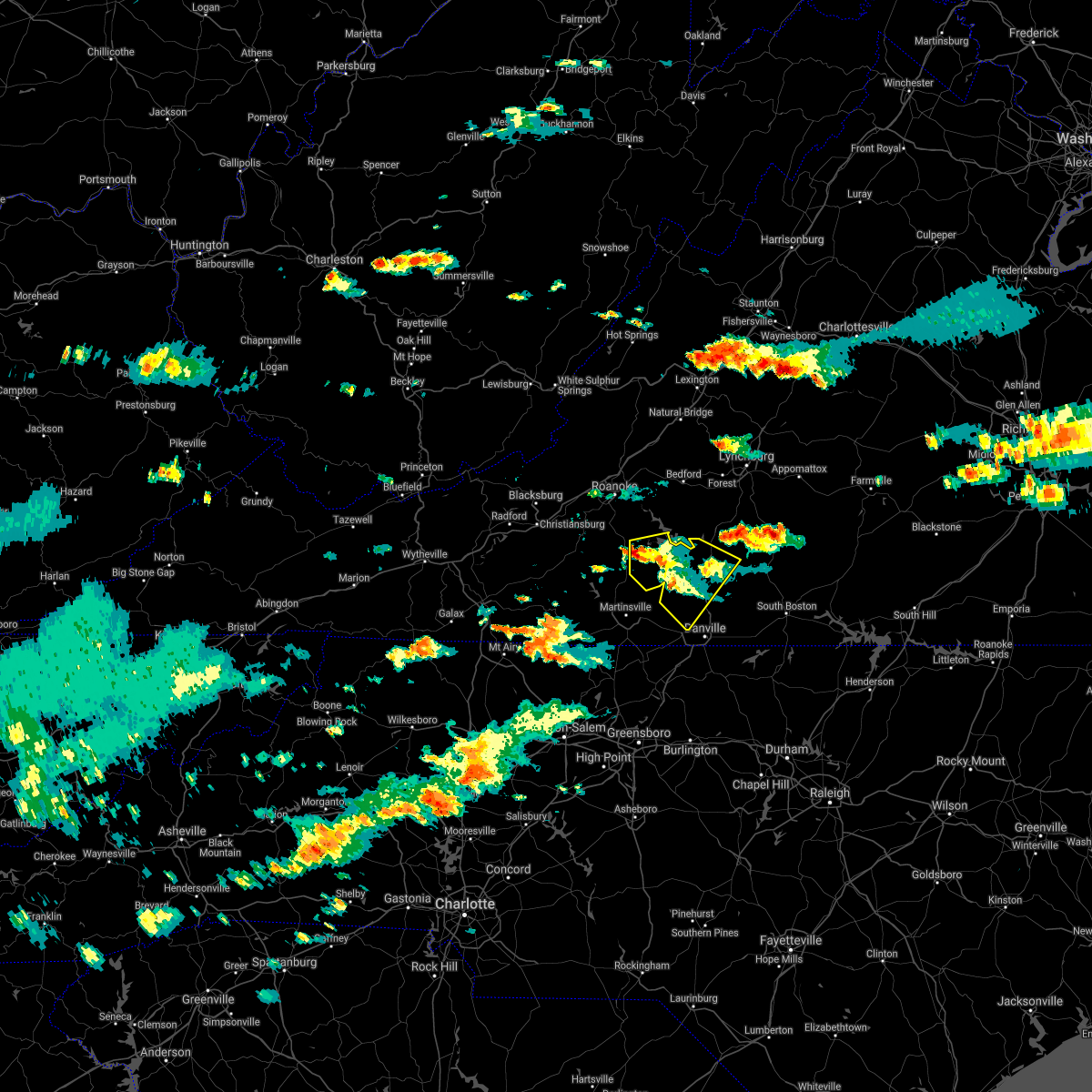 At 306 pm edt, a severe thunderstorm was located near sontag, or near rocky mount, moving southeast at 10 mph (radar indicated). Hazards include 60 mph wind gusts and quarter size hail. Hail damage to vehicles is expected. expect wind damage to roofs, siding, and trees. Locations impacted include, chatham, gretna, callands, penhook, mt airy, snow creek, and dry fork. At 306 pm edt, a severe thunderstorm was located near sontag, or near rocky mount, moving southeast at 10 mph (radar indicated). Hazards include 60 mph wind gusts and quarter size hail. Hail damage to vehicles is expected. expect wind damage to roofs, siding, and trees. Locations impacted include, chatham, gretna, callands, penhook, mt airy, snow creek, and dry fork.
|
| 7/26/2021 2:44 PM EDT |
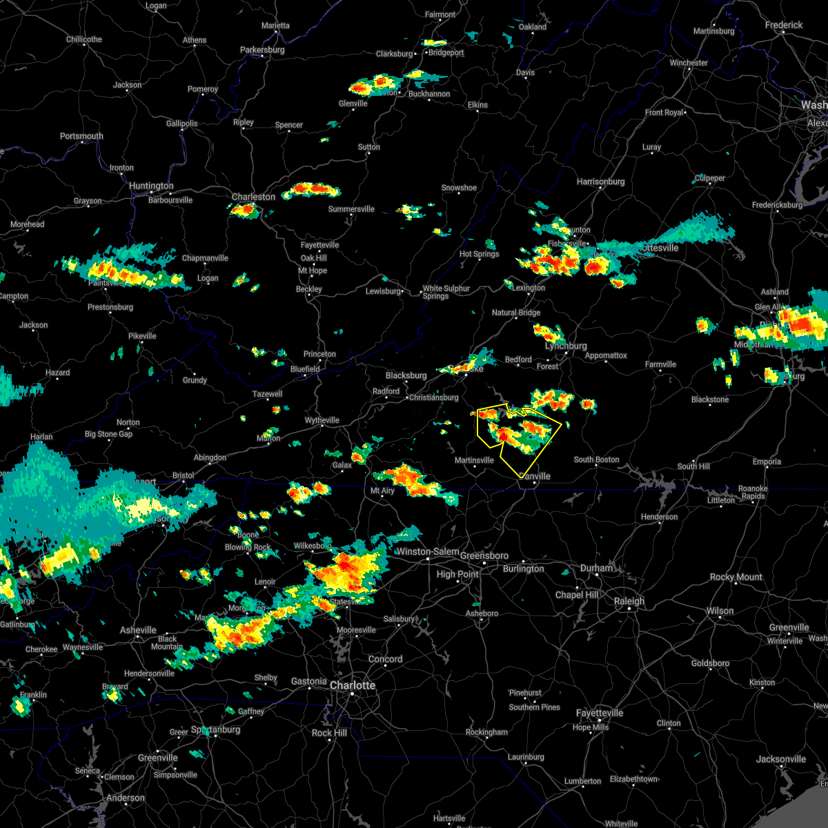 At 244 pm edt, a severe thunderstorm was located near rocky mount, and is drifting very slowly southeast (radar indicated). Hazards include 60 mph wind gusts and quarter size hail. Hail damage to vehicles is expected. Expect wind damage to roofs, siding, and trees. At 244 pm edt, a severe thunderstorm was located near rocky mount, and is drifting very slowly southeast (radar indicated). Hazards include 60 mph wind gusts and quarter size hail. Hail damage to vehicles is expected. Expect wind damage to roofs, siding, and trees.
|
| 7/26/2021 2:37 PM EDT |
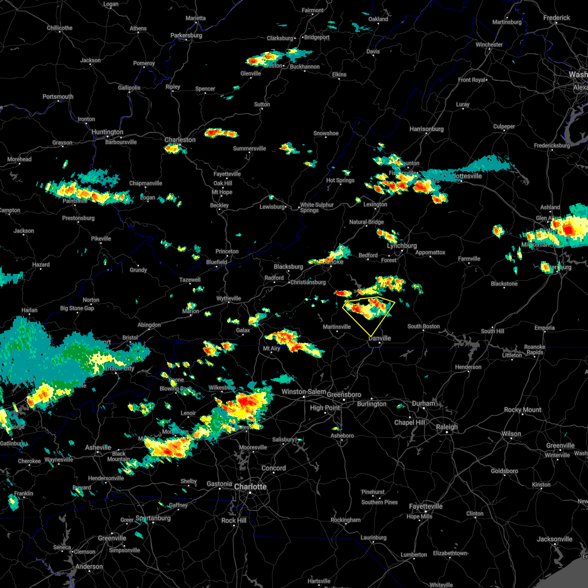 At 237 pm edt, a severe thunderstorm was located over sago, or near callands, and is drifting very slowly southeast (radar indicated). Hazards include 60 mph wind gusts and quarter size hail. Hail damage to vehicles is expected. expect wind damage to roofs, siding, and trees. Locations impacted include, chatham, gretna, callands, penhook, sago, swansonville, and dry fork. At 237 pm edt, a severe thunderstorm was located over sago, or near callands, and is drifting very slowly southeast (radar indicated). Hazards include 60 mph wind gusts and quarter size hail. Hail damage to vehicles is expected. expect wind damage to roofs, siding, and trees. Locations impacted include, chatham, gretna, callands, penhook, sago, swansonville, and dry fork.
|
| 7/26/2021 2:19 PM EDT | Thunderstorm winds blew down one tree on the 16000 block of snow creek roa in franklin county VA, 3.1 miles N of Penhook, VA |
| 7/26/2021 2:06 PM EDT |
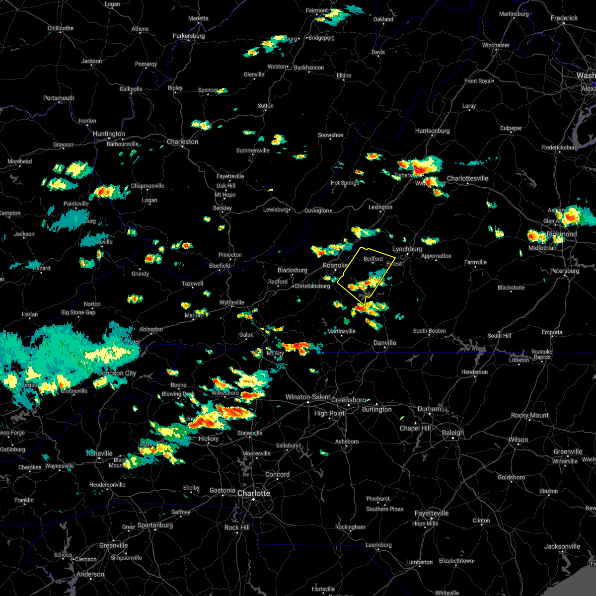 The severe thunderstorm warning for bedford and northeastern franklin counties will expire at 215 pm edt, the severe thunderstorm which prompted the warning has weakened. therefore, the warning will be allowed to expire. a severe thunderstorm watch remains in effect until 800 pm edt for central, south central, southwestern and west central virginia. when it is safe to do so, please send your reports of hail of any size, as well as reports of any wind damage, including downed trees or large limbs, to the national weather service by calling toll free at 1, 8 6 6, 2 1 5, 4 3 2 4. reports and pictures can also be shared on the national weather service blacksburg facebook page and on twitter. The severe thunderstorm warning for bedford and northeastern franklin counties will expire at 215 pm edt, the severe thunderstorm which prompted the warning has weakened. therefore, the warning will be allowed to expire. a severe thunderstorm watch remains in effect until 800 pm edt for central, south central, southwestern and west central virginia. when it is safe to do so, please send your reports of hail of any size, as well as reports of any wind damage, including downed trees or large limbs, to the national weather service by calling toll free at 1, 8 6 6, 2 1 5, 4 3 2 4. reports and pictures can also be shared on the national weather service blacksburg facebook page and on twitter.
|
| 7/26/2021 1:56 PM EDT |
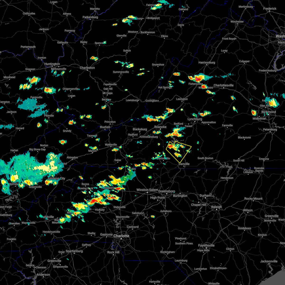 At 156 pm edt, a severe thunderstorm was located near penhook, moving southeast at 15 mph (radar indicated). Hazards include 60 mph wind gusts and quarter size hail. Hail damage to vehicles is expected. Expect wind damage to roofs, siding, and trees. At 156 pm edt, a severe thunderstorm was located near penhook, moving southeast at 15 mph (radar indicated). Hazards include 60 mph wind gusts and quarter size hail. Hail damage to vehicles is expected. Expect wind damage to roofs, siding, and trees.
|
| 7/26/2021 1:35 PM EDT |
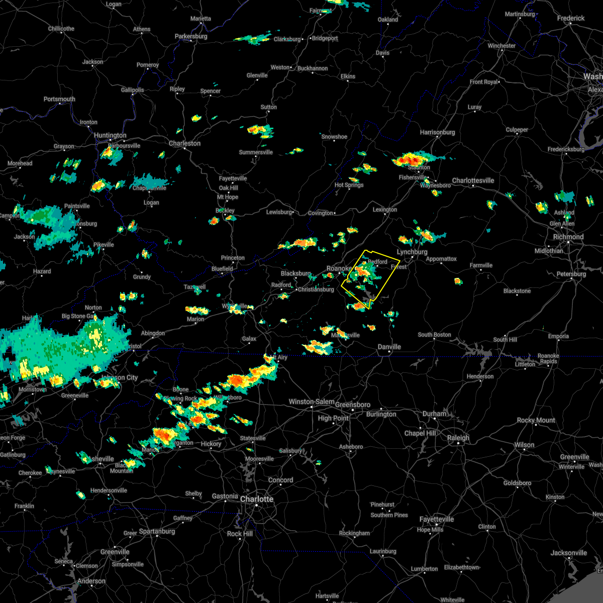 At 134 pm edt, a severe thunderstorm was located over stewartsville, moving southeast at 15 mph (radar indicated). Hazards include 60 mph wind gusts and quarter size hail. Hail damage to vehicles is expected. expect wind damage to roofs, siding, and trees. locations impacted include, bedford, stewartsville, huddleston, montvale, moneta, penhook, and forest. This includes the following location the national d-day memorial. At 134 pm edt, a severe thunderstorm was located over stewartsville, moving southeast at 15 mph (radar indicated). Hazards include 60 mph wind gusts and quarter size hail. Hail damage to vehicles is expected. expect wind damage to roofs, siding, and trees. locations impacted include, bedford, stewartsville, huddleston, montvale, moneta, penhook, and forest. This includes the following location the national d-day memorial.
|
| 7/26/2021 1:23 PM EDT |
 At 122 pm edt, a severe thunderstorm was located near stewartsville, moving southeast at 15 mph (radar indicated). Hazards include 60 mph wind gusts and quarter size hail. Hail damage to vehicles is expected. expect wind damage to roofs, siding, and trees. locations impacted include, vinton, bedford, stewartsville, huddleston, moneta, penhook, and montvale. This includes the following location the national d-day memorial. At 122 pm edt, a severe thunderstorm was located near stewartsville, moving southeast at 15 mph (radar indicated). Hazards include 60 mph wind gusts and quarter size hail. Hail damage to vehicles is expected. expect wind damage to roofs, siding, and trees. locations impacted include, vinton, bedford, stewartsville, huddleston, moneta, penhook, and montvale. This includes the following location the national d-day memorial.
|
| 7/26/2021 1:07 PM EDT |
 At 107 pm edt, a severe thunderstorm was located near laymantown, or near vinton, moving southeast at 15 mph (radar indicated). Hazards include 60 mph wind gusts and quarter size hail. Hail damage to vehicles is expected. Expect wind damage to roofs, siding, and trees. At 107 pm edt, a severe thunderstorm was located near laymantown, or near vinton, moving southeast at 15 mph (radar indicated). Hazards include 60 mph wind gusts and quarter size hail. Hail damage to vehicles is expected. Expect wind damage to roofs, siding, and trees.
|
| 6/13/2021 9:07 PM EDT |
 The severe thunderstorm warning for roanoke, northwestern pittsylvania, southwestern bedford and central franklin counties, the city of salem and the city of roanoke will expire at 915 pm edt, the storms which prompted the warning have moved out of the area. therefore, the warning will be allowed to expire. a severe thunderstorm watch remains in effect until 1000 pm edt for southwestern virginia. when it is safe to do so, please send your reports of hail of any size, as well as reports of any wind damage, including downed trees or large limbs, to the national weather service by calling toll free at 1, 8 6 6, 2 1 5, 4 3 2 4. reports and pictures can also be shared on the national weather service blacksburg facebook page and on twitter. The severe thunderstorm warning for roanoke, northwestern pittsylvania, southwestern bedford and central franklin counties, the city of salem and the city of roanoke will expire at 915 pm edt, the storms which prompted the warning have moved out of the area. therefore, the warning will be allowed to expire. a severe thunderstorm watch remains in effect until 1000 pm edt for southwestern virginia. when it is safe to do so, please send your reports of hail of any size, as well as reports of any wind damage, including downed trees or large limbs, to the national weather service by calling toll free at 1, 8 6 6, 2 1 5, 4 3 2 4. reports and pictures can also be shared on the national weather service blacksburg facebook page and on twitter.
|
| 6/13/2021 8:44 PM EDT |
 At 843 pm edt, severe thunderstorms were located along a line extending from copper hill to near rocky mount to penhook, moving south at 25 mph (radar indicated). Hazards include 60 mph wind gusts. Expect damage to roofs, siding, and trees. locations impacted include, roanoke, salem, vinton, rocky mount, boones mill, bent mountain, and penhook. This includes the following location the salem fairgrounds. At 843 pm edt, severe thunderstorms were located along a line extending from copper hill to near rocky mount to penhook, moving south at 25 mph (radar indicated). Hazards include 60 mph wind gusts. Expect damage to roofs, siding, and trees. locations impacted include, roanoke, salem, vinton, rocky mount, boones mill, bent mountain, and penhook. This includes the following location the salem fairgrounds.
|
| 6/13/2021 8:09 PM EDT |
 At 809 pm edt, severe thunderstorms were located along a line extending from near salem to near burnt chimney to near moneta, moving south at 25 mph (radar indicated). Hazards include 60 mph wind gusts and quarter size hail. Hail damage to vehicles is expected. Expect wind damage to roofs, siding, and trees. At 809 pm edt, severe thunderstorms were located along a line extending from near salem to near burnt chimney to near moneta, moving south at 25 mph (radar indicated). Hazards include 60 mph wind gusts and quarter size hail. Hail damage to vehicles is expected. Expect wind damage to roofs, siding, and trees.
|
| 4/9/2021 4:19 PM EDT |
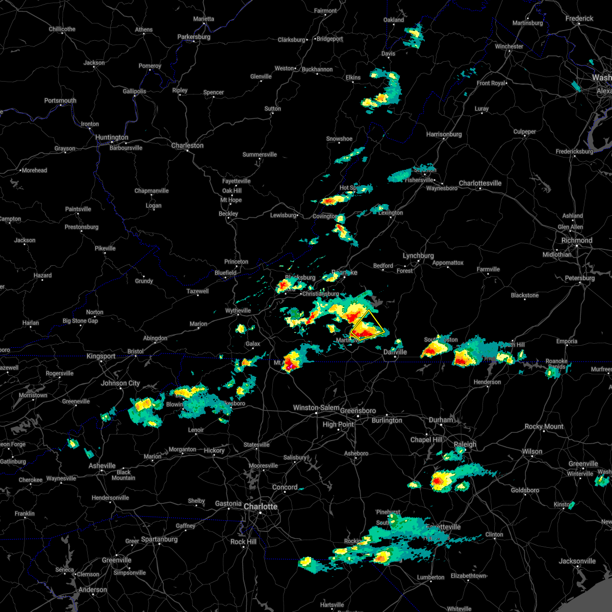 At 419 pm edt, a severe thunderstorm was located near mountain valley, or 7 miles southeast of sydnorsville, moving northeast at 15 mph (radar indicated). Hazards include 60 mph wind gusts and half dollar size hail. Hail damage to vehicles is expected. Expect wind damage to roofs, siding, and trees. At 419 pm edt, a severe thunderstorm was located near mountain valley, or 7 miles southeast of sydnorsville, moving northeast at 15 mph (radar indicated). Hazards include 60 mph wind gusts and half dollar size hail. Hail damage to vehicles is expected. Expect wind damage to roofs, siding, and trees.
|
| 3/27/2021 3:50 PM EDT |
 The severe thunderstorm warning for southeastern stokes, western rockingham, southeastern roanoke, central henry and eastern franklin counties and the city of martinsville will expire at 400 pm edt, the storms which prompted the warning have moved out of the area. therefore, the warning will be allowed to expire. however heavy rain is still possible with these thunderstorms. a severe thunderstorm watch remains in effect until 800 pm edt for north central and northwestern north carolina, and south central, southwestern and west central virginia. when it is safe to do so, please send your reports of hail of any size, as well as reports of any wind damage, including downed trees or large limbs, to the national weather service by calling toll free at 1, 8 6 6, 2 1 5, 4 3 2 4. reports and pictures can also be shared on the national weather service blacksburg facebook page and on twitter. The severe thunderstorm warning for southeastern stokes, western rockingham, southeastern roanoke, central henry and eastern franklin counties and the city of martinsville will expire at 400 pm edt, the storms which prompted the warning have moved out of the area. therefore, the warning will be allowed to expire. however heavy rain is still possible with these thunderstorms. a severe thunderstorm watch remains in effect until 800 pm edt for north central and northwestern north carolina, and south central, southwestern and west central virginia. when it is safe to do so, please send your reports of hail of any size, as well as reports of any wind damage, including downed trees or large limbs, to the national weather service by calling toll free at 1, 8 6 6, 2 1 5, 4 3 2 4. reports and pictures can also be shared on the national weather service blacksburg facebook page and on twitter.
|
| 3/27/2021 3:40 PM EDT |
 At 340 pm edt, severe thunderstorms were located along a line extending from near goodview to near sontag to near leatherwood to pine hall, moving east at 50 mph (radar indicated). Hazards include 60 mph wind gusts. Expect damage to roofs, siding, and trees. locations impacted include, eden, martinsville, rocky mount, mayodan, madison, walnut cove, and stoneville. This includes the following locations the martinsville speedway and martinsville airport. At 340 pm edt, severe thunderstorms were located along a line extending from near goodview to near sontag to near leatherwood to pine hall, moving east at 50 mph (radar indicated). Hazards include 60 mph wind gusts. Expect damage to roofs, siding, and trees. locations impacted include, eden, martinsville, rocky mount, mayodan, madison, walnut cove, and stoneville. This includes the following locations the martinsville speedway and martinsville airport.
|
| 3/27/2021 3:24 PM EDT |
 At 323 pm edt, severe thunderstorms were located along a line extending from roanoke mountain to stanleytown to germanton, moving east at 55 mph (radar indicated). Hazards include 60 mph wind gusts. Expect damage to roofs, siding, and trees. locations impacted include, eden, martinsville, rocky mount, mayodan, madison, walnut cove, and stoneville. This includes the following locations the martinsville speedway and martinsville airport. At 323 pm edt, severe thunderstorms were located along a line extending from roanoke mountain to stanleytown to germanton, moving east at 55 mph (radar indicated). Hazards include 60 mph wind gusts. Expect damage to roofs, siding, and trees. locations impacted include, eden, martinsville, rocky mount, mayodan, madison, walnut cove, and stoneville. This includes the following locations the martinsville speedway and martinsville airport.
|
| 3/27/2021 3:06 PM EDT |
 At 305 pm edt, severe thunderstorms were located along a line extending from terrys fork to near stuart to near courtney, moving east at 50 mph (radar indicated). Hazards include 60 mph wind gusts. Expect damage to roofs, siding, and trees. locations impacted include, christiansburg, eden, martinsville, mount airy, rocky mount, elkin, and fairview. This includes the following locations the martinsville speedway and martinsville airport. At 305 pm edt, severe thunderstorms were located along a line extending from terrys fork to near stuart to near courtney, moving east at 50 mph (radar indicated). Hazards include 60 mph wind gusts. Expect damage to roofs, siding, and trees. locations impacted include, christiansburg, eden, martinsville, mount airy, rocky mount, elkin, and fairview. This includes the following locations the martinsville speedway and martinsville airport.
|
| 3/27/2021 2:56 PM EDT |
 At 256 pm edt, severe thunderstorms were located along a line extending from near pilot to ararat to near buck shoals, moving east at 50 mph (radar indicated). Hazards include 60 mph wind gusts. expect damage to roofs, siding, and trees At 256 pm edt, severe thunderstorms were located along a line extending from near pilot to ararat to near buck shoals, moving east at 50 mph (radar indicated). Hazards include 60 mph wind gusts. expect damage to roofs, siding, and trees
|
| 3/27/2021 2:48 PM EDT |
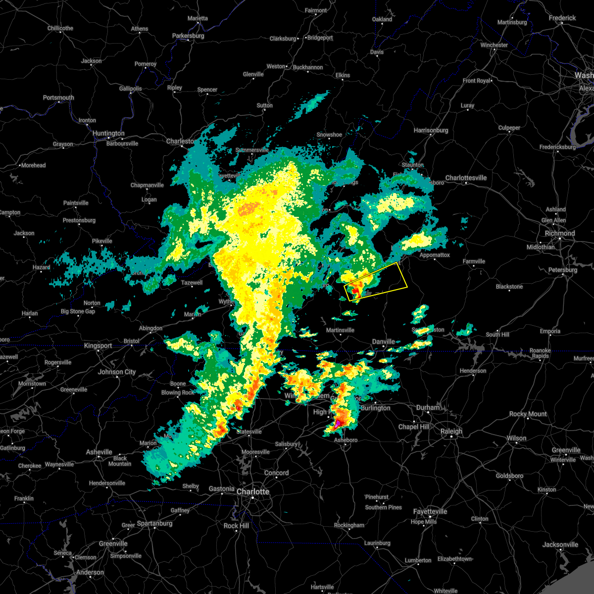 At 247 pm edt, a severe thunderstorm was located over western smith mountain lake, or near penhook, moving east at 50 mph (radar indicated). Hazards include quarter size hail. Damage to vehicles is expected. Locations impacted include, altavista, hurt, huddleston, moneta, evington, penhook, and leesville. At 247 pm edt, a severe thunderstorm was located over western smith mountain lake, or near penhook, moving east at 50 mph (radar indicated). Hazards include quarter size hail. Damage to vehicles is expected. Locations impacted include, altavista, hurt, huddleston, moneta, evington, penhook, and leesville.
|
| 3/27/2021 2:38 PM EDT |
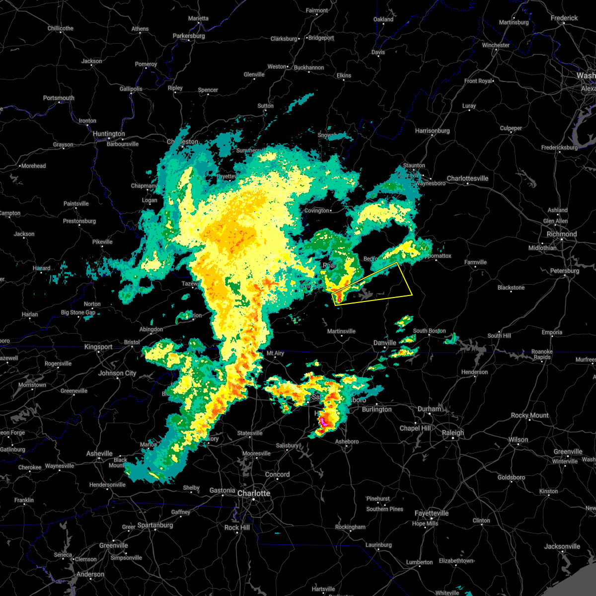 At 238 pm edt, a severe thunderstorm was located over rocky mount, moving east at 50 mph (radar indicated). Hazards include quarter size hail. damage to vehicles is expected At 238 pm edt, a severe thunderstorm was located over rocky mount, moving east at 50 mph (radar indicated). Hazards include quarter size hail. damage to vehicles is expected
|
| 10/29/2020 11:03 AM EDT |
 At 1102 am edt, a severe thunderstorm was located over sandy river, or near axton, moving northeast at 45 mph. this is a very dangerous storm (emergency management). Hazards include 80 mph wind gusts. Flying debris will be dangerous to those caught without shelter. mobile homes will be heavily damaged. expect considerable damage to roofs, windows, and vehicles. extensive tree damage and power outages are likely. locations impacted include, eden, martinsville, mayodan, madison, chatham, gretna, and stoneville. This includes the following locations the martinsville speedway and martinsville airport. At 1102 am edt, a severe thunderstorm was located over sandy river, or near axton, moving northeast at 45 mph. this is a very dangerous storm (emergency management). Hazards include 80 mph wind gusts. Flying debris will be dangerous to those caught without shelter. mobile homes will be heavily damaged. expect considerable damage to roofs, windows, and vehicles. extensive tree damage and power outages are likely. locations impacted include, eden, martinsville, mayodan, madison, chatham, gretna, and stoneville. This includes the following locations the martinsville speedway and martinsville airport.
|
| 10/29/2020 10:36 AM EDT |
 At 1033 am edt, a severe thunderstorm was located over horse pasture, or over spencer, moving northeast at 35 mph. this is a very dangerous storm (radar indicated). Hazards include 80 mph wind gusts. Flying debris will be dangerous to those caught without shelter. mobile homes will be heavily damaged. expect considerable damage to roofs, windows, and vehicles. extensive tree damage and power outages are likely. locations impacted include, eden, martinsville, rocky mount, mayodan, madison, walnut cove, and stuart. This includes the following locations the martinsville speedway and martinsville airport. At 1033 am edt, a severe thunderstorm was located over horse pasture, or over spencer, moving northeast at 35 mph. this is a very dangerous storm (radar indicated). Hazards include 80 mph wind gusts. Flying debris will be dangerous to those caught without shelter. mobile homes will be heavily damaged. expect considerable damage to roofs, windows, and vehicles. extensive tree damage and power outages are likely. locations impacted include, eden, martinsville, rocky mount, mayodan, madison, walnut cove, and stuart. This includes the following locations the martinsville speedway and martinsville airport.
|
| 10/29/2020 9:50 AM EDT |
 At 947 am edt, a severe thunderstorm was located near pilot mountain, moving northeast at 55 mph. this is a very dangerous storm (radar indicated). Hazards include 80 mph wind gusts. Flying debris will be dangerous to those caught without shelter. mobile homes will be heavily damaged. expect considerable damage to roofs, windows, and vehicles. Extensive tree damage and power outages are likely. At 947 am edt, a severe thunderstorm was located near pilot mountain, moving northeast at 55 mph. this is a very dangerous storm (radar indicated). Hazards include 80 mph wind gusts. Flying debris will be dangerous to those caught without shelter. mobile homes will be heavily damaged. expect considerable damage to roofs, windows, and vehicles. Extensive tree damage and power outages are likely.
|
| 8/6/2020 9:39 PM EDT |
 The severe thunderstorm warning for central campbell, southeastern bedford and east central franklin counties will expire at 945 pm edt, the storm which prompted the warning has weakened below severe limits, and no longer poses an immediate threat to life or property. therefore, the warning will be allowed to expire. when it is safe to do so, please send your reports of hail of any size, as well as reports of any wind damage, including downed trees or large limbs, to the national weather service by calling toll free at 1, 8 6 6, 2 1 5, 4 3 2 4. reports and pictures can also be shared on the national weather service blacksburg facebook page and on twitter. The severe thunderstorm warning for central campbell, southeastern bedford and east central franklin counties will expire at 945 pm edt, the storm which prompted the warning has weakened below severe limits, and no longer poses an immediate threat to life or property. therefore, the warning will be allowed to expire. when it is safe to do so, please send your reports of hail of any size, as well as reports of any wind damage, including downed trees or large limbs, to the national weather service by calling toll free at 1, 8 6 6, 2 1 5, 4 3 2 4. reports and pictures can also be shared on the national weather service blacksburg facebook page and on twitter.
|
| 8/6/2020 9:35 PM EDT |
 At 934 pm edt, a severe thunderstorm was located over rustburg, moving northeast at 30 mph (radar indicated). Hazards include 60 mph wind gusts. Expect damage to roofs, siding, and trees. Locations impacted include, altavista, huddleston, concord, rustburg, evington, penhook, and leesville. At 934 pm edt, a severe thunderstorm was located over rustburg, moving northeast at 30 mph (radar indicated). Hazards include 60 mph wind gusts. Expect damage to roofs, siding, and trees. Locations impacted include, altavista, huddleston, concord, rustburg, evington, penhook, and leesville.
|
| 8/6/2020 9:15 PM EDT |
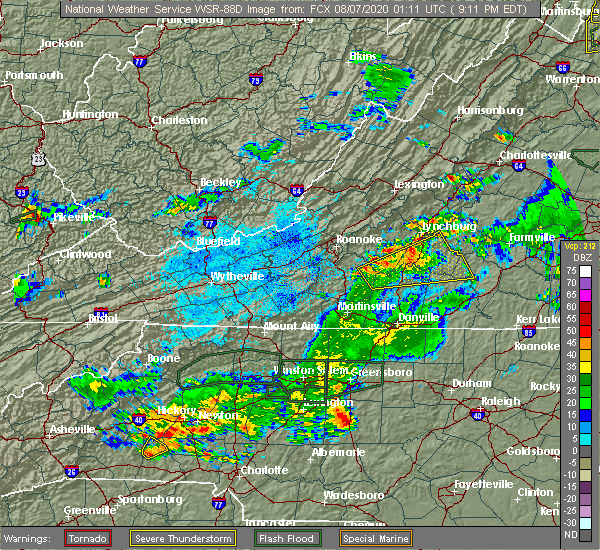 At 915 pm edt, a severe thunderstorm was located near altavista, moving northeast at 20 mph (radar indicated). Hazards include 60 mph wind gusts. Expect damage to roofs, siding, and trees. Locations impacted include, altavista, hurt, brookneal, huddleston, concord, rustburg, and penhook. At 915 pm edt, a severe thunderstorm was located near altavista, moving northeast at 20 mph (radar indicated). Hazards include 60 mph wind gusts. Expect damage to roofs, siding, and trees. Locations impacted include, altavista, hurt, brookneal, huddleston, concord, rustburg, and penhook.
|
| 8/6/2020 9:00 PM EDT |
 At 859 pm edt, a severe thunderstorm was located over leesville, or over altavista, moving northeast at 20 mph (radar indicated). Hazards include 60 mph wind gusts. Expect damage to roofs, siding, and trees. Locations impacted include, altavista, hurt, gretna, brookneal, phenix, huddleston, and penhook. At 859 pm edt, a severe thunderstorm was located over leesville, or over altavista, moving northeast at 20 mph (radar indicated). Hazards include 60 mph wind gusts. Expect damage to roofs, siding, and trees. Locations impacted include, altavista, hurt, gretna, brookneal, phenix, huddleston, and penhook.
|
| 8/6/2020 8:47 PM EDT |
 At 847 pm edt, a severe thunderstorm was located over leesville, or near huddleston, moving northeast at 20 mph (radar indicated). Hazards include 60 mph wind gusts and quarter size hail. Hail damage to vehicles is expected. Expect wind damage to roofs, siding, and trees. At 847 pm edt, a severe thunderstorm was located over leesville, or near huddleston, moving northeast at 20 mph (radar indicated). Hazards include 60 mph wind gusts and quarter size hail. Hail damage to vehicles is expected. Expect wind damage to roofs, siding, and trees.
|
| 8/3/2020 2:31 PM EDT |
 At 230 pm edt, a severe thunderstorm was located over western smith mountain lake, or 7 miles northwest of penhook, moving northeast at 30 mph (radar indicated). Hazards include 60 mph wind gusts. expect damage to roofs, siding, and trees At 230 pm edt, a severe thunderstorm was located over western smith mountain lake, or 7 miles northwest of penhook, moving northeast at 30 mph (radar indicated). Hazards include 60 mph wind gusts. expect damage to roofs, siding, and trees
|
| 8/3/2020 2:07 PM EDT |
 The severe thunderstorm warning for northeastern floyd, northwestern pittsylvania, southwestern bedford, henry, franklin and eastern patrick counties and the city of martinsville will expire at 215 pm edt, the storms which prompted the warning have weakened below severe limits, and no longer pose an immediate threat to life or property. therefore, the warning will be allowed to expire. however gusty winds and heavy rain are still possible with these thunderstorms. when it is safe to do so, please send your reports of hail of any size, as well as reports of any wind damage, including downed trees or large limbs, to the national weather service by calling toll free at 1, 8 6 6, 2 1 5, 4 3 2 4. reports and pictures can also be shared on the national weather service blacksburg facebook page and on twitter. The severe thunderstorm warning for northeastern floyd, northwestern pittsylvania, southwestern bedford, henry, franklin and eastern patrick counties and the city of martinsville will expire at 215 pm edt, the storms which prompted the warning have weakened below severe limits, and no longer pose an immediate threat to life or property. therefore, the warning will be allowed to expire. however gusty winds and heavy rain are still possible with these thunderstorms. when it is safe to do so, please send your reports of hail of any size, as well as reports of any wind damage, including downed trees or large limbs, to the national weather service by calling toll free at 1, 8 6 6, 2 1 5, 4 3 2 4. reports and pictures can also be shared on the national weather service blacksburg facebook page and on twitter.
|
| 8/3/2020 2:02 PM EDT |
 At 201 pm edt, severe thunderstorms were located along a line extending from near sago to near patrick springs, moving north at 30 mph (radar indicated). Hazards include 60 mph wind gusts. Expect damage to roofs, siding, and trees. Locations impacted include, martinsville, rocky mount, floyd, boones mill, ferrum, moneta, and penhook. At 201 pm edt, severe thunderstorms were located along a line extending from near sago to near patrick springs, moving north at 30 mph (radar indicated). Hazards include 60 mph wind gusts. Expect damage to roofs, siding, and trees. Locations impacted include, martinsville, rocky mount, floyd, boones mill, ferrum, moneta, and penhook.
|
| 8/3/2020 1:46 PM EDT |
 At 146 pm edt, severe thunderstorms were located along a line extending from near swansonville to critz, moving north at 30 mph (radar indicated). Hazards include 60 mph wind gusts. Expect damage to roofs, siding, and trees. locations impacted include, martinsville, rocky mount, stuart, floyd, boones mill, ferrum, and francisco. This includes the following locations the martinsville speedway and martinsville airport. At 146 pm edt, severe thunderstorms were located along a line extending from near swansonville to critz, moving north at 30 mph (radar indicated). Hazards include 60 mph wind gusts. Expect damage to roofs, siding, and trees. locations impacted include, martinsville, rocky mount, stuart, floyd, boones mill, ferrum, and francisco. This includes the following locations the martinsville speedway and martinsville airport.
|
| 8/3/2020 1:37 PM EDT |
 At 137 pm edt, severe thunderstorms were located along a line extending from near swansonville to near penns store, moving north at 30 mph (radar indicated). Hazards include 60 mph wind gusts. Expect damage to roofs, siding, and trees. locations impacted include, martinsville, rocky mount, stuart, floyd, boones mill, danbury, and ferrum. This includes the following locations the martinsville speedway and martinsville airport. At 137 pm edt, severe thunderstorms were located along a line extending from near swansonville to near penns store, moving north at 30 mph (radar indicated). Hazards include 60 mph wind gusts. Expect damage to roofs, siding, and trees. locations impacted include, martinsville, rocky mount, stuart, floyd, boones mill, danbury, and ferrum. This includes the following locations the martinsville speedway and martinsville airport.
|
| 8/3/2020 1:18 PM EDT |
 At 117 pm edt, severe thunderstorms were located along a line extending from near mayfield to near prestonville, moving north at 30 mph (radar indicated). Hazards include 60 mph wind gusts. expect damage to roofs, siding, and trees At 117 pm edt, severe thunderstorms were located along a line extending from near mayfield to near prestonville, moving north at 30 mph (radar indicated). Hazards include 60 mph wind gusts. expect damage to roofs, siding, and trees
|
| 8/2/2020 2:46 PM EDT |
 At 246 pm edt, a severe thunderstorm was located near western smith mountain lake, or near rocky mount, moving northeast at 35 mph (radar indicated). Hazards include 60 mph wind gusts. Expect damage to roofs, siding, and trees. Locations impacted include, rocky mount, penhook, burnt chimney, western smith mountain lake, union hall, sontag, and northwest smith mountain lake. At 246 pm edt, a severe thunderstorm was located near western smith mountain lake, or near rocky mount, moving northeast at 35 mph (radar indicated). Hazards include 60 mph wind gusts. Expect damage to roofs, siding, and trees. Locations impacted include, rocky mount, penhook, burnt chimney, western smith mountain lake, union hall, sontag, and northwest smith mountain lake.
|
| 8/2/2020 2:37 PM EDT |
 At 236 pm edt, a severe thunderstorm was located near rocky mount, moving northeast at 35 mph (radar indicated). Hazards include 60 mph wind gusts. Expect damage to roofs, siding, and trees. Locations impacted include, rocky mount, penhook, ferrum, burnt chimney, northwest smith mountain lake, westlake corner, and southern smith mountain lake. At 236 pm edt, a severe thunderstorm was located near rocky mount, moving northeast at 35 mph (radar indicated). Hazards include 60 mph wind gusts. Expect damage to roofs, siding, and trees. Locations impacted include, rocky mount, penhook, ferrum, burnt chimney, northwest smith mountain lake, westlake corner, and southern smith mountain lake.
|
| 8/2/2020 2:25 PM EDT |
 At 225 pm edt, a severe thunderstorm was located over ferrum, moving northeast at 35 mph (radar indicated). Hazards include 60 mph wind gusts and quarter size hail. Hail damage to vehicles is expected. Expect wind damage to roofs, siding, and trees. At 225 pm edt, a severe thunderstorm was located over ferrum, moving northeast at 35 mph (radar indicated). Hazards include 60 mph wind gusts and quarter size hail. Hail damage to vehicles is expected. Expect wind damage to roofs, siding, and trees.
|
| 7/23/2020 4:15 PM EDT |
 At 413 pm edt, a severe thunderstorm was located over leatherwood, or near martinsville, moving northeast at 15 mph (radar indicated). Hazards include 60 mph wind gusts and quarter size hail. Hail damage to vehicles is expected. expect wind damage to roofs, siding, and trees. Locations impacted include, axton, penhook, snow creek, leatherwood, burnt chimney, northwest smith mountain lake, and mountain valley. At 413 pm edt, a severe thunderstorm was located over leatherwood, or near martinsville, moving northeast at 15 mph (radar indicated). Hazards include 60 mph wind gusts and quarter size hail. Hail damage to vehicles is expected. expect wind damage to roofs, siding, and trees. Locations impacted include, axton, penhook, snow creek, leatherwood, burnt chimney, northwest smith mountain lake, and mountain valley.
|
| 7/23/2020 3:49 PM EDT |
 At 347 pm edt, a severe thunderstorm was located over villa heights, or over martinsville with another severe thunderstorm over sontag in southeast franklin county, moving northeast at 15 mph (radar indicated). Hazards include 60 mph wind gusts and quarter size hail. Hail damage to vehicles is expected. expect wind damage to roofs, siding, and trees. locations impacted include, martinsville, rocky mount, axton, penhook, spencer, bassett, and sydnorsville. This includes the following locations the martinsville speedway and martinsville airport. At 347 pm edt, a severe thunderstorm was located over villa heights, or over martinsville with another severe thunderstorm over sontag in southeast franklin county, moving northeast at 15 mph (radar indicated). Hazards include 60 mph wind gusts and quarter size hail. Hail damage to vehicles is expected. expect wind damage to roofs, siding, and trees. locations impacted include, martinsville, rocky mount, axton, penhook, spencer, bassett, and sydnorsville. This includes the following locations the martinsville speedway and martinsville airport.
|
| 7/23/2020 3:36 PM EDT |
 At 336 pm edt, a severe thunderstorm was located over spencer, moving northeast at 15 mph (radar indicated). Hazards include 60 mph wind gusts and quarter size hail. Hail damage to vehicles is expected. Expect wind damage to roofs, siding, and trees. At 336 pm edt, a severe thunderstorm was located over spencer, moving northeast at 15 mph (radar indicated). Hazards include 60 mph wind gusts and quarter size hail. Hail damage to vehicles is expected. Expect wind damage to roofs, siding, and trees.
|
| 7/19/2020 7:00 PM EDT |
 At 659 pm edt, a severe thunderstorm was located over leatherwood, or 7 miles northeast of martinsville, moving east at 20 mph. there have been reports of wind damage to trees and utility poles with this storm (radar indicated). Hazards include 60 mph wind gusts. Expect damage to roofs, siding, and trees. locations impacted include, martinsville, callands, axton, penhook, snow creek, leatherwood, and villa heights. This includes the following locations the martinsville speedway and martinsville airport. At 659 pm edt, a severe thunderstorm was located over leatherwood, or 7 miles northeast of martinsville, moving east at 20 mph. there have been reports of wind damage to trees and utility poles with this storm (radar indicated). Hazards include 60 mph wind gusts. Expect damage to roofs, siding, and trees. locations impacted include, martinsville, callands, axton, penhook, snow creek, leatherwood, and villa heights. This includes the following locations the martinsville speedway and martinsville airport.
|
| 7/19/2020 6:27 PM EDT |
 At 626 pm edt, a severe thunderstorm was located over bassett, moving east at 20 mph (radar indicated). Hazards include 60 mph wind gusts and quarter size hail. Hail damage to vehicles is expected. Expect wind damage to roofs, siding, and trees. At 626 pm edt, a severe thunderstorm was located over bassett, moving east at 20 mph (radar indicated). Hazards include 60 mph wind gusts and quarter size hail. Hail damage to vehicles is expected. Expect wind damage to roofs, siding, and trees.
|
| 7/18/2020 2:57 PM EDT |
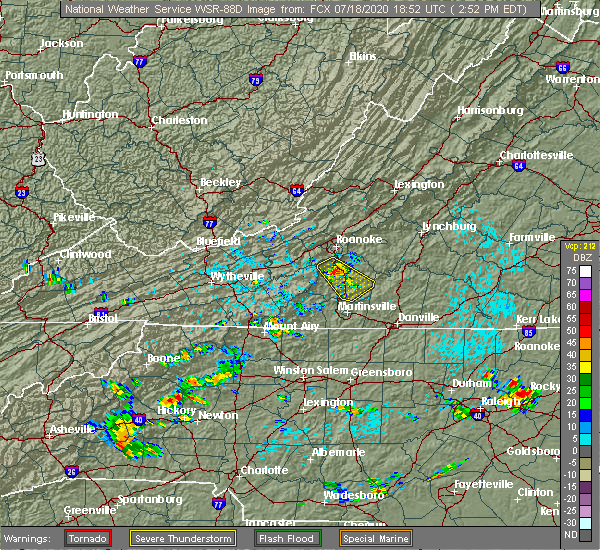 At 256 pm edt, a severe thunderstorm was located near wirtz, or near boones mill, moving southeast at 15 mph (radar indicated). Hazards include 60 mph wind gusts. Expect damage to roofs, siding, and trees. Locations impacted include, rocky mount, boones mill, sydnorsville, penhook, ferrum, snow creek, and western smith mountain lake. At 256 pm edt, a severe thunderstorm was located near wirtz, or near boones mill, moving southeast at 15 mph (radar indicated). Hazards include 60 mph wind gusts. Expect damage to roofs, siding, and trees. Locations impacted include, rocky mount, boones mill, sydnorsville, penhook, ferrum, snow creek, and western smith mountain lake.
|
| 7/18/2020 2:38 PM EDT |
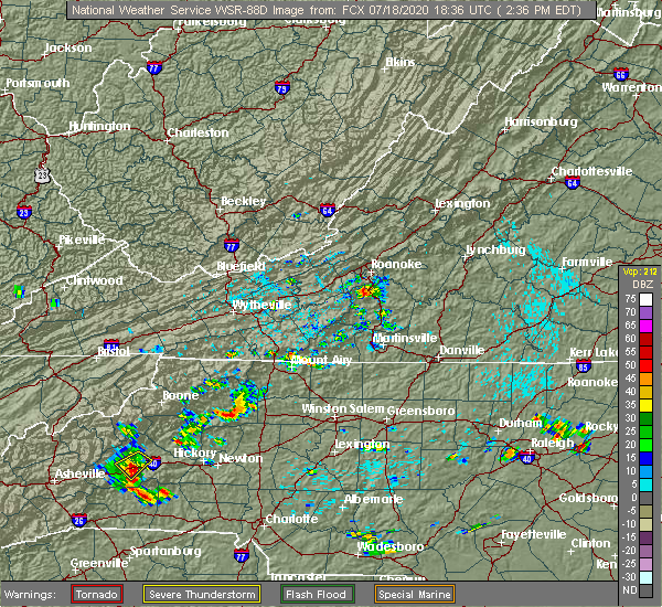 At 238 pm edt, a severe thunderstorm was located over boones mill, moving southeast at 15 mph (radar indicated). Hazards include 60 mph wind gusts. expect damage to roofs, siding, and trees At 238 pm edt, a severe thunderstorm was located over boones mill, moving southeast at 15 mph (radar indicated). Hazards include 60 mph wind gusts. expect damage to roofs, siding, and trees
|
| 4/13/2020 5:24 AM EDT |
 At 523 am edt, severe thunderstorms were located along a line extending from near leesville to near ellisboro, moving northeast at 35 mph (radar indicated). Hazards include 60 mph wind gusts. Expect damage to roofs, siding, and trees. locations impacted include, eden, martinsville, altavista, wentworth, mayodan, madison, and walnut cove. this includes the following locations the martinsville speedway and martinsville airport. A tornado watch remains in effect until noon edt for north central north carolina, and central and south central virginia. At 523 am edt, severe thunderstorms were located along a line extending from near leesville to near ellisboro, moving northeast at 35 mph (radar indicated). Hazards include 60 mph wind gusts. Expect damage to roofs, siding, and trees. locations impacted include, eden, martinsville, altavista, wentworth, mayodan, madison, and walnut cove. this includes the following locations the martinsville speedway and martinsville airport. A tornado watch remains in effect until noon edt for north central north carolina, and central and south central virginia.
|
| 4/13/2020 5:15 AM EDT |
 At 514 am edt, severe thunderstorms were located along a line extending from leesville to near pine hall, moving northeast at 35 mph (radar indicated). Hazards include 60 mph wind gusts. Expect damage to roofs, siding, and trees. locations impacted include, eden, martinsville, altavista, wentworth, mayodan, madison, and walnut cove. this includes the following locations the martinsville speedway and martinsville airport. A tornado watch remains in effect until noon edt for north central north carolina, and central and south central virginia. At 514 am edt, severe thunderstorms were located along a line extending from leesville to near pine hall, moving northeast at 35 mph (radar indicated). Hazards include 60 mph wind gusts. Expect damage to roofs, siding, and trees. locations impacted include, eden, martinsville, altavista, wentworth, mayodan, madison, and walnut cove. this includes the following locations the martinsville speedway and martinsville airport. A tornado watch remains in effect until noon edt for north central north carolina, and central and south central virginia.
|
| 4/13/2020 5:13 AM EDT |
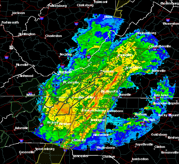 At 513 am edt, a severe thunderstorm capable of producing a tornado was located near figsboro, or near sydnorsville, moving northeast at 45 mph (radar indicated rotation). Hazards include tornado. Flying debris will be dangerous to those caught without shelter. mobile homes will be damaged or destroyed. damage to roofs, windows, and vehicles will occur. tree damage is likely. Locations impacted include, sydnorsville, penhook, snow creek, leatherwood, mountain valley, westlake corner, and southern smith mountain lake. At 513 am edt, a severe thunderstorm capable of producing a tornado was located near figsboro, or near sydnorsville, moving northeast at 45 mph (radar indicated rotation). Hazards include tornado. Flying debris will be dangerous to those caught without shelter. mobile homes will be damaged or destroyed. damage to roofs, windows, and vehicles will occur. tree damage is likely. Locations impacted include, sydnorsville, penhook, snow creek, leatherwood, mountain valley, westlake corner, and southern smith mountain lake.
|
| 4/13/2020 5:01 AM EDT |
 At 501 am edt, a severe thunderstorm capable of producing a tornado was located over martinsville, moving northeast at 55 mph (radar indicated rotation). Hazards include tornado. Flying debris will be dangerous to those caught without shelter. mobile homes will be damaged or destroyed. damage to roofs, windows, and vehicles will occur. Tree damage is likely. At 501 am edt, a severe thunderstorm capable of producing a tornado was located over martinsville, moving northeast at 55 mph (radar indicated rotation). Hazards include tornado. Flying debris will be dangerous to those caught without shelter. mobile homes will be damaged or destroyed. damage to roofs, windows, and vehicles will occur. Tree damage is likely.
|
| 4/13/2020 4:46 AM EDT |
 At 445 am edt, severe thunderstorms were located along a line extending from near penhook to near winston-salem, moving northeast at 35 mph (radar indicated). Hazards include 60 mph wind gusts. Expect damage to roofs, siding, and trees. locations impacted include, eden, martinsville, altavista, wentworth, mayodan, madison, and walnut cove. This includes the following locations the martinsville speedway and martinsville airport. At 445 am edt, severe thunderstorms were located along a line extending from near penhook to near winston-salem, moving northeast at 35 mph (radar indicated). Hazards include 60 mph wind gusts. Expect damage to roofs, siding, and trees. locations impacted include, eden, martinsville, altavista, wentworth, mayodan, madison, and walnut cove. This includes the following locations the martinsville speedway and martinsville airport.
|
| 4/13/2020 4:35 AM EDT |
 At 435 am edt, severe thunderstorms were located along a line extending from near sontag to near clemmons, moving northeast at 35 mph (radar indicated). Hazards include 60 mph wind gusts. expect damage to roofs, siding, and trees At 435 am edt, severe thunderstorms were located along a line extending from near sontag to near clemmons, moving northeast at 35 mph (radar indicated). Hazards include 60 mph wind gusts. expect damage to roofs, siding, and trees
|
| 4/8/2020 6:05 PM EDT | Multiple trees uprooted. some snapped off mid trun in pittsylvania county VA, 11.6 miles N of Penhook, VA |
| 4/8/2020 5:26 PM EDT |
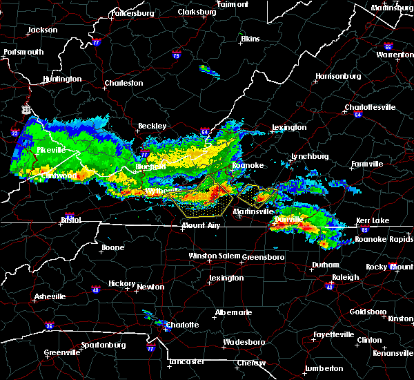 At 526 pm edt, a severe thunderstorm was located near sago, or near callands, moving southeast at 30 mph (radar indicated). Hazards include 60 mph wind gusts and quarter size hail. Hail damage to vehicles is expected. expect wind damage to roofs, siding, and trees. Locations impacted include, callands, sago, pittsville, and ajax. At 526 pm edt, a severe thunderstorm was located near sago, or near callands, moving southeast at 30 mph (radar indicated). Hazards include 60 mph wind gusts and quarter size hail. Hail damage to vehicles is expected. expect wind damage to roofs, siding, and trees. Locations impacted include, callands, sago, pittsville, and ajax.
|
| 4/8/2020 5:06 PM EDT |
 At 506 pm edt, a severe thunderstorm was located near sontag, or near penhook, moving southeast at 30 mph (radar indicated). Hazards include 60 mph wind gusts and quarter size hail. Hail damage to vehicles is expected. expect wind damage to roofs, siding, and trees. Locations impacted include, penhook, callands, sago, western smith mountain lake, pittsville, union hall, and sontag. At 506 pm edt, a severe thunderstorm was located near sontag, or near penhook, moving southeast at 30 mph (radar indicated). Hazards include 60 mph wind gusts and quarter size hail. Hail damage to vehicles is expected. expect wind damage to roofs, siding, and trees. Locations impacted include, penhook, callands, sago, western smith mountain lake, pittsville, union hall, and sontag.
|
| 4/8/2020 4:55 PM EDT |
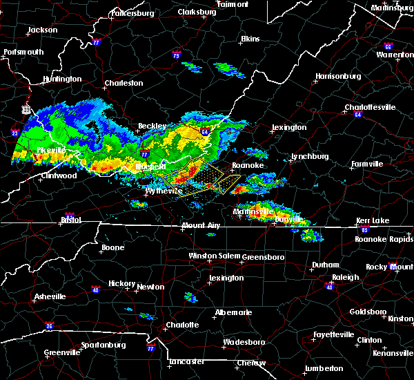 At 455 pm edt, a severe thunderstorm was located over rocky mount, moving southeast at 30 mph (radar indicated). Hazards include 60 mph wind gusts and quarter size hail. Hail damage to vehicles is expected. Expect wind damage to roofs, siding, and trees. At 455 pm edt, a severe thunderstorm was located over rocky mount, moving southeast at 30 mph (radar indicated). Hazards include 60 mph wind gusts and quarter size hail. Hail damage to vehicles is expected. Expect wind damage to roofs, siding, and trees.
|
| 1/11/2020 11:08 PM EST |
 The severe thunderstorm warning for eastern stokes, rockingham, western pittsylvania, southwestern bedford, henry, franklin and southeastern patrick counties and the city of martinsville will expire at 1115 pm est, the storms which prompted the warning have moved out of the area. therefore, the warning will be allowed to expire. however gusty winds are still possible with these thunderstorms. a severe thunderstorm watch remains in effect until 100 am est for north central and northwestern north carolina, and south central, central, southwestern and west central virginia. when it is safe to do so, please send your reports of hail of any size, as well as reports of any wind damage, including downed trees or large limbs, to the national weather service by calling toll free at 1, 8 6 6, 2 1 5, 4 3 2 4. reports and pictures can also be shared on the national weather service blacksburg facebook page and on twitter. The severe thunderstorm warning for eastern stokes, rockingham, western pittsylvania, southwestern bedford, henry, franklin and southeastern patrick counties and the city of martinsville will expire at 1115 pm est, the storms which prompted the warning have moved out of the area. therefore, the warning will be allowed to expire. however gusty winds are still possible with these thunderstorms. a severe thunderstorm watch remains in effect until 100 am est for north central and northwestern north carolina, and south central, central, southwestern and west central virginia. when it is safe to do so, please send your reports of hail of any size, as well as reports of any wind damage, including downed trees or large limbs, to the national weather service by calling toll free at 1, 8 6 6, 2 1 5, 4 3 2 4. reports and pictures can also be shared on the national weather service blacksburg facebook page and on twitter.
|
| 1/11/2020 11:07 PM EST |
 At 1106 pm est, severe thunderstorms were located along a line extending from 7 miles southwest of wintergreen to near jericho, moving east at 50 mph (radar indicated). Hazards include 60 mph wind gusts. Expect damage to roofs, siding, and trees. locations impacted include, lynchburg, danville, bedford, altavista, amherst, yanceyville, and bethel. This includes the following locations liberty university, danville airport, and lynchburg airport. At 1106 pm est, severe thunderstorms were located along a line extending from 7 miles southwest of wintergreen to near jericho, moving east at 50 mph (radar indicated). Hazards include 60 mph wind gusts. Expect damage to roofs, siding, and trees. locations impacted include, lynchburg, danville, bedford, altavista, amherst, yanceyville, and bethel. This includes the following locations liberty university, danville airport, and lynchburg airport.
|
| 1/11/2020 10:40 PM EST |
 At 1039 pm est, severe thunderstorms were located along a line extending from near arcadia to near bethany, moving east at 45 mph (radar indicated). Hazards include 60 mph wind gusts. expect damage to roofs, siding, and trees At 1039 pm est, severe thunderstorms were located along a line extending from near arcadia to near bethany, moving east at 45 mph (radar indicated). Hazards include 60 mph wind gusts. expect damage to roofs, siding, and trees
|
| 1/11/2020 10:33 PM EST |
 At 1032 pm est, severe thunderstorms were located along a line extending from near buena vista to 6 miles northwest of greensboro, moving northeast at 75 mph (radar indicated. numerous trees were reported down by this line of storms in giles county and in galax). Hazards include 60 mph wind gusts. expect damage to roofs, siding, and trees At 1032 pm est, severe thunderstorms were located along a line extending from near buena vista to 6 miles northwest of greensboro, moving northeast at 75 mph (radar indicated. numerous trees were reported down by this line of storms in giles county and in galax). Hazards include 60 mph wind gusts. expect damage to roofs, siding, and trees
|
| 1/11/2020 9:43 PM EST |
 At 942 pm est, severe thunderstorms were located along a line extending from near huffman to near courtney, moving northeast at 50 mph (radar indicated). Hazards include 70 mph wind gusts. Expect considerable tree damage. Damage is likely to mobile homes, roofs, and outbuildings. At 942 pm est, severe thunderstorms were located along a line extending from near huffman to near courtney, moving northeast at 50 mph (radar indicated). Hazards include 70 mph wind gusts. Expect considerable tree damage. Damage is likely to mobile homes, roofs, and outbuildings.
|
| 10/31/2019 5:21 PM EDT |
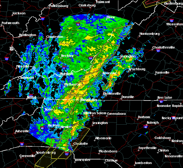 The severe thunderstorm warning for eastern franklin county will expire at 530 pm edt, the storm which prompted the warning has moved out of the area. therefore, the warning will be allowed to expire. a tornado watch remains in effect until 1100 pm edt for north central north carolina, and south central, central, southwestern and west central virginia. when it is safe to do so, please send your reports of hail of any size, as well as reports of any wind damage, including downed trees or large limbs, to the national weather service by calling toll free at 1, 8 6 6, 2 1 5, 4 3 2 4. reports and pictures can also be shared on the national weather service blacksburg facebook page and on twitter. The severe thunderstorm warning for eastern franklin county will expire at 530 pm edt, the storm which prompted the warning has moved out of the area. therefore, the warning will be allowed to expire. a tornado watch remains in effect until 1100 pm edt for north central north carolina, and south central, central, southwestern and west central virginia. when it is safe to do so, please send your reports of hail of any size, as well as reports of any wind damage, including downed trees or large limbs, to the national weather service by calling toll free at 1, 8 6 6, 2 1 5, 4 3 2 4. reports and pictures can also be shared on the national weather service blacksburg facebook page and on twitter.
|
| 10/31/2019 5:03 PM EDT |
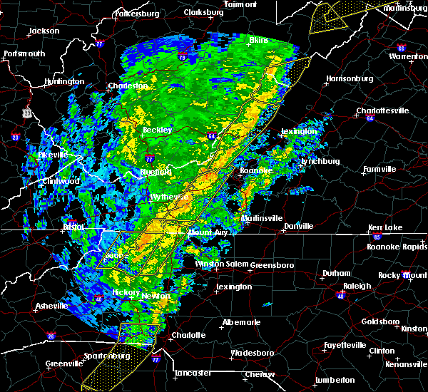 At 503 pm edt, a severe thunderstorm was located near sydnorsville, moving northeast at 45 mph (radar indicated). Hazards include 60 mph wind gusts. expect damage to roofs, siding, and trees At 503 pm edt, a severe thunderstorm was located near sydnorsville, moving northeast at 45 mph (radar indicated). Hazards include 60 mph wind gusts. expect damage to roofs, siding, and trees
|
| 9/11/2019 8:18 PM EDT |
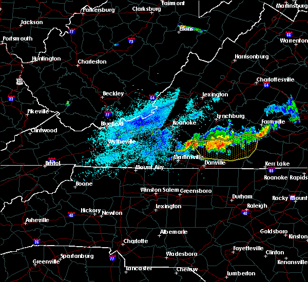 At 817 pm edt, severe thunderstorms were located along a line extending from near nathalie to near chatham, moving southeast at 20 mph (radar indicated). Hazards include 60 mph wind gusts. Expect damage to roofs, siding, and trees. Locations impacted include, south boston, halifax, chatham, gretna, and brookneal. At 817 pm edt, severe thunderstorms were located along a line extending from near nathalie to near chatham, moving southeast at 20 mph (radar indicated). Hazards include 60 mph wind gusts. Expect damage to roofs, siding, and trees. Locations impacted include, south boston, halifax, chatham, gretna, and brookneal.
|
| 9/11/2019 7:47 PM EDT |
 At 747 pm edt, severe thunderstorms were located along a line extending from near gretna to charlotte court house, moving southeast at 25 mph (radar indicated). Hazards include 60 mph wind gusts. Expect damage to roofs, siding, and trees. Locations impacted include, altavista, hurt, brookneal, phenix, and red house. At 747 pm edt, severe thunderstorms were located along a line extending from near gretna to charlotte court house, moving southeast at 25 mph (radar indicated). Hazards include 60 mph wind gusts. Expect damage to roofs, siding, and trees. Locations impacted include, altavista, hurt, brookneal, phenix, and red house.
|
| 9/11/2019 7:39 PM EDT |
 The severe thunderstorm warning for southern bedford and northeastern franklin counties will expire at 745 pm edt, the storms which prompted the warning have moved out of the area. therefore, the warning will be allowed to expire. when it is safe to do so, please send your reports of hail of any size, as well as reports of any wind damage, including downed trees or large limbs, to the national weather service by calling toll free at 1, 8 6 6, 2 1 5, 4 3 2 4. reports and pictures can also be shared on the national weather service blacksburg facebook page and on twitter. The severe thunderstorm warning for southern bedford and northeastern franklin counties will expire at 745 pm edt, the storms which prompted the warning have moved out of the area. therefore, the warning will be allowed to expire. when it is safe to do so, please send your reports of hail of any size, as well as reports of any wind damage, including downed trees or large limbs, to the national weather service by calling toll free at 1, 8 6 6, 2 1 5, 4 3 2 4. reports and pictures can also be shared on the national weather service blacksburg facebook page and on twitter.
|
| 9/11/2019 7:37 PM EDT |
 At 737 pm edt, severe thunderstorms were located along a line extending from near abilene to near pittsville, moving southeast at 15 mph (radar indicated). Hazards include 60 mph wind gusts and quarter size hail. Hail damage to vehicles is expected. Expect wind damage to roofs, siding, and trees. At 737 pm edt, severe thunderstorms were located along a line extending from near abilene to near pittsville, moving southeast at 15 mph (radar indicated). Hazards include 60 mph wind gusts and quarter size hail. Hail damage to vehicles is expected. Expect wind damage to roofs, siding, and trees.
|
| 9/11/2019 7:28 PM EDT |
 At 727 pm edt, severe thunderstorms were located along a line extending from near leesville to near wren, moving southeast at 10 mph (radar indicated). Hazards include 60 mph wind gusts and quarter size hail. Hail damage to vehicles is expected. expect wind damage to roofs, siding, and trees. Locations impacted include, altavista, hurt, brookneal, charlotte court house, and phenix. At 727 pm edt, severe thunderstorms were located along a line extending from near leesville to near wren, moving southeast at 10 mph (radar indicated). Hazards include 60 mph wind gusts and quarter size hail. Hail damage to vehicles is expected. expect wind damage to roofs, siding, and trees. Locations impacted include, altavista, hurt, brookneal, charlotte court house, and phenix.
|
| 9/11/2019 7:21 PM EDT |
 At 721 pm edt, severe thunderstorms were located along a line extending from 7 miles southeast of bedford to near north shore, moving southeast at 15 mph (radar indicated). Hazards include 60 mph wind gusts. Expect damage to roofs, siding, and trees. locations impacted include, bedford, huddleston, moneta, penhook, and forest. This includes the following location the national d-day memorial. At 721 pm edt, severe thunderstorms were located along a line extending from 7 miles southeast of bedford to near north shore, moving southeast at 15 mph (radar indicated). Hazards include 60 mph wind gusts. Expect damage to roofs, siding, and trees. locations impacted include, bedford, huddleston, moneta, penhook, and forest. This includes the following location the national d-day memorial.
|
| 9/11/2019 7:11 PM EDT |
 At 710 pm edt, severe thunderstorms were located along a line extending from huddleston to near mike, moving southeast at 10 mph (radar indicated). Hazards include 60 mph wind gusts and quarter size hail. Hail damage to vehicles is expected. Expect wind damage to roofs, siding, and trees. At 710 pm edt, severe thunderstorms were located along a line extending from huddleston to near mike, moving southeast at 10 mph (radar indicated). Hazards include 60 mph wind gusts and quarter size hail. Hail damage to vehicles is expected. Expect wind damage to roofs, siding, and trees.
|
| 9/11/2019 6:49 PM EDT |
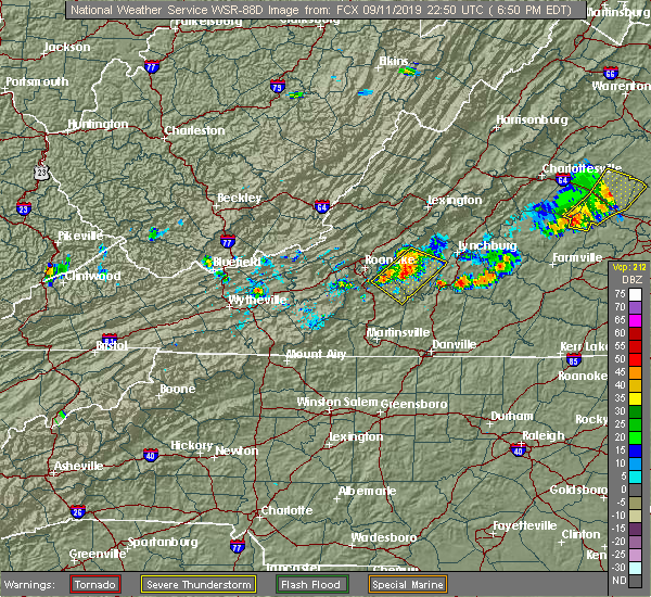 At 649 pm edt, severe thunderstorms were located along a line extending from near peaks of otter summit to near burnt chimney, moving east at 10 mph (radar indicated). Hazards include 60 mph wind gusts and quarter size hail. Hail damage to vehicles is expected. Expect wind damage to roofs, siding, and trees. At 649 pm edt, severe thunderstorms were located along a line extending from near peaks of otter summit to near burnt chimney, moving east at 10 mph (radar indicated). Hazards include 60 mph wind gusts and quarter size hail. Hail damage to vehicles is expected. Expect wind damage to roofs, siding, and trees.
|
| 8/22/2019 4:16 PM EDT |
 At 414 pm edt, severe thunderstorms were located along a line extending from near montpelier to near darlington heights, moving east at 75 mph (radar indicated). Hazards include 60 mph wind gusts. Expect damage to roofs, siding, and trees. locations impacted include, lynchburg, danville, buckingham, altavista, and appomattox. This includes the following locations liberty university, danville airport, and lynchburg airport. At 414 pm edt, severe thunderstorms were located along a line extending from near montpelier to near darlington heights, moving east at 75 mph (radar indicated). Hazards include 60 mph wind gusts. Expect damage to roofs, siding, and trees. locations impacted include, lynchburg, danville, buckingham, altavista, and appomattox. This includes the following locations liberty university, danville airport, and lynchburg airport.
|
| 8/22/2019 3:31 PM EDT |
 At 331 pm edt, severe thunderstorms were located along a line extending from near centenary to near leesville, moving east at 75 mph (radar indicated). Hazards include 60 mph wind gusts. expect damage to roofs, siding, and trees At 331 pm edt, severe thunderstorms were located along a line extending from near centenary to near leesville, moving east at 75 mph (radar indicated). Hazards include 60 mph wind gusts. expect damage to roofs, siding, and trees
|
| 8/22/2019 2:54 PM EDT |
 The national weather service in blacksburg has issued a * severe thunderstorm warning for. the city of martinsville in south central virginia. bedford county in south central virginia. henry county in south central virginia. The city of lynchburg in central virginia. The national weather service in blacksburg has issued a * severe thunderstorm warning for. the city of martinsville in south central virginia. bedford county in south central virginia. henry county in south central virginia. The city of lynchburg in central virginia.
|
| 8/22/2019 2:30 PM EDT |
 At 230 pm edt, severe thunderstorms were located along a line extending from arcadia to vinton to near terrys fork, moving east at 25 mph (radar indicated). Hazards include 60 mph wind gusts. Expect damage to roofs, siding, and trees. locations impacted include, roanoke, salem, vinton, bedford, and rocky mount. This includes the following locations the salem fairgrounds, the national d-day memorial, and roanoke regional airport. At 230 pm edt, severe thunderstorms were located along a line extending from arcadia to vinton to near terrys fork, moving east at 25 mph (radar indicated). Hazards include 60 mph wind gusts. Expect damage to roofs, siding, and trees. locations impacted include, roanoke, salem, vinton, bedford, and rocky mount. This includes the following locations the salem fairgrounds, the national d-day memorial, and roanoke regional airport.
|
| 8/22/2019 1:48 PM EDT |
 At 148 pm edt, severe thunderstorms were located along a line extending from near oriskany to near glenvar to childress, moving east at 20 mph (radar indicated). Hazards include 60 mph wind gusts. expect damage to roofs, siding, and trees At 148 pm edt, severe thunderstorms were located along a line extending from near oriskany to near glenvar to childress, moving east at 20 mph (radar indicated). Hazards include 60 mph wind gusts. expect damage to roofs, siding, and trees
|
| 8/20/2019 2:27 PM EDT |
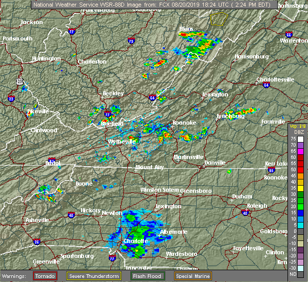 At 226 pm edt, a severe thunderstorm was located over westlake corner, moving north at 10 mph (radar indicated). Hazards include 60 mph wind gusts and quarter size hail. Hail damage to vehicles is expected. expect wind damage to roofs, siding, and trees. Locations impacted include, penhook, burnt chimney, western smith mountain lake, union hall, and north shore. At 226 pm edt, a severe thunderstorm was located over westlake corner, moving north at 10 mph (radar indicated). Hazards include 60 mph wind gusts and quarter size hail. Hail damage to vehicles is expected. expect wind damage to roofs, siding, and trees. Locations impacted include, penhook, burnt chimney, western smith mountain lake, union hall, and north shore.
|
| 8/20/2019 2:06 PM EDT |
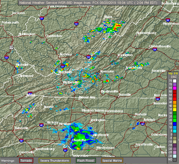 At 206 pm edt, a severe thunderstorm was located over western smith mountain lake, moving north at 10 mph (radar indicated). Hazards include 60 mph wind gusts and quarter size hail. Hail damage to vehicles is expected. Expect wind damage to roofs, siding, and trees. At 206 pm edt, a severe thunderstorm was located over western smith mountain lake, moving north at 10 mph (radar indicated). Hazards include 60 mph wind gusts and quarter size hail. Hail damage to vehicles is expected. Expect wind damage to roofs, siding, and trees.
|
| 8/15/2019 7:25 PM EDT |
 At 724 pm edt, a severe thunderstorm was located over stewartsville, moving southeast at 10 mph (radar indicated). Hazards include 60 mph wind gusts and quarter size hail. Hail damage to vehicles is expected. Expect wind damage to roofs, siding, and trees. At 724 pm edt, a severe thunderstorm was located over stewartsville, moving southeast at 10 mph (radar indicated). Hazards include 60 mph wind gusts and quarter size hail. Hail damage to vehicles is expected. Expect wind damage to roofs, siding, and trees.
|
| 8/10/2019 6:12 PM EDT |
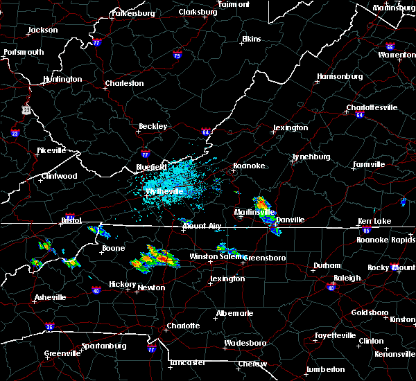 At 612 pm edt, a severe thunderstorm was 5 miles west of climax, moving east at 35 mph (radar indicated). Hazards include 60 mph wind gusts and quarter size hail. Hail damage to vehicles is expected. expect wind damage to roofs, siding, and trees. Locations impacted include, chatham, gretna, callands, mt airy, and java. At 612 pm edt, a severe thunderstorm was 5 miles west of climax, moving east at 35 mph (radar indicated). Hazards include 60 mph wind gusts and quarter size hail. Hail damage to vehicles is expected. expect wind damage to roofs, siding, and trees. Locations impacted include, chatham, gretna, callands, mt airy, and java.
|
| 8/10/2019 6:00 PM EDT | Call center received report of downed tree on snow creek rd. timing estimated by rada in franklin county VA, 7.9 miles NNE of Penhook, VA |
| 8/10/2019 5:54 PM EDT |
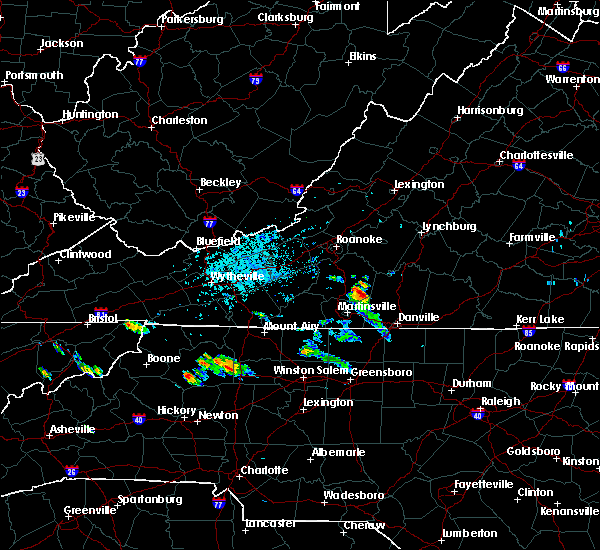 The national weather service in blacksburg has issued a * severe thunderstorm warning for. central pittsylvania county in south central virginia. extreme northeastern henry county in south central virginia. southeastern franklin county in west central virginia. Until 700 pm edt. The national weather service in blacksburg has issued a * severe thunderstorm warning for. central pittsylvania county in south central virginia. extreme northeastern henry county in south central virginia. southeastern franklin county in west central virginia. Until 700 pm edt.
|
| 8/9/2019 4:14 PM EDT |
 At 414 pm edt, a severe thunderstorm was located near moneta, moving southeast at 30 mph (radar indicated). Hazards include 60 mph wind gusts and quarter size hail. Hail damage to vehicles is expected. expect wind damage to roofs, siding, and trees. Locations impacted include, altavista, hurt, chatham, gretna, and huddleston. At 414 pm edt, a severe thunderstorm was located near moneta, moving southeast at 30 mph (radar indicated). Hazards include 60 mph wind gusts and quarter size hail. Hail damage to vehicles is expected. expect wind damage to roofs, siding, and trees. Locations impacted include, altavista, hurt, chatham, gretna, and huddleston.
|
| 8/9/2019 4:02 PM EDT |
 At 401 pm edt, a severe thunderstorm was located over goodview, moving southeast at 30 mph (radar indicated). Hazards include 60 mph wind gusts and quarter size hail. Hail damage to vehicles is expected. Expect wind damage to roofs, siding, and trees. At 401 pm edt, a severe thunderstorm was located over goodview, moving southeast at 30 mph (radar indicated). Hazards include 60 mph wind gusts and quarter size hail. Hail damage to vehicles is expected. Expect wind damage to roofs, siding, and trees.
|
| 7/22/2019 3:55 PM EDT |
 At 355 pm edt, a severe thunderstorm was located over north shore, moving northeast at 25 mph (radar indicated). Hazards include 60 mph wind gusts and quarter size hail. Hail damage to vehicles is expected. Expect wind damage to roofs, siding, and trees. At 355 pm edt, a severe thunderstorm was located over north shore, moving northeast at 25 mph (radar indicated). Hazards include 60 mph wind gusts and quarter size hail. Hail damage to vehicles is expected. Expect wind damage to roofs, siding, and trees.
|
| 7/4/2019 2:10 PM EDT |
 The severe thunderstorm warning for northwestern pittsylvania, southwestern bedford and northeastern franklin counties will expire at 215 pm edt, the storm which prompted the warning has weakened below severe limits, and no longer poses an immediate threat to life or property. therefore, the warning will be allowed to expire. when it is safe to do so, please send your reports of hail of any size, as well as reports of any wind damage, including downed trees or large limbs, to the national weather service by calling toll free at 1, 8 6 6, 2 1 5, 4 3 2 4. reports and pictures can also be shared on the national weather service blacksburg facebook page and on twitter. The severe thunderstorm warning for northwestern pittsylvania, southwestern bedford and northeastern franklin counties will expire at 215 pm edt, the storm which prompted the warning has weakened below severe limits, and no longer poses an immediate threat to life or property. therefore, the warning will be allowed to expire. when it is safe to do so, please send your reports of hail of any size, as well as reports of any wind damage, including downed trees or large limbs, to the national weather service by calling toll free at 1, 8 6 6, 2 1 5, 4 3 2 4. reports and pictures can also be shared on the national weather service blacksburg facebook page and on twitter.
|
| 7/4/2019 2:03 PM EDT |
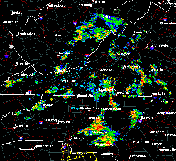 At 203 pm edt, a severe thunderstorm was located over western smith mountain lake, moving northeast at 15 mph (radar indicated). Hazards include 60 mph wind gusts. Expect damage to roofs, siding, and trees. Locations impacted include, penhook, smith mountain lake state park, western smith mountain lake, union hall, and northwest smith mountain lake. At 203 pm edt, a severe thunderstorm was located over western smith mountain lake, moving northeast at 15 mph (radar indicated). Hazards include 60 mph wind gusts. Expect damage to roofs, siding, and trees. Locations impacted include, penhook, smith mountain lake state park, western smith mountain lake, union hall, and northwest smith mountain lake.
|
| 7/4/2019 1:44 PM EDT |
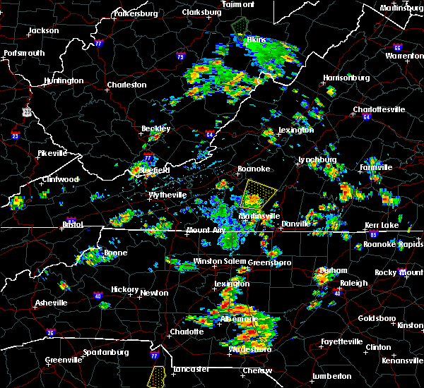 At 144 pm edt, a severe thunderstorm was located over sontag, moving northeast at 15 mph (radar indicated). Hazards include 60 mph wind gusts. Expect damage to roofs, siding, and trees. Locations impacted include, rocky mount, sydnorsville, penhook, burnt chimney, and northwest smith mountain lake. At 144 pm edt, a severe thunderstorm was located over sontag, moving northeast at 15 mph (radar indicated). Hazards include 60 mph wind gusts. Expect damage to roofs, siding, and trees. Locations impacted include, rocky mount, sydnorsville, penhook, burnt chimney, and northwest smith mountain lake.
|
| 7/4/2019 1:25 PM EDT |
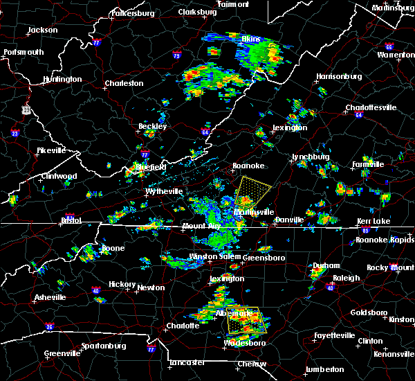 At 125 pm edt, a severe thunderstorm was located over sontag, moving northeast at 15 mph (radar indicated). Hazards include 60 mph wind gusts. expect damage to roofs, siding, and trees At 125 pm edt, a severe thunderstorm was located over sontag, moving northeast at 15 mph (radar indicated). Hazards include 60 mph wind gusts. expect damage to roofs, siding, and trees
|
| 7/2/2019 7:24 PM EDT |
 The severe thunderstorm warning for northwestern pittsylvania and franklin counties will expire at 730 pm edt, the storms which prompted the warning have weakened below severe limits and have exited the warned area. therefore, the warning will be allowed to expire. when it is safe to do so, please send your reports of hail of any size, as well as reports of any wind damage, including downed trees or large limbs, to the national weather service by calling toll free at 1, 8 6 6, 2 1 5, 4 3 2 4. reports and pictures can also be shared on the national weather service blacksburg facebook page and on twitter. The severe thunderstorm warning for northwestern pittsylvania and franklin counties will expire at 730 pm edt, the storms which prompted the warning have weakened below severe limits and have exited the warned area. therefore, the warning will be allowed to expire. when it is safe to do so, please send your reports of hail of any size, as well as reports of any wind damage, including downed trees or large limbs, to the national weather service by calling toll free at 1, 8 6 6, 2 1 5, 4 3 2 4. reports and pictures can also be shared on the national weather service blacksburg facebook page and on twitter.
|
| 7/2/2019 6:48 PM EDT |
 At 647 pm edt, severe thunderstorms were located along a line extending from near ferrum to southern smith mountain lake, moving southeast at 20 mph (radar indicated). Hazards include 60 mph wind gusts and quarter size hail. Hail damage to vehicles is expected. expect wind damage to roofs, siding, and trees. Locations impacted include, rocky mount, sydnorsville, ferrum, penhook, and snow creek. At 647 pm edt, severe thunderstorms were located along a line extending from near ferrum to southern smith mountain lake, moving southeast at 20 mph (radar indicated). Hazards include 60 mph wind gusts and quarter size hail. Hail damage to vehicles is expected. expect wind damage to roofs, siding, and trees. Locations impacted include, rocky mount, sydnorsville, ferrum, penhook, and snow creek.
|
| 7/2/2019 6:25 PM EDT |
 At 625 pm edt, severe thunderstorms were located along a line extending from near callaway to westlake corner, moving southeast at 20 mph (radar indicated). Hazards include 60 mph wind gusts and quarter size hail. Hail damage to vehicles is expected. Expect wind damage to roofs, siding, and trees. At 625 pm edt, severe thunderstorms were located along a line extending from near callaway to westlake corner, moving southeast at 20 mph (radar indicated). Hazards include 60 mph wind gusts and quarter size hail. Hail damage to vehicles is expected. Expect wind damage to roofs, siding, and trees.
|
| 6/29/2019 4:38 PM EDT |
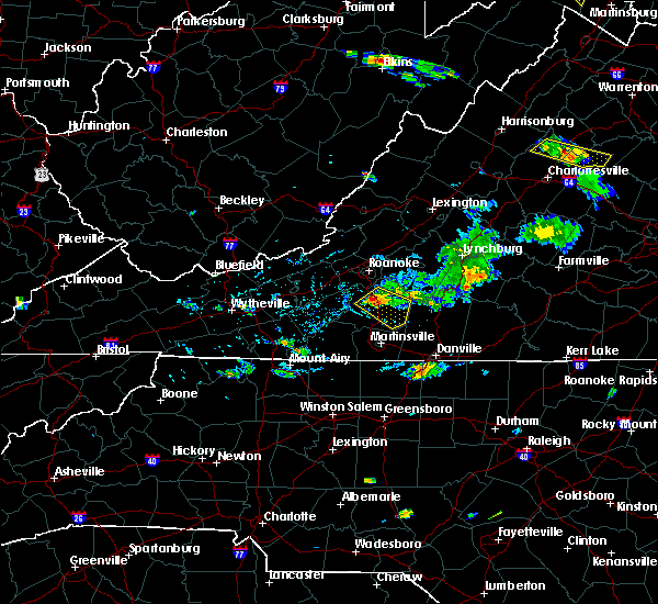 At 438 pm edt, a severe thunderstorm was located over rocky mount, moving southeast at 15 mph (radar indicated). Hazards include 60 mph wind gusts and quarter size hail. Hail damage to vehicles is expected. expect wind damage to roofs, siding, and trees. Locations impacted include, rocky mount, sydnorsville, penhook, ferrum, and snow creek. At 438 pm edt, a severe thunderstorm was located over rocky mount, moving southeast at 15 mph (radar indicated). Hazards include 60 mph wind gusts and quarter size hail. Hail damage to vehicles is expected. expect wind damage to roofs, siding, and trees. Locations impacted include, rocky mount, sydnorsville, penhook, ferrum, and snow creek.
|
| 6/29/2019 4:23 PM EDT |
 At 422 pm edt, a severe thunderstorm was located over wirtz, moving southeast at 20 mph (radar indicated). Hazards include 60 mph wind gusts and quarter size hail. Hail damage to vehicles is expected. Expect wind damage to roofs, siding, and trees. At 422 pm edt, a severe thunderstorm was located over wirtz, moving southeast at 20 mph (radar indicated). Hazards include 60 mph wind gusts and quarter size hail. Hail damage to vehicles is expected. Expect wind damage to roofs, siding, and trees.
|
| 6/24/2019 10:43 PM EDT |
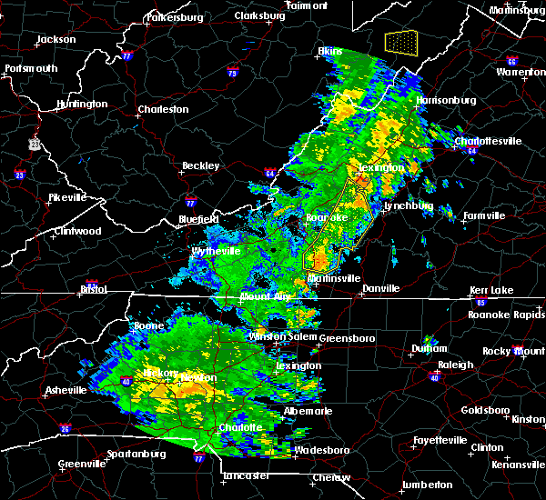 At 1042 pm edt, severe thunderstorms were located along a line extending from near buena vista to near sedalia to sontag, moving northeast at 35 mph (radar indicated). Hazards include 60 mph wind gusts. Expect damage to roofs, siding, and trees. locations impacted include, bedford, rocky mount, glasgow, huddleston, and big island. This includes the following location the national d-day memorial. At 1042 pm edt, severe thunderstorms were located along a line extending from near buena vista to near sedalia to sontag, moving northeast at 35 mph (radar indicated). Hazards include 60 mph wind gusts. Expect damage to roofs, siding, and trees. locations impacted include, bedford, rocky mount, glasgow, huddleston, and big island. This includes the following location the national d-day memorial.
|
| 6/24/2019 10:32 PM EDT |
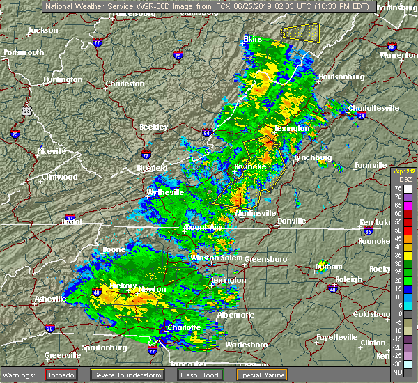 At 1030 pm edt, severe thunderstorms were located along a line extending from near natural bridge to thaxton to near ferrum, moving northeast at 35 mph (radar indicated). Hazards include 60 mph wind gusts. Expect damage to roofs, siding, and trees. locations impacted include, bedford, rocky mount, buchanan, glasgow, and boones mill. this includes the following location the national d-day memorial. The most intense part of this line extends from natural bridge to arcadia to thaxton. At 1030 pm edt, severe thunderstorms were located along a line extending from near natural bridge to thaxton to near ferrum, moving northeast at 35 mph (radar indicated). Hazards include 60 mph wind gusts. Expect damage to roofs, siding, and trees. locations impacted include, bedford, rocky mount, buchanan, glasgow, and boones mill. this includes the following location the national d-day memorial. The most intense part of this line extends from natural bridge to arcadia to thaxton.
|
| 6/24/2019 10:16 PM EDT |
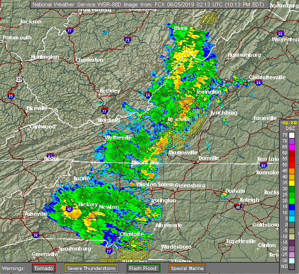 At 1016 pm edt, severe thunderstorms were located along a line extending from eagle rock to near lithia to stewartsville, moving northeast at 35 mph (radar indicated). Hazards include 60 mph wind gusts. expect damage to roofs, siding, and trees At 1016 pm edt, severe thunderstorms were located along a line extending from eagle rock to near lithia to stewartsville, moving northeast at 35 mph (radar indicated). Hazards include 60 mph wind gusts. expect damage to roofs, siding, and trees
|
| 6/18/2019 3:22 PM EDT |
 The severe thunderstorm warning for northwestern pittsylvania county will expire at 330 pm edt, the storm which prompted the warning has weakened below severe limits, and has exited the warned area. therefore, the warning will be allowed to expire. however heavy rain is still possible with this thunderstorm. when it is safe to do so, please send your reports of hail of any size, as well as reports of any wind damage, including downed trees or large limbs, to the national weather service by calling toll free at 1, 8 6 6, 2 1 5, 4 3 2 4. reports and pictures can also be shared on the national weather service blacksburg facebook page and on twitter. The severe thunderstorm warning for northwestern pittsylvania county will expire at 330 pm edt, the storm which prompted the warning has weakened below severe limits, and has exited the warned area. therefore, the warning will be allowed to expire. however heavy rain is still possible with this thunderstorm. when it is safe to do so, please send your reports of hail of any size, as well as reports of any wind damage, including downed trees or large limbs, to the national weather service by calling toll free at 1, 8 6 6, 2 1 5, 4 3 2 4. reports and pictures can also be shared on the national weather service blacksburg facebook page and on twitter.
|
| 6/18/2019 2:55 PM EDT |
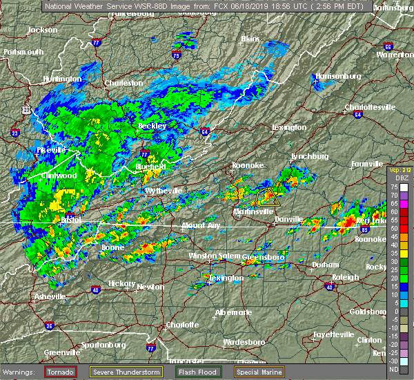 At 254 pm edt, a severe thunderstorm was located near climax, moving east at 10 mph (radar indicated). Hazards include 60 mph wind gusts. Expect damage to roofs, siding, and trees. Locations impacted include, chatham, callands, sago, climax, and pittsville. At 254 pm edt, a severe thunderstorm was located near climax, moving east at 10 mph (radar indicated). Hazards include 60 mph wind gusts. Expect damage to roofs, siding, and trees. Locations impacted include, chatham, callands, sago, climax, and pittsville.
|
| 6/18/2019 2:39 PM EDT |
 At 239 pm edt, a severe thunderstorm was located over sago, moving northeast at 10 mph (radar indicated). Hazards include 60 mph wind gusts and quarter size hail. Hail damage to vehicles is expected. expect wind damage to roofs, siding, and trees. Locations impacted include, chatham, penhook, callands, sago, and climax. At 239 pm edt, a severe thunderstorm was located over sago, moving northeast at 10 mph (radar indicated). Hazards include 60 mph wind gusts and quarter size hail. Hail damage to vehicles is expected. expect wind damage to roofs, siding, and trees. Locations impacted include, chatham, penhook, callands, sago, and climax.
|
| 6/18/2019 2:23 PM EDT |
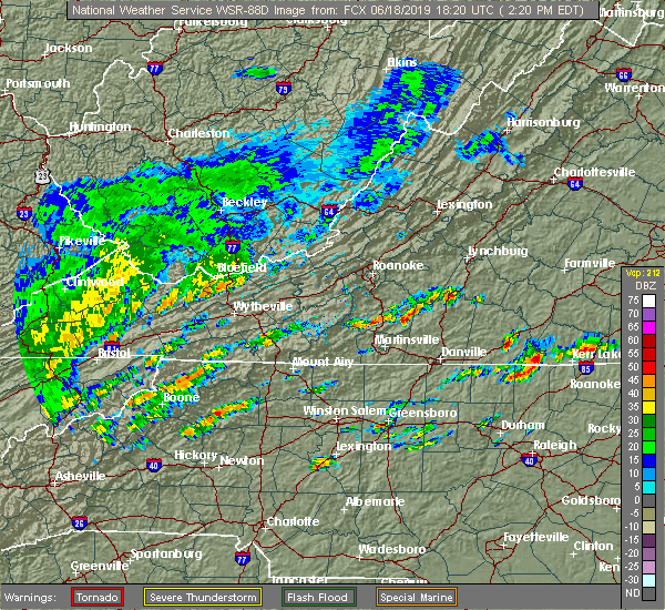 At 223 pm edt, a severe thunderstorm was located over sago, moving east at 10 mph (radar indicated). Hazards include 60 mph wind gusts and quarter size hail. Hail damage to vehicles is expected. Expect wind damage to roofs, siding, and trees. At 223 pm edt, a severe thunderstorm was located over sago, moving east at 10 mph (radar indicated). Hazards include 60 mph wind gusts and quarter size hail. Hail damage to vehicles is expected. Expect wind damage to roofs, siding, and trees.
|
| 6/17/2019 3:20 PM EDT |
 The severe thunderstorm warning for southwestern campbell, northern pittsylvania, south central bedford and southeastern franklin counties will expire at 330 pm edt, the storm which prompted the warning has weakened below severe limits, and no longer poses an immediate threat to life or property. therefore, the warning will be allowed to expire. however heavy rain is still possible with this thunderstorm. when it is safe to do so, please send your reports of hail of any size, as well as reports of any wind damage, including downed trees or large limbs, to the national weather service by calling toll free at 1, 8 6 6, 2 1 5, 4 3 2 4. reports and pictures can also be shared on the national weather service blacksburg facebook page and on twitter. The severe thunderstorm warning for southwestern campbell, northern pittsylvania, south central bedford and southeastern franklin counties will expire at 330 pm edt, the storm which prompted the warning has weakened below severe limits, and no longer poses an immediate threat to life or property. therefore, the warning will be allowed to expire. however heavy rain is still possible with this thunderstorm. when it is safe to do so, please send your reports of hail of any size, as well as reports of any wind damage, including downed trees or large limbs, to the national weather service by calling toll free at 1, 8 6 6, 2 1 5, 4 3 2 4. reports and pictures can also be shared on the national weather service blacksburg facebook page and on twitter.
|
| 6/17/2019 2:49 PM EDT |
 At 247 pm edt, a severe thunderstorm was located over ajax, moving east at 25 mph (radar indicated). Hazards include 60 mph wind gusts and quarter size hail. Hail damage to vehicles is expected. expect wind damage to roofs, siding, and trees. Locations impacted include, altavista, hurt, gretna, penhook, and mt airy. At 247 pm edt, a severe thunderstorm was located over ajax, moving east at 25 mph (radar indicated). Hazards include 60 mph wind gusts and quarter size hail. Hail damage to vehicles is expected. expect wind damage to roofs, siding, and trees. Locations impacted include, altavista, hurt, gretna, penhook, and mt airy.
|
| 6/17/2019 2:39 PM EDT | Franklin co. warning point had three downed tree reports come in from south of penhook. timing estimated by rada in franklin county VA, 3.1 miles N of Penhook, VA |
| 6/17/2019 2:36 PM EDT |
 At 236 pm edt, a severe thunderstorm was located over penhook, moving east at 20 mph (radar indicated). Hazards include 60 mph wind gusts and quarter size hail. Hail damage to vehicles is expected. Expect wind damage to roofs, siding, and trees. At 236 pm edt, a severe thunderstorm was located over penhook, moving east at 20 mph (radar indicated). Hazards include 60 mph wind gusts and quarter size hail. Hail damage to vehicles is expected. Expect wind damage to roofs, siding, and trees.
|
| 5/31/2019 5:34 PM EDT |
 At 532 pm edt, severe thunderstorms were located along a line extending from near sedalia to near leesville to near climax, moving east at 40 mph (radar indicated. public has reported golf ball- sized hail with this thunderstorm. in addition, radar is detecting rotation in east central franklin county). Hazards include 60 mph wind gusts and half dollar size hail. Hail damage to vehicles is expected. expect wind damage to roofs, siding, and trees. locations impacted include, bedford, huddleston, moneta, penhook, and forest. This includes the following location the national d-day memorial. At 532 pm edt, severe thunderstorms were located along a line extending from near sedalia to near leesville to near climax, moving east at 40 mph (radar indicated. public has reported golf ball- sized hail with this thunderstorm. in addition, radar is detecting rotation in east central franklin county). Hazards include 60 mph wind gusts and half dollar size hail. Hail damage to vehicles is expected. expect wind damage to roofs, siding, and trees. locations impacted include, bedford, huddleston, moneta, penhook, and forest. This includes the following location the national d-day memorial.
|
| 5/31/2019 5:05 PM EDT |
 At 503 pm edt, severe thunderstorms were located along a line extending from near lithia to westlake corner to near sontag, moving east at 40 mph (radar indicated). Hazards include 60 mph wind gusts and half dollar size hail. Hail damage to vehicles is expected. expect wind damage to roofs, siding, and trees. locations impacted include, bedford, rocky mount, buchanan, troutville, and boones mill. This includes the following location the national d-day memorial. At 503 pm edt, severe thunderstorms were located along a line extending from near lithia to westlake corner to near sontag, moving east at 40 mph (radar indicated). Hazards include 60 mph wind gusts and half dollar size hail. Hail damage to vehicles is expected. expect wind damage to roofs, siding, and trees. locations impacted include, bedford, rocky mount, buchanan, troutville, and boones mill. This includes the following location the national d-day memorial.
|
| 5/31/2019 4:39 PM EDT |
 The national weather service in blacksburg has issued a * severe thunderstorm warning for. southern roanoke county in west central virginia. northwestern pittsylvania county in south central virginia. southern city of roanoke in west central virginia. bedford county in south central virginia. Southeastern. The national weather service in blacksburg has issued a * severe thunderstorm warning for. southern roanoke county in west central virginia. northwestern pittsylvania county in south central virginia. southern city of roanoke in west central virginia. bedford county in south central virginia. Southeastern.
|
| 5/29/2019 6:56 PM EDT |
 The severe thunderstorm warning for alleghany and northern surry counties in northwestern north carolina, southern floyd county in southwestern virginia, central pittsylvania county in south central virginia, carroll county in southwestern virginia, henry county in south central virginia, southeastern grayson county in southwestern virginia, southern franklin county in west central virginia and patrick counties in southwestern virginia, the city of martinsville and the city of galax will expire at 700 pm edt, the storms which prompted the warning have moved out of the area. therefore, the warning will be allowed to expire and a new warning has been issued further to the east. a severe thunderstorm watch remains in effect until 900 pm edt for north central north carolina, and south central, central, southwestern and west central virginia. when it is safe to do so, please send your reports of hail of any size, as well as reports of any wind damage, including downed trees or large limbs, to the national weather service by calling toll free at 1, 8 6 6, 2 1 5, 4 3 2 4. reports and pictures can also be shared on the national weather service blacksburg facebook page and on twitter. The severe thunderstorm warning for alleghany and northern surry counties in northwestern north carolina, southern floyd county in southwestern virginia, central pittsylvania county in south central virginia, carroll county in southwestern virginia, henry county in south central virginia, southeastern grayson county in southwestern virginia, southern franklin county in west central virginia and patrick counties in southwestern virginia, the city of martinsville and the city of galax will expire at 700 pm edt, the storms which prompted the warning have moved out of the area. therefore, the warning will be allowed to expire and a new warning has been issued further to the east. a severe thunderstorm watch remains in effect until 900 pm edt for north central north carolina, and south central, central, southwestern and west central virginia. when it is safe to do so, please send your reports of hail of any size, as well as reports of any wind damage, including downed trees or large limbs, to the national weather service by calling toll free at 1, 8 6 6, 2 1 5, 4 3 2 4. reports and pictures can also be shared on the national weather service blacksburg facebook page and on twitter.
|
| 5/29/2019 6:56 PM EDT |
 At 620 pm edt, severe thunderstorms were located along a line extending from near gretna to near woolwine to sparta, moving east at 60 mph (radar indicated). Hazards include 60 mph wind gusts and quarter size hail. Hail damage to vehicles is expected. expect wind damage to roofs, siding, and trees. locations impacted include, martinsville, mount airy, galax, flat rock, and hillsville. This includes the following locations the martinsville speedway and martinsville airport. At 620 pm edt, severe thunderstorms were located along a line extending from near gretna to near woolwine to sparta, moving east at 60 mph (radar indicated). Hazards include 60 mph wind gusts and quarter size hail. Hail damage to vehicles is expected. expect wind damage to roofs, siding, and trees. locations impacted include, martinsville, mount airy, galax, flat rock, and hillsville. This includes the following locations the martinsville speedway and martinsville airport.
|
| 5/29/2019 6:21 PM EDT |
 At 620 pm edt, severe thunderstorms were located along a line extending from near gretna to near woolwine to sparta, moving east at 60 mph (radar indicated). Hazards include 60 mph wind gusts and quarter size hail. Hail damage to vehicles is expected. expect wind damage to roofs, siding, and trees. locations impacted include, martinsville, mount airy, galax, flat rock, and hillsville. This includes the following locations the martinsville speedway and martinsville airport. At 620 pm edt, severe thunderstorms were located along a line extending from near gretna to near woolwine to sparta, moving east at 60 mph (radar indicated). Hazards include 60 mph wind gusts and quarter size hail. Hail damage to vehicles is expected. expect wind damage to roofs, siding, and trees. locations impacted include, martinsville, mount airy, galax, flat rock, and hillsville. This includes the following locations the martinsville speedway and martinsville airport.
|
| 5/29/2019 6:00 PM EDT |
 At 600 pm edt, severe thunderstorms were located along a line extending from near copper hill to volney, moving southeast at 55 mph (radar indicated). Hazards include 60 mph wind gusts and quarter size hail. Hail damage to vehicles is expected. Expect wind damage to roofs, siding, and trees. At 600 pm edt, severe thunderstorms were located along a line extending from near copper hill to volney, moving southeast at 55 mph (radar indicated). Hazards include 60 mph wind gusts and quarter size hail. Hail damage to vehicles is expected. Expect wind damage to roofs, siding, and trees.
|
| 5/4/2019 7:02 PM EDT |
 At 701 pm edt, a severe thunderstorm was located over sago, moving east at 30 mph (radar indicated). Hazards include 60 mph wind gusts and quarter size hail. Hail damage to vehicles is expected. Expect wind damage to roofs, siding, and trees. At 701 pm edt, a severe thunderstorm was located over sago, moving east at 30 mph (radar indicated). Hazards include 60 mph wind gusts and quarter size hail. Hail damage to vehicles is expected. Expect wind damage to roofs, siding, and trees.
|
| 4/19/2019 10:36 AM EDT |
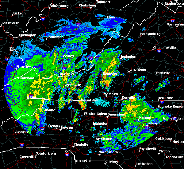 At 1035 am edt, a confirmed tornado was located over sontag, moving northeast at 45 mph (radar confirmed tornado). Hazards include damaging tornado and quarter size hail. Flying debris will be dangerous to those caught without shelter. mobile homes will be damaged or destroyed. damage to roofs, windows, and vehicles will occur. tree damage is likely. Locations impacted include, penhook, western smith mountain lake, union hall, sontag, and northwest smith mountain lake. At 1035 am edt, a confirmed tornado was located over sontag, moving northeast at 45 mph (radar confirmed tornado). Hazards include damaging tornado and quarter size hail. Flying debris will be dangerous to those caught without shelter. mobile homes will be damaged or destroyed. damage to roofs, windows, and vehicles will occur. tree damage is likely. Locations impacted include, penhook, western smith mountain lake, union hall, sontag, and northwest smith mountain lake.
|
| 4/19/2019 10:27 AM EDT |
 At 1027 am edt, a severe thunderstorm capable of producing a tornado was located near sydnorsville, moving northeast at 40 mph (radar indicated rotation). Hazards include tornado and quarter size hail. Flying debris will be dangerous to those caught without shelter. mobile homes will be damaged or destroyed. damage to roofs, windows, and vehicles will occur. Tree damage is likely. At 1027 am edt, a severe thunderstorm capable of producing a tornado was located near sydnorsville, moving northeast at 40 mph (radar indicated rotation). Hazards include tornado and quarter size hail. Flying debris will be dangerous to those caught without shelter. mobile homes will be damaged or destroyed. damage to roofs, windows, and vehicles will occur. Tree damage is likely.
|
| 4/14/2019 8:06 PM EDT |
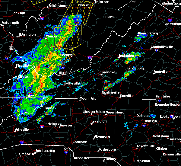 At 806 pm edt, a severe thunderstorm capable of producing a tornado was located over sydnorsville, moving northeast at 45 mph (radar indicated rotation). Hazards include tornado. Flying debris will be dangerous to those caught without shelter. mobile homes will be damaged or destroyed. damage to roofs, windows, and vehicles will occur. tree damage is likely. Locations impacted include, sydnorsville, penhook, sontag, snow creek, and union hall. At 806 pm edt, a severe thunderstorm capable of producing a tornado was located over sydnorsville, moving northeast at 45 mph (radar indicated rotation). Hazards include tornado. Flying debris will be dangerous to those caught without shelter. mobile homes will be damaged or destroyed. damage to roofs, windows, and vehicles will occur. tree damage is likely. Locations impacted include, sydnorsville, penhook, sontag, snow creek, and union hall.
|
| 4/14/2019 7:57 PM EDT |
 At 756 pm edt, a severe thunderstorm capable of producing a tornado was located over collinsville, moving northeast at 50 mph (radar indicated rotation). Hazards include tornado. Flying debris will be dangerous to those caught without shelter. mobile homes will be damaged or destroyed. damage to roofs, windows, and vehicles will occur. tree damage is likely. Locations impacted include, penhook, bassett, sydnorsville, snow creek, and stanleytown. At 756 pm edt, a severe thunderstorm capable of producing a tornado was located over collinsville, moving northeast at 50 mph (radar indicated rotation). Hazards include tornado. Flying debris will be dangerous to those caught without shelter. mobile homes will be damaged or destroyed. damage to roofs, windows, and vehicles will occur. tree damage is likely. Locations impacted include, penhook, bassett, sydnorsville, snow creek, and stanleytown.
|
| 4/14/2019 7:49 PM EDT |
 At 748 pm edt, a severe thunderstorm capable of producing a tornado was located over fieldale, moving northeast at 50 mph (radar indicated rotation). Hazards include tornado. Flying debris will be dangerous to those caught without shelter. mobile homes will be damaged or destroyed. damage to roofs, windows, and vehicles will occur. Tree damage is likely. At 748 pm edt, a severe thunderstorm capable of producing a tornado was located over fieldale, moving northeast at 50 mph (radar indicated rotation). Hazards include tornado. Flying debris will be dangerous to those caught without shelter. mobile homes will be damaged or destroyed. damage to roofs, windows, and vehicles will occur. Tree damage is likely.
|
| 4/14/2019 1:09 PM EDT |
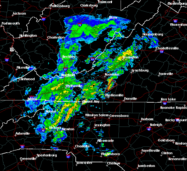 At 109 pm edt, a severe thunderstorm capable of producing a tornado was located near sydnorsville, moving northeast at 40 mph (radar indicated rotation). Hazards include tornado. Flying debris will be dangerous to those caught without shelter. mobile homes will be damaged or destroyed. damage to roofs, windows, and vehicles will occur. Tree damage is likely. At 109 pm edt, a severe thunderstorm capable of producing a tornado was located near sydnorsville, moving northeast at 40 mph (radar indicated rotation). Hazards include tornado. Flying debris will be dangerous to those caught without shelter. mobile homes will be damaged or destroyed. damage to roofs, windows, and vehicles will occur. Tree damage is likely.
|
| 4/8/2019 4:41 PM EDT |
 At 439 pm edt, severe thunderstorms were located along a line extending from near amherst to near goode to north shore, moving east at 30 mph (radar indicated). Hazards include 60 mph wind gusts and quarter size hail. Hail damage to vehicles is expected. Expect wind damage to roofs, siding, and trees. At 439 pm edt, severe thunderstorms were located along a line extending from near amherst to near goode to north shore, moving east at 30 mph (radar indicated). Hazards include 60 mph wind gusts and quarter size hail. Hail damage to vehicles is expected. Expect wind damage to roofs, siding, and trees.
|
| 9/1/2018 1:31 AM EDT |
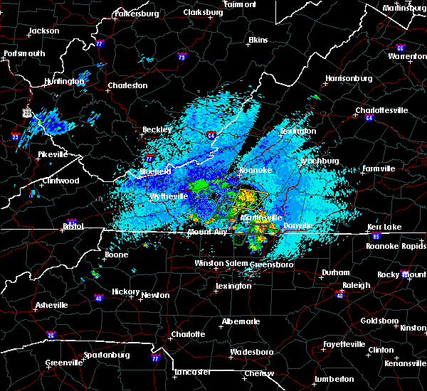 At 131 am edt, severe thunderstorms were located along a line extending from near ferrum to sontag, moving east at 15 mph (radar indicated). Hazards include 60 mph wind gusts and quarter size hail. Hail damage to vehicles is expected. expect wind damage to roofs, siding, and trees. Locations impacted include, rocky mount, sydnorsville, ferrum, penhook, and western smith mountain lake. At 131 am edt, severe thunderstorms were located along a line extending from near ferrum to sontag, moving east at 15 mph (radar indicated). Hazards include 60 mph wind gusts and quarter size hail. Hail damage to vehicles is expected. expect wind damage to roofs, siding, and trees. Locations impacted include, rocky mount, sydnorsville, ferrum, penhook, and western smith mountain lake.
|
| 9/1/2018 1:06 AM EDT |
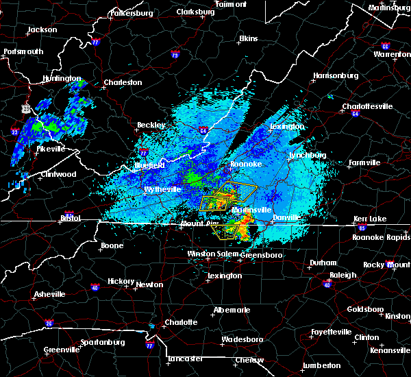 At 106 am edt, severe thunderstorms were located along a line extending from near ferrum to near rocky mount, moving east at 15 mph (radar indicated). Hazards include 60 mph wind gusts and quarter size hail. Hail damage to vehicles is expected. Expect wind damage to roofs, siding, and trees. At 106 am edt, severe thunderstorms were located along a line extending from near ferrum to near rocky mount, moving east at 15 mph (radar indicated). Hazards include 60 mph wind gusts and quarter size hail. Hail damage to vehicles is expected. Expect wind damage to roofs, siding, and trees.
|
| 8/30/2018 7:53 PM EDT | Tree down on smith mountain rd near gretna rd in pittsylvania county VA, 2.9 miles W of Penhook, VA |
| 8/30/2018 7:51 PM EDT |
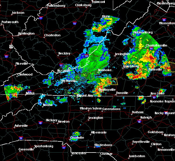 At 751 pm edt, a severe thunderstorm was located over ajax, moving east at 15 mph (radar indicated). Hazards include golf ball size hail and 70 mph wind gusts. People and animals outdoors will be injured. expect hail damage to roofs, siding, windows, and vehicles. expect considerable tree damage. Wind damage is also likely to mobile homes, roofs, and outbuildings. At 751 pm edt, a severe thunderstorm was located over ajax, moving east at 15 mph (radar indicated). Hazards include golf ball size hail and 70 mph wind gusts. People and animals outdoors will be injured. expect hail damage to roofs, siding, windows, and vehicles. expect considerable tree damage. Wind damage is also likely to mobile homes, roofs, and outbuildings.
|
| 8/13/2018 4:49 PM EDT |
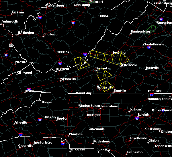 At 449 pm edt, a severe thunderstorm was located near mountain valley, moving southeast at 20 mph (radar indicated). Hazards include 60 mph wind gusts and quarter size hail. Hail damage to vehicles is expected. expect wind damage to roofs, siding, and trees. Locations impacted include, axton, callands, snow creek, sago, and leatherwood. At 449 pm edt, a severe thunderstorm was located near mountain valley, moving southeast at 20 mph (radar indicated). Hazards include 60 mph wind gusts and quarter size hail. Hail damage to vehicles is expected. expect wind damage to roofs, siding, and trees. Locations impacted include, axton, callands, snow creek, sago, and leatherwood.
|
| 8/13/2018 4:21 PM EDT |
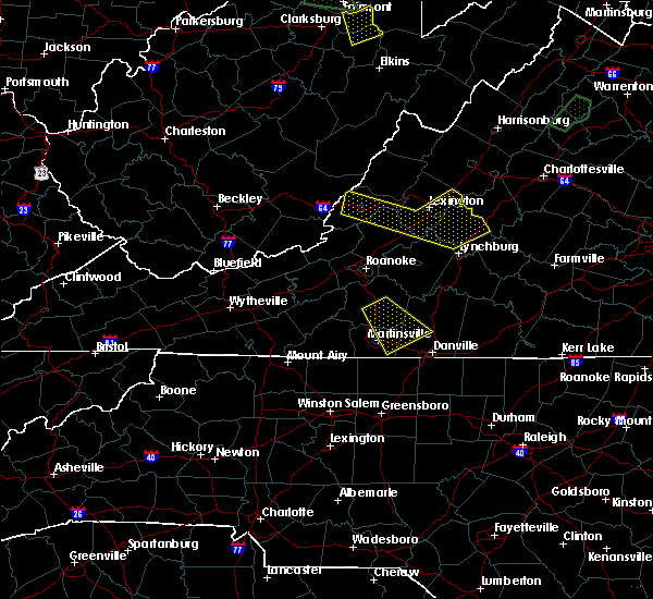 At 421 pm edt, a severe thunderstorm was located over snow creek, moving southeast at 15 mph (radar indicated). Hazards include 60 mph wind gusts and quarter size hail. Hail damage to vehicles is expected. expect wind damage to roofs, siding, and trees. Locations impacted include, callands, sydnorsville, axton, snow creek, and leatherwood. At 421 pm edt, a severe thunderstorm was located over snow creek, moving southeast at 15 mph (radar indicated). Hazards include 60 mph wind gusts and quarter size hail. Hail damage to vehicles is expected. expect wind damage to roofs, siding, and trees. Locations impacted include, callands, sydnorsville, axton, snow creek, and leatherwood.
|
| 8/13/2018 3:55 PM EDT |
 At 354 pm edt, a severe thunderstorm was located over sontag, moving southeast at 15 mph (radar indicated). Hazards include 60 mph wind gusts and quarter size hail. Hail damage to vehicles is expected. Expect wind damage to roofs, siding, and trees. At 354 pm edt, a severe thunderstorm was located over sontag, moving southeast at 15 mph (radar indicated). Hazards include 60 mph wind gusts and quarter size hail. Hail damage to vehicles is expected. Expect wind damage to roofs, siding, and trees.
|
| 8/12/2018 2:06 PM EDT |
 At 206 pm edt, a severe thunderstorm was located over mountain valley, moving east at 20 mph (radar indicated). Hazards include 60 mph wind gusts and quarter size hail. Hail damage to vehicles is expected. Expect wind damage to roofs, siding, and trees. At 206 pm edt, a severe thunderstorm was located over mountain valley, moving east at 20 mph (radar indicated). Hazards include 60 mph wind gusts and quarter size hail. Hail damage to vehicles is expected. Expect wind damage to roofs, siding, and trees.
|
| 8/3/2018 4:27 PM EDT |
 At 426 pm edt, severe thunderstorms were located along a line extending from near moneta to near smith mountain lake state park to callands to near monroeton, moving northeast at 25 mph (radar indicated). Hazards include 60 mph wind gusts. expect damage to roofs, siding, and trees At 426 pm edt, severe thunderstorms were located along a line extending from near moneta to near smith mountain lake state park to callands to near monroeton, moving northeast at 25 mph (radar indicated). Hazards include 60 mph wind gusts. expect damage to roofs, siding, and trees
|
| 8/2/2018 5:49 PM EDT |
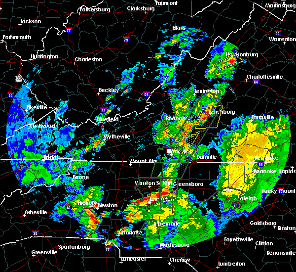 At 549 pm edt, severe thunderstorms were located along a line extending from near smith mountain lake state park to near chatmoss, moving northeast at 30 mph (radar indicated). Hazards include 60 mph wind gusts. Expect damage to roofs, siding, and trees. Locations impacted include, penhook, callands, snow creek, sago, and swansonville. At 549 pm edt, severe thunderstorms were located along a line extending from near smith mountain lake state park to near chatmoss, moving northeast at 30 mph (radar indicated). Hazards include 60 mph wind gusts. Expect damage to roofs, siding, and trees. Locations impacted include, penhook, callands, snow creek, sago, and swansonville.
|
| 8/2/2018 5:38 PM EDT |
 At 538 pm edt, severe thunderstorms were located along a line extending from near ajax to near chatmoss, moving northeast at 30 mph (radar indicated). Hazards include 60 mph wind gusts. Expect damage to roofs, siding, and trees. Locations impacted include, callands, axton, penhook, snow creek, and leatherwood. At 538 pm edt, severe thunderstorms were located along a line extending from near ajax to near chatmoss, moving northeast at 30 mph (radar indicated). Hazards include 60 mph wind gusts. Expect damage to roofs, siding, and trees. Locations impacted include, callands, axton, penhook, snow creek, and leatherwood.
|
| 8/2/2018 5:26 PM EDT |
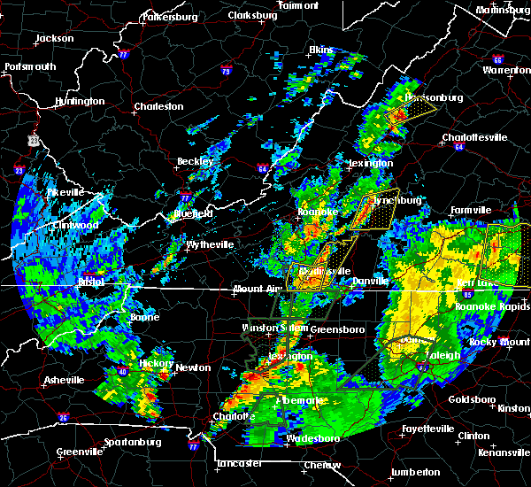 At 525 pm edt, severe thunderstorms were located along a line extending from near penhook to price, moving northeast at 30 mph (radar indicated). Hazards include 60 mph wind gusts. expect damage to roofs, siding, and trees At 525 pm edt, severe thunderstorms were located along a line extending from near penhook to price, moving northeast at 30 mph (radar indicated). Hazards include 60 mph wind gusts. expect damage to roofs, siding, and trees
|
| 8/1/2018 6:52 PM EDT |
 The severe thunderstorm warning for northeastern henry and southeastern franklin counties will expire at 700 pm edt, the storms which prompted the warning have moved out of the area. therefore, the warning will be allowed to expire. when it is safe to do so, please send your reports of hail of any size, as well as reports of any wind damage, including downed trees or large limbs, to the national weather service by calling toll free at 1, 8 6 6, 2 1 5, 4 3 2 4. reports and pictures can also be shared on the national weather service blacksburg facebook page and on twitter. The severe thunderstorm warning for northeastern henry and southeastern franklin counties will expire at 700 pm edt, the storms which prompted the warning have moved out of the area. therefore, the warning will be allowed to expire. when it is safe to do so, please send your reports of hail of any size, as well as reports of any wind damage, including downed trees or large limbs, to the national weather service by calling toll free at 1, 8 6 6, 2 1 5, 4 3 2 4. reports and pictures can also be shared on the national weather service blacksburg facebook page and on twitter.
|
| 8/1/2018 6:39 PM EDT |
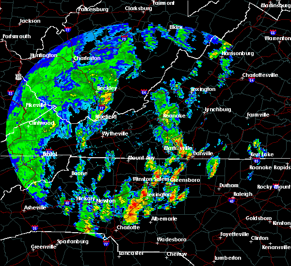 At 639 pm edt, severe thunderstorms were located along a line extending from near rocky mount to near figsboro to near price, moving northeast at 25 mph (radar indicated). Hazards include 60 mph wind gusts. Expect damage to roofs, siding, and trees. Locations impacted include, penhook, mountain valley, and snow creek. At 639 pm edt, severe thunderstorms were located along a line extending from near rocky mount to near figsboro to near price, moving northeast at 25 mph (radar indicated). Hazards include 60 mph wind gusts. Expect damage to roofs, siding, and trees. Locations impacted include, penhook, mountain valley, and snow creek.
|
| 8/1/2018 6:29 PM EDT |
 At 629 pm edt, severe thunderstorms were located along a line extending from near rocky mount to near figsboro to near stoneville, moving northeast at 25 mph (radar indicated). Hazards include 60 mph wind gusts. Expect damage to roofs, siding, and trees. Locations impacted include, sydnorsville, axton, penhook, snow creek, and leatherwood. At 629 pm edt, severe thunderstorms were located along a line extending from near rocky mount to near figsboro to near stoneville, moving northeast at 25 mph (radar indicated). Hazards include 60 mph wind gusts. Expect damage to roofs, siding, and trees. Locations impacted include, sydnorsville, axton, penhook, snow creek, and leatherwood.
|
| 8/1/2018 6:18 PM EDT |
 At 617 pm edt, severe thunderstorms were located along a line extending from near ferrum to fieldale to near mayodan, moving northeast at 25 mph (radar indicated). Hazards include 60 mph wind gusts. Expect damage to roofs, siding, and trees. locations impacted include, martinsville, rocky mount, axton, penhook, and spencer. This includes the following locations the martinsville speedway and martinsville airport. At 617 pm edt, severe thunderstorms were located along a line extending from near ferrum to fieldale to near mayodan, moving northeast at 25 mph (radar indicated). Hazards include 60 mph wind gusts. Expect damage to roofs, siding, and trees. locations impacted include, martinsville, rocky mount, axton, penhook, and spencer. This includes the following locations the martinsville speedway and martinsville airport.
|
| 8/1/2018 5:57 PM EDT |
 At 555 pm edt, severe thunderstorms were located along a line extending from fairy stone state park to penns store to near meadows, moving northeast at 25 mph (radar indicated). Hazards include 60 mph wind gusts. expect damage to roofs, siding, and trees At 555 pm edt, severe thunderstorms were located along a line extending from fairy stone state park to penns store to near meadows, moving northeast at 25 mph (radar indicated). Hazards include 60 mph wind gusts. expect damage to roofs, siding, and trees
|
| 7/11/2018 4:26 PM EDT |
 The severe thunderstorm warning for northwestern pittsylvania, south central bedford and east central franklin counties will expire at 430 pm edt, the storm which prompted the warning has weakened below severe limits, and no longer poses an immediate threat to life or property. therefore, the warning will be allowed to expire. when it is safe to do so, please send your reports of hail of any size, as well as reports of any wind damage, including downed trees or large limbs, to the national weather service by calling toll free at 1, 8 6 6, 2 1 5, 4 3 2 4. reports and pictures can also be shared on the national weather service blacksburg facebook page and on twitter. The severe thunderstorm warning for northwestern pittsylvania, south central bedford and east central franklin counties will expire at 430 pm edt, the storm which prompted the warning has weakened below severe limits, and no longer poses an immediate threat to life or property. therefore, the warning will be allowed to expire. when it is safe to do so, please send your reports of hail of any size, as well as reports of any wind damage, including downed trees or large limbs, to the national weather service by calling toll free at 1, 8 6 6, 2 1 5, 4 3 2 4. reports and pictures can also be shared on the national weather service blacksburg facebook page and on twitter.
|
| 7/11/2018 4:18 PM EDT |
 At 417 pm edt, a severe thunderstorm was located over ajax, moving south at 20 mph (radar indicated). Hazards include 60 mph wind gusts and quarter size hail. Hail damage to vehicles is expected. expect wind damage to roofs, siding, and trees. Locations impacted include, penhook, sago, climax, pittsville, and ajax. At 417 pm edt, a severe thunderstorm was located over ajax, moving south at 20 mph (radar indicated). Hazards include 60 mph wind gusts and quarter size hail. Hail damage to vehicles is expected. expect wind damage to roofs, siding, and trees. Locations impacted include, penhook, sago, climax, pittsville, and ajax.
|
| 7/11/2018 4:07 PM EDT |
 At 406 pm edt, a severe thunderstorm was located near ajax, moving south at 15 mph (radar indicated). Hazards include 60 mph wind gusts and quarter size hail. Hail damage to vehicles is expected. expect wind damage to roofs, siding, and trees. Locations impacted include, chatham, penhook, callands, sago, and smith mountain lake state park. At 406 pm edt, a severe thunderstorm was located near ajax, moving south at 15 mph (radar indicated). Hazards include 60 mph wind gusts and quarter size hail. Hail damage to vehicles is expected. expect wind damage to roofs, siding, and trees. Locations impacted include, chatham, penhook, callands, sago, and smith mountain lake state park.
|
| 7/11/2018 3:28 PM EDT |
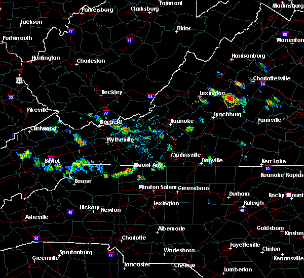 At 327 pm edt, a severe thunderstorm was located over westlake corner, moving south at 20 mph (radar indicated). Hazards include 60 mph wind gusts and quarter size hail. Hail damage to vehicles is expected. Expect wind damage to roofs, siding, and trees. At 327 pm edt, a severe thunderstorm was located over westlake corner, moving south at 20 mph (radar indicated). Hazards include 60 mph wind gusts and quarter size hail. Hail damage to vehicles is expected. Expect wind damage to roofs, siding, and trees.
|
| 6/13/2018 5:13 PM EDT |
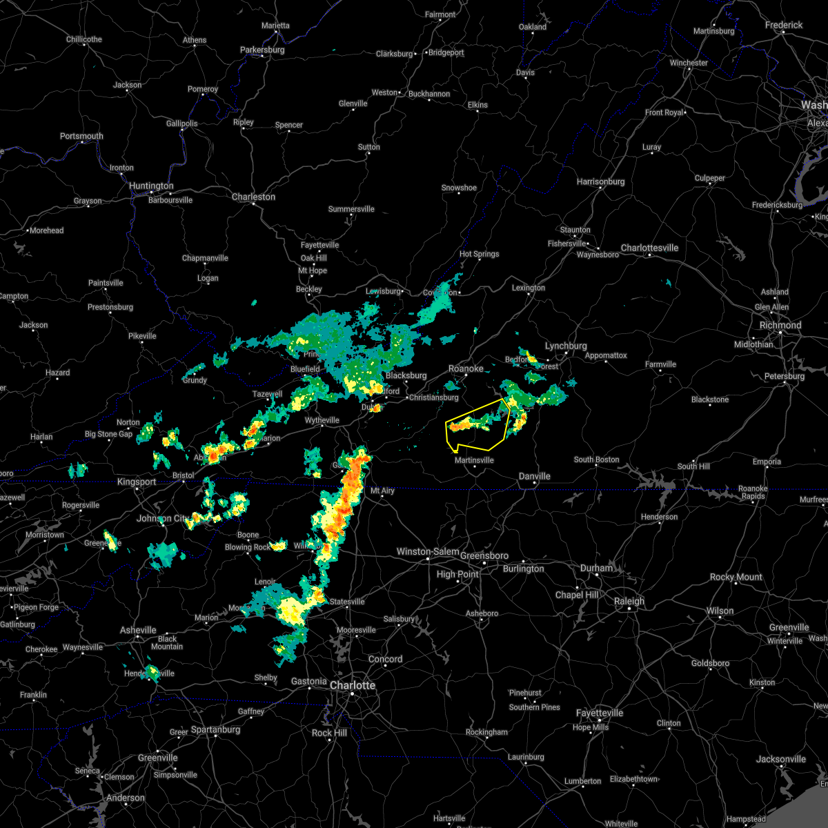 The severe thunderstorm warning for southern franklin county will expire at 515 pm edt. the storms which prompted the warning have weakened below severe limits, and no longer pose an immediate threat to life or property. therefore, the warning will be allowed to expire. When it is safe to do so, please send your reports of hail of any. The severe thunderstorm warning for southern franklin county will expire at 515 pm edt. the storms which prompted the warning have weakened below severe limits, and no longer pose an immediate threat to life or property. therefore, the warning will be allowed to expire. When it is safe to do so, please send your reports of hail of any.
|
| 6/13/2018 5:00 PM EDT |
 At 500 pm edt, severe thunderstorms were located along a line extending from north shore to near western smith mountain lake to near ferrum, moving southeast at 10 mph (radar indicated). Hazards include 60 mph wind gusts and quarter size hail. Hail damage to vehicles is expected. expect wind damage to roofs, siding, and trees. Locations impacted include, rocky mount, penhook, sydnorsville, ferrum, and snow creek. At 500 pm edt, severe thunderstorms were located along a line extending from north shore to near western smith mountain lake to near ferrum, moving southeast at 10 mph (radar indicated). Hazards include 60 mph wind gusts and quarter size hail. Hail damage to vehicles is expected. expect wind damage to roofs, siding, and trees. Locations impacted include, rocky mount, penhook, sydnorsville, ferrum, and snow creek.
|
| 6/13/2018 4:34 PM EDT |
 At 434 pm edt, severe thunderstorms were located along a line extending from northwest smith mountain lake to near burnt chimney to near callaway, moving southeast at 10 mph (radar indicated). Hazards include 60 mph wind gusts and quarter size hail. Hail damage to vehicles is expected. expect wind damage to roofs, siding, and trees. Locations impacted include, rocky mount, sydnorsville, ferrum, penhook, and snow creek. At 434 pm edt, severe thunderstorms were located along a line extending from northwest smith mountain lake to near burnt chimney to near callaway, moving southeast at 10 mph (radar indicated). Hazards include 60 mph wind gusts and quarter size hail. Hail damage to vehicles is expected. expect wind damage to roofs, siding, and trees. Locations impacted include, rocky mount, sydnorsville, ferrum, penhook, and snow creek.
|
| 6/13/2018 4:15 PM EDT |
 At 415 pm edt, severe thunderstorms were located along a line extending from near northwest smith mountain lake to burnt chimney to callaway, moving southeast at 10 mph (radar indicated). Hazards include 60 mph wind gusts and quarter size hail. Hail damage to vehicles is expected. Expect wind damage to roofs, siding, and trees. At 415 pm edt, severe thunderstorms were located along a line extending from near northwest smith mountain lake to burnt chimney to callaway, moving southeast at 10 mph (radar indicated). Hazards include 60 mph wind gusts and quarter size hail. Hail damage to vehicles is expected. Expect wind damage to roofs, siding, and trees.
|
| 6/10/2018 3:13 PM EDT |
 At 312 pm edt, a severe thunderstorm was located near smith mountain lake state park, moving southeast at 20 mph. this storm has produced wind damage near burnt chimney (radar indicated). Hazards include 60 mph wind gusts and quarter size hail. Hail damage to vehicles is expected. expect wind damage to roofs, siding, and trees. Locations impacted include, gretna, moneta, penhook, burnt chimney, and northwest smith mountain lake. At 312 pm edt, a severe thunderstorm was located near smith mountain lake state park, moving southeast at 20 mph. this storm has produced wind damage near burnt chimney (radar indicated). Hazards include 60 mph wind gusts and quarter size hail. Hail damage to vehicles is expected. expect wind damage to roofs, siding, and trees. Locations impacted include, gretna, moneta, penhook, burnt chimney, and northwest smith mountain lake.
|
| 6/10/2018 2:33 PM EDT |
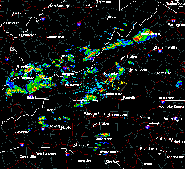 At 233 pm edt, a severe thunderstorm was located over northwest smith mountain lake, moving southeast at 20 mph (radar indicated). Hazards include 60 mph wind gusts and quarter size hail. Hail damage to vehicles is expected. Expect wind damage to roofs, siding, and trees. At 233 pm edt, a severe thunderstorm was located over northwest smith mountain lake, moving southeast at 20 mph (radar indicated). Hazards include 60 mph wind gusts and quarter size hail. Hail damage to vehicles is expected. Expect wind damage to roofs, siding, and trees.
|
| 4/15/2018 5:57 PM EDT |
 At 557 pm edt, severe thunderstorms were located along a line extending from fincastle to western smith mountain lake, moving northeast at 55 mph (radar indicated). Hazards include 60 mph wind gusts and quarter size hail. Hail damage to vehicles is expected. expect wind damage to roofs, siding, and trees. locations impacted include, roanoke, vinton, bedford, rocky mount, and buchanan. this includes the following location the national d-day memorial. A tornado watch remains in effect until 1100 pm edt for north central north carolina, and central, south central, southwestern and west central virginia. At 557 pm edt, severe thunderstorms were located along a line extending from fincastle to western smith mountain lake, moving northeast at 55 mph (radar indicated). Hazards include 60 mph wind gusts and quarter size hail. Hail damage to vehicles is expected. expect wind damage to roofs, siding, and trees. locations impacted include, roanoke, vinton, bedford, rocky mount, and buchanan. this includes the following location the national d-day memorial. A tornado watch remains in effect until 1100 pm edt for north central north carolina, and central, south central, southwestern and west central virginia.
|
| 4/15/2018 5:39 PM EDT |
 At 539 pm edt, severe thunderstorms were located along a line extending from near cave spring to sydnorsville, moving north at 50 mph (radar indicated). Hazards include 60 mph wind gusts and quarter size hail. Hail damage to vehicles is expected. expect wind damage to roofs, siding, and trees. locations impacted include, roanoke, salem, martinsville, vinton, and bedford. this includes the following locations the martinsville speedway, the salem fairgrounds, the national d-day memorial, martinsville airport, and roanoke regional airport. A tornado watch remains in effect until 1100 pm edt for north central north carolina, and central, south central, southwestern and west central virginia. At 539 pm edt, severe thunderstorms were located along a line extending from near cave spring to sydnorsville, moving north at 50 mph (radar indicated). Hazards include 60 mph wind gusts and quarter size hail. Hail damage to vehicles is expected. expect wind damage to roofs, siding, and trees. locations impacted include, roanoke, salem, martinsville, vinton, and bedford. this includes the following locations the martinsville speedway, the salem fairgrounds, the national d-day memorial, martinsville airport, and roanoke regional airport. A tornado watch remains in effect until 1100 pm edt for north central north carolina, and central, south central, southwestern and west central virginia.
|
| 4/15/2018 5:28 PM EDT |
 At 528 pm edt, severe thunderstorms were located along a line extending from near bent mountain to figsboro, moving northeast at 50 mph (radar indicated). Hazards include 60 mph wind gusts and quarter size hail. Hail damage to vehicles is expected. expect wind damage to roofs, siding, and trees. locations impacted include, roanoke, salem, martinsville, vinton, and bedford. this includes the following locations the martinsville speedway, the salem fairgrounds, the national d-day memorial, martinsville airport, and roanoke regional airport. A tornado watch remains in effect until 1100 pm edt for north central north carolina, and central, south central, southwestern and west central virginia. At 528 pm edt, severe thunderstorms were located along a line extending from near bent mountain to figsboro, moving northeast at 50 mph (radar indicated). Hazards include 60 mph wind gusts and quarter size hail. Hail damage to vehicles is expected. expect wind damage to roofs, siding, and trees. locations impacted include, roanoke, salem, martinsville, vinton, and bedford. this includes the following locations the martinsville speedway, the salem fairgrounds, the national d-day memorial, martinsville airport, and roanoke regional airport. A tornado watch remains in effect until 1100 pm edt for north central north carolina, and central, south central, southwestern and west central virginia.
|
| 4/15/2018 5:12 PM EDT |
 At 511 pm edt, severe thunderstorms were located along a line extending from near endicott to near price, moving north at 60 mph (radar indicated). Hazards include 60 mph wind gusts and quarter size hail. Hail damage to vehicles is expected. Expect wind damage to roofs, siding, and trees. At 511 pm edt, severe thunderstorms were located along a line extending from near endicott to near price, moving north at 60 mph (radar indicated). Hazards include 60 mph wind gusts and quarter size hail. Hail damage to vehicles is expected. Expect wind damage to roofs, siding, and trees.
|
| 10/23/2017 7:41 PM EDT |
 The tornado warning for eastern rockingham, northern caswell, pittsylvania, henry and southeastern franklin counties, the city of danville and the city of martinsville will expire at 745 pm edt, the storms which prompted the warning have weakened below severe limits, and no longer appear capable of producing a tornado. therefore the warning will be allowed to expire. however gusty winds are still possible with these thunderstorms. a tornado watch remains in effect until 900 pm edt for north central north carolina. a tornado watch also remains in effect until 200 am edt for south central, central, southwestern and west central virginia. when it is safe to do so, please send your reports of hail of any size, as well as reports of any wind damage, including downed trees or large limbs, to the national weather service by calling toll free at 1, 8 6 6, 2 1 5, 4 3 2 4. reports and pictures can also be shared on the national weather service blacksburg facebook page and on twitter. The tornado warning for eastern rockingham, northern caswell, pittsylvania, henry and southeastern franklin counties, the city of danville and the city of martinsville will expire at 745 pm edt, the storms which prompted the warning have weakened below severe limits, and no longer appear capable of producing a tornado. therefore the warning will be allowed to expire. however gusty winds are still possible with these thunderstorms. a tornado watch remains in effect until 900 pm edt for north central north carolina. a tornado watch also remains in effect until 200 am edt for south central, central, southwestern and west central virginia. when it is safe to do so, please send your reports of hail of any size, as well as reports of any wind damage, including downed trees or large limbs, to the national weather service by calling toll free at 1, 8 6 6, 2 1 5, 4 3 2 4. reports and pictures can also be shared on the national weather service blacksburg facebook page and on twitter.
|
| 10/23/2017 7:40 PM EDT |
 At 740 pm edt, severe thunderstorms were located along a line extending from near hollins to near northwest smith mountain lake to near burnt chimney, moving northeast at 70 mph (radar indicated). Hazards include 60 mph wind gusts and quarter size hail. Hail damage to vehicles is expected. Expect wind damage to roofs, siding, and trees. At 740 pm edt, severe thunderstorms were located along a line extending from near hollins to near northwest smith mountain lake to near burnt chimney, moving northeast at 70 mph (radar indicated). Hazards include 60 mph wind gusts and quarter size hail. Hail damage to vehicles is expected. Expect wind damage to roofs, siding, and trees.
|
| 10/23/2017 7:16 PM EDT |
 At 716 pm edt, severe thunderstorms capable of producing a tornado were located along a line extending from near ferrum to near sandy level, moving southeast at 55 mph (radar indicated rotation). Hazards include tornado. Flying debris will be dangerous to those caught without shelter. mobile homes will be damaged or destroyed. damage to roofs, windows, and vehicles will occur. Tree damage is likely. At 716 pm edt, severe thunderstorms capable of producing a tornado were located along a line extending from near ferrum to near sandy level, moving southeast at 55 mph (radar indicated rotation). Hazards include tornado. Flying debris will be dangerous to those caught without shelter. mobile homes will be damaged or destroyed. damage to roofs, windows, and vehicles will occur. Tree damage is likely.
|
| 7/22/2017 3:33 PM EDT |
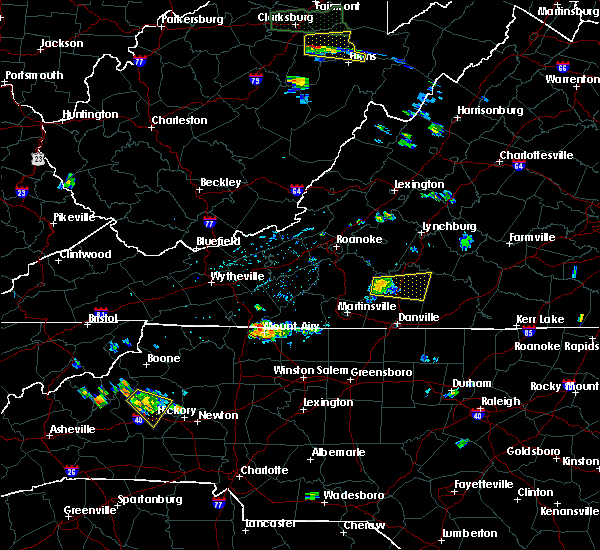 At 332 pm edt, a severe thunderstorm was located near ajax, moving east at 25 mph (radar indicated). Hazards include 60 mph wind gusts. Expect damage to roofs, siding, and trees. Locations impacted include, chatham, gretna, mt airy, java, and sago. At 332 pm edt, a severe thunderstorm was located near ajax, moving east at 25 mph (radar indicated). Hazards include 60 mph wind gusts. Expect damage to roofs, siding, and trees. Locations impacted include, chatham, gretna, mt airy, java, and sago.
|
| 7/22/2017 3:20 PM EDT | Tree across smith mountain road near west gretna road in pittsylvania county VA, 2.9 miles W of Penhook, VA |
| 7/22/2017 3:18 PM EDT | Tree blocking one lane on snow creek road near old franklin turnpike in franklin county VA, 1.2 miles WSW of Penhook, VA |
| 7/22/2017 3:16 PM EDT |
 At 316 pm edt, a severe thunderstorm was located over penhook, moving east at 25 mph (radar indicated). Hazards include 60 mph wind gusts and quarter size hail. Hail damage to vehicles is expected. Expect wind damage to roofs, siding, and trees. At 316 pm edt, a severe thunderstorm was located over penhook, moving east at 25 mph (radar indicated). Hazards include 60 mph wind gusts and quarter size hail. Hail damage to vehicles is expected. Expect wind damage to roofs, siding, and trees.
|
| 7/18/2017 5:48 PM EDT |
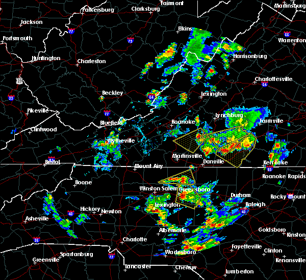 At 548 pm edt, a severe thunderstorm was located near huddleston, moving southwest at 15 mph (radar indicated). Hazards include 60 mph wind gusts and quarter size hail. Hail damage to vehicles is expected. Expect wind damage to roofs, siding, and trees. At 548 pm edt, a severe thunderstorm was located near huddleston, moving southwest at 15 mph (radar indicated). Hazards include 60 mph wind gusts and quarter size hail. Hail damage to vehicles is expected. Expect wind damage to roofs, siding, and trees.
|
| 7/18/2017 5:21 PM EDT |
 At 457 pm edt, a severe thunderstorm was located near roanoke mountain, moving south at 10 mph (radar indicated). Hazards include 60 mph wind gusts and quarter size hail. Hail damage to vehicles is expected. expect wind damage to roofs, siding, and trees. Locations impacted include, roanoke, vinton, rocky mount, boones mill, and stewartsville. At 457 pm edt, a severe thunderstorm was located near roanoke mountain, moving south at 10 mph (radar indicated). Hazards include 60 mph wind gusts and quarter size hail. Hail damage to vehicles is expected. expect wind damage to roofs, siding, and trees. Locations impacted include, roanoke, vinton, rocky mount, boones mill, and stewartsville.
|
| 7/18/2017 4:58 PM EDT |
 At 433 pm edt, a severe thunderstorm was located near vinton, moving south at 25 mph (radar indicated). Hazards include 60 mph wind gusts and quarter size hail. Hail damage to vehicles is expected. expect wind damage to roofs, siding, and trees. Locations impacted include, roanoke, vinton, rocky mount, boones mill, and stewartsville. At 433 pm edt, a severe thunderstorm was located near vinton, moving south at 25 mph (radar indicated). Hazards include 60 mph wind gusts and quarter size hail. Hail damage to vehicles is expected. expect wind damage to roofs, siding, and trees. Locations impacted include, roanoke, vinton, rocky mount, boones mill, and stewartsville.
|
| 7/18/2017 4:34 PM EDT |
 At 433 pm edt, a severe thunderstorm was located near vinton, moving south at 25 mph (radar indicated). Hazards include 60 mph wind gusts and quarter size hail. Hail damage to vehicles is expected. expect wind damage to roofs, siding, and trees. Locations impacted include, roanoke, vinton, rocky mount, boones mill, and stewartsville. At 433 pm edt, a severe thunderstorm was located near vinton, moving south at 25 mph (radar indicated). Hazards include 60 mph wind gusts and quarter size hail. Hail damage to vehicles is expected. expect wind damage to roofs, siding, and trees. Locations impacted include, roanoke, vinton, rocky mount, boones mill, and stewartsville.
|
| 7/18/2017 4:28 PM EDT |
 At 427 pm edt, a severe thunderstorm was located over stewartsville, moving south at 25 mph (radar indicated). Hazards include 60 mph wind gusts and quarter size hail. Hail damage to vehicles is expected. Expect wind damage to roofs, siding, and trees. At 427 pm edt, a severe thunderstorm was located over stewartsville, moving south at 25 mph (radar indicated). Hazards include 60 mph wind gusts and quarter size hail. Hail damage to vehicles is expected. Expect wind damage to roofs, siding, and trees.
|
| 5/5/2017 4:08 AM EDT |
 At 408 am edt, a severe thunderstorm was located near pittsville, moving northeast at 55 mph (radar indicated). Hazards include 60 mph wind gusts. Expect damage to trees and power lines. Locations impacted include, bedford, altavista, hurt, huddleston, and callands. At 408 am edt, a severe thunderstorm was located near pittsville, moving northeast at 55 mph (radar indicated). Hazards include 60 mph wind gusts. Expect damage to trees and power lines. Locations impacted include, bedford, altavista, hurt, huddleston, and callands.
|
| 5/5/2017 3:45 AM EDT |
 At 344 am edt, a severe thunderstorm was located over mountain valley, moving northeast at 50 mph (radar indicated). Hazards include 60 mph wind gusts. expect damage to trees and power lines At 344 am edt, a severe thunderstorm was located over mountain valley, moving northeast at 50 mph (radar indicated). Hazards include 60 mph wind gusts. expect damage to trees and power lines
|
| 5/1/2017 6:25 PM EDT |
 At 625 pm edt, severe thunderstorms were located along a line extending from near north shore to near sandy river to 7 miles north of greensboro, moving northeast at 45 mph (law enforcement). Hazards include 60 mph wind gusts and quarter size hail. Minor damage to vehicles is possible. Expect wind damage to trees and power lines. At 625 pm edt, severe thunderstorms were located along a line extending from near north shore to near sandy river to 7 miles north of greensboro, moving northeast at 45 mph (law enforcement). Hazards include 60 mph wind gusts and quarter size hail. Minor damage to vehicles is possible. Expect wind damage to trees and power lines.
|
| 5/1/2017 6:07 PM EDT |
 At 607 pm edt, severe thunderstorms were located along a line extending from near rocky mount to near price to near kernersville, moving northeast at 45 mph (law enforcement). Hazards include 60 mph wind gusts and quarter size hail. Minor damage to vehicles is possible. expect wind damage to trees and power lines. Locations impacted include, danville, eden, reidsville, martinsville, and wentworth. At 607 pm edt, severe thunderstorms were located along a line extending from near rocky mount to near price to near kernersville, moving northeast at 45 mph (law enforcement). Hazards include 60 mph wind gusts and quarter size hail. Minor damage to vehicles is possible. expect wind damage to trees and power lines. Locations impacted include, danville, eden, reidsville, martinsville, and wentworth.
|
| 5/1/2017 5:32 PM EDT |
 At 530 pm edt, severe thunderstorms were located along a line extending from near woolwine to near hanging rock state park to 7 miles east of mocksville, moving northeast at 45 mph (law enforcement. at 504 pm, yadkin nc county warning point reported multiple trees down in east bend). Hazards include 60 mph wind gusts and quarter size hail. Minor damage to vehicles is possible. Expect wind damage to trees and power lines. At 530 pm edt, severe thunderstorms were located along a line extending from near woolwine to near hanging rock state park to 7 miles east of mocksville, moving northeast at 45 mph (law enforcement. at 504 pm, yadkin nc county warning point reported multiple trees down in east bend). Hazards include 60 mph wind gusts and quarter size hail. Minor damage to vehicles is possible. Expect wind damage to trees and power lines.
|
| 3/1/2017 12:52 PM EST |
 The severe thunderstorm warning for southwestern bedford and eastern franklin counties will expire at 100 pm est, the storms which prompted the warning have moved out of the warned area. therefore, the warning will be allowed to expire. however gusty winds and heavy rain are still possible with these thunderstorms. a severe thunderstorm watch remains in effect until 500 pm est for north central north carolina, and south central, central, southwestern and west central virginia. when it is safe to do so, please send your reports of hail of any size, as well as reports of any wind damage, including downed trees or large limbs, to the national weather service by calling toll free at 1, 8 6 6, 2 1 5, 4 3 2 4. reports and pictures can also be shared on the national weather service blacksburg facebook page and on twitter. The severe thunderstorm warning for southwestern bedford and eastern franklin counties will expire at 100 pm est, the storms which prompted the warning have moved out of the warned area. therefore, the warning will be allowed to expire. however gusty winds and heavy rain are still possible with these thunderstorms. a severe thunderstorm watch remains in effect until 500 pm est for north central north carolina, and south central, central, southwestern and west central virginia. when it is safe to do so, please send your reports of hail of any size, as well as reports of any wind damage, including downed trees or large limbs, to the national weather service by calling toll free at 1, 8 6 6, 2 1 5, 4 3 2 4. reports and pictures can also be shared on the national weather service blacksburg facebook page and on twitter.
|
| 3/1/2017 12:48 PM EST |
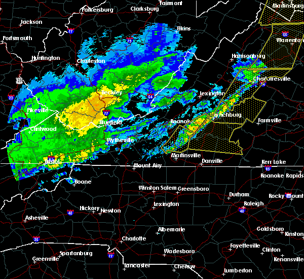 At 1248 pm est, severe thunderstorms were located along a line extending from near goode to near smith mountain lake state park to near sontag, moving east at 60 mph (radar indicated). Hazards include 60 mph wind gusts. Expect damage to roofs, siding, and trees. Locations impacted include, rocky mount, sydnorsville, moneta, penhook, and snow creek. At 1248 pm est, severe thunderstorms were located along a line extending from near goode to near smith mountain lake state park to near sontag, moving east at 60 mph (radar indicated). Hazards include 60 mph wind gusts. Expect damage to roofs, siding, and trees. Locations impacted include, rocky mount, sydnorsville, moneta, penhook, and snow creek.
|
| 3/1/2017 12:43 PM EST |
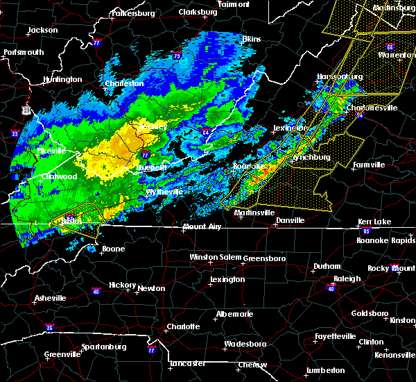 At 1241 pm est, severe thunderstorms were located along a line extending from near goode to near bedford to western smith mountain lake, moving east at 75 mph (radar indicated). Hazards include 60 mph wind gusts. expect damage to roofs, siding, and trees At 1241 pm est, severe thunderstorms were located along a line extending from near goode to near bedford to western smith mountain lake, moving east at 75 mph (radar indicated). Hazards include 60 mph wind gusts. expect damage to roofs, siding, and trees
|
| 3/1/2017 12:36 PM EST |
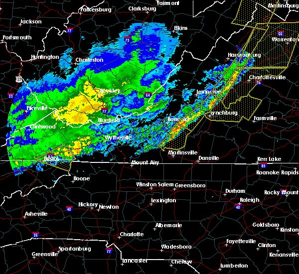 At 1236 pm est, severe thunderstorms were located along a line extending from near bedford to near western smith mountain lake to near rocky mount, moving east at 60 mph (radar indicated). Hazards include 60 mph wind gusts. Expect damage to roofs, siding, and trees. Locations impacted include, rocky mount, sydnorsville, ferrum, moneta, and penhook. At 1236 pm est, severe thunderstorms were located along a line extending from near bedford to near western smith mountain lake to near rocky mount, moving east at 60 mph (radar indicated). Hazards include 60 mph wind gusts. Expect damage to roofs, siding, and trees. Locations impacted include, rocky mount, sydnorsville, ferrum, moneta, and penhook.
|
| 3/1/2017 12:26 PM EST |
 At 1225 pm est, severe thunderstorms were located along a line extending from montvale to boones mill to near callaway, moving east at 60 mph (radar indicated). Hazards include 60 mph wind gusts. Expect damage to roofs, siding, and trees. Locations impacted include, roanoke, vinton, rocky mount, floyd, and boones mill. At 1225 pm est, severe thunderstorms were located along a line extending from montvale to boones mill to near callaway, moving east at 60 mph (radar indicated). Hazards include 60 mph wind gusts. Expect damage to roofs, siding, and trees. Locations impacted include, roanoke, vinton, rocky mount, floyd, and boones mill.
|
| 3/1/2017 12:15 PM EST |
 At 1215 pm est, severe thunderstorms were located along a line extending from troutville to near bent mountain to near terrys fork, moving east at 60 mph (radar indicated). Hazards include 60 mph wind gusts. Expect damage to roofs, siding, and trees. locations impacted include, roanoke, salem, vinton, rocky mount, and floyd. This includes the following locations the salem fairgrounds and roanoke regional airport. At 1215 pm est, severe thunderstorms were located along a line extending from troutville to near bent mountain to near terrys fork, moving east at 60 mph (radar indicated). Hazards include 60 mph wind gusts. Expect damage to roofs, siding, and trees. locations impacted include, roanoke, salem, vinton, rocky mount, and floyd. This includes the following locations the salem fairgrounds and roanoke regional airport.
|
| 3/1/2017 12:00 PM EST |
 At 1159 am est, severe thunderstorms were located along a line extending from abbott to near christiansburg to graysontown, moving east at 60 mph (radar indicated). Hazards include 60 mph wind gusts. expect damage to roofs, siding, and trees At 1159 am est, severe thunderstorms were located along a line extending from abbott to near christiansburg to graysontown, moving east at 60 mph (radar indicated). Hazards include 60 mph wind gusts. expect damage to roofs, siding, and trees
|
| 9/29/2016 7:24 PM EDT |
 The severe thunderstorm warning for northwestern pittsylvania, southeastern franklin, western campbell and southeastern bedford counties will expire at 730 pm edt, the storm which prompted the warning has weakened below severe limits, and has exited the warned area. therefore, the warning will be allowed to expire. heavy rain remains possible with thunderstorm in this area. when it is safe to do so, please send your reports of hail of any size, as well as reports of any wind damage, including downed trees or large limbs, to the national weather service by calling toll free at 1, 8 6 6, 2 1 5, 4 3 2 4. reports and pictures can also be shared on the national weather service blacksburg facebook page and on twitter. The severe thunderstorm warning for northwestern pittsylvania, southeastern franklin, western campbell and southeastern bedford counties will expire at 730 pm edt, the storm which prompted the warning has weakened below severe limits, and has exited the warned area. therefore, the warning will be allowed to expire. heavy rain remains possible with thunderstorm in this area. when it is safe to do so, please send your reports of hail of any size, as well as reports of any wind damage, including downed trees or large limbs, to the national weather service by calling toll free at 1, 8 6 6, 2 1 5, 4 3 2 4. reports and pictures can also be shared on the national weather service blacksburg facebook page and on twitter.
|
| 9/29/2016 6:57 PM EDT |
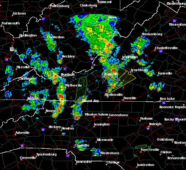 At 656 pm edt, a severe thunderstorm was located near union hall, moving north-northeast at 15 mph (radar indicated). Hazards include 60 mph wind gusts and quarter size hail. Hail damage to vehicles is expected. expect wind damage to roofs, siding, and trees. locations impacted include, altavista, hurt, rustburg, penhook, and huddleston. This includes the following location lynchburg airport. At 656 pm edt, a severe thunderstorm was located near union hall, moving north-northeast at 15 mph (radar indicated). Hazards include 60 mph wind gusts and quarter size hail. Hail damage to vehicles is expected. expect wind damage to roofs, siding, and trees. locations impacted include, altavista, hurt, rustburg, penhook, and huddleston. This includes the following location lynchburg airport.
|
| 9/29/2016 6:26 PM EDT |
 At 625 pm edt, a severe thunderstorm was located over snow creek, moving north at 10 mph (radar indicated). Hazards include 60 mph wind gusts and quarter size hail. Hail damage to vehicles is expected. Expect wind damage to roofs, siding, and trees. At 625 pm edt, a severe thunderstorm was located over snow creek, moving north at 10 mph (radar indicated). Hazards include 60 mph wind gusts and quarter size hail. Hail damage to vehicles is expected. Expect wind damage to roofs, siding, and trees.
|
| 8/17/2016 4:20 PM EDT |
 At 419 pm edt, severe thunderstorms were located along a line extending from near bedford to near huddleston to near smith mountain lake state park, moving northeast at 30 mph (radar indicated). Hazards include 60 mph wind gusts and quarter size hail. Hail damage to vehicles is expected. expect wind damage to roofs, siding, and trees. locations impacted include, bedford, huddleston, montvale, forest, and moneta. This includes the following location the national d day memorial. At 419 pm edt, severe thunderstorms were located along a line extending from near bedford to near huddleston to near smith mountain lake state park, moving northeast at 30 mph (radar indicated). Hazards include 60 mph wind gusts and quarter size hail. Hail damage to vehicles is expected. expect wind damage to roofs, siding, and trees. locations impacted include, bedford, huddleston, montvale, forest, and moneta. This includes the following location the national d day memorial.
|
| 8/17/2016 4:10 PM EDT | Multiple trees were blown down in the snow creek are in franklin county VA, 11.7 miles NNE of Penhook, VA |
| 8/17/2016 3:48 PM EDT |
 At 348 pm edt, severe thunderstorms were located along a line extending from montvale to goodview to near western smith mountain lake, moving northeast at 45 mph (radar indicated). Hazards include 60 mph wind gusts and quarter size hail. Hail damage to vehicles is expected. Expect wind damage to roofs, siding, and trees. At 348 pm edt, severe thunderstorms were located along a line extending from montvale to goodview to near western smith mountain lake, moving northeast at 45 mph (radar indicated). Hazards include 60 mph wind gusts and quarter size hail. Hail damage to vehicles is expected. Expect wind damage to roofs, siding, and trees.
|
| 8/15/2016 6:34 PM EDT |
 At 634 pm edt, a severe thunderstorm was located over rocky mount, moving northeast at 15 mph (radar indicated). Hazards include 60 mph wind gusts. Expect damage to roofs. siding. And trees. At 634 pm edt, a severe thunderstorm was located over rocky mount, moving northeast at 15 mph (radar indicated). Hazards include 60 mph wind gusts. Expect damage to roofs. siding. And trees.
|
| 8/6/2016 9:14 PM EDT |
 At 914 pm edt, severe thunderstorms were located along a line extending from near hodges to pittsville to penhook, moving southeast at 10 mph (radar indicated). Hazards include 60 mph wind gusts. Expect damage to roofs. siding. and trees. Locations impacted include, altavista, hurt, chatham, gretna, and mt airy. At 914 pm edt, severe thunderstorms were located along a line extending from near hodges to pittsville to penhook, moving southeast at 10 mph (radar indicated). Hazards include 60 mph wind gusts. Expect damage to roofs. siding. and trees. Locations impacted include, altavista, hurt, chatham, gretna, and mt airy.
|
| 8/6/2016 8:45 PM EDT |
 At 844 pm edt, severe thunderstorms were located along a line extending from altavista to near leesville to near pittsville, moving southeast at 25 mph (radar indicated). Hazards include 60 mph wind gusts. Expect damage to roofs. siding. and trees. Locations impacted include, altavista, hurt, chatham, gretna, and mt airy. At 844 pm edt, severe thunderstorms were located along a line extending from altavista to near leesville to near pittsville, moving southeast at 25 mph (radar indicated). Hazards include 60 mph wind gusts. Expect damage to roofs. siding. and trees. Locations impacted include, altavista, hurt, chatham, gretna, and mt airy.
|
| 8/6/2016 8:26 PM EDT |
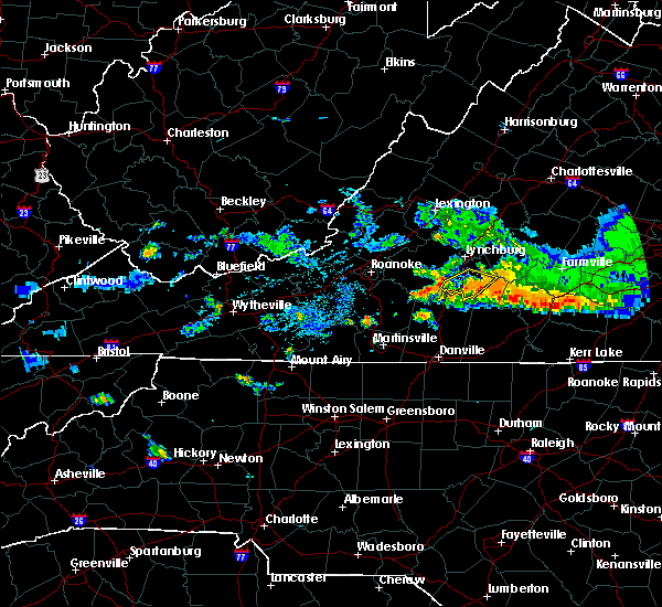 At 825 pm edt, severe thunderstorms were located along a line extending from near leesville to near huddleston to north shore, moving southeast at 25 mph (radar indicated). Hazards include 60 mph wind gusts. Expect damage to roofs. siding. And trees. At 825 pm edt, severe thunderstorms were located along a line extending from near leesville to near huddleston to north shore, moving southeast at 25 mph (radar indicated). Hazards include 60 mph wind gusts. Expect damage to roofs. siding. And trees.
|
| 7/28/2016 6:23 PM EDT |
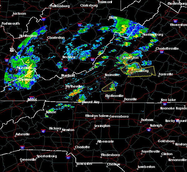 The severe thunderstorm warning for central franklin county will expire at 630 pm edt, the storm which prompted the warning has weakened below severe limits, and no longer poses an immediate threat to life or property. therefore the warning will be allowed to expire. a severe thunderstorm watch remains in effect until 1000 pm edt for south central, west central, southwestern and central virginia. when it is safe to do so, please send your reports of hail of any size, as well as any reports of wind damage, including downed trees or large limbs, to the national weather service by calling toll free at 1, 8 6 6, 2 1 5, 4 3 2 4. reports and pictures can also be shared on the national weather service blacksburg facebook page and on twitter. The severe thunderstorm warning for central franklin county will expire at 630 pm edt, the storm which prompted the warning has weakened below severe limits, and no longer poses an immediate threat to life or property. therefore the warning will be allowed to expire. a severe thunderstorm watch remains in effect until 1000 pm edt for south central, west central, southwestern and central virginia. when it is safe to do so, please send your reports of hail of any size, as well as any reports of wind damage, including downed trees or large limbs, to the national weather service by calling toll free at 1, 8 6 6, 2 1 5, 4 3 2 4. reports and pictures can also be shared on the national weather service blacksburg facebook page and on twitter.
|
| 7/28/2016 5:56 PM EDT |
 At 556 pm edt, a severe thunderstorm was located near ferrum, moving east at 20 mph (radar indicated). Hazards include 60 mph wind gusts. Expect damage to roofs. siding. and trees. Locations impacted include, rocky mount, ferrum, western smith mountain lake, sontag, and union hall. At 556 pm edt, a severe thunderstorm was located near ferrum, moving east at 20 mph (radar indicated). Hazards include 60 mph wind gusts. Expect damage to roofs. siding. and trees. Locations impacted include, rocky mount, ferrum, western smith mountain lake, sontag, and union hall.
|
| 7/28/2016 5:37 PM EDT |
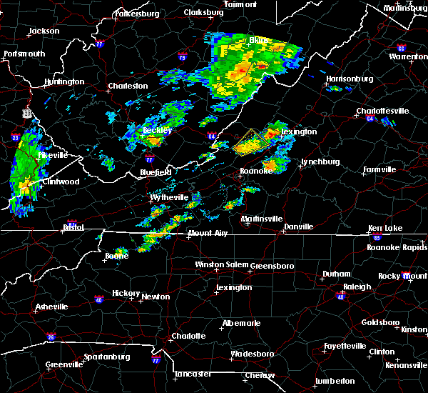 At 536 pm edt, a severe thunderstorm was located near endicott, moving northeast at 20 mph (radar indicated). Hazards include 60 mph wind gusts. Expect damage to roofs. siding. And trees. At 536 pm edt, a severe thunderstorm was located near endicott, moving northeast at 20 mph (radar indicated). Hazards include 60 mph wind gusts. Expect damage to roofs. siding. And trees.
|
| 7/27/2016 4:53 PM EDT |
 At 453 pm edt, a severe thunderstorm was located near oak level, moving east at 20 mph (radar indicated). Hazards include 60 mph wind gusts and quarter size hail. Hail damage to vehicles is expected. expect wind damage to roofs, siding, and trees. Locations impacted include, sydnorsville, bassett, leatherwood, fairy stone state park, and oak level. At 453 pm edt, a severe thunderstorm was located near oak level, moving east at 20 mph (radar indicated). Hazards include 60 mph wind gusts and quarter size hail. Hail damage to vehicles is expected. expect wind damage to roofs, siding, and trees. Locations impacted include, sydnorsville, bassett, leatherwood, fairy stone state park, and oak level.
|
| 7/27/2016 4:43 PM EDT |
 At 442 pm edt, a severe thunderstorm was located near ferrum, moving east at 20 mph (radar indicated). Hazards include 60 mph wind gusts and quarter size hail. Hail damage to vehicles is expected. Expect wind damage to roofs, siding, and trees. At 442 pm edt, a severe thunderstorm was located near ferrum, moving east at 20 mph (radar indicated). Hazards include 60 mph wind gusts and quarter size hail. Hail damage to vehicles is expected. Expect wind damage to roofs, siding, and trees.
|
| 7/27/2016 4:40 PM EDT |
 The severe thunderstorm warning for central pittsylvania and southeastern franklin counties will expire at 445 pm edt, the storm which prompted the warning has weakened below severe limits, and has exited the warned area. therefore the warning will be allowed to expire. however heavy rain is still possible with this thunderstorm. when it is safe to do so, please send your reports of hail of any size, as well as any reports of wind damage, including downed trees or large limbs, to the national weather service by calling toll free at 1, 8 6 6, 2 1 5, 4 3 2 4. reports and pictures can also be shared on the national weather service blacksburg facebook page and on twitter. The severe thunderstorm warning for central pittsylvania and southeastern franklin counties will expire at 445 pm edt, the storm which prompted the warning has weakened below severe limits, and has exited the warned area. therefore the warning will be allowed to expire. however heavy rain is still possible with this thunderstorm. when it is safe to do so, please send your reports of hail of any size, as well as any reports of wind damage, including downed trees or large limbs, to the national weather service by calling toll free at 1, 8 6 6, 2 1 5, 4 3 2 4. reports and pictures can also be shared on the national weather service blacksburg facebook page and on twitter.
|
| 7/27/2016 4:17 PM EDT |
 At 417 pm edt, a severe thunderstorm was located over climax, moving southeast at 25 mph (radar indicated). Hazards include 60 mph wind gusts and quarter size hail. Hail damage to vehicles is expected. expect wind damage to roofs, siding, and trees. Locations impacted include, rocky mount, chatham, gretna, penhook, and callands. At 417 pm edt, a severe thunderstorm was located over climax, moving southeast at 25 mph (radar indicated). Hazards include 60 mph wind gusts and quarter size hail. Hail damage to vehicles is expected. expect wind damage to roofs, siding, and trees. Locations impacted include, rocky mount, chatham, gretna, penhook, and callands.
|
| 7/27/2016 3:49 PM EDT |
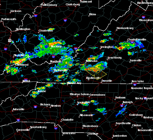 At 349 pm edt, a severe thunderstorm was located over north shore, moving east at 5 mph (radar indicated). Hazards include 60 mph wind gusts and quarter size hail. Hail damage to vehicles is expected. expect wind damage to roofs, siding, and trees. Locations impacted include, penhook, north shore, burnt chimney, pittsville, and westlake corner. At 349 pm edt, a severe thunderstorm was located over north shore, moving east at 5 mph (radar indicated). Hazards include 60 mph wind gusts and quarter size hail. Hail damage to vehicles is expected. expect wind damage to roofs, siding, and trees. Locations impacted include, penhook, north shore, burnt chimney, pittsville, and westlake corner.
|
| 7/27/2016 3:47 PM EDT |
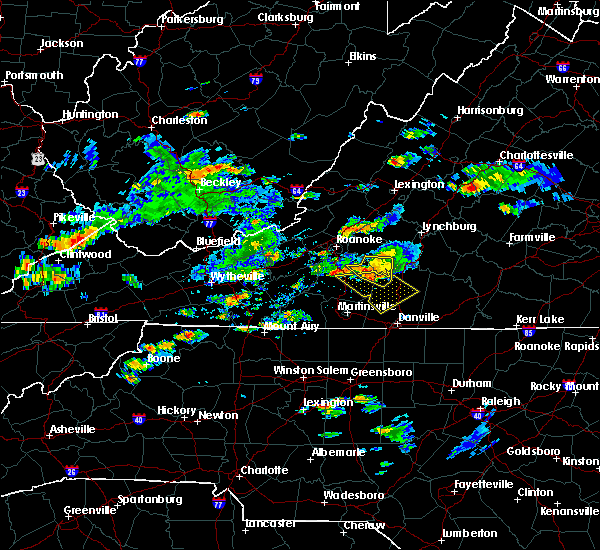 At 347 pm edt, a severe thunderstorm was located over southern smith mountain lake, moving southeast at 25 mph (radar indicated). Hazards include 60 mph wind gusts and quarter size hail. Hail damage to vehicles is expected. Expect wind damage to roofs, siding, and trees. At 347 pm edt, a severe thunderstorm was located over southern smith mountain lake, moving southeast at 25 mph (radar indicated). Hazards include 60 mph wind gusts and quarter size hail. Hail damage to vehicles is expected. Expect wind damage to roofs, siding, and trees.
|
| 7/27/2016 3:34 PM EDT |
 At 333 pm edt, a severe thunderstorm was located over westlake corner, moving east at 5 mph (radar indicated). Hazards include 60 mph wind gusts and quarter size hail. Hail damage to vehicles is expected. expect wind damage to roofs, siding, and trees. Locations impacted include, penhook, moneta, huddleston, north shore, and burnt chimney. At 333 pm edt, a severe thunderstorm was located over westlake corner, moving east at 5 mph (radar indicated). Hazards include 60 mph wind gusts and quarter size hail. Hail damage to vehicles is expected. expect wind damage to roofs, siding, and trees. Locations impacted include, penhook, moneta, huddleston, north shore, and burnt chimney.
|
| 7/27/2016 3:18 PM EDT |
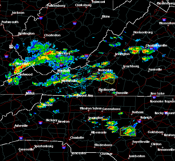 At 316 pm edt, a severe thunderstorm was located over westlake corner, moving east at 5 mph (radar indicated). Hazards include 60 mph wind gusts and quarter size hail. Hail damage to vehicles is expected. expect wind damage to roofs, siding, and trees. Locations impacted include, penhook, huddleston, moneta, northwest smith mountain lake, and north shore. At 316 pm edt, a severe thunderstorm was located over westlake corner, moving east at 5 mph (radar indicated). Hazards include 60 mph wind gusts and quarter size hail. Hail damage to vehicles is expected. expect wind damage to roofs, siding, and trees. Locations impacted include, penhook, huddleston, moneta, northwest smith mountain lake, and north shore.
|
| 7/27/2016 3:02 PM EDT |
 At 301 pm edt, a severe thunderstorm was located over westlake corner, moving east at 5 mph (radar indicated). Hazards include 60 mph wind gusts and quarter size hail. Hail damage to vehicles is expected. Expect wind damage to roofs, siding, and trees. At 301 pm edt, a severe thunderstorm was located over westlake corner, moving east at 5 mph (radar indicated). Hazards include 60 mph wind gusts and quarter size hail. Hail damage to vehicles is expected. Expect wind damage to roofs, siding, and trees.
|
| 7/14/2016 3:57 PM EDT |
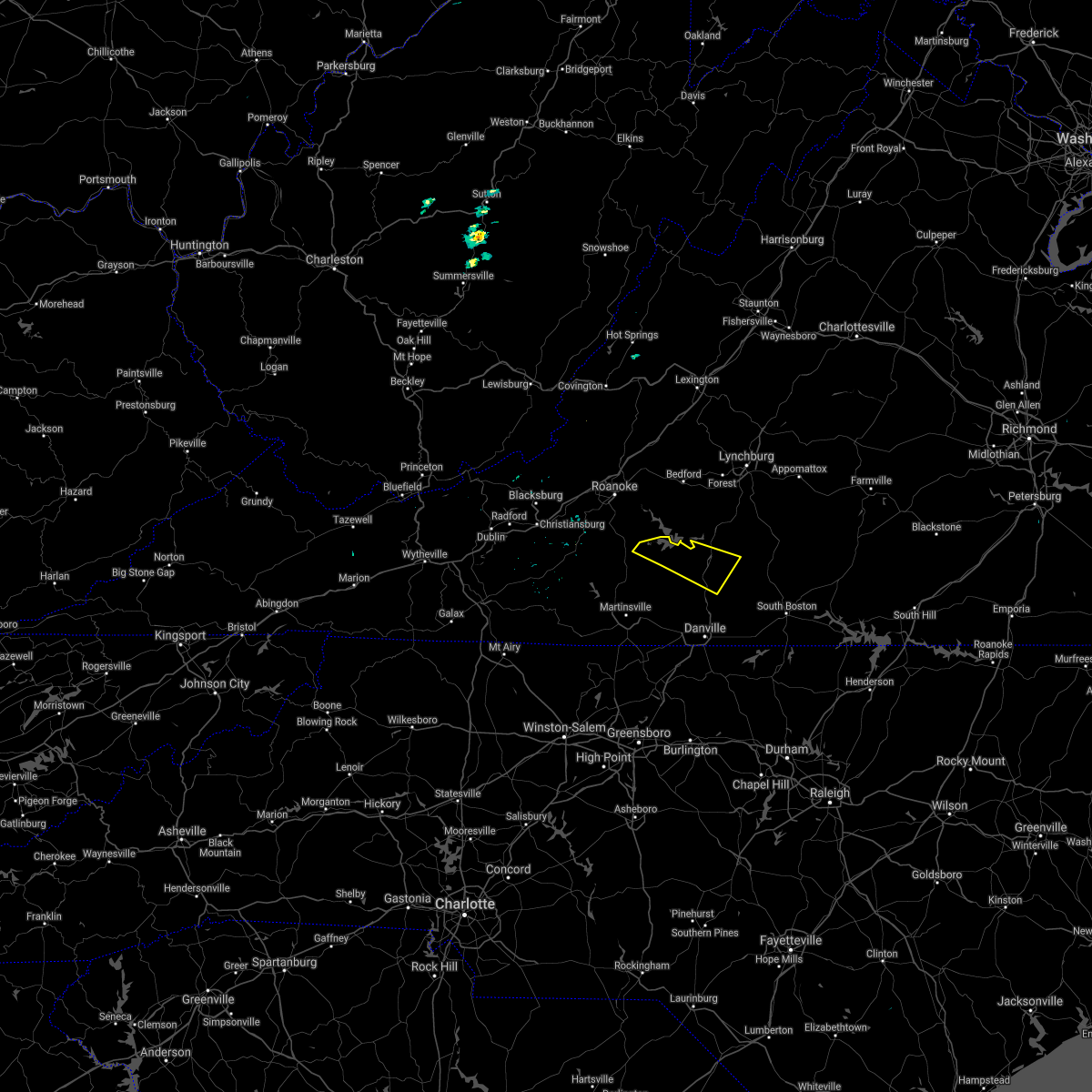 The severe thunderstorm warning for northern pittsylvania and east central franklin counties will expire at 400 pm edt, the storm which prompted the warning has weakened below severe limits, and has exited the warned area. therefore the warning will be allowed to expire. when it is safe to do so, please send your reports of hail of any size, as well as any reports of wind damage, including downed trees or large limbs, to the national weather service by calling toll free at 1, 8 6 6, 2 1 5, 4 3 2 4. reports and pictures can also be shared on the national weather service blacksburg facebook page and on twitter. be advised that, while this warning has ended, a severe thunderstorm warning is in effect for the southeast portion of pittsylvania county until 5pm. The severe thunderstorm warning for northern pittsylvania and east central franklin counties will expire at 400 pm edt, the storm which prompted the warning has weakened below severe limits, and has exited the warned area. therefore the warning will be allowed to expire. when it is safe to do so, please send your reports of hail of any size, as well as any reports of wind damage, including downed trees or large limbs, to the national weather service by calling toll free at 1, 8 6 6, 2 1 5, 4 3 2 4. reports and pictures can also be shared on the national weather service blacksburg facebook page and on twitter. be advised that, while this warning has ended, a severe thunderstorm warning is in effect for the southeast portion of pittsylvania county until 5pm.
|
| 7/14/2016 3:36 PM EDT |
 At 335 pm edt, a severe thunderstorm was located over climax, moving southeast at 35 mph (radar indicated). Hazards include 60 mph wind gusts and quarter size hail. Hail damage to vehicles is expected. expect wind damage to roofs, siding, and trees. Locations impacted include, chatham, gretna, penhook, mt airy, and chalk level. At 335 pm edt, a severe thunderstorm was located over climax, moving southeast at 35 mph (radar indicated). Hazards include 60 mph wind gusts and quarter size hail. Hail damage to vehicles is expected. expect wind damage to roofs, siding, and trees. Locations impacted include, chatham, gretna, penhook, mt airy, and chalk level.
|
| 7/14/2016 3:27 PM EDT |
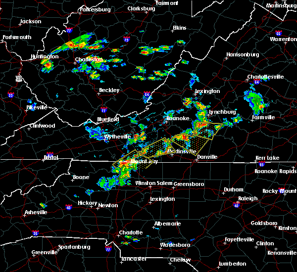 At 326 pm edt, a severe thunderstorm was located over ajax, moving southeast at 35 mph (radar indicated). Hazards include 60 mph wind gusts. Expect damage to roofs. siding. and trees. Locations impacted include, chatham, gretna, penhook, callands, and pittsville. At 326 pm edt, a severe thunderstorm was located over ajax, moving southeast at 35 mph (radar indicated). Hazards include 60 mph wind gusts. Expect damage to roofs. siding. and trees. Locations impacted include, chatham, gretna, penhook, callands, and pittsville.
|
| 7/14/2016 3:13 PM EDT |
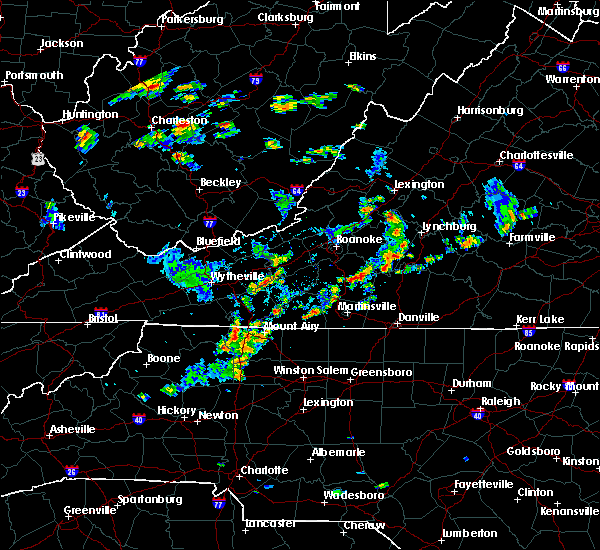 At 313 pm edt, a severe thunderstorm was located over union hall, moving southeast at 35 mph (radar indicated). Hazards include 60 mph wind gusts. Expect damage to roofs. siding. And trees. At 313 pm edt, a severe thunderstorm was located over union hall, moving southeast at 35 mph (radar indicated). Hazards include 60 mph wind gusts. Expect damage to roofs. siding. And trees.
|
| 7/13/2016 3:29 PM EDT |
 At 328 pm edt, severe thunderstorms were located along a line extending from near peaks of otter summit through huddleston to near ajax, moving east at 25 mph (radar indicated). Hazards include 60 mph wind gusts. Expect damage to roofs. siding. and trees. locations impacted include, lynchburg, bedford, altavista, hurt, and chatham. This includes portions of leesville lake, and the following locations liberty university, the national d day memorial, and lynchburg airport. At 328 pm edt, severe thunderstorms were located along a line extending from near peaks of otter summit through huddleston to near ajax, moving east at 25 mph (radar indicated). Hazards include 60 mph wind gusts. Expect damage to roofs. siding. and trees. locations impacted include, lynchburg, bedford, altavista, hurt, and chatham. This includes portions of leesville lake, and the following locations liberty university, the national d day memorial, and lynchburg airport.
|
| 7/13/2016 3:26 PM EDT | Tree fell across powerlin in pittsylvania county VA, 4.7 miles SW of Penhook, VA |
| 7/13/2016 3:20 PM EDT |
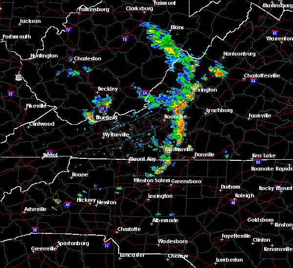 At 319 pm edt, severe thunderstorms were located along a line extending from near peaks of otter recreation area to near moneta to near ajax, moving east at 25 mph (radar indicated). Hazards include 60 mph wind gusts. Expect damage to roofs. siding. And trees. At 319 pm edt, severe thunderstorms were located along a line extending from near peaks of otter recreation area to near moneta to near ajax, moving east at 25 mph (radar indicated). Hazards include 60 mph wind gusts. Expect damage to roofs. siding. And trees.
|
| 7/8/2016 5:58 PM EDT |
 The severe thunderstorm warning for northeastern patrick and franklin counties will expire at 600 pm edt, the storms which prompted the warning have moved out of the area. therefore the warning will be allowed to expire. however heavy rain is still possible with these thunderstorms. a severe thunderstorm watch remains in effect until 1000 pm edt for north carolina and virginia. when it is safe to do so, please send your reports of hail of any size, as well as any reports of wind damage, including downed trees or large limbs, to the national weather service by calling toll free at 1, 8 6 6, 2 1 5, 4 3 2 4. reports and pictures can also be shared on the national weather service blacksburg facebook page and on twitter. The severe thunderstorm warning for northeastern patrick and franklin counties will expire at 600 pm edt, the storms which prompted the warning have moved out of the area. therefore the warning will be allowed to expire. however heavy rain is still possible with these thunderstorms. a severe thunderstorm watch remains in effect until 1000 pm edt for north carolina and virginia. when it is safe to do so, please send your reports of hail of any size, as well as any reports of wind damage, including downed trees or large limbs, to the national weather service by calling toll free at 1, 8 6 6, 2 1 5, 4 3 2 4. reports and pictures can also be shared on the national weather service blacksburg facebook page and on twitter.
|
| 7/8/2016 5:42 PM EDT |
 A severe thunderstorm warning remains in effect until 600 pm edt for northeastern patrick and franklin counties. at 541 pm edt. severe thunderstorms were located along a line extending from north shore to near snow creek to buffalo ridge. Moving east at 45 mph. A severe thunderstorm warning remains in effect until 600 pm edt for northeastern patrick and franklin counties. at 541 pm edt. severe thunderstorms were located along a line extending from north shore to near snow creek to buffalo ridge. Moving east at 45 mph.
|
| 7/8/2016 5:42 PM EDT |
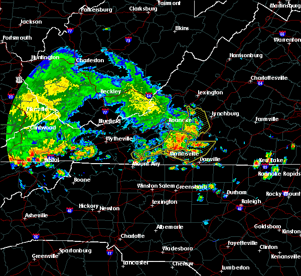 A severe thunderstorm warning remains in effect until 600 pm edt for northeastern patrick and franklin counties. at 541 pm edt. severe thunderstorms were located along a line extending from north shore to near snow creek to buffalo ridge. Moving east at 45 mph. A severe thunderstorm warning remains in effect until 600 pm edt for northeastern patrick and franklin counties. at 541 pm edt. severe thunderstorms were located along a line extending from north shore to near snow creek to buffalo ridge. Moving east at 45 mph.
|
| 7/8/2016 5:42 PM EDT |
 At 541 pm edt, severe thunderstorms were located along a line extending from north shore to near snow creek to buffalo ridge, moving east at 45 mph (radar indicated). Hazards include 70 mph wind gusts and quarter size hail. Hail damage to vehicles is expected. expect considerable tree damage. wind damage is also likely to mobile homes, roofs, and outbuildings. Locations impacted include, rocky mount, woolwine, penhook, sydnorsville, and ferrum. At 541 pm edt, severe thunderstorms were located along a line extending from north shore to near snow creek to buffalo ridge, moving east at 45 mph (radar indicated). Hazards include 70 mph wind gusts and quarter size hail. Hail damage to vehicles is expected. expect considerable tree damage. wind damage is also likely to mobile homes, roofs, and outbuildings. Locations impacted include, rocky mount, woolwine, penhook, sydnorsville, and ferrum.
|
| 7/8/2016 5:16 PM EDT |
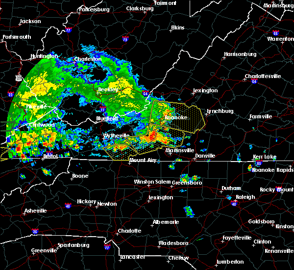 At 515 pm edt, severe thunderstorms were located along a line extending from near copper hill to near endicott to alum ridge, moving southeast at 25 mph (radar indicated). Hazards include 60 mph wind gusts and quarter size hail. Hail damage to vehicles is expected. expect wind damage to roofs, siding, and trees. Locations impacted include, rocky mount, floyd, boones mill, woolwine, and bent mountain. At 515 pm edt, severe thunderstorms were located along a line extending from near copper hill to near endicott to alum ridge, moving southeast at 25 mph (radar indicated). Hazards include 60 mph wind gusts and quarter size hail. Hail damage to vehicles is expected. expect wind damage to roofs, siding, and trees. Locations impacted include, rocky mount, floyd, boones mill, woolwine, and bent mountain.
|
| 7/8/2016 5:05 PM EDT |
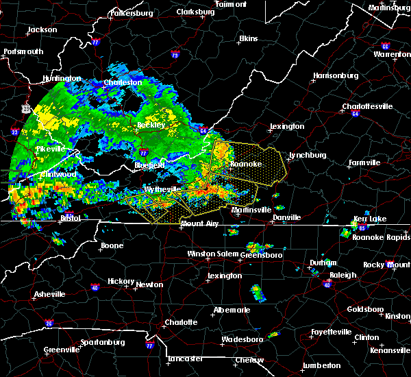 At 504 pm edt, severe thunderstorms were located along a line extending from shawsville to near check to near indian valley, moving southeast at 25 mph (radar indicated). Hazards include 60 mph wind gusts and quarter size hail. Hail damage to vehicles is expected. Expect wind damage to roofs, siding, and trees. At 504 pm edt, severe thunderstorms were located along a line extending from shawsville to near check to near indian valley, moving southeast at 25 mph (radar indicated). Hazards include 60 mph wind gusts and quarter size hail. Hail damage to vehicles is expected. Expect wind damage to roofs, siding, and trees.
|
| 7/4/2016 11:39 PM EDT |
 At 1138 pm edt, severe thunderstorms were located along a line extending from rustburg to near hodges to near gretna, moving east at 50 mph (radar indicated). Hazards include 60 mph wind gusts. Expect damage to roofs. siding. And trees. At 1138 pm edt, severe thunderstorms were located along a line extending from rustburg to near hodges to near gretna, moving east at 50 mph (radar indicated). Hazards include 60 mph wind gusts. Expect damage to roofs. siding. And trees.
|
| 7/4/2016 11:00 PM EDT |
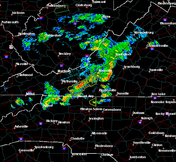 At 1059 pm edt, severe thunderstorms were located along a line extending from near bedford to moneta to north shore, moving east at 40 mph (radar indicated). Hazards include 60 mph wind gusts. Expect damage to roofs. siding. And trees. At 1059 pm edt, severe thunderstorms were located along a line extending from near bedford to moneta to north shore, moving east at 40 mph (radar indicated). Hazards include 60 mph wind gusts. Expect damage to roofs. siding. And trees.
|
| 6/23/2016 5:27 PM EDT |
 At 527 pm edt, a severe thunderstorm was located over nathalie, moving east at 45 mph (radar indicated). Hazards include 60 mph wind gusts and half dollar size hail. Hail damage to vehicles is expected. Expect wind damage to roofs, siding, and trees. At 527 pm edt, a severe thunderstorm was located over nathalie, moving east at 45 mph (radar indicated). Hazards include 60 mph wind gusts and half dollar size hail. Hail damage to vehicles is expected. Expect wind damage to roofs, siding, and trees.
|
| 6/16/2016 10:35 PM EDT |
 At 1035 pm edt, severe thunderstorms were located along a line extending from aspen to near ridgeway to callands, moving southeast at 35 mph (radar indicated). Hazards include 60 mph wind gusts and penny size hail. Expect damage to roofs. siding. and trees. Locations impacted include, altavista, halifax, hurt, chatham, and gretna. At 1035 pm edt, severe thunderstorms were located along a line extending from aspen to near ridgeway to callands, moving southeast at 35 mph (radar indicated). Hazards include 60 mph wind gusts and penny size hail. Expect damage to roofs. siding. and trees. Locations impacted include, altavista, halifax, hurt, chatham, and gretna.
|
| 6/16/2016 10:23 PM EDT |
 The severe thunderstorm warning for southeastern pulaski, southeastern roanoke, franklin, floyd and south central montgomery counties will expire at 1030 pm edt, the storms which prompted the warning have weakened below severe limits, and have exited the warned area. therefore the warning will be allowed to expire. however gusty winds and heavy rain are still possible with these thunderstorms. when it is safe to do so, please send your reports of hail of any size, as well as any reports of wind damage, including downed trees or large limbs, to the national weather service by calling toll free at 1, 8 6 6, 2 1 5, 4 3 2 4. reports and pictures can also be shared on the national weather service blacksburg facebook page and on twitter. The severe thunderstorm warning for southeastern pulaski, southeastern roanoke, franklin, floyd and south central montgomery counties will expire at 1030 pm edt, the storms which prompted the warning have weakened below severe limits, and have exited the warned area. therefore the warning will be allowed to expire. however gusty winds and heavy rain are still possible with these thunderstorms. when it is safe to do so, please send your reports of hail of any size, as well as any reports of wind damage, including downed trees or large limbs, to the national weather service by calling toll free at 1, 8 6 6, 2 1 5, 4 3 2 4. reports and pictures can also be shared on the national weather service blacksburg facebook page and on twitter.
|
| 6/16/2016 10:13 PM EDT |
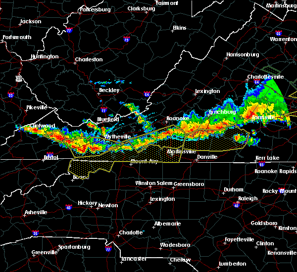 At 1012 pm edt, severe thunderstorms were located along a line extending from north shore to near callaway to near floyd, moving southeast at 40 mph (radar indicated). Hazards include 60 mph wind gusts and nickel size hail. Expect damage to roofs. siding. and trees. Locations impacted include, rocky mount, floyd, boones mill, willis, and penhook. At 1012 pm edt, severe thunderstorms were located along a line extending from north shore to near callaway to near floyd, moving southeast at 40 mph (radar indicated). Hazards include 60 mph wind gusts and nickel size hail. Expect damage to roofs. siding. and trees. Locations impacted include, rocky mount, floyd, boones mill, willis, and penhook.
|
| 6/16/2016 10:00 PM EDT |
 At 959 pm edt, severe thunderstorms were located along a line extending from near rustburg through hurt to near western smith mountain lake, moving southeast at 35 mph (radar indicated). Hazards include 60 mph wind gusts and quarter size hail. Hail damage to vehicles is expected. Expect wind damage to roofs, siding, and trees. At 959 pm edt, severe thunderstorms were located along a line extending from near rustburg through hurt to near western smith mountain lake, moving southeast at 35 mph (radar indicated). Hazards include 60 mph wind gusts and quarter size hail. Hail damage to vehicles is expected. Expect wind damage to roofs, siding, and trees.
|
| 6/16/2016 9:48 PM EDT |
 At 948 pm edt, severe thunderstorms were located along a line extending from near vinton to near bent mountain to near childress, moving southeast at 40 mph (radar indicated). Hazards include 60 mph wind gusts and quarter size hail. Hail damage to vehicles is expected. Expect wind damage to roofs, siding, and trees. At 948 pm edt, severe thunderstorms were located along a line extending from near vinton to near bent mountain to near childress, moving southeast at 40 mph (radar indicated). Hazards include 60 mph wind gusts and quarter size hail. Hail damage to vehicles is expected. Expect wind damage to roofs, siding, and trees.
|
| 6/4/2016 9:33 PM EDT |
 At 933 pm edt, severe thunderstorms were located along a line extending from near pittsville to near harrisons crossroads, moving east at 20 mph (radar indicated). Hazards include 60 mph wind gusts. Expect damage to roofs. siding. And trees. At 933 pm edt, severe thunderstorms were located along a line extending from near pittsville to near harrisons crossroads, moving east at 20 mph (radar indicated). Hazards include 60 mph wind gusts. Expect damage to roofs. siding. And trees.
|
| 5/11/2016 5:01 PM EDT |
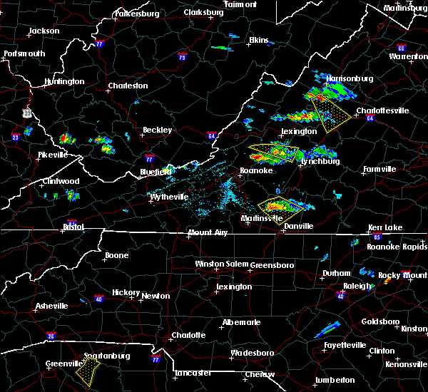 At 501 pm edt, a severe thunderstorm was located near climax, moving southeast at 25 mph (radar indicated). Hazards include 60 mph wind gusts and quarter size hail. Hail damage to vehicles is expected. expect wind damage to roofs, siding, and trees. Locations impacted include, chatham, gretna, callands, chalk level, and pittsville. At 501 pm edt, a severe thunderstorm was located near climax, moving southeast at 25 mph (radar indicated). Hazards include 60 mph wind gusts and quarter size hail. Hail damage to vehicles is expected. expect wind damage to roofs, siding, and trees. Locations impacted include, chatham, gretna, callands, chalk level, and pittsville.
|
| 5/11/2016 4:52 PM EDT |
 The severe thunderstorm warning for northwestern pittsylvania, southeastern roanoke, northeastern franklin and southwestern bedford counties will expire at 500 pm edt, the storm which prompted the warning has moved out of the area. therefore the warning will be allowed to expire. when it is safe to do so, please send your reports of hail of any size, as well as any reports of wind damage, including downed trees or large limbs, to the national weather service by calling toll free at 1, 8 6 6, 2 1 5, 4 3 2 4. reports and pictures can also be shared on the national weather service blacksburg facebook page and on twitter. The severe thunderstorm warning for northwestern pittsylvania, southeastern roanoke, northeastern franklin and southwestern bedford counties will expire at 500 pm edt, the storm which prompted the warning has moved out of the area. therefore the warning will be allowed to expire. when it is safe to do so, please send your reports of hail of any size, as well as any reports of wind damage, including downed trees or large limbs, to the national weather service by calling toll free at 1, 8 6 6, 2 1 5, 4 3 2 4. reports and pictures can also be shared on the national weather service blacksburg facebook page and on twitter.
|
| 5/11/2016 4:46 PM EDT |
 At 446 pm edt, a severe thunderstorm was located over penhook, moving southeast at 25 mph (radar indicated). Hazards include 60 mph wind gusts and quarter size hail. Hail damage to vehicles is expected. Expect wind damage to roofs, siding, and trees. At 446 pm edt, a severe thunderstorm was located over penhook, moving southeast at 25 mph (radar indicated). Hazards include 60 mph wind gusts and quarter size hail. Hail damage to vehicles is expected. Expect wind damage to roofs, siding, and trees.
|
| 5/11/2016 4:19 PM EDT |
 At 419 pm edt, a severe thunderstorm was located over westlake corner, moving southeast at 20 mph (radar indicated). Hazards include 60 mph wind gusts and quarter size hail. Hail damage to vehicles is expected. expect wind damage to roofs, siding, and trees. Locations impacted include, moneta, huddleston, penhook, north shore, and northwest smith mountain lake. At 419 pm edt, a severe thunderstorm was located over westlake corner, moving southeast at 20 mph (radar indicated). Hazards include 60 mph wind gusts and quarter size hail. Hail damage to vehicles is expected. expect wind damage to roofs, siding, and trees. Locations impacted include, moneta, huddleston, penhook, north shore, and northwest smith mountain lake.
|
| 5/11/2016 3:58 PM EDT |
 At 358 pm edt, a severe thunderstorm was located near roanoke mountain, moving southeast at 20 mph (radar indicated). Hazards include 60 mph wind gusts and quarter size hail. Hail damage to vehicles is expected. Expect wind damage to roofs, siding, and trees. At 358 pm edt, a severe thunderstorm was located near roanoke mountain, moving southeast at 20 mph (radar indicated). Hazards include 60 mph wind gusts and quarter size hail. Hail damage to vehicles is expected. Expect wind damage to roofs, siding, and trees.
|
| 5/3/2016 3:30 PM EDT | Tree down on toshes rd in pittsylvania county VA, 7.8 miles W of Penhook, VA |
| 5/2/2016 4:56 PM EDT |
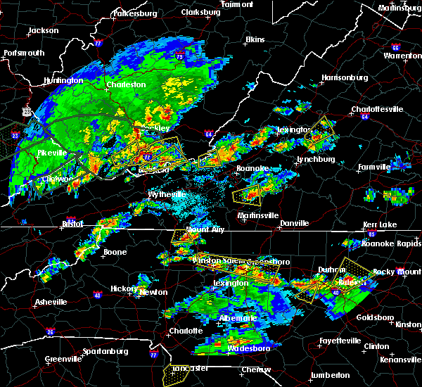 At 455 pm edt, a severe thunderstorm was located near sontag, moving east at 25 mph (radar indicated). Hazards include ping pong ball size hail and 60 mph wind gusts. People and animals outdoors will be injured. expect hail damage to roofs, siding, windows, and vehicles. Expect wind damage to roofs, siding, and trees. At 455 pm edt, a severe thunderstorm was located near sontag, moving east at 25 mph (radar indicated). Hazards include ping pong ball size hail and 60 mph wind gusts. People and animals outdoors will be injured. expect hail damage to roofs, siding, windows, and vehicles. Expect wind damage to roofs, siding, and trees.
|
| 5/2/2016 4:32 PM EDT |
 At 432 pm edt, a severe thunderstorm was located near rocky mount, moving east at 30 mph (radar indicated). Hazards include ping pong ball size hail and 60 mph wind gusts. People and animals outdoors will be injured. expect hail damage to roofs, siding, windows, and vehicles. expect wind damage to roofs, siding, and trees. Locations impacted include, rocky mount, penhook, ferrum, westlake corner, and union hall. At 432 pm edt, a severe thunderstorm was located near rocky mount, moving east at 30 mph (radar indicated). Hazards include ping pong ball size hail and 60 mph wind gusts. People and animals outdoors will be injured. expect hail damage to roofs, siding, windows, and vehicles. expect wind damage to roofs, siding, and trees. Locations impacted include, rocky mount, penhook, ferrum, westlake corner, and union hall.
|
| 5/2/2016 4:15 PM EDT |
 At 415 pm edt, a severe thunderstorm was located near ferrum, moving east at 30 mph (radar indicated). Hazards include ping pong ball size hail and 60 mph wind gusts. People and animals outdoors will be injured. expect hail damage to roofs, siding, windows, and vehicles. Expect wind damage to roofs, siding, and trees. At 415 pm edt, a severe thunderstorm was located near ferrum, moving east at 30 mph (radar indicated). Hazards include ping pong ball size hail and 60 mph wind gusts. People and animals outdoors will be injured. expect hail damage to roofs, siding, windows, and vehicles. Expect wind damage to roofs, siding, and trees.
|
| 4/28/2016 3:38 PM EDT |
 At 337 pm edt, a severe thunderstorm was located near sago, moving east at 20 mph (radar indicated). Hazards include 60 mph wind gusts and quarter size hail. Hail damage to vehicles is expected. Expect wind damage to roofs, siding, and trees. At 337 pm edt, a severe thunderstorm was located near sago, moving east at 20 mph (radar indicated). Hazards include 60 mph wind gusts and quarter size hail. Hail damage to vehicles is expected. Expect wind damage to roofs, siding, and trees.
|
| 3/13/2016 10:48 PM EDT |
 At 1047 pm edt, a severe thunderstorm was located over sago, moving east at 25 mph (radar indicated). Hazards include 60 mph wind gusts and quarter size hail. Hail damage to vehicles is expected. Expect wind damage to roofs, siding, and trees. At 1047 pm edt, a severe thunderstorm was located over sago, moving east at 25 mph (radar indicated). Hazards include 60 mph wind gusts and quarter size hail. Hail damage to vehicles is expected. Expect wind damage to roofs, siding, and trees.
|
| 2/24/2016 2:26 PM EST |
 At 226 pm est, a severe thunderstorm was located over cascade, moving east at 35 mph (radar indicated). Hazards include 60 mph wind gusts and quarter size hail. Hail damage to vehicles is expected. Expect wind damage to roofs, siding, and trees. At 226 pm est, a severe thunderstorm was located over cascade, moving east at 35 mph (radar indicated). Hazards include 60 mph wind gusts and quarter size hail. Hail damage to vehicles is expected. Expect wind damage to roofs, siding, and trees.
|
| 9/4/2015 5:37 PM EDT |
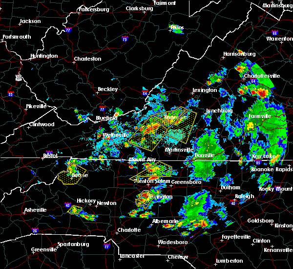 The severe thunderstorm warning for northwestern pittsylvania, northeastern franklin and central bedford counties will expire at 545 pm edt, the storm which prompted the warning has weakened below severe limits, and has exited the warned area. therefore the warning will be allowed to expire. when it is safe to do so, please send your reports of hail of any size, as well as any reports of wind damage, including downed trees or large limbs, to the national weather service by calling toll free at 1, 8 6 6, 2 1 5, 4 3 2 4. reports and pictures can also be shared on the national weather service blacksburg facebook page and on twitter. The severe thunderstorm warning for northwestern pittsylvania, northeastern franklin and central bedford counties will expire at 545 pm edt, the storm which prompted the warning has weakened below severe limits, and has exited the warned area. therefore the warning will be allowed to expire. when it is safe to do so, please send your reports of hail of any size, as well as any reports of wind damage, including downed trees or large limbs, to the national weather service by calling toll free at 1, 8 6 6, 2 1 5, 4 3 2 4. reports and pictures can also be shared on the national weather service blacksburg facebook page and on twitter.
|
| 9/4/2015 4:58 PM EDT |
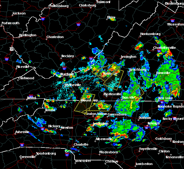 At 458 pm edt, a severe thunderstorm was located over d-day memorial, moving southwest at 30 mph (radar indicated). Hazards include 60 mph wind gusts and quarter size hail. Hail damage to vehicles is expected. expect wind damage to roofs, siding and trees. locations impacted include, bedford, rocky mount, penhook, huddleston, and bedford city. This includes the national d day memorial. At 458 pm edt, a severe thunderstorm was located over d-day memorial, moving southwest at 30 mph (radar indicated). Hazards include 60 mph wind gusts and quarter size hail. Hail damage to vehicles is expected. expect wind damage to roofs, siding and trees. locations impacted include, bedford, rocky mount, penhook, huddleston, and bedford city. This includes the national d day memorial.
|
| 9/4/2015 4:49 PM EDT |
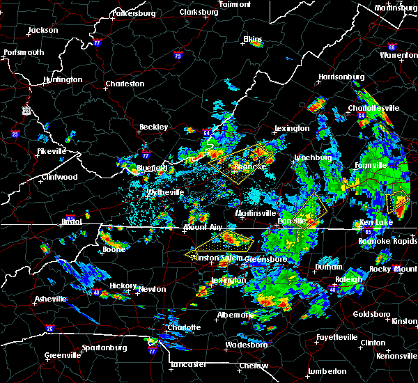 At 448 pm edt, a severe thunderstorm was located near bedford city, moving southwest at 35 mph (radar indicated). Hazards include 60 mph wind gusts and quarter size hail. Hail damage to vehicles is expected. Expect wind damage to roofs, siding and trees. At 448 pm edt, a severe thunderstorm was located near bedford city, moving southwest at 35 mph (radar indicated). Hazards include 60 mph wind gusts and quarter size hail. Hail damage to vehicles is expected. Expect wind damage to roofs, siding and trees.
|
| 7/13/2015 8:56 PM EDT |
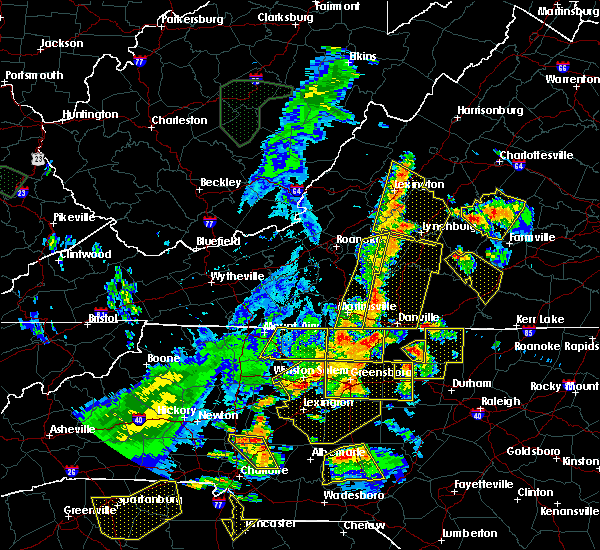 The severe thunderstorm warning for eastern franklin, henry and southwestern bedford counties and the city of martinsville will expire at 900 pm edt, the storms which prompted the warning have moved east out of the area. therefore the warning will be allowed to expire. light to moderate rain and occasional cloud-to-ground lightning will continue in the area for another hour or so. a severe thunderstorm watch remains in effect until 100 am edt for north central north carolina and southwestern virginia. when it is safe to do so, please send your reports of hail of any size, as well as any reports of wind damage, including downed trees or large limbs, to the national weather service by calling toll free at 1, 8 6 6, 2 1 5, 4 3 2 4. reports and pictures can also be shared on the national weather service blacksburg facebook page and on twitter. The severe thunderstorm warning for eastern franklin, henry and southwestern bedford counties and the city of martinsville will expire at 900 pm edt, the storms which prompted the warning have moved east out of the area. therefore the warning will be allowed to expire. light to moderate rain and occasional cloud-to-ground lightning will continue in the area for another hour or so. a severe thunderstorm watch remains in effect until 100 am edt for north central north carolina and southwestern virginia. when it is safe to do so, please send your reports of hail of any size, as well as any reports of wind damage, including downed trees or large limbs, to the national weather service by calling toll free at 1, 8 6 6, 2 1 5, 4 3 2 4. reports and pictures can also be shared on the national weather service blacksburg facebook page and on twitter.
|
| 7/13/2015 8:48 PM EDT |
 At 847 pm edt, severe thunderstorms were located along a line extending from near d-day memorial to near sandy level, moving southeast at 15 mph (radar indicated). Hazards include 60 mph wind gusts. Expect damage to roofs. siding and trees. locations impacted include, martinsville, bedford, martinsville city, axton, and moneta. This includes the following locations the martinsville speedway, the national d day memorial, and martinsville airport. At 847 pm edt, severe thunderstorms were located along a line extending from near d-day memorial to near sandy level, moving southeast at 15 mph (radar indicated). Hazards include 60 mph wind gusts. Expect damage to roofs. siding and trees. locations impacted include, martinsville, bedford, martinsville city, axton, and moneta. This includes the following locations the martinsville speedway, the national d day memorial, and martinsville airport.
|
| 7/13/2015 7:59 PM EDT |
 At 757 pm edt, severe thunderstorms were located along a line extending from near fincastle to copper hill to critz, moving east at 45 mph (radar indicated). Hazards include 60 mph wind gusts. Expect damage to roofs. Siding and trees. At 757 pm edt, severe thunderstorms were located along a line extending from near fincastle to copper hill to critz, moving east at 45 mph (radar indicated). Hazards include 60 mph wind gusts. Expect damage to roofs. Siding and trees.
|
| 7/13/2015 2:09 AM EDT |
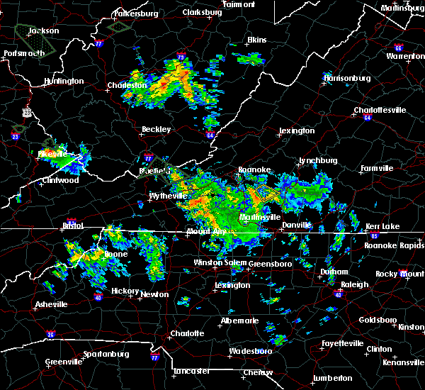 At 207 am edt, a severe thunderstorm was located near ajax, moving southeast at 15 mph (radar indicated). Hazards include 60 mph wind gusts. Expect damage to roofs. siding and trees. This severe thunderstorm will remain over manily rural areas of northwestern pittsylvania county. At 207 am edt, a severe thunderstorm was located near ajax, moving southeast at 15 mph (radar indicated). Hazards include 60 mph wind gusts. Expect damage to roofs. siding and trees. This severe thunderstorm will remain over manily rural areas of northwestern pittsylvania county.
|
| 7/13/2015 1:39 AM EDT |
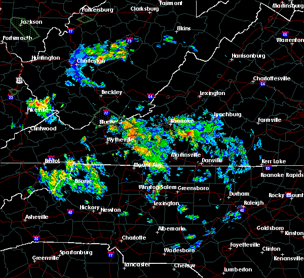 At 138 am edt, a severe thunderstorm was located across the north end of smith mountain lake, moving southeast at 5 mph (radar indicated). Hazards include 60 mph wind gusts. Expect damage to roofs. Siding and trees. At 138 am edt, a severe thunderstorm was located across the north end of smith mountain lake, moving southeast at 5 mph (radar indicated). Hazards include 60 mph wind gusts. Expect damage to roofs. Siding and trees.
|
| 6/27/2015 6:59 PM EDT |
 At 658 pm edt, severe thunderstorms were located along a line extending from oak level to near spencer, moving northeast at 15 mph (radar indicated). Hazards include 60 mph wind gusts and quarter size hail. Hail damage to vehicles is expected. Expect wind damage to roofs, siding and trees. At 658 pm edt, severe thunderstorms were located along a line extending from oak level to near spencer, moving northeast at 15 mph (radar indicated). Hazards include 60 mph wind gusts and quarter size hail. Hail damage to vehicles is expected. Expect wind damage to roofs, siding and trees.
|
| 6/25/2015 4:51 PM EDT |
 At 450 pm edt, a severe thunderstorm was located near union hall, moving southeast at 20 mph (radar indicated). Hazards include 70 mph wind gusts and ping pong ball size hail. People and animals outdoors will be injured. expect hail damage to roofs, siding, windows and vehicles. expect considerable tree damage. wind damage is also likely to mobile homes, roofs and outbuildings. Locations impacted include, penhook, north shore, union hall, ajax, and western smith mountain lake. At 450 pm edt, a severe thunderstorm was located near union hall, moving southeast at 20 mph (radar indicated). Hazards include 70 mph wind gusts and ping pong ball size hail. People and animals outdoors will be injured. expect hail damage to roofs, siding, windows and vehicles. expect considerable tree damage. wind damage is also likely to mobile homes, roofs and outbuildings. Locations impacted include, penhook, north shore, union hall, ajax, and western smith mountain lake.
|
| 6/25/2015 4:29 PM EDT |
 At 429 pm edt, a severe thunderstorm was located over western smith mountain lake, moving east at 10 mph (radar indicated). Hazards include 60 mph wind gusts and half dollar size hail. Hail damage to vehicles is expected. Expect wind damage to roofs, siding and trees. At 429 pm edt, a severe thunderstorm was located over western smith mountain lake, moving east at 10 mph (radar indicated). Hazards include 60 mph wind gusts and half dollar size hail. Hail damage to vehicles is expected. Expect wind damage to roofs, siding and trees.
|
| 6/21/2015 6:57 PM EDT | The severe thunderstorm warning for northwestern pittsylvania, southeastern roanoke, franklin and southwestern bedford counties will expire at 700 pm edt, the storm which prompted the warning has weakened below severe limits, and has exited the warned area. therefore the warning will be allowed to expire. a severe thunderstorm watch remains in effect until 800 pm edt for southwestern virginia. when it is safe to do so, please send your reports of hail of any size, as well as any reports of wind damage, including downed trees or large limbs, to the national weather service by calling toll free at 1, 8 6 6, 2 1 5, 4 3 2 4. reports and pictures can also be shared on the national weather service blacksburg facebook page and on twitter. |
| 6/21/2015 6:40 PM EDT | One tree down along truevine roa in franklin county VA, 6.9 miles NNE of Penhook, VA |
| 6/21/2015 6:18 PM EDT |
 At 617 pm edt, a severe thunderstorm was located over north shore, moving east at 25 mph (radar indicated). Hazards include 60 mph wind gusts and quarter size hail. Hail damage to vehicles is expected. expect wind damage to roofs, siding and trees. Locations impacted include, rocky mount, boones mill, penhook, huddleston, and ferrum. At 617 pm edt, a severe thunderstorm was located over north shore, moving east at 25 mph (radar indicated). Hazards include 60 mph wind gusts and quarter size hail. Hail damage to vehicles is expected. expect wind damage to roofs, siding and trees. Locations impacted include, rocky mount, boones mill, penhook, huddleston, and ferrum.
|
| 6/21/2015 6:13 PM EDT | One tree down on watters edge driv in franklin county VA, 3.5 miles SSW of Penhook, VA |
| 6/21/2015 6:10 PM EDT | Multiple trees and power lines down around town in franklin county VA, 0.7 miles WSW of Penhook, VA |
| 6/21/2015 5:56 PM EDT |
 At 555 pm edt, a severe thunderstorm was located over burnt chimney, moving east at 25 mph (radar indicated). Hazards include 60 mph wind gusts and quarter size hail. Hail damage to vehicles is expected. Expect wind damage to roofs, siding and trees. At 555 pm edt, a severe thunderstorm was located over burnt chimney, moving east at 25 mph (radar indicated). Hazards include 60 mph wind gusts and quarter size hail. Hail damage to vehicles is expected. Expect wind damage to roofs, siding and trees.
|
| 6/19/2015 6:22 PM EDT |
 The severe thunderstorm warning for northwestern pittsylvania and southeastern franklin counties will expire at 630 pm edt, the storm which prompted the warning has weakened below severe limits, and has exited the warned area. therefore the warning will be allowed to expire. when it is safe to do so, please send your reports of hail of any size, as well as any reports of wind damage, including downed trees or large limbs, to the national weather service by calling toll free at 1, 8 6 6, 2 1 5, 4 3 2 4. reports and pictures can also be shared on the national weather service blacksburg facebook page and on twitter. The severe thunderstorm warning for northwestern pittsylvania and southeastern franklin counties will expire at 630 pm edt, the storm which prompted the warning has weakened below severe limits, and has exited the warned area. therefore the warning will be allowed to expire. when it is safe to do so, please send your reports of hail of any size, as well as any reports of wind damage, including downed trees or large limbs, to the national weather service by calling toll free at 1, 8 6 6, 2 1 5, 4 3 2 4. reports and pictures can also be shared on the national weather service blacksburg facebook page and on twitter.
|
| 6/19/2015 6:11 PM EDT |
 At 610 pm edt, a severe thunderstorm was located over snow creek, moving east at 25 mph (radar indicated). Hazards include 60 mph wind gusts and quarter size hail. Hail damage to vehicles is expected. expect wind damage to roofs, siding and trees. Locations impacted include, sydnorsville, penhook, ferrum, snow creek, and union hall. At 610 pm edt, a severe thunderstorm was located over snow creek, moving east at 25 mph (radar indicated). Hazards include 60 mph wind gusts and quarter size hail. Hail damage to vehicles is expected. expect wind damage to roofs, siding and trees. Locations impacted include, sydnorsville, penhook, ferrum, snow creek, and union hall.
|
| 6/19/2015 5:48 PM EDT |
 At 547 pm edt, a severe thunderstorm was located near ferrum, moving east at 40 mph (radar indicated). Hazards include 60 mph wind gusts and quarter size hail. Hail damage to vehicles is expected. expect wind damage to roofs, siding and trees. Locations impacted include, rocky mount, penhook, ferrum, sydnorsville, and north shore. At 547 pm edt, a severe thunderstorm was located near ferrum, moving east at 40 mph (radar indicated). Hazards include 60 mph wind gusts and quarter size hail. Hail damage to vehicles is expected. expect wind damage to roofs, siding and trees. Locations impacted include, rocky mount, penhook, ferrum, sydnorsville, and north shore.
|
| 6/19/2015 5:29 PM EDT |
 At 529 pm edt, a severe thunderstorm was located over endicott, moving east at 25 mph (radar indicated). Hazards include 60 mph wind gusts and quarter size hail. Hail damage to vehicles is expected. Expect wind damage to roofs, siding and trees. At 529 pm edt, a severe thunderstorm was located over endicott, moving east at 25 mph (radar indicated). Hazards include 60 mph wind gusts and quarter size hail. Hail damage to vehicles is expected. Expect wind damage to roofs, siding and trees.
|
| 6/18/2015 5:53 PM EDT | At 552 pm edt, a severe thunderstorm was located near the west end of smith mountain lake, moving east-southeast at 40 mph (radar indicated). Hazards include 60 mph wind gusts. Expect damage to roofs. Siding and trees. |
| 6/17/2015 6:29 PM EDT | Tree uprooted on oxford r in pittsylvania county VA, 8.5 miles NW of Penhook, VA |
| 6/17/2015 6:29 PM EDT |
 At 627 pm edt, severe thunderstorms were located along a line extending from near hodges to near mt airy to near swansonville, moving east at 30 mph (radar indicated). Hazards include 60 mph wind gusts. Expect damage to roofs. siding and trees. Locations impacted include, hurt, chatham, gretna, callands, and axton. At 627 pm edt, severe thunderstorms were located along a line extending from near hodges to near mt airy to near swansonville, moving east at 30 mph (radar indicated). Hazards include 60 mph wind gusts. Expect damage to roofs. siding and trees. Locations impacted include, hurt, chatham, gretna, callands, and axton.
|
| 6/17/2015 6:23 PM EDT |
 At 621 pm edt, severe thunderstorms continued across the southeast part of these counties, moving east at 25 mph (radar indicated). Hazards include 60 mph wind gusts. Expect damage to roofs. siding and trees. Locations impacted include, axton, penhook, leatherwood, snow creek, and figsboro. At 621 pm edt, severe thunderstorms continued across the southeast part of these counties, moving east at 25 mph (radar indicated). Hazards include 60 mph wind gusts. Expect damage to roofs. siding and trees. Locations impacted include, axton, penhook, leatherwood, snow creek, and figsboro.
|
| 6/17/2015 6:01 PM EDT | Tree down on smith mount roa in pittsylvania county VA, 7.4 miles N of Penhook, VA |
| 6/17/2015 5:59 PM EDT |
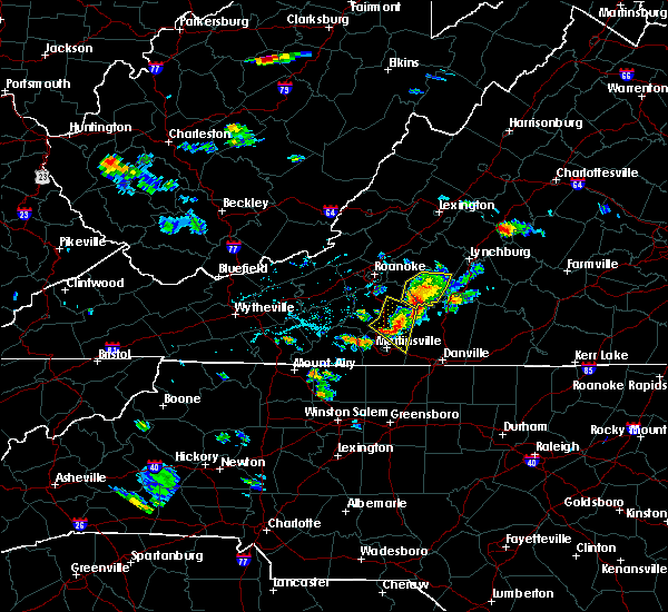 At 559 pm edt, severe thunderstorms were located along a line extending from near evington to pittsville to near leatherwood, moving east at 30 mph (radar indicated). Hazards include 60 mph wind gusts. Expect damage to roofs. Siding and trees. At 559 pm edt, severe thunderstorms were located along a line extending from near evington to pittsville to near leatherwood, moving east at 30 mph (radar indicated). Hazards include 60 mph wind gusts. Expect damage to roofs. Siding and trees.
|
| 6/17/2015 5:51 PM EDT |
 At 550 pm edt, severe thunderstorms were located along a line extending from near bedford to near huddleston to near pittsville, moving east at 30 mph (radar indicated). Hazards include 60 mph wind gusts. Expect damage to roofs. siding and trees. Locations impacted include, moneta, huddleston, penhook, north shore, and westlake corner. At 550 pm edt, severe thunderstorms were located along a line extending from near bedford to near huddleston to near pittsville, moving east at 30 mph (radar indicated). Hazards include 60 mph wind gusts. Expect damage to roofs. siding and trees. Locations impacted include, moneta, huddleston, penhook, north shore, and westlake corner.
|
| 6/17/2015 5:38 PM EDT |
 At 537 pm edt, severe thunderstorms were located along a line extending from near sontag to near sydnorsville to near oak level, moving southeast at 25 mph (radar indicated). Hazards include 60 mph wind gusts and quarter size hail. Hail damage to vehicles is expected. Expect wind damage to roofs, siding and trees. At 537 pm edt, severe thunderstorms were located along a line extending from near sontag to near sydnorsville to near oak level, moving southeast at 25 mph (radar indicated). Hazards include 60 mph wind gusts and quarter size hail. Hail damage to vehicles is expected. Expect wind damage to roofs, siding and trees.
|
| 6/17/2015 5:09 PM EDT |
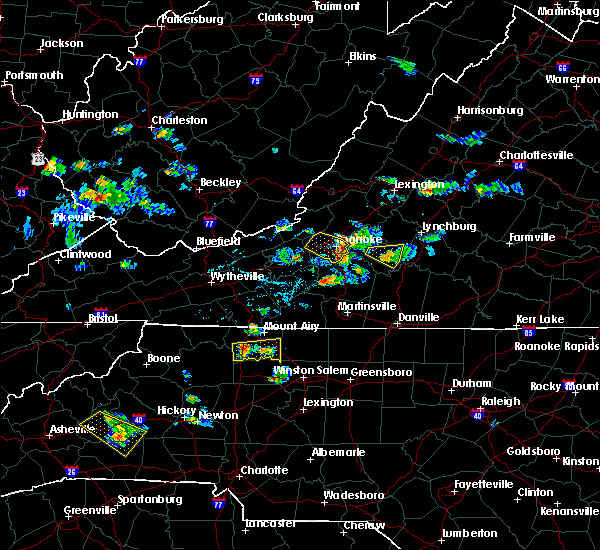 At 508 pm edt, severe thunderstorms were located along a line extending from near blue ridge to near stewartsville to burnt chimney, moving east at 30 mph (radar indicated). Hazards include 60 mph wind gusts. Expect damage to roofs. Siding and trees. At 508 pm edt, severe thunderstorms were located along a line extending from near blue ridge to near stewartsville to burnt chimney, moving east at 30 mph (radar indicated). Hazards include 60 mph wind gusts. Expect damage to roofs. Siding and trees.
|
| 6/14/2015 3:55 PM EDT |
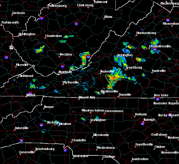 A severe thunderstorm warning remains in effect until 445 pm edt for northeastern franklin and southwestern bedford counties. at 354 pm edt. a severe thunderstorm was located over moneta. moving southeast at 20 mph toward smith mountain lake. hazard. 60 mph wind gusts. source. Radar indicated. A severe thunderstorm warning remains in effect until 445 pm edt for northeastern franklin and southwestern bedford counties. at 354 pm edt. a severe thunderstorm was located over moneta. moving southeast at 20 mph toward smith mountain lake. hazard. 60 mph wind gusts. source. Radar indicated.
|
| 6/14/2015 3:38 PM EDT |
 At 338 pm edt, a severe thunderstorm was located over goodview, moving southeast at 15 mph (radar indicated). Hazards include 60 mph wind gusts. Expect damage to roofs. Siding and trees. At 338 pm edt, a severe thunderstorm was located over goodview, moving southeast at 15 mph (radar indicated). Hazards include 60 mph wind gusts. Expect damage to roofs. Siding and trees.
|
| 6/8/2015 4:12 PM EDT | The severe thunderstorm warning for northwestern pittsylvania, eastern franklin and southwestern bedford counties will expire at 415 pm edt, the storm which prompted the warning has weakened below severe limits, and has exited the warned area. therefore the warning will be allowed to expire. however gusty winds are still possible with this thunderstorm and may be hazard over the eastern end of smith mountain lake. a severe thunderstorm watch remains in effect until 800 pm edt for west central virginia. when it is safe to do so, please send your reports of hail of any size, as well as any reports of wind damage, including downed trees or large limbs, to the national weather service by calling toll free at 1, 8 6 6, 2 1 5, 4 3 2 4. reports and pictures can also be shared on the national weather service blacksburg facebook page and on twitter. |
| 6/8/2015 3:48 PM EDT |
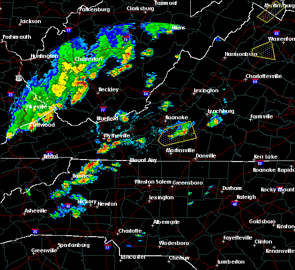 At 346 pm edt, a severe thunderstorm was located over smith mountain lake, moving east at 20 mph (radar indicated). Hazards include 60 mph wind gusts and penny size hail. Expect damage to roofs. siding and trees. Locations impacted include, rocky mount, penhook, huddleston, sydnorsville, and moneta. At 346 pm edt, a severe thunderstorm was located over smith mountain lake, moving east at 20 mph (radar indicated). Hazards include 60 mph wind gusts and penny size hail. Expect damage to roofs. siding and trees. Locations impacted include, rocky mount, penhook, huddleston, sydnorsville, and moneta.
|
| 6/8/2015 3:19 PM EDT |
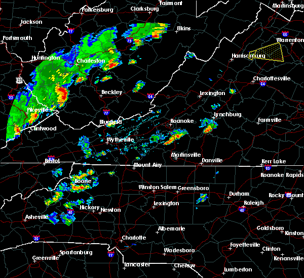 At 316 pm edt, a line of storms were from burnt chimney to ferrum, moving east at 15 mph (radar indicated). Hazards include 60 mph wind gusts and quarter size hail. Hail damage to vehicles is expected. Expect wind damage to roofs, siding and trees. At 316 pm edt, a line of storms were from burnt chimney to ferrum, moving east at 15 mph (radar indicated). Hazards include 60 mph wind gusts and quarter size hail. Hail damage to vehicles is expected. Expect wind damage to roofs, siding and trees.
|
| 7/9/2014 2:46 PM EDT | Multiple trees down along sago road near sailor creek in pittsylvania county VA, 9.8 miles NNW of Penhook, VA |
| 2/21/2014 9:12 AM EST | Trees and wires down in callands. time est from rada in pittsylvania county VA, 11.3 miles NNW of Penhook, VA |
| 6/13/2013 4:02 PM EDT | Trees down on hous in franklin county VA, 5.6 miles NNE of Penhook, VA |
| 6/2/2013 4:55 PM EDT | Two trees were blown down near the intersection of snow creek road and old franklin turnpik in franklin county VA, 1.2 miles WSW of Penhook, VA |
| 4/12/2013 4:55 AM EDT | A tree was blown down along anderson mill roa in pittsylvania county VA, 9 miles NW of Penhook, VA |
| 7/16/2012 5:30 PM EDT | Tree and power lines down at intersection of trueview and walker roa in franklin county VA, 6.3 miles NNE of Penhook, VA |
| 6/18/2012 4:08 PM EDT | Several large tree limbs down on north briar mountain roa in pittsylvania county VA, 10.8 miles NNW of Penhook, VA |
| 1/1/0001 12:00 AM | Tree down in pittsylvania county VA, 3.6 miles WNW of Penhook, VA |
| 1/1/0001 12:00 AM | Quarter sized hail reported 0.7 miles WSW of Penhook, VA |
| 1/1/0001 12:00 AM | Golf Ball sized hail reported 0.7 miles WSW of Penhook, VA |
Hail Maps for Penhook, VA


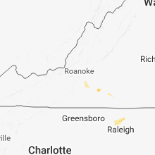


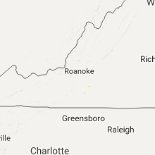

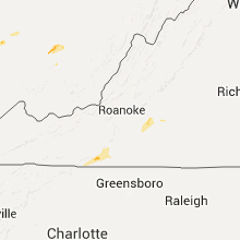


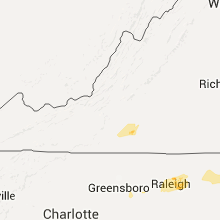


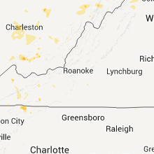


Connect with Interactive Hail Maps