

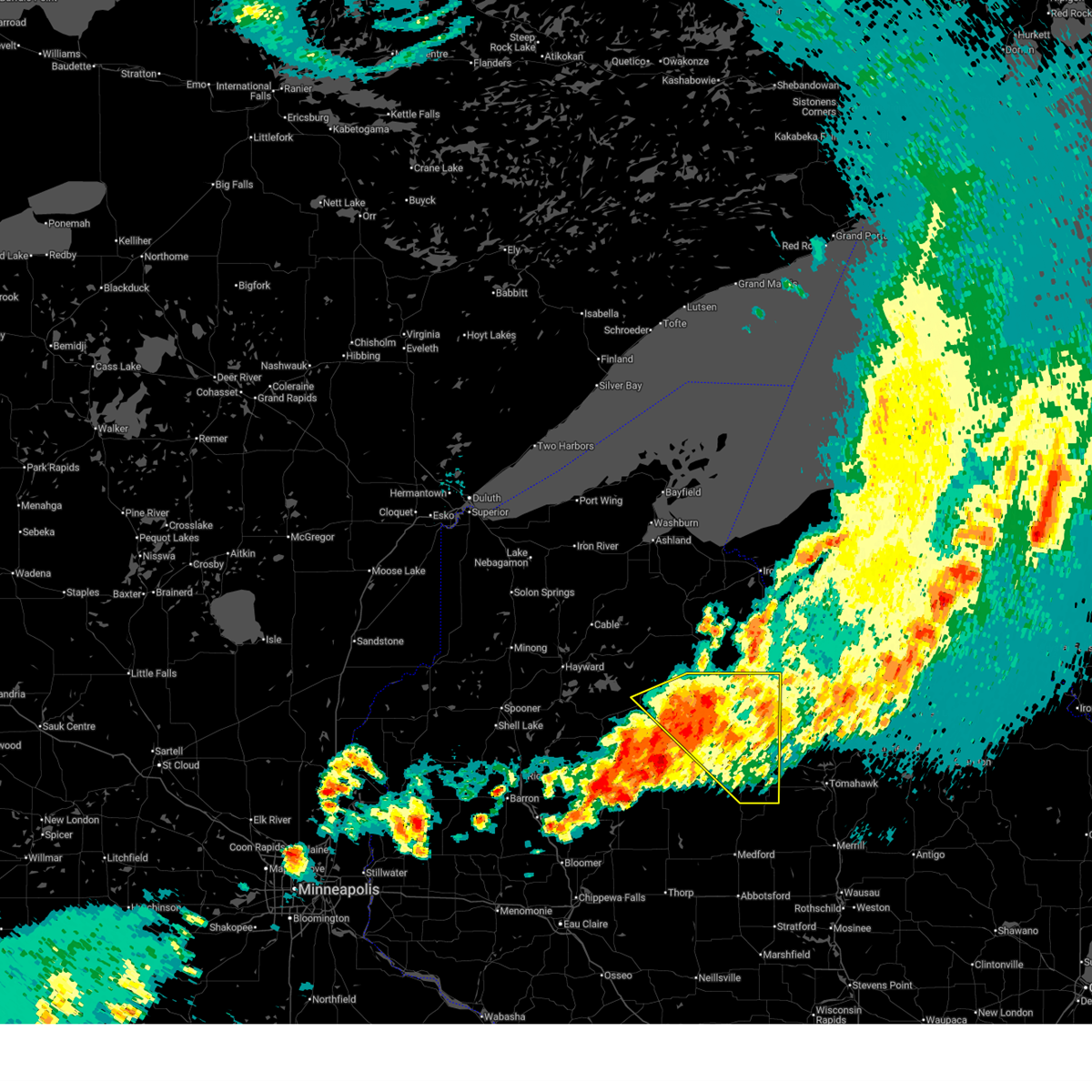
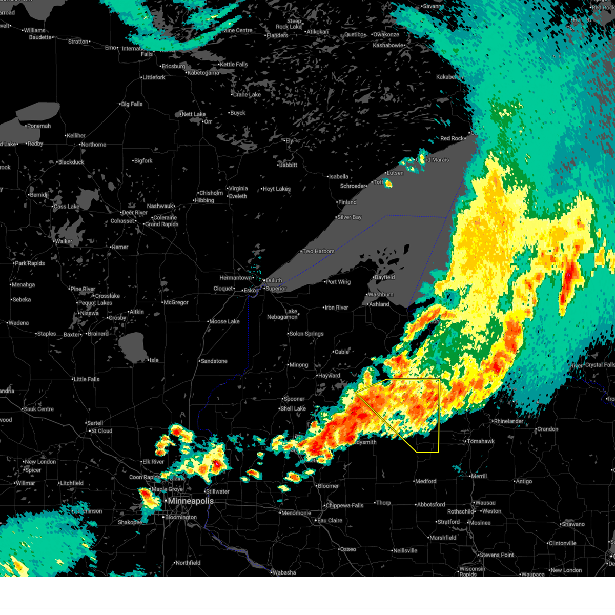
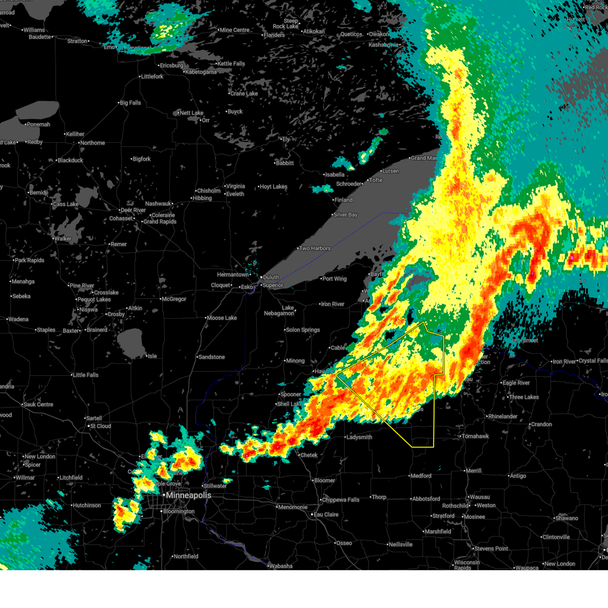
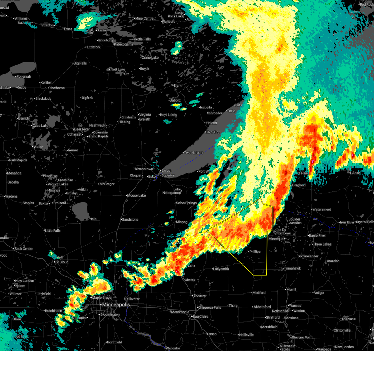
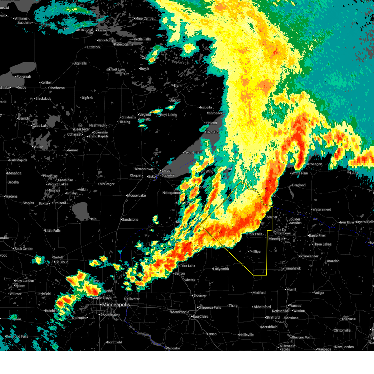
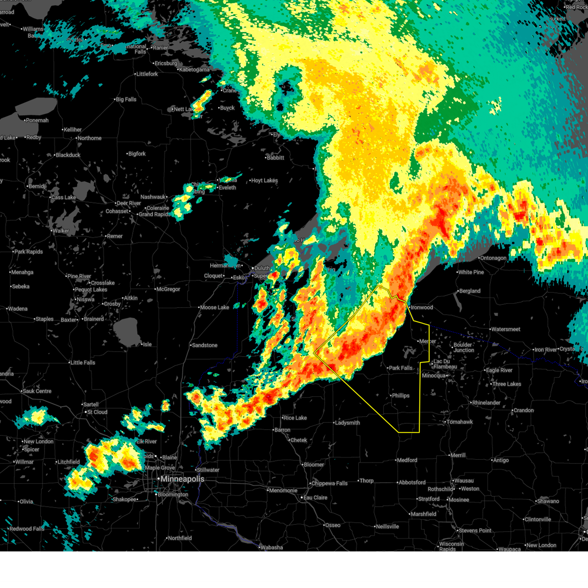
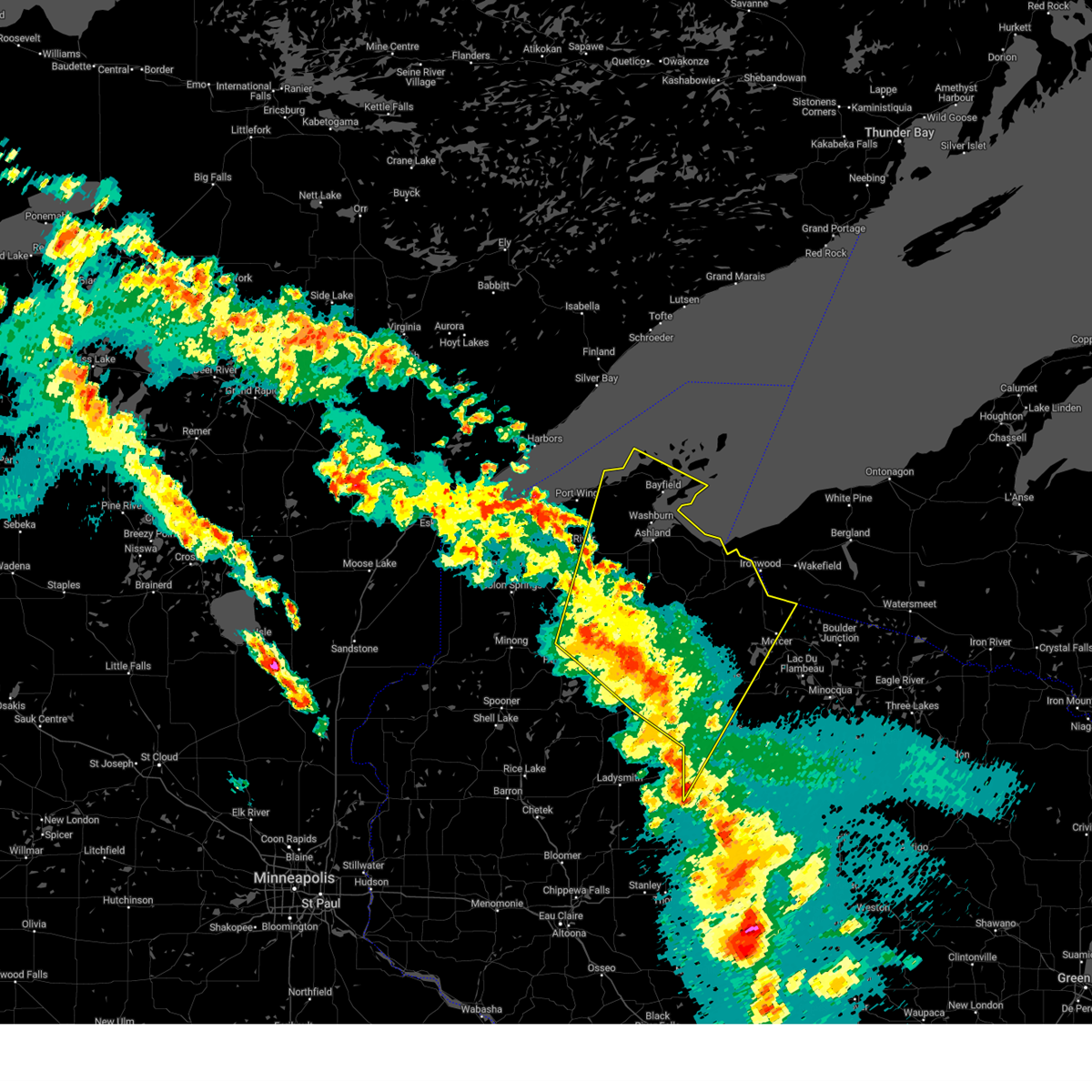
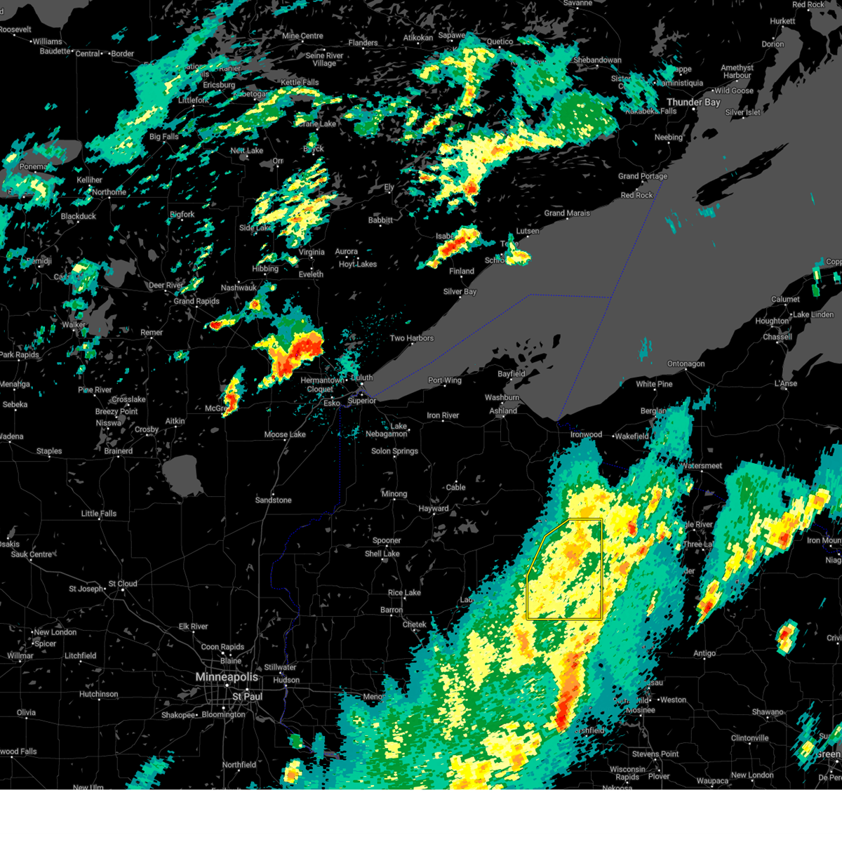
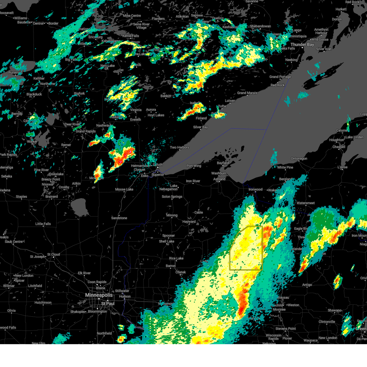
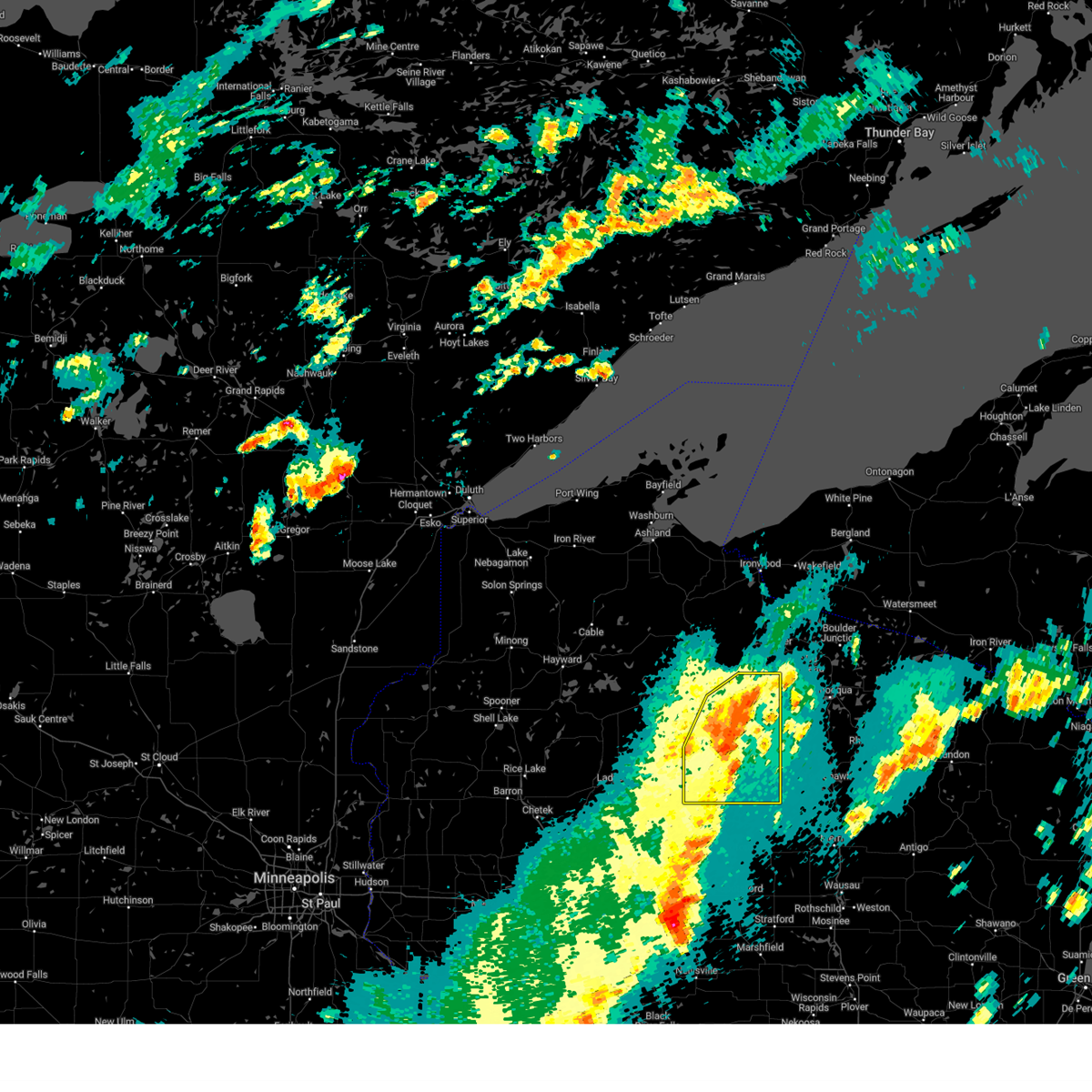
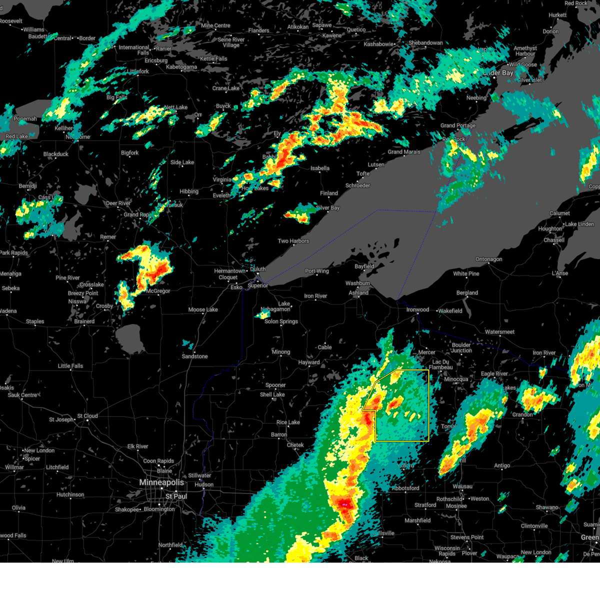
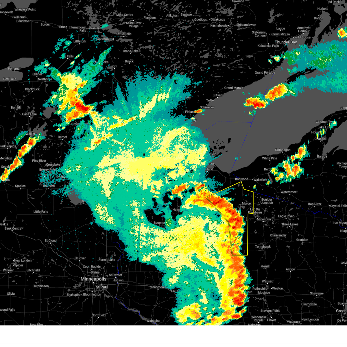
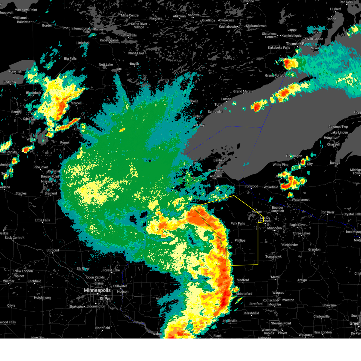
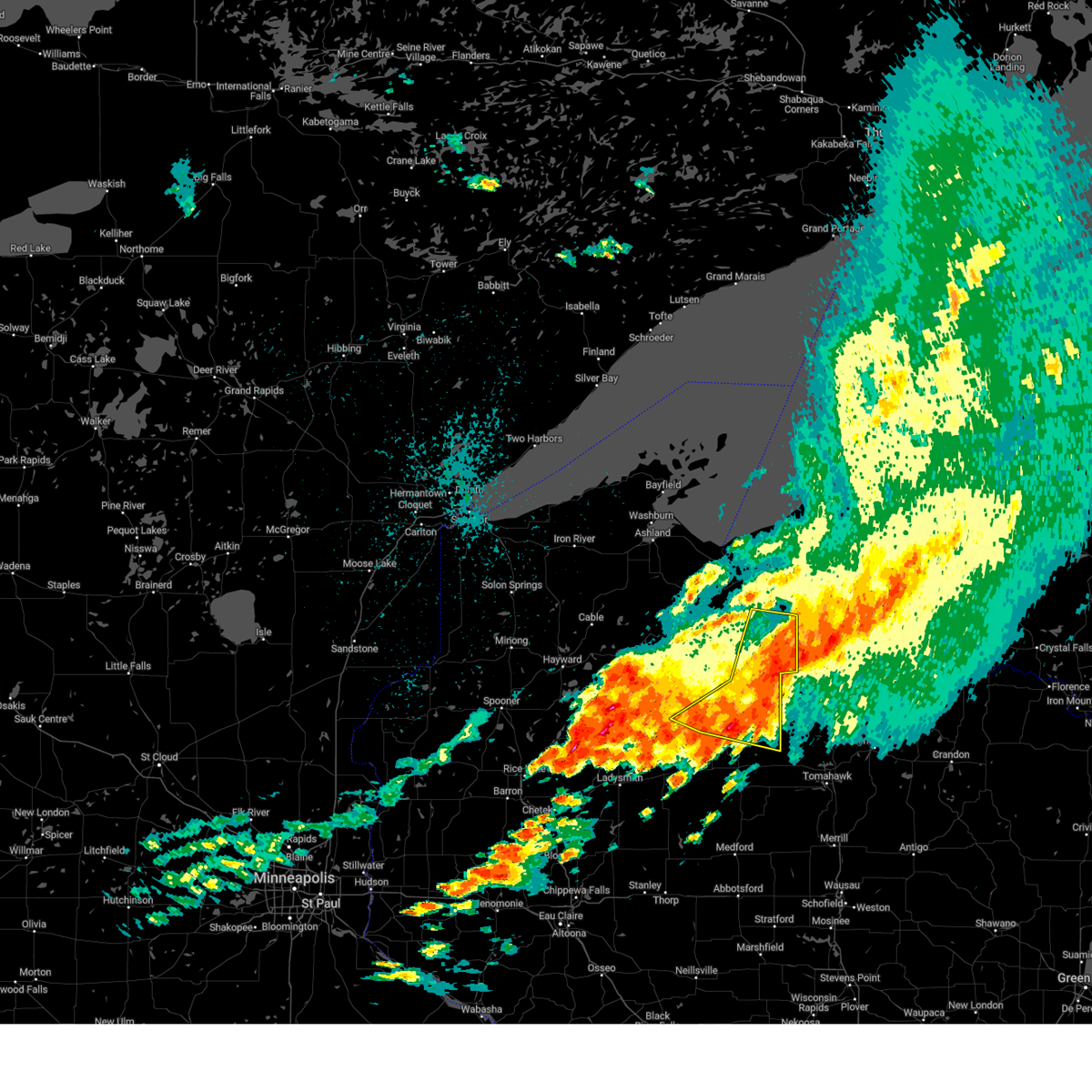
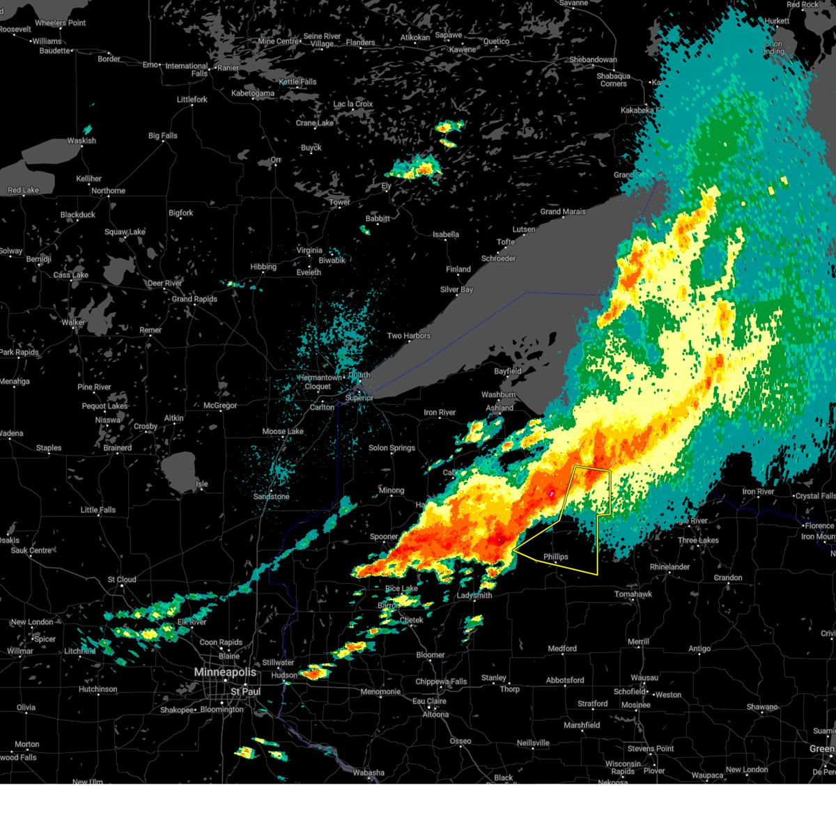
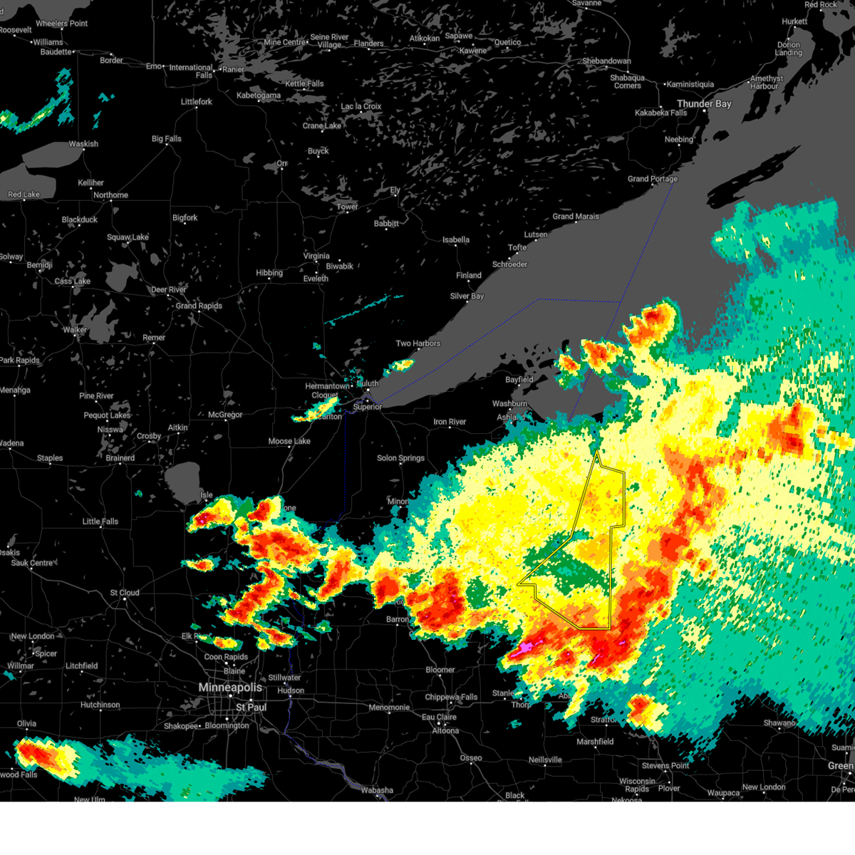
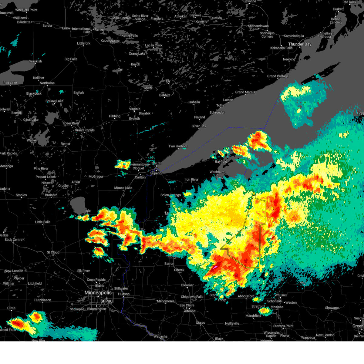
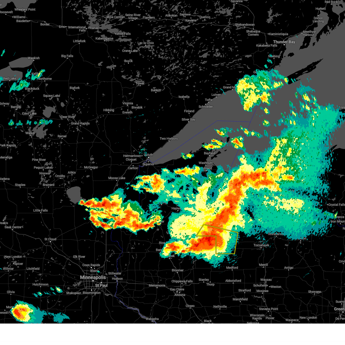
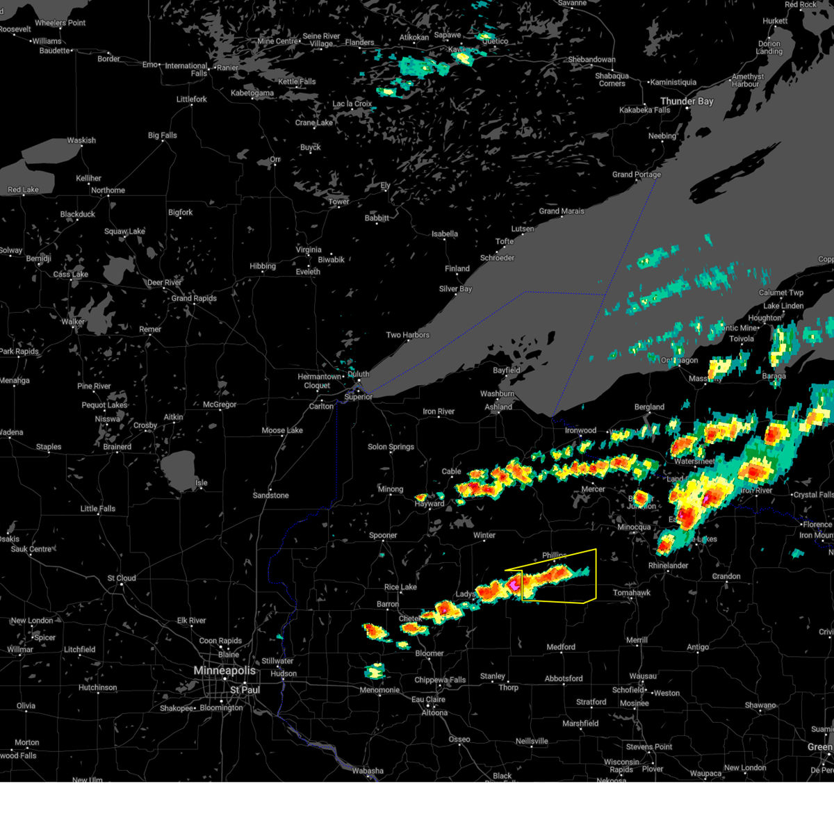
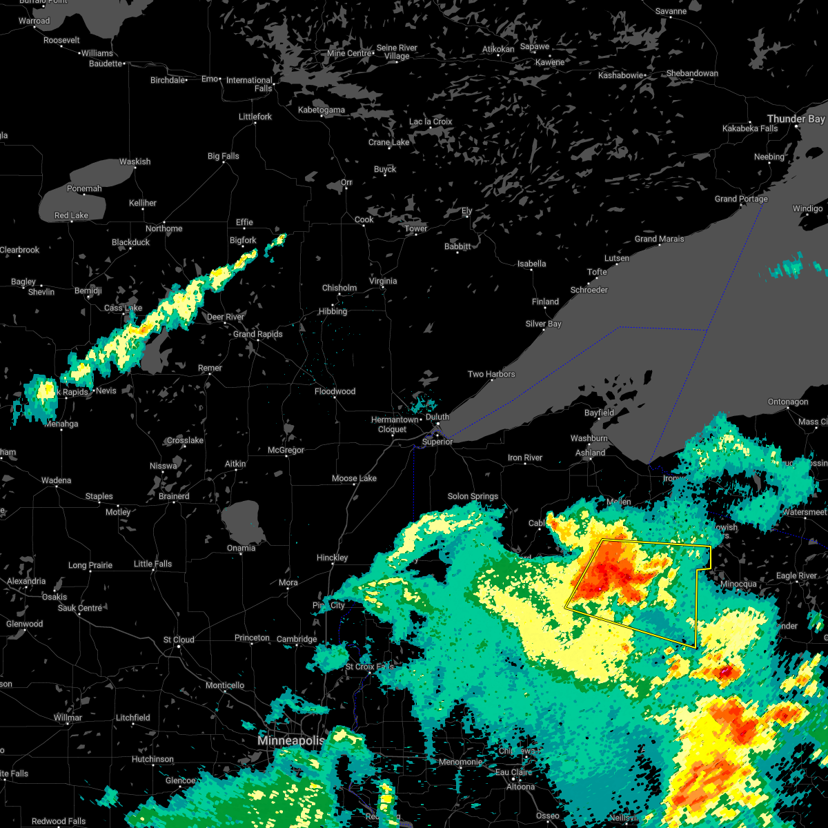
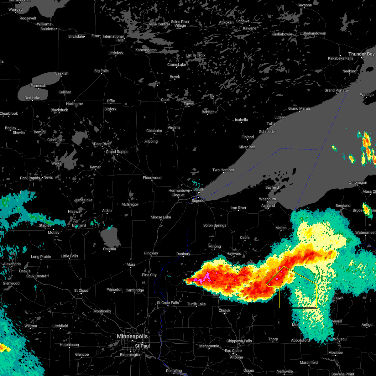
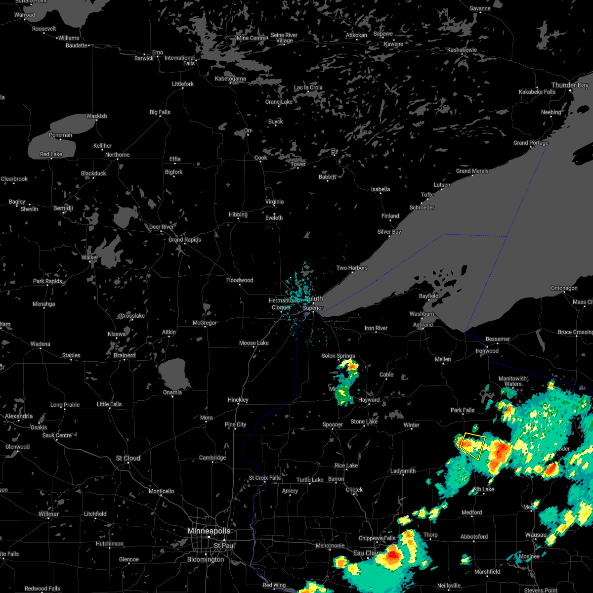
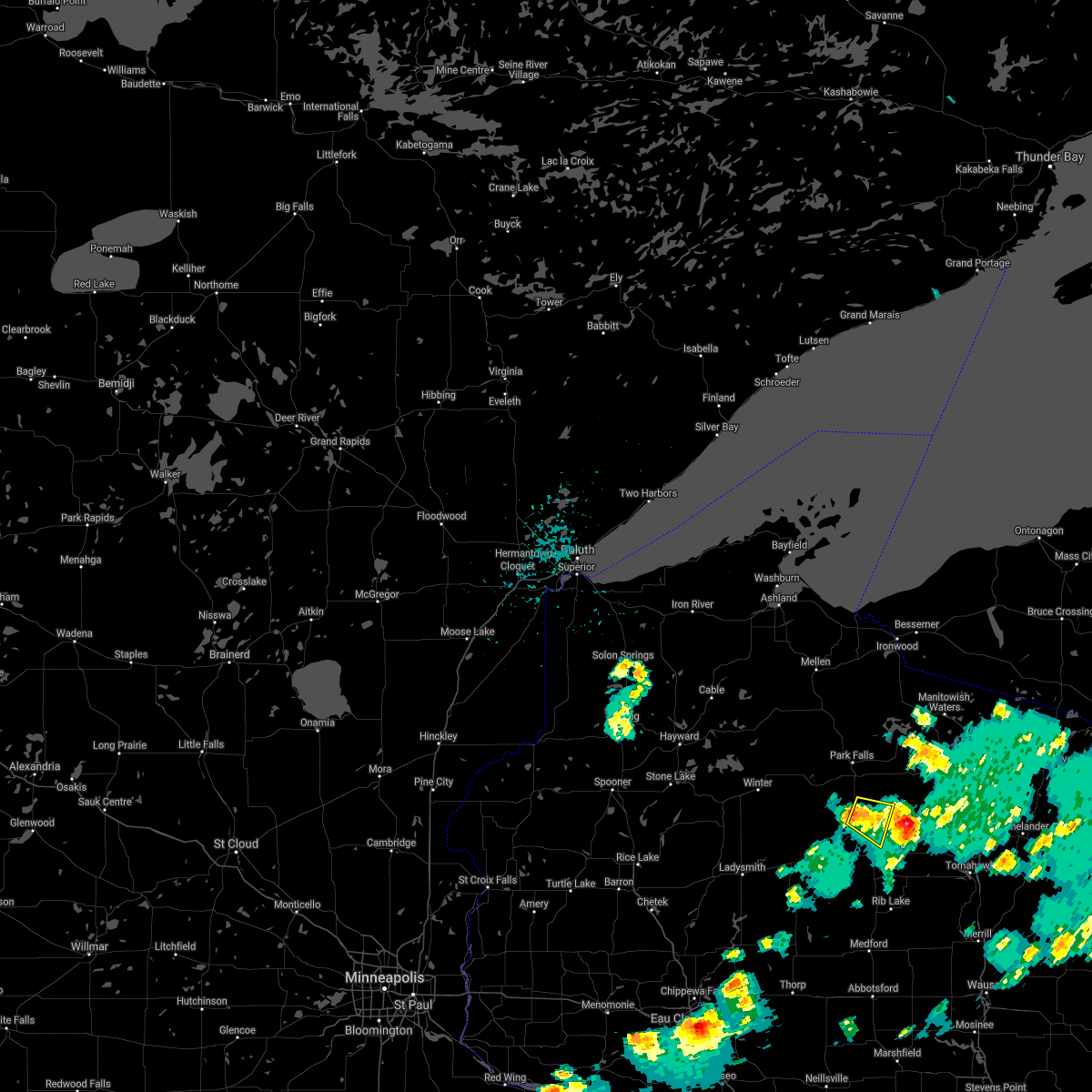
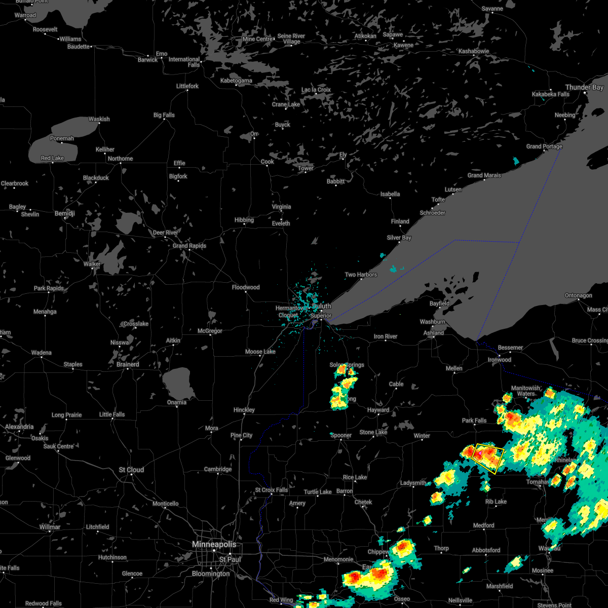
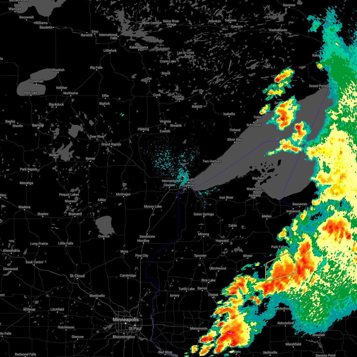
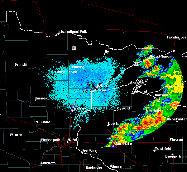
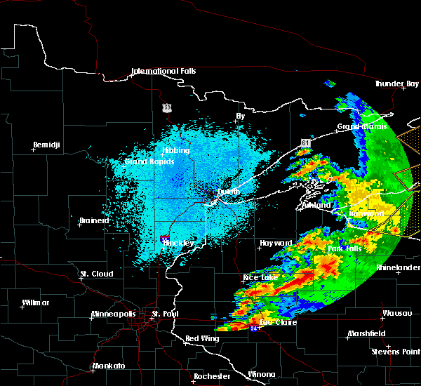
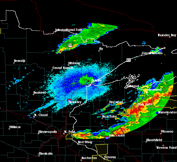
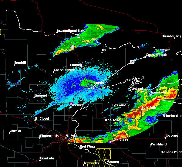
Hail Map for Phillips, WI
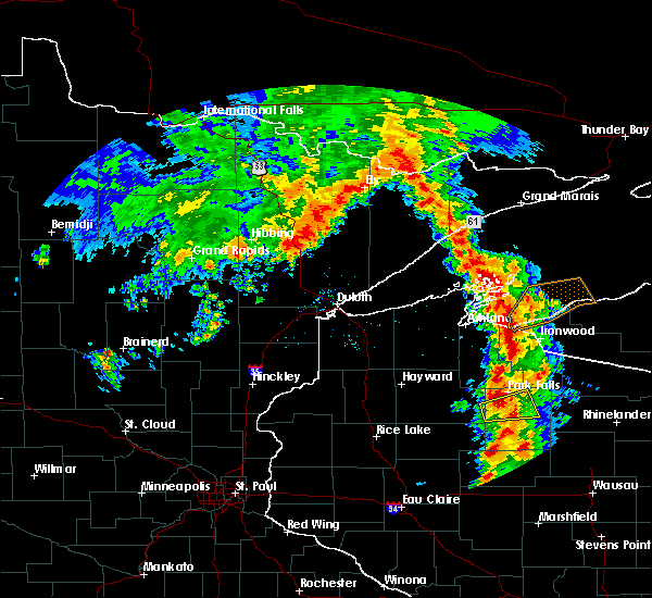
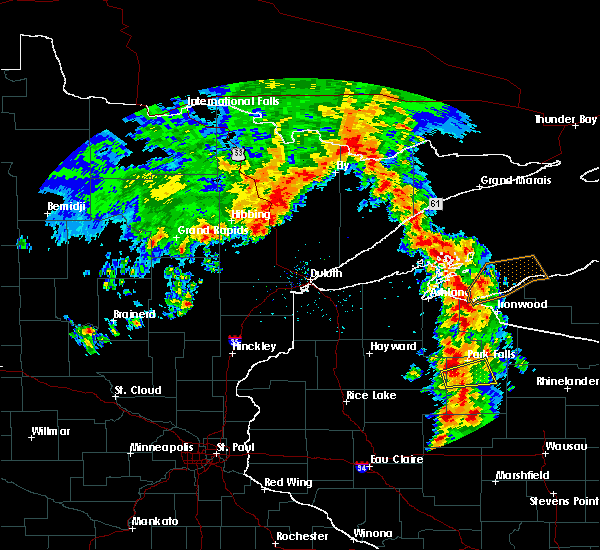
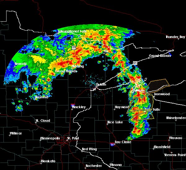
The Phillips, WI area has had 11 reports of on-the-ground hail by trained spotters, and has been under severe weather warnings 23 times during the past 12 months. Doppler radar has detected hail at or near Phillips, WI on 39 occasions.
| Name: | Phillips, WI |
| Where Located: | 48.6 miles W of Rhinelander, WI |
| Map: | Google Map for Phillips, WI |
| Population: | 1478 |
| Housing Units: | 868 |
| More Info: | Search Google for Phillips, WI |
1
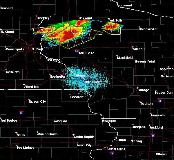
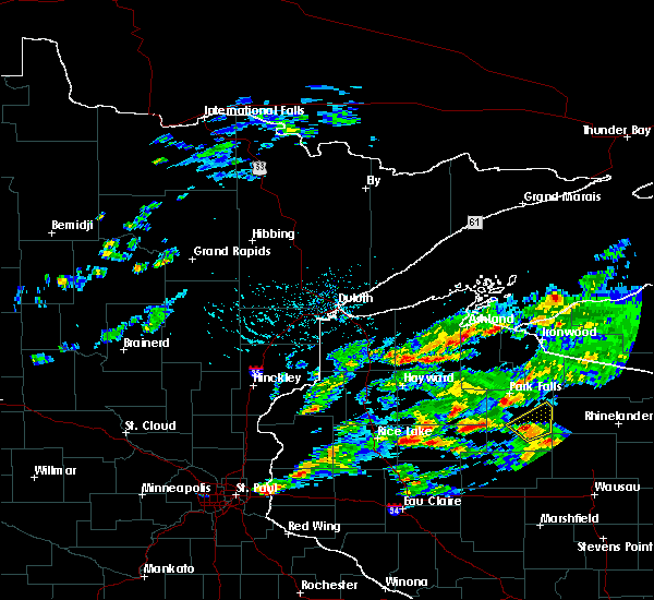
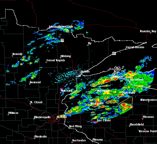
The Top Recent Hail Date for Phillips, WI is Saturday, May 18, 2024 (19th out of 39)

Hail and Wind Damage Spotted near Phillips, WI
| Date / Time | Report Details |
|---|---|
| 6/21/2025 5:57 AM CDT |
 The storms which prompted the warning have weakened below severe limits, and no longer pose an immediate threat to life or property. therefore, the warning will be allowed to expire. however, gusty winds and heavy rain are still possible with these thunderstorms. a severe thunderstorm watch remains in effect until 700 am cdt for north central and northwestern wisconsin. The storms which prompted the warning have weakened below severe limits, and no longer pose an immediate threat to life or property. therefore, the warning will be allowed to expire. however, gusty winds and heavy rain are still possible with these thunderstorms. a severe thunderstorm watch remains in effect until 700 am cdt for north central and northwestern wisconsin.
|
| 6/21/2025 5:44 AM CDT |
 the severe thunderstorm warning has been cancelled and is no longer in effect the severe thunderstorm warning has been cancelled and is no longer in effect
|
| 6/21/2025 5:44 AM CDT |
 At 543 am cdt, severe thunderstorms were located along a line extending from near willow reservoir to near prentice to 10 miles west of hawkins, moving east at 35 mph (law enforcement dispatch for iron county reported multiple trees down in the county). Hazards include 60 mph wind gusts. Expect damage to roofs, siding, and trees. Locations impacted include, park falls, phillips, fifield, ogema, prentice, spirit, catawba, connors lake, pike lake, wilson lake near phillips, loretta, brantwood, butternut lake, cranberry lake, and musser lake. At 543 am cdt, severe thunderstorms were located along a line extending from near willow reservoir to near prentice to 10 miles west of hawkins, moving east at 35 mph (law enforcement dispatch for iron county reported multiple trees down in the county). Hazards include 60 mph wind gusts. Expect damage to roofs, siding, and trees. Locations impacted include, park falls, phillips, fifield, ogema, prentice, spirit, catawba, connors lake, pike lake, wilson lake near phillips, loretta, brantwood, butternut lake, cranberry lake, and musser lake.
|
| 6/21/2025 5:26 AM CDT |
 At 525 am cdt, severe thunderstorms were located along a line extending from 10 miles northwest of paulding to near boulder junction to near phillips, moving east at 55 mph (law enforcement dispatch in iron county reports multiple trees down in iron county). Hazards include 60 mph wind gusts. Expect damage to roofs, siding, and trees. These severe thunderstorms will remain over mainly rural areas of iron, southern ashland, price and northeastern sawyer counties, including the following locations, connors lake, pike lake, manitowish, island lake iron county, wilson lake near phillips, fisher lake, loretta, brantwood, butternut lake, and cranberry lake. At 525 am cdt, severe thunderstorms were located along a line extending from 10 miles northwest of paulding to near boulder junction to near phillips, moving east at 55 mph (law enforcement dispatch in iron county reports multiple trees down in iron county). Hazards include 60 mph wind gusts. Expect damage to roofs, siding, and trees. These severe thunderstorms will remain over mainly rural areas of iron, southern ashland, price and northeastern sawyer counties, including the following locations, connors lake, pike lake, manitowish, island lake iron county, wilson lake near phillips, fisher lake, loretta, brantwood, butternut lake, and cranberry lake.
|
| 6/21/2025 5:09 AM CDT |
 the severe thunderstorm warning has been cancelled and is no longer in effect the severe thunderstorm warning has been cancelled and is no longer in effect
|
| 6/21/2025 5:09 AM CDT |
 At 508 am cdt, severe thunderstorms were located along a line extending from near northern lake gogebic to 7 miles southeast of mercer to 8 miles northwest of phillips, moving east at 50 mph (radar indicated). Hazards include 60 mph wind gusts. Expect damage to roofs, siding, and trees. these severe storms will be near, phillips around 515 am cdt. Other locations impacted by these severe thunderstorms include connors lake, pike lake, manitowish, island lake iron county, wilson lake near phillips, fisher lake, loretta, brantwood, butternut lake, and cranberry lake. At 508 am cdt, severe thunderstorms were located along a line extending from near northern lake gogebic to 7 miles southeast of mercer to 8 miles northwest of phillips, moving east at 50 mph (radar indicated). Hazards include 60 mph wind gusts. Expect damage to roofs, siding, and trees. these severe storms will be near, phillips around 515 am cdt. Other locations impacted by these severe thunderstorms include connors lake, pike lake, manitowish, island lake iron county, wilson lake near phillips, fisher lake, loretta, brantwood, butternut lake, and cranberry lake.
|
| 6/21/2025 4:59 AM CDT |
 At 459 am cdt, severe thunderstorms were located along a line extending from 9 miles northeast of wakefield to near mercer to 12 miles southwest of fifield, moving east at 55 mph (radar indicated). Hazards include 60 mph wind gusts. Expect damage to roofs, siding, and trees. these severe storms will be near, turtle flambeau flowage around 505 am cdt. phillips around 510 am cdt. Other locations impacted by these severe thunderstorms include connors lake, bad river reservation, pike lake, saxon harbor, gile flowage, cedar, pence, brantwood, ghost lake, and high bridge. At 459 am cdt, severe thunderstorms were located along a line extending from 9 miles northeast of wakefield to near mercer to 12 miles southwest of fifield, moving east at 55 mph (radar indicated). Hazards include 60 mph wind gusts. Expect damage to roofs, siding, and trees. these severe storms will be near, turtle flambeau flowage around 505 am cdt. phillips around 510 am cdt. Other locations impacted by these severe thunderstorms include connors lake, bad river reservation, pike lake, saxon harbor, gile flowage, cedar, pence, brantwood, ghost lake, and high bridge.
|
| 6/21/2025 4:40 AM CDT |
 Svrdlh the national weather service in duluth mn has issued a * severe thunderstorm warning for, southeastern bayfield county in northwestern wisconsin, iron county in northwestern wisconsin, ashland county in northwestern wisconsin, price county in north central wisconsin, northeastern sawyer county in northwestern wisconsin, * until 600 am cdt. * at 440 am cdt, severe thunderstorms were located along a line extending from 13 miles north of bessemer to 10 miles northeast of glidden to 7 miles northeast of winter, moving east at 55 mph (radar indicated). Hazards include 60 mph wind gusts. Expect damage to roofs, siding, and trees. severe thunderstorms will be near, park falls, turtle flambeau flowage, hurley, and butternut around 445 am cdt. mercer around 450 am cdt. fifield around 455 am cdt. Other locations in the path of these severe thunderstorms include phillips. Svrdlh the national weather service in duluth mn has issued a * severe thunderstorm warning for, southeastern bayfield county in northwestern wisconsin, iron county in northwestern wisconsin, ashland county in northwestern wisconsin, price county in north central wisconsin, northeastern sawyer county in northwestern wisconsin, * until 600 am cdt. * at 440 am cdt, severe thunderstorms were located along a line extending from 13 miles north of bessemer to 10 miles northeast of glidden to 7 miles northeast of winter, moving east at 55 mph (radar indicated). Hazards include 60 mph wind gusts. Expect damage to roofs, siding, and trees. severe thunderstorms will be near, park falls, turtle flambeau flowage, hurley, and butternut around 445 am cdt. mercer around 450 am cdt. fifield around 455 am cdt. Other locations in the path of these severe thunderstorms include phillips.
|
| 5/15/2025 6:10 PM CDT | The storms which prompted the warning have weakened below severe limits, and no longer pose an immediate threat to life or property. therefore, the warning will be allowed to expire. a tornado watch remains in effect until 800 pm cdt for north central and northwestern wisconsin. |
| 5/15/2025 6:09 PM CDT | The storms which prompted the warning have weakened below severe limits, and no longer pose an immediate threat to life or property. therefore, the warning will be allowed to expire. a tornado watch remains in effect until 800 pm cdt for north central and northwestern wisconsin. |
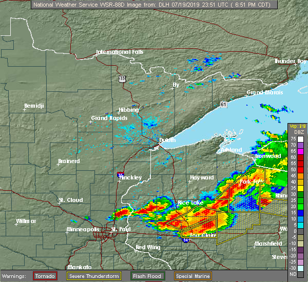
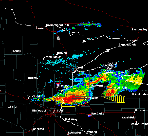
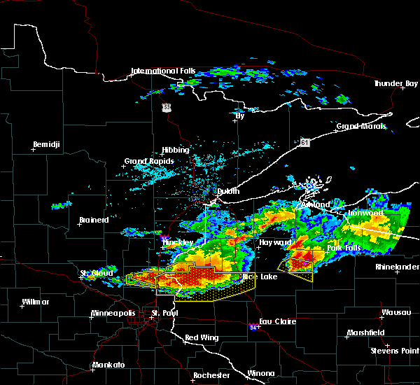
| 5/15/2025 5:54 PM CDT | At 554 pm cdt, severe thunderstorms were located along a line extending from near iron river to 8 miles south of sanborn to 9 miles southwest of glidden, moving northeast at 70 mph (radar indicated). Hazards include 70 mph wind gusts and nickel size hail. Expect considerable tree damage. damage is likely to mobile homes, roofs, and outbuildings. Locations impacted include, park falls, turtle flambeau flowage, ashland, washburn, hurley, phillips, mercer, sanborn, fifield, cable, mellen, barksdale, bayfield, drummond, marengo, butternut, saxon, la pointe, gurney, and big bay state park. |
| 5/15/2025 5:52 PM CDT | Svrdlh the national weather service in duluth mn has issued a * severe thunderstorm warning for, southeastern iron county in northwestern wisconsin, price county in north central wisconsin, * until 615 pm cdt. * at 552 pm cdt, severe thunderstorms were located along a line extending from catawba to near ogema, moving northeast at 40 mph (radar indicated). Hazards include 70 mph wind gusts and nickel size hail. Expect considerable tree damage. damage is likely to mobile homes, roofs, and outbuildings. severe thunderstorms will be near, ogema and catawba around 555 pm cdt. prentice around 600 pm cdt. Phillips around 605 pm cdt. |
| 5/15/2025 5:44 PM CDT | At 543 pm cdt, severe thunderstorms were located along a line extending from near barnes to near namekagon to 9 miles northeast of winter, moving north at 55 mph (radar indicated). Hazards include 70 mph wind gusts and nickel size hail. Expect considerable tree damage. damage is likely to mobile homes, roofs, and outbuildings. Locations impacted include, park falls, turtle flambeau flowage, chippewa flowage east, chippewa flowage west, ashland, washburn, hurley, phillips, mercer, sanborn, round lake, fifield, cable, mellen, barksdale, bayfield, drummond, marengo, butternut, and saxon. |
| 5/15/2025 5:44 PM CDT |
 the severe thunderstorm warning has been cancelled and is no longer in effect the severe thunderstorm warning has been cancelled and is no longer in effect
|
| 5/15/2025 5:28 PM CDT |
 At 528 pm cdt, severe thunderstorms were located along a line extending from 9 miles south of barnes to 6 miles northeast of winter to 8 miles north of hawkins, moving northeast at 70 mph (radar indicated). Hazards include 70 mph wind gusts and nickel size hail. Expect considerable tree damage. damage is likely to mobile homes, roofs, and outbuildings. Locations impacted include, cable, barnes, drummond, namekagon lake, namekagon, clam lake, park falls, fifield, butternut, town of delta, glidden, sanborn, mellen, marengo, benoit, ino, ashland, copper falls state park, turtle flambeau flowage, washburn, barksdale, upson, saxon, gurney, odanah, hurley, bayfield, la pointe, gile, madeline island, red cliff, sand bay, sand island, big bay state park and apostle island sea caves. At 528 pm cdt, severe thunderstorms were located along a line extending from 9 miles south of barnes to 6 miles northeast of winter to 8 miles north of hawkins, moving northeast at 70 mph (radar indicated). Hazards include 70 mph wind gusts and nickel size hail. Expect considerable tree damage. damage is likely to mobile homes, roofs, and outbuildings. Locations impacted include, cable, barnes, drummond, namekagon lake, namekagon, clam lake, park falls, fifield, butternut, town of delta, glidden, sanborn, mellen, marengo, benoit, ino, ashland, copper falls state park, turtle flambeau flowage, washburn, barksdale, upson, saxon, gurney, odanah, hurley, bayfield, la pointe, gile, madeline island, red cliff, sand bay, sand island, big bay state park and apostle island sea caves.
|
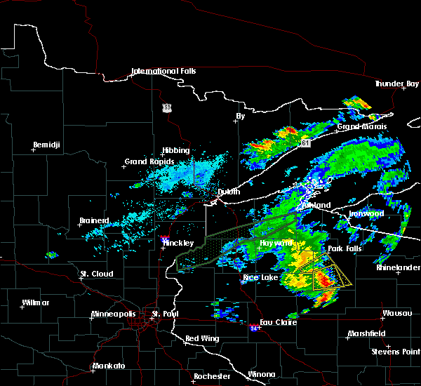
| 5/15/2025 5:08 PM CDT | Svrdlh the national weather service in duluth mn has issued a * severe thunderstorm warning for, bayfield county in northwestern wisconsin, southeastern douglas county in northwestern wisconsin, iron county in northwestern wisconsin, northern washburn county in northwestern wisconsin, ashland county in northwestern wisconsin, northwestern price county in north central wisconsin, sawyer county in northwestern wisconsin, * until 615 pm cdt. * at 508 pm cdt, severe thunderstorms were located along a line extending from 7 miles southeast of wascott to near winter to near hawkins, moving northeast at 70 mph (radar indicated). Hazards include 70 mph wind gusts and nickel size hail. Expect considerable tree damage. damage is likely to mobile homes, roofs, and outbuildings. severe thunderstorms will be near, chippewa flowage east, round lake, cable, and seeley around 515 pm cdt. namekagon lake around 520 pm cdt. drummond, namekagon, and clam lake around 525 pm cdt. Other locations in the path of these severe thunderstorms include park falls, town of delta, fifield, butternut, benoit, ino, glidden, sanborn, mellen, marengo, copper falls state park, turtle flambeau flowage, ashland, barksdale, washburn, gurney, upson and odanah. |
| 4/28/2025 8:56 PM CDT |
 The storms which prompted the warning have moved out of the area. therefore, the warning will be allowed to expire. however, gusty winds are still possible with these thunderstorms. The storms which prompted the warning have moved out of the area. therefore, the warning will be allowed to expire. however, gusty winds are still possible with these thunderstorms.
|
| 4/28/2025 8:50 PM CDT |
 At 850 pm cdt, severe thunderstorms were located along a line extending from 8 miles southwest of turtle flambeau flowage to near phillips, moving northeast at 40 mph (radar indicated). Hazards include 60 mph wind gusts and penny size hail. Expect damage to roofs, siding, and trees. Locations impacted include, prentice, pike lake, ogema, clifford, spirit, phillips, wilson lake near phillips, brantwood, catawba, cranberry lake, fifield, kennan, musser lake, and park falls. At 850 pm cdt, severe thunderstorms were located along a line extending from 8 miles southwest of turtle flambeau flowage to near phillips, moving northeast at 40 mph (radar indicated). Hazards include 60 mph wind gusts and penny size hail. Expect damage to roofs, siding, and trees. Locations impacted include, prentice, pike lake, ogema, clifford, spirit, phillips, wilson lake near phillips, brantwood, catawba, cranberry lake, fifield, kennan, musser lake, and park falls.
|
| 4/28/2025 8:31 PM CDT |
 the severe thunderstorm warning has been cancelled and is no longer in effect the severe thunderstorm warning has been cancelled and is no longer in effect
|
| 4/28/2025 8:31 PM CDT |
 At 831 pm cdt, severe thunderstorms were located along a line extending from near fifield to catawba, moving east at 40 mph (radar indicated). Hazards include 60 mph wind gusts and penny size hail. Expect damage to roofs, siding, and trees. Locations impacted include, catawba, phillips and prentice. At 831 pm cdt, severe thunderstorms were located along a line extending from near fifield to catawba, moving east at 40 mph (radar indicated). Hazards include 60 mph wind gusts and penny size hail. Expect damage to roofs, siding, and trees. Locations impacted include, catawba, phillips and prentice.
|
| 4/28/2025 8:11 PM CDT |
 Svrdlh the national weather service in duluth mn has issued a * severe thunderstorm warning for, price county in north central wisconsin, southeastern sawyer county in northwestern wisconsin, * until 900 pm cdt. * at 811 pm cdt, severe thunderstorms were located along a line extending from 11 miles west of phillips to near hawkins, moving northeast at 40 mph (radar indicated). Hazards include 60 mph wind gusts and nickel size hail. Expect damage to roofs, siding, and trees. severe thunderstorms will be near, catawba around 820 pm cdt. fifield and park falls around 825 pm cdt. Phillips around 830 pm cdt. Svrdlh the national weather service in duluth mn has issued a * severe thunderstorm warning for, price county in north central wisconsin, southeastern sawyer county in northwestern wisconsin, * until 900 pm cdt. * at 811 pm cdt, severe thunderstorms were located along a line extending from 11 miles west of phillips to near hawkins, moving northeast at 40 mph (radar indicated). Hazards include 60 mph wind gusts and nickel size hail. Expect damage to roofs, siding, and trees. severe thunderstorms will be near, catawba around 820 pm cdt. fifield and park falls around 825 pm cdt. Phillips around 830 pm cdt.
|
| 8/26/2024 10:41 PM CDT | County sheriff dispatch reports multiple trees down. time estimated based on rada in price county WI, 0.8 miles NW of Phillips, WI |
| 8/26/2024 10:37 PM CDT |
 Svrdlh the national weather service in duluth mn has issued a * severe thunderstorm warning for, iron county in northwestern wisconsin, southern ashland county in northwestern wisconsin, price county in north central wisconsin, * until 1100 pm cdt. * at 1037 pm cdt, severe thunderstorms were located along a line extending from 6 miles south of mellen to 10 miles south of turtle flambeau flowage to near spirit, moving east at 55 mph (radar indicated). Hazards include 60 mph wind gusts and penny size hail. Expect damage to roofs, siding, and trees. Severe thunderstorms will be near, turtle flambeau flowage around 1045 pm cdt. Svrdlh the national weather service in duluth mn has issued a * severe thunderstorm warning for, iron county in northwestern wisconsin, southern ashland county in northwestern wisconsin, price county in north central wisconsin, * until 1100 pm cdt. * at 1037 pm cdt, severe thunderstorms were located along a line extending from 6 miles south of mellen to 10 miles south of turtle flambeau flowage to near spirit, moving east at 55 mph (radar indicated). Hazards include 60 mph wind gusts and penny size hail. Expect damage to roofs, siding, and trees. Severe thunderstorms will be near, turtle flambeau flowage around 1045 pm cdt.
|
| 8/26/2024 10:30 PM CDT | Storm knocked down trees blocking county highway w west of phillips and storms road in price county. transformer on fire on hwy w site. at approximately 2230 hr in price county WI, 0.5 miles N of Phillips, WI |
| 8/26/2024 10:06 PM CDT |
 Svrdlh the national weather service in duluth mn has issued a * severe thunderstorm warning for, south central bayfield county in northwestern wisconsin, southern iron county in northwestern wisconsin, southern ashland county in northwestern wisconsin, price county in north central wisconsin, eastern sawyer county in northwestern wisconsin, * until 1045 pm cdt. * at 1005 pm cdt, severe thunderstorms were located along a line extending from near cable to 14 miles east of winter to 11 miles southeast of jump river, moving east at 40 mph (radar indicated). Hazards include 60 mph wind gusts and penny size hail. Expect damage to roofs, siding, and trees. severe thunderstorms will be near, catawba, namekagon lake, and namekagon around 1010 pm cdt. clam lake around 1015 pm cdt. phillips around 1020 pm cdt. park falls, fifield, ogema, and prentice around 1025 pm cdt. Other locations in the path of these severe thunderstorms include butternut and glidden. Svrdlh the national weather service in duluth mn has issued a * severe thunderstorm warning for, south central bayfield county in northwestern wisconsin, southern iron county in northwestern wisconsin, southern ashland county in northwestern wisconsin, price county in north central wisconsin, eastern sawyer county in northwestern wisconsin, * until 1045 pm cdt. * at 1005 pm cdt, severe thunderstorms were located along a line extending from near cable to 14 miles east of winter to 11 miles southeast of jump river, moving east at 40 mph (radar indicated). Hazards include 60 mph wind gusts and penny size hail. Expect damage to roofs, siding, and trees. severe thunderstorms will be near, catawba, namekagon lake, and namekagon around 1010 pm cdt. clam lake around 1015 pm cdt. phillips around 1020 pm cdt. park falls, fifield, ogema, and prentice around 1025 pm cdt. Other locations in the path of these severe thunderstorms include butternut and glidden.
|
| 5/18/2024 4:10 PM CDT | Quarter sized hail reported 7.7 miles E of Phillips, WI, public estimated hail the size of a quarter on the southwest side of lac sault dore. |
| 8/16/2023 9:57 PM CDT |
 The severe thunderstorm warning for southeastern iron, southeastern ashland, northern price and southeastern sawyer counties will expire at 1000 pm cdt, the storms which prompted the warning have weakened below severe limits, and no longer pose an immediate threat to life or property. therefore, the warning will be allowed to expire. however small hail, gusty winds and heavy rain are still possible with these thunderstorms. a severe thunderstorm watch remains in effect until midnight cdt for north central and northwestern wisconsin. The severe thunderstorm warning for southeastern iron, southeastern ashland, northern price and southeastern sawyer counties will expire at 1000 pm cdt, the storms which prompted the warning have weakened below severe limits, and no longer pose an immediate threat to life or property. therefore, the warning will be allowed to expire. however small hail, gusty winds and heavy rain are still possible with these thunderstorms. a severe thunderstorm watch remains in effect until midnight cdt for north central and northwestern wisconsin.
|
| 8/16/2023 9:40 PM CDT |
 At 939 pm cdt, severe thunderstorms were located along a line extending from 6 miles south of winchester, to 6 miles southwest of turtle flambeau flowage, to near fifield, to phillips, moving east at 50 mph (radar indicated). Hazards include 60 mph wind gusts and quarter size hail. Hail damage to vehicles is expected. expect wind damage to roofs, siding, and trees. These severe thunderstorms will remain over mainly rural areas of southeastern iron, southeastern ashland, northern price and southeastern sawyer counties, including the following locations, manitowish, pike lake, musser lake, fisher lake, long lake and connors lake. At 939 pm cdt, severe thunderstorms were located along a line extending from 6 miles south of winchester, to 6 miles southwest of turtle flambeau flowage, to near fifield, to phillips, moving east at 50 mph (radar indicated). Hazards include 60 mph wind gusts and quarter size hail. Hail damage to vehicles is expected. expect wind damage to roofs, siding, and trees. These severe thunderstorms will remain over mainly rural areas of southeastern iron, southeastern ashland, northern price and southeastern sawyer counties, including the following locations, manitowish, pike lake, musser lake, fisher lake, long lake and connors lake.
|
| 8/16/2023 9:25 PM CDT |
 At 925 pm cdt, severe thunderstorms were located along a line extending from mercer, to near turtle flambeau flowage, to butternut, to 6 miles west of fifield, to 14 miles southeast of winter, moving east at 65 mph (radar indicated). Hazards include 60 mph wind gusts and quarter size hail. Hail damage to vehicles is expected. expect wind damage to roofs, siding, and trees. these severe storms will be near, turtle flambeau flowage around 930 pm cdt. mercer around 935 pm cdt. phillips around 940 pm cdt. Other locations impacted by these severe thunderstorms include connors lake, loretta, butternut lake, pike lake, long lake, manitowish, island lake iron county, musser lake and fisher lake. At 925 pm cdt, severe thunderstorms were located along a line extending from mercer, to near turtle flambeau flowage, to butternut, to 6 miles west of fifield, to 14 miles southeast of winter, moving east at 65 mph (radar indicated). Hazards include 60 mph wind gusts and quarter size hail. Hail damage to vehicles is expected. expect wind damage to roofs, siding, and trees. these severe storms will be near, turtle flambeau flowage around 930 pm cdt. mercer around 935 pm cdt. phillips around 940 pm cdt. Other locations impacted by these severe thunderstorms include connors lake, loretta, butternut lake, pike lake, long lake, manitowish, island lake iron county, musser lake and fisher lake.
|
| 8/16/2023 9:09 PM CDT |
 At 908 pm cdt, severe thunderstorms were located along a line extending from 8 miles northeast of glidden, to near butternut, to winter, moving east at 55 mph (radar indicated). Hazards include ping pong ball size hail and 60 mph wind gusts. People and animals outdoors will be injured. expect hail damage to roofs, siding, windows, and vehicles. expect wind damage to roofs, siding, and trees. these severe storms will be near, butternut around 915 pm cdt. park falls, turtle flambeau flowage and mercer around 930 pm cdt. phillips and fifield around 940 pm cdt. Other locations impacted by these severe thunderstorms include connors lake, lac courte oreilles reservation, pike lake, manitowish, ojibwa, island lake iron county, fisher lake, loretta, morse and butternut lake. At 908 pm cdt, severe thunderstorms were located along a line extending from 8 miles northeast of glidden, to near butternut, to winter, moving east at 55 mph (radar indicated). Hazards include ping pong ball size hail and 60 mph wind gusts. People and animals outdoors will be injured. expect hail damage to roofs, siding, windows, and vehicles. expect wind damage to roofs, siding, and trees. these severe storms will be near, butternut around 915 pm cdt. park falls, turtle flambeau flowage and mercer around 930 pm cdt. phillips and fifield around 940 pm cdt. Other locations impacted by these severe thunderstorms include connors lake, lac courte oreilles reservation, pike lake, manitowish, ojibwa, island lake iron county, fisher lake, loretta, morse and butternut lake.
|
| 8/16/2023 8:57 PM CDT |
 At 857 pm cdt, severe thunderstorms were located along a line extending from near glidden, to 8 miles south of clam lake, to 8 miles north of winter, to near new post, moving east at 55 mph (radar indicated). Hazards include 60 mph wind gusts and nickel size hail. Expect damage to roofs, siding, and trees. severe thunderstorms will be near, glidden around 900 pm cdt. park falls, fifield and butternut around 925 pm cdt. mercer around 930 pm cdt. turtle flambeau flowage around 940 pm cdt. Other locations impacted by these severe thunderstorms include reserve, connors lake, northwoods beach, pike lake, ojibwa, ghost lake, blaisdell lake, chippewa lake, musser lake and chief lake. At 857 pm cdt, severe thunderstorms were located along a line extending from near glidden, to 8 miles south of clam lake, to 8 miles north of winter, to near new post, moving east at 55 mph (radar indicated). Hazards include 60 mph wind gusts and nickel size hail. Expect damage to roofs, siding, and trees. severe thunderstorms will be near, glidden around 900 pm cdt. park falls, fifield and butternut around 925 pm cdt. mercer around 930 pm cdt. turtle flambeau flowage around 940 pm cdt. Other locations impacted by these severe thunderstorms include reserve, connors lake, northwoods beach, pike lake, ojibwa, ghost lake, blaisdell lake, chippewa lake, musser lake and chief lake.
|
| 7/27/2023 6:57 PM CDT |
 The severe thunderstorm warning for southeastern iron, southeastern ashland, price and southeastern sawyer counties will expire at 700 pm cdt, the storms which prompted the warning have weakened below severe limits, and no longer pose an immediate threat to life or property. therefore, the warning will be allowed to expire. a severe thunderstorm watch remains in effect until 900 pm cdt for north central and northwestern wisconsin. to report severe weather, contact your nearest law enforcement agency. they will relay your report to the national weather service duluth mn. The severe thunderstorm warning for southeastern iron, southeastern ashland, price and southeastern sawyer counties will expire at 700 pm cdt, the storms which prompted the warning have weakened below severe limits, and no longer pose an immediate threat to life or property. therefore, the warning will be allowed to expire. a severe thunderstorm watch remains in effect until 900 pm cdt for north central and northwestern wisconsin. to report severe weather, contact your nearest law enforcement agency. they will relay your report to the national weather service duluth mn.
|
| 7/27/2023 6:27 PM CDT |
 At 627 pm cdt, severe thunderstorms were located along a line extending from near rice creek natural area, to willow lake, to near ogema, moving east at 45 mph (radar indicated). Hazards include 70 mph wind gusts and quarter size hail. Hail damage to vehicles is expected. expect considerable tree damage. wind damage is also likely to mobile homes, roofs, and outbuildings. Locations impacted include, turtle flambeau flowage, phillips, mercer, fifield, ogema, prentice, spirit, catawba, long lake, kennan, van buskirk, pike lake, manitowish, wilson lake near phillips, fisher lake, brantwood, cranberry lake, and musser lake. At 627 pm cdt, severe thunderstorms were located along a line extending from near rice creek natural area, to willow lake, to near ogema, moving east at 45 mph (radar indicated). Hazards include 70 mph wind gusts and quarter size hail. Hail damage to vehicles is expected. expect considerable tree damage. wind damage is also likely to mobile homes, roofs, and outbuildings. Locations impacted include, turtle flambeau flowage, phillips, mercer, fifield, ogema, prentice, spirit, catawba, long lake, kennan, van buskirk, pike lake, manitowish, wilson lake near phillips, fisher lake, brantwood, cranberry lake, and musser lake.
|
| 7/27/2023 6:14 PM CDT |
 At 614 pm cdt, severe thunderstorms were located along a line extending from near winchester, to 9 miles northwest of willow lake, to near catawba, moving southeast at 40 mph (radar indicated). Hazards include 70 mph wind gusts and quarter size hail. Hail damage to vehicles is expected. expect considerable tree damage. wind damage is also likely to mobile homes, roofs, and outbuildings. Locations impacted include, park falls, turtle flambeau flowage, ironwood, hurley, phillips, mercer, fifield, ogema, prentice, butternut, spirit, catawba, upson, gile, montreal, kimball, pence, long lake, kennan, and connors lake. At 614 pm cdt, severe thunderstorms were located along a line extending from near winchester, to 9 miles northwest of willow lake, to near catawba, moving southeast at 40 mph (radar indicated). Hazards include 70 mph wind gusts and quarter size hail. Hail damage to vehicles is expected. expect considerable tree damage. wind damage is also likely to mobile homes, roofs, and outbuildings. Locations impacted include, park falls, turtle flambeau flowage, ironwood, hurley, phillips, mercer, fifield, ogema, prentice, butternut, spirit, catawba, upson, gile, montreal, kimball, pence, long lake, kennan, and connors lake.
|
| 7/27/2023 5:52 PM CDT |
 At 552 pm cdt, severe thunderstorms were located along a line extending from 9 miles northwest of catawba, to hawkins, to 8 miles northeast of ladysmith, moving east at 60 mph (radar indicated). Hazards include 60 mph wind gusts and quarter size hail. Hail damage to vehicles is expected. expect wind damage to roofs, siding, and trees. Locations impacted include, phillips, catawba, ogema and prentice. At 552 pm cdt, severe thunderstorms were located along a line extending from 9 miles northwest of catawba, to hawkins, to 8 miles northeast of ladysmith, moving east at 60 mph (radar indicated). Hazards include 60 mph wind gusts and quarter size hail. Hail damage to vehicles is expected. expect wind damage to roofs, siding, and trees. Locations impacted include, phillips, catawba, ogema and prentice.
|
| 7/27/2023 5:52 PM CDT |
 At 551 pm cdt, severe thunderstorms were located along a line extending from near bessemer, to near park falls, to 11 miles north of hawkins, moving east at 45 mph (radar indicated). Hazards include 70 mph wind gusts and quarter size hail. Hail damage to vehicles is expected. expect considerable tree damage. wind damage is also likely to mobile homes, roofs, and outbuildings. Locations impacted include, ironwood, phillips, catawba, prentice and spirit. At 551 pm cdt, severe thunderstorms were located along a line extending from near bessemer, to near park falls, to 11 miles north of hawkins, moving east at 45 mph (radar indicated). Hazards include 70 mph wind gusts and quarter size hail. Hail damage to vehicles is expected. expect considerable tree damage. wind damage is also likely to mobile homes, roofs, and outbuildings. Locations impacted include, ironwood, phillips, catawba, prentice and spirit.
|
| 7/27/2023 5:28 PM CDT |
 At 528 pm cdt, severe thunderstorms were located along a line extending from near saxon, to near butternut, to near winter, moving east at 45 mph (radar indicated). Hazards include 70 mph wind gusts and quarter size hail. Hail damage to vehicles is expected. expect considerable tree damage. wind damage is also likely to mobile homes, roofs, and outbuildings. severe thunderstorms will be near, butternut around 535 pm cdt. park falls, hurley and gile around 540 pm cdt. ironwood and fifield around 545 pm cdt. Other locations in the path of these severe thunderstorms include phillips, catawba, prentice and spirit. At 528 pm cdt, severe thunderstorms were located along a line extending from near saxon, to near butternut, to near winter, moving east at 45 mph (radar indicated). Hazards include 70 mph wind gusts and quarter size hail. Hail damage to vehicles is expected. expect considerable tree damage. wind damage is also likely to mobile homes, roofs, and outbuildings. severe thunderstorms will be near, butternut around 535 pm cdt. park falls, hurley and gile around 540 pm cdt. ironwood and fifield around 545 pm cdt. Other locations in the path of these severe thunderstorms include phillips, catawba, prentice and spirit.
|
| 7/27/2023 5:24 PM CDT |
 At 523 pm cdt, severe thunderstorms were located along a line extending from near radisson, to near exeland, to near birchwood, moving southeast at 60 mph (radar indicated). Hazards include 60 mph wind gusts and quarter size hail. Hail damage to vehicles is expected. expect wind damage to roofs, siding, and trees. severe thunderstorms will be near, winter around 530 pm cdt. Other locations in the path of these severe thunderstorms include catawba, ogema and prentice. At 523 pm cdt, severe thunderstorms were located along a line extending from near radisson, to near exeland, to near birchwood, moving southeast at 60 mph (radar indicated). Hazards include 60 mph wind gusts and quarter size hail. Hail damage to vehicles is expected. expect wind damage to roofs, siding, and trees. severe thunderstorms will be near, winter around 530 pm cdt. Other locations in the path of these severe thunderstorms include catawba, ogema and prentice.
|
| 7/10/2023 5:55 PM CDT |
 At 555 pm cdt, a severe thunderstorm was located near hawkins, or 20 miles east of ladysmith, moving east at 30 mph (radar indicated). Hazards include 60 mph wind gusts and half dollar size hail. Hail damage to vehicles is expected. expect wind damage to roofs, siding, and trees. this severe thunderstorm will be near, catawba around 615 pm cdt. phillips around 625 pm cdt. prentice around 635 pm cdt. other locations impacted by this severe thunderstorm include kennan, brantwood, clifford, wilson lake near phillips and cranberry lake. hail threat, radar indicated max hail size, 1. 25 in wind threat, radar indicated max wind gust, 60 mph. At 555 pm cdt, a severe thunderstorm was located near hawkins, or 20 miles east of ladysmith, moving east at 30 mph (radar indicated). Hazards include 60 mph wind gusts and half dollar size hail. Hail damage to vehicles is expected. expect wind damage to roofs, siding, and trees. this severe thunderstorm will be near, catawba around 615 pm cdt. phillips around 625 pm cdt. prentice around 635 pm cdt. other locations impacted by this severe thunderstorm include kennan, brantwood, clifford, wilson lake near phillips and cranberry lake. hail threat, radar indicated max hail size, 1. 25 in wind threat, radar indicated max wind gust, 60 mph.
|
| 8/3/2022 3:25 AM CDT |
 At 325 am cdt, a severe thunderstorm was located 10 miles west of butternut, or 12 miles west of park falls, moving east at 55 mph (radar indicated). Hazards include 60 mph wind gusts. expect damage to roofs, siding, and trees At 325 am cdt, a severe thunderstorm was located 10 miles west of butternut, or 12 miles west of park falls, moving east at 55 mph (radar indicated). Hazards include 60 mph wind gusts. expect damage to roofs, siding, and trees
|
| 8/2/2022 10:46 PM CDT |
 At 1046 pm cdt, a severe thunderstorm was located near ogema, or 23 miles north of medford, moving southeast at 40 mph (radar indicated). Hazards include 60 mph wind gusts and penny size hail. Expect damage to roofs, siding, and trees. Locations impacted include, phillips, ogema, prentice, spirit, catawba, kennan, brantwood, cranberry lake, clifford, wilson lake near phillips, and musser lake. At 1046 pm cdt, a severe thunderstorm was located near ogema, or 23 miles north of medford, moving southeast at 40 mph (radar indicated). Hazards include 60 mph wind gusts and penny size hail. Expect damage to roofs, siding, and trees. Locations impacted include, phillips, ogema, prentice, spirit, catawba, kennan, brantwood, cranberry lake, clifford, wilson lake near phillips, and musser lake.
|
| 8/2/2022 10:21 PM CDT |
 At 1021 pm cdt, a severe thunderstorm was located near catawba, or 22 miles south of park falls, moving southeast at 40 mph (radar indicated). Hazards include 60 mph wind gusts and penny size hail. Expect damage to roofs, siding, and trees. Locations impacted include, prentice, ogema and spirit. At 1021 pm cdt, a severe thunderstorm was located near catawba, or 22 miles south of park falls, moving southeast at 40 mph (radar indicated). Hazards include 60 mph wind gusts and penny size hail. Expect damage to roofs, siding, and trees. Locations impacted include, prentice, ogema and spirit.
|
| 8/2/2022 10:11 PM CDT |
 At 1011 pm cdt, a severe thunderstorm was located 8 miles north of catawba, or 20 miles south of park falls, moving southeast at 40 mph (radar indicated). Hazards include 60 mph wind gusts and penny size hail. Expect damage to roofs, siding, and trees. this severe thunderstorm will be near, phillips around 1020 pm cdt. catawba around 1025 pm cdt. Other locations in the path of this severe thunderstorm include prentice, ogema and spirit. At 1011 pm cdt, a severe thunderstorm was located 8 miles north of catawba, or 20 miles south of park falls, moving southeast at 40 mph (radar indicated). Hazards include 60 mph wind gusts and penny size hail. Expect damage to roofs, siding, and trees. this severe thunderstorm will be near, phillips around 1020 pm cdt. catawba around 1025 pm cdt. Other locations in the path of this severe thunderstorm include prentice, ogema and spirit.
|
| 5/18/2022 6:37 PM CDT |
 At 636 pm cdt, severe thunderstorms were located along a line extending from near fifield, to 13 miles northwest of hawkins, to 7 miles northwest of weyerhaeuser, moving southeast at 45 mph (radar indicated). Hazards include ping pong ball size hail and 60 mph wind gusts. People and animals outdoors will be injured. expect hail damage to roofs, siding, windows, and vehicles. expect wind damage to roofs, siding, and trees. locations impacted include, park falls, chippewa flowage west, chippewa flowage east, phillips, fifield, birchwood, butternut, winter, radisson, exeland, couderay, new post, chief lake on chippewa flowage, clam lake, edgewater, ojibwa, reserve, connors lake, little sissabagama lake, and deer lake. hail threat, radar indicated max hail size, 1. 50 in wind threat, radar indicated max wind gust, 60 mph. At 636 pm cdt, severe thunderstorms were located along a line extending from near fifield, to 13 miles northwest of hawkins, to 7 miles northwest of weyerhaeuser, moving southeast at 45 mph (radar indicated). Hazards include ping pong ball size hail and 60 mph wind gusts. People and animals outdoors will be injured. expect hail damage to roofs, siding, windows, and vehicles. expect wind damage to roofs, siding, and trees. locations impacted include, park falls, chippewa flowage west, chippewa flowage east, phillips, fifield, birchwood, butternut, winter, radisson, exeland, couderay, new post, chief lake on chippewa flowage, clam lake, edgewater, ojibwa, reserve, connors lake, little sissabagama lake, and deer lake. hail threat, radar indicated max hail size, 1. 50 in wind threat, radar indicated max wind gust, 60 mph.
|
| 5/18/2022 6:22 PM CDT |
 At 621 pm cdt, severe thunderstorms were located along a line extending from 7 miles southwest of butternut, to 6 miles southeast of radisson, to near haugen, moving southeast at 45 mph (radar indicated). Hazards include ping pong ball size hail and 60 mph wind gusts. People and animals outdoors will be injured. expect hail damage to roofs, siding, windows, and vehicles. expect wind damage to roofs, siding, and trees. locations impacted include, butternut, park falls, fifield and phillips. hail threat, radar indicated max hail size, 1. 50 in wind threat, radar indicated max wind gust, 60 mph. At 621 pm cdt, severe thunderstorms were located along a line extending from 7 miles southwest of butternut, to 6 miles southeast of radisson, to near haugen, moving southeast at 45 mph (radar indicated). Hazards include ping pong ball size hail and 60 mph wind gusts. People and animals outdoors will be injured. expect hail damage to roofs, siding, windows, and vehicles. expect wind damage to roofs, siding, and trees. locations impacted include, butternut, park falls, fifield and phillips. hail threat, radar indicated max hail size, 1. 50 in wind threat, radar indicated max wind gust, 60 mph.
|
| 5/18/2022 5:54 PM CDT |
 At 554 pm cdt, severe thunderstorms were located along a line extending from near clam lake, to near chief lake on chippewa flowage, to near shell lake, moving southeast at 40 mph (radar indicated). Hazards include ping pong ball size hail and 60 mph wind gusts. People and animals outdoors will be injured. expect hail damage to roofs, siding, windows, and vehicles. expect wind damage to roofs, siding, and trees. severe thunderstorms will be near, chief lake on chippewa flowage and clam lake around 600 pm cdt. couderay and new post around 605 pm cdt. radisson around 610 pm cdt. other locations in the path of these severe thunderstorms include exeland, butternut, park falls, fifield and phillips. hail threat, radar indicated max hail size, 1. 50 in wind threat, radar indicated max wind gust, 60 mph. At 554 pm cdt, severe thunderstorms were located along a line extending from near clam lake, to near chief lake on chippewa flowage, to near shell lake, moving southeast at 40 mph (radar indicated). Hazards include ping pong ball size hail and 60 mph wind gusts. People and animals outdoors will be injured. expect hail damage to roofs, siding, windows, and vehicles. expect wind damage to roofs, siding, and trees. severe thunderstorms will be near, chief lake on chippewa flowage and clam lake around 600 pm cdt. couderay and new post around 605 pm cdt. radisson around 610 pm cdt. other locations in the path of these severe thunderstorms include exeland, butternut, park falls, fifield and phillips. hail threat, radar indicated max hail size, 1. 50 in wind threat, radar indicated max wind gust, 60 mph.
|
| 5/31/2021 5:07 PM CDT |
 The severe thunderstorm warning for central price county will expire at 515 pm cdt, the storm which prompted the warning has weakened below severe limits, and no longer poses an immediate threat to life or property. therefore, the warning will be allowed to expire. however small hail is still possible with this thunderstorm. The severe thunderstorm warning for central price county will expire at 515 pm cdt, the storm which prompted the warning has weakened below severe limits, and no longer poses an immediate threat to life or property. therefore, the warning will be allowed to expire. however small hail is still possible with this thunderstorm.
|
| 5/31/2021 4:59 PM CDT |
 At 443 pm cdt, a severe thunderstorm was located over phillips, or 16 miles south of park falls, moving east at 15 mph (trained weather spotters reported 1 inch hail with this storm near the phillips airport). Hazards include half dollar size hail. Damage to vehicles is expected. This severe thunderstorm will remain over mainly rural areas of central price county, including the following locations, musser lake, wilson lake near phillips and cranberry lake. At 443 pm cdt, a severe thunderstorm was located over phillips, or 16 miles south of park falls, moving east at 15 mph (trained weather spotters reported 1 inch hail with this storm near the phillips airport). Hazards include half dollar size hail. Damage to vehicles is expected. This severe thunderstorm will remain over mainly rural areas of central price county, including the following locations, musser lake, wilson lake near phillips and cranberry lake.
|
| 5/31/2021 4:44 PM CDT |
 At 443 pm cdt, a severe thunderstorm was located over phillips, or 16 miles south of park falls, moving east at 15 mph (trained weather spotters reported 1 inch hail with this storm near the phillips airport). Hazards include half dollar size hail. Damage to vehicles is expected. This severe thunderstorm will remain over mainly rural areas of central price county, including the following locations, musser lake, wilson lake near phillips and cranberry lake. At 443 pm cdt, a severe thunderstorm was located over phillips, or 16 miles south of park falls, moving east at 15 mph (trained weather spotters reported 1 inch hail with this storm near the phillips airport). Hazards include half dollar size hail. Damage to vehicles is expected. This severe thunderstorm will remain over mainly rural areas of central price county, including the following locations, musser lake, wilson lake near phillips and cranberry lake.
|
| 5/31/2021 4:42 PM CDT | Quarter sized hail reported 0.5 miles N of Phillips, WI, hail for about 5 minutes. most pea to nickel size... but a few stones measured 1 inch diameter. |
| 7/19/2020 12:24 AM CDT |
 At 1222 am cdt, a severe thunderstorm was located 7 miles southwest of willow lake, or 23 miles southeast of park falls, moving east at 50 mph (radar indicated). Hazards include 60 mph wind gusts and penny size hail. Expect damage to roofs, siding, and trees. Locations impacted include, phillips, prentice, brantwood, clifford, cranberry lake, and musser lake. At 1222 am cdt, a severe thunderstorm was located 7 miles southwest of willow lake, or 23 miles southeast of park falls, moving east at 50 mph (radar indicated). Hazards include 60 mph wind gusts and penny size hail. Expect damage to roofs, siding, and trees. Locations impacted include, phillips, prentice, brantwood, clifford, cranberry lake, and musser lake.
|
| 7/19/2020 12:13 AM CDT |
 The severe thunderstorm warning for central price county will expire at 1215 am cdt, the storm which prompted the warning has moved out of the area. therefore, the warning will be allowed to expire. however small hail, gusty winds, and heavy rain are still possible with this thunderstorm. The severe thunderstorm warning for central price county will expire at 1215 am cdt, the storm which prompted the warning has moved out of the area. therefore, the warning will be allowed to expire. however small hail, gusty winds, and heavy rain are still possible with this thunderstorm.
|
| 7/19/2020 12:12 AM CDT |
 At 1212 am cdt, a severe thunderstorm was located near phillips, or 20 miles south of park falls, moving east at 50 mph (radar indicated). Hazards include 60 mph wind gusts and nickel size hail. expect damage to roofs, siding, and trees At 1212 am cdt, a severe thunderstorm was located near phillips, or 20 miles south of park falls, moving east at 50 mph (radar indicated). Hazards include 60 mph wind gusts and nickel size hail. expect damage to roofs, siding, and trees
|
| 7/19/2020 12:03 AM CDT | A tree fell on power lines in the town of phillips. uncertain on the size of the tre in price county WI, 0.6 miles WSW of Phillips, WI |
| 7/18/2020 11:59 PM CDT |
 A severe thunderstorm warning remains in effect until 1215 am cdt for central price county. at 1158 pm cdt, a severe thunderstorm was located near phillips, or 16 miles south of park falls, moving east at 55 mph. hazard. 60 mph wind gusts and quarter size hail. source. Radar indicated. A severe thunderstorm warning remains in effect until 1215 am cdt for central price county. at 1158 pm cdt, a severe thunderstorm was located near phillips, or 16 miles south of park falls, moving east at 55 mph. hazard. 60 mph wind gusts and quarter size hail. source. Radar indicated.
|
| 7/18/2020 11:46 PM CDT |
 At 1145 pm cdt, a severe thunderstorm was located 9 miles north of hawkins, or 20 miles northeast of ladysmith, moving east at 55 mph (radar indicated). Hazards include quarter size hail. damage to vehicles is expected At 1145 pm cdt, a severe thunderstorm was located 9 miles north of hawkins, or 20 miles northeast of ladysmith, moving east at 55 mph (radar indicated). Hazards include quarter size hail. damage to vehicles is expected
|
| 9/24/2019 8:54 PM CDT |
 At 854 pm cdt, a large severe thunderstorm was located 9 miles east of fifield, or 12 miles southeast of park falls, moving east at 45 mph (radar indicated). Hazards include 70 mph wind gusts and quarter size hail. Hail damage to vehicles is expected. expect considerable tree damage. wind damage is also likely to mobile homes, roofs, and outbuildings. Locations impacted include, phillips, fifield, catawba, kennan, pike lake, cranberry lake, wilson lake near phillips, and musser lake. At 854 pm cdt, a large severe thunderstorm was located 9 miles east of fifield, or 12 miles southeast of park falls, moving east at 45 mph (radar indicated). Hazards include 70 mph wind gusts and quarter size hail. Hail damage to vehicles is expected. expect considerable tree damage. wind damage is also likely to mobile homes, roofs, and outbuildings. Locations impacted include, phillips, fifield, catawba, kennan, pike lake, cranberry lake, wilson lake near phillips, and musser lake.
|
| 9/24/2019 8:42 PM CDT |
 At 842 pm cdt, severe thunderstorms were located along a line extending from near winchester, to 6 miles southeast of fifield, to 9 miles north of catawba, moving east at 45 mph (radar indicated). Hazards include 70 mph wind gusts and quarter size hail. Hail damage to vehicles is expected. expect considerable tree damage. wind damage is also likely to mobile homes, roofs, and outbuildings. Locations impacted include, park falls, turtle flambeau flowage, phillips, mercer, fifield, catawba, kennan, connors lake, pike lake, manitowish, wilson lake near phillips, cranberry lake, and musser lake. At 842 pm cdt, severe thunderstorms were located along a line extending from near winchester, to 6 miles southeast of fifield, to 9 miles north of catawba, moving east at 45 mph (radar indicated). Hazards include 70 mph wind gusts and quarter size hail. Hail damage to vehicles is expected. expect considerable tree damage. wind damage is also likely to mobile homes, roofs, and outbuildings. Locations impacted include, park falls, turtle flambeau flowage, phillips, mercer, fifield, catawba, kennan, connors lake, pike lake, manitowish, wilson lake near phillips, cranberry lake, and musser lake.
|
| 9/24/2019 8:31 PM CDT |
 At 831 pm cdt, severe thunderstorms were located along a line extending from near winchester, to 6 miles northeast of fifield, to 9 miles northwest of hawkins, moving east at 45 to 50 mph (radar indicated). Hazards include 70 mph wind gusts and quarter size hail. Hail damage to vehicles is expected. expect considerable tree damage. Wind damage is also likely to mobile homes, roofs, and outbuildings. At 831 pm cdt, severe thunderstorms were located along a line extending from near winchester, to 6 miles northeast of fifield, to 9 miles northwest of hawkins, moving east at 45 to 50 mph (radar indicated). Hazards include 70 mph wind gusts and quarter size hail. Hail damage to vehicles is expected. expect considerable tree damage. Wind damage is also likely to mobile homes, roofs, and outbuildings.
|
| 9/5/2019 2:26 PM CDT |
 At 225 pm cdt, a severe thunderstorm was located 11 miles north of hawkins, or 21 miles northeast of ladysmith, moving east at 45 mph (radar indicated). Hazards include quarter size hail. Damage to vehicles is expected. Locations impacted include, phillips, catawba, kennan, connors lake, and wilson lake near phillips. At 225 pm cdt, a severe thunderstorm was located 11 miles north of hawkins, or 21 miles northeast of ladysmith, moving east at 45 mph (radar indicated). Hazards include quarter size hail. Damage to vehicles is expected. Locations impacted include, phillips, catawba, kennan, connors lake, and wilson lake near phillips.
|
| 9/5/2019 2:13 PM CDT |
 The national weather service in duluth mn has issued a * severe thunderstorm warning for. southwestern price county in north central wisconsin. southeastern sawyer county in northwestern wisconsin. until 245 pm cdt. At 213 pm cdt, a severe thunderstorm was located near winter, or 16. The national weather service in duluth mn has issued a * severe thunderstorm warning for. southwestern price county in north central wisconsin. southeastern sawyer county in northwestern wisconsin. until 245 pm cdt. At 213 pm cdt, a severe thunderstorm was located near winter, or 16.
|
| 7/19/2019 7:10 PM CDT |
 At 709 pm cdt, severe thunderstorms were located along a line extending from boulder junction, to near catawba, moving east at 55 mph. these are very dangerous storms (radar indicated). Hazards include 80 mph wind gusts and quarter size hail. Flying debris will be dangerous to those caught without shelter. mobile homes will be heavily damaged. expect considerable damage to roofs, windows, and vehicles. extensive tree damage and power outages are likely. Locations impacted include, phillips, fifield, ogema, prentice, spirit, catawba, kennan, brantwood, pike lake, cranberry lake, wilson lake near phillips, and musser lake. At 709 pm cdt, severe thunderstorms were located along a line extending from boulder junction, to near catawba, moving east at 55 mph. these are very dangerous storms (radar indicated). Hazards include 80 mph wind gusts and quarter size hail. Flying debris will be dangerous to those caught without shelter. mobile homes will be heavily damaged. expect considerable damage to roofs, windows, and vehicles. extensive tree damage and power outages are likely. Locations impacted include, phillips, fifield, ogema, prentice, spirit, catawba, kennan, brantwood, pike lake, cranberry lake, wilson lake near phillips, and musser lake.
|
| 7/19/2019 6:54 PM CDT |
 At 653 pm cdt, severe thunderstorms were located along a line extending from winchester, to near hawkins, moving east at 50 mph. these are very dangerous storms (radar indicated). Hazards include 80 mph wind gusts and quarter size hail. Flying debris will be dangerous to those caught without shelter. mobile homes will be heavily damaged. expect considerable damage to roofs, windows, and vehicles. extensive tree damage and power outages are likely. Locations impacted include, park falls, turtle flambeau flowage, phillips, mercer, fifield, ogema, prentice, butternut, spirit, catawba, long lake, kennan, connors lake, pike lake, manitowish, wilson lake near phillips, fisher lake, brantwood, butternut lake, and cranberry lake. At 653 pm cdt, severe thunderstorms were located along a line extending from winchester, to near hawkins, moving east at 50 mph. these are very dangerous storms (radar indicated). Hazards include 80 mph wind gusts and quarter size hail. Flying debris will be dangerous to those caught without shelter. mobile homes will be heavily damaged. expect considerable damage to roofs, windows, and vehicles. extensive tree damage and power outages are likely. Locations impacted include, park falls, turtle flambeau flowage, phillips, mercer, fifield, ogema, prentice, butternut, spirit, catawba, long lake, kennan, connors lake, pike lake, manitowish, wilson lake near phillips, fisher lake, brantwood, butternut lake, and cranberry lake.
|
| 7/19/2019 6:33 PM CDT |
 At 633 pm cdt, severe thunderstorms were located along a line extending from 10 miles southeast of upson, to 10 miles east of exeland, moving east at 55 mph. these are very dangerous storms (radar indicated). Hazards include 80 mph wind gusts and quarter size hail. Flying debris will be dangerous to those caught without shelter. mobile homes will be heavily damaged. expect considerable damage to roofs, windows, and vehicles. Extensive tree damage and power outages are likely. At 633 pm cdt, severe thunderstorms were located along a line extending from 10 miles southeast of upson, to 10 miles east of exeland, moving east at 55 mph. these are very dangerous storms (radar indicated). Hazards include 80 mph wind gusts and quarter size hail. Flying debris will be dangerous to those caught without shelter. mobile homes will be heavily damaged. expect considerable damage to roofs, windows, and vehicles. Extensive tree damage and power outages are likely.
|
| 7/19/2019 6:22 PM CDT |
 At 621 pm cdt, a severe thunderstorm was located near ogema, or 24 miles north of medford, moving southeast at 40 mph. this is a very dangerous storm (radar indicated). Hazards include 80 mph wind gusts and ping pong ball size hail. Flying debris will be dangerous to those caught without shelter. mobile homes will be heavily damaged. expect considerable damage to roofs, windows, and vehicles. extensive tree damage and power outages are likely. Locations impacted include, phillips, ogema, prentice, spirit, brantwood, cranberry lake, and clifford. At 621 pm cdt, a severe thunderstorm was located near ogema, or 24 miles north of medford, moving southeast at 40 mph. this is a very dangerous storm (radar indicated). Hazards include 80 mph wind gusts and ping pong ball size hail. Flying debris will be dangerous to those caught without shelter. mobile homes will be heavily damaged. expect considerable damage to roofs, windows, and vehicles. extensive tree damage and power outages are likely. Locations impacted include, phillips, ogema, prentice, spirit, brantwood, cranberry lake, and clifford.
|
| 7/19/2019 6:15 PM CDT | Quarter sized hail reported 1.6 miles NW of Phillips, WI, a few quarter size hail stones. |
| 7/19/2019 6:11 PM CDT | Half Dollar sized hail reported 4.1 miles NNW of Phillips, WI, occurring at the time of the report. |
| 7/19/2019 6:08 PM CDT |
 At 607 pm cdt, a severe thunderstorm was located near prentice, or 27 miles south of park falls, moving southeast at 40 mph. this is a very dangerous storm (radar indicated). Hazards include 80 mph wind gusts and two inch hail. Flying debris will be dangerous to those caught without shelter. mobile homes will be heavily damaged. expect considerable damage to roofs, windows, and vehicles. extensive tree damage and power outages are likely. Locations impacted include, phillips, ogema, prentice, spirit, catawba, kennan, brantwood, cranberry lake, clifford, and wilson lake near phillips. At 607 pm cdt, a severe thunderstorm was located near prentice, or 27 miles south of park falls, moving southeast at 40 mph. this is a very dangerous storm (radar indicated). Hazards include 80 mph wind gusts and two inch hail. Flying debris will be dangerous to those caught without shelter. mobile homes will be heavily damaged. expect considerable damage to roofs, windows, and vehicles. extensive tree damage and power outages are likely. Locations impacted include, phillips, ogema, prentice, spirit, catawba, kennan, brantwood, cranberry lake, clifford, and wilson lake near phillips.
|
| 7/19/2019 6:05 PM CDT | Hen Egg sized hail reported 4.9 miles NE of Phillips, WI, hail had about 20-30 minutes of melt on it when found. |
| 7/19/2019 5:57 PM CDT |
 At 557 pm cdt, a severe thunderstorm was located over catawba, or 24 miles south of park falls, moving southeast at 40 mph. this is a very dangerous storm (radar indicated). Hazards include 80 mph wind gusts and two inch hail. Flying debris will be dangerous to those caught without shelter. mobile homes will be heavily damaged. expect considerable damage to roofs, windows, and vehicles. extensive tree damage and power outages are likely. Locations impacted include, phillips, ogema, prentice, spirit, catawba, kennan, brantwood, cranberry lake, clifford, and wilson lake near phillips. At 557 pm cdt, a severe thunderstorm was located over catawba, or 24 miles south of park falls, moving southeast at 40 mph. this is a very dangerous storm (radar indicated). Hazards include 80 mph wind gusts and two inch hail. Flying debris will be dangerous to those caught without shelter. mobile homes will be heavily damaged. expect considerable damage to roofs, windows, and vehicles. extensive tree damage and power outages are likely. Locations impacted include, phillips, ogema, prentice, spirit, catawba, kennan, brantwood, cranberry lake, clifford, and wilson lake near phillips.
|
| 7/19/2019 5:43 PM CDT |
 At 543 pm cdt, a severe thunderstorm was located 9 miles north of hawkins, or 21 miles northeast of ladysmith, moving southeast at 40 mph. this is a very dangerous storm (radar indicated). Hazards include 80 mph wind gusts and two inch hail. Flying debris will be dangerous to those caught without shelter. mobile homes will be heavily damaged. expect considerable damage to roofs, windows, and vehicles. extensive tree damage and power outages are likely. Locations impacted include, phillips, ogema, prentice, spirit, catawba, kennan, connors lake, brantwood, cranberry lake, clifford, and wilson lake near phillips. At 543 pm cdt, a severe thunderstorm was located 9 miles north of hawkins, or 21 miles northeast of ladysmith, moving southeast at 40 mph. this is a very dangerous storm (radar indicated). Hazards include 80 mph wind gusts and two inch hail. Flying debris will be dangerous to those caught without shelter. mobile homes will be heavily damaged. expect considerable damage to roofs, windows, and vehicles. extensive tree damage and power outages are likely. Locations impacted include, phillips, ogema, prentice, spirit, catawba, kennan, connors lake, brantwood, cranberry lake, clifford, and wilson lake near phillips.
|
| 7/19/2019 5:29 PM CDT |
 The national weather service in duluth mn has issued a * severe thunderstorm warning for. southern price county in north central wisconsin. southeastern sawyer county in northwestern wisconsin. until 630 pm cdt. At 529 pm cdt, a severe thunderstorm was located 10 miles southeast. The national weather service in duluth mn has issued a * severe thunderstorm warning for. southern price county in north central wisconsin. southeastern sawyer county in northwestern wisconsin. until 630 pm cdt. At 529 pm cdt, a severe thunderstorm was located 10 miles southeast.
|
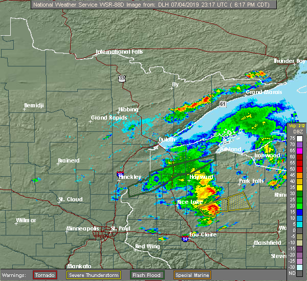
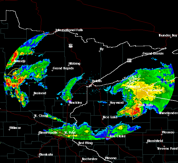
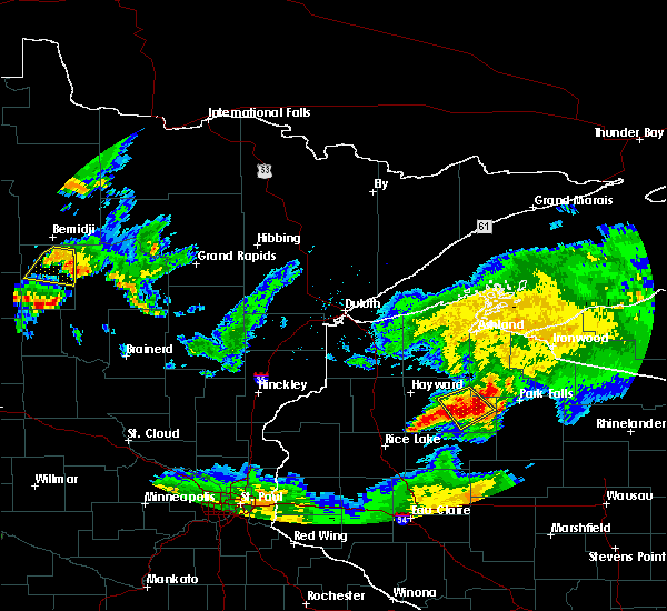
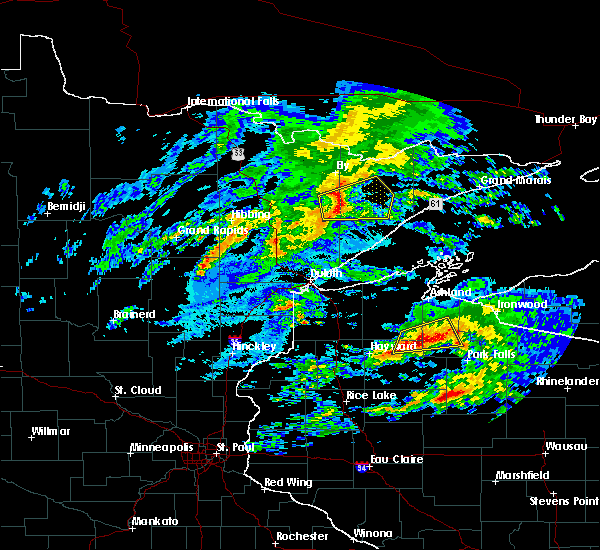
| 7/4/2019 7:01 PM CDT |
 At 701 pm cdt, severe thunderstorms were located along a line extending from 13 miles north of hawkins, to 7 miles west of phillips, to near ogema, moving northeast at 30 mph (radar indicated). Hazards include 60 mph wind gusts and quarter size hail. Hail damage to vehicles is expected. expect wind damage to roofs, siding, and trees. Locations impacted include, phillips, ogema, prentice, catawba, kennan, connors lake, cranberry lake, and wilson lake near phillips. At 701 pm cdt, severe thunderstorms were located along a line extending from 13 miles north of hawkins, to 7 miles west of phillips, to near ogema, moving northeast at 30 mph (radar indicated). Hazards include 60 mph wind gusts and quarter size hail. Hail damage to vehicles is expected. expect wind damage to roofs, siding, and trees. Locations impacted include, phillips, ogema, prentice, catawba, kennan, connors lake, cranberry lake, and wilson lake near phillips.
|
| 7/4/2019 6:50 PM CDT |
 At 649 pm cdt, a severe thunderstorm was located 9 miles northwest of catawba, or 21 miles southwest of park falls, moving northeast at 35 mph (radar indicated). Hazards include 60 mph wind gusts and quarter size hail. Hail damage to vehicles is expected. Expect wind damage to roofs, siding, and trees. At 649 pm cdt, a severe thunderstorm was located 9 miles northwest of catawba, or 21 miles southwest of park falls, moving northeast at 35 mph (radar indicated). Hazards include 60 mph wind gusts and quarter size hail. Hail damage to vehicles is expected. Expect wind damage to roofs, siding, and trees.
|
| 7/4/2019 6:29 PM CDT |
 At 629 pm cdt, a severe thunderstorm was located over hawkins, or 15 miles east of ladysmith, moving east at 35 mph (radar indicated). Hazards include 60 mph wind gusts and quarter size hail. Hail damage to vehicles is expected. expect wind damage to roofs, siding, and trees. Locations impacted include, phillips, ogema, prentice, catawba, kennan, cranberry lake, and wilson lake near phillips. At 629 pm cdt, a severe thunderstorm was located over hawkins, or 15 miles east of ladysmith, moving east at 35 mph (radar indicated). Hazards include 60 mph wind gusts and quarter size hail. Hail damage to vehicles is expected. expect wind damage to roofs, siding, and trees. Locations impacted include, phillips, ogema, prentice, catawba, kennan, cranberry lake, and wilson lake near phillips.
|
| 7/4/2019 6:19 PM CDT |
 The national weather service in duluth mn has issued a * severe thunderstorm warning for. southwestern price county in north central wisconsin. until 700 pm cdt. At 618 pm cdt, a severe thunderstorm was located 9 miles west of hawkins, or 9 miles east of ladysmith, moving east at 35 mph. The national weather service in duluth mn has issued a * severe thunderstorm warning for. southwestern price county in north central wisconsin. until 700 pm cdt. At 618 pm cdt, a severe thunderstorm was located 9 miles west of hawkins, or 9 miles east of ladysmith, moving east at 35 mph.
|
| 6/4/2019 8:56 PM CDT |
 The severe thunderstorm warning for west central price and southeastern sawyer counties will expire at 900 pm cdt, the storm which prompted the warning has weakened below severe limits, and no longer poses an immediate threat to life or property. therefore, the warning will be allowed to expire. however, gusty winds are still possible with this thunderstorm. The severe thunderstorm warning for west central price and southeastern sawyer counties will expire at 900 pm cdt, the storm which prompted the warning has weakened below severe limits, and no longer poses an immediate threat to life or property. therefore, the warning will be allowed to expire. however, gusty winds are still possible with this thunderstorm.
|
| 6/4/2019 8:47 PM CDT |
 At 846 pm cdt, a severe thunderstorm was located 12 miles west of phillips, or 18 miles southwest of park falls, moving southeast at 35 mph (radar indicated). Hazards include 60 mph wind gusts and quarter size hail. Hail damage to vehicles is expected. expect wind damage to roofs, siding, and trees. Locations impacted include, phillips, kennan, connors lake, and wilson lake near phillips. At 846 pm cdt, a severe thunderstorm was located 12 miles west of phillips, or 18 miles southwest of park falls, moving southeast at 35 mph (radar indicated). Hazards include 60 mph wind gusts and quarter size hail. Hail damage to vehicles is expected. expect wind damage to roofs, siding, and trees. Locations impacted include, phillips, kennan, connors lake, and wilson lake near phillips.
|
| 6/4/2019 8:27 PM CDT |
 At 827 pm cdt, a severe thunderstorm was located 9 miles east of winter, or 19 miles southwest of park falls, moving southeast at 35 mph (radar indicated). Hazards include 70 mph wind gusts and quarter size hail. Hail damage to vehicles is expected. expect considerable tree damage. Wind damage is also likely to mobile homes, roofs, and outbuildings. At 827 pm cdt, a severe thunderstorm was located 9 miles east of winter, or 19 miles southwest of park falls, moving southeast at 35 mph (radar indicated). Hazards include 70 mph wind gusts and quarter size hail. Hail damage to vehicles is expected. expect considerable tree damage. Wind damage is also likely to mobile homes, roofs, and outbuildings.
|
| 10/3/2018 3:16 PM CDT |
 At 316 pm cdt, a severe thunderstorm was located near phillips, or 21 miles south of park falls, moving east at 65 mph (trained weather spotters reported quarter-size hail 5 miles north of catawba with this storm). Hazards include 70 mph wind gusts and half dollar size hail. Hail damage to vehicles is expected. expect considerable tree damage. wind damage is also likely to mobile homes, roofs, and outbuildings. Locations impacted include, phillips, prentice, catawba, brantwood, cranberry lake, clifford, wilson lake near phillips, and musser lake. At 316 pm cdt, a severe thunderstorm was located near phillips, or 21 miles south of park falls, moving east at 65 mph (trained weather spotters reported quarter-size hail 5 miles north of catawba with this storm). Hazards include 70 mph wind gusts and half dollar size hail. Hail damage to vehicles is expected. expect considerable tree damage. wind damage is also likely to mobile homes, roofs, and outbuildings. Locations impacted include, phillips, prentice, catawba, brantwood, cranberry lake, clifford, wilson lake near phillips, and musser lake.
|
| 10/3/2018 3:03 PM CDT |
 At 303 pm cdt, a severe thunderstorm was located near hawkins, or 20 miles east of ladysmith, moving east at 60 mph (radar indicated). Hazards include 70 mph wind gusts and quarter size hail. Hail damage to vehicles is expected. expect considerable tree damage. Wind damage is also likely to mobile homes, roofs, and outbuildings. At 303 pm cdt, a severe thunderstorm was located near hawkins, or 20 miles east of ladysmith, moving east at 60 mph (radar indicated). Hazards include 70 mph wind gusts and quarter size hail. Hail damage to vehicles is expected. expect considerable tree damage. Wind damage is also likely to mobile homes, roofs, and outbuildings.
|
| 8/27/2018 8:17 PM CDT |
 At 815 pm cdt, severe thunderstorms were located along a line extending from 7 miles south of odanah, to near butternut, to near hawkins, moving east at 60 mph. law enforcement reported multiple trees down near the town of hayward around 730 pm cdt (law enforcement). Hazards include 60 mph wind gusts. Expect damage to roofs, siding, and trees. severe thunderstorms will be near, butternut around 820 pm cdt. park falls and gurney around 825 pm cdt. phillips, saxon and upson around 830 pm cdt. turtle flambeau flowage around 835 pm cdt. hurley and gile around 840 pm cdt. mercer around 845 pm cdt. Other locations impacted by these severe thunderstorms include connors lake, kimball, long lake in iron county, bad river reservation, pike lake, gile flowage, manitowish, cedar, franks field, and island lake iron county. At 815 pm cdt, severe thunderstorms were located along a line extending from 7 miles south of odanah, to near butternut, to near hawkins, moving east at 60 mph. law enforcement reported multiple trees down near the town of hayward around 730 pm cdt (law enforcement). Hazards include 60 mph wind gusts. Expect damage to roofs, siding, and trees. severe thunderstorms will be near, butternut around 820 pm cdt. park falls and gurney around 825 pm cdt. phillips, saxon and upson around 830 pm cdt. turtle flambeau flowage around 835 pm cdt. hurley and gile around 840 pm cdt. mercer around 845 pm cdt. Other locations impacted by these severe thunderstorms include connors lake, kimball, long lake in iron county, bad river reservation, pike lake, gile flowage, manitowish, cedar, franks field, and island lake iron county.
|
| 7/25/2018 5:42 PM CDT |
 At 542 pm cdt, a severe thunderstorm was located near prentice, or 22 miles south of park falls, moving northeast at 40 mph (radar indicated). Hazards include 60 mph wind gusts and quarter size hail. Hail damage to vehicles is expected. expect wind damage to roofs, siding, and trees. Locations impacted include, phillips, prentice, brantwood, cranberry lake, and musser lake. At 542 pm cdt, a severe thunderstorm was located near prentice, or 22 miles south of park falls, moving northeast at 40 mph (radar indicated). Hazards include 60 mph wind gusts and quarter size hail. Hail damage to vehicles is expected. expect wind damage to roofs, siding, and trees. Locations impacted include, phillips, prentice, brantwood, cranberry lake, and musser lake.
|
| 7/25/2018 5:28 PM CDT |
 At 527 pm cdt, a severe thunderstorm was located near catawba, or 27 miles north of medford, moving northeast at 40 mph (radar indicated). Hazards include 60 mph wind gusts and quarter size hail. Hail damage to vehicles is expected. Expect wind damage to roofs, siding, and trees. At 527 pm cdt, a severe thunderstorm was located near catawba, or 27 miles north of medford, moving northeast at 40 mph (radar indicated). Hazards include 60 mph wind gusts and quarter size hail. Hail damage to vehicles is expected. Expect wind damage to roofs, siding, and trees.
|
| 7/4/2018 5:11 PM CDT |
 At 511 pm cdt, a severe thunderstorm was located 13 miles east of winter, or 18 miles southwest of park falls, moving east at 35 mph (radar indicated). Hazards include 60 mph wind gusts and penny size hail. Expect damage to roofs, siding, and trees. Locations impacted include, phillips, connors lake, and butternut lake. At 511 pm cdt, a severe thunderstorm was located 13 miles east of winter, or 18 miles southwest of park falls, moving east at 35 mph (radar indicated). Hazards include 60 mph wind gusts and penny size hail. Expect damage to roofs, siding, and trees. Locations impacted include, phillips, connors lake, and butternut lake.
|
| 7/4/2018 4:59 PM CDT |
 At 459 pm cdt, a severe thunderstorm was located 7 miles southeast of winter, or 18 miles southeast of chippewa flowage, moving east at 40 mph (radar indicated). Hazards include 60 mph wind gusts and nickel size hail. expect damage to roofs, siding, and trees At 459 pm cdt, a severe thunderstorm was located 7 miles southeast of winter, or 18 miles southeast of chippewa flowage, moving east at 40 mph (radar indicated). Hazards include 60 mph wind gusts and nickel size hail. expect damage to roofs, siding, and trees
|
| 7/4/2018 1:10 PM CDT | Non-severe thunderstorm winds knocked a cluster of branches off a weak point on a large tree. measured 31 mph wind in price county WI, 0.8 miles NW of Phillips, WI |
| 6/15/2018 5:20 AM CDT |
 The severe thunderstorm warning for northern price and east central sawyer counties will expire at 530 am cdt, the storm which prompted the warning has weakened below severe limits, and no longer poses an immediate threat to life or property. therefore, the warning will be allowed to expire. however heavy rain is still possible with this thunderstorm. The severe thunderstorm warning for northern price and east central sawyer counties will expire at 530 am cdt, the storm which prompted the warning has weakened below severe limits, and no longer poses an immediate threat to life or property. therefore, the warning will be allowed to expire. however heavy rain is still possible with this thunderstorm.
|
| 6/15/2018 5:12 AM CDT |
 At 511 am cdt, a severe thunderstorm was located 8 miles northwest of phillips, or 13 miles south of park falls, moving east at 30 mph (radar indicated). Hazards include 60 mph wind gusts and quarter size hail. Hail damage to vehicles is expected. expect wind damage to roofs, siding, and trees. Locations impacted include, phillips, fifield, musser lake, and wilson lake near phillips. At 511 am cdt, a severe thunderstorm was located 8 miles northwest of phillips, or 13 miles south of park falls, moving east at 30 mph (radar indicated). Hazards include 60 mph wind gusts and quarter size hail. Hail damage to vehicles is expected. expect wind damage to roofs, siding, and trees. Locations impacted include, phillips, fifield, musser lake, and wilson lake near phillips.
|
| 6/15/2018 4:51 AM CDT |
 At 451 am cdt, a severe thunderstorm was located 14 miles north of hawkins, or 20 miles southwest of park falls, moving east at 25 mph (radar indicated). Hazards include 60 mph wind gusts and quarter size hail. Hail damage to vehicles is expected. Expect wind damage to roofs, siding, and trees. At 451 am cdt, a severe thunderstorm was located 14 miles north of hawkins, or 20 miles southwest of park falls, moving east at 25 mph (radar indicated). Hazards include 60 mph wind gusts and quarter size hail. Hail damage to vehicles is expected. Expect wind damage to roofs, siding, and trees.
|
| 9/22/2017 11:52 AM CDT |
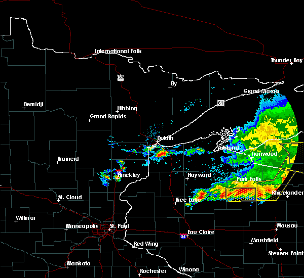 The severe thunderstorm warning for central price county will expire at noon cdt, the storm which prompted the warning has weakened below severe limits, and no longer poses an immediate threat to life or property. therefore, the warning will be allowed to expire. however heavy rain is still possible with this thunderstorm. The severe thunderstorm warning for central price county will expire at noon cdt, the storm which prompted the warning has weakened below severe limits, and no longer poses an immediate threat to life or property. therefore, the warning will be allowed to expire. however heavy rain is still possible with this thunderstorm.
|
| 9/22/2017 11:22 AM CDT |
 At 1121 am cdt, a severe thunderstorm was located 7 miles north of catawba, or 20 miles south of park falls, moving east at 35 mph (radar indicated). Hazards include quarter size hail...and 40 mph wind gusts. Damage to vehicles is expected. Locations impacted include, phillips, prentice, catawba, brantwood, cranberry lake, wilson lake near phillips, and musser lake. At 1121 am cdt, a severe thunderstorm was located 7 miles north of catawba, or 20 miles south of park falls, moving east at 35 mph (radar indicated). Hazards include quarter size hail...and 40 mph wind gusts. Damage to vehicles is expected. Locations impacted include, phillips, prentice, catawba, brantwood, cranberry lake, wilson lake near phillips, and musser lake.
|
| 9/22/2017 10:57 AM CDT |
 At 1057 am cdt, a severe thunderstorm was located near phillips, or 18 miles south of park falls, moving east at 40 mph (radar indicated). Hazards include half dollar size hail...and gusts to 45 mph. damage to vehicles is expected At 1057 am cdt, a severe thunderstorm was located near phillips, or 18 miles south of park falls, moving east at 40 mph (radar indicated). Hazards include half dollar size hail...and gusts to 45 mph. damage to vehicles is expected
|
| 7/22/2017 6:01 PM CDT |
 At 600 pm cdt, a severe thunderstorm was located 13 miles north of hawkins, or 19 miles southwest of park falls, moving southeast at 35 mph (radar indicated). Hazards include 60 mph wind gusts and quarter size hail. Hail damage to vehicles is expected. Expect wind damage to roofs, siding, and trees. At 600 pm cdt, a severe thunderstorm was located 13 miles north of hawkins, or 19 miles southwest of park falls, moving southeast at 35 mph (radar indicated). Hazards include 60 mph wind gusts and quarter size hail. Hail damage to vehicles is expected. Expect wind damage to roofs, siding, and trees.
|
| 7/22/2017 6:00 PM CDT |
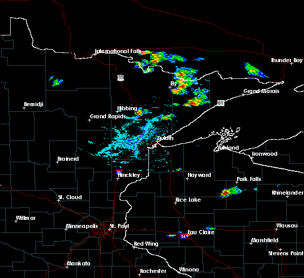 At 559 pm cdt, a severe thunderstorm was located 13 miles north of hawkins, or 19 miles southwest of park falls, moving southeast at 35 mph (radar indicated). Hazards include 60 mph wind gusts and quarter size hail. Hail damage to vehicles is expected. Expect wind damage to roofs, siding, and trees. At 559 pm cdt, a severe thunderstorm was located 13 miles north of hawkins, or 19 miles southwest of park falls, moving southeast at 35 mph (radar indicated). Hazards include 60 mph wind gusts and quarter size hail. Hail damage to vehicles is expected. Expect wind damage to roofs, siding, and trees.
|
| 6/11/2017 8:57 PM CDT |
 At 857 pm cdt, a severe thunderstorm was located over catawba, or 26 miles east of ladysmith, moving northeast at 55 mph (radar indicated). Hazards include 60 mph wind gusts and nickel size hail. expect damage to roofs, siding, and trees At 857 pm cdt, a severe thunderstorm was located over catawba, or 26 miles east of ladysmith, moving northeast at 55 mph (radar indicated). Hazards include 60 mph wind gusts and nickel size hail. expect damage to roofs, siding, and trees
|
| 6/11/2017 7:21 PM CDT |
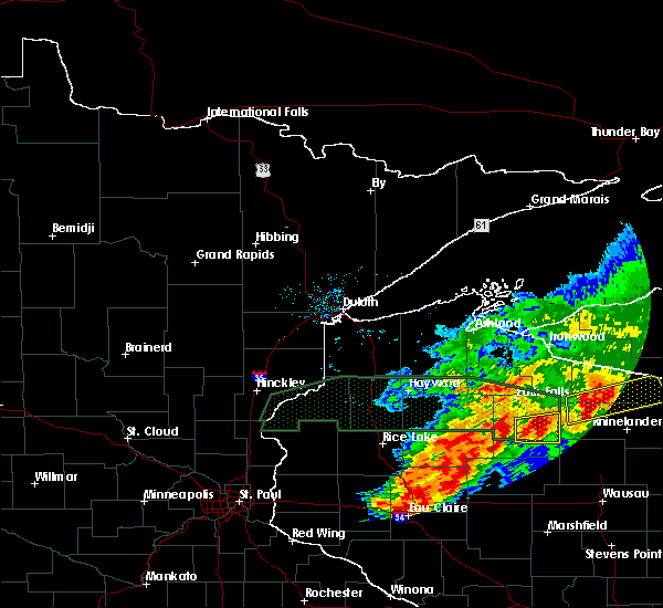 At 720 pm cdt, a severe thunderstorm was located near phillips, or 19 miles south of park falls, moving east at 40 mph (radar indicated). Hazards include 60 mph wind gusts and half dollar size hail. Hail damage to vehicles is expected. expect wind damage to roofs, siding, and trees. This severe thunderstorm will remain over mainly rural areas of east central price county, including the following locations: brantwood, clifford, wilson lake near phillips, musser lake and cranberry lake. At 720 pm cdt, a severe thunderstorm was located near phillips, or 19 miles south of park falls, moving east at 40 mph (radar indicated). Hazards include 60 mph wind gusts and half dollar size hail. Hail damage to vehicles is expected. expect wind damage to roofs, siding, and trees. This severe thunderstorm will remain over mainly rural areas of east central price county, including the following locations: brantwood, clifford, wilson lake near phillips, musser lake and cranberry lake.
|
| 6/11/2017 7:06 PM CDT |
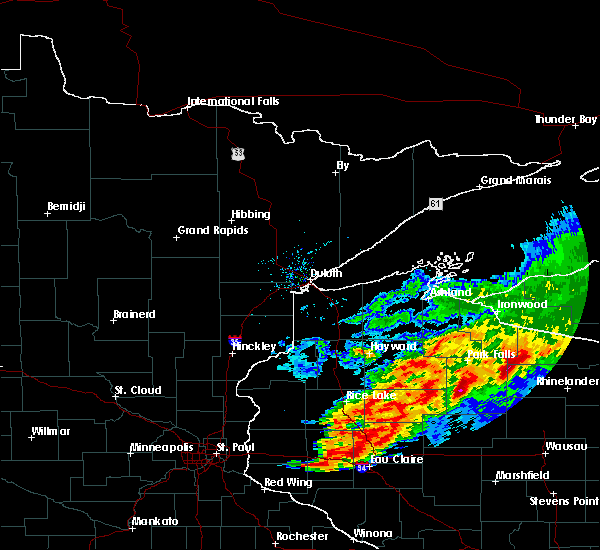 At 706 pm cdt, a severe thunderstorm was located near catawba, or 20 miles south of park falls, moving east at 40 mph (radar indicated). Hazards include 60 mph wind gusts and nickel size hail. Expect damage to roofs, siding, and trees. this severe thunderstorm will be near, phillips around 715 pm cdt. prentice around 720 pm cdt. Other locations impacted by this severe thunderstorm include kennan, brantwood, clifford, wilson lake near phillips, musser lake, and cranberry lake. At 706 pm cdt, a severe thunderstorm was located near catawba, or 20 miles south of park falls, moving east at 40 mph (radar indicated). Hazards include 60 mph wind gusts and nickel size hail. Expect damage to roofs, siding, and trees. this severe thunderstorm will be near, phillips around 715 pm cdt. prentice around 720 pm cdt. Other locations impacted by this severe thunderstorm include kennan, brantwood, clifford, wilson lake near phillips, musser lake, and cranberry lake.
|
| 6/11/2017 11:30 AM CDT |
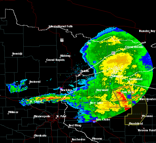 At 1129 am cdt, severe thunderstorms were located along a line extending from glidden, to near phillips, moving east at 55 mph (radar indicated). Hazards include 60 mph wind gusts and nickel size hail. Expect damage to roofs, siding, and trees. these severe storms will be near, turtle flambeau flowage around 1145 am cdt. Other locations impacted by these severe thunderstorms include butternut lake, wilson lake near phillips, pike lake, and musser lake. At 1129 am cdt, severe thunderstorms were located along a line extending from glidden, to near phillips, moving east at 55 mph (radar indicated). Hazards include 60 mph wind gusts and nickel size hail. Expect damage to roofs, siding, and trees. these severe storms will be near, turtle flambeau flowage around 1145 am cdt. Other locations impacted by these severe thunderstorms include butternut lake, wilson lake near phillips, pike lake, and musser lake.
|
| 6/11/2017 11:23 AM CDT | Several trees down. time estimated from rada in price county WI, 10.7 miles W of Phillips, WI |
| 6/11/2017 11:15 AM CDT |
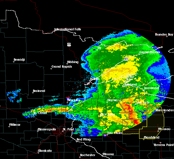 At 1114 am cdt, severe thunderstorms were located along a line extending from near clam lake, to 8 miles northwest of catawba, moving east at 55 mph (radar indicated). Hazards include 60 mph wind gusts and nickel size hail. Expect damage to roofs, siding, and trees. these severe storms will be near, phillips around 1130 am cdt. glidden around 1135 am cdt. Other locations impacted by these severe thunderstorms include connors lake, loretta, ghost lake, butternut lake, pike lake, blaisdell lake, moose lake sawyer county, wilson lake near phillips, and musser lake. At 1114 am cdt, severe thunderstorms were located along a line extending from near clam lake, to 8 miles northwest of catawba, moving east at 55 mph (radar indicated). Hazards include 60 mph wind gusts and nickel size hail. Expect damage to roofs, siding, and trees. these severe storms will be near, phillips around 1130 am cdt. glidden around 1135 am cdt. Other locations impacted by these severe thunderstorms include connors lake, loretta, ghost lake, butternut lake, pike lake, blaisdell lake, moose lake sawyer county, wilson lake near phillips, and musser lake.
|
| 6/11/2017 11:02 AM CDT |
 At 1101 am cdt, severe thunderstorms were located along a line extending from 9 miles east of round lake, to 10 miles northwest of hawkins, moving east at 55 mph (radar indicated). Hazards include 60 mph wind gusts and nickel size hail. Expect damage to roofs, siding, and trees. severe thunderstorms will be near, phillips around 1125 am cdt. butternut and glidden around 1135 am cdt. Other locations impacted by these severe thunderstorms include connors lake, loretta, ghost lake, butternut lake, pike lake, blaisdell lake, moose lake sawyer county, chippewa lake, teal lake, and ojibwa. At 1101 am cdt, severe thunderstorms were located along a line extending from 9 miles east of round lake, to 10 miles northwest of hawkins, moving east at 55 mph (radar indicated). Hazards include 60 mph wind gusts and nickel size hail. Expect damage to roofs, siding, and trees. severe thunderstorms will be near, phillips around 1125 am cdt. butternut and glidden around 1135 am cdt. Other locations impacted by these severe thunderstorms include connors lake, loretta, ghost lake, butternut lake, pike lake, blaisdell lake, moose lake sawyer county, chippewa lake, teal lake, and ojibwa.
|
| 5/17/2017 7:40 PM CDT | Couple downed trees estimated diameters ranging 6 to 8 inches in phillips along avon avenu in price county WI, 1.6 miles NW of Phillips, WI |
| 4/9/2017 10:46 PM CDT |
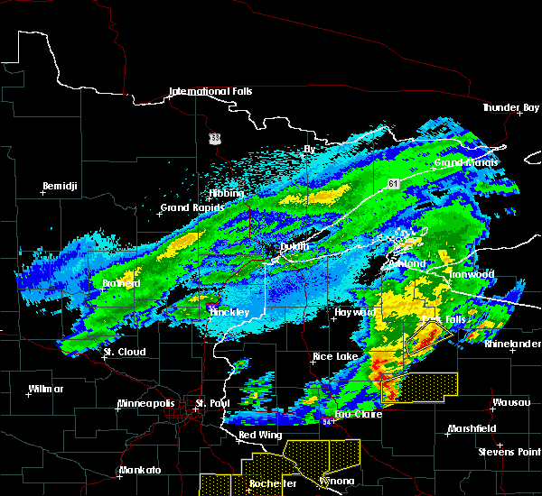 At 1046 pm cdt, a severe thunderstorm was located near phillips, or 11 miles south of park falls, moving northeast at 50 mph (radar indicated). Hazards include quarter size hail. Damage to vehicles is expected. Locations impacted include, park falls, phillips, fifield, and wilson lake near phillips. At 1046 pm cdt, a severe thunderstorm was located near phillips, or 11 miles south of park falls, moving northeast at 50 mph (radar indicated). Hazards include quarter size hail. Damage to vehicles is expected. Locations impacted include, park falls, phillips, fifield, and wilson lake near phillips.
|
| 4/9/2017 10:25 PM CDT |
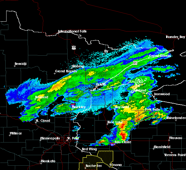 At 1025 pm cdt, a severe thunderstorm was located 8 miles north of hawkins, or 22 miles northeast of ladysmith, moving northeast at 45 mph (radar indicated). Hazards include quarter size hail. damage to vehicles is expected At 1025 pm cdt, a severe thunderstorm was located 8 miles north of hawkins, or 22 miles northeast of ladysmith, moving northeast at 45 mph (radar indicated). Hazards include quarter size hail. damage to vehicles is expected
|
| 7/21/2016 5:56 AM CDT |
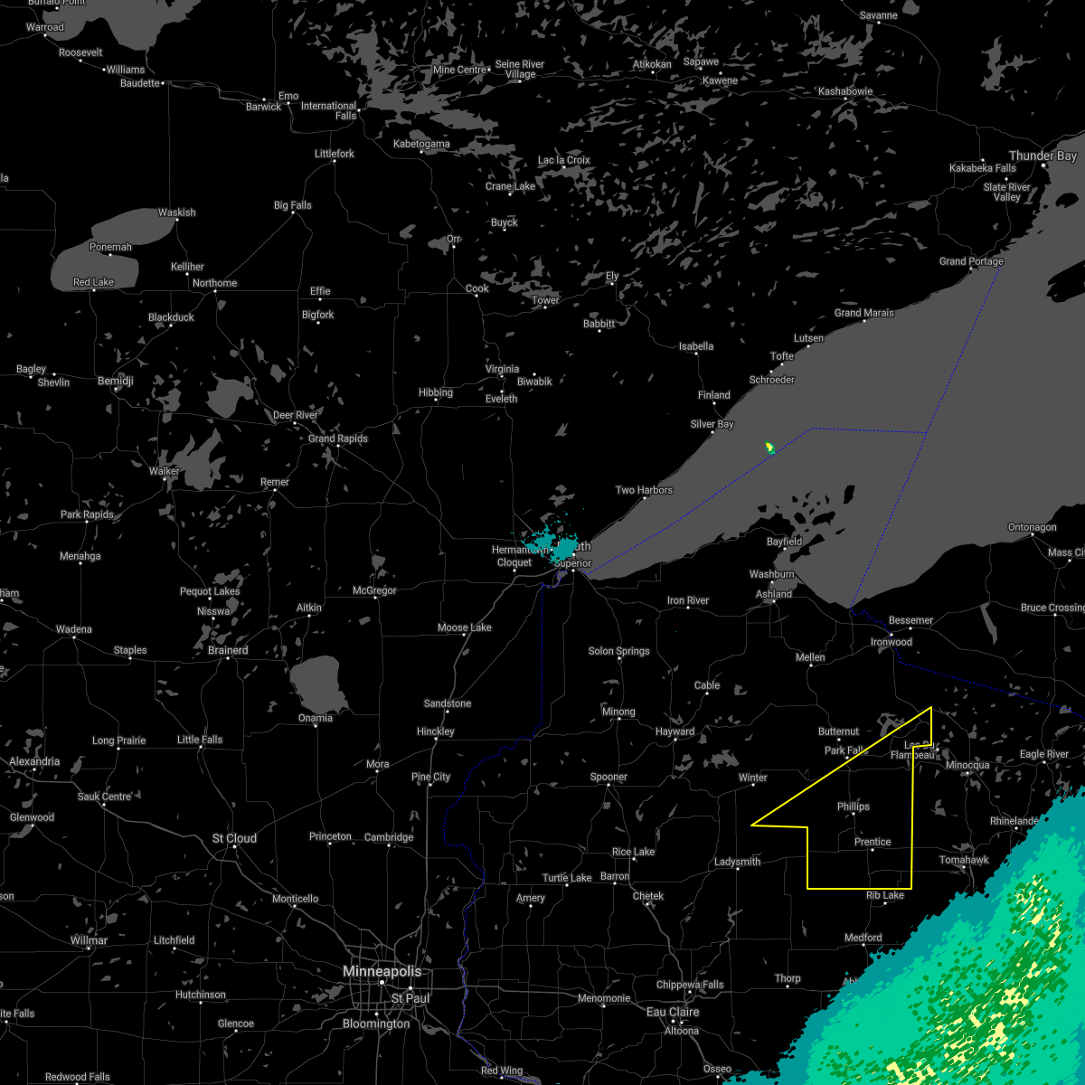 The severe thunderstorm warning for southeastern sawyer, southeastern iron and price counties will expire at 600 am cdt, the storms which prompted the warning have weakened below severe limits, and no longer pose an immediate threat to life or property. therefore the warning will be allowed to expire. however gusty winds are still possible with these thunderstorms. a severe thunderstorm watch remains in effect until 700 am cdt for north central and northwestern wisconsin. to report severe weather, contact your nearest law enforcement agency. they will relay your report to the national weather service duluth mn. The severe thunderstorm warning for southeastern sawyer, southeastern iron and price counties will expire at 600 am cdt, the storms which prompted the warning have weakened below severe limits, and no longer pose an immediate threat to life or property. therefore the warning will be allowed to expire. however gusty winds are still possible with these thunderstorms. a severe thunderstorm watch remains in effect until 700 am cdt for north central and northwestern wisconsin. to report severe weather, contact your nearest law enforcement agency. they will relay your report to the national weather service duluth mn.
|
| 7/21/2016 5:47 AM CDT |
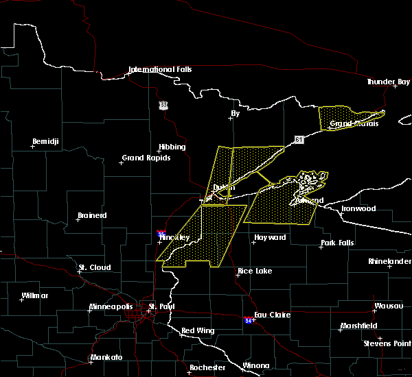 At 547 am cdt, severe thunderstorms were located along a line extending from near boulder junction, to near catawba, moving east at 55 mph (radar indicated). Hazards include 60 mph wind gusts and nickel size hail. Expect damage to roofs. siding. and trees. these severe storms will be near, ogema around 600 am cdt. Other locations impacted by these severe thunderstorms include cranberry lake, wilson lake near phillips, brantwood, connors lake, musser lake, kennan and pike lake. At 547 am cdt, severe thunderstorms were located along a line extending from near boulder junction, to near catawba, moving east at 55 mph (radar indicated). Hazards include 60 mph wind gusts and nickel size hail. Expect damage to roofs. siding. and trees. these severe storms will be near, ogema around 600 am cdt. Other locations impacted by these severe thunderstorms include cranberry lake, wilson lake near phillips, brantwood, connors lake, musser lake, kennan and pike lake.
|
| 7/21/2016 5:31 AM CDT |
 At 531 am cdt, severe thunderstorms were located along a line extending from near mercer, to 6 miles northwest of hawkins, moving east at 55 mph (radar indicated). Hazards include 60 mph wind gusts and nickel size hail. Expect damage to roofs. siding. and trees. these severe storms will be near, mercer around 535 am cdt. catawba around 550 am cdt. ogema, prentice and spirit around 600 am cdt. Other locations impacted by these severe thunderstorms include cranberry lake, fisher lake, wilson lake near phillips, brantwood, loretta, connors lake, musser lake, butternut lake, kennan and manitowish. At 531 am cdt, severe thunderstorms were located along a line extending from near mercer, to 6 miles northwest of hawkins, moving east at 55 mph (radar indicated). Hazards include 60 mph wind gusts and nickel size hail. Expect damage to roofs. siding. and trees. these severe storms will be near, mercer around 535 am cdt. catawba around 550 am cdt. ogema, prentice and spirit around 600 am cdt. Other locations impacted by these severe thunderstorms include cranberry lake, fisher lake, wilson lake near phillips, brantwood, loretta, connors lake, musser lake, butternut lake, kennan and manitowish.
|
| 7/21/2016 5:23 AM CDT |
 At 523 am cdt, severe thunderstorms were located along a line extending from near mercer, to 11 miles northwest of hawkins, moving east at 55 mph (radar indicated). Hazards include 70 mph wind gusts and half dollar size hail. Hail damage to vehicles is expected. expect considerable tree damage. wind damage is also likely to mobile homes, roofs, and outbuildings. these severe storms will be near, mercer around 530 am cdt. catawba around 545 am cdt. ogema, prentice and spirit around 600 am cdt. Other locations impacted by these severe thunderstorms include ojibwa, cranberry lake, fisher lake, wilson lake near phillips, island lake iron county, loretta, connors lake, musser lake, kennan and manitowish. At 523 am cdt, severe thunderstorms were located along a line extending from near mercer, to 11 miles northwest of hawkins, moving east at 55 mph (radar indicated). Hazards include 70 mph wind gusts and half dollar size hail. Hail damage to vehicles is expected. expect considerable tree damage. wind damage is also likely to mobile homes, roofs, and outbuildings. these severe storms will be near, mercer around 530 am cdt. catawba around 545 am cdt. ogema, prentice and spirit around 600 am cdt. Other locations impacted by these severe thunderstorms include ojibwa, cranberry lake, fisher lake, wilson lake near phillips, island lake iron county, loretta, connors lake, musser lake, kennan and manitowish.
|
| 7/21/2016 4:57 AM CDT |
 At 456 am cdt, severe thunderstorms were located along a line extending from near glidden, to 7 miles west of exeland, moving east at 55 mph (radar indicated). Hazards include 70 mph wind gusts and nickel size hail. Expect considerable tree damage. damage is likely to mobile homes, roofs, and outbuildings. severe thunderstorms will be near, glidden around 500 am cdt. turtle flambeau flowage around 520 am cdt. mercer around 525 am cdt. catawba around 545 am cdt. prentice around 555 am cdt. ogema and spirit around 600 am cdt. Other locations impacted by these severe thunderstorms include ojibwa, cranberry lake, fisher lake, wilson lake near phillips, island lake iron county, loretta, connors lake, musser lake, kennan and manitowish. At 456 am cdt, severe thunderstorms were located along a line extending from near glidden, to 7 miles west of exeland, moving east at 55 mph (radar indicated). Hazards include 70 mph wind gusts and nickel size hail. Expect considerable tree damage. damage is likely to mobile homes, roofs, and outbuildings. severe thunderstorms will be near, glidden around 500 am cdt. turtle flambeau flowage around 520 am cdt. mercer around 525 am cdt. catawba around 545 am cdt. prentice around 555 am cdt. ogema and spirit around 600 am cdt. Other locations impacted by these severe thunderstorms include ojibwa, cranberry lake, fisher lake, wilson lake near phillips, island lake iron county, loretta, connors lake, musser lake, kennan and manitowish.
|
| 6/25/2016 8:43 PM CDT |
 The severe thunderstorm warning for price county will expire at 845 pm cdt. the storms which prompted the warning have weakened below severe limits. and are moving out of the warned area. therefore the warning will be allowed to expire. However gusty winds of 30 to 40 mph are still possible with these thunderstorms. The severe thunderstorm warning for price county will expire at 845 pm cdt. the storms which prompted the warning have weakened below severe limits. and are moving out of the warned area. therefore the warning will be allowed to expire. However gusty winds of 30 to 40 mph are still possible with these thunderstorms.
|
| 6/25/2016 8:26 PM CDT |
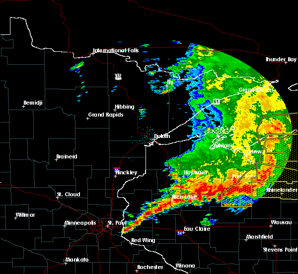 At 826 pm cdt, severe thunderstorms were located along a line extending from near boulder junction to 7 miles north of tripoli to near hawkins, moving east at 40 mph (radar indicated). Hazards include 60 mph wind gusts. Expect damage to roofs. siding. and trees. Locations impacted include, phillips, ogema, prentice, spirit, catawba, kennan, cranberry lake, wilson lake near phillips, brantwood, clifford, musser lake and pike lake. At 826 pm cdt, severe thunderstorms were located along a line extending from near boulder junction to 7 miles north of tripoli to near hawkins, moving east at 40 mph (radar indicated). Hazards include 60 mph wind gusts. Expect damage to roofs. siding. and trees. Locations impacted include, phillips, ogema, prentice, spirit, catawba, kennan, cranberry lake, wilson lake near phillips, brantwood, clifford, musser lake and pike lake.
|
| 6/25/2016 8:12 PM CDT |
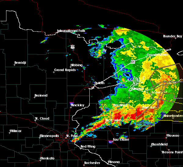 At 811 pm cdt, severe thunderstorms were located along a line extending from winchester to 10 miles west of squirrel lake to near catawba, moving east at 45 mph (radar indicated). Hazards include 60 mph wind gusts. Expect damage to roofs. siding. and trees. Locations impacted include, turtle flambeau flowage, phillips, mercer, ogema, prentice, spirit, catawba, kennan, cranberry lake, fisher lake, wilson lake near phillips, clifford, musser lake, manitowish, brantwood and pike lake. At 811 pm cdt, severe thunderstorms were located along a line extending from winchester to 10 miles west of squirrel lake to near catawba, moving east at 45 mph (radar indicated). Hazards include 60 mph wind gusts. Expect damage to roofs. siding. and trees. Locations impacted include, turtle flambeau flowage, phillips, mercer, ogema, prentice, spirit, catawba, kennan, cranberry lake, fisher lake, wilson lake near phillips, clifford, musser lake, manitowish, brantwood and pike lake.
|
| 6/25/2016 7:59 PM CDT |
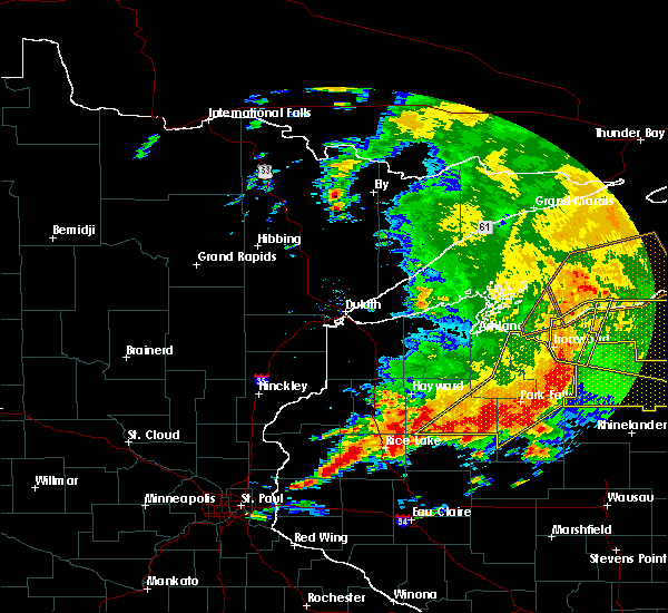 At 758 pm cdt, severe thunderstorms were located along a line extending from 7 miles northwest of winchester to 9 miles east of fifield to near catawba, moving southeast at 45 mph (radar indicated). Hazards include 60 mph wind gusts. Expect damage to roofs. siding. And trees. At 758 pm cdt, severe thunderstorms were located along a line extending from 7 miles northwest of winchester to 9 miles east of fifield to near catawba, moving southeast at 45 mph (radar indicated). Hazards include 60 mph wind gusts. Expect damage to roofs. siding. And trees.
|
| 6/25/2016 7:41 PM CDT |
 At 742 pm cdt, severe thunderstorms were located along a line extending from hurley to near butternut to 12 miles northwest of hawkins, moving east at 45 mph (radar indicated). Hazards include 60 mph wind gusts. Expect damage to roofs. siding. and trees. Locations impacted include, park falls, turtle flambeau flowage, hurley, phillips, mercer, fifield, mellen, butternut, saxon, winter, radisson, exeland, gurney, upson, glidden, gile, montreal, kimball, morse and ojibwa. At 742 pm cdt, severe thunderstorms were located along a line extending from hurley to near butternut to 12 miles northwest of hawkins, moving east at 45 mph (radar indicated). Hazards include 60 mph wind gusts. Expect damage to roofs. siding. and trees. Locations impacted include, park falls, turtle flambeau flowage, hurley, phillips, mercer, fifield, mellen, butternut, saxon, winter, radisson, exeland, gurney, upson, glidden, gile, montreal, kimball, morse and ojibwa.
|
| 6/25/2016 7:28 PM CDT |
 At 728 pm cdt, severe thunderstorms were located along a line extending from 7 miles northeast of saxon to near butternut to near exeland, moving east at 45 mph (radar indicated). Hazards include 60 mph wind gusts. Expect damage to roofs. siding. and trees. Locations impacted include, park falls, turtle flambeau flowage, chippewa flowage, hurley, phillips, mercer, fifield, mellen, marengo, butternut, saxon, winter, radisson, exeland, gurney, couderay, gile, upson, new post and glidden. At 728 pm cdt, severe thunderstorms were located along a line extending from 7 miles northeast of saxon to near butternut to near exeland, moving east at 45 mph (radar indicated). Hazards include 60 mph wind gusts. Expect damage to roofs. siding. and trees. Locations impacted include, park falls, turtle flambeau flowage, chippewa flowage, hurley, phillips, mercer, fifield, mellen, marengo, butternut, saxon, winter, radisson, exeland, gurney, couderay, gile, upson, new post and glidden.
|
| 6/25/2016 7:13 PM CDT |
 At 712 pm cdt, severe thunderstorms were located along a line extending from 7 miles east of odanah to 7 miles southeast of clam lake to birchwood, moving east at 45 mph (radar indicated). Hazards include 60 mph wind gusts. Expect damage to roofs. siding. And trees. At 712 pm cdt, severe thunderstorms were located along a line extending from 7 miles east of odanah to 7 miles southeast of clam lake to birchwood, moving east at 45 mph (radar indicated). Hazards include 60 mph wind gusts. Expect damage to roofs. siding. And trees.
|
| 6/10/2016 4:02 PM CDT | Large pine tree down just south of phillips on highway 1 in price county WI, 1.6 miles NW of Phillips, WI |
| 6/10/2016 3:58 PM CDT |
 At 357 pm cdt, severe thunderstorms were located along a line extending from 10 miles south of turtle flambeau flowage to 9 miles south of catawba, moving east at 45 mph (radar indicated). Hazards include 60 mph wind gusts. Expect damage to roofs. siding. And trees. At 357 pm cdt, severe thunderstorms were located along a line extending from 10 miles south of turtle flambeau flowage to 9 miles south of catawba, moving east at 45 mph (radar indicated). Hazards include 60 mph wind gusts. Expect damage to roofs. siding. And trees.
|
| 6/10/2016 3:55 PM CDT | Large spruce tree blown dow in price county WI, 2.4 miles E of Phillips, WI |
| 6/10/2016 3:35 PM CDT | Multiple 8 inch trees down. tree dmg was sporadic and not wide sprea in price county WI, 6.6 miles SE of Phillips, WI |
| 8/2/2015 11:46 AM CDT | Quarter sized hail reported 11.5 miles WNW of Phillips, WI |
| 8/2/2015 11:41 AM CDT |
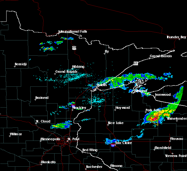 At 1140 am cdt, a severe thunderstorm was located 11 miles northwest of tripoli, or 23 miles southeast of park falls, moving southeast at 55 mph (radar indicated). Hazards include golf ball size hail and 60 mph wind gusts. People and animals outdoors will be injured. expect hail damage to roofs, siding, windows and vehicles. expect wind damage to roofs, siding and trees. Locations impacted include, phillips, musser lake, brantwood and clifford. At 1140 am cdt, a severe thunderstorm was located 11 miles northwest of tripoli, or 23 miles southeast of park falls, moving southeast at 55 mph (radar indicated). Hazards include golf ball size hail and 60 mph wind gusts. People and animals outdoors will be injured. expect hail damage to roofs, siding, windows and vehicles. expect wind damage to roofs, siding and trees. Locations impacted include, phillips, musser lake, brantwood and clifford.
|
| 8/2/2015 11:34 AM CDT |
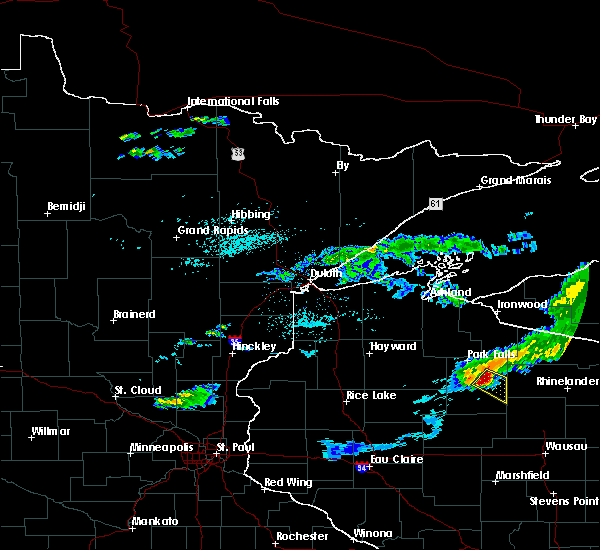 At 1134 am cdt, a severe thunderstorm was located 7 miles east of phillips, or 17 miles southeast of park falls, moving southeast at 55 mph (radar indicated). Hazards include 60 mph wind gusts and half dollar size hail. Hail damage to vehicles is expected. Expect wind damage to roofs, siding and trees. At 1134 am cdt, a severe thunderstorm was located 7 miles east of phillips, or 17 miles southeast of park falls, moving southeast at 55 mph (radar indicated). Hazards include 60 mph wind gusts and half dollar size hail. Hail damage to vehicles is expected. Expect wind damage to roofs, siding and trees.
|
| 8/2/2015 10:26 AM CDT |
 The severe thunderstorm warning for southern price county will expire at 1030 am cdt, the storm which prompted the warning has weakened below severe limits, and no longer pose an immediate threat to life or property. therefore the warning will be allowed to expire. The severe thunderstorm warning for southern price county will expire at 1030 am cdt, the storm which prompted the warning has weakened below severe limits, and no longer pose an immediate threat to life or property. therefore the warning will be allowed to expire.
|
| 8/2/2015 10:10 AM CDT |
 At 1008 am cdt, a severe thunderstorm was located near prentice, or 23 miles south of park falls, moving southeast at 50 mph. multiple spotters have reported hail of golf ball size to two inches (trained weather spotters). Hazards include two inch hail and 60 mph wind gusts. People and animals outdoors will be injured. expect hail damage to roofs, siding, windows and vehicles. expect wind damage to roofs, siding and trees. Locations impacted include, phillips, prentice, catawba, kennan, cranberry lake and wilson lake near phillips. At 1008 am cdt, a severe thunderstorm was located near prentice, or 23 miles south of park falls, moving southeast at 50 mph. multiple spotters have reported hail of golf ball size to two inches (trained weather spotters). Hazards include two inch hail and 60 mph wind gusts. People and animals outdoors will be injured. expect hail damage to roofs, siding, windows and vehicles. expect wind damage to roofs, siding and trees. Locations impacted include, phillips, prentice, catawba, kennan, cranberry lake and wilson lake near phillips.
|
| 8/2/2015 10:08 AM CDT | Hen Egg sized hail reported 4.9 miles NE of Phillips, WI, the spotter reported a lot of hail. most hailstones were around 1 inch in diameter...but some larger stones up to 2 inches in diameter. |
| 8/2/2015 10:07 AM CDT | Quarter sized hail reported 4.3 miles E of Phillips, WI |
| 8/2/2015 10:01 AM CDT | Golf Ball sized hail reported 8.2 miles E of Phillips, WI, variety of hail sizes with golf ball being the largest. |
| 8/2/2015 9:54 AM CDT |
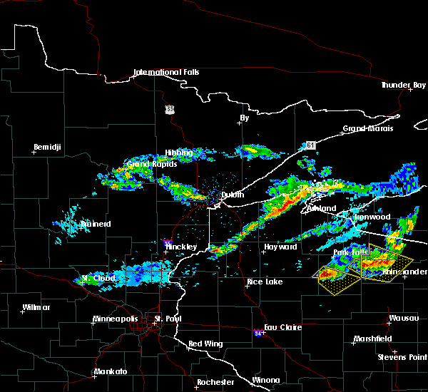 At 953 am cdt, a severe thunderstorm was located 9 miles west of phillips, or 18 miles southwest of park falls, moving southeast at 50 mph. this storm has a history of producing large hail (trained weather spotters). Hazards include 60 mph wind gusts and half dollar size hail. Hail damage to vehicles is expected. expect wind damage to roofs, siding and trees. Locations impacted include, phillips, prentice, catawba, kennan, cranberry lake and wilson lake near phillips. At 953 am cdt, a severe thunderstorm was located 9 miles west of phillips, or 18 miles southwest of park falls, moving southeast at 50 mph. this storm has a history of producing large hail (trained weather spotters). Hazards include 60 mph wind gusts and half dollar size hail. Hail damage to vehicles is expected. expect wind damage to roofs, siding and trees. Locations impacted include, phillips, prentice, catawba, kennan, cranberry lake and wilson lake near phillips.
|
| 8/2/2015 9:42 AM CDT |
 At 941 am cdt, a severe thunderstorm was located 12 miles east of winter, or 19 miles southwest of park falls, moving southeast at 50 mph. this storm has a history of producing large hail (trained weather spotters). Hazards include 60 mph wind gusts and half dollar size hail. Hail damage to vehicles is expected. Expect wind damage to roofs, siding and trees. At 941 am cdt, a severe thunderstorm was located 12 miles east of winter, or 19 miles southwest of park falls, moving southeast at 50 mph. this storm has a history of producing large hail (trained weather spotters). Hazards include 60 mph wind gusts and half dollar size hail. Hail damage to vehicles is expected. Expect wind damage to roofs, siding and trees.
|
| 5/31/2013 5:50 PM CDT | Pine tree down in price county WI, 12.6 miles W of Phillips, WI |
| 5/31/2013 5:23 PM CDT | 53 mph gust knocked shingles off a roof in price county WI, 4.9 miles NE of Phillips, WI |
| 6/20/2012 5:50 PM CDT | 5 inch to 16 inch diameter trees blown down. report relayed by wsa in price county WI, 1.4 miles E of Phillips, WI |
| 5/20/2012 2:05 PM CDT | Quarter sized hail reported 4.9 miles NE of Phillips, WI |
| 1/1/0001 12:00 AM | Quarter sized hail reported 6.2 miles ESE of Phillips, WI, in the township of lugerville. relayed by wsaw. time approximated from a combination of radar and report. |
| 1/1/0001 12:00 AM | Tree limbs and power lines down in township of emer in price county WI, 8.8 miles W of Phillips, WI |
| 1/1/0001 12:00 AM | Shed destroyed near county road h and willow road reported by law enforcement. location is estimated...damage could be from a possible tornad in price county WI, 1.7 miles WSW of Phillips, WI |
| 1/1/0001 12:00 AM | Several large trees blown dow in price county WI, 12.9 miles WSW of Phillips, WI |
| 1/1/0001 12:00 AM | Shed destroyed near county road h and willow road reported by law enforcement. location is estimated...damage could be from a possible tornad in price county WI, 8.8 miles W of Phillips, WI |
| 1/1/0001 12:00 AM | Trees reported down along price lakes rd south of hwy 70. likely associated with the first storm that moved through the are in price county WI, 12.6 miles ESE of Phillips, WI |
| 1/1/0001 12:00 AM | Trees down along county highway w near price and sawyer county border. time is estimated from rada in price county WI, 12.5 miles E of Phillips, WI |
| 1/1/0001 12:00 AM | Numerous large trees blown over and snappe in price county WI, 12.8 miles ESE of Phillips, WI |
| 1/1/0001 12:00 AM | Numerous large trees blown down and snappe in sawyer county WI, 13.8 miles ESE of Phillips, WI |
Hail Maps for Phillips, WI


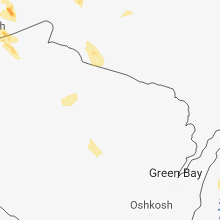


Connect with Interactive Hail Maps