

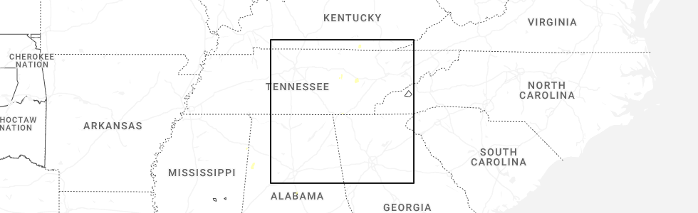
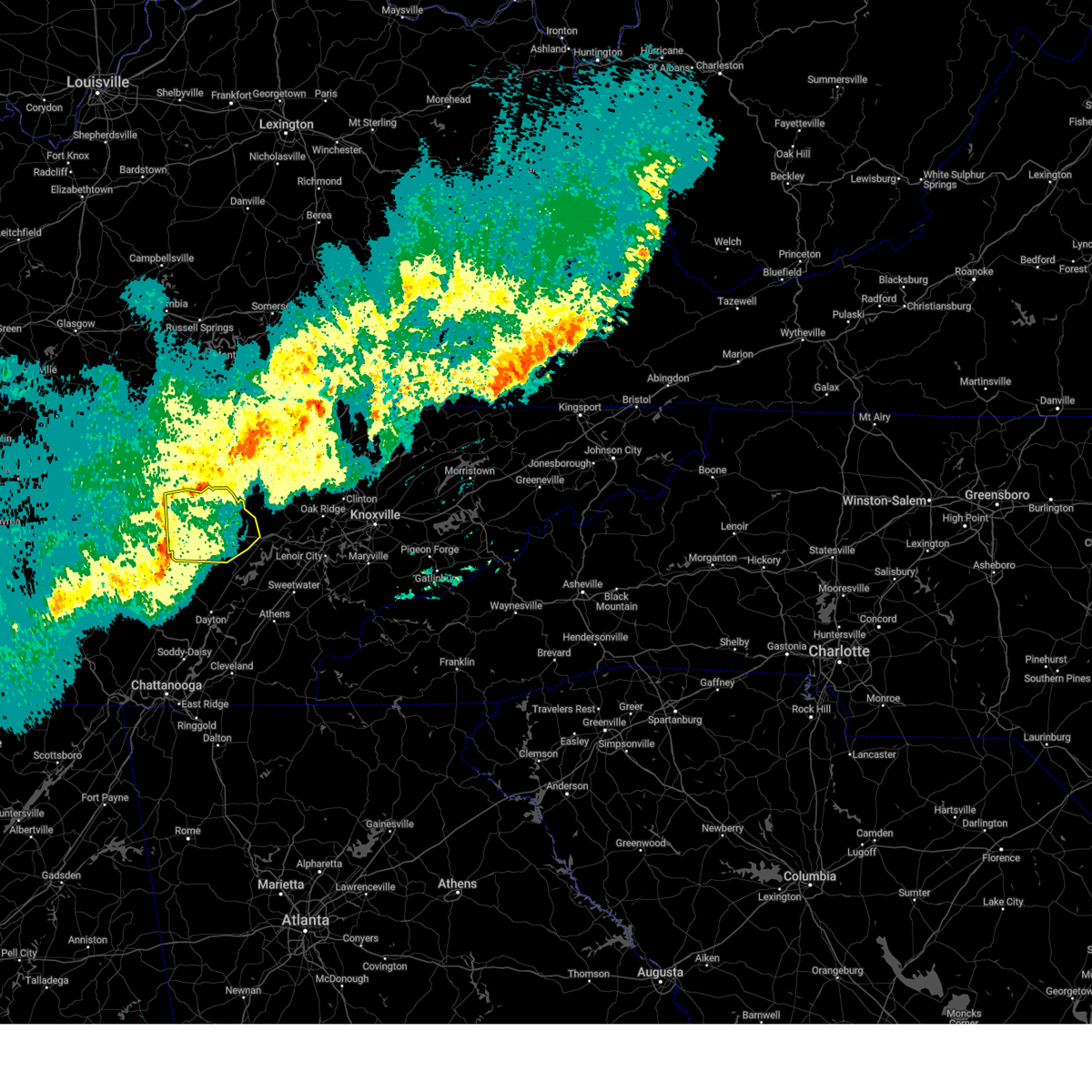
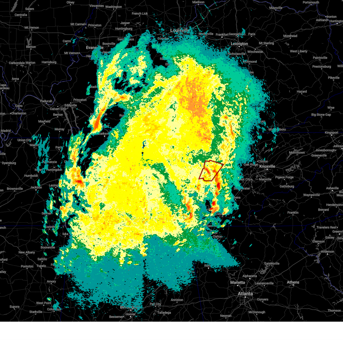
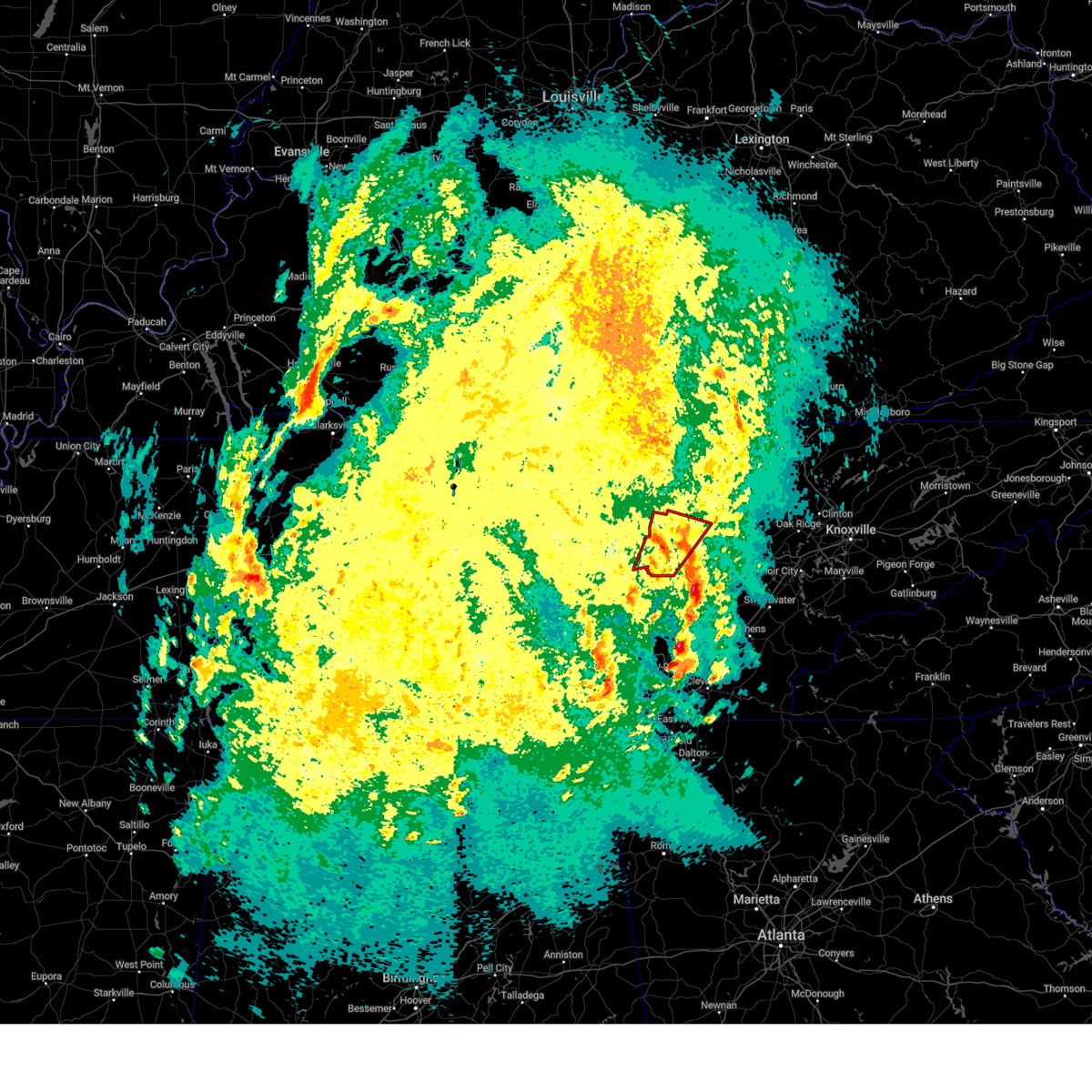
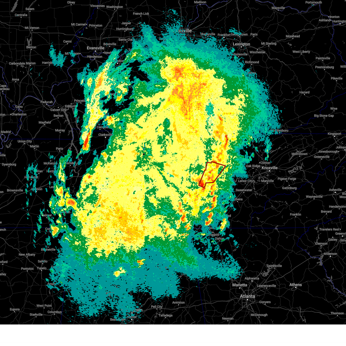
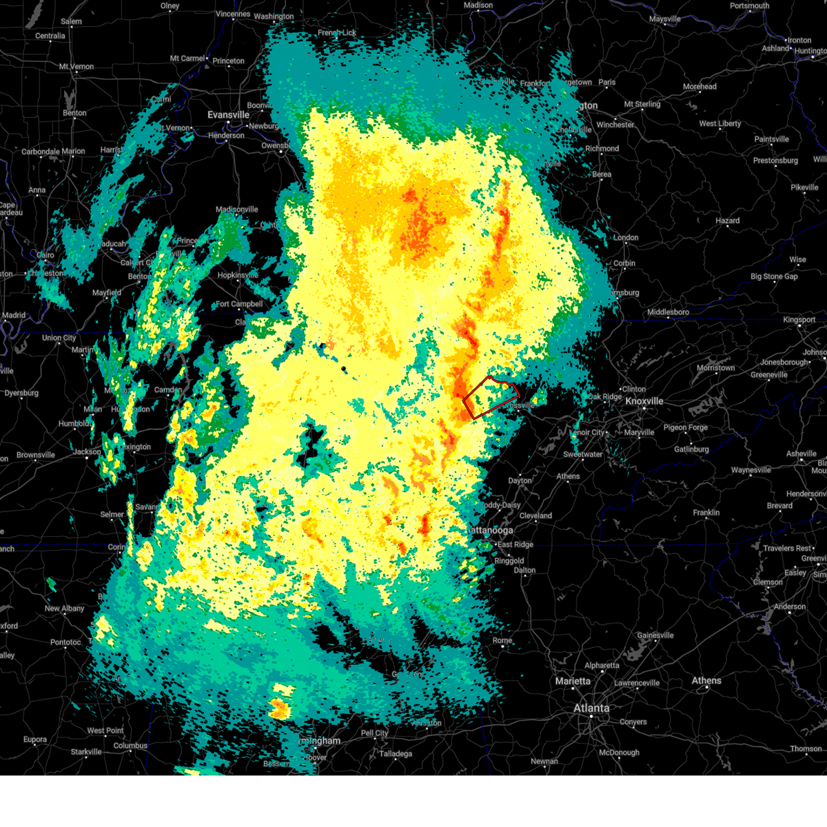
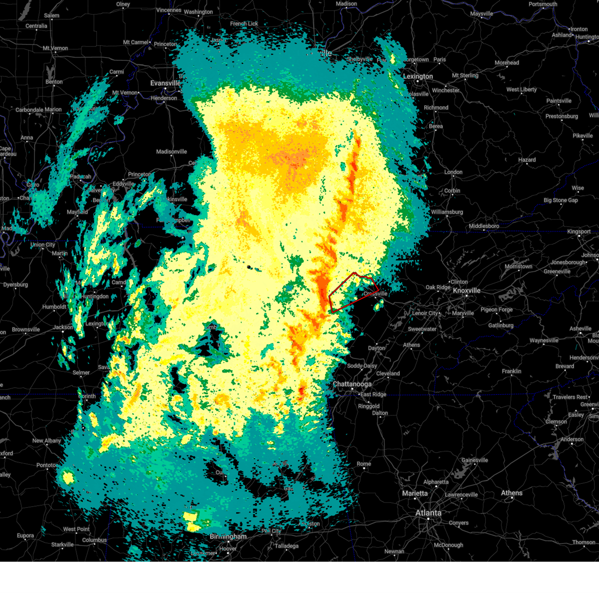
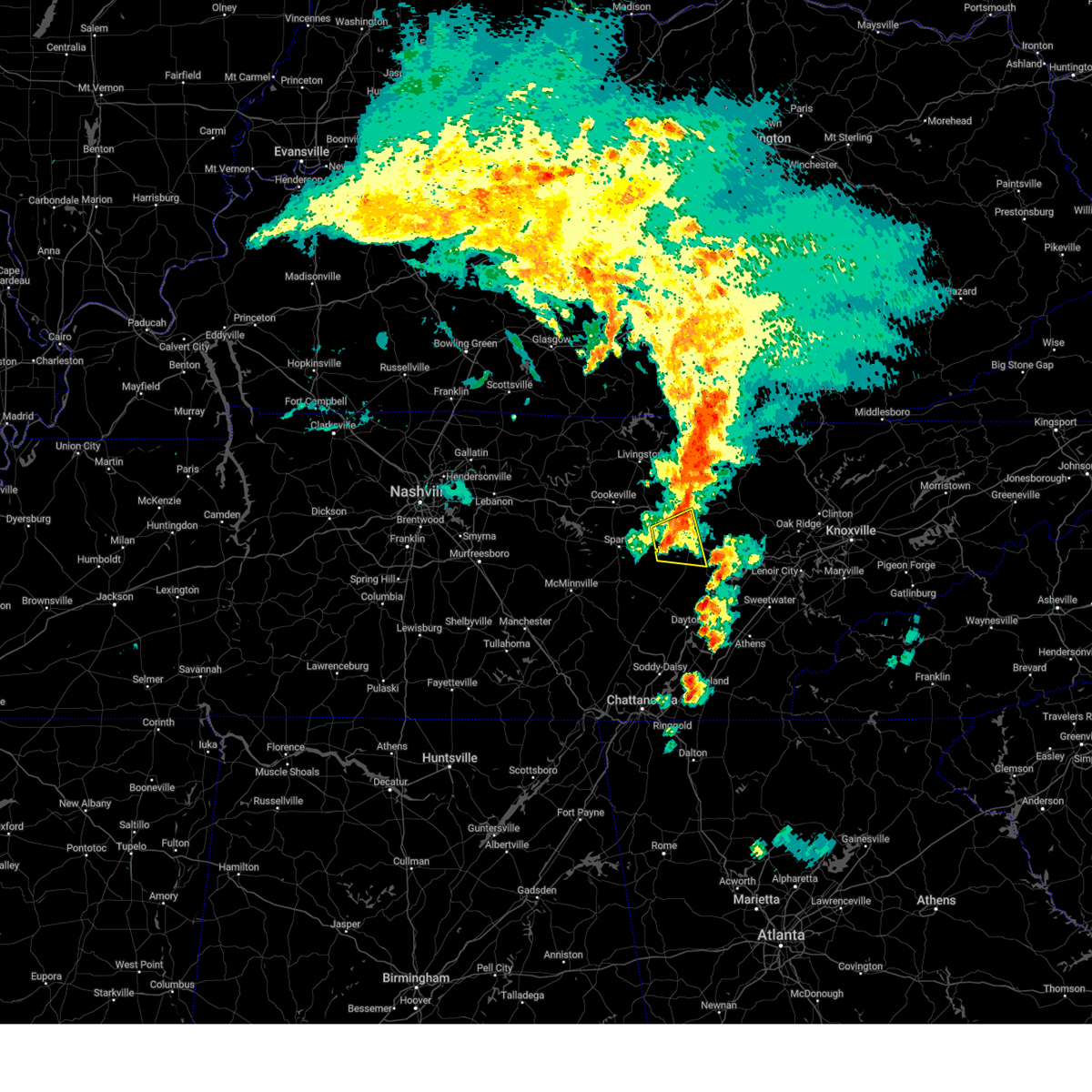
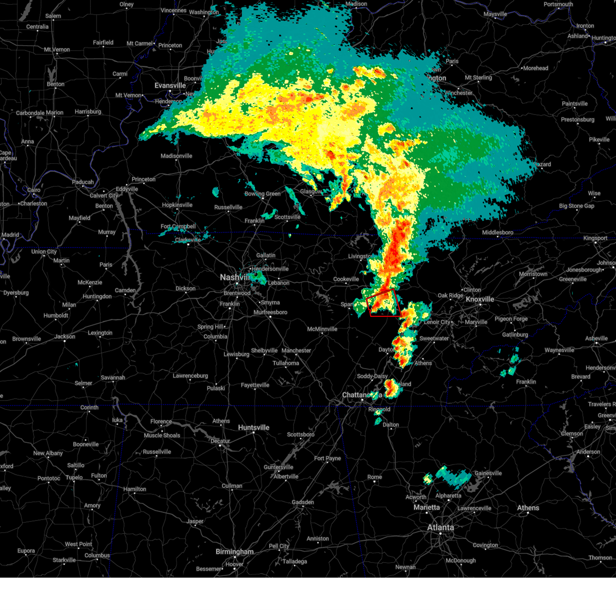
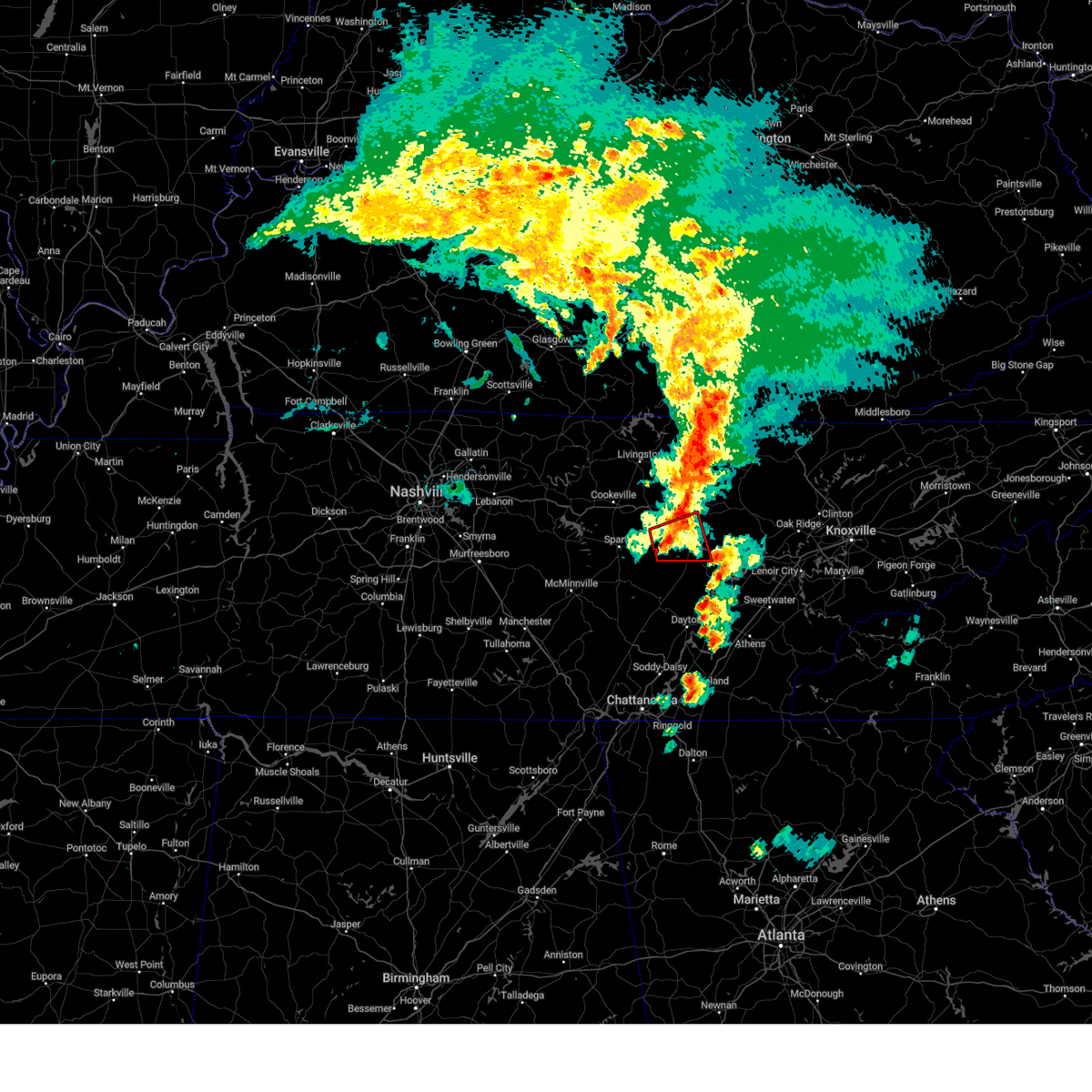
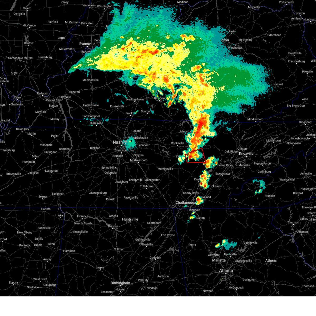
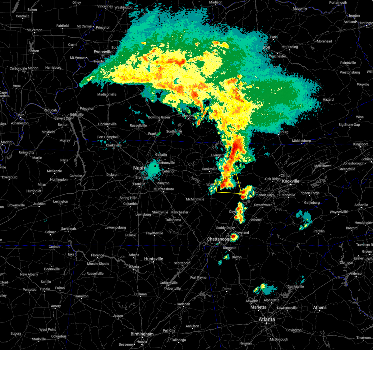
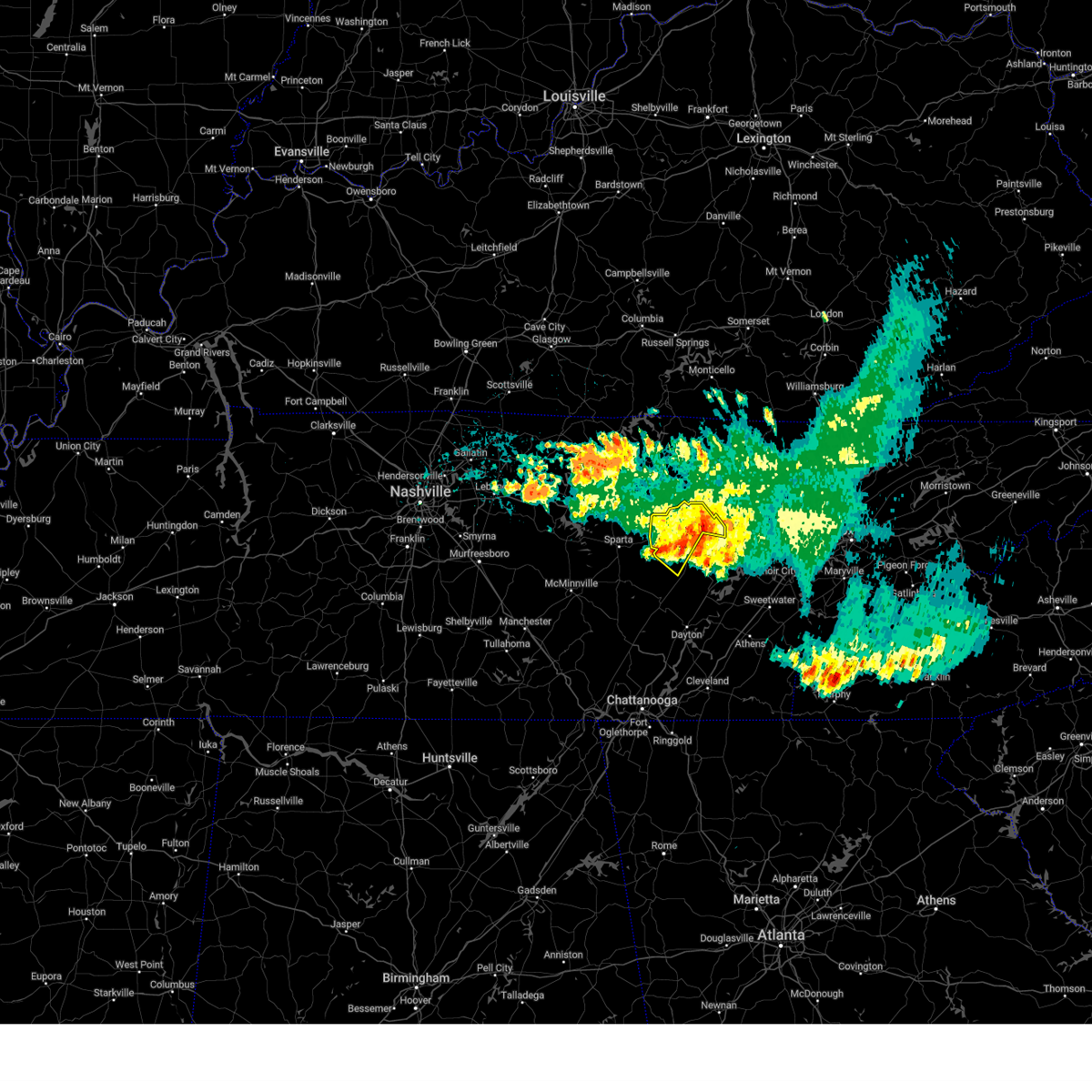
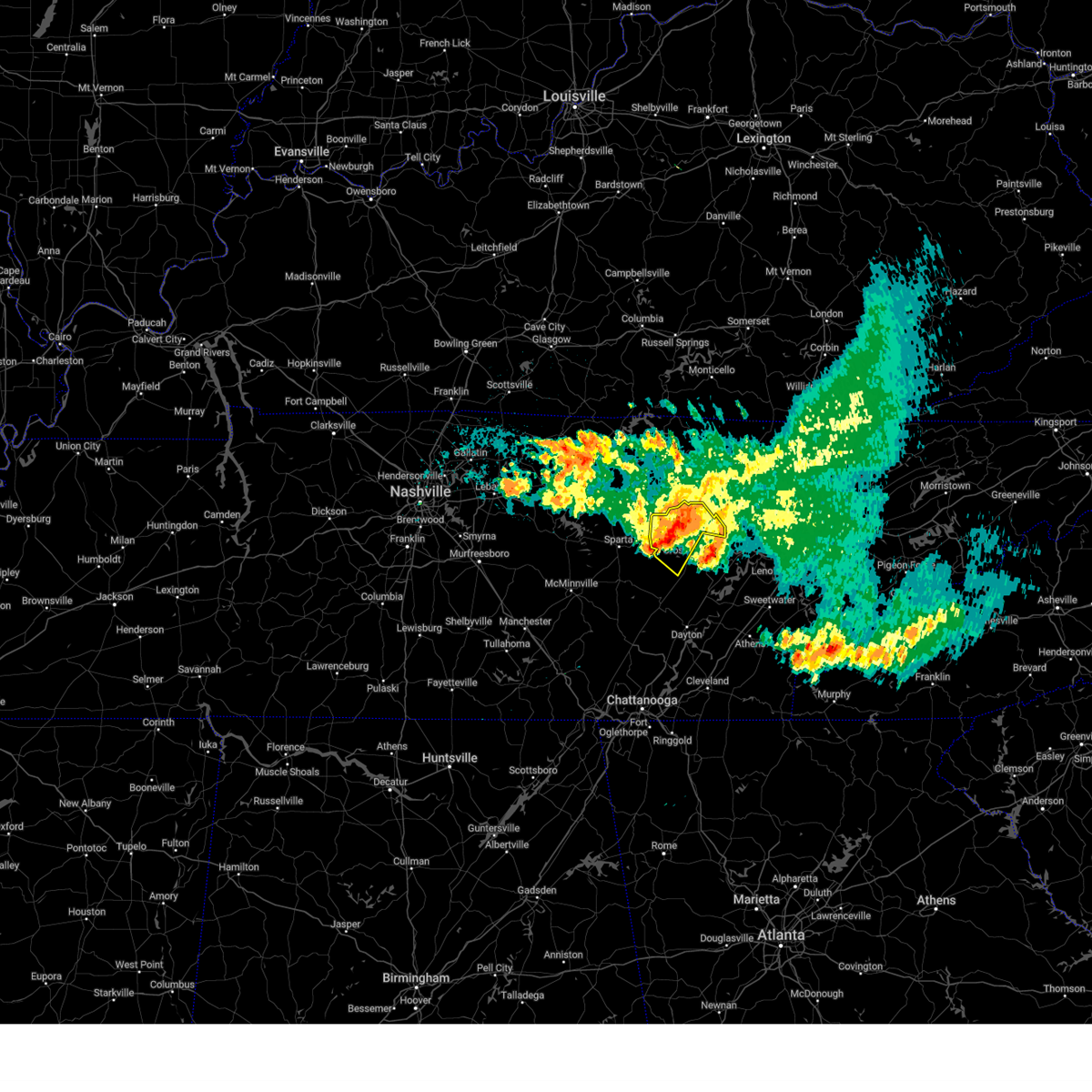
Hail Map for Pleasant Hill, TN
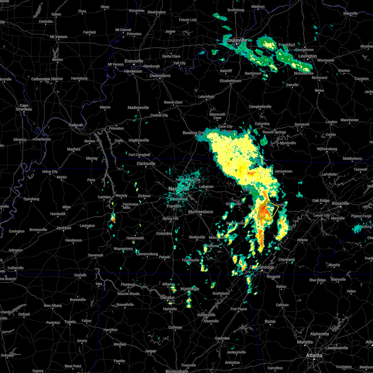
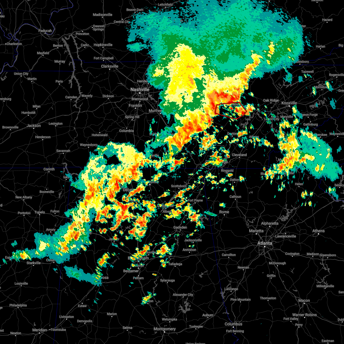
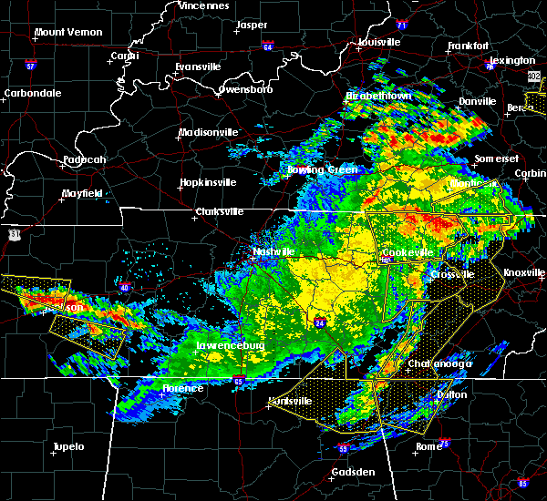
The Pleasant Hill, TN area has had 4 reports of on-the-ground hail by trained spotters, and has been under severe weather warnings 19 times during the past 12 months. Doppler radar has detected hail at or near Pleasant Hill, TN on 36 occasions, including 4 occasions during the past year.
| Name: | Pleasant Hill, TN |
| Where Located: | 64.5 miles N of Chattanooga, TN |
| Map: | Google Map for Pleasant Hill, TN |
| Population: | 563 |
| Housing Units: | 303 |
| More Info: | Search Google for Pleasant Hill, TN |
0
The Top Recent Hail Date for Pleasant Hill, TN is Friday, June 13, 2025 (20th out of 36)
Hail and Wind Damage Spotted near Pleasant Hill, TN
| Date / Time | Report Details |
|---|---|
| 5/20/2025 9:11 PM EDT |
 the severe thunderstorm warning has been cancelled and is no longer in effect the severe thunderstorm warning has been cancelled and is no longer in effect
|
| 5/20/2025 9:11 PM EDT |
 At 811 pm cdt, severe thunderstorms were located along a line extending from near jamestown to near crossville, moving east at 55 mph (radar indicated). Hazards include 65 mph wind gusts and quarter size hail. Hail damage to vehicles is expected. expect wind damage to roofs, siding, and trees. Locations impacted include, grimsley, allardt, slate springs, jamestown, clarkrange, fairfield glade, crossville, crab orchard, and pleasant hill. At 811 pm cdt, severe thunderstorms were located along a line extending from near jamestown to near crossville, moving east at 55 mph (radar indicated). Hazards include 65 mph wind gusts and quarter size hail. Hail damage to vehicles is expected. expect wind damage to roofs, siding, and trees. Locations impacted include, grimsley, allardt, slate springs, jamestown, clarkrange, fairfield glade, crossville, crab orchard, and pleasant hill.
|
| 5/20/2025 8:59 PM EDT | the severe thunderstorm warning has been cancelled and is no longer in effect |
| 5/20/2025 8:59 PM EDT | At 759 pm cdt, severe thunderstorms were located along a line extending from 7 miles west of jamestown to 9 miles south of monterey, moving east at 50 mph (trained weather spotters. at 757 pm cdt...several trees were blown down across putnam county with these storms). Hazards include 65 mph wind gusts and quarter size hail. Hail damage to vehicles is expected. expect wind damage to roofs, siding, and trees. Locations impacted include, grimsley, allardt, slate springs, jamestown, pleasant hill, clarkrange, fairfield glade, crawford, monterey, crossville, and crab orchard. |
| 5/20/2025 8:28 PM EDT |
 Svrohx the national weather service in nashville has issued a * severe thunderstorm warning for, overton county in middle tennessee, south central pickett county in middle tennessee, cumberland county in middle tennessee, southeastern jackson county in middle tennessee, northern white county in middle tennessee, putnam county in middle tennessee, fentress county in middle tennessee, * until 830 pm cdt. * at 728 pm cdt, severe thunderstorms were located along a line extending from gainesboro to baxter, moving east at 55 mph (radar indicated). Hazards include 65 mph wind gusts and quarter size hail. Hail damage to vehicles is expected. Expect wind damage to roofs, siding, and trees. Svrohx the national weather service in nashville has issued a * severe thunderstorm warning for, overton county in middle tennessee, south central pickett county in middle tennessee, cumberland county in middle tennessee, southeastern jackson county in middle tennessee, northern white county in middle tennessee, putnam county in middle tennessee, fentress county in middle tennessee, * until 830 pm cdt. * at 728 pm cdt, severe thunderstorms were located along a line extending from gainesboro to baxter, moving east at 55 mph (radar indicated). Hazards include 65 mph wind gusts and quarter size hail. Hail damage to vehicles is expected. Expect wind damage to roofs, siding, and trees.
|
| 3/31/2025 2:07 AM CDT |
 At 206 am cdt, a severe thunderstorm was located 9 miles southwest of crossville, moving east at 35 mph (radar indicated). Hazards include 60 mph wind gusts. Expect damage to roofs, siding, and trees. locations impacted include, crab orchard, lake tansi, cumberland mountain state park, slate springs, pleasant hill, indian rock lake, fairfield glade, and crossville. This includes interstate 40 between mile markers 305 and 340. At 206 am cdt, a severe thunderstorm was located 9 miles southwest of crossville, moving east at 35 mph (radar indicated). Hazards include 60 mph wind gusts. Expect damage to roofs, siding, and trees. locations impacted include, crab orchard, lake tansi, cumberland mountain state park, slate springs, pleasant hill, indian rock lake, fairfield glade, and crossville. This includes interstate 40 between mile markers 305 and 340.
|
| 3/31/2025 2:07 AM CDT |
 the severe thunderstorm warning has been cancelled and is no longer in effect the severe thunderstorm warning has been cancelled and is no longer in effect
|
| 3/31/2025 2:00 AM CDT |
 Svrohx the national weather service in nashville has issued a * severe thunderstorm warning for, cumberland county in middle tennessee, eastern white county in middle tennessee, southeastern putnam county in middle tennessee, * until 300 am cdt. * at 159 am cdt, a severe thunderstorm was located 13 miles southwest of crossville, moving east at 35 mph (radar indicated). Hazards include 60 mph wind gusts. expect damage to roofs, siding, and trees Svrohx the national weather service in nashville has issued a * severe thunderstorm warning for, cumberland county in middle tennessee, eastern white county in middle tennessee, southeastern putnam county in middle tennessee, * until 300 am cdt. * at 159 am cdt, a severe thunderstorm was located 13 miles southwest of crossville, moving east at 35 mph (radar indicated). Hazards include 60 mph wind gusts. expect damage to roofs, siding, and trees
|
| 3/15/2025 5:55 PM CDT |
 the tornado warning has been cancelled and is no longer in effect the tornado warning has been cancelled and is no longer in effect
|
| 3/15/2025 5:55 PM CDT |
 At 555 pm cdt, a severe thunderstorm capable of producing a tornado was located near crossville, moving northeast at 60 mph (radar indicated rotation). Hazards include tornado. Flying debris will be dangerous to those caught without shelter. mobile homes will be damaged or destroyed. damage to roofs, windows, and vehicles will occur. tree damage is likely. this dangerous storm will be near, crossville around 600 pm cdt. other locations impacted by this tornadic thunderstorm include virgin falls state natural area, lake tansi, cumberland mountain state park, slate springs, pleasant hill, and indian rock lake. This includes interstate 40 between mile markers 305 and 324. At 555 pm cdt, a severe thunderstorm capable of producing a tornado was located near crossville, moving northeast at 60 mph (radar indicated rotation). Hazards include tornado. Flying debris will be dangerous to those caught without shelter. mobile homes will be damaged or destroyed. damage to roofs, windows, and vehicles will occur. tree damage is likely. this dangerous storm will be near, crossville around 600 pm cdt. other locations impacted by this tornadic thunderstorm include virgin falls state natural area, lake tansi, cumberland mountain state park, slate springs, pleasant hill, and indian rock lake. This includes interstate 40 between mile markers 305 and 324.
|
| 3/15/2025 5:41 PM CDT |
 Torohx the national weather service in nashville has issued a * tornado warning for, western cumberland county in middle tennessee, northeastern van buren county in middle tennessee, southeastern white county in middle tennessee, * until 615 pm cdt. * at 541 pm cdt, a severe thunderstorm capable of producing a tornado was located 11 miles east of spencer, moving northeast at 60 mph (radar indicated rotation). Hazards include tornado. Flying debris will be dangerous to those caught without shelter. mobile homes will be damaged or destroyed. damage to roofs, windows, and vehicles will occur. tree damage is likely. this dangerous storm will be near, crossville around 555 pm cdt. other locations impacted by this tornadic thunderstorm include lake tansi, cumberland mountain state park, slate springs, pleasant hill, indian rock lake, virgin falls state natural area, and fall creek falls state park. This includes interstate 40 between mile markers 305 and 324. Torohx the national weather service in nashville has issued a * tornado warning for, western cumberland county in middle tennessee, northeastern van buren county in middle tennessee, southeastern white county in middle tennessee, * until 615 pm cdt. * at 541 pm cdt, a severe thunderstorm capable of producing a tornado was located 11 miles east of spencer, moving northeast at 60 mph (radar indicated rotation). Hazards include tornado. Flying debris will be dangerous to those caught without shelter. mobile homes will be damaged or destroyed. damage to roofs, windows, and vehicles will occur. tree damage is likely. this dangerous storm will be near, crossville around 555 pm cdt. other locations impacted by this tornadic thunderstorm include lake tansi, cumberland mountain state park, slate springs, pleasant hill, indian rock lake, virgin falls state natural area, and fall creek falls state park. This includes interstate 40 between mile markers 305 and 324.
|
| 3/15/2025 5:33 PM CDT | At 533 pm cdt, severe thunderstorms were located along a line extending from near sunnybrook to 14 miles south of jamestown to near crossville, moving east at 45 mph (radar indicated). Hazards include 60 mph wind gusts and quarter size hail. Hail damage to vehicles is expected. expect wind damage to roofs, siding, and trees. locations impacted include, grimsley, allardt, slate springs, virgin falls state natural area, pall mall, jamestown, pleasant hill, byrdstown, clarkrange, fairfield glade, crawford, pickett state park, and crossville. This includes interstate 40 between mile markers 304 and 324. |
| 3/15/2025 5:16 PM CDT | At 516 pm cdt, severe thunderstorms were located along a line extending from near albany to 6 miles east of monterey to 8 miles east of sparta, moving northeast at 40 mph (radar indicated). Hazards include 60 mph wind gusts and quarter size hail. Hail damage to vehicles is expected. expect wind damage to roofs, siding, and trees. locations impacted include, grimsley, allardt, slate springs, livingston, virgin falls state natural area, pall mall, jamestown, pleasant hill, byrdstown, clarkrange, fairfield glade, crawford, pickett state park, monterey, and crossville. This includes interstate 40 between mile markers 297 and 324. |
| 3/15/2025 5:16 PM CDT | the severe thunderstorm warning has been cancelled and is no longer in effect |
| 3/15/2025 5:01 PM CDT | Svrohx the national weather service in nashville has issued a * severe thunderstorm warning for, overton county in middle tennessee, pickett county in middle tennessee, northwestern cumberland county in middle tennessee, northeastern clay county in middle tennessee, eastern white county in middle tennessee, southeastern putnam county in middle tennessee, fentress county in middle tennessee, * until 600 pm cdt. * at 501 pm cdt, severe thunderstorms were located along a line extending from 9 miles west of byrdstown to near monterey to 6 miles north of spencer, moving northeast at 40 mph (radar indicated). Hazards include 60 mph wind gusts and quarter size hail. Hail damage to vehicles is expected. Expect wind damage to roofs, siding, and trees. |
| 3/15/2025 5:01 PM CDT | the tornado warning has been cancelled and is no longer in effect |
| 3/15/2025 4:46 PM CDT |
 At 446 pm cdt, a severe thunderstorm capable of producing a tornado was located 7 miles northeast of sparta, moving northeast at 45 mph (radar indicated rotation). Hazards include tornado. Flying debris will be dangerous to those caught without shelter. mobile homes will be damaged or destroyed. damage to roofs, windows, and vehicles will occur. tree damage is likely. this dangerous storm will be near, monterey around 455 pm cdt. other locations impacted by this tornadic thunderstorm include pleasant hill. This includes interstate 40 between mile markers 296 and 314. At 446 pm cdt, a severe thunderstorm capable of producing a tornado was located 7 miles northeast of sparta, moving northeast at 45 mph (radar indicated rotation). Hazards include tornado. Flying debris will be dangerous to those caught without shelter. mobile homes will be damaged or destroyed. damage to roofs, windows, and vehicles will occur. tree damage is likely. this dangerous storm will be near, monterey around 455 pm cdt. other locations impacted by this tornadic thunderstorm include pleasant hill. This includes interstate 40 between mile markers 296 and 314.
|
| 3/15/2025 4:32 PM CDT |
 Torohx the national weather service in nashville has issued a * tornado warning for, northwestern cumberland county in middle tennessee, central white county in middle tennessee, southeastern putnam county in middle tennessee, * until 530 pm cdt. * at 432 pm cdt, a severe thunderstorm capable of producing a tornado was located near sparta, moving northeast at 45 mph (radar indicated rotation). Hazards include tornado. Flying debris will be dangerous to those caught without shelter. mobile homes will be damaged or destroyed. damage to roofs, windows, and vehicles will occur. tree damage is likely. this dangerous storm will be near, sparta around 440 pm cdt. monterey around 500 pm cdt. other locations impacted by this tornadic thunderstorm include doyle and pleasant hill. This includes interstate 40 between mile markers 296 and 317. Torohx the national weather service in nashville has issued a * tornado warning for, northwestern cumberland county in middle tennessee, central white county in middle tennessee, southeastern putnam county in middle tennessee, * until 530 pm cdt. * at 432 pm cdt, a severe thunderstorm capable of producing a tornado was located near sparta, moving northeast at 45 mph (radar indicated rotation). Hazards include tornado. Flying debris will be dangerous to those caught without shelter. mobile homes will be damaged or destroyed. damage to roofs, windows, and vehicles will occur. tree damage is likely. this dangerous storm will be near, sparta around 440 pm cdt. monterey around 500 pm cdt. other locations impacted by this tornadic thunderstorm include doyle and pleasant hill. This includes interstate 40 between mile markers 296 and 317.
|
| 7/30/2024 3:44 PM CDT | Svrohx the national weather service in nashville has issued a * severe thunderstorm warning for, southwestern cumberland county in middle tennessee, southeastern smith county in middle tennessee, eastern de kalb county in middle tennessee, northern van buren county in middle tennessee, northeastern warren county in middle tennessee, white county in middle tennessee, putnam county in middle tennessee, * until 430 pm cdt. * at 344 pm cdt, severe thunderstorms were located along a line extending from monterey to near smithville, moving southeast at 50 mph (radar indicated). Hazards include 60 mph wind gusts and quarter size hail. Hail damage to vehicles is expected. Expect wind damage to roofs, siding, and trees. |
| 5/23/2024 5:35 PM CDT |
 At 535 pm cdt, a severe thunderstorm was located 8 miles southwest of crossville, moving east at 35 mph (radar indicated). Hazards include 60 mph wind gusts and penny size hail. Expect damage to roofs, siding, and trees. locations impacted include, crossville, crab orchard, pleasant hill, lake tansi, cumberland mountain state park, and slate springs. This includes interstate 40 between mile markers 310 and 326. At 535 pm cdt, a severe thunderstorm was located 8 miles southwest of crossville, moving east at 35 mph (radar indicated). Hazards include 60 mph wind gusts and penny size hail. Expect damage to roofs, siding, and trees. locations impacted include, crossville, crab orchard, pleasant hill, lake tansi, cumberland mountain state park, and slate springs. This includes interstate 40 between mile markers 310 and 326.
|
| 5/23/2024 5:35 PM CDT |
 the severe thunderstorm warning has been cancelled and is no longer in effect the severe thunderstorm warning has been cancelled and is no longer in effect
|
| 5/23/2024 5:34 PM CDT |
 the tornado warning has been cancelled and is no longer in effect the tornado warning has been cancelled and is no longer in effect
|
| 5/23/2024 5:34 PM CDT |
 At 533 pm cdt, a severe thunderstorm capable of producing a tornado was located near crossville, moving east at 35 mph (radar indicated rotation). Hazards include tornado. Flying debris will be dangerous to those caught without shelter. mobile homes will be damaged or destroyed. damage to roofs, windows, and vehicles will occur. tree damage is likely. locations impacted include, crossville, fairfield glade, crab orchard, pleasant hill, lake tansi, cumberland mountain state park, and slate springs. This includes interstate 40 between mile markers 311 and 329. At 533 pm cdt, a severe thunderstorm capable of producing a tornado was located near crossville, moving east at 35 mph (radar indicated rotation). Hazards include tornado. Flying debris will be dangerous to those caught without shelter. mobile homes will be damaged or destroyed. damage to roofs, windows, and vehicles will occur. tree damage is likely. locations impacted include, crossville, fairfield glade, crab orchard, pleasant hill, lake tansi, cumberland mountain state park, and slate springs. This includes interstate 40 between mile markers 311 and 329.
|
| 5/23/2024 5:27 PM CDT |
 Torohx the national weather service in nashville has issued a * tornado warning for, western cumberland county in middle tennessee, east central white county in middle tennessee, * until 600 pm cdt. * at 527 pm cdt, a severe thunderstorm capable of producing a tornado was located 9 miles west of crossville, moving east at 35 mph (radar indicated rotation). Hazards include tornado. Flying debris will be dangerous to those caught without shelter. mobile homes will be damaged or destroyed. damage to roofs, windows, and vehicles will occur. tree damage is likely. this dangerous storm will be near, crossville around 530 pm cdt. fairfield glade around 545 pm cdt. other locations impacted by this tornadic thunderstorm include crab orchard, lake tansi, cumberland mountain state park, slate springs, and pleasant hill. This includes interstate 40 between mile markers 311 and 329. Torohx the national weather service in nashville has issued a * tornado warning for, western cumberland county in middle tennessee, east central white county in middle tennessee, * until 600 pm cdt. * at 527 pm cdt, a severe thunderstorm capable of producing a tornado was located 9 miles west of crossville, moving east at 35 mph (radar indicated rotation). Hazards include tornado. Flying debris will be dangerous to those caught without shelter. mobile homes will be damaged or destroyed. damage to roofs, windows, and vehicles will occur. tree damage is likely. this dangerous storm will be near, crossville around 530 pm cdt. fairfield glade around 545 pm cdt. other locations impacted by this tornadic thunderstorm include crab orchard, lake tansi, cumberland mountain state park, slate springs, and pleasant hill. This includes interstate 40 between mile markers 311 and 329.
|
| 5/23/2024 5:23 PM CDT |
 Svrohx the national weather service in nashville has issued a * severe thunderstorm warning for, western cumberland county in middle tennessee, southeastern white county in middle tennessee, * until 600 pm cdt. * at 522 pm cdt, a severe thunderstorm was located 12 miles east of sparta, moving east at 35 mph (radar indicated). Hazards include 60 mph wind gusts and penny size hail. expect damage to roofs, siding, and trees Svrohx the national weather service in nashville has issued a * severe thunderstorm warning for, western cumberland county in middle tennessee, southeastern white county in middle tennessee, * until 600 pm cdt. * at 522 pm cdt, a severe thunderstorm was located 12 miles east of sparta, moving east at 35 mph (radar indicated). Hazards include 60 mph wind gusts and penny size hail. expect damage to roofs, siding, and trees
|
| 5/22/2024 7:08 PM CDT |
 The storm which prompted the warning has weakened below severe limits, and no longer poses an immediate threat to life or property. therefore, the warning will be allowed to expire. however, gusty winds are still possible with this thunderstorm. a severe thunderstorm watch remains in effect until 1000 pm cdt for middle tennessee. The storm which prompted the warning has weakened below severe limits, and no longer poses an immediate threat to life or property. therefore, the warning will be allowed to expire. however, gusty winds are still possible with this thunderstorm. a severe thunderstorm watch remains in effect until 1000 pm cdt for middle tennessee.
|
| 5/22/2024 6:54 PM CDT |
 At 653 pm cdt, a severe thunderstorm was located 8 miles south of monterey, or 12 miles northwest of crossville, moving east at 60 mph (radar indicated). Hazards include 60 mph wind gusts. Expect damage to roofs, siding, and trees. locations impacted include, crossville, sparta, fairfield glade, monterey, crab orchard, pleasant hill, lake tansi, cumberland mountain state park, slate springs, and virgin falls state natural area. This includes interstate 40 between mile markers 293 and 331. At 653 pm cdt, a severe thunderstorm was located 8 miles south of monterey, or 12 miles northwest of crossville, moving east at 60 mph (radar indicated). Hazards include 60 mph wind gusts. Expect damage to roofs, siding, and trees. locations impacted include, crossville, sparta, fairfield glade, monterey, crab orchard, pleasant hill, lake tansi, cumberland mountain state park, slate springs, and virgin falls state natural area. This includes interstate 40 between mile markers 293 and 331.
|
| 5/22/2024 6:44 PM CDT |
 the severe thunderstorm warning has been cancelled and is no longer in effect the severe thunderstorm warning has been cancelled and is no longer in effect
|
| 5/22/2024 6:44 PM CDT |
 At 644 pm cdt, a severe thunderstorm was located near sparta, moving east at 55 mph (radar indicated). Hazards include 60 mph wind gusts. Expect damage to roofs, siding, and trees. locations impacted include, cookeville, crossville, sparta, fairfield glade, monterey, crab orchard, pleasant hill, doyle, hamptons crossroads, cumberland mountain state park, slate springs, bakers crossroads, virgin falls state natural area, burgess falls state park, and lake tansi. This includes interstate 40 between mile markers 286 and 331. At 644 pm cdt, a severe thunderstorm was located near sparta, moving east at 55 mph (radar indicated). Hazards include 60 mph wind gusts. Expect damage to roofs, siding, and trees. locations impacted include, cookeville, crossville, sparta, fairfield glade, monterey, crab orchard, pleasant hill, doyle, hamptons crossroads, cumberland mountain state park, slate springs, bakers crossroads, virgin falls state natural area, burgess falls state park, and lake tansi. This includes interstate 40 between mile markers 286 and 331.
|
| 5/22/2024 6:29 PM CDT |
 Svrohx the national weather service in nashville has issued a * severe thunderstorm warning for, southeastern overton county in middle tennessee, cumberland county in middle tennessee, eastern de kalb county in middle tennessee, white county in middle tennessee, southern putnam county in middle tennessee, * until 715 pm cdt. * at 629 pm cdt, a severe thunderstorm was located 7 miles west of sparta, moving east at 55 mph (radar indicated). Hazards include 60 mph wind gusts. expect damage to roofs, siding, and trees Svrohx the national weather service in nashville has issued a * severe thunderstorm warning for, southeastern overton county in middle tennessee, cumberland county in middle tennessee, eastern de kalb county in middle tennessee, white county in middle tennessee, southern putnam county in middle tennessee, * until 715 pm cdt. * at 629 pm cdt, a severe thunderstorm was located 7 miles west of sparta, moving east at 55 mph (radar indicated). Hazards include 60 mph wind gusts. expect damage to roofs, siding, and trees
|
| 5/8/2024 8:02 PM CDT |
 At 801 pm cdt, a severe thunderstorm was located 11 miles north of crossville, moving east at 45 mph (radar indicated). Hazards include 60 mph wind gusts and nickel size hail. Expect damage to roofs, siding, and trees. locations impacted include, crossville, fairfield glade, monterey, pleasant hill, grimsley, slate springs, clarkrange, and crawford. This includes interstate 40 between mile markers 300 and 321. At 801 pm cdt, a severe thunderstorm was located 11 miles north of crossville, moving east at 45 mph (radar indicated). Hazards include 60 mph wind gusts and nickel size hail. Expect damage to roofs, siding, and trees. locations impacted include, crossville, fairfield glade, monterey, pleasant hill, grimsley, slate springs, clarkrange, and crawford. This includes interstate 40 between mile markers 300 and 321.
|
| 5/8/2024 8:02 PM CDT |
 the severe thunderstorm warning has been cancelled and is no longer in effect the severe thunderstorm warning has been cancelled and is no longer in effect
|
| 5/8/2024 7:41 PM CDT |
 Svrohx the national weather service in nashville has issued a * severe thunderstorm warning for, southern overton county in middle tennessee, northern cumberland county in middle tennessee, northeastern white county in middle tennessee, eastern putnam county in middle tennessee, southwestern fentress county in middle tennessee, * until 815 pm cdt. * at 741 pm cdt, a severe thunderstorm was located near monterey, or 10 miles east of cookeville, moving east at 45 mph (radar indicated). Hazards include 60 mph wind gusts and nickel size hail. expect damage to roofs, siding, and trees Svrohx the national weather service in nashville has issued a * severe thunderstorm warning for, southern overton county in middle tennessee, northern cumberland county in middle tennessee, northeastern white county in middle tennessee, eastern putnam county in middle tennessee, southwestern fentress county in middle tennessee, * until 815 pm cdt. * at 741 pm cdt, a severe thunderstorm was located near monterey, or 10 miles east of cookeville, moving east at 45 mph (radar indicated). Hazards include 60 mph wind gusts and nickel size hail. expect damage to roofs, siding, and trees
|
| 5/6/2024 6:12 PM CDT |
 The storm which prompted the warning has weakened below severe limits, and no longer poses an immediate threat to life or property. therefore, the warning will be allowed to expire. however, small hail, gusty winds and heavy rain are still possible with this thunderstorm. The storm which prompted the warning has weakened below severe limits, and no longer poses an immediate threat to life or property. therefore, the warning will be allowed to expire. however, small hail, gusty winds and heavy rain are still possible with this thunderstorm.
|
| 5/6/2024 5:46 PM CDT |
 At 546 pm cdt, a severe thunderstorm was located 11 miles northeast of spencer, moving east at 40 mph (radar indicated). Hazards include 60 mph wind gusts and nickel size hail. Expect damage to roofs, siding, and trees. locations impacted include, crossville, sparta, spencer, crab orchard, pleasant hill, doyle, lake tansi, cumberland mountain state park, fall creek falls state park, indian rock lake, and virgin falls state natural area. This includes interstate 40 between mile markers 327 and 338. At 546 pm cdt, a severe thunderstorm was located 11 miles northeast of spencer, moving east at 40 mph (radar indicated). Hazards include 60 mph wind gusts and nickel size hail. Expect damage to roofs, siding, and trees. locations impacted include, crossville, sparta, spencer, crab orchard, pleasant hill, doyle, lake tansi, cumberland mountain state park, fall creek falls state park, indian rock lake, and virgin falls state natural area. This includes interstate 40 between mile markers 327 and 338.
|
| 5/6/2024 5:26 PM CDT |
 Svrohx the national weather service in nashville has issued a * severe thunderstorm warning for, southern cumberland county in middle tennessee, northern van buren county in middle tennessee, white county in middle tennessee, * until 615 pm cdt. * at 526 pm cdt, a severe thunderstorm was located over sparta, moving east at 30 mph (radar indicated). Hazards include 60 mph wind gusts and nickel size hail. expect damage to roofs, siding, and trees Svrohx the national weather service in nashville has issued a * severe thunderstorm warning for, southern cumberland county in middle tennessee, northern van buren county in middle tennessee, white county in middle tennessee, * until 615 pm cdt. * at 526 pm cdt, a severe thunderstorm was located over sparta, moving east at 30 mph (radar indicated). Hazards include 60 mph wind gusts and nickel size hail. expect damage to roofs, siding, and trees
|
| 5/6/2024 5:17 PM CDT |
 At 517 pm cdt, a severe thunderstorm was located near sparta, moving east at 30 mph (radar indicated). Hazards include 60 mph wind gusts and nickel size hail. Expect damage to roofs, siding, and trees. locations impacted include, crossville, sparta, spencer, pleasant hill, doyle, hamptons crossroads, bakers crossroads, virgin falls state natural area, rock island state park, and fall creek falls state park. This includes interstate 40 between mile markers 312 and 317. At 517 pm cdt, a severe thunderstorm was located near sparta, moving east at 30 mph (radar indicated). Hazards include 60 mph wind gusts and nickel size hail. Expect damage to roofs, siding, and trees. locations impacted include, crossville, sparta, spencer, pleasant hill, doyle, hamptons crossroads, bakers crossroads, virgin falls state natural area, rock island state park, and fall creek falls state park. This includes interstate 40 between mile markers 312 and 317.
|
| 5/6/2024 5:17 PM CDT |
 the severe thunderstorm warning has been cancelled and is no longer in effect the severe thunderstorm warning has been cancelled and is no longer in effect
|
| 5/6/2024 4:51 PM CDT |
 Svrohx the national weather service in nashville has issued a * severe thunderstorm warning for, west central cumberland county in middle tennessee, eastern de kalb county in middle tennessee, northern van buren county in middle tennessee, northeastern warren county in middle tennessee, white county in middle tennessee, southern putnam county in middle tennessee, * until 530 pm cdt. * at 451 pm cdt, a severe thunderstorm was located 7 miles west of sparta, moving east at 35 mph (radar indicated). Hazards include 60 mph wind gusts and quarter size hail. Hail damage to vehicles is expected. Expect wind damage to roofs, siding, and trees. Svrohx the national weather service in nashville has issued a * severe thunderstorm warning for, west central cumberland county in middle tennessee, eastern de kalb county in middle tennessee, northern van buren county in middle tennessee, northeastern warren county in middle tennessee, white county in middle tennessee, southern putnam county in middle tennessee, * until 530 pm cdt. * at 451 pm cdt, a severe thunderstorm was located 7 miles west of sparta, moving east at 35 mph (radar indicated). Hazards include 60 mph wind gusts and quarter size hail. Hail damage to vehicles is expected. Expect wind damage to roofs, siding, and trees.
|
| 8/12/2023 1:24 PM CDT |
 At 123 pm cdt, severe thunderstorms were located along a line extending from algood to sparta to spencer, moving east at 55 mph (radar indicated). Hazards include 60 mph wind gusts. expect damage to roofs, siding, and trees At 123 pm cdt, severe thunderstorms were located along a line extending from algood to sparta to spencer, moving east at 55 mph (radar indicated). Hazards include 60 mph wind gusts. expect damage to roofs, siding, and trees
|
| 8/7/2023 12:49 PM CDT |
 At 1249 pm cdt, a severe thunderstorm was located 13 miles northwest of fairfield glade, or 13 miles north of crossville, moving east at 55 mph (radar indicated). Hazards include 70 mph wind gusts and penny size hail. Expect considerable tree damage. damage is likely to mobile homes, roofs, and outbuildings. locations impacted include, crossville, fairfield glade, pleasant hill, grimsley, slate springs and clarkrange. this includes interstate 40 between mile markers 306 and 321. thunderstorm damage threat, considerable hail threat, radar indicated max hail size, 0. 75 in wind threat, radar indicated max wind gust, 70 mph. At 1249 pm cdt, a severe thunderstorm was located 13 miles northwest of fairfield glade, or 13 miles north of crossville, moving east at 55 mph (radar indicated). Hazards include 70 mph wind gusts and penny size hail. Expect considerable tree damage. damage is likely to mobile homes, roofs, and outbuildings. locations impacted include, crossville, fairfield glade, pleasant hill, grimsley, slate springs and clarkrange. this includes interstate 40 between mile markers 306 and 321. thunderstorm damage threat, considerable hail threat, radar indicated max hail size, 0. 75 in wind threat, radar indicated max wind gust, 70 mph.
|
| 8/7/2023 12:38 PM CDT |
 At 1237 pm cdt, a severe thunderstorm was located over monterey, or 14 miles east of cookeville, moving east at 55 mph (radar indicated). Hazards include 70 mph wind gusts and penny size hail. Expect considerable tree damage. Damage is likely to mobile homes, roofs, and outbuildings. At 1237 pm cdt, a severe thunderstorm was located over monterey, or 14 miles east of cookeville, moving east at 55 mph (radar indicated). Hazards include 70 mph wind gusts and penny size hail. Expect considerable tree damage. Damage is likely to mobile homes, roofs, and outbuildings.
|
| 8/7/2023 12:26 PM CDT |
 At 1226 pm cdt, a severe thunderstorm was located near spencer, moving east at 55 mph (radar indicated). Hazards include 70 mph wind gusts and penny size hail. Expect considerable tree damage. Damage is likely to mobile homes, roofs, and outbuildings. At 1226 pm cdt, a severe thunderstorm was located near spencer, moving east at 55 mph (radar indicated). Hazards include 70 mph wind gusts and penny size hail. Expect considerable tree damage. Damage is likely to mobile homes, roofs, and outbuildings.
|
| 7/1/2023 3:07 PM CDT |
 At 307 pm cdt, severe thunderstorms were located along a line extending from near livingston to near monterey to 11 miles east of sparta, moving east at 45 mph (radar indicated). Hazards include 60 mph wind gusts. Expect damage to roofs, siding, and trees. locations impacted include, crossville, livingston, monterey, pleasant hill, clarkrange, crawford, virgin falls state natural area and rickman. this includes interstate 40 between mile markers 295 and 316. hail threat, radar indicated max hail size, <. 75 in wind threat, radar indicated max wind gust, 60 mph. At 307 pm cdt, severe thunderstorms were located along a line extending from near livingston to near monterey to 11 miles east of sparta, moving east at 45 mph (radar indicated). Hazards include 60 mph wind gusts. Expect damage to roofs, siding, and trees. locations impacted include, crossville, livingston, monterey, pleasant hill, clarkrange, crawford, virgin falls state natural area and rickman. this includes interstate 40 between mile markers 295 and 316. hail threat, radar indicated max hail size, <. 75 in wind threat, radar indicated max wind gust, 60 mph.
|
| 7/1/2023 2:51 PM CDT |
 At 250 pm cdt, severe thunderstorms were located along a line extending from 7 miles southwest of livingston to near algood to sparta, moving east at 45 mph (radar indicated). Hazards include 60 mph wind gusts. expect damage to roofs, siding, and trees At 250 pm cdt, severe thunderstorms were located along a line extending from 7 miles southwest of livingston to near algood to sparta, moving east at 45 mph (radar indicated). Hazards include 60 mph wind gusts. expect damage to roofs, siding, and trees
|
| 6/26/2023 2:51 AM CDT |
 The severe thunderstorm warning for cumberland county will expire at 300 am cdt, the storm which prompted the warning has weakened below severe limits, and no longer poses an immediate threat to life or property. therefore, the warning will be allowed to expire. however gusty winds are still possible with this thunderstorm. a severe thunderstorm watch remains in effect until 300 am cdt for middle tennessee. The severe thunderstorm warning for cumberland county will expire at 300 am cdt, the storm which prompted the warning has weakened below severe limits, and no longer poses an immediate threat to life or property. therefore, the warning will be allowed to expire. however gusty winds are still possible with this thunderstorm. a severe thunderstorm watch remains in effect until 300 am cdt for middle tennessee.
|
| 6/26/2023 2:41 AM CDT |
 At 241 am cdt, a severe thunderstorm was located near fairfield glade, or 8 miles northeast of crossville, moving east at 55 mph (radar indicated). Hazards include 60 mph wind gusts and penny size hail. Expect damage to roofs, siding, and trees. locations impacted include, crossville, fairfield glade, pleasant hill, lake tansi, cumberland mountain state park and slate springs. this includes interstate 40 between mile markers 305 and 324. hail threat, radar indicated max hail size, 0. 75 in wind threat, radar indicated max wind gust, 60 mph. At 241 am cdt, a severe thunderstorm was located near fairfield glade, or 8 miles northeast of crossville, moving east at 55 mph (radar indicated). Hazards include 60 mph wind gusts and penny size hail. Expect damage to roofs, siding, and trees. locations impacted include, crossville, fairfield glade, pleasant hill, lake tansi, cumberland mountain state park and slate springs. this includes interstate 40 between mile markers 305 and 324. hail threat, radar indicated max hail size, 0. 75 in wind threat, radar indicated max wind gust, 60 mph.
|
| 6/26/2023 2:34 AM CDT |
 At 234 am cdt, a severe thunderstorm was located 7 miles north of crossville, moving east at 55 mph (radar indicated). Hazards include 60 mph wind gusts and penny size hail. expect damage to roofs, siding, and trees At 234 am cdt, a severe thunderstorm was located 7 miles north of crossville, moving east at 55 mph (radar indicated). Hazards include 60 mph wind gusts and penny size hail. expect damage to roofs, siding, and trees
|
| 3/3/2023 12:50 PM CST |
 At 1249 pm cst, severe thunderstorms were located along a line extending from near livingston to near monterey to 7 miles northeast of sparta, moving northeast at 85 mph (radar indicated). Hazards include 70 mph wind gusts. Expect considerable tree damage. damage is likely to mobile homes, roofs, and outbuildings. locations impacted include, cookeville, crossville, sparta, jamestown, algood, monterey, allardt, pleasant hill, doyle, grimsley, hamptons crossroads, bakers crossroads, slate springs, virgin falls state natural area, burgess falls state park, rock island state park, rickman, clarkrange and crawford. this includes interstate 40 between mile markers 282 and 321. thunderstorm damage threat, considerable hail threat, radar indicated max hail size, <. 75 in wind threat, radar indicated max wind gust, 70 mph. At 1249 pm cst, severe thunderstorms were located along a line extending from near livingston to near monterey to 7 miles northeast of sparta, moving northeast at 85 mph (radar indicated). Hazards include 70 mph wind gusts. Expect considerable tree damage. damage is likely to mobile homes, roofs, and outbuildings. locations impacted include, cookeville, crossville, sparta, jamestown, algood, monterey, allardt, pleasant hill, doyle, grimsley, hamptons crossroads, bakers crossroads, slate springs, virgin falls state natural area, burgess falls state park, rock island state park, rickman, clarkrange and crawford. this includes interstate 40 between mile markers 282 and 321. thunderstorm damage threat, considerable hail threat, radar indicated max hail size, <. 75 in wind threat, radar indicated max wind gust, 70 mph.
|
| 3/3/2023 12:36 PM CST |
 At 1235 pm cst, severe thunderstorms were located along a line extending from near baxter to 9 miles northwest of sparta to 9 miles southeast of smithville, moving northeast at 80 mph (radar indicated). Hazards include 70 mph wind gusts. Expect considerable tree damage. damage is likely to mobile homes, roofs, and outbuildings. locations impacted include, cookeville, crossville, sparta, jamestown, algood, monterey, baxter, allardt, pleasant hill, doyle, grimsley, hamptons crossroads, bakers crossroads, slate springs, virgin falls state natural area, burgess falls state park, rock island state park, rickman, clarkrange and crawford. this includes interstate 40 between mile markers 272 and 321. thunderstorm damage threat, considerable hail threat, radar indicated max hail size, <. 75 in wind threat, radar indicated max wind gust, 70 mph. At 1235 pm cst, severe thunderstorms were located along a line extending from near baxter to 9 miles northwest of sparta to 9 miles southeast of smithville, moving northeast at 80 mph (radar indicated). Hazards include 70 mph wind gusts. Expect considerable tree damage. damage is likely to mobile homes, roofs, and outbuildings. locations impacted include, cookeville, crossville, sparta, jamestown, algood, monterey, baxter, allardt, pleasant hill, doyle, grimsley, hamptons crossroads, bakers crossroads, slate springs, virgin falls state natural area, burgess falls state park, rock island state park, rickman, clarkrange and crawford. this includes interstate 40 between mile markers 272 and 321. thunderstorm damage threat, considerable hail threat, radar indicated max hail size, <. 75 in wind threat, radar indicated max wind gust, 70 mph.
|
| 3/3/2023 12:24 PM CST |
 At 1224 pm cst, severe thunderstorms were located along a line extending from 10 miles southeast of gordonsville to 6 miles southeast of smithville to near mcminnville, moving northeast at 85 mph (radar indicated). Hazards include 70 mph wind gusts. Expect considerable tree damage. Damage is likely to mobile homes, roofs, and outbuildings. At 1224 pm cst, severe thunderstorms were located along a line extending from 10 miles southeast of gordonsville to 6 miles southeast of smithville to near mcminnville, moving northeast at 85 mph (radar indicated). Hazards include 70 mph wind gusts. Expect considerable tree damage. Damage is likely to mobile homes, roofs, and outbuildings.
|
| 2/16/2023 6:37 PM CST |
 The severe thunderstorm warning for northwestern cumberland, northeastern white and southeastern putnam counties will expire at 645 pm cst, the storm which prompted the warning has weakened below severe limits, and has exited the warned area. therefore, the warning will be allowed to expire. a tornado watch remains in effect until 700 pm cst for middle tennessee. The severe thunderstorm warning for northwestern cumberland, northeastern white and southeastern putnam counties will expire at 645 pm cst, the storm which prompted the warning has weakened below severe limits, and has exited the warned area. therefore, the warning will be allowed to expire. a tornado watch remains in effect until 700 pm cst for middle tennessee.
|
| 2/16/2023 6:16 PM CST |
 At 616 pm cst, a severe thunderstorm was located near sparta, moving east at 35 mph (radar indicated). Hazards include 60 mph wind gusts. expect damage to roofs, siding, and trees At 616 pm cst, a severe thunderstorm was located near sparta, moving east at 35 mph (radar indicated). Hazards include 60 mph wind gusts. expect damage to roofs, siding, and trees
|
| 1/3/2023 12:24 PM CST |
 At 1224 pm cst, a severe thunderstorm was located 12 miles northwest of fairfield glade, or 14 miles north of crossville, moving east at 50 mph (radar indicated). Hazards include 60 mph wind gusts. Expect damage to roofs, siding, and trees. locations impacted include, crossville, fairfield glade, crab orchard, pleasant hill, grimsley, lake tansi, cumberland mountain state park, slate springs and clarkrange. this includes interstate 40 between mile markers 306 and 340. hail threat, radar indicated max hail size, <. 75 in wind threat, radar indicated max wind gust, 60 mph. At 1224 pm cst, a severe thunderstorm was located 12 miles northwest of fairfield glade, or 14 miles north of crossville, moving east at 50 mph (radar indicated). Hazards include 60 mph wind gusts. Expect damage to roofs, siding, and trees. locations impacted include, crossville, fairfield glade, crab orchard, pleasant hill, grimsley, lake tansi, cumberland mountain state park, slate springs and clarkrange. this includes interstate 40 between mile markers 306 and 340. hail threat, radar indicated max hail size, <. 75 in wind threat, radar indicated max wind gust, 60 mph.
|
| 1/3/2023 12:09 PM CST |
 At 1208 pm cst, a severe thunderstorm was located near monterey, or 14 miles northeast of sparta, moving northeast at 50 mph (radar indicated). Hazards include 60 mph wind gusts. expect damage to roofs, siding, and trees At 1208 pm cst, a severe thunderstorm was located near monterey, or 14 miles northeast of sparta, moving northeast at 50 mph (radar indicated). Hazards include 60 mph wind gusts. expect damage to roofs, siding, and trees
|
| 1/3/2023 11:48 AM CST |
 At 1147 am cst, a severe thunderstorm was located 7 miles northwest of sparta, moving northeast at 55 mph (radar indicated). Hazards include 60 mph wind gusts. Expect damage to roofs, siding, and trees. locations impacted include, cookeville, mcminnville, sparta, smithville, spencer, algood, monterey, baxter, pleasant hill, doyle, hamptons crossroads, bakers crossroads, virgin falls state natural area, burgess falls state park, rock island state park, indian rock lake and fall creek falls state park. this includes interstate 40 between mile markers 273 and 300. hail threat, radar indicated max hail size, <. 75 in wind threat, radar indicated max wind gust, 60 mph. At 1147 am cst, a severe thunderstorm was located 7 miles northwest of sparta, moving northeast at 55 mph (radar indicated). Hazards include 60 mph wind gusts. Expect damage to roofs, siding, and trees. locations impacted include, cookeville, mcminnville, sparta, smithville, spencer, algood, monterey, baxter, pleasant hill, doyle, hamptons crossroads, bakers crossroads, virgin falls state natural area, burgess falls state park, rock island state park, indian rock lake and fall creek falls state park. this includes interstate 40 between mile markers 273 and 300. hail threat, radar indicated max hail size, <. 75 in wind threat, radar indicated max wind gust, 60 mph.
|
| 1/3/2023 11:32 AM CST |
 At 1132 am cst, a severe thunderstorm was located near smithville, moving northeast at 40 mph (radar indicated). Hazards include 60 mph wind gusts. expect damage to roofs, siding, and trees At 1132 am cst, a severe thunderstorm was located near smithville, moving northeast at 40 mph (radar indicated). Hazards include 60 mph wind gusts. expect damage to roofs, siding, and trees
|
| 7/28/2022 6:11 PM CDT |
 The severe thunderstorm warning for western cumberland, van buren and southeastern white counties will expire at 615 pm cdt, the storms which prompted the warning have weakened below severe limits, and no longer pose an immediate threat to life or property. therefore, the warning will be allowed to expire. The severe thunderstorm warning for western cumberland, van buren and southeastern white counties will expire at 615 pm cdt, the storms which prompted the warning have weakened below severe limits, and no longer pose an immediate threat to life or property. therefore, the warning will be allowed to expire.
|
| 7/28/2022 6:06 PM CDT |
 At 606 pm cdt, severe thunderstorms were located along a line extending from 7 miles southeast of sparta to near spencer, moving northeast at 35 mph (radar indicated). Hazards include 60 mph wind gusts. Expect damage to roofs, siding, and trees. locations impacted include, spencer, pleasant hill, virgin falls state natural area and fall creek falls state park. this includes interstate 40 between mile markers 311 and 315. hail threat, radar indicated max hail size, <. 75 in wind threat, radar indicated max wind gust, 60 mph. At 606 pm cdt, severe thunderstorms were located along a line extending from 7 miles southeast of sparta to near spencer, moving northeast at 35 mph (radar indicated). Hazards include 60 mph wind gusts. Expect damage to roofs, siding, and trees. locations impacted include, spencer, pleasant hill, virgin falls state natural area and fall creek falls state park. this includes interstate 40 between mile markers 311 and 315. hail threat, radar indicated max hail size, <. 75 in wind threat, radar indicated max wind gust, 60 mph.
|
| 7/28/2022 5:57 PM CDT |
 At 556 pm cdt, severe thunderstorms were located along a line extending from near sparta to 9 miles southwest of spencer, moving northeast at 35 mph (radar indicated). Hazards include 60 mph wind gusts. expect damage to roofs, siding, and trees At 556 pm cdt, severe thunderstorms were located along a line extending from near sparta to 9 miles southwest of spencer, moving northeast at 35 mph (radar indicated). Hazards include 60 mph wind gusts. expect damage to roofs, siding, and trees
|
| 7/21/2022 4:34 AM CDT |
 At 433 am cdt, severe thunderstorms were located along a line extending from near fairfield glade to mcminnville, moving southeast at 20 mph (radar indicated). Hazards include 60 mph wind gusts. Expect damage to roofs, siding, and trees. locations impacted include, crossville, sparta, spencer, fairfield glade, crab orchard, pleasant hill, doyle, cumberland mountain state park, virgin falls state natural area, rock island state park, lake tansi, fall creek falls state park and indian rock lake. this includes interstate 40 between mile markers 317 and 340. hail threat, radar indicated max hail size, <. 75 in wind threat, radar indicated max wind gust, 60 mph. At 433 am cdt, severe thunderstorms were located along a line extending from near fairfield glade to mcminnville, moving southeast at 20 mph (radar indicated). Hazards include 60 mph wind gusts. Expect damage to roofs, siding, and trees. locations impacted include, crossville, sparta, spencer, fairfield glade, crab orchard, pleasant hill, doyle, cumberland mountain state park, virgin falls state natural area, rock island state park, lake tansi, fall creek falls state park and indian rock lake. this includes interstate 40 between mile markers 317 and 340. hail threat, radar indicated max hail size, <. 75 in wind threat, radar indicated max wind gust, 60 mph.
|
| 7/21/2022 4:08 AM CDT |
 At 407 am cdt, severe thunderstorms were located along a line extending from near fairfield glade to 7 miles southeast of smithville, moving east at 35 mph (radar indicated). Hazards include 60 mph wind gusts. expect damage to roofs, siding, and trees At 407 am cdt, severe thunderstorms were located along a line extending from near fairfield glade to 7 miles southeast of smithville, moving east at 35 mph (radar indicated). Hazards include 60 mph wind gusts. expect damage to roofs, siding, and trees
|
| 7/21/2022 3:59 AM CDT |
 At 358 am cdt, severe thunderstorms were located along a line extending from 8 miles east of monterey to near sparta, moving east at 35 mph (radar indicated). Hazards include 60 mph wind gusts. Expect damage to roofs, siding, and trees. locations impacted include, cookeville, sparta, smithville, algood, monterey, baxter, pleasant hill, dowelltown, grimsley, hamptons crossroads, bakers crossroads, burgess falls state park, rickman, clarkrange, crawford and edgar evans state park. this includes interstate 40 between mile markers 270 and 315. hail threat, radar indicated max hail size, <. 75 in wind threat, radar indicated max wind gust, 60 mph. At 358 am cdt, severe thunderstorms were located along a line extending from 8 miles east of monterey to near sparta, moving east at 35 mph (radar indicated). Hazards include 60 mph wind gusts. Expect damage to roofs, siding, and trees. locations impacted include, cookeville, sparta, smithville, algood, monterey, baxter, pleasant hill, dowelltown, grimsley, hamptons crossroads, bakers crossroads, burgess falls state park, rickman, clarkrange, crawford and edgar evans state park. this includes interstate 40 between mile markers 270 and 315. hail threat, radar indicated max hail size, <. 75 in wind threat, radar indicated max wind gust, 60 mph.
|
| 7/21/2022 3:30 AM CDT |
 At 330 am cdt, severe thunderstorms were located along a line extending from near algood to 6 miles north of smithville, moving east at 35 mph (radar indicated). Hazards include 60 mph wind gusts. expect damage to roofs, siding, and trees At 330 am cdt, severe thunderstorms were located along a line extending from near algood to 6 miles north of smithville, moving east at 35 mph (radar indicated). Hazards include 60 mph wind gusts. expect damage to roofs, siding, and trees
|
| 7/7/2022 4:09 PM CDT |
 At 409 pm cdt, a severe thunderstorm was located 9 miles southeast of monterey, or near mayland, moving east at 15 mph (radar indicated). Hazards include 60 mph wind gusts and penny size hail. Expect damage to roofs, siding, and trees. locations impacted include, crossville, pleasant hill, lake tansi and slate springs. this includes interstate 40 between mile markers 304 and 321. hail threat, radar indicated max hail size, 0. 75 in wind threat, radar indicated max wind gust, 60 mph. At 409 pm cdt, a severe thunderstorm was located 9 miles southeast of monterey, or near mayland, moving east at 15 mph (radar indicated). Hazards include 60 mph wind gusts and penny size hail. Expect damage to roofs, siding, and trees. locations impacted include, crossville, pleasant hill, lake tansi and slate springs. this includes interstate 40 between mile markers 304 and 321. hail threat, radar indicated max hail size, 0. 75 in wind threat, radar indicated max wind gust, 60 mph.
|
| 7/7/2022 3:46 PM CDT |
 At 346 pm cdt, a severe thunderstorm was located near monterey, or 12 miles northeast of sparta, moving east at 15 mph (radar indicated). Hazards include 60 mph wind gusts and penny size hail. expect damage to roofs, siding, and trees At 346 pm cdt, a severe thunderstorm was located near monterey, or 12 miles northeast of sparta, moving east at 15 mph (radar indicated). Hazards include 60 mph wind gusts and penny size hail. expect damage to roofs, siding, and trees
|
| 5/5/2022 7:01 PM CDT | Quarter sized hail reported 0.1 miles SSW of Pleasant Hill, TN |
| 4/13/2022 9:25 PM CDT |
 At 925 pm cdt, severe thunderstorms were located along a line extending from near mount pisgah to 10 miles northeast of spencer, moving east at 60 mph (radar indicated). Hazards include 60 mph wind gusts. expect damage to roofs, siding, and trees At 925 pm cdt, severe thunderstorms were located along a line extending from near mount pisgah to 10 miles northeast of spencer, moving east at 60 mph (radar indicated). Hazards include 60 mph wind gusts. expect damage to roofs, siding, and trees
|
| 4/13/2022 10:17 PM EDT |
 At 916 pm cdt, severe thunderstorms were located along a line extending from near jamestown to 6 miles southeast of monterey, moving east at 60 mph (radar indicated). Hazards include 60 mph wind gusts. Expect damage to roofs, siding, and trees. locations impacted include, crossville, jamestown, byrdstown, fairfield glade, monterey, allardt, pleasant hill, grimsley, slate springs, pall mall, clarkrange, crawford and pickett state park. this includes interstate 40 between mile markers 290 and 319. hail threat, radar indicated max hail size, <. 75 in wind threat, radar indicated max wind gust, 60 mph. At 916 pm cdt, severe thunderstorms were located along a line extending from near jamestown to 6 miles southeast of monterey, moving east at 60 mph (radar indicated). Hazards include 60 mph wind gusts. Expect damage to roofs, siding, and trees. locations impacted include, crossville, jamestown, byrdstown, fairfield glade, monterey, allardt, pleasant hill, grimsley, slate springs, pall mall, clarkrange, crawford and pickett state park. this includes interstate 40 between mile markers 290 and 319. hail threat, radar indicated max hail size, <. 75 in wind threat, radar indicated max wind gust, 60 mph.
|
| 4/13/2022 9:14 PM CDT |
 At 914 pm cdt, severe thunderstorms were located along a line extending from near monterey to gruetli-laager, moving east at 65 mph (radar indicated). Hazards include 60 mph wind gusts. Expect damage to roofs, siding, and trees. locations impacted include, crossville, sparta, spencer, fairfield glade, gruetli-laager, tracy city, monteagle, altamont, coalmont, palmer, pleasant hill, doyle, beersheba springs, cumberland mountain state park, virgin falls state natural area, lake tansi, fall creek falls state park, indian rock lake and fiery gizzard state park. this includes the following highways, interstate 40 between mile markers 320 and 326. interstate 24 between mile markers 134 and 136. hail threat, radar indicated max hail size, <. 75 in wind threat, radar indicated max wind gust, 60 mph. At 914 pm cdt, severe thunderstorms were located along a line extending from near monterey to gruetli-laager, moving east at 65 mph (radar indicated). Hazards include 60 mph wind gusts. Expect damage to roofs, siding, and trees. locations impacted include, crossville, sparta, spencer, fairfield glade, gruetli-laager, tracy city, monteagle, altamont, coalmont, palmer, pleasant hill, doyle, beersheba springs, cumberland mountain state park, virgin falls state natural area, lake tansi, fall creek falls state park, indian rock lake and fiery gizzard state park. this includes the following highways, interstate 40 between mile markers 320 and 326. interstate 24 between mile markers 134 and 136. hail threat, radar indicated max hail size, <. 75 in wind threat, radar indicated max wind gust, 60 mph.
|
| 4/13/2022 8:55 PM CDT |
 At 855 pm cdt, severe thunderstorms were located along a line extending from 6 miles south of baxter to 9 miles southeast of manchester, moving east at 65 mph (radar indicated). Hazards include 70 mph wind gusts. Expect considerable tree damage. Damage is likely to mobile homes, roofs, and outbuildings. At 855 pm cdt, severe thunderstorms were located along a line extending from 6 miles south of baxter to 9 miles southeast of manchester, moving east at 65 mph (radar indicated). Hazards include 70 mph wind gusts. Expect considerable tree damage. Damage is likely to mobile homes, roofs, and outbuildings.
|
| 4/13/2022 8:53 PM CDT |
 At 852 pm cdt, severe thunderstorms were located along a line extending from 7 miles southeast of celina to 7 miles south of baxter, moving east at 60 mph (radar indicated). Hazards include 70 mph wind gusts. Expect considerable tree damage. Damage is likely to mobile homes, roofs, and outbuildings. At 852 pm cdt, severe thunderstorms were located along a line extending from 7 miles southeast of celina to 7 miles south of baxter, moving east at 60 mph (radar indicated). Hazards include 70 mph wind gusts. Expect considerable tree damage. Damage is likely to mobile homes, roofs, and outbuildings.
|
| 10/6/2021 5:22 PM CDT |
 At 522 pm cdt, a severe thunderstorm capable of producing a tornado was located near lake tansi, or 9 miles south of crossville, moving north at 25 mph (radar indicated rotation). Hazards include tornado and quarter size hail. Flying debris will be dangerous to those caught without shelter. mobile homes will be damaged or destroyed. damage to roofs, windows, and vehicles will occur. tree damage is likely. this dangerous storm will be near, crossville around 555 pm cdt. other locations impacted by this tornadic thunderstorm include lake tansi, cumberland mountain state park, pleasant hill and indian rock lake. This includes interstate 40 between mile markers 319 and 323. At 522 pm cdt, a severe thunderstorm capable of producing a tornado was located near lake tansi, or 9 miles south of crossville, moving north at 25 mph (radar indicated rotation). Hazards include tornado and quarter size hail. Flying debris will be dangerous to those caught without shelter. mobile homes will be damaged or destroyed. damage to roofs, windows, and vehicles will occur. tree damage is likely. this dangerous storm will be near, crossville around 555 pm cdt. other locations impacted by this tornadic thunderstorm include lake tansi, cumberland mountain state park, pleasant hill and indian rock lake. This includes interstate 40 between mile markers 319 and 323.
|
| 10/6/2021 5:09 PM CDT |
 At 508 pm cdt, a severe thunderstorm capable of producing a tornado was located 11 miles northeast of pikeville, moving north at 25 mph (radar indicated rotation). Hazards include tornado. Flying debris will be dangerous to those caught without shelter. mobile homes will be damaged or destroyed. damage to roofs, windows, and vehicles will occur. tree damage is likely. this dangerous storm will be near, crossville around 545 pm cdt. other locations impacted by this tornadic thunderstorm include lake tansi, cumberland mountain state park, pleasant hill and indian rock lake. This includes interstate 40 between mile markers 319 and 323. At 508 pm cdt, a severe thunderstorm capable of producing a tornado was located 11 miles northeast of pikeville, moving north at 25 mph (radar indicated rotation). Hazards include tornado. Flying debris will be dangerous to those caught without shelter. mobile homes will be damaged or destroyed. damage to roofs, windows, and vehicles will occur. tree damage is likely. this dangerous storm will be near, crossville around 545 pm cdt. other locations impacted by this tornadic thunderstorm include lake tansi, cumberland mountain state park, pleasant hill and indian rock lake. This includes interstate 40 between mile markers 319 and 323.
|
| 10/6/2021 12:20 PM CDT |
 At 1220 pm cdt, a severe thunderstorm was located 13 miles southeast of sparta, moving north at 15 mph (radar indicated). Hazards include 60 mph wind gusts and penny size hail. Expect damage to roofs, siding, and trees. locations impacted include, crossville, pleasant hill, virgin falls state natural area, indian rock lake and lake tansi. hail threat, radar indicated max hail size, 0. 75 in wind threat, radar indicated max wind gust, 60 mph. At 1220 pm cdt, a severe thunderstorm was located 13 miles southeast of sparta, moving north at 15 mph (radar indicated). Hazards include 60 mph wind gusts and penny size hail. Expect damage to roofs, siding, and trees. locations impacted include, crossville, pleasant hill, virgin falls state natural area, indian rock lake and lake tansi. hail threat, radar indicated max hail size, 0. 75 in wind threat, radar indicated max wind gust, 60 mph.
|
| 10/6/2021 11:59 AM CDT |
 At 1159 am cdt, a severe thunderstorm was located 10 miles east of spencer, moving northeast at 15 mph (radar indicated). Hazards include 60 mph wind gusts and penny size hail. expect damage to roofs, siding, and trees At 1159 am cdt, a severe thunderstorm was located 10 miles east of spencer, moving northeast at 15 mph (radar indicated). Hazards include 60 mph wind gusts and penny size hail. expect damage to roofs, siding, and trees
|
| 6/21/2021 5:57 PM CDT |
 The national weather service in nashville has issued a * severe thunderstorm warning for. cumberland county in middle tennessee. until 630 pm cdt. At 557 pm cdt, a severe thunderstorm was located near crossville, moving east at 40 mph. The national weather service in nashville has issued a * severe thunderstorm warning for. cumberland county in middle tennessee. until 630 pm cdt. At 557 pm cdt, a severe thunderstorm was located near crossville, moving east at 40 mph.
|
| 6/21/2021 5:45 PM CDT |
 At 544 pm cdt, a severe thunderstorm was located 9 miles northeast of spencer, moving east at 40 mph (radar indicated). Hazards include 60 mph wind gusts. Expect damage to roofs, siding, and trees. Locations impacted include, spencer, pleasant hill, doyle, virgin falls state natural area, fall creek falls state park and indian rock lake. At 544 pm cdt, a severe thunderstorm was located 9 miles northeast of spencer, moving east at 40 mph (radar indicated). Hazards include 60 mph wind gusts. Expect damage to roofs, siding, and trees. Locations impacted include, spencer, pleasant hill, doyle, virgin falls state natural area, fall creek falls state park and indian rock lake.
|
| 6/21/2021 5:34 PM CDT | Large tree down on scotts gulf road in white county TN, 9.9 miles NNE of Pleasant Hill, TN |
| 6/21/2021 5:22 PM CDT |
 At 522 pm cdt, a severe thunderstorm was located 9 miles northwest of spencer, moving east at 40 mph (radar indicated). Hazards include 60 mph wind gusts. expect damage to roofs, siding, and trees At 522 pm cdt, a severe thunderstorm was located 9 miles northwest of spencer, moving east at 40 mph (radar indicated). Hazards include 60 mph wind gusts. expect damage to roofs, siding, and trees
|
| 5/4/2021 8:24 AM CDT |
 At 824 am cdt, a severe thunderstorm capable of producing a tornado was located 12 miles east of sparta, moving east at 45 mph (radar indicated rotation). Hazards include tornado. Flying debris will be dangerous to those caught without shelter. mobile homes will be damaged or destroyed. damage to roofs, windows, and vehicles will occur. tree damage is likely. this tornadic thunderstorm will remain over mainly rural areas of southern cumberland and east central white counties, including the following locations, virgin falls state natural area, crab orchard, lake tansi, cumberland mountain state park and pleasant hill. This includes interstate 40 between mile markers 317 and 337. At 824 am cdt, a severe thunderstorm capable of producing a tornado was located 12 miles east of sparta, moving east at 45 mph (radar indicated rotation). Hazards include tornado. Flying debris will be dangerous to those caught without shelter. mobile homes will be damaged or destroyed. damage to roofs, windows, and vehicles will occur. tree damage is likely. this tornadic thunderstorm will remain over mainly rural areas of southern cumberland and east central white counties, including the following locations, virgin falls state natural area, crab orchard, lake tansi, cumberland mountain state park and pleasant hill. This includes interstate 40 between mile markers 317 and 337.
|
| 5/4/2021 8:15 AM CDT | Multiple trees down in pleasant hill in cumberland county TN, 0.1 miles SSW of Pleasant Hill, TN |
| 5/4/2021 8:07 AM CDT |
 At 807 am cdt, a severe thunderstorm capable of producing a tornado was located over sparta, moving east at 55 mph (radar indicated rotation). Hazards include tornado. Flying debris will be dangerous to those caught without shelter. mobile homes will be damaged or destroyed. damage to roofs, windows, and vehicles will occur. tree damage is likely. this dangerous storm will be near, crossville around 830 am cdt. Other locations impacted by this tornadic thunderstorm include virgin falls state natural area, lake tansi, doyle and pleasant hill. At 807 am cdt, a severe thunderstorm capable of producing a tornado was located over sparta, moving east at 55 mph (radar indicated rotation). Hazards include tornado. Flying debris will be dangerous to those caught without shelter. mobile homes will be damaged or destroyed. damage to roofs, windows, and vehicles will occur. tree damage is likely. this dangerous storm will be near, crossville around 830 am cdt. Other locations impacted by this tornadic thunderstorm include virgin falls state natural area, lake tansi, doyle and pleasant hill.
|
| 5/4/2021 9:05 AM EDT |
 At 805 am cdt, a severe thunderstorm was located 7 miles south of jamestown, moving northeast at 35 mph (radar indicated). Hazards include 60 mph wind gusts and penny size hail. expect damage to roofs, siding, and trees At 805 am cdt, a severe thunderstorm was located 7 miles south of jamestown, moving northeast at 35 mph (radar indicated). Hazards include 60 mph wind gusts and penny size hail. expect damage to roofs, siding, and trees
|
| 5/4/2021 7:53 AM CDT |
 At 753 am cdt, severe thunderstorms were located along a line extending from 6 miles southeast of smithville to near tullahoma, moving east at 50 mph (radar indicated). Hazards include 60 mph wind gusts. expect damage to roofs, siding, and trees At 753 am cdt, severe thunderstorms were located along a line extending from 6 miles southeast of smithville to near tullahoma, moving east at 50 mph (radar indicated). Hazards include 60 mph wind gusts. expect damage to roofs, siding, and trees
|
| 4/8/2021 3:11 PM CDT | Multiple trees down. damage to pleasant hill high school and adjacent nursing home. possible tornado. time estimated from rada in cumberland county TN, 0.1 miles SSW of Pleasant Hill, TN |
| 4/8/2021 3:11 PM CDT | Quarter sized hail reported 0.1 miles SSW of Pleasant Hill, TN |
| 8/28/2020 7:05 PM CDT |
 At 704 pm cdt, a severe thunderstorm capable of producing a tornado was located just north of pleasant hill, or 9 miles west of crossville, moving northeast at 35 mph (radar indicated rotation). Hazards include tornado. Flying debris will be dangerous to those caught without shelter. mobile homes will be damaged or destroyed. damage to roofs, windows, and vehicles will occur. tree damage is likely. this dangerous storm will be near, mayland around 715 pm cdt. This includes interstate 40 between mile markers 308 and 319. At 704 pm cdt, a severe thunderstorm capable of producing a tornado was located just north of pleasant hill, or 9 miles west of crossville, moving northeast at 35 mph (radar indicated rotation). Hazards include tornado. Flying debris will be dangerous to those caught without shelter. mobile homes will be damaged or destroyed. damage to roofs, windows, and vehicles will occur. tree damage is likely. this dangerous storm will be near, mayland around 715 pm cdt. This includes interstate 40 between mile markers 308 and 319.
|
| 8/28/2020 6:58 PM CDT |
 At 657 pm cdt, a severe thunderstorm capable of producing a tornado was located near de rossett, or 12 miles east of sparta, moving northeast at 35 mph (radar indicated rotation). Hazards include tornado. Flying debris will be dangerous to those caught without shelter. mobile homes will be damaged or destroyed. damage to roofs, windows, and vehicles will occur. tree damage is likely. this dangerous storm will be near, pleasant hill around 705 pm cdt. crossville around 720 pm cdt. This includes interstate 40 between mile markers 304 and 320. At 657 pm cdt, a severe thunderstorm capable of producing a tornado was located near de rossett, or 12 miles east of sparta, moving northeast at 35 mph (radar indicated rotation). Hazards include tornado. Flying debris will be dangerous to those caught without shelter. mobile homes will be damaged or destroyed. damage to roofs, windows, and vehicles will occur. tree damage is likely. this dangerous storm will be near, pleasant hill around 705 pm cdt. crossville around 720 pm cdt. This includes interstate 40 between mile markers 304 and 320.
|
| 8/28/2020 6:54 PM CDT |
 At 654 pm cdt, a severe thunderstorm capable of producing a tornado was located near bon air mountain, or 10 miles east of sparta, moving northeast at 35 mph (radar indicated rotation). Hazards include tornado. Flying debris will be dangerous to those caught without shelter. mobile homes will be damaged or destroyed. damage to roofs, windows, and vehicles will occur. tree damage is likely. this dangerous storm will be near, crossville around 720 pm cdt. other locations impacted by this tornadic thunderstorm include pleasant hill. This includes interstate 40 between mile markers 303 and 320. At 654 pm cdt, a severe thunderstorm capable of producing a tornado was located near bon air mountain, or 10 miles east of sparta, moving northeast at 35 mph (radar indicated rotation). Hazards include tornado. Flying debris will be dangerous to those caught without shelter. mobile homes will be damaged or destroyed. damage to roofs, windows, and vehicles will occur. tree damage is likely. this dangerous storm will be near, crossville around 720 pm cdt. other locations impacted by this tornadic thunderstorm include pleasant hill. This includes interstate 40 between mile markers 303 and 320.
|
| 5/3/2020 6:18 PM CDT |
 At 618 pm cdt, severe thunderstorms were located along a line extending from 14 miles north of fairfield glade to 8 miles northeast of pikeville, moving east at 60 mph (radar indicated). Hazards include 60 mph wind gusts. Expect damage to roofs, siding, and trees. locations impacted include, crossville, fairfield glade, crab orchard, pleasant hill, lake tansi, cumberland mountain state park, slate springs and indian rock lake. This includes interstate 40 between mile markers 305 and 340. At 618 pm cdt, severe thunderstorms were located along a line extending from 14 miles north of fairfield glade to 8 miles northeast of pikeville, moving east at 60 mph (radar indicated). Hazards include 60 mph wind gusts. Expect damage to roofs, siding, and trees. locations impacted include, crossville, fairfield glade, crab orchard, pleasant hill, lake tansi, cumberland mountain state park, slate springs and indian rock lake. This includes interstate 40 between mile markers 305 and 340.
|
| 5/3/2020 5:53 PM CDT |
 At 553 pm cdt, severe thunderstorms were located along a line extending from near algood to 8 miles south of spencer, moving east at 60 mph (radar indicated). Hazards include 60 mph wind gusts. expect damage to roofs, siding, and trees At 553 pm cdt, severe thunderstorms were located along a line extending from near algood to 8 miles south of spencer, moving east at 60 mph (radar indicated). Hazards include 60 mph wind gusts. expect damage to roofs, siding, and trees
|
| 3/29/2020 2:42 AM CDT |
 The tornado warning for west central cumberland, central white and southeastern putnam counties will expire at 245 am cdt, the tornado threat has diminished and the tornado warning has been cancelled. however, large hail and damaging winds remain likely and a severe thunderstorm warning remains in effect for the area. a tornado watch remains in effect until 400 am cdt for middle tennessee. The tornado warning for west central cumberland, central white and southeastern putnam counties will expire at 245 am cdt, the tornado threat has diminished and the tornado warning has been cancelled. however, large hail and damaging winds remain likely and a severe thunderstorm warning remains in effect for the area. a tornado watch remains in effect until 400 am cdt for middle tennessee.
|
| 3/29/2020 2:34 AM CDT |
 At 234 am cdt, severe thunderstorms were located along a line extending from near monterey to 7 miles northeast of spencer, moving east at 75 mph (radar indicated). Hazards include 70 mph wind gusts. Expect considerable tree damage. Damage is likely to mobile homes, roofs, and outbuildings. At 234 am cdt, severe thunderstorms were located along a line extending from near monterey to 7 miles northeast of spencer, moving east at 75 mph (radar indicated). Hazards include 70 mph wind gusts. Expect considerable tree damage. Damage is likely to mobile homes, roofs, and outbuildings.
|
| 3/29/2020 2:29 AM CDT |
 At 228 am cdt, a severe thunderstorm capable of producing a tornado was located over sparta, moving northeast at 80 mph (radar indicated rotation). Hazards include tornado. Flying debris will be dangerous to those caught without shelter. mobile homes will be damaged or destroyed. damage to roofs, windows, and vehicles will occur. tree damage is likely. this tornadic thunderstorm will remain over mainly rural areas of west central cumberland, central white and southeastern putnam counties, including the following locations, pleasant hill. This includes interstate 40 between mile markers 305 and 310. At 228 am cdt, a severe thunderstorm capable of producing a tornado was located over sparta, moving northeast at 80 mph (radar indicated rotation). Hazards include tornado. Flying debris will be dangerous to those caught without shelter. mobile homes will be damaged or destroyed. damage to roofs, windows, and vehicles will occur. tree damage is likely. this tornadic thunderstorm will remain over mainly rural areas of west central cumberland, central white and southeastern putnam counties, including the following locations, pleasant hill. This includes interstate 40 between mile markers 305 and 310.
|
| 3/3/2020 2:05 AM CST |
 At 205 am cst, a confirmed large and extremely dangerous tornado was located near cookeville, moving east at 45 mph. this is a particularly dangerous situation. take cover now! (radar confirmed tornado). Hazards include damaging tornado. You are in a life-threatening situation. flying debris may be deadly to those caught without shelter. mobile homes will be destroyed. considerable damage to homes, businesses, and vehicles is likely and complete destruction is possible. the tornado will be near, monterey around 220 am cst. other locations impacted by this tornadic thunderstorm include burgess falls state park, hamptons crossroads, bakers crossroads and pleasant hill. This includes interstate 40 between mile markers 278 and 310. At 205 am cst, a confirmed large and extremely dangerous tornado was located near cookeville, moving east at 45 mph. this is a particularly dangerous situation. take cover now! (radar confirmed tornado). Hazards include damaging tornado. You are in a life-threatening situation. flying debris may be deadly to those caught without shelter. mobile homes will be destroyed. considerable damage to homes, businesses, and vehicles is likely and complete destruction is possible. the tornado will be near, monterey around 220 am cst. other locations impacted by this tornadic thunderstorm include burgess falls state park, hamptons crossroads, bakers crossroads and pleasant hill. This includes interstate 40 between mile markers 278 and 310.
|
| 3/3/2020 2:02 AM CST |
 At 201 am cst, a confirmed tornado was located near cookeville, moving east at 45 mph (radar confirmed tornado). Hazards include damaging tornado and quarter size hail. Flying debris will be dangerous to those caught without shelter. mobile homes will be damaged or destroyed. damage to roofs, windows, and vehicles will occur. tree damage is likely. this tornado will be near, monterey around 220 am cst. other locations impacted by this tornadic thunderstorm include burgess falls state park, hamptons crossroads, bakers crossroads and pleasant hill. This includes interstate 40 between mile markers 278 and 310. At 201 am cst, a confirmed tornado was located near cookeville, moving east at 45 mph (radar confirmed tornado). Hazards include damaging tornado and quarter size hail. Flying debris will be dangerous to those caught without shelter. mobile homes will be damaged or destroyed. damage to roofs, windows, and vehicles will occur. tree damage is likely. this tornado will be near, monterey around 220 am cst. other locations impacted by this tornadic thunderstorm include burgess falls state park, hamptons crossroads, bakers crossroads and pleasant hill. This includes interstate 40 between mile markers 278 and 310.
|
| 3/3/2020 1:56 AM CST |
 At 156 am cst, a severe thunderstorm capable of producing a tornado was located near baxter, or near cookeville, moving east at 45 mph (radar indicated rotation). Hazards include tornado and quarter size hail. Flying debris will be dangerous to those caught without shelter. mobile homes will be damaged or destroyed. damage to roofs, windows, and vehicles will occur. tree damage is likely. this dangerous storm will be near, cookeville around 200 am cst. monterey around 220 am cst. other locations impacted by this tornadic thunderstorm include burgess falls state park, hamptons crossroads, bakers crossroads and pleasant hill. This includes interstate 40 between mile markers 278 and 310. At 156 am cst, a severe thunderstorm capable of producing a tornado was located near baxter, or near cookeville, moving east at 45 mph (radar indicated rotation). Hazards include tornado and quarter size hail. Flying debris will be dangerous to those caught without shelter. mobile homes will be damaged or destroyed. damage to roofs, windows, and vehicles will occur. tree damage is likely. this dangerous storm will be near, cookeville around 200 am cst. monterey around 220 am cst. other locations impacted by this tornadic thunderstorm include burgess falls state park, hamptons crossroads, bakers crossroads and pleasant hill. This includes interstate 40 between mile markers 278 and 310.
|
| 2/12/2020 7:30 PM CST | Several reports of trees down along the line across cumberland count in cumberland county TN, 0.1 miles SSW of Pleasant Hill, TN |
| 2/12/2020 7:23 PM CST |
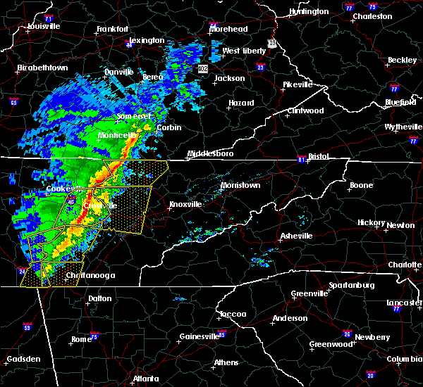 At 723 pm cst, severe thunderstorms were located along a line extending from 7 miles east of monterey to near spencer, moving east at 60 mph (radar indicated). Hazards include 60 mph wind gusts. expect damage to roofs, siding, and trees At 723 pm cst, severe thunderstorms were located along a line extending from 7 miles east of monterey to near spencer, moving east at 60 mph (radar indicated). Hazards include 60 mph wind gusts. expect damage to roofs, siding, and trees
|
| 2/5/2020 8:11 PM CST |
 At 811 pm cst, a severe thunderstorm was located 10 miles west of crossville, moving northeast at 60 mph (radar indicated). Hazards include 60 mph wind gusts. expect damage to roofs, siding, and trees At 811 pm cst, a severe thunderstorm was located 10 miles west of crossville, moving northeast at 60 mph (radar indicated). Hazards include 60 mph wind gusts. expect damage to roofs, siding, and trees
|
| 2/5/2020 8:02 PM CST |
 At 801 pm cst, a severe thunderstorm was located near sparta, moving east at 55 mph (radar indicated). Hazards include 60 mph wind gusts. Expect damage to roofs, siding, and trees. locations impacted include, cookeville, sparta, algood, monterey, pleasant hill, doyle, hamptons crossroads, bakers crossroads, indian rock lake, virgin falls state natural area and burgess falls state park. This includes interstate 40 between mile markers 281 and 305. At 801 pm cst, a severe thunderstorm was located near sparta, moving east at 55 mph (radar indicated). Hazards include 60 mph wind gusts. Expect damage to roofs, siding, and trees. locations impacted include, cookeville, sparta, algood, monterey, pleasant hill, doyle, hamptons crossroads, bakers crossroads, indian rock lake, virgin falls state natural area and burgess falls state park. This includes interstate 40 between mile markers 281 and 305.
|
| 2/5/2020 7:32 PM CST |
 At 732 pm cst, a severe thunderstorm was located 7 miles south of smithville, moving east at 50 mph (radar indicated). Hazards include 60 mph wind gusts. expect damage to roofs, siding, and trees At 732 pm cst, a severe thunderstorm was located 7 miles south of smithville, moving east at 50 mph (radar indicated). Hazards include 60 mph wind gusts. expect damage to roofs, siding, and trees
|
| 6/21/2019 9:46 PM CDT |
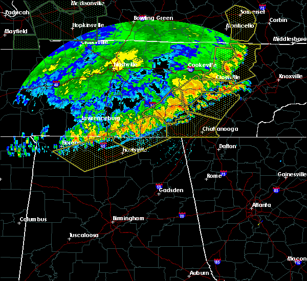 At 946 pm cdt, severe thunderstorms were located along a line extending from near fairfield glade to 9 miles southwest of crossville to 8 miles east of spencer, moving east at 40 mph (radar indicated). Hazards include 70 mph wind gusts and nickel size hail. Expect considerable tree damage. damage is likely to mobile homes, roofs, and outbuildings. locations impacted include, crossville, spencer, fairfield glade, crab orchard, pleasant hill, lake tansi, cumberland mountain state park, indian rock lake and virgin falls state natural area. This includes interstate 40 between mile markers 320 and 340. At 946 pm cdt, severe thunderstorms were located along a line extending from near fairfield glade to 9 miles southwest of crossville to 8 miles east of spencer, moving east at 40 mph (radar indicated). Hazards include 70 mph wind gusts and nickel size hail. Expect considerable tree damage. damage is likely to mobile homes, roofs, and outbuildings. locations impacted include, crossville, spencer, fairfield glade, crab orchard, pleasant hill, lake tansi, cumberland mountain state park, indian rock lake and virgin falls state natural area. This includes interstate 40 between mile markers 320 and 340.
|
| 6/21/2019 9:43 PM CDT |
 At 920 pm cdt, severe thunderstorms were located along a line extending from 6 miles south of monterey to near sparta to 8 miles west of spencer, moving east at 40 mph (radar indicated). Hazards include 70 mph wind gusts. Expect considerable tree damage. Damage is likely to mobile homes, roofs, and outbuildings. At 920 pm cdt, severe thunderstorms were located along a line extending from 6 miles south of monterey to near sparta to 8 miles west of spencer, moving east at 40 mph (radar indicated). Hazards include 70 mph wind gusts. Expect considerable tree damage. Damage is likely to mobile homes, roofs, and outbuildings.
|
| 6/21/2019 9:34 PM CDT |
 At 934 pm cdt, severe thunderstorms were located along a line extending from 6 miles northwest of oneida to 13 miles southwest of helenwood to near fairfield glade, moving east at 55 mph (radar indicated). Hazards include 60 mph wind gusts and nickel size hail. Expect damage to roofs, siding, and trees. locations impacted include, crossville, jamestown, fairfield glade, allardt, pleasant hill, grimsley, slate springs and clarkrange. This includes interstate 40 between mile markers 308 and 321. At 934 pm cdt, severe thunderstorms were located along a line extending from 6 miles northwest of oneida to 13 miles southwest of helenwood to near fairfield glade, moving east at 55 mph (radar indicated). Hazards include 60 mph wind gusts and nickel size hail. Expect damage to roofs, siding, and trees. locations impacted include, crossville, jamestown, fairfield glade, allardt, pleasant hill, grimsley, slate springs and clarkrange. This includes interstate 40 between mile markers 308 and 321.
|
| 6/21/2019 9:20 PM CDT |
 At 920 pm cdt, severe thunderstorms were located along a line extending from 6 miles south of monterey to near sparta to 8 miles west of spencer, moving east at 40 mph (radar indicated). Hazards include 70 mph wind gusts. Expect considerable tree damage. Damage is likely to mobile homes, roofs, and outbuildings. At 920 pm cdt, severe thunderstorms were located along a line extending from 6 miles south of monterey to near sparta to 8 miles west of spencer, moving east at 40 mph (radar indicated). Hazards include 70 mph wind gusts. Expect considerable tree damage. Damage is likely to mobile homes, roofs, and outbuildings.
|
| 6/21/2019 9:06 PM CDT |
 At 906 pm cdt, severe thunderstorms were located along a line extending from near byrdstown to 10 miles southeast of livingston to 8 miles southeast of cookeville, moving east at 55 mph (radar indicated). Hazards include 60 mph wind gusts and nickel size hail. expect damage to roofs, siding, and trees At 906 pm cdt, severe thunderstorms were located along a line extending from near byrdstown to 10 miles southeast of livingston to 8 miles southeast of cookeville, moving east at 55 mph (radar indicated). Hazards include 60 mph wind gusts and nickel size hail. expect damage to roofs, siding, and trees
|
| 6/19/2019 10:01 PM CDT |
 At 1001 pm cdt, severe thunderstorms were located along a line extending from 7 miles southeast of monterey to 10 miles north of pikeville, moving east at 35 mph (radar indicated). Hazards include 60 mph wind gusts and penny size hail. expect damage to roofs, siding, and trees At 1001 pm cdt, severe thunderstorms were located along a line extending from 7 miles southeast of monterey to 10 miles north of pikeville, moving east at 35 mph (radar indicated). Hazards include 60 mph wind gusts and penny size hail. expect damage to roofs, siding, and trees
|
| 7/21/2018 1:13 AM CDT |
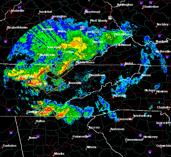 At 113 am cdt, a severe thunderstorm was located near crossville, moving southeast at 30 mph (radar indicated). Hazards include 60 mph wind gusts and quarter size hail. Hail damage to vehicles is expected. expect wind damage to roofs, siding, and trees. locations impacted include, crossville, fairfield glade, crab orchard, pleasant hill, cumberland mountain state park, slate springs and lake tansi. this includes interstate 40 between mile markers 305 and 339. A tornado watch remains in effect until 200 am cdt for middle tennessee. At 113 am cdt, a severe thunderstorm was located near crossville, moving southeast at 30 mph (radar indicated). Hazards include 60 mph wind gusts and quarter size hail. Hail damage to vehicles is expected. expect wind damage to roofs, siding, and trees. locations impacted include, crossville, fairfield glade, crab orchard, pleasant hill, cumberland mountain state park, slate springs and lake tansi. this includes interstate 40 between mile markers 305 and 339. A tornado watch remains in effect until 200 am cdt for middle tennessee.
|
| 7/21/2018 12:55 AM CDT |
 At 1255 am cdt, a severe thunderstorm was located near monterey, or 13 miles northwest of crossville, moving southeast at 30 mph (radar indicated). Hazards include 70 mph wind gusts and quarter size hail. Hail damage to vehicles is expected. expect considerable tree damage. wind damage is also likely to mobile homes, roofs, and outbuildings. locations impacted include, crossville, fairfield glade, monterey, crab orchard, pleasant hill, cumberland mountain state park, slate springs and lake tansi. this includes interstate 40 between mile markers 299 and 339. A tornado watch remains in effect until 200 am cdt for middle tennessee. At 1255 am cdt, a severe thunderstorm was located near monterey, or 13 miles northwest of crossville, moving southeast at 30 mph (radar indicated). Hazards include 70 mph wind gusts and quarter size hail. Hail damage to vehicles is expected. expect considerable tree damage. wind damage is also likely to mobile homes, roofs, and outbuildings. locations impacted include, crossville, fairfield glade, monterey, crab orchard, pleasant hill, cumberland mountain state park, slate springs and lake tansi. this includes interstate 40 between mile markers 299 and 339. A tornado watch remains in effect until 200 am cdt for middle tennessee.
|
| 7/21/2018 12:48 AM CDT |
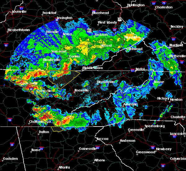 At 1248 am cdt, a severe thunderstorm was located over monterey, or 15 miles northwest of crossville, moving southeast at 35 mph (radar indicated). Hazards include 60 mph wind gusts and quarter size hail. Hail damage to vehicles is expected. Expect wind damage to roofs, siding, and trees. At 1248 am cdt, a severe thunderstorm was located over monterey, or 15 miles northwest of crossville, moving southeast at 35 mph (radar indicated). Hazards include 60 mph wind gusts and quarter size hail. Hail damage to vehicles is expected. Expect wind damage to roofs, siding, and trees.
|
| 7/20/2018 9:40 PM CDT |
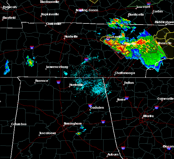 The tornado warning for southwestern cumberland and east central white counties will expire at 945 pm cdt, the storm which prompted the warning has moved out of the area. therefore, the tornado warning will be allowed to expire. however gusty winds and heavy rain are still possible with this thunderstorm. a tornado watch remains in effect until 200 am cdt for middle tennessee. The tornado warning for southwestern cumberland and east central white counties will expire at 945 pm cdt, the storm which prompted the warning has moved out of the area. therefore, the tornado warning will be allowed to expire. however gusty winds and heavy rain are still possible with this thunderstorm. a tornado watch remains in effect until 200 am cdt for middle tennessee.
|
| 7/20/2018 9:10 PM CDT |
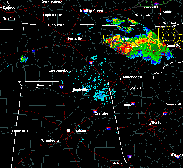 The national weather service in nashville has issued a * tornado warning for. southwestern cumberland county in middle tennessee. east central white county in middle tennessee. until 945 pm cdt. At 910 pm cdt, a severe thunderstorm capable of producing a tornado. The national weather service in nashville has issued a * tornado warning for. southwestern cumberland county in middle tennessee. east central white county in middle tennessee. until 945 pm cdt. At 910 pm cdt, a severe thunderstorm capable of producing a tornado.
|
| 7/20/2018 9:00 PM CDT |
 At 900 pm cdt, a severe thunderstorm capable of producing a tornado was located 8 miles south of monterey, or 12 miles northeast of sparta, moving east at 35 mph (radar indicated rotation). Hazards include tornado and quarter size hail. Flying debris will be dangerous to those caught without shelter. mobile homes will be damaged or destroyed. damage to roofs, windows, and vehicles will occur. tree damage is likely. this dangerous storm will be near, crossville around 915 pm cdt. other locations impacted by this tornadic thunderstorm include lake tansi, cumberland mountain state park, slate springs and pleasant hill. This includes interstate 40 between mile markers 291 and 292, near mile marker 296, and between mile markers 304 and 321. At 900 pm cdt, a severe thunderstorm capable of producing a tornado was located 8 miles south of monterey, or 12 miles northeast of sparta, moving east at 35 mph (radar indicated rotation). Hazards include tornado and quarter size hail. Flying debris will be dangerous to those caught without shelter. mobile homes will be damaged or destroyed. damage to roofs, windows, and vehicles will occur. tree damage is likely. this dangerous storm will be near, crossville around 915 pm cdt. other locations impacted by this tornadic thunderstorm include lake tansi, cumberland mountain state park, slate springs and pleasant hill. This includes interstate 40 between mile markers 291 and 292, near mile marker 296, and between mile markers 304 and 321.
|
| 7/20/2018 8:47 PM CDT |
 At 847 pm cdt, a severe thunderstorm capable of producing a tornado was located 8 miles northeast of sparta, moving east at 35 mph (radar indicated rotation). Hazards include tornado and quarter size hail. Flying debris will be dangerous to those caught without shelter. mobile homes will be damaged or destroyed. damage to roofs, windows, and vehicles will occur. tree damage is likely. this dangerous storm will be near, crossville around 915 pm cdt. other locations impacted by this tornadic thunderstorm include lake tansi, cumberland mountain state park, slate springs and pleasant hill. This includes interstate 40 between mile markers 291 and 292, near mile marker 296, and between mile markers 304 and 321. At 847 pm cdt, a severe thunderstorm capable of producing a tornado was located 8 miles northeast of sparta, moving east at 35 mph (radar indicated rotation). Hazards include tornado and quarter size hail. Flying debris will be dangerous to those caught without shelter. mobile homes will be damaged or destroyed. damage to roofs, windows, and vehicles will occur. tree damage is likely. this dangerous storm will be near, crossville around 915 pm cdt. other locations impacted by this tornadic thunderstorm include lake tansi, cumberland mountain state park, slate springs and pleasant hill. This includes interstate 40 between mile markers 291 and 292, near mile marker 296, and between mile markers 304 and 321.
|
| 7/20/2018 8:23 PM CDT |
 At 823 pm cdt, a severe thunderstorm was located near cookeville, moving east at 20 mph (radar indicated). Hazards include 60 mph wind gusts and quarter size hail. Hail damage to vehicles is expected. Expect wind damage to roofs, siding, and trees. At 823 pm cdt, a severe thunderstorm was located near cookeville, moving east at 20 mph (radar indicated). Hazards include 60 mph wind gusts and quarter size hail. Hail damage to vehicles is expected. Expect wind damage to roofs, siding, and trees.
|
| 4/3/2018 10:58 PM CDT |
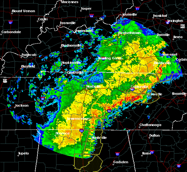 At 1058 pm cdt, severe thunderstorms were located along a line extending from 14 miles north of fairfield glade to 6 miles north of spencer, moving east at 40 mph (radar indicated). Hazards include 60 mph wind gusts and quarter size hail. Hail damage to vehicles is expected. Expect wind damage to roofs, siding, and trees. At 1058 pm cdt, severe thunderstorms were located along a line extending from 14 miles north of fairfield glade to 6 miles north of spencer, moving east at 40 mph (radar indicated). Hazards include 60 mph wind gusts and quarter size hail. Hail damage to vehicles is expected. Expect wind damage to roofs, siding, and trees.
|
| 5/27/2017 9:05 PM CDT |
 The severe thunderstorm warning for cumberland, southeastern de kalb, van buren, warren, white, south central putnam and southeastern cannon counties will expire at 915 pm cdt, the storms which prompted the warning have moved out of the area. therefore the warning will be allowed to expire. a severe thunderstorm watch remains in effect until midnight cdt for middle tennessee. to report severe weather, contact your nearest law enforcement agency. they will relay your report to the national weather service nashville. The severe thunderstorm warning for cumberland, southeastern de kalb, van buren, warren, white, south central putnam and southeastern cannon counties will expire at 915 pm cdt, the storms which prompted the warning have moved out of the area. therefore the warning will be allowed to expire. a severe thunderstorm watch remains in effect until midnight cdt for middle tennessee. to report severe weather, contact your nearest law enforcement agency. they will relay your report to the national weather service nashville.
|
| 5/27/2017 8:52 PM CDT |
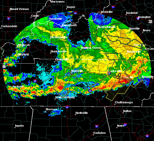 The tornado warning for northwestern cumberland county will expire at 900 pm cdt, the storm which prompted the warning has moved out of the area. therefore the warning will be allowed to expire. a severe thunderstorm watch remains in effect until midnight cdt for middle tennessee. to report severe weather, contact your nearest law enforcement agency. they will relay your report to the national weather service nashville. The tornado warning for northwestern cumberland county will expire at 900 pm cdt, the storm which prompted the warning has moved out of the area. therefore the warning will be allowed to expire. a severe thunderstorm watch remains in effect until midnight cdt for middle tennessee. to report severe weather, contact your nearest law enforcement agency. they will relay your report to the national weather service nashville.
|
| 5/27/2017 8:47 PM CDT |
 At 846 pm cdt, a severe thunderstorm capable of producing a tornado was located 3 miles northwest of crossville, moving southeast at 50 mph (radar indicated rotation). Hazards include tornado and quarter size hail. Flying debris will be dangerous to those caught without shelter. mobile homes will be damaged or destroyed. damage to roofs, windows, and vehicles will occur. tree damage is likely. Locations impacted include, pleasant hill. At 846 pm cdt, a severe thunderstorm capable of producing a tornado was located 3 miles northwest of crossville, moving southeast at 50 mph (radar indicated rotation). Hazards include tornado and quarter size hail. Flying debris will be dangerous to those caught without shelter. mobile homes will be damaged or destroyed. damage to roofs, windows, and vehicles will occur. tree damage is likely. Locations impacted include, pleasant hill.
|
| 5/27/2017 8:31 PM CDT |
 At 831 pm cdt, severe thunderstorms were located along a line extending from sparta to spencer to mcminnville, moving east at 50 mph. these are very dangerous storms (radar indicated). Hazards include 80 mph wind gusts and quarter size hail. Flying debris will be dangerous to those caught without shelter. mobile homes will be heavily damaged. expect considerable damage to roofs, windows, and vehicles. extensive tree damage and power outages are likely. Locations impacted include, mcminnville, crossville, sparta, spencer, fairfield glade, crab orchard, pleasant hill, doyle, centertown, hamptons crossroads, cumberland mountain state park, bakers crossroads, virgin falls state natural area, rock island state park, lake tansi, indian rock lake and fall creek falls state park. At 831 pm cdt, severe thunderstorms were located along a line extending from sparta to spencer to mcminnville, moving east at 50 mph. these are very dangerous storms (radar indicated). Hazards include 80 mph wind gusts and quarter size hail. Flying debris will be dangerous to those caught without shelter. mobile homes will be heavily damaged. expect considerable damage to roofs, windows, and vehicles. extensive tree damage and power outages are likely. Locations impacted include, mcminnville, crossville, sparta, spencer, fairfield glade, crab orchard, pleasant hill, doyle, centertown, hamptons crossroads, cumberland mountain state park, bakers crossroads, virgin falls state natural area, rock island state park, lake tansi, indian rock lake and fall creek falls state park.
|
| 5/27/2017 8:09 PM CDT |
 At 808 pm cdt, severe thunderstorms were located along a line extending from near baxter to smithville to christiana, moving east at 50 mph (radar indicated). Hazards include 70 mph wind gusts and quarter size hail. Hail damage to vehicles is expected. expect considerable tree damage. Wind damage is also likely to mobile homes, roofs, and outbuildings. At 808 pm cdt, severe thunderstorms were located along a line extending from near baxter to smithville to christiana, moving east at 50 mph (radar indicated). Hazards include 70 mph wind gusts and quarter size hail. Hail damage to vehicles is expected. expect considerable tree damage. Wind damage is also likely to mobile homes, roofs, and outbuildings.
|
| 5/27/2017 7:24 PM CDT |
 At 724 pm cdt, a severe thunderstorm was located near cookeville, moving east at 30 mph (public). Hazards include quarter size hail. damage to vehicles is expected At 724 pm cdt, a severe thunderstorm was located near cookeville, moving east at 30 mph (public). Hazards include quarter size hail. damage to vehicles is expected
|
| 5/27/2017 5:40 PM CDT |
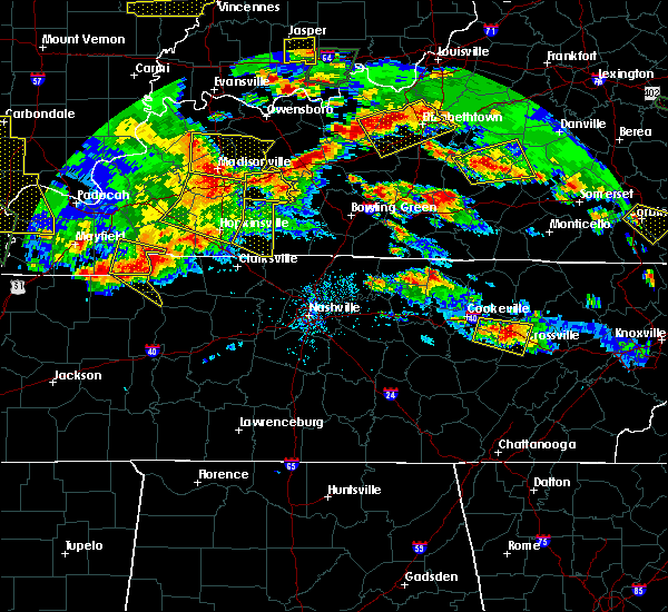 At 540 pm cdt, a severe thunderstorm was located 7 miles southeast of monterey, or 10 miles northwest of crossville, moving east at 40 mph (radar indicated). Hazards include 70 mph wind gusts and quarter size hail. Hail damage to vehicles is expected. expect considerable tree damage. wind damage is also likely to mobile homes, roofs, and outbuildings. Locations impacted include, crossville, monterey, pleasant hill and lake tansi. At 540 pm cdt, a severe thunderstorm was located 7 miles southeast of monterey, or 10 miles northwest of crossville, moving east at 40 mph (radar indicated). Hazards include 70 mph wind gusts and quarter size hail. Hail damage to vehicles is expected. expect considerable tree damage. wind damage is also likely to mobile homes, roofs, and outbuildings. Locations impacted include, crossville, monterey, pleasant hill and lake tansi.
|
| 5/27/2017 5:23 PM CDT |
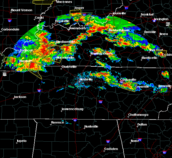 At 523 pm cdt, a severe thunderstorm was located 7 miles southwest of monterey, or 10 miles northeast of sparta, moving east at 30 mph (radar indicated). Hazards include 70 mph wind gusts and quarter size hail. Hail damage to vehicles is expected. expect considerable tree damage. Wind damage is also likely to mobile homes, roofs, and outbuildings. At 523 pm cdt, a severe thunderstorm was located 7 miles southwest of monterey, or 10 miles northeast of sparta, moving east at 30 mph (radar indicated). Hazards include 70 mph wind gusts and quarter size hail. Hail damage to vehicles is expected. expect considerable tree damage. Wind damage is also likely to mobile homes, roofs, and outbuildings.
|
| 3/10/2017 12:38 AM CST |
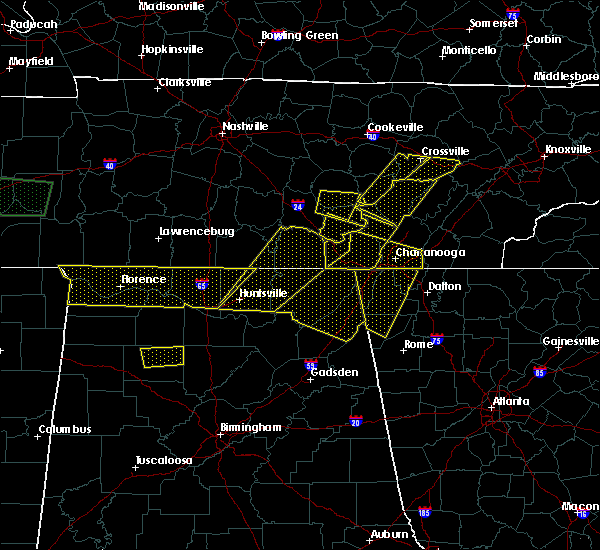 At 1238 am cst, a severe thunderstorm was located 11 miles northeast of spencer, moving east at 55 mph (radar indicated). Hazards include 60 mph wind gusts. Expect damage to roofs, siding, and trees. Locations impacted include, crossville, spencer, pleasant hill, lake tansi, indian rock lake, virgin falls state natural area and fall creek falls state park. At 1238 am cst, a severe thunderstorm was located 11 miles northeast of spencer, moving east at 55 mph (radar indicated). Hazards include 60 mph wind gusts. Expect damage to roofs, siding, and trees. Locations impacted include, crossville, spencer, pleasant hill, lake tansi, indian rock lake, virgin falls state natural area and fall creek falls state park.
|
| 3/10/2017 12:25 AM CST |
 At 1225 am cst, a severe thunderstorm was located near spencer, moving east at 55 mph (radar indicated). Hazards include 60 mph wind gusts. expect damage to roofs, siding, and trees At 1225 am cst, a severe thunderstorm was located near spencer, moving east at 55 mph (radar indicated). Hazards include 60 mph wind gusts. expect damage to roofs, siding, and trees
|
| 3/9/2017 11:02 PM CST |
 At 1101 pm cst, a severe thunderstorm was located over monterey, or 13 miles east of cookeville, moving east at 55 mph (radar indicated). Hazards include 60 mph wind gusts and quarter size hail. Hail damage to vehicles is expected. expect wind damage to roofs, siding, and trees. Locations impacted include, cookeville, algood, monterey, pleasant hill and hamptons crossroads. At 1101 pm cst, a severe thunderstorm was located over monterey, or 13 miles east of cookeville, moving east at 55 mph (radar indicated). Hazards include 60 mph wind gusts and quarter size hail. Hail damage to vehicles is expected. expect wind damage to roofs, siding, and trees. Locations impacted include, cookeville, algood, monterey, pleasant hill and hamptons crossroads.
|
| 3/9/2017 10:45 PM CST |
 At 1045 pm cst, a severe thunderstorm was located near cookeville, moving east at 55 mph (radar indicated). Hazards include 60 mph wind gusts and quarter size hail. Hail damage to vehicles is expected. Expect wind damage to roofs, siding, and trees. At 1045 pm cst, a severe thunderstorm was located near cookeville, moving east at 55 mph (radar indicated). Hazards include 60 mph wind gusts and quarter size hail. Hail damage to vehicles is expected. Expect wind damage to roofs, siding, and trees.
|
| 3/1/2017 9:53 AM EST |
 At 852 am cst, severe thunderstorms were located along a line extending from great meadows campsites to 6 miles southwest of crossville, moving east at 65 mph (radar indicated). Hazards include 60 mph wind gusts. Expect damage to roofs, siding, and trees. locations impacted include, crossville, jamestown, fairfield glade, crab orchard, allardt, pleasant hill, grimsley, cumberland mountain state park, slate springs, pall mall, lake tansi, clarkrange, crawford and pickett state park. A tornado watch remains in effect until 1000 am cst for middle tennessee. At 852 am cst, severe thunderstorms were located along a line extending from great meadows campsites to 6 miles southwest of crossville, moving east at 65 mph (radar indicated). Hazards include 60 mph wind gusts. Expect damage to roofs, siding, and trees. locations impacted include, crossville, jamestown, fairfield glade, crab orchard, allardt, pleasant hill, grimsley, cumberland mountain state park, slate springs, pall mall, lake tansi, clarkrange, crawford and pickett state park. A tornado watch remains in effect until 1000 am cst for middle tennessee.
|
| 3/1/2017 9:43 AM EST |
 At 843 am cst, severe thunderstorms were located along a line extending from near mount pisgah to 12 miles east of sparta, moving east at 90 mph (radar indicated). Hazards include 70 mph wind gusts. Expect considerable tree damage. Damage is likely to mobile homes, roofs, and outbuildings. At 843 am cst, severe thunderstorms were located along a line extending from near mount pisgah to 12 miles east of sparta, moving east at 90 mph (radar indicated). Hazards include 70 mph wind gusts. Expect considerable tree damage. Damage is likely to mobile homes, roofs, and outbuildings.
|
| 3/1/2017 8:35 AM CST |
 At 835 am cst, severe thunderstorms were located along a line extending from sunnybrook to 7 miles southeast of sparta, moving east at 75 mph (radar indicated). Hazards include 70 mph wind gusts and penny size hail. Expect considerable tree damage. damage is likely to mobile homes, roofs, and outbuildings. locations impacted include, cookeville, crossville, sparta, livingston, jamestown, byrdstown, algood, monterey, allardt, pleasant hill, doyle, grimsley, hamptons crossroads, bakers crossroads, virgin falls state natural area, rickman, pall mall, indian rock lake, clarkrange and crawford. A tornado watch remains in effect until 1000 am cst for middle tennessee. At 835 am cst, severe thunderstorms were located along a line extending from sunnybrook to 7 miles southeast of sparta, moving east at 75 mph (radar indicated). Hazards include 70 mph wind gusts and penny size hail. Expect considerable tree damage. damage is likely to mobile homes, roofs, and outbuildings. locations impacted include, cookeville, crossville, sparta, livingston, jamestown, byrdstown, algood, monterey, allardt, pleasant hill, doyle, grimsley, hamptons crossroads, bakers crossroads, virgin falls state natural area, rickman, pall mall, indian rock lake, clarkrange and crawford. A tornado watch remains in effect until 1000 am cst for middle tennessee.
|
| 3/1/2017 8:20 AM CST |
 At 820 am cst, severe thunderstorms were located along a line extending from 9 miles west of byrdstown to 11 miles southeast of smithville, moving east at 65 mph (radar indicated). Hazards include 70 mph wind gusts and penny size hail. Expect considerable tree damage. Damage is likely to mobile homes, roofs, and outbuildings. At 820 am cst, severe thunderstorms were located along a line extending from 9 miles west of byrdstown to 11 miles southeast of smithville, moving east at 65 mph (radar indicated). Hazards include 70 mph wind gusts and penny size hail. Expect considerable tree damage. Damage is likely to mobile homes, roofs, and outbuildings.
|
| 7/8/2016 10:55 PM CDT |
 At 1054 pm cdt, severe thunderstorms were located along a line extending from near clarkrange to near crossville, moving east at 40 mph (radar indicated). Hazards include 60 mph wind gusts. Expect damage to roofs. siding. And trees. At 1054 pm cdt, severe thunderstorms were located along a line extending from near clarkrange to near crossville, moving east at 40 mph (radar indicated). Hazards include 60 mph wind gusts. Expect damage to roofs. siding. And trees.
|
| 7/8/2016 10:33 PM CDT |
 At 1032 pm cdt, severe thunderstorms were located along a line extending from monterey to sparta, moving east at 40 mph (radar indicated). Hazards include 60 mph wind gusts and penny size hail. Expect damage to roofs. siding. and trees. Locations impacted include, cookeville, crossville, sparta, fairfield glade, algood, monterey, pleasant hill, slate springs, virgin falls state natural area, burgess falls state park, hamptons crossroads, lake tansi, cumberland mountain state park, bakers crossroads and indian rock lake. At 1032 pm cdt, severe thunderstorms were located along a line extending from monterey to sparta, moving east at 40 mph (radar indicated). Hazards include 60 mph wind gusts and penny size hail. Expect damage to roofs. siding. and trees. Locations impacted include, cookeville, crossville, sparta, fairfield glade, algood, monterey, pleasant hill, slate springs, virgin falls state natural area, burgess falls state park, hamptons crossroads, lake tansi, cumberland mountain state park, bakers crossroads and indian rock lake.
|
| 7/8/2016 9:53 PM CDT |
 At 952 pm cdt, severe thunderstorms were located along a line extending from near baxter to near smithville, moving east at 45 mph (radar indicated). Hazards include 60 mph wind gusts and penny size hail. Expect damage to roofs. siding. And trees. At 952 pm cdt, severe thunderstorms were located along a line extending from near baxter to near smithville, moving east at 45 mph (radar indicated). Hazards include 60 mph wind gusts and penny size hail. Expect damage to roofs. siding. And trees.
|
| 7/8/2016 5:46 PM CDT |
 At 545 pm cdt, severe thunderstorms were located along a line extending from 7 miles northwest of rockwood to sparta, moving southeast at 25 mph (radar indicated). Hazards include 60 mph wind gusts and quarter size hail. Hail damage to vehicles is expected. expect wind damage to roofs, siding, and trees. Locations impacted include, crossville, sparta, fairfield glade, crab orchard, pleasant hill, doyle, lake tansi, virgin falls state natural area, cumberland mountain state park, bakers crossroads and hamptons crossroads. At 545 pm cdt, severe thunderstorms were located along a line extending from 7 miles northwest of rockwood to sparta, moving southeast at 25 mph (radar indicated). Hazards include 60 mph wind gusts and quarter size hail. Hail damage to vehicles is expected. expect wind damage to roofs, siding, and trees. Locations impacted include, crossville, sparta, fairfield glade, crab orchard, pleasant hill, doyle, lake tansi, virgin falls state natural area, cumberland mountain state park, bakers crossroads and hamptons crossroads.
|
| 7/8/2016 5:27 PM CDT |
 At 526 pm cdt, severe thunderstorms were located along a line extending from near fairfield glade to 8 miles northwest of sparta, moving east at 30 mph (radar indicated). Hazards include 60 mph wind gusts and quarter size hail. Hail damage to vehicles is expected. Expect wind damage to roofs, siding, and trees. At 526 pm cdt, severe thunderstorms were located along a line extending from near fairfield glade to 8 miles northwest of sparta, moving east at 30 mph (radar indicated). Hazards include 60 mph wind gusts and quarter size hail. Hail damage to vehicles is expected. Expect wind damage to roofs, siding, and trees.
|
| 7/8/2016 5:16 PM CDT |
 At 516 pm cdt, severe thunderstorms were located along a line extending from near fairfield glade to near baxter, moving southeast at 40 mph (radar indicated). Hazards include 60 mph wind gusts and quarter size hail. Hail damage to vehicles is expected. expect wind damage to roofs, siding, and trees. Locations impacted include, cookeville, crossville, sparta, fairfield glade, monterey, crab orchard, pleasant hill, doyle, slate springs, virgin falls state natural area, burgess falls state park, hamptons crossroads, lake tansi, cumberland mountain state park and bakers crossroads. At 516 pm cdt, severe thunderstorms were located along a line extending from near fairfield glade to near baxter, moving southeast at 40 mph (radar indicated). Hazards include 60 mph wind gusts and quarter size hail. Hail damage to vehicles is expected. expect wind damage to roofs, siding, and trees. Locations impacted include, cookeville, crossville, sparta, fairfield glade, monterey, crab orchard, pleasant hill, doyle, slate springs, virgin falls state natural area, burgess falls state park, hamptons crossroads, lake tansi, cumberland mountain state park and bakers crossroads.
|
| 7/8/2016 5:04 PM CDT |
 At 502 pm cdt, severe thunderstorms were located along a line extending from 13 miles northeast of monterey to near baxter, moving east at 35 mph (public. at 500 pm cdt...quarter size hail was reported in cookeville). Hazards include 60 mph wind gusts and quarter size hail. Hail damage to vehicles is expected. expect wind damage to roofs, siding, and trees. Locations impacted include, cookeville, crossville, sparta, fairfield glade, algood, monterey, baxter, crab orchard, pleasant hill, doyle, slate springs, virgin falls state natural area, burgess falls state park, hamptons crossroads, lake tansi, cumberland mountain state park, bakers crossroads and clarkrange. At 502 pm cdt, severe thunderstorms were located along a line extending from 13 miles northeast of monterey to near baxter, moving east at 35 mph (public. at 500 pm cdt...quarter size hail was reported in cookeville). Hazards include 60 mph wind gusts and quarter size hail. Hail damage to vehicles is expected. expect wind damage to roofs, siding, and trees. Locations impacted include, cookeville, crossville, sparta, fairfield glade, algood, monterey, baxter, crab orchard, pleasant hill, doyle, slate springs, virgin falls state natural area, burgess falls state park, hamptons crossroads, lake tansi, cumberland mountain state park, bakers crossroads and clarkrange.
|
| 7/8/2016 4:56 PM CDT |
 At 455 pm cdt, severe thunderstorms were located along a line extending from 12 miles northeast of monterey to near baxter, moving east at 35 mph (radar indicated). Hazards include 60 mph wind gusts and quarter size hail. Hail damage to vehicles is expected. Expect wind damage to roofs, siding, and trees. At 455 pm cdt, severe thunderstorms were located along a line extending from 12 miles northeast of monterey to near baxter, moving east at 35 mph (radar indicated). Hazards include 60 mph wind gusts and quarter size hail. Hail damage to vehicles is expected. Expect wind damage to roofs, siding, and trees.
|
| 7/7/2016 4:44 PM CDT |
 At 444 pm cdt, severe thunderstorms were located along a line extending from 10 miles north of fairfield glade to near spencer, moving east at 40 mph (radar indicated). Hazards include 60 mph wind gusts. Expect damage to roofs. siding. And trees. At 444 pm cdt, severe thunderstorms were located along a line extending from 10 miles north of fairfield glade to near spencer, moving east at 40 mph (radar indicated). Hazards include 60 mph wind gusts. Expect damage to roofs. siding. And trees.
|
| 7/7/2016 4:31 PM CDT |
 At 430 pm cdt, a severe thunderstorm was located 7 miles east of monterey, or 11 miles northwest of crossville, moving southeast at 55 mph (radar indicated). Hazards include 60 mph wind gusts. Expect damage to roofs. siding. and trees. Locations impacted include, cookeville, crossville, fairfield glade, algood, monterey, pleasant hill, slate springs, lake tansi, rickman, crawford, indian rock lake and clarkrange. At 430 pm cdt, a severe thunderstorm was located 7 miles east of monterey, or 11 miles northwest of crossville, moving southeast at 55 mph (radar indicated). Hazards include 60 mph wind gusts. Expect damage to roofs. siding. and trees. Locations impacted include, cookeville, crossville, fairfield glade, algood, monterey, pleasant hill, slate springs, lake tansi, rickman, crawford, indian rock lake and clarkrange.
|
| 7/7/2016 4:11 PM CDT |
 At 411 pm cdt, a severe thunderstorm was located near algood, or 9 miles northeast of cookeville, moving southeast at 55 mph (radar indicated). Hazards include 60 mph wind gusts. Expect damage to roofs. siding. And trees. At 411 pm cdt, a severe thunderstorm was located near algood, or 9 miles northeast of cookeville, moving southeast at 55 mph (radar indicated). Hazards include 60 mph wind gusts. Expect damage to roofs. siding. And trees.
|
| 7/6/2016 4:40 PM CDT |
 At 440 pm cdt, a severe thunderstorm was located 7 miles southeast of monterey, or 9 miles northwest of crossville, moving northeast at 55 mph (radar indicated). Hazards include 60 mph wind gusts. Expect damage to roofs. siding. And trees. At 440 pm cdt, a severe thunderstorm was located 7 miles southeast of monterey, or 9 miles northwest of crossville, moving northeast at 55 mph (radar indicated). Hazards include 60 mph wind gusts. Expect damage to roofs. siding. And trees.
|
| 7/6/2016 4:27 PM CDT |
 At 426 pm cdt, a severe thunderstorm was located near monterey, or 9 miles east of cookeville, moving northeast at 45 mph (radar indicated). Hazards include 60 mph wind gusts and quarter size hail. Hail damage to vehicles is expected. expect wind damage to roofs, siding, and trees. Locations impacted include, algood, monterey, pleasant hill and crawford. At 426 pm cdt, a severe thunderstorm was located near monterey, or 9 miles east of cookeville, moving northeast at 45 mph (radar indicated). Hazards include 60 mph wind gusts and quarter size hail. Hail damage to vehicles is expected. expect wind damage to roofs, siding, and trees. Locations impacted include, algood, monterey, pleasant hill and crawford.
|
| 7/6/2016 4:19 PM CDT |
 At 419 pm cdt, a severe thunderstorm was located near cookeville, moving northeast at 45 mph (radar indicated). Hazards include 60 mph wind gusts and quarter size hail. Hail damage to vehicles is expected. Expect wind damage to roofs, siding, and trees. At 419 pm cdt, a severe thunderstorm was located near cookeville, moving northeast at 45 mph (radar indicated). Hazards include 60 mph wind gusts and quarter size hail. Hail damage to vehicles is expected. Expect wind damage to roofs, siding, and trees.
|
| 7/3/2016 4:31 PM CDT |
 At 431 pm cdt, a severe thunderstorm was located near crossville, moving northeast at 30 mph (radar indicated). Hazards include 60 mph wind gusts and penny size hail. Expect damage to roofs. siding. And trees. At 431 pm cdt, a severe thunderstorm was located near crossville, moving northeast at 30 mph (radar indicated). Hazards include 60 mph wind gusts and penny size hail. Expect damage to roofs. siding. And trees.
|
| 6/15/2016 3:37 PM CDT | Image of a large tree limb downed in cumberland county TN, 0.1 miles SSW of Pleasant Hill, TN |
| 7/14/2015 3:55 PM CDT |
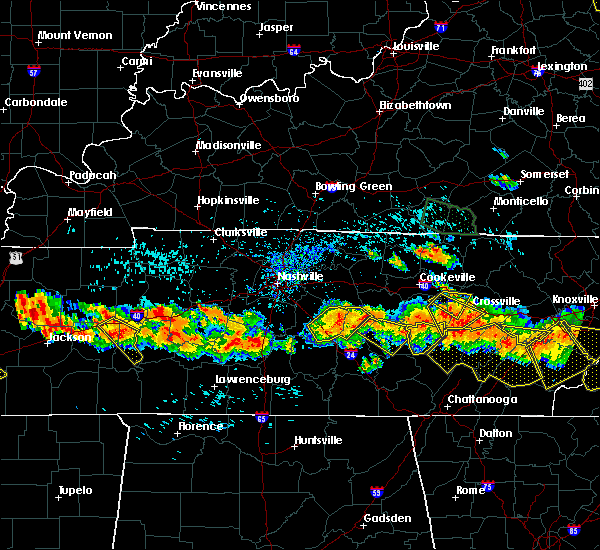 The severe thunderstorm warning for northwestern cumberland, southeastern putnam and northeastern white counties will expire at 400 pm cdt, the storm which prompted the warning has moved out of the area. therefore the warning will be allowed to expire. a severe thunderstorm watch remains in effect until 900 pm cdt for central tennessee. The severe thunderstorm warning for northwestern cumberland, southeastern putnam and northeastern white counties will expire at 400 pm cdt, the storm which prompted the warning has moved out of the area. therefore the warning will be allowed to expire. a severe thunderstorm watch remains in effect until 900 pm cdt for central tennessee.
|
| 7/14/2015 3:39 PM CDT |
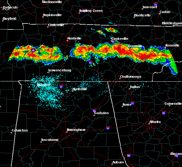 At 338 pm cdt, a severe thunderstorm was located 11 miles east of sparta, moving southeast at 30 mph (radar indicated). Hazards include 60 mph wind gusts and quarter size hail. Hail damage to vehicles is expected. expect wind damage to roofs, siding and trees. Locations impacted include, crossville, pleasant hill, lake tansi, virgin falls state natural area, indian rock lake and cumberland mountain state park. At 338 pm cdt, a severe thunderstorm was located 11 miles east of sparta, moving southeast at 30 mph (radar indicated). Hazards include 60 mph wind gusts and quarter size hail. Hail damage to vehicles is expected. expect wind damage to roofs, siding and trees. Locations impacted include, crossville, pleasant hill, lake tansi, virgin falls state natural area, indian rock lake and cumberland mountain state park.
|
| 7/14/2015 3:29 PM CDT |
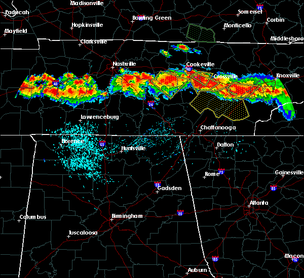 At 328 pm cdt, a severe thunderstorm was located 7 miles east of sparta, moving southeast at 30 mph (radar indicated). Hazards include golf ball size hail and 60 mph wind gusts. People and animals outdoors will be injured. expect hail damage to roofs, siding, windows and vehicles. expect wind damage to roofs, siding and trees. This severe thunderstorm will remain over mainly rural areas of northeastern van buren, southwestern cumberland, southeastern putnam and eastern white counties, including the following locations, lake tansi, virgin falls state natural area, pleasant hill, indian rock lake and cumberland mountain state park. At 328 pm cdt, a severe thunderstorm was located 7 miles east of sparta, moving southeast at 30 mph (radar indicated). Hazards include golf ball size hail and 60 mph wind gusts. People and animals outdoors will be injured. expect hail damage to roofs, siding, windows and vehicles. expect wind damage to roofs, siding and trees. This severe thunderstorm will remain over mainly rural areas of northeastern van buren, southwestern cumberland, southeastern putnam and eastern white counties, including the following locations, lake tansi, virgin falls state natural area, pleasant hill, indian rock lake and cumberland mountain state park.
|
| 7/14/2015 3:25 PM CDT |
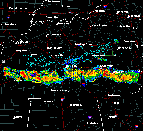 At 325 pm cdt, a severe thunderstorm was located 7 miles southwest of monterey, or 11 miles northeast of sparta, moving southeast at 30 mph (radar indicated). Hazards include golf ball size hail and 60 mph wind gusts. People and animals outdoors will be injured. expect hail damage to roofs, siding, windows and vehicles. expect wind damage to roofs, siding and trees. Locations impacted include, pleasant hill. At 325 pm cdt, a severe thunderstorm was located 7 miles southwest of monterey, or 11 miles northeast of sparta, moving southeast at 30 mph (radar indicated). Hazards include golf ball size hail and 60 mph wind gusts. People and animals outdoors will be injured. expect hail damage to roofs, siding, windows and vehicles. expect wind damage to roofs, siding and trees. Locations impacted include, pleasant hill.
|
| 7/14/2015 3:11 PM CDT |
 At 310 pm cdt, a severe thunderstorm was located near cookeville, moving southeast at 30 mph (radar indicated). Hazards include golf ball size hail and 60 mph wind gusts. People and animals outdoors will be injured. expect hail damage to roofs, siding, windows and vehicles. expect wind damage to roofs, siding and trees. This severe thunderstorm will remain over mainly rural areas of northwestern cumberland, southeastern putnam and northeastern white counties, including the following locations, pleasant hill. At 310 pm cdt, a severe thunderstorm was located near cookeville, moving southeast at 30 mph (radar indicated). Hazards include golf ball size hail and 60 mph wind gusts. People and animals outdoors will be injured. expect hail damage to roofs, siding, windows and vehicles. expect wind damage to roofs, siding and trees. This severe thunderstorm will remain over mainly rural areas of northwestern cumberland, southeastern putnam and northeastern white counties, including the following locations, pleasant hill.
|
| 7/14/2015 3:07 PM CDT |
 At 306 pm cdt, a severe thunderstorm capable of producing a tornado was located near cookeville, moving southeast at 25 mph (radar indicated rotation). Hazards include tornado and golf ball size hail. Flying debris will be dangerous to those caught without shelter. mobile homes will be damaged or destroyed. damage to roofs, windows and vehicles will occur. tree damage is likely. this dangerous storm will be near, monterey around 330 pm cdt. Other locations impacted by this tornadic thunderstorm include pleasant hill. At 306 pm cdt, a severe thunderstorm capable of producing a tornado was located near cookeville, moving southeast at 25 mph (radar indicated rotation). Hazards include tornado and golf ball size hail. Flying debris will be dangerous to those caught without shelter. mobile homes will be damaged or destroyed. damage to roofs, windows and vehicles will occur. tree damage is likely. this dangerous storm will be near, monterey around 330 pm cdt. Other locations impacted by this tornadic thunderstorm include pleasant hill.
|
| 7/14/2015 2:55 PM CDT |
 At 255 pm cdt, a confirmed tornado was located over cookeville, moving east at 25 mph (weather spotters confirmed tornado). Hazards include damaging tornado and half dollar size hail. Flying debris will be dangerous to those caught without shelter. mobile homes will be damaged or destroyed. damage to roofs, windows and vehicles will occur. tree damage is likely. this tornado will be near, cookeville around 300 pm cdt. algood around 305 pm cdt. monterey around 330 pm cdt. Other locations impacted by this tornadic thunderstorm include pleasant hill. At 255 pm cdt, a confirmed tornado was located over cookeville, moving east at 25 mph (weather spotters confirmed tornado). Hazards include damaging tornado and half dollar size hail. Flying debris will be dangerous to those caught without shelter. mobile homes will be damaged or destroyed. damage to roofs, windows and vehicles will occur. tree damage is likely. this tornado will be near, cookeville around 300 pm cdt. algood around 305 pm cdt. monterey around 330 pm cdt. Other locations impacted by this tornadic thunderstorm include pleasant hill.
|
| 7/14/2015 2:42 PM CDT |
 At 241 pm cdt, a severe thunderstorm was located near cookeville, moving east at 25 mph (radar indicated). Hazards include 60 mph wind gusts and quarter size hail. Hail damage to vehicles is expected. expect wind damage to roofs, siding and trees. this severe thunderstorm will be near, cookeville around 250 pm cdt. algood around 255 pm cdt. monterey around 315 pm cdt. Other locations impacted by this severe thunderstorm include hamptons crossroads and pleasant hill. At 241 pm cdt, a severe thunderstorm was located near cookeville, moving east at 25 mph (radar indicated). Hazards include 60 mph wind gusts and quarter size hail. Hail damage to vehicles is expected. expect wind damage to roofs, siding and trees. this severe thunderstorm will be near, cookeville around 250 pm cdt. algood around 255 pm cdt. monterey around 315 pm cdt. Other locations impacted by this severe thunderstorm include hamptons crossroads and pleasant hill.
|
| 5/11/2015 1:53 PM CDT | At 151 pm cdt, a severe thunderstorm was located 6 miles west of crossville, and moving northeast at 30 mph (radar indicated). Hazards include 60 mph wind gusts and quarter size hail. Hail damage to vehicles is expected. expect wind damage to roofs, siding and trees. the severe thunderstorm will be near, crossville around 200 pm cdt. other locations in the warning include slate springs and clarkrange. 1. 00in. |
| 4/3/2015 6:51 PM CDT | The national weather service in nashville has issued a * severe thunderstorm warning for. southern cumberland county in middle tennessee. southeastern white county in middle tennessee. until 730 pm cdt * at 648 pm cdt. A severe thunderstorm was located 12 miles. |
| 6/10/2014 3:27 PM CDT | Multiple trees and powerlines down in cumberland county TN, 0.1 miles SSW of Pleasant Hill, TN |
| 6/10/2014 3:23 PM CDT | Structural damage to the royal oaks office buildin in cumberland county TN, 2.9 miles S of Pleasant Hill, TN |
| 6/10/2014 3:17 PM CDT | Tree down blocking the crossville highway at the 8800 bloc in white county TN, 5.7 miles ENE of Pleasant Hill, TN |
| 6/10/2014 3:15 PM CDT | Tree down on west loop rd in the eastland communit in white county TN, 4.9 miles NE of Pleasant Hill, TN |
| 4/28/2014 12:43 PM CDT | Several trees were blown down in pleasant grov in cumberland county TN, 0.1 miles SSW of Pleasant Hill, TN |
| 4/28/2014 12:33 PM CDT | Numerous trees were snapped and a trailers porch was destroyed. residents clearly saw a rotating funnel before the damage occurred. location is 1 mile further east down in white county TN, 5.5 miles NE of Pleasant Hill, TN |
| 4/28/2014 12:32 PM CDT | 2 homes suffered roof and siding damage. a grain silo was completely destroyed. debris scattered all over per ema. damage was along eastland rd in far eastern white cou in white county TN, 6 miles ENE of Pleasant Hill, TN |
| 4/4/2014 7:40 AM CDT | Trees and power lines reported down at hwy 70 n and plateau roa in cumberland county TN, 5 miles SW of Pleasant Hill, TN |
| 2/20/2014 7:00 PM CST | Quarter sized hail reported 0.1 miles SSW of Pleasant Hill, TN |
| 7/1/2013 11:45 AM CDT | Quarter sized hail reported 0.1 miles SSW of Pleasant Hill, TN |
| 1/30/2013 6:12 AM CST | Trees down in mayland in western cumberland county in cumberland county TN, 5 miles S of Pleasant Hill, TN |
| 1/1/0001 12:00 AM | Nws storm survey investigated damage along coal bank road near the derossett community. several large trees were snapped and uprooted and numerous large limbs were brok in white county TN, 6 miles ENE of Pleasant Hill, TN |
Hail Maps for Pleasant Hill, TN


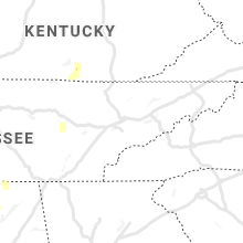


Connect with Interactive Hail Maps