

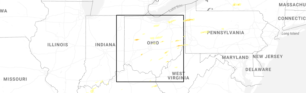
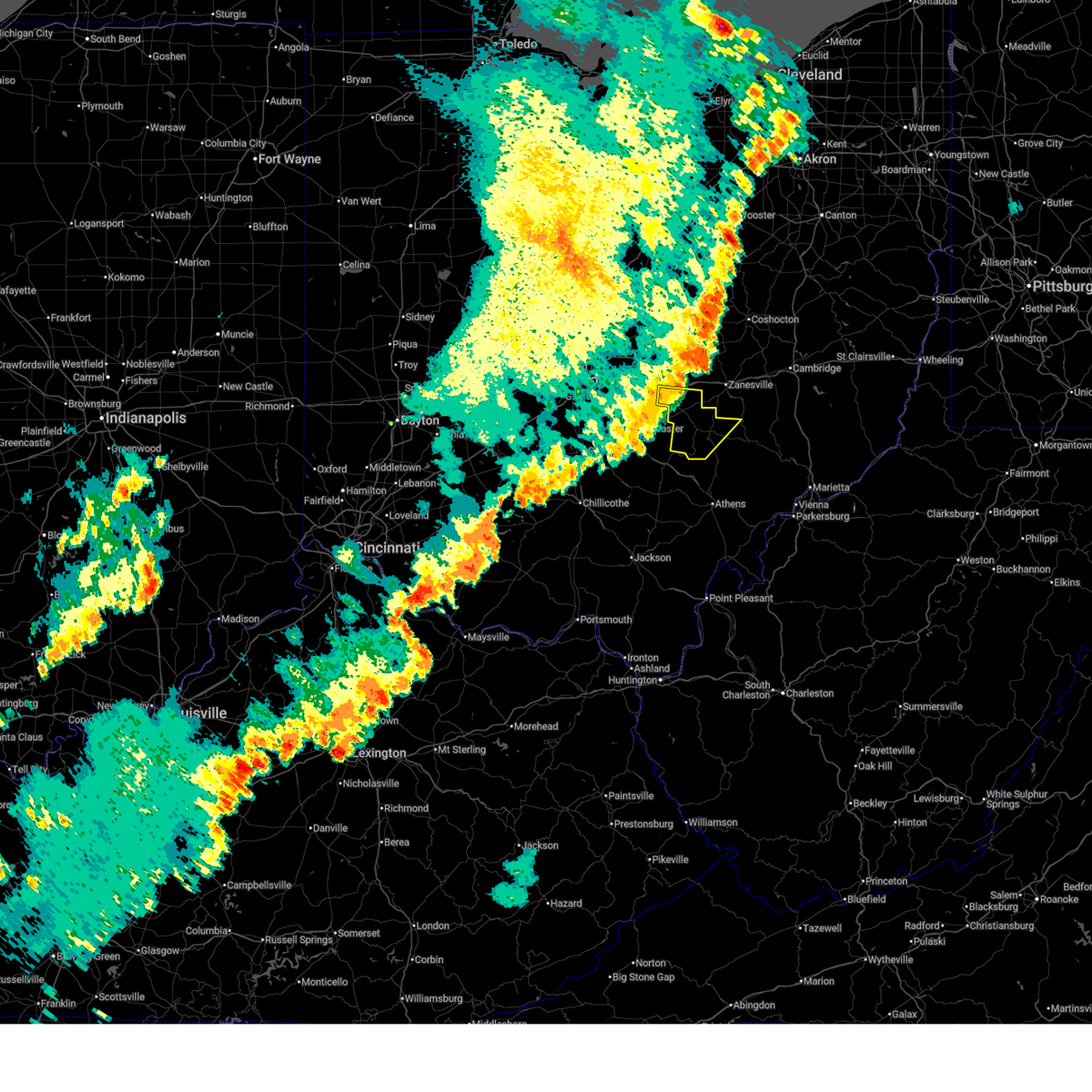
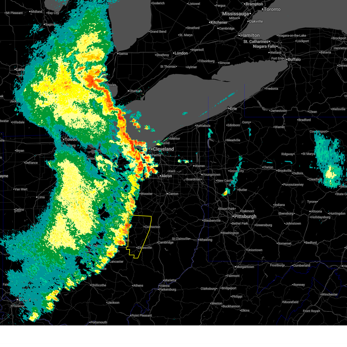
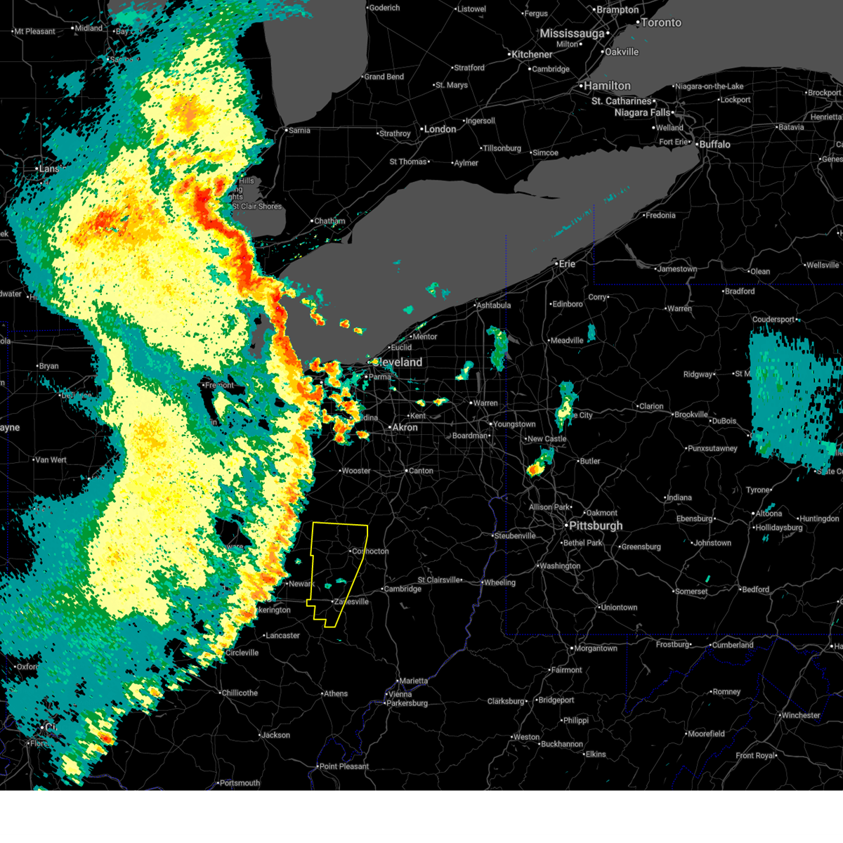
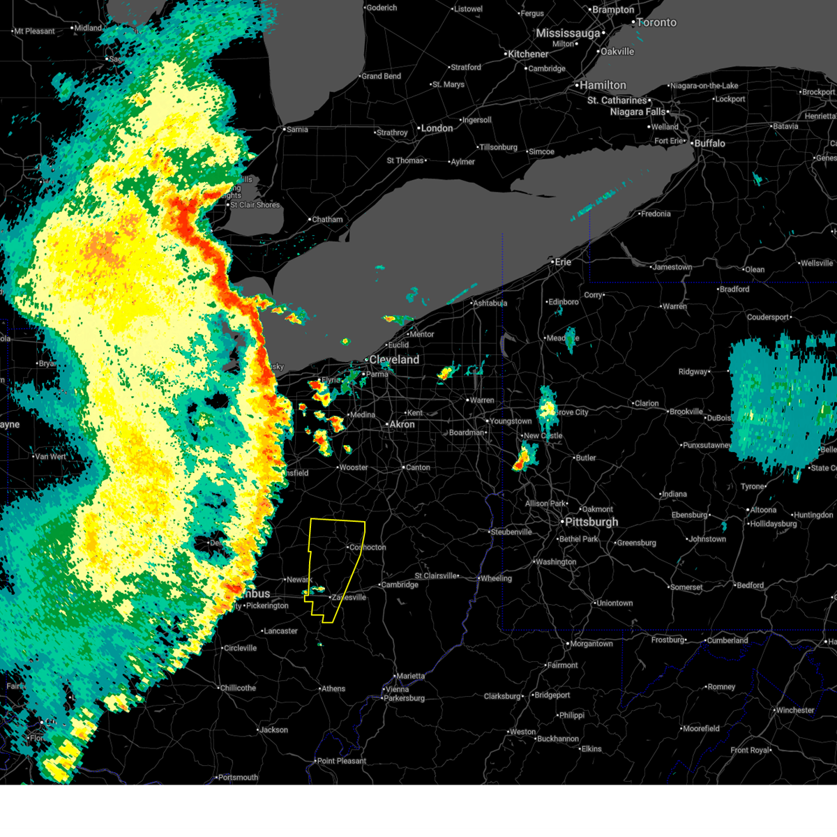
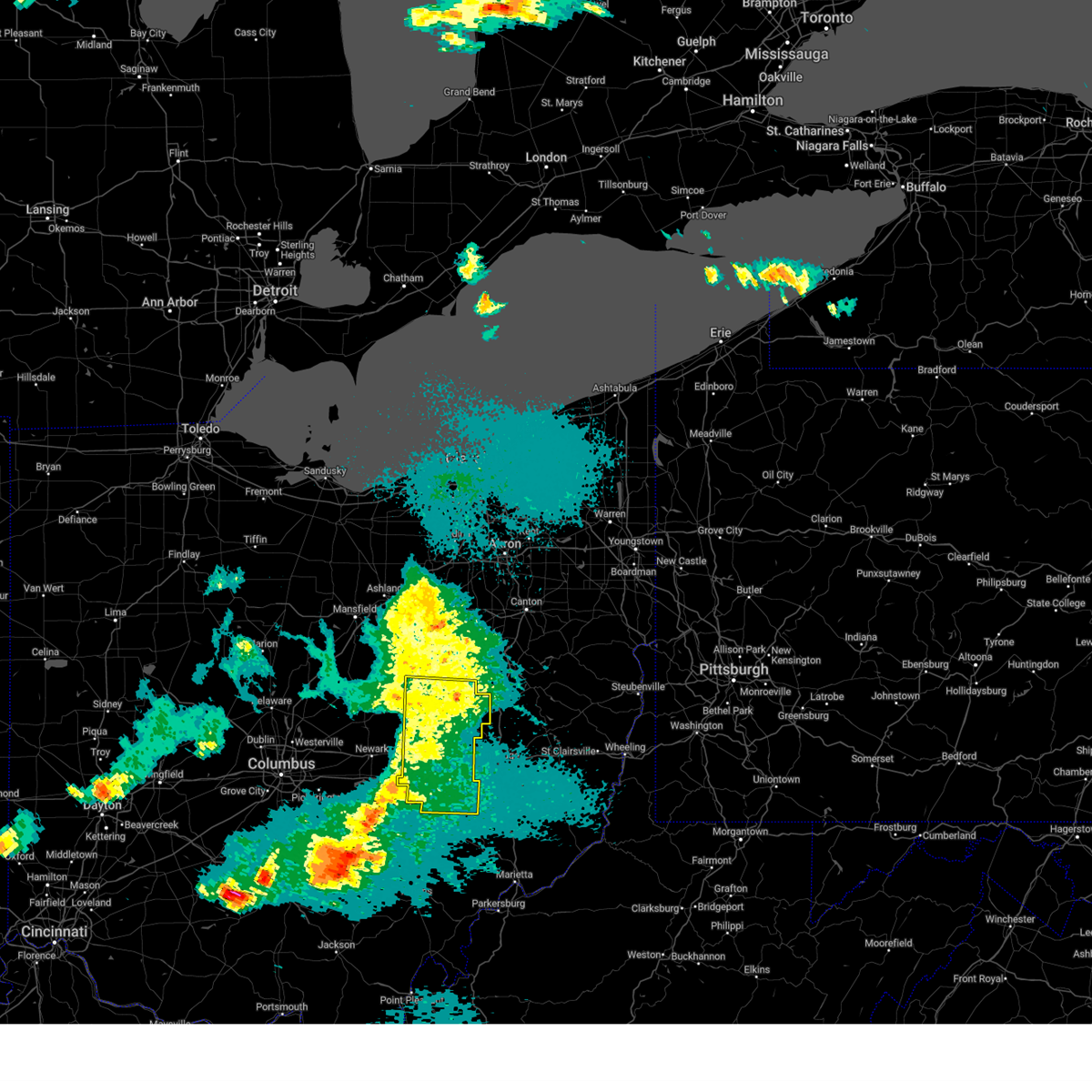
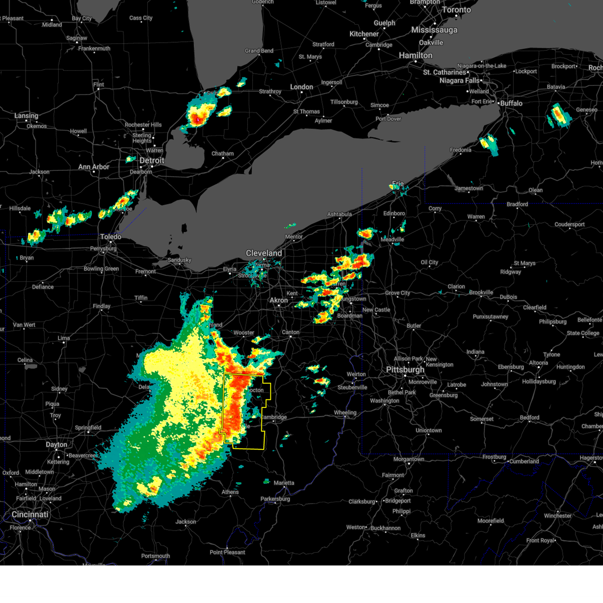
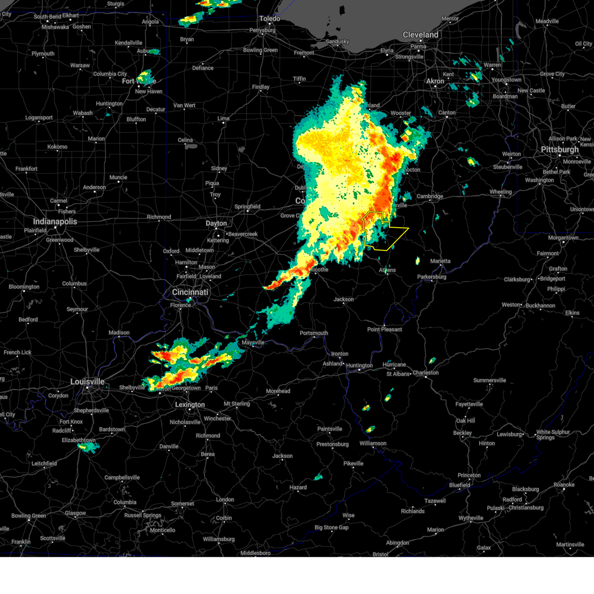
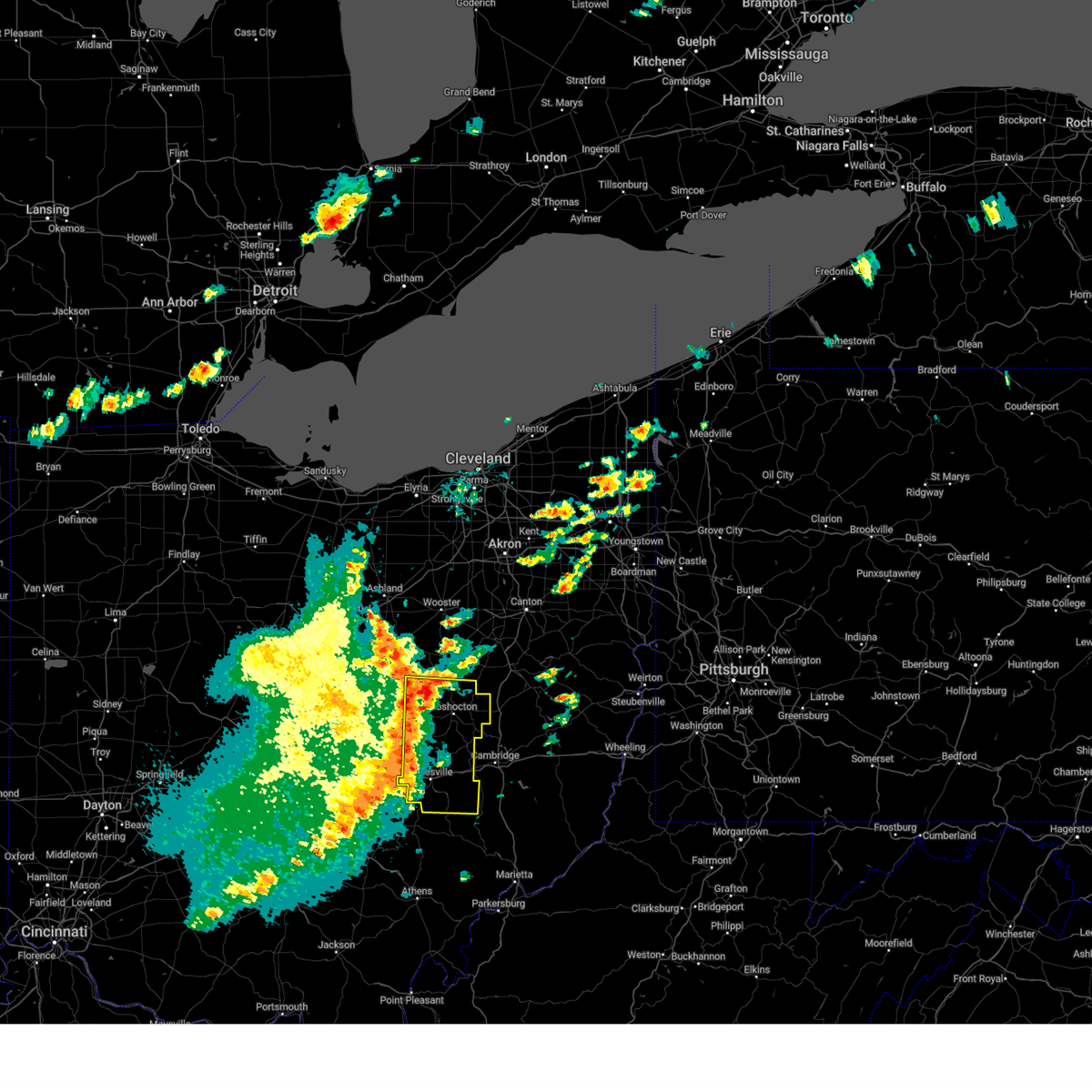
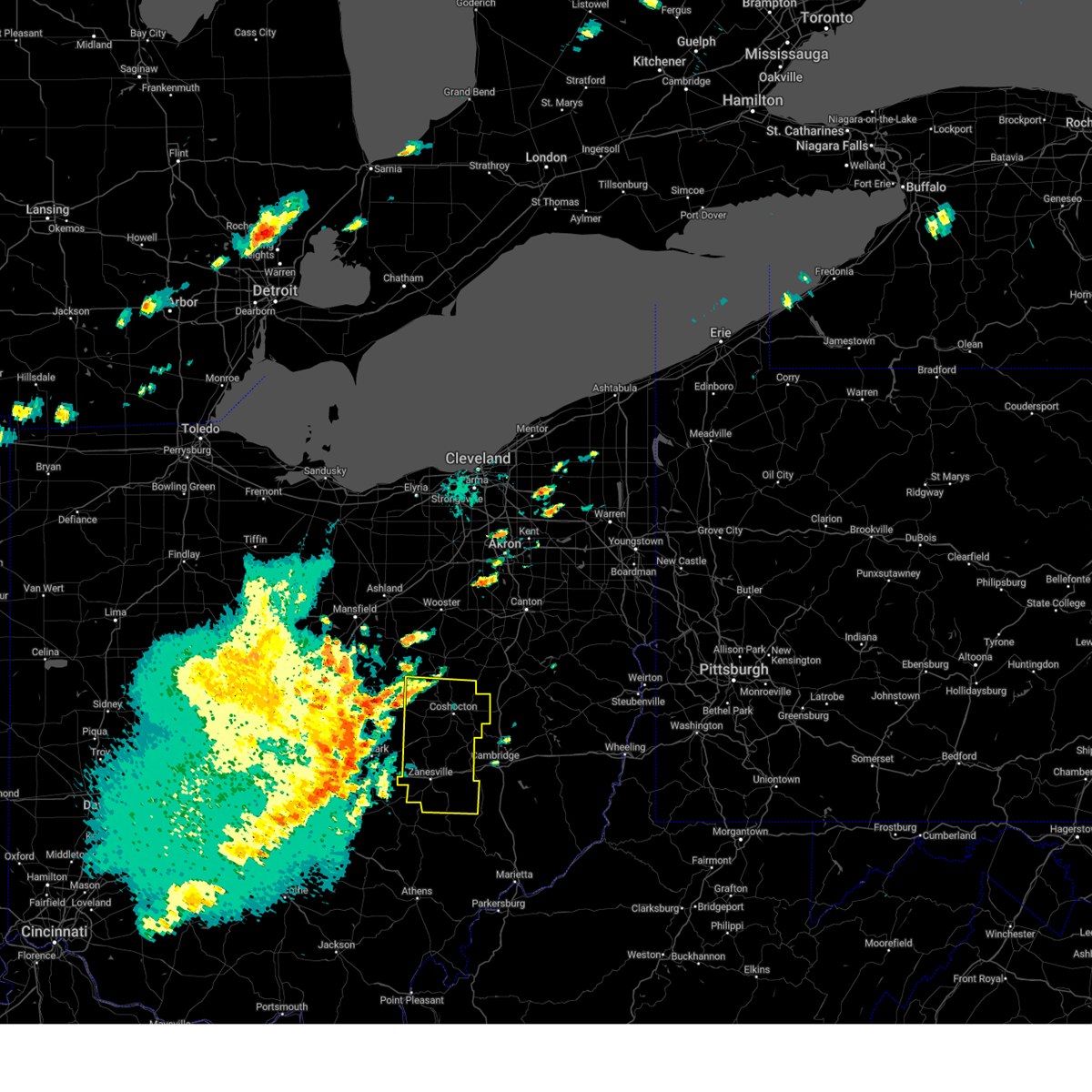
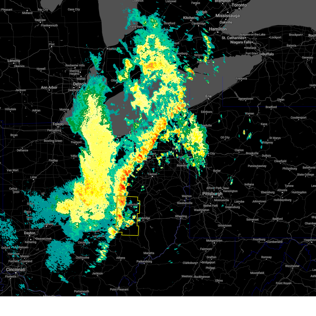
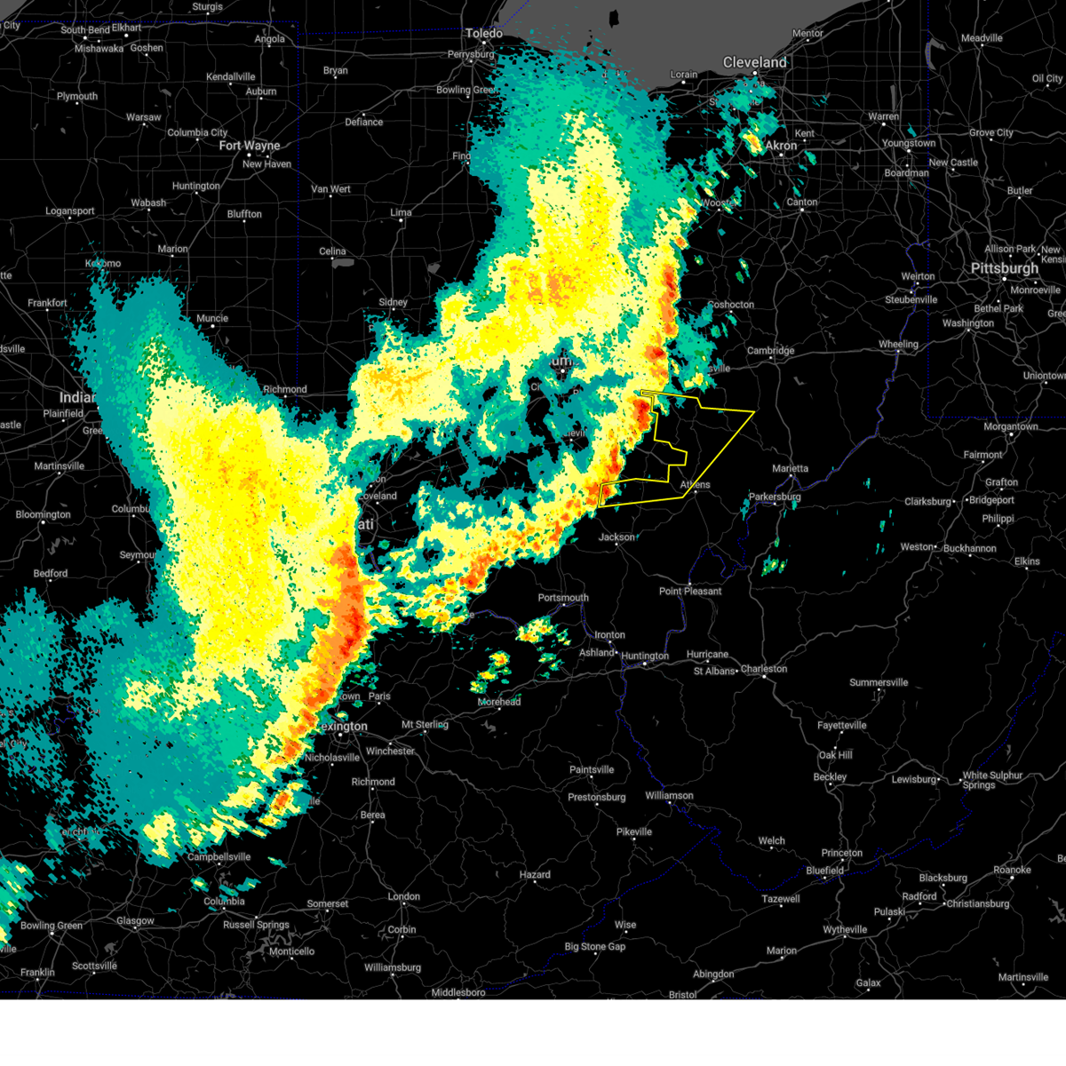
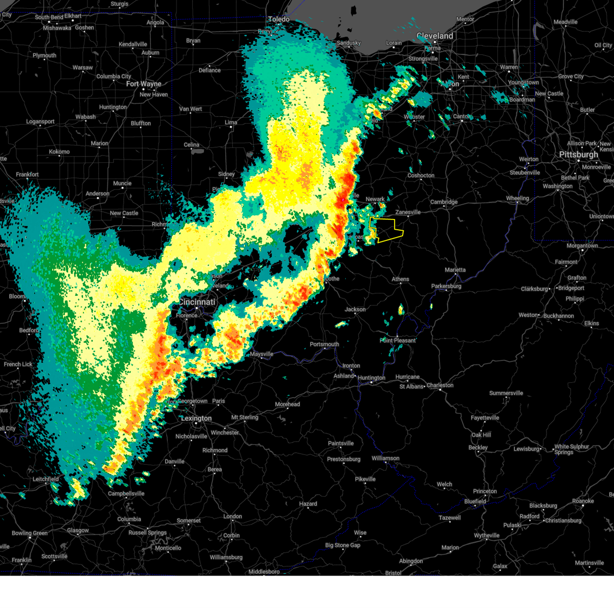
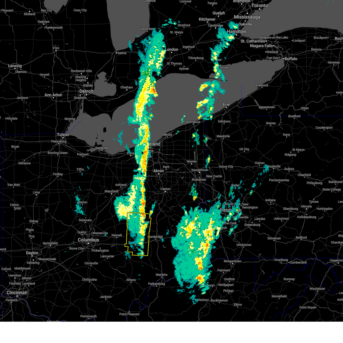
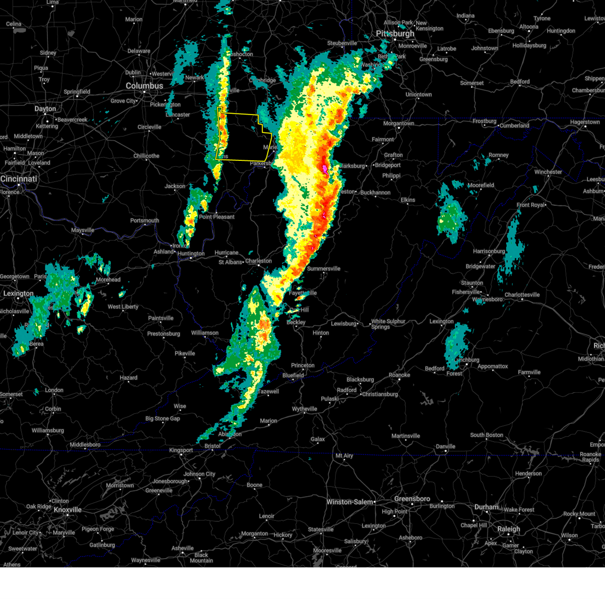
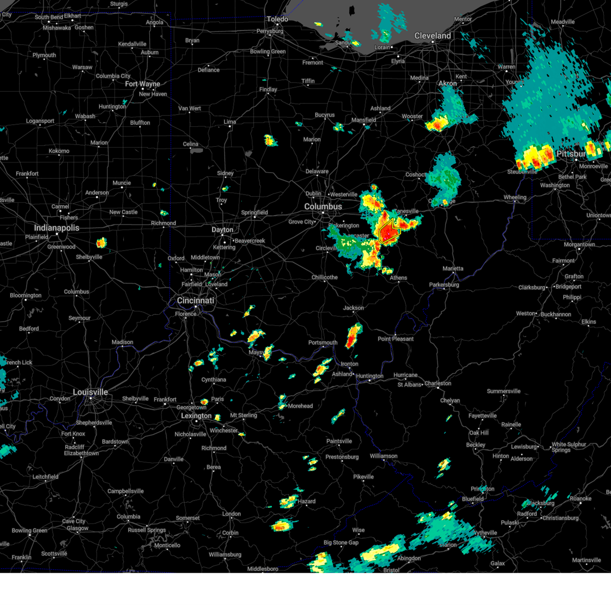
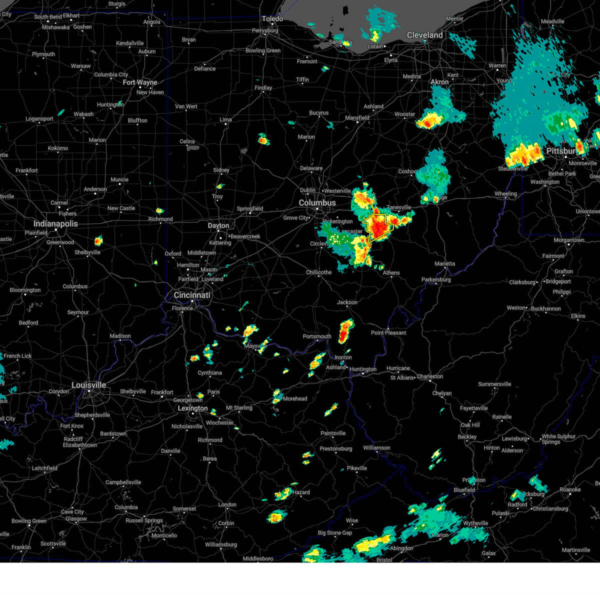
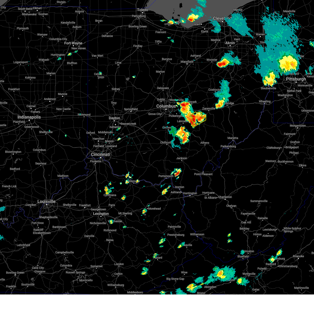
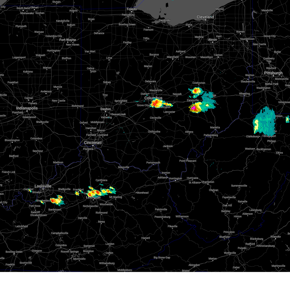
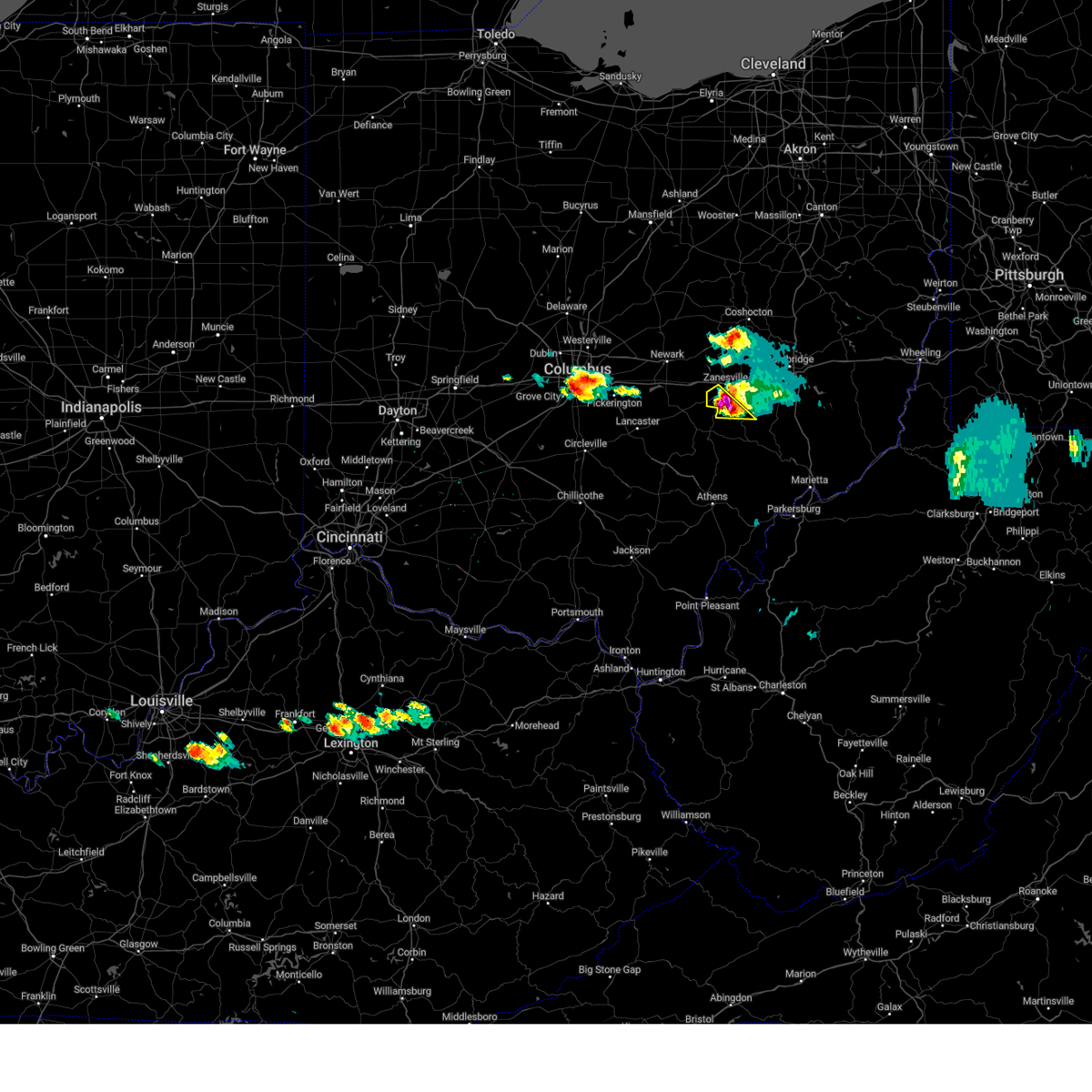
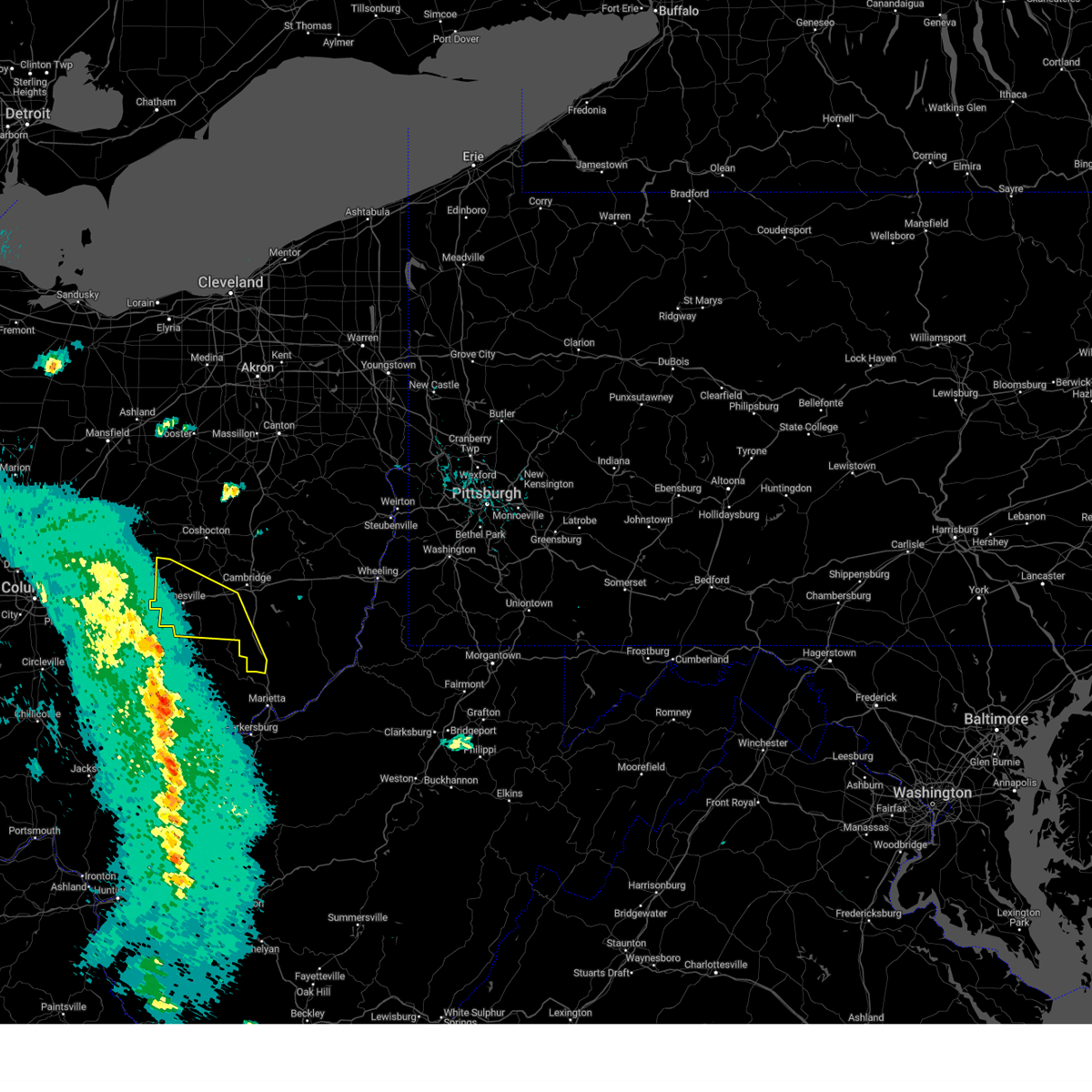
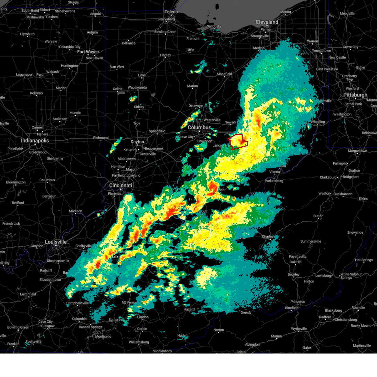
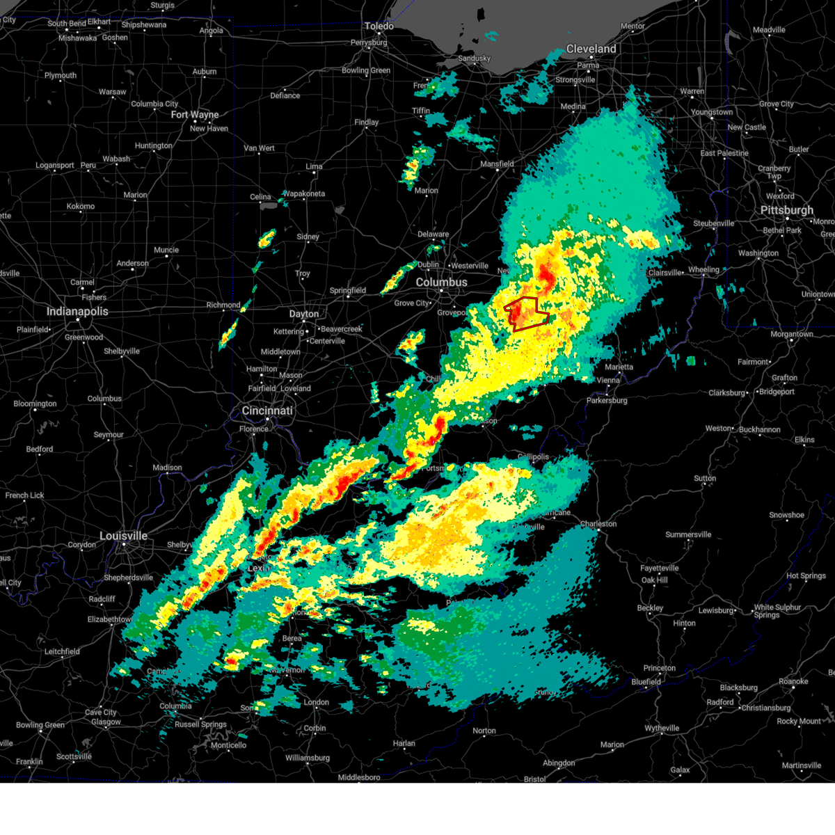
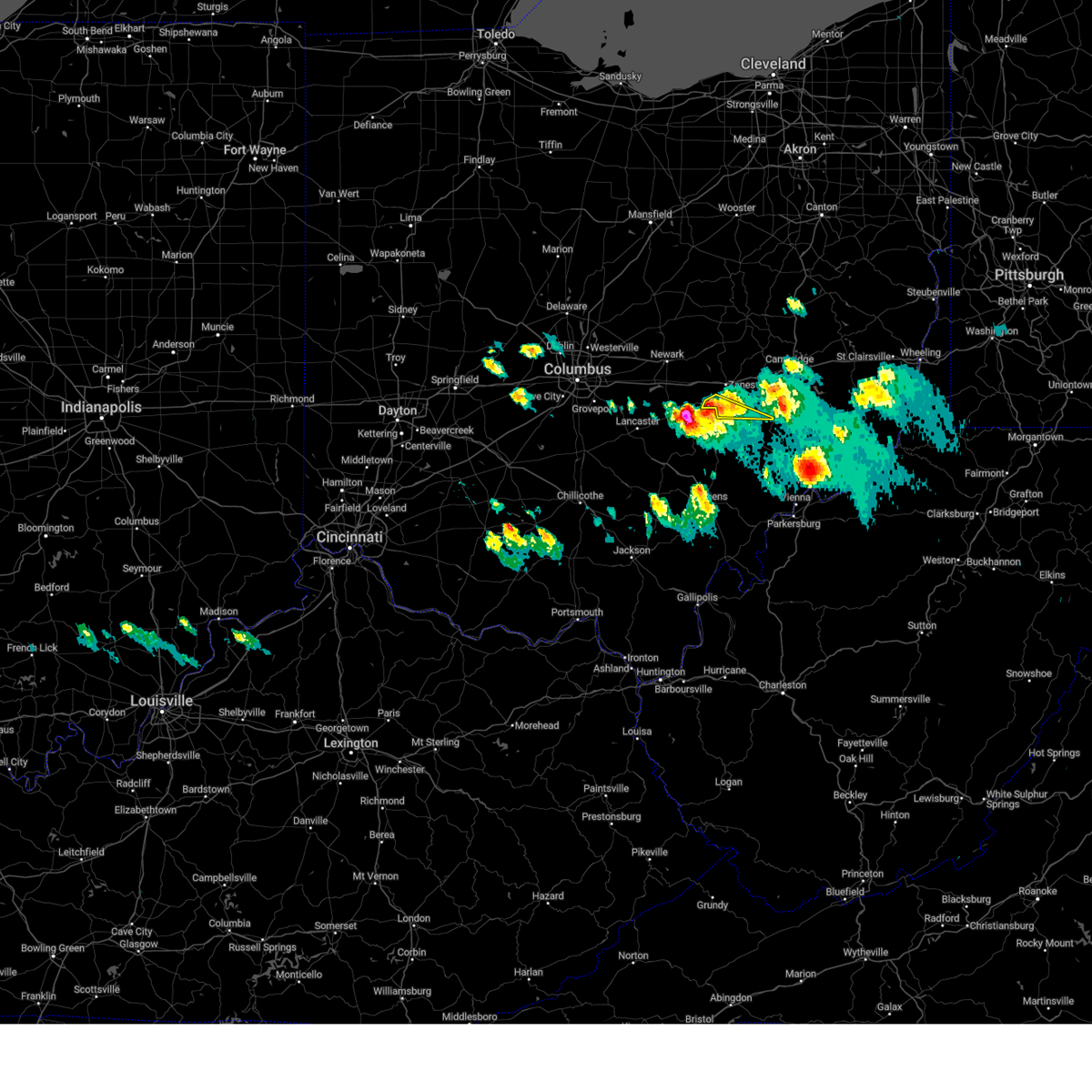
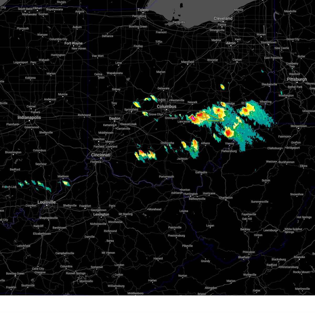
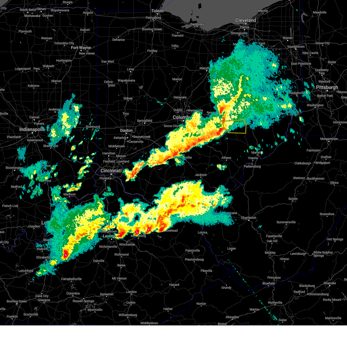
Hail Map for Roseville, OH
The Roseville, OH area has had 2 reports of on-the-ground hail by trained spotters, and has been under severe weather warnings 43 times during the past 12 months. Doppler radar has detected hail at or near Roseville, OH on 38 occasions, including 1 occasion during the past year.
| Name: | Roseville, OH |
| Where Located: | 50.5 miles ESE of Columbus, OH |
| Map: | Google Map for Roseville, OH |
| Population: | 1852 |
| Housing Units: | 798 |
| More Info: | Search Google for Roseville, OH |
0
The Top Recent Hail Date for Roseville, OH is Friday, May 2, 2025 (38th out of 38)
Hail and Wind Damage Spotted near Roseville, OH
| Date / Time | Report Details |
|---|---|
| 6/18/2025 9:45 PM EDT |
 The storms which prompted the warning have moved out of the area. therefore, the warning has been allowed to expire. a severe thunderstorm watch remains in effect until 300 am edt thursday for a portion of east central ohio. The storms which prompted the warning have moved out of the area. therefore, the warning has been allowed to expire. a severe thunderstorm watch remains in effect until 300 am edt thursday for a portion of east central ohio.
|
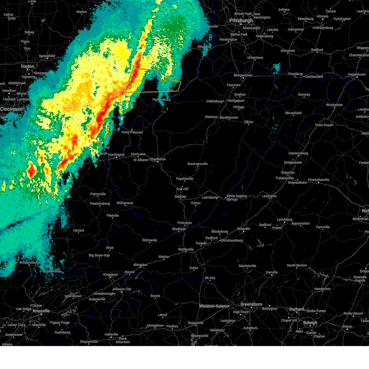
| 6/18/2025 9:38 PM EDT | At 938 pm edt, severe thunderstorms were located along a line from 7 miles west of sugarcreek to near south zanesville, or along a line from 15 miles north of coshocton to 6 miles southwest of zanesville, moving east at 45 mph (radar indicated). Hazards include 60 mph wind gusts. Expect damage to roofs, siding, and trees. Locations impacted include, zanesville, coshocton, south zanesville, north zanesville, pleasant grove, conesville, fultonham, drake, duncan falls, cannelville, east fultonham and chili. |
| 6/18/2025 9:30 PM EDT | The severe thunderstorm warning that was previously in effect has been reissued for a portion of coshocton and muskingum counties. please refer to those bulletins for the latest severe weather information. a severe thunderstorm watch remains in effect until 300 am edt thursday for a portion of east central ohio. |
| 6/18/2025 9:30 PM EDT |
 The storms which prompted the warning have weakened below severe limits, and no longer pose an immediate threat to life or property. therefore, the warning has been allowed to expire. however, gusty winds are still possible with these thunderstorms. a severe thunderstorm watch remains in effect until 300 am edt for southeastern ohio. to report severe weather, contact your nearest law enforcement agency. they will relay your report to the national weather service charleston west virginia. The storms which prompted the warning have weakened below severe limits, and no longer pose an immediate threat to life or property. therefore, the warning has been allowed to expire. however, gusty winds are still possible with these thunderstorms. a severe thunderstorm watch remains in effect until 300 am edt for southeastern ohio. to report severe weather, contact your nearest law enforcement agency. they will relay your report to the national weather service charleston west virginia.
|
| 6/18/2025 9:29 PM EDT | Svrpbz the national weather service in pittsburgh has issued a * severe thunderstorm warning for, central coshocton county in east central ohio, muskingum county in east central ohio, * until 945 pm edt. * at 929 pm edt, severe thunderstorms were located along a line from 13 miles north of coshocton to 10 miles southwest of south zanesville, or along a line from 13 miles north of coshocton to 12 miles southwest of zanesville, moving east at 45 mph (radar indicated). Hazards include 60 mph wind gusts. expect damage to roofs, siding, and trees |
| 6/18/2025 9:23 PM EDT | At 923 pm edt, severe thunderstorms were located along a line extending from zanesville to 6 miles west of logan, moving east at 45 mph (radar indicated). Hazards include 60 mph wind gusts. Expect damage to roofs, siding, and trees. Locations impacted include, new lexington, somerset, shawnee, perry state forest, crooksville, junction city, new straitsville, and glenford. |
| 6/18/2025 9:21 PM EDT | At 921 pm edt, severe thunderstorms were located along a line from 11 miles northwest of sugarcreek to 7 miles west of south zanesville, or along a line from 16 miles northwest of dover to 9 miles southwest of zanesville, moving east at 45 mph (radar indicated). Hazards include 60 mph wind gusts. Expect damage to roofs, siding, and trees. other locations impacted by the severe thunderstorm include nellie, cooperdale, layland, warsaw, blissfield, dillon state park, fultonham, drake, conesville and chili. Wind damage has been reported with this line across central ohio. |
| 6/18/2025 9:07 PM EDT |
 At 907 pm edt, severe thunderstorms were located along a line from 19 miles northwest of sugarcreek to 17 miles west of south zanesville, or along a line from 26 miles west of dover to 18 miles west of zanesville, moving east at 45 mph (radar indicated). Hazards include 60 mph wind gusts. Expect damage to roofs, siding, and trees. Other locations impacted by the severe thunderstorm include walhonding, new guilford, nellie, cooperdale, layland, warsaw, blissfield, dillon state park, fultonham and drake. At 907 pm edt, severe thunderstorms were located along a line from 19 miles northwest of sugarcreek to 17 miles west of south zanesville, or along a line from 26 miles west of dover to 18 miles west of zanesville, moving east at 45 mph (radar indicated). Hazards include 60 mph wind gusts. Expect damage to roofs, siding, and trees. Other locations impacted by the severe thunderstorm include walhonding, new guilford, nellie, cooperdale, layland, warsaw, blissfield, dillon state park, fultonham and drake.
|
| 6/18/2025 9:06 PM EDT |
 Svrrlx the national weather service in charleston west virginia has issued a * severe thunderstorm warning for, perry county in southeastern ohio, northwestern morgan county in southeastern ohio, * until 930 pm edt. * at 905 pm edt, severe thunderstorms were located along a line extending from 7 miles east of thornport to 8 miles northeast of kingston, moving east at 45 mph (radar indicated). Hazards include 60 mph wind gusts. expect damage to roofs, siding, and trees Svrrlx the national weather service in charleston west virginia has issued a * severe thunderstorm warning for, perry county in southeastern ohio, northwestern morgan county in southeastern ohio, * until 930 pm edt. * at 905 pm edt, severe thunderstorms were located along a line extending from 7 miles east of thornport to 8 miles northeast of kingston, moving east at 45 mph (radar indicated). Hazards include 60 mph wind gusts. expect damage to roofs, siding, and trees
|
| 6/18/2025 8:59 PM EDT |
 At 859 pm edt, severe thunderstorms were located along a line from 28 miles northwest of coshocton to 25 miles southwest of frazeysburg, or along a line from 28 miles northwest of coshocton to 25 miles west of zanesville, moving east at 45 mph (radar indicated). Hazards include 60 mph wind gusts. Expect damage to roofs, siding, and trees. other locations impacted by the severe thunderstorm include walhonding, new guilford, nellie, cooperdale, layland, warsaw, blissfield, dillon state park, fultonham and drake. Wind damage has been reported with this line across central ohio. At 859 pm edt, severe thunderstorms were located along a line from 28 miles northwest of coshocton to 25 miles southwest of frazeysburg, or along a line from 28 miles northwest of coshocton to 25 miles west of zanesville, moving east at 45 mph (radar indicated). Hazards include 60 mph wind gusts. Expect damage to roofs, siding, and trees. other locations impacted by the severe thunderstorm include walhonding, new guilford, nellie, cooperdale, layland, warsaw, blissfield, dillon state park, fultonham and drake. Wind damage has been reported with this line across central ohio.
|
| 6/18/2025 8:48 PM EDT |
 At 848 pm edt, severe thunderstorms were located along a line from 36 miles north of frazeysburg to 33 miles southwest of frazeysburg, or along a line from 33 miles northwest of coshocton to 34 miles west of zanesville, moving east at 40 mph (radar indicated). Hazards include 60 mph wind gusts. Expect damage to roofs, siding, and trees. Other locations impacted by the severe thunderstorm include new guilford, walhonding, nellie, layland, warsaw, cooperdale, blissfield, dillon state park, fultonham and conesville. At 848 pm edt, severe thunderstorms were located along a line from 36 miles north of frazeysburg to 33 miles southwest of frazeysburg, or along a line from 33 miles northwest of coshocton to 34 miles west of zanesville, moving east at 40 mph (radar indicated). Hazards include 60 mph wind gusts. Expect damage to roofs, siding, and trees. Other locations impacted by the severe thunderstorm include new guilford, walhonding, nellie, layland, warsaw, cooperdale, blissfield, dillon state park, fultonham and conesville.
|
| 6/18/2025 8:34 PM EDT |
 Svrpbz the national weather service in pittsburgh has issued a * severe thunderstorm warning for, coshocton county in east central ohio, muskingum county in east central ohio, * until 930 pm edt. * at 834 pm edt, severe thunderstorms were located along a line from 39 miles northwest of frazeysburg to 41 miles southwest of frazeysburg, or along a line from 40 miles northwest of coshocton to 43 miles west of zanesville, moving east at 40 mph (radar indicated). Hazards include 60 mph wind gusts. Expect damage to roofs, siding, and trees. Other locations impacted by the severe thunderstorm include new guilford, walhonding, nellie, layland, warsaw, cooperdale, blissfield, dillon state park, fultonham and conesville. Svrpbz the national weather service in pittsburgh has issued a * severe thunderstorm warning for, coshocton county in east central ohio, muskingum county in east central ohio, * until 930 pm edt. * at 834 pm edt, severe thunderstorms were located along a line from 39 miles northwest of frazeysburg to 41 miles southwest of frazeysburg, or along a line from 40 miles northwest of coshocton to 43 miles west of zanesville, moving east at 40 mph (radar indicated). Hazards include 60 mph wind gusts. Expect damage to roofs, siding, and trees. Other locations impacted by the severe thunderstorm include new guilford, walhonding, nellie, layland, warsaw, cooperdale, blissfield, dillon state park, fultonham and conesville.
|
| 5/16/2025 11:26 PM EDT | The severe thunderstorm warning that was previously in effect has been reissued for eastern coshocton and eastern muskingum counties into eastern neighboring counties. please refer to those bulletins for the latest severe weather information. a severe thunderstorm watch remains in effect until 400 am edt saturday for a portion of east central ohio. |
| 5/16/2025 11:11 PM EDT | The storms which prompted the warning have weakened below severe limits, and no longer pose an immediate threat to life or property. therefore, the warning will be allowed to expire. however, small hail and gusty winds are still possible with these thunderstorms. a tornado watch remains in effect until 300 am edt for southeastern ohio. |
| 5/16/2025 11:00 PM EDT | At 1059 pm edt, severe thunderstorms were located along a line extending from near south zanesville to bremen, moving east at 60 mph (radar indicated). Hazards include 60 mph wind gusts and quarter size hail. Hail damage to vehicles is expected. expect wind damage to roofs, siding, and trees. Locations impacted include, new lexington, somerset, perry state forest, crooksville, thornville, junction city, and glenford. |
| 5/16/2025 10:56 PM EDT |
 At 1056 pm edt, severe thunderstorms were located along a line from 22 miles north of frazeysburg to 11 miles southwest of south zanesville, or along a line from 22 miles northwest of coshocton to 14 miles southwest of zanesville, moving east at 50 mph (radar indicated). Hazards include 60 mph wind gusts. Expect damage to roofs, siding, and trees. Locations impacted include, zanesville, coshocton, newcomerstown, new concord, west lafayette, south zanesville, north zanesville, dresden, frazeysburg, philo, warsaw, pleasant grove, conesville, fultonham, plainfield, nellie, norwich, drake, bridgeville and otsego. At 1056 pm edt, severe thunderstorms were located along a line from 22 miles north of frazeysburg to 11 miles southwest of south zanesville, or along a line from 22 miles northwest of coshocton to 14 miles southwest of zanesville, moving east at 50 mph (radar indicated). Hazards include 60 mph wind gusts. Expect damage to roofs, siding, and trees. Locations impacted include, zanesville, coshocton, newcomerstown, new concord, west lafayette, south zanesville, north zanesville, dresden, frazeysburg, philo, warsaw, pleasant grove, conesville, fultonham, plainfield, nellie, norwich, drake, bridgeville and otsego.
|
| 5/16/2025 10:45 PM EDT | Svrrlx the national weather service in charleston west virginia has issued a * severe thunderstorm warning for, perry county in southeastern ohio, * until 1115 pm edt. * at 1044 pm edt, severe thunderstorms were located along a line extending from near pleasantville to 8 miles southwest of lancaster, moving northeast at 60 mph (radar indicated). Hazards include 60 mph wind gusts and quarter size hail. Hail damage to vehicles is expected. Expect wind damage to roofs, siding, and trees. |
| 5/16/2025 10:33 PM EDT | Svrpbz the national weather service in pittsburgh has issued a * severe thunderstorm warning for, coshocton county in east central ohio, muskingum county in east central ohio, * until 1130 pm edt. * at 1033 pm edt, severe thunderstorms were located along a line from 32 miles northwest of frazeysburg to 33 miles southwest of frazeysburg, or along a line from 40 miles west of coshocton to 32 miles west of zanesville, moving east at 50 mph (radar indicated). Hazards include 60 mph wind gusts and small hail. expect damage to roofs, siding, and trees |
| 4/29/2025 3:59 PM EDT |
 The storms which prompted the warning have moved out of the area. therefore, the warning will be allowed to expire. however, gusty winds are still possible with these thunderstorms. a severe thunderstorm watch remains in effect until 700 pm edt for east central ohio. remember, a severe thunderstorm warning still remains in effect for eastern coshocton and muskingum counties. The storms which prompted the warning have moved out of the area. therefore, the warning will be allowed to expire. however, gusty winds are still possible with these thunderstorms. a severe thunderstorm watch remains in effect until 700 pm edt for east central ohio. remember, a severe thunderstorm warning still remains in effect for eastern coshocton and muskingum counties.
|
| 4/29/2025 3:52 PM EDT | At 351 pm edt, severe thunderstorms were located along a line extending from near west lafayette to near new concord to 9 miles east of south zanesville, moving east at 55 mph. these are destructive storms for west lafeyette (radar indicated). Hazards include 80 mph wind gusts. Extensive tree damage and widespread power outages. mobile homes will be heavily damaged. expect considerable damage to roofs, windows and vehicles. Locations impacted include, coshocton, new concord, west lafayette, philo, pleasant grove, plainfield, norwich, cannelville, high hill, ruraldale, chandlersville, bridgeville, duncan falls, otsego, chili, bakersville, and blue rock state park. |
| 4/29/2025 3:49 PM EDT | At 349 pm edt, severe thunderstorms were located along a line extending from 9 miles south of south zanesville to near logan, moving southeast at 30 mph (radar indicated). Hazards include 60 mph wind gusts. Expect damage to roofs, siding, and trees. Locations impacted include, eagleport, junction city, perry state forest, hemlock, shawnee, new straitsville, rendville, crooksville, new lexington, and corning. |
| 4/29/2025 3:46 PM EDT |
 At 345 pm edt, severe thunderstorms were located along a line extending from 7 miles north of coshocton to 7 miles northwest of new concord to 6 miles southeast of south zanesville, moving east at 55 mph. these are destructive storms for west lafeyette (radar indicated). Hazards include 80 mph wind gusts. Extensive tree damage and widespread power outages. mobile homes will be heavily damaged. expect considerable damage to roofs, windows and vehicles. Locations impacted include, zanesville, coshocton, new concord, west lafayette, south zanesville, north zanesville, philo, pleasant grove, conesville, fultonham, plainfield, norwich, cannelville, high hill, ruraldale, chandlersville, bridgeville, duncan falls, east fultonham, and otsego. At 345 pm edt, severe thunderstorms were located along a line extending from 7 miles north of coshocton to 7 miles northwest of new concord to 6 miles southeast of south zanesville, moving east at 55 mph. these are destructive storms for west lafeyette (radar indicated). Hazards include 80 mph wind gusts. Extensive tree damage and widespread power outages. mobile homes will be heavily damaged. expect considerable damage to roofs, windows and vehicles. Locations impacted include, zanesville, coshocton, new concord, west lafayette, south zanesville, north zanesville, philo, pleasant grove, conesville, fultonham, plainfield, norwich, cannelville, high hill, ruraldale, chandlersville, bridgeville, duncan falls, east fultonham, and otsego.
|
| 4/29/2025 3:42 PM EDT |
 At 341 pm edt, severe thunderstorms were located along a line extending from 7 miles south of south zanesville to near logan, moving southeast at 30 mph (radar indicated). Hazards include 60 mph wind gusts. Expect damage to roofs, siding, and trees. Locations impacted include, eagleport, junction city, perry state forest, hemlock, shawnee, new straitsville, rendville, crooksville, somerset, new lexington, and corning. At 341 pm edt, severe thunderstorms were located along a line extending from 7 miles south of south zanesville to near logan, moving southeast at 30 mph (radar indicated). Hazards include 60 mph wind gusts. Expect damage to roofs, siding, and trees. Locations impacted include, eagleport, junction city, perry state forest, hemlock, shawnee, new straitsville, rendville, crooksville, somerset, new lexington, and corning.
|
| 4/29/2025 3:36 PM EDT |
 At 335 pm edt, severe thunderstorms were located along a line extending from 8 miles south of killbuck to near dresden to near south zanesville, moving east at 60 mph. these are destructive storms for zanesville, conesville, and coshocton (radar indicated). Hazards include 80 mph wind gusts. Extensive tree damage and widespread power outages. mobile homes will be heavily damaged. expect considerable damage to roofs, windows and vehicles. Locations impacted include, zanesville, coshocton, new concord, west lafayette, south zanesville, north zanesville, dresden, frazeysburg, philo, warsaw, pleasant grove, conesville, gratiot, fultonham, plainfield, nellie, norwich, ruraldale, chandlersville, and bridgeville. At 335 pm edt, severe thunderstorms were located along a line extending from 8 miles south of killbuck to near dresden to near south zanesville, moving east at 60 mph. these are destructive storms for zanesville, conesville, and coshocton (radar indicated). Hazards include 80 mph wind gusts. Extensive tree damage and widespread power outages. mobile homes will be heavily damaged. expect considerable damage to roofs, windows and vehicles. Locations impacted include, zanesville, coshocton, new concord, west lafayette, south zanesville, north zanesville, dresden, frazeysburg, philo, warsaw, pleasant grove, conesville, gratiot, fultonham, plainfield, nellie, norwich, ruraldale, chandlersville, and bridgeville.
|
| 4/29/2025 3:30 PM EDT |
 Svrrlx the national weather service in charleston west virginia has issued a * severe thunderstorm warning for, perry county in southeastern ohio, northwestern morgan county in southeastern ohio, * until 400 pm edt. * at 329 pm edt, severe thunderstorms were located along a line extending from 7 miles north of somerset to 7 miles northeast of kingston, moving east at 60 mph (radar indicated). Hazards include 60 mph wind gusts. expect damage to roofs, siding, and trees Svrrlx the national weather service in charleston west virginia has issued a * severe thunderstorm warning for, perry county in southeastern ohio, northwestern morgan county in southeastern ohio, * until 400 pm edt. * at 329 pm edt, severe thunderstorms were located along a line extending from 7 miles north of somerset to 7 miles northeast of kingston, moving east at 60 mph (radar indicated). Hazards include 60 mph wind gusts. expect damage to roofs, siding, and trees
|
| 4/29/2025 3:29 PM EDT |
 At 328 pm edt, severe thunderstorms were located along a line extending from near utica to 9 miles east of thornport to near bremen, moving east at 55 mph. these are destructive storms for frazeysburg and warsaw (radar indicated). Hazards include 80 mph wind gusts. Extensive tree damage and widespread power outages. mobile homes will be heavily damaged. expect considerable damage to roofs, windows and vehicles. Locations impacted include, zanesville, coshocton, new concord, west lafayette, south zanesville, north zanesville, dresden, frazeysburg, philo, warsaw, pleasant grove, conesville, gratiot, fultonham, plainfield, nellie, norwich, ruraldale, chandlersville, and bridgeville. At 328 pm edt, severe thunderstorms were located along a line extending from near utica to 9 miles east of thornport to near bremen, moving east at 55 mph. these are destructive storms for frazeysburg and warsaw (radar indicated). Hazards include 80 mph wind gusts. Extensive tree damage and widespread power outages. mobile homes will be heavily damaged. expect considerable damage to roofs, windows and vehicles. Locations impacted include, zanesville, coshocton, new concord, west lafayette, south zanesville, north zanesville, dresden, frazeysburg, philo, warsaw, pleasant grove, conesville, gratiot, fultonham, plainfield, nellie, norwich, ruraldale, chandlersville, and bridgeville.
|
| 4/29/2025 3:06 PM EDT |
 Svrpbz the national weather service in pittsburgh has issued a * severe thunderstorm warning for, coshocton county in east central ohio, muskingum county in east central ohio, * until 400 pm edt. * at 305 pm edt, severe thunderstorms were located along a line extending from near centerburg to near beechwood trails to near lancaster, moving east at 55 mph (radar indicated). Hazards include 70 mph wind gusts. Trees snapped and uprooted. Power outages can be expected. Svrpbz the national weather service in pittsburgh has issued a * severe thunderstorm warning for, coshocton county in east central ohio, muskingum county in east central ohio, * until 400 pm edt. * at 305 pm edt, severe thunderstorms were located along a line extending from near centerburg to near beechwood trails to near lancaster, moving east at 55 mph (radar indicated). Hazards include 70 mph wind gusts. Trees snapped and uprooted. Power outages can be expected.
|
| 4/3/2025 2:55 AM EDT |
 Svrrlx the national weather service in charleston west virginia has issued a * severe thunderstorm warning for, southeastern perry county in southeastern ohio, northern washington county in southeastern ohio, morgan county in southeastern ohio, northern athens county in southeastern ohio, * until 330 am edt. * at 254 am edt, severe thunderstorms were located along a line extending from 8 miles south of south zanesville to buchtel, moving east at 60 mph (radar indicated). Hazards include 60 mph wind gusts. expect damage to roofs, siding, and trees Svrrlx the national weather service in charleston west virginia has issued a * severe thunderstorm warning for, southeastern perry county in southeastern ohio, northern washington county in southeastern ohio, morgan county in southeastern ohio, northern athens county in southeastern ohio, * until 330 am edt. * at 254 am edt, severe thunderstorms were located along a line extending from 8 miles south of south zanesville to buchtel, moving east at 60 mph (radar indicated). Hazards include 60 mph wind gusts. expect damage to roofs, siding, and trees
|
| 4/3/2025 2:51 AM EDT | Tree down on a car and partially onto a house roof. time estimate in muskingum county OH, 0.5 miles SW of Roseville, OH |
| 4/3/2025 2:23 AM EDT | Svrpbz the national weather service in pittsburgh has issued a * severe thunderstorm warning for, western guernsey county in east central ohio, coshocton county in east central ohio, muskingum county in east central ohio, northwestern carroll county in east central ohio, tuscarawas county in east central ohio, northwestern noble county in east central ohio, * until 315 am edt. * at 221 am edt, severe thunderstorms were located along a line extending from 8 miles northeast of hayesville to 10 miles south of lancaster, moving east at 60 mph (radar indicated). Hazards include 60 mph wind gusts. expect damage to trees and power lines, resulting in some power outages |
| 4/3/2025 2:16 AM EDT | Svrrlx the national weather service in charleston west virginia has issued a * severe thunderstorm warning for, perry county in southeastern ohio, western morgan county in southeastern ohio, northwestern vinton county in southeastern ohio, northwestern athens county in southeastern ohio, * until 300 am edt. * at 215 am edt, severe thunderstorms were located along a line extending from beechwood trails to 8 miles west of lancaster to 6 miles south of kingston, moving east at 75 mph (radar indicated). Hazards include 60 mph wind gusts. expect damage to roofs, siding, and trees |
| 4/2/2025 11:41 AM EDT |
 Svrrlx the national weather service in charleston west virginia has issued a * severe thunderstorm warning for, southeastern perry county in southeastern ohio, morgan county in southeastern ohio, northwestern athens county in southeastern ohio, * until 1215 pm edt. * at 1141 am edt, a severe thunderstorm was located near shawnee, moving northeast at 70 mph (radar indicated). Hazards include 60 mph wind gusts and half dollar size hail. Hail damage to vehicles is expected. Expect wind damage to roofs, siding, and trees. Svrrlx the national weather service in charleston west virginia has issued a * severe thunderstorm warning for, southeastern perry county in southeastern ohio, morgan county in southeastern ohio, northwestern athens county in southeastern ohio, * until 1215 pm edt. * at 1141 am edt, a severe thunderstorm was located near shawnee, moving northeast at 70 mph (radar indicated). Hazards include 60 mph wind gusts and half dollar size hail. Hail damage to vehicles is expected. Expect wind damage to roofs, siding, and trees.
|
| 3/30/2025 11:45 PM EDT |
 The storms which prompted the warning have weakened below severe limits, and have exited the warned area. therefore, the warning has been allowed to expire. however, gusty winds are still possible with these thunderstorms. a severe thunderstorm watch remains in effect until 300 am edt for southeastern ohio. to report severe weather, contact your nearest law enforcement agency. they will relay your report to the national weather service charleston west virginia. The storms which prompted the warning have weakened below severe limits, and have exited the warned area. therefore, the warning has been allowed to expire. however, gusty winds are still possible with these thunderstorms. a severe thunderstorm watch remains in effect until 300 am edt for southeastern ohio. to report severe weather, contact your nearest law enforcement agency. they will relay your report to the national weather service charleston west virginia.
|
| 3/30/2025 11:27 PM EDT | At 1127 pm edt, severe thunderstorms were located along a line extending from near south zanesville to nelsonville, moving east at 45 mph (radar indicated). Hazards include 60 mph wind gusts and penny size hail. Expect damage to roofs, siding, and trees. Locations impacted include, lake hope state park, chauncey, creola, buchtel, shawnee, new straitsville, burr oak state park, mcconnelsville, rendville, new lexington, malta, eagleport, nelsonville, allensville, trimble, hemlock, glouster, jacksonville, crooksville, and the plains. |
| 3/30/2025 11:24 PM EDT | Thunderstorms in muskingum county have weakened below severe limits. however, a severe thunderstorm warning has been reissued for thunderstorms in northeastern coshocton county. a severe thunderstorm watch remains in effect until 300 am edt for a portion of east central ohio. |
| 3/30/2025 11:14 PM EDT |
 The storms which prompted the warning have weakened below severe limits, and have exited the warned area. therefore, the warning will be allowed to expire. however, gusty winds and heavy rain are still possible with these thunderstorms. a severe thunderstorm watch remains in effect until 300 am edt for southeastern ohio. to report severe weather, contact your nearest law enforcement agency. they will relay your report to the national weather service charleston west virginia. The storms which prompted the warning have weakened below severe limits, and have exited the warned area. therefore, the warning will be allowed to expire. however, gusty winds and heavy rain are still possible with these thunderstorms. a severe thunderstorm watch remains in effect until 300 am edt for southeastern ohio. to report severe weather, contact your nearest law enforcement agency. they will relay your report to the national weather service charleston west virginia.
|
| 3/30/2025 11:10 PM EDT |
 At 1110 pm edt, severe thunderstorms were located along a line from 16 miles northwest of sugarcreek to 17 miles southwest of south zanesville, or along a line from 22 miles northwest of dover to 20 miles southwest of zanesville, moving east at 50 mph (radar indicated). Hazards include 60 mph wind gusts and small hail. Expect damage to roofs, siding, and trees. Locations impacted include, zanesville, coshocton, new concord, west lafayette, south zanesville, north zanesville, dresden, frazeysburg, philo, warsaw, pleasant grove, conesville, fultonham, plainfield, nellie, norwich, drake, bridgeville, otsego and duncan falls. At 1110 pm edt, severe thunderstorms were located along a line from 16 miles northwest of sugarcreek to 17 miles southwest of south zanesville, or along a line from 22 miles northwest of dover to 20 miles southwest of zanesville, moving east at 50 mph (radar indicated). Hazards include 60 mph wind gusts and small hail. Expect damage to roofs, siding, and trees. Locations impacted include, zanesville, coshocton, new concord, west lafayette, south zanesville, north zanesville, dresden, frazeysburg, philo, warsaw, pleasant grove, conesville, fultonham, plainfield, nellie, norwich, drake, bridgeville, otsego and duncan falls.
|
| 3/30/2025 10:53 PM EDT |
 Svrrlx the national weather service in charleston west virginia has issued a * severe thunderstorm warning for, perry county in southeastern ohio, western morgan county in southeastern ohio, northern vinton county in southeastern ohio, northwestern athens county in southeastern ohio, * until 1145 pm edt. * at 1052 pm edt, severe thunderstorms were located along a line extending from near bremen to 10 miles southwest of hocking hills state park, moving east at 45 mph (radar indicated). Hazards include 60 mph wind gusts and penny size hail. expect damage to roofs, siding, and trees Svrrlx the national weather service in charleston west virginia has issued a * severe thunderstorm warning for, perry county in southeastern ohio, western morgan county in southeastern ohio, northern vinton county in southeastern ohio, northwestern athens county in southeastern ohio, * until 1145 pm edt. * at 1052 pm edt, severe thunderstorms were located along a line extending from near bremen to 10 miles southwest of hocking hills state park, moving east at 45 mph (radar indicated). Hazards include 60 mph wind gusts and penny size hail. expect damage to roofs, siding, and trees
|
| 3/30/2025 10:48 PM EDT | Svrpbz the national weather service in pittsburgh has issued a * severe thunderstorm warning for, coshocton county in east central ohio, muskingum county in east central ohio, * until 1130 pm edt. * at 1048 pm edt, severe thunderstorms were located along a line from 40 miles north of frazeysburg to 31 miles southwest of south zanesville, or along a line from 37 miles northwest of coshocton to 33 miles southwest of zanesville, moving east at 40 mph (radar indicated). Hazards include 60 mph wind gusts and small hail. expect damage to roofs, siding, and trees |
| 3/30/2025 10:28 PM EDT |
 Svrrlx the national weather service in charleston west virginia has issued a * severe thunderstorm warning for, northern perry county in southeastern ohio, * until 1115 pm edt. * at 1027 pm edt, severe thunderstorms were located along a line extending from reynoldsburg to 6 miles southeast of circleville, moving east at 50 mph (radar indicated). Hazards include 60 mph wind gusts and penny size hail. expect damage to roofs, siding, and trees Svrrlx the national weather service in charleston west virginia has issued a * severe thunderstorm warning for, northern perry county in southeastern ohio, * until 1115 pm edt. * at 1027 pm edt, severe thunderstorms were located along a line extending from reynoldsburg to 6 miles southeast of circleville, moving east at 50 mph (radar indicated). Hazards include 60 mph wind gusts and penny size hail. expect damage to roofs, siding, and trees
|
| 3/16/2025 11:57 AM EDT |
 The severe thunderstorm warning that was previously in effect has been reissued for coshocton and muskingum counties and is in effect until 1230 pm edt. please refer to that bulletin for the latest severe weather information. a tornado watch remains in effect until 400 pm edt for a portion of east central ohio. The severe thunderstorm warning that was previously in effect has been reissued for coshocton and muskingum counties and is in effect until 1230 pm edt. please refer to that bulletin for the latest severe weather information. a tornado watch remains in effect until 400 pm edt for a portion of east central ohio.
|
| 3/16/2025 11:40 AM EDT | Trees and power poles down in the southern part of the county... especially in the roseville area. time estimate in muskingum county OH, 0.5 miles SW of Roseville, OH |
| 3/16/2025 11:39 AM EDT |
 Svrrlx the national weather service in charleston west virginia has issued a * severe thunderstorm warning for, southeastern perry county in southeastern ohio, northwestern washington county in southeastern ohio, morgan county in southeastern ohio, central athens county in southeastern ohio, * until 1215 pm edt. * at 1139 am edt, severe thunderstorms were located along a line extending from near south zanesville to 7 miles east of new lexington to near glouster to 6 miles southeast of buchtel, moving east at 60 mph (radar indicated). Hazards include 60 mph wind gusts. expect damage to roofs, siding, and trees Svrrlx the national weather service in charleston west virginia has issued a * severe thunderstorm warning for, southeastern perry county in southeastern ohio, northwestern washington county in southeastern ohio, morgan county in southeastern ohio, central athens county in southeastern ohio, * until 1215 pm edt. * at 1139 am edt, severe thunderstorms were located along a line extending from near south zanesville to 7 miles east of new lexington to near glouster to 6 miles southeast of buchtel, moving east at 60 mph (radar indicated). Hazards include 60 mph wind gusts. expect damage to roofs, siding, and trees
|
| 3/16/2025 11:34 AM EDT |
 At 1134 am edt, severe thunderstorms were located along a line from 22 miles west of sugarcreek to 5 miles northwest of south zanesville, or along a line from 27 miles north of coshocton to 5 miles west of zanesville, moving northeast at 55 mph (radar indicated). Hazards include 70 mph wind gusts. Expect considerable tree damage. damage is likely to mobile homes, roofs, and outbuildings. Locations impacted include, zanesville, coshocton, new concord, west lafayette, south zanesville, north zanesville, dresden, frazeysburg, philo, warsaw, pleasant grove, conesville, fultonham, plainfield, nellie, norwich, drake, bridgeville, otsego and duncan falls. At 1134 am edt, severe thunderstorms were located along a line from 22 miles west of sugarcreek to 5 miles northwest of south zanesville, or along a line from 27 miles north of coshocton to 5 miles west of zanesville, moving northeast at 55 mph (radar indicated). Hazards include 70 mph wind gusts. Expect considerable tree damage. damage is likely to mobile homes, roofs, and outbuildings. Locations impacted include, zanesville, coshocton, new concord, west lafayette, south zanesville, north zanesville, dresden, frazeysburg, philo, warsaw, pleasant grove, conesville, fultonham, plainfield, nellie, norwich, drake, bridgeville, otsego and duncan falls.
|
| 3/16/2025 11:22 AM EDT |
 Svrpbz the national weather service in pittsburgh has issued a * severe thunderstorm warning for, coshocton county in east central ohio, muskingum county in east central ohio, * until noon edt. * at 1122 am edt, severe thunderstorms were located along a line from 27 miles north of frazeysburg to 15 miles southwest of south zanesville, or along a line from 24 miles northwest of coshocton to 17 miles southwest of zanesville, moving northeast at 55 mph (radar indicated). Hazards include 60 mph wind gusts. expect damage to roofs, siding, and trees Svrpbz the national weather service in pittsburgh has issued a * severe thunderstorm warning for, coshocton county in east central ohio, muskingum county in east central ohio, * until noon edt. * at 1122 am edt, severe thunderstorms were located along a line from 27 miles north of frazeysburg to 15 miles southwest of south zanesville, or along a line from 24 miles northwest of coshocton to 17 miles southwest of zanesville, moving northeast at 55 mph (radar indicated). Hazards include 60 mph wind gusts. expect damage to roofs, siding, and trees
|
| 7/15/2024 6:28 PM EDT | Svrrlx the national weather service in charleston west virginia has issued a * severe thunderstorm warning for, east central perry county in southeastern ohio, morgan county in southeastern ohio, * until 700 pm edt. * at 628 pm edt, a severe thunderstorm was located 8 miles east of new lexington, moving east at 35 mph (radar indicated). Hazards include 60 mph wind gusts. expect damage to roofs, siding, and trees |
| 7/15/2024 6:21 PM EDT | At 620 pm edt, a severe thunderstorm was located near zanesville, moving east at 35 mph (radar indicated). Hazards include 70 mph wind gusts and quarter size hail. Minor hail damage to vehicles is possible. trees snapped and uprooted. power outages can be expected. Locations impacted include, zanesville, south zanesville, north zanesville, philo, pleasant grove, gratiot, fultonham, cannelville, chandlersville, ruraldale, bridgeville, duncan falls, east fultonham, and blue rock state park. |
| 7/15/2024 6:10 PM EDT | Power company reports power outage due to tree damage west of crooksvill in perry county OH, 3.4 miles ENE of Roseville, OH |
| 7/15/2024 6:06 PM EDT |
 At 605 pm edt, severe thunderstorms were located along a line extending from 7 miles northeast of somerset to hide-a-way hills, moving east at 40 mph (radar indicated). Hazards include 60 mph wind gusts and penny size hail. Expect damage to roofs, siding, and trees. Locations impacted include, new lexington, somerset, shawnee, perry state forest, crooksville, junction city, new straitsville, corning, glenford, hemlock, rendville, and eagleport. At 605 pm edt, severe thunderstorms were located along a line extending from 7 miles northeast of somerset to hide-a-way hills, moving east at 40 mph (radar indicated). Hazards include 60 mph wind gusts and penny size hail. Expect damage to roofs, siding, and trees. Locations impacted include, new lexington, somerset, shawnee, perry state forest, crooksville, junction city, new straitsville, corning, glenford, hemlock, rendville, and eagleport.
|
| 7/15/2024 5:52 PM EDT | Svrpbz the national weather service in pittsburgh has issued a * severe thunderstorm warning for, southern muskingum county in east central ohio, * until 630 pm edt. * at 551 pm edt, a severe thunderstorm was located near thornport, or 7 miles west of somerset, moving east at 30 mph (radar indicated). Hazards include 60 mph wind gusts and quarter size hail. Minor hail damage to vehicles is possible. Expect wind damage to trees and power lines, resulting in some power outages. |
| 7/15/2024 5:44 PM EDT | Svrrlx the national weather service in charleston west virginia has issued a * severe thunderstorm warning for, perry county in southeastern ohio, northwestern morgan county in southeastern ohio, * until 630 pm edt. * at 543 pm edt, severe thunderstorms were located along a line extending from harbor hills to near lancaster, moving east at 45 mph (radar indicated). Hazards include 60 mph wind gusts and penny size hail. expect damage to roofs, siding, and trees |
| 6/17/2024 5:46 PM EDT |
 At 546 pm edt, a severe thunderstorm was located 7 miles east of south zanesville, or 9 miles southeast of zanesville, moving east at 35 mph (radar indicated). Hazards include 60 mph wind gusts and quarter size hail. Minor hail damage to vehicles is possible. expect wind damage to trees and power lines, resulting in some power outages. Locations impacted include, zanesville, south zanesville, philo, pleasant grove, fultonham, norwich, cannelville, high hill, chandlersville, ruraldale, bridgeville, duncan falls, east fultonham, and blue rock state park. At 546 pm edt, a severe thunderstorm was located 7 miles east of south zanesville, or 9 miles southeast of zanesville, moving east at 35 mph (radar indicated). Hazards include 60 mph wind gusts and quarter size hail. Minor hail damage to vehicles is possible. expect wind damage to trees and power lines, resulting in some power outages. Locations impacted include, zanesville, south zanesville, philo, pleasant grove, fultonham, norwich, cannelville, high hill, chandlersville, ruraldale, bridgeville, duncan falls, east fultonham, and blue rock state park.
|
| 6/17/2024 5:39 PM EDT |
 The storm which prompted the warning has moved out of the area. therefore, the warning will be allowed to expire. however, gusty winds are still possible with this thunderstorm. The storm which prompted the warning has moved out of the area. therefore, the warning will be allowed to expire. however, gusty winds are still possible with this thunderstorm.
|
| 6/17/2024 5:27 PM EDT |
 Svrpbz the national weather service in pittsburgh has issued a * severe thunderstorm warning for, southeastern muskingum county in east central ohio, * until 615 pm edt. * at 527 pm edt, a severe thunderstorm was located near perry state forest, moving east at 35 mph (radar indicated). Hazards include 60 mph wind gusts and quarter size hail. Minor hail damage to vehicles is possible. Expect wind damage to trees and power lines, resulting in some power outages. Svrpbz the national weather service in pittsburgh has issued a * severe thunderstorm warning for, southeastern muskingum county in east central ohio, * until 615 pm edt. * at 527 pm edt, a severe thunderstorm was located near perry state forest, moving east at 35 mph (radar indicated). Hazards include 60 mph wind gusts and quarter size hail. Minor hail damage to vehicles is possible. Expect wind damage to trees and power lines, resulting in some power outages.
|
| 6/17/2024 5:24 PM EDT |
 At 524 pm edt, a severe thunderstorm was located over perry state forest, moving northeast at 25 mph (radar indicated). Hazards include 70 mph wind gusts. Expect considerable tree damage. damage is likely to mobile homes, roofs, and outbuildings. Locations impacted include, new lexington, somerset, perry state forest, crooksville, and junction city. At 524 pm edt, a severe thunderstorm was located over perry state forest, moving northeast at 25 mph (radar indicated). Hazards include 70 mph wind gusts. Expect considerable tree damage. damage is likely to mobile homes, roofs, and outbuildings. Locations impacted include, new lexington, somerset, perry state forest, crooksville, and junction city.
|
| 6/17/2024 5:20 PM EDT |
 At 520 pm edt, a severe thunderstorm was located over perry state forest, moving northeast at 25 mph (radar indicated). Hazards include 60 mph wind gusts. Expect damage to roofs, siding, and trees. Locations impacted include, new lexington, somerset, perry state forest, crooksville, junction city, and glenford. At 520 pm edt, a severe thunderstorm was located over perry state forest, moving northeast at 25 mph (radar indicated). Hazards include 60 mph wind gusts. Expect damage to roofs, siding, and trees. Locations impacted include, new lexington, somerset, perry state forest, crooksville, junction city, and glenford.
|
| 6/17/2024 5:02 PM EDT |
 Svrrlx the national weather service in charleston west virginia has issued a * severe thunderstorm warning for, northern perry county in southeastern ohio, * until 545 pm edt. * at 502 pm edt, a severe thunderstorm was located near somerset, moving northeast at 30 mph (radar indicated). Hazards include 60 mph wind gusts. expect damage to roofs, siding, and trees Svrrlx the national weather service in charleston west virginia has issued a * severe thunderstorm warning for, northern perry county in southeastern ohio, * until 545 pm edt. * at 502 pm edt, a severe thunderstorm was located near somerset, moving northeast at 30 mph (radar indicated). Hazards include 60 mph wind gusts. expect damage to roofs, siding, and trees
|
| 6/14/2024 5:33 PM EDT |
 At 533 pm edt, a severe thunderstorm was located 7 miles south of south zanesville, or 10 miles south of zanesville, moving southeast at 35 mph (the public reported reported 2 inch diameter hail and trees down at 525 pm). Hazards include two inch hail and 70 mph wind gusts. People and animals outdoors will be injured. expect hail damage to roofs, siding, windows, and vehicles. expect considerable tree damage. wind damage is also likely to mobile homes, roofs, and outbuildings. Locations impacted include, cannelville and ruraldale. At 533 pm edt, a severe thunderstorm was located 7 miles south of south zanesville, or 10 miles south of zanesville, moving southeast at 35 mph (the public reported reported 2 inch diameter hail and trees down at 525 pm). Hazards include two inch hail and 70 mph wind gusts. People and animals outdoors will be injured. expect hail damage to roofs, siding, windows, and vehicles. expect considerable tree damage. wind damage is also likely to mobile homes, roofs, and outbuildings. Locations impacted include, cannelville and ruraldale.
|
| 6/14/2024 5:28 PM EDT |
 At 528 pm edt, a severe thunderstorm was located 4 miles southwest of south zanesville, or 8 miles southwest of zanesville, moving southeast at 30 mph (public reported reported 2 inch diameter hail and trees down at 525 pm). Hazards include two inch hail and 70 mph wind gusts. People and animals outdoors will be injured. expect hail damage to roofs, siding, windows, and vehicles. expect considerable tree damage. wind damage is also likely to mobile homes, roofs, and outbuildings. Locations impacted include, south zanesville, fultonham, cannelville, east fultonham and ruraldale. At 528 pm edt, a severe thunderstorm was located 4 miles southwest of south zanesville, or 8 miles southwest of zanesville, moving southeast at 30 mph (public reported reported 2 inch diameter hail and trees down at 525 pm). Hazards include two inch hail and 70 mph wind gusts. People and animals outdoors will be injured. expect hail damage to roofs, siding, windows, and vehicles. expect considerable tree damage. wind damage is also likely to mobile homes, roofs, and outbuildings. Locations impacted include, south zanesville, fultonham, cannelville, east fultonham and ruraldale.
|
| 6/14/2024 5:23 PM EDT |
 At 523 pm edt, a severe thunderstorm was located 3 miles west of south zanesville, or 7 miles southwest of zanesville, moving southeast at 30 mph (radar indicated). Hazards include golf ball size hail and 70 mph wind gusts. People and animals outdoors will be injured. expect hail damage to roofs, siding, windows, and vehicles. expect considerable tree damage. wind damage is also likely to mobile homes, roofs, and outbuildings. Locations impacted include, zanesville, south zanesville, fultonham, cannelville, east fultonham and ruraldale. At 523 pm edt, a severe thunderstorm was located 3 miles west of south zanesville, or 7 miles southwest of zanesville, moving southeast at 30 mph (radar indicated). Hazards include golf ball size hail and 70 mph wind gusts. People and animals outdoors will be injured. expect hail damage to roofs, siding, windows, and vehicles. expect considerable tree damage. wind damage is also likely to mobile homes, roofs, and outbuildings. Locations impacted include, zanesville, south zanesville, fultonham, cannelville, east fultonham and ruraldale.
|
| 6/14/2024 5:22 PM EDT | Report of tree down on state route 93 blocking road in avondale. time estimated based on rada in muskingum county OH, 4.6 miles S of Roseville, OH |
| 6/14/2024 5:22 PM EDT | Tree damage and snapped power poles near roseville road and butler road in muskingum county OH, 3.9 miles SSW of Roseville, OH |
| 6/14/2024 5:14 PM EDT |
 Svrpbz the national weather service in pittsburgh has issued a * severe thunderstorm warning for, southwestern muskingum county in east central ohio, * until 600 pm edt. * at 514 pm edt, a severe thunderstorm was located 6 miles west of south zanesville, or 7 miles west of zanesville, moving southeast at 30 mph (radar indicated). Hazards include 60 mph wind gusts and half dollar size hail. Hail damage to vehicles is expected. Expect wind damage to roofs, siding, and trees. Svrpbz the national weather service in pittsburgh has issued a * severe thunderstorm warning for, southwestern muskingum county in east central ohio, * until 600 pm edt. * at 514 pm edt, a severe thunderstorm was located 6 miles west of south zanesville, or 7 miles west of zanesville, moving southeast at 30 mph (radar indicated). Hazards include 60 mph wind gusts and half dollar size hail. Hail damage to vehicles is expected. Expect wind damage to roofs, siding, and trees.
|
| 5/26/2024 5:52 PM EDT | Multiple trees dow in perry county OH, 2.9 miles NE of Roseville, OH |
| 5/26/2024 4:51 PM EDT |
 The storms which prompted the warning have moved out of the warned area. therefore, the warning will be allowed to expire. a severe thunderstorm watch remains in effect until 800 pm edt for southeastern ohio. a severe thunderstorm watch also remains in effect until 900 pm edt for southeastern ohio. The storms which prompted the warning have moved out of the warned area. therefore, the warning will be allowed to expire. a severe thunderstorm watch remains in effect until 800 pm edt for southeastern ohio. a severe thunderstorm watch also remains in effect until 900 pm edt for southeastern ohio.
|
| 5/26/2024 4:48 PM EDT |
 At 448 pm edt, severe thunderstorms were located along a line extending from 7 miles southeast of hanover to near south zanesville to near mcconnelsville, moving northeast at 40 mph (radar indicated). Hazards include 60 mph wind gusts. Expect damage to trees and power lines, resulting in some power outages. Locations impacted include, zanesville, caldwell, new concord, south zanesville, north zanesville, dresden, frazeysburg, dudley, philo, pleasant grove, cumberland, belle valley, dexter city, norwich, cannelville, high hill, ruraldale, chandlersville, bridgeville, and duncan falls. At 448 pm edt, severe thunderstorms were located along a line extending from 7 miles southeast of hanover to near south zanesville to near mcconnelsville, moving northeast at 40 mph (radar indicated). Hazards include 60 mph wind gusts. Expect damage to trees and power lines, resulting in some power outages. Locations impacted include, zanesville, caldwell, new concord, south zanesville, north zanesville, dresden, frazeysburg, dudley, philo, pleasant grove, cumberland, belle valley, dexter city, norwich, cannelville, high hill, ruraldale, chandlersville, bridgeville, and duncan falls.
|
| 5/26/2024 4:42 PM EDT |
 At 441 pm edt, severe thunderstorms were located along a line extending from near perry state forest to 6 miles northeast of athens, moving northeast at 30 mph (radar indicated). Hazards include 60 mph wind gusts and penny size hail. Expect damage to roofs, siding, and trees. Locations impacted include, glouster, mcconnelsville, chesterhill, crooksville, malta, corning, stockport, jacksonville, trimble, bristol, rendville, burr oak state park, and eagleport. At 441 pm edt, severe thunderstorms were located along a line extending from near perry state forest to 6 miles northeast of athens, moving northeast at 30 mph (radar indicated). Hazards include 60 mph wind gusts and penny size hail. Expect damage to roofs, siding, and trees. Locations impacted include, glouster, mcconnelsville, chesterhill, crooksville, malta, corning, stockport, jacksonville, trimble, bristol, rendville, burr oak state park, and eagleport.
|
| 5/26/2024 4:42 PM EDT |
 the severe thunderstorm warning has been cancelled and is no longer in effect the severe thunderstorm warning has been cancelled and is no longer in effect
|
| 5/26/2024 4:24 PM EDT |
 Svrpbz the national weather service in pittsburgh has issued a * severe thunderstorm warning for, southwestern guernsey county in east central ohio, muskingum county in east central ohio, southwestern noble county in east central ohio, * until 515 pm edt. * at 424 pm edt, severe thunderstorms were located along a line extending from near thornport to near perry state forest to glouster, moving northeast at 40 mph (radar indicated). Hazards include 60 mph wind gusts. expect damage to trees and power lines, resulting in some power outages Svrpbz the national weather service in pittsburgh has issued a * severe thunderstorm warning for, southwestern guernsey county in east central ohio, muskingum county in east central ohio, southwestern noble county in east central ohio, * until 515 pm edt. * at 424 pm edt, severe thunderstorms were located along a line extending from near thornport to near perry state forest to glouster, moving northeast at 40 mph (radar indicated). Hazards include 60 mph wind gusts. expect damage to trees and power lines, resulting in some power outages
|
| 5/26/2024 4:19 PM EDT |
 Svrrlx the national weather service in charleston west virginia has issued a * severe thunderstorm warning for, perry county in southeastern ohio, northwestern washington county in southeastern ohio, morgan county in southeastern ohio, north central athens county in southeastern ohio, * until 500 pm edt. * at 419 pm edt, a severe thunderstorm was located near bremen, or 8 miles northwest of shawnee, moving east at 45 mph (radar indicated). Hazards include 60 mph wind gusts and penny size hail. expect damage to roofs, siding, and trees Svrrlx the national weather service in charleston west virginia has issued a * severe thunderstorm warning for, perry county in southeastern ohio, northwestern washington county in southeastern ohio, morgan county in southeastern ohio, north central athens county in southeastern ohio, * until 500 pm edt. * at 419 pm edt, a severe thunderstorm was located near bremen, or 8 miles northwest of shawnee, moving east at 45 mph (radar indicated). Hazards include 60 mph wind gusts and penny size hail. expect damage to roofs, siding, and trees
|
| 4/17/2024 7:11 PM EDT |
 At 711 pm edt, severe thunderstorms were located along a line extending from 7 miles northwest of barnesville to 9 miles northwest of mcconnelsville, moving east at 55 mph (radar indicated). Hazards include 60 mph wind gusts and penny size hail. Expect damage to trees and power lines, resulting in some power outages. locations impacted include, wheeling, cambridge, moundsville, martins ferry, st. Clairsville, bellaire, barnesville, bethlehem, woodsfield, caldwell, triadelphia, valley grove, shadyside, new concord, byesville, mcmechen, powhatan point, glen dale, bridgeport, and dudley. At 711 pm edt, severe thunderstorms were located along a line extending from 7 miles northwest of barnesville to 9 miles northwest of mcconnelsville, moving east at 55 mph (radar indicated). Hazards include 60 mph wind gusts and penny size hail. Expect damage to trees and power lines, resulting in some power outages. locations impacted include, wheeling, cambridge, moundsville, martins ferry, st. Clairsville, bellaire, barnesville, bethlehem, woodsfield, caldwell, triadelphia, valley grove, shadyside, new concord, byesville, mcmechen, powhatan point, glen dale, bridgeport, and dudley.
|
| 4/17/2024 6:55 PM EDT |
 Svrrlx the national weather service in charleston west virginia has issued a * severe thunderstorm warning for, perry county in southeastern ohio, northern morgan county in southeastern ohio, * until 730 pm edt. * at 654 pm edt, severe thunderstorms were located along a line extending from near perry state forest to near lancaster, moving east at 40 mph (radar indicated). Hazards include 60 mph wind gusts and quarter size hail. Hail damage to vehicles is expected. Expect wind damage to roofs, siding, and trees. Svrrlx the national weather service in charleston west virginia has issued a * severe thunderstorm warning for, perry county in southeastern ohio, northern morgan county in southeastern ohio, * until 730 pm edt. * at 654 pm edt, severe thunderstorms were located along a line extending from near perry state forest to near lancaster, moving east at 40 mph (radar indicated). Hazards include 60 mph wind gusts and quarter size hail. Hail damage to vehicles is expected. Expect wind damage to roofs, siding, and trees.
|
| 4/17/2024 6:55 PM EDT |
 Svrpbz the national weather service in pittsburgh has issued a * severe thunderstorm warning for, guernsey county in east central ohio, monroe county in east central ohio, southeastern muskingum county in east central ohio, belmont county in east central ohio, noble county in east central ohio, western washington county in southwestern pennsylvania, ohio county in northern west virginia, marshall county in northern west virginia, * until 800 pm edt. * at 655 pm edt, severe thunderstorms were located along a line extending from near cambridge to near perry state forest, moving east at 55 mph (radar indicated). Hazards include 60 mph wind gusts and penny size hail. expect damage to trees and power lines, resulting in some power outages Svrpbz the national weather service in pittsburgh has issued a * severe thunderstorm warning for, guernsey county in east central ohio, monroe county in east central ohio, southeastern muskingum county in east central ohio, belmont county in east central ohio, noble county in east central ohio, western washington county in southwestern pennsylvania, ohio county in northern west virginia, marshall county in northern west virginia, * until 800 pm edt. * at 655 pm edt, severe thunderstorms were located along a line extending from near cambridge to near perry state forest, moving east at 55 mph (radar indicated). Hazards include 60 mph wind gusts and penny size hail. expect damage to trees and power lines, resulting in some power outages
|
| 4/17/2024 6:41 PM EDT |
 At 641 pm edt, a severe thunderstorm was located near somerset, moving east at 35 mph (radar indicated). Hazards include 60 mph wind gusts and quarter size hail. Hail damage to vehicles is expected. expect wind damage to roofs, siding, and trees. Locations impacted include, new lexington, somerset, perry state forest, crooksville, junction city, corning, glenford, and rendville. At 641 pm edt, a severe thunderstorm was located near somerset, moving east at 35 mph (radar indicated). Hazards include 60 mph wind gusts and quarter size hail. Hail damage to vehicles is expected. expect wind damage to roofs, siding, and trees. Locations impacted include, new lexington, somerset, perry state forest, crooksville, junction city, corning, glenford, and rendville.
|
| 4/17/2024 6:28 PM EDT |
 Svrrlx the national weather service in charleston west virginia has issued a * severe thunderstorm warning for, perry county in southeastern ohio, * until 700 pm edt. * at 627 pm edt, a severe thunderstorm was located over pleasantville, or 7 miles northeast of lancaster, moving east at 35 mph (radar indicated). Hazards include 60 mph wind gusts and quarter size hail. Hail damage to vehicles is expected. Expect wind damage to roofs, siding, and trees. Svrrlx the national weather service in charleston west virginia has issued a * severe thunderstorm warning for, perry county in southeastern ohio, * until 700 pm edt. * at 627 pm edt, a severe thunderstorm was located over pleasantville, or 7 miles northeast of lancaster, moving east at 35 mph (radar indicated). Hazards include 60 mph wind gusts and quarter size hail. Hail damage to vehicles is expected. Expect wind damage to roofs, siding, and trees.
|
| 4/2/2024 8:45 PM EDT |
 the tornado warning has been cancelled and is no longer in effect the tornado warning has been cancelled and is no longer in effect
|
| 4/2/2024 8:44 PM EDT |
 The storm which prompted the warning has moved out of the area. therefore, the warning will be allowed to expire. however, small hail, gusty winds and heavy rain are still possible with this thunderstorm. a tornado watch remains in effect until 200 am edt for southeastern ohio. to report severe weather, contact your nearest law enforcement agency. they will relay your report to the national weather service charleston west virginia. remember, a tornado warning still remains in effect for portions of perry county. The storm which prompted the warning has moved out of the area. therefore, the warning will be allowed to expire. however, small hail, gusty winds and heavy rain are still possible with this thunderstorm. a tornado watch remains in effect until 200 am edt for southeastern ohio. to report severe weather, contact your nearest law enforcement agency. they will relay your report to the national weather service charleston west virginia. remember, a tornado warning still remains in effect for portions of perry county.
|
| 4/2/2024 8:31 PM EDT |
 Torrlx the national weather service in charleston west virginia has issued a * tornado warning for, northern perry county in southeastern ohio, * until 900 pm edt. * at 830 pm edt, a severe thunderstorm capable of producing a tornado was located over somerset, moving east at 45 mph (radar indicated rotation). Hazards include tornado. Flying debris will be dangerous to those caught without shelter. mobile homes will be damaged or destroyed. damage to roofs, windows, and vehicles will occur. tree damage is likely. this dangerous storm will be near, new lexington and perry state forest around 835 pm edt. Other locations impacted by this tornadic thunderstorm include glenford, crooksville, and junction city. Torrlx the national weather service in charleston west virginia has issued a * tornado warning for, northern perry county in southeastern ohio, * until 900 pm edt. * at 830 pm edt, a severe thunderstorm capable of producing a tornado was located over somerset, moving east at 45 mph (radar indicated rotation). Hazards include tornado. Flying debris will be dangerous to those caught without shelter. mobile homes will be damaged or destroyed. damage to roofs, windows, and vehicles will occur. tree damage is likely. this dangerous storm will be near, new lexington and perry state forest around 835 pm edt. Other locations impacted by this tornadic thunderstorm include glenford, crooksville, and junction city.
|
| 4/2/2024 8:00 PM EDT |
 Svrrlx the national weather service in charleston west virginia has issued a * severe thunderstorm warning for, perry county in southeastern ohio, * until 845 pm edt. * at 759 pm edt, a severe thunderstorm was located 7 miles southeast of canal winchester, or 8 miles west of lancaster, moving northeast at 45 mph (radar indicated). Hazards include 60 mph wind gusts and quarter size hail. Hail damage to vehicles is expected. Expect wind damage to roofs, siding, and trees. Svrrlx the national weather service in charleston west virginia has issued a * severe thunderstorm warning for, perry county in southeastern ohio, * until 845 pm edt. * at 759 pm edt, a severe thunderstorm was located 7 miles southeast of canal winchester, or 8 miles west of lancaster, moving northeast at 45 mph (radar indicated). Hazards include 60 mph wind gusts and quarter size hail. Hail damage to vehicles is expected. Expect wind damage to roofs, siding, and trees.
|
| 3/30/2024 7:15 PM EDT |
 The storm which prompted the warning has moved out of northern perry county. however, a new warning has been issued for the storm to include southeastern perry and morgan counties. a severe thunderstorm watch remains in effect until 1000 pm edt for southeastern ohio. The storm which prompted the warning has moved out of northern perry county. however, a new warning has been issued for the storm to include southeastern perry and morgan counties. a severe thunderstorm watch remains in effect until 1000 pm edt for southeastern ohio.
|
| 3/30/2024 7:12 PM EDT |
 Svrrlx the national weather service in charleston west virginia has issued a * severe thunderstorm warning for, southeastern perry county in southeastern ohio, morgan county in southeastern ohio, * until 800 pm edt. * at 712 pm edt, a severe thunderstorm was located over new lexington, moving east at 45 mph (radar indicated). Hazards include 60 mph wind gusts and quarter size hail. Hail damage to vehicles is expected. Expect wind damage to roofs, siding, and trees. Svrrlx the national weather service in charleston west virginia has issued a * severe thunderstorm warning for, southeastern perry county in southeastern ohio, morgan county in southeastern ohio, * until 800 pm edt. * at 712 pm edt, a severe thunderstorm was located over new lexington, moving east at 45 mph (radar indicated). Hazards include 60 mph wind gusts and quarter size hail. Hail damage to vehicles is expected. Expect wind damage to roofs, siding, and trees.
|
| 3/30/2024 7:08 PM EDT |
 At 708 pm edt, a severe thunderstorm was located near perry state forest, moving southeast at 40 mph (radar indicated). Hazards include 60 mph wind gusts and quarter size hail. Minor hail damage to vehicles is possible. expect wind damage to trees and power lines, resulting in some power outages. Locations impacted include, fultonham, ruraldale, cannelville, east fultonham, and blue rock state park. At 708 pm edt, a severe thunderstorm was located near perry state forest, moving southeast at 40 mph (radar indicated). Hazards include 60 mph wind gusts and quarter size hail. Minor hail damage to vehicles is possible. expect wind damage to trees and power lines, resulting in some power outages. Locations impacted include, fultonham, ruraldale, cannelville, east fultonham, and blue rock state park.
|
| 3/30/2024 6:54 PM EDT |
 At 653 pm edt, a severe thunderstorm was located near somerset, moving east at 45 mph (radar indicated). Hazards include 60 mph wind gusts and quarter size hail. Hail damage to vehicles is expected. expect wind damage to roofs, siding, and trees. Locations impacted include, new lexington, somerset, perry state forest, crooksville, thornville, junction city, glenford, and rendville. At 653 pm edt, a severe thunderstorm was located near somerset, moving east at 45 mph (radar indicated). Hazards include 60 mph wind gusts and quarter size hail. Hail damage to vehicles is expected. expect wind damage to roofs, siding, and trees. Locations impacted include, new lexington, somerset, perry state forest, crooksville, thornville, junction city, glenford, and rendville.
|
| 3/30/2024 6:54 PM EDT |
 Svrpbz the national weather service in pittsburgh has issued a * severe thunderstorm warning for, southern muskingum county in east central ohio, * until 745 pm edt. * at 654 pm edt, a severe thunderstorm was located near somerset, moving southeast at 40 mph (radar indicated). Hazards include 60 mph wind gusts and quarter size hail. Minor hail damage to vehicles is possible. Expect wind damage to trees and power lines, resulting in some power outages. Svrpbz the national weather service in pittsburgh has issued a * severe thunderstorm warning for, southern muskingum county in east central ohio, * until 745 pm edt. * at 654 pm edt, a severe thunderstorm was located near somerset, moving southeast at 40 mph (radar indicated). Hazards include 60 mph wind gusts and quarter size hail. Minor hail damage to vehicles is possible. Expect wind damage to trees and power lines, resulting in some power outages.
|
| 3/30/2024 6:34 PM EDT |
 Svrrlx the national weather service in charleston west virginia has issued a * severe thunderstorm warning for, perry county in southeastern ohio, northwestern morgan county in southeastern ohio, * until 715 pm edt. * at 633 pm edt, a severe thunderstorm was located over hebron, or near heath, moving southeast at 60 mph (radar indicated). Hazards include 60 mph wind gusts and quarter size hail. Hail damage to vehicles is expected. Expect wind damage to roofs, siding, and trees. Svrrlx the national weather service in charleston west virginia has issued a * severe thunderstorm warning for, perry county in southeastern ohio, northwestern morgan county in southeastern ohio, * until 715 pm edt. * at 633 pm edt, a severe thunderstorm was located over hebron, or near heath, moving southeast at 60 mph (radar indicated). Hazards include 60 mph wind gusts and quarter size hail. Hail damage to vehicles is expected. Expect wind damage to roofs, siding, and trees.
|
| 3/14/2024 11:45 PM EDT |
 The storms which prompted the warning have weakened below severe limits, and no longer pose an immediate threat to life or property. therefore, the warning will be allowed to expire. however, small hail, gusty winds and heavy rain are still possible with these thunderstorms. a tornado watch remains in effect until 100 am edt for southeastern ohio. to report severe weather, contact your nearest law enforcement agency. they will relay your report to the national weather service charleston west virginia. remember, a tornado warning still remains in effect for perry and morgan counties until 1 am edt. The storms which prompted the warning have weakened below severe limits, and no longer pose an immediate threat to life or property. therefore, the warning will be allowed to expire. however, small hail, gusty winds and heavy rain are still possible with these thunderstorms. a tornado watch remains in effect until 100 am edt for southeastern ohio. to report severe weather, contact your nearest law enforcement agency. they will relay your report to the national weather service charleston west virginia. remember, a tornado warning still remains in effect for perry and morgan counties until 1 am edt.
|
| 3/14/2024 11:28 PM EDT |
 At 1128 pm edt, severe thunderstorms were located along a line extending from near south zanesville to 9 miles east of perry state forest to near shawnee, moving east at 60 mph (radar indicated). Hazards include 60 mph wind gusts and penny size hail. Expect damage to roofs, siding, and trees. Locations impacted include, new lexington, mcconnelsville, shawnee, crooksville, new straitsville, malta, corning, bristol, hemlock, rendville, and eagleport. At 1128 pm edt, severe thunderstorms were located along a line extending from near south zanesville to 9 miles east of perry state forest to near shawnee, moving east at 60 mph (radar indicated). Hazards include 60 mph wind gusts and penny size hail. Expect damage to roofs, siding, and trees. Locations impacted include, new lexington, mcconnelsville, shawnee, crooksville, new straitsville, malta, corning, bristol, hemlock, rendville, and eagleport.
|
| 3/14/2024 11:12 PM EDT |
 Svrrlx the national weather service in charleston west virginia has issued a * severe thunderstorm warning for, perry county in southeastern ohio, northern morgan county in southeastern ohio, * until 1145 pm edt. * at 1112 pm edt, severe thunderstorms were located along a line extending from 9 miles east of thornport to somerset to 8 miles southwest of lancaster, moving east at 60 mph (radar indicated). Hazards include 60 mph wind gusts and nickel size hail. expect damage to roofs, siding, and trees Svrrlx the national weather service in charleston west virginia has issued a * severe thunderstorm warning for, perry county in southeastern ohio, northern morgan county in southeastern ohio, * until 1145 pm edt. * at 1112 pm edt, severe thunderstorms were located along a line extending from 9 miles east of thornport to somerset to 8 miles southwest of lancaster, moving east at 60 mph (radar indicated). Hazards include 60 mph wind gusts and nickel size hail. expect damage to roofs, siding, and trees
|
| 2/28/2024 6:39 AM EST |
 The storm which prompted the warning has moved out of the area. therefore, the warning will be allowed to expire. a tornado watch remains in effect until 1000 am est for southeastern ohio. The storm which prompted the warning has moved out of the area. therefore, the warning will be allowed to expire. a tornado watch remains in effect until 1000 am est for southeastern ohio.
|
| 2/28/2024 6:37 AM EST |
 At 637 am est, a severe thunderstorm was located 7 miles east of south zanesville, or 7 miles southeast of zanesville, moving east at 60 mph (radar indicated). Hazards include 60 mph wind gusts and quarter size hail. Minor hail damage to vehicles is possible. expect wind damage to trees and power lines, resulting in some power outages. Locations impacted include, zanesville, philo, pleasant grove, ruraldale, chandlersville, bridgeville, cannelville, high hill, duncan falls, and blue rock state park. At 637 am est, a severe thunderstorm was located 7 miles east of south zanesville, or 7 miles southeast of zanesville, moving east at 60 mph (radar indicated). Hazards include 60 mph wind gusts and quarter size hail. Minor hail damage to vehicles is possible. expect wind damage to trees and power lines, resulting in some power outages. Locations impacted include, zanesville, philo, pleasant grove, ruraldale, chandlersville, bridgeville, cannelville, high hill, duncan falls, and blue rock state park.
|
| 2/28/2024 6:30 AM EST |
 Svrrlx the national weather service in charleston west virginia has issued a * severe thunderstorm warning for, east central perry county in southeastern ohio, northwestern morgan county in southeastern ohio, * until 645 am est. * at 630 am est, a severe thunderstorm was located near south zanesville, or 8 miles south of zanesville, moving east at 60 mph (radar indicated). Hazards include 60 mph wind gusts and quarter size hail. Hail damage to vehicles is expected. Expect wind damage to roofs, siding, and trees. Svrrlx the national weather service in charleston west virginia has issued a * severe thunderstorm warning for, east central perry county in southeastern ohio, northwestern morgan county in southeastern ohio, * until 645 am est. * at 630 am est, a severe thunderstorm was located near south zanesville, or 8 miles south of zanesville, moving east at 60 mph (radar indicated). Hazards include 60 mph wind gusts and quarter size hail. Hail damage to vehicles is expected. Expect wind damage to roofs, siding, and trees.
|
| 2/28/2024 6:22 AM EST |
 Svrpbz the national weather service in pittsburgh has issued a * severe thunderstorm warning for, southern muskingum county in east central ohio, * until 645 am est. * at 621 am est, a severe thunderstorm was located near perry state forest, moving east at 60 mph (radar indicated). Hazards include 60 mph wind gusts and quarter size hail. Minor hail damage to vehicles is possible. Expect wind damage to trees and power lines, resulting in some power outages. Svrpbz the national weather service in pittsburgh has issued a * severe thunderstorm warning for, southern muskingum county in east central ohio, * until 645 am est. * at 621 am est, a severe thunderstorm was located near perry state forest, moving east at 60 mph (radar indicated). Hazards include 60 mph wind gusts and quarter size hail. Minor hail damage to vehicles is possible. Expect wind damage to trees and power lines, resulting in some power outages.
|
| 2/28/2024 6:16 AM EST |
 At 616 am est, a severe thunderstorm capable of producing a tornado was located near somerset, moving east at 65 mph (radar indicated rotation). Hazards include tornado and quarter size hail. Flying debris will be dangerous to those caught without shelter. mobile homes will be damaged or destroyed. damage to roofs, windows, and vehicles will occur. tree damage is likely. this dangerous storm will be near, perry state forest around 620 am est. Other locations impacted by this tornadic thunderstorm include junction city, glenford, crooksville, and thornville. At 616 am est, a severe thunderstorm capable of producing a tornado was located near somerset, moving east at 65 mph (radar indicated rotation). Hazards include tornado and quarter size hail. Flying debris will be dangerous to those caught without shelter. mobile homes will be damaged or destroyed. damage to roofs, windows, and vehicles will occur. tree damage is likely. this dangerous storm will be near, perry state forest around 620 am est. Other locations impacted by this tornadic thunderstorm include junction city, glenford, crooksville, and thornville.
|
| 2/28/2024 6:02 AM EST |
 Torrlx the national weather service in charleston west virginia has issued a * tornado warning for, northern perry county in southeastern ohio, northwestern morgan county in southeastern ohio, * until 630 am est. * at 600 am est, a severe thunderstorm capable of producing a tornado was located over pleasantville, or 8 miles northeast of lancaster, moving east at 65 mph (radar indicated rotation). Hazards include tornado. Flying debris will be dangerous to those caught without shelter. mobile homes will be damaged or destroyed. damage to roofs, windows, and vehicles will occur. tree damage is likely. this dangerous storm will be near, somerset, harbor hills, and thornport around 605 am est. perry state forest around 615 am est. Other locations impacted by this tornadic thunderstorm include junction city, glenford, crooksville, and thornville. Torrlx the national weather service in charleston west virginia has issued a * tornado warning for, northern perry county in southeastern ohio, northwestern morgan county in southeastern ohio, * until 630 am est. * at 600 am est, a severe thunderstorm capable of producing a tornado was located over pleasantville, or 8 miles northeast of lancaster, moving east at 65 mph (radar indicated rotation). Hazards include tornado. Flying debris will be dangerous to those caught without shelter. mobile homes will be damaged or destroyed. damage to roofs, windows, and vehicles will occur. tree damage is likely. this dangerous storm will be near, somerset, harbor hills, and thornport around 605 am est. perry state forest around 615 am est. Other locations impacted by this tornadic thunderstorm include junction city, glenford, crooksville, and thornville.
|
| 7/28/2023 2:13 PM EDT |
 The severe thunderstorm warning for central perry and northwestern morgan counties will expire at 215 pm edt, the storm which prompted the warning has weakened below severe limits, and no longer poses an immediate threat to life or property. therefore, the warning will be allowed to expire. however gusty winds are still possible with this thunderstorm. The severe thunderstorm warning for central perry and northwestern morgan counties will expire at 215 pm edt, the storm which prompted the warning has weakened below severe limits, and no longer poses an immediate threat to life or property. therefore, the warning will be allowed to expire. however gusty winds are still possible with this thunderstorm.
|
| 7/28/2023 1:55 PM EDT |
 At 155 pm edt, a severe thunderstorm was located over new lexington, moving east at 35 mph (radar indicated). Hazards include 60 mph wind gusts and penny size hail. Expect damage to roofs, siding, and trees. locations impacted include, new lexington, somerset, shawnee, perry state forest, crooksville, junction city, corning, hemlock, and rendville. hail threat, radar indicated max hail size, 0. 75 in wind threat, radar indicated max wind gust, 60 mph. At 155 pm edt, a severe thunderstorm was located over new lexington, moving east at 35 mph (radar indicated). Hazards include 60 mph wind gusts and penny size hail. Expect damage to roofs, siding, and trees. locations impacted include, new lexington, somerset, shawnee, perry state forest, crooksville, junction city, corning, hemlock, and rendville. hail threat, radar indicated max hail size, 0. 75 in wind threat, radar indicated max wind gust, 60 mph.
|
| 7/28/2023 1:33 PM EDT |
 At 131 pm edt, a thunderstorm was located over hide-a-way hills, or 7 miles north of logan, moving east at 35 mph. this storm is likely to become severe as it moves into perry county (radar indicated). Hazards include 60 mph wind gusts and quarter size hail. Hail damage to vehicles is expected. Expect wind damage to roofs, siding, and trees. At 131 pm edt, a thunderstorm was located over hide-a-way hills, or 7 miles north of logan, moving east at 35 mph. this storm is likely to become severe as it moves into perry county (radar indicated). Hazards include 60 mph wind gusts and quarter size hail. Hail damage to vehicles is expected. Expect wind damage to roofs, siding, and trees.
|
| 7/20/2023 10:51 PM EDT |
 The severe thunderstorm warning for perry, northwestern morgan and north central athens counties will expire at 1100 pm edt, the storm which prompted the warning has weakened below severe limits, and no longer poses an immediate threat to life or property. therefore, the warning will be allowed to expire. The severe thunderstorm warning for perry, northwestern morgan and north central athens counties will expire at 1100 pm edt, the storm which prompted the warning has weakened below severe limits, and no longer poses an immediate threat to life or property. therefore, the warning will be allowed to expire.
|
| 7/20/2023 10:42 PM EDT |
 The severe thunderstorm warning for perry, northwestern morgan and north central athens counties will expire at 1045 pm edt, the storm which prompted the warning has weakened below severe limits, and no longer poses an immediate threat to life or property. therefore, the warning will be allowed to expire. The severe thunderstorm warning for perry, northwestern morgan and north central athens counties will expire at 1045 pm edt, the storm which prompted the warning has weakened below severe limits, and no longer poses an immediate threat to life or property. therefore, the warning will be allowed to expire.
|
| 7/20/2023 9:39 PM EDT |
 At 938 pm edt, a severe thunderstorm was located near reynoldsburg, moving southeast at 45 mph (radar indicated). Hazards include 60 mph wind gusts. expect damage to roofs, siding, and trees At 938 pm edt, a severe thunderstorm was located near reynoldsburg, moving southeast at 45 mph (radar indicated). Hazards include 60 mph wind gusts. expect damage to roofs, siding, and trees
|
| 7/20/2023 9:35 PM EDT |
 At 933 pm edt, a severe thunderstorm was located over reynoldsburg, moving southeast at 45 mph (radar indicated). Hazards include 60 mph wind gusts. expect damage to roofs, siding, and trees At 933 pm edt, a severe thunderstorm was located over reynoldsburg, moving southeast at 45 mph (radar indicated). Hazards include 60 mph wind gusts. expect damage to roofs, siding, and trees
|
| 4/5/2023 6:13 PM EDT |
 At 613 pm edt, severe thunderstorms were located along a line extending from 6 miles north of dresden to 6 miles east of zanesville to 6 miles southeast of south zanesville, moving east at 60 mph (radar indicated). Hazards include 60 mph wind gusts. Expect damage to trees and power lines, resulting in some power outages. locations impacted include, zanesville, coshocton, cambridge, newcomerstown, new concord, byesville, west lafayette, south zanesville, north zanesville, dresden, frazeysburg, and antrim. hail threat, radar indicated max hail size, <. 75 in wind threat, radar indicated max wind gust, 60 mph. At 613 pm edt, severe thunderstorms were located along a line extending from 6 miles north of dresden to 6 miles east of zanesville to 6 miles southeast of south zanesville, moving east at 60 mph (radar indicated). Hazards include 60 mph wind gusts. Expect damage to trees and power lines, resulting in some power outages. locations impacted include, zanesville, coshocton, cambridge, newcomerstown, new concord, byesville, west lafayette, south zanesville, north zanesville, dresden, frazeysburg, and antrim. hail threat, radar indicated max hail size, <. 75 in wind threat, radar indicated max wind gust, 60 mph.
|
| 4/5/2023 6:02 PM EDT |
 At 602 pm edt, severe thunderstorms were located along a line extending from 7 miles northwest of frazeysburg to south zanesville to near perry state forest, moving east at 60 mph (radar indicated). Hazards include 60 mph wind gusts. Expect damage to trees and power lines, resulting in some power outages. locations impacted include, zanesville, coshocton, cambridge, newcomerstown, new concord, byesville, west lafayette, south zanesville, north zanesville, dresden, frazeysburg, and antrim. hail threat, radar indicated max hail size, <. 75 in wind threat, radar indicated max wind gust, 60 mph. At 602 pm edt, severe thunderstorms were located along a line extending from 7 miles northwest of frazeysburg to south zanesville to near perry state forest, moving east at 60 mph (radar indicated). Hazards include 60 mph wind gusts. Expect damage to trees and power lines, resulting in some power outages. locations impacted include, zanesville, coshocton, cambridge, newcomerstown, new concord, byesville, west lafayette, south zanesville, north zanesville, dresden, frazeysburg, and antrim. hail threat, radar indicated max hail size, <. 75 in wind threat, radar indicated max wind gust, 60 mph.
|
| 4/5/2023 5:51 PM EDT |
 At 550 pm edt, severe thunderstorms were located along a line extending from near utica to 7 miles northwest of perry state forest to near somerset, moving east at 60 mph (radar indicated). Hazards include 60 mph wind gusts. expect damage to trees and power lines, resulting in some power outages At 550 pm edt, severe thunderstorms were located along a line extending from near utica to 7 miles northwest of perry state forest to near somerset, moving east at 60 mph (radar indicated). Hazards include 60 mph wind gusts. expect damage to trees and power lines, resulting in some power outages
|
| 8/20/2022 8:38 PM EDT |
 The severe thunderstorm warning for central muskingum county will expire at 845 pm edt, the storm which prompted the warning has weakened below severe limits, and has exited the warned area. therefore, the warning will be allowed to expire. The severe thunderstorm warning for central muskingum county will expire at 845 pm edt, the storm which prompted the warning has weakened below severe limits, and has exited the warned area. therefore, the warning will be allowed to expire.
|
| 8/20/2022 8:09 PM EDT |
 At 809 pm edt, a severe thunderstorm was located over south zanesville, or near zanesville, moving east at 35 mph (radar indicated). Hazards include 60 mph wind gusts and quarter size hail. Minor hail damage to vehicles is possible. expect wind damage to trees and power lines, resulting in some power outages. locations impacted include, zanesville, new concord, south zanesville, north zanesville, philo, pleasant grove, fultonham, norwich, cannelville, high hill, chandlersville, and bridgeville. hail threat, radar indicated max hail size, 1. 00 in wind threat, radar indicated max wind gust, 60 mph. At 809 pm edt, a severe thunderstorm was located over south zanesville, or near zanesville, moving east at 35 mph (radar indicated). Hazards include 60 mph wind gusts and quarter size hail. Minor hail damage to vehicles is possible. expect wind damage to trees and power lines, resulting in some power outages. locations impacted include, zanesville, new concord, south zanesville, north zanesville, philo, pleasant grove, fultonham, norwich, cannelville, high hill, chandlersville, and bridgeville. hail threat, radar indicated max hail size, 1. 00 in wind threat, radar indicated max wind gust, 60 mph.
|
| 8/20/2022 8:08 PM EDT | Perry county 911 center advised there is a tree down in roseville town limits. time estimated by rada in perry county OH, 0.5 miles SW of Roseville, OH |
| 8/20/2022 8:02 PM EDT |
 At 802 pm edt, a severe thunderstorm was located near south zanesville, or near zanesville, moving east at 40 mph (radar indicated). Hazards include 60 mph wind gusts and quarter size hail. Minor hail damage to vehicles is possible. Expect wind damage to trees and power lines, resulting in some power outages. At 802 pm edt, a severe thunderstorm was located near south zanesville, or near zanesville, moving east at 40 mph (radar indicated). Hazards include 60 mph wind gusts and quarter size hail. Minor hail damage to vehicles is possible. Expect wind damage to trees and power lines, resulting in some power outages.
|
| 8/20/2022 7:58 PM EDT |
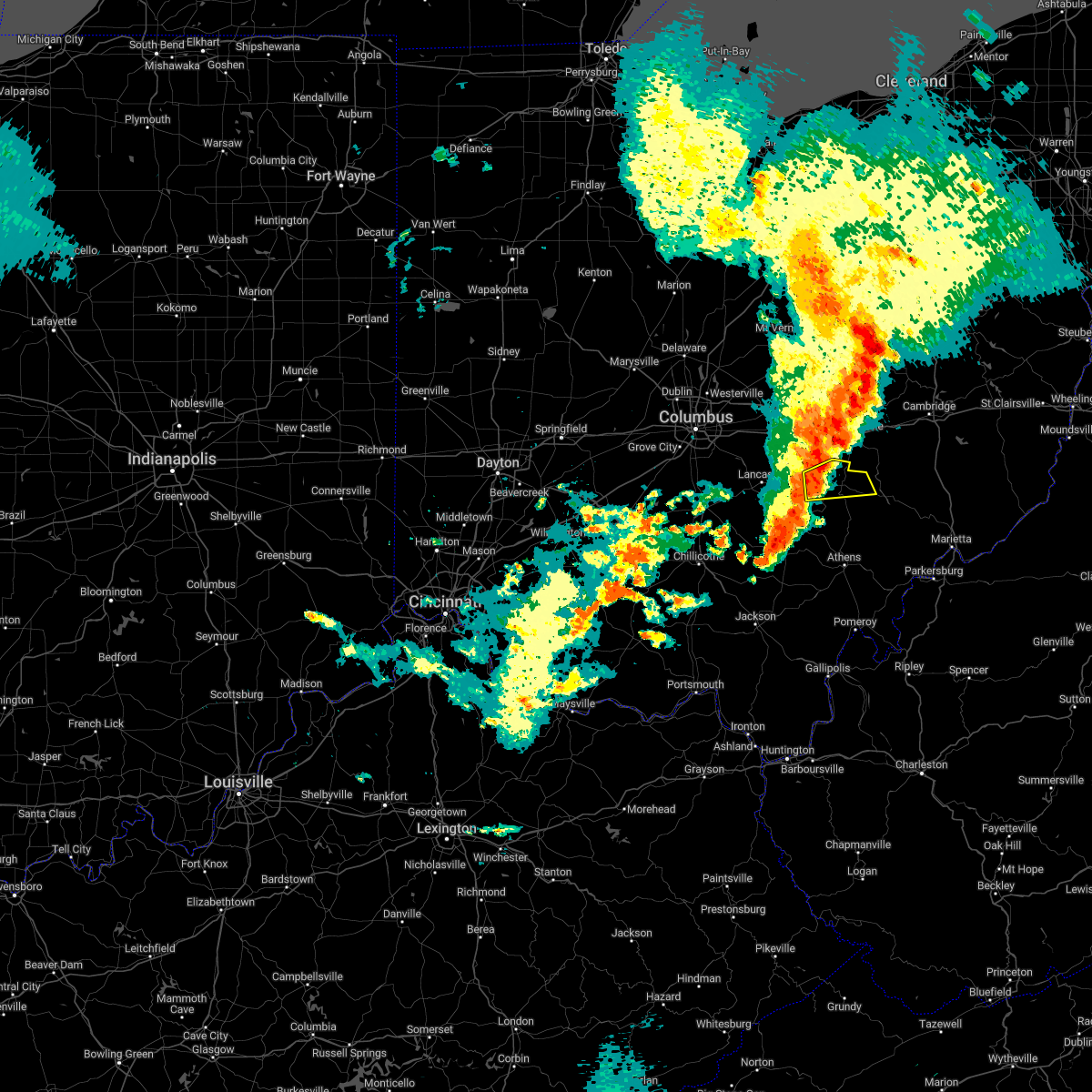 At 758 pm edt, a severe thunderstorm was located over new lexington, moving east at 15 mph (radar indicated). Hazards include 60 mph wind gusts and nickel size hail. expect damage to roofs, siding, and trees At 758 pm edt, a severe thunderstorm was located over new lexington, moving east at 15 mph (radar indicated). Hazards include 60 mph wind gusts and nickel size hail. expect damage to roofs, siding, and trees
|
| 8/20/2022 5:44 PM EDT |
 At 544 pm edt, a severe thunderstorm was located near north zanesville, or near zanesville, moving north at 30 mph (radar indicated). Hazards include 60 mph wind gusts and quarter size hail. Minor hail damage to vehicles is possible. expect wind damage to trees and power lines, resulting in some power outages. locations impacted include, zanesville, south zanesville, north zanesville, dresden, frazeysburg, pleasant grove, conesville, gratiot, fultonham, east fultonham, drake, and dillon state park. hail threat, radar indicated max hail size, 1. 00 in wind threat, radar indicated max wind gust, 60 mph. At 544 pm edt, a severe thunderstorm was located near north zanesville, or near zanesville, moving north at 30 mph (radar indicated). Hazards include 60 mph wind gusts and quarter size hail. Minor hail damage to vehicles is possible. expect wind damage to trees and power lines, resulting in some power outages. locations impacted include, zanesville, south zanesville, north zanesville, dresden, frazeysburg, pleasant grove, conesville, gratiot, fultonham, east fultonham, drake, and dillon state park. hail threat, radar indicated max hail size, 1. 00 in wind threat, radar indicated max wind gust, 60 mph.
|
| 8/20/2022 5:26 PM EDT |
 At 526 pm edt, a severe thunderstorm was located near south zanesville, or 7 miles southwest of zanesville, moving north at 30 mph (radar indicated). Hazards include 60 mph wind gusts. expect damage to trees and power lines, resulting in some power outages At 526 pm edt, a severe thunderstorm was located near south zanesville, or 7 miles southwest of zanesville, moving north at 30 mph (radar indicated). Hazards include 60 mph wind gusts. expect damage to trees and power lines, resulting in some power outages
|
| 7/6/2022 12:56 AM EDT |
 The severe thunderstorm warning for northern perry county will expire at 100 am edt, the storms which prompted the warning have weakened below severe limits, and no longer pose an immediate threat to life or property. therefore, the warning will be allowed to expire. however small hail, gusty winds and heavy rain are still possible with these thunderstorms. to report severe weather, contact your nearest law enforcement agency. they will relay your report to the national weather service charleston west virginia. The severe thunderstorm warning for northern perry county will expire at 100 am edt, the storms which prompted the warning have weakened below severe limits, and no longer pose an immediate threat to life or property. therefore, the warning will be allowed to expire. however small hail, gusty winds and heavy rain are still possible with these thunderstorms. to report severe weather, contact your nearest law enforcement agency. they will relay your report to the national weather service charleston west virginia.
|
| 7/6/2022 12:47 AM EDT |
 At 1245 am edt, severe thunderstorms were located along a line extending from 8 miles south of marne to near pleasantville, moving east at 30 mph. while the shifty storms has weakened a bit, they could still re-intensify (radar indicated). Hazards include 60 mph wind gusts and quarter size hail. Hail damage to vehicles is expected. expect wind damage to roofs, siding, and trees. locations impacted include, new lexington, somerset, perry state forest, crooksville, thornville, junction city and glenford. hail threat, radar indicated max hail size, 1. 00 in wind threat, radar indicated max wind gust, 60 mph. At 1245 am edt, severe thunderstorms were located along a line extending from 8 miles south of marne to near pleasantville, moving east at 30 mph. while the shifty storms has weakened a bit, they could still re-intensify (radar indicated). Hazards include 60 mph wind gusts and quarter size hail. Hail damage to vehicles is expected. expect wind damage to roofs, siding, and trees. locations impacted include, new lexington, somerset, perry state forest, crooksville, thornville, junction city and glenford. hail threat, radar indicated max hail size, 1. 00 in wind threat, radar indicated max wind gust, 60 mph.
|
| 7/6/2022 12:31 AM EDT |
 At 1230 am edt, severe thunderstorms were located along a line extending from near harbor hills to near pickerington, moving southeast at 30 mph (radar indicated). Hazards include 60 mph wind gusts and quarter size hail. Hail damage to vehicles is expected. Expect wind damage to roofs, siding, and trees. At 1230 am edt, severe thunderstorms were located along a line extending from near harbor hills to near pickerington, moving southeast at 30 mph (radar indicated). Hazards include 60 mph wind gusts and quarter size hail. Hail damage to vehicles is expected. Expect wind damage to roofs, siding, and trees.
|
| 6/22/2022 6:21 PM EDT |
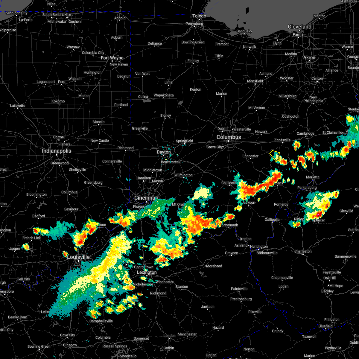 The severe thunderstorm warning for east central perry county will expire at 630 pm edt, the storm which prompted the warning has weakened below severe limits, and has exited the warned area. therefore, the warning will be allowed to expire. a severe thunderstorm watch remains in effect until 1000 pm edt for southeastern ohio. The severe thunderstorm warning for east central perry county will expire at 630 pm edt, the storm which prompted the warning has weakened below severe limits, and has exited the warned area. therefore, the warning will be allowed to expire. a severe thunderstorm watch remains in effect until 1000 pm edt for southeastern ohio.
|
| 6/22/2022 5:56 PM EDT |
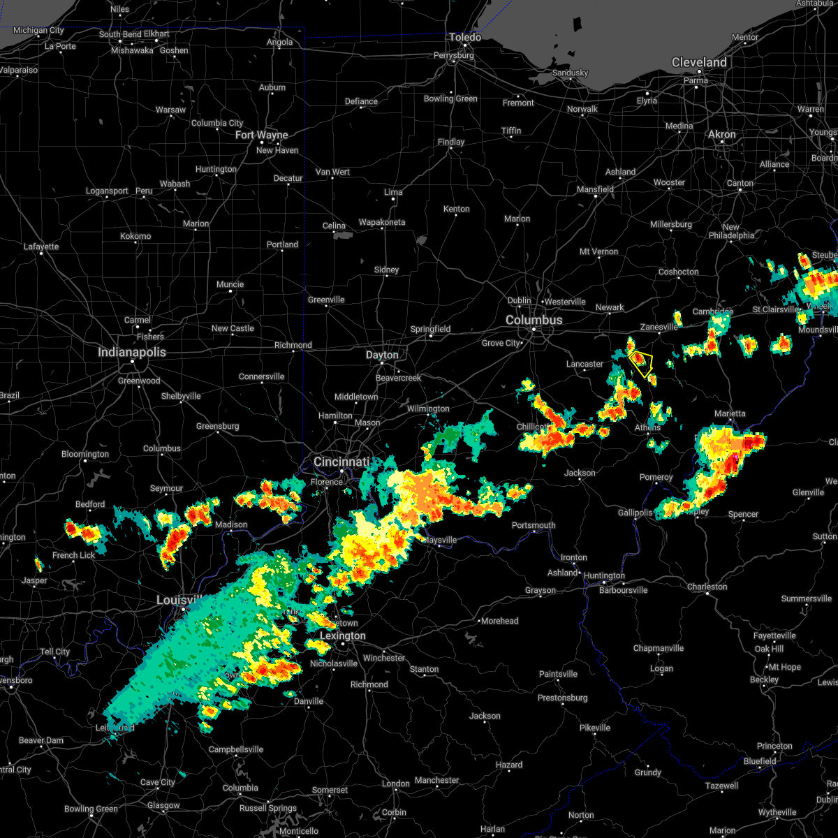 At 556 pm edt, a severe thunderstorm was located over perry state forest, moving southeast at 20 mph (radar indicated). Hazards include 60 mph wind gusts and penny size hail. expect damage to roofs, siding, and trees At 556 pm edt, a severe thunderstorm was located over perry state forest, moving southeast at 20 mph (radar indicated). Hazards include 60 mph wind gusts and penny size hail. expect damage to roofs, siding, and trees
|
| 6/16/2022 6:52 PM EDT |
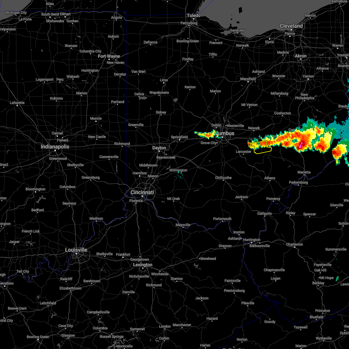 At 652 pm edt, severe thunderstorms were located along a line extending from near south zanesville to near pleasantville, moving east at 25 mph (radar indicated). Hazards include 60 mph wind gusts and quarter size hail. Hail damage to vehicles is expected. Expect wind damage to roofs, siding, and trees. At 652 pm edt, severe thunderstorms were located along a line extending from near south zanesville to near pleasantville, moving east at 25 mph (radar indicated). Hazards include 60 mph wind gusts and quarter size hail. Hail damage to vehicles is expected. Expect wind damage to roofs, siding, and trees.
|
| 6/14/2022 4:28 AM EDT |
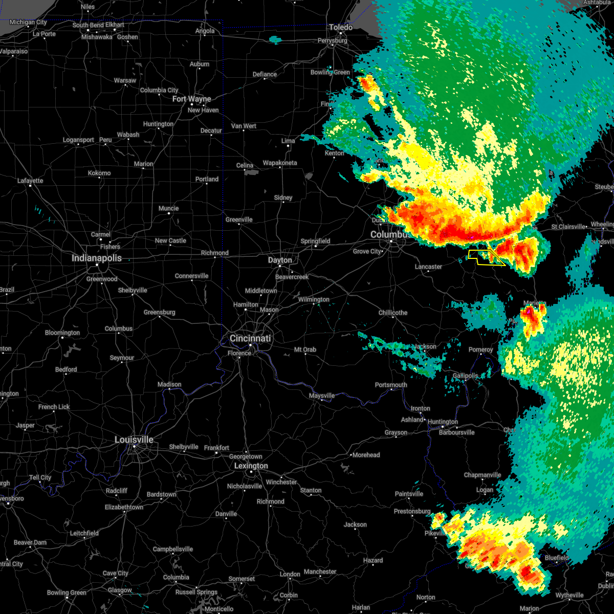 At 428 am edt, severe thunderstorms were located along a line extending from 6 miles southwest of new concord to 7 miles west of south zanesville, moving southeast at 55 mph (radar indicated). Hazards include 60 mph wind gusts and nickel size hail. expect damage to trees and power lines, resulting in some power outages At 428 am edt, severe thunderstorms were located along a line extending from 6 miles southwest of new concord to 7 miles west of south zanesville, moving southeast at 55 mph (radar indicated). Hazards include 60 mph wind gusts and nickel size hail. expect damage to trees and power lines, resulting in some power outages
|
| 6/14/2022 4:21 AM EDT |
 At 420 am edt, severe thunderstorms were located along a line extending from near north zanesville to near granville south, moving southeast at 50 mph (radar indicated). Hazards include 60 mph wind gusts and nickel size hail. expect damage to roofs, siding, and trees At 420 am edt, severe thunderstorms were located along a line extending from near north zanesville to near granville south, moving southeast at 50 mph (radar indicated). Hazards include 60 mph wind gusts and nickel size hail. expect damage to roofs, siding, and trees
|
| 6/14/2022 12:33 AM EDT |
 At 1232 am edt, severe thunderstorms were located along a line extending from 8 miles north of mcconnelsville to near new lexington to near lancaster, moving southeast at 55 mph (radar indicated). Hazards include 60 mph wind gusts and penny size hail. Expect damage to roofs, siding, and trees. locations impacted include, new lexington, mcconnelsville, somerset, shawnee, perry state forest, crooksville, junction city, new straitsville, malta, corning, bristol, hemlock, rendville, burr oak state park, hackney and eagleport. hail threat, radar indicated max hail size, 0. 75 in wind threat, radar indicated max wind gust, 60 mph. At 1232 am edt, severe thunderstorms were located along a line extending from 8 miles north of mcconnelsville to near new lexington to near lancaster, moving southeast at 55 mph (radar indicated). Hazards include 60 mph wind gusts and penny size hail. Expect damage to roofs, siding, and trees. locations impacted include, new lexington, mcconnelsville, somerset, shawnee, perry state forest, crooksville, junction city, new straitsville, malta, corning, bristol, hemlock, rendville, burr oak state park, hackney and eagleport. hail threat, radar indicated max hail size, 0. 75 in wind threat, radar indicated max wind gust, 60 mph.
|
| 6/14/2022 12:24 AM EDT |
 At 1223 am edt, severe thunderstorms were located along a line extending from massillon to near west lafayette to 8 miles west of south zanesville, moving southeast at 50 mph (radar indicated). Hazards include 70 mph wind gusts and quarter size hail. Minor hail damage to vehicles is possible. trees snapped and uprooted. power outages can be expected. Locations impacted include, zanesville, new philadelphia, dover, coshocton, cambridge, uhrichsville, newcomerstown, minerva, dennison, strasburg, new concord, and byesville. At 1223 am edt, severe thunderstorms were located along a line extending from massillon to near west lafayette to 8 miles west of south zanesville, moving southeast at 50 mph (radar indicated). Hazards include 70 mph wind gusts and quarter size hail. Minor hail damage to vehicles is possible. trees snapped and uprooted. power outages can be expected. Locations impacted include, zanesville, new philadelphia, dover, coshocton, cambridge, uhrichsville, newcomerstown, minerva, dennison, strasburg, new concord, and byesville.
|
| 6/14/2022 12:11 AM EDT |
 At 1210 am edt, severe thunderstorms were located along a line extending from near north zanesville to near pickerington, moving southeast at 55 mph (radar indicated). Hazards include 70 mph wind gusts and penny size hail. Expect considerable tree damage. Damage is likely to mobile homes, roofs, and outbuildings. At 1210 am edt, severe thunderstorms were located along a line extending from near north zanesville to near pickerington, moving southeast at 55 mph (radar indicated). Hazards include 70 mph wind gusts and penny size hail. Expect considerable tree damage. Damage is likely to mobile homes, roofs, and outbuildings.
|
| 6/13/2022 11:43 PM EDT |
 At 1143 pm edt, severe thunderstorms were located along a line extending from lodi to 6 miles south of loudonville to near johnstown, moving southeast at 50 mph (radar indicated). Hazards include 70 mph wind gusts and nickel size hail. Trees snapped and uprooted. Power outages can be expected. At 1143 pm edt, severe thunderstorms were located along a line extending from lodi to 6 miles south of loudonville to near johnstown, moving southeast at 50 mph (radar indicated). Hazards include 70 mph wind gusts and nickel size hail. Trees snapped and uprooted. Power outages can be expected.
|
| 6/8/2022 7:00 PM EDT |
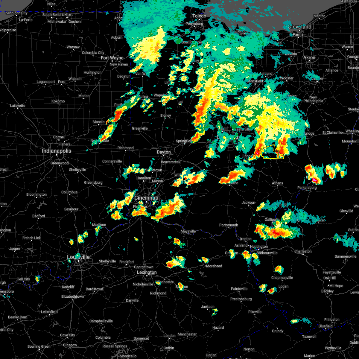 At 700 pm edt, a severe thunderstorm was located near pleasantville, or 8 miles west of somerset, moving east at 30 mph (radar indicated). Hazards include 60 mph wind gusts and quarter size hail. Hail damage to vehicles is expected. Expect wind damage to roofs, siding, and trees. At 700 pm edt, a severe thunderstorm was located near pleasantville, or 8 miles west of somerset, moving east at 30 mph (radar indicated). Hazards include 60 mph wind gusts and quarter size hail. Hail damage to vehicles is expected. Expect wind damage to roofs, siding, and trees.
|
| 6/8/2022 6:59 PM EDT |
 At 659 pm edt, a severe thunderstorm was located near loudonville, or 16 miles northeast of mount vernon, moving north at 60 mph (radar indicated). Hazards include 60 mph wind gusts and quarter size hail. Minor hail damage to vehicles is possible. expect wind damage to trees and power lines, resulting in some power outages. locations impacted include, philo, chandlersville, ruraldale, cannelville, high hill, duncan falls, east fultonham, and blue rock state park. hail threat, radar indicated max hail size, 1. 00 in wind threat, radar indicated max wind gust, 60 mph. At 659 pm edt, a severe thunderstorm was located near loudonville, or 16 miles northeast of mount vernon, moving north at 60 mph (radar indicated). Hazards include 60 mph wind gusts and quarter size hail. Minor hail damage to vehicles is possible. expect wind damage to trees and power lines, resulting in some power outages. locations impacted include, philo, chandlersville, ruraldale, cannelville, high hill, duncan falls, east fultonham, and blue rock state park. hail threat, radar indicated max hail size, 1. 00 in wind threat, radar indicated max wind gust, 60 mph.
|
| 6/8/2022 6:48 PM EDT |
 At 647 pm edt, a severe thunderstorm was located near gambier, or 7 miles east of mount vernon, moving north at 60 mph (radar indicated). Hazards include 60 mph wind gusts and quarter size hail. Minor hail damage to vehicles is possible. Expect wind damage to trees and power lines, resulting in some power outages. At 647 pm edt, a severe thunderstorm was located near gambier, or 7 miles east of mount vernon, moving north at 60 mph (radar indicated). Hazards include 60 mph wind gusts and quarter size hail. Minor hail damage to vehicles is possible. Expect wind damage to trees and power lines, resulting in some power outages.
|
| 6/8/2022 6:47 PM EDT |
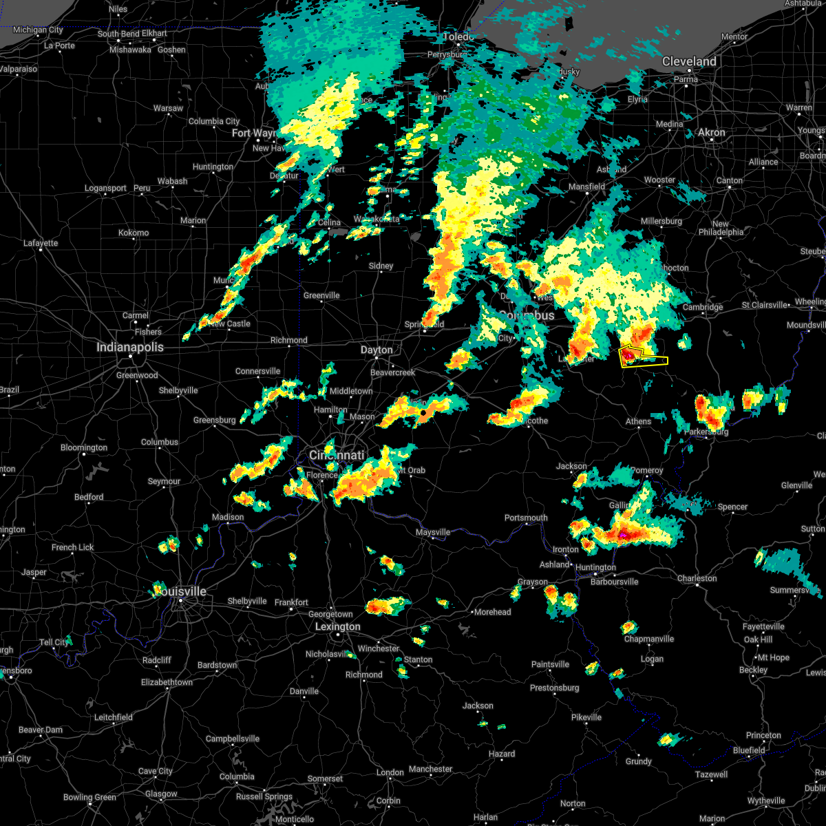 At 646 pm edt, a severe thunderstorm was located over perry state forest, moving east at 30 mph (radar indicated). Hazards include 60 mph wind gusts and quarter size hail. Hail damage to vehicles is expected. Expect wind damage to roofs, siding, and trees. At 646 pm edt, a severe thunderstorm was located over perry state forest, moving east at 30 mph (radar indicated). Hazards include 60 mph wind gusts and quarter size hail. Hail damage to vehicles is expected. Expect wind damage to roofs, siding, and trees.
|
| 6/8/2022 6:46 PM EDT |
 At 645 pm edt, a severe thunderstorm was located over perry state forest, moving east at 30 mph (radar indicated). Hazards include 60 mph wind gusts and quarter size hail. Hail damage to vehicles is expected. Expect wind damage to roofs, siding, and trees. At 645 pm edt, a severe thunderstorm was located over perry state forest, moving east at 30 mph (radar indicated). Hazards include 60 mph wind gusts and quarter size hail. Hail damage to vehicles is expected. Expect wind damage to roofs, siding, and trees.
|
| 5/3/2022 5:55 PM EDT | Several trees down in roseville... including one that hit a car. shed blown away. pictures of tree damage from hometown friend of nws employee supplied. estimated time in perry county OH, 0.8 miles ENE of Roseville, OH |
| 5/3/2022 5:53 PM EDT |
 At 553 pm edt, severe thunderstorms were located along a line extending from near harbor hills to near new lexington, moving northeast at 50 mph (radar indicated). Hazards include 60 mph wind gusts. expect damage to trees and power lines, resulting in some power outages At 553 pm edt, severe thunderstorms were located along a line extending from near harbor hills to near new lexington, moving northeast at 50 mph (radar indicated). Hazards include 60 mph wind gusts. expect damage to trees and power lines, resulting in some power outages
|
| 5/3/2022 3:38 PM EDT |
 At 338 pm edt, a severe thunderstorm was located near somerset, moving east at 40 mph (radar indicated). Hazards include 60 mph wind gusts and half dollar size hail. Minor hail damage to vehicles is possible. Expect wind damage to trees and power lines, resulting in some power outages. At 338 pm edt, a severe thunderstorm was located near somerset, moving east at 40 mph (radar indicated). Hazards include 60 mph wind gusts and half dollar size hail. Minor hail damage to vehicles is possible. Expect wind damage to trees and power lines, resulting in some power outages.
|
| 8/11/2021 6:39 PM EDT |
 At 638 pm edt, a severe thunderstorm was located 10 miles south of new concord, or 13 miles north of mcconnelsville, moving east at 40 mph (radar indicated). Hazards include 60 mph wind gusts. Expect damage to trees and power lines, resulting in some power outages. locations impacted include, philo, cumberland, belle valley, chandlersville, ruraldale, bridgeville, cannelville, high hill, duncan falls, wolf run state park, and blue rock state park. hail threat, radar indicated max hail size, <. 75 in wind threat, radar indicated max wind gust, 60 mph. At 638 pm edt, a severe thunderstorm was located 10 miles south of new concord, or 13 miles north of mcconnelsville, moving east at 40 mph (radar indicated). Hazards include 60 mph wind gusts. Expect damage to trees and power lines, resulting in some power outages. locations impacted include, philo, cumberland, belle valley, chandlersville, ruraldale, bridgeville, cannelville, high hill, duncan falls, wolf run state park, and blue rock state park. hail threat, radar indicated max hail size, <. 75 in wind threat, radar indicated max wind gust, 60 mph.
|
| 8/11/2021 6:23 PM EDT |
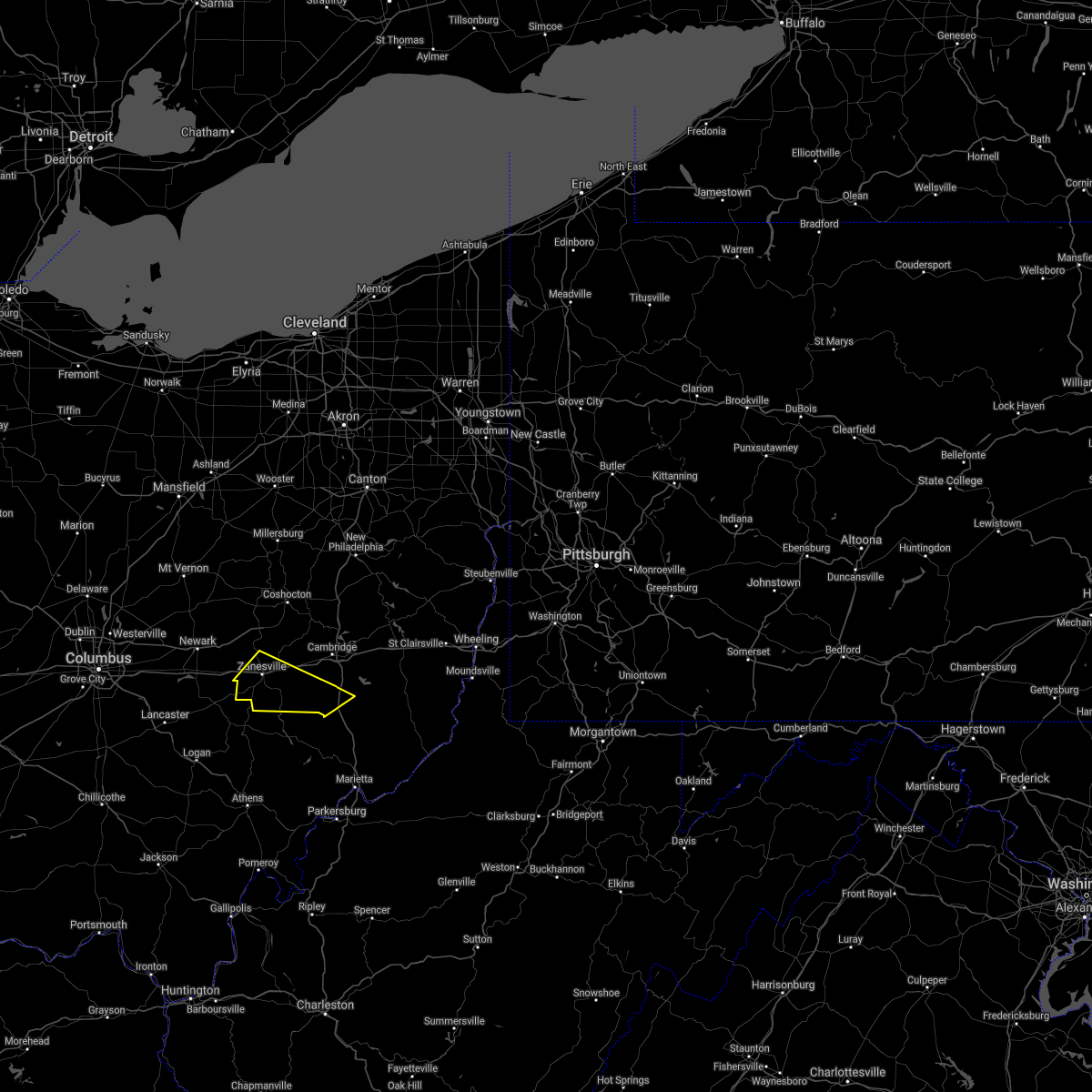 At 622 pm edt, a severe thunderstorm was located over south zanesville, or near zanesville, moving east at 40 mph (radar indicated). Hazards include 60 mph wind gusts. expect damage to trees and power lines, resulting in some power outages At 622 pm edt, a severe thunderstorm was located over south zanesville, or near zanesville, moving east at 40 mph (radar indicated). Hazards include 60 mph wind gusts. expect damage to trees and power lines, resulting in some power outages
|
| 7/16/2021 4:45 PM EDT |
 At 445 pm edt, severe thunderstorms were located along a line extending from near frazeysburg to near south zanesville, moving northeast at 35 mph (radar). Hazards include wind gusts to 60 mph. Expect damage to trees and power lines, resulting in some power outages. locations impacted include, zanesville, coshocton, cambridge, newcomerstown, new concord, byesville, west lafayette, south zanesville, north zanesville, dresden, frazeysburg, philo, this includes the following highways, interstate 70 in ohio between mile markers 152 and 186. Interstate 77 in ohio between mile markers 38 and 59. At 445 pm edt, severe thunderstorms were located along a line extending from near frazeysburg to near south zanesville, moving northeast at 35 mph (radar). Hazards include wind gusts to 60 mph. Expect damage to trees and power lines, resulting in some power outages. locations impacted include, zanesville, coshocton, cambridge, newcomerstown, new concord, byesville, west lafayette, south zanesville, north zanesville, dresden, frazeysburg, philo, this includes the following highways, interstate 70 in ohio between mile markers 152 and 186. Interstate 77 in ohio between mile markers 38 and 59.
|
| 7/16/2021 4:26 PM EDT |
 At 426 pm edt, severe thunderstorms were located along a line extending from near hanover to 6 miles northeast of perry state forest, moving northeast at 35 mph (radar). Hazards include wind gusts to 60 mph. expect damage to trees and power lines, resulting in some power outages At 426 pm edt, severe thunderstorms were located along a line extending from near hanover to 6 miles northeast of perry state forest, moving northeast at 35 mph (radar). Hazards include wind gusts to 60 mph. expect damage to trees and power lines, resulting in some power outages
|
| 6/30/2021 12:32 PM EDT |
 At 1232 pm edt, a severe thunderstorm was located over zanesville, moving east at 15 mph (radar). Hazards include wind gusts to 60 mph. Expect damage to trees and power lines, resulting in some power outages. Locations impacted include, zanesville, new concord, south zanesville, north zanesville, philo, pleasant grove, gratiot, fultonham, norwich, chandlersville, bridgeville, duncan falls, this includes interstate 70 in ohio between mile markers 145 and 172. At 1232 pm edt, a severe thunderstorm was located over zanesville, moving east at 15 mph (radar). Hazards include wind gusts to 60 mph. Expect damage to trees and power lines, resulting in some power outages. Locations impacted include, zanesville, new concord, south zanesville, north zanesville, philo, pleasant grove, gratiot, fultonham, norwich, chandlersville, bridgeville, duncan falls, this includes interstate 70 in ohio between mile markers 145 and 172.
|
| 6/30/2021 12:20 PM EDT |
 At 1219 pm edt, a severe thunderstorm was located near zanesville, moving east at 15 mph (radar). Hazards include wind gusts to 60 mph. expect damage to trees and power lines, resulting in some power outages At 1219 pm edt, a severe thunderstorm was located near zanesville, moving east at 15 mph (radar). Hazards include wind gusts to 60 mph. expect damage to trees and power lines, resulting in some power outages
|
| 11/15/2020 12:53 PM EST |
 At 1252 pm est, severe thunderstorms were located along a line extending from near lodi to near new lexington, moving east at 55 mph (radar). Hazards include wind gusts to 70 mph. Trees snapped and uprooted. power outages can be expected. Locations impacted include, zanesville, coshocton, new concord, west lafayette, south zanesville, north zanesville, dresden, frazeysburg, philo, warsaw, pleasant grove, conesville, this includes interstate 70 in ohio near mile marker 143, and between mile markers 145 and 170. At 1252 pm est, severe thunderstorms were located along a line extending from near lodi to near new lexington, moving east at 55 mph (radar). Hazards include wind gusts to 70 mph. Trees snapped and uprooted. power outages can be expected. Locations impacted include, zanesville, coshocton, new concord, west lafayette, south zanesville, north zanesville, dresden, frazeysburg, philo, warsaw, pleasant grove, conesville, this includes interstate 70 in ohio near mile marker 143, and between mile markers 145 and 170.
|
| 11/15/2020 12:38 PM EST |
 At 1237 pm est, severe thunderstorms were located along a line extending from near polk to near hide-a-way hills, moving east at 55 mph (radar). Hazards include wind gusts to 60 mph. expect damage to trees and power lines, resulting in some power outages At 1237 pm est, severe thunderstorms were located along a line extending from near polk to near hide-a-way hills, moving east at 55 mph (radar). Hazards include wind gusts to 60 mph. expect damage to trees and power lines, resulting in some power outages
|
| 10/4/2020 4:55 PM EDT |
 At 453 pm edt, a severe thunderstorm was located over somerset, moving east at 35 mph (radar indicated). Hazards include 60 mph wind gusts. Expect damage to roofs, siding, and trees. Locations impacted include, new lexington, somerset, perry state forest, crooksville, thornville, junction city and glenford. At 453 pm edt, a severe thunderstorm was located over somerset, moving east at 35 mph (radar indicated). Hazards include 60 mph wind gusts. Expect damage to roofs, siding, and trees. Locations impacted include, new lexington, somerset, perry state forest, crooksville, thornville, junction city and glenford.
|
| 10/4/2020 4:42 PM EDT |
 At 441 pm edt, a severe thunderstorm was located near pleasantville, or near somerset, moving east at 35 mph (radar indicated). Hazards include 60 mph wind gusts. expect damage to roofs, siding, and trees At 441 pm edt, a severe thunderstorm was located near pleasantville, or near somerset, moving east at 35 mph (radar indicated). Hazards include 60 mph wind gusts. expect damage to roofs, siding, and trees
|
| 8/25/2020 4:52 PM EDT |
 The severe thunderstorm warning for southeastern perry, morgan and north central athens counties will expire at 500 pm edt, the storm which prompted the warning has weakened below severe limits, and has exited the warned area. therefore, the warning will be allowed to expire. a severe thunderstorm watch remains in effect until 1100 pm edt for southeastern ohio. The severe thunderstorm warning for southeastern perry, morgan and north central athens counties will expire at 500 pm edt, the storm which prompted the warning has weakened below severe limits, and has exited the warned area. therefore, the warning will be allowed to expire. a severe thunderstorm watch remains in effect until 1100 pm edt for southeastern ohio.
|
| 8/25/2020 4:15 PM EDT |
 At 415 pm edt, a severe thunderstorm was located near new lexington, moving southeast at 20 mph (radar indicated). Hazards include 60 mph wind gusts and penny size hail. Expect damage to roofs, siding, and trees. Locations impacted include, new lexington, glouster, mcconnelsville, shawnee, chesterhill, crooksville, malta, corning, stockport, jacksonville, trimble, bristol, hemlock, rendville, burr oak state park, hackney and eagleport. At 415 pm edt, a severe thunderstorm was located near new lexington, moving southeast at 20 mph (radar indicated). Hazards include 60 mph wind gusts and penny size hail. Expect damage to roofs, siding, and trees. Locations impacted include, new lexington, glouster, mcconnelsville, shawnee, chesterhill, crooksville, malta, corning, stockport, jacksonville, trimble, bristol, hemlock, rendville, burr oak state park, hackney and eagleport.
|
| 8/25/2020 3:57 PM EDT |
 At 356 pm edt, a severe thunderstorm was located 8 miles south of new concord, or 13 miles east of zanesville, moving southeast at 30 mph (radar). Hazards include wind gusts to 60 mph. expect damage to trees and power lines, resulting in some power outages At 356 pm edt, a severe thunderstorm was located 8 miles south of new concord, or 13 miles east of zanesville, moving southeast at 30 mph (radar). Hazards include wind gusts to 60 mph. expect damage to trees and power lines, resulting in some power outages
|
| 8/25/2020 3:55 PM EDT |
 At 355 pm edt, a severe thunderstorm was located over perry state forest, moving southeast at 20 mph (radar indicated). Hazards include 60 mph wind gusts and penny size hail. expect damage to roofs, siding, and trees At 355 pm edt, a severe thunderstorm was located over perry state forest, moving southeast at 20 mph (radar indicated). Hazards include 60 mph wind gusts and penny size hail. expect damage to roofs, siding, and trees
|
| 8/25/2020 3:53 PM EDT |
 The severe thunderstorm warning for perry, northwestern morgan and north central athens counties will expire at 400 pm edt, the storm which prompted the warning has weakened below severe limits, and no longer poses an immediate threat to life or property. therefore, the warning will be allowed to expire. however gusty winds are still possible with this thunderstorm. a severe thunderstorm watch remains in effect until 1100 pm edt for southeastern ohio. The severe thunderstorm warning for perry, northwestern morgan and north central athens counties will expire at 400 pm edt, the storm which prompted the warning has weakened below severe limits, and no longer poses an immediate threat to life or property. therefore, the warning will be allowed to expire. however gusty winds are still possible with this thunderstorm. a severe thunderstorm watch remains in effect until 1100 pm edt for southeastern ohio.
|
| 8/25/2020 3:30 PM EDT |
 At 330 pm edt, a severe thunderstorm was located near north zanesville, or near zanesville, moving southeast at 30 mph (radar). Hazards include wind gusts to 60 mph and quarter-size hail. Minor hail damage to vehicles is possible. expect wind damage to trees and power lines, resulting in some power outages. locations impacted include, zanesville, cambridge, new concord, byesville, south zanesville, north zanesville, dresden, frazeysburg, philo, pleasant grove, senecaville, pleasant city, this includes the following highways, interstate 70 in ohio near mile marker 143, and between mile markers 145 and 184. Interstate 77 in ohio between mile markers 32 and 47. At 330 pm edt, a severe thunderstorm was located near north zanesville, or near zanesville, moving southeast at 30 mph (radar). Hazards include wind gusts to 60 mph and quarter-size hail. Minor hail damage to vehicles is possible. expect wind damage to trees and power lines, resulting in some power outages. locations impacted include, zanesville, cambridge, new concord, byesville, south zanesville, north zanesville, dresden, frazeysburg, philo, pleasant grove, senecaville, pleasant city, this includes the following highways, interstate 70 in ohio near mile marker 143, and between mile markers 145 and 184. Interstate 77 in ohio between mile markers 32 and 47.
|
| 8/25/2020 3:22 PM EDT |
 At 322 pm edt, a severe thunderstorm was located over north zanesville, or near zanesville, moving southeast at 30 mph (radar). Hazards include wind gusts to 60 mph and quarter-size hail. Minor hail damage to vehicles is possible. expect wind damage to trees and power lines, resulting in some power outages. locations impacted include, zanesville, cambridge, new concord, byesville, south zanesville, north zanesville, dresden, frazeysburg, philo, pleasant grove, senecaville, pleasant city, this includes the following highways, interstate 70 in ohio near mile marker 143, and between mile markers 145 and 184. Interstate 77 in ohio between mile markers 32 and 47. At 322 pm edt, a severe thunderstorm was located over north zanesville, or near zanesville, moving southeast at 30 mph (radar). Hazards include wind gusts to 60 mph and quarter-size hail. Minor hail damage to vehicles is possible. expect wind damage to trees and power lines, resulting in some power outages. locations impacted include, zanesville, cambridge, new concord, byesville, south zanesville, north zanesville, dresden, frazeysburg, philo, pleasant grove, senecaville, pleasant city, this includes the following highways, interstate 70 in ohio near mile marker 143, and between mile markers 145 and 184. Interstate 77 in ohio between mile markers 32 and 47.
|
| 8/25/2020 3:14 PM EDT |
 At 314 pm edt, a severe thunderstorm was located near somerset, moving southeast at 30 mph (radar indicated). Hazards include 60 mph wind gusts and penny size hail. expect damage to roofs, siding, and trees At 314 pm edt, a severe thunderstorm was located near somerset, moving southeast at 30 mph (radar indicated). Hazards include 60 mph wind gusts and penny size hail. expect damage to roofs, siding, and trees
|
| 8/25/2020 3:11 PM EDT |
 At 311 pm edt, a severe thunderstorm was located near frazeysburg, or 8 miles north of zanesville, moving southeast at 30 mph (radar). Hazards include wind gusts to 60 mph and quarter-size hail. Minor hail damage to vehicles is possible. Expect wind damage to trees and power lines, resulting in some power outages. At 311 pm edt, a severe thunderstorm was located near frazeysburg, or 8 miles north of zanesville, moving southeast at 30 mph (radar). Hazards include wind gusts to 60 mph and quarter-size hail. Minor hail damage to vehicles is possible. Expect wind damage to trees and power lines, resulting in some power outages.
|
| 7/27/2020 7:07 PM EDT |
 The severe thunderstorm warning for northeastern perry county will expire at 715 pm edt, the storm which prompted the warning has moved out of the area. therefore, the warning will be allowed to expire. The severe thunderstorm warning for northeastern perry county will expire at 715 pm edt, the storm which prompted the warning has moved out of the area. therefore, the warning will be allowed to expire.
|
| 7/27/2020 7:03 PM EDT |
 At 702 pm edt, a severe thunderstorm was located near south zanesville, or near zanesville, moving east at 30 mph (radar). Hazards include wind gusts to 60 mph. Expect damage to trees and power lines, resulting in some power outages. Locations impacted include, zanesville, south zanesville, philo, pleasant grove, fultonham, chandlersville, ruraldale, cannelville, high hill, duncan falls, east fultonham, blue rock state park, this includes interstate 70 in ohio between mile markers 150 and 160. At 702 pm edt, a severe thunderstorm was located near south zanesville, or near zanesville, moving east at 30 mph (radar). Hazards include wind gusts to 60 mph. Expect damage to trees and power lines, resulting in some power outages. Locations impacted include, zanesville, south zanesville, philo, pleasant grove, fultonham, chandlersville, ruraldale, cannelville, high hill, duncan falls, east fultonham, blue rock state park, this includes interstate 70 in ohio between mile markers 150 and 160.
|
| 7/27/2020 6:57 PM EDT |
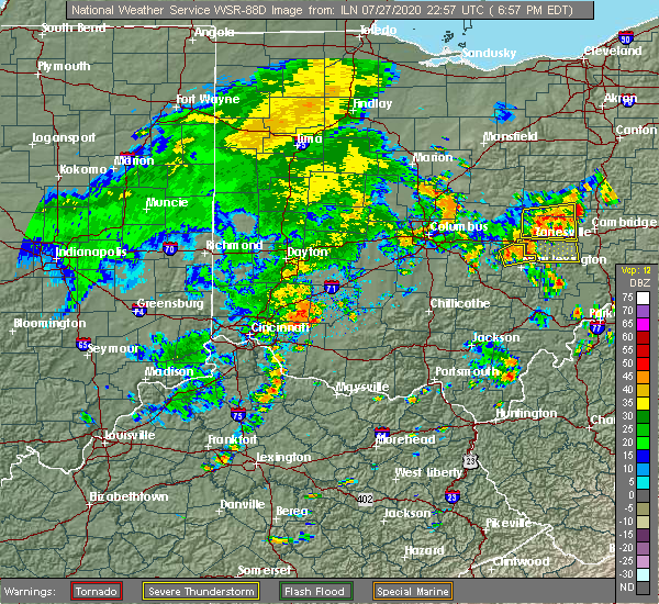 At 656 pm edt, a severe thunderstorm was located near perry state forest, moving east at 30 mph (radar indicated). Hazards include 60 mph wind gusts. Expect damage to roofs, siding, and trees. Locations impacted include, perry state forest and crooksville. At 656 pm edt, a severe thunderstorm was located near perry state forest, moving east at 30 mph (radar indicated). Hazards include 60 mph wind gusts. Expect damage to roofs, siding, and trees. Locations impacted include, perry state forest and crooksville.
|
| 7/27/2020 6:53 PM EDT |
 At 652 pm edt, a severe thunderstorm was located near perry state forest, moving east at 35 mph (radar). Hazards include wind gusts to 60 mph. Expect damage to trees and power lines, resulting in some power outages. Locations impacted include, zanesville, south zanesville, philo, pleasant grove, gratiot, fultonham, cannelville, high hill, chandlersville, ruraldale, duncan falls, east fultonham, this includes interstate 70 in ohio near mile marker 143, and between mile markers 145 and 160. At 652 pm edt, a severe thunderstorm was located near perry state forest, moving east at 35 mph (radar). Hazards include wind gusts to 60 mph. Expect damage to trees and power lines, resulting in some power outages. Locations impacted include, zanesville, south zanesville, philo, pleasant grove, gratiot, fultonham, cannelville, high hill, chandlersville, ruraldale, duncan falls, east fultonham, this includes interstate 70 in ohio near mile marker 143, and between mile markers 145 and 160.
|
| 7/27/2020 6:42 PM EDT |
 At 641 pm edt, a severe thunderstorm was located over somerset, moving east at 35 mph (radar). Hazards include wind gusts to 60 mph. expect damage to trees and power lines, resulting in some power outages At 641 pm edt, a severe thunderstorm was located over somerset, moving east at 35 mph (radar). Hazards include wind gusts to 60 mph. expect damage to trees and power lines, resulting in some power outages
|
| 7/27/2020 6:39 PM EDT |
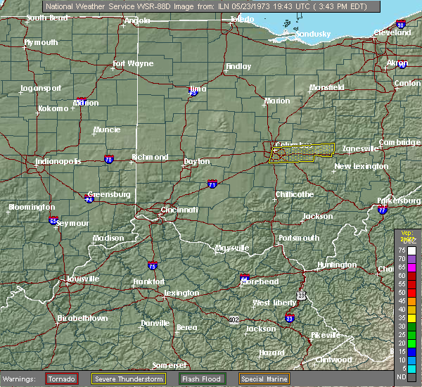 At 639 pm edt, a severe thunderstorm was located over somerset, moving east at 30 mph (radar indicated). Hazards include 60 mph wind gusts. expect damage to roofs, siding, and trees At 639 pm edt, a severe thunderstorm was located over somerset, moving east at 30 mph (radar indicated). Hazards include 60 mph wind gusts. expect damage to roofs, siding, and trees
|
| 7/19/2020 6:38 PM EDT |
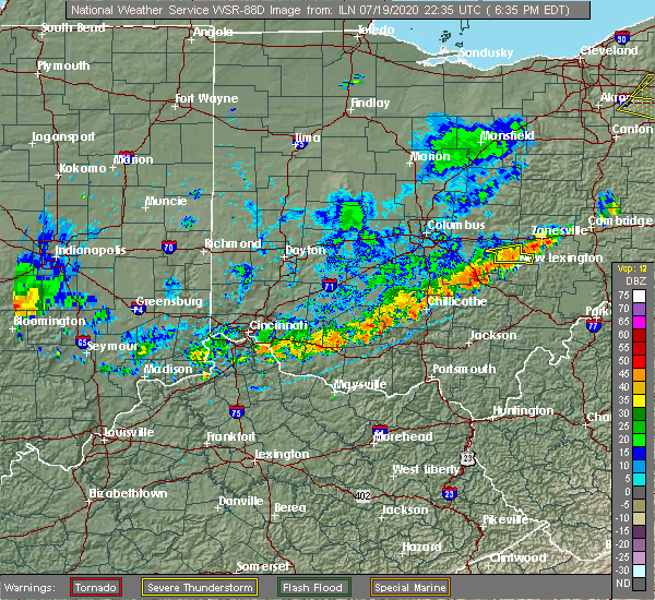 At 638 pm edt, a severe thunderstorm was located over perry state forest, moving east at 35 mph (radar indicated). Hazards include 60 mph wind gusts. Expect damage to roofs, siding, and trees. Locations impacted include, somerset, perry state forest and crooksville. At 638 pm edt, a severe thunderstorm was located over perry state forest, moving east at 35 mph (radar indicated). Hazards include 60 mph wind gusts. Expect damage to roofs, siding, and trees. Locations impacted include, somerset, perry state forest and crooksville.
|
| 7/19/2020 6:24 PM EDT |
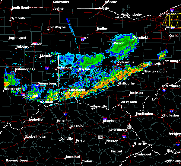 At 624 pm edt, a severe thunderstorm was located over somerset, moving east at 35 mph (radar indicated). Hazards include 60 mph wind gusts. expect damage to roofs, siding, and trees At 624 pm edt, a severe thunderstorm was located over somerset, moving east at 35 mph (radar indicated). Hazards include 60 mph wind gusts. expect damage to roofs, siding, and trees
|
| 6/10/2020 7:57 PM EDT |
 At 756 pm edt, severe thunderstorms were located along a line extending from near south zanesville to near chesterhill to near albany, moving northeast at 60 mph (radar indicated). Hazards include 60 mph wind gusts. expect damage to roofs, siding, and trees At 756 pm edt, severe thunderstorms were located along a line extending from near south zanesville to near chesterhill to near albany, moving northeast at 60 mph (radar indicated). Hazards include 60 mph wind gusts. expect damage to roofs, siding, and trees
|
| 6/10/2020 7:35 PM EDT |
 At 733 pm edt, severe thunderstorms were located along a line extending from near north zanesville to near nelsonville to 7 miles southwest of albany, moving northeast at 60 mph (radar indicated). Hazards include 60 mph wind gusts. Expect damage to roofs, siding, and trees. Locations impacted include, athens, jackson, wellston, nelsonville, new lexington, glouster, mcarthur, shawnee, chesterhill, lake hope state park, perry state forest, crooksville, chauncey, hamden, junction city, new straitsville, corning, buchtel, jacksonville and coalton. At 733 pm edt, severe thunderstorms were located along a line extending from near north zanesville to near nelsonville to 7 miles southwest of albany, moving northeast at 60 mph (radar indicated). Hazards include 60 mph wind gusts. Expect damage to roofs, siding, and trees. Locations impacted include, athens, jackson, wellston, nelsonville, new lexington, glouster, mcarthur, shawnee, chesterhill, lake hope state park, perry state forest, crooksville, chauncey, hamden, junction city, new straitsville, corning, buchtel, jacksonville and coalton.
|
| 6/10/2020 7:31 PM EDT |
 At 730 pm edt, a severe thunderstorm was located near south zanesville, or 7 miles west of zanesville, moving northeast at 55 mph (radar). Hazards include quarter-size hail. Minor damage to vehicles is possible. Locations impacted include, zanesville, new concord, south zanesville, north zanesville, dresden, frazeysburg, philo, pleasant grove, gratiot, fultonham, norwich, cannelville, this includes interstate 70 in ohio near mile marker 143, and between mile markers 145 and 170. At 730 pm edt, a severe thunderstorm was located near south zanesville, or 7 miles west of zanesville, moving northeast at 55 mph (radar). Hazards include quarter-size hail. Minor damage to vehicles is possible. Locations impacted include, zanesville, new concord, south zanesville, north zanesville, dresden, frazeysburg, philo, pleasant grove, gratiot, fultonham, norwich, cannelville, this includes interstate 70 in ohio near mile marker 143, and between mile markers 145 and 170.
|
| 6/10/2020 7:17 PM EDT |
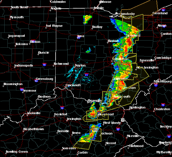 At 717 pm edt, a severe thunderstorm was located over somerset, moving northeast at 55 mph (radar). Hazards include wind gusts to 60 mph and quarter-size hail. Minor hail damage to vehicles is possible. Expect wind damage to trees and power lines, resulting in some power outages. At 717 pm edt, a severe thunderstorm was located over somerset, moving northeast at 55 mph (radar). Hazards include wind gusts to 60 mph and quarter-size hail. Minor hail damage to vehicles is possible. Expect wind damage to trees and power lines, resulting in some power outages.
|
| 6/10/2020 6:44 PM EDT |
 At 643 pm edt, severe thunderstorms were located along a line extending from 9 miles southwest of lancaster to near piketon to 6 miles east of rome, moving northeast at 60 mph (radar indicated). Hazards include 60 mph wind gusts. expect damage to roofs, siding, and trees At 643 pm edt, severe thunderstorms were located along a line extending from 9 miles southwest of lancaster to near piketon to 6 miles east of rome, moving northeast at 60 mph (radar indicated). Hazards include 60 mph wind gusts. expect damage to roofs, siding, and trees
|
| 5/10/2020 5:56 PM EDT |
 The severe thunderstorm warning for northern perry county will expire at 600 pm edt, the storms which prompted the warning have weakened below severe limits, and no longer pose an immediate threat to life or property. therefore, the warning will be allowed to expire. however, wind gusts to 50 mph are still possible with these thunderstorms. to report severe weather, contact your nearest law enforcement agency. they will relay your report to the national weather service charleston west virginia. The severe thunderstorm warning for northern perry county will expire at 600 pm edt, the storms which prompted the warning have weakened below severe limits, and no longer pose an immediate threat to life or property. therefore, the warning will be allowed to expire. however, wind gusts to 50 mph are still possible with these thunderstorms. to report severe weather, contact your nearest law enforcement agency. they will relay your report to the national weather service charleston west virginia.
|
| 5/10/2020 5:47 PM EDT |
 At 545 pm edt, severe thunderstorms were located along a line extending from 6 miles south of hanover to somerset, moving east at 45 mph (trained weather spotters). Hazards include 60 mph wind gusts. Expect damage to roofs, siding, and trees. Locations impacted include, new lexington, somerset, perry state forest, crooksville, thornville, junction city and glenford. At 545 pm edt, severe thunderstorms were located along a line extending from 6 miles south of hanover to somerset, moving east at 45 mph (trained weather spotters). Hazards include 60 mph wind gusts. Expect damage to roofs, siding, and trees. Locations impacted include, new lexington, somerset, perry state forest, crooksville, thornville, junction city and glenford.
|
| 5/10/2020 5:32 PM EDT |
 At 531 pm edt, severe thunderstorms were located along a line extending from near heath to pleasantville, moving east at 50 mph (radar indicated). Hazards include 60 mph wind gusts. expect damage to roofs, siding, and trees At 531 pm edt, severe thunderstorms were located along a line extending from near heath to pleasantville, moving east at 50 mph (radar indicated). Hazards include 60 mph wind gusts. expect damage to roofs, siding, and trees
|
| 8/19/2019 1:22 AM EDT |
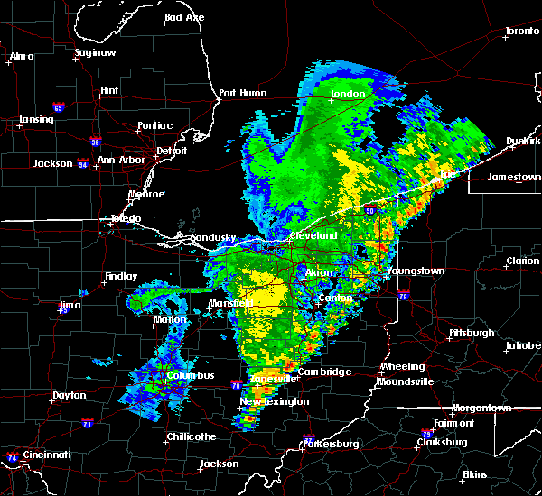 At 121 am edt, severe thunderstorms were located along a line extending from near farmerstown to near zanesville, moving east at 40 mph (radar). Hazards include wind gusts to 60 mph. Expect damage to trees and power lines, resulting in some power outages. locations impacted include, zanesville, coshocton, newcomerstown, new concord, west lafayette, south zanesville, north zanesville, dresden, philo, pleasant grove, conesville, fultonham, this includes the following highways, interstate 70 in ohio between mile markers 148 and 169. Interstate 77 in ohio between mile markers 61 and 62. At 121 am edt, severe thunderstorms were located along a line extending from near farmerstown to near zanesville, moving east at 40 mph (radar). Hazards include wind gusts to 60 mph. Expect damage to trees and power lines, resulting in some power outages. locations impacted include, zanesville, coshocton, newcomerstown, new concord, west lafayette, south zanesville, north zanesville, dresden, philo, pleasant grove, conesville, fultonham, this includes the following highways, interstate 70 in ohio between mile markers 148 and 169. Interstate 77 in ohio between mile markers 61 and 62.
|
| 8/19/2019 1:13 AM EDT |
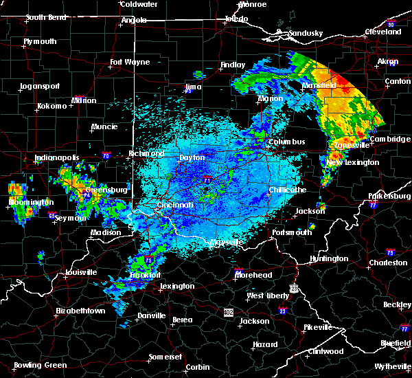 At 113 am edt, severe thunderstorms were located along a line extending from near farmerstown to south zanesville, moving east at 40 mph (radar). Hazards include wind gusts to 60 mph. Expect damage to trees and power lines, resulting in some power outages. locations impacted include, zanesville, coshocton, newcomerstown, new concord, west lafayette, south zanesville, north zanesville, dresden, philo, pleasant grove, conesville, gratiot, this includes the following highways, interstate 70 in ohio near mile marker 143, and between mile markers 145 and 169. Interstate 77 in ohio between mile markers 61 and 62. At 113 am edt, severe thunderstorms were located along a line extending from near farmerstown to south zanesville, moving east at 40 mph (radar). Hazards include wind gusts to 60 mph. Expect damage to trees and power lines, resulting in some power outages. locations impacted include, zanesville, coshocton, newcomerstown, new concord, west lafayette, south zanesville, north zanesville, dresden, philo, pleasant grove, conesville, gratiot, this includes the following highways, interstate 70 in ohio near mile marker 143, and between mile markers 145 and 169. Interstate 77 in ohio between mile markers 61 and 62.
|
| 8/19/2019 12:54 AM EDT |
 At 1254 am edt, severe thunderstorms were located along a line extending from near coshocton to near perry state forest, moving northeast at 40 mph (radar). Hazards include wind gusts to 60 mph. expect damage to trees and power lines, resulting in some power outages At 1254 am edt, severe thunderstorms were located along a line extending from near coshocton to near perry state forest, moving northeast at 40 mph (radar). Hazards include wind gusts to 60 mph. expect damage to trees and power lines, resulting in some power outages
|
| 8/8/2019 5:20 PM EDT |
 The severe thunderstorm warning for southern muskingum and west central noble counties will expire at 530 pm edt, the storm that prompted the warning has weakened below severe limits. therefore, the warning will be allowed to expire. a severe thunderstorm watch remains in effect until 800 pm edt for east central ohio. The severe thunderstorm warning for southern muskingum and west central noble counties will expire at 530 pm edt, the storm that prompted the warning has weakened below severe limits. therefore, the warning will be allowed to expire. a severe thunderstorm watch remains in effect until 800 pm edt for east central ohio.
|
| 8/8/2019 5:12 PM EDT |
 At 512 pm edt, a severe thunderstorm was located near south zanesville, or 9 miles south of zanesville, moving southeast at 30 mph (radar). Hazards include wind gusts to 60 mph. Expect damage to trees and power lines, resulting in some power outages. Locations impacted include, zanesville, south zanesville, philo, fultonham, ruraldale, cannelville, high hill, duncan falls, east fultonham, blue rock state park, this includes interstate 70 in ohio between mile markers 152 and 153. At 512 pm edt, a severe thunderstorm was located near south zanesville, or 9 miles south of zanesville, moving southeast at 30 mph (radar). Hazards include wind gusts to 60 mph. Expect damage to trees and power lines, resulting in some power outages. Locations impacted include, zanesville, south zanesville, philo, fultonham, ruraldale, cannelville, high hill, duncan falls, east fultonham, blue rock state park, this includes interstate 70 in ohio between mile markers 152 and 153.
|
| 8/8/2019 5:03 PM EDT |
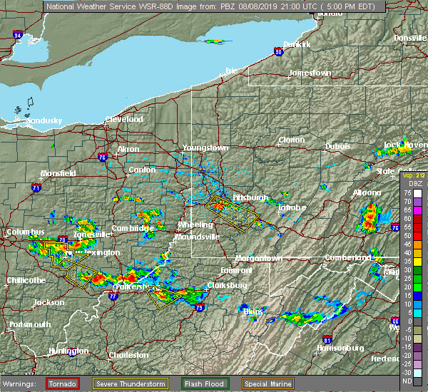 At 503 pm edt, a severe thunderstorm was located near south zanesville, or near zanesville, moving southeast at 30 mph (radar). Hazards include wind gusts to 60 mph. expect damage to trees and power lines, resulting in some power outages At 503 pm edt, a severe thunderstorm was located near south zanesville, or near zanesville, moving southeast at 30 mph (radar). Hazards include wind gusts to 60 mph. expect damage to trees and power lines, resulting in some power outages
|
| 8/8/2019 4:57 PM EDT |
 At 456 pm edt, a severe thunderstorm was located over perry state forest, moving southeast at 45 mph (radar indicated). Hazards include 60 mph wind gusts and quarter size hail. Hail damage to vehicles is expected. expect wind damage to roofs, siding, and trees. Locations impacted include, new lexington, somerset, shawnee, perry state forest, crooksville, thornville, junction city, new straitsville, glenford, hemlock, rendville and eagleport. At 456 pm edt, a severe thunderstorm was located over perry state forest, moving southeast at 45 mph (radar indicated). Hazards include 60 mph wind gusts and quarter size hail. Hail damage to vehicles is expected. expect wind damage to roofs, siding, and trees. Locations impacted include, new lexington, somerset, shawnee, perry state forest, crooksville, thornville, junction city, new straitsville, glenford, hemlock, rendville and eagleport.
|
| 8/8/2019 4:36 PM EDT |
 At 436 pm edt, a severe thunderstorm was located over thornport, or 7 miles south of heath, moving southeast at 45 mph (radar indicated). Hazards include 60 mph wind gusts and quarter size hail. Hail damage to vehicles is expected. Expect wind damage to roofs, siding, and trees. At 436 pm edt, a severe thunderstorm was located over thornport, or 7 miles south of heath, moving southeast at 45 mph (radar indicated). Hazards include 60 mph wind gusts and quarter size hail. Hail damage to vehicles is expected. Expect wind damage to roofs, siding, and trees.
|
| 7/11/2019 6:09 PM EDT |
 The severe thunderstorm warning for southeastern perry. northwestern morgan and north central athens counties will expire at 615 pm edt. the storm which prompted the warning has weakened below severe limits, and no longer poses an immediate threat to life or property. therefore, the warning will be allowed to expire. However gusty. The severe thunderstorm warning for southeastern perry. northwestern morgan and north central athens counties will expire at 615 pm edt. the storm which prompted the warning has weakened below severe limits, and no longer poses an immediate threat to life or property. therefore, the warning will be allowed to expire. However gusty.
|
| 7/11/2019 5:35 PM EDT |
 The national weather service in charleston west virginia has issued a * severe thunderstorm warning for. southeastern perry county in southeastern ohio. northwestern morgan county in southeastern ohio. north central athens county in southeastern ohio. Until 615 pm edt. The national weather service in charleston west virginia has issued a * severe thunderstorm warning for. southeastern perry county in southeastern ohio. northwestern morgan county in southeastern ohio. north central athens county in southeastern ohio. Until 615 pm edt.
|
| 7/11/2019 5:24 PM EDT |
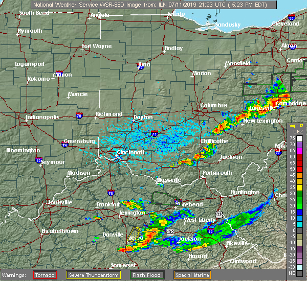 At 501 pm edt, a severe thunderstorm was located near somerset, moving southeast at 20 mph (radar indicated). Hazards include 60 mph wind gusts and penny size hail. expect damage to roofs, siding, and trees At 501 pm edt, a severe thunderstorm was located near somerset, moving southeast at 20 mph (radar indicated). Hazards include 60 mph wind gusts and penny size hail. expect damage to roofs, siding, and trees
|
| 7/2/2019 8:21 PM EDT |
 The severe thunderstorm warning for southwestern harrison, guernsey, muskingum, west central belmont and northwestern noble counties will expire at 830 pm edt, the storms that prompted the warning have weakened below severe limits and have exited the warned area. therefore, the warning will be allowed to expire. The severe thunderstorm warning for southwestern harrison, guernsey, muskingum, west central belmont and northwestern noble counties will expire at 830 pm edt, the storms that prompted the warning have weakened below severe limits and have exited the warned area. therefore, the warning will be allowed to expire.
|
| 7/2/2019 8:04 PM EDT |
 At 804 pm edt, severe thunderstorms were located along a line extending from 8 miles northwest of barnesville to 6 miles south of south zanesville, moving southeast at 35 mph (radar). Hazards include wind gusts to 60 mph. Expect damage to trees and power lines, resulting in some power outages. Locations impacted include, zanesville, cambridge, barnesville, new concord, byesville, south zanesville, north zanesville, bethesda, antrim, philo, quaker city, pleasant grove,. At 804 pm edt, severe thunderstorms were located along a line extending from 8 miles northwest of barnesville to 6 miles south of south zanesville, moving southeast at 35 mph (radar). Hazards include wind gusts to 60 mph. Expect damage to trees and power lines, resulting in some power outages. Locations impacted include, zanesville, cambridge, barnesville, new concord, byesville, south zanesville, north zanesville, bethesda, antrim, philo, quaker city, pleasant grove,.
|
| 7/2/2019 7:51 PM EDT |
 At 751 pm edt, severe thunderstorms were located along a line extending from 8 miles southwest of freeport to near south zanesville, moving southeast at 30 mph (radar). Hazards include wind gusts to 60 mph. Expect damage to trees and power lines, resulting in some power outages. Locations impacted include, zanesville, cambridge, barnesville, new concord, byesville, south zanesville, north zanesville, dresden, frazeysburg, bethesda, antrim, philo,. At 751 pm edt, severe thunderstorms were located along a line extending from 8 miles southwest of freeport to near south zanesville, moving southeast at 30 mph (radar). Hazards include wind gusts to 60 mph. Expect damage to trees and power lines, resulting in some power outages. Locations impacted include, zanesville, cambridge, barnesville, new concord, byesville, south zanesville, north zanesville, dresden, frazeysburg, bethesda, antrim, philo,.
|
| 7/2/2019 7:38 PM EDT |
 At 737 pm edt, severe thunderstorms were located along a line extending from near frazeysburg to near somerset to near hide-a-way hills, moving east at 25 mph (radar indicated). Hazards include 60 mph wind gusts. Expect damage to roofs, siding, and trees. Locations impacted include, new lexington, somerset, shawnee, perry state forest, crooksville, thornville, junction city, new straitsville, corning, glenford, hemlock and rendville. At 737 pm edt, severe thunderstorms were located along a line extending from near frazeysburg to near somerset to near hide-a-way hills, moving east at 25 mph (radar indicated). Hazards include 60 mph wind gusts. Expect damage to roofs, siding, and trees. Locations impacted include, new lexington, somerset, shawnee, perry state forest, crooksville, thornville, junction city, new straitsville, corning, glenford, hemlock and rendville.
|
| 7/2/2019 7:23 PM EDT |
 At 722 pm edt, severe thunderstorms were located along a line extending from newcomerstown to near hanover to pleasantville, moving southeast at 25 mph (radar). Hazards include wind gusts to 60 mph. expect damage to trees and power lines, resulting in some power outages At 722 pm edt, severe thunderstorms were located along a line extending from newcomerstown to near hanover to pleasantville, moving southeast at 25 mph (radar). Hazards include wind gusts to 60 mph. expect damage to trees and power lines, resulting in some power outages
|
| 7/2/2019 7:17 PM EDT |
 At 714 pm edt, severe thunderstorms were located along a line extending from 8 miles east of utica to thornport to near lancaster, moving southeast at 30 mph (radar indicated). Hazards include 60 mph wind gusts. expect damage to roofs, siding, and trees At 714 pm edt, severe thunderstorms were located along a line extending from 8 miles east of utica to thornport to near lancaster, moving southeast at 30 mph (radar indicated). Hazards include 60 mph wind gusts. expect damage to roofs, siding, and trees
|
| 6/24/2019 4:23 PM EDT |
 At 422 pm edt, severe thunderstorms were located along a line extending from 7 miles southeast of gambier to near glouster, moving northeast at 40 mph (radar). Hazards include wind gusts to 60 mph. expect damage to trees and power lines, resulting in some power outages At 422 pm edt, severe thunderstorms were located along a line extending from 7 miles southeast of gambier to near glouster, moving northeast at 40 mph (radar). Hazards include wind gusts to 60 mph. expect damage to trees and power lines, resulting in some power outages
|
| 6/24/2019 4:17 PM EDT |
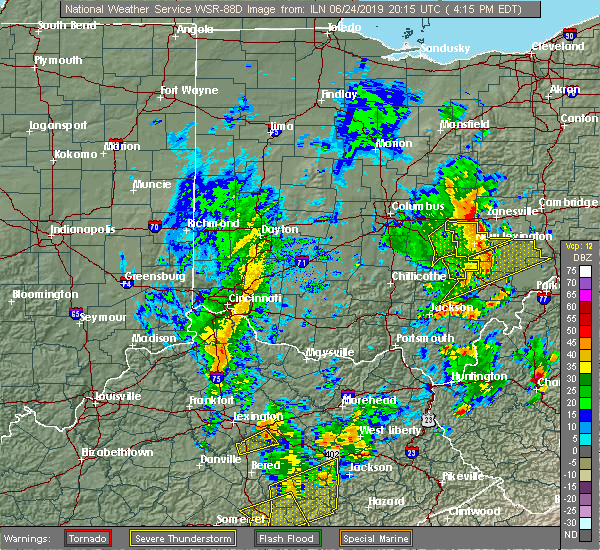 At 417 pm edt, severe thunderstorms were located along a line extending from 6 miles east of thornport to shawnee, moving northeast at 50 mph (radar indicated). Hazards include 60 mph wind gusts. expect damage to roofs, siding, and trees At 417 pm edt, severe thunderstorms were located along a line extending from 6 miles east of thornport to shawnee, moving northeast at 50 mph (radar indicated). Hazards include 60 mph wind gusts. expect damage to roofs, siding, and trees
|
| 6/24/2019 3:50 PM EDT |
 At 349 pm edt, severe thunderstorms were located along a line extending from near millersport to near bremen to near hide-a-way hills, moving northeast at 45 mph (radar indicated). Hazards include 60 mph wind gusts. expect damage to roofs, siding, and trees At 349 pm edt, severe thunderstorms were located along a line extending from near millersport to near bremen to near hide-a-way hills, moving northeast at 45 mph (radar indicated). Hazards include 60 mph wind gusts. expect damage to roofs, siding, and trees
|
| 5/28/2019 1:50 AM EDT |
 At 150 am edt, a severe thunderstorm was located near south zanesville, or 9 miles south of zanesville, moving southeast at 20 mph (radar). Hazards include wind gusts to 60 mph and half dollar-size hail. Minor hail damage to vehicles is possible. expect wind damage to trees and power lines, resulting in some power outages. Locations impacted include, zanesville, south zanesville, philo, fultonham, chandlersville, ruraldale, cannelville, high hill, duncan falls, east fultonham, blue rock state park, a tornado watch remains in effect until 400 am edt for east central ohio. At 150 am edt, a severe thunderstorm was located near south zanesville, or 9 miles south of zanesville, moving southeast at 20 mph (radar). Hazards include wind gusts to 60 mph and half dollar-size hail. Minor hail damage to vehicles is possible. expect wind damage to trees and power lines, resulting in some power outages. Locations impacted include, zanesville, south zanesville, philo, fultonham, chandlersville, ruraldale, cannelville, high hill, duncan falls, east fultonham, blue rock state park, a tornado watch remains in effect until 400 am edt for east central ohio.
|
| 5/28/2019 1:45 AM EDT |
 At 145 am edt, a severe thunderstorm was located near mcconnelsville, moving southeast at 40 mph (radar indicated). Hazards include 65 mph wind gusts and quarter size hail. Hail damage to vehicles is expected. expect considerable tree damage. Wind damage is also likely to mobile homes, roofs, and outbuildings. At 145 am edt, a severe thunderstorm was located near mcconnelsville, moving southeast at 40 mph (radar indicated). Hazards include 65 mph wind gusts and quarter size hail. Hail damage to vehicles is expected. expect considerable tree damage. Wind damage is also likely to mobile homes, roofs, and outbuildings.
|
| 5/28/2019 1:42 AM EDT |
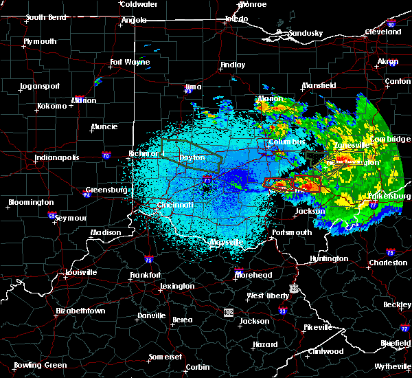 At 142 am edt, a severe thunderstorm was located near south zanesville, or 7 miles south of zanesville, moving southeast at 40 mph (radar). Hazards include wind gusts to 60 mph and half dollar-size hail. Minor hail damage to vehicles is possible. expect wind damage to trees and power lines, resulting in some power outages. Locations impacted include, zanesville, south zanesville, philo, fultonham, chandlersville, ruraldale, cannelville, high hill, duncan falls, east fultonham, blue rock state park, a tornado watch remains in effect until 400 am edt for east central ohio. At 142 am edt, a severe thunderstorm was located near south zanesville, or 7 miles south of zanesville, moving southeast at 40 mph (radar). Hazards include wind gusts to 60 mph and half dollar-size hail. Minor hail damage to vehicles is possible. expect wind damage to trees and power lines, resulting in some power outages. Locations impacted include, zanesville, south zanesville, philo, fultonham, chandlersville, ruraldale, cannelville, high hill, duncan falls, east fultonham, blue rock state park, a tornado watch remains in effect until 400 am edt for east central ohio.
|
| 5/28/2019 1:35 AM EDT | *** 1 inj *** numerous trees down...power lines down...damage to multiple home in muskingum county OH, 0.5 miles SW of Roseville, OH |
| 5/28/2019 1:33 AM EDT |
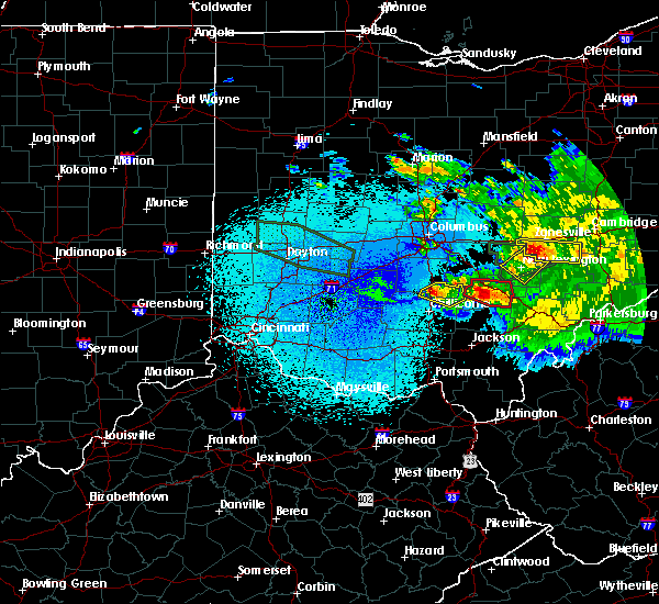 At 132 am edt, a severe thunderstorm was located near perry state forest, moving southeast at 35 mph (radar indicated). Hazards include 70 mph wind gusts and quarter size hail. Hail damage to vehicles is expected. expect considerable tree damage. wind damage is also likely to mobile homes, roofs, and outbuildings. Locations impacted include, new lexington, shawnee, perry state forest, crooksville, junction city and hemlock. At 132 am edt, a severe thunderstorm was located near perry state forest, moving southeast at 35 mph (radar indicated). Hazards include 70 mph wind gusts and quarter size hail. Hail damage to vehicles is expected. expect considerable tree damage. wind damage is also likely to mobile homes, roofs, and outbuildings. Locations impacted include, new lexington, shawnee, perry state forest, crooksville, junction city and hemlock.
|
| 5/28/2019 1:30 AM EDT | Multiple reports of trees and power lines down in the city of roseville. village is impassable... route 93 is closed due to downed tree in perry county OH, 0.5 miles SW of Roseville, OH |
| 5/28/2019 1:29 AM EDT |
 At 124 am edt, a severe thunderstorm was located near perry state forest, moving east at 35 mph (radar). Hazards include wind gusts to 60 mph and quarter-size hail. Minor hail damage to vehicles is possible. Expect wind damage to trees and power lines, resulting in some power outages. At 124 am edt, a severe thunderstorm was located near perry state forest, moving east at 35 mph (radar). Hazards include wind gusts to 60 mph and quarter-size hail. Minor hail damage to vehicles is possible. Expect wind damage to trees and power lines, resulting in some power outages.
|
| 5/28/2019 1:24 AM EDT |
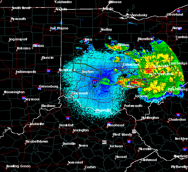 At 124 am edt, a severe thunderstorm was located near perry state forest, moving east at 35 mph (radar). Hazards include wind gusts to 60 mph and quarter-size hail. Minor hail damage to vehicles is possible. Expect wind damage to trees and power lines, resulting in some power outages. At 124 am edt, a severe thunderstorm was located near perry state forest, moving east at 35 mph (radar). Hazards include wind gusts to 60 mph and quarter-size hail. Minor hail damage to vehicles is possible. Expect wind damage to trees and power lines, resulting in some power outages.
|
| 5/28/2019 1:18 AM EDT |
 At 118 am edt, a severe thunderstorm was located over somerset, moving southeast at 35 mph (radar indicated). Hazards include 75 mph wind gusts and quarter size hail. Hail damage to vehicles is expected. expect considerable tree damage. wind damage is also likely to mobile homes, roofs, and outbuildings. Locations impacted include, new lexington, somerset, shawnee, perry state forest, crooksville, thornville, junction city, glenford and hemlock. At 118 am edt, a severe thunderstorm was located over somerset, moving southeast at 35 mph (radar indicated). Hazards include 75 mph wind gusts and quarter size hail. Hail damage to vehicles is expected. expect considerable tree damage. wind damage is also likely to mobile homes, roofs, and outbuildings. Locations impacted include, new lexington, somerset, shawnee, perry state forest, crooksville, thornville, junction city, glenford and hemlock.
|
| 5/28/2019 1:11 AM EDT |
 At 110 am edt, a severe thunderstorm was located near somerset, moving southeast at 35 mph (radar indicated). Hazards include 65 mph wind gusts and quarter size hail. Hail damage to vehicles is expected. Expect wind damage to roofs, siding, and trees. At 110 am edt, a severe thunderstorm was located near somerset, moving southeast at 35 mph (radar indicated). Hazards include 65 mph wind gusts and quarter size hail. Hail damage to vehicles is expected. Expect wind damage to roofs, siding, and trees.
|
| 5/28/2019 1:07 AM EDT |
 The tornado warning for northeastern perry and northwestern morgan counties will expire at 115 am edt, the storm which prompted the warning has moved out of the area. therefore, the warning will be allowed to expire. a tornado watch remains in effect until 400 am edt for southeastern ohio. The tornado warning for northeastern perry and northwestern morgan counties will expire at 115 am edt, the storm which prompted the warning has moved out of the area. therefore, the warning will be allowed to expire. a tornado watch remains in effect until 400 am edt for southeastern ohio.
|
| 5/28/2019 12:58 AM EDT |
 At 1258 am edt, a severe thunderstorm was located near south zanesville, or 7 miles east of perry state forest, moving east at 30 mph (radar). Hazards include wind gusts to 60 mph and quarter-size hail. Minor hail damage to vehicles is possible. expect wind damage to trees and power lines, resulting in some power outages. locations impacted include, zanesville, new concord, south zanesville, north zanesville, philo, pleasant grove, fultonham, norwich, cannelville, chandlersville, bridgeville, duncan falls, this includes interstate 70 in ohio between mile markers 147 and 170. A tornado watch remains in effect until 400 am edt for east central ohio. At 1258 am edt, a severe thunderstorm was located near south zanesville, or 7 miles east of perry state forest, moving east at 30 mph (radar). Hazards include wind gusts to 60 mph and quarter-size hail. Minor hail damage to vehicles is possible. expect wind damage to trees and power lines, resulting in some power outages. locations impacted include, zanesville, new concord, south zanesville, north zanesville, philo, pleasant grove, fultonham, norwich, cannelville, chandlersville, bridgeville, duncan falls, this includes interstate 70 in ohio between mile markers 147 and 170. A tornado watch remains in effect until 400 am edt for east central ohio.
|
| 5/28/2019 12:50 AM EDT |
 At 1249 am edt, a severe thunderstorm capable of producing a tornado was located near perry state forest, moving east at 40 mph. spotters have observed rotation with this storm (radar indicated rotation). Hazards include tornado and quarter size hail. Flying debris will be dangerous to those caught without shelter. mobile homes will be damaged or destroyed. damage to roofs, windows, and vehicles will occur. tree damage is likely. This tornadic thunderstorm will remain over mainly rural areas of northeastern perry and northwestern morgan counties, including the following locations, crooksville. At 1249 am edt, a severe thunderstorm capable of producing a tornado was located near perry state forest, moving east at 40 mph. spotters have observed rotation with this storm (radar indicated rotation). Hazards include tornado and quarter size hail. Flying debris will be dangerous to those caught without shelter. mobile homes will be damaged or destroyed. damage to roofs, windows, and vehicles will occur. tree damage is likely. This tornadic thunderstorm will remain over mainly rural areas of northeastern perry and northwestern morgan counties, including the following locations, crooksville.
|
| 5/28/2019 12:50 AM EDT |
 At 1249 am edt, a severe thunderstorm was located over perry state forest, moving northeast at 30 mph (radar). Hazards include wind gusts to 60 mph and half dollar-size hail. Minor hail damage to vehicles is possible. Expect wind damage to trees and power lines, resulting in some power outages. At 1249 am edt, a severe thunderstorm was located over perry state forest, moving northeast at 30 mph (radar). Hazards include wind gusts to 60 mph and half dollar-size hail. Minor hail damage to vehicles is possible. Expect wind damage to trees and power lines, resulting in some power outages.
|
| 5/28/2019 12:24 AM EDT |
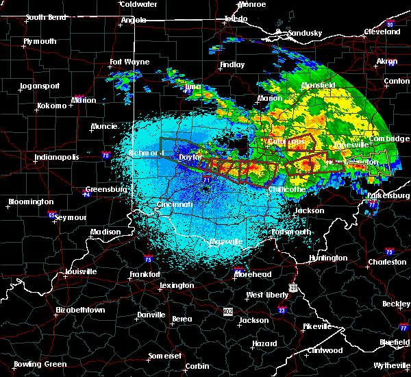 At 1222 am edt, a severe thunderstorm capable of producing a tornado was located near bremen, or 7 miles west of somerset, moving east at 40 mph. spotters have observed rotation with this storm (radar indicated rotation). Hazards include tornado and quarter size hail. Flying debris will be dangerous to those caught without shelter. mobile homes will be damaged or destroyed. damage to roofs, windows, and vehicles will occur. tree damage is likely. this dangerous storm will be near, somerset around 1235 am edt. new lexington and perry state forest around 1240 am edt. Other locations impacted by this tornadic thunderstorm include crooksville and junction city. At 1222 am edt, a severe thunderstorm capable of producing a tornado was located near bremen, or 7 miles west of somerset, moving east at 40 mph. spotters have observed rotation with this storm (radar indicated rotation). Hazards include tornado and quarter size hail. Flying debris will be dangerous to those caught without shelter. mobile homes will be damaged or destroyed. damage to roofs, windows, and vehicles will occur. tree damage is likely. this dangerous storm will be near, somerset around 1235 am edt. new lexington and perry state forest around 1240 am edt. Other locations impacted by this tornadic thunderstorm include crooksville and junction city.
|
| 3/14/2019 10:37 PM EDT |
 At 1036 pm edt, a severe thunderstorm was located near logan, moving northeast at 55 mph (radar indicated). Hazards include 60 mph wind gusts. expect damage to roofs, siding, and trees At 1036 pm edt, a severe thunderstorm was located near logan, moving northeast at 55 mph (radar indicated). Hazards include 60 mph wind gusts. expect damage to roofs, siding, and trees
|
| 3/14/2019 9:18 PM EDT |
 At 917 pm edt, a severe thunderstorm was located over logan, moving northeast at 55 mph (radar indicated). Hazards include 60 mph wind gusts. expect damage to roofs, siding, and trees At 917 pm edt, a severe thunderstorm was located over logan, moving northeast at 55 mph (radar indicated). Hazards include 60 mph wind gusts. expect damage to roofs, siding, and trees
|
| 3/14/2019 8:43 PM EDT |
 At 843 pm edt, a severe thunderstorm was located 7 miles north of somerset, moving east at 60 mph (radar). Hazards include wind gusts to 60 mph and quarter-size hail. Minor hail damage to vehicles is possible. Expect wind damage to trees and power lines, resulting in some power outages. At 843 pm edt, a severe thunderstorm was located 7 miles north of somerset, moving east at 60 mph (radar). Hazards include wind gusts to 60 mph and quarter-size hail. Minor hail damage to vehicles is possible. Expect wind damage to trees and power lines, resulting in some power outages.
|
| 10/2/2018 6:32 PM EDT |
 At 632 pm edt, a severe thunderstorm was located near hanover, or 9 miles east of heath, moving southeast at 30 mph (radar). Hazards include wind gusts to 60 mph. expect damage to trees and power lines, resulting in some power outages At 632 pm edt, a severe thunderstorm was located near hanover, or 9 miles east of heath, moving southeast at 30 mph (radar). Hazards include wind gusts to 60 mph. expect damage to trees and power lines, resulting in some power outages
|
| 8/10/2018 5:12 PM EDT |
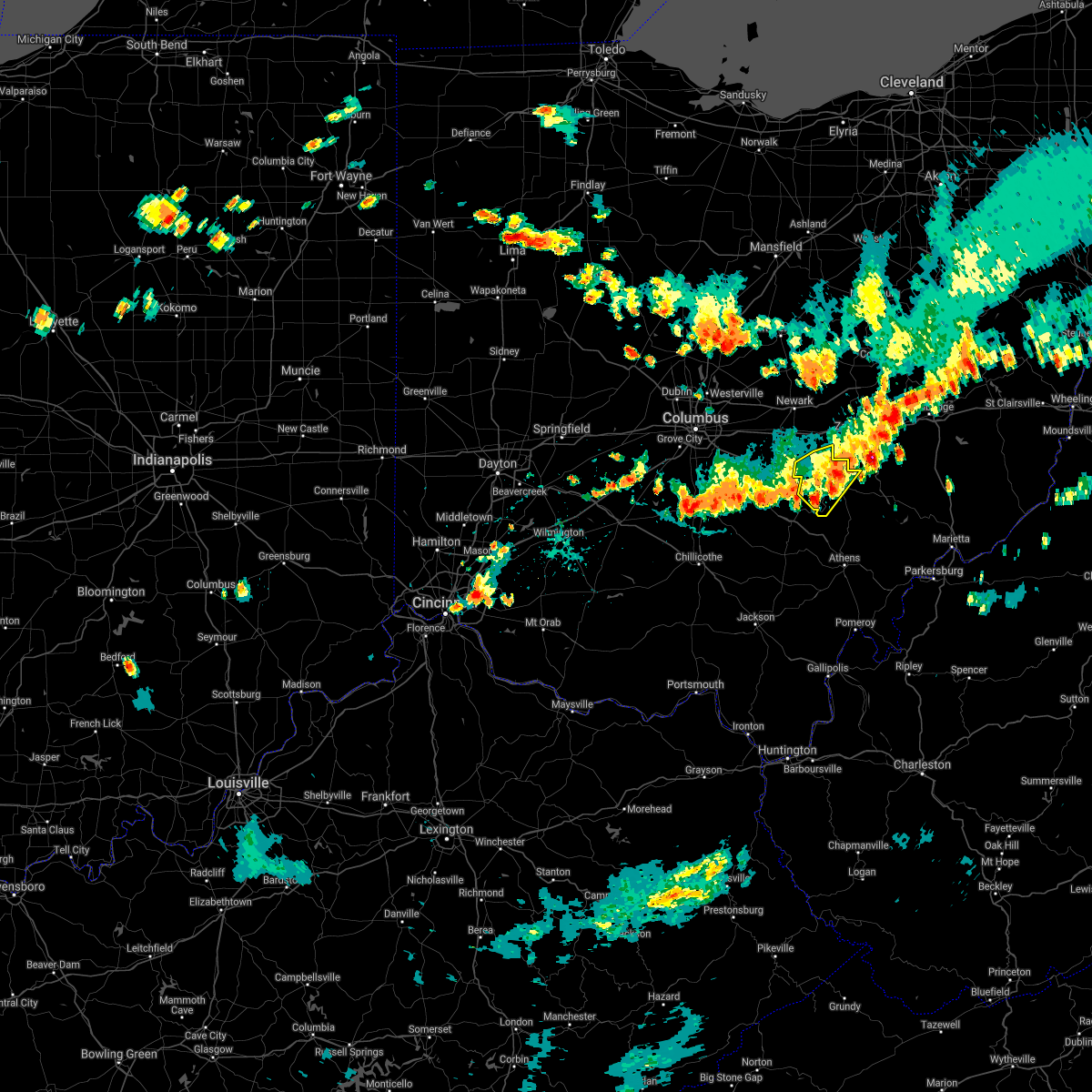 The severe thunderstorm warning for perry and northwestern morgan counties will expire at 515 pm edt. the storm which prompted the warning has weakened below severe limits. therefore, the warning will be allowed to expire. However winds of 30 to 40 mph are still possible with this thunderstorm. The severe thunderstorm warning for perry and northwestern morgan counties will expire at 515 pm edt. the storm which prompted the warning has weakened below severe limits. therefore, the warning will be allowed to expire. However winds of 30 to 40 mph are still possible with this thunderstorm.
|
| 8/10/2018 4:53 PM EDT |
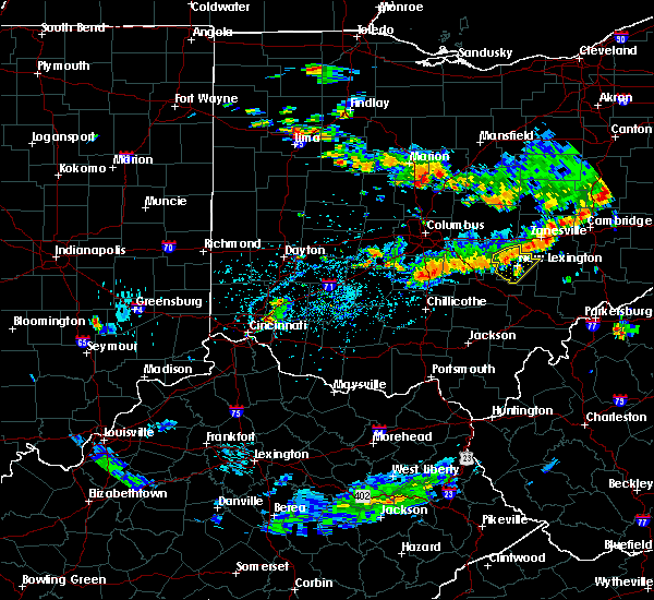 At 453 pm edt, a severe thunderstorm was located near perry state forest, moving southeast at 15 mph (radar indicated). Hazards include 60 mph wind gusts. Expect damage to roofs, siding, and trees. Locations impacted include, new lexington, somerset, shawnee, perry state forest, crooksville, junction city and new straitsville. At 453 pm edt, a severe thunderstorm was located near perry state forest, moving southeast at 15 mph (radar indicated). Hazards include 60 mph wind gusts. Expect damage to roofs, siding, and trees. Locations impacted include, new lexington, somerset, shawnee, perry state forest, crooksville, junction city and new straitsville.
|
| 8/10/2018 4:33 PM EDT |
 At 433 pm edt, a severe thunderstorm was located near somerset, moving southeast at 15 mph (radar indicated). Hazards include 60 mph wind gusts. expect damage to roofs, siding, and trees At 433 pm edt, a severe thunderstorm was located near somerset, moving southeast at 15 mph (radar indicated). Hazards include 60 mph wind gusts. expect damage to roofs, siding, and trees
|
| 6/17/2018 3:25 PM EDT |
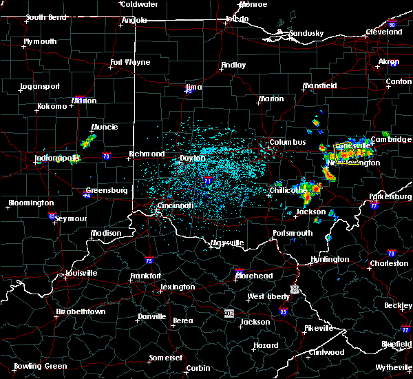 At 312 pm edt, a severe thunderstorm was located near zanesville, moving south at 25 mph (radar). Hazards include wind gusts to 60 mph. Expect damage to trees and power lines, resulting in some power outages. This includes interstate 70 in ohio between mile markers 150 and 163. At 312 pm edt, a severe thunderstorm was located near zanesville, moving south at 25 mph (radar). Hazards include wind gusts to 60 mph. Expect damage to trees and power lines, resulting in some power outages. This includes interstate 70 in ohio between mile markers 150 and 163.
|
| 6/17/2018 3:12 PM EDT |
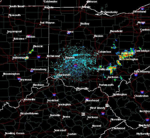 At 312 pm edt, a severe thunderstorm was located near zanesville, moving south at 25 mph (radar). Hazards include wind gusts to 60 mph. Expect damage to trees and power lines, resulting in some power outages. This includes interstate 70 in ohio between mile markers 150 and 163. At 312 pm edt, a severe thunderstorm was located near zanesville, moving south at 25 mph (radar). Hazards include wind gusts to 60 mph. Expect damage to trees and power lines, resulting in some power outages. This includes interstate 70 in ohio between mile markers 150 and 163.
|
| 6/17/2018 3:01 PM EDT |
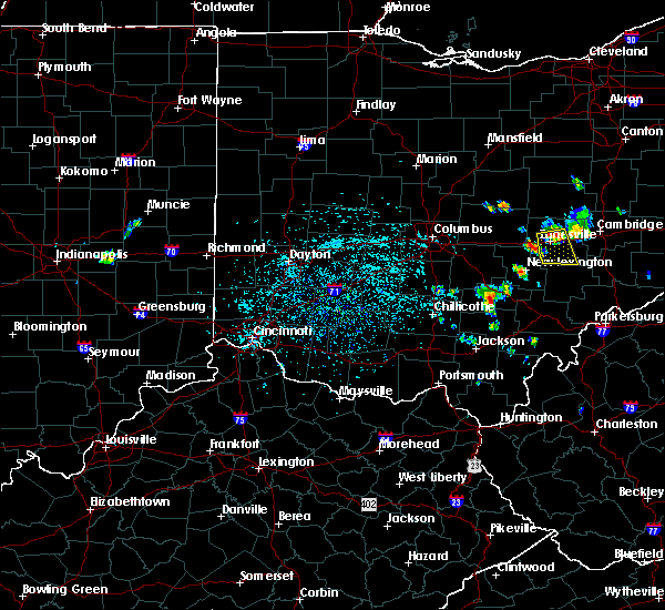 At 300 pm edt, a severe thunderstorm was located over north zanesville, or near zanesville, moving south at 15 mph (radar). Hazards include wind gusts to 60 mph. Expect damage to trees and power lines, resulting in some power outages. This includes interstate 70 in ohio between mile markers 150 and 163. At 300 pm edt, a severe thunderstorm was located over north zanesville, or near zanesville, moving south at 15 mph (radar). Hazards include wind gusts to 60 mph. Expect damage to trees and power lines, resulting in some power outages. This includes interstate 70 in ohio between mile markers 150 and 163.
|
| 6/17/2018 2:50 PM EDT |
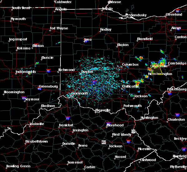 At 250 pm edt, a severe thunderstorm was located over north zanesville, or near zanesville, moving south at 25 mph (radar). Hazards include wind gusts to 60 mph. expect damage to trees and power lines, resulting in some power outages At 250 pm edt, a severe thunderstorm was located over north zanesville, or near zanesville, moving south at 25 mph (radar). Hazards include wind gusts to 60 mph. expect damage to trees and power lines, resulting in some power outages
|
| 6/16/2018 8:51 PM EDT |
 At 851 pm edt, a severe thunderstorm was located near south zanesville, or 8 miles south of zanesville, moving southeast at 35 mph (radar). Hazards include wind gusts to 60 mph. Damage to trees and power lines. Locations impacted include, philo, cannelville,. At 851 pm edt, a severe thunderstorm was located near south zanesville, or 8 miles south of zanesville, moving southeast at 35 mph (radar). Hazards include wind gusts to 60 mph. Damage to trees and power lines. Locations impacted include, philo, cannelville,.
|
| 6/16/2018 8:43 PM EDT |
 At 843 pm edt, a severe thunderstorm was located near south zanesville, or near zanesville, moving southeast at 35 mph (radar). Hazards include wind gusts to 60 mph. Damage to trees and power lines. Locations impacted include, zanesville, south zanesville, philo, fultonham, cannelville, duncan falls, east fultonham, this includes interstate 70 in ohio near mile marker 153. At 843 pm edt, a severe thunderstorm was located near south zanesville, or near zanesville, moving southeast at 35 mph (radar). Hazards include wind gusts to 60 mph. Damage to trees and power lines. Locations impacted include, zanesville, south zanesville, philo, fultonham, cannelville, duncan falls, east fultonham, this includes interstate 70 in ohio near mile marker 153.
|
| 6/16/2018 8:25 PM EDT |
 At 824 pm edt, a severe thunderstorm was located 9 miles south of hanover, or 10 miles north of somerset, moving southeast at 35 mph (radar). Hazards include wind gusts to 60 mph. damage to trees and power lines At 824 pm edt, a severe thunderstorm was located 9 miles south of hanover, or 10 miles north of somerset, moving southeast at 35 mph (radar). Hazards include wind gusts to 60 mph. damage to trees and power lines
|
| 5/15/2018 5:53 PM EDT |
 The severe thunderstorm warning for southeastern perry and northwestern morgan counties will expire at 600 pm edt, the storms which prompted the warning have moved out of the area. therefore the warning will be allowed to expire. remember, a severe thunderstorm warning still remains in effect for central and eastern morgan county until 5:15 pm. The severe thunderstorm warning for southeastern perry and northwestern morgan counties will expire at 600 pm edt, the storms which prompted the warning have moved out of the area. therefore the warning will be allowed to expire. remember, a severe thunderstorm warning still remains in effect for central and eastern morgan county until 5:15 pm.
|
| 5/15/2018 5:32 PM EDT |
 At 532 pm edt, severe thunderstorms were located along a line extending from near south zanesville to 8 miles east of new lexington to near shawnee, moving east at 25 mph (radar indicated). Hazards include 60 mph wind gusts and quarter size hail. Hail damage to vehicles is expected. expect wind damage to roofs, siding, and trees. locations impacted include, crooksville, corning, hemlock, rendville and eagleport. At 532 pm edt, severe thunderstorms were located along a line extending from near south zanesville to 8 miles east of new lexington to near shawnee, moving east at 25 mph (radar indicated). Hazards include 60 mph wind gusts and quarter size hail. Hail damage to vehicles is expected. expect wind damage to roofs, siding, and trees. locations impacted include, crooksville, corning, hemlock, rendville and eagleport.
|
| 5/15/2018 5:23 PM EDT |
 At 523 pm edt, severe thunderstorms were located along a line extending from 6 miles southwest of south zanesville to near new lexington to near shawnee, moving east at 25 mph (radar indicated). Hazards include 60 mph wind gusts. expect damage to roofs, siding, and trees At 523 pm edt, severe thunderstorms were located along a line extending from 6 miles southwest of south zanesville to near new lexington to near shawnee, moving east at 25 mph (radar indicated). Hazards include 60 mph wind gusts. expect damage to roofs, siding, and trees
|
| 5/14/2018 1:20 PM EDT |
 At 120 pm edt, severe thunderstorms were located along a line extending from perry state forest to near hide-a-way hills, moving east at 35 mph (radar indicated). Hazards include 70 mph wind gusts and half dollar size hail. Hail damage to vehicles is expected. expect considerable tree damage. Wind damage is also likely to mobile homes, roofs, and outbuildings. At 120 pm edt, severe thunderstorms were located along a line extending from perry state forest to near hide-a-way hills, moving east at 35 mph (radar indicated). Hazards include 70 mph wind gusts and half dollar size hail. Hail damage to vehicles is expected. expect considerable tree damage. Wind damage is also likely to mobile homes, roofs, and outbuildings.
|
| 5/13/2018 5:30 PM EDT |
 At 513 pm edt, a severe thunderstorm was located near thornport, or 7 miles west of somerset, moving east at 30 mph (radar indicated). Hazards include 60 mph wind gusts and quarter size hail. Hail damage to vehicles is expected. Expect wind damage to roofs, siding, and trees. At 513 pm edt, a severe thunderstorm was located near thornport, or 7 miles west of somerset, moving east at 30 mph (radar indicated). Hazards include 60 mph wind gusts and quarter size hail. Hail damage to vehicles is expected. Expect wind damage to roofs, siding, and trees.
|
| 5/13/2018 5:13 PM EDT |
 At 513 pm edt, a severe thunderstorm was located near thornport, or 7 miles west of somerset, moving east at 30 mph (radar indicated). Hazards include 60 mph wind gusts and quarter size hail. Hail damage to vehicles is expected. Expect wind damage to roofs, siding, and trees. At 513 pm edt, a severe thunderstorm was located near thornport, or 7 miles west of somerset, moving east at 30 mph (radar indicated). Hazards include 60 mph wind gusts and quarter size hail. Hail damage to vehicles is expected. Expect wind damage to roofs, siding, and trees.
|
| 5/12/2018 4:58 PM EDT | Quarter sized hail reported 0.4 miles NE of Roseville, OH |
| 5/12/2018 4:53 PM EDT |
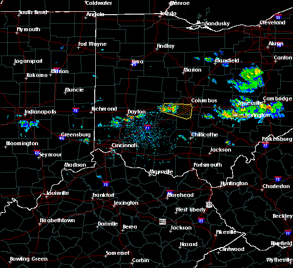 At 453 pm edt, a severe thunderstorm was located near perry state forest, moving east at 45 mph (radar indicated). Hazards include 60 mph wind gusts and quarter size hail. Hail damage to vehicles is expected. Expect wind damage to roofs, siding, and trees. At 453 pm edt, a severe thunderstorm was located near perry state forest, moving east at 45 mph (radar indicated). Hazards include 60 mph wind gusts and quarter size hail. Hail damage to vehicles is expected. Expect wind damage to roofs, siding, and trees.
|
| 4/3/2018 6:25 PM EDT |
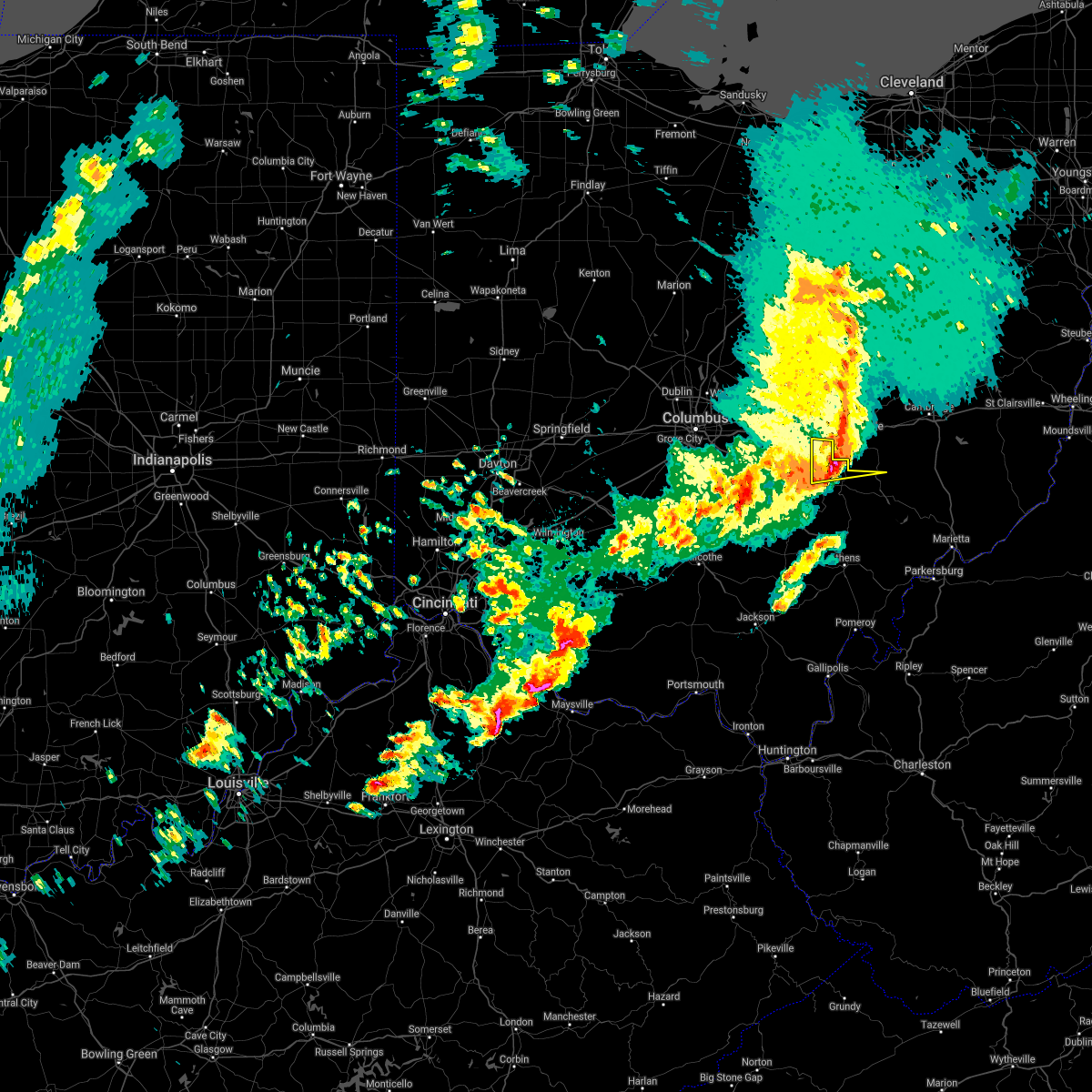 At 625 pm edt, a severe thunderstorm was located near south zanesville, or near zanesville, moving east at 60 mph (radar indicated). Hazards include 60 mph wind gusts and quarter size hail. Hail damage to vehicles is expected. expect wind damage to roofs, siding, and trees. locations impacted include, new lexington, somerset, perry state forest, crooksville and junction city. At 625 pm edt, a severe thunderstorm was located near south zanesville, or near zanesville, moving east at 60 mph (radar indicated). Hazards include 60 mph wind gusts and quarter size hail. Hail damage to vehicles is expected. expect wind damage to roofs, siding, and trees. locations impacted include, new lexington, somerset, perry state forest, crooksville and junction city.
|
| 4/3/2018 6:22 PM EDT |
 At 621 pm edt, a severe thunderstorm was located near perry state forest, moving east at 50 mph (radar). Hazards include 60 mph wind gusts and quarter-size hail. Minor hail damage to vehicles is possible. Expect wind damage to trees and power lines, resulting in some power outages. At 621 pm edt, a severe thunderstorm was located near perry state forest, moving east at 50 mph (radar). Hazards include 60 mph wind gusts and quarter-size hail. Minor hail damage to vehicles is possible. Expect wind damage to trees and power lines, resulting in some power outages.
|
| 4/3/2018 6:03 PM EDT |
 At 601 pm edt, a severe thunderstorm was located over pleasantville, or 8 miles northeast of lancaster, moving east at 60 mph (radar indicated). Hazards include 60 mph wind gusts and quarter size hail. Hail damage to vehicles is expected. Expect wind damage to roofs, siding, and trees. At 601 pm edt, a severe thunderstorm was located over pleasantville, or 8 miles northeast of lancaster, moving east at 60 mph (radar indicated). Hazards include 60 mph wind gusts and quarter size hail. Hail damage to vehicles is expected. Expect wind damage to roofs, siding, and trees.
|
| 11/5/2017 8:11 PM EST |
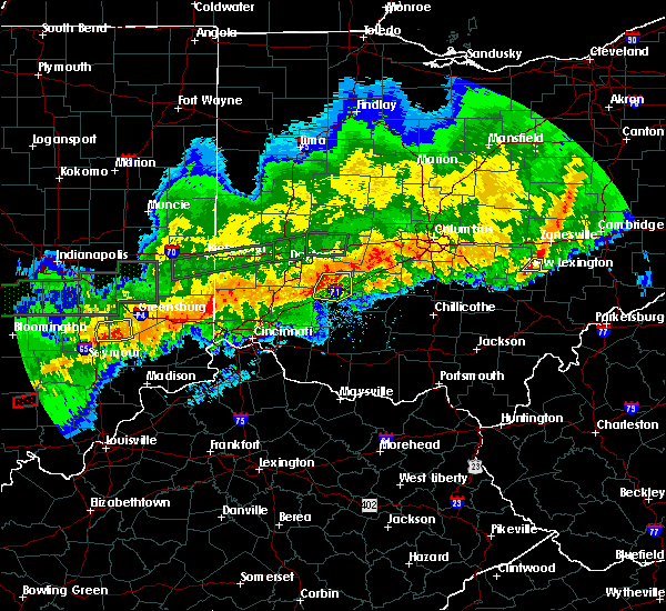 The severe thunderstorm warning for east central perry county will expire at 815 pm est, the storms which prompted the warning have weakened below severe limits, and no longer pose an immediate threat to life or property. therefore the warning will be allowed to expire. The severe thunderstorm warning for east central perry county will expire at 815 pm est, the storms which prompted the warning have weakened below severe limits, and no longer pose an immediate threat to life or property. therefore the warning will be allowed to expire.
|
| 11/5/2017 8:00 PM EST |
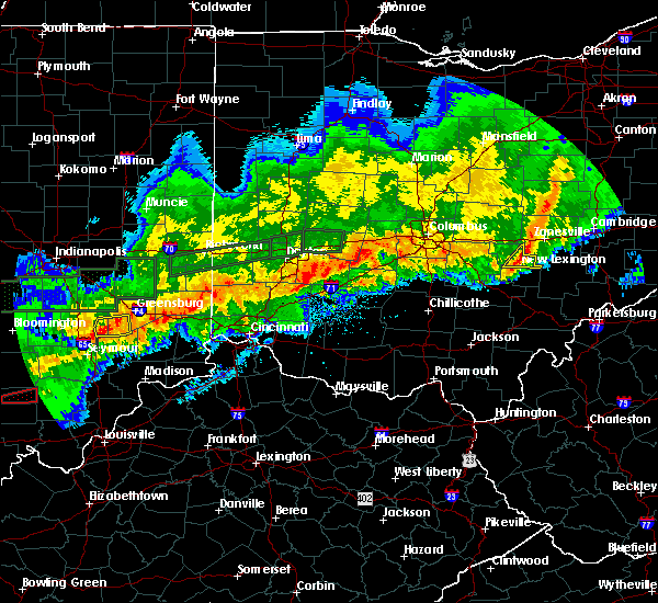 At 759 pm est, severe thunderstorms were located along a line extending from 8 miles south of killbuck to 6 miles west of north zanesville to bremen, moving east at 45 mph (radar indicated). Hazards include 60 mph wind gusts. Expect damage to roofs, siding, and trees. locations impacted include, new lexington, perry state forest, crooksville and junction city. At 759 pm est, severe thunderstorms were located along a line extending from 8 miles south of killbuck to 6 miles west of north zanesville to bremen, moving east at 45 mph (radar indicated). Hazards include 60 mph wind gusts. Expect damage to roofs, siding, and trees. locations impacted include, new lexington, perry state forest, crooksville and junction city.
|
| 11/5/2017 7:20 PM EST |
 At 720 pm est, severe thunderstorms were located along a line extending from mount vernon to near hebron to 6 miles east of ashville, moving east at 45 mph (radar indicated). Hazards include 60 mph wind gusts. expect damage to roofs, siding, and trees At 720 pm est, severe thunderstorms were located along a line extending from mount vernon to near hebron to 6 miles east of ashville, moving east at 45 mph (radar indicated). Hazards include 60 mph wind gusts. expect damage to roofs, siding, and trees
|
| 7/10/2017 4:43 PM EDT |
 The severe thunderstorm warning for northern perry county will expire at 445 pm edt, the storm which prompted the warning has weakened below severe limits, but is still strong with gusty winds and heavy rain possible. the warning will be allowed to expire. The severe thunderstorm warning for northern perry county will expire at 445 pm edt, the storm which prompted the warning has weakened below severe limits, but is still strong with gusty winds and heavy rain possible. the warning will be allowed to expire.
|
| 7/10/2017 4:28 PM EDT |
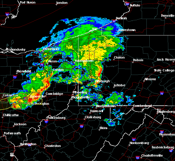 At 427 pm edt, severe thunderstorms were located along a line extending from 8 miles east of dresden to near south zanesville, moving southeast at 40 mph (radar). Hazards include 60 mph wind gusts. Expect damage to trees and power lines, resulting in some power outages. This includes interstate 70 in ohio between mile markers 146 and 170. At 427 pm edt, severe thunderstorms were located along a line extending from 8 miles east of dresden to near south zanesville, moving southeast at 40 mph (radar). Hazards include 60 mph wind gusts. Expect damage to trees and power lines, resulting in some power outages. This includes interstate 70 in ohio between mile markers 146 and 170.
|
| 7/10/2017 4:19 PM EDT |
 At 418 pm edt, severe thunderstorms were located along a line extending from near dresden to 7 miles west of south zanesville, moving southeast at 30 mph (radar). Hazards include 60 mph wind gusts and quarter-size hail. Minor hail damage to vehicles is possible. Expect wind damage to trees and power lines, resulting in some power outages. At 418 pm edt, severe thunderstorms were located along a line extending from near dresden to 7 miles west of south zanesville, moving southeast at 30 mph (radar). Hazards include 60 mph wind gusts and quarter-size hail. Minor hail damage to vehicles is possible. Expect wind damage to trees and power lines, resulting in some power outages.
|
| 7/10/2017 4:17 PM EDT |
 At 416 pm edt, a severe thunderstorm was located near south zanesville, or 8 miles south of zanesville, moving east at 50 mph (radar indicated). Hazards include 60 mph wind gusts and quarter size hail. Hail damage to vehicles is expected. expect wind damage to roofs, siding, and trees. locations impacted include, somerset, thornport, harbor hills, crooksville, thornville and glenford. At 416 pm edt, a severe thunderstorm was located near south zanesville, or 8 miles south of zanesville, moving east at 50 mph (radar indicated). Hazards include 60 mph wind gusts and quarter size hail. Hail damage to vehicles is expected. expect wind damage to roofs, siding, and trees. locations impacted include, somerset, thornport, harbor hills, crooksville, thornville and glenford.
|
| 7/10/2017 3:51 PM EDT |
 At 349 pm edt, a severe thunderstorm was located over fairfield beach, or 8 miles south of heath, moving east at 40 mph (radar indicated). Hazards include 60 mph wind gusts and quarter size hail. Hail damage to vehicles is expected. Expect wind damage to roofs, siding, and trees. At 349 pm edt, a severe thunderstorm was located over fairfield beach, or 8 miles south of heath, moving east at 40 mph (radar indicated). Hazards include 60 mph wind gusts and quarter size hail. Hail damage to vehicles is expected. Expect wind damage to roofs, siding, and trees.
|
| 7/7/2017 2:39 PM EDT |
 The severe thunderstorm warning for central perry and northwestern morgan counties will expire at 245 pm edt, the storm which prompted the warning has moved out of the area. therefore the warning will be allowed to expire. however gusty winds and heavy rain are still possible with this thunderstorm. a severe thunderstorm watch remains in effect until 900 pm edt for southeastern ohio. The severe thunderstorm warning for central perry and northwestern morgan counties will expire at 245 pm edt, the storm which prompted the warning has moved out of the area. therefore the warning will be allowed to expire. however gusty winds and heavy rain are still possible with this thunderstorm. a severe thunderstorm watch remains in effect until 900 pm edt for southeastern ohio.
|
| 7/7/2017 2:29 PM EDT |
 At 228 pm edt, severe thunderstorms were located along a line extending from 6 miles east of dresden to near somerset, moving east at 45 mph. additional storms were rapidy developing ahead of this line just south of zanesville (radar). Hazards include 60 mph wind gusts and quarter-size hail. Minor hail damage to vehicles is possible. expect wind damage to trees and power lines, resulting in some power outages. Locations impacted include, zanesville, new concord, south zanesville, north zanesville, dresden, philo, pleasant grove, gratiot, fultonham, norwich, cannelville, high hill, this includes interstate 70 in ohio near mile marker 143, and between mile markers 145 and 169. At 228 pm edt, severe thunderstorms were located along a line extending from 6 miles east of dresden to near somerset, moving east at 45 mph. additional storms were rapidy developing ahead of this line just south of zanesville (radar). Hazards include 60 mph wind gusts and quarter-size hail. Minor hail damage to vehicles is possible. expect wind damage to trees and power lines, resulting in some power outages. Locations impacted include, zanesville, new concord, south zanesville, north zanesville, dresden, philo, pleasant grove, gratiot, fultonham, norwich, cannelville, high hill, this includes interstate 70 in ohio near mile marker 143, and between mile markers 145 and 169.
|
| 7/7/2017 2:28 PM EDT | Quarter sized hail reported 4.6 miles S of Roseville, OH |
| 7/7/2017 2:27 PM EDT |
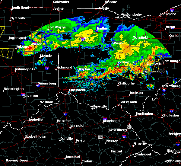 At 226 pm edt, a severe thunderstorm was located near new lexington, moving southeast at 40 mph (radar indicated). Hazards include 60 mph wind gusts. Expect damage to roofs, siding, and trees. locations impacted include, new lexington, somerset, shawnee, perry state forest, crooksville and junction city. At 226 pm edt, a severe thunderstorm was located near new lexington, moving southeast at 40 mph (radar indicated). Hazards include 60 mph wind gusts. Expect damage to roofs, siding, and trees. locations impacted include, new lexington, somerset, shawnee, perry state forest, crooksville and junction city.
|
| 7/7/2017 2:20 PM EDT |
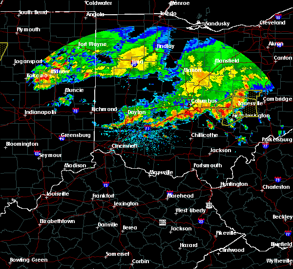 At 218 pm edt, severe thunderstorms were located along a line extending from near dresden to near somerset, or about 10 miles west and northwest of zanesville. these storms were moving east at 40 mph (radar). Hazards include 60 mph wind gusts and quarter-size hail. Minor hail damage to vehicles is possible. expect wind damage to trees and power lines, resulting in some power outages. Locations impacted include, zanesville, new concord, south zanesville, north zanesville, dresden, frazeysburg, philo, pleasant grove, gratiot, fultonham, norwich, cannelville, this includes interstate 70 in ohio between mile markers 143 and 169. At 218 pm edt, severe thunderstorms were located along a line extending from near dresden to near somerset, or about 10 miles west and northwest of zanesville. these storms were moving east at 40 mph (radar). Hazards include 60 mph wind gusts and quarter-size hail. Minor hail damage to vehicles is possible. expect wind damage to trees and power lines, resulting in some power outages. Locations impacted include, zanesville, new concord, south zanesville, north zanesville, dresden, frazeysburg, philo, pleasant grove, gratiot, fultonham, norwich, cannelville, this includes interstate 70 in ohio between mile markers 143 and 169.
|
| 7/7/2017 2:12 PM EDT |
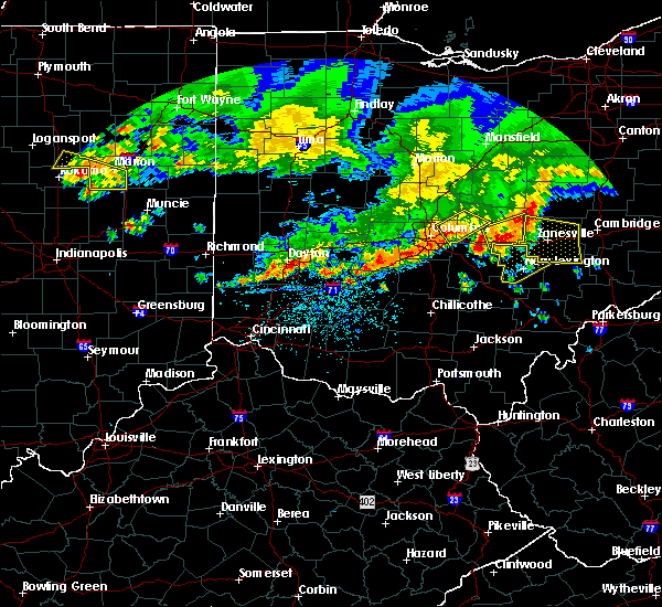 At 211 pm edt, a severe thunderstorm was located near somerset, moving southeast at 40 mph (radar indicated). Hazards include 60 mph wind gusts. expect damage to roofs, siding, and trees At 211 pm edt, a severe thunderstorm was located near somerset, moving southeast at 40 mph (radar indicated). Hazards include 60 mph wind gusts. expect damage to roofs, siding, and trees
|
| 7/7/2017 2:06 PM EDT |
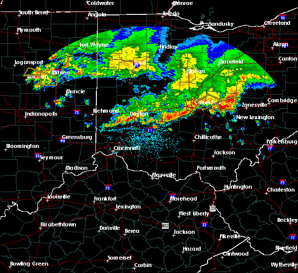 At 206 pm edt, a severe thunderstorm was located near hanover, or 10 miles east of newark, moving east at 45 mph (radar). Hazards include 60 mph wind gusts and quarter-size hail. Minor hail damage to vehicles is possible. Expect wind damage to trees and power lines, resulting in some power outages. At 206 pm edt, a severe thunderstorm was located near hanover, or 10 miles east of newark, moving east at 45 mph (radar). Hazards include 60 mph wind gusts and quarter-size hail. Minor hail damage to vehicles is possible. Expect wind damage to trees and power lines, resulting in some power outages.
|
| 6/13/2017 5:51 PM EDT |
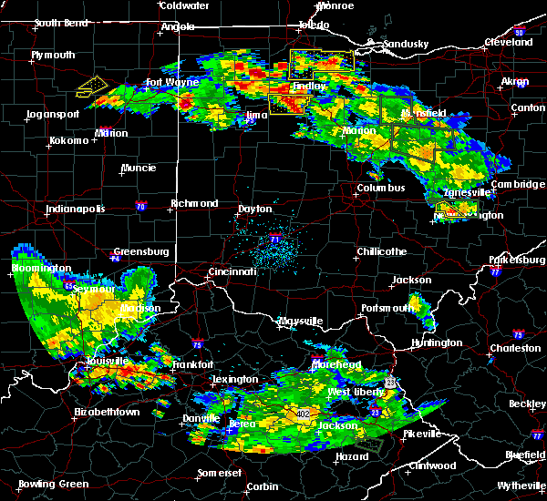 The severe thunderstorm warning for southwestern muskingum county will expire at 600 pm edt, the storm that prompted the warning has weakened below severe limits and has exited the warned area. therefore, the warning will be allowed to expire. The severe thunderstorm warning for southwestern muskingum county will expire at 600 pm edt, the storm that prompted the warning has weakened below severe limits and has exited the warned area. therefore, the warning will be allowed to expire.
|
| 6/13/2017 5:34 PM EDT |
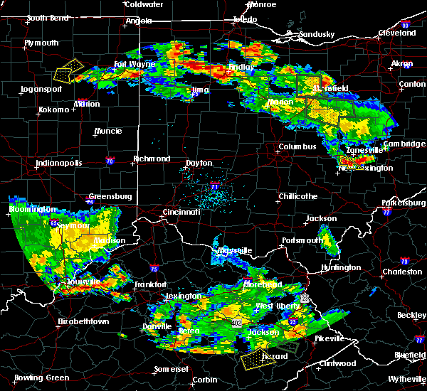 At 534 pm edt, a severe thunderstorm was located near south zanesville, or 7 miles northeast of perry state forest, moving southeast at 20 mph (radar). Hazards include 60 mph wind gusts and quarter-size hail. Minor hail damage to vehicles is possible. Expect wind damage to trees and power lines, resulting in some power outages. At 534 pm edt, a severe thunderstorm was located near south zanesville, or 7 miles northeast of perry state forest, moving southeast at 20 mph (radar). Hazards include 60 mph wind gusts and quarter-size hail. Minor hail damage to vehicles is possible. Expect wind damage to trees and power lines, resulting in some power outages.
|
| 6/13/2017 12:22 PM EDT |
 The severe thunderstorm warning for southeastern muskingum county will expire at 1230 pm edt, the storm that prompted the warning has weakened below severe limits and no longer pose an immediate threat to life and property. therefore, the warning will be allowed to expire. The severe thunderstorm warning for southeastern muskingum county will expire at 1230 pm edt, the storm that prompted the warning has weakened below severe limits and no longer pose an immediate threat to life and property. therefore, the warning will be allowed to expire.
|
| 6/13/2017 11:57 AM EDT |
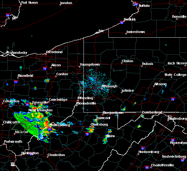 At 1157 am edt, a severe thunderstorm was located near south zanesville, or 7 miles south of zanesville, moving east at 20 mph (radar). Hazards include 60 mph wind gusts. expect damage to trees and power lines, resulting in some power outages At 1157 am edt, a severe thunderstorm was located near south zanesville, or 7 miles south of zanesville, moving east at 20 mph (radar). Hazards include 60 mph wind gusts. expect damage to trees and power lines, resulting in some power outages
|
| 5/19/2017 7:04 PM EDT |
 At 703 pm edt, severe thunderstorms were located along a line extending from 6 miles west of new concord to near mcarthur, moving east at 35 mph (radar indicated). Hazards include 60 mph wind gusts and quarter size hail. Hail damage to vehicles is expected. expect wind damage to roofs, siding, and trees. locations impacted include, nelsonville, new lexington, glouster, mcconnelsville, somerset, shawnee, perry state forest, crooksville, chauncey, junction city, new straitsville, malta, corning, buchtel, jacksonville, murray city, trimble, glenford, hemlock and rendville. At 703 pm edt, severe thunderstorms were located along a line extending from 6 miles west of new concord to near mcarthur, moving east at 35 mph (radar indicated). Hazards include 60 mph wind gusts and quarter size hail. Hail damage to vehicles is expected. expect wind damage to roofs, siding, and trees. locations impacted include, nelsonville, new lexington, glouster, mcconnelsville, somerset, shawnee, perry state forest, crooksville, chauncey, junction city, new straitsville, malta, corning, buchtel, jacksonville, murray city, trimble, glenford, hemlock and rendville.
|
| 5/19/2017 7:03 PM EDT |
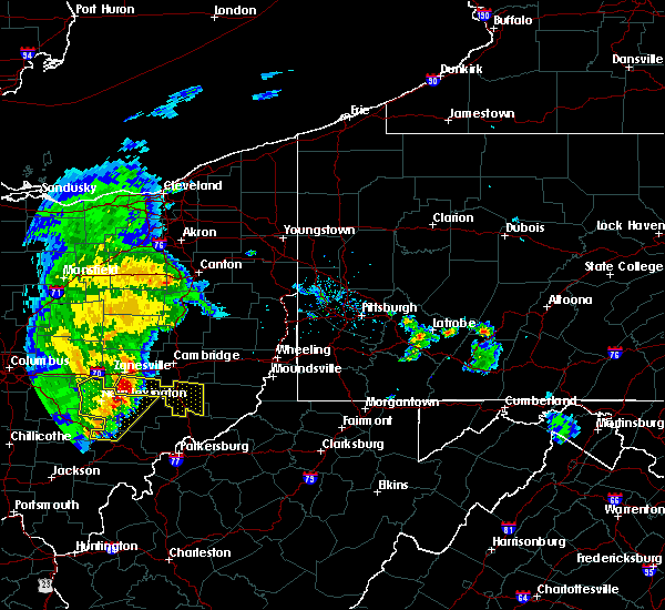 The national weather service in pittsburgh has issued a * severe thunderstorm warning for. southeastern muskingum county in east central ohio. noble county in east central ohio. until 800 pm edt. At 703 pm edt, a severe thunderstorm was located near south. The national weather service in pittsburgh has issued a * severe thunderstorm warning for. southeastern muskingum county in east central ohio. noble county in east central ohio. until 800 pm edt. At 703 pm edt, a severe thunderstorm was located near south.
|
| 5/19/2017 6:48 PM EDT |
 At 647 pm edt, severe thunderstorms were located along a line extending from near north zanesville to 13 miles northwest of wellston, moving east at 35 mph (radar indicated). Hazards include 60 mph wind gusts and quarter size hail. Hail damage to vehicles is expected. expect wind damage to roofs, siding, and trees. locations impacted include, athens, wellston, nelsonville, new lexington, glouster, mcconnelsville, mcarthur, somerset, albany, shawnee, lake hope state park, perry state forest, crooksville, chauncey, hamden, junction city, new straitsville, malta, corning and buchtel. At 647 pm edt, severe thunderstorms were located along a line extending from near north zanesville to 13 miles northwest of wellston, moving east at 35 mph (radar indicated). Hazards include 60 mph wind gusts and quarter size hail. Hail damage to vehicles is expected. expect wind damage to roofs, siding, and trees. locations impacted include, athens, wellston, nelsonville, new lexington, glouster, mcconnelsville, mcarthur, somerset, albany, shawnee, lake hope state park, perry state forest, crooksville, chauncey, hamden, junction city, new straitsville, malta, corning and buchtel.
|
| 5/19/2017 6:19 PM EDT |
 At 618 pm edt, severe thunderstorms were located along a line extending from near thornport to 6 miles northwest of waverly, moving east at 35 mph (radar indicated). Hazards include 60 mph wind gusts and quarter size hail. Hail damage to vehicles is expected. Expect wind damage to roofs, siding, and trees. At 618 pm edt, severe thunderstorms were located along a line extending from near thornport to 6 miles northwest of waverly, moving east at 35 mph (radar indicated). Hazards include 60 mph wind gusts and quarter size hail. Hail damage to vehicles is expected. Expect wind damage to roofs, siding, and trees.
|
| 5/1/2017 12:08 PM EDT |
 At 1208 pm edt, severe thunderstorms were located along a line extending from near perry state forest to near athens, moving northeast at 50 mph (radar). Hazards include 60 mph wind gusts. expect damage to trees and power lines, resulting in some power outages At 1208 pm edt, severe thunderstorms were located along a line extending from near perry state forest to near athens, moving northeast at 50 mph (radar). Hazards include 60 mph wind gusts. expect damage to trees and power lines, resulting in some power outages
|
| 4/20/2017 7:31 PM EDT |
 At 731 pm edt, a severe thunderstorm was located near zanesville, moving east at 40 mph (radar). Hazards include 60 mph wind gusts. Expect damage to trees and power lines, resulting in some power outages. locations impacted include, zanesville, cambridge, new concord, byesville, south zanesville, north zanesville, philo, pleasant grove, pleasant city, norwich, cannelville, chandlersville, this includes the following highways, interstate 70 in ohio between mile markers 152 and 182. Interstate 77 in ohio between mile markers 38 and 55. At 731 pm edt, a severe thunderstorm was located near zanesville, moving east at 40 mph (radar). Hazards include 60 mph wind gusts. Expect damage to trees and power lines, resulting in some power outages. locations impacted include, zanesville, cambridge, new concord, byesville, south zanesville, north zanesville, philo, pleasant grove, pleasant city, norwich, cannelville, chandlersville, this includes the following highways, interstate 70 in ohio between mile markers 152 and 182. Interstate 77 in ohio between mile markers 38 and 55.
|
| 4/20/2017 7:15 PM EDT |
 At 715 pm edt, a severe thunderstorm was located near zanesville, moving east at 40 mph (radar). Hazards include 60 mph wind gusts. expect damage to trees and power lines, resulting in some power outages At 715 pm edt, a severe thunderstorm was located near zanesville, moving east at 40 mph (radar). Hazards include 60 mph wind gusts. expect damage to trees and power lines, resulting in some power outages
|
| 6/23/2016 1:51 AM EDT |
 At 151 am edt, a severe thunderstorm was located 8 miles south of south zanesville, or 10 miles east of perry state forest, moving east at 45 mph (radar indicated). Hazards include 60 mph wind gusts and quarter size hail. Hail damage to vehicles is expected. expect wind damage to roofs, siding, and trees. Locations impacted include, mcconnelsville, crooksville, bristol and eagleport. At 151 am edt, a severe thunderstorm was located 8 miles south of south zanesville, or 10 miles east of perry state forest, moving east at 45 mph (radar indicated). Hazards include 60 mph wind gusts and quarter size hail. Hail damage to vehicles is expected. expect wind damage to roofs, siding, and trees. Locations impacted include, mcconnelsville, crooksville, bristol and eagleport.
|
| 6/23/2016 1:50 AM EDT |
 At 150 am edt, a severe thunderstorm was located 7 miles south of south zanesville, or 10 miles south of zanesville, moving east at 50 mph (radar indicated). Hazards include 60 mph wind gusts and quarter size hail. Hail damage to vehicles is expected. Expect wind damage to trees and power lines, resulting in some power outages. At 150 am edt, a severe thunderstorm was located 7 miles south of south zanesville, or 10 miles south of zanesville, moving east at 50 mph (radar indicated). Hazards include 60 mph wind gusts and quarter size hail. Hail damage to vehicles is expected. Expect wind damage to trees and power lines, resulting in some power outages.
|
| 6/23/2016 1:37 AM EDT |
 At 136 am edt, a severe thunderstorm was located near somerset, moving east at 45 mph (radar indicated). Hazards include 60 mph wind gusts and quarter size hail. Hail damage to vehicles is expected. Expect wind damage to roofs, siding, and trees. At 136 am edt, a severe thunderstorm was located near somerset, moving east at 45 mph (radar indicated). Hazards include 60 mph wind gusts and quarter size hail. Hail damage to vehicles is expected. Expect wind damage to roofs, siding, and trees.
|
| 4/26/2016 2:21 PM EDT |
 At 221 pm edt, a severe thunderstorm was located over perry state forest, moving southeast at 25 mph (radar indicated). Hazards include 60 mph wind gusts and quarter size hail. Hail damage to vehicles is expected. Expect wind damage to roofs, siding, and trees. At 221 pm edt, a severe thunderstorm was located over perry state forest, moving southeast at 25 mph (radar indicated). Hazards include 60 mph wind gusts and quarter size hail. Hail damage to vehicles is expected. Expect wind damage to roofs, siding, and trees.
|
| 7/14/2015 3:12 PM EDT |
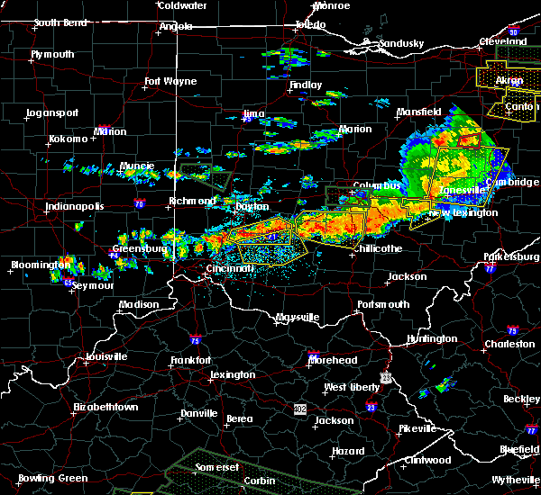 At 311 pm edt, doppler radar indicated a line of severe thunderstorms capable of producing damaging winds in excess of 60 mph. these storms were located along a line extending from near somerset to near lancaster, moving southeast at 35 mph. these severe storms will be near, somerset around 315 pm edt. perry state forest around 320 pm edt. new lexington around 325 pm edt. other locations impacted by these severe thunderstorms include crooksville and junction city. At 311 pm edt, doppler radar indicated a line of severe thunderstorms capable of producing damaging winds in excess of 60 mph. these storms were located along a line extending from near somerset to near lancaster, moving southeast at 35 mph. these severe storms will be near, somerset around 315 pm edt. perry state forest around 320 pm edt. new lexington around 325 pm edt. other locations impacted by these severe thunderstorms include crooksville and junction city.
|
| 7/14/2015 2:34 PM EDT |
 At 233 pm edt, doppler radar indicated a line of severe thunderstorms capable of producing damaging winds in excess of 60 mph. these storms were located along a line extending from pataskala to near grove city, and moving southeast at 35 mph. * severe thunderstorms will be near, harbor hills around 250 pm edt. somerset around 310 pm edt. new lexington and perry state forest around 320 pm edt. other locations impacted by these severe thunderstorms include crooksville, thornville, glenford and junction city. At 233 pm edt, doppler radar indicated a line of severe thunderstorms capable of producing damaging winds in excess of 60 mph. these storms were located along a line extending from pataskala to near grove city, and moving southeast at 35 mph. * severe thunderstorms will be near, harbor hills around 250 pm edt. somerset around 310 pm edt. new lexington and perry state forest around 320 pm edt. other locations impacted by these severe thunderstorms include crooksville, thornville, glenford and junction city.
|
| 6/12/2015 5:25 PM EDT |
 The severe thunderstorm warning for muskingum, eastern coshocton, western guernsey and southern tuscarawas counties will expire at 530 pm edt, the storms which prompted the warning have weakened below severe limits, and no longer pose an immediate threat to life or property. therefore the warning will be allowed to expire. however gusty winds are still possible with these thunderstorms. a severe thunderstorm watch remains in effect until 900 pm edt for east central ohio. The severe thunderstorm warning for muskingum, eastern coshocton, western guernsey and southern tuscarawas counties will expire at 530 pm edt, the storms which prompted the warning have weakened below severe limits, and no longer pose an immediate threat to life or property. therefore the warning will be allowed to expire. however gusty winds are still possible with these thunderstorms. a severe thunderstorm watch remains in effect until 900 pm edt for east central ohio.
|
| 6/12/2015 5:03 PM EDT |
 At 503 pm edt, severe thunderstorms were located along a line extending from near dover to near newcomerstown to near bremen, moving east at 35 mph (radar indicated). Hazards include 60 mph wind gusts and penny size hail. Expect damage to roofs. siding and trees. Locations impacted include, zanesville, new philadelphia, coshocton, cambridge, uhrichsville, newcomerstown, dennison, new concord, byesville, west lafayette, sugarcreek, south zanesville, north zanesville, dresden, gnadenhutten, tuscarawas, baltic, midvale, philo and port washington. At 503 pm edt, severe thunderstorms were located along a line extending from near dover to near newcomerstown to near bremen, moving east at 35 mph (radar indicated). Hazards include 60 mph wind gusts and penny size hail. Expect damage to roofs. siding and trees. Locations impacted include, zanesville, new philadelphia, coshocton, cambridge, uhrichsville, newcomerstown, dennison, new concord, byesville, west lafayette, sugarcreek, south zanesville, north zanesville, dresden, gnadenhutten, tuscarawas, baltic, midvale, philo and port washington.
|
| 6/12/2015 4:49 PM EDT |
 At 449 pm edt, severe thunderstorms were located along a line extending from near farmerstown to near coshocton to near lancaster, moving east at 40 mph (radar indicated). Hazards include 60 mph wind gusts and penny size hail. Expect damage to roofs. siding and trees. Locations impacted include, zanesville, new philadelphia, coshocton, cambridge, uhrichsville, newcomerstown, dennison, new concord, byesville, west lafayette, sugarcreek, south zanesville, north zanesville, dresden, gnadenhutten, tuscarawas, baltic, midvale, philo and port washington. At 449 pm edt, severe thunderstorms were located along a line extending from near farmerstown to near coshocton to near lancaster, moving east at 40 mph (radar indicated). Hazards include 60 mph wind gusts and penny size hail. Expect damage to roofs. siding and trees. Locations impacted include, zanesville, new philadelphia, coshocton, cambridge, uhrichsville, newcomerstown, dennison, new concord, byesville, west lafayette, sugarcreek, south zanesville, north zanesville, dresden, gnadenhutten, tuscarawas, baltic, midvale, philo and port washington.
|
| 6/12/2015 4:39 PM EDT |
 At 439 pm edt, severe thunderstorms were located along a line extending from near farmerstown to near dresden to lancaster, moving east at 35 mph (radar indicated). Hazards include 60 mph wind gusts and penny size hail. Expect damage to roofs. Siding and trees. At 439 pm edt, severe thunderstorms were located along a line extending from near farmerstown to near dresden to lancaster, moving east at 35 mph (radar indicated). Hazards include 60 mph wind gusts and penny size hail. Expect damage to roofs. Siding and trees.
|
| 5/11/2015 6:49 PM EDT | At 647 pm edt, national weather service doppler radar continued to indicate a line of severe thunderstorms capable of producing damaging winds in excess of 60 mph. these storms were located along a line extending from eagleport to chesterhill to 6 miles southeast of dexter, or along a line extending from 9 miles north of mcconnelsville to chesterhill to rutland, moving east at 35 mph. other locations in the warning include but are not limited to malta, darwin, stockport, bartlett, bristol, hackney, beverly, fleming, marietta, macksburg, lower salem, lowell and devola this will impact the following interstate, i-77 between mile markers 1 and 17 in ohio. very heavy rain will also fall from this line of severe thunderstorms, and will cause water to pond on roads and quickly fill roadside ditches and small streams. a severe thunderstorm watch remains in effect until 1000 pm edt monday evening for central kentucky and southeast ohio and central west virginia. a severe thunderstorm watch also remains in effect until 100 am edt tuesday morning for central west virginia. please report severe weather to the national weather service by calling toll free, 800-401-9535, when you can do so safely. you may also report severe weather by posting your report to the charleston west virginia national weather service facebook page, or by using the twitter hashtag, nwsrlx. |
| 5/11/2015 6:31 PM EDT | At 631 pm edt, severe thunderstorms were located along a line extending from near zanesville to 9 miles east of perry state forest, moving northeast at 40 mph (radar indicated). Hazards include 60 mph wind gusts and quarter size hail. Hail damage to vehicles is expected. Expect wind damage to roofs, siding and trees. |
| 5/11/2015 6:31 PM EDT | The national weather service in pittsburgh has issued a * severe thunderstorm warning for. central noble county in east central ohio. southeastern muskingum county in east central ohio. southwestern guernsey county in east central ohio. Until 715 pm edt. |
| 5/11/2015 6:31 PM EDT | The national weather service in pittsburgh has issued a * severe thunderstorm warning for. central noble county in east central ohio. southeastern muskingum county in east central ohio. southwestern guernsey county in east central ohio. Until 715 pm edt. |
| 5/11/2015 6:19 PM EDT | At 617 pm edt, national weather service doppler radar indicated a line of severe thunderstorms capable of producing damaging winds in excess of 60 mph. these storms were located along a line extending from 23 miles northwest of mcconnelsville to 7 miles west of glouster to 18 miles southwest of albany, or along a line extending from 8 miles southwest of zanesville to nelsonville to 9 miles north of rio grande, moving northeast at 55 mph. * other locations in the warning include but are not limited to stroud run state park, salem center, harrisonville, hackney, fleming, eagleport, dyesville, dexter, darwin, carpenter, burr oak state park, bristol, bartlett, vinton, stockport, malta, macksburg, lower salem, lowell, devola, trimble, the plains, jacksonville, chauncey, amesville, rendville and corning. this will impact the following interstate, i-77 between mile markers 1 and 17 in ohio. very heavy rain will also fall from this line of severe thunderstorms, and will cause water to pond on roads and quickly fill roadside ditches and small streams. a severe thunderstorm watch remains in effect until 1000 pm edt monday evening for central kentucky and southeast ohio and central west virginia. a severe thunderstorm watch also remains in effect until 100 am edt tuesday morning for central west virginia. please report hail or strong wind to the national weather service by calling toll free, 800-401-9535, when you can do so safely. you may also report severe weather by posting your report to the charleston west virginia national weather service facebook page, or by using the twitter hashtag, nwsrlx. |
| 5/11/2015 6:03 PM EDT | At 602 pm edt, national weather service doppler radar continued to indicate a line of severe thunderstorms capable of producing quarter size hail, and damaging winds in excess of 60 mph. these storms were located along a line extending from glenford to 10 miles west of new straitsville to 7 miles southwest of mabee, or along a line extending from 8 miles northwest of somerset to logan to 13 miles northeast of portsmouth, moving east at 35 mph. other locations in the warning include but are not limited to coalton, jackson, junction city, creola, mcarthur, hamden, wellston, zaleski, perry state forest, new lexington, lake hope state park, oak hill, shawnee, nelsonville, hemlock, radcliffe, buchtel, crooksville, wilkesville and gallia in addition to large hail and damaging winds, continuous cloud to ground lightning is occurring with this storm. move indoors immediately! lightning is one of natures number one killers. remember, if you can hear thunder, you are close enough to be struck by lightning. very heavy rain will also fall from this line of severe thunderstorms, and will cause water to pond on roads and quickly fill roadside ditches and small streams. a severe thunderstorm watch remains in effect until 1000 pm edt monday evening for central kentucky and southeast ohio and central west virginia. a severe thunderstorm watch also remains in effect until 100 am edt tuesday morning for central west virginia. please report severe weather to the national weather service by calling toll free, 800-401-9535, when you can do so safely. you may also report severe weather by posting your report to the charleston west virginia national weather service facebook page, or by using the twitter hashtag, nwsrlx. |
| 5/11/2015 5:25 PM EDT | At 522 pm edt, national weather service doppler radar indicated a line of severe thunderstorms capable of producing quarter size. |
| 4/9/2015 4:28 PM EDT | A severe thunderstorm warning remains in effect until 500 pm edt for western noble. muskingum. coshocton. guernsey and southwestern tuscarawas counties. at 426 pm edt. severe thunderstorms were located along a line extending from conesville to near ruraldale to 6 miles east of lake hope state park. Moving east at 50 mph. |
| 4/9/2015 4:11 PM EDT | The national weather service in pittsburgh has issued a * severe thunderstorm warning for. western noble county in east central ohio. muskingum county in east central ohio. coshocton county in east central ohio. Guernsey county in east central ohio. |
| 6/13/2013 2:52 AM EDT | Lines down in the village of roseville near perry s in perry county OH, 0.4 miles SSE of Roseville, OH |
Hail Maps for Roseville, OH


Connect with Interactive Hail Maps