

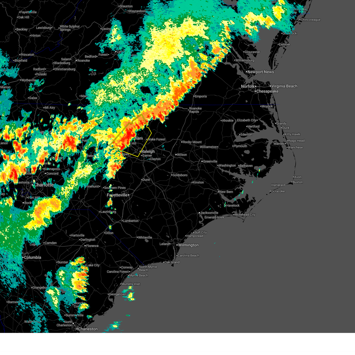
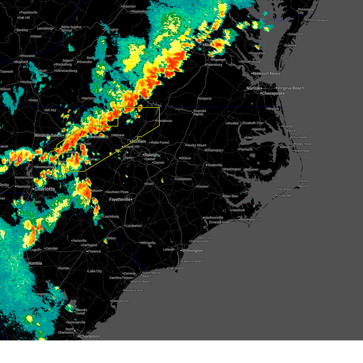
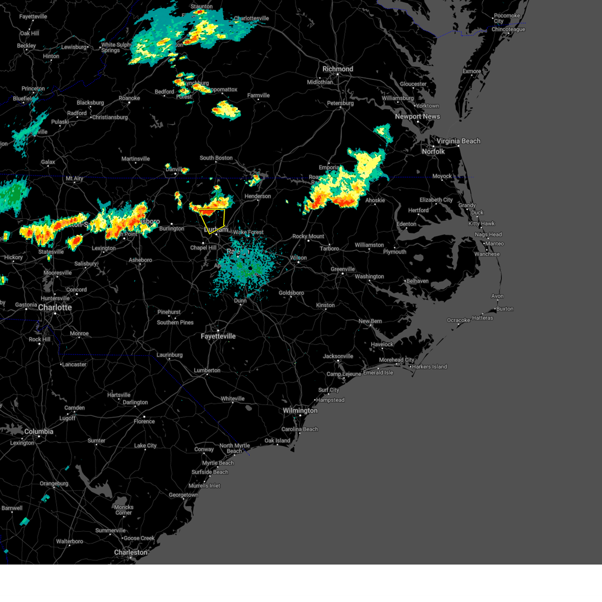
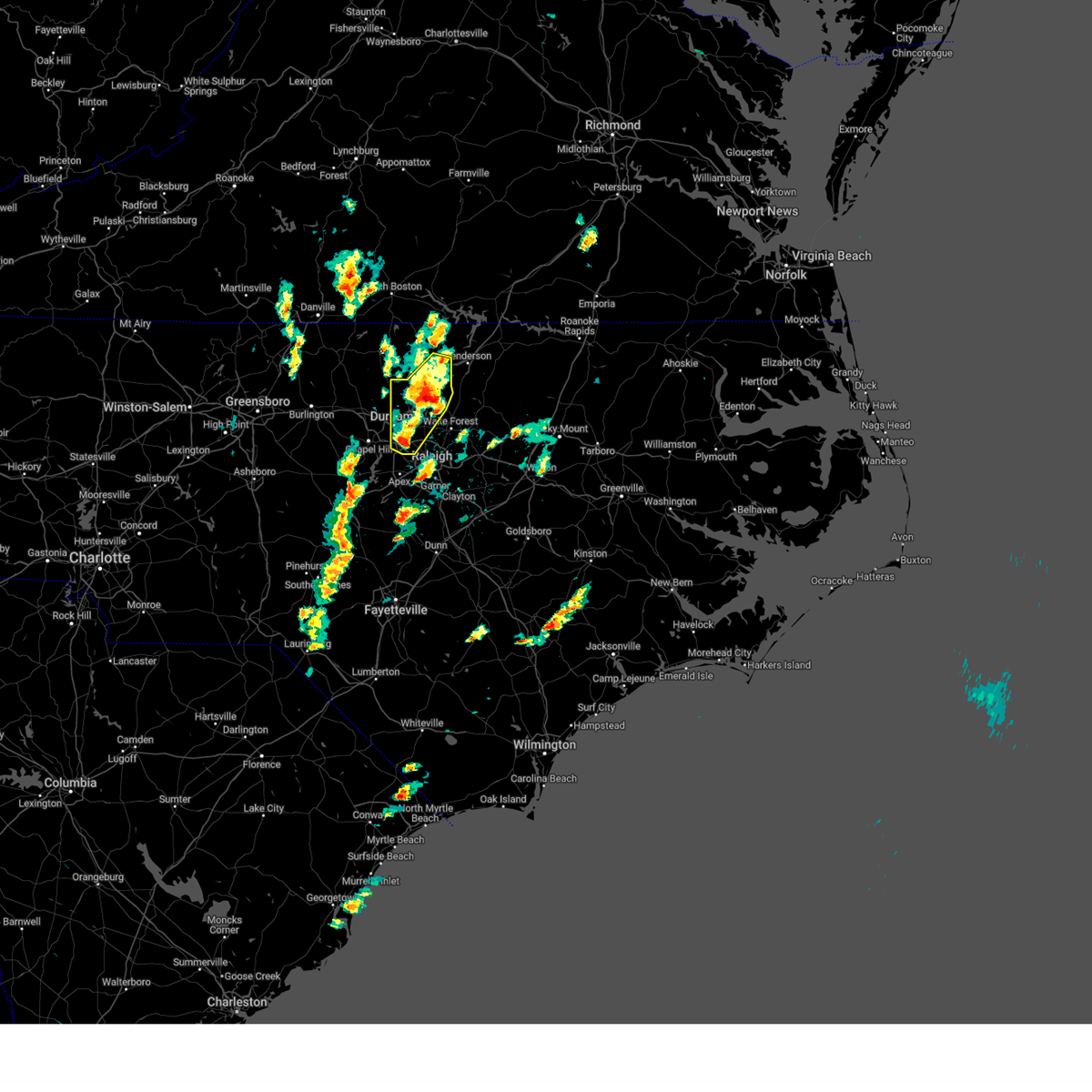
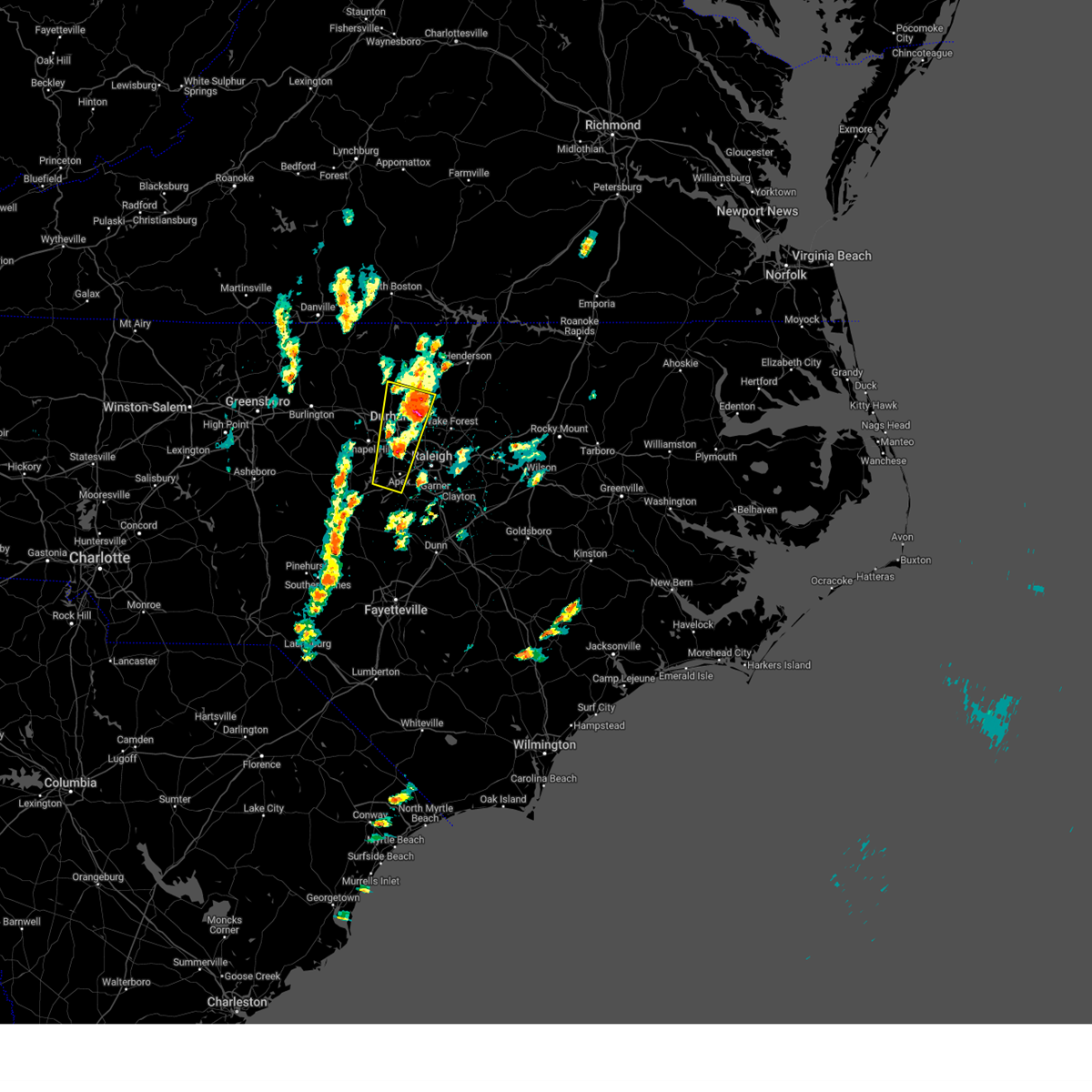
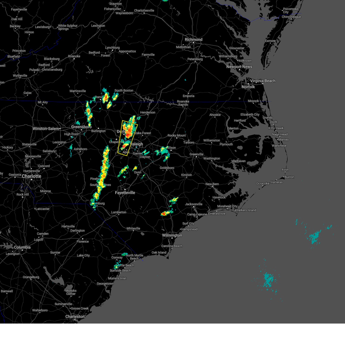
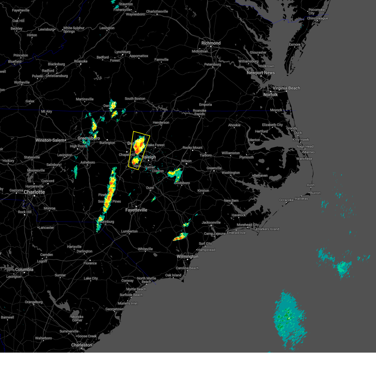
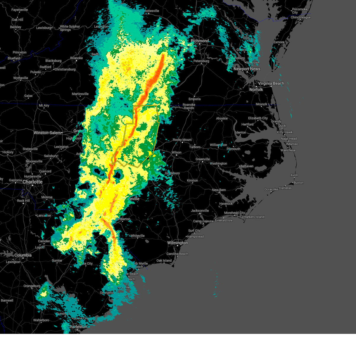
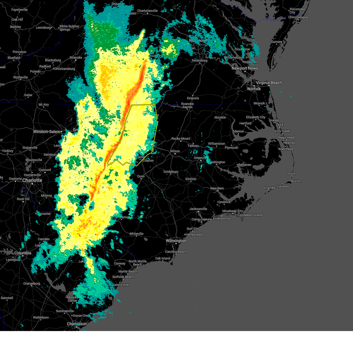
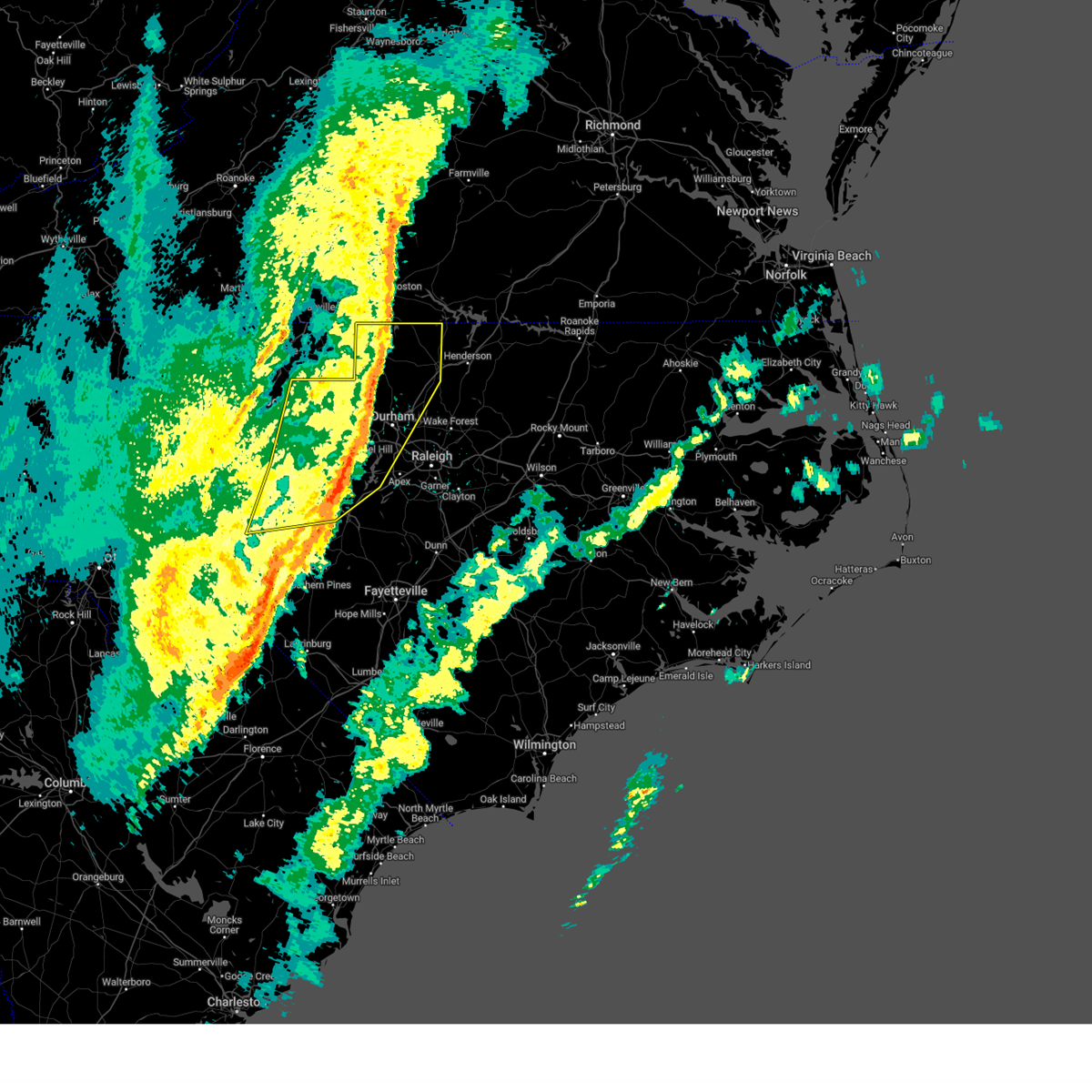
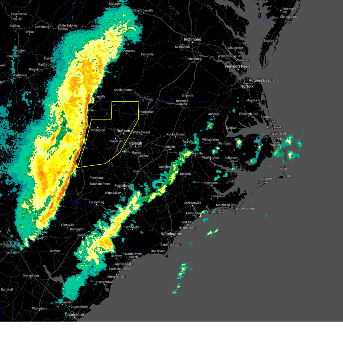
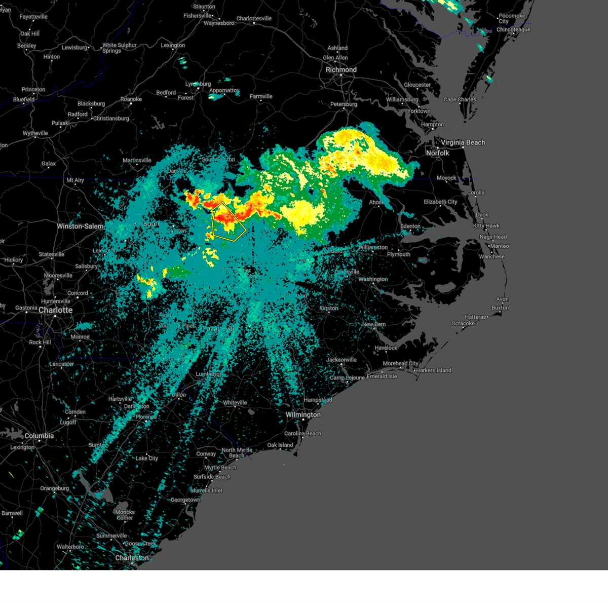
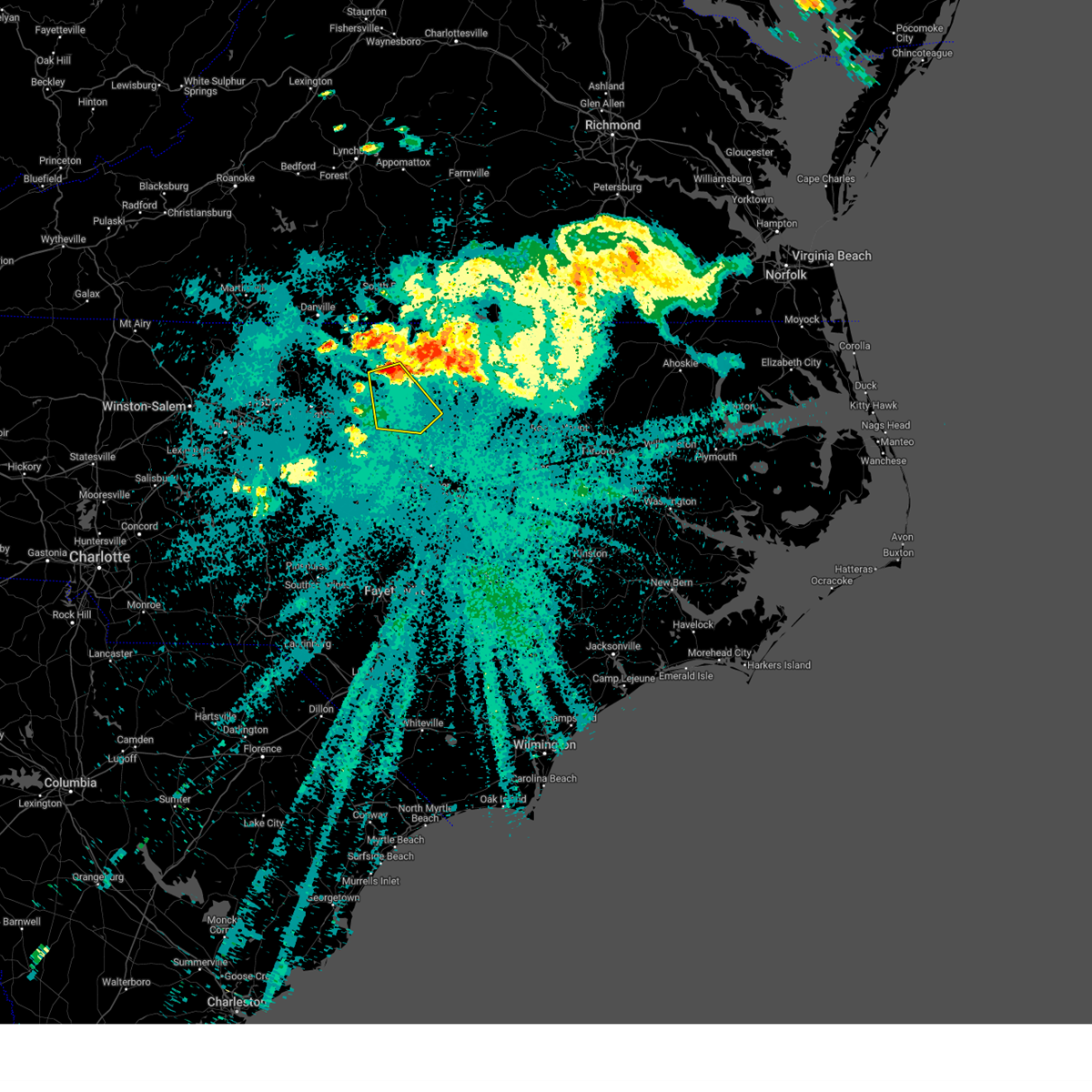
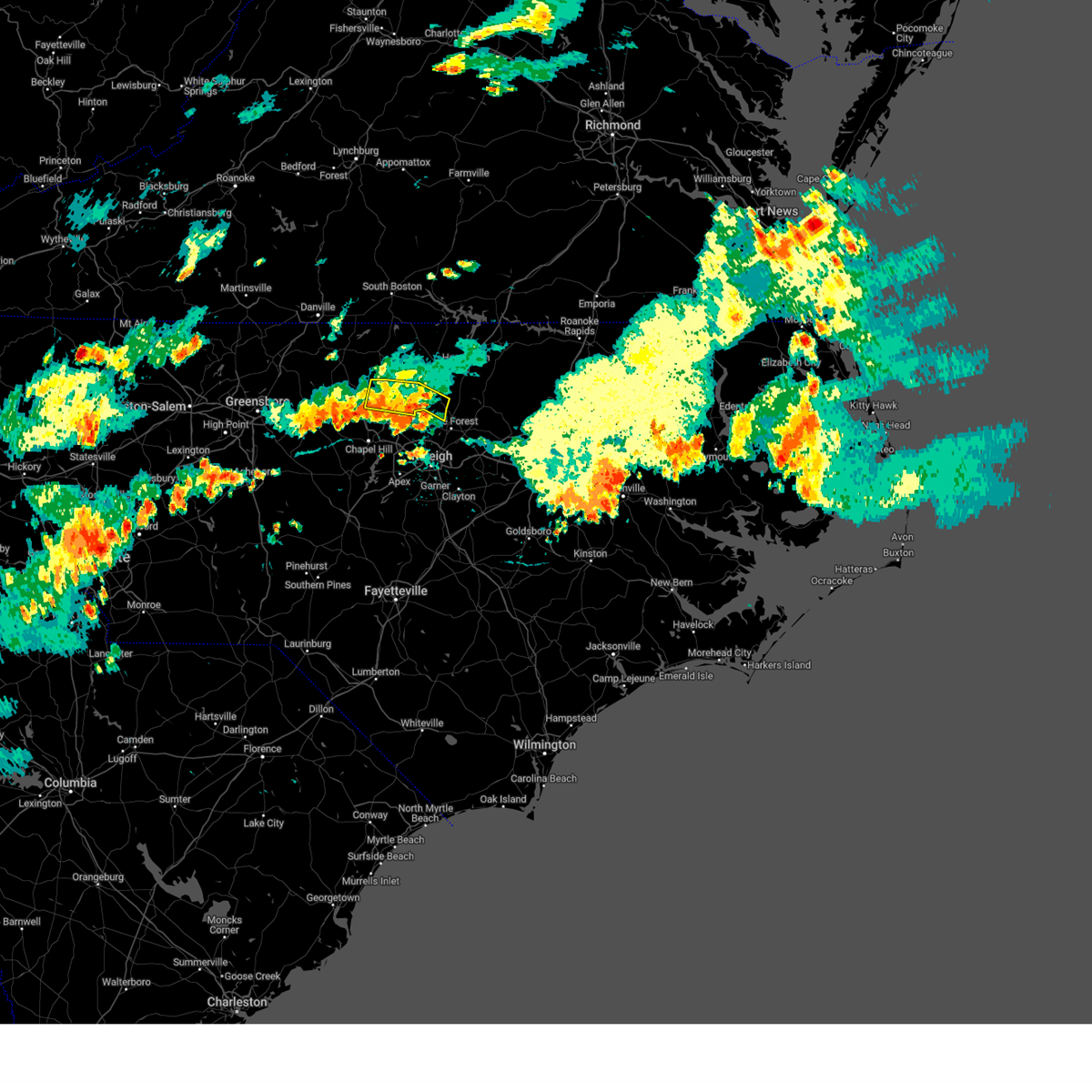
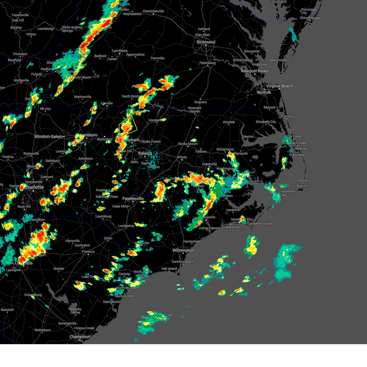
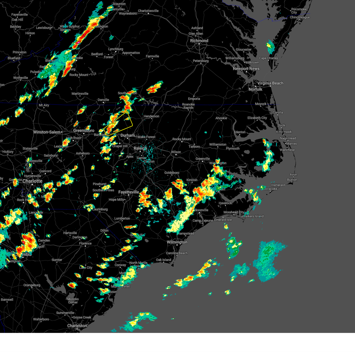
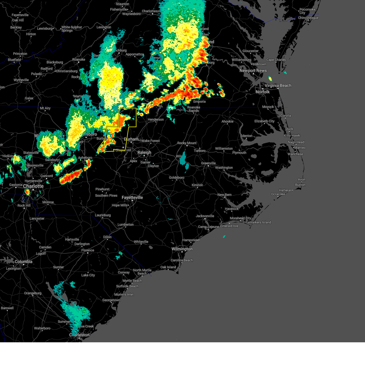
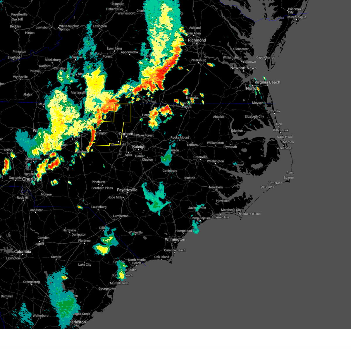
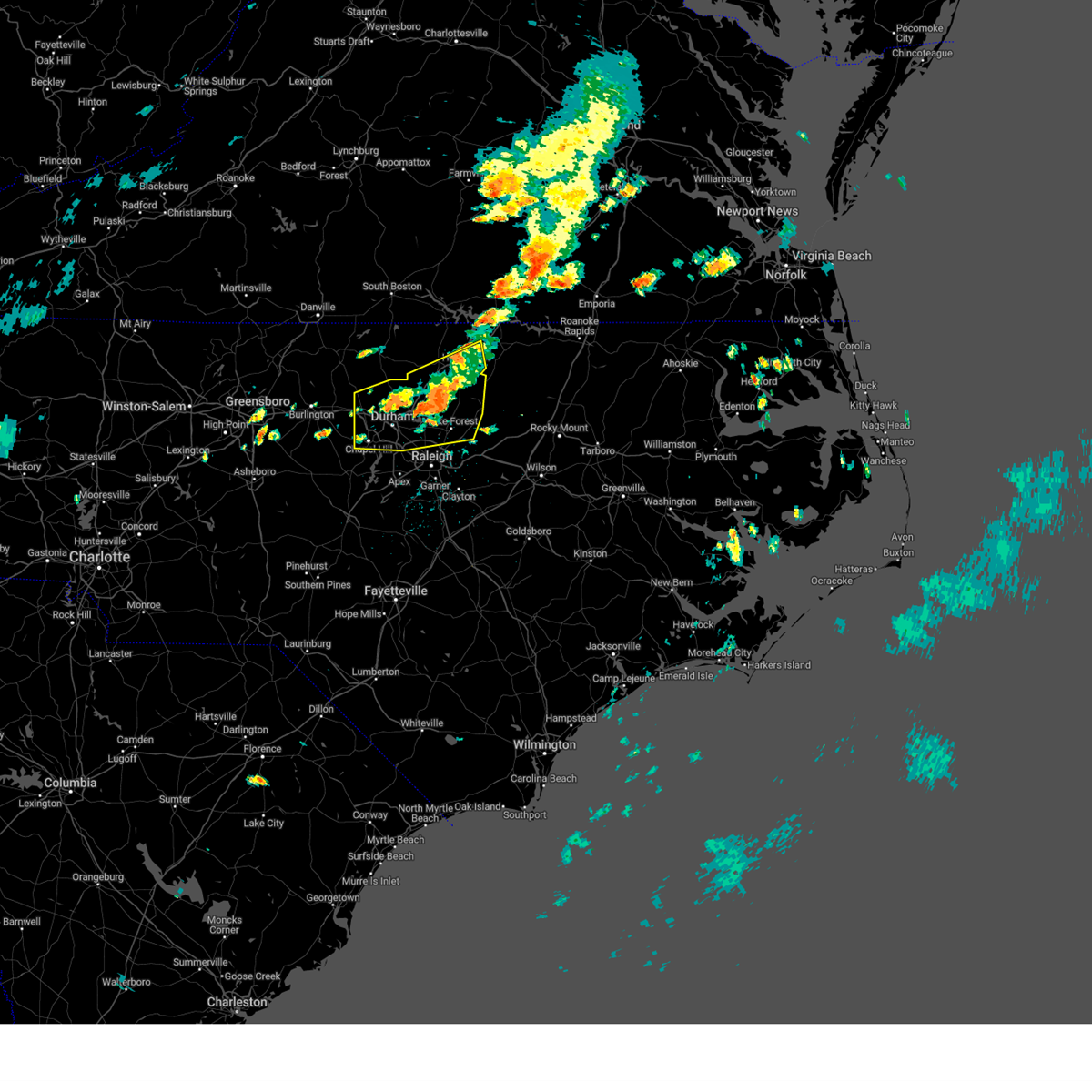
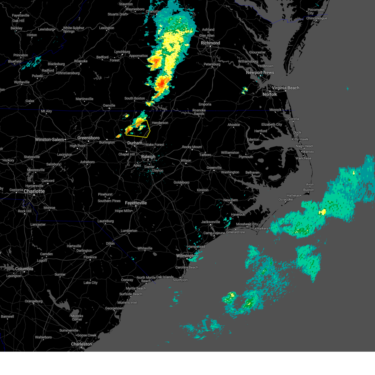
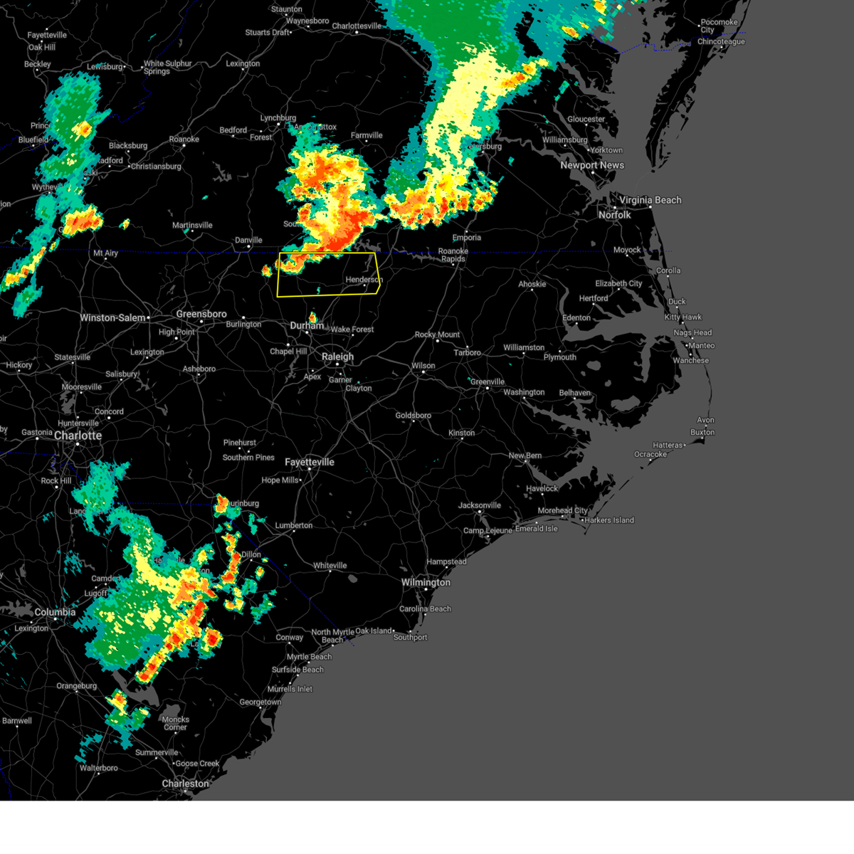
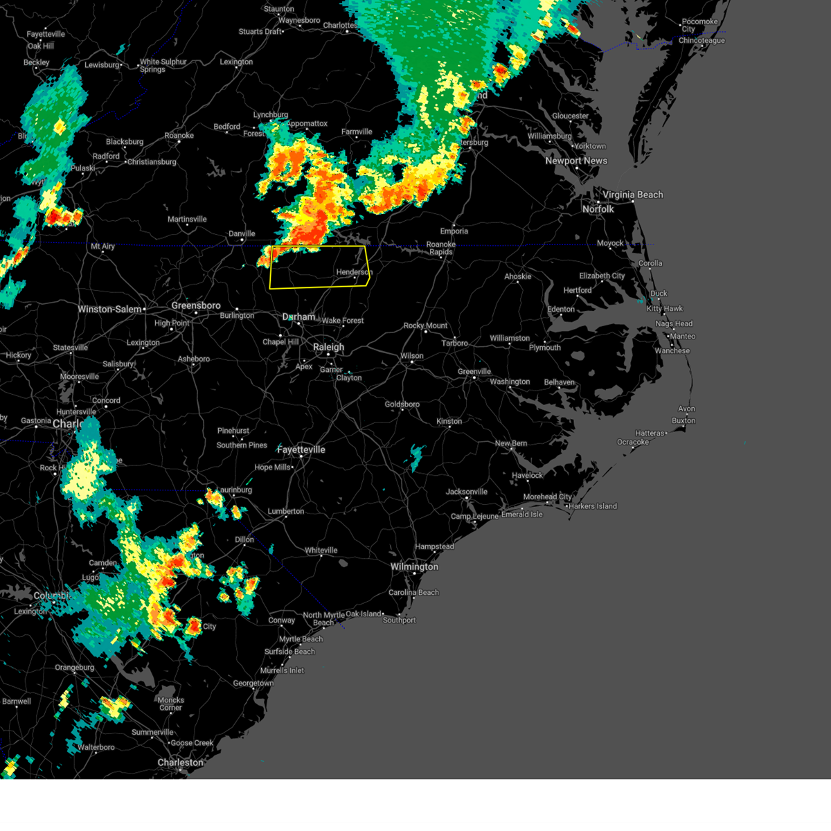
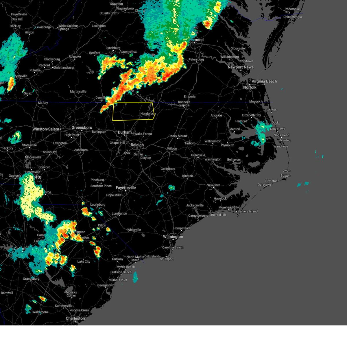
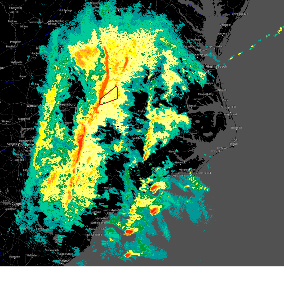
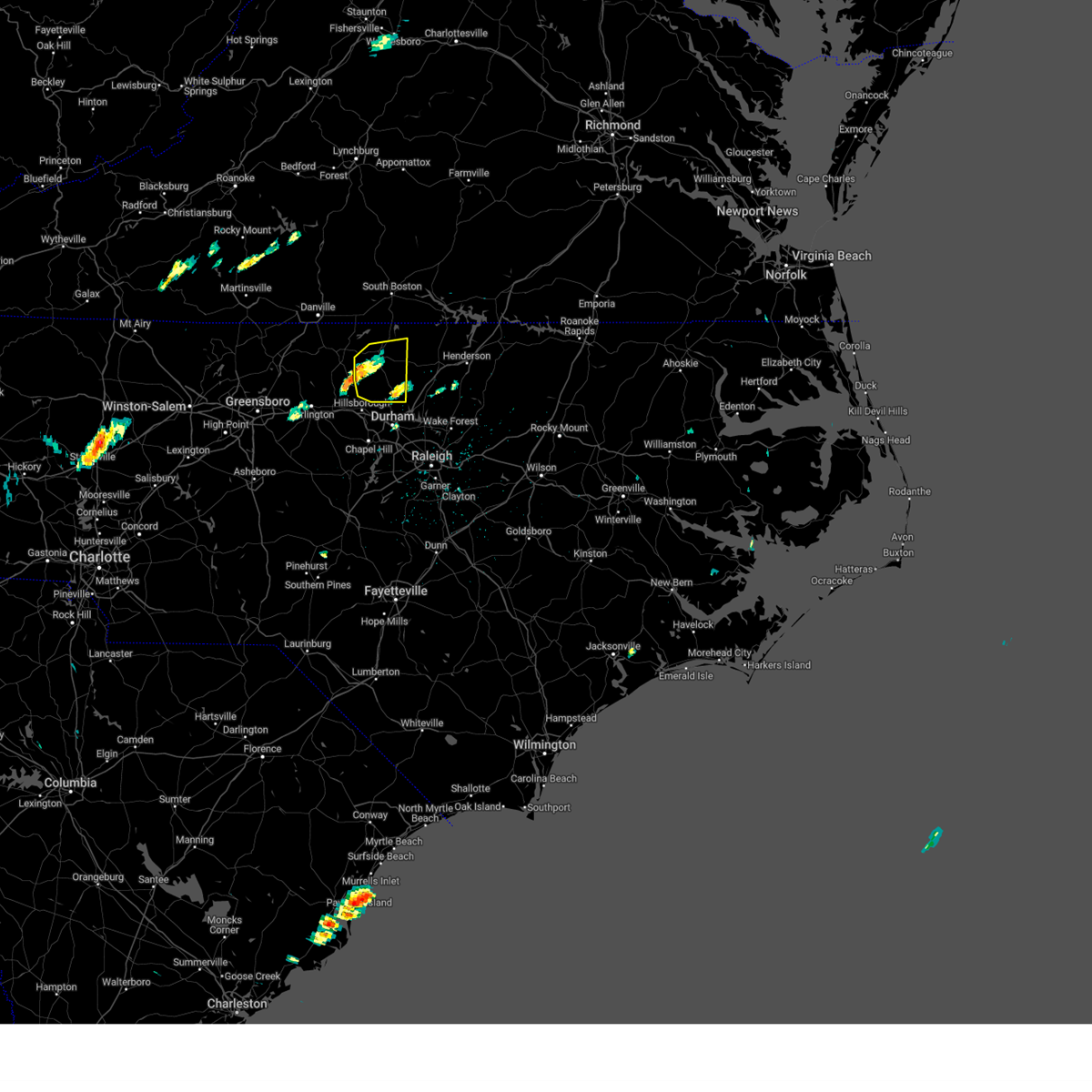
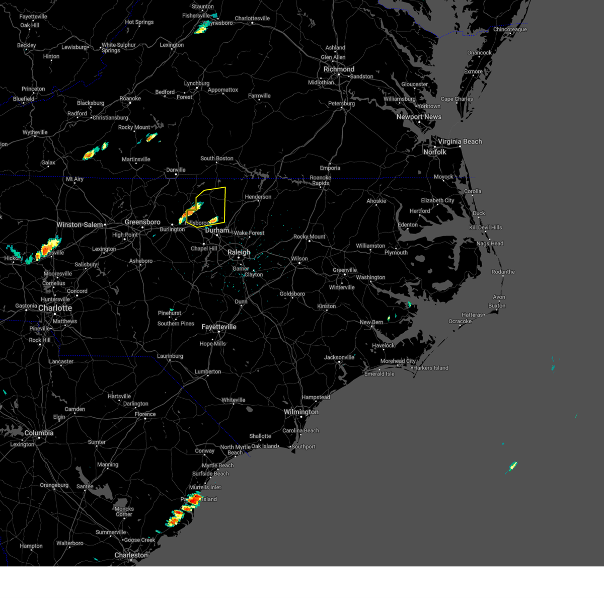
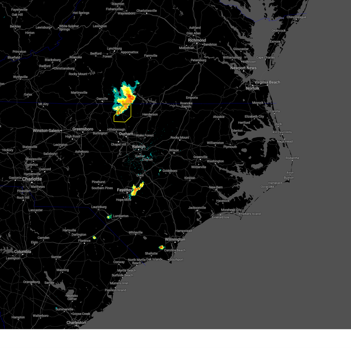
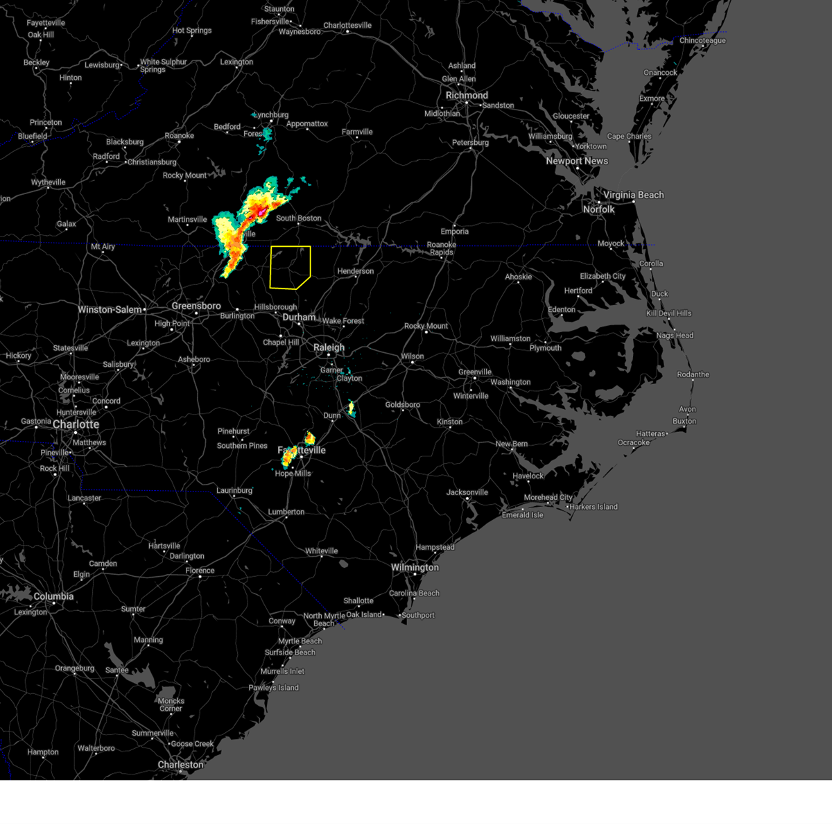
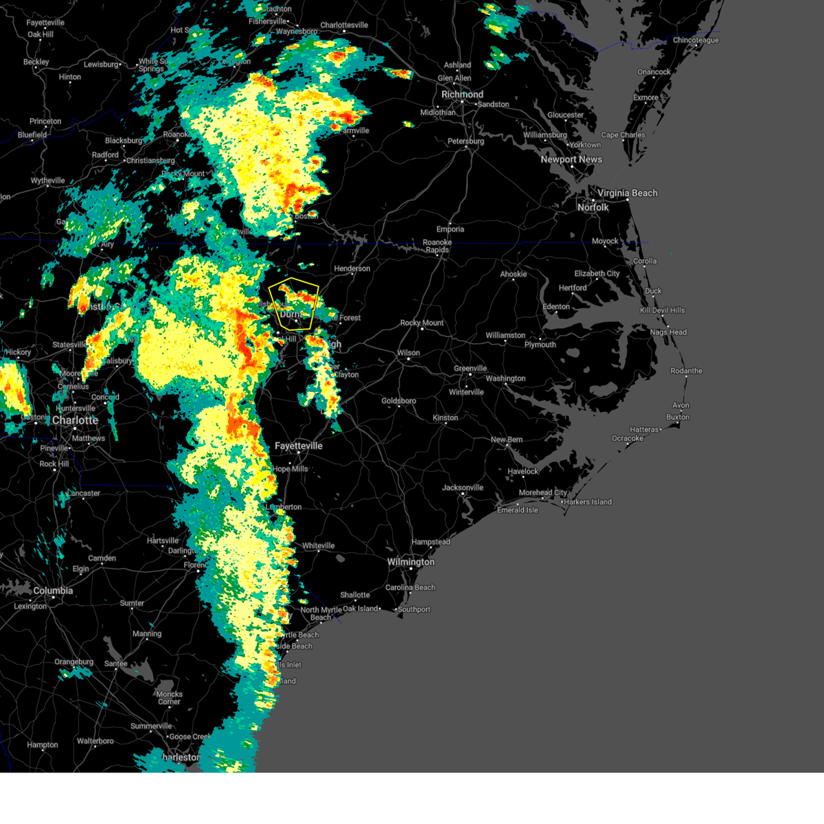
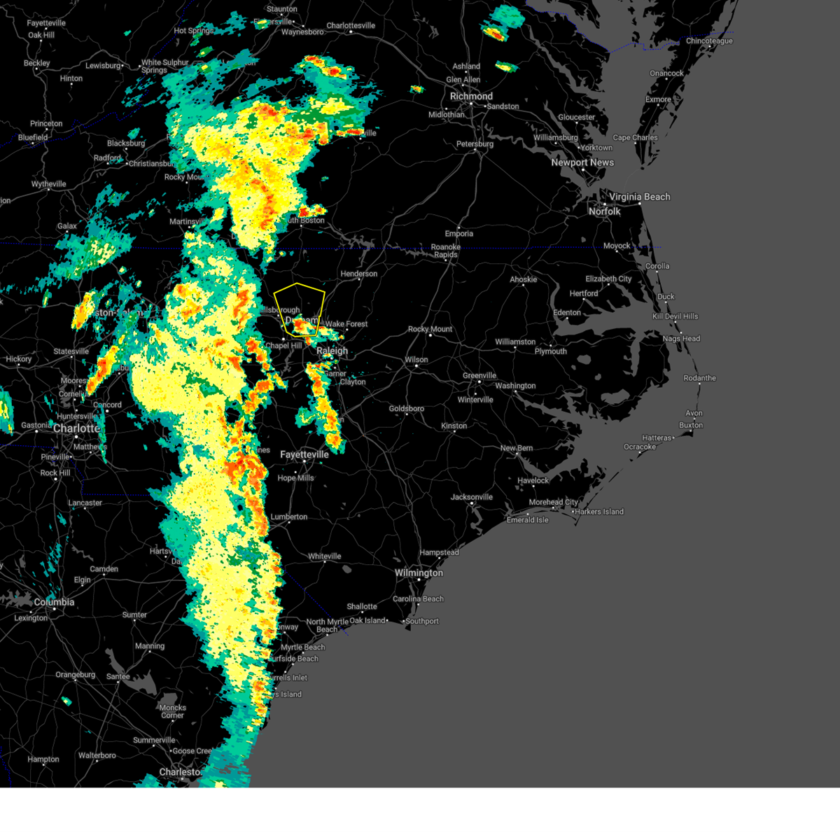
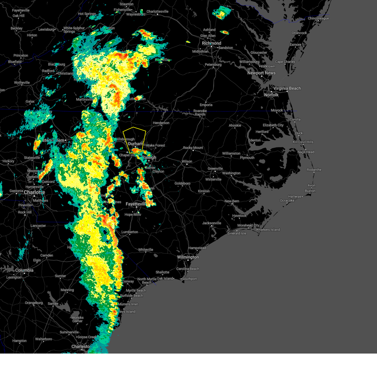
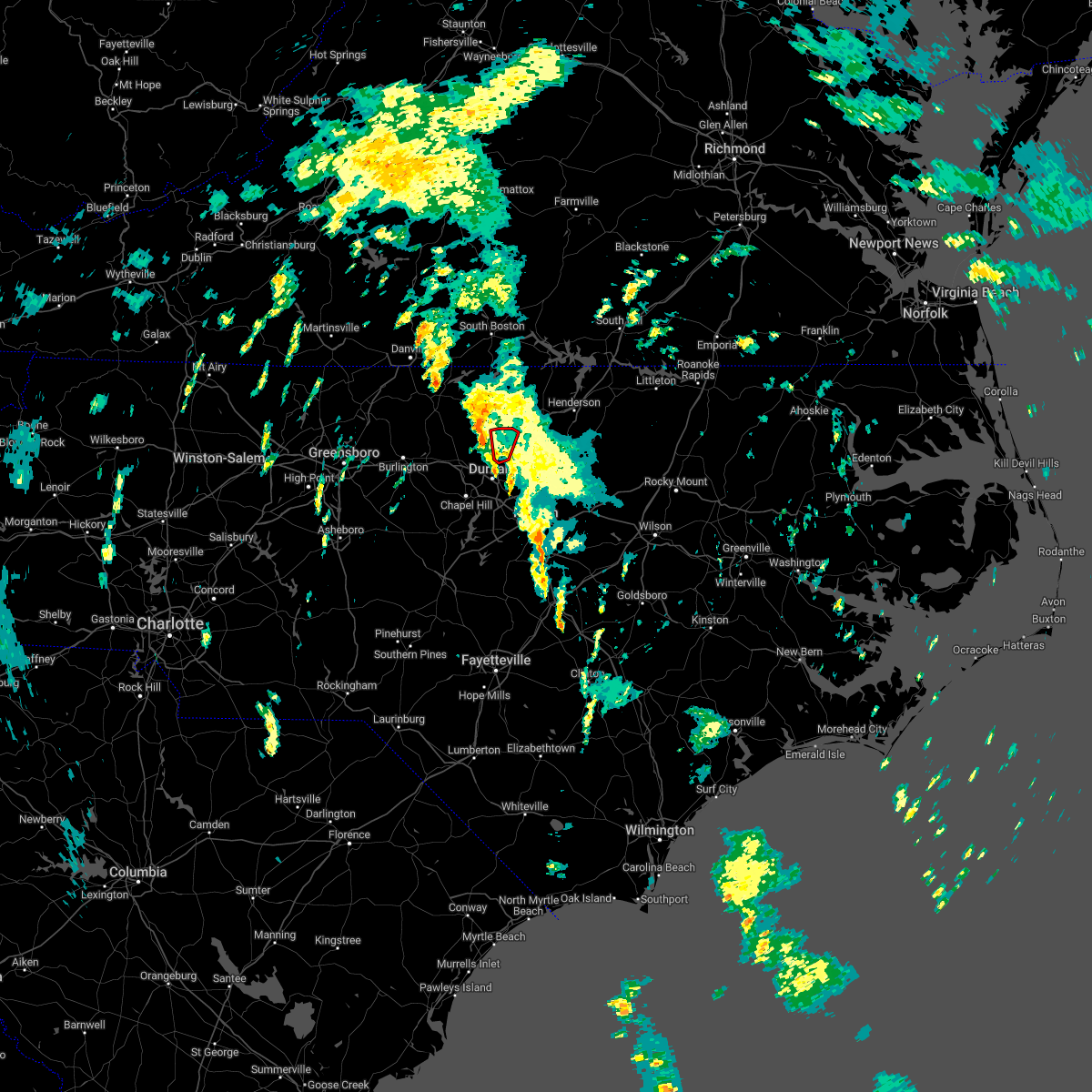
Hail Map for Rougemont, NC
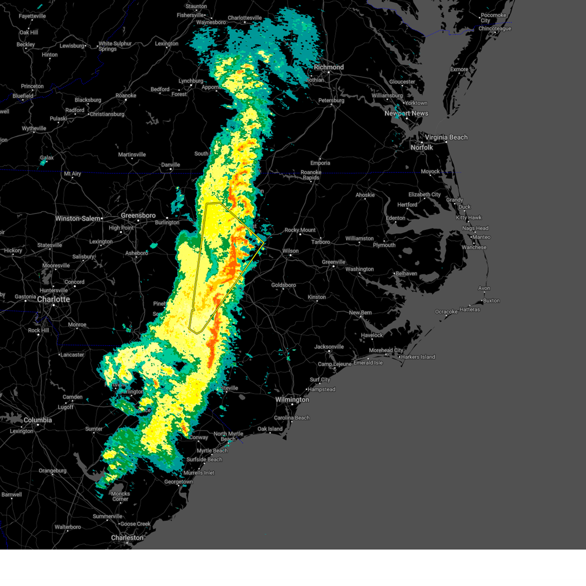
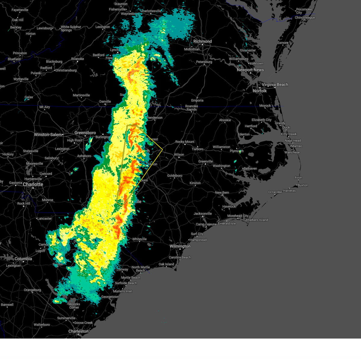
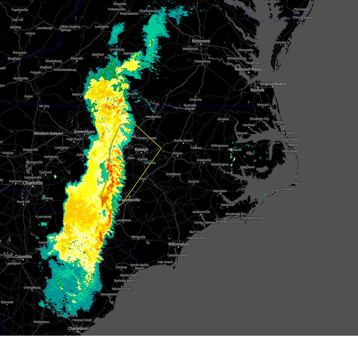
The Rougemont, NC area has had 5 reports of on-the-ground hail by trained spotters, and has been under severe weather warnings 58 times during the past 12 months. Doppler radar has detected hail at or near Rougemont, NC on 37 occasions, including 3 occasions during the past year.
| Name: | Rougemont, NC |
| Where Located: | 34.3 miles NNW of Raleigh, NC |
| Map: | Google Map for Rougemont, NC |
| Population: | 978 |
| Housing Units: | 442 |
| More Info: | Search Google for Rougemont, NC |
3
The Top Recent Hail Date for Rougemont, NC is Saturday, September 21, 2024 (4th out of 37)

Hail and Wind Damage Spotted near Rougemont, NC
| Date / Time | Report Details |
|---|---|
| 7/9/2025 8:34 PM EDT |
 the severe thunderstorm warning has been cancelled and is no longer in effect the severe thunderstorm warning has been cancelled and is no longer in effect
|
| 7/9/2025 8:34 PM EDT |
 At 833 pm edt, a severe thunderstorm was located over rdu international, or 7 miles north of cary, moving east at 35 mph (radar indicated). Hazards include 60 mph wind gusts. Expect damage to roofs, siding, and trees. Locations impacted include, raleigh, durham, cary, chapel hill, oxford, creedmoor, wake forest, carrboro, butner, and franklinton. At 833 pm edt, a severe thunderstorm was located over rdu international, or 7 miles north of cary, moving east at 35 mph (radar indicated). Hazards include 60 mph wind gusts. Expect damage to roofs, siding, and trees. Locations impacted include, raleigh, durham, cary, chapel hill, oxford, creedmoor, wake forest, carrboro, butner, and franklinton.
|
| 7/9/2025 8:12 PM EDT |
 Svrrah the national weather service in raleigh has issued a * severe thunderstorm warning for, southeastern alamance county in central north carolina, southern orange county in central north carolina, southern granville county in central north carolina, central wake county in central north carolina, durham county in central north carolina, northeastern chatham county in central north carolina, west central franklin county in central north carolina, * until 845 pm edt. * at 812 pm edt, a severe thunderstorm was located over chapel hill, moving east at 35 mph (radar indicated). Hazards include 60 mph wind gusts. expect damage to roofs, siding, and trees Svrrah the national weather service in raleigh has issued a * severe thunderstorm warning for, southeastern alamance county in central north carolina, southern orange county in central north carolina, southern granville county in central north carolina, central wake county in central north carolina, durham county in central north carolina, northeastern chatham county in central north carolina, west central franklin county in central north carolina, * until 845 pm edt. * at 812 pm edt, a severe thunderstorm was located over chapel hill, moving east at 35 mph (radar indicated). Hazards include 60 mph wind gusts. expect damage to roofs, siding, and trees
|
| 7/9/2025 7:58 PM EDT |
 The storms which prompted the warning have weakened below severe limits, and no longer pose an immediate threat to life or property. therefore, the warning will be allowed to expire. however, strong gusty winds are still possible with these thunderstorms, and they will continue to be monitored for restrengthening. The storms which prompted the warning have weakened below severe limits, and no longer pose an immediate threat to life or property. therefore, the warning will be allowed to expire. however, strong gusty winds are still possible with these thunderstorms, and they will continue to be monitored for restrengthening.
|
| 7/9/2025 7:39 PM EDT |
 At 739 pm edt, severe thunderstorms were located along a line extending from 11 miles north of henderson to 9 miles northeast of randleman, moving east at 55 mph (radar indicated). Hazards include 60 mph wind gusts and penny size hail. Expect damage to roofs, siding, and trees. Locations impacted include, durham, chapel hill, burlington, henderson, graham, oxford, roxboro, hillsborough, creedmoor, and siler city. At 739 pm edt, severe thunderstorms were located along a line extending from 11 miles north of henderson to 9 miles northeast of randleman, moving east at 55 mph (radar indicated). Hazards include 60 mph wind gusts and penny size hail. Expect damage to roofs, siding, and trees. Locations impacted include, durham, chapel hill, burlington, henderson, graham, oxford, roxboro, hillsborough, creedmoor, and siler city.
|
| 7/9/2025 7:39 PM EDT |
 the severe thunderstorm warning has been cancelled and is no longer in effect the severe thunderstorm warning has been cancelled and is no longer in effect
|
| 7/9/2025 6:58 PM EDT |
 Svrrah the national weather service in raleigh has issued a * severe thunderstorm warning for, alamance county in central north carolina, southeastern forsyth county in central north carolina, person county in central north carolina, vance county in central north carolina, orange county in central north carolina, davidson county in central north carolina, granville county in central north carolina, randolph county in central north carolina, guilford county in central north carolina, durham county in central north carolina, northwestern chatham county in central north carolina, * until 800 pm edt. * at 658 pm edt, severe thunderstorms were located along a line extending from near virgilina to near linwood, moving southeast at 15 mph (radar indicated). Hazards include 60 mph wind gusts and penny size hail. expect damage to roofs, siding, and trees Svrrah the national weather service in raleigh has issued a * severe thunderstorm warning for, alamance county in central north carolina, southeastern forsyth county in central north carolina, person county in central north carolina, vance county in central north carolina, orange county in central north carolina, davidson county in central north carolina, granville county in central north carolina, randolph county in central north carolina, guilford county in central north carolina, durham county in central north carolina, northwestern chatham county in central north carolina, * until 800 pm edt. * at 658 pm edt, severe thunderstorms were located along a line extending from near virgilina to near linwood, moving southeast at 15 mph (radar indicated). Hazards include 60 mph wind gusts and penny size hail. expect damage to roofs, siding, and trees
|
| 6/28/2025 3:19 PM EDT | Downed tree in roadwa in durham county NC, 4.9 miles NW of Rougemont, NC |
| 6/27/2025 6:14 PM EDT | Svrrah the national weather service in raleigh has issued a * severe thunderstorm warning for, southwestern granville county in central north carolina, northwest wake county in central north carolina, eastern durham county in central north carolina, * until 700 pm edt. * at 612 pm edt, a severe thunderstorm was located near creedmoor, moving northwest at 20 mph (radar indicated). Hazards include 60 mph wind gusts and quarter size hail. Hail damage to vehicles is expected. Expect wind damage to roofs, siding, and trees. |
| 6/27/2025 5:38 PM EDT |
 Svrrah the national weather service in raleigh has issued a * severe thunderstorm warning for, southern granville county in central north carolina, north central wake county in central north carolina, durham county in central north carolina, * until 615 pm edt. * at 537 pm edt, a severe thunderstorm was located near falls lake, or 7 miles north of raleigh, moving north at 10 mph. other severe thunderstorms were developing over durham (radar indicated). Hazards include 60 mph wind gusts and nickel size hail. expect damage to roofs, siding, and trees Svrrah the national weather service in raleigh has issued a * severe thunderstorm warning for, southern granville county in central north carolina, north central wake county in central north carolina, durham county in central north carolina, * until 615 pm edt. * at 537 pm edt, a severe thunderstorm was located near falls lake, or 7 miles north of raleigh, moving north at 10 mph. other severe thunderstorms were developing over durham (radar indicated). Hazards include 60 mph wind gusts and nickel size hail. expect damage to roofs, siding, and trees
|
| 6/19/2025 6:43 PM EDT | A tree was blown down along ned moore r in person county NC, 3.6 miles SSE of Rougemont, NC |
| 6/19/2025 6:40 PM EDT |
 Svrrah the national weather service in raleigh has issued a * severe thunderstorm warning for, eastern person county in central north carolina, granville county in central north carolina, northern durham county in central north carolina, * until 730 pm edt. * at 640 pm edt, a severe thunderstorm was located over rougemont, or 12 miles south of roxboro, moving east at 45 mph (radar indicated). Hazards include 60 mph wind gusts. expect damage to roofs, siding, and trees Svrrah the national weather service in raleigh has issued a * severe thunderstorm warning for, eastern person county in central north carolina, granville county in central north carolina, northern durham county in central north carolina, * until 730 pm edt. * at 640 pm edt, a severe thunderstorm was located over rougemont, or 12 miles south of roxboro, moving east at 45 mph (radar indicated). Hazards include 60 mph wind gusts. expect damage to roofs, siding, and trees
|
| 6/6/2025 9:16 PM EDT |
 The storm which prompted the warning has weakened below severe limits, and no longer poses an immediate threat to life or property. therefore, the warning has been allowed to expire. however, heavy rain is still possible with this thunderstorm. to report severe weather, contact your nearest law enforcement agency. they will relay your report to the national weather service raleigh. The storm which prompted the warning has weakened below severe limits, and no longer poses an immediate threat to life or property. therefore, the warning has been allowed to expire. however, heavy rain is still possible with this thunderstorm. to report severe weather, contact your nearest law enforcement agency. they will relay your report to the national weather service raleigh.
|
| 6/6/2025 9:01 PM EDT | Tree down near the intersection of kiger road and jackson roa in orange county NC, 6.5 miles NE of Rougemont, NC |
| 6/6/2025 8:52 PM EDT |
 At 852 pm edt, a severe thunderstorm was located over rougemont, or 12 miles northeast of hillsborough, moving southeast at 20 mph (radar indicated). Hazards include 60 mph wind gusts and nickel size hail. Expect damage to roofs, siding, and trees. Locations impacted include, durham, rougemont, lake michie, bahama, and eno river state park. At 852 pm edt, a severe thunderstorm was located over rougemont, or 12 miles northeast of hillsborough, moving southeast at 20 mph (radar indicated). Hazards include 60 mph wind gusts and nickel size hail. Expect damage to roofs, siding, and trees. Locations impacted include, durham, rougemont, lake michie, bahama, and eno river state park.
|
| 6/6/2025 8:52 PM EDT |
 the severe thunderstorm warning has been cancelled and is no longer in effect the severe thunderstorm warning has been cancelled and is no longer in effect
|
| 6/6/2025 8:36 PM EDT | Tree down on a powerline near the intersection of hurdle mills road and walnut grove church roa in person county NC, 8.2 miles ESE of Rougemont, NC |
| 6/6/2025 8:35 PM EDT | Svrrah the national weather service in raleigh has issued a * severe thunderstorm warning for, southwestern person county in central north carolina, northeastern orange county in central north carolina, northwestern durham county in central north carolina, * until 915 pm edt. * at 835 pm edt, a severe thunderstorm was located near rougemont, or 9 miles east of prospect hill, moving southeast at 20 mph (radar indicated). Hazards include 60 mph wind gusts and nickel size hail. expect damage to roofs, siding, and trees |
| 5/5/2025 12:54 PM EDT |
 Svrrah the national weather service in raleigh has issued a * severe thunderstorm warning for, southern granville county in central north carolina, northwestern wake county in central north carolina, durham county in central north carolina, * until 145 pm edt. * at 1254 pm edt, a severe thunderstorm was located near durham, moving north at 30 mph (radar indicated). Hazards include quarter size hail. damage to vehicles is expected Svrrah the national weather service in raleigh has issued a * severe thunderstorm warning for, southern granville county in central north carolina, northwestern wake county in central north carolina, durham county in central north carolina, * until 145 pm edt. * at 1254 pm edt, a severe thunderstorm was located near durham, moving north at 30 mph (radar indicated). Hazards include quarter size hail. damage to vehicles is expected
|
| 5/5/2025 12:45 PM EDT |
 The storm which prompted the warning has weakened below severe limits, and no longer poses an immediate threat to life or property. therefore, the warning will be allowed to expire. however, small hail is still possible with this thunderstorm. to report severe weather, contact your nearest law enforcement agency. they will relay your report to the national weather service raleigh. The storm which prompted the warning has weakened below severe limits, and no longer poses an immediate threat to life or property. therefore, the warning will be allowed to expire. however, small hail is still possible with this thunderstorm. to report severe weather, contact your nearest law enforcement agency. they will relay your report to the national weather service raleigh.
|
| 5/5/2025 12:24 PM EDT |
 At 1223 pm edt, a severe thunderstorm was located between jordan lake and apex, moving north at 15 mph. a second severe thunderstorm was located south of bethesda, also moving north at 15 mph (radar indicated. at 12:07pm, penny size hail was reported in research triangle park). Hazards include quarter size hail. Damage to vehicles is expected. Locations impacted include, raleigh, durham, cary, creedmoor, butner, rdu international, rougemont, apex, holly springs, and morrisville. At 1223 pm edt, a severe thunderstorm was located between jordan lake and apex, moving north at 15 mph. a second severe thunderstorm was located south of bethesda, also moving north at 15 mph (radar indicated. at 12:07pm, penny size hail was reported in research triangle park). Hazards include quarter size hail. Damage to vehicles is expected. Locations impacted include, raleigh, durham, cary, creedmoor, butner, rdu international, rougemont, apex, holly springs, and morrisville.
|
| 5/5/2025 12:05 PM EDT |
 Svrrah the national weather service in raleigh has issued a * severe thunderstorm warning for, southwestern granville county in central north carolina, western wake county in central north carolina, northeastern chatham county in central north carolina, durham county in central north carolina, * until 1245 pm edt. * at 1204 pm edt, a severe thunderstorm was located near durham, moving north at 20 mph. a second severe thunderstorm was located north of new hill and west of apex, also moving north at 20 mph (radar indicated). Hazards include quarter size hail. damage to vehicles is expected Svrrah the national weather service in raleigh has issued a * severe thunderstorm warning for, southwestern granville county in central north carolina, western wake county in central north carolina, northeastern chatham county in central north carolina, durham county in central north carolina, * until 1245 pm edt. * at 1204 pm edt, a severe thunderstorm was located near durham, moving north at 20 mph. a second severe thunderstorm was located north of new hill and west of apex, also moving north at 20 mph (radar indicated). Hazards include quarter size hail. damage to vehicles is expected
|
| 3/16/2025 11:59 AM EDT |
 The storms which prompted the warning have weakened below severe limits, and no longer pose an immediate threat to life or property. therefore, the warning will be allowed to expire. however, gusty winds and heavy rain are still possible with these thunderstorms. a tornado watch remains in effect until 200 pm edt for central north carolina. The storms which prompted the warning have weakened below severe limits, and no longer pose an immediate threat to life or property. therefore, the warning will be allowed to expire. however, gusty winds and heavy rain are still possible with these thunderstorms. a tornado watch remains in effect until 200 pm edt for central north carolina.
|
| 3/16/2025 11:40 AM EDT |
 the severe thunderstorm warning has been cancelled and is no longer in effect the severe thunderstorm warning has been cancelled and is no longer in effect
|
| 3/16/2025 11:40 AM EDT |
 At 1139 am edt, severe thunderstorms were located along a line extending from near creedmoor to 6 miles northeast of raleigh to near lillington, moving northeast at 70 mph (radar indicated). Hazards include 60 mph wind gusts. Expect damage to roofs, siding, and trees. Locations impacted include, lake wheeler, parkwood, bahama, lake benson, wake forest, knightdale, lake butner, anderson creek, morrisville, and buies creek. At 1139 am edt, severe thunderstorms were located along a line extending from near creedmoor to 6 miles northeast of raleigh to near lillington, moving northeast at 70 mph (radar indicated). Hazards include 60 mph wind gusts. Expect damage to roofs, siding, and trees. Locations impacted include, lake wheeler, parkwood, bahama, lake benson, wake forest, knightdale, lake butner, anderson creek, morrisville, and buies creek.
|
| 3/16/2025 11:03 AM EDT |
 Svrrah the national weather service in raleigh has issued a * severe thunderstorm warning for, southeastern moore county in central north carolina, orange county in central north carolina, harnett county in central north carolina, southwestern granville county in central north carolina, northwestern cumberland county in central north carolina, lee county in central north carolina, wake county in central north carolina, northwestern johnston county in central north carolina, hoke county in central north carolina, durham county in central north carolina, eastern chatham county in central north carolina, southwestern franklin county in central north carolina, * until noon edt. * at 1103 am edt, severe thunderstorms were located along a line extending from near pittsboro to 7 miles east of sanford to antioch, moving northeast at 65 mph (radar indicated). Hazards include 60 mph wind gusts. expect damage to roofs, siding, and trees Svrrah the national weather service in raleigh has issued a * severe thunderstorm warning for, southeastern moore county in central north carolina, orange county in central north carolina, harnett county in central north carolina, southwestern granville county in central north carolina, northwestern cumberland county in central north carolina, lee county in central north carolina, wake county in central north carolina, northwestern johnston county in central north carolina, hoke county in central north carolina, durham county in central north carolina, eastern chatham county in central north carolina, southwestern franklin county in central north carolina, * until noon edt. * at 1103 am edt, severe thunderstorms were located along a line extending from near pittsboro to 7 miles east of sanford to antioch, moving northeast at 65 mph (radar indicated). Hazards include 60 mph wind gusts. expect damage to roofs, siding, and trees
|
| 3/5/2025 12:09 PM EST | New severe thunderstorm warnings have been issued for these areas. a tornado watch remains in effect until 100 pm est for central north carolina. |
| 3/5/2025 11:27 AM EST |
 the severe thunderstorm warning has been cancelled and is no longer in effect the severe thunderstorm warning has been cancelled and is no longer in effect
|
| 3/5/2025 11:27 AM EST |
 At 1126 am est, severe thunderstorms were located along a line extending from 7 miles east of virgilina to near butner to 6 miles southeast of pittsboro, moving northeast at 35 mph (radar indicated). Hazards include 60 mph wind gusts. Expect damage to roofs, siding, and trees. Locations impacted include, kittrell, pittsboro, lake wheeler, gillburg, parkwood, bahama, lake benson, kerr lake, wake forest, and knightdale. At 1126 am est, severe thunderstorms were located along a line extending from 7 miles east of virgilina to near butner to 6 miles southeast of pittsboro, moving northeast at 35 mph (radar indicated). Hazards include 60 mph wind gusts. Expect damage to roofs, siding, and trees. Locations impacted include, kittrell, pittsboro, lake wheeler, gillburg, parkwood, bahama, lake benson, kerr lake, wake forest, and knightdale.
|
| 3/5/2025 11:14 AM EST |
 The storms which prompted the warning are slow moving and still affecting the area. new severe thunderstorm warnings have been issued. a tornado watch remains in effect until 100 pm est for central north carolina. The storms which prompted the warning are slow moving and still affecting the area. new severe thunderstorm warnings have been issued. a tornado watch remains in effect until 100 pm est for central north carolina.
|
| 3/5/2025 11:04 AM EST |
 At 1104 am est, severe thunderstorms were located along a line extending from staunton river state park to rougemont to near pittsboro, moving northeast at 35 mph (radar indicated). Hazards include 60 mph wind gusts. Expect damage to roofs, siding, and trees. Locations impacted include, kittrell, pittsboro, lake wheeler, gillburg, parkwood, bahama, lake benson, kerr lake, wake forest, and knightdale. At 1104 am est, severe thunderstorms were located along a line extending from staunton river state park to rougemont to near pittsboro, moving northeast at 35 mph (radar indicated). Hazards include 60 mph wind gusts. Expect damage to roofs, siding, and trees. Locations impacted include, kittrell, pittsboro, lake wheeler, gillburg, parkwood, bahama, lake benson, kerr lake, wake forest, and knightdale.
|
| 3/5/2025 11:03 AM EST |
 At 1102 am est, severe thunderstorms were located along a line extending from wylliesburg to 8 miles east of roxboro to near durham, moving northeast at 45 mph (radar indicated). Hazards include 60 mph wind gusts. Expect damage to roofs, siding, and trees. Locations impacted include, carrboro, crosswinds boating center, pittsboro, lake michie, crosswinds campground, eno river state park, parkwood, mayo reservoir, bahama, and chapel hill. At 1102 am est, severe thunderstorms were located along a line extending from wylliesburg to 8 miles east of roxboro to near durham, moving northeast at 45 mph (radar indicated). Hazards include 60 mph wind gusts. Expect damage to roofs, siding, and trees. Locations impacted include, carrboro, crosswinds boating center, pittsboro, lake michie, crosswinds campground, eno river state park, parkwood, mayo reservoir, bahama, and chapel hill.
|
| 3/5/2025 11:01 AM EST |
 Svrrah the national weather service in raleigh has issued a * severe thunderstorm warning for, southeastern person county in central north carolina, vance county in central north carolina, southeastern orange county in central north carolina, granville county in central north carolina, wake county in central north carolina, durham county in central north carolina, eastern chatham county in central north carolina, western franklin county in central north carolina, * until 1215 pm est. * at 1100 am est, severe thunderstorms were located along a line extending from staunton river state park to rougemont to 6 miles south of pittsboro, moving northeast at 35 mph (radar indicated). Hazards include 60 mph wind gusts. expect damage to roofs, siding, and trees Svrrah the national weather service in raleigh has issued a * severe thunderstorm warning for, southeastern person county in central north carolina, vance county in central north carolina, southeastern orange county in central north carolina, granville county in central north carolina, wake county in central north carolina, durham county in central north carolina, eastern chatham county in central north carolina, western franklin county in central north carolina, * until 1215 pm est. * at 1100 am est, severe thunderstorms were located along a line extending from staunton river state park to rougemont to 6 miles south of pittsboro, moving northeast at 35 mph (radar indicated). Hazards include 60 mph wind gusts. expect damage to roofs, siding, and trees
|
| 3/5/2025 10:38 AM EST |
 At 1037 am est, severe thunderstorms were located along a line extending from near south boston to near prospect hill to near pittsboro, moving northeast at 40 mph (radar indicated). Hazards include 60 mph wind gusts. Expect damage to roofs, siding, and trees. Locations impacted include, pittsboro, lake michie, eno river state park, parkwood, mayo reservoir, bahama, seaforth boat dock, hyco lake, hillsborough, and moriah. At 1037 am est, severe thunderstorms were located along a line extending from near south boston to near prospect hill to near pittsboro, moving northeast at 40 mph (radar indicated). Hazards include 60 mph wind gusts. Expect damage to roofs, siding, and trees. Locations impacted include, pittsboro, lake michie, eno river state park, parkwood, mayo reservoir, bahama, seaforth boat dock, hyco lake, hillsborough, and moriah.
|
| 3/5/2025 10:38 AM EST |
 the severe thunderstorm warning has been cancelled and is no longer in effect the severe thunderstorm warning has been cancelled and is no longer in effect
|
| 3/5/2025 10:22 AM EST |
 Svrrah the national weather service in raleigh has issued a * severe thunderstorm warning for, eastern alamance county in central north carolina, person county in central north carolina, orange county in central north carolina, durham county in central north carolina, northeastern chatham county in central north carolina, * until 1115 am est. * at 1022 am est, severe thunderstorms were located along a line extending from near turbeville to near prospect hill to 7 miles north of goldston, moving northeast at 45 mph (radar indicated). Hazards include 60 mph wind gusts. expect damage to roofs, siding, and trees Svrrah the national weather service in raleigh has issued a * severe thunderstorm warning for, eastern alamance county in central north carolina, person county in central north carolina, orange county in central north carolina, durham county in central north carolina, northeastern chatham county in central north carolina, * until 1115 am est. * at 1022 am est, severe thunderstorms were located along a line extending from near turbeville to near prospect hill to 7 miles north of goldston, moving northeast at 45 mph (radar indicated). Hazards include 60 mph wind gusts. expect damage to roofs, siding, and trees
|
| 2/16/2025 8:34 AM EST |
 At 834 am est, severe thunderstorms were located along a line extending from near roxboro to chapel hill to near pittsboro, moving east at 75 mph (radar indicated). Hazards include 60 mph wind gusts. Expect damage to roofs, siding, and trees. Locations impacted include, pittsboro, graham, steeds, alamance, siler city, harpers crossroads, parkwood, bahama, altamahaw-ossipee, and staley. At 834 am est, severe thunderstorms were located along a line extending from near roxboro to chapel hill to near pittsboro, moving east at 75 mph (radar indicated). Hazards include 60 mph wind gusts. Expect damage to roofs, siding, and trees. Locations impacted include, pittsboro, graham, steeds, alamance, siler city, harpers crossroads, parkwood, bahama, altamahaw-ossipee, and staley.
|
| 2/16/2025 8:08 AM EST |
 Svrrah the national weather service in raleigh has issued a * severe thunderstorm warning for, alamance county in central north carolina, northwestern moore county in central north carolina, person county in central north carolina, orange county in central north carolina, granville county in central north carolina, northeastern montgomery county in central north carolina, eastern randolph county in central north carolina, eastern guilford county in central north carolina, northwestern lee county in central north carolina, northwestern wake county in central north carolina, durham county in central north carolina, chatham county in central north carolina, * until 900 am est. * at 808 am est, severe thunderstorms were located along a line extending from near camp springs to 10 miles east of randleman to near seagrove, moving northeast at 55 mph (radar indicated). Hazards include 60 mph wind gusts. expect damage to roofs, siding, and trees Svrrah the national weather service in raleigh has issued a * severe thunderstorm warning for, alamance county in central north carolina, northwestern moore county in central north carolina, person county in central north carolina, orange county in central north carolina, granville county in central north carolina, northeastern montgomery county in central north carolina, eastern randolph county in central north carolina, eastern guilford county in central north carolina, northwestern lee county in central north carolina, northwestern wake county in central north carolina, durham county in central north carolina, chatham county in central north carolina, * until 900 am est. * at 808 am est, severe thunderstorms were located along a line extending from near camp springs to 10 miles east of randleman to near seagrove, moving northeast at 55 mph (radar indicated). Hazards include 60 mph wind gusts. expect damage to roofs, siding, and trees
|
| 9/21/2024 11:46 PM EDT |
 the severe thunderstorm warning has been cancelled and is no longer in effect the severe thunderstorm warning has been cancelled and is no longer in effect
|
| 9/21/2024 11:46 PM EDT |
 At 1145 pm edt, a severe thunderstorm was located near rougemont, or 11 miles west of creedmoor, moving south at 20 mph (radar indicated). Hazards include 60 mph wind gusts and quarter size hail. Hail damage to vehicles is expected. expect wind damage to roofs, siding, and trees. Locations impacted include, durham, creedmoor, butner, rougemont, stem, lake michie, falls lake state rec area, gorman, bahama, and falls lake. At 1145 pm edt, a severe thunderstorm was located near rougemont, or 11 miles west of creedmoor, moving south at 20 mph (radar indicated). Hazards include 60 mph wind gusts and quarter size hail. Hail damage to vehicles is expected. expect wind damage to roofs, siding, and trees. Locations impacted include, durham, creedmoor, butner, rougemont, stem, lake michie, falls lake state rec area, gorman, bahama, and falls lake.
|
| 9/21/2024 11:40 PM EDT | Trees and powerlines down near roxboro rd north of bahama... n in durham county NC, 3.3 miles NNW of Rougemont, NC |
| 9/21/2024 11:29 PM EDT |
 Svrrah the national weather service in raleigh has issued a * severe thunderstorm warning for, southeastern person county in central north carolina, northeastern orange county in central north carolina, southwestern granville county in central north carolina, north central wake county in central north carolina, durham county in central north carolina, * until 1215 am edt. * at 1128 pm edt, a severe thunderstorm was located over rougemont, or 10 miles south of roxboro, moving south at 20 mph (radar indicated). Hazards include 60 mph wind gusts and quarter size hail. Hail damage to vehicles is expected. Expect wind damage to roofs, siding, and trees. Svrrah the national weather service in raleigh has issued a * severe thunderstorm warning for, southeastern person county in central north carolina, northeastern orange county in central north carolina, southwestern granville county in central north carolina, north central wake county in central north carolina, durham county in central north carolina, * until 1215 am edt. * at 1128 pm edt, a severe thunderstorm was located over rougemont, or 10 miles south of roxboro, moving south at 20 mph (radar indicated). Hazards include 60 mph wind gusts and quarter size hail. Hail damage to vehicles is expected. Expect wind damage to roofs, siding, and trees.
|
| 9/1/2024 6:13 PM EDT |
 The storm which prompted the warning has weakened below severe limits, and has exited the warned area. therefore, the warning will be allowed to expire. however, heavy rain is still possible with this thunderstorm. The storm which prompted the warning has weakened below severe limits, and has exited the warned area. therefore, the warning will be allowed to expire. however, heavy rain is still possible with this thunderstorm.
|
| 9/1/2024 5:44 PM EDT |
 At 544 pm edt, a severe thunderstorm was located near butner, or near creedmoor, moving southeast at 25 mph (radar indicated). Hazards include 60 mph wind gusts and penny size hail. Expect damage to roofs, siding, and trees. Locations impacted include, creedmoor, butner, rougemont, stem, lake michie, lake butner, bahama, eno river state park, and falls lake. At 544 pm edt, a severe thunderstorm was located near butner, or near creedmoor, moving southeast at 25 mph (radar indicated). Hazards include 60 mph wind gusts and penny size hail. Expect damage to roofs, siding, and trees. Locations impacted include, creedmoor, butner, rougemont, stem, lake michie, lake butner, bahama, eno river state park, and falls lake.
|
| 9/1/2024 5:25 PM EDT | Tree down near roxboro roa in durham county NC, 1.1 miles NNW of Rougemont, NC |
| 9/1/2024 5:14 PM EDT |
 Svrrah the national weather service in raleigh has issued a * severe thunderstorm warning for, northeastern orange county in central north carolina, southern granville county in central north carolina, northern durham county in central north carolina, * until 615 pm edt. * at 513 pm edt, a severe thunderstorm was located near rougemont, or 11 miles northeast of hillsborough, moving east at 30 mph (radar indicated). Hazards include 60 mph wind gusts and nickel size hail. expect damage to roofs, siding, and trees Svrrah the national weather service in raleigh has issued a * severe thunderstorm warning for, northeastern orange county in central north carolina, southern granville county in central north carolina, northern durham county in central north carolina, * until 615 pm edt. * at 513 pm edt, a severe thunderstorm was located near rougemont, or 11 miles northeast of hillsborough, moving east at 30 mph (radar indicated). Hazards include 60 mph wind gusts and nickel size hail. expect damage to roofs, siding, and trees
|
| 8/19/2024 4:15 PM EDT |
 Svrrah the national weather service in raleigh has issued a * severe thunderstorm warning for, person county in central north carolina, northwestern granville county in central north carolina, north central durham county in central north carolina, * until 500 pm edt. * at 415 pm edt, a severe thunderstorm was located near semora, or near roxboro, moving east at 15 mph (radar indicated). Hazards include 60 mph wind gusts and quarter size hail. Hail damage to vehicles is expected. Expect wind damage to roofs, siding, and trees. Svrrah the national weather service in raleigh has issued a * severe thunderstorm warning for, person county in central north carolina, northwestern granville county in central north carolina, north central durham county in central north carolina, * until 500 pm edt. * at 415 pm edt, a severe thunderstorm was located near semora, or near roxboro, moving east at 15 mph (radar indicated). Hazards include 60 mph wind gusts and quarter size hail. Hail damage to vehicles is expected. Expect wind damage to roofs, siding, and trees.
|
| 8/3/2024 2:57 PM EDT |
 At 257 pm edt, a severe thunderstorm was located over rougemont, or 11 miles south of roxboro, moving northeast at 35 mph (radar indicated). Hazards include 60 mph wind gusts and penny size hail. Expect damage to roofs, siding, and trees. Locations impacted include, roxboro, rougemont, bushy fork, moriah, surl, schley, and lake michie. At 257 pm edt, a severe thunderstorm was located over rougemont, or 11 miles south of roxboro, moving northeast at 35 mph (radar indicated). Hazards include 60 mph wind gusts and penny size hail. Expect damage to roofs, siding, and trees. Locations impacted include, roxboro, rougemont, bushy fork, moriah, surl, schley, and lake michie.
|
| 8/3/2024 2:57 PM EDT |
 the severe thunderstorm warning has been cancelled and is no longer in effect the severe thunderstorm warning has been cancelled and is no longer in effect
|
| 8/3/2024 2:27 PM EDT |
 Svrrah the national weather service in raleigh has issued a * severe thunderstorm warning for, northeastern alamance county in central north carolina, southern person county in central north carolina, northern orange county in central north carolina, northwestern durham county in central north carolina, * until 315 pm edt. * at 226 pm edt, a severe thunderstorm was located over mebane, or 8 miles west of hillsborough, moving northeast at 35 mph (radar indicated). Hazards include 60 mph wind gusts and quarter size hail. Hail damage to vehicles is expected. Expect wind damage to roofs, siding, and trees. Svrrah the national weather service in raleigh has issued a * severe thunderstorm warning for, northeastern alamance county in central north carolina, southern person county in central north carolina, northern orange county in central north carolina, northwestern durham county in central north carolina, * until 315 pm edt. * at 226 pm edt, a severe thunderstorm was located over mebane, or 8 miles west of hillsborough, moving northeast at 35 mph (radar indicated). Hazards include 60 mph wind gusts and quarter size hail. Hail damage to vehicles is expected. Expect wind damage to roofs, siding, and trees.
|
| 8/2/2024 7:01 PM EDT |
 The storm which prompted the warning has weakened below severe limits, and no longer poses an immediate threat to life or property. therefore, the warning has been allowed to expire. however, gusty winds and heavy rain are still possible with this thunderstorm. The storm which prompted the warning has weakened below severe limits, and no longer poses an immediate threat to life or property. therefore, the warning has been allowed to expire. however, gusty winds and heavy rain are still possible with this thunderstorm.
|
| 8/2/2024 6:45 PM EDT |
 the severe thunderstorm warning has been cancelled and is no longer in effect the severe thunderstorm warning has been cancelled and is no longer in effect
|
| 8/2/2024 6:45 PM EDT |
 At 643 pm edt, a line of severe thunderstorms extended from near burlington to near roxboro, moving northeast at 30 mph (radar indicated). Hazards include 60 mph wind gusts. Expect damage to roofs, siding, and trees. Locations impacted include, chapel hill, burlington, graham, roxboro, hillsborough, carrboro, mebane, concord, haw river, and swepsonville. At 643 pm edt, a line of severe thunderstorms extended from near burlington to near roxboro, moving northeast at 30 mph (radar indicated). Hazards include 60 mph wind gusts. Expect damage to roofs, siding, and trees. Locations impacted include, chapel hill, burlington, graham, roxboro, hillsborough, carrboro, mebane, concord, haw river, and swepsonville.
|
| 8/2/2024 6:20 PM EDT |
 Svrrah the national weather service in raleigh has issued a * severe thunderstorm warning for, alamance county in central north carolina, person county in central north carolina, orange county in central north carolina, southeastern guilford county in central north carolina, * until 700 pm edt. * at 618 pm edt, a line of severe thunderstorms across eastern guilford to person county around roxboro, moving east at 45 mph (radar indicated). Hazards include 60 mph wind gusts. expect damage to roofs, siding, and trees Svrrah the national weather service in raleigh has issued a * severe thunderstorm warning for, alamance county in central north carolina, person county in central north carolina, orange county in central north carolina, southeastern guilford county in central north carolina, * until 700 pm edt. * at 618 pm edt, a line of severe thunderstorms across eastern guilford to person county around roxboro, moving east at 45 mph (radar indicated). Hazards include 60 mph wind gusts. expect damage to roofs, siding, and trees
|
| 7/18/2024 2:32 PM EDT |
 the severe thunderstorm warning has been cancelled and is no longer in effect the severe thunderstorm warning has been cancelled and is no longer in effect
|
| 7/18/2024 2:05 PM EDT |
 the severe thunderstorm warning has been cancelled and is no longer in effect the severe thunderstorm warning has been cancelled and is no longer in effect
|
| 7/18/2024 2:05 PM EDT |
 At 205 pm edt, a severe thunderstorm was located over butner, or near creedmoor, moving east at 25 mph (radar indicated). Hazards include 60 mph wind gusts and penny size hail. Expect damage to roofs, siding, and trees. Locations impacted include, creedmoor, butner, stem, lake michie, lake butner, and bahama. At 205 pm edt, a severe thunderstorm was located over butner, or near creedmoor, moving east at 25 mph (radar indicated). Hazards include 60 mph wind gusts and penny size hail. Expect damage to roofs, siding, and trees. Locations impacted include, creedmoor, butner, stem, lake michie, lake butner, and bahama.
|
| 7/18/2024 1:58 PM EDT |
 Svrrah the national weather service in raleigh has issued a * severe thunderstorm warning for, vance county in central north carolina, eastern orange county in central north carolina, southern granville county in central north carolina, northern wake county in central north carolina, durham county in central north carolina, northwestern franklin county in central north carolina, * until 245 pm edt. * at 158 pm edt, a severe thunderstorm was located over butner, or 7 miles west of creedmoor, moving east at 25 mph (radar indicated). Hazards include 60 mph wind gusts and nickel size hail. expect damage to roofs, siding, and trees Svrrah the national weather service in raleigh has issued a * severe thunderstorm warning for, vance county in central north carolina, eastern orange county in central north carolina, southern granville county in central north carolina, northern wake county in central north carolina, durham county in central north carolina, northwestern franklin county in central north carolina, * until 245 pm edt. * at 158 pm edt, a severe thunderstorm was located over butner, or 7 miles west of creedmoor, moving east at 25 mph (radar indicated). Hazards include 60 mph wind gusts and nickel size hail. expect damage to roofs, siding, and trees
|
| 7/18/2024 1:47 PM EDT |
 At 146 pm edt, a severe thunderstorm was located near rougemont, or 11 miles northwest of creedmoor, moving east at 25 mph (radar indicated). Hazards include 60 mph wind gusts and penny size hail. Expect damage to roofs, siding, and trees. Locations impacted include, creedmoor, butner, rougemont, stem, lake michie, lake butner, moriah, berea, and bahama. At 146 pm edt, a severe thunderstorm was located near rougemont, or 11 miles northwest of creedmoor, moving east at 25 mph (radar indicated). Hazards include 60 mph wind gusts and penny size hail. Expect damage to roofs, siding, and trees. Locations impacted include, creedmoor, butner, rougemont, stem, lake michie, lake butner, moriah, berea, and bahama.
|
| 7/18/2024 1:47 PM EDT |
 the severe thunderstorm warning has been cancelled and is no longer in effect the severe thunderstorm warning has been cancelled and is no longer in effect
|
| 7/18/2024 1:35 PM EDT |
 Svrrah the national weather service in raleigh has issued a * severe thunderstorm warning for, southeastern person county in central north carolina, northeastern orange county in central north carolina, southwestern granville county in central north carolina, northwestern durham county in central north carolina, * until 215 pm edt. * at 134 pm edt, a severe thunderstorm was located near rougemont, or 11 miles east of prospect hill, moving east at 25 mph (radar indicated). Hazards include 60 mph wind gusts. expect damage to roofs, siding, and trees Svrrah the national weather service in raleigh has issued a * severe thunderstorm warning for, southeastern person county in central north carolina, northeastern orange county in central north carolina, southwestern granville county in central north carolina, northwestern durham county in central north carolina, * until 215 pm edt. * at 134 pm edt, a severe thunderstorm was located near rougemont, or 11 miles east of prospect hill, moving east at 25 mph (radar indicated). Hazards include 60 mph wind gusts. expect damage to roofs, siding, and trees
|
| 7/17/2024 8:16 PM EDT |
 Svrrah the national weather service in raleigh has issued a * severe thunderstorm warning for, person county in central north carolina, vance county in central north carolina, granville county in central north carolina, * until 915 pm edt. * at 815 pm edt, a severe thunderstorm was located 7 miles southeast of roxboro, moving east at 30 mph (radar indicated). Hazards include 60 mph wind gusts. expect damage to roofs, siding, and trees Svrrah the national weather service in raleigh has issued a * severe thunderstorm warning for, person county in central north carolina, vance county in central north carolina, granville county in central north carolina, * until 915 pm edt. * at 815 pm edt, a severe thunderstorm was located 7 miles southeast of roxboro, moving east at 30 mph (radar indicated). Hazards include 60 mph wind gusts. expect damage to roofs, siding, and trees
|
| 7/17/2024 8:00 PM EDT |
 At 759 pm edt, a severe thunderstorm was located 5 miles northweste of roxboro, moving southeast at 40 mph (radar indicated). Hazards include 60 mph wind gusts. Expect damage to roofs, siding, and trees. Locations impacted include, henderson, oxford, roxboro, concord, stovall, middleburg, gillburg, mayo reservoir, steele creek marina & campground, and kerr lake. At 759 pm edt, a severe thunderstorm was located 5 miles northweste of roxboro, moving southeast at 40 mph (radar indicated). Hazards include 60 mph wind gusts. Expect damage to roofs, siding, and trees. Locations impacted include, henderson, oxford, roxboro, concord, stovall, middleburg, gillburg, mayo reservoir, steele creek marina & campground, and kerr lake.
|
| 7/17/2024 7:27 PM EDT |
 Svrrah the national weather service in raleigh has issued a * severe thunderstorm warning for, person county in central north carolina, vance county in central north carolina, granville county in central north carolina, * until 815 pm edt. * at 726 pm edt, a severe thunderstorm was located over alton, or near turbeville, moving east at 30 mph (radar indicated). Hazards include 60 mph wind gusts. expect damage to roofs, siding, and trees Svrrah the national weather service in raleigh has issued a * severe thunderstorm warning for, person county in central north carolina, vance county in central north carolina, granville county in central north carolina, * until 815 pm edt. * at 726 pm edt, a severe thunderstorm was located over alton, or near turbeville, moving east at 30 mph (radar indicated). Hazards include 60 mph wind gusts. expect damage to roofs, siding, and trees
|
| 1/9/2024 5:09 PM EST |
 At 509 pm est, a severe thunderstorm capable of producing a tornado was located near rougemont, or 11 miles west of creedmoor, moving northeast at 50 mph (radar indicated rotation). Hazards include tornado. Flying debris will be dangerous to those caught without shelter. mobile homes will be damaged or destroyed. damage to roofs, windows, and vehicles will occur. tree damage is likely. this dangerous storm will be near, oxford around 520 pm est. Other locations impacted by this tornadic thunderstorm include lake michie, lake butner, stovall, moriah, and berea. At 509 pm est, a severe thunderstorm capable of producing a tornado was located near rougemont, or 11 miles west of creedmoor, moving northeast at 50 mph (radar indicated rotation). Hazards include tornado. Flying debris will be dangerous to those caught without shelter. mobile homes will be damaged or destroyed. damage to roofs, windows, and vehicles will occur. tree damage is likely. this dangerous storm will be near, oxford around 520 pm est. Other locations impacted by this tornadic thunderstorm include lake michie, lake butner, stovall, moriah, and berea.
|
| 1/9/2024 5:06 PM EST |
 At 506 pm est, severe thunderstorms were located along a line extending from near virgilina to 6 miles east of hillsborough, moving northeast at 65 mph (radar indicated). Hazards include 60 mph wind gusts. expect damage to roofs, siding, and trees At 506 pm est, severe thunderstorms were located along a line extending from near virgilina to 6 miles east of hillsborough, moving northeast at 65 mph (radar indicated). Hazards include 60 mph wind gusts. expect damage to roofs, siding, and trees
|
| 1/9/2024 5:02 PM EST |
 At 501 pm est, severe thunderstorms were located along a line extending from scottsburg to near roxboro to near rougemont, moving northeast at 70 mph (radar indicated). Hazards include 60 mph wind gusts. Expect damage to roofs, siding, and trees. Locations impacted include, roxboro, hillsborough, rougemont, concord, mayo reservoir, bahama, schley, bethel hill, bushy fork, and hyco lake. At 501 pm est, severe thunderstorms were located along a line extending from scottsburg to near roxboro to near rougemont, moving northeast at 70 mph (radar indicated). Hazards include 60 mph wind gusts. Expect damage to roofs, siding, and trees. Locations impacted include, roxboro, hillsborough, rougemont, concord, mayo reservoir, bahama, schley, bethel hill, bushy fork, and hyco lake.
|
| 1/9/2024 4:42 PM EST |
 At 441 pm est, severe thunderstorms were located along a line extending from near semora to near baynes to 6 miles south of mebane, moving northeast at 70 mph (radar indicated). Hazards include 60 mph wind gusts. Expect damage to roofs, siding, and trees. Locations impacted include, burlington, graham, roxboro, hillsborough, mebane, rougemont, concord, haw river, swepsonville, and mayo reservoir. At 441 pm est, severe thunderstorms were located along a line extending from near semora to near baynes to 6 miles south of mebane, moving northeast at 70 mph (radar indicated). Hazards include 60 mph wind gusts. Expect damage to roofs, siding, and trees. Locations impacted include, burlington, graham, roxboro, hillsborough, mebane, rougemont, concord, haw river, swepsonville, and mayo reservoir.
|
| 1/9/2024 4:23 PM EST |
 At 423 pm est, severe thunderstorms were located along a line extending from jericho to 7 miles south of elon to near siler city, moving northeast at 70 mph (radar indicated). Hazards include 60 mph wind gusts. expect damage to roofs, siding, and trees At 423 pm est, severe thunderstorms were located along a line extending from jericho to 7 miles south of elon to near siler city, moving northeast at 70 mph (radar indicated). Hazards include 60 mph wind gusts. expect damage to roofs, siding, and trees
|
| 9/8/2023 5:00 PM EDT |
 At 459 pm edt, a severe thunderstorm was located over butner, or 7 miles west of creedmoor, moving north at 25 mph (radar indicated. rdu international airport reported a wind gust to 76 mph at 421 pm). Hazards include 60 mph wind gusts and penny size hail. Expect damage to roofs, siding, and trees. locations impacted include, durham, roxboro, hillsborough, creedmoor, butner, rougemont, concord, stem, lake michie and eno river state park. hail threat, radar indicated max hail size, 0. 75 in wind threat, radar indicated max wind gust, 60 mph. At 459 pm edt, a severe thunderstorm was located over butner, or 7 miles west of creedmoor, moving north at 25 mph (radar indicated. rdu international airport reported a wind gust to 76 mph at 421 pm). Hazards include 60 mph wind gusts and penny size hail. Expect damage to roofs, siding, and trees. locations impacted include, durham, roxboro, hillsborough, creedmoor, butner, rougemont, concord, stem, lake michie and eno river state park. hail threat, radar indicated max hail size, 0. 75 in wind threat, radar indicated max wind gust, 60 mph.
|
| 9/8/2023 4:42 PM EDT |
 At 441 pm edt, a severe thunderstorm was located near butner, or near creedmoor, moving north at 40 mph (radar indicated. rdu international airport reported a wind gust to 76 mph at 421 pm). Hazards include 60 mph wind gusts and nickel size hail. Expect damage to roofs, siding, and trees. locations impacted include, durham, chapel hill, roxboro, hillsborough, creedmoor, carrboro, butner, rougemont, concord and stem. hail threat, radar indicated max hail size, 0. 88 in wind threat, radar indicated max wind gust, 60 mph. At 441 pm edt, a severe thunderstorm was located near butner, or near creedmoor, moving north at 40 mph (radar indicated. rdu international airport reported a wind gust to 76 mph at 421 pm). Hazards include 60 mph wind gusts and nickel size hail. Expect damage to roofs, siding, and trees. locations impacted include, durham, chapel hill, roxboro, hillsborough, creedmoor, carrboro, butner, rougemont, concord and stem. hail threat, radar indicated max hail size, 0. 88 in wind threat, radar indicated max wind gust, 60 mph.
|
| 9/8/2023 4:30 PM EDT |
 At 429 pm edt, a severe thunderstorm was located 5 miles east of durham, moving north at 40 mph (radar indicated). Hazards include 60 mph wind gusts and quarter size hail. Hail damage to vehicles is expected. Expect wind damage to roofs, siding, and trees. At 429 pm edt, a severe thunderstorm was located 5 miles east of durham, moving north at 40 mph (radar indicated). Hazards include 60 mph wind gusts and quarter size hail. Hail damage to vehicles is expected. Expect wind damage to roofs, siding, and trees.
|
| 8/15/2023 4:06 PM EDT |
 At 405 pm edt, a severe thunderstorm was located over chapel hill, moving east at 45 mph (emergency management). Hazards include 70 mph wind gusts and half dollar size hail. Hail damage to vehicles is expected. expect considerable tree damage. wind damage is also likely to mobile homes, roofs, and outbuildings. locations impacted include, durham, chapel hill, hillsborough, carrboro, mebane, rougemont, efland, lake michie, eno river state park and parkwood. thunderstorm damage threat, considerable hail threat, radar indicated max hail size, 1. 25 in wind threat, radar indicated max wind gust, 70 mph. At 405 pm edt, a severe thunderstorm was located over chapel hill, moving east at 45 mph (emergency management). Hazards include 70 mph wind gusts and half dollar size hail. Hail damage to vehicles is expected. expect considerable tree damage. wind damage is also likely to mobile homes, roofs, and outbuildings. locations impacted include, durham, chapel hill, hillsborough, carrboro, mebane, rougemont, efland, lake michie, eno river state park and parkwood. thunderstorm damage threat, considerable hail threat, radar indicated max hail size, 1. 25 in wind threat, radar indicated max wind gust, 70 mph.
|
| 8/15/2023 3:51 PM EDT |
 At 350 pm edt, a severe thunderstorm was located 10 miles west of carrboro, or 11 miles southeast of graham, moving east at 45 mph (emergency management). Hazards include 70 mph wind gusts and half dollar size hail. Hail damage to vehicles is expected. expect considerable tree damage. Wind damage is also likely to mobile homes, roofs, and outbuildings. At 350 pm edt, a severe thunderstorm was located 10 miles west of carrboro, or 11 miles southeast of graham, moving east at 45 mph (emergency management). Hazards include 70 mph wind gusts and half dollar size hail. Hail damage to vehicles is expected. expect considerable tree damage. Wind damage is also likely to mobile homes, roofs, and outbuildings.
|
| 8/15/2023 2:20 PM EDT | Quarter sized hail reported 4 miles SSW of Rougemont, NC, social media report. |
| 8/15/2023 2:17 PM EDT |
 At 217 pm edt, a severe thunderstorm was located near rougemont, or 10 miles southeast of roxboro, moving northeast at 35 mph (radar indicated). Hazards include ping pong ball size hail and 60 mph wind gusts. People and animals outdoors will be injured. expect hail damage to roofs, siding, windows, and vehicles. expect wind damage to roofs, siding, and trees. locations impacted include, roxboro, rougemont, surl, moriah, bahama and lake michie. hail threat, radar indicated max hail size, 1. 50 in wind threat, radar indicated max wind gust, 60 mph. At 217 pm edt, a severe thunderstorm was located near rougemont, or 10 miles southeast of roxboro, moving northeast at 35 mph (radar indicated). Hazards include ping pong ball size hail and 60 mph wind gusts. People and animals outdoors will be injured. expect hail damage to roofs, siding, windows, and vehicles. expect wind damage to roofs, siding, and trees. locations impacted include, roxboro, rougemont, surl, moriah, bahama and lake michie. hail threat, radar indicated max hail size, 1. 50 in wind threat, radar indicated max wind gust, 60 mph.
|
| 8/15/2023 2:03 PM EDT |
 At 203 pm edt, a severe thunderstorm was located near rougemont, or 10 miles south of roxboro, moving east at 35 mph (radar indicated). Hazards include ping pong ball size hail and 60 mph wind gusts. People and animals outdoors will be injured. expect hail damage to roofs, siding, windows, and vehicles. expect wind damage to roofs, siding, and trees. locations impacted include, roxboro, rougemont, bushy fork, lake michie, moriah, surl, bahama and schley. hail threat, radar indicated max hail size, 1. 50 in wind threat, radar indicated max wind gust, 60 mph. At 203 pm edt, a severe thunderstorm was located near rougemont, or 10 miles south of roxboro, moving east at 35 mph (radar indicated). Hazards include ping pong ball size hail and 60 mph wind gusts. People and animals outdoors will be injured. expect hail damage to roofs, siding, windows, and vehicles. expect wind damage to roofs, siding, and trees. locations impacted include, roxboro, rougemont, bushy fork, lake michie, moriah, surl, bahama and schley. hail threat, radar indicated max hail size, 1. 50 in wind threat, radar indicated max wind gust, 60 mph.
|
| 8/15/2023 1:45 PM EDT |
 At 144 pm edt, a severe thunderstorm was located near prospect hill, moving northeast at 35 mph (radar indicated). Hazards include 60 mph wind gusts and half dollar size hail. Hail damage to vehicles is expected. Expect wind damage to roofs, siding, and trees. At 144 pm edt, a severe thunderstorm was located near prospect hill, moving northeast at 35 mph (radar indicated). Hazards include 60 mph wind gusts and half dollar size hail. Hail damage to vehicles is expected. Expect wind damage to roofs, siding, and trees.
|
| 8/7/2023 7:04 PM EDT |
 At 704 pm edt, severe thunderstorms were located along a line extending from near mebane to 7 miles southwest of carrboro to near sanford, moving east at 55 mph (radar indicated). Hazards include 70 mph wind gusts. Expect considerable tree damage. Damage is likely to mobile homes, roofs, and outbuildings. At 704 pm edt, severe thunderstorms were located along a line extending from near mebane to 7 miles southwest of carrboro to near sanford, moving east at 55 mph (radar indicated). Hazards include 70 mph wind gusts. Expect considerable tree damage. Damage is likely to mobile homes, roofs, and outbuildings.
|
| 7/9/2023 1:58 PM EDT |
 The severe thunderstorm warning for eastern person, vance, southeastern orange, northwestern harnett, granville, central lee, wake, durham, eastern chatham and northwestern franklin counties will expire at 200 pm edt, the storms which prompted the warning have moved out of the area. therefore, the warning will be allowed to expire. however small hail, gusty winds and heavy rain are still possible with these thunderstorms. a severe thunderstorm watch remains in effect until 800 pm edt for central north carolina. to report severe weather, contact your nearest law enforcement agency. they will relay your report to the national weather service raleigh. remember, a severe thunderstorm warning still remains in effect for some areas. The severe thunderstorm warning for eastern person, vance, southeastern orange, northwestern harnett, granville, central lee, wake, durham, eastern chatham and northwestern franklin counties will expire at 200 pm edt, the storms which prompted the warning have moved out of the area. therefore, the warning will be allowed to expire. however small hail, gusty winds and heavy rain are still possible with these thunderstorms. a severe thunderstorm watch remains in effect until 800 pm edt for central north carolina. to report severe weather, contact your nearest law enforcement agency. they will relay your report to the national weather service raleigh. remember, a severe thunderstorm warning still remains in effect for some areas.
|
| 7/9/2023 1:37 PM EDT |
 At 137 pm edt, severe thunderstorms were located along a line extending from 9 miles south of clarksville to 7 miles north of rdu international to near sanford, moving east at 30 mph (radar indicated). Hazards include 60 mph wind gusts and quarter size hail. Hail damage to vehicles is expected. expect wind damage to roofs, siding, and trees. locations impacted include, raleigh, durham, cary, chapel hill, sanford, henderson, oxford, creedmoor, pittsboro and lillington. hail threat, radar indicated max hail size, 1. 00 in wind threat, radar indicated max wind gust, 60 mph. At 137 pm edt, severe thunderstorms were located along a line extending from 9 miles south of clarksville to 7 miles north of rdu international to near sanford, moving east at 30 mph (radar indicated). Hazards include 60 mph wind gusts and quarter size hail. Hail damage to vehicles is expected. expect wind damage to roofs, siding, and trees. locations impacted include, raleigh, durham, cary, chapel hill, sanford, henderson, oxford, creedmoor, pittsboro and lillington. hail threat, radar indicated max hail size, 1. 00 in wind threat, radar indicated max wind gust, 60 mph.
|
| 7/9/2023 1:12 PM EDT |
 At 112 pm edt, severe thunderstorms were located along a line extending from near virgilina to near durham to 7 miles south of goldston in chatham county, moving east at 30 mph (radar indicated). Hazards include 60 mph wind gusts and quarter size hail, heavy rainfall. Hail damage to vehicles is expected. Expect wind damage to roofs, siding, and trees. At 112 pm edt, severe thunderstorms were located along a line extending from near virgilina to near durham to 7 miles south of goldston in chatham county, moving east at 30 mph (radar indicated). Hazards include 60 mph wind gusts and quarter size hail, heavy rainfall. Hail damage to vehicles is expected. Expect wind damage to roofs, siding, and trees.
|
| 7/9/2023 1:01 PM EDT |
 At 100 pm edt, severe thunderstorms were located along a line extending from 7 miles southwest of virgilina to near carrboro to near goldston to 11 miles west of sanford, moving east at 40 mph (law enforcement). Hazards include 60 mph wind gusts and quarter size hail. Hail damage to vehicles is expected. expect wind damage to roofs, siding, and trees. locations impacted include, raleigh, durham, cary, chapel hill, oxford, roxboro, hillsborough, creedmoor, pittsboro and siler city. hail threat, radar indicated max hail size, 1. 00 in wind threat, radar indicated max wind gust, 60 mph. At 100 pm edt, severe thunderstorms were located along a line extending from 7 miles southwest of virgilina to near carrboro to near goldston to 11 miles west of sanford, moving east at 40 mph (law enforcement). Hazards include 60 mph wind gusts and quarter size hail. Hail damage to vehicles is expected. expect wind damage to roofs, siding, and trees. locations impacted include, raleigh, durham, cary, chapel hill, oxford, roxboro, hillsborough, creedmoor, pittsboro and siler city. hail threat, radar indicated max hail size, 1. 00 in wind threat, radar indicated max wind gust, 60 mph.
|
| 7/9/2023 12:47 PM EDT |
 At 1246 pm edt, severe thunderstorms were located along a line extending from near virgilina to near carrboro to near siler city to near north carolina zoo, moving east at 45 mph (radar indicated). Hazards include 60 mph wind gusts and quarter size hail. Hail damage to vehicles is expected. expect wind damage to roofs, siding, and trees. locations impacted include, raleigh, durham, cary, chapel hill, burlington, asheboro, graham, oxford, roxboro and hillsborough. hail threat, radar indicated max hail size, 1. 00 in wind threat, radar indicated max wind gust, 60 mph. At 1246 pm edt, severe thunderstorms were located along a line extending from near virgilina to near carrboro to near siler city to near north carolina zoo, moving east at 45 mph (radar indicated). Hazards include 60 mph wind gusts and quarter size hail. Hail damage to vehicles is expected. expect wind damage to roofs, siding, and trees. locations impacted include, raleigh, durham, cary, chapel hill, burlington, asheboro, graham, oxford, roxboro and hillsborough. hail threat, radar indicated max hail size, 1. 00 in wind threat, radar indicated max wind gust, 60 mph.
|
| 7/9/2023 12:31 PM EDT |
 At 1229 pm edt, a cluster of severe thunderstorms were located along a line extending from person county to randolph county moving east at 40 mph (radar indicated). Hazards include 60 mph wind gusts and quarter size hail heavy rainf and minor flooding. Hail damage to vehicles is expected. Expect wind damage to roofs, siding, and trees. At 1229 pm edt, a cluster of severe thunderstorms were located along a line extending from person county to randolph county moving east at 40 mph (radar indicated). Hazards include 60 mph wind gusts and quarter size hail heavy rainf and minor flooding. Hail damage to vehicles is expected. Expect wind damage to roofs, siding, and trees.
|
| 7/2/2023 3:18 PM EDT |
 At 317 pm edt, severe thunderstorms were located along a line extending from near cluster springs to 7 miles southwest of virgilina to near roxboro, moving east at 40 mph (radar indicated). Hazards include 60 mph wind gusts and penny size hail. Expect damage to roofs, siding, and trees. locations impacted include, roxboro, bethel hill, mayo reservoir, bushy fork and surl. hail threat, radar indicated max hail size, 0. 75 in wind threat, radar indicated max wind gust, 60 mph. At 317 pm edt, severe thunderstorms were located along a line extending from near cluster springs to 7 miles southwest of virgilina to near roxboro, moving east at 40 mph (radar indicated). Hazards include 60 mph wind gusts and penny size hail. Expect damage to roofs, siding, and trees. locations impacted include, roxboro, bethel hill, mayo reservoir, bushy fork and surl. hail threat, radar indicated max hail size, 0. 75 in wind threat, radar indicated max wind gust, 60 mph.
|
| 7/2/2023 2:35 PM EDT |
 At 233 pm edt, severe thunderstorms were located along a line extending from westover hills to bethel to near camp springs, moving east at 30 mph. this storm has a history of producing straight line wind damage in henry county in virginia (radar indicated). Hazards include 60 mph wind gusts and nickel size hail. expect damage to roofs, siding, and trees At 233 pm edt, severe thunderstorms were located along a line extending from westover hills to bethel to near camp springs, moving east at 30 mph. this storm has a history of producing straight line wind damage in henry county in virginia (radar indicated). Hazards include 60 mph wind gusts and nickel size hail. expect damage to roofs, siding, and trees
|
| 6/19/2023 3:55 PM EDT |
 The severe thunderstorm warning for southeastern person, northeastern orange, southwestern granville and durham counties will expire at 400 pm edt, the storm which prompted the warning has weakened below severe limits, although strong gusty winds are still possible. therefore, the warning will be allowed to expire. The severe thunderstorm warning for southeastern person, northeastern orange, southwestern granville and durham counties will expire at 400 pm edt, the storm which prompted the warning has weakened below severe limits, although strong gusty winds are still possible. therefore, the warning will be allowed to expire.
|
| 6/19/2023 3:29 PM EDT |
 At 329 pm edt, a severe thunderstorm was located near durham, moving north at 25 mph (radar indicated). Hazards include 60 mph wind gusts. Expect damage to roofs, siding, and trees. locations impacted include, durham, chapel hill, butner, rougemont, stem, lake michie, eno river state park, gorman, bahama and schley. hail threat, radar indicated max hail size, <. 75 in wind threat, radar indicated max wind gust, 60 mph. At 329 pm edt, a severe thunderstorm was located near durham, moving north at 25 mph (radar indicated). Hazards include 60 mph wind gusts. Expect damage to roofs, siding, and trees. locations impacted include, durham, chapel hill, butner, rougemont, stem, lake michie, eno river state park, gorman, bahama and schley. hail threat, radar indicated max hail size, <. 75 in wind threat, radar indicated max wind gust, 60 mph.
|
| 6/19/2023 3:19 PM EDT |
 At 318 pm edt, a severe thunderstorm was located over durham, moving north at 25 mph (radar indicated). Hazards include 60 mph wind gusts. expect damage to roofs, siding, and trees At 318 pm edt, a severe thunderstorm was located over durham, moving north at 25 mph (radar indicated). Hazards include 60 mph wind gusts. expect damage to roofs, siding, and trees
|
| 4/22/2023 10:55 AM EDT |
 The severe thunderstorm warning for person, orange and durham counties will expire at 1100 am edt, the storms which prompted the warning have weakened below severe limits, and no longer pose an immediate threat to life or property. therefore, the warning will be allowed to expire. however gusty winds and heavy rain are still possible with these thunderstorms. a severe thunderstorm watch remains in effect until 600 pm edt for central north carolina. The severe thunderstorm warning for person, orange and durham counties will expire at 1100 am edt, the storms which prompted the warning have weakened below severe limits, and no longer pose an immediate threat to life or property. therefore, the warning will be allowed to expire. however gusty winds and heavy rain are still possible with these thunderstorms. a severe thunderstorm watch remains in effect until 600 pm edt for central north carolina.
|
| 4/22/2023 10:43 AM EDT |
 At 1042 am edt, severe thunderstorms were located along a line extending from near roxboro to 6 miles west of rougemont to near carrboro, moving northeast at 40 mph (radar indicated). Hazards include 60 mph wind gusts. Expect damage to roofs, siding, and trees. locations impacted include, durham, chapel hill, roxboro, hillsborough, carrboro, rougemont, concord, efland, lake michie and eno river state park. hail threat, radar indicated max hail size, <. 75 in wind threat, radar indicated max wind gust, 60 mph. At 1042 am edt, severe thunderstorms were located along a line extending from near roxboro to 6 miles west of rougemont to near carrboro, moving northeast at 40 mph (radar indicated). Hazards include 60 mph wind gusts. Expect damage to roofs, siding, and trees. locations impacted include, durham, chapel hill, roxboro, hillsborough, carrboro, rougemont, concord, efland, lake michie and eno river state park. hail threat, radar indicated max hail size, <. 75 in wind threat, radar indicated max wind gust, 60 mph.
|
| 4/22/2023 10:15 AM EDT |
 At 1014 am edt, severe thunderstorms were located along a line extending from near hightowers to near mebane to 7 miles northeast of siler city, moving northeast at 40 mph (radar indicated). Hazards include 60 mph wind gusts and quarter size hail. there have been reports from spotters of penny sized hail and tree damage from the line. Hail damage to vehicles is expected. Expect wind damage to roofs, siding, and trees. At 1014 am edt, severe thunderstorms were located along a line extending from near hightowers to near mebane to 7 miles northeast of siler city, moving northeast at 40 mph (radar indicated). Hazards include 60 mph wind gusts and quarter size hail. there have been reports from spotters of penny sized hail and tree damage from the line. Hail damage to vehicles is expected. Expect wind damage to roofs, siding, and trees.
|
| 1/12/2023 8:05 PM EST |
 At 805 pm est, severe thunderstorms were located along a line extending from leasburg to 12 miles northwest of siler city, moving east at 60 mph (radar indicated). Hazards include 60 mph wind gusts. Expect damage to roofs, siding, and trees. locations impacted include, burlington, graham, roxboro, hillsborough, mebane, concord, gibsonville, liberty, haw river and swepsonville. hail threat, radar indicated max hail size, <. 75 in wind threat, radar indicated max wind gust, 60 mph. At 805 pm est, severe thunderstorms were located along a line extending from leasburg to 12 miles northwest of siler city, moving east at 60 mph (radar indicated). Hazards include 60 mph wind gusts. Expect damage to roofs, siding, and trees. locations impacted include, burlington, graham, roxboro, hillsborough, mebane, concord, gibsonville, liberty, haw river and swepsonville. hail threat, radar indicated max hail size, <. 75 in wind threat, radar indicated max wind gust, 60 mph.
|
| 1/12/2023 7:50 PM EST |
 At 750 pm est, severe thunderstorms were located along a line extending from near jericho to near randleman, moving east at 60 mph (radar indicated). Hazards include 60 mph wind gusts. Expect damage to roofs, siding, and trees. locations impacted include, burlington, asheboro, graham, roxboro, hillsborough, randleman, mebane, elon, mcleansville and concord. hail threat, radar indicated max hail size, <. 75 in wind threat, radar indicated max wind gust, 60 mph. At 750 pm est, severe thunderstorms were located along a line extending from near jericho to near randleman, moving east at 60 mph (radar indicated). Hazards include 60 mph wind gusts. Expect damage to roofs, siding, and trees. locations impacted include, burlington, asheboro, graham, roxboro, hillsborough, randleman, mebane, elon, mcleansville and concord. hail threat, radar indicated max hail size, <. 75 in wind threat, radar indicated max wind gust, 60 mph.
|
| 1/12/2023 7:31 PM EST |
 At 730 pm est, severe thunderstorms were located along a line extending from near monroeton to 10 miles south of thomasville, moving east at 60 mph (radar indicated). Hazards include 60 mph wind gusts. expect damage to roofs, siding, and trees At 730 pm est, severe thunderstorms were located along a line extending from near monroeton to 10 miles south of thomasville, moving east at 60 mph (radar indicated). Hazards include 60 mph wind gusts. expect damage to roofs, siding, and trees
|
| 11/11/2022 10:12 AM EST |
 The tornado warning for west central granville and north central durham counties will expire at 1015 am est, the storm which prompted the warning has weakened below severe limits, and no longer appears capable of producing a tornado. therefore, the warning will be allowed to expire. a tornado watch remains in effect until 300 pm est for central north carolina. The tornado warning for west central granville and north central durham counties will expire at 1015 am est, the storm which prompted the warning has weakened below severe limits, and no longer appears capable of producing a tornado. therefore, the warning will be allowed to expire. a tornado watch remains in effect until 300 pm est for central north carolina.
|
| 11/11/2022 10:05 AM EST |
 At 1005 am est, a severe thunderstorm capable of producing a tornado was located near butner, or 9 miles west of creedmoor, moving north at 35 mph (radar indicated rotation). Hazards include tornado. Flying debris will be dangerous to those caught without shelter. mobile homes will be damaged or destroyed. damage to roofs, windows, and vehicles will occur. tree damage is likely. this dangerous storm will be near, butner around 1015 am est. Other locations impacted by this tornadic thunderstorm include lake michie, lake butner and bahama. At 1005 am est, a severe thunderstorm capable of producing a tornado was located near butner, or 9 miles west of creedmoor, moving north at 35 mph (radar indicated rotation). Hazards include tornado. Flying debris will be dangerous to those caught without shelter. mobile homes will be damaged or destroyed. damage to roofs, windows, and vehicles will occur. tree damage is likely. this dangerous storm will be near, butner around 1015 am est. Other locations impacted by this tornadic thunderstorm include lake michie, lake butner and bahama.
|
| 11/11/2022 10:00 AM EST |
 At 1000 am est, a severe thunderstorm capable of producing a tornado was located over durham, moving north at 35 mph (radar indicated rotation). Hazards include tornado. Flying debris will be dangerous to those caught without shelter. mobile homes will be damaged or destroyed. damage to roofs, windows, and vehicles will occur. tree damage is likely. this dangerous storm will be near, butner around 1025 am est. rougemont around 1030 am est. Other locations impacted by this tornadic thunderstorm include gorman, lake michie, lake butner, bahama and stem. At 1000 am est, a severe thunderstorm capable of producing a tornado was located over durham, moving north at 35 mph (radar indicated rotation). Hazards include tornado. Flying debris will be dangerous to those caught without shelter. mobile homes will be damaged or destroyed. damage to roofs, windows, and vehicles will occur. tree damage is likely. this dangerous storm will be near, butner around 1025 am est. rougemont around 1030 am est. Other locations impacted by this tornadic thunderstorm include gorman, lake michie, lake butner, bahama and stem.
|
| 11/11/2022 9:52 AM EST |
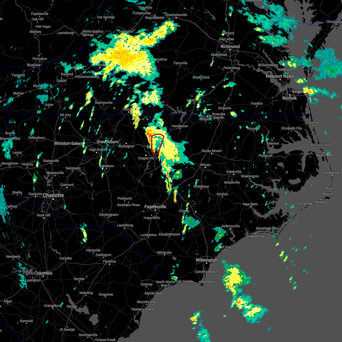 At 949 am est, a severe thunderstorm capable of producing a tornado was located over durham, moving north at 35 mph (radar indicated rotation). Hazards include tornado. Flying debris will be dangerous to those caught without shelter. mobile homes will be damaged or destroyed. damage to roofs, windows, and vehicles will occur. tree damage is likely. this dangerous storm will be near, butner around 1010 am est. Other locations impacted by this tornadic thunderstorm include lake michie, lake butner, gorman, bahama and bethesda. At 949 am est, a severe thunderstorm capable of producing a tornado was located over durham, moving north at 35 mph (radar indicated rotation). Hazards include tornado. Flying debris will be dangerous to those caught without shelter. mobile homes will be damaged or destroyed. damage to roofs, windows, and vehicles will occur. tree damage is likely. this dangerous storm will be near, butner around 1010 am est. Other locations impacted by this tornadic thunderstorm include lake michie, lake butner, gorman, bahama and bethesda.
|
| 11/11/2022 9:43 AM EST |
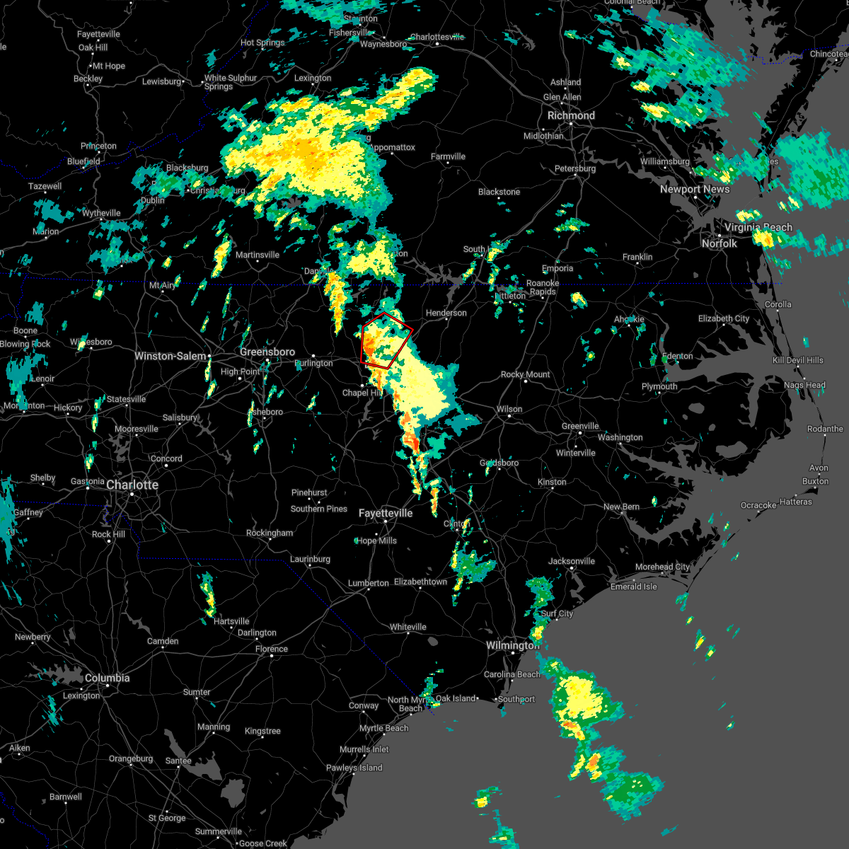 At 943 am est, a severe thunderstorm capable of producing a tornado was located 8 miles east of hillsborough, moving north at 20 mph (radar indicated rotation). Hazards include tornado. Flying debris will be dangerous to those caught without shelter. mobile homes will be damaged or destroyed. damage to roofs, windows, and vehicles will occur. tree damage is likely. this dangerous storm will be near, rougemont around 1005 am est. Other locations impacted by this tornadic thunderstorm include lake michie, lake butner, moriah, eno river state park and surl. At 943 am est, a severe thunderstorm capable of producing a tornado was located 8 miles east of hillsborough, moving north at 20 mph (radar indicated rotation). Hazards include tornado. Flying debris will be dangerous to those caught without shelter. mobile homes will be damaged or destroyed. damage to roofs, windows, and vehicles will occur. tree damage is likely. this dangerous storm will be near, rougemont around 1005 am est. Other locations impacted by this tornadic thunderstorm include lake michie, lake butner, moriah, eno river state park and surl.
|
| 9/12/2022 4:41 PM EDT |
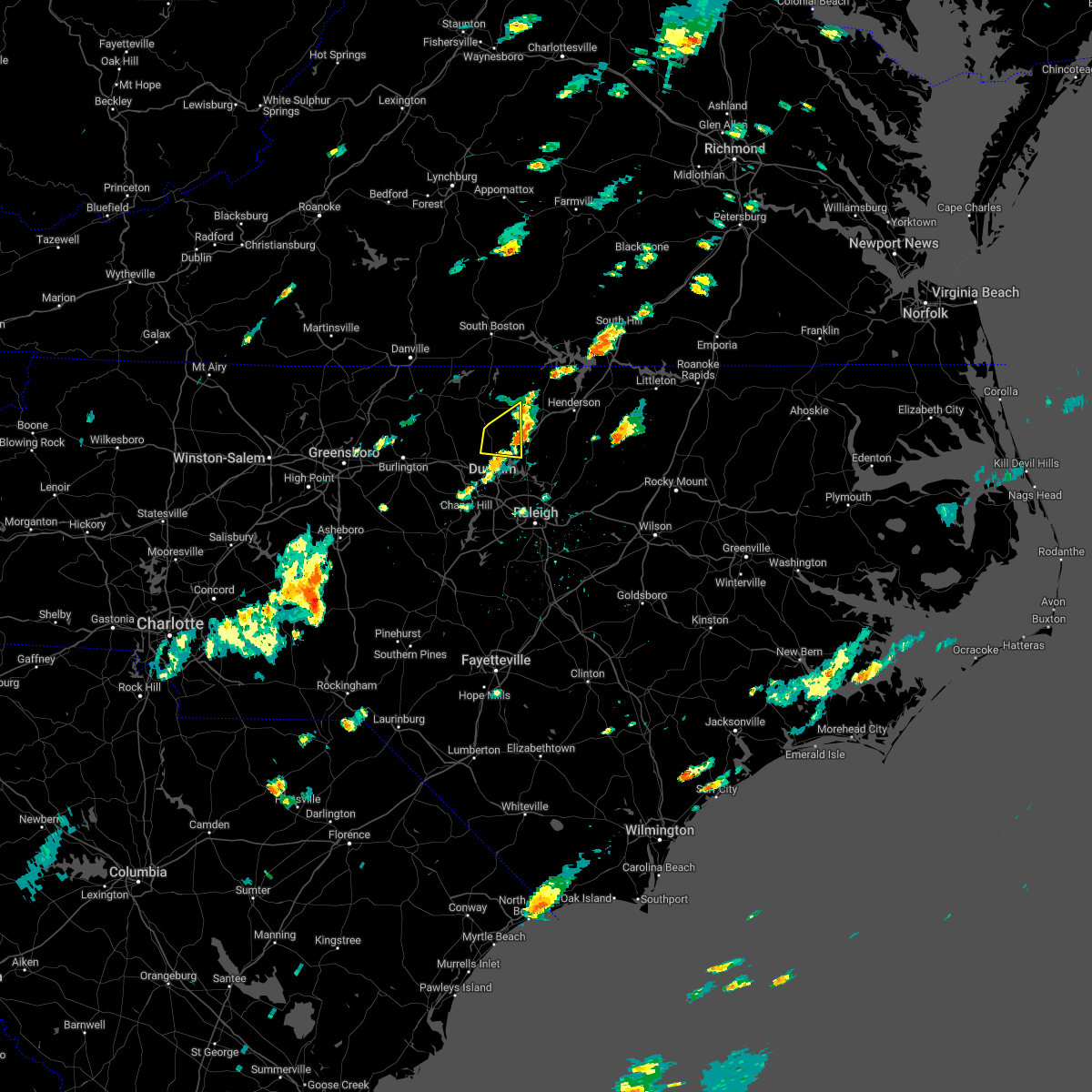 The severe thunderstorm warning for southeastern person, southwestern granville and northwestern durham counties will expire at 445 pm edt, the severe thunderstorm which prompted the warning has moved out of the warned area. therefore, the warning will be allowed to expire. The severe thunderstorm warning for southeastern person, southwestern granville and northwestern durham counties will expire at 445 pm edt, the severe thunderstorm which prompted the warning has moved out of the warned area. therefore, the warning will be allowed to expire.
|
| 9/12/2022 4:14 PM EDT | Report from mping: trees uprooted or snapped; roof blown of in durham county NC, 4.4 miles NNW of Rougemont, NC |
| 9/12/2022 4:12 PM EDT | Report from mping: trees uprooted or snapped; roof blown of in durham county NC, 3.3 miles NNW of Rougemont, NC |
| 9/12/2022 4:11 PM EDT |
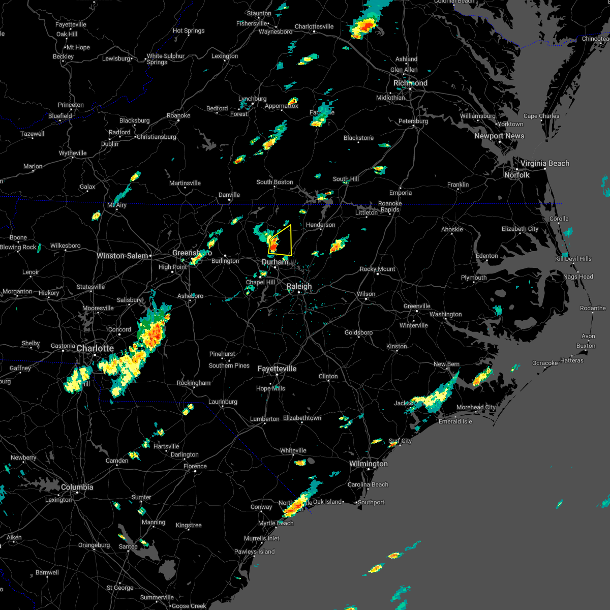 At 409 pm edt, a severe thunderstorm was located near rougemont, or 12 miles west of creedmoor, moving east at 30 mph (law enforcement reported a downed tree near schley, nc). Hazards include 60 mph wind gusts and penny size hail. Expect damage to roofs, siding, and trees. locations impacted include, butner, rougemont, stem, lake michie, lake butner, moriah, berea and bahama. hail threat, radar indicated max hail size, 0. 75 in wind threat, observed max wind gust, 60 mph. At 409 pm edt, a severe thunderstorm was located near rougemont, or 12 miles west of creedmoor, moving east at 30 mph (law enforcement reported a downed tree near schley, nc). Hazards include 60 mph wind gusts and penny size hail. Expect damage to roofs, siding, and trees. locations impacted include, butner, rougemont, stem, lake michie, lake butner, moriah, berea and bahama. hail threat, radar indicated max hail size, 0. 75 in wind threat, observed max wind gust, 60 mph.
|
| 9/12/2022 3:55 PM EDT |
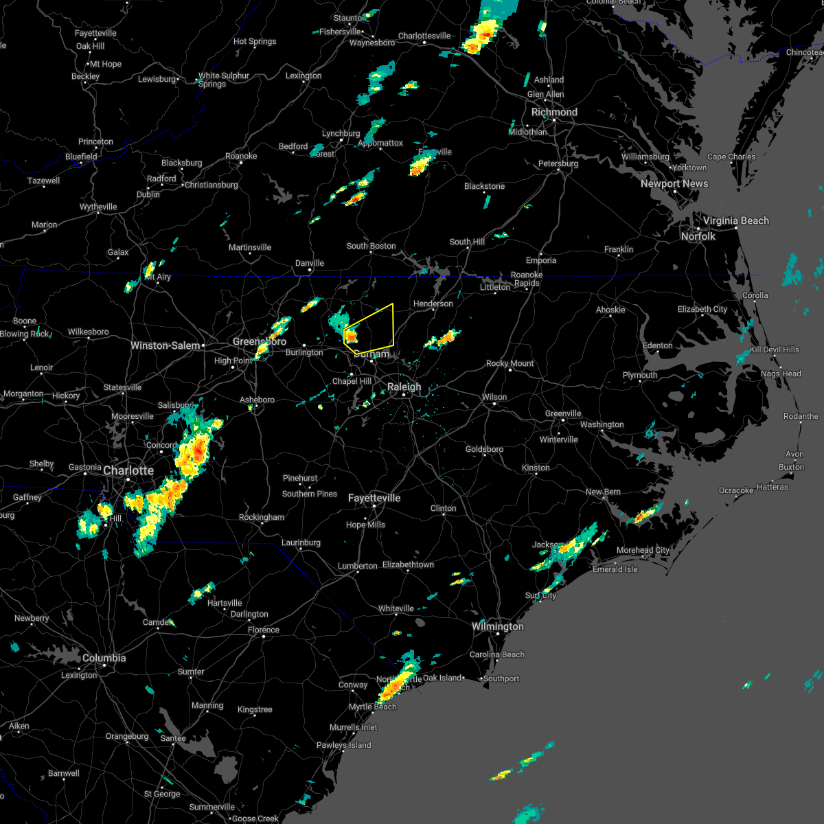 At 355 pm edt, a severe thunderstorm was located near hillsborough, moving east at 30 mph (radar indicated). Hazards include 60 mph wind gusts and penny size hail. expect damage to roofs, siding, and trees At 355 pm edt, a severe thunderstorm was located near hillsborough, moving east at 30 mph (radar indicated). Hazards include 60 mph wind gusts and penny size hail. expect damage to roofs, siding, and trees
|
| 7/29/2022 6:55 PM EDT |
 At 654 pm edt, a severe thunderstorm was located 7 miles east of prospect hill, moving east at 20 mph (radar indicated). Hazards include 60 mph wind gusts, heavy rain, and frequent lightning. Expect damage to roofs, siding, and trees. locations impacted include, rougemont, bushy fork, lake michie, surl, bahama and schley. hail threat, radar indicated max hail size, <. 75 in wind threat, radar indicated max wind gust, 60 mph. At 654 pm edt, a severe thunderstorm was located 7 miles east of prospect hill, moving east at 20 mph (radar indicated). Hazards include 60 mph wind gusts, heavy rain, and frequent lightning. Expect damage to roofs, siding, and trees. locations impacted include, rougemont, bushy fork, lake michie, surl, bahama and schley. hail threat, radar indicated max hail size, <. 75 in wind threat, radar indicated max wind gust, 60 mph.
|
| 7/29/2022 6:38 PM EDT |
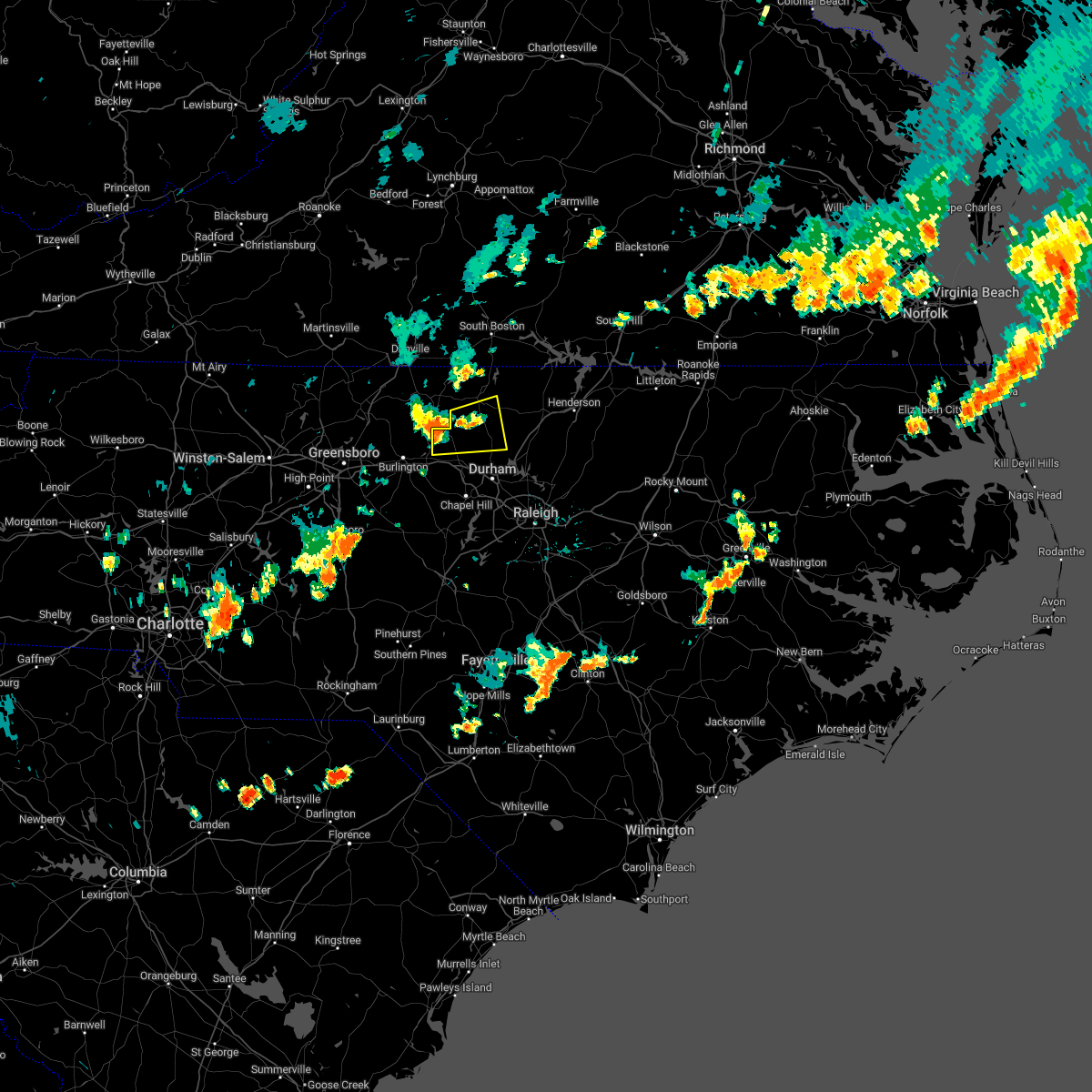 At 638 pm edt, a severe thunderstorm was located over prospect hill, moving east at 20 mph (radar indicated). Hazards include 60 mph wind gusts. expect damage to roofs, siding, and trees At 638 pm edt, a severe thunderstorm was located over prospect hill, moving east at 20 mph (radar indicated). Hazards include 60 mph wind gusts. expect damage to roofs, siding, and trees
|
| 7/6/2022 8:43 PM EDT |
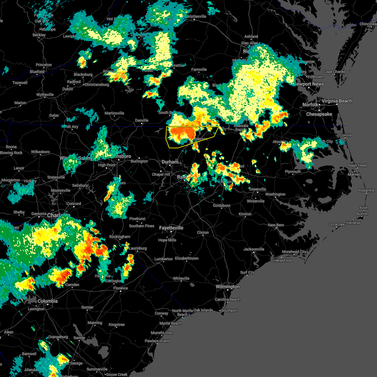 At 843 pm edt, severe thunderstorms were located along a line extending from 9 miles northeast of oxford to 7 miles south of virgilina, moving southeast at 30 mph (radar indicated). Hazards include 60 mph wind gusts. Expect damage to roofs, siding, and trees. locations impacted include, henderson, oxford, roxboro, warrenton, norlina, stovall, middleburg, mayo reservoir, and kerr lake. hail threat, radar indicated max hail size, <. 75 in wind threat, radar indicated max wind gust, 60 mph. At 843 pm edt, severe thunderstorms were located along a line extending from 9 miles northeast of oxford to 7 miles south of virgilina, moving southeast at 30 mph (radar indicated). Hazards include 60 mph wind gusts. Expect damage to roofs, siding, and trees. locations impacted include, henderson, oxford, roxboro, warrenton, norlina, stovall, middleburg, mayo reservoir, and kerr lake. hail threat, radar indicated max hail size, <. 75 in wind threat, radar indicated max wind gust, 60 mph.
|
| 7/6/2022 8:10 PM EDT |
 At 809 pm edt, severe thunderstorms were located along a line extending from near clarksville to near cluster springs, moving southeast at 25 mph. in addition, an outflow boundary surging southward well ahead of the storms is producing wind gusts of up to 40 mph (radar indicated). Hazards include 60 mph wind gusts. expect damage to roofs, siding, and trees At 809 pm edt, severe thunderstorms were located along a line extending from near clarksville to near cluster springs, moving southeast at 25 mph. in addition, an outflow boundary surging southward well ahead of the storms is producing wind gusts of up to 40 mph (radar indicated). Hazards include 60 mph wind gusts. expect damage to roofs, siding, and trees
|
| 7/6/2022 7:49 PM EDT |
 At 748 pm edt, a severe thunderstorm was located near roxboro, moving east at 15 mph (radar indicated). Hazards include 60 mph wind gusts and penny size hail. Expect damage to roofs, siding, and trees. locations impacted include, roxboro, bushy fork, surl and moriah. hail threat, radar indicated max hail size, 0. 75 in wind threat, radar indicated max wind gust, 60 mph. At 748 pm edt, a severe thunderstorm was located near roxboro, moving east at 15 mph (radar indicated). Hazards include 60 mph wind gusts and penny size hail. Expect damage to roofs, siding, and trees. locations impacted include, roxboro, bushy fork, surl and moriah. hail threat, radar indicated max hail size, 0. 75 in wind threat, radar indicated max wind gust, 60 mph.
|
| 7/6/2022 7:13 PM EDT |
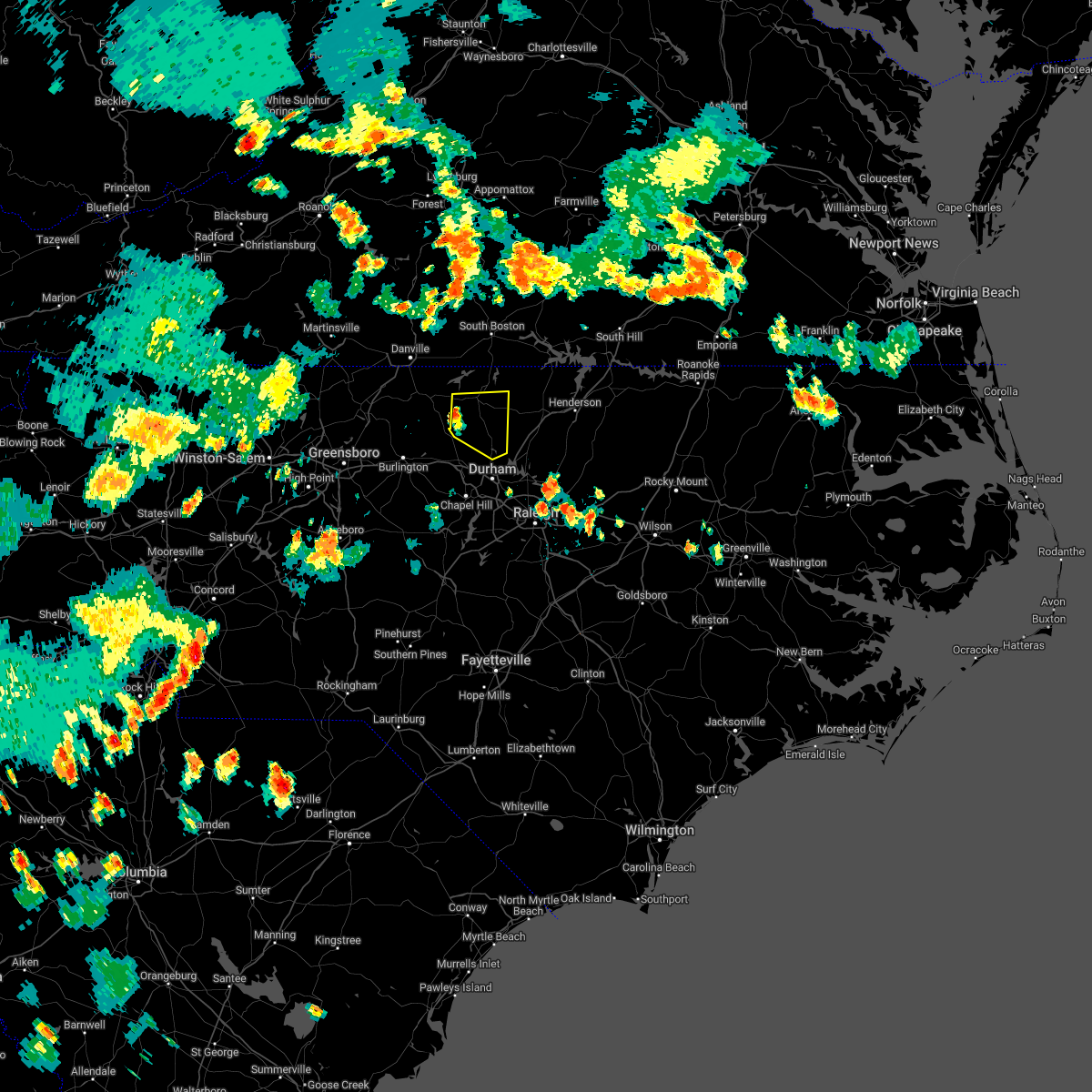 At 713 pm edt, a severe thunderstorm was located near prospect hill, moving east at 10 mph (radar indicated). Hazards include 60 mph wind gusts and penny size hail. expect damage to roofs, siding, and trees At 713 pm edt, a severe thunderstorm was located near prospect hill, moving east at 10 mph (radar indicated). Hazards include 60 mph wind gusts and penny size hail. expect damage to roofs, siding, and trees
|
| 7/5/2022 6:08 PM EDT |
 At 608 pm edt, severe thunderstorms were located along a line extending from 9 miles southeast of virgilina to 6 miles south of roxboro, moving east at 25 mph (radar indicated). Hazards include 60 mph wind gusts. expect damage to roofs, siding, and trees At 608 pm edt, severe thunderstorms were located along a line extending from 9 miles southeast of virgilina to 6 miles south of roxboro, moving east at 25 mph (radar indicated). Hazards include 60 mph wind gusts. expect damage to roofs, siding, and trees
|
| 6/17/2022 6:04 PM EDT |
 At 603 pm edt, severe thunderstorms were located along a line extending from 8 miles east of roxboro to 13 miles northeast of siler city to near rockwell, moving southeast at 30 mph (emergency management). Hazards include 70 mph wind gusts and quarter size hail. Hail damage to vehicles is expected. expect considerable tree damage. wind damage is also likely to mobile homes, roofs, and outbuildings. locations impacted include, durham, chapel hill, burlington, asheboro, albemarle, graham, oxford, roxboro, hillsborough and creedmoor. thunderstorm damage threat, considerable hail threat, radar indicated max hail size, 1. 00 in wind threat, radar indicated max wind gust, 70 mph. At 603 pm edt, severe thunderstorms were located along a line extending from 8 miles east of roxboro to 13 miles northeast of siler city to near rockwell, moving southeast at 30 mph (emergency management). Hazards include 70 mph wind gusts and quarter size hail. Hail damage to vehicles is expected. expect considerable tree damage. wind damage is also likely to mobile homes, roofs, and outbuildings. locations impacted include, durham, chapel hill, burlington, asheboro, albemarle, graham, oxford, roxboro, hillsborough and creedmoor. thunderstorm damage threat, considerable hail threat, radar indicated max hail size, 1. 00 in wind threat, radar indicated max wind gust, 70 mph.
|
| 6/17/2022 5:45 PM EDT |
 At 543 pm edt, severe thunderstorms were located along a line extending from near roxboro to 8 miles southwest of graham to near granite quarry, moving southeast at 30 mph (emergency management reported. at 5:40 pm, several trees were reported down near exit 157 of i-40 and i-85 in mebane). Hazards include 70 mph wind gusts and quarter size hail. Hail damage to vehicles is expected. expect considerable tree damage. wind damage is also likely to mobile homes, roofs, and outbuildings. locations impacted include, durham, high point, chapel hill, burlington, asheboro, lexington, albemarle, graham, oxford and roxboro. thunderstorm damage threat, considerable hail threat, radar indicated max hail size, 1. 00 in wind threat, radar indicated max wind gust, 70 mph. At 543 pm edt, severe thunderstorms were located along a line extending from near roxboro to 8 miles southwest of graham to near granite quarry, moving southeast at 30 mph (emergency management reported. at 5:40 pm, several trees were reported down near exit 157 of i-40 and i-85 in mebane). Hazards include 70 mph wind gusts and quarter size hail. Hail damage to vehicles is expected. expect considerable tree damage. wind damage is also likely to mobile homes, roofs, and outbuildings. locations impacted include, durham, high point, chapel hill, burlington, asheboro, lexington, albemarle, graham, oxford and roxboro. thunderstorm damage threat, considerable hail threat, radar indicated max hail size, 1. 00 in wind threat, radar indicated max wind gust, 70 mph.
|
| 6/17/2022 5:34 PM EDT |
 At 534 pm edt, severe thunderstorms were located along a line extending from near roxboro to 8 miles south of elon to near salisbury, moving southeast at 30 mph (radar indicated). Hazards include 70 mph wind gusts and quarter size hail. Hail damage to vehicles is expected. expect considerable tree damage. Wind damage is also likely to mobile homes, roofs, and outbuildings. At 534 pm edt, severe thunderstorms were located along a line extending from near roxboro to 8 miles south of elon to near salisbury, moving southeast at 30 mph (radar indicated). Hazards include 70 mph wind gusts and quarter size hail. Hail damage to vehicles is expected. expect considerable tree damage. Wind damage is also likely to mobile homes, roofs, and outbuildings.
|
| 6/16/2022 4:44 PM EDT |
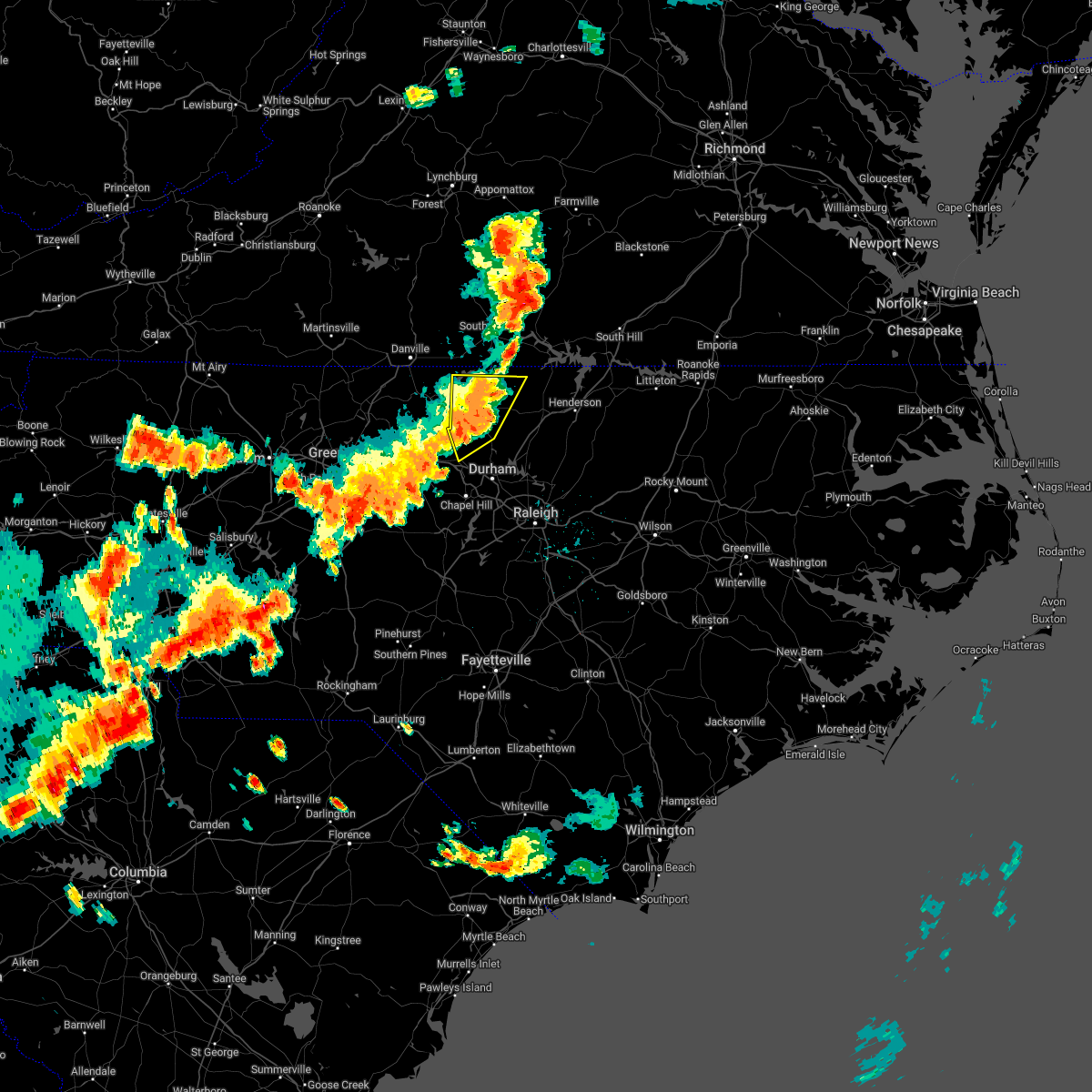 The severe thunderstorm warning for person, northeastern orange, northwestern granville and northwestern durham counties will expire at 445 pm edt, the storms which prompted the warning have weakened below severe limits, and no longer pose an immediate threat to life or property. therefore, the warning will be allowed to expire. however gusty winds and heavy rain are still possible with these thunderstorms. a severe thunderstorm watch remains in effect until 900 pm edt for central north carolina. The severe thunderstorm warning for person, northeastern orange, northwestern granville and northwestern durham counties will expire at 445 pm edt, the storms which prompted the warning have weakened below severe limits, and no longer pose an immediate threat to life or property. therefore, the warning will be allowed to expire. however gusty winds and heavy rain are still possible with these thunderstorms. a severe thunderstorm watch remains in effect until 900 pm edt for central north carolina.
|
| 6/16/2022 4:34 PM EDT |
 At 433 pm edt, severe thunderstorms were located along a line extending from near roxboro to 6 miles east of prospect hill, moving southeast at 35 mph (radar indicated). Hazards include 60 mph wind gusts and penny size hail. Expect damage to roofs, siding, and trees. locations impacted include, roxboro, hillsborough, rougemont, concord, bushy fork, hyco lake, hyco marina, surl, schley and mayo reservoir. hail threat, radar indicated max hail size, 0. 75 in wind threat, radar indicated max wind gust, 60 mph. At 433 pm edt, severe thunderstorms were located along a line extending from near roxboro to 6 miles east of prospect hill, moving southeast at 35 mph (radar indicated). Hazards include 60 mph wind gusts and penny size hail. Expect damage to roofs, siding, and trees. locations impacted include, roxboro, hillsborough, rougemont, concord, bushy fork, hyco lake, hyco marina, surl, schley and mayo reservoir. hail threat, radar indicated max hail size, 0. 75 in wind threat, radar indicated max wind gust, 60 mph.
|
| 6/16/2022 3:55 PM EDT |
 At 354 pm edt, severe thunderstorms were located along a line extending from near elmo to near camp springs, moving southeast at 30 mph (radar indicated). Hazards include 60 mph wind gusts and penny size hail. expect damage to roofs, siding, and trees At 354 pm edt, severe thunderstorms were located along a line extending from near elmo to near camp springs, moving southeast at 30 mph (radar indicated). Hazards include 60 mph wind gusts and penny size hail. expect damage to roofs, siding, and trees
|
| 6/8/2022 6:13 PM EDT |
 At 612 pm edt, a severe thunderstorm was located near carrboro, or 7 miles south of chapel hill, moving northeast at 40 mph (radar indicated). Hazards include 60 mph wind gusts. expect damage to roofs, siding, and trees At 612 pm edt, a severe thunderstorm was located near carrboro, or 7 miles south of chapel hill, moving northeast at 40 mph (radar indicated). Hazards include 60 mph wind gusts. expect damage to roofs, siding, and trees
|
| 5/27/2022 9:43 AM EDT |
 At 941 am edt, severe thunderstorms were located along a line extending from near staunton river state park to near oxford to 10 miles southwest of cary, moving northeast at 35 mph (radar indicated. several trees were reported down near pittsboro with this line of storms). Hazards include 60 mph wind gusts. Expect damage to roofs, siding, and trees. Locations impacted include, raleigh, durham, cary, chapel hill, sanford, henderson, oxford, creedmoor, pittsboro and louisburg. At 941 am edt, severe thunderstorms were located along a line extending from near staunton river state park to near oxford to 10 miles southwest of cary, moving northeast at 35 mph (radar indicated. several trees were reported down near pittsboro with this line of storms). Hazards include 60 mph wind gusts. Expect damage to roofs, siding, and trees. Locations impacted include, raleigh, durham, cary, chapel hill, sanford, henderson, oxford, creedmoor, pittsboro and louisburg.
|
| 5/27/2022 9:20 AM EDT |
 At 919 am edt, severe thunderstorms were located along a line extending from near virgilina to near butner to 7 miles northeast of sanford, moving northeast at 35 mph (radar indicated). Hazards include 60 mph wind gusts. expect damage to roofs, siding, and trees At 919 am edt, severe thunderstorms were located along a line extending from near virgilina to near butner to 7 miles northeast of sanford, moving northeast at 35 mph (radar indicated). Hazards include 60 mph wind gusts. expect damage to roofs, siding, and trees
|
| 5/27/2022 9:03 AM EDT | 4 trees reported down near the person/durham county lin in durham county NC, 1.5 miles W of Rougemont, NC |
| 5/27/2022 9:02 AM EDT | Tree down on roadway... block both lanes. this was near the intersection of jim latta rd and welch-whitfield rd. time estimated by rada in person county NC, 6.6 miles SSW of Rougemont, NC |
| 5/27/2022 8:58 AM EDT |
 At 858 am edt, severe thunderstorms were located along a line extending from near roxboro to near rougemont to carrboro, moving northeast at 45 mph (radar indicated). Hazards include 60 mph wind gusts. Expect damage to roofs, siding, and trees. Locations impacted include, durham, chapel hill, roxboro, hillsborough, siler city, carrboro, mebane, rougemont, concord and lake michie. At 858 am edt, severe thunderstorms were located along a line extending from near roxboro to near rougemont to carrboro, moving northeast at 45 mph (radar indicated). Hazards include 60 mph wind gusts. Expect damage to roofs, siding, and trees. Locations impacted include, durham, chapel hill, roxboro, hillsborough, siler city, carrboro, mebane, rougemont, concord and lake michie.
|
| 5/27/2022 8:21 AM EDT |
 At 820 am edt, severe thunderstorms were located along a line extending from near jericho to near mebane to siler city, moving northeast at 40 mph (radar indicated). Hazards include 60 mph wind gusts. expect damage to roofs, siding, and trees At 820 am edt, severe thunderstorms were located along a line extending from near jericho to near mebane to siler city, moving northeast at 40 mph (radar indicated). Hazards include 60 mph wind gusts. expect damage to roofs, siding, and trees
|
| 5/21/2022 7:20 PM EDT |
 The severe thunderstorm warning for person county will expire at 730 pm edt, the storm which prompted the warning has weakened below severe limits, and no longer poses an immediate threat to life or property. therefore, the warning will be allowed to expire. The severe thunderstorm warning for person county will expire at 730 pm edt, the storm which prompted the warning has weakened below severe limits, and no longer poses an immediate threat to life or property. therefore, the warning will be allowed to expire.
|
| 5/21/2022 6:46 PM EDT |
 At 646 pm edt, a severe thunderstorm was located near roxboro, moving north at 15 mph (radar indicated). Hazards include 60 mph wind gusts. Expect damage to roofs, siding, and trees. locations impacted include, roxboro, bethel hill, mayo reservoir, surl, moriah and hyco lake. hail threat, radar indicated max hail size, <. 75 in wind threat, radar indicated max wind gust, 60 mph. At 646 pm edt, a severe thunderstorm was located near roxboro, moving north at 15 mph (radar indicated). Hazards include 60 mph wind gusts. Expect damage to roofs, siding, and trees. locations impacted include, roxboro, bethel hill, mayo reservoir, surl, moriah and hyco lake. hail threat, radar indicated max hail size, <. 75 in wind threat, radar indicated max wind gust, 60 mph.
|
| 5/21/2022 6:26 PM EDT |
 At 626 pm edt, a severe thunderstorm was located near rougemont, or 10 miles southeast of roxboro, moving north at 15 mph (radar indicated). Hazards include 60 mph wind gusts. expect damage to roofs, siding, and trees At 626 pm edt, a severe thunderstorm was located near rougemont, or 10 miles southeast of roxboro, moving north at 15 mph (radar indicated). Hazards include 60 mph wind gusts. expect damage to roofs, siding, and trees
|
| 5/6/2022 6:11 PM EDT |
 At 611 pm edt, severe thunderstorms were located along a line extending from near virgilina to 6 miles northwest of oxford to 6 miles northeast of butner, moving east at 30 mph (radar indicated). Hazards include 60 mph wind gusts and quarter size hail. Hail damage to vehicles is expected. expect wind damage to roofs, siding, and trees. Locations impacted include, oxford, rougemont, stem, stovall, lake michie, bahama, dabney, lake butner, tungsten and moriah. At 611 pm edt, severe thunderstorms were located along a line extending from near virgilina to 6 miles northwest of oxford to 6 miles northeast of butner, moving east at 30 mph (radar indicated). Hazards include 60 mph wind gusts and quarter size hail. Hail damage to vehicles is expected. expect wind damage to roofs, siding, and trees. Locations impacted include, oxford, rougemont, stem, stovall, lake michie, bahama, dabney, lake butner, tungsten and moriah.
|
| 5/6/2022 6:05 PM EDT |
 At 605 pm edt, severe thunderstorms were located along a line extending from virgilina to 8 miles west of oxford to near butner, moving east at 35 mph (radar indicated). Hazards include 60 mph wind gusts and quarter size hail. Hail damage to vehicles is expected. expect wind damage to roofs, siding, and trees. Locations impacted include, oxford, rougemont, stem, stovall, lake michie, mayo reservoir, bahama, bethel hill, dabney and lake butner. At 605 pm edt, severe thunderstorms were located along a line extending from virgilina to 8 miles west of oxford to near butner, moving east at 35 mph (radar indicated). Hazards include 60 mph wind gusts and quarter size hail. Hail damage to vehicles is expected. expect wind damage to roofs, siding, and trees. Locations impacted include, oxford, rougemont, stem, stovall, lake michie, mayo reservoir, bahama, bethel hill, dabney and lake butner.
|
| 5/6/2022 5:58 PM EDT |
 At 558 pm edt, severe thunderstorms were located along a line extending from near virgilina to 9 miles east of roxboro to near rougemont, moving northeast at 30 mph (radar indicated). Hazards include 60 mph wind gusts and quarter size hail. Hail damage to vehicles is expected. Expect wind damage to roofs, siding, and trees. At 558 pm edt, severe thunderstorms were located along a line extending from near virgilina to 9 miles east of roxboro to near rougemont, moving northeast at 30 mph (radar indicated). Hazards include 60 mph wind gusts and quarter size hail. Hail damage to vehicles is expected. Expect wind damage to roofs, siding, and trees.
|
| 5/6/2022 5:55 PM EDT |
 The tornado warning for south central person county will expire at 600 pm edt, the storm which prompted the warning has weakened below severe limits, and no longer appears capable of producing a tornado. therefore, the warning will be allowed to expire. a tornado watch remains in effect until 1000 pm edt for central north carolina. The tornado warning for south central person county will expire at 600 pm edt, the storm which prompted the warning has weakened below severe limits, and no longer appears capable of producing a tornado. therefore, the warning will be allowed to expire. a tornado watch remains in effect until 1000 pm edt for central north carolina.
|
| 5/6/2022 5:45 PM EDT |
 At 544 pm edt, a severe thunderstorm capable of producing a tornado was located near rougemont, or 10 miles south of roxboro, moving east at 15 mph (radar indicated rotation). Hazards include tornado. Flying debris will be dangerous to those caught without shelter. mobile homes will be damaged or destroyed. damage to roofs, windows, and vehicles will occur. tree damage is likely. This tornadic thunderstorm will remain over mainly rural areas of south central person county. At 544 pm edt, a severe thunderstorm capable of producing a tornado was located near rougemont, or 10 miles south of roxboro, moving east at 15 mph (radar indicated rotation). Hazards include tornado. Flying debris will be dangerous to those caught without shelter. mobile homes will be damaged or destroyed. damage to roofs, windows, and vehicles will occur. tree damage is likely. This tornadic thunderstorm will remain over mainly rural areas of south central person county.
|
| 5/6/2022 5:43 PM EDT |
 The severe thunderstorm warning for person, northeastern orange and northwestern durham counties will expire at 545 pm edt, the storms which prompted the warning have moved out of the area. therefore, the warning will be allowed to expire. a tornado watch remains in effect until 1000 pm edt for central north carolina. remember, a tornado warning still remains in effect for northern orange and person counties. The severe thunderstorm warning for person, northeastern orange and northwestern durham counties will expire at 545 pm edt, the storms which prompted the warning have moved out of the area. therefore, the warning will be allowed to expire. a tornado watch remains in effect until 1000 pm edt for central north carolina. remember, a tornado warning still remains in effect for northern orange and person counties.
|
| 5/6/2022 5:36 PM EDT |
 At 536 pm edt, severe thunderstorms were located along a line extending from near alton to near roxboro to rougemont, moving east at 25 mph (radar indicated). Hazards include 60 mph wind gusts and quarter size hail. Hail damage to vehicles is expected. expect wind damage to roofs, siding, and trees. Locations impacted include, roxboro, rougemont, concord, bushy fork, lake michie, hyco lake, moriah, hyco marina, surl and bahama. At 536 pm edt, severe thunderstorms were located along a line extending from near alton to near roxboro to rougemont, moving east at 25 mph (radar indicated). Hazards include 60 mph wind gusts and quarter size hail. Hail damage to vehicles is expected. expect wind damage to roofs, siding, and trees. Locations impacted include, roxboro, rougemont, concord, bushy fork, lake michie, hyco lake, moriah, hyco marina, surl and bahama.
|
| 5/6/2022 5:33 PM EDT |
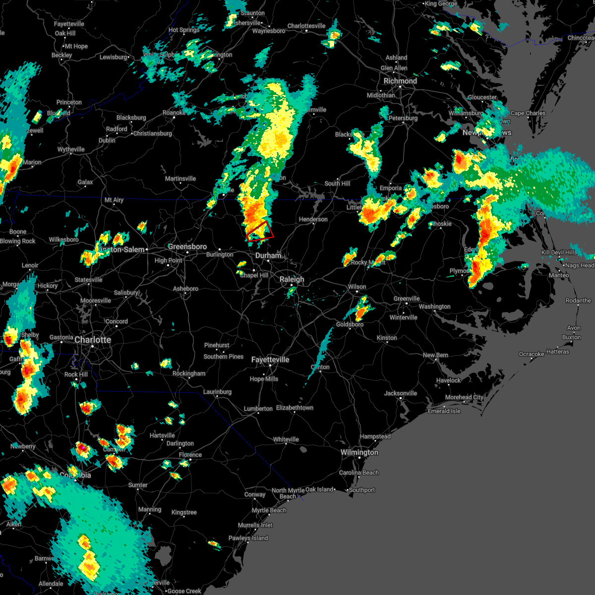 At 532 pm edt, a confirmed tornado was located 7 miles west of rougemont, or 7 miles east of prospect hill, moving northeast at 40 mph (radar confirmed tornado). Hazards include damaging tornado. Flying debris will be dangerous to those caught without shelter. mobile homes will be damaged or destroyed. damage to roofs, windows, and vehicles will occur. tree damage is likely. This tornado will be near, rougemont around 540 pm edt. At 532 pm edt, a confirmed tornado was located 7 miles west of rougemont, or 7 miles east of prospect hill, moving northeast at 40 mph (radar confirmed tornado). Hazards include damaging tornado. Flying debris will be dangerous to those caught without shelter. mobile homes will be damaged or destroyed. damage to roofs, windows, and vehicles will occur. tree damage is likely. This tornado will be near, rougemont around 540 pm edt.
|
| 5/6/2022 5:26 PM EDT |
 At 524 pm edt, a confirmed tornado was located west of schley, moving northeast at 25 mph (law enforcement confirmed tornado). Hazards include damaging tornado. Flying debris will be dangerous to those caught without shelter. mobile homes will be damaged or destroyed. damage to roofs, windows, and vehicles will occur. tree damage is likely. this tornado will be near, rougemont around 550 pm edt. Other locations impacted by this tornadic thunderstorm include schley, lake michie and bahama. At 524 pm edt, a confirmed tornado was located west of schley, moving northeast at 25 mph (law enforcement confirmed tornado). Hazards include damaging tornado. Flying debris will be dangerous to those caught without shelter. mobile homes will be damaged or destroyed. damage to roofs, windows, and vehicles will occur. tree damage is likely. this tornado will be near, rougemont around 550 pm edt. Other locations impacted by this tornadic thunderstorm include schley, lake michie and bahama.
|
| 5/6/2022 5:18 PM EDT |
 At 518 pm edt, severe thunderstorms were located along a line extending from near leasburg to near prospect hill to 6 miles north of hillsborough, moving northeast at 35 mph (radar indicated). Hazards include 60 mph wind gusts and quarter size hail. Hail damage to vehicles is expected. expect wind damage to roofs, siding, and trees. Locations impacted include, roxboro, rougemont, concord, carr, bushy fork, lake michie, hyco lake, moriah, hyco marina and surl. At 518 pm edt, severe thunderstorms were located along a line extending from near leasburg to near prospect hill to 6 miles north of hillsborough, moving northeast at 35 mph (radar indicated). Hazards include 60 mph wind gusts and quarter size hail. Hail damage to vehicles is expected. expect wind damage to roofs, siding, and trees. Locations impacted include, roxboro, rougemont, concord, carr, bushy fork, lake michie, hyco lake, moriah, hyco marina and surl.
|
| 5/6/2022 5:18 PM EDT |
 At 518 pm edt, a severe thunderstorm capable of producing a tornado was located near mebane, or near hillsborough, moving northeast at 25 mph (radar indicated rotation). Hazards include tornado. Flying debris will be dangerous to those caught without shelter. mobile homes will be damaged or destroyed. damage to roofs, windows, and vehicles will occur. tree damage is likely. this dangerous storm will be near, rougemont around 550 pm edt. Other locations impacted by this tornadic thunderstorm include schley, lake michie and bahama. At 518 pm edt, a severe thunderstorm capable of producing a tornado was located near mebane, or near hillsborough, moving northeast at 25 mph (radar indicated rotation). Hazards include tornado. Flying debris will be dangerous to those caught without shelter. mobile homes will be damaged or destroyed. damage to roofs, windows, and vehicles will occur. tree damage is likely. this dangerous storm will be near, rougemont around 550 pm edt. Other locations impacted by this tornadic thunderstorm include schley, lake michie and bahama.
|
| 5/6/2022 5:02 PM EDT |
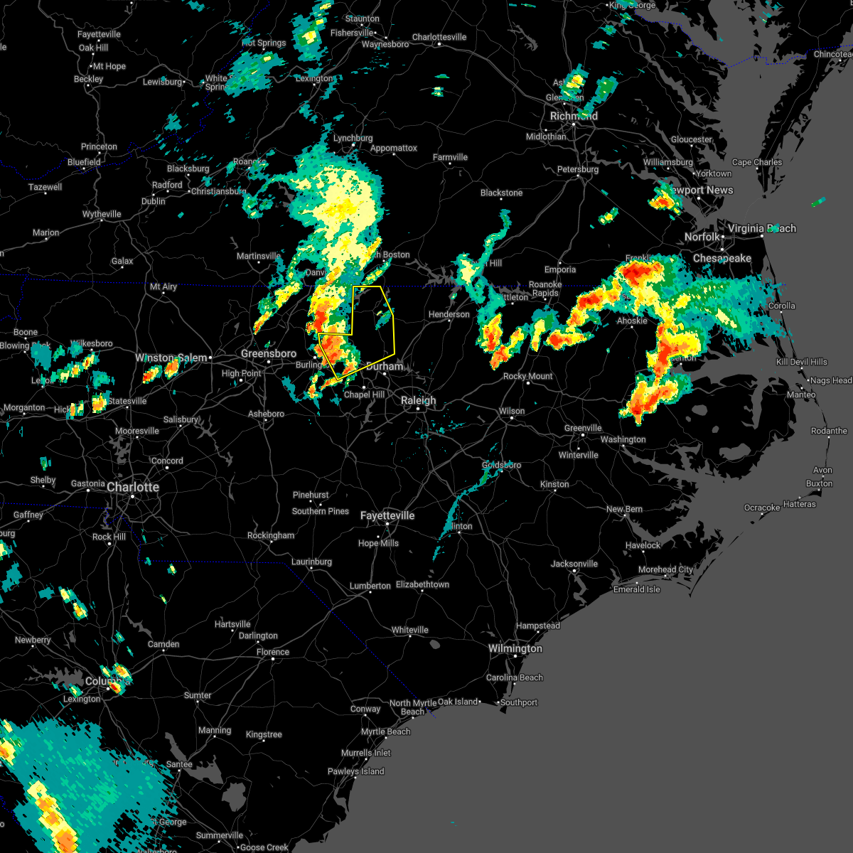 At 502 pm edt, severe thunderstorms were located along a line extending from near topnot to near prospect hill to near mebane, moving east at 20 mph (radar indicated). Hazards include 60 mph wind gusts and quarter size hail. Hail damage to vehicles is expected. Expect wind damage to roofs, siding, and trees. At 502 pm edt, severe thunderstorms were located along a line extending from near topnot to near prospect hill to near mebane, moving east at 20 mph (radar indicated). Hazards include 60 mph wind gusts and quarter size hail. Hail damage to vehicles is expected. Expect wind damage to roofs, siding, and trees.
|
| 5/1/2022 5:41 PM EDT |
 At 540 pm edt, a severe thunderstorm was located near butner, or 9 miles north of durham, moving east at 30 mph (radar indicated). Hazards include 60 mph wind gusts and half dollar size hail. Hail damage to vehicles is expected. expect wind damage to roofs, siding, and trees. locations impacted include, durham, butner, lake michie, lake butner, gorman, bahama, eno river state park and falls lake. hail threat, radar indicated max hail size, 1. 25 in wind threat, radar indicated max wind gust, 60 mph. At 540 pm edt, a severe thunderstorm was located near butner, or 9 miles north of durham, moving east at 30 mph (radar indicated). Hazards include 60 mph wind gusts and half dollar size hail. Hail damage to vehicles is expected. expect wind damage to roofs, siding, and trees. locations impacted include, durham, butner, lake michie, lake butner, gorman, bahama, eno river state park and falls lake. hail threat, radar indicated max hail size, 1. 25 in wind threat, radar indicated max wind gust, 60 mph.
|
| 5/1/2022 5:15 PM EDT |
 At 514 pm edt, a severe thunderstorm was located over hillsborough, moving east at 25 mph (radar indicated). Hazards include 60 mph wind gusts and half dollar size hail. Hail damage to vehicles is expected. Expect wind damage to roofs, siding, and trees. At 514 pm edt, a severe thunderstorm was located over hillsborough, moving east at 25 mph (radar indicated). Hazards include 60 mph wind gusts and half dollar size hail. Hail damage to vehicles is expected. Expect wind damage to roofs, siding, and trees.
|
| 4/26/2022 3:55 PM EDT | Corrects previous tstm wnd dmg report from 4 nnw rougemont. tree down. time estimated by rada in person county NC, 3.6 miles SSE of Rougemont, NC |
| 4/26/2022 3:42 PM EDT |
 At 341 pm edt, severe thunderstorms were located along a line extending from near rougemont to 10 miles west of fuquay-varina to aberdeen, moving east at 25 mph (radar indicated). Hazards include 60 mph wind gusts and quarter size hail. Expect wind damage to roofs, siding, and trees. these severe storms will be near, rougemont around 345 pm edt. butner around 355 pm edt. creedmoor around 400 pm edt. fuquay-varina around 405 pm edt. angier around 415 pm edt. other locations impacted by these severe thunderstorms include lake michie, vass, lake wheeler, pinebluff and gorman. hail threat, radar indicated max hail size, 1. 00 in wind threat, radar indicated max wind gust, 60 mph. At 341 pm edt, severe thunderstorms were located along a line extending from near rougemont to 10 miles west of fuquay-varina to aberdeen, moving east at 25 mph (radar indicated). Hazards include 60 mph wind gusts and quarter size hail. Expect wind damage to roofs, siding, and trees. these severe storms will be near, rougemont around 345 pm edt. butner around 355 pm edt. creedmoor around 400 pm edt. fuquay-varina around 405 pm edt. angier around 415 pm edt. other locations impacted by these severe thunderstorms include lake michie, vass, lake wheeler, pinebluff and gorman. hail threat, radar indicated max hail size, 1. 00 in wind threat, radar indicated max wind gust, 60 mph.
|
| 4/26/2022 3:06 PM EDT |
 At 304 pm edt, severe thunderstorms were located along a line extending from 6 miles southeast of prospect hill to near goldston to near pinehurst, moving east at 35 mph (radar indicated). Hazards include 60 mph wind gusts and quarter size hail. Hail damage is expected. expect wind damage to trees and subsequent damage to homes and businesses from falling trees. severe thunderstorms will be near, sanford and hillsborough around 310 pm edt. rougemont around 325 pm edt. butner around 340 pm edt. creedmoor and fuquay-varina around 345 pm edt. angier around 350 pm edt. other locations impacted by these severe thunderstorms include lake wheeler, parkwood, bahama, lake benson and cameron. hail threat, radar indicated max hail size, 1. 00 in wind threat, radar indicated max wind gust, 60 mph. At 304 pm edt, severe thunderstorms were located along a line extending from 6 miles southeast of prospect hill to near goldston to near pinehurst, moving east at 35 mph (radar indicated). Hazards include 60 mph wind gusts and quarter size hail. Hail damage is expected. expect wind damage to trees and subsequent damage to homes and businesses from falling trees. severe thunderstorms will be near, sanford and hillsborough around 310 pm edt. rougemont around 325 pm edt. butner around 340 pm edt. creedmoor and fuquay-varina around 345 pm edt. angier around 350 pm edt. other locations impacted by these severe thunderstorms include lake wheeler, parkwood, bahama, lake benson and cameron. hail threat, radar indicated max hail size, 1. 00 in wind threat, radar indicated max wind gust, 60 mph.
|
| 10/25/2021 8:52 PM EDT |
 At 852 pm edt, severe thunderstorms were located along a line extending from near butner to near durham to near carrboro, moving southeast at 25 mph (radar indicated). Hazards include 60 mph wind gusts. Expect damage to roofs, siding, and trees. locations impacted include, durham, chapel hill, oxford, hillsborough, creedmoor, carrboro, butner, rougemont, stem and lake michie. hail threat, radar indicated max hail size, <. 75 in wind threat, radar indicated max wind gust, 60 mph. At 852 pm edt, severe thunderstorms were located along a line extending from near butner to near durham to near carrboro, moving southeast at 25 mph (radar indicated). Hazards include 60 mph wind gusts. Expect damage to roofs, siding, and trees. locations impacted include, durham, chapel hill, oxford, hillsborough, creedmoor, carrboro, butner, rougemont, stem and lake michie. hail threat, radar indicated max hail size, <. 75 in wind threat, radar indicated max wind gust, 60 mph.
|
| 10/25/2021 8:37 PM EDT |
 At 836 pm edt, severe thunderstorms were located along a line extending from rougemont to hillsborough to 11 miles south of graham, moving southeast at 25 mph (radar indicated). Hazards include 60 mph wind gusts. expect damage to roofs, siding, and trees At 836 pm edt, severe thunderstorms were located along a line extending from rougemont to hillsborough to 11 miles south of graham, moving southeast at 25 mph (radar indicated). Hazards include 60 mph wind gusts. expect damage to roofs, siding, and trees
|
| 7/17/2021 6:17 PM EDT |
 At 617 pm edt, severe thunderstorms were located along a line extending from near roxboro to near rougemont, moving east at 35 mph (radar indicated). Hazards include 60 mph wind gusts. Expect damage to roofs, siding, and trees. Locations impacted include, durham, roxboro, rougemont, bushy fork, lake michie, moriah, surl, bahama, schley and eno river state park. At 617 pm edt, severe thunderstorms were located along a line extending from near roxboro to near rougemont, moving east at 35 mph (radar indicated). Hazards include 60 mph wind gusts. Expect damage to roofs, siding, and trees. Locations impacted include, durham, roxboro, rougemont, bushy fork, lake michie, moriah, surl, bahama, schley and eno river state park.
|
| 7/17/2021 6:04 PM EDT | A tree was reported down near the intersection of dick holeman rd and forest view dr. time estimated by rada in person county NC, 3.9 miles SE of Rougemont, NC |
| 7/17/2021 6:02 PM EDT | A tree was reported down near the intersection of ned moore rd and windy creek rd. time estimated by rada in person county NC, 3 miles SE of Rougemont, NC |
| 7/17/2021 6:00 PM EDT | A tree was reported down near the intersection of nc highway 57 and guess rd. time estimated by rada in orange county NC, 5.8 miles ENE of Rougemont, NC |
| 7/17/2021 5:55 PM EDT |
 At 554 pm edt, severe thunderstorms were located along a line extending from 6 miles northeast of prospect hill to 8 miles west of rougemont to near hillsborough, moving east at 40 mph (radar indicated). Hazards include 60 mph wind gusts and quarter size hail. Hail damage to vehicles is expected. expect wind damage to roofs, siding, and trees. Locations impacted include, durham, roxboro, hillsborough, rougemont, bushy fork, lake michie, moriah, eno river state park, surl and bahama. At 554 pm edt, severe thunderstorms were located along a line extending from 6 miles northeast of prospect hill to 8 miles west of rougemont to near hillsborough, moving east at 40 mph (radar indicated). Hazards include 60 mph wind gusts and quarter size hail. Hail damage to vehicles is expected. expect wind damage to roofs, siding, and trees. Locations impacted include, durham, roxboro, hillsborough, rougemont, bushy fork, lake michie, moriah, eno river state park, surl and bahama.
|
| 7/17/2021 5:44 PM EDT |
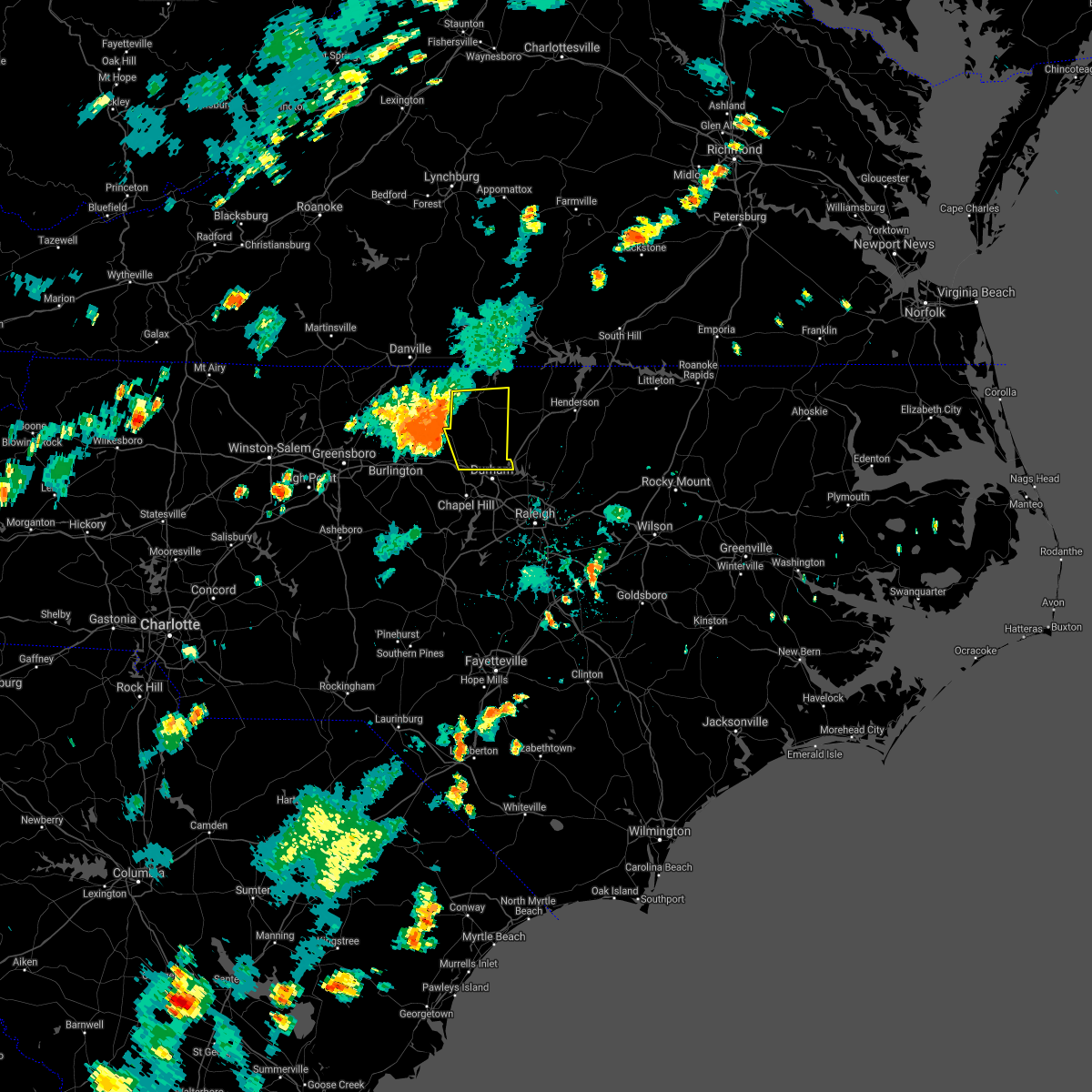 At 544 pm edt, severe thunderstorms were located along a line extending from near prospect hill to near mebane, moving east at 40 mph (radar indicated). Hazards include 60 mph wind gusts and quarter size hail. Hail damage to vehicles is expected. Expect wind damage to roofs, siding, and trees. At 544 pm edt, severe thunderstorms were located along a line extending from near prospect hill to near mebane, moving east at 40 mph (radar indicated). Hazards include 60 mph wind gusts and quarter size hail. Hail damage to vehicles is expected. Expect wind damage to roofs, siding, and trees.
|
| 7/1/2021 10:45 PM EDT | One tree was reported down near the intersection of johnson mill rd and s lowell r in durham county NC, 3.9 miles N of Rougemont, NC |
| 7/1/2021 10:01 PM EDT |
 At 1000 pm edt, severe thunderstorms were located along a line extending from durham to near raleigh to 6 miles northwest of benson, moving north at 80 mph (radar indicated). Hazards include 60 mph wind gusts and nickel size hail. expect damage to roofs, siding, and trees At 1000 pm edt, severe thunderstorms were located along a line extending from durham to near raleigh to 6 miles northwest of benson, moving north at 80 mph (radar indicated). Hazards include 60 mph wind gusts and nickel size hail. expect damage to roofs, siding, and trees
|
| 5/4/2021 4:27 PM EDT |
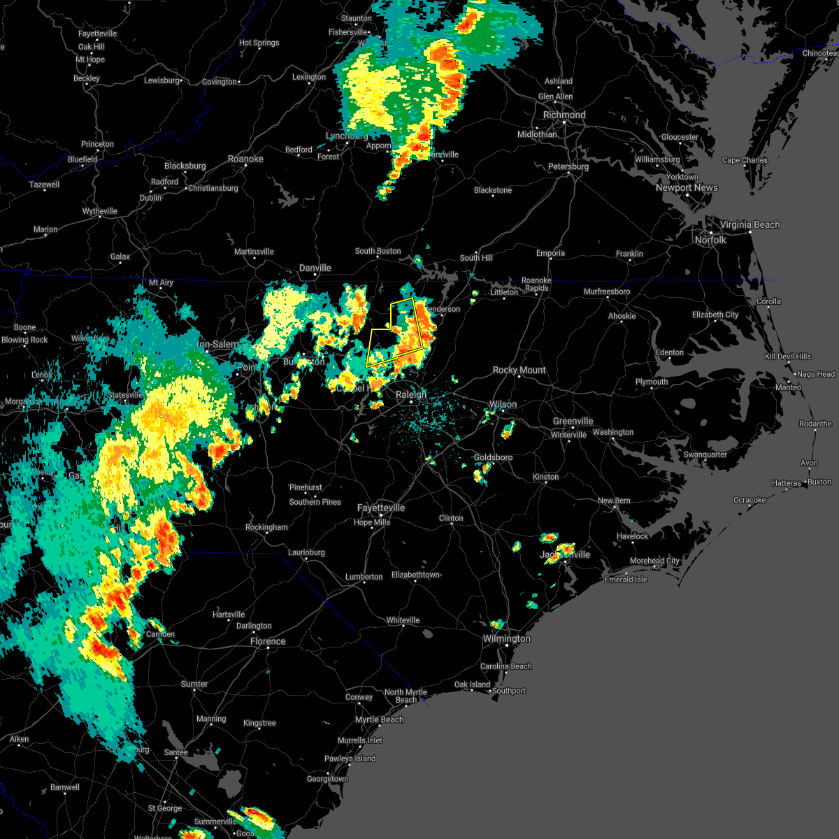 The severe thunderstorm warning for western granville and northern durham counties will expire at 430 pm edt, the storms which prompted the warning have weakened below severe limits, and have exited much of the warned area. therefore, the warning will be allowed to expire. however gusty winds are still possible with these thunderstorms. The severe thunderstorm warning for western granville and northern durham counties will expire at 430 pm edt, the storms which prompted the warning have weakened below severe limits, and have exited much of the warned area. therefore, the warning will be allowed to expire. however gusty winds are still possible with these thunderstorms.
|
| 5/4/2021 4:11 PM EDT |
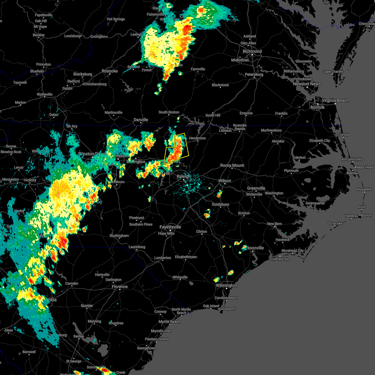 At 410 pm edt, severe thunderstorms were located along a line extending from 8 miles west of oxford to butner to near durham, moving east at 35 mph (radar indicated). Hazards include 60 mph wind gusts and penny size hail. Expect damage to roofs, siding, and trees. Locations impacted include, durham, oxford, creedmoor, butner, rougemont, stem, lake michie, lake butner, berea and bahama. At 410 pm edt, severe thunderstorms were located along a line extending from 8 miles west of oxford to butner to near durham, moving east at 35 mph (radar indicated). Hazards include 60 mph wind gusts and penny size hail. Expect damage to roofs, siding, and trees. Locations impacted include, durham, oxford, creedmoor, butner, rougemont, stem, lake michie, lake butner, berea and bahama.
|
| 5/4/2021 3:46 PM EDT |
 At 346 pm edt, a severe thunderstorm was located near hillsborough, moving northeast at 35 mph (radar indicated). Hazards include 60 mph wind gusts and penny size hail. expect damage to roofs, siding, and trees At 346 pm edt, a severe thunderstorm was located near hillsborough, moving northeast at 35 mph (radar indicated). Hazards include 60 mph wind gusts and penny size hail. expect damage to roofs, siding, and trees
|
| 3/18/2021 6:51 PM EDT |
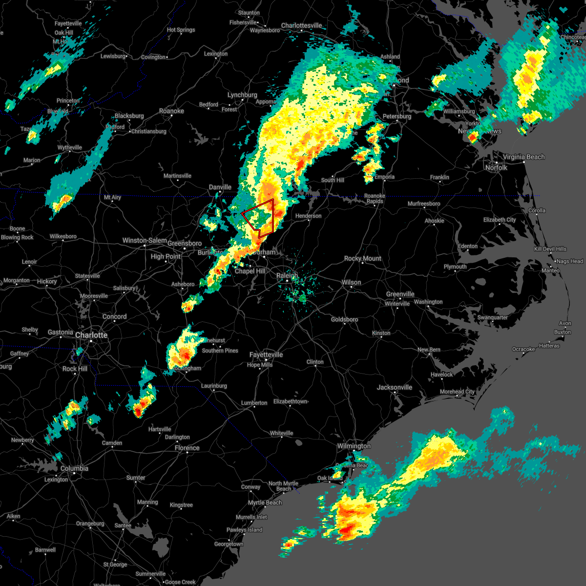 The tornado warning for person and northwestern durham counties will expire at 700 pm edt, the storm which prompted the warning has moved out of the area. therefore, the warning will be allowed to expire. a tornado watch remains in effect until 900 pm edt for central north carolina. to report severe weather, contact your nearest law enforcement agency. they will relay your report to the national weather service raleigh. The tornado warning for person and northwestern durham counties will expire at 700 pm edt, the storm which prompted the warning has moved out of the area. therefore, the warning will be allowed to expire. a tornado watch remains in effect until 900 pm edt for central north carolina. to report severe weather, contact your nearest law enforcement agency. they will relay your report to the national weather service raleigh.
|
| 3/18/2021 6:30 PM EDT |
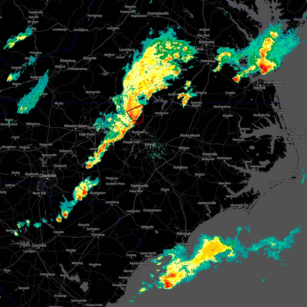 At 629 pm edt, a severe thunderstorm capable of producing a tornado was located near the person county airport in roxboro, or about 8 miles south of the city of roxboro, moving northeast at 25 mph (radar indicated rotation). Hazards include tornado. Flying debris will be dangerous to those caught without shelter. mobile homes will be damaged or destroyed. damage to roofs, windows, and vehicles will occur. tree damage is likely. this dangerous storm will be near, surl around 635 pm edt. Other locations impacted by this tornadic thunderstorm include moriah, surl and mayo reservoir. At 629 pm edt, a severe thunderstorm capable of producing a tornado was located near the person county airport in roxboro, or about 8 miles south of the city of roxboro, moving northeast at 25 mph (radar indicated rotation). Hazards include tornado. Flying debris will be dangerous to those caught without shelter. mobile homes will be damaged or destroyed. damage to roofs, windows, and vehicles will occur. tree damage is likely. this dangerous storm will be near, surl around 635 pm edt. Other locations impacted by this tornadic thunderstorm include moriah, surl and mayo reservoir.
|
| 3/18/2021 6:13 PM EDT |
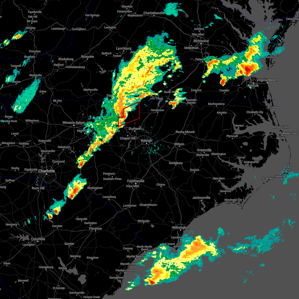 At 610 pm edt, a severe thunderstorm capable of producing a tornado was located near prospect hill, moving northeast at 50 mph (radar indicated rotation). Hazards include tornado. Flying debris will be dangerous to those caught without shelter. mobile homes will be damaged or destroyed. damage to roofs, windows, and vehicles will occur. tree damage is likely. this dangerous storm will be near, the person county airport in roxboro around 625 pm edt. surl around 630 pm edt. Other locations impacted by this tornadic thunderstorm include carr, bushy fork, surl, schley and moriah. At 610 pm edt, a severe thunderstorm capable of producing a tornado was located near prospect hill, moving northeast at 50 mph (radar indicated rotation). Hazards include tornado. Flying debris will be dangerous to those caught without shelter. mobile homes will be damaged or destroyed. damage to roofs, windows, and vehicles will occur. tree damage is likely. this dangerous storm will be near, the person county airport in roxboro around 625 pm edt. surl around 630 pm edt. Other locations impacted by this tornadic thunderstorm include carr, bushy fork, surl, schley and moriah.
|
| 3/18/2021 5:58 PM EDT |
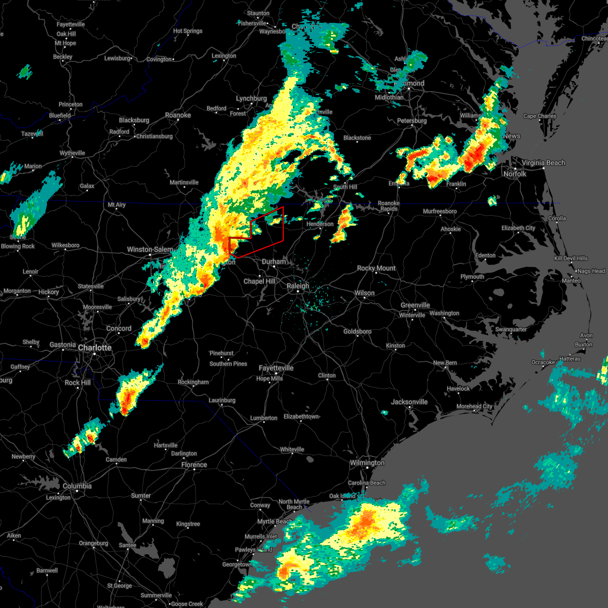 At 557 pm edt, a severe thunderstorm capable of producing a tornado was located near graham, moving northeast at 35 mph (radar indicated rotation). Hazards include tornado. Flying debris will be dangerous to those caught without shelter. mobile homes will be damaged or destroyed. damage to roofs, windows, and vehicles will occur. tree damage is likely. this dangerous storm will be near, rougemont around 635 pm edt. roxboro around 640 pm edt. Other locations impacted by this tornadic thunderstorm include carr, bushy fork, moriah, surl and schley. At 557 pm edt, a severe thunderstorm capable of producing a tornado was located near graham, moving northeast at 35 mph (radar indicated rotation). Hazards include tornado. Flying debris will be dangerous to those caught without shelter. mobile homes will be damaged or destroyed. damage to roofs, windows, and vehicles will occur. tree damage is likely. this dangerous storm will be near, rougemont around 635 pm edt. roxboro around 640 pm edt. Other locations impacted by this tornadic thunderstorm include carr, bushy fork, moriah, surl and schley.
|
| 8/1/2020 12:46 AM EDT |
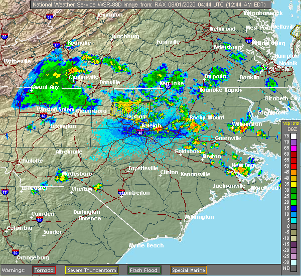 At 1246 am edt, a severe thunderstorm was located near butner, or 9 miles west of creedmoor, moving east at 35 mph (radar indicated). Hazards include 60 mph wind gusts. Expect damage to roofs, siding, and trees. Locations impacted include, oxford, creedmoor, wake forest, butner, rougemont, stem, lake michie, falls lake state rec area, bahama and falls lake. At 1246 am edt, a severe thunderstorm was located near butner, or 9 miles west of creedmoor, moving east at 35 mph (radar indicated). Hazards include 60 mph wind gusts. Expect damage to roofs, siding, and trees. Locations impacted include, oxford, creedmoor, wake forest, butner, rougemont, stem, lake michie, falls lake state rec area, bahama and falls lake.
|
| 8/1/2020 12:32 AM EDT |
 The national weather service in raleigh has issued a * severe thunderstorm warning for. southern person county in central north carolina. northern orange county in central north carolina. southern granville county in central north carolina. North central wake county in central north carolina. The national weather service in raleigh has issued a * severe thunderstorm warning for. southern person county in central north carolina. northern orange county in central north carolina. southern granville county in central north carolina. North central wake county in central north carolina.
|
| 7/28/2020 4:42 PM EDT |
 The severe thunderstorm warning for person and northwestern granville counties will expire at 445 pm edt, the storms which prompted the warning have weakened below severe limits, and have exited the warned area. therefore, the warning will be allowed to expire. to report severe weather, contact your nearest law enforcement agency. they will relay your report to the national weather service raleigh. The severe thunderstorm warning for person and northwestern granville counties will expire at 445 pm edt, the storms which prompted the warning have weakened below severe limits, and have exited the warned area. therefore, the warning will be allowed to expire. to report severe weather, contact your nearest law enforcement agency. they will relay your report to the national weather service raleigh.
|
| 7/28/2020 4:18 PM EDT |
 At 418 pm edt, severe thunderstorms were located along a line extending from redoak to 6 miles southeast of leasburg, moving east at 30 mph (radar indicated). Hazards include 60 mph wind gusts. Expect damage to roofs, siding, and trees. Locations impacted include, roxboro, bethel hill, mayo reservoir, bushy fork and surl. At 418 pm edt, severe thunderstorms were located along a line extending from redoak to 6 miles southeast of leasburg, moving east at 30 mph (radar indicated). Hazards include 60 mph wind gusts. Expect damage to roofs, siding, and trees. Locations impacted include, roxboro, bethel hill, mayo reservoir, bushy fork and surl.
|
| 7/28/2020 4:08 PM EDT |
 At 408 pm edt, severe thunderstorms were located along a line extending from redoak to near leasburg, moving east at 30 mph (radar indicated). Hazards include 60 mph wind gusts. Expect damage to roofs, siding, and trees. Locations impacted include, roxboro, concord, bethel hill, bushy fork, hyco lake, mayo reservoir, hyco marina and surl. At 408 pm edt, severe thunderstorms were located along a line extending from redoak to near leasburg, moving east at 30 mph (radar indicated). Hazards include 60 mph wind gusts. Expect damage to roofs, siding, and trees. Locations impacted include, roxboro, concord, bethel hill, bushy fork, hyco lake, mayo reservoir, hyco marina and surl.
|
| 7/28/2020 3:38 PM EDT |
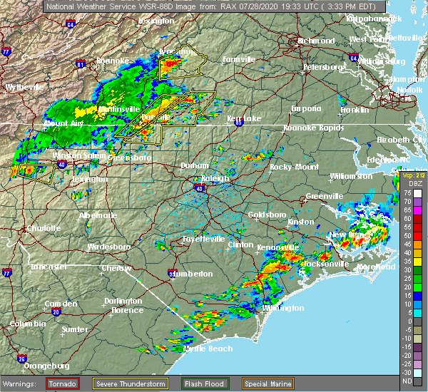 At 338 pm edt, severe thunderstorms were located along a line extending from near crystal hill to yanceyville, moving east at 30 mph (radar indicated). Hazards include 60 mph wind gusts. expect damage to roofs, siding, and trees At 338 pm edt, severe thunderstorms were located along a line extending from near crystal hill to yanceyville, moving east at 30 mph (radar indicated). Hazards include 60 mph wind gusts. expect damage to roofs, siding, and trees
|
| 6/30/2020 6:00 PM EDT | Corrects previous tstm wnd dmg report from 3 nne rougemont. multiple trees down on moores mill r in person county NC, 2.5 miles SSW of Rougemont, NC |
| 6/30/2020 5:53 PM EDT |
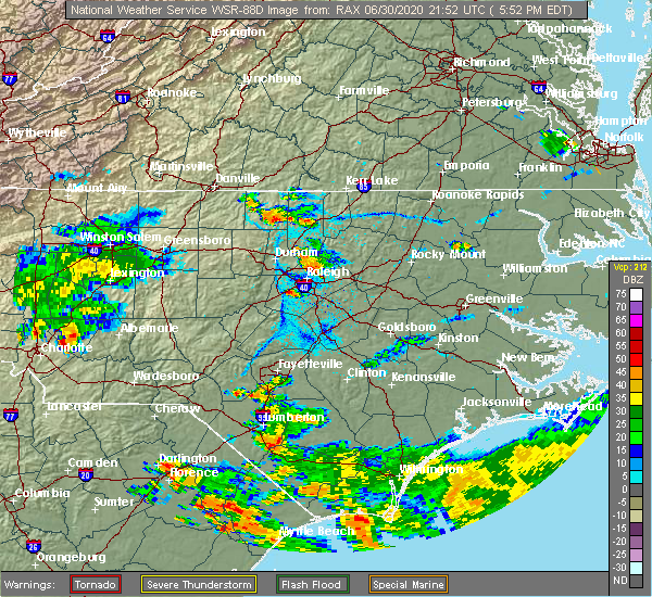 At 553 pm edt, a severe thunderstorm was located near rougemont, or 8 miles southeast of roxboro, moving southeast at 15 mph (radar indicated). Hazards include 60 mph wind gusts and quarter size hail. Hail damage to vehicles is expected. Expect wind damage to roofs, siding, and trees. At 553 pm edt, a severe thunderstorm was located near rougemont, or 8 miles southeast of roxboro, moving southeast at 15 mph (radar indicated). Hazards include 60 mph wind gusts and quarter size hail. Hail damage to vehicles is expected. Expect wind damage to roofs, siding, and trees.
|
| 4/13/2020 6:55 AM EDT |
 At 655 am edt, severe thunderstorms were located along a line extending from 7 miles southwest of virgilina to 9 miles northeast of siler city, moving northeast at 45 mph (radar indicated). Hazards include 60 mph wind gusts. Expect damage to roofs, siding, and trees. Locations impacted include, raleigh, durham, chapel hill, burlington, asheboro, graham, oxford, roxboro, hillsborough and creedmoor. At 655 am edt, severe thunderstorms were located along a line extending from 7 miles southwest of virgilina to 9 miles northeast of siler city, moving northeast at 45 mph (radar indicated). Hazards include 60 mph wind gusts. Expect damage to roofs, siding, and trees. Locations impacted include, raleigh, durham, chapel hill, burlington, asheboro, graham, oxford, roxboro, hillsborough and creedmoor.
|
| 4/13/2020 6:41 AM EDT |
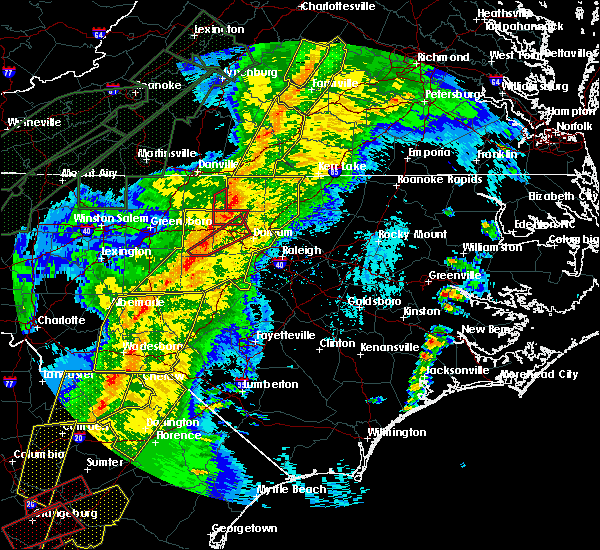 At 641 am edt, a severe thunderstorm capable of producing a tornado was located near rougemont, or 9 miles south of roxboro, moving northeast at 55 mph (radar indicated rotation). Hazards include tornado. Flying debris will be dangerous to those caught without shelter. mobile homes will be damaged or destroyed. damage to roofs, windows, and vehicles will occur. tree damage is likely. this dangerous storm will be near, oxford around 705 am edt. Other locations impacted by this tornadic thunderstorm include bushy fork, berea, surl, stovall and moriah. At 641 am edt, a severe thunderstorm capable of producing a tornado was located near rougemont, or 9 miles south of roxboro, moving northeast at 55 mph (radar indicated rotation). Hazards include tornado. Flying debris will be dangerous to those caught without shelter. mobile homes will be damaged or destroyed. damage to roofs, windows, and vehicles will occur. tree damage is likely. this dangerous storm will be near, oxford around 705 am edt. Other locations impacted by this tornadic thunderstorm include bushy fork, berea, surl, stovall and moriah.
|
| 4/13/2020 6:19 AM EDT |
 At 619 am edt, severe thunderstorms were located along a line extending from milton to north carolina zoo, moving northeast at 60 mph (radar indicated). Hazards include 60 mph wind gusts. expect damage to roofs, siding, and trees At 619 am edt, severe thunderstorms were located along a line extending from milton to north carolina zoo, moving northeast at 60 mph (radar indicated). Hazards include 60 mph wind gusts. expect damage to roofs, siding, and trees
|
| 4/8/2020 7:24 PM EDT |
 The severe thunderstorm warning for alamance, person, orange, northwestern granville, eastern guilford and northwestern durham counties will expire at 730 pm edt, the storms which prompted the warning have moved out of the area. therefore, the warning will be allowed to expire. The severe thunderstorm warning for alamance, person, orange, northwestern granville, eastern guilford and northwestern durham counties will expire at 730 pm edt, the storms which prompted the warning have moved out of the area. therefore, the warning will be allowed to expire.
|
| 4/8/2020 6:39 PM EDT |
 At 638 pm edt, severe thunderstorms were located along a line extending from near semora to near jericho to near mcleansville, moving southeast at 35 mph (radar indicated). Hazards include 60 mph wind gusts and quarter size hail. Hail damage to vehicles is expected. Expect wind damage to roofs, siding, and trees. At 638 pm edt, severe thunderstorms were located along a line extending from near semora to near jericho to near mcleansville, moving southeast at 35 mph (radar indicated). Hazards include 60 mph wind gusts and quarter size hail. Hail damage to vehicles is expected. Expect wind damage to roofs, siding, and trees.
|
| 4/8/2020 6:25 PM EDT |
 At 624 pm edt, severe thunderstorms were located along a line extending from near oxford to butner, moving southeast at 40 mph (radar indicated). Hazards include 60 mph wind gusts and quarter size hail. Hail damage to vehicles is expected. expect wind damage to roofs, siding, and trees. Locations impacted include, raleigh, durham, creedmoor, louisburg, wake forest, butner, franklinton, kittrell, bunn, rolesville, and falls lake. At 624 pm edt, severe thunderstorms were located along a line extending from near oxford to butner, moving southeast at 40 mph (radar indicated). Hazards include 60 mph wind gusts and quarter size hail. Hail damage to vehicles is expected. expect wind damage to roofs, siding, and trees. Locations impacted include, raleigh, durham, creedmoor, louisburg, wake forest, butner, franklinton, kittrell, bunn, rolesville, and falls lake.
|
| 4/8/2020 6:05 PM EDT |
 At 604 pm edt, severe thunderstorms were located along a line extending from 6 miles northwest of oxford to near rougemont, moving southeast at 45 mph (radar indicated). Hazards include 60 mph wind gusts and quarter size hail. Hail damage to vehicles is expected. Expect wind damage to roofs, siding, and trees. At 604 pm edt, severe thunderstorms were located along a line extending from 6 miles northwest of oxford to near rougemont, moving southeast at 45 mph (radar indicated). Hazards include 60 mph wind gusts and quarter size hail. Hail damage to vehicles is expected. Expect wind damage to roofs, siding, and trees.
|
| 4/8/2020 5:47 PM EDT |
 At 547 pm edt, severe thunderstorms were located along a line extending from 6 miles south of virgilina to near leasburg, moving southeast at 40 mph (radar indicated). Hazards include 60 mph wind gusts and quarter to half dollar size hail. Hail damage to vehicles is expected. expect wind damage to roofs, siding, and trees. Locations impacted include, henderson, oxford, roxboro, kittrell, concord, stovall, middleburg, gillburg, mayo reservoir and steele creek marina & campground. At 547 pm edt, severe thunderstorms were located along a line extending from 6 miles south of virgilina to near leasburg, moving southeast at 40 mph (radar indicated). Hazards include 60 mph wind gusts and quarter to half dollar size hail. Hail damage to vehicles is expected. expect wind damage to roofs, siding, and trees. Locations impacted include, henderson, oxford, roxboro, kittrell, concord, stovall, middleburg, gillburg, mayo reservoir and steele creek marina & campground.
|
| 4/8/2020 5:36 PM EDT |
 At 535 pm edt, a severe thunderstorm was located near alton, or 7 miles north of roxboro, moving southeast at 40 mph. a second severe storm will be moving into northwest person county shortly (radar indicated). Hazards include 60 mph wind gusts and quarter size hail. Hail damage to vehicles is expected. Expect wind damage to roofs, siding, and trees. At 535 pm edt, a severe thunderstorm was located near alton, or 7 miles north of roxboro, moving southeast at 40 mph. a second severe storm will be moving into northwest person county shortly (radar indicated). Hazards include 60 mph wind gusts and quarter size hail. Hail damage to vehicles is expected. Expect wind damage to roofs, siding, and trees.
|
| 2/6/2020 1:11 PM EST |
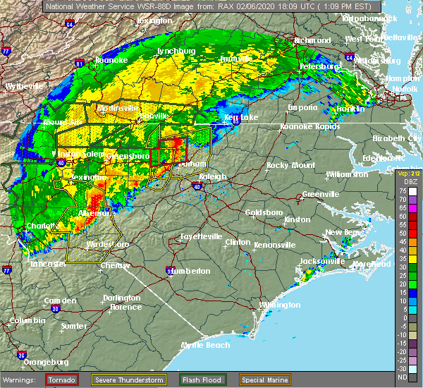 The tornado warning for southeastern person, northeastern orange and northwestern durham counties will expire at 115 pm est, the tornadic thunderstorm which prompted the warning has weakened. therefore, the warning will be allowed to expire. a tornado watch remains in effect until 500 pm est for central north carolina. a tornado watch also remains in effect until 700 pm est for central north carolina. The tornado warning for southeastern person, northeastern orange and northwestern durham counties will expire at 115 pm est, the tornadic thunderstorm which prompted the warning has weakened. therefore, the warning will be allowed to expire. a tornado watch remains in effect until 500 pm est for central north carolina. a tornado watch also remains in effect until 700 pm est for central north carolina.
|
| 2/6/2020 1:05 PM EST |
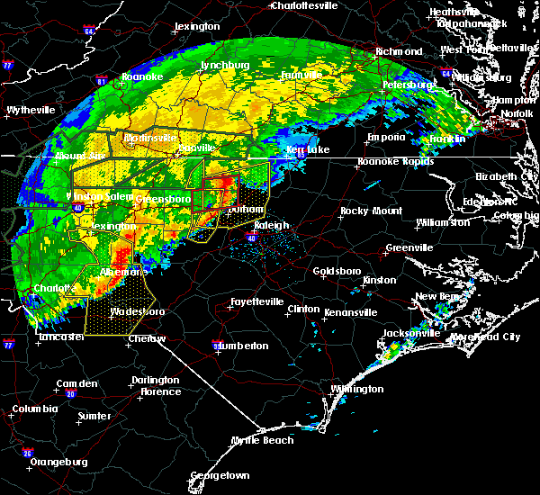 At 105 pm est, a severe thunderstorm capable of producing a tornado was located near rougemont, or 10 miles southeast of roxboro, moving northeast at 80 mph (radar indicated rotation). Hazards include tornado. Flying debris will be dangerous to those caught without shelter. mobile homes will be damaged or destroyed. damage to roofs, windows, and vehicles will occur. tree damage is likely. This tornadic thunderstorm will remain over mainly rural areas of southeastern person, northeastern orange and northwestern durham counties, including the following locations, lake michie, surl, bahama, moriah and eno river state park. At 105 pm est, a severe thunderstorm capable of producing a tornado was located near rougemont, or 10 miles southeast of roxboro, moving northeast at 80 mph (radar indicated rotation). Hazards include tornado. Flying debris will be dangerous to those caught without shelter. mobile homes will be damaged or destroyed. damage to roofs, windows, and vehicles will occur. tree damage is likely. This tornadic thunderstorm will remain over mainly rural areas of southeastern person, northeastern orange and northwestern durham counties, including the following locations, lake michie, surl, bahama, moriah and eno river state park.
|
| 2/6/2020 12:59 PM EST |
 The national weather service in raleigh has issued a * severe thunderstorm warning for. southern person county in central north carolina. orange county in central north carolina. granville county in central north carolina. Northwestern wake county in central north carolina. The national weather service in raleigh has issued a * severe thunderstorm warning for. southern person county in central north carolina. orange county in central north carolina. granville county in central north carolina. Northwestern wake county in central north carolina.
|
| 2/6/2020 12:52 PM EST |
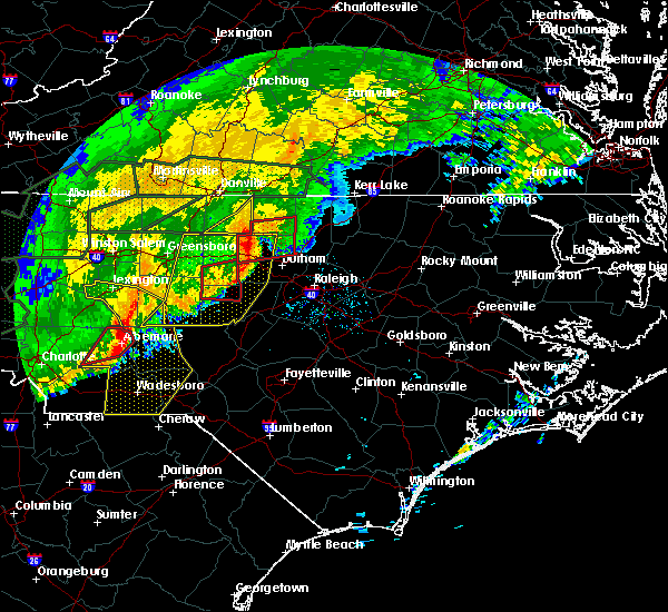 At 1251 pm est, a severe thunderstorm capable of producing a tornado was located near hillsborough, moving east at 65 mph (radar indicated rotation). Hazards include tornado. Flying debris will be dangerous to those caught without shelter. mobile homes will be damaged or destroyed. damage to roofs, windows, and vehicles will occur. tree damage is likely. this dangerous storm will be near, rougemont around 105 pm est. Other locations impacted by this tornadic thunderstorm include carr, bushy fork, efland, lake michie and moriah. At 1251 pm est, a severe thunderstorm capable of producing a tornado was located near hillsborough, moving east at 65 mph (radar indicated rotation). Hazards include tornado. Flying debris will be dangerous to those caught without shelter. mobile homes will be damaged or destroyed. damage to roofs, windows, and vehicles will occur. tree damage is likely. this dangerous storm will be near, rougemont around 105 pm est. Other locations impacted by this tornadic thunderstorm include carr, bushy fork, efland, lake michie and moriah.
|
| 1/12/2020 12:20 AM EST |
 The severe thunderstorm warning for person, eastern chatham and durham counties will expire at 1230 am est, the storms which prompted the warning have moved out of the area. therefore, the warning will be allowed to expire. to report severe weather, contact your nearest law enforcement agency. they will relay your report to the national weather service raleigh. The severe thunderstorm warning for person, eastern chatham and durham counties will expire at 1230 am est, the storms which prompted the warning have moved out of the area. therefore, the warning will be allowed to expire. to report severe weather, contact your nearest law enforcement agency. they will relay your report to the national weather service raleigh.
|
| 1/12/2020 12:05 AM EST |
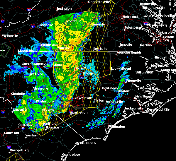 At 1204 am est, severe thunderstorms were located along a line extending from near south boston to 9 miles southeast of roxboro to 11 miles southeast of pittsboro, moving northeast at 55 mph (radar indicated). Hazards include 60 mph wind gusts. Expect damage to roofs, siding, and trees. Locations impacted include, durham, roxboro, rougemont, concord, crosswinds boating center, lake michie, crosswinds campground, gorman, mayo reservoir and parkwood. At 1204 am est, severe thunderstorms were located along a line extending from near south boston to 9 miles southeast of roxboro to 11 miles southeast of pittsboro, moving northeast at 55 mph (radar indicated). Hazards include 60 mph wind gusts. Expect damage to roofs, siding, and trees. Locations impacted include, durham, roxboro, rougemont, concord, crosswinds boating center, lake michie, crosswinds campground, gorman, mayo reservoir and parkwood.
|
| 1/11/2020 11:40 PM EST |
 At 1140 pm est, severe thunderstorms were located along a line extending from near elmo to near hillsborough to near goldston, moving northeast at 70 mph (radar indicated). Hazards include 60 mph wind gusts. Expect damage to roofs, siding, and trees. Locations impacted include, durham, chapel hill, burlington, graham, roxboro, hillsborough, pittsboro, siler city, carrboro and mebane. At 1140 pm est, severe thunderstorms were located along a line extending from near elmo to near hillsborough to near goldston, moving northeast at 70 mph (radar indicated). Hazards include 60 mph wind gusts. Expect damage to roofs, siding, and trees. Locations impacted include, durham, chapel hill, burlington, graham, roxboro, hillsborough, pittsboro, siler city, carrboro and mebane.
|
| 1/11/2020 11:11 PM EST |
 At 1111 pm est, severe thunderstorms were located along a line extending from mayfield to 11 miles south of mcleansville to near biscoe, moving northeast at 60 mph (radar indicated). Hazards include 60 mph wind gusts. expect damage to roofs, siding, and trees At 1111 pm est, severe thunderstorms were located along a line extending from mayfield to 11 miles south of mcleansville to near biscoe, moving northeast at 60 mph (radar indicated). Hazards include 60 mph wind gusts. expect damage to roofs, siding, and trees
|
| 10/31/2019 8:28 PM EDT |
 At 828 pm edt, severe thunderstorms were located along a line extending from 11 miles north of henderson to rdu international, moving northeast at 55 mph (radar indicated). Hazards include 60 mph wind gusts. Expect damage to roofs, siding, and trees. locations impacted include, raleigh, durham, cary, creedmoor, garner, fuquay-varina, butner, rdu international, rougemont and apex. A tornado watch remains in effect until 1100 pm edt for central north carolina. At 828 pm edt, severe thunderstorms were located along a line extending from 11 miles north of henderson to rdu international, moving northeast at 55 mph (radar indicated). Hazards include 60 mph wind gusts. Expect damage to roofs, siding, and trees. locations impacted include, raleigh, durham, cary, creedmoor, garner, fuquay-varina, butner, rdu international, rougemont and apex. A tornado watch remains in effect until 1100 pm edt for central north carolina.
|
| 10/31/2019 8:15 PM EDT |
 At 814 pm edt, severe thunderstorms were located along a line extending from near clarksville to 10 miles north of oxford to near butner, moving northeast at 50 mph (radar indicated). Hazards include 60 mph wind gusts. expect damage to roofs, siding, and trees At 814 pm edt, severe thunderstorms were located along a line extending from near clarksville to 10 miles north of oxford to near butner, moving northeast at 50 mph (radar indicated). Hazards include 60 mph wind gusts. expect damage to roofs, siding, and trees
|
| 10/31/2019 8:15 PM EDT |
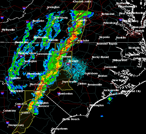 At 813 pm edt, a severe squall line capable of producing both tornadoes and extensive straight line wind damage was located along a line extending from near oxford to near butner, moving northeast at 55 mph. the two circulations capable of producing a tornado, which were embedded within the squall line, were located near berea in granville county and near bahama in durham county, moving northeast at 55 mph (radar indicated rotation). Hazards include tornado. Flying debris will be dangerous to those caught without shelter. mobile homes will be damaged or destroyed. damage to roofs, windows, and vehicles will occur. tree damage is likely. Locations impacted include, oxford, rougemont, stem, stovall, moriah, berea, surl, bahama, lake michie and lake butner. At 813 pm edt, a severe squall line capable of producing both tornadoes and extensive straight line wind damage was located along a line extending from near oxford to near butner, moving northeast at 55 mph. the two circulations capable of producing a tornado, which were embedded within the squall line, were located near berea in granville county and near bahama in durham county, moving northeast at 55 mph (radar indicated rotation). Hazards include tornado. Flying debris will be dangerous to those caught without shelter. mobile homes will be damaged or destroyed. damage to roofs, windows, and vehicles will occur. tree damage is likely. Locations impacted include, oxford, rougemont, stem, stovall, moriah, berea, surl, bahama, lake michie and lake butner.
|
| 10/31/2019 8:03 PM EDT |
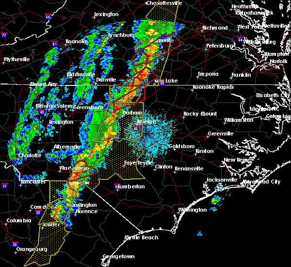 At 803 pm edt, a severe squall line capable of producing both tornadoes and extensive straight line wind damage was located 10 miles west of oxford, moving northeast at 55 mph (radar indicated rotation). Hazards include tornado. Flying debris will be dangerous to those caught without shelter. mobile homes will be damaged or destroyed. damage to roofs, windows, and vehicles will occur. tree damage is likely. Locations impacted include, oxford, rougemont, stem, stovall, moriah, berea, surl, bahama, lake michie and lake butner. At 803 pm edt, a severe squall line capable of producing both tornadoes and extensive straight line wind damage was located 10 miles west of oxford, moving northeast at 55 mph (radar indicated rotation). Hazards include tornado. Flying debris will be dangerous to those caught without shelter. mobile homes will be damaged or destroyed. damage to roofs, windows, and vehicles will occur. tree damage is likely. Locations impacted include, oxford, rougemont, stem, stovall, moriah, berea, surl, bahama, lake michie and lake butner.
|
| 10/31/2019 7:48 PM EDT | Tree down on dick holeman r in person county NC, 4.2 miles SSE of Rougemont, NC |
| 10/31/2019 7:47 PM EDT |
 At 747 pm edt, a severe thunderstorm capable of producing a tornado was located near rougemont, or 10 miles northeast of hillsborough, moving northeast at 55 mph (radar indicated rotation). Hazards include tornado. Flying debris will be dangerous to those caught without shelter. mobile homes will be damaged or destroyed. damage to roofs, windows, and vehicles will occur. Tree damage is likely. At 747 pm edt, a severe thunderstorm capable of producing a tornado was located near rougemont, or 10 miles northeast of hillsborough, moving northeast at 55 mph (radar indicated rotation). Hazards include tornado. Flying debris will be dangerous to those caught without shelter. mobile homes will be damaged or destroyed. damage to roofs, windows, and vehicles will occur. Tree damage is likely.
|
| 10/31/2019 7:40 PM EDT |
 At 739 pm edt, severe thunderstorms were located along a line extending from near prospect hill to 7 miles south of siler city, moving northeast at 55 mph (radar indicated). Hazards include 60 mph wind gusts. expect damage to roofs, siding, and trees At 739 pm edt, severe thunderstorms were located along a line extending from near prospect hill to 7 miles south of siler city, moving northeast at 55 mph (radar indicated). Hazards include 60 mph wind gusts. expect damage to roofs, siding, and trees
|
| 10/31/2019 7:17 PM EDT |
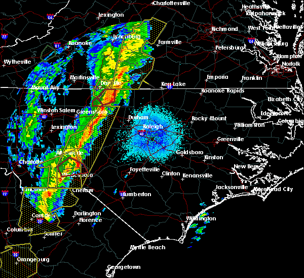 At 717 pm edt, a severe thunderstorm was located over leasburg, or 8 miles west of roxboro, moving northeast at 60 mph (radar indicated). Hazards include 60 mph wind gusts. expect damage to roofs, siding, and trees At 717 pm edt, a severe thunderstorm was located over leasburg, or 8 miles west of roxboro, moving northeast at 60 mph (radar indicated). Hazards include 60 mph wind gusts. expect damage to roofs, siding, and trees
|
| 8/21/2019 7:05 PM EDT |
 At 705 pm edt, severe thunderstorms were located along a line extending from near butner to 10 miles northwest of pittsboro, moving east at 50 mph (radar indicated). Hazards include 60 mph wind gusts. Expect damage to roofs, siding, and trees. Locations impacted include, durham, chapel hill, asheboro, hillsborough, randleman, pittsboro, siler city, carrboro, mebane and goldston. At 705 pm edt, severe thunderstorms were located along a line extending from near butner to 10 miles northwest of pittsboro, moving east at 50 mph (radar indicated). Hazards include 60 mph wind gusts. Expect damage to roofs, siding, and trees. Locations impacted include, durham, chapel hill, asheboro, hillsborough, randleman, pittsboro, siler city, carrboro, mebane and goldston.
|
| 8/21/2019 6:29 PM EDT |
 The national weather service in raleigh has issued a * severe thunderstorm warning for. alamance county in central north carolina. orange county in central north carolina. northeastern randolph county in central north carolina. Southeastern guilford county in central north carolina. The national weather service in raleigh has issued a * severe thunderstorm warning for. alamance county in central north carolina. orange county in central north carolina. northeastern randolph county in central north carolina. Southeastern guilford county in central north carolina.
|
| 8/13/2019 4:34 PM EDT |
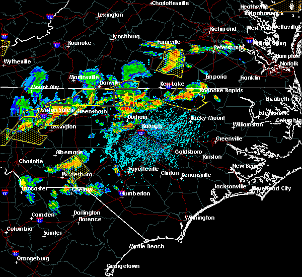 At 433 pm edt, severe thunderstorms were located along a line extending from 6 miles east of henderson to near creedmoor to near butner, moving east at 35 mph (radar indicated). Hazards include 60 mph wind gusts. expect damage to roofs, siding, and trees At 433 pm edt, severe thunderstorms were located along a line extending from 6 miles east of henderson to near creedmoor to near butner, moving east at 35 mph (radar indicated). Hazards include 60 mph wind gusts. expect damage to roofs, siding, and trees
|
| 8/13/2019 4:10 PM EDT | Three trees down near the intersection of helena-moriah rd and malone r in person county NC, 4.5 miles S of Rougemont, NC |
| 8/7/2019 1:16 PM EDT |
 At 115 pm edt, severe thunderstorms were located along a line extending from near roxboro to prospect hill, moving northeast at 25 mph (radar indicated). Hazards include 60 mph wind gusts. expect damage to roofs, siding, and trees At 115 pm edt, severe thunderstorms were located along a line extending from near roxboro to prospect hill, moving northeast at 25 mph (radar indicated). Hazards include 60 mph wind gusts. expect damage to roofs, siding, and trees
|
| 8/7/2019 1:16 PM EDT |
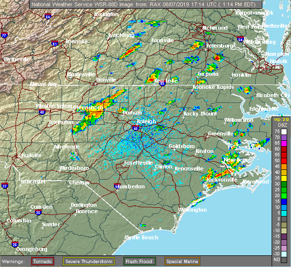 At 115 pm edt, severe thunderstorms were located along a line extending from near roxboro to prospect hill, moving northeast at 25 mph (radar indicated). Hazards include 60 mph wind gusts. expect damage to roofs, siding, and trees At 115 pm edt, severe thunderstorms were located along a line extending from near roxboro to prospect hill, moving northeast at 25 mph (radar indicated). Hazards include 60 mph wind gusts. expect damage to roofs, siding, and trees
|
| 8/1/2019 5:08 PM EDT |
 At 508 pm edt, a severe thunderstorm was located over rougemont, or 12 miles south of roxboro, moving northeast at 15 mph (radar indicated). Hazards include 60 mph wind gusts and nickel size hail. Expect damage to roofs, siding, and trees. Locations impacted include, rougemont, lake michie, moriah, berea, surl, bahama and lake butner. At 508 pm edt, a severe thunderstorm was located over rougemont, or 12 miles south of roxboro, moving northeast at 15 mph (radar indicated). Hazards include 60 mph wind gusts and nickel size hail. Expect damage to roofs, siding, and trees. Locations impacted include, rougemont, lake michie, moriah, berea, surl, bahama and lake butner.
|
| 8/1/2019 4:50 PM EDT |
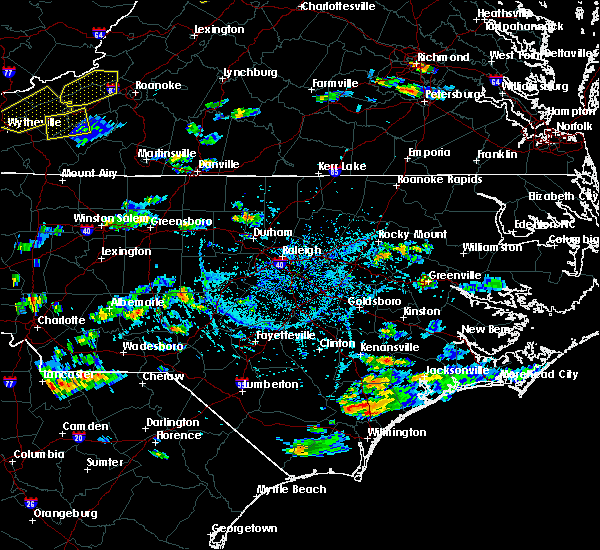 At 450 pm edt, a severe thunderstorm was located near rougemont, or 11 miles northeast of hillsborough, moving northeast at 15 mph (radar indicated). Hazards include 60 mph wind gusts and nickel size hail. expect damage to roofs, siding, and trees At 450 pm edt, a severe thunderstorm was located near rougemont, or 11 miles northeast of hillsborough, moving northeast at 15 mph (radar indicated). Hazards include 60 mph wind gusts and nickel size hail. expect damage to roofs, siding, and trees
|
| 7/22/2019 6:43 PM EDT |
 At 643 pm edt, a severe thunderstorm was located near prospect hill, moving northeast at 30 mph (radar indicated). Hazards include 60 mph wind gusts. expect damage to roofs, siding, and trees At 643 pm edt, a severe thunderstorm was located near prospect hill, moving northeast at 30 mph (radar indicated). Hazards include 60 mph wind gusts. expect damage to roofs, siding, and trees
|
| 6/20/2019 3:26 PM EDT |
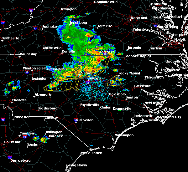 At 325 pm edt, a severe thunderstorm was located near butner, or near creedmoor, moving east at 45 mph. other, severe thunderstorms were located across vance and northern franklin counties (emergency management). Hazards include 60 mph wind gusts and nickel size hail. Expect damage to roofs, siding, and trees. Locations impacted include, durham, henderson, oxford, creedmoor, louisburg, warrenton, wake forest, butner, franklinton and norlina. At 325 pm edt, a severe thunderstorm was located near butner, or near creedmoor, moving east at 45 mph. other, severe thunderstorms were located across vance and northern franklin counties (emergency management). Hazards include 60 mph wind gusts and nickel size hail. Expect damage to roofs, siding, and trees. Locations impacted include, durham, henderson, oxford, creedmoor, louisburg, warrenton, wake forest, butner, franklinton and norlina.
|
| 6/20/2019 3:09 PM EDT | Tree down on a house on the 1100 block of chambers loop roa in person county NC, 3.1 miles S of Rougemont, NC |
| 6/20/2019 3:09 PM EDT |
 At 309 pm edt, severe thunderstorms were located along a line extending from near virgilina to 11 miles northeast of rougemont to graham, moving east at 50 mph (emergency management report numerous trees and powerlines down across north central north carolina, especially portions of person county). Hazards include 70 mph wind gusts and quarter size hail. Hail damage to vehicles is expected. expect considerable tree damage. wind damage is also likely to mobile homes, roofs, and outbuildings. Locations impacted include, durham, chapel hill, burlington, graham, oxford, hillsborough, creedmoor, carrboro, mebane and butner. At 309 pm edt, severe thunderstorms were located along a line extending from near virgilina to 11 miles northeast of rougemont to graham, moving east at 50 mph (emergency management report numerous trees and powerlines down across north central north carolina, especially portions of person county). Hazards include 70 mph wind gusts and quarter size hail. Hail damage to vehicles is expected. expect considerable tree damage. wind damage is also likely to mobile homes, roofs, and outbuildings. Locations impacted include, durham, chapel hill, burlington, graham, oxford, hillsborough, creedmoor, carrboro, mebane and butner.
|
| 6/20/2019 3:06 PM EDT |
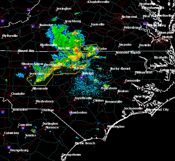 At 304 pm edt, a severe thunderstorm was located near creedmoor, moving northeast at 55 mph. other sever thunderstorms were ongoing or developing across durham and granville counties (emergency management). Hazards include 70 mph wind gusts and nickel size hail. Expect considerable tree damage. Damage is likely to mobile homes, roofs, and outbuildings. At 304 pm edt, a severe thunderstorm was located near creedmoor, moving northeast at 55 mph. other sever thunderstorms were ongoing or developing across durham and granville counties (emergency management). Hazards include 70 mph wind gusts and nickel size hail. Expect considerable tree damage. Damage is likely to mobile homes, roofs, and outbuildings.
|
| 6/20/2019 3:01 PM EDT | Large tree on a house on chambers loop rd. near riverbend wa in person county NC, 3.1 miles S of Rougemont, NC |
| 6/20/2019 2:51 PM EDT | Tree down on a house south of hurdle mill in person county NC, 7.3 miles ESE of Rougemont, NC |
| 6/20/2019 2:33 PM EDT |
 At 232 pm edt, severe thunderstorms were located along a line extending from near elmo to yanceyville to near high point, moving east at 45 mph (law enforcement). Hazards include 60 mph wind gusts, heavy rainfall, and quarter size hail. this storm has a history of producing wind damage across the western piedmont of nc. Hail damage to vehicles is expected. Expect wind damage to roofs, siding, and trees. At 232 pm edt, severe thunderstorms were located along a line extending from near elmo to yanceyville to near high point, moving east at 45 mph (law enforcement). Hazards include 60 mph wind gusts, heavy rainfall, and quarter size hail. this storm has a history of producing wind damage across the western piedmont of nc. Hail damage to vehicles is expected. Expect wind damage to roofs, siding, and trees.
|
| 5/25/2019 9:54 PM EDT |
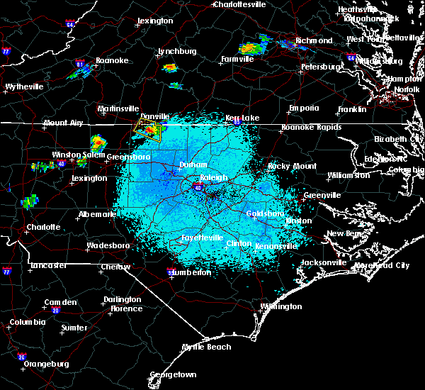 At 953 pm edt, a severe thunderstorm was located over hamer, or near yanceyville, moving southeast at 20 mph (radar indicated). Hazards include 60 mph wind gusts and quarter size hail. Hail damage to vehicles is expected. Expect wind damage to roofs, siding, and trees. At 953 pm edt, a severe thunderstorm was located over hamer, or near yanceyville, moving southeast at 20 mph (radar indicated). Hazards include 60 mph wind gusts and quarter size hail. Hail damage to vehicles is expected. Expect wind damage to roofs, siding, and trees.
|
| 4/19/2019 4:52 PM EDT |
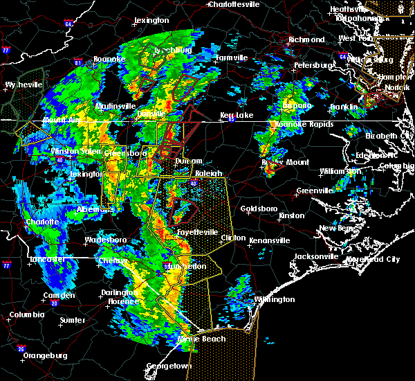 At 452 pm edt, a severe thunderstorm capable of producing a tornado was located near rougemont, or 9 miles south of roxboro, moving north at 40 mph (radar indicated rotation). Hazards include tornado. Flying debris will be dangerous to those caught without shelter. mobile homes will be damaged or destroyed. damage to roofs, windows, and vehicles will occur. Tree damage is likely. At 452 pm edt, a severe thunderstorm capable of producing a tornado was located near rougemont, or 9 miles south of roxboro, moving north at 40 mph (radar indicated rotation). Hazards include tornado. Flying debris will be dangerous to those caught without shelter. mobile homes will be damaged or destroyed. damage to roofs, windows, and vehicles will occur. Tree damage is likely.
|
| 4/19/2019 4:47 PM EDT |
 At 447 pm edt, a severe thunderstorm capable of producing a tornado was located over rougemont, or 12 miles northeast of hillsborough, moving north at 45 mph (radar indicated rotation). Hazards include tornado and quarter size hail. Flying debris will be dangerous to those caught without shelter. mobile homes will be damaged or destroyed. damage to roofs, windows, and vehicles will occur. tree damage is likely. Locations impacted include, rougemont, bahama, schley, moriah, lake michie and eno river state park. At 447 pm edt, a severe thunderstorm capable of producing a tornado was located over rougemont, or 12 miles northeast of hillsborough, moving north at 45 mph (radar indicated rotation). Hazards include tornado and quarter size hail. Flying debris will be dangerous to those caught without shelter. mobile homes will be damaged or destroyed. damage to roofs, windows, and vehicles will occur. tree damage is likely. Locations impacted include, rougemont, bahama, schley, moriah, lake michie and eno river state park.
|
| 4/19/2019 4:45 PM EDT |
 At 445 pm edt, a severe thunderstorm was located near hillsborough, moving northeast at 45 mph (radar indicated). Hazards include 60 mph wind gusts. expect damage to roofs, siding, and trees At 445 pm edt, a severe thunderstorm was located near hillsborough, moving northeast at 45 mph (radar indicated). Hazards include 60 mph wind gusts. expect damage to roofs, siding, and trees
|
| 4/19/2019 4:37 PM EDT |
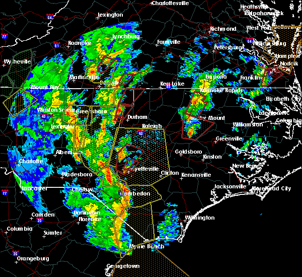 At 436 pm edt, a severe thunderstorm capable of producing a tornado was located near roxboro, moving northeast at 45 mph (radar indicated rotation). Hazards include tornado. Flying debris will be dangerous to those caught without shelter. mobile homes will be damaged or destroyed. damage to roofs, windows, and vehicles will occur. Tree damage is likely. At 436 pm edt, a severe thunderstorm capable of producing a tornado was located near roxboro, moving northeast at 45 mph (radar indicated rotation). Hazards include tornado. Flying debris will be dangerous to those caught without shelter. mobile homes will be damaged or destroyed. damage to roofs, windows, and vehicles will occur. Tree damage is likely.
|
| 4/19/2019 4:34 PM EDT |
 At 434 pm edt, a severe thunderstorm capable of producing a tornado was located near hillsborough, moving northeast at 40 mph (radar indicated rotation). Hazards include tornado and quarter size hail. Flying debris will be dangerous to those caught without shelter. mobile homes will be damaged or destroyed. damage to roofs, windows, and vehicles will occur. tree damage is likely. Locations impacted include, durham, hillsborough, rougemont, moriah, eno river state park, bahama, schley and lake michie. At 434 pm edt, a severe thunderstorm capable of producing a tornado was located near hillsborough, moving northeast at 40 mph (radar indicated rotation). Hazards include tornado and quarter size hail. Flying debris will be dangerous to those caught without shelter. mobile homes will be damaged or destroyed. damage to roofs, windows, and vehicles will occur. tree damage is likely. Locations impacted include, durham, hillsborough, rougemont, moriah, eno river state park, bahama, schley and lake michie.
|
| 4/19/2019 4:26 PM EDT |
 At 426 pm edt, a severe thunderstorm capable of producing a tornado was located near hillsborough, moving northeast at 45 mph (radar indicated rotation). Hazards include tornado and quarter size hail. Flying debris will be dangerous to those caught without shelter. mobile homes will be damaged or destroyed. damage to roofs, windows, and vehicles will occur. Tree damage is likely. At 426 pm edt, a severe thunderstorm capable of producing a tornado was located near hillsborough, moving northeast at 45 mph (radar indicated rotation). Hazards include tornado and quarter size hail. Flying debris will be dangerous to those caught without shelter. mobile homes will be damaged or destroyed. damage to roofs, windows, and vehicles will occur. Tree damage is likely.
|
| 4/19/2019 4:23 PM EDT |
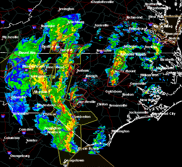 At 423 pm edt, a confirmed tornado was located near hillsborough, moving northeast at 45 mph (radar confirmed tornado). Hazards include damaging tornado. Flying debris will be dangerous to those caught without shelter. mobile homes will be damaged or destroyed. damage to roofs, windows, and vehicles will occur. tree damage is likely. Locations impacted include, hillsborough, rougemont, bahama, schley and eno river state park. At 423 pm edt, a confirmed tornado was located near hillsborough, moving northeast at 45 mph (radar confirmed tornado). Hazards include damaging tornado. Flying debris will be dangerous to those caught without shelter. mobile homes will be damaged or destroyed. damage to roofs, windows, and vehicles will occur. tree damage is likely. Locations impacted include, hillsborough, rougemont, bahama, schley and eno river state park.
|
| 4/19/2019 4:15 PM EDT |
 At 414 pm edt, a confirmed tornado was located over hillsborough, moving northeast at 45 mph (radar confirmed tornado). Hazards include damaging tornado. Flying debris will be dangerous to those caught without shelter. mobile homes will be damaged or destroyed. damage to roofs, windows, and vehicles will occur. tree damage is likely. this storm is currently crossing interstate 40 just southeast of burlington. Locations impacted include, hillsborough, rougemont, efland, lake michie, eno river state park, bahama and schley. At 414 pm edt, a confirmed tornado was located over hillsborough, moving northeast at 45 mph (radar confirmed tornado). Hazards include damaging tornado. Flying debris will be dangerous to those caught without shelter. mobile homes will be damaged or destroyed. damage to roofs, windows, and vehicles will occur. tree damage is likely. this storm is currently crossing interstate 40 just southeast of burlington. Locations impacted include, hillsborough, rougemont, efland, lake michie, eno river state park, bahama and schley.
|
| 4/19/2019 4:15 PM EDT |
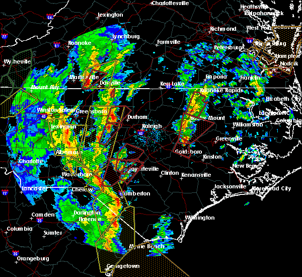 At 415 pm edt, a severe thunderstorm was located over semora, or 7 miles southwest of turbeville, moving northeast at 45 mph (radar indicated). Hazards include 60 mph wind gusts and quarter size hail. Hail damage to vehicles is expected. Expect wind damage to roofs, siding, and trees. At 415 pm edt, a severe thunderstorm was located over semora, or 7 miles southwest of turbeville, moving northeast at 45 mph (radar indicated). Hazards include 60 mph wind gusts and quarter size hail. Hail damage to vehicles is expected. Expect wind damage to roofs, siding, and trees.
|
| 4/19/2019 4:06 PM EDT |
 At 406 pm edt, a confirmed tornado was located near hillsborough, moving northeast at 45 mph (radar confirmed tornado). Hazards include damaging tornado. Flying debris will be dangerous to those caught without shelter. mobile homes will be damaged or destroyed. damage to roofs, windows, and vehicles will occur. tree damage is likely. Locations impacted include, durham, chapel hill, hillsborough, carrboro, rougemont, efland, lake michie, eno river state park, bahama and schley. At 406 pm edt, a confirmed tornado was located near hillsborough, moving northeast at 45 mph (radar confirmed tornado). Hazards include damaging tornado. Flying debris will be dangerous to those caught without shelter. mobile homes will be damaged or destroyed. damage to roofs, windows, and vehicles will occur. tree damage is likely. Locations impacted include, durham, chapel hill, hillsborough, carrboro, rougemont, efland, lake michie, eno river state park, bahama and schley.
|
| 4/19/2019 4:00 PM EDT |
 At 400 pm edt, a severe thunderstorm capable of producing a tornado was located near carrboro, or 9 miles west of chapel hill, moving northeast at 45 mph (radar indicated rotation). Hazards include tornado. Flying debris will be dangerous to those caught without shelter. mobile homes will be damaged or destroyed. damage to roofs, windows, and vehicles will occur. Tree damage is likely. At 400 pm edt, a severe thunderstorm capable of producing a tornado was located near carrboro, or 9 miles west of chapel hill, moving northeast at 45 mph (radar indicated rotation). Hazards include tornado. Flying debris will be dangerous to those caught without shelter. mobile homes will be damaged or destroyed. damage to roofs, windows, and vehicles will occur. Tree damage is likely.
|
| 4/8/2019 5:40 PM EDT |
 The severe thunderstorm warning for eastern person, northern orange, northwestern granville and northwestern durham counties will expire at 545 pm edt, the storms which prompted the warning have weakened below severe limits, and have exited the warned area. therefore, the warning will be allowed to expire. however gusty winds and heavy rain are still possible with these thunderstorms. a severe thunderstorm watch remains in effect until 1000 pm edt for central north carolina. to report severe weather, contact your nearest law enforcement agency. they will relay your report to the national weather service raleigh. remember, a severe thunderstorm warning still remains in effect for northern orange and durham counties until 600 pm. The severe thunderstorm warning for eastern person, northern orange, northwestern granville and northwestern durham counties will expire at 545 pm edt, the storms which prompted the warning have weakened below severe limits, and have exited the warned area. therefore, the warning will be allowed to expire. however gusty winds and heavy rain are still possible with these thunderstorms. a severe thunderstorm watch remains in effect until 1000 pm edt for central north carolina. to report severe weather, contact your nearest law enforcement agency. they will relay your report to the national weather service raleigh. remember, a severe thunderstorm warning still remains in effect for northern orange and durham counties until 600 pm.
|
| 4/8/2019 5:29 PM EDT |
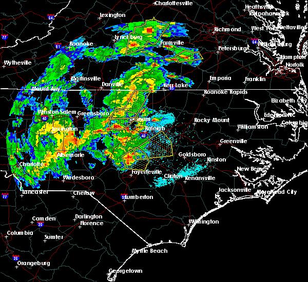 At 529 pm edt, severe thunderstorms were located along a line extending from near hitesburg to 6 miles northeast of rougemont, moving northeast at 35 mph (emergency management). Hazards include 60 mph wind gusts. Expect damage to roofs, siding, and trees. Locations impacted include, durham, hillsborough, butner, rougemont, efland, lake michie, eno river state park, bahama, schley and lake butner. At 529 pm edt, severe thunderstorms were located along a line extending from near hitesburg to 6 miles northeast of rougemont, moving northeast at 35 mph (emergency management). Hazards include 60 mph wind gusts. Expect damage to roofs, siding, and trees. Locations impacted include, durham, hillsborough, butner, rougemont, efland, lake michie, eno river state park, bahama, schley and lake butner.
|
| 4/8/2019 5:13 PM EDT |
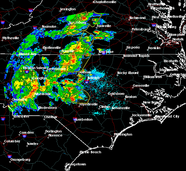 At 513 pm edt, severe thunderstorms were located along a line extending from cluster springs to near rougemont, moving northeast at 35 mph (law enforcement). Hazards include 60 mph wind gusts and quarter size hail. Hail damage to vehicles is expected. expect wind damage to roofs, siding, and trees. Locations impacted include, durham, roxboro, hillsborough, mebane, butner, rougemont, concord, carr, efland and lake michie. At 513 pm edt, severe thunderstorms were located along a line extending from cluster springs to near rougemont, moving northeast at 35 mph (law enforcement). Hazards include 60 mph wind gusts and quarter size hail. Hail damage to vehicles is expected. expect wind damage to roofs, siding, and trees. Locations impacted include, durham, roxboro, hillsborough, mebane, butner, rougemont, concord, carr, efland and lake michie.
|
| 4/8/2019 4:59 PM EDT |
 At 458 pm edt, severe thunderstorms were located along a line extending from alton to near prospect hill, moving northeast at 35 mph (law enforcement). Hazards include 60 mph wind gusts and quarter size hail. Hail damage to vehicles is expected. Expect wind damage to roofs, siding, and trees. At 458 pm edt, severe thunderstorms were located along a line extending from alton to near prospect hill, moving northeast at 35 mph (law enforcement). Hazards include 60 mph wind gusts and quarter size hail. Hail damage to vehicles is expected. Expect wind damage to roofs, siding, and trees.
|
| 10/11/2018 5:08 PM EDT |
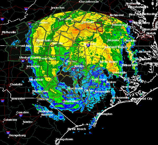 The severe thunderstorm warning for person and durham counties will expire at 515 pm edt, the strong winds have diminished and exited the warned area. therefore, the warning will be allowed to expire. however gusty winds and additional wind damage are still possible. a tornado watch remains in effect until 900 pm edt for central north carolina. The severe thunderstorm warning for person and durham counties will expire at 515 pm edt, the strong winds have diminished and exited the warned area. therefore, the warning will be allowed to expire. however gusty winds and additional wind damage are still possible. a tornado watch remains in effect until 900 pm edt for central north carolina.
|
| 10/11/2018 4:49 PM EDT |
 At 448 pm edt, a line of damaging winds mixing south along the western side of michael were located along a line extending from near roxboro through 6 miles north of durham to near chapel hill, moving southeast at 45 mph. this line of winds has a history of producing extensive wind damage to structures. a brief spinup tornado also can`t be ruled out (radar indicated and emergency management confirmed). Hazards include 60 mph wind gusts. Expect damage to roofs, siding, and trees. locations impacted include, durham, chapel hill, roxboro, rougemont, concord, lake michie, gorman, parkwood, mayo reservoir and bahama. A tornado watch remains in effect until 900 pm edt for central north carolina. At 448 pm edt, a line of damaging winds mixing south along the western side of michael were located along a line extending from near roxboro through 6 miles north of durham to near chapel hill, moving southeast at 45 mph. this line of winds has a history of producing extensive wind damage to structures. a brief spinup tornado also can`t be ruled out (radar indicated and emergency management confirmed). Hazards include 60 mph wind gusts. Expect damage to roofs, siding, and trees. locations impacted include, durham, chapel hill, roxboro, rougemont, concord, lake michie, gorman, parkwood, mayo reservoir and bahama. A tornado watch remains in effect until 900 pm edt for central north carolina.
|
| 10/11/2018 4:16 PM EDT |
 At 413 pm edt, a line of damaging winds mixing south along the western side of michael were located along a line extending from near milton to jericho, moving southeast at 30 mph. this line of winds has a history of producing structural damage. a quick and short lived tornado spinup also can`t be ruled out (radar indicated). Hazards include 60 mph wind gusts. expect damage to roofs, siding, and trees At 413 pm edt, a line of damaging winds mixing south along the western side of michael were located along a line extending from near milton to jericho, moving southeast at 30 mph. this line of winds has a history of producing structural damage. a quick and short lived tornado spinup also can`t be ruled out (radar indicated). Hazards include 60 mph wind gusts. expect damage to roofs, siding, and trees
|
| 9/17/2018 4:51 PM EDT |
 At 450 pm edt, severe thunderstorms were located along a line extending from near hitesburg to 7 miles north of oxford to near rougemont, moving northeast at 30 mph (radar indicated). Hazards include 60 mph wind gusts. Expect damage to roofs, siding, and trees. Locations impacted include, stovall, tungsten, moriah, berea, john h kerr reservoir, steele creek marina & campground, bullocksville and kerr lake. At 450 pm edt, severe thunderstorms were located along a line extending from near hitesburg to 7 miles north of oxford to near rougemont, moving northeast at 30 mph (radar indicated). Hazards include 60 mph wind gusts. Expect damage to roofs, siding, and trees. Locations impacted include, stovall, tungsten, moriah, berea, john h kerr reservoir, steele creek marina & campground, bullocksville and kerr lake.
|
| 9/17/2018 4:40 PM EDT |
 At 439 pm edt, severe thunderstorms were located along a line extending from near virgilina to 8 miles northwest of oxford to rougemont, moving northeast at 20 mph (radar indicated). Hazards include 60 mph wind gusts. Expect damage to roofs, siding, and trees. Locations impacted include, rougemont, stovall, tungsten, moriah, berea, john h kerr reservoir, steele creek marina & campground, surl, bullocksville and kerr lake. At 439 pm edt, severe thunderstorms were located along a line extending from near virgilina to 8 miles northwest of oxford to rougemont, moving northeast at 20 mph (radar indicated). Hazards include 60 mph wind gusts. Expect damage to roofs, siding, and trees. Locations impacted include, rougemont, stovall, tungsten, moriah, berea, john h kerr reservoir, steele creek marina & campground, surl, bullocksville and kerr lake.
|
| 9/17/2018 4:11 PM EDT |
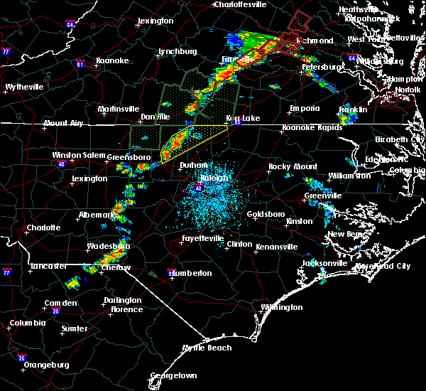 At 410 pm edt, severe thunderstorms were located along a line extending from near roxboro to near rougemont to near hillsborough, moving northeast at 30 mph (radar indicated). Hazards include 60 mph wind gusts and penny size hail. expect damage to roofs, siding, and trees At 410 pm edt, severe thunderstorms were located along a line extending from near roxboro to near rougemont to near hillsborough, moving northeast at 30 mph (radar indicated). Hazards include 60 mph wind gusts and penny size hail. expect damage to roofs, siding, and trees
|
| 9/17/2018 8:15 AM EDT |
 At 815 am edt, a severe thunderstorm capable of producing a tornado was located over durham, moving northeast at 25 mph (radar indicated rotation). Hazards include tornado. Flying debris will be dangerous to those caught without shelter. mobile homes will be damaged or destroyed. damage to roofs, windows, and vehicles will occur. Tree damage is likely. At 815 am edt, a severe thunderstorm capable of producing a tornado was located over durham, moving northeast at 25 mph (radar indicated rotation). Hazards include tornado. Flying debris will be dangerous to those caught without shelter. mobile homes will be damaged or destroyed. damage to roofs, windows, and vehicles will occur. Tree damage is likely.
|
| 9/17/2018 7:42 AM EDT |
 At 742 am edt, a severe thunderstorm capable of producing a tornado was located near durham, moving northeast at 25 mph (radar indicated rotation). Hazards include tornado. Flying debris will be dangerous to those caught without shelter. mobile homes will be damaged or destroyed. damage to roofs, windows, and vehicles will occur. tree damage is likely. Locations impacted include, durham, rougemont, lake michie, bahama, eno river state park and falls lake. At 742 am edt, a severe thunderstorm capable of producing a tornado was located near durham, moving northeast at 25 mph (radar indicated rotation). Hazards include tornado. Flying debris will be dangerous to those caught without shelter. mobile homes will be damaged or destroyed. damage to roofs, windows, and vehicles will occur. tree damage is likely. Locations impacted include, durham, rougemont, lake michie, bahama, eno river state park and falls lake.
|
| 9/17/2018 7:32 AM EDT |
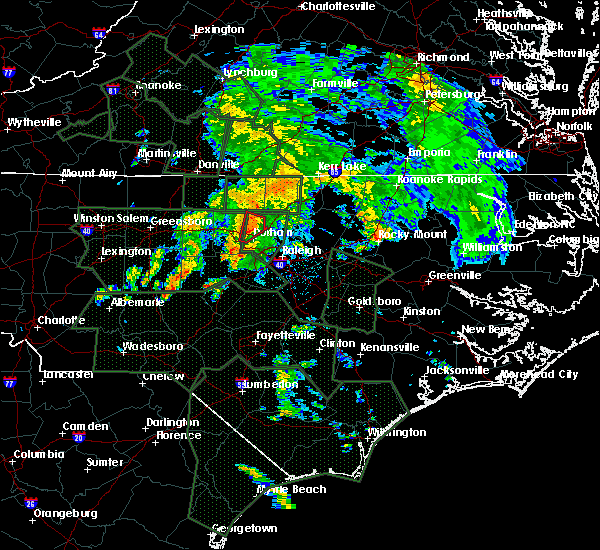 At 732 am edt, a severe thunderstorm capable of producing a tornado was located near durham, moving northeast at 25 mph (radar indicated rotation). Hazards include tornado. Flying debris will be dangerous to those caught without shelter. mobile homes will be damaged or destroyed. damage to roofs, windows, and vehicles will occur. Tree damage is likely. At 732 am edt, a severe thunderstorm capable of producing a tornado was located near durham, moving northeast at 25 mph (radar indicated rotation). Hazards include tornado. Flying debris will be dangerous to those caught without shelter. mobile homes will be damaged or destroyed. damage to roofs, windows, and vehicles will occur. Tree damage is likely.
|
| 9/14/2018 5:29 PM EDT |
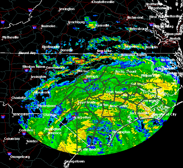 At 529 pm edt, a severe thunderstorm capable of producing a tornado was located 7 miles west of oxford, moving west at 35 mph (radar indicated rotation). Hazards include tornado. Flying debris will be dangerous to those caught without shelter. mobile homes will be damaged or destroyed. damage to roofs, windows, and vehicles will occur. tree damage is likely. Locations impacted include, berea and surl. At 529 pm edt, a severe thunderstorm capable of producing a tornado was located 7 miles west of oxford, moving west at 35 mph (radar indicated rotation). Hazards include tornado. Flying debris will be dangerous to those caught without shelter. mobile homes will be damaged or destroyed. damage to roofs, windows, and vehicles will occur. tree damage is likely. Locations impacted include, berea and surl.
|
| 9/14/2018 5:24 PM EDT |
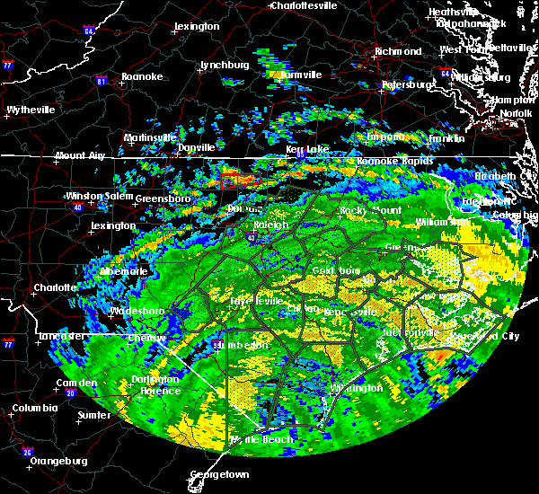 At 524 pm edt, a severe thunderstorm capable of producing a tornado was located near oxford, moving west at 25 mph (radar indicated rotation). Hazards include tornado. Flying debris will be dangerous to those caught without shelter. mobile homes will be damaged or destroyed. damage to roofs, windows, and vehicles will occur. Tree damage is likely. At 524 pm edt, a severe thunderstorm capable of producing a tornado was located near oxford, moving west at 25 mph (radar indicated rotation). Hazards include tornado. Flying debris will be dangerous to those caught without shelter. mobile homes will be damaged or destroyed. damage to roofs, windows, and vehicles will occur. Tree damage is likely.
|
| 8/8/2018 4:38 PM EDT |
 At 437 pm edt, a severe thunderstorm was located near butner, or 7 miles southwest of creedmoor, moving east at 15 mph. another severe thunderstorm was located 5 miles northwest of durham, moving east at 15 mph (radar indicated). Hazards include 60 mph wind gusts. expect damage to trees At 437 pm edt, a severe thunderstorm was located near butner, or 7 miles southwest of creedmoor, moving east at 15 mph. another severe thunderstorm was located 5 miles northwest of durham, moving east at 15 mph (radar indicated). Hazards include 60 mph wind gusts. expect damage to trees
|
| 8/7/2018 8:51 PM EDT |
 At 827 pm edt, a severe thunderstorm was located near rougemont, or 11 miles southeast of roxboro, moving east at 25 mph (radar indicated). Hazards include 60 mph wind gusts. Expect damage to trees. Locations impacted include, moriah and surl. At 827 pm edt, a severe thunderstorm was located near rougemont, or 11 miles southeast of roxboro, moving east at 25 mph (radar indicated). Hazards include 60 mph wind gusts. Expect damage to trees. Locations impacted include, moriah and surl.
|
| 8/7/2018 8:28 PM EDT |
 At 827 pm edt, a severe thunderstorm was located near rougemont, or 11 miles southeast of roxboro, moving east at 25 mph (radar indicated). Hazards include 60 mph wind gusts. Expect damage to trees. Locations impacted include, moriah and surl. At 827 pm edt, a severe thunderstorm was located near rougemont, or 11 miles southeast of roxboro, moving east at 25 mph (radar indicated). Hazards include 60 mph wind gusts. Expect damage to trees. Locations impacted include, moriah and surl.
|
| 8/7/2018 8:23 PM EDT |
 At 822 pm edt, a severe thunderstorm was located 5 miles west of downtown durham, moving east at 15 mph (radar indicated). Hazards include 60 mph wind gusts. Expect damage to roofs, siding, and trees. Locations impacted include, durham, chapel hill, hillsborough, carrboro, rougemont, lake michie, eno river state park, gorman, bahama and schley. At 822 pm edt, a severe thunderstorm was located 5 miles west of downtown durham, moving east at 15 mph (radar indicated). Hazards include 60 mph wind gusts. Expect damage to roofs, siding, and trees. Locations impacted include, durham, chapel hill, hillsborough, carrboro, rougemont, lake michie, eno river state park, gorman, bahama and schley.
|
| 8/7/2018 8:05 PM EDT | Tree down on a power line on dick holeman r in person county NC, 3.8 miles SE of Rougemont, NC |
| 8/7/2018 7:56 PM EDT |
 At 755 pm edt, a severe thunderstorm was located 7 miles southwest of roxboro, or over bushy fork, moving east at 15 mph (radar indicated). Hazards include 60 mph wind gusts. expect damage to trees At 755 pm edt, a severe thunderstorm was located 7 miles southwest of roxboro, or over bushy fork, moving east at 15 mph (radar indicated). Hazards include 60 mph wind gusts. expect damage to trees
|
| 8/7/2018 7:37 PM EDT |
 At 736 pm edt, a severe thunderstorm was located near hillsborough, moving southeast at 15 mph (radar indicated). Hazards include 60 mph wind gusts. expect damage to roofs, siding, and trees At 736 pm edt, a severe thunderstorm was located near hillsborough, moving southeast at 15 mph (radar indicated). Hazards include 60 mph wind gusts. expect damage to roofs, siding, and trees
|
| 7/22/2018 9:42 PM EDT | Multiple trees and power lines were reported down near the intersection of surl mt tirzah road and helena-moriah roa in person county NC, 3.8 miles SSW of Rougemont, NC |
| 7/22/2018 9:36 PM EDT |
 At 935 pm edt, severe thunderstorms were located along a line extending from 6 miles northeast of butner to near hillsborough, moving north at 30 mph (radar indicated). Hazards include 60 mph wind gusts. Expect damage to roofs, siding, and trees. Locations impacted include, oxford, roxboro, hillsborough, creedmoor, carrboro, butner, rougemont and concord. At 935 pm edt, severe thunderstorms were located along a line extending from 6 miles northeast of butner to near hillsborough, moving north at 30 mph (radar indicated). Hazards include 60 mph wind gusts. Expect damage to roofs, siding, and trees. Locations impacted include, oxford, roxboro, hillsborough, creedmoor, carrboro, butner, rougemont and concord.
|
| 7/22/2018 9:19 PM EDT |
 At 919 pm edt, severe thunderstorms were located along a line extending from near creedmoor to butner to near hillsborough, moving north at 30 mph (radar indicated). Hazards include 60 mph wind gusts and penny size hail. Expect damage to roofs, siding, and trees. Locations impacted include, durham, chapel hill, oxford, roxboro, hillsborough, creedmoor, carrboro, butner, rougemont and concord. At 919 pm edt, severe thunderstorms were located along a line extending from near creedmoor to butner to near hillsborough, moving north at 30 mph (radar indicated). Hazards include 60 mph wind gusts and penny size hail. Expect damage to roofs, siding, and trees. Locations impacted include, durham, chapel hill, oxford, roxboro, hillsborough, creedmoor, carrboro, butner, rougemont and concord.
|
| 7/22/2018 9:02 PM EDT |
 At 902 pm edt, severe thunderstorms were located along a line extending from near creedmoor to 6 miles north of rdu international to near carrboro, moving northwest at 20 mph (radar indicated). Hazards include 60 mph wind gusts and quarter size hail. Hail damage to vehicles is expected. Expect wind damage to roofs, siding, and trees. At 902 pm edt, severe thunderstorms were located along a line extending from near creedmoor to 6 miles north of rdu international to near carrboro, moving northwest at 20 mph (radar indicated). Hazards include 60 mph wind gusts and quarter size hail. Hail damage to vehicles is expected. Expect wind damage to roofs, siding, and trees.
|
| 7/11/2018 5:23 PM EDT |
 At 520 pm edt, a severe thunderstorm was located near roxboro, moving southeast at 10 mph. at 508 pm, a storm spotter a few miles west northwest of roxboro reported a few large tree limbs down and a tree blocking the road in the 1000 block of maurice daniels road (trained weather spotters). Hazards include 60 mph wind gusts and penny size hail. Expect minor damage to roofs, siding, and trees. Locations impacted include, roxboro, bushy fork, surl and moriah. At 520 pm edt, a severe thunderstorm was located near roxboro, moving southeast at 10 mph. at 508 pm, a storm spotter a few miles west northwest of roxboro reported a few large tree limbs down and a tree blocking the road in the 1000 block of maurice daniels road (trained weather spotters). Hazards include 60 mph wind gusts and penny size hail. Expect minor damage to roofs, siding, and trees. Locations impacted include, roxboro, bushy fork, surl and moriah.
|
| 7/11/2018 5:11 PM EDT |
 At 510 pm edt, a severe thunderstorm was located near roxboro, moving southeast at 10 mph (trained weather spotters). Hazards include 60 mph wind gusts and penny size hail. expect minor damage to roofs, siding, and trees At 510 pm edt, a severe thunderstorm was located near roxboro, moving southeast at 10 mph (trained weather spotters). Hazards include 60 mph wind gusts and penny size hail. expect minor damage to roofs, siding, and trees
|
| 7/6/2018 5:20 PM EDT |
 The severe thunderstorm warning for southeastern person county will expire at 530 pm edt, the storm which prompted the warning has weakened below severe limits, and no longer poses an immediate threat to life or property. therefore the warning will be allowed to expire. however heavy rain is still possible with this thunderstorm. to report severe weather, contact your nearest law enforcement agency. they will relay your report to the national weather service raleigh. The severe thunderstorm warning for southeastern person county will expire at 530 pm edt, the storm which prompted the warning has weakened below severe limits, and no longer poses an immediate threat to life or property. therefore the warning will be allowed to expire. however heavy rain is still possible with this thunderstorm. to report severe weather, contact your nearest law enforcement agency. they will relay your report to the national weather service raleigh.
|
| 7/6/2018 5:12 PM EDT |
 At 512 pm edt, a severe thunderstorm was located near rougemont, or 8 miles south of roxboro, moving north at 10 mph (radar indicated). Hazards include 60 mph wind gusts and quarter size hail. Hail damage to vehicles is expected. expect wind damage to roofs, siding, and trees. Locations impacted include, roxboro, moriah and surl. At 512 pm edt, a severe thunderstorm was located near rougemont, or 8 miles south of roxboro, moving north at 10 mph (radar indicated). Hazards include 60 mph wind gusts and quarter size hail. Hail damage to vehicles is expected. expect wind damage to roofs, siding, and trees. Locations impacted include, roxboro, moriah and surl.
|
| 7/6/2018 5:08 PM EDT |
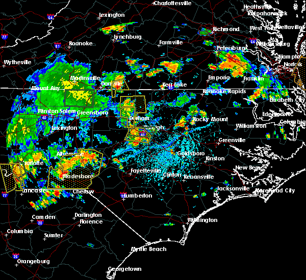 The severe thunderstorm warning for northeastern orange and durham counties will expire at 515 pm edt, the storm which prompted the warning has weakened below severe limits, and no longer poses an immediate threat to life or property. therefore the warning will be allowed to expire. however heavy rain is still possible with this thunderstorm. The severe thunderstorm warning for northeastern orange and durham counties will expire at 515 pm edt, the storm which prompted the warning has weakened below severe limits, and no longer poses an immediate threat to life or property. therefore the warning will be allowed to expire. however heavy rain is still possible with this thunderstorm.
|
| 7/6/2018 4:49 PM EDT |
 At 448 pm edt, a severe thunderstorm was located near rougemont, or 10 miles northeast of hillsborough, and is nearly stationary (radar indicated). Hazards include 60 mph wind gusts and quarter size hail. Hail damage to vehicles is expected. expect wind damage to roofs, siding, and trees. Locations impacted include, durham, rougemont, lake michie, eno river state park, parkwood, gorman, bahama, bethesda, research triangle and falls lake. At 448 pm edt, a severe thunderstorm was located near rougemont, or 10 miles northeast of hillsborough, and is nearly stationary (radar indicated). Hazards include 60 mph wind gusts and quarter size hail. Hail damage to vehicles is expected. expect wind damage to roofs, siding, and trees. Locations impacted include, durham, rougemont, lake michie, eno river state park, parkwood, gorman, bahama, bethesda, research triangle and falls lake.
|
| 7/6/2018 4:40 PM EDT | Multiple trees were reported down near the durham/person county lin in durham county NC, 1.5 miles W of Rougemont, NC |
| 7/6/2018 4:40 PM EDT | Trees and power lines were reported down at the intersection of moores mill road and rassie crabtree roa in person county NC, 1.3 miles SW of Rougemont, NC |
| 7/6/2018 4:38 PM EDT |
 At 438 pm edt, a severe thunderstorm was located near rougemont, or 10 miles northeast of hillsborough, and is nearly stationary (radar indicated). Hazards include 60 mph wind gusts and quarter size hail. Hail damage to vehicles is expected. expect wind damage to roofs, siding, and trees. Locations impacted include, durham, chapel hill, rougemont, lake michie, eno river state park, parkwood, gorman, bahama, bethesda and research triangle. At 438 pm edt, a severe thunderstorm was located near rougemont, or 10 miles northeast of hillsborough, and is nearly stationary (radar indicated). Hazards include 60 mph wind gusts and quarter size hail. Hail damage to vehicles is expected. expect wind damage to roofs, siding, and trees. Locations impacted include, durham, chapel hill, rougemont, lake michie, eno river state park, parkwood, gorman, bahama, bethesda and research triangle.
|
| 7/6/2018 4:35 PM EDT |
 At 435 pm edt, a severe thunderstorm was located over rougemont, or 12 miles south of roxboro, moving north at 10 mph (radar indicated). Hazards include 60 mph wind gusts and quarter size hail. Hail damage to vehicles is expected. Expect wind damage to roofs, siding, and trees. At 435 pm edt, a severe thunderstorm was located over rougemont, or 12 miles south of roxboro, moving north at 10 mph (radar indicated). Hazards include 60 mph wind gusts and quarter size hail. Hail damage to vehicles is expected. Expect wind damage to roofs, siding, and trees.
|
| 7/6/2018 4:25 PM EDT | Numerous large tree limbs and four trees down on chambers rd near us-50 in durham county NC, 0.4 miles SE of Rougemont, NC |
| 7/6/2018 4:18 PM EDT |
 At 418 pm edt, a severe thunderstorm was located near rougemont, or 10 miles northeast of hillsborough, and is nearly stationary (radar indicated). Hazards include 60 mph wind gusts and quarter size hail. Hail damage to vehicles is expected. Expect wind damage to roofs, siding, and trees. At 418 pm edt, a severe thunderstorm was located near rougemont, or 10 miles northeast of hillsborough, and is nearly stationary (radar indicated). Hazards include 60 mph wind gusts and quarter size hail. Hail damage to vehicles is expected. Expect wind damage to roofs, siding, and trees.
|
| 6/21/2018 11:44 PM EDT |
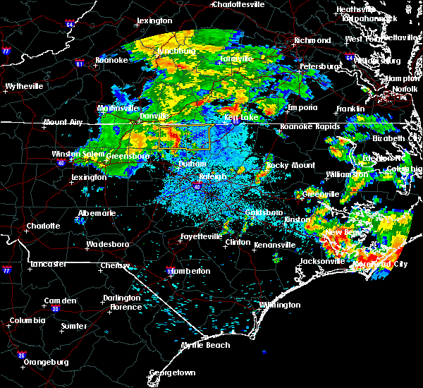 At 1144 pm edt, severe thunderstorms were located along a line extending from near roxboro to 13 miles southwest of virgilina to near rougemont, moving east at 35 mph (radar indicated). Hazards include 60 mph wind gusts. Expect damage to roofs, siding, and trees. Locations impacted include, oxford, roxboro, stovall, bethel hill, moriah, berea, surl, mayo reservoir and john h kerr reservoir. At 1144 pm edt, severe thunderstorms were located along a line extending from near roxboro to 13 miles southwest of virgilina to near rougemont, moving east at 35 mph (radar indicated). Hazards include 60 mph wind gusts. Expect damage to roofs, siding, and trees. Locations impacted include, oxford, roxboro, stovall, bethel hill, moriah, berea, surl, mayo reservoir and john h kerr reservoir.
|
| 6/21/2018 11:30 PM EDT |
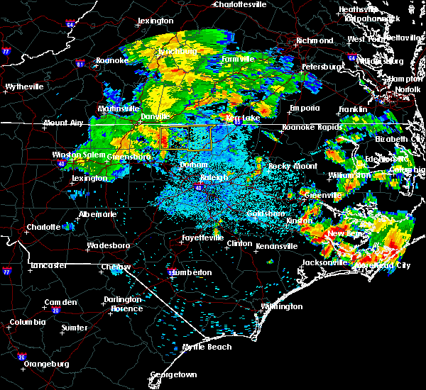 At 1127 pm edt, a severe thunderstorm was located 7 miles southwest of roxboro, moving east at 35 mph (radar indicated). Hazards include 60 mph wind gusts. Expect damage to roofs, siding, and trees. Locations impacted include, oxford, roxboro, concord, stovall, bethel hill, bushy fork, moriah, and berea. At 1127 pm edt, a severe thunderstorm was located 7 miles southwest of roxboro, moving east at 35 mph (radar indicated). Hazards include 60 mph wind gusts. Expect damage to roofs, siding, and trees. Locations impacted include, oxford, roxboro, concord, stovall, bethel hill, bushy fork, moriah, and berea.
|
| 6/21/2018 11:16 PM EDT |
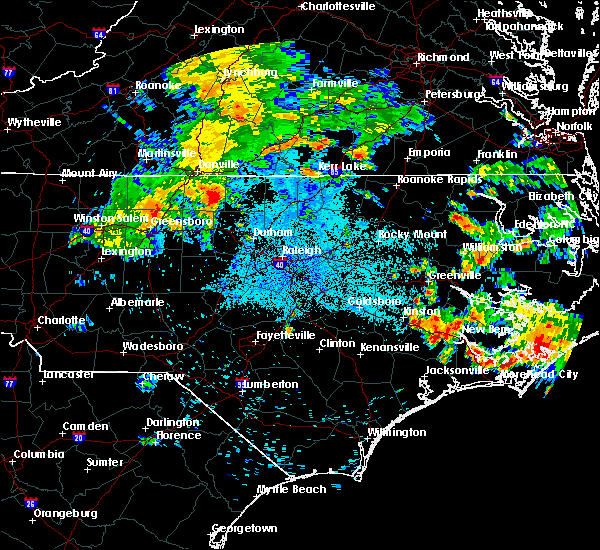 At 1116 pm edt, severe thunderstorms were located along a line extending from semora to near leasburg to near prospect hill, moving east at 35 mph (radar indicated). Hazards include 60 mph wind gusts. expect damage to roofs, siding, and trees At 1116 pm edt, severe thunderstorms were located along a line extending from semora to near leasburg to near prospect hill, moving east at 35 mph (radar indicated). Hazards include 60 mph wind gusts. expect damage to roofs, siding, and trees
|
| 5/10/2018 5:52 PM EDT |
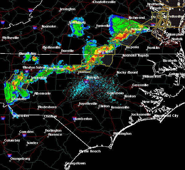 The severe thunderstorm warning for northeastern orange, southern granville and northern durham counties will expire at 600 pm edt, the storm which prompted the warning has weakened below severe limits, and no longer poses an immediate threat to life or property. therefore the warning will be allowed to expire. however, hail to up to the size of dimes and wind gusts up to 45 mph will remain possible over southeastern granville through 600 pm or 610 pm. a severe thunderstorm watch remains in effect until 1000 pm edt for central north carolina. The severe thunderstorm warning for northeastern orange, southern granville and northern durham counties will expire at 600 pm edt, the storm which prompted the warning has weakened below severe limits, and no longer poses an immediate threat to life or property. therefore the warning will be allowed to expire. however, hail to up to the size of dimes and wind gusts up to 45 mph will remain possible over southeastern granville through 600 pm or 610 pm. a severe thunderstorm watch remains in effect until 1000 pm edt for central north carolina.
|
| 5/10/2018 5:41 PM EDT |
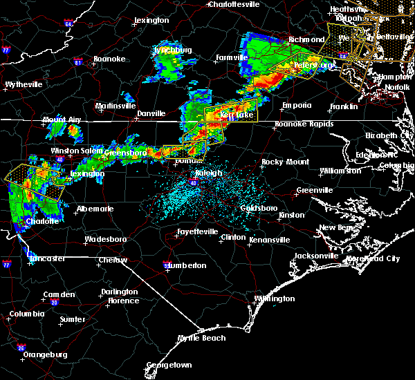 At 541 pm edt, a severe thunderstorm was located over creedmoor, moving east at 25 mph (radar indicated). Hazards include 60 mph wind gusts and penny size hail. Expect damage to roofs, siding, and trees. Locations impacted include, oxford, creedmoor, butner, rougemont, stem, lake michie, lake butner, eno river state park, bahama and schley. At 541 pm edt, a severe thunderstorm was located over creedmoor, moving east at 25 mph (radar indicated). Hazards include 60 mph wind gusts and penny size hail. Expect damage to roofs, siding, and trees. Locations impacted include, oxford, creedmoor, butner, rougemont, stem, lake michie, lake butner, eno river state park, bahama and schley.
|
| 5/10/2018 5:34 PM EDT |
 At 532 pm edt, a severe thunderstorm was located over butner, or near creedmoor, moving east at 25 mph. this storm has a history of producing quarter to golfball-sized hail around bahama (the durham county 911 center and radar indicated). Hazards include 60 mph wind gusts and quarter size hail. Hail damage to vehicles is expected. expect wind damage to roofs, siding, and trees. Locations impacted include, oxford, creedmoor, butner, rougemont, stem, lake michie, lake butner, moriah, eno river state park and bahama. At 532 pm edt, a severe thunderstorm was located over butner, or near creedmoor, moving east at 25 mph. this storm has a history of producing quarter to golfball-sized hail around bahama (the durham county 911 center and radar indicated). Hazards include 60 mph wind gusts and quarter size hail. Hail damage to vehicles is expected. expect wind damage to roofs, siding, and trees. Locations impacted include, oxford, creedmoor, butner, rougemont, stem, lake michie, lake butner, moriah, eno river state park and bahama.
|
| 5/10/2018 5:25 PM EDT | Golf Ball sized hail reported 4.6 miles NW of Rougemont, NC, golf ball size hail reported at stagville and bahama road. |
| 5/10/2018 5:20 PM EDT |
 At 519 pm edt, a severe thunderstorm was located near butner, or 10 miles west of creedmoor, moving east at 25 mph (radar indicated). Hazards include ping pong ball size hail and 60 mph wind gusts. People and animals outdoors will be injured. expect hail damage to roofs, siding, windows, and vehicles. expect wind damage to roofs, siding, and trees. Locations impacted include, oxford, creedmoor, butner, rougemont, stem, lake michie, lake butner, moriah, eno river state park and bahama. At 519 pm edt, a severe thunderstorm was located near butner, or 10 miles west of creedmoor, moving east at 25 mph (radar indicated). Hazards include ping pong ball size hail and 60 mph wind gusts. People and animals outdoors will be injured. expect hail damage to roofs, siding, windows, and vehicles. expect wind damage to roofs, siding, and trees. Locations impacted include, oxford, creedmoor, butner, rougemont, stem, lake michie, lake butner, moriah, eno river state park and bahama.
|
| 5/10/2018 5:05 PM EDT |
 At 505 pm edt, a severe thunderstorm was located near rougemont, or 10 miles northeast of hillsborough, moving east at 25 mph (radar indicated). Hazards include 60 mph wind gusts and quarter size hail. Hail damage to vehicles is expected. Expect wind damage to roofs, siding, and trees. At 505 pm edt, a severe thunderstorm was located near rougemont, or 10 miles northeast of hillsborough, moving east at 25 mph (radar indicated). Hazards include 60 mph wind gusts and quarter size hail. Hail damage to vehicles is expected. Expect wind damage to roofs, siding, and trees.
|
| 4/15/2018 7:11 PM EDT |
 The severe thunderstorm warning for person, granville, wake and durham counties will expire at 715 pm edt, the storms which prompted the warning have weakened below severe limits, and no longer pose an immediate threat to life or property. therefore the warning will be allowed to expire. however gusty winds and heavy rain are still possible with these thunderstorms. a tornado watch remains in effect until 1100 pm edt for central north carolina. to report severe weather, contact your nearest law enforcement agency. they will relay your report to the national weather service raleigh. remember, a severe thunderstorm warning still remains in effect for southern wake county. The severe thunderstorm warning for person, granville, wake and durham counties will expire at 715 pm edt, the storms which prompted the warning have weakened below severe limits, and no longer pose an immediate threat to life or property. therefore the warning will be allowed to expire. however gusty winds and heavy rain are still possible with these thunderstorms. a tornado watch remains in effect until 1100 pm edt for central north carolina. to report severe weather, contact your nearest law enforcement agency. they will relay your report to the national weather service raleigh. remember, a severe thunderstorm warning still remains in effect for southern wake county.
|
| 4/15/2018 6:39 PM EDT |
 At 638 pm edt, severe thunderstorms were located along a line extending from near south boston to near cary, moving northeast at 45 mph (radar indicated). Hazards include 60 mph wind gusts. Expect damage to roofs, siding, and trees. locations impacted include, raleigh, durham, cary, chapel hill, oxford, roxboro, creedmoor, wake forest, garner and fuquay-varina. A tornado watch remains in effect until 1100 pm edt for central north carolina. At 638 pm edt, severe thunderstorms were located along a line extending from near south boston to near cary, moving northeast at 45 mph (radar indicated). Hazards include 60 mph wind gusts. Expect damage to roofs, siding, and trees. locations impacted include, raleigh, durham, cary, chapel hill, oxford, roxboro, creedmoor, wake forest, garner and fuquay-varina. A tornado watch remains in effect until 1100 pm edt for central north carolina.
|
| 4/15/2018 6:08 PM EDT |
 At 607 pm edt, severe thunderstorms were located along a line extending from milton to 6 miles east of goldston, moving northeast at 45 mph (radar indicated). Hazards include 60 mph wind gusts and quarter size hail. Hail damage to vehicles is expected. Expect wind damage to roofs, siding, and trees. At 607 pm edt, severe thunderstorms were located along a line extending from milton to 6 miles east of goldston, moving northeast at 45 mph (radar indicated). Hazards include 60 mph wind gusts and quarter size hail. Hail damage to vehicles is expected. Expect wind damage to roofs, siding, and trees.
|
| 7/5/2017 9:57 PM EDT |
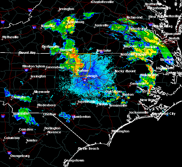 At 941 pm edt, severe thunderstorms were located along a line extending from near roxboro to near rougemont to near chapel hill, moving east at 25 mph (radar indicated). Hazards include 60 mph wind gusts. Expect damage to roofs, siding, and trees. Locations impacted include, raleigh, durham, chapel hill, oxford, roxboro, creedmoor, butner, rougemont, concord and stem. At 941 pm edt, severe thunderstorms were located along a line extending from near roxboro to near rougemont to near chapel hill, moving east at 25 mph (radar indicated). Hazards include 60 mph wind gusts. Expect damage to roofs, siding, and trees. Locations impacted include, raleigh, durham, chapel hill, oxford, roxboro, creedmoor, butner, rougemont, concord and stem.
|
| 7/5/2017 9:42 PM EDT |
 At 941 pm edt, severe thunderstorms were located along a line extending from near roxboro to near rougemont to near chapel hill, moving east at 25 mph (radar indicated). Hazards include 60 mph wind gusts. Expect damage to roofs, siding, and trees. Locations impacted include, raleigh, durham, chapel hill, oxford, roxboro, creedmoor, butner, rougemont, concord and stem. At 941 pm edt, severe thunderstorms were located along a line extending from near roxboro to near rougemont to near chapel hill, moving east at 25 mph (radar indicated). Hazards include 60 mph wind gusts. Expect damage to roofs, siding, and trees. Locations impacted include, raleigh, durham, chapel hill, oxford, roxboro, creedmoor, butner, rougemont, concord and stem.
|
| 7/5/2017 9:14 PM EDT |
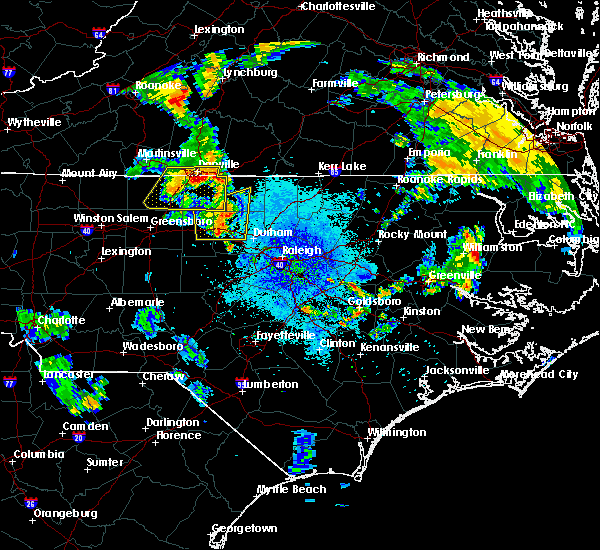 At 913 pm edt, severe thunderstorms were located along a line extending from near leasburg to 6 miles west of rougemont to near hillsborough, moving east at 25 mph (radar indicated). Hazards include 60 mph wind gusts. expect damage to roofs, siding, and trees At 913 pm edt, severe thunderstorms were located along a line extending from near leasburg to 6 miles west of rougemont to near hillsborough, moving east at 25 mph (radar indicated). Hazards include 60 mph wind gusts. expect damage to roofs, siding, and trees
|
| 6/19/2017 10:21 PM EDT |
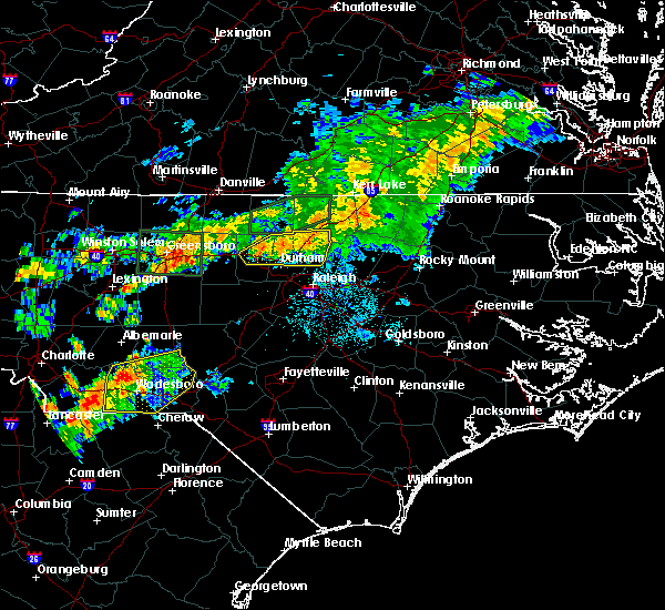 The severe thunderstorm warning for central orange, southern granville, north central wake and durham counties will expire at 1030 pm edt, the storms which prompted the warning have weakened below severe limits, and no longer pose an immediate threat to life or property. therefore the warning will be allowed to expire. however gusty winds up to 40 mph and heavy rain are still expected with these thunderstorms. The severe thunderstorm warning for central orange, southern granville, north central wake and durham counties will expire at 1030 pm edt, the storms which prompted the warning have weakened below severe limits, and no longer pose an immediate threat to life or property. therefore the warning will be allowed to expire. however gusty winds up to 40 mph and heavy rain are still expected with these thunderstorms.
|
| 6/19/2017 10:05 PM EDT |
 At 1005 pm edt, severe thunderstorms were located along a line extending from 6 miles north of creedmoor to butner to 6 miles northwest of durham, moving east at 45 mph (radar indicated). Hazards include 60 mph wind gusts. Expect damage to roofs, siding, and trees. Locations impacted include, durham, hillsborough, creedmoor, butner, rougemont, stem, efland, lake michie, falls lake state rec area and eno river state park. At 1005 pm edt, severe thunderstorms were located along a line extending from 6 miles north of creedmoor to butner to 6 miles northwest of durham, moving east at 45 mph (radar indicated). Hazards include 60 mph wind gusts. Expect damage to roofs, siding, and trees. Locations impacted include, durham, hillsborough, creedmoor, butner, rougemont, stem, efland, lake michie, falls lake state rec area and eno river state park.
|
| 6/19/2017 9:49 PM EDT |
 At 949 pm edt, severe thunderstorms were located along a line extending from near rougemont to 8 miles east of hillsborough to near efland, moving east at 40 mph (radar indicated). Hazards include 60 mph wind gusts. Expect damage to roofs, siding, and trees. Locations impacted include, durham, hillsborough, creedmoor, butner, rougemont, stem, efland, lake michie, falls lake state rec area and eno river state park. At 949 pm edt, severe thunderstorms were located along a line extending from near rougemont to 8 miles east of hillsborough to near efland, moving east at 40 mph (radar indicated). Hazards include 60 mph wind gusts. Expect damage to roofs, siding, and trees. Locations impacted include, durham, hillsborough, creedmoor, butner, rougemont, stem, efland, lake michie, falls lake state rec area and eno river state park.
|
| 6/19/2017 9:42 PM EDT |
 At 942 pm edt, severe thunderstorms were located along a line extending from rougemont to near hillsborough to near mebane, moving east at 40 mph (radar indicated). Hazards include 60 mph wind gusts. Expect damage to roofs, siding, and trees. Locations impacted include, durham, hillsborough, creedmoor, butner, rougemont, stem, efland, lake michie, falls lake state rec area and eno river state park. At 942 pm edt, severe thunderstorms were located along a line extending from rougemont to near hillsborough to near mebane, moving east at 40 mph (radar indicated). Hazards include 60 mph wind gusts. Expect damage to roofs, siding, and trees. Locations impacted include, durham, hillsborough, creedmoor, butner, rougemont, stem, efland, lake michie, falls lake state rec area and eno river state park.
|
| 6/19/2017 9:30 PM EDT |
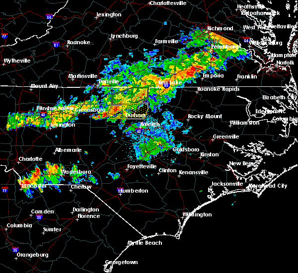 At 929 pm edt, a severe thunderstorm was located over mebane, or 7 miles east of graham, moving east at 40 mph (radar indicated). Hazards include 60 mph wind gusts. expect damage to roofs, siding, and trees At 929 pm edt, a severe thunderstorm was located over mebane, or 7 miles east of graham, moving east at 40 mph (radar indicated). Hazards include 60 mph wind gusts. expect damage to roofs, siding, and trees
|
| 5/25/2017 5:35 PM EDT |
 At 535 pm edt, a severe thunderstorm was located near butner, or 7 miles west of creedmoor, moving east at 30 mph (radar indicated). Hazards include 60 mph wind gusts and quarter size hail. Hail damage to vehicles is expected. Expect wind damage to roofs, siding, and trees. At 535 pm edt, a severe thunderstorm was located near butner, or 7 miles west of creedmoor, moving east at 30 mph (radar indicated). Hazards include 60 mph wind gusts and quarter size hail. Hail damage to vehicles is expected. Expect wind damage to roofs, siding, and trees.
|
| 5/25/2017 1:28 PM EDT |
 The severe thunderstorm warning for southeastern person, central orange and central durham counties will expire at 130 pm edt, the storm which prompted the warning has weakened below severe limits, and no longer poses an immediate threat to life or property. therefore the warning will be allowed to expire. however small hail is still possible with this thunderstorm. The severe thunderstorm warning for southeastern person, central orange and central durham counties will expire at 130 pm edt, the storm which prompted the warning has weakened below severe limits, and no longer poses an immediate threat to life or property. therefore the warning will be allowed to expire. however small hail is still possible with this thunderstorm.
|
| 5/25/2017 1:11 PM EDT |
 At 111 pm edt, a severe thunderstorm was located near hillsborough, moving northeast at 30 mph (radar indicated). Hazards include quarter size hail. Damage to vehicles is expected. Locations impacted include, durham, chapel hill, roxboro, hillsborough, rougemont, efland, lake michie, eno river state park, gorman and bahama. At 111 pm edt, a severe thunderstorm was located near hillsborough, moving northeast at 30 mph (radar indicated). Hazards include quarter size hail. Damage to vehicles is expected. Locations impacted include, durham, chapel hill, roxboro, hillsborough, rougemont, efland, lake michie, eno river state park, gorman and bahama.
|
| 5/25/2017 12:50 PM EDT |
 At 1250 pm edt, a severe thunderstorm was located near hillsborough, moving northeast at 30 mph (radar indicated). Hazards include quarter size hail. damage to vehicles is expected At 1250 pm edt, a severe thunderstorm was located near hillsborough, moving northeast at 30 mph (radar indicated). Hazards include quarter size hail. damage to vehicles is expected
|
| 5/19/2017 5:56 PM EDT |
 The severe thunderstorm warning for eastern person, vance and granville counties will expire at 600 pm edt, the storm which prompted the warning has weakened below severe limits, and no longer poses an immediate threat to life or property. therefore the warning will be allowed to expire. however gusty winds to 45 or 50 mph are still possible with this thunderstorm, especially in the stem, berea, and oxford areas. occasional lightning will continue to pose hazard. stay indoors until thunder is no longer heard for 10 minutes. The severe thunderstorm warning for eastern person, vance and granville counties will expire at 600 pm edt, the storm which prompted the warning has weakened below severe limits, and no longer poses an immediate threat to life or property. therefore the warning will be allowed to expire. however gusty winds to 45 or 50 mph are still possible with this thunderstorm, especially in the stem, berea, and oxford areas. occasional lightning will continue to pose hazard. stay indoors until thunder is no longer heard for 10 minutes.
|
| 5/19/2017 5:32 PM EDT |
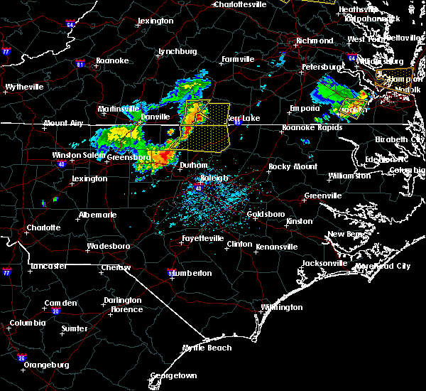 At 530 pm edt, a severe thunderstorm was located 7 miles south of virgilina, moving southeast at 25 mph (radar indicated). Hazards include 60 mph wind gusts and quarter size hail. Expect wind damage to roofs, siding, and trees. Locations impacted include, henderson, oxford, kittrell, stovall, middleburg, gillburg, mayo reservoir, steele creek marina & campground, kerr lake and south henderson. At 530 pm edt, a severe thunderstorm was located 7 miles south of virgilina, moving southeast at 25 mph (radar indicated). Hazards include 60 mph wind gusts and quarter size hail. Expect wind damage to roofs, siding, and trees. Locations impacted include, henderson, oxford, kittrell, stovall, middleburg, gillburg, mayo reservoir, steele creek marina & campground, kerr lake and south henderson.
|
| 5/19/2017 5:18 PM EDT |
 At 516 pm edt, a severe thunderstorm was located near virgilina, moving east-southeast at 30 mph (radar indicated). Hazards include 60 mph wind gusts and quarter size hail. Hail damage may occur. Expect wind damage to siding and trees. At 516 pm edt, a severe thunderstorm was located near virgilina, moving east-southeast at 30 mph (radar indicated). Hazards include 60 mph wind gusts and quarter size hail. Hail damage may occur. Expect wind damage to siding and trees.
|
| 5/11/2017 9:04 PM EDT |
 At 904 pm edt, severe thunderstorms were located along a line extending from near butner to near chapel hill, moving southeast at 35 mph (radar indicated). Hazards include 60 mph wind gusts. expect damage to roofs, siding, and trees At 904 pm edt, severe thunderstorms were located along a line extending from near butner to near chapel hill, moving southeast at 35 mph (radar indicated). Hazards include 60 mph wind gusts. expect damage to roofs, siding, and trees
|
| 5/5/2017 4:59 AM EDT |
 At 459 am edt, severe thunderstorms were located along a line extending from 7 miles northwest of rougemont to 6 miles west of cary, moving northeast at 50 mph (radar indicated). Hazards include 60 mph wind gusts. Expect damage to roofs, siding, and trees. locations impacted include, raleigh, cary, rdu international, rougemont, apex, morrisville, lake michie, falls lake state rec area, new hill and william b umstead state park. A tornado watch remains in effect until 900 am edt for central north carolina. At 459 am edt, severe thunderstorms were located along a line extending from 7 miles northwest of rougemont to 6 miles west of cary, moving northeast at 50 mph (radar indicated). Hazards include 60 mph wind gusts. Expect damage to roofs, siding, and trees. locations impacted include, raleigh, cary, rdu international, rougemont, apex, morrisville, lake michie, falls lake state rec area, new hill and william b umstead state park. A tornado watch remains in effect until 900 am edt for central north carolina.
|
| 5/5/2017 4:29 AM EDT |
 At 428 am edt, severe thunderstorms were located along a line extending from 7 miles south of mebane to near sanford, moving northeast at 50 mph (radar indicated). Hazards include 60 mph wind gusts. expect damage to roofs, siding, and trees At 428 am edt, severe thunderstorms were located along a line extending from 7 miles south of mebane to near sanford, moving northeast at 50 mph (radar indicated). Hazards include 60 mph wind gusts. expect damage to roofs, siding, and trees
|
| 9/28/2016 7:09 PM EDT |
 At 709 pm edt, a severe thunderstorm was located near roxboro, moving northeast at 25 mph (radar indicated). Hazards include quarter size hail. Damage to vehicles is expected. locations impacted include, moriah, berea, surl and mayo reservoir. A severe thunderstorm watch remains in effect until 1000 pm edt for central north carolina. At 709 pm edt, a severe thunderstorm was located near roxboro, moving northeast at 25 mph (radar indicated). Hazards include quarter size hail. Damage to vehicles is expected. locations impacted include, moriah, berea, surl and mayo reservoir. A severe thunderstorm watch remains in effect until 1000 pm edt for central north carolina.
|
| 9/28/2016 6:59 PM EDT |
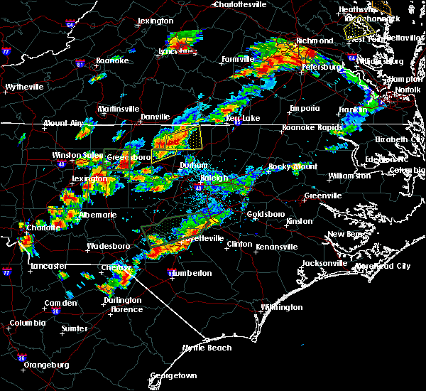 At 626 pm edt, a severe thunderstorm was located near prospect hill, moving east at 25 mph. another severe thunderstorm was located over roxboro moving east at 25 mph (radar indicated). Hazards include 60 mph wind gusts and quarter size hail. Hail damage to vehicles is expected. Expect wind damage to roofs, siding, and trees. At 626 pm edt, a severe thunderstorm was located near prospect hill, moving east at 25 mph. another severe thunderstorm was located over roxboro moving east at 25 mph (radar indicated). Hazards include 60 mph wind gusts and quarter size hail. Hail damage to vehicles is expected. Expect wind damage to roofs, siding, and trees.
|
| 9/28/2016 6:28 PM EDT |
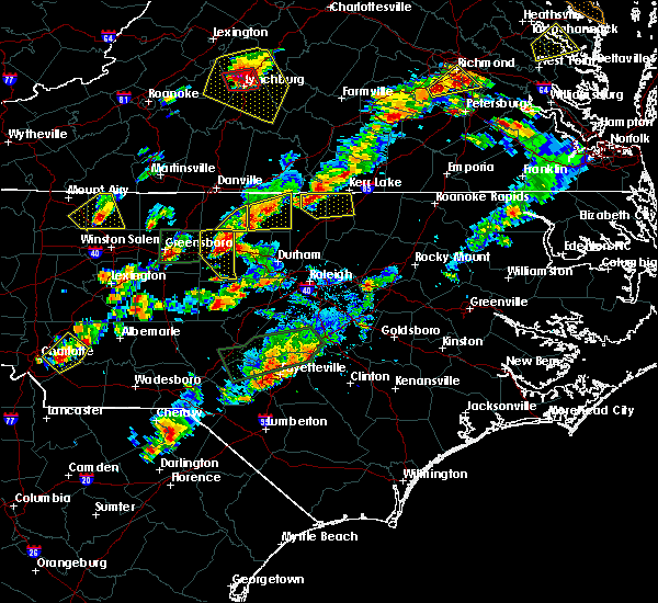 At 626 pm edt, a severe thunderstorm was located near prospect hill, moving east at 25 mph. another severe thunderstorm was located over roxboro moving east at 25 mph (radar indicated). Hazards include 60 mph wind gusts and quarter size hail. Hail damage to vehicles is expected. Expect wind damage to roofs, siding, and trees. At 626 pm edt, a severe thunderstorm was located near prospect hill, moving east at 25 mph. another severe thunderstorm was located over roxboro moving east at 25 mph (radar indicated). Hazards include 60 mph wind gusts and quarter size hail. Hail damage to vehicles is expected. Expect wind damage to roofs, siding, and trees.
|
| 9/27/2016 10:27 PM EDT |
 The severe thunderstorm warning for southern person, northeastern orange and northwestern durham counties will expire at 1030 pm edt, the severe thunderstorm which prompted the warning has weakened. therefore the warning will be allowed to expire. The severe thunderstorm warning for southern person, northeastern orange and northwestern durham counties will expire at 1030 pm edt, the severe thunderstorm which prompted the warning has weakened. therefore the warning will be allowed to expire.
|
| 9/27/2016 10:04 PM EDT |
 At 1004 pm edt, doppler radar indicated a severe thunderstorm capable of producing quarter size hail and damaging winds in excess of 58 mph. this storm was located 7 miles northeast of prospect hill, moving southeast at 20 mph. locations impacted include, roxboro, rougemont, surl, bushy fork, moriah, bahama, lake michie and hyco lake. At 1004 pm edt, doppler radar indicated a severe thunderstorm capable of producing quarter size hail and damaging winds in excess of 58 mph. this storm was located 7 miles northeast of prospect hill, moving southeast at 20 mph. locations impacted include, roxboro, rougemont, surl, bushy fork, moriah, bahama, lake michie and hyco lake.
|
| 9/27/2016 9:36 PM EDT |
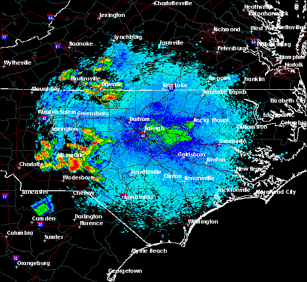 At 935 pm edt, a severe thunderstorm was located over topnot, or near yanceyville, moving southeast at 20 mph (radar indicated). Hazards include 60 mph wind gusts and quarter size hail. Hail damage to vehicles is expected. Expect wind damage to roofs, siding, and trees. At 935 pm edt, a severe thunderstorm was located over topnot, or near yanceyville, moving southeast at 20 mph (radar indicated). Hazards include 60 mph wind gusts and quarter size hail. Hail damage to vehicles is expected. Expect wind damage to roofs, siding, and trees.
|
| 9/1/2016 2:00 PM EDT |
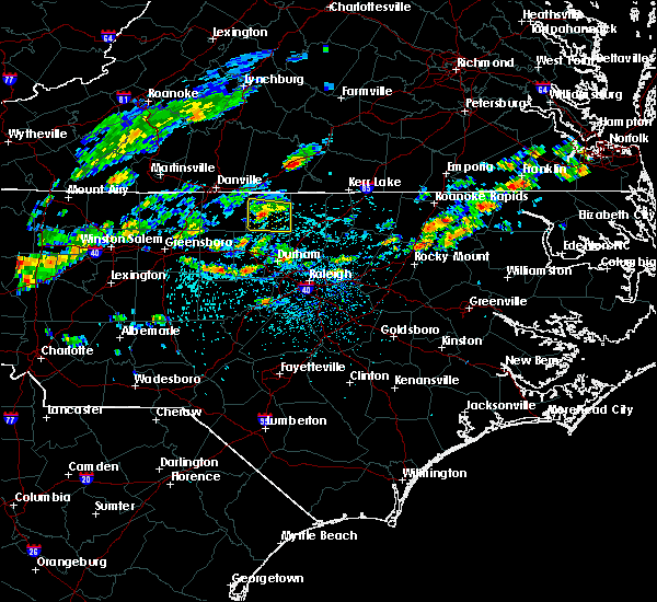 At 159 pm edt, a severe thunderstorm was located near roxboro, moving east at 25 mph (radar indicated). Hazards include 60 mph wind gusts and penny size hail. Expect damage to roofs. siding. and trees. Locations impacted include, roxboro, surl and moriah. At 159 pm edt, a severe thunderstorm was located near roxboro, moving east at 25 mph (radar indicated). Hazards include 60 mph wind gusts and penny size hail. Expect damage to roofs. siding. and trees. Locations impacted include, roxboro, surl and moriah.
|
| 9/1/2016 1:43 PM EDT |
 At 142 pm edt, a severe thunderstorm was located over leasburg, or 7 miles west of roxboro, moving southeast at 30 mph (radar indicated). Hazards include 60 mph wind gusts and quarter size hail. Hail damage to vehicles is expected. Expect wind damage to roofs, siding, and trees. At 142 pm edt, a severe thunderstorm was located over leasburg, or 7 miles west of roxboro, moving southeast at 30 mph (radar indicated). Hazards include 60 mph wind gusts and quarter size hail. Hail damage to vehicles is expected. Expect wind damage to roofs, siding, and trees.
|
| 8/2/2016 2:00 PM EDT | Tree down on road in person county NC, 2.7 miles SSE of Rougemont, NC |
| 7/30/2016 7:22 PM EDT |
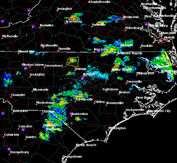 At 721 pm edt, a severe thunderstorm was located 7 miles west of rougemont, or 8 miles east of prospect hill, moving east at 10 mph (radar indicated). Hazards include 60 mph wind gusts and penny size hail. Expect damage to roofs. siding. And trees. At 721 pm edt, a severe thunderstorm was located 7 miles west of rougemont, or 8 miles east of prospect hill, moving east at 10 mph (radar indicated). Hazards include 60 mph wind gusts and penny size hail. Expect damage to roofs. siding. And trees.
|
| 7/27/2016 7:11 PM EDT |
 The severe thunderstorm warning for southern person, northeastern orange and northwestern durham counties will expire at 715 pm edt, the storm which prompted the warning has weakened below severe limits, and no longer poses an immediate threat to life or property. therefore the warning will be allowed to expire. The severe thunderstorm warning for southern person, northeastern orange and northwestern durham counties will expire at 715 pm edt, the storm which prompted the warning has weakened below severe limits, and no longer poses an immediate threat to life or property. therefore the warning will be allowed to expire.
|
| 7/27/2016 7:09 PM EDT | Tree down on the road at shady creek trail and hwy 5 in orange county NC, 5 miles ENE of Rougemont, NC |
| 7/27/2016 7:05 PM EDT |
 At 704 pm edt, a severe thunderstorm was located 5 miles northwest of rougemont, moving southeast at 10 mph (radar indicated). Hazards include 60 mph wind gusts. Expect damage to roofs. siding. and trees. Locations impacted include, rougemont, lake michie, moriah, schley and bahama. At 704 pm edt, a severe thunderstorm was located 5 miles northwest of rougemont, moving southeast at 10 mph (radar indicated). Hazards include 60 mph wind gusts. Expect damage to roofs. siding. and trees. Locations impacted include, rougemont, lake michie, moriah, schley and bahama.
|
| 7/27/2016 6:53 PM EDT |
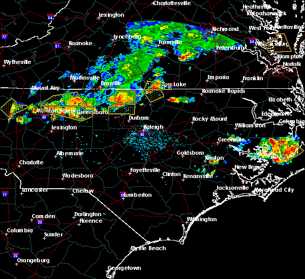 At 651 pm edt, a severe thunderstorm was located just west of roxboro and rougemont, southeast at 15 mph (radar indicated). Hazards include 60 mph wind gusts. Expect damage to roofs. siding. and trees. Locations impacted include, rougemont, carr, lake michie, moriah, schley and bahama. At 651 pm edt, a severe thunderstorm was located just west of roxboro and rougemont, southeast at 15 mph (radar indicated). Hazards include 60 mph wind gusts. Expect damage to roofs. siding. and trees. Locations impacted include, rougemont, carr, lake michie, moriah, schley and bahama.
|
| 7/27/2016 6:34 PM EDT |
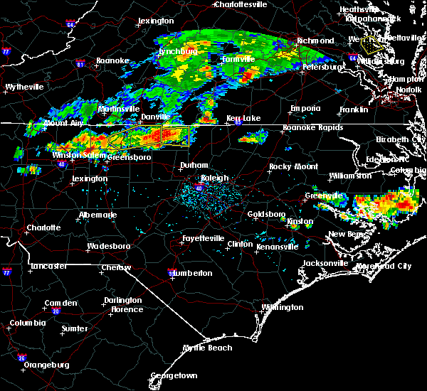 At 632 pm edt, a severe thunderstorm was located about 10 miles southwest of roxboro, moving southeast at 15 mph (radar indicated). Hazards include 60 mph wind gusts. Expect damage to roofs. siding. And trees. At 632 pm edt, a severe thunderstorm was located about 10 miles southwest of roxboro, moving southeast at 15 mph (radar indicated). Hazards include 60 mph wind gusts. Expect damage to roofs. siding. And trees.
|
| 7/19/2016 11:40 PM EDT |
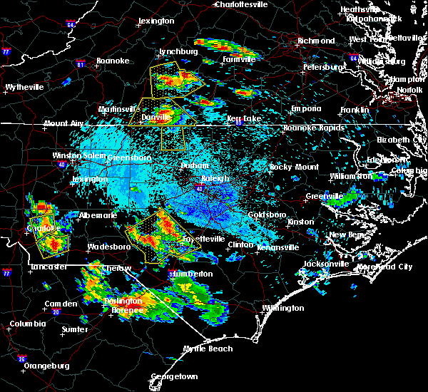 At 1139 pm edt, a severe thunderstorm was located over elmo, or 7 miles south of ingram, moving south at 15 mph (radar indicated). Hazards include 60 mph wind gusts and quarter size hail. Hail damage to vehicles is expected. Expect wind damage to roofs, siding, and trees. At 1139 pm edt, a severe thunderstorm was located over elmo, or 7 miles south of ingram, moving south at 15 mph (radar indicated). Hazards include 60 mph wind gusts and quarter size hail. Hail damage to vehicles is expected. Expect wind damage to roofs, siding, and trees.
|
| 7/8/2016 7:52 PM EDT |
 At 751 pm edt, severe thunderstorms were located along a line extending from near littleton to 8 miles northeast of bunn to near durham, moving southeast at 50 mph (radar indicated). Hazards include 60 mph wind gusts and penny size hail. Expect damage to roofs. siding. and trees. locations impacted include, raleigh, durham, cary, rocky mount, chapel hill, roanoke rapids, nashville, creedmoor, louisburg and warrenton. A severe thunderstorm watch remains in effect until midnight edt for central north carolina. At 751 pm edt, severe thunderstorms were located along a line extending from near littleton to 8 miles northeast of bunn to near durham, moving southeast at 50 mph (radar indicated). Hazards include 60 mph wind gusts and penny size hail. Expect damage to roofs. siding. and trees. locations impacted include, raleigh, durham, cary, rocky mount, chapel hill, roanoke rapids, nashville, creedmoor, louisburg and warrenton. A severe thunderstorm watch remains in effect until midnight edt for central north carolina.
|
| 7/8/2016 7:36 PM EDT |
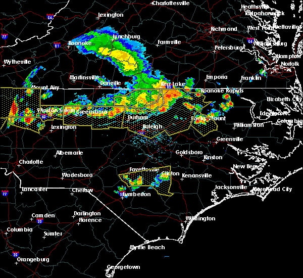 At 736 pm edt, severe thunderstorms were located along a line extending from near norlina to 7 miles southeast of henderson to near butner, moving southeast at 35 mph (radar indicated). Hazards include 60 mph wind gusts and penny size hail. Expect damage to roofs. siding. and trees. locations impacted include, henderson, oxford, kittrell, stem, middleburg, south henderson, gillburg, bullocksville, satterwhite point marina and dabney. A severe thunderstorm watch remains in effect until midnight edt for central north carolina. At 736 pm edt, severe thunderstorms were located along a line extending from near norlina to 7 miles southeast of henderson to near butner, moving southeast at 35 mph (radar indicated). Hazards include 60 mph wind gusts and penny size hail. Expect damage to roofs. siding. and trees. locations impacted include, henderson, oxford, kittrell, stem, middleburg, south henderson, gillburg, bullocksville, satterwhite point marina and dabney. A severe thunderstorm watch remains in effect until midnight edt for central north carolina.
|
| 7/8/2016 7:31 PM EDT |
 At 730 pm edt, severe thunderstorms were located along a line extending from near norlina to near kittrell to 6 miles south of rougemont, moving southeast at 50 mph (radar indicated). Hazards include 60 mph wind gusts and penny size hail. Expect damage to roofs. siding. and trees. locations impacted include, raleigh, durham, cary, rocky mount, chapel hill, roanoke rapids, henderson, nashville, creedmoor and louisburg. A severe thunderstorm watch remains in effect until midnight edt for central north carolina. At 730 pm edt, severe thunderstorms were located along a line extending from near norlina to near kittrell to 6 miles south of rougemont, moving southeast at 50 mph (radar indicated). Hazards include 60 mph wind gusts and penny size hail. Expect damage to roofs. siding. and trees. locations impacted include, raleigh, durham, cary, rocky mount, chapel hill, roanoke rapids, henderson, nashville, creedmoor and louisburg. A severe thunderstorm watch remains in effect until midnight edt for central north carolina.
|
| 7/8/2016 7:20 PM EDT |
 At 719 pm edt, severe thunderstorms were located along a line extending from 7 miles north of norlina to near henderson to near rougemont, moving east at 50 mph (radar indicated). Hazards include 60 mph wind gusts and penny size hail. Expect damage to roofs. siding. and trees. locations impacted include, henderson, oxford, roxboro, kittrell, stem, stovall, middleburg, south henderson, gillburg and surl. A severe thunderstorm watch remains in effect until midnight edt for central north carolina. At 719 pm edt, severe thunderstorms were located along a line extending from 7 miles north of norlina to near henderson to near rougemont, moving east at 50 mph (radar indicated). Hazards include 60 mph wind gusts and penny size hail. Expect damage to roofs. siding. and trees. locations impacted include, henderson, oxford, roxboro, kittrell, stem, stovall, middleburg, south henderson, gillburg and surl. A severe thunderstorm watch remains in effect until midnight edt for central north carolina.
|
| 7/8/2016 7:05 PM EDT |
 At 704 pm edt, severe thunderstorms were located along a line extending from near boydton to 6 miles north of oxford to near rougemont, moving southeast at 50 mph (radar indicated). Hazards include 60 mph wind gusts and penny size hail. Expect damage to roofs. siding. And trees. At 704 pm edt, severe thunderstorms were located along a line extending from near boydton to 6 miles north of oxford to near rougemont, moving southeast at 50 mph (radar indicated). Hazards include 60 mph wind gusts and penny size hail. Expect damage to roofs. siding. And trees.
|
| 7/8/2016 6:48 PM EDT |
 At 646 pm edt, severe thunderstorms were located along a line extending from near staunton river state park to near virgilina to near hightowers, moving southeast at 40 mph (radar indicated). Hazards include 60 mph wind gusts and penny size hail. Expect damage to roofs. siding. and trees. locations impacted include, henderson, oxford, roxboro, kittrell, concord, stem, stovall, middleburg, gillburg and hyco lake. A severe thunderstorm watch remains in effect until midnight edt for central north carolina. At 646 pm edt, severe thunderstorms were located along a line extending from near staunton river state park to near virgilina to near hightowers, moving southeast at 40 mph (radar indicated). Hazards include 60 mph wind gusts and penny size hail. Expect damage to roofs. siding. and trees. locations impacted include, henderson, oxford, roxboro, kittrell, concord, stem, stovall, middleburg, gillburg and hyco lake. A severe thunderstorm watch remains in effect until midnight edt for central north carolina.
|
| 7/8/2016 6:30 PM EDT |
 At 628 pm edt, severe thunderstorms were located along a line extending from near clover to near cluster springs to near yanceyville, moving southeast at 35 mph (radar indicated). Hazards include 60 mph wind gusts and penny size hail. Expect damage to roofs. siding. And trees. At 628 pm edt, severe thunderstorms were located along a line extending from near clover to near cluster springs to near yanceyville, moving southeast at 35 mph (radar indicated). Hazards include 60 mph wind gusts and penny size hail. Expect damage to roofs. siding. And trees.
|
| 6/29/2016 6:39 PM EDT |
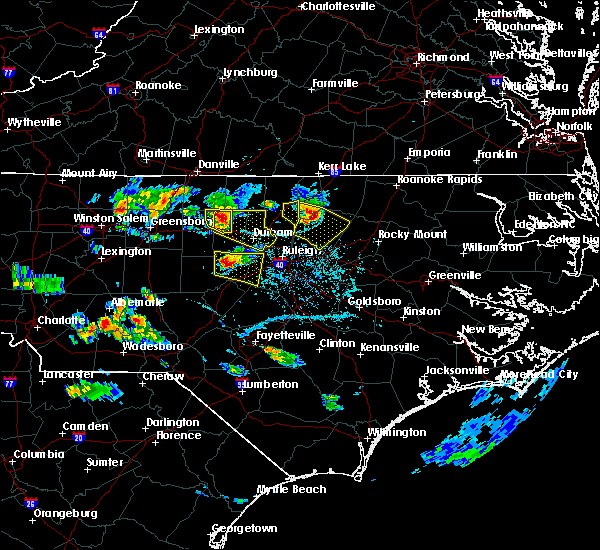 At 638 pm edt, a severe thunderstorm was located near hillsborough, moving east at 35 mph (radar indicated). Hazards include 60 mph wind gusts and quarter size hail. Hail damage to vehicles is expected. Expect wind damage to roofs, siding, and trees. At 638 pm edt, a severe thunderstorm was located near hillsborough, moving east at 35 mph (radar indicated). Hazards include 60 mph wind gusts and quarter size hail. Hail damage to vehicles is expected. Expect wind damage to roofs, siding, and trees.
|
| 6/23/2016 8:19 PM EDT |
 At 819 pm edt, severe thunderstorms were located along a line extending from 7 miles east of kittrell to 6 miles east of creedmoor to 7 miles northeast of prospect hill, moving southeast at 25 mph (radar indicated). Hazards include ping pong ball size hail and 60 mph wind gusts. People and animals outdoors will be injured. expect hail damage to roofs, siding, windows, and vehicles. expect wind damage to roofs, siding, and trees. locations impacted include, henderson, oxford, roxboro, creedmoor, butner, franklinton, kittrell, rougemont, concord and youngsville. A severe thunderstorm watch remains in effect until 1100 pm edt for central north carolina. At 819 pm edt, severe thunderstorms were located along a line extending from 7 miles east of kittrell to 6 miles east of creedmoor to 7 miles northeast of prospect hill, moving southeast at 25 mph (radar indicated). Hazards include ping pong ball size hail and 60 mph wind gusts. People and animals outdoors will be injured. expect hail damage to roofs, siding, windows, and vehicles. expect wind damage to roofs, siding, and trees. locations impacted include, henderson, oxford, roxboro, creedmoor, butner, franklinton, kittrell, rougemont, concord and youngsville. A severe thunderstorm watch remains in effect until 1100 pm edt for central north carolina.
|
| 6/23/2016 7:53 PM EDT |
 At 753 pm edt, severe thunderstorms were located along a line extending from near henderson to near oxford to 6 miles southeast of roxboro, moving southeast at 30 mph (radar indicated). Hazards include 60 mph wind gusts and half dollar size hail. Hail damage to vehicles is expected. Expect wind damage to roofs, siding, and trees. At 753 pm edt, severe thunderstorms were located along a line extending from near henderson to near oxford to 6 miles southeast of roxboro, moving southeast at 30 mph (radar indicated). Hazards include 60 mph wind gusts and half dollar size hail. Hail damage to vehicles is expected. Expect wind damage to roofs, siding, and trees.
|
| 6/23/2016 1:44 AM EDT |
 At 144 am edt, a severe thunderstorm was located near butner, or 8 miles west of creedmoor, moving east at 25 mph (radar indicated). Hazards include 60 mph wind gusts and quarter size hail. Hail damage to vehicles is expected. Expect wind damage to roofs, siding, and trees. At 144 am edt, a severe thunderstorm was located near butner, or 8 miles west of creedmoor, moving east at 25 mph (radar indicated). Hazards include 60 mph wind gusts and quarter size hail. Hail damage to vehicles is expected. Expect wind damage to roofs, siding, and trees.
|
| 6/17/2016 12:35 AM EDT |
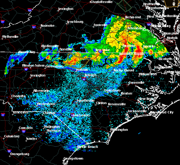 The severe thunderstorm warning for person, northern orange, southern granville and northwestern durham counties will expire at 1245 am edt, the storms which prompted the warning have weakened below severe limits, and no longer pose an immediate threat to life or property. therefore the warning will be allowed to expire. to report severe weather, contact your nearest law enforcement agency. they will relay your report to the national weather service raleigh. The severe thunderstorm warning for person, northern orange, southern granville and northwestern durham counties will expire at 1245 am edt, the storms which prompted the warning have weakened below severe limits, and no longer pose an immediate threat to life or property. therefore the warning will be allowed to expire. to report severe weather, contact your nearest law enforcement agency. they will relay your report to the national weather service raleigh.
|
| 6/17/2016 12:23 AM EDT |
 At 1221 am edt, severe thunderstorms were located along a line extending from 8 miles east of roxboro to 6 miles north of rougemont to near prospect hill, moving southeast at 35 mph (radar indicated). Hazards include 60 mph wind gusts. Expect damage to roofs. siding. and trees. Locations impacted include, oxford, roxboro, creedmoor, butner, rougemont, concord, stem, lake butner, lake michie and surl. At 1221 am edt, severe thunderstorms were located along a line extending from 8 miles east of roxboro to 6 miles north of rougemont to near prospect hill, moving southeast at 35 mph (radar indicated). Hazards include 60 mph wind gusts. Expect damage to roofs. siding. and trees. Locations impacted include, oxford, roxboro, creedmoor, butner, rougemont, concord, stem, lake butner, lake michie and surl.
|
| 6/17/2016 12:02 AM EDT |
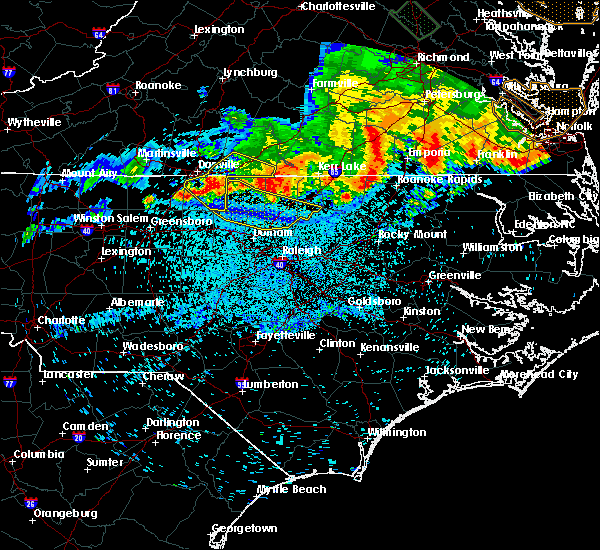 At 1202 am edt, severe thunderstorms were located along a line extending from near roxboro to near leasburg to topnot, moving southeast at 35 mph (radar indicated). Hazards include 60 mph wind gusts. Expect damage to roofs. siding. and trees. Locations impacted include, henderson, oxford, roxboro, creedmoor, butner, kittrell, rougemont, concord, stem and lake butner. At 1202 am edt, severe thunderstorms were located along a line extending from near roxboro to near leasburg to topnot, moving southeast at 35 mph (radar indicated). Hazards include 60 mph wind gusts. Expect damage to roofs. siding. and trees. Locations impacted include, henderson, oxford, roxboro, creedmoor, butner, kittrell, rougemont, concord, stem and lake butner.
|
| 6/16/2016 11:24 PM EDT |
 At 1123 pm edt, severe thunderstorms were located along a line extending from near elmo to near ringgold to danville city, moving east at 45 mph (radar indicated). Hazards include 60 mph wind gusts. Expect damage to roofs. siding. And trees. At 1123 pm edt, severe thunderstorms were located along a line extending from near elmo to near ringgold to danville city, moving east at 45 mph (radar indicated). Hazards include 60 mph wind gusts. Expect damage to roofs. siding. And trees.
|
| 3/14/2016 9:19 PM EDT |
 At 917 pm edt, trained weather spotters reported a severe thunderstorm producing quarter size hail and damaging winds in excess of 58 mph. this storm was located near durham, moving northeast at 40 mph. in addition, at 915 pm half dollar size hail was reported two miles west of durham. locations impacted include, durham, creedmoor, butner, rougemont, lake butner, lake michie, falls lake state rec area, bethesda, gorman and rollingview marina. At 917 pm edt, trained weather spotters reported a severe thunderstorm producing quarter size hail and damaging winds in excess of 58 mph. this storm was located near durham, moving northeast at 40 mph. in addition, at 915 pm half dollar size hail was reported two miles west of durham. locations impacted include, durham, creedmoor, butner, rougemont, lake butner, lake michie, falls lake state rec area, bethesda, gorman and rollingview marina.
|
| 3/14/2016 9:02 PM EDT |
 At 901 pm edt, doppler radar indicated a severe thunderstorm capable of producing quarter size hail and damaging winds in excess of 58 mph. this storm was located over chapel hill, and moving northeast at 40 mph. At 901 pm edt, doppler radar indicated a severe thunderstorm capable of producing quarter size hail and damaging winds in excess of 58 mph. this storm was located over chapel hill, and moving northeast at 40 mph.
|
| 3/14/2016 6:12 PM EDT |
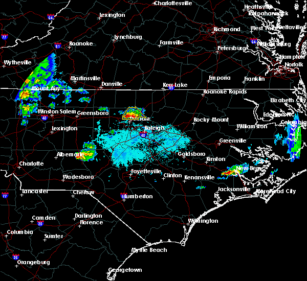 At 610 pm edt, trained weather spotters reported a severe thunderstorm producing large damaging hail up to golf ball size and damaging winds in excess of 58 mph. this storm was located 7 miles north of durham, moving northeast at 15 mph. in addition, at 610 pm golf ball size hail was reported in durham county near i-84 and highway 147. locations impacted include, durham, creedmoor, butner, rougemont, lake butner, lake michie, eno river state park, gorman, bahama and falls lake. At 610 pm edt, trained weather spotters reported a severe thunderstorm producing large damaging hail up to golf ball size and damaging winds in excess of 58 mph. this storm was located 7 miles north of durham, moving northeast at 15 mph. in addition, at 610 pm golf ball size hail was reported in durham county near i-84 and highway 147. locations impacted include, durham, creedmoor, butner, rougemont, lake butner, lake michie, eno river state park, gorman, bahama and falls lake.
|
| 3/14/2016 5:56 PM EDT |
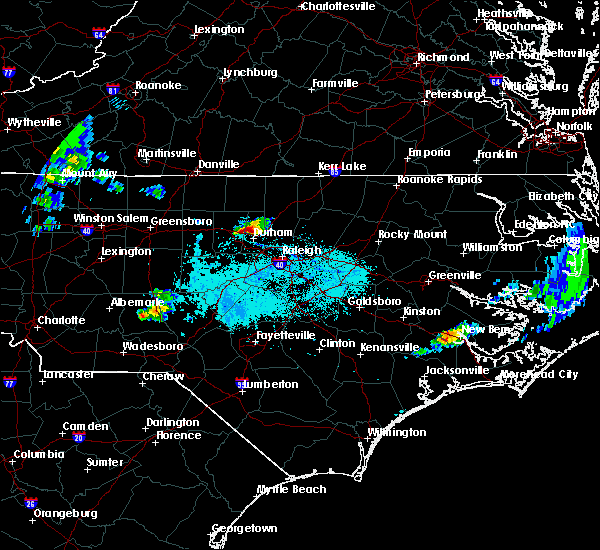 At 555 pm edt, doppler radar indicated a severe thunderstorm capable of producing quarter size hail and damaging winds in excess of 58 mph. this storm was located near hillsborough, and moving northeast at 15 mph. At 555 pm edt, doppler radar indicated a severe thunderstorm capable of producing quarter size hail and damaging winds in excess of 58 mph. this storm was located near hillsborough, and moving northeast at 15 mph.
|
| 2/24/2016 4:04 PM EST |
 At 404 pm est, doppler radar indicated a severe thunderstorm capable of producing a tornado. this dangerous storm was located near durham, and moving northeast at 55 mph. At 404 pm est, doppler radar indicated a severe thunderstorm capable of producing a tornado. this dangerous storm was located near durham, and moving northeast at 55 mph.
|
| 2/24/2016 3:56 PM EST |
 At 355 pm est, doppler radar indicated a severe thunderstorm capable of producing a tornado. this extremely dangerous storm was located near hillsborough, moving northeast at 50 mph. this storm will cross interstate 85 between mile markers 166 and 171 around 400 pm est. locations impacted include, durham, chapel hill, hillsborough, carrboro, rougemont, lake michie, schley, bethesda, eno river state park and gorman. At 355 pm est, doppler radar indicated a severe thunderstorm capable of producing a tornado. this extremely dangerous storm was located near hillsborough, moving northeast at 50 mph. this storm will cross interstate 85 between mile markers 166 and 171 around 400 pm est. locations impacted include, durham, chapel hill, hillsborough, carrboro, rougemont, lake michie, schley, bethesda, eno river state park and gorman.
|
| 2/24/2016 3:49 PM EST |
 At 349 pm est, doppler radar indicated a severe thunderstorm capable of producing a tornado. this dangerous storm was located near carrboro, or near chapel hill, moving northeast at 50 mph. locations impacted include, durham, chapel hill, hillsborough, carrboro, rougemont, lake michie, bethesda, gorman, cane creek reservoir and schley. At 349 pm est, doppler radar indicated a severe thunderstorm capable of producing a tornado. this dangerous storm was located near carrboro, or near chapel hill, moving northeast at 50 mph. locations impacted include, durham, chapel hill, hillsborough, carrboro, rougemont, lake michie, bethesda, gorman, cane creek reservoir and schley.
|
| 2/24/2016 3:43 PM EST |
 At 342 pm est, doppler radar indicated a line of severe thunderstorms capable of producing quarter size hail and damaging winds in excess of 58 mph. these storms were located along a line extending from near semora to 6 miles west of carrboro to 9 miles northwest of carthage, and moving northeast at 70 mph. At 342 pm est, doppler radar indicated a line of severe thunderstorms capable of producing quarter size hail and damaging winds in excess of 58 mph. these storms were located along a line extending from near semora to 6 miles west of carrboro to 9 miles northwest of carthage, and moving northeast at 70 mph.
|
| 2/24/2016 3:35 PM EST |
 At 335 pm est, doppler radar indicated a severe thunderstorm capable of producing a tornado. this dangerous storm was located 12 miles northeast of siler city, and moving northeast at 55 mph. At 335 pm est, doppler radar indicated a severe thunderstorm capable of producing a tornado. this dangerous storm was located 12 miles northeast of siler city, and moving northeast at 55 mph.
|
| 12/23/2015 6:26 PM EST | The severe thunderstorm warning for southeastern person. granville. northern wake and durham counties will expire at 630 pm est. the severe thunderstorm which prompted the warning has weakened. Therefore the warning will be allowed to expire. |
| 12/23/2015 6:15 PM EST | At 537 pm est, doppler radar indicated a line of severe thundestorms from roxboro to chapel hill and jordan lake, moving east at 55 mph. locally damaging wind is expected along the line with wind gusts to 60 mph. |
| 12/23/2015 5:39 PM EST | At 537 pm est, doppler radar indicated a line of severe thundestorms from roxboro to chapel hill and jordan lake, moving east at 55 mph. locally damaging wind is expected along the line with wind gusts to 60 mph. |
| 7/18/2015 7:28 PM EDT |
 At 728 pm edt, doppler radar continued to indicate a severe thunderstorm capable of producing quarter size hail and damaging winds in excess of 58 mph. this storm was located 8 miles north of oxford, moving east at 30 mph. locations impacted include, oxford, roxboro, stovall, mayo reservoir, berea, oak hill, surl, bethel hill, moriah and john h kerr reservoir. At 728 pm edt, doppler radar continued to indicate a severe thunderstorm capable of producing quarter size hail and damaging winds in excess of 58 mph. this storm was located 8 miles north of oxford, moving east at 30 mph. locations impacted include, oxford, roxboro, stovall, mayo reservoir, berea, oak hill, surl, bethel hill, moriah and john h kerr reservoir.
|
| 7/18/2015 7:11 PM EDT |
 At 711 pm edt, doppler radar indicated a severe thunderstorm capable of producing quarter size hail and damaging winds in excess of 58 mph. this storm was located 8 miles south of virgilina, and moving east at 30 mph. At 711 pm edt, doppler radar indicated a severe thunderstorm capable of producing quarter size hail and damaging winds in excess of 58 mph. this storm was located 8 miles south of virgilina, and moving east at 30 mph.
|
| 7/18/2015 1:41 PM EDT |
 At 141 pm edt, doppler radar indicated a line of severe thunderstorms capable of producing damaging winds in excess of 58 mph. these storms were located along a line extending from 9 miles west of oxford to near hillsborough, and moving southeast at 25 mph. At 141 pm edt, doppler radar indicated a line of severe thunderstorms capable of producing damaging winds in excess of 58 mph. these storms were located along a line extending from 9 miles west of oxford to near hillsborough, and moving southeast at 25 mph.
|
| 7/13/2015 10:16 PM EDT |
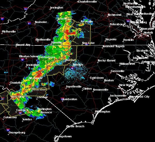 At 1015 pm edt, doppler radar continued to indicate a line of severe thunderstorms capable of producing damaging winds in excess of 58 mph. these storms were located along a line extending from 9 miles south of clarksville to near creedmoor to near durham, moving east at 45 mph. locations impacted include, durham, chapel hill, oxford, creedmoor, butner, stem, stovall, lake butner, lake michie and bethesda. At 1015 pm edt, doppler radar continued to indicate a line of severe thunderstorms capable of producing damaging winds in excess of 58 mph. these storms were located along a line extending from 9 miles south of clarksville to near creedmoor to near durham, moving east at 45 mph. locations impacted include, durham, chapel hill, oxford, creedmoor, butner, stem, stovall, lake butner, lake michie and bethesda.
|
| 7/13/2015 9:38 PM EDT |
 At 938 pm edt, doppler radar indicated a line of severe thunderstorms capable of producing damaging winds in excess of 58 mph. these storms were located along a line extending from near semora to 6 miles east of prospect hill to 8 miles south of graham, and moving east at 30 mph. At 938 pm edt, doppler radar indicated a line of severe thunderstorms capable of producing damaging winds in excess of 58 mph. these storms were located along a line extending from near semora to 6 miles east of prospect hill to 8 miles south of graham, and moving east at 30 mph.
|
| 7/13/2015 8:40 PM EDT |
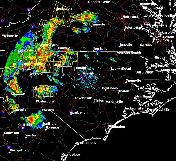 At 840 pm edt, doppler radar indicated a severe thunderstorm capable of producing quarter size hail and damaging winds in excess of 58 mph. this storm was located near baynes, or near jericho, and moving east at 30 mph. At 840 pm edt, doppler radar indicated a severe thunderstorm capable of producing quarter size hail and damaging winds in excess of 58 mph. this storm was located near baynes, or near jericho, and moving east at 30 mph.
|
| 6/30/2015 7:32 PM EDT |
 At 732 pm edt, doppler radar continued to indicate a severe thunderstorm capable of producing damaging winds in excess of 58 mph. this storm was located 7 miles northeast of rougemont, or 12 miles southeast of roxboro, moving northeast at 30 mph. locations impacted include, surl and moriah. At 732 pm edt, doppler radar continued to indicate a severe thunderstorm capable of producing damaging winds in excess of 58 mph. this storm was located 7 miles northeast of rougemont, or 12 miles southeast of roxboro, moving northeast at 30 mph. locations impacted include, surl and moriah.
|
| 6/30/2015 7:28 PM EDT |
 At 727 pm edt, doppler radar continued to indicate a line of severe thunderstorms capable of producing damaging winds in excess of 58 mph. these storms were located along a line extending from roxboro to near rdu international, moving northeast at 35 mph. locations impacted include, raleigh, durham, cary, chapel hill, oxford, creedmoor, wake forest, butner, rougemont and rdu international. At 727 pm edt, doppler radar continued to indicate a line of severe thunderstorms capable of producing damaging winds in excess of 58 mph. these storms were located along a line extending from roxboro to near rdu international, moving northeast at 35 mph. locations impacted include, raleigh, durham, cary, chapel hill, oxford, creedmoor, wake forest, butner, rougemont and rdu international.
|
| 6/30/2015 7:02 PM EDT |
 At 701 pm edt, doppler radar indicated a line of severe thunderstorms capable of producing damaging winds in excess of 58 mph. these storms were located along a line extending from near hightowers to 10 miles east of pittsboro, and moving northeast at 35 mph. At 701 pm edt, doppler radar indicated a line of severe thunderstorms capable of producing damaging winds in excess of 58 mph. these storms were located along a line extending from near hightowers to 10 miles east of pittsboro, and moving northeast at 35 mph.
|
| 6/30/2015 6:49 PM EDT |
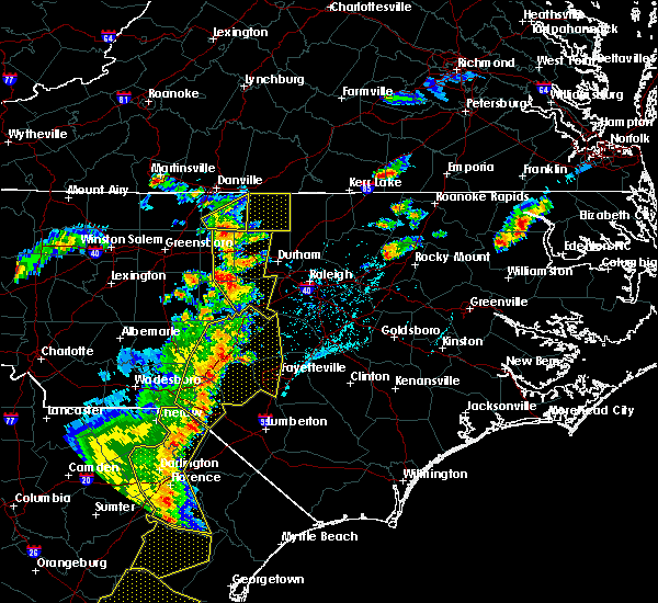 At 648 pm edt, doppler radar indicated a severe thunderstorm capable of producing damaging winds in excess of 58 mph. this storm was located over baynes, or near jericho, and moving northeast at 25 mph. At 648 pm edt, doppler radar indicated a severe thunderstorm capable of producing damaging winds in excess of 58 mph. this storm was located over baynes, or near jericho, and moving northeast at 25 mph.
|
| 6/26/2015 11:53 PM EDT | At 1152 pm edt, doppler radar continued to indicate a line of severe thunderstorms capable of producing damaging winds in excess of 58 mph. these storms were located along a line extending from 6 miles south of durham to near cary, moving northeast at 25 mph. locations impacted include, raleigh, durham, cary, creedmoor, wake forest, garner, butner, rougemont, rdu international and apex. |
| 6/26/2015 11:36 PM EDT | At 1135 pm edt, doppler radar indicated a line of severe thunderstorms capable of producing damaging winds in excess of 58 mph. these storms were located along a line extending from near chapel hill to 9 miles southwest of cary, and moving northeast at 15 mph. |
| 6/25/2015 7:55 PM EDT |
 The severe thunderstorm warning for northeastern orange and northwestern durham counties will expire at 800 pm edt, the storm which prompted the warning has weakened below severe limits, and no longer poses an immediate threat to life or property. therefore the warning will be allowed to expire. The severe thunderstorm warning for northeastern orange and northwestern durham counties will expire at 800 pm edt, the storm which prompted the warning has weakened below severe limits, and no longer poses an immediate threat to life or property. therefore the warning will be allowed to expire.
|
| 6/25/2015 7:36 PM EDT |
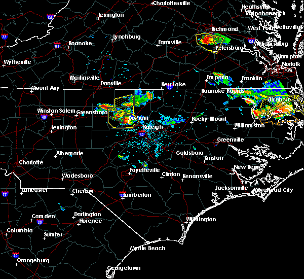 At 735 pm edt, doppler radar continued to indicate a severe thunderstorm capable of producing quarter size hail and damaging winds in excess of 58 mph. this storm was located near rougemont, or 12 miles northwest of creedmoor, moving southeast at 30 mph. locations impacted include, rougemont, lake michie, schley, bahama and eno river state park. At 735 pm edt, doppler radar continued to indicate a severe thunderstorm capable of producing quarter size hail and damaging winds in excess of 58 mph. this storm was located near rougemont, or 12 miles northwest of creedmoor, moving southeast at 30 mph. locations impacted include, rougemont, lake michie, schley, bahama and eno river state park.
|
| 6/25/2015 7:11 PM EDT |
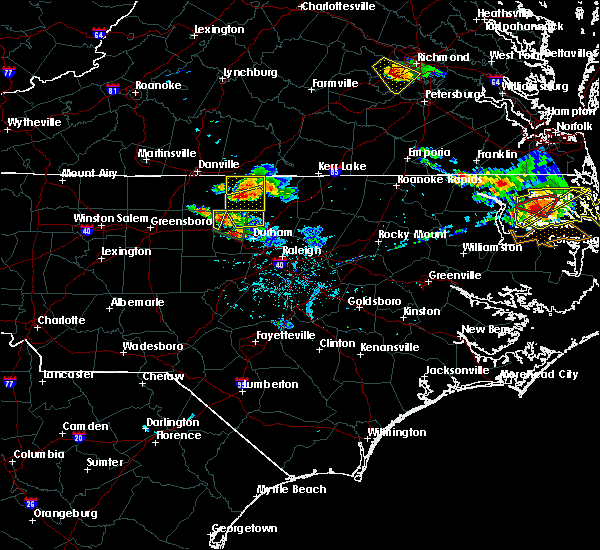 At 710 pm edt, doppler radar indicated a severe thunderstorm capable of producing large damaging hail up to golf ball size and damaging winds in excess of 58 mph. this storm was located near roxboro, and moving southeast at 30 mph. At 710 pm edt, doppler radar indicated a severe thunderstorm capable of producing large damaging hail up to golf ball size and damaging winds in excess of 58 mph. this storm was located near roxboro, and moving southeast at 30 mph.
|
| 6/25/2015 7:03 PM EDT |
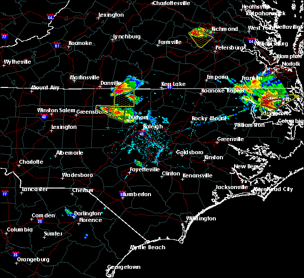 At 702 pm edt, doppler radar continued to indicate a severe thunderstorm capable of producing large damaging hail from golf ball size up to two inches in diameter and damaging winds in excess of 58 mph. this storm was located near roxboro, moving southeast at 30 mph. locations impacted include, roxboro, concord, mayo reservoir, surl, bethel hill, bushy fork, moriah, hyco lake and hyco marina. At 702 pm edt, doppler radar continued to indicate a severe thunderstorm capable of producing large damaging hail from golf ball size up to two inches in diameter and damaging winds in excess of 58 mph. this storm was located near roxboro, moving southeast at 30 mph. locations impacted include, roxboro, concord, mayo reservoir, surl, bethel hill, bushy fork, moriah, hyco lake and hyco marina.
|
| 6/25/2015 6:39 PM EDT |
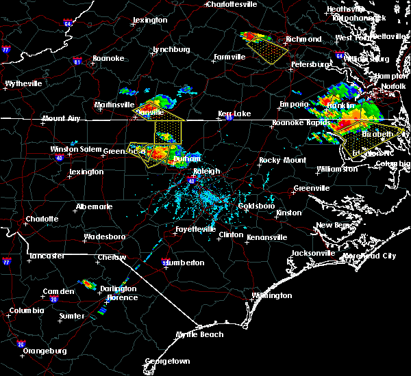 At 639 pm edt, doppler radar continued to indicate a severe thunderstorm capable of producing quarter to golf ball size hail and damaging winds in excess of 58 mph. this storm was located over semora, or 8 miles southwest of turbeville, moving southeast at 25 mph. locations impacted include, roxboro, concord, mayo reservoir, surl, bethel hill, bushy fork, moriah, hyco lake and hyco marina. At 639 pm edt, doppler radar continued to indicate a severe thunderstorm capable of producing quarter to golf ball size hail and damaging winds in excess of 58 mph. this storm was located over semora, or 8 miles southwest of turbeville, moving southeast at 25 mph. locations impacted include, roxboro, concord, mayo reservoir, surl, bethel hill, bushy fork, moriah, hyco lake and hyco marina.
|
| 6/25/2015 6:21 PM EDT |
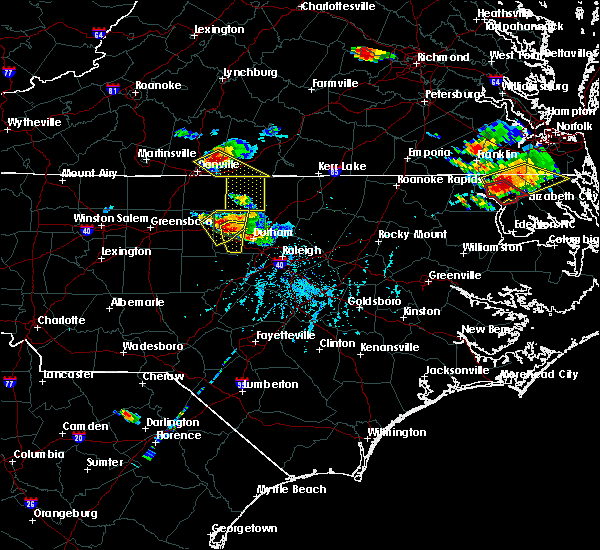 At 620 pm edt, doppler radar indicated a severe thunderstorm capable of producing quarter to golf ball size hail and damaging winds in excess of 58 mph. this storm was located near ringgold, or 9 miles southeast of blairs, and moving southeast at 25 mph. At 620 pm edt, doppler radar indicated a severe thunderstorm capable of producing quarter to golf ball size hail and damaging winds in excess of 58 mph. this storm was located near ringgold, or 9 miles southeast of blairs, and moving southeast at 25 mph.
|
| 6/20/2015 7:06 PM EDT |
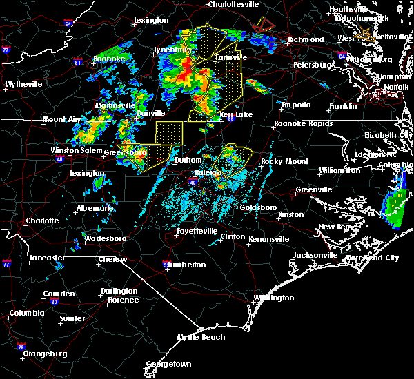 At 705 pm edt, doppler radar indicated a severe thunderstorm capable of producing damaging winds in excess of 58 mph. this storm was located 20 miles southwest of roxboro moving northeast at 65 mph. At 705 pm edt, doppler radar indicated a severe thunderstorm capable of producing damaging winds in excess of 58 mph. this storm was located 20 miles southwest of roxboro moving northeast at 65 mph.
|
| 6/17/2015 8:23 PM EDT |
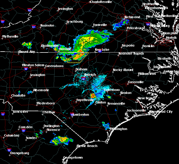 At 821 pm edt, trained weather spotters reported a severe thunderstorm producing damaging winds in excess of 58 mph. this storm was located near roxboro, moving southeast at 15 mph. widespread wind damage has occurred between roxboro and hyco lake with numerous trees down. locations impacted include, roxboro, berea, oak hill, surl, bushy fork, moriah, mayo reservoir and john h kerr reservoir. At 821 pm edt, trained weather spotters reported a severe thunderstorm producing damaging winds in excess of 58 mph. this storm was located near roxboro, moving southeast at 15 mph. widespread wind damage has occurred between roxboro and hyco lake with numerous trees down. locations impacted include, roxboro, berea, oak hill, surl, bushy fork, moriah, mayo reservoir and john h kerr reservoir.
|
| 6/17/2015 8:00 PM EDT |
 At 759 pm edt, doppler radar continued to indicate a severe thunderstorm capable of producing quarter size hail and damaging winds in excess of 58 mph. this storm was located over roxboro, moving southeast at 25 mph. locations impacted include, roxboro, concord, berea, oak hill, surl, bethel hill, bushy fork, and moriah. At 759 pm edt, doppler radar continued to indicate a severe thunderstorm capable of producing quarter size hail and damaging winds in excess of 58 mph. this storm was located over roxboro, moving southeast at 25 mph. locations impacted include, roxboro, concord, berea, oak hill, surl, bethel hill, bushy fork, and moriah.
|
| 6/17/2015 7:41 PM EDT |
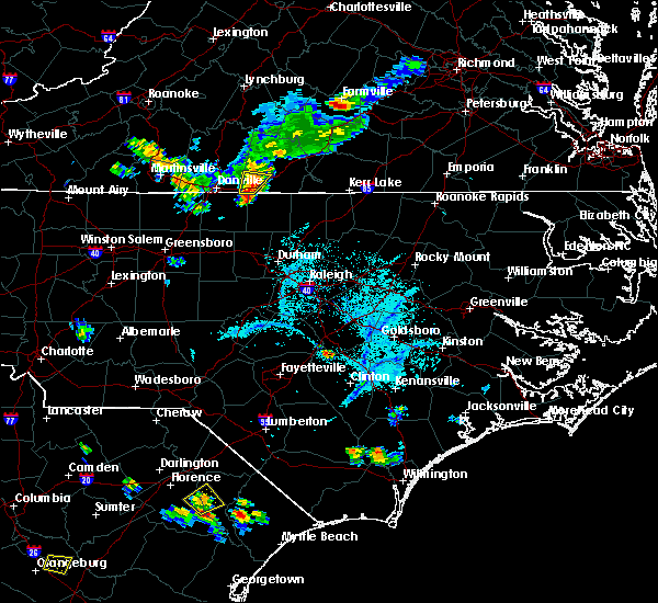 At 741 pm edt, doppler radar indicated a severe thunderstorm capable of producing quarter size hail and damaging winds in excess of 58 mph. this storm was located near semora, or 7 miles northwest of roxboro, and moving southeast at 25 mph. At 741 pm edt, doppler radar indicated a severe thunderstorm capable of producing quarter size hail and damaging winds in excess of 58 mph. this storm was located near semora, or 7 miles northwest of roxboro, and moving southeast at 25 mph.
|
| 5/11/2015 10:43 PM EDT | At 1042 pm edt, doppler radar indicated a severe thunderstorm capable of producing damaging winds in excess of 58 mph. this storm was located near roxboro, and moving east at 25 mph. |
| 6/11/2014 6:25 PM EDT | Multiple trees down near the orange county speedway in orange county NC, 1.9 miles ENE of Rougemont, NC |
| 4/25/2014 3:47 PM EDT | Quarter sized hail reported 7 miles SSW of Rougemont, NC, quarter size hail near surl |
| 2/21/2014 10:23 AM EST | Tree blown down along guess roa in orange county NC, 5.6 miles NE of Rougemont, NC |
| 6/28/2013 5:50 PM EDT | Tree... power line... and power pole down at bahama road and stagville roa in durham county NC, 4.6 miles NW of Rougemont, NC |
| 6/28/2013 5:47 PM EDT | Tree down at s lowell and millers bend road... time estimated by radar in durham county NC, 4.7 miles NNE of Rougemont, NC |
| 6/13/2013 5:11 PM EDT | Storm damage reported in durham county NC, 0.5 miles NNE of Rougemont, NC |
| 6/13/2013 5:11 PM EDT | Numerous trees and power lines blown down along red mountain road in durham county NC, 2.6 miles W of Rougemont, NC |
| 6/13/2013 5:10 PM EDT | Large tree and power lines blown down along hampton road in durham county NC, 4.6 miles WNW of Rougemont, NC |
| 1/30/2013 10:45 PM EST | Tree down on holeman-ashley roa in person county NC, 5.2 miles ESE of Rougemont, NC |
| 9/18/2012 10:55 AM EDT | Small cluster of trees down at private residence. time est by rada in person county NC, 4.9 miles WSW of Rougemont, NC |
| 9/2/2012 9:15 PM EDT | Downed tree blocking one lane at the intersection of quail roost farm road and n. roxboro roa in durham county NC, 2 miles NNW of Rougemont, NC |
| 7/27/2012 6:24 PM EDT | Trees down near breeze and guess road in orange county NC, 5.8 miles E of Rougemont, NC |
| 7/5/2012 1:57 PM EDT | Numerous trees down along kiger r in orange county NC, 6.5 miles NE of Rougemont, NC |
| 7/5/2012 1:55 PM EDT | Numerous trees down near nc 57 and nc 157. multiple trees blocking the roa in orange county NC, 5.8 miles ENE of Rougemont, NC |
| 6/1/2012 4:05 PM EDT | Golf Ball sized hail reported 4.2 miles SSE of Rougemont, NC, golf ball size hail |
| 1/1/0001 12:00 AM | One tree blown down on mckee road in orange county NC, 2.7 miles ENE of Rougemont, NC |
| 1/1/0001 12:00 AM | Multiple trees and power lines down along highway 501 near the durham and person county line in person county NC, 1 miles SSE of Rougemont, NC |
| 1/1/0001 12:00 AM | Quarter sized hail reported 7 miles SSW of Rougemont, NC, trained spotter observed quarter size hail in surl |
| 1/1/0001 12:00 AM | Trained skywarn spotter reports measured wind gust of 65 mph in sur in person county NC, 7 miles SSW of Rougemont, NC |
| 1/1/0001 12:00 AM | 2 trees down near durham road and hillsborough roa in person county NC, 1.8 miles SSE of Rougemont, NC |
| 1/1/0001 12:00 AM | Trees and power lines down near c.c. andrews road and durham roa in person county NC, 2.5 miles SSE of Rougemont, NC |
Hail Maps for Rougemont, NC


Connect with Interactive Hail Maps