

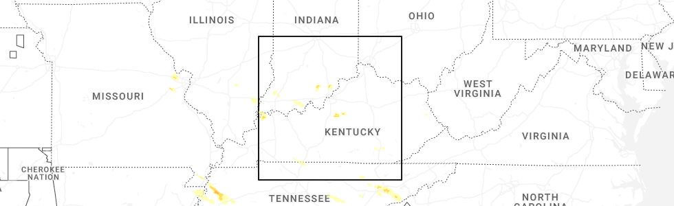
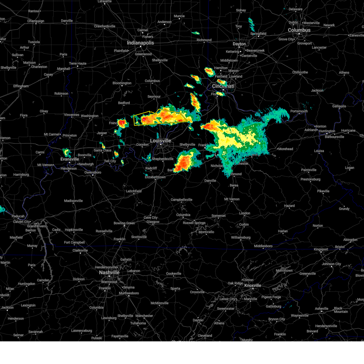
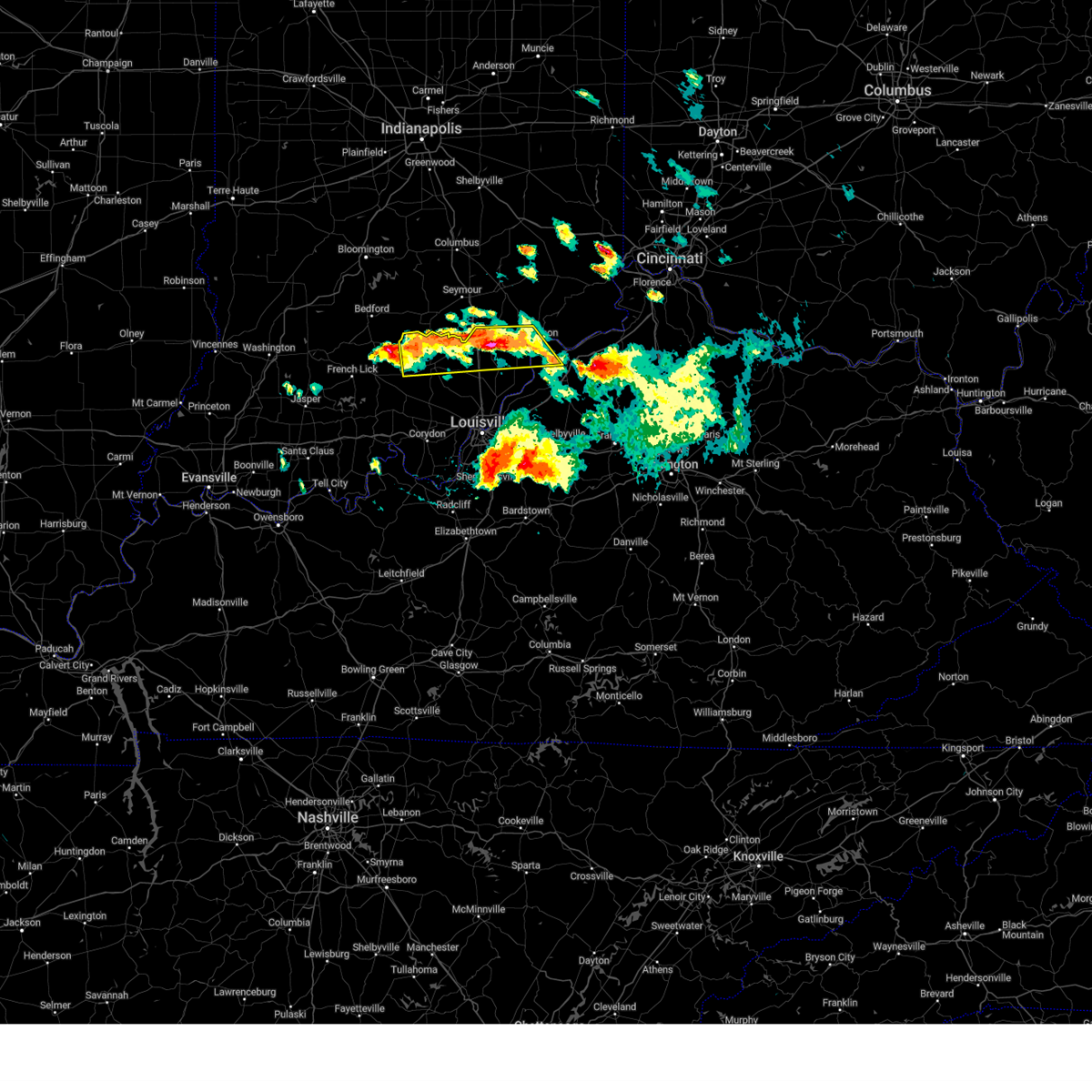
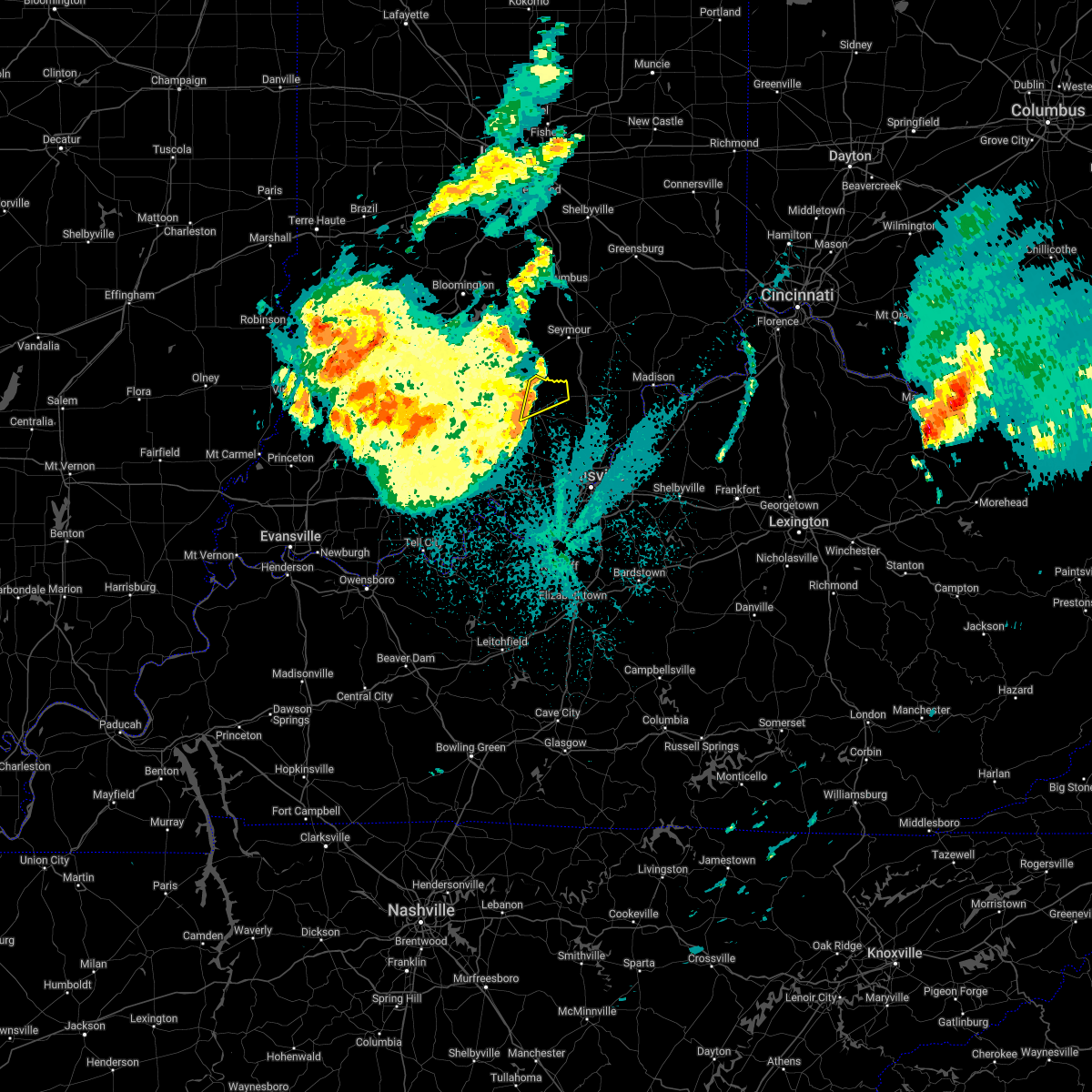
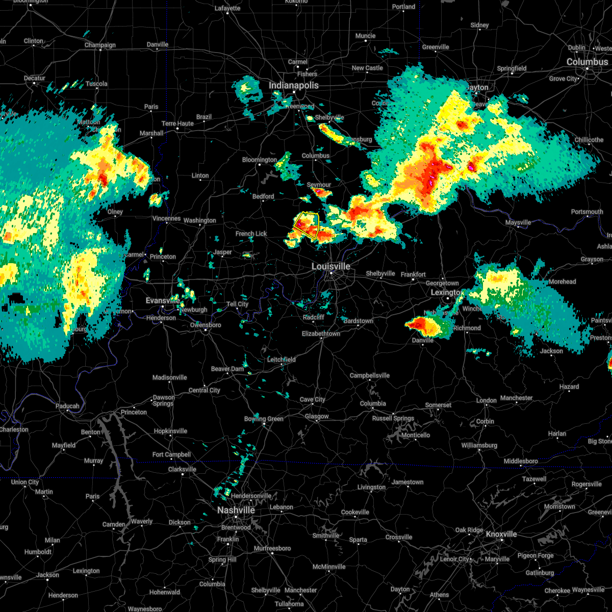
Hail Map for Salem, IN
The Salem, IN area has had 5 reports of on-the-ground hail by trained spotters, and has been under severe weather warnings 33 times during the past 12 months. Doppler radar has detected hail at or near Salem, IN on 57 occasions, including 3 occasions during the past year.
| Name: | Salem, IN |
| Where Located: | 47.3 miles NNW of Louisville, KY |
| Map: | Google Map for Salem, IN |
| Population: | 6319 |
| Housing Units: | 2932 |
| More Info: | Search Google for Salem, IN |
1
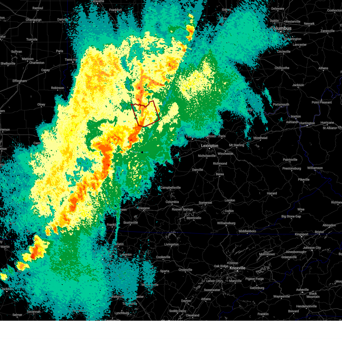
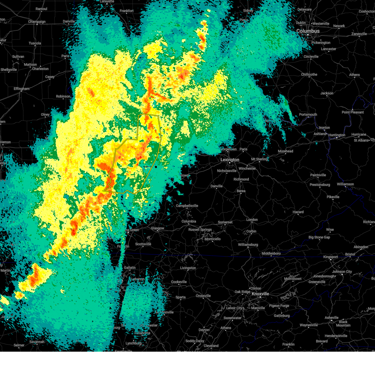
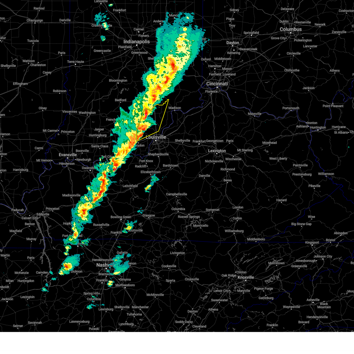
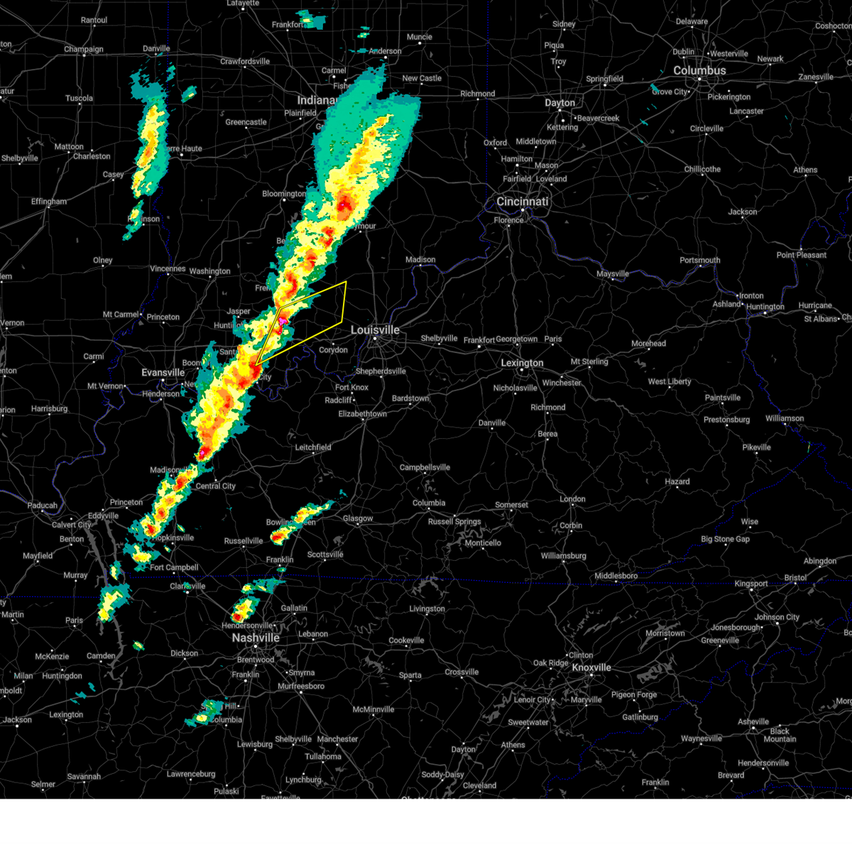
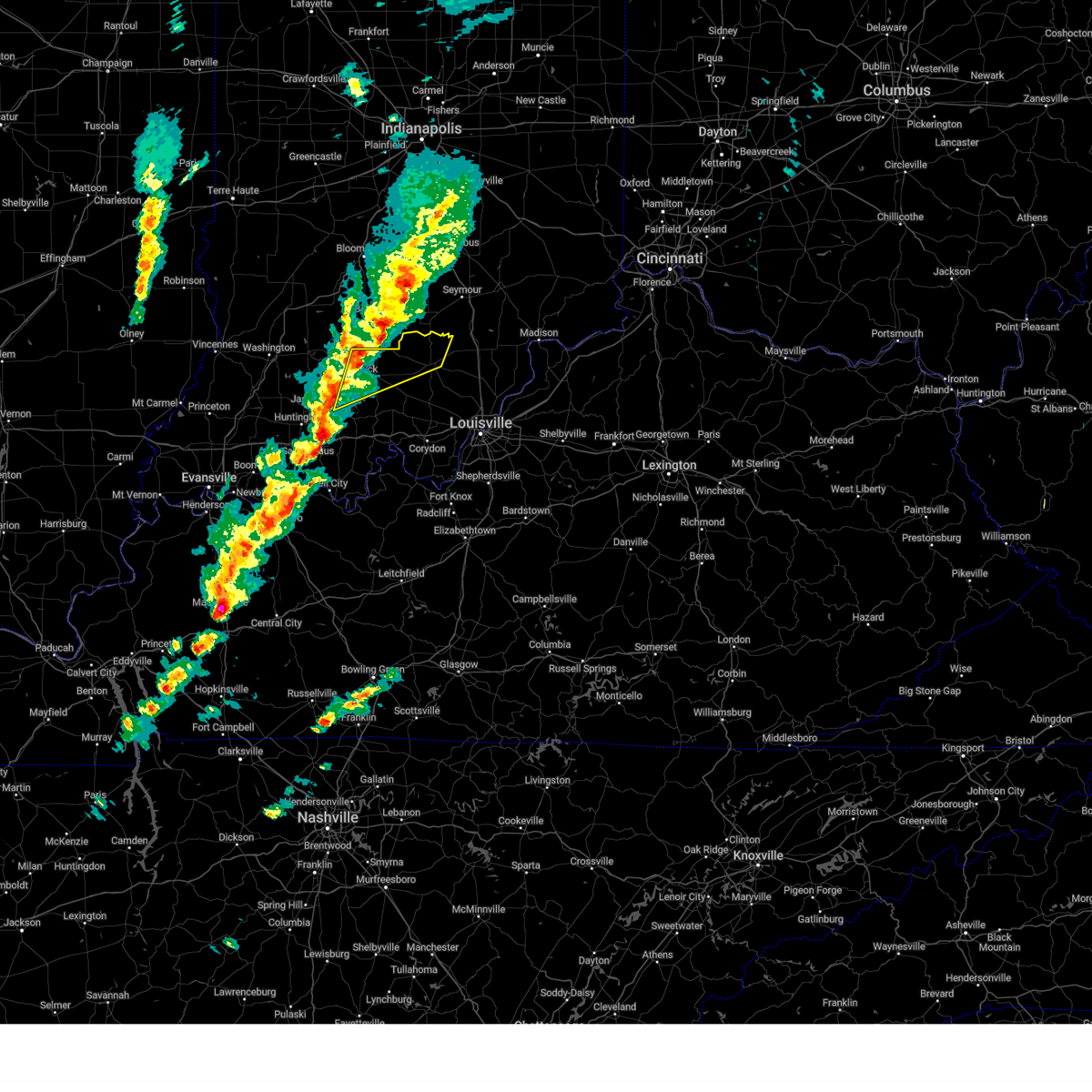
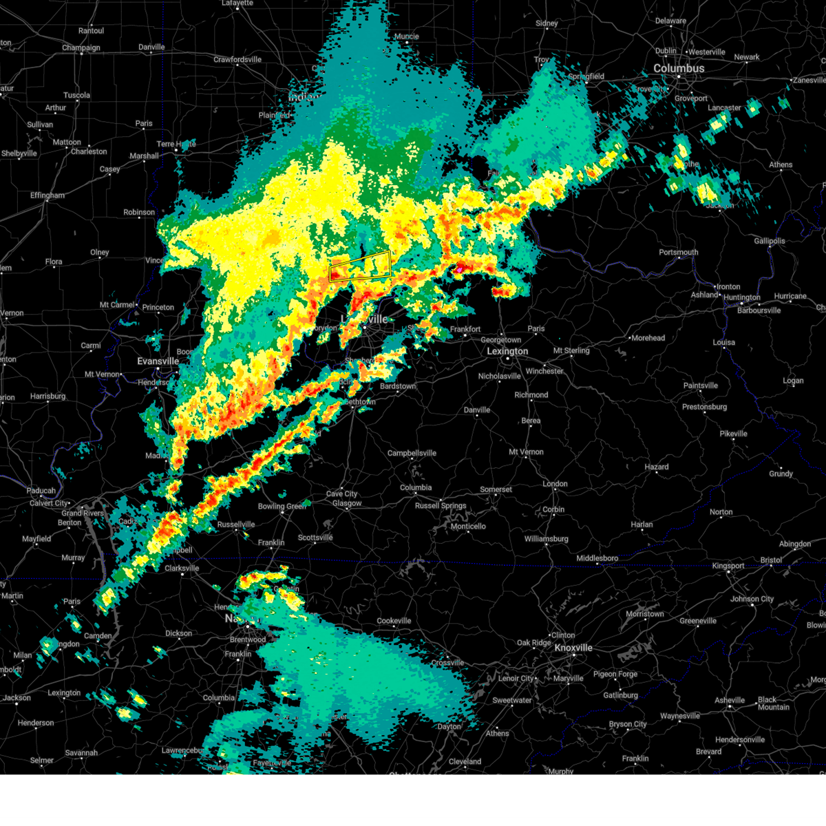
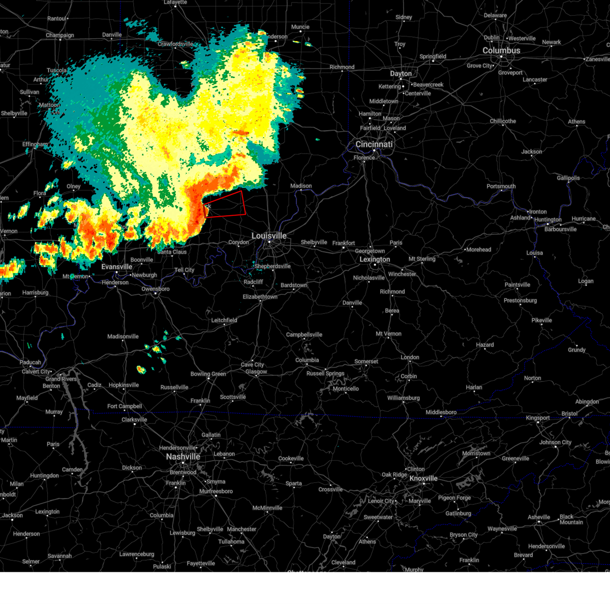
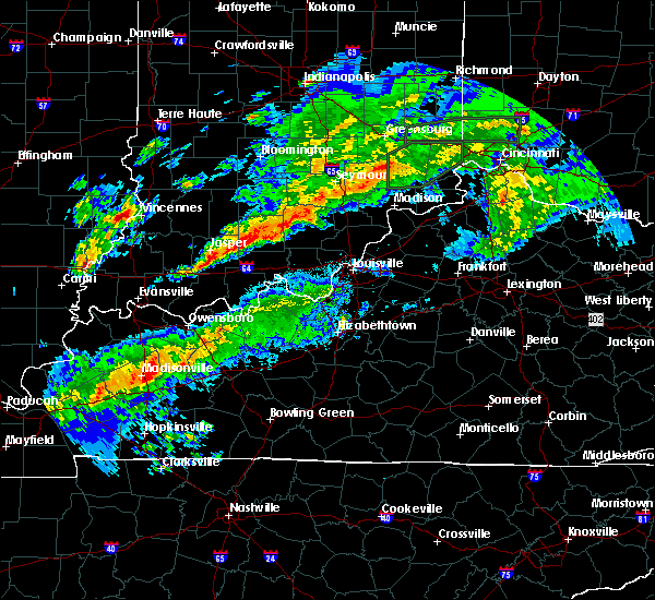
The Top Recent Hail Date for Salem, IN is Thursday, April 10, 2025 (18th out of 57)
Hail and Wind Damage Spotted near Salem, IN
| Date / Time | Report Details |
|---|---|
| 6/18/2025 4:48 PM EDT |
 Svrlmk the national weather service in louisville has issued a * severe thunderstorm warning for, west central scott county in south central indiana, northern washington county in south central indiana, * until 545 pm edt. * at 448 pm edt, a severe thunderstorm was located 9 miles north of paoli, moving northeast at 50 mph (radar indicated). Hazards include golf ball size hail and 70 mph wind gusts. People and animals outdoors will be injured. expect hail damage to roofs, siding, windows, and vehicles. expect considerable tree damage. Wind damage is also likely to mobile homes, roofs, and outbuildings. Svrlmk the national weather service in louisville has issued a * severe thunderstorm warning for, west central scott county in south central indiana, northern washington county in south central indiana, * until 545 pm edt. * at 448 pm edt, a severe thunderstorm was located 9 miles north of paoli, moving northeast at 50 mph (radar indicated). Hazards include golf ball size hail and 70 mph wind gusts. People and animals outdoors will be injured. expect hail damage to roofs, siding, windows, and vehicles. expect considerable tree damage. Wind damage is also likely to mobile homes, roofs, and outbuildings.
|
| 4/29/2025 6:14 PM EDT |
 The storm which prompted the warning has weakened below severe limits, and no longer poses an immediate threat to life or property. therefore, the warning will be allowed to expire. a severe thunderstorm watch remains in effect until 900 pm edt for south central indiana. The storm which prompted the warning has weakened below severe limits, and no longer poses an immediate threat to life or property. therefore, the warning will be allowed to expire. a severe thunderstorm watch remains in effect until 900 pm edt for south central indiana.
|
| 4/29/2025 6:08 PM EDT | At 607 pm edt, a severe thunderstorm was located 7 miles northwest of salem, moving east at 60 mph (radar indicated). Hazards include 60 mph wind gusts. Expect damage to roofs, siding, and trees. Locations impacted include, salem, campbellsburg, saltillo, bromer, kossuth, leipsic, smedley, claysville, hitchcock, and prowsville. |
| 4/29/2025 5:39 PM EDT | Svrlmk the national weather service in louisville has issued a * severe thunderstorm warning for, northern orange county in south central indiana, northwestern washington county in south central indiana, * until 615 pm edt. * at 538 pm edt, a severe thunderstorm was located over shoals, moving east at 65 mph (radar indicated). Hazards include 60 mph wind gusts. expect damage to roofs, siding, and trees |
| 4/10/2025 7:51 PM EDT |
 The storm which prompted the warning has weakened below severe limits, and has exited the warned area. therefore, the warning has been allowed to expire. to report severe weather, contact your nearest law enforcement agency. they will relay your report to the national weather service louisville. The storm which prompted the warning has weakened below severe limits, and has exited the warned area. therefore, the warning has been allowed to expire. to report severe weather, contact your nearest law enforcement agency. they will relay your report to the national weather service louisville.
|
| 4/10/2025 7:38 PM EDT | At 738 pm edt, a severe thunderstorm was located 9 miles southwest of scottsburg, moving northeast at 25 mph (radar indicated). Hazards include 60 mph wind gusts and penny size hail. Expect damage to roofs, siding, and trees. Locations impacted include, salem, blue river, new pekin, little york, new philadelphia, farabee, daisy hill, south boston, canton, and harristown. |
| 4/10/2025 7:26 PM EDT | At 726 pm edt, a severe thunderstorm was located near salem, moving northeast at 25 mph (radar indicated). Hazards include 60 mph wind gusts and quarter size hail. Hail damage to vehicles is expected. expect wind damage to roofs, siding, and trees. Locations impacted include, salem, blue river, new pekin, borden, little york, shorts corner, south boston, harristown, new philadelphia, and becks mill. |
| 4/10/2025 7:08 PM EDT | Svrlmk the national weather service in louisville has issued a * severe thunderstorm warning for, western clark county in south central indiana, washington county in south central indiana, * until 745 pm edt. * at 708 pm edt, a severe thunderstorm was located near salem, moving east at 25 mph (radar indicated). Hazards include 60 mph wind gusts and quarter size hail. Hail damage to vehicles is expected. Expect wind damage to roofs, siding, and trees. |
| 4/2/2025 11:46 PM EDT | The storm which prompted the warning has moved out of the area. therefore, the warning has been allowed to expire. a tornado watch remains in effect until 200 am edt for south central indiana. to report severe weather, contact your nearest law enforcement agency. they will relay your report to the national weather service louisville. |
| 4/2/2025 11:38 PM EDT | Numerous trees snapped... substantial damage to a bar in washington county IN, 11.4 miles W of Salem, IN |
| 4/2/2025 11:30 PM EDT | Home damaged on garrison hollow roa in washington county IN, 8.7 miles W of Salem, IN |
| 4/2/2025 11:29 PM EDT |
 the tornado warning has been cancelled and is no longer in effect the tornado warning has been cancelled and is no longer in effect
|
| 4/2/2025 11:29 PM EDT |
 At 1128 pm edt, a severe squall line capable of producing both tornadoes and extensive straight line wind damage was located 8 miles southeast of salem, moving northeast at 60 mph (radar indicated rotation). Hazards include tornado. Flying debris will be dangerous to those caught without shelter. mobile homes will be damaged or destroyed. damage to roofs, windows, and vehicles will occur. tree damage is likely. these dangerous storms will be near, scottsburg around 1135 pm edt. Other locations impacted by this tornadic thunderstorm include henryville, starlight, martinsburg, south boston, pumpkin center, austin, new liberty, harristown, little york, and new philadelphia. At 1128 pm edt, a severe squall line capable of producing both tornadoes and extensive straight line wind damage was located 8 miles southeast of salem, moving northeast at 60 mph (radar indicated rotation). Hazards include tornado. Flying debris will be dangerous to those caught without shelter. mobile homes will be damaged or destroyed. damage to roofs, windows, and vehicles will occur. tree damage is likely. these dangerous storms will be near, scottsburg around 1135 pm edt. Other locations impacted by this tornadic thunderstorm include henryville, starlight, martinsburg, south boston, pumpkin center, austin, new liberty, harristown, little york, and new philadelphia.
|
| 4/2/2025 10:26 PM CDT |
 At 1125 pm edt/1025 pm cdt/, severe thunderstorms were located along a line extending from brownstown to 13 miles north of corydon to 8 miles northeast of hardinsburg, moving east at 60 mph (radar indicated). Hazards include 60 mph wind gusts. Expect damage to roofs, siding, and trees. Locations impacted include, tell city, salem, corydon, brandenburg, hardinsburg, hawesville, english, carefree town, mount pleasant, and webster. At 1125 pm edt/1025 pm cdt/, severe thunderstorms were located along a line extending from brownstown to 13 miles north of corydon to 8 miles northeast of hardinsburg, moving east at 60 mph (radar indicated). Hazards include 60 mph wind gusts. Expect damage to roofs, siding, and trees. Locations impacted include, tell city, salem, corydon, brandenburg, hardinsburg, hawesville, english, carefree town, mount pleasant, and webster.
|
| 4/2/2025 10:26 PM CDT |
 the severe thunderstorm warning has been cancelled and is no longer in effect the severe thunderstorm warning has been cancelled and is no longer in effect
|
| 4/2/2025 11:18 PM EDT | Torlmk the national weather service in louisville has issued a * tornado warning for, north central harrison county in south central indiana, northwestern clark county in south central indiana, northwestern floyd county in south central indiana, scott county in south central indiana, washington county in south central indiana, * until 1145 pm edt. * at 1118 pm edt, severe thunderstorms capable of producing both tornadoes and extensive straight line wind damage were located 13 miles south of salem, moving northeast at 70 mph (radar indicated rotation). Hazards include tornado. Flying debris will be dangerous to those caught without shelter. mobile homes will be damaged or destroyed. damage to roofs, windows, and vehicles will occur. tree damage is likely. these dangerous storms will be near, scottsburg around 1140 pm edt. Other locations impacted by this tornadic thunderstorm include campbellsburg, smedley, shorts corner, bradford, livonia, fairdale, pumpkin center, austin, rosebud, and new liberty. |
| 4/2/2025 9:58 PM CDT | Svrlmk the national weather service in louisville has issued a * severe thunderstorm warning for, harrison county in south central indiana, northwestern clark county in south central indiana, crawford county in south central indiana, perry county in south central indiana, floyd county in south central indiana, orange county in south central indiana, washington county in south central indiana, meade county in central kentucky, hancock county in central kentucky, breckinridge county in central kentucky, northeastern ohio county in central kentucky, * until midnight edt/1100 pm cdt/. * at 1058 pm edt/958 pm cdt/, severe thunderstorms were located along a line extending from 10 miles south of bedford to 7 miles southwest of english to near whitesville, moving northeast at 55 mph (radar indicated). Hazards include 60 mph wind gusts. expect damage to roofs, siding, and trees |
| 3/30/2025 8:13 PM EDT |
 The storm which prompted the warning has weakened below severe limits, and no longer poses an immediate threat to life or property. therefore, the warning will be allowed to expire. however, gusty winds and heavy rain are still possible with this thunderstorm. a tornado watch remains in effect until 100 am edt for south central indiana. to report severe weather, contact your nearest law enforcement agency. they will relay your report to the national weather service louisville. The storm which prompted the warning has weakened below severe limits, and no longer poses an immediate threat to life or property. therefore, the warning will be allowed to expire. however, gusty winds and heavy rain are still possible with this thunderstorm. a tornado watch remains in effect until 100 am edt for south central indiana. to report severe weather, contact your nearest law enforcement agency. they will relay your report to the national weather service louisville.
|
| 3/30/2025 7:48 PM EDT |
 Svrlmk the national weather service in louisville has issued a * severe thunderstorm warning for, northwestern harrison county in south central indiana, west central clark county in south central indiana, northeastern crawford county in south central indiana, southern washington county in south central indiana, * until 815 pm edt. * at 748 pm edt, a severe thunderstorm was located 12 miles northeast of carefree town, moving northeast at 45 mph (radar indicated). Hazards include 60 mph wind gusts and quarter size hail. Hail damage to vehicles is expected. Expect wind damage to roofs, siding, and trees. Svrlmk the national weather service in louisville has issued a * severe thunderstorm warning for, northwestern harrison county in south central indiana, west central clark county in south central indiana, northeastern crawford county in south central indiana, southern washington county in south central indiana, * until 815 pm edt. * at 748 pm edt, a severe thunderstorm was located 12 miles northeast of carefree town, moving northeast at 45 mph (radar indicated). Hazards include 60 mph wind gusts and quarter size hail. Hail damage to vehicles is expected. Expect wind damage to roofs, siding, and trees.
|
| 3/19/2025 9:26 PM EDT |
 At 926 pm edt, a severe thunderstorm was located near scottsburg, moving northeast at 60 mph (radar indicated). Hazards include 60 mph wind gusts and quarter size hail. Hail damage to vehicles is expected. expect wind damage to roofs, siding, and trees. Locations impacted include, new albany, scottsburg, salem, clarksville, vienna, sellersburg, austin, lexington, galena, and blue river. At 926 pm edt, a severe thunderstorm was located near scottsburg, moving northeast at 60 mph (radar indicated). Hazards include 60 mph wind gusts and quarter size hail. Hail damage to vehicles is expected. expect wind damage to roofs, siding, and trees. Locations impacted include, new albany, scottsburg, salem, clarksville, vienna, sellersburg, austin, lexington, galena, and blue river.
|
| 3/19/2025 9:26 PM EDT |
 the severe thunderstorm warning has been cancelled and is no longer in effect the severe thunderstorm warning has been cancelled and is no longer in effect
|
| 3/19/2025 9:17 PM EDT | Trees down on indiana state road 60 at farabee. time estimated from rada in washington county IN, 4.4 miles NW of Salem, IN |
| 3/19/2025 9:16 PM EDT |
 The storms which prompted the warning have weakened below severe limits, and have exited the warned area. therefore, the warning has been allowed to expire. a new severe thunderstorm warning has replaced this warning. a tornado watch remains in effect until midnight edt for south central indiana. to report severe weather, contact your nearest law enforcement agency. they will relay your report to the national weather service louisville. The storms which prompted the warning have weakened below severe limits, and have exited the warned area. therefore, the warning has been allowed to expire. a new severe thunderstorm warning has replaced this warning. a tornado watch remains in effect until midnight edt for south central indiana. to report severe weather, contact your nearest law enforcement agency. they will relay your report to the national weather service louisville.
|
| 3/19/2025 9:15 PM EDT |
 The storm which prompted the warning has moved out of the area. therefore, the warning has been allowed to expire. a new severe thunderstorm warning has been issued. a tornado watch remains in effect until midnight edt for south central indiana. to report severe weather, contact your nearest law enforcement agency. they will relay your report to the national weather service louisville. The storm which prompted the warning has moved out of the area. therefore, the warning has been allowed to expire. a new severe thunderstorm warning has been issued. a tornado watch remains in effect until midnight edt for south central indiana. to report severe weather, contact your nearest law enforcement agency. they will relay your report to the national weather service louisville.
|
| 3/19/2025 9:12 PM EDT |
 Svrlmk the national weather service in louisville has issued a * severe thunderstorm warning for, northern harrison county in south central indiana, northwestern jefferson county in south central indiana, northwestern clark county in south central indiana, northeastern crawford county in south central indiana, northern floyd county in south central indiana, southeastern orange county in south central indiana, scott county in south central indiana, washington county in south central indiana, * until 1000 pm edt. * at 912 pm edt, a severe thunderstorm was located near salem, moving northeast at 60 mph (radar indicated). Hazards include 60 mph wind gusts and quarter size hail. Hail damage to vehicles is expected. Expect wind damage to roofs, siding, and trees. Svrlmk the national weather service in louisville has issued a * severe thunderstorm warning for, northern harrison county in south central indiana, northwestern jefferson county in south central indiana, northwestern clark county in south central indiana, northeastern crawford county in south central indiana, northern floyd county in south central indiana, southeastern orange county in south central indiana, scott county in south central indiana, washington county in south central indiana, * until 1000 pm edt. * at 912 pm edt, a severe thunderstorm was located near salem, moving northeast at 60 mph (radar indicated). Hazards include 60 mph wind gusts and quarter size hail. Hail damage to vehicles is expected. Expect wind damage to roofs, siding, and trees.
|
| 3/19/2025 9:09 PM EDT |
 the severe thunderstorm warning has been cancelled and is no longer in effect the severe thunderstorm warning has been cancelled and is no longer in effect
|
| 3/19/2025 9:09 PM EDT |
 At 909 pm edt, a severe thunderstorm was located near salem, moving northeast at 60 mph (radar indicated). Hazards include 60 mph wind gusts and quarter size hail. Hail damage to vehicles is expected. expect wind damage to roofs, siding, and trees. Locations impacted include, salem, carefree town, new pekin, palmyra, marengo, milltown, hardinsburg, fredericksburg, shorts corner, and bradford. At 909 pm edt, a severe thunderstorm was located near salem, moving northeast at 60 mph (radar indicated). Hazards include 60 mph wind gusts and quarter size hail. Hail damage to vehicles is expected. expect wind damage to roofs, siding, and trees. Locations impacted include, salem, carefree town, new pekin, palmyra, marengo, milltown, hardinsburg, fredericksburg, shorts corner, and bradford.
|
| 3/19/2025 8:47 PM EDT |
 the severe thunderstorm warning has been cancelled and is no longer in effect the severe thunderstorm warning has been cancelled and is no longer in effect
|
| 3/19/2025 8:47 PM EDT |
 At 847 pm edt, severe thunderstorms were located along a line extending from 12 miles northwest of salem to 7 miles southwest of english, moving northeast at 45 mph (radar indicated). Hazards include 60 mph wind gusts and nickel size hail. Expect damage to roofs, siding, and trees. Locations impacted include, salem, paoli, orleans, stampers creek, campbellsburg, livonia, saltillo, smedley, prowsville, and chambersburg. At 847 pm edt, severe thunderstorms were located along a line extending from 12 miles northwest of salem to 7 miles southwest of english, moving northeast at 45 mph (radar indicated). Hazards include 60 mph wind gusts and nickel size hail. Expect damage to roofs, siding, and trees. Locations impacted include, salem, paoli, orleans, stampers creek, campbellsburg, livonia, saltillo, smedley, prowsville, and chambersburg.
|
| 3/19/2025 8:44 PM EDT |
 Svrlmk the national weather service in louisville has issued a * severe thunderstorm warning for, northwestern harrison county in south central indiana, crawford county in south central indiana, northern perry county in south central indiana, southeastern orange county in south central indiana, southwestern washington county in south central indiana, * until 915 pm edt/815 pm cdt/. * at 844 pm edt/744 pm cdt/, a severe thunderstorm was located over english, moving northeast at 60 mph (radar indicated). Hazards include 60 mph wind gusts and nickel size hail. expect damage to roofs, siding, and trees Svrlmk the national weather service in louisville has issued a * severe thunderstorm warning for, northwestern harrison county in south central indiana, crawford county in south central indiana, northern perry county in south central indiana, southeastern orange county in south central indiana, southwestern washington county in south central indiana, * until 915 pm edt/815 pm cdt/. * at 844 pm edt/744 pm cdt/, a severe thunderstorm was located over english, moving northeast at 60 mph (radar indicated). Hazards include 60 mph wind gusts and nickel size hail. expect damage to roofs, siding, and trees
|
| 3/19/2025 8:28 PM EDT |
 Svrlmk the national weather service in louisville has issued a * severe thunderstorm warning for, east central dubois county in south central indiana, orange county in south central indiana, northwestern washington county in south central indiana, * until 915 pm edt. * at 828 pm edt, severe thunderstorms were located along a line extending from 7 miles north of paoli to 9 miles northeast of santa claus, moving northeast at 45 mph (radar indicated). Hazards include 60 mph wind gusts and penny size hail. expect damage to roofs, siding, and trees Svrlmk the national weather service in louisville has issued a * severe thunderstorm warning for, east central dubois county in south central indiana, orange county in south central indiana, northwestern washington county in south central indiana, * until 915 pm edt. * at 828 pm edt, severe thunderstorms were located along a line extending from 7 miles north of paoli to 9 miles northeast of santa claus, moving northeast at 45 mph (radar indicated). Hazards include 60 mph wind gusts and penny size hail. expect damage to roofs, siding, and trees
|
| 3/15/2025 6:39 AM EDT |
 Svrlmk the national weather service in louisville has issued a * severe thunderstorm warning for, northern harrison county in south central indiana, northwestern clark county in south central indiana, southwestern scott county in south central indiana, southeastern washington county in south central indiana, * until 715 am edt. * at 639 am edt, a severe thunderstorm was located 8 miles south of salem, moving northeast at 55 mph (radar indicated). Hazards include quarter size hail. damage to vehicles is expected Svrlmk the national weather service in louisville has issued a * severe thunderstorm warning for, northern harrison county in south central indiana, northwestern clark county in south central indiana, southwestern scott county in south central indiana, southeastern washington county in south central indiana, * until 715 am edt. * at 639 am edt, a severe thunderstorm was located 8 miles south of salem, moving northeast at 55 mph (radar indicated). Hazards include quarter size hail. damage to vehicles is expected
|
| 3/15/2025 5:42 AM EDT | The storms which prompted the warning have weakened below severe limits, and no longer pose an immediate threat to life or property. therefore, the warning will be allowed to expire. a tornado watch remains in effect until 1000 am edt for south central indiana. |
| 3/15/2025 5:13 AM EDT | Tree down on rooster hill rd and shady hollow rd. time estimated based on rada in washington county IN, 8.2 miles SSW of Salem, IN |
| 3/15/2025 5:12 AM EDT | The storms which prompted the warning have moved out of the warned area. therefore, the warning will be allowed to expire. a tornado watch remains in effect until 1000 am edt/900 am cdt/ for south central indiana. remember, a severe thunderstorm warning still remains in effect for eastern dubois county, crawford, orange, and perry counties. |
| 3/15/2025 5:09 AM EDT | Tree down across walnut ridge rd just west of sr135. time estimated from rada in washington county IN, 6.7 miles S of Salem, IN |
| 3/15/2025 5:02 AM EDT | Svrlmk the national weather service in louisville has issued a * severe thunderstorm warning for, north central harrison county in south central indiana, northwestern jefferson county in south central indiana, northwestern clark county in south central indiana, northern crawford county in south central indiana, eastern orange county in south central indiana, scott county in south central indiana, washington county in south central indiana, * until 545 am edt. * at 502 am edt, severe thunderstorms were located along a line extending from 9 miles east of bedford to 9 miles west of salem to near english, moving east at 70 mph (radar indicated). Hazards include 60 mph wind gusts. expect damage to roofs, siding, and trees |
| 3/15/2025 4:34 AM EDT | Svrlmk the national weather service in louisville has issued a * severe thunderstorm warning for, eastern dubois county in south central indiana, crawford county in south central indiana, northern perry county in south central indiana, orange county in south central indiana, western washington county in south central indiana, * until 515 am edt/415 am cdt/. * at 433 am edt/333 am cdt/, severe thunderstorms were located along a line extending from 7 miles west of shoals to near jasper to near folsomville, moving east at 55 mph (radar indicated). Hazards include 70 mph wind gusts and quarter size hail. Hail damage to vehicles is expected. expect considerable tree damage. Wind damage is also likely to mobile homes, roofs, and outbuildings. |
| 3/14/2024 11:35 PM EDT |
 the severe thunderstorm warning has been cancelled and is no longer in effect the severe thunderstorm warning has been cancelled and is no longer in effect
|
| 3/14/2024 11:26 PM EDT |
 Svrlmk the national weather service in louisville has issued a * severe thunderstorm warning for, southwestern jefferson county in south central indiana, north central clark county in south central indiana, scott county in south central indiana, east central washington county in south central indiana, * until midnight edt. * at 1126 pm edt, a severe thunderstorm was located near salem, moving east at 65 mph (radar indicated). Hazards include 60 mph wind gusts and quarter size hail. Hail damage to vehicles is expected. Expect wind damage to roofs, siding, and trees. Svrlmk the national weather service in louisville has issued a * severe thunderstorm warning for, southwestern jefferson county in south central indiana, north central clark county in south central indiana, scott county in south central indiana, east central washington county in south central indiana, * until midnight edt. * at 1126 pm edt, a severe thunderstorm was located near salem, moving east at 65 mph (radar indicated). Hazards include 60 mph wind gusts and quarter size hail. Hail damage to vehicles is expected. Expect wind damage to roofs, siding, and trees.
|
| 3/14/2024 11:21 PM EDT |
 The storms which prompted the warning have weakened below severe limits, and have exited the warned area. therefore, the warning will be allowed to expire. a tornado watch remains in effect until midnight edt/1100 pm cdt/ for south central indiana. a tornado watch also remains in effect until 400 am edt/300 am cdt/ for south central indiana, and central kentucky. The storms which prompted the warning have weakened below severe limits, and have exited the warned area. therefore, the warning will be allowed to expire. a tornado watch remains in effect until midnight edt/1100 pm cdt/ for south central indiana. a tornado watch also remains in effect until 400 am edt/300 am cdt/ for south central indiana, and central kentucky.
|
| 3/14/2024 11:20 PM EDT |
 At 1120 pm edt/1020 pm cdt/, severe thunderstorms were located along a line extending from 9 miles north of salem to 11 miles southwest of carefree town, moving east at 50 mph (radar indicated). Hazards include 60 mph wind gusts and nickel size hail. Expect damage to roofs, siding, and trees. Locations impacted include, salem, english, carefree town, mount pleasant, marengo, leopold, campbellsburg, hardinsburg, livonia, and smedley. At 1120 pm edt/1020 pm cdt/, severe thunderstorms were located along a line extending from 9 miles north of salem to 11 miles southwest of carefree town, moving east at 50 mph (radar indicated). Hazards include 60 mph wind gusts and nickel size hail. Expect damage to roofs, siding, and trees. Locations impacted include, salem, english, carefree town, mount pleasant, marengo, leopold, campbellsburg, hardinsburg, livonia, and smedley.
|
| 3/14/2024 11:08 PM EDT |
 the severe thunderstorm warning has been cancelled and is no longer in effect the severe thunderstorm warning has been cancelled and is no longer in effect
|
| 3/14/2024 11:08 PM EDT |
 At 1107 pm edt/1007 pm cdt/, severe thunderstorms were located along a line extending from 13 miles northwest of salem to 13 miles north of tell city, moving east at 50 mph (radar indicated). Hazards include 60 mph wind gusts and quarter size hail. Hail damage to vehicles is expected. expect wind damage to roofs, siding, and trees. Locations impacted include, salem, paoli, english, carefree town, mount pleasant, orleans, stampers creek, marengo, leopold, and campbellsburg. At 1107 pm edt/1007 pm cdt/, severe thunderstorms were located along a line extending from 13 miles northwest of salem to 13 miles north of tell city, moving east at 50 mph (radar indicated). Hazards include 60 mph wind gusts and quarter size hail. Hail damage to vehicles is expected. expect wind damage to roofs, siding, and trees. Locations impacted include, salem, paoli, english, carefree town, mount pleasant, orleans, stampers creek, marengo, leopold, and campbellsburg.
|
| 3/14/2024 10:55 PM EDT |
 Svrlmk the national weather service in louisville has issued a * severe thunderstorm warning for, eastern dubois county in south central indiana, crawford county in south central indiana, northern perry county in south central indiana, orange county in south central indiana, western washington county in south central indiana, * until 1130 pm edt/1030 pm cdt/. * at 1054 pm edt/954 pm cdt/, severe thunderstorms were located along a line extending from 9 miles south of bedford to near santa claus, moving east at 50 mph (radar indicated). Hazards include 60 mph wind gusts and quarter size hail. Hail damage to vehicles is expected. Expect wind damage to roofs, siding, and trees. Svrlmk the national weather service in louisville has issued a * severe thunderstorm warning for, eastern dubois county in south central indiana, crawford county in south central indiana, northern perry county in south central indiana, orange county in south central indiana, western washington county in south central indiana, * until 1130 pm edt/1030 pm cdt/. * at 1054 pm edt/954 pm cdt/, severe thunderstorms were located along a line extending from 9 miles south of bedford to near santa claus, moving east at 50 mph (radar indicated). Hazards include 60 mph wind gusts and quarter size hail. Hail damage to vehicles is expected. Expect wind damage to roofs, siding, and trees.
|
| 3/14/2024 10:46 PM EDT |
 Svrlmk the national weather service in louisville has issued a * severe thunderstorm warning for, north central harrison county in south central indiana, west central clark county in south central indiana, northeastern crawford county in south central indiana, northwestern floyd county in south central indiana, southeastern orange county in south central indiana, southern washington county in south central indiana, * until 1115 pm edt. * at 1046 pm edt, a severe thunderstorm was located 11 miles northeast of english, moving east at 40 mph (radar indicated). Hazards include 60 mph wind gusts and quarter size hail. Hail damage to vehicles is expected. Expect wind damage to roofs, siding, and trees. Svrlmk the national weather service in louisville has issued a * severe thunderstorm warning for, north central harrison county in south central indiana, west central clark county in south central indiana, northeastern crawford county in south central indiana, northwestern floyd county in south central indiana, southeastern orange county in south central indiana, southern washington county in south central indiana, * until 1115 pm edt. * at 1046 pm edt, a severe thunderstorm was located 11 miles northeast of english, moving east at 40 mph (radar indicated). Hazards include 60 mph wind gusts and quarter size hail. Hail damage to vehicles is expected. Expect wind damage to roofs, siding, and trees.
|
| 2/10/2024 4:30 AM EST |
 At 429 am est, a severe thunderstorm was located near salem, moving east at 45 mph (radar indicated). Hazards include 60 mph wind gusts and quarter size hail. Hail damage to vehicles is expected. Expect wind damage to roofs, siding, and trees. At 429 am est, a severe thunderstorm was located near salem, moving east at 45 mph (radar indicated). Hazards include 60 mph wind gusts and quarter size hail. Hail damage to vehicles is expected. Expect wind damage to roofs, siding, and trees.
|
| 8/7/2023 1:30 AM EDT | Fallen trees on on vehicles and on road. fallen power lines. fallen trees on homes. damage to house in washington county IN, 0.7 miles SE of Salem, IN |
| 8/7/2023 1:30 AM EDT | Fallen trees on roads... vehicles an and homes. damage to power lines and roof in washington county IN, 2.2 miles ESE of Salem, IN |
| 8/7/2023 1:14 AM EDT | Corrects previous tstm wnd dmg report from 2 wnw salem. fallen trees on roads... vehicles an and homes. damage to power lines and roof in washington county IN, 2.2 miles ESE of Salem, IN |
| 8/7/2023 1:13 AM EDT |
 At 113 am edt, severe thunderstorms were located along a line extending from 8 miles southwest of brownstown to near salem to 18 miles east of paoli, moving east at 55 mph (radar indicated). Hazards include 60 mph wind gusts and quarter size hail. Hail damage to vehicles is expected. Expect wind damage to roofs, siding, and trees. At 113 am edt, severe thunderstorms were located along a line extending from 8 miles southwest of brownstown to near salem to 18 miles east of paoli, moving east at 55 mph (radar indicated). Hazards include 60 mph wind gusts and quarter size hail. Hail damage to vehicles is expected. Expect wind damage to roofs, siding, and trees.
|
| 8/7/2023 12:52 AM EDT |
 At 1252 am edt, a severe thunderstorm capable of producing a tornado was located over paoli, moving east at 55 mph (radar indicated rotation). Hazards include tornado and quarter size hail. Flying debris will be dangerous to those caught without shelter. mobile homes will be damaged or destroyed. damage to roofs, windows, and vehicles will occur. tree damage is likely. this dangerous storm will be near, paoli around 1255 am edt. salem around 110 am edt. Other locations impacted by this tornadic thunderstorm include bromer, saltillo, kossuth, campbellsburg, woodlawn grove, trotter crossing, smedley, braxtons siding, claysville and hitchcock. At 1252 am edt, a severe thunderstorm capable of producing a tornado was located over paoli, moving east at 55 mph (radar indicated rotation). Hazards include tornado and quarter size hail. Flying debris will be dangerous to those caught without shelter. mobile homes will be damaged or destroyed. damage to roofs, windows, and vehicles will occur. tree damage is likely. this dangerous storm will be near, paoli around 1255 am edt. salem around 110 am edt. Other locations impacted by this tornadic thunderstorm include bromer, saltillo, kossuth, campbellsburg, woodlawn grove, trotter crossing, smedley, braxtons siding, claysville and hitchcock.
|
| 7/18/2023 12:42 AM EDT |
 The severe thunderstorm warning for northwestern washington county will expire at 1245 am edt, the storm which prompted the warning has weakened below severe limits, and no longer poses an immediate threat to life or property. therefore, the warning will be allowed to expire. however, small hail is still possible with this thunderstorm. The severe thunderstorm warning for northwestern washington county will expire at 1245 am edt, the storm which prompted the warning has weakened below severe limits, and no longer poses an immediate threat to life or property. therefore, the warning will be allowed to expire. however, small hail is still possible with this thunderstorm.
|
| 7/18/2023 12:21 AM EDT |
 At 1220 am edt, a severe thunderstorm was located 9 miles southwest of brownstown, moving southeast at 30 mph (radar indicated). Hazards include 60 mph wind gusts and quarter size hail. Hail damage to vehicles is expected. Expect wind damage to roofs, siding, and trees. At 1220 am edt, a severe thunderstorm was located 9 miles southwest of brownstown, moving southeast at 30 mph (radar indicated). Hazards include 60 mph wind gusts and quarter size hail. Hail damage to vehicles is expected. Expect wind damage to roofs, siding, and trees.
|
| 6/29/2023 4:15 PM EDT |
 At 414 pm edt, severe thunderstorms were located along a line extending from 8 miles northwest of seymour to near paoli, moving southeast at 60 mph (radar indicated). Hazards include 60 mph wind gusts and penny size hail. expect damage to roofs, siding, and trees At 414 pm edt, severe thunderstorms were located along a line extending from 8 miles northwest of seymour to near paoli, moving southeast at 60 mph (radar indicated). Hazards include 60 mph wind gusts and penny size hail. expect damage to roofs, siding, and trees
|
| 6/25/2023 7:59 PM EDT |
 At 758 pm edt, a severe thunderstorm was located 7 miles west of salem, moving east at 40 mph (radar indicated). Hazards include quarter size hail. Damage to vehicles is expected. locations impacted include, salem, new pekin, campbellsburg, hardinsburg, livonia, saltillo, smedley, shorts corner, martinsburg and claysville. hail threat, radar indicated max hail size, 1. 00 in wind threat, radar indicated max wind gust, <50 mph. At 758 pm edt, a severe thunderstorm was located 7 miles west of salem, moving east at 40 mph (radar indicated). Hazards include quarter size hail. Damage to vehicles is expected. locations impacted include, salem, new pekin, campbellsburg, hardinsburg, livonia, saltillo, smedley, shorts corner, martinsburg and claysville. hail threat, radar indicated max hail size, 1. 00 in wind threat, radar indicated max wind gust, <50 mph.
|
| 6/25/2023 7:39 PM EDT |
 At 739 pm edt, a severe thunderstorm was located near paoli, moving east at 55 mph (radar indicated). Hazards include quarter size hail. damage to vehicles is expected At 739 pm edt, a severe thunderstorm was located near paoli, moving east at 55 mph (radar indicated). Hazards include quarter size hail. damage to vehicles is expected
|
| 6/25/2023 7:36 PM EDT |
 At 736 pm edt, severe thunderstorms were located along a line extending from near madison to 7 miles northwest of salem, moving east at 50 mph (radar indicated). Hazards include quarter size hail. Damage to vehicles is expected. locations impacted include, madison, scottsburg, salem, bedford, vienna, austin, lexington, hanover, saluda and campbellsburg. hail threat, radar indicated max hail size, 1. 00 in wind threat, radar indicated max wind gust, <50 mph. At 736 pm edt, severe thunderstorms were located along a line extending from near madison to 7 miles northwest of salem, moving east at 50 mph (radar indicated). Hazards include quarter size hail. Damage to vehicles is expected. locations impacted include, madison, scottsburg, salem, bedford, vienna, austin, lexington, hanover, saluda and campbellsburg. hail threat, radar indicated max hail size, 1. 00 in wind threat, radar indicated max wind gust, <50 mph.
|
| 6/25/2023 7:13 PM EDT |
 At 712 pm edt, severe thunderstorms were located along a line extending from 9 miles east of scottsburg to 8 miles northeast of paoli, moving east at 50 mph (radar indicated). Hazards include quarter size hail. damage to vehicles is expected At 712 pm edt, severe thunderstorms were located along a line extending from 9 miles east of scottsburg to 8 miles northeast of paoli, moving east at 50 mph (radar indicated). Hazards include quarter size hail. damage to vehicles is expected
|
| 3/3/2023 3:12 PM EST |
 The severe thunderstorm warning for clark, floyd, scott, washington and northwestern jefferson counties will expire at 315 pm est, the storms which prompted the warning have weakened below severe limits, and no longer pose an immediate threat to life or property. therefore, the warning will be allowed to expire. a tornado watch remains in effect until 500 pm est for south central indiana, and central kentucky. The severe thunderstorm warning for clark, floyd, scott, washington and northwestern jefferson counties will expire at 315 pm est, the storms which prompted the warning have weakened below severe limits, and no longer pose an immediate threat to life or property. therefore, the warning will be allowed to expire. a tornado watch remains in effect until 500 pm est for south central indiana, and central kentucky.
|
| 3/3/2023 3:05 PM EST |
 At 304 pm est, severe thunderstorms were located along a line extending from 6 miles northeast of bedford to new albany, moving northeast at 60 mph (trained weather spotters). Hazards include 60 mph wind gusts. Expect damage to roofs, siding, and trees. These severe thunderstorms will remain over mainly rural areas of clark, floyd, scott, washington and northwestern jefferson counties, including the following locations, clarksville, campbellsburg, smedley, shorts corner, clark siding, watson, austin, floyds knobs, lexington and new liberty. At 304 pm est, severe thunderstorms were located along a line extending from 6 miles northeast of bedford to new albany, moving northeast at 60 mph (trained weather spotters). Hazards include 60 mph wind gusts. Expect damage to roofs, siding, and trees. These severe thunderstorms will remain over mainly rural areas of clark, floyd, scott, washington and northwestern jefferson counties, including the following locations, clarksville, campbellsburg, smedley, shorts corner, clark siding, watson, austin, floyds knobs, lexington and new liberty.
|
| 3/3/2023 2:45 PM EST |
 At 245 pm est, severe thunderstorms were located along a line extending from 9 miles southwest of bedford to 8 miles west of valley station, moving northeast at 70 mph (trained weather spotters and weather observing stations). Hazards include 70 mph wind gusts. Expect considerable tree damage. damage is likely to mobile homes, roofs, and outbuildings. severe thunderstorms will be near, shively around 255 pm est. Louisville, jeffersonville and new albany around 300 pm est. At 245 pm est, severe thunderstorms were located along a line extending from 9 miles southwest of bedford to 8 miles west of valley station, moving northeast at 70 mph (trained weather spotters and weather observing stations). Hazards include 70 mph wind gusts. Expect considerable tree damage. damage is likely to mobile homes, roofs, and outbuildings. severe thunderstorms will be near, shively around 255 pm est. Louisville, jeffersonville and new albany around 300 pm est.
|
| 6/17/2022 10:09 AM EDT |
 At 1009 am edt, severe thunderstorms were located along a line extending from 9 miles north of salem to near carefree town, moving east at 45 mph (radar indicated). Hazards include 60 mph wind gusts. Expect damage to roofs, siding, and trees. locations impacted include, salem, stampers creek, campbellsburg, hardinsburg, livonia, saltillo, bromer, kossuth, trotter crossing and smedley. hail threat, radar indicated max hail size, <. 75 in wind threat, radar indicated max wind gust, 60 mph. At 1009 am edt, severe thunderstorms were located along a line extending from 9 miles north of salem to near carefree town, moving east at 45 mph (radar indicated). Hazards include 60 mph wind gusts. Expect damage to roofs, siding, and trees. locations impacted include, salem, stampers creek, campbellsburg, hardinsburg, livonia, saltillo, bromer, kossuth, trotter crossing and smedley. hail threat, radar indicated max hail size, <. 75 in wind threat, radar indicated max wind gust, 60 mph.
|
| 6/17/2022 10:00 AM EDT | Trees reported down across the western portion of washington count in washington county IN, 0.5 miles S of Salem, IN |
| 6/17/2022 9:25 AM EDT |
 At 925 am edt, severe thunderstorms were located along a line extending from near bedford to 7 miles east of jasper, moving east at 45 mph (radar indicated). Hazards include 60 mph wind gusts. expect damage to roofs, siding, and trees At 925 am edt, severe thunderstorms were located along a line extending from near bedford to 7 miles east of jasper, moving east at 45 mph (radar indicated). Hazards include 60 mph wind gusts. expect damage to roofs, siding, and trees
|
| 6/1/2022 3:00 PM EDT | Poles down along west washington school roa in washington county IN, 8.2 miles NE of Salem, IN |
| 5/21/2022 3:58 PM EDT |
 At 358 pm edt, severe thunderstorms were located along a line extending from 10 miles southwest of salem to 12 miles south of carefree town, moving east at 50 mph (trained weather spotters). Hazards include 60 mph wind gusts. Expect damage to roofs, siding, and trees. these severe thunderstorms will remain over mainly rural areas of harrison, northwestern clark, western floyd and southern washington counties, including the following locations, crandall, starlight, byrneville, white cloud, shorts corner, martinsburg, bradford, south boston, livonia and fairdale. hail threat, radar indicated max hail size, <. 75 in wind threat, observed max wind gust, 60 mph. At 358 pm edt, severe thunderstorms were located along a line extending from 10 miles southwest of salem to 12 miles south of carefree town, moving east at 50 mph (trained weather spotters). Hazards include 60 mph wind gusts. Expect damage to roofs, siding, and trees. these severe thunderstorms will remain over mainly rural areas of harrison, northwestern clark, western floyd and southern washington counties, including the following locations, crandall, starlight, byrneville, white cloud, shorts corner, martinsburg, bradford, south boston, livonia and fairdale. hail threat, radar indicated max hail size, <. 75 in wind threat, observed max wind gust, 60 mph.
|
| 5/20/2022 12:46 AM EDT |
 At 1245 am edt, severe thunderstorms were from 8 miles south of brownstown to near salem, moving east at 40 mph (radar indicated). Hazards include 60 mph wind gusts. Expect damage to roofs, siding, and trees. Locations impacted include, salem, little york, plattsburg, kossuth, and canton. At 1245 am edt, severe thunderstorms were from 8 miles south of brownstown to near salem, moving east at 40 mph (radar indicated). Hazards include 60 mph wind gusts. Expect damage to roofs, siding, and trees. Locations impacted include, salem, little york, plattsburg, kossuth, and canton.
|
| 5/20/2022 12:27 AM EDT |
 At 1227 am edt, severe thunderstorms were located along a line extending from 8 miles southeast of bedford to 10 miles west of salem to 6 miles east of paoli, moving northeast at 60 mph (radar indicated). Hazards include 60 mph wind gusts. expect damage to roofs, siding, and trees At 1227 am edt, severe thunderstorms were located along a line extending from 8 miles southeast of bedford to 10 miles west of salem to 6 miles east of paoli, moving northeast at 60 mph (radar indicated). Hazards include 60 mph wind gusts. expect damage to roofs, siding, and trees
|
| 5/19/2022 9:13 PM EDT | Half Dollar sized hail reported 9.4 miles WSW of Salem, IN, public reports half dollar sized hail near pumpkin center. time estimated from radar. |
| 5/19/2022 9:06 PM EDT |
 At 905 pm edt, a severe thunderstorm was located near salem, moving northeast at 30 mph (radar indicated). Hazards include 60 mph wind gusts and quarter size hail. Hail damage to vehicles is expected. expect wind damage to roofs, siding, and trees. locations impacted include, salem, little york, new philadelphia, kossuth, south boston, plattsburg, canton and harristown. hail threat, radar indicated max hail size, 1. 00 in wind threat, radar indicated max wind gust, 60 mph. At 905 pm edt, a severe thunderstorm was located near salem, moving northeast at 30 mph (radar indicated). Hazards include 60 mph wind gusts and quarter size hail. Hail damage to vehicles is expected. expect wind damage to roofs, siding, and trees. locations impacted include, salem, little york, new philadelphia, kossuth, south boston, plattsburg, canton and harristown. hail threat, radar indicated max hail size, 1. 00 in wind threat, radar indicated max wind gust, 60 mph.
|
| 5/19/2022 8:58 PM EDT |
 At 857 pm edt, a severe thunderstorm was located over salem, moving northeast at 30 mph (radar indicated). Hazards include 60 mph wind gusts and quarter size hail. Hail damage to vehicles is expected. expect wind damage to roofs, siding, and trees. this severe thunderstorm will remain over mainly rural areas of northeastern washington county, including the following locations, new philadelphia, kossuth, south boston, hitchcock, plattsburg, canton, harristown, little york and pumpkin center. hail threat, radar indicated max hail size, 1. 00 in wind threat, radar indicated max wind gust, 60 mph. At 857 pm edt, a severe thunderstorm was located over salem, moving northeast at 30 mph (radar indicated). Hazards include 60 mph wind gusts and quarter size hail. Hail damage to vehicles is expected. expect wind damage to roofs, siding, and trees. this severe thunderstorm will remain over mainly rural areas of northeastern washington county, including the following locations, new philadelphia, kossuth, south boston, hitchcock, plattsburg, canton, harristown, little york and pumpkin center. hail threat, radar indicated max hail size, 1. 00 in wind threat, radar indicated max wind gust, 60 mph.
|
| 5/19/2022 8:46 PM EDT |
 At 846 pm edt, a severe thunderstorm was located over salem, moving northeast at 20 mph (radar indicated). Hazards include 60 mph wind gusts and half dollar size hail. Hail damage to vehicles is expected. expect wind damage to roofs, siding, and trees. locations impacted include, salem, campbellsburg, livonia, smedley, shorts corner, claysville, south boston, hitchcock, prowsville and rosebud. hail threat, radar indicated max hail size, 1. 25 in wind threat, radar indicated max wind gust, 60 mph. At 846 pm edt, a severe thunderstorm was located over salem, moving northeast at 20 mph (radar indicated). Hazards include 60 mph wind gusts and half dollar size hail. Hail damage to vehicles is expected. expect wind damage to roofs, siding, and trees. locations impacted include, salem, campbellsburg, livonia, smedley, shorts corner, claysville, south boston, hitchcock, prowsville and rosebud. hail threat, radar indicated max hail size, 1. 25 in wind threat, radar indicated max wind gust, 60 mph.
|
| 5/19/2022 8:32 PM EDT |
 At 832 pm edt, a severe thunderstorm was located near salem, moving northeast at 25 mph (radar indicated). Hazards include 60 mph wind gusts and quarter size hail. Hail damage to vehicles is expected. expect wind damage to roofs, siding, and trees. locations impacted include, salem, campbellsburg, livonia, trotter crossing, smedley, shorts corner, claysville, south boston, hitchcock and prowsville. hail threat, radar indicated max hail size, 1. 00 in wind threat, radar indicated max wind gust, 60 mph. At 832 pm edt, a severe thunderstorm was located near salem, moving northeast at 25 mph (radar indicated). Hazards include 60 mph wind gusts and quarter size hail. Hail damage to vehicles is expected. expect wind damage to roofs, siding, and trees. locations impacted include, salem, campbellsburg, livonia, trotter crossing, smedley, shorts corner, claysville, south boston, hitchcock and prowsville. hail threat, radar indicated max hail size, 1. 00 in wind threat, radar indicated max wind gust, 60 mph.
|
| 5/19/2022 8:09 PM EDT |
 At 809 pm edt, a severe thunderstorm was located 7 miles northeast of english, moving northeast at 25 mph (radar indicated). Hazards include 60 mph wind gusts and quarter size hail. Hail damage to vehicles is expected. Expect wind damage to roofs, siding, and trees. At 809 pm edt, a severe thunderstorm was located 7 miles northeast of english, moving northeast at 25 mph (radar indicated). Hazards include 60 mph wind gusts and quarter size hail. Hail damage to vehicles is expected. Expect wind damage to roofs, siding, and trees.
|
| 3/18/2022 8:13 PM EDT | Few trees down. possible tornad in washington county IN, 7 miles WSW of Salem, IN |
| 3/18/2022 8:11 PM EDT |
 At 810 pm edt, a severe thunderstorm capable of producing a tornado was located near salem, moving northeast at 35 mph (radar indicated rotation). Hazards include tornado. Flying debris will be dangerous to those caught without shelter. mobile homes will be damaged or destroyed. damage to roofs, windows, and vehicles will occur. tree damage is likely. This dangerous storm will be near, salem around 815 pm edt. At 810 pm edt, a severe thunderstorm capable of producing a tornado was located near salem, moving northeast at 35 mph (radar indicated rotation). Hazards include tornado. Flying debris will be dangerous to those caught without shelter. mobile homes will be damaged or destroyed. damage to roofs, windows, and vehicles will occur. tree damage is likely. This dangerous storm will be near, salem around 815 pm edt.
|
| 3/18/2022 8:10 PM EDT | Corrects location of previous tstm wnd dmg report from 1 nw new philadelphia. few trees down. possible tornad in washington county IN, 7 miles WSW of Salem, IN |
| 3/18/2022 8:10 PM EDT | Possible tornad in washington county IN, 0.7 miles SE of Salem, IN |
| 3/18/2022 8:09 PM EDT | Trees down. possible tornad in washington county IN, 2.3 miles ENE of Salem, IN |
| 3/18/2022 8:08 PM EDT | Tree down. possible tornad in washington county IN, 3.6 miles ENE of Salem, IN |
| 3/18/2022 8:07 PM EDT |
 At 806 pm edt, a severe thunderstorm was located 9 miles southeast of paoli, moving northeast at 35 mph (radar indicated). Hazards include 60 mph wind gusts and penny size hail. expect damage to roofs, siding, and trees At 806 pm edt, a severe thunderstorm was located 9 miles southeast of paoli, moving northeast at 35 mph (radar indicated). Hazards include 60 mph wind gusts and penny size hail. expect damage to roofs, siding, and trees
|
| 3/18/2022 8:00 PM EDT |
 At 800 pm edt, a severe thunderstorm capable of producing a tornado was located 7 miles southwest of salem, moving northeast at 35 mph (radar indicated rotation). Hazards include tornado. Flying debris will be dangerous to those caught without shelter. mobile homes will be damaged or destroyed. damage to roofs, windows, and vehicles will occur. tree damage is likely. Locations impacted include, salem, livonia, hitchcock, becks mill and rosebud. At 800 pm edt, a severe thunderstorm capable of producing a tornado was located 7 miles southwest of salem, moving northeast at 35 mph (radar indicated rotation). Hazards include tornado. Flying debris will be dangerous to those caught without shelter. mobile homes will be damaged or destroyed. damage to roofs, windows, and vehicles will occur. tree damage is likely. Locations impacted include, salem, livonia, hitchcock, becks mill and rosebud.
|
| 3/18/2022 7:44 PM EDT |
 At 743 pm edt, a severe thunderstorm capable of producing a tornado was located 8 miles southeast of paoli, moving northeast at 35 mph (weather spotters reported a rotating wall cloud). Hazards include tornado and quarter size hail. Flying debris will be dangerous to those caught without shelter. mobile homes will be damaged or destroyed. damage to roofs, windows, and vehicles will occur. Tree damage is likely. At 743 pm edt, a severe thunderstorm capable of producing a tornado was located 8 miles southeast of paoli, moving northeast at 35 mph (weather spotters reported a rotating wall cloud). Hazards include tornado and quarter size hail. Flying debris will be dangerous to those caught without shelter. mobile homes will be damaged or destroyed. damage to roofs, windows, and vehicles will occur. Tree damage is likely.
|
| 3/7/2022 3:57 AM EST |
 At 357 am est, a severe thunderstorm was located near salem, moving east at 60 mph (radar indicated). Hazards include 60 mph wind gusts and penny size hail. Expect damage to roofs, siding, and trees. This severe thunderstorm will remain over mainly rural areas of northwestern harrison, northeastern crawford, southeastern orange and central washington counties, including the following locations, smedley, shorts corner, martinsburg, south boston, hitchcock, palmyra, rosebud, hancock chapel, harristown and little york. At 357 am est, a severe thunderstorm was located near salem, moving east at 60 mph (radar indicated). Hazards include 60 mph wind gusts and penny size hail. Expect damage to roofs, siding, and trees. This severe thunderstorm will remain over mainly rural areas of northwestern harrison, northeastern crawford, southeastern orange and central washington counties, including the following locations, smedley, shorts corner, martinsburg, south boston, hitchcock, palmyra, rosebud, hancock chapel, harristown and little york.
|
| 3/7/2022 3:41 AM EST |
 At 341 am est, a severe thunderstorm was located 7 miles south of paoli, moving east at 60 mph (radar indicated). Hazards include 60 mph wind gusts. Expect damage to roofs, siding, and trees. This severe thunderstorm will be near, salem around 400 am est. At 341 am est, a severe thunderstorm was located 7 miles south of paoli, moving east at 60 mph (radar indicated). Hazards include 60 mph wind gusts. Expect damage to roofs, siding, and trees. This severe thunderstorm will be near, salem around 400 am est.
|
| 8/10/2020 9:05 PM EDT | Trees down near intersection of walnut ridge rd and north mckinley roa in washington county IN, 10 miles SSE of Salem, IN |
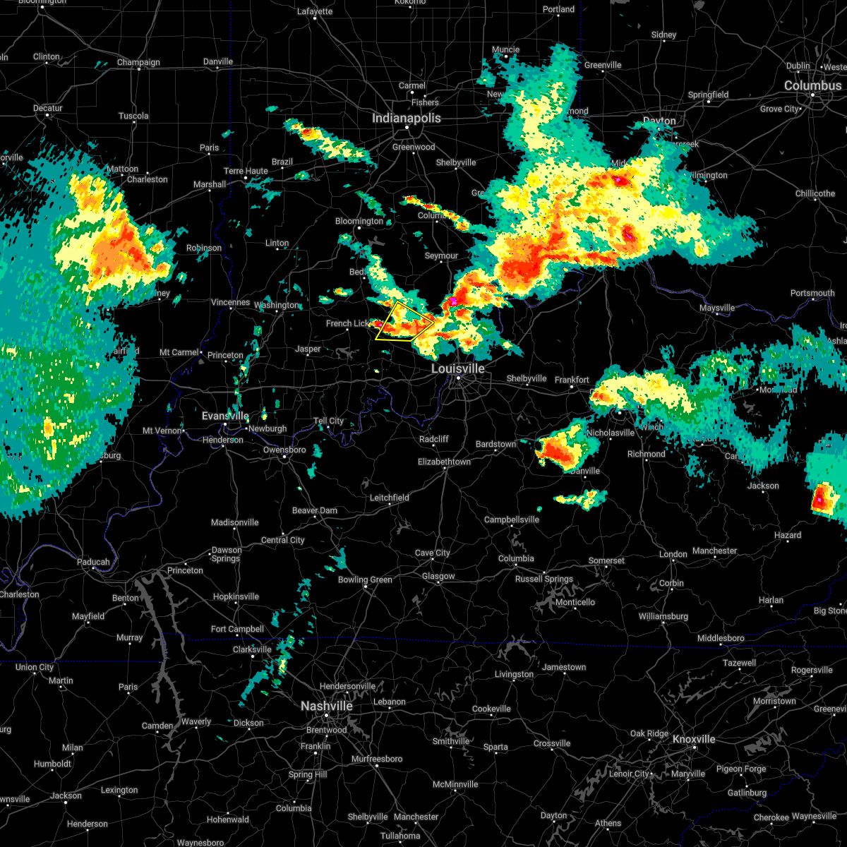
| 7/11/2020 8:02 PM EDT |
 At 801 pm edt, severe thunderstorms were from 9 miles southeast of scottsburg to 9 miles north of new albany to 12 miles southeast of paoli, moving southeast at 50 mph (radar indicated). Hazards include 60 mph wind gusts and quarter size hail. Hail damage to vehicles is expected. expect wind damage to roofs, siding, and trees. Locations impacted include, new albany, scottsburg, salem, clarksville, vienna, charlestown, sellersburg, austin, galena, and blue river. At 801 pm edt, severe thunderstorms were from 9 miles southeast of scottsburg to 9 miles north of new albany to 12 miles southeast of paoli, moving southeast at 50 mph (radar indicated). Hazards include 60 mph wind gusts and quarter size hail. Hail damage to vehicles is expected. expect wind damage to roofs, siding, and trees. Locations impacted include, new albany, scottsburg, salem, clarksville, vienna, charlestown, sellersburg, austin, galena, and blue river.
|
| 7/11/2020 7:44 PM EDT | Delayed report. dispatch reports trees down along state route 56 near sale in washington county IN, 2.3 miles ENE of Salem, IN |
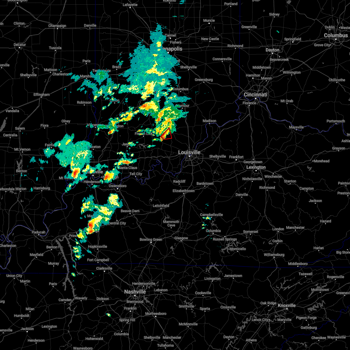
| 7/11/2020 7:40 PM EDT |
 At 739 pm edt, severe thunderstorms were from near scottsburg to 6 miles east of salem to 9 miles east of paoli, moving southeast at 45 mph (radar indicated). Hazards include 60 mph wind gusts and quarter size hail. Hail damage to vehicles is expected. Expect wind damage to roofs, siding, and trees. At 739 pm edt, severe thunderstorms were from near scottsburg to 6 miles east of salem to 9 miles east of paoli, moving southeast at 45 mph (radar indicated). Hazards include 60 mph wind gusts and quarter size hail. Hail damage to vehicles is expected. Expect wind damage to roofs, siding, and trees.
|
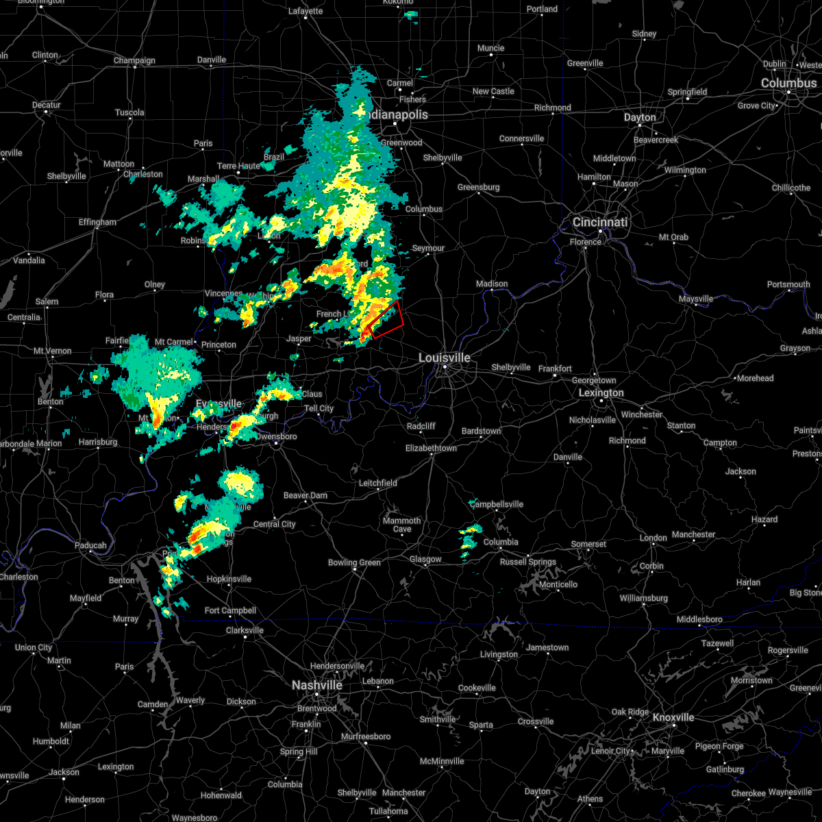
| 7/11/2020 7:31 PM EDT |
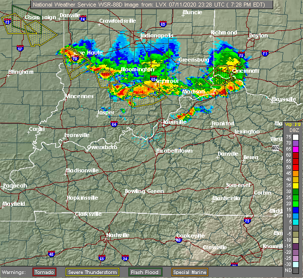 At 730 pm edt, severe thunderstorms were from 9 miles southeast of brownstown to 7 miles north of salem to 14 miles northeast of paoli, moving southeast at 45 mph (radar indicated). Hazards include 60 mph wind gusts and nickel size hail. Expect damage to roofs, siding, and trees. Locations impacted include, scottsburg, salem, austin, campbellsburg, little york, livonia, saltillo, kossuth, smedley, and claysville. At 730 pm edt, severe thunderstorms were from 9 miles southeast of brownstown to 7 miles north of salem to 14 miles northeast of paoli, moving southeast at 45 mph (radar indicated). Hazards include 60 mph wind gusts and nickel size hail. Expect damage to roofs, siding, and trees. Locations impacted include, scottsburg, salem, austin, campbellsburg, little york, livonia, saltillo, kossuth, smedley, and claysville.
|
| 7/11/2020 7:16 PM EDT |
 At 715 pm edt, severe thunderstorms were from near brownstown to 17 miles north of salem to 6 miles east of bedford, moving southeast at 45 mph (radar indicated). Hazards include 60 mph wind gusts and nickel size hail. expect damage to roofs, siding, and trees At 715 pm edt, severe thunderstorms were from near brownstown to 17 miles north of salem to 6 miles east of bedford, moving southeast at 45 mph (radar indicated). Hazards include 60 mph wind gusts and nickel size hail. expect damage to roofs, siding, and trees
|
| 4/8/2020 10:15 PM EDT | Multiple reports of tree damage and power lines down across orange count in washington county IN, 0.2 miles N of Salem, IN |
| 4/8/2020 10:04 PM EDT |
 At 1004 pm edt, a severe thunderstorm was located near salem, moving southeast at 70 mph (radar indicated). Hazards include 70 mph wind gusts. Expect considerable tree damage. Damage is likely to mobile homes, roofs, and outbuildings. At 1004 pm edt, a severe thunderstorm was located near salem, moving southeast at 70 mph (radar indicated). Hazards include 70 mph wind gusts. Expect considerable tree damage. Damage is likely to mobile homes, roofs, and outbuildings.
|
| 3/28/2020 10:34 PM EDT |
 At 1033 pm edt, a severe thunderstorm was located near salem, moving northeast at 50 mph (radar indicated). Hazards include 70 mph wind gusts. Expect considerable tree damage. damage is likely to mobile homes, roofs, and outbuildings. Locations impacted include, scottsburg, salem, austin, blue river, new pekin, little york, kossuth, smedley, shorts corner and south boston. At 1033 pm edt, a severe thunderstorm was located near salem, moving northeast at 50 mph (radar indicated). Hazards include 70 mph wind gusts. Expect considerable tree damage. damage is likely to mobile homes, roofs, and outbuildings. Locations impacted include, scottsburg, salem, austin, blue river, new pekin, little york, kossuth, smedley, shorts corner and south boston.
|
| 3/28/2020 10:25 PM EDT |
 At 1024 pm edt, a severe thunderstorm was located 10 miles east of paoli, moving northeast at 60 mph (radar indicated). Hazards include 60 mph wind gusts. expect damage to roofs, siding, and trees At 1024 pm edt, a severe thunderstorm was located 10 miles east of paoli, moving northeast at 60 mph (radar indicated). Hazards include 60 mph wind gusts. expect damage to roofs, siding, and trees
|
| 3/20/2020 3:50 AM EDT |
 At 349 am edt, a severe thunderstorm was located near paoli, moving northeast at 65 mph (radar indicated). Hazards include 60 mph wind gusts and quarter size hail. Hail damage to vehicles is expected. expect wind damage to roofs, siding, and trees. At 336 am edt, a private weather station south of french lick reported a wind gust of 50 mph. At 349 am edt, a severe thunderstorm was located near paoli, moving northeast at 65 mph (radar indicated). Hazards include 60 mph wind gusts and quarter size hail. Hail damage to vehicles is expected. expect wind damage to roofs, siding, and trees. At 336 am edt, a private weather station south of french lick reported a wind gust of 50 mph.
|
| 6/30/2019 7:18 PM EDT | Tree down on borden r in washington county IN, 6.6 miles NE of Salem, IN |
| 6/5/2019 6:50 PM EDT | Golf Ball sized hail reported 7.9 miles ENE of Salem, IN |
| 6/5/2019 5:16 PM EDT |
 At 515 pm edt, a severe thunderstorm was located 9 miles south of bedford, moving southeast at 30 mph (radar indicated). Hazards include 60 mph wind gusts and half dollar size hail. Hail damage to vehicles is expected. Expect wind damage to roofs, siding, and trees. At 515 pm edt, a severe thunderstorm was located 9 miles south of bedford, moving southeast at 30 mph (radar indicated). Hazards include 60 mph wind gusts and half dollar size hail. Hail damage to vehicles is expected. Expect wind damage to roofs, siding, and trees.
|
| 4/25/2019 5:58 PM EDT |
 The severe thunderstorm warning for central washington county will expire at 600 pm edt, the storm which prompted the warning has weakened below severe limits, and has exited the warned area. therefore, the warning will be allowed to expire. report severe weather to local law enforcement, post your report to the national weather service louisville facebook page, or tweet your report using hashtag l, m, k, spotter. The severe thunderstorm warning for central washington county will expire at 600 pm edt, the storm which prompted the warning has weakened below severe limits, and has exited the warned area. therefore, the warning will be allowed to expire. report severe weather to local law enforcement, post your report to the national weather service louisville facebook page, or tweet your report using hashtag l, m, k, spotter.
|
| 4/25/2019 5:49 PM EDT |
 At 549 pm edt, a severe thunderstorm was located over salem, moving northeast at 20 mph (radar indicated). Hazards include 60 mph wind gusts. Expect damage to roofs, siding, and trees. Locations impacted include, salem, becks mill, farabee, south boston, hitchcock, canton, harristown and shorts corner. At 549 pm edt, a severe thunderstorm was located over salem, moving northeast at 20 mph (radar indicated). Hazards include 60 mph wind gusts. Expect damage to roofs, siding, and trees. Locations impacted include, salem, becks mill, farabee, south boston, hitchcock, canton, harristown and shorts corner.
|
| 4/25/2019 5:32 PM EDT |
 At 532 pm edt, a severe thunderstorm was located 9 miles southwest of salem, moving northeast at 20 mph (radar indicated). Hazards include 60 mph wind gusts and nickel size hail. expect damage to roofs, siding, and trees At 532 pm edt, a severe thunderstorm was located 9 miles southwest of salem, moving northeast at 20 mph (radar indicated). Hazards include 60 mph wind gusts and nickel size hail. expect damage to roofs, siding, and trees
|
| 3/14/2019 2:58 PM EDT |
 At 257 pm edt, a severe thunderstorm capable of producing a tornado was located near salem, moving northeast at 60 mph (radar indicated rotation). Hazards include tornado. Flying debris will be dangerous to those caught without shelter. mobile homes will be damaged or destroyed. damage to roofs, windows, and vehicles will occur. Tree damage is likely. At 257 pm edt, a severe thunderstorm capable of producing a tornado was located near salem, moving northeast at 60 mph (radar indicated rotation). Hazards include tornado. Flying debris will be dangerous to those caught without shelter. mobile homes will be damaged or destroyed. damage to roofs, windows, and vehicles will occur. Tree damage is likely.
|
| 8/15/2018 7:22 PM EDT |
 At 721 pm edt, severe thunderstorms were located along a line extending from near bedford to 10 miles west of salem to 9 miles east of english to 6 miles south of carefree town, moving northeast at 35 mph (radar indicated). Hazards include 60 mph wind gusts. expect damage to roofs, siding, and trees At 721 pm edt, severe thunderstorms were located along a line extending from near bedford to 10 miles west of salem to 9 miles east of english to 6 miles south of carefree town, moving northeast at 35 mph (radar indicated). Hazards include 60 mph wind gusts. expect damage to roofs, siding, and trees
|
| 8/15/2018 7:22 PM EDT |
 The national weather service in louisville has issued a * severe thunderstorm warning for. northwestern harrison county in south central indiana. eastern crawford county in south central indiana. western washington county in south central indiana. Northwestern meade county in central kentucky. The national weather service in louisville has issued a * severe thunderstorm warning for. northwestern harrison county in south central indiana. eastern crawford county in south central indiana. western washington county in south central indiana. Northwestern meade county in central kentucky.
|
| 6/26/2018 12:40 PM EDT |
 At 1240 pm edt/1140 am cdt/, severe thunderstorms were located along a line extending from near paoli to 6 miles south of carefree town to 9 miles north of hardinsburg, moving east at 55 mph (radar indicated). Hazards include 60 mph wind gusts. expect damage to roofs, siding, and trees At 1240 pm edt/1140 am cdt/, severe thunderstorms were located along a line extending from near paoli to 6 miles south of carefree town to 9 miles north of hardinsburg, moving east at 55 mph (radar indicated). Hazards include 60 mph wind gusts. expect damage to roofs, siding, and trees
|
| 5/31/2018 2:39 PM EDT | Multiple reports of trees down/power outages throughout cit in washington county IN, 0.5 miles S of Salem, IN |
| 5/31/2018 2:26 PM EDT |
 The severe thunderstorm warning for northern harrison, west central clark, northwestern floyd and washington counties will expire at 230 pm edt, the storms which prompted the warning have moved out of the area. therefore the warning will be allowed to expire. a severe thunderstorm watch remains in effect until 600 pm edt for south central indiana. report severe weather to local law enforcement, post your report to the national weather service louisville facebook page, or tweet your report using hashtag l, m, k, spotter. The severe thunderstorm warning for northern harrison, west central clark, northwestern floyd and washington counties will expire at 230 pm edt, the storms which prompted the warning have moved out of the area. therefore the warning will be allowed to expire. a severe thunderstorm watch remains in effect until 600 pm edt for south central indiana. report severe weather to local law enforcement, post your report to the national weather service louisville facebook page, or tweet your report using hashtag l, m, k, spotter.
|
| 5/31/2018 2:06 PM EDT | Lots of power lines down near hwy 150 and sr 5 in washington county IN, 0.2 miles N of Salem, IN |
| 5/31/2018 1:52 PM EDT |
 At 152 pm edt, severe thunderstorms were located along a line extending from 11 miles northwest of salem to near carefree town, moving east at 55 mph (radar indicated). Hazards include 70 mph wind gusts. Expect considerable tree damage. Damage is likely to mobile homes, roofs, and outbuildings. At 152 pm edt, severe thunderstorms were located along a line extending from 11 miles northwest of salem to near carefree town, moving east at 55 mph (radar indicated). Hazards include 70 mph wind gusts. Expect considerable tree damage. Damage is likely to mobile homes, roofs, and outbuildings.
|
| 11/5/2017 11:14 PM EST |
 At 1114 pm est, a severe thunderstorm capable of producing a tornado was located over salem, moving east at 30 mph (radar indicated rotation). Hazards include tornado. Flying debris will be dangerous to those caught without shelter. mobile homes will be damaged or destroyed. damage to roofs, windows, and vehicles will occur. tree damage is likely. Locations impacted include, salem, south boston, new philadelphia, canton and harristown. At 1114 pm est, a severe thunderstorm capable of producing a tornado was located over salem, moving east at 30 mph (radar indicated rotation). Hazards include tornado. Flying debris will be dangerous to those caught without shelter. mobile homes will be damaged or destroyed. damage to roofs, windows, and vehicles will occur. tree damage is likely. Locations impacted include, salem, south boston, new philadelphia, canton and harristown.
|
| 11/5/2017 11:08 PM EST |
 At 1108 pm est, a confirmed tornado was located near salem, moving east at 30 mph (radar confirmed tornado). Hazards include damaging tornado. Flying debris will be dangerous to those caught without shelter. mobile homes will be damaged or destroyed. damage to roofs, windows, and vehicles will occur. tree damage is likely. Locations impacted include, salem, south boston, new philadelphia, canton, farabee and harristown. At 1108 pm est, a confirmed tornado was located near salem, moving east at 30 mph (radar confirmed tornado). Hazards include damaging tornado. Flying debris will be dangerous to those caught without shelter. mobile homes will be damaged or destroyed. damage to roofs, windows, and vehicles will occur. tree damage is likely. Locations impacted include, salem, south boston, new philadelphia, canton, farabee and harristown.
|
| 11/5/2017 11:00 PM EST |
 At 1100 pm est, a severe thunderstorm capable of producing a tornado was located 9 miles west of salem, moving east at 30 mph (radar indicated rotation). Hazards include tornado. Flying debris will be dangerous to those caught without shelter. mobile homes will be damaged or destroyed. damage to roofs, windows, and vehicles will occur. Tree damage is likely. At 1100 pm est, a severe thunderstorm capable of producing a tornado was located 9 miles west of salem, moving east at 30 mph (radar indicated rotation). Hazards include tornado. Flying debris will be dangerous to those caught without shelter. mobile homes will be damaged or destroyed. damage to roofs, windows, and vehicles will occur. Tree damage is likely.
|
| 7/23/2017 2:04 AM EDT |
 At 203 am edt, severe thunderstorms were located along a line extending from 6 miles southwest of scottsburg to 9 miles southwest of new providence town to near paoli, moving southeast at 35 mph (radar indicated). Hazards include 60 mph wind gusts. Expect damage to roofs, siding, and trees. Locations impacted include, scottsburg, salem, paoli, english, carefree town, new providence town, vienna, austin, galena and french lick. At 203 am edt, severe thunderstorms were located along a line extending from 6 miles southwest of scottsburg to 9 miles southwest of new providence town to near paoli, moving southeast at 35 mph (radar indicated). Hazards include 60 mph wind gusts. Expect damage to roofs, siding, and trees. Locations impacted include, scottsburg, salem, paoli, english, carefree town, new providence town, vienna, austin, galena and french lick.
|
| 7/23/2017 1:44 AM EDT |
 At 143 am edt, the leading edge of a line of severe thunderstorms was from 10 miles south of brownstown to 8 miles southwest of salem to near paoli, moving southeast at 35 mph (radar indicated). Hazards include 60 mph wind gusts. expect damage to roofs, siding, and trees At 143 am edt, the leading edge of a line of severe thunderstorms was from 10 miles south of brownstown to 8 miles southwest of salem to near paoli, moving southeast at 35 mph (radar indicated). Hazards include 60 mph wind gusts. expect damage to roofs, siding, and trees
|
| 7/7/2017 9:08 PM EDT | Downed trees blocking fairview roa in washington county IN, 0.6 miles WNW of Salem, IN |
| 7/7/2017 9:08 PM EDT | Several downed trees on delaney park r in washington county IN, 4.1 miles SSW of Salem, IN |
| 7/7/2017 9:06 PM EDT |
 At 906 pm edt, a severe thunderstorm was located 12 miles west of new providence town, moving southeast at 50 mph (radar indicated). Hazards include 60 mph wind gusts. expect damage to roofs, siding, and trees At 906 pm edt, a severe thunderstorm was located 12 miles west of new providence town, moving southeast at 50 mph (radar indicated). Hazards include 60 mph wind gusts. expect damage to roofs, siding, and trees
|
| 7/7/2017 8:36 PM EDT |
 At 836 pm edt, a severe thunderstorm was located 10 miles east of shoals, moving southeast at 45 mph (radar indicated). Hazards include 60 mph wind gusts and quarter size hail. Hail damage to vehicles is expected. Expect wind damage to roofs, siding, and trees. At 836 pm edt, a severe thunderstorm was located 10 miles east of shoals, moving southeast at 45 mph (radar indicated). Hazards include 60 mph wind gusts and quarter size hail. Hail damage to vehicles is expected. Expect wind damage to roofs, siding, and trees.
|
| 7/7/2017 7:49 PM EDT |
 At 748 pm edt, severe thunderstorms were located along a line extending from 7 miles northwest of scottsburg to 7 miles southeast of bedford, moving southeast at 45 mph (radar indicated). Hazards include 60 mph wind gusts and nickel size hail. expect damage to roofs, siding, and trees At 748 pm edt, severe thunderstorms were located along a line extending from 7 miles northwest of scottsburg to 7 miles southeast of bedford, moving southeast at 45 mph (radar indicated). Hazards include 60 mph wind gusts and nickel size hail. expect damage to roofs, siding, and trees
|
| 5/19/2017 5:45 PM EDT |
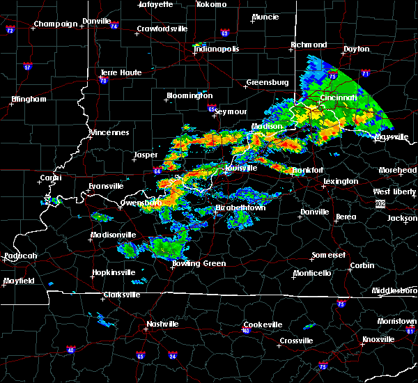 At 545 pm edt, a severe thunderstorm was located 8 miles southwest of scottsburg, moving east at 15 mph (radar indicated). Hazards include 60 mph wind gusts and quarter size hail. Hail damage to vehicles is expected. expect wind damage to roofs, siding, and trees. Locations impacted include, salem, austin, little york, new philadelphia, south boston, canton, leota and harristown. At 545 pm edt, a severe thunderstorm was located 8 miles southwest of scottsburg, moving east at 15 mph (radar indicated). Hazards include 60 mph wind gusts and quarter size hail. Hail damage to vehicles is expected. expect wind damage to roofs, siding, and trees. Locations impacted include, salem, austin, little york, new philadelphia, south boston, canton, leota and harristown.
|
| 5/19/2017 5:25 PM EDT |
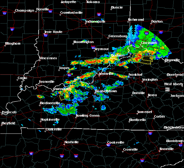 At 525 pm edt, a severe thunderstorm was located near salem, moving east at 15 mph (radar indicated). Hazards include 60 mph wind gusts and half dollar size hail. Hail damage to vehicles is expected. Expect wind damage to roofs, siding, and trees. At 525 pm edt, a severe thunderstorm was located near salem, moving east at 15 mph (radar indicated). Hazards include 60 mph wind gusts and half dollar size hail. Hail damage to vehicles is expected. Expect wind damage to roofs, siding, and trees.
|
| 5/18/2017 6:36 PM EDT |
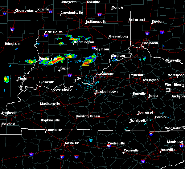 At 635 pm edt, a severe thunderstorm was located over salem, moving east at 25 mph (radar indicated). Hazards include 60 mph wind gusts and quarter size hail. Hail damage to vehicles is expected. expect wind damage to roofs, siding, and trees. Locations impacted include, salem and hitchcock. At 635 pm edt, a severe thunderstorm was located over salem, moving east at 25 mph (radar indicated). Hazards include 60 mph wind gusts and quarter size hail. Hail damage to vehicles is expected. expect wind damage to roofs, siding, and trees. Locations impacted include, salem and hitchcock.
|
| 5/18/2017 6:20 PM EDT |
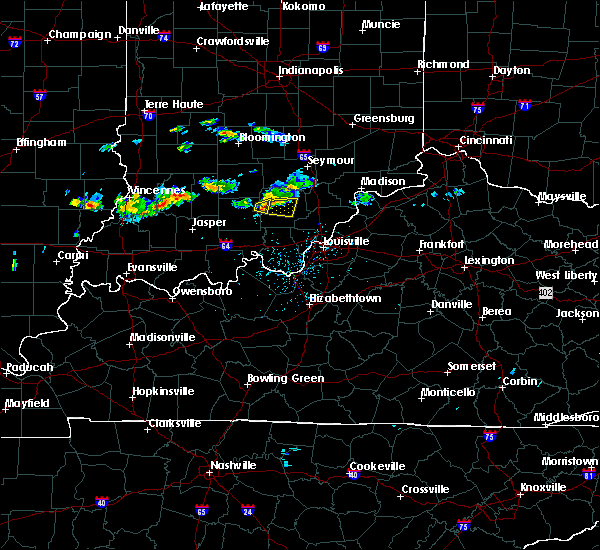 At 620 pm edt, a severe thunderstorm was located 7 miles west of salem, moving east at 25 mph (radar indicated). Hazards include ping pong ball size hail and 60 mph wind gusts. People and animals outdoors will be injured. expect hail damage to roofs, siding, windows, and vehicles. Expect wind damage to roofs, siding, and trees. At 620 pm edt, a severe thunderstorm was located 7 miles west of salem, moving east at 25 mph (radar indicated). Hazards include ping pong ball size hail and 60 mph wind gusts. People and animals outdoors will be injured. expect hail damage to roofs, siding, windows, and vehicles. Expect wind damage to roofs, siding, and trees.
|
| 4/29/2017 7:15 AM EDT |
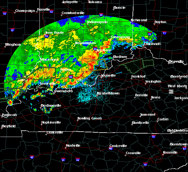 At 715 am edt, a severe thunderstorm was located near salem, moving east at 45 mph (radar indicated). Hazards include 60 mph wind gusts and half dollar size hail. Hail damage to vehicles is expected. Expect wind damage to roofs, siding, and trees. At 715 am edt, a severe thunderstorm was located near salem, moving east at 45 mph (radar indicated). Hazards include 60 mph wind gusts and half dollar size hail. Hail damage to vehicles is expected. Expect wind damage to roofs, siding, and trees.
|
| 4/28/2017 11:02 PM EDT |
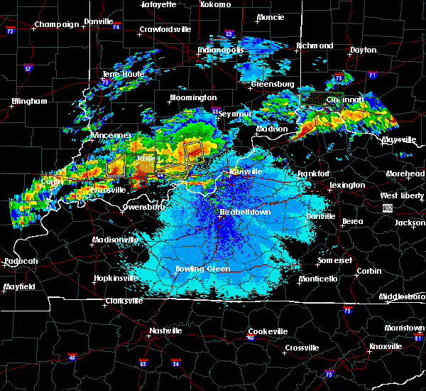 At 1102 pm edt, a severe thunderstorm was located 10 miles southwest of salem, moving east at 35 mph (radar indicated). Hazards include 60 mph wind gusts and quarter size hail. Hail damage to vehicles is expected. expect wind damage to roofs, siding, and trees. locations impacted include, salem, palmyra, hardinsburg, livonia, fredericksburg, smedley, shorts corner, becks mill, claysville and hitchcock. A tornado watch remains in effect until 200 am edt for south central indiana. At 1102 pm edt, a severe thunderstorm was located 10 miles southwest of salem, moving east at 35 mph (radar indicated). Hazards include 60 mph wind gusts and quarter size hail. Hail damage to vehicles is expected. expect wind damage to roofs, siding, and trees. locations impacted include, salem, palmyra, hardinsburg, livonia, fredericksburg, smedley, shorts corner, becks mill, claysville and hitchcock. A tornado watch remains in effect until 200 am edt for south central indiana.
|
| 4/28/2017 10:45 PM EDT |
 At 1045 pm edt, severe thunderstorms were located along a line extending from paoli to near english, moving east at 40 mph (radar indicated). Hazards include 60 mph wind gusts and nickel size hail. expect damage to roofs, siding, and trees At 1045 pm edt, severe thunderstorms were located along a line extending from paoli to near english, moving east at 40 mph (radar indicated). Hazards include 60 mph wind gusts and nickel size hail. expect damage to roofs, siding, and trees
|
| 4/5/2017 5:50 PM EDT |
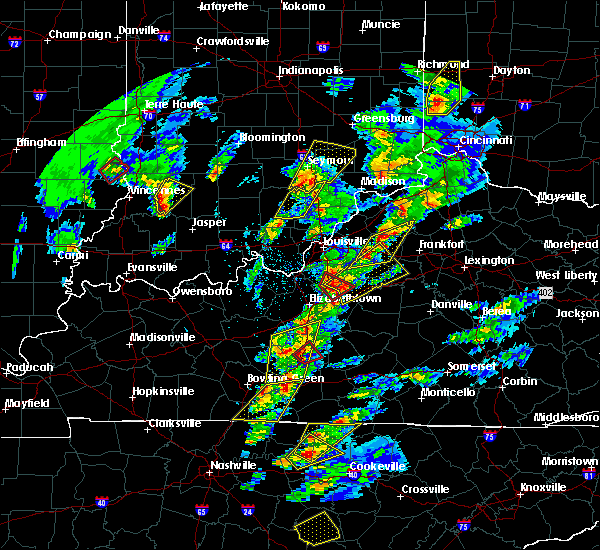 The severe thunderstorm warning for northwestern scott and eastern washington counties will expire at 600 pm edt, the storms which prompted the warning have weakened below severe limits, and no longer pose an immediate threat to life or property. therefore the warning will be allowed to expire. a tornado watch remains in effect until 1000 pm edt for south central indiana. report severe weather to local law enforcement, post your report to the national weather service louisville facebook page, or tweet your report using hashtag l, m, k, spotter. The severe thunderstorm warning for northwestern scott and eastern washington counties will expire at 600 pm edt, the storms which prompted the warning have weakened below severe limits, and no longer pose an immediate threat to life or property. therefore the warning will be allowed to expire. a tornado watch remains in effect until 1000 pm edt for south central indiana. report severe weather to local law enforcement, post your report to the national weather service louisville facebook page, or tweet your report using hashtag l, m, k, spotter.
|
| 4/5/2017 5:33 PM EDT |
 At 532 pm edt, severe thunderstorms were located along a line extending from 10 miles west of scottsburg to near salem, moving northeast at 60 mph (radar indicated). Hazards include quarter size hail. Damage to vehicles is expected. locations impacted include, scottsburg, salem, austin, blue river, new pekin, little york, shorts corner, south boston, harristown and new philadelphia. A tornado watch remains in effect until 1000 pm edt for south central indiana. At 532 pm edt, severe thunderstorms were located along a line extending from 10 miles west of scottsburg to near salem, moving northeast at 60 mph (radar indicated). Hazards include quarter size hail. Damage to vehicles is expected. locations impacted include, scottsburg, salem, austin, blue river, new pekin, little york, shorts corner, south boston, harristown and new philadelphia. A tornado watch remains in effect until 1000 pm edt for south central indiana.
|
| 4/5/2017 5:15 PM EDT |
 At 515 pm edt, severe thunderstorms were located along a line extending from 7 miles west of new providence town to 7 miles northeast of carefree town, moving northeast at 60 mph (radar indicated). Hazards include 60 mph wind gusts and half dollar size hail. Hail damage to vehicles is expected. Expect wind damage to roofs, siding, and trees. At 515 pm edt, severe thunderstorms were located along a line extending from 7 miles west of new providence town to 7 miles northeast of carefree town, moving northeast at 60 mph (radar indicated). Hazards include 60 mph wind gusts and half dollar size hail. Hail damage to vehicles is expected. Expect wind damage to roofs, siding, and trees.
|
| 3/1/2017 5:57 AM EST |
 At 556 am est/456 am cst/, severe thunderstorms were located along a line extending from 9 miles northwest of scottsburg to 10 miles southwest of carefree town, moving east at 55 mph (radar indicated). Hazards include 60 mph wind gusts. expect damage to roofs, siding, and trees At 556 am est/456 am cst/, severe thunderstorms were located along a line extending from 9 miles northwest of scottsburg to 10 miles southwest of carefree town, moving east at 55 mph (radar indicated). Hazards include 60 mph wind gusts. expect damage to roofs, siding, and trees
|
| 3/1/2017 5:33 AM EST |
 At 532 am est, severe thunderstorms were located along a line extending from 8 miles north of paoli to 8 miles south of jasper, moving east at 60 mph (radar indicated). Hazards include 60 mph wind gusts. expect damage to roofs, siding, and trees At 532 am est, severe thunderstorms were located along a line extending from 8 miles north of paoli to 8 miles south of jasper, moving east at 60 mph (radar indicated). Hazards include 60 mph wind gusts. expect damage to roofs, siding, and trees
|
| 3/1/2017 12:48 AM EST |
 At 1248 am est, a severe thunderstorm capable of producing a tornado was located 9 miles northeast of paoli, moving northeast at 55 mph (radar indicated rotation). Hazards include tornado and ping pong ball size hail. Flying debris will be dangerous to those caught without shelter. mobile homes will be damaged or destroyed. damage to roofs, windows, and vehicles will occur. Tree damage is likely. At 1248 am est, a severe thunderstorm capable of producing a tornado was located 9 miles northeast of paoli, moving northeast at 55 mph (radar indicated rotation). Hazards include tornado and ping pong ball size hail. Flying debris will be dangerous to those caught without shelter. mobile homes will be damaged or destroyed. damage to roofs, windows, and vehicles will occur. Tree damage is likely.
|
| 9/10/2016 3:13 PM EDT |
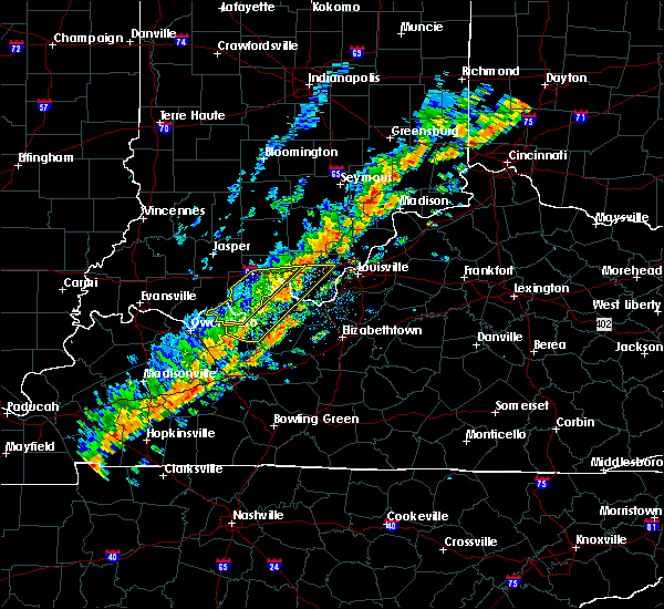 At 312 pm edt, severe thunderstorms were located along a line extending from 6 miles northeast of scottsburg to near new providence town, moving east at 40 mph (radar indicated). Hazards include 60 mph wind gusts. Expect damage to roofs. siding. And trees. At 312 pm edt, severe thunderstorms were located along a line extending from 6 miles northeast of scottsburg to near new providence town, moving east at 40 mph (radar indicated). Hazards include 60 mph wind gusts. Expect damage to roofs. siding. And trees.
|
| 7/13/2016 8:41 PM EDT |
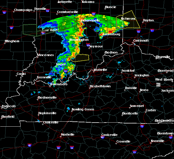 At 840 pm edt, a severe thunderstorm was located near paoli, moving east at 45 mph (radar indicated). Hazards include 60 mph wind gusts. Expect damage to roofs. siding. And trees. At 840 pm edt, a severe thunderstorm was located near paoli, moving east at 45 mph (radar indicated). Hazards include 60 mph wind gusts. Expect damage to roofs. siding. And trees.
|
| 7/8/2016 11:20 AM EDT | Trees reported dow in washington county IN, 0.5 miles S of Salem, IN |
| 7/8/2016 11:03 AM EDT |
 At 1102 am edt, a severe thunderstorm was located near scottsburg, moving northeast at 45 mph (law enforcement has reported several trees down across the area). Hazards include 60 mph wind gusts. Expect damage to roofs. siding. and trees. Locations impacted include, madison, scottsburg, salem, vienna, austin, lexington, hanover, new pekin, smyrna and milton. At 1102 am edt, a severe thunderstorm was located near scottsburg, moving northeast at 45 mph (law enforcement has reported several trees down across the area). Hazards include 60 mph wind gusts. Expect damage to roofs. siding. and trees. Locations impacted include, madison, scottsburg, salem, vienna, austin, lexington, hanover, new pekin, smyrna and milton.
|
| 7/8/2016 11:03 AM EDT |
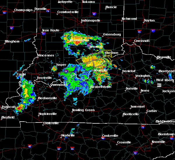 At 1102 am edt, a severe thunderstorm was located near scottsburg, moving northeast at 45 mph (law enforcement has reported several trees down across the area). Hazards include 60 mph wind gusts. Expect damage to roofs. siding. and trees. Locations impacted include, madison, scottsburg, salem, vienna, austin, lexington, hanover, new pekin, smyrna and milton. At 1102 am edt, a severe thunderstorm was located near scottsburg, moving northeast at 45 mph (law enforcement has reported several trees down across the area). Hazards include 60 mph wind gusts. Expect damage to roofs. siding. and trees. Locations impacted include, madison, scottsburg, salem, vienna, austin, lexington, hanover, new pekin, smyrna and milton.
|
| 7/8/2016 10:50 AM EDT |
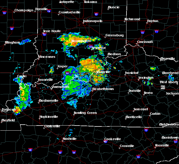 At 1049 am edt, a severe thunderstorm was located near salem, moving northeast at 50 mph (radar indicated). Hazards include 60 mph wind gusts. Expect damage to roofs. siding. And trees. At 1049 am edt, a severe thunderstorm was located near salem, moving northeast at 50 mph (radar indicated). Hazards include 60 mph wind gusts. Expect damage to roofs. siding. And trees.
|
| 6/23/2016 4:07 PM EDT |
 At 406 pm edt, a severe thunderstorm was located near salem, moving east at 25 mph (radar indicated). Hazards include 60 mph wind gusts and quarter size hail. Hail damage to vehicles is expected. expect wind damage to roofs, siding, and trees. Locations impacted include, salem, new pekin, new philadelphia, canton, south boston, farabee and harristown. At 406 pm edt, a severe thunderstorm was located near salem, moving east at 25 mph (radar indicated). Hazards include 60 mph wind gusts and quarter size hail. Hail damage to vehicles is expected. expect wind damage to roofs, siding, and trees. Locations impacted include, salem, new pekin, new philadelphia, canton, south boston, farabee and harristown.
|
| 6/23/2016 4:06 PM EDT |
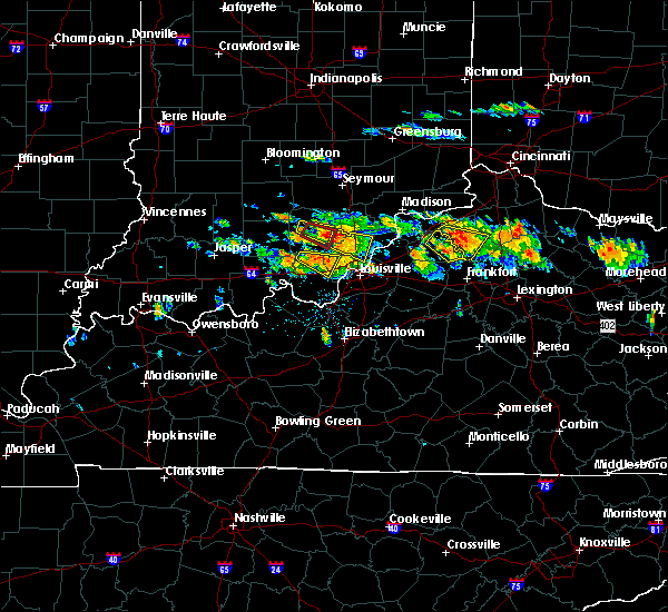 The tornado warning for central washington county will expire at 415 pm edt, the tornadic thunderstorm which prompted the warning has weakened and moved out of the warned area. therefore the warning will be allowed to expire. a severe thunderstorm watch remains in effect until 1100 pm edt for south central indiana. remember, a severe thunderstorm warning still remains in effect for southeast washington county. The tornado warning for central washington county will expire at 415 pm edt, the tornadic thunderstorm which prompted the warning has weakened and moved out of the warned area. therefore the warning will be allowed to expire. a severe thunderstorm watch remains in effect until 1100 pm edt for south central indiana. remember, a severe thunderstorm warning still remains in effect for southeast washington county.
|
| 6/23/2016 3:49 PM EDT |
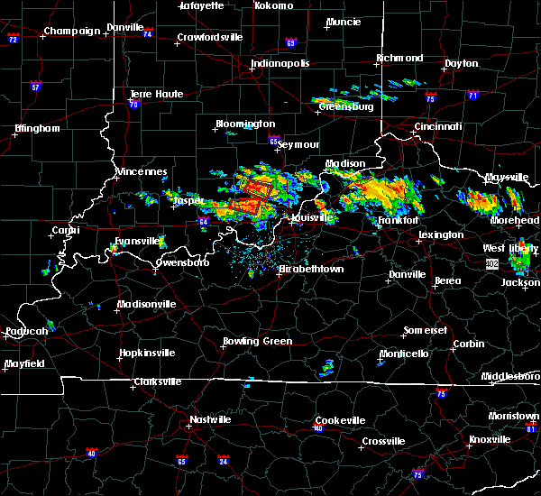 At 348 pm edt, a severe thunderstorm capable of producing a tornado was located over salem, moving southeast at 30 mph (radar indicated rotation). Hazards include tornado and quarter size hail. Flying debris will be dangerous to those caught without shelter. mobile homes will be damaged or destroyed. damage to roofs, windows, and vehicles will occur. Tree damage is likely. At 348 pm edt, a severe thunderstorm capable of producing a tornado was located over salem, moving southeast at 30 mph (radar indicated rotation). Hazards include tornado and quarter size hail. Flying debris will be dangerous to those caught without shelter. mobile homes will be damaged or destroyed. damage to roofs, windows, and vehicles will occur. Tree damage is likely.
|
| 6/23/2016 3:45 PM EDT |
 At 345 pm edt, a severe thunderstorm was located near salem, moving east at 25 mph (radar indicated). Hazards include 60 mph wind gusts and quarter size hail. Hail damage to vehicles is expected. Expect wind damage to roofs, siding, and trees. At 345 pm edt, a severe thunderstorm was located near salem, moving east at 25 mph (radar indicated). Hazards include 60 mph wind gusts and quarter size hail. Hail damage to vehicles is expected. Expect wind damage to roofs, siding, and trees.
|
| 6/23/2016 3:23 PM EDT |
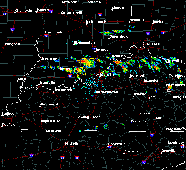 At 323 pm edt, a severe thunderstorm was located 7 miles northwest of salem, moving east at 25 mph (radar indicated). Hazards include 60 mph wind gusts and nickel size hail. Expect damage to roofs. siding. and trees. Locations impacted include, salem, new pekin, campbellsburg, saltillo, plattsburg, kossuth, prowsville, hitchcock, harristown and rush creek valley. At 323 pm edt, a severe thunderstorm was located 7 miles northwest of salem, moving east at 25 mph (radar indicated). Hazards include 60 mph wind gusts and nickel size hail. Expect damage to roofs. siding. and trees. Locations impacted include, salem, new pekin, campbellsburg, saltillo, plattsburg, kossuth, prowsville, hitchcock, harristown and rush creek valley.
|
| 6/23/2016 3:13 PM EDT |
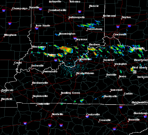 At 313 pm edt, a severe thunderstorm was located 9 miles northwest of salem, moving east at 35 mph (radar indicated). Hazards include 60 mph wind gusts and nickel size hail. Expect damage to roofs. siding. And trees. At 313 pm edt, a severe thunderstorm was located 9 miles northwest of salem, moving east at 35 mph (radar indicated). Hazards include 60 mph wind gusts and nickel size hail. Expect damage to roofs. siding. And trees.
|
| 6/23/2016 3:06 PM EDT |
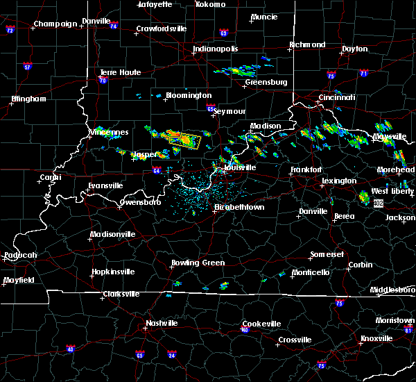 At 306 pm edt, a severe thunderstorm was located 7 miles west of salem, moving east at 35 mph (radar indicated). Hazards include 60 mph wind gusts and quarter size hail. Hail damage to vehicles is expected. expect wind damage to roofs, siding, and trees. Locations impacted include, salem, campbellsburg, saltillo, rush creek valley, claysville, prowsville, smedley and hitchcock. At 306 pm edt, a severe thunderstorm was located 7 miles west of salem, moving east at 35 mph (radar indicated). Hazards include 60 mph wind gusts and quarter size hail. Hail damage to vehicles is expected. expect wind damage to roofs, siding, and trees. Locations impacted include, salem, campbellsburg, saltillo, rush creek valley, claysville, prowsville, smedley and hitchcock.
|
| 6/23/2016 2:50 PM EDT |
 At 250 pm edt, a severe thunderstorm was located 8 miles northeast of paoli, moving east at 35 mph (radar indicated). Hazards include 60 mph wind gusts and quarter size hail. Hail damage to vehicles is expected. Expect wind damage to roofs, siding, and trees. At 250 pm edt, a severe thunderstorm was located 8 miles northeast of paoli, moving east at 35 mph (radar indicated). Hazards include 60 mph wind gusts and quarter size hail. Hail damage to vehicles is expected. Expect wind damage to roofs, siding, and trees.
|
| 6/15/2016 5:41 PM EDT |
 At 540 pm edt, a severe thunderstorm was located near paoli, moving east southeast at 35 mph (radar indicated). Hazards include 60 mph wind gusts. Expect damage to roofs. siding. and trees. Locations impacted include, salem, paoli, orleans, french lick, blue river, new pekin, stampers creek, orangeville, campbellsburg and west baden springs. At 540 pm edt, a severe thunderstorm was located near paoli, moving east southeast at 35 mph (radar indicated). Hazards include 60 mph wind gusts. Expect damage to roofs. siding. and trees. Locations impacted include, salem, paoli, orleans, french lick, blue river, new pekin, stampers creek, orangeville, campbellsburg and west baden springs.
|
| 6/15/2016 5:27 PM EDT |
 At 527 pm edt, a severe thunderstorm was located 7 miles west of paoli, moving east at 35 mph (radar indicated). Hazards include 60 mph wind gusts. Expect damage to roofs. siding. And trees. At 527 pm edt, a severe thunderstorm was located 7 miles west of paoli, moving east at 35 mph (radar indicated). Hazards include 60 mph wind gusts. Expect damage to roofs. siding. And trees.
|
| 6/14/2016 3:41 PM EDT |
 At 341 pm edt, a severe thunderstorm was located 8 miles northwest of salem, moving northeast at 30 mph (radar indicated). Hazards include 60 mph wind gusts and quarter size hail. Hail damage to vehicles is expected. expect wind damage to roofs, siding, and trees. Locations impacted include, salem, campbellsburg, saltillo, plattsburg, claysville, rush creek valley, kossuth, prowsville, smedley and mckinley. At 341 pm edt, a severe thunderstorm was located 8 miles northwest of salem, moving northeast at 30 mph (radar indicated). Hazards include 60 mph wind gusts and quarter size hail. Hail damage to vehicles is expected. expect wind damage to roofs, siding, and trees. Locations impacted include, salem, campbellsburg, saltillo, plattsburg, claysville, rush creek valley, kossuth, prowsville, smedley and mckinley.
|
| 6/14/2016 3:40 PM EDT | Trees dow in washington county IN, 3.7 miles ESE of Salem, IN |
| 6/14/2016 3:29 PM EDT |
 At 329 pm edt, a severe thunderstorm was located 10 miles west of salem, moving northeast at 30 mph (radar indicated). Hazards include 60 mph wind gusts and quarter size hail. Hail damage to vehicles is expected. Expect wind damage to roofs, siding, and trees. At 329 pm edt, a severe thunderstorm was located 10 miles west of salem, moving northeast at 30 mph (radar indicated). Hazards include 60 mph wind gusts and quarter size hail. Hail damage to vehicles is expected. Expect wind damage to roofs, siding, and trees.
|
| 5/7/2016 8:48 PM EDT |
 At 847 pm edt/747 pm cdt/, severe thunderstorms were located along a line extending from 9 miles north of paoli to 6 miles southwest of english to 9 miles southeast of whitesville, moving east at 40 mph (trained weather spotters. this line of storms has produced wind damage and 60 mph gusts across dubois county indiana). Hazards include 60 mph wind gusts and quarter size hail. Hail damage to vehicles is expected. Expect wind damage to roofs, siding, and trees. At 847 pm edt/747 pm cdt/, severe thunderstorms were located along a line extending from 9 miles north of paoli to 6 miles southwest of english to 9 miles southeast of whitesville, moving east at 40 mph (trained weather spotters. this line of storms has produced wind damage and 60 mph gusts across dubois county indiana). Hazards include 60 mph wind gusts and quarter size hail. Hail damage to vehicles is expected. Expect wind damage to roofs, siding, and trees.
|
| 12/23/2015 3:57 PM EST | At 356 pm est, a severe thunderstorm capable of producing a tornado was located near salem, moving northeast at 50 mph (radar indicated rotation. at 330 pm est...county dispatch officials reported several trees down over orange county along the path of these storms). Hazards include tornado. Flying debris will be dangerous to those caught without shelter. mobile homes will be damaged or destroyed. damage to roofs, windows and vehicles will occur. tree damage is likely. this dangerous storm will be near, scottsburg around 410 pm est. Other locations impacted by this tornadic thunderstorm include little york, plattsburg, kossuth, austin, leota, new philadelphia, canton, south boston, vienna and farabee. |
| 12/23/2015 3:45 PM EST | Many trees down in the county... especially on highway 56 near the salem airpor in washington county IN, 1.6 miles E of Salem, IN |
| 12/23/2015 3:43 PM EST | At 342 pm est, a severe thunderstorm capable of producing a tornado was located over salem, moving northeast at 70 mph (radar indicated rotation. at 340 pm est...county dispatch officials reported several trees down across the county). Hazards include tornado. Flying debris will be dangerous to those caught without shelter. mobile homes will be damaged or destroyed. damage to roofs, windows and vehicles will occur. tree damage is likely. this dangerous storm will be near, scottsburg around 400 pm est. Other locations impacted by this tornadic thunderstorm include plattsburg, kossuth, livonia, hitchcock, harristown, little york, rush creek valley, leota, austin and campbellsburg. |
| 12/23/2015 3:30 PM EST | At 330 pm est, severe thunderstorms capable of producing tornadoes were located along a line extending from near paoli to 7 miles north of english, moving northeast at 60 mph (radar indicated rotation). Hazards include tornado. Flying debris will be dangerous to those caught without shelter. mobile homes will be damaged or destroyed. damage to roofs, windows and vehicles will occur. tree damage is likely. these dangerous storms will be near, salem around 345 pm est. Other locations impacted by these tornadic storms include plattsburg, valeene, livonia, kossuth, mahan crossing, syria, rego, chambersburg, bromer and hitchcock. |
| 9/5/2015 5:44 PM EDT |
 At 544 pm edt, a severe thunderstorm was located 10 miles southwest of brownstown, moving south at 5 mph (radar indicated). Hazards include 60 mph wind gusts and quarter size hail. Hail damage to vehicles is expected. Expect wind damage to roofs, siding and trees. At 544 pm edt, a severe thunderstorm was located 10 miles southwest of brownstown, moving south at 5 mph (radar indicated). Hazards include 60 mph wind gusts and quarter size hail. Hail damage to vehicles is expected. Expect wind damage to roofs, siding and trees.
|
| 7/14/2015 4:25 AM EDT |
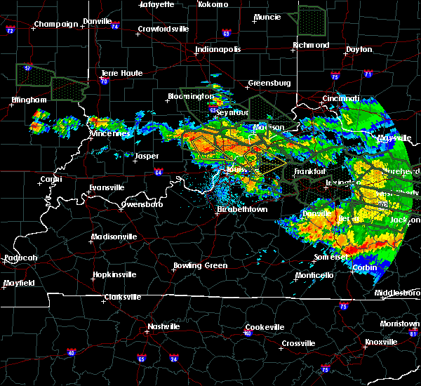 At 423 am edt, a severe thunderstorm was located near salem, and moving southeast at 55 mph (radar indicated). Hazards include 60 mph wind gusts. Expect damage to roofs. Siding and trees. At 423 am edt, a severe thunderstorm was located near salem, and moving southeast at 55 mph (radar indicated). Hazards include 60 mph wind gusts. Expect damage to roofs. Siding and trees.
|
| 7/13/2015 2:25 PM EDT |
 The national weather service in louisville has issued a * severe thunderstorm warning for. west central clark county in south central indiana. southern and eastern washington county in south central indiana. until 255 pm edt * at 223 pm edt. A severe thunderstorm was located 7 miles east of. The national weather service in louisville has issued a * severe thunderstorm warning for. west central clark county in south central indiana. southern and eastern washington county in south central indiana. until 255 pm edt * at 223 pm edt. A severe thunderstorm was located 7 miles east of.
|
| 7/13/2015 1:58 PM EDT |
 At 156 pm edt, severe thunderstorms were located along a line extending from 6 miles northwest of madison to 9 miles east of scottsburg to 6 miles southwest of scottsburg, and moving southeast at 50 mph (radar indicated). Hazards include 60 mph wind gusts. Expect damage to roofs. Siding and trees. At 156 pm edt, severe thunderstorms were located along a line extending from 6 miles northwest of madison to 9 miles east of scottsburg to 6 miles southwest of scottsburg, and moving southeast at 50 mph (radar indicated). Hazards include 60 mph wind gusts. Expect damage to roofs. Siding and trees.
|
| 7/13/2015 1:58 PM EDT |
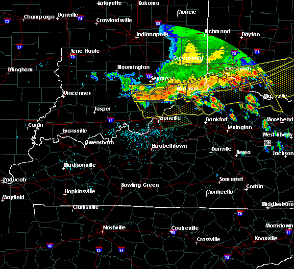 At 156 pm edt, severe thunderstorms were located along a line extending from 6 miles northwest of madison to 9 miles east of scottsburg to 6 miles southwest of scottsburg, and moving southeast at 50 mph (radar indicated). Hazards include 60 mph wind gusts. Expect damage to roofs. Siding and trees. At 156 pm edt, severe thunderstorms were located along a line extending from 6 miles northwest of madison to 9 miles east of scottsburg to 6 miles southwest of scottsburg, and moving southeast at 50 mph (radar indicated). Hazards include 60 mph wind gusts. Expect damage to roofs. Siding and trees.
|
| 7/13/2015 1:51 PM EDT |
 At 148 pm edt, severe thunderstorms were located along a line extending from 9 miles northwest of madison to scottsburg to 8 miles northeast of salem to 7 miles north of salem to salem, and moving southeast at 50 mph (radar indicated). Hazards include 60 mph wind gusts. Expect damage to roofs. siding and trees. Locations impacted include, madison, lexington, georgetown, smyrna, china, swanville, hanover, madison municipal airport, north madison, ringwald, canton, new salem, hanover beach, manville, new philadelphia, chelsea, saluda, harristown, milton and paynesville. At 148 pm edt, severe thunderstorms were located along a line extending from 9 miles northwest of madison to scottsburg to 8 miles northeast of salem to 7 miles north of salem to salem, and moving southeast at 50 mph (radar indicated). Hazards include 60 mph wind gusts. Expect damage to roofs. siding and trees. Locations impacted include, madison, lexington, georgetown, smyrna, china, swanville, hanover, madison municipal airport, north madison, ringwald, canton, new salem, hanover beach, manville, new philadelphia, chelsea, saluda, harristown, milton and paynesville.
|
| 7/13/2015 1:39 PM EDT |
 At 137 pm edt, severe thunderstorms were located along a line extending from 11 miles north of vevay to scottsburg to 12 miles southwest of brownstown, and moving southeast at 45 mph (radar indicated). Hazards include 70 mph wind gusts. Expect considerable tree damage. Damage is likely to mobile homes, roofs and outbuildings. At 137 pm edt, severe thunderstorms were located along a line extending from 11 miles north of vevay to scottsburg to 12 miles southwest of brownstown, and moving southeast at 45 mph (radar indicated). Hazards include 70 mph wind gusts. Expect considerable tree damage. Damage is likely to mobile homes, roofs and outbuildings.
|
| 7/13/2015 1:18 PM EDT |
 The national weather service in louisville has issued a * severe thunderstorm warning for. jefferson county in south central indiana. scott county in south central indiana. northern washington county in south central indiana. Northern trimble county in north central kentucky. The national weather service in louisville has issued a * severe thunderstorm warning for. jefferson county in south central indiana. scott county in south central indiana. northern washington county in south central indiana. Northern trimble county in north central kentucky.
|
| 7/13/2015 1:18 PM EDT |
 At 116 pm edt, severe thunderstorms were located along a line extending from 8 miles north of vernon to seymour to 8 miles west of brownstown, and moving south at 50 mph (radar indicated). Hazards include 60 mph wind gusts. Expect damage to roofs. Siding and trees. At 116 pm edt, severe thunderstorms were located along a line extending from 8 miles north of vernon to seymour to 8 miles west of brownstown, and moving south at 50 mph (radar indicated). Hazards include 60 mph wind gusts. Expect damage to roofs. Siding and trees.
|
| 6/18/2015 6:29 PM EDT | At 626 pm edt, a severe thunderstorm was located near salem, and moving east at 30 mph (radar indicated). Hazards include 60 mph wind gusts. Expect damage to roofs. Siding and trees. |
| 5/10/2015 5:20 PM EDT | At 517 pm edt, a severe thunderstorm was located near salem, and moving east at 35 mph (radar indicated). Hazards include 60 mph wind gusts and quarter size hail. Hail damage to vehicles is expected. expect wind damage to roofs, siding and trees. locations impacted include, canton, georgetown, new philadelphia, pumpkin center, new salem and little york. 1. 00in. |
| 5/10/2015 5:07 PM EDT | At 506 pm edt, a severe thunderstorm was located 7 miles west of salem, and moving east at 35 mph (radar indicated). Hazards include 60 mph wind gusts and quarter size hail. Hail damage to vehicles is expected. Expect wind damage to roofs, siding and trees. |
| 4/10/2015 1:52 AM EDT | The national weather service in louisville has issued a * severe thunderstorm warning for. northeastern crawford county in south central indiana. northern harrison county in south central indiana. eastern orange county in south central indiana. Washington county in south central indiana. |
| 4/10/2015 1:49 AM EDT | The national weather service in louisville has issued a * severe thunderstorm warning for. western jefferson county in south central indiana. northwestern scott county in south central indiana. northeastern washington county in south central indiana. Until 230 am edt. |
| 4/10/2015 1:25 AM EDT | A severe thunderstorm warning remains in effect for northwestern crawford. orange and northwestern washington counties until 155 am edt. at 123 am edt. a severe thunderstorm was located 5 miles east of paoli. and moving northeast at 55 mph. hazard. 60 mph wind gusts and quarter size hail. |
| 4/10/2015 1:16 AM EDT | The national weather service in louisville has issued a * severe thunderstorm warning for. northwestern crawford county in south central indiana. orange county in south central indiana. northwestern washington county in south central indiana. Until 155 am edt. |
| 4/8/2015 5:19 PM EDT | The national weather service in louisville has issued a * severe thunderstorm warning for. northern clark county in south central indiana. southern scott county in south central indiana. southeastern washington county in south central indiana. Until 550 pm edt. |
| 11/17/2013 5:42 PM EST | 1 telephone pole and a few trees down between delaney park and little yor in washington county IN, 6.3 miles SW of Salem, IN |
| 4/16/2013 6:24 PM EDT | Quarter sized hail reported 6.7 miles WNW of Salem, IN |
| 4/16/2013 6:12 PM EDT | Golf Ball sized hail reported 0.2 miles N of Salem, IN |
| 1/30/2013 3:28 AM EST | Roof blown off of a residence near state road 160 also 2 barns damaged and power lines dow in washington county IN, 2.2 miles W of Salem, IN |
| 1/30/2013 3:28 AM EST | Roof blown off of a residence near state road 160 in washington county IN, 2.2 miles W of Salem, IN |
| 1/30/2013 3:15 AM EST | Roof blown off of a residence near state road 160 also 2 barns damaged and power lines dow in washington county IN, 3.3 miles W of Salem, IN |
| 9/7/2012 10:45 PM EDT | Trees down in several locations across washington count in washington county IN, 0.2 miles N of Salem, IN |
| 7/19/2012 6:30 PM EDT | Several trees and power lines down city wide in salem in washington county IN, 0.2 miles N of Salem, IN |
| 7/19/2012 5:46 PM EDT | Trees and powerlines down near highland road in washington county IN, 0.7 miles SE of Salem, IN |
| 7/19/2012 4:50 PM EDT | Trees and powerlines down in washington county IN, 1.8 miles S of Salem, IN |
| 7/1/2012 8:01 PM EDT | Golf Ball sized hail reported 7.4 miles S of Salem, IN |
| 7/1/2012 7:30 PM EDT | Trees and power lines down across the city in washington county IN, 0.2 miles N of Salem, IN |
| 1/1/0001 12:00 AM | A barn was destroye in washington county IN, 8 miles S of Salem, IN |
Hail Maps for Salem, IN


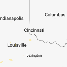


Connect with Interactive Hail Maps