

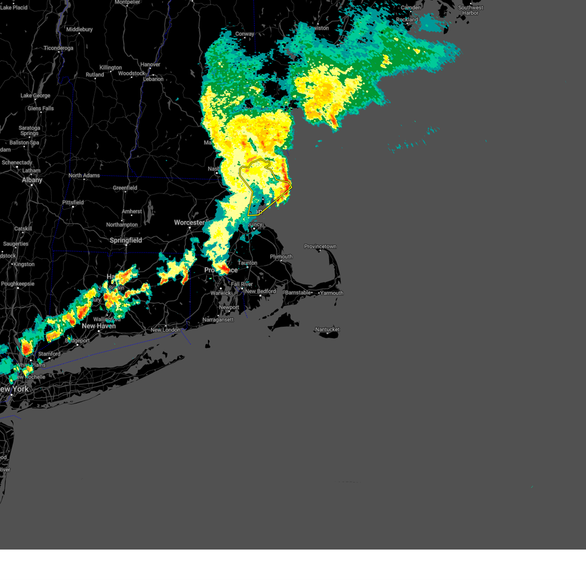
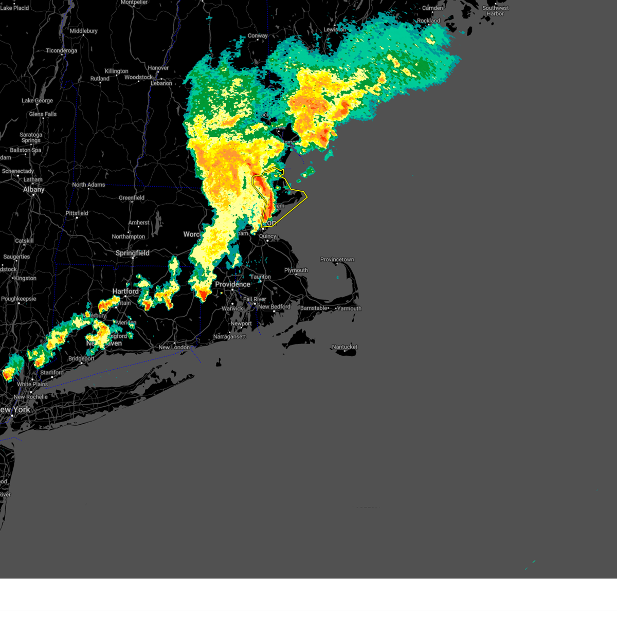
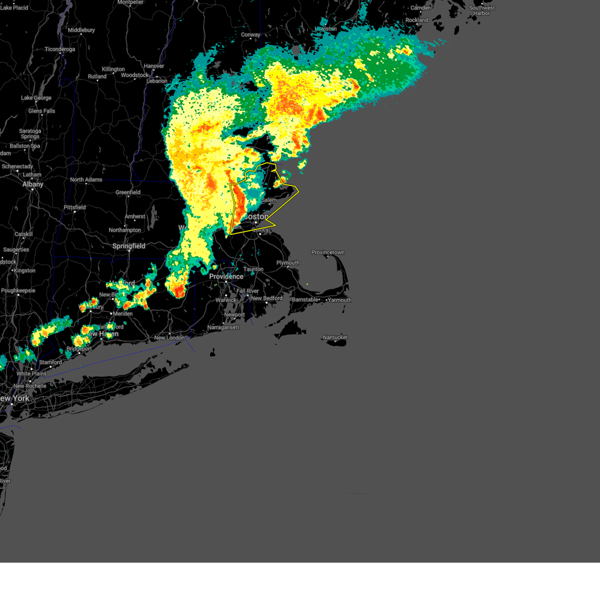
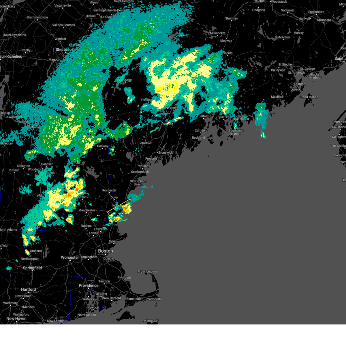
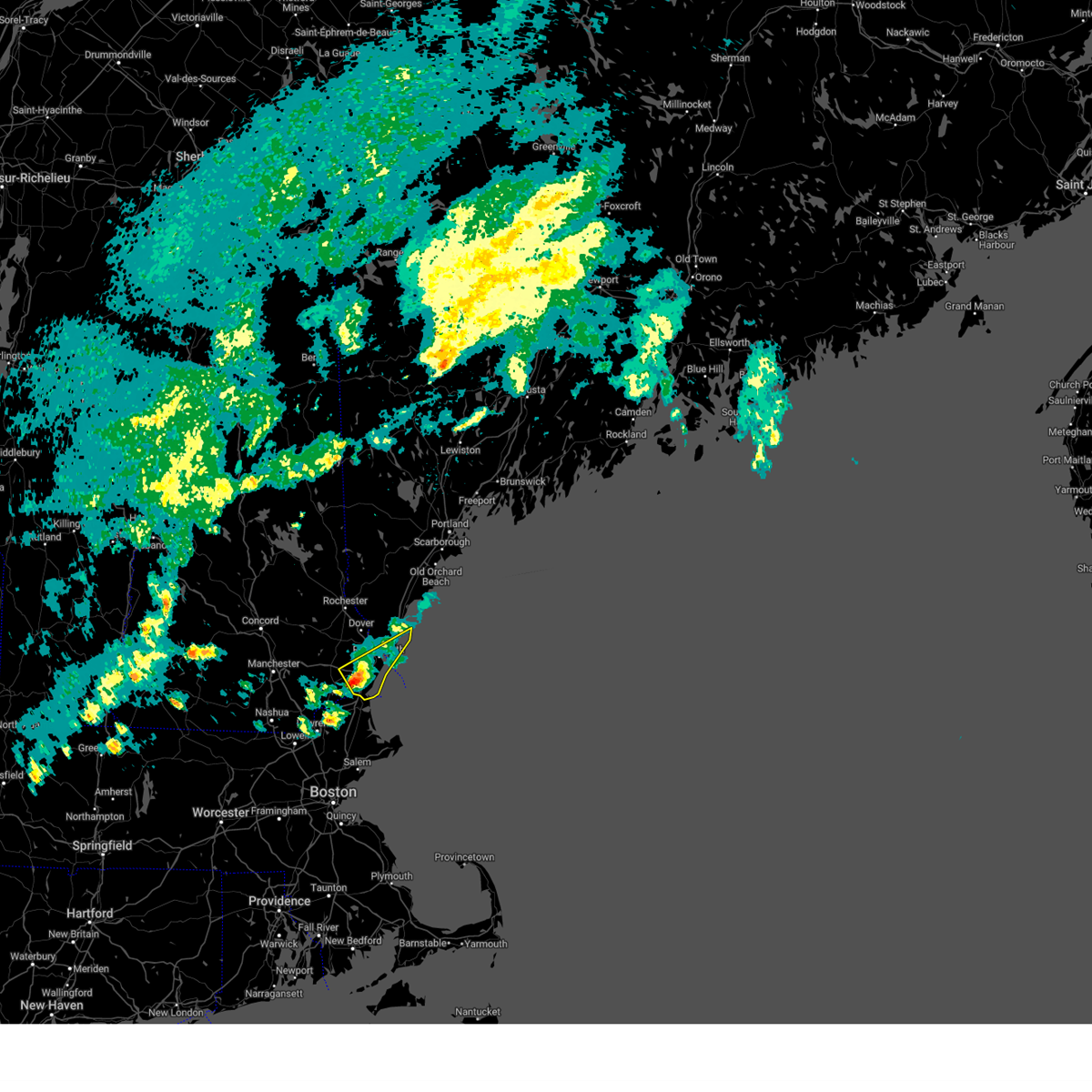
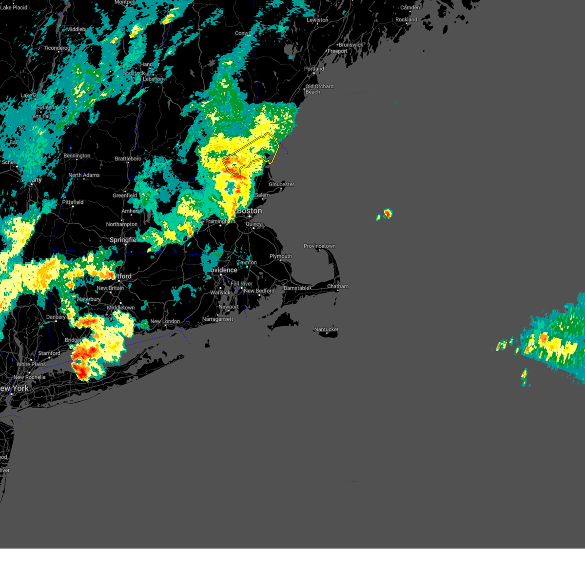
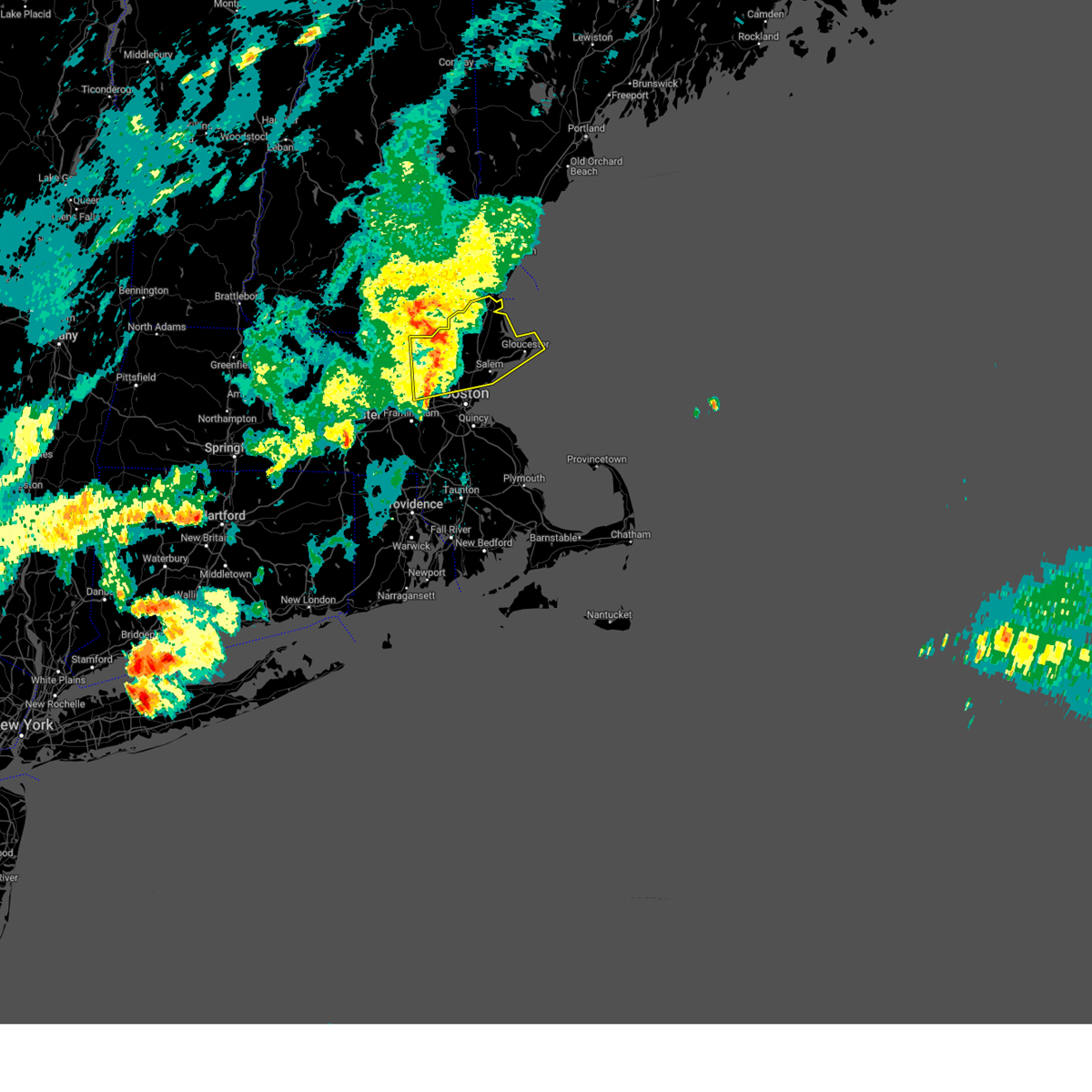
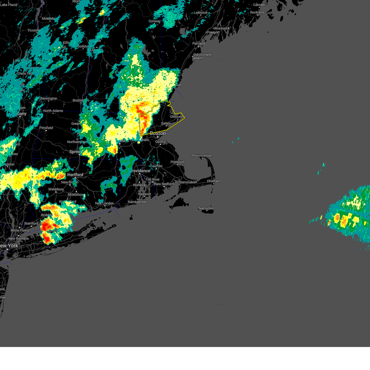
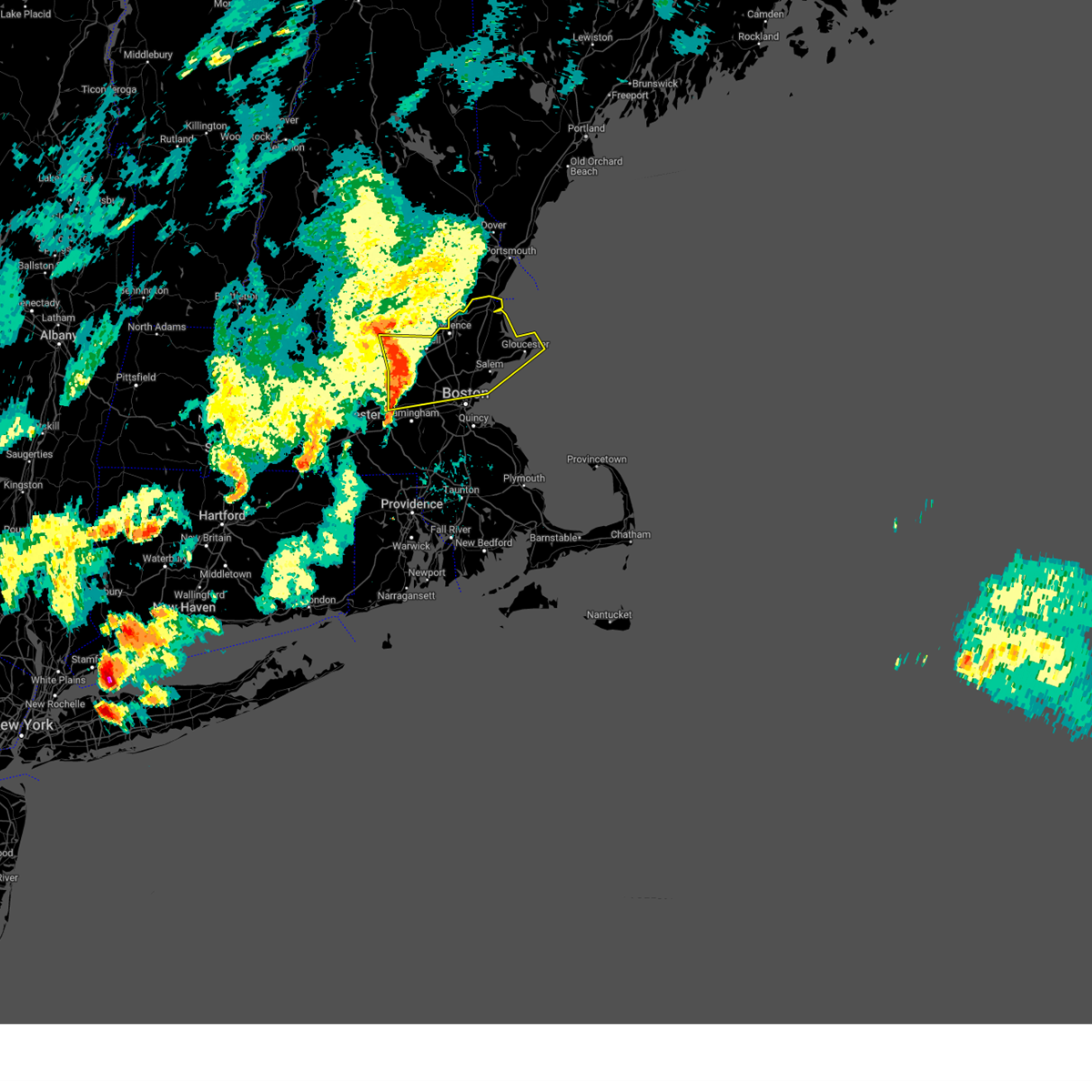
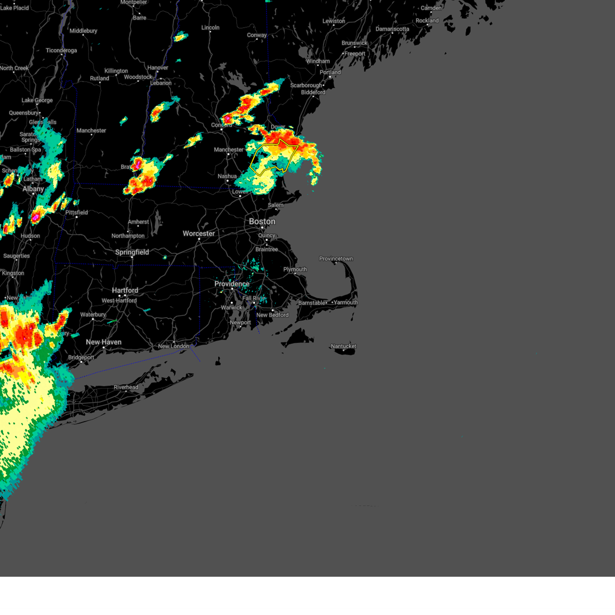
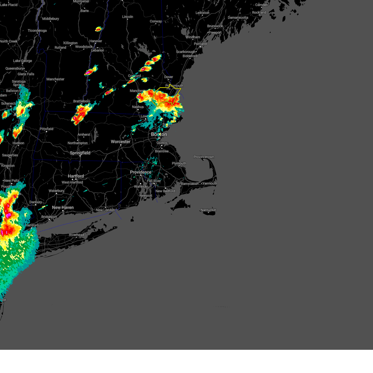
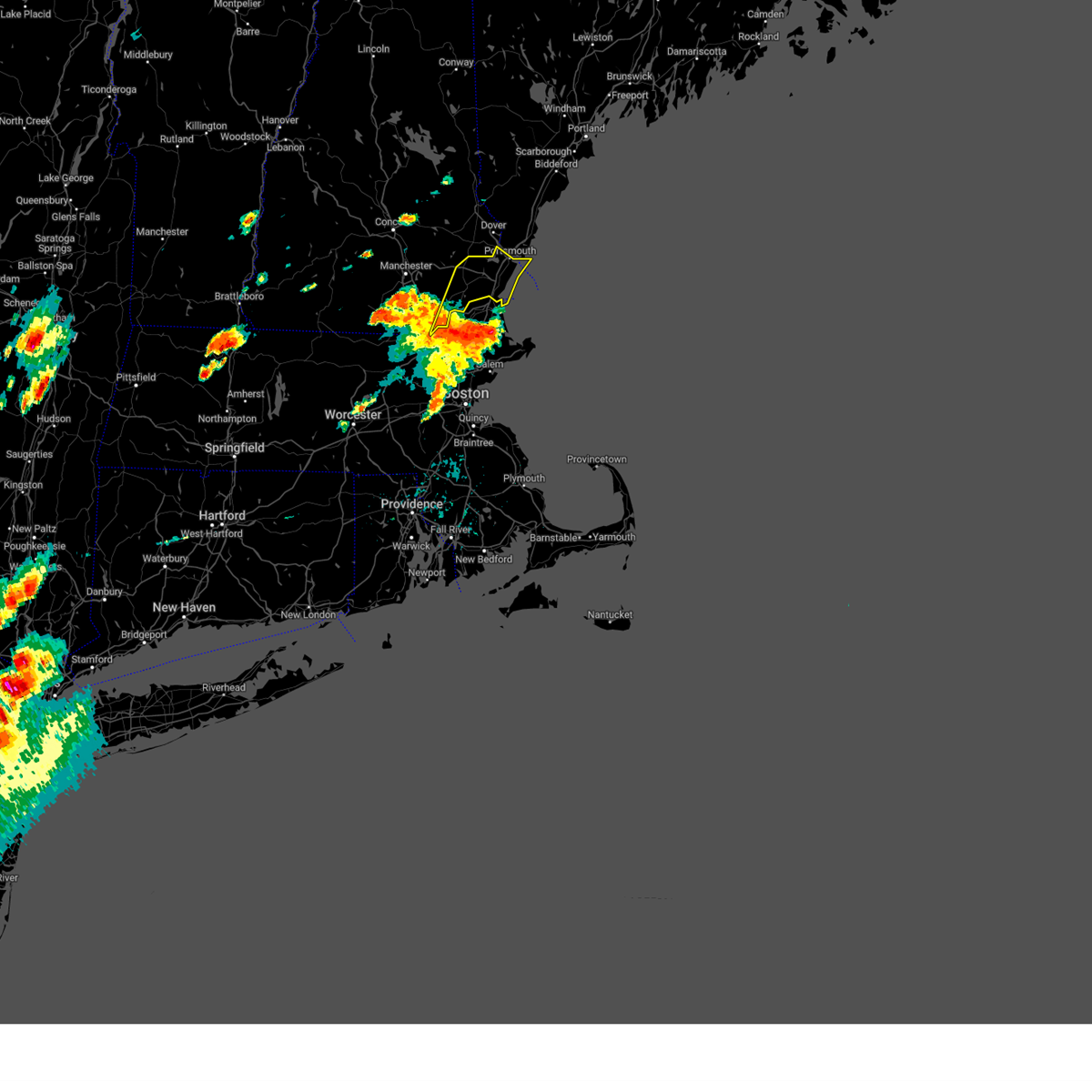
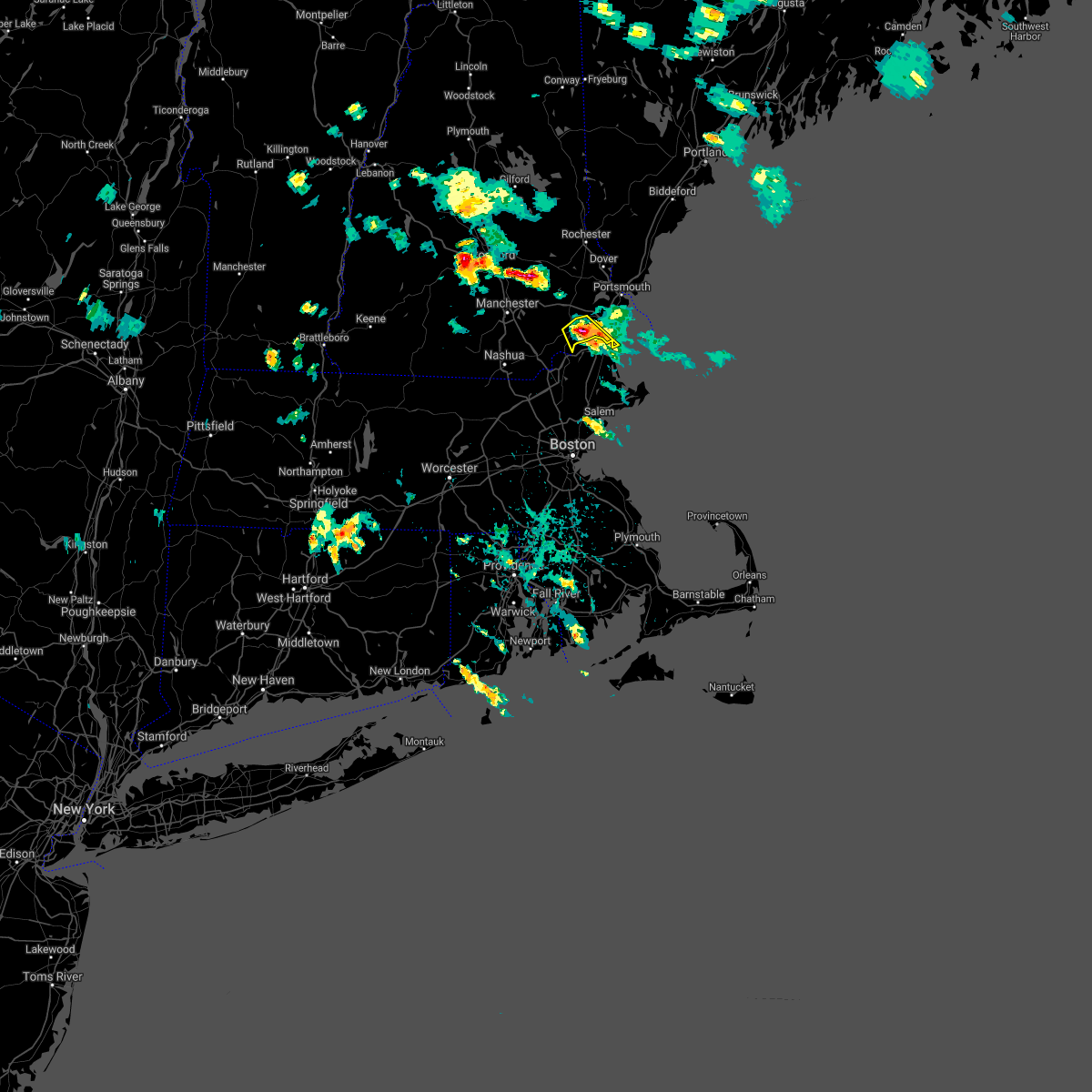
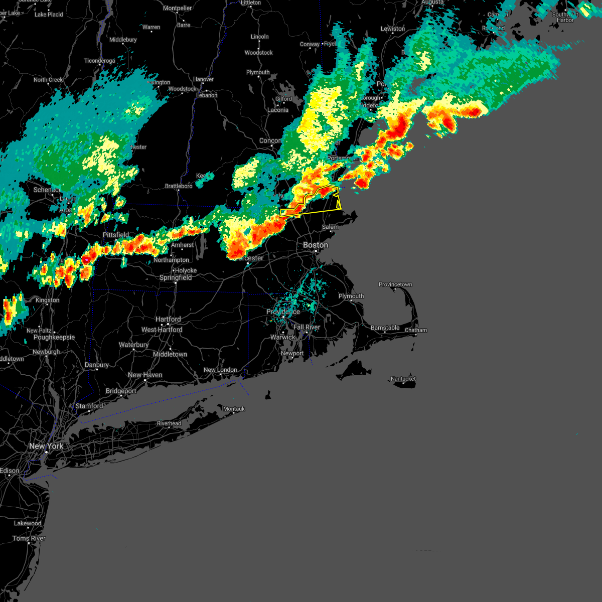
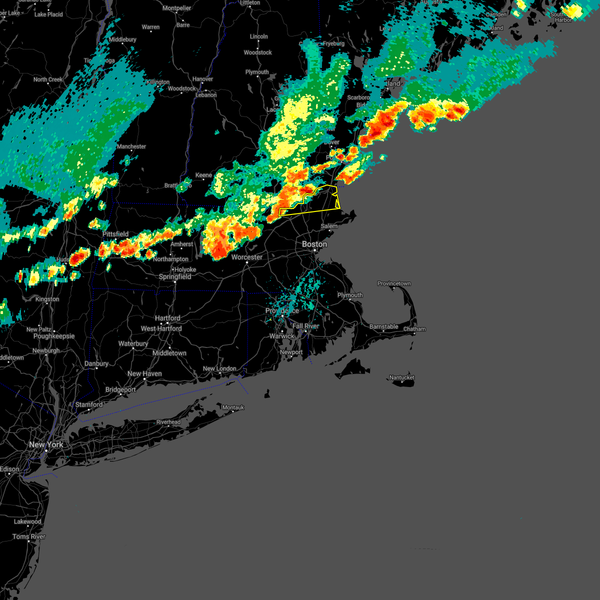
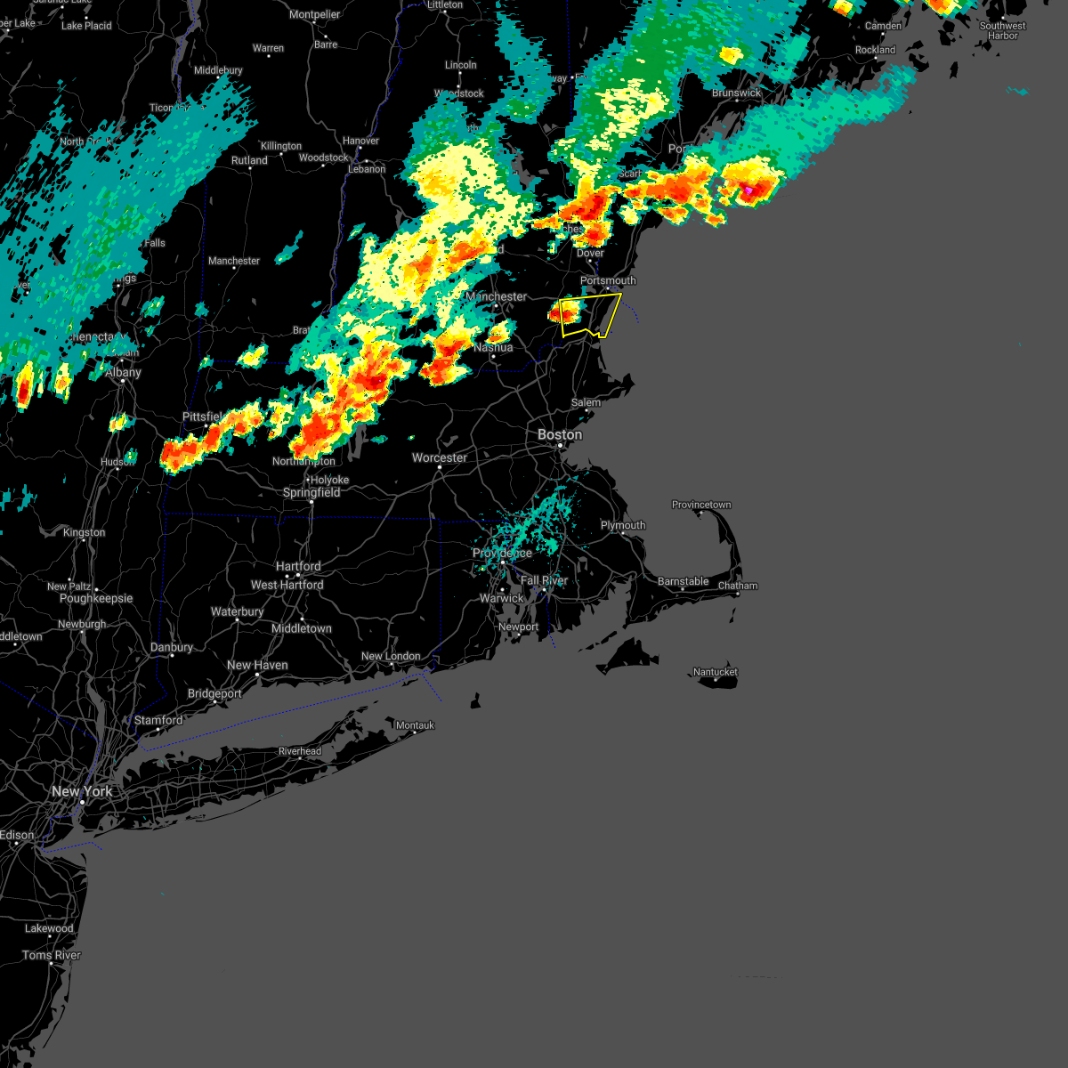
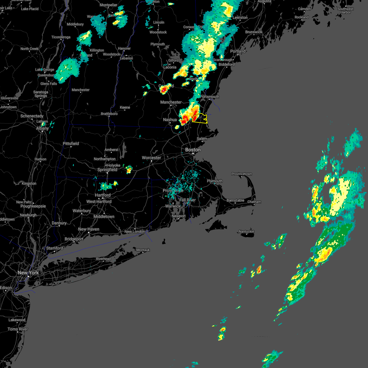
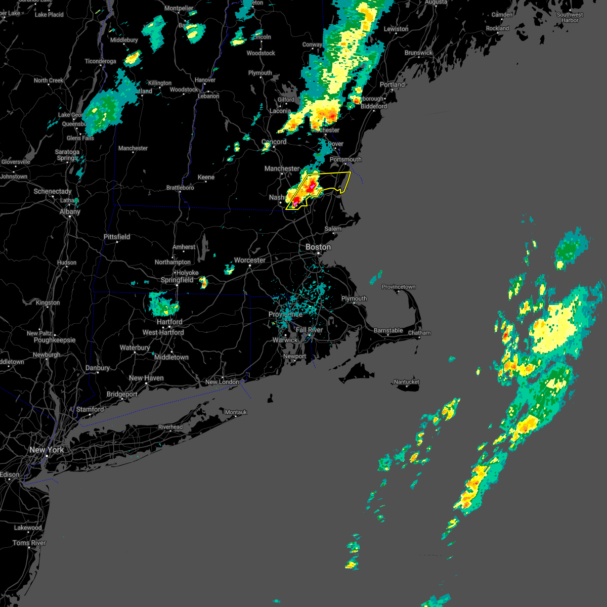
Hail Map for Salisbury, MA
The Salisbury, MA area has had 1 report of on-the-ground hail by trained spotters, and has been under severe weather warnings 15 times during the past 12 months. Doppler radar has detected hail at or near Salisbury, MA on 15 occasions.
| Name: | Salisbury, MA |
| Where Located: | 63.3 miles SSW of Portland, ME |
| Map: | Google Map for Salisbury, MA |
| Population: | 4869 |
| Housing Units: | 3235 |
| More Info: | Search Google for Salisbury, MA |
2
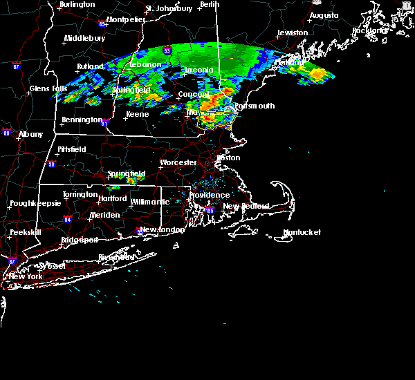
The Top Recent Hail Date for Salisbury, MA is Friday, September 8, 2023 (3rd out of 15)

Hail and Wind Damage Spotted near Salisbury, MA
| Date / Time | Report Details |
|---|---|
| 5/3/2025 6:20 PM EDT |
 The storms which prompted the warning have moved out of the area. therefore, the warning will be allowed to expire. The storms which prompted the warning have moved out of the area. therefore, the warning will be allowed to expire.
|
| 5/3/2025 6:00 PM EDT |
 the severe thunderstorm warning has been cancelled and is no longer in effect the severe thunderstorm warning has been cancelled and is no longer in effect
|
| 5/3/2025 6:00 PM EDT |
 At 559 pm edt, severe thunderstorms were located along a line extending from west newbury to wenham to winthrop, moving east at 45 mph (automated weather station reported. at 535 pm edt, a wind gust of 52 mph was reported at bedford hanscom field airport). Hazards include 60 mph wind gusts. Expect damage to trees and power lines. Locations impacted include, topsfield, marblehead, swampscott, revere, lynn, everett, beverly, salisbury, newburyport, ipswich, danvers, gloucester, hamilton, chelsea, middleton, salem, essex, amesbury, georgetown, and peabody. At 559 pm edt, severe thunderstorms were located along a line extending from west newbury to wenham to winthrop, moving east at 45 mph (automated weather station reported. at 535 pm edt, a wind gust of 52 mph was reported at bedford hanscom field airport). Hazards include 60 mph wind gusts. Expect damage to trees and power lines. Locations impacted include, topsfield, marblehead, swampscott, revere, lynn, everett, beverly, salisbury, newburyport, ipswich, danvers, gloucester, hamilton, chelsea, middleton, salem, essex, amesbury, georgetown, and peabody.
|
| 5/3/2025 5:43 PM EDT |
 Svrbox the national weather service in boston/norton has issued a * severe thunderstorm warning for, essex county in northeastern massachusetts, suffolk county in eastern massachusetts, north central norfolk county in eastern massachusetts, eastern middlesex county in northeastern massachusetts, * until 630 pm edt. * at 541 pm edt, severe thunderstorms were located along a line extending from near methuen to wilmington to newton, moving east at 45 mph (automated weather station reported. at 535 pm edt, a wind gust of 52 mph was reported at bedford hanscom field airport). Hazards include 60 mph wind gusts. expect damage to trees and power lines Svrbox the national weather service in boston/norton has issued a * severe thunderstorm warning for, essex county in northeastern massachusetts, suffolk county in eastern massachusetts, north central norfolk county in eastern massachusetts, eastern middlesex county in northeastern massachusetts, * until 630 pm edt. * at 541 pm edt, severe thunderstorms were located along a line extending from near methuen to wilmington to newton, moving east at 45 mph (automated weather station reported. at 535 pm edt, a wind gust of 52 mph was reported at bedford hanscom field airport). Hazards include 60 mph wind gusts. expect damage to trees and power lines
|
| 5/3/2025 2:40 PM EDT |
 the severe thunderstorm warning has been cancelled and is no longer in effect the severe thunderstorm warning has been cancelled and is no longer in effect
|
| 5/3/2025 2:12 PM EDT |
 Svrgyx the national weather service in gray maine has issued a * severe thunderstorm warning for, south central york county in southwestern maine, east central rockingham county in southern new hampshire, * until 300 pm edt. * at 211 pm edt, a severe thunderstorm was located over hampton, moving northeast at 30 mph (radar indicated). Hazards include 60 mph wind gusts and quarter size hail. Hail damage to vehicles is expected. Expect wind damage to roofs, siding, and trees. Svrgyx the national weather service in gray maine has issued a * severe thunderstorm warning for, south central york county in southwestern maine, east central rockingham county in southern new hampshire, * until 300 pm edt. * at 211 pm edt, a severe thunderstorm was located over hampton, moving northeast at 30 mph (radar indicated). Hazards include 60 mph wind gusts and quarter size hail. Hail damage to vehicles is expected. Expect wind damage to roofs, siding, and trees.
|
| 7/17/2024 7:42 PM EDT |
 Svrgyx the national weather service in gray maine has issued a * severe thunderstorm warning for, southern rockingham county in southern new hampshire, * until 830 pm edt. * at 742 pm edt, severe thunderstorms were located along a line extending from litchfield to near pelham, moving northeast at 40 mph (radar indicated). Hazards include 60 mph wind gusts. expect damage to roofs, siding, and trees Svrgyx the national weather service in gray maine has issued a * severe thunderstorm warning for, southern rockingham county in southern new hampshire, * until 830 pm edt. * at 742 pm edt, severe thunderstorms were located along a line extending from litchfield to near pelham, moving northeast at 40 mph (radar indicated). Hazards include 60 mph wind gusts. expect damage to roofs, siding, and trees
|
| 7/17/2024 7:35 PM EDT |
 the severe thunderstorm warning has been cancelled and is no longer in effect the severe thunderstorm warning has been cancelled and is no longer in effect
|
| 7/17/2024 7:32 PM EDT |
 At 731 pm edt, severe thunderstorms were located along a line extending from near dracut to near wilmington to near weston, moving east at 35 mph (radar indicated). Hazards include 60 mph wind gusts. Expect damage to roofs, siding, and trees. Locations impacted include, lowell, lynn, lawrence, haverhill, waltham, malden, medford, revere, peabody, methuen, arlington, salem, billerica, beverly, woburn, chelmsford, andover, lexington, dracut, and tewksbury. At 731 pm edt, severe thunderstorms were located along a line extending from near dracut to near wilmington to near weston, moving east at 35 mph (radar indicated). Hazards include 60 mph wind gusts. Expect damage to roofs, siding, and trees. Locations impacted include, lowell, lynn, lawrence, haverhill, waltham, malden, medford, revere, peabody, methuen, arlington, salem, billerica, beverly, woburn, chelmsford, andover, lexington, dracut, and tewksbury.
|
| 7/17/2024 7:32 PM EDT |
 the severe thunderstorm warning has been cancelled and is no longer in effect the severe thunderstorm warning has been cancelled and is no longer in effect
|
| 7/17/2024 7:12 PM EDT |
 Svrbox the national weather service in boston/norton has issued a * severe thunderstorm warning for, essex county in northeastern massachusetts, east central worcester county in central massachusetts, north central suffolk county in eastern massachusetts, middlesex county in northeastern massachusetts, * until 815 pm edt. * at 711 pm edt, severe thunderstorms were located along a line extending from dunstable to near acton to marlborough, moving east at 35 mph (radar indicated). Hazards include 60 mph wind gusts. expect damage to roofs, siding, and trees Svrbox the national weather service in boston/norton has issued a * severe thunderstorm warning for, essex county in northeastern massachusetts, east central worcester county in central massachusetts, north central suffolk county in eastern massachusetts, middlesex county in northeastern massachusetts, * until 815 pm edt. * at 711 pm edt, severe thunderstorms were located along a line extending from dunstable to near acton to marlborough, moving east at 35 mph (radar indicated). Hazards include 60 mph wind gusts. expect damage to roofs, siding, and trees
|
| 7/16/2024 8:51 PM EDT |
 At 851 pm edt, severe thunderstorms were located along a line extending from near nashua to ayer to near worcester, moving east at 55 mph (radar indicated). Hazards include 60 mph wind gusts. Expect damage to roofs, siding, and trees. Locations impacted include, boston, worcester, lowell, cambridge, lynn, newton, lawrence, somerville, framingham, haverhill, waltham, malden, medford, peabody, methuen, arlington, leominster, fitchburg, billerica, and marlborough. At 851 pm edt, severe thunderstorms were located along a line extending from near nashua to ayer to near worcester, moving east at 55 mph (radar indicated). Hazards include 60 mph wind gusts. Expect damage to roofs, siding, and trees. Locations impacted include, boston, worcester, lowell, cambridge, lynn, newton, lawrence, somerville, framingham, haverhill, waltham, malden, medford, peabody, methuen, arlington, leominster, fitchburg, billerica, and marlborough.
|
| 7/16/2024 8:51 PM EDT |
 the severe thunderstorm warning has been cancelled and is no longer in effect the severe thunderstorm warning has been cancelled and is no longer in effect
|
| 7/16/2024 8:32 PM EDT |
 Svrbox the national weather service in boston/norton has issued a * severe thunderstorm warning for, essex county in northeastern massachusetts, central worcester county in central massachusetts, north central norfolk county in eastern massachusetts, northwestern suffolk county in eastern massachusetts, eastern hampshire county in western massachusetts, middlesex county in northeastern massachusetts, northeastern hampden county in western massachusetts, * until 915 pm edt. * at 830 pm edt, severe thunderstorms were located along a line extending from greenville to westminster to west brookfield, moving east at 45 mph (radar indicated). Hazards include 60 mph wind gusts. expect damage to roofs, siding, and trees Svrbox the national weather service in boston/norton has issued a * severe thunderstorm warning for, essex county in northeastern massachusetts, central worcester county in central massachusetts, north central norfolk county in eastern massachusetts, northwestern suffolk county in eastern massachusetts, eastern hampshire county in western massachusetts, middlesex county in northeastern massachusetts, northeastern hampden county in western massachusetts, * until 915 pm edt. * at 830 pm edt, severe thunderstorms were located along a line extending from greenville to westminster to west brookfield, moving east at 45 mph (radar indicated). Hazards include 60 mph wind gusts. expect damage to roofs, siding, and trees
|
| 7/16/2024 8:25 PM EDT |
 Svrgyx the national weather service in gray maine has issued a * severe thunderstorm warning for, southern york county in southwestern maine, rockingham county in southern new hampshire, southern strafford county in central new hampshire, southeastern hillsborough county in southern new hampshire, southeastern merrimack county in central new hampshire, * until 915 pm edt. * at 824 pm edt, severe thunderstorms were located along a line extending from epsom to near derry to near salem to 6 miles southeast of pelham, moving east at 55 mph (radar indicated). Hazards include 55 to 65 mph wind gusts. expect damage to roofs, siding, and trees Svrgyx the national weather service in gray maine has issued a * severe thunderstorm warning for, southern york county in southwestern maine, rockingham county in southern new hampshire, southern strafford county in central new hampshire, southeastern hillsborough county in southern new hampshire, southeastern merrimack county in central new hampshire, * until 915 pm edt. * at 824 pm edt, severe thunderstorms were located along a line extending from epsom to near derry to near salem to 6 miles southeast of pelham, moving east at 55 mph (radar indicated). Hazards include 55 to 65 mph wind gusts. expect damage to roofs, siding, and trees
|
| 6/20/2024 8:28 PM EDT |
 At 828 pm edt, severe thunderstorms were located along a line extending from near newbury to hamilton to near lynnfield, moving southeast at 20 mph (radar indicated). Hazards include 60 mph wind gusts. Expect damage to roofs, siding, and trees. Locations impacted include, salem, beverly, andover, gloucester, north andover, danvers, newburyport, amesbury, north reading, ipswich, middleton, salisbury, georgetown, boxford, hamilton, rockport, newbury, groveland, topsfield, and rowley. At 828 pm edt, severe thunderstorms were located along a line extending from near newbury to hamilton to near lynnfield, moving southeast at 20 mph (radar indicated). Hazards include 60 mph wind gusts. Expect damage to roofs, siding, and trees. Locations impacted include, salem, beverly, andover, gloucester, north andover, danvers, newburyport, amesbury, north reading, ipswich, middleton, salisbury, georgetown, boxford, hamilton, rockport, newbury, groveland, topsfield, and rowley.
|
| 6/20/2024 8:13 PM EDT |
 At 813 pm edt, severe thunderstorms were located along a line extending from newburyport to boxford to near north reading, moving east at 30 mph (radar indicated). Hazards include 60 mph wind gusts. Expect damage to roofs, siding, and trees. Locations impacted include, lowell, lawrence, haverhill, methuen, salem, beverly, andover, dracut, tewksbury, gloucester, north andover, danvers, newburyport, amesbury, north reading, ipswich, middleton, salisbury, georgetown, and boxford. At 813 pm edt, severe thunderstorms were located along a line extending from newburyport to boxford to near north reading, moving east at 30 mph (radar indicated). Hazards include 60 mph wind gusts. Expect damage to roofs, siding, and trees. Locations impacted include, lowell, lawrence, haverhill, methuen, salem, beverly, andover, dracut, tewksbury, gloucester, north andover, danvers, newburyport, amesbury, north reading, ipswich, middleton, salisbury, georgetown, and boxford.
|
| 6/20/2024 7:42 PM EDT |
 Svrbox the national weather service in boston/norton has issued a * severe thunderstorm warning for, essex county in northeastern massachusetts, northeastern middlesex county in northeastern massachusetts, * until 845 pm edt. * at 742 pm edt, severe thunderstorms were located along a line extending from near merrimac to near salem to dracut, moving east at 20 mph (radar indicated). Hazards include 60 mph wind gusts. expect damage to roofs, siding, and trees Svrbox the national weather service in boston/norton has issued a * severe thunderstorm warning for, essex county in northeastern massachusetts, northeastern middlesex county in northeastern massachusetts, * until 845 pm edt. * at 742 pm edt, severe thunderstorms were located along a line extending from near merrimac to near salem to dracut, moving east at 20 mph (radar indicated). Hazards include 60 mph wind gusts. expect damage to roofs, siding, and trees
|
| 9/8/2023 4:06 PM EDT |
 The severe thunderstorm warning for southeastern rockingham county will expire at 415 pm edt, the storm which prompted the warning has moved out of the area. therefore, the warning will be allowed to expire. however, gusty winds are still possible with this thunderstorm. a severe thunderstorm watch remains in effect until 1100 pm edt for southwestern maine, and southern and central new hampshire. The severe thunderstorm warning for southeastern rockingham county will expire at 415 pm edt, the storm which prompted the warning has moved out of the area. therefore, the warning will be allowed to expire. however, gusty winds are still possible with this thunderstorm. a severe thunderstorm watch remains in effect until 1100 pm edt for southwestern maine, and southern and central new hampshire.
|
| 9/8/2023 3:36 PM EDT |
 At 333 pm edt, a severe thunderstorm was located over seabrook, or near hampton, moving northeast at 40 mph (radar indicated). Hazards include 60 mph wind gusts and quarter size hail. Hail damage to vehicles is expected. expect wind damage to roofs, siding, and trees. locations impacted include, portsmouth, hampton, exeter, kittery, epping, brentwood, greenland, newington, seabrook, rye, stratham, newmarket, hampstead, atkinson, kingston, danville, fremont, east kingston, hampton falls, and kensington. this also includes, hampton beach. this includes interstate 95 in new hampshire between mile markers 0 and 15. hail threat, radar indicated max hail size, 1. 00 in wind threat, radar indicated max wind gust, 60 mph. At 333 pm edt, a severe thunderstorm was located over seabrook, or near hampton, moving northeast at 40 mph (radar indicated). Hazards include 60 mph wind gusts and quarter size hail. Hail damage to vehicles is expected. expect wind damage to roofs, siding, and trees. locations impacted include, portsmouth, hampton, exeter, kittery, epping, brentwood, greenland, newington, seabrook, rye, stratham, newmarket, hampstead, atkinson, kingston, danville, fremont, east kingston, hampton falls, and kensington. this also includes, hampton beach. this includes interstate 95 in new hampshire between mile markers 0 and 15. hail threat, radar indicated max hail size, 1. 00 in wind threat, radar indicated max wind gust, 60 mph.
|
| 9/8/2023 3:27 PM EDT |
 At 327 pm edt, severe thunderstorms were located along a line extending from derry to near newbury to near ipswich, moving northeast at 45 mph (trained weather spotters). Hazards include 60 mph wind gusts and quarter size hail. Hail damage to vehicles is expected. expect wind damage to roofs, siding, and trees. locations impacted include, haverhill, methuen, gloucester, north andover, newburyport, amesbury, ipswich, salisbury, georgetown, boxford, hamilton, newbury, groveland, merrimac, topsfield, rowley, west newbury, and essex. hail threat, radar indicated max hail size, 1. 00 in wind threat, radar indicated max wind gust, 60 mph. At 327 pm edt, severe thunderstorms were located along a line extending from derry to near newbury to near ipswich, moving northeast at 45 mph (trained weather spotters). Hazards include 60 mph wind gusts and quarter size hail. Hail damage to vehicles is expected. expect wind damage to roofs, siding, and trees. locations impacted include, haverhill, methuen, gloucester, north andover, newburyport, amesbury, ipswich, salisbury, georgetown, boxford, hamilton, newbury, groveland, merrimac, topsfield, rowley, west newbury, and essex. hail threat, radar indicated max hail size, 1. 00 in wind threat, radar indicated max wind gust, 60 mph.
|
| 9/8/2023 3:10 PM EDT |
 At 310 pm edt, severe thunderstorms were located along a line extending from near pelham to north andover to near weston, moving northeast at 45 mph (trained weather spotters reported several trees downed in chelmsford and westford ma between 240 pm and 245 pm). Hazards include 60 mph wind gusts and quarter size hail. Hail damage to vehicles is expected. expect wind damage to roofs, siding, and trees. locations impacted include, boston, lowell, cambridge, quincy, lynn, newton, lawrence, somerville, haverhill, waltham, malden, brookline, medford, revere, peabody, methuen, arlington, everett, salem, and billerica. hail threat, radar indicated max hail size, 1. 00 in wind threat, radar indicated max wind gust, 60 mph. At 310 pm edt, severe thunderstorms were located along a line extending from near pelham to north andover to near weston, moving northeast at 45 mph (trained weather spotters reported several trees downed in chelmsford and westford ma between 240 pm and 245 pm). Hazards include 60 mph wind gusts and quarter size hail. Hail damage to vehicles is expected. expect wind damage to roofs, siding, and trees. locations impacted include, boston, lowell, cambridge, quincy, lynn, newton, lawrence, somerville, haverhill, waltham, malden, brookline, medford, revere, peabody, methuen, arlington, everett, salem, and billerica. hail threat, radar indicated max hail size, 1. 00 in wind threat, radar indicated max wind gust, 60 mph.
|
| 9/8/2023 3:10 PM EDT |
 At 309 pm edt, a severe thunderstorm was located 7 miles southeast of salem, moving northeast at 35 mph (radar indicated). Hazards include 60 mph wind gusts and quarter size hail. Hail damage to vehicles is expected. Expect wind damage to roofs, siding, and trees. At 309 pm edt, a severe thunderstorm was located 7 miles southeast of salem, moving northeast at 35 mph (radar indicated). Hazards include 60 mph wind gusts and quarter size hail. Hail damage to vehicles is expected. Expect wind damage to roofs, siding, and trees.
|
| 9/8/2023 2:52 PM EDT |
 At 252 pm edt, severe thunderstorms were located along a line extending from pepperell to carlisle to sherborn, moving northeast at 40 mph (radar indicated). Hazards include 60 mph wind gusts and quarter size hail. Hail damage to vehicles is expected. Expect wind damage to roofs, siding, and trees. At 252 pm edt, severe thunderstorms were located along a line extending from pepperell to carlisle to sherborn, moving northeast at 40 mph (radar indicated). Hazards include 60 mph wind gusts and quarter size hail. Hail damage to vehicles is expected. Expect wind damage to roofs, siding, and trees.
|
| 8/18/2023 10:24 AM EDT |
 At 1023 am edt, a severe thunderstorm was located over boxford, or near north andover, moving northeast at 25 mph (radar indicated). Hazards include 60 mph wind gusts and nickel size hail. expect damage to roofs, siding, and trees At 1023 am edt, a severe thunderstorm was located over boxford, or near north andover, moving northeast at 25 mph (radar indicated). Hazards include 60 mph wind gusts and nickel size hail. expect damage to roofs, siding, and trees
|
| 12/23/2022 5:18 PM EST |
 At 518 pm est, severe thunderstorms were located along a line extending from 11 miles west of piermont to near canterbury to 7 miles southwest of seabrook, moving northeast at 45 mph (radar indicated). Hazards include 70 mph wind gusts. Expect considerable tree damage. Damage is likely to mobile homes, roofs, and outbuildings. At 518 pm est, severe thunderstorms were located along a line extending from 11 miles west of piermont to near canterbury to 7 miles southwest of seabrook, moving northeast at 45 mph (radar indicated). Hazards include 70 mph wind gusts. Expect considerable tree damage. Damage is likely to mobile homes, roofs, and outbuildings.
|
| 7/21/2022 5:21 PM EDT |
 The severe thunderstorm warning for southern rockingham county will expire at 530 pm edt, the storm which prompted the warning has weakened below severe limits, and has exited the warned area. therefore, the warning will be allowed to expire. however heavy rain is still possible with this thunderstorm. also, additional thunderstorms are moving east across southwestern nh and may impact the area later this evening. a severe thunderstorm watch remains in effect until 800 pm edt for southern new hampshire. The severe thunderstorm warning for southern rockingham county will expire at 530 pm edt, the storm which prompted the warning has weakened below severe limits, and has exited the warned area. therefore, the warning will be allowed to expire. however heavy rain is still possible with this thunderstorm. also, additional thunderstorms are moving east across southwestern nh and may impact the area later this evening. a severe thunderstorm watch remains in effect until 800 pm edt for southern new hampshire.
|
| 7/21/2022 5:01 PM EDT |
 At 501 pm edt, a severe thunderstorm was located near derry, moving northeast at 40 mph (radar indicated). Hazards include 60 mph wind gusts and quarter size hail. Hail damage to vehicles is expected. expect wind damage to roofs, siding, and trees. locations impacted include, derry, hampton, exeter, salem, epping, brentwood, seabrook, stratham, pelham, raymond, newmarket, londonderry, hampstead, atkinson, kingston, chester, danville, fremont, east kingston and hampton falls. this includes the following highways, interstate 93 between mile markers 0 and 12. interstate 95 in new hampshire between mile markers 0 and 6. hail threat, radar indicated max hail size, 1. 00 in wind threat, radar indicated max wind gust, 60 mph. At 501 pm edt, a severe thunderstorm was located near derry, moving northeast at 40 mph (radar indicated). Hazards include 60 mph wind gusts and quarter size hail. Hail damage to vehicles is expected. expect wind damage to roofs, siding, and trees. locations impacted include, derry, hampton, exeter, salem, epping, brentwood, seabrook, stratham, pelham, raymond, newmarket, londonderry, hampstead, atkinson, kingston, chester, danville, fremont, east kingston and hampton falls. this includes the following highways, interstate 93 between mile markers 0 and 12. interstate 95 in new hampshire between mile markers 0 and 6. hail threat, radar indicated max hail size, 1. 00 in wind threat, radar indicated max wind gust, 60 mph.
|
| 7/21/2022 4:24 PM EDT |
 At 424 pm edt, a severe thunderstorm was located over brookline, or 8 miles west of nashua, moving northeast at 40 mph (radar indicated). Hazards include 60 mph wind gusts and quarter size hail. Hail damage to vehicles is expected. Expect wind damage to roofs, siding, and trees. At 424 pm edt, a severe thunderstorm was located over brookline, or 8 miles west of nashua, moving northeast at 40 mph (radar indicated). Hazards include 60 mph wind gusts and quarter size hail. Hail damage to vehicles is expected. Expect wind damage to roofs, siding, and trees.
|
| 7/12/2022 7:08 PM EDT |
 The severe thunderstorm warning for rockingham county will expire at 715 pm edt, the storm which prompted the warning is moving out of the area. therefore, the warning will be allowed to expire. however gusty winds and heavy rain are still possible with this thunderstorm. a severe thunderstorm watch remains in effect until 900 pm edt for southern and central new hampshire. The severe thunderstorm warning for rockingham county will expire at 715 pm edt, the storm which prompted the warning is moving out of the area. therefore, the warning will be allowed to expire. however gusty winds and heavy rain are still possible with this thunderstorm. a severe thunderstorm watch remains in effect until 900 pm edt for southern and central new hampshire.
|
| 7/12/2022 6:36 PM EDT |
 At 636 pm edt, a severe thunderstorm was located near derry, moving east at 40 mph (radar indicated). Hazards include 60 mph wind gusts and penny size hail. expect damage to roofs, siding, and trees At 636 pm edt, a severe thunderstorm was located near derry, moving east at 40 mph (radar indicated). Hazards include 60 mph wind gusts and penny size hail. expect damage to roofs, siding, and trees
|
| 3/7/2022 10:20 PM EST |
 The severe thunderstorm warning for central rockingham, southeastern strafford and southeastern hillsborough counties will expire at 1030 pm est, the storms which prompted the warning have weakened below severe limits, and have exited the warned area. therefore, the warning will be allowed to expire. however gusty winds are still possible with these thunderstorms. The severe thunderstorm warning for central rockingham, southeastern strafford and southeastern hillsborough counties will expire at 1030 pm est, the storms which prompted the warning have weakened below severe limits, and have exited the warned area. therefore, the warning will be allowed to expire. however gusty winds are still possible with these thunderstorms.
|
| 3/7/2022 10:16 PM EST |
 At 1015 pm est, severe thunderstorms were located along a line extending from near haverhill to near southbridge, moving east at 70 mph (radar indicated). Hazards include 60 mph wind gusts. expect damage to trees and power lines At 1015 pm est, severe thunderstorms were located along a line extending from near haverhill to near southbridge, moving east at 70 mph (radar indicated). Hazards include 60 mph wind gusts. expect damage to trees and power lines
|
| 3/7/2022 10:11 PM EST |
 At 1010 pm est, severe thunderstorms were located along a line extending from near epping to near salem to near pelham, moving east at 60 mph (radar indicated). Hazards include 60 mph wind gusts. Expect damage to roofs, siding, and trees. locations impacted include, derry, portsmouth, hampton, durham, exeter, salem, dover, epping, brentwood, greenland, newington, seabrook, rye, pelham, stratham, newmarket, raymond, hudson, hampstead and atkinson. hail threat, radar indicated max hail size, <. 75 in wind threat, radar indicated max wind gust, 60 mph. At 1010 pm est, severe thunderstorms were located along a line extending from near epping to near salem to near pelham, moving east at 60 mph (radar indicated). Hazards include 60 mph wind gusts. Expect damage to roofs, siding, and trees. locations impacted include, derry, portsmouth, hampton, durham, exeter, salem, dover, epping, brentwood, greenland, newington, seabrook, rye, pelham, stratham, newmarket, raymond, hudson, hampstead and atkinson. hail threat, radar indicated max hail size, <. 75 in wind threat, radar indicated max wind gust, 60 mph.
|
| 3/7/2022 9:57 PM EST |
 At 957 pm est, severe thunderstorms were located along a line extending from near goffstown to amherst to near greenville, moving east at 60 mph (radar indicated). Hazards include 60 mph wind gusts. expect damage to roofs, siding, and trees At 957 pm est, severe thunderstorms were located along a line extending from near goffstown to amherst to near greenville, moving east at 60 mph (radar indicated). Hazards include 60 mph wind gusts. expect damage to roofs, siding, and trees
|
| 7/23/2021 5:19 PM EDT |
 At 518 pm edt, a severe thunderstorm was located over georgetown, or near haverhill, moving south at 15 mph (public and broadcast media. at 500 pm, quarter size hail was reported in merrimac). Hazards include ping pong ball size hail and 60 mph wind gusts. Expect wind damage to trees and power lines. minor hail damage to vehicles is possible. Locations impacted include, haverhill, peabody, salem, beverly, gloucester, north andover, danvers, newburyport, amesbury, north reading, ipswich, lynnfield, middleton, salisbury, georgetown, boxford, hamilton, newbury, groveland and merrimac. At 518 pm edt, a severe thunderstorm was located over georgetown, or near haverhill, moving south at 15 mph (public and broadcast media. at 500 pm, quarter size hail was reported in merrimac). Hazards include ping pong ball size hail and 60 mph wind gusts. Expect wind damage to trees and power lines. minor hail damage to vehicles is possible. Locations impacted include, haverhill, peabody, salem, beverly, gloucester, north andover, danvers, newburyport, amesbury, north reading, ipswich, lynnfield, middleton, salisbury, georgetown, boxford, hamilton, newbury, groveland and merrimac.
|
| 7/23/2021 4:57 PM EDT |
 At 457 pm edt, a severe thunderstorm was located over merrimac, or near haverhill, moving south at 15 mph (radar indicated). Hazards include 60 mph wind gusts and quarter size hail. Expect wind damage to trees and power lines. Minor hail damage to vehicles is possible. At 457 pm edt, a severe thunderstorm was located over merrimac, or near haverhill, moving south at 15 mph (radar indicated). Hazards include 60 mph wind gusts and quarter size hail. Expect wind damage to trees and power lines. Minor hail damage to vehicles is possible.
|
| 7/23/2021 4:38 PM EDT |
 At 437 pm edt, a severe thunderstorm was located near seabrook, or near exeter, moving southeast at 20 mph (radar indicated). Hazards include 60 mph wind gusts and half dollar size hail. Hail damage to vehicles is expected. Expect wind damage to roofs, siding, and trees. At 437 pm edt, a severe thunderstorm was located near seabrook, or near exeter, moving southeast at 20 mph (radar indicated). Hazards include 60 mph wind gusts and half dollar size hail. Hail damage to vehicles is expected. Expect wind damage to roofs, siding, and trees.
|
| 7/23/2021 3:38 PM EDT |
 At 338 pm edt, a severe thunderstorm was located over rye, or near portsmouth, moving south at 20 mph (radar indicated). Hazards include 60 mph wind gusts and quarter size hail. Hail damage to vehicles is expected. Expect wind damage to roofs, siding, and trees. At 338 pm edt, a severe thunderstorm was located over rye, or near portsmouth, moving south at 20 mph (radar indicated). Hazards include 60 mph wind gusts and quarter size hail. Hail damage to vehicles is expected. Expect wind damage to roofs, siding, and trees.
|
| 7/21/2021 12:13 AM EDT |
 At 1213 am edt, severe thunderstorms were located along a line extending from near barrington to near newmarket to near brentwood, moving east at 35 mph (radar indicated). Hazards include 60 mph wind gusts and quarter size hail. Hail damage to vehicles is expected. Expect wind damage to roofs, siding, and trees. At 1213 am edt, severe thunderstorms were located along a line extending from near barrington to near newmarket to near brentwood, moving east at 35 mph (radar indicated). Hazards include 60 mph wind gusts and quarter size hail. Hail damage to vehicles is expected. Expect wind damage to roofs, siding, and trees.
|
| 6/30/2021 5:39 PM EDT |
 At 538 pm edt, a severe thunderstorm was located near dracut, moving east at 30 mph (radar indicated). Hazards include 60 mph wind gusts and penny size hail. Expect damage to trees and power lines. Locations impacted include, lowell, lawrence, haverhill, methuen, chelmsford, andover, dracut, north andover, westford, newburyport, amesbury, ipswich, tyngsborough, salisbury, georgetown, boxford, newbury, groveland, merrimac and rowley. At 538 pm edt, a severe thunderstorm was located near dracut, moving east at 30 mph (radar indicated). Hazards include 60 mph wind gusts and penny size hail. Expect damage to trees and power lines. Locations impacted include, lowell, lawrence, haverhill, methuen, chelmsford, andover, dracut, north andover, westford, newburyport, amesbury, ipswich, tyngsborough, salisbury, georgetown, boxford, newbury, groveland, merrimac and rowley.
|
| 6/30/2021 5:26 PM EDT |
 The severe thunderstorm warning for east central rockingham county will expire at 530 pm edt, the storm which prompted the warning has moved out of the area. therefore, the warning will be allowed to expire. however heavy rain is still possible with this thunderstorm. a severe thunderstorm watch remains in effect until 700 pm edt for southern new hampshire. The severe thunderstorm warning for east central rockingham county will expire at 530 pm edt, the storm which prompted the warning has moved out of the area. therefore, the warning will be allowed to expire. however heavy rain is still possible with this thunderstorm. a severe thunderstorm watch remains in effect until 700 pm edt for southern new hampshire.
|
| 6/30/2021 5:25 PM EDT |
 At 525 pm edt, a severe thunderstorm was located near haverhill, moving east at 25 mph (radar indicated). Hazards include 60 mph wind gusts and quarter size hail. Expect wind damage to trees and power lines. Minor hail damage to vehicles is possible. At 525 pm edt, a severe thunderstorm was located near haverhill, moving east at 25 mph (radar indicated). Hazards include 60 mph wind gusts and quarter size hail. Expect wind damage to trees and power lines. Minor hail damage to vehicles is possible.
|
| 6/30/2021 4:58 PM EDT |
 At 458 pm edt, a severe thunderstorm was located over exeter, moving east at 45 mph (radar indicated). Hazards include 60 mph wind gusts and quarter size hail. Hail damage to vehicles is expected. Expect wind damage to roofs, siding, and trees. At 458 pm edt, a severe thunderstorm was located over exeter, moving east at 45 mph (radar indicated). Hazards include 60 mph wind gusts and quarter size hail. Hail damage to vehicles is expected. Expect wind damage to roofs, siding, and trees.
|
| 6/15/2021 5:28 PM EDT |
 At 528 pm edt, a severe thunderstorm was located over merrimac, or near haverhill, moving east at 25 mph (radar indicated). Hazards include 60 mph wind gusts and nickel size hail. expect damage to trees and power lines At 528 pm edt, a severe thunderstorm was located over merrimac, or near haverhill, moving east at 25 mph (radar indicated). Hazards include 60 mph wind gusts and nickel size hail. expect damage to trees and power lines
|
| 6/15/2021 5:14 PM EDT |
 At 514 pm edt, severe thunderstorms were located along a line extending from near brentwood to pelham, moving east at 30 mph (radar indicated). Hazards include 60 mph wind gusts and quarter size hail. Hail damage to vehicles is expected. Expect wind damage to roofs, siding, and trees. At 514 pm edt, severe thunderstorms were located along a line extending from near brentwood to pelham, moving east at 30 mph (radar indicated). Hazards include 60 mph wind gusts and quarter size hail. Hail damage to vehicles is expected. Expect wind damage to roofs, siding, and trees.
|
| 5/26/2021 7:52 PM EDT |
 The severe thunderstorm warning for southeastern york, southeastern rockingham and southeastern strafford counties will expire at 800 pm edt, the storms which prompted the warning have moved out of the area. therefore, the warning will be allowed to expire. a severe thunderstorm watch remains in effect until 1100 pm edt for southwestern maine, and southern and central new hampshire. The severe thunderstorm warning for southeastern york, southeastern rockingham and southeastern strafford counties will expire at 800 pm edt, the storms which prompted the warning have moved out of the area. therefore, the warning will be allowed to expire. a severe thunderstorm watch remains in effect until 1100 pm edt for southwestern maine, and southern and central new hampshire.
|
| 5/26/2021 7:41 PM EDT |
 At 740 pm edt, severe thunderstorms were located along a line extending from 8 miles south of cape elizabeth to 9 miles southeast of york to 18 miles south of hampton, moving east at 45 mph (radar indicated). Hazards include 60 mph wind gusts. Expect damage to roofs, siding, and trees. locations impacted include, biddeford, portsmouth, hampton, durham, exeter, kittery, dover, saco, kennebunk, greenland, kennebunkport, york, newington, seabrook, rye, old orchard beach, stratham, wells, newmarket and south berwick. this also includes, hampton beach, york beach, ogunquit beach, wells beach, and fortunes rock beach. this includes the following highways, interstate 95 between mile markers 1 and 39. Interstate 95 in new hampshire between mile markers 0 and 16. At 740 pm edt, severe thunderstorms were located along a line extending from 8 miles south of cape elizabeth to 9 miles southeast of york to 18 miles south of hampton, moving east at 45 mph (radar indicated). Hazards include 60 mph wind gusts. Expect damage to roofs, siding, and trees. locations impacted include, biddeford, portsmouth, hampton, durham, exeter, kittery, dover, saco, kennebunk, greenland, kennebunkport, york, newington, seabrook, rye, old orchard beach, stratham, wells, newmarket and south berwick. this also includes, hampton beach, york beach, ogunquit beach, wells beach, and fortunes rock beach. this includes the following highways, interstate 95 between mile markers 1 and 39. Interstate 95 in new hampshire between mile markers 0 and 16.
|
| 5/26/2021 7:24 PM EDT |
 At 723 pm edt, severe thunderstorms were located along a line extending from near biddeford to newington to 13 miles southeast of salem, moving east at 45 mph. these storms have a history of producing wind damage (radar indicated). Hazards include 60 mph wind gusts. Expect damage to roofs, siding, and trees. locations impacted include, derry, rochester, biddeford, portsmouth, hampton, durham, exeter, kittery, alfred, sanford, salem, dover, saco, somersworth, kennebunk, barrington, buxton, berwick, epping and lebanon. this also includes, hampton beach, york beach, ogunquit beach, wells beach, and fortunes rock beach. this includes the following highways, interstate 93 between mile markers 0 and 4. interstate 95 between mile markers 1 and 39. Interstate 95 in new hampshire between mile markers 0 and 16. At 723 pm edt, severe thunderstorms were located along a line extending from near biddeford to newington to 13 miles southeast of salem, moving east at 45 mph. these storms have a history of producing wind damage (radar indicated). Hazards include 60 mph wind gusts. Expect damage to roofs, siding, and trees. locations impacted include, derry, rochester, biddeford, portsmouth, hampton, durham, exeter, kittery, alfred, sanford, salem, dover, saco, somersworth, kennebunk, barrington, buxton, berwick, epping and lebanon. this also includes, hampton beach, york beach, ogunquit beach, wells beach, and fortunes rock beach. this includes the following highways, interstate 93 between mile markers 0 and 4. interstate 95 between mile markers 1 and 39. Interstate 95 in new hampshire between mile markers 0 and 16.
|
| 5/26/2021 6:59 PM EDT |
 The national weather service in gray maine has issued a * severe thunderstorm warning for. york county in southwestern maine. rockingham county in southern new hampshire. strafford county in central new hampshire. Southeastern hillsborough county in southern new hampshire. The national weather service in gray maine has issued a * severe thunderstorm warning for. york county in southwestern maine. rockingham county in southern new hampshire. strafford county in central new hampshire. Southeastern hillsborough county in southern new hampshire.
|
| 5/26/2021 6:59 PM EDT |
 At 658 pm edt, severe thunderstorms were located along a line extending from 8 miles northeast of farmington to 6 miles northwest of raymond to near nashua, moving east at 45 mph. this storm has a history of producing wind damage (radar indicated). Hazards include 60 mph wind gusts. expect damage to roofs, siding, and trees At 658 pm edt, severe thunderstorms were located along a line extending from 8 miles northeast of farmington to 6 miles northwest of raymond to near nashua, moving east at 45 mph. this storm has a history of producing wind damage (radar indicated). Hazards include 60 mph wind gusts. expect damage to roofs, siding, and trees
|
| 10/7/2020 6:26 PM EDT |
 The severe thunderstorm warning for eastern suffolk and central essex counties will expire at 630 pm edt, the storms which prompted the warning have moved out of the area. therefore, the warning will be allowed to expire. The severe thunderstorm warning for eastern suffolk and central essex counties will expire at 630 pm edt, the storms which prompted the warning have moved out of the area. therefore, the warning will be allowed to expire.
|
| 10/7/2020 6:08 PM EDT |
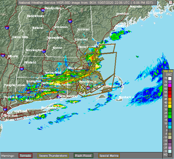 The severe thunderstorm warning for suffolk, northeastern norfolk, essex, southeastern worcester and eastern middlesex counties will expire at 615 pm edt, the storms which prompted the warning will move to east of the area. therefore, the warning will be allowed to expire. The severe thunderstorm warning for suffolk, northeastern norfolk, essex, southeastern worcester and eastern middlesex counties will expire at 615 pm edt, the storms which prompted the warning will move to east of the area. therefore, the warning will be allowed to expire.
|
| 10/7/2020 6:07 PM EDT |
 At 607 pm edt, severe thunderstorms were located along a line extending from rye to near hampton, moving east at 55 mph (radar indicated). Hazards include 60 mph wind gusts. Expect damage to roofs, siding, and trees. locations impacted include, hampton, greenland, seabrook, rye, hampton falls and north hampton. this also includes, hampton beach. This includes interstate 95 in new hampshire between mile markers 0 and 9. At 607 pm edt, severe thunderstorms were located along a line extending from rye to near hampton, moving east at 55 mph (radar indicated). Hazards include 60 mph wind gusts. Expect damage to roofs, siding, and trees. locations impacted include, hampton, greenland, seabrook, rye, hampton falls and north hampton. this also includes, hampton beach. This includes interstate 95 in new hampshire between mile markers 0 and 9.
|
| 10/7/2020 5:56 PM EDT |
 At 556 pm edt, severe thunderstorms were located along a line extending from near newington to near salem, moving east at 65 mph (radar indicated). Hazards include 60 mph wind gusts. Expect damage to roofs, siding, and trees. locations impacted include, derry, hampton, exeter, salem, epping, brentwood, greenland, seabrook, stratham, rye, pelham, hampstead, atkinson, kingston, danville, fremont, east kingston, hampton falls, kensington and plaistow. this also includes, hampton beach. this includes the following highways, interstate 93 between mile markers 1 and 4. Interstate 95 in new hampshire between mile markers 0 and 9. At 556 pm edt, severe thunderstorms were located along a line extending from near newington to near salem, moving east at 65 mph (radar indicated). Hazards include 60 mph wind gusts. Expect damage to roofs, siding, and trees. locations impacted include, derry, hampton, exeter, salem, epping, brentwood, greenland, seabrook, stratham, rye, pelham, hampstead, atkinson, kingston, danville, fremont, east kingston, hampton falls, kensington and plaistow. this also includes, hampton beach. this includes the following highways, interstate 93 between mile markers 1 and 4. Interstate 95 in new hampshire between mile markers 0 and 9.
|
| 10/7/2020 5:54 PM EDT |
 At 554 pm edt, severe thunderstorms were located along a line extending from near salem to newton, moving east at 55 mph (radar indicated). Hazards include 70 mph wind gusts. Expect considerable damage to trees and power lines. Damage is likely to mobile homes and outbuildings. At 554 pm edt, severe thunderstorms were located along a line extending from near salem to newton, moving east at 55 mph (radar indicated). Hazards include 70 mph wind gusts. Expect considerable damage to trees and power lines. Damage is likely to mobile homes and outbuildings.
|
| 10/7/2020 5:50 PM EDT |
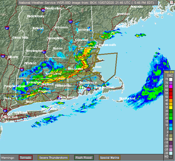 At 549 pm edt, severe thunderstorms were located along a line extending from methuen to lexington to southborough, moving east at 70 mph. these storms are prodcing widespread wind damage (radar indicated). Hazards include 70 mph wind gusts. Expect considerable damage to trees and power lines. damage is likely to mobile homes and outbuildings. Locations impacted include, boston, lowell, cambridge, quincy, lynn, newton, lawrence, somerville, framingham, haverhill, waltham, malden, brookline, medford, revere, peabody, methuen, arlington, everett and salem. At 549 pm edt, severe thunderstorms were located along a line extending from methuen to lexington to southborough, moving east at 70 mph. these storms are prodcing widespread wind damage (radar indicated). Hazards include 70 mph wind gusts. Expect considerable damage to trees and power lines. damage is likely to mobile homes and outbuildings. Locations impacted include, boston, lowell, cambridge, quincy, lynn, newton, lawrence, somerville, framingham, haverhill, waltham, malden, brookline, medford, revere, peabody, methuen, arlington, everett and salem.
|
| 10/7/2020 5:30 PM EDT |
 At 529 pm edt, severe thunderstorms were located along a line extending from near hooksett to brookline, moving east at 65 mph (radar indicated). Hazards include 60 mph wind gusts. expect damage to roofs, siding, and trees At 529 pm edt, severe thunderstorms were located along a line extending from near hooksett to brookline, moving east at 65 mph (radar indicated). Hazards include 60 mph wind gusts. expect damage to roofs, siding, and trees
|
| 10/7/2020 5:27 PM EDT |
 At 526 pm edt, severe thunderstorms were located along a line extending from brookline to near sterling to near spencer, moving east at 70 mph (radar indicated). Hazards include 70 mph wind gusts. Expect considerable damage to trees and power lines. Damage is likely to mobile homes and outbuildings. At 526 pm edt, severe thunderstorms were located along a line extending from brookline to near sterling to near spencer, moving east at 70 mph (radar indicated). Hazards include 70 mph wind gusts. Expect considerable damage to trees and power lines. Damage is likely to mobile homes and outbuildings.
|
| 8/23/2020 4:02 PM EDT |
 At 400 pm edt, a severe thunderstorm was located over north andover, moving east at 20 mph (radar indicated. this storm has a history of producing wind damage in orange, athol and fitchburg. currently, the biggest concern is in the lawrence, andover, and topfield areas in essex county). Hazards include 60 mph wind gusts and quarter size hail. Expect wind damage to trees and power lines. minor hail damage to vehicles is possible. Locations impacted include, lowell, lawrence, haverhill, peabody, methuen, leominster, fitchburg, billerica, beverly, woburn, chelmsford, andover, dracut, tewksbury, gloucester, north andover, danvers, orange, reading and burlington. At 400 pm edt, a severe thunderstorm was located over north andover, moving east at 20 mph (radar indicated. this storm has a history of producing wind damage in orange, athol and fitchburg. currently, the biggest concern is in the lawrence, andover, and topfield areas in essex county). Hazards include 60 mph wind gusts and quarter size hail. Expect wind damage to trees and power lines. minor hail damage to vehicles is possible. Locations impacted include, lowell, lawrence, haverhill, peabody, methuen, leominster, fitchburg, billerica, beverly, woburn, chelmsford, andover, dracut, tewksbury, gloucester, north andover, danvers, orange, reading and burlington.
|
| 8/23/2020 3:47 PM EDT |
 At 346 pm edt, a severe thunderstorm was located over phillipston, or 9 miles southeast of orange, moving east at 15 mph. there are also several other storms stretching into northeast ma that may result in pockets of wind damage (radar indicated). Hazards include 60 mph wind gusts and quarter size hail. Expect wind damage to trees and power lines. Minor hail damage to vehicles is possible. At 346 pm edt, a severe thunderstorm was located over phillipston, or 9 miles southeast of orange, moving east at 15 mph. there are also several other storms stretching into northeast ma that may result in pockets of wind damage (radar indicated). Hazards include 60 mph wind gusts and quarter size hail. Expect wind damage to trees and power lines. Minor hail damage to vehicles is possible.
|
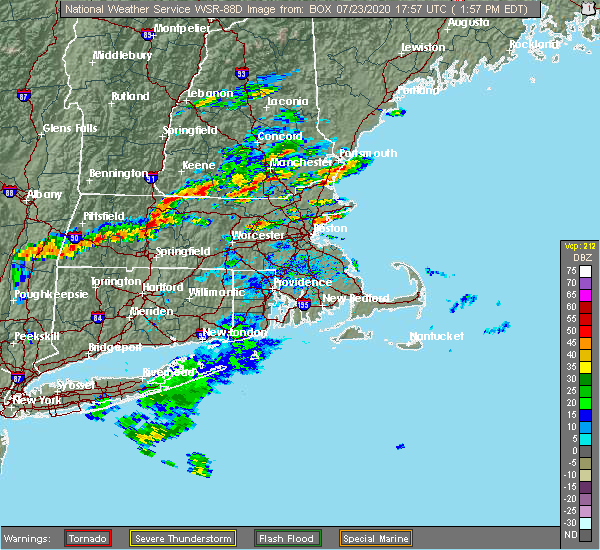
| 7/23/2020 3:25 PM EDT |
 At 324 pm edt, a severe thunderstorm was located near ipswich, or 8 miles northwest of gloucester, moving east at 45 mph (trained weather spotters reported large tree branches down in andover at 310 pm). Hazards include 60 mph wind gusts and penny size hail. Expect damage to trees and power lines. Locations impacted include, gloucester, newburyport, ipswich, georgetown, boxford, hamilton, rockport, newbury, groveland, topsfield, rowley, west newbury and essex. At 324 pm edt, a severe thunderstorm was located near ipswich, or 8 miles northwest of gloucester, moving east at 45 mph (trained weather spotters reported large tree branches down in andover at 310 pm). Hazards include 60 mph wind gusts and penny size hail. Expect damage to trees and power lines. Locations impacted include, gloucester, newburyport, ipswich, georgetown, boxford, hamilton, rockport, newbury, groveland, topsfield, rowley, west newbury and essex.
|
| 7/23/2020 3:01 PM EDT |
 At 300 pm edt, a severe thunderstorm was located over north andover, moving east at 40 mph (radar indicated). Hazards include 60 mph wind gusts and quarter size hail. Expect wind damage to trees and power lines. Minor hail damage to vehicles is possible. At 300 pm edt, a severe thunderstorm was located over north andover, moving east at 40 mph (radar indicated). Hazards include 60 mph wind gusts and quarter size hail. Expect wind damage to trees and power lines. Minor hail damage to vehicles is possible.
|
| 7/23/2020 2:12 PM EDT |
 At 211 pm edt, a severe thunderstorm was located over salisbury, or over hampton, moving east at 20 mph (radar indicated). Hazards include 60 mph wind gusts and penny size hail. Expect damage to trees and power lines. Locations impacted include, newburyport, salisbury and newbury. At 211 pm edt, a severe thunderstorm was located over salisbury, or over hampton, moving east at 20 mph (radar indicated). Hazards include 60 mph wind gusts and penny size hail. Expect damage to trees and power lines. Locations impacted include, newburyport, salisbury and newbury.
|
| 7/23/2020 1:59 PM EDT |
 At 159 pm edt, a severe thunderstorm was located over newburyport, or near hampton, moving east at 20 mph (radar indicated). Hazards include 60 mph wind gusts and penny size hail. expect damage to trees and power lines At 159 pm edt, a severe thunderstorm was located over newburyport, or near hampton, moving east at 20 mph (radar indicated). Hazards include 60 mph wind gusts and penny size hail. expect damage to trees and power lines
|
| 7/13/2020 3:08 PM EDT |
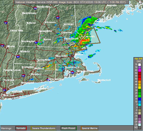 At 306 pm edt, a severe thunderstorm was located over rowley, or 8 miles east of north andover. additional severe thunderstorms extended from salisbury to newbury. these storms were moving northeast at 10 mph (radar indicated and trained spotters. at 255 pm, tree branches were downed on powerlines in newburyport). Hazards include 60 mph wind gusts and penny size hail. Expect damage to trees and power lines. Locations impacted include, haverhill, beverly, andover, north andover, danvers, newburyport, amesbury, ipswich, middleton, salisbury, georgetown, boxford, hamilton, newbury, groveland, merrimac, topsfield, rowley, wenham and west newbury. At 306 pm edt, a severe thunderstorm was located over rowley, or 8 miles east of north andover. additional severe thunderstorms extended from salisbury to newbury. these storms were moving northeast at 10 mph (radar indicated and trained spotters. at 255 pm, tree branches were downed on powerlines in newburyport). Hazards include 60 mph wind gusts and penny size hail. Expect damage to trees and power lines. Locations impacted include, haverhill, beverly, andover, north andover, danvers, newburyport, amesbury, ipswich, middleton, salisbury, georgetown, boxford, hamilton, newbury, groveland, merrimac, topsfield, rowley, wenham and west newbury.
|
| 7/13/2020 2:44 PM EDT |
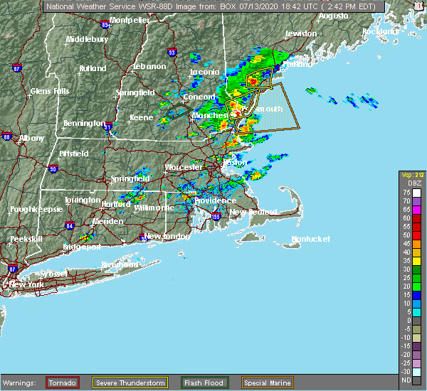 At 243 pm edt, a severe thunderstorm was located over topsfield, or near danvers, moving northeast at 10 mph (radar indicated). Hazards include 60 mph wind gusts and penny size hail. expect damage to trees and power lines At 243 pm edt, a severe thunderstorm was located over topsfield, or near danvers, moving northeast at 10 mph (radar indicated). Hazards include 60 mph wind gusts and penny size hail. expect damage to trees and power lines
|
| 7/5/2020 11:03 PM EDT |
 At 1102 pm edt, a severe thunderstorm was located over gloucester, moving southeast at 25 mph (radar indicated). Hazards include 60 mph wind gusts and nickel size hail. Expect damage to trees and power lines. Locations impacted include, beverly, gloucester, newburyport, ipswich, salisbury, georgetown, boxford, hamilton, rockport, newbury, topsfield, rowley, manchester, wenham and essex. At 1102 pm edt, a severe thunderstorm was located over gloucester, moving southeast at 25 mph (radar indicated). Hazards include 60 mph wind gusts and nickel size hail. Expect damage to trees and power lines. Locations impacted include, beverly, gloucester, newburyport, ipswich, salisbury, georgetown, boxford, hamilton, rockport, newbury, topsfield, rowley, manchester, wenham and essex.
|
| 7/5/2020 10:44 PM EDT |
 At 1043 pm edt, a severe thunderstorm was located over ipswich, or 10 miles northwest of gloucester, moving southeast at 25 mph (radar indicated). Hazards include 60 mph wind gusts and nickel size hail. expect damage to trees and power lines At 1043 pm edt, a severe thunderstorm was located over ipswich, or 10 miles northwest of gloucester, moving southeast at 25 mph (radar indicated). Hazards include 60 mph wind gusts and nickel size hail. expect damage to trees and power lines
|
| 5/15/2020 9:07 PM EDT |
 At 906 pm edt, severe thunderstorms were located along a line extending from amesbury to lynn, moving east at 55 mph (radar indicated). Hazards include 60 mph wind gusts. Expect damage to trees and power lines. Locations impacted include, lynn, haverhill, peabody, salem, beverly, gloucester, north andover, saugus, danvers, wakefield, newburyport, amesbury, north reading, swampscott, ipswich, lynnfield, middleton, salisbury, georgetown and boxford. At 906 pm edt, severe thunderstorms were located along a line extending from amesbury to lynn, moving east at 55 mph (radar indicated). Hazards include 60 mph wind gusts. Expect damage to trees and power lines. Locations impacted include, lynn, haverhill, peabody, salem, beverly, gloucester, north andover, saugus, danvers, wakefield, newburyport, amesbury, north reading, swampscott, ipswich, lynnfield, middleton, salisbury, georgetown and boxford.
|
| 5/15/2020 8:48 PM EDT |
 At 847 pm edt, severe thunderstorms were located along a line extending from near derry to lexington, moving east at 55 mph (radar indicated. at 837 pm, two trees were downed in north chelmsford from these storms). Hazards include 60 mph wind gusts. expect damage to trees and power lines At 847 pm edt, severe thunderstorms were located along a line extending from near derry to lexington, moving east at 55 mph (radar indicated. at 837 pm, two trees were downed in north chelmsford from these storms). Hazards include 60 mph wind gusts. expect damage to trees and power lines
|
| 8/21/2019 3:14 PM EDT |
 At 313 pm edt, a severe thunderstorm was located over newburyport, or near hampton, moving northeast at 30 mph. this storm had a history of producing a funnel cloud (radar indicated). Hazards include 60 mph wind gusts and nickel size hail. expect damage to trees and power lines At 313 pm edt, a severe thunderstorm was located over newburyport, or near hampton, moving northeast at 30 mph. this storm had a history of producing a funnel cloud (radar indicated). Hazards include 60 mph wind gusts and nickel size hail. expect damage to trees and power lines
|
| 8/21/2019 3:04 PM EDT |
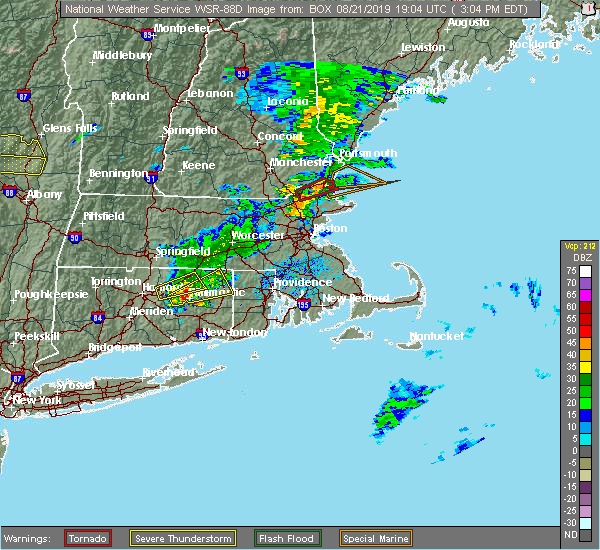
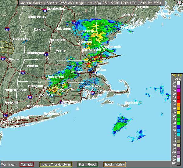 At 301 pm edt, a severe thunderstorm capable of producing a tornado was located over west newbury and groveland, moving east at 15 mph. a spotter in newbury has reported a funnel cloud with this storm (radar indicated rotation). Hazards include tornado and quarter size hail. Flying debris will be dangerous to those caught without shelter. mobile homes will be damaged or destroyed. damage to roofs, windows, and vehicles will occur. tree damage is likely. this dangerous storm will be near, newburyport, amesbury, salisbury, newbury and seabrook around 315 pm edt. Other locations impacted by this tornadic thunderstorm include south hampton and plaistow. At 301 pm edt, a severe thunderstorm capable of producing a tornado was located over west newbury and groveland, moving east at 15 mph. a spotter in newbury has reported a funnel cloud with this storm (radar indicated rotation). Hazards include tornado and quarter size hail. Flying debris will be dangerous to those caught without shelter. mobile homes will be damaged or destroyed. damage to roofs, windows, and vehicles will occur. tree damage is likely. this dangerous storm will be near, newburyport, amesbury, salisbury, newbury and seabrook around 315 pm edt. Other locations impacted by this tornadic thunderstorm include south hampton and plaistow.
|
| 8/21/2019 2:49 PM EDT |
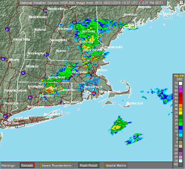 At 248 pm edt, a severe thunderstorm capable of producing a tornado was located over groveland, or over haverhill, moving northeast at 30 mph (radar indicated rotation). Hazards include tornado and quarter size hail. Flying debris will be dangerous to those caught without shelter. mobile homes will be damaged or destroyed. damage to roofs, windows, and vehicles will occur. tree damage is likely. this dangerous storm will be near, west newbury around 255 pm edt. amesbury, salisbury and newbury around 305 pm edt. newburyport around 310 pm edt. seabrook around 315 pm edt. Other locations impacted by this tornadic thunderstorm include south hampton and plaistow. At 248 pm edt, a severe thunderstorm capable of producing a tornado was located over groveland, or over haverhill, moving northeast at 30 mph (radar indicated rotation). Hazards include tornado and quarter size hail. Flying debris will be dangerous to those caught without shelter. mobile homes will be damaged or destroyed. damage to roofs, windows, and vehicles will occur. tree damage is likely. this dangerous storm will be near, west newbury around 255 pm edt. amesbury, salisbury and newbury around 305 pm edt. newburyport around 310 pm edt. seabrook around 315 pm edt. Other locations impacted by this tornadic thunderstorm include south hampton and plaistow.
|
| 8/21/2019 2:37 PM EDT |
 The national weather service in boston/norton has issued a * severe thunderstorm warning for. northwestern essex county in northeastern massachusetts. until 300 pm edt. At 236 pm edt, a severe thunderstorm was located over haverhill, moving northeast at 35 mph. The national weather service in boston/norton has issued a * severe thunderstorm warning for. northwestern essex county in northeastern massachusetts. until 300 pm edt. At 236 pm edt, a severe thunderstorm was located over haverhill, moving northeast at 35 mph.
|
| 6/30/2019 12:11 AM EDT |
 At 1210 am edt, a severe thunderstorm was located over salisbury, or over hampton, moving east at 30 mph (radar indicated). Hazards include 60 mph wind gusts and quarter size hail. Hail damage to vehicles is possible. Expect damage to trees and power lines. At 1210 am edt, a severe thunderstorm was located over salisbury, or over hampton, moving east at 30 mph (radar indicated). Hazards include 60 mph wind gusts and quarter size hail. Hail damage to vehicles is possible. Expect damage to trees and power lines.
|
| 6/29/2019 11:54 PM EDT |
 At 1154 pm edt, a severe thunderstorm was located over seabrook, or over hampton, moving east at 30 mph (radar indicated). Hazards include 60 mph wind gusts and quarter size hail. Hail damage to vehicles is expected. expect wind damage to roofs, siding, and trees. locations impacted include, portsmouth, hampton, exeter, epping, brentwood, greenland, stratham, seabrook, rye, newmarket, atkinson, kingston, danville, east kingston, hampton falls, kensington, newfields, north hampton, plaistow and newton. this also includes, hampton beach. This includes interstate 95 in new hampshire between mile markers 0 and 11. At 1154 pm edt, a severe thunderstorm was located over seabrook, or over hampton, moving east at 30 mph (radar indicated). Hazards include 60 mph wind gusts and quarter size hail. Hail damage to vehicles is expected. expect wind damage to roofs, siding, and trees. locations impacted include, portsmouth, hampton, exeter, epping, brentwood, greenland, stratham, seabrook, rye, newmarket, atkinson, kingston, danville, east kingston, hampton falls, kensington, newfields, north hampton, plaistow and newton. this also includes, hampton beach. This includes interstate 95 in new hampshire between mile markers 0 and 11.
|
| 6/29/2019 11:39 PM EDT |
 At 1125 pm edt, a severe thunderstorm was located near brentwood, or 9 miles east of derry, moving east at 30 mph (radar indicated). Hazards include 60 mph wind gusts and penny size hail. expect damage to roofs, siding, and trees At 1125 pm edt, a severe thunderstorm was located near brentwood, or 9 miles east of derry, moving east at 30 mph (radar indicated). Hazards include 60 mph wind gusts and penny size hail. expect damage to roofs, siding, and trees
|
| 6/29/2019 11:25 PM EDT |
 At 1125 pm edt, a severe thunderstorm was located near brentwood, or 9 miles east of derry, moving east at 30 mph (radar indicated). Hazards include 60 mph wind gusts and penny size hail. expect damage to roofs, siding, and trees At 1125 pm edt, a severe thunderstorm was located near brentwood, or 9 miles east of derry, moving east at 30 mph (radar indicated). Hazards include 60 mph wind gusts and penny size hail. expect damage to roofs, siding, and trees
|
| 7/17/2018 1:15 PM EDT |
 The national weather service in boston/norton has issued a * severe thunderstorm warning for. northern essex county in northeastern massachusetts. northeastern middlesex county in northeastern massachusetts. until 215 pm edt. At 114 pm edt, a severe thunderstorm was located over west newbury,. The national weather service in boston/norton has issued a * severe thunderstorm warning for. northern essex county in northeastern massachusetts. northeastern middlesex county in northeastern massachusetts. until 215 pm edt. At 114 pm edt, a severe thunderstorm was located over west newbury,.
|
| 6/18/2018 6:41 PM EDT |
 At 641 pm edt, severe thunderstorms were located along a line extending from near hampton to near rowley to near wilmington, moving east at 55 mph (radar indicated). Hazards include 70 mph wind gusts. Expect considerable tree damage. Damage is likely to mobile homes#commaorellipsis()roofs#commaorellipsis()and outbuildings. At 641 pm edt, severe thunderstorms were located along a line extending from near hampton to near rowley to near wilmington, moving east at 55 mph (radar indicated). Hazards include 70 mph wind gusts. Expect considerable tree damage. Damage is likely to mobile homes#commaorellipsis()roofs#commaorellipsis()and outbuildings.
|
| 6/18/2018 6:17 PM EDT |
 At 616 pm edt, severe thunderstorms were located along a line extending from near barnstead to near raymond to 7 miles southeast of pelham, moving east at 50 mph (radar indicated). Hazards include 70 mph wind gusts. Expect considerable tree damage. Damage is likely to mobile homes, roofs, and outbuildings. At 616 pm edt, severe thunderstorms were located along a line extending from near barnstead to near raymond to 7 miles southeast of pelham, moving east at 50 mph (radar indicated). Hazards include 70 mph wind gusts. Expect considerable tree damage. Damage is likely to mobile homes, roofs, and outbuildings.
|
| 9/6/2017 11:46 AM EDT |
 At 1146 am edt, a severe thunderstorm was located over boxford, or near north andover, moving northeast at 45 mph (radar indicated). Hazards include 60 mph wind gusts. expect damage to trees and power lines At 1146 am edt, a severe thunderstorm was located over boxford, or near north andover, moving northeast at 45 mph (radar indicated). Hazards include 60 mph wind gusts. expect damage to trees and power lines
|
| 7/8/2017 2:04 PM EDT |
 At 203 pm edt, severe thunderstorms were located along a line extending from 6 miles south of raymond to near hudson, moving east at 35 mph (radar indicated). Hazards include 60 mph wind gusts and penny size hail. Expect damage to trees, and power lines. locations impacted include, manchester, nashua, portland, derry, rochester, south portland, biddeford, portsmouth, brunswick, westbrook, hampton, durham, exeter, kittery, alfred, sanford, salem, northwood, topsham and merrimack. this also includes, hampton beach, york beach, ogunquit beach, wells beach, and fortunes rock beach. peaks island, long island, cushing island, cousins island, and great diamond island. this includes the following highways, interstate 295 between mile markers 1 and 30. interstate 93 between mile markers 0 and 17. interstate 95 between mile markers 1 and 63. Interstate 95 in new hampshire between mile markers 1 and 16. At 203 pm edt, severe thunderstorms were located along a line extending from 6 miles south of raymond to near hudson, moving east at 35 mph (radar indicated). Hazards include 60 mph wind gusts and penny size hail. Expect damage to trees, and power lines. locations impacted include, manchester, nashua, portland, derry, rochester, south portland, biddeford, portsmouth, brunswick, westbrook, hampton, durham, exeter, kittery, alfred, sanford, salem, northwood, topsham and merrimack. this also includes, hampton beach, york beach, ogunquit beach, wells beach, and fortunes rock beach. peaks island, long island, cushing island, cousins island, and great diamond island. this includes the following highways, interstate 295 between mile markers 1 and 30. interstate 93 between mile markers 0 and 17. interstate 95 between mile markers 1 and 63. Interstate 95 in new hampshire between mile markers 1 and 16.
|
| 7/8/2017 1:42 PM EDT |
 At 141 pm edt, severe thunderstorms were located along a line extending from near cornish to near brookline, moving east at 35 mph (radar indicated). Hazards include 60 mph wind gusts and penny size hail. expect damage to trees, and power lines At 141 pm edt, severe thunderstorms were located along a line extending from near cornish to near brookline, moving east at 35 mph (radar indicated). Hazards include 60 mph wind gusts and penny size hail. expect damage to trees, and power lines
|
| 6/23/2017 2:52 PM EDT |
 The severe thunderstorm warning for north central essex county will expire at 300 pm edt, the storm which prompted the warning has moved out of the area. therefore the warning will be allowed to expire. The severe thunderstorm warning for north central essex county will expire at 300 pm edt, the storm which prompted the warning has moved out of the area. therefore the warning will be allowed to expire.
|
| 6/23/2017 2:26 PM EDT |
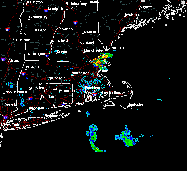 At 226 pm edt, a severe thunderstorm was located over georgetown, or 8 miles east of north andover, moving northeast at 45 mph (radar indicated). Hazards include 60 mph wind gusts. Expect damage to trees and power lines. Locations impacted include, haverhill, north andover, newburyport, amesbury, ipswich, salisbury, georgetown, boxford, hamilton, newbury, groveland, merrimac, topsfield, rowley and west newbury. At 226 pm edt, a severe thunderstorm was located over georgetown, or 8 miles east of north andover, moving northeast at 45 mph (radar indicated). Hazards include 60 mph wind gusts. Expect damage to trees and power lines. Locations impacted include, haverhill, north andover, newburyport, amesbury, ipswich, salisbury, georgetown, boxford, hamilton, newbury, groveland, merrimac, topsfield, rowley and west newbury.
|
| 6/23/2017 2:10 PM EDT |
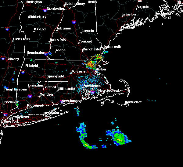 At 207 pm edt, a severe thunderstorm was located over north reading, or near woburn, moving northeast at 45 mph (radar indicated). Hazards include 60 mph wind gusts. Expect damage to trees and power lines. Locations impacted include, lawrence, haverhill, peabody, methuen, billerica, woburn, andover, tewksbury, north andover, danvers, wakefield, reading, burlington, wilmington, stoneham, winchester, newburyport, amesbury, north reading and ipswich. At 207 pm edt, a severe thunderstorm was located over north reading, or near woburn, moving northeast at 45 mph (radar indicated). Hazards include 60 mph wind gusts. Expect damage to trees and power lines. Locations impacted include, lawrence, haverhill, peabody, methuen, billerica, woburn, andover, tewksbury, north andover, danvers, wakefield, reading, burlington, wilmington, stoneham, winchester, newburyport, amesbury, north reading and ipswich.
|
| 6/23/2017 1:56 PM EDT |
 At 156 pm edt, severe thunderstorms were located along a line extending from bedford to somerville, moving northeast at 45 mph (radar indicated). Hazards include 60 mph wind gusts. expect damage to trees and power lines At 156 pm edt, severe thunderstorms were located along a line extending from bedford to somerville, moving northeast at 45 mph (radar indicated). Hazards include 60 mph wind gusts. expect damage to trees and power lines
|
| 5/31/2017 8:33 PM EDT |
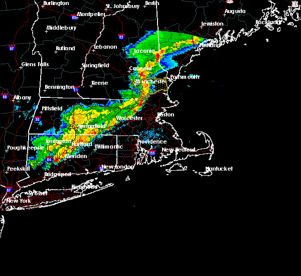 At 832 pm edt, severe thunderstorms were located along a line extending from near raymond to near derry to near pelham, moving east at 30 mph (radar indicated). Hazards include 60 mph wind gusts and penny size hail. Expect damage to trees, and power lines. locations impacted include, derry, hampton, durham, exeter, salem, epping, brentwood, greenland, raymond, seabrook, pelham, stratham, newmarket, newington, hampstead, atkinson, kingston, chester, danville and lee. this includes the following highways, interstate 93 between mile markers 1 and 8. Interstate 95 in new hampshire between mile markers 1 and 10. At 832 pm edt, severe thunderstorms were located along a line extending from near raymond to near derry to near pelham, moving east at 30 mph (radar indicated). Hazards include 60 mph wind gusts and penny size hail. Expect damage to trees, and power lines. locations impacted include, derry, hampton, durham, exeter, salem, epping, brentwood, greenland, raymond, seabrook, pelham, stratham, newmarket, newington, hampstead, atkinson, kingston, chester, danville and lee. this includes the following highways, interstate 93 between mile markers 1 and 8. Interstate 95 in new hampshire between mile markers 1 and 10.
|
| 5/31/2017 8:13 PM EDT |
 At 813 pm edt, severe thunderstorms were located along a line extending from manchester to hudson to 11 miles south of nashua, moving east at 25 mph (radar indicated). Hazards include 60 mph wind gusts and penny size hail. expect damage to trees, and power lines At 813 pm edt, severe thunderstorms were located along a line extending from manchester to hudson to 11 miles south of nashua, moving east at 25 mph (radar indicated). Hazards include 60 mph wind gusts and penny size hail. expect damage to trees, and power lines
|
| 5/18/2017 9:43 PM EDT |
 At 942 pm edt, a severe thunderstorm was located near templeton, or 10 miles east of orange, moving east at 55 mph (radar indicated). Hazards include 60 mph wind gusts. expect damage to trees and power lines At 942 pm edt, a severe thunderstorm was located near templeton, or 10 miles east of orange, moving east at 55 mph (radar indicated). Hazards include 60 mph wind gusts. expect damage to trees and power lines
|
| 9/11/2016 10:55 AM EDT |
 The severe thunderstorm warning for central york and east central rockingham counties will expire at 1100 am edt, the storms which prompted the warning have moved out of the area. therefore, the warning will be allowed to expire. however heavy rain is still possible with these thunderstorms. The severe thunderstorm warning for central york and east central rockingham counties will expire at 1100 am edt, the storms which prompted the warning have moved out of the area. therefore, the warning will be allowed to expire. however heavy rain is still possible with these thunderstorms.
|
| 9/11/2016 10:55 AM EDT |
 At 1043 am edt, severe thunderstorms were located along a line extending from near standish to 11 miles south of hampton, moving east at 40 mph (radar indicated). Hazards include 60 mph wind gusts and penny size hail. Expect damage to roofs. siding. and trees. Locations impacted include, biddeford, portsmouth, hampton, kittery, alfred, sanford, saco, kennebunk, buxton, hollis, kennebunkport, rye, wells, york, seabrook, south berwick, eliot, lyman, arundel and new castle. At 1043 am edt, severe thunderstorms were located along a line extending from near standish to 11 miles south of hampton, moving east at 40 mph (radar indicated). Hazards include 60 mph wind gusts and penny size hail. Expect damage to roofs. siding. and trees. Locations impacted include, biddeford, portsmouth, hampton, kittery, alfred, sanford, saco, kennebunk, buxton, hollis, kennebunkport, rye, wells, york, seabrook, south berwick, eliot, lyman, arundel and new castle.
|
| 9/11/2016 10:43 AM EDT |
 At 1043 am edt, severe thunderstorms were located along a line extending from near standish to 11 miles south of hampton, moving east at 40 mph (radar indicated). Hazards include 60 mph wind gusts and penny size hail. Expect damage to roofs. siding. and trees. Locations impacted include, biddeford, portsmouth, hampton, kittery, alfred, sanford, saco, kennebunk, buxton, hollis, kennebunkport, rye, wells, york, seabrook, south berwick, eliot, lyman, arundel and new castle. At 1043 am edt, severe thunderstorms were located along a line extending from near standish to 11 miles south of hampton, moving east at 40 mph (radar indicated). Hazards include 60 mph wind gusts and penny size hail. Expect damage to roofs. siding. and trees. Locations impacted include, biddeford, portsmouth, hampton, kittery, alfred, sanford, saco, kennebunk, buxton, hollis, kennebunkport, rye, wells, york, seabrook, south berwick, eliot, lyman, arundel and new castle.
|
| 9/11/2016 10:25 AM EDT | Tree down on house on rabitt road in essex county MA, 1.2 miles N of Salisbury, MA |
| 9/11/2016 10:14 AM EDT |
 At 1014 am edt, severe thunderstorms were located along a line extending from north andover to hopedale, moving east at 45 mph (radar indicated). Hazards include 60 mph wind gusts. Expect damage to roofs. siding. and trees. Locations impacted include, boston, cambridge, brockton, quincy, lynn, newton, lawrence, somerville, framingham, haverhill, waltham, malden, brookline, medford, weymouth, revere, peabody, methuen, arlington and everett. At 1014 am edt, severe thunderstorms were located along a line extending from north andover to hopedale, moving east at 45 mph (radar indicated). Hazards include 60 mph wind gusts. Expect damage to roofs. siding. and trees. Locations impacted include, boston, cambridge, brockton, quincy, lynn, newton, lawrence, somerville, framingham, haverhill, waltham, malden, brookline, medford, weymouth, revere, peabody, methuen, arlington and everett.
|
| 9/11/2016 9:59 AM EDT |
 At 959 am edt, severe thunderstorms were located along a line extending from near effingham to near pelham, moving east at 45 mph (radar indicated). Hazards include 60 mph wind gusts and penny size hail. Expect damage to roofs. siding. And trees. At 959 am edt, severe thunderstorms were located along a line extending from near effingham to near pelham, moving east at 45 mph (radar indicated). Hazards include 60 mph wind gusts and penny size hail. Expect damage to roofs. siding. And trees.
|
| 9/11/2016 9:53 AM EDT |
 At 952 am edt, severe thunderstorms were located along a line extending from tyngsborough to near oxford, moving east at 45 mph (radar indicated). Hazards include 60 mph wind gusts. Expect damage to roofs. siding. And trees. At 952 am edt, severe thunderstorms were located along a line extending from tyngsborough to near oxford, moving east at 45 mph (radar indicated). Hazards include 60 mph wind gusts. Expect damage to roofs. siding. And trees.
|
| 8/22/2016 3:51 AM EDT |
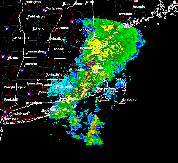 At 351 am edt, a severe thunderstorm was located over wilmington, or near andover, moving northeast at 25 mph (radar indicated). Hazards include 60 mph wind gusts. Expect damage to roofs. siding. And trees. At 351 am edt, a severe thunderstorm was located over wilmington, or near andover, moving northeast at 25 mph (radar indicated). Hazards include 60 mph wind gusts. Expect damage to roofs. siding. And trees.
|
| 7/23/2016 7:29 PM EDT |
 At 728 pm edt, a cluster of strong thunderstorms was affecting northern massachusetts producing damaging wind gusts (radar indicated and spotters have reported wind damage with these storms). Hazards include 60 mph wind gusts. Expect damage to roofs. siding. And trees. At 728 pm edt, a cluster of strong thunderstorms was affecting northern massachusetts producing damaging wind gusts (radar indicated and spotters have reported wind damage with these storms). Hazards include 60 mph wind gusts. Expect damage to roofs. siding. And trees.
|
| 7/23/2016 7:15 PM EDT | Multiple small boats in distress on the merrimack rive in essex county MA, 1.2 miles N of Salisbury, MA |
| 7/23/2016 6:56 PM EDT | Trees were downed on dock lane...true road...and cushing roa in essex county MA, 1.2 miles N of Salisbury, MA |
| 7/23/2016 6:46 PM EDT |
 At 646 pm edt, severe thunderstorms were located along a line extending from portsmouth to near derry, moving southeast at 35 mph (radar indicated). Hazards include 60 mph wind gusts and nickel size hail. Expect damage to roofs. siding. and trees. Locations impacted include, derry, portsmouth, hampton, durham, exeter, salem, dover, eppi ng, brentwood, greenland, seabrook, stratham, newington, rye, newma rket, raymond, londonderry, hampstead, atkinson and kingston. At 646 pm edt, severe thunderstorms were located along a line extending from portsmouth to near derry, moving southeast at 35 mph (radar indicated). Hazards include 60 mph wind gusts and nickel size hail. Expect damage to roofs. siding. and trees. Locations impacted include, derry, portsmouth, hampton, durham, exeter, salem, dover, eppi ng, brentwood, greenland, seabrook, stratham, newington, rye, newma rket, raymond, londonderry, hampstead, atkinson and kingston.
|
| 7/23/2016 6:42 PM EDT |
 At 641 pm edt, severe thunderstorms were located along a line extending from portsmouth to near manchester to keene, moving southeast at 25 mph (radar indicated). Hazards include 60 mph wind gusts and nickel size hail. Expect damage to roofs. siding. and trees. Locations impacted include, manchester, nashua, derry, merrimack, keene, portsmouth, hampton, durham, exeter, kittery, jaffrey, salem, dover, bedford, milford, amherst, litchfield, hollis, swanzey and epping. At 641 pm edt, severe thunderstorms were located along a line extending from portsmouth to near manchester to keene, moving southeast at 25 mph (radar indicated). Hazards include 60 mph wind gusts and nickel size hail. Expect damage to roofs. siding. and trees. Locations impacted include, manchester, nashua, derry, merrimack, keene, portsmouth, hampton, durham, exeter, kittery, jaffrey, salem, dover, bedford, milford, amherst, litchfield, hollis, swanzey and epping.
|
| 7/23/2016 6:38 PM EDT |
 At 636 pm edt, a line of severe thunderstorms in southern new hampshire will be dropping southeast into north central and northeast massachusetts through 730 pm (spotter reporting numerous reports of wind damage in southern new hampshire). Hazards include 60 mph wind gusts. Expect damage to roofs. siding. And trees. At 636 pm edt, a line of severe thunderstorms in southern new hampshire will be dropping southeast into north central and northeast massachusetts through 730 pm (spotter reporting numerous reports of wind damage in southern new hampshire). Hazards include 60 mph wind gusts. Expect damage to roofs. siding. And trees.
|
| 7/23/2016 6:30 PM EDT |
 At 630 pm edt, severe thunderstorms were located along a line extending from newington to manchester to swanzey, moving southeast at 25 mph (radar indicated). Hazards include 60 mph wind gusts and nickel size hail. Expect damage to roofs. siding. and trees. Locations impacted include, manchester, nashua, derry, merrimack, keene, portsmouth, hampton, durham, exeter, jaffrey, salem, northwood, dover, bedford, milford, hooksett, somersworth, amherst, barrington and litchfield. At 630 pm edt, severe thunderstorms were located along a line extending from newington to manchester to swanzey, moving southeast at 25 mph (radar indicated). Hazards include 60 mph wind gusts and nickel size hail. Expect damage to roofs. siding. and trees. Locations impacted include, manchester, nashua, derry, merrimack, keene, portsmouth, hampton, durham, exeter, jaffrey, salem, northwood, dover, bedford, milford, hooksett, somersworth, amherst, barrington and litchfield.
|
| 7/23/2016 6:08 PM EDT |
 At 608 pm edt, severe thunderstorms were located along a line extending from near dover to goffstown to walpole, moving southeast at 25 mph (radar indicated). Hazards include 60 mph wind gusts and nickel size hail. Expect damage to roofs. siding. And trees. At 608 pm edt, severe thunderstorms were located along a line extending from near dover to goffstown to walpole, moving southeast at 25 mph (radar indicated). Hazards include 60 mph wind gusts and nickel size hail. Expect damage to roofs. siding. And trees.
|
| 7/18/2016 3:56 PM EDT |
 At 356 pm edt, severe thunderstorms were located along a line extending from greenland to near hampton to near newburyport, moving east at 40 mph (radar indicated). Hazards include 60 mph wind gusts. Expect damage to roofs. siding. and trees. Locations impacted include, portsmouth, hampton, durham, exeter, greenland, rye, seabrook, stratham, newington, newmarket, east kingston, hampton falls, kensington, new castle, newfields, south hampton, north hampton and newton. At 356 pm edt, severe thunderstorms were located along a line extending from greenland to near hampton to near newburyport, moving east at 40 mph (radar indicated). Hazards include 60 mph wind gusts. Expect damage to roofs. siding. and trees. Locations impacted include, portsmouth, hampton, durham, exeter, greenland, rye, seabrook, stratham, newington, newmarket, east kingston, hampton falls, kensington, new castle, newfields, south hampton, north hampton and newton.
|
| 7/18/2016 3:41 PM EDT |
 At 340 pm edt, severe thunderstorms were located along a line extending from raymond to salem to near dracut, moving northeast at 45 mph (radar indicated). Hazards include 60 mph wind gusts. Expect damage to roofs. siding. And trees. At 340 pm edt, severe thunderstorms were located along a line extending from raymond to salem to near dracut, moving northeast at 45 mph (radar indicated). Hazards include 60 mph wind gusts. Expect damage to roofs. siding. And trees.
|
| 7/18/2016 3:17 PM EDT |
 At 317 pm edt, a severe thunderstorm was located over haverhill, moving east at 50 mph (radar indicated). Hazards include 60 mph wind gusts and quarter size hail. Hail damage to vehicles is expected. Expect wind damage to roofs, siding, and trees. At 317 pm edt, a severe thunderstorm was located over haverhill, moving east at 50 mph (radar indicated). Hazards include 60 mph wind gusts and quarter size hail. Hail damage to vehicles is expected. Expect wind damage to roofs, siding, and trees.
|
| 7/18/2016 2:48 PM EDT |
 At 248 pm edt, severe thunderstorms were located along a line extending from near jaffrey to near rindge to phillipston, moving east at 50 mph (radar indicated). Hazards include 60 mph wind gusts. Expect damage to roofs. siding. And trees. At 248 pm edt, severe thunderstorms were located along a line extending from near jaffrey to near rindge to phillipston, moving east at 50 mph (radar indicated). Hazards include 60 mph wind gusts. Expect damage to roofs. siding. And trees.
|
| 6/29/2016 6:08 PM EDT |
 At 607 pm edt, a severe thunderstorm was located over seabrook, or near hampton, moving northeast at 35 mph (radar indicated). Hazards include 60 mph wind gusts and quarter size hail. Hail damage to vehicles is expected. Expect wind damage to roofs, siding, and trees. At 607 pm edt, a severe thunderstorm was located over seabrook, or near hampton, moving northeast at 35 mph (radar indicated). Hazards include 60 mph wind gusts and quarter size hail. Hail damage to vehicles is expected. Expect wind damage to roofs, siding, and trees.
|
| 2/25/2016 3:20 AM EST |
 At 318 am est, doppler radar indicated a line of severe thunderstorms capable of producing damaging winds in excess of 60 mph. these storms were located along a line extending from 7 miles east of fryeburg to near newmarket to lowell, racing quickly to the east. At 318 am est, doppler radar indicated a line of severe thunderstorms capable of producing damaging winds in excess of 60 mph. these storms were located along a line extending from 7 miles east of fryeburg to near newmarket to lowell, racing quickly to the east.
|
| 2/25/2016 3:01 AM EST |
 At 301 am est, doppler radar indicated a severe thunderstorm capable of producing destructive winds in excess of 70 mph. this storm was located over dedham, or near brookline, and was moving northeast at 85 mph. At 301 am est, doppler radar indicated a severe thunderstorm capable of producing destructive winds in excess of 70 mph. this storm was located over dedham, or near brookline, and was moving northeast at 85 mph.
|
| 8/15/2015 5:54 PM EDT |
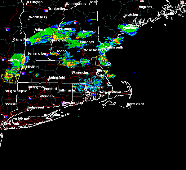 The severe thunderstorm warning for central essex county will expire at 600 pm edt, the storm which prompted the warning has weakened below severe limits and exited the warned area. therefore the warning will be allowed to expire. however heavy rain is still possible with this thunderstorm. The severe thunderstorm warning for central essex county will expire at 600 pm edt, the storm which prompted the warning has weakened below severe limits and exited the warned area. therefore the warning will be allowed to expire. however heavy rain is still possible with this thunderstorm.
|
| 8/15/2015 5:25 PM EDT |
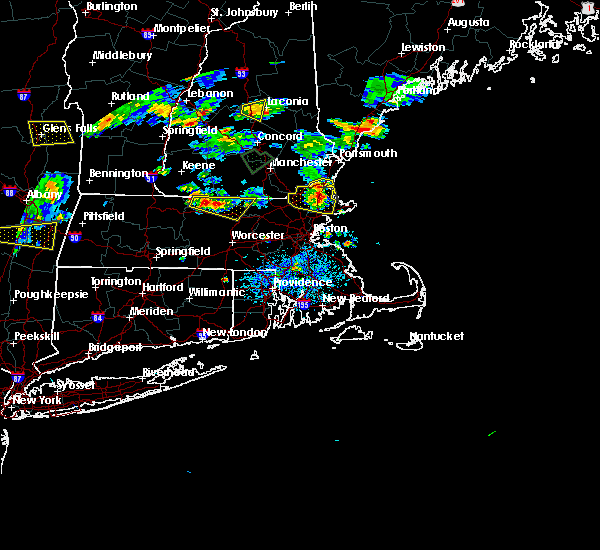 At 525 pm edt, doppler radar indicated a severe thunderstorm capable of producing quarter size hail and damaging winds in excess of 60 mph. this storm was located over georgetown, or near north andover, moving east at 15 mph. locations impacted include, haverhill, beverly, north andover, danvers, newburyport, amesbury, north reading, ipswich, middleton, salisbury, georgetown, boxford, hamilton, newbury, groveland, merrimac, topsfield, rowley, wenham and west newbury. At 525 pm edt, doppler radar indicated a severe thunderstorm capable of producing quarter size hail and damaging winds in excess of 60 mph. this storm was located over georgetown, or near north andover, moving east at 15 mph. locations impacted include, haverhill, beverly, north andover, danvers, newburyport, amesbury, north reading, ipswich, middleton, salisbury, georgetown, boxford, hamilton, newbury, groveland, merrimac, topsfield, rowley, wenham and west newbury.
|
| 8/15/2015 5:00 PM EDT |
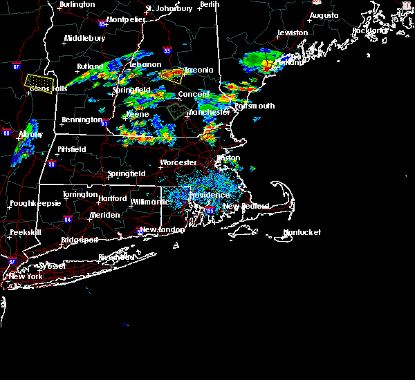 At 500 pm edt, doppler radar indicated a severe thunderstorm capable of producing quarter size hail and damaging winds in excess of 60 mph. this storm was located over lawrence, and was moving east at 20 mph. * some locations impacted include, lawrence, haverhill, methuen, beverly, andover, dracut, tewksbury, north andover, danvers, wilmington, newburyport, amesbury, north reading, ipswich, middleton, salisbury, georgetown, boxford, hamilton and newbury. At 500 pm edt, doppler radar indicated a severe thunderstorm capable of producing quarter size hail and damaging winds in excess of 60 mph. this storm was located over lawrence, and was moving east at 20 mph. * some locations impacted include, lawrence, haverhill, methuen, beverly, andover, dracut, tewksbury, north andover, danvers, wilmington, newburyport, amesbury, north reading, ipswich, middleton, salisbury, georgetown, boxford, hamilton and newbury.
|
| 7/24/2015 5:50 PM EDT |
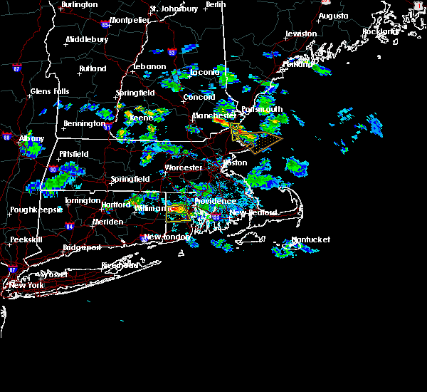 The severe thunderstorm warning for east central rockingham county will expire at 600 pm edt, the storm which prompted the warning has weakened below severe limits, and no longer poses an immediate threat to life or property. therefore the warning will be allowed to expire. however small hail is still possible with this thunderstorm. The severe thunderstorm warning for east central rockingham county will expire at 600 pm edt, the storm which prompted the warning has weakened below severe limits, and no longer poses an immediate threat to life or property. therefore the warning will be allowed to expire. however small hail is still possible with this thunderstorm.
|
| 7/24/2015 5:35 PM EDT |
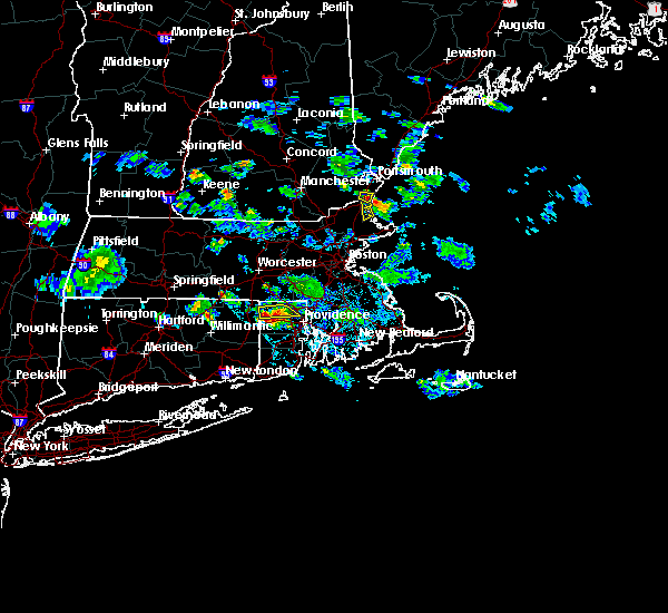 At 535 pm edt, doppler radar indicated a severe thunderstorm capable of producing quarter size hail and damaging winds in excess of 60 mph. this storm was located over salisbury, or near hampton, and was moving south at 20 mph. * some locations impacted include, newburyport, ipswich, salisbury, newbury and rowley. At 535 pm edt, doppler radar indicated a severe thunderstorm capable of producing quarter size hail and damaging winds in excess of 60 mph. this storm was located over salisbury, or near hampton, and was moving south at 20 mph. * some locations impacted include, newburyport, ipswich, salisbury, newbury and rowley.
|
| 7/24/2015 5:34 PM EDT |
 At 534 pm edt, doppler radar indicated a severe thunderstorm capable of producing quarter size hail and damaging winds in excess of 60 mph. this storm was located over seabrook, or over hampton, and moving southeast at 20 mph. At 534 pm edt, doppler radar indicated a severe thunderstorm capable of producing quarter size hail and damaging winds in excess of 60 mph. this storm was located over seabrook, or over hampton, and moving southeast at 20 mph.
|
| 7/1/2015 4:47 PM EDT |
 At 447 pm edt, doppler radar indicated a severe thunderstorm capable of producing damaging winds in excess of 60 mph. this storm was located over amesbury, or near hampton, and was moving east at 40 mph. * some locations impacted include, amesbury and salisbury. At 447 pm edt, doppler radar indicated a severe thunderstorm capable of producing damaging winds in excess of 60 mph. this storm was located over amesbury, or near hampton, and was moving east at 40 mph. * some locations impacted include, amesbury and salisbury.
|
| 7/1/2015 4:47 PM EDT |
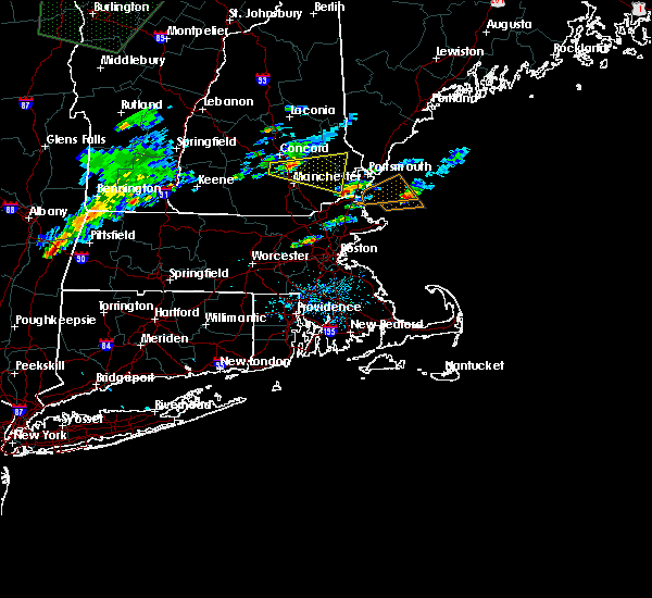 At 446 pm edt, doppler radar indicated a severe thunderstorm capable of producing quarter size hail and damaging winds in excess of 60 mph. this storm was located over seabrook, or near hampton, and moving east at 35 mph. At 446 pm edt, doppler radar indicated a severe thunderstorm capable of producing quarter size hail and damaging winds in excess of 60 mph. this storm was located over seabrook, or near hampton, and moving east at 35 mph.
|
| 7/1/2015 3:57 PM EDT |
 At 357 pm edt, doppler radar indicated a severe thunderstorm capable of producing a tornado. this dangerous storm was located over newbury, or 9 miles east of haverhill, and was moving east at 20 mph. * some locations impacted include, gloucester, newburyport, ipswich, georgetown, rockport, newbury, groveland and rowley. At 357 pm edt, doppler radar indicated a severe thunderstorm capable of producing a tornado. this dangerous storm was located over newbury, or 9 miles east of haverhill, and was moving east at 20 mph. * some locations impacted include, gloucester, newburyport, ipswich, georgetown, rockport, newbury, groveland and rowley.
|
| 7/1/2015 3:50 PM EDT |
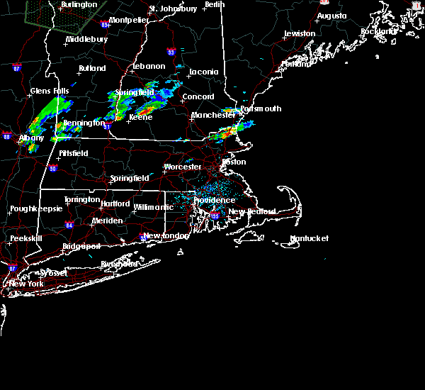 At 349 pm edt, doppler radar indicated a severe thunderstorm capable of producing damaging winds in excess of 60 mph. this storm was located over georgetown, or near haverhill, and was moving east at 20 mph. * some locations impacted include, newburyport, amesbury, ipswich, salisbury, georgetown, newbury, groveland, rowley and west newbury. At 349 pm edt, doppler radar indicated a severe thunderstorm capable of producing damaging winds in excess of 60 mph. this storm was located over georgetown, or near haverhill, and was moving east at 20 mph. * some locations impacted include, newburyport, amesbury, ipswich, salisbury, georgetown, newbury, groveland, rowley and west newbury.
|
| 6/23/2015 12:27 PM EDT |
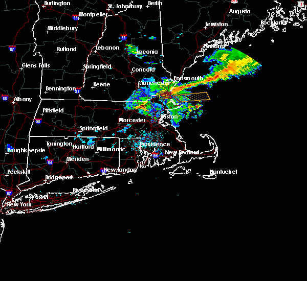 At 1226 pm edt, doppler radar indicated a severe thunderstorm capable of producing a tornado. this dangerous storm was located over salisbury, or 8 miles south of hampton, moving east at 50 mph. locations impacted include, newburyport, salisbury and newbury. At 1226 pm edt, doppler radar indicated a severe thunderstorm capable of producing a tornado. this dangerous storm was located over salisbury, or 8 miles south of hampton, moving east at 50 mph. locations impacted include, newburyport, salisbury and newbury.
|
| 6/23/2015 12:20 PM EDT |
 At 1220 pm edt, doppler radar indicated a severe thunderstorm capable of producing a tornado. this dangerous storm was located over newburyport, or 8 miles south of hampton, and was moving east at 60 mph. * some locations impacted include, newburyport, amesbury, salisbury, newbury, merrimac and west newbury. At 1220 pm edt, doppler radar indicated a severe thunderstorm capable of producing a tornado. this dangerous storm was located over newburyport, or 8 miles south of hampton, and was moving east at 60 mph. * some locations impacted include, newburyport, amesbury, salisbury, newbury, merrimac and west newbury.
|
| 6/23/2015 12:17 PM EDT |
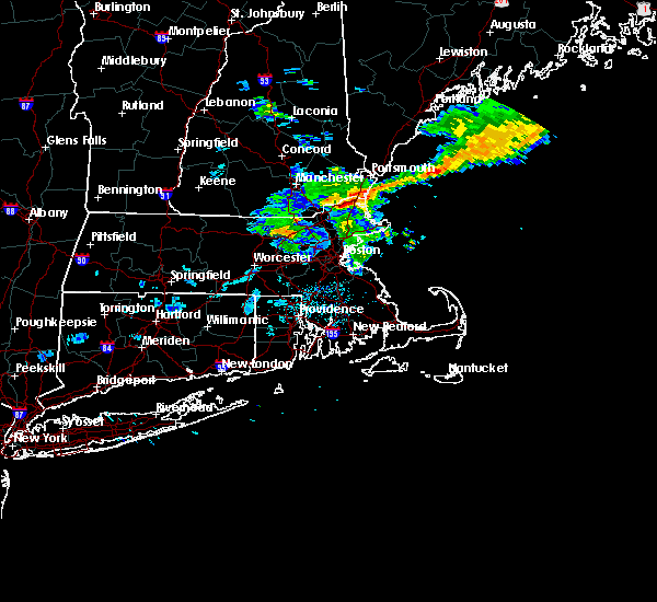 At 1217 pm edt, doppler radar indicated a severe thunderstorm capable of producing damaging winds in excess of 60 mph. this storm was located over west newbury, or 8 miles east of haverhill, and was moving east at 60 mph. * some locations impacted include, haverhill, newburyport, amesbury, salisbury, georgetown, newbury, groveland, merrimac, rowley and west newbury. At 1217 pm edt, doppler radar indicated a severe thunderstorm capable of producing damaging winds in excess of 60 mph. this storm was located over west newbury, or 8 miles east of haverhill, and was moving east at 60 mph. * some locations impacted include, haverhill, newburyport, amesbury, salisbury, georgetown, newbury, groveland, merrimac, rowley and west newbury.
|
| 5/28/2015 5:28 PM EDT | The severe thunderstorm warning for northwestern essex county will expire at 530 pm edt. as of 527 pm. the line of storms which prompted the warning were moving off the coast. therefore the warning will be allowed to expire. frequent lightning was occurring behind the storms. For your safety. |
| 5/28/2015 5:13 PM EDT | At 512 pm edt, doppler radar indicated a line of severe thunderstorms capable of producing quarter size hail and damaging winds in excess of 60 mph. these storms were located along a line extending from newburyport to boxford, moving east at 40 mph. winds recently gusted to 48 mph at lawrence airport. locations impacted include, lawrence, haverhill, methuen, north andover, newburyport, amesbury, ipswich, salisbury, georgetown, boxford, newbury, groveland, merrimac, rowley and west newbury. |
| 5/28/2015 4:45 PM EDT | At 445 pm edt, doppler radar indicated a line of severe thunderstorms capable of producing quarter size hail and damaging winds in excess of 60 mph. these storms were located along a line extending from near salem to tyngsborough, and was moving east at 45 mph. * some locations impacted include, lowell, lawrence, haverhill, methuen, chelmsford, andover, dracut, tewksbury, north andover, newburyport, amesbury, ipswich, pelham, tyngsborough, salisbury, georgetown, boxford, newbury, groveland and merrimac. |
| 5/28/2015 4:41 PM EDT | At 441 pm edt, doppler radar indicated a severe thunderstorm capable of producing quarter size hail and damaging winds in excess of 60 mph. this storm was located near dracut, and moving east at 25 mph. |
| 1/1/0001 12:00 AM | Quarter sized hail reported 1.2 miles N of Salisbury, MA |
Hail Maps for Salisbury, MA


Connect with Interactive Hail Maps