

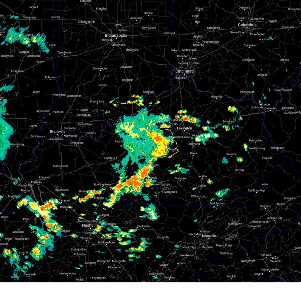
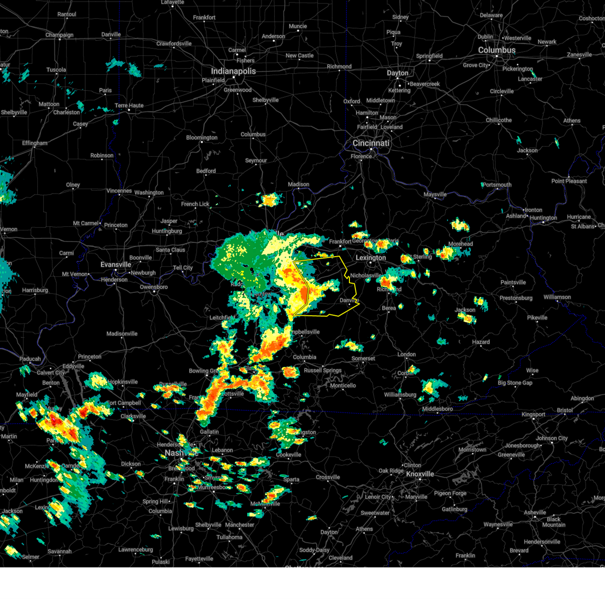
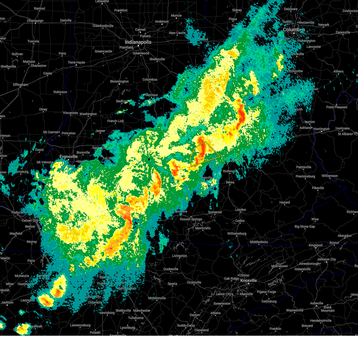
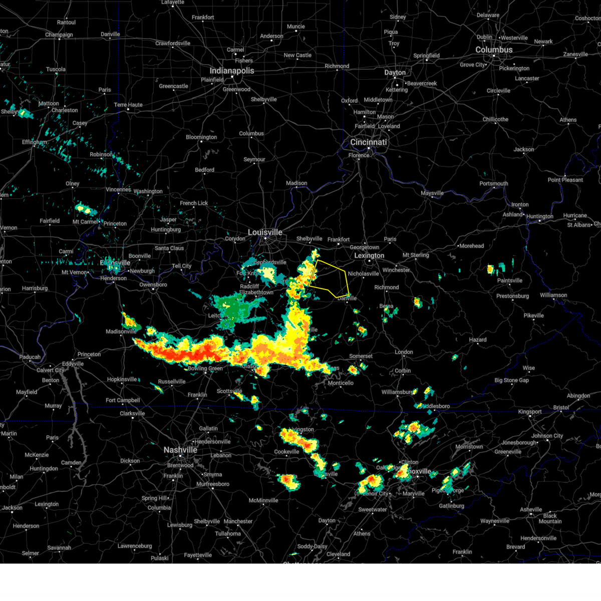
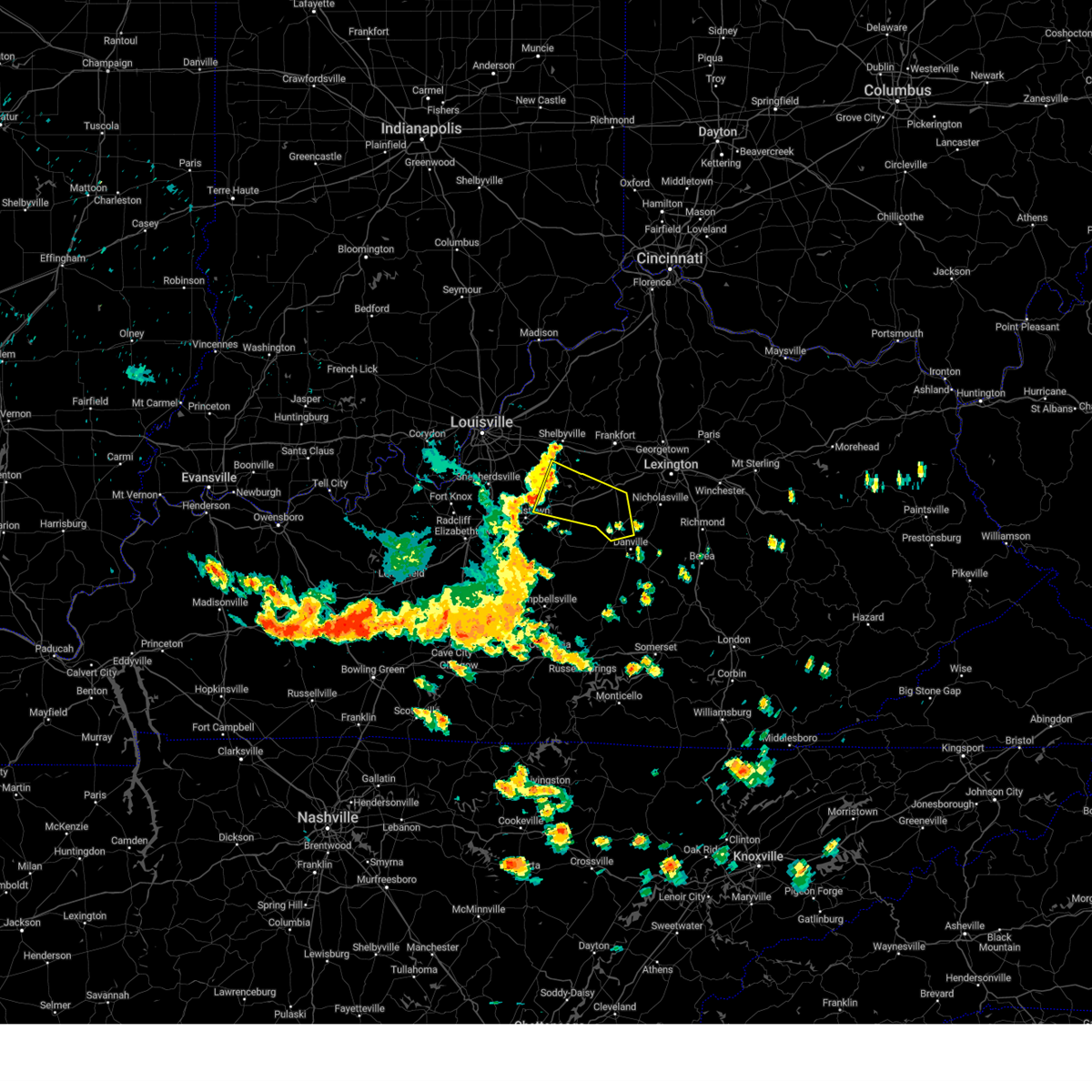
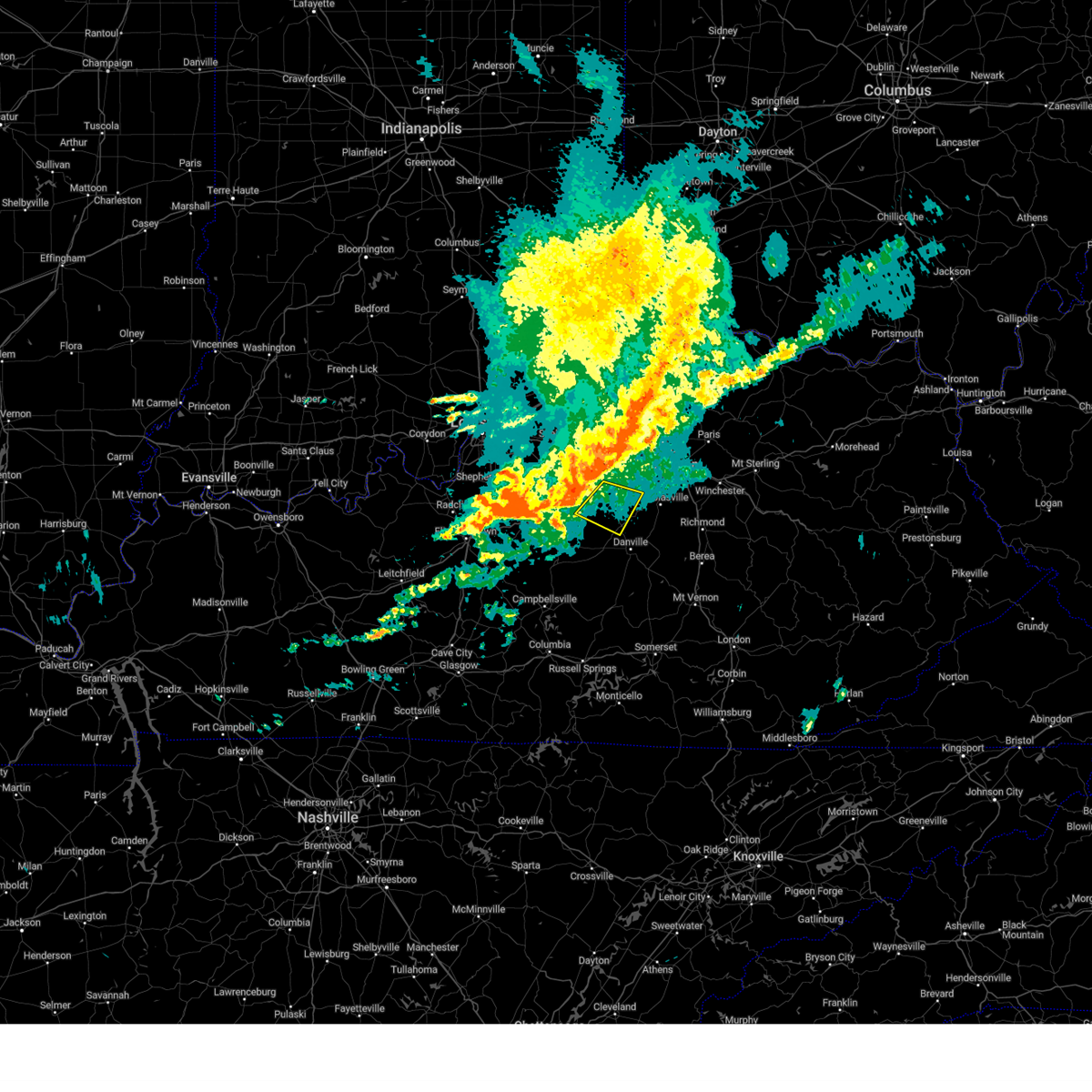
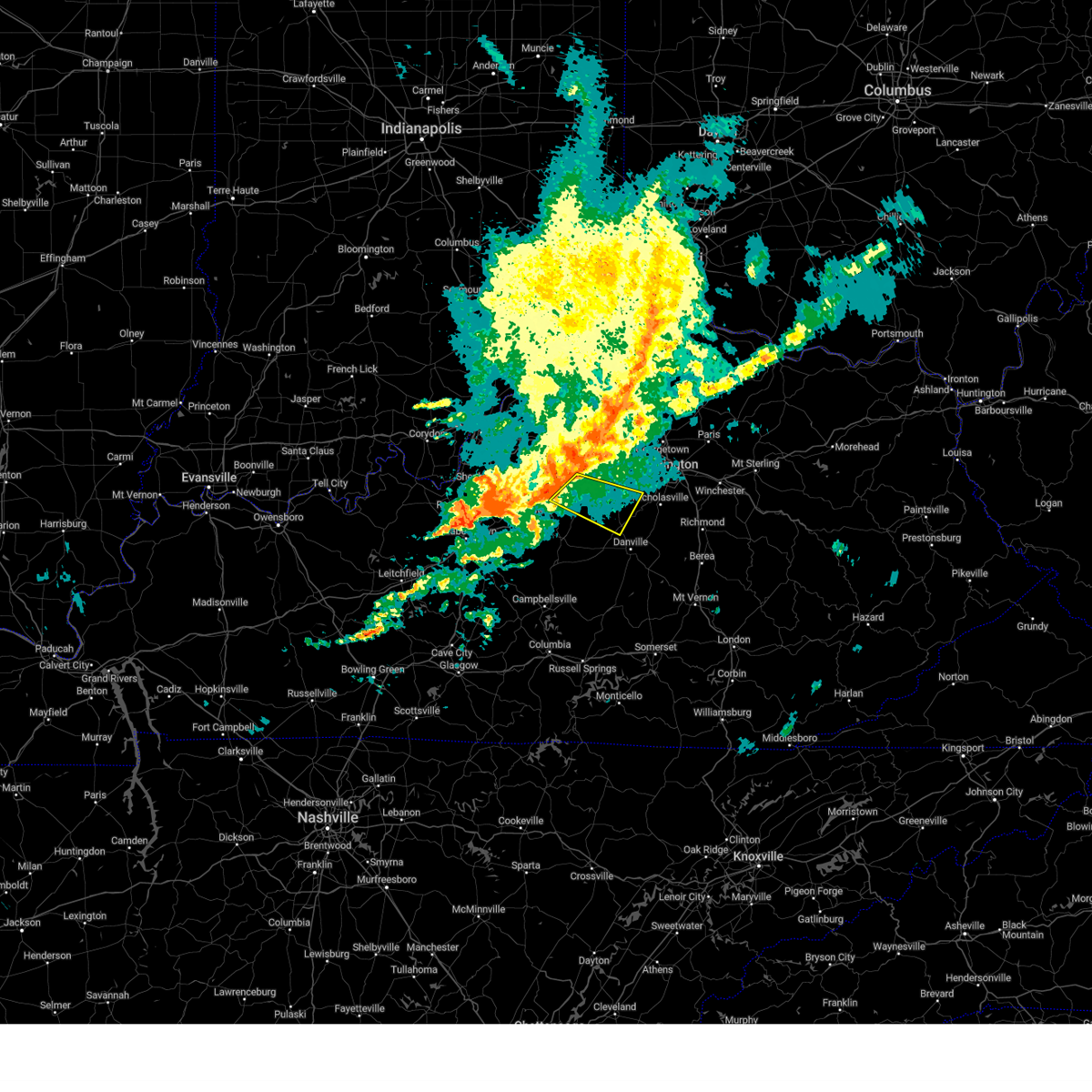
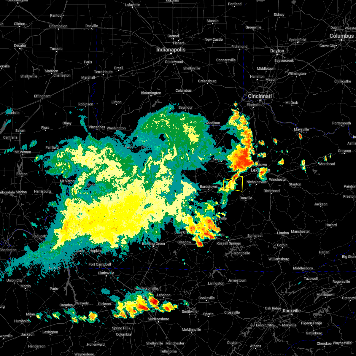
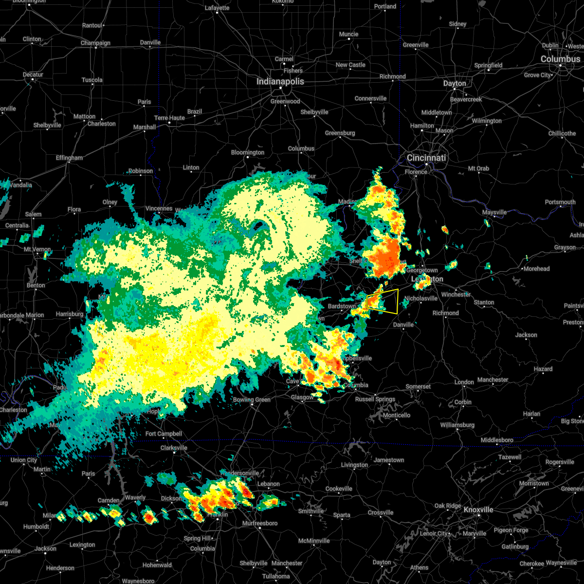
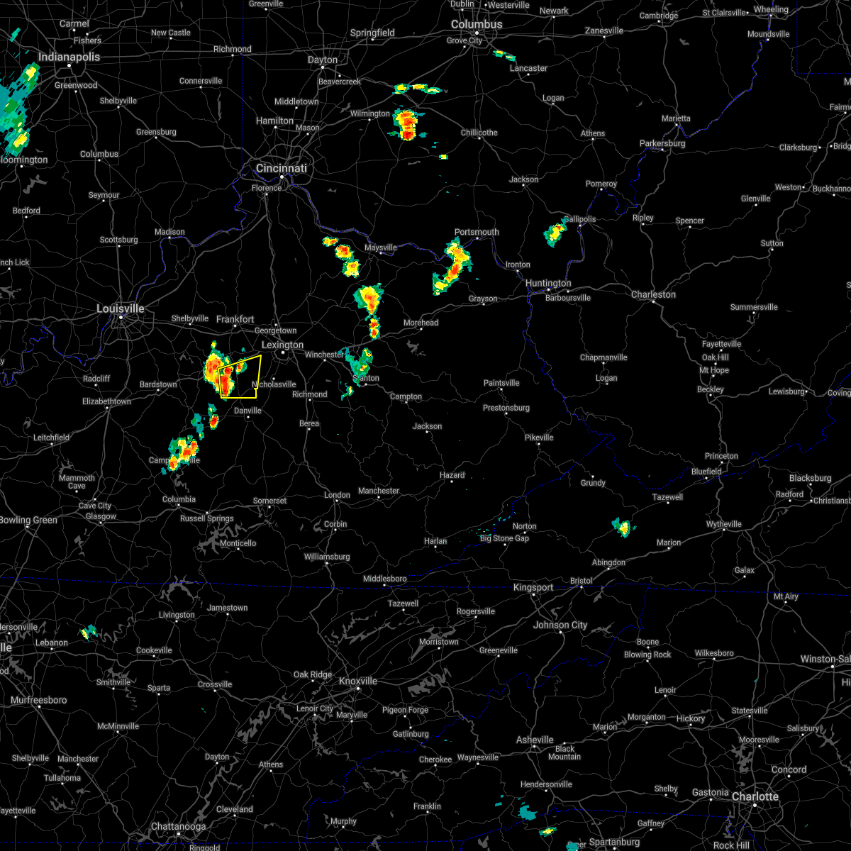
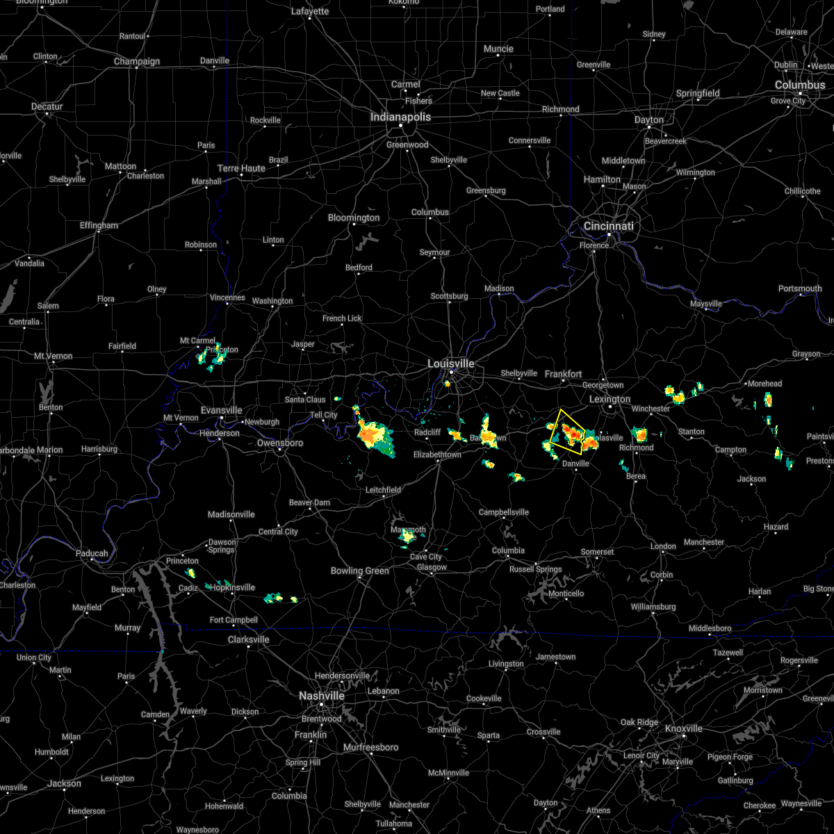
Hail Map for Salvisa, KY
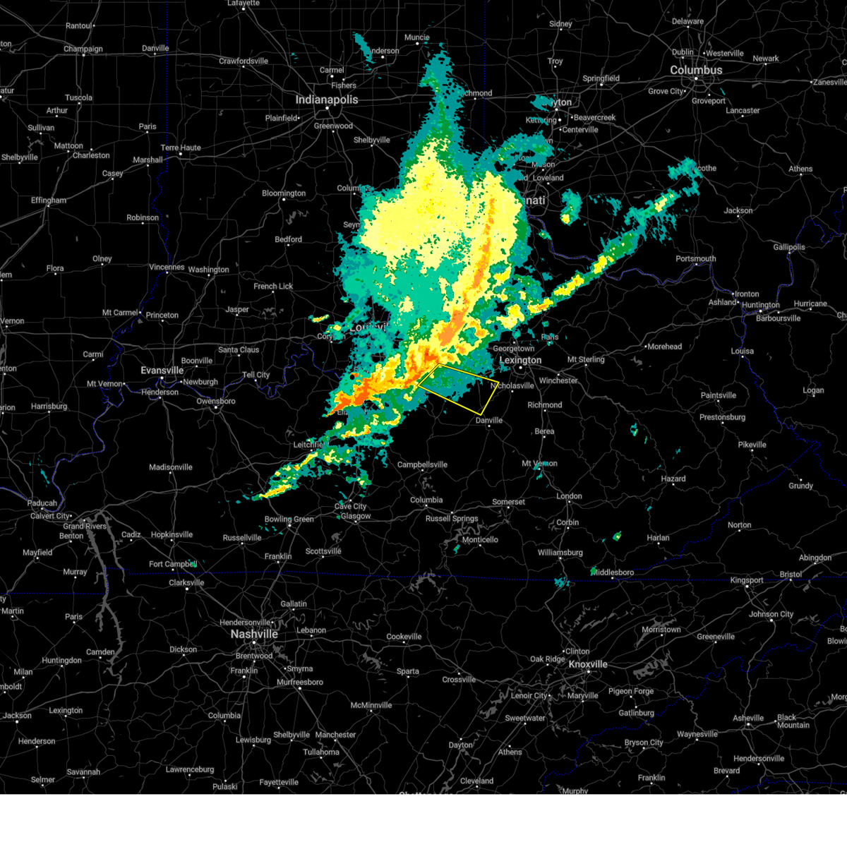
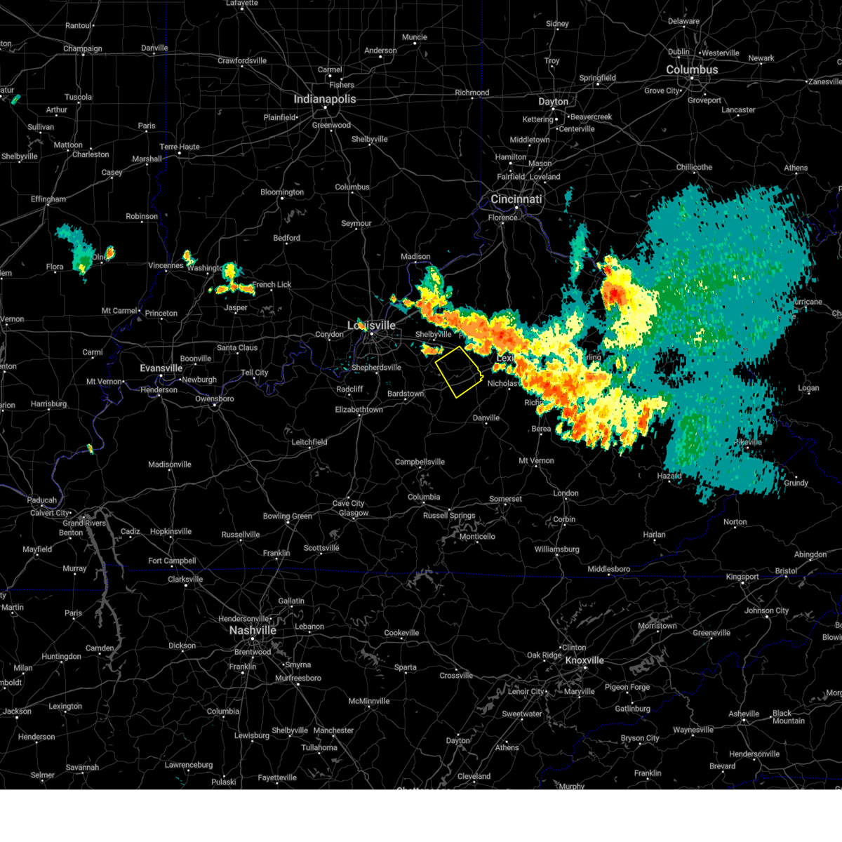
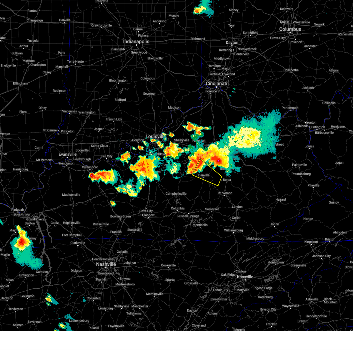
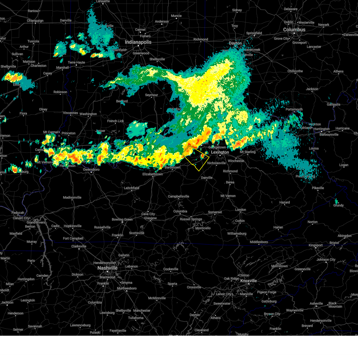
The Salvisa, KY area has had 0 reports of on-the-ground hail by trained spotters, and has been under severe weather warnings 24 times during the past 12 months. Doppler radar has detected hail at or near Salvisa, KY on 39 occasions, including 2 occasions during the past year.
| Name: | Salvisa, KY |
| Where Located: | 47 miles E of Louisville, KY |
| Map: | Google Map for Salvisa, KY |
| Population: | 420 |
| Housing Units: | 194 |
| More Info: | Search Google for Salvisa, KY |
0
The Top Recent Hail Date for Salvisa, KY is Tuesday, September 24, 2024 (33rd out of 39)

Hail and Wind Damage Spotted near Salvisa, KY
| Date / Time | Report Details |
|---|---|
| 6/6/2025 2:09 PM EDT | At 208 pm edt, severe thunderstorms were located along a line extending from 8 miles east of taylorsville to 9 miles west of harrodsburg to 10 miles east of springfield to 6 miles east of lebanon, moving east at 45 mph (radar indicated). Hazards include 60 mph wind gusts. Expect damage to roofs, siding, and trees. Locations impacted include, danville, lawrenceburg, harrodsburg, lebanon, springfield, ballard, junction city, burgin, bloomfield, and perryville. |
| 6/6/2025 2:09 PM EDT |
 the severe thunderstorm warning has been cancelled and is no longer in effect the severe thunderstorm warning has been cancelled and is no longer in effect
|
| 6/6/2025 1:51 PM EDT |
 Svrlmk the national weather service in louisville has issued a * severe thunderstorm warning for, southern spencer county in central kentucky, south central shelby county in central kentucky, northeastern nelson county in central kentucky, mercer county in central kentucky, anderson county in central kentucky, central marion county in central kentucky, washington county in central kentucky, boyle county in central kentucky, * until 230 pm edt. * at 151 pm edt, severe thunderstorms were located along a line extending from near taylorsville to 11 miles east of bardstown to near springfield to 6 miles west of lebanon, moving east at 45 mph (radar indicated). Hazards include 60 mph wind gusts. expect damage to roofs, siding, and trees Svrlmk the national weather service in louisville has issued a * severe thunderstorm warning for, southern spencer county in central kentucky, south central shelby county in central kentucky, northeastern nelson county in central kentucky, mercer county in central kentucky, anderson county in central kentucky, central marion county in central kentucky, washington county in central kentucky, boyle county in central kentucky, * until 230 pm edt. * at 151 pm edt, severe thunderstorms were located along a line extending from near taylorsville to 11 miles east of bardstown to near springfield to 6 miles west of lebanon, moving east at 45 mph (radar indicated). Hazards include 60 mph wind gusts. expect damage to roofs, siding, and trees
|
| 5/16/2025 10:43 PM EDT |
 Svrlmk the national weather service in louisville has issued a * severe thunderstorm warning for, southeastern anderson county in central kentucky, clark county in central kentucky, jessamine county in central kentucky, nicholas county in central kentucky, harrison county in central kentucky, northeastern franklin county in central kentucky, northern mercer county in central kentucky, woodford county in central kentucky, scott county in central kentucky, bourbon county in central kentucky, northeastern washington county in central kentucky, northern madison county in central kentucky, fayette county in central kentucky, * until 1130 pm edt. * at 1042 pm edt, severe thunderstorms were located along a line extending from 8 miles northwest of owenton to 7 miles northwest of lawrenceburg to 12 miles north of springfield, moving east at 70 mph (radar indicated). Hazards include 70 mph wind gusts and penny size hail. Expect considerable tree damage. Damage is likely to mobile homes, roofs, and outbuildings. Svrlmk the national weather service in louisville has issued a * severe thunderstorm warning for, southeastern anderson county in central kentucky, clark county in central kentucky, jessamine county in central kentucky, nicholas county in central kentucky, harrison county in central kentucky, northeastern franklin county in central kentucky, northern mercer county in central kentucky, woodford county in central kentucky, scott county in central kentucky, bourbon county in central kentucky, northeastern washington county in central kentucky, northern madison county in central kentucky, fayette county in central kentucky, * until 1130 pm edt. * at 1042 pm edt, severe thunderstorms were located along a line extending from 8 miles northwest of owenton to 7 miles northwest of lawrenceburg to 12 miles north of springfield, moving east at 70 mph (radar indicated). Hazards include 70 mph wind gusts and penny size hail. Expect considerable tree damage. Damage is likely to mobile homes, roofs, and outbuildings.
|
| 4/29/2025 6:23 PM EDT | Svrlmk the national weather service in louisville has issued a * severe thunderstorm warning for, mercer county in central kentucky, southern woodford county in central kentucky, northwestern garrard county in central kentucky, jessamine county in central kentucky, west central madison county in central kentucky, southwestern fayette county in central kentucky, * until 700 pm edt. * at 622 pm edt, a severe thunderstorm was located 7 miles north of harrodsburg, moving east at 40 mph (radar indicated). Hazards include 60 mph wind gusts and quarter size hail. Hail damage to vehicles is expected. Expect wind damage to roofs, siding, and trees. |
| 4/3/2025 2:13 AM EDT |
 Torlmk the national weather service in louisville has issued a * tornado warning for, central mercer county in central kentucky, southern woodford county in central kentucky, southeastern anderson county in central kentucky, northern jessamine county in central kentucky, fayette county in central kentucky, * until 245 am edt. * at 213 am edt, a severe thunderstorm capable of producing a tornado was located near harrodsburg, moving northeast at 65 mph (radar indicated rotation). Hazards include tornado. Flying debris will be dangerous to those caught without shelter. mobile homes will be damaged or destroyed. damage to roofs, windows, and vehicles will occur. tree damage is likely. this dangerous storm will be near, lexington around 225 am edt. fayette mall, u k arboretum, dunbar high school, and cardinal hill around 230 am edt. northland, meadowthorpe, veterans park, thoroughbred acres, cadentown, and chevy chase around 235 am edt. bryan station around 240 am edt. Other locations impacted by this tornadic thunderstorm include viley, chilesburg, spindletop estates, terrapin, dixon town, high bridge, pisgah, mundys landing, bracktown, and nevin. Torlmk the national weather service in louisville has issued a * tornado warning for, central mercer county in central kentucky, southern woodford county in central kentucky, southeastern anderson county in central kentucky, northern jessamine county in central kentucky, fayette county in central kentucky, * until 245 am edt. * at 213 am edt, a severe thunderstorm capable of producing a tornado was located near harrodsburg, moving northeast at 65 mph (radar indicated rotation). Hazards include tornado. Flying debris will be dangerous to those caught without shelter. mobile homes will be damaged or destroyed. damage to roofs, windows, and vehicles will occur. tree damage is likely. this dangerous storm will be near, lexington around 225 am edt. fayette mall, u k arboretum, dunbar high school, and cardinal hill around 230 am edt. northland, meadowthorpe, veterans park, thoroughbred acres, cadentown, and chevy chase around 235 am edt. bryan station around 240 am edt. Other locations impacted by this tornadic thunderstorm include viley, chilesburg, spindletop estates, terrapin, dixon town, high bridge, pisgah, mundys landing, bracktown, and nevin.
|
| 4/3/2025 1:59 AM EDT | The storm which prompted the warning has moved out of the area. therefore, the warning will be allowed to expire. a tornado watch remains in effect until 700 am edt for central kentucky. |
| 4/3/2025 1:44 AM EDT |
 At 144 am edt, a severe thunderstorm was located near lawrenceburg, moving northeast at 80 mph (radar indicated). Hazards include 70 mph wind gusts. Expect considerable tree damage. damage is likely to mobile homes, roofs, and outbuildings. Locations impacted include, lexington, frankfort, lawrenceburg, versailles, dunbar high school, cardinal hill, u k arboretum, ballard, midway, and slickway. At 144 am edt, a severe thunderstorm was located near lawrenceburg, moving northeast at 80 mph (radar indicated). Hazards include 70 mph wind gusts. Expect considerable tree damage. damage is likely to mobile homes, roofs, and outbuildings. Locations impacted include, lexington, frankfort, lawrenceburg, versailles, dunbar high school, cardinal hill, u k arboretum, ballard, midway, and slickway.
|
| 4/3/2025 1:44 AM EDT |
 the severe thunderstorm warning has been cancelled and is no longer in effect the severe thunderstorm warning has been cancelled and is no longer in effect
|
| 4/3/2025 1:33 AM EDT |
 At 133 am edt, a severe thunderstorm was located 12 miles southwest of lawrenceburg, moving northeast at 80 mph (radar indicated). Hazards include 70 mph wind gusts. Expect considerable tree damage. damage is likely to mobile homes, roofs, and outbuildings. Locations impacted include, lexington, frankfort, lawrenceburg, versailles, dunbar high school, cardinal hill, u k arboretum, ballard, midway, and slickway. At 133 am edt, a severe thunderstorm was located 12 miles southwest of lawrenceburg, moving northeast at 80 mph (radar indicated). Hazards include 70 mph wind gusts. Expect considerable tree damage. damage is likely to mobile homes, roofs, and outbuildings. Locations impacted include, lexington, frankfort, lawrenceburg, versailles, dunbar high school, cardinal hill, u k arboretum, ballard, midway, and slickway.
|
| 4/3/2025 1:27 AM EDT | Svrlmk the national weather service in louisville has issued a * severe thunderstorm warning for, southeastern spencer county in central kentucky, southeastern shelby county in central kentucky, northeastern nelson county in central kentucky, northwestern mercer county in central kentucky, woodford county in central kentucky, anderson county in central kentucky, north central jessamine county in central kentucky, northeastern washington county in central kentucky, west central fayette county in central kentucky, southern franklin county in central kentucky, * until 200 am edt. * at 127 am edt, a severe thunderstorm was located 10 miles southeast of taylorsville, moving northeast at 80 mph (radar indicated). Hazards include 60 mph wind gusts. expect damage to roofs, siding, and trees |
| 4/3/2025 1:01 AM EDT |
 Svrlmk the national weather service in louisville has issued a * severe thunderstorm warning for, southeastern spencer county in central kentucky, eastern shelby county in central kentucky, northeastern nelson county in central kentucky, northwestern mercer county in central kentucky, northern woodford county in central kentucky, western scott county in central kentucky, anderson county in central kentucky, eastern henry county in central kentucky, northeastern washington county in central kentucky, franklin county in central kentucky, * until 130 am edt. * at 101 am edt, severe thunderstorms were located along a line extending from 8 miles southeast of carrollton to 8 miles east of shelbyville to 6 miles south of taylorsville, moving east at 50 mph (radar indicated). Hazards include 70 mph wind gusts and penny size hail. Expect considerable tree damage. Damage is likely to mobile homes, roofs, and outbuildings. Svrlmk the national weather service in louisville has issued a * severe thunderstorm warning for, southeastern spencer county in central kentucky, eastern shelby county in central kentucky, northeastern nelson county in central kentucky, northwestern mercer county in central kentucky, northern woodford county in central kentucky, western scott county in central kentucky, anderson county in central kentucky, eastern henry county in central kentucky, northeastern washington county in central kentucky, franklin county in central kentucky, * until 130 am edt. * at 101 am edt, severe thunderstorms were located along a line extending from 8 miles southeast of carrollton to 8 miles east of shelbyville to 6 miles south of taylorsville, moving east at 50 mph (radar indicated). Hazards include 70 mph wind gusts and penny size hail. Expect considerable tree damage. Damage is likely to mobile homes, roofs, and outbuildings.
|
| 3/30/2025 11:28 PM EDT |
 The storms which prompted the warning have moved out of the area. therefore, the warning will be allowed to expire. another warning has been issued downstream. a tornado watch remains in effect until 100 am edt for central kentucky. The storms which prompted the warning have moved out of the area. therefore, the warning will be allowed to expire. another warning has been issued downstream. a tornado watch remains in effect until 100 am edt for central kentucky.
|
| 3/30/2025 10:50 PM EDT |
 Svrlmk the national weather service in louisville has issued a * severe thunderstorm warning for, northeastern mercer county in central kentucky, woodford county in central kentucky, scott county in central kentucky, east central anderson county in central kentucky, clark county in central kentucky, jessamine county in central kentucky, bourbon county in central kentucky, nicholas county in central kentucky, northern madison county in central kentucky, fayette county in central kentucky, harrison county in central kentucky, * until 1130 pm edt. * at 1050 pm edt, severe thunderstorms were located along a line extending from 10 miles northwest of cynthiana to near georgetown to near lawrenceburg, moving east at 60 mph (radar indicated). Hazards include 60 mph wind gusts and nickel size hail. expect damage to roofs, siding, and trees Svrlmk the national weather service in louisville has issued a * severe thunderstorm warning for, northeastern mercer county in central kentucky, woodford county in central kentucky, scott county in central kentucky, east central anderson county in central kentucky, clark county in central kentucky, jessamine county in central kentucky, bourbon county in central kentucky, nicholas county in central kentucky, northern madison county in central kentucky, fayette county in central kentucky, harrison county in central kentucky, * until 1130 pm edt. * at 1050 pm edt, severe thunderstorms were located along a line extending from 10 miles northwest of cynthiana to near georgetown to near lawrenceburg, moving east at 60 mph (radar indicated). Hazards include 60 mph wind gusts and nickel size hail. expect damage to roofs, siding, and trees
|
| 3/30/2025 10:29 PM EDT | Svrlmk the national weather service in louisville has issued a * severe thunderstorm warning for, east central spencer county in central kentucky, southeastern shelby county in central kentucky, northeastern mercer county in central kentucky, southern woodford county in central kentucky, anderson county in central kentucky, * until 1100 pm edt. * at 1029 pm edt, a severe thunderstorm was located 11 miles east of taylorsville, moving east at 45 mph (radar indicated). Hazards include 60 mph wind gusts. expect damage to roofs, siding, and trees |
| 8/1/2024 6:27 PM EDT |
 At 626 pm edt, severe thunderstorms were located along a line extending from 10 miles north of georgetown to 10 miles southwest of harrodsburg, moving east at 35 mph (radar indicated). Hazards include 60 mph wind gusts. Expect damage to roofs, siding, and trees. Locations impacted include, frankfort, lawrenceburg, versailles, harrodsburg, ballard, midway, burgin, stamping ground, willisburg, and mackville. At 626 pm edt, severe thunderstorms were located along a line extending from 10 miles north of georgetown to 10 miles southwest of harrodsburg, moving east at 35 mph (radar indicated). Hazards include 60 mph wind gusts. Expect damage to roofs, siding, and trees. Locations impacted include, frankfort, lawrenceburg, versailles, harrodsburg, ballard, midway, burgin, stamping ground, willisburg, and mackville.
|
| 8/1/2024 6:27 PM EDT |
 the severe thunderstorm warning has been cancelled and is no longer in effect the severe thunderstorm warning has been cancelled and is no longer in effect
|
| 8/1/2024 6:01 PM EDT |
 Svrlmk the national weather service in louisville has issued a * severe thunderstorm warning for, southeastern spencer county in central kentucky, eastern shelby county in central kentucky, northeastern nelson county in central kentucky, mercer county in central kentucky, woodford county in central kentucky, western scott county in central kentucky, anderson county in central kentucky, southeastern henry county in central kentucky, west central jessamine county in central kentucky, central washington county in central kentucky, franklin county in central kentucky, * until 645 pm edt. * at 601 pm edt, severe thunderstorms were located along a line extending from 11 miles south of owenton to near springfield, moving east at 35 mph (radar indicated). Hazards include 60 mph wind gusts. expect damage to roofs, siding, and trees Svrlmk the national weather service in louisville has issued a * severe thunderstorm warning for, southeastern spencer county in central kentucky, eastern shelby county in central kentucky, northeastern nelson county in central kentucky, mercer county in central kentucky, woodford county in central kentucky, western scott county in central kentucky, anderson county in central kentucky, southeastern henry county in central kentucky, west central jessamine county in central kentucky, central washington county in central kentucky, franklin county in central kentucky, * until 645 pm edt. * at 601 pm edt, severe thunderstorms were located along a line extending from 11 miles south of owenton to near springfield, moving east at 35 mph (radar indicated). Hazards include 60 mph wind gusts. expect damage to roofs, siding, and trees
|
| 7/30/2024 2:53 PM EDT |
 At 252 pm edt, a severe thunderstorm was located 13 miles southwest of lawrenceburg, moving southeast at 30 mph (radar indicated). Hazards include 60 mph wind gusts. Expect damage to roofs, siding, and trees. Locations impacted include, harrodsburg, ballard, burgin, willisburg, oregon, wayside, bondville, dugansville, talmage, and anderson city. At 252 pm edt, a severe thunderstorm was located 13 miles southwest of lawrenceburg, moving southeast at 30 mph (radar indicated). Hazards include 60 mph wind gusts. Expect damage to roofs, siding, and trees. Locations impacted include, harrodsburg, ballard, burgin, willisburg, oregon, wayside, bondville, dugansville, talmage, and anderson city.
|
| 7/30/2024 2:34 PM EDT |
 Svrlmk the national weather service in louisville has issued a * severe thunderstorm warning for, eastern spencer county in central kentucky, northeastern nelson county in central kentucky, mercer county in central kentucky, southwestern woodford county in central kentucky, southern anderson county in central kentucky, northeastern washington county in central kentucky, * until 300 pm edt. * at 233 pm edt, a severe thunderstorm was located near taylorsville, moving east at 25 mph (radar indicated). Hazards include 60 mph wind gusts. expect damage to roofs, siding, and trees Svrlmk the national weather service in louisville has issued a * severe thunderstorm warning for, eastern spencer county in central kentucky, northeastern nelson county in central kentucky, mercer county in central kentucky, southwestern woodford county in central kentucky, southern anderson county in central kentucky, northeastern washington county in central kentucky, * until 300 pm edt. * at 233 pm edt, a severe thunderstorm was located near taylorsville, moving east at 25 mph (radar indicated). Hazards include 60 mph wind gusts. expect damage to roofs, siding, and trees
|
| 7/17/2024 12:44 AM EDT |
 The storm which prompted the warning has weakened below severe limits, and no longer poses an immediate threat to life or property. therefore, the warning will be allowed to expire. however, gusty winds are still possible with this thunderstorm. The storm which prompted the warning has weakened below severe limits, and no longer poses an immediate threat to life or property. therefore, the warning will be allowed to expire. however, gusty winds are still possible with this thunderstorm.
|
| 7/17/2024 12:30 AM EDT |
 At 1230 am edt, a severe thunderstorm was located 8 miles north of harrodsburg, moving east at 40 mph (radar indicated). Hazards include 60 mph wind gusts. Expect damage to roofs, siding, and trees. Locations impacted include, harrodsburg, ballard, wilmore, oregon, bondville, dugansville, talmage, jessamine, terrapin, and dixon town. At 1230 am edt, a severe thunderstorm was located 8 miles north of harrodsburg, moving east at 40 mph (radar indicated). Hazards include 60 mph wind gusts. Expect damage to roofs, siding, and trees. Locations impacted include, harrodsburg, ballard, wilmore, oregon, bondville, dugansville, talmage, jessamine, terrapin, and dixon town.
|
| 7/17/2024 12:30 AM EDT |
 the severe thunderstorm warning has been cancelled and is no longer in effect the severe thunderstorm warning has been cancelled and is no longer in effect
|
| 7/17/2024 12:16 AM EDT |
 Svrlmk the national weather service in louisville has issued a * severe thunderstorm warning for, mercer county in central kentucky, southern woodford county in central kentucky, southern anderson county in central kentucky, northwestern jessamine county in central kentucky, northeastern washington county in central kentucky, * until 1245 am edt. * at 1216 am edt, a severe thunderstorm was located 12 miles northwest of harrodsburg, moving east at 40 mph (radar indicated). Hazards include 60 mph wind gusts. expect damage to roofs, siding, and trees Svrlmk the national weather service in louisville has issued a * severe thunderstorm warning for, mercer county in central kentucky, southern woodford county in central kentucky, southern anderson county in central kentucky, northwestern jessamine county in central kentucky, northeastern washington county in central kentucky, * until 1245 am edt. * at 1216 am edt, a severe thunderstorm was located 12 miles northwest of harrodsburg, moving east at 40 mph (radar indicated). Hazards include 60 mph wind gusts. expect damage to roofs, siding, and trees
|
| 5/26/2024 1:03 PM EDT |
 At 102 pm edt, a severe thunderstorm was located near thoroughbred acres, moving northeast at 60 mph (radar indicated). Hazards include 70 mph wind gusts. Expect considerable tree damage. damage is likely to mobile homes, roofs, and outbuildings. Locations impacted include, lexington, richmond, georgetown, frankfort, nicholasville, winchester, danville, lawrenceburg, versailles, and paris. At 102 pm edt, a severe thunderstorm was located near thoroughbred acres, moving northeast at 60 mph (radar indicated). Hazards include 70 mph wind gusts. Expect considerable tree damage. damage is likely to mobile homes, roofs, and outbuildings. Locations impacted include, lexington, richmond, georgetown, frankfort, nicholasville, winchester, danville, lawrenceburg, versailles, and paris.
|
| 5/26/2024 12:22 PM EDT |
 Svrlmk the national weather service in louisville has issued a * severe thunderstorm warning for, eastern anderson county in central kentucky, garrard county in central kentucky, clark county in central kentucky, jessamine county in central kentucky, nicholas county in central kentucky, harrison county in central kentucky, franklin county in central kentucky, northern lincoln county in central kentucky, mercer county in central kentucky, woodford county in central kentucky, scott county in central kentucky, bourbon county in central kentucky, boyle county in central kentucky, madison county in central kentucky, fayette county in central kentucky, * until 115 pm edt. * at 1222 pm edt, a severe thunderstorm was located 14 miles southwest of lawrenceburg, moving northeast at 60 mph (radar indicated). Hazards include 70 mph wind gusts. Expect considerable tree damage. Damage is likely to mobile homes, roofs, and outbuildings. Svrlmk the national weather service in louisville has issued a * severe thunderstorm warning for, eastern anderson county in central kentucky, garrard county in central kentucky, clark county in central kentucky, jessamine county in central kentucky, nicholas county in central kentucky, harrison county in central kentucky, franklin county in central kentucky, northern lincoln county in central kentucky, mercer county in central kentucky, woodford county in central kentucky, scott county in central kentucky, bourbon county in central kentucky, boyle county in central kentucky, madison county in central kentucky, fayette county in central kentucky, * until 115 pm edt. * at 1222 pm edt, a severe thunderstorm was located 14 miles southwest of lawrenceburg, moving northeast at 60 mph (radar indicated). Hazards include 70 mph wind gusts. Expect considerable tree damage. Damage is likely to mobile homes, roofs, and outbuildings.
|
| 4/2/2024 9:07 AM EDT | Multiple trees and wires dow in mercer county KY, 0.5 miles ENE of Salvisa, KY |
| 4/2/2024 9:06 AM EDT |
 At 905 am edt, a severe thunderstorm was located 11 miles northwest of harrodsburg, moving east at 50 mph (radar indicated). Hazards include 70 mph wind gusts. Expect considerable tree damage. damage is likely to mobile homes, roofs, and outbuildings. Locations impacted include, harrodsburg, ballard, oregon, tablow, vanarsdell, ebenezer, bondville, dugansville, talmage, and cornishville. At 905 am edt, a severe thunderstorm was located 11 miles northwest of harrodsburg, moving east at 50 mph (radar indicated). Hazards include 70 mph wind gusts. Expect considerable tree damage. damage is likely to mobile homes, roofs, and outbuildings. Locations impacted include, harrodsburg, ballard, oregon, tablow, vanarsdell, ebenezer, bondville, dugansville, talmage, and cornishville.
|
| 4/2/2024 9:06 AM EDT |
 the severe thunderstorm warning has been cancelled and is no longer in effect the severe thunderstorm warning has been cancelled and is no longer in effect
|
| 4/2/2024 8:52 AM EDT |
 At 852 am edt, a severe thunderstorm was located 10 miles southeast of taylorsville, moving east at 50 mph (radar indicated). Hazards include 70 mph wind gusts. Expect considerable tree damage. damage is likely to mobile homes, roofs, and outbuildings. Locations impacted include, harrodsburg, ballard, bloomfield, oregon, wayside, bondville, dugansville, talmage, anderson city, and glensboro. At 852 am edt, a severe thunderstorm was located 10 miles southeast of taylorsville, moving east at 50 mph (radar indicated). Hazards include 70 mph wind gusts. Expect considerable tree damage. damage is likely to mobile homes, roofs, and outbuildings. Locations impacted include, harrodsburg, ballard, bloomfield, oregon, wayside, bondville, dugansville, talmage, anderson city, and glensboro.
|
| 4/2/2024 8:49 AM EDT |
 Svrlmk the national weather service in louisville has issued a * severe thunderstorm warning for, southeastern spencer county in central kentucky, northeastern nelson county in central kentucky, mercer county in central kentucky, southwestern woodford county in central kentucky, southern anderson county in central kentucky, northeastern washington county in central kentucky, * until 915 am edt. * at 849 am edt, a severe thunderstorm was located 8 miles southeast of taylorsville, moving east at 50 mph (radar indicated). Hazards include 60 mph wind gusts. expect damage to roofs, siding, and trees Svrlmk the national weather service in louisville has issued a * severe thunderstorm warning for, southeastern spencer county in central kentucky, northeastern nelson county in central kentucky, mercer county in central kentucky, southwestern woodford county in central kentucky, southern anderson county in central kentucky, northeastern washington county in central kentucky, * until 915 am edt. * at 849 am edt, a severe thunderstorm was located 8 miles southeast of taylorsville, moving east at 50 mph (radar indicated). Hazards include 60 mph wind gusts. expect damage to roofs, siding, and trees
|
| 3/6/2024 10:06 AM EST |
 Torlmk the national weather service in louisville has issued a * this is a test message. tornado warning for, meade county in central kentucky, larue county in central kentucky, jessamine county in central kentucky, nicholas county in central kentucky, adair county in south central kentucky, bourbon county in central kentucky, warren county in south central kentucky, cumberland county in south central kentucky, henry county in central kentucky, russell county in south central kentucky, taylor county in central kentucky, jefferson county in central kentucky, hardin county in central kentucky, spencer county in central kentucky, scott county in central kentucky, hancock county in central kentucky, trimble county in central kentucky, monroe county in south central kentucky, metcalfe county in south central kentucky, shelby county in central kentucky, logan county in south central kentucky, nelson county in central kentucky, anderson county in central kentucky, clark county in central kentucky, marion county in central kentucky, simpson county in south central kentucky, grayson county in central kentucky, casey county in central kentucky, franklin county in central kentucky, edmonson county in south central kentucky, lincoln county in central kentucky, woodford county in central kentucky, butler county in south central kentucky, madison county in central kentucky, barren county in south central kentucky, ohio county in central kentucky, oldham county in central kentucky, garrard county in central kentucky, hart county in central kentucky, bullitt county in central kentucky, harrison county in central kentucky, mercer county in central kentucky, clinton county in south central kentucky, green county in central kentucky, allen county in south central kentucky, washington county in central kentucky, boyle county in central kentucky, breckinridge county in central kentucky, fayette county in central kentucky, * this is a test message. until 1030 am est/930 am cst/. * this is a test message. Torlmk the national weather service in louisville has issued a * this is a test message. tornado warning for, meade county in central kentucky, larue county in central kentucky, jessamine county in central kentucky, nicholas county in central kentucky, adair county in south central kentucky, bourbon county in central kentucky, warren county in south central kentucky, cumberland county in south central kentucky, henry county in central kentucky, russell county in south central kentucky, taylor county in central kentucky, jefferson county in central kentucky, hardin county in central kentucky, spencer county in central kentucky, scott county in central kentucky, hancock county in central kentucky, trimble county in central kentucky, monroe county in south central kentucky, metcalfe county in south central kentucky, shelby county in central kentucky, logan county in south central kentucky, nelson county in central kentucky, anderson county in central kentucky, clark county in central kentucky, marion county in central kentucky, simpson county in south central kentucky, grayson county in central kentucky, casey county in central kentucky, franklin county in central kentucky, edmonson county in south central kentucky, lincoln county in central kentucky, woodford county in central kentucky, butler county in south central kentucky, madison county in central kentucky, barren county in south central kentucky, ohio county in central kentucky, oldham county in central kentucky, garrard county in central kentucky, hart county in central kentucky, bullitt county in central kentucky, harrison county in central kentucky, mercer county in central kentucky, clinton county in south central kentucky, green county in central kentucky, allen county in south central kentucky, washington county in central kentucky, boyle county in central kentucky, breckinridge county in central kentucky, fayette county in central kentucky, * this is a test message. until 1030 am est/930 am cst/. * this is a test message.
|
| 2/28/2024 6:55 AM EST |
 At 654 am est, severe thunderstorms were located along a line extending from 7 miles east of georgetown to near springfield, moving east at 40 mph (radar indicated). Hazards include 70 mph wind gusts and ping pong ball size hail. People and animals outdoors will be injured. expect hail damage to roofs, siding, windows, and vehicles. expect considerable tree damage. wind damage is also likely to mobile homes, roofs, and outbuildings. Locations impacted include, lexington, georgetown, nicholasville, danville, versailles, paris, harrodsburg, springfield, cardinal hill, and cadentown. At 654 am est, severe thunderstorms were located along a line extending from 7 miles east of georgetown to near springfield, moving east at 40 mph (radar indicated). Hazards include 70 mph wind gusts and ping pong ball size hail. People and animals outdoors will be injured. expect hail damage to roofs, siding, windows, and vehicles. expect considerable tree damage. wind damage is also likely to mobile homes, roofs, and outbuildings. Locations impacted include, lexington, georgetown, nicholasville, danville, versailles, paris, harrodsburg, springfield, cardinal hill, and cadentown.
|
| 2/28/2024 6:38 AM EST |
 Svrlmk the national weather service in louisville has issued a * severe thunderstorm warning for, mercer county in central kentucky, woodford county in central kentucky, southern scott county in central kentucky, central anderson county in central kentucky, northwestern garrard county in central kentucky, jessamine county in central kentucky, southern bourbon county in central kentucky, washington county in central kentucky, central boyle county in central kentucky, fayette county in central kentucky, * until 730 am est. * at 637 am est, severe thunderstorms were located along a line extending from near georgetown to 6 miles west of springfield, moving east at 40 mph (radar indicated). Hazards include 70 mph wind gusts and ping pong ball size hail. People and animals outdoors will be injured. expect hail damage to roofs, siding, windows, and vehicles. expect considerable tree damage. Wind damage is also likely to mobile homes, roofs, and outbuildings. Svrlmk the national weather service in louisville has issued a * severe thunderstorm warning for, mercer county in central kentucky, woodford county in central kentucky, southern scott county in central kentucky, central anderson county in central kentucky, northwestern garrard county in central kentucky, jessamine county in central kentucky, southern bourbon county in central kentucky, washington county in central kentucky, central boyle county in central kentucky, fayette county in central kentucky, * until 730 am est. * at 637 am est, severe thunderstorms were located along a line extending from near georgetown to 6 miles west of springfield, moving east at 40 mph (radar indicated). Hazards include 70 mph wind gusts and ping pong ball size hail. People and animals outdoors will be injured. expect hail damage to roofs, siding, windows, and vehicles. expect considerable tree damage. Wind damage is also likely to mobile homes, roofs, and outbuildings.
|
| 8/25/2023 6:56 PM EDT |
 At 655 pm edt, a severe thunderstorm was located 9 miles west of lawrenceburg, moving southeast at 20 mph (radar indicated). Hazards include 70 mph wind gusts and penny size hail. Expect considerable tree damage. Damage is likely to mobile homes, roofs, and outbuildings. At 655 pm edt, a severe thunderstorm was located 9 miles west of lawrenceburg, moving southeast at 20 mph (radar indicated). Hazards include 70 mph wind gusts and penny size hail. Expect considerable tree damage. Damage is likely to mobile homes, roofs, and outbuildings.
|
| 7/18/2023 2:43 PM EDT |
 At 242 pm edt, a severe thunderstorm was located 8 miles north of harrodsburg, moving east at 25 mph (radar indicated). Hazards include 60 mph wind gusts and quarter size hail. Hail damage to vehicles is expected. Expect wind damage to roofs, siding, and trees. At 242 pm edt, a severe thunderstorm was located 8 miles north of harrodsburg, moving east at 25 mph (radar indicated). Hazards include 60 mph wind gusts and quarter size hail. Hail damage to vehicles is expected. Expect wind damage to roofs, siding, and trees.
|
| 7/2/2023 7:52 PM EDT |
 The severe thunderstorm warning for northeastern mercer, woodford, southeastern scott, northern jessamine and fayette counties will expire at 800 pm edt, the severe thunderstorm which prompted the warning has moved out of the warned area. therefore, the warning will be allowed to expire. a severe thunderstorm watch remains in effect until 900 pm edt for central kentucky. The severe thunderstorm warning for northeastern mercer, woodford, southeastern scott, northern jessamine and fayette counties will expire at 800 pm edt, the severe thunderstorm which prompted the warning has moved out of the warned area. therefore, the warning will be allowed to expire. a severe thunderstorm watch remains in effect until 900 pm edt for central kentucky.
|
| 7/2/2023 7:24 PM EDT |
 At 724 pm edt, a severe thunderstorm was located near versailles, moving east at 50 mph (radar indicated). Hazards include 60 mph wind gusts. Expect damage to roofs, siding, and trees. locations impacted include, lexington, nicholasville, versailles, meadowthorpe, dunbar high school, thoroughbred acres, cardinal hill, cadentown, northland and highlands. hail threat, radar indicated max hail size, <. 75 in wind threat, radar indicated max wind gust, 60 mph. At 724 pm edt, a severe thunderstorm was located near versailles, moving east at 50 mph (radar indicated). Hazards include 60 mph wind gusts. Expect damage to roofs, siding, and trees. locations impacted include, lexington, nicholasville, versailles, meadowthorpe, dunbar high school, thoroughbred acres, cardinal hill, cadentown, northland and highlands. hail threat, radar indicated max hail size, <. 75 in wind threat, radar indicated max wind gust, 60 mph.
|
| 7/2/2023 7:08 PM EDT |
 At 708 pm edt, a severe thunderstorm was located near lawrenceburg, moving east at 60 mph (radar indicated). Hazards include 60 mph wind gusts. expect damage to roofs, siding, and trees At 708 pm edt, a severe thunderstorm was located near lawrenceburg, moving east at 60 mph (radar indicated). Hazards include 60 mph wind gusts. expect damage to roofs, siding, and trees
|
| 7/2/2023 4:03 PM EDT |
 At 402 pm edt, a severe thunderstorm was located 7 miles south of lawrenceburg, moving east at 45 mph (radar indicated). Hazards include 70 mph wind gusts and quarter size hail. Hail damage to vehicles is expected. expect considerable tree damage. Wind damage is also likely to mobile homes, roofs, and outbuildings. At 402 pm edt, a severe thunderstorm was located 7 miles south of lawrenceburg, moving east at 45 mph (radar indicated). Hazards include 70 mph wind gusts and quarter size hail. Hail damage to vehicles is expected. expect considerable tree damage. Wind damage is also likely to mobile homes, roofs, and outbuildings.
|
| 7/2/2023 3:49 PM EDT |
 At 349 pm edt, a severe thunderstorm was located 8 miles southwest of lawrenceburg, moving east at 45 mph (radar indicated). Hazards include 70 mph wind gusts and quarter size hail. Hail damage to vehicles is expected. expect considerable tree damage. wind damage is also likely to mobile homes, roofs, and outbuildings. locations impacted include, lawrenceburg, ballard, bloomfield, oregon, wakefield, wayside, bondville, dugansville, talmage and anderson city. thunderstorm damage threat, considerable hail threat, radar indicated max hail size, 1. 00 in wind threat, radar indicated max wind gust, 70 mph. At 349 pm edt, a severe thunderstorm was located 8 miles southwest of lawrenceburg, moving east at 45 mph (radar indicated). Hazards include 70 mph wind gusts and quarter size hail. Hail damage to vehicles is expected. expect considerable tree damage. wind damage is also likely to mobile homes, roofs, and outbuildings. locations impacted include, lawrenceburg, ballard, bloomfield, oregon, wakefield, wayside, bondville, dugansville, talmage and anderson city. thunderstorm damage threat, considerable hail threat, radar indicated max hail size, 1. 00 in wind threat, radar indicated max wind gust, 70 mph.
|
| 7/2/2023 3:37 PM EDT |
 At 337 pm edt, a severe thunderstorm was located 8 miles southeast of taylorsville, moving east at 45 mph (radar indicated). Hazards include 70 mph wind gusts and quarter size hail. Hail damage to vehicles is expected. expect considerable tree damage. wind damage is also likely to mobile homes, roofs, and outbuildings. locations impacted include, bardstown, lawrenceburg, taylorsville, ballard, bloomfield, yoder, wayside, dugansville, anderson city and glensboro. thunderstorm damage threat, considerable hail threat, radar indicated max hail size, 1. 00 in wind threat, radar indicated max wind gust, 70 mph. At 337 pm edt, a severe thunderstorm was located 8 miles southeast of taylorsville, moving east at 45 mph (radar indicated). Hazards include 70 mph wind gusts and quarter size hail. Hail damage to vehicles is expected. expect considerable tree damage. wind damage is also likely to mobile homes, roofs, and outbuildings. locations impacted include, bardstown, lawrenceburg, taylorsville, ballard, bloomfield, yoder, wayside, dugansville, anderson city and glensboro. thunderstorm damage threat, considerable hail threat, radar indicated max hail size, 1. 00 in wind threat, radar indicated max wind gust, 70 mph.
|
| 7/2/2023 3:28 PM EDT |
 At 328 pm edt, a severe thunderstorm was located near taylorsville, moving east at 45 mph (radar indicated). Hazards include 60 mph wind gusts and quarter size hail. Hail damage to vehicles is expected. Expect wind damage to roofs, siding, and trees. At 328 pm edt, a severe thunderstorm was located near taylorsville, moving east at 45 mph (radar indicated). Hazards include 60 mph wind gusts and quarter size hail. Hail damage to vehicles is expected. Expect wind damage to roofs, siding, and trees.
|
| 6/25/2023 10:16 PM EDT |
 At 1016 pm edt, a severe thunderstorm was located near harrodsburg, moving southeast at 50 mph (radar indicated). Hazards include 60 mph wind gusts and penny size hail. expect damage to roofs, siding, and trees At 1016 pm edt, a severe thunderstorm was located near harrodsburg, moving southeast at 50 mph (radar indicated). Hazards include 60 mph wind gusts and penny size hail. expect damage to roofs, siding, and trees
|
| 6/25/2023 10:02 PM EDT |
 At 1002 pm edt, a severe thunderstorm was located 10 miles northeast of springfield, moving southeast at 35 mph (radar indicated). Hazards include 70 mph wind gusts and quarter size hail. Hail damage to vehicles is expected. expect considerable tree damage. wind damage is also likely to mobile homes, roofs, and outbuildings. locations impacted include, harrodsburg, ballard, willisburg, mackville, dugansville, anderson city, glensboro, polin, johnsonville and dixville. thunderstorm damage threat, considerable hail threat, radar indicated max hail size, 1. 00 in wind threat, radar indicated max wind gust, 70 mph. At 1002 pm edt, a severe thunderstorm was located 10 miles northeast of springfield, moving southeast at 35 mph (radar indicated). Hazards include 70 mph wind gusts and quarter size hail. Hail damage to vehicles is expected. expect considerable tree damage. wind damage is also likely to mobile homes, roofs, and outbuildings. locations impacted include, harrodsburg, ballard, willisburg, mackville, dugansville, anderson city, glensboro, polin, johnsonville and dixville. thunderstorm damage threat, considerable hail threat, radar indicated max hail size, 1. 00 in wind threat, radar indicated max wind gust, 70 mph.
|
| 6/25/2023 9:42 PM EDT |
 At 942 pm edt, a severe thunderstorm was located near taylorsville, moving southeast at 35 mph (radar indicated). Hazards include 60 mph wind gusts and half dollar size hail. Hail damage to vehicles is expected. Expect wind damage to roofs, siding, and trees. At 942 pm edt, a severe thunderstorm was located near taylorsville, moving southeast at 35 mph (radar indicated). Hazards include 60 mph wind gusts and half dollar size hail. Hail damage to vehicles is expected. Expect wind damage to roofs, siding, and trees.
|
| 6/25/2023 7:58 PM EDT |
 At 757 pm edt, a severe thunderstorm was located 9 miles west of harrodsburg, moving east at 40 mph (radar indicated). Hazards include 60 mph wind gusts and quarter size hail. Hail damage to vehicles is expected. expect wind damage to roofs, siding, and trees. locations impacted include, danville, harrodsburg, ballard, junction city, burgin, willisburg, mackville, oregon, alum springs and caldwell manor. hail threat, radar indicated max hail size, 1. 00 in wind threat, radar indicated max wind gust, 60 mph. At 757 pm edt, a severe thunderstorm was located 9 miles west of harrodsburg, moving east at 40 mph (radar indicated). Hazards include 60 mph wind gusts and quarter size hail. Hail damage to vehicles is expected. expect wind damage to roofs, siding, and trees. locations impacted include, danville, harrodsburg, ballard, junction city, burgin, willisburg, mackville, oregon, alum springs and caldwell manor. hail threat, radar indicated max hail size, 1. 00 in wind threat, radar indicated max wind gust, 60 mph.
|
| 6/25/2023 7:44 PM EDT |
 At 743 pm edt, a severe thunderstorm was located 9 miles north of springfield, moving east at 40 mph (radar indicated). Hazards include 70 mph wind gusts and quarter size hail. Hail damage to vehicles is expected. expect considerable tree damage. Wind damage is also likely to mobile homes, roofs, and outbuildings. At 743 pm edt, a severe thunderstorm was located 9 miles north of springfield, moving east at 40 mph (radar indicated). Hazards include 70 mph wind gusts and quarter size hail. Hail damage to vehicles is expected. expect considerable tree damage. Wind damage is also likely to mobile homes, roofs, and outbuildings.
|
| 5/7/2023 9:44 AM EDT |
 At 944 am edt, a severe thunderstorm was located 9 miles southeast of shelbyville, moving southeast at 30 mph (radar indicated). Hazards include 60 mph wind gusts. expect damage to roofs, siding, and trees At 944 am edt, a severe thunderstorm was located 9 miles southeast of shelbyville, moving southeast at 30 mph (radar indicated). Hazards include 60 mph wind gusts. expect damage to roofs, siding, and trees
|
| 4/5/2023 6:01 PM EDT |
 At 601 pm edt/501 pm cdt/, severe thunderstorms were located along a line extending from near lawrenceburg to 12 miles north of red boiling springs, moving east at 40 mph (radar indicated). Hazards include 60 mph wind gusts. Expect damage to roofs, siding, and trees. locations impacted include, lawrenceburg, tompkinsville, versailles and burkesville. hail threat, radar indicated max hail size, <. 75 in wind threat, radar indicated max wind gust, 60 mph. At 601 pm edt/501 pm cdt/, severe thunderstorms were located along a line extending from near lawrenceburg to 12 miles north of red boiling springs, moving east at 40 mph (radar indicated). Hazards include 60 mph wind gusts. Expect damage to roofs, siding, and trees. locations impacted include, lawrenceburg, tompkinsville, versailles and burkesville. hail threat, radar indicated max hail size, <. 75 in wind threat, radar indicated max wind gust, 60 mph.
|
| 4/5/2023 5:38 PM EDT |
 At 538 pm edt/438 pm cdt/, severe thunderstorms were located along a line extending from 8 miles southeast of taylorsville to 9 miles north of lafayette, moving east at 60 mph (radar indicated). Hazards include 60 mph wind gusts. Expect damage to roofs, siding, and trees. severe thunderstorms will be near, tompkinsville around 455 pm cdt. lawrenceburg around 555 pm edt. other locations in the path of these severe thunderstorms include versailles and burkesville. hail threat, radar indicated max hail size, <. 75 in wind threat, radar indicated max wind gust, 60 mph. At 538 pm edt/438 pm cdt/, severe thunderstorms were located along a line extending from 8 miles southeast of taylorsville to 9 miles north of lafayette, moving east at 60 mph (radar indicated). Hazards include 60 mph wind gusts. Expect damage to roofs, siding, and trees. severe thunderstorms will be near, tompkinsville around 455 pm cdt. lawrenceburg around 555 pm edt. other locations in the path of these severe thunderstorms include versailles and burkesville. hail threat, radar indicated max hail size, <. 75 in wind threat, radar indicated max wind gust, 60 mph.
|
| 3/1/2023 8:30 PM EST |
 At 830 pm est, a severe thunderstorm was located 8 miles southwest of lawrenceburg, moving east at 40 mph (radar indicated). Hazards include 60 mph wind gusts. Expect damage to roofs, siding, and trees. this severe thunderstorm will be near, lawrenceburg around 840 pm est. hail threat, radar indicated max hail size, <. 75 in wind threat, radar indicated max wind gust, 60 mph. At 830 pm est, a severe thunderstorm was located 8 miles southwest of lawrenceburg, moving east at 40 mph (radar indicated). Hazards include 60 mph wind gusts. Expect damage to roofs, siding, and trees. this severe thunderstorm will be near, lawrenceburg around 840 pm est. hail threat, radar indicated max hail size, <. 75 in wind threat, radar indicated max wind gust, 60 mph.
|
| 1/12/2023 9:11 AM EST |
 The severe thunderstorm warning for mercer, east central marion, washington and boyle counties will expire at 915 am est, the storm which prompted the warning has moved out of the area. therefore, the warning will be allowed to expire. however gusty winds are still possible with this thunderstorm. a severe thunderstorm watch remains in effect until 100 pm est for central kentucky. remember, a severe thunderstorm warning still remains in effect for mercer and boyle counties. remember, a tornado warning still remains in effect for mercer county. The severe thunderstorm warning for mercer, east central marion, washington and boyle counties will expire at 915 am est, the storm which prompted the warning has moved out of the area. therefore, the warning will be allowed to expire. however gusty winds are still possible with this thunderstorm. a severe thunderstorm watch remains in effect until 100 pm est for central kentucky. remember, a severe thunderstorm warning still remains in effect for mercer and boyle counties. remember, a tornado warning still remains in effect for mercer county.
|
| 1/12/2023 9:09 AM EST |
 At 909 am est, a severe thunderstorm was located near harrodsburg, moving east at 60 mph (radar indicated). Hazards include 60 mph wind gusts. Expect damage to roofs, siding, and trees. this severe thunderstorm will be near, nicholasville around 920 am est. other locations in the path of this severe thunderstorm include veterans park. hail threat, radar indicated max hail size, <. 75 in wind threat, radar indicated max wind gust, 60 mph. At 909 am est, a severe thunderstorm was located near harrodsburg, moving east at 60 mph (radar indicated). Hazards include 60 mph wind gusts. Expect damage to roofs, siding, and trees. this severe thunderstorm will be near, nicholasville around 920 am est. other locations in the path of this severe thunderstorm include veterans park. hail threat, radar indicated max hail size, <. 75 in wind threat, radar indicated max wind gust, 60 mph.
|
| 1/12/2023 9:03 AM EST |
 At 903 am est, a severe thunderstorm was located 7 miles southwest of lawrenceburg, moving east at 60 mph (radar indicated). Hazards include 60 mph wind gusts. Expect damage to roofs, siding, and trees. this severe thunderstorm will be near, lawrenceburg around 910 am est. versailles around 920 am est. other locations in the path of this severe thunderstorm include lexington, cardinal hill and dunbar high school. hail threat, radar indicated max hail size, <. 75 in wind threat, radar indicated max wind gust, 60 mph. At 903 am est, a severe thunderstorm was located 7 miles southwest of lawrenceburg, moving east at 60 mph (radar indicated). Hazards include 60 mph wind gusts. Expect damage to roofs, siding, and trees. this severe thunderstorm will be near, lawrenceburg around 910 am est. versailles around 920 am est. other locations in the path of this severe thunderstorm include lexington, cardinal hill and dunbar high school. hail threat, radar indicated max hail size, <. 75 in wind threat, radar indicated max wind gust, 60 mph.
|
| 1/12/2023 9:00 AM EST |
 At 859 am est, a severe thunderstorm capable of producing a tornado was located near harrodsburg, moving east at 60 mph (radar indicated rotation). Hazards include tornado. Flying debris will be dangerous to those caught without shelter. mobile homes will be damaged or destroyed. damage to roofs, windows, and vehicles will occur. tree damage is likely. This tornadic thunderstorm will remain over mainly rural areas of mercer, southern woodford, northwestern garrard, southwestern jessamine and northern boyle counties, including the following locations, oregon, bondville, dugansville, talmage, burgin, faulconer, riverview estates, dixville, stone and toddville. At 859 am est, a severe thunderstorm capable of producing a tornado was located near harrodsburg, moving east at 60 mph (radar indicated rotation). Hazards include tornado. Flying debris will be dangerous to those caught without shelter. mobile homes will be damaged or destroyed. damage to roofs, windows, and vehicles will occur. tree damage is likely. This tornadic thunderstorm will remain over mainly rural areas of mercer, southern woodford, northwestern garrard, southwestern jessamine and northern boyle counties, including the following locations, oregon, bondville, dugansville, talmage, burgin, faulconer, riverview estates, dixville, stone and toddville.
|
| 1/12/2023 8:48 AM EST |
 At 848 am est, a severe thunderstorm capable of producing a tornado was located near springfield, moving east at 60 mph (radar indicated rotation). Hazards include tornado. Flying debris will be dangerous to those caught without shelter. mobile homes will be damaged or destroyed. damage to roofs, windows, and vehicles will occur. tree damage is likely. This dangerous storm will be near, harrodsburg around 905 am est. At 848 am est, a severe thunderstorm capable of producing a tornado was located near springfield, moving east at 60 mph (radar indicated rotation). Hazards include tornado. Flying debris will be dangerous to those caught without shelter. mobile homes will be damaged or destroyed. damage to roofs, windows, and vehicles will occur. tree damage is likely. This dangerous storm will be near, harrodsburg around 905 am est.
|
| 1/12/2023 8:41 AM EST |
 At 841 am est, a severe thunderstorm was located over springfield, moving east at 55 mph (radar indicated). Hazards include 60 mph wind gusts. expect damage to roofs, siding, and trees At 841 am est, a severe thunderstorm was located over springfield, moving east at 55 mph (radar indicated). Hazards include 60 mph wind gusts. expect damage to roofs, siding, and trees
|
| 7/6/2022 4:48 PM EDT |
 At 448 pm edt, severe thunderstorms were located along a line extending from near versailles to 10 miles west of harrodsburg, moving east at 25 mph (radar indicated). Hazards include 70 mph wind gusts and quarter size hail. Hail damage to vehicles is expected. expect considerable tree damage. wind damage is also likely to mobile homes, roofs, and outbuildings. these severe storms will be near, versailles around 455 pm edt. other locations in the path of these severe thunderstorms include nicholasville. thunderstorm damage threat, considerable hail threat, radar indicated max hail size, 1. 00 in wind threat, radar indicated max wind gust, 70 mph. At 448 pm edt, severe thunderstorms were located along a line extending from near versailles to 10 miles west of harrodsburg, moving east at 25 mph (radar indicated). Hazards include 70 mph wind gusts and quarter size hail. Hail damage to vehicles is expected. expect considerable tree damage. wind damage is also likely to mobile homes, roofs, and outbuildings. these severe storms will be near, versailles around 455 pm edt. other locations in the path of these severe thunderstorms include nicholasville. thunderstorm damage threat, considerable hail threat, radar indicated max hail size, 1. 00 in wind threat, radar indicated max wind gust, 70 mph.
|
| 7/6/2022 4:44 PM EDT |
 At 443 pm edt, severe thunderstorms were located along a line extending from near versailles to 11 miles west of harrodsburg, moving east at 25 mph (radar indicated). Hazards include 60 mph wind gusts and penny size hail. Expect damage to roofs, siding, and trees. severe thunderstorms will be near, versailles around 450 pm edt. other locations in the path of these severe thunderstorms include nicholasville and harrodsburg. hail threat, radar indicated max hail size, 0. 75 in wind threat, radar indicated max wind gust, 60 mph. At 443 pm edt, severe thunderstorms were located along a line extending from near versailles to 11 miles west of harrodsburg, moving east at 25 mph (radar indicated). Hazards include 60 mph wind gusts and penny size hail. Expect damage to roofs, siding, and trees. severe thunderstorms will be near, versailles around 450 pm edt. other locations in the path of these severe thunderstorms include nicholasville and harrodsburg. hail threat, radar indicated max hail size, 0. 75 in wind threat, radar indicated max wind gust, 60 mph.
|
| 6/17/2022 11:39 AM EDT |
 The severe thunderstorm warning for northeastern nelson, northwestern mercer, southern anderson and northeastern washington counties will expire at 1145 am edt, the storm which prompted the warning has weakened below severe limits, and has exited the warned area. therefore, the warning will be allowed to expire. however gusty winds are still possible with this thunderstorm. a severe thunderstorm watch remains in effect until noon edt for central kentucky. a severe thunderstorm watch also remains in effect until 300 pm edt for central kentucky. remember, a severe thunderstorm warning still remains in effect for southern anderson county, ky. The severe thunderstorm warning for northeastern nelson, northwestern mercer, southern anderson and northeastern washington counties will expire at 1145 am edt, the storm which prompted the warning has weakened below severe limits, and has exited the warned area. therefore, the warning will be allowed to expire. however gusty winds are still possible with this thunderstorm. a severe thunderstorm watch remains in effect until noon edt for central kentucky. a severe thunderstorm watch also remains in effect until 300 pm edt for central kentucky. remember, a severe thunderstorm warning still remains in effect for southern anderson county, ky.
|
| 6/17/2022 11:29 AM EDT |
 At 1127 am edt, a severe thunderstorm was located 14 miles northeast of springfield, moving east at 35 mph (radar indicated). Hazards include 60 mph wind gusts and penny size hail. Expect damage to roofs, siding, and trees. this severe thunderstorm will be near, harrodsburg around 1145 am edt. hail threat, radar indicated max hail size, 0. 75 in wind threat, radar indicated max wind gust, 60 mph. At 1127 am edt, a severe thunderstorm was located 14 miles northeast of springfield, moving east at 35 mph (radar indicated). Hazards include 60 mph wind gusts and penny size hail. Expect damage to roofs, siding, and trees. this severe thunderstorm will be near, harrodsburg around 1145 am edt. hail threat, radar indicated max hail size, 0. 75 in wind threat, radar indicated max wind gust, 60 mph.
|
| 4/13/2022 9:24 PM EDT |
 The severe thunderstorm warning for central spencer, southeastern oldham, shelby, northeastern nelson, mercer, western woodford, west central scott, anderson, henry, washington, northwestern boyle and franklin counties will expire at 930 pm edt, the storms which prompted the warning have moved out of the area. therefore, the warning will be allowed to expire. The severe thunderstorm warning for central spencer, southeastern oldham, shelby, northeastern nelson, mercer, western woodford, west central scott, anderson, henry, washington, northwestern boyle and franklin counties will expire at 930 pm edt, the storms which prompted the warning have moved out of the area. therefore, the warning will be allowed to expire.
|
| 4/13/2022 9:13 PM EDT |
 At 912 pm edt, severe thunderstorms were located along a line extending from 7 miles south of owenton to 7 miles east of frankfort to near harrodsburg, moving east at 60 mph (radar indicated). Hazards include 70 mph wind gusts and penny size hail. Expect considerable tree damage. damage is likely to mobile homes, roofs, and outbuildings. severe thunderstorms will be near, georgetown and lexington around 925 pm edt. Other locations in the path of these severe thunderstorms include richmond, paris, cynthiana, carlisle and harris ferry. At 912 pm edt, severe thunderstorms were located along a line extending from 7 miles south of owenton to 7 miles east of frankfort to near harrodsburg, moving east at 60 mph (radar indicated). Hazards include 70 mph wind gusts and penny size hail. Expect considerable tree damage. damage is likely to mobile homes, roofs, and outbuildings. severe thunderstorms will be near, georgetown and lexington around 925 pm edt. Other locations in the path of these severe thunderstorms include richmond, paris, cynthiana, carlisle and harris ferry.
|
| 4/13/2022 8:51 PM EDT |
 At 851 pm edt, severe thunderstorms were located along a line extending from near la grange to 6 miles northwest of springfield, moving northeast at 65 mph (radar indicated). Hazards include 70 mph wind gusts and quarter size hail. Hail damage to vehicles is expected. expect considerable tree damage. wind damage is also likely to mobile homes, roofs, and outbuildings. severe thunderstorms will be near, new castle around 900 pm edt. Other locations in the path of these severe thunderstorms include harrodsburg and versailles. At 851 pm edt, severe thunderstorms were located along a line extending from near la grange to 6 miles northwest of springfield, moving northeast at 65 mph (radar indicated). Hazards include 70 mph wind gusts and quarter size hail. Hail damage to vehicles is expected. expect considerable tree damage. wind damage is also likely to mobile homes, roofs, and outbuildings. severe thunderstorms will be near, new castle around 900 pm edt. Other locations in the path of these severe thunderstorms include harrodsburg and versailles.
|
| 7/15/2021 5:57 PM EDT |
 At 557 pm edt, a severe thunderstorm was located 8 miles northwest of harrodsburg, moving east at 30 mph (radar indicated). Hazards include 60 mph wind gusts. Expect damage to roofs, siding, and trees. This severe thunderstorm will be near, harrodsburg around 605 pm edt. At 557 pm edt, a severe thunderstorm was located 8 miles northwest of harrodsburg, moving east at 30 mph (radar indicated). Hazards include 60 mph wind gusts. Expect damage to roofs, siding, and trees. This severe thunderstorm will be near, harrodsburg around 605 pm edt.
|
| 7/6/2021 3:25 PM EDT |
 At 325 pm edt, a severe thunderstorm was located near lawrenceburg, moving north at 15 mph (radar indicated). Hazards include 60 mph wind gusts and penny size hail. expect damage to roofs, siding, and trees At 325 pm edt, a severe thunderstorm was located near lawrenceburg, moving north at 15 mph (radar indicated). Hazards include 60 mph wind gusts and penny size hail. expect damage to roofs, siding, and trees
|
| 7/6/2021 3:14 PM EDT | Tree down over road near salvisa in northern mercer county... k in mercer county KY, 0.1 miles NNW of Salvisa, KY |
| 7/6/2021 3:04 PM EDT |
 At 304 pm edt, a severe thunderstorm was located near harrodsburg, and is nearly stationary (radar indicated). Hazards include 60 mph wind gusts and penny size hail. expect damage to roofs, siding, and trees At 304 pm edt, a severe thunderstorm was located near harrodsburg, and is nearly stationary (radar indicated). Hazards include 60 mph wind gusts and penny size hail. expect damage to roofs, siding, and trees
|
| 6/12/2021 5:33 PM EDT |
 At 532 pm edt, severe thunderstorms were from near nicholasville to 7 miles north of harrodsburg to 10 miles south of lawrenceburg, moving south at 30 mph (radar indicated). Hazards include 60 mph wind gusts. Expect damage to roofs, siding, and trees. Locations impacted include, harrodsburg, wilmore, oregon, shakertown, vanarsdell, ebenezer, talmage, bohon, high bridge, and nonesuch. At 532 pm edt, severe thunderstorms were from near nicholasville to 7 miles north of harrodsburg to 10 miles south of lawrenceburg, moving south at 30 mph (radar indicated). Hazards include 60 mph wind gusts. Expect damage to roofs, siding, and trees. Locations impacted include, harrodsburg, wilmore, oregon, shakertown, vanarsdell, ebenezer, talmage, bohon, high bridge, and nonesuch.
|
| 6/12/2021 5:19 PM EDT |
 At 518 pm edt, severe thunderstorms were located from near blue grass field to 7 miles south of versailles to near lawrenceburg, moving south at 25 mph (radar indicated). Hazards include 60 mph wind gusts. expect damage to roofs, siding, and trees At 518 pm edt, severe thunderstorms were located from near blue grass field to 7 miles south of versailles to near lawrenceburg, moving south at 25 mph (radar indicated). Hazards include 60 mph wind gusts. expect damage to roofs, siding, and trees
|
| 10/23/2020 3:45 PM EDT |
 At 345 pm edt, a severe thunderstorm was located 8 miles south of lawrenceburg, moving east at 35 mph (radar indicated). Hazards include 60 mph wind gusts and penny size hail. expect damage to roofs, siding, and trees At 345 pm edt, a severe thunderstorm was located 8 miles south of lawrenceburg, moving east at 35 mph (radar indicated). Hazards include 60 mph wind gusts and penny size hail. expect damage to roofs, siding, and trees
|
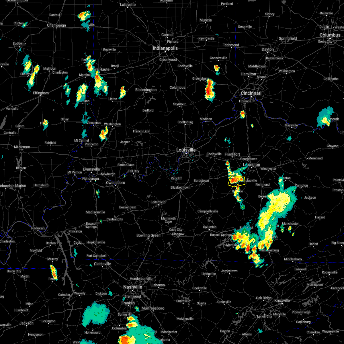
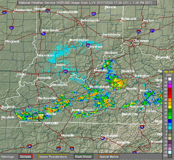
| 7/17/2020 1:42 PM EDT |
 The severe thunderstorm warning for mercer, southern woodford, southeastern anderson and east central washington counties will expire at 145 pm edt, the storm which prompted the warning has weakened below severe limits, and no longer poses an immediate threat to life or property. therefore, the warning will be allowed to expire. report severe weather to local law enforcement, post your report to the national weather service louisville facebook page, or tweet your report using hashtag l, m, k, spotter. The severe thunderstorm warning for mercer, southern woodford, southeastern anderson and east central washington counties will expire at 145 pm edt, the storm which prompted the warning has weakened below severe limits, and no longer poses an immediate threat to life or property. therefore, the warning will be allowed to expire. report severe weather to local law enforcement, post your report to the national weather service louisville facebook page, or tweet your report using hashtag l, m, k, spotter.
|
| 7/17/2020 1:26 PM EDT |
 At 126 pm edt, a severe thunderstorm was located 7 miles south of lawrenceburg, moving east at 25 mph (radar indicated). Hazards include 60 mph wind gusts. Expect damage to roofs, siding, and trees. Locations impacted include, harrodsburg, ballard, burgin, oregon, bondville, dugansville, talmage, riverview estates, seaville and terrapin. At 126 pm edt, a severe thunderstorm was located 7 miles south of lawrenceburg, moving east at 25 mph (radar indicated). Hazards include 60 mph wind gusts. Expect damage to roofs, siding, and trees. Locations impacted include, harrodsburg, ballard, burgin, oregon, bondville, dugansville, talmage, riverview estates, seaville and terrapin.
|
| 7/17/2020 1:03 PM EDT |
 At 103 pm edt, a severe thunderstorm was located 13 miles southwest of lawrenceburg, moving east at 25 mph (radar indicated). Hazards include 60 mph wind gusts. expect damage to roofs, siding, and trees At 103 pm edt, a severe thunderstorm was located 13 miles southwest of lawrenceburg, moving east at 25 mph (radar indicated). Hazards include 60 mph wind gusts. expect damage to roofs, siding, and trees
|
| 7/11/2020 9:57 PM EDT | Dispatch reports trees down along louisville r in mercer county KY, 5 miles N of Salvisa, KY |
| 4/8/2020 11:29 PM EDT |
 At 1128 pm edt, severe thunderstorms were located along a line extending from near lawrenceburg to 10 miles southwest of bardstown, moving east at 80 mph (radar indicated). Hazards include 60 mph wind gusts. expect damage to roofs, siding, and trees At 1128 pm edt, severe thunderstorms were located along a line extending from near lawrenceburg to 10 miles southwest of bardstown, moving east at 80 mph (radar indicated). Hazards include 60 mph wind gusts. expect damage to roofs, siding, and trees
|
| 6/30/2019 6:32 PM EDT |
 At 631 pm edt, severe thunderstorms were located along a line extending from near versailles to near lawrenceburg, moving southeast at 20 mph (radar indicated). Hazards include 60 mph wind gusts and nickel size hail. expect damage to roofs, siding, and trees At 631 pm edt, severe thunderstorms were located along a line extending from near versailles to near lawrenceburg, moving southeast at 20 mph (radar indicated). Hazards include 60 mph wind gusts and nickel size hail. expect damage to roofs, siding, and trees
|
| 6/17/2019 5:38 PM EDT |
 At 538 pm edt, a severe thunderstorm was located near versailles, moving northeast at 35 mph (radar indicated). Hazards include 60 mph wind gusts. Expect damage to roofs, siding, and trees. Locations impacted include, versailles, oregon, milner, tyrone and mortonsville. At 538 pm edt, a severe thunderstorm was located near versailles, moving northeast at 35 mph (radar indicated). Hazards include 60 mph wind gusts. Expect damage to roofs, siding, and trees. Locations impacted include, versailles, oregon, milner, tyrone and mortonsville.
|
| 6/17/2019 5:24 PM EDT |
 At 524 pm edt, a severe thunderstorm was located near lawrenceburg, moving northeast at 35 mph (radar indicated). Hazards include 60 mph wind gusts and penny size hail. Expect damage to roofs, siding, and trees. Locations impacted include, lawrenceburg, versailles, ballard, oregon, vanarsdell, bondville, tyrone, mortonsville, fox creek and kirkwood. At 524 pm edt, a severe thunderstorm was located near lawrenceburg, moving northeast at 35 mph (radar indicated). Hazards include 60 mph wind gusts and penny size hail. Expect damage to roofs, siding, and trees. Locations impacted include, lawrenceburg, versailles, ballard, oregon, vanarsdell, bondville, tyrone, mortonsville, fox creek and kirkwood.
|
| 6/17/2019 5:16 PM EDT |
 At 516 pm edt, a severe thunderstorm was located 9 miles southwest of lawrenceburg, moving northeast at 35 mph (radar indicated). Hazards include 60 mph wind gusts and penny size hail. expect damage to roofs, siding, and trees At 516 pm edt, a severe thunderstorm was located 9 miles southwest of lawrenceburg, moving northeast at 35 mph (radar indicated). Hazards include 60 mph wind gusts and penny size hail. expect damage to roofs, siding, and trees
|
| 7/20/2018 9:40 PM EDT |
 At 940 pm edt, severe thunderstorms were located along a line extending from near lawrenceburg to 9 miles north of springfield, moving southeast at 45 mph (radar indicated). Hazards include 60 mph wind gusts and quarter size hail. Hail damage to vehicles is expected. Expect wind damage to roofs, siding, and trees. At 940 pm edt, severe thunderstorms were located along a line extending from near lawrenceburg to 9 miles north of springfield, moving southeast at 45 mph (radar indicated). Hazards include 60 mph wind gusts and quarter size hail. Hail damage to vehicles is expected. Expect wind damage to roofs, siding, and trees.
|
| 7/20/2018 5:14 PM EDT |
 At 513 pm edt, a severe thunderstorm was located 8 miles east of nicholasville, moving east at 50 mph (radar indicated). Hazards include 60 mph wind gusts and quarter size hail. Hail damage to vehicles is expected. expect wind damage to roofs, siding, and trees. locations impacted include, lexington, nicholasville, harrodsburg, veterans park, fayette mall, wilmore, burgin, oregon, bondville and dugansville. A tornado watch remains in effect until 900 pm edt for central kentucky. At 513 pm edt, a severe thunderstorm was located 8 miles east of nicholasville, moving east at 50 mph (radar indicated). Hazards include 60 mph wind gusts and quarter size hail. Hail damage to vehicles is expected. expect wind damage to roofs, siding, and trees. locations impacted include, lexington, nicholasville, harrodsburg, veterans park, fayette mall, wilmore, burgin, oregon, bondville and dugansville. A tornado watch remains in effect until 900 pm edt for central kentucky.
|
| 7/20/2018 4:59 PM EDT |
 At 459 pm edt, a severe thunderstorm was located near nicholasville, moving east at 50 mph (radar indicated). Hazards include 70 mph wind gusts and quarter size hail. Hail damage to vehicles is expected. expect considerable tree damage. Wind damage is also likely to mobile homes, roofs, and outbuildings. At 459 pm edt, a severe thunderstorm was located near nicholasville, moving east at 50 mph (radar indicated). Hazards include 70 mph wind gusts and quarter size hail. Hail damage to vehicles is expected. expect considerable tree damage. Wind damage is also likely to mobile homes, roofs, and outbuildings.
|
| 7/20/2018 4:36 PM EDT |
 At 436 pm edt, a severe thunderstorm was located 11 miles southwest of lawrenceburg, moving east at 40 mph (radar indicated). Hazards include 60 mph wind gusts and half dollar size hail. Hail damage to vehicles is expected. Expect wind damage to roofs, siding, and trees. At 436 pm edt, a severe thunderstorm was located 11 miles southwest of lawrenceburg, moving east at 40 mph (radar indicated). Hazards include 60 mph wind gusts and half dollar size hail. Hail damage to vehicles is expected. Expect wind damage to roofs, siding, and trees.
|
| 6/26/2018 2:42 PM EDT |
 The severe thunderstorm warning for mercer, woodford, northwestern garrard, southern anderson, western jessamine and eastern washington counties will expire at 245 pm edt, the storms which prompted the warning have moved out of the area. therefore the warning will be allowed to expire. a severe thunderstorm watch remains in effect until 400 pm edt for central kentucky. report severe weather to local law enforcement, post your report to the national weather service louisville facebook page, or tweet your report using hashtag l, m, k, spotter. The severe thunderstorm warning for mercer, woodford, northwestern garrard, southern anderson, western jessamine and eastern washington counties will expire at 245 pm edt, the storms which prompted the warning have moved out of the area. therefore the warning will be allowed to expire. a severe thunderstorm watch remains in effect until 400 pm edt for central kentucky. report severe weather to local law enforcement, post your report to the national weather service louisville facebook page, or tweet your report using hashtag l, m, k, spotter.
|
| 6/26/2018 2:13 PM EDT |
 At 213 pm edt, severe thunderstorms were located along a line extending from near lawrenceburg to 8 miles east of springfield, moving east at 55 mph (radar indicated). Hazards include 60 mph wind gusts. expect damage to roofs, siding, and trees At 213 pm edt, severe thunderstorms were located along a line extending from near lawrenceburg to 8 miles east of springfield, moving east at 55 mph (radar indicated). Hazards include 60 mph wind gusts. expect damage to roofs, siding, and trees
|
| 6/26/2018 11:20 AM EDT |
 At 1120 am edt, a severe thunderstorm was located near lawrenceburg, moving east at 25 mph (radar indicated). Hazards include 60 mph wind gusts. Expect damage to roofs, siding, and trees. Locations impacted include, lawrenceburg, versailles, pinckard, milner, mcbrayer, tyrone, mortonsville and nevin. At 1120 am edt, a severe thunderstorm was located near lawrenceburg, moving east at 25 mph (radar indicated). Hazards include 60 mph wind gusts. Expect damage to roofs, siding, and trees. Locations impacted include, lawrenceburg, versailles, pinckard, milner, mcbrayer, tyrone, mortonsville and nevin.
|
| 6/26/2018 11:06 AM EDT |
 At 1105 am edt, a severe thunderstorm was located near lawrenceburg, moving east at 25 mph (radar indicated). Hazards include 60 mph wind gusts. expect damage to roofs, siding, and trees At 1105 am edt, a severe thunderstorm was located near lawrenceburg, moving east at 25 mph (radar indicated). Hazards include 60 mph wind gusts. expect damage to roofs, siding, and trees
|
| 6/12/2018 7:48 PM EDT |
 At 748 pm edt, a severe thunderstorm was located 8 miles northwest of harrodsburg, moving east at 30 mph (radar indicated). Hazards include 60 mph wind gusts and penny size hail. Expect damage to roofs, siding, and trees. Locations impacted include, harrodsburg, oregon, terrapin, vanarsdell, bondville, dugansville, talmage, cornishville, bohon and kirkwood. At 748 pm edt, a severe thunderstorm was located 8 miles northwest of harrodsburg, moving east at 30 mph (radar indicated). Hazards include 60 mph wind gusts and penny size hail. Expect damage to roofs, siding, and trees. Locations impacted include, harrodsburg, oregon, terrapin, vanarsdell, bondville, dugansville, talmage, cornishville, bohon and kirkwood.
|
| 6/12/2018 7:29 PM EDT |
 At 728 pm edt, a severe thunderstorm was located 13 miles northeast of springfield, moving east at 30 mph (radar indicated). Hazards include 60 mph wind gusts and penny size hail. expect damage to roofs, siding, and trees At 728 pm edt, a severe thunderstorm was located 13 miles northeast of springfield, moving east at 30 mph (radar indicated). Hazards include 60 mph wind gusts and penny size hail. expect damage to roofs, siding, and trees
|
| 5/31/2018 3:40 PM EDT |
 At 340 pm edt, severe thunderstorms were located along a line extending from 12 miles northwest of georgetown to 7 miles south of versailles to 8 miles northeast of springfield, moving east at 45 mph (radar indicated). Hazards include 60 mph wind gusts. expect damage to roofs, siding, and trees At 340 pm edt, severe thunderstorms were located along a line extending from 12 miles northwest of georgetown to 7 miles south of versailles to 8 miles northeast of springfield, moving east at 45 mph (radar indicated). Hazards include 60 mph wind gusts. expect damage to roofs, siding, and trees
|
| 5/31/2018 3:25 PM EDT |
 At 323 pm edt, severe thunderstorms were located along a line extending from 7 miles south of owenton to near lawrenceburg, moving east at 55 mph (radar indicated). Hazards include 70 mph wind gusts. Expect considerable tree damage. damage is likely to mobile homes, roofs, and outbuildings. locations impacted include, frankfort, lawrenceburg, versailles, midway, stamping ground, sadieville, gratz, longlick, slickway and stonewall. The strongest winds at 325 pm were just west 0f frankfort - heading directly toward the city. At 323 pm edt, severe thunderstorms were located along a line extending from 7 miles south of owenton to near lawrenceburg, moving east at 55 mph (radar indicated). Hazards include 70 mph wind gusts. Expect considerable tree damage. damage is likely to mobile homes, roofs, and outbuildings. locations impacted include, frankfort, lawrenceburg, versailles, midway, stamping ground, sadieville, gratz, longlick, slickway and stonewall. The strongest winds at 325 pm were just west 0f frankfort - heading directly toward the city.
|
| 5/31/2018 3:18 PM EDT |
 At 318 pm edt, severe thunderstorms were located along a line extending from 6 miles south of owenton to 6 miles southwest of lawrenceburg, moving east at 55 mph (radar indicated). Hazards include 60 mph wind gusts. expect damage to roofs, siding, and trees At 318 pm edt, severe thunderstorms were located along a line extending from 6 miles south of owenton to 6 miles southwest of lawrenceburg, moving east at 55 mph (radar indicated). Hazards include 60 mph wind gusts. expect damage to roofs, siding, and trees
|
| 5/31/2018 3:16 PM EDT |
 At 315 pm edt, severe thunderstorms were located along a line extending from 9 miles north of frankfort to near springfield, moving east at 45 mph (radar indicated). Hazards include 70 mph wind gusts. Expect considerable tree damage. Damage is likely to mobile homes, roofs, and outbuildings. At 315 pm edt, severe thunderstorms were located along a line extending from 9 miles north of frankfort to near springfield, moving east at 45 mph (radar indicated). Hazards include 70 mph wind gusts. Expect considerable tree damage. Damage is likely to mobile homes, roofs, and outbuildings.
|
| 6/18/2017 4:43 PM EDT |
 At 443 pm edt, severe thunderstorms were located along a line extending from 12 miles west of lawrenceburg to near versailles, moving northeast at 25 mph (radar indicated). Hazards include 60 mph wind gusts. expect damage to roofs, siding, and trees At 443 pm edt, severe thunderstorms were located along a line extending from 12 miles west of lawrenceburg to near versailles, moving northeast at 25 mph (radar indicated). Hazards include 60 mph wind gusts. expect damage to roofs, siding, and trees
|
| 4/30/2017 7:11 PM EDT |
 At 710 pm edt, severe thunderstorms were located along a line extending from 9 miles southeast of new castle to near lawrenceburg to near harrodsburg, moving northeast at 50 mph (radar indicated). Hazards include 60 mph wind gusts. expect damage to roofs, siding, and trees At 710 pm edt, severe thunderstorms were located along a line extending from 9 miles southeast of new castle to near lawrenceburg to near harrodsburg, moving northeast at 50 mph (radar indicated). Hazards include 60 mph wind gusts. expect damage to roofs, siding, and trees
|
| 4/5/2017 7:18 PM EDT |
 At 717 pm edt, a severe thunderstorm was located near harrodsburg, moving northeast at 45 mph (radar indicated). Hazards include 60 mph wind gusts and quarter size hail. Hail damage to vehicles is expected. expect wind damage to roofs, siding, and trees. locations impacted include, danville, harrodsburg, burgin, oregon, brumfield, caldwell manor, talmage, faulconer, riverview estates and toddville. A tornado watch remains in effect until 1000 pm edt for central kentucky. At 717 pm edt, a severe thunderstorm was located near harrodsburg, moving northeast at 45 mph (radar indicated). Hazards include 60 mph wind gusts and quarter size hail. Hail damage to vehicles is expected. expect wind damage to roofs, siding, and trees. locations impacted include, danville, harrodsburg, burgin, oregon, brumfield, caldwell manor, talmage, faulconer, riverview estates and toddville. A tornado watch remains in effect until 1000 pm edt for central kentucky.
|
| 4/5/2017 7:05 PM EDT |
 At 705 pm edt, a severe thunderstorm was located near harrodsburg, moving northeast at 45 mph (radar indicated). Hazards include 60 mph wind gusts and quarter size hail. Hail damage to vehicles is expected. expect wind damage to roofs, siding, and trees. locations impacted include, danville, harrodsburg, burgin, oregon, brumfield, caldwell manor, talmage, faulconer, riverview estates and dixville. A tornado watch remains in effect until 1000 pm edt for central kentucky. At 705 pm edt, a severe thunderstorm was located near harrodsburg, moving northeast at 45 mph (radar indicated). Hazards include 60 mph wind gusts and quarter size hail. Hail damage to vehicles is expected. expect wind damage to roofs, siding, and trees. locations impacted include, danville, harrodsburg, burgin, oregon, brumfield, caldwell manor, talmage, faulconer, riverview estates and dixville. A tornado watch remains in effect until 1000 pm edt for central kentucky.
|
| 4/5/2017 6:55 PM EDT |
 At 655 pm edt, a severe thunderstorm was located 9 miles east of springfield, moving northeast at 40 mph (radar indicated). Hazards include 60 mph wind gusts and quarter size hail. Hail damage to vehicles is expected. Expect wind damage to roofs, siding, and trees. At 655 pm edt, a severe thunderstorm was located 9 miles east of springfield, moving northeast at 40 mph (radar indicated). Hazards include 60 mph wind gusts and quarter size hail. Hail damage to vehicles is expected. Expect wind damage to roofs, siding, and trees.
|
| 3/27/2017 7:11 PM EDT |
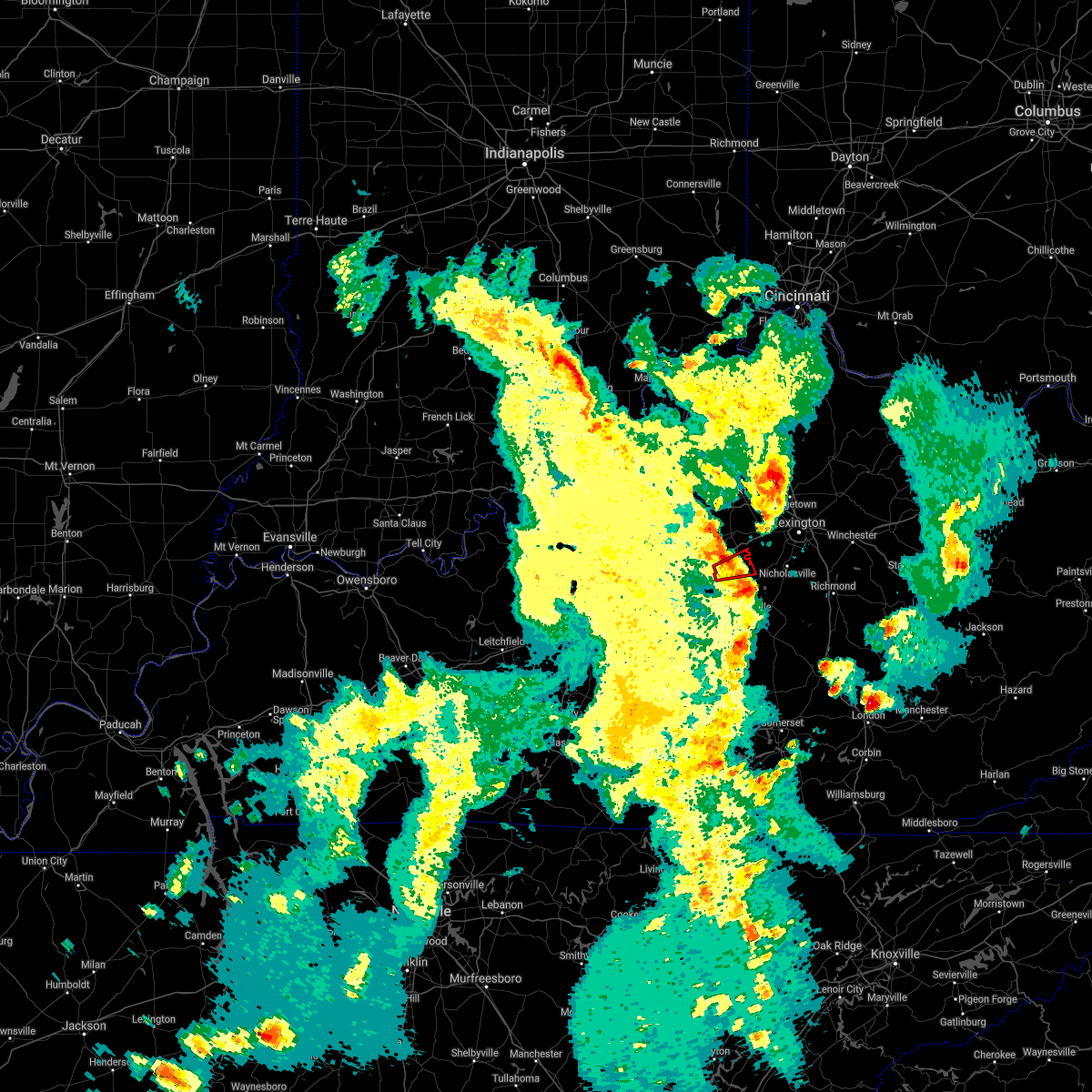 The tornado warning for northern mercer county will expire at 715 pm edt, the tornado threat has diminished and the tornado warning has been cancelled. however, damaging winds remain likely and a severe thunderstorm warning remains in effect for the area. a severe thunderstorm watch remains in effect until 1100 pm edt for central kentucky. report severe weather to local law enforcement, post your report to the national weather service louisville facebook page, or tweet your report using hashtag l, m, k, spotter. The tornado warning for northern mercer county will expire at 715 pm edt, the tornado threat has diminished and the tornado warning has been cancelled. however, damaging winds remain likely and a severe thunderstorm warning remains in effect for the area. a severe thunderstorm watch remains in effect until 1100 pm edt for central kentucky. report severe weather to local law enforcement, post your report to the national weather service louisville facebook page, or tweet your report using hashtag l, m, k, spotter.
|
| 3/27/2017 7:08 PM EDT |
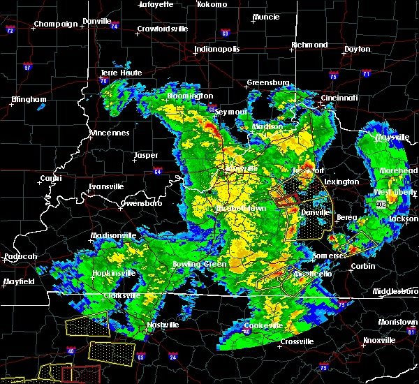 At 707 pm edt, a severe thunderstorm capable of producing a tornado was located 8 miles northwest of harrodsburg, moving east at 45 mph (radar indicated rotation). Hazards include tornado. Flying debris will be dangerous to those caught without shelter. mobile homes will be damaged or destroyed. damage to roofs, windows, and vehicles will occur. tree damage is likely. Locations impacted include, oregon, terrapin, vanarsdell, ebenezer, mundys landing, bondville, dugansville, talmage, braxton and kirkwood. At 707 pm edt, a severe thunderstorm capable of producing a tornado was located 8 miles northwest of harrodsburg, moving east at 45 mph (radar indicated rotation). Hazards include tornado. Flying debris will be dangerous to those caught without shelter. mobile homes will be damaged or destroyed. damage to roofs, windows, and vehicles will occur. tree damage is likely. Locations impacted include, oregon, terrapin, vanarsdell, ebenezer, mundys landing, bondville, dugansville, talmage, braxton and kirkwood.
|
| 3/27/2017 7:07 PM EDT | Barn blew down near 1160 and us 12 in mercer county KY, 5 miles N of Salvisa, KY |
| 3/27/2017 7:04 PM EDT |
 At 703 pm edt, severe thunderstorms were located along a line extending from 13 miles southeast of shelbyville to 7 miles south of lawrenceburg to near harrodsburg, moving northeast at 55 mph (radar indicated). Hazards include 60 mph wind gusts and penny size hail. expect damage to roofs, siding, and trees At 703 pm edt, severe thunderstorms were located along a line extending from 13 miles southeast of shelbyville to 7 miles south of lawrenceburg to near harrodsburg, moving northeast at 55 mph (radar indicated). Hazards include 60 mph wind gusts and penny size hail. expect damage to roofs, siding, and trees
|
| 3/27/2017 6:59 PM EDT |
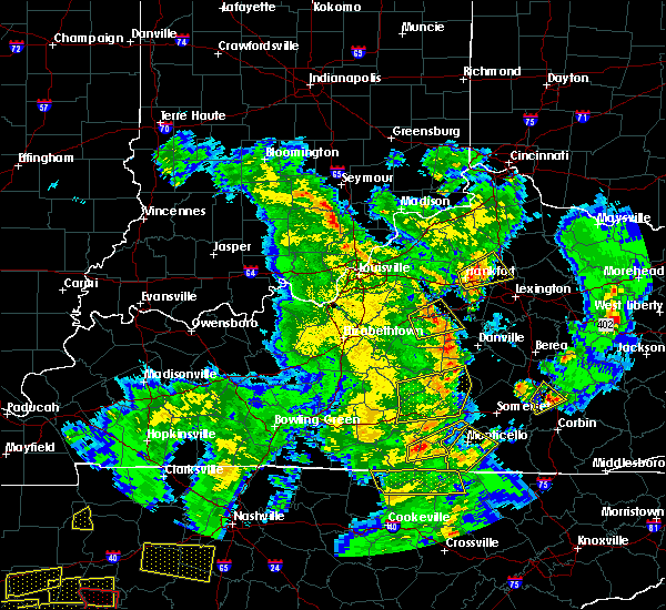 At 659 pm edt, a severe thunderstorm capable of producing a tornado was located 11 miles northwest of harrodsburg, moving east at 50 mph (radar indicated rotation). Hazards include tornado. Flying debris will be dangerous to those caught without shelter. mobile homes will be damaged or destroyed. damage to roofs, windows, and vehicles will occur. Tree damage is likely. At 659 pm edt, a severe thunderstorm capable of producing a tornado was located 11 miles northwest of harrodsburg, moving east at 50 mph (radar indicated rotation). Hazards include tornado. Flying debris will be dangerous to those caught without shelter. mobile homes will be damaged or destroyed. damage to roofs, windows, and vehicles will occur. Tree damage is likely.
|
| 3/1/2017 7:58 AM EST |
 The severe thunderstorm warning for southeastern spencer, southeastern shelby, central nelson, mercer, southern woodford, anderson, marion, west central jessamine, washington and northwestern boyle counties will expire at 800 am est, the storms which prompted the warning have moved out of the area. therefore the warning will be allowed to expire. a tornado watch remains in effect until 900 am est for central kentucky. a tornado watch also remains in effect until 1100 am est for central kentucky. report severe weather to local law enforcement, post your report to the national weather service louisville facebook page, or tweet your report using hashtag l, m, k, spotter. remember, a severe thunderstorm warning still remains in effect for portions of marion, washington, mercer, and woodford counties. The severe thunderstorm warning for southeastern spencer, southeastern shelby, central nelson, mercer, southern woodford, anderson, marion, west central jessamine, washington and northwestern boyle counties will expire at 800 am est, the storms which prompted the warning have moved out of the area. therefore the warning will be allowed to expire. a tornado watch remains in effect until 900 am est for central kentucky. a tornado watch also remains in effect until 1100 am est for central kentucky. report severe weather to local law enforcement, post your report to the national weather service louisville facebook page, or tweet your report using hashtag l, m, k, spotter. remember, a severe thunderstorm warning still remains in effect for portions of marion, washington, mercer, and woodford counties.
|
| 3/1/2017 7:20 AM EST |
 At 719 am est, severe thunderstorms were located along a line extending from 9 miles southeast of shelbyville to 9 miles north of hodgenville, moving southeast at 40 mph (radar indicated). Hazards include 60 mph wind gusts and penny size hail. expect damage to roofs, siding, and trees At 719 am est, severe thunderstorms were located along a line extending from 9 miles southeast of shelbyville to 9 miles north of hodgenville, moving southeast at 40 mph (radar indicated). Hazards include 60 mph wind gusts and penny size hail. expect damage to roofs, siding, and trees
|
| 7/15/2016 7:27 PM EDT | The severe thunderstorm warning for southwestern woodford and central mercer counties will expire at 730 pm edt, the storm which prompted the warning has weakened below severe limits, and no longer pose an immediate threat to life or property. therefore the warning will be allowed to expire. however gusty winds are still possible with this thunderstorm. report severe weather to local law enforcement, post your report to the national weather service louisville facebook page, or tweet your report using hashtag l, m, k, spotter. |
| 7/15/2016 7:19 PM EDT |
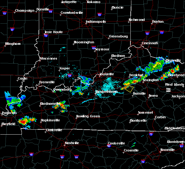 At 719 pm edt, a severe thunderstorm was located 9 miles northwest of harrodsburg, moving southeast at 35 mph (radar indicated). Hazards include 60 mph wind gusts and penny size hail. Expect damage to roofs. siding. and trees. Locations impacted include, harrodsburg, kirkwood, terrapin, vanarsdell, dugansville, mayo, nonesuch, talmage, ebenezer and oregon. At 719 pm edt, a severe thunderstorm was located 9 miles northwest of harrodsburg, moving southeast at 35 mph (radar indicated). Hazards include 60 mph wind gusts and penny size hail. Expect damage to roofs. siding. and trees. Locations impacted include, harrodsburg, kirkwood, terrapin, vanarsdell, dugansville, mayo, nonesuch, talmage, ebenezer and oregon.
|
| 7/15/2016 7:13 PM EDT |
 At 713 pm edt, a severe thunderstorm was located 9 miles southwest of lawrenceburg, moving southeast at 35 mph (radar indicated). Hazards include 60 mph wind gusts and penny size hail. Expect damage to roofs. siding. And trees. At 713 pm edt, a severe thunderstorm was located 9 miles southwest of lawrenceburg, moving southeast at 35 mph (radar indicated). Hazards include 60 mph wind gusts and penny size hail. Expect damage to roofs. siding. And trees.
|
| 7/8/2016 2:27 PM EDT | The severe thunderstorm warning for northeastern washington, western mercer and southeastern anderson counties will expire at 230 pm edt, the storm which prompted the warning has weakened below severe limits, and have exited the warned area. therefore the warning will be allowed to expire. however gusty winds are still possible with this thunderstorm. a severe thunderstorm watch remains in effect until 600 pm edt for central kentucky. report severe weather to local law enforcement, post your report to the national weather service louisville facebook page, or tweet your report using hashtag l, m, k, spotter. |
| 7/8/2016 2:12 PM EDT |
 At 211 pm edt, a severe thunderstorm was located 8 miles northwest of harrodsburg, moving east at 40 mph (radar indicated). Hazards include 60 mph wind gusts. Expect damage to roofs. siding. and trees. Locations impacted include, harrodsburg, ballard, willisburg, mackville, kirkwood, riverview estates, terrapin, vanarsdell, dugansville and nevin. At 211 pm edt, a severe thunderstorm was located 8 miles northwest of harrodsburg, moving east at 40 mph (radar indicated). Hazards include 60 mph wind gusts. Expect damage to roofs. siding. and trees. Locations impacted include, harrodsburg, ballard, willisburg, mackville, kirkwood, riverview estates, terrapin, vanarsdell, dugansville and nevin.
|
| 7/8/2016 1:54 PM EDT |
 At 154 pm edt, a severe thunderstorm was located 10 miles north of springfield, moving east at 40 mph (radar indicated). Hazards include 60 mph wind gusts and quarter size hail. Hail damage to vehicles is expected. Expect wind damage to roofs, siding, and trees. At 154 pm edt, a severe thunderstorm was located 10 miles north of springfield, moving east at 40 mph (radar indicated). Hazards include 60 mph wind gusts and quarter size hail. Hail damage to vehicles is expected. Expect wind damage to roofs, siding, and trees.
|
| 6/23/2016 6:26 PM EDT |
 At 626 pm edt, severe thunderstorms were located along a line extending from 10 miles southwest of lawrenceburg to 8 miles northeast of springfield, moving southeast at 45 mph (radar indicated). Hazards include 60 mph wind gusts. Expect damage to roofs. siding. and trees. Locations impacted include, harrodsburg, ballard, bloomfield, willisburg, mackville, polin, jenkinsville, dugansville, klondyke and van buren. At 626 pm edt, severe thunderstorms were located along a line extending from 10 miles southwest of lawrenceburg to 8 miles northeast of springfield, moving southeast at 45 mph (radar indicated). Hazards include 60 mph wind gusts. Expect damage to roofs. siding. and trees. Locations impacted include, harrodsburg, ballard, bloomfield, willisburg, mackville, polin, jenkinsville, dugansville, klondyke and van buren.
|
| 6/23/2016 6:09 PM EDT |
 At 609 pm edt, severe thunderstorms were located along a line extending from 10 miles east of taylorsville to 10 miles east of bardstown, moving southeast at 45 mph (radar indicated). Hazards include 60 mph wind gusts. Expect damage to roofs. siding. And trees. At 609 pm edt, severe thunderstorms were located along a line extending from 10 miles east of taylorsville to 10 miles east of bardstown, moving southeast at 45 mph (radar indicated). Hazards include 60 mph wind gusts. Expect damage to roofs. siding. And trees.
|
| 6/1/2016 9:13 PM EDT |
 At 912 pm edt, a severe thunderstorm was located south of lawrenceburg, moving east at 10 mph (radar indicated). Hazards include 60 mph wind gusts and quarter size hail. Hail damage to vehicles is expected. Expect wind damage to roofs, siding, and trees. At 912 pm edt, a severe thunderstorm was located south of lawrenceburg, moving east at 10 mph (radar indicated). Hazards include 60 mph wind gusts and quarter size hail. Hail damage to vehicles is expected. Expect wind damage to roofs, siding, and trees.
|
| 6/1/2016 9:07 PM EDT |
 At 907 pm edt, a severe thunderstorm was located south of lawrenceburg, moving northeast at 10 mph (radar indicated). Hazards include 60 mph wind gusts. Expect damage to roofs. siding. and trees. Locations impacted include, lawrenceburg, versailles, midway, vanarsdell, nevin, faywood, milner, pisgah, wallace and nonesuch. At 907 pm edt, a severe thunderstorm was located south of lawrenceburg, moving northeast at 10 mph (radar indicated). Hazards include 60 mph wind gusts. Expect damage to roofs. siding. and trees. Locations impacted include, lawrenceburg, versailles, midway, vanarsdell, nevin, faywood, milner, pisgah, wallace and nonesuch.
|
| 6/1/2016 8:51 PM EDT |
 At 850 pm edt, a severe thunderstorm was located near lawrenceburg, moving east at 25 mph (radar indicated). Hazards include 60 mph wind gusts. Expect damage to roofs. siding. And trees. At 850 pm edt, a severe thunderstorm was located near lawrenceburg, moving east at 25 mph (radar indicated). Hazards include 60 mph wind gusts. Expect damage to roofs. siding. And trees.
|
| 5/10/2016 5:43 PM EDT |
 At 541 pm edt, severe thunderstorms were located along a line extending from 7 miles south of lawrenceburg to near harrodsburg, moving east at 35 mph (radar indicated). Hazards include 60 mph wind gusts and quarter size hail. Hail damage to vehicles is expected. Expect wind damage to roofs, siding, and trees. At 541 pm edt, severe thunderstorms were located along a line extending from 7 miles south of lawrenceburg to near harrodsburg, moving east at 35 mph (radar indicated). Hazards include 60 mph wind gusts and quarter size hail. Hail damage to vehicles is expected. Expect wind damage to roofs, siding, and trees.
|
| 5/10/2016 5:18 PM EDT |
 At 517 pm edt, a severe thunderstorm was located 9 miles northeast of springfield, moving east at 40 mph (radar indicated). Hazards include 60 mph wind gusts and quarter size hail. Hail damage to vehicles is expected. Expect wind damage to roofs, siding, and trees. At 517 pm edt, a severe thunderstorm was located 9 miles northeast of springfield, moving east at 40 mph (radar indicated). Hazards include 60 mph wind gusts and quarter size hail. Hail damage to vehicles is expected. Expect wind damage to roofs, siding, and trees.
|
| 5/1/2016 4:01 PM EDT |
 At 400 pm edt, a severe thunderstorm was located 7 miles south of lawrenceburg, moving east at 30 mph (radar indicated). Hazards include 60 mph wind gusts and quarter size hail. Hail damage to vehicles is expected. expect wind damage to roofs, siding, and trees. Locations impacted include, lawrenceburg, versailles, ballard, drydock, fox creek, pisgah, talmage, ebenezer, mcbrayer and oregon. At 400 pm edt, a severe thunderstorm was located 7 miles south of lawrenceburg, moving east at 30 mph (radar indicated). Hazards include 60 mph wind gusts and quarter size hail. Hail damage to vehicles is expected. expect wind damage to roofs, siding, and trees. Locations impacted include, lawrenceburg, versailles, ballard, drydock, fox creek, pisgah, talmage, ebenezer, mcbrayer and oregon.
|
| 5/1/2016 3:53 PM EDT |
 At 352 pm edt, a severe thunderstorm was located 7 miles southwest of lawrenceburg, moving east at 40 mph (radar indicated). Hazards include 60 mph wind gusts and quarter size hail. Hail damage to vehicles is expected. Expect wind damage to roofs, siding, and trees. At 352 pm edt, a severe thunderstorm was located 7 miles southwest of lawrenceburg, moving east at 40 mph (radar indicated). Hazards include 60 mph wind gusts and quarter size hail. Hail damage to vehicles is expected. Expect wind damage to roofs, siding, and trees.
|
| 4/26/2016 7:48 PM EDT |
 At 748 pm edt, a severe thunderstorm was located 10 miles north of harrodsburg, moving east at 20 mph (radar indicated). Hazards include 60 mph wind gusts and quarter size hail. Hail damage to vehicles is expected. expect wind damage to roofs, siding, and trees. Locations impacted include, oregon, mundys landing, nonesuch, ebenezer, pinckard and troy. At 748 pm edt, a severe thunderstorm was located 10 miles north of harrodsburg, moving east at 20 mph (radar indicated). Hazards include 60 mph wind gusts and quarter size hail. Hail damage to vehicles is expected. expect wind damage to roofs, siding, and trees. Locations impacted include, oregon, mundys landing, nonesuch, ebenezer, pinckard and troy.
|
| 4/26/2016 7:30 PM EDT |
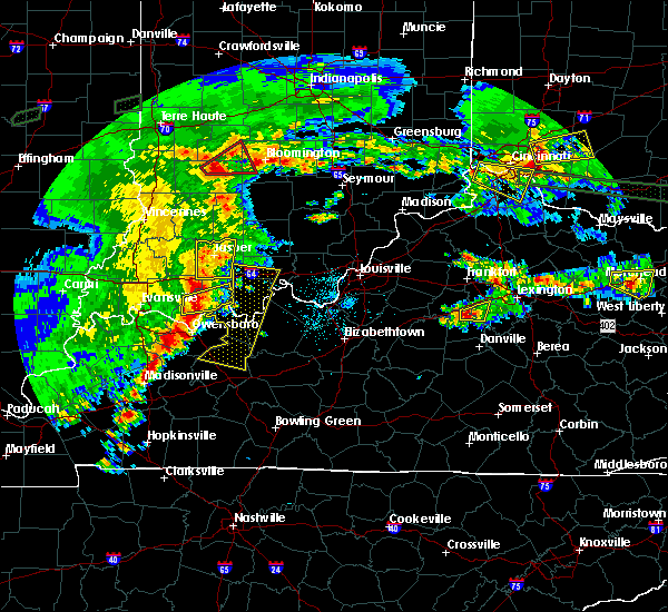 At 729 pm edt, a severe thunderstorm was located 9 miles south of lawrenceburg, moving east at 20 mph (radar indicated). Hazards include 60 mph wind gusts and quarter size hail. Hail damage to vehicles is expected. Expect wind damage to roofs, siding, and trees. At 729 pm edt, a severe thunderstorm was located 9 miles south of lawrenceburg, moving east at 20 mph (radar indicated). Hazards include 60 mph wind gusts and quarter size hail. Hail damage to vehicles is expected. Expect wind damage to roofs, siding, and trees.
|
| 7/19/2015 3:50 PM EDT |
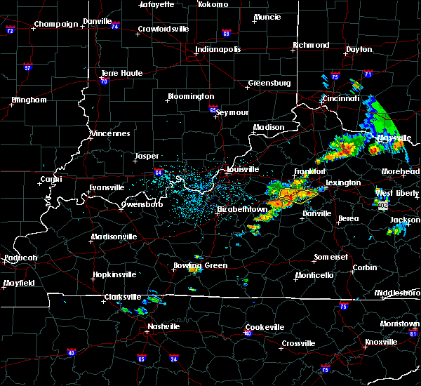 At 348 pm edt, a severe thunderstorm was located 8 miles southwest of lawrenceburg, and moving east at 20 mph (radar indicated). Hazards include 60 mph wind gusts. Expect damage to roofs. siding and trees. Locations impacted include, hickory grove, ballard, fox creek, kirkwood, mcbrayer, nevin, stringtown, bondville, vanarsdell, oregon, ebenezer, mortonsville, nonesuch, mundys landing, troy, pinckard, dixon town, keene, nealton and brannon. At 348 pm edt, a severe thunderstorm was located 8 miles southwest of lawrenceburg, and moving east at 20 mph (radar indicated). Hazards include 60 mph wind gusts. Expect damage to roofs. siding and trees. Locations impacted include, hickory grove, ballard, fox creek, kirkwood, mcbrayer, nevin, stringtown, bondville, vanarsdell, oregon, ebenezer, mortonsville, nonesuch, mundys landing, troy, pinckard, dixon town, keene, nealton and brannon.
|
| 7/19/2015 3:28 PM EDT |
 At 326 pm edt, a severe thunderstorm was located 11 miles east of taylorsville, and moving east at 20 mph (radar indicated). Hazards include 60 mph wind gusts. Expect damage to roofs. Siding and trees. At 326 pm edt, a severe thunderstorm was located 11 miles east of taylorsville, and moving east at 20 mph (radar indicated). Hazards include 60 mph wind gusts. Expect damage to roofs. Siding and trees.
|
| 7/14/2015 5:29 AM EDT |
 At 528 am edt, severe thunderstorms were located along a line extending from 8 miles north of harrodsburg to 11 miles west of harrodsburg to 5 miles north of springfield, and moving southeast at 55 mph (radar indicated). Hazards include 60 mph wind gusts. Expect damage to roofs. Siding and trees. At 528 am edt, severe thunderstorms were located along a line extending from 8 miles north of harrodsburg to 11 miles west of harrodsburg to 5 miles north of springfield, and moving southeast at 55 mph (radar indicated). Hazards include 60 mph wind gusts. Expect damage to roofs. Siding and trees.
|
| 7/13/2015 3:26 PM EDT |
 At 323 pm edt, severe thunderstorms were located along a line extending from 6 miles southwest of camargo to 7 miles southwest of versailles to shepherdsville, and moving southeast at 25 mph (radar indicated). Hazards include 60 mph wind gusts. Expect damage to roofs. Siding and trees. At 323 pm edt, severe thunderstorms were located along a line extending from 6 miles southwest of camargo to 7 miles southwest of versailles to shepherdsville, and moving southeast at 25 mph (radar indicated). Hazards include 60 mph wind gusts. Expect damage to roofs. Siding and trees.
|
| 7/12/2015 9:42 PM EDT | The severe thunderstorm warning for east central anderson and north central mercer counties will expire at 945 pm edt/845 pm cdt/, the storm which prompted the warning has weakened below severe limits, and no longer poses an immediate threat to life or property. |
| 7/12/2015 9:25 PM EDT |
 At 922 pm edt, a severe thunderstorm was located near lawrenceburg, and moving southeast at 15 mph (radar indicated). Hazards include 60 mph wind gusts and quarter size hail. Hail damage to vehicles is expected. expect wind damage to roofs, siding and trees. Locations impacted include, mcbrayer, nevin, kirkwood, bondville, terrapin, vanarsdell and mayo. At 922 pm edt, a severe thunderstorm was located near lawrenceburg, and moving southeast at 15 mph (radar indicated). Hazards include 60 mph wind gusts and quarter size hail. Hail damage to vehicles is expected. expect wind damage to roofs, siding and trees. Locations impacted include, mcbrayer, nevin, kirkwood, bondville, terrapin, vanarsdell and mayo.
|
| 7/12/2015 9:15 PM EDT |
 At 913 pm edt, a severe thunderstorm was located near lawrenceburg, and moving southeast at 15 mph (radar indicated). Hazards include 60 mph wind gusts and quarter size hail. Hail damage to vehicles is expected. Expect wind damage to roofs, siding and trees. At 913 pm edt, a severe thunderstorm was located near lawrenceburg, and moving southeast at 15 mph (radar indicated). Hazards include 60 mph wind gusts and quarter size hail. Hail damage to vehicles is expected. Expect wind damage to roofs, siding and trees.
|
| 7/10/2015 11:53 AM EDT |
 At 1150 am edt, severe thunderstorms were located along a line extending from 6 miles southeast of new castle to versailles to 6 miles southeast of lawrenceburg to 8 miles east of springfield, and moving east at 35 mph (radar indicated). Hazards include 60 mph wind gusts. Expect damage to roofs. siding and trees. Locations impacted include, lawrenceburg, milner, capital city airport, pleasureville, cornishville, benson, battle, mackville, terrapin, nevin, cropper, tyrone, broadville manor, clifton, hatton, bagdad, old christianburg, kirkwood, duncan and bridgeport. At 1150 am edt, severe thunderstorms were located along a line extending from 6 miles southeast of new castle to versailles to 6 miles southeast of lawrenceburg to 8 miles east of springfield, and moving east at 35 mph (radar indicated). Hazards include 60 mph wind gusts. Expect damage to roofs. siding and trees. Locations impacted include, lawrenceburg, milner, capital city airport, pleasureville, cornishville, benson, battle, mackville, terrapin, nevin, cropper, tyrone, broadville manor, clifton, hatton, bagdad, old christianburg, kirkwood, duncan and bridgeport.
|
| 7/10/2015 11:48 AM EDT |
 At 1145 am edt, severe thunderstorms were located along a line extending from 7 miles south of new castle to lawrenceburg to 5 miles south of lawrenceburg to 5 miles east of springfield, and moving east at 35 mph (radar indicated). Hazards include 60 mph wind gusts. Expect damage to roofs. siding and trees. Locations impacted include, cropper, bagdad, bridgeport, evergreen, old christianburg, dugansville, cardwell, farmdale, tablow, thompsonville, alton, graefenburg, fox creek, ballard, seaville, sharpsville and hickory grove. At 1145 am edt, severe thunderstorms were located along a line extending from 7 miles south of new castle to lawrenceburg to 5 miles south of lawrenceburg to 5 miles east of springfield, and moving east at 35 mph (radar indicated). Hazards include 60 mph wind gusts. Expect damage to roofs. siding and trees. Locations impacted include, cropper, bagdad, bridgeport, evergreen, old christianburg, dugansville, cardwell, farmdale, tablow, thompsonville, alton, graefenburg, fox creek, ballard, seaville, sharpsville and hickory grove.
|
| 7/10/2015 11:41 AM EDT |
 At 1140 am edt, severe thunderstorms were located along a line extending from 8 miles southeast of la grange to 9 miles northwest of lawrenceburg to 10 miles southwest of lawrenceburg to springfield, and moving west at 35 mph (radar indicated). Hazards include 60 mph wind gusts. Expect damage to roofs. Siding and trees. At 1140 am edt, severe thunderstorms were located along a line extending from 8 miles southeast of la grange to 9 miles northwest of lawrenceburg to 10 miles southwest of lawrenceburg to springfield, and moving west at 35 mph (radar indicated). Hazards include 60 mph wind gusts. Expect damage to roofs. Siding and trees.
|
| 7/10/2015 11:39 AM EDT |
 At 1135 am edt, severe thunderstorms were located along a line extending from shelbyville to 6 miles west of lawrenceburg to 13 miles southwest of lawrenceburg to springfield, and moving east at 30 mph. there has been reports of extensive tree damage in bullitt county and and just received a report of a roof blown off on 31e between bardstown and coxes creek (radar indicated). Hazards include 60 mph wind gusts. Expect damage to roofs. siding and trees. Locations impacted include, frankfort, lawrenceburg, harrodsburg, sharpsville, seaville, hickory grove, thompsonville, peytona, fox creek, avenstoke, ballard, graefenburg, tablow, cardwell, dugansville, alton, mackville, duncan, hatton and battle. At 1135 am edt, severe thunderstorms were located along a line extending from shelbyville to 6 miles west of lawrenceburg to 13 miles southwest of lawrenceburg to springfield, and moving east at 30 mph. there has been reports of extensive tree damage in bullitt county and and just received a report of a roof blown off on 31e between bardstown and coxes creek (radar indicated). Hazards include 60 mph wind gusts. Expect damage to roofs. siding and trees. Locations impacted include, frankfort, lawrenceburg, harrodsburg, sharpsville, seaville, hickory grove, thompsonville, peytona, fox creek, avenstoke, ballard, graefenburg, tablow, cardwell, dugansville, alton, mackville, duncan, hatton and battle.
|
| 7/10/2015 11:16 AM EDT |
 At 1115 am edt, severe thunderstorms were located along a line extending from middletown to 6 miles south of taylorsville to 11 miles south of bardstown, and moving east at 30 mph (radar indicated). Hazards include 60 mph wind gusts. Expect damage to roofs. Siding and trees. At 1115 am edt, severe thunderstorms were located along a line extending from middletown to 6 miles south of taylorsville to 11 miles south of bardstown, and moving east at 30 mph (radar indicated). Hazards include 60 mph wind gusts. Expect damage to roofs. Siding and trees.
|
| 6/29/2015 4:53 PM EDT |
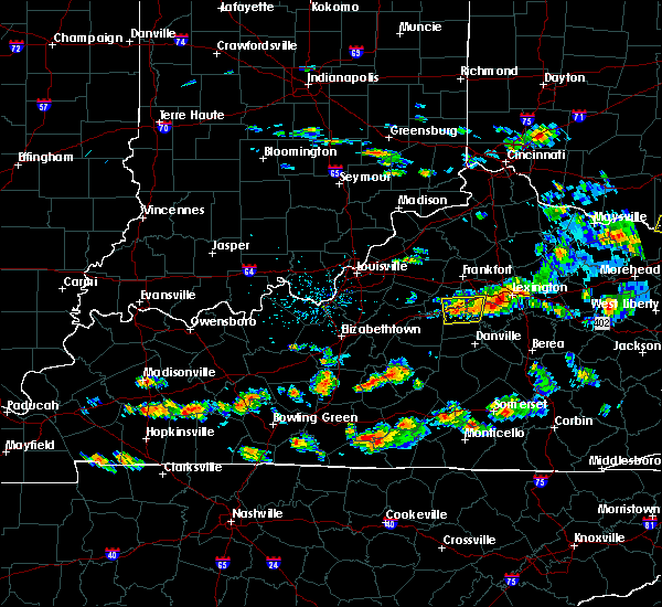 At 450 pm edt, a line of severe thunderstorms was located along the bluegrass parkway from mercer county eastward into western woodford county. one area of strong winds was located just south of mortonsville in woodford county. a second area of strong winds was located near kirkwood in northern mercer county. this band of strong winds will affect the bluegrass parkway and the nevin and bondville areas of mercer county shortly (radar indicated). Hazards include 60 mph wind gusts. Expect damage to roofs. siding and trees. Locations impacted include, mundys landing, nonesuch, mortonsville and shakertown. At 450 pm edt, a line of severe thunderstorms was located along the bluegrass parkway from mercer county eastward into western woodford county. one area of strong winds was located just south of mortonsville in woodford county. a second area of strong winds was located near kirkwood in northern mercer county. this band of strong winds will affect the bluegrass parkway and the nevin and bondville areas of mercer county shortly (radar indicated). Hazards include 60 mph wind gusts. Expect damage to roofs. siding and trees. Locations impacted include, mundys landing, nonesuch, mortonsville and shakertown.
|
| 6/29/2015 4:34 PM EDT |
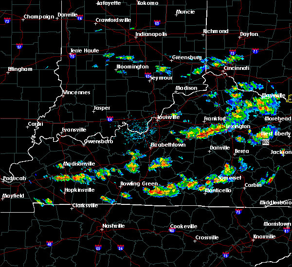 At 432 pm edt, a severe thunderstorm was located 7 miles south of lawrenceburg, and moving east at 30 mph (radar indicated). Hazards include 60 mph wind gusts. Expect damage to roofs. Siding and trees. At 432 pm edt, a severe thunderstorm was located 7 miles south of lawrenceburg, and moving east at 30 mph (radar indicated). Hazards include 60 mph wind gusts. Expect damage to roofs. Siding and trees.
|
| 6/8/2015 4:17 PM EDT |
 At 415 pm edt, a severe thunderstorm was located near harrodsburg, and moving east at 30 mph (radar indicated). Hazards include 60 mph wind gusts. Expect damage to roofs. siding and trees. Locations impacted include, danville, ebenezer, braxton, caldwell manor, faulconer and burgin. At 415 pm edt, a severe thunderstorm was located near harrodsburg, and moving east at 30 mph (radar indicated). Hazards include 60 mph wind gusts. Expect damage to roofs. siding and trees. Locations impacted include, danville, ebenezer, braxton, caldwell manor, faulconer and burgin.
|
| 6/8/2015 4:09 PM EDT |
 At 407 pm edt, a severe thunderstorm was located 6 miles west of harrodsburg, and moving east at 30 mph (radar indicated). Hazards include 60 mph wind gusts. Expect damage to roofs. siding and trees. Locations impacted include, harrodsburg, danville, needmore, riverview estates, vanarsdell, jackson, talmage, davis hill, stringtown, ebenezer, braxton, caldwell manor, faulconer and burgin. At 407 pm edt, a severe thunderstorm was located 6 miles west of harrodsburg, and moving east at 30 mph (radar indicated). Hazards include 60 mph wind gusts. Expect damage to roofs. siding and trees. Locations impacted include, harrodsburg, danville, needmore, riverview estates, vanarsdell, jackson, talmage, davis hill, stringtown, ebenezer, braxton, caldwell manor, faulconer and burgin.
|
| 6/8/2015 3:56 PM EDT |
 At 353 pm edt, a severe thunderstorm was located 8 miles northeast of springfield, and moving east at 30 mph (radar indicated). Hazards include 60 mph wind gusts. Expect damage to roofs. Siding and trees. At 353 pm edt, a severe thunderstorm was located 8 miles northeast of springfield, and moving east at 30 mph (radar indicated). Hazards include 60 mph wind gusts. Expect damage to roofs. Siding and trees.
|
| 5/11/2015 3:11 PM EDT | At 310 pm edt, a severe thunderstorm was located 9 miles north of harrodsburg, and moving northeast at 50 mph (radar indicated). Hazards include 60 mph wind gusts and penny size hail. Expect damage to roofs. Siding and trees. |
| 5/11/2015 2:48 PM EDT | At 247 pm edt, a severe thunderstorm was located 8 miles south of lawrenceburg, and moving northeast at 35 mph (radar indicated). Hazards include 60 mph wind gusts. Expect damage to roofs. siding and trees. locations impacted include, lawrenceburg, bondville, nevin, oregon, mcbrayer, stringtown, alton, tyrone and mortonsville. 75in. |
| 5/11/2015 2:33 PM EDT | At 232 pm edt, a severe thunderstorm was located 12 miles northwest of harrodsburg, and moving northeast at 35 mph (radar indicated). Hazards include 60 mph wind gusts. Expect damage to roofs. Siding and trees. |
| 4/25/2015 7:13 PM EDT | At 712 pm edt, a severe thunderstorm was located 11 miles northeast of springfield, and moving east at 35 mph (radar indicated). Hazards include 60 mph wind gusts and half dollar size hail. Hail damage to vehicles is expected. Expect wind damage to roofs, siding and trees. |
| 4/8/2015 4:22 PM EDT | The national weather service in louisville has issued a * severe thunderstorm warning for. mercer county in east central kentucky. washington county in north central kentucky. until 450 pm edt * at 419 pm edt. A severe thunderstorm was located near. |
| 4/2/2015 5:27 PM EDT | A severe thunderstorm warning remains in effect for southeastern anderson. northeastern washington and mercer counties until 540 pm edt. at 524 pm edt. severe thunderstorms were located along a line extending from lawrenceburg to 12 miles southwest of lawrenceburg to 11 miles north of springfield. And moving east at 40 mph. |
| 4/2/2015 5:15 PM EDT | A severe thunderstorm warning remains in effect for southern anderson. northeastern washington. northeastern nelson and mercer counties until 540 pm edt. at 514 pm edt. severe thunderstorms were located along a line extending from lawrenceburg to 15 miles north of springfield to 9 miles east of bardstown. And moving east at 45 mph. |
| 4/2/2015 4:57 PM EDT | The national weather service in louisville has issued a * severe thunderstorm warning for. southern anderson county in east central kentucky. mercer county in east central kentucky. northeastern nelson county in north central kentucky. Southeastern spencer county in north central kentucky. |
| 6/13/2013 11:17 AM EDT | Power lines and five power poles down partially blocking us hwy 127 in mercer county KY, 4.3 miles N of Salvisa, KY |
| 7/26/2012 7:45 PM EDT | 175-foot steel tower used for amateur radio antennas downed by high winds on bondville road in mercer county KY, 0.5 miles ENE of Salvisa, KY |
| 7/26/2012 7:09 PM EDT | Tree reported down on garriott lane in salvisa via facebook in mercer county KY, 2.2 miles N of Salvisa, KY |
Hail Maps for Salvisa, KY


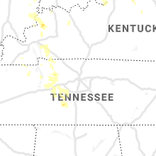


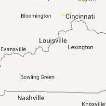


Connect with Interactive Hail Maps