

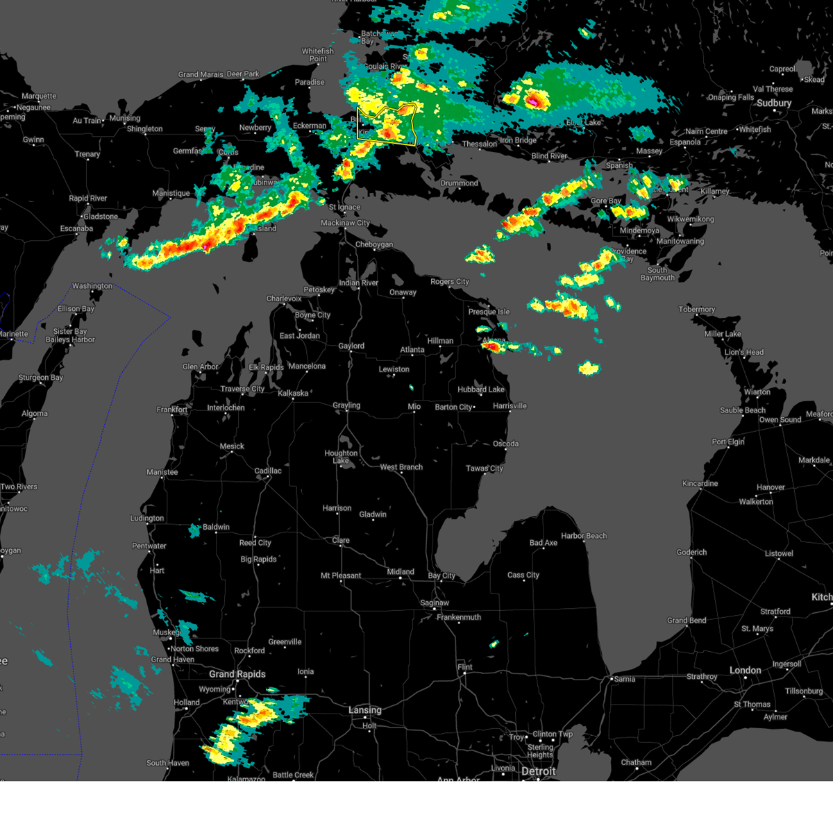
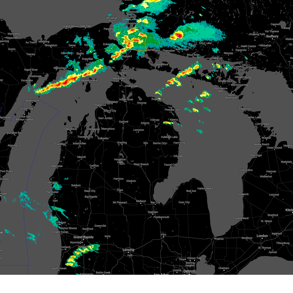
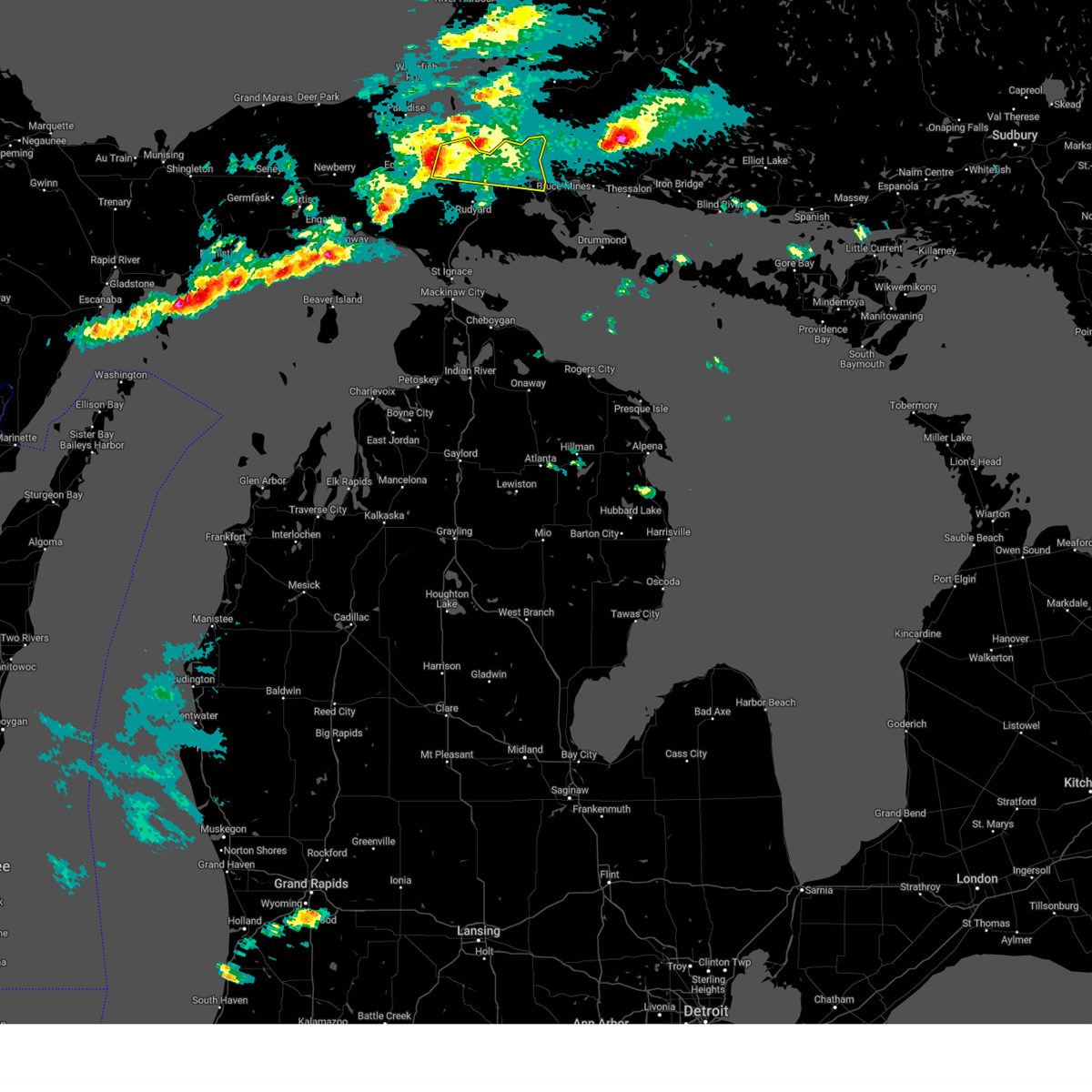
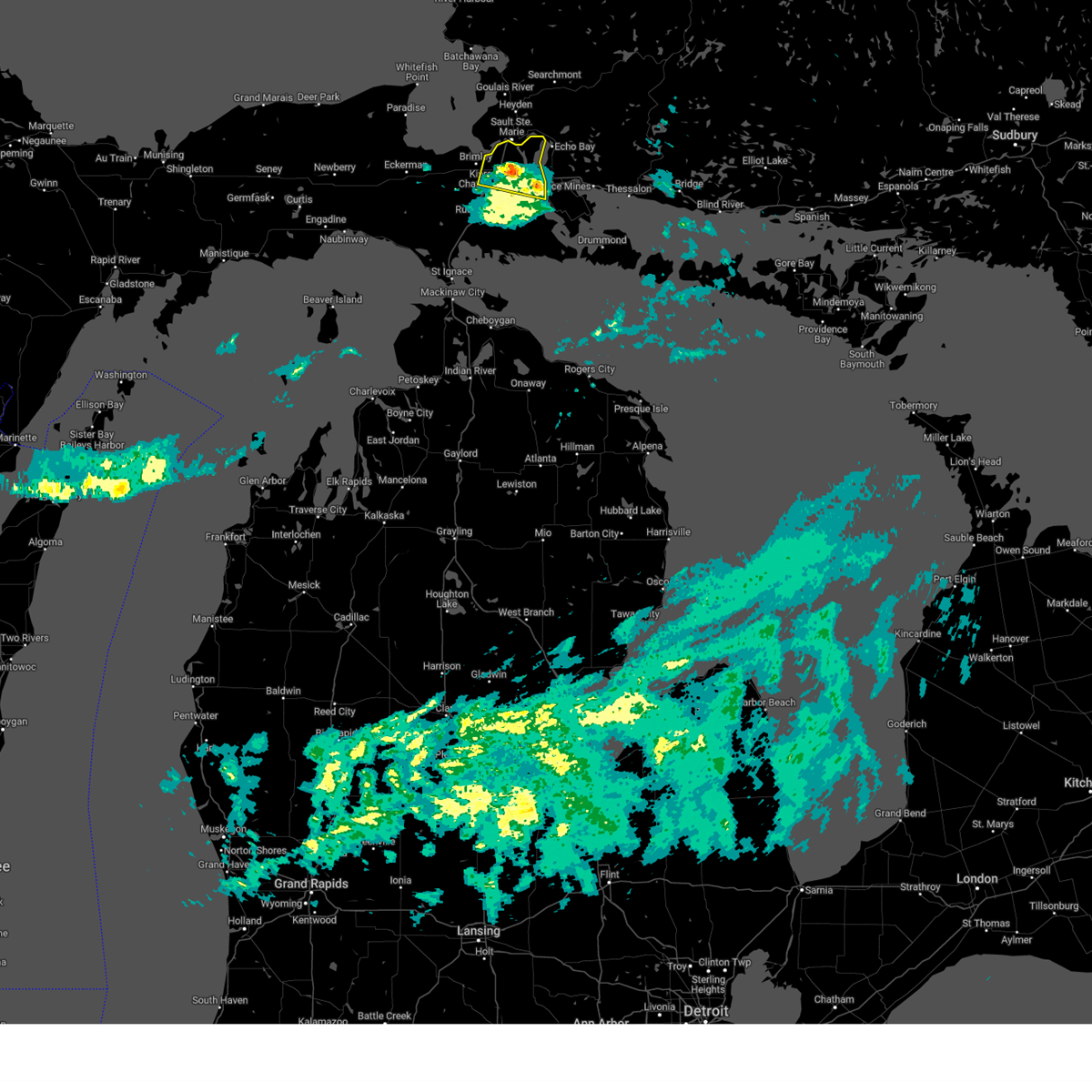
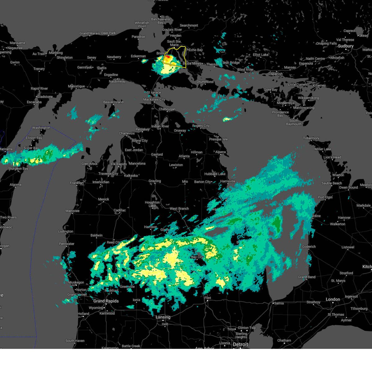
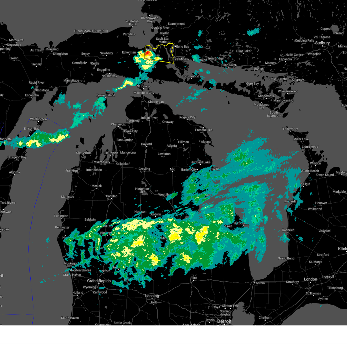
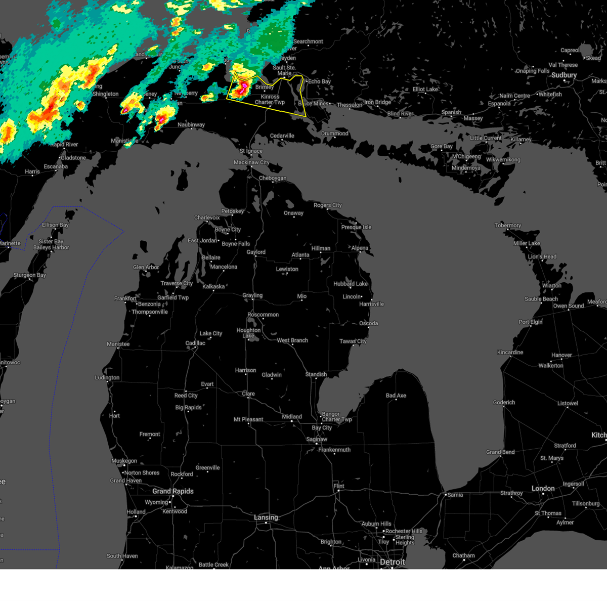
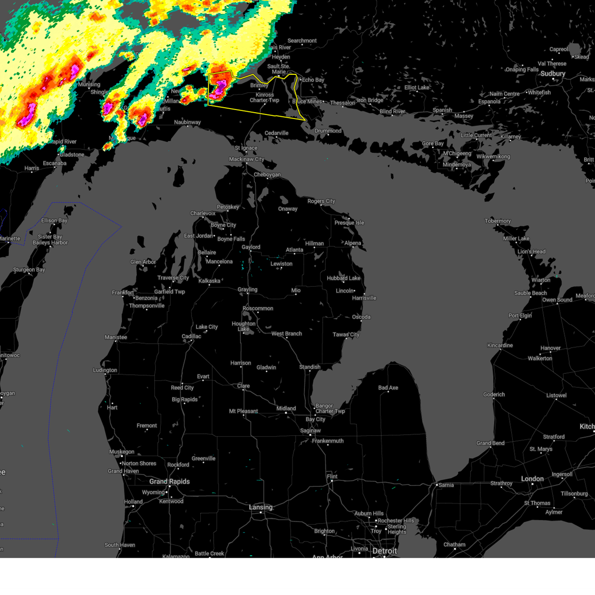
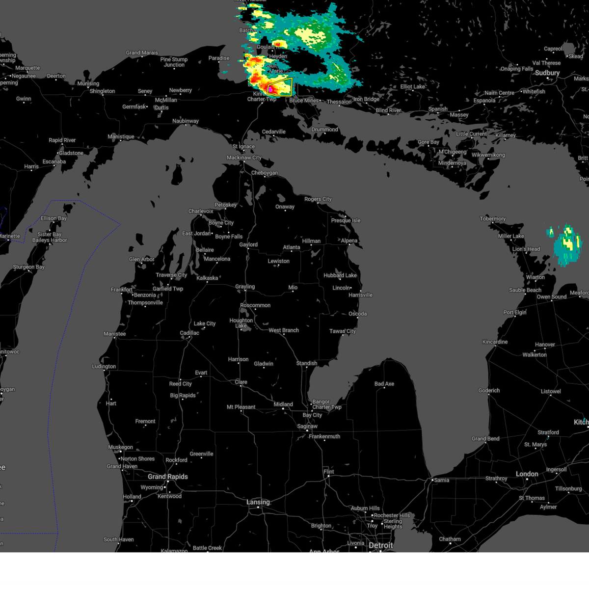
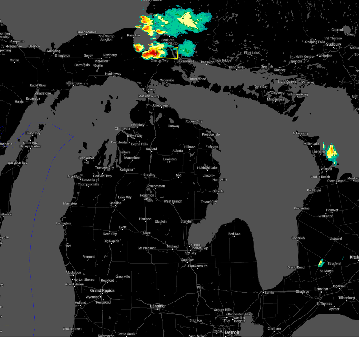
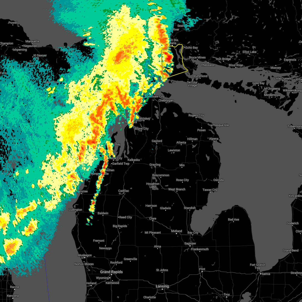
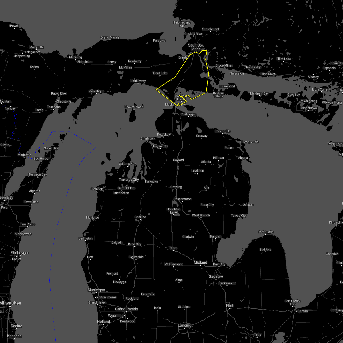
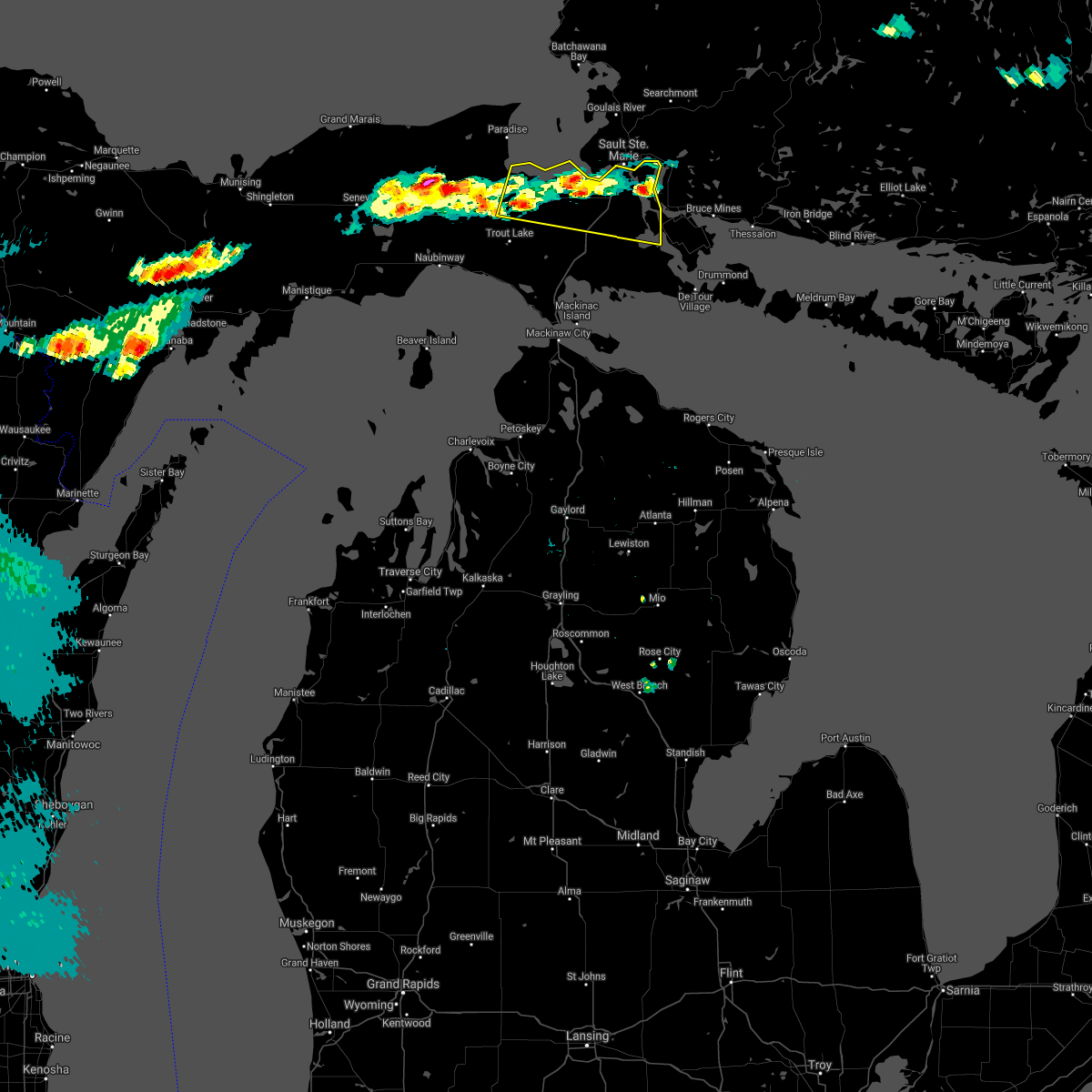
Hail Map for Sault Ste. Marie, MI
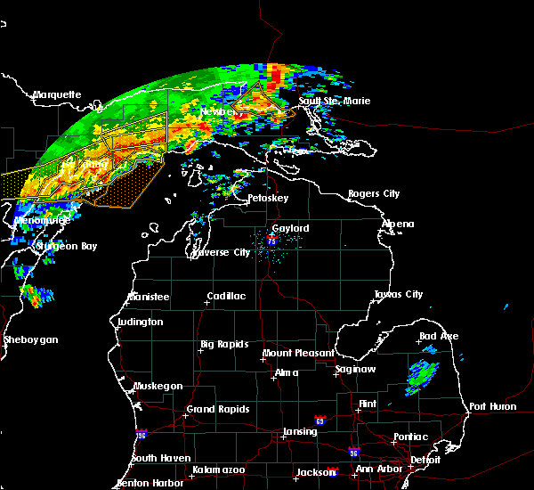
The Sault Ste. Marie, MI area has had 5 reports of on-the-ground hail by trained spotters, and has been under severe weather warnings 0 times during the past 12 months. Doppler radar has detected hail at or near Sault Ste. Marie, MI on 6 occasions.
| Name: | Sault Ste. Marie, MI |
| Where Located: | 1.6 miles SW of Sault Sainte Marie, MI |
| Map: | Google Map for Sault Ste. Marie, MI |
| Population: | 14144 |
| Housing Units: | 6534 |
| More Info: | Search Google for Sault Ste. Marie, MI |
5
The Top Recent Hail Date for Sault Ste. Marie, MI is Monday, July 10, 2023 (1st out of 6)

Hail and Wind Damage Spotted near Sault Ste. Marie, MI
| Date / Time | Report Details |
|---|---|
| 6/13/2024 3:47 PM EDT |
 the severe thunderstorm warning has been cancelled and is no longer in effect the severe thunderstorm warning has been cancelled and is no longer in effect
|
| 6/13/2024 3:31 PM EDT |
 At 331 pm edt, a severe thunderstorm was located over brimley state park, or near point iroquois, moving east at 40 mph (radar indicated). Hazards include 60 mph wind gusts and quarter size hail. Hail damage to vehicles is expected. expect wind damage to roofs, siding, and trees. this severe storm will be near, dafter and donaldson around 335 pm edt. sault ste. marie around 340 pm edt. Other locations impacted by this severe thunderstorm include sugar island and mccarron. At 331 pm edt, a severe thunderstorm was located over brimley state park, or near point iroquois, moving east at 40 mph (radar indicated). Hazards include 60 mph wind gusts and quarter size hail. Hail damage to vehicles is expected. expect wind damage to roofs, siding, and trees. this severe storm will be near, dafter and donaldson around 335 pm edt. sault ste. marie around 340 pm edt. Other locations impacted by this severe thunderstorm include sugar island and mccarron.
|
| 6/13/2024 3:14 PM EDT |
 Svrapx the national weather service in gaylord has issued a * severe thunderstorm warning for, central chippewa county in eastern michigan, * until 415 pm edt. * at 314 pm edt, a severe thunderstorm was located near bayview campground, or 10 miles west of point iroquois, moving east at 45 mph (law enforcement). Hazards include 60 mph wind gusts and quarter size hail. at 304 pm, quarter size hail was reported 4 miles north-northwest of eckerman. Hail damage to vehicles is expected. expect wind damage to roofs, siding, and trees. this severe thunderstorm will be near, point iroquois, bay mills, raco, brimley, bayview campground, and brimley state park around 320 pm edt. dafter around 330 pm edt. sault ste. marie around 335 pm edt. donaldson around 340 pm edt. Other locations impacted by this severe thunderstorm include sugar island and mccarron. Svrapx the national weather service in gaylord has issued a * severe thunderstorm warning for, central chippewa county in eastern michigan, * until 415 pm edt. * at 314 pm edt, a severe thunderstorm was located near bayview campground, or 10 miles west of point iroquois, moving east at 45 mph (law enforcement). Hazards include 60 mph wind gusts and quarter size hail. at 304 pm, quarter size hail was reported 4 miles north-northwest of eckerman. Hail damage to vehicles is expected. expect wind damage to roofs, siding, and trees. this severe thunderstorm will be near, point iroquois, bay mills, raco, brimley, bayview campground, and brimley state park around 320 pm edt. dafter around 330 pm edt. sault ste. marie around 335 pm edt. donaldson around 340 pm edt. Other locations impacted by this severe thunderstorm include sugar island and mccarron.
|
| 6/8/2024 6:30 PM EDT |
 The storm which prompted the warning has weakened below severe limits, and no longer poses an immediate threat to life or property. therefore, the warning will be allowed to expire. however, lightning, heavy rain, and small hail are still possible with this thunderstorm; remain alert for changing weather conditions. to report severe weather, contact your nearest law enforcement agency. they will relay your report to the national weather service gaylord. The storm which prompted the warning has weakened below severe limits, and no longer poses an immediate threat to life or property. therefore, the warning will be allowed to expire. however, lightning, heavy rain, and small hail are still possible with this thunderstorm; remain alert for changing weather conditions. to report severe weather, contact your nearest law enforcement agency. they will relay your report to the national weather service gaylord.
|
| 6/8/2024 6:20 PM EDT |
 At 619 pm edt, a severe thunderstorm was located over dafter, or near sault ste. marie, moving east at 25 mph (radar indicated). Hazards include 60 mph wind gusts and quarter size hail. Hail damage to vehicles is expected. expect wind damage to roofs, siding, and trees. this severe storm will be near, barbeau and donaldson around 625 pm edt. Other locations impacted by this severe thunderstorm include sugar island and mccarron. At 619 pm edt, a severe thunderstorm was located over dafter, or near sault ste. marie, moving east at 25 mph (radar indicated). Hazards include 60 mph wind gusts and quarter size hail. Hail damage to vehicles is expected. expect wind damage to roofs, siding, and trees. this severe storm will be near, barbeau and donaldson around 625 pm edt. Other locations impacted by this severe thunderstorm include sugar island and mccarron.
|
| 6/8/2024 6:02 PM EDT | Quarter sized hail reported 10.4 miles ENE of Sault Ste. Marie, MI, report from social media of hail up to the size of a quarter in superior... by brimley. time estimated from radar. |
| 6/8/2024 5:59 PM EDT |
 Svrapx the national weather service in gaylord has issued a * severe thunderstorm warning for, central chippewa county in eastern michigan, * until 630 pm edt. * at 559 pm edt, a severe thunderstorm was located over brimley, or near point iroquois, moving east at 25 mph (radar indicated). Hazards include 60 mph wind gusts and quarter size hail. Hail damage to vehicles is expected. expect wind damage to roofs, siding, and trees. this severe thunderstorm will be near, dafter, brimley, and brimley state park around 605 pm edt. sault ste. marie around 615 pm edt. Other locations impacted by this severe thunderstorm include sugar island and mccarron. Svrapx the national weather service in gaylord has issued a * severe thunderstorm warning for, central chippewa county in eastern michigan, * until 630 pm edt. * at 559 pm edt, a severe thunderstorm was located over brimley, or near point iroquois, moving east at 25 mph (radar indicated). Hazards include 60 mph wind gusts and quarter size hail. Hail damage to vehicles is expected. expect wind damage to roofs, siding, and trees. this severe thunderstorm will be near, dafter, brimley, and brimley state park around 605 pm edt. sault ste. marie around 615 pm edt. Other locations impacted by this severe thunderstorm include sugar island and mccarron.
|
| 8/9/2023 3:35 PM EDT | Ping Pong Ball sized hail reported 13.8 miles NW of Sault Ste. Marie, MI, report via social media. pictures of measured 1.5 inch hailstones on far north side of neebish island. time estimated via radar. |
| 7/10/2023 8:52 PM EDT | Quarter sized hail reported 7.5 miles ENE of Sault Ste. Marie, MI, fire chief reports quarter sized hail at 6 mile road and east birch point trail. time estimated by radar. |
| 7/10/2023 8:48 PM EDT |
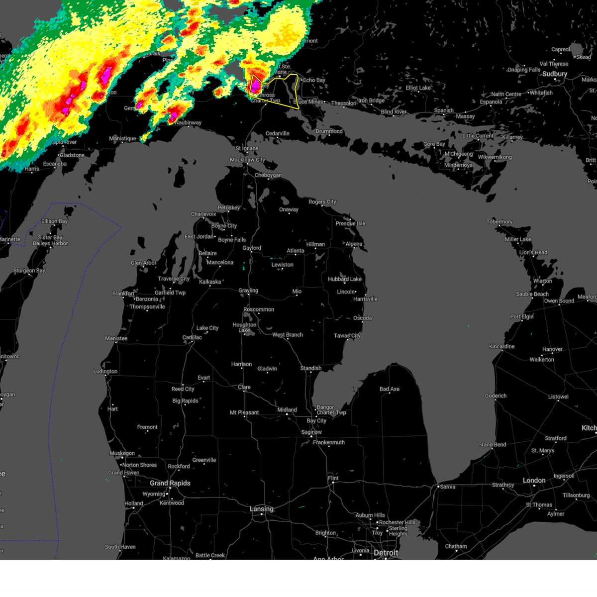 At 848 pm edt, a severe thunderstorm was located over bay mills, or near point iroquois, moving east at 45 mph (radar indicated). Hazards include 60 mph wind gusts and half dollar size hail. Hail damage to vehicles is expected. expect wind damage to roofs, siding, and trees. locations impacted include, sault ste. marie, point iroquois, bay mills, dafter, brimley, brimley state park, donaldson, barbeau, sugar island and mccarron. hail threat, radar indicated max hail size, 1. 25 in wind threat, radar indicated max wind gust, 60 mph. At 848 pm edt, a severe thunderstorm was located over bay mills, or near point iroquois, moving east at 45 mph (radar indicated). Hazards include 60 mph wind gusts and half dollar size hail. Hail damage to vehicles is expected. expect wind damage to roofs, siding, and trees. locations impacted include, sault ste. marie, point iroquois, bay mills, dafter, brimley, brimley state park, donaldson, barbeau, sugar island and mccarron. hail threat, radar indicated max hail size, 1. 25 in wind threat, radar indicated max wind gust, 60 mph.
|
| 7/10/2023 8:34 PM EDT |
 At 834 pm edt, a severe thunderstorm was located over bayview campground, or 9 miles southwest of point iroquois, moving east at 45 mph (radar indicated). Hazards include 60 mph wind gusts and half dollar size hail. Hail damage to vehicles is expected. expect wind damage to roofs, siding, and trees. locations impacted include, point iroquois, bay mills, brimley state park, brimley, dafter and sault ste. marie. hail threat, radar indicated max hail size, 1. 25 in wind threat, radar indicated max wind gust, 60 mph. At 834 pm edt, a severe thunderstorm was located over bayview campground, or 9 miles southwest of point iroquois, moving east at 45 mph (radar indicated). Hazards include 60 mph wind gusts and half dollar size hail. Hail damage to vehicles is expected. expect wind damage to roofs, siding, and trees. locations impacted include, point iroquois, bay mills, brimley state park, brimley, dafter and sault ste. marie. hail threat, radar indicated max hail size, 1. 25 in wind threat, radar indicated max wind gust, 60 mph.
|
| 7/10/2023 8:20 PM EDT |
 At 819 pm edt, a severe thunderstorm was located over eckerman, or 17 miles south of paradise, moving east at 40 mph (radar indicated). Hazards include 60 mph wind gusts and half dollar size hail. Hail damage to vehicles is expected. expect wind damage to roofs, siding, and trees. this severe thunderstorm will be near, raco and bayview campground around 840 pm edt. point iroquois, bay mills and brimley around 850 pm edt. brimley state park around 855 pm edt. dafter around 900 pm edt. sault ste. marie and donaldson around 905 pm edt. other locations impacted by this severe thunderstorm include sugar island, mackinaw lake, platt lake, kincheloe and mccarron. hail threat, radar indicated max hail size, 1. 25 in wind threat, radar indicated max wind gust, 60 mph. At 819 pm edt, a severe thunderstorm was located over eckerman, or 17 miles south of paradise, moving east at 40 mph (radar indicated). Hazards include 60 mph wind gusts and half dollar size hail. Hail damage to vehicles is expected. expect wind damage to roofs, siding, and trees. this severe thunderstorm will be near, raco and bayview campground around 840 pm edt. point iroquois, bay mills and brimley around 850 pm edt. brimley state park around 855 pm edt. dafter around 900 pm edt. sault ste. marie and donaldson around 905 pm edt. other locations impacted by this severe thunderstorm include sugar island, mackinaw lake, platt lake, kincheloe and mccarron. hail threat, radar indicated max hail size, 1. 25 in wind threat, radar indicated max wind gust, 60 mph.
|
| 6/30/2023 10:00 AM EDT |
 At 1000 am edt, a severe thunderstorm was located over dafter, or near sault ste. marie, moving east at 20 mph (radar indicated). Hazards include 60 mph wind gusts and quarter size hail. Hail damage to vehicles is expected. expect wind damage to roofs, siding, and trees. locations impacted include, dafter and sugar island. hail threat, radar indicated max hail size, 1. 00 in wind threat, radar indicated max wind gust, 60 mph. At 1000 am edt, a severe thunderstorm was located over dafter, or near sault ste. marie, moving east at 20 mph (radar indicated). Hazards include 60 mph wind gusts and quarter size hail. Hail damage to vehicles is expected. expect wind damage to roofs, siding, and trees. locations impacted include, dafter and sugar island. hail threat, radar indicated max hail size, 1. 00 in wind threat, radar indicated max wind gust, 60 mph.
|
| 6/30/2023 9:47 AM EDT |
 At 946 am edt, a severe thunderstorm was located over dafter, or 7 miles southwest of sault ste. marie, moving east at 20 mph (radar indicated). Hazards include 60 mph wind gusts and quarter size hail. Hail damage to vehicles is expected. expect wind damage to roofs, siding, and trees. locations impacted include, dafter and sugar island. hail threat, radar indicated max hail size, 1. 00 in wind threat, radar indicated max wind gust, 60 mph. At 946 am edt, a severe thunderstorm was located over dafter, or 7 miles southwest of sault ste. marie, moving east at 20 mph (radar indicated). Hazards include 60 mph wind gusts and quarter size hail. Hail damage to vehicles is expected. expect wind damage to roofs, siding, and trees. locations impacted include, dafter and sugar island. hail threat, radar indicated max hail size, 1. 00 in wind threat, radar indicated max wind gust, 60 mph.
|
| 6/30/2023 9:34 AM EDT |
 At 934 am edt, a severe thunderstorm was located over brimley state park, or near point iroquois, moving east at 20 mph (radar indicated). Hazards include 60 mph wind gusts and quarter size hail. Hail damage to vehicles is expected. Expect wind damage to roofs, siding, and trees. At 934 am edt, a severe thunderstorm was located over brimley state park, or near point iroquois, moving east at 20 mph (radar indicated). Hazards include 60 mph wind gusts and quarter size hail. Hail damage to vehicles is expected. Expect wind damage to roofs, siding, and trees.
|
| 6/15/2022 10:52 PM EDT |
 The severe thunderstorm warning for central chippewa and northeastern mackinac counties will expire at 1100 pm edt, the storms which prompted the warning have moved out of the area. therefore, the warning will be allowed to expire. a tornado watch remains in effect until 100 am edt for eastern michigan. The severe thunderstorm warning for central chippewa and northeastern mackinac counties will expire at 1100 pm edt, the storms which prompted the warning have moved out of the area. therefore, the warning will be allowed to expire. a tornado watch remains in effect until 100 am edt for eastern michigan.
|
| 6/15/2022 10:38 PM EDT |
 At 1036 pm edt, severe thunderstorms were located along a line extending from 19 miles east of whitefish point to sault ste. marie to pickford, moving northeast at 60 mph (radar indicated. at 10:31 pm, a 61 mph gust was reported at chippewa county international airport). Hazards include 60 mph wind gusts. Expect damage to roofs, siding, and trees. locations impacted include, munuscong. hail threat, radar indicated max hail size, <. 75 in wind threat, observed max wind gust, 60 mph. At 1036 pm edt, severe thunderstorms were located along a line extending from 19 miles east of whitefish point to sault ste. marie to pickford, moving northeast at 60 mph (radar indicated. at 10:31 pm, a 61 mph gust was reported at chippewa county international airport). Hazards include 60 mph wind gusts. Expect damage to roofs, siding, and trees. locations impacted include, munuscong. hail threat, radar indicated max hail size, <. 75 in wind threat, observed max wind gust, 60 mph.
|
| 6/15/2022 10:31 PM EDT | Awos at chippewa county intl aipor in chippewa county MI, 16.1 miles NNE of Sault Ste. Marie, MI |
| 6/15/2022 10:18 PM EDT |
 At 1017 pm edt, severe thunderstorms were located along a line extending from near whitefish point to near raco to 8 miles northeast of allenville, moving northeast at 60 mph (radar indicated). Hazards include 60 mph wind gusts. Expect damage to roofs, siding, and trees. severe thunderstorms will be near, dafter and brimley state park around 1025 pm edt. sault ste. marie around 1030 pm edt. pickford, kelden and stalwart around 1035 pm edt. other locations in the path of these severe thunderstorms include barbeau and munuscong. hail threat, radar indicated max hail size, <. 75 in wind threat, radar indicated max wind gust, 60 mph. At 1017 pm edt, severe thunderstorms were located along a line extending from near whitefish point to near raco to 8 miles northeast of allenville, moving northeast at 60 mph (radar indicated). Hazards include 60 mph wind gusts. Expect damage to roofs, siding, and trees. severe thunderstorms will be near, dafter and brimley state park around 1025 pm edt. sault ste. marie around 1030 pm edt. pickford, kelden and stalwart around 1035 pm edt. other locations in the path of these severe thunderstorms include barbeau and munuscong. hail threat, radar indicated max hail size, <. 75 in wind threat, radar indicated max wind gust, 60 mph.
|
| 8/11/2021 4:06 PM EDT | Buoy station wnem4 west neebish island... m in lsz322 county MI, 15.5 miles NNW of Sault Ste. Marie, MI |
| 8/11/2021 4:01 PM EDT |
 At 400 pm edt, severe thunderstorms were located along a line extending from near barbeau to near hessel to near evergreen shores, moving southeast at 45 mph. the kinross airport measured a 64 mph wind gust with this storm (radar indicated). Hazards include 60 mph wind gusts and penny size hail. Expect damage to roofs, siding, and trees. these severe storms will be near, munuscong and hessel around 405 pm edt. other locations in the path of these severe thunderstorms include cedarville and stalwart. hail threat, radar indicated max hail size, 0. 75 in wind threat, observed max wind gust, 60 mph. At 400 pm edt, severe thunderstorms were located along a line extending from near barbeau to near hessel to near evergreen shores, moving southeast at 45 mph. the kinross airport measured a 64 mph wind gust with this storm (radar indicated). Hazards include 60 mph wind gusts and penny size hail. Expect damage to roofs, siding, and trees. these severe storms will be near, munuscong and hessel around 405 pm edt. other locations in the path of these severe thunderstorms include cedarville and stalwart. hail threat, radar indicated max hail size, 0. 75 in wind threat, observed max wind gust, 60 mph.
|
| 8/11/2021 3:49 PM EDT | Awos station kciu kinross - chippewa county international arp in chippewa county MI, 16.1 miles NNE of Sault Ste. Marie, MI |
| 8/11/2021 3:47 PM EDT |
 At 346 pm edt, severe thunderstorms were located along a line extending from dafter to 6 miles south of rudyard to near moran, moving southeast at 45 mph (radar indicated). Hazards include 60 mph wind gusts and penny size hail. Expect damage to roofs, siding, and trees. severe thunderstorms will be near, kinross and dafter around 350 pm edt. donaldson and barbeau around 355 pm edt. st. ignace, pickford, evergreen shores and kelden around 400 pm edt. cedarville, munuscong, hessel and straits state park around 405 pm edt. other locations in the path of these severe thunderstorms include mackinac island and stalwart. hail threat, radar indicated max hail size, 0. 75 in wind threat, radar indicated max wind gust, 60 mph. At 346 pm edt, severe thunderstorms were located along a line extending from dafter to 6 miles south of rudyard to near moran, moving southeast at 45 mph (radar indicated). Hazards include 60 mph wind gusts and penny size hail. Expect damage to roofs, siding, and trees. severe thunderstorms will be near, kinross and dafter around 350 pm edt. donaldson and barbeau around 355 pm edt. st. ignace, pickford, evergreen shores and kelden around 400 pm edt. cedarville, munuscong, hessel and straits state park around 405 pm edt. other locations in the path of these severe thunderstorms include mackinac island and stalwart. hail threat, radar indicated max hail size, 0. 75 in wind threat, radar indicated max wind gust, 60 mph.
|
| 7/14/2021 4:10 PM EDT |
 At 409 pm edt, severe thunderstorms were located along a line extending from 8 miles southeast of sault ste. marie to strongs, moving east at 25 mph (radar indicated). Hazards include 60 mph wind gusts and quarter size hail. Hail damage to vehicles is expected. expect wind damage to roofs, siding, and trees. locations impacted include, sault ste. Marie, point iroquois, kinross, bay mills, dafter, kelden, brimley state park, bayview campground, strongs, brimley, eckerman, donaldson, raco, barbeau, munuscong, sugar island, and kincheloe. At 409 pm edt, severe thunderstorms were located along a line extending from 8 miles southeast of sault ste. marie to strongs, moving east at 25 mph (radar indicated). Hazards include 60 mph wind gusts and quarter size hail. Hail damage to vehicles is expected. expect wind damage to roofs, siding, and trees. locations impacted include, sault ste. Marie, point iroquois, kinross, bay mills, dafter, kelden, brimley state park, bayview campground, strongs, brimley, eckerman, donaldson, raco, barbeau, munuscong, sugar island, and kincheloe.
|
| 7/14/2021 3:36 PM EDT |
 At 335 pm edt, a severe thunderstorm was located near strongs, or 16 miles south of paradise, moving east at 15 mph (radar indicated). Hazards include quarter size hail. damage to vehicles is expected At 335 pm edt, a severe thunderstorm was located near strongs, or 16 miles south of paradise, moving east at 15 mph (radar indicated). Hazards include quarter size hail. damage to vehicles is expected
|
| 7/19/2020 3:59 AM EDT |
 The national weather service in gaylord has issued a * severe thunderstorm warning for. west central chippewa county in eastern michigan. until 500 am edt. At 358 am edt, a severe thunderstorm was located over eckerman, or 16 miles south of paradise, moving east at 35 mph. The national weather service in gaylord has issued a * severe thunderstorm warning for. west central chippewa county in eastern michigan. until 500 am edt. At 358 am edt, a severe thunderstorm was located over eckerman, or 16 miles south of paradise, moving east at 35 mph.
|
| 9/25/2019 4:12 PM EDT | Quarter sized hail reported 20.5 miles NNE of Sault Ste. Marie, MI, broadcast media relayed reports of hail covering the ground... some to the size of quarters. time estimated via radar. |
| 8/27/2019 7:10 PM EDT | Trees down at lakeshore drive near wilcox lane. relayed by media. time estimated from rada in chippewa county MI, 14.7 miles E of Sault Ste. Marie, MI |
| 8/28/2018 2:12 AM EDT |
 The severe thunderstorm warning for central chippewa and northeastern mackinac counties will expire at 215 am edt, the storm which prompted the warning has moved out of the area. therefore, the warning will be allowed to expire. however heavy rain is still possible with this thunderstorm. The severe thunderstorm warning for central chippewa and northeastern mackinac counties will expire at 215 am edt, the storm which prompted the warning has moved out of the area. therefore, the warning will be allowed to expire. however heavy rain is still possible with this thunderstorm.
|
| 8/28/2018 1:35 AM EDT |
 At 133 am edt, a severe thunderstorm was located over moran, or 11 miles northwest of st. ignace, moving northeast at 80 mph (radar indicated). Hazards include 60 mph wind gusts. expect damage to roofs, siding, and trees At 133 am edt, a severe thunderstorm was located over moran, or 11 miles northwest of st. ignace, moving northeast at 80 mph (radar indicated). Hazards include 60 mph wind gusts. expect damage to roofs, siding, and trees
|
| 7/6/2017 2:15 PM EDT | 2 reports relayed via facebook of 5 inch and 6 inch limbs snapped. also a few shingles blown off roo in chippewa county MI, 0.5 miles SSW of Sault Ste. Marie, MI |
| 6/11/2017 4:49 PM EDT | Public report of trees down across road. time estimate in chippewa county MI, 7.1 miles NW of Sault Ste. Marie, MI |
| 8/16/2016 4:15 PM EDT | Metal roof on outbuilding peeled bac in chippewa county MI, 13 miles NE of Sault Ste. Marie, MI |
| 6/18/2012 4:21 PM EDT | Golf Ball sized hail reported 20 miles NNE of Sault Ste. Marie, MI, at least golfball size at 11155 w main st. |
Hail Maps for Sault Ste. Marie, MI


Connect with Interactive Hail Maps