

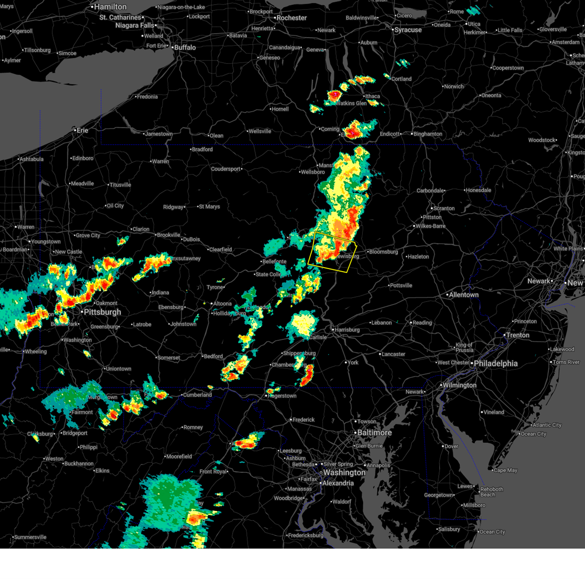
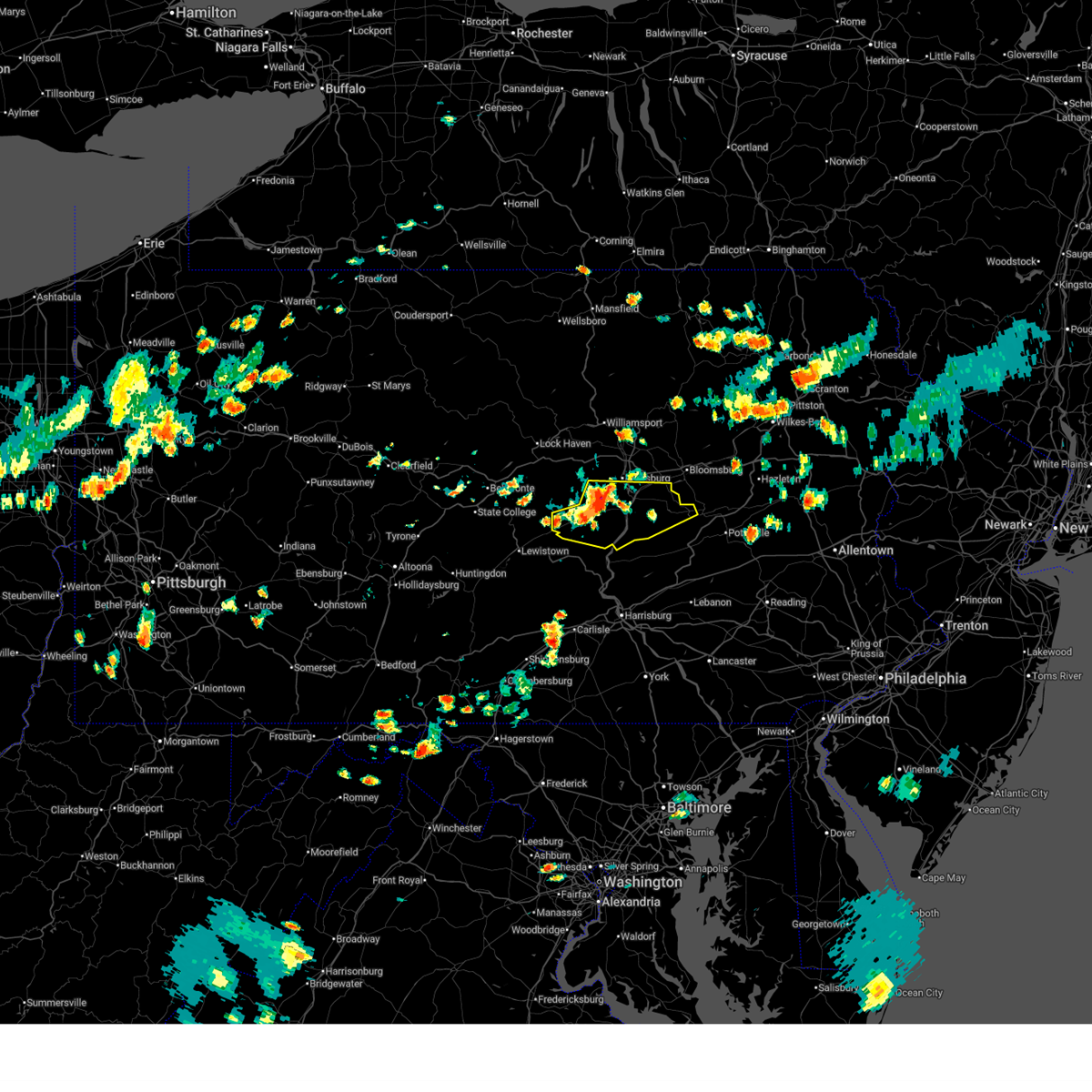
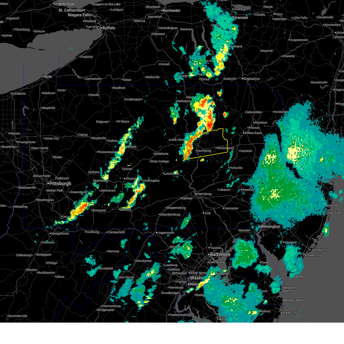
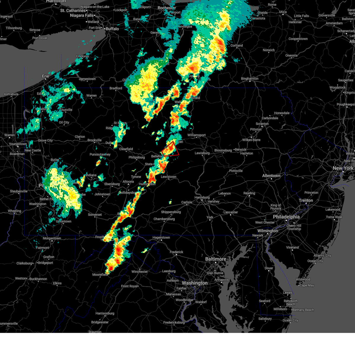
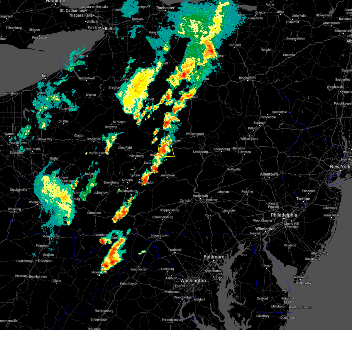
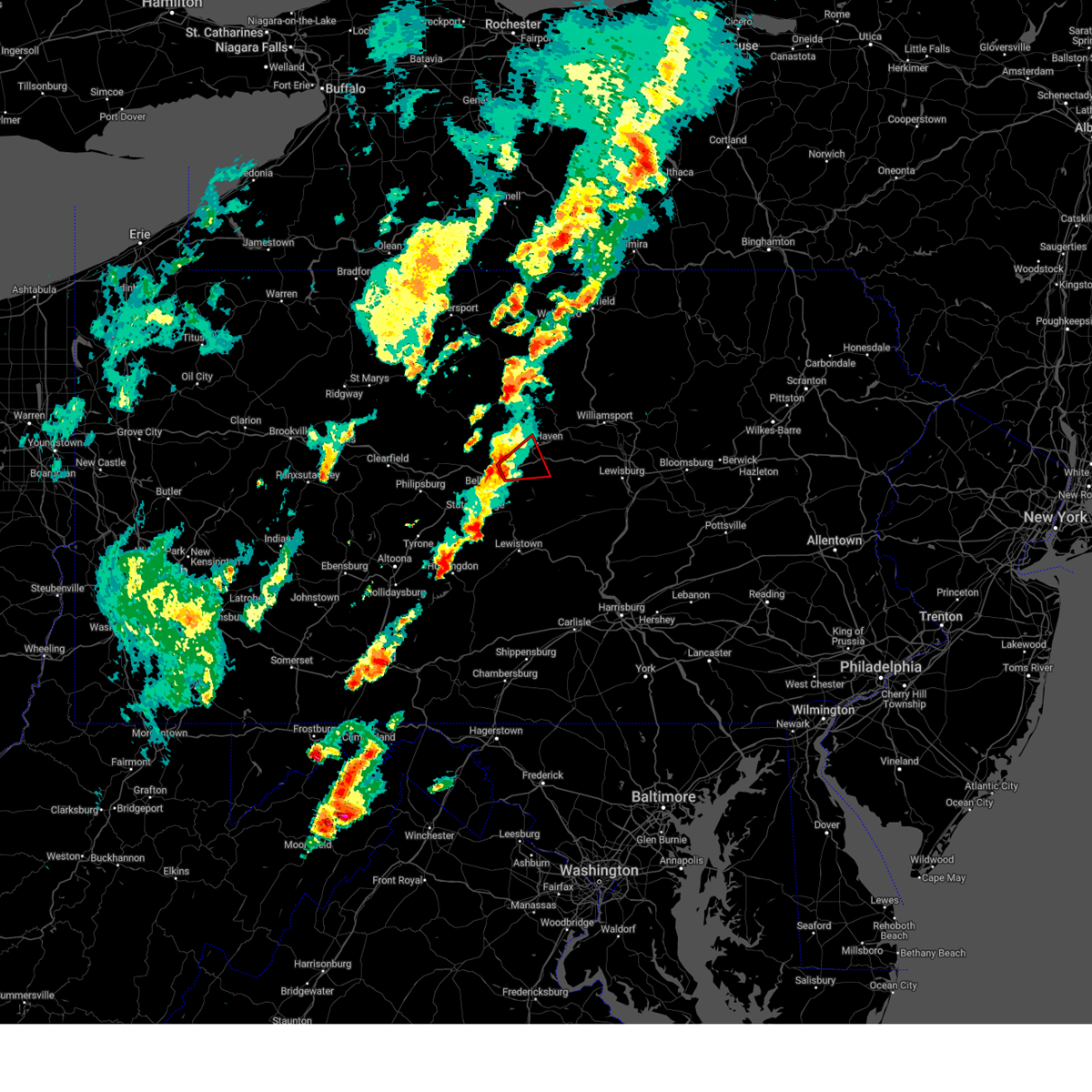
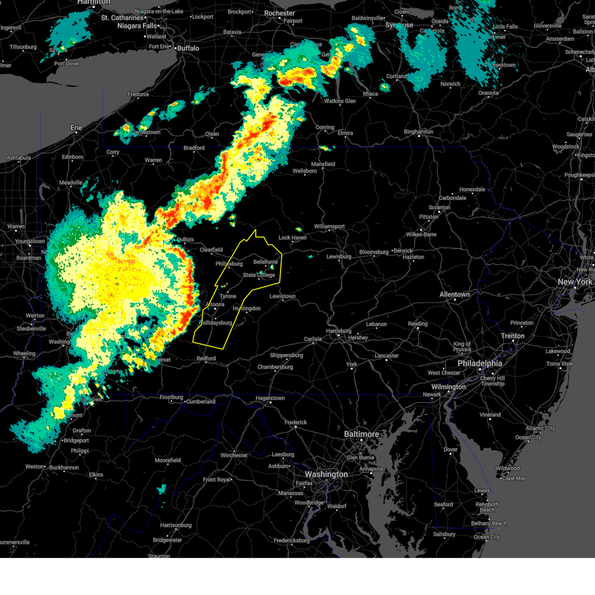
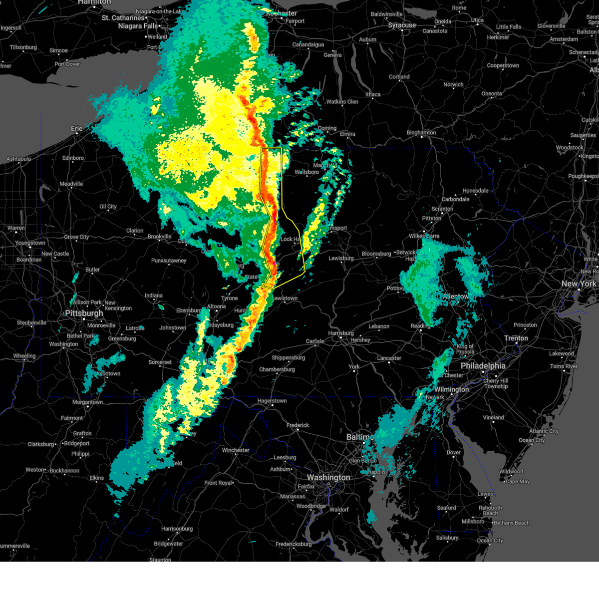
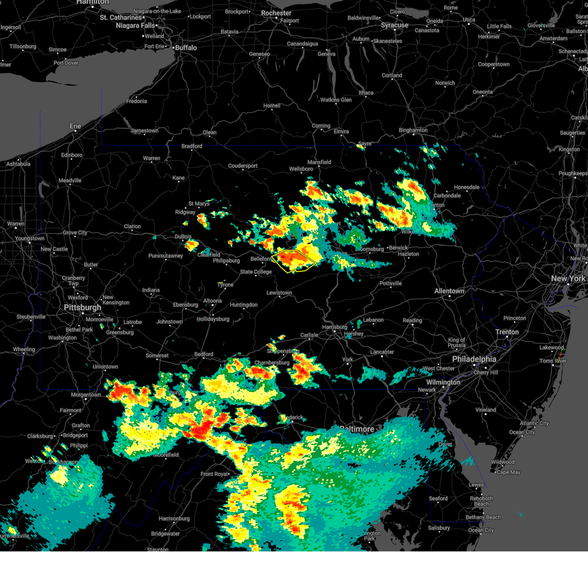
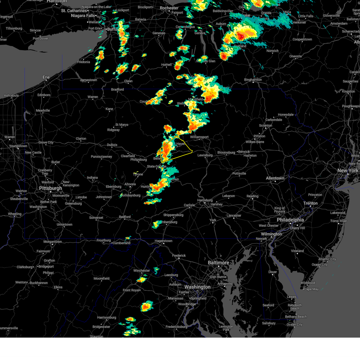
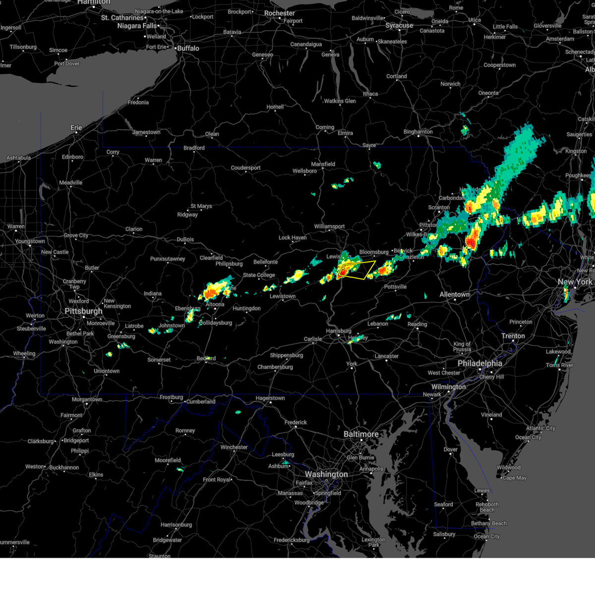
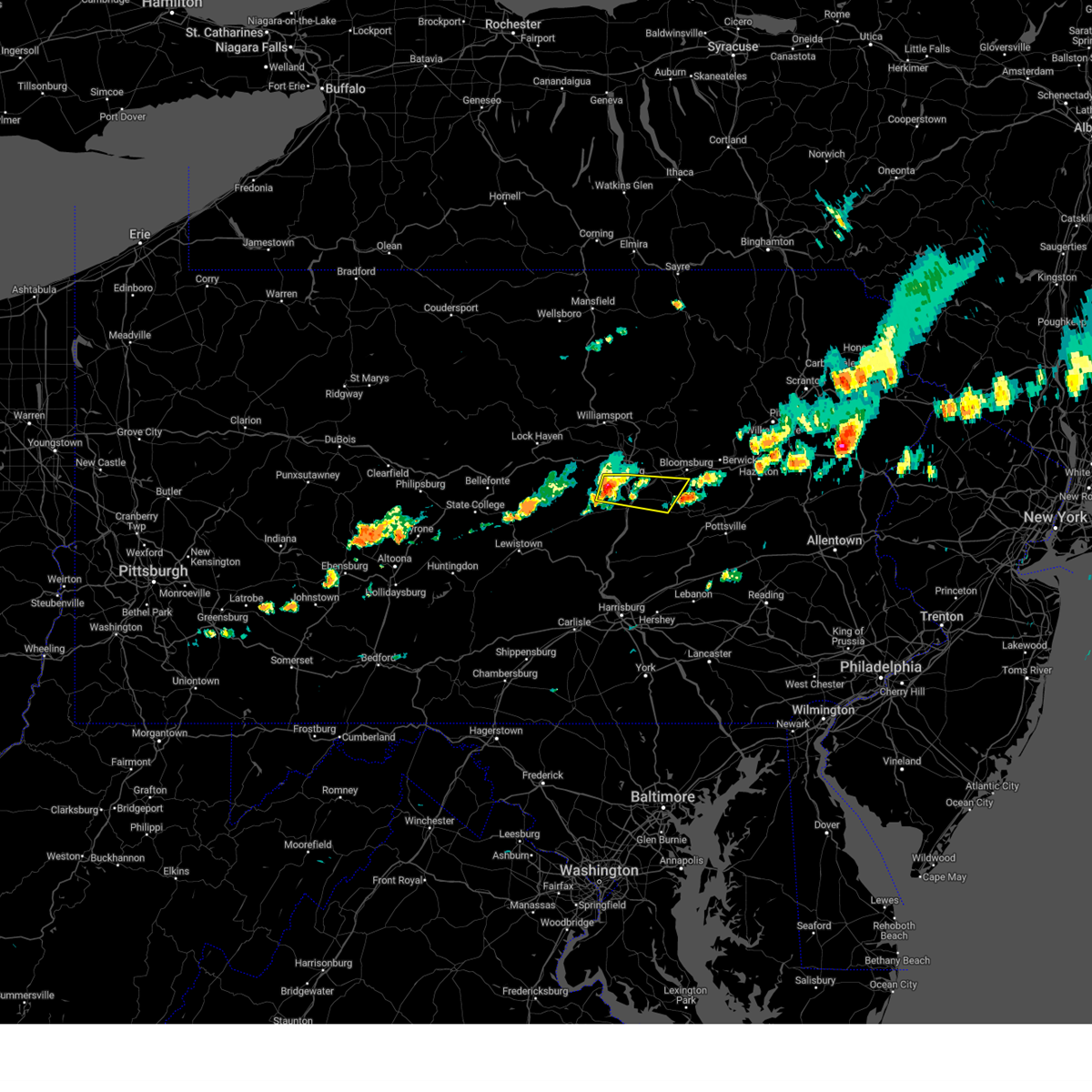
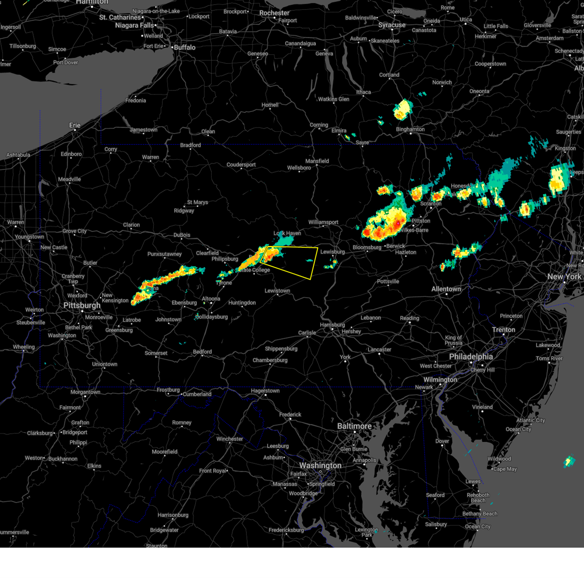
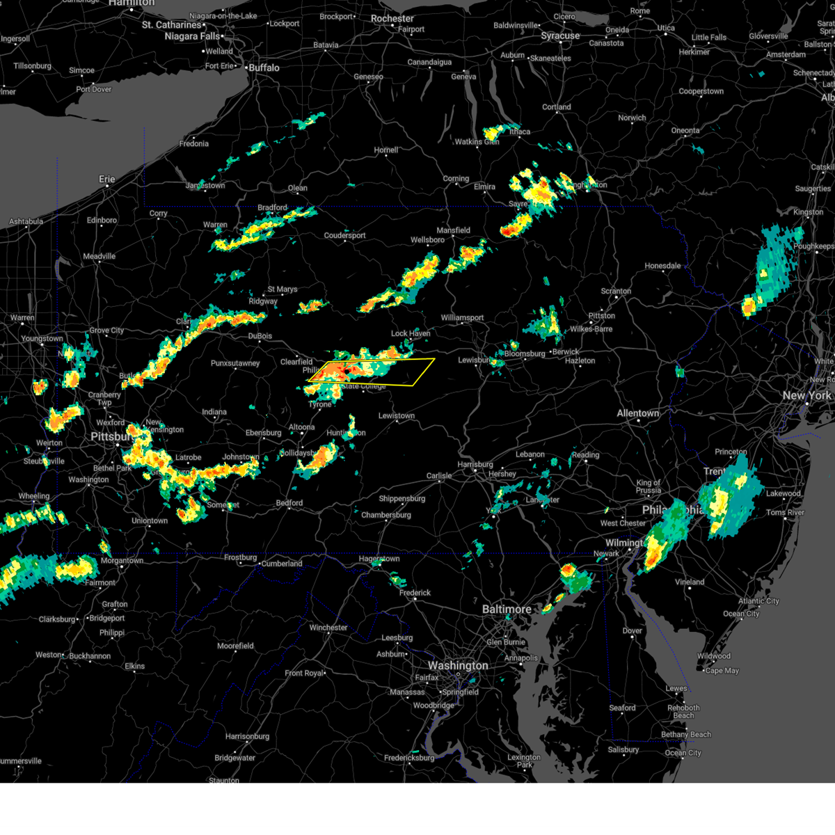
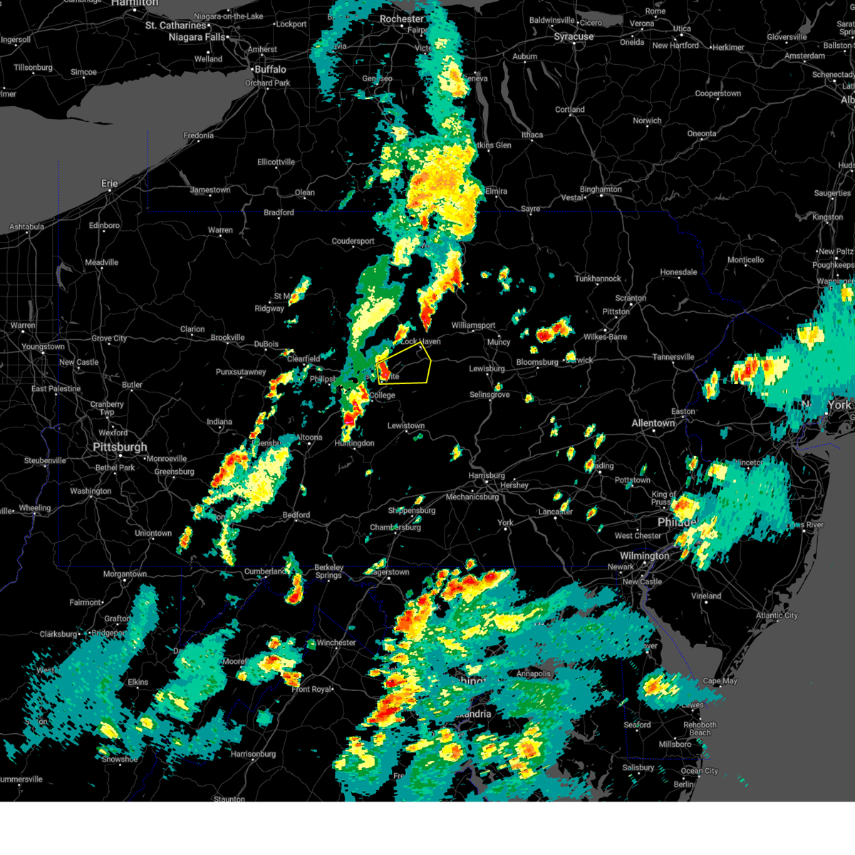
Hail Map for Snydertown, PA
The Snydertown, PA area has had 0 reports of on-the-ground hail by trained spotters, and has been under severe weather warnings 38 times during the past 12 months. Doppler radar has detected hail at or near Snydertown, PA on 70 occasions, including 3 occasions during the past year.
| Name: | Snydertown, PA |
| Where Located: | 18.9 miles NE of State College, PA |
| Map: | Google Map for Snydertown, PA |
| Population: | 483 |
| Housing Units: | 167 |
| More Info: | Search Google for Snydertown, PA |
3
The Top Recent Hail Date for Snydertown, PA is Thursday, August 29, 2024 (14th out of 70)

Hail and Wind Damage Spotted near Snydertown, PA
| Date / Time | Report Details |
|---|---|
| 6/28/2025 4:15 PM EDT |
 The storms which prompted the warning have weakened below severe limits, and no longer pose an immediate threat to life or property. therefore, the warning has been allowed to expire. however, gusty winds are still possible with these thunderstorms. a severe thunderstorm watch remains in effect until 800 pm edt for central and north central pennsylvania. The storms which prompted the warning have weakened below severe limits, and no longer pose an immediate threat to life or property. therefore, the warning has been allowed to expire. however, gusty winds are still possible with these thunderstorms. a severe thunderstorm watch remains in effect until 800 pm edt for central and north central pennsylvania.
|
| 6/28/2025 4:02 PM EDT |
 At 402 pm edt, severe thunderstorms were located along a line extending from muncy to penns creek, moving east at 40 mph (radar indicated). Hazards include 60 mph wind gusts and penny size hail. Expect damage to roofs, siding, and trees. locations impacted include, sunbury, milton, lewisburg, northumberland, mifflinburg, winfield, watsontown, riverside, shamokin dam, linntown, hummels wharf, and new columbia. for those driving on interstate 80, this includes areas between the jersey shore and buckhorn exits, specifically from mile markers 196 to 225. This includes interstate 180 from mile markers 1 to 5. At 402 pm edt, severe thunderstorms were located along a line extending from muncy to penns creek, moving east at 40 mph (radar indicated). Hazards include 60 mph wind gusts and penny size hail. Expect damage to roofs, siding, and trees. locations impacted include, sunbury, milton, lewisburg, northumberland, mifflinburg, winfield, watsontown, riverside, shamokin dam, linntown, hummels wharf, and new columbia. for those driving on interstate 80, this includes areas between the jersey shore and buckhorn exits, specifically from mile markers 196 to 225. This includes interstate 180 from mile markers 1 to 5.
|
| 6/28/2025 4:02 PM EDT |
 the severe thunderstorm warning has been cancelled and is no longer in effect the severe thunderstorm warning has been cancelled and is no longer in effect
|
| 6/28/2025 3:47 PM EDT |
 the severe thunderstorm warning has been cancelled and is no longer in effect the severe thunderstorm warning has been cancelled and is no longer in effect
|
| 6/28/2025 3:47 PM EDT |
 At 346 pm edt, severe thunderstorms were located along a line extending from williamsport to laurelton center, moving east at 40 mph (radar indicated). Hazards include 60 mph wind gusts and penny size hail. Expect damage to roofs, siding, and trees. locations impacted include, sunbury, milton, lewisburg, selinsgrove, northumberland, mifflinburg, carroll, woodward, winfield, watsontown, riverside, and shamokin dam. for those driving on interstate 80, this includes areas between the loganton and buckhorn exits, specifically from mile markers 187 to 225. This includes interstate 180 from mile markers 1 to 5. At 346 pm edt, severe thunderstorms were located along a line extending from williamsport to laurelton center, moving east at 40 mph (radar indicated). Hazards include 60 mph wind gusts and penny size hail. Expect damage to roofs, siding, and trees. locations impacted include, sunbury, milton, lewisburg, selinsgrove, northumberland, mifflinburg, carroll, woodward, winfield, watsontown, riverside, and shamokin dam. for those driving on interstate 80, this includes areas between the loganton and buckhorn exits, specifically from mile markers 187 to 225. This includes interstate 180 from mile markers 1 to 5.
|
| 6/28/2025 3:25 PM EDT |
 Svrctp the national weather service in state college pa has issued a * severe thunderstorm warning for, southeastern centre county in central pennsylvania, southeastern clinton county in north central pennsylvania, southwestern lycoming county in north central pennsylvania, northeastern mifflin county in central pennsylvania, northwestern montour county in central pennsylvania, western northumberland county in central pennsylvania, snyder county in central pennsylvania, union county in central pennsylvania, * until 415 pm edt. * at 324 pm edt, severe thunderstorms were located along a line extending from jersey shore to coburn, moving east at 40 mph (radar indicated). Hazards include 60 mph wind gusts. expect damage to roofs, siding, and trees Svrctp the national weather service in state college pa has issued a * severe thunderstorm warning for, southeastern centre county in central pennsylvania, southeastern clinton county in north central pennsylvania, southwestern lycoming county in north central pennsylvania, northeastern mifflin county in central pennsylvania, northwestern montour county in central pennsylvania, western northumberland county in central pennsylvania, snyder county in central pennsylvania, union county in central pennsylvania, * until 415 pm edt. * at 324 pm edt, severe thunderstorms were located along a line extending from jersey shore to coburn, moving east at 40 mph (radar indicated). Hazards include 60 mph wind gusts. expect damage to roofs, siding, and trees
|
| 6/26/2025 4:13 PM EDT | the severe thunderstorm warning has been cancelled and is no longer in effect |
| 6/26/2025 4:13 PM EDT | At 412 pm edt, severe thunderstorms were located along a line extending from elysburg to fairview-ferndale to urban, moving east at 30 mph (radar indicated). Hazards include 60 mph wind gusts and penny size hail. Expect damage to roofs, siding, and trees. Locations impacted include, sunbury, shamokin, mount carmel, northumberland, kulpmont, elysburg, fairview-ferndale, riverside, trevorton, shamokin dam, marshallton, and port trevorton. |
| 6/26/2025 3:26 PM EDT |
 Svrctp the national weather service in state college pa has issued a * severe thunderstorm warning for, northeastern juniata county in central pennsylvania, northumberland county in central pennsylvania, snyder county in central pennsylvania, southeastern union county in central pennsylvania, * until 430 pm edt. * at 326 pm edt, severe thunderstorms were located along a line extending from vicksburg to middleburg to richfield, moving east at 30 mph (radar indicated). Hazards include 60 mph wind gusts and penny size hail. expect damage to roofs, siding, and trees Svrctp the national weather service in state college pa has issued a * severe thunderstorm warning for, northeastern juniata county in central pennsylvania, northumberland county in central pennsylvania, snyder county in central pennsylvania, southeastern union county in central pennsylvania, * until 430 pm edt. * at 326 pm edt, severe thunderstorms were located along a line extending from vicksburg to middleburg to richfield, moving east at 30 mph (radar indicated). Hazards include 60 mph wind gusts and penny size hail. expect damage to roofs, siding, and trees
|
| 6/19/2025 7:20 PM EDT |
 Svrctp the national weather service in state college pa has issued a * severe thunderstorm warning for, columbia county in central pennsylvania, southeastern lycoming county in north central pennsylvania, montour county in central pennsylvania, northwestern northumberland county in central pennsylvania, northeastern snyder county in central pennsylvania, eastern union county in central pennsylvania, * until 830 pm edt. * at 719 pm edt, severe thunderstorms were located along a line extending from montgomery to allenwood to spruce run reservoir to penns creek, moving east northeast at 35 mph (radar indicated). Hazards include 60 mph wind gusts and penny size hail. expect damage to roofs, siding, and trees Svrctp the national weather service in state college pa has issued a * severe thunderstorm warning for, columbia county in central pennsylvania, southeastern lycoming county in north central pennsylvania, montour county in central pennsylvania, northwestern northumberland county in central pennsylvania, northeastern snyder county in central pennsylvania, eastern union county in central pennsylvania, * until 830 pm edt. * at 719 pm edt, severe thunderstorms were located along a line extending from montgomery to allenwood to spruce run reservoir to penns creek, moving east northeast at 35 mph (radar indicated). Hazards include 60 mph wind gusts and penny size hail. expect damage to roofs, siding, and trees
|
| 6/9/2025 8:58 PM EDT |
 The tornado threat has diminished and the tornado warning has been cancelled. however, large hail and damaging winds remain likely and a severe thunderstorm warning remains in effect for the area. a severe thunderstorm watch remains in effect until 1000 pm edt for central and north central pennsylvania. The tornado threat has diminished and the tornado warning has been cancelled. however, large hail and damaging winds remain likely and a severe thunderstorm warning remains in effect for the area. a severe thunderstorm watch remains in effect until 1000 pm edt for central and north central pennsylvania.
|
| 6/9/2025 8:45 PM EDT |
 At 843 pm edt, a severe thunderstorm was located over bald eagle state park, moving east at 20 mph (radar indicated). Hazards include 70 mph wind gusts and quarter size hail. Hail damage to vehicles is expected. expect considerable tree damage. wind damage is also likely to mobile homes, roofs, and outbuildings. locations impacted include, lamar, mill hall, blanchard, rebersburg, madisonburg, monument, bald eagle state park, howard, and beech creek. For those driving on interstate 80, this includes areas between the bellefonte and lock haven exits, specifically from mile markers 162 to 175. At 843 pm edt, a severe thunderstorm was located over bald eagle state park, moving east at 20 mph (radar indicated). Hazards include 70 mph wind gusts and quarter size hail. Hail damage to vehicles is expected. expect considerable tree damage. wind damage is also likely to mobile homes, roofs, and outbuildings. locations impacted include, lamar, mill hall, blanchard, rebersburg, madisonburg, monument, bald eagle state park, howard, and beech creek. For those driving on interstate 80, this includes areas between the bellefonte and lock haven exits, specifically from mile markers 162 to 175.
|
| 6/9/2025 8:35 PM EDT |
 At 835 pm edt, a severe thunderstorm capable of producing a tornado was located over bald eagle state park, moving northeast at 30 mph (radar indicated rotation). Hazards include tornado and quarter size hail. Flying debris will be dangerous to those caught without shelter. mobile homes will be damaged or destroyed. damage to roofs, windows, and vehicles will occur. tree damage is likely. this dangerous storm will be near, blanchard, lamar, and bald eagle state park around 840 pm edt. lock haven, flemington, and castanea around 850 pm edt. other locations impacted by this tornadic thunderstorm include beech creek, howard, and lock haven university. For those driving on interstate 80, this includes areas between the bellefonte and loganton exits, specifically from mile markers 164 to 179. At 835 pm edt, a severe thunderstorm capable of producing a tornado was located over bald eagle state park, moving northeast at 30 mph (radar indicated rotation). Hazards include tornado and quarter size hail. Flying debris will be dangerous to those caught without shelter. mobile homes will be damaged or destroyed. damage to roofs, windows, and vehicles will occur. tree damage is likely. this dangerous storm will be near, blanchard, lamar, and bald eagle state park around 840 pm edt. lock haven, flemington, and castanea around 850 pm edt. other locations impacted by this tornadic thunderstorm include beech creek, howard, and lock haven university. For those driving on interstate 80, this includes areas between the bellefonte and loganton exits, specifically from mile markers 164 to 179.
|
| 6/9/2025 8:33 PM EDT |
 At 832 pm edt, a severe thunderstorm was located over bald eagle state park, moving northeast at 20 mph. this is a destructive storm for howard, blanchard, and lamar (radar indicated). Hazards include 80 mph wind gusts and quarter size hail. Flying debris will be dangerous to those caught without shelter. mobile homes will be heavily damaged. expect considerable damage to roofs, windows, and vehicles. extensive tree damage and power outages are likely. locations impacted include, bellefonte, pleasant gap, lamar, zion, mill hall, milesburg, millheim, blanchard, aaronsburg, rebersburg, madisonburg, and monument. for those driving on interstate 80, this includes areas between the snow shoe and lock haven exits, specifically from mile markers 154 to 175. This includes interstate 99 from mile markers 80 to 85. At 832 pm edt, a severe thunderstorm was located over bald eagle state park, moving northeast at 20 mph. this is a destructive storm for howard, blanchard, and lamar (radar indicated). Hazards include 80 mph wind gusts and quarter size hail. Flying debris will be dangerous to those caught without shelter. mobile homes will be heavily damaged. expect considerable damage to roofs, windows, and vehicles. extensive tree damage and power outages are likely. locations impacted include, bellefonte, pleasant gap, lamar, zion, mill hall, milesburg, millheim, blanchard, aaronsburg, rebersburg, madisonburg, and monument. for those driving on interstate 80, this includes areas between the snow shoe and lock haven exits, specifically from mile markers 154 to 175. This includes interstate 99 from mile markers 80 to 85.
|
| 6/9/2025 8:25 PM EDT |
 Torctp the national weather service in state college pa has issued a * tornado warning for, central centre county in central pennsylvania, south central clinton county in north central pennsylvania, * until 900 pm edt. * at 825 pm edt, a severe thunderstorm capable of producing a tornado was located over bald eagle state park, moving northeast at 35 mph (radar indicated rotation). Hazards include tornado and quarter size hail. Flying debris will be dangerous to those caught without shelter. mobile homes will be damaged or destroyed. damage to roofs, windows, and vehicles will occur. tree damage is likely. this dangerous storm will be near, blanchard, lamar, and bald eagle state park around 830 pm edt. flemington, mill hall, and mackeyville around 840 pm edt. lock haven and castanea around 850 pm edt. other locations impacted by this tornadic thunderstorm include beech creek, howard, and lock haven university. For those driving on interstate 80, this includes areas between the milesburg and loganton exits, specifically from mile markers 159 to 179. Torctp the national weather service in state college pa has issued a * tornado warning for, central centre county in central pennsylvania, south central clinton county in north central pennsylvania, * until 900 pm edt. * at 825 pm edt, a severe thunderstorm capable of producing a tornado was located over bald eagle state park, moving northeast at 35 mph (radar indicated rotation). Hazards include tornado and quarter size hail. Flying debris will be dangerous to those caught without shelter. mobile homes will be damaged or destroyed. damage to roofs, windows, and vehicles will occur. tree damage is likely. this dangerous storm will be near, blanchard, lamar, and bald eagle state park around 830 pm edt. flemington, mill hall, and mackeyville around 840 pm edt. lock haven and castanea around 850 pm edt. other locations impacted by this tornadic thunderstorm include beech creek, howard, and lock haven university. For those driving on interstate 80, this includes areas between the milesburg and loganton exits, specifically from mile markers 159 to 179.
|
| 6/9/2025 8:20 PM EDT |
 At 819 pm edt, a severe thunderstorm was located over milesburg, moving east at 20 mph. this is a destructive storm for bellefonte, zion, milesburg, and howard (radar indicated). Hazards include 80 mph wind gusts and quarter size hail. Flying debris will be dangerous to those caught without shelter. mobile homes will be heavily damaged. expect considerable damage to roofs, windows, and vehicles. extensive tree damage and power outages are likely. locations impacted include, bellefonte, pleasant gap, lamar, zion, mill hall, milesburg, millheim, blanchard, aaronsburg, rebersburg, madisonburg, and monument. for those driving on interstate 80, this includes areas between the snow shoe and lock haven exits, specifically from mile markers 150 to 175. This includes interstate 99 from mile markers 78 to 85. At 819 pm edt, a severe thunderstorm was located over milesburg, moving east at 20 mph. this is a destructive storm for bellefonte, zion, milesburg, and howard (radar indicated). Hazards include 80 mph wind gusts and quarter size hail. Flying debris will be dangerous to those caught without shelter. mobile homes will be heavily damaged. expect considerable damage to roofs, windows, and vehicles. extensive tree damage and power outages are likely. locations impacted include, bellefonte, pleasant gap, lamar, zion, mill hall, milesburg, millheim, blanchard, aaronsburg, rebersburg, madisonburg, and monument. for those driving on interstate 80, this includes areas between the snow shoe and lock haven exits, specifically from mile markers 150 to 175. This includes interstate 99 from mile markers 78 to 85.
|
| 6/9/2025 8:11 PM EDT |
 Svrctp the national weather service in state college pa has issued a * severe thunderstorm warning for, central centre county in central pennsylvania, south central clinton county in north central pennsylvania, * until 900 pm edt. * at 810 pm edt, a severe thunderstorm was located over milesburg, moving east at 20 mph (radar indicated). Hazards include 60 mph wind gusts and quarter size hail. Hail damage to vehicles is expected. Expect wind damage to roofs, siding, and trees. Svrctp the national weather service in state college pa has issued a * severe thunderstorm warning for, central centre county in central pennsylvania, south central clinton county in north central pennsylvania, * until 900 pm edt. * at 810 pm edt, a severe thunderstorm was located over milesburg, moving east at 20 mph (radar indicated). Hazards include 60 mph wind gusts and quarter size hail. Hail damage to vehicles is expected. Expect wind damage to roofs, siding, and trees.
|
| 4/29/2025 7:53 PM EDT | At 753 pm edt, severe thunderstorms were located along a line extending from ralston to barbours to watsontown to port trevorton, moving east at 60 mph (radar indicated). Hazards include 60 mph wind gusts. Expect damage to roofs, siding, and trees. locations impacted include, lairdsville, northumberland, sunbury, ralston, leck kill, urban, seven points, shamokin dam, hummels wharf, mooresburg, biggertown, and stonington. for those driving on interstate 80, this includes areas between the milton-williamsport and buckhorn exits, specifically from mile markers 213 to 227. This includes interstate 180 from mile markers 2 to 16. |
| 4/29/2025 7:53 PM EDT | the severe thunderstorm warning has been cancelled and is no longer in effect |
| 4/29/2025 7:16 PM EDT | Svrctp the national weather service in state college pa has issued a * severe thunderstorm warning for, juniata county in central pennsylvania, lycoming county in north central pennsylvania, northeastern mifflin county in central pennsylvania, montour county in central pennsylvania, northumberland county in central pennsylvania, northern perry county in south central pennsylvania, snyder county in central pennsylvania, union county in central pennsylvania, * until 815 pm edt. * at 716 pm edt, severe thunderstorms were located along a line extending from tamarack to dunnstown to rebersburg to walnut, moving east at 60 mph (radar indicated). Hazards include 60 mph wind gusts. expect damage to roofs, siding, and trees |
| 4/29/2025 7:11 PM EDT | At 710 pm edt, severe thunderstorms were located along a line extending from south renovo to blanchard to strodes mills, moving east at 65 mph. these are destructive storms for lock haven! (radar indicated). Hazards include 80 mph wind gusts. Flying debris will be dangerous to those caught without shelter. mobile homes will be heavily damaged. expect considerable damage to roofs, windows, and vehicles. extensive tree damage and power outages are likely. locations impacted include, monument, glen union, flemington, coburn, madisonburg, rebersburg, mcelhattan, millheim, keating, beech creek, castanea, and lock haven university. For those driving on interstate 80, this includes areas between the bellefonte and mile run exits, specifically from mile markers 169 to 195. |
| 4/29/2025 6:51 PM EDT |
 Svrctp the national weather service in state college pa has issued a * severe thunderstorm warning for, eastern centre county in central pennsylvania, clinton county in north central pennsylvania, * until 730 pm edt. * at 651 pm edt, severe thunderstorms were located along a line extending from near karthaus to snow shoe to raystown dam, moving east at 65 mph (radar indicated). Hazards include 60 mph wind gusts. expect damage to roofs, siding, and trees Svrctp the national weather service in state college pa has issued a * severe thunderstorm warning for, eastern centre county in central pennsylvania, clinton county in north central pennsylvania, * until 730 pm edt. * at 651 pm edt, severe thunderstorms were located along a line extending from near karthaus to snow shoe to raystown dam, moving east at 65 mph (radar indicated). Hazards include 60 mph wind gusts. expect damage to roofs, siding, and trees
|
| 4/29/2025 6:46 PM EDT | At 645 pm edt, severe thunderstorms were located along a line extending from karthaus to black moshannon state park to williamsburg, moving east at 80 mph (radar indicated). Hazards include 70 mph wind gusts. Expect considerable tree damage. damage is likely to mobile homes, roofs, and outbuildings. locations impacted include, tussey mountain ski area, peoples natural gas field, pine grove mills, houserville, bellwood, north philipsburg, south philipsburg, spruce creek, howard, pleasant gap, state college, and pine glen. for those driving on interstate 80, this includes areas between the woodland and lamar exits, specifically from mile markers 132 to 169. This includes interstate 99 near mile marker 25, near mile marker 27, and from mile markers 31 to 85. |
| 4/29/2025 6:46 PM EDT | the severe thunderstorm warning has been cancelled and is no longer in effect |
| 4/29/2025 6:10 PM EDT |
 Svrctp the national weather service in state college pa has issued a * severe thunderstorm warning for, northeastern bedford county in south central pennsylvania, blair county in central pennsylvania, centre county in central pennsylvania, southeastern clearfield county in central pennsylvania, northwestern huntingdon county in central pennsylvania, * until 715 pm edt. * at 609 pm edt, severe thunderstorms were located along a line extending from reynoldsville to 10 miles southwest of curwensville to salix-beauty line park, moving east at 70 mph (radar indicated). Hazards include 60 mph wind gusts. expect damage to roofs, siding, and trees Svrctp the national weather service in state college pa has issued a * severe thunderstorm warning for, northeastern bedford county in south central pennsylvania, blair county in central pennsylvania, centre county in central pennsylvania, southeastern clearfield county in central pennsylvania, northwestern huntingdon county in central pennsylvania, * until 715 pm edt. * at 609 pm edt, severe thunderstorms were located along a line extending from reynoldsville to 10 miles southwest of curwensville to salix-beauty line park, moving east at 70 mph (radar indicated). Hazards include 60 mph wind gusts. expect damage to roofs, siding, and trees
|
| 4/19/2025 3:32 PM EDT |
 the severe thunderstorm warning has been cancelled and is no longer in effect the severe thunderstorm warning has been cancelled and is no longer in effect
|
| 4/19/2025 3:15 PM EDT |
 Svrctp the national weather service in state college pa has issued a * severe thunderstorm warning for, central centre county in central pennsylvania, southeastern clinton county in north central pennsylvania, * until 345 pm edt. * at 314 pm edt, severe thunderstorms were located along a line extending from clarence to black moshannon state park, moving east at 65 mph (radar indicated). Hazards include 60 mph wind gusts and nickel size hail. expect damage to roofs, siding, and trees Svrctp the national weather service in state college pa has issued a * severe thunderstorm warning for, central centre county in central pennsylvania, southeastern clinton county in north central pennsylvania, * until 345 pm edt. * at 314 pm edt, severe thunderstorms were located along a line extending from clarence to black moshannon state park, moving east at 65 mph (radar indicated). Hazards include 60 mph wind gusts and nickel size hail. expect damage to roofs, siding, and trees
|
| 4/15/2025 1:35 PM EDT |
 Svrctp the national weather service in state college pa has issued a * severe thunderstorm warning for, southeastern centre county in central pennsylvania, south central clinton county in north central pennsylvania, north central mifflin county in central pennsylvania, * until 200 pm edt. * at 135 pm edt, severe thunderstorms were located along a line extending from near milesburg to park forest village to rock springs, moving east at 55 mph (radar indicated). Hazards include 60 mph wind gusts and nickel size hail. expect damage to roofs, siding, and trees Svrctp the national weather service in state college pa has issued a * severe thunderstorm warning for, southeastern centre county in central pennsylvania, south central clinton county in north central pennsylvania, north central mifflin county in central pennsylvania, * until 200 pm edt. * at 135 pm edt, severe thunderstorms were located along a line extending from near milesburg to park forest village to rock springs, moving east at 55 mph (radar indicated). Hazards include 60 mph wind gusts and nickel size hail. expect damage to roofs, siding, and trees
|
| 3/16/2025 3:13 PM EDT |
 At 312 pm edt, severe thunderstorms were located along a line extending from whitesville to cherry springs state park to near hyner to zion to whipple dam state park, moving northeast at 55 mph (trained weather spotters). Hazards include 70 mph wind gusts and quarter size hail. Hail damage to vehicles is expected. expect considerable tree damage. wind damage is also likely to mobile homes, roofs, and outbuildings. locations impacted include, tussey mountain ski area, monument, glen union, flemington, galeton, harrison valley, coburn, zion, madisonburg, rebersburg, bald eagle state park, and millheim. for those driving on interstate 80, this includes areas between the snow shoe and loganton exits, specifically from mile markers 157 to 182. This includes interstate 99 from mile markers 81 to 85. At 312 pm edt, severe thunderstorms were located along a line extending from whitesville to cherry springs state park to near hyner to zion to whipple dam state park, moving northeast at 55 mph (trained weather spotters). Hazards include 70 mph wind gusts and quarter size hail. Hail damage to vehicles is expected. expect considerable tree damage. wind damage is also likely to mobile homes, roofs, and outbuildings. locations impacted include, tussey mountain ski area, monument, glen union, flemington, galeton, harrison valley, coburn, zion, madisonburg, rebersburg, bald eagle state park, and millheim. for those driving on interstate 80, this includes areas between the snow shoe and loganton exits, specifically from mile markers 157 to 182. This includes interstate 99 from mile markers 81 to 85.
|
| 3/16/2025 3:13 PM EDT |
 the severe thunderstorm warning has been cancelled and is no longer in effect the severe thunderstorm warning has been cancelled and is no longer in effect
|
| 3/16/2025 2:27 PM EDT |
 Svrctp the national weather service in state college pa has issued a * severe thunderstorm warning for, cameron county in north central pennsylvania, centre county in central pennsylvania, eastern clearfield county in central pennsylvania, clinton county in north central pennsylvania, eastern elk county in north central pennsylvania, eastern mckean county in north central pennsylvania, potter county in north central pennsylvania, * until 345 pm edt. * at 226 pm edt, severe thunderstorms were located along a line extending from rew to betula to benezette to medix run to jeffries to sinking valley, moving east at 35 mph (trained weather spotters). Hazards include 70 mph wind gusts and quarter size hail. Hail damage to vehicles is expected. expect considerable tree damage. Wind damage is also likely to mobile homes, roofs, and outbuildings. Svrctp the national weather service in state college pa has issued a * severe thunderstorm warning for, cameron county in north central pennsylvania, centre county in central pennsylvania, eastern clearfield county in central pennsylvania, clinton county in north central pennsylvania, eastern elk county in north central pennsylvania, eastern mckean county in north central pennsylvania, potter county in north central pennsylvania, * until 345 pm edt. * at 226 pm edt, severe thunderstorms were located along a line extending from rew to betula to benezette to medix run to jeffries to sinking valley, moving east at 35 mph (trained weather spotters). Hazards include 70 mph wind gusts and quarter size hail. Hail damage to vehicles is expected. expect considerable tree damage. Wind damage is also likely to mobile homes, roofs, and outbuildings.
|
| 8/29/2024 8:29 PM EDT |
 The storms which prompted the warning have moved out of the area. therefore, the warning will be allowed to expire. however, small hail and damaging winds are still possible with these thunderstorms. a severe thunderstorm watch remains in effect until 1100 pm edt for central pennsylvania. The storms which prompted the warning have moved out of the area. therefore, the warning will be allowed to expire. however, small hail and damaging winds are still possible with these thunderstorms. a severe thunderstorm watch remains in effect until 1100 pm edt for central pennsylvania.
|
| 8/29/2024 8:06 PM EDT |
 At 805 pm edt, severe thunderstorms were located along a line extending from r.b. winter state park to woodward to millheim, moving southeast at 20 mph (radar indicated). Hazards include 60 mph wind gusts and quarter size hail. Hail damage to vehicles is expected. expect wind damage to roofs, siding, and trees. locations impacted include, woodward, lamar, millheim, aaronsburg, rebersburg, coburn, madisonburg, weikert, laurelton center, poe valley state park, and hartleton. For those driving on interstate 80, this includes areas between the bellefonte and lamar exits, specifically from mile markers 164 to 166. At 805 pm edt, severe thunderstorms were located along a line extending from r.b. winter state park to woodward to millheim, moving southeast at 20 mph (radar indicated). Hazards include 60 mph wind gusts and quarter size hail. Hail damage to vehicles is expected. expect wind damage to roofs, siding, and trees. locations impacted include, woodward, lamar, millheim, aaronsburg, rebersburg, coburn, madisonburg, weikert, laurelton center, poe valley state park, and hartleton. For those driving on interstate 80, this includes areas between the bellefonte and lamar exits, specifically from mile markers 164 to 166.
|
| 8/29/2024 7:39 PM EDT |
 Svrctp the national weather service in state college pa has issued a * severe thunderstorm warning for, east central centre county in central pennsylvania, southeastern clinton county in north central pennsylvania, southwestern union county in central pennsylvania, * until 830 pm edt. * at 739 pm edt, severe thunderstorms were located along a line extending from carroll to madisonburg to lamar, moving southeast at 20 mph (radar indicated). Hazards include 60 mph wind gusts and quarter size hail. Hail damage to vehicles is expected. Expect wind damage to roofs, siding, and trees. Svrctp the national weather service in state college pa has issued a * severe thunderstorm warning for, east central centre county in central pennsylvania, southeastern clinton county in north central pennsylvania, southwestern union county in central pennsylvania, * until 830 pm edt. * at 739 pm edt, severe thunderstorms were located along a line extending from carroll to madisonburg to lamar, moving southeast at 20 mph (radar indicated). Hazards include 60 mph wind gusts and quarter size hail. Hail damage to vehicles is expected. Expect wind damage to roofs, siding, and trees.
|
| 8/6/2024 3:24 PM EDT |
 Svrctp the national weather service in state college pa has issued a * severe thunderstorm warning for, south central centre county in central pennsylvania, * until 430 pm edt. * at 324 pm edt, a severe thunderstorm was located over houserville, moving east at 30 mph (radar indicated). Hazards include ping pong ball size hail and 60 mph wind gusts. People and animals outdoors will be injured. expect hail damage to roofs, siding, windows, and vehicles. Expect wind damage to roofs, siding, and trees. Svrctp the national weather service in state college pa has issued a * severe thunderstorm warning for, south central centre county in central pennsylvania, * until 430 pm edt. * at 324 pm edt, a severe thunderstorm was located over houserville, moving east at 30 mph (radar indicated). Hazards include ping pong ball size hail and 60 mph wind gusts. People and animals outdoors will be injured. expect hail damage to roofs, siding, windows, and vehicles. Expect wind damage to roofs, siding, and trees.
|
| 7/24/2024 7:51 PM EDT |
 Svrctp the national weather service in state college pa has issued a * severe thunderstorm warning for, east central centre county in central pennsylvania, southeastern clinton county in north central pennsylvania, southwestern lycoming county in north central pennsylvania, * until 815 pm edt. * at 751 pm edt, a severe thunderstorm was located over mill hall, moving east at 30 mph (radar indicated). Hazards include 60 mph wind gusts. expect damage to roofs, siding, and trees Svrctp the national weather service in state college pa has issued a * severe thunderstorm warning for, east central centre county in central pennsylvania, southeastern clinton county in north central pennsylvania, southwestern lycoming county in north central pennsylvania, * until 815 pm edt. * at 751 pm edt, a severe thunderstorm was located over mill hall, moving east at 30 mph (radar indicated). Hazards include 60 mph wind gusts. expect damage to roofs, siding, and trees
|
| 7/10/2024 7:02 PM EDT | Svrctp the national weather service in state college pa has issued a * severe thunderstorm warning for, east central centre county in central pennsylvania, southeastern clinton county in north central pennsylvania, * until 745 pm edt. * at 702 pm edt, severe thunderstorms were located along a line extending from blanchard to lamar to madisonburg to spring mills, moving northeast at 30 mph (radar indicated). Hazards include 60 mph wind gusts. expect damage to roofs, siding, and trees |
| 7/10/2024 4:45 PM EDT |
 Svrctp the national weather service in state college pa has issued a * severe thunderstorm warning for, central centre county in central pennsylvania, southeastern clinton county in north central pennsylvania, * until 545 pm edt. * at 445 pm edt, a severe thunderstorm was located over bald eagle state park, moving northeast at 35 mph (radar indicated). Hazards include 60 mph wind gusts. expect damage to roofs, siding, and trees Svrctp the national weather service in state college pa has issued a * severe thunderstorm warning for, central centre county in central pennsylvania, southeastern clinton county in north central pennsylvania, * until 545 pm edt. * at 445 pm edt, a severe thunderstorm was located over bald eagle state park, moving northeast at 35 mph (radar indicated). Hazards include 60 mph wind gusts. expect damage to roofs, siding, and trees
|
| 6/30/2024 2:14 PM EDT |
 Svrctp the national weather service in state college pa has issued a * severe thunderstorm warning for, southeastern columbia county in central pennsylvania, east central northumberland county in central pennsylvania, central schuylkill county in central pennsylvania, * until 245 pm edt. * at 214 pm edt, a severe thunderstorm was located over fairview-ferndale, moving east at 45 mph (radar indicated). Hazards include 60 mph wind gusts and quarter size hail. Hail damage to vehicles is expected. Expect wind damage to roofs, siding, and trees. Svrctp the national weather service in state college pa has issued a * severe thunderstorm warning for, southeastern columbia county in central pennsylvania, east central northumberland county in central pennsylvania, central schuylkill county in central pennsylvania, * until 245 pm edt. * at 214 pm edt, a severe thunderstorm was located over fairview-ferndale, moving east at 45 mph (radar indicated). Hazards include 60 mph wind gusts and quarter size hail. Hail damage to vehicles is expected. Expect wind damage to roofs, siding, and trees.
|
| 6/30/2024 2:03 PM EDT |
 the severe thunderstorm warning has been cancelled and is no longer in effect the severe thunderstorm warning has been cancelled and is no longer in effect
|
| 6/30/2024 2:03 PM EDT |
 At 203 pm edt, a severe thunderstorm was located over stonington, moving east at 55 mph (radar indicated). Hazards include 60 mph wind gusts and quarter size hail. Hail damage to vehicles is expected. expect wind damage to roofs, siding, and trees. Locations impacted include, sunbury, northumberland, winfield, elysburg, riverside, shamokin dam, catawissa, hummels wharf, stonington, knoebels grove, snydertown, and seven points. At 203 pm edt, a severe thunderstorm was located over stonington, moving east at 55 mph (radar indicated). Hazards include 60 mph wind gusts and quarter size hail. Hail damage to vehicles is expected. expect wind damage to roofs, siding, and trees. Locations impacted include, sunbury, northumberland, winfield, elysburg, riverside, shamokin dam, catawissa, hummels wharf, stonington, knoebels grove, snydertown, and seven points.
|
| 6/30/2024 1:46 PM EDT |
 At 146 pm edt, a severe thunderstorm was located over vicksburg, moving east at 45 mph (radar indicated). Hazards include 60 mph wind gusts and quarter size hail. Hail damage to vehicles is expected. expect wind damage to roofs, siding, and trees. Locations impacted include, sunbury, milton, lewisburg, danville, northumberland, mifflinburg, winfield, elysburg, riverside, shamokin dam, catawissa, and linntown. At 146 pm edt, a severe thunderstorm was located over vicksburg, moving east at 45 mph (radar indicated). Hazards include 60 mph wind gusts and quarter size hail. Hail damage to vehicles is expected. expect wind damage to roofs, siding, and trees. Locations impacted include, sunbury, milton, lewisburg, danville, northumberland, mifflinburg, winfield, elysburg, riverside, shamokin dam, catawissa, and linntown.
|
| 6/30/2024 1:30 PM EDT |
 Svrctp the national weather service in state college pa has issued a * severe thunderstorm warning for, south central columbia county in central pennsylvania, southern montour county in central pennsylvania, northumberland county in central pennsylvania, northeastern snyder county in central pennsylvania, southern union county in central pennsylvania, * until 215 pm edt. * at 129 pm edt, a severe thunderstorm was located over laurelton center, moving east at 55 mph (radar indicated). Hazards include 60 mph wind gusts and quarter size hail. Hail damage to vehicles is expected. Expect wind damage to roofs, siding, and trees. Svrctp the national weather service in state college pa has issued a * severe thunderstorm warning for, south central columbia county in central pennsylvania, southern montour county in central pennsylvania, northumberland county in central pennsylvania, northeastern snyder county in central pennsylvania, southern union county in central pennsylvania, * until 215 pm edt. * at 129 pm edt, a severe thunderstorm was located over laurelton center, moving east at 55 mph (radar indicated). Hazards include 60 mph wind gusts and quarter size hail. Hail damage to vehicles is expected. Expect wind damage to roofs, siding, and trees.
|
| 6/30/2024 12:55 PM EDT |
 Svrctp the national weather service in state college pa has issued a * severe thunderstorm warning for, east central centre county in central pennsylvania, southeastern clinton county in north central pennsylvania, northeastern mifflin county in central pennsylvania, northwestern snyder county in central pennsylvania, southwestern union county in central pennsylvania, * until 130 pm edt. * at 1254 pm edt, a severe thunderstorm was located over zion, moving east at 40 mph (radar indicated). Hazards include 60 mph wind gusts and quarter size hail. Hail damage to vehicles is expected. Expect wind damage to roofs, siding, and trees. Svrctp the national weather service in state college pa has issued a * severe thunderstorm warning for, east central centre county in central pennsylvania, southeastern clinton county in north central pennsylvania, northeastern mifflin county in central pennsylvania, northwestern snyder county in central pennsylvania, southwestern union county in central pennsylvania, * until 130 pm edt. * at 1254 pm edt, a severe thunderstorm was located over zion, moving east at 40 mph (radar indicated). Hazards include 60 mph wind gusts and quarter size hail. Hail damage to vehicles is expected. Expect wind damage to roofs, siding, and trees.
|
| 6/29/2024 4:13 PM EDT |
 Svrctp the national weather service in state college pa has issued a * severe thunderstorm warning for, southeastern centre county in central pennsylvania, southeastern clinton county in north central pennsylvania, northeastern huntingdon county in central pennsylvania, northeastern mifflin county in central pennsylvania, northwestern snyder county in central pennsylvania, union county in central pennsylvania, * until 500 pm edt. * at 412 pm edt, severe thunderstorms were located along a line extending from near castanea to spring mills to ramblewood, moving east at 30 mph (radar indicated). Hazards include 60 mph wind gusts. expect damage to roofs, siding, and trees Svrctp the national weather service in state college pa has issued a * severe thunderstorm warning for, southeastern centre county in central pennsylvania, southeastern clinton county in north central pennsylvania, northeastern huntingdon county in central pennsylvania, northeastern mifflin county in central pennsylvania, northwestern snyder county in central pennsylvania, union county in central pennsylvania, * until 500 pm edt. * at 412 pm edt, severe thunderstorms were located along a line extending from near castanea to spring mills to ramblewood, moving east at 30 mph (radar indicated). Hazards include 60 mph wind gusts. expect damage to roofs, siding, and trees
|
| 6/29/2024 3:54 PM EDT |
 At 354 pm edt, severe thunderstorms were located along a line extending from lamar to bellefonte to ramblewood, moving east at 45 mph (radar indicated). Hazards include 60 mph wind gusts. Expect damage to roofs, siding, and trees. locations impacted include, state college, bellefonte, tyrone, park forest village, boalsburg, pleasant gap, lamar, stormstown, lemont, bald eagle, zion, and houserville. for those driving on interstate 80, this includes areas between the snow shoe and jersey shore exits, specifically from mile markers 153 to 188. This includes interstate 99 from mile markers 50 to 85. At 354 pm edt, severe thunderstorms were located along a line extending from lamar to bellefonte to ramblewood, moving east at 45 mph (radar indicated). Hazards include 60 mph wind gusts. Expect damage to roofs, siding, and trees. locations impacted include, state college, bellefonte, tyrone, park forest village, boalsburg, pleasant gap, lamar, stormstown, lemont, bald eagle, zion, and houserville. for those driving on interstate 80, this includes areas between the snow shoe and jersey shore exits, specifically from mile markers 153 to 188. This includes interstate 99 from mile markers 50 to 85.
|
| 6/29/2024 3:32 PM EDT |
 Svrctp the national weather service in state college pa has issued a * severe thunderstorm warning for, northeastern blair county in central pennsylvania, centre county in central pennsylvania, southeastern clinton county in north central pennsylvania, northeastern huntingdon county in central pennsylvania, * until 415 pm edt. * at 332 pm edt, severe thunderstorms were located along a line extending from near milesburg to black moshannon state park to bald eagle, moving east at 45 mph (radar indicated). Hazards include 60 mph wind gusts. expect damage to roofs, siding, and trees Svrctp the national weather service in state college pa has issued a * severe thunderstorm warning for, northeastern blair county in central pennsylvania, centre county in central pennsylvania, southeastern clinton county in north central pennsylvania, northeastern huntingdon county in central pennsylvania, * until 415 pm edt. * at 332 pm edt, severe thunderstorms were located along a line extending from near milesburg to black moshannon state park to bald eagle, moving east at 45 mph (radar indicated). Hazards include 60 mph wind gusts. expect damage to roofs, siding, and trees
|
| 6/26/2024 6:02 PM EDT |
 the severe thunderstorm warning has been cancelled and is no longer in effect the severe thunderstorm warning has been cancelled and is no longer in effect
|
| 6/26/2024 6:02 PM EDT |
 At 602 pm edt, severe thunderstorms were located along a line extending from exchange to mechanicsville to shamokin, moving northeast at 35 mph (radar indicated). Hazards include 60 mph wind gusts. Expect damage to roofs, siding, and trees. locations impacted include, bloomsburg, berwick, shamokin, mount carmel, shenandoah, danville, kulpmont, ashland, elysburg, fairview-ferndale, riverside, and trevorton. For those driving on interstate 80, this includes areas between the limestoneville and nescopek exits, specifically from mile markers 216 to 247. At 602 pm edt, severe thunderstorms were located along a line extending from exchange to mechanicsville to shamokin, moving northeast at 35 mph (radar indicated). Hazards include 60 mph wind gusts. Expect damage to roofs, siding, and trees. locations impacted include, bloomsburg, berwick, shamokin, mount carmel, shenandoah, danville, kulpmont, ashland, elysburg, fairview-ferndale, riverside, and trevorton. For those driving on interstate 80, this includes areas between the limestoneville and nescopek exits, specifically from mile markers 216 to 247.
|
| 6/26/2024 5:35 PM EDT |
 Svrctp the national weather service in state college pa has issued a * severe thunderstorm warning for, columbia county in central pennsylvania, montour county in central pennsylvania, northumberland county in central pennsylvania, northwestern schuylkill county in central pennsylvania, northeastern snyder county in central pennsylvania, east central union county in central pennsylvania, * until 615 pm edt. * at 535 pm edt, severe thunderstorms were located along a line extending from spruce run reservoir to hummels wharf to urban, moving northeast at 35 mph (radar indicated). Hazards include 60 mph wind gusts. expect damage to roofs, siding, and trees Svrctp the national weather service in state college pa has issued a * severe thunderstorm warning for, columbia county in central pennsylvania, montour county in central pennsylvania, northumberland county in central pennsylvania, northwestern schuylkill county in central pennsylvania, northeastern snyder county in central pennsylvania, east central union county in central pennsylvania, * until 615 pm edt. * at 535 pm edt, severe thunderstorms were located along a line extending from spruce run reservoir to hummels wharf to urban, moving northeast at 35 mph (radar indicated). Hazards include 60 mph wind gusts. expect damage to roofs, siding, and trees
|
| 6/23/2024 9:00 PM EDT |
 the severe thunderstorm warning has been cancelled and is no longer in effect the severe thunderstorm warning has been cancelled and is no longer in effect
|
| 6/23/2024 9:00 PM EDT |
 At 859 pm edt, severe thunderstorms were located along a line extending from elimsport to poe valley state park to whipple dam state park, moving east at 50 mph (radar indicated). Hazards include 60 mph wind gusts. Expect damage to roofs, siding, and trees. locations impacted include, state college, carroll, woodward, boalsburg, pleasant gap, lamar, lemont, zion, houserville, pine grove mills, centre hall, and millheim. For those driving on interstate 80, this includes areas between the lamar and mile run exits, specifically from mile markers 174 to 195. At 859 pm edt, severe thunderstorms were located along a line extending from elimsport to poe valley state park to whipple dam state park, moving east at 50 mph (radar indicated). Hazards include 60 mph wind gusts. Expect damage to roofs, siding, and trees. locations impacted include, state college, carroll, woodward, boalsburg, pleasant gap, lamar, lemont, zion, houserville, pine grove mills, centre hall, and millheim. For those driving on interstate 80, this includes areas between the lamar and mile run exits, specifically from mile markers 174 to 195.
|
| 6/23/2024 8:29 PM EDT |
 At 828 pm edt, severe thunderstorms were located along a line extending from flemington to julian to tyrone, moving east at 50 mph (radar indicated). Hazards include 60 mph wind gusts. Expect damage to roofs, siding, and trees. locations impacted include, state college, lock haven, huntingdon, bellefonte, tyrone, park forest village, carroll, woodward, boalsburg, pleasant gap, lamar, and stormstown. for those driving on interstate 80, this includes areas between the snow shoe and mile run exits, specifically from mile markers 148 to 195. This includes interstate 99 from mile markers 42 to 85. At 828 pm edt, severe thunderstorms were located along a line extending from flemington to julian to tyrone, moving east at 50 mph (radar indicated). Hazards include 60 mph wind gusts. Expect damage to roofs, siding, and trees. locations impacted include, state college, lock haven, huntingdon, bellefonte, tyrone, park forest village, carroll, woodward, boalsburg, pleasant gap, lamar, and stormstown. for those driving on interstate 80, this includes areas between the snow shoe and mile run exits, specifically from mile markers 148 to 195. This includes interstate 99 from mile markers 42 to 85.
|
| 6/23/2024 8:29 PM EDT |
 the severe thunderstorm warning has been cancelled and is no longer in effect the severe thunderstorm warning has been cancelled and is no longer in effect
|
| 6/23/2024 8:13 PM EDT |
 Svrctp the national weather service in state college pa has issued a * severe thunderstorm warning for, northeastern blair county in central pennsylvania, centre county in central pennsylvania, southeastern clearfield county in central pennsylvania, southeastern clinton county in north central pennsylvania, northern huntingdon county in central pennsylvania, * until 930 pm edt. * at 813 pm edt, severe thunderstorms were located along a line extending from monument to south philipsburg to blandburg, moving east at 50 mph (radar indicated). Hazards include 60 mph wind gusts. expect damage to roofs, siding, and trees Svrctp the national weather service in state college pa has issued a * severe thunderstorm warning for, northeastern blair county in central pennsylvania, centre county in central pennsylvania, southeastern clearfield county in central pennsylvania, southeastern clinton county in north central pennsylvania, northern huntingdon county in central pennsylvania, * until 930 pm edt. * at 813 pm edt, severe thunderstorms were located along a line extending from monument to south philipsburg to blandburg, moving east at 50 mph (radar indicated). Hazards include 60 mph wind gusts. expect damage to roofs, siding, and trees
|
| 6/23/2024 7:10 PM EDT |
 The storm which prompted the warning has weakened below severe limits, and no longer poses an immediate threat to life or property. therefore, the warning will be allowed to expire. however, gusty winds and heavy rain are still possible with this thunderstorm. a severe thunderstorm watch remains in effect until 1000 pm edt for central and north central pennsylvania. to report severe weather, contact your nearest law enforcement agency. they will relay your report to the national weather service state college pa. The storm which prompted the warning has weakened below severe limits, and no longer poses an immediate threat to life or property. therefore, the warning will be allowed to expire. however, gusty winds and heavy rain are still possible with this thunderstorm. a severe thunderstorm watch remains in effect until 1000 pm edt for central and north central pennsylvania. to report severe weather, contact your nearest law enforcement agency. they will relay your report to the national weather service state college pa.
|
| 6/23/2024 7:00 PM EDT |
 At 659 pm edt, a severe thunderstorm was located over bellefonte, moving east at 40 mph (radar indicated). Hazards include 60 mph wind gusts. Expect damage to roofs, siding, and trees. locations impacted include, bellefonte, woodward, pleasant gap, lamar, zion, centre hall, milesburg, millheim, aaronsburg, rebersburg, spring mills, and coburn. for those driving on interstate 80, this includes areas between the snow shoe and lamar exits, specifically from mile markers 154 to 168. This includes interstate 99 from mile markers 77 to 85. At 659 pm edt, a severe thunderstorm was located over bellefonte, moving east at 40 mph (radar indicated). Hazards include 60 mph wind gusts. Expect damage to roofs, siding, and trees. locations impacted include, bellefonte, woodward, pleasant gap, lamar, zion, centre hall, milesburg, millheim, aaronsburg, rebersburg, spring mills, and coburn. for those driving on interstate 80, this includes areas between the snow shoe and lamar exits, specifically from mile markers 154 to 168. This includes interstate 99 from mile markers 77 to 85.
|
| 6/23/2024 6:40 PM EDT |
 At 640 pm edt, a severe thunderstorm was located over black moshannon state park, moving east at 40 mph (radar indicated). Hazards include 60 mph wind gusts. Expect damage to roofs, siding, and trees. locations impacted include, bellefonte, woodward, pleasant gap, lamar, zion, centre hall, milesburg, millheim, aaronsburg, rebersburg, spring mills, and coburn. for those driving on interstate 80, this includes areas between the snow shoe and lamar exits, specifically from mile markers 153 to 167. This includes interstate 99 from mile markers 77 to 85. At 640 pm edt, a severe thunderstorm was located over black moshannon state park, moving east at 40 mph (radar indicated). Hazards include 60 mph wind gusts. Expect damage to roofs, siding, and trees. locations impacted include, bellefonte, woodward, pleasant gap, lamar, zion, centre hall, milesburg, millheim, aaronsburg, rebersburg, spring mills, and coburn. for those driving on interstate 80, this includes areas between the snow shoe and lamar exits, specifically from mile markers 153 to 167. This includes interstate 99 from mile markers 77 to 85.
|
| 6/23/2024 6:40 PM EDT |
 the severe thunderstorm warning has been cancelled and is no longer in effect the severe thunderstorm warning has been cancelled and is no longer in effect
|
| 6/23/2024 6:32 PM EDT |
 Svrctp the national weather service in state college pa has issued a * severe thunderstorm warning for, central centre county in central pennsylvania, east central clearfield county in central pennsylvania, south central clinton county in north central pennsylvania, * until 715 pm edt. * at 632 pm edt, a severe thunderstorm was located over black moshannon state park, moving east at 40 mph (radar indicated). Hazards include 60 mph wind gusts. expect damage to roofs, siding, and trees Svrctp the national weather service in state college pa has issued a * severe thunderstorm warning for, central centre county in central pennsylvania, east central clearfield county in central pennsylvania, south central clinton county in north central pennsylvania, * until 715 pm edt. * at 632 pm edt, a severe thunderstorm was located over black moshannon state park, moving east at 40 mph (radar indicated). Hazards include 60 mph wind gusts. expect damage to roofs, siding, and trees
|
| 5/23/2024 6:47 AM EDT |
 Svrctp the national weather service in state college pa has issued a * severe thunderstorm warning for, columbia county in central pennsylvania, montour county in central pennsylvania, central northumberland county in central pennsylvania, north central schuylkill county in central pennsylvania, * until 730 am edt. * at 642 am edt, a severe thunderstorm was located over buckhorn, moving east northeast at 40 mph (local law enforcement report numerous instances of trees downed by the strong wind gusts from this long-lasting storm, that has a history of producing wind damage for the past 3 hours). Hazards include 60 mph wind gusts and penny size hail. expect damage to roofs, siding, and trees Svrctp the national weather service in state college pa has issued a * severe thunderstorm warning for, columbia county in central pennsylvania, montour county in central pennsylvania, central northumberland county in central pennsylvania, north central schuylkill county in central pennsylvania, * until 730 am edt. * at 642 am edt, a severe thunderstorm was located over buckhorn, moving east northeast at 40 mph (local law enforcement report numerous instances of trees downed by the strong wind gusts from this long-lasting storm, that has a history of producing wind damage for the past 3 hours). Hazards include 60 mph wind gusts and penny size hail. expect damage to roofs, siding, and trees
|
| 5/23/2024 6:08 AM EDT |
 Svrctp the national weather service in state college pa has issued a * severe thunderstorm warning for, southwestern columbia county in central pennsylvania, montour county in central pennsylvania, central northumberland county in central pennsylvania, northeastern snyder county in central pennsylvania, central union county in central pennsylvania, * until 700 am edt. * at 606 am edt, a severe thunderstorm was located over penns creek, moving east northeast 40 mph (radar indicated). Hazards include 60 mph wind gusts and penny size hail. expect damage to roofs, siding, and trees Svrctp the national weather service in state college pa has issued a * severe thunderstorm warning for, southwestern columbia county in central pennsylvania, montour county in central pennsylvania, central northumberland county in central pennsylvania, northeastern snyder county in central pennsylvania, central union county in central pennsylvania, * until 700 am edt. * at 606 am edt, a severe thunderstorm was located over penns creek, moving east northeast 40 mph (radar indicated). Hazards include 60 mph wind gusts and penny size hail. expect damage to roofs, siding, and trees
|
| 4/14/2024 7:44 PM EDT |
 The storms which prompted the warning have moved out of the warned area. therefore, the warning will be allowed to expire. however, gusty winds are still possible with these thunderstorms. a severe thunderstorm watch remains in effect until 1100 pm edt for central and north central pennsylvania. The storms which prompted the warning have moved out of the warned area. therefore, the warning will be allowed to expire. however, gusty winds are still possible with these thunderstorms. a severe thunderstorm watch remains in effect until 1100 pm edt for central and north central pennsylvania.
|
| 4/14/2024 7:10 PM EDT |
 Svrctp the national weather service in state college pa has issued a * severe thunderstorm warning for, columbia county in central pennsylvania, montour county in central pennsylvania, northumberland county in central pennsylvania, northern schuylkill county in central pennsylvania, northeastern snyder county in central pennsylvania, east central union county in central pennsylvania, * until 745 pm edt. * at 709 pm edt, severe thunderstorms were located along a line extending from huntington mills to lightstreet to northumberland, moving southeast at 45 mph (radar indicated). Hazards include 60 mph wind gusts and penny size hail. expect damage to roofs, siding, and trees Svrctp the national weather service in state college pa has issued a * severe thunderstorm warning for, columbia county in central pennsylvania, montour county in central pennsylvania, northumberland county in central pennsylvania, northern schuylkill county in central pennsylvania, northeastern snyder county in central pennsylvania, east central union county in central pennsylvania, * until 745 pm edt. * at 709 pm edt, severe thunderstorms were located along a line extending from huntington mills to lightstreet to northumberland, moving southeast at 45 mph (radar indicated). Hazards include 60 mph wind gusts and penny size hail. expect damage to roofs, siding, and trees
|
| 4/14/2024 7:10 PM EDT |
 At 710 pm edt, severe thunderstorms were located along a line extending from poe valley state park to blandburg, moving east at 55 mph (radar indicated). Hazards include 60 mph wind gusts and quarter size hail. Hail damage to vehicles is expected. expect wind damage to roofs, siding, and trees. locations impacted include, altoona, state college, bellefonte, tyrone, park forest village, boalsburg, pleasant gap, philipsburg, stormstown, lemont, bald eagle, and zion. for those driving on interstate 80, this includes areas between the kylertown and lamar exits, specifically between mile markers 136 and 140, and from mile markers 153 to 167. This includes interstate 99 from mile markers 36 to 85. At 710 pm edt, severe thunderstorms were located along a line extending from poe valley state park to blandburg, moving east at 55 mph (radar indicated). Hazards include 60 mph wind gusts and quarter size hail. Hail damage to vehicles is expected. expect wind damage to roofs, siding, and trees. locations impacted include, altoona, state college, bellefonte, tyrone, park forest village, boalsburg, pleasant gap, philipsburg, stormstown, lemont, bald eagle, and zion. for those driving on interstate 80, this includes areas between the kylertown and lamar exits, specifically between mile markers 136 and 140, and from mile markers 153 to 167. This includes interstate 99 from mile markers 36 to 85.
|
| 4/14/2024 6:42 PM EDT |
 Svrctp the national weather service in state college pa has issued a * severe thunderstorm warning for, northeastern blair county in central pennsylvania, northeastern cambria county in central pennsylvania, centre county in central pennsylvania, clearfield county in central pennsylvania, northern huntingdon county in central pennsylvania, northeastern mifflin county in central pennsylvania, * until 730 pm edt. * at 641 pm edt, severe thunderstorms were located along a line extending from near milesburg to near punxsutawney, moving southeast at 55 mph (radar indicated). Hazards include 60 mph wind gusts and quarter size hail. Hail damage to vehicles is expected. Expect wind damage to roofs, siding, and trees. Svrctp the national weather service in state college pa has issued a * severe thunderstorm warning for, northeastern blair county in central pennsylvania, northeastern cambria county in central pennsylvania, centre county in central pennsylvania, clearfield county in central pennsylvania, northern huntingdon county in central pennsylvania, northeastern mifflin county in central pennsylvania, * until 730 pm edt. * at 641 pm edt, severe thunderstorms were located along a line extending from near milesburg to near punxsutawney, moving southeast at 55 mph (radar indicated). Hazards include 60 mph wind gusts and quarter size hail. Hail damage to vehicles is expected. Expect wind damage to roofs, siding, and trees.
|
| 4/14/2024 6:32 PM EDT |
 the severe thunderstorm warning has been cancelled and is no longer in effect the severe thunderstorm warning has been cancelled and is no longer in effect
|
| 4/14/2024 6:32 PM EDT |
 At 632 pm edt, severe thunderstorms were located along a line extending from near flemington to plymptonville, moving east at 70 mph (radar indicated). Hazards include 60 mph wind gusts and quarter size hail. Hail damage to vehicles is expected. expect wind damage to roofs, siding, and trees. locations impacted include, dubois, clearfield, bellefonte, sandy, philipsburg, woodland, curwensville, lamar, hyde, milesburg, plymptonville, and rockton. for those driving on interstate 80, this includes areas between the dubois route 255 and lock haven exits, specifically from mile markers 110 to 173. This includes interstate 99 near mile marker 85. At 632 pm edt, severe thunderstorms were located along a line extending from near flemington to plymptonville, moving east at 70 mph (radar indicated). Hazards include 60 mph wind gusts and quarter size hail. Hail damage to vehicles is expected. expect wind damage to roofs, siding, and trees. locations impacted include, dubois, clearfield, bellefonte, sandy, philipsburg, woodland, curwensville, lamar, hyde, milesburg, plymptonville, and rockton. for those driving on interstate 80, this includes areas between the dubois route 255 and lock haven exits, specifically from mile markers 110 to 173. This includes interstate 99 near mile marker 85.
|
| 4/14/2024 6:09 PM EDT |
 Svrctp the national weather service in state college pa has issued a * severe thunderstorm warning for, southeastern cameron county in north central pennsylvania, central centre county in central pennsylvania, northern clearfield county in central pennsylvania, southwestern clinton county in north central pennsylvania, southeastern elk county in north central pennsylvania, * until 645 pm edt. * at 609 pm edt, severe thunderstorms were located along a line extending from near keating to near brockway, moving east at 60 mph (trained weather spotters). Hazards include 60 mph wind gusts and quarter size hail. Hail damage to vehicles is expected. Expect wind damage to roofs, siding, and trees. Svrctp the national weather service in state college pa has issued a * severe thunderstorm warning for, southeastern cameron county in north central pennsylvania, central centre county in central pennsylvania, northern clearfield county in central pennsylvania, southwestern clinton county in north central pennsylvania, southeastern elk county in north central pennsylvania, * until 645 pm edt. * at 609 pm edt, severe thunderstorms were located along a line extending from near keating to near brockway, moving east at 60 mph (trained weather spotters). Hazards include 60 mph wind gusts and quarter size hail. Hail damage to vehicles is expected. Expect wind damage to roofs, siding, and trees.
|
| 12/3/2023 6:26 PM EST |
 The severe thunderstorm warning for central centre county will expire at 630 pm est, the storms which prompted the warning have weakened below severe limits, and have exited the warned area. therefore, the warning will be allowed to expire. The severe thunderstorm warning for central centre county will expire at 630 pm est, the storms which prompted the warning have weakened below severe limits, and have exited the warned area. therefore, the warning will be allowed to expire.
|
| 12/3/2023 6:07 PM EST |
 At 607 pm est, severe thunderstorms were located along a line extending from monument to pleasant gap to pine grove mills, moving east at 50 mph (radar indicated). Hazards include 60 mph wind gusts. Expect damage to roofs, siding, and trees. locations impacted include, state college, bellefonte, boalsburg, pleasant gap, lamar, lemont, zion, houserville, pine grove mills, centre hall, milesburg, and ramblewood. for those driving on interstate 80, this includes areas between the snow shoe and lamar exits, specifically from mile markers 155 to 171. this includes interstate 99 from mile markers 77 to 85. hail threat, radar indicated max hail size, <. 75 in wind threat, radar indicated max wind gust, 60 mph. At 607 pm est, severe thunderstorms were located along a line extending from monument to pleasant gap to pine grove mills, moving east at 50 mph (radar indicated). Hazards include 60 mph wind gusts. Expect damage to roofs, siding, and trees. locations impacted include, state college, bellefonte, boalsburg, pleasant gap, lamar, lemont, zion, houserville, pine grove mills, centre hall, milesburg, and ramblewood. for those driving on interstate 80, this includes areas between the snow shoe and lamar exits, specifically from mile markers 155 to 171. this includes interstate 99 from mile markers 77 to 85. hail threat, radar indicated max hail size, <. 75 in wind threat, radar indicated max wind gust, 60 mph.
|
| 12/3/2023 5:55 PM EST |
 At 554 pm est, severe thunderstorms were located along a line extending from keating to rock springs, moving east at 50 mph (radar indicated). Hazards include 60 mph wind gusts. Expect damage to roofs, siding, and trees. locations impacted include, state college, bellefonte, park forest village, boalsburg, pleasant gap, lamar, stormstown, lemont, zion, houserville, pine grove mills, and centre hall. for those driving on interstate 80, this includes areas between the kylertown and lamar exits, specifically from mile markers 139 to 171. this includes interstate 99 from mile markers 56 to 85. hail threat, radar indicated max hail size, <. 75 in wind threat, radar indicated max wind gust, 60 mph. At 554 pm est, severe thunderstorms were located along a line extending from keating to rock springs, moving east at 50 mph (radar indicated). Hazards include 60 mph wind gusts. Expect damage to roofs, siding, and trees. locations impacted include, state college, bellefonte, park forest village, boalsburg, pleasant gap, lamar, stormstown, lemont, zion, houserville, pine grove mills, and centre hall. for those driving on interstate 80, this includes areas between the kylertown and lamar exits, specifically from mile markers 139 to 171. this includes interstate 99 from mile markers 56 to 85. hail threat, radar indicated max hail size, <. 75 in wind threat, radar indicated max wind gust, 60 mph.
|
| 12/3/2023 5:41 PM EST |
 At 539 pm est, a line of gusty showers with possible thunder was extending from karthaus to bald eagle, moving east at 50 mph (radar indicated). Hazards include 60 mph wind gusts. expect damage to roofs, siding, and trees At 539 pm est, a line of gusty showers with possible thunder was extending from karthaus to bald eagle, moving east at 50 mph (radar indicated). Hazards include 60 mph wind gusts. expect damage to roofs, siding, and trees
|
| 9/9/2023 4:53 PM EDT |
 At 453 pm edt, a severe thunderstorm was located over lamar, moving east at 25 mph (radar indicated). Hazards include 60 mph wind gusts and penny size hail. Expect damage to roofs, siding, and trees. locations impacted include, lock haven, lamar, mill hall, flemington, castanea, blanchard, rebersburg, madisonburg, bald eagle state park, mackeyville, howard and beech creek. for those driving on interstate 80, this includes areas between the bellefonte and loganton exits, specifically from mile markers 165 to 181. hail threat, radar indicated max hail size, 0. 75 in wind threat, radar indicated max wind gust, 60 mph. At 453 pm edt, a severe thunderstorm was located over lamar, moving east at 25 mph (radar indicated). Hazards include 60 mph wind gusts and penny size hail. Expect damage to roofs, siding, and trees. locations impacted include, lock haven, lamar, mill hall, flemington, castanea, blanchard, rebersburg, madisonburg, bald eagle state park, mackeyville, howard and beech creek. for those driving on interstate 80, this includes areas between the bellefonte and loganton exits, specifically from mile markers 165 to 181. hail threat, radar indicated max hail size, 0. 75 in wind threat, radar indicated max wind gust, 60 mph.
|
| 9/9/2023 4:32 PM EDT |
 At 432 pm edt, a severe thunderstorm was located over milesburg, moving east at 25 mph (radar indicated). Hazards include 60 mph wind gusts and penny size hail. expect damage to roofs, siding, and trees At 432 pm edt, a severe thunderstorm was located over milesburg, moving east at 25 mph (radar indicated). Hazards include 60 mph wind gusts and penny size hail. expect damage to roofs, siding, and trees
|
| 9/7/2023 3:23 PM EDT |
 At 323 pm edt, a severe thunderstorm was located over elysburg, moving northeast at 30 mph (radar indicated). Hazards include 60 mph wind gusts and quarter size hail. Hail damage to vehicles is expected. expect wind damage to roofs, siding, and trees. locations impacted include, sunbury, shamokin, northumberland, fairview-ferndale, trevorton, marshallton, stonington, edgewood, snydertown and seven points. hail threat, radar indicated max hail size, 1. 00 in wind threat, radar indicated max wind gust, 60 mph. At 323 pm edt, a severe thunderstorm was located over elysburg, moving northeast at 30 mph (radar indicated). Hazards include 60 mph wind gusts and quarter size hail. Hail damage to vehicles is expected. expect wind damage to roofs, siding, and trees. locations impacted include, sunbury, shamokin, northumberland, fairview-ferndale, trevorton, marshallton, stonington, edgewood, snydertown and seven points. hail threat, radar indicated max hail size, 1. 00 in wind threat, radar indicated max wind gust, 60 mph.
|
| 9/7/2023 2:32 PM EDT |
 At 232 pm edt, a severe thunderstorm was located over port trevorton, moving northeast at 30 mph (radar indicated). Hazards include 60 mph wind gusts and quarter size hail. Hail damage to vehicles is expected. Expect wind damage to roofs, siding, and trees. At 232 pm edt, a severe thunderstorm was located over port trevorton, moving northeast at 30 mph (radar indicated). Hazards include 60 mph wind gusts and quarter size hail. Hail damage to vehicles is expected. Expect wind damage to roofs, siding, and trees.
|
| 8/7/2023 4:39 PM EDT |
 At 438 pm edt, a severe thunderstorm was located over mooresburg, moving east at 35 mph (radar indicated). Hazards include 60 mph wind gusts and half dollar size hail. Hail damage to vehicles is expected. expect wind damage to roofs, siding, and trees. this severe thunderstorm will be near, mooresburg and stonington around 440 pm edt. danville, riverside and elysburg around 450 pm edt. bloomsburg, buckhorn and fernville around 500 pm edt. almedia, lightstreet and mainville around 510 pm edt. berwick, mifflinville and shumans around 520 pm edt. other locations impacted by this severe thunderstorm include briar creek, lime ridge, orangeville, espy and snydertown. radar has indicated rotation within this severe thunderstorm. although a tornado is not immediately likely, tornadoes can develop quickly during severe thunderstorms. For those driving on interstate 80, this includes areas between the limestoneville and nescopek exits, specifically from mile markers 216 to 247. At 438 pm edt, a severe thunderstorm was located over mooresburg, moving east at 35 mph (radar indicated). Hazards include 60 mph wind gusts and half dollar size hail. Hail damage to vehicles is expected. expect wind damage to roofs, siding, and trees. this severe thunderstorm will be near, mooresburg and stonington around 440 pm edt. danville, riverside and elysburg around 450 pm edt. bloomsburg, buckhorn and fernville around 500 pm edt. almedia, lightstreet and mainville around 510 pm edt. berwick, mifflinville and shumans around 520 pm edt. other locations impacted by this severe thunderstorm include briar creek, lime ridge, orangeville, espy and snydertown. radar has indicated rotation within this severe thunderstorm. although a tornado is not immediately likely, tornadoes can develop quickly during severe thunderstorms. For those driving on interstate 80, this includes areas between the limestoneville and nescopek exits, specifically from mile markers 216 to 247.
|
| 8/7/2023 4:06 PM EDT |
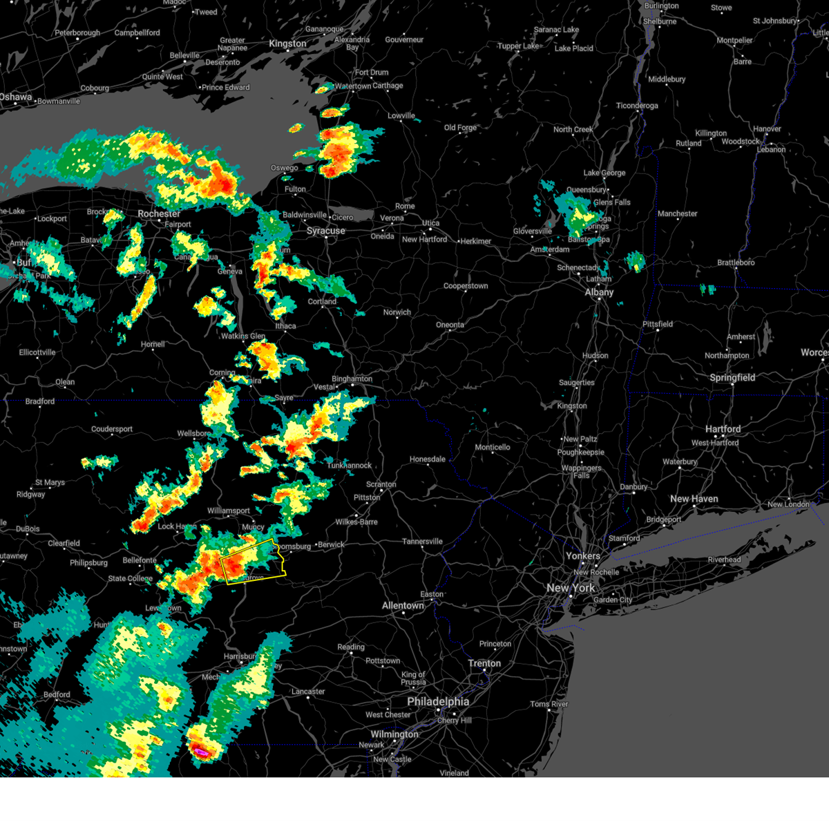 At 405 pm edt, a severe thunderstorm was located over vicksburg, moving east at 25 mph (radar indicated). Hazards include 60 mph wind gusts and half dollar size hail. Hail damage to vehicles is expected. expect wind damage to roofs, siding, and trees. this severe thunderstorm will be near, selinsgrove, winfield and kratzerville around 410 pm edt. lewisburg, sunbury and milton around 420 pm edt. northumberland around 430 pm edt. danville, riverside and mooresburg around 440 pm edt. other locations impacted by this severe thunderstorm include washingtonville, new berlin, snydertown, selinsgrove airport and bucknell. radar has indicated rotation within this severe thunderstorm. although a tornado is not immediately likely, tornadoes can develop quickly during severe thunderstorms. For those driving on interstate 80, this includes areas between the milton-williamsport and buckhorn exits, specifically from mile markers 214 to 227. At 405 pm edt, a severe thunderstorm was located over vicksburg, moving east at 25 mph (radar indicated). Hazards include 60 mph wind gusts and half dollar size hail. Hail damage to vehicles is expected. expect wind damage to roofs, siding, and trees. this severe thunderstorm will be near, selinsgrove, winfield and kratzerville around 410 pm edt. lewisburg, sunbury and milton around 420 pm edt. northumberland around 430 pm edt. danville, riverside and mooresburg around 440 pm edt. other locations impacted by this severe thunderstorm include washingtonville, new berlin, snydertown, selinsgrove airport and bucknell. radar has indicated rotation within this severe thunderstorm. although a tornado is not immediately likely, tornadoes can develop quickly during severe thunderstorms. For those driving on interstate 80, this includes areas between the milton-williamsport and buckhorn exits, specifically from mile markers 214 to 227.
|
| 8/4/2023 4:06 PM EDT |
 At 406 pm edt, a severe thunderstorm was located over mooresburg, moving southeast at 25 mph (radar indicated). Hazards include 60 mph wind gusts and quarter size hail. Hail damage to vehicles is expected. Expect wind damage to roofs, siding, and trees. At 406 pm edt, a severe thunderstorm was located over mooresburg, moving southeast at 25 mph (radar indicated). Hazards include 60 mph wind gusts and quarter size hail. Hail damage to vehicles is expected. Expect wind damage to roofs, siding, and trees.
|
| 7/20/2023 10:05 PM EDT |
 At 1005 pm edt, severe thunderstorms were located along a line extending from milesburg to julian to near tyrone, moving southeast at 25 mph (radar indicated). Hazards include 60 mph wind gusts. expect damage to roofs, siding, and trees At 1005 pm edt, severe thunderstorms were located along a line extending from milesburg to julian to near tyrone, moving southeast at 25 mph (radar indicated). Hazards include 60 mph wind gusts. expect damage to roofs, siding, and trees
|
| 7/20/2023 9:33 PM EDT |
 At 933 pm edt, severe thunderstorms were located along a line extending from renovo to pine glen to curwensville, moving east at 55 mph (radar indicated). Hazards include 60 mph wind gusts. expect damage to roofs, siding, and trees At 933 pm edt, severe thunderstorms were located along a line extending from renovo to pine glen to curwensville, moving east at 55 mph (radar indicated). Hazards include 60 mph wind gusts. expect damage to roofs, siding, and trees
|
| 7/14/2023 4:10 PM EDT |
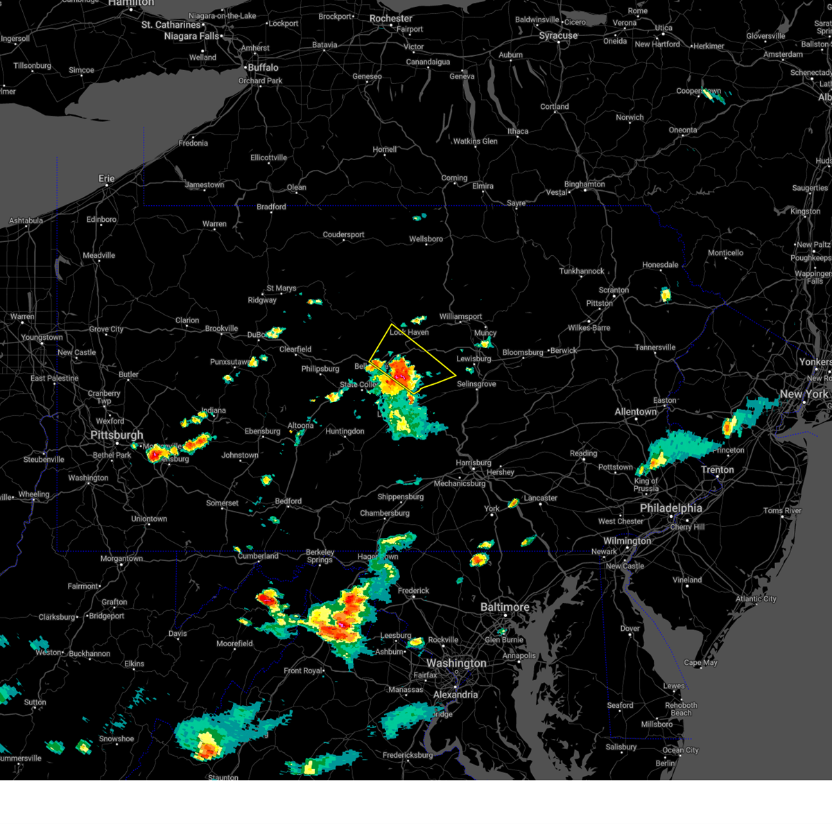 At 409 pm edt, a severe thunderstorm was located near millheim, moving northeast at 30 mph (radar indicated). Hazards include 60 mph wind gusts and quarter size hail. Hail damage to vehicles is expected. expect wind damage to roofs, siding, and trees. locations impacted include, lock haven, woodward, lamar, zion, mill hall, flemington, castanea, millheim, blanchard, aaronsburg, rebersburg and spring mills. for those driving on interstate 80, this includes areas between the milesburg and jersey shore exits, specifically from mile markers 159 to 185. hail threat, radar indicated max hail size, 1. 00 in wind threat, radar indicated max wind gust, 60 mph. At 409 pm edt, a severe thunderstorm was located near millheim, moving northeast at 30 mph (radar indicated). Hazards include 60 mph wind gusts and quarter size hail. Hail damage to vehicles is expected. expect wind damage to roofs, siding, and trees. locations impacted include, lock haven, woodward, lamar, zion, mill hall, flemington, castanea, millheim, blanchard, aaronsburg, rebersburg and spring mills. for those driving on interstate 80, this includes areas between the milesburg and jersey shore exits, specifically from mile markers 159 to 185. hail threat, radar indicated max hail size, 1. 00 in wind threat, radar indicated max wind gust, 60 mph.
|
| 7/14/2023 3:48 PM EDT |
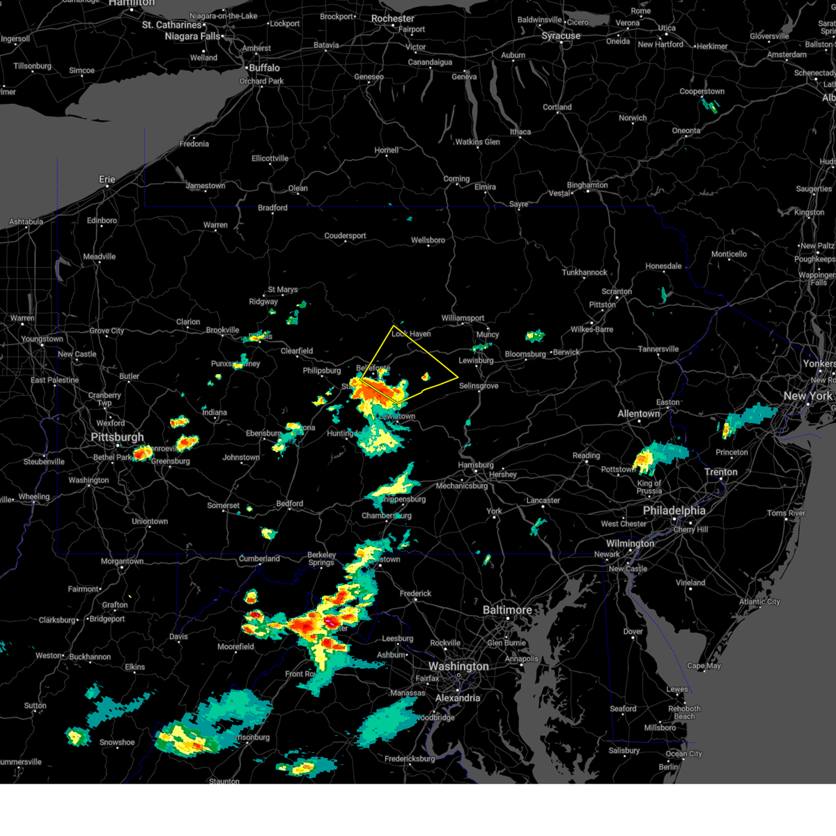 At 347 pm edt, a severe thunderstorm was located near pleasant gap, moving northeast at 25 mph (radar indicated). Hazards include 60 mph wind gusts and quarter size hail. Hail damage to vehicles is expected. Expect wind damage to roofs, siding, and trees. At 347 pm edt, a severe thunderstorm was located near pleasant gap, moving northeast at 25 mph (radar indicated). Hazards include 60 mph wind gusts and quarter size hail. Hail damage to vehicles is expected. Expect wind damage to roofs, siding, and trees.
|
| 7/13/2023 11:59 PM EDT |
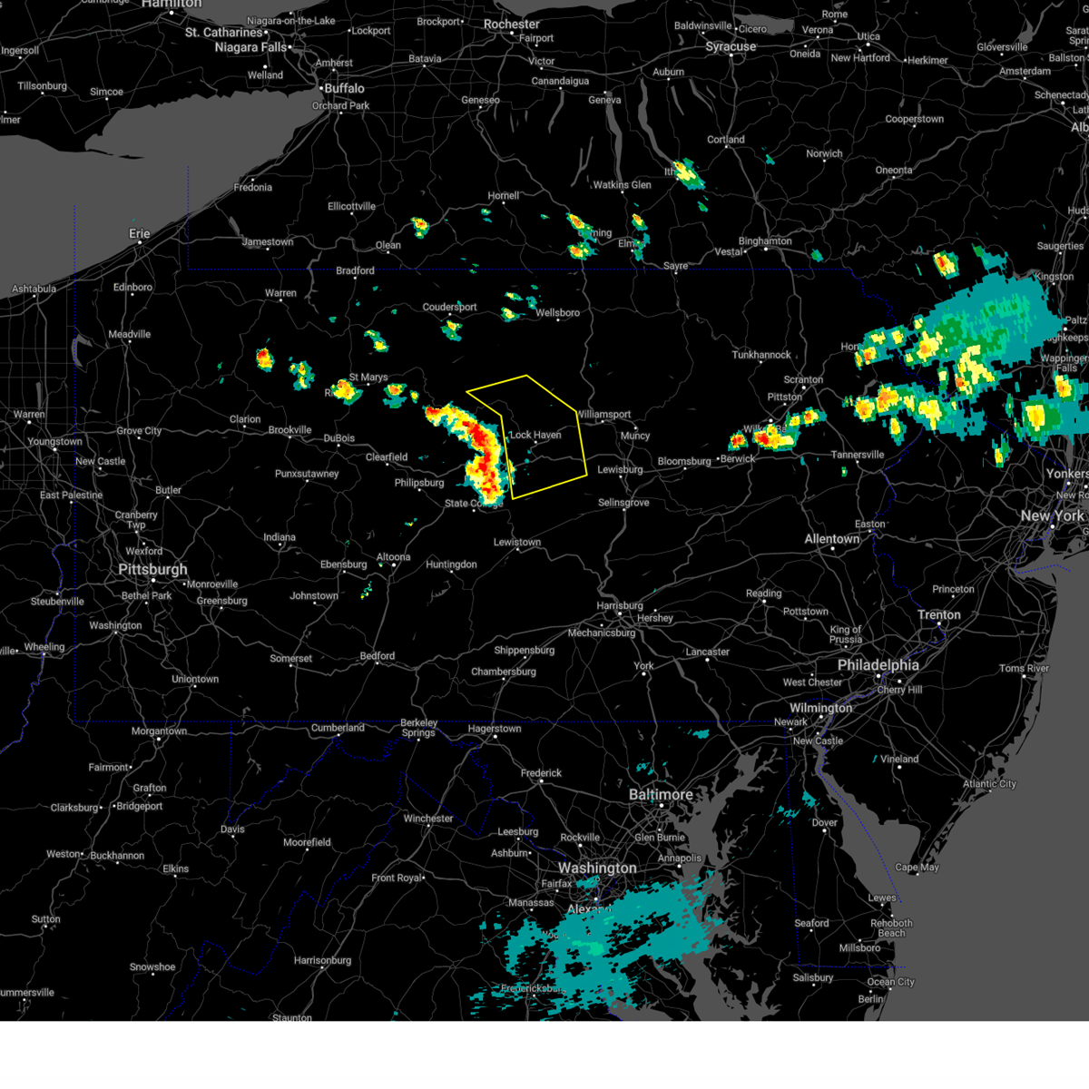 At 1159 pm edt, severe thunderstorms were located along a line extending from near kettle creek state park to monument to centre hall, moving east at 40 mph (radar indicated). Hazards include 60 mph wind gusts. expect damage to roofs, siding, and trees At 1159 pm edt, severe thunderstorms were located along a line extending from near kettle creek state park to monument to centre hall, moving east at 40 mph (radar indicated). Hazards include 60 mph wind gusts. expect damage to roofs, siding, and trees
|
| 7/13/2023 11:56 PM EDT |
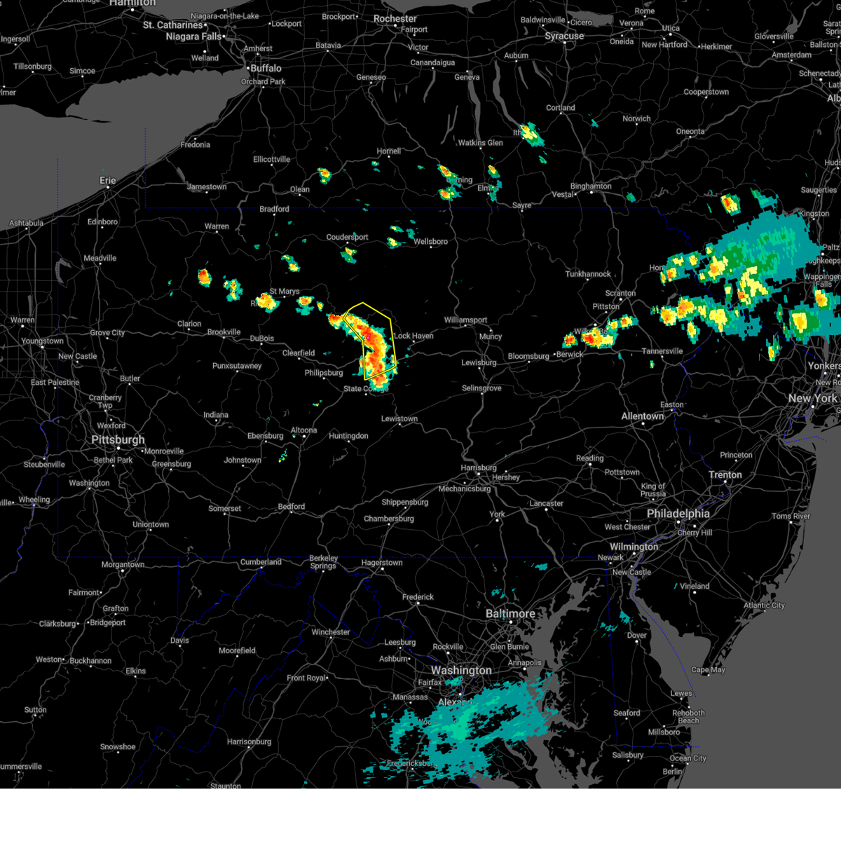 At 1155 pm edt, severe thunderstorms were located along a line extending from near stevenson dam to near keating to snow shoe, moving northeast at 35 mph (radar indicated). Hazards include 60 mph wind gusts. Expect damage to roofs, siding, and trees. locations impacted include, bellefonte, keating, renovo, milesburg, blanchard, south renovo, monument, westport, bald eagle state park, howard and orviston. for those driving on interstate 80, this includes areas between the snow shoe and lamar exits, specifically from mile markers 151 to 168. this includes interstate 99 near mile marker 85. hail threat, radar indicated max hail size, <. 75 in wind threat, radar indicated max wind gust, 60 mph. At 1155 pm edt, severe thunderstorms were located along a line extending from near stevenson dam to near keating to snow shoe, moving northeast at 35 mph (radar indicated). Hazards include 60 mph wind gusts. Expect damage to roofs, siding, and trees. locations impacted include, bellefonte, keating, renovo, milesburg, blanchard, south renovo, monument, westport, bald eagle state park, howard and orviston. for those driving on interstate 80, this includes areas between the snow shoe and lamar exits, specifically from mile markers 151 to 168. this includes interstate 99 near mile marker 85. hail threat, radar indicated max hail size, <. 75 in wind threat, radar indicated max wind gust, 60 mph.
|
| 7/13/2023 11:47 PM EDT |
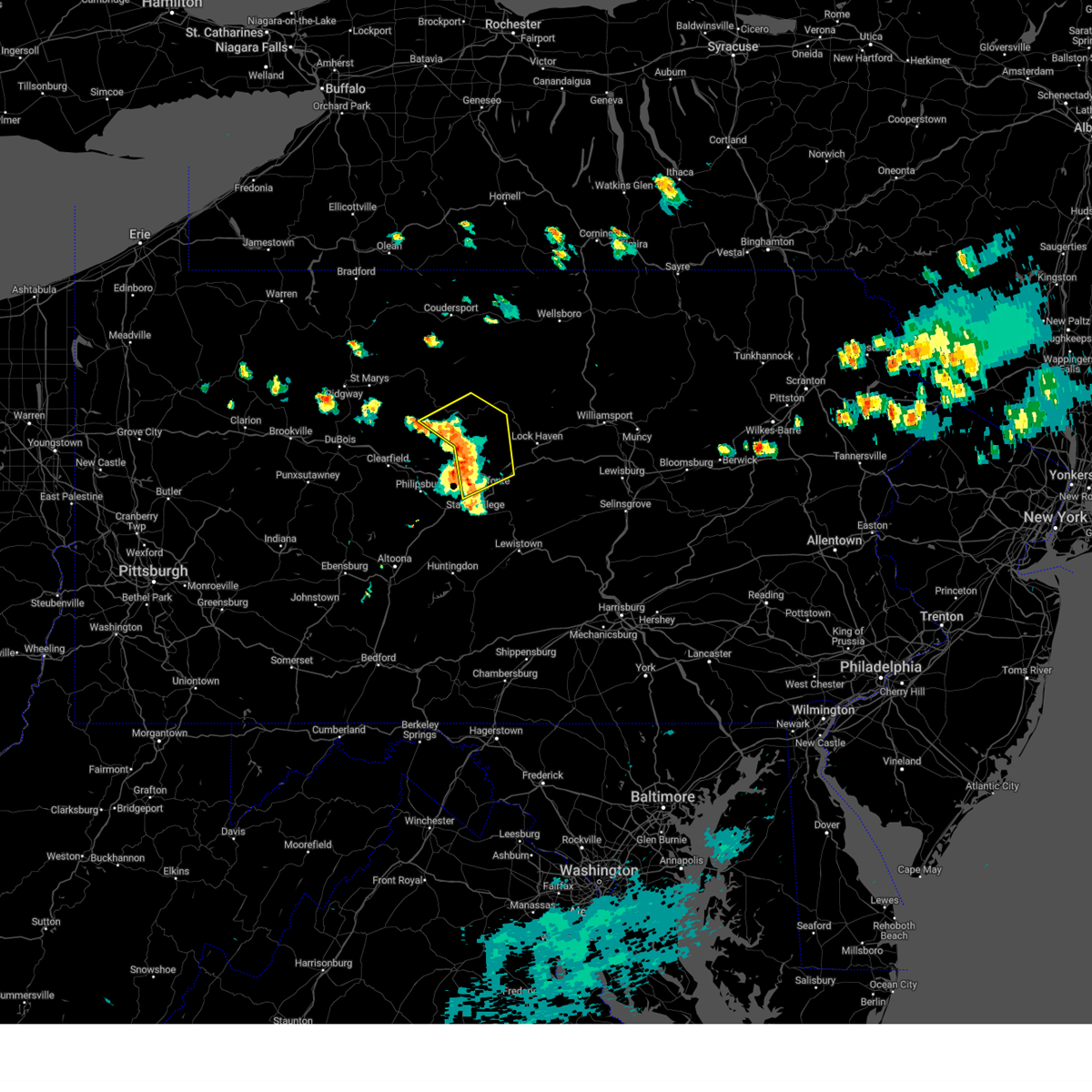 At 1147 pm edt, severe thunderstorms were located along a line extending from near karthaus to near clarence to snow shoe, moving northeast at 35 mph (radar indicated). Hazards include 60 mph wind gusts. Expect damage to roofs, siding, and trees. locations impacted include, bellefonte, keating, renovo, milesburg, snow shoe, clarence, south renovo, julian, monument, westport, bald eagle state park and howard. for those driving on interstate 80, this includes areas between the kylertown and lamar exits, specifically from mile markers 145 to 168. this includes interstate 99 near mile marker 85. hail threat, radar indicated max hail size, <. 75 in wind threat, radar indicated max wind gust, 60 mph. At 1147 pm edt, severe thunderstorms were located along a line extending from near karthaus to near clarence to snow shoe, moving northeast at 35 mph (radar indicated). Hazards include 60 mph wind gusts. Expect damage to roofs, siding, and trees. locations impacted include, bellefonte, keating, renovo, milesburg, snow shoe, clarence, south renovo, julian, monument, westport, bald eagle state park and howard. for those driving on interstate 80, this includes areas between the kylertown and lamar exits, specifically from mile markers 145 to 168. this includes interstate 99 near mile marker 85. hail threat, radar indicated max hail size, <. 75 in wind threat, radar indicated max wind gust, 60 mph.
|
| 7/13/2023 11:34 PM EDT |
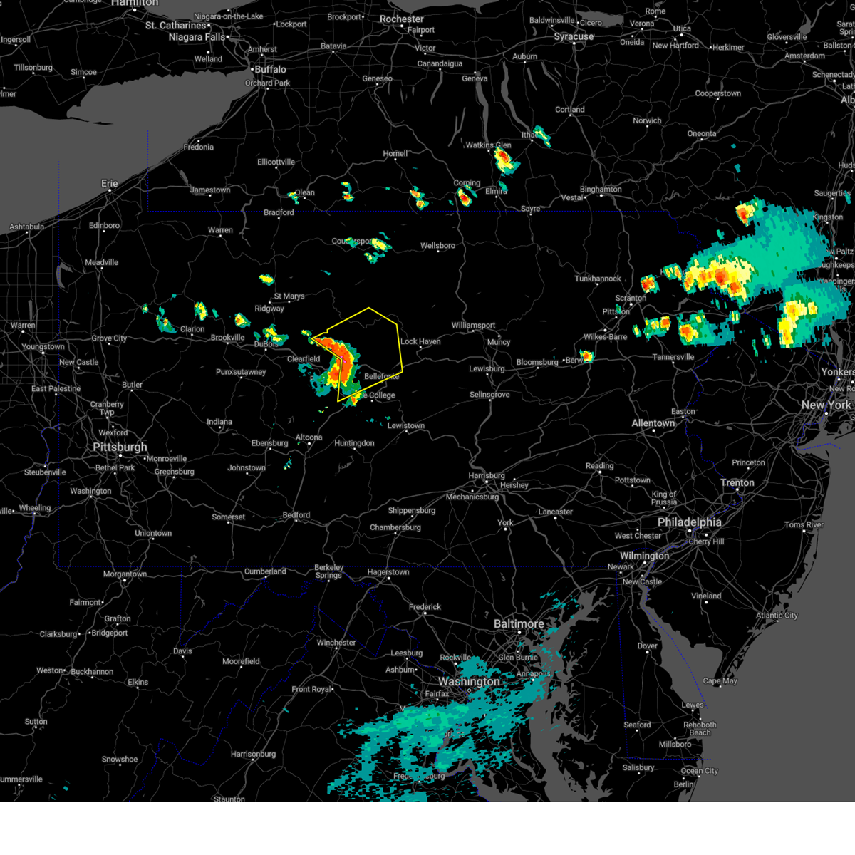 At 1134 pm edt, severe thunderstorms were located along a line extending from near karthaus to pine glen to black moshannon state park, moving northeast at 35 mph (radar indicated). Hazards include 60 mph wind gusts. expect damage to roofs, siding, and trees At 1134 pm edt, severe thunderstorms were located along a line extending from near karthaus to pine glen to black moshannon state park, moving northeast at 35 mph (radar indicated). Hazards include 60 mph wind gusts. expect damage to roofs, siding, and trees
|
| 7/9/2023 9:07 AM EDT |
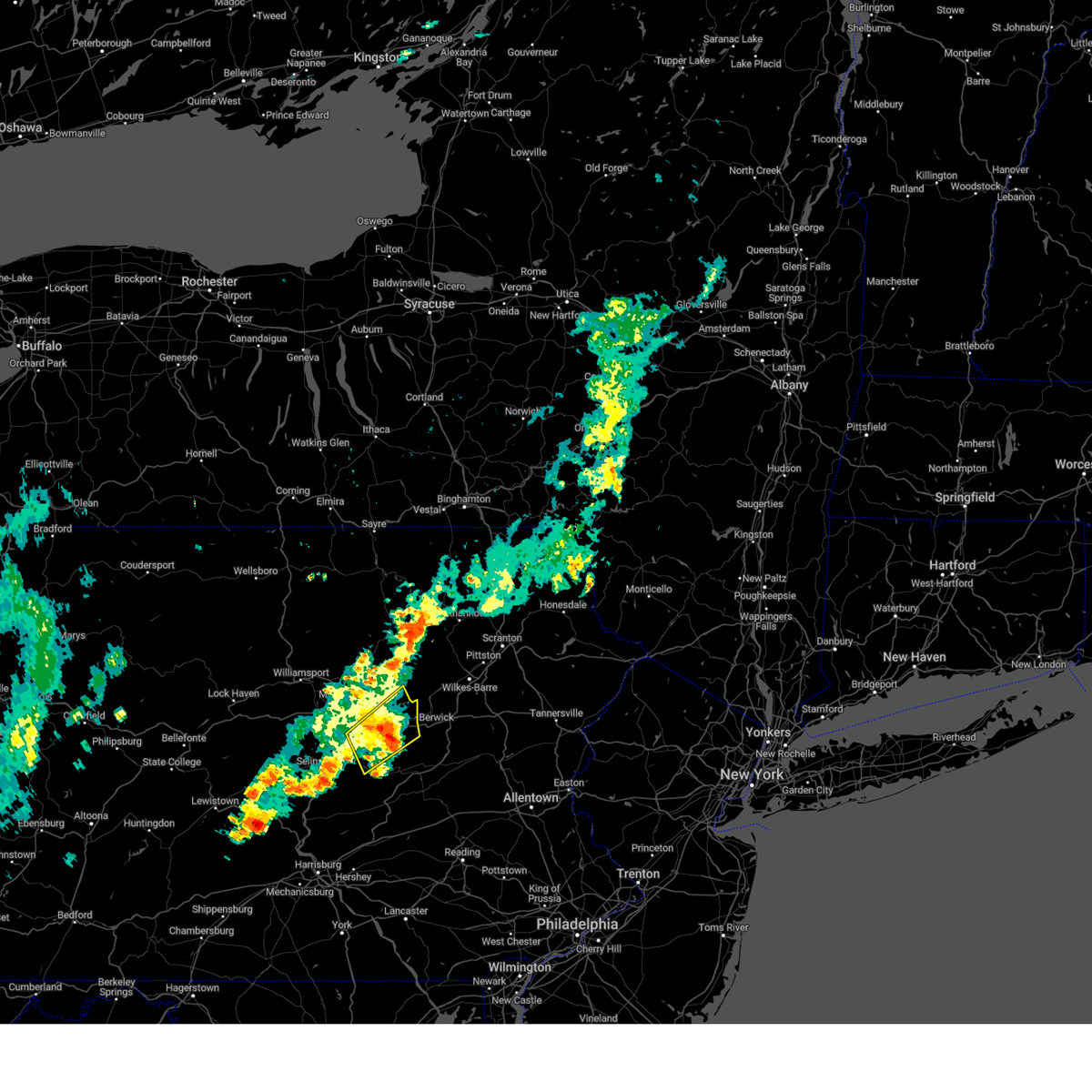 At 906 am edt, a severe thunderstorm was located over mifflinville, moving northeast at 25 mph (radar indicated). Hazards include 60 mph wind gusts and quarter size hail. Hail damage to vehicles is expected. expect wind damage to roofs, siding, and trees. locations impacted include, bloomsburg, berwick, shamokin, danville, elysburg, fairview-ferndale, riverside, catawissa, marshallton, mifflinville, lightstreet and almedia. for those driving on interstate 80, this includes areas between the limestoneville and nescopek exits, specifically from mile markers 223 to 247. hail threat, radar indicated max hail size, 1. 00 in wind threat, radar indicated max wind gust, 60 mph. At 906 am edt, a severe thunderstorm was located over mifflinville, moving northeast at 25 mph (radar indicated). Hazards include 60 mph wind gusts and quarter size hail. Hail damage to vehicles is expected. expect wind damage to roofs, siding, and trees. locations impacted include, bloomsburg, berwick, shamokin, danville, elysburg, fairview-ferndale, riverside, catawissa, marshallton, mifflinville, lightstreet and almedia. for those driving on interstate 80, this includes areas between the limestoneville and nescopek exits, specifically from mile markers 223 to 247. hail threat, radar indicated max hail size, 1. 00 in wind threat, radar indicated max wind gust, 60 mph.
|
| 7/9/2023 8:44 AM EDT |
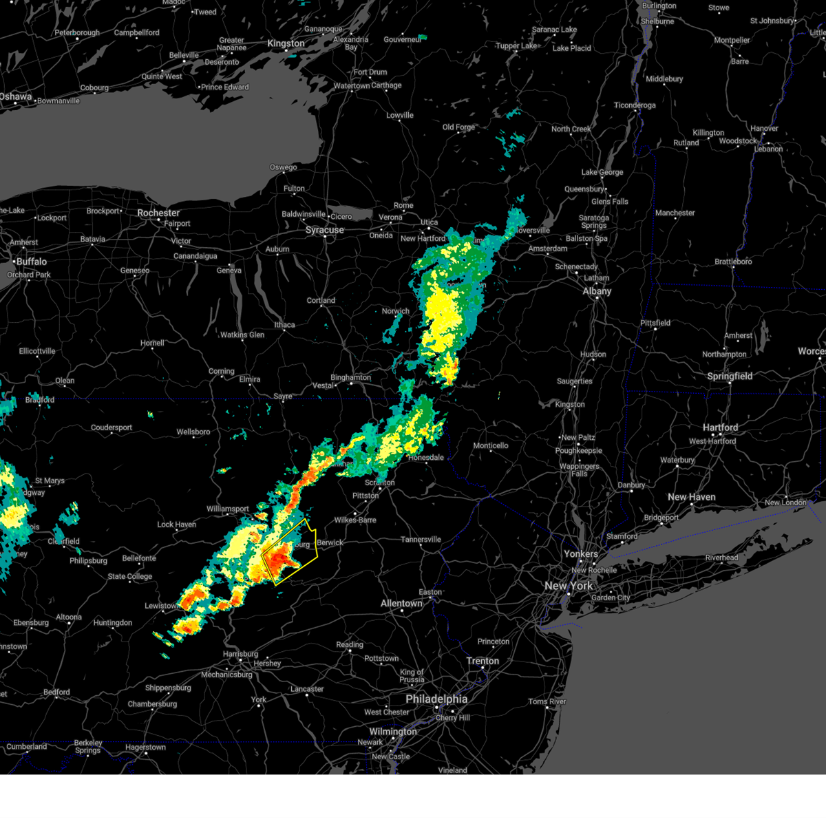 At 843 am edt, a severe thunderstorm was located over rupert, moving northeast at 25 mph (radar indicated). Hazards include 60 mph wind gusts and quarter size hail. Hail damage to vehicles is expected. Expect wind damage to roofs, siding, and trees. At 843 am edt, a severe thunderstorm was located over rupert, moving northeast at 25 mph (radar indicated). Hazards include 60 mph wind gusts and quarter size hail. Hail damage to vehicles is expected. Expect wind damage to roofs, siding, and trees.
|
| 7/2/2023 4:46 PM EDT |
 At 445 pm edt, a severe thunderstorm capable of producing a tornado was located over vicksburg, moving east at 35 mph (radar indicated rotation). Hazards include tornado. Flying debris will be dangerous to those caught without shelter. mobile homes will be damaged or destroyed. damage to roofs, windows, and vehicles will occur. tree damage is likely. this dangerous storm will be near, lewisburg, winfield and kratzerville around 450 pm edt. northumberland, sunbury and montandon around 500 pm edt. riverside, mooresburg and stonington around 510 pm edt. other locations impacted by this tornadic thunderstorm include new berlin, snydertown, bucknell and selinsgrove airport. For those driving on interstate 80, this includes areas between the limestoneville and danville exits, specifically from mile markers 219 to 221. At 445 pm edt, a severe thunderstorm capable of producing a tornado was located over vicksburg, moving east at 35 mph (radar indicated rotation). Hazards include tornado. Flying debris will be dangerous to those caught without shelter. mobile homes will be damaged or destroyed. damage to roofs, windows, and vehicles will occur. tree damage is likely. this dangerous storm will be near, lewisburg, winfield and kratzerville around 450 pm edt. northumberland, sunbury and montandon around 500 pm edt. riverside, mooresburg and stonington around 510 pm edt. other locations impacted by this tornadic thunderstorm include new berlin, snydertown, bucknell and selinsgrove airport. For those driving on interstate 80, this includes areas between the limestoneville and danville exits, specifically from mile markers 219 to 221.
|
| 6/26/2023 9:32 PM EDT |
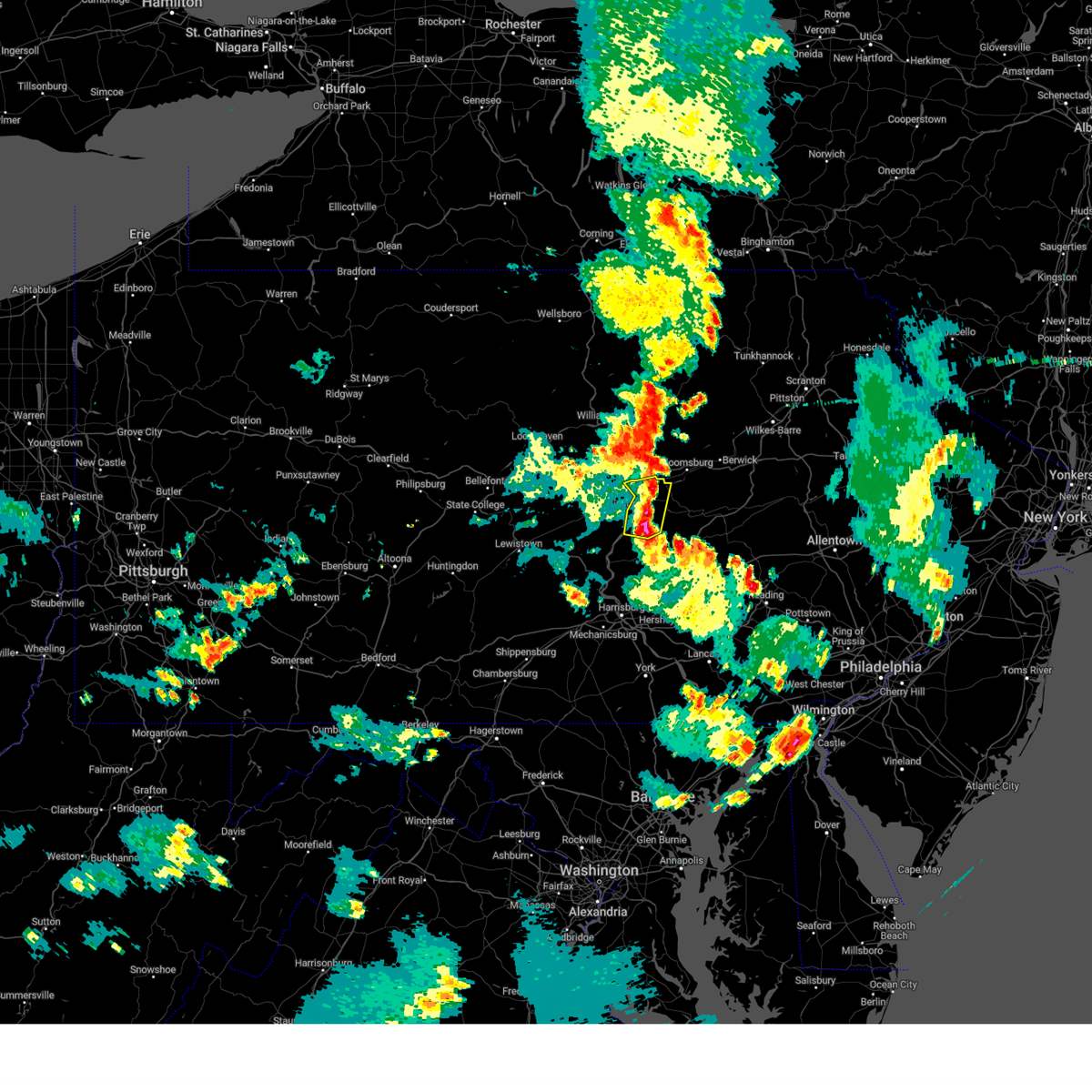 At 931 pm edt, a severe thunderstorm was located over rebuck, moving north at 30 mph (radar indicated). Hazards include 60 mph wind gusts and quarter size hail. Hail damage to vehicles is expected. Expect wind damage to roofs, siding, and trees. At 931 pm edt, a severe thunderstorm was located over rebuck, moving north at 30 mph (radar indicated). Hazards include 60 mph wind gusts and quarter size hail. Hail damage to vehicles is expected. Expect wind damage to roofs, siding, and trees.
|
| 4/22/2023 3:08 PM EDT |
 At 307 pm edt, a severe thunderstorm was located over fort indiantown gap, moving north at 45 mph (radar indicated). Hazards include 60 mph wind gusts and quarter size hail. Hail damage to vehicles is expected. expect wind damage to roofs, siding, and trees. this severe thunderstorm will be near, lykens around 310 pm edt. tower city, williamstown and klingerstown around 320 pm edt. shamokin, fairview-ferndale and marshallton around 330 pm edt. kulpmont, mount carmel and knoebels grove around 340 pm edt. other locations impacted by this severe thunderstorm include edgewood, gratz, muir, espy and orwin. for those driving on interstate 80, this includes areas between the danville and bloomsburg-light street exits, specifically from mile markers 225 to 233. this includes interstate 81 between mile markers 85 and 87, between mile markers 92 and 95, and from mile markers 108 to 109. hail threat, radar indicated max hail size, 1. 00 in wind threat, radar indicated max wind gust, 60 mph. At 307 pm edt, a severe thunderstorm was located over fort indiantown gap, moving north at 45 mph (radar indicated). Hazards include 60 mph wind gusts and quarter size hail. Hail damage to vehicles is expected. expect wind damage to roofs, siding, and trees. this severe thunderstorm will be near, lykens around 310 pm edt. tower city, williamstown and klingerstown around 320 pm edt. shamokin, fairview-ferndale and marshallton around 330 pm edt. kulpmont, mount carmel and knoebels grove around 340 pm edt. other locations impacted by this severe thunderstorm include edgewood, gratz, muir, espy and orwin. for those driving on interstate 80, this includes areas between the danville and bloomsburg-light street exits, specifically from mile markers 225 to 233. this includes interstate 81 between mile markers 85 and 87, between mile markers 92 and 95, and from mile markers 108 to 109. hail threat, radar indicated max hail size, 1. 00 in wind threat, radar indicated max wind gust, 60 mph.
|
| 4/1/2023 3:43 PM EDT |
 At 342 pm edt, severe thunderstorms were located along a line extending from troupsburg to cammal to seven mountains, moving east at 45 mph (radar indicated). Hazards include 60 mph wind gusts. Expect damage to roofs, siding, and trees. locations impacted include, state college, lock haven, bellefonte, park forest village, carroll, woodward, boalsburg, pleasant gap, philipsburg, lamar, stormstown and lemont. for those driving on interstate 80, this includes areas between the kylertown and mile run exits, specifically from mile markers 140 to 193. this includes interstate 99 from mile markers 56 to 85. hail threat, radar indicated max hail size, <. 75 in wind threat, radar indicated max wind gust, 60 mph. At 342 pm edt, severe thunderstorms were located along a line extending from troupsburg to cammal to seven mountains, moving east at 45 mph (radar indicated). Hazards include 60 mph wind gusts. Expect damage to roofs, siding, and trees. locations impacted include, state college, lock haven, bellefonte, park forest village, carroll, woodward, boalsburg, pleasant gap, philipsburg, lamar, stormstown and lemont. for those driving on interstate 80, this includes areas between the kylertown and mile run exits, specifically from mile markers 140 to 193. this includes interstate 99 from mile markers 56 to 85. hail threat, radar indicated max hail size, <. 75 in wind threat, radar indicated max wind gust, 60 mph.
|
| 4/1/2023 3:07 PM EDT |
 At 307 pm edt, severe thunderstorms were located along a line extending from near shinglehouse to cameron to woodland, moving northeast at 40 mph (radar indicated). Hazards include 70 mph wind gusts. Expect considerable tree damage. Damage is likely to mobile homes, roofs, and outbuildings. At 307 pm edt, severe thunderstorms were located along a line extending from near shinglehouse to cameron to woodland, moving northeast at 40 mph (radar indicated). Hazards include 70 mph wind gusts. Expect considerable tree damage. Damage is likely to mobile homes, roofs, and outbuildings.
|
| 9/25/2022 6:51 PM EDT |
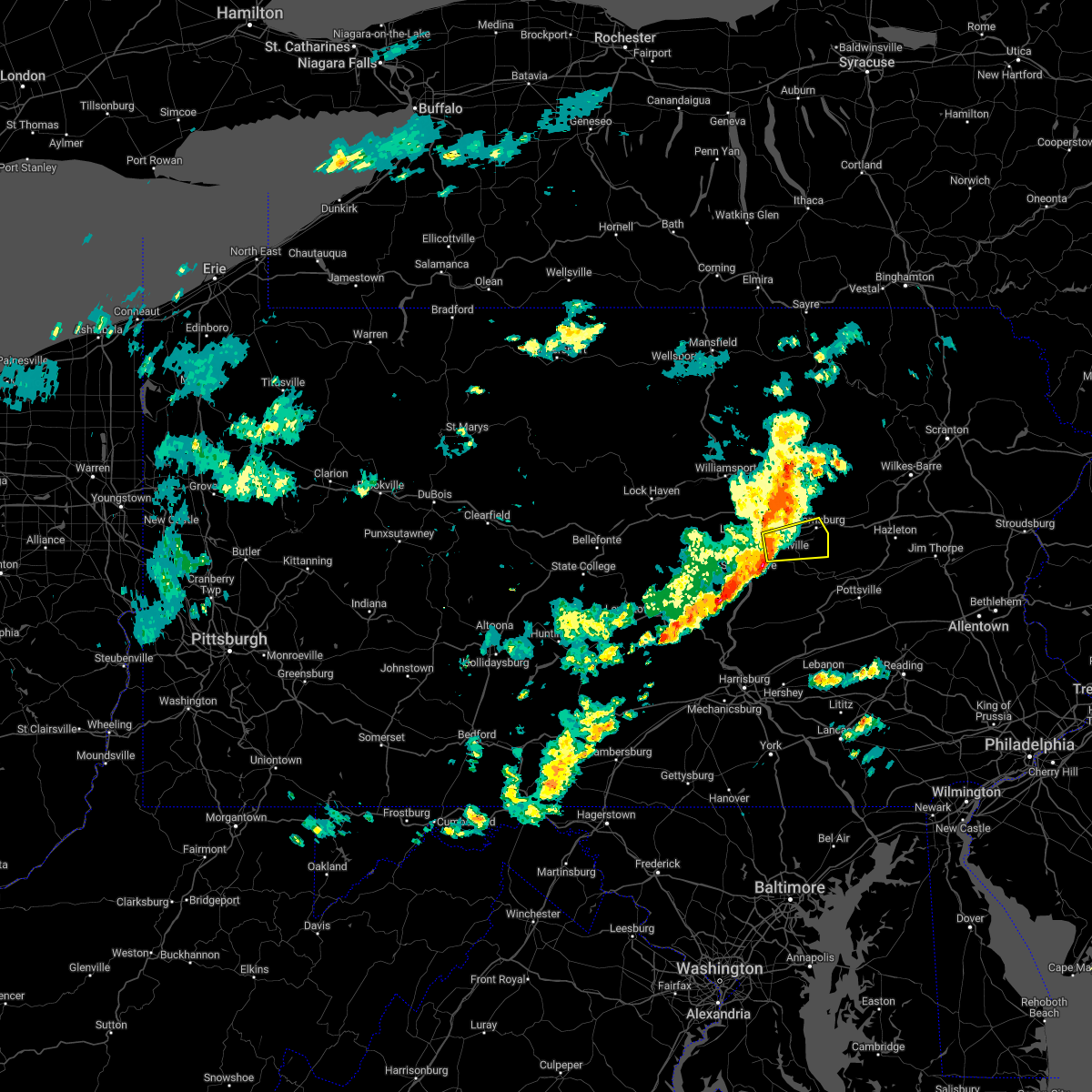 At 651 pm edt, a severe thunderstorm was located over riverside, moving east at 35 mph (radar indicated). Hazards include 60 mph wind gusts. Expect damage to roofs, siding, and trees. this severe thunderstorm will be near, bloomsburg, catawissa and rupert around 710 pm edt. other locations impacted by this severe thunderstorm include snydertown, espy and bloomsburg university. for those driving on interstate 80, this includes areas between the limestoneville and berwick-lime ridge exits, specifically from mile markers 220 to 236. this includes route 11 from east of northumberland to bloomsburg. hail threat, radar indicated max hail size, <. 75 in wind threat, radar indicated max wind gust, 60 mph. At 651 pm edt, a severe thunderstorm was located over riverside, moving east at 35 mph (radar indicated). Hazards include 60 mph wind gusts. Expect damage to roofs, siding, and trees. this severe thunderstorm will be near, bloomsburg, catawissa and rupert around 710 pm edt. other locations impacted by this severe thunderstorm include snydertown, espy and bloomsburg university. for those driving on interstate 80, this includes areas between the limestoneville and berwick-lime ridge exits, specifically from mile markers 220 to 236. this includes route 11 from east of northumberland to bloomsburg. hail threat, radar indicated max hail size, <. 75 in wind threat, radar indicated max wind gust, 60 mph.
|
| 8/4/2022 2:06 PM EDT |
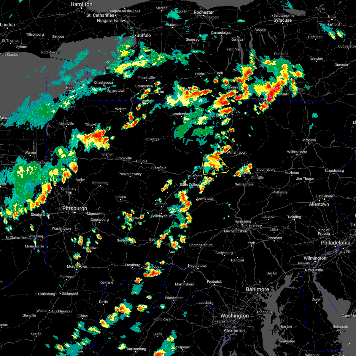 The severe thunderstorm warning for east central centre and southeastern clinton counties will expire at 215 pm edt, the storm which prompted the warning has weakened below severe limits, and has exited the warned area. therefore, the warning will be allowed to expire. however gusty winds are still possible with this thunderstorm. The severe thunderstorm warning for east central centre and southeastern clinton counties will expire at 215 pm edt, the storm which prompted the warning has weakened below severe limits, and has exited the warned area. therefore, the warning will be allowed to expire. however gusty winds are still possible with this thunderstorm.
|
| 8/4/2022 1:44 PM EDT |
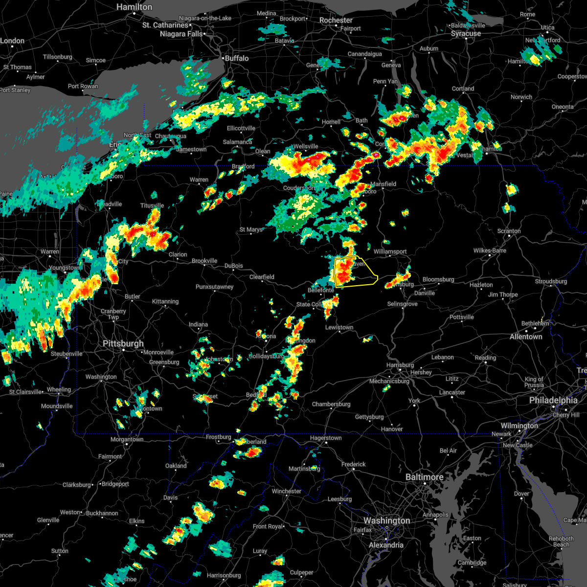 At 143 pm edt, a severe thunderstorm was located over mackeyville, moving east at 35 mph (radar indicated). Hazards include 60 mph wind gusts and quarter size hail. Hail damage to vehicles is expected. expect wind damage to roofs, siding, and trees. locations impacted include, lock haven, carroll, lamar, mill hall, avis, dunnstown, flemington, castanea, blanchard, mcelhattan, mackeyville and bald eagle state park. for those driving on interstate 80, this includes areas between the bellefonte and mile run exits, specifically from mile markers 168 to 195. hail threat, radar indicated max hail size, 1. 00 in wind threat, radar indicated max wind gust, 60 mph. At 143 pm edt, a severe thunderstorm was located over mackeyville, moving east at 35 mph (radar indicated). Hazards include 60 mph wind gusts and quarter size hail. Hail damage to vehicles is expected. expect wind damage to roofs, siding, and trees. locations impacted include, lock haven, carroll, lamar, mill hall, avis, dunnstown, flemington, castanea, blanchard, mcelhattan, mackeyville and bald eagle state park. for those driving on interstate 80, this includes areas between the bellefonte and mile run exits, specifically from mile markers 168 to 195. hail threat, radar indicated max hail size, 1. 00 in wind threat, radar indicated max wind gust, 60 mph.
|
| 8/4/2022 1:26 PM EDT |
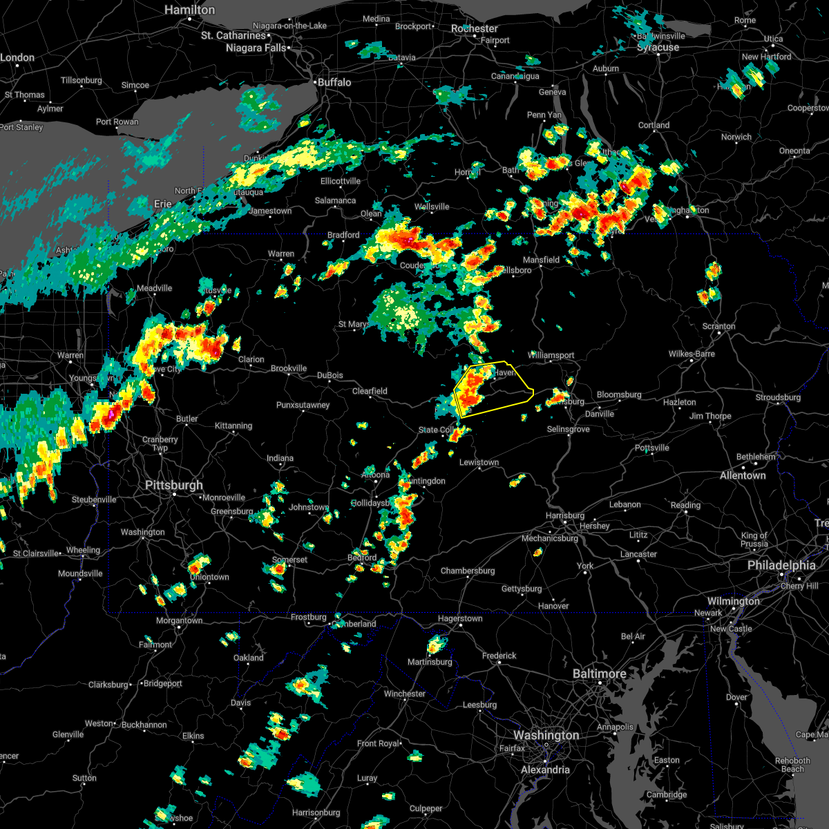 At 126 pm edt, a severe thunderstorm was located over bald eagle state park, moving east at 35 mph (radar indicated). Hazards include 60 mph wind gusts and quarter size hail. Hail damage to vehicles is expected. Expect wind damage to roofs, siding, and trees. At 126 pm edt, a severe thunderstorm was located over bald eagle state park, moving east at 35 mph (radar indicated). Hazards include 60 mph wind gusts and quarter size hail. Hail damage to vehicles is expected. Expect wind damage to roofs, siding, and trees.
|
| 7/2/2022 12:37 AM EDT |
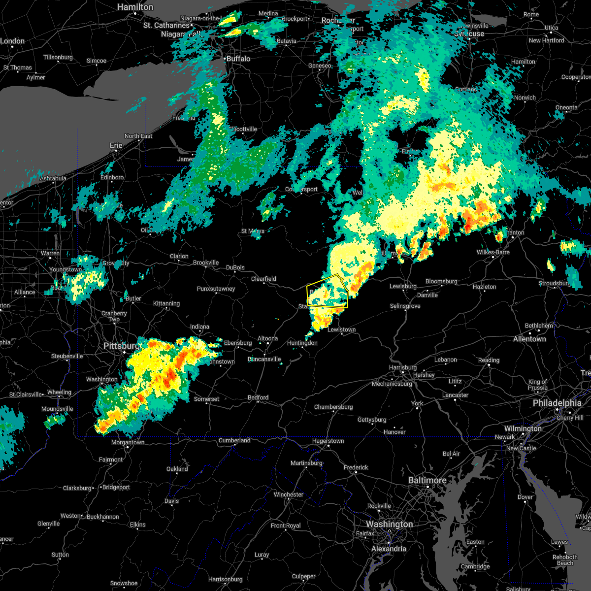 The severe thunderstorm warning for central centre county will expire at 1245 am edt, the storm which prompted the warning has moved out of the area. therefore, the warning will be allowed to expire. to report severe weather, contact your nearest law enforcement agency. they will relay your report to the national weather service state college pa. The severe thunderstorm warning for central centre county will expire at 1245 am edt, the storm which prompted the warning has moved out of the area. therefore, the warning will be allowed to expire. to report severe weather, contact your nearest law enforcement agency. they will relay your report to the national weather service state college pa.
|
| 7/2/2022 12:05 AM EDT |
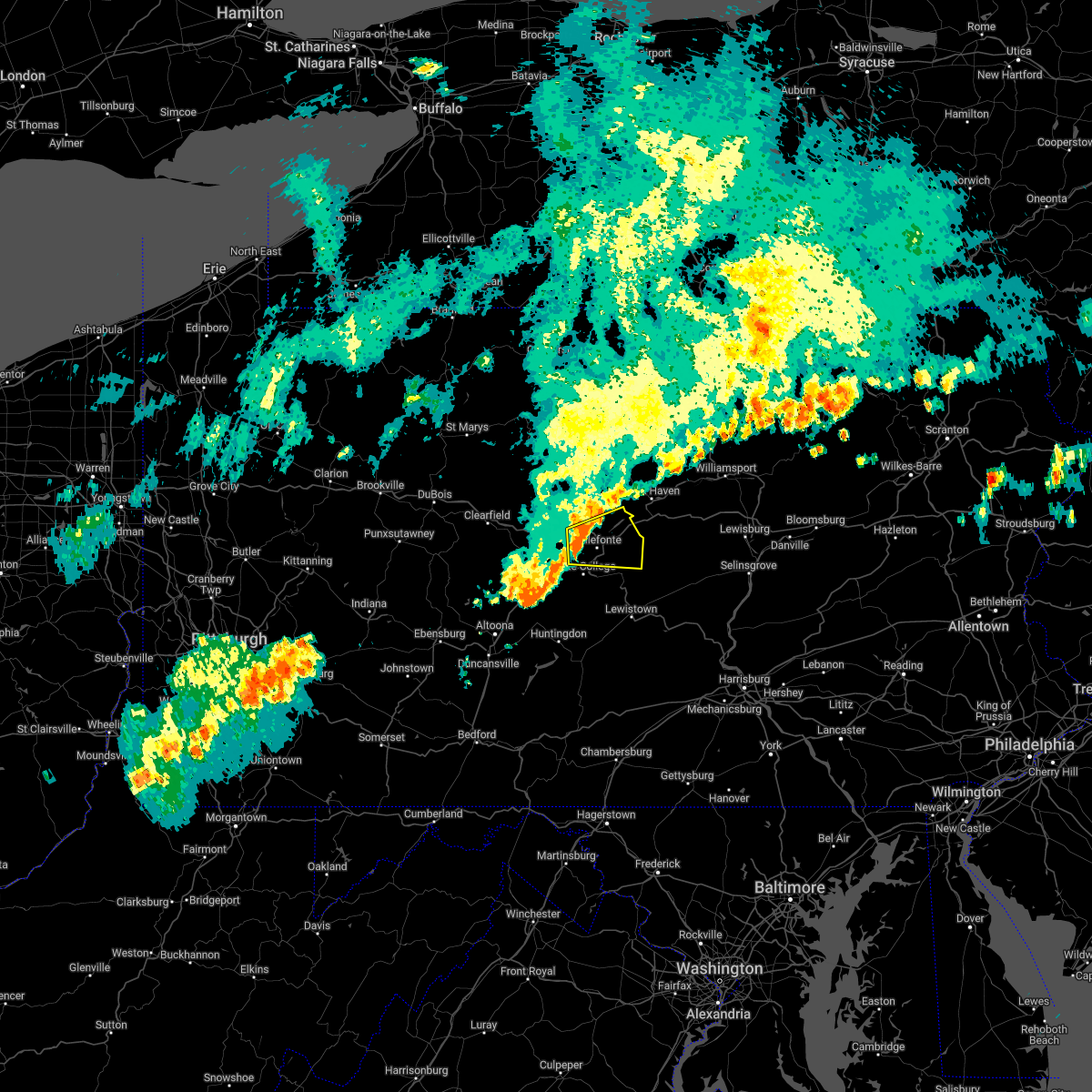 At 1204 am edt, a severe thunderstorm was located over milesburg, moving east at 40 mph (radar indicated). Hazards include 60 mph wind gusts. expect damage to roofs, siding, and trees At 1204 am edt, a severe thunderstorm was located over milesburg, moving east at 40 mph (radar indicated). Hazards include 60 mph wind gusts. expect damage to roofs, siding, and trees
|
| 6/22/2022 5:13 PM EDT |
 At 513 pm edt, severe thunderstorms were located along a line extending from bald eagle state park to boalsburg, moving southeast at 20 mph (radar indicated). Hazards include 60 mph wind gusts and nickel size hail. expect damage to roofs, siding, and trees At 513 pm edt, severe thunderstorms were located along a line extending from bald eagle state park to boalsburg, moving southeast at 20 mph (radar indicated). Hazards include 60 mph wind gusts and nickel size hail. expect damage to roofs, siding, and trees
|
| 6/16/2022 6:42 PM EDT |
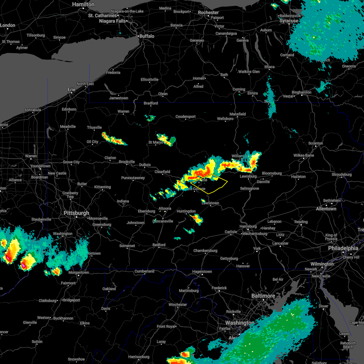 At 642 pm edt, severe thunderstorms were located along a line extending from bald eagle state park to julian, moving southeast at 25 mph (radar indicated). Hazards include 60 mph wind gusts and penny size hail. expect damage to roofs, siding, and trees At 642 pm edt, severe thunderstorms were located along a line extending from bald eagle state park to julian, moving southeast at 25 mph (radar indicated). Hazards include 60 mph wind gusts and penny size hail. expect damage to roofs, siding, and trees
|
| 6/16/2022 6:38 PM EDT |
 At 638 pm edt, a severe thunderstorm was located over bald eagle state park, moving southeast at 30 mph (radar indicated). Hazards include 70 mph wind gusts and quarter size hail. Hail damage to vehicles is expected. expect considerable tree damage. wind damage is also likely to mobile homes, roofs, and outbuildings. this severe storm will be near, blanchard around 640 pm edt. lamar around 650 pm edt. other locations impacted by this severe thunderstorm include howard. for those driving on interstate 80, this includes areas between the bellefonte and lock haven exits, specifically from mile markers 163 to 174. thunderstorm damage threat, considerable hail threat, radar indicated max hail size, 1. 00 in wind threat, radar indicated max wind gust, 70 mph. At 638 pm edt, a severe thunderstorm was located over bald eagle state park, moving southeast at 30 mph (radar indicated). Hazards include 70 mph wind gusts and quarter size hail. Hail damage to vehicles is expected. expect considerable tree damage. wind damage is also likely to mobile homes, roofs, and outbuildings. this severe storm will be near, blanchard around 640 pm edt. lamar around 650 pm edt. other locations impacted by this severe thunderstorm include howard. for those driving on interstate 80, this includes areas between the bellefonte and lock haven exits, specifically from mile markers 163 to 174. thunderstorm damage threat, considerable hail threat, radar indicated max hail size, 1. 00 in wind threat, radar indicated max wind gust, 70 mph.
|
| 6/16/2022 6:27 PM EDT |
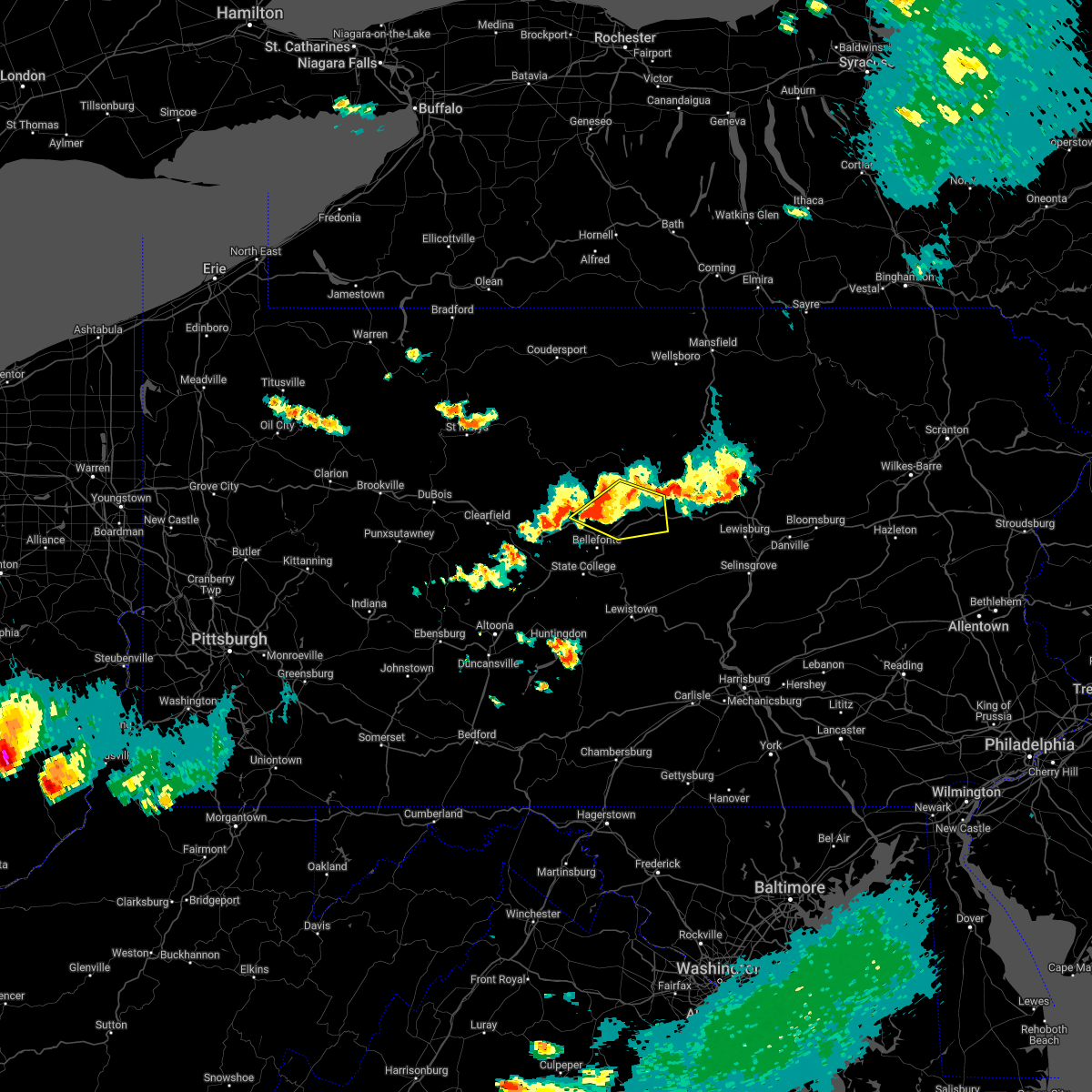 At 626 pm edt, a severe thunderstorm was located over bald eagle state park, moving southeast at 40 mph (radar indicated). Hazards include 70 mph wind gusts and quarter size hail. Hail damage to vehicles is expected. expect considerable tree damage. wind damage is also likely to mobile homes, roofs, and outbuildings. this severe storm will be near, blanchard around 630 pm edt. lamar, mackeyville and mill hall around 640 pm edt. other locations impacted by this severe thunderstorm include orviston, howard, beech creek and lock haven university. for those driving on interstate 80, this includes areas between the bellefonte and loganton exits, specifically from mile markers 163 to 182. this includes the following highways, route 220 from west of lamar on i-80 to lock haven. state road 120 from north of lock haven to lock haven. thunderstorm damage threat, considerable hail threat, radar indicated max hail size, 1. 00 in wind threat, radar indicated max wind gust, 70 mph. At 626 pm edt, a severe thunderstorm was located over bald eagle state park, moving southeast at 40 mph (radar indicated). Hazards include 70 mph wind gusts and quarter size hail. Hail damage to vehicles is expected. expect considerable tree damage. wind damage is also likely to mobile homes, roofs, and outbuildings. this severe storm will be near, blanchard around 630 pm edt. lamar, mackeyville and mill hall around 640 pm edt. other locations impacted by this severe thunderstorm include orviston, howard, beech creek and lock haven university. for those driving on interstate 80, this includes areas between the bellefonte and loganton exits, specifically from mile markers 163 to 182. this includes the following highways, route 220 from west of lamar on i-80 to lock haven. state road 120 from north of lock haven to lock haven. thunderstorm damage threat, considerable hail threat, radar indicated max hail size, 1. 00 in wind threat, radar indicated max wind gust, 70 mph.
|
| 6/16/2022 6:00 PM EDT |
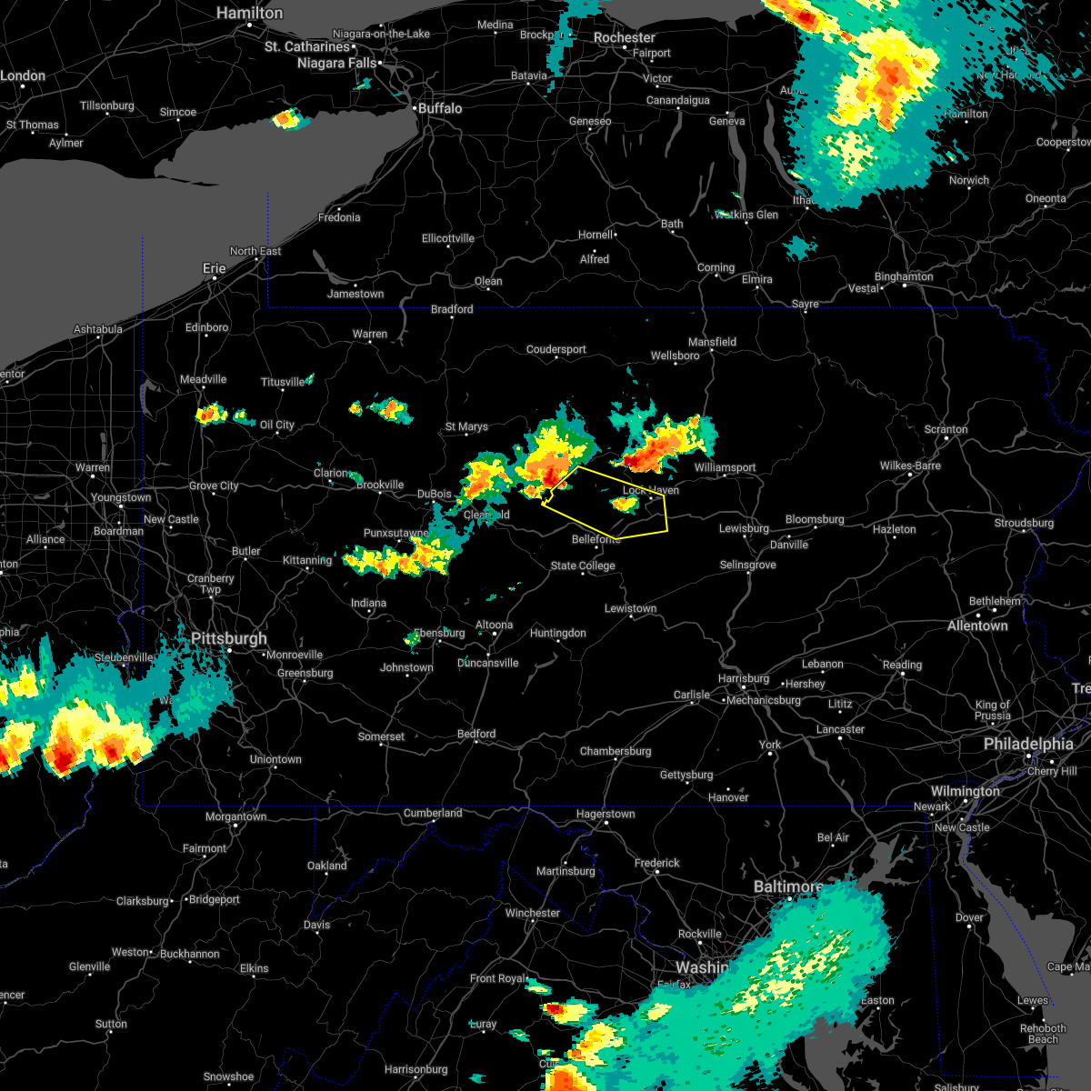 At 559 pm edt, a severe thunderstorm was located near keating, moving east at 40 mph (radar indicated). Hazards include 70 mph wind gusts and half dollar size hail. Hail damage to vehicles is expected. expect considerable tree damage. Wind damage is also likely to mobile homes, roofs, and outbuildings. At 559 pm edt, a severe thunderstorm was located near keating, moving east at 40 mph (radar indicated). Hazards include 70 mph wind gusts and half dollar size hail. Hail damage to vehicles is expected. expect considerable tree damage. Wind damage is also likely to mobile homes, roofs, and outbuildings.
|
| 3/31/2022 5:17 PM EDT |
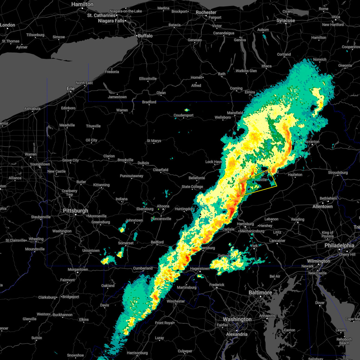 At 517 pm edt, a severe thunderstorm was located over selinsgrove, moving northeast at 50 mph (radar indicated). Hazards include 60 mph wind gusts. expect damage to roofs, siding, and trees At 517 pm edt, a severe thunderstorm was located over selinsgrove, moving northeast at 50 mph (radar indicated). Hazards include 60 mph wind gusts. expect damage to roofs, siding, and trees
|
| 3/31/2022 4:47 PM EDT |
 At 446 pm edt, severe thunderstorms were located along a line extending from lairdsville to exchange to mooresburg to kratzerville, moving northeast at 45 mph (radar indicated. at 4:45pm, nickel sized hail was reported in muncy). Hazards include 70 mph wind gusts and nickel size hail. Expect considerable tree damage. damage is likely to mobile homes, roofs, and outbuildings. locations impacted include, bloomsburg, berwick, sunbury, milton, lewisburg, selinsgrove, danville, laporte, northumberland, winfield, muncy and hughesville. for those driving on interstate 80, this includes areas between the lewisburg-williamsport and nescopek exits, specifically from mile markers 211 to 247. This includes interstate 180 from mile markers 1 to 14. At 446 pm edt, severe thunderstorms were located along a line extending from lairdsville to exchange to mooresburg to kratzerville, moving northeast at 45 mph (radar indicated. at 4:45pm, nickel sized hail was reported in muncy). Hazards include 70 mph wind gusts and nickel size hail. Expect considerable tree damage. damage is likely to mobile homes, roofs, and outbuildings. locations impacted include, bloomsburg, berwick, sunbury, milton, lewisburg, selinsgrove, danville, laporte, northumberland, winfield, muncy and hughesville. for those driving on interstate 80, this includes areas between the lewisburg-williamsport and nescopek exits, specifically from mile markers 211 to 247. This includes interstate 180 from mile markers 1 to 14.
|
| 3/31/2022 4:25 PM EDT |
 At 424 pm edt, severe thunderstorms were located along a line extending from montgomery to allenwood to mifflinburg to troxelville, moving northeast at 45 mph (radar indicated). Hazards include 70 mph wind gusts and nickel size hail. Expect considerable tree damage. Damage is likely to mobile homes, roofs, and outbuildings. At 424 pm edt, severe thunderstorms were located along a line extending from montgomery to allenwood to mifflinburg to troxelville, moving northeast at 45 mph (radar indicated). Hazards include 70 mph wind gusts and nickel size hail. Expect considerable tree damage. Damage is likely to mobile homes, roofs, and outbuildings.
|
| 3/31/2022 2:22 PM EDT |
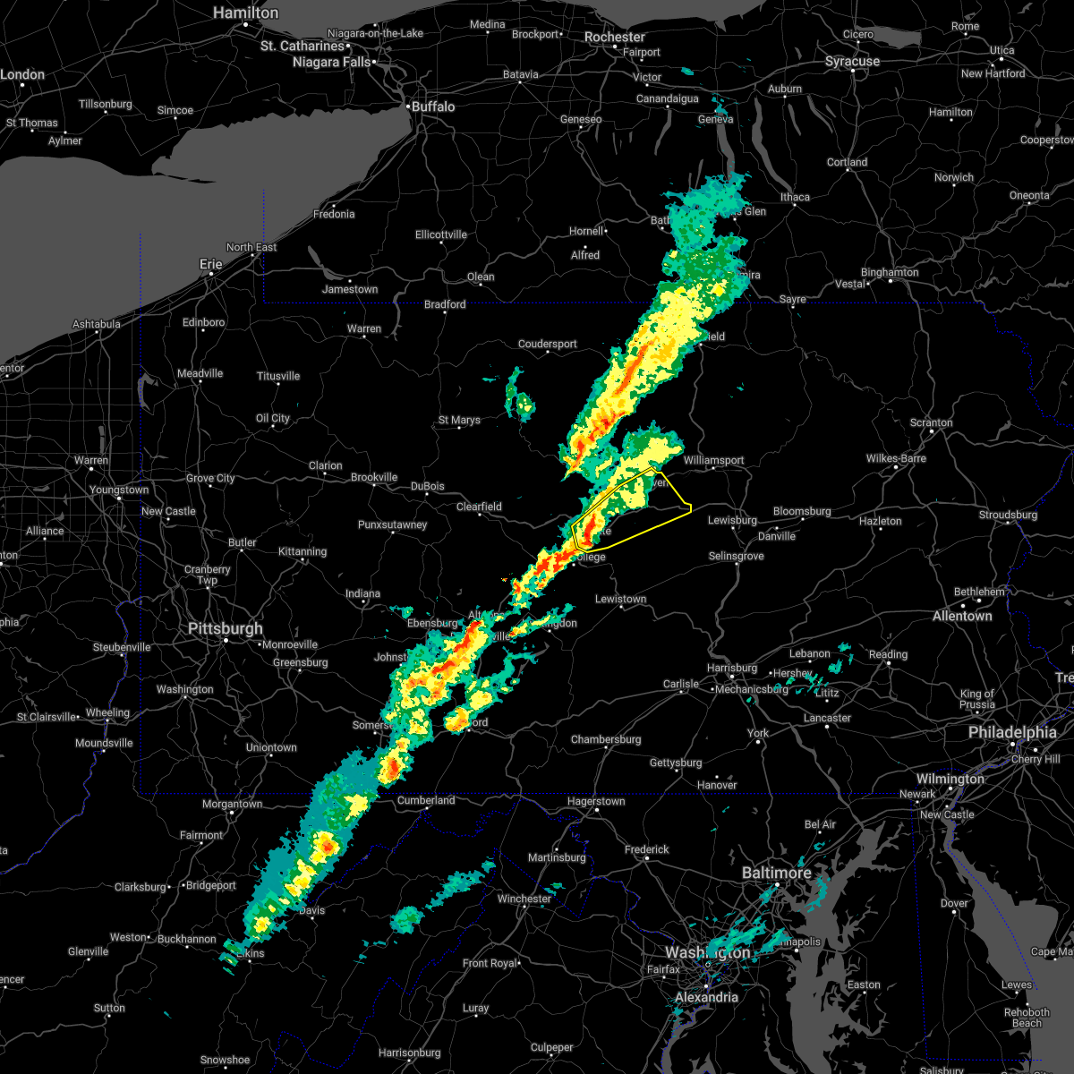 At 221 pm edt, a severe thunderstorm was located over zion, moving northeast at 45 mph (radar indicated). Hazards include 70 mph wind gusts and nickel size hail. Expect considerable tree damage. Damage is likely to mobile homes, roofs, and outbuildings. At 221 pm edt, a severe thunderstorm was located over zion, moving northeast at 45 mph (radar indicated). Hazards include 70 mph wind gusts and nickel size hail. Expect considerable tree damage. Damage is likely to mobile homes, roofs, and outbuildings.
|
| 3/31/2022 1:56 PM EDT |
 At 156 pm edt, a severe thunderstorm was located over stormstown, moving northeast at 35 mph (radar indicated). Hazards include 60 mph wind gusts. expect damage to roofs, siding, and trees At 156 pm edt, a severe thunderstorm was located over stormstown, moving northeast at 35 mph (radar indicated). Hazards include 60 mph wind gusts. expect damage to roofs, siding, and trees
|
| 3/7/2022 6:44 PM EST |
 At 643 pm est, severe thunderstorms were located along a line extending from le roy to mooresburg to perulack, moving east at 55 mph (radar indicated). Hazards include 60 mph wind gusts. expect damage to roofs, siding, and trees At 643 pm est, severe thunderstorms were located along a line extending from le roy to mooresburg to perulack, moving east at 55 mph (radar indicated). Hazards include 60 mph wind gusts. expect damage to roofs, siding, and trees
|
| 3/7/2022 5:59 PM EST |
 At 559 pm est, severe thunderstorms were located along a line extending from south corning to blanchard to williamsburg, moving east at 50 mph (radar indicated). Hazards include 60 mph wind gusts. expect damage to roofs, siding, and trees At 559 pm est, severe thunderstorms were located along a line extending from south corning to blanchard to williamsburg, moving east at 50 mph (radar indicated). Hazards include 60 mph wind gusts. expect damage to roofs, siding, and trees
|
| 3/7/2022 5:39 PM EST |
 At 538 pm est, severe thunderstorms were located along a line extending from bath to near keating to ogletown, moving northeast at 75 mph (radar indicated). Hazards include 60 mph wind gusts. Expect damage to roofs, siding, and trees. locations impacted include, state college, lock haven, bellefonte, mansfield, wellsboro, philipsburg, renovo, park forest village, boalsburg, wharton, keating, morris, pleasant gap, lamar, stormstown, lemont, zion, elkland, houserville and mill hall. for those driving on interstate 80, this includes areas between the kylertown and lock haven exits, specifically from mile markers 139 to 176. this includes interstate 99 from mile markers 56 to 85. hail threat, radar indicated max hail size, <. 75 in wind threat, radar indicated max wind gust, 60 mph. At 538 pm est, severe thunderstorms were located along a line extending from bath to near keating to ogletown, moving northeast at 75 mph (radar indicated). Hazards include 60 mph wind gusts. Expect damage to roofs, siding, and trees. locations impacted include, state college, lock haven, bellefonte, mansfield, wellsboro, philipsburg, renovo, park forest village, boalsburg, wharton, keating, morris, pleasant gap, lamar, stormstown, lemont, zion, elkland, houserville and mill hall. for those driving on interstate 80, this includes areas between the kylertown and lock haven exits, specifically from mile markers 139 to 176. this includes interstate 99 from mile markers 56 to 85. hail threat, radar indicated max hail size, <. 75 in wind threat, radar indicated max wind gust, 60 mph.
|
| 3/7/2022 5:22 PM EST |
 At 522 pm est, severe thunderstorms were located along a line extending from canisteo to near karthaus to near boswell, moving northeast at 60 mph (radar indicated). Hazards include 60 mph wind gusts. expect damage to roofs, siding, and trees At 522 pm est, severe thunderstorms were located along a line extending from canisteo to near karthaus to near boswell, moving northeast at 60 mph (radar indicated). Hazards include 60 mph wind gusts. expect damage to roofs, siding, and trees
|
| 9/15/2021 2:14 PM EDT |
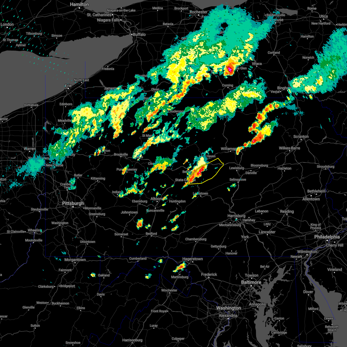 At 213 pm edt, severe thunderstorms were located along a line extending from near zion to houserville, moving east at 20 mph (radar indicated). Hazards include 60 mph wind gusts and quarter size hail. Hail damage to vehicles is expected. Expect wind damage to roofs, siding, and trees. At 213 pm edt, severe thunderstorms were located along a line extending from near zion to houserville, moving east at 20 mph (radar indicated). Hazards include 60 mph wind gusts and quarter size hail. Hail damage to vehicles is expected. Expect wind damage to roofs, siding, and trees.
|
| 9/15/2021 1:44 PM EDT |
 At 144 pm edt, a severe thunderstorm was located near houserville, moving east at 30 mph (radar indicated). Hazards include 60 mph wind gusts and quarter size hail. Hail damage to vehicles is expected. Expect wind damage to roofs, siding, and trees. At 144 pm edt, a severe thunderstorm was located near houserville, moving east at 30 mph (radar indicated). Hazards include 60 mph wind gusts and quarter size hail. Hail damage to vehicles is expected. Expect wind damage to roofs, siding, and trees.
|
| 9/8/2021 6:10 PM EDT | Numerous trees dow in northumberland county PA, 2.6 miles NW of Snydertown, PA |
| 9/8/2021 5:57 PM EDT |
 At 557 pm edt, a severe thunderstorm was located over trevorton, moving east at 35 mph (radar indicated). Hazards include 60 mph wind gusts and quarter size hail. Hail damage to vehicles is expected. expect wind damage to roofs, siding, and trees. this severe thunderstorm will be near, leck kill around 600 pm edt. shamokin, marshallton, fairview-ferndale, knoebels grove and elysburg around 610 pm edt. mount carmel, kulpmont, wilburton number one, wilburton number two, locustdale, lavelle, numidia, slabtown and beurys lake around 620 pm edt. ashland, aristes, girardville and fountain springs around 630 pm edt. other locations impacted by this severe thunderstorm include gordon, edgewood, park place, ringtown, middleport, cumbola, marion heights, seven points, palo alto and shenandoah heights. this includes interstate 81 from mile markers 113 to 132. hail threat, radar indicated max hail size, 1. 00 in wind threat, radar indicated max wind gust, 60 mph. At 557 pm edt, a severe thunderstorm was located over trevorton, moving east at 35 mph (radar indicated). Hazards include 60 mph wind gusts and quarter size hail. Hail damage to vehicles is expected. expect wind damage to roofs, siding, and trees. this severe thunderstorm will be near, leck kill around 600 pm edt. shamokin, marshallton, fairview-ferndale, knoebels grove and elysburg around 610 pm edt. mount carmel, kulpmont, wilburton number one, wilburton number two, locustdale, lavelle, numidia, slabtown and beurys lake around 620 pm edt. ashland, aristes, girardville and fountain springs around 630 pm edt. other locations impacted by this severe thunderstorm include gordon, edgewood, park place, ringtown, middleport, cumbola, marion heights, seven points, palo alto and shenandoah heights. this includes interstate 81 from mile markers 113 to 132. hail threat, radar indicated max hail size, 1. 00 in wind threat, radar indicated max wind gust, 60 mph.
|
| 9/8/2021 5:33 PM EDT |
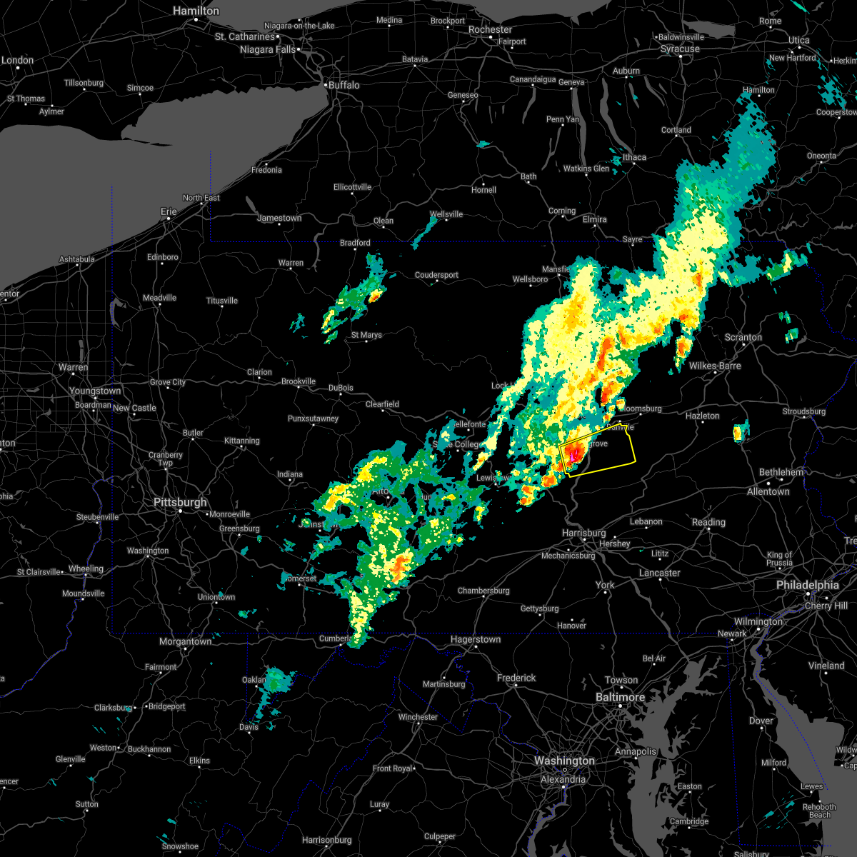 At 532 pm edt, a severe thunderstorm was located over fremont, moving east at 35 mph (radar indicated). Hazards include 60 mph wind gusts and half dollar size hail. Hail damage to vehicles is expected. expect wind damage to roofs, siding, and trees. this severe storm will be near, selinsgrove and kratzerville around 540 pm edt. sunbury, shamokin dam, rebuck, hummels wharf and urban around 550 pm edt. trevorton, stonington and leck kill around 600 pm edt. shamokin, fairview-ferndale, marshallton and elysburg around 610 pm edt. other locations impacted by this severe thunderstorm include edgewood, seven points, freeburg, snydertown, herndon, selinsgrove airport and dalmatia. hail threat, radar indicated max hail size, 1. 25 in wind threat, radar indicated max wind gust, 60 mph. At 532 pm edt, a severe thunderstorm was located over fremont, moving east at 35 mph (radar indicated). Hazards include 60 mph wind gusts and half dollar size hail. Hail damage to vehicles is expected. expect wind damage to roofs, siding, and trees. this severe storm will be near, selinsgrove and kratzerville around 540 pm edt. sunbury, shamokin dam, rebuck, hummels wharf and urban around 550 pm edt. trevorton, stonington and leck kill around 600 pm edt. shamokin, fairview-ferndale, marshallton and elysburg around 610 pm edt. other locations impacted by this severe thunderstorm include edgewood, seven points, freeburg, snydertown, herndon, selinsgrove airport and dalmatia. hail threat, radar indicated max hail size, 1. 25 in wind threat, radar indicated max wind gust, 60 mph.
|
| 9/8/2021 5:11 PM EDT |
 At 511 pm edt, a severe thunderstorm was located near richfield, moving east at 40 mph (radar indicated). Hazards include 60 mph wind gusts. Expect damage to roofs, siding, and trees. this severe thunderstorm will be near, mount pleasant mills, fremont, middleburg and meiserville around 520 pm edt. kreamer and port trevorton around 530 pm edt. selinsgrove, hummels wharf, shamokin dam, kratzerville, rebuck and winfield around 540 pm edt. sunbury, northumberland and stonington around 550 pm edt. other locations impacted by this severe thunderstorm include edgewood, beavertown, seven points, freeburg, snydertown, herndon, selinsgrove airport and dalmatia. hail threat, radar indicated max hail size, <. 75 in wind threat, radar indicated max wind gust, 60 mph. At 511 pm edt, a severe thunderstorm was located near richfield, moving east at 40 mph (radar indicated). Hazards include 60 mph wind gusts. Expect damage to roofs, siding, and trees. this severe thunderstorm will be near, mount pleasant mills, fremont, middleburg and meiserville around 520 pm edt. kreamer and port trevorton around 530 pm edt. selinsgrove, hummels wharf, shamokin dam, kratzerville, rebuck and winfield around 540 pm edt. sunbury, northumberland and stonington around 550 pm edt. other locations impacted by this severe thunderstorm include edgewood, beavertown, seven points, freeburg, snydertown, herndon, selinsgrove airport and dalmatia. hail threat, radar indicated max hail size, <. 75 in wind threat, radar indicated max wind gust, 60 mph.
|
| 8/18/2021 2:12 PM EDT |
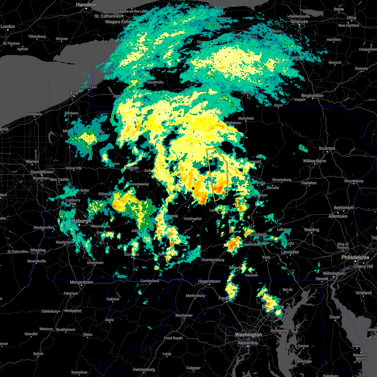 At 212 pm edt, a severe thunderstorm was located over spring mills, moving north at 40 mph (radar indicated). Hazards include 60 mph wind gusts. Expect damage to roofs, siding, and trees. this severe thunderstorm will be near, lamar and bald eagle state park around 220 pm edt. lock haven, blanchard, mill hall, mackeyville, flemington and castanea around 230 pm edt. glen union around 240 pm edt. other locations impacted by this severe thunderstorm include howard, beech creek and lock haven university. For those driving on interstate 80, this includes areas between the bellefonte and loganton exits, specifically from mile markers 164 to 179. At 212 pm edt, a severe thunderstorm was located over spring mills, moving north at 40 mph (radar indicated). Hazards include 60 mph wind gusts. Expect damage to roofs, siding, and trees. this severe thunderstorm will be near, lamar and bald eagle state park around 220 pm edt. lock haven, blanchard, mill hall, mackeyville, flemington and castanea around 230 pm edt. glen union around 240 pm edt. other locations impacted by this severe thunderstorm include howard, beech creek and lock haven university. For those driving on interstate 80, this includes areas between the bellefonte and loganton exits, specifically from mile markers 164 to 179.
|
| 8/12/2021 9:23 PM EDT |
 At 922 pm edt, severe thunderstorms were located along a line extending from allenwood to kreamer, moving east at 45 mph (radar indicated). Hazards include 60 mph wind gusts. expect damage to roofs, siding, and trees At 922 pm edt, severe thunderstorms were located along a line extending from allenwood to kreamer, moving east at 45 mph (radar indicated). Hazards include 60 mph wind gusts. expect damage to roofs, siding, and trees
|
| 8/12/2021 7:56 PM EDT |
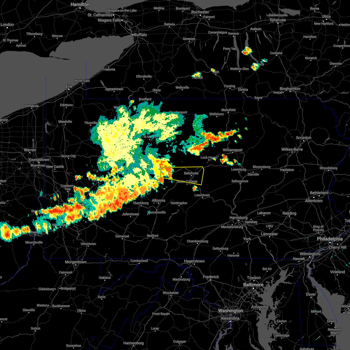 At 755 pm edt, a severe thunderstorm was located over north philipsburg, moving east at 40 mph (law enforcement). Hazards include 60 mph wind gusts. expect damage to roofs, siding, and trees At 755 pm edt, a severe thunderstorm was located over north philipsburg, moving east at 40 mph (law enforcement). Hazards include 60 mph wind gusts. expect damage to roofs, siding, and trees
|
| 8/11/2021 5:08 PM EDT |
 At 507 pm edt, severe thunderstorms were located along a line extending from watsontown to selinsgrove, moving east at 25 mph (radar indicated). Hazards include 60 mph wind gusts. expect damage to roofs, siding, and trees At 507 pm edt, severe thunderstorms were located along a line extending from watsontown to selinsgrove, moving east at 25 mph (radar indicated). Hazards include 60 mph wind gusts. expect damage to roofs, siding, and trees
|
| 7/17/2021 6:39 PM EDT |
 The severe thunderstorm warning for northumberland, northwestern dauphin, northeastern juniata, montour, southeastern lycoming, western columbia, north central cumberland, southeastern sullivan and eastern perry counties will expire at 645 pm edt, the storms which prompted the warning have weakened below severe limits, and have exited the warned area. therefore, the warning will be allowed to expire. however heavy rain is still possible with these thunderstorms. a severe thunderstorm warning remains in effect for eastern lycoming, northern columbia, and eastern sullivan counties until 715 pm. a severe thunderstorm watch remains in effect until 1100 pm edt for central, south central and north central pennsylvania. to report severe weather, contact your nearest law enforcement agency. they will relay your report to the national weather service state college pa. The severe thunderstorm warning for northumberland, northwestern dauphin, northeastern juniata, montour, southeastern lycoming, western columbia, north central cumberland, southeastern sullivan and eastern perry counties will expire at 645 pm edt, the storms which prompted the warning have weakened below severe limits, and have exited the warned area. therefore, the warning will be allowed to expire. however heavy rain is still possible with these thunderstorms. a severe thunderstorm warning remains in effect for eastern lycoming, northern columbia, and eastern sullivan counties until 715 pm. a severe thunderstorm watch remains in effect until 1100 pm edt for central, south central and north central pennsylvania. to report severe weather, contact your nearest law enforcement agency. they will relay your report to the national weather service state college pa.
|
| 7/17/2021 6:03 PM EDT |
 At 602 pm edt, severe thunderstorms were located along a line extending from exchange to near millersburg to near carlisle, moving northeast at 30 mph (radar indicated). Hazards include 60 mph wind gusts and quarter size hail. Hail damage to vehicles is expected. expect wind damage to roofs, siding, and trees. locations impacted include, bloomsburg, sunbury, shamokin, milton, lewisburg, danville, northumberland, plainfield, schlusser, millersburg, marysville, muncy, watsontown, elysburg, fairview-ferndale, hughesville, riverside, trevorton, lykens and shamokin dam. for those driving on interstate 80, this includes areas between the lewisburg-williamsport and bloomsburg-light street exits, specifically from mile markers 211 to 234. this includes the following interstates, the pennsylvania turnpike from mile markers 214 to 219. Interstate 180 from mile markers 1 to 13. At 602 pm edt, severe thunderstorms were located along a line extending from exchange to near millersburg to near carlisle, moving northeast at 30 mph (radar indicated). Hazards include 60 mph wind gusts and quarter size hail. Hail damage to vehicles is expected. expect wind damage to roofs, siding, and trees. locations impacted include, bloomsburg, sunbury, shamokin, milton, lewisburg, danville, northumberland, plainfield, schlusser, millersburg, marysville, muncy, watsontown, elysburg, fairview-ferndale, hughesville, riverside, trevorton, lykens and shamokin dam. for those driving on interstate 80, this includes areas between the lewisburg-williamsport and bloomsburg-light street exits, specifically from mile markers 211 to 234. this includes the following interstates, the pennsylvania turnpike from mile markers 214 to 219. Interstate 180 from mile markers 1 to 13.
|
| 7/17/2021 5:44 PM EDT |
 At 543 pm edt, severe thunderstorms were located along a line extending from near milton to near new buffalo to near newville, moving northeast at 30 mph (radar indicated). Hazards include 60 mph wind gusts and quarter size hail. Hail damage to vehicles is expected. Expect wind damage to roofs, siding, and trees. At 543 pm edt, severe thunderstorms were located along a line extending from near milton to near new buffalo to near newville, moving northeast at 30 mph (radar indicated). Hazards include 60 mph wind gusts and quarter size hail. Hail damage to vehicles is expected. Expect wind damage to roofs, siding, and trees.
|
| 7/13/2021 10:18 PM EDT |
 At 1017 pm edt, severe thunderstorms were located along a line extending from allenwood to lewisburg to near linntown to kreamer, moving northeast at 25 mph (radar indicated). Hazards include 70 mph wind gusts. Expect considerable tree damage. damage is likely to mobile homes, roofs, and outbuildings. severe thunderstorms will be near, lewisburg, allenwood, watsontown, winfield, new columbia and linntown around 1020 pm edt. milton, montandon and delaware run around 1030 pm edt. shamokin dam and hummels wharf around 1040 pm edt. sunbury, northumberland, mooresburg, riverside and exchange around 1050 pm edt. other locations impacted by these severe thunderstorms include turbotville, washingtonville, orangeville, benton, west milton, snydertown, seven points, espy, new berlin and stillwater. for those driving on interstate 80, this includes areas between the mile run and berwick-lime ridge exits, specifically from mile markers 205 to 239. This includes interstate 180 from mile markers 1 to 9. At 1017 pm edt, severe thunderstorms were located along a line extending from allenwood to lewisburg to near linntown to kreamer, moving northeast at 25 mph (radar indicated). Hazards include 70 mph wind gusts. Expect considerable tree damage. damage is likely to mobile homes, roofs, and outbuildings. severe thunderstorms will be near, lewisburg, allenwood, watsontown, winfield, new columbia and linntown around 1020 pm edt. milton, montandon and delaware run around 1030 pm edt. shamokin dam and hummels wharf around 1040 pm edt. sunbury, northumberland, mooresburg, riverside and exchange around 1050 pm edt. other locations impacted by these severe thunderstorms include turbotville, washingtonville, orangeville, benton, west milton, snydertown, seven points, espy, new berlin and stillwater. for those driving on interstate 80, this includes areas between the mile run and berwick-lime ridge exits, specifically from mile markers 205 to 239. This includes interstate 180 from mile markers 1 to 9.
|
| 7/13/2021 7:59 PM EDT |
 At 759 pm edt, severe thunderstorms were located along a line extending from monument to near zion to potters mills to near seven mountains to belleville, moving northeast at 45 mph. these are very dangerous storms (radar indicated). Hazards include 80 mph wind gusts and quarter size hail. Flying debris will be dangerous to those caught without shelter. mobile homes will be heavily damaged. expect considerable damage to roofs, windows, and vehicles. extensive tree damage and power outages are likely. severe thunderstorms will be near, monument, potters mills, zion and bald eagle state park around 800 pm edt. lewistown, lamar, spring mills, highland park, burnham, madisonburg, blanchard, juniata terrace and glen union around 810 pm edt. lock haven, poe valley state park, reeds gap state park, rebersburg, aaronsburg, mackeyville, coburn, mill hall, millheim and castanea around 820 pm edt. woodward, avis, mcelhattan, dunnstown and mcclure around 830 pm edt. other locations impacted by these severe thunderstorms include siglerville, howard, maitland, wagner, hartleton, barrville, loganton, orviston, mccall dam state park and beech creek. for those driving on interstate 80, this includes areas between the milesburg and mile run exits, specifically from mile markers 159 to 194. This includes interstate 99 from mile markers 82 to 85. At 759 pm edt, severe thunderstorms were located along a line extending from monument to near zion to potters mills to near seven mountains to belleville, moving northeast at 45 mph. these are very dangerous storms (radar indicated). Hazards include 80 mph wind gusts and quarter size hail. Flying debris will be dangerous to those caught without shelter. mobile homes will be heavily damaged. expect considerable damage to roofs, windows, and vehicles. extensive tree damage and power outages are likely. severe thunderstorms will be near, monument, potters mills, zion and bald eagle state park around 800 pm edt. lewistown, lamar, spring mills, highland park, burnham, madisonburg, blanchard, juniata terrace and glen union around 810 pm edt. lock haven, poe valley state park, reeds gap state park, rebersburg, aaronsburg, mackeyville, coburn, mill hall, millheim and castanea around 820 pm edt. woodward, avis, mcelhattan, dunnstown and mcclure around 830 pm edt. other locations impacted by these severe thunderstorms include siglerville, howard, maitland, wagner, hartleton, barrville, loganton, orviston, mccall dam state park and beech creek. for those driving on interstate 80, this includes areas between the milesburg and mile run exits, specifically from mile markers 159 to 194. This includes interstate 99 from mile markers 82 to 85.
|
| 7/13/2021 7:16 PM EDT |
 At 716 pm edt, severe thunderstorms were located along a line extending from black moshannon state park to near port matilda to near franklinville to near spruce creek to huntingdon, moving northeast at 25 mph (radar indicated). Hazards include 70 mph wind gusts and penny size hail. Expect considerable tree damage. damage is likely to mobile homes, roofs, and outbuildings. severe thunderstorms will be near, black moshannon state park, stormstown and port matilda around 720 pm edt. rock springs, julian, ramblewood and park forest village around 730 pm edt. pine grove mills, whipple dam state park, mcalevys fort, allensville, houserville and snow shoe around 740 pm edt. bellefonte, state college, boalsburg, milesburg, pleasant gap and lemont around 750 pm edt. other locations impacted by these severe thunderstorms include barrville, orviston, longfellow, mcconnellstown, siglerville, mill creek, howard, petersburg, maitland and alexandria. for those driving on interstate 80, this includes areas between the kylertown and lamar exits, specifically from mile markers 143 to 170. This includes interstate 99 from mile markers 57 to 85. At 716 pm edt, severe thunderstorms were located along a line extending from black moshannon state park to near port matilda to near franklinville to near spruce creek to huntingdon, moving northeast at 25 mph (radar indicated). Hazards include 70 mph wind gusts and penny size hail. Expect considerable tree damage. damage is likely to mobile homes, roofs, and outbuildings. severe thunderstorms will be near, black moshannon state park, stormstown and port matilda around 720 pm edt. rock springs, julian, ramblewood and park forest village around 730 pm edt. pine grove mills, whipple dam state park, mcalevys fort, allensville, houserville and snow shoe around 740 pm edt. bellefonte, state college, boalsburg, milesburg, pleasant gap and lemont around 750 pm edt. other locations impacted by these severe thunderstorms include barrville, orviston, longfellow, mcconnellstown, siglerville, mill creek, howard, petersburg, maitland and alexandria. for those driving on interstate 80, this includes areas between the kylertown and lamar exits, specifically from mile markers 143 to 170. This includes interstate 99 from mile markers 57 to 85.
|
| 7/11/2021 8:43 PM EDT |
 At 842 pm edt, severe thunderstorms were located along a line extending from montoursville to near delaware run to near jerseytown to danville to stonington to near trevorton to near urban, moving northeast at 35 mph (radar indicated). Hazards include 70 mph wind gusts. Expect considerable tree damage. damage is likely to mobile homes, roofs, and outbuildings. severe thunderstorms will be near, bloomsburg, danville, buckhorn, jerseytown, elysburg, eyers grove, fernville, iola, rupert and hughesville around 850 pm edt. lightstreet, lairdsville, catawissa, rohrsburg, almedia, knoebels grove and barbours around 900 pm edt. shamokin, biggertown, mainville, marshallton, slabtown, numidia, mifflinville, shumans, muncy valley and kettle creek gorge around 910 pm edt. mount carmel, kulpmont, berwick, central, wilburton number one, jamison city and waller around 920 pm edt. other locations impacted by these severe thunderstorms include lime ridge, dushore, marion heights, forksville, seven points, garden view, hillsgrove, stillwater, millville and edgewood. for those driving on interstate 80, this includes areas between the limestoneville and nescopek exits, specifically from mile markers 222 to 247. This includes interstate 180 from mile markers 3 to 28. At 842 pm edt, severe thunderstorms were located along a line extending from montoursville to near delaware run to near jerseytown to danville to stonington to near trevorton to near urban, moving northeast at 35 mph (radar indicated). Hazards include 70 mph wind gusts. Expect considerable tree damage. damage is likely to mobile homes, roofs, and outbuildings. severe thunderstorms will be near, bloomsburg, danville, buckhorn, jerseytown, elysburg, eyers grove, fernville, iola, rupert and hughesville around 850 pm edt. lightstreet, lairdsville, catawissa, rohrsburg, almedia, knoebels grove and barbours around 900 pm edt. shamokin, biggertown, mainville, marshallton, slabtown, numidia, mifflinville, shumans, muncy valley and kettle creek gorge around 910 pm edt. mount carmel, kulpmont, berwick, central, wilburton number one, jamison city and waller around 920 pm edt. other locations impacted by these severe thunderstorms include lime ridge, dushore, marion heights, forksville, seven points, garden view, hillsgrove, stillwater, millville and edgewood. for those driving on interstate 80, this includes areas between the limestoneville and nescopek exits, specifically from mile markers 222 to 247. This includes interstate 180 from mile markers 3 to 28.
|
| 7/11/2021 8:03 PM EDT |
 At 802 pm edt, severe thunderstorms were located along a line extending from near castanea to r.b. winter state park to near mifflinburg to paxtonville to near richfield, moving east at 40 mph. these are very dangerous storms (radar indicated). Hazards include 80 mph wind gusts. Flying debris will be dangerous to those caught without shelter. mobile homes will be heavily damaged. expect considerable damage to roofs, windows, and vehicles. Extensive tree damage and power outages are likely. At 802 pm edt, severe thunderstorms were located along a line extending from near castanea to r.b. winter state park to near mifflinburg to paxtonville to near richfield, moving east at 40 mph. these are very dangerous storms (radar indicated). Hazards include 80 mph wind gusts. Flying debris will be dangerous to those caught without shelter. mobile homes will be heavily damaged. expect considerable damage to roofs, windows, and vehicles. Extensive tree damage and power outages are likely.
|
| 7/11/2021 7:31 PM EDT |
 At 731 pm edt, severe thunderstorms were located along a line extending from near zion to near coburn to alfarata to near juniata terrace to near allensville to near blacklog, moving northeast at 35 mph (radar indicated). Hazards include 70 mph wind gusts. Expect considerable tree damage. damage is likely to mobile homes, roofs, and outbuildings. severe thunderstorms will be near, belltown, millheim, aaronsburg, coburn, lamar, madisonburg, rebersburg, reeds gap state park, poe valley state park and bald eagle state park around 740 pm edt. woodward, mackeyville, mcclure, weikert and mill hall around 750 pm edt. mcalisterville, beaver springs, troxelville, alfarata, laurelton center, snyder-middleswart state park, castanea, flemington and dunnstown around 800 pm edt. mifflinburg, mexico, r. b. winter state park, sand bridge state park, paxtonville, richfield, middleburg, forest hill, carroll and penns creek around 810 pm edt. other locations impacted by these severe thunderstorms include beavertown, port royal, wagner, thompsontown, mccall dam state park, atkinson mills, east salem, mifflin, mifflintown and siglerville. For those driving on interstate 80, this includes areas between the milesburg and mile run exits, specifically from mile markers 158 to 196. At 731 pm edt, severe thunderstorms were located along a line extending from near zion to near coburn to alfarata to near juniata terrace to near allensville to near blacklog, moving northeast at 35 mph (radar indicated). Hazards include 70 mph wind gusts. Expect considerable tree damage. damage is likely to mobile homes, roofs, and outbuildings. severe thunderstorms will be near, belltown, millheim, aaronsburg, coburn, lamar, madisonburg, rebersburg, reeds gap state park, poe valley state park and bald eagle state park around 740 pm edt. woodward, mackeyville, mcclure, weikert and mill hall around 750 pm edt. mcalisterville, beaver springs, troxelville, alfarata, laurelton center, snyder-middleswart state park, castanea, flemington and dunnstown around 800 pm edt. mifflinburg, mexico, r. b. winter state park, sand bridge state park, paxtonville, richfield, middleburg, forest hill, carroll and penns creek around 810 pm edt. other locations impacted by these severe thunderstorms include beavertown, port royal, wagner, thompsontown, mccall dam state park, atkinson mills, east salem, mifflin, mifflintown and siglerville. For those driving on interstate 80, this includes areas between the milesburg and mile run exits, specifically from mile markers 158 to 196.
|
| 7/11/2021 6:57 PM EDT |
 At 655 pm edt, severe thunderstorms were located along a line extending from near julian to near huntingdon to near trough creek state park to near everett to near lake gordon, moving east at 40 mph (radar indicated). Hazards include 70 mph wind gusts. Expect considerable tree damage. Damage is likely to mobile homes, roofs, and outbuildings. At 655 pm edt, severe thunderstorms were located along a line extending from near julian to near huntingdon to near trough creek state park to near everett to near lake gordon, moving east at 40 mph (radar indicated). Hazards include 70 mph wind gusts. Expect considerable tree damage. Damage is likely to mobile homes, roofs, and outbuildings.
|
| 7/11/2021 6:23 PM EDT |
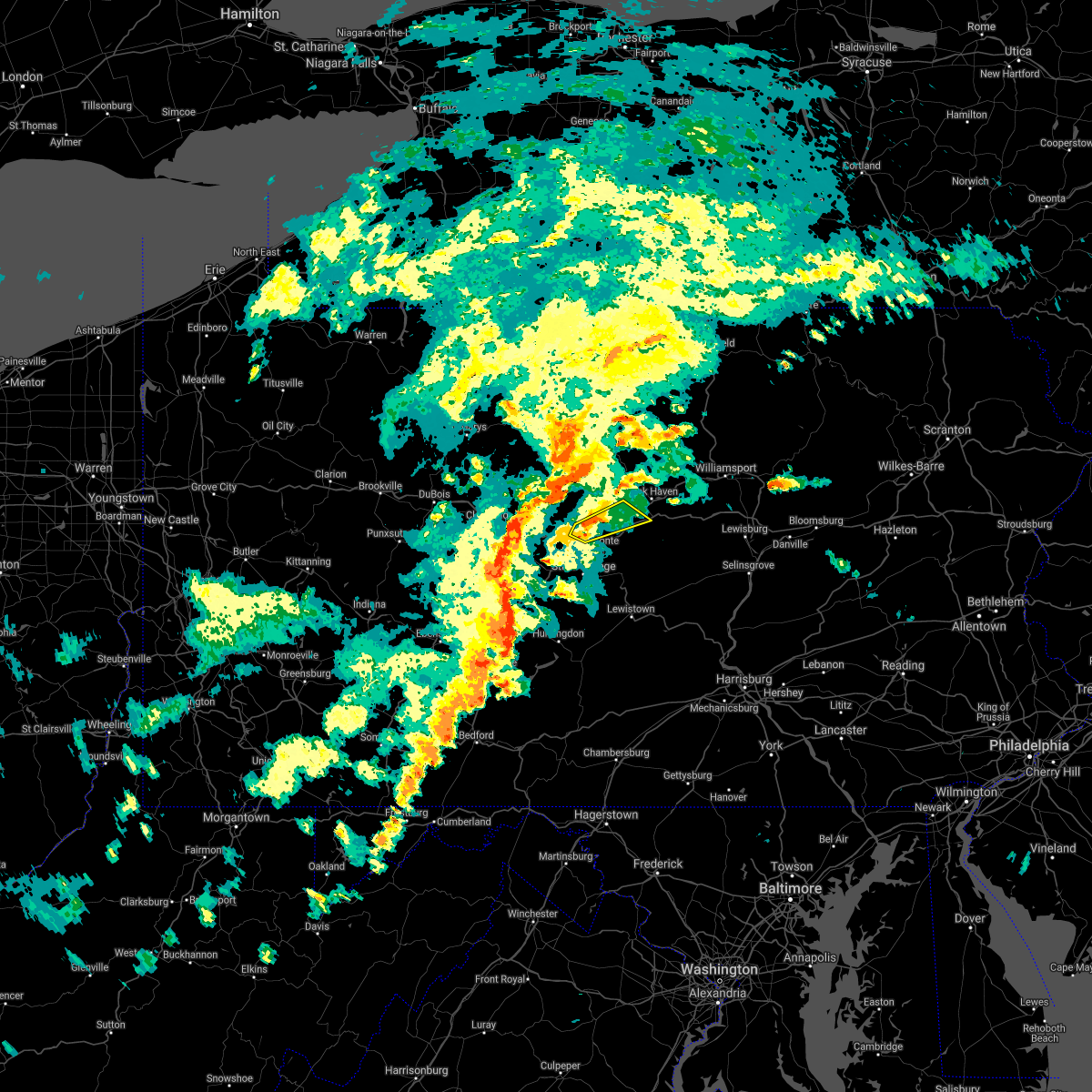 At 622 pm edt, a severe thunderstorm was located near milesburg, moving northeast at 25 mph (radar indicated). Hazards include 60 mph wind gusts. Expect damage to roofs, siding, and trees. this severe thunderstorm will be near, bald eagle state park around 640 pm edt. blanchard around 700 pm edt. other locations impacted by this severe thunderstorm include howard and beech creek. for those driving on interstate 80, this includes areas between the snow shoe and lock haven exits, specifically between mile markers 149 and 157, and from mile markers 168 to 176. This includes route 220 from near lamar on i-80 to near mackeyville on i-80. At 622 pm edt, a severe thunderstorm was located near milesburg, moving northeast at 25 mph (radar indicated). Hazards include 60 mph wind gusts. Expect damage to roofs, siding, and trees. this severe thunderstorm will be near, bald eagle state park around 640 pm edt. blanchard around 700 pm edt. other locations impacted by this severe thunderstorm include howard and beech creek. for those driving on interstate 80, this includes areas between the snow shoe and lock haven exits, specifically between mile markers 149 and 157, and from mile markers 168 to 176. This includes route 220 from near lamar on i-80 to near mackeyville on i-80.
|
| 7/7/2021 6:56 PM EDT |
 At 656 pm edt, severe thunderstorms were located along a line extending from near karthaus to 6 miles northeast of clarence to near bald eagle state park to near madisonburg to near poe valley state park, moving northeast at 30 mph (radar indicated). Hazards include 70 mph wind gusts and quarter size hail. Hail damage to vehicles is expected. expect considerable tree damage. wind damage is also likely to mobile homes, roofs, and outbuildings. severe thunderstorms will be near, madisonburg, bald eagle state park, spring mills, monument, reeds gap state park, potters mills and belltown around 700 pm edt. rebersburg, blanchard, poe valley state park, coburn, aaronsburg, millheim and lamar around 710 pm edt. lock haven, weikert, mill hall, woodward, keating, flemington, snyder-middleswart state park and mackeyville around 720 pm edt. dunnstown, laurelton center, glen union, westport, castanea and troxelville around 730 pm edt. other locations impacted by these severe thunderstorms include siglerville, howard, hartleton, loganton, orviston, mccall dam state park, beech creek and lock haven university. for those driving on interstate 80, this includes areas between the snow shoe and mile run exits, specifically near mile marker 155, and from mile markers 158 to 194. This includes interstate 99 near mile marker 85. At 656 pm edt, severe thunderstorms were located along a line extending from near karthaus to 6 miles northeast of clarence to near bald eagle state park to near madisonburg to near poe valley state park, moving northeast at 30 mph (radar indicated). Hazards include 70 mph wind gusts and quarter size hail. Hail damage to vehicles is expected. expect considerable tree damage. wind damage is also likely to mobile homes, roofs, and outbuildings. severe thunderstorms will be near, madisonburg, bald eagle state park, spring mills, monument, reeds gap state park, potters mills and belltown around 700 pm edt. rebersburg, blanchard, poe valley state park, coburn, aaronsburg, millheim and lamar around 710 pm edt. lock haven, weikert, mill hall, woodward, keating, flemington, snyder-middleswart state park and mackeyville around 720 pm edt. dunnstown, laurelton center, glen union, westport, castanea and troxelville around 730 pm edt. other locations impacted by these severe thunderstorms include siglerville, howard, hartleton, loganton, orviston, mccall dam state park, beech creek and lock haven university. for those driving on interstate 80, this includes areas between the snow shoe and mile run exits, specifically near mile marker 155, and from mile markers 158 to 194. This includes interstate 99 near mile marker 85.
|
| 7/7/2021 6:36 PM EDT |
 At 636 pm edt, severe thunderstorms were located along a line extending from near lecontes mills to near pine glen to near moshannon to julian to boalsburg to near seven mountains, moving east at 40 mph (radar indicated). Hazards include 70 mph wind gusts and quarter size hail. Hail damage to vehicles is expected. expect considerable tree damage. wind damage is also likely to mobile homes, roofs, and outbuildings. severe thunderstorms will be near, state college, seven mountains, boalsburg, snow shoe, clarence, lemont, houserville and reedsville around 640 pm edt. bellefonte, centre hall, potters mills, milesburg, pleasant gap, milroy and reeds gap state park around 650 pm edt. spring mills, zion, monument, poe valley state park, bald eagle state park and belltown around 700 pm edt. lock haven, lamar, millheim, aaronsburg, coburn, blanchard, madisonburg, woodward, rebersburg and mackeyville around 710 pm edt. other locations impacted by these severe thunderstorms include barrville, orviston, mccall dam state park, beech creek, kylertown, grassflat, siglerville, howard, loganton and unionville. for those driving on interstate 80, this includes areas between the penfield and jersey shore exits, specifically between mile markers 117 and 123, between mile markers 125 and 126, between mile markers 133 and 135, and from mile markers 138 to 189. This includes interstate 99 from mile markers 67 to 85. At 636 pm edt, severe thunderstorms were located along a line extending from near lecontes mills to near pine glen to near moshannon to julian to boalsburg to near seven mountains, moving east at 40 mph (radar indicated). Hazards include 70 mph wind gusts and quarter size hail. Hail damage to vehicles is expected. expect considerable tree damage. wind damage is also likely to mobile homes, roofs, and outbuildings. severe thunderstorms will be near, state college, seven mountains, boalsburg, snow shoe, clarence, lemont, houserville and reedsville around 640 pm edt. bellefonte, centre hall, potters mills, milesburg, pleasant gap, milroy and reeds gap state park around 650 pm edt. spring mills, zion, monument, poe valley state park, bald eagle state park and belltown around 700 pm edt. lock haven, lamar, millheim, aaronsburg, coburn, blanchard, madisonburg, woodward, rebersburg and mackeyville around 710 pm edt. other locations impacted by these severe thunderstorms include barrville, orviston, mccall dam state park, beech creek, kylertown, grassflat, siglerville, howard, loganton and unionville. for those driving on interstate 80, this includes areas between the penfield and jersey shore exits, specifically between mile markers 117 and 123, between mile markers 125 and 126, between mile markers 133 and 135, and from mile markers 138 to 189. This includes interstate 99 from mile markers 67 to 85.
|
| 6/29/2021 10:07 PM EDT |
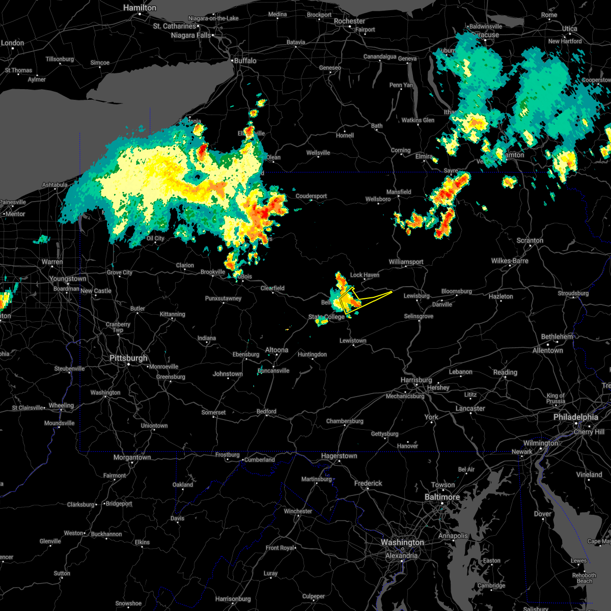 The severe thunderstorm warning for east central centre county will expire at 1015 pm edt, the storm which prompted the warning has weakened below severe limits, and no longer poses an immediate threat to life or property. therefore, the warning will be allowed to expire. The severe thunderstorm warning for east central centre county will expire at 1015 pm edt, the storm which prompted the warning has weakened below severe limits, and no longer poses an immediate threat to life or property. therefore, the warning will be allowed to expire.
|
| 6/29/2021 9:53 PM EDT |
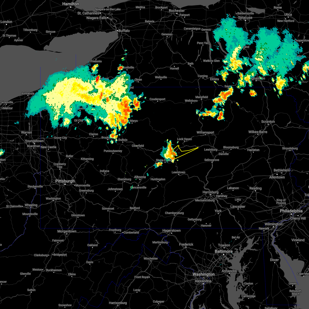 At 953 pm edt, a severe thunderstorm was located near bald eagle state park, moving northeast at 30 mph (radar indicated). Hazards include 60 mph wind gusts. Expect damage to roofs, siding, and trees. locations impacted include, lamar, zion, rebersburg, madisonburg, bald eagle state park, howard, beech creek and mccall dam state park. For those driving on interstate 80, this includes areas between the bellefonte and lamar exits, specifically from mile markers 162 to 170. At 953 pm edt, a severe thunderstorm was located near bald eagle state park, moving northeast at 30 mph (radar indicated). Hazards include 60 mph wind gusts. Expect damage to roofs, siding, and trees. locations impacted include, lamar, zion, rebersburg, madisonburg, bald eagle state park, howard, beech creek and mccall dam state park. For those driving on interstate 80, this includes areas between the bellefonte and lamar exits, specifically from mile markers 162 to 170.
|
| 6/29/2021 9:43 PM EDT |
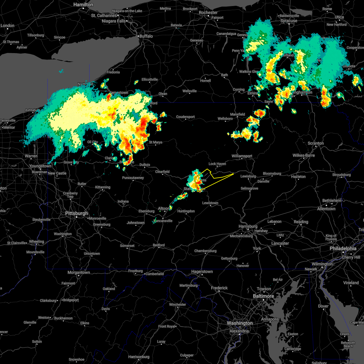 At 943 pm edt, a severe thunderstorm was located near zion, moving northeast at 30 mph (radar indicated). Hazards include 60 mph wind gusts. Expect damage to roofs, siding, and trees. locations impacted include, bellefonte, pleasant gap, lamar, lemont, zion, houserville, centre hall, milesburg, blanchard, rebersburg, madisonburg, bald eagle state park, howard, beech creek and mccall dam state park. for those driving on interstate 80, this includes areas between the snow shoe and lamar exits, specifically from mile markers 154 to 170. This includes interstate 99 from mile markers 77 to 85. At 943 pm edt, a severe thunderstorm was located near zion, moving northeast at 30 mph (radar indicated). Hazards include 60 mph wind gusts. Expect damage to roofs, siding, and trees. locations impacted include, bellefonte, pleasant gap, lamar, lemont, zion, houserville, centre hall, milesburg, blanchard, rebersburg, madisonburg, bald eagle state park, howard, beech creek and mccall dam state park. for those driving on interstate 80, this includes areas between the snow shoe and lamar exits, specifically from mile markers 154 to 170. This includes interstate 99 from mile markers 77 to 85.
|
| 6/29/2021 9:30 PM EDT |
 At 930 pm edt, a severe thunderstorm was located over bellefonte, moving northeast at 30 mph (radar indicated). Hazards include 60 mph wind gusts. expect damage to roofs, siding, and trees At 930 pm edt, a severe thunderstorm was located over bellefonte, moving northeast at 30 mph (radar indicated). Hazards include 60 mph wind gusts. expect damage to roofs, siding, and trees
|
| 6/21/2021 5:08 PM EDT |
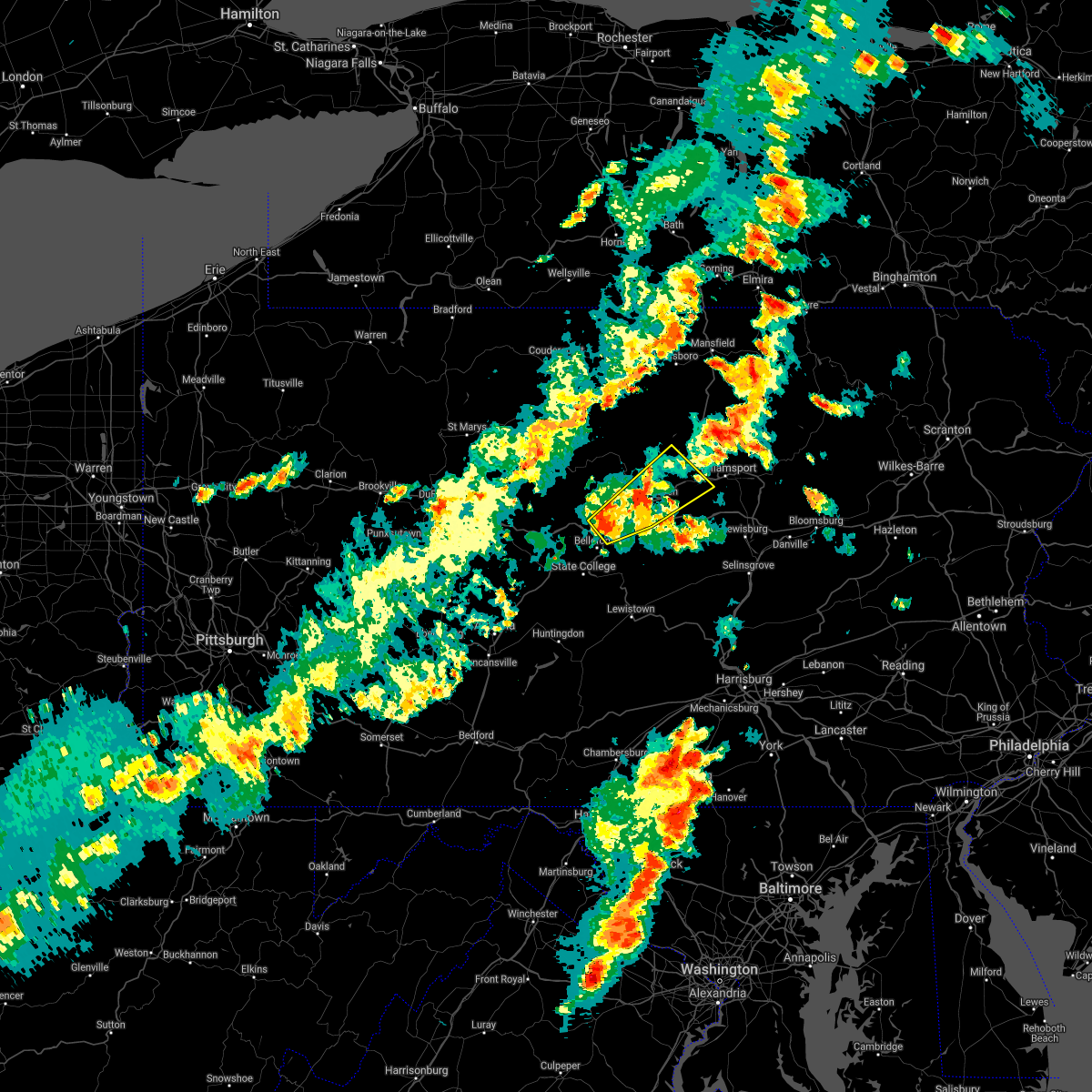 At 507 pm edt, severe thunderstorms were located along a line extending from near lock haven to castanea to mackeyville, moving northeast at 50 mph (radar indicated). Hazards include 60 mph wind gusts and nickel size hail. expect damage to roofs, siding, and trees At 507 pm edt, severe thunderstorms were located along a line extending from near lock haven to castanea to mackeyville, moving northeast at 50 mph (radar indicated). Hazards include 60 mph wind gusts and nickel size hail. expect damage to roofs, siding, and trees
|
| 6/14/2021 3:39 PM EDT |
 At 338 pm edt, severe thunderstorms were located along a line extending from iola to near danville to near sunbury, moving east at 45 mph (radar indicated). Hazards include 60 mph wind gusts. Expect damage to roofs, siding, and trees. locations impacted include, bloomsburg, berwick, sunbury, milton, danville, northumberland, elysburg, riverside, catawissa, mifflinville, lightstreet, almedia, montandon, fernville, mechanicsville, buckhorn, aristes, numidia, jerseytown and rupert. For those driving on interstate 80, this includes areas between the milton-williamsport and nescopek exits, specifically from mile markers 213 to 247. At 338 pm edt, severe thunderstorms were located along a line extending from iola to near danville to near sunbury, moving east at 45 mph (radar indicated). Hazards include 60 mph wind gusts. Expect damage to roofs, siding, and trees. locations impacted include, bloomsburg, berwick, sunbury, milton, danville, northumberland, elysburg, riverside, catawissa, mifflinville, lightstreet, almedia, montandon, fernville, mechanicsville, buckhorn, aristes, numidia, jerseytown and rupert. For those driving on interstate 80, this includes areas between the milton-williamsport and nescopek exits, specifically from mile markers 213 to 247.
|
| 6/14/2021 3:18 PM EDT |
 At 316 pm edt, severe thunderstorms were located along a line extending from montgomery to new columbia to mifflinburg, moving east at 35 mph (radar indicated). Hazards include 60 mph wind gusts. expect damage to roofs, siding, and trees At 316 pm edt, severe thunderstorms were located along a line extending from montgomery to new columbia to mifflinburg, moving east at 35 mph (radar indicated). Hazards include 60 mph wind gusts. expect damage to roofs, siding, and trees
|
| 8/28/2020 1:48 PM EDT |
 At 148 pm edt, a severe thunderstorm was located near stonington, moving east at 25 mph (radar indicated). Hazards include 60 mph wind gusts and quarter size hail. Hail damage to vehicles is expected. Expect wind damage to trees, roofs, and siding. At 148 pm edt, a severe thunderstorm was located near stonington, moving east at 25 mph (radar indicated). Hazards include 60 mph wind gusts and quarter size hail. Hail damage to vehicles is expected. Expect wind damage to trees, roofs, and siding.
|
| 8/27/2020 7:12 PM EDT |
 At 712 pm edt, a severe thunderstorm was located over shamokin dam, moving east at 55 mph (radar indicated). Hazards include 60 mph wind gusts. expect damage to trees, roofs, and siding At 712 pm edt, a severe thunderstorm was located over shamokin dam, moving east at 55 mph (radar indicated). Hazards include 60 mph wind gusts. expect damage to trees, roofs, and siding
|
| 6/3/2020 5:11 PM EDT |
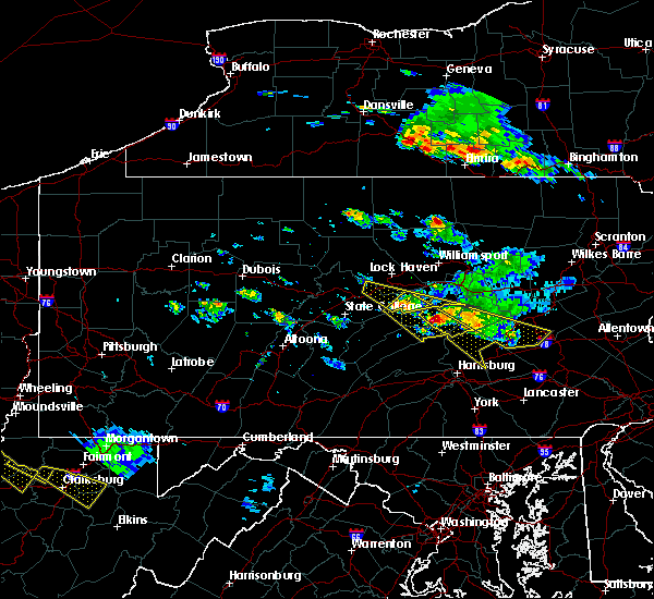 The severe thunderstorm warning for east central centre, southern union and south central clinton counties will expire at 515 pm edt, the storm which prompted the warning has moved out of the area. therefore, the warning will be allowed to expire. a severe thunderstorm watch remains in effect until 1000 pm edt for central and north central pennsylvania. to report severe weather, contact your nearest law enforcement agency. they will relay your report to the national weather service state college pa. The severe thunderstorm warning for east central centre, southern union and south central clinton counties will expire at 515 pm edt, the storm which prompted the warning has moved out of the area. therefore, the warning will be allowed to expire. a severe thunderstorm watch remains in effect until 1000 pm edt for central and north central pennsylvania. to report severe weather, contact your nearest law enforcement agency. they will relay your report to the national weather service state college pa.
|
| 6/3/2020 4:52 PM EDT |
 At 452 pm edt, a severe thunderstorm was located over troxelville, moving southeast at 50 mph (radar indicated). Hazards include 60 mph wind gusts and quarter size hail. Hail damage to vehicles is expected. expect wind damage to trees, roofs, and siding. locations impacted include, mifflinburg, woodward, winfield, lamar, millheim, blanchard, penns creek, aaronsburg, rebersburg, coburn, madisonburg, weikert, bald eagle state park, laurelton center, new berlin, howard, beech creek and hartleton. For those driving on interstate 80, this includes areas between the bellefonte and lock haven exits, specifically from mile markers 164 to 175. At 452 pm edt, a severe thunderstorm was located over troxelville, moving southeast at 50 mph (radar indicated). Hazards include 60 mph wind gusts and quarter size hail. Hail damage to vehicles is expected. expect wind damage to trees, roofs, and siding. locations impacted include, mifflinburg, woodward, winfield, lamar, millheim, blanchard, penns creek, aaronsburg, rebersburg, coburn, madisonburg, weikert, bald eagle state park, laurelton center, new berlin, howard, beech creek and hartleton. For those driving on interstate 80, this includes areas between the bellefonte and lock haven exits, specifically from mile markers 164 to 175.
|
| 6/3/2020 4:11 PM EDT |
 At 410 pm edt, a severe thunderstorm was located over monument, moving southeast at 35 mph (radar indicated). Hazards include 60 mph wind gusts and quarter size hail. Hail damage to vehicles is expected. Expect wind damage to trees, roofs, and siding. At 410 pm edt, a severe thunderstorm was located over monument, moving southeast at 35 mph (radar indicated). Hazards include 60 mph wind gusts and quarter size hail. Hail damage to vehicles is expected. Expect wind damage to trees, roofs, and siding.
|
| 5/29/2020 8:37 PM EDT |
 At 837 pm edt, a severe thunderstorm was located over kreamer, moving east at 45 mph (radar indicated). Hazards include 60 mph wind gusts. expect damage to trees, roofs, and siding At 837 pm edt, a severe thunderstorm was located over kreamer, moving east at 45 mph (radar indicated). Hazards include 60 mph wind gusts. expect damage to trees, roofs, and siding
|
| 4/13/2020 1:25 PM EDT |
 At 125 pm edt, severe thunderstorms were located along a line extending from 7 miles northeast of clarence to near milesburg to rock springs to near huntingdon, moving east at 45 mph (radar indicated). Hazards include 60 mph wind gusts and penny size hail. Expect damage to trees, roofs, and siding. severe thunderstorms will be near, bellefonte, state college, milesburg, monument and pleasant gap around 130 pm edt. bald eagle state park, allensville, zion, boalsburg, lemont and houserville around 140 pm edt. lock haven, lamar, belleville, potters mills, seven mountains, strodes mills, flemington, castanea, milroy and dunnstown around 150 pm edt. lewistown, juniata terrace, avis, highland park, burnham, mcelhattan, poe valley state park, yeagertown, mackeyville and reedsville around 200 pm edt. other locations impacted by these severe thunderstorms include wagner, barrville, orviston, mccall dam state park, longfellow, beech creek, mcconnellstown, siglerville, howard and petersburg. for those driving on interstate 80, this includes areas between the snow shoe and mile run exits, specifically from mile markers 148 to 195. this includes interstate 99 from mile markers 67 to 85. This includes the following covid-19 test sites, mount nittany health. At 125 pm edt, severe thunderstorms were located along a line extending from 7 miles northeast of clarence to near milesburg to rock springs to near huntingdon, moving east at 45 mph (radar indicated). Hazards include 60 mph wind gusts and penny size hail. Expect damage to trees, roofs, and siding. severe thunderstorms will be near, bellefonte, state college, milesburg, monument and pleasant gap around 130 pm edt. bald eagle state park, allensville, zion, boalsburg, lemont and houserville around 140 pm edt. lock haven, lamar, belleville, potters mills, seven mountains, strodes mills, flemington, castanea, milroy and dunnstown around 150 pm edt. lewistown, juniata terrace, avis, highland park, burnham, mcelhattan, poe valley state park, yeagertown, mackeyville and reedsville around 200 pm edt. other locations impacted by these severe thunderstorms include wagner, barrville, orviston, mccall dam state park, longfellow, beech creek, mcconnellstown, siglerville, howard and petersburg. for those driving on interstate 80, this includes areas between the snow shoe and mile run exits, specifically from mile markers 148 to 195. this includes interstate 99 from mile markers 67 to 85. This includes the following covid-19 test sites, mount nittany health.
|
| 4/13/2020 12:45 PM EDT |
 At 1244 pm edt, severe thunderstorms were located along a line extending from jeffries to near blandburg to 6 miles southeast of prince gallitzin state park to lilly, moving east at 50 mph (radar indicated). Hazards include 60 mph wind gusts and penny size hail. Expect damage to trees, roofs, and siding. severe thunderstorms will be near, bellwood, houtzdale, woodland, jeffries and south philipsburg around 1250 pm edt. tyrone, sandy ridge, birmingham, tipton, north philipsburg, philipsburg, osceola mills, bald eagle and chester hill around 100 pm edt. port matilda, franklinville, moshannon, warriors mark, stormstown, canoe creek state park, williamsburg, sinking valley, spruce creek and black moshannon state park around 110 pm edt. state college, huntingdon, rock springs, ramblewood, julian, park forest village, snow shoe, houserville, clarence and whipple dam state park around 120 pm edt. other locations impacted by these severe thunderstorms include west decatur, tunnelhill, ramey, cassandra, brisbin, mcconnellstown, howard, petersburg, alexandria and unionville. for those driving on interstate 80, this includes areas between the woodland and lamar exits, specifically from mile markers 126 to 170. this includes interstate 99 from mile markers 26 to 85. This includes the following covid-19 test sites, mount nittany health, and upmc. At 1244 pm edt, severe thunderstorms were located along a line extending from jeffries to near blandburg to 6 miles southeast of prince gallitzin state park to lilly, moving east at 50 mph (radar indicated). Hazards include 60 mph wind gusts and penny size hail. Expect damage to trees, roofs, and siding. severe thunderstorms will be near, bellwood, houtzdale, woodland, jeffries and south philipsburg around 1250 pm edt. tyrone, sandy ridge, birmingham, tipton, north philipsburg, philipsburg, osceola mills, bald eagle and chester hill around 100 pm edt. port matilda, franklinville, moshannon, warriors mark, stormstown, canoe creek state park, williamsburg, sinking valley, spruce creek and black moshannon state park around 110 pm edt. state college, huntingdon, rock springs, ramblewood, julian, park forest village, snow shoe, houserville, clarence and whipple dam state park around 120 pm edt. other locations impacted by these severe thunderstorms include west decatur, tunnelhill, ramey, cassandra, brisbin, mcconnellstown, howard, petersburg, alexandria and unionville. for those driving on interstate 80, this includes areas between the woodland and lamar exits, specifically from mile markers 126 to 170. this includes interstate 99 from mile markers 26 to 85. This includes the following covid-19 test sites, mount nittany health, and upmc.
|
| 8/8/2019 2:53 PM EDT |
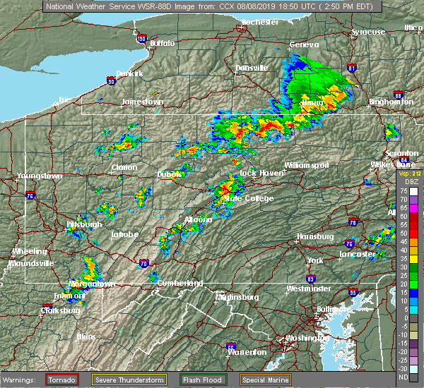 At 253 pm edt, a severe thunderstorm was located over milesburg, moving east at 45 mph. this storm has a history of producing wind damage (radar indicated). Hazards include 60 mph wind gusts. Expect damage to trees, roofs, and siding. locations impacted include, bellefonte, pleasant gap, lamar, lemont, zion, houserville, centre hall, milesburg, millheim, blanchard, aaronsburg, rebersburg, spring mills, coburn, madisonburg, julian, bald eagle state park, mackeyville, howard and unionville. for those driving on interstate 80, this includes areas between the snow shoe and loganton exits, specifically from mile markers 151 to 180. This includes interstate 99 from mile markers 69 to 85. At 253 pm edt, a severe thunderstorm was located over milesburg, moving east at 45 mph. this storm has a history of producing wind damage (radar indicated). Hazards include 60 mph wind gusts. Expect damage to trees, roofs, and siding. locations impacted include, bellefonte, pleasant gap, lamar, lemont, zion, houserville, centre hall, milesburg, millheim, blanchard, aaronsburg, rebersburg, spring mills, coburn, madisonburg, julian, bald eagle state park, mackeyville, howard and unionville. for those driving on interstate 80, this includes areas between the snow shoe and loganton exits, specifically from mile markers 151 to 180. This includes interstate 99 from mile markers 69 to 85.
|
| 8/8/2019 2:34 PM EDT |
 At 233 pm edt, a severe thunderstorm was located over black moshannon state park, moving east at 45 mph. this storm has a history of producing wind damage (radar indicated). Hazards include 60 mph wind gusts. expect damage to trees, roofs, and siding At 233 pm edt, a severe thunderstorm was located over black moshannon state park, moving east at 45 mph. this storm has a history of producing wind damage (radar indicated). Hazards include 60 mph wind gusts. expect damage to trees, roofs, and siding
|
| 8/2/2019 5:43 PM EDT |
 At 542 pm edt, severe thunderstorms were located along a line extending from mechanicsville to altamont, moving east at 10 mph (radar indicated). Hazards include 60 mph wind gusts and quarter size hail. Hail damage to vehicles is expected. expect wind damage to trees, roofs, and siding. Locations impacted include, shamokin, mount carmel, danville, kulpmont, elysburg, fairview-ferndale, riverside, trevorton, catawissa, marshallton, mechanicsville, numidia, wilburton number one, slabtown, wilburton number two, leck kill, stonington, knoebels grove, edgewood and marion heights. At 542 pm edt, severe thunderstorms were located along a line extending from mechanicsville to altamont, moving east at 10 mph (radar indicated). Hazards include 60 mph wind gusts and quarter size hail. Hail damage to vehicles is expected. expect wind damage to trees, roofs, and siding. Locations impacted include, shamokin, mount carmel, danville, kulpmont, elysburg, fairview-ferndale, riverside, trevorton, catawissa, marshallton, mechanicsville, numidia, wilburton number one, slabtown, wilburton number two, leck kill, stonington, knoebels grove, edgewood and marion heights.
|
| 8/2/2019 5:01 PM EDT |
 At 500 pm edt, severe thunderstorms were located along a line extending from near riverside to ashland, moving east at 10 mph (radar indicated). Hazards include 60 mph wind gusts and quarter size hail. Hail damage to vehicles is expected. Expect wind damage to trees, roofs, and siding. At 500 pm edt, severe thunderstorms were located along a line extending from near riverside to ashland, moving east at 10 mph (radar indicated). Hazards include 60 mph wind gusts and quarter size hail. Hail damage to vehicles is expected. Expect wind damage to trees, roofs, and siding.
|
| 7/30/2019 4:39 PM EDT |
 At 439 pm edt, a severe thunderstorm was located over fairview-ferndale, moving northeast at 15 mph (radar indicated). Hazards include 60 mph wind gusts and penny size hail. Expect damage to trees, roofs, and siding. Locations impacted include, shamokin, mount carmel, kulpmont, elysburg, fairview-ferndale, riverside, trevorton, marshallton, wilburton number one, stonington, edgewood, marion heights and snydertown. At 439 pm edt, a severe thunderstorm was located over fairview-ferndale, moving northeast at 15 mph (radar indicated). Hazards include 60 mph wind gusts and penny size hail. Expect damage to trees, roofs, and siding. Locations impacted include, shamokin, mount carmel, kulpmont, elysburg, fairview-ferndale, riverside, trevorton, marshallton, wilburton number one, stonington, edgewood, marion heights and snydertown.
|
| 7/30/2019 3:54 PM EDT |
 At 354 pm edt, a severe thunderstorm was located over kreamer, moving northeast at 25 mph (radar indicated). Hazards include 60 mph wind gusts and penny size hail. expect damage to trees, roofs, and siding At 354 pm edt, a severe thunderstorm was located over kreamer, moving northeast at 25 mph (radar indicated). Hazards include 60 mph wind gusts and penny size hail. expect damage to trees, roofs, and siding
|
| 7/6/2019 5:23 PM EDT |
 At 522 pm edt, severe thunderstorms were located along a line extending from central to jerseytown to trevorton to near elizabethville, moving east southeast at 40 mph (radar indicated). Hazards include 60 mph wind gusts and quarter size hail. Hail damage to vehicles is expected. expect wind damage to trees, roofs, and siding. locations impacted include, bloomsburg, berwick, sunbury, shamokin, milton, mount carmel, lewisburg, selinsgrove, danville, northumberland, kulpmont, winfield, watsontown, elysburg, fairview-ferndale, riverside, trevorton, shamokin dam, catawissa and linntown. for those driving on interstate 80, this includes areas between the lewisburg-williamsport and nescopek exits, specifically from mile markers 211 to 247. This includes interstate 180 from mile markers 1 to 7. At 522 pm edt, severe thunderstorms were located along a line extending from central to jerseytown to trevorton to near elizabethville, moving east southeast at 40 mph (radar indicated). Hazards include 60 mph wind gusts and quarter size hail. Hail damage to vehicles is expected. expect wind damage to trees, roofs, and siding. locations impacted include, bloomsburg, berwick, sunbury, shamokin, milton, mount carmel, lewisburg, selinsgrove, danville, northumberland, kulpmont, winfield, watsontown, elysburg, fairview-ferndale, riverside, trevorton, shamokin dam, catawissa and linntown. for those driving on interstate 80, this includes areas between the lewisburg-williamsport and nescopek exits, specifically from mile markers 211 to 247. This includes interstate 180 from mile markers 1 to 7.
|
| 7/6/2019 4:40 PM EDT |
 At 439 pm edt, severe thunderstorms were located along a line extending from near muncy valley to near montgomery to near forest hill to near mcalisterville, moving southeast at 30 mph (radar indicated). Hazards include 60 mph wind gusts and quarter size hail. Hail damage to vehicles is expected. Expect wind damage to trees, roofs, and siding. At 439 pm edt, severe thunderstorms were located along a line extending from near muncy valley to near montgomery to near forest hill to near mcalisterville, moving southeast at 30 mph (radar indicated). Hazards include 60 mph wind gusts and quarter size hail. Hail damage to vehicles is expected. Expect wind damage to trees, roofs, and siding.
|
| 7/6/2019 4:16 PM EDT |
 At 416 pm edt, severe thunderstorms were located along a line extending from near cammal to monument to near julian to warriors mark, moving east at 40 mph (radar indicated). Hazards include 60 mph wind gusts. Expect damage to trees, roofs, and siding. locations impacted include, state college, lock haven, bellefonte, park forest village, boalsburg, pleasant gap, lamar, stormstown, lemont, zion, houserville, mill hall, pine grove mills, avis, dunnstown, flemington, centre hall, castanea, milesburg and millheim. for those driving on interstate 80, this includes areas between the snow shoe and jersey shore exits, specifically from mile markers 149 to 188. This includes interstate 99 from mile markers 58 to 85. At 416 pm edt, severe thunderstorms were located along a line extending from near cammal to monument to near julian to warriors mark, moving east at 40 mph (radar indicated). Hazards include 60 mph wind gusts. Expect damage to trees, roofs, and siding. locations impacted include, state college, lock haven, bellefonte, park forest village, boalsburg, pleasant gap, lamar, stormstown, lemont, zion, houserville, mill hall, pine grove mills, avis, dunnstown, flemington, centre hall, castanea, milesburg and millheim. for those driving on interstate 80, this includes areas between the snow shoe and jersey shore exits, specifically from mile markers 149 to 188. This includes interstate 99 from mile markers 58 to 85.
|
| 7/6/2019 3:43 PM EDT |
 At 342 pm edt, severe thunderstorms were located along a line extending from cross fork to karthaus to near chester hill to 8 miles north of prince gallitzin state park, moving east at 35 mph (radar indicated). Hazards include 60 mph wind gusts. expect damage to trees, roofs, and siding At 342 pm edt, severe thunderstorms were located along a line extending from cross fork to karthaus to near chester hill to 8 miles north of prince gallitzin state park, moving east at 35 mph (radar indicated). Hazards include 60 mph wind gusts. expect damage to trees, roofs, and siding
|
| 7/2/2019 4:45 PM EDT |
 At 445 pm edt, a severe thunderstorm was located over mooresburg, moving southeast at 20 mph (radar indicated). Hazards include 60 mph wind gusts and penny size hail. expect damage to trees, roofs, and siding At 445 pm edt, a severe thunderstorm was located over mooresburg, moving southeast at 20 mph (radar indicated). Hazards include 60 mph wind gusts and penny size hail. expect damage to trees, roofs, and siding
|
| 6/29/2019 6:04 PM EDT |
 At 603 pm edt, a severe thunderstorm was located over winfield, moving southeast at 35 mph (radar indicated). Hazards include 60 mph wind gusts and penny size hail. expect damage to trees, roofs, and siding At 603 pm edt, a severe thunderstorm was located over winfield, moving southeast at 35 mph (radar indicated). Hazards include 60 mph wind gusts and penny size hail. expect damage to trees, roofs, and siding
|
| 6/29/2019 2:23 PM EDT |
 A severe thunderstorm warning remains in effect until 245 pm edt for western schuylkill. southeastern northumberland. southeastern montour and southeastern columbia counties. at 222 pm edt, severe thunderstorms were located along a line extending from mount carmel to pine grove, moving east at 35 mph. hazard. 60 mph wind gusts and quarter size hail. A severe thunderstorm warning remains in effect until 245 pm edt for western schuylkill. southeastern northumberland. southeastern montour and southeastern columbia counties. at 222 pm edt, severe thunderstorms were located along a line extending from mount carmel to pine grove, moving east at 35 mph. hazard. 60 mph wind gusts and quarter size hail.
|
| 6/29/2019 2:03 PM EDT |
 At 202 pm edt, severe thunderstorms were located along a line extending from near elysburg to near williamstown, moving east at 35 mph (radar indicated). Hazards include 60 mph wind gusts and quarter size hail. Hail damage to vehicles is expected. expect wind damage to trees, roofs, and siding. locations impacted include, pottsville, shamokin, mount carmel, schuylkill haven, shenandoah, minersville, frackville, st. clair, kulpmont, ashland, elysburg, pine grove, fairview-ferndale, port carbon, trevorton, tremont, catawissa, girardville, marshallton and williamstown. This includes interstate 81 from mile markers 97 to 128. At 202 pm edt, severe thunderstorms were located along a line extending from near elysburg to near williamstown, moving east at 35 mph (radar indicated). Hazards include 60 mph wind gusts and quarter size hail. Hail damage to vehicles is expected. expect wind damage to trees, roofs, and siding. locations impacted include, pottsville, shamokin, mount carmel, schuylkill haven, shenandoah, minersville, frackville, st. clair, kulpmont, ashland, elysburg, pine grove, fairview-ferndale, port carbon, trevorton, tremont, catawissa, girardville, marshallton and williamstown. This includes interstate 81 from mile markers 97 to 128.
|
| 6/29/2019 2:01 PM EDT |
 At 200 pm edt, a severe thunderstorm was located near klingerstown, moving east at 35 mph (radar indicated). Hazards include 60 mph wind gusts and quarter size hail. Hail damage to vehicles is expected. Expect wind damage to trees, roofs, and siding. At 200 pm edt, a severe thunderstorm was located near klingerstown, moving east at 35 mph (radar indicated). Hazards include 60 mph wind gusts and quarter size hail. Hail damage to vehicles is expected. Expect wind damage to trees, roofs, and siding.
|
| 5/29/2019 4:29 PM EDT |
 The national weather service in state college pa has issued a * severe thunderstorm warning for. schuylkill county in central pennsylvania. southeastern northumberland county in central pennsylvania. northern dauphin county in south central pennsylvania. South central columbia county in central pennsylvania. The national weather service in state college pa has issued a * severe thunderstorm warning for. schuylkill county in central pennsylvania. southeastern northumberland county in central pennsylvania. northern dauphin county in south central pennsylvania. South central columbia county in central pennsylvania.
|
| 5/29/2019 4:06 PM EDT |
 At 406 pm edt, severe thunderstorms were located along a line extending from fairmount spgs to catawissa to penns creek, moving east at 50 mph (radar indicated). Hazards include 60 mph wind gusts and penny size hail. expect damage to trees, roofs, and siding At 406 pm edt, severe thunderstorms were located along a line extending from fairmount spgs to catawissa to penns creek, moving east at 50 mph (radar indicated). Hazards include 60 mph wind gusts and penny size hail. expect damage to trees, roofs, and siding
|
| 5/29/2019 4:04 PM EDT |
 At 402 pm edt, severe thunderstorms were located along a line extending from ricketts glen state park to near jerseytown to mifflinburg, moving east at 45 mph (radar indicated). Hazards include 60 mph wind gusts and quarter size hail. Hail damage to vehicles is expected. expect wind damage to trees, roofs, and siding. locations impacted include, bloomsburg, sunbury, milton, lewisburg, danville, northumberland, mifflinburg, winfield, watsontown, elysburg, riverside, linntown, lightstreet, montandon, penns creek, mechanicsville, and buckhorn. for those driving on interstate 80, this includes areas between the jersey shore and bloomsburg-light street exits, specifically from mile markers 195 to 235. This includes interstate 180 from mile markers 1 to 8. At 402 pm edt, severe thunderstorms were located along a line extending from ricketts glen state park to near jerseytown to mifflinburg, moving east at 45 mph (radar indicated). Hazards include 60 mph wind gusts and quarter size hail. Hail damage to vehicles is expected. expect wind damage to trees, roofs, and siding. locations impacted include, bloomsburg, sunbury, milton, lewisburg, danville, northumberland, mifflinburg, winfield, watsontown, elysburg, riverside, linntown, lightstreet, montandon, penns creek, mechanicsville, and buckhorn. for those driving on interstate 80, this includes areas between the jersey shore and bloomsburg-light street exits, specifically from mile markers 195 to 235. This includes interstate 180 from mile markers 1 to 8.
|
| 5/29/2019 3:40 PM EDT |
 At 339 pm edt, severe thunderstorms were located along a line extending from near kettle creek gorge to allenwood to near rebersburg, moving east at 45 mph (radar indicated). Hazards include 60 mph wind gusts and quarter size hail. Hail damage to vehicles is expected. Expect wind damage to trees, roofs, and siding. At 339 pm edt, severe thunderstorms were located along a line extending from near kettle creek gorge to allenwood to near rebersburg, moving east at 45 mph (radar indicated). Hazards include 60 mph wind gusts and quarter size hail. Hail damage to vehicles is expected. Expect wind damage to trees, roofs, and siding.
|
| 5/29/2019 3:30 PM EDT |
 At 330 pm edt, severe thunderstorms were located along a line extending from near milesburg to 6 miles north of huntingdon to near cresson, moving east at 40 mph (radar indicated). Hazards include 60 mph wind gusts and quarter size hail. Hail damage to vehicles is expected. Expect wind damage to trees, roofs, and siding. At 330 pm edt, severe thunderstorms were located along a line extending from near milesburg to 6 miles north of huntingdon to near cresson, moving east at 40 mph (radar indicated). Hazards include 60 mph wind gusts and quarter size hail. Hail damage to vehicles is expected. Expect wind damage to trees, roofs, and siding.
|
| 5/29/2019 3:16 PM EDT |
 At 315 pm edt, severe thunderstorms were located along a line extending from near trout run to bald eagle state park, moving east at 40 mph (radar indicated). Hazards include 60 mph wind gusts and quarter size hail. Expect wind damage to trees, roofs, and siding. Hail damage to vehicles is expected. At 315 pm edt, severe thunderstorms were located along a line extending from near trout run to bald eagle state park, moving east at 40 mph (radar indicated). Hazards include 60 mph wind gusts and quarter size hail. Expect wind damage to trees, roofs, and siding. Hail damage to vehicles is expected.
|
| 5/29/2019 1:41 PM EDT |
 At 140 pm edt, a severe thunderstorm was located over blanchard, moving east at 35 mph (radar indicated). Hazards include 60 mph wind gusts and half dollar size hail. Hail damage to vehicles is expected. expect wind damage to trees, roofs, and siding. this severe thunderstorm will be near, castanea, dunnstown and rebersburg around 150 pm edt. carroll around 210 pm edt. other locations impacted by this severe thunderstorm include loganton, howard, mccall dam state park, beech creek and lock haven university. For those driving on interstate 80, this includes areas between the bellefonte and mile run exits, specifically from mile markers 167 to 195. At 140 pm edt, a severe thunderstorm was located over blanchard, moving east at 35 mph (radar indicated). Hazards include 60 mph wind gusts and half dollar size hail. Hail damage to vehicles is expected. expect wind damage to trees, roofs, and siding. this severe thunderstorm will be near, castanea, dunnstown and rebersburg around 150 pm edt. carroll around 210 pm edt. other locations impacted by this severe thunderstorm include loganton, howard, mccall dam state park, beech creek and lock haven university. For those driving on interstate 80, this includes areas between the bellefonte and mile run exits, specifically from mile markers 167 to 195.
|
| 5/28/2019 5:39 PM EDT |
 At 538 pm edt, a severe thunderstorm was located near riverside, moving east at 40 mph (radar indicated). Hazards include 60 mph wind gusts and half dollar size hail. Hail damage to vehicles is expected. expect wind damage to trees, roofs, and siding. locations impacted include, shamokin, danville, northumberland, kulpmont, elysburg, riverside, catawissa, marshallton, mechanicsville, numidia, rupert, slabtown, mooresburg, stonington, knoebels grove, marion heights and snydertown. For those driving on interstate 80, this includes areas between the limestoneville and buckhorn exits, specifically from mile markers 217 to 225. At 538 pm edt, a severe thunderstorm was located near riverside, moving east at 40 mph (radar indicated). Hazards include 60 mph wind gusts and half dollar size hail. Hail damage to vehicles is expected. expect wind damage to trees, roofs, and siding. locations impacted include, shamokin, danville, northumberland, kulpmont, elysburg, riverside, catawissa, marshallton, mechanicsville, numidia, rupert, slabtown, mooresburg, stonington, knoebels grove, marion heights and snydertown. For those driving on interstate 80, this includes areas between the limestoneville and buckhorn exits, specifically from mile markers 217 to 225.
|
| 5/28/2019 5:25 PM EDT |
 At 525 pm edt, a severe thunderstorm was located over montandon, moving east at 40 mph (radar indicated). Hazards include 60 mph wind gusts and half dollar size hail. Hail damage to vehicles is expected. Expect wind damage to trees, roofs, and siding. At 525 pm edt, a severe thunderstorm was located over montandon, moving east at 40 mph (radar indicated). Hazards include 60 mph wind gusts and half dollar size hail. Hail damage to vehicles is expected. Expect wind damage to trees, roofs, and siding.
|
| 5/28/2019 5:06 PM EDT |
 At 505 pm edt, a severe thunderstorm was located over trevorton, moving southeast at 40 mph (radar indicated). Hazards include ping pong ball size hail and 60 mph wind gusts. People and animals outdoors will be injured. expect hail damage to roofs, siding, windows, and vehicles. expect wind damage to trees, roofs, and siding. locations impacted include, shamokin, mount carmel, kulpmont, ashland, elysburg, fairview-ferndale, riverside, trevorton, girardville, marshallton, williamstown, tower city, lavelle, englewood, aristes, fountain springs, wilburton number one, locustdale, klingerstown and beurys lake. This includes interstate 81 from mile markers 115 to 117. At 505 pm edt, a severe thunderstorm was located over trevorton, moving southeast at 40 mph (radar indicated). Hazards include ping pong ball size hail and 60 mph wind gusts. People and animals outdoors will be injured. expect hail damage to roofs, siding, windows, and vehicles. expect wind damage to trees, roofs, and siding. locations impacted include, shamokin, mount carmel, kulpmont, ashland, elysburg, fairview-ferndale, riverside, trevorton, girardville, marshallton, williamstown, tower city, lavelle, englewood, aristes, fountain springs, wilburton number one, locustdale, klingerstown and beurys lake. This includes interstate 81 from mile markers 115 to 117.
|
| 5/28/2019 4:54 PM EDT |
 At 454 pm edt, a severe thunderstorm was located over hummels wharf, moving southeast at 40 mph (radar indicated). Hazards include ping pong ball size hail and 60 mph wind gusts. People and animals outdoors will be injured. expect hail damage to roofs, siding, windows, and vehicles. Expect wind damage to trees, roofs, and siding. At 454 pm edt, a severe thunderstorm was located over hummels wharf, moving southeast at 40 mph (radar indicated). Hazards include ping pong ball size hail and 60 mph wind gusts. People and animals outdoors will be injured. expect hail damage to roofs, siding, windows, and vehicles. Expect wind damage to trees, roofs, and siding.
|
| 5/28/2019 3:35 PM EDT |
 At 335 pm edt, a severe thunderstorm capable of producing a tornado was located over kratzerville, moving southeast at 25 mph (radar indicated rotation). Hazards include tornado and golf ball size hail. Tree damage will occur. damage to roofs, windows, and vehicles is likely. flying debris will be dangerous to those caught without shelter. mobile homes will be damaged or destroyed. this dangerous storm will be near, kratzerville and winfield around 340 pm edt. selinsgrove, sunbury, northumberland, hummels wharf and shamokin dam around 350 pm edt. rebuck, urban and stonington around 400 pm edt. Other locations impacted by this tornadic thunderstorm include edgewood, seven points, new berlin, freeburg, herndon, pillow, selinsgrove airport, bucknell and snydertown. At 335 pm edt, a severe thunderstorm capable of producing a tornado was located over kratzerville, moving southeast at 25 mph (radar indicated rotation). Hazards include tornado and golf ball size hail. Tree damage will occur. damage to roofs, windows, and vehicles is likely. flying debris will be dangerous to those caught without shelter. mobile homes will be damaged or destroyed. this dangerous storm will be near, kratzerville and winfield around 340 pm edt. selinsgrove, sunbury, northumberland, hummels wharf and shamokin dam around 350 pm edt. rebuck, urban and stonington around 400 pm edt. Other locations impacted by this tornadic thunderstorm include edgewood, seven points, new berlin, freeburg, herndon, pillow, selinsgrove airport, bucknell and snydertown.
|
| 5/28/2019 3:28 PM EDT |
 At 328 pm edt, a severe thunderstorm was located over vicksburg, moving southeast at 25 mph (radar indicated). Hazards include golf ball size hail and 60 mph wind gusts. People and animals outdoors will be injured. expect hail damage to roofs, siding, windows, and vehicles. expect wind damage to trees, roofs, and siding. this severe thunderstorm will be near, linntown around 330 pm edt. lewisburg, kratzerville, winfield, kreamer and montandon around 340 pm edt. selinsgrove, northumberland and hummels wharf around 350 pm edt. sunbury and shamokin dam around 400 pm edt. Other locations impacted by this severe thunderstorm include edgewood, seven points, new berlin, marion heights, snydertown, selinsgrove airport, bucknell, freeburg and herndon. At 328 pm edt, a severe thunderstorm was located over vicksburg, moving southeast at 25 mph (radar indicated). Hazards include golf ball size hail and 60 mph wind gusts. People and animals outdoors will be injured. expect hail damage to roofs, siding, windows, and vehicles. expect wind damage to trees, roofs, and siding. this severe thunderstorm will be near, linntown around 330 pm edt. lewisburg, kratzerville, winfield, kreamer and montandon around 340 pm edt. selinsgrove, northumberland and hummels wharf around 350 pm edt. sunbury and shamokin dam around 400 pm edt. Other locations impacted by this severe thunderstorm include edgewood, seven points, new berlin, marion heights, snydertown, selinsgrove airport, bucknell, freeburg and herndon.
|
| 5/19/2019 4:56 PM EDT |
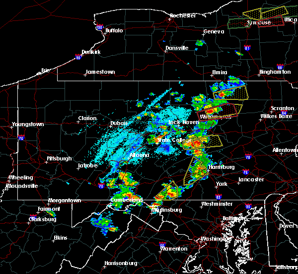 At 455 pm edt, a severe thunderstorm was located over middleburg, moving east at 35 mph (radar indicated). Hazards include 60 mph wind gusts and quarter size hail. Hail damage to vehicles is expected. Expect wind damage to trees, roofs, and siding. At 455 pm edt, a severe thunderstorm was located over middleburg, moving east at 35 mph (radar indicated). Hazards include 60 mph wind gusts and quarter size hail. Hail damage to vehicles is expected. Expect wind damage to trees, roofs, and siding.
|
| 4/19/2019 10:16 PM EDT |
 At 1016 pm edt, severe thunderstorms were located along a line extending from near waller to rupert to near marshallton, moving northeast at 40 mph (radar indicated). Hazards include 60 mph wind gusts. Expect damage to roofs, siding, and trees. locations impacted include, bloomsburg, berwick, shamokin, mount carmel, danville, kulpmont, elysburg, fairview-ferndale, riverside, trevorton, catawissa, marshallton, mifflinville, lightstreet, almedia, fernville, mechanicsville, buckhorn, aristes and numidia. For those driving on interstate 80, this includes areas between the danville and nescopek exits, specifically from mile markers 226 to 247. At 1016 pm edt, severe thunderstorms were located along a line extending from near waller to rupert to near marshallton, moving northeast at 40 mph (radar indicated). Hazards include 60 mph wind gusts. Expect damage to roofs, siding, and trees. locations impacted include, bloomsburg, berwick, shamokin, mount carmel, danville, kulpmont, elysburg, fairview-ferndale, riverside, trevorton, catawissa, marshallton, mifflinville, lightstreet, almedia, fernville, mechanicsville, buckhorn, aristes and numidia. For those driving on interstate 80, this includes areas between the danville and nescopek exits, specifically from mile markers 226 to 247.
|
| 4/19/2019 9:36 PM EDT |
 At 935 pm edt, severe thunderstorms were located along a line extending from near kreamer to near port trevorton to near elizabethville, moving northeast at 50 mph (radar indicated). Hazards include 60 mph wind gusts. expect damage to roofs, siding, and trees At 935 pm edt, severe thunderstorms were located along a line extending from near kreamer to near port trevorton to near elizabethville, moving northeast at 50 mph (radar indicated). Hazards include 60 mph wind gusts. expect damage to roofs, siding, and trees
|
| 4/15/2019 12:41 AM EDT |
 At 1240 am edt, severe thunderstorms were located along a line extending from near shunk to lewisburg to near millersburg, moving northeast at 65 mph (radar indicated). Hazards include 60 mph wind gusts and nickel size hail. expect damage to roofs, siding, and trees At 1240 am edt, severe thunderstorms were located along a line extending from near shunk to lewisburg to near millersburg, moving northeast at 65 mph (radar indicated). Hazards include 60 mph wind gusts and nickel size hail. expect damage to roofs, siding, and trees
|
| 4/15/2019 12:02 AM EDT |
 At 1202 am edt, severe thunderstorms were located along a line extending from near little pine state park to near rebersburg to near walnut, moving east at 50 mph (radar indicated). Hazards include 60 mph wind gusts and penny size hail. Expect damage to roofs, siding, and trees. locations impacted include, williamsport, lock haven, lewistown, lewisburg, selinsgrove, montoursville, jersey shore, mifflinburg, carroll, woodward, winfield, lamar, muncy, watsontown, hughesville, burnham, shamokin dam, mill hall, montgomery and milroy. for those driving on interstate 80, this includes areas between the bellefonte and milton-williamsport exits, specifically from mile markers 171 to 210. this includes interstate 180 from mile markers 9 to 29. A tornado watch remains in effect until 300 am edt for central, south central and north central pennsylvania. At 1202 am edt, severe thunderstorms were located along a line extending from near little pine state park to near rebersburg to near walnut, moving east at 50 mph (radar indicated). Hazards include 60 mph wind gusts and penny size hail. Expect damage to roofs, siding, and trees. locations impacted include, williamsport, lock haven, lewistown, lewisburg, selinsgrove, montoursville, jersey shore, mifflinburg, carroll, woodward, winfield, lamar, muncy, watsontown, hughesville, burnham, shamokin dam, mill hall, montgomery and milroy. for those driving on interstate 80, this includes areas between the bellefonte and milton-williamsport exits, specifically from mile markers 171 to 210. this includes interstate 180 from mile markers 9 to 29. A tornado watch remains in effect until 300 am edt for central, south central and north central pennsylvania.
|
| 4/14/2019 11:34 PM EDT |
 At 1134 pm edt, severe thunderstorms were located along a line extending from near south renovo to near lemont to mount union, moving east at 50 mph (radar indicated). Hazards include 60 mph wind gusts and penny size hail. expect damage to roofs, siding, and trees At 1134 pm edt, severe thunderstorms were located along a line extending from near south renovo to near lemont to mount union, moving east at 50 mph (radar indicated). Hazards include 60 mph wind gusts and penny size hail. expect damage to roofs, siding, and trees
|
| 10/2/2018 7:00 PM EDT |
 At 659 pm edt, severe thunderstorms were located along a line extending from near bald eagle state park to near snow shoe to near north philipsburg to s.b. elliot state park to near sandy, moving southeast at 25 mph (radar indicated). Hazards include 60 mph wind gusts and quarter size hail. Hail damage to vehicles is expected. Expect wind damage to roofs, siding, and trees. At 659 pm edt, severe thunderstorms were located along a line extending from near bald eagle state park to near snow shoe to near north philipsburg to s.b. elliot state park to near sandy, moving southeast at 25 mph (radar indicated). Hazards include 60 mph wind gusts and quarter size hail. Hail damage to vehicles is expected. Expect wind damage to roofs, siding, and trees.
|
| 10/2/2018 6:37 PM EDT |
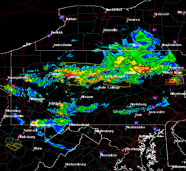 At 636 pm edt, a severe thunderstorm was located over blanchard, moving east at 30 mph (radar indicated). Hazards include 60 mph wind gusts and half dollar size hail. Hail damage to vehicles is expected. Expect wind damage to roofs, siding, and trees. At 636 pm edt, a severe thunderstorm was located over blanchard, moving east at 30 mph (radar indicated). Hazards include 60 mph wind gusts and half dollar size hail. Hail damage to vehicles is expected. Expect wind damage to roofs, siding, and trees.
|
| 8/7/2018 2:43 PM EDT |
 At 243 pm edt, severe thunderstorms were located along a line extending from near buckhorn to near milton, moving southeast at 10 mph (radar indicated). Hazards include 60 mph wind gusts. expect damage to roofs, siding, and trees At 243 pm edt, severe thunderstorms were located along a line extending from near buckhorn to near milton, moving southeast at 10 mph (radar indicated). Hazards include 60 mph wind gusts. expect damage to roofs, siding, and trees
|
| 6/18/2018 1:51 PM EDT |
 At 151 pm edt, a severe thunderstorm was located over riverside, moving southeast at 10 mph (radar indicated). Hazards include 60 mph wind gusts and penny size hail. expect damage to roofs, siding, and trees At 151 pm edt, a severe thunderstorm was located over riverside, moving southeast at 10 mph (radar indicated). Hazards include 60 mph wind gusts and penny size hail. expect damage to roofs, siding, and trees
|
| 5/15/2018 2:57 PM EDT |
 At 256 pm edt, severe thunderstorms were located along a line extending from waller to near milton to near kreamer to near richfield, moving east at 55 mph (radar indicated). Hazards include 70 mph wind gusts. Expect considerable tree damage. damage is likely to mobile homes, roofs, and outbuildings. these severe storms will be near, fairmount spgs, mooresburg, central, waller, jamison city, rohrsburg and ricketts glen state park around 300 pm edt. danville, meiserville, stonington, buckhorn, port trevorton, riverside, fremont, jerseytown and eyers grove around 310 pm edt. shamokin, bloomsburg, kulpmont, mainville, urban, almedia, marshallton, elysburg, fairview-ferndale and knoebels grove around 320 pm edt. mount carmel, berwick, wilburton number two, wilburton number one, aristes, locustdale, numidia, shumans, leck kill and mifflinville around 330 pm edt. Other locations impacted by these severe thunderstorms include wagner, lime ridge, marion heights, seven points, hartleton, new berlin, stillwater, millville, herndon and edgewood. At 256 pm edt, severe thunderstorms were located along a line extending from waller to near milton to near kreamer to near richfield, moving east at 55 mph (radar indicated). Hazards include 70 mph wind gusts. Expect considerable tree damage. damage is likely to mobile homes, roofs, and outbuildings. these severe storms will be near, fairmount spgs, mooresburg, central, waller, jamison city, rohrsburg and ricketts glen state park around 300 pm edt. danville, meiserville, stonington, buckhorn, port trevorton, riverside, fremont, jerseytown and eyers grove around 310 pm edt. shamokin, bloomsburg, kulpmont, mainville, urban, almedia, marshallton, elysburg, fairview-ferndale and knoebels grove around 320 pm edt. mount carmel, berwick, wilburton number two, wilburton number one, aristes, locustdale, numidia, shumans, leck kill and mifflinville around 330 pm edt. Other locations impacted by these severe thunderstorms include wagner, lime ridge, marion heights, seven points, hartleton, new berlin, stillwater, millville, herndon and edgewood.
|
| 5/15/2018 2:57 PM EDT |
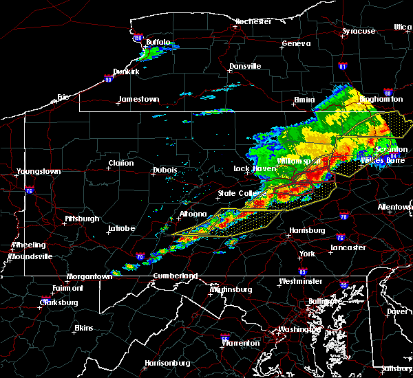 At 257 pm edt, a severe squall line capable of producing both tornadoes and extensive straight line wind damage was located over sunbury, moving east at 35 mph (radar indicated rotation). Hazards include tornado and quarter size hail. Flying debris will be dangerous to those caught without shelter. mobile homes will be damaged or destroyed. damage to roofs, windows, and vehicles will occur. tree damage is likely. these dangerous storms will be near, danville, stonington and riverside around 310 pm edt. elysburg around 320 pm edt. Other locations impacted by this tornadic thunderstorm include snydertown and new berlin. At 257 pm edt, a severe squall line capable of producing both tornadoes and extensive straight line wind damage was located over sunbury, moving east at 35 mph (radar indicated rotation). Hazards include tornado and quarter size hail. Flying debris will be dangerous to those caught without shelter. mobile homes will be damaged or destroyed. damage to roofs, windows, and vehicles will occur. tree damage is likely. these dangerous storms will be near, danville, stonington and riverside around 310 pm edt. elysburg around 320 pm edt. Other locations impacted by this tornadic thunderstorm include snydertown and new berlin.
|
| 5/15/2018 2:45 PM EDT |
 At 243 pm edt, a severe thunderstorm capable of producing a tornado was located near vicksburg, moving east at 35 mph (radar indicated rotation). Hazards include tornado and quarter size hail. Flying debris will be dangerous to those caught without shelter. mobile homes will be damaged or destroyed. damage to roofs, windows, and vehicles will occur. tree damage is likely. this dangerous storm will be near, lewisburg, winfield and montandon around 250 pm edt. northumberland, sunbury and shamokin dam around 300 pm edt. riverside, mooresburg and stonington around 310 pm edt. danville and elysburg around 320 pm edt. other locations impacted by this tornadic thunderstorm include snydertown, new berlin and bucknell. for those driving on interstate 80, this includes areas between the limestoneville and buckhorn exits, specifically from mile markers 217 to 227. this includes the following highways, route 11 from near shamokin dam to east of danville. route 15 from near shamokin dam to lewisburg. state road 45 from mifflinburg to lewisburg. state road 61 from sunbury to stonington. State highway 147 from near lewisburg to sunbury. At 243 pm edt, a severe thunderstorm capable of producing a tornado was located near vicksburg, moving east at 35 mph (radar indicated rotation). Hazards include tornado and quarter size hail. Flying debris will be dangerous to those caught without shelter. mobile homes will be damaged or destroyed. damage to roofs, windows, and vehicles will occur. tree damage is likely. this dangerous storm will be near, lewisburg, winfield and montandon around 250 pm edt. northumberland, sunbury and shamokin dam around 300 pm edt. riverside, mooresburg and stonington around 310 pm edt. danville and elysburg around 320 pm edt. other locations impacted by this tornadic thunderstorm include snydertown, new berlin and bucknell. for those driving on interstate 80, this includes areas between the limestoneville and buckhorn exits, specifically from mile markers 217 to 227. this includes the following highways, route 11 from near shamokin dam to east of danville. route 15 from near shamokin dam to lewisburg. state road 45 from mifflinburg to lewisburg. state road 61 from sunbury to stonington. State highway 147 from near lewisburg to sunbury.
|
| 5/15/2018 2:19 PM EDT |
 At 218 pm edt, severe thunderstorms were located along a line extending from near trout run to near mcelhattan to near zion to state college, moving east at 60 mph. these are very dangerous storms (radar indicated). Hazards include 70 to 80 mph wind gusts. Flying debris will be dangerous to those caught without shelter. mobile homes will be heavily damaged. expect considerable damage to roofs, windows, and vehicles. extensive tree damage and power outages are likely. locations impacted include, state college, lock haven, bellefonte, jersey shore, waterville, flemington, ramblewood, zion, pine grove mills and madisonburg. The fastest winds appear to be moving through lamar and spring mills. At 218 pm edt, severe thunderstorms were located along a line extending from near trout run to near mcelhattan to near zion to state college, moving east at 60 mph. these are very dangerous storms (radar indicated). Hazards include 70 to 80 mph wind gusts. Flying debris will be dangerous to those caught without shelter. mobile homes will be heavily damaged. expect considerable damage to roofs, windows, and vehicles. extensive tree damage and power outages are likely. locations impacted include, state college, lock haven, bellefonte, jersey shore, waterville, flemington, ramblewood, zion, pine grove mills and madisonburg. The fastest winds appear to be moving through lamar and spring mills.
|
| 5/15/2018 2:16 PM EDT |
 At 215 pm edt, severe thunderstorms were located along a line extending from near williamsport to near lamar to centre hall to whipple dam state park, moving east at 55 mph (radar indicated). Hazards include 70 mph wind gusts. Expect considerable tree damage. damage is likely to mobile homes, roofs, and outbuildings. severe thunderstorms will be near, williamsport, duboistown and cogan station around 220 pm edt. montoursville, reedsville, r. b. winter state park, yeagertown, carroll, montgomery, seven mountains, muncy, woodward and milroy around 230 pm edt. mifflinburg, sand bridge state park, alfarata, forest hill, hughesville, weikert, snyder-middleswart state park, troxelville, lairdsville and reeds gap state park around 240 pm edt. lewisburg, milton, biggertown, linntown, penns creek, mcalisterville, mcclure, montandon, new columbia and middleburg around 250 pm edt. other locations impacted by these severe thunderstorms include wagner, lime ridge, west milton, marion heights, siglerville, seven points, hartleton, garden view, oval and loganton. for those driving on interstate 80, this includes areas between the bellefonte and nescopek exits, specifically from mile markers 172 to 247. This includes interstate 180 from mile markers 1 to 29. At 215 pm edt, severe thunderstorms were located along a line extending from near williamsport to near lamar to centre hall to whipple dam state park, moving east at 55 mph (radar indicated). Hazards include 70 mph wind gusts. Expect considerable tree damage. damage is likely to mobile homes, roofs, and outbuildings. severe thunderstorms will be near, williamsport, duboistown and cogan station around 220 pm edt. montoursville, reedsville, r. b. winter state park, yeagertown, carroll, montgomery, seven mountains, muncy, woodward and milroy around 230 pm edt. mifflinburg, sand bridge state park, alfarata, forest hill, hughesville, weikert, snyder-middleswart state park, troxelville, lairdsville and reeds gap state park around 240 pm edt. lewisburg, milton, biggertown, linntown, penns creek, mcalisterville, mcclure, montandon, new columbia and middleburg around 250 pm edt. other locations impacted by these severe thunderstorms include wagner, lime ridge, west milton, marion heights, siglerville, seven points, hartleton, garden view, oval and loganton. for those driving on interstate 80, this includes areas between the bellefonte and nescopek exits, specifically from mile markers 172 to 247. This includes interstate 180 from mile markers 1 to 29.
|
| 5/15/2018 2:16 PM EDT |
At 215 pm edt, severe thunderstorms were located along a line extending from near williamsport to near lamar to centre hall to whipple dam state park, moving east at 55 mph (radar indicated). Hazards include 70 mph wind gusts. Expect considerable tree damage. damage is likely to mobile homes, roofs, and outbuildings. severe thunderstorms will be near, williamsport, duboistown and cogan station around 220 pm edt. montoursville, reedsville, r. b. winter state park, yeagertown, carroll, montgomery, seven mountains, muncy, woodward and milroy around 230 pm edt. mifflinburg, sand bridge state park, alfarata, forest hill, hughesville, weikert, snyder-middleswart state park, troxelville, lairdsville and reeds gap state park around 240 pm edt. lewisburg, milton, biggertown, linntown, penns creek, mcalisterville, mcclure, montandon, new columbia and middleburg around 250 pm edt. other locations impacted by these severe thunderstorms include wagner, lime ridge, west milton, marion heights, siglerville, seven points, hartleton, garden view, oval and loganton. for those driving on interstate 80, this includes areas between the bellefonte and nescopek exits, specifically from mile markers 172 to 247. This includes interstate 180 from mile markers 1 to 29.
|
| 5/15/2018 1:42 PM EDT |
 At 141 pm edt, severe thunderstorms were located along a line extending from hyner to moshannon to houtzdale to near blandburg, moving east at 60 mph (radar indicated). Hazards include 70 mph wind gusts. Expect considerable tree damage. Damage is likely to mobile homes, roofs, and outbuildings. At 141 pm edt, severe thunderstorms were located along a line extending from hyner to moshannon to houtzdale to near blandburg, moving east at 60 mph (radar indicated). Hazards include 70 mph wind gusts. Expect considerable tree damage. Damage is likely to mobile homes, roofs, and outbuildings.
|
| 5/10/2018 4:37 PM EDT |
 At 437 pm edt, severe thunderstorms were located along a line extending from kratzerville to near mount pleasant mills to near mexico to near honey grove, moving east at 45 mph (radar indicated). Hazards include 60 mph wind gusts and nickel size hail. expect damage to trees and power lines At 437 pm edt, severe thunderstorms were located along a line extending from kratzerville to near mount pleasant mills to near mexico to near honey grove, moving east at 45 mph (radar indicated). Hazards include 60 mph wind gusts and nickel size hail. expect damage to trees and power lines
|
| 5/3/2018 4:54 PM EDT |
 At 450 pm edt, a severe thunderstorm was located over elysburg, moving east at 50 mph (radar indicated). Hazards include 60 mph wind gusts. Expect damage to trees and power lines. this severe thunderstorm will remain over southern northumberland, montour and columbia counties. Locations which will be impacted include the following locations: elysburg, kulpmont, mount carmel, edgewood, numidia, seven points, marion heights, snydertown, espy and bloomsburg university. At 450 pm edt, a severe thunderstorm was located over elysburg, moving east at 50 mph (radar indicated). Hazards include 60 mph wind gusts. Expect damage to trees and power lines. this severe thunderstorm will remain over southern northumberland, montour and columbia counties. Locations which will be impacted include the following locations: elysburg, kulpmont, mount carmel, edgewood, numidia, seven points, marion heights, snydertown, espy and bloomsburg university.
|
| 5/3/2018 4:27 PM EDT |
 At 426 pm edt, a severe thunderstorm was located near kratzerville, moving east at 50 mph (radar indicated). Hazards include 60 mph wind gusts. Expect damage to trees and power lines. this severe thunderstorm will be near, selinsgrove, lewisburg, kratzerville, winfield, hummels wharf and montandon around 430 pm edt. sunbury, northumberland and shamokin dam around 440 pm edt. shamokin, stonington, trevorton, elysburg and fairview-ferndale around 450 pm edt. kulpmont, mount carmel, wilburton number one, marshallton, knoebels grove, numidia and slabtown around 500 pm edt. For those driving on interstate 80, this includes areas between the limestoneville and berwick-lime ridge exits, specifically from mile markers 217 to 236. At 426 pm edt, a severe thunderstorm was located near kratzerville, moving east at 50 mph (radar indicated). Hazards include 60 mph wind gusts. Expect damage to trees and power lines. this severe thunderstorm will be near, selinsgrove, lewisburg, kratzerville, winfield, hummels wharf and montandon around 430 pm edt. sunbury, northumberland and shamokin dam around 440 pm edt. shamokin, stonington, trevorton, elysburg and fairview-ferndale around 450 pm edt. kulpmont, mount carmel, wilburton number one, marshallton, knoebels grove, numidia and slabtown around 500 pm edt. For those driving on interstate 80, this includes areas between the limestoneville and berwick-lime ridge exits, specifically from mile markers 217 to 236.
|
| 4/27/2018 9:31 PM EDT |
 At 931 pm edt, a severe thunderstorm was located over lamar, moving east at 30 mph (radar indicated). Hazards include 60 mph wind gusts. Expect damage to trees and power lines. this severe storm will be near, mackeyville, rebersburg and mill hall around 940 pm edt. castanea around 950 pm edt. carroll around 1000 pm edt. Other locations impacted by this severe thunderstorm include loganton, howard, mccall dam state park and beech creek. At 931 pm edt, a severe thunderstorm was located over lamar, moving east at 30 mph (radar indicated). Hazards include 60 mph wind gusts. Expect damage to trees and power lines. this severe storm will be near, mackeyville, rebersburg and mill hall around 940 pm edt. castanea around 950 pm edt. carroll around 1000 pm edt. Other locations impacted by this severe thunderstorm include loganton, howard, mccall dam state park and beech creek.
|
| 4/27/2018 9:02 PM EDT |
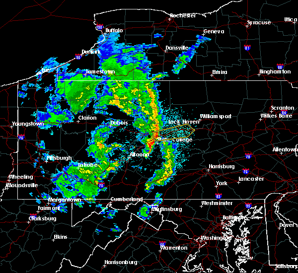 At 902 pm edt, a severe thunderstorm was located over milesburg, moving east at 30 mph (radar indicated). Hazards include 60 mph wind gusts. expect damage to trees and power lines At 902 pm edt, a severe thunderstorm was located over milesburg, moving east at 30 mph (radar indicated). Hazards include 60 mph wind gusts. expect damage to trees and power lines
|
| 8/19/2017 7:14 PM EDT |
 At 713 pm edt, severe thunderstorms were located along a line extending from forest hill to near newport to shermansdale to newville, moving east at 40 mph (radar indicated). Hazards include 60 mph wind gusts and penny size hail. Expect damage to trees and power lines. severe thunderstorms will be near, millersburg around 720 pm edt. lewisburg, harrisburg, milton, montandon, rockville, marysville and new columbia around 730 pm edt. steelton, linglestown, northumberland, progress, sunbury, colonial park, paxtang, bressler-enhaut-oberlin, penbrook and lawnton around 740 pm edt. middletown, hummelstown, hershey, royalton, penn national race course, highspire, skyline view, riverside, stonington and valley green around 750 pm edt. other locations impacted by these severe thunderstorms include three mile island, dauphin, marion heights, seven points, goldsboro, mcewensville, herndon, edgewood, gratz and turbotville. for those driving on interstate 80, this includes areas between the lewisburg-williamsport and danville exits, specifically from mile markers 211 to 216. this includes the following interstates, the pennsylvania turnpike from mile markers 246 to 258. interstate 81 from mile markers 66 to 81. interstate 83 from mile markers 43 to 50. interstate 180 from mile markers 1 to 8. Interstate 283 from mile markers 0 to 2. At 713 pm edt, severe thunderstorms were located along a line extending from forest hill to near newport to shermansdale to newville, moving east at 40 mph (radar indicated). Hazards include 60 mph wind gusts and penny size hail. Expect damage to trees and power lines. severe thunderstorms will be near, millersburg around 720 pm edt. lewisburg, harrisburg, milton, montandon, rockville, marysville and new columbia around 730 pm edt. steelton, linglestown, northumberland, progress, sunbury, colonial park, paxtang, bressler-enhaut-oberlin, penbrook and lawnton around 740 pm edt. middletown, hummelstown, hershey, royalton, penn national race course, highspire, skyline view, riverside, stonington and valley green around 750 pm edt. other locations impacted by these severe thunderstorms include three mile island, dauphin, marion heights, seven points, goldsboro, mcewensville, herndon, edgewood, gratz and turbotville. for those driving on interstate 80, this includes areas between the lewisburg-williamsport and danville exits, specifically from mile markers 211 to 216. this includes the following interstates, the pennsylvania turnpike from mile markers 246 to 258. interstate 81 from mile markers 66 to 81. interstate 83 from mile markers 43 to 50. interstate 180 from mile markers 1 to 8. Interstate 283 from mile markers 0 to 2.
|
| 8/19/2017 6:44 PM EDT |
 At 642 pm edt, severe thunderstorms were located along a line extending from rebersburg to near reeds gap state park to juniata terrace to near rockhill furnace to near waterfall, moving east at 45 mph (radar indicated). Hazards include 60 mph wind gusts and penny size hail. Expect damage to trees and power lines. these severe storms will affect, rebersburg, aaronsburg, millheim, madisonburg, poe valley state park coburn and woodward. Other locations impacted by these severe thunderstorms include saltillo, cassville, shade gap, mapleton, mccall dam state park, mill creek, kistler, shirleysburg, coalmont and orbisonia. At 642 pm edt, severe thunderstorms were located along a line extending from rebersburg to near reeds gap state park to juniata terrace to near rockhill furnace to near waterfall, moving east at 45 mph (radar indicated). Hazards include 60 mph wind gusts and penny size hail. Expect damage to trees and power lines. these severe storms will affect, rebersburg, aaronsburg, millheim, madisonburg, poe valley state park coburn and woodward. Other locations impacted by these severe thunderstorms include saltillo, cassville, shade gap, mapleton, mccall dam state park, mill creek, kistler, shirleysburg, coalmont and orbisonia.
|
| 8/19/2017 6:10 PM EDT |
 At 529 pm edt, severe thunderstorms were located along a line extending from plymptonville to near blandburg to sankertown to westmont, moving east at 45 mph (radar indicated). Hazards include 60 mph wind gusts and penny size hail. Expect damage to trees and power lines. severe thunderstorms will be near, blandburg around 530 pm edt. tyrone, hollidaysburg, duncansville, lakemont, bald eagle, birmingham, horseshoe curve, tipton and sinking valley around 540 pm edt. franklinville, royer, warriors mark, canoe creek state park, spruce creek, black moshannon state park, roaring spring, pine glen and north philipsburg around 550 pm edt. rock springs, snow shoe, clarence, whipple dam state park, moshannon, ski gap, entriken, williamsburg, trough creek state park and ramblewood around 600 pm edt. other locations impacted by these severe thunderstorms include saltillo, shade gap, mapleton, mcconnellstown, shirleysburg, howard, petersburg, east freedom, alexandria and orbisonia. for those driving on interstate 80, this includes areas between the kylertown and lamar exits, specifically from mile markers 139 to 171. this includes the following interstates, the pennsylvania turnpike from mile markers 184 to 186. Interstate 99 from mile markers 15 to 85. At 529 pm edt, severe thunderstorms were located along a line extending from plymptonville to near blandburg to sankertown to westmont, moving east at 45 mph (radar indicated). Hazards include 60 mph wind gusts and penny size hail. Expect damage to trees and power lines. severe thunderstorms will be near, blandburg around 530 pm edt. tyrone, hollidaysburg, duncansville, lakemont, bald eagle, birmingham, horseshoe curve, tipton and sinking valley around 540 pm edt. franklinville, royer, warriors mark, canoe creek state park, spruce creek, black moshannon state park, roaring spring, pine glen and north philipsburg around 550 pm edt. rock springs, snow shoe, clarence, whipple dam state park, moshannon, ski gap, entriken, williamsburg, trough creek state park and ramblewood around 600 pm edt. other locations impacted by these severe thunderstorms include saltillo, shade gap, mapleton, mcconnellstown, shirleysburg, howard, petersburg, east freedom, alexandria and orbisonia. for those driving on interstate 80, this includes areas between the kylertown and lamar exits, specifically from mile markers 139 to 171. this includes the following interstates, the pennsylvania turnpike from mile markers 184 to 186. Interstate 99 from mile markers 15 to 85.
|
| 8/19/2017 5:29 PM EDT |
 At 529 pm edt, severe thunderstorms were located along a line extending from plymptonville to near blandburg to sankertown to westmont, moving east at 45 mph (radar indicated). Hazards include 60 mph wind gusts and penny size hail. Expect damage to trees and power lines. severe thunderstorms will be near, blandburg around 530 pm edt. tyrone, hollidaysburg, duncansville, lakemont, bald eagle, birmingham, horseshoe curve, tipton and sinking valley around 540 pm edt. franklinville, royer, warriors mark, canoe creek state park, spruce creek, black moshannon state park, roaring spring, pine glen and north philipsburg around 550 pm edt. rock springs, snow shoe, clarence, whipple dam state park, moshannon, ski gap, entriken, williamsburg, trough creek state park and ramblewood around 600 pm edt. other locations impacted by these severe thunderstorms include saltillo, shade gap, mapleton, mcconnellstown, shirleysburg, howard, petersburg, east freedom, alexandria and orbisonia. for those driving on interstate 80, this includes areas between the kylertown and lamar exits, specifically from mile markers 139 to 171. this includes the following interstates, the pennsylvania turnpike from mile markers 184 to 186. Interstate 99 from mile markers 15 to 85. At 529 pm edt, severe thunderstorms were located along a line extending from plymptonville to near blandburg to sankertown to westmont, moving east at 45 mph (radar indicated). Hazards include 60 mph wind gusts and penny size hail. Expect damage to trees and power lines. severe thunderstorms will be near, blandburg around 530 pm edt. tyrone, hollidaysburg, duncansville, lakemont, bald eagle, birmingham, horseshoe curve, tipton and sinking valley around 540 pm edt. franklinville, royer, warriors mark, canoe creek state park, spruce creek, black moshannon state park, roaring spring, pine glen and north philipsburg around 550 pm edt. rock springs, snow shoe, clarence, whipple dam state park, moshannon, ski gap, entriken, williamsburg, trough creek state park and ramblewood around 600 pm edt. other locations impacted by these severe thunderstorms include saltillo, shade gap, mapleton, mcconnellstown, shirleysburg, howard, petersburg, east freedom, alexandria and orbisonia. for those driving on interstate 80, this includes areas between the kylertown and lamar exits, specifically from mile markers 139 to 171. this includes the following interstates, the pennsylvania turnpike from mile markers 184 to 186. Interstate 99 from mile markers 15 to 85.
|
| 8/4/2017 8:12 PM EDT |
 At 811 pm edt, severe thunderstorms were located along a line extending from paxtonville to near elizabethville to near new buffalo to near mount holly springs, moving northeast at 30 mph (radar indicated). Hazards include 60 mph wind gusts and quarter size hail. Hail damage to vehicles is possible. Expect wind damage to trees and power lines. At 811 pm edt, severe thunderstorms were located along a line extending from paxtonville to near elizabethville to near new buffalo to near mount holly springs, moving northeast at 30 mph (radar indicated). Hazards include 60 mph wind gusts and quarter size hail. Hail damage to vehicles is possible. Expect wind damage to trees and power lines.
|
| 8/4/2017 5:08 PM EDT |
 At 507 pm edt, a severe thunderstorm was located over pleasant gap, moving north at 40 mph (radar indicated). Hazards include 60 mph wind gusts. Hail damage to vehicles is possible. expect wind damage to trees and power lines. Locations impacted include, bellefonte, state college, monument, potters mills, zion, houserville, milesburg, bald eagle state park, blanchard and boalsburg. At 507 pm edt, a severe thunderstorm was located over pleasant gap, moving north at 40 mph (radar indicated). Hazards include 60 mph wind gusts. Hail damage to vehicles is possible. expect wind damage to trees and power lines. Locations impacted include, bellefonte, state college, monument, potters mills, zion, houserville, milesburg, bald eagle state park, blanchard and boalsburg.
|
| 8/4/2017 4:30 PM EDT |
 At 429 pm edt, a severe thunderstorm was located near allensville, moving north at 40 mph (radar indicated). Hazards include 60 mph wind gusts and quarter size hail. Hail damage to vehicles is possible. Expect wind damage to trees and power lines. At 429 pm edt, a severe thunderstorm was located near allensville, moving north at 40 mph (radar indicated). Hazards include 60 mph wind gusts and quarter size hail. Hail damage to vehicles is possible. Expect wind damage to trees and power lines.
|
| 7/24/2017 3:58 PM EDT |
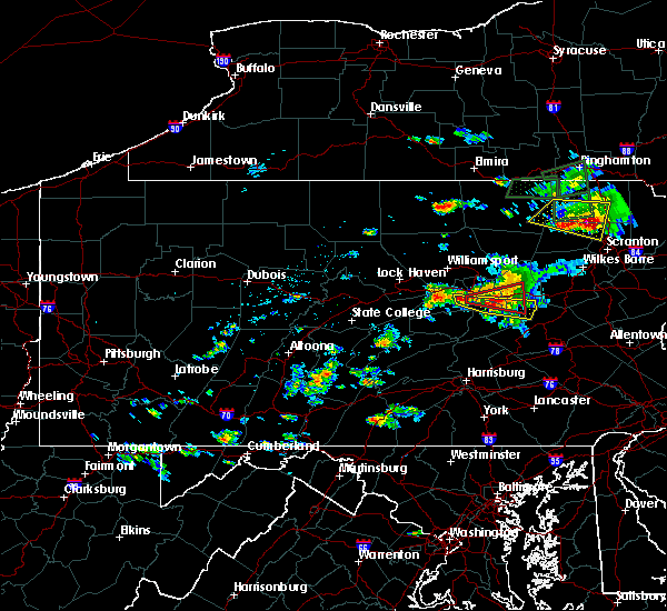 At 357 pm edt, a severe thunderstorm was located near riverside, moving east at 20 mph (radar indicated). Hazards include 60 mph wind gusts and quarter size hail. expect wind damage to trees and power lines At 357 pm edt, a severe thunderstorm was located near riverside, moving east at 20 mph (radar indicated). Hazards include 60 mph wind gusts and quarter size hail. expect wind damage to trees and power lines
|
| 6/15/2017 6:59 PM EDT |
 At 658 pm edt, severe thunderstorms were located along a line extending from near wharton to 6 miles north of lecontes mills to near houtzdale, moving east at 30 mph (radar indicated). Hazards include 60 mph wind gusts. expect damage to trees and power lines At 658 pm edt, severe thunderstorms were located along a line extending from near wharton to 6 miles north of lecontes mills to near houtzdale, moving east at 30 mph (radar indicated). Hazards include 60 mph wind gusts. expect damage to trees and power lines
|
| 5/30/2017 3:11 PM EDT |
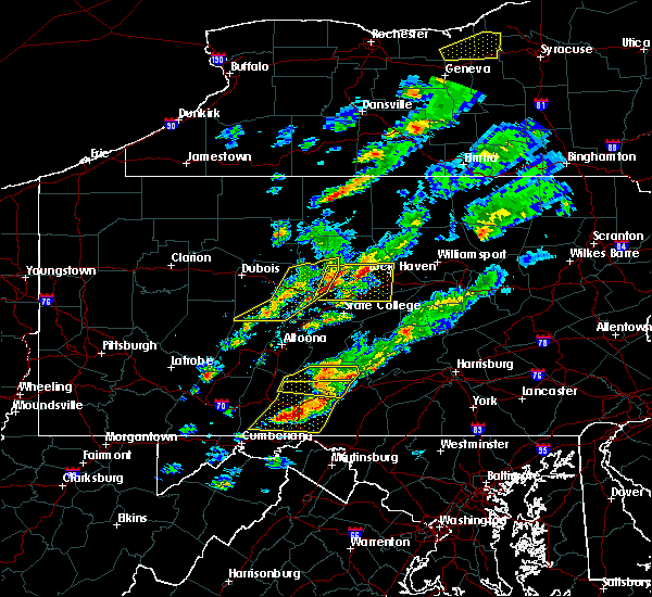 At 311 pm edt, a severe thunderstorm was located over snow shoe, moving east at 40 mph (radar indicated). Hazards include 60 mph wind gusts and quarter size hail. Hail damage to vehicles is possible. Expect wind damage to trees and power lines. At 311 pm edt, a severe thunderstorm was located over snow shoe, moving east at 40 mph (radar indicated). Hazards include 60 mph wind gusts and quarter size hail. Hail damage to vehicles is possible. Expect wind damage to trees and power lines.
|
| 5/1/2017 10:23 PM EDT |
 At 1022 pm edt, a severe thunderstorm was located over stonington, moving northeast at 55 mph (radar indicated). Hazards include 70 mph wind gusts. Expect considerable tree damage. damage is likely to mobile homes, roofs, and outbuildings. Locations impacted include, berwick, shamokin, mount carmel, kulpmont, danville, bloomsburg, sunbury, mifflinville, rupert and wilburton number two. At 1022 pm edt, a severe thunderstorm was located over stonington, moving northeast at 55 mph (radar indicated). Hazards include 70 mph wind gusts. Expect considerable tree damage. damage is likely to mobile homes, roofs, and outbuildings. Locations impacted include, berwick, shamokin, mount carmel, kulpmont, danville, bloomsburg, sunbury, mifflinville, rupert and wilburton number two.
|
| 5/1/2017 9:55 PM EDT |
 At 953 pm edt, a severe thunderstorm was located near meiserville, moving northeast at 55 mph (radar indicated). Hazards include 70 mph wind gusts. Expect considerable tree damage. Damage is likely to mobile homes, roofs, and outbuildings. At 953 pm edt, a severe thunderstorm was located near meiserville, moving northeast at 55 mph (radar indicated). Hazards include 70 mph wind gusts. Expect considerable tree damage. Damage is likely to mobile homes, roofs, and outbuildings.
|
| 5/1/2017 7:14 PM EDT |
 At 713 pm edt, severe thunderstorms were located along a line extending from near allenwood to near laurelton center, moving northeast at 60 mph (radar indicated). Hazards include 70 mph wind gusts. Expect considerable tree damage. Damage is likely to mobile homes, roofs, and outbuildings. At 713 pm edt, severe thunderstorms were located along a line extending from near allenwood to near laurelton center, moving northeast at 60 mph (radar indicated). Hazards include 70 mph wind gusts. Expect considerable tree damage. Damage is likely to mobile homes, roofs, and outbuildings.
|
| 5/1/2017 6:44 PM EDT |
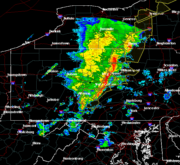 At 643 pm edt, severe thunderstorms were located along a line extending from english center to near mount union, moving east at 40 mph (radar indicated). Hazards include 70 mph wind gusts. Expect considerable tree damage. Damage is likely to mobile homes, roofs, and outbuildings. At 643 pm edt, severe thunderstorms were located along a line extending from english center to near mount union, moving east at 40 mph (radar indicated). Hazards include 70 mph wind gusts. Expect considerable tree damage. Damage is likely to mobile homes, roofs, and outbuildings.
|
| 5/1/2017 4:52 PM EDT |
 At 451 pm edt, severe thunderstorms were located along a line extending from near emporium to prince gallitzin state park, moving east at 35 mph (radar indicated). Hazards include 60 mph wind gusts. expect damage to roofs, siding, and trees At 451 pm edt, severe thunderstorms were located along a line extending from near emporium to prince gallitzin state park, moving east at 35 mph (radar indicated). Hazards include 60 mph wind gusts. expect damage to roofs, siding, and trees
|
| 10/20/2016 10:10 PM EDT |
 At 1009 pm edt, a severe thunderstorm was located over lamar and lock haven, moving northeast at 30 mph (radar indicated). Hazards include 60 mph wind gusts and penny size hail. Expect damage to roofs. siding. and trees. this severe thunderstorm will be near, mackeyville, mill hall, castanea and flemington around 1020 pm edt. mcelhattan and dunnstown around 1030 pm edt. jersey shore and avis around 1040 pm edt. collomsville around 1050 pm edt. other locations impacted by this severe thunderstorm include salladasburg, south williamsport, oval, garden view, loganton, beech creek, williamsport airport, little league world series complex and lock haven university. for those driving on interstate 80, this includes areas between the bellefonte and jersey shore exits, specifically from mile markers 170 to 189. This includes interstate 180 from mile markers 16 to 29. At 1009 pm edt, a severe thunderstorm was located over lamar and lock haven, moving northeast at 30 mph (radar indicated). Hazards include 60 mph wind gusts and penny size hail. Expect damage to roofs. siding. and trees. this severe thunderstorm will be near, mackeyville, mill hall, castanea and flemington around 1020 pm edt. mcelhattan and dunnstown around 1030 pm edt. jersey shore and avis around 1040 pm edt. collomsville around 1050 pm edt. other locations impacted by this severe thunderstorm include salladasburg, south williamsport, oval, garden view, loganton, beech creek, williamsport airport, little league world series complex and lock haven university. for those driving on interstate 80, this includes areas between the bellefonte and jersey shore exits, specifically from mile markers 170 to 189. This includes interstate 180 from mile markers 16 to 29.
|
| 8/16/2016 8:21 PM EDT |
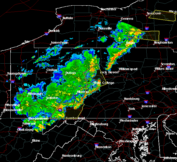 At 821 pm edt, severe thunderstorms were located along a line extending from kettle creek state park to monument to near milesburg to houserville, moving northeast at 55 mph (radar indicated). Hazards include 60 mph wind gusts. Expect damage to roofs. siding. and trees. Locations impacted include, mcalevys fort, aaronsburg, whipple dam state park, centre hall, south renovo, blanchard, pleasant gap, potters mills, poe valley state park, bald eagle state park, millheim, monument, lamar, westport, renovo, coburn, madisonburg, spring mills, boalsburg and zion. At 821 pm edt, severe thunderstorms were located along a line extending from kettle creek state park to monument to near milesburg to houserville, moving northeast at 55 mph (radar indicated). Hazards include 60 mph wind gusts. Expect damage to roofs. siding. and trees. Locations impacted include, mcalevys fort, aaronsburg, whipple dam state park, centre hall, south renovo, blanchard, pleasant gap, potters mills, poe valley state park, bald eagle state park, millheim, monument, lamar, westport, renovo, coburn, madisonburg, spring mills, boalsburg and zion.
|
| 8/16/2016 7:59 PM EDT |
 At 759 pm edt, severe thunderstorms were located along a line extending from near karthaus to near julian to stormstown to franklinville, moving northeast at 55 mph (radar indicated). Hazards include 60 mph wind gusts. Expect damage to roofs. siding. And trees. At 759 pm edt, severe thunderstorms were located along a line extending from near karthaus to near julian to stormstown to franklinville, moving northeast at 55 mph (radar indicated). Hazards include 60 mph wind gusts. Expect damage to roofs. siding. And trees.
|
| 7/31/2016 9:18 PM EDT |
 At 917 pm edt, a severe thunderstorm was located over elysburg, moving east at 25 mph (radar indicated). Hazards include 60 mph wind gusts and quarter size hail. Downed tree limbs and isolated power outages are possible. Locations impacted include, shamokin, danville, kulpmont, mount carmel, ashland, bloomsburg, rupert, aristes, marshallton, riverside, locustdale, numidia, elysburg, stonington, catawissa, fairview-ferndale, knoebels grove, wilburton number two, trevorton and slabtown. At 917 pm edt, a severe thunderstorm was located over elysburg, moving east at 25 mph (radar indicated). Hazards include 60 mph wind gusts and quarter size hail. Downed tree limbs and isolated power outages are possible. Locations impacted include, shamokin, danville, kulpmont, mount carmel, ashland, bloomsburg, rupert, aristes, marshallton, riverside, locustdale, numidia, elysburg, stonington, catawissa, fairview-ferndale, knoebels grove, wilburton number two, trevorton and slabtown.
|
| 7/31/2016 8:58 PM EDT |
 At 858 pm edt, a severe thunderstorm was located over riverside, moving east at 25 mph (radar indicated). Hazards include 60 mph wind gusts and quarter size hail. downed tree limbs and isolated power outages are possible At 858 pm edt, a severe thunderstorm was located over riverside, moving east at 25 mph (radar indicated). Hazards include 60 mph wind gusts and quarter size hail. downed tree limbs and isolated power outages are possible
|
| 7/25/2016 4:00 PM EDT |
 At 400 pm edt, severe thunderstorms were located along a line extending from near keating to near woodland, moving east at 45 mph (radar indicated). Hazards include 60 mph wind gusts and penny size hail. Expect damage to roofs. siding. And trees. At 400 pm edt, severe thunderstorms were located along a line extending from near keating to near woodland, moving east at 45 mph (radar indicated). Hazards include 60 mph wind gusts and penny size hail. Expect damage to roofs. siding. And trees.
|
| 7/25/2016 3:40 PM EDT |
 At 339 pm edt, severe thunderstorms were located along a line extending from near waller to near allenwood, moving southeast at 30 mph (radar indicated). Hazards include 60 mph wind gusts and quarter size hail. Hail damage to vehicles is expected. Expect wind damage to roofs, siding, and trees. At 339 pm edt, severe thunderstorms were located along a line extending from near waller to near allenwood, moving southeast at 30 mph (radar indicated). Hazards include 60 mph wind gusts and quarter size hail. Hail damage to vehicles is expected. Expect wind damage to roofs, siding, and trees.
|
| 7/25/2016 3:22 PM EDT |
 At 321 pm edt, severe thunderstorms were located along a line extending from slabtown to near rebuck, moving east at 45 mph (radar indicated). Hazards include 60 mph wind gusts and quarter size hail. Hail damage to vehicles is expected. expect wind damage to roofs, siding, and trees. Locations impacted include, kulpmont, shamokin, mount carmel, stonington, aristes, fairview-ferndale, marshallton, knoebels grove, wilburton number two, trevorton, slabtown, numidia, elysburg, shumans, locustdale, catawissa, edgewood, wilburton number one, seven points and marion heights. At 321 pm edt, severe thunderstorms were located along a line extending from slabtown to near rebuck, moving east at 45 mph (radar indicated). Hazards include 60 mph wind gusts and quarter size hail. Hail damage to vehicles is expected. expect wind damage to roofs, siding, and trees. Locations impacted include, kulpmont, shamokin, mount carmel, stonington, aristes, fairview-ferndale, marshallton, knoebels grove, wilburton number two, trevorton, slabtown, numidia, elysburg, shumans, locustdale, catawissa, edgewood, wilburton number one, seven points and marion heights.
|
| 7/25/2016 2:51 PM EDT |
 At 250 pm edt, a severe thunderstorm was located near vicksburg, moving east at 25 mph (radar indicated). Hazards include 60 mph wind gusts and quarter size hail. Hail damage to vehicles is expected. Expect wind damage to roofs, siding, and trees. At 250 pm edt, a severe thunderstorm was located near vicksburg, moving east at 25 mph (radar indicated). Hazards include 60 mph wind gusts and quarter size hail. Hail damage to vehicles is expected. Expect wind damage to roofs, siding, and trees.
|
| 7/19/2015 9:30 PM EDT |
 At 929 pm edt, doppler radar indicated a severe thunderstorm capable of producing damaging winds in excess of 60 mph. this storm was located near glen union, moving east at 40 mph. locations impacted include, lock haven, bald eagle state park, black moshannon state park, blanchard, carroll, castanea, clarence, hyner, lamar, mackeyville, mcelhattan, milesburg, mill hall, monument, moshannon and pine glen. At 929 pm edt, doppler radar indicated a severe thunderstorm capable of producing damaging winds in excess of 60 mph. this storm was located near glen union, moving east at 40 mph. locations impacted include, lock haven, bald eagle state park, black moshannon state park, blanchard, carroll, castanea, clarence, hyner, lamar, mackeyville, mcelhattan, milesburg, mill hall, monument, moshannon and pine glen.
|
| 7/19/2015 9:00 PM EDT |
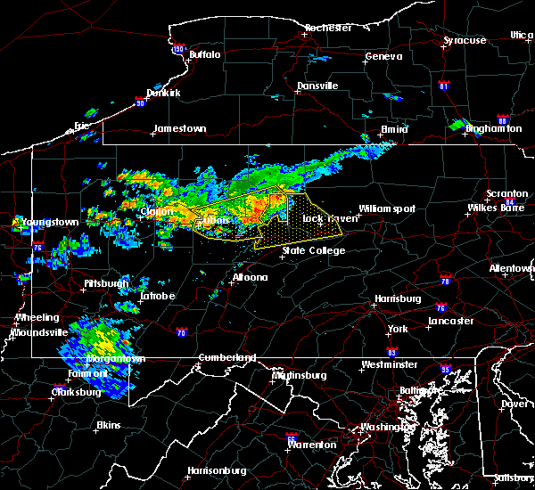 At 900 pm edt, doppler radar indicated a severe thunderstorm capable of producing damaging winds around 60 mph. this storm was located near keating, and moving east at 40 mph. At 900 pm edt, doppler radar indicated a severe thunderstorm capable of producing damaging winds around 60 mph. this storm was located near keating, and moving east at 40 mph.
|
| 7/18/2015 7:21 PM EDT |
 At 719 pm edt, doppler radar indicated a severe thunderstorm capable of producing damaging winds of 60 to 70 mph. this storm was located near sunbury, and moving south at 15 mph. penny size hail may also accompany the damaging winds. * this severe thunderstorm will be near, stonington around 720 pm edt. rebuck and trevorton around 750 pm edt. klingerstown, leck kill and urban around 800 pm edt. other locations impacted by this severe thunderstorm include edgewood, herndon, pillow, seven points, snydertown and selinsgrove airport. At 719 pm edt, doppler radar indicated a severe thunderstorm capable of producing damaging winds of 60 to 70 mph. this storm was located near sunbury, and moving south at 15 mph. penny size hail may also accompany the damaging winds. * this severe thunderstorm will be near, stonington around 720 pm edt. rebuck and trevorton around 750 pm edt. klingerstown, leck kill and urban around 800 pm edt. other locations impacted by this severe thunderstorm include edgewood, herndon, pillow, seven points, snydertown and selinsgrove airport.
|
| 6/30/2015 4:05 PM EDT |
 At 403 pm edt, doppler radar indicated a severe thunderstorm capable of producing damaging winds in excess of 60 mph. this storm was located over hummels wharf, and moving east at 30 mph. At 403 pm edt, doppler radar indicated a severe thunderstorm capable of producing damaging winds in excess of 60 mph. this storm was located over hummels wharf, and moving east at 30 mph.
|
| 6/23/2015 1:27 PM EDT |
 At 126 pm edt, doppler radar indicated a line of severe thunderstorms capable of producing destructive winds in excess of 70 mph. these storms were located along a line extending from near carroll to near troxelville to near reeds gap state park. these storms were nearly stationary. locations impacted include, berwick, bloomsburg, danville, kulpmont, mount carmel, northumberland, selinsgrove, shamokin, sunbury, almedia, aristes, buckhorn, catawissa, elysburg, eyers grove, fairview-ferndale, fernville, fremont, hummels wharf and jerseytown. At 126 pm edt, doppler radar indicated a line of severe thunderstorms capable of producing destructive winds in excess of 70 mph. these storms were located along a line extending from near carroll to near troxelville to near reeds gap state park. these storms were nearly stationary. locations impacted include, berwick, bloomsburg, danville, kulpmont, mount carmel, northumberland, selinsgrove, shamokin, sunbury, almedia, aristes, buckhorn, catawissa, elysburg, eyers grove, fairview-ferndale, fernville, fremont, hummels wharf and jerseytown.
|
| 6/23/2015 1:13 PM EDT |
 At 113 pm edt, doppler radar indicated a line of severe thunderstorms capable of producing destructive winds in excess of 70 mph. these storms were located along a line extending from near carroll to near troxelville to near reeds gap state park. these storms were nearly stationary. locations impacted include, berwick, bloomsburg, danville, kulpmont, lewisburg, milton, mount carmel, northumberland, selinsgrove, shamokin, sunbury, almedia, aristes, beaver springs, belltown, buckhorn, catawissa, elysburg, exchange and eyers grove. At 113 pm edt, doppler radar indicated a line of severe thunderstorms capable of producing destructive winds in excess of 70 mph. these storms were located along a line extending from near carroll to near troxelville to near reeds gap state park. these storms were nearly stationary. locations impacted include, berwick, bloomsburg, danville, kulpmont, lewisburg, milton, mount carmel, northumberland, selinsgrove, shamokin, sunbury, almedia, aristes, beaver springs, belltown, buckhorn, catawissa, elysburg, exchange and eyers grove.
|
| 6/23/2015 12:50 PM EDT |
 At 1250 pm edt, doppler radar indicated a line of severe thunderstorms capable of producing damaging winds of 60 to 70 mph. these storms were located along a line extending from near carroll to near troxelville to near reeds gap state park, and moving east at 60 mph. At 1250 pm edt, doppler radar indicated a line of severe thunderstorms capable of producing damaging winds of 60 to 70 mph. these storms were located along a line extending from near carroll to near troxelville to near reeds gap state park, and moving east at 60 mph.
|
| 6/23/2015 10:04 AM EDT |
 At 1004 am edt, doppler radar indicated a severe thunderstorm capable of producing destructive winds in excess of 70 mph. this storm was located over riverside. this storm was nearly stationary. locations impacted include, bloomsburg, danville, lewisburg, milton, northumberland, selinsgrove, shamokin, sunbury, allenwood, catawissa, elysburg, hummels wharf, iola, jerseytown and knoebels grove. At 1004 am edt, doppler radar indicated a severe thunderstorm capable of producing destructive winds in excess of 70 mph. this storm was located over riverside. this storm was nearly stationary. locations impacted include, bloomsburg, danville, lewisburg, milton, northumberland, selinsgrove, shamokin, sunbury, allenwood, catawissa, elysburg, hummels wharf, iola, jerseytown and knoebels grove.
|
| 6/23/2015 9:49 AM EDT |
 At 948 am edt, doppler radar indicated a severe thunderstorm capable of producing destructive winds in excess of 70 mph. this storm was located near linntown, moving east at 50 mph. locations impacted include, bloomsburg, danville, lewisburg, mifflinburg, milton, northumberland, selinsgrove, shamokin, sunbury, allenwood, almedia, buckhorn, catawissa, elysburg, exchange, eyers grove, fairview-ferndale, fernville, forest hill and hummels wharf. At 948 am edt, doppler radar indicated a severe thunderstorm capable of producing destructive winds in excess of 70 mph. this storm was located near linntown, moving east at 50 mph. locations impacted include, bloomsburg, danville, lewisburg, mifflinburg, milton, northumberland, selinsgrove, shamokin, sunbury, allenwood, almedia, buckhorn, catawissa, elysburg, exchange, eyers grove, fairview-ferndale, fernville, forest hill and hummels wharf.
|
| 6/23/2015 9:37 AM EDT |
 At 936 am edt, doppler radar indicated a severe thunderstorm capable of producing damaging winds of 60 to 70 mph. this storm was located over woodward, and moving east at 50 mph. At 936 am edt, doppler radar indicated a severe thunderstorm capable of producing damaging winds of 60 to 70 mph. this storm was located over woodward, and moving east at 50 mph.
|
| 6/23/2015 9:13 AM EDT |
 At 912 am edt, doppler radar indicated a severe thunderstorm capable of producing damaging winds of 60 to 70 mph. this storm was moving east at 40 mph. At 912 am edt, doppler radar indicated a severe thunderstorm capable of producing damaging winds of 60 to 70 mph. this storm was moving east at 40 mph.
|
| 6/23/2015 8:20 AM EDT |
 The severe thunderstorm warning for southeastern lycoming, central union, southeastern clinton and southeastern centre counties will expire at 830 am edt, the line of storms which prompted the warning have weakened below severe limits, and no longer poses an immediate threat to life or property. therefore the warning will be allowed to expire. The severe thunderstorm warning for southeastern lycoming, central union, southeastern clinton and southeastern centre counties will expire at 830 am edt, the line of storms which prompted the warning have weakened below severe limits, and no longer poses an immediate threat to life or property. therefore the warning will be allowed to expire.
|
| 6/23/2015 8:03 AM EDT |
 At 802 am edt, doppler radar indicated a line of severe thunderstorms capable of producing destructive winds in excess of 70 mph. these storms were located along a line extending from near arnot to near glen union to pine glen. these storms were nearly stationary. locations impacted include, jersey shore, lock haven, montoursville, williamsport, aaronsburg, allenwood, avis, bald eagle state park, barbours, biggertown, blanchard, carroll, castanea, centre hall, coburn, collomsville, duboistown, dunnstown, elimsport and flemington. At 802 am edt, doppler radar indicated a line of severe thunderstorms capable of producing destructive winds in excess of 70 mph. these storms were located along a line extending from near arnot to near glen union to pine glen. these storms were nearly stationary. locations impacted include, jersey shore, lock haven, montoursville, williamsport, aaronsburg, allenwood, avis, bald eagle state park, barbours, biggertown, blanchard, carroll, castanea, centre hall, coburn, collomsville, duboistown, dunnstown, elimsport and flemington.
|
| 6/23/2015 7:14 AM EDT |
 At 712 am edt, doppler radar indicated a line of severe thunderstorms capable of producing damaging winds of 60 to 70 mph. these storms were located along a line extending from near arnot to near south renovo to pine glen, and moving east at 70 mph. At 712 am edt, doppler radar indicated a line of severe thunderstorms capable of producing damaging winds of 60 to 70 mph. these storms were located along a line extending from near arnot to near south renovo to pine glen, and moving east at 70 mph.
|
| 6/14/2015 6:11 PM EDT | Trees down in northumberland county PA, 0.1 miles NW of Snydertown, PA |
| 6/14/2015 6:11 PM EDT |
 The national weather service in state college pa has issued a * severe thunderstorm warning for. southeastern montour county in central pennsylvania. southeastern columbia county in central pennsylvania. central schuylkill county in central pennsylvania. East central northumberland county in central pennsylvania. The national weather service in state college pa has issued a * severe thunderstorm warning for. southeastern montour county in central pennsylvania. southeastern columbia county in central pennsylvania. central schuylkill county in central pennsylvania. East central northumberland county in central pennsylvania.
|
| 6/14/2015 6:05 PM EDT | Trees and wires down in northumberland county PA, 3.2 miles ENE of Snydertown, PA |
| 6/12/2015 9:35 PM EDT |
 At 934 pm edt, doppler radar indicated a line of severe thunderstorms capable of producing destructive winds in excess of 70 mph. these storms were located along a line extending from near collomsville to near sand bridge state park to near weikert to near woodward to near reeds gap state park. these storms were nearly stationary. locations impacted include, berwick, bloomsburg, danville, kulpmont, mount carmel, shamokin, almedia, aristes, buckhorn, catawissa, elysburg, eyers grove, fairview-ferndale, fernville, iola, jerseytown, klingerstown, knoebels grove, leck kill and lightstreet. At 934 pm edt, doppler radar indicated a line of severe thunderstorms capable of producing destructive winds in excess of 70 mph. these storms were located along a line extending from near collomsville to near sand bridge state park to near weikert to near woodward to near reeds gap state park. these storms were nearly stationary. locations impacted include, berwick, bloomsburg, danville, kulpmont, mount carmel, shamokin, almedia, aristes, buckhorn, catawissa, elysburg, eyers grove, fairview-ferndale, fernville, iola, jerseytown, klingerstown, knoebels grove, leck kill and lightstreet.
|
| 6/12/2015 9:22 PM EDT |
 At 922 pm edt, doppler radar indicated a line of severe thunderstorms capable of producing destructive winds in excess of 70 mph. these storms were located along a line extending from near collomsville to near sand bridge state park to near weikert to near woodward to near reeds gap state park. these storms were nearly stationary. locations impacted include, berwick, bloomsburg, danville, kulpmont, milton, mount carmel, northumberland, selinsgrove, shamokin, sunbury, almedia, aristes, buckhorn, catawissa, delaware run, elysburg, exchange, eyers grove, fairview-ferndale and fernville. At 922 pm edt, doppler radar indicated a line of severe thunderstorms capable of producing destructive winds in excess of 70 mph. these storms were located along a line extending from near collomsville to near sand bridge state park to near weikert to near woodward to near reeds gap state park. these storms were nearly stationary. locations impacted include, berwick, bloomsburg, danville, kulpmont, milton, mount carmel, northumberland, selinsgrove, shamokin, sunbury, almedia, aristes, buckhorn, catawissa, delaware run, elysburg, exchange, eyers grove, fairview-ferndale and fernville.
|
| 6/12/2015 9:01 PM EDT |
 At 900 pm edt, doppler radar indicated a line of severe thunderstorms capable of producing destructive winds in excess of 70 mph. these storms were located along a line extending from near collomsville to near sand bridge state park to near weikert to near woodward to near reeds gap state park, moving east at 40 mph. locations impacted include, berwick, bloomsburg, danville, kulpmont, lewisburg, mifflinburg, milton, mount carmel, northumberland, selinsgrove, shamokin, sunbury, allenwood, almedia, aristes, beaver springs, buckhorn, catawissa, collomsville and delaware run. At 900 pm edt, doppler radar indicated a line of severe thunderstorms capable of producing destructive winds in excess of 70 mph. these storms were located along a line extending from near collomsville to near sand bridge state park to near weikert to near woodward to near reeds gap state park, moving east at 40 mph. locations impacted include, berwick, bloomsburg, danville, kulpmont, lewisburg, mifflinburg, milton, mount carmel, northumberland, selinsgrove, shamokin, sunbury, allenwood, almedia, aristes, beaver springs, buckhorn, catawissa, collomsville and delaware run.
|
| 6/12/2015 8:43 PM EDT |
 At 843 pm edt, doppler radar indicated a line of severe thunderstorms capable of producing damaging winds of 60 to 70 mph. these storms were located along a line extending from near avis to near r.b. winter state park to near weikert to near woodward to near alfarata, and moving east at 40 mph. At 843 pm edt, doppler radar indicated a line of severe thunderstorms capable of producing damaging winds of 60 to 70 mph. these storms were located along a line extending from near avis to near r.b. winter state park to near weikert to near woodward to near alfarata, and moving east at 40 mph.
|
| 6/12/2015 8:29 PM EDT |
 At 828 pm edt, doppler radar indicated a line of severe thunderstorms capable of producing damaging winds in excess of 60 mph. these storms were located along a line extending from near keating to near milesburg to near birmingham, moving east at 55 mph. locations impacted include, jersey shore, lewisburg, lock haven, mifflinburg, montoursville, williamsport, aaronsburg, alfarata, allenwood, avis, beaver springs, belltown, blanchard, burnham, carroll, castanea, coburn, cogan station, collomsville and duboistown. At 828 pm edt, doppler radar indicated a line of severe thunderstorms capable of producing damaging winds in excess of 60 mph. these storms were located along a line extending from near keating to near milesburg to near birmingham, moving east at 55 mph. locations impacted include, jersey shore, lewisburg, lock haven, mifflinburg, montoursville, williamsport, aaronsburg, alfarata, allenwood, avis, beaver springs, belltown, blanchard, burnham, carroll, castanea, coburn, cogan station, collomsville and duboistown.
|
| 6/12/2015 8:19 PM EDT |
 At 818 pm edt, doppler radar indicated a line of severe thunderstorms capable of producing damaging winds in excess of 60 mph. these storms were located along a line extending from near karthaus to near black moshannon state park to near tipton. these storms were nearly stationary. locations impacted include, bellefonte, jersey shore, lewisburg, lewistown, lock haven, mifflinburg, montoursville, state college, williamsport, aaronsburg, alfarata, allenwood, avis, bald eagle state park, beaver springs, belltown, blanchard, boalsburg, burnham and carroll. At 818 pm edt, doppler radar indicated a line of severe thunderstorms capable of producing damaging winds in excess of 60 mph. these storms were located along a line extending from near karthaus to near black moshannon state park to near tipton. these storms were nearly stationary. locations impacted include, bellefonte, jersey shore, lewisburg, lewistown, lock haven, mifflinburg, montoursville, state college, williamsport, aaronsburg, alfarata, allenwood, avis, bald eagle state park, beaver springs, belltown, blanchard, boalsburg, burnham and carroll.
|
| 6/12/2015 7:42 PM EDT |
 At 741 pm edt, doppler radar indicated a line of severe thunderstorms capable of producing damaging winds around 60 mph. these storms were located along a line extending from near karthaus to near black moshannon state park to near tipton, and moving east at 45 mph. At 741 pm edt, doppler radar indicated a line of severe thunderstorms capable of producing damaging winds around 60 mph. these storms were located along a line extending from near karthaus to near black moshannon state park to near tipton, and moving east at 45 mph.
|
| 6/12/2015 7:42 PM EDT |
 The national weather service in state college pa has issued a * severe thunderstorm warning for. northeastern blair county in central pennsylvania. northern mifflin county in central pennsylvania. northern huntingdon county in central pennsylvania. Southwestern lycoming county in north central pennsylvania. The national weather service in state college pa has issued a * severe thunderstorm warning for. northeastern blair county in central pennsylvania. northern mifflin county in central pennsylvania. northern huntingdon county in central pennsylvania. Southwestern lycoming county in north central pennsylvania.
|
| 6/12/2015 7:32 PM EDT |
 At 731 pm edt, local law enforcement reported a line of severe thunderstorms which has downed trees and wires in parts of clearfield county. these storms were located along a line extending from clear creek state park to near brookville to near rural valley. these storms were nearly stationary. locations impacted include, bellefonte, clearfield, state college, tyrone, bald eagle, bald eagle state park, black moshannon state park, blanchard, blandburg, boalsburg, centre hall, chester hill, clarence, curwensville, force, glen union, houserville, houtzdale, hyde and hyner. At 731 pm edt, local law enforcement reported a line of severe thunderstorms which has downed trees and wires in parts of clearfield county. these storms were located along a line extending from clear creek state park to near brookville to near rural valley. these storms were nearly stationary. locations impacted include, bellefonte, clearfield, state college, tyrone, bald eagle, bald eagle state park, black moshannon state park, blanchard, blandburg, boalsburg, centre hall, chester hill, clarence, curwensville, force, glen union, houserville, houtzdale, hyde and hyner.
|
| 6/12/2015 6:32 PM EDT |
 At 631 pm edt, doppler radar indicated a line of severe thunderstorms capable of producing damaging winds of 60 to 70 mph. these storms were located along a line extending from clear creek state park to near brookville to near rural valley, and moving east at 50 mph. At 631 pm edt, doppler radar indicated a line of severe thunderstorms capable of producing damaging winds of 60 to 70 mph. these storms were located along a line extending from clear creek state park to near brookville to near rural valley, and moving east at 50 mph.
|
| 6/11/2015 8:39 PM EDT |
 At 838 pm edt, doppler radar indicated a severe thunderstorm capable of producing quarter size hail and damaging winds in excess of 60 mph. this storm was located near leck kill, moving east at 20 mph. the storms look to be weakening and the warning will likely be allowed to expire. locations impacted include, ashland, kulpmont, minersville, mount carmel, pottsville, schuylkill haven, shamokin, st. clair, sunbury, beurys lake, branchdale, buck run, donaldson, fairview-ferndale, forrestville, fountain springs, friedensburg, heckscherville, klingerstown and lavelle. At 838 pm edt, doppler radar indicated a severe thunderstorm capable of producing quarter size hail and damaging winds in excess of 60 mph. this storm was located near leck kill, moving east at 20 mph. the storms look to be weakening and the warning will likely be allowed to expire. locations impacted include, ashland, kulpmont, minersville, mount carmel, pottsville, schuylkill haven, shamokin, st. clair, sunbury, beurys lake, branchdale, buck run, donaldson, fairview-ferndale, forrestville, fountain springs, friedensburg, heckscherville, klingerstown and lavelle.
|
| 6/11/2015 7:35 PM EDT |
 At 735 pm edt, doppler radar indicated a severe thunderstorm capable of producing quarter size hail and damaging winds around 60 mph. this storm was located over kreamer, and moving southeast at 30 mph. At 735 pm edt, doppler radar indicated a severe thunderstorm capable of producing quarter size hail and damaging winds around 60 mph. this storm was located over kreamer, and moving southeast at 30 mph.
|
| 6/11/2015 7:13 PM EDT |
 At 713 pm edt, doppler radar indicated a severe thunderstorm capable of producing damaging winds of 60 to 70 mph. this storm was located near zion, and moving east at 25 mph. At 713 pm edt, doppler radar indicated a severe thunderstorm capable of producing damaging winds of 60 to 70 mph. this storm was located near zion, and moving east at 25 mph.
|
| 6/11/2015 4:59 PM EDT |
 At 459 pm edt, doppler radar indicated a severe thunderstorm capable of producing half dollar size hail and damaging winds around 60 mph. this storm was located near selinsgrove, and moving east at 20 mph. At 459 pm edt, doppler radar indicated a severe thunderstorm capable of producing half dollar size hail and damaging winds around 60 mph. this storm was located near selinsgrove, and moving east at 20 mph.
|
| 6/8/2015 3:15 PM EDT |
 At 309 pm edt, doppler radar indicated severe thunderstorms capable of producing quarter size hail and destructive winds in excess of 70 mph. storms were located near rebuck and port royal. both storms were moving east at 45 mph. locations impacted include, leck hill, trevorton, shamokin, farnsworth, ickesburg, thompsontown, millerstown, and liverpool. At 309 pm edt, doppler radar indicated severe thunderstorms capable of producing quarter size hail and destructive winds in excess of 70 mph. storms were located near rebuck and port royal. both storms were moving east at 45 mph. locations impacted include, leck hill, trevorton, shamokin, farnsworth, ickesburg, thompsontown, millerstown, and liverpool.
|
| 6/8/2015 2:42 PM EDT |
 At 240 pm edt, doppler radar indicated a severe thunderstorm capable of producing quarter size hail and damaging winds of 60 to 70 mph. this storm was located near fremont, and moving east at 45 mph. a second storm, located northeast of reedsville is also moving east and will follow near the track of the first storm. At 240 pm edt, doppler radar indicated a severe thunderstorm capable of producing quarter size hail and damaging winds of 60 to 70 mph. this storm was located near fremont, and moving east at 45 mph. a second storm, located northeast of reedsville is also moving east and will follow near the track of the first storm.
|
| 6/8/2015 2:00 PM EDT |
 At 159 pm edt, doppler radar indicated a severe thunderstorm capable of producing quarter size hail and damaging winds in excess of 60 mph. this storm was located over mcclure, and moving northeast at 50 mph. At 159 pm edt, doppler radar indicated a severe thunderstorm capable of producing quarter size hail and damaging winds in excess of 60 mph. this storm was located over mcclure, and moving northeast at 50 mph.
|
| 5/16/2015 5:10 PM EDT | At 510 pm edt, doppler radar indicated a line of severe thunderstorms capable of producing damaging winds of 60 to 70 mph. these storms were located along a line extending from near northumberland to near trevorton to near klingerstown, and moving northeast at 25 mph. nickel size hail may also accompany the damaging winds. |
| 5/11/2015 11:36 PM EDT | At 1135 pm edt, doppler radar indicated a line of severe thunderstorms capable of producing damaging winds in excess of 60 mph. these storms were located along a line extending from near tamarack to near monument to near milesburg to near mcalevys fort to near trough creek state park, moving east at 45 mph. locations impacted include, state college, lock haven, lewistown, huntingdon, bellefonte, park forest village, carroll, woodward, boalsburg, keating, pleasant gap, lamar, mount union, stormstown, lemont, burnham, zion, martinsburg, belleville and houserville. |
| 5/11/2015 11:06 PM EDT | At 1106 pm edt, doppler radar indicated a line of severe thunderstorms capable of producing damaging winds around 60 mph. these storms were located along a line extending from near hicks run to near lecontes mills to near north philipsburg to birmingham to near roaring spring, and moving east at 45 mph. |
| 4/20/2015 7:55 PM EDT | At 754 pm edt, doppler radar indicated a severe thunderstorm capable of producing large hail up to ping pong ball size and destructive winds in excess of 70 mph. this storm was located over centre hall, moving northeast at 30 mph. locations impacted include, state college, bellefonte, park forest village, woodward, boalsburg, pleasant gap, lamar, stormstown, lemont, zion, houserville, mill hall, pine grove mills, flemington, centre hall, milesburg, millheim, ramblewood, blanchard and aaronsburg. |
| 4/20/2015 7:22 PM EDT | At 721 pm edt, doppler radar indicated a severe thunderstorm capable of producing large hail up to ping pong ball size and damaging winds of 60 to 70 mph. this storm was located near ramblewood, and moving northeast at 40 mph. |
| 6/27/2013 6:05 PM EDT | Trees down along i-8 in centre county PA, 1.2 miles SSW of Snydertown, PA |
| 7/15/2012 6:10 PM EDT | Trees and wires down at mountainview bible camp in rush township in northumberland county PA, 2.2 miles SSE of Snydertown, PA |
Hail Maps for Snydertown, PA


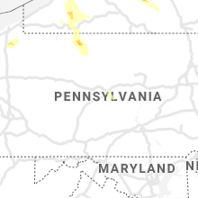


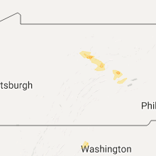


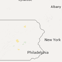


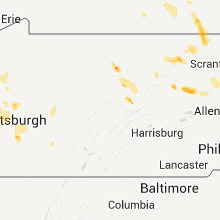


Connect with Interactive Hail Maps