

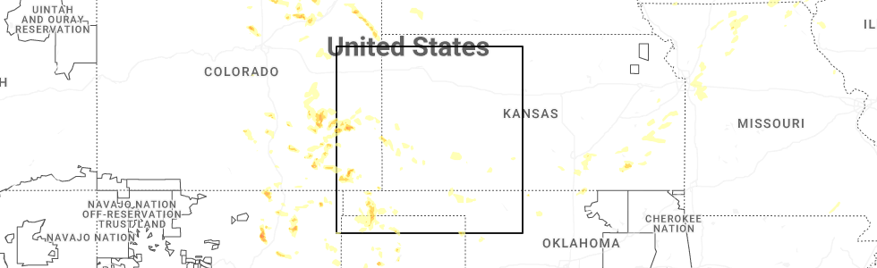
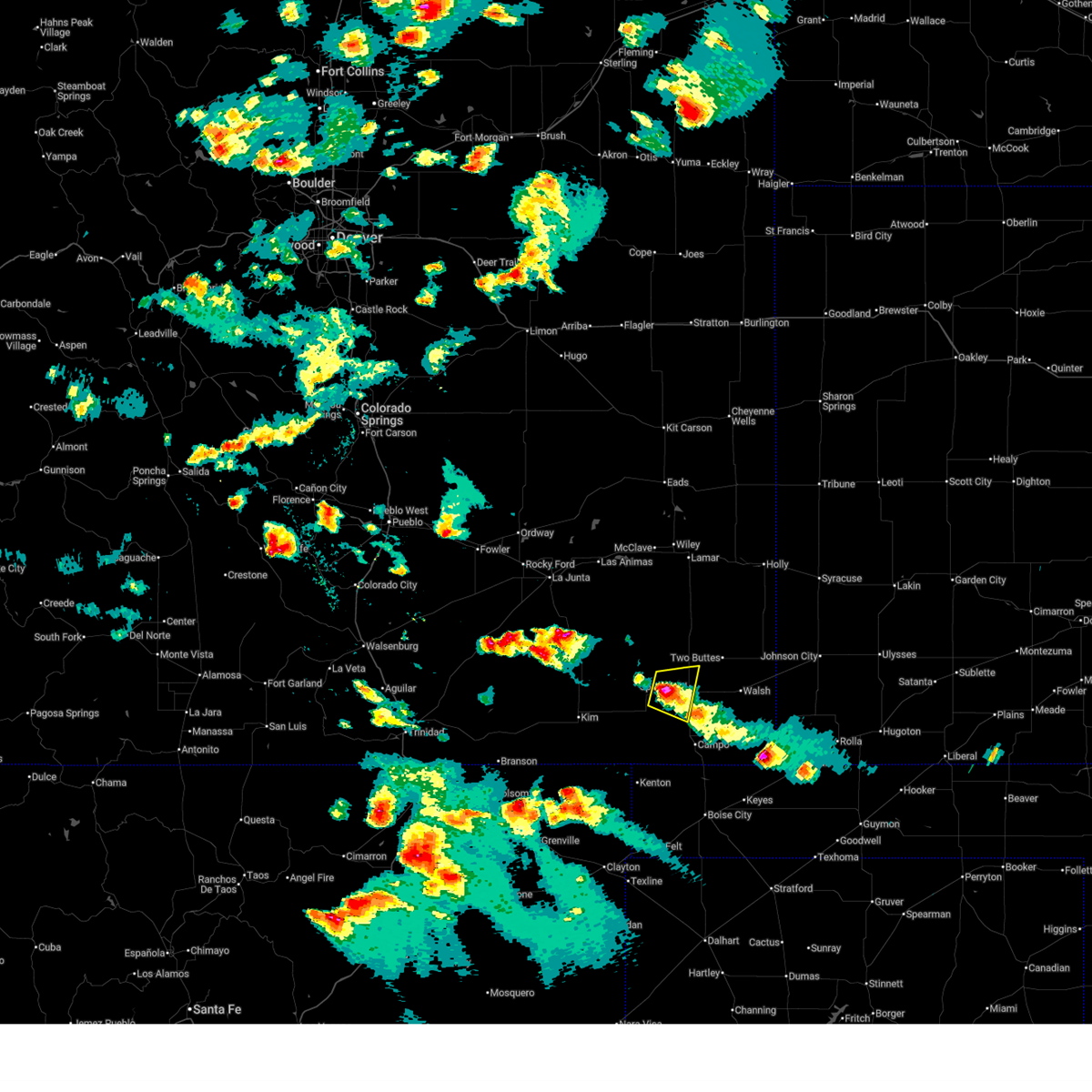
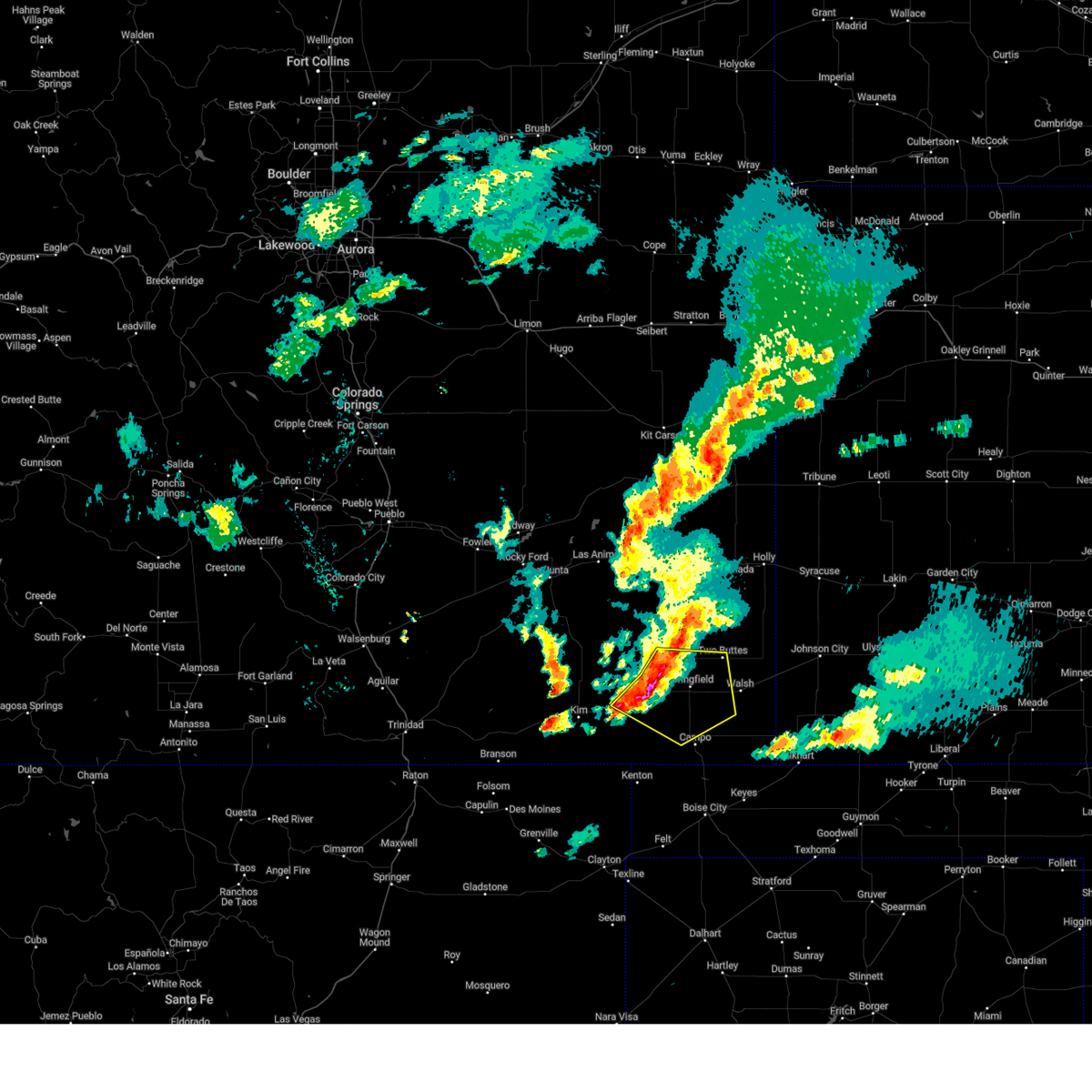
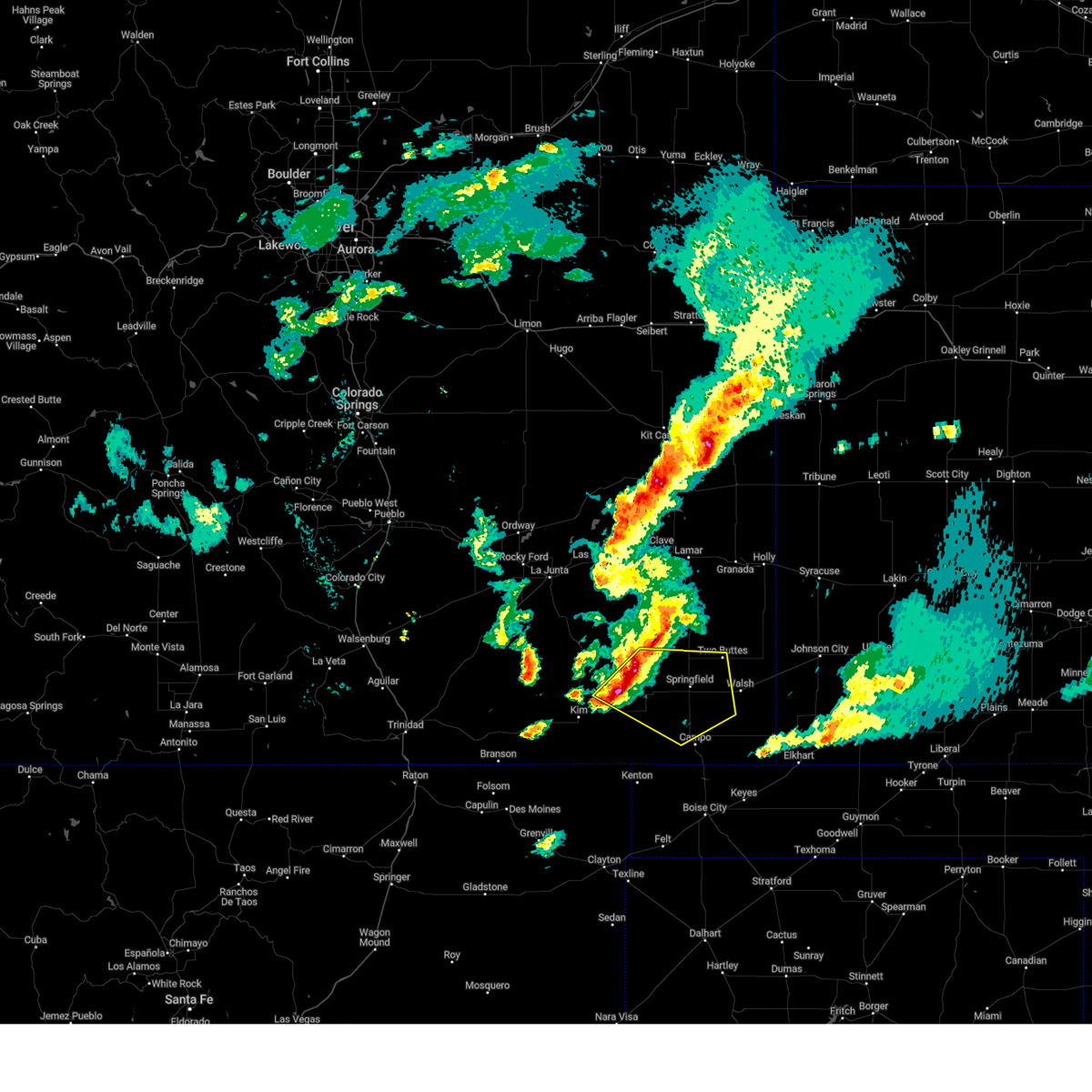
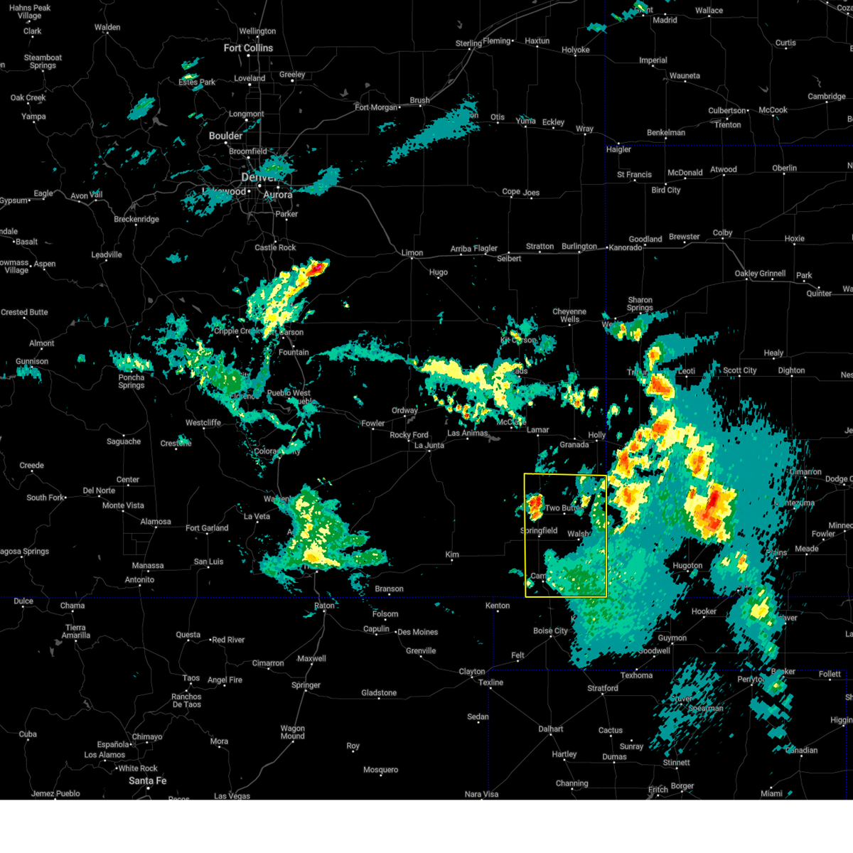
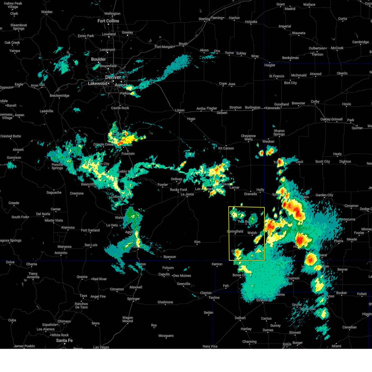
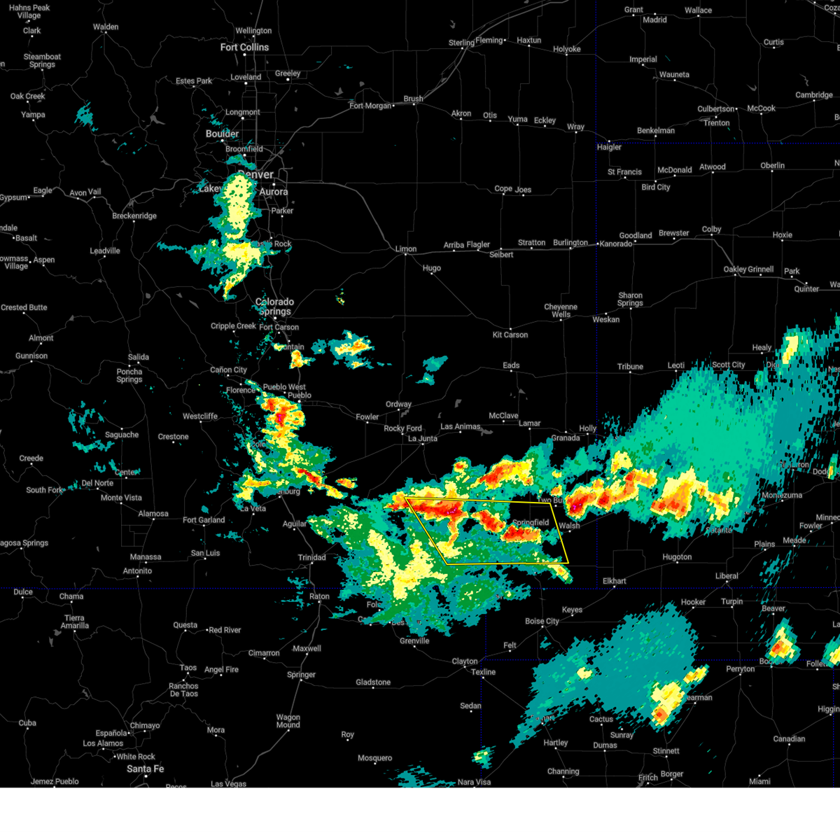
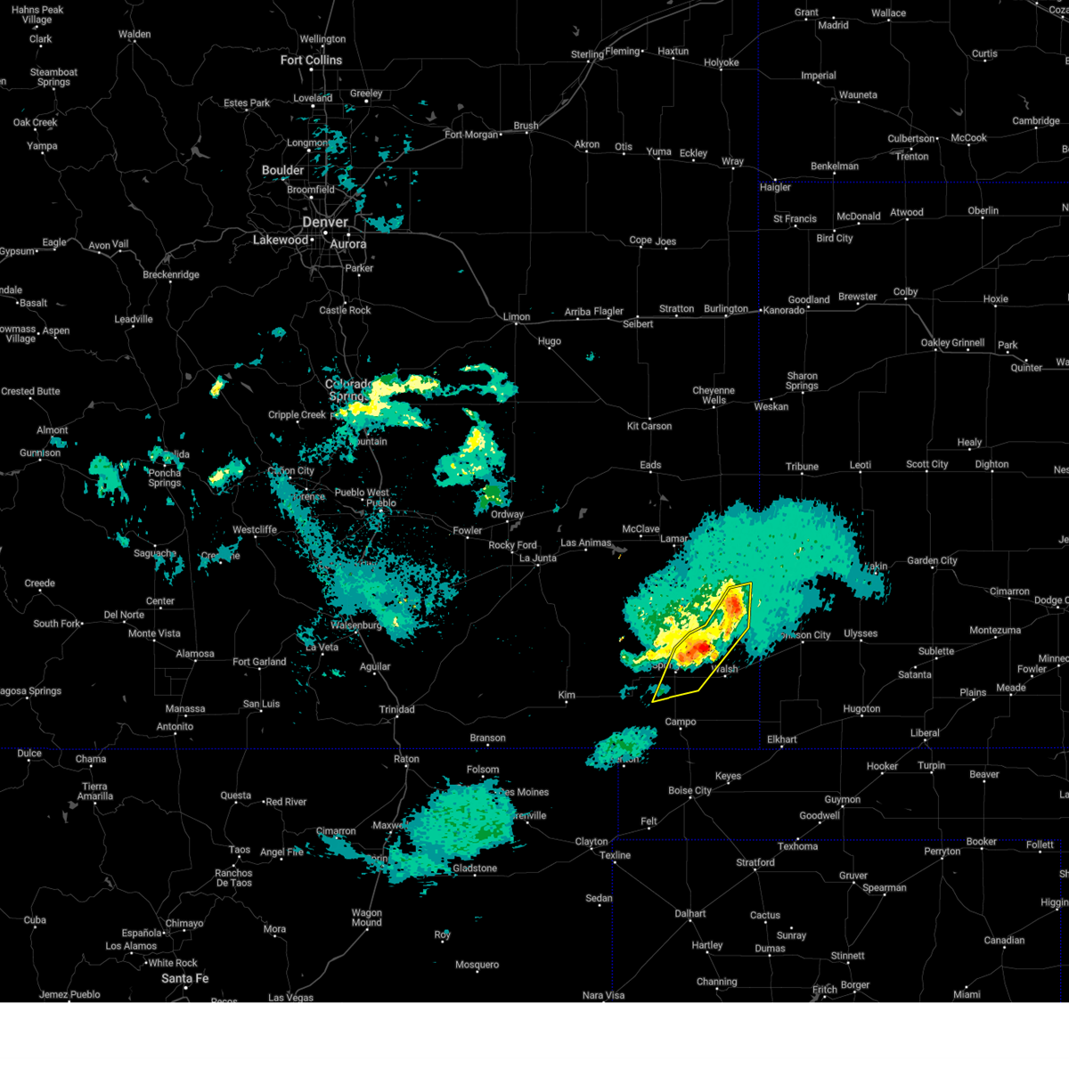
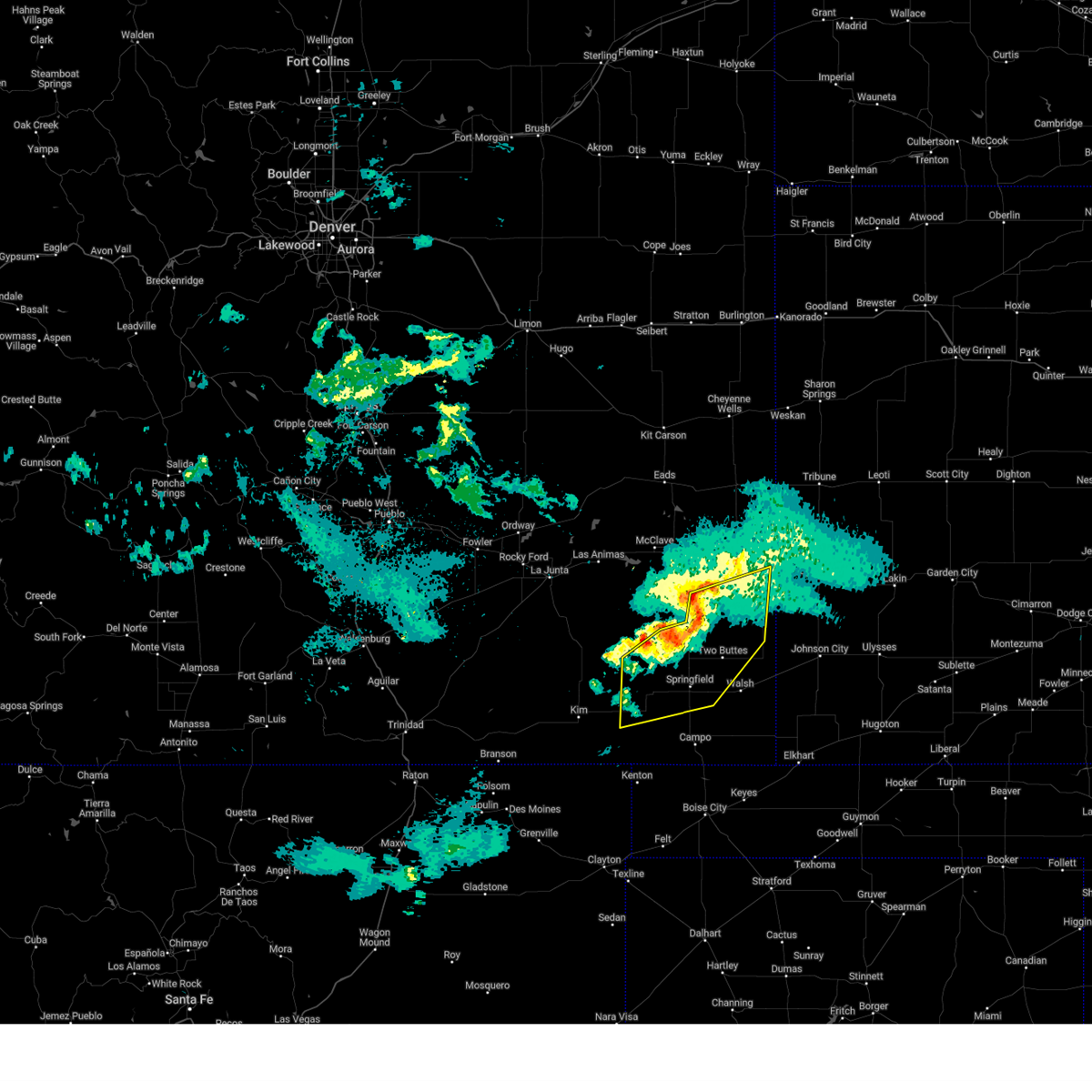
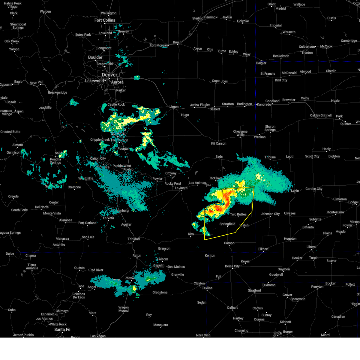
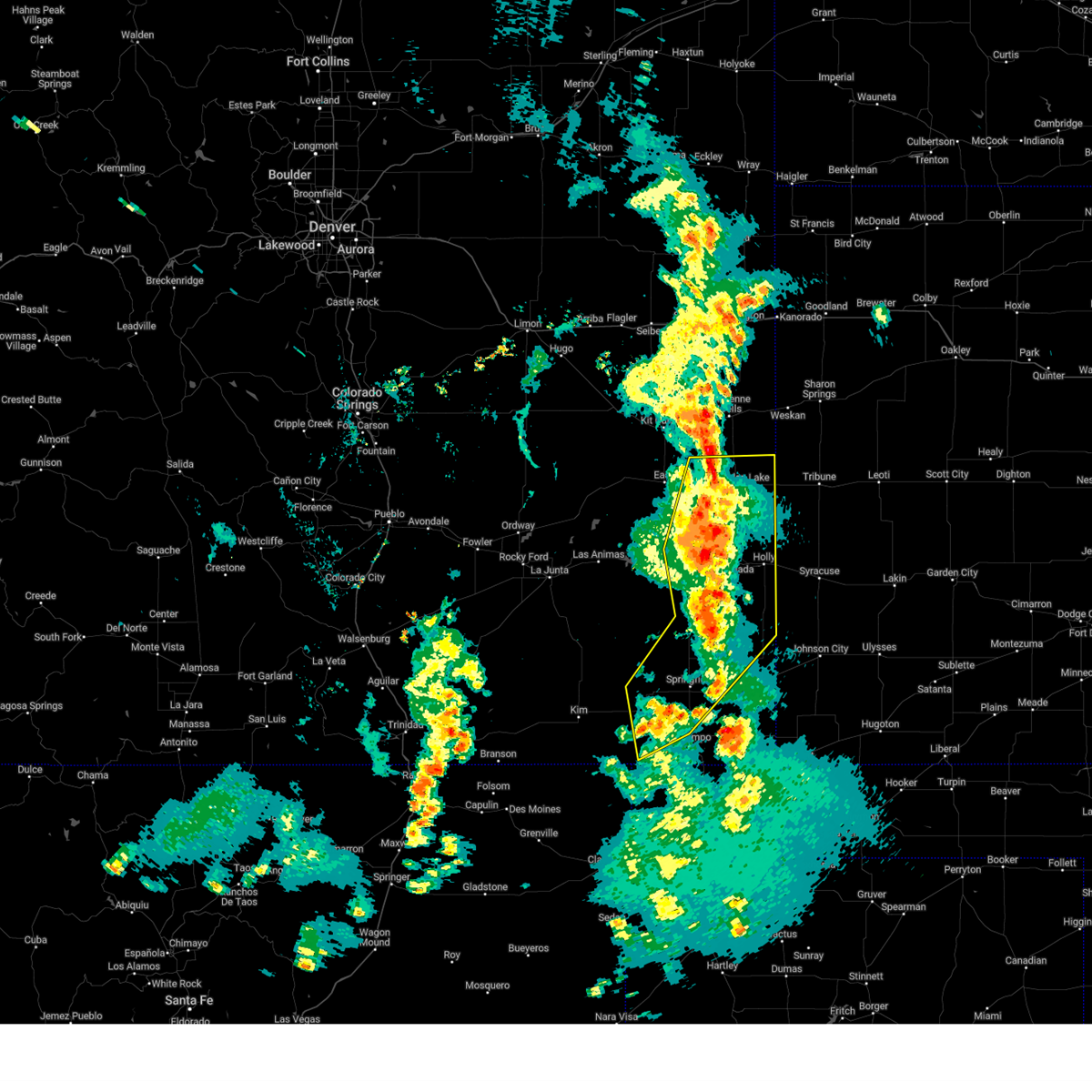
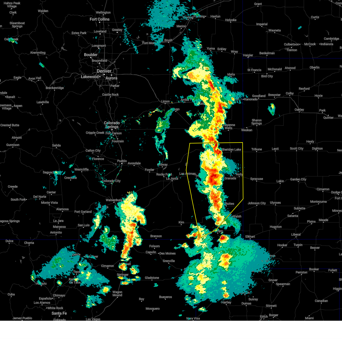
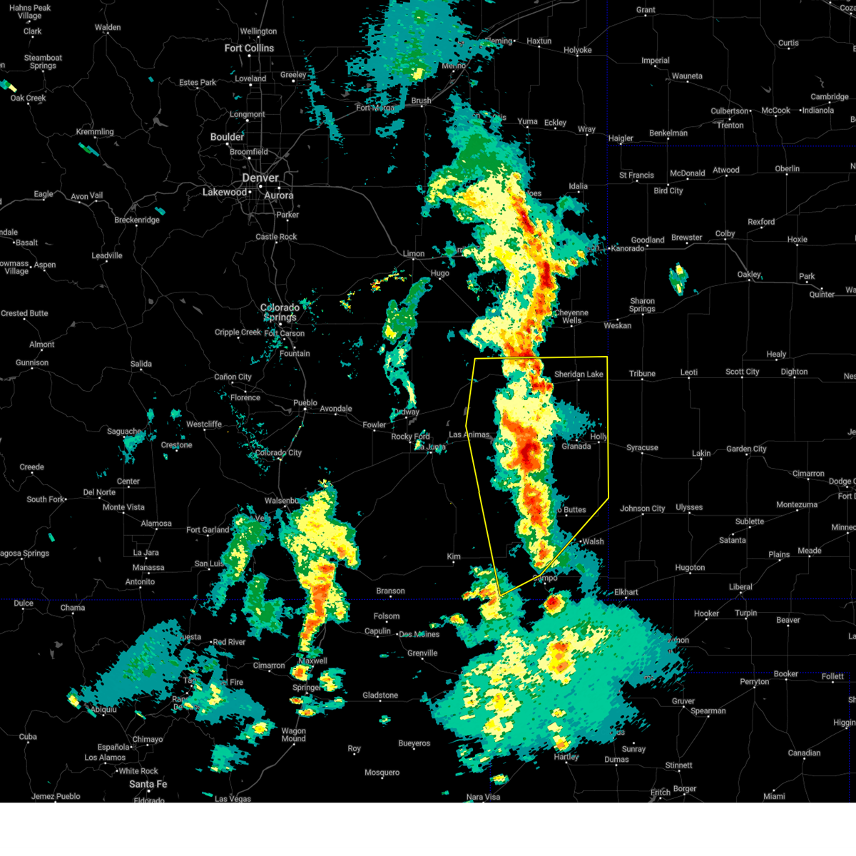
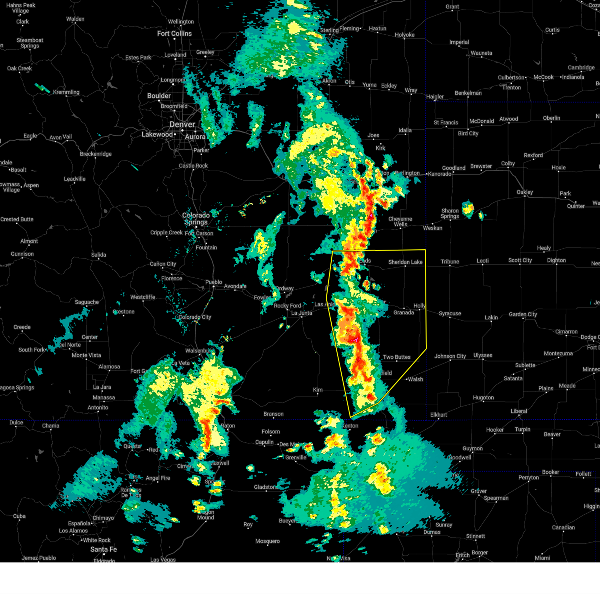
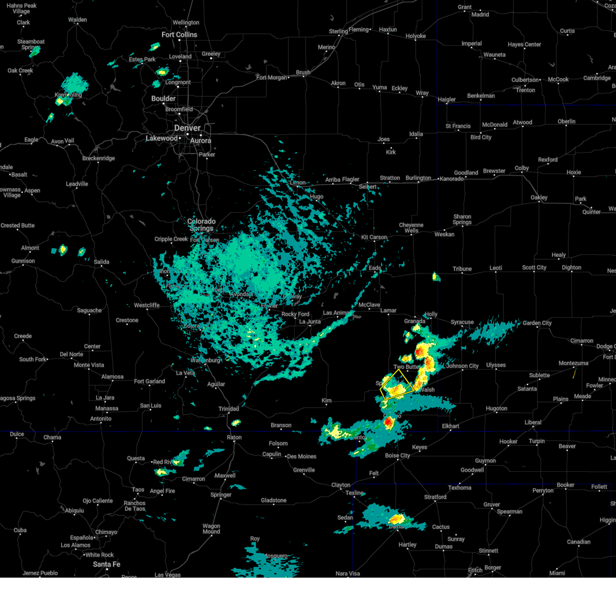
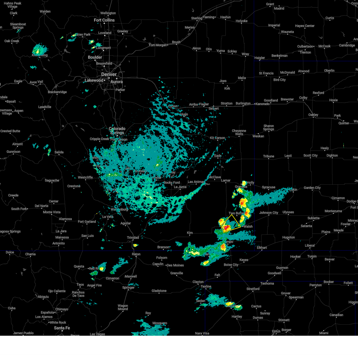
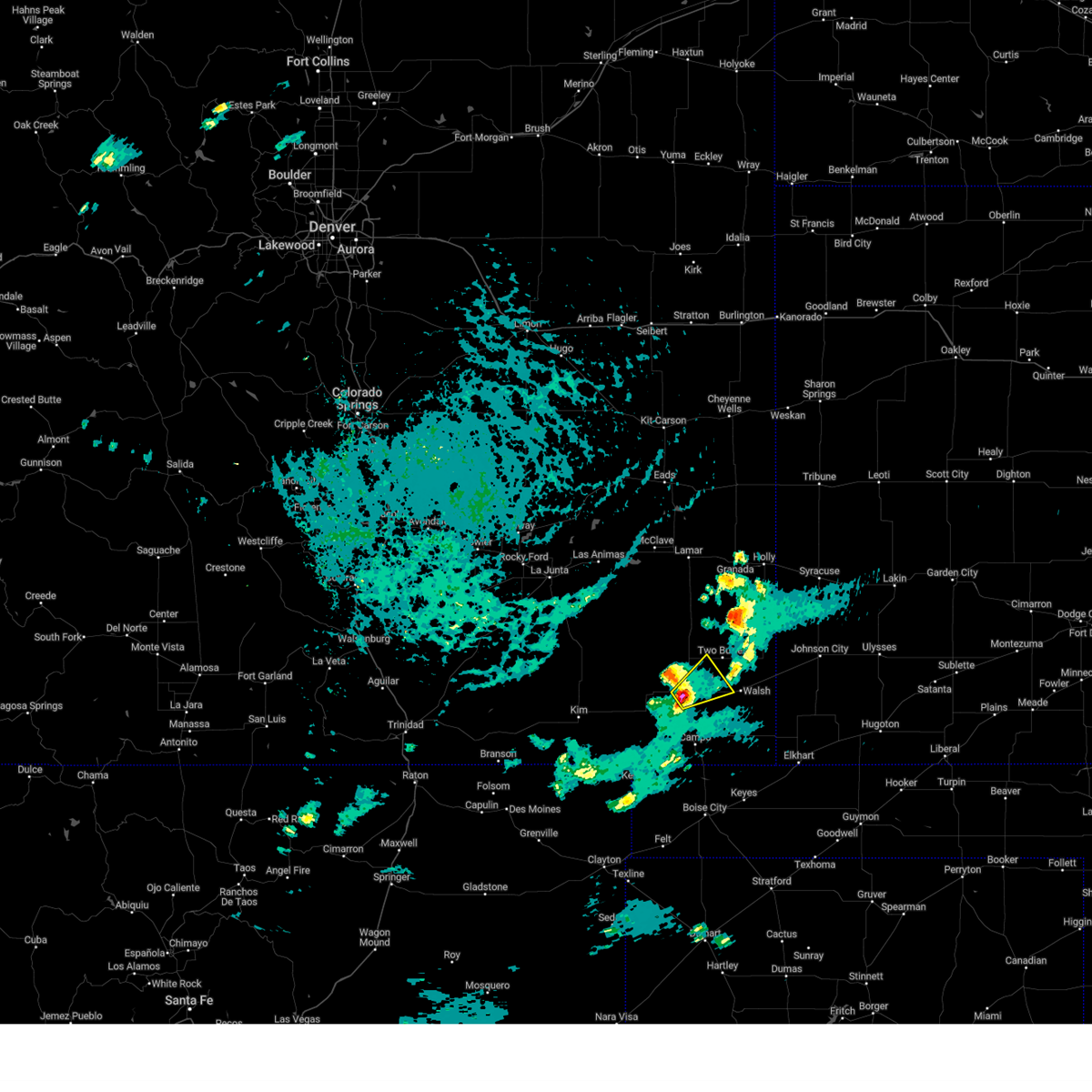
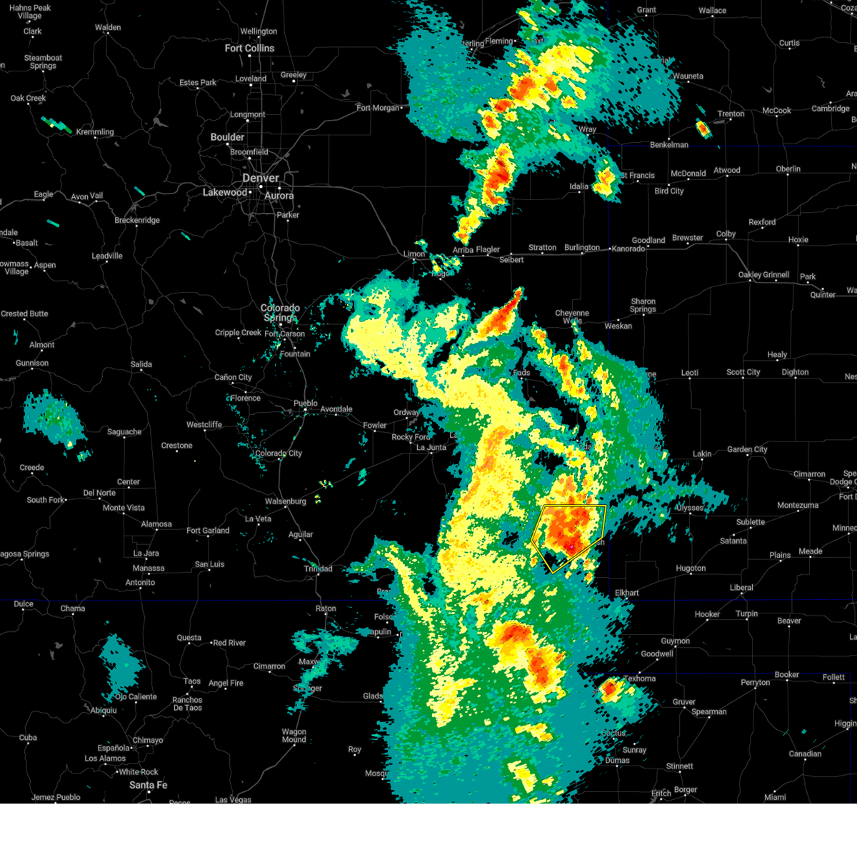
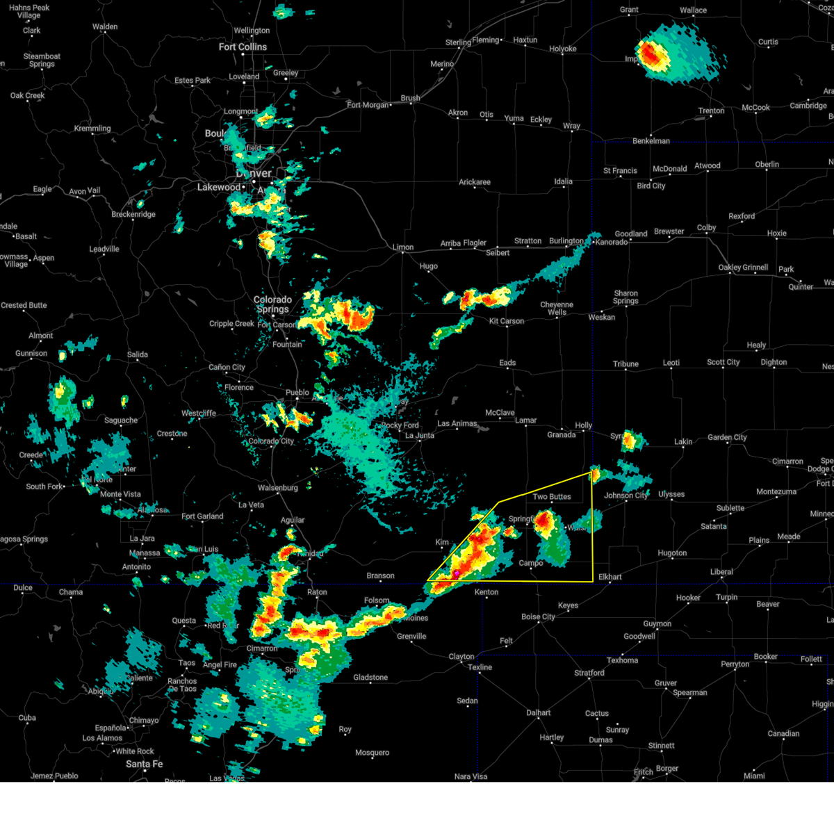
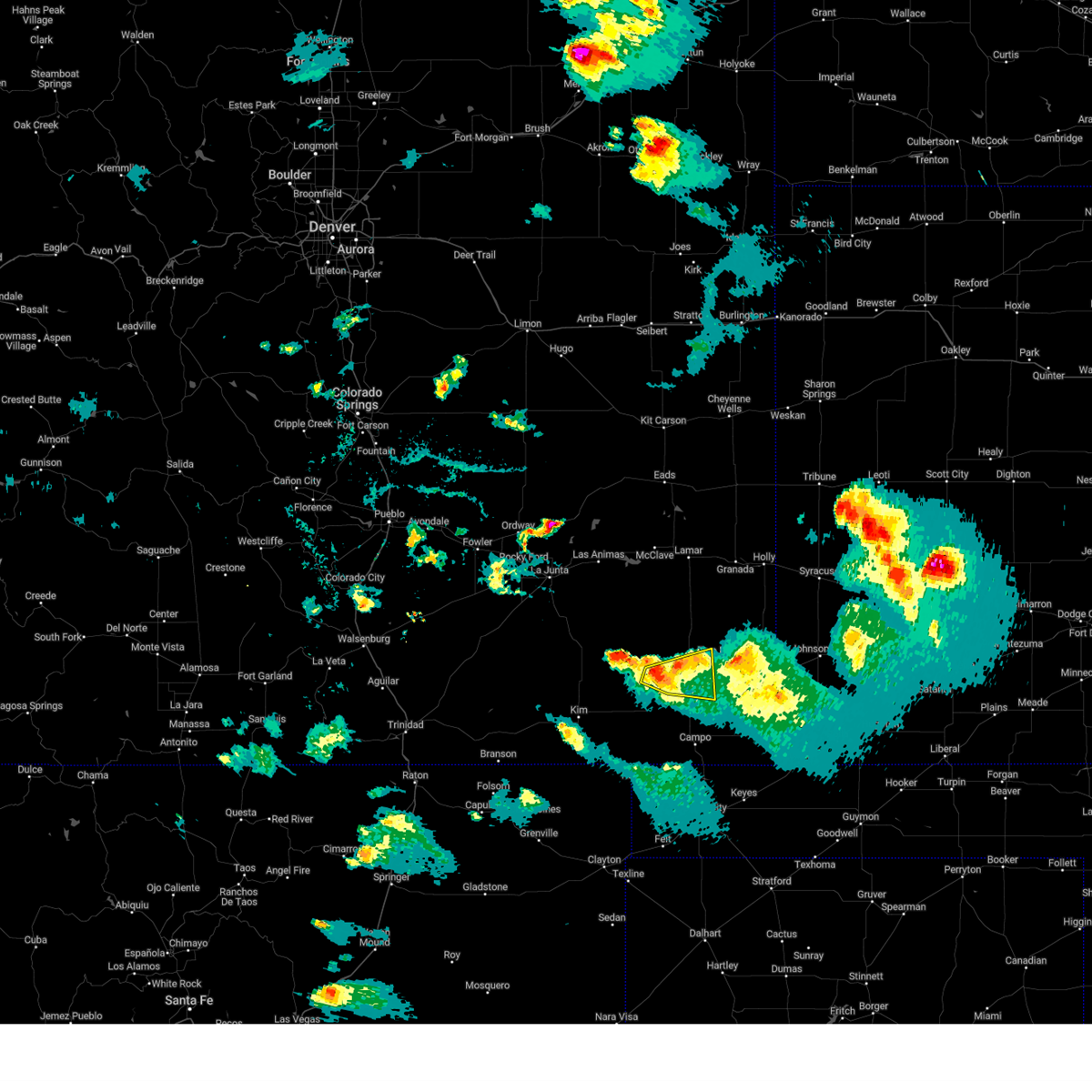
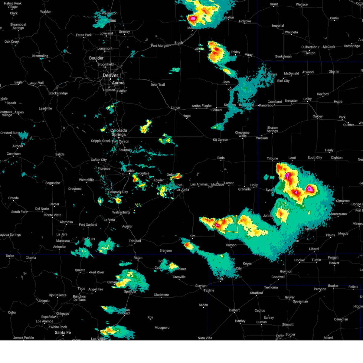
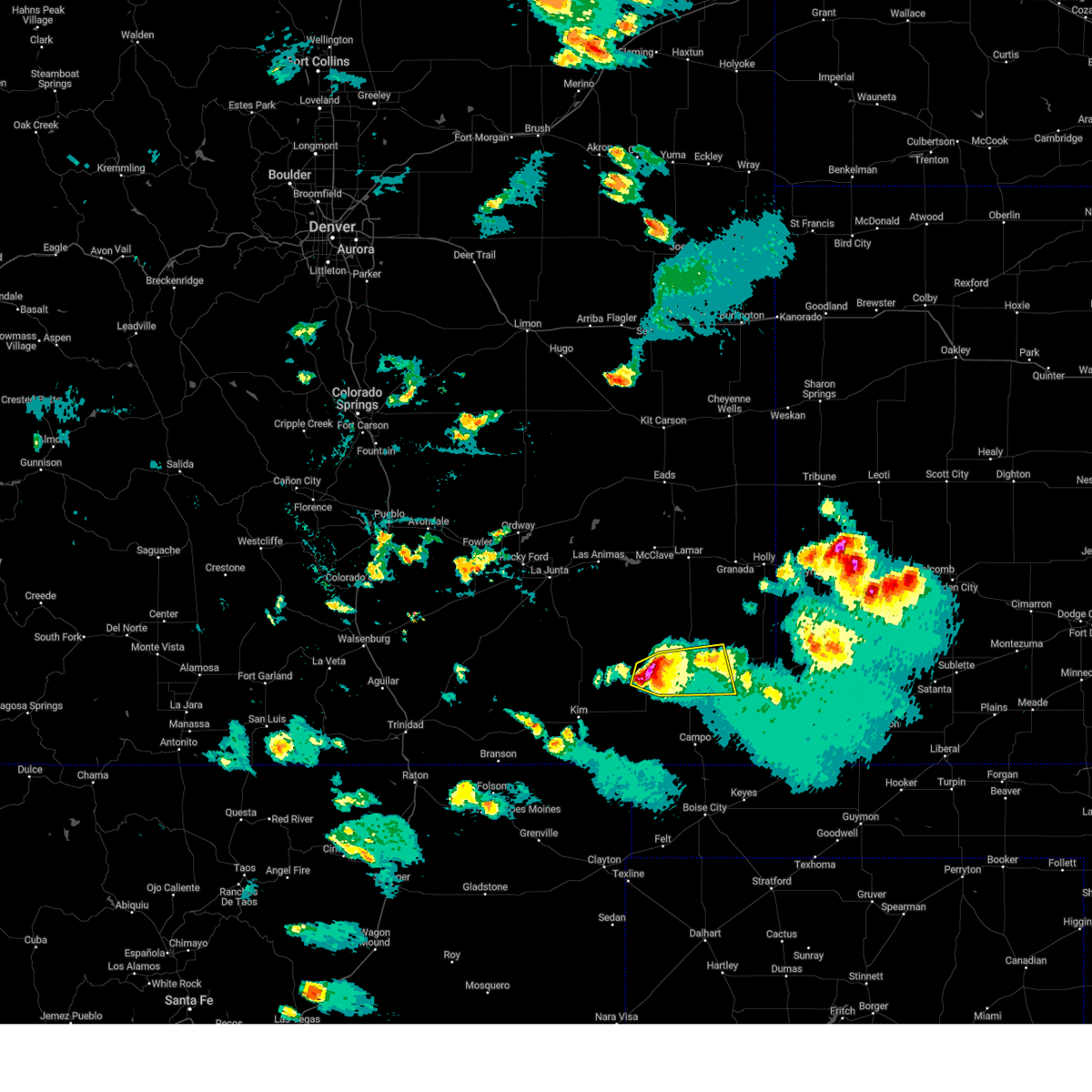
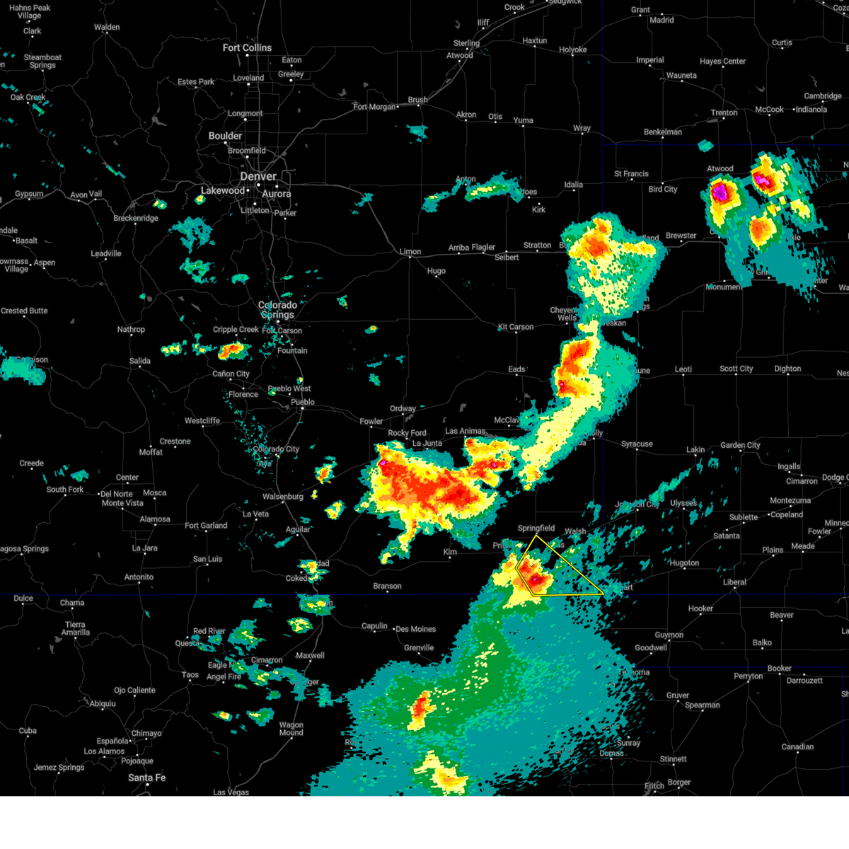
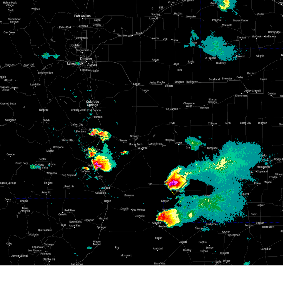
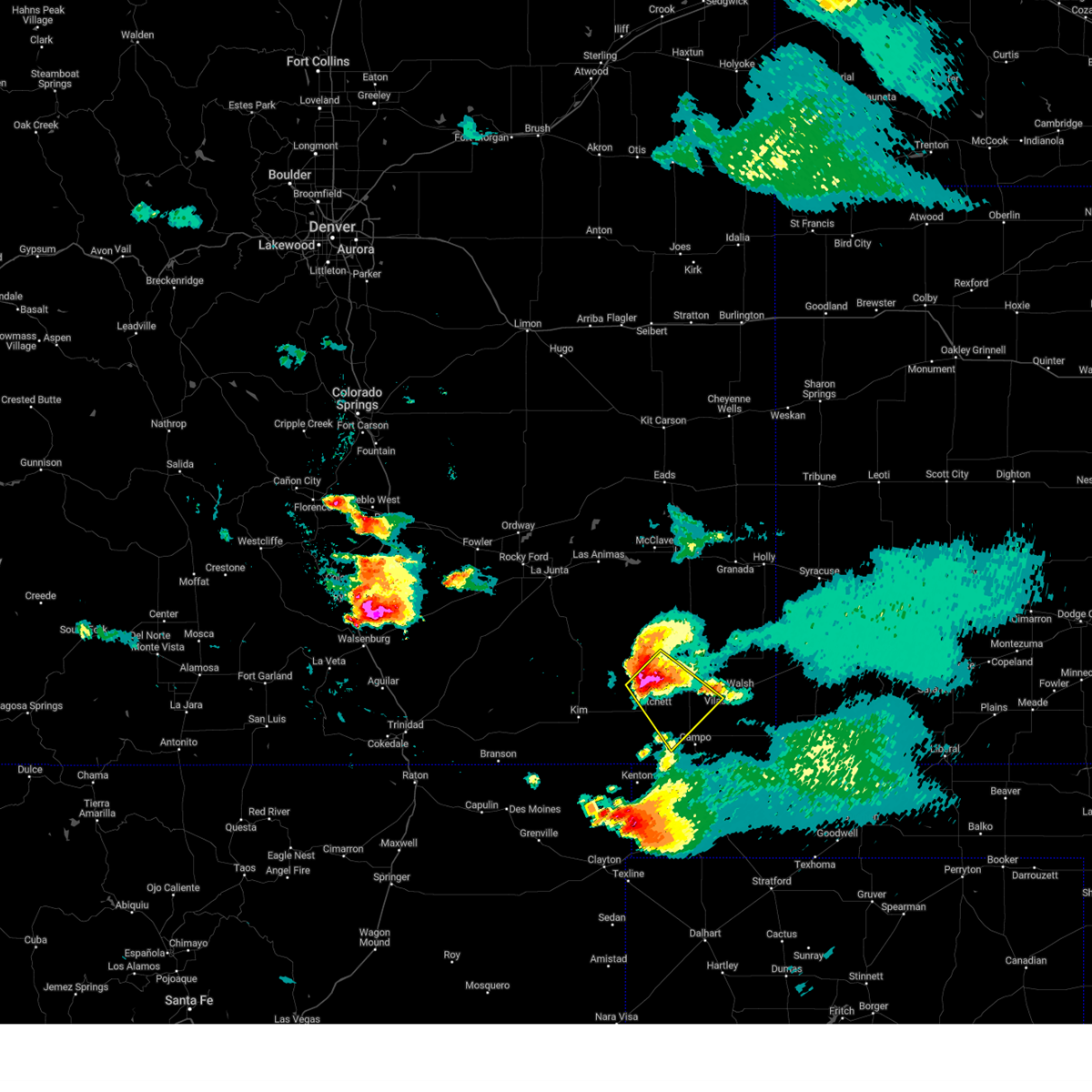
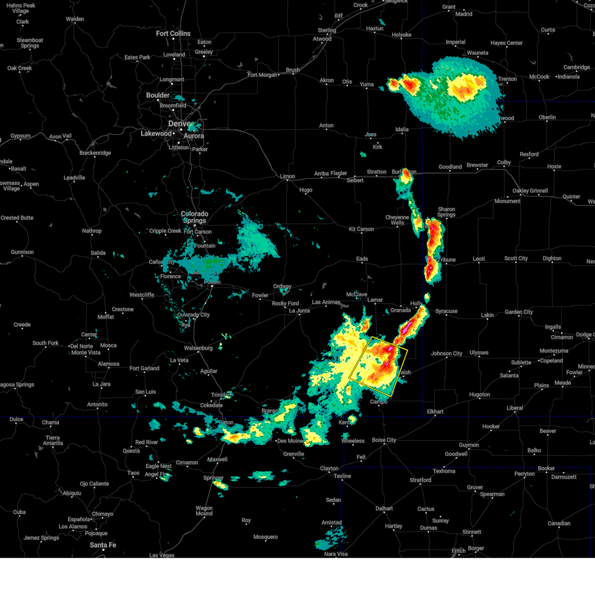
Hail Map for Springfield, CO
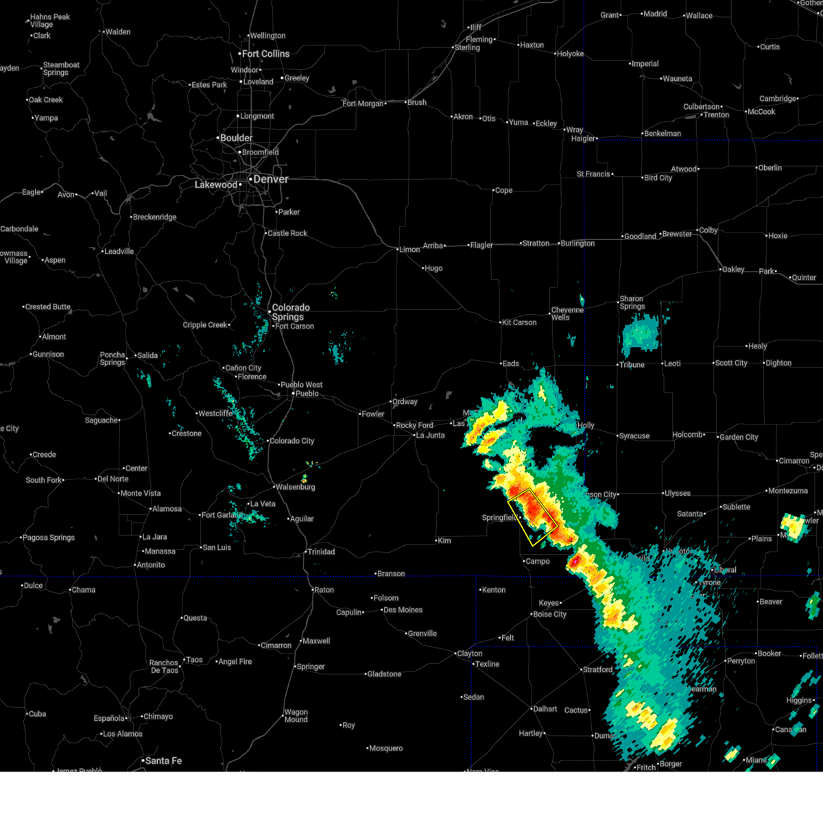
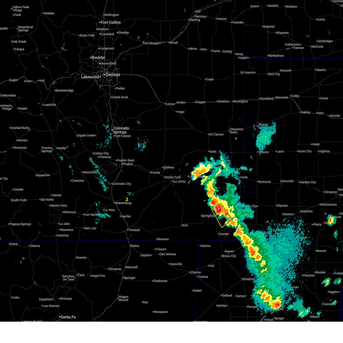
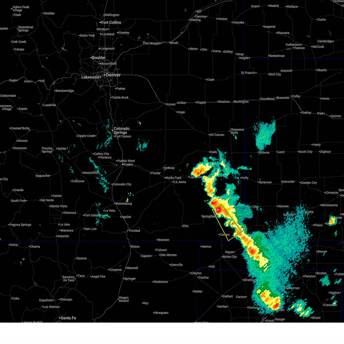
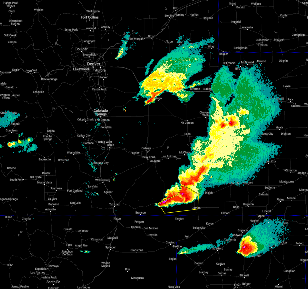
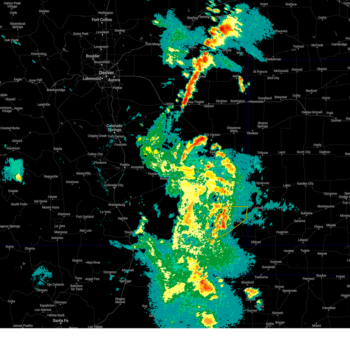
The Springfield, CO area has had 33 reports of on-the-ground hail by trained spotters, and has been under severe weather warnings 34 times during the past 12 months. Doppler radar has detected hail at or near Springfield, CO on 73 occasions, including 4 occasions during the past year.
| Name: | Springfield, CO |
| Where Located: | 103.3 miles WSW of Garden City, KS |
| Map: | Google Map for Springfield, CO |
| Population: | 1451 |
| Housing Units: | 826 |
| More Info: | Search Google for Springfield, CO |
0
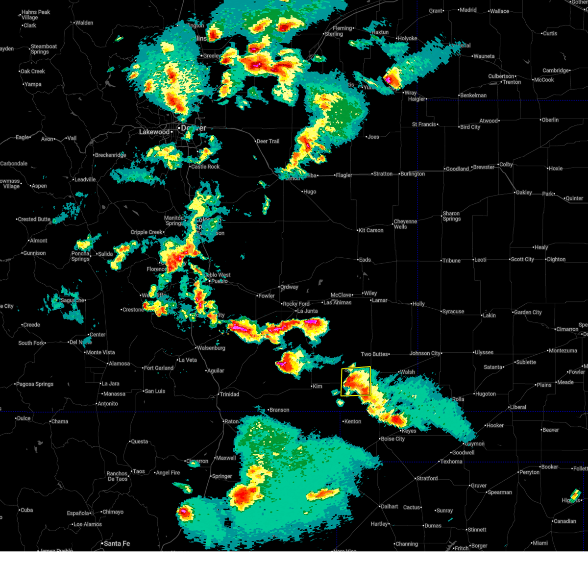
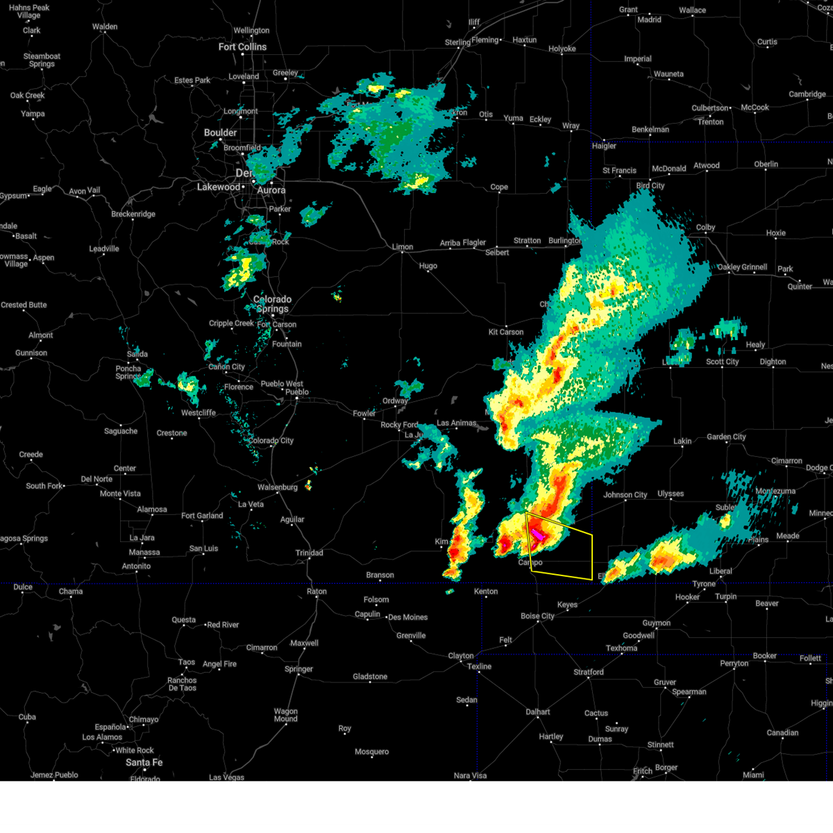
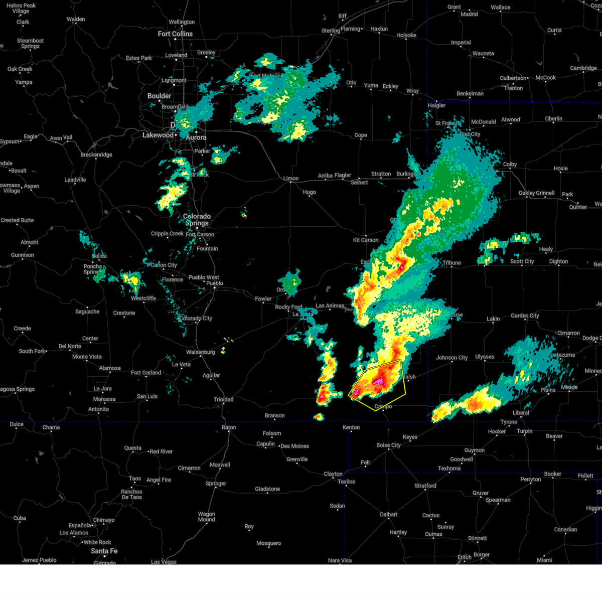
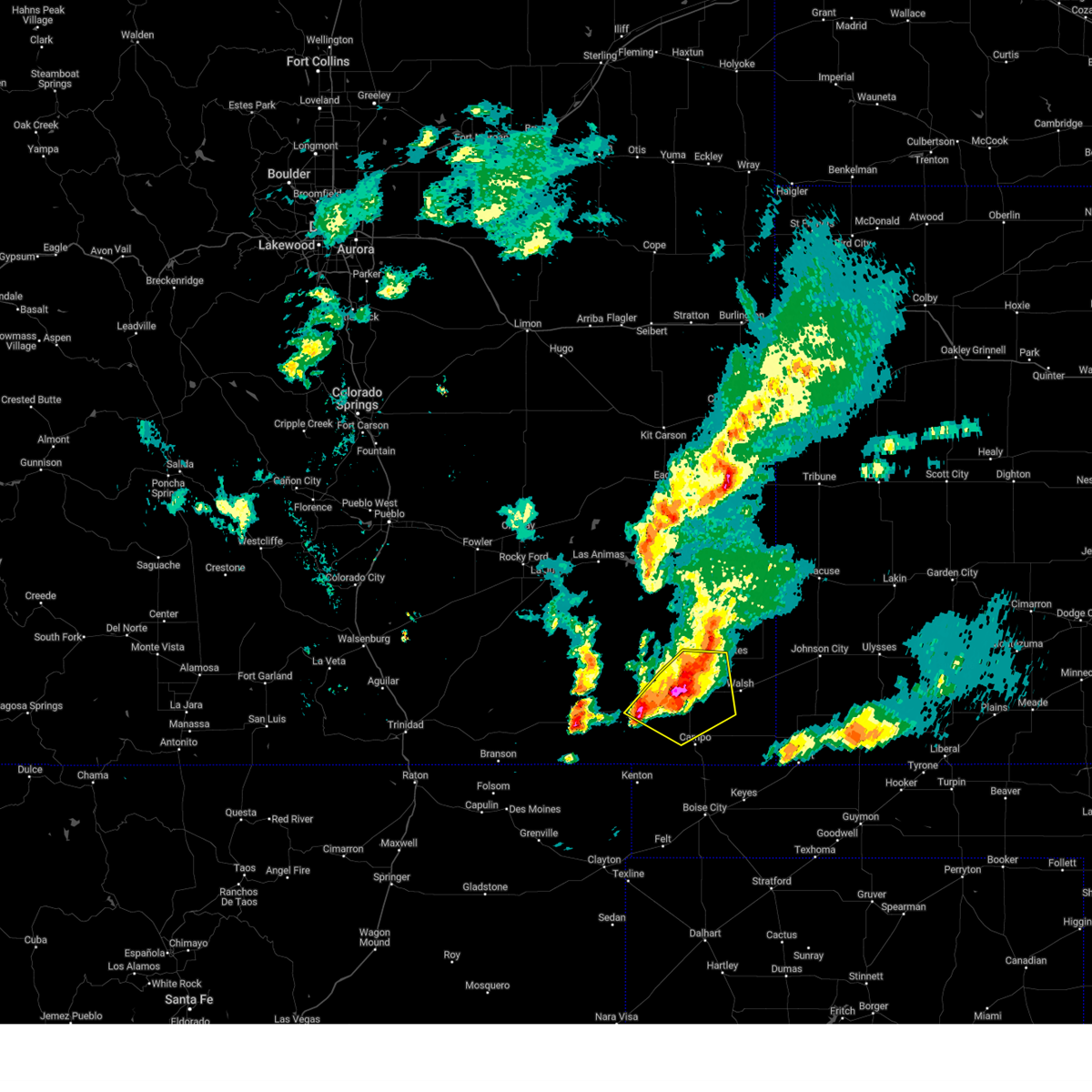
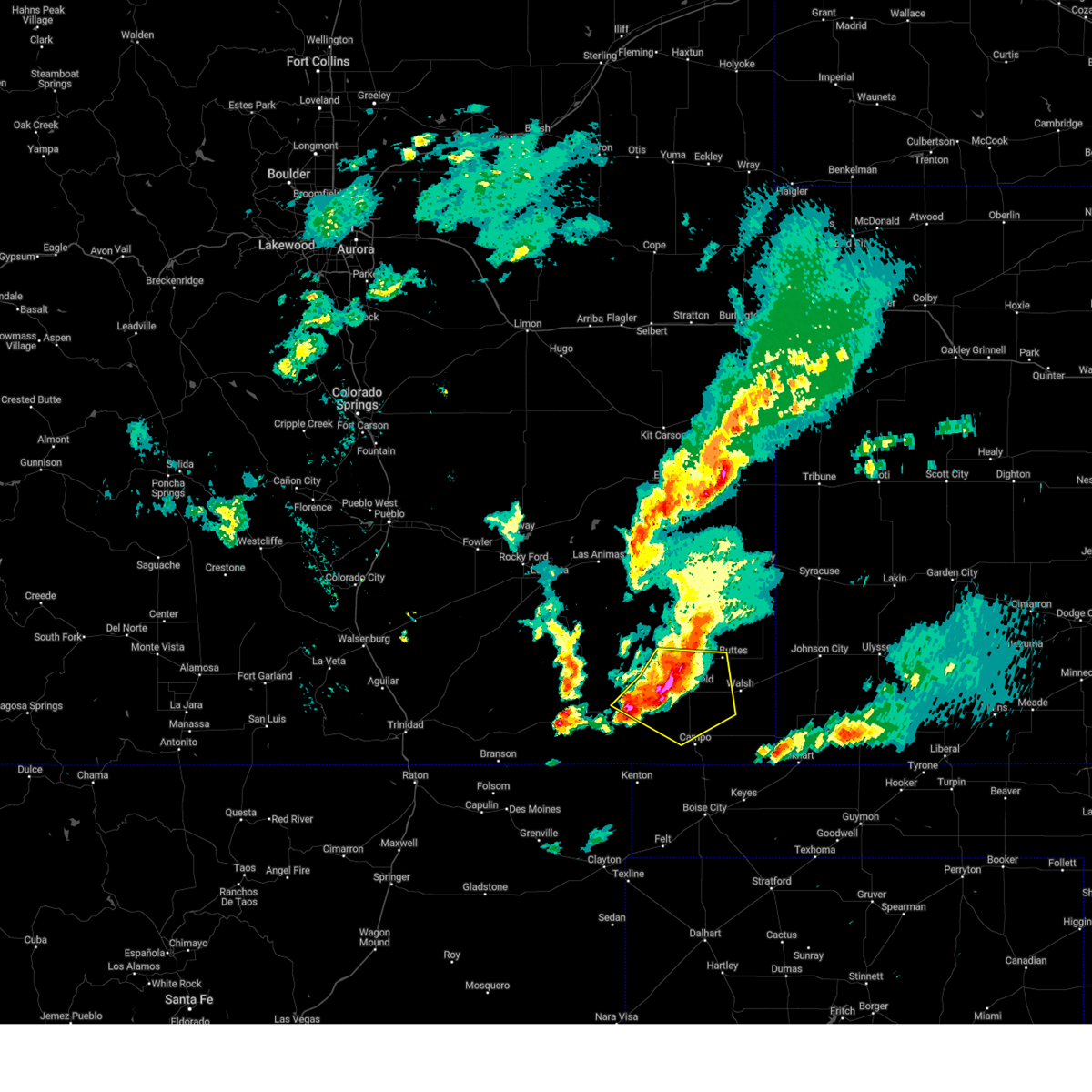
The Top Recent Hail Date for Springfield, CO is Friday, July 11, 2025 (11th out of 73)
Hail and Wind Damage Spotted near Springfield, CO
| Date / Time | Report Details |
|---|---|
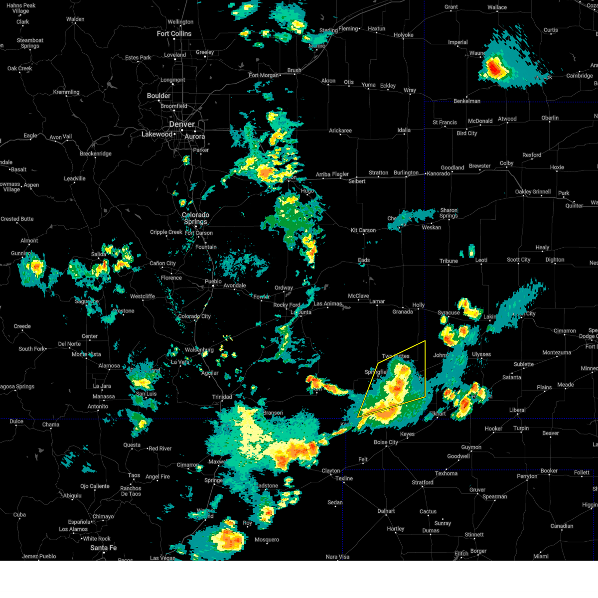
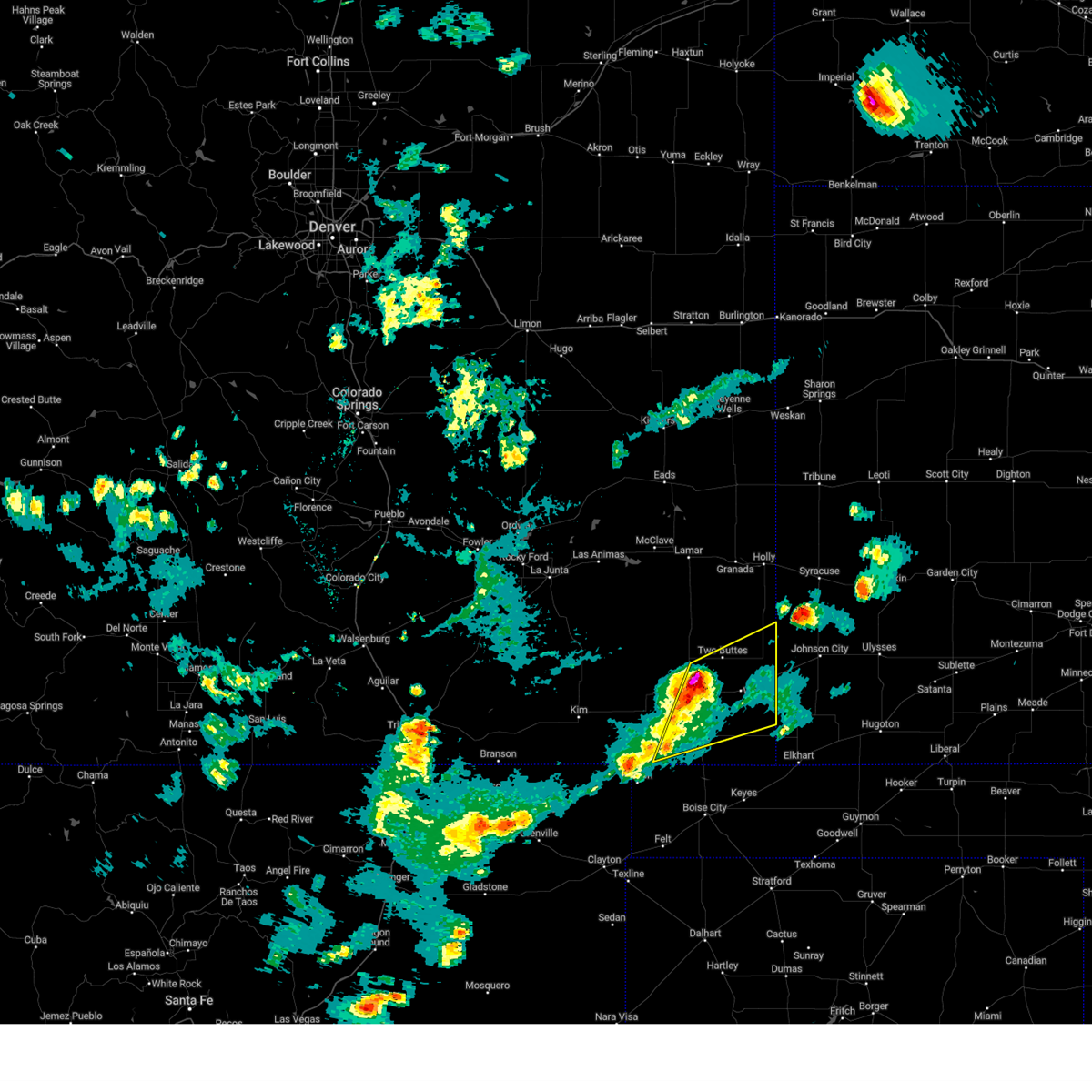
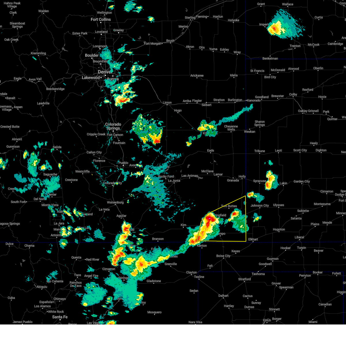
| 7/11/2025 6:46 PM MDT |
 The storm which prompted the warning has weakened below severe limits, and no longer poses an immediate threat to life or property. therefore, the warning has been allowed to expire. however, small hail, gusty winds and heavy rain are still possible with this thunderstorm. a severe thunderstorm watch remains in effect until midnight mdt for southeastern colorado. The storm which prompted the warning has weakened below severe limits, and no longer poses an immediate threat to life or property. therefore, the warning has been allowed to expire. however, small hail, gusty winds and heavy rain are still possible with this thunderstorm. a severe thunderstorm watch remains in effect until midnight mdt for southeastern colorado.
|
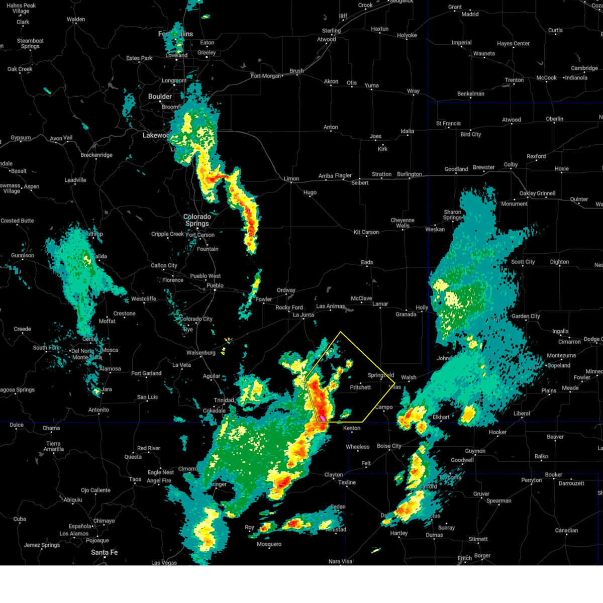
| 7/11/2025 6:30 PM MDT |
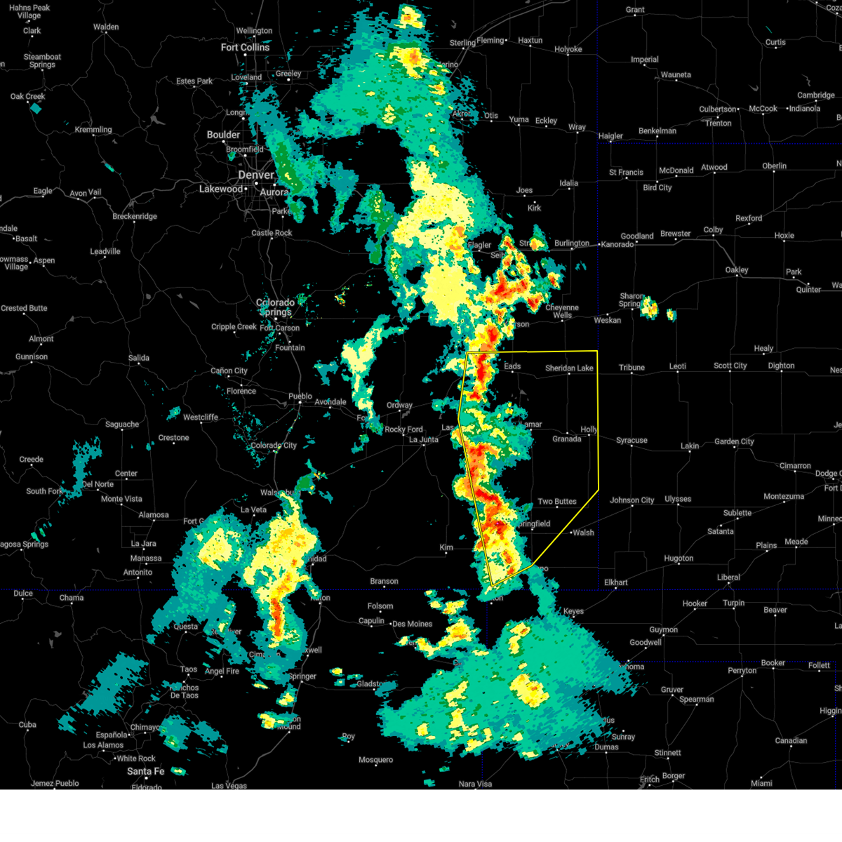
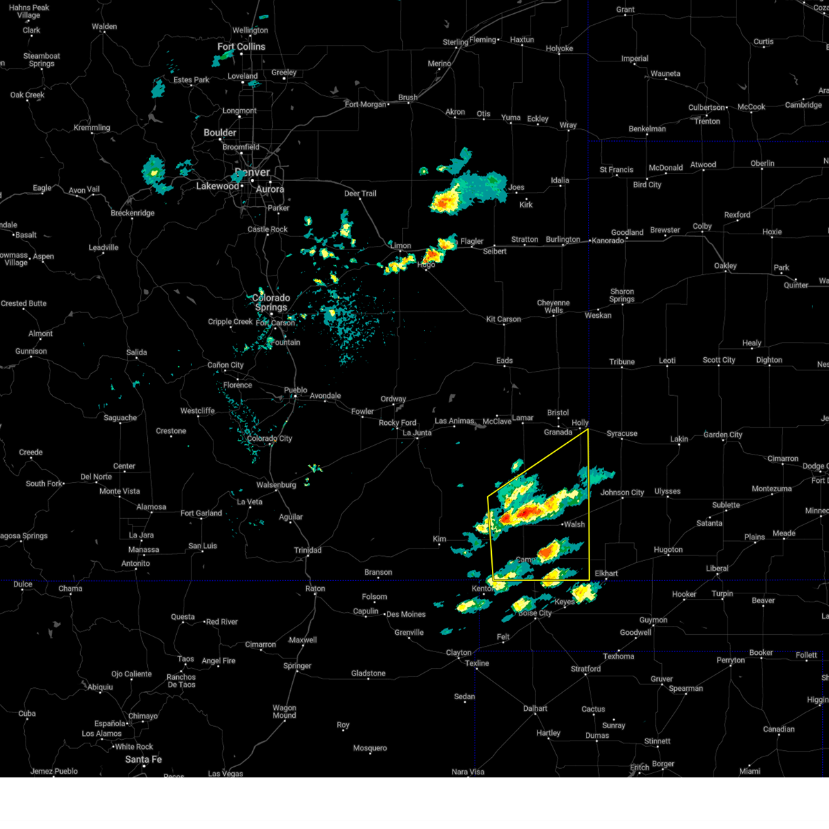
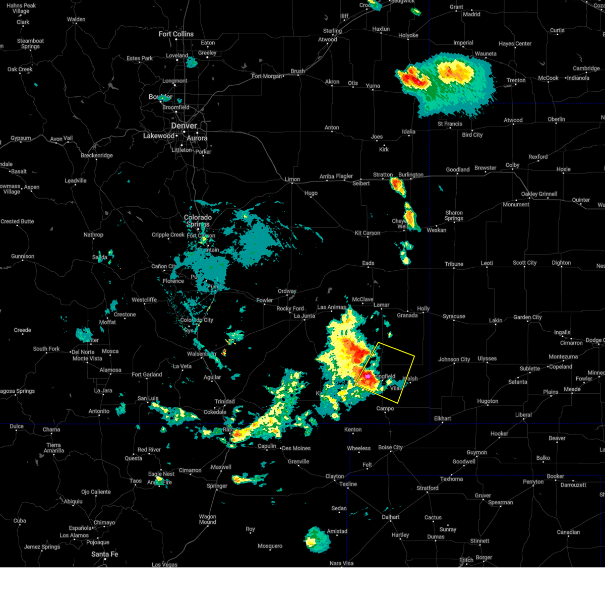
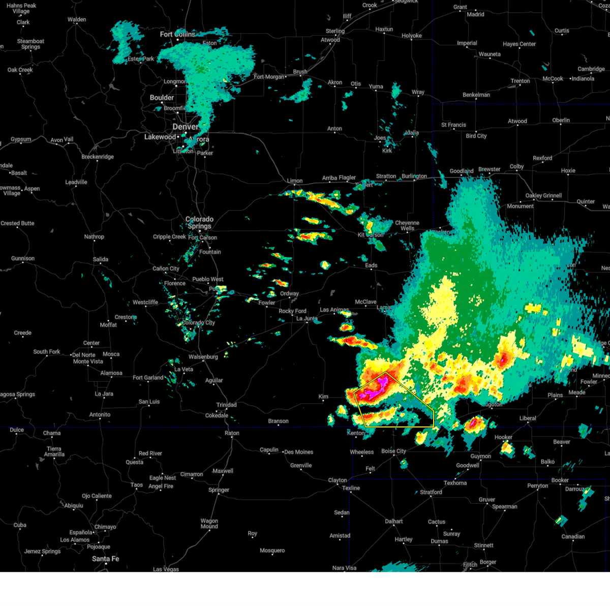
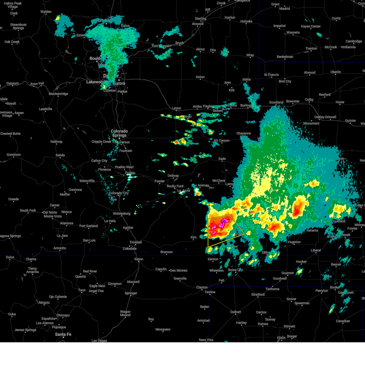
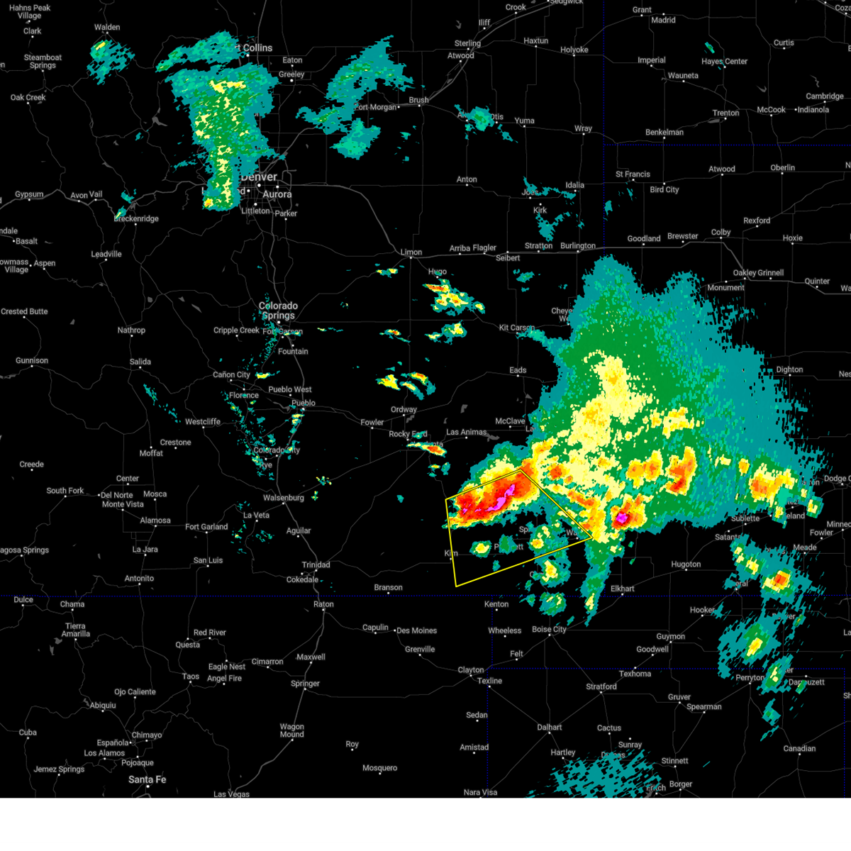
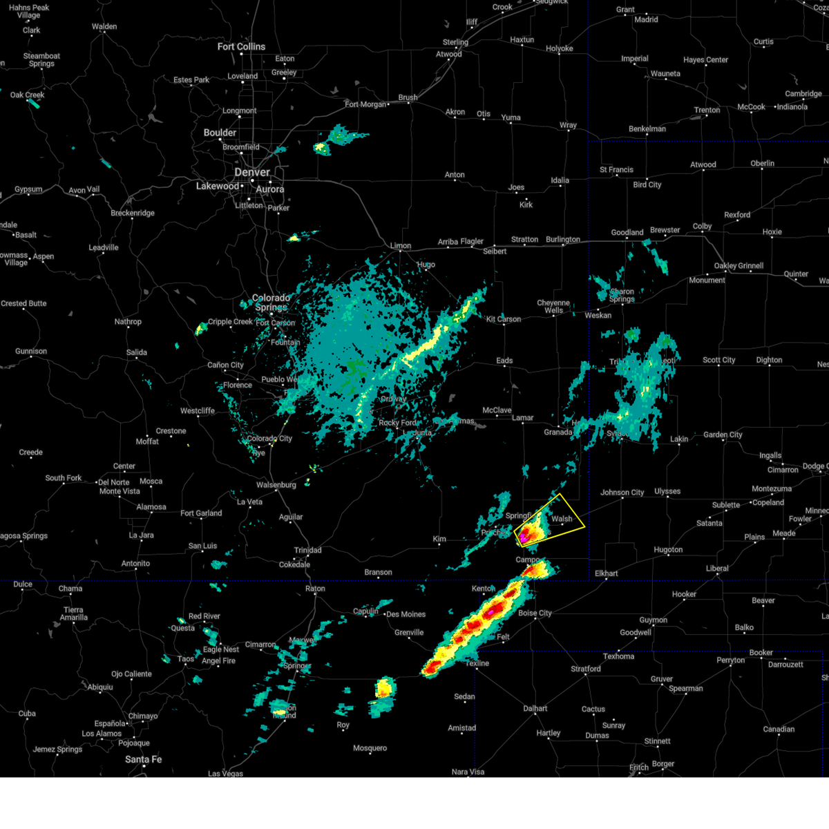
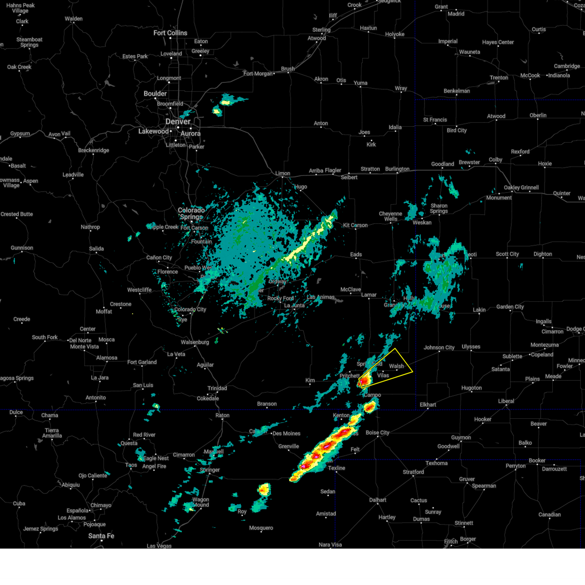
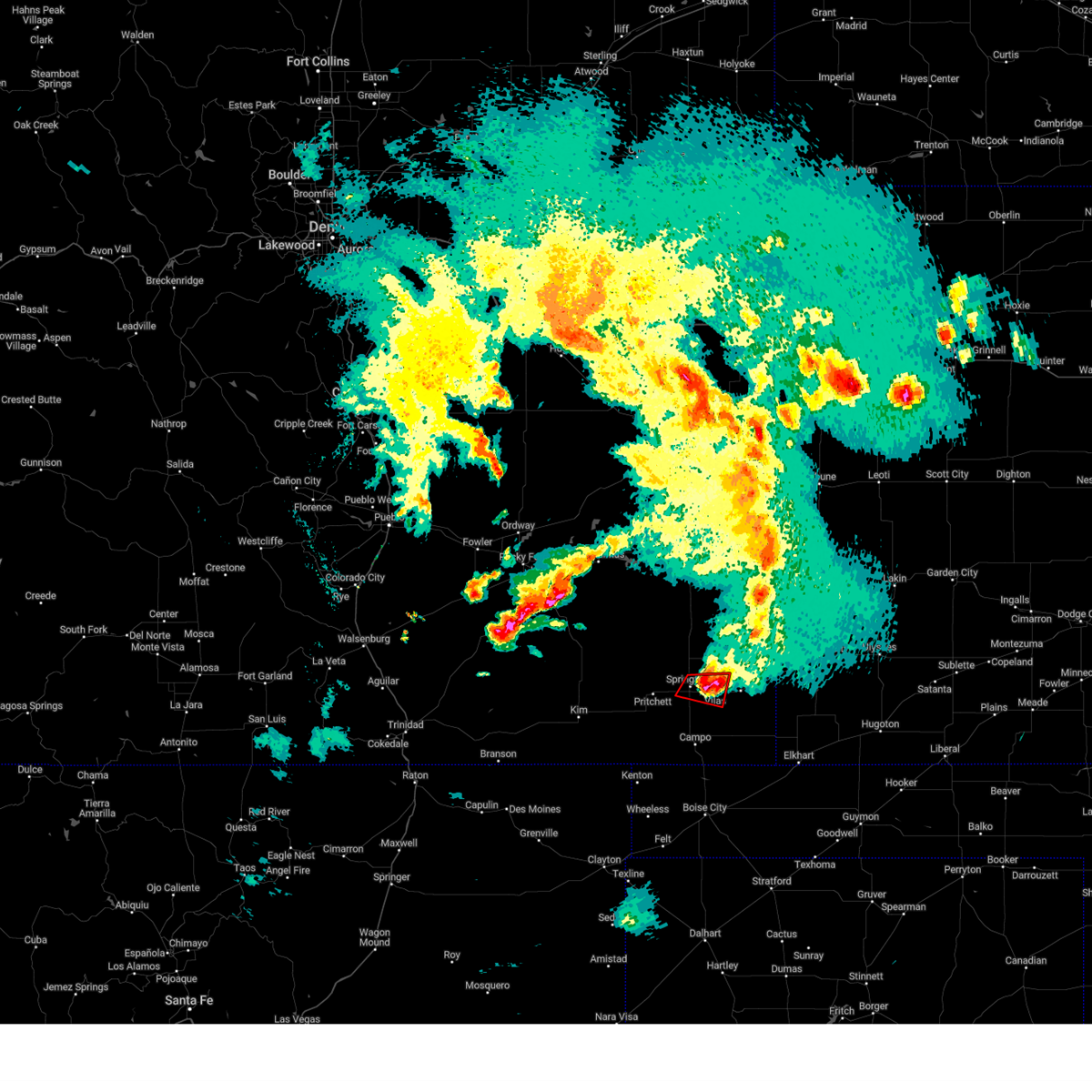
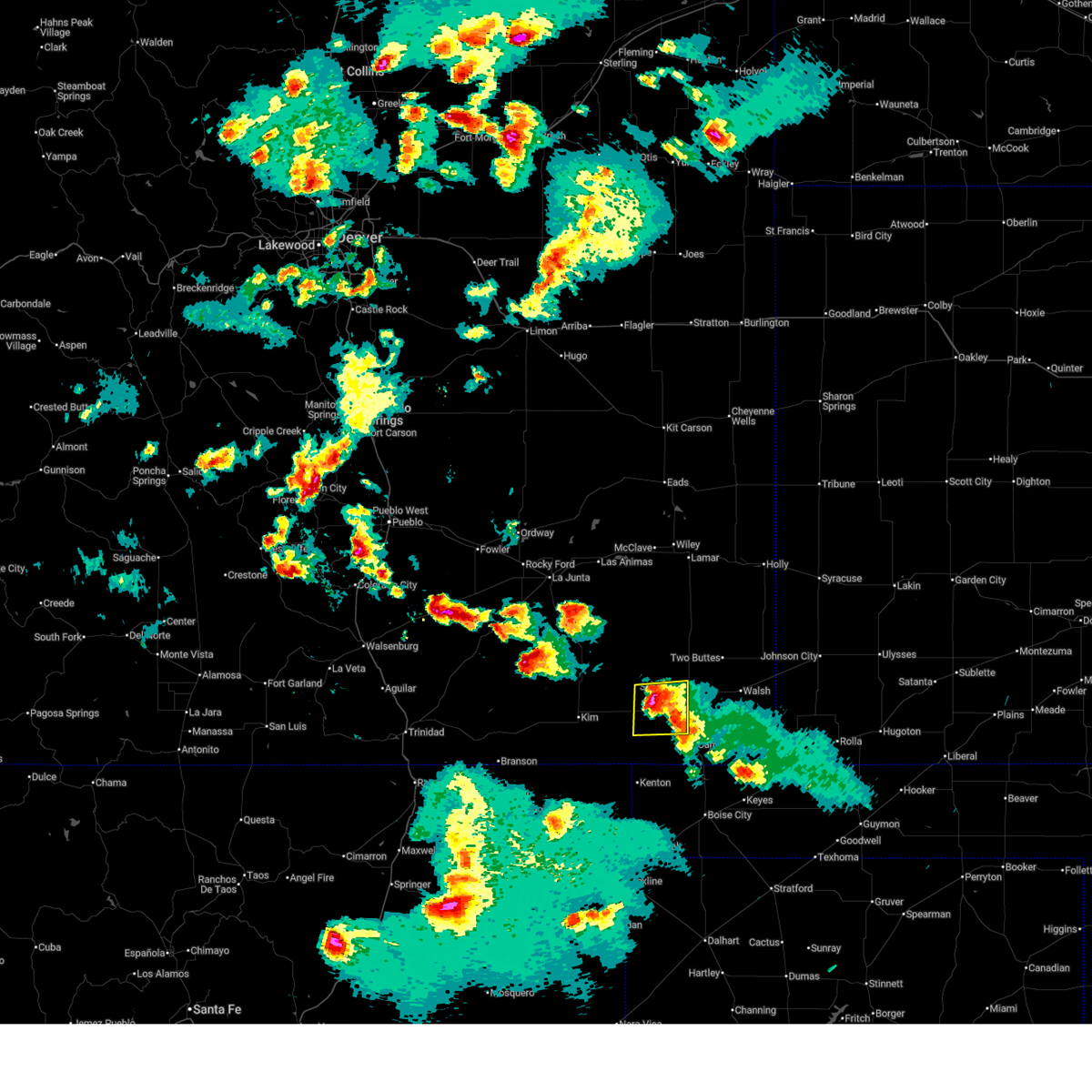 At 630 pm mdt, a severe thunderstorm was located near pritchett, or 14 miles southwest of springfield, moving south at 10 mph (radar indicated). Hazards include 60 mph wind gusts and half dollar size hail. Hail damage to vehicles is expected. expect wind damage to roofs, siding, and trees. Locations impacted include, pritchett. At 630 pm mdt, a severe thunderstorm was located near pritchett, or 14 miles southwest of springfield, moving south at 10 mph (radar indicated). Hazards include 60 mph wind gusts and half dollar size hail. Hail damage to vehicles is expected. expect wind damage to roofs, siding, and trees. Locations impacted include, pritchett.
|
| 7/11/2025 6:10 PM MDT |
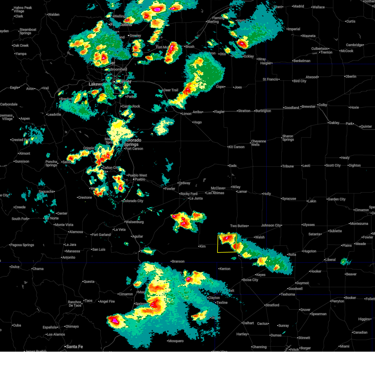 Svrpub the national weather service in pueblo has issued a * severe thunderstorm warning for, west central baca county in southeastern colorado, * until 645 pm mdt. * at 609 pm mdt, a severe thunderstorm was located near pritchett, or 10 miles west of springfield, moving south at 10 mph (radar indicated). Hazards include ping pong ball size hail and 60 mph wind gusts. People and animals outdoors will be injured. expect hail damage to roofs, siding, windows, and vehicles. Expect wind damage to roofs, siding, and trees. Svrpub the national weather service in pueblo has issued a * severe thunderstorm warning for, west central baca county in southeastern colorado, * until 645 pm mdt. * at 609 pm mdt, a severe thunderstorm was located near pritchett, or 10 miles west of springfield, moving south at 10 mph (radar indicated). Hazards include ping pong ball size hail and 60 mph wind gusts. People and animals outdoors will be injured. expect hail damage to roofs, siding, windows, and vehicles. Expect wind damage to roofs, siding, and trees.
|
| 7/11/2025 5:48 PM MDT | At 547 pm mdt, a severe thunderstorm was located near pritchett, or 7 miles west of springfield, moving east at 5 mph (radar indicated). Hazards include golf ball size hail and 60 mph wind gusts. People and animals outdoors will be injured. expect hail damage to roofs, siding, windows, and vehicles. expect wind damage to roofs, siding, and trees. Locations impacted include, springfield and pritchett. |
| 7/11/2025 5:38 PM MDT |
 Svrpub the national weather service in pueblo has issued a * severe thunderstorm warning for, northwestern baca county in southeastern colorado, * until 615 pm mdt. * at 538 pm mdt, a severe thunderstorm was located near pritchett, or 8 miles west of springfield, moving east at 5 mph (radar indicated). Hazards include 60 mph wind gusts and half dollar size hail. Hail damage to vehicles is expected. Expect wind damage to roofs, siding, and trees. Svrpub the national weather service in pueblo has issued a * severe thunderstorm warning for, northwestern baca county in southeastern colorado, * until 615 pm mdt. * at 538 pm mdt, a severe thunderstorm was located near pritchett, or 8 miles west of springfield, moving east at 5 mph (radar indicated). Hazards include 60 mph wind gusts and half dollar size hail. Hail damage to vehicles is expected. Expect wind damage to roofs, siding, and trees.
|
| 7/5/2025 6:35 PM MDT |
 The storm which prompted the warning has weakened below severe limits, and no longer poses an immediate threat to life or property. therefore, the warning will be allowed to expire. however, small hail and gusty winds are still possible with this thunderstorm. The storm which prompted the warning has weakened below severe limits, and no longer poses an immediate threat to life or property. therefore, the warning will be allowed to expire. however, small hail and gusty winds are still possible with this thunderstorm.
|
| 7/5/2025 6:13 PM MDT |
 Svrpub the national weather service in pueblo has issued a * severe thunderstorm warning for, north central baca county in southeastern colorado, * until 645 pm mdt. * at 612 pm mdt, a severe thunderstorm was located 7 miles north of springfield, moving northeast at 25 mph (radar indicated). Hazards include 60 mph wind gusts and quarter size hail. Hail damage to vehicles is expected. Expect wind damage to roofs, siding, and trees. Svrpub the national weather service in pueblo has issued a * severe thunderstorm warning for, north central baca county in southeastern colorado, * until 645 pm mdt. * at 612 pm mdt, a severe thunderstorm was located 7 miles north of springfield, moving northeast at 25 mph (radar indicated). Hazards include 60 mph wind gusts and quarter size hail. Hail damage to vehicles is expected. Expect wind damage to roofs, siding, and trees.
|
| 7/5/2025 5:35 PM MDT |
 Svrpub the national weather service in pueblo has issued a * severe thunderstorm warning for, northwestern baca county in southeastern colorado, * until 615 pm mdt. * at 535 pm mdt, a severe thunderstorm was located near pritchett, or 8 miles west of springfield, moving northeast at 20 mph (radar indicated). Hazards include 60 mph wind gusts and quarter size hail. Hail damage to vehicles is expected. Expect wind damage to roofs, siding, and trees. Svrpub the national weather service in pueblo has issued a * severe thunderstorm warning for, northwestern baca county in southeastern colorado, * until 615 pm mdt. * at 535 pm mdt, a severe thunderstorm was located near pritchett, or 8 miles west of springfield, moving northeast at 20 mph (radar indicated). Hazards include 60 mph wind gusts and quarter size hail. Hail damage to vehicles is expected. Expect wind damage to roofs, siding, and trees.
|
| 6/15/2025 4:21 AM MDT |
 At 421 am mdt, a severe thunderstorm was located near vilas, or 8 miles east of springfield, moving southeast at 20 mph (radar indicated). Hazards include quarter size hail. Damage to vehicles is expected. Locations impacted include, springfield and vilas. At 421 am mdt, a severe thunderstorm was located near vilas, or 8 miles east of springfield, moving southeast at 20 mph (radar indicated). Hazards include quarter size hail. Damage to vehicles is expected. Locations impacted include, springfield and vilas.
|
| 6/15/2025 4:07 AM MDT |
 At 407 am mdt, a severe thunderstorm was located 7 miles north of springfield, moving southeast at 10 mph (radar indicated). Hazards include half dollar size hail. Damage to vehicles is expected. Locations impacted include, springfield and vilas. At 407 am mdt, a severe thunderstorm was located 7 miles north of springfield, moving southeast at 10 mph (radar indicated). Hazards include half dollar size hail. Damage to vehicles is expected. Locations impacted include, springfield and vilas.
|
| 6/15/2025 4:04 AM MDT |
 Svrpub the national weather service in pueblo has issued a * severe thunderstorm warning for, central baca county in southeastern colorado, * until 445 am mdt. * at 404 am mdt, a severe thunderstorm was located 7 miles north of springfield, moving southeast at 10 mph (radar indicated). Hazards include quarter size hail. damage to vehicles is expected Svrpub the national weather service in pueblo has issued a * severe thunderstorm warning for, central baca county in southeastern colorado, * until 445 am mdt. * at 404 am mdt, a severe thunderstorm was located 7 miles north of springfield, moving southeast at 10 mph (radar indicated). Hazards include quarter size hail. damage to vehicles is expected
|
| 6/6/2025 8:06 PM MDT | Quarter sized hail reported 11.1 miles N of Springfield, CO, mping report. |
| 6/6/2025 7:43 PM MDT |
 Svrpub the national weather service in pueblo has issued a * severe thunderstorm warning for, western baca county in southeastern colorado, southeastern las animas county in southeastern colorado, * until 815 pm mdt. * at 743 pm mdt, severe thunderstorms were located along a line extending from 6 miles north of pritchett to 12 miles southwest of springfield to near kim, moving southeast at 20 mph (radar indicated). Hazards include ping pong ball size hail and 60 mph wind gusts. People and animals outdoors will be injured. expect hail damage to roofs, siding, windows, and vehicles. Expect wind damage to roofs, siding, and trees. Svrpub the national weather service in pueblo has issued a * severe thunderstorm warning for, western baca county in southeastern colorado, southeastern las animas county in southeastern colorado, * until 815 pm mdt. * at 743 pm mdt, severe thunderstorms were located along a line extending from 6 miles north of pritchett to 12 miles southwest of springfield to near kim, moving southeast at 20 mph (radar indicated). Hazards include ping pong ball size hail and 60 mph wind gusts. People and animals outdoors will be injured. expect hail damage to roofs, siding, windows, and vehicles. Expect wind damage to roofs, siding, and trees.
|
| 6/5/2025 8:29 PM MDT |
 Svrpub the national weather service in pueblo has issued a * severe thunderstorm warning for, southeastern baca county in southeastern colorado, * until 915 pm mdt. * at 829 pm mdt, a severe thunderstorm was located near vilas, or 13 miles southeast of springfield, moving east at 50 mph (radar indicated). Hazards include golf ball size hail and 70 mph wind gusts. People and animals outdoors will be injured. expect hail damage to roofs, siding, windows, and vehicles. expect considerable tree damage. Wind damage is also likely to mobile homes, roofs, and outbuildings. Svrpub the national weather service in pueblo has issued a * severe thunderstorm warning for, southeastern baca county in southeastern colorado, * until 915 pm mdt. * at 829 pm mdt, a severe thunderstorm was located near vilas, or 13 miles southeast of springfield, moving east at 50 mph (radar indicated). Hazards include golf ball size hail and 70 mph wind gusts. People and animals outdoors will be injured. expect hail damage to roofs, siding, windows, and vehicles. expect considerable tree damage. Wind damage is also likely to mobile homes, roofs, and outbuildings.
|
| 6/5/2025 8:21 PM MDT |
 At 820 pm mdt, a severe thunderstorm was located over vilas, or 7 miles southeast of springfield, moving east at 40 mph (radar indicated). Hazards include 70 mph wind gusts and ping pong ball size hail. People and animals outdoors will be injured. expect hail damage to roofs, siding, windows, and vehicles. expect considerable tree damage. wind damage is also likely to mobile homes, roofs, and outbuildings. Locations impacted include, springfield, pritchett, vilas, and two buttes. At 820 pm mdt, a severe thunderstorm was located over vilas, or 7 miles southeast of springfield, moving east at 40 mph (radar indicated). Hazards include 70 mph wind gusts and ping pong ball size hail. People and animals outdoors will be injured. expect hail damage to roofs, siding, windows, and vehicles. expect considerable tree damage. wind damage is also likely to mobile homes, roofs, and outbuildings. Locations impacted include, springfield, pritchett, vilas, and two buttes.
|
| 6/5/2025 8:16 PM MDT |
 the severe thunderstorm warning has been cancelled and is no longer in effect the severe thunderstorm warning has been cancelled and is no longer in effect
|
| 6/5/2025 8:16 PM MDT |
 At 816 pm mdt, a severe thunderstorm was located near springfield, moving east at 40 mph (radar indicated). Hazards include 70 mph wind gusts and quarter size hail. Hail damage to vehicles is expected. expect considerable tree damage. wind damage is also likely to mobile homes, roofs, and outbuildings. Locations impacted include, springfield, pritchett, vilas, and two buttes. At 816 pm mdt, a severe thunderstorm was located near springfield, moving east at 40 mph (radar indicated). Hazards include 70 mph wind gusts and quarter size hail. Hail damage to vehicles is expected. expect considerable tree damage. wind damage is also likely to mobile homes, roofs, and outbuildings. Locations impacted include, springfield, pritchett, vilas, and two buttes.
|
| 6/5/2025 8:09 PM MDT |
 At 809 pm mdt, a severe thunderstorm was located over springfield, moving east at 40 mph (radar indicated). Hazards include golf ball size hail and 70 mph wind gusts. People and animals outdoors will be injured. expect hail damage to roofs, siding, windows, and vehicles. expect considerable tree damage. wind damage is also likely to mobile homes, roofs, and outbuildings. Locations impacted include, springfield, pritchett, vilas, and two buttes. At 809 pm mdt, a severe thunderstorm was located over springfield, moving east at 40 mph (radar indicated). Hazards include golf ball size hail and 70 mph wind gusts. People and animals outdoors will be injured. expect hail damage to roofs, siding, windows, and vehicles. expect considerable tree damage. wind damage is also likely to mobile homes, roofs, and outbuildings. Locations impacted include, springfield, pritchett, vilas, and two buttes.
|
| 6/5/2025 8:04 PM MDT |
 At 804 pm mdt, a severe thunderstorm was located near springfield, moving east at 40 mph (radar indicated). Hazards include 70 mph wind gusts and quarter size hail. Hail damage to vehicles is expected. expect considerable tree damage. wind damage is also likely to mobile homes, roofs, and outbuildings. Locations impacted include, springfield, pritchett, vilas, and two buttes. At 804 pm mdt, a severe thunderstorm was located near springfield, moving east at 40 mph (radar indicated). Hazards include 70 mph wind gusts and quarter size hail. Hail damage to vehicles is expected. expect considerable tree damage. wind damage is also likely to mobile homes, roofs, and outbuildings. Locations impacted include, springfield, pritchett, vilas, and two buttes.
|
| 6/5/2025 7:42 PM MDT |
 Svrpub the national weather service in pueblo has issued a * severe thunderstorm warning for, western baca county in southeastern colorado, east central las animas county in southeastern colorado, * until 830 pm mdt. * at 742 pm mdt, a severe thunderstorm was located 8 miles northwest of pritchett, or 19 miles west of springfield, moving east at 40 mph (radar indicated). Hazards include 60 mph wind gusts and quarter size hail. Hail damage to vehicles is expected. Expect wind damage to roofs, siding, and trees. Svrpub the national weather service in pueblo has issued a * severe thunderstorm warning for, western baca county in southeastern colorado, east central las animas county in southeastern colorado, * until 830 pm mdt. * at 742 pm mdt, a severe thunderstorm was located 8 miles northwest of pritchett, or 19 miles west of springfield, moving east at 40 mph (radar indicated). Hazards include 60 mph wind gusts and quarter size hail. Hail damage to vehicles is expected. Expect wind damage to roofs, siding, and trees.
|
| 6/2/2025 4:59 PM MDT |
 At 458 pm mdt, a severe thunderstorm was located over two buttes reservoir, or 17 miles north of springfield, moving northeast at 25 mph (radar indicated). Hazards include 60 mph wind gusts. Expect damage to roofs, siding, and trees. Locations impacted include, walsh, campo, springfield, vilas, two buttes reservoir, two buttes, and stonington. At 458 pm mdt, a severe thunderstorm was located over two buttes reservoir, or 17 miles north of springfield, moving northeast at 25 mph (radar indicated). Hazards include 60 mph wind gusts. Expect damage to roofs, siding, and trees. Locations impacted include, walsh, campo, springfield, vilas, two buttes reservoir, two buttes, and stonington.
|
| 6/2/2025 4:30 PM MDT |
 Svrpub the national weather service in pueblo has issued a * severe thunderstorm warning for, southern prowers county in southeastern colorado, baca county in southeastern colorado, * until 515 pm mdt. * at 429 pm mdt, a severe thunderstorm gust front was located 7 miles southwest of vilas, or 11 miles southeast of springfield, moving northeast at 30 mph (radar indicated. at 424 pm a thunderstorm wind gust of 64 mph was measured near springfield). Hazards include 60 mph wind gusts. expect damage to roofs, siding, and trees Svrpub the national weather service in pueblo has issued a * severe thunderstorm warning for, southern prowers county in southeastern colorado, baca county in southeastern colorado, * until 515 pm mdt. * at 429 pm mdt, a severe thunderstorm gust front was located 7 miles southwest of vilas, or 11 miles southeast of springfield, moving northeast at 30 mph (radar indicated. at 424 pm a thunderstorm wind gust of 64 mph was measured near springfield). Hazards include 60 mph wind gusts. expect damage to roofs, siding, and trees
|
| 6/2/2025 4:26 PM MDT | Asos station kspd 8 s springfiel in baca county CO, 8.3 miles N of Springfield, CO |
| 6/2/2025 4:24 PM MDT | Reported from kspd aso in baca county CO, 7.6 miles N of Springfield, CO |
| 5/28/2025 6:59 PM MDT |
 Svrpub the national weather service in pueblo has issued a * severe thunderstorm warning for, northwestern baca county in southeastern colorado, east central las animas county in southeastern colorado, * until 730 pm mdt. * at 659 pm mdt, a severe thunderstorm was located 17 miles northeast of kim, or 32 miles west of springfield, moving southeast at 20 mph (radar indicated). Hazards include 60 mph wind gusts and quarter size hail. Hail damage to vehicles is expected. Expect wind damage to roofs, siding, and trees. Svrpub the national weather service in pueblo has issued a * severe thunderstorm warning for, northwestern baca county in southeastern colorado, east central las animas county in southeastern colorado, * until 730 pm mdt. * at 659 pm mdt, a severe thunderstorm was located 17 miles northeast of kim, or 32 miles west of springfield, moving southeast at 20 mph (radar indicated). Hazards include 60 mph wind gusts and quarter size hail. Hail damage to vehicles is expected. Expect wind damage to roofs, siding, and trees.
|
| 5/27/2025 10:29 PM MDT |
 At 1027 pm mdt, severe thunderstorms were located along a line extending from 17 miles south of holly to 16 miles east of two buttes reservoir to 7 miles southwest of two buttes, moving east at 35 mph (radar indicated). Hazards include 60 mph wind gusts and quarter size hail. Hail damage to vehicles is expected. expect wind damage to roofs, siding, and trees. Locations impacted include, two buttes, springfield, and vilas. At 1027 pm mdt, severe thunderstorms were located along a line extending from 17 miles south of holly to 16 miles east of two buttes reservoir to 7 miles southwest of two buttes, moving east at 35 mph (radar indicated). Hazards include 60 mph wind gusts and quarter size hail. Hail damage to vehicles is expected. expect wind damage to roofs, siding, and trees. Locations impacted include, two buttes, springfield, and vilas.
|
| 5/27/2025 10:29 PM MDT |
 the severe thunderstorm warning has been cancelled and is no longer in effect the severe thunderstorm warning has been cancelled and is no longer in effect
|
| 5/27/2025 10:02 PM MDT |
 At 1002 pm mdt, severe thunderstorms were located along a line extending from 10 miles southwest of granada to 12 miles north of two buttes to two buttes reservoir to 18 miles northwest of springfield, moving east at 30 mph (radar indicated). Hazards include 60 mph wind gusts and quarter size hail. Hail damage to vehicles is expected. expect wind damage to roofs, siding, and trees. Locations impacted include, two buttes, springfield, vilas, pritchett, and two buttes reservoir. At 1002 pm mdt, severe thunderstorms were located along a line extending from 10 miles southwest of granada to 12 miles north of two buttes to two buttes reservoir to 18 miles northwest of springfield, moving east at 30 mph (radar indicated). Hazards include 60 mph wind gusts and quarter size hail. Hail damage to vehicles is expected. expect wind damage to roofs, siding, and trees. Locations impacted include, two buttes, springfield, vilas, pritchett, and two buttes reservoir.
|
| 5/27/2025 9:46 PM MDT |
 Svrpub the national weather service in pueblo has issued a * severe thunderstorm warning for, southern prowers county in southeastern colorado, northern baca county in southeastern colorado, southeastern bent county in southeastern colorado, * until 1045 pm mdt. * at 945 pm mdt, severe thunderstorms were located along a line extending from 9 miles south of lamar to 7 miles north of two buttes reservoir to 19 miles northwest of springfield to 19 miles north of pritchett, moving east at 30 mph (radar indicated). Hazards include 60 mph wind gusts and quarter size hail. Hail damage to vehicles is expected. Expect wind damage to roofs, siding, and trees. Svrpub the national weather service in pueblo has issued a * severe thunderstorm warning for, southern prowers county in southeastern colorado, northern baca county in southeastern colorado, southeastern bent county in southeastern colorado, * until 1045 pm mdt. * at 945 pm mdt, severe thunderstorms were located along a line extending from 9 miles south of lamar to 7 miles north of two buttes reservoir to 19 miles northwest of springfield to 19 miles north of pritchett, moving east at 30 mph (radar indicated). Hazards include 60 mph wind gusts and quarter size hail. Hail damage to vehicles is expected. Expect wind damage to roofs, siding, and trees.
|
| 9/17/2024 5:53 PM MDT |
 the severe thunderstorm warning has been cancelled and is no longer in effect the severe thunderstorm warning has been cancelled and is no longer in effect
|
| 9/17/2024 5:53 PM MDT |
 At 550 pm mdt, a broken line of strong to severe thunderstorms was located from northeast kiowa county to lamar and southward into central baca county. the line of storms was moving northeast at 50 mph. the most intense storm was just east of lamar. a wind gusts to over 70 mph was observed at the lamar airport at 5:38 pm. a wind gust of 56 mph was reported in the springfield area at around 5:35 pm (radar indicated). Hazards include 70 mph wind gusts and nickel size hail. Expect considerable tree damage. damage is likely to mobile homes, roofs, and outbuildings. Locations impacted include, lamar, springfield, holly, granada, wiley, pritchett, vilas, sheridan lake, hartman, two buttes, neeoshe reservoir, chivington, brandon, towner, bristol, two buttes reservoir, and queens reservoir. At 550 pm mdt, a broken line of strong to severe thunderstorms was located from northeast kiowa county to lamar and southward into central baca county. the line of storms was moving northeast at 50 mph. the most intense storm was just east of lamar. a wind gusts to over 70 mph was observed at the lamar airport at 5:38 pm. a wind gust of 56 mph was reported in the springfield area at around 5:35 pm (radar indicated). Hazards include 70 mph wind gusts and nickel size hail. Expect considerable tree damage. damage is likely to mobile homes, roofs, and outbuildings. Locations impacted include, lamar, springfield, holly, granada, wiley, pritchett, vilas, sheridan lake, hartman, two buttes, neeoshe reservoir, chivington, brandon, towner, bristol, two buttes reservoir, and queens reservoir.
|
| 9/17/2024 5:39 PM MDT |
 At 538 pm mdt, a severe thunderstorm was located over lamar, moving northeast at 50 mph (the lamar weather station reported a wind gusts to 72 mph at 5:38 pm). Hazards include 72 mph wind gusts and nickel size hail. Expect considerable tree damage. damage is likely to mobile homes, roofs, and outbuildings. Locations impacted include, lamar, springfield, las animas, holly, eads, granada, wiley, pritchett, vilas, sheridan lake, hartman, haswell, two buttes, neeoshe reservoir, chivington, bristol, sweetwater reservoir, two buttes reservoir, hasty, and john martin reservoir. At 538 pm mdt, a severe thunderstorm was located over lamar, moving northeast at 50 mph (the lamar weather station reported a wind gusts to 72 mph at 5:38 pm). Hazards include 72 mph wind gusts and nickel size hail. Expect considerable tree damage. damage is likely to mobile homes, roofs, and outbuildings. Locations impacted include, lamar, springfield, las animas, holly, eads, granada, wiley, pritchett, vilas, sheridan lake, hartman, haswell, two buttes, neeoshe reservoir, chivington, bristol, sweetwater reservoir, two buttes reservoir, hasty, and john martin reservoir.
|
| 9/17/2024 5:34 PM MDT |
 At 533 pm mdt, a severe thunderstorm was located near lamar, moving northeast at 50 mph. other strong to severe storms were noted in northcentral kiowa county and 15 miles north of springfield (radar indicated). Hazards include 70 mph wind gusts and nickel size hail. Expect considerable tree damage. damage is likely to mobile homes, roofs, and outbuildings. Locations impacted include, lamar, springfield, las animas, holly, eads, granada, wiley, pritchett, vilas, sheridan lake, hartman, haswell, two buttes, neeoshe reservoir, chivington, bristol, sweetwater reservoir, two buttes reservoir, hasty, and john martin reservoir. At 533 pm mdt, a severe thunderstorm was located near lamar, moving northeast at 50 mph. other strong to severe storms were noted in northcentral kiowa county and 15 miles north of springfield (radar indicated). Hazards include 70 mph wind gusts and nickel size hail. Expect considerable tree damage. damage is likely to mobile homes, roofs, and outbuildings. Locations impacted include, lamar, springfield, las animas, holly, eads, granada, wiley, pritchett, vilas, sheridan lake, hartman, haswell, two buttes, neeoshe reservoir, chivington, bristol, sweetwater reservoir, two buttes reservoir, hasty, and john martin reservoir.
|
| 9/17/2024 5:18 PM MDT |
 At 513 pm mdt, a broken line of strong to severe thunderstorms extended southward from 5 miles west of eads, to 15 miles west of lamar, to 4 miles west of springfield. the line of storms were moving northeast at 50 mph. the most intense storms were in southeastern bent county and northwest baca county. these storms will affect highway 50 from east of the town of las animas to the kansas border, and highway 287 from near springfield to the kiowa and cheyenne county line (radar indicated). Hazards include 60 mph wind gusts and nickel size hail. Expect damage to roofs, siding, and trees. Locations impacted include, lamar, springfield, las animas, holly, eads, granada, wiley, pritchett, vilas, sheridan lake, hartman, haswell, two buttes, neeoshe reservoir, chivington, bristol, sweetwater reservoir, two buttes reservoir, hasty, and john martin reservoir. At 513 pm mdt, a broken line of strong to severe thunderstorms extended southward from 5 miles west of eads, to 15 miles west of lamar, to 4 miles west of springfield. the line of storms were moving northeast at 50 mph. the most intense storms were in southeastern bent county and northwest baca county. these storms will affect highway 50 from east of the town of las animas to the kansas border, and highway 287 from near springfield to the kiowa and cheyenne county line (radar indicated). Hazards include 60 mph wind gusts and nickel size hail. Expect damage to roofs, siding, and trees. Locations impacted include, lamar, springfield, las animas, holly, eads, granada, wiley, pritchett, vilas, sheridan lake, hartman, haswell, two buttes, neeoshe reservoir, chivington, bristol, sweetwater reservoir, two buttes reservoir, hasty, and john martin reservoir.
|
| 9/17/2024 5:09 PM MDT |
 Svrpub the national weather service in pueblo has issued a * severe thunderstorm warning for, prowers county in southeastern colorado, northwestern baca county in southeastern colorado, kiowa county in southeastern colorado, east central las animas county in southeastern colorado, bent county in southeastern colorado, * until 615 pm mdt. * at 508 pm mdt, a severe thunderstorm was located 19 miles west of two buttes reservoir, or 27 miles northwest of springfield, moving northeast at 50 mph (radar indicated). Hazards include 60 mph wind gusts and nickel size hail. expect damage to roofs, siding, and trees Svrpub the national weather service in pueblo has issued a * severe thunderstorm warning for, prowers county in southeastern colorado, northwestern baca county in southeastern colorado, kiowa county in southeastern colorado, east central las animas county in southeastern colorado, bent county in southeastern colorado, * until 615 pm mdt. * at 508 pm mdt, a severe thunderstorm was located 19 miles west of two buttes reservoir, or 27 miles northwest of springfield, moving northeast at 50 mph (radar indicated). Hazards include 60 mph wind gusts and nickel size hail. expect damage to roofs, siding, and trees
|
| 7/16/2024 7:45 PM MDT | Downed power poles along of 287 north of mm 4 in baca county CO, 11.7 miles S of Springfield, CO |
| 7/16/2024 6:10 PM MDT | Corrects previous tstm wnd dmg report from 11 n springfield. downed power poles along of 287 north of mm 4 in baca county CO, 11.7 miles S of Springfield, CO |
| 7/16/2024 6:06 PM MDT | Svrpub the national weather service in pueblo has issued a * severe thunderstorm warning for, southeastern prowers county in southeastern colorado, northeastern baca county in southeastern colorado, * until 630 pm mdt. * at 606 pm mdt, severe thunderstorms were located along a line extending from 8 miles northeast of two buttes reservoir to near two buttes to near springfield, moving east at 55 mph (radar indicated). Hazards include 60 mph wind gusts. expect damage to roofs, siding, and trees |
| 7/16/2024 5:12 PM MDT |
 Svrpub the national weather service in pueblo has issued a * severe thunderstorm warning for, southeastern otero county in southeastern colorado, southwestern prowers county in southeastern colorado, northwestern baca county in southeastern colorado, northeastern las animas county in southeastern colorado, bent county in southeastern colorado, * until 600 pm mdt. * at 512 pm mdt, severe thunderstorms were located along a line extending from 7 miles west of las animas to near higbee to 20 miles southeast of timpas to 8 miles southwest of pritchett, moving east at 30 mph (radar indicated). Hazards include 60 mph wind gusts. expect damage to roofs, siding, and trees Svrpub the national weather service in pueblo has issued a * severe thunderstorm warning for, southeastern otero county in southeastern colorado, southwestern prowers county in southeastern colorado, northwestern baca county in southeastern colorado, northeastern las animas county in southeastern colorado, bent county in southeastern colorado, * until 600 pm mdt. * at 512 pm mdt, severe thunderstorms were located along a line extending from 7 miles west of las animas to near higbee to 20 miles southeast of timpas to 8 miles southwest of pritchett, moving east at 30 mph (radar indicated). Hazards include 60 mph wind gusts. expect damage to roofs, siding, and trees
|
| 6/27/2024 1:51 PM MDT | Storm damage reported in baca county CO, 8.3 miles N of Springfield, CO |
| 6/26/2024 6:27 PM MDT |
 the severe thunderstorm warning has been cancelled and is no longer in effect the severe thunderstorm warning has been cancelled and is no longer in effect
|
| 6/26/2024 6:18 PM MDT | Storm damage reported in baca county CO, 8.3 miles N of Springfield, CO |
| 6/26/2024 6:03 PM MDT |
 Svrpub the national weather service in pueblo has issued a * severe thunderstorm warning for, southern baca county in southeastern colorado, * until 700 pm mdt. * at 602 pm mdt, a severe thunderstorm was located 13 miles southeast of campo, or 21 miles north of boise city, moving northeast at 25 mph. other strong to severe storms were noted west of springfield and over campo (radar indicated). Hazards include 60 mph wind gusts and quarter size hail. Hail damage to vehicles is expected. Expect wind damage to roofs, siding, and trees. Svrpub the national weather service in pueblo has issued a * severe thunderstorm warning for, southern baca county in southeastern colorado, * until 700 pm mdt. * at 602 pm mdt, a severe thunderstorm was located 13 miles southeast of campo, or 21 miles north of boise city, moving northeast at 25 mph. other strong to severe storms were noted west of springfield and over campo (radar indicated). Hazards include 60 mph wind gusts and quarter size hail. Hail damage to vehicles is expected. Expect wind damage to roofs, siding, and trees.
|
| 6/26/2024 5:24 PM MDT |
 At 524 pm mdt, a severe thunderstorm was located 13 miles east of kim, or 29 miles southwest of springfield, moving southeast at 25 mph (radar indicated). Hazards include 70 mph wind gusts and quarter size hail. Hail damage to vehicles is expected. expect considerable tree damage. wind damage is also likely to mobile homes, roofs, and outbuildings. Locations impacted include, springfield and pritchett. At 524 pm mdt, a severe thunderstorm was located 13 miles east of kim, or 29 miles southwest of springfield, moving southeast at 25 mph (radar indicated). Hazards include 70 mph wind gusts and quarter size hail. Hail damage to vehicles is expected. expect considerable tree damage. wind damage is also likely to mobile homes, roofs, and outbuildings. Locations impacted include, springfield and pritchett.
|
| 6/26/2024 5:10 PM MDT |
 Svrpub the national weather service in pueblo has issued a * severe thunderstorm warning for, southwestern baca county in southeastern colorado, southeastern las animas county in southeastern colorado, * until 615 pm mdt. * at 509 pm mdt, a severe thunderstorm was located 8 miles east of kim, or 33 miles west of springfield, moving southeast at 25 mph (radar indicated). Hazards include 70 mph wind gusts and quarter size hail. Hail damage to vehicles is expected. expect considerable tree damage. Wind damage is also likely to mobile homes, roofs, and outbuildings. Svrpub the national weather service in pueblo has issued a * severe thunderstorm warning for, southwestern baca county in southeastern colorado, southeastern las animas county in southeastern colorado, * until 615 pm mdt. * at 509 pm mdt, a severe thunderstorm was located 8 miles east of kim, or 33 miles west of springfield, moving southeast at 25 mph (radar indicated). Hazards include 70 mph wind gusts and quarter size hail. Hail damage to vehicles is expected. expect considerable tree damage. Wind damage is also likely to mobile homes, roofs, and outbuildings.
|
| 6/23/2024 3:29 PM MDT |
 the severe thunderstorm warning has been cancelled and is no longer in effect the severe thunderstorm warning has been cancelled and is no longer in effect
|
| 6/23/2024 3:15 PM MDT |
 At 315 pm mdt, a severe thunderstorm was located over springfield, moving northeast at 25 mph (radar indicated). Hazards include 60 mph wind gusts and quarter size hail. Hail damage to vehicles is expected. expect wind damage to roofs, siding, and trees. Locations impacted include, springfield and vilas. At 315 pm mdt, a severe thunderstorm was located over springfield, moving northeast at 25 mph (radar indicated). Hazards include 60 mph wind gusts and quarter size hail. Hail damage to vehicles is expected. expect wind damage to roofs, siding, and trees. Locations impacted include, springfield and vilas.
|
| 6/23/2024 3:09 PM MDT |
 Svrpub the national weather service in pueblo has issued a * severe thunderstorm warning for, central baca county in southeastern colorado, * until 345 pm mdt. * at 309 pm mdt, a severe thunderstorm was located over springfield, moving northeast at 30 mph (radar indicated). Hazards include 60 mph wind gusts and quarter size hail. Hail damage to vehicles is expected. Expect wind damage to roofs, siding, and trees. Svrpub the national weather service in pueblo has issued a * severe thunderstorm warning for, central baca county in southeastern colorado, * until 345 pm mdt. * at 309 pm mdt, a severe thunderstorm was located over springfield, moving northeast at 30 mph (radar indicated). Hazards include 60 mph wind gusts and quarter size hail. Hail damage to vehicles is expected. Expect wind damage to roofs, siding, and trees.
|
| 6/14/2024 5:23 PM MDT |
 At 522 pm mdt, a severe thunderstorm was located near walsh, or 15 miles east of springfield, moving northeast at 55 mph (radar indicated). Hazards include 70 mph wind gusts and half dollar size hail. Hail damage to vehicles is expected. expect considerable tree damage. wind damage is also likely to mobile homes, roofs, and outbuildings. Locations impacted include, springfield, walsh, vilas, two buttes, and two buttes reservoir. At 522 pm mdt, a severe thunderstorm was located near walsh, or 15 miles east of springfield, moving northeast at 55 mph (radar indicated). Hazards include 70 mph wind gusts and half dollar size hail. Hail damage to vehicles is expected. expect considerable tree damage. wind damage is also likely to mobile homes, roofs, and outbuildings. Locations impacted include, springfield, walsh, vilas, two buttes, and two buttes reservoir.
|
| 6/14/2024 5:05 PM MDT |
 Svrpub the national weather service in pueblo has issued a * severe thunderstorm warning for, central baca county in southeastern colorado, * until 545 pm mdt. * at 505 pm mdt, a severe thunderstorm was located near springfield, moving north at 35 mph (radar indicated). Hazards include 70 mph wind gusts and quarter size hail. Hail damage to vehicles is expected. expect considerable tree damage. Wind damage is also likely to mobile homes, roofs, and outbuildings. Svrpub the national weather service in pueblo has issued a * severe thunderstorm warning for, central baca county in southeastern colorado, * until 545 pm mdt. * at 505 pm mdt, a severe thunderstorm was located near springfield, moving north at 35 mph (radar indicated). Hazards include 70 mph wind gusts and quarter size hail. Hail damage to vehicles is expected. expect considerable tree damage. Wind damage is also likely to mobile homes, roofs, and outbuildings.
|
| 6/7/2024 3:54 PM MDT |
 The storm which prompted the warning has weakened below severe limits, and no longer poses an immediate threat to life or property. therefore, the warning will be allowed to expire. a severe thunderstorm watch remains in effect until 900 pm mdt for southeastern colorado. The storm which prompted the warning has weakened below severe limits, and no longer poses an immediate threat to life or property. therefore, the warning will be allowed to expire. a severe thunderstorm watch remains in effect until 900 pm mdt for southeastern colorado.
|
| 6/7/2024 3:25 PM MDT |
 Svrpub the national weather service in pueblo has issued a * severe thunderstorm warning for, southeastern prowers county in southeastern colorado, eastern baca county in southeastern colorado, * until 400 pm mdt. * at 324 pm mdt, a severe thunderstorm was located near springfield, moving east at 35 mph (radar indicated). Hazards include 70 mph wind gusts and ping pong ball size hail. People and animals outdoors will be injured. expect hail damage to roofs, siding, windows, and vehicles. expect considerable tree damage. Wind damage is also likely to mobile homes, roofs, and outbuildings. Svrpub the national weather service in pueblo has issued a * severe thunderstorm warning for, southeastern prowers county in southeastern colorado, eastern baca county in southeastern colorado, * until 400 pm mdt. * at 324 pm mdt, a severe thunderstorm was located near springfield, moving east at 35 mph (radar indicated). Hazards include 70 mph wind gusts and ping pong ball size hail. People and animals outdoors will be injured. expect hail damage to roofs, siding, windows, and vehicles. expect considerable tree damage. Wind damage is also likely to mobile homes, roofs, and outbuildings.
|
| 6/7/2024 3:13 PM MDT |
 At 313 pm mdt, a severe thunderstorm was located over springfield, moving east at 30 mph (radar indicated). Hazards include 70 mph wind gusts and ping pong ball size hail. People and animals outdoors will be injured. expect hail damage to roofs, siding, windows, and vehicles. expect considerable tree damage. wind damage is also likely to mobile homes, roofs, and outbuildings. Locations impacted include, springfield, walsh, vilas, campo, two buttes, and stonington. At 313 pm mdt, a severe thunderstorm was located over springfield, moving east at 30 mph (radar indicated). Hazards include 70 mph wind gusts and ping pong ball size hail. People and animals outdoors will be injured. expect hail damage to roofs, siding, windows, and vehicles. expect considerable tree damage. wind damage is also likely to mobile homes, roofs, and outbuildings. Locations impacted include, springfield, walsh, vilas, campo, two buttes, and stonington.
|
| 6/7/2024 3:05 PM MDT |
 the severe thunderstorm warning has been cancelled and is no longer in effect the severe thunderstorm warning has been cancelled and is no longer in effect
|
| 6/7/2024 3:05 PM MDT |
 At 303 pm mdt, a severe thunderstorm was located near walsh, or 14 miles east of springfield, moving east at 20 mph. another strong to severe storms were noted west of springfield, and they were also moving east at 20 mph (radar indicated). Hazards include 70 mph wind gusts and ping pong ball size hail. People and animals outdoors will be injured. expect hail damage to roofs, siding, windows, and vehicles. expect considerable tree damage. wind damage is also likely to mobile homes, roofs, and outbuildings. Locations impacted include, springfield, walsh, pritchett, vilas, campo, two buttes, and stonington. At 303 pm mdt, a severe thunderstorm was located near walsh, or 14 miles east of springfield, moving east at 20 mph. another strong to severe storms were noted west of springfield, and they were also moving east at 20 mph (radar indicated). Hazards include 70 mph wind gusts and ping pong ball size hail. People and animals outdoors will be injured. expect hail damage to roofs, siding, windows, and vehicles. expect considerable tree damage. wind damage is also likely to mobile homes, roofs, and outbuildings. Locations impacted include, springfield, walsh, pritchett, vilas, campo, two buttes, and stonington.
|
| 6/7/2024 2:42 PM MDT |
 Svrpub the national weather service in pueblo has issued a * severe thunderstorm warning for, southeastern prowers county in southeastern colorado, baca county in southeastern colorado, southeastern las animas county in southeastern colorado, * until 330 pm mdt. * at 241 pm mdt, a severe thunderstorm was located near vilas, or 7 miles east of springfield, moving east at 20 mph. other strong to severe storms were noted across extreme southeast las animas county and western baca county (radar indicated). Hazards include 60 mph wind gusts and quarter size hail. Hail damage to vehicles is expected. Expect wind damage to roofs, siding, and trees. Svrpub the national weather service in pueblo has issued a * severe thunderstorm warning for, southeastern prowers county in southeastern colorado, baca county in southeastern colorado, southeastern las animas county in southeastern colorado, * until 330 pm mdt. * at 241 pm mdt, a severe thunderstorm was located near vilas, or 7 miles east of springfield, moving east at 20 mph. other strong to severe storms were noted across extreme southeast las animas county and western baca county (radar indicated). Hazards include 60 mph wind gusts and quarter size hail. Hail damage to vehicles is expected. Expect wind damage to roofs, siding, and trees.
|
| 6/1/2024 5:00 PM MDT |
 the severe thunderstorm warning has been cancelled and is no longer in effect the severe thunderstorm warning has been cancelled and is no longer in effect
|
| 6/1/2024 4:46 PM MDT |
 Svrpub the national weather service in pueblo has issued a * severe thunderstorm warning for, northwestern baca county in southeastern colorado, * until 515 pm mdt. * at 446 pm mdt, a severe thunderstorm was located 8 miles north of pritchett, or 13 miles northwest of springfield, moving east at 10 mph (radar indicated). Hazards include 70 mph wind gusts and ping pong ball size hail. People and animals outdoors will be injured. expect hail damage to roofs, siding, windows, and vehicles. expect considerable tree damage. Wind damage is also likely to mobile homes, roofs, and outbuildings. Svrpub the national weather service in pueblo has issued a * severe thunderstorm warning for, northwestern baca county in southeastern colorado, * until 515 pm mdt. * at 446 pm mdt, a severe thunderstorm was located 8 miles north of pritchett, or 13 miles northwest of springfield, moving east at 10 mph (radar indicated). Hazards include 70 mph wind gusts and ping pong ball size hail. People and animals outdoors will be injured. expect hail damage to roofs, siding, windows, and vehicles. expect considerable tree damage. Wind damage is also likely to mobile homes, roofs, and outbuildings.
|
| 6/1/2024 4:30 PM MDT |
 At 429 pm mdt, a severe thunderstorm was located 10 miles northwest of springfield, moving east at 30 mph (radar indicated). Hazards include two inch hail and 60 mph wind gusts. People and animals outdoors will be injured. expect hail damage to roofs, siding, windows, and vehicles. expect wind damage to roofs, siding, and trees. Locations impacted include, springfield, pritchett, vilas, and two buttes. At 429 pm mdt, a severe thunderstorm was located 10 miles northwest of springfield, moving east at 30 mph (radar indicated). Hazards include two inch hail and 60 mph wind gusts. People and animals outdoors will be injured. expect hail damage to roofs, siding, windows, and vehicles. expect wind damage to roofs, siding, and trees. Locations impacted include, springfield, pritchett, vilas, and two buttes.
|
| 6/1/2024 4:30 PM MDT |
 the severe thunderstorm warning has been cancelled and is no longer in effect the severe thunderstorm warning has been cancelled and is no longer in effect
|
| 6/1/2024 4:13 PM MDT |
 Svrpub the national weather service in pueblo has issued a * severe thunderstorm warning for, south central prowers county in southeastern colorado, northern baca county in southeastern colorado, * until 445 pm mdt. * at 412 pm mdt, a severe thunderstorm was located 8 miles north of pritchett, or 16 miles west of springfield, moving east at 30 mph (radar indicated). Hazards include ping pong ball size hail and 60 mph wind gusts. People and animals outdoors will be injured. expect hail damage to roofs, siding, windows, and vehicles. Expect wind damage to roofs, siding, and trees. Svrpub the national weather service in pueblo has issued a * severe thunderstorm warning for, south central prowers county in southeastern colorado, northern baca county in southeastern colorado, * until 445 pm mdt. * at 412 pm mdt, a severe thunderstorm was located 8 miles north of pritchett, or 16 miles west of springfield, moving east at 30 mph (radar indicated). Hazards include ping pong ball size hail and 60 mph wind gusts. People and animals outdoors will be injured. expect hail damage to roofs, siding, windows, and vehicles. Expect wind damage to roofs, siding, and trees.
|
| 5/19/2024 2:01 PM MDT |
 the severe thunderstorm warning has been cancelled and is no longer in effect the severe thunderstorm warning has been cancelled and is no longer in effect
|
| 5/19/2024 2:01 PM MDT |
 At 200 pm mdt, a severe thunderstorm was located over two buttes, or 15 miles northeast of springfield, moving northeast at 35 mph. another severe storm was located over far southeast baca county (radar indicated). Hazards include 70 mph wind gusts and ping pong ball size hail. People and animals outdoors will be injured. expect hail damage to roofs, siding, windows, and vehicles. expect considerable tree damage. wind damage is also likely to mobile homes, roofs, and outbuildings. Locations impacted include, springfield, walsh, vilas, campo, two buttes, two buttes reservoir, and stonington. At 200 pm mdt, a severe thunderstorm was located over two buttes, or 15 miles northeast of springfield, moving northeast at 35 mph. another severe storm was located over far southeast baca county (radar indicated). Hazards include 70 mph wind gusts and ping pong ball size hail. People and animals outdoors will be injured. expect hail damage to roofs, siding, windows, and vehicles. expect considerable tree damage. wind damage is also likely to mobile homes, roofs, and outbuildings. Locations impacted include, springfield, walsh, vilas, campo, two buttes, two buttes reservoir, and stonington.
|
| 5/19/2024 1:50 PM MDT |
 At 149 pm mdt, a severe thunderstorm was located near two buttes, or 9 miles northeast of springfield, moving northeast at 35 mph. other strong to severe storms were noted over far southern baca county and were moving northeast at 35 mph (radar indicated). Hazards include 70 mph wind gusts and ping pong ball size hail. People and animals outdoors will be injured. expect hail damage to roofs, siding, windows, and vehicles. expect considerable tree damage. wind damage is also likely to mobile homes, roofs, and outbuildings. Locations impacted include, springfield, walsh, pritchett, vilas, campo, two buttes, two buttes reservoir, and stonington. At 149 pm mdt, a severe thunderstorm was located near two buttes, or 9 miles northeast of springfield, moving northeast at 35 mph. other strong to severe storms were noted over far southern baca county and were moving northeast at 35 mph (radar indicated). Hazards include 70 mph wind gusts and ping pong ball size hail. People and animals outdoors will be injured. expect hail damage to roofs, siding, windows, and vehicles. expect considerable tree damage. wind damage is also likely to mobile homes, roofs, and outbuildings. Locations impacted include, springfield, walsh, pritchett, vilas, campo, two buttes, two buttes reservoir, and stonington.
|
| 5/19/2024 1:38 PM MDT |
 Svrpub the national weather service in pueblo has issued a * severe thunderstorm warning for, southern prowers county in southeastern colorado, baca county in southeastern colorado, southeastern bent county in southeastern colorado, * until 245 pm mdt. * at 138 pm mdt, a severe thunderstorm was located near springfield, moving northeast at 35 mph (radar indicated). Hazards include 70 mph wind gusts and ping pong ball size hail. People and animals outdoors will be injured. expect hail damage to roofs, siding, windows, and vehicles. expect considerable tree damage. Wind damage is also likely to mobile homes, roofs, and outbuildings. Svrpub the national weather service in pueblo has issued a * severe thunderstorm warning for, southern prowers county in southeastern colorado, baca county in southeastern colorado, southeastern bent county in southeastern colorado, * until 245 pm mdt. * at 138 pm mdt, a severe thunderstorm was located near springfield, moving northeast at 35 mph (radar indicated). Hazards include 70 mph wind gusts and ping pong ball size hail. People and animals outdoors will be injured. expect hail damage to roofs, siding, windows, and vehicles. expect considerable tree damage. Wind damage is also likely to mobile homes, roofs, and outbuildings.
|
| 10/2/2023 6:56 PM MDT |
 The severe thunderstorm warning for western baca, southeastern las animas and south central bent counties will expire at 700 pm mdt, the storms which prompted the warning have weakened below severe limits, and no longer pose an immediate threat to life or property. therefore, the warning will be allowed to expire. however gusty winds and heavy rain are still possible with these thunderstorms. The severe thunderstorm warning for western baca, southeastern las animas and south central bent counties will expire at 700 pm mdt, the storms which prompted the warning have weakened below severe limits, and no longer pose an immediate threat to life or property. therefore, the warning will be allowed to expire. however gusty winds and heavy rain are still possible with these thunderstorms.
|
| 10/2/2023 6:47 PM MDT |
 At 647 pm mdt, severe thunderstorms were located along a line extending from 21 miles southeast of higbee to 13 miles northwest of pritchett to 15 miles east of kim, moving northeast at 50 mph (radar indicated). Hazards include 70 mph wind gusts and quarter size hail. Hail damage to vehicles is expected. expect considerable tree damage. wind damage is also likely to mobile homes, roofs, and outbuildings. locations impacted include, springfield and pritchett. thunderstorm damage threat, considerable hail threat, radar indicated max hail size, 1. 00 in wind threat, radar indicated max wind gust, 70 mph. At 647 pm mdt, severe thunderstorms were located along a line extending from 21 miles southeast of higbee to 13 miles northwest of pritchett to 15 miles east of kim, moving northeast at 50 mph (radar indicated). Hazards include 70 mph wind gusts and quarter size hail. Hail damage to vehicles is expected. expect considerable tree damage. wind damage is also likely to mobile homes, roofs, and outbuildings. locations impacted include, springfield and pritchett. thunderstorm damage threat, considerable hail threat, radar indicated max hail size, 1. 00 in wind threat, radar indicated max wind gust, 70 mph.
|
| 10/2/2023 6:37 PM MDT |
 At 637 pm mdt, severe thunderstorms were located along a line extending from 22 miles southeast of higbee to 17 miles west of pritchett to 12 miles southeast of kim, moving northeast at 40 mph (radar indicated). Hazards include 70 mph wind gusts and ping pong ball size hail. People and animals outdoors will be injured. expect hail damage to roofs, siding, windows, and vehicles. expect considerable tree damage. wind damage is also likely to mobile homes, roofs, and outbuildings. Locations impacted include, springfield and pritchett. At 637 pm mdt, severe thunderstorms were located along a line extending from 22 miles southeast of higbee to 17 miles west of pritchett to 12 miles southeast of kim, moving northeast at 40 mph (radar indicated). Hazards include 70 mph wind gusts and ping pong ball size hail. People and animals outdoors will be injured. expect hail damage to roofs, siding, windows, and vehicles. expect considerable tree damage. wind damage is also likely to mobile homes, roofs, and outbuildings. Locations impacted include, springfield and pritchett.
|
| 10/2/2023 6:20 PM MDT |
 At 619 pm mdt, severe thunderstorms were located along a line extending from 26 miles south of higbee to near kim to 19 miles northwest of kenton, moving northeast at 45 mph (radar indicated). Hazards include 70 mph wind gusts and ping pong ball size hail. People and animals outdoors will be injured. expect hail damage to roofs, siding, windows, and vehicles. expect considerable tree damage. Wind damage is also likely to mobile homes, roofs, and outbuildings. At 619 pm mdt, severe thunderstorms were located along a line extending from 26 miles south of higbee to near kim to 19 miles northwest of kenton, moving northeast at 45 mph (radar indicated). Hazards include 70 mph wind gusts and ping pong ball size hail. People and animals outdoors will be injured. expect hail damage to roofs, siding, windows, and vehicles. expect considerable tree damage. Wind damage is also likely to mobile homes, roofs, and outbuildings.
|
| 8/12/2023 4:20 PM MDT | Storm damage reported in baca county CO, 7.6 miles N of Springfield, CO |
| 8/5/2023 8:06 PM MDT |
 At 806 pm mdt, a severe thunderstorm was located 8 miles south of springfield, moving southeast at 35 mph (radar indicated). Hazards include 60 mph wind gusts and quarter size hail. Hail damage to vehicles is expected. expect wind damage to roofs, siding, and trees. this severe thunderstorm will remain over mainly rural areas of southeastern baca county. hail threat, radar indicated max hail size, 1. 00 in wind threat, radar indicated max wind gust, 60 mph. At 806 pm mdt, a severe thunderstorm was located 8 miles south of springfield, moving southeast at 35 mph (radar indicated). Hazards include 60 mph wind gusts and quarter size hail. Hail damage to vehicles is expected. expect wind damage to roofs, siding, and trees. this severe thunderstorm will remain over mainly rural areas of southeastern baca county. hail threat, radar indicated max hail size, 1. 00 in wind threat, radar indicated max wind gust, 60 mph.
|
| 7/20/2023 8:18 PM MDT |
 At 818 pm mdt, a severe thunderstorm was located near springfield, moving south at 50 mph (radar indicated). Hazards include ping pong ball size hail and 60 mph wind gusts. People and animals outdoors will be injured. expect hail damage to roofs, siding, windows, and vehicles. Expect wind damage to roofs, siding, and trees. At 818 pm mdt, a severe thunderstorm was located near springfield, moving south at 50 mph (radar indicated). Hazards include ping pong ball size hail and 60 mph wind gusts. People and animals outdoors will be injured. expect hail damage to roofs, siding, windows, and vehicles. Expect wind damage to roofs, siding, and trees.
|
| 7/20/2023 8:10 PM MDT |
 At 810 pm mdt, a severe thunderstorm was located 11 miles northwest of pritchett, or 19 miles northwest of springfield, moving southeast at 20 mph (radar indicated). Hazards include 60 mph wind gusts and half dollar size hail. Hail damage to vehicles is expected. Expect wind damage to roofs, siding, and trees. At 810 pm mdt, a severe thunderstorm was located 11 miles northwest of pritchett, or 19 miles northwest of springfield, moving southeast at 20 mph (radar indicated). Hazards include 60 mph wind gusts and half dollar size hail. Hail damage to vehicles is expected. Expect wind damage to roofs, siding, and trees.
|
| 7/19/2023 6:53 PM MDT |
 The severe thunderstorm warning for southeastern baca county will expire at 700 pm mdt, the storm which prompted the warning has weakened below severe limits, and no longer poses an immediate threat to life or property. therefore, the warning will be allowed to expire. a severe thunderstorm watch remains in effect until 1000 pm mdt for southeastern colorado. The severe thunderstorm warning for southeastern baca county will expire at 700 pm mdt, the storm which prompted the warning has weakened below severe limits, and no longer poses an immediate threat to life or property. therefore, the warning will be allowed to expire. a severe thunderstorm watch remains in effect until 1000 pm mdt for southeastern colorado.
|
| 7/19/2023 6:24 PM MDT |
 At 624 pm mdt, a severe thunderstorm was located over campo, or 20 miles south of springfield, moving northeast at 15 mph (radar indicated). Hazards include 60 mph wind gusts and quarter size hail. Hail damage to vehicles is expected. Expect wind damage to roofs, siding, and trees. At 624 pm mdt, a severe thunderstorm was located over campo, or 20 miles south of springfield, moving northeast at 15 mph (radar indicated). Hazards include 60 mph wind gusts and quarter size hail. Hail damage to vehicles is expected. Expect wind damage to roofs, siding, and trees.
|
| 1/1/0001 12:00 AM | Pole snappe in baca county CO, 11.8 miles E of Springfield, CO |
| 7/13/2023 7:14 PM MDT |
 At 713 pm mdt, a severe thunderstorm was located near pritchett, or 10 miles west of springfield, moving southeast at 20 mph. this is a destructive storm for pritchett and campo (radar indicated). Hazards include softball size hail and 70 mph wind gusts. People and animals outdoors will be severely injured. expect shattered windows, extensive damage to roofs, siding, and vehicles. Locations impacted include, springfield, pritchett and vilas. At 713 pm mdt, a severe thunderstorm was located near pritchett, or 10 miles west of springfield, moving southeast at 20 mph. this is a destructive storm for pritchett and campo (radar indicated). Hazards include softball size hail and 70 mph wind gusts. People and animals outdoors will be severely injured. expect shattered windows, extensive damage to roofs, siding, and vehicles. Locations impacted include, springfield, pritchett and vilas.
|
| 1/1/0001 12:00 AM | Barn roofs torn off... with most damage centered around county road 13... and aa and z. time is estimate in baca county CO, 13.8 miles ENE of Springfield, CO |
| 1/1/0001 12:00 AM | Power pole blown down. time estimated by rada in baca county CO, 12.9 miles E of Springfield, CO |
| 7/13/2023 6:54 PM MDT |
 At 654 pm mdt, a severe thunderstorm was located over pritchett, or 14 miles west of springfield, moving southeast at 20 mph (radar indicated). Hazards include tennis ball size hail and 70 mph wind gusts. People and animals outdoors will be injured. expect hail damage to roofs, siding, windows, and vehicles. expect considerable tree damage. Wind damage is also likely to mobile homes, roofs, and outbuildings. At 654 pm mdt, a severe thunderstorm was located over pritchett, or 14 miles west of springfield, moving southeast at 20 mph (radar indicated). Hazards include tennis ball size hail and 70 mph wind gusts. People and animals outdoors will be injured. expect hail damage to roofs, siding, windows, and vehicles. expect considerable tree damage. Wind damage is also likely to mobile homes, roofs, and outbuildings.
|
| 1/1/0001 12:00 AM | Corrects previous tstm wnd dmg report from 2 ne pritchett. pole snappe in baca county CO, 11.8 miles E of Springfield, CO |
| 7/10/2023 5:09 PM MDT |
 The severe thunderstorm warning for southwestern prowers and northwestern baca counties will expire at 515 pm mdt, the storm which prompted the warning has moved out of portions of the warned area. therefore, the warning will be allowed to expire. a severe thunderstorm watch remains in effect until 700 pm mdt for southeastern colorado. remember, a severe thunderstorm warning still remains in effect for southeastern prowers and northern baca counties!. The severe thunderstorm warning for southwestern prowers and northwestern baca counties will expire at 515 pm mdt, the storm which prompted the warning has moved out of portions of the warned area. therefore, the warning will be allowed to expire. a severe thunderstorm watch remains in effect until 700 pm mdt for southeastern colorado. remember, a severe thunderstorm warning still remains in effect for southeastern prowers and northern baca counties!.
|
| 7/10/2023 5:04 PM MDT |
 At 504 pm mdt, severe thunderstorms were located along a line extending from near holly to 14 miles south of granada to 6 miles southwest of two buttes to near springfield, moving east at 25 mph (radar indicated). Hazards include 60 mph wind gusts and quarter size hail. Hail damage to vehicles is expected. expect wind damage to roofs, siding, and trees. Damaging winds may extend well ahead of thunderstorms. At 504 pm mdt, severe thunderstorms were located along a line extending from near holly to 14 miles south of granada to 6 miles southwest of two buttes to near springfield, moving east at 25 mph (radar indicated). Hazards include 60 mph wind gusts and quarter size hail. Hail damage to vehicles is expected. expect wind damage to roofs, siding, and trees. Damaging winds may extend well ahead of thunderstorms.
|
| 7/10/2023 4:42 PM MDT |
 At 441 pm mdt, a severe thunderstorm was located near springfield, moving east at 45 mph (radar indicated). Hazards include 60 mph wind gusts and quarter size hail. Hail damage to vehicles is expected. Expect wind damage to roofs, siding, and trees. At 441 pm mdt, a severe thunderstorm was located near springfield, moving east at 45 mph (radar indicated). Hazards include 60 mph wind gusts and quarter size hail. Hail damage to vehicles is expected. Expect wind damage to roofs, siding, and trees.
|
| 7/6/2023 12:02 AM MDT | Sustained 51 kt with gust to 71 k in baca county CO, 7.6 miles N of Springfield, CO |
| 7/5/2023 11:56 PM MDT | Asos station kspd 8 s springfiel in baca county CO, 8.3 miles N of Springfield, CO |
| 7/5/2023 11:46 PM MDT |
 At 1146 pm mdt, a severe thunderstorm was located near springfield, moving southeast at 55 mph (radar indicated). Hazards include 70 mph wind gusts and ping pong ball size hail. People and animals outdoors will be injured. expect hail damage to roofs, siding, windows, and vehicles. expect considerable tree damage. wind damage is also likely to mobile homes, roofs, and outbuildings. this severe thunderstorm will be near, campo around 1200 am mdt. thunderstorm damage threat, considerable hail threat, radar indicated max hail size, 1. 50 in wind threat, radar indicated max wind gust, 70 mph. At 1146 pm mdt, a severe thunderstorm was located near springfield, moving southeast at 55 mph (radar indicated). Hazards include 70 mph wind gusts and ping pong ball size hail. People and animals outdoors will be injured. expect hail damage to roofs, siding, windows, and vehicles. expect considerable tree damage. wind damage is also likely to mobile homes, roofs, and outbuildings. this severe thunderstorm will be near, campo around 1200 am mdt. thunderstorm damage threat, considerable hail threat, radar indicated max hail size, 1. 50 in wind threat, radar indicated max wind gust, 70 mph.
|
| 7/5/2023 11:37 PM MDT | Quarter sized hail reported 8.9 miles SE of Springfield, CO |
| 7/5/2023 11:29 PM MDT |
 At 1128 pm mdt, a severe thunderstorm was located over springfield, moving southeast at 40 mph (radar indicated). Hazards include golf ball size hail and 70 mph wind gusts. People and animals outdoors will be injured. expect hail damage to roofs, siding, windows, and vehicles. expect considerable tree damage. wind damage is also likely to mobile homes, roofs, and outbuildings. Locations impacted include, springfield, pritchett and vilas. At 1128 pm mdt, a severe thunderstorm was located over springfield, moving southeast at 40 mph (radar indicated). Hazards include golf ball size hail and 70 mph wind gusts. People and animals outdoors will be injured. expect hail damage to roofs, siding, windows, and vehicles. expect considerable tree damage. wind damage is also likely to mobile homes, roofs, and outbuildings. Locations impacted include, springfield, pritchett and vilas.
|
| 7/5/2023 11:02 PM MDT |
 At 1101 pm mdt, a severe thunderstorm was located 14 miles west of two buttes reservoir, or 19 miles northwest of springfield, moving southeast at 40 mph (radar indicated). Hazards include 60 mph wind gusts and quarter size hail. Hail damage to vehicles is expected. expect wind damage to roofs, siding, and trees. Locations impacted include, springfield, walsh, pritchett, vilas, two buttes and two buttes reservoir. At 1101 pm mdt, a severe thunderstorm was located 14 miles west of two buttes reservoir, or 19 miles northwest of springfield, moving southeast at 40 mph (radar indicated). Hazards include 60 mph wind gusts and quarter size hail. Hail damage to vehicles is expected. expect wind damage to roofs, siding, and trees. Locations impacted include, springfield, walsh, pritchett, vilas, two buttes and two buttes reservoir.
|
| 6/30/2023 5:51 PM MDT |
 At 551 pm mdt, severe thunderstorms were located along a line extending from 7 miles northwest of syracuse to 7 miles south of vilas to near campo, moving east at 45 mph (radar indicated). Hazards include 70 mph wind gusts and quarter size hail. Hail damage to vehicles is expected. expect considerable tree damage. wind damage is also likely to mobile homes, roofs, and outbuildings. Locations impacted include, springfield, holly, walsh, granada, vilas, campo, hartman, two buttes, bristol and stonington. At 551 pm mdt, severe thunderstorms were located along a line extending from 7 miles northwest of syracuse to 7 miles south of vilas to near campo, moving east at 45 mph (radar indicated). Hazards include 70 mph wind gusts and quarter size hail. Hail damage to vehicles is expected. expect considerable tree damage. wind damage is also likely to mobile homes, roofs, and outbuildings. Locations impacted include, springfield, holly, walsh, granada, vilas, campo, hartman, two buttes, bristol and stonington.
|
| 6/30/2023 5:40 PM MDT |
 At 539 pm mdt, severe thunderstorms were located along a line extending from near coolidge to 9 miles south of springfield to 12 miles west of campo, moving east at 45 mph (radar indicated). Hazards include 70 mph wind gusts and quarter size hail. Hail damage to vehicles is expected. expect considerable tree damage. wind damage is also likely to mobile homes, roofs, and outbuildings. Locations impacted include, lamar, springfield, holly, walsh, granada, pritchett, vilas, campo, hartman, two buttes, bristol, two buttes reservoir and stonington. At 539 pm mdt, severe thunderstorms were located along a line extending from near coolidge to 9 miles south of springfield to 12 miles west of campo, moving east at 45 mph (radar indicated). Hazards include 70 mph wind gusts and quarter size hail. Hail damage to vehicles is expected. expect considerable tree damage. wind damage is also likely to mobile homes, roofs, and outbuildings. Locations impacted include, lamar, springfield, holly, walsh, granada, pritchett, vilas, campo, hartman, two buttes, bristol, two buttes reservoir and stonington.
|
| 6/30/2023 5:27 PM MDT |
 At 527 pm mdt, severe thunderstorms were located along a line extending from near holly to 9 miles southeast of pritchett to 9 miles north of kenton, moving east at 45 mph (radar indicated). Hazards include 70 mph wind gusts and nickel size hail. Expect considerable tree damage. Damage is likely to mobile homes, roofs, and outbuildings. At 527 pm mdt, severe thunderstorms were located along a line extending from near holly to 9 miles southeast of pritchett to 9 miles north of kenton, moving east at 45 mph (radar indicated). Hazards include 70 mph wind gusts and nickel size hail. Expect considerable tree damage. Damage is likely to mobile homes, roofs, and outbuildings.
|
| 6/30/2023 5:14 PM MDT |
 At 514 pm mdt, severe thunderstorms were located along a line extending from near leoti to 10 miles southwest of holly, moving northeast at 130 mph (radar indicated). Hazards include 70 mph wind gusts and quarter size hail. Hail damage to vehicles is expected. expect considerable tree damage. wind damage is also likely to mobile homes, roofs, and outbuildings. locations impacted include, springfield, holly, granada, pritchett, two buttes and two buttes reservoir. Time, mot, loc 2314z 233deg 114kt 3851 10139 3791 10221. At 514 pm mdt, severe thunderstorms were located along a line extending from near leoti to 10 miles southwest of holly, moving northeast at 130 mph (radar indicated). Hazards include 70 mph wind gusts and quarter size hail. Hail damage to vehicles is expected. expect considerable tree damage. wind damage is also likely to mobile homes, roofs, and outbuildings. locations impacted include, springfield, holly, granada, pritchett, two buttes and two buttes reservoir. Time, mot, loc 2314z 233deg 114kt 3851 10139 3791 10221.
|
| 6/30/2023 5:05 PM MDT |
 At 505 pm mdt, severe thunderstorms were located along a line extending from 9 miles southeast of tribune to 9 miles northeast of two buttes reservoir, moving northeast at 130 mph (radar indicated). Hazards include 70 mph wind gusts and quarter size hail. Hail damage to vehicles is expected. expect considerable tree damage. wind damage is also likely to mobile homes, roofs, and outbuildings. locations impacted include, springfield, holly, granada, pritchett, two buttes and two buttes reservoir. Time, mot, loc 2305z 233deg 114kt 3835 10167 3775 10248. At 505 pm mdt, severe thunderstorms were located along a line extending from 9 miles southeast of tribune to 9 miles northeast of two buttes reservoir, moving northeast at 130 mph (radar indicated). Hazards include 70 mph wind gusts and quarter size hail. Hail damage to vehicles is expected. expect considerable tree damage. wind damage is also likely to mobile homes, roofs, and outbuildings. locations impacted include, springfield, holly, granada, pritchett, two buttes and two buttes reservoir. Time, mot, loc 2305z 233deg 114kt 3835 10167 3775 10248.
|
| 6/30/2023 4:55 PM MDT |
 At 455 pm mdt, severe thunderstorms were located along a line extending from 8 miles north of coolidge to 11 miles southwest of two buttes reservoir, moving northeast at 130 mph (radar indicated). Hazards include 70 mph wind gusts and quarter size hail. Hail damage to vehicles is expected. expect considerable tree damage. wind damage is also likely to mobile homes, roofs, and outbuildings. locations impacted include, springfield, holly, granada, pritchett, two buttes and two buttes reservoir. Time, mot, loc 2255z 233deg 114kt 3817 10198 3757 10278. At 455 pm mdt, severe thunderstorms were located along a line extending from 8 miles north of coolidge to 11 miles southwest of two buttes reservoir, moving northeast at 130 mph (radar indicated). Hazards include 70 mph wind gusts and quarter size hail. Hail damage to vehicles is expected. expect considerable tree damage. wind damage is also likely to mobile homes, roofs, and outbuildings. locations impacted include, springfield, holly, granada, pritchett, two buttes and two buttes reservoir. Time, mot, loc 2255z 233deg 114kt 3817 10198 3757 10278.
|
| 6/30/2023 4:42 PM MDT |
 At 442 pm mdt, severe thunderstorms were located along a line extending from 9 miles southwest of granada to 11 miles northeast of kim, moving northeast at 130 mph (radar indicated). Hazards include 60 mph wind gusts and half dollar size hail. Hail damage to vehicles is expected. Expect wind damage to roofs, siding, and trees. At 442 pm mdt, severe thunderstorms were located along a line extending from 9 miles southwest of granada to 11 miles northeast of kim, moving northeast at 130 mph (radar indicated). Hazards include 60 mph wind gusts and half dollar size hail. Hail damage to vehicles is expected. Expect wind damage to roofs, siding, and trees.
|
| 6/28/2023 4:56 PM MDT | Asos station kspd 8 s springfiel in baca county CO, 8.3 miles N of Springfield, CO |
| 6/27/2023 1:48 PM MDT |
 At 148 pm mdt, a severe thunderstorm was located near springfield, moving northeast at 40 mph (radar indicated). Hazards include ping pong ball size hail and 60 mph wind gusts. People and animals outdoors will be injured. expect hail damage to roofs, siding, windows, and vehicles. expect wind damage to roofs, siding, and trees. locations impacted include, walsh and vilas. hail threat, radar indicated max hail size, 1. 50 in wind threat, radar indicated max wind gust, 60 mph. At 148 pm mdt, a severe thunderstorm was located near springfield, moving northeast at 40 mph (radar indicated). Hazards include ping pong ball size hail and 60 mph wind gusts. People and animals outdoors will be injured. expect hail damage to roofs, siding, windows, and vehicles. expect wind damage to roofs, siding, and trees. locations impacted include, walsh and vilas. hail threat, radar indicated max hail size, 1. 50 in wind threat, radar indicated max wind gust, 60 mph.
|
| 6/27/2023 1:41 PM MDT |
 At 141 pm mdt, a severe thunderstorm was located 9 miles south of springfield, moving northeast at 40 mph (radar indicated). Hazards include 60 mph wind gusts and quarter size hail. Hail damage to vehicles is expected. Expect wind damage to roofs, siding, and trees. At 141 pm mdt, a severe thunderstorm was located 9 miles south of springfield, moving northeast at 40 mph (radar indicated). Hazards include 60 mph wind gusts and quarter size hail. Hail damage to vehicles is expected. Expect wind damage to roofs, siding, and trees.
|
| 6/26/2023 6:22 PM MDT | Half Dollar sized hail reported 0.2 miles E of Springfield, CO |
| 6/17/2023 4:46 PM MDT | Storm damage reported in baca county CO, 8.3 miles N of Springfield, CO |
| 6/16/2023 8:54 PM MDT |
 The tornado warning for central baca county will expire at 900 pm mdt, the tornado threat has diminished and the tornado warning has been cancelled. however, large hail and damaging winds remain likely and a severe thunderstorm warning remains in effect for the area. remember, a severe thunderstorm warning still remains in effect for eastern baca county through 930 pm. The tornado warning for central baca county will expire at 900 pm mdt, the tornado threat has diminished and the tornado warning has been cancelled. however, large hail and damaging winds remain likely and a severe thunderstorm warning remains in effect for the area. remember, a severe thunderstorm warning still remains in effect for eastern baca county through 930 pm.
|
| 6/16/2023 8:40 PM MDT | Grapefruit sized hail reported 0.7 miles SSW of Springfield, CO, it is closer to 3.75 inches. |
| 6/16/2023 8:36 PM MDT | Baseball sized hail reported 0.7 miles SSE of Springfield, CO |
| 6/16/2023 8:34 PM MDT |
 At 833 pm mdt, a severe thunderstorm capable of producing a tornado was located near springfield, moving east at 30 mph (radar indicated rotation. at 833 pm, baseball sized hail was reported in springfield with damage to cars). Hazards include tornado and baseball size hail. Flying debris will be dangerous to those caught without shelter. mobile homes will be damaged or destroyed. damage to roofs, windows, and vehicles will occur. tree damage is likely. Locations impacted include, springfield and vilas. At 833 pm mdt, a severe thunderstorm capable of producing a tornado was located near springfield, moving east at 30 mph (radar indicated rotation. at 833 pm, baseball sized hail was reported in springfield with damage to cars). Hazards include tornado and baseball size hail. Flying debris will be dangerous to those caught without shelter. mobile homes will be damaged or destroyed. damage to roofs, windows, and vehicles will occur. tree damage is likely. Locations impacted include, springfield and vilas.
|
| 6/16/2023 8:32 PM MDT |
 At 832 pm mdt, a severe thunderstorm capable of producing a tornado was located near springfield, moving east at 30 mph (radar indicated rotation). Hazards include tornado and baseball size hail. Flying debris will be dangerous to those caught without shelter. mobile homes will be damaged or destroyed. damage to roofs, windows, and vehicles will occur. tree damage is likely. Locations impacted include, springfield and vilas. At 832 pm mdt, a severe thunderstorm capable of producing a tornado was located near springfield, moving east at 30 mph (radar indicated rotation). Hazards include tornado and baseball size hail. Flying debris will be dangerous to those caught without shelter. mobile homes will be damaged or destroyed. damage to roofs, windows, and vehicles will occur. tree damage is likely. Locations impacted include, springfield and vilas.
|
| 6/16/2023 8:25 PM MDT | Baseball sized hail reported 3.4 miles S of Springfield, CO |
| 6/16/2023 8:25 PM MDT |
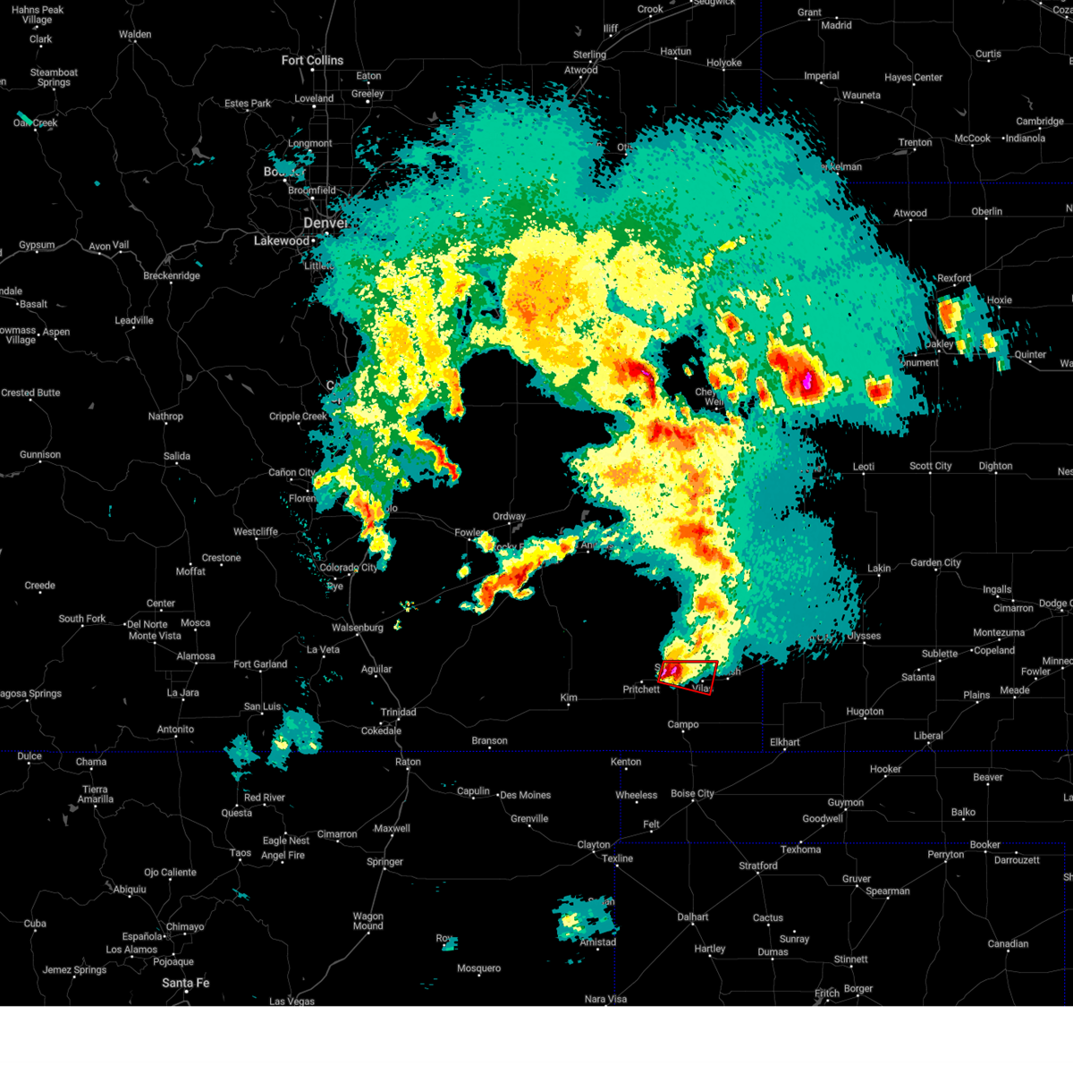 At 824 pm mdt, a severe thunderstorm capable of producing a tornado was located over springfield, moving east at 30 mph (radar indicated rotation). Hazards include tornado and ping pong ball size hail. Flying debris will be dangerous to those caught without shelter. mobile homes will be damaged or destroyed. damage to roofs, windows, and vehicles will occur. Tree damage is likely. At 824 pm mdt, a severe thunderstorm capable of producing a tornado was located over springfield, moving east at 30 mph (radar indicated rotation). Hazards include tornado and ping pong ball size hail. Flying debris will be dangerous to those caught without shelter. mobile homes will be damaged or destroyed. damage to roofs, windows, and vehicles will occur. Tree damage is likely.
|
| 6/16/2023 7:56 PM MDT |
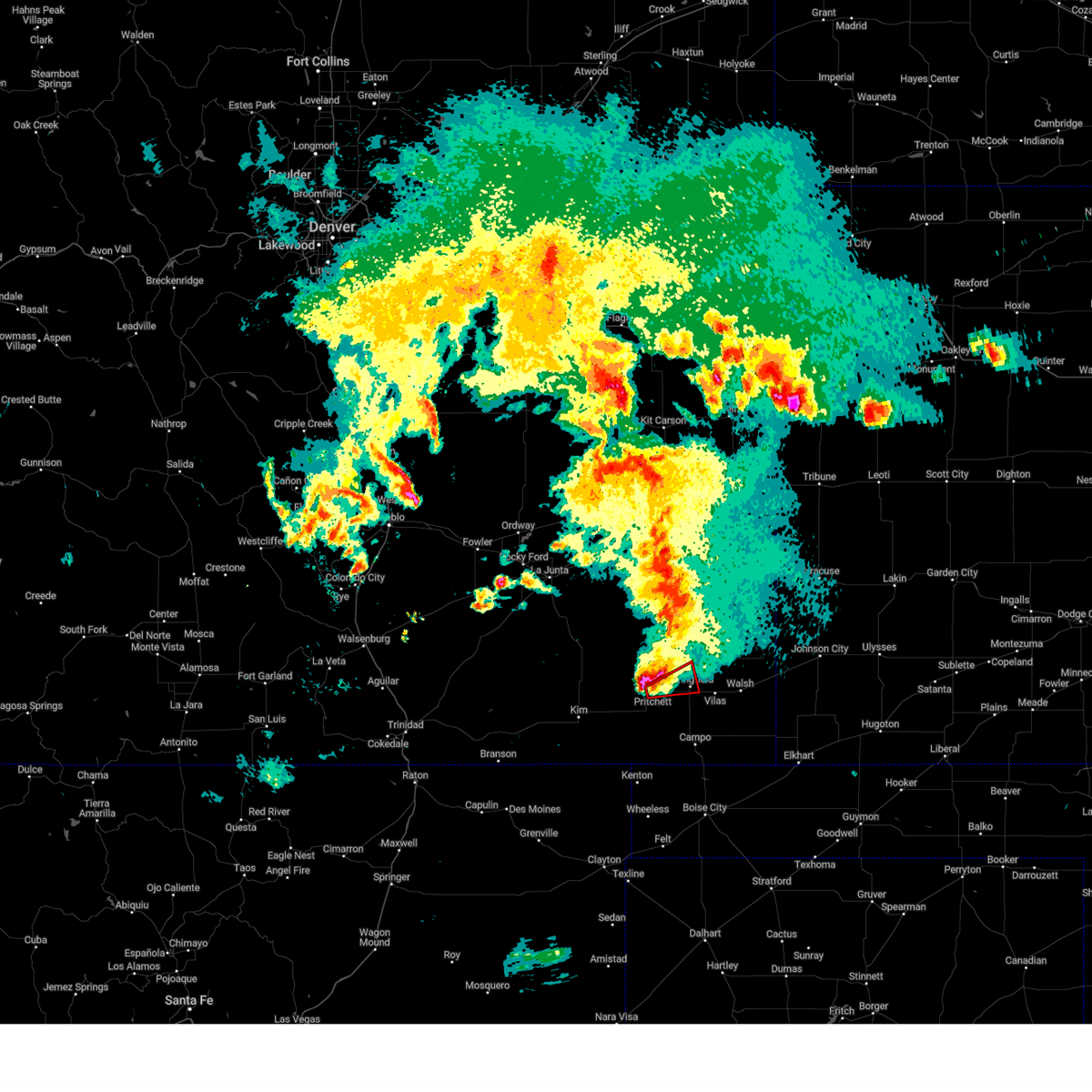 At 756 pm mdt, a severe thunderstorm capable of producing a tornado was located over pritchett, or 12 miles west of springfield, moving east at 25 mph (radar indicated rotation). Hazards include tornado and ping pong ball size hail. Flying debris will be dangerous to those caught without shelter. mobile homes will be damaged or destroyed. damage to roofs, windows, and vehicles will occur. Tree damage is likely. At 756 pm mdt, a severe thunderstorm capable of producing a tornado was located over pritchett, or 12 miles west of springfield, moving east at 25 mph (radar indicated rotation). Hazards include tornado and ping pong ball size hail. Flying debris will be dangerous to those caught without shelter. mobile homes will be damaged or destroyed. damage to roofs, windows, and vehicles will occur. Tree damage is likely.
|
| 6/16/2023 7:29 PM MDT |
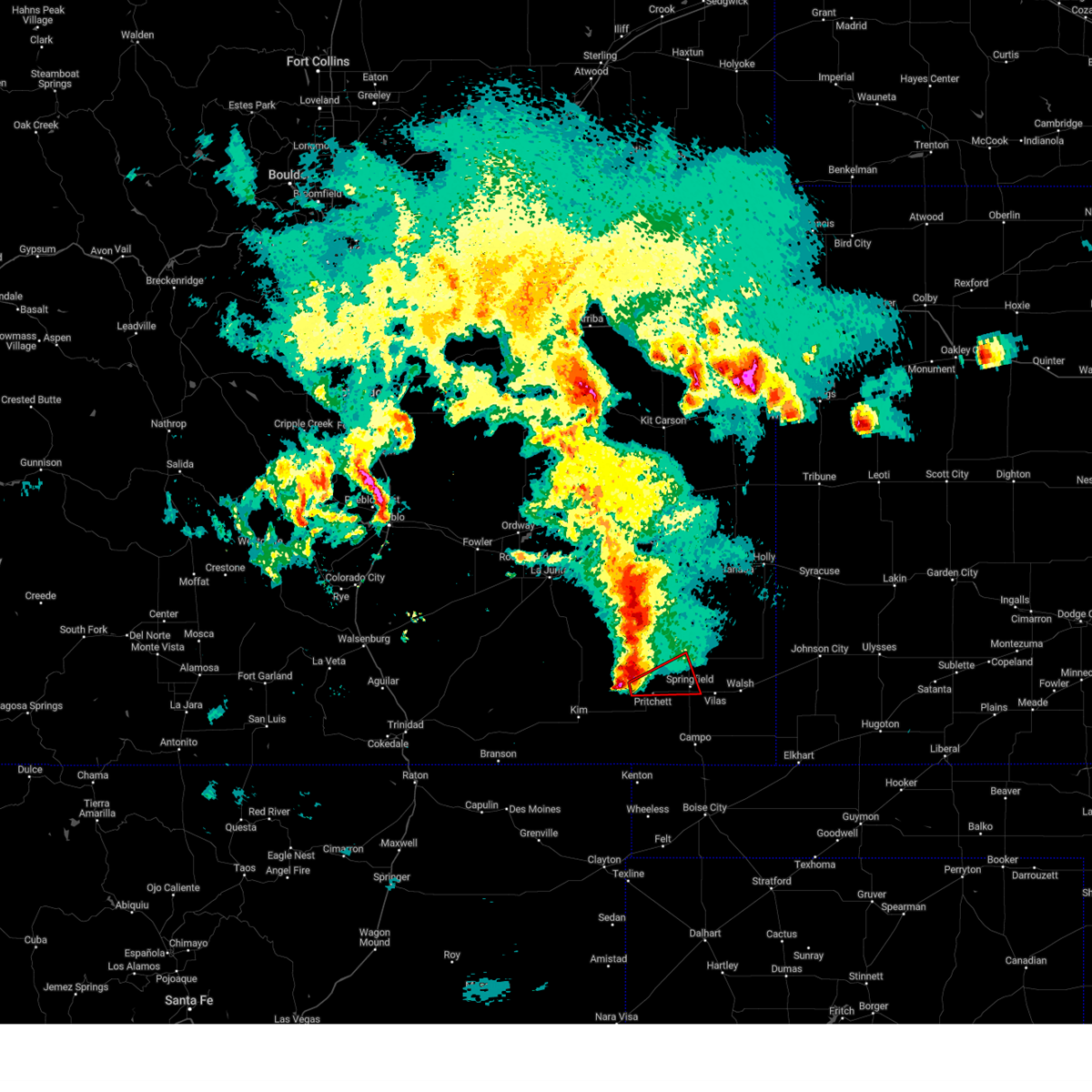 At 729 pm mdt, a severe thunderstorm capable of producing a tornado was located near pritchett, or 17 miles west of springfield, moving east at 35 mph (radar indicated rotation). Hazards include tornado and quarter size hail. Flying debris will be dangerous to those caught without shelter. mobile homes will be damaged or destroyed. damage to roofs, windows, and vehicles will occur. tree damage is likely. this dangerous storm will be near, pritchett around 735 pm mdt. Other locations in the path of this tornadic thunderstorm include springfield. At 729 pm mdt, a severe thunderstorm capable of producing a tornado was located near pritchett, or 17 miles west of springfield, moving east at 35 mph (radar indicated rotation). Hazards include tornado and quarter size hail. Flying debris will be dangerous to those caught without shelter. mobile homes will be damaged or destroyed. damage to roofs, windows, and vehicles will occur. tree damage is likely. this dangerous storm will be near, pritchett around 735 pm mdt. Other locations in the path of this tornadic thunderstorm include springfield.
|
| 6/10/2023 5:57 PM MDT |
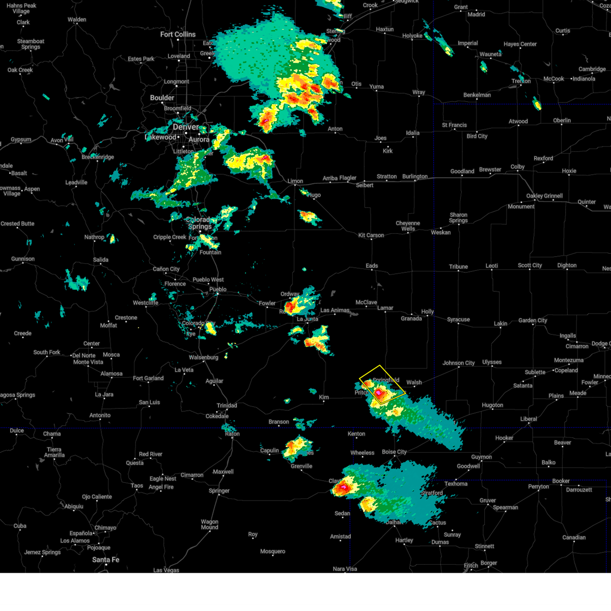 At 556 pm mdt, a severe thunderstorm was located near springfield, moving northeast at 25 mph (radar indicated). Hazards include 60 mph wind gusts and quarter size hail. Hail damage to vehicles is expected. expect wind damage to roofs, siding, and trees. locations impacted include, springfield and vilas. hail threat, radar indicated max hail size, 1. 00 in wind threat, radar indicated max wind gust, 60 mph. At 556 pm mdt, a severe thunderstorm was located near springfield, moving northeast at 25 mph (radar indicated). Hazards include 60 mph wind gusts and quarter size hail. Hail damage to vehicles is expected. expect wind damage to roofs, siding, and trees. locations impacted include, springfield and vilas. hail threat, radar indicated max hail size, 1. 00 in wind threat, radar indicated max wind gust, 60 mph.
|
| 6/10/2023 5:44 PM MDT |
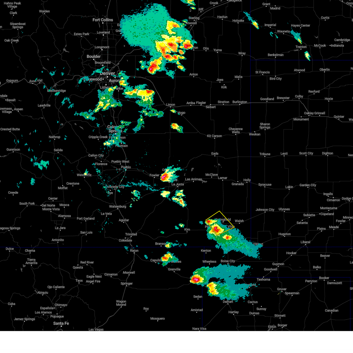 At 543 pm mdt, a severe thunderstorm was located near pritchett, and another severe storms was 9 miles southwest of springfield. both storms were moving northeast at 25 mph (radar indicated). Hazards include 60 mph wind gusts and quarter size hail. Hail damage to vehicles is expected. Expect wind damage to roofs, siding, and trees. At 543 pm mdt, a severe thunderstorm was located near pritchett, and another severe storms was 9 miles southwest of springfield. both storms were moving northeast at 25 mph (radar indicated). Hazards include 60 mph wind gusts and quarter size hail. Hail damage to vehicles is expected. Expect wind damage to roofs, siding, and trees.
|
| 6/10/2023 5:30 PM MDT |
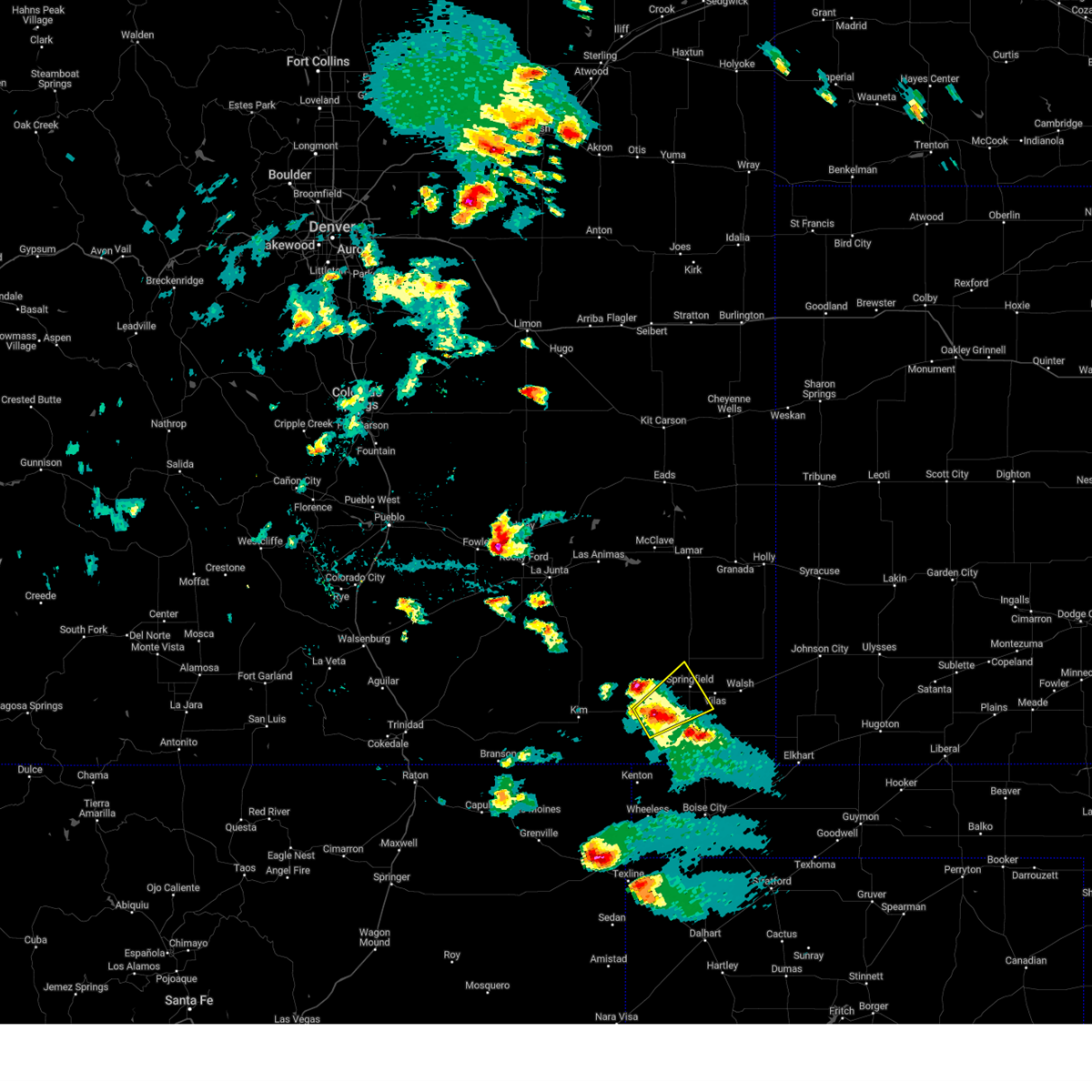 At 530 pm mdt, a severe thunderstorm was located near pritchett, or 10 miles southwest of springfield, moving northeast at 30 mph (radar indicated). Hazards include 60 mph wind gusts and half dollar size hail. Hail damage to vehicles is expected. expect wind damage to roofs, siding, and trees. locations impacted include, springfield. hail threat, radar indicated max hail size, 1. 25 in wind threat, radar indicated max wind gust, 60 mph. At 530 pm mdt, a severe thunderstorm was located near pritchett, or 10 miles southwest of springfield, moving northeast at 30 mph (radar indicated). Hazards include 60 mph wind gusts and half dollar size hail. Hail damage to vehicles is expected. expect wind damage to roofs, siding, and trees. locations impacted include, springfield. hail threat, radar indicated max hail size, 1. 25 in wind threat, radar indicated max wind gust, 60 mph.
|
| 6/10/2023 5:19 PM MDT |
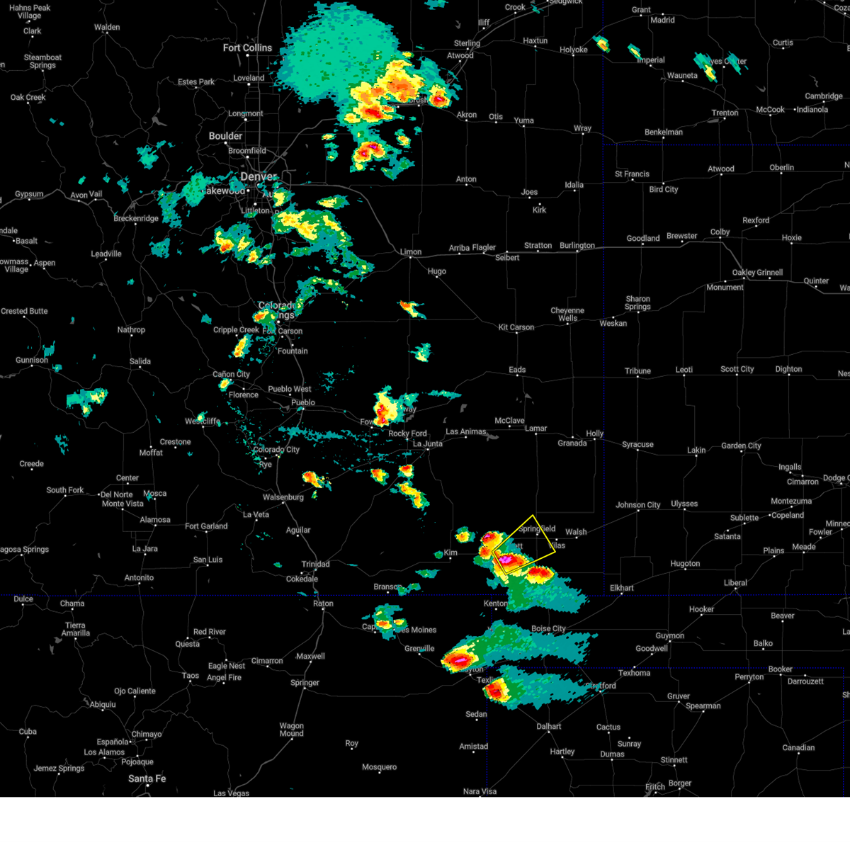 At 519 pm mdt, a severe thunderstorm was located 7 miles south of pritchett, or 16 miles southwest of springfield, moving northeast at 30 mph (radar indicated). Hazards include 60 mph wind gusts and half dollar size hail. Hail damage to vehicles is expected. expect wind damage to roofs, siding, and trees. this severe thunderstorm will be near, pritchett around 525 pm mdt. other locations in the path of this severe thunderstorm include springfield. hail threat, radar indicated max hail size, 1. 25 in wind threat, radar indicated max wind gust, 60 mph. At 519 pm mdt, a severe thunderstorm was located 7 miles south of pritchett, or 16 miles southwest of springfield, moving northeast at 30 mph (radar indicated). Hazards include 60 mph wind gusts and half dollar size hail. Hail damage to vehicles is expected. expect wind damage to roofs, siding, and trees. this severe thunderstorm will be near, pritchett around 525 pm mdt. other locations in the path of this severe thunderstorm include springfield. hail threat, radar indicated max hail size, 1. 25 in wind threat, radar indicated max wind gust, 60 mph.
|
| 6/7/2022 7:09 PM MDT |
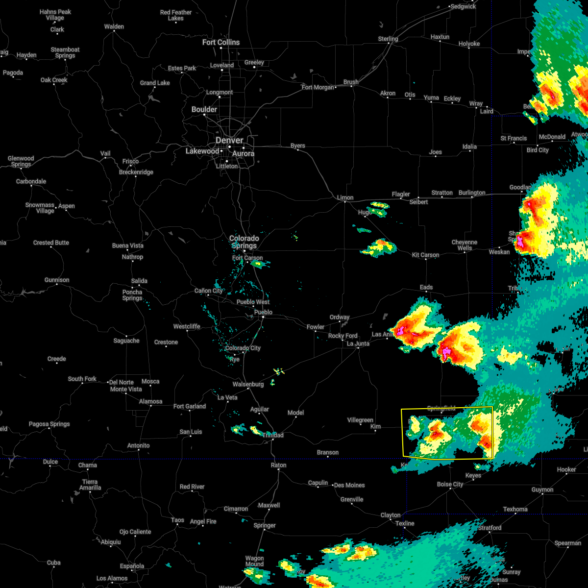 At 709 pm mdt, severe thunderstorms were located along a line extending from 14 miles west of elkhart to 7 miles west of campo, moving southeast at 50 mph (radar indicated). Hazards include 60 mph wind gusts and quarter size hail. Hail damage to vehicles is expected. Expect wind damage to roofs, siding, and trees. At 709 pm mdt, severe thunderstorms were located along a line extending from 14 miles west of elkhart to 7 miles west of campo, moving southeast at 50 mph (radar indicated). Hazards include 60 mph wind gusts and quarter size hail. Hail damage to vehicles is expected. Expect wind damage to roofs, siding, and trees.
|
| 6/6/2022 3:36 PM MDT |
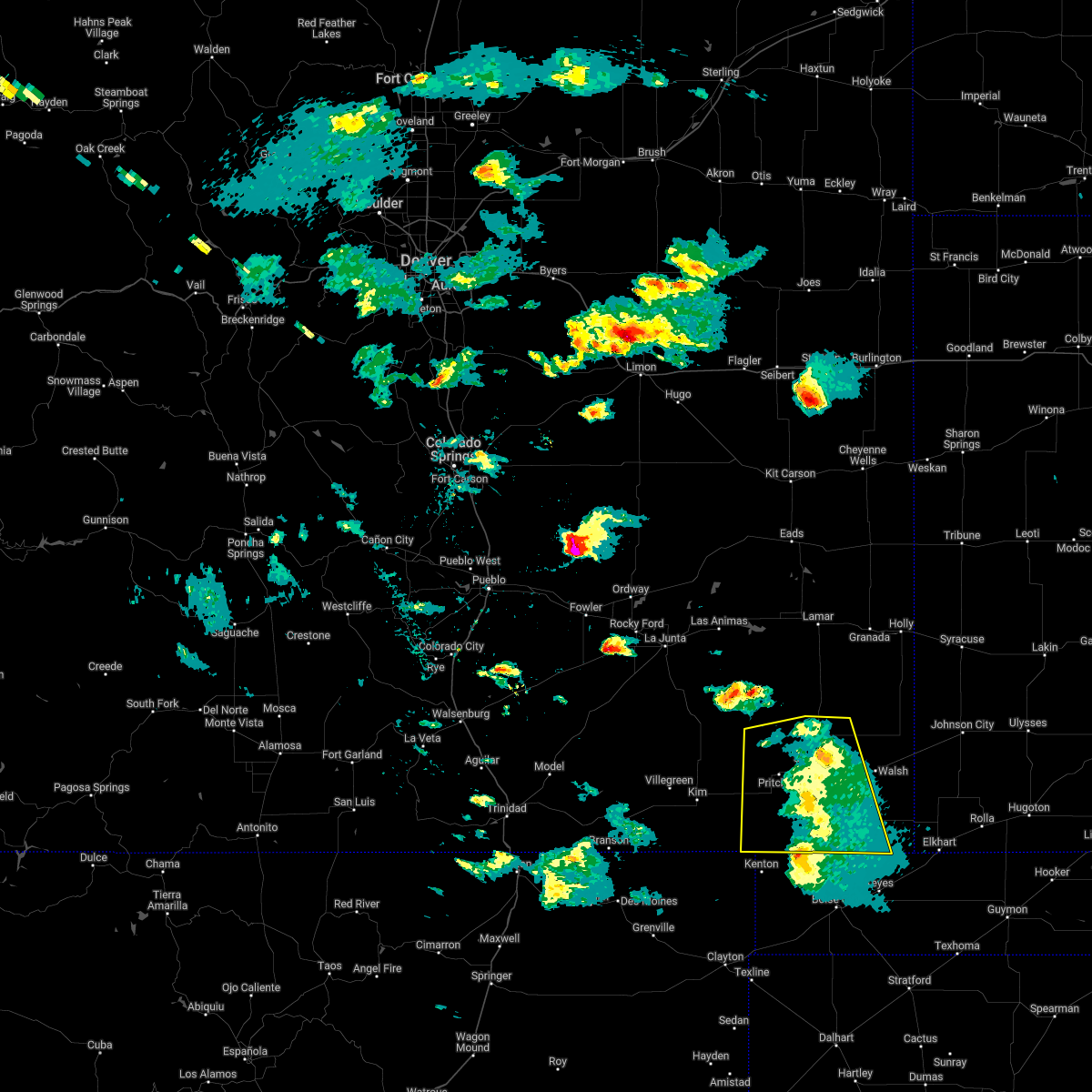 The severe thunderstorm warning for baca county will expire at 345 pm mdt, the storms which prompted the warning are weakening below severe limits. therefore, the warning will be allowed to expire. however gusty winds are still possible with these thunderstorms. a severe thunderstorm watch remains in effect until 1000 pm mdt for southeastern colorado. The severe thunderstorm warning for baca county will expire at 345 pm mdt, the storms which prompted the warning are weakening below severe limits. therefore, the warning will be allowed to expire. however gusty winds are still possible with these thunderstorms. a severe thunderstorm watch remains in effect until 1000 pm mdt for southeastern colorado.
|
| 6/6/2022 3:07 PM MDT |
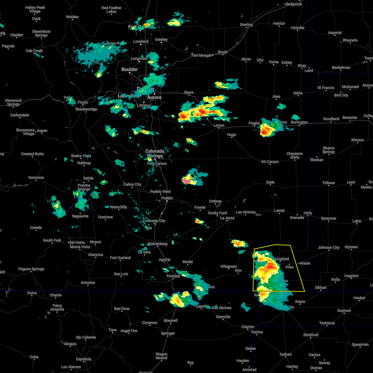 At 307 pm mdt, severe thunderstorms were located along a line extending from 12 miles north of pritchett to near campo, moving east at 25 mph (radar indicated). Hazards include 60 mph wind gusts and quarter size hail. Hail damage to vehicles is expected. expect wind damage to roofs, siding, and trees. locations impacted include, springfield, pritchett, vilas, campo, two buttes and two buttes reservoir. hail threat, radar indicated max hail size, 1. 00 in wind threat, radar indicated max wind gust, 60 mph. At 307 pm mdt, severe thunderstorms were located along a line extending from 12 miles north of pritchett to near campo, moving east at 25 mph (radar indicated). Hazards include 60 mph wind gusts and quarter size hail. Hail damage to vehicles is expected. expect wind damage to roofs, siding, and trees. locations impacted include, springfield, pritchett, vilas, campo, two buttes and two buttes reservoir. hail threat, radar indicated max hail size, 1. 00 in wind threat, radar indicated max wind gust, 60 mph.
|
| 6/6/2022 2:56 PM MDT |
 At 256 pm mdt, severe thunderstorms were located along a line extending from 12 miles north of pritchett to 7 miles southwest of campo, moving east at 35 mph (radar indicated). Hazards include 60 mph wind gusts and quarter size hail. Hail damage to vehicles is expected. expect wind damage to roofs, siding, and trees. locations impacted include, springfield, pritchett, vilas, campo, two buttes and two buttes reservoir. hail threat, radar indicated max hail size, 1. 00 in wind threat, radar indicated max wind gust, 60 mph. At 256 pm mdt, severe thunderstorms were located along a line extending from 12 miles north of pritchett to 7 miles southwest of campo, moving east at 35 mph (radar indicated). Hazards include 60 mph wind gusts and quarter size hail. Hail damage to vehicles is expected. expect wind damage to roofs, siding, and trees. locations impacted include, springfield, pritchett, vilas, campo, two buttes and two buttes reservoir. hail threat, radar indicated max hail size, 1. 00 in wind threat, radar indicated max wind gust, 60 mph.
|
| 6/6/2022 2:33 PM MDT |
 At 232 pm mdt, severe thunderstorms were located along a line extending from 19 miles southeast of higbee to 7 miles north of kenton, moving east at 25 mph (radar indicated). Hazards include 60 mph wind gusts and quarter size hail. Hail damage to vehicles is expected. Expect wind damage to roofs, siding, and trees. At 232 pm mdt, severe thunderstorms were located along a line extending from 19 miles southeast of higbee to 7 miles north of kenton, moving east at 25 mph (radar indicated). Hazards include 60 mph wind gusts and quarter size hail. Hail damage to vehicles is expected. Expect wind damage to roofs, siding, and trees.
|
| 6/5/2022 6:30 PM MDT |
 At 630 pm mdt, a severe thunderstorm was located near walsh, or 14 miles west of the saunders elevator, moving south at 45 mph (radar indicated). Hazards include tennis ball size hail and 70 mph wind gusts. People and animals outdoors will be injured. expect hail damage to roofs, siding, windows, and vehicles. expect considerable tree damage. wind damage is also likely to mobile homes, roofs, and outbuildings. Locations impacted include, springfield, walsh, vilas, two buttes and stonington. At 630 pm mdt, a severe thunderstorm was located near walsh, or 14 miles west of the saunders elevator, moving south at 45 mph (radar indicated). Hazards include tennis ball size hail and 70 mph wind gusts. People and animals outdoors will be injured. expect hail damage to roofs, siding, windows, and vehicles. expect considerable tree damage. wind damage is also likely to mobile homes, roofs, and outbuildings. Locations impacted include, springfield, walsh, vilas, two buttes and stonington.
|
| 6/5/2022 6:04 PM MDT |
 At 604 pm mdt, a severe thunderstorm was located 8 miles north of two buttes, or 22 miles northeast of springfield, moving south at 40 mph (radar indicated). Hazards include tennis ball size hail and 70 mph wind gusts. People and animals outdoors will be injured. expect hail damage to roofs, siding, windows, and vehicles. expect considerable tree damage. wind damage is also likely to mobile homes, roofs, and outbuildings. Locations impacted include, two buttes, walsh and stonington. At 604 pm mdt, a severe thunderstorm was located 8 miles north of two buttes, or 22 miles northeast of springfield, moving south at 40 mph (radar indicated). Hazards include tennis ball size hail and 70 mph wind gusts. People and animals outdoors will be injured. expect hail damage to roofs, siding, windows, and vehicles. expect considerable tree damage. wind damage is also likely to mobile homes, roofs, and outbuildings. Locations impacted include, two buttes, walsh and stonington.
|
| 6/5/2022 5:54 PM MDT |
 At 553 pm mdt, a severe thunderstorm was located 13 miles northeast of two buttes reservoir, or 24 miles southeast of lamar, moving south at 40 mph (radar indicated). Hazards include golf ball size hail and 70 mph wind gusts. People and animals outdoors will be injured. expect hail damage to roofs, siding, windows, and vehicles. expect considerable tree damage. wind damage is also likely to mobile homes, roofs, and outbuildings. this severe thunderstorm will be near, two buttes around 615 pm mdt. walsh around 635 pm mdt. Stonington around 650 pm mdt. At 553 pm mdt, a severe thunderstorm was located 13 miles northeast of two buttes reservoir, or 24 miles southeast of lamar, moving south at 40 mph (radar indicated). Hazards include golf ball size hail and 70 mph wind gusts. People and animals outdoors will be injured. expect hail damage to roofs, siding, windows, and vehicles. expect considerable tree damage. wind damage is also likely to mobile homes, roofs, and outbuildings. this severe thunderstorm will be near, two buttes around 615 pm mdt. walsh around 635 pm mdt. Stonington around 650 pm mdt.
|
| 6/3/2022 6:52 PM MDT |
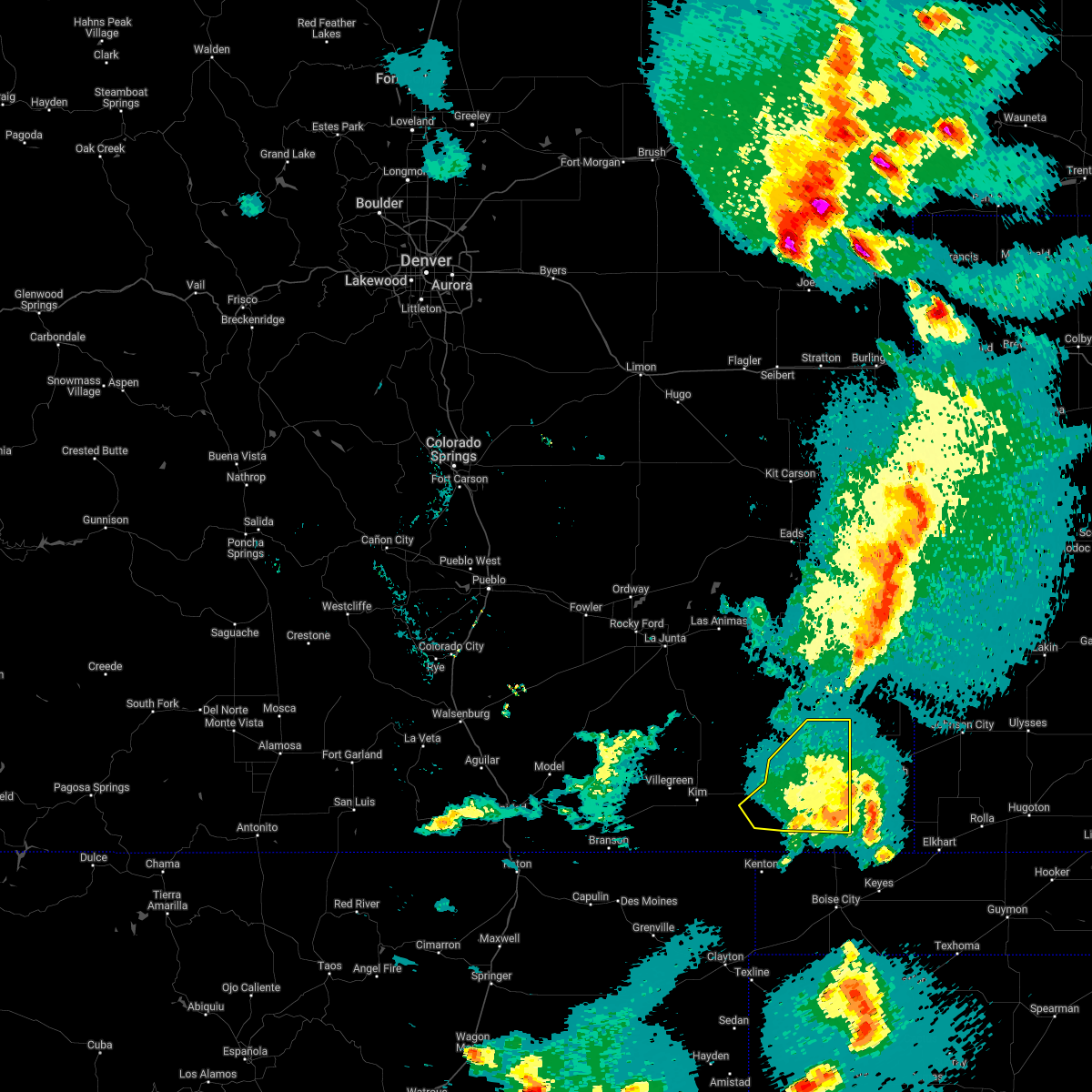 The severe thunderstorm warning for western baca and eastern las animas counties will expire at 700 pm mdt, the storm which prompted the warning has weakened below severe limits, and no longer poses an immediate threat to life or property. therefore, the warning will be allowed to expire. however small hail and gusty winds are still possible with this thunderstorm. a severe thunderstorm watch remains in effect until 1000 pm mdt for southeastern colorado. The severe thunderstorm warning for western baca and eastern las animas counties will expire at 700 pm mdt, the storm which prompted the warning has weakened below severe limits, and no longer poses an immediate threat to life or property. therefore, the warning will be allowed to expire. however small hail and gusty winds are still possible with this thunderstorm. a severe thunderstorm watch remains in effect until 1000 pm mdt for southeastern colorado.
|
| 6/3/2022 6:26 PM MDT |
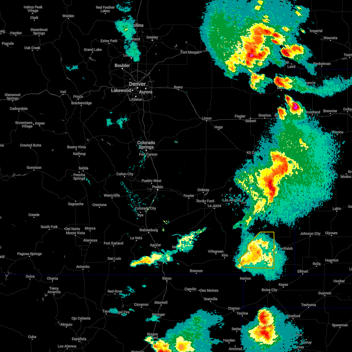 At 625 pm mdt, a severe thunderstorm was located near pritchett, or 11 miles west of springfield, moving northeast at 30 mph (radar indicated). Hazards include 60 mph wind gusts and quarter size hail. Hail damage to vehicles is expected. expect wind damage to roofs, siding, and trees. Locations impacted include, springfield, pritchett, vilas, campo and two buttes reservoir. At 625 pm mdt, a severe thunderstorm was located near pritchett, or 11 miles west of springfield, moving northeast at 30 mph (radar indicated). Hazards include 60 mph wind gusts and quarter size hail. Hail damage to vehicles is expected. expect wind damage to roofs, siding, and trees. Locations impacted include, springfield, pritchett, vilas, campo and two buttes reservoir.
|
| 6/3/2022 6:17 PM MDT |
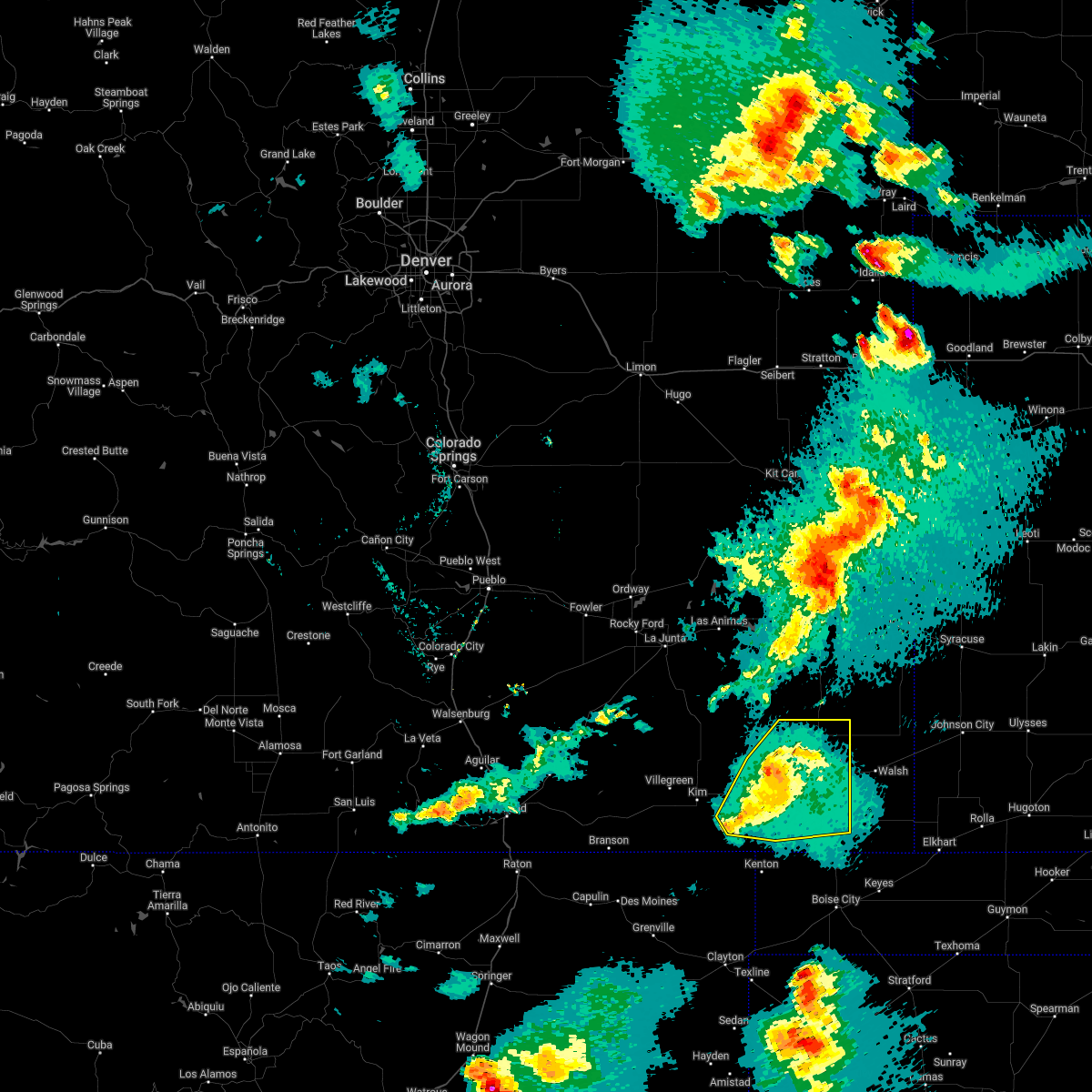 At 617 pm mdt, a severe thunderstorm was located over pritchett, or 14 miles west of springfield, moving northeast at 30 mph (radar indicated). Hazards include 60 mph wind gusts and quarter size hail. Hail damage to vehicles is expected. Expect wind damage to roofs, siding, and trees. At 617 pm mdt, a severe thunderstorm was located over pritchett, or 14 miles west of springfield, moving northeast at 30 mph (radar indicated). Hazards include 60 mph wind gusts and quarter size hail. Hail damage to vehicles is expected. Expect wind damage to roofs, siding, and trees.
|
| 5/18/2022 7:56 PM MDT | Asos station kspd 8 s springfiel in baca county CO, 8.3 miles N of Springfield, CO |
| 5/11/2022 6:10 PM MDT | Corrects previous non-tstm wnd gst report from 9 s springfield. asos station kspd 8 s springfiel in baca county CO, 8.3 miles N of Springfield, CO |
| 12/15/2021 10:21 AM MST | Hwy 287 is closed from springfield to wiley due to crashes and power lines dow in baca county CO, 0.7 miles SSE of Springfield, CO |
| 10/12/2021 5:26 PM MDT |
 At 525 pm mdt, severe thunderstorms were located along a line extending from near springfield to 9 miles southwest of campo, moving northeast at 25 mph (radar indicated). Hazards include 60 mph wind gusts. Expect damage to roofs, siding, and trees. severe thunderstorms will be near, springfield around 530 pm mdt. campo around 545 pm mdt. other locations in the path of these severe thunderstorms include two buttes, two buttes reservoir and vilas. hail threat, radar indicated max hail size, <. 75 in wind threat, radar indicated max wind gust, 60 mph. At 525 pm mdt, severe thunderstorms were located along a line extending from near springfield to 9 miles southwest of campo, moving northeast at 25 mph (radar indicated). Hazards include 60 mph wind gusts. Expect damage to roofs, siding, and trees. severe thunderstorms will be near, springfield around 530 pm mdt. campo around 545 pm mdt. other locations in the path of these severe thunderstorms include two buttes, two buttes reservoir and vilas. hail threat, radar indicated max hail size, <. 75 in wind threat, radar indicated max wind gust, 60 mph.
|
| 7/18/2021 4:50 PM MDT |
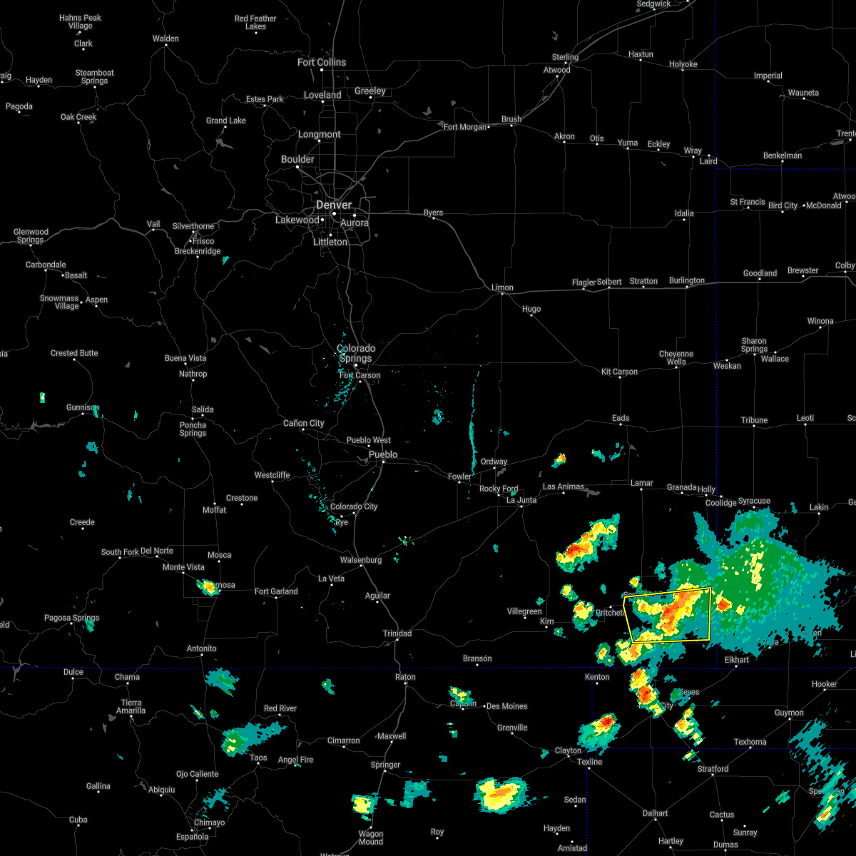 At 450 pm mdt, severe thunderstorms were located along a line extending from near springfield to near walsh to 10 miles west of the saunders elevator, moving southeast at 20 mph (radar indicated). Hazards include 60 mph wind gusts and penny size hail. Expect damage to roofs, siding, and trees. Locations impacted include, springfield, walsh, vilas and stonington. At 450 pm mdt, severe thunderstorms were located along a line extending from near springfield to near walsh to 10 miles west of the saunders elevator, moving southeast at 20 mph (radar indicated). Hazards include 60 mph wind gusts and penny size hail. Expect damage to roofs, siding, and trees. Locations impacted include, springfield, walsh, vilas and stonington.
|
| 7/18/2021 4:24 PM MDT |
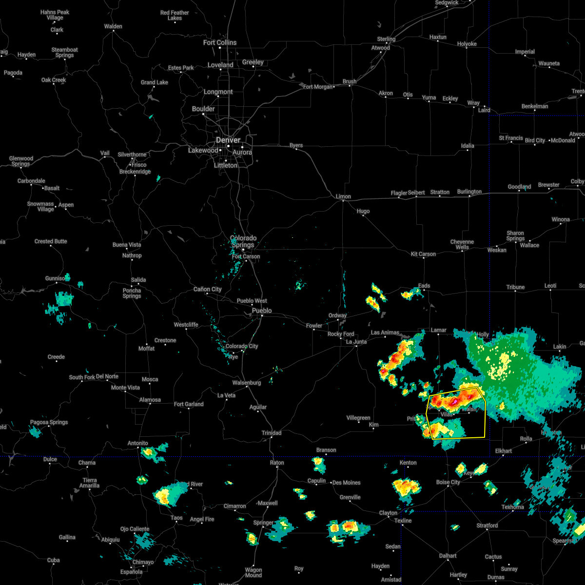 At 424 pm mdt, severe thunderstorms were located along a line extending from 7 miles northwest of springfield to near vilas to 9 miles northwest of the saunders elevator, moving southeast at 20 mph (radar indicated). Hazards include 60 mph wind gusts and quarter size hail. Hail damage to vehicles is expected. Expect wind damage to roofs, siding, and trees. At 424 pm mdt, severe thunderstorms were located along a line extending from 7 miles northwest of springfield to near vilas to 9 miles northwest of the saunders elevator, moving southeast at 20 mph (radar indicated). Hazards include 60 mph wind gusts and quarter size hail. Hail damage to vehicles is expected. Expect wind damage to roofs, siding, and trees.
|
| 6/19/2021 8:27 PM MDT |
 The severe thunderstorm warning for baca county will expire at 830 pm mdt, the storms which prompted the warning have weakened below severe limits, and no longer pose an immediate threat to life or property. therefore, the warning will be allowed to expire. however gusty winds are still possible with these thunderstorms. a severe thunderstorm watch remains in effect until 900 pm mdt for southeastern colorado. The severe thunderstorm warning for baca county will expire at 830 pm mdt, the storms which prompted the warning have weakened below severe limits, and no longer pose an immediate threat to life or property. therefore, the warning will be allowed to expire. however gusty winds are still possible with these thunderstorms. a severe thunderstorm watch remains in effect until 900 pm mdt for southeastern colorado.
|
| 6/19/2021 7:23 PM MDT |
 At 722 pm mdt, the leading edge of an area of winds to 60 mph was located along a line extending from 12 miles west of pritchett to 11 miles west of two buttes reservoir, moving east at 20 mph (radar indicated). Hazards include 60 mph wind gusts. expect damage to roofs, siding, and trees At 722 pm mdt, the leading edge of an area of winds to 60 mph was located along a line extending from 12 miles west of pritchett to 11 miles west of two buttes reservoir, moving east at 20 mph (radar indicated). Hazards include 60 mph wind gusts. expect damage to roofs, siding, and trees
|
| 6/19/2021 7:05 PM MDT |
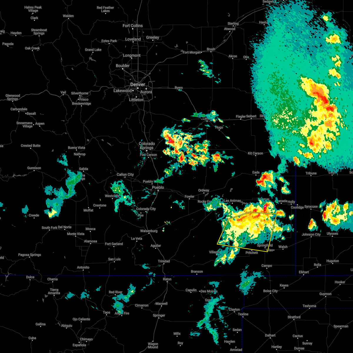 At 705 pm mdt, severe thunderstorms were located along a line extending from 17 miles northeast of kim to 13 miles north of two buttes reservoir, moving east at 35 mph (radar indicated). Hazards include 60 mph wind gusts and quarter size hail. Hail damage to vehicles is expected. expect wind damage to roofs, siding, and trees. Locations impacted include, springfield and two buttes reservoir. At 705 pm mdt, severe thunderstorms were located along a line extending from 17 miles northeast of kim to 13 miles north of two buttes reservoir, moving east at 35 mph (radar indicated). Hazards include 60 mph wind gusts and quarter size hail. Hail damage to vehicles is expected. expect wind damage to roofs, siding, and trees. Locations impacted include, springfield and two buttes reservoir.
|
| 6/19/2021 6:27 PM MDT |
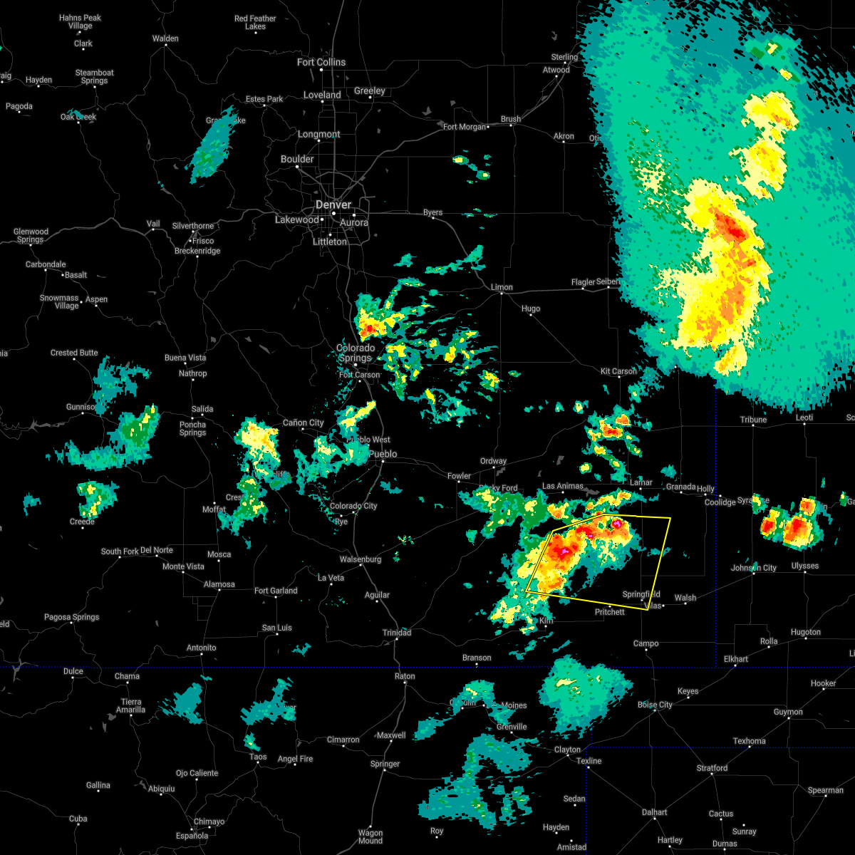 At 625 pm mdt, severe thunderstorms were located along a line extending from 20 miles north of kim to 14 miles east of higbee, moving east at 30 mph (radar indicated). Hazards include 70 mph wind gusts and quarter size hail. Hail damage to vehicles is expected. expect considerable tree damage. wind damage is also likely to mobile homes, roofs, and outbuildings. locations impacted include, springfield and two buttes reservoir. these storms will cross the u. s. Highway 287 corridor with the potential for severe winds. At 625 pm mdt, severe thunderstorms were located along a line extending from 20 miles north of kim to 14 miles east of higbee, moving east at 30 mph (radar indicated). Hazards include 70 mph wind gusts and quarter size hail. Hail damage to vehicles is expected. expect considerable tree damage. wind damage is also likely to mobile homes, roofs, and outbuildings. locations impacted include, springfield and two buttes reservoir. these storms will cross the u. s. Highway 287 corridor with the potential for severe winds.
|
| 6/19/2021 6:16 PM MDT |
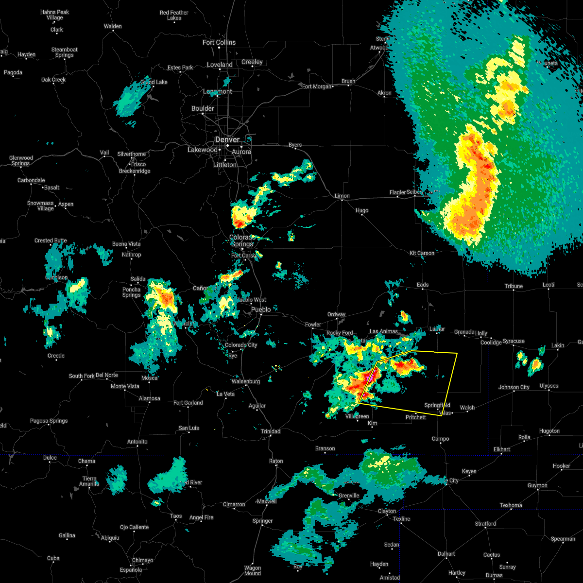 At 616 pm mdt, severe thunderstorms were located along a line extending from 21 miles north of kim to 10 miles east of higbee, moving east at 30 mph (radar indicated). Hazards include 60 mph wind gusts and quarter size hail. Hail damage to vehicles is expected. Expect wind damage to roofs, siding, and trees. At 616 pm mdt, severe thunderstorms were located along a line extending from 21 miles north of kim to 10 miles east of higbee, moving east at 30 mph (radar indicated). Hazards include 60 mph wind gusts and quarter size hail. Hail damage to vehicles is expected. Expect wind damage to roofs, siding, and trees.
|
| 5/17/2021 8:09 PM MDT |
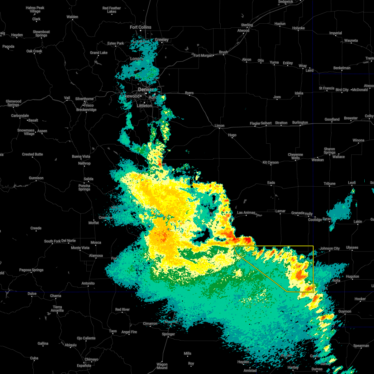 The severe thunderstorm warning for baca and east central las animas counties will expire at 815 pm mdt, the storms which prompted the warning have weakened below severe limits, and no longer pose an immediate threat to life or property. therefore, the warning will be allowed to expire. however small hail and gusty winds are still possible with these thunderstorms. a severe thunderstorm watch remains in effect until 1000 pm mdt for southeastern colorado. The severe thunderstorm warning for baca and east central las animas counties will expire at 815 pm mdt, the storms which prompted the warning have weakened below severe limits, and no longer pose an immediate threat to life or property. therefore, the warning will be allowed to expire. however small hail and gusty winds are still possible with these thunderstorms. a severe thunderstorm watch remains in effect until 1000 pm mdt for southeastern colorado.
|
| 5/17/2021 8:03 PM MDT |
 At 803 pm mdt, severe thunderstorms were located along a line extending from 21 miles southeast of higbee to 6 miles east of stonington, moving northeast at 45 mph (radar indicated). Hazards include 60 mph wind gusts and penny size hail. Expect damage to roofs, siding, and trees. Locations impacted include, springfield, walsh, pritchett, vilas, campo, two buttes, stonington and two buttes reservoir. At 803 pm mdt, severe thunderstorms were located along a line extending from 21 miles southeast of higbee to 6 miles east of stonington, moving northeast at 45 mph (radar indicated). Hazards include 60 mph wind gusts and penny size hail. Expect damage to roofs, siding, and trees. Locations impacted include, springfield, walsh, pritchett, vilas, campo, two buttes, stonington and two buttes reservoir.
|
| 5/17/2021 7:52 PM MDT |
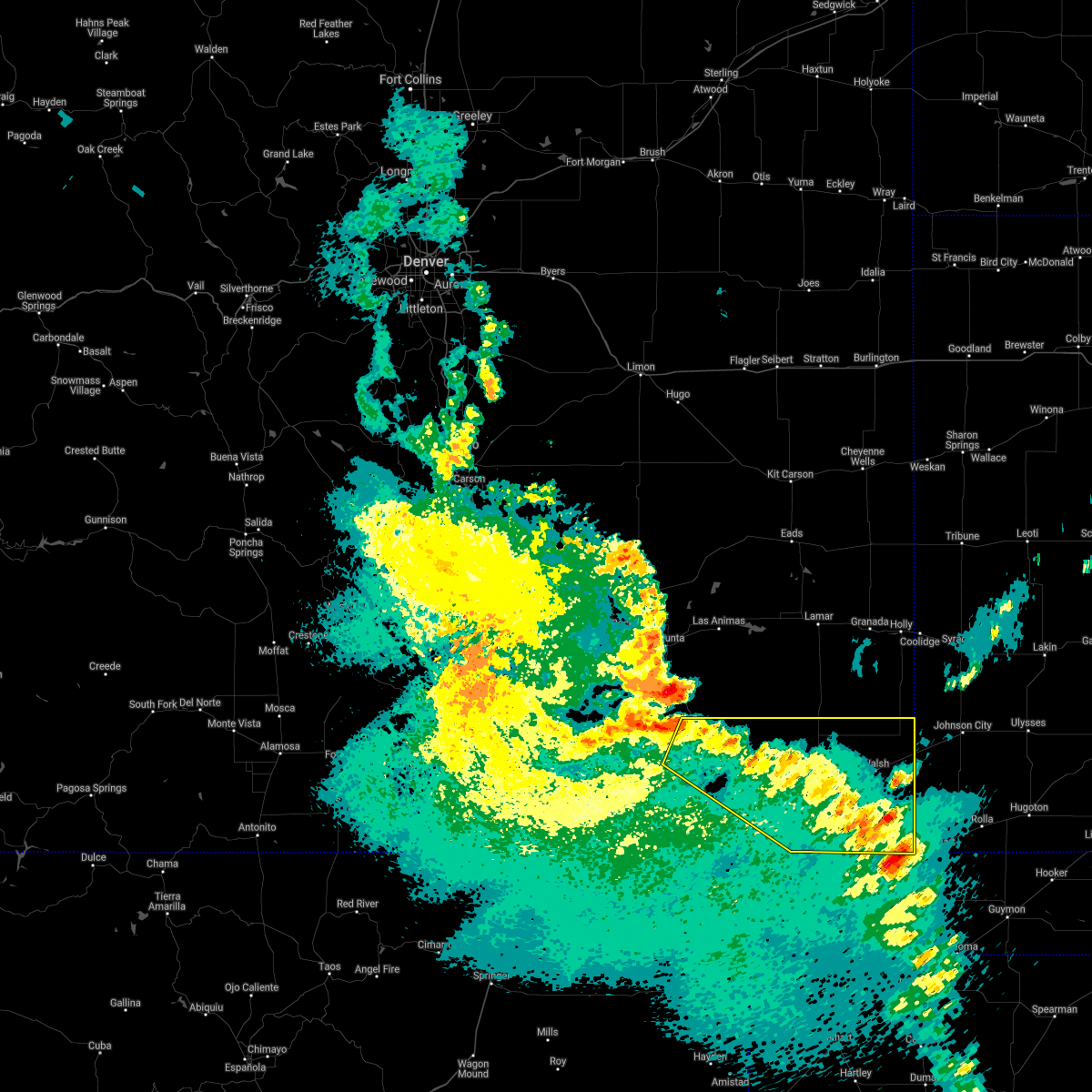 At 752 pm mdt, severe thunderstorms were located along a line extending from 15 miles southeast of higbee to 9 miles northwest of elkhart, moving northeast at 45 mph (radar indicated). Hazards include 60 mph wind gusts and penny size hail. Expect damage to roofs, siding, and trees. Locations impacted include, springfield, walsh, pritchett, vilas, campo, two buttes, stonington and two buttes reservoir. At 752 pm mdt, severe thunderstorms were located along a line extending from 15 miles southeast of higbee to 9 miles northwest of elkhart, moving northeast at 45 mph (radar indicated). Hazards include 60 mph wind gusts and penny size hail. Expect damage to roofs, siding, and trees. Locations impacted include, springfield, walsh, pritchett, vilas, campo, two buttes, stonington and two buttes reservoir.
|
| 5/17/2021 7:48 PM MDT |
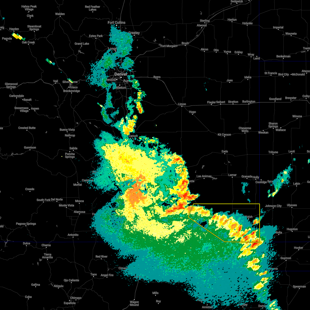 At 748 pm mdt, severe thunderstorms were located along a line extending from 14 miles southeast of higbee to 10 miles west of elkhart, moving northeast at 45 mph (radar indicated). Hazards include 60 mph wind gusts and penny size hail. Expect damage to roofs, siding, and trees. Locations impacted include, springfield, walsh, pritchett, vilas, campo, two buttes, stonington and two buttes reservoir. At 748 pm mdt, severe thunderstorms were located along a line extending from 14 miles southeast of higbee to 10 miles west of elkhart, moving northeast at 45 mph (radar indicated). Hazards include 60 mph wind gusts and penny size hail. Expect damage to roofs, siding, and trees. Locations impacted include, springfield, walsh, pritchett, vilas, campo, two buttes, stonington and two buttes reservoir.
|
| 5/17/2021 7:38 PM MDT |
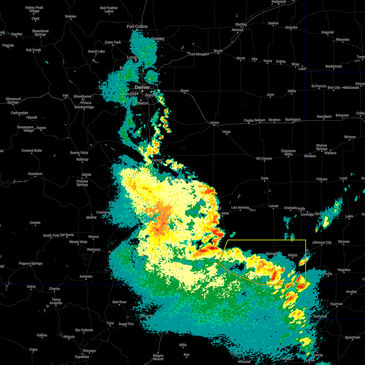 At 738 pm mdt, severe thunderstorms were located along a line extending from 16 miles south of higbee to 12 miles southeast of stonington, moving northeast at 45 mph (radar indicated). Hazards include 60 mph wind gusts and penny size hail. Expect damage to roofs, siding, and trees. Locations impacted include, springfield, walsh, pritchett, vilas, campo, kim, two buttes, stonington and two buttes reservoir. At 738 pm mdt, severe thunderstorms were located along a line extending from 16 miles south of higbee to 12 miles southeast of stonington, moving northeast at 45 mph (radar indicated). Hazards include 60 mph wind gusts and penny size hail. Expect damage to roofs, siding, and trees. Locations impacted include, springfield, walsh, pritchett, vilas, campo, kim, two buttes, stonington and two buttes reservoir.
|
| 5/17/2021 7:30 PM MDT |
 At 730 pm mdt, severe thunderstorms were located along a line extending from 15 miles north of kim to 13 miles west of elkhart, moving north at 45 mph (radar indicated). Hazards include 60 mph wind gusts and quarter size hail. Hail damage to vehicles is expected. expect wind damage to roofs, siding, and trees. Locations impacted include, springfield, walsh, pritchett, vilas, campo, kim, two buttes, stonington and two buttes reservoir. At 730 pm mdt, severe thunderstorms were located along a line extending from 15 miles north of kim to 13 miles west of elkhart, moving north at 45 mph (radar indicated). Hazards include 60 mph wind gusts and quarter size hail. Hail damage to vehicles is expected. expect wind damage to roofs, siding, and trees. Locations impacted include, springfield, walsh, pritchett, vilas, campo, kim, two buttes, stonington and two buttes reservoir.
|
| 5/17/2021 7:20 PM MDT |
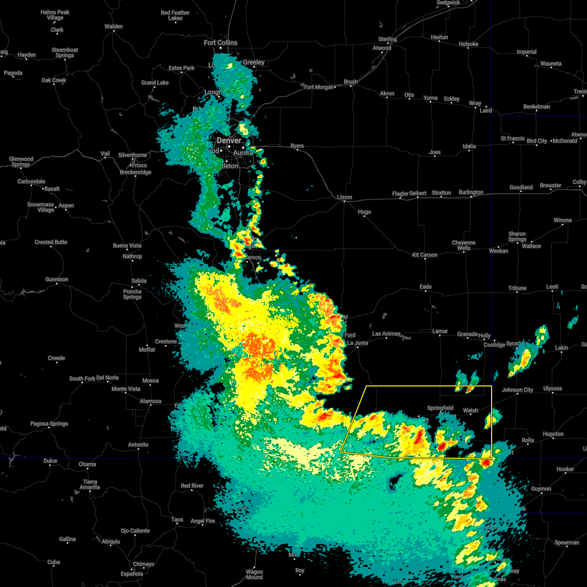 At 720 pm mdt, severe thunderstorms were located along a line extending from 9 miles north of kim to 11 miles west of elkhart, moving northeast at 60 mph (radar indicated). Hazards include 60 mph wind gusts and quarter size hail. Hail damage to vehicles is expected. expect wind damage to roofs, siding, and trees. Locations impacted include, springfield, walsh, pritchett, vilas, campo, kim, two buttes, stonington and two buttes reservoir. At 720 pm mdt, severe thunderstorms were located along a line extending from 9 miles north of kim to 11 miles west of elkhart, moving northeast at 60 mph (radar indicated). Hazards include 60 mph wind gusts and quarter size hail. Hail damage to vehicles is expected. expect wind damage to roofs, siding, and trees. Locations impacted include, springfield, walsh, pritchett, vilas, campo, kim, two buttes, stonington and two buttes reservoir.
|
| 5/17/2021 7:06 PM MDT |
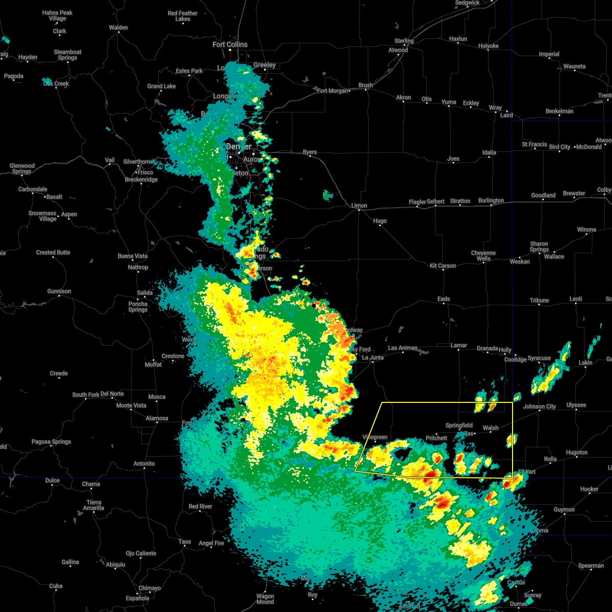 At 706 pm mdt, severe thunderstorms were located along a line extending from 8 miles southwest of kim to 7 miles northwest of boise city, moving northeast at 45 mph (radar indicated). Hazards include 60 mph wind gusts and quarter size hail. Hail damage to vehicles is expected. Expect wind damage to roofs, siding, and trees. At 706 pm mdt, severe thunderstorms were located along a line extending from 8 miles southwest of kim to 7 miles northwest of boise city, moving northeast at 45 mph (radar indicated). Hazards include 60 mph wind gusts and quarter size hail. Hail damage to vehicles is expected. Expect wind damage to roofs, siding, and trees.
|
| 5/14/2021 5:34 PM MDT |
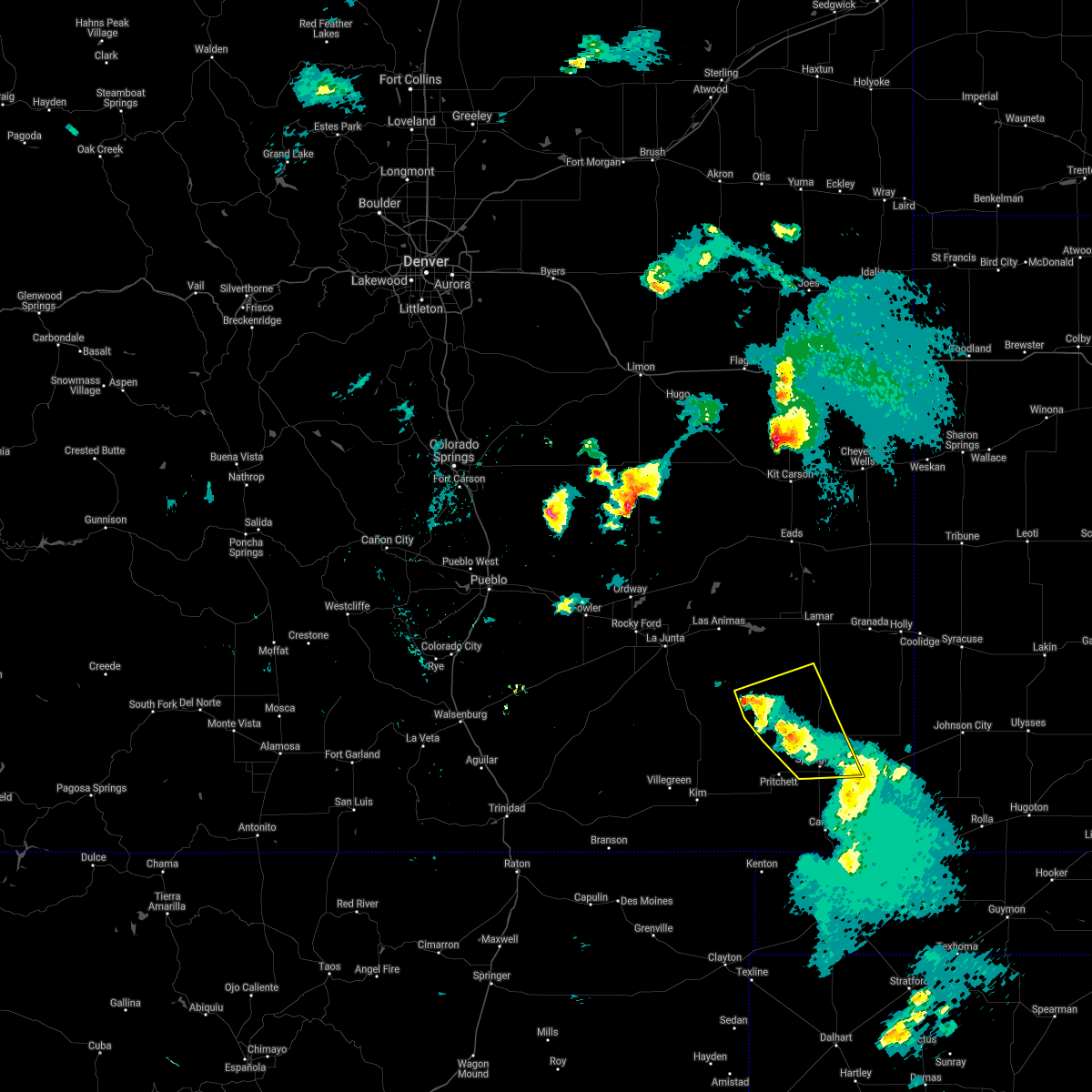 At 532 pm mdt, severe thunderstorms were located along a line extending from 23 miles east of higbee to 8 miles northwest of springfield, moving northeast at 25 mph (radar indicated). Hazards include 60 mph wind gusts. Expect damage to roofs, siding, and trees. Locations impacted include, springfield, vilas and two buttes reservoir. At 532 pm mdt, severe thunderstorms were located along a line extending from 23 miles east of higbee to 8 miles northwest of springfield, moving northeast at 25 mph (radar indicated). Hazards include 60 mph wind gusts. Expect damage to roofs, siding, and trees. Locations impacted include, springfield, vilas and two buttes reservoir.
|
| 5/14/2021 5:32 PM MDT |
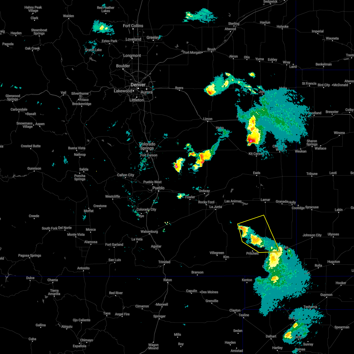 At 531 pm mdt, severe thunderstorms were located along a line extending from 23 miles east of higbee to 8 miles northwest of springfield, moving northeast at 25 mph (radar indicated). Hazards include 60 mph wind gusts. Expect damage to roofs, siding, and trees. Locations impacted include, springfield, vilas and two buttes reservoir. At 531 pm mdt, severe thunderstorms were located along a line extending from 23 miles east of higbee to 8 miles northwest of springfield, moving northeast at 25 mph (radar indicated). Hazards include 60 mph wind gusts. Expect damage to roofs, siding, and trees. Locations impacted include, springfield, vilas and two buttes reservoir.
|
| 5/14/2021 5:24 PM MDT |
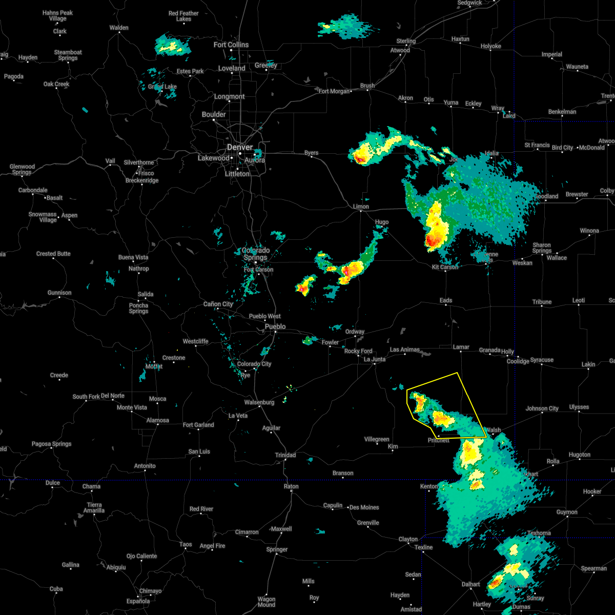 At 523 pm mdt, severe thunderstorms were located along a line extending from 20 miles northwest of pritchett to springfield, moving east at 25 mph (radar indicated). Hazards include 60 mph wind gusts. Expect damage to roofs, siding, and trees. Locations impacted include, springfield, pritchett, vilas and two buttes reservoir. At 523 pm mdt, severe thunderstorms were located along a line extending from 20 miles northwest of pritchett to springfield, moving east at 25 mph (radar indicated). Hazards include 60 mph wind gusts. Expect damage to roofs, siding, and trees. Locations impacted include, springfield, pritchett, vilas and two buttes reservoir.
|
| 5/14/2021 5:07 PM MDT |
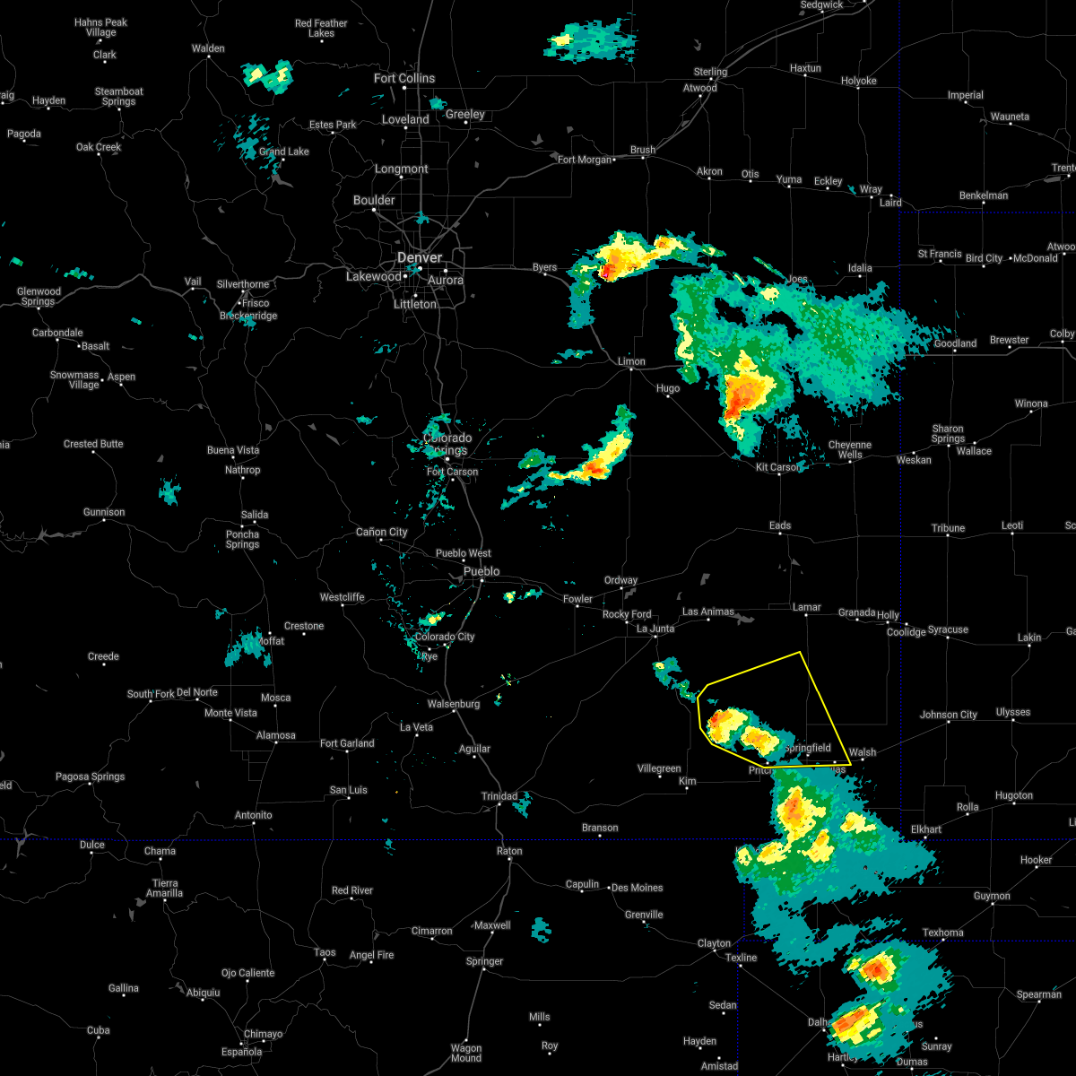 At 507 pm mdt, severe thunderstorms were located along a line extending from 18 miles southeast of higbee to 6 miles east of pritchett, moving east at 30 mph (radar indicated). Hazards include 60 mph wind gusts and quarter size hail. Hail damage to vehicles is expected. expect wind damage to roofs, siding, and trees. Locations impacted include, springfield, pritchett, vilas and two buttes reservoir. At 507 pm mdt, severe thunderstorms were located along a line extending from 18 miles southeast of higbee to 6 miles east of pritchett, moving east at 30 mph (radar indicated). Hazards include 60 mph wind gusts and quarter size hail. Hail damage to vehicles is expected. expect wind damage to roofs, siding, and trees. Locations impacted include, springfield, pritchett, vilas and two buttes reservoir.
|
| 5/14/2021 4:57 PM MDT |
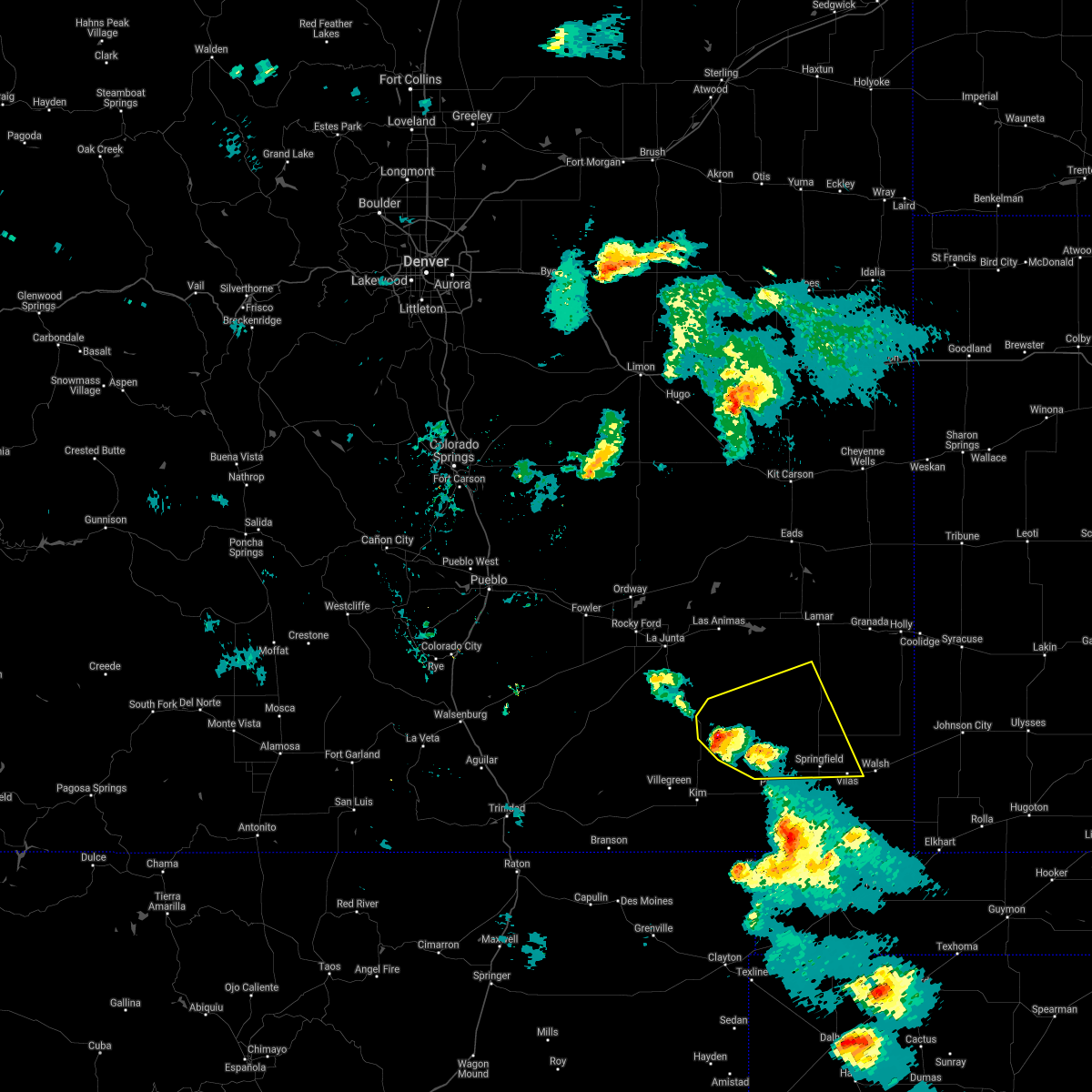 At 457 pm mdt, severe thunderstorms were located along a line extending from 12 miles southeast of higbee to near pritchett, moving east at 20 mph (radar indicated). Hazards include 60 mph wind gusts and quarter size hail. Hail damage to vehicles is expected. expect wind damage to roofs, siding, and trees. Locations impacted include, springfield, pritchett, vilas and two buttes reservoir. At 457 pm mdt, severe thunderstorms were located along a line extending from 12 miles southeast of higbee to near pritchett, moving east at 20 mph (radar indicated). Hazards include 60 mph wind gusts and quarter size hail. Hail damage to vehicles is expected. expect wind damage to roofs, siding, and trees. Locations impacted include, springfield, pritchett, vilas and two buttes reservoir.
|
| 5/14/2021 4:46 PM MDT |
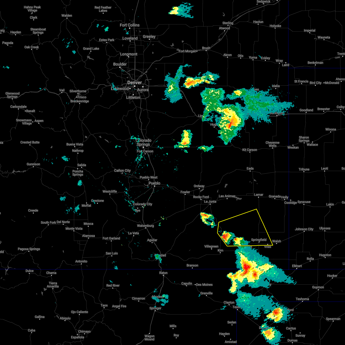 At 445 pm mdt, severe thunderstorms were located along a line extending from 11 miles south of higbee to 6 miles west of pritchett, moving east at 25 mph (radar indicated). Hazards include 60 mph wind gusts and quarter size hail. Hail damage to vehicles is expected. Expect wind damage to roofs, siding, and trees. At 445 pm mdt, severe thunderstorms were located along a line extending from 11 miles south of higbee to 6 miles west of pritchett, moving east at 25 mph (radar indicated). Hazards include 60 mph wind gusts and quarter size hail. Hail damage to vehicles is expected. Expect wind damage to roofs, siding, and trees.
|
| 5/8/2021 8:15 PM MDT | Storm damage reported in baca county CO, 8.3 miles N of Springfield, CO |
| 5/8/2021 8:14 PM MDT |
 At 814 pm mdt, the leading edge of 60 mph wind gusts produced by dissipating showers and thunderstorms extended along a line from near two buttes to 14 miles north of keyes, moving east at 20 mph (automated observation systems measuring wind gusts around 60 mph). Hazards include 60 mph wind gusts. also, blowing dust reducing visibilities below one mile will be possible. expect damage to roofs, siding, and trees At 814 pm mdt, the leading edge of 60 mph wind gusts produced by dissipating showers and thunderstorms extended along a line from near two buttes to 14 miles north of keyes, moving east at 20 mph (automated observation systems measuring wind gusts around 60 mph). Hazards include 60 mph wind gusts. also, blowing dust reducing visibilities below one mile will be possible. expect damage to roofs, siding, and trees
|
| 5/8/2021 7:56 PM MDT | Storm damage reported in baca county CO, 8.3 miles N of Springfield, CO |
| 5/8/2021 7:46 PM MDT | Storm damage reported in baca county CO, 8.3 miles N of Springfield, CO |
| 5/8/2021 7:39 PM MDT | Corrects previous tstm wnd gst report from 9 s springfiel in baca county CO, 8.3 miles N of Springfield, CO |
| 5/8/2021 7:06 PM MDT |
 At 705 pm mdt, severe thunderstorms were located along a line extending from 12 miles southwest of two buttes reservoir to 8 miles southeast of pritchett to 17 miles north of kenton, moving southeast at 30 mph (radar indicated). Hazards include 70 mph wind gusts and quarter size hail. Hail damage to vehicles is expected. expect considerable tree damage. wind damage is also likely to mobile homes, roofs, and outbuildings. Locations impacted include, springfield, pritchett, vilas and two buttes. At 705 pm mdt, severe thunderstorms were located along a line extending from 12 miles southwest of two buttes reservoir to 8 miles southeast of pritchett to 17 miles north of kenton, moving southeast at 30 mph (radar indicated). Hazards include 70 mph wind gusts and quarter size hail. Hail damage to vehicles is expected. expect considerable tree damage. wind damage is also likely to mobile homes, roofs, and outbuildings. Locations impacted include, springfield, pritchett, vilas and two buttes.
|
| 5/8/2021 6:52 PM MDT |
 At 651 pm mdt, severe thunderstorms were located along a line extending from 16 miles west of two buttes reservoir to near pritchett to 20 miles east of kim, moving southeast at 35 mph (radar indicated). Hazards include 70 mph wind gusts and quarter size hail. Hail damage to vehicles is expected. expect considerable tree damage. wind damage is also likely to mobile homes, roofs, and outbuildings. Locations impacted include, springfield, pritchett, vilas and two buttes. At 651 pm mdt, severe thunderstorms were located along a line extending from 16 miles west of two buttes reservoir to near pritchett to 20 miles east of kim, moving southeast at 35 mph (radar indicated). Hazards include 70 mph wind gusts and quarter size hail. Hail damage to vehicles is expected. expect considerable tree damage. wind damage is also likely to mobile homes, roofs, and outbuildings. Locations impacted include, springfield, pritchett, vilas and two buttes.
|
| 5/8/2021 6:35 PM MDT |
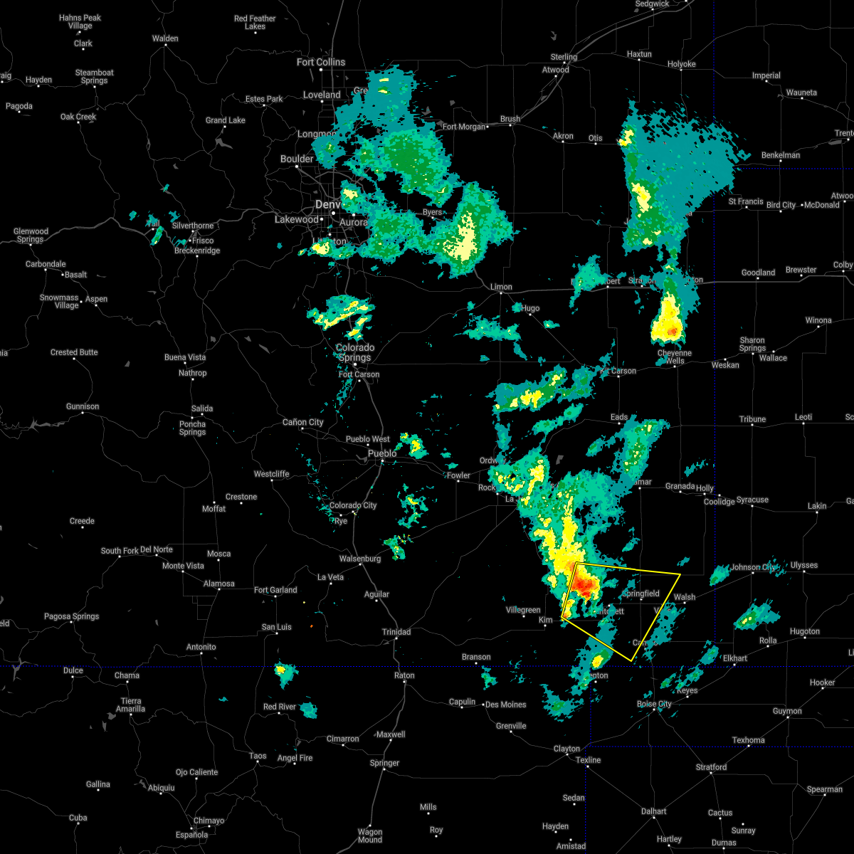 At 634 pm mdt, severe thunderstorms were located along a line extending from 24 miles west of two buttes reservoir to 9 miles northwest of pritchett to 11 miles east of kim, moving southeast at 30 mph (radar indicated). Hazards include 70 mph wind gusts and quarter size hail. Hail damage to vehicles is expected. expect considerable tree damage. Wind damage is also likely to mobile homes, roofs, and outbuildings. At 634 pm mdt, severe thunderstorms were located along a line extending from 24 miles west of two buttes reservoir to 9 miles northwest of pritchett to 11 miles east of kim, moving southeast at 30 mph (radar indicated). Hazards include 70 mph wind gusts and quarter size hail. Hail damage to vehicles is expected. expect considerable tree damage. Wind damage is also likely to mobile homes, roofs, and outbuildings.
|
| 5/2/2021 5:56 PM MDT | Asos station kspd 8 s springfiel in baca county CO, 8.3 miles N of Springfield, CO |
| 8/14/2020 6:27 PM MDT |
 The severe thunderstorm warning for northeastern baca county will expire at 630 pm mdt, the storm which prompted the warning has weakened below severe limits, and no longer poses an immediate threat to life or property. therefore, the warning will be allowed to expire. however small hail is still possible with this thunderstorm. The severe thunderstorm warning for northeastern baca county will expire at 630 pm mdt, the storm which prompted the warning has weakened below severe limits, and no longer poses an immediate threat to life or property. therefore, the warning will be allowed to expire. however small hail is still possible with this thunderstorm.
|
| 8/14/2020 6:11 PM MDT |
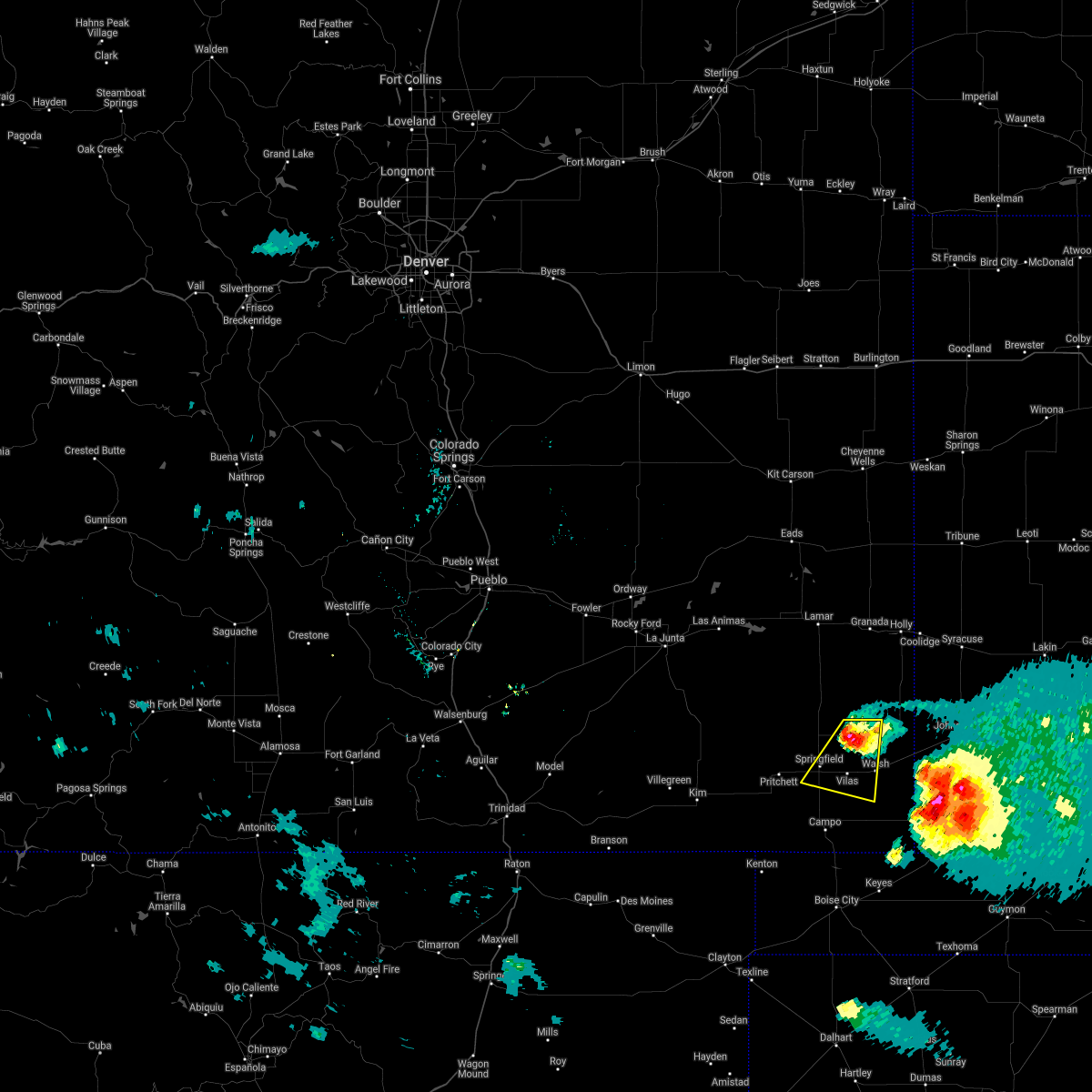 At 610 pm mdt, a severe thunderstorm was located over two buttes, or 13 miles northeast of springfield, moving south at 30 mph (radar indicated). Hazards include 60 mph wind gusts and quarter size hail. Hail damage to vehicles is expected. expect wind damage to roofs, siding, and trees. Locations impacted include, springfield, walsh, vilas and two buttes. At 610 pm mdt, a severe thunderstorm was located over two buttes, or 13 miles northeast of springfield, moving south at 30 mph (radar indicated). Hazards include 60 mph wind gusts and quarter size hail. Hail damage to vehicles is expected. expect wind damage to roofs, siding, and trees. Locations impacted include, springfield, walsh, vilas and two buttes.
|
| 8/14/2020 6:04 PM MDT |
 At 604 pm mdt, a severe thunderstorm was located over two buttes, or 14 miles northeast of springfield, moving south at 30 mph (radar indicated). Hazards include 60 mph wind gusts and half dollar size hail. Hail damage to vehicles is expected. expect wind damage to roofs, siding, and trees. Locations impacted include, springfield, walsh, vilas and two buttes. At 604 pm mdt, a severe thunderstorm was located over two buttes, or 14 miles northeast of springfield, moving south at 30 mph (radar indicated). Hazards include 60 mph wind gusts and half dollar size hail. Hail damage to vehicles is expected. expect wind damage to roofs, siding, and trees. Locations impacted include, springfield, walsh, vilas and two buttes.
|
| 8/14/2020 5:53 PM MDT |
 At 553 pm mdt, a severe thunderstorm was located near two buttes, or 17 miles northeast of springfield, moving south at 30 mph (radar indicated). Hazards include 60 mph wind gusts and half dollar size hail. Hail damage to vehicles is expected. expect wind damage to roofs, siding, and trees. Locations impacted include, springfield, walsh, vilas, two buttes and two buttes reservoir. At 553 pm mdt, a severe thunderstorm was located near two buttes, or 17 miles northeast of springfield, moving south at 30 mph (radar indicated). Hazards include 60 mph wind gusts and half dollar size hail. Hail damage to vehicles is expected. expect wind damage to roofs, siding, and trees. Locations impacted include, springfield, walsh, vilas, two buttes and two buttes reservoir.
|
| 8/14/2020 5:44 PM MDT |
 At 544 pm mdt, a severe thunderstorm was located 9 miles north of two buttes, or 22 miles northeast of springfield, moving south at 30 mph (radar indicated). Hazards include ping pong ball size hail and 60 mph wind gusts. People and animals outdoors will be injured. expect hail damage to roofs, siding, windows, and vehicles. Expect wind damage to roofs, siding, and trees. At 544 pm mdt, a severe thunderstorm was located 9 miles north of two buttes, or 22 miles northeast of springfield, moving south at 30 mph (radar indicated). Hazards include ping pong ball size hail and 60 mph wind gusts. People and animals outdoors will be injured. expect hail damage to roofs, siding, windows, and vehicles. Expect wind damage to roofs, siding, and trees.
|
| 8/4/2020 6:15 PM MDT |
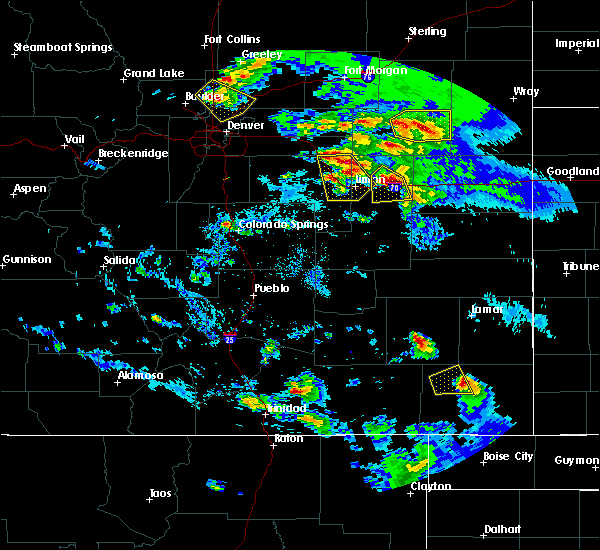 At 614 pm mdt, a severe thunderstorm was located just north of springfield, moving east at 25 mph (trained weather spotters). Hazards include golf ball size hail. People and animals outdoors will be injured. Expect damage to roofs, siding, windows, and vehicles. At 614 pm mdt, a severe thunderstorm was located just north of springfield, moving east at 25 mph (trained weather spotters). Hazards include golf ball size hail. People and animals outdoors will be injured. Expect damage to roofs, siding, windows, and vehicles.
|
| 8/4/2020 6:13 PM MDT | Golf Ball sized hail reported 8.9 miles SE of Springfield, CO |
| 8/4/2020 5:56 PM MDT |
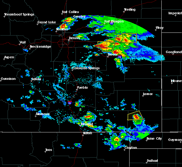 At 555 pm mdt, a severe thunderstorm was located 9 miles north of pritchett, or 14 miles northwest of springfield, moving east at 30 mph (radar indicated). Hazards include 60 mph wind gusts and half dollar size hail. Hail damage to vehicles is expected. expect wind damage to roofs, siding, and trees. Locations impacted include, springfield and pritchett. At 555 pm mdt, a severe thunderstorm was located 9 miles north of pritchett, or 14 miles northwest of springfield, moving east at 30 mph (radar indicated). Hazards include 60 mph wind gusts and half dollar size hail. Hail damage to vehicles is expected. expect wind damage to roofs, siding, and trees. Locations impacted include, springfield and pritchett.
|
| 8/4/2020 5:43 PM MDT |
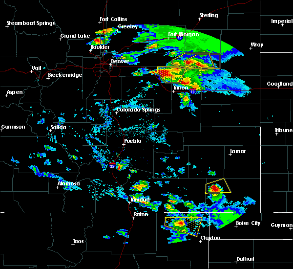 At 542 pm mdt, a severe thunderstorm was located 8 miles northwest of pritchett, or 18 miles west of springfield, moving east at 30 mph (radar indicated). Hazards include 60 mph wind gusts and quarter size hail. Hail damage to vehicles is expected. Expect wind damage to roofs, siding, and trees. At 542 pm mdt, a severe thunderstorm was located 8 miles northwest of pritchett, or 18 miles west of springfield, moving east at 30 mph (radar indicated). Hazards include 60 mph wind gusts and quarter size hail. Hail damage to vehicles is expected. Expect wind damage to roofs, siding, and trees.
|
| 7/14/2020 8:22 PM MDT |
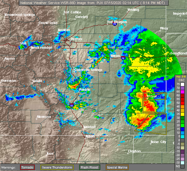 At 822 pm mdt, a severe thunderstorm was located near springfield, moving east at 25 mph (radar indicated). Hazards include 60 mph wind gusts and quarter size hail. Hail damage to vehicles is expected. Expect wind damage to roofs, siding, and trees. At 822 pm mdt, a severe thunderstorm was located near springfield, moving east at 25 mph (radar indicated). Hazards include 60 mph wind gusts and quarter size hail. Hail damage to vehicles is expected. Expect wind damage to roofs, siding, and trees.
|
| 7/14/2020 8:17 PM MDT | Asos station kspd 8 s springfiel in baca county CO, 8.3 miles N of Springfield, CO |
| 7/13/2020 5:11 PM MDT |
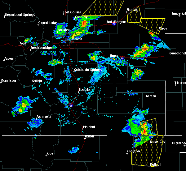 At 511 pm mdt, severe thunderstorms were located along a line extending from near springfield to near campo, moving east at 30 mph (radar indicated). Hazards include 60 mph wind gusts and quarter size hail. Hail damage to vehicles is expected. expect wind damage to roofs, siding, and trees. Locations impacted include, springfield, vilas and campo. At 511 pm mdt, severe thunderstorms were located along a line extending from near springfield to near campo, moving east at 30 mph (radar indicated). Hazards include 60 mph wind gusts and quarter size hail. Hail damage to vehicles is expected. expect wind damage to roofs, siding, and trees. Locations impacted include, springfield, vilas and campo.
|
| 7/13/2020 4:57 PM MDT |
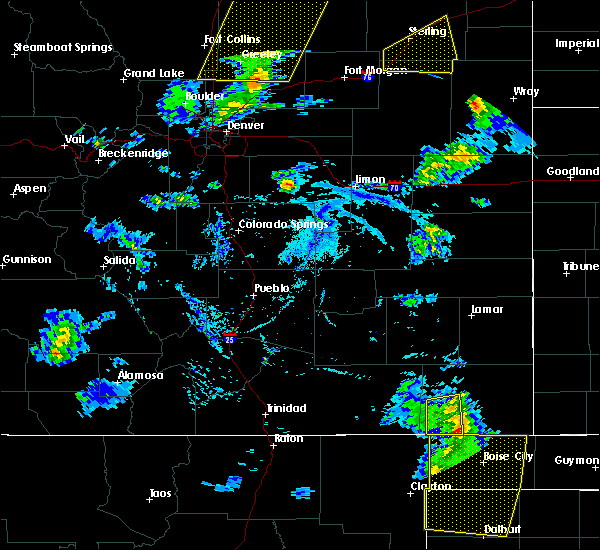 At 456 pm mdt, severe thunderstorms were located along a line extending from 8 miles southeast of pritchett to 9 miles southwest of campo, moving east at 30 mph (radar indicated). Hazards include 60 mph wind gusts. expect damage to roofs, siding, and trees At 456 pm mdt, severe thunderstorms were located along a line extending from 8 miles southeast of pritchett to 9 miles southwest of campo, moving east at 30 mph (radar indicated). Hazards include 60 mph wind gusts. expect damage to roofs, siding, and trees
|
| 5/24/2020 6:20 PM MDT |
 At 619 pm mdt, a severe thunderstorm was located 10 miles south of springfield, moving east at 30 mph (radar indicated). Hazards include 70 mph wind gusts and ping pong ball size hail. People and animals outdoors will be injured. expect hail damage to roofs, siding, windows, and vehicles. expect considerable tree damage. Wind damage is also likely to mobile homes, roofs, and outbuildings. At 619 pm mdt, a severe thunderstorm was located 10 miles south of springfield, moving east at 30 mph (radar indicated). Hazards include 70 mph wind gusts and ping pong ball size hail. People and animals outdoors will be injured. expect hail damage to roofs, siding, windows, and vehicles. expect considerable tree damage. Wind damage is also likely to mobile homes, roofs, and outbuildings.
|
| 5/24/2020 6:16 PM MDT |
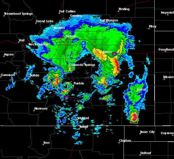 At 615 pm mdt, a severe thunderstorm was located 10 miles north of campo, or 10 miles south of springfield, moving east at 25 mph (radar indicated). Hazards include ping pong ball size hail and 60 mph wind gusts. People and animals outdoors will be injured. expect hail damage to roofs, siding, windows, and vehicles. expect wind damage to roofs, siding, and trees. Locations impacted include, springfield and campo. At 615 pm mdt, a severe thunderstorm was located 10 miles north of campo, or 10 miles south of springfield, moving east at 25 mph (radar indicated). Hazards include ping pong ball size hail and 60 mph wind gusts. People and animals outdoors will be injured. expect hail damage to roofs, siding, windows, and vehicles. expect wind damage to roofs, siding, and trees. Locations impacted include, springfield and campo.
|
| 5/24/2020 6:03 PM MDT |
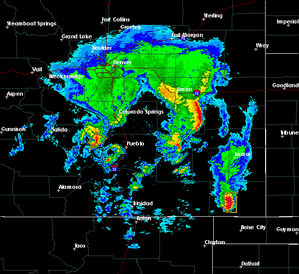 At 603 pm mdt, a severe thunderstorm was located 11 miles southeast of pritchett, or 12 miles southwest of springfield, moving east at 35 mph (radar indicated). Hazards include ping pong ball size hail and 60 mph wind gusts. People and animals outdoors will be injured. expect hail damage to roofs, siding, windows, and vehicles. expect wind damage to roofs, siding, and trees. Locations impacted include, springfield and campo. At 603 pm mdt, a severe thunderstorm was located 11 miles southeast of pritchett, or 12 miles southwest of springfield, moving east at 35 mph (radar indicated). Hazards include ping pong ball size hail and 60 mph wind gusts. People and animals outdoors will be injured. expect hail damage to roofs, siding, windows, and vehicles. expect wind damage to roofs, siding, and trees. Locations impacted include, springfield and campo.
|
| 5/24/2020 5:52 PM MDT |
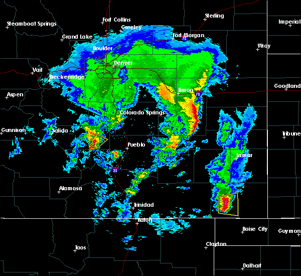 At 551 pm mdt, a severe thunderstorm was located 10 miles south of pritchett, or 17 miles southwest of springfield, moving east at 20 mph (radar indicated). Hazards include ping pong ball size hail and 60 mph wind gusts. People and animals outdoors will be injured. expect hail damage to roofs, siding, windows, and vehicles. expect wind damage to roofs, siding, and trees. Locations impacted include, springfield and pritchett. At 551 pm mdt, a severe thunderstorm was located 10 miles south of pritchett, or 17 miles southwest of springfield, moving east at 20 mph (radar indicated). Hazards include ping pong ball size hail and 60 mph wind gusts. People and animals outdoors will be injured. expect hail damage to roofs, siding, windows, and vehicles. expect wind damage to roofs, siding, and trees. Locations impacted include, springfield and pritchett.
|
| 5/24/2020 5:44 PM MDT |
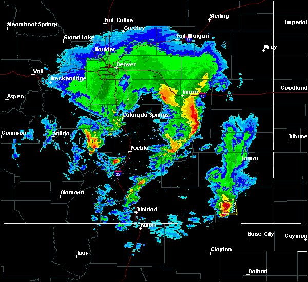 At 542 pm mdt, a cluster of severe thunderstorms was located 10 miles south of pritchett, or 20 miles southwest of springfield, moving east at 20 mph (radar indicated). Hazards include 60 mph wind gusts and quarter size hail. Hail damage to vehicles is expected. Expect wind damage to roofs, siding, and trees. At 542 pm mdt, a cluster of severe thunderstorms was located 10 miles south of pritchett, or 20 miles southwest of springfield, moving east at 20 mph (radar indicated). Hazards include 60 mph wind gusts and quarter size hail. Hail damage to vehicles is expected. Expect wind damage to roofs, siding, and trees.
|
| 8/8/2019 11:43 PM MDT |
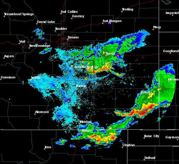 At 1143 pm mdt, a severe thunderstorm was located near springfield, moving southeast at 20 mph (radar indicated). Hazards include 60 mph wind gusts and quarter size hail. Hail damage to vehicles is expected. expect wind damage to roofs, siding, and trees. Locations impacted include, springfield. At 1143 pm mdt, a severe thunderstorm was located near springfield, moving southeast at 20 mph (radar indicated). Hazards include 60 mph wind gusts and quarter size hail. Hail damage to vehicles is expected. expect wind damage to roofs, siding, and trees. Locations impacted include, springfield.
|
| 8/8/2019 11:28 PM MDT |
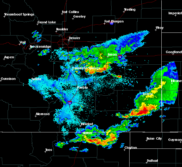 At 1128 pm mdt, a severe thunderstorm was located 9 miles southwest of two buttes reservoir, or 10 miles northwest of springfield, moving southeast at 20 mph (radar indicated). Hazards include 60 mph wind gusts and quarter size hail. Hail damage to vehicles is expected. Expect wind damage to roofs, siding, and trees. At 1128 pm mdt, a severe thunderstorm was located 9 miles southwest of two buttes reservoir, or 10 miles northwest of springfield, moving southeast at 20 mph (radar indicated). Hazards include 60 mph wind gusts and quarter size hail. Hail damage to vehicles is expected. Expect wind damage to roofs, siding, and trees.
|
| 8/8/2019 11:14 PM MDT |
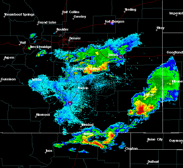 At 1113 pm mdt, a severe thunderstorm was located 7 miles southwest of two buttes reservoir, or 10 miles north of springfield, moving southeast at 40 mph (radar indicated). Hazards include 60 mph wind gusts and quarter size hail. Hail damage to vehicles is expected. expect wind damage to roofs, siding, and trees. Locations impacted include, springfield, two buttes and two buttes reservoir. At 1113 pm mdt, a severe thunderstorm was located 7 miles southwest of two buttes reservoir, or 10 miles north of springfield, moving southeast at 40 mph (radar indicated). Hazards include 60 mph wind gusts and quarter size hail. Hail damage to vehicles is expected. expect wind damage to roofs, siding, and trees. Locations impacted include, springfield, two buttes and two buttes reservoir.
|
| 8/8/2019 10:58 PM MDT |
 At 1058 pm mdt, a severe thunderstorm was located 11 miles west of two buttes reservoir, or 19 miles northwest of springfield, moving southeast at 40 mph (radar indicated). Hazards include 60 mph wind gusts and quarter size hail. Hail damage to vehicles is expected. Expect wind damage to roofs, siding, and trees. At 1058 pm mdt, a severe thunderstorm was located 11 miles west of two buttes reservoir, or 19 miles northwest of springfield, moving southeast at 40 mph (radar indicated). Hazards include 60 mph wind gusts and quarter size hail. Hail damage to vehicles is expected. Expect wind damage to roofs, siding, and trees.
|
| 7/1/2019 6:11 PM MDT | Asos station kspd 8 s springfiel in baca county CO, 8.3 miles N of Springfield, CO |
| 6/27/2019 4:10 PM MDT |
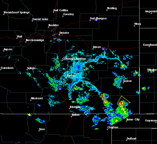 The severe thunderstorm warning for north central baca county will expire at 415 pm mdt, the storm which prompted the warning has weakened below severe limits, and no longer poses an immediate threat to life or property. therefore, the warning will be allowed to expire. however gusty winds are still possible with this thunderstorm. The severe thunderstorm warning for north central baca county will expire at 415 pm mdt, the storm which prompted the warning has weakened below severe limits, and no longer poses an immediate threat to life or property. therefore, the warning will be allowed to expire. however gusty winds are still possible with this thunderstorm.
|
| 6/27/2019 4:03 PM MDT |
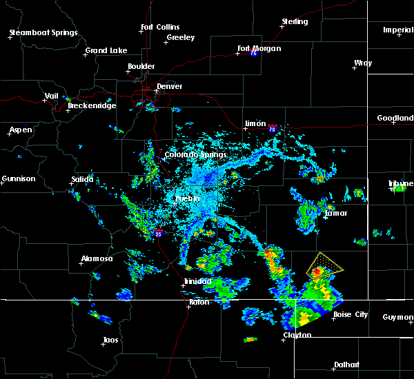 At 403 pm mdt, a severe thunderstorm was located near springfield, moving northeast at 20 mph (radar indicated). Hazards include 60 mph wind gusts and quarter size hail. Hail damage to vehicles is expected. expect wind damage to roofs, siding, and trees. Locations impacted include, springfield and vilas. At 403 pm mdt, a severe thunderstorm was located near springfield, moving northeast at 20 mph (radar indicated). Hazards include 60 mph wind gusts and quarter size hail. Hail damage to vehicles is expected. expect wind damage to roofs, siding, and trees. Locations impacted include, springfield and vilas.
|
| 6/27/2019 3:51 PM MDT |
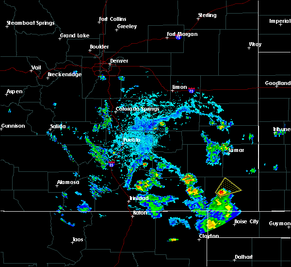 At 351 pm mdt, a severe thunderstorm was located near pritchett, or 8 miles west of springfield, moving northeast at 20 mph (radar indicated). Hazards include 60 mph wind gusts and half dollar size hail. Hail damage to vehicles is expected. Expect wind damage to roofs, siding, and trees. At 351 pm mdt, a severe thunderstorm was located near pritchett, or 8 miles west of springfield, moving northeast at 20 mph (radar indicated). Hazards include 60 mph wind gusts and half dollar size hail. Hail damage to vehicles is expected. Expect wind damage to roofs, siding, and trees.
|
| 6/22/2019 9:37 PM MDT |
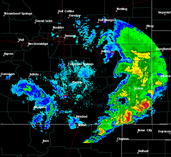 At 935 pm mdt, severe thunderstorms were located along a line extending from 6 miles south of two buttes to 13 miles northeast of kenton, moving east at 45 mph (radar indicated. at 917 pm a wind gust to 59 mph was reported 9 miles south of springfield). Hazards include 60 mph wind gusts and half dollar size hail. Hail damage to vehicles is expected. expect wind damage to roofs, siding, and trees. Locations impacted include, springfield, pritchett and vilas. At 935 pm mdt, severe thunderstorms were located along a line extending from 6 miles south of two buttes to 13 miles northeast of kenton, moving east at 45 mph (radar indicated. at 917 pm a wind gust to 59 mph was reported 9 miles south of springfield). Hazards include 60 mph wind gusts and half dollar size hail. Hail damage to vehicles is expected. expect wind damage to roofs, siding, and trees. Locations impacted include, springfield, pritchett and vilas.
|
| 6/22/2019 9:22 PM MDT |
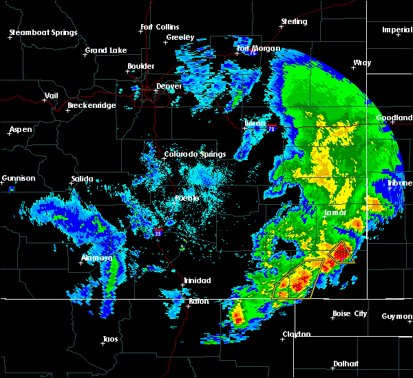 At 921 pm mdt, severe thunderstorms were located along a line extending from near springfield to 15 miles north of kenton, moving east at 45 mph (radar indicated). Hazards include 60 mph wind gusts and half dollar size hail. Hail damage to vehicles is expected. Expect wind damage to roofs, siding, and trees. At 921 pm mdt, severe thunderstorms were located along a line extending from near springfield to 15 miles north of kenton, moving east at 45 mph (radar indicated). Hazards include 60 mph wind gusts and half dollar size hail. Hail damage to vehicles is expected. Expect wind damage to roofs, siding, and trees.
|
| 6/22/2019 9:17 PM MDT | Corrects previous tstm wnd gst report from 9 s springfield. asos station ksp in baca county CO, 8.3 miles N of Springfield, CO |
| 6/3/2019 4:37 PM MDT |
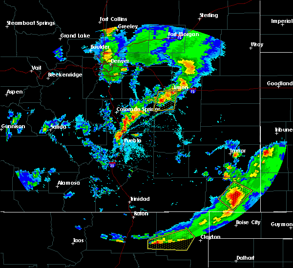 At 437 pm mdt, a severe thunderstorm was located near vilas, or 8 miles southeast of springfield, moving northeast at 40 mph (radar indicated). Hazards include ping pong ball size hail and 60 mph wind gusts. People and animals outdoors will be injured. expect hail damage to roofs, siding, windows, and vehicles. expect wind damage to roofs, siding, and trees. Locations impacted include, walsh, vilas and campo. At 437 pm mdt, a severe thunderstorm was located near vilas, or 8 miles southeast of springfield, moving northeast at 40 mph (radar indicated). Hazards include ping pong ball size hail and 60 mph wind gusts. People and animals outdoors will be injured. expect hail damage to roofs, siding, windows, and vehicles. expect wind damage to roofs, siding, and trees. Locations impacted include, walsh, vilas and campo.
|
| 6/3/2019 4:33 PM MDT |
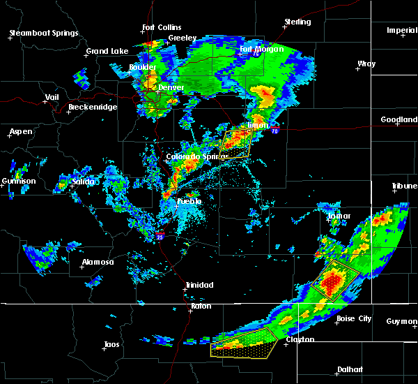 At 432 pm mdt, a severe thunderstorm was located 8 miles south of springfield, moving northeast at 30 mph (radar indicated). Hazards include ping pong ball size hail and 60 mph wind gusts. People and animals outdoors will be injured. expect hail damage to roofs, siding, windows, and vehicles. expect wind damage to roofs, siding, and trees. Locations impacted include, walsh, vilas and campo. At 432 pm mdt, a severe thunderstorm was located 8 miles south of springfield, moving northeast at 30 mph (radar indicated). Hazards include ping pong ball size hail and 60 mph wind gusts. People and animals outdoors will be injured. expect hail damage to roofs, siding, windows, and vehicles. expect wind damage to roofs, siding, and trees. Locations impacted include, walsh, vilas and campo.
|
| 6/3/2019 4:32 PM MDT | Quarter sized hail reported 9.7 miles N of Springfield, CO |
| 6/3/2019 4:30 PM MDT | Quarter sized hail reported 8.3 miles N of Springfield, CO |
| 6/3/2019 4:27 PM MDT |
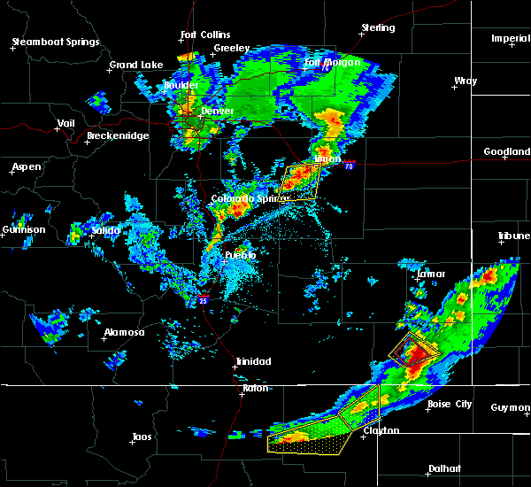 At 427 pm mdt, a severe thunderstorm was located 10 miles north of campo, or 11 miles south of springfield, moving northeast at 30 mph (radar indicated). Hazards include ping pong ball size hail and 60 mph wind gusts. People and animals outdoors will be injured. expect hail damage to roofs, siding, windows, and vehicles. Expect wind damage to roofs, siding, and trees. At 427 pm mdt, a severe thunderstorm was located 10 miles north of campo, or 11 miles south of springfield, moving northeast at 30 mph (radar indicated). Hazards include ping pong ball size hail and 60 mph wind gusts. People and animals outdoors will be injured. expect hail damage to roofs, siding, windows, and vehicles. Expect wind damage to roofs, siding, and trees.
|
| 6/3/2019 4:18 PM MDT |
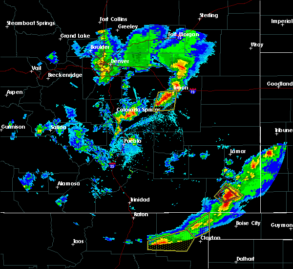 At 417 pm mdt, a severe thunderstorm capable of producing a tornado was located 7 miles southwest of springfield, moving east at 15 mph (the public reported a funnel cloud). Hazards include tornado and golf ball size hail. Flying debris will be dangerous to those caught without shelter. mobile homes will be damaged or destroyed. damage to roofs, windows, and vehicles will occur. tree damage is likely. Locations impacted include, springfield. At 417 pm mdt, a severe thunderstorm capable of producing a tornado was located 7 miles southwest of springfield, moving east at 15 mph (the public reported a funnel cloud). Hazards include tornado and golf ball size hail. Flying debris will be dangerous to those caught without shelter. mobile homes will be damaged or destroyed. damage to roofs, windows, and vehicles will occur. tree damage is likely. Locations impacted include, springfield.
|
| 6/3/2019 4:07 PM MDT |
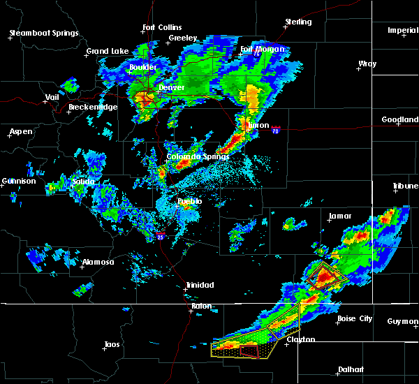 At 407 pm mdt, a severe thunderstorm capable of producing a tornado was located 8 miles southeast of pritchett, or 8 miles southwest of springfield, moving east at 20 mph (radar indicated rotation). Hazards include tornado and two inch hail. Flying debris will be dangerous to those caught without shelter. mobile homes will be damaged or destroyed. damage to roofs, windows, and vehicles will occur. tree damage is likely. Locations impacted include, springfield. At 407 pm mdt, a severe thunderstorm capable of producing a tornado was located 8 miles southeast of pritchett, or 8 miles southwest of springfield, moving east at 20 mph (radar indicated rotation). Hazards include tornado and two inch hail. Flying debris will be dangerous to those caught without shelter. mobile homes will be damaged or destroyed. damage to roofs, windows, and vehicles will occur. tree damage is likely. Locations impacted include, springfield.
|
| 6/3/2019 4:02 PM MDT |
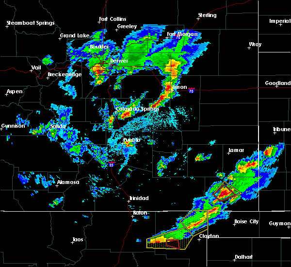 At 355 pm mdt, a severe thunderstorm capable of producing a tornado was located 7 miles southeast of pritchett, or 12 miles southwest of springfield, moving east at 10 mph (radar indicated rotation). Hazards include tornado and golf ball size hail. Flying debris will be dangerous to those caught without shelter. mobile homes will be damaged or destroyed. damage to roofs, windows, and vehicles will occur. tree damage is likely. This tornadic thunderstorm will remain over mainly rural areas of west central baca county. At 355 pm mdt, a severe thunderstorm capable of producing a tornado was located 7 miles southeast of pritchett, or 12 miles southwest of springfield, moving east at 10 mph (radar indicated rotation). Hazards include tornado and golf ball size hail. Flying debris will be dangerous to those caught without shelter. mobile homes will be damaged or destroyed. damage to roofs, windows, and vehicles will occur. tree damage is likely. This tornadic thunderstorm will remain over mainly rural areas of west central baca county.
|
| 6/3/2019 3:55 PM MDT |
 At 355 pm mdt, a severe thunderstorm capable of producing a tornado was located 7 miles southeast of pritchett, or 12 miles southwest of springfield, moving east at 10 mph (radar indicated rotation). Hazards include tornado and golf ball size hail. Flying debris will be dangerous to those caught without shelter. mobile homes will be damaged or destroyed. damage to roofs, windows, and vehicles will occur. tree damage is likely. This tornadic thunderstorm will remain over mainly rural areas of west central baca county. At 355 pm mdt, a severe thunderstorm capable of producing a tornado was located 7 miles southeast of pritchett, or 12 miles southwest of springfield, moving east at 10 mph (radar indicated rotation). Hazards include tornado and golf ball size hail. Flying debris will be dangerous to those caught without shelter. mobile homes will be damaged or destroyed. damage to roofs, windows, and vehicles will occur. tree damage is likely. This tornadic thunderstorm will remain over mainly rural areas of west central baca county.
|
| 6/3/2019 3:53 PM MDT |
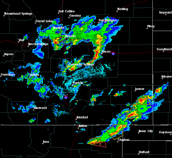 At 353 pm mdt, a severe thunderstorm was located 7 miles southeast of pritchett, or 10 miles southwest of springfield, moving northeast at 10 mph (radar indicated). Hazards include 60 mph wind gusts and half dollar size hail. Hail damage to vehicles is expected. Expect wind damage to roofs, siding, and trees. At 353 pm mdt, a severe thunderstorm was located 7 miles southeast of pritchett, or 10 miles southwest of springfield, moving northeast at 10 mph (radar indicated). Hazards include 60 mph wind gusts and half dollar size hail. Hail damage to vehicles is expected. Expect wind damage to roofs, siding, and trees.
|
| 5/26/2019 1:22 PM MDT | Ping Pong Ball sized hail reported 7.5 miles W of Springfield, CO |
| 5/26/2019 1:13 PM MDT | Half Dollar sized hail reported 0.7 miles SSW of Springfield, CO |
| 5/26/2019 1:12 PM MDT |
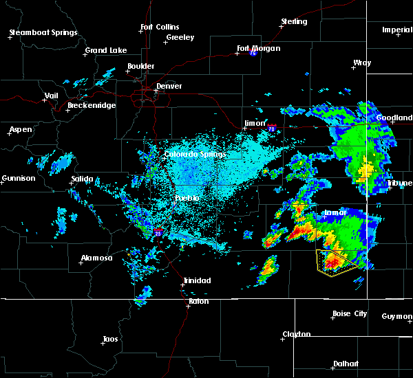 At 112 pm mdt, a severe thunderstorm was located near springfield, moving northeast at 30 mph. there was 1.25 inch hail reported in springfield, colorado (trained weather spotters). Hazards include two inch hail and 60 mph wind gusts. People and animals outdoors will be injured. expect hail damage to roofs, siding, windows, and vehicles. Expect wind damage to roofs, siding, and trees. At 112 pm mdt, a severe thunderstorm was located near springfield, moving northeast at 30 mph. there was 1.25 inch hail reported in springfield, colorado (trained weather spotters). Hazards include two inch hail and 60 mph wind gusts. People and animals outdoors will be injured. expect hail damage to roofs, siding, windows, and vehicles. Expect wind damage to roofs, siding, and trees.
|
| 5/26/2019 1:10 PM MDT | Quarter sized hail reported 0.7 miles SSW of Springfield, CO, street flooding to six inch depth. |
| 5/26/2019 1:10 PM MDT | Tennis Ball sized hail reported 0.7 miles SSW of Springfield, CO, . |
| 5/26/2019 1:08 PM MDT | Half Dollar sized hail reported 1.4 miles N of Springfield, CO |
| 5/26/2019 1:07 PM MDT | Half Dollar sized hail reported 1.6 miles SSE of Springfield, CO |
| 5/26/2019 1:06 PM MDT |
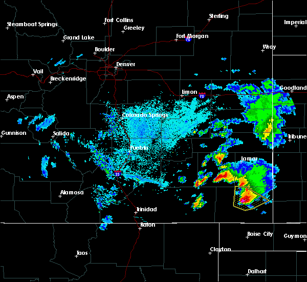 At 105 pm mdt, a severe thunderstorm was located near springfield, moving northeast at 45 mph. storm chasers reported 1.25 inch hail in springfield, colorado (trained weather spotters). Hazards include two inch hail and 60 mph wind gusts. People and animals outdoors will be injured. expect hail damage to roofs, siding, windows, and vehicles. expect wind damage to roofs, siding, and trees. Locations impacted include, springfield, walsh, vilas, two buttes and two buttes reservoir. At 105 pm mdt, a severe thunderstorm was located near springfield, moving northeast at 45 mph. storm chasers reported 1.25 inch hail in springfield, colorado (trained weather spotters). Hazards include two inch hail and 60 mph wind gusts. People and animals outdoors will be injured. expect hail damage to roofs, siding, windows, and vehicles. expect wind damage to roofs, siding, and trees. Locations impacted include, springfield, walsh, vilas, two buttes and two buttes reservoir.
|
| 5/26/2019 1:01 PM MDT | Quarter sized hail reported 1.4 miles N of Springfield, CO |
| 5/26/2019 1:00 PM MDT |
 At 100 pm mdt, a severe thunderstorm was located near springfield, moving northeast at 30 mph (radar indicated). Hazards include two inch hail and 60 mph wind gusts. People and animals outdoors will be injured. expect hail damage to roofs, siding, windows, and vehicles. expect wind damage to roofs, siding, and trees. Locations impacted include, springfield, walsh, vilas, two buttes and two buttes reservoir. At 100 pm mdt, a severe thunderstorm was located near springfield, moving northeast at 30 mph (radar indicated). Hazards include two inch hail and 60 mph wind gusts. People and animals outdoors will be injured. expect hail damage to roofs, siding, windows, and vehicles. expect wind damage to roofs, siding, and trees. Locations impacted include, springfield, walsh, vilas, two buttes and two buttes reservoir.
|
| 5/26/2019 12:59 PM MDT | Half Dollar sized hail reported 0.7 miles SSE of Springfield, CO |
| 5/26/2019 12:55 PM MDT | Tennis Ball sized hail reported 0.7 miles SSW of Springfield, CO |
| 5/26/2019 12:54 PM MDT |
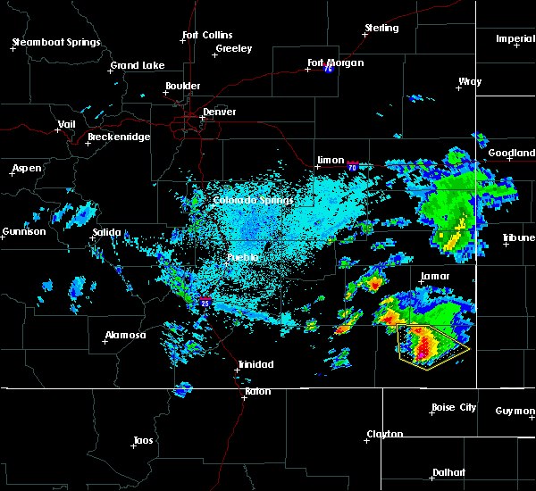 At 1253 pm mdt, a severe thunderstorm was located near springfield, moving northeast at 45 mph (radar indicated). Hazards include golf ball size hail and 60 mph wind gusts. People and animals outdoors will be injured. expect hail damage to roofs, siding, windows, and vehicles. expect wind damage to roofs, siding, and trees. Locations impacted include, springfield, walsh, vilas, two buttes and two buttes reservoir. At 1253 pm mdt, a severe thunderstorm was located near springfield, moving northeast at 45 mph (radar indicated). Hazards include golf ball size hail and 60 mph wind gusts. People and animals outdoors will be injured. expect hail damage to roofs, siding, windows, and vehicles. expect wind damage to roofs, siding, and trees. Locations impacted include, springfield, walsh, vilas, two buttes and two buttes reservoir.
|
| 5/26/2019 12:43 PM MDT |
 At 1243 pm mdt, a severe thunderstorm was located 10 miles south of springfield, moving northeast at 45 mph (radar indicated). Hazards include 60 mph wind gusts and half dollar size hail. Hail damage to vehicles is expected. Expect wind damage to roofs, siding, and trees. At 1243 pm mdt, a severe thunderstorm was located 10 miles south of springfield, moving northeast at 45 mph (radar indicated). Hazards include 60 mph wind gusts and half dollar size hail. Hail damage to vehicles is expected. Expect wind damage to roofs, siding, and trees.
|
| 5/25/2019 4:24 PM MDT |
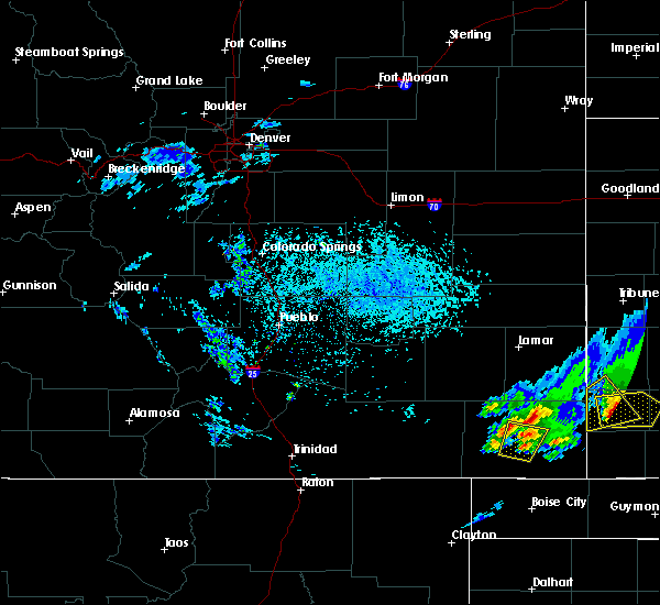 The severe thunderstorm warning for central baca county will expire at 430 pm mdt, the storm which prompted the warning has weakened below severe limits, and no longer poses an immediate threat to life or property. therefore, the warning will be allowed to expire. a severe thunderstorm watch remains in effect until 900 pm mdt for southeastern colorado. The severe thunderstorm warning for central baca county will expire at 430 pm mdt, the storm which prompted the warning has weakened below severe limits, and no longer poses an immediate threat to life or property. therefore, the warning will be allowed to expire. a severe thunderstorm watch remains in effect until 900 pm mdt for southeastern colorado.
|
| 5/25/2019 4:17 PM MDT |
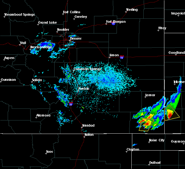 At 417 pm mdt, a severe thunderstorm was located 7 miles south of springfield, moving north at 45 mph (radar indicated). Hazards include 60 mph wind gusts and quarter size hail. Hail damage to vehicles is expected. expect wind damage to roofs, siding, and trees. Locations impacted include, springfield and vilas. At 417 pm mdt, a severe thunderstorm was located 7 miles south of springfield, moving north at 45 mph (radar indicated). Hazards include 60 mph wind gusts and quarter size hail. Hail damage to vehicles is expected. expect wind damage to roofs, siding, and trees. Locations impacted include, springfield and vilas.
|
| 5/25/2019 4:03 PM MDT |
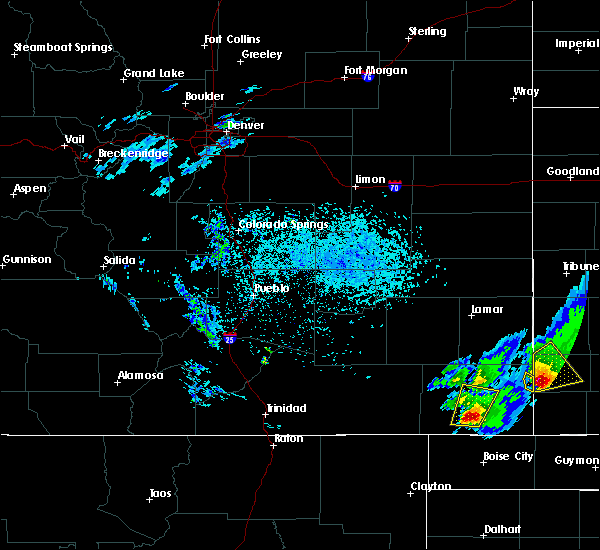 At 403 pm mdt, a severe thunderstorm was located near campo, or 18 miles south of springfield, moving north at 45 mph (radar indicated). Hazards include 60 mph wind gusts and quarter size hail. Hail damage to vehicles is expected. expect wind damage to roofs, siding, and trees. Locations impacted include, springfield, vilas and campo. At 403 pm mdt, a severe thunderstorm was located near campo, or 18 miles south of springfield, moving north at 45 mph (radar indicated). Hazards include 60 mph wind gusts and quarter size hail. Hail damage to vehicles is expected. expect wind damage to roofs, siding, and trees. Locations impacted include, springfield, vilas and campo.
|
| 5/25/2019 3:52 PM MDT |
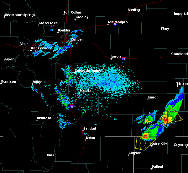 At 352 pm mdt, a severe thunderstorm was located 9 miles southwest of campo, or 22 miles northwest of boise city, moving north at 45 mph (radar indicated). Hazards include 60 mph wind gusts and quarter size hail. Hail damage to vehicles is expected. Expect wind damage to roofs, siding, and trees. At 352 pm mdt, a severe thunderstorm was located 9 miles southwest of campo, or 22 miles northwest of boise city, moving north at 45 mph (radar indicated). Hazards include 60 mph wind gusts and quarter size hail. Hail damage to vehicles is expected. Expect wind damage to roofs, siding, and trees.
|
| 5/6/2019 5:44 PM MDT |
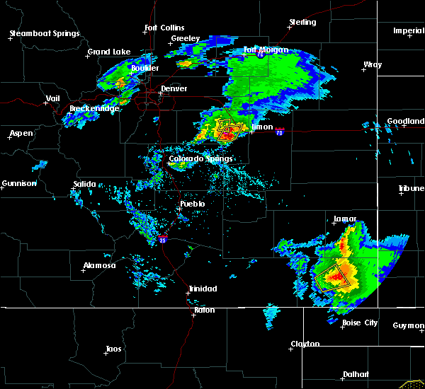 The national weather service in pueblo has issued a * severe thunderstorm warning for. central baca county in southeastern colorado. until 630 pm mdt. At 543 pm mdt, a severe thunderstorm was located near springfield, moving east at 20 mph. The national weather service in pueblo has issued a * severe thunderstorm warning for. central baca county in southeastern colorado. until 630 pm mdt. At 543 pm mdt, a severe thunderstorm was located near springfield, moving east at 20 mph.
|
| 5/6/2019 5:29 PM MDT | Kspd aso in baca county CO, 6.9 miles N of Springfield, CO |
| 5/6/2019 5:29 PM MDT |
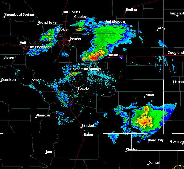 At 528 pm mdt, a severe thunderstorm was located near springfield, moving east at 40 mph (trained weather spotters reported a 69 mph wind gust 7 miles south of springfield). Hazards include 70 mph wind gusts and quarter size hail. Hail damage to vehicles is expected. expect considerable tree damage. wind damage is also likely to mobile homes, roofs, and outbuildings. Locations impacted include, springfield and pritchett. At 528 pm mdt, a severe thunderstorm was located near springfield, moving east at 40 mph (trained weather spotters reported a 69 mph wind gust 7 miles south of springfield). Hazards include 70 mph wind gusts and quarter size hail. Hail damage to vehicles is expected. expect considerable tree damage. wind damage is also likely to mobile homes, roofs, and outbuildings. Locations impacted include, springfield and pritchett.
|
| 5/6/2019 5:25 PM MDT | Storm damage reported in baca county CO, 6.2 miles N of Springfield, CO |
| 5/6/2019 5:17 PM MDT |
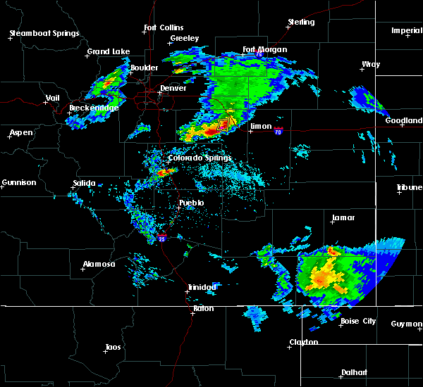 At 516 pm mdt, a severe thunderstorm was located near pritchett, or 10 miles southwest of springfield, moving northeast at 20 mph (radar indicated). Hazards include 60 mph wind gusts and quarter size hail. Hail damage to vehicles is expected. Expect wind damage to roofs, siding, and trees. At 516 pm mdt, a severe thunderstorm was located near pritchett, or 10 miles southwest of springfield, moving northeast at 20 mph (radar indicated). Hazards include 60 mph wind gusts and quarter size hail. Hail damage to vehicles is expected. Expect wind damage to roofs, siding, and trees.
|
| 5/4/2019 3:26 PM MDT |
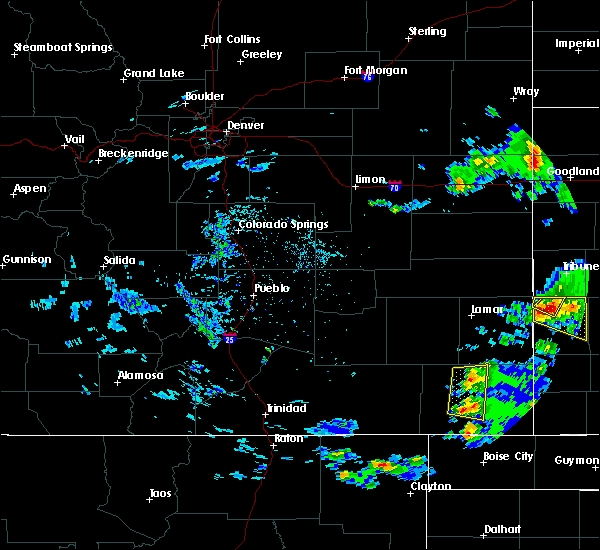 The severe thunderstorm warning for central baca county will expire at 330 pm mdt, the storms which prompted the warning have weakened below severe limits, and no longer pose an immediate threat to life or property. therefore, the warning will be allowed to expire. however small hail and gusty winds are still possible with these thunderstorms. to report severe weather, contact your nearest law enforcement agency. they will relay your report to the national weather service pueblo. The severe thunderstorm warning for central baca county will expire at 330 pm mdt, the storms which prompted the warning have weakened below severe limits, and no longer pose an immediate threat to life or property. therefore, the warning will be allowed to expire. however small hail and gusty winds are still possible with these thunderstorms. to report severe weather, contact your nearest law enforcement agency. they will relay your report to the national weather service pueblo.
|
| 5/4/2019 3:10 PM MDT |
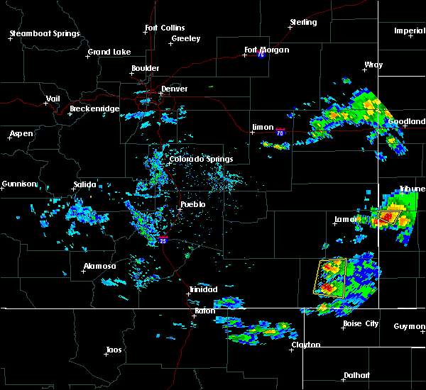 At 310 pm mdt, severe thunderstorms were located along a line extending from 9 miles northwest of springfield to 10 miles southeast of pritchett, moving east at 10 mph (radar indicated). Hazards include ping pong ball size hail and 60 mph wind gusts. People and animals outdoors will be injured. expect hail damage to roofs, siding, windows, and vehicles. expect wind damage to roofs, siding, and trees. Locations impacted include, springfield and two buttes reservoir. At 310 pm mdt, severe thunderstorms were located along a line extending from 9 miles northwest of springfield to 10 miles southeast of pritchett, moving east at 10 mph (radar indicated). Hazards include ping pong ball size hail and 60 mph wind gusts. People and animals outdoors will be injured. expect hail damage to roofs, siding, windows, and vehicles. expect wind damage to roofs, siding, and trees. Locations impacted include, springfield and two buttes reservoir.
|
| 5/4/2019 2:53 PM MDT |
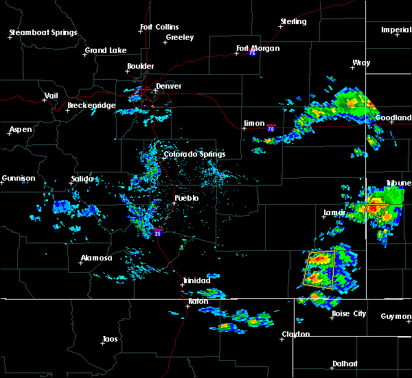 At 252 pm mdt, severe thunderstorms were located along a line extending from 9 miles northwest of springfield to 9 miles southeast of pritchett, moving east at 10 mph (radar indicated). Hazards include ping pong ball size hail and 60 mph wind gusts. People and animals outdoors will be injured. expect hail damage to roofs, siding, windows, and vehicles. expect wind damage to roofs, siding, and trees. Locations impacted include, springfield and two buttes reservoir. At 252 pm mdt, severe thunderstorms were located along a line extending from 9 miles northwest of springfield to 9 miles southeast of pritchett, moving east at 10 mph (radar indicated). Hazards include ping pong ball size hail and 60 mph wind gusts. People and animals outdoors will be injured. expect hail damage to roofs, siding, windows, and vehicles. expect wind damage to roofs, siding, and trees. Locations impacted include, springfield and two buttes reservoir.
|
| 5/4/2019 2:43 PM MDT |
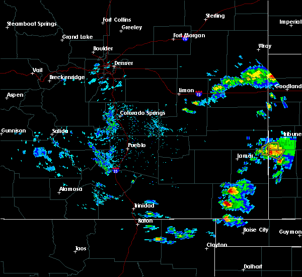 At 243 pm mdt, severe thunderstorms were located along a line extending from 10 miles northwest of springfield to 8 miles southeast of pritchett, moving east at 10 mph (radar indicated). Hazards include ping pong ball size hail and 60 mph wind gusts. People and animals outdoors will be injured. expect hail damage to roofs, siding, windows, and vehicles. Expect wind damage to roofs, siding, and trees. At 243 pm mdt, severe thunderstorms were located along a line extending from 10 miles northwest of springfield to 8 miles southeast of pritchett, moving east at 10 mph (radar indicated). Hazards include ping pong ball size hail and 60 mph wind gusts. People and animals outdoors will be injured. expect hail damage to roofs, siding, windows, and vehicles. Expect wind damage to roofs, siding, and trees.
|
| 8/21/2018 6:06 PM MDT |
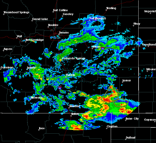 At 606 pm mdt, a severe thunderstorm was located 8 miles south of springfield, moving north at 20 mph (radar indicated). Hazards include 60 mph wind gusts and quarter size hail. Hail damage to vehicles is expected. expect wind damage to roofs, siding, and trees. Locations impacted include, springfield and vilas. At 606 pm mdt, a severe thunderstorm was located 8 miles south of springfield, moving north at 20 mph (radar indicated). Hazards include 60 mph wind gusts and quarter size hail. Hail damage to vehicles is expected. expect wind damage to roofs, siding, and trees. Locations impacted include, springfield and vilas.
|
| 8/21/2018 5:53 PM MDT |
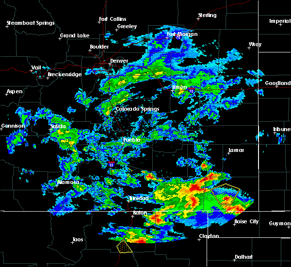 At 552 pm mdt, a severe thunderstorm was located 10 miles northwest of campo, or 12 miles south of springfield, moving north at 20 mph (radar indicated). Hazards include 60 mph wind gusts and quarter size hail. Hail damage to vehicles is expected. expect wind damage to roofs, siding, and trees. Locations impacted include, springfield, pritchett and vilas. At 552 pm mdt, a severe thunderstorm was located 10 miles northwest of campo, or 12 miles south of springfield, moving north at 20 mph (radar indicated). Hazards include 60 mph wind gusts and quarter size hail. Hail damage to vehicles is expected. expect wind damage to roofs, siding, and trees. Locations impacted include, springfield, pritchett and vilas.
|
| 8/21/2018 5:38 PM MDT |
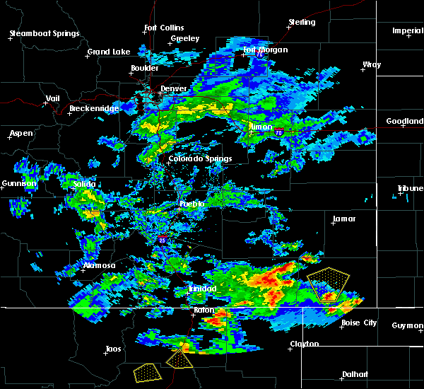 At 537 pm mdt, a severe thunderstorm was located near campo, or 17 miles south of springfield, moving north at 20 mph (radar indicated). Hazards include 60 mph wind gusts and quarter size hail. Hail damage to vehicles is expected. Expect wind damage to roofs, siding, and trees. At 537 pm mdt, a severe thunderstorm was located near campo, or 17 miles south of springfield, moving north at 20 mph (radar indicated). Hazards include 60 mph wind gusts and quarter size hail. Hail damage to vehicles is expected. Expect wind damage to roofs, siding, and trees.
|
| 7/29/2018 10:02 PM MDT |
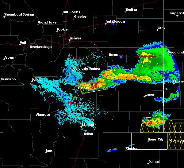 At 1001 pm mdt, a severe thunderstorm was located near vilas, or 11 miles southeast of springfield, moving south at 30 mph (radar indicated). Hazards include golf ball size hail and 60 mph wind gusts. People and animals outdoors will be injured. expect hail damage to roofs, siding, windows, and vehicles. expect wind damage to roofs, siding, and trees. Locations impacted include, vilas, campo and stonington. At 1001 pm mdt, a severe thunderstorm was located near vilas, or 11 miles southeast of springfield, moving south at 30 mph (radar indicated). Hazards include golf ball size hail and 60 mph wind gusts. People and animals outdoors will be injured. expect hail damage to roofs, siding, windows, and vehicles. expect wind damage to roofs, siding, and trees. Locations impacted include, vilas, campo and stonington.
|
| 7/29/2018 9:54 PM MDT |
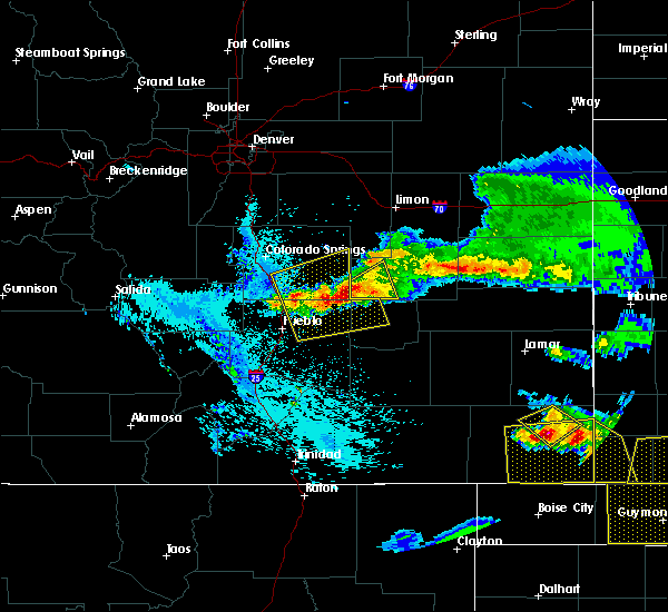 At 953 pm mdt, a severe thunderstorm was located over vilas, or 10 miles east of springfield, moving southeast at 45 mph (radar indicated). Hazards include 60 mph wind gusts and quarter size hail. Hail damage to vehicles is expected. Expect wind damage to roofs, siding, and trees. At 953 pm mdt, a severe thunderstorm was located over vilas, or 10 miles east of springfield, moving southeast at 45 mph (radar indicated). Hazards include 60 mph wind gusts and quarter size hail. Hail damage to vehicles is expected. Expect wind damage to roofs, siding, and trees.
|
| 7/22/2018 10:07 PM MDT |
 At 1007 pm mdt, a severe thunderstorm was located 8 miles south of vilas, or 16 miles southeast of springfield, moving east at 20 mph (radar indicated). Hazards include 60 mph wind gusts. Expect damage to roofs, siding, and trees. Locations impacted include, springfield, walsh, pritchett, vilas, campo, two buttes and stonington. At 1007 pm mdt, a severe thunderstorm was located 8 miles south of vilas, or 16 miles southeast of springfield, moving east at 20 mph (radar indicated). Hazards include 60 mph wind gusts. Expect damage to roofs, siding, and trees. Locations impacted include, springfield, walsh, pritchett, vilas, campo, two buttes and stonington.
|
| 7/22/2018 9:49 PM MDT |
 At 948 pm mdt, a severe thunderstorm was located 8 miles southwest of vilas, or 11 miles southeast of springfield, moving east at 25 mph (radar indicated). Hazards include 60 mph wind gusts and nickel size hail. Expect damage to roofs, siding, and trees. Locations impacted include, springfield, walsh, pritchett, vilas, campo, two buttes and stonington. At 948 pm mdt, a severe thunderstorm was located 8 miles southwest of vilas, or 11 miles southeast of springfield, moving east at 25 mph (radar indicated). Hazards include 60 mph wind gusts and nickel size hail. Expect damage to roofs, siding, and trees. Locations impacted include, springfield, walsh, pritchett, vilas, campo, two buttes and stonington.
|
| 7/22/2018 9:33 PM MDT |
 At 933 pm mdt, a severe thunderstorm was located 10 miles south of springfield, moving east at 20 mph (radar indicated). Hazards include 60 mph wind gusts and nickel size hail. Expect damage to roofs, siding, and trees. Locations impacted include, springfield, walsh, pritchett, vilas, campo, two buttes and stonington. At 933 pm mdt, a severe thunderstorm was located 10 miles south of springfield, moving east at 20 mph (radar indicated). Hazards include 60 mph wind gusts and nickel size hail. Expect damage to roofs, siding, and trees. Locations impacted include, springfield, walsh, pritchett, vilas, campo, two buttes and stonington.
|
| 7/22/2018 9:28 PM MDT |
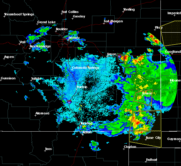 At 927 pm mdt, a severe thunderstorm was located 10 miles south of springfield, moving east at 20 mph (radar indicated). Hazards include 60 mph wind gusts. expect damage to roofs, siding, and trees At 927 pm mdt, a severe thunderstorm was located 10 miles south of springfield, moving east at 20 mph (radar indicated). Hazards include 60 mph wind gusts. expect damage to roofs, siding, and trees
|
| 7/22/2018 9:20 PM MDT |
 At 920 pm mdt, a severe thunderstorm was located 10 miles southeast of pritchett, or 11 miles southwest of springfield, moving east at 25 mph (radar indicated). Hazards include 60 mph wind gusts. Expect damage to roofs, siding, and trees. Locations impacted include, springfield, walsh, pritchett, vilas, campo, two buttes and stonington. At 920 pm mdt, a severe thunderstorm was located 10 miles southeast of pritchett, or 11 miles southwest of springfield, moving east at 25 mph (radar indicated). Hazards include 60 mph wind gusts. Expect damage to roofs, siding, and trees. Locations impacted include, springfield, walsh, pritchett, vilas, campo, two buttes and stonington.
|
| 7/22/2018 9:04 PM MDT |
 At 903 pm mdt, a severe thunderstorm was located 7 miles south of pritchett, or 15 miles southwest of springfield, moving east at 25 mph (radar indicated, springfield asos report). Hazards include 60 mph wind gusts. expect damage to roofs, siding, and trees At 903 pm mdt, a severe thunderstorm was located 7 miles south of pritchett, or 15 miles southwest of springfield, moving east at 25 mph (radar indicated, springfield asos report). Hazards include 60 mph wind gusts. expect damage to roofs, siding, and trees
|
| 6/22/2018 4:33 PM MDT | Quarter sized hail reported 0.7 miles SSE of Springfield, CO |
| 6/22/2018 4:30 PM MDT |
 The national weather service in pueblo has issued a * severe thunderstorm warning for. northeastern baca county in southeastern colorado. until 515 pm mdt. At 429 pm mdt, a severe thunderstorm was located over springfield, moving east at 30 mph. The national weather service in pueblo has issued a * severe thunderstorm warning for. northeastern baca county in southeastern colorado. until 515 pm mdt. At 429 pm mdt, a severe thunderstorm was located over springfield, moving east at 30 mph.
|
| 6/22/2018 3:54 PM MDT |
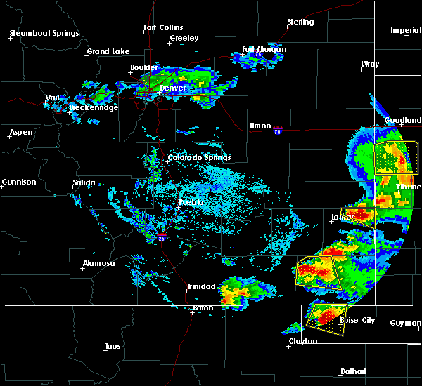 At 354 pm mdt, a severe thunderstorm was located near pritchett, or 12 miles west of springfield, moving east at 20 mph (radar indicated). Hazards include 70 mph wind gusts and half dollar size hail. Hail damage to vehicles is expected. expect considerable tree damage. wind damage is also likely to mobile homes, roofs, and outbuildings. Locations impacted include, springfield and pritchett. At 354 pm mdt, a severe thunderstorm was located near pritchett, or 12 miles west of springfield, moving east at 20 mph (radar indicated). Hazards include 70 mph wind gusts and half dollar size hail. Hail damage to vehicles is expected. expect considerable tree damage. wind damage is also likely to mobile homes, roofs, and outbuildings. Locations impacted include, springfield and pritchett.
|
| 6/22/2018 3:40 PM MDT |
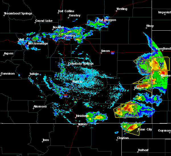 At 339 pm mdt, a severe thunderstorm was located 8 miles northwest of pritchett, or 17 miles west of springfield, moving east at 20 mph. other strong to severe thunderstorms were noted over extreme western las animas county (radar indicated). Hazards include 70 mph wind gusts and half dollar size hail. Hail damage to vehicles is expected. expect considerable tree damage. Wind damage is also likely to mobile homes, roofs, and outbuildings. At 339 pm mdt, a severe thunderstorm was located 8 miles northwest of pritchett, or 17 miles west of springfield, moving east at 20 mph. other strong to severe thunderstorms were noted over extreme western las animas county (radar indicated). Hazards include 70 mph wind gusts and half dollar size hail. Hail damage to vehicles is expected. expect considerable tree damage. Wind damage is also likely to mobile homes, roofs, and outbuildings.
|
| 6/22/2018 3:20 PM MDT |
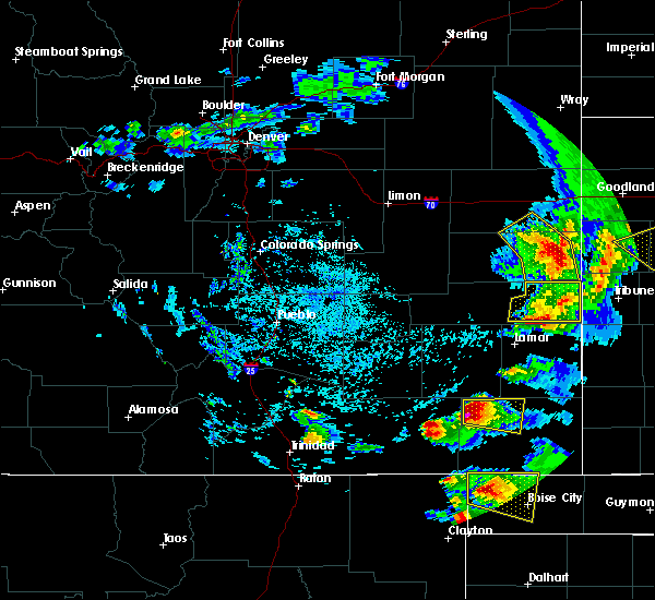 At 320 pm mdt, a severe thunderstorm was located 13 miles northwest of pritchett, or 22 miles west of springfield, moving east at 25 mph (radar indicated). Hazards include 60 mph wind gusts and half dollar size hail. Hail damage to vehicles is expected. Expect wind damage to roofs, siding, and trees. At 320 pm mdt, a severe thunderstorm was located 13 miles northwest of pritchett, or 22 miles west of springfield, moving east at 25 mph (radar indicated). Hazards include 60 mph wind gusts and half dollar size hail. Hail damage to vehicles is expected. Expect wind damage to roofs, siding, and trees.
|
| 6/19/2018 10:52 PM MDT |
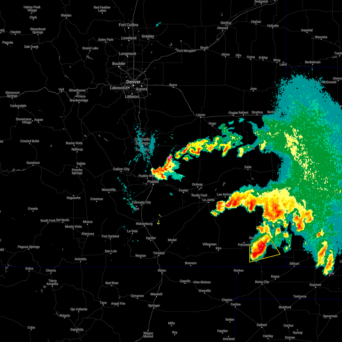 At 1052 pm mdt, a severe thunderstorm was located 8 miles southwest of vilas, or 10 miles southeast of springfield, moving east at 25 mph (radar indicated). Hazards include 60 mph wind gusts and quarter size hail. Hail damage to vehicles is expected. expect wind damage to roofs, siding, and trees. Locations impacted include, vilas and campo. At 1052 pm mdt, a severe thunderstorm was located 8 miles southwest of vilas, or 10 miles southeast of springfield, moving east at 25 mph (radar indicated). Hazards include 60 mph wind gusts and quarter size hail. Hail damage to vehicles is expected. expect wind damage to roofs, siding, and trees. Locations impacted include, vilas and campo.
|
| 6/19/2018 10:42 PM MDT |
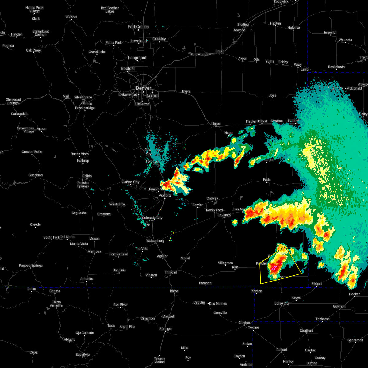 At 1041 pm mdt, a severe thunderstorm was located 9 miles south of springfield, moving east at 20 mph (radar indicated). Hazards include ping pong ball size hail and 60 mph wind gusts. People and animals outdoors will be injured. expect hail damage to roofs, siding, windows, and vehicles. expect wind damage to roofs, siding, and trees. Locations impacted include, springfield, pritchett, vilas and campo. At 1041 pm mdt, a severe thunderstorm was located 9 miles south of springfield, moving east at 20 mph (radar indicated). Hazards include ping pong ball size hail and 60 mph wind gusts. People and animals outdoors will be injured. expect hail damage to roofs, siding, windows, and vehicles. expect wind damage to roofs, siding, and trees. Locations impacted include, springfield, pritchett, vilas and campo.
|
| 6/19/2018 10:37 PM MDT |
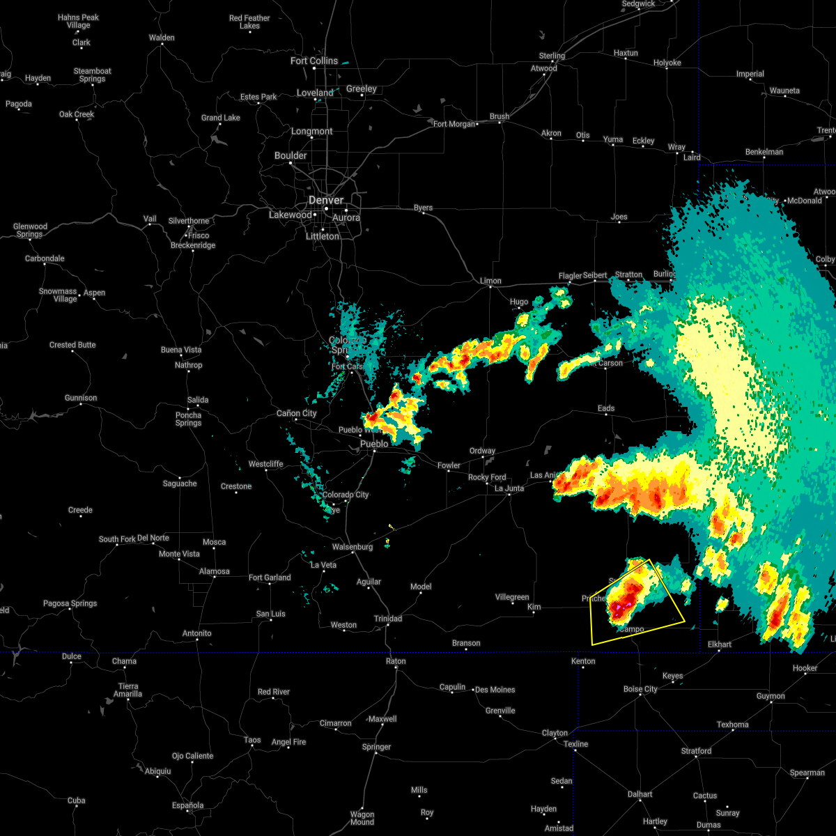 At 1035 pm mdt, a severe thunderstorm was located 7 miles south of springfield, moving east at 25 mph (public). Hazards include quarter size hail. Damage to vehicles is expected. locations impacted include, springfield, pritchett, vilas and campo. The quarter size hail was reported 9 miles southwest of springfield at 10:33 pm. At 1035 pm mdt, a severe thunderstorm was located 7 miles south of springfield, moving east at 25 mph (public). Hazards include quarter size hail. Damage to vehicles is expected. locations impacted include, springfield, pritchett, vilas and campo. The quarter size hail was reported 9 miles southwest of springfield at 10:33 pm.
|
| 6/19/2018 10:33 PM MDT | Quarter sized hail reported 8.8 miles NE of Springfield, CO |
| 6/19/2018 10:31 PM MDT |
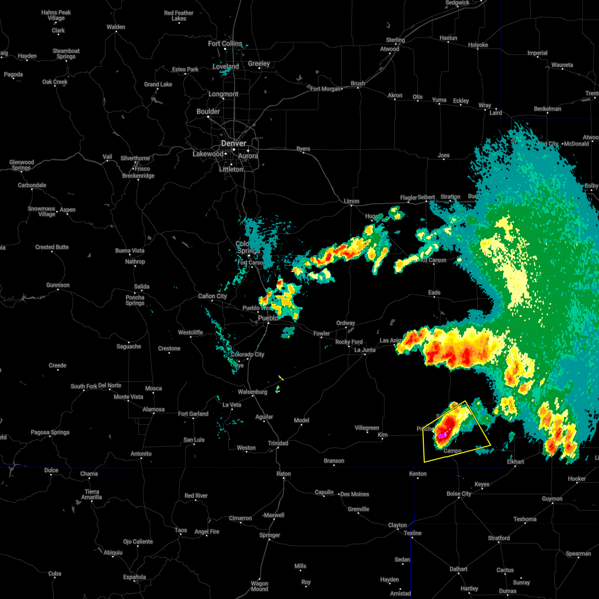 At 1031 pm mdt, a severe thunderstorm was located 7 miles south of springfield, moving east at 25 mph (radar indicated). Hazards include ping pong ball size hail and 60 mph wind gusts. People and animals outdoors will be injured. expect hail damage to roofs, siding, windows, and vehicles. Expect wind damage to roofs, siding, and trees. At 1031 pm mdt, a severe thunderstorm was located 7 miles south of springfield, moving east at 25 mph (radar indicated). Hazards include ping pong ball size hail and 60 mph wind gusts. People and animals outdoors will be injured. expect hail damage to roofs, siding, windows, and vehicles. Expect wind damage to roofs, siding, and trees.
|
| 7/28/2017 10:36 PM MDT |
 At 1035 pm mdt, a severe thunderstorm was located 14 miles north of two buttes reservoir, or 17 miles south of lamar, moving east at 35 mph (radar indicated). Hazards include 60 mph wind gusts and quarter size hail. Hail damage to vehicles is expected. expect wind damage to roofs, siding, and trees. Locations impacted include, lamar, granada, bristol and two buttes reservoir. At 1035 pm mdt, a severe thunderstorm was located 14 miles north of two buttes reservoir, or 17 miles south of lamar, moving east at 35 mph (radar indicated). Hazards include 60 mph wind gusts and quarter size hail. Hail damage to vehicles is expected. expect wind damage to roofs, siding, and trees. Locations impacted include, lamar, granada, bristol and two buttes reservoir.
|
| 7/28/2017 10:14 PM MDT |
 At 1013 pm mdt, a severe thunderstorm was located 14 miles south of hasty, or 19 miles southwest of lamar, moving east at 35 mph (radar indicated). Hazards include 60 mph wind gusts and quarter size hail. Hail damage to vehicles is expected. Expect wind damage to roofs, siding, and trees. At 1013 pm mdt, a severe thunderstorm was located 14 miles south of hasty, or 19 miles southwest of lamar, moving east at 35 mph (radar indicated). Hazards include 60 mph wind gusts and quarter size hail. Hail damage to vehicles is expected. Expect wind damage to roofs, siding, and trees.
|
| 6/6/2017 5:38 PM MDT |
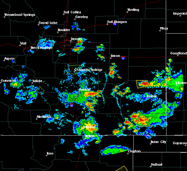 At 538 pm mdt, a severe thunderstorm was located near springfield, moving south at 20 mph (radar indicated). Hazards include 60 mph wind gusts and quarter size hail. Hail damage to vehicles is expected. expect wind damage to roofs, siding, and trees. Locations impacted include, springfield and pritchett. At 538 pm mdt, a severe thunderstorm was located near springfield, moving south at 20 mph (radar indicated). Hazards include 60 mph wind gusts and quarter size hail. Hail damage to vehicles is expected. expect wind damage to roofs, siding, and trees. Locations impacted include, springfield and pritchett.
|
| 6/6/2017 5:29 PM MDT |
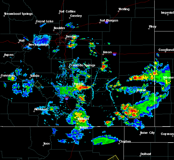 At 528 pm mdt, a severe thunderstorm was located 8 miles northwest of springfield, moving south at 10 mph. the public reported quarter size hail 9 miles northwest of springfield (public). Hazards include 60 mph wind gusts and quarter size hail. Hail damage to vehicles is expected. expect wind damage to roofs, siding, and trees. Locations impacted include, springfield and pritchett. At 528 pm mdt, a severe thunderstorm was located 8 miles northwest of springfield, moving south at 10 mph. the public reported quarter size hail 9 miles northwest of springfield (public). Hazards include 60 mph wind gusts and quarter size hail. Hail damage to vehicles is expected. expect wind damage to roofs, siding, and trees. Locations impacted include, springfield and pritchett.
|
| 6/6/2017 5:22 PM MDT | Quarter sized hail reported 9.5 miles SE of Springfield, CO |
| 6/6/2017 5:22 PM MDT |
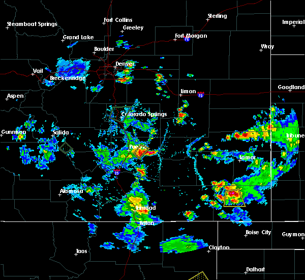 At 522 pm mdt, a severe thunderstorm was located 8 miles northwest of springfield, moving south at 20 mph (radar indicated). Hazards include 60 mph wind gusts and quarter size hail. Hail damage to vehicles is expected. Expect wind damage to roofs, siding, and trees. At 522 pm mdt, a severe thunderstorm was located 8 miles northwest of springfield, moving south at 20 mph (radar indicated). Hazards include 60 mph wind gusts and quarter size hail. Hail damage to vehicles is expected. Expect wind damage to roofs, siding, and trees.
|
| 5/10/2017 6:37 PM MDT |
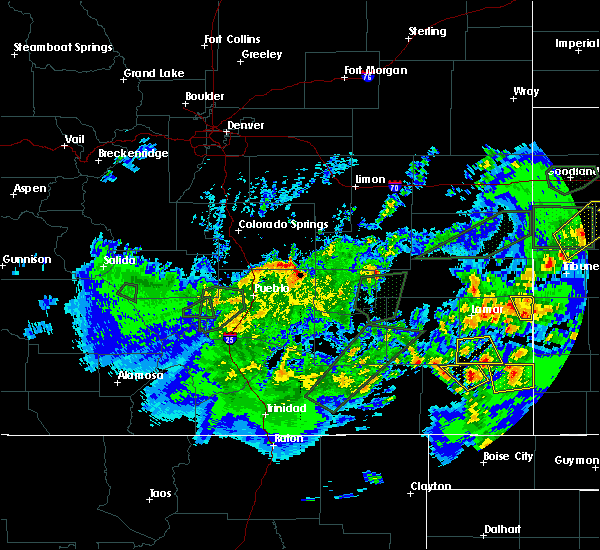 At 636 pm mdt, a severe thunderstorm was located near two buttes reservoir, or 9 miles north of springfield, moving northwest at 15 mph (radar indicated). Hazards include 60 mph wind gusts and quarter size hail. Hail damage to vehicles is expected. expect wind damage to roofs, siding, and trees. Locations impacted include, areas north and northwest of springfield. At 636 pm mdt, a severe thunderstorm was located near two buttes reservoir, or 9 miles north of springfield, moving northwest at 15 mph (radar indicated). Hazards include 60 mph wind gusts and quarter size hail. Hail damage to vehicles is expected. expect wind damage to roofs, siding, and trees. Locations impacted include, areas north and northwest of springfield.
|
| 5/10/2017 6:27 PM MDT |
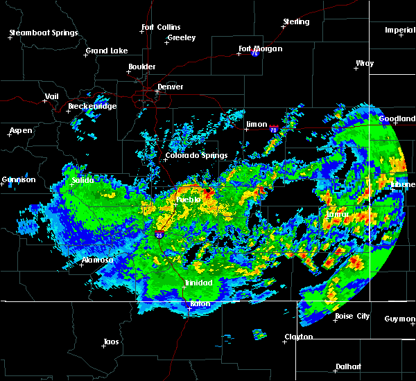 At 627 pm mdt, a severe thunderstorm was located 7 miles north of springfield, moving northwest at 15 mph (radar indicated). Hazards include 60 mph wind gusts and quarter size hail. Hail damage to vehicles is expected. Expect wind damage to roofs, siding, and trees. At 627 pm mdt, a severe thunderstorm was located 7 miles north of springfield, moving northwest at 15 mph (radar indicated). Hazards include 60 mph wind gusts and quarter size hail. Hail damage to vehicles is expected. Expect wind damage to roofs, siding, and trees.
|
| 8/4/2016 3:41 PM MDT |
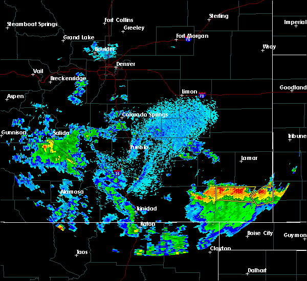 At 340 pm mdt, a severe thunderstorm was located around 10 miles north of springfield, moving north at 10 mph (radar indicated). Hazards include quarter size hail. Damage to vehicles is expected. Locations impacted include, springfield, vilas, two buttes and two buttes reservoir. At 340 pm mdt, a severe thunderstorm was located around 10 miles north of springfield, moving north at 10 mph (radar indicated). Hazards include quarter size hail. Damage to vehicles is expected. Locations impacted include, springfield, vilas, two buttes and two buttes reservoir.
|
| 8/4/2016 3:27 PM MDT |
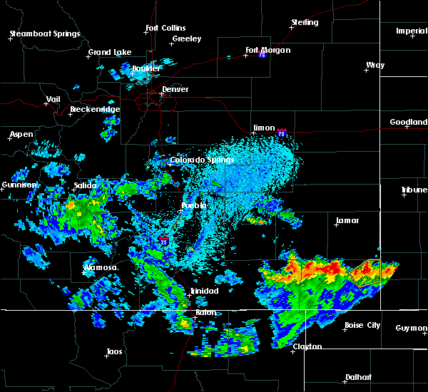 At 327 pm mdt, a severe thunderstorm was located north of springfield, moving east at 10 mph (radar indicated). Hazards include ping pong ball size hail and 60 mph wind gusts. People and animals outdoors will be injured. expect hail damage to roofs, siding, windows, and vehicles. Expect wind damage to roofs, siding, and trees. At 327 pm mdt, a severe thunderstorm was located north of springfield, moving east at 10 mph (radar indicated). Hazards include ping pong ball size hail and 60 mph wind gusts. People and animals outdoors will be injured. expect hail damage to roofs, siding, windows, and vehicles. Expect wind damage to roofs, siding, and trees.
|
| 7/27/2016 4:27 PM MDT |
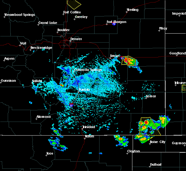 At 427 pm mdt, a severe thunderstorm was located over springfield, moving south at 25 mph (radar indicated). Hazards include 60 mph wind gusts and quarter size hail. Hail damage to vehicles is expected. expect wind damage to roofs, siding, and trees. Locations impacted include, springfield, vilas and campo. At 427 pm mdt, a severe thunderstorm was located over springfield, moving south at 25 mph (radar indicated). Hazards include 60 mph wind gusts and quarter size hail. Hail damage to vehicles is expected. expect wind damage to roofs, siding, and trees. Locations impacted include, springfield, vilas and campo.
|
| 7/27/2016 4:14 PM MDT |
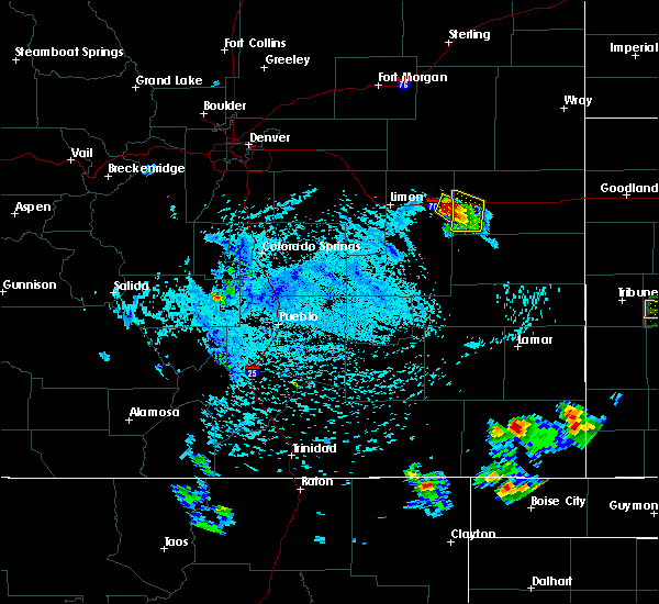 At 413 pm mdt, a severe thunderstorm was located over springfield, moving south at 35 mph (public). Hazards include 60 mph wind gusts and quarter size hail. Hail damage to vehicles is expected. Expect wind damage to roofs, siding, and trees. At 413 pm mdt, a severe thunderstorm was located over springfield, moving south at 35 mph (public). Hazards include 60 mph wind gusts and quarter size hail. Hail damage to vehicles is expected. Expect wind damage to roofs, siding, and trees.
|
| 7/27/2016 4:12 PM MDT | Quarter sized hail reported 6 miles SSE of Springfield, CO, . |
| 7/17/2016 4:24 PM MDT |
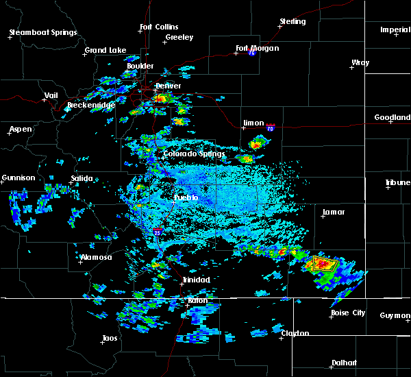 At 423 pm mdt, a severe thunderstorm was centered just north of springfield, moving northeast at 15 mph (radar indicated). Hazards include ping pong ball size hail and 60 mph wind gusts. People and animals outdoors will be injured. expect hail damage to roofs, siding, windows, and vehicles. expect wind damage to roofs, siding, and trees. Locations impacted include, springfield. At 423 pm mdt, a severe thunderstorm was centered just north of springfield, moving northeast at 15 mph (radar indicated). Hazards include ping pong ball size hail and 60 mph wind gusts. People and animals outdoors will be injured. expect hail damage to roofs, siding, windows, and vehicles. expect wind damage to roofs, siding, and trees. Locations impacted include, springfield.
|
| 7/17/2016 4:17 PM MDT |
 At 417 pm mdt, a severe thunderstorm was located over springfield, moving north at 15 mph (radar indicated). Hazards include ping pong ball size hail and 60 mph wind gusts. People and animals outdoors will be injured. expect hail damage to roofs, siding, windows, and vehicles. expect wind damage to roofs, siding, and trees. Locations impacted include, springfield. At 417 pm mdt, a severe thunderstorm was located over springfield, moving north at 15 mph (radar indicated). Hazards include ping pong ball size hail and 60 mph wind gusts. People and animals outdoors will be injured. expect hail damage to roofs, siding, windows, and vehicles. expect wind damage to roofs, siding, and trees. Locations impacted include, springfield.
|
| 7/17/2016 4:14 PM MDT | Ping Pong Ball sized hail reported 0.7 miles SSE of Springfield, CO, . |
| 7/17/2016 4:13 PM MDT | Half Dollar sized hail reported 0.7 miles SSW of Springfield, CO, . |
| 7/17/2016 4:13 PM MDT |
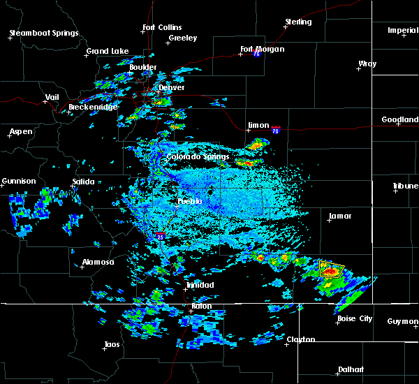 At 412 pm mdt, a severe thunderstorm was located over springfield, moving north at 10 mph (radar indicated). Hazards include ping pong ball size hail and 60 mph wind gusts. People and animals outdoors will be injured. expect hail damage to roofs, siding, windows, and vehicles. expect wind damage to roofs, siding, and trees. Locations impacted include, springfield. At 412 pm mdt, a severe thunderstorm was located over springfield, moving north at 10 mph (radar indicated). Hazards include ping pong ball size hail and 60 mph wind gusts. People and animals outdoors will be injured. expect hail damage to roofs, siding, windows, and vehicles. expect wind damage to roofs, siding, and trees. Locations impacted include, springfield.
|
| 7/17/2016 4:08 PM MDT |
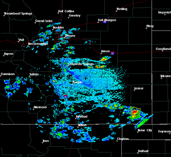 At 408 pm mdt, a severe thunderstorm was located over springfield, moving north at 20 mph (trained weather spotters). Hazards include golf ball size hail and 60 mph wind gusts. People and animals outdoors will be injured. expect hail damage to roofs, siding, windows, and vehicles. expect wind damage to roofs, siding, and trees. Locations impacted include, springfield. At 408 pm mdt, a severe thunderstorm was located over springfield, moving north at 20 mph (trained weather spotters). Hazards include golf ball size hail and 60 mph wind gusts. People and animals outdoors will be injured. expect hail damage to roofs, siding, windows, and vehicles. expect wind damage to roofs, siding, and trees. Locations impacted include, springfield.
|
| 7/17/2016 4:01 PM MDT |
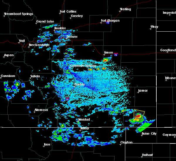 At 401 pm mdt, a severe thunderstorm was located over springfield, moving northeast at 35 mph (radar indicated). Hazards include ping pong ball size hail and 60 mph wind gusts. People and animals outdoors will be injured. expect hail damage to roofs, siding, windows, and vehicles. expect wind damage to roofs, siding, and trees. Locations impacted include, springfield and vilas. At 401 pm mdt, a severe thunderstorm was located over springfield, moving northeast at 35 mph (radar indicated). Hazards include ping pong ball size hail and 60 mph wind gusts. People and animals outdoors will be injured. expect hail damage to roofs, siding, windows, and vehicles. expect wind damage to roofs, siding, and trees. Locations impacted include, springfield and vilas.
|
| 7/17/2016 3:56 PM MDT |
 At 355 pm mdt, a severe thunderstorm was located near springfield, moving north at 15 mph (radar indicated). Hazards include 60 mph wind gusts and quarter size hail. Hail damage to vehicles is expected. Expect wind damage to roofs, siding, and trees. At 355 pm mdt, a severe thunderstorm was located near springfield, moving north at 15 mph (radar indicated). Hazards include 60 mph wind gusts and quarter size hail. Hail damage to vehicles is expected. Expect wind damage to roofs, siding, and trees.
|
| 7/9/2016 7:39 PM MDT |
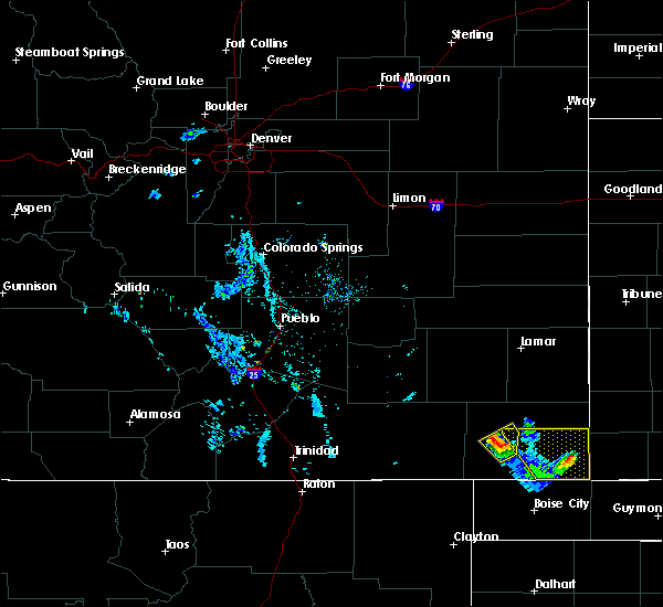 At 739 pm mdt, a severe thunderstorm was located 10 miles south of stonington, or 20 miles northwest of elkhart, moving east at 20 mph (radar indicated). Hazards include ping pong ball size hail and 60 mph wind gusts. People and animals outdoors will be injured. expect hail damage to roofs, siding, windows, and vehicles. expect wind damage to roofs, siding, and trees. Locations impacted include, rural areas of southeast baca county. At 739 pm mdt, a severe thunderstorm was located 10 miles south of stonington, or 20 miles northwest of elkhart, moving east at 20 mph (radar indicated). Hazards include ping pong ball size hail and 60 mph wind gusts. People and animals outdoors will be injured. expect hail damage to roofs, siding, windows, and vehicles. expect wind damage to roofs, siding, and trees. Locations impacted include, rural areas of southeast baca county.
|
| 7/9/2016 7:27 PM MDT |
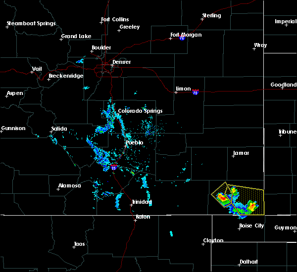 At 725 pm mdt, a severe thunderstorm was located 11 miles southwest of stonington, or 24 miles northwest of elkhart, moving southeast at 25 mph. another severe thunderstorm was located near springfield, and was moving southeast at 25 mph (radar indicated). Hazards include ping pong ball size hail and 60 mph wind gusts. People and animals outdoors will be injured. expect hail damage to roofs, siding, windows, and vehicles. expect wind damage to roofs, siding, and trees. Locations impacted include, springfield, vilas and rural locations of southeast baca county. At 725 pm mdt, a severe thunderstorm was located 11 miles southwest of stonington, or 24 miles northwest of elkhart, moving southeast at 25 mph. another severe thunderstorm was located near springfield, and was moving southeast at 25 mph (radar indicated). Hazards include ping pong ball size hail and 60 mph wind gusts. People and animals outdoors will be injured. expect hail damage to roofs, siding, windows, and vehicles. expect wind damage to roofs, siding, and trees. Locations impacted include, springfield, vilas and rural locations of southeast baca county.
|
| 7/9/2016 7:20 PM MDT |
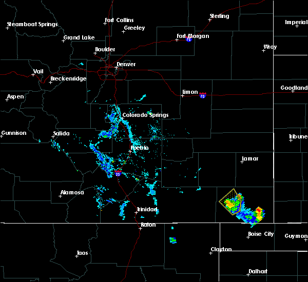 At 720 pm mdt, a severe thunderstorm was located near springfield, moving east at 25 mph (radar indicated). Hazards include ping pong ball size hail and 60 mph wind gusts. People and animals outdoors will be injured. expect hail damage to roofs, siding, windows, and vehicles. Expect wind damage to roofs, siding, and trees. At 720 pm mdt, a severe thunderstorm was located near springfield, moving east at 25 mph (radar indicated). Hazards include ping pong ball size hail and 60 mph wind gusts. People and animals outdoors will be injured. expect hail damage to roofs, siding, windows, and vehicles. Expect wind damage to roofs, siding, and trees.
|
| 7/3/2016 4:58 PM MDT |
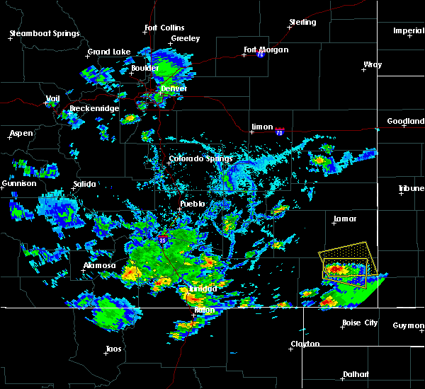 At 457 pm mdt, a severe thunderstorm was located five miles north of springfield, moving north at 10 mph (radar indicated). Hazards include ping pong ball size hail and 60 mph wind gusts. People and animals outdoors will be injured. expect hail damage to roofs, siding, windows, and vehicles. Expect wind damage to roofs, siding, and trees. At 457 pm mdt, a severe thunderstorm was located five miles north of springfield, moving north at 10 mph (radar indicated). Hazards include ping pong ball size hail and 60 mph wind gusts. People and animals outdoors will be injured. expect hail damage to roofs, siding, windows, and vehicles. Expect wind damage to roofs, siding, and trees.
|
| 7/3/2016 4:50 PM MDT |
 At 449 pm mdt, a severe thunderstorm was located near springfield, moving east at 25 mph. large hail will cross highway 287 four miles north of springfield (radar indicated). Hazards include ping pong ball size hail and 60 mph wind gusts. People and animals outdoors will be injured. expect hail damage to roofs, siding, windows, and vehicles. expect wind damage to roofs, siding, and trees. Locations impacted include, springfield, walsh, vilas, two buttes and two buttes reservoir. At 449 pm mdt, a severe thunderstorm was located near springfield, moving east at 25 mph. large hail will cross highway 287 four miles north of springfield (radar indicated). Hazards include ping pong ball size hail and 60 mph wind gusts. People and animals outdoors will be injured. expect hail damage to roofs, siding, windows, and vehicles. expect wind damage to roofs, siding, and trees. Locations impacted include, springfield, walsh, vilas, two buttes and two buttes reservoir.
|
| 7/3/2016 4:45 PM MDT |
 At 444 pm mdt, a severe thunderstorm was located near springfield, moving northeast at 25 mph. larger hail will impact highway 287 just north of springfield (radar indicated). Hazards include 60 mph wind gusts and half dollar size hail. Hail damage to vehicles is expected. expect wind damage to roofs, siding, and trees. Locations impacted include, springfield, walsh, vilas, two buttes and two buttes reservoir. At 444 pm mdt, a severe thunderstorm was located near springfield, moving northeast at 25 mph. larger hail will impact highway 287 just north of springfield (radar indicated). Hazards include 60 mph wind gusts and half dollar size hail. Hail damage to vehicles is expected. expect wind damage to roofs, siding, and trees. Locations impacted include, springfield, walsh, vilas, two buttes and two buttes reservoir.
|
| 7/3/2016 4:36 PM MDT |
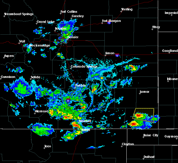 At 436 pm mdt, a severe thunderstorm was located over springfield, moving east at 25 mph (radar indicated). Hazards include 60 mph wind gusts and half dollar size hail. Hail damage to vehicles is expected. Expect wind damage to roofs, siding, and trees. At 436 pm mdt, a severe thunderstorm was located over springfield, moving east at 25 mph (radar indicated). Hazards include 60 mph wind gusts and half dollar size hail. Hail damage to vehicles is expected. Expect wind damage to roofs, siding, and trees.
|
| 6/25/2016 5:21 PM MDT |
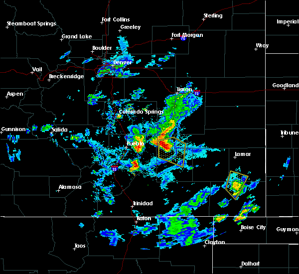 The severe thunderstorm warning for southwestern prowers and north central baca counties will expire at 530 pm mdt, the storm which prompted the warning has weakened below severe limits, and no longer pose an immediate threat to life or property. therefore the warning will be allowed to expire. The severe thunderstorm warning for southwestern prowers and north central baca counties will expire at 530 pm mdt, the storm which prompted the warning has weakened below severe limits, and no longer pose an immediate threat to life or property. therefore the warning will be allowed to expire.
|
| 6/25/2016 5:04 PM MDT |
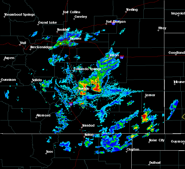 At 503 pm mdt, a severe thunderstorm was located 8 miles north of springfield, moving north at 20 mph (radar indicated). Hazards include 60 mph wind gusts and quarter size hail. Hail damage to vehicles is expected. Expect wind damage to roofs, siding, and trees. At 503 pm mdt, a severe thunderstorm was located 8 miles north of springfield, moving north at 20 mph (radar indicated). Hazards include 60 mph wind gusts and quarter size hail. Hail damage to vehicles is expected. Expect wind damage to roofs, siding, and trees.
|
| 6/23/2016 8:37 PM MDT |
 At 836 pm mdt, a severe thunderstorm was located 16 miles south of granada, or 21 miles southeast of lamar, moving east at 30 mph (radar indicated). Hazards include 60 mph wind gusts and quarter size hail. Hail damage to vehicles is expected. expect wind damage to roofs, siding, and trees. Locations impacted include, lamar, springfield, holly, walsh, granada, vilas, two buttes and two buttes reservoir. At 836 pm mdt, a severe thunderstorm was located 16 miles south of granada, or 21 miles southeast of lamar, moving east at 30 mph (radar indicated). Hazards include 60 mph wind gusts and quarter size hail. Hail damage to vehicles is expected. expect wind damage to roofs, siding, and trees. Locations impacted include, lamar, springfield, holly, walsh, granada, vilas, two buttes and two buttes reservoir.
|
| 6/23/2016 8:20 PM MDT |
 At 820 pm mdt, a severe thunderstorm was located 13 miles northeast of two buttes reservoir, or 19 miles south of lamar, moving east at 45 mph (radar indicated). Hazards include 70 mph wind gusts and quarter size hail. Hail damage to vehicles is expected. expect considerable tree damage. wind damage is also likely to mobile homes, roofs, and outbuildings. Locations impacted include, lamar, springfield, holly, walsh, granada, pritchett, vilas, two buttes and two buttes reservoir. At 820 pm mdt, a severe thunderstorm was located 13 miles northeast of two buttes reservoir, or 19 miles south of lamar, moving east at 45 mph (radar indicated). Hazards include 70 mph wind gusts and quarter size hail. Hail damage to vehicles is expected. expect considerable tree damage. wind damage is also likely to mobile homes, roofs, and outbuildings. Locations impacted include, lamar, springfield, holly, walsh, granada, pritchett, vilas, two buttes and two buttes reservoir.
|
| 6/23/2016 8:15 PM MDT |
 At 812 pm mdt, a severe thunderstorm was located 11 miles north of two buttes reservoir, or 18 miles south of lamar, moving east at 45 mph (radar indicated). Hazards include 70 mph wind gusts and quarter size hail. Hail damage to vehicles is expected. expect considerable tree damage. wind damage is also likely to mobile homes, roofs, and outbuildings. in addition,. at 812 pm, wind gusts to 52 mph was measured at the lamar airport. this storm will produce strong west winds along highway 287 between lamar and the prowers and baca county line. these winds have the potential to tip over tractor trailers along highway 287. Locations impacted include, lamar, springfield, holly, walsh, granada, pritchett, vilas, two buttes and two buttes reservoir. At 812 pm mdt, a severe thunderstorm was located 11 miles north of two buttes reservoir, or 18 miles south of lamar, moving east at 45 mph (radar indicated). Hazards include 70 mph wind gusts and quarter size hail. Hail damage to vehicles is expected. expect considerable tree damage. wind damage is also likely to mobile homes, roofs, and outbuildings. in addition,. at 812 pm, wind gusts to 52 mph was measured at the lamar airport. this storm will produce strong west winds along highway 287 between lamar and the prowers and baca county line. these winds have the potential to tip over tractor trailers along highway 287. Locations impacted include, lamar, springfield, holly, walsh, granada, pritchett, vilas, two buttes and two buttes reservoir.
|
| 6/23/2016 8:07 PM MDT |
 At 806 pm mdt, a severe thunderstorm was located 11 miles northwest of two buttes reservoir, or 19 miles south of lamar, moving east at 45 mph (radar indicated). Hazards include 60 mph wind gusts and quarter size hail. Hail damage to vehicles is expected. Expect wind damage to roofs, siding, and trees. At 806 pm mdt, a severe thunderstorm was located 11 miles northwest of two buttes reservoir, or 19 miles south of lamar, moving east at 45 mph (radar indicated). Hazards include 60 mph wind gusts and quarter size hail. Hail damage to vehicles is expected. Expect wind damage to roofs, siding, and trees.
|
| 6/13/2016 5:02 PM MDT |
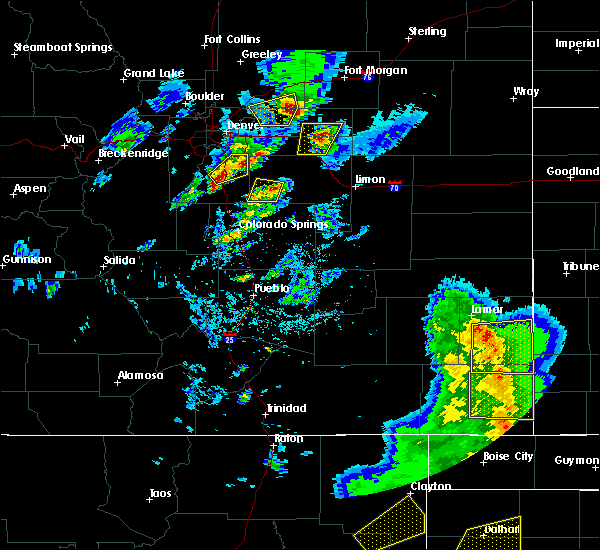 At 501 pm mdt, a severe thunderstorm was located over walsh, or 15 miles southwest of the saunders elevator, moving east at 35 mph (radar indicated). Hazards include 70 mph wind gusts. Expect considerable tree damage. damage is likely to mobile homes, roofs, and outbuildings. locations impacted include, springfield, walsh, vilas and stonington. a line of thinderstorms are continuing to move east with areas of winds up to 70 mph are possible. A tornado watch remains in effect until 900 pm mdt for southeastern colorado. At 501 pm mdt, a severe thunderstorm was located over walsh, or 15 miles southwest of the saunders elevator, moving east at 35 mph (radar indicated). Hazards include 70 mph wind gusts. Expect considerable tree damage. damage is likely to mobile homes, roofs, and outbuildings. locations impacted include, springfield, walsh, vilas and stonington. a line of thinderstorms are continuing to move east with areas of winds up to 70 mph are possible. A tornado watch remains in effect until 900 pm mdt for southeastern colorado.
|
| 6/13/2016 4:50 PM MDT |
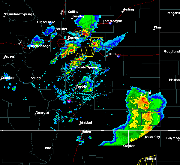 At 449 pm mdt, a severe thunderstorm was located over vilas, or 11 miles east of springfield, moving east at 35 mph (trained weather spotters). Hazards include 70 mph wind gusts. Expect considerable tree damage. Damage is likely to mobile homes, roofs, and outbuildings. At 449 pm mdt, a severe thunderstorm was located over vilas, or 11 miles east of springfield, moving east at 35 mph (trained weather spotters). Hazards include 70 mph wind gusts. Expect considerable tree damage. Damage is likely to mobile homes, roofs, and outbuildings.
|
| 6/12/2016 4:38 PM MDT |
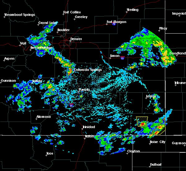 At 438 pm mdt, a severe thunderstorm was located 7 miles east of pritchett, or 8 miles southwest of springfield, moving north at 10 mph (radar indicated). Hazards include 60 mph wind gusts and quarter size hail. Hail damage to vehicles is expected. Expect wind damage to roofs, siding, and trees. At 438 pm mdt, a severe thunderstorm was located 7 miles east of pritchett, or 8 miles southwest of springfield, moving north at 10 mph (radar indicated). Hazards include 60 mph wind gusts and quarter size hail. Hail damage to vehicles is expected. Expect wind damage to roofs, siding, and trees.
|
| 6/12/2016 3:24 PM MDT |
 At 324 pm mdt, a severe thunderstorm was located over vilas, or 7 miles east of springfield, moving northeast at 15 mph (radar indicated). Hazards include 60 mph wind gusts and quarter size hail. Hail damage to vehicles is expected. Expect wind damage to roofs, siding, and trees. At 324 pm mdt, a severe thunderstorm was located over vilas, or 7 miles east of springfield, moving northeast at 15 mph (radar indicated). Hazards include 60 mph wind gusts and quarter size hail. Hail damage to vehicles is expected. Expect wind damage to roofs, siding, and trees.
|
| 4/15/2016 7:08 PM MDT |
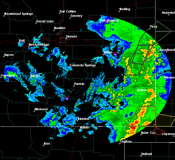 At 707 pm mdt, a severe thunderstorm was located 11 miles southwest of campo, or 21 miles northwest of boise city, moving northeast at 40 mph (radar indicated). Hazards include golf ball size hail and 60 mph wind gusts. People and animals outdoors will be injured. expect hail damage to roofs, siding, windows, and vehicles. expect wind damage to roofs, siding, and trees. locations impacted include, springfield, walsh, vilas, campo, two buttes and stonington. A tornado watch remains in effect until 900 pm mdt for southeastern colorado. At 707 pm mdt, a severe thunderstorm was located 11 miles southwest of campo, or 21 miles northwest of boise city, moving northeast at 40 mph (radar indicated). Hazards include golf ball size hail and 60 mph wind gusts. People and animals outdoors will be injured. expect hail damage to roofs, siding, windows, and vehicles. expect wind damage to roofs, siding, and trees. locations impacted include, springfield, walsh, vilas, campo, two buttes and stonington. A tornado watch remains in effect until 900 pm mdt for southeastern colorado.
|
| 4/15/2016 6:51 PM MDT |
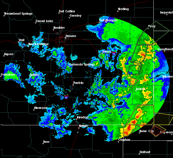 At 651 pm mdt, a severe thunderstorm was located near campo, or 22 miles south of springfield, moving northeast at 45 mph (radar indicated). Hazards include ping pong ball size hail and 60 mph wind gusts. People and animals outdoors will be injured. expect hail damage to roofs, siding, windows, and vehicles. Expect wind damage to roofs, siding, and trees. At 651 pm mdt, a severe thunderstorm was located near campo, or 22 miles south of springfield, moving northeast at 45 mph (radar indicated). Hazards include ping pong ball size hail and 60 mph wind gusts. People and animals outdoors will be injured. expect hail damage to roofs, siding, windows, and vehicles. Expect wind damage to roofs, siding, and trees.
|
| 4/15/2016 5:15 PM MDT |
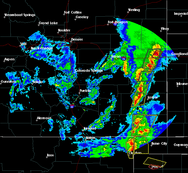 At 515 pm mdt, a severe thunderstorm was located 12 miles south of pritchett, or 17 miles southwest of springfield, moving northeast at 50 mph (radar indicated). Hazards include 70 mph wind gusts and half dollar size hail. Hail damage to vehicles is expected. expect considerable tree damage. Wind damage is also likely to mobile homes, roofs, and outbuildings. At 515 pm mdt, a severe thunderstorm was located 12 miles south of pritchett, or 17 miles southwest of springfield, moving northeast at 50 mph (radar indicated). Hazards include 70 mph wind gusts and half dollar size hail. Hail damage to vehicles is expected. expect considerable tree damage. Wind damage is also likely to mobile homes, roofs, and outbuildings.
|
| 9/23/2015 6:30 PM MDT |
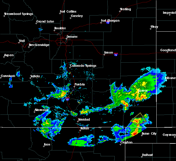 At 629 pm mdt, a severe thunderstorm was located near campo, or 16 miles south of springfield, moving northeast at 20 mph (radar indicated). Hazards include 60 mph wind gusts and quarter size hail. Hail damage to vehicles is expected. expect wind damage to roofs, siding and trees. Locations impacted include, campo. At 629 pm mdt, a severe thunderstorm was located near campo, or 16 miles south of springfield, moving northeast at 20 mph (radar indicated). Hazards include 60 mph wind gusts and quarter size hail. Hail damage to vehicles is expected. expect wind damage to roofs, siding and trees. Locations impacted include, campo.
|
| 9/23/2015 6:16 PM MDT |
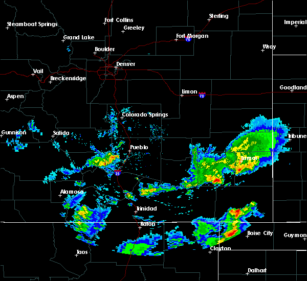 At 615 pm mdt, a severe thunderstorm was located 7 miles northwest of campo, or 14 miles south of springfield, moving northeast at 25 mph (radar indicated). Hazards include 60 mph wind gusts and quarter size hail. Hail damage to vehicles is expected. Expect wind damage to roofs, siding and trees. At 615 pm mdt, a severe thunderstorm was located 7 miles northwest of campo, or 14 miles south of springfield, moving northeast at 25 mph (radar indicated). Hazards include 60 mph wind gusts and quarter size hail. Hail damage to vehicles is expected. Expect wind damage to roofs, siding and trees.
|
| 8/17/2015 8:50 PM MDT |
 At 850 pm mdt, severe thunderstorms were located along a line extending from near syracuse to 6 miles west of stonington, moving southeast at 60 mph (radar indicated). Hazards include 70 mph wind gusts and quarter size hail. Hail damage to vehicles is expected. expect considerable tree damage. wind damage is also likely to mobile homes, roofs and outbuildings. locations impacted include, springfield, walsh, vilas, two buttes and stonington. A tornado watch remains in effect until 1100 pm mdt for southeastern colorado. At 850 pm mdt, severe thunderstorms were located along a line extending from near syracuse to 6 miles west of stonington, moving southeast at 60 mph (radar indicated). Hazards include 70 mph wind gusts and quarter size hail. Hail damage to vehicles is expected. expect considerable tree damage. wind damage is also likely to mobile homes, roofs and outbuildings. locations impacted include, springfield, walsh, vilas, two buttes and stonington. A tornado watch remains in effect until 1100 pm mdt for southeastern colorado.
|
| 8/17/2015 8:48 PM MDT | Storm damage reported in baca county CO, 8.3 miles N of Springfield, CO |
| 8/17/2015 8:35 PM MDT |
 At 835 pm mdt, severe thunderstorms were located along a line extending from near coolidge to near vilas, moving southeast at 60 mph (radar indicated). Hazards include 70 mph wind gusts and quarter size hail. Hail damage to vehicles is expected. expect considerable tree damage. wind damage is also likely to mobile homes, roofs and outbuildings. locations impacted include, springfield, holly, walsh, granada, pritchett, vilas, hartman, two buttes, stonington, bristol and two buttes reservoir. A tornado watch remains in effect until 1100 pm mdt for southeastern colorado. At 835 pm mdt, severe thunderstorms were located along a line extending from near coolidge to near vilas, moving southeast at 60 mph (radar indicated). Hazards include 70 mph wind gusts and quarter size hail. Hail damage to vehicles is expected. expect considerable tree damage. wind damage is also likely to mobile homes, roofs and outbuildings. locations impacted include, springfield, holly, walsh, granada, pritchett, vilas, hartman, two buttes, stonington, bristol and two buttes reservoir. A tornado watch remains in effect until 1100 pm mdt for southeastern colorado.
|
| 8/17/2015 8:21 PM MDT |
 At 821 pm mdt, severe thunderstorms were located along a line extending from near hartman to near springfield, moving southeast at 55 mph (radar indicated). Hazards include 70 mph wind gusts and quarter size hail. Hail damage to vehicles is expected. expect considerable tree damage. wind damage is also likely to mobile homes, roofs and outbuildings. locations impacted include, springfield, holly, walsh, granada, pritchett, vilas, hartman, two buttes, stonington, bristol and two buttes reservoir. A tornado watch remains in effect until 1100 pm mdt for southeastern colorado. At 821 pm mdt, severe thunderstorms were located along a line extending from near hartman to near springfield, moving southeast at 55 mph (radar indicated). Hazards include 70 mph wind gusts and quarter size hail. Hail damage to vehicles is expected. expect considerable tree damage. wind damage is also likely to mobile homes, roofs and outbuildings. locations impacted include, springfield, holly, walsh, granada, pritchett, vilas, hartman, two buttes, stonington, bristol and two buttes reservoir. A tornado watch remains in effect until 1100 pm mdt for southeastern colorado.
|
| 8/17/2015 8:04 PM MDT |
 At 804 pm mdt, severe thunderstorms were located along a line extending from 9 miles northwest of bristol to 10 miles north of pritchett, moving southeast at 45 mph (radar indicated). Hazards include 70 mph wind gusts and quarter size hail. Hail damage to vehicles is expected. expect considerable tree damage. wind damage is also likely to mobile homes, roofs and outbuildings. locations impacted include, lamar, springfield, holly, walsh, granada, wiley, pritchett, vilas, hartman, two buttes, stonington, bristol and two buttes reservoir. A tornado watch remains in effect until 1100 pm mdt for southeastern colorado. At 804 pm mdt, severe thunderstorms were located along a line extending from 9 miles northwest of bristol to 10 miles north of pritchett, moving southeast at 45 mph (radar indicated). Hazards include 70 mph wind gusts and quarter size hail. Hail damage to vehicles is expected. expect considerable tree damage. wind damage is also likely to mobile homes, roofs and outbuildings. locations impacted include, lamar, springfield, holly, walsh, granada, wiley, pritchett, vilas, hartman, two buttes, stonington, bristol and two buttes reservoir. A tornado watch remains in effect until 1100 pm mdt for southeastern colorado.
|
| 8/17/2015 7:52 PM MDT |
 At 752 pm mdt, severe thunderstorms were located along a line extending from 11 miles northwest of bristol to 10 miles northwest of pritchett, moving southeast at 60 mph (radar indicated). Hazards include 70 mph wind gusts and nickel size hail. Expect considerable tree damage. Damage is likely to mobile homes, roofs and outbuildings. At 752 pm mdt, severe thunderstorms were located along a line extending from 11 miles northwest of bristol to 10 miles northwest of pritchett, moving southeast at 60 mph (radar indicated). Hazards include 70 mph wind gusts and nickel size hail. Expect considerable tree damage. Damage is likely to mobile homes, roofs and outbuildings.
|
| 8/16/2015 8:37 PM MDT |
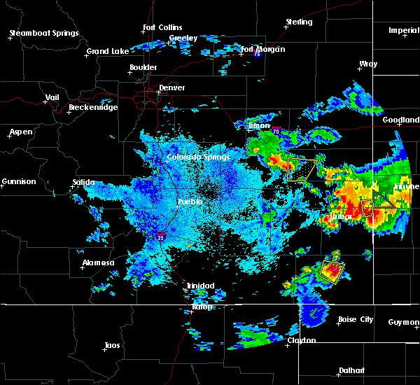 At 837 pm mdt, a severe thunderstorm was located near springfield, moving east at 35 mph (trained weather spotters). Hazards include ping pong ball size hail and 60 mph wind gusts. People and animals outdoors will be injured. expect hail damage to roofs, siding, windows and vehicles. expect wind damage to roofs, siding and trees. Locations impacted include, springfield. At 837 pm mdt, a severe thunderstorm was located near springfield, moving east at 35 mph (trained weather spotters). Hazards include ping pong ball size hail and 60 mph wind gusts. People and animals outdoors will be injured. expect hail damage to roofs, siding, windows and vehicles. expect wind damage to roofs, siding and trees. Locations impacted include, springfield.
|
| 8/16/2015 8:25 PM MDT |
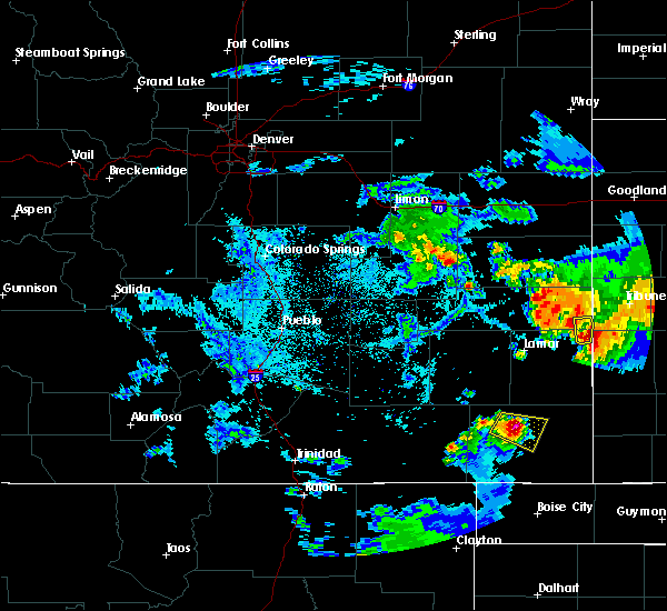 At 825 pm mdt, a severe thunderstorm was located near springfield, moving east at 25 mph (trained weather spotters). Hazards include ping pong ball size hail and 60 mph wind gusts. People and animals outdoors will be injured. expect hail damage to roofs, siding, windows and vehicles. expect wind damage to roofs, siding and trees. Locations impacted include, springfield. At 825 pm mdt, a severe thunderstorm was located near springfield, moving east at 25 mph (trained weather spotters). Hazards include ping pong ball size hail and 60 mph wind gusts. People and animals outdoors will be injured. expect hail damage to roofs, siding, windows and vehicles. expect wind damage to roofs, siding and trees. Locations impacted include, springfield.
|
| 8/16/2015 8:23 PM MDT | Ping Pong Ball sized hail reported 7.4 miles SSE of Springfield, CO |
| 8/16/2015 8:19 PM MDT |
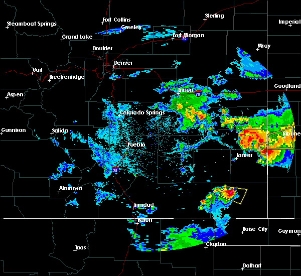 At 819 pm mdt, a severe thunderstorm was located near springfield, moving east at 25 mph (radar indicated). Hazards include ping pong ball size hail and 60 mph wind gusts. People and animals outdoors will be injured. expect hail damage to roofs, siding, windows and vehicles. expect wind damage to roofs, siding and trees. Locations impacted include, springfield. At 819 pm mdt, a severe thunderstorm was located near springfield, moving east at 25 mph (radar indicated). Hazards include ping pong ball size hail and 60 mph wind gusts. People and animals outdoors will be injured. expect hail damage to roofs, siding, windows and vehicles. expect wind damage to roofs, siding and trees. Locations impacted include, springfield.
|
| 8/16/2015 8:11 PM MDT |
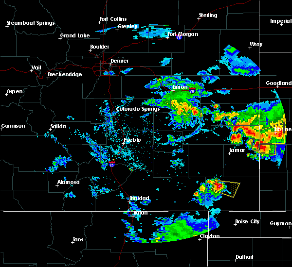 At 811 pm mdt, a severe thunderstorm was located 7 miles northeast of pritchett, or 9 miles west of springfield, moving east at 25 mph (radar indicated). Hazards include ping pong ball size hail and 60 mph wind gusts. People and animals outdoors will be injured. expect hail damage to roofs, siding, windows and vehicles. expect wind damage to roofs, siding and trees. Locations impacted include, springfield. At 811 pm mdt, a severe thunderstorm was located 7 miles northeast of pritchett, or 9 miles west of springfield, moving east at 25 mph (radar indicated). Hazards include ping pong ball size hail and 60 mph wind gusts. People and animals outdoors will be injured. expect hail damage to roofs, siding, windows and vehicles. expect wind damage to roofs, siding and trees. Locations impacted include, springfield.
|
| 8/16/2015 8:05 PM MDT |
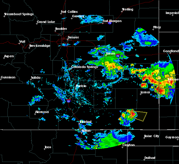 At 804 pm mdt, a severe thunderstorm was located 7 miles north of pritchett, or 13 miles west of springfield, moving east at 25 mph (radar indicated). Hazards include ping pong ball size hail and 60 mph wind gusts. People and animals outdoors will be injured. expect hail damage to roofs, siding, windows and vehicles. Expect wind damage to roofs, siding and trees. At 804 pm mdt, a severe thunderstorm was located 7 miles north of pritchett, or 13 miles west of springfield, moving east at 25 mph (radar indicated). Hazards include ping pong ball size hail and 60 mph wind gusts. People and animals outdoors will be injured. expect hail damage to roofs, siding, windows and vehicles. Expect wind damage to roofs, siding and trees.
|
| 8/13/2015 6:25 PM MDT |
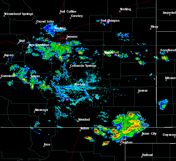 The severe thunderstorm warning for southwestern baca county will expire at 630 pm mdt, the storm which prompted the warning has weakened below severe limits, and no longer pose an immediate threat to life or property. therefore the warning will be allowed to expire. however gusty winds and heavy rain are still possible with this thunderstorm. The severe thunderstorm warning for southwestern baca county will expire at 630 pm mdt, the storm which prompted the warning has weakened below severe limits, and no longer pose an immediate threat to life or property. therefore the warning will be allowed to expire. however gusty winds and heavy rain are still possible with this thunderstorm.
|
| 8/13/2015 6:18 PM MDT |
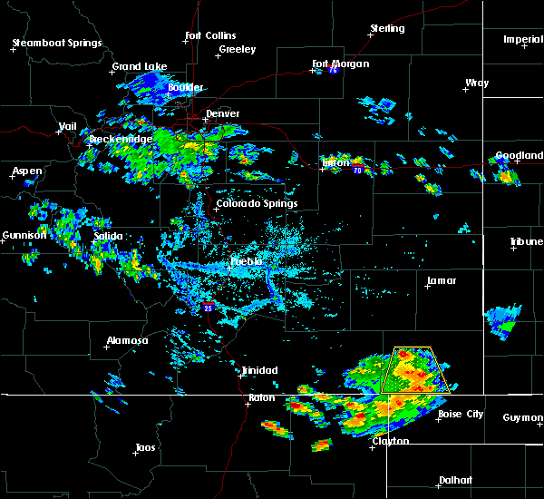 At 617 pm mdt, a severe thunderstorm was located 7 miles northwest of campo, or 15 miles south of springfield, moving southeast at 20 mph (radar indicated). Hazards include 60 mph wind gusts. Expect damage to roofs. siding and trees. Locations impacted include, springfield, pritchett and campo. At 617 pm mdt, a severe thunderstorm was located 7 miles northwest of campo, or 15 miles south of springfield, moving southeast at 20 mph (radar indicated). Hazards include 60 mph wind gusts. Expect damage to roofs. siding and trees. Locations impacted include, springfield, pritchett and campo.
|
| 8/13/2015 6:09 PM MDT |
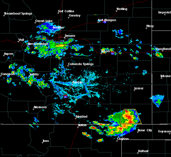 At 608 pm mdt, a severe thunderstorm was located 11 miles southeast of pritchett, or 15 miles southwest of springfield, moving southeast at 20 mph (radar indicated). Hazards include 60 mph wind gusts and penny size hail. Expect damage to roofs. siding and trees. Locations impacted include, pritchett and campo. At 608 pm mdt, a severe thunderstorm was located 11 miles southeast of pritchett, or 15 miles southwest of springfield, moving southeast at 20 mph (radar indicated). Hazards include 60 mph wind gusts and penny size hail. Expect damage to roofs. siding and trees. Locations impacted include, pritchett and campo.
|
| 8/13/2015 5:52 PM MDT |
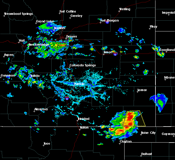 At 551 pm mdt, a severe thunderstorm was located 7 miles southeast of pritchett, or 13 miles southwest of springfield, moving south at 30 mph (radar indicated). Hazards include 60 mph wind gusts and nickel size hail. Expect damage to roofs. siding and trees. Locations impacted include, springfield, pritchett and campo. At 551 pm mdt, a severe thunderstorm was located 7 miles southeast of pritchett, or 13 miles southwest of springfield, moving south at 30 mph (radar indicated). Hazards include 60 mph wind gusts and nickel size hail. Expect damage to roofs. siding and trees. Locations impacted include, springfield, pritchett and campo.
|
| 8/13/2015 5:43 PM MDT |
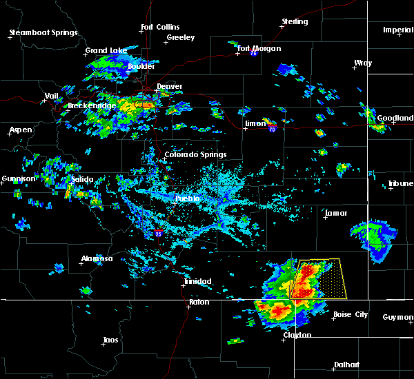 At 543 pm mdt, a severe thunderstorm was located near pritchett, or 9 miles west of springfield, moving southeast at 15 mph (radar indicated). Hazards include 60 mph wind gusts and quarter size hail. Hail damage to vehicles is expected. expect wind damage to roofs, siding and trees. Locations impacted include, springfield, pritchett, vilas and campo. At 543 pm mdt, a severe thunderstorm was located near pritchett, or 9 miles west of springfield, moving southeast at 15 mph (radar indicated). Hazards include 60 mph wind gusts and quarter size hail. Hail damage to vehicles is expected. expect wind damage to roofs, siding and trees. Locations impacted include, springfield, pritchett, vilas and campo.
|
| 8/13/2015 5:39 PM MDT |
 At 539 pm mdt, a severe thunderstorm was located over pritchett, or 10 miles west of springfield, moving northeast at 25 mph (radar indicated). Hazards include 60 mph wind gusts and quarter size hail. Hail damage to vehicles is expected. Expect wind damage to roofs, siding and trees. At 539 pm mdt, a severe thunderstorm was located over pritchett, or 10 miles west of springfield, moving northeast at 25 mph (radar indicated). Hazards include 60 mph wind gusts and quarter size hail. Hail damage to vehicles is expected. Expect wind damage to roofs, siding and trees.
|
| 7/15/2015 5:31 PM MDT |
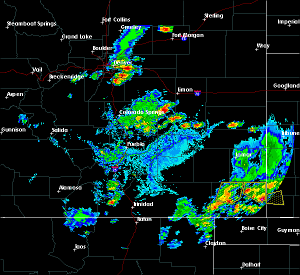 At 531 pm mdt, a severe thunderstorm was located 7 miles southeast of pritchett, or 10 miles southwest of springfield, moving northeast at 20 mph (radar indicated). Hazards include 60 mph wind gusts and quarter size hail. Hail damage to vehicles is expected. expect wind damage to roofs, siding and trees. Locations impacted include, springfield, pritchett and two buttes reservoir. At 531 pm mdt, a severe thunderstorm was located 7 miles southeast of pritchett, or 10 miles southwest of springfield, moving northeast at 20 mph (radar indicated). Hazards include 60 mph wind gusts and quarter size hail. Hail damage to vehicles is expected. expect wind damage to roofs, siding and trees. Locations impacted include, springfield, pritchett and two buttes reservoir.
|
| 7/15/2015 5:16 PM MDT |
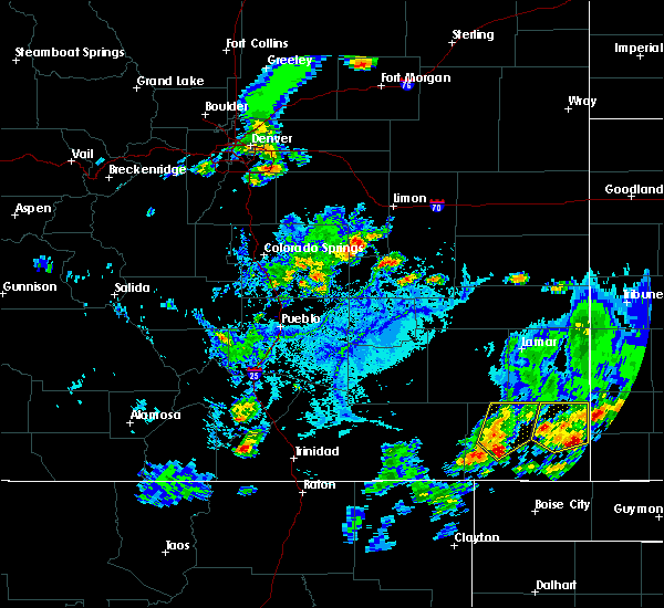 At 516 pm mdt, a severe thunderstorm was located 8 miles south of pritchett, or 15 miles southwest of springfield, moving northeast at 20 mph (radar indicated). Hazards include 60 mph wind gusts and quarter size hail. Hail damage to vehicles is expected. Expect wind damage to roofs, siding and trees. At 516 pm mdt, a severe thunderstorm was located 8 miles south of pritchett, or 15 miles southwest of springfield, moving northeast at 20 mph (radar indicated). Hazards include 60 mph wind gusts and quarter size hail. Hail damage to vehicles is expected. Expect wind damage to roofs, siding and trees.
|
| 7/15/2015 3:08 PM MDT | Very strong winds. ripped screen door off of property. many branches up to 6 inch in diameter ripped from tree in baca county CO, 10.9 miles SE of Springfield, CO |
| 7/14/2015 5:37 PM MDT |
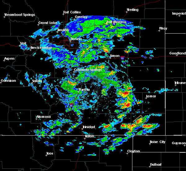 The severe thunderstorm warning for northwestern baca county will expire at 545 pm mdt, the storm which prompted the warning has weakened below severe limits, and no longer pose an immediate threat to life or property. therefore the warning will be allowed to expire. however heavy rain is still possible with this thunderstorm. The severe thunderstorm warning for northwestern baca county will expire at 545 pm mdt, the storm which prompted the warning has weakened below severe limits, and no longer pose an immediate threat to life or property. therefore the warning will be allowed to expire. however heavy rain is still possible with this thunderstorm.
|
| 7/14/2015 5:30 PM MDT |
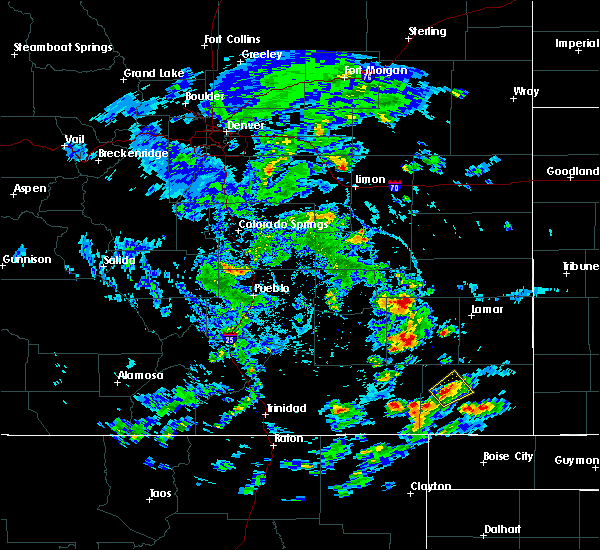 At 530 pm mdt, a severe thunderstorm was located over pritchett, or 12 miles west of springfield, moving northeast at 10 mph (radar indicated). Hazards include 60 mph wind gusts and quarter size hail. Hail damage to vehicles is expected. expect wind damage to roofs, siding and trees. Locations impacted include, springfield and pritchett. At 530 pm mdt, a severe thunderstorm was located over pritchett, or 12 miles west of springfield, moving northeast at 10 mph (radar indicated). Hazards include 60 mph wind gusts and quarter size hail. Hail damage to vehicles is expected. expect wind damage to roofs, siding and trees. Locations impacted include, springfield and pritchett.
|
| 7/14/2015 5:17 PM MDT |
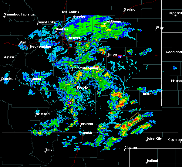 At 517 pm mdt, a severe thunderstorm was located over pritchett, or 13 miles west of springfield, moving northeast at 10 mph (radar indicated). Hazards include 60 mph wind gusts and quarter size hail. Hail damage to vehicles is expected. Expect wind damage to roofs, siding and trees. At 517 pm mdt, a severe thunderstorm was located over pritchett, or 13 miles west of springfield, moving northeast at 10 mph (radar indicated). Hazards include 60 mph wind gusts and quarter size hail. Hail damage to vehicles is expected. Expect wind damage to roofs, siding and trees.
|
| 6/25/2015 10:33 PM MDT |
 At 1032 pm mdt, severe thunderstorms were located along a line extending from near coolidge to 7 miles southwest of vilas, moving east at 60 mph (radar indicated). Hazards include 60 mph wind gusts and half dollar size hail. Hail damage to vehicles is expected. expect wind damage to roofs, siding and trees. Locations impacted include, springfield, holly, walsh, granada, pritchett, vilas, campo, hartman, two buttes, bristol and two buttes reservoir. At 1032 pm mdt, severe thunderstorms were located along a line extending from near coolidge to 7 miles southwest of vilas, moving east at 60 mph (radar indicated). Hazards include 60 mph wind gusts and half dollar size hail. Hail damage to vehicles is expected. expect wind damage to roofs, siding and trees. Locations impacted include, springfield, holly, walsh, granada, pritchett, vilas, campo, hartman, two buttes, bristol and two buttes reservoir.
|
| 6/25/2015 10:26 PM MDT |
 At 1025 pm mdt, severe thunderstorms were located along a line extending from near coolidge to near springfield, moving east at 40 mph (radar indicated). Hazards include 60 mph wind gusts and quarter size hail. Hail damage to vehicles is expected. expect wind damage to roofs, siding and trees. Locations impacted include, springfield, holly, walsh, granada, pritchett, vilas, campo, hartman, two buttes, bristol and two buttes reservoir. At 1025 pm mdt, severe thunderstorms were located along a line extending from near coolidge to near springfield, moving east at 40 mph (radar indicated). Hazards include 60 mph wind gusts and quarter size hail. Hail damage to vehicles is expected. expect wind damage to roofs, siding and trees. Locations impacted include, springfield, holly, walsh, granada, pritchett, vilas, campo, hartman, two buttes, bristol and two buttes reservoir.
|
| 6/25/2015 10:22 PM MDT |
 At 1022 pm mdt, severe thunderstorms were located along a line extending from near granada to near pritchett, moving east at 60 mph (radar indicated). Hazards include 60 mph wind gusts and quarter size hail. Hail damage to vehicles is expected. Expect wind damage to roofs, siding and trees. At 1022 pm mdt, severe thunderstorms were located along a line extending from near granada to near pritchett, moving east at 60 mph (radar indicated). Hazards include 60 mph wind gusts and quarter size hail. Hail damage to vehicles is expected. Expect wind damage to roofs, siding and trees.
|
| 6/25/2015 7:57 PM MDT |
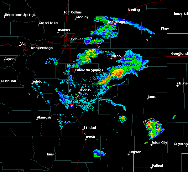 At 756 pm mdt, a severe thunderstorm was located near springfield, moving south at 20 mph (radar indicated). Hazards include 60 mph wind gusts and quarter size hail. Hail damage to vehicles is expected. expect wind damage to roofs, siding and trees. Locations impacted include, springfield and vilas. At 756 pm mdt, a severe thunderstorm was located near springfield, moving south at 20 mph (radar indicated). Hazards include 60 mph wind gusts and quarter size hail. Hail damage to vehicles is expected. expect wind damage to roofs, siding and trees. Locations impacted include, springfield and vilas.
|
| 6/25/2015 7:46 PM MDT |
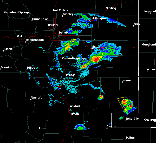 At 744 pm mdt, a severe thunderstorm was located near springfield, moving northwest at 15 mph. law enforcement has reported quarter size hail with this storm (radar indicated). Hazards include 60 mph wind gusts and quarter size hail. Hail damage to vehicles is expected. expect wind damage to roofs, siding and trees. Locations impacted include, springfield and vilas. At 744 pm mdt, a severe thunderstorm was located near springfield, moving northwest at 15 mph. law enforcement has reported quarter size hail with this storm (radar indicated). Hazards include 60 mph wind gusts and quarter size hail. Hail damage to vehicles is expected. expect wind damage to roofs, siding and trees. Locations impacted include, springfield and vilas.
|
| 6/25/2015 7:42 PM MDT | Quarter sized hail reported 2.5 miles SW of Springfield, CO |
| 6/25/2015 7:36 PM MDT |
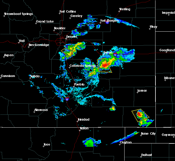 At 736 pm mdt, a severe thunderstorm was located over springfield, moving northwest at 15 mph (radar indicated). Hazards include 60 mph wind gusts and quarter size hail. Hail damage to vehicles is expected. Expect wind damage to roofs, siding and trees. At 736 pm mdt, a severe thunderstorm was located over springfield, moving northwest at 15 mph (radar indicated). Hazards include 60 mph wind gusts and quarter size hail. Hail damage to vehicles is expected. Expect wind damage to roofs, siding and trees.
|
| 6/18/2015 6:39 PM MDT | At 638 pm mdt, a severe thunderstorm was located near springfield, moving south at 10 mph (radar indicated). Hazards include 60 mph wind gusts and half dollar size hail. Hail damage to vehicles is expected. Expect wind damage to roofs, siding and trees. |
| 6/18/2015 6:32 PM MDT | At 632 pm mdt, a severe thunderstorm was located near springfield, moving southwest at 15 mph (radar indicated). Hazards include 60 mph wind gusts and quarter size hail. Hail damage to vehicles is expected. expect wind damage to roofs, siding and trees. Locations impacted include, springfield. |
| 6/18/2015 6:13 PM MDT | At 613 pm mdt, a severe thunderstorm was located near springfield, moving southwest at 15 mph (radar indicated). Hazards include 60 mph wind gusts and half dollar size hail. Hail damage to vehicles is expected. expect wind damage to roofs, siding and trees. Locations impacted include, springfield. |
| 6/18/2015 6:03 PM MDT | At 602 pm mdt, a severe thunderstorm was located 7 miles north of springfield, moving southwest at 20 mph (radar indicated). Hazards include ping pong ball size hail and 60 mph wind gusts. People and animals outdoors will be injured. expect hail damage to roofs, siding, windows and vehicles. expect wind damage to roofs, siding and trees. Locations impacted include, springfield. |
| 6/18/2015 5:52 PM MDT | At 551 pm mdt, a severe thunderstorm was located 7 miles south of two buttes reservoir, or 9 miles north of springfield, moving west at 15 mph (radar indicated). Hazards include ping pong ball size hail and 60 mph wind gusts. People and animals outdoors will be injured. expect hail damage to roofs, siding, windows and vehicles. Expect wind damage to roofs, siding and trees. |
| 6/11/2015 8:33 PM MDT |
 At 833 pm mdt, a severe thunderstorm capable of producing a tornado was located just north of walsh, or 13 miles west of the saunders elevator, moving east at 35 mph. wind gusts of over 70 mph will be possible ahead of this storm across eastern baca county (radar indicated rotation). Hazards include tornado and golf ball size hail. Flying debris will be dangerous to those caught without shelter. mobile homes will be damaged or destroyed. damage to roofs, windows and vehicles will occur. tree damage is likely. This tornadic thunderstorm will remain over mainly rural areas of northeastern baca county. At 833 pm mdt, a severe thunderstorm capable of producing a tornado was located just north of walsh, or 13 miles west of the saunders elevator, moving east at 35 mph. wind gusts of over 70 mph will be possible ahead of this storm across eastern baca county (radar indicated rotation). Hazards include tornado and golf ball size hail. Flying debris will be dangerous to those caught without shelter. mobile homes will be damaged or destroyed. damage to roofs, windows and vehicles will occur. tree damage is likely. This tornadic thunderstorm will remain over mainly rural areas of northeastern baca county.
|
| 6/11/2015 8:24 PM MDT |
 At 824 pm mdt, a severe thunderstorm capable of producing a tornado was located near vilas, or 13 miles east of springfield, moving east at 35 mph. strong wind gusts, in excess of 60 mph will likely occur well ahead of this storm over eastern portions of baca county (radar indicated rotation. at 822 pm mdt damage from straight line winds in excess of 60 mph was reported in around springfield). Hazards include tornado and golf ball size hail. Flying debris will be dangerous to those caught without shelter. mobile homes will be damaged or destroyed. damage to roofs, windows and vehicles will occur. tree damage is likely. This dangerous storm will be near, walsh around 835 pm mdt. At 824 pm mdt, a severe thunderstorm capable of producing a tornado was located near vilas, or 13 miles east of springfield, moving east at 35 mph. strong wind gusts, in excess of 60 mph will likely occur well ahead of this storm over eastern portions of baca county (radar indicated rotation. at 822 pm mdt damage from straight line winds in excess of 60 mph was reported in around springfield). Hazards include tornado and golf ball size hail. Flying debris will be dangerous to those caught without shelter. mobile homes will be damaged or destroyed. damage to roofs, windows and vehicles will occur. tree damage is likely. This dangerous storm will be near, walsh around 835 pm mdt.
|
| 6/11/2015 8:22 PM MDT | Reports of multiple power poles down along highway 160/ ctty rd 21/ mm463 and on main stree in baca county CO, 0.7 miles SSE of Springfield, CO |
| 6/11/2015 8:17 PM MDT |
 At 817 pm mdt, a severe thunderstorm capable of producing a tornado was located near vilas, or 9 miles east of springfield, moving east at 30 mph. strong wind gusts, in excess of 60 mph will likely occur well ahead of this storm over eastern portions of baca county (radar indicated rotation). Hazards include tornado and golf ball size hail. Flying debris will be dangerous to those caught without shelter. mobile homes will be damaged or destroyed. damage to roofs, windows and vehicles will occur. tree damage is likely. This dangerous storm will be near, walsh around 835 pm mdt. At 817 pm mdt, a severe thunderstorm capable of producing a tornado was located near vilas, or 9 miles east of springfield, moving east at 30 mph. strong wind gusts, in excess of 60 mph will likely occur well ahead of this storm over eastern portions of baca county (radar indicated rotation). Hazards include tornado and golf ball size hail. Flying debris will be dangerous to those caught without shelter. mobile homes will be damaged or destroyed. damage to roofs, windows and vehicles will occur. tree damage is likely. This dangerous storm will be near, walsh around 835 pm mdt.
|
| 6/11/2015 8:11 PM MDT |
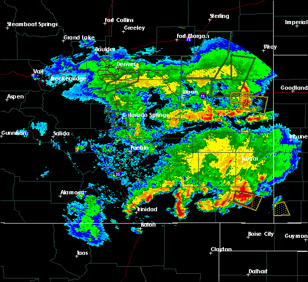 The national weather service in pueblo has issued a * tornado warning for. northeastern baca county in southeastern colorado. until 845 pm mdt * at 811 pm mdt. a severe thunderstorm capable of producing a tornado was located 7 miles northeast of springfield. Moving east. The national weather service in pueblo has issued a * tornado warning for. northeastern baca county in southeastern colorado. until 845 pm mdt * at 811 pm mdt. a severe thunderstorm capable of producing a tornado was located 7 miles northeast of springfield. Moving east.
|
| 6/11/2015 8:07 PM MDT | 10+ power poles down on highway 16 in baca county CO, 4.1 miles E of Springfield, CO |
| 6/11/2015 8:04 PM MDT | Hen Egg sized hail reported 0.7 miles SSW of Springfield, CO |
| 6/11/2015 8:02 PM MDT |
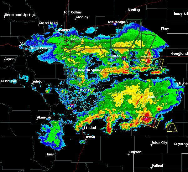 At 802 pm mdt, a severe thunderstorm capable of producing a tornado was located just north of springfield, moving east at 35 mph (radar indicated rotation). Hazards include tornado and golf ball size hail. Flying debris will be dangerous to those caught without shelter. mobile homes will be damaged or destroyed. damage to roofs, windows and vehicles will occur. tree damage is likely. this dangerous storm will be near, springfield around 805 pm mdt. Vilas around 815 pm mdt. At 802 pm mdt, a severe thunderstorm capable of producing a tornado was located just north of springfield, moving east at 35 mph (radar indicated rotation). Hazards include tornado and golf ball size hail. Flying debris will be dangerous to those caught without shelter. mobile homes will be damaged or destroyed. damage to roofs, windows and vehicles will occur. tree damage is likely. this dangerous storm will be near, springfield around 805 pm mdt. Vilas around 815 pm mdt.
|
| 6/11/2015 7:56 PM MDT |
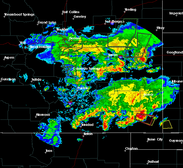 At 756 pm mdt, a severe thunderstorm capable of producing a tornado was located 7 miles northwest of springfield, moving east at 30 mph (radar indicated rotation). Hazards include tornado and golf ball size hail. Flying debris will be dangerous to those caught without shelter. mobile homes will be damaged or destroyed. damage to roofs, windows and vehicles will occur. tree damage is likely. this dangerous storm will be near, springfield around 810 pm mdt. Vilas around 815 pm mdt. At 756 pm mdt, a severe thunderstorm capable of producing a tornado was located 7 miles northwest of springfield, moving east at 30 mph (radar indicated rotation). Hazards include tornado and golf ball size hail. Flying debris will be dangerous to those caught without shelter. mobile homes will be damaged or destroyed. damage to roofs, windows and vehicles will occur. tree damage is likely. this dangerous storm will be near, springfield around 810 pm mdt. Vilas around 815 pm mdt.
|
| 6/11/2015 7:55 PM MDT | Golf Ball sized hail reported 0.7 miles SSE of Springfield, CO |
| 6/11/2015 7:50 PM MDT |
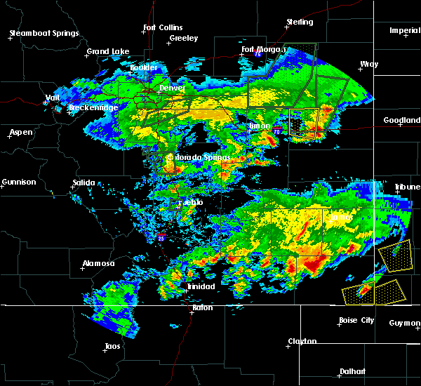 At 750 pm mdt, a severe thunderstorm capable of producing a tornado was located 8 miles northwest of springfield, moving east at 30 mph (radar indicated rotation). Hazards include tornado and golf ball size hail. Flying debris will be dangerous to those caught without shelter. mobile homes will be damaged or destroyed. damage to roofs, windows and vehicles will occur. tree damage is likely. this dangerous storm will be near, springfield around 805 pm mdt. Vilas around 815 pm mdt. At 750 pm mdt, a severe thunderstorm capable of producing a tornado was located 8 miles northwest of springfield, moving east at 30 mph (radar indicated rotation). Hazards include tornado and golf ball size hail. Flying debris will be dangerous to those caught without shelter. mobile homes will be damaged or destroyed. damage to roofs, windows and vehicles will occur. tree damage is likely. this dangerous storm will be near, springfield around 805 pm mdt. Vilas around 815 pm mdt.
|
| 6/11/2015 7:46 PM MDT |
 At 746 pm mdt, a severe thunderstorm was located 8 miles northeast of pritchett, or 9 miles northwest of springfield, moving east at 40 mph (radar indicated). Hazards include ping pong ball size hail and 60 mph wind gusts. People and animals outdoors will be injured. expect hail damage to roofs, siding, windows and vehicles. Expect wind damage to roofs, siding and trees. At 746 pm mdt, a severe thunderstorm was located 8 miles northeast of pritchett, or 9 miles northwest of springfield, moving east at 40 mph (radar indicated). Hazards include ping pong ball size hail and 60 mph wind gusts. People and animals outdoors will be injured. expect hail damage to roofs, siding, windows and vehicles. Expect wind damage to roofs, siding and trees.
|
| 5/24/2015 5:22 PM MDT | At 522 pm mdt, a severe thunderstorm was located near two buttes reservoir, or 11 miles north of springfield, moving northeast at 30 mph (radar indicated). Hazards include 70 mph wind gusts and half dollar size hail. Hail damage to vehicles is expected. expect considerable tree damage. wind damage is also likely to mobile homes, roofs and outbuildings. locations impacted include, springfield, two buttes and two buttes reservoir. A tornado watch remains in effect until midnight mdt for southeastern colorado. |
| 5/24/2015 5:12 PM MDT | At 512 pm mdt, a severe thunderstorm was located 8 miles north of springfield, moving northeast at 30 mph (radar indicated). Hazards include 70 mph wind gusts and half dollar size hail. Hail damage to vehicles is expected. expect considerable tree damage. Wind damage is also likely to mobile homes, roofs and outbuildings. |
| 5/24/2015 5:06 PM MDT | At 506 pm mdt, severe thunderstorms were located along a line extending from 10 miles north of two buttes reservoir to 7 miles southwest of springfield, moving east at 35 mph (radar indicated). Hazards include 70 mph wind gusts and half dollar size hail. Hail damage to vehicles is expected. expect considerable tree damage. wind damage is also likely to mobile homes, roofs and outbuildings. locations impacted include, springfield, vilas, two buttes and two buttes reservoir. A tornado watch remains in effect until midnight mdt for southeastern colorado. |
| 5/24/2015 4:51 PM MDT | At 451 pm mdt, severe thunderstorms were located along a line extending from 11 miles north of two buttes reservoir to near pritchett, moving east at 40 mph (radar indicated). Hazards include 70 mph wind gusts and half dollar size hail. Hail damage to vehicles is expected. expect considerable tree damage. wind damage is also likely to mobile homes, roofs and outbuildings. locations impacted include, springfield, pritchett, vilas, two buttes and two buttes reservoir. A tornado watch remains in effect until midnight mdt for southeastern colorado. |
| 5/24/2015 4:45 PM MDT | At 445 pm mdt, severe thunderstorms were located along a line extending from 11 miles northwest of two buttes reservoir to near pritchett, moving northeast at 40 mph (radar indicated). Hazards include 60 mph wind gusts and quarter size hail. Hail damage to vehicles is expected. expect wind damage to roofs, siding and trees. locations impacted include, springfield, pritchett, vilas, two buttes and two buttes reservoir. A tornado watch remains in effect until midnight mdt for southeastern colorado. |
| 5/24/2015 4:26 PM MDT | At 425 pm mdt, severe thunderstorms were located along a line extending from 15 miles west of two buttes reservoir to 8 miles southwest of pritchett, moving east at 40 mph (radar indicated). Hazards include 60 mph wind gusts and quarter size hail. Hail damage to vehicles is expected. Expect wind damage to roofs, siding and trees. |
| 4/16/2015 6:14 PM MDT | At 614 pm mdt, a severe thunderstorm was located 8 miles southwest of two buttes reservoir, or 10 miles north of springfield, moving northeast at 25 mph (public. at 611 pm mdt...a trained weather spotter reported penny size hail, 3/4 inches in diameter, 7 miles northwest of springfield). Hazards include quarter size hail. Damage to vehicles is expected. locations impacted include, areas north of springfield, and near two buttes reservoir. 1. 00in. |
| 4/16/2015 6:01 PM MDT | At 601 pm mdt, a severe thunderstorm was located 7 miles northwest of springfield, moving northeast at 25 mph (radar indicated). Hazards include quarter size hail. damage to vehicles is expected |
| 7/26/2014 9:56 PM MDT | Storm damage reported in baca county CO, 8.3 miles N of Springfield, CO |
| 6/22/2014 6:47 PM MDT | Springfield asos in baca county CO, 8.3 miles N of Springfield, CO |
| 6/22/2014 6:25 PM MDT | Storm damage reported in baca county CO, 8.3 miles N of Springfield, CO |
| 6/6/2014 6:06 PM MDT | Storm damage reported in baca county CO, 8.3 miles N of Springfield, CO |
| 6/6/2014 5:52 PM MDT | Storm damage reported in baca county CO, 8.3 miles N of Springfield, CO |
| 6/4/2013 6:56 PM MDT | Asos recorded 90 mph gust from northwest at 656 pm mdt in baca county CO, 6.4 miles NNW of Springfield, CO |
| 6/12/2012 4:50 PM MDT | Quarter sized hail reported 4.1 miles S of Springfield, CO |
| 6/12/2012 4:25 PM MDT | Quarter sized hail reported 13.7 miles ESE of Springfield, CO |
| 6/12/2012 4:07 PM MDT | Ping Pong Ball sized hail reported 14.2 miles ESE of Springfield, CO, covering ground to 3 inch depth. |
| 6/12/2012 3:47 PM MDT | Hen Egg sized hail reported 14 miles ESE of Springfield, CO |
| 6/2/2012 5:12 PM MDT | Zero visibility due to blowing dust in thunderstorm outflow winds in baca county CO, 11.7 miles S of Springfield, CO |
| 4/26/2012 4:29 PM MDT | Quarter sized hail reported 10.3 miles S of Springfield, CO |
| 1/1/0001 12:00 AM | Storm damage reported in baca county CO, 6.4 miles NNW of Springfield, CO |
Hail Maps for Springfield, CO
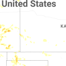
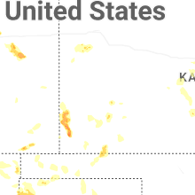
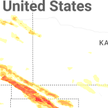
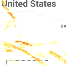

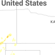


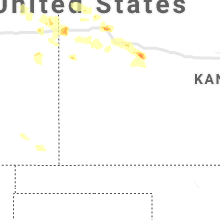


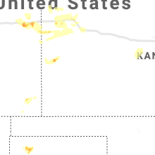


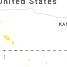


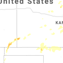


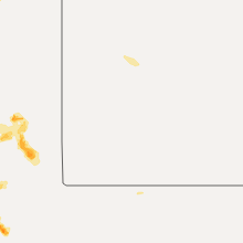


Connect with Interactive Hail Maps